Hiking Tripyramid Loop of New Hampshire

The first Sunday of July 2024, I checked out Tripyramid, an exciting group of mountains in the southern part of White Mountains in New Hampshire.

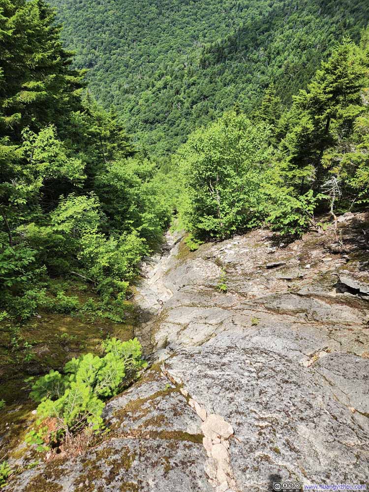
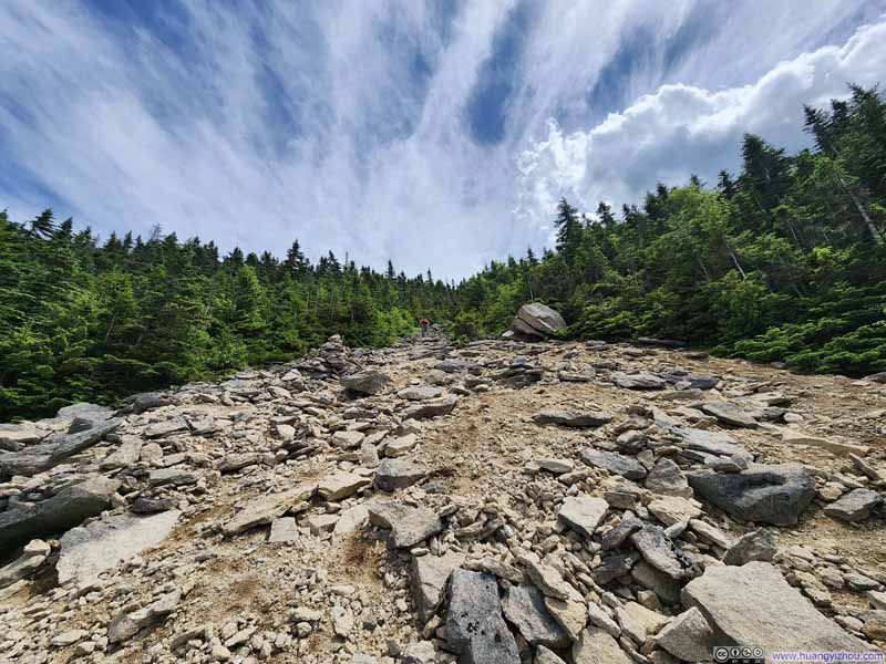
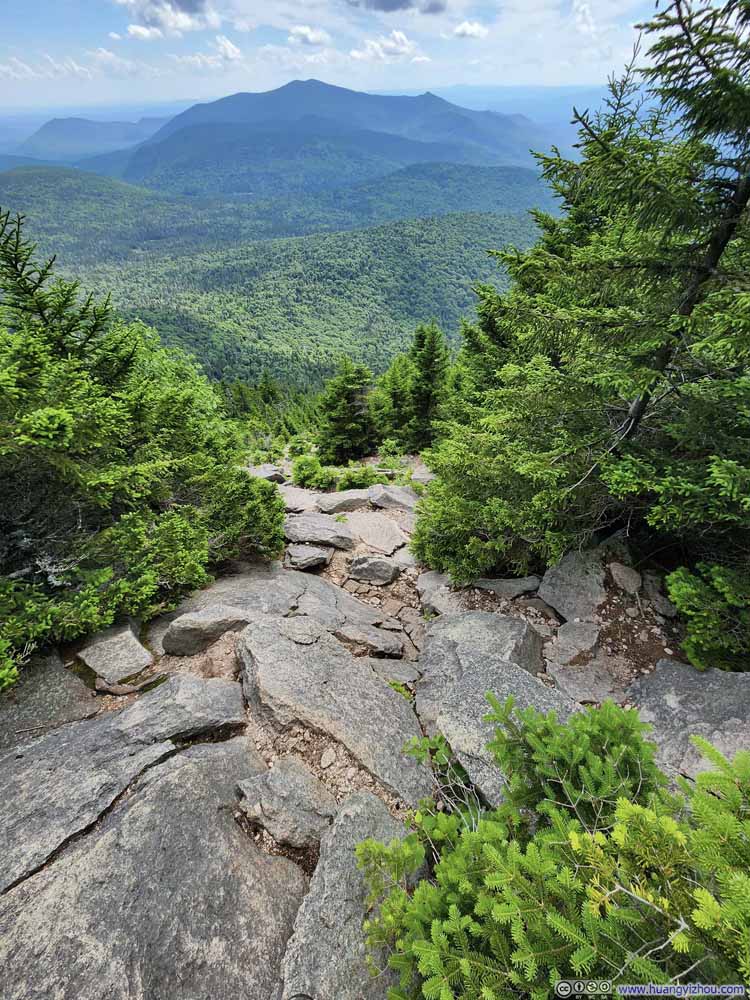
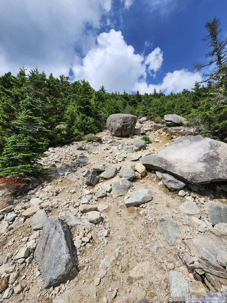
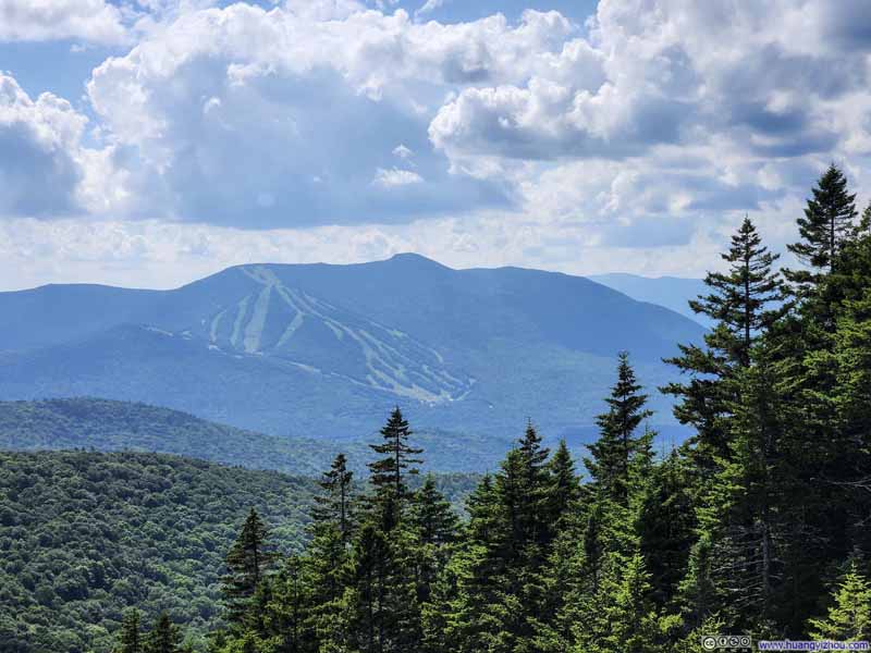
Upper Part of North Slide


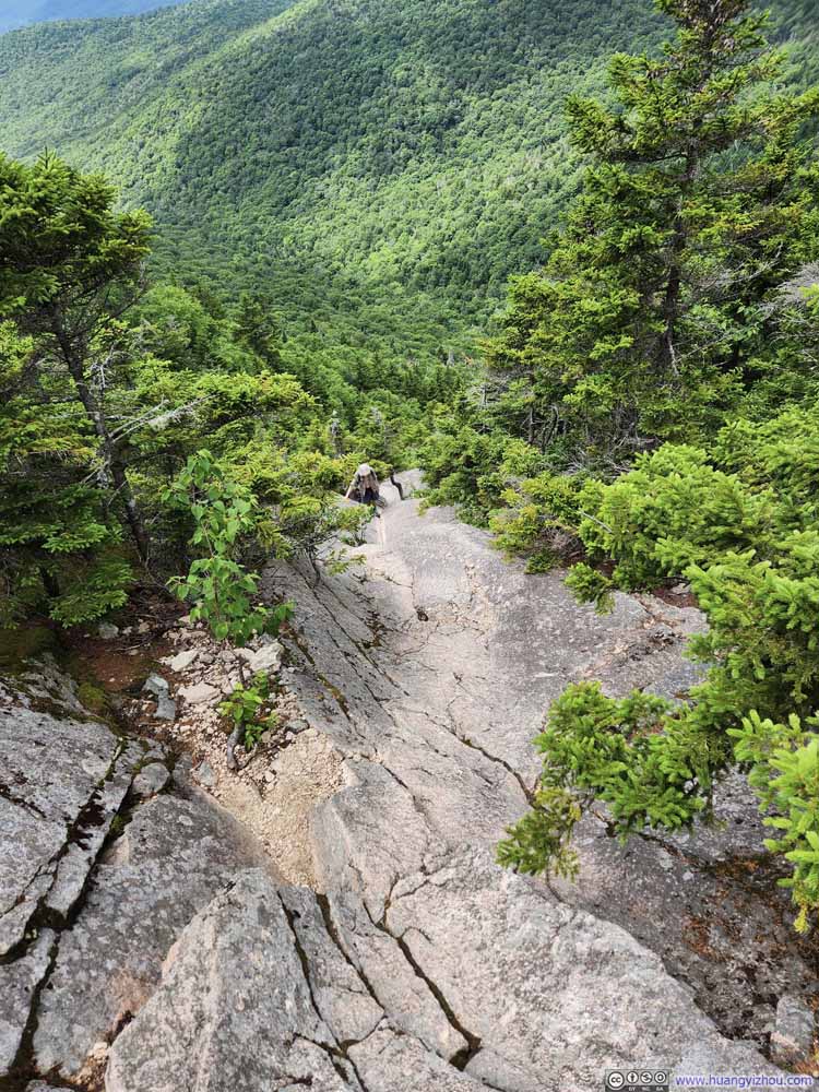
Upper Part of North Slide

The Tripyramid group consists of three peaks, North, Middle and South. According to AllTrails, it’s a 17km semi-loop trail to bag them all with 890m elevation gain (10.5mi, 2900ft). The loop reached the summit ridge connecting North and South Tripyramid via “North Slide” and “South Slide”. As their name suggested, the two “slides” are steep slopes requiring some scrambling skills. “North Slide” was arguably the more challenging of the two, as a result it’s generally recommended to head uphill along “North Slide”. The summit ridge could also be reached from the east through less technical trails. I had a trip to California planned in two weeks, during which I planned to tackle Cloudripper via West Chute, so I figured the two slides presented the perfect opportunity to make sure my body was still in shape, hence I picked them for this hike.

The trailhead of this hike was next to Waterville Valley Ski Resort. I reached it at around 10:40am and the parking lot was only 2/3 full. After some warmup, I started my hike just before 11am. Here’s GPS tracking:

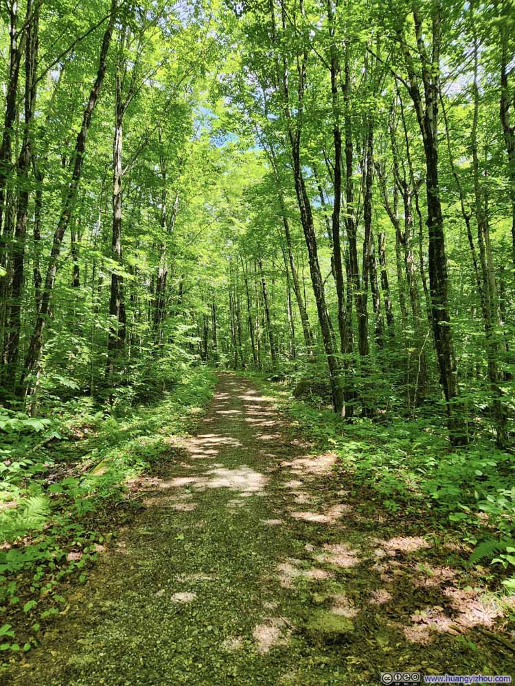
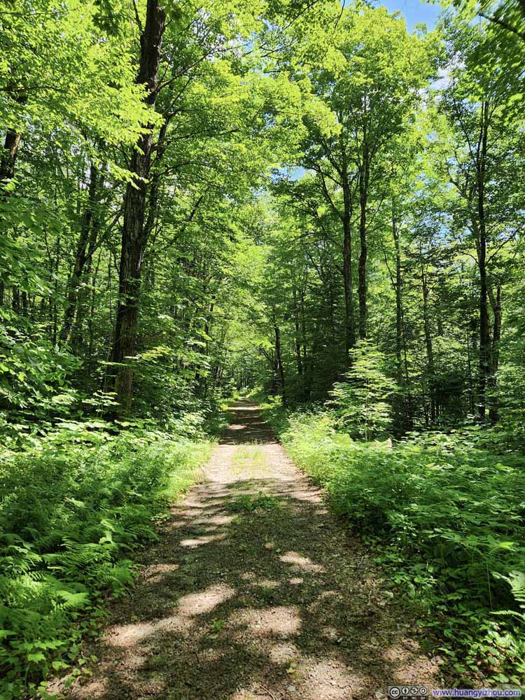
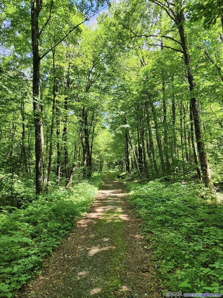
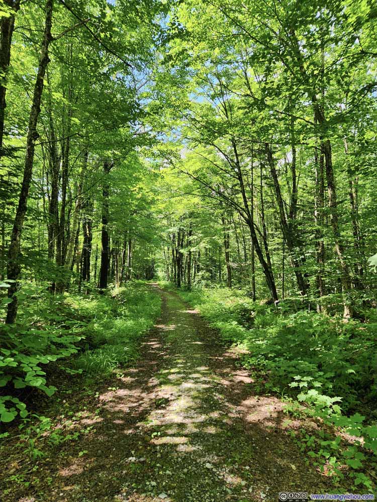
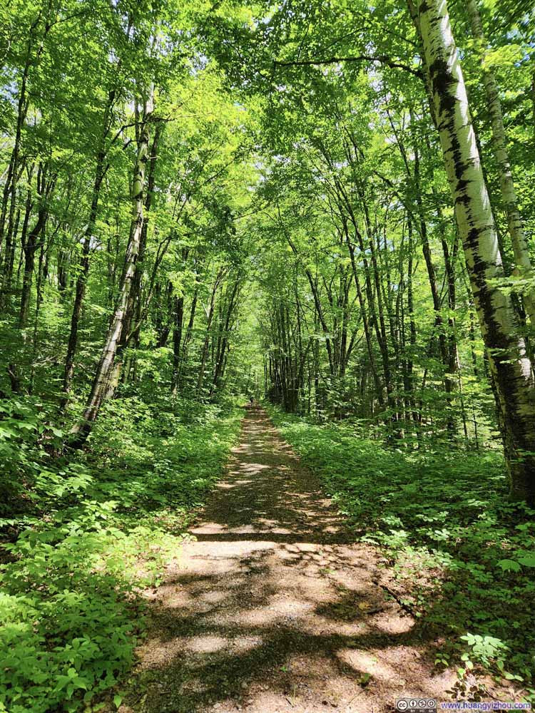
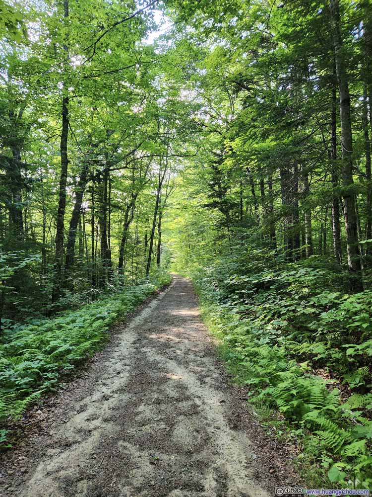
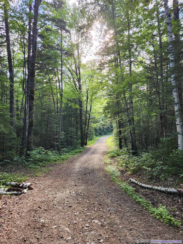
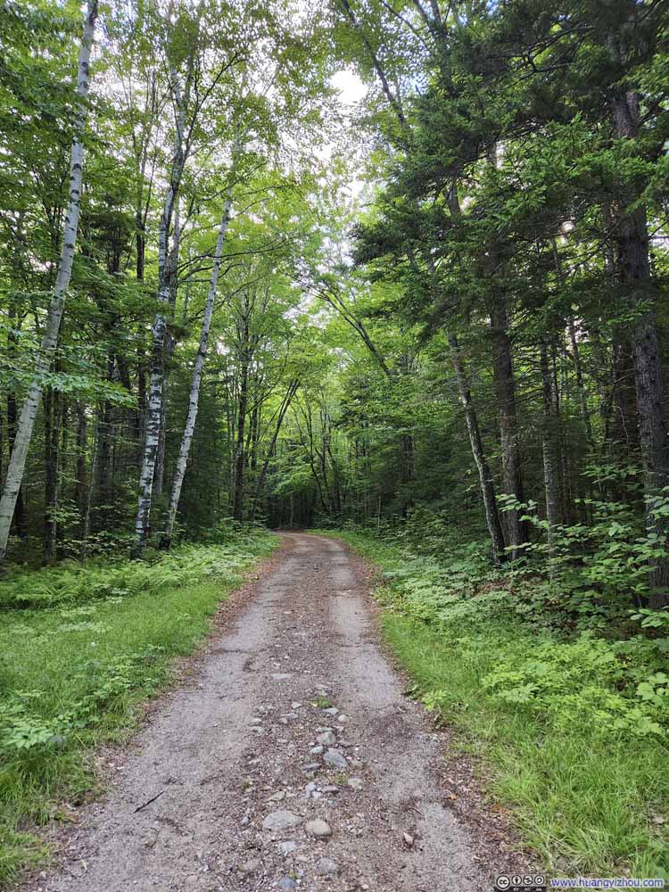
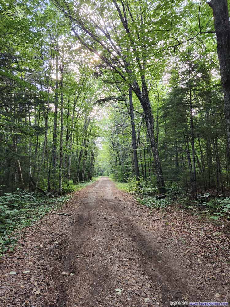
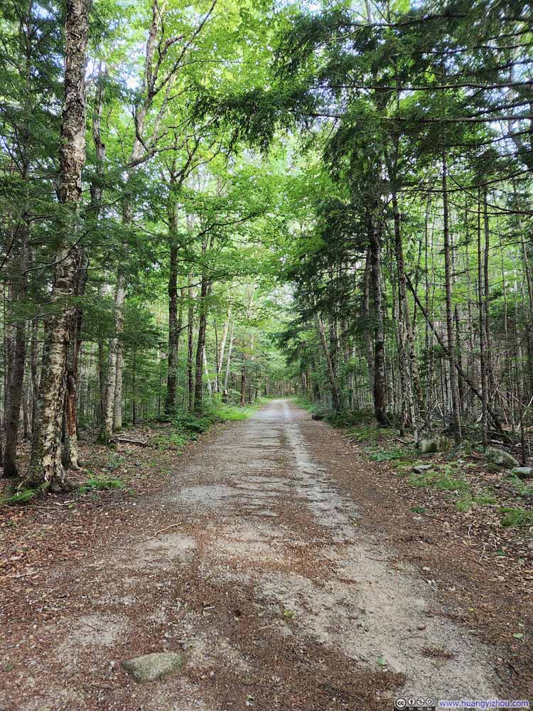
The first 5.8km and last 4.2km of the loop trail was on a forest road, so a total of 10km (6.3mi) of the hike should be a comfortable stroll in the woods. That is, if not for the bugs that were constantly buzzing around my ears. (Weirdly that once I entered the woods they seemed to mysteriously disappear.) I saw a few mountain bikers along the road and one could surely stash a bike at the loop intersection to cut down on time.

  • Forest Road
    Forest Road
  • Forest Road
    Forest Road
  • Forest Road
    Forest Road
  • Forest Road
    Forest Road
  • Forest Road
    Forest Road
  • Forest Road
    Forest Road
  • Forest Road
    Forest Road
  • Forest Road
    Forest Road
  • Forest Road
    Forest Road
  • Forest Road
    Forest Road
  • Forest Road
  • Forest Road
  • Forest Road
  • Forest Road
  • Forest Road
  • Forest Road
  • Forest Road
  • Forest Road
  • Forest Road
  • Forest Road

Click here to display photos of the Forest Road.
Forest Road


Forest Road

Forest Road


Forest Road

Forest Road


Forest Road

Forest Road


Forest Road

Forest Road


Forest Road

Forest Road


Forest Road

Forest Road


Forest Road

Forest Road


Forest Road

Forest Road


Forest Road

Forest Road


Forest Road


Mad River

 Mad River
Mad River
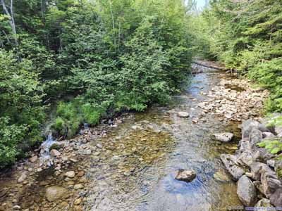
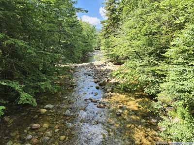
One of the few rivers that the forest road crossed. Unlike its name, it looked very calm during my visit.
Crossing Avalanche Brook

 Crossing Avalanche Brook
Crossing Avalanche Brook

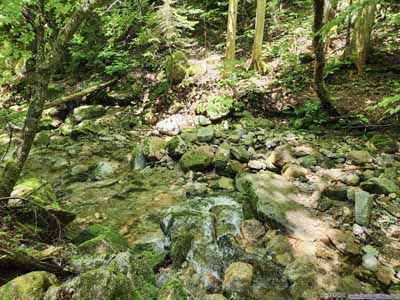
On my way out (left) and back (right). Avalanche Brook marked the boundary between the comfortable part of the hike (forest road), and the not-so-comfortable (trails and slides).

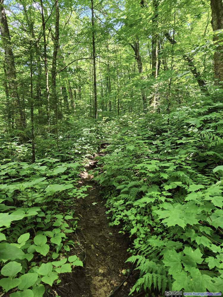
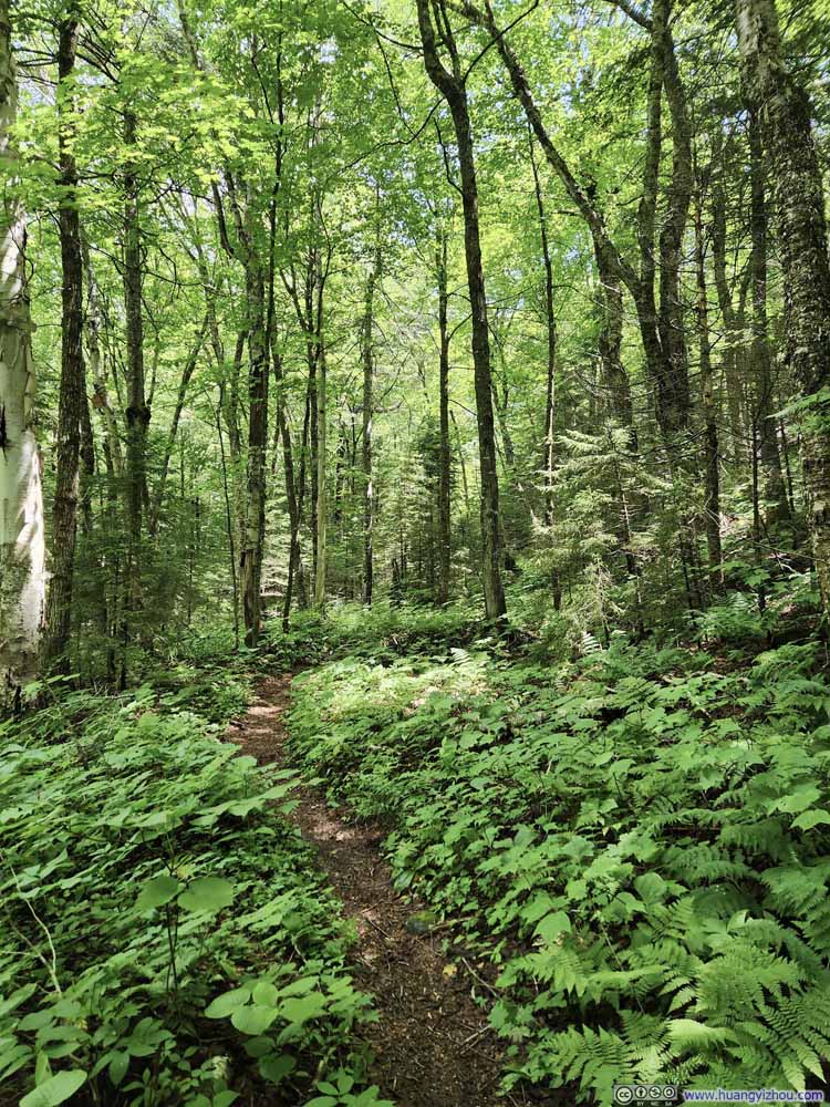
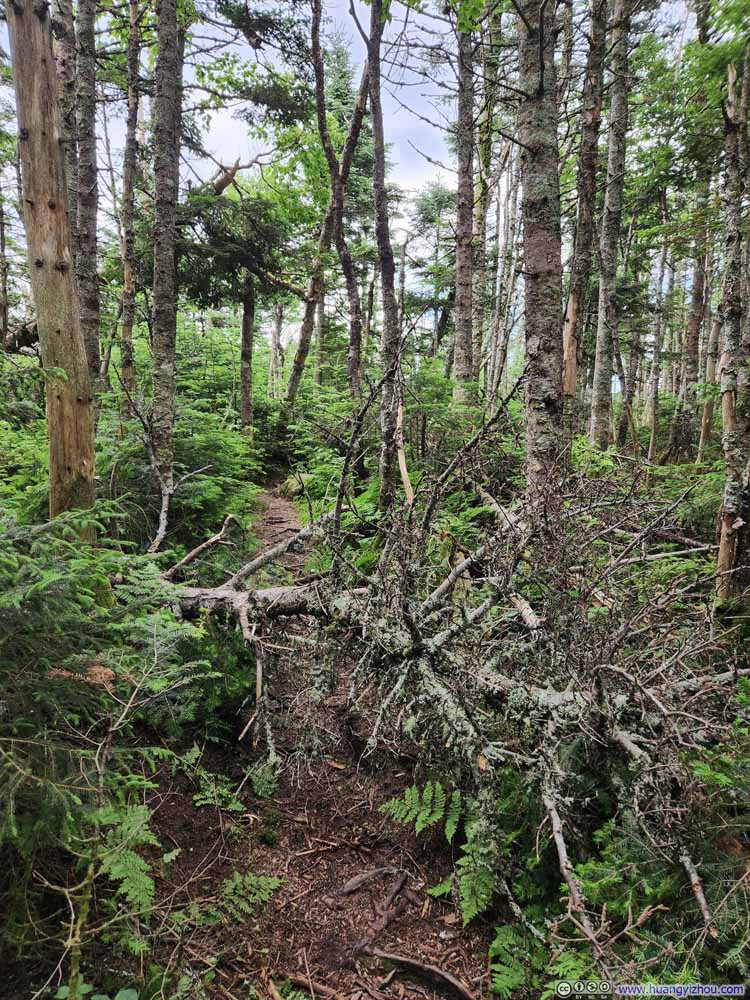
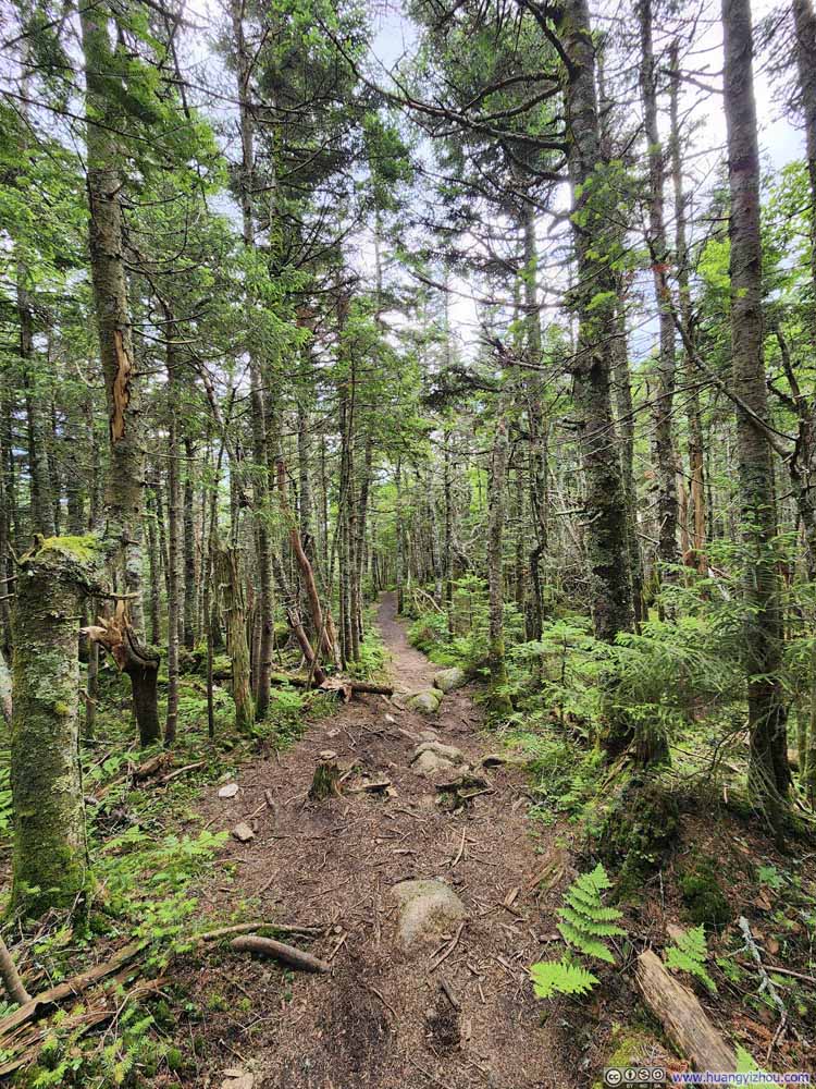
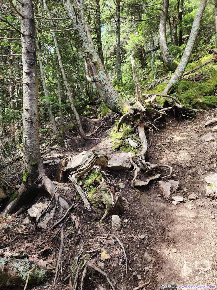
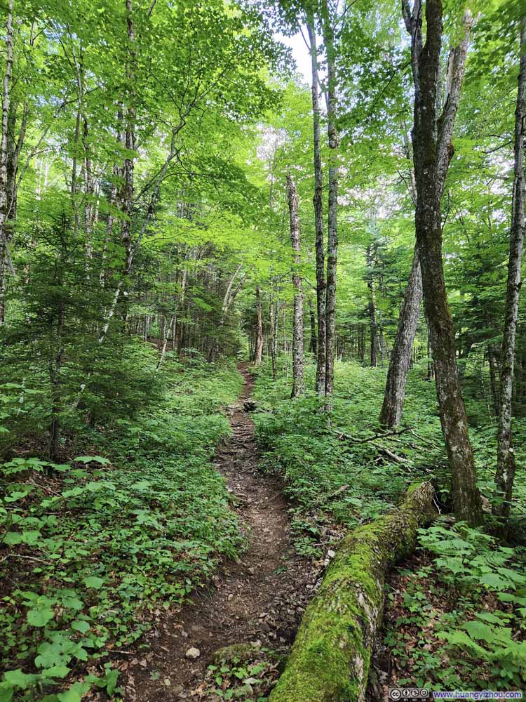
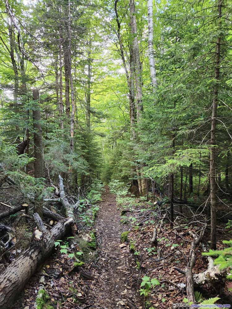
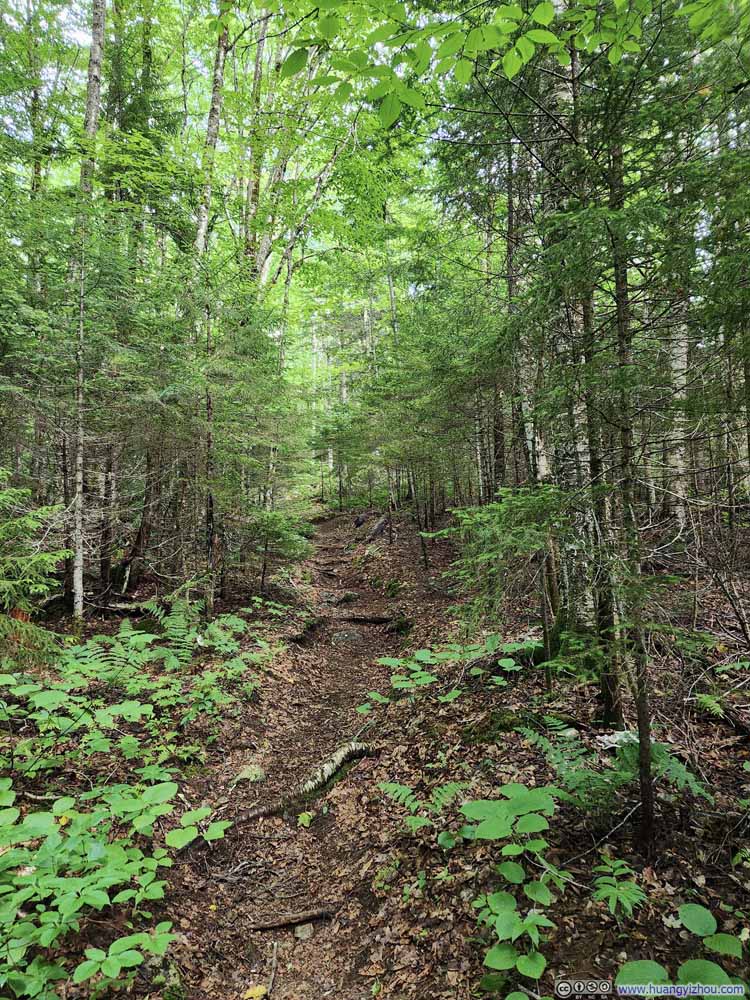
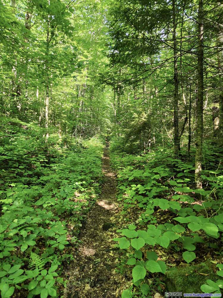
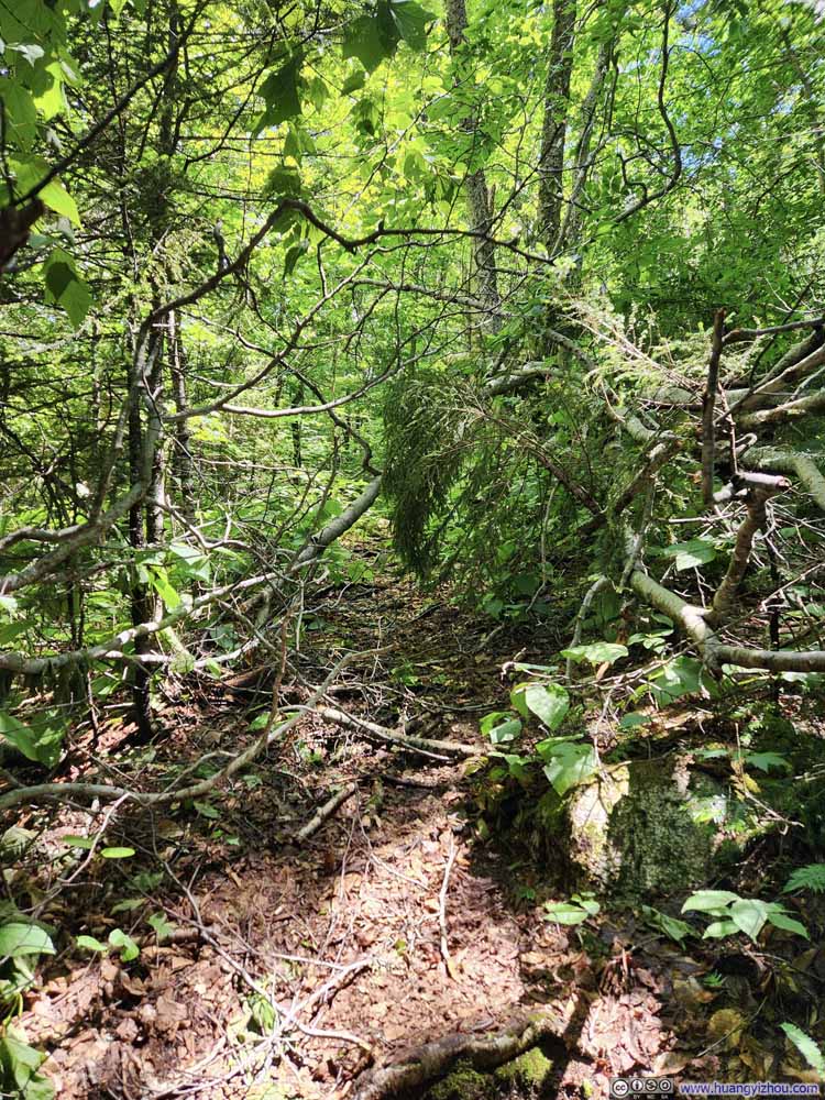
After crossing Avalanche Brook, the actual hiking experience began. Unfortunately, the 0.8km (0.5mi) of trail before the start of North Slide wasn’t the most enjoyable. It’s narrow, somewhat overgrown, and had two fallen trees that were somewhat hard to navigate around (one of them was p1 below).
To make matters worse, it was a very hot day, and I was certainly over-dressed. Just like my previous hikes of White Mountains in June, I wore long trousers (to protect my legs from bugs and sunshine). That coupled with the steep trail meant I was soon drenched in sweat.

  • Blockage
    Blockage
    One of two such obstacles before reaching North Slide. Took some efforts to navigate through this fallen tree.
  • Trail
    Trail
  • Trail
    Trail
  • Blockage
  • Trail
  • Trail

Click here to display photos of the trail before the base of North Slide.
Blockage


Blockage

One of two such obstacles before reaching North Slide. Took some efforts to navigate through this fallen tree.

Trail


Trail

Trail


Trail


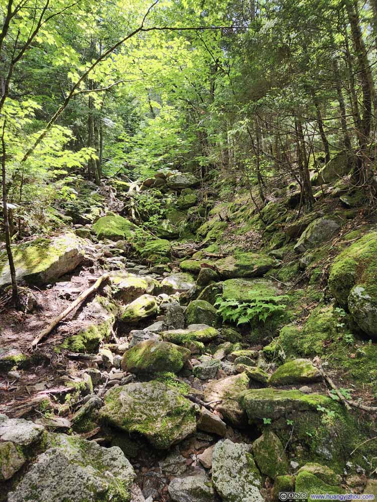
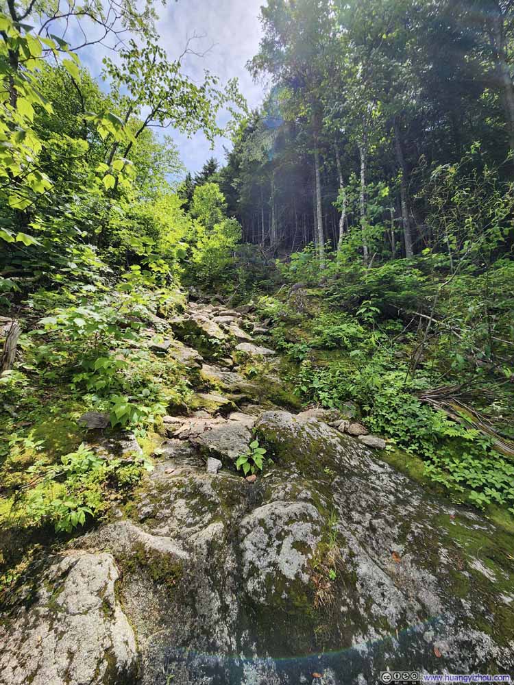
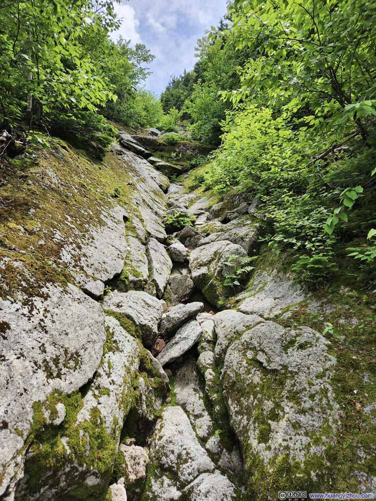
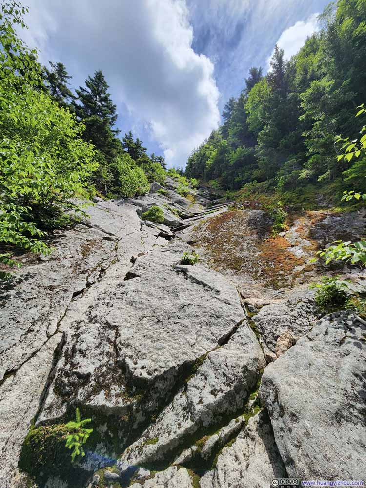
Soon after that, it’s North Slide. It’s like a couloir of exposed rocks in between dense forests (That’s figuratively speaking. It’s not a gully.), where the trail found its way on rocks and scree to ascend onto North Tripyramid.

  • Beginning of North Slide
    Beginning of North Slide
    Moss-covered rocks leading the way.
  • Trail
    Trail
    Very occasionally, there was a trail next to portions of the North Slide that were overgrown.
  • Lower Part of North Slide
    Lower Part of North Slide
    One had to climb over these rocks, which, frankly, wasn’t too hard.
  • Lower Part of North Slide
    Lower Part of North Slide
    One had to climb over these rocks, which, frankly, wasn’t too hard.
  • Lower Part of North Slide
    Lower Part of North Slide
    Looked pretty steep from this angle.
  • Lower Part of North Slide
    Lower Part of North Slide
    One had to climb over these rocks. As it got higher there were fewer footholds and handholds.
  • Lower Part of North Slide
    Lower Part of North Slide
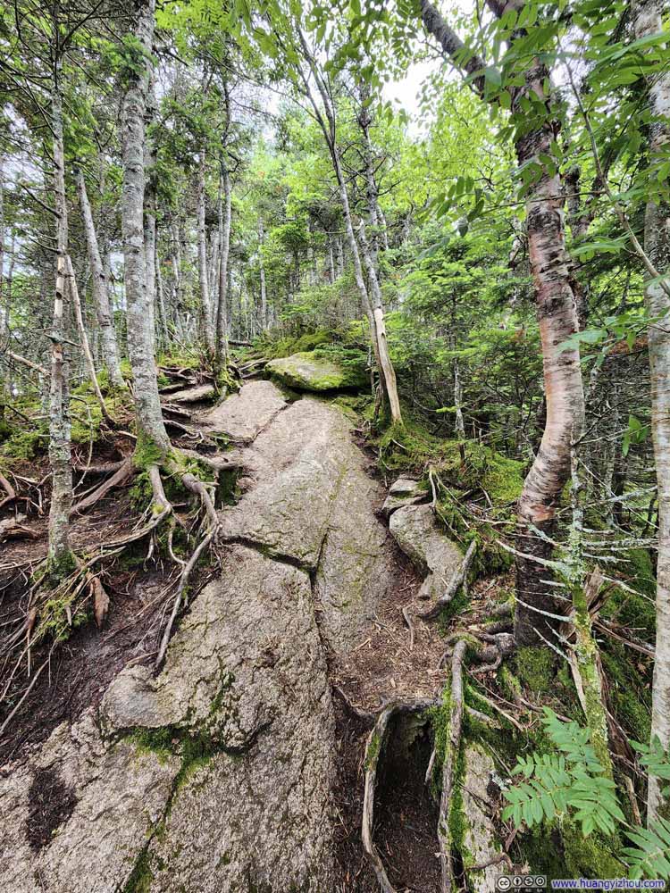
    There was a patch of wet rock in the upper-center of this photo, which caused some traction issue. As a result, I had to go through the bushes to the right.
  • Lower Part of North Slide
    Lower Part of North Slide
  • Middle of North Slide
    Middle of North Slide
  • Beginning of North Slide
  • Trail
  • Lower Part of North Slide
  • Lower Part of North Slide
  • Lower Part of North Slide
  • Lower Part of North Slide
  • Lower Part of North Slide
  • Lower Part of North Slide
  • Middle of North Slide

Click here to display photos of the lower part of North Slide.
Beginning of North Slide


Beginning of North Slide
Moss-covered rocks leading the way.

Trail


Trail
Very occasionally, there was a trail next to portions of the North Slide that were overgrown.

Lower Part of North Slide


Lower Part of North Slide
One had to climb over these rocks, which, frankly, wasn’t too hard.

Lower Part of North Slide


Lower Part of North Slide
One had to climb over these rocks, which, frankly, wasn’t too hard.

Lower Part of North Slide


Lower Part of North Slide
Looked pretty steep from this angle.

Lower Part of North Slide


Lower Part of North Slide
One had to climb over these rocks. As it got higher there were fewer footholds and handholds.
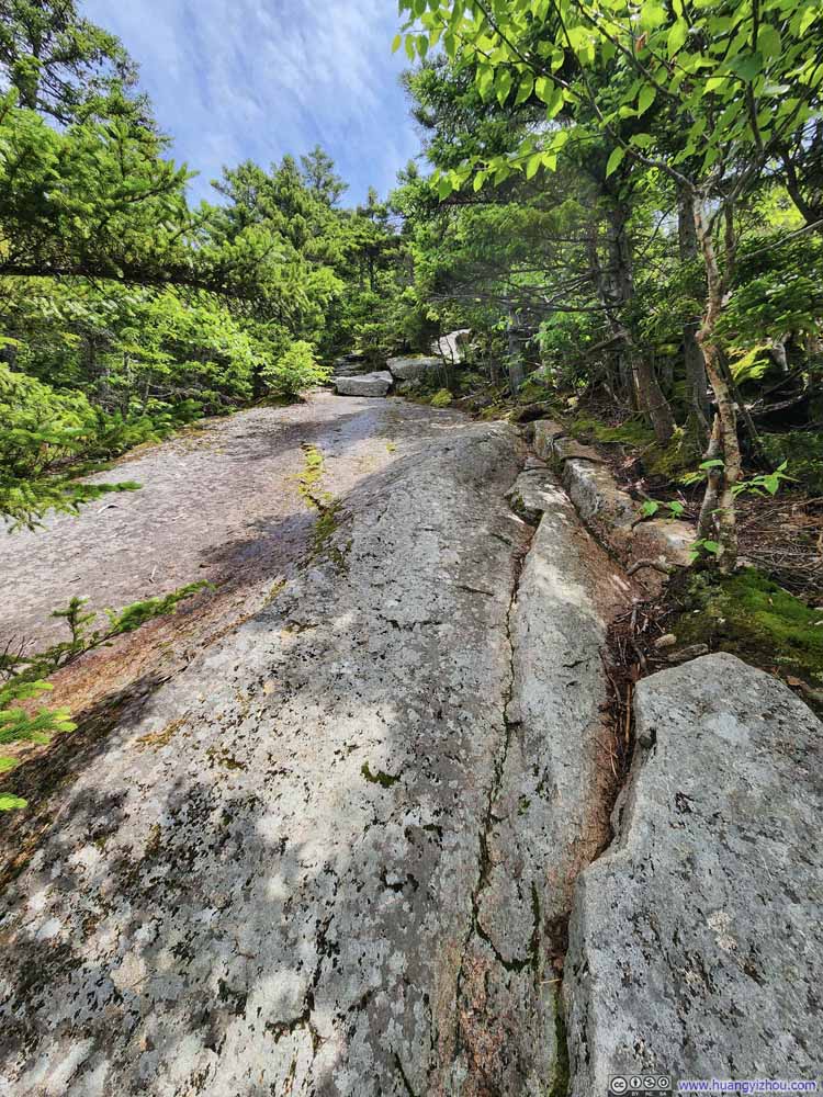
Lower Part of North Slide


Lower Part of North Slide

There was a patch of wet rock in the upper-center of this photo, which caused some traction issue. As a result, I had to go through the bushes to the right.

Lower Part of North Slide


Lower Part of North Slide

Middle of North Slide


Middle of North Slide


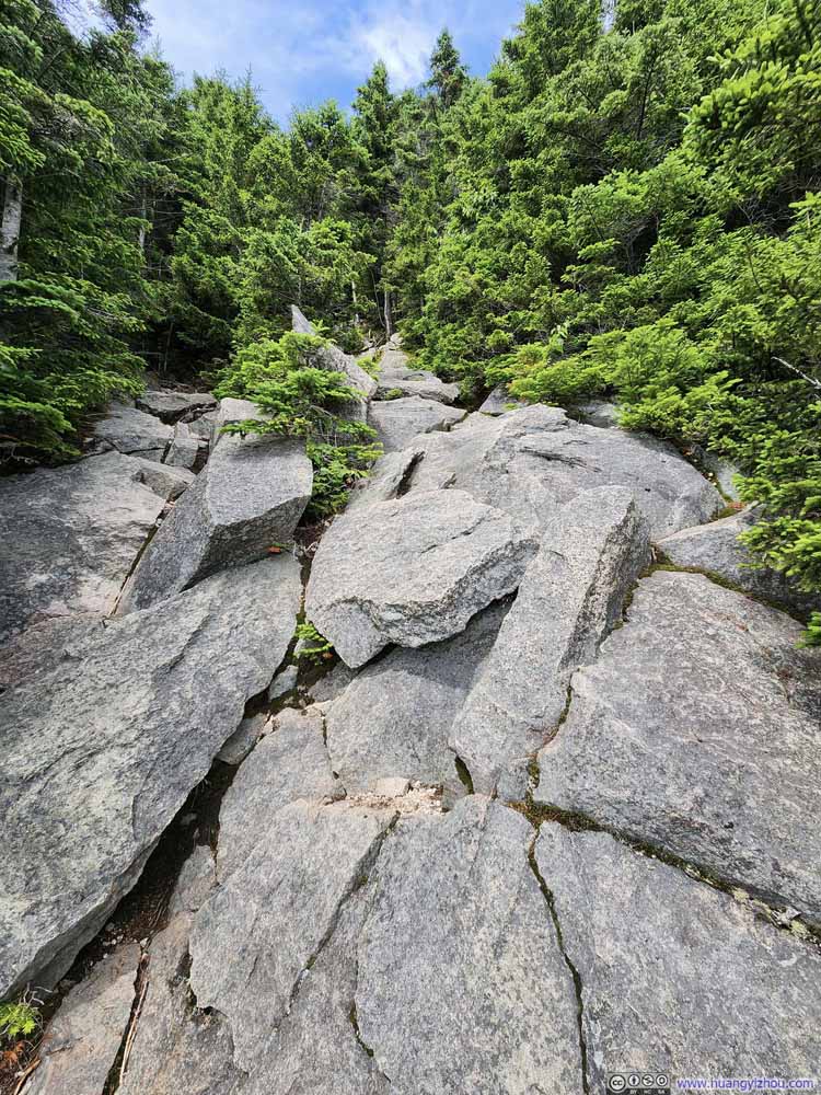
First and foremost, the entirety of North Slide was very steep. My tracking shows it has an average (tangent) gradient of 0.55 for about 0.6km (0.4mi).
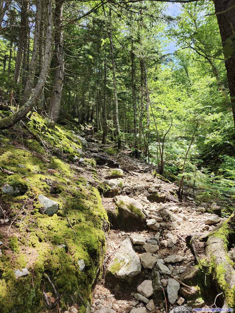
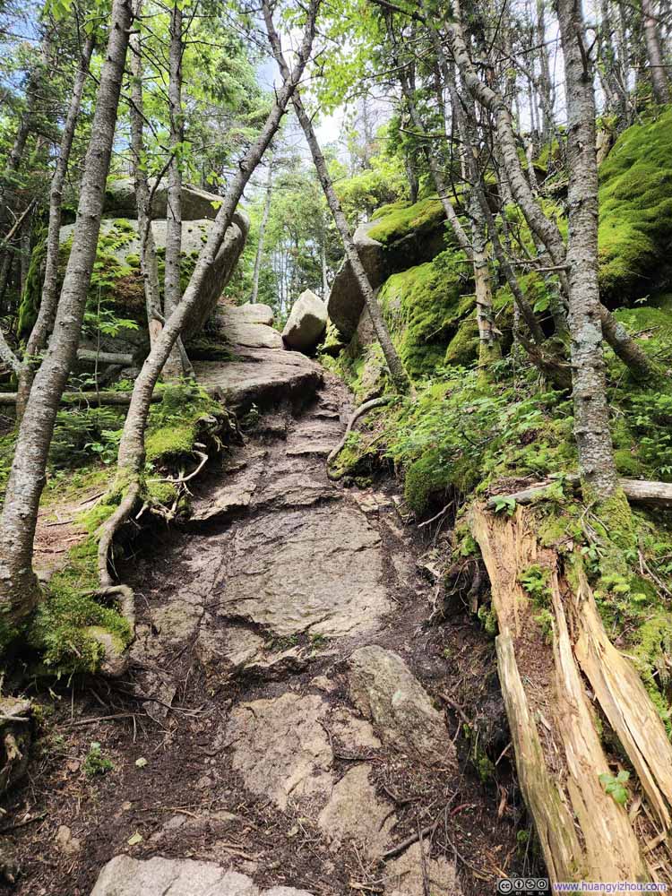
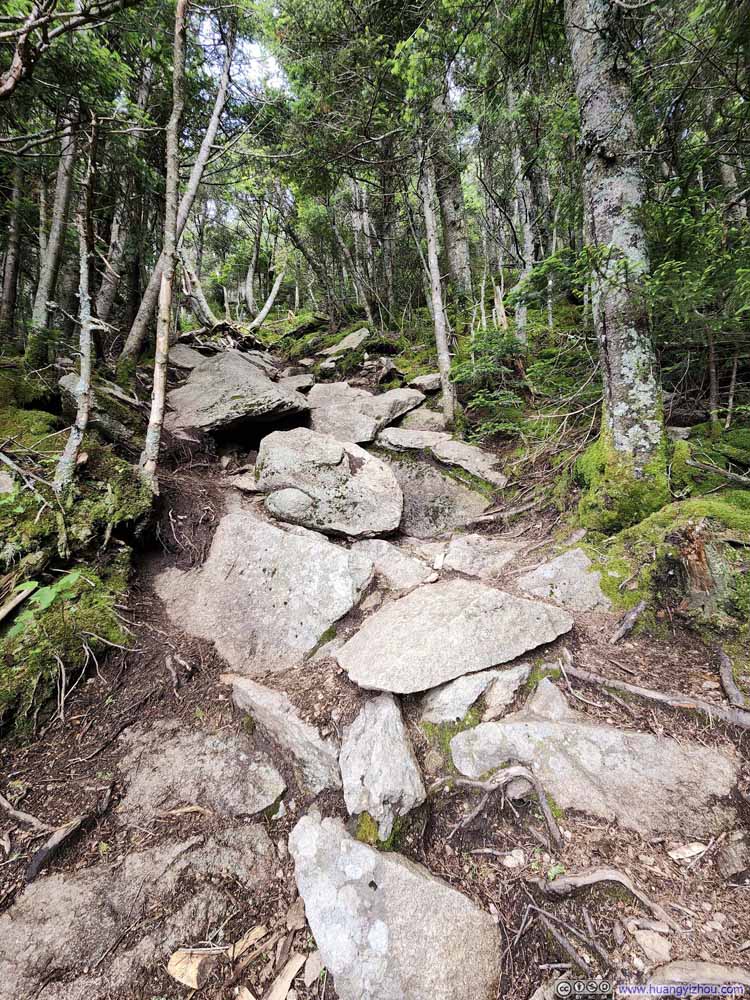
In more detail, as some online comments suggested, the lower part of North Slide had many of its rocks covered in moss. However, that part wasn’t the steepest so the moss didn’t present me any challenges.
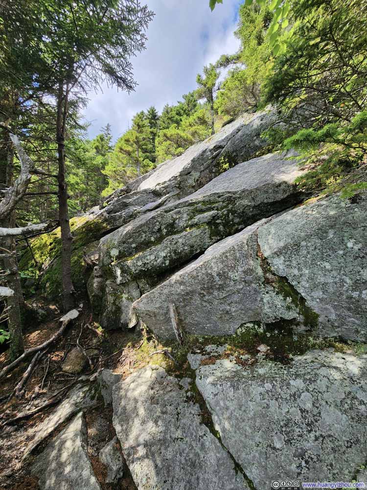
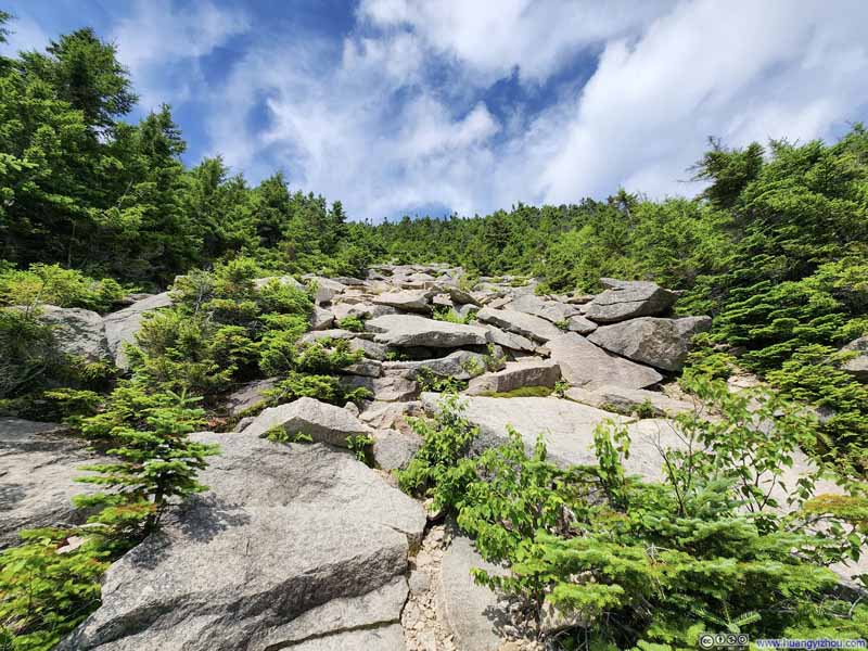
As I went further up, the rocks became bigger, the cracks became fewer in between, and the handholds and footholds not as plentiful, so I considered that part the most technical. It rained the previous day so portions of the rocks were wet (despite most of North Slide exposed to the sun). I encountered the most challenge at one spot (p7 above), partly due to the wet rocks. Thankfully, I found a detour around and went through it unscathed. At the same time, I heard another hiker below me slide down the rocks, speaking to the challenges these rocks present.

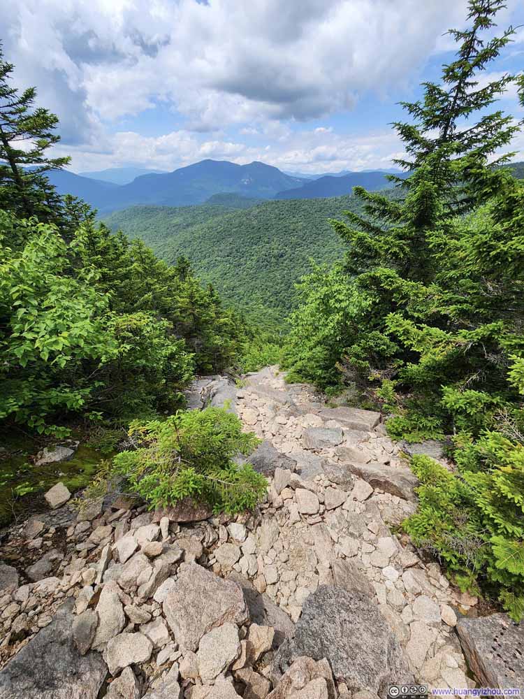
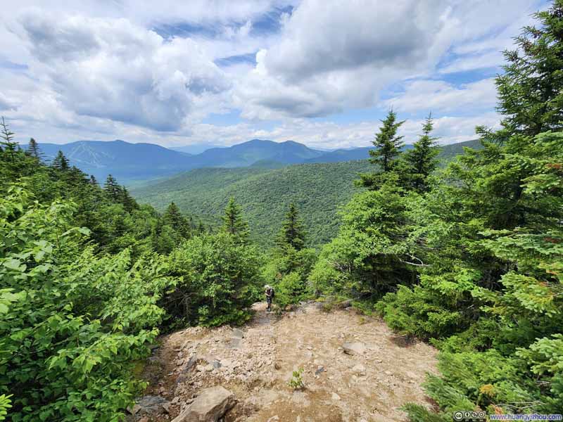
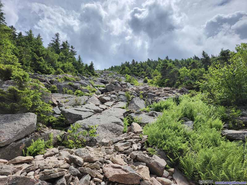
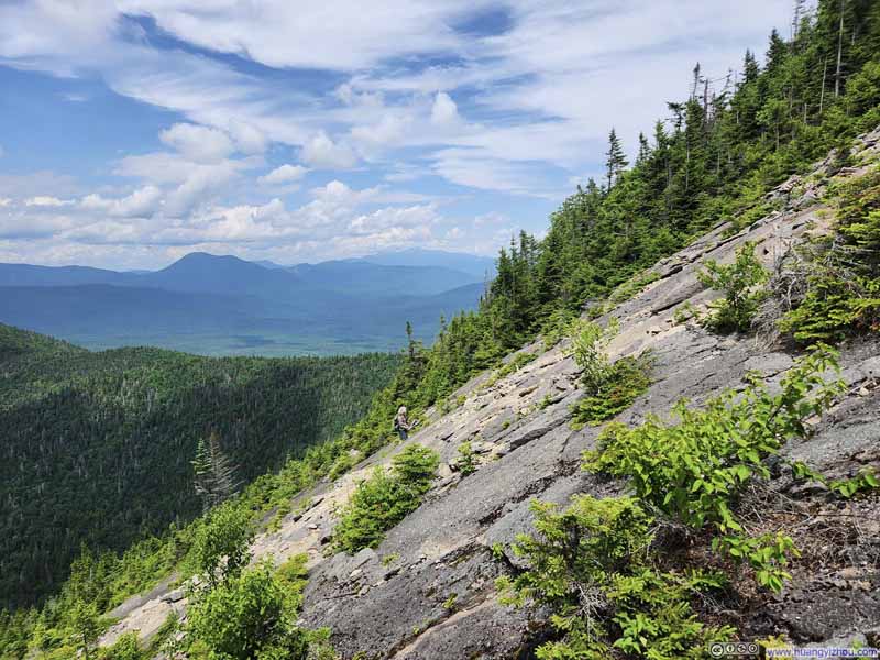
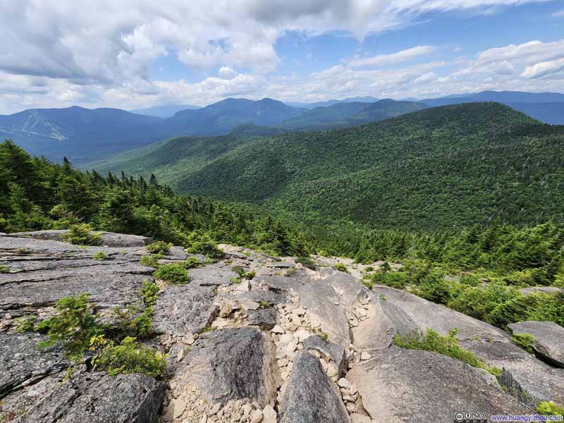
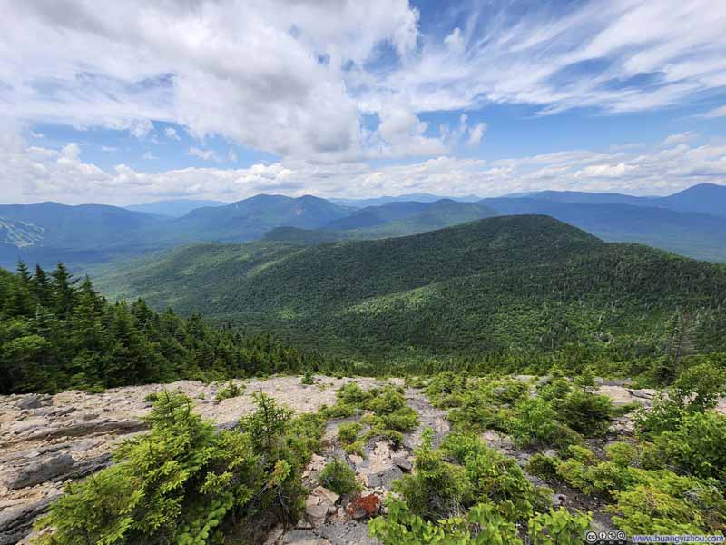
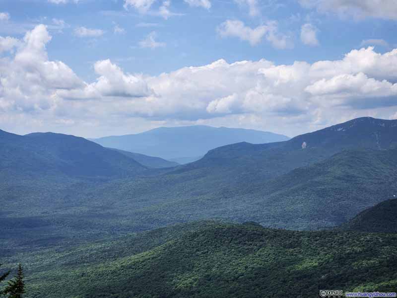
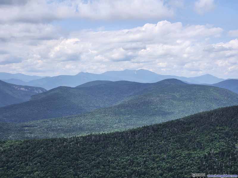
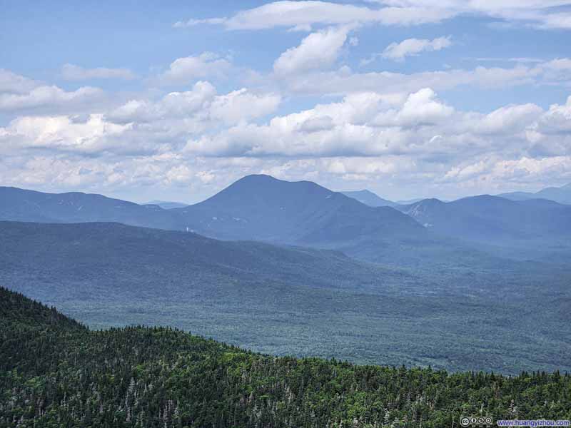
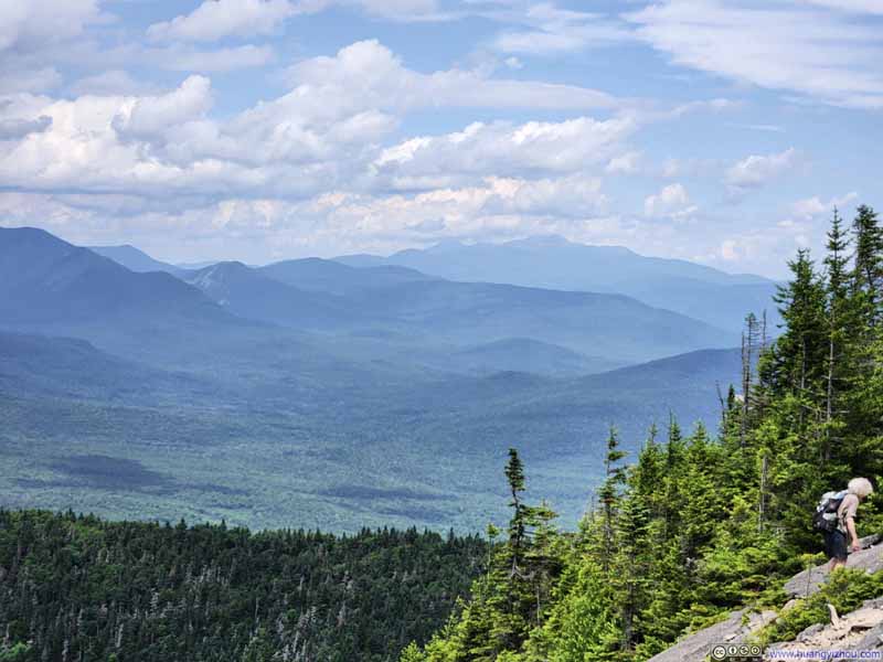
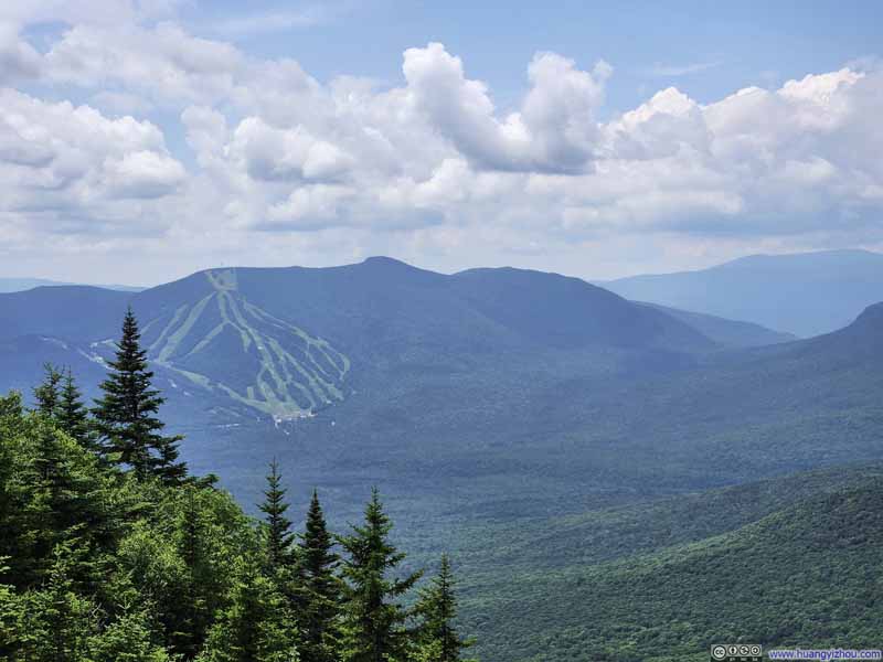
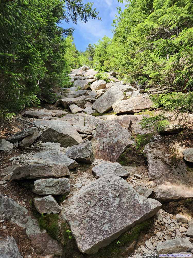
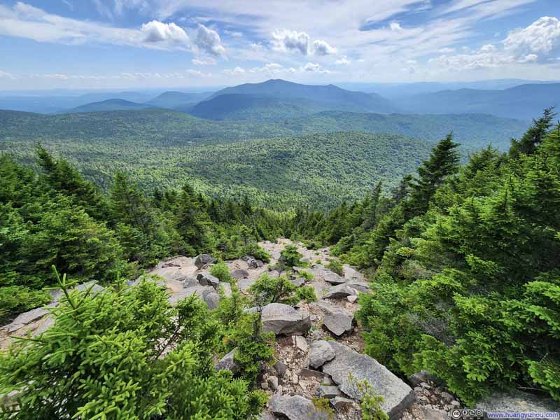
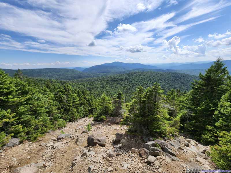
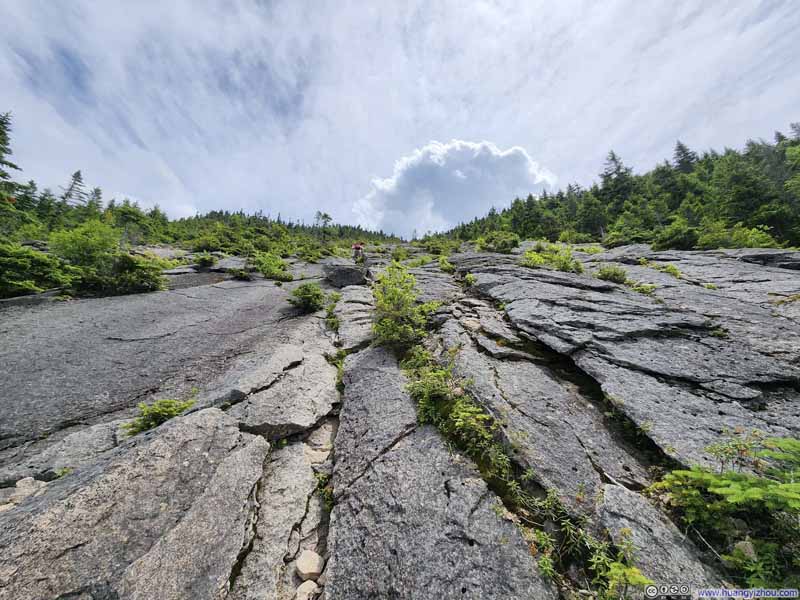
At the middle of North Slide, the trail briefly entered woods. After that, the upper part of North Slide was wider, still as steep but in my opinion not as technical. It was made of (mostly) talus and (sometimes) scree, compared to the continuous rock faces of the lower part. In my opinion, walking on talus was much easier, at least I could rely on hiking poles (instead of my hands). With its openness also came soothing winds providing me some much-needed cooling, together with great views of the White Mountains to the North. The steep grade of North Slide in the foreground came with it a sense of intimacy to the mountains further back, and I loved how rewarding those views felt.

  • Middle of North Slide
    Middle of North Slide
    A brief reprieve from rocks and boulders.
  • Upper Part of North Slide
    Upper Part of North Slide
  • Incline of North Slide
    Incline of North Slide
  • Top Part of North Slide
    Top Part of North Slide
  • White Mountains from North Slide
    White Mountains from North Slide
  • White Mountains from North Slide
    White Mountains from North Slide
  • Middle of North Slide
  • Upper Part of North Slide
  • Incline of North Slide
  • Top Part of North Slide
  • White Mountains from North Slide
  • White Mountains from North Slide

Click here to display photos of the slideshow
Middle of North Slide


Middle of North Slide
A brief reprieve from rocks and boulders.

Upper Part of North Slide


Upper Part of North Slide

Incline of North Slide


Incline of North Slide

Top Part of North Slide


Top Part of North Slide

White Mountains from North Slide


White Mountains from North Slide


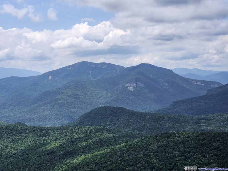
Below are some notable mountains in view.

  • Mount Osceola
    Mount Osceola
  • Mountains to the West
    Mountains to the West
    Mt Moosilauke in the background, which I summitted three weeks ago.
  • Mountains
    Mountains
    Franconia Ridge in the background.
  • Mount Carrigain
    Mount Carrigain
  • Distant Mount Washington
    Distant Mount Washington
  • Mount Tecumseh
    Mount Tecumseh
    With Waterville Valley Ski Resort.
  • Mount Osceola
  • Mountains to the West
  • Mountains
  • Mount Carrigain
  • Distant Mount Washington
  • Mount Tecumseh

Click here to display photos of various mountains from the top of the North Slide.
Mount Osceola


Mount Osceola

Mountains to the West


Mountains to the West
Mt Moosilauke in the background, which I summitted three weeks ago.

Mountains


Mountains
Franconia Ridge in the background.

Mount Carrigain


Mount Carrigain

Distant Mount Washington


Distant Mount Washington

Mount Tecumseh


Mount Tecumseh
With Waterville Valley Ski Resort.


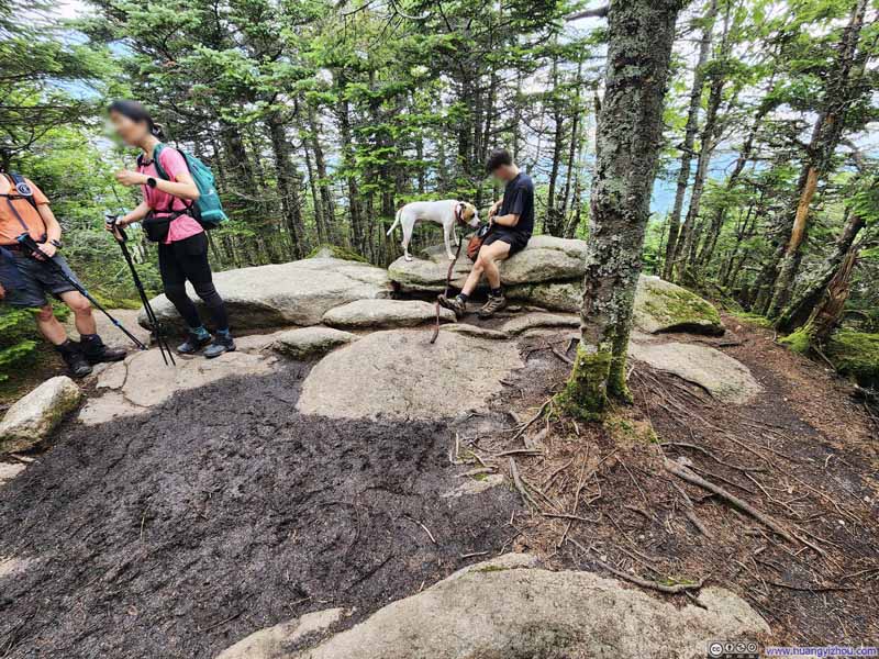
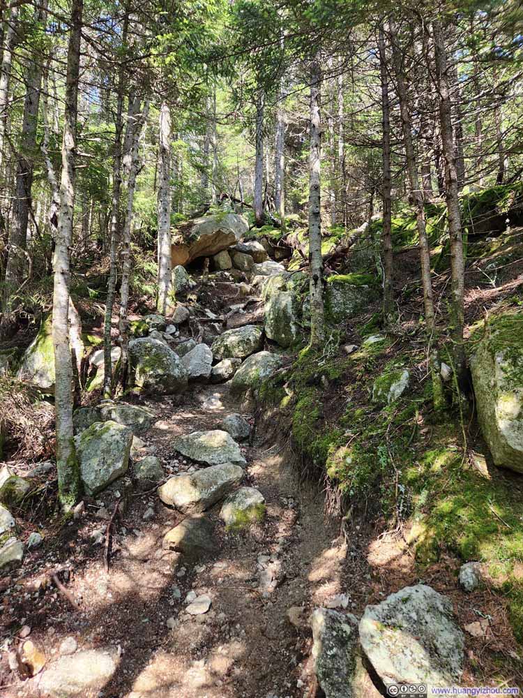
Leaving the top of North Slide, the summit of North Tripyramid was a short 0.2km (600ft) away. After all the exhausting work making it up the North Slide, I was hoping for some relief but unfortunately I didn’t get any. The remaining trail through North/Middle/South Tripyramids was not as technically challenging, but it was long and nonetheless demanding. To make matters worse, with many rocks along the trail still wet (they didn’t get as much sunshine as the slides), they still required a lot of caution, something in short supply in my mind given I was eager to reach North Tripyramid. As a result, I had a slip on one of the rocks, and my clothes took on the casualty with patches of dirt stain. (Once in the woods, my shoes picked up some dirt and pine needles which also affected their traction.) Luckily, I wasn’t hurt.

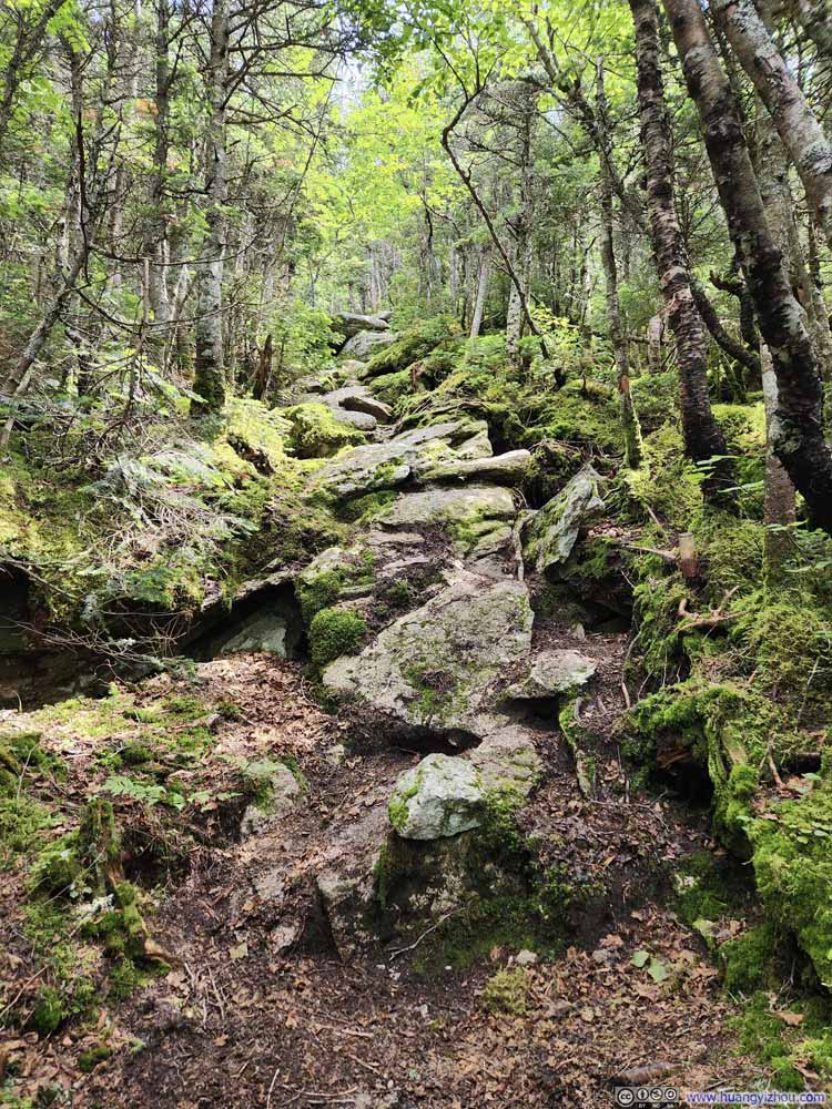
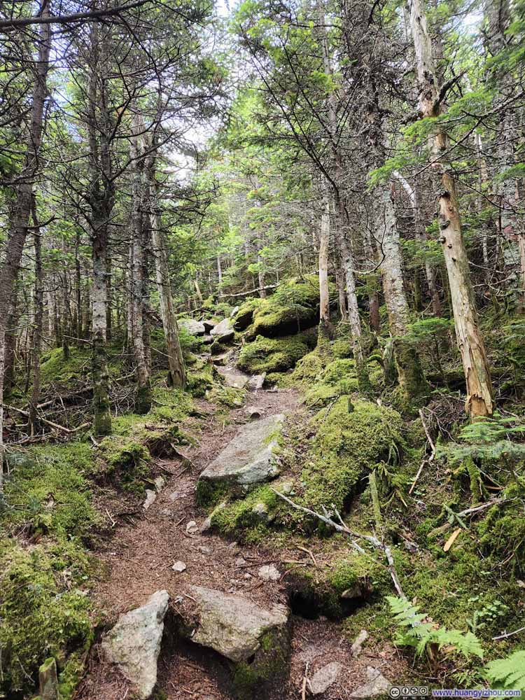
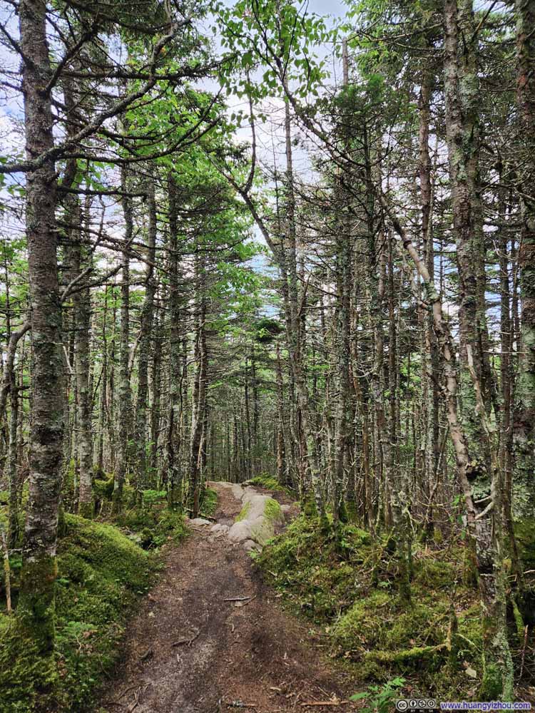
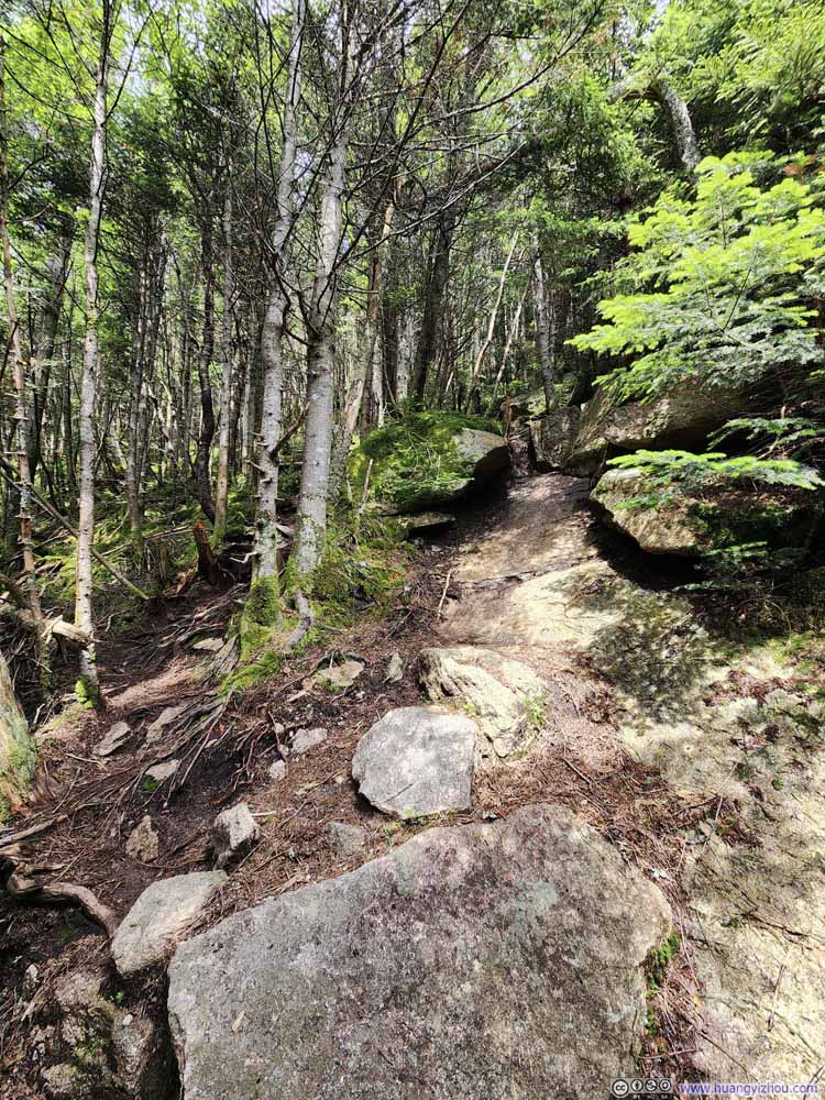
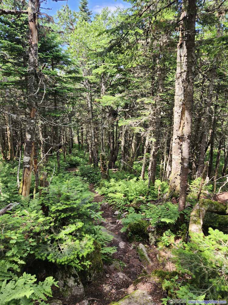
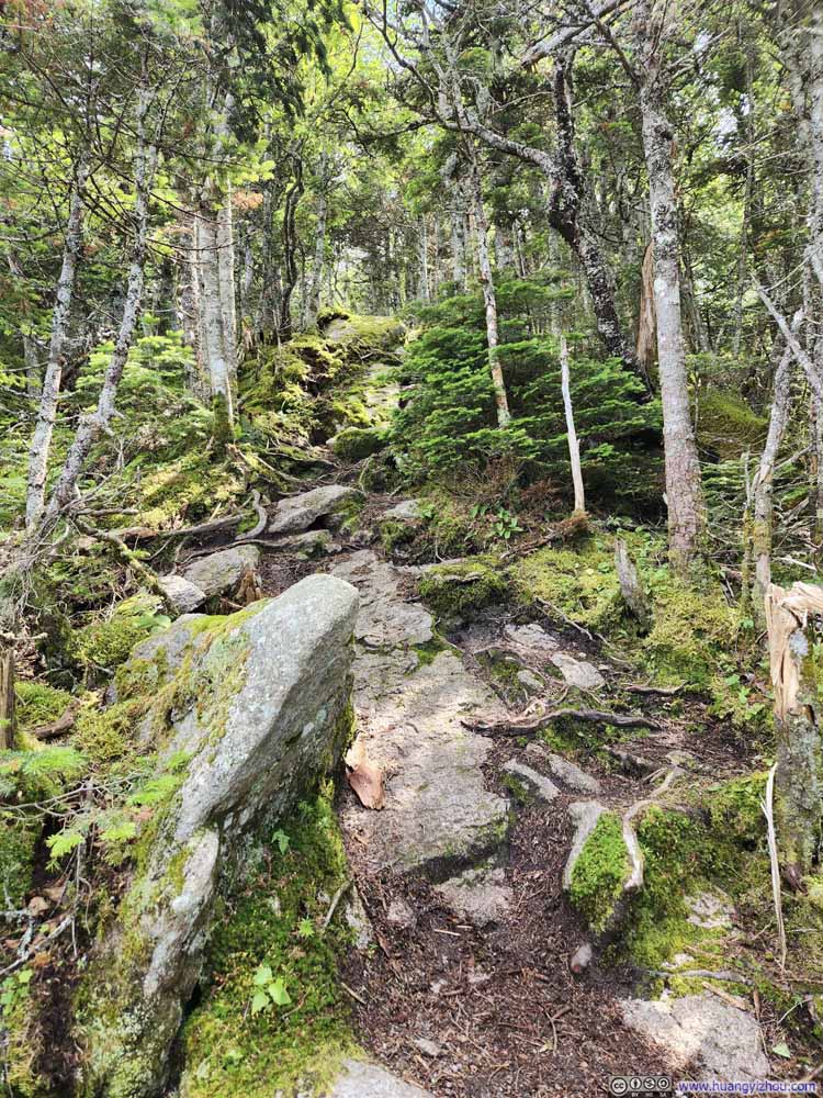
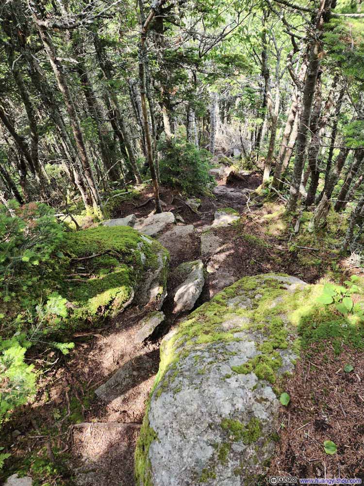
Below were the photos taken along the ridge connecting North/Middle/South Tripyramids. It was oftentimes wet, steep, and frankly not as pleasant as the slides.

  • Trail
    Trail
  • Trail
    Trail
  • Trail
    Trail
  • Fallen Tree along Trail
    Fallen Tree along Trail
    This one wasn’t that hard to navigate around.
  • Trail
    Trail
  • Trail
    Trail
  • Trail
    Trail
  • Trail
    Trail
  • Trail
    Trail
  • Trail
    Trail
  • Trail
    Trail
  • Trail
    Trail
  • Steep Trail
    Steep Trail
  • Trail
  • Trail
  • Trail
  • Fallen Tree along Trail
  • Trail
  • Trail
  • Trail
  • Trail
  • Trail
  • Trail
  • Trail
  • Trail
  • Steep Trail

Click here to display photos of the trail.
Trail


Trail

Trail


Trail

Trail


Trail

Fallen Tree along Trail


Fallen Tree along Trail
This one wasn’t that hard to navigate around.

Trail


Trail

Trail


Trail

Trail


Trail

Trail


Trail

Trail


Trail

Trail


Trail

Trail


Trail

Trail


Trail

Steep Trail


Steep Trail


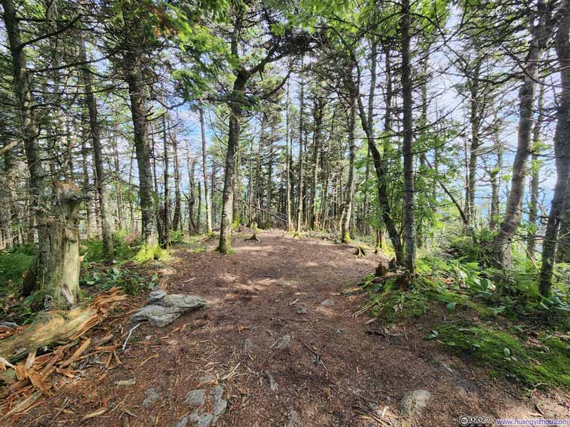
And here were photos of the summits of the three Tripyramids. They were all surrounded by trees and offered few views, hence unremarkable. On this aspect, the best part of the hike was along the slides.

  • Summit of North Tripyramid
    Summit of North Tripyramid
    Inconspicuous, even a bit muddy.
  • Mt Chocorua
    Mt Chocorua
    I summitted Mt Chocorua last week, so this was a familiar sight from Middle Tripyramid. Of the three summits of Tripyramid, the middle summit was the smallest, but it offered a glimpse of view to the east while the other two were surrounded by deep forest.
  • Summit of South Tripyramid
    Summit of South Tripyramid
    Still, unremarkable.
  • Summit of North Tripyramid
  • Mt Chocorua
  • Summit of South Tripyramid

Click here to display photos from the summits of tripyramids.
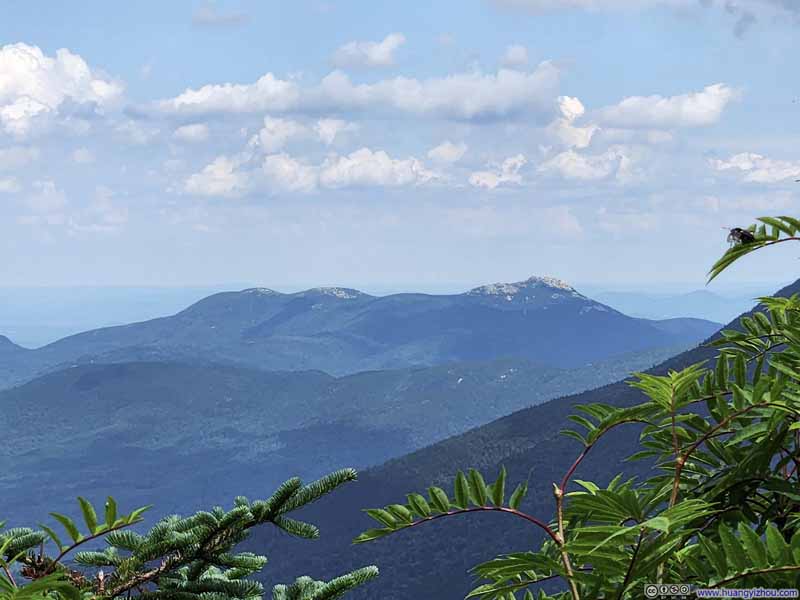
Summit of North Tripyramid


Summit of North Tripyramid
Inconspicuous, even a bit muddy.

Mt Chocorua


Mt Chocorua

I summitted Mt Chocorua last week, so this was a familiar sight from Middle Tripyramid. Of the three summits of Tripyramid, the middle summit was the smallest, but it offered a glimpse of view to the east while the other two were surrounded by deep forest.

Summit of South Tripyramid


Summit of South Tripyramid
Still, unremarkable.


In the end, it took me just under an hour to cover the 1.6km (1mi) of trail from North Tripyramid to South Tripyramid. As I previously said, after the excitement on the North Slide, this hour felt unbearably long as my enjoyment and hence my patience was in short supply.

Then it’s the South Slide. It’s combined the talus from the upper part of North Slide, and the narrowness of the lower part (but not as moss-covered). It was more of a rock-hopping experience than a scrambling one. Hiking poles were very helpful here.

  • Overlooking South Slide
    Overlooking South Slide
  • South Slide
    South Slide
  • South Slide
    South Slide
  • South Slide
    South Slide
  • South Slide
    South Slide
  • Overlooking South Slide
  • South Slide
  • South Slide
  • South Slide
  • South Slide

Click here to display photos of the South Slide.
Overlooking South Slide


Overlooking South Slide

South Slide


South Slide

South Slide


South Slide

South Slide


South Slide

South Slide


South Slide


The South Slide was narrower, and facing south where there were fewer mountains, so the views weren’t as exciting compared to the North Slide.

  • Overlooking South Slide
    Overlooking South Slide
    With Sandwich Mountain in the background.
  • South Slide
    South Slide
  • Mountains from South Slide
    Mountains from South Slide
  • Mount Tecumseh
    Mount Tecumseh
  • Overlooking South Slide
  • South Slide
  • Mountains from South Slide
  • Mount Tecumseh

Click here to display photos of the slideshow
Overlooking South Slide


Overlooking South Slide
With Sandwich Mountain in the background.

South Slide


South Slide

Mountains from South Slide


Mountains from South Slide

Mount Tecumseh


Mount Tecumseh


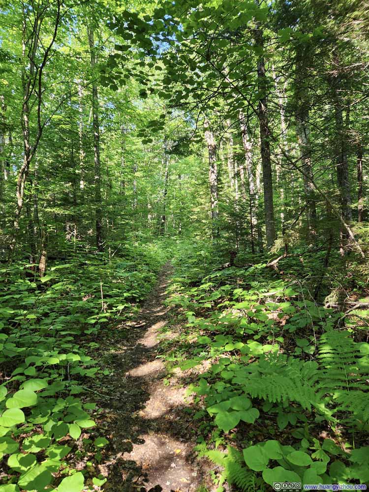
From the base of South Slide, it’s a 2.8km trail back to the forest road. It started out as a pleasant stroll in the woods, accompanied by the lovely sound of Slide Brook just a few steps away. (Today’s entire hike below the two slides were parallel to some streams.)

  • Trail
    Trail
  • Trail
    Trail
  • Trail
    Trail
  • Trail
    Trail
  • Trail
    Trail
  • Muddy Trail
    Muddy Trail
  • Trail
    Trail
  • Trail
  • Trail
  • Trail
  • Trail
  • Trail
  • Muddy Trail
  • Trail

Click here to display photos of the slideshow
Trail


Trail

Trail


Trail

Trail


Trail

Trail


Trail

Trail


Trail

Muddy Trail


Muddy Trail

Trail


Trail


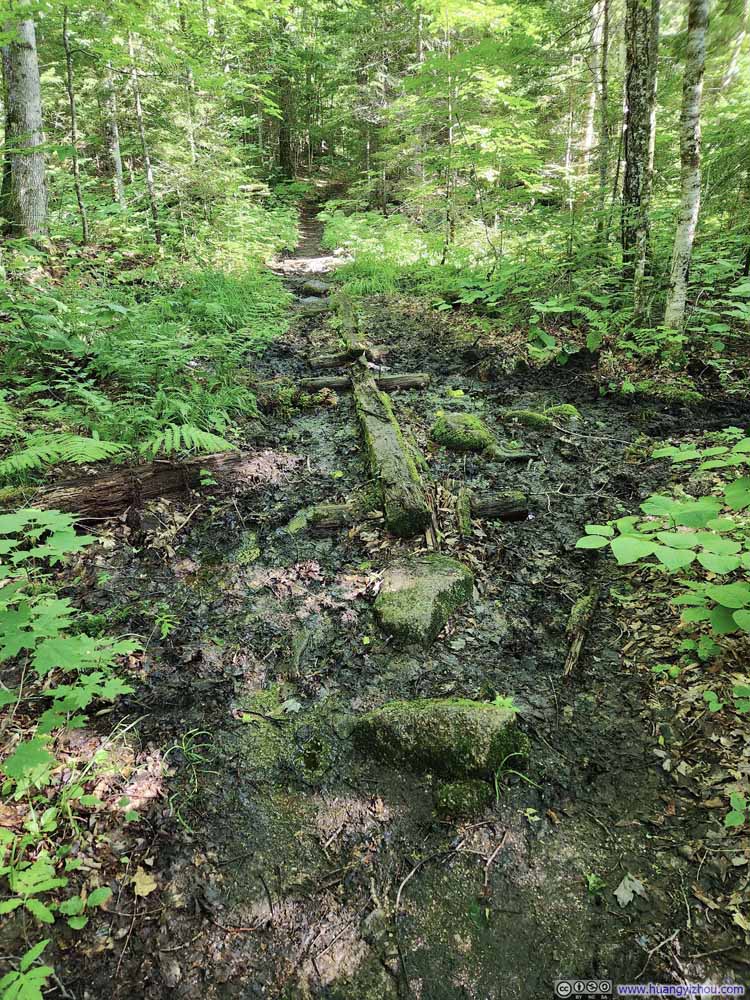
Unfortunately, just as the trail was approaching the forest road, there were sections of it that were muddy. (The few exposed rocks and installed planks to helped, but only to some degree.) And just as I neared the forest road, the nuisance of buzzing bugs returned around my ears.

In the end, I reached the parking lot just before 6pm, concluding the hike in just under 7 hours.
END

CC BY-NC-SA 4.0 Hiking Tripyramid Loop of New Hampshire by Huang's Site is licensed under a Creative Commons Attribution-NonCommercial-ShareAlike 4.0 International License.

Leave a Reply

Your email address will not be published. Required fields are marked *