Updated on December 26, 2024
Two Short Hikes near Hudson River
A brief review of two hikes I took to Anthony’s Nose and South Beacon Mountain in August 2024.
The day was Saturday, August 24, 2024. I had some errands to run in Mid-Hudson Valley the next morning. In addition to just driving there, I had more than enough time left in the day that I decided to take on a bit of hiking.
Anthony’s Nose
First on my list was “Anthony’s Nose.” I had previously tackled the more famous “Breakneck Ridge” hike in the region back in July 2022. At that time, this rock formation, which overlooks one of the narrowest points of the Hudson River, was also on my radar. However, I decided not to overextend myself and skipped Anthony’s Nose in favor of Breakneck Ridge. Now, I finally had the opportunity to visit it.
With traffic near Worcester MA and Newtown CT, along with a few shopping stops, I only managed to reach the base of Anthony’s Nose by 3:50 PM.
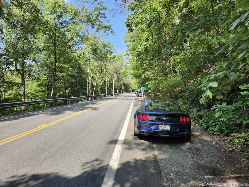
Parking for Anthony’s Nose
When parking was limited, some people would park further ahead (east) of the trailhead, and use social trails in the woods to connect to the main trail, bypassing the official trailhead. Here’s GPS tracking from the official trailhead:
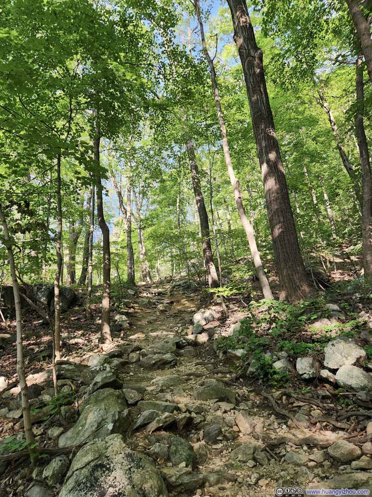
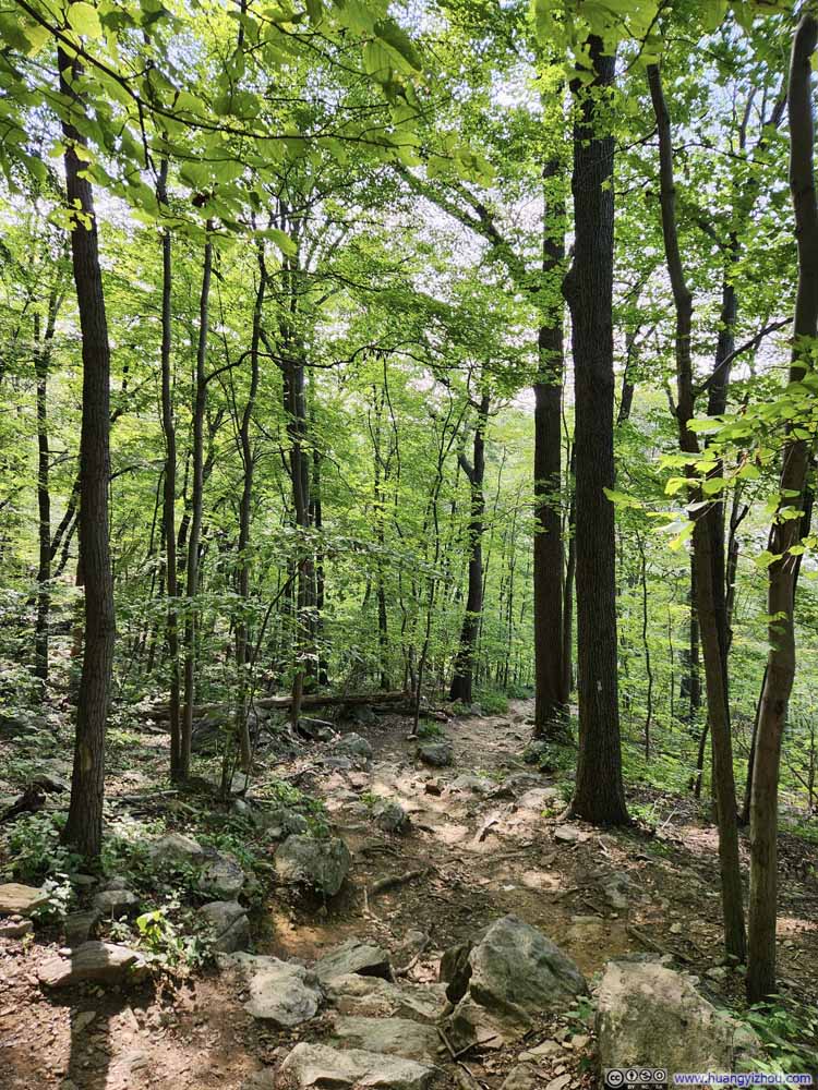
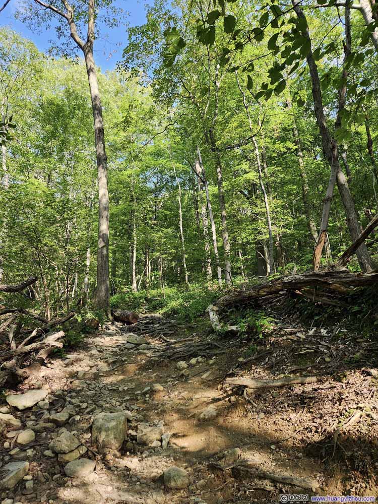
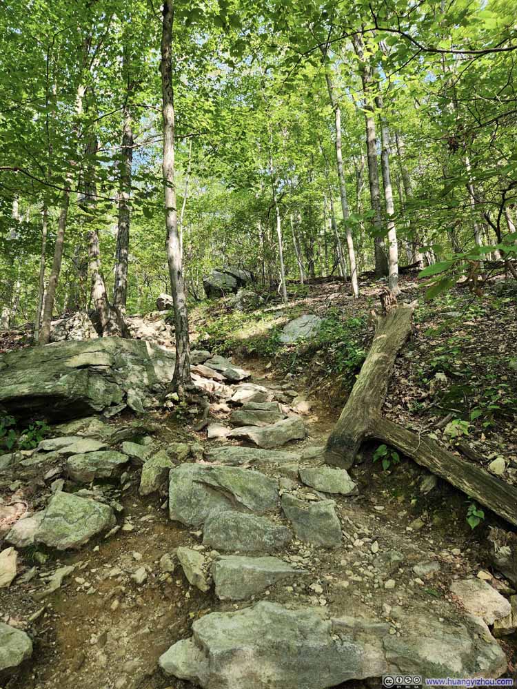
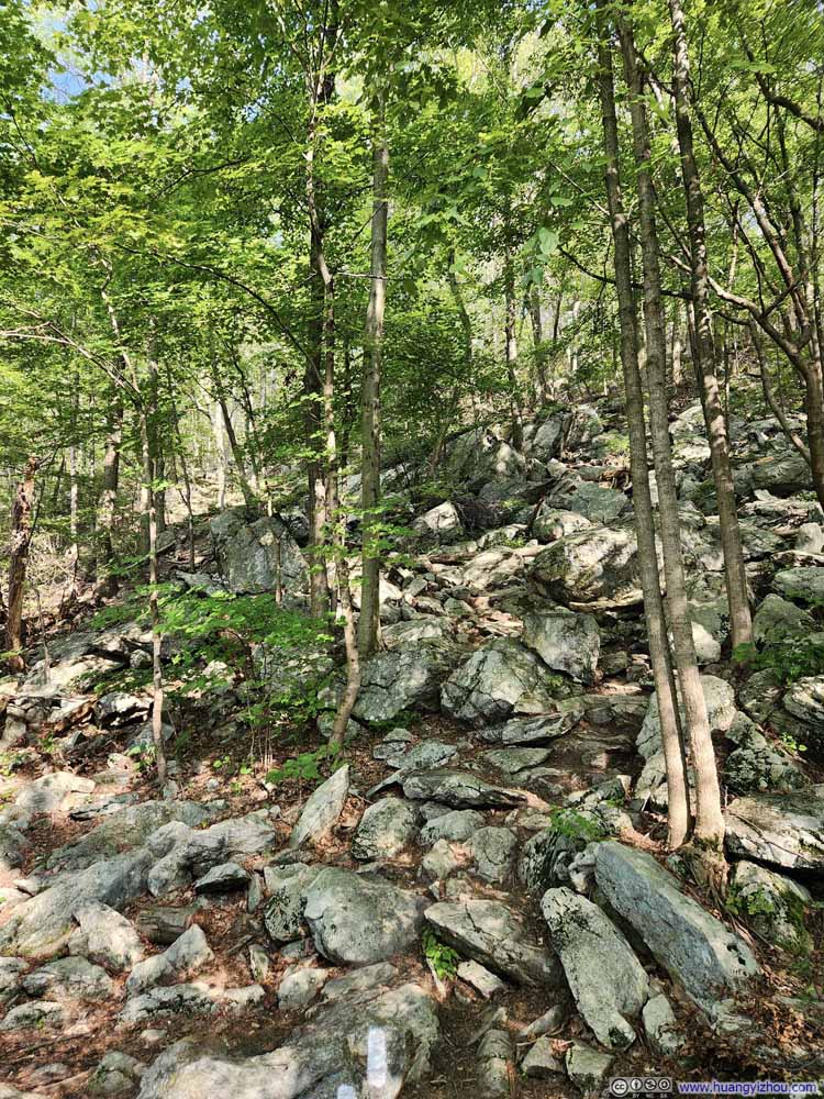
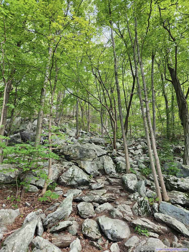
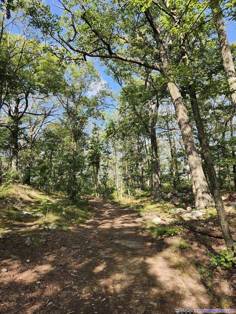
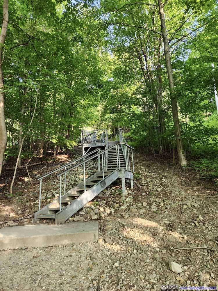
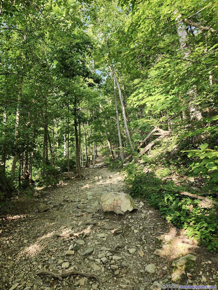
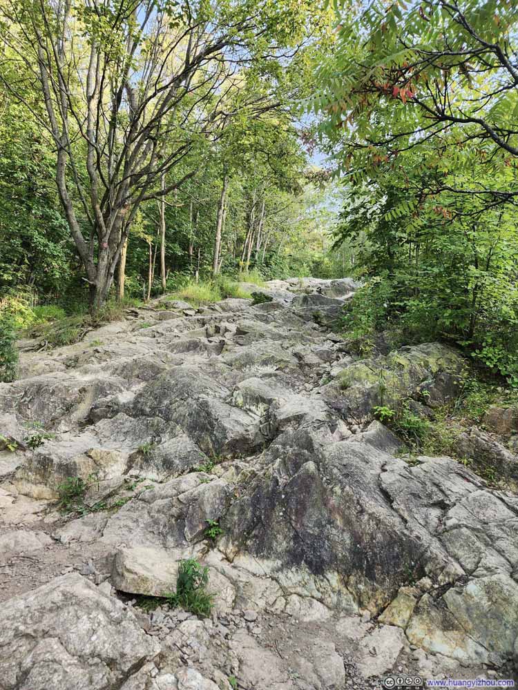
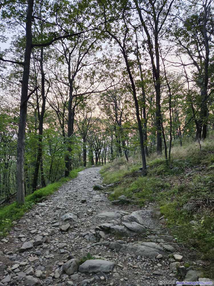
On paper, this was a 3.2km (2mi) out-and-back with 210m (700ft) elevation gain. Almost all of the elevation gain occurred in the first half, where the trail was oftentimes rocky (p1-6 below). After the first half, the trail made a sharp right turn, where it largely leveled off and conditions improved (p7 below).
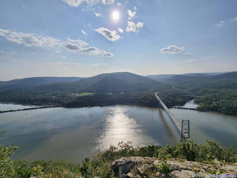
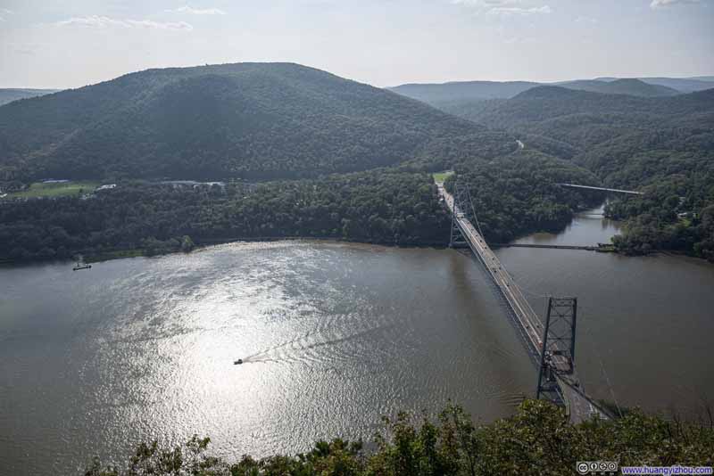
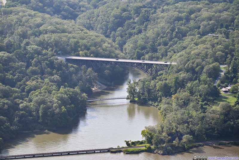
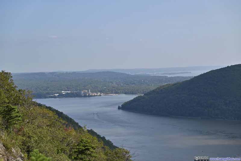
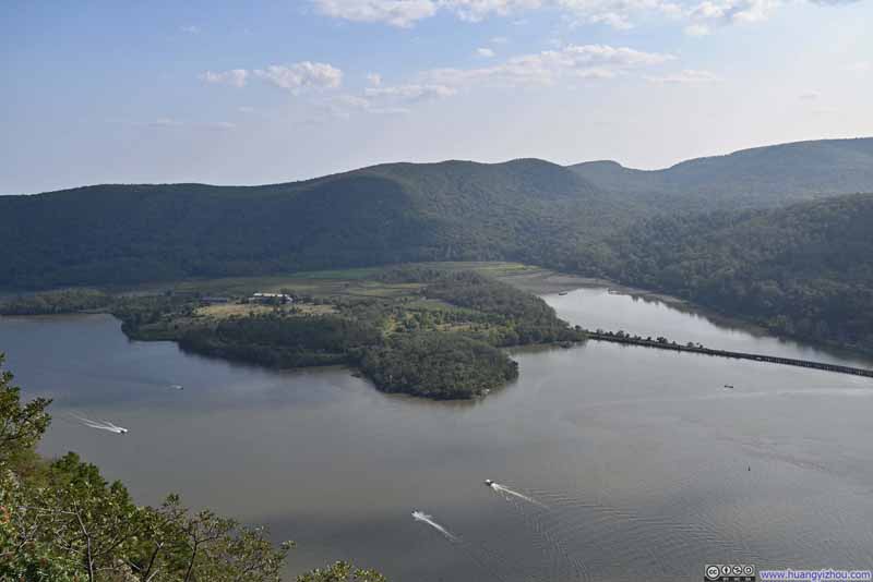
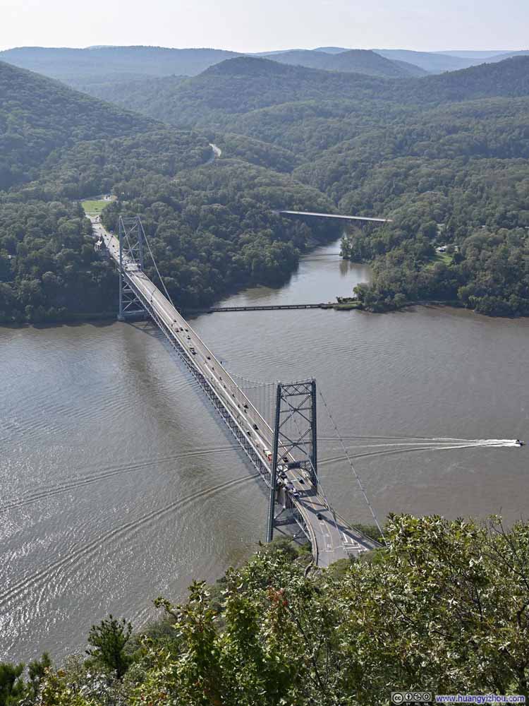
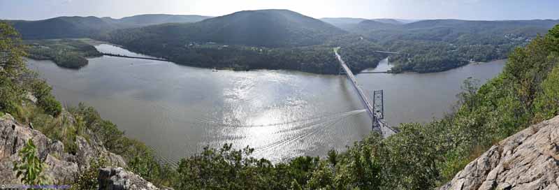
Upon reaching Anthony’s Nose, a rocky clearing overlooking the Hudson River, I paused to rest and take in the breathtaking views. I doubt there was another viewpoint along Hudson River that was both this elevated and this close. In particular, Bear Mountain Bridge, which looked like an engineering marvel from below (When completed in 1924, it was the longest suspension bridge in the world.), was completed dwarfed by the height of Anthony’s Nose. The only minor drawback was that I did this hike in the afternoon, and all the views from Anthony’s Nose were against the afternoon sun.
Click here to display photos from Anthony’s Nose.
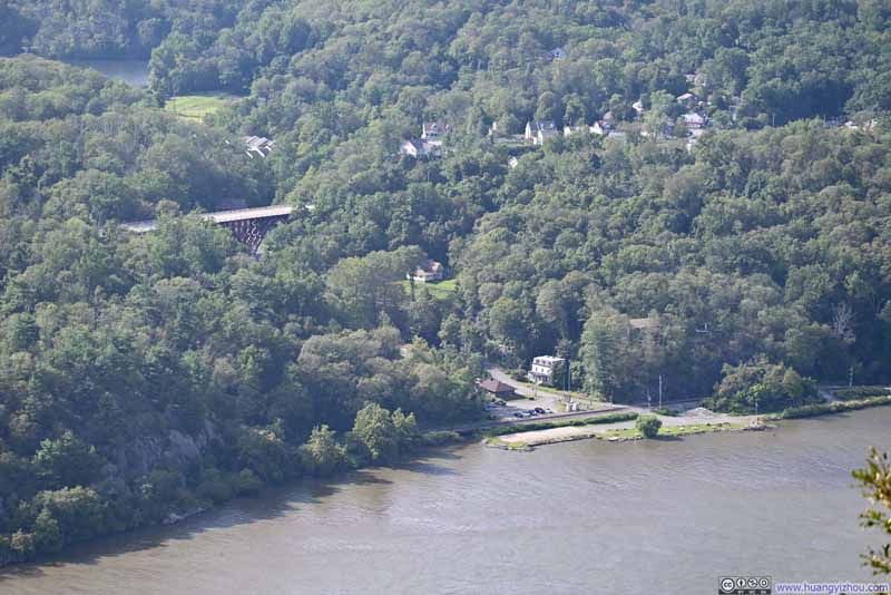
Mine Dock ParkWhere I visited in July 2022 and launched my drone for an aerial tour of the surroundings.
In the end, the hike took me an hour and 20 minutes, with about 20 minutes spent at Anthony’s Nose.
South Beacon Mountain
The congestion I encountered earlier today meant by the time I arrived at this trailhead, it’s 5:50pm, less than 2 hours before sunset. Despite the time constraints, I felt confident I could explore South Beacon Mountain, although I had to hurry at times.
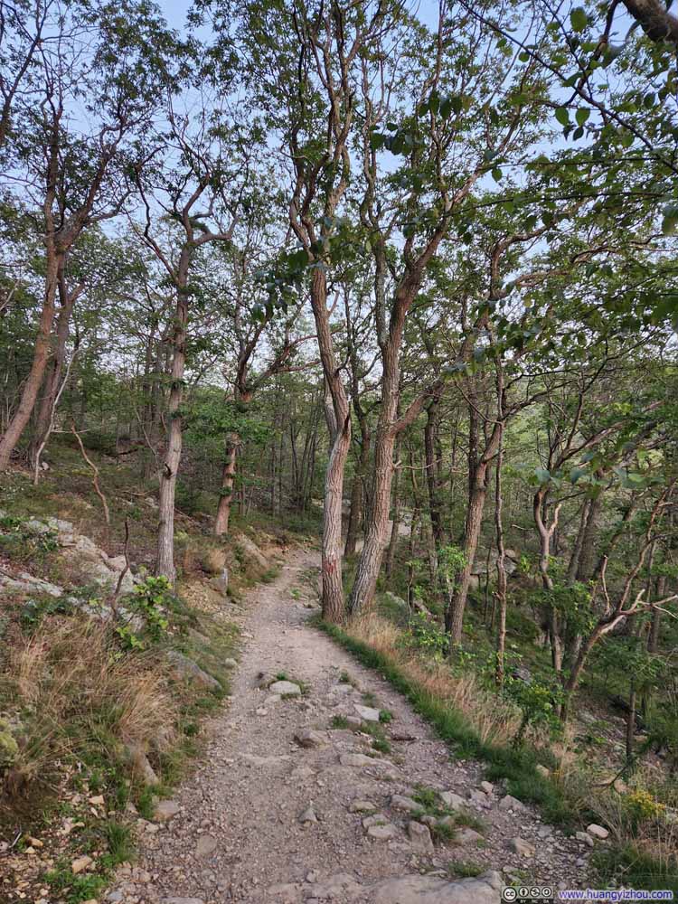
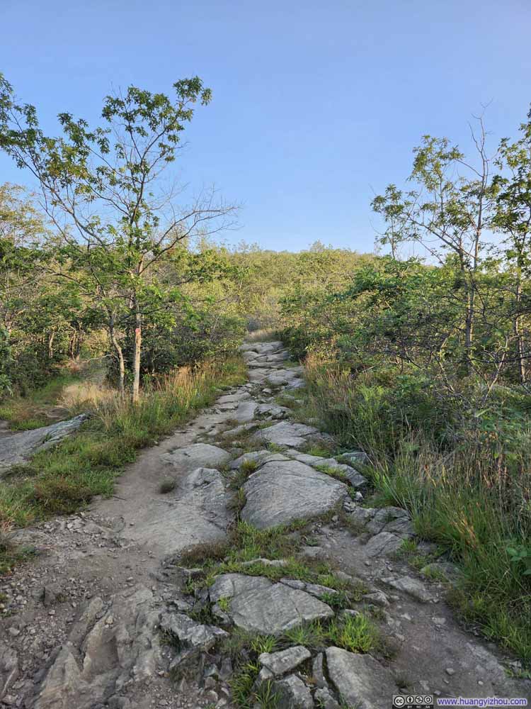
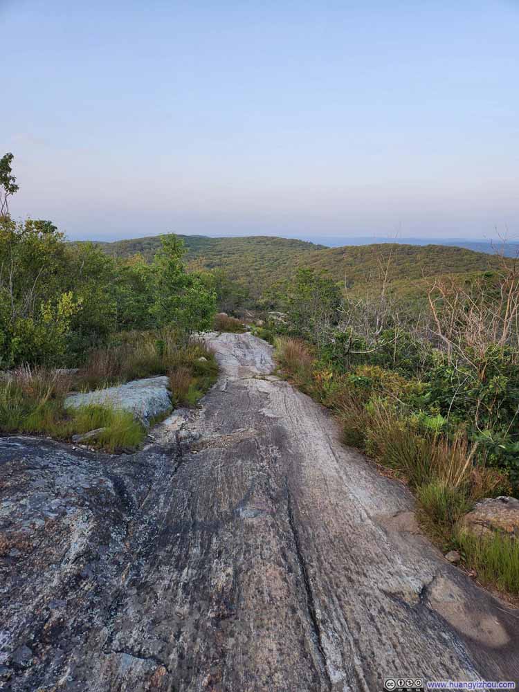
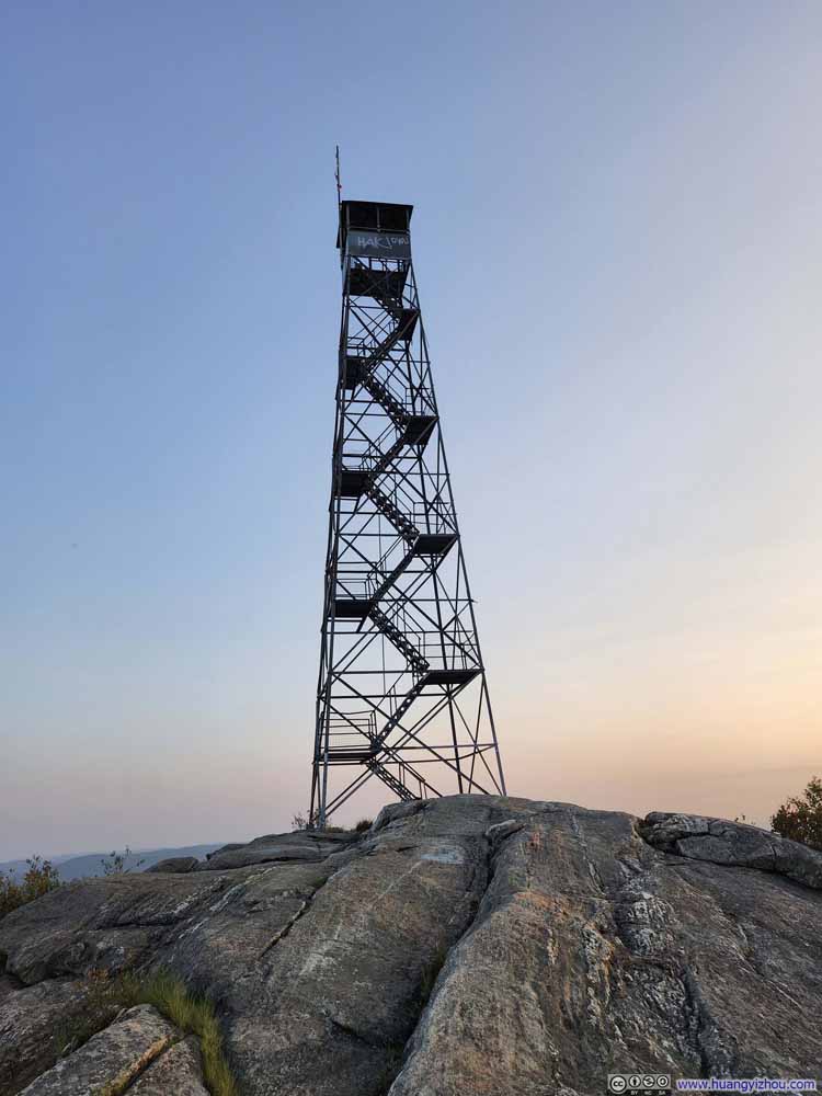
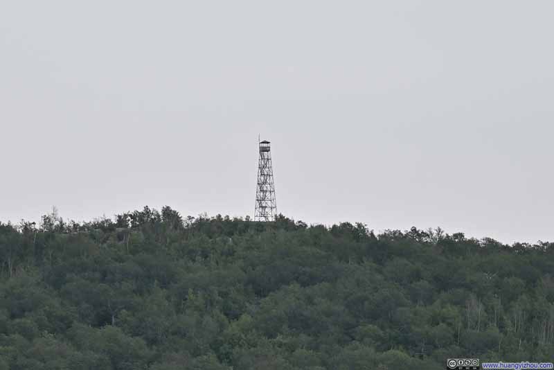
This trail was a 6.1km out-and-back route with 420m elevation gain (3.8mi / 1380ft), and could be roughly divided into two halves. The first half involved a series of switchbacks and included most of the elevation gain. At about the halfway point there was an overlook. Then the trail largely leveled off and went deeper into the mountain, ending with some ascents before a watchtower at the top of South Beacon Mountain.
In short, this really felt like stretching “Anthony’s Nose” trail by 2x, in almost every aspect.
Here’s GPS tracking:
Click here to display photos of the first half of the trail.
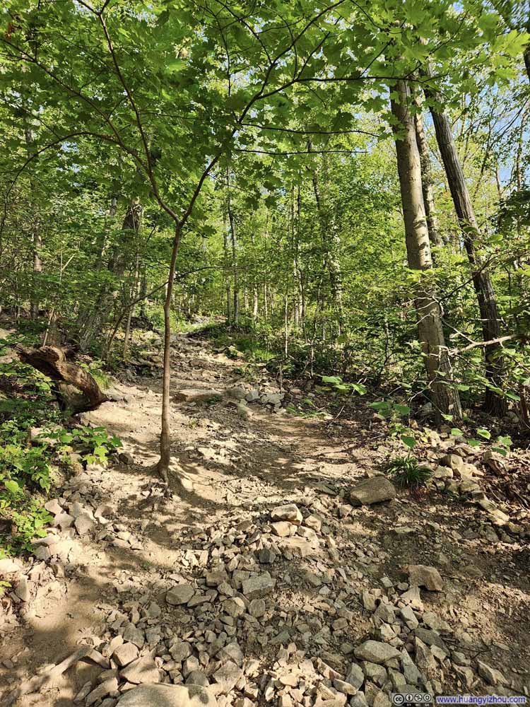
Steep Shortcut
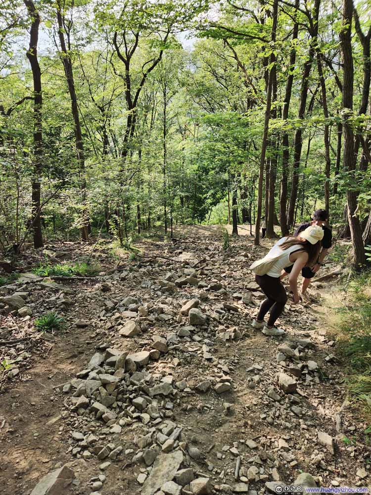
Steep Shortcut
I wished I had brought hiking poles with me; they would be of great help in the first half of steep ascent. By regularly pushing myself and inevitably cutting a few switchbacks due to the lack of marking, I made it to the halfway overlook in half an hour.
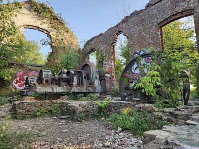
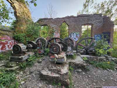
There used to be an incline railway, taking people from approximately where the parking lot was nowadays to the overlook. The ruins of the incline railway powerhouse could be found near the overlook (photos below).
There also used to be a casino and hotel on top of Mount Beacon. I didn’t find their ruins so I couldn’t pinpoint their location. I suspect they were not far from the overlook.
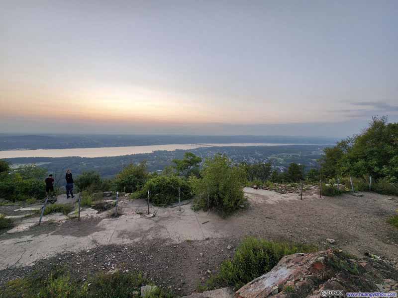
Given the amount of daylight left, I figured it’s best for me to continue towards the watchtower at the end of the trail, and then return to this overlook to watch the sunset. So I continued without delay.
From the halfway overlook, the relatively flat terrain allowed me to reach the watchtower on South Beacon Mountain in just 25 minutes.
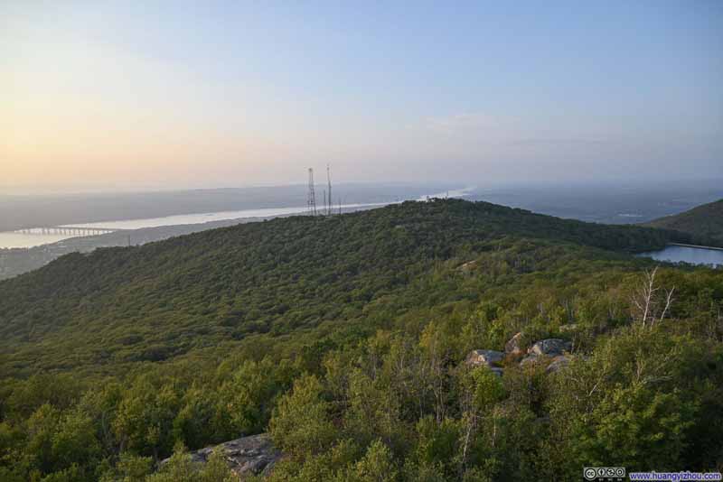
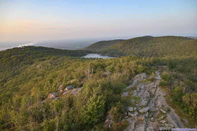
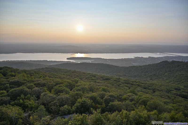
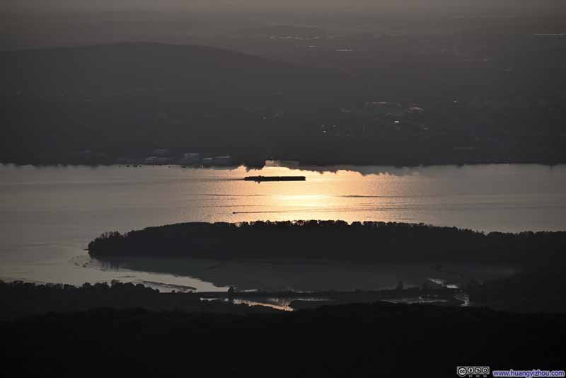
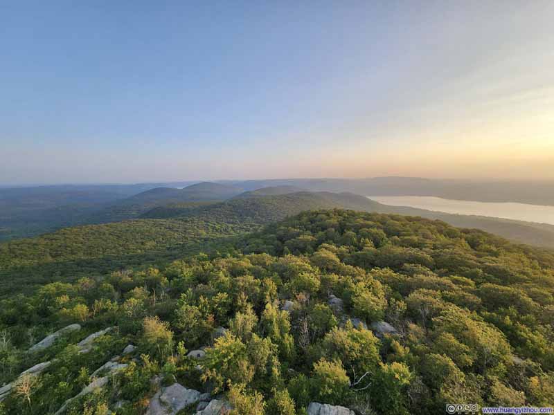
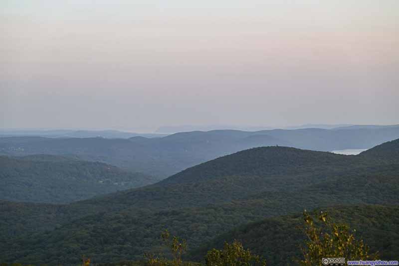
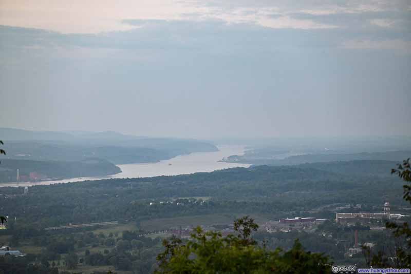
Although it was a somewhat hazy day with limited visibility, the soft colors near sunset, along with some post-processing, helped enhance the scene. My most favorite view from the watchtower was how the glittering Hudson River reflected the setting sun (p4 below).
Click here to display photos from the watchtower on South Beacon Mountain.
After some rests at the watchtower, I returned to the halfway overlook.
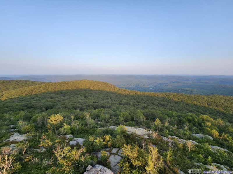
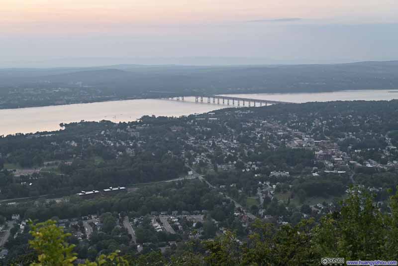
Comparing the two viewpoints, I felt the watchtower offered more seclusion from civilization to a more mountainous feel. There one was surrounded by forests and layered mountains, had 360-degree views, where Hudson River and the towns along it formed a distant backdrop. In comparison, the views from the halfway overlook only faced the towns to the west, that were more civilized and developed. The two overlooks were like the contrast between nature’s beauty and industry’s might.
A minor disappointment was that, clouds were thick over the distant horizon, so I only watched a portion of the “sun” set.
Click here to display photos of the slideshow
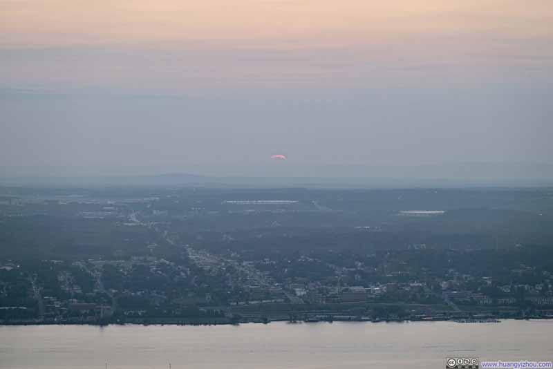
Sunset over Hudson River
After that, I headed down the mountain (with a little help from my cell phone flashlight).
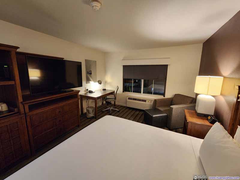
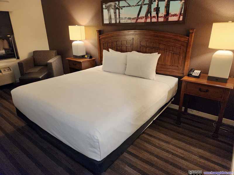
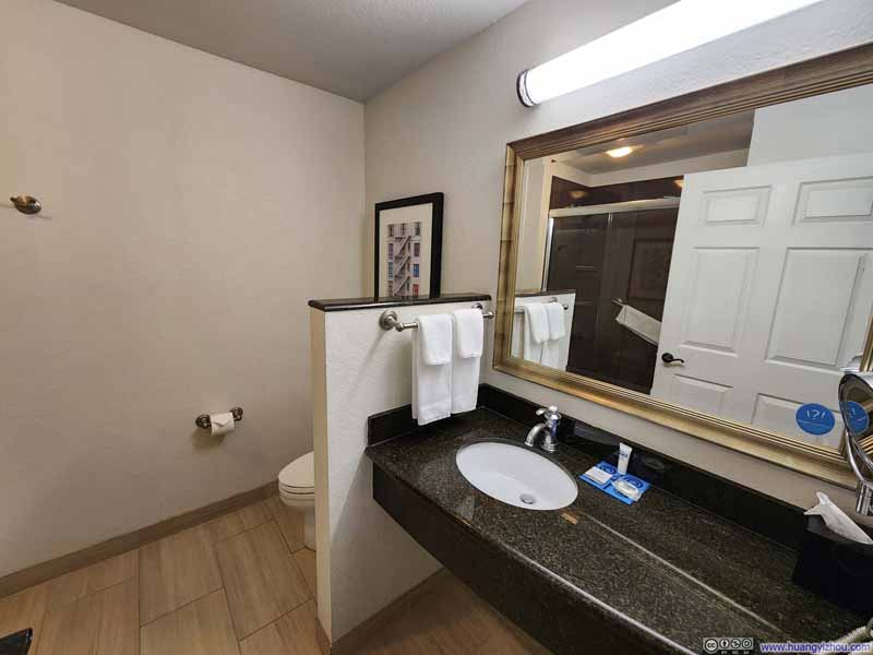
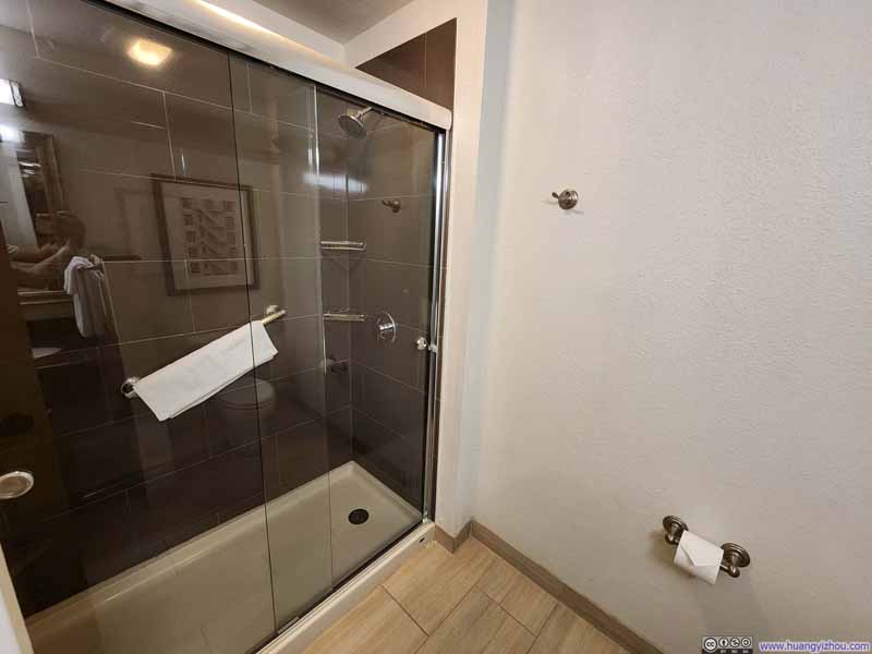
Hotel: Hyatt House Fishkill/Poughkeepsie
A brief review of this hotel. Despite its name, it only seemed to offer full kitchen on its “X bedroom suite” rooms, not the basic “1 King” that I stayed in. (Not that I needed a kitchen for my stay, just felt that was a bit unconventional for the Hyatt House brand.) The room was not spacious compared to other entry-level Hyatts, but aside from that, I had no issues and enjoyed a great night.
END
![]() Two Short Hikes near Hudson River by Huang's Site is licensed under a Creative Commons Attribution-NonCommercial-ShareAlike 4.0 International License.
Two Short Hikes near Hudson River by Huang's Site is licensed under a Creative Commons Attribution-NonCommercial-ShareAlike 4.0 International License.

