
Updated on May 28, 2024
Day 3 of March 2024 Trip to Adirondacks, Big Slide Mountain
The third day of my March 2024 trip to the Adirondacks. With likely the best weather of my entire trip, I took on Big Slide Mountain in the longest hike of this trip.
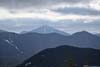
High Peaks in Clouds
Today was forecasted to have the best weather of my entire trip, with scattered clouds and lots of sunshine. (Unfortunately, the highest Adirondack peaks were still covered in clouds.) With that, I planned the longest hike of this trip. I had the option to wake up early and give Mount Marcy a try, but I decided to stay away from Adirondack Loj after experiencing the abhorrent conditions of mud near its trailhead the previous day. Instead, I picked a relatively shorter Big Slide Mountain, and added in Phelps Trail to make it a loop.
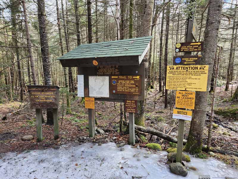
The starting point of this hike was called “Big Slide Mountain Trailhead” on Google Maps, but commonly referred to as “The Garden”. This was a popular trailhead, to the degree of having a shuttle service in peak summer season. I visited during a weekday so the parking lot was reasonably empty. Parking was $10 during my visit.
The hike I embarked on was 15.4km in total with 921m elevation gain by AllTrails (9.6mi, 3000ft gain). After some warmup, I started the hike at around 10:20am. I decided to take the loop in the clockwise direction, tackling the easier Phelps Trail first before making the steep ascent onto Big Slide Mountain.
Here’s GPS tracking:
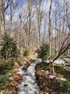
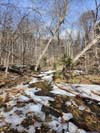
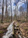
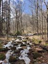
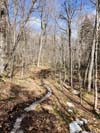
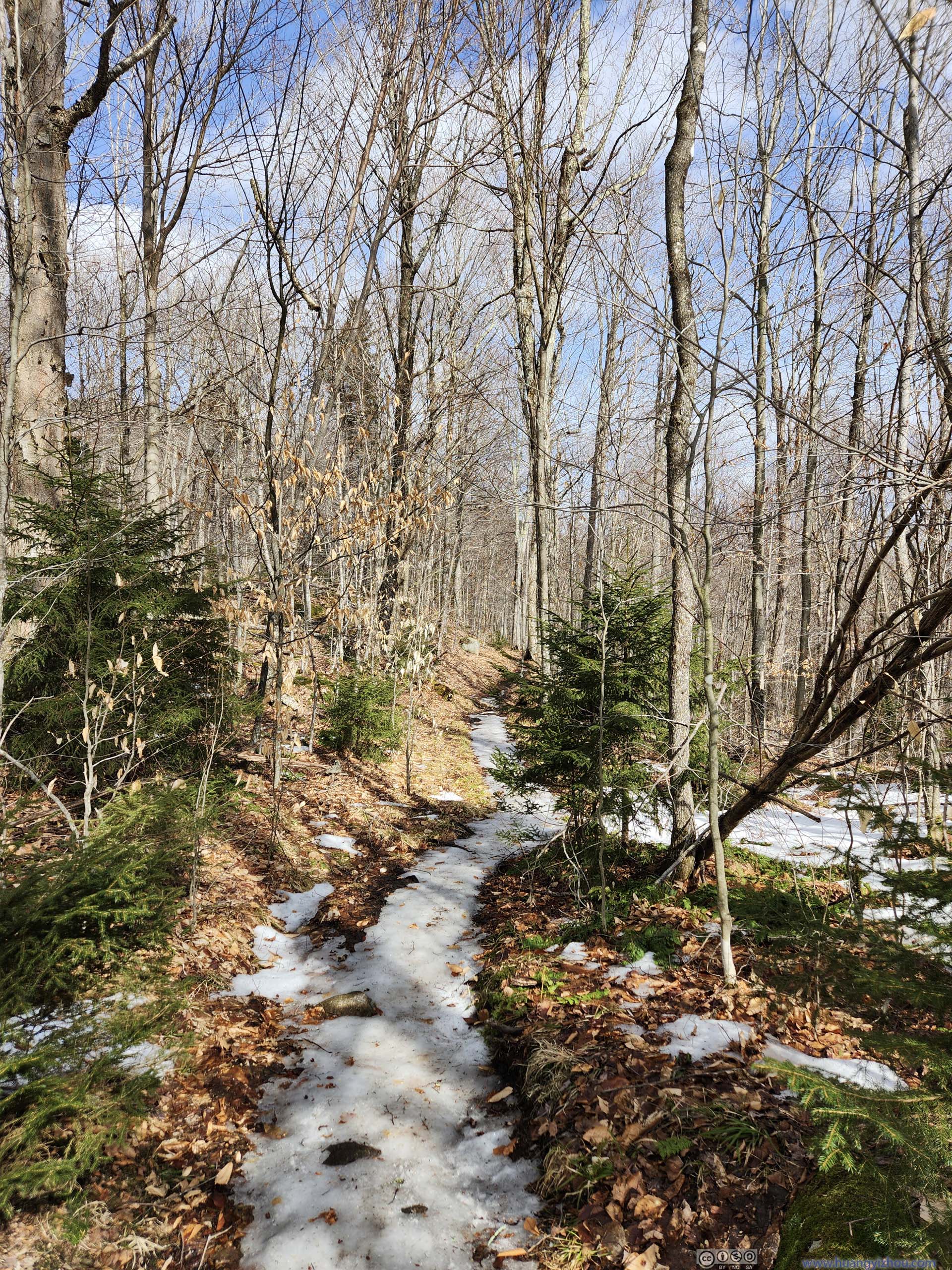
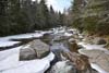
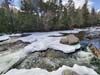
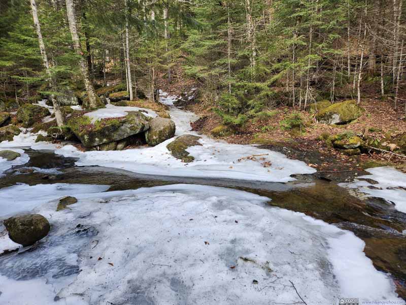
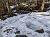
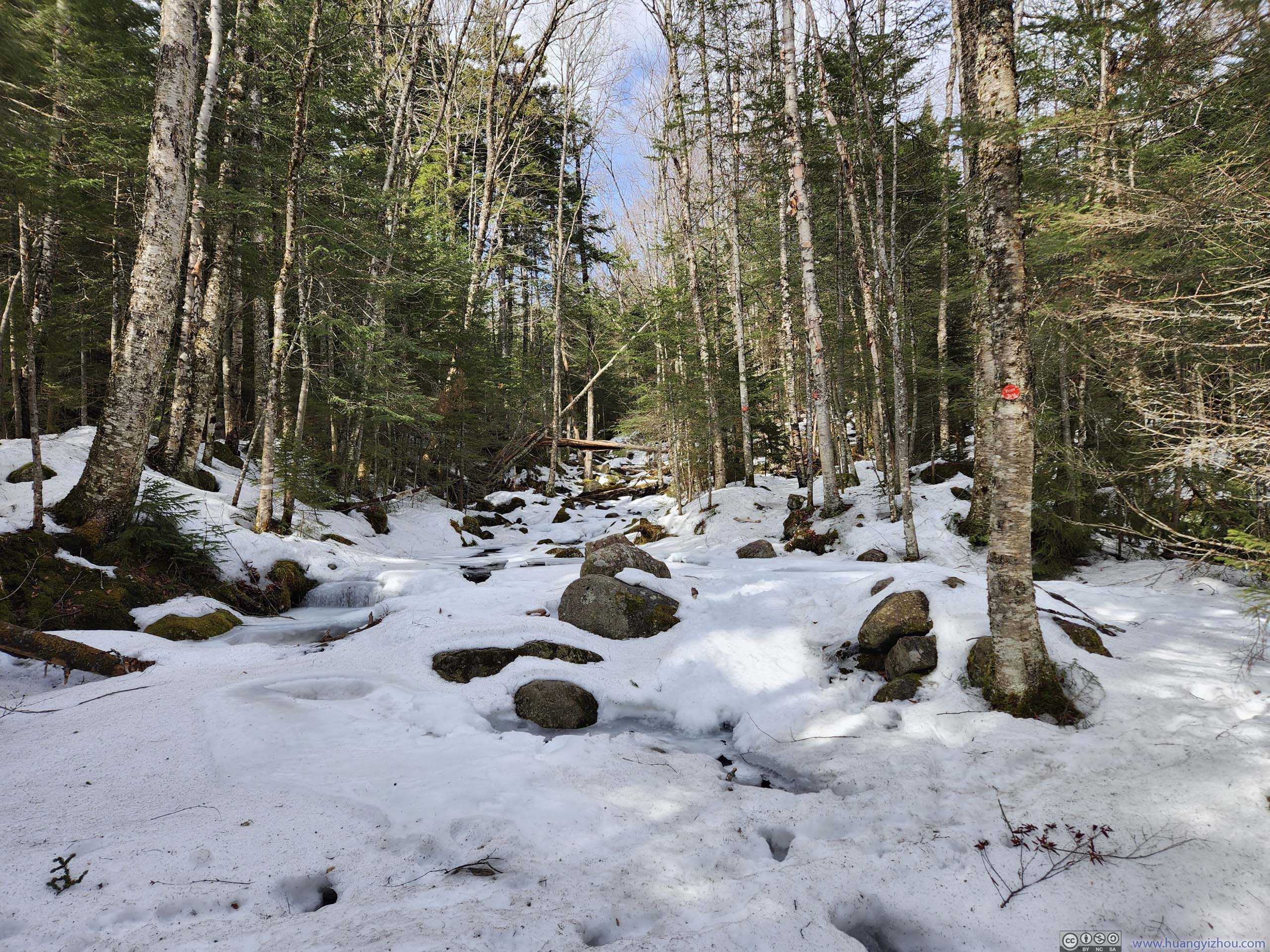
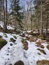
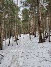
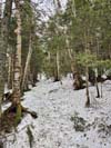
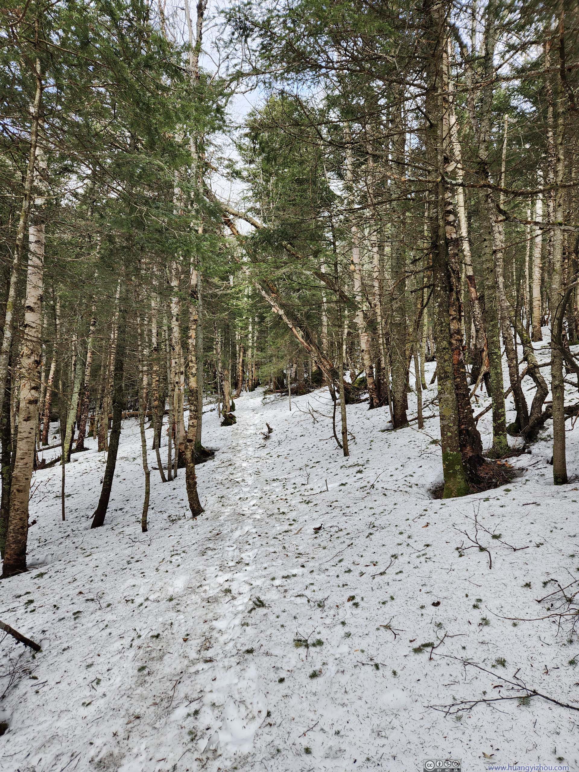
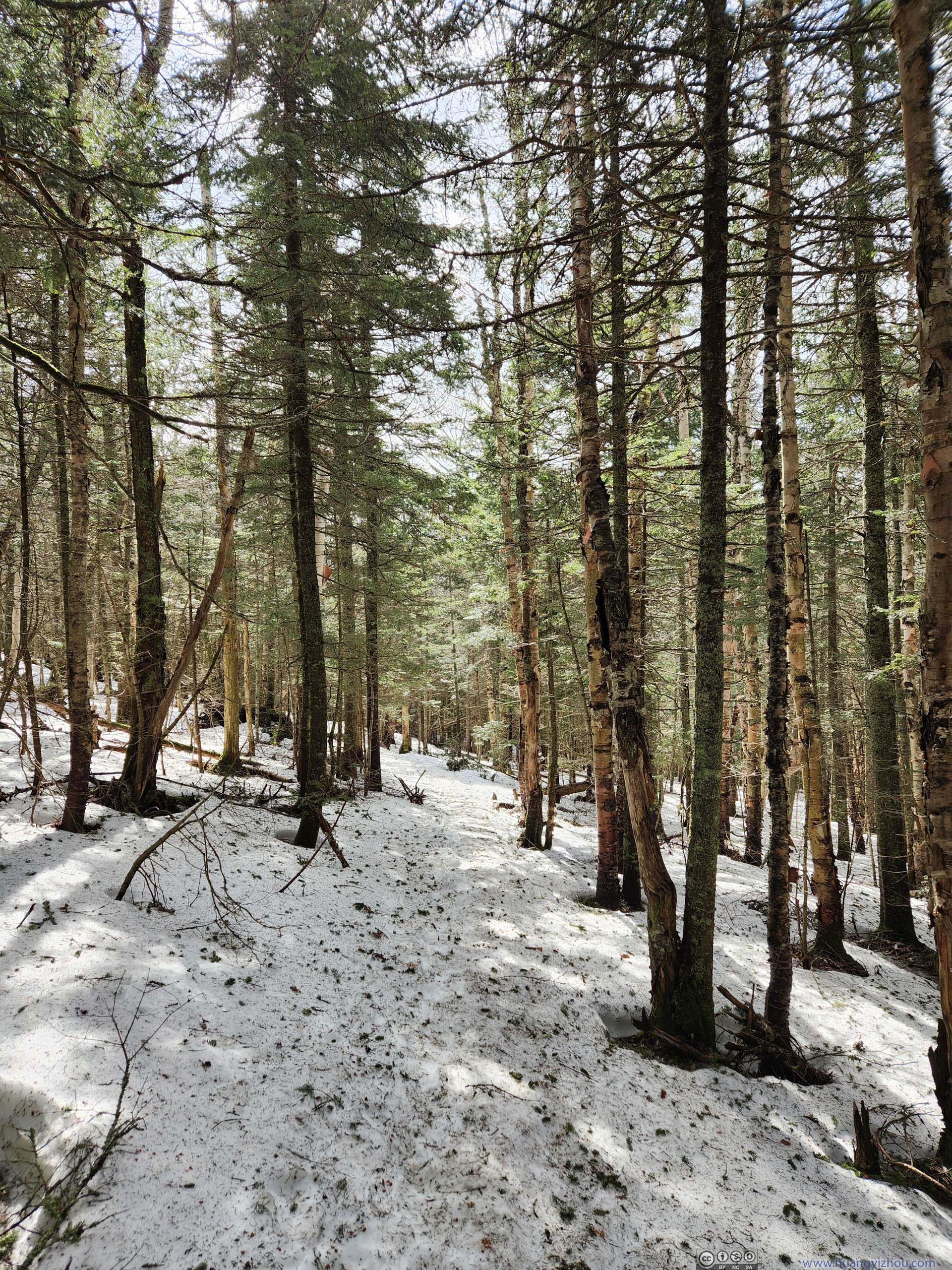
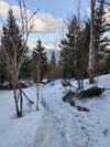
Phelps Trail followed Johns Brook’s northern bank as it entered a valley. As a result, there wasn’t much snow left around the trail. (At times I found myself among a landscape reminiscent of summer.) The trail itself was about 50% ice and 50% dirt/mud. Some patches of ice close to the trailhead meant I put on spikes early. After that, I didn’t feel as comfortable as fallen leaves tend to stick to my spikes.
 Trail
Trail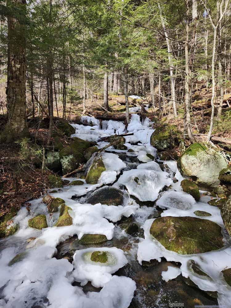 Creek
Creek Trail
Trail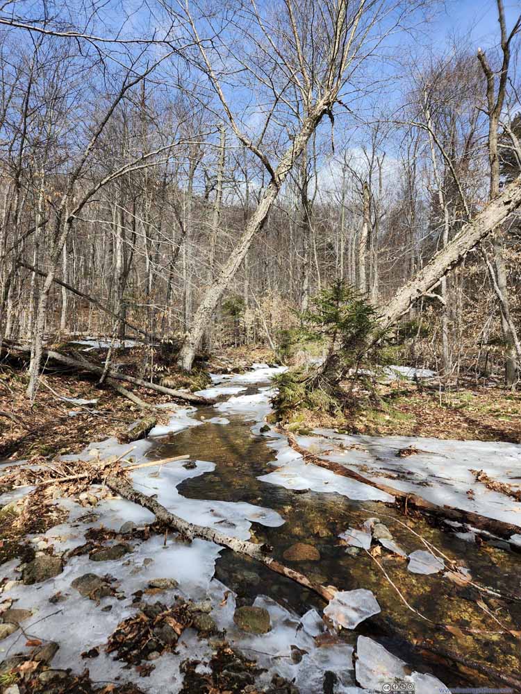 Creek
Creek Trail
Trail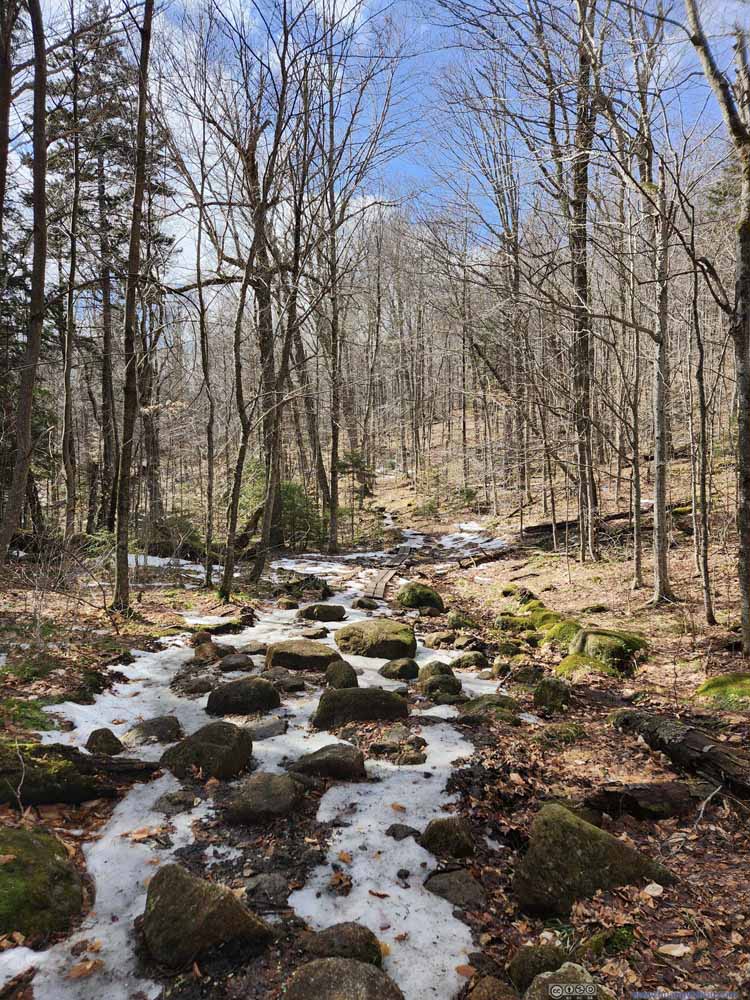 Trail
Trail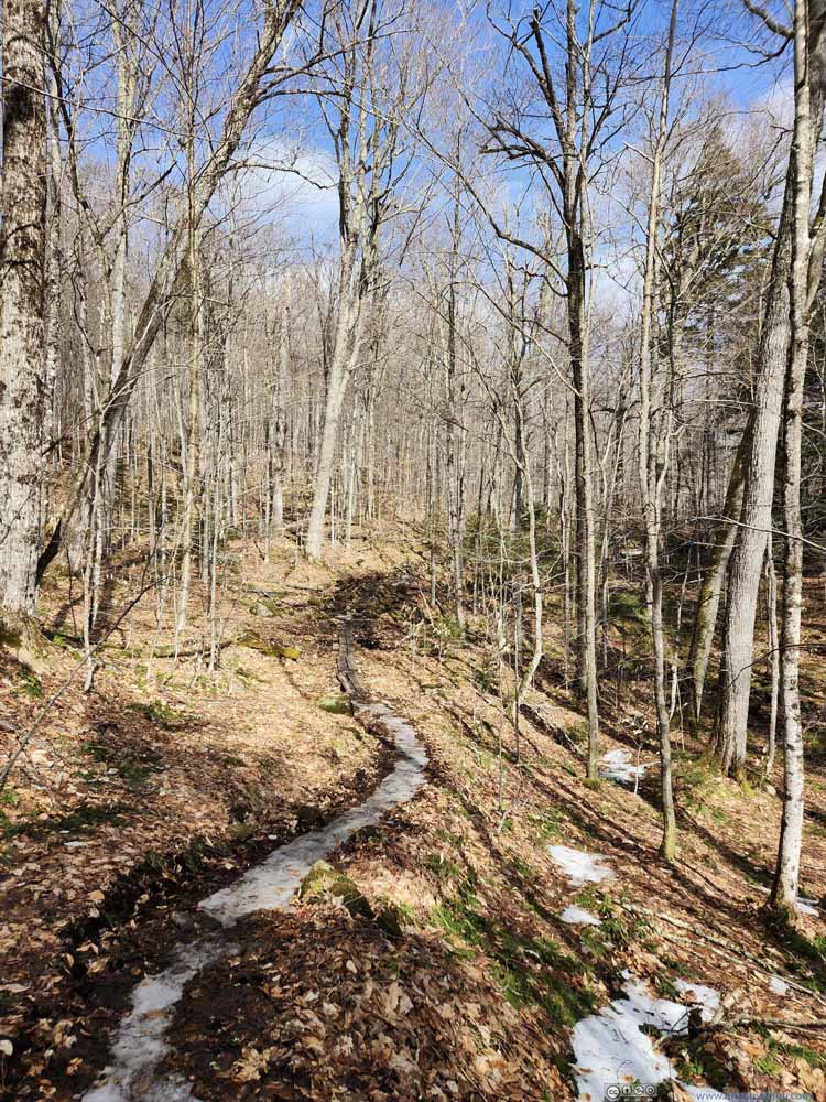 Trail
Trail


Click here to display photos along Phelps Trail.
Trail
Creek
Trail
Creek
Trail

Trail
Trail
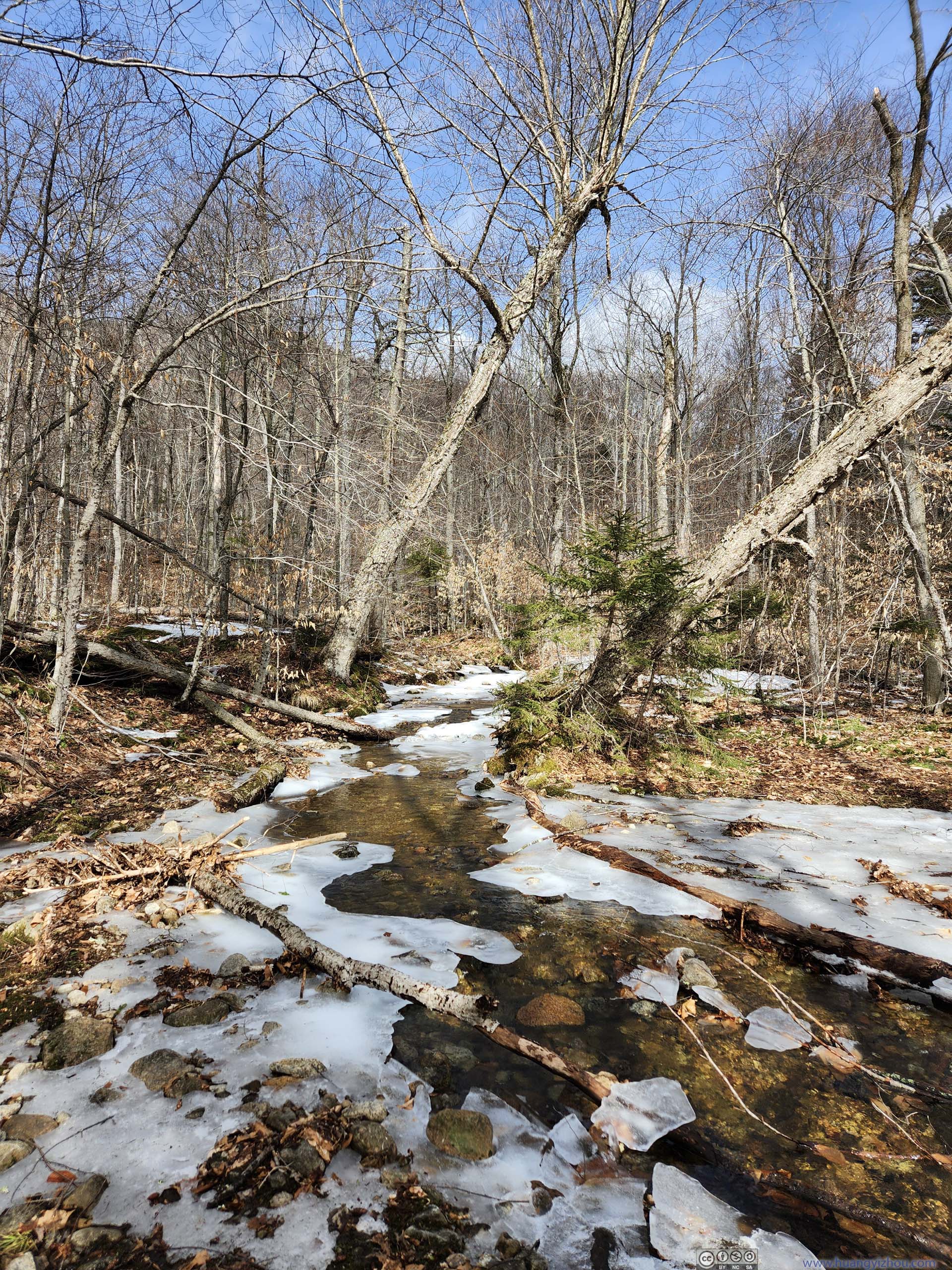
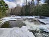
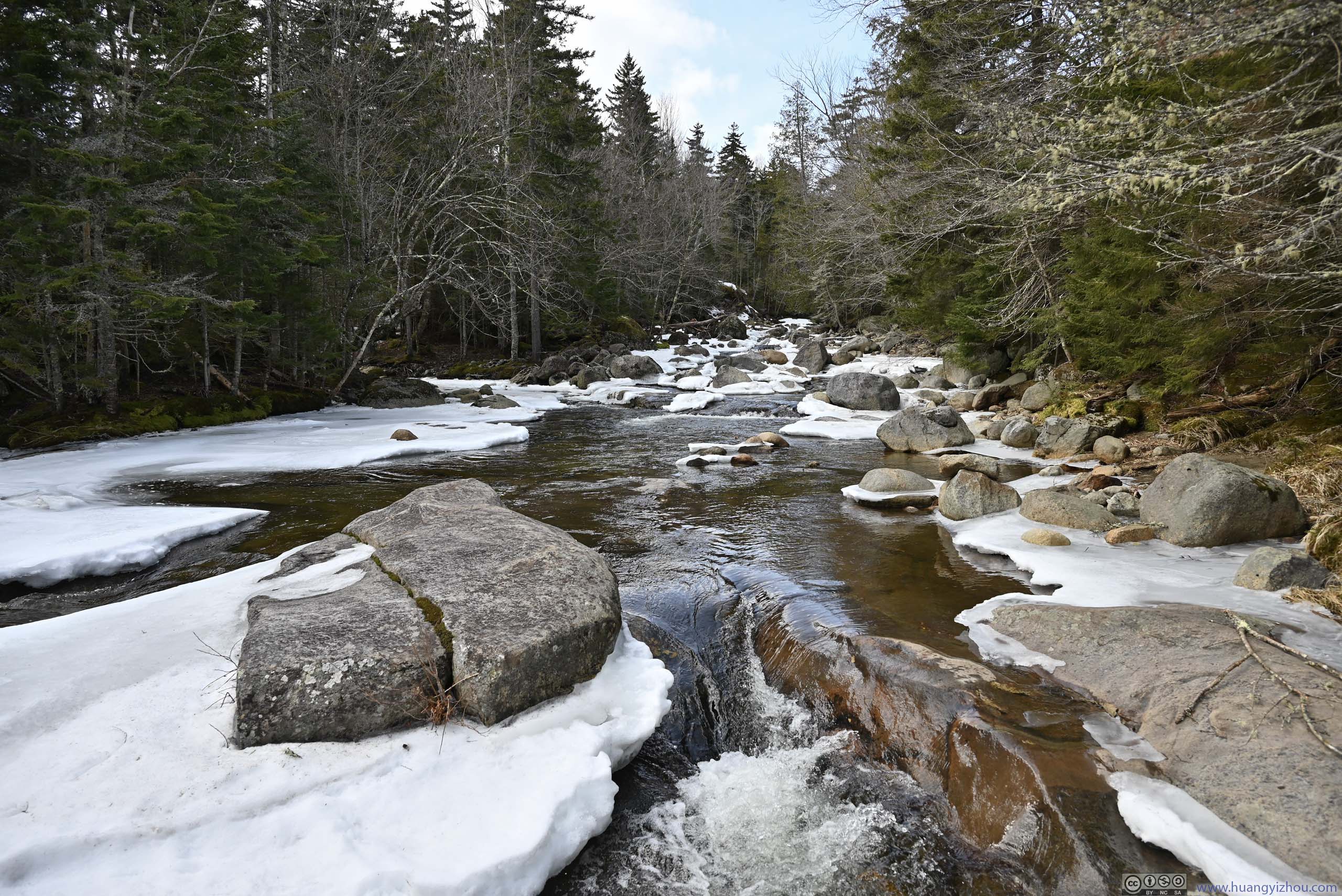
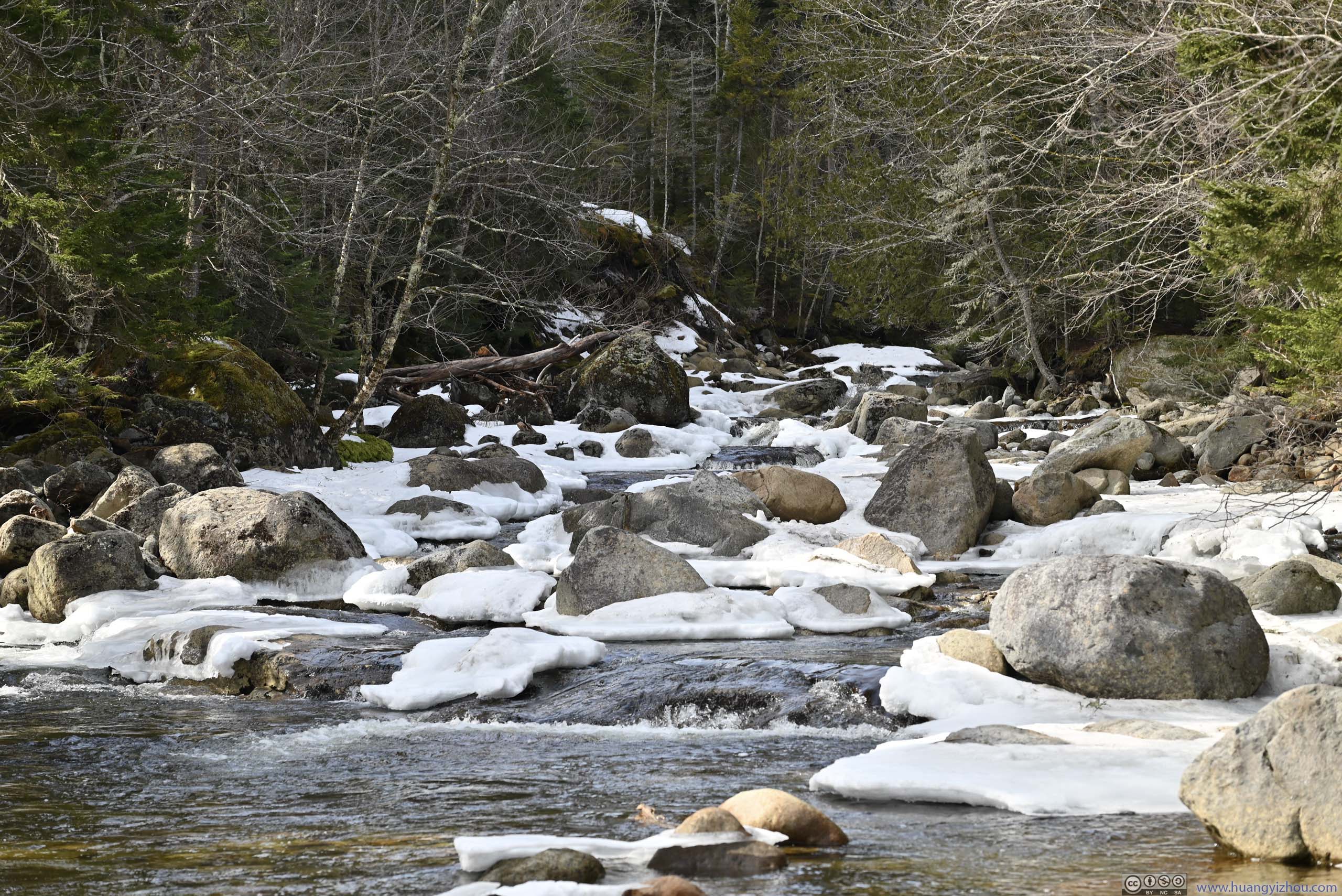
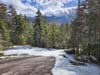
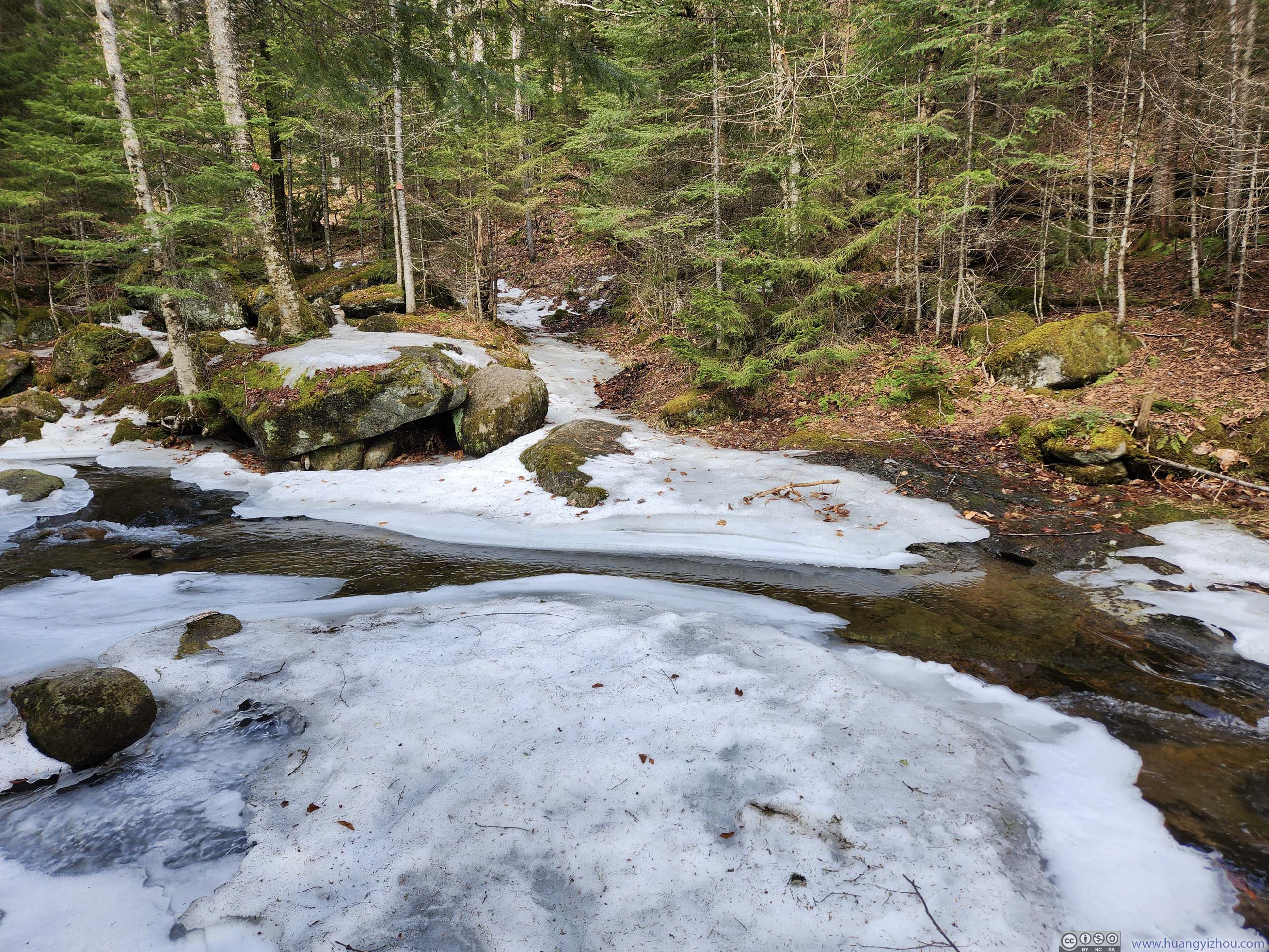
Phelps Trail crossed a few creeks as it headed into Adirondack mountains. Those creeks were tributaries to Johns Brook so the crossings were relatively easy. At about 12:10pm, I reached the intersection with Southside Trail. A few steps away from the trail, the waterfalls along Johns Brook provided the perfect background for a quick snack break.
 BoothAt the intersection between Southside Trail and Phelps Trail.
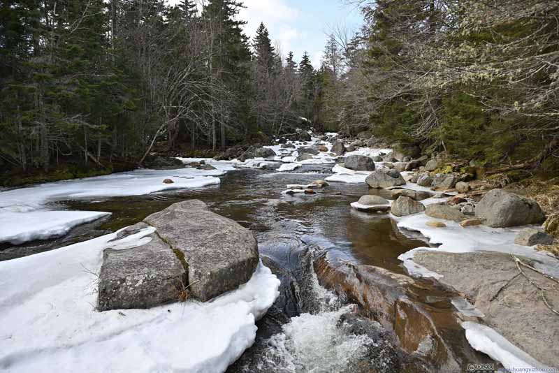 Johns Brook
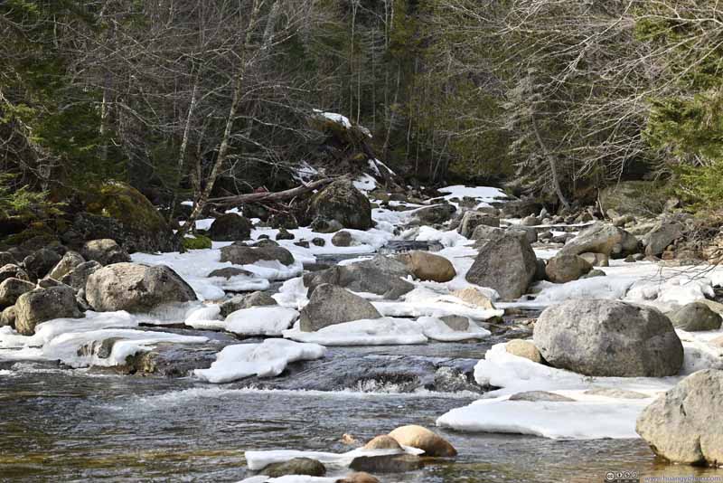 Johns Brook
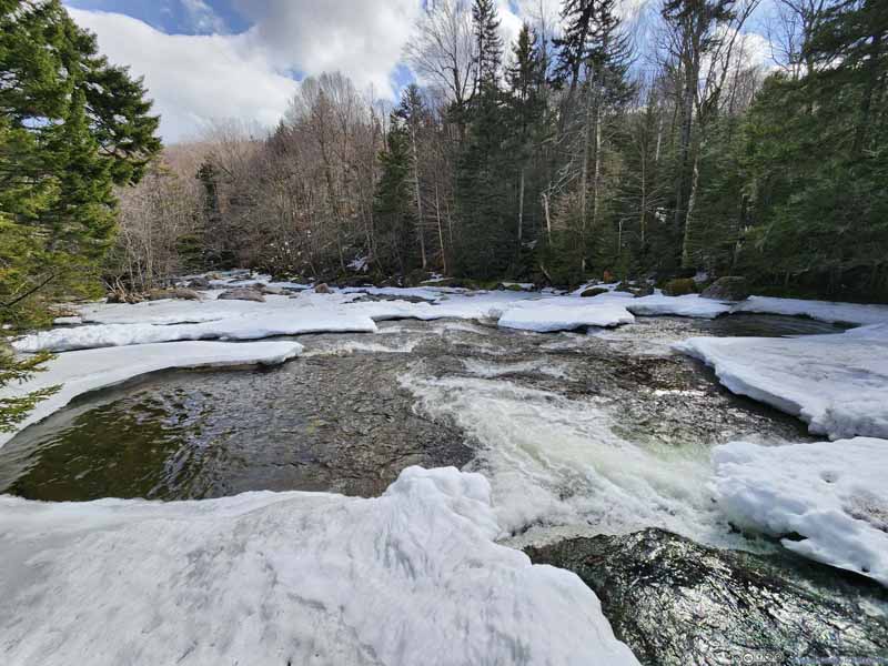 Johns Brook
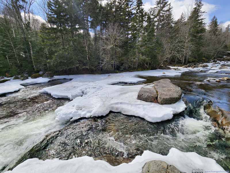 Johns Brook


Click here to display photos of Johns Brook.

BoothAt the intersection between Southside Trail and Phelps Trail.
 Johns Brook

 Johns Brook
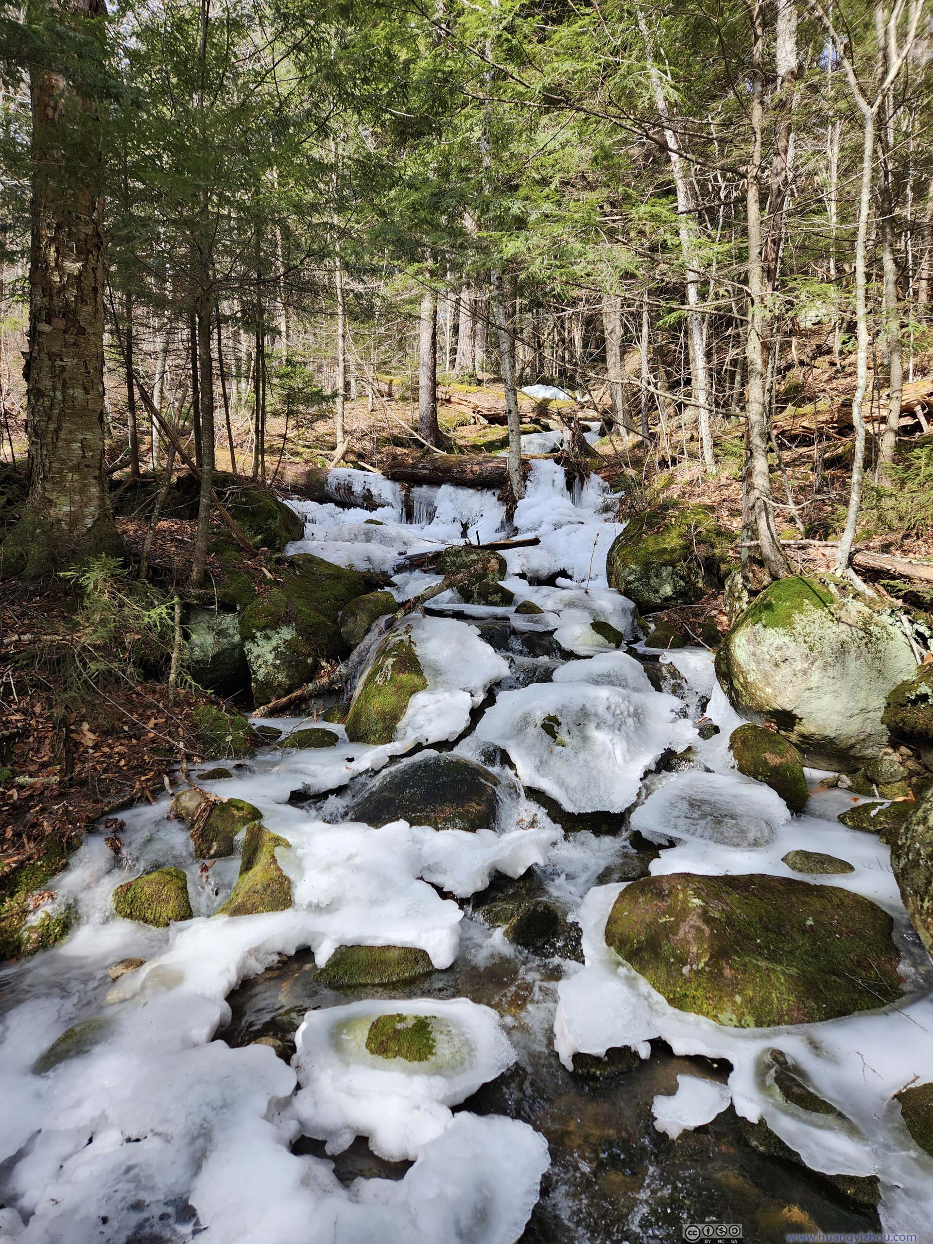
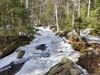
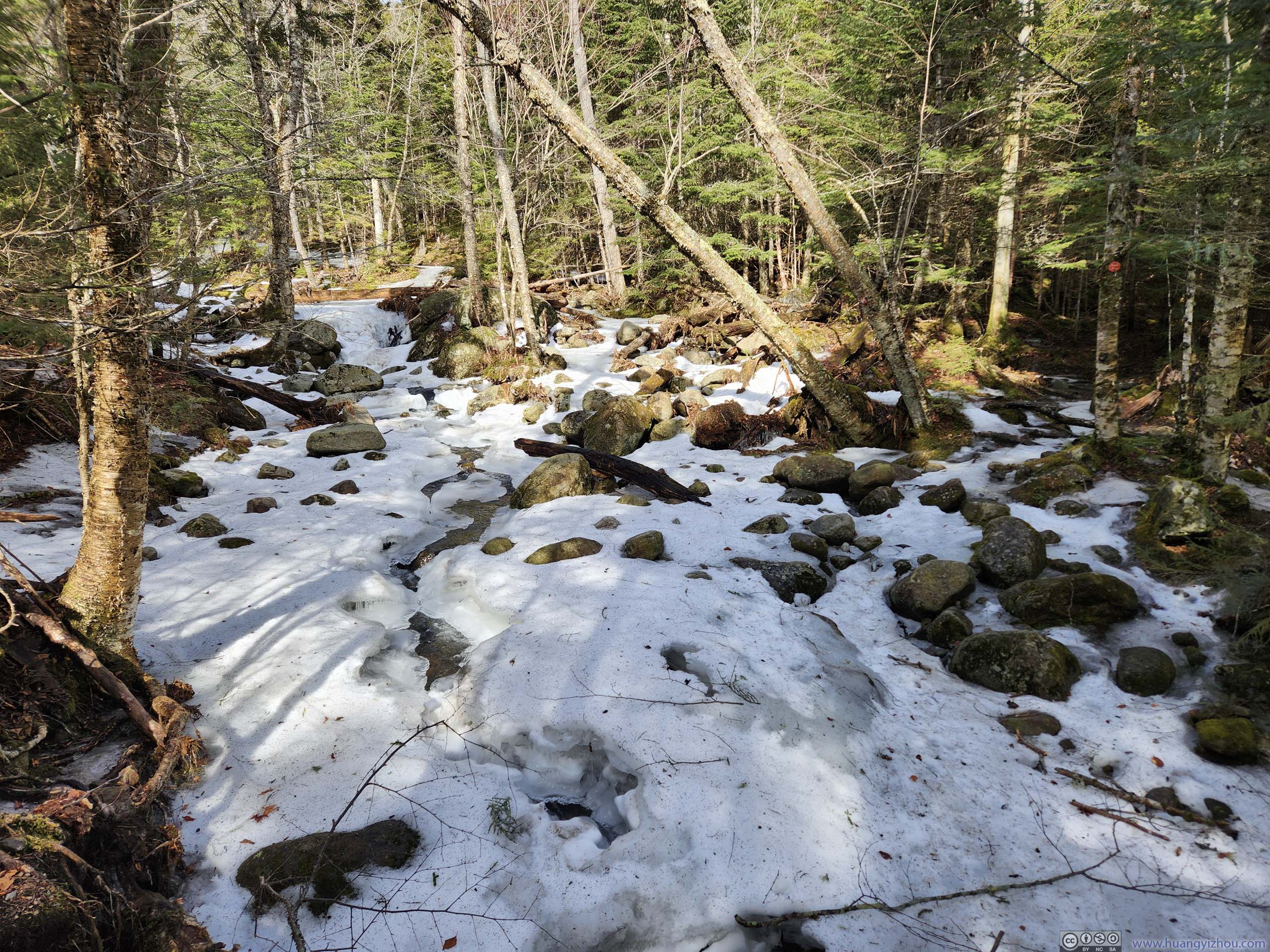
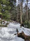
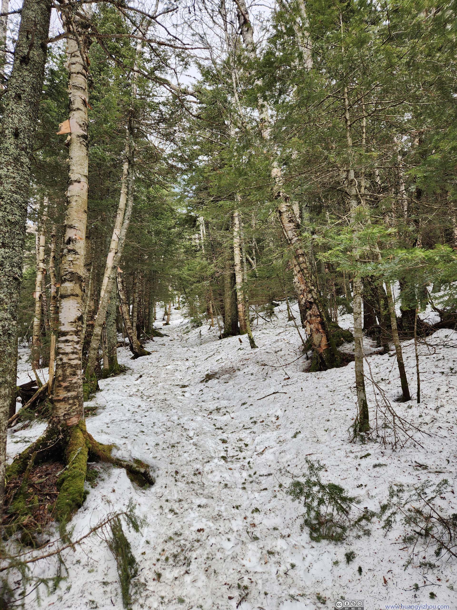
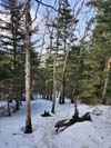
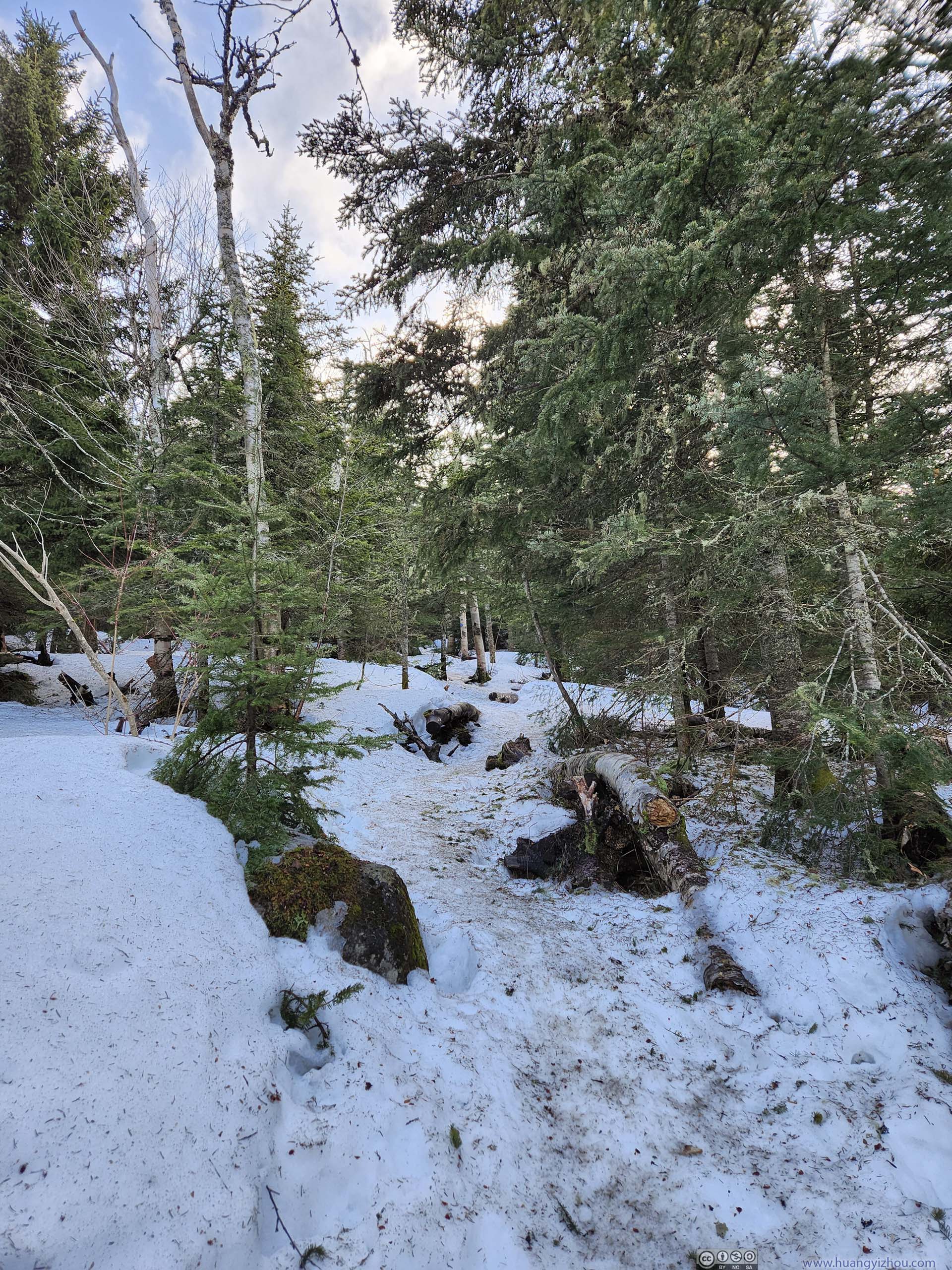
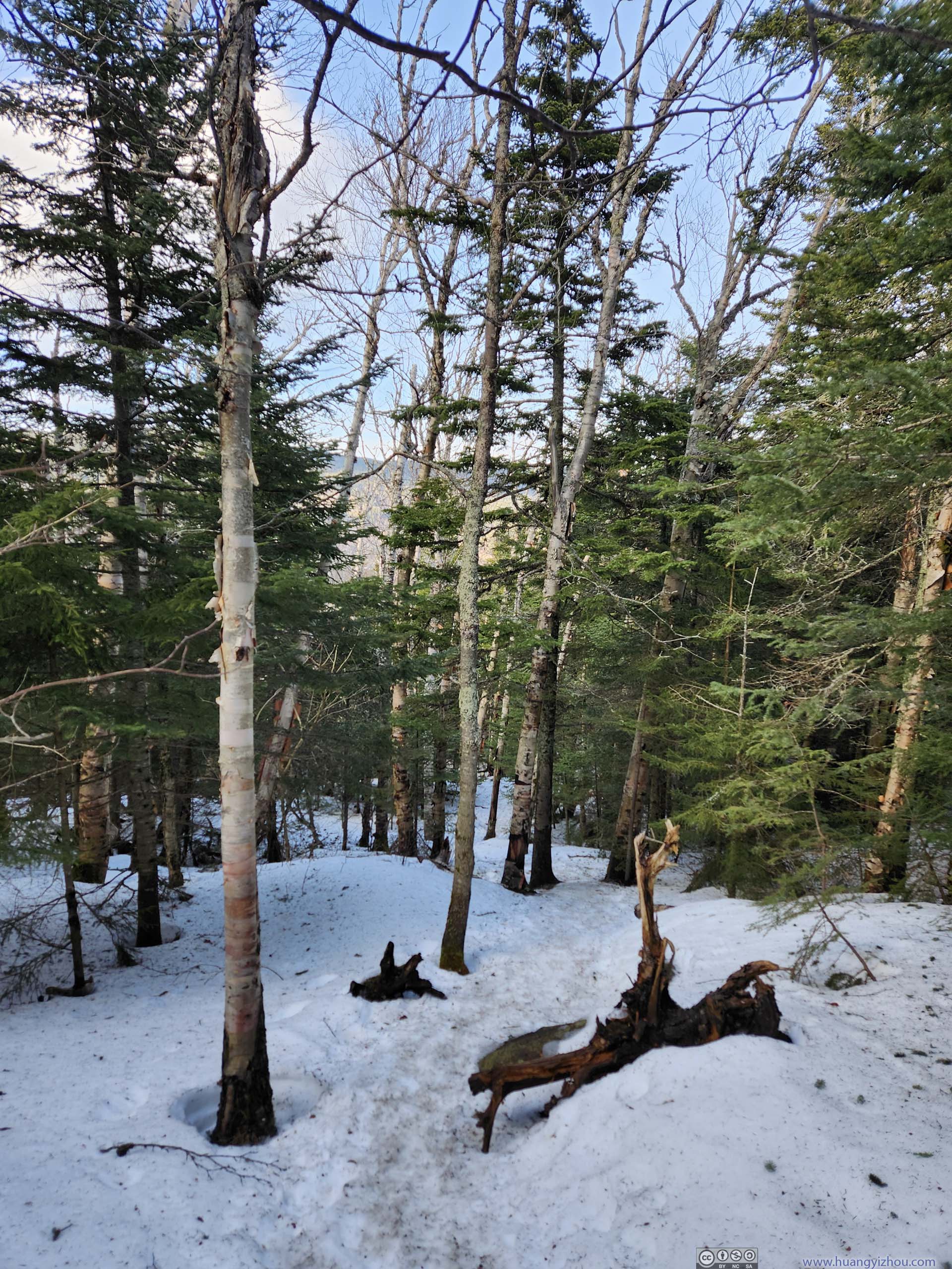
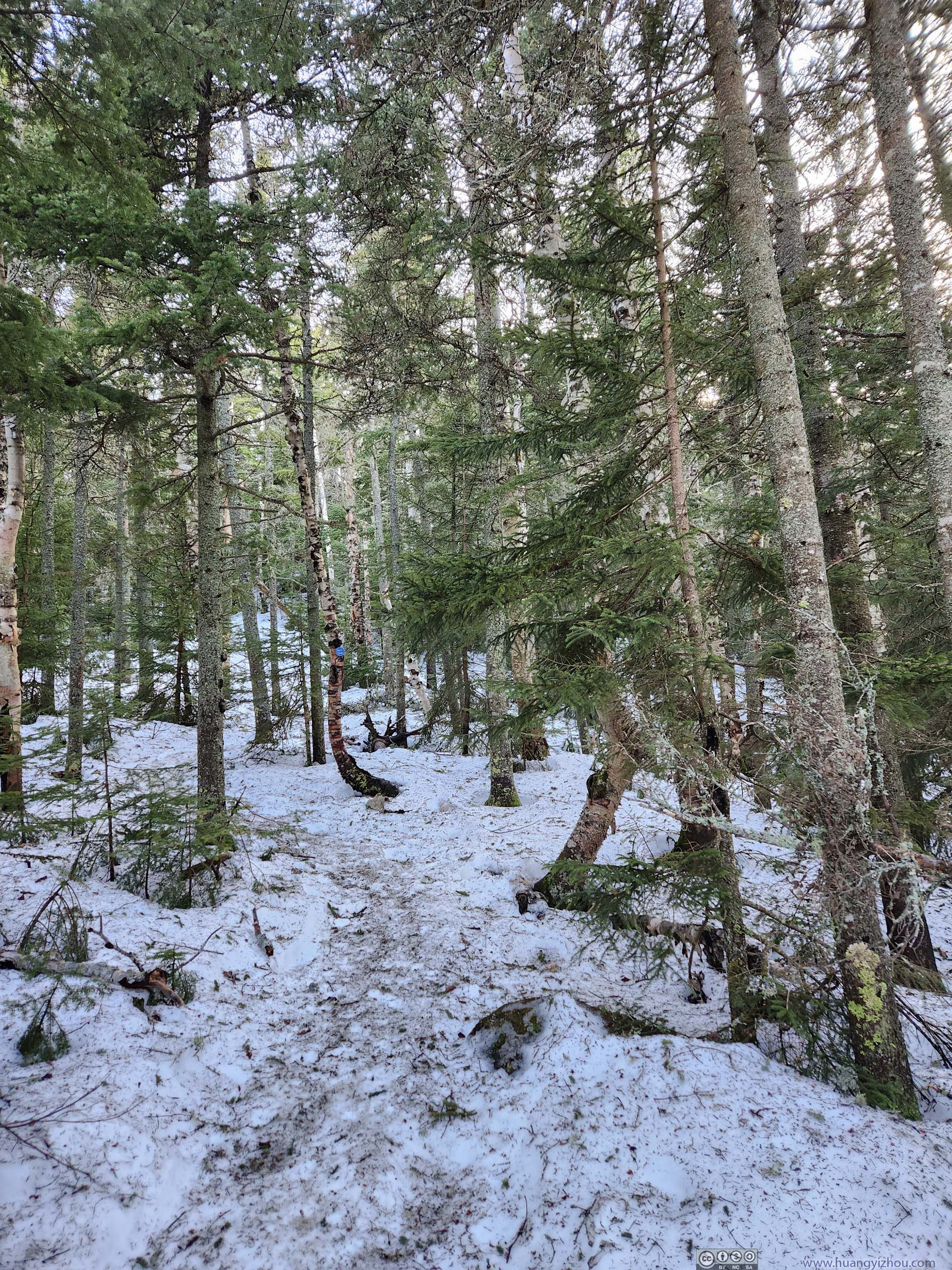
Continuing on, the next 3.6km before the summit of Big Slide Mountain was a steep ascent, gaining 600m of elevation along the way. The first part of that ascent followed Slide Mountain Brook, where the trail made a series of water crossings. The proximity to a creek meant this part of the trail was made of ice / packed snow, where spikes came in handy. Some of the water crossings required caution in finding footholds, in which case hiking poles were helpful.
 Slide Mountain Brook
A challenging water crossing here as the ice was thin and the edges lacked support from below. I made it across with a giant leap.
Slide Mountain Brook
A challenging water crossing here as the ice was thin and the edges lacked support from below. I made it across with a giant leap. Slide Mountain Brook
Another water crossing. Ice was thick, but the few holes among them still reminded me to take caution.
Slide Mountain Brook
Another water crossing. Ice was thick, but the few holes among them still reminded me to take caution.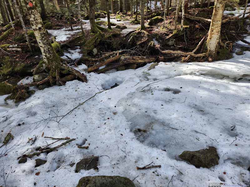 Slide Mountain BrookLooking back at the previous water crossing.
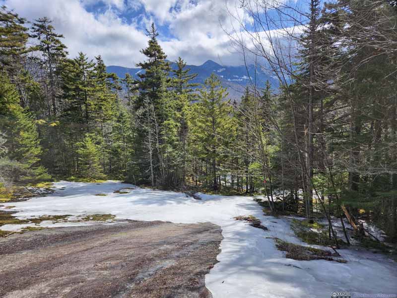 Trail
Trail Slide Mountain Brook
 Trail along Slide Mountain Brook
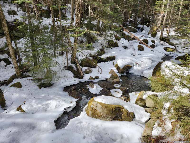 Slide Mountain BrookThe final water crossing.
Click here to display photos of the slideshow
Slide Mountain Brook
Slide Mountain Brook

Slide Mountain BrookLooking back at the previous water crossing.

Trail
Slide Mountain Brook
Trail along Slide Mountain Brook

Slide Mountain BrookThe final water crossing.
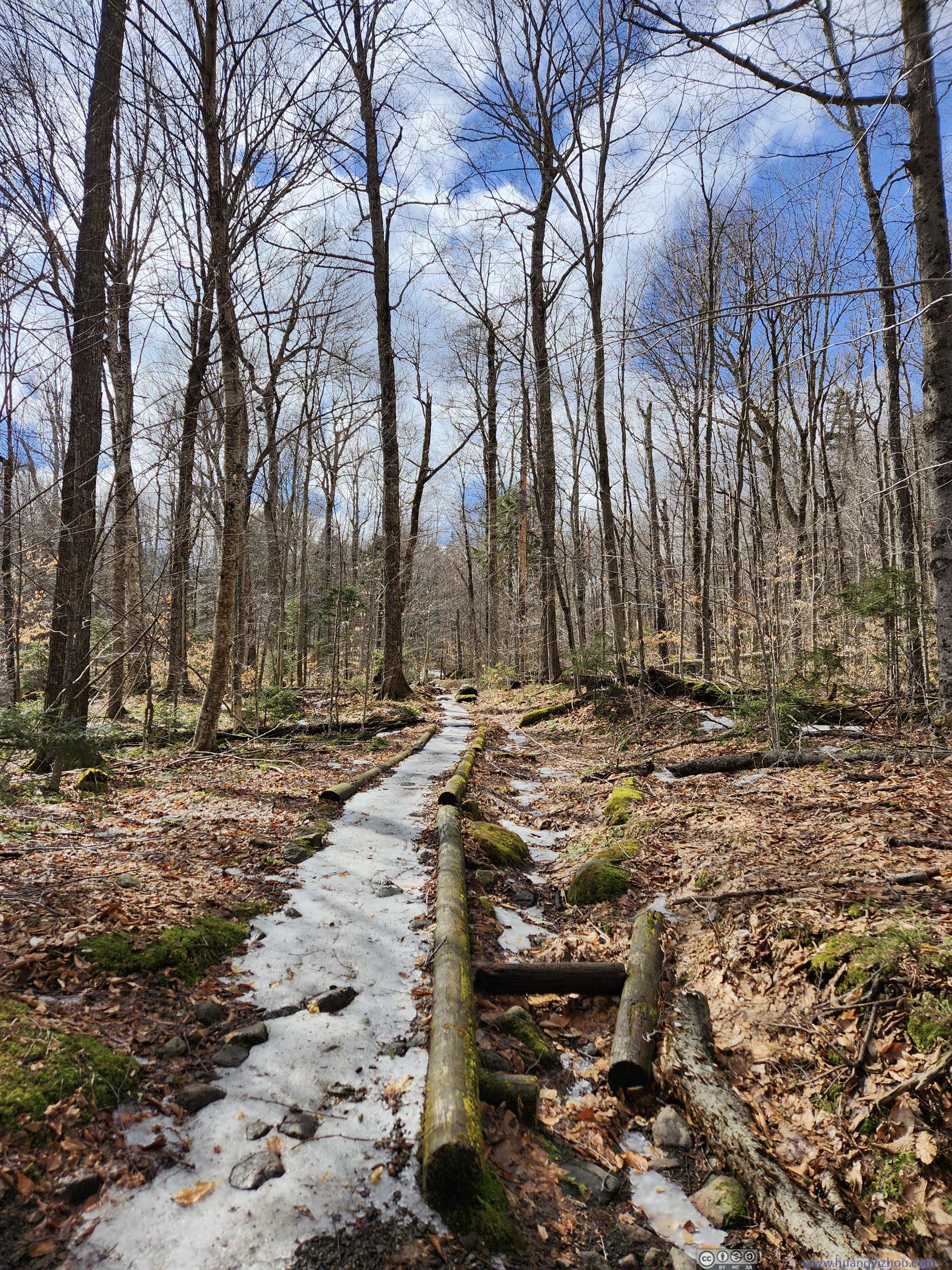
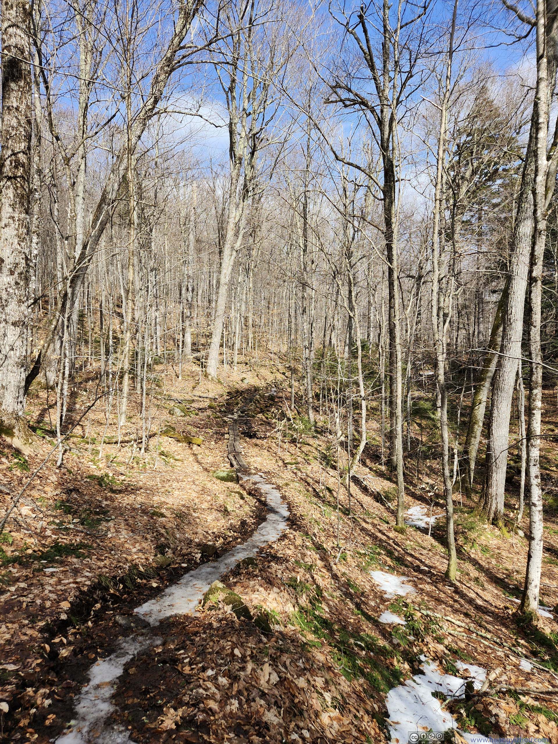
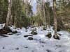
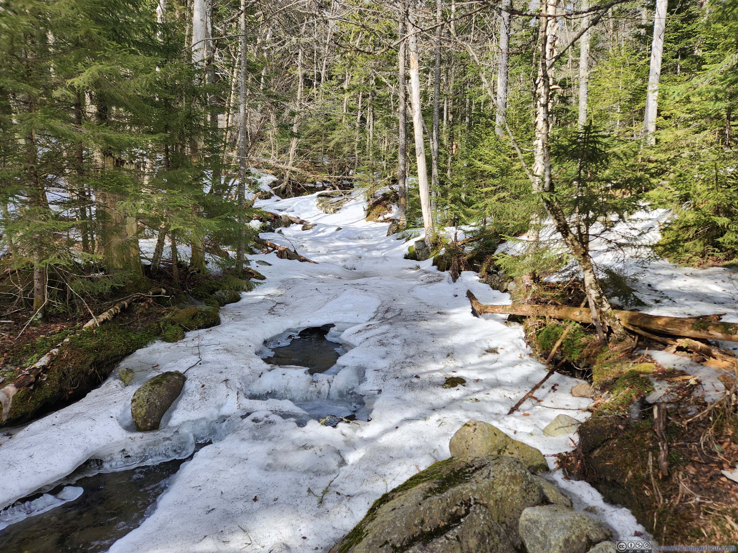
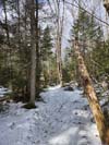
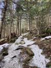
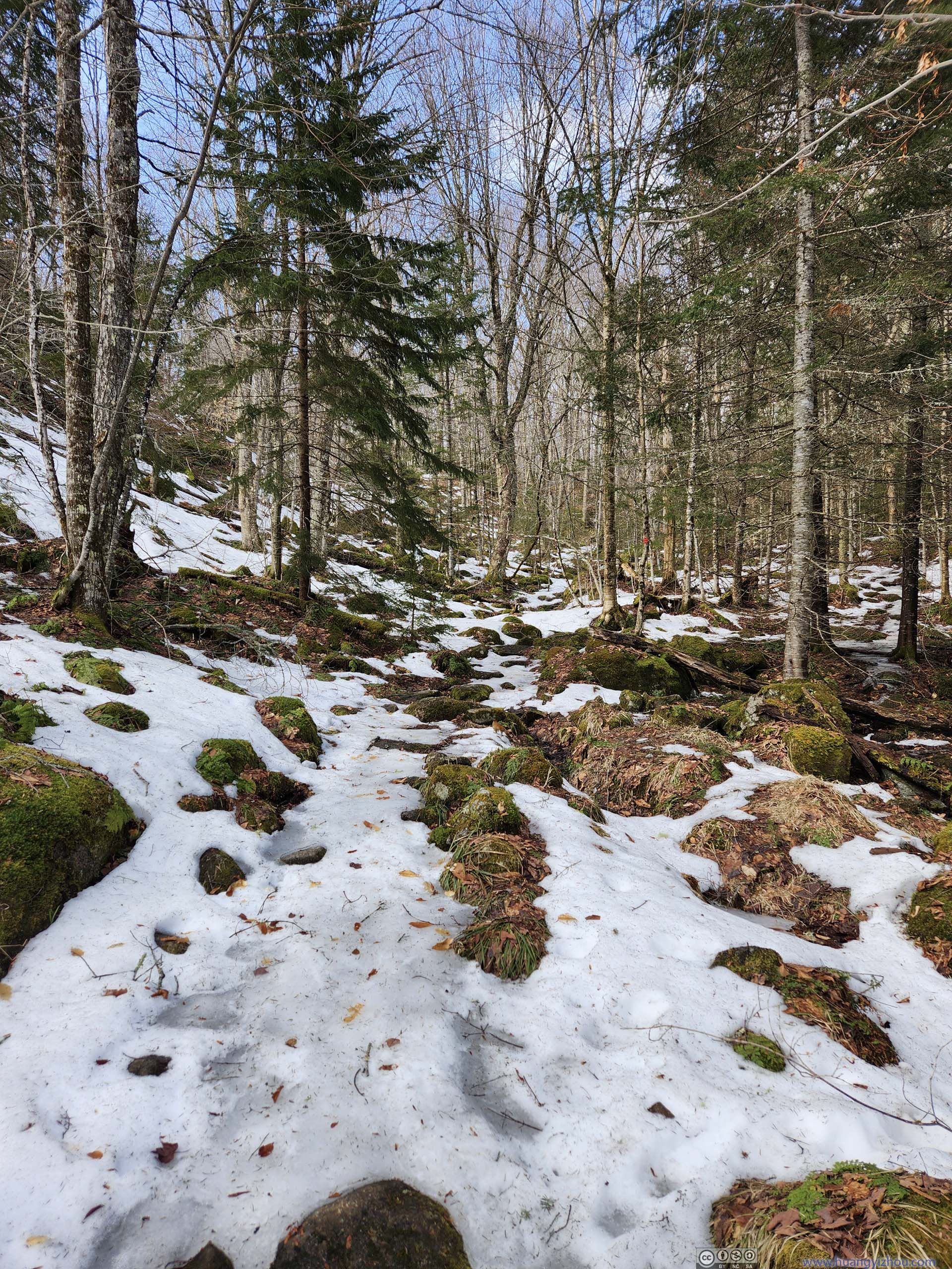
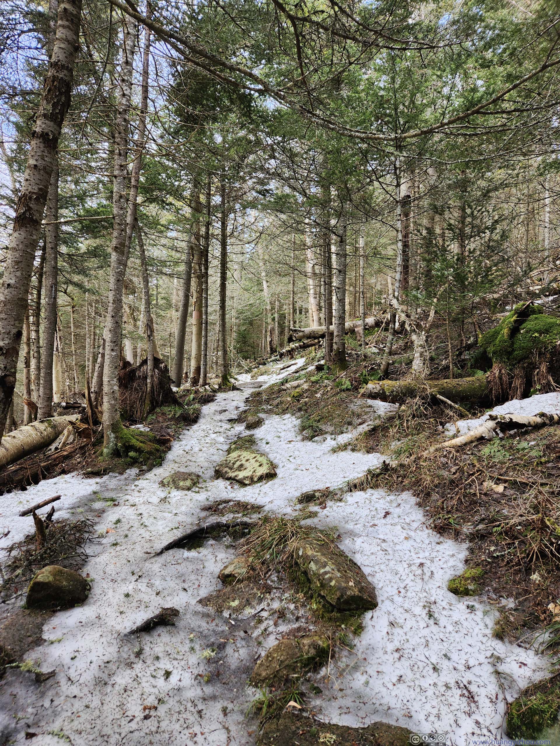
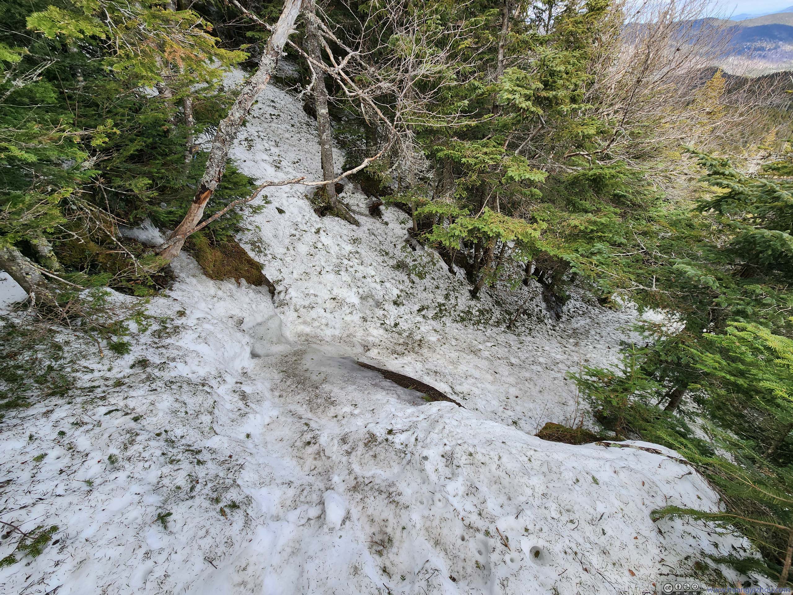
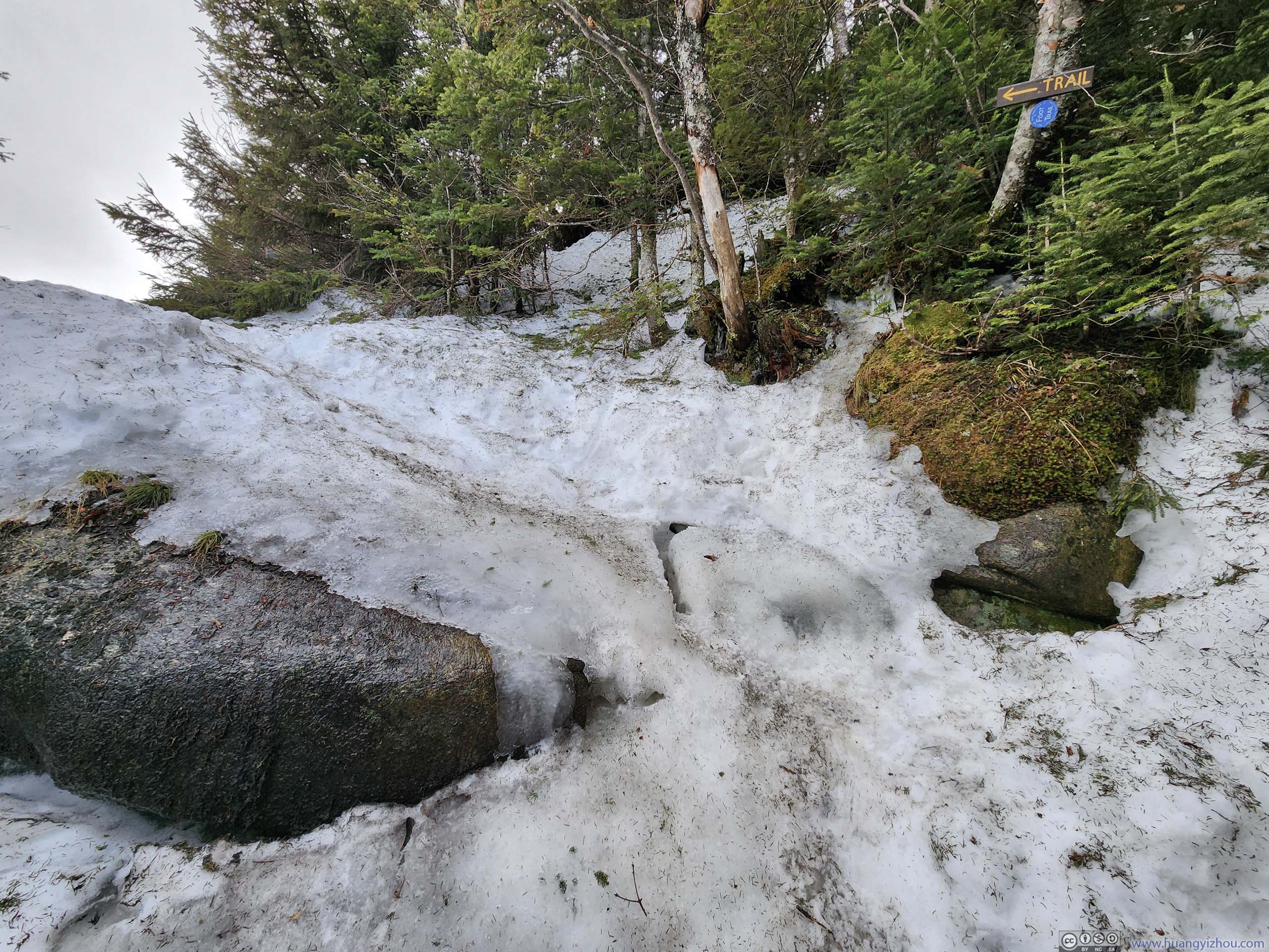
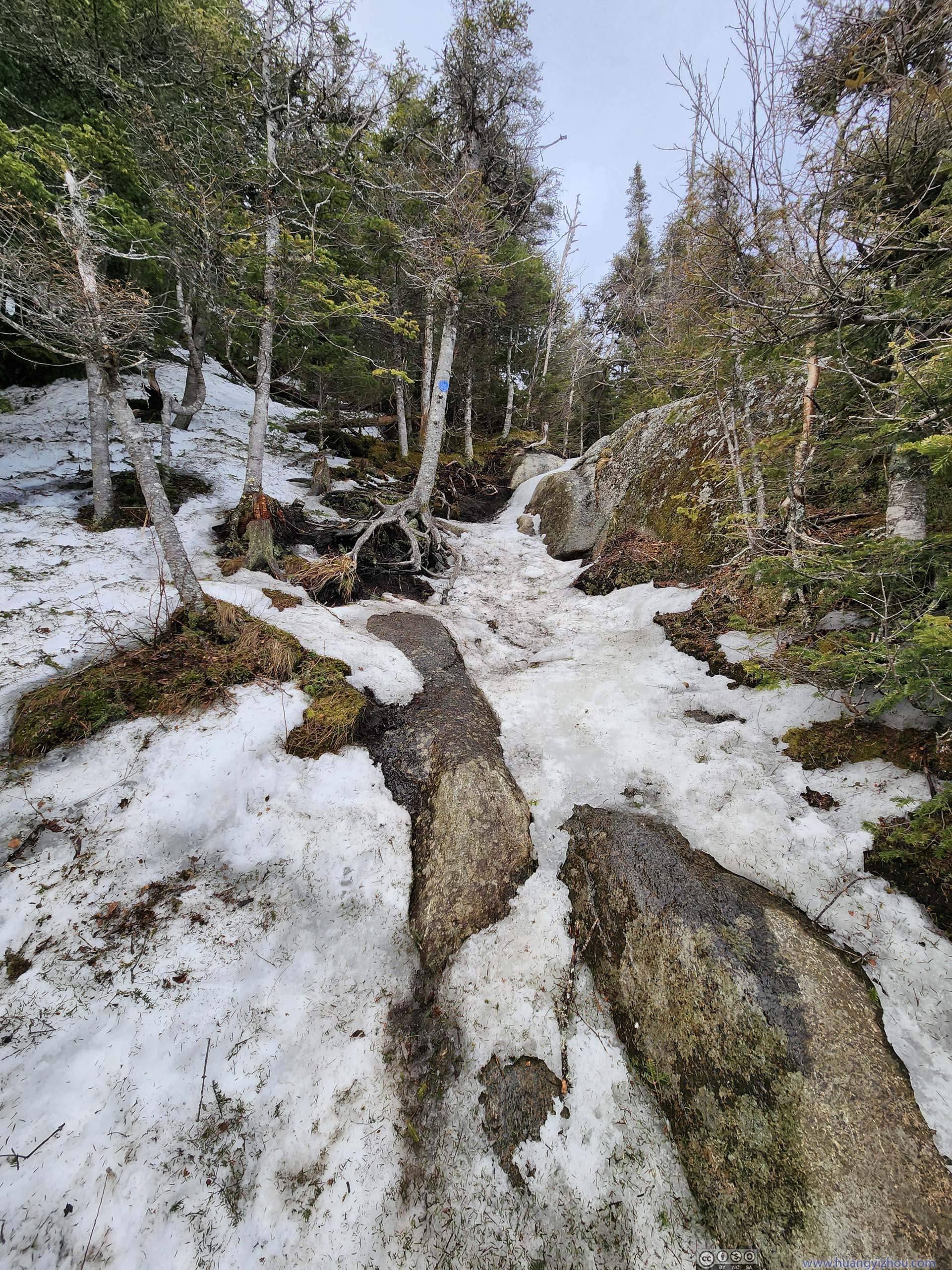
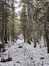
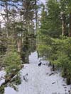
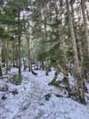
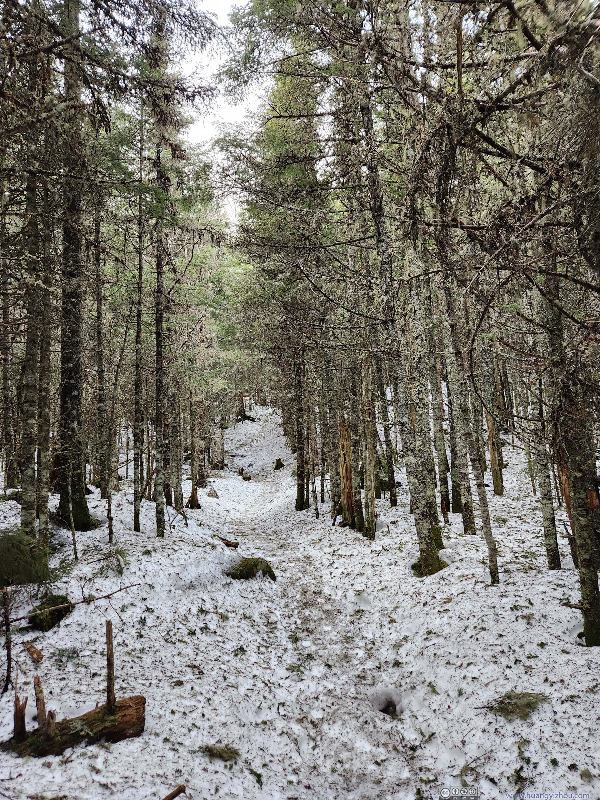
Leaving Slide Mountain Brook, ice cover on the trail briefly receded (p3 and p5 below), before recovering given the increase in elevation.
 Trail
Trail Trail
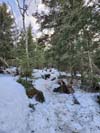
Trail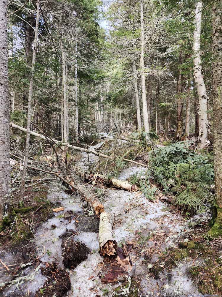 Trail Blocked by Fallen Trees
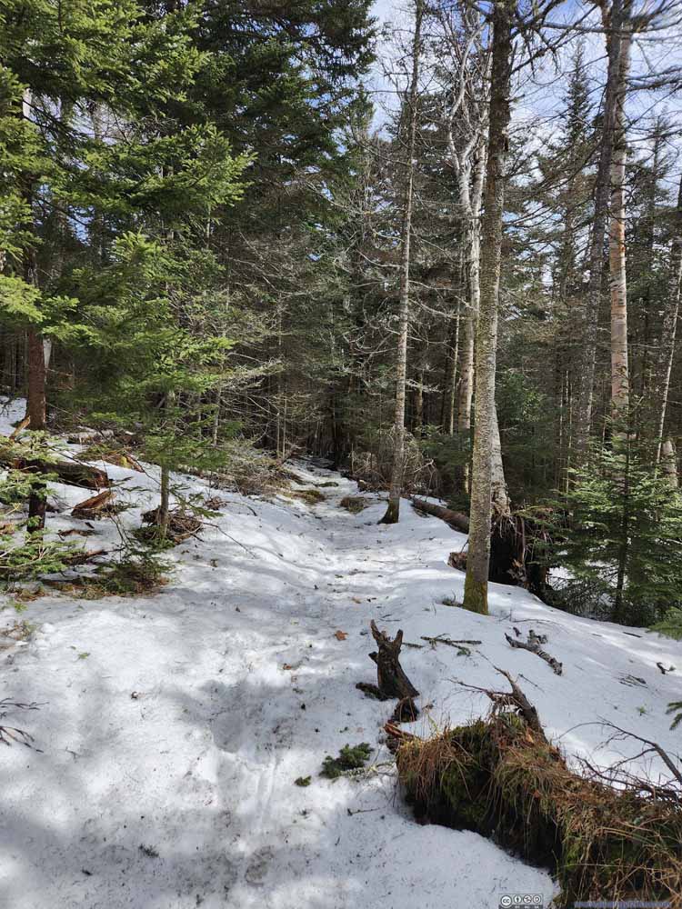 Trail
Trail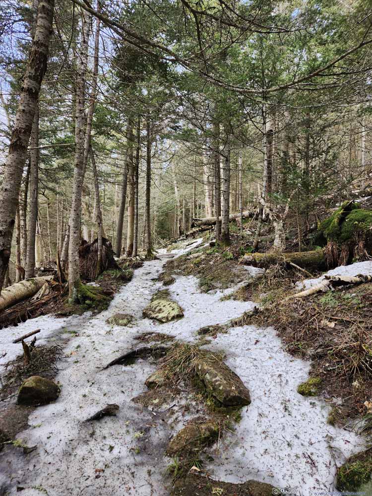 Trail
Trail Trail
Trail Trail
Trail Trail
Trail


Click here to display photos of the trail.
Trail

Trail

Trail Blocked by Fallen Trees

Trail
Trail
Trail
Trail
Trail
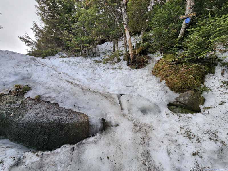
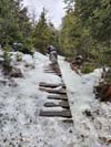
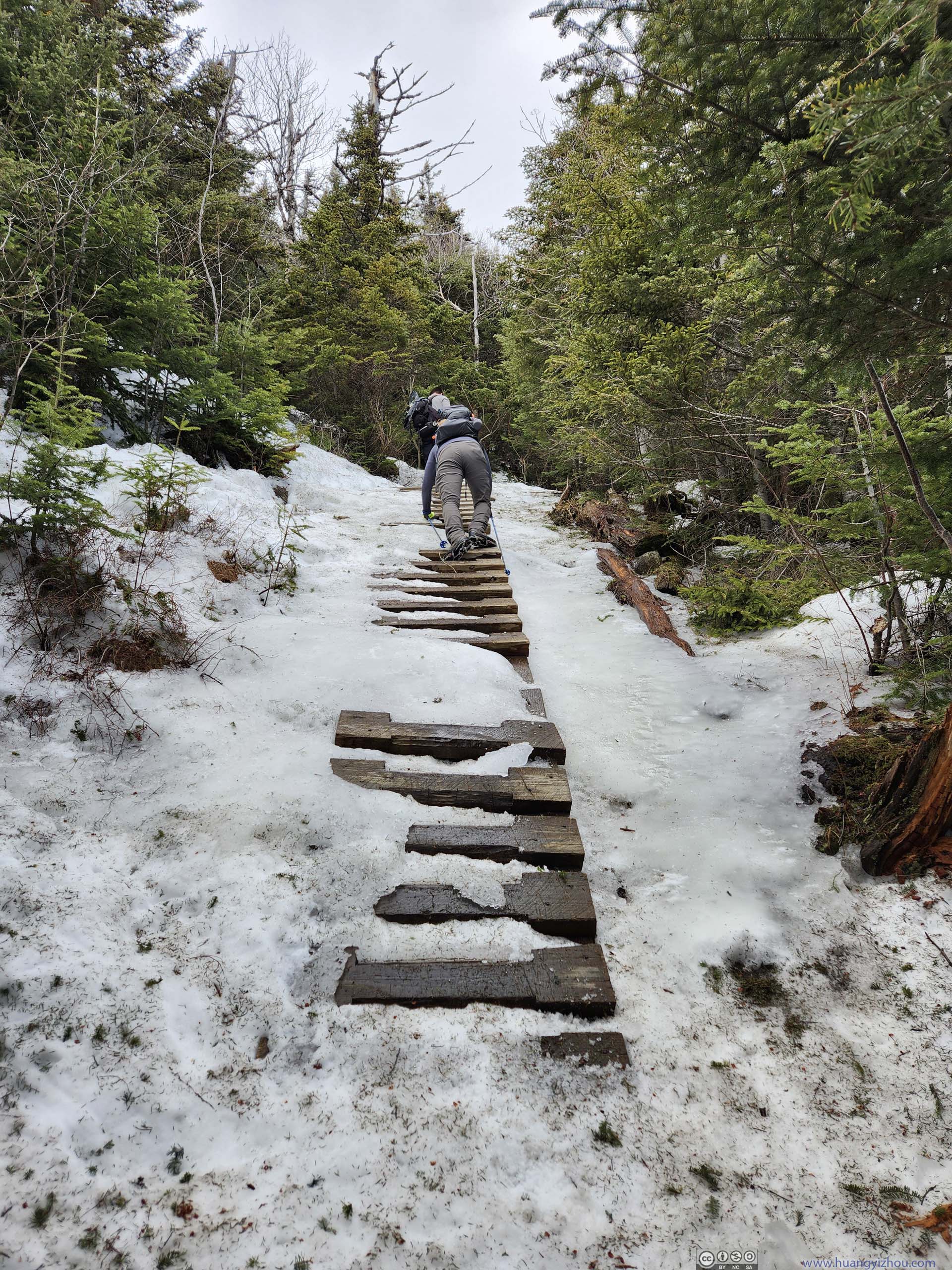
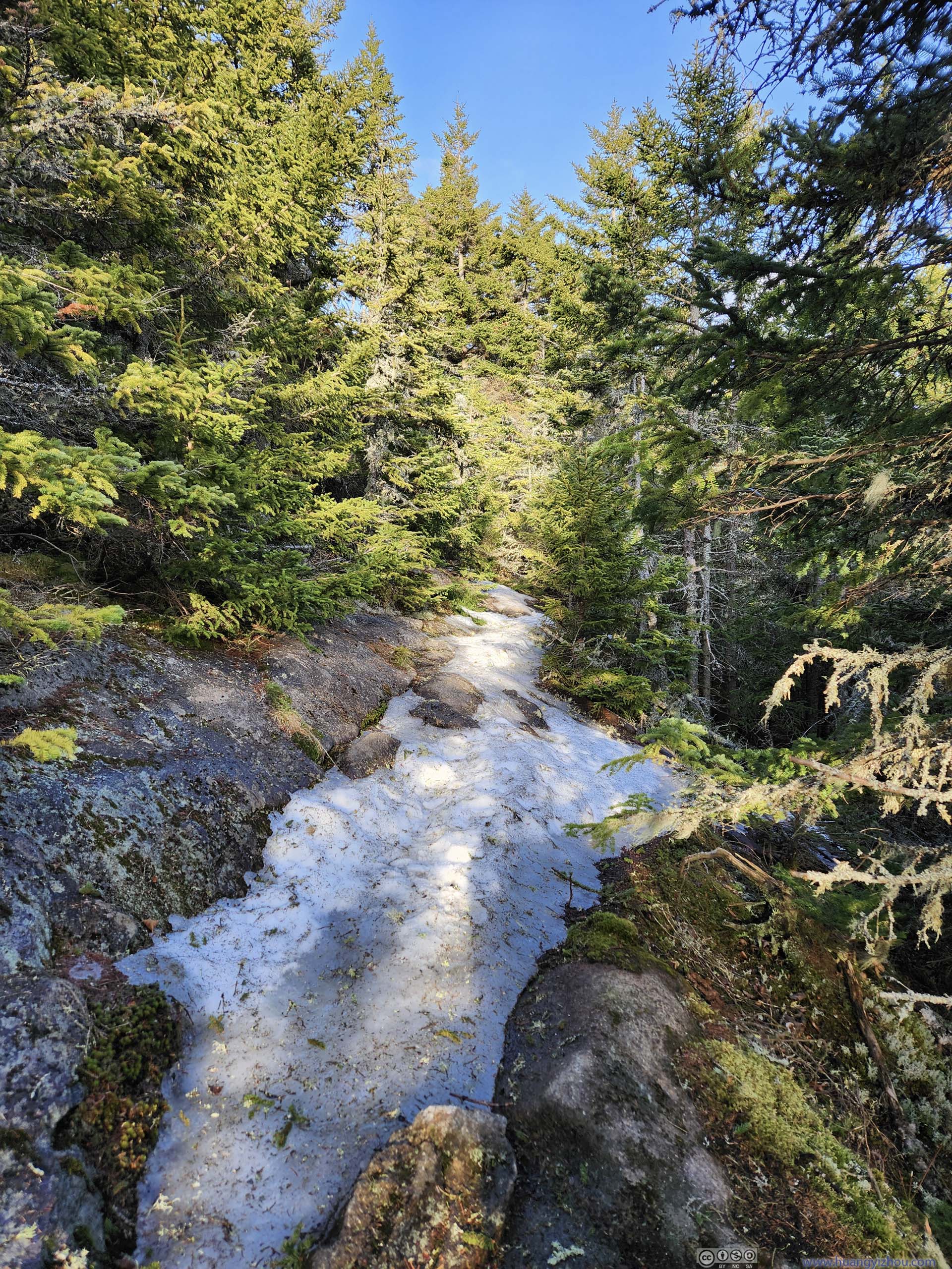
After a relentless workout, I reached the Slide/Brothers intersection at 1:50pm. The remaining 300m of trail was the most technical. At times, it required some scrambling skills (p3-4 below), at least during the winter.
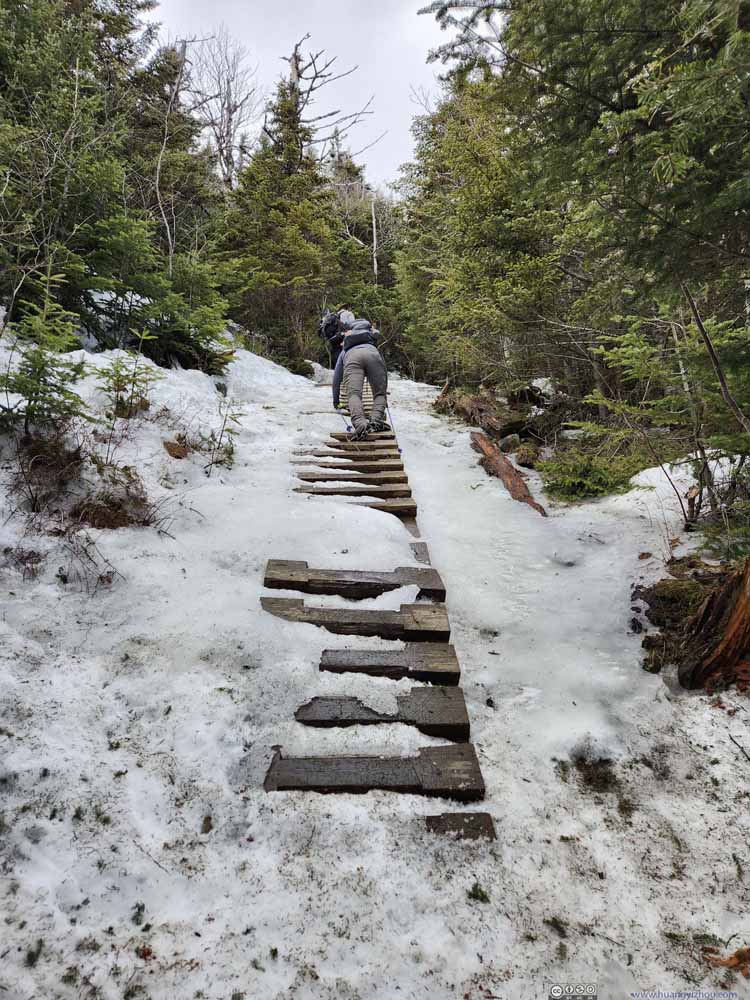 Ice-Covered Ladders
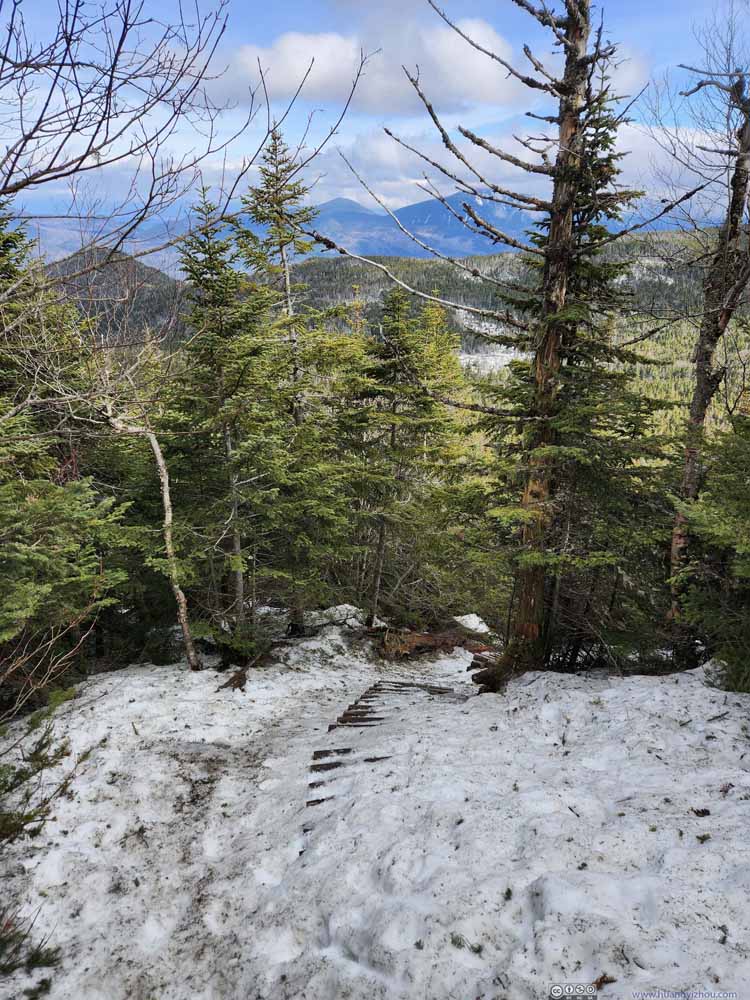 Ice-Covered Ladders
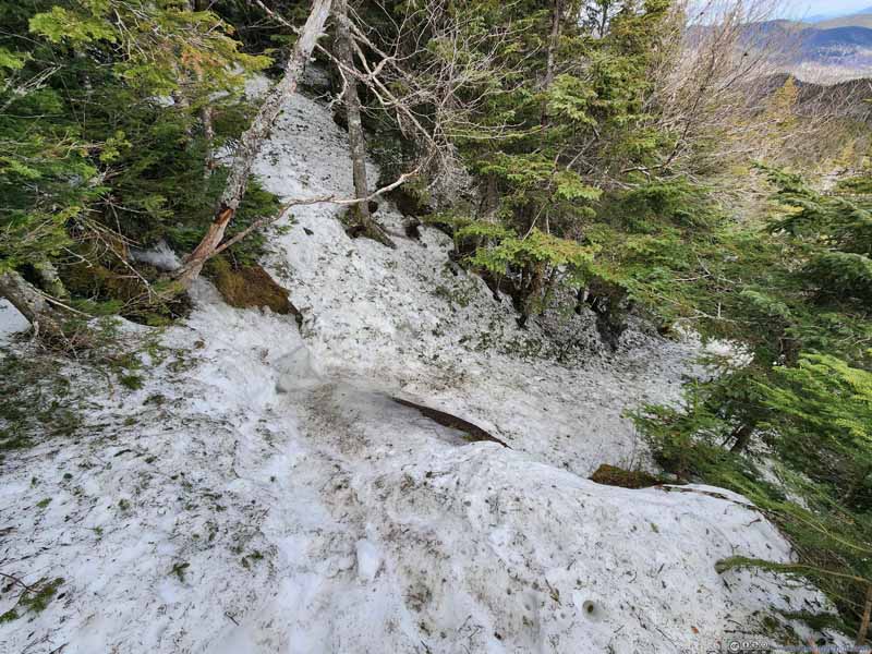
 Steep TrailThis was likely the most technical section. Looking from above (top) and below (bottom).
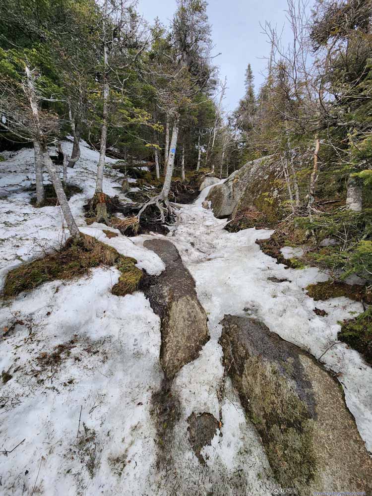 Steep Trail


Click here to display photos of the slideshow
Ice-Covered Ladders
Ice-Covered Ladders
 Steep TrailThis was likely the most technical section. Looking from above (top) and below (bottom).
Steep Trail
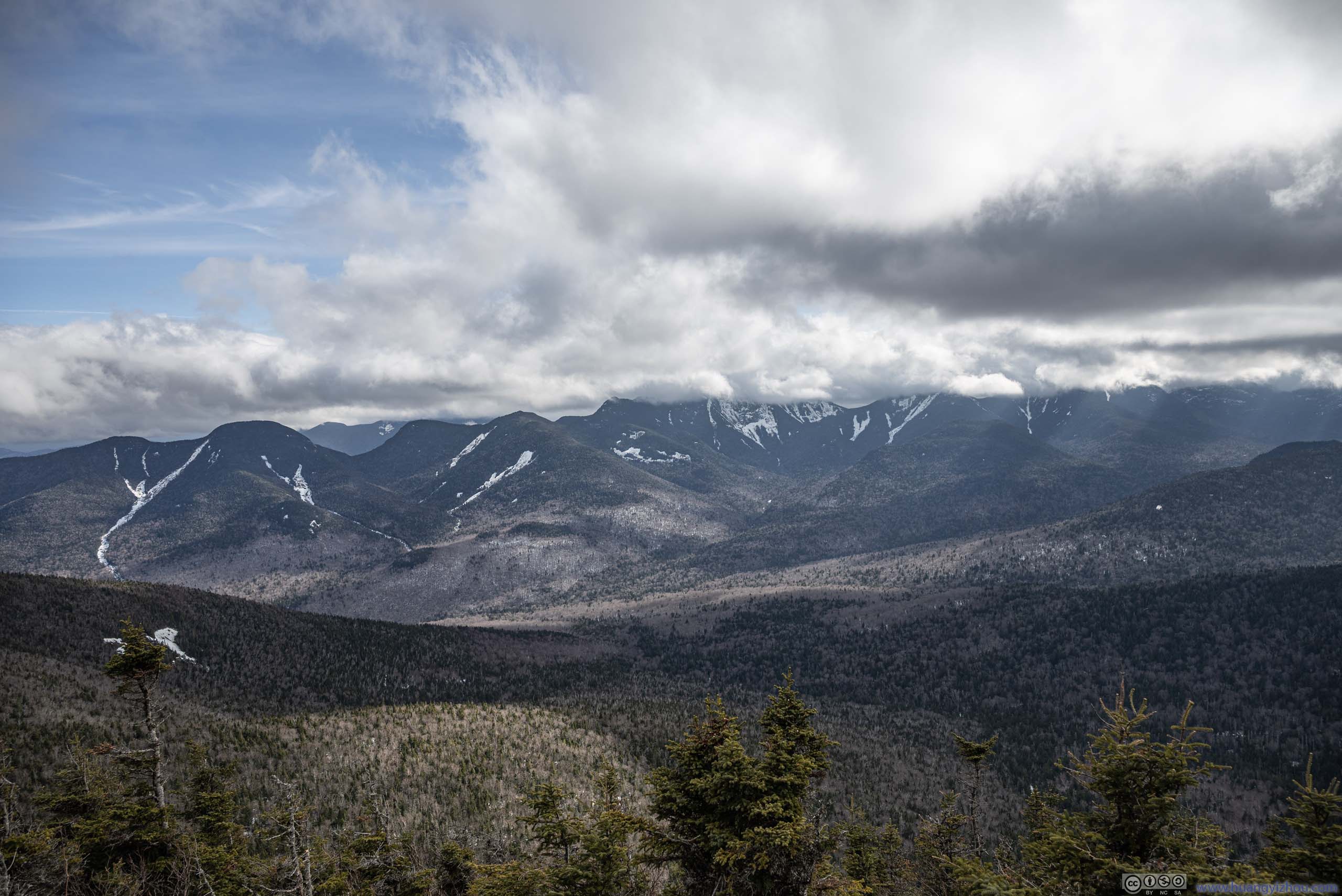
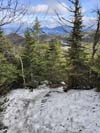
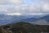
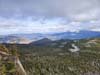
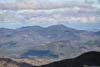
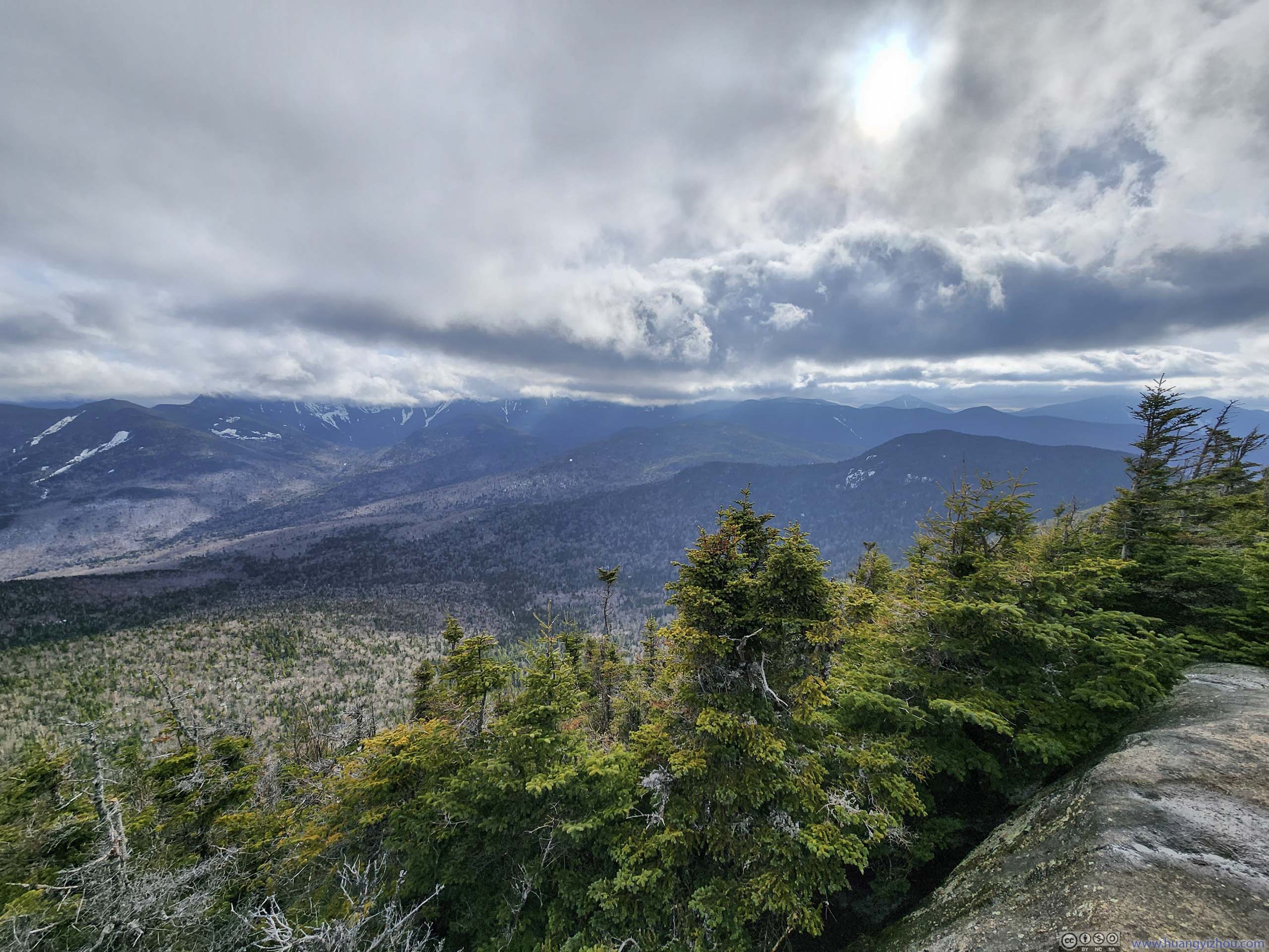
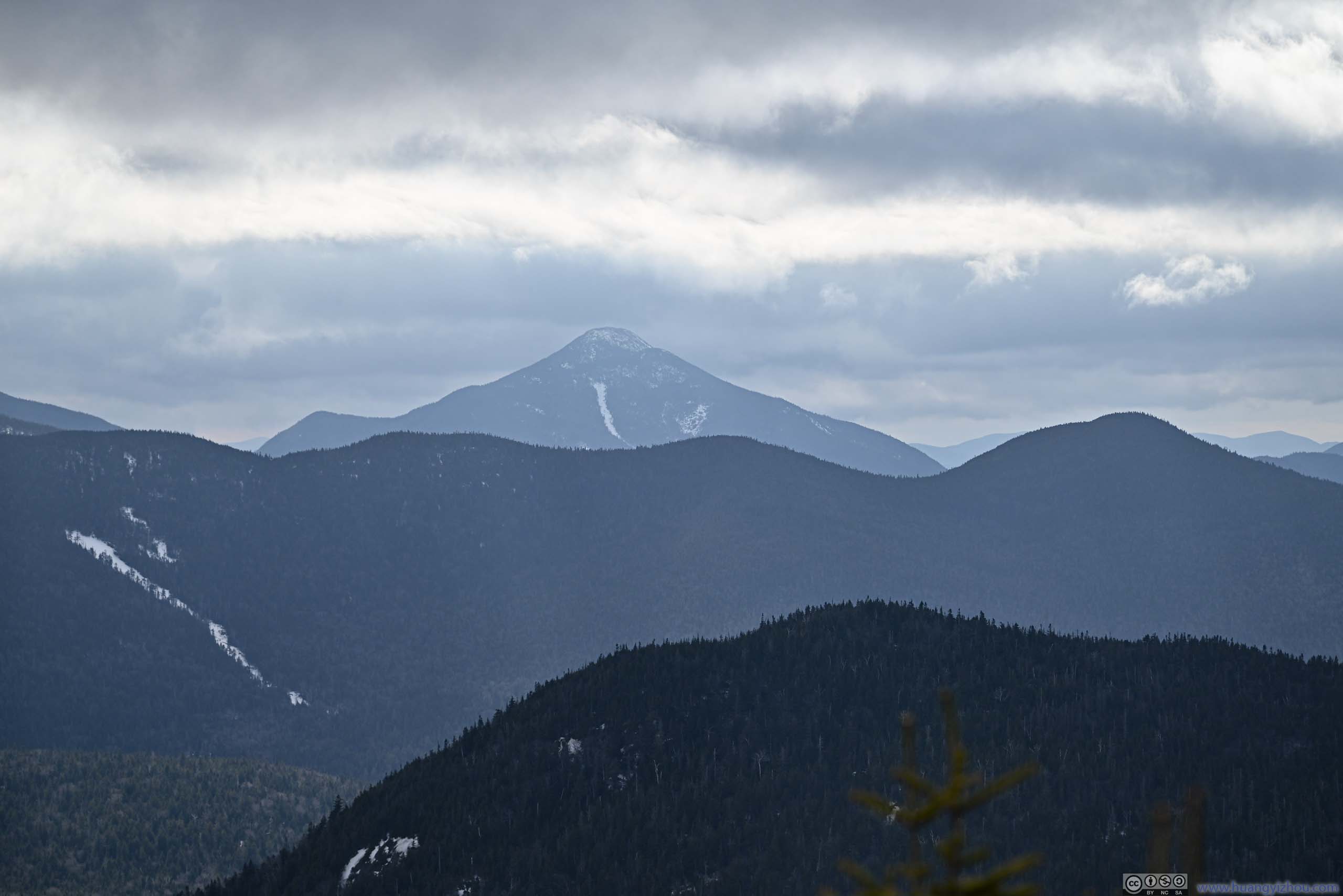
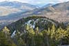
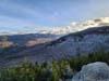
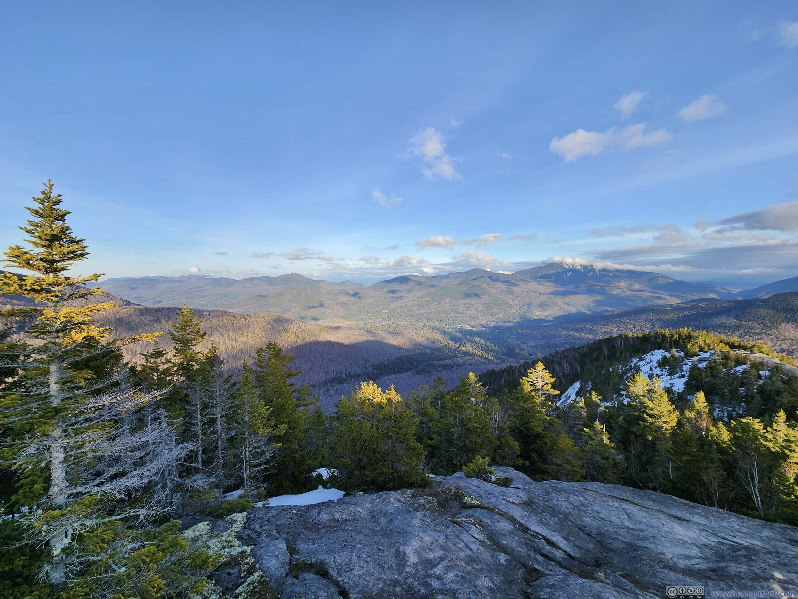
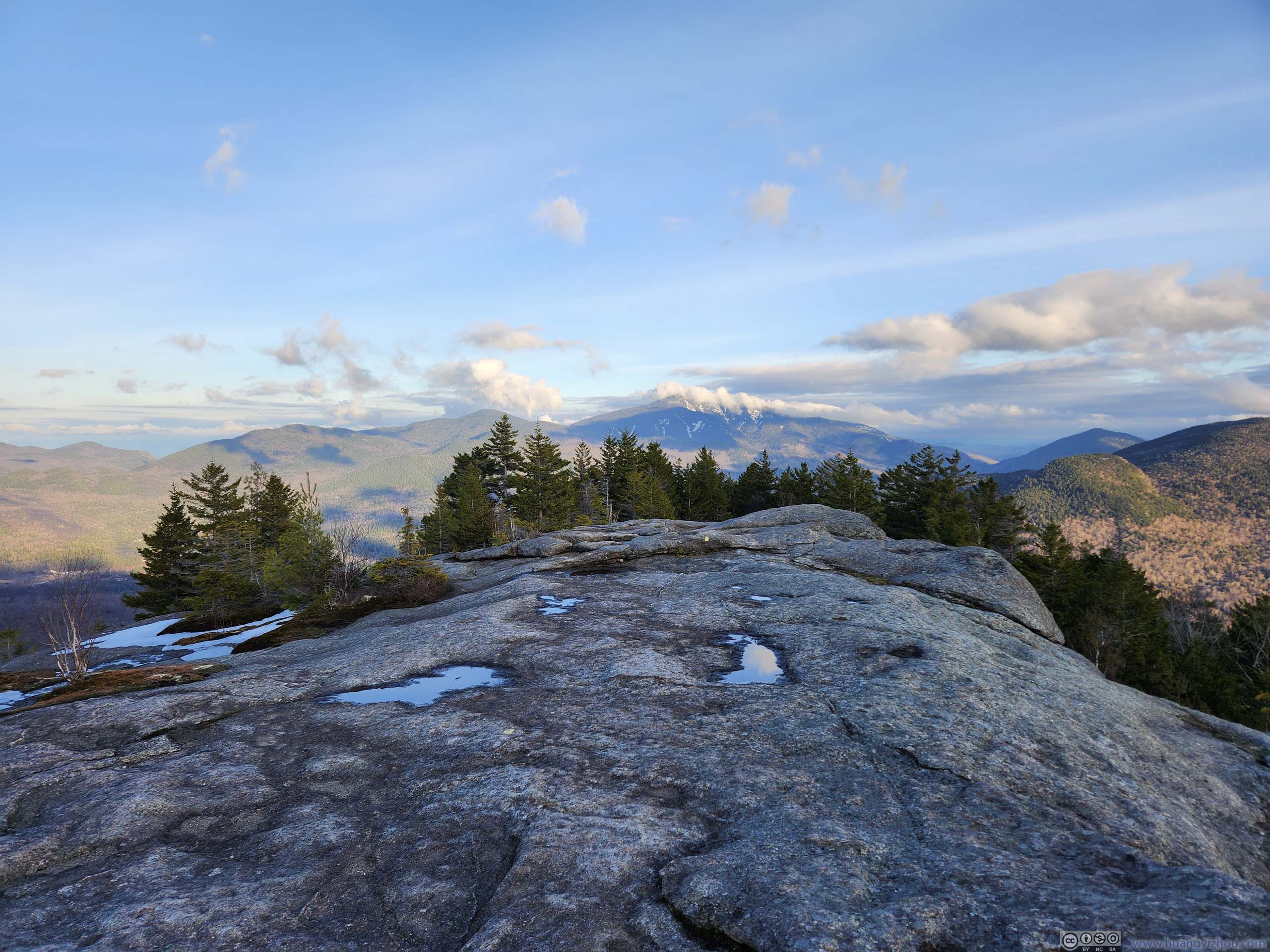
Finally, I reached the summit of Big Slide Mountain at 2:10pm, and was greeted by arguably the best views of my entire trip to the Adirondacks. The summit offered about 180 degrees of view to the south. Unfortunately, Mount Marcy, the highest peak of the Adirondacks (and of the state of New York) was behind clouds, so were the few peaks surrounding it. It’s nonetheless exciting to watch the array of mountains across the valley battle the impending clouds.
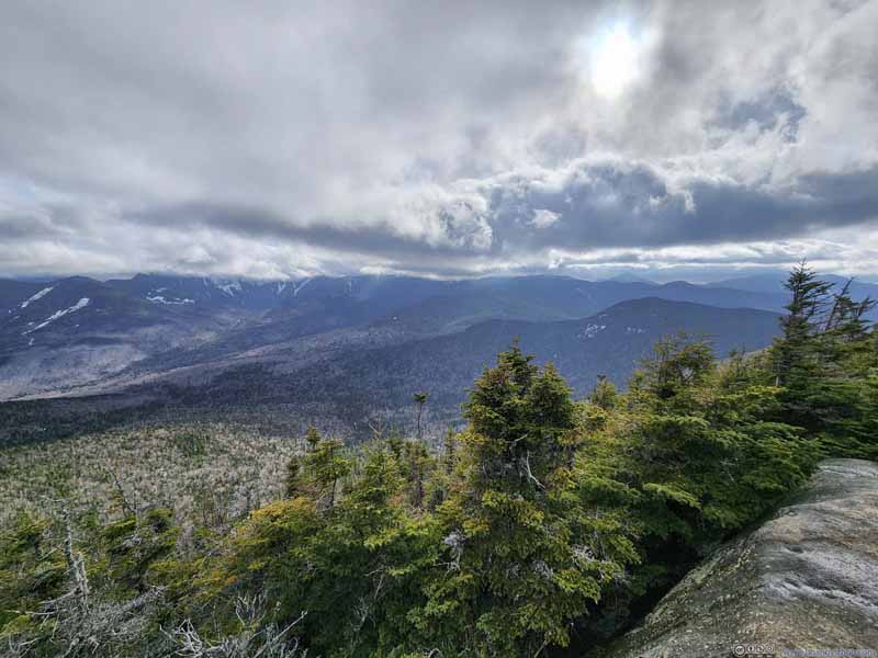 High Peaks in Clouds
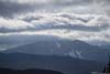
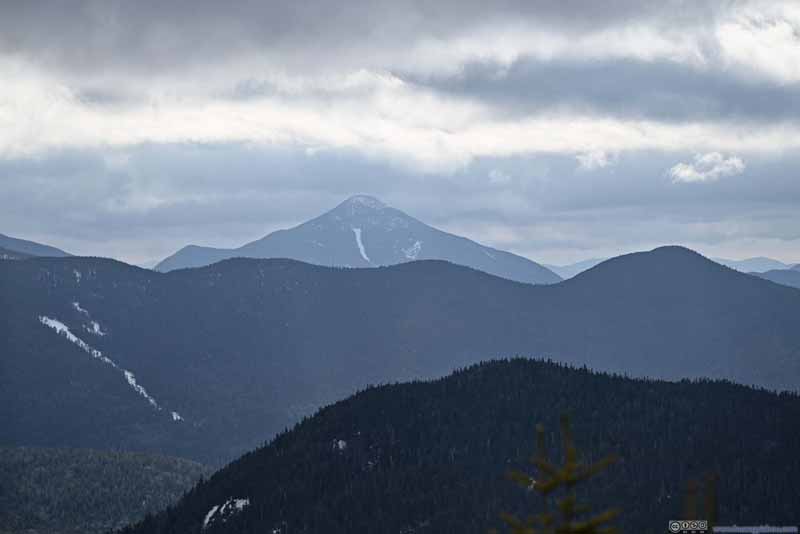 Mount Colden
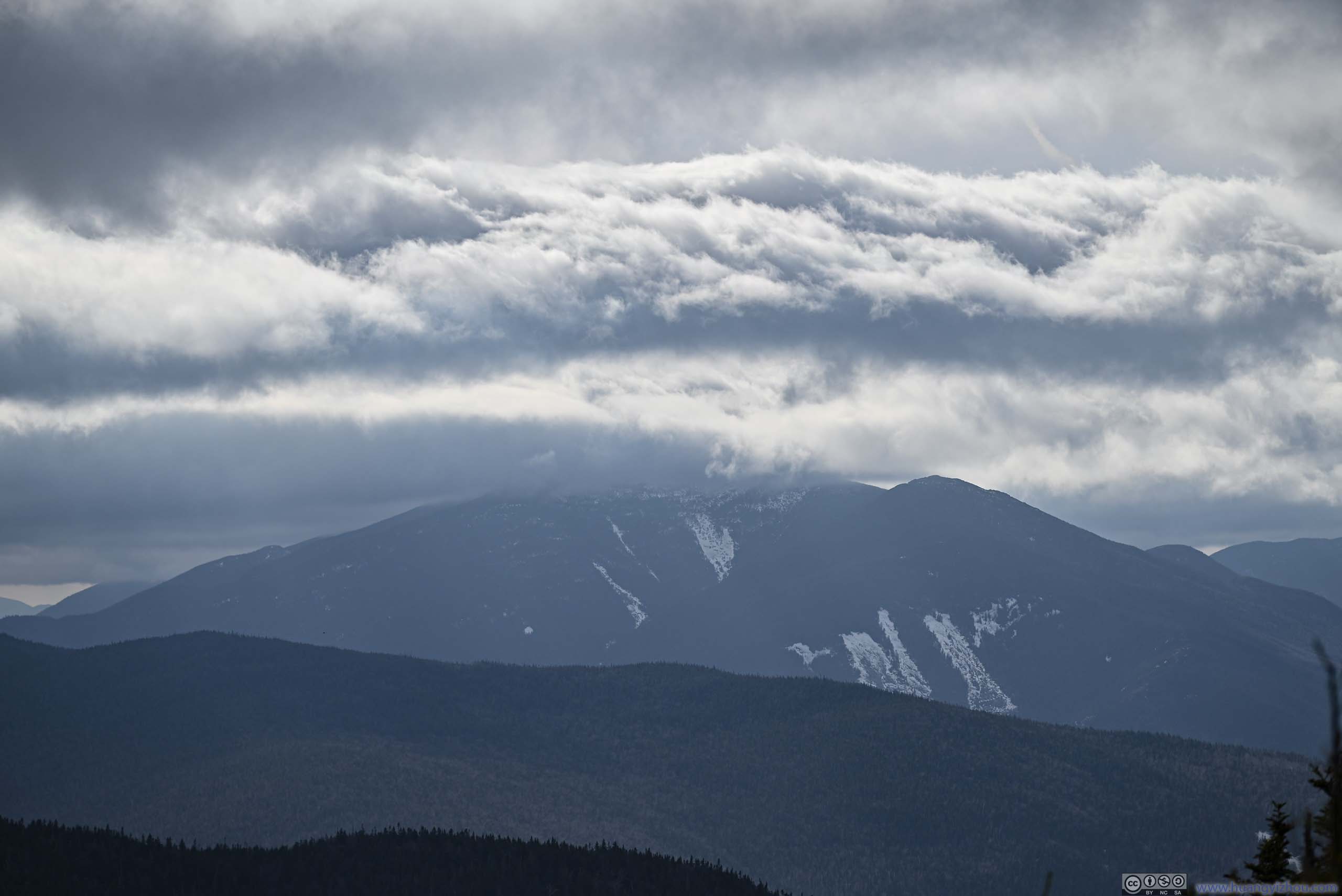
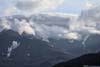
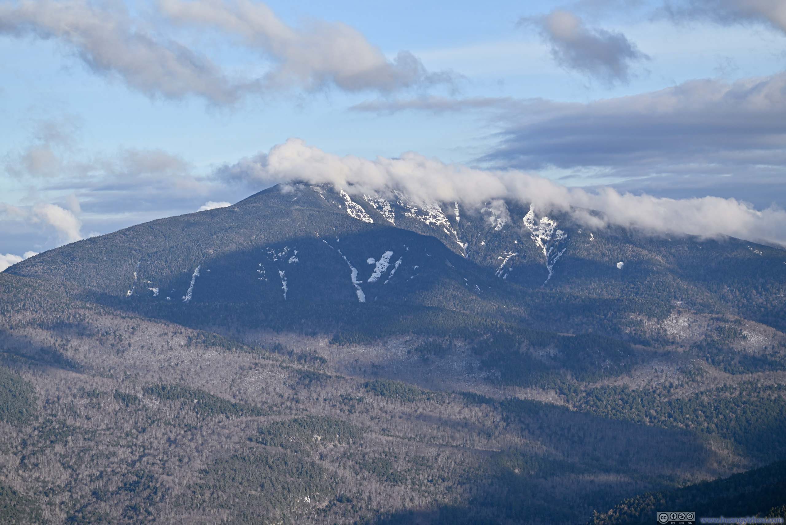
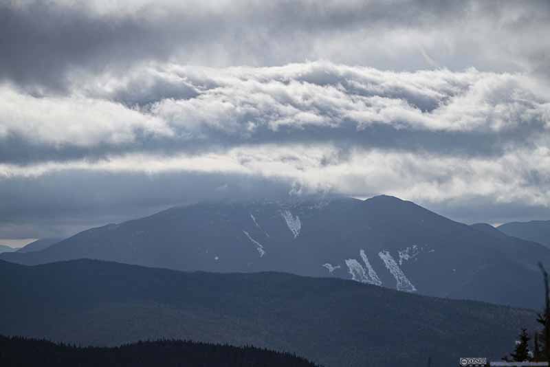 Rolling Clouds
Algonquin Peak covered in clouds. Wright Peak, which I summitted the previous day, barely underneath them.
Rolling Clouds
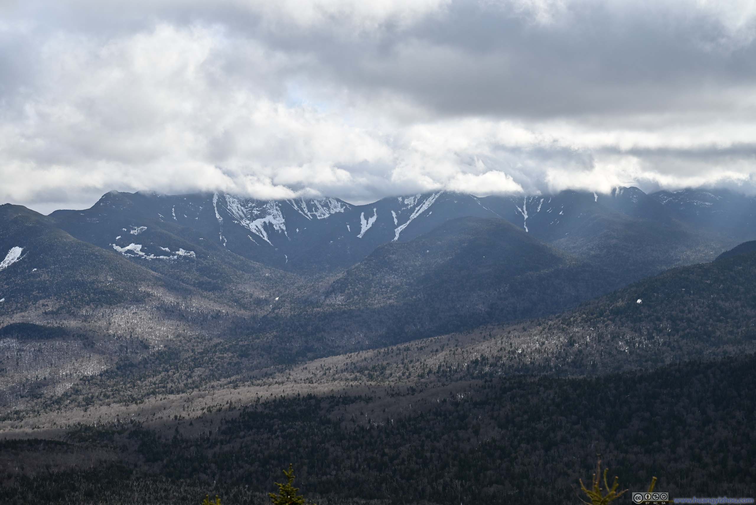
Algonquin Peak covered in clouds. Wright Peak, which I summitted the previous day, barely underneath them.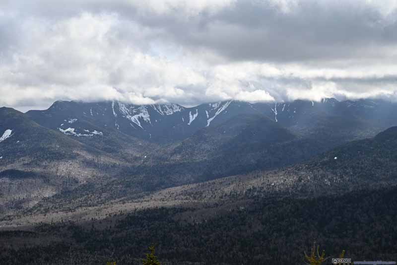 Gothics Mountain under Clouds
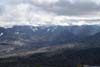
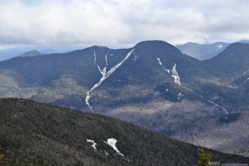 Lower Wolfjaw Mountain
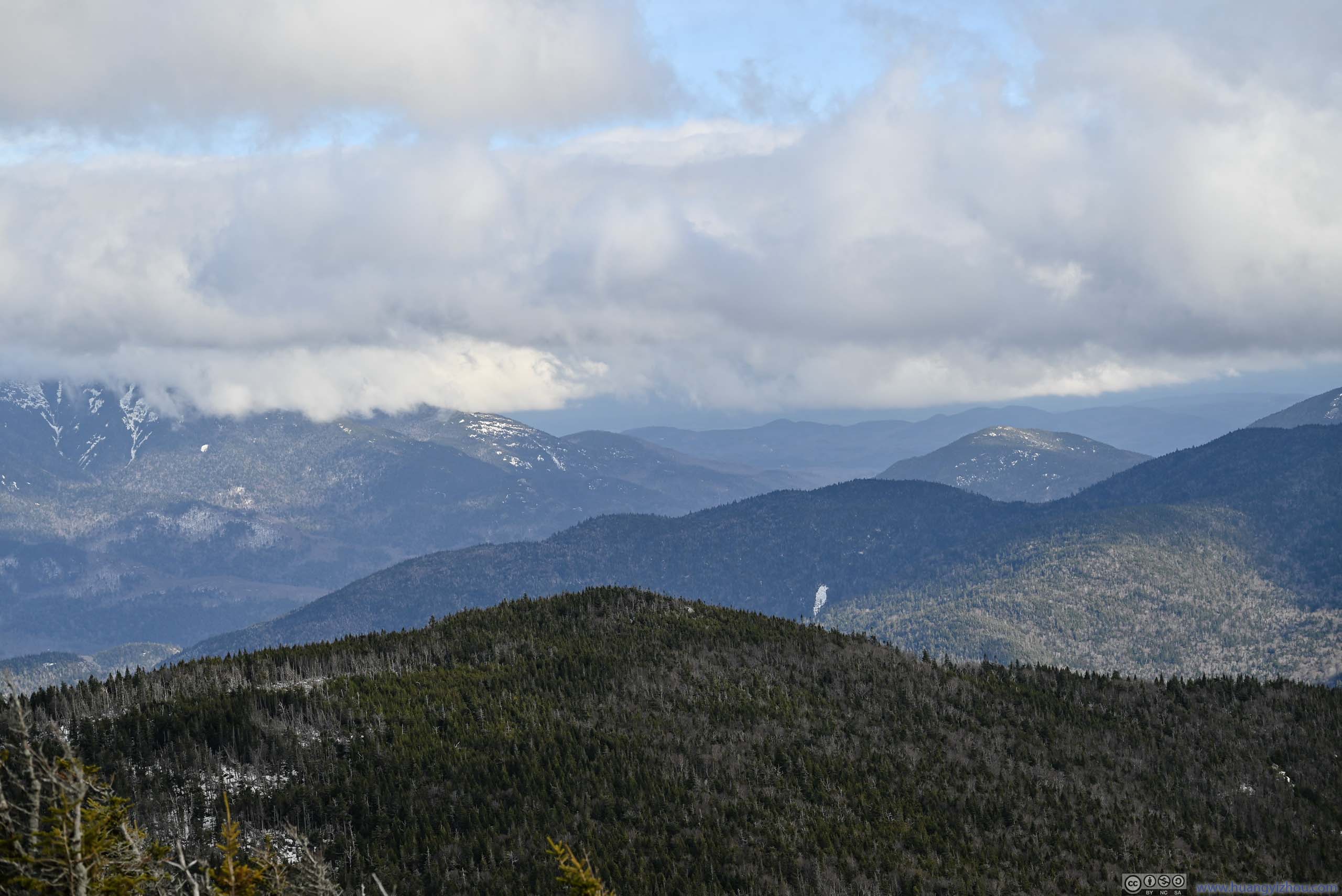
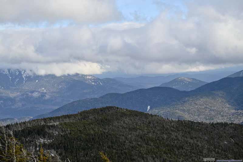 Mountains to the SoutheastOn a clear day, one should see mountains into Vermont via this direction.
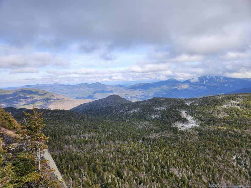 Mountains to the East
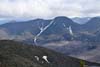
 Giant Mountain under Clouds
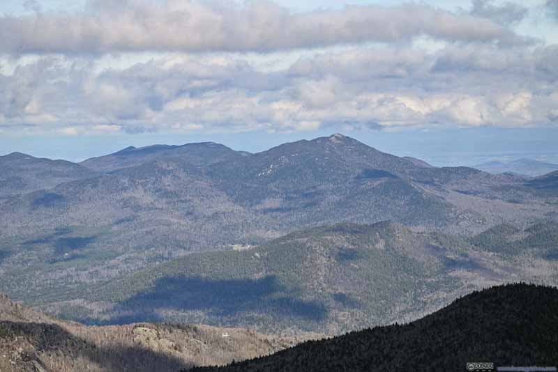 Hurricane MountainWhich I would visit the next day.

Click here to display photos from the summit of Big Slide Mountain.
High Peaks in Clouds
Mount Colden
Rolling Clouds
Gothics Mountain under Clouds

Lower Wolfjaw Mountain
Mountains to the SoutheastOn a clear day, one should see mountains into Vermont via this direction.
Mountains to the East
Giant Mountain under Clouds
Hurricane MountainWhich I would visit the next day.
View from Big Slide Mountain Summit
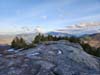
After being fogged out at the summit for the previous two days, I decided to savor the moment and appreciate the views on Big Slide Mountain. It’s 3pm by the time I started heading back down.
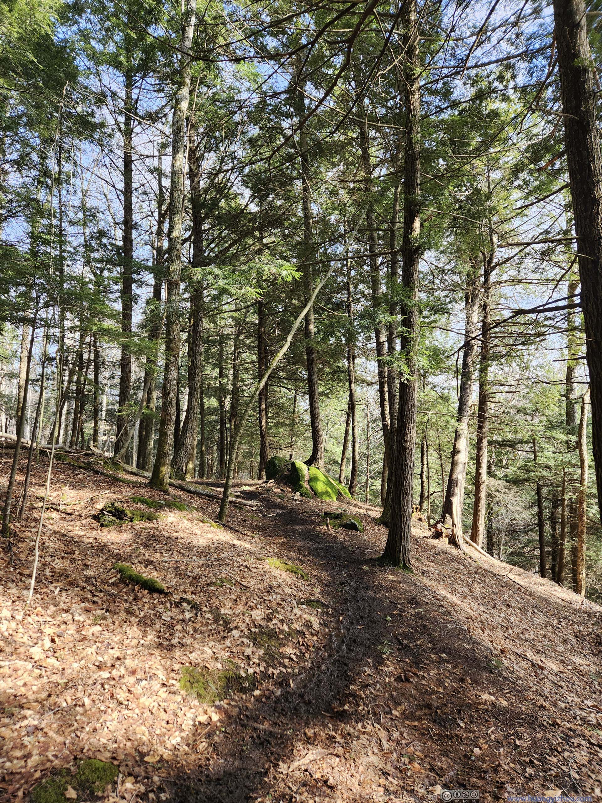
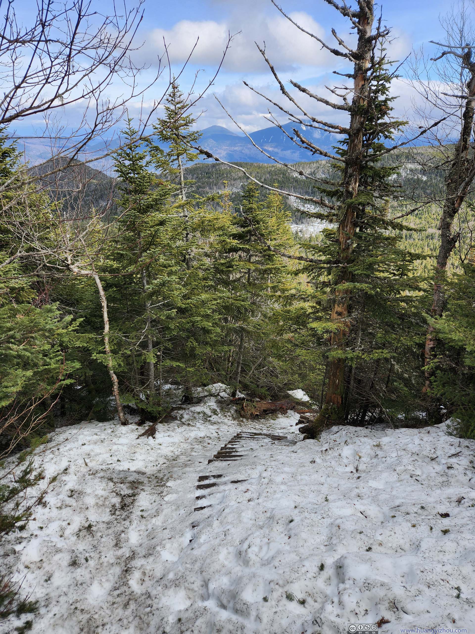
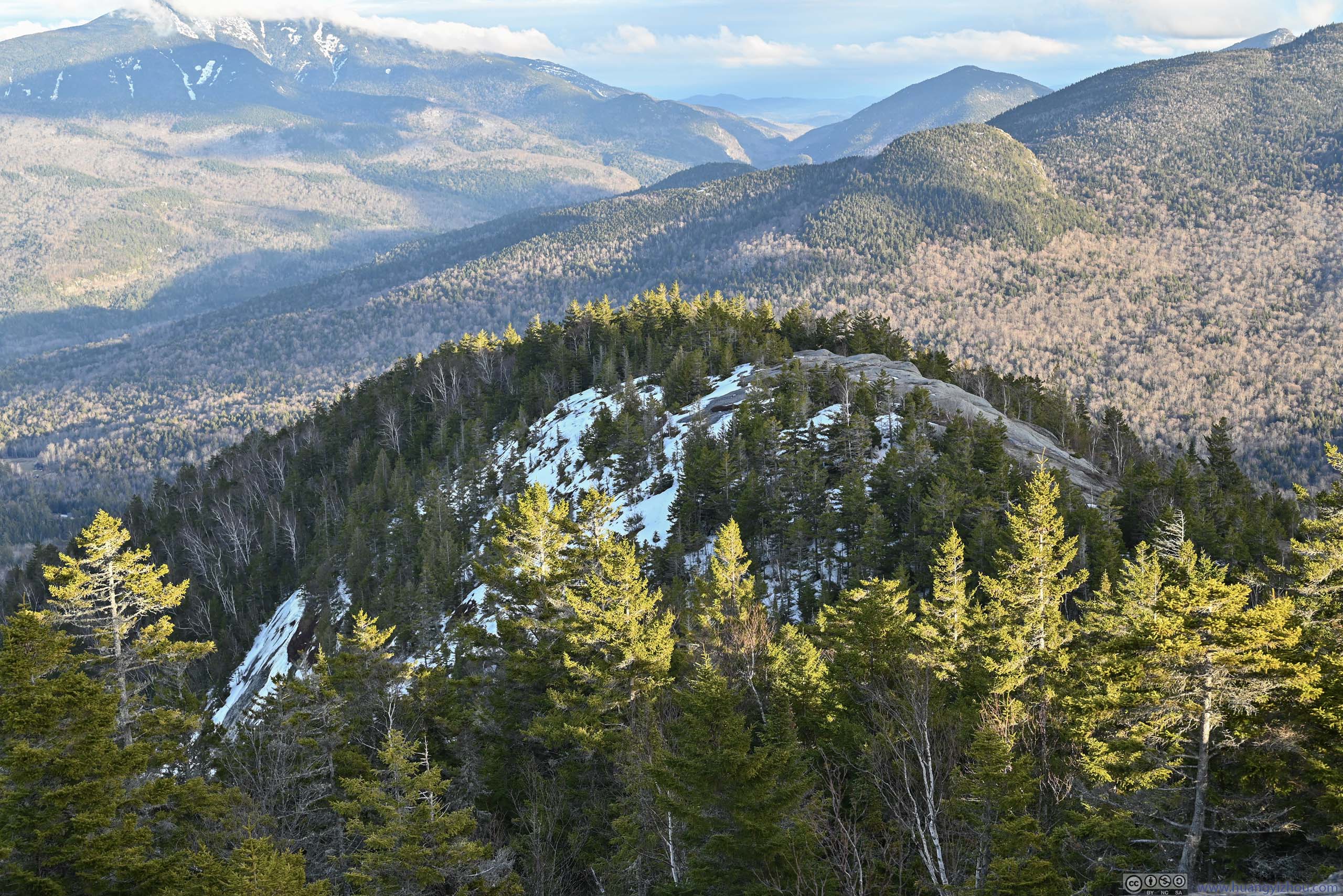
The return trip would have me through “Three Brothers” while following a ridge line, I assume there were three peaks/overlooks along the way. It turned out to be a typical walk in the woods until the second “brother”, where exposed rocks offered some views.
 Trail
Trail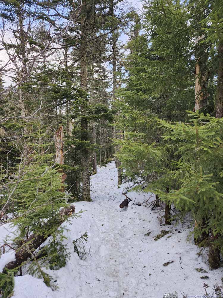 Trail
Trail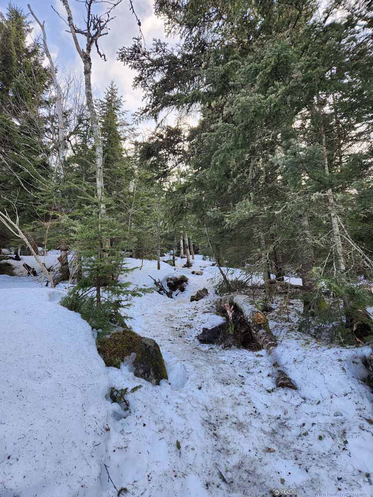 Trail
Trail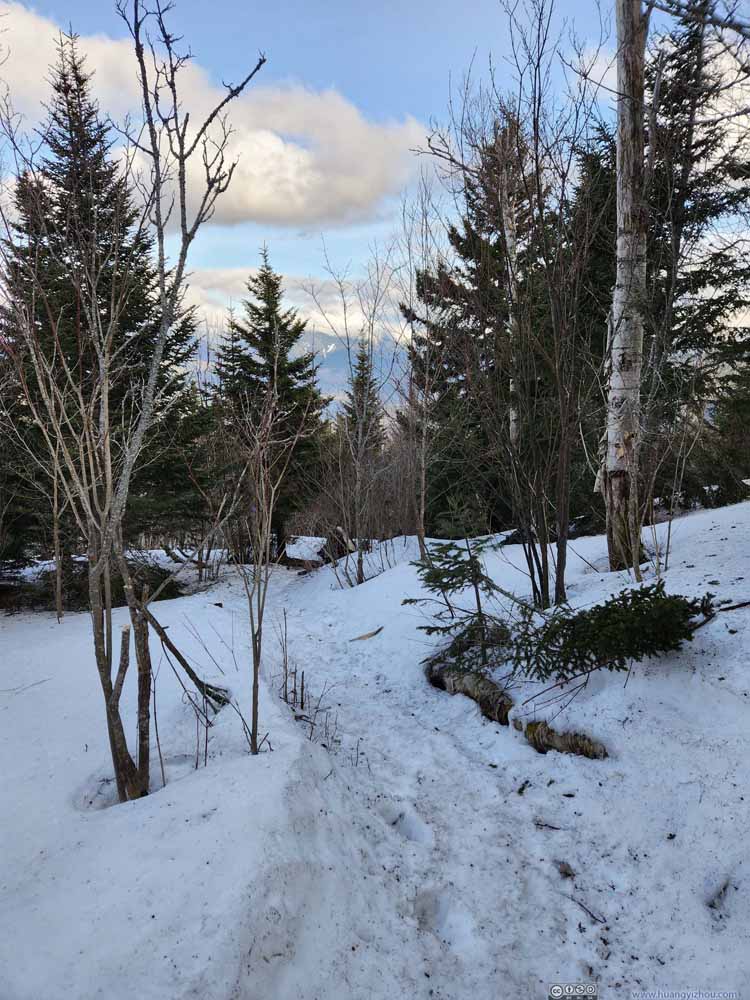 Trail
Trail Trail
Trail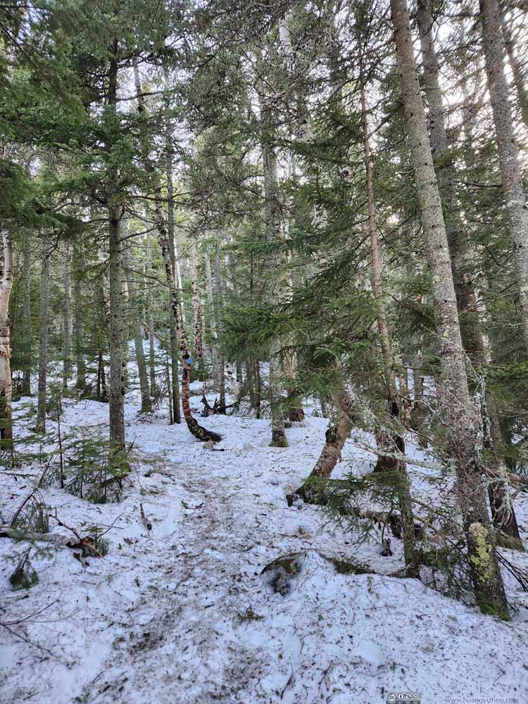 Trail
Trail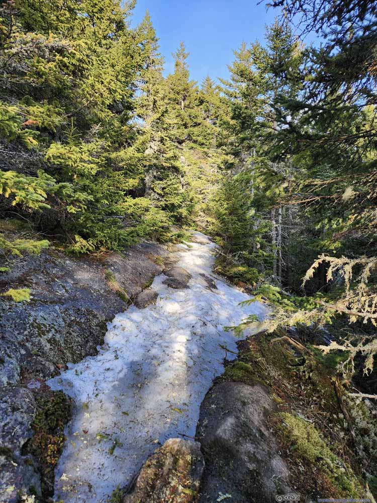 Trail
Trail

Click here to display photos of the trail.
Trail

Trail
Trail

Trail
Trail
Trail
Trail
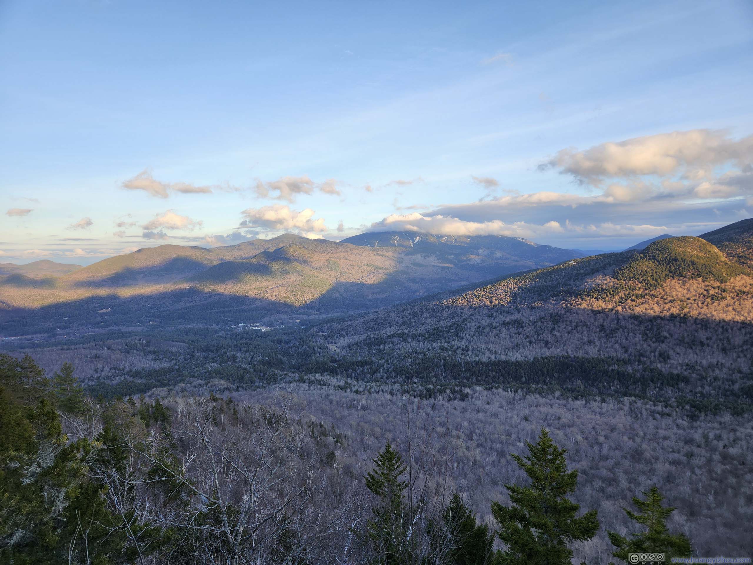
 Mountains to the East
 Giant Mountain
 First BrotherAs seen from Second Brother.
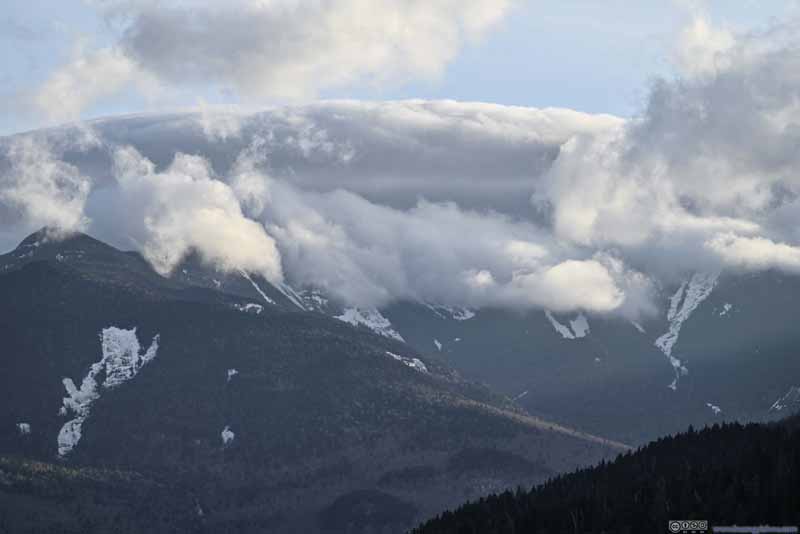 Gothics and Saddleback Mountain in Clouds
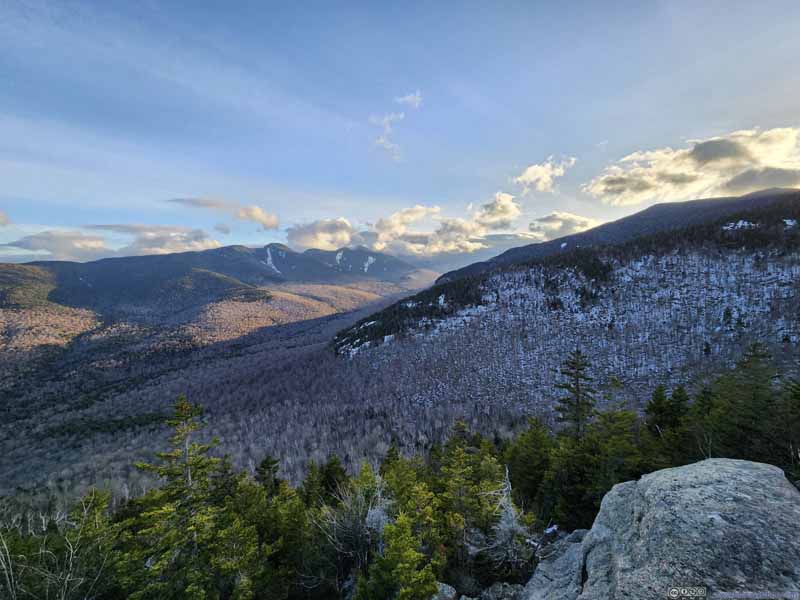 Mountains into Johns Brook Valley
 Summit of First Brother
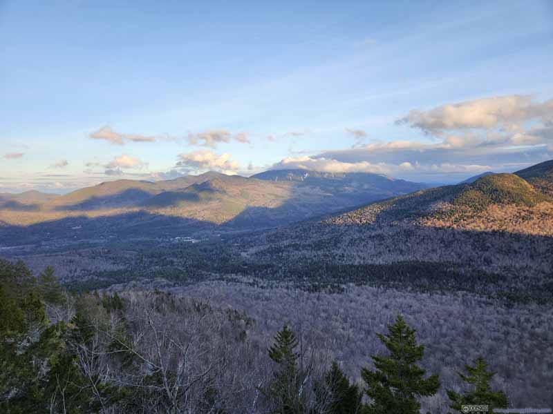 Giant Mountain across Keene Valley


Click here to display photos of the slideshow
Mountains to the East
Giant Mountain
First BrotherAs seen from Second Brother.
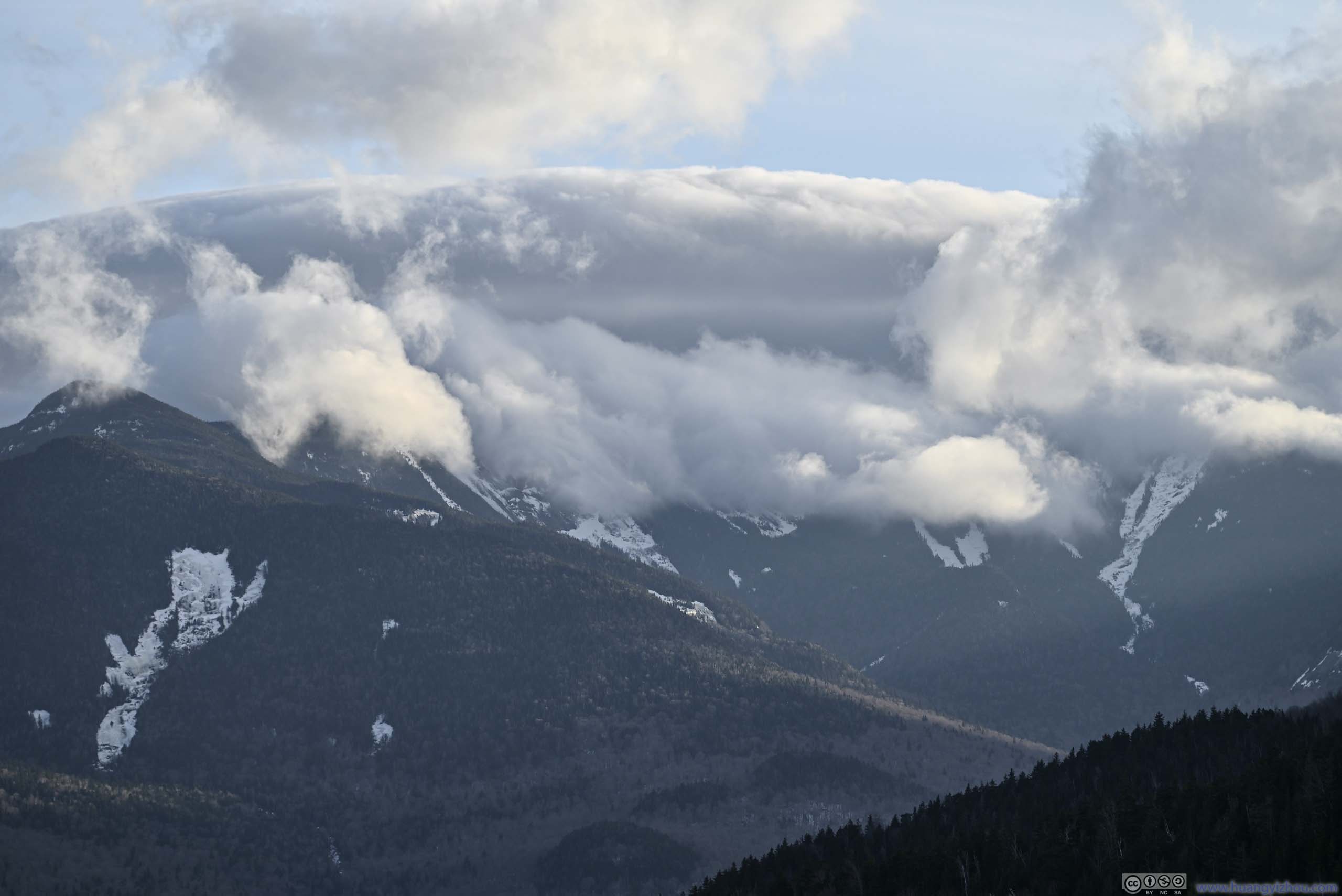
Gothics and Saddleback Mountain in Clouds

Mountains into Johns Brook Valley
Summit of First Brother
Giant Mountain across Keene Valley
The trail around and immediately after the first “brother” was steep, and given its lower elevation and less snow cover, muddy. I wasn’t a fan of mud and that certainly slowed me down. As a result, the 1.6km/1mi after the first “brother” took me an hour, and by the time I got back to my car, it’s 6:10pm, already after sunset.
After cleaning up my boots, I headed back and called it a day.
END
![]() Day 3 of March 2024 Trip to Adirondacks, Big Slide Mountain by Huang's Site is licensed under a Creative Commons Attribution-NonCommercial-ShareAlike 4.0 International License.
Day 3 of March 2024 Trip to Adirondacks, Big Slide Mountain by Huang's Site is licensed under a Creative Commons Attribution-NonCommercial-ShareAlike 4.0 International License.