
Updated on September 13, 2024
Day 2 of June 2022 Trip to California, Pacific Coast Highway from Monterey to Cambria
The second day of my June 2022 trip to California, we drove from Monterey to Cambria, through the most scenic section of California’s Pacific Coast Highway.
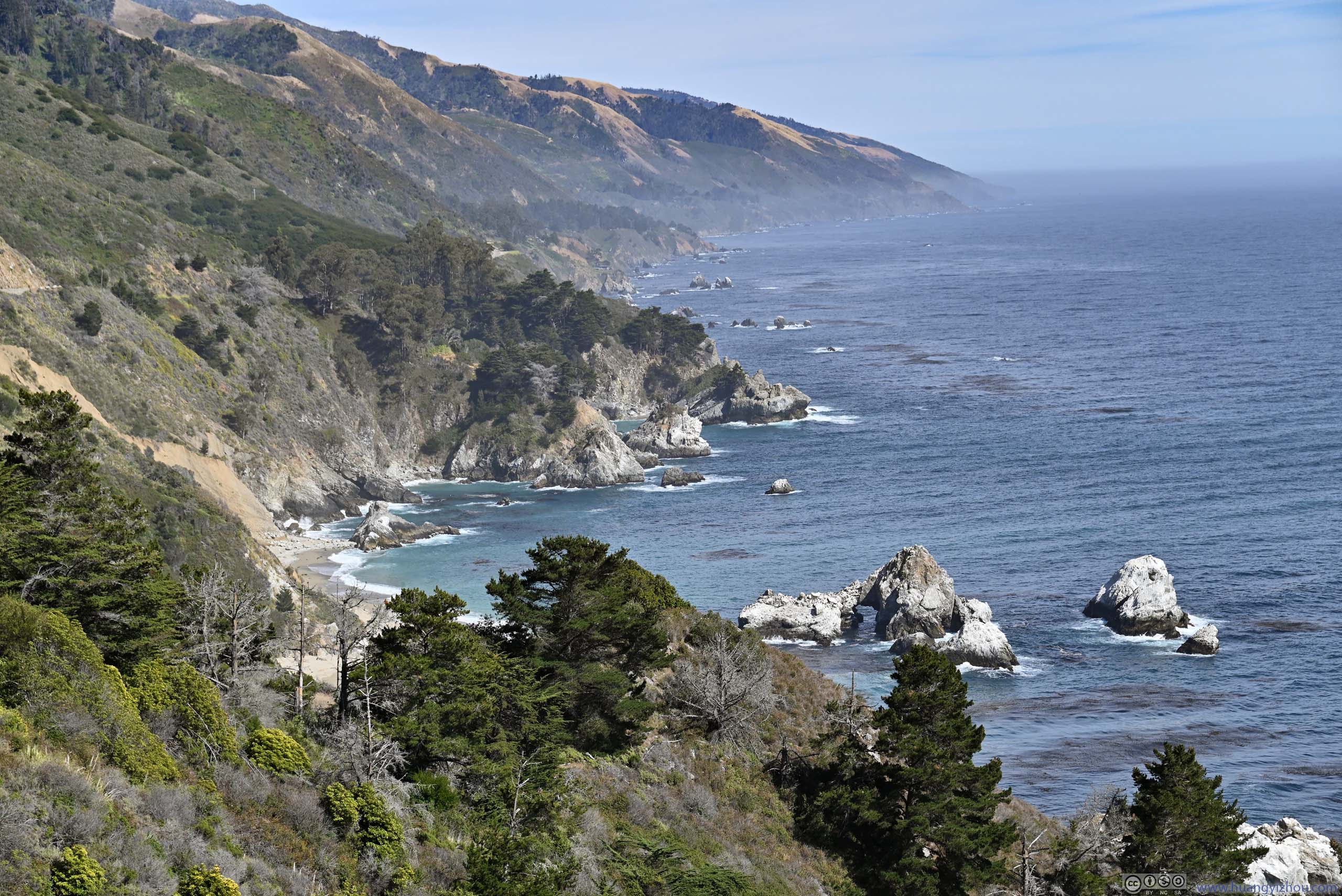
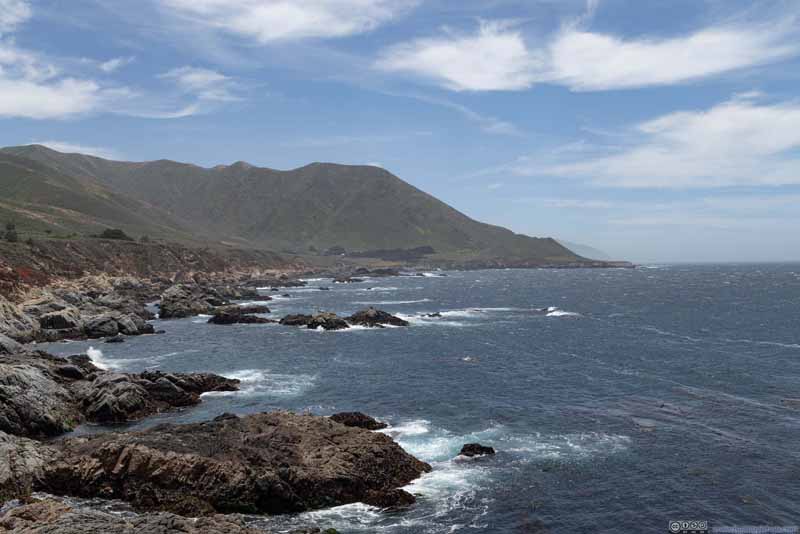
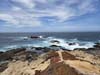
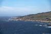
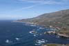
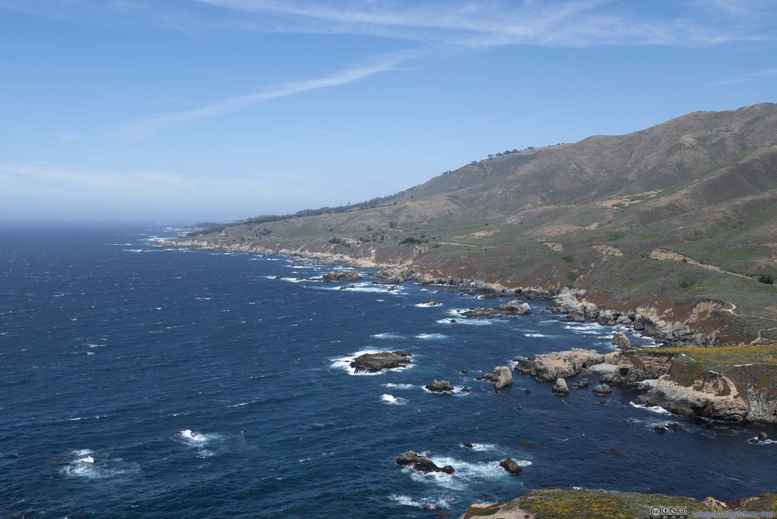
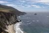
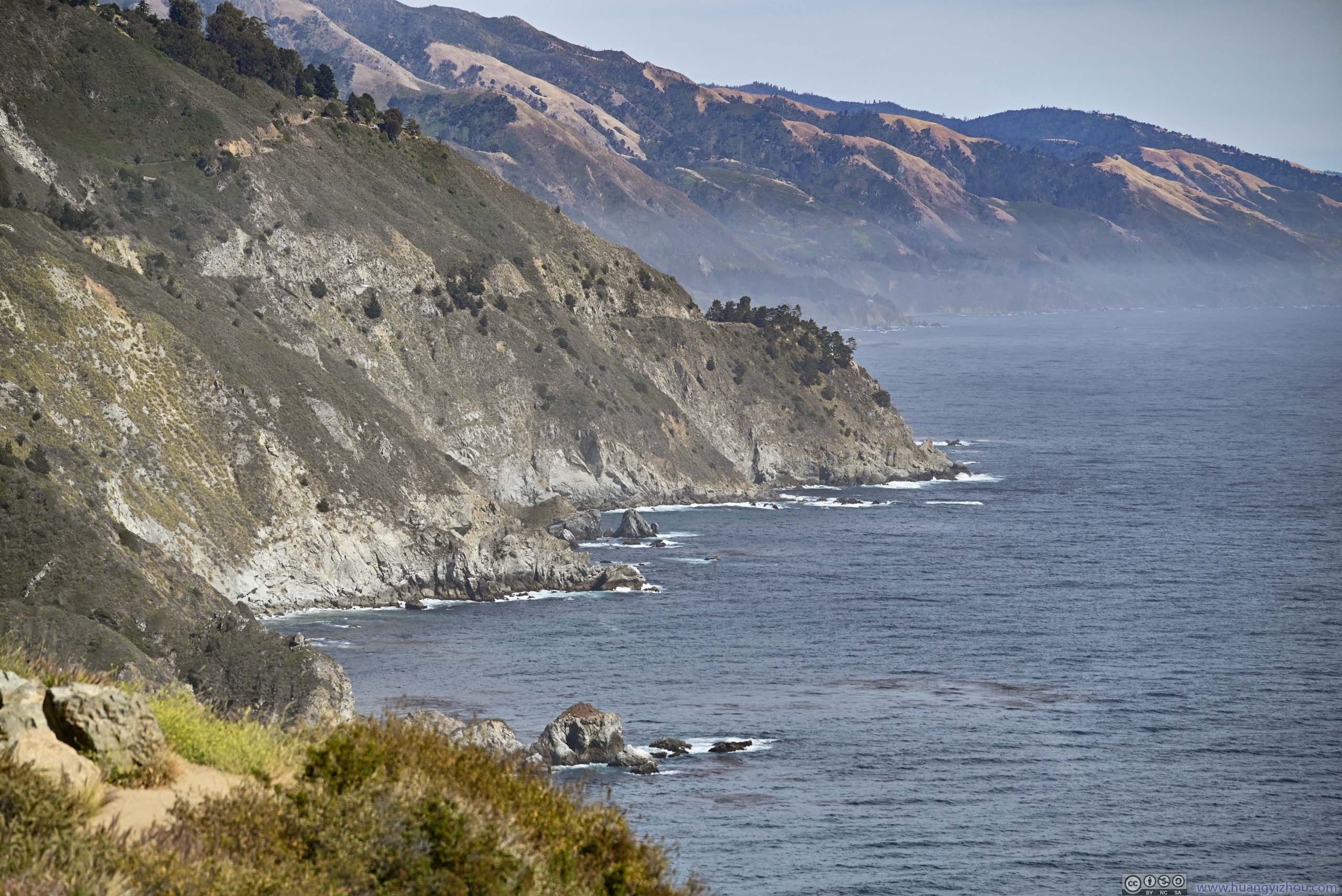
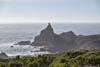
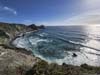
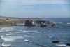
Rugged Coastline
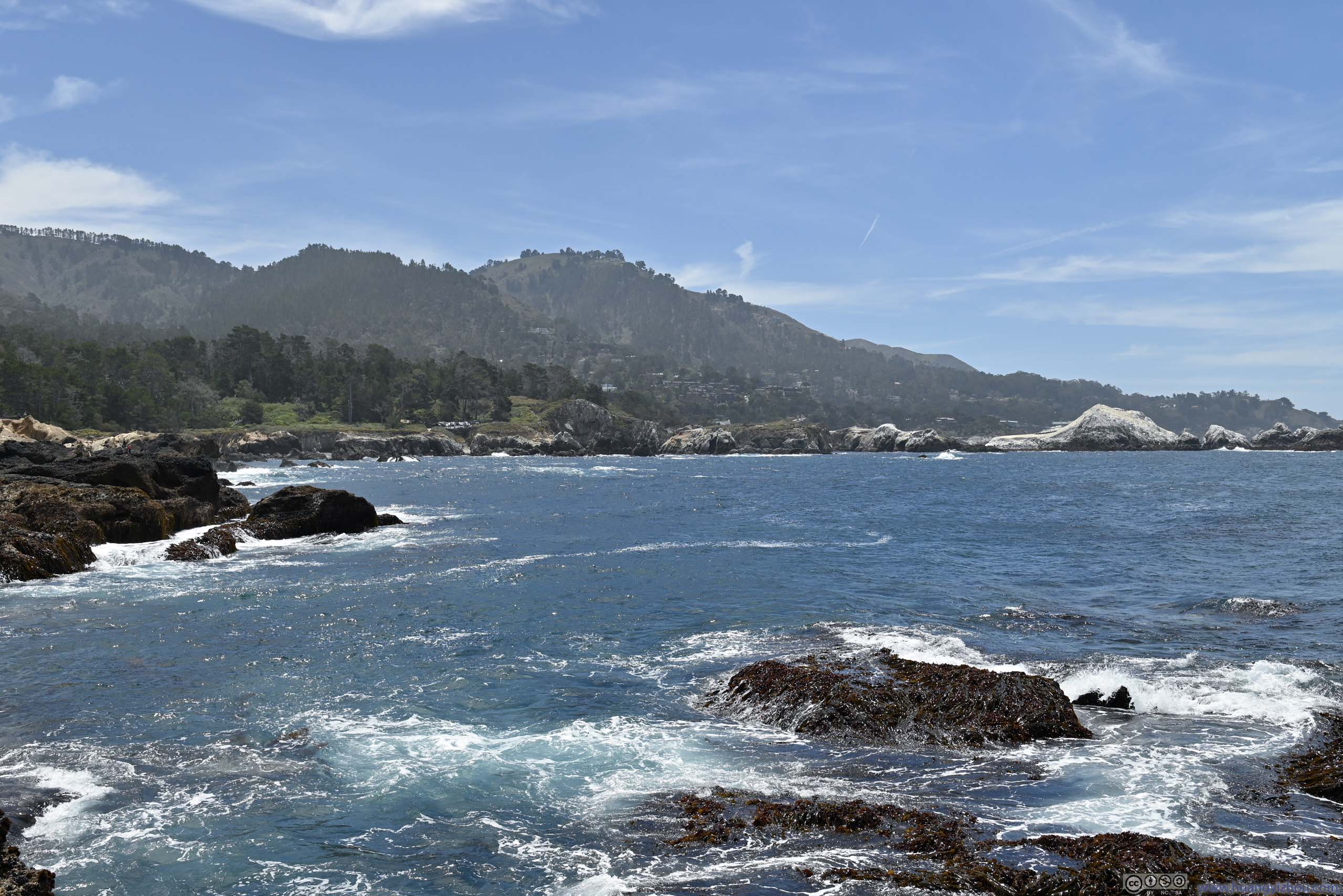
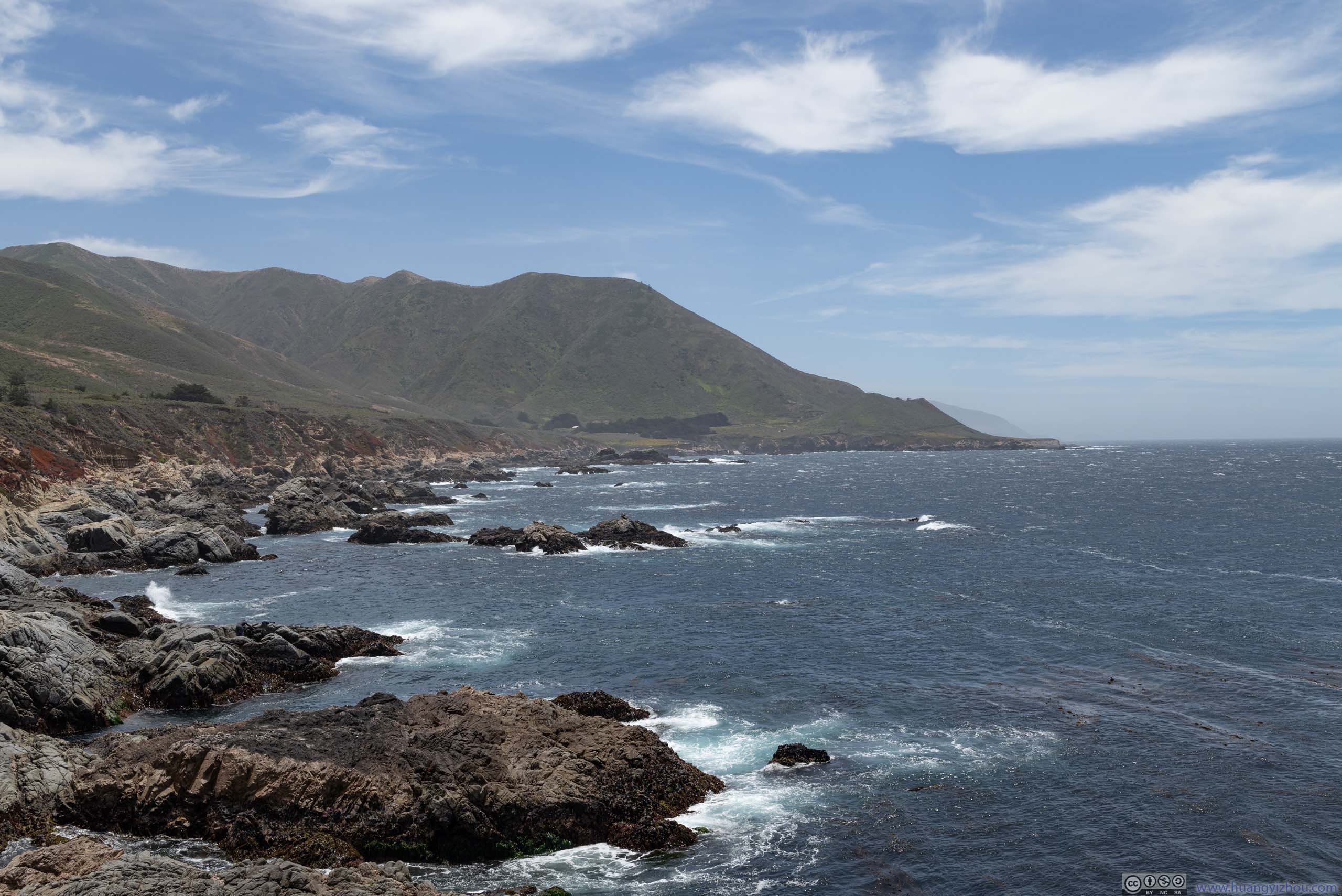
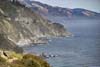
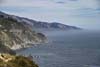
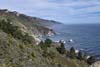
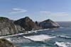
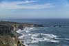
The Big Sur region, between Carmel Highlands and San Simeon, was arguably the most scenic of California’s coastline, where the Santa Lucia Mountains rise abruptly from the Pacific Ocean, resulting in some dramatic views.
Apart from sprinkles of hotels and restaurants, the ~90-mile road between Carmel Highlands and San Simeon followed a pristine and largely undeveloped coastline. With no appropriate overnight lodging along the way, we decided to spend the night in the town of Cambria (a few miles south of San Simeon), which meant we had a relatively long day ahead of us.
Monterey Peninsula
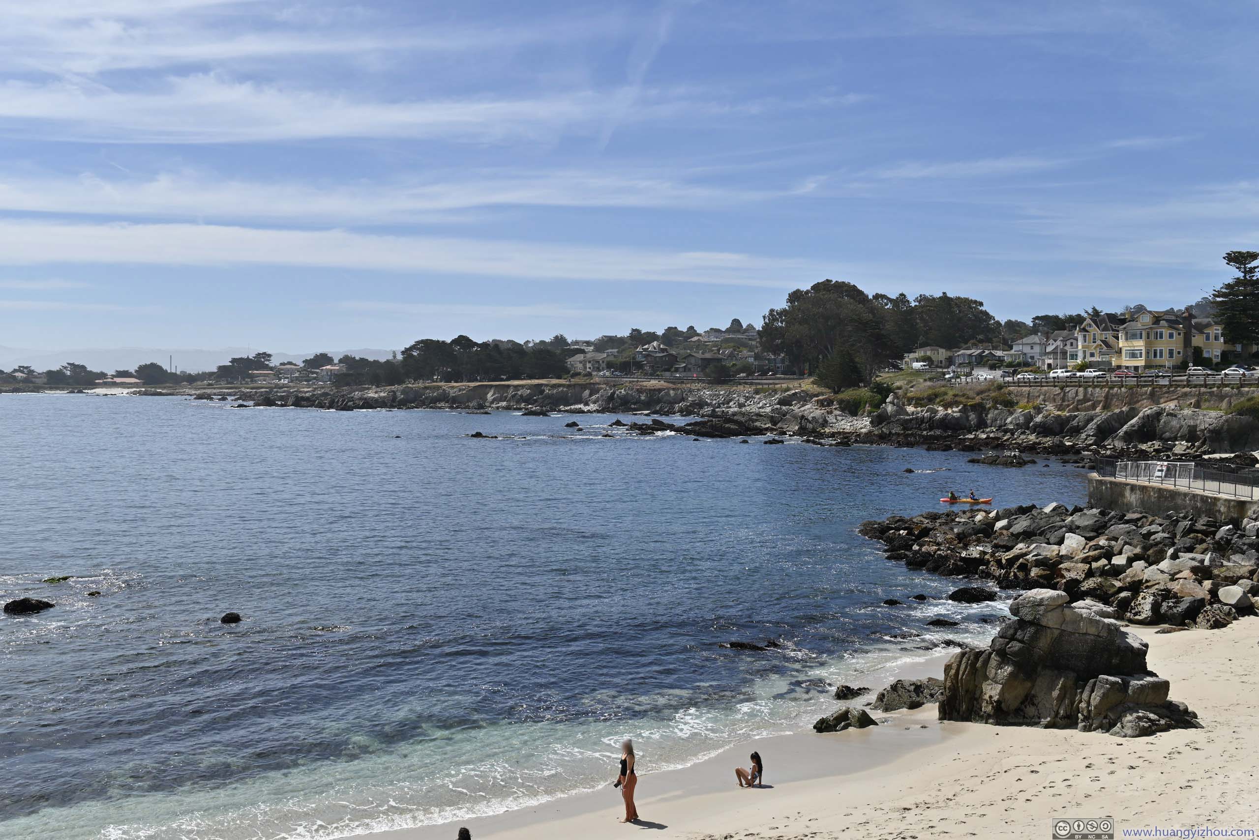
Given the delays we experienced the previous day, our day began with (the free portions of) Monterey’s coastline.
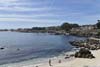
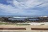
First, we checked out Lover’s Point (p3-5 below). Frankly, I couldn’t find anything romantic about the place to match its name. (It’s not like the rest of 17-Mile drive where “lovers” could sit and watch the ocean extending to infinity, just like how they envision their “love” would be.) Since it’s located in a denser, more populated part of Monterey, I even guessed it’s so named because the average “lovers” didn’t have the means to access the wealthy and exclusive (and arguably better) part of Monterey coastline (the private properties of 17-Mile Drive), and had to settle for here (something like a Cinderella story).
It turned out the place was first called “Lovers of Jesus Point” back when the area was a Methodist retreat camp. Well, I would say it’s a rather misleading abbreviation.
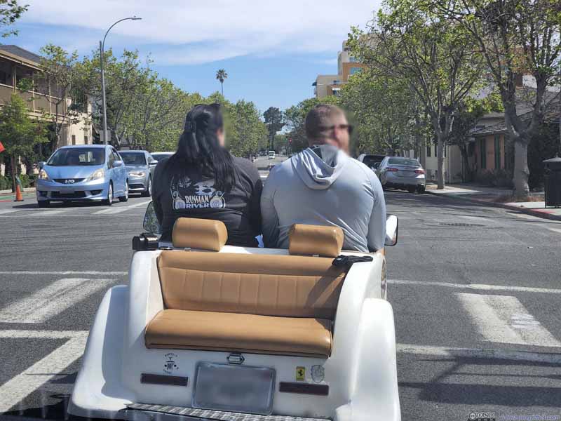 Interesting Car on Monterey Street
Somehow, this open-air car was a three-seater. (I could hardly think of any scenario when a third person would be willing to sit in the back, facing backwards.) It even got a Ferrari logo.
Interesting Car on Monterey Street
Somehow, this open-air car was a three-seater. (I could hardly think of any scenario when a third person would be willing to sit in the back, facing backwards.) It even got a Ferrari logo.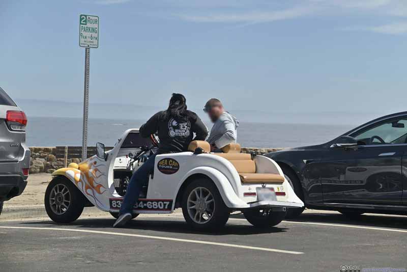 Interesting CarHalf an hour later, we ran into that same interesting car at Lover’s Point.
 Beach at Lover’s Point Park
 Beach at Lover’s Point Park
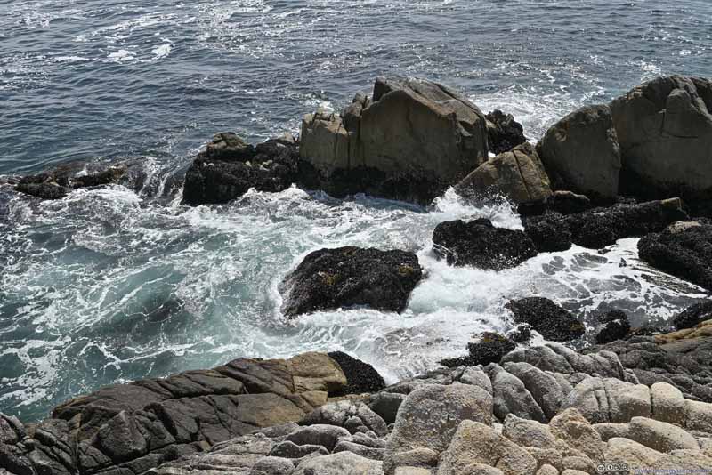 Boulders along Shore


Click here to display photos around Lover’s Point Park.

Interesting Car on Monterey Street

Interesting CarHalf an hour later, we ran into that same interesting car at Lover’s Point.
Beach at Lover’s Point Park

Beach at Lover’s Point Park
Boulders along Shore
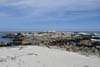
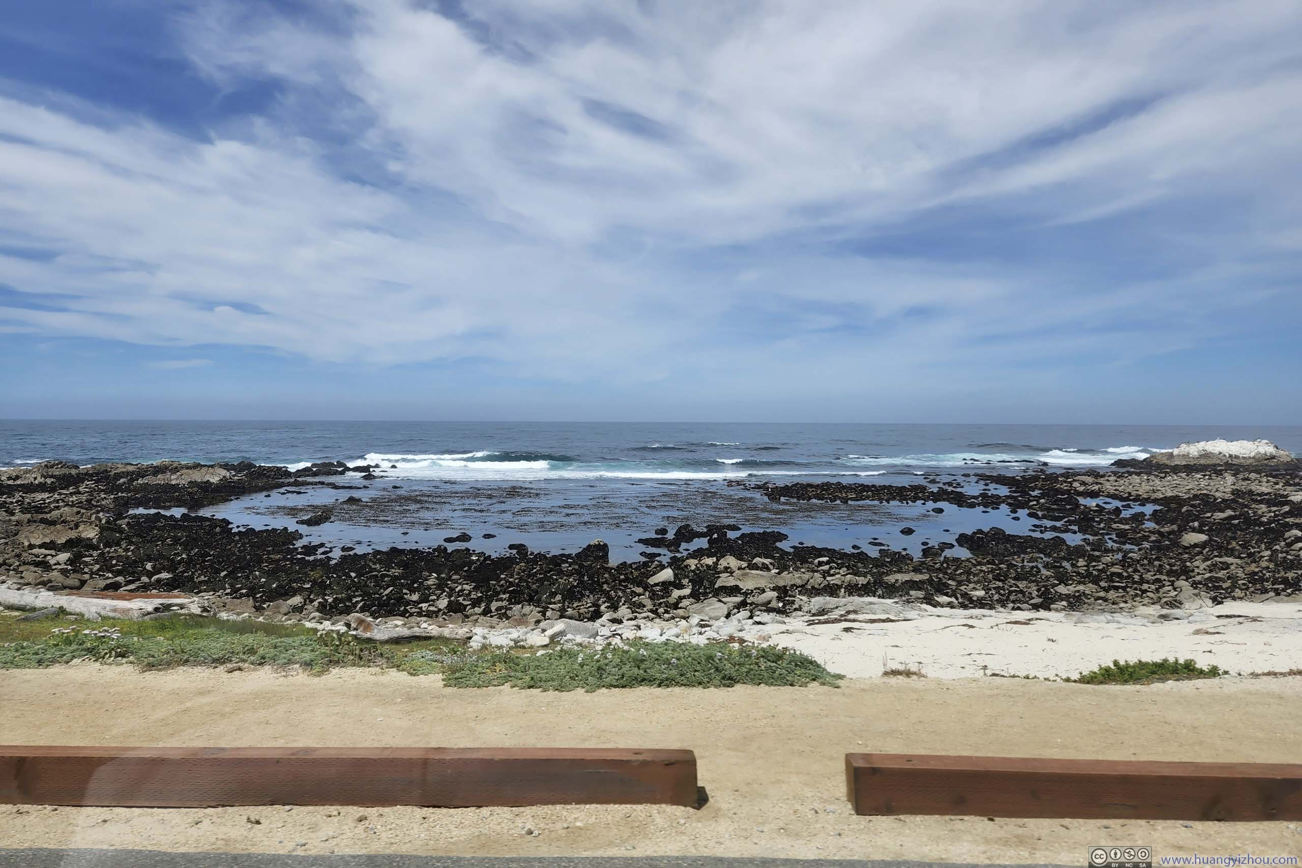
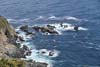
After that, we continued driving around Monterey Peninsula, with its low-lying and rugged coastline, just like the previous day through the (fee part of) 17-Mile Drive.
 Small Cove
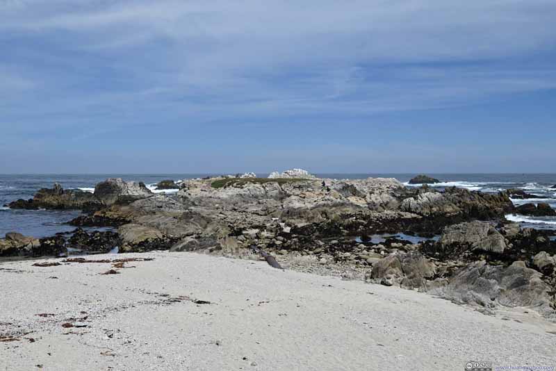 Islet
Islet Birds Resting on Coastal Rocks
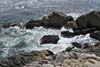
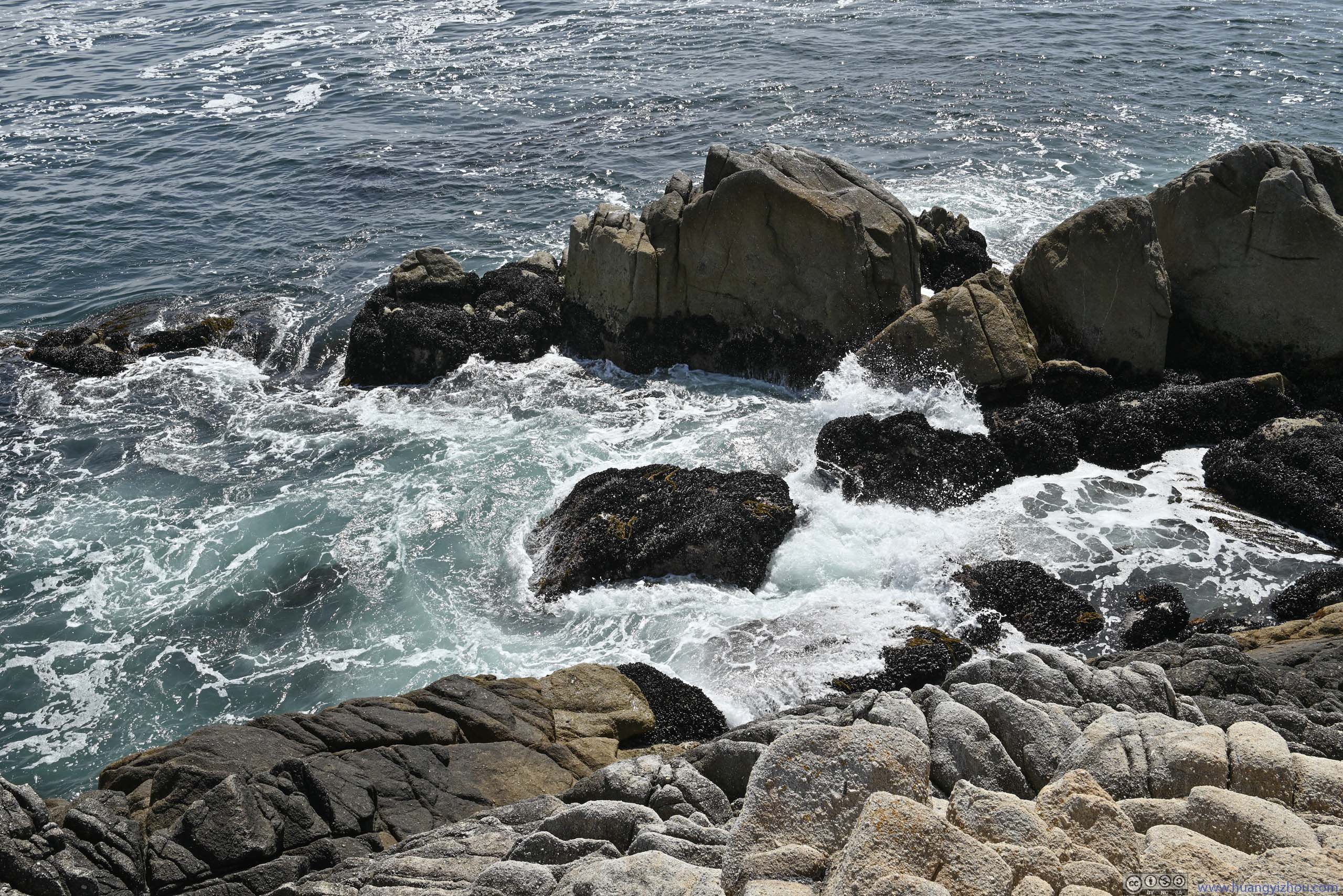
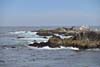
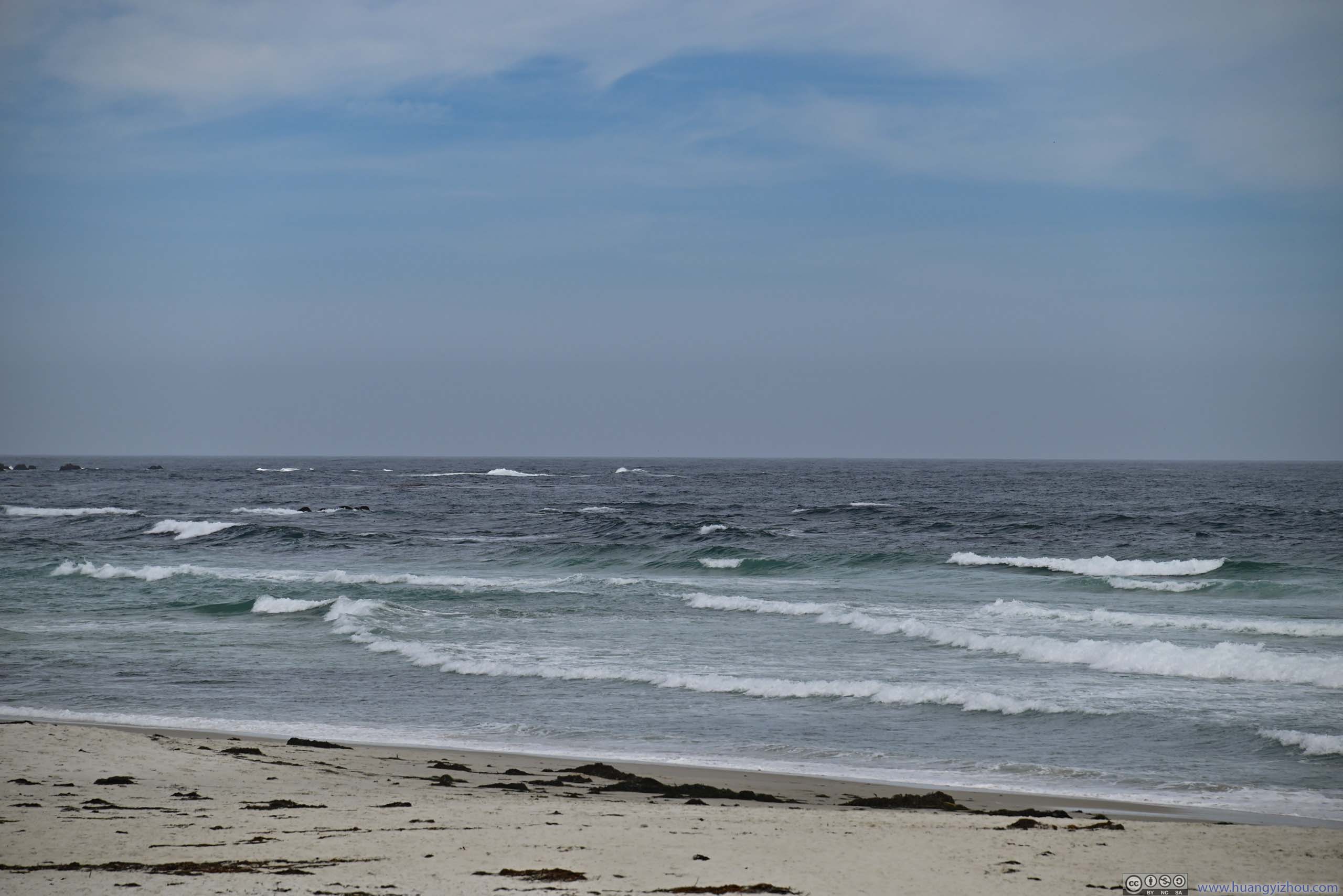
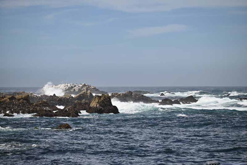 Waves Pounding Shore
 Coastline
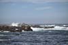
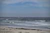
 Waves off Asilomar State Beach
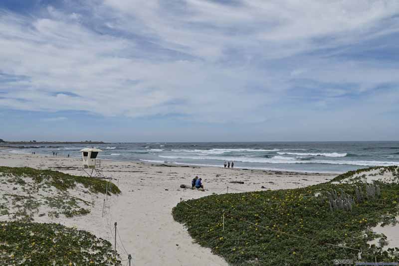 Asilomar State Beach

Click here to display photos from the coast of Monterey Peninsula.

Small Cove

Islet
Birds Resting on Coastal Rocks

Waves Pounding Shore
Coastline
Waves off Asilomar State Beach

Asilomar State Beach
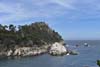
Point Lobos
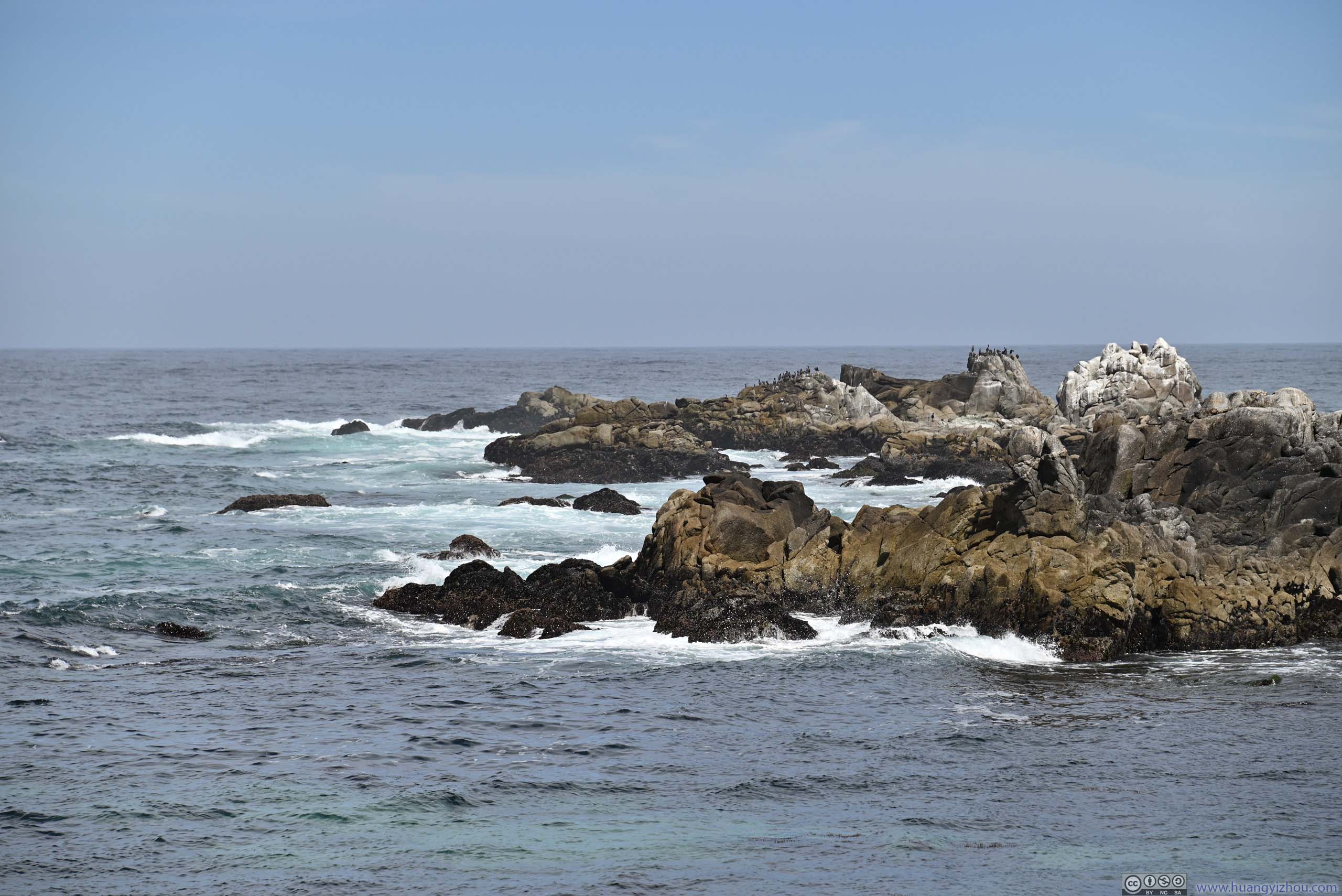
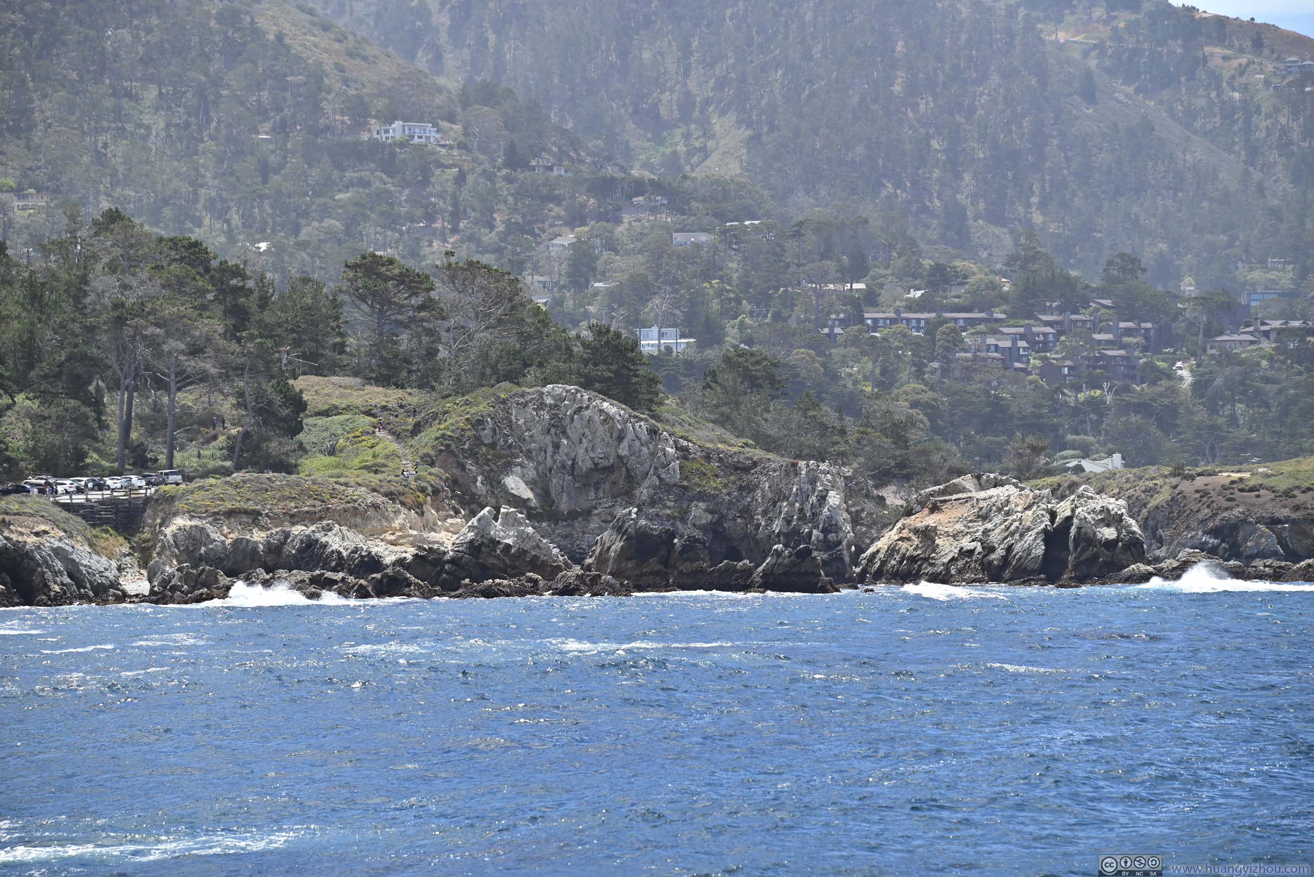
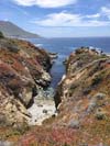
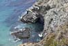
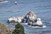
After leaving Monterey, our first stop was Point Lobos. To me it’s a bit of everything, a rugged peninsula, a marine habitat, and some historic relics. To summarize, it’s like a miniature version of Big Sur.
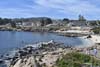
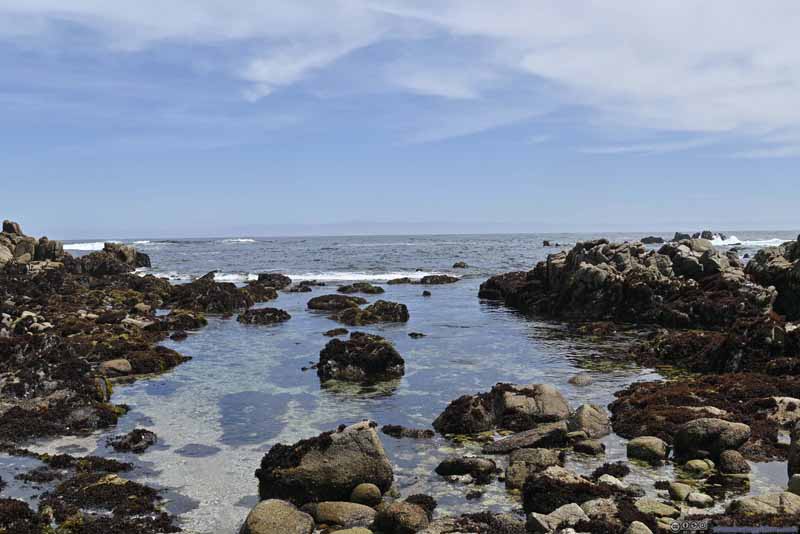
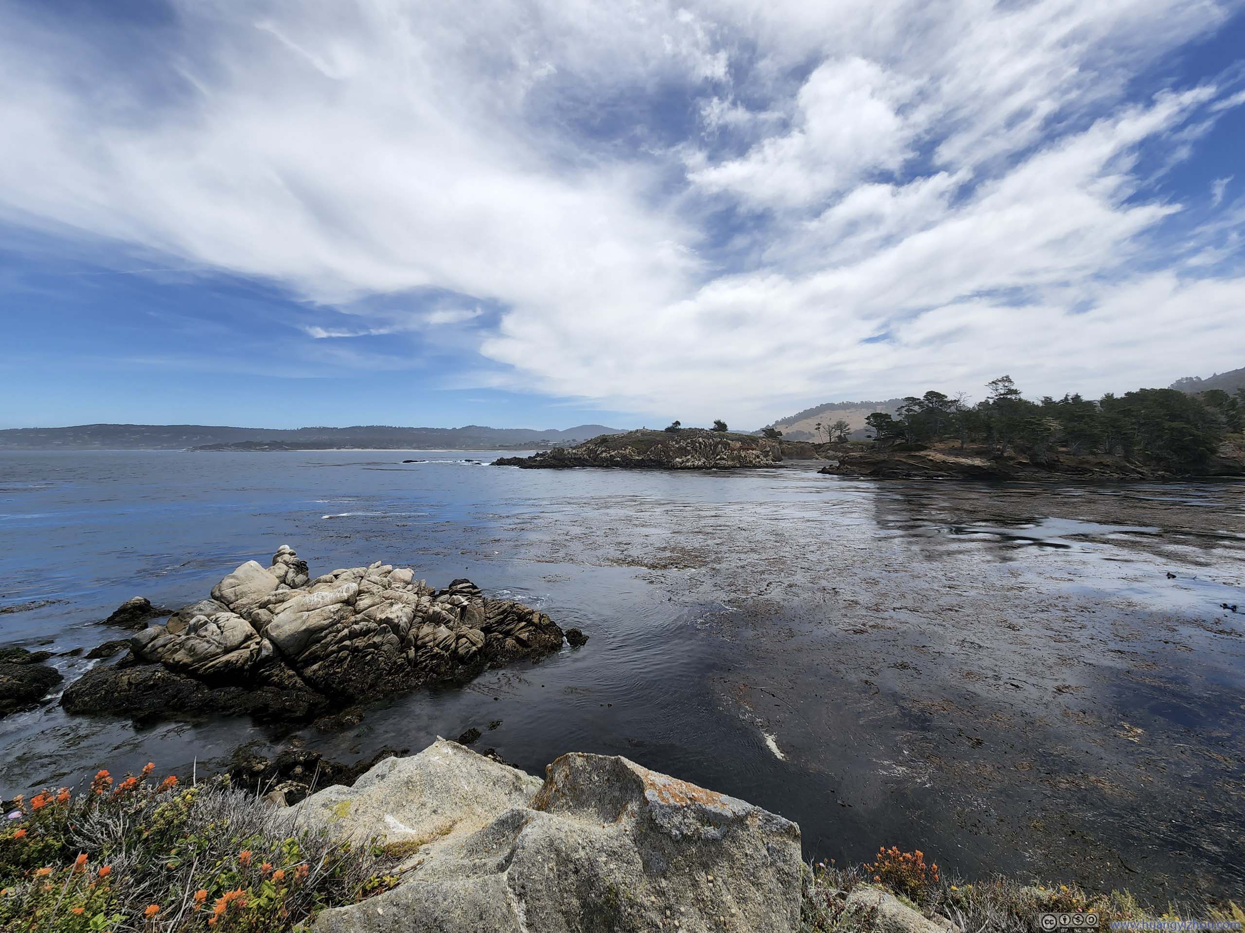
Inside Point Lobos State Natural Reserve, we first checked out Whalers Cove, one of the larger coves in the vicinity. Whaling was conducted in the region in the late 19th century, with a cabin/museum nearby (which we didn’t visit) showcasing the history.
It felt to me that the cove was covered in sea weeds (p1-3 below) and not suitable for navigation, at least, without whalers actively cleaning them up.
It also offered us the final sights of Carmel Bay before we headed south.
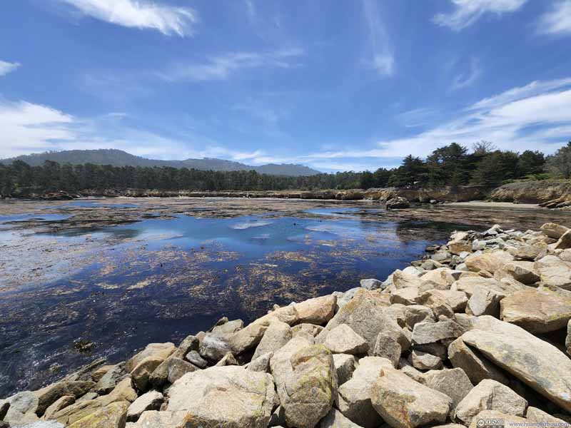 Whalers Cove
 Whalers Cove
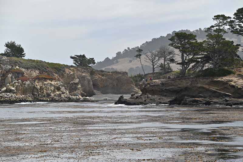 Coal Chute Point across Whalers CoveSome visitors visible.
 Big Dome Mountain across Bluefish Cove
 Rocks off Canary Point
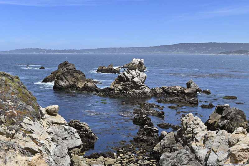 Rocks off Canary Point

Click here to display photos of the slideshow
Whalers Cove
Whalers Cove
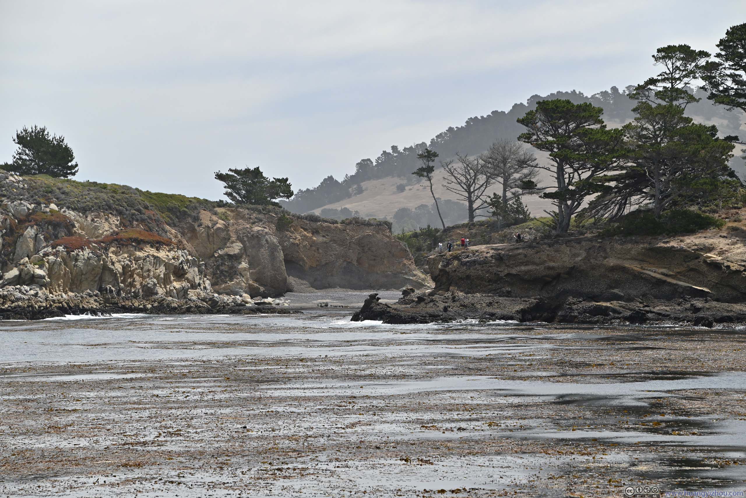
Coal Chute Point across Whalers CoveSome visitors visible.
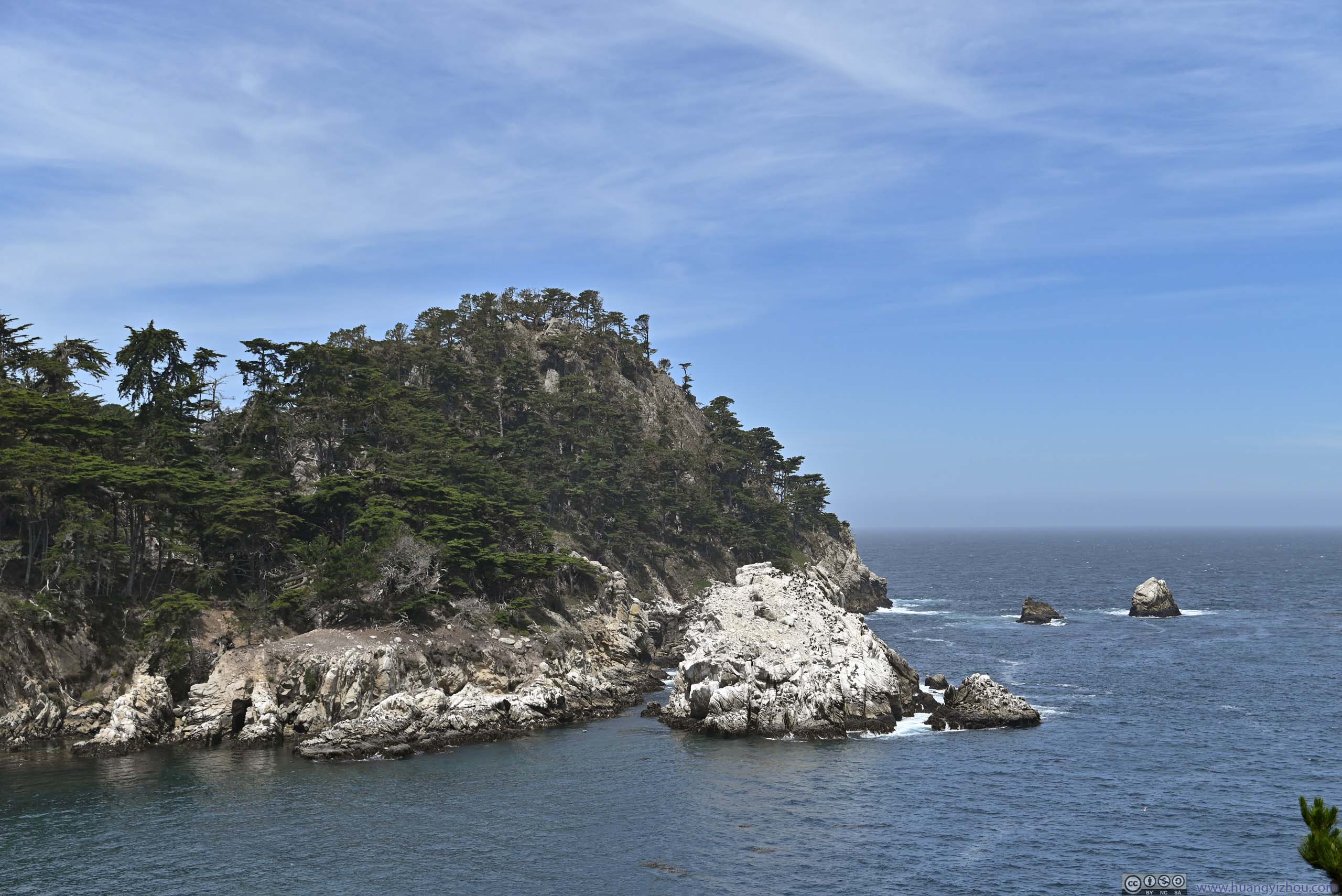
Big Dome Mountain across Bluefish Cove
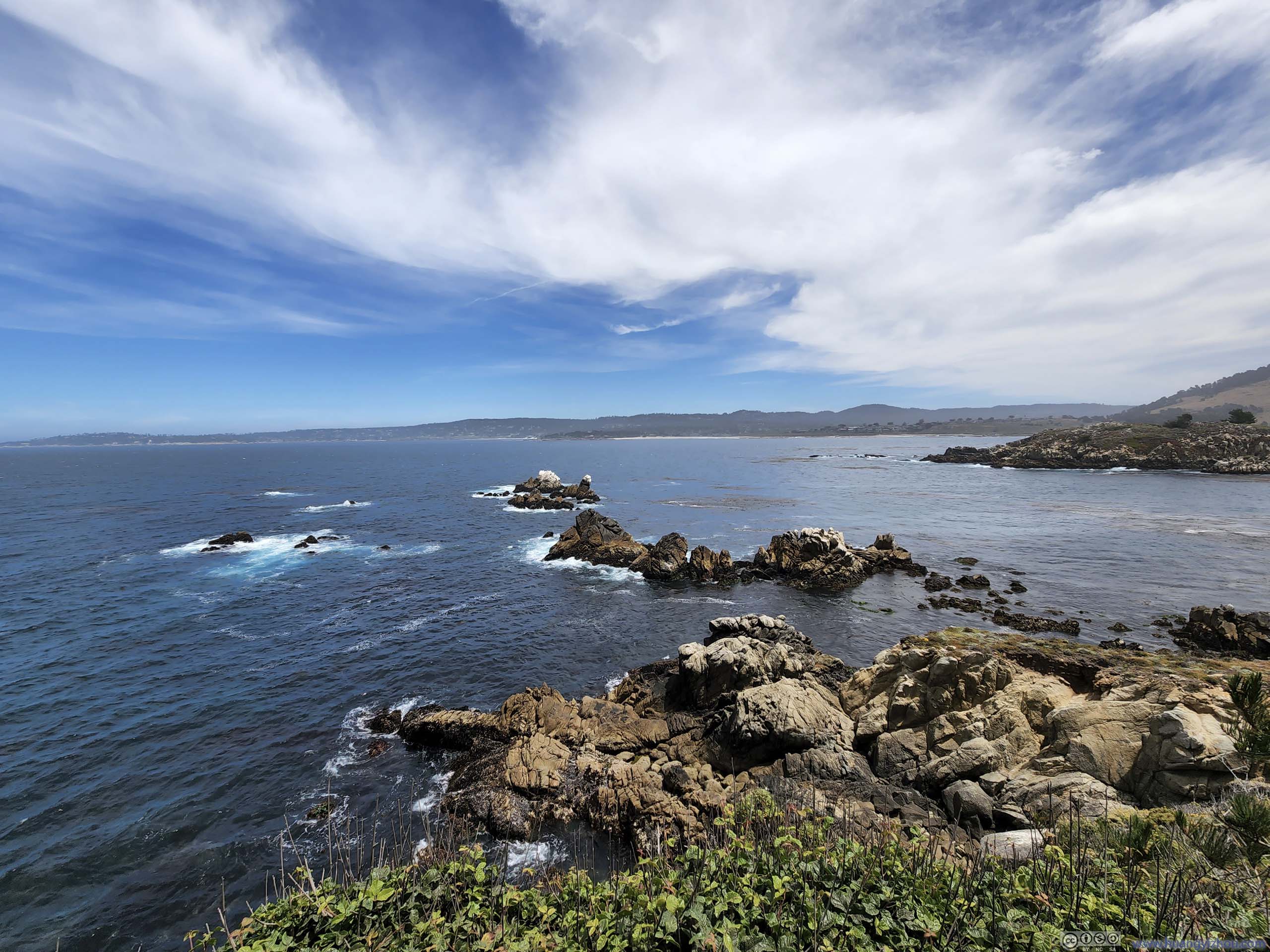
Rocks off Canary Point

Rocks off Canary Point
Ocean from Whalers Cove
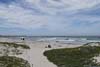
Unfortunately, after that, we only found parking at Weston Beach inside the Natural Reserve, so we checked it out. The seas were relatively calm here, so my friends went searching for marine life, and they were quite fruitful (p3-6 below).
 Coastline
 Boulders along Coastline
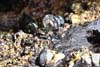
 Sea LifeLike a starfish, only that it had 4 arms instead of 5.
 Crab
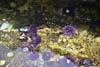
Crab Sea Urchins
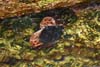
 CrabIt’s very hard to focus under water.


Click here to display photos of the slideshow
Coastline
Boulders along Coastline
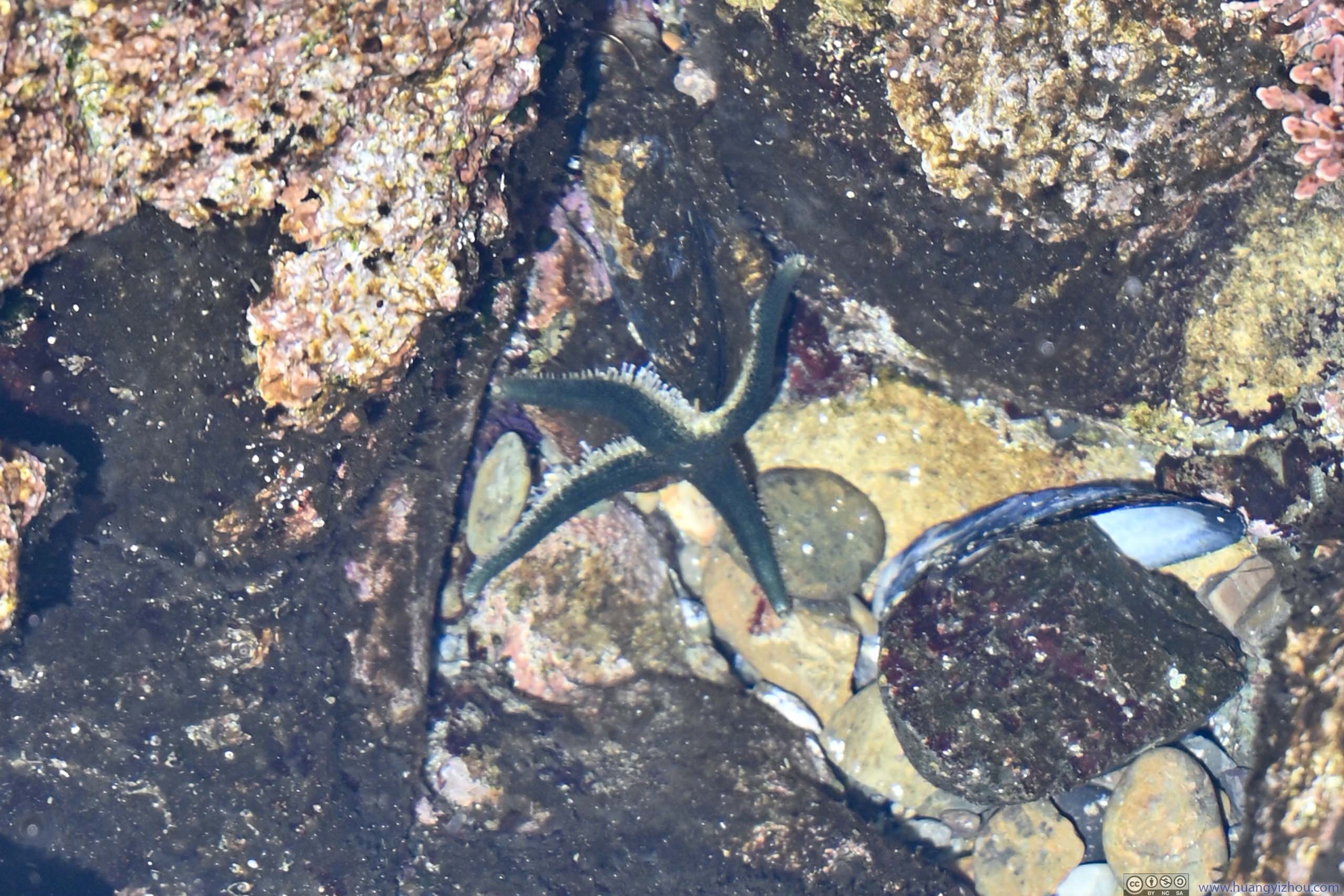
Sea LifeLike a starfish, only that it had 4 arms instead of 5.

Crab
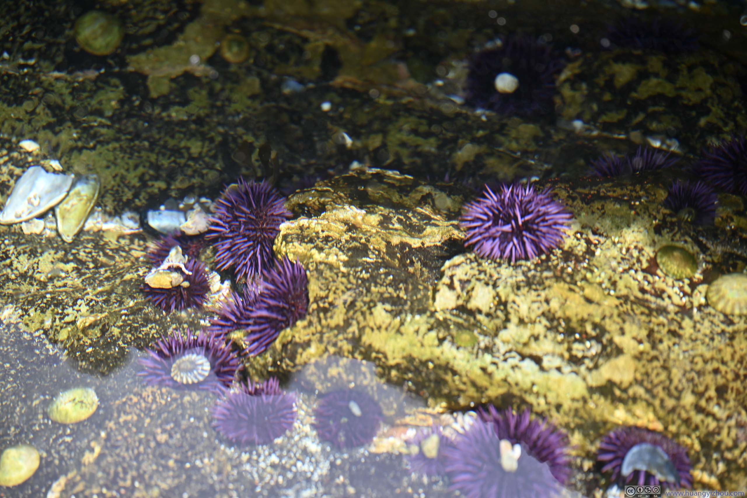
Sea Urchins
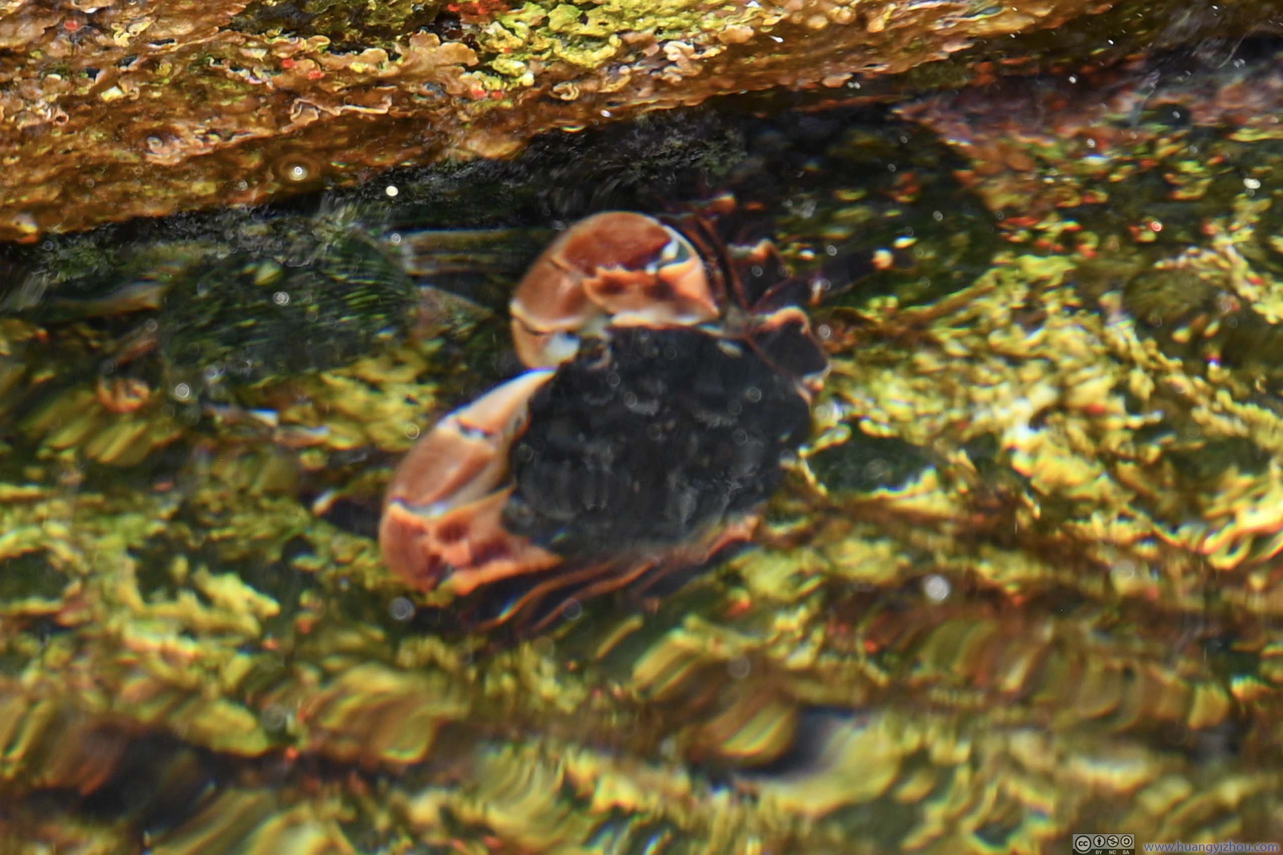
CrabIt’s very hard to focus under water.
China Lookout
This was one of the roadside turnouts after leaving Point Lobos. The wild colors of grass complemented the palette in sight.
Unfortunately, the wind was strong and as a result, I lost my camera’s lens cap here. 🫨
 Hills along Pacific Coast
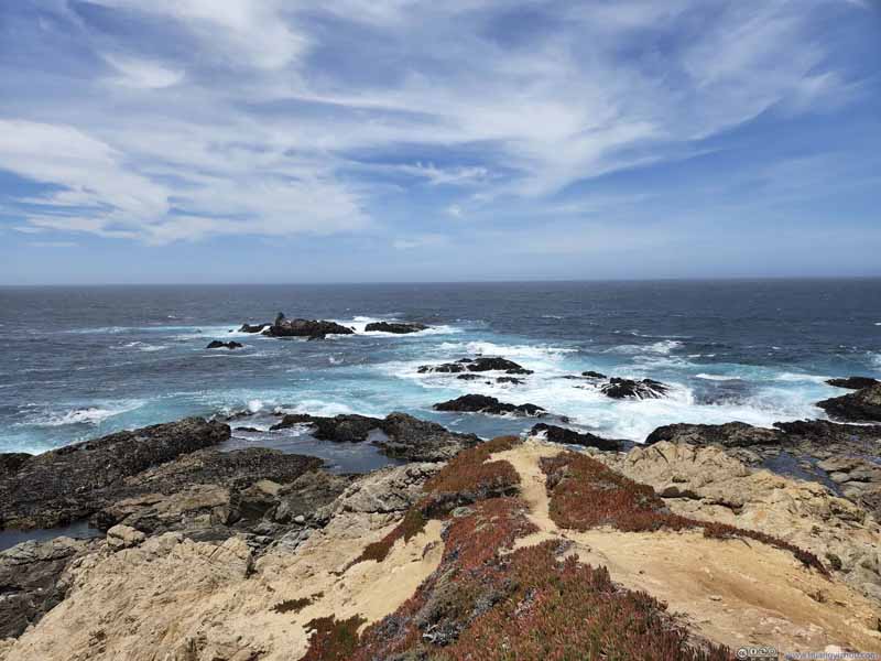 Rocks off Coast
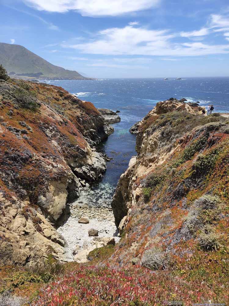 CoveI liked the blend of colors here.
Click here to display photos from China Lookout.
Hills along Pacific Coast

Rocks off Coast
CoveI liked the blend of colors here.
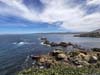
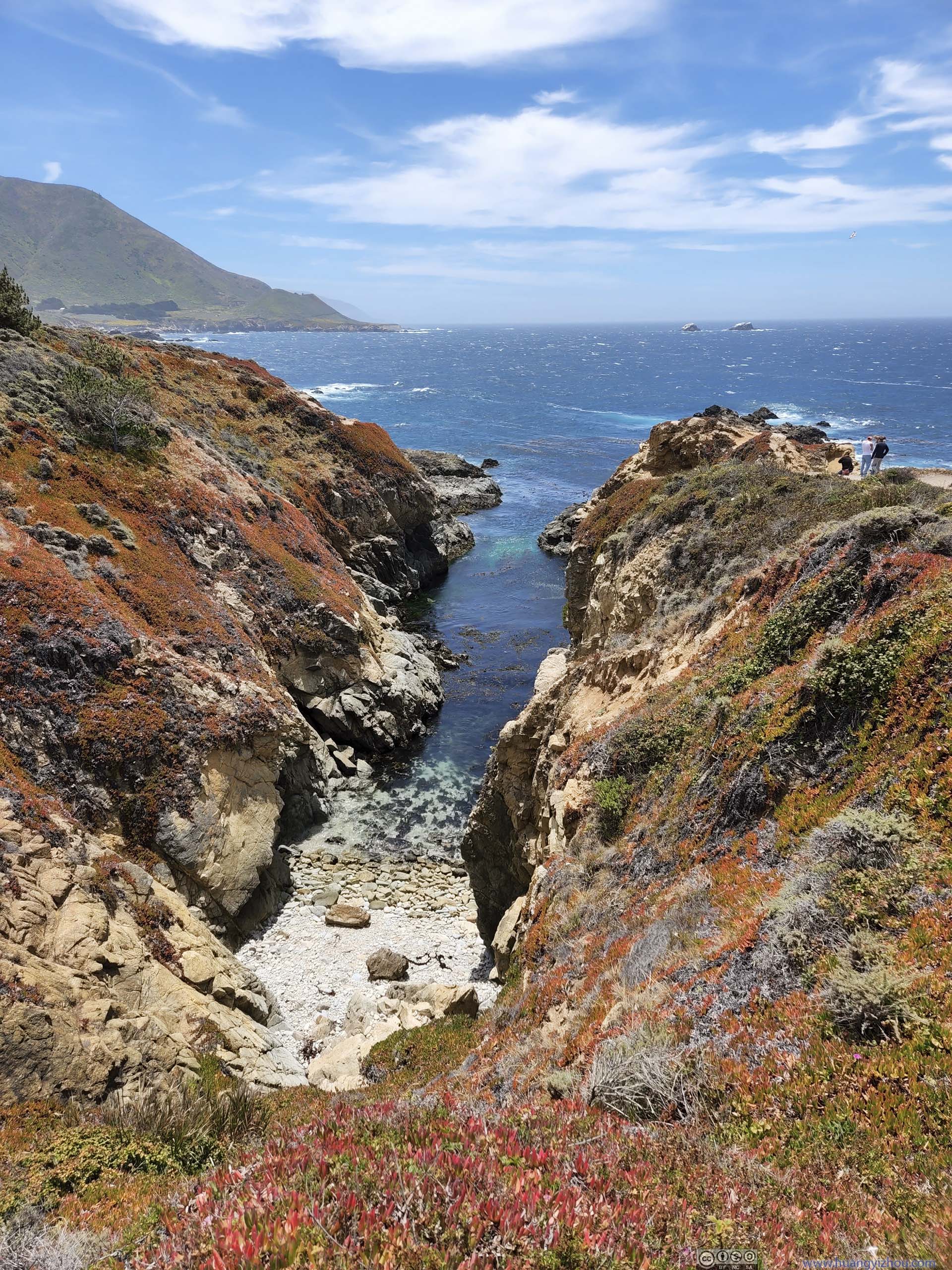
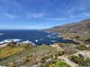
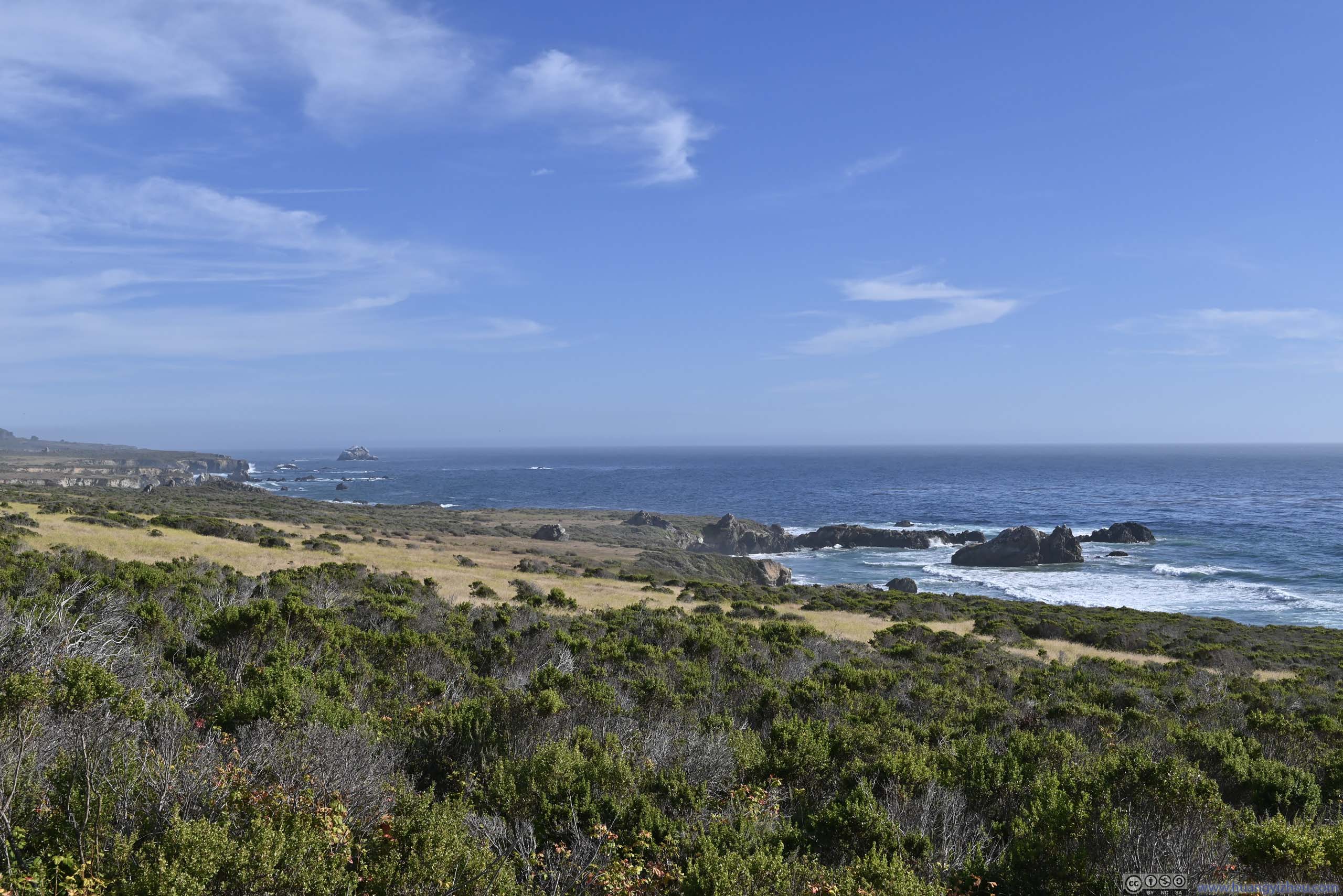
Soberanes Point
This was on a small hill, accessed by a 300m one-way trail with about 30m elevation gain. Parking was limited at its two trailheads, but this wasn’t as popular as some of the other turnouts as we had no trouble parking. At its top, it properly overlooked the coastline to the north, and I was fond of the yellow flowers that decorated the landscape (p1 below). Wind was very strong on top of the hill, so we didn’t linger there for long.
 Shores beyond Flowery Hill
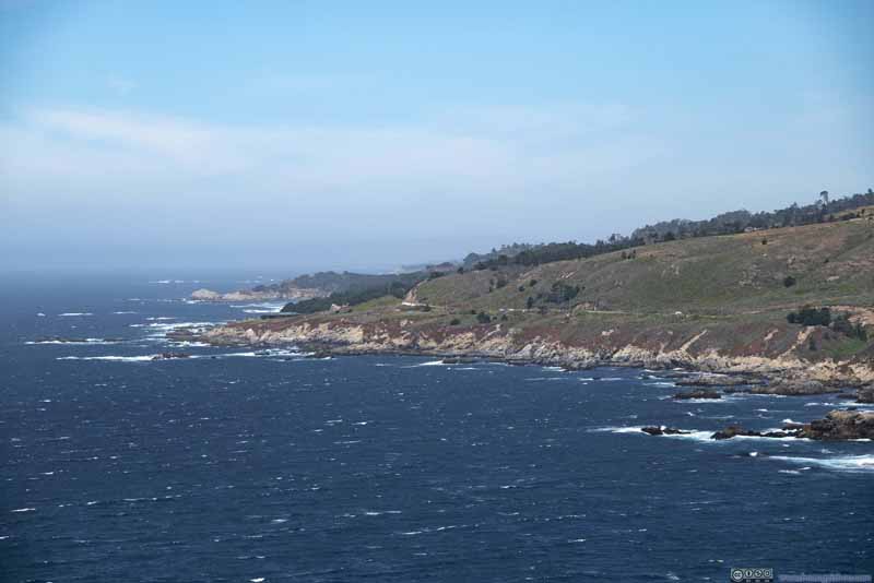 Coastline
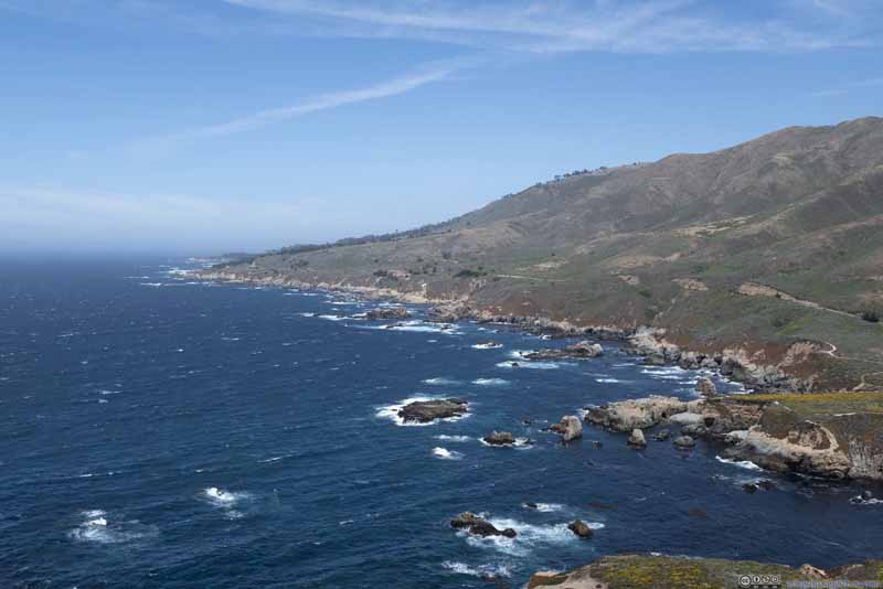 Coastline
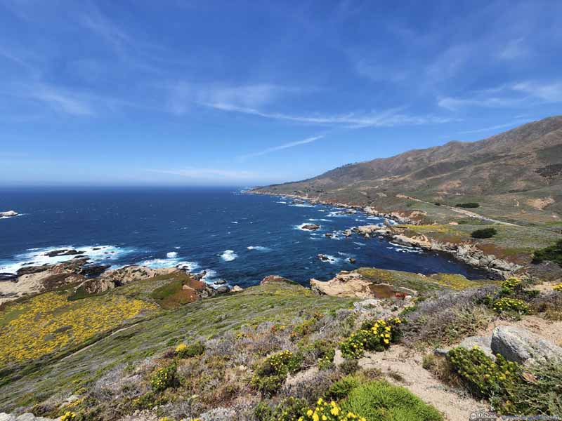 Coastline
Click here to display photos from Soberanes Point.

Shores beyond Flowery Hill
Coastline
Coastline

Coastline
After that, I tried mounting a GoPro on the side window of the car, facing the ocean. Here’s a clip that it captured from approximately Bixby Bridge to Big Sur.
9 minutes and 5 seconds, 2160p30fps, H265 only, 8Mbps/576MB. Bixby Bridge crossing at around 1:23, thumbnail of Bixby Bridge view at around 3:04.
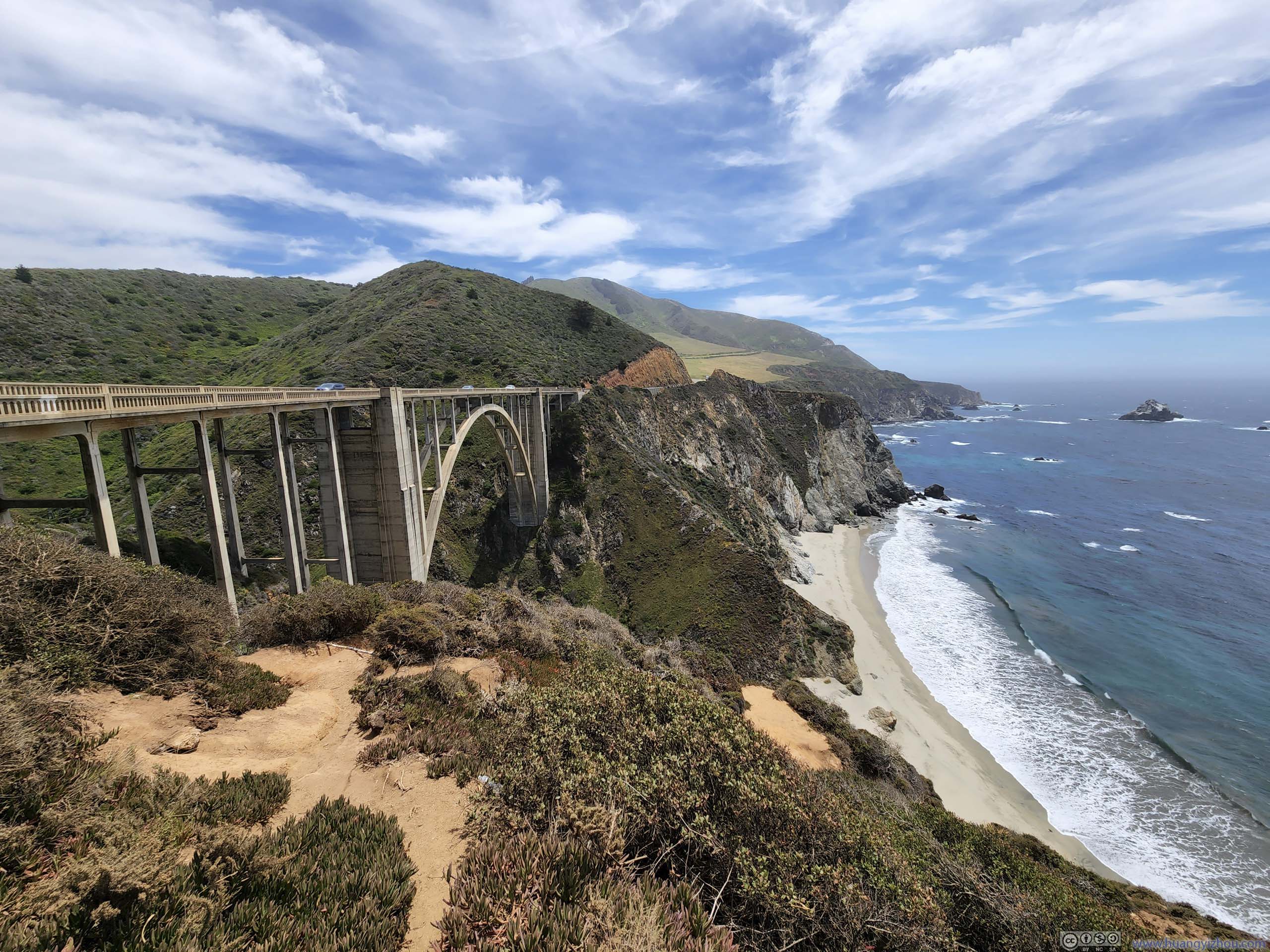
Bixby Bridge
Next we made a stop before crossing Bixby Bridge, arguably the most iconic bridge of California’s Pacific Coast Highway. When completed in 1932, it was the highest single-span arch bridge in the world. There was a turnout at its northern end, where people could admire its majesty against the soaring cliffs in its background.
 Bixby Bridge
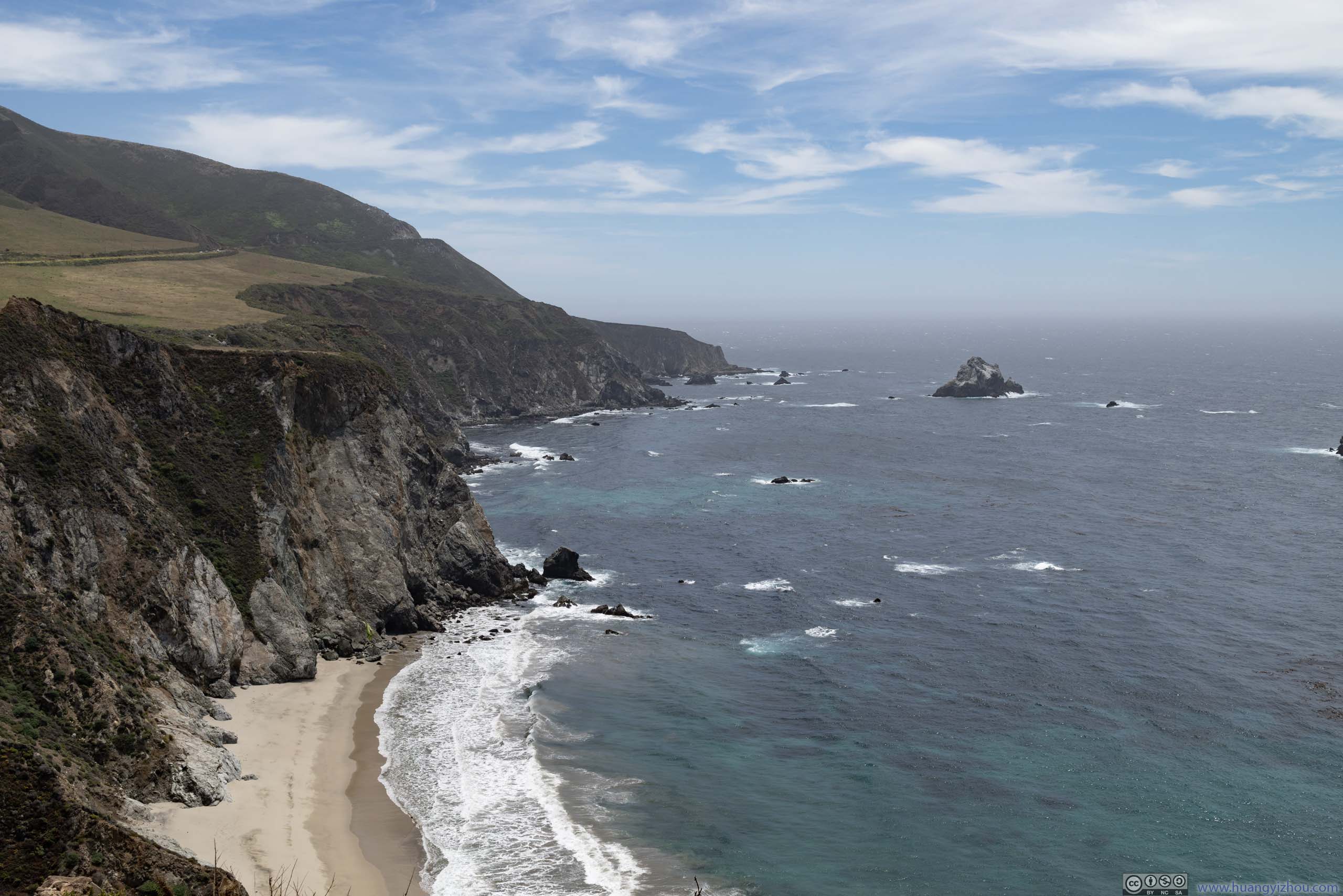
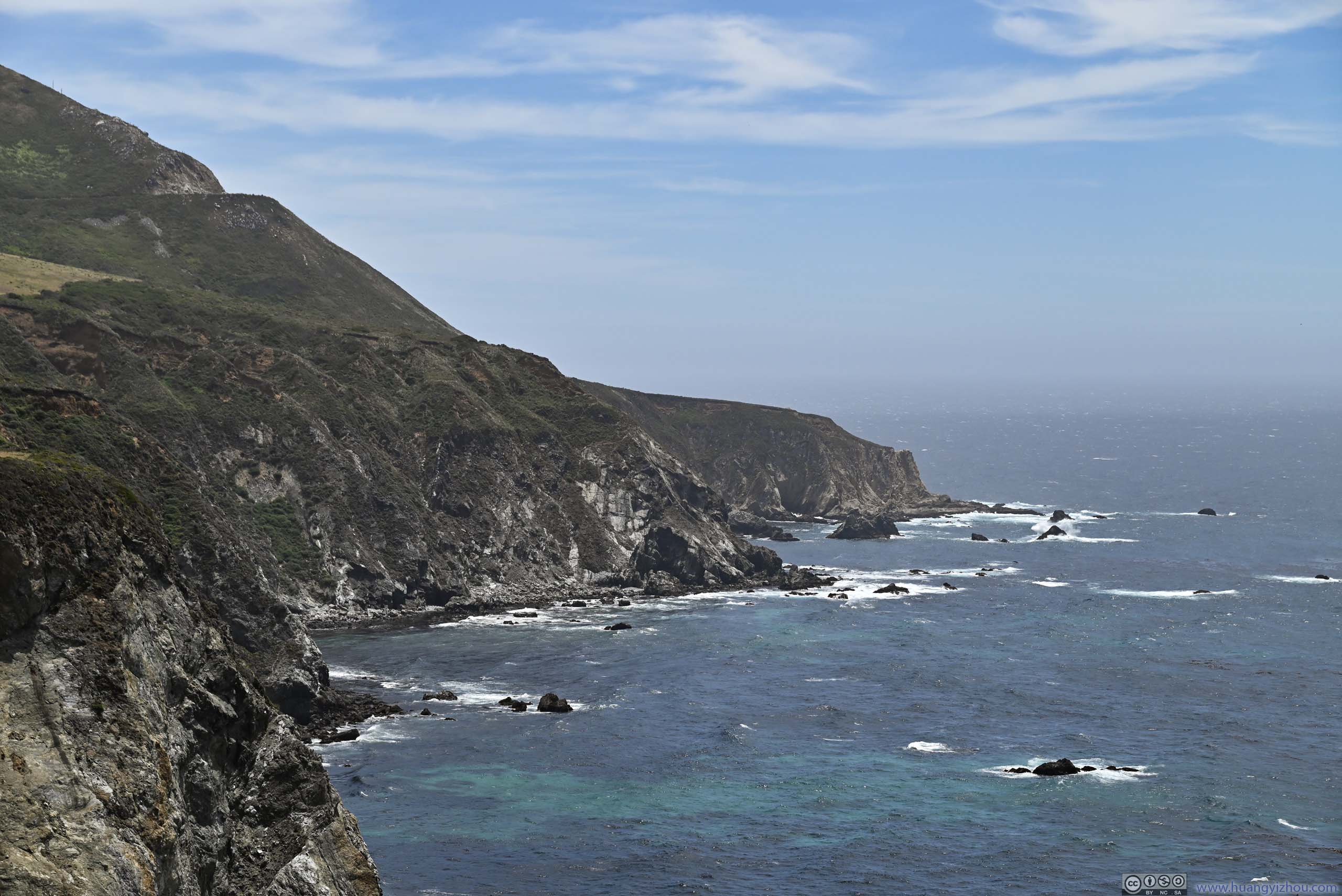
 Cliffs along Coast
 Cliffs along Coast
 Rock Arch
 Cove by Kasler Point
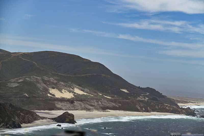 Coastal Road
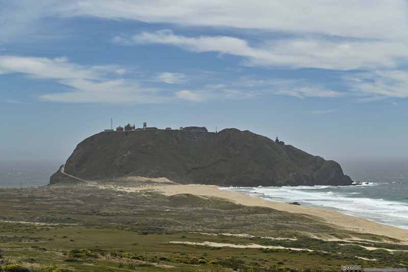 Point Sur

Click here to display photos of the slideshow
Bixby Bridge
Cliffs along Coast
Cliffs along Coast
Rock Arch

Cove by Kasler Point

Coastal Road

Point Sur
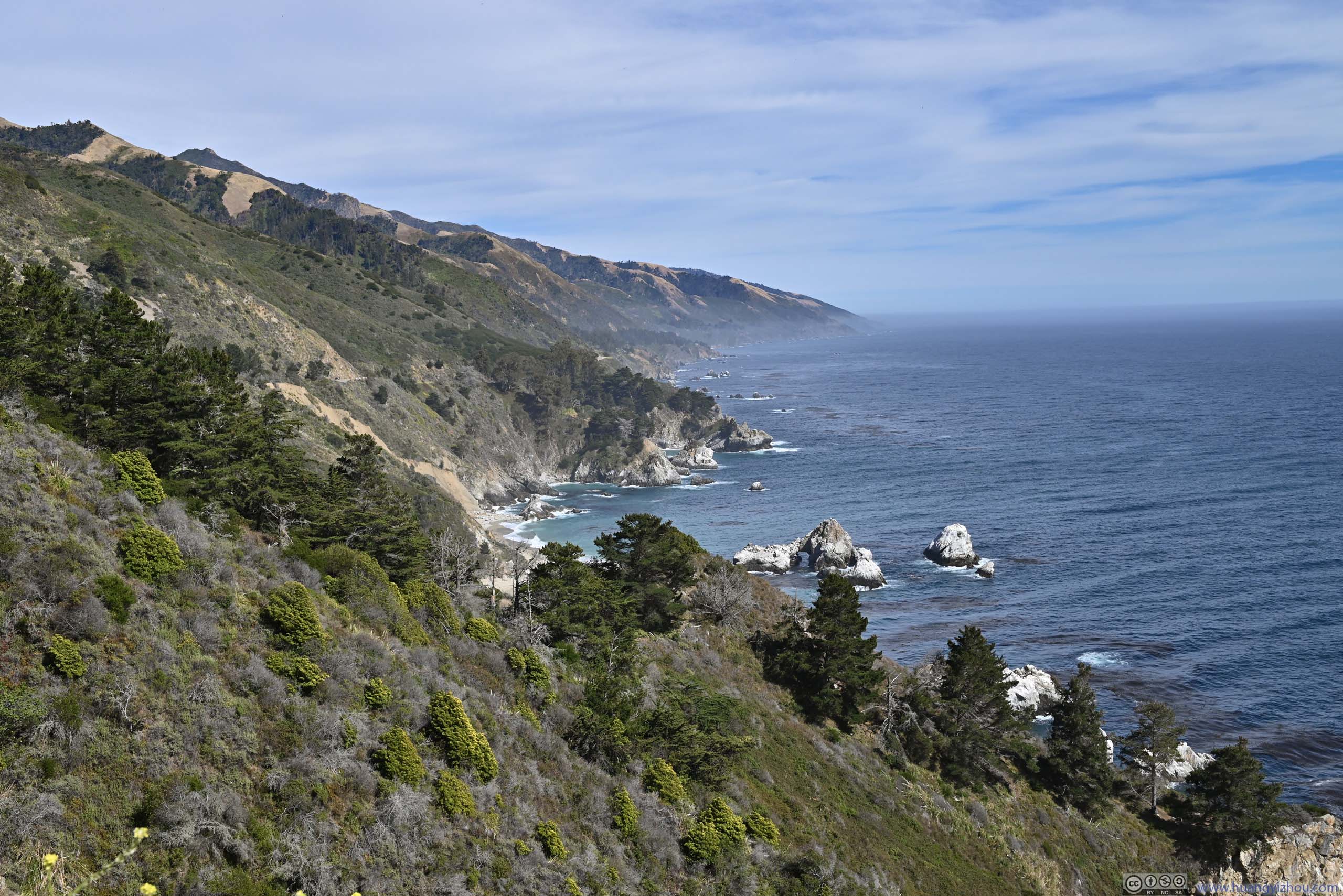
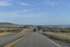
Not long after leaving Bixby Bridge, the road briefly headed inlands as we approached the town of Big Sur. This was the most developed area between Carmel and San Simeon, featuring “a few” restaurants and hotels, so we decided to have lunch here.
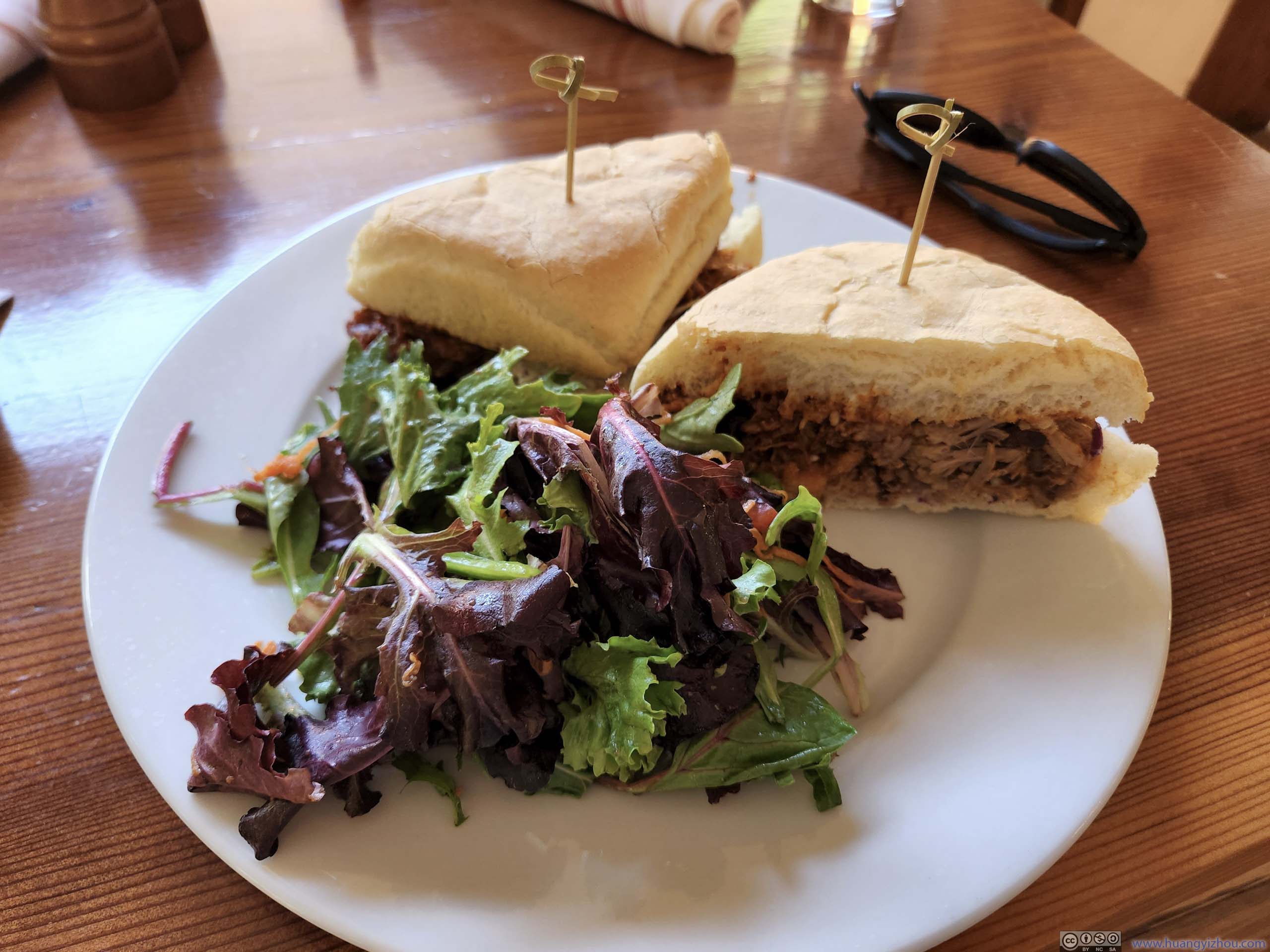
LunchAt “Big Sur Roadhouse”, one that only served breakfast and lunch.
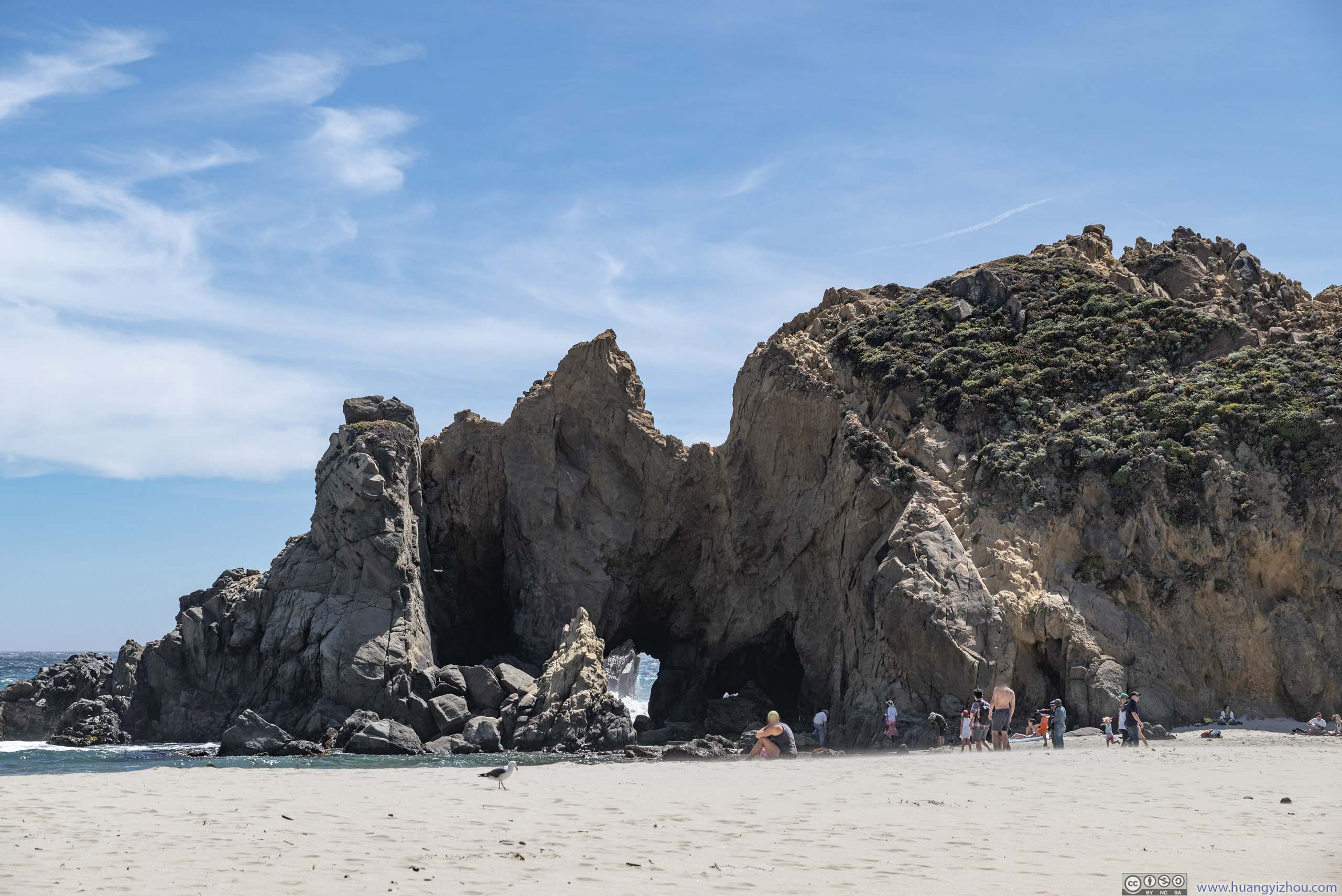
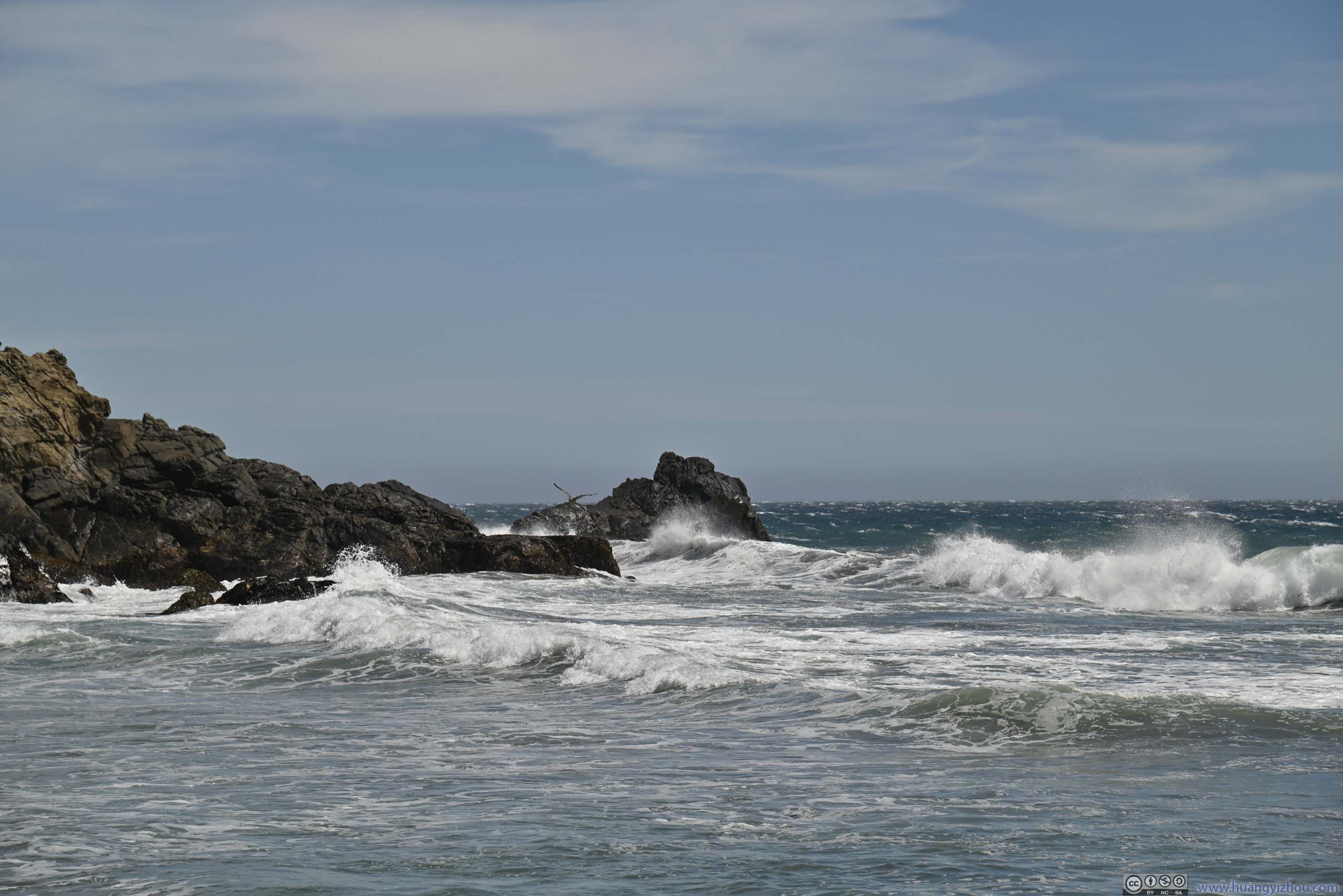
Pfeiffer Beach
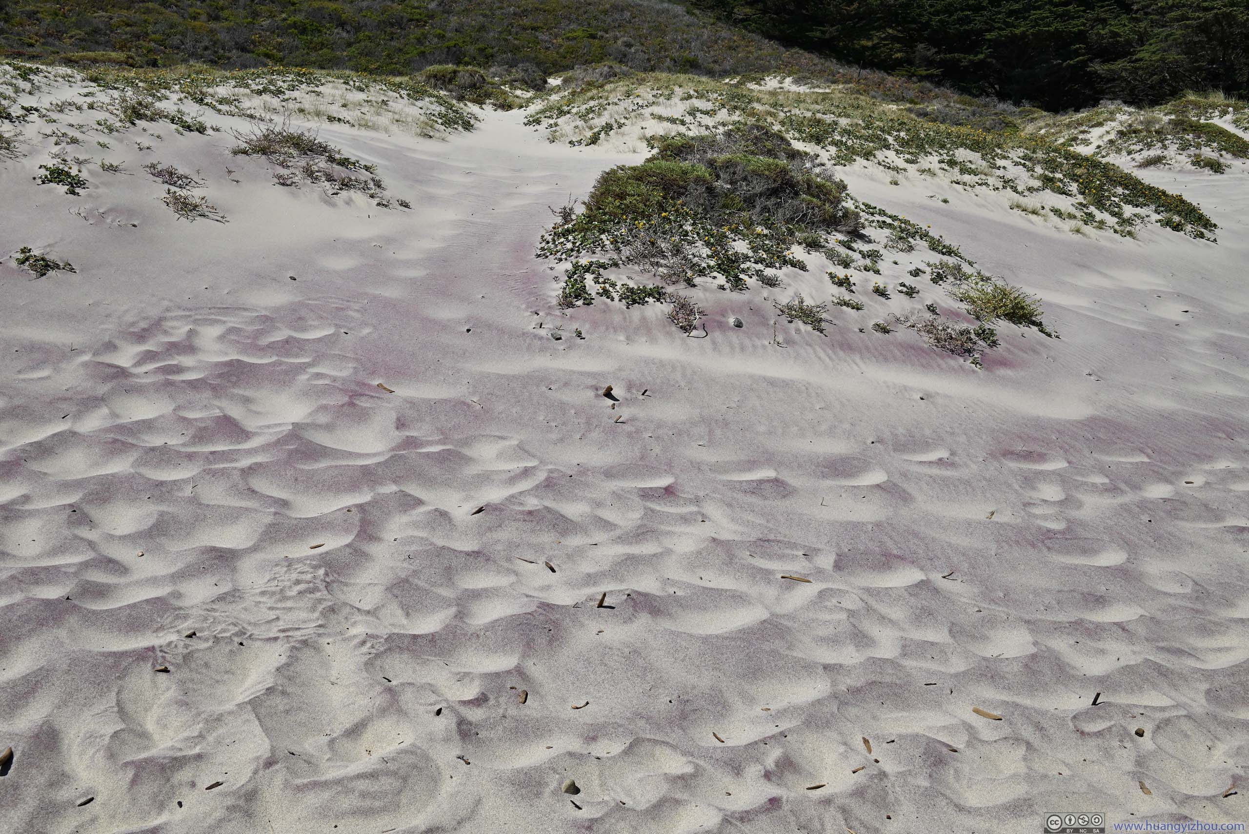
After lunch, we decided to check out Pfeiffer Beach, which was known for its unique pink/purple-colored sands and arches in the sea.
The 2-mile-long access road to Pfeiffer Beach was paved but in poor condition, it was also narrow that required frequency stopping to accommodate oncoming traffic.
In the end, this was probably the least memorable part of the day. My friends and I identified an opening in one boulder closest to the parking lot (p1 below), not knowing that we needed to head a few more steps north to see the opening/arch that Pfeiffer Beach was known for (that one was completely in the ocean, with no other boulders in front of it obstructing the view). Furthermore, I wouldn’t describe the sand here as “pink” (p4 below), not under the bright midday sun.
 Boulder at Pfeiffer Beach
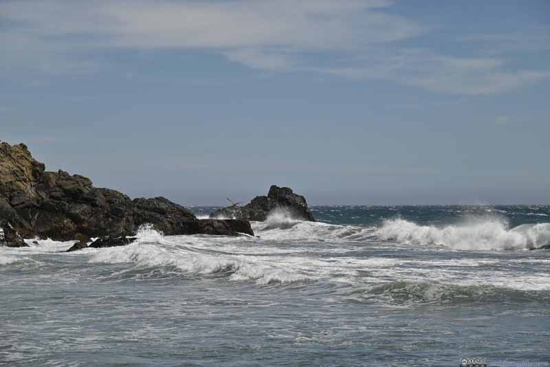 Waves Pounding Pfeiffer Beach
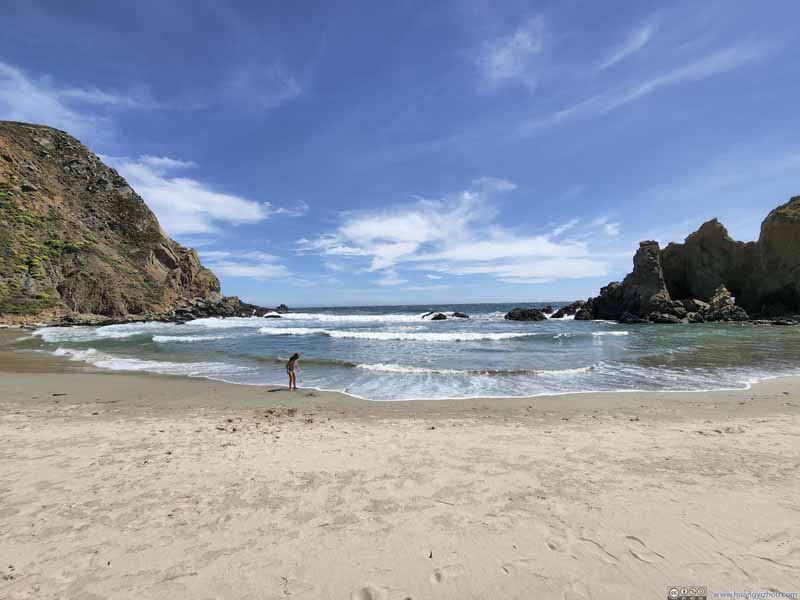 Pfeiffer Beach
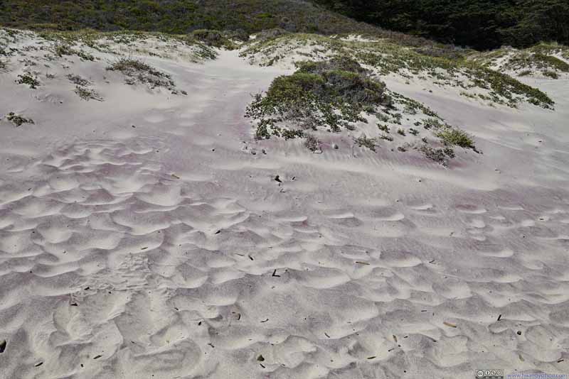 Pink Sand at Pfeiffer BeachUnder the midday sun, it took my best postprocessing to make the sand look pink.
Click here to display photos from Pfeiffer Beach.
Boulder at Pfeiffer Beach
Waves Pounding Pfeiffer Beach

Pfeiffer Beach
Pink Sand at Pfeiffer BeachUnder the midday sun, it took my best postprocessing to make the sand look pink.
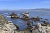
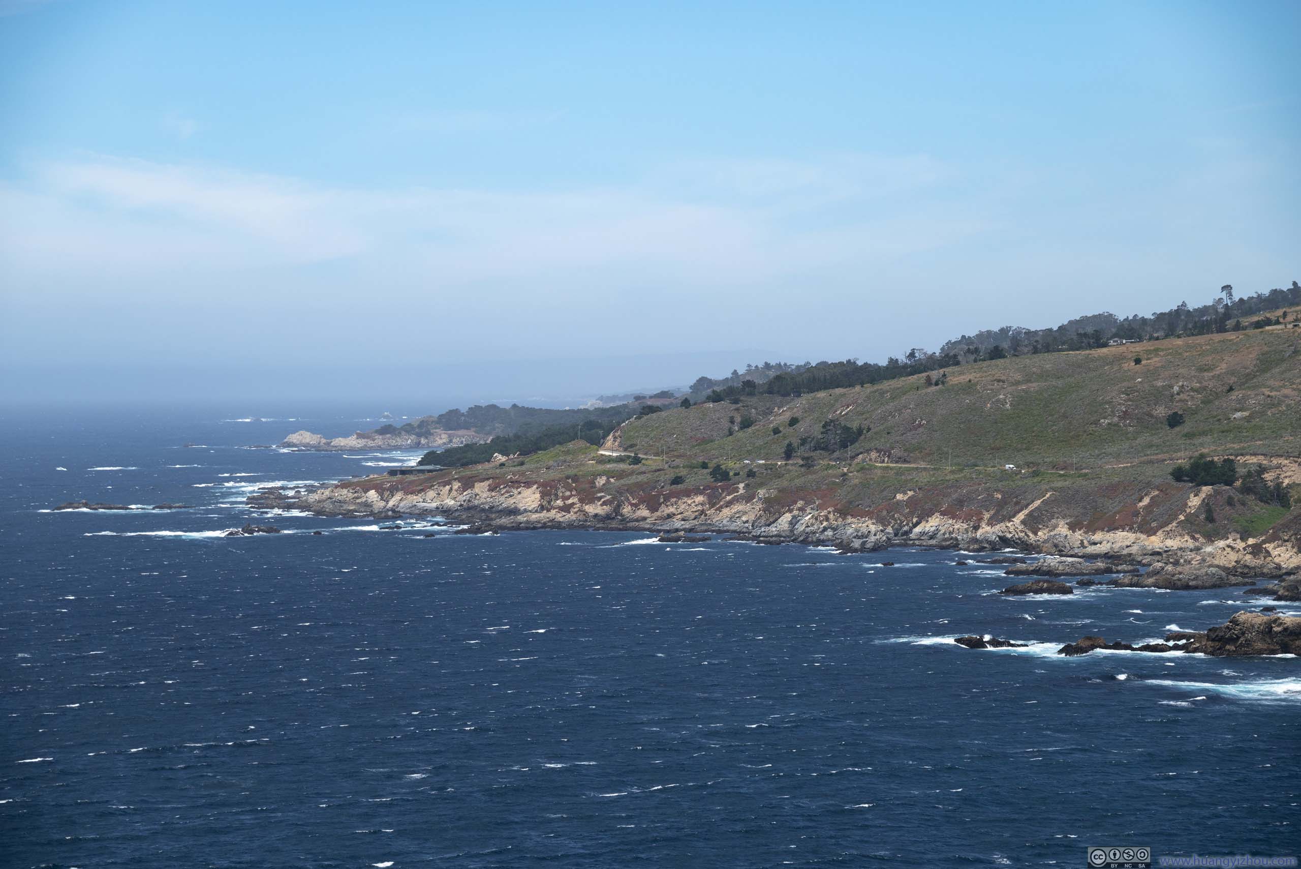
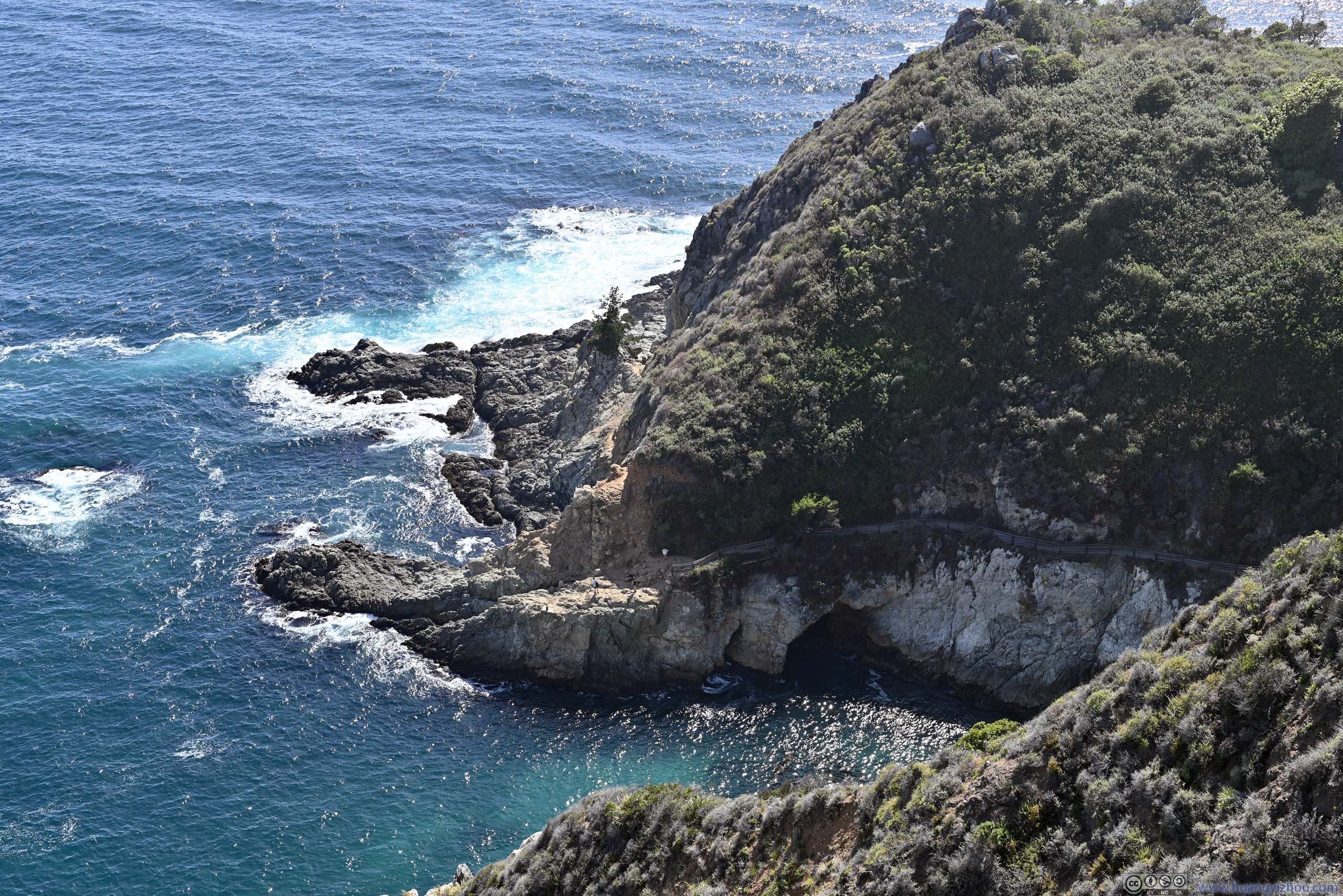
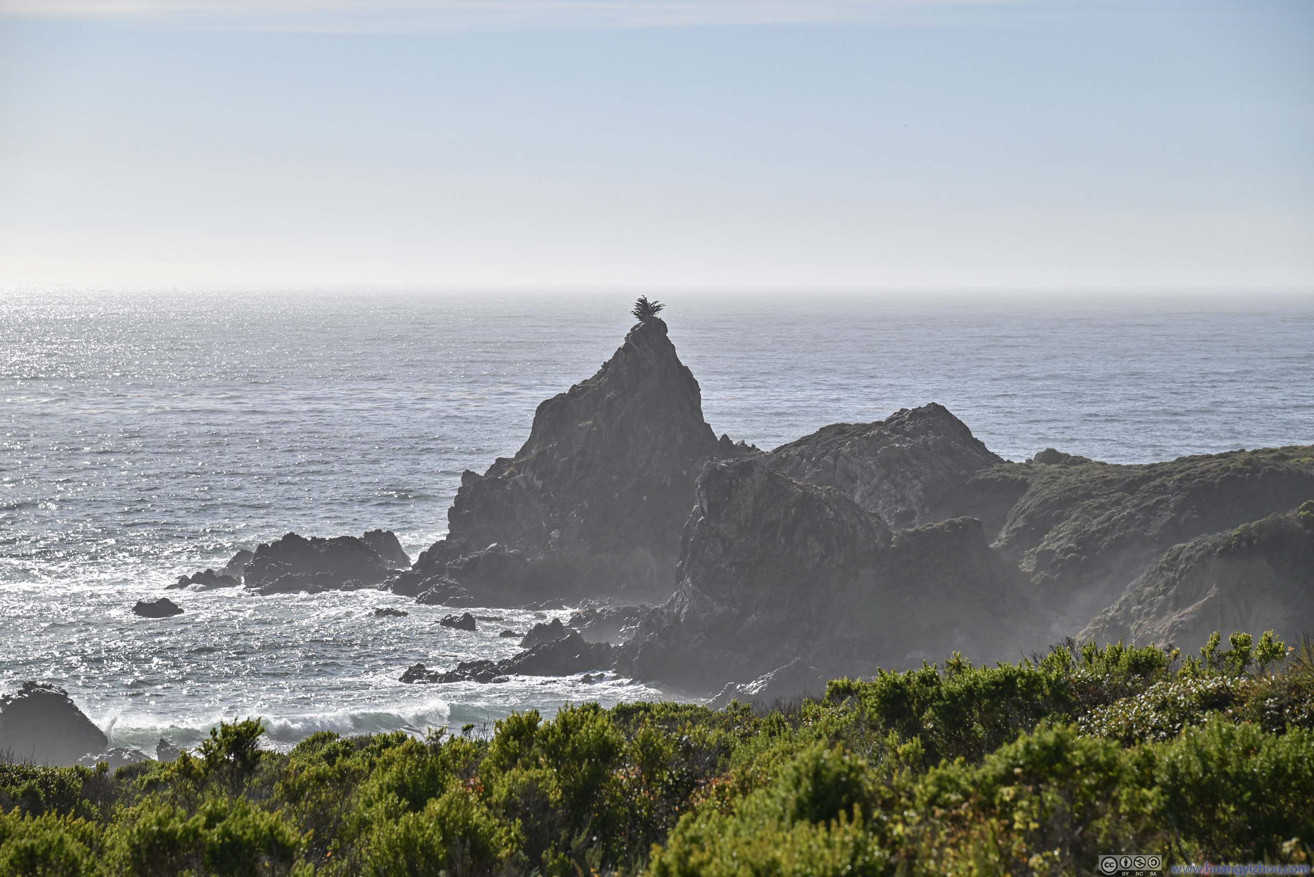
Julia Pfeiffer Burns State Park
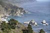
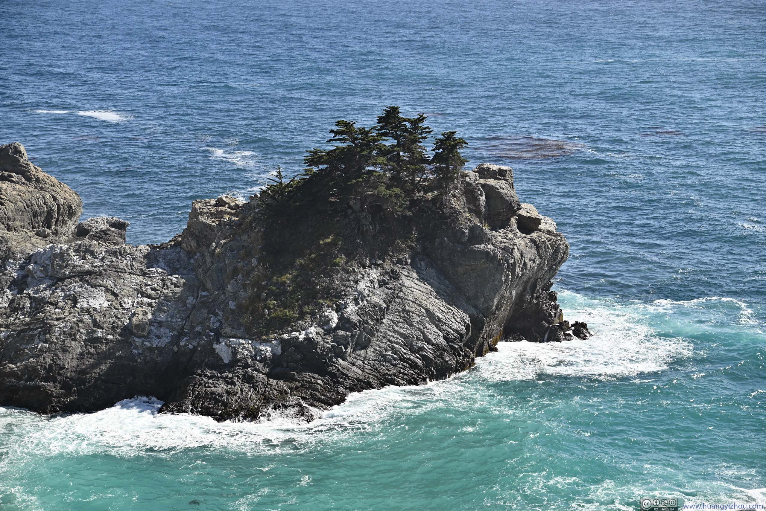
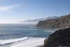
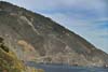
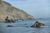
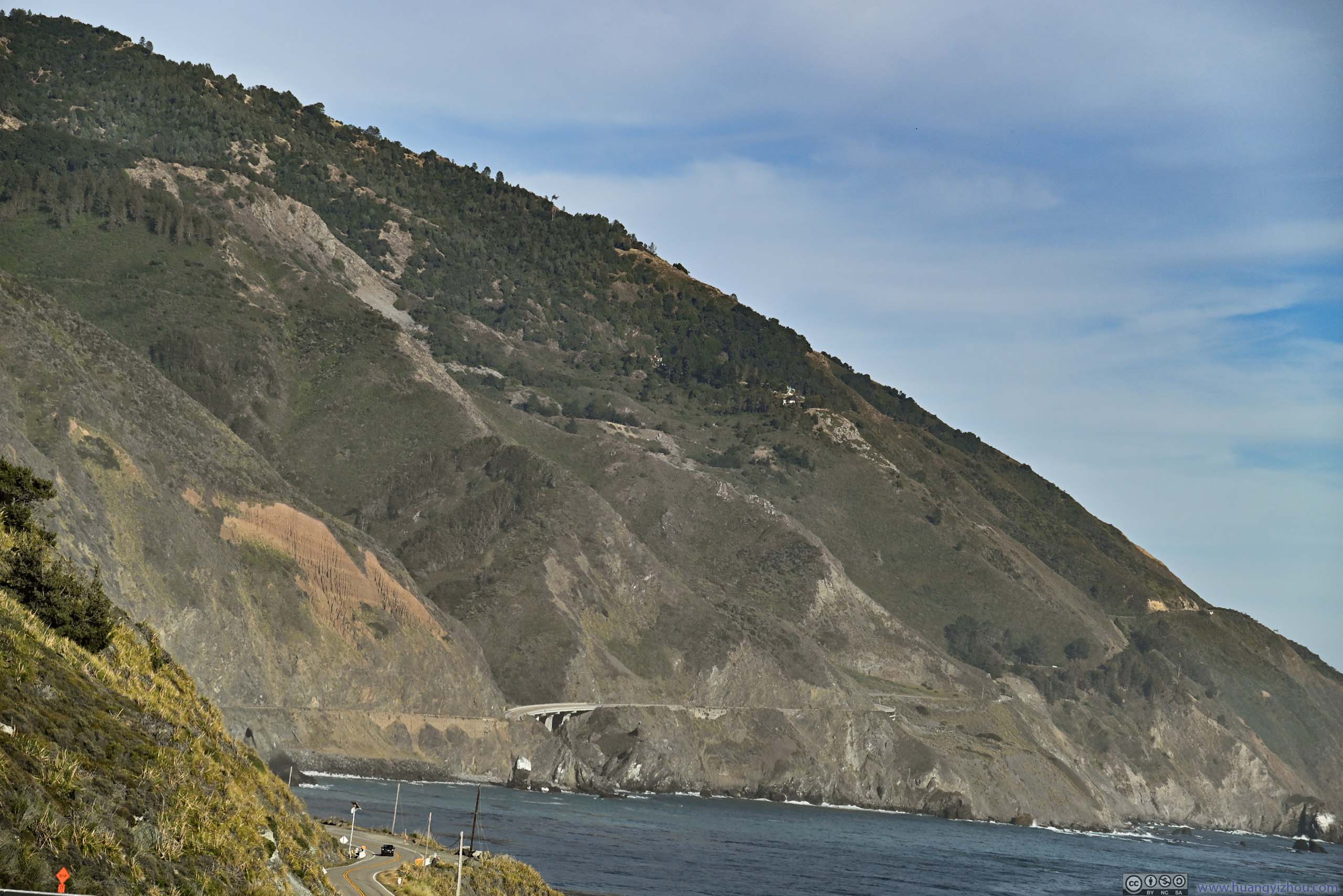
After leaving Pfeiffer Beach, there were a few notable roadside turnouts in Julia Pfeiffer Burns State Park. This time, the rugged coastline was accompanied by layers of mountains rising above it, with thin fogs adding to the allure of the scene.
 Rugged Coastline
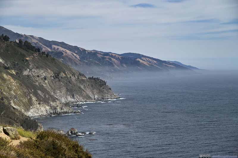 Coastline with Thin Fog
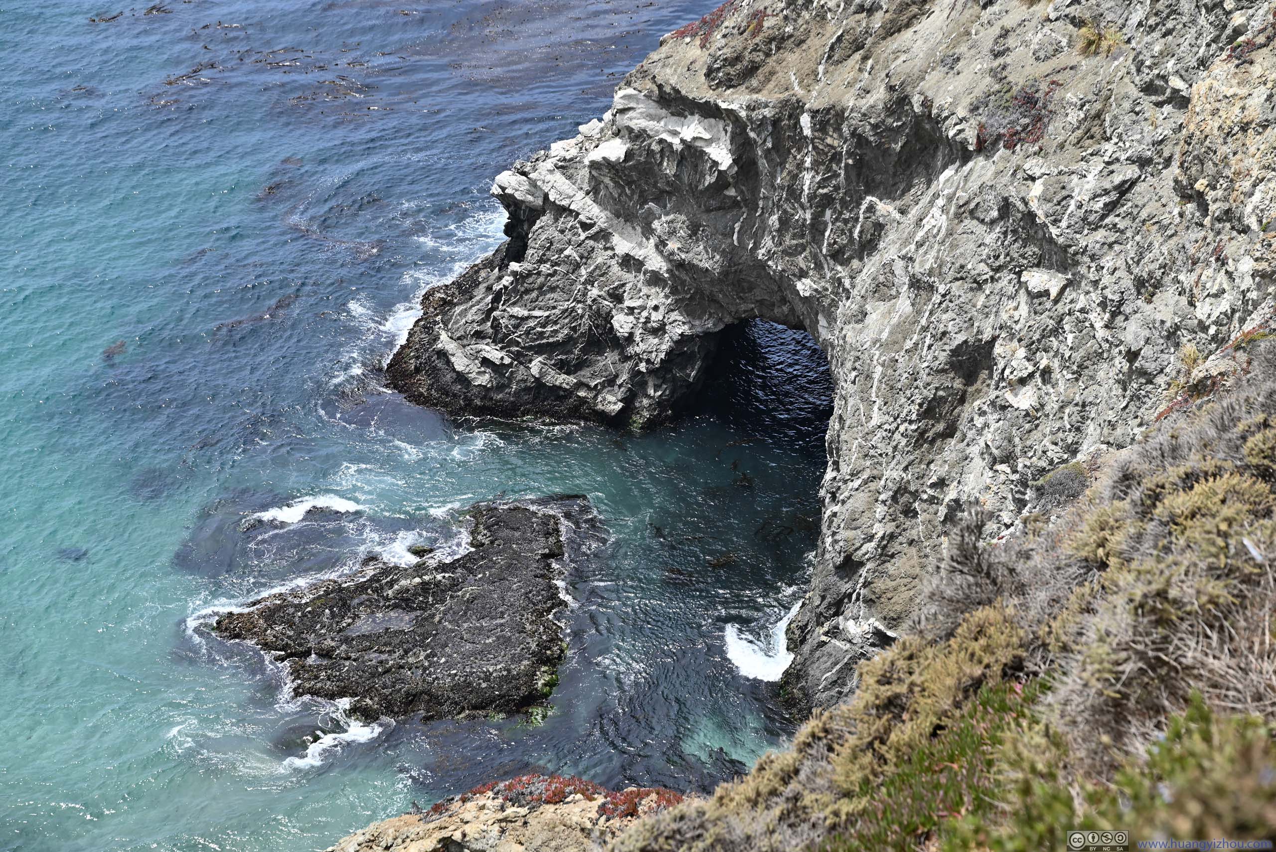
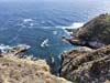
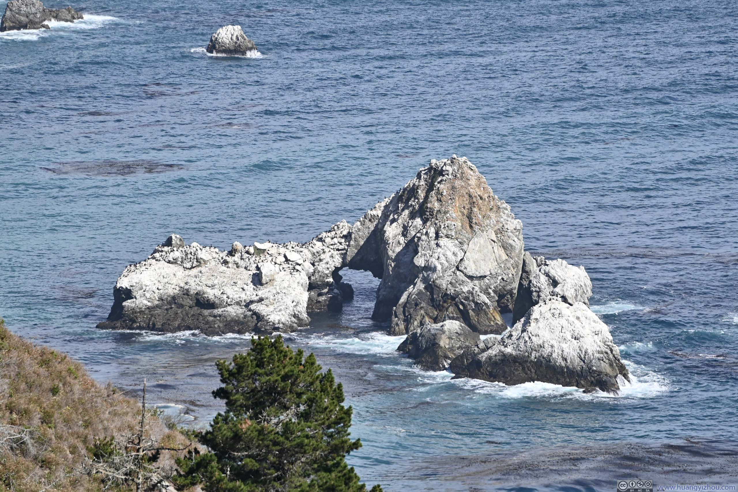
 Rock Arch in Partington Cove
 Coves
Coves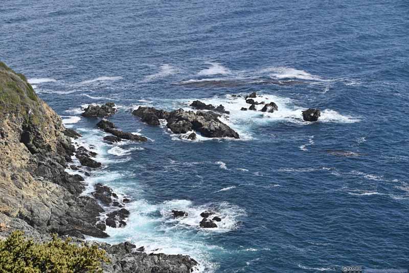 Rocks along Shore
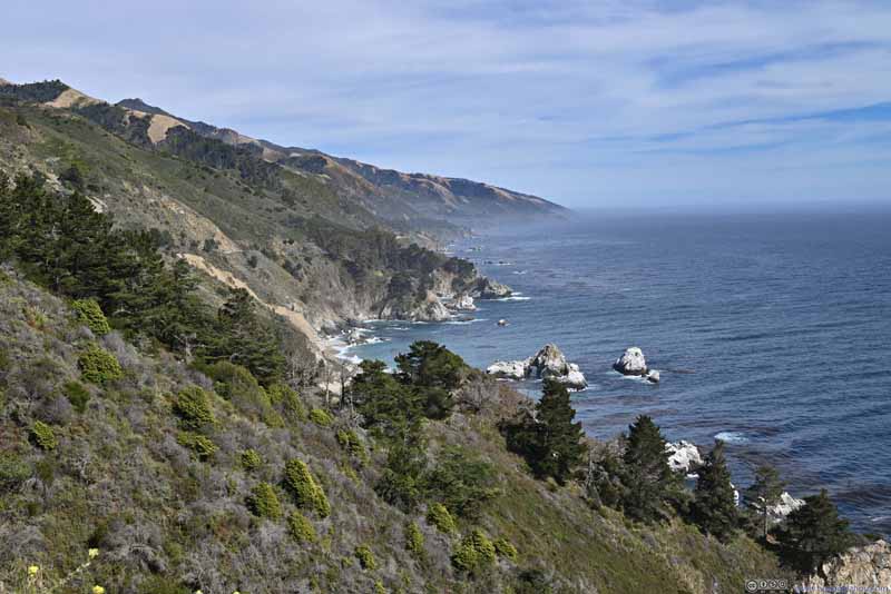 Rugged Coastline
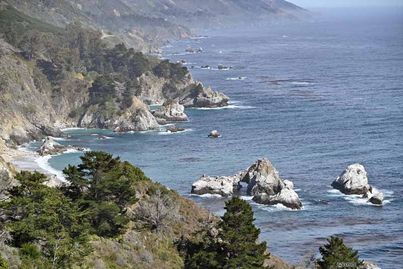 Rugged Coastline
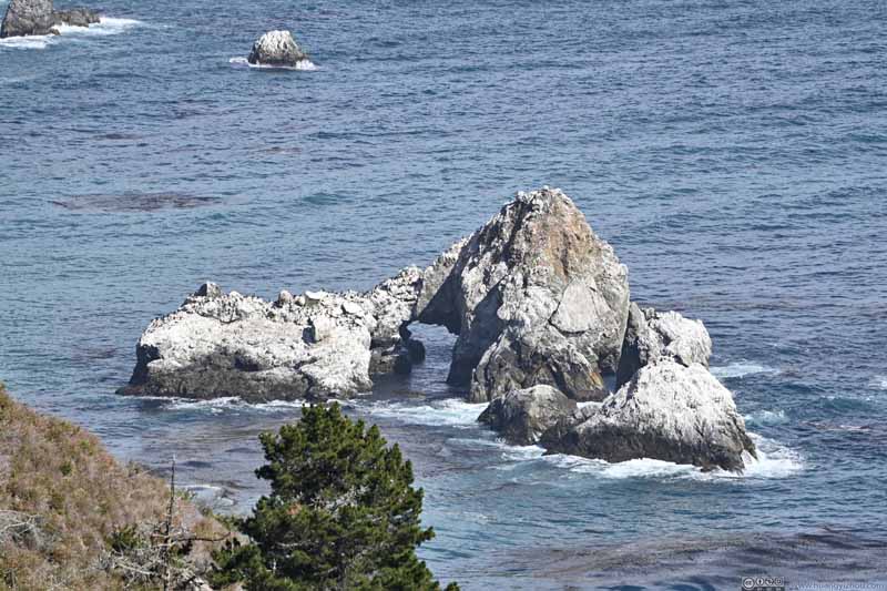 Rock Arch in Ocean

Click here to display photos of the slideshow
Rugged Coastline

Coastline with Thin Fog
Rock Arch in Partington Cove

Coves
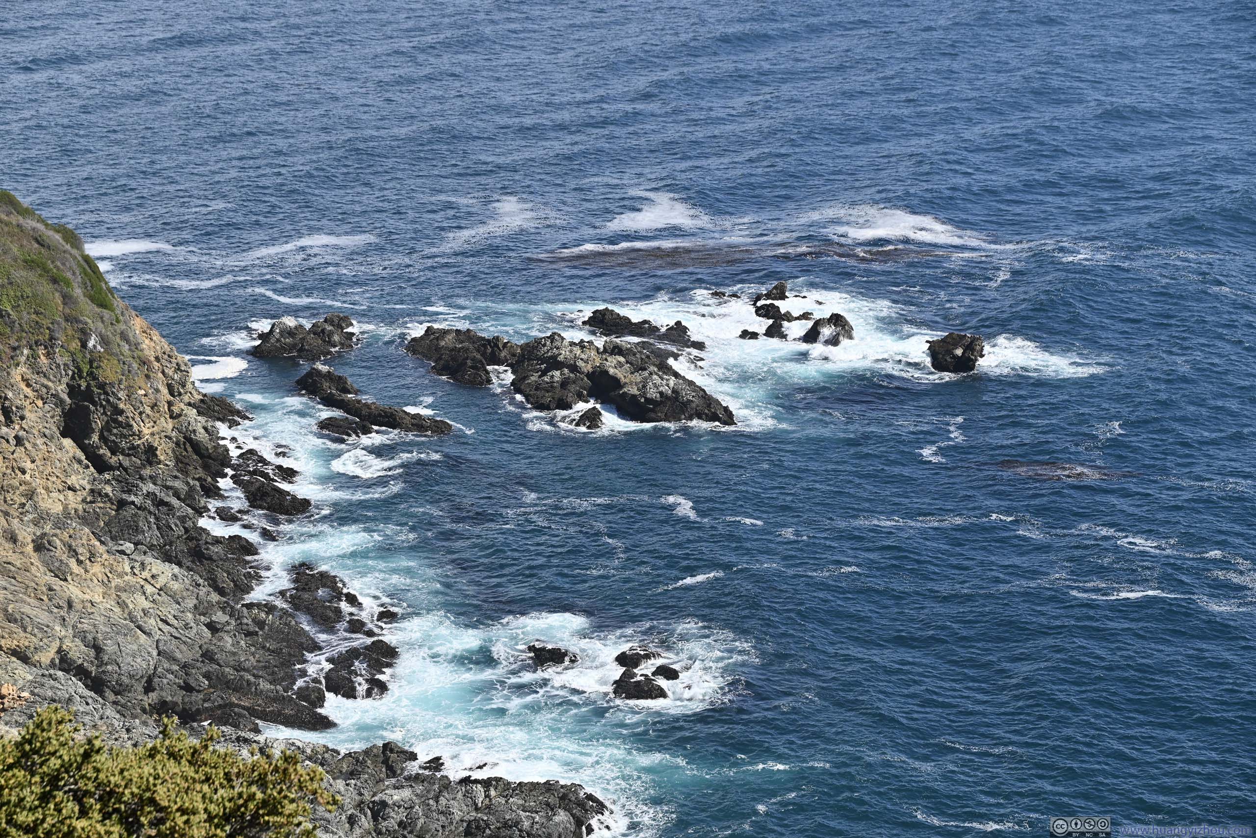
Rocks along Shore
Rugged Coastline

Rugged Coastline
Rock Arch in Ocean
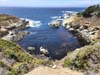
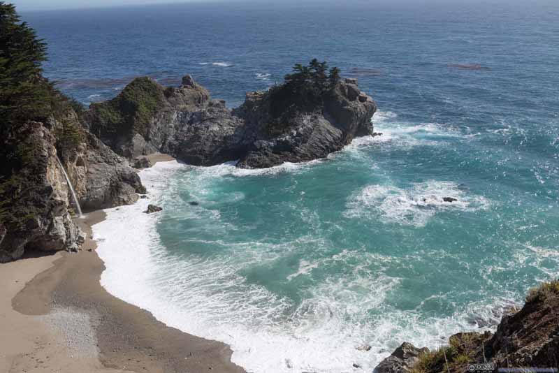
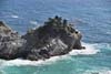
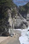
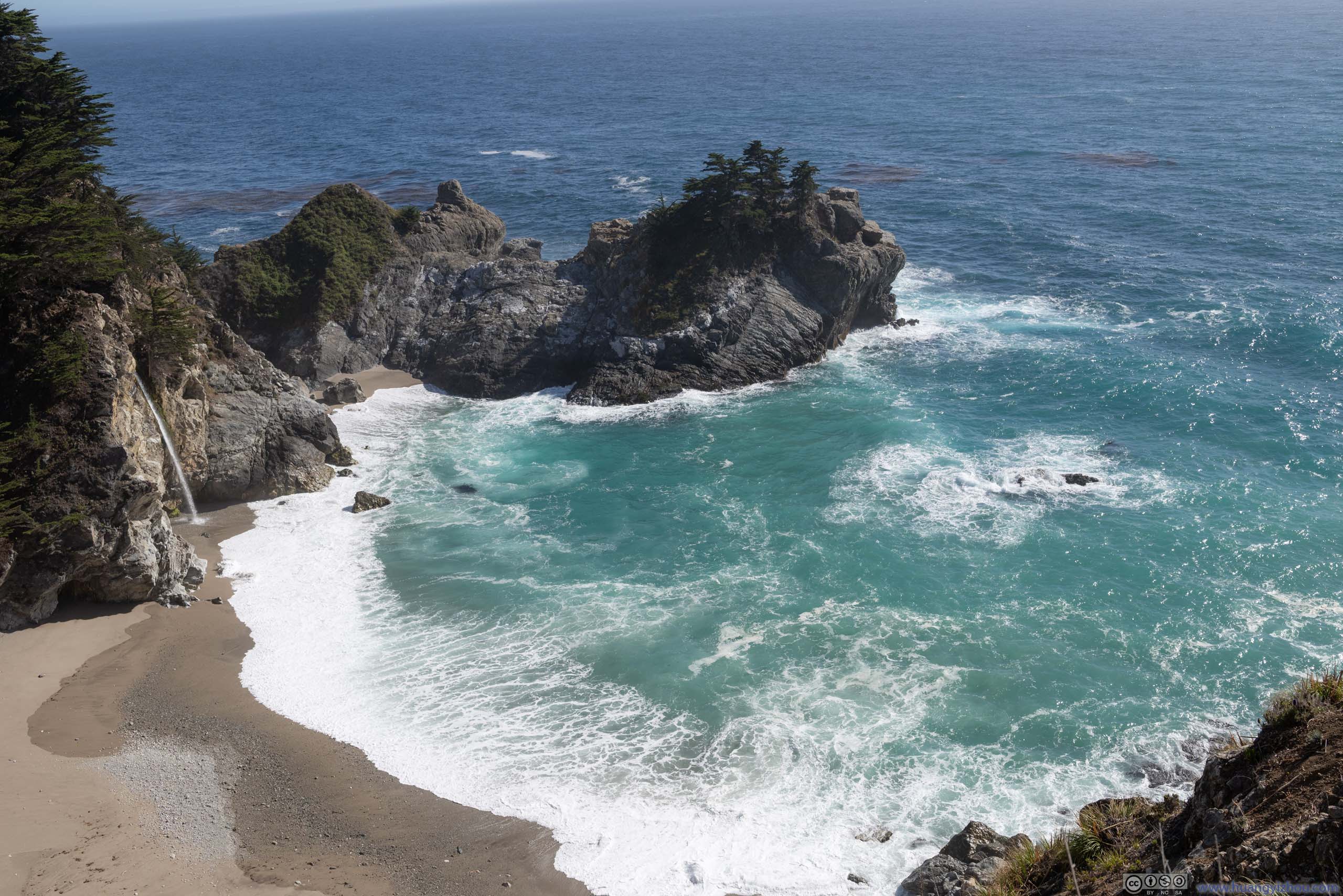
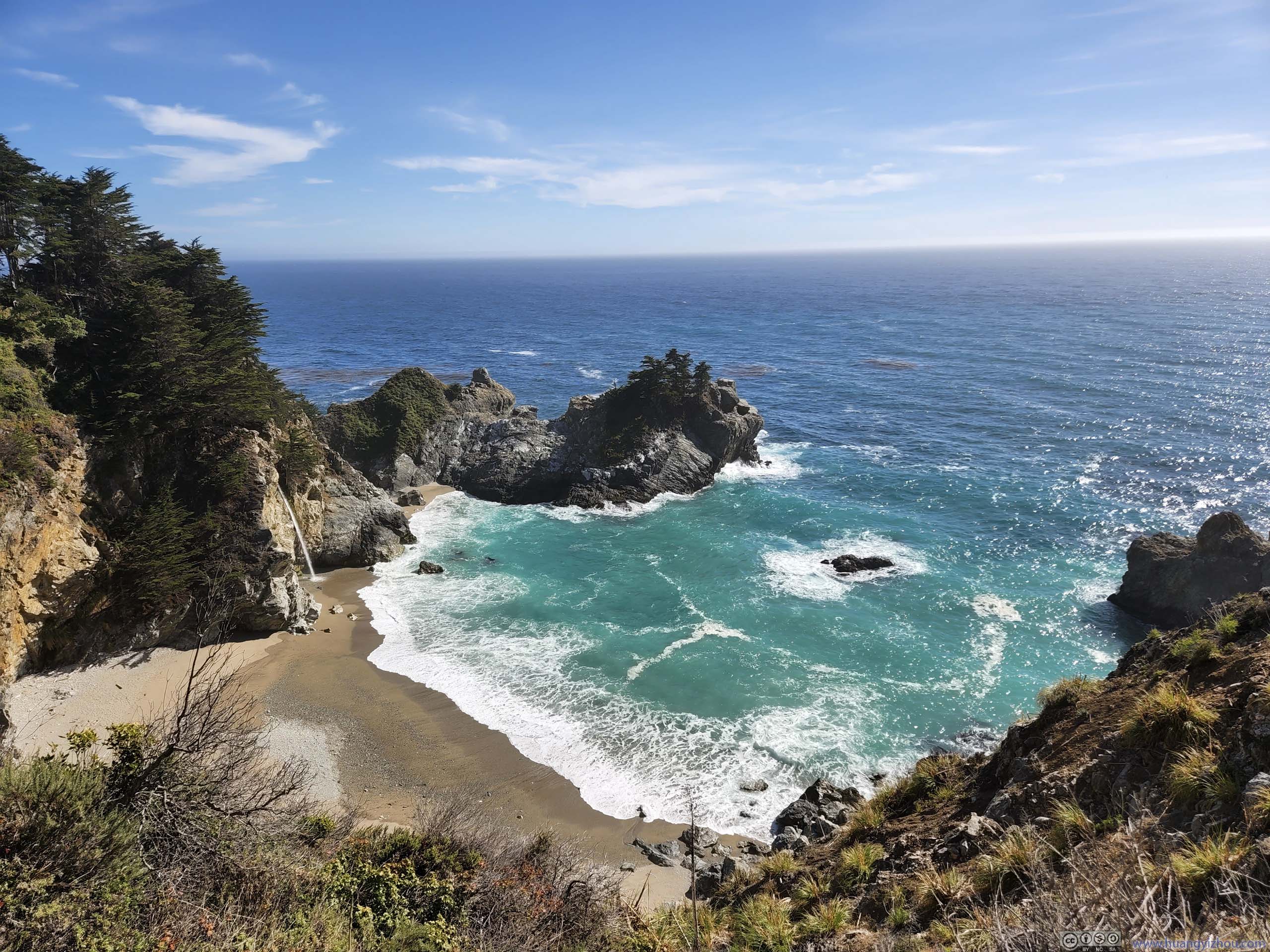
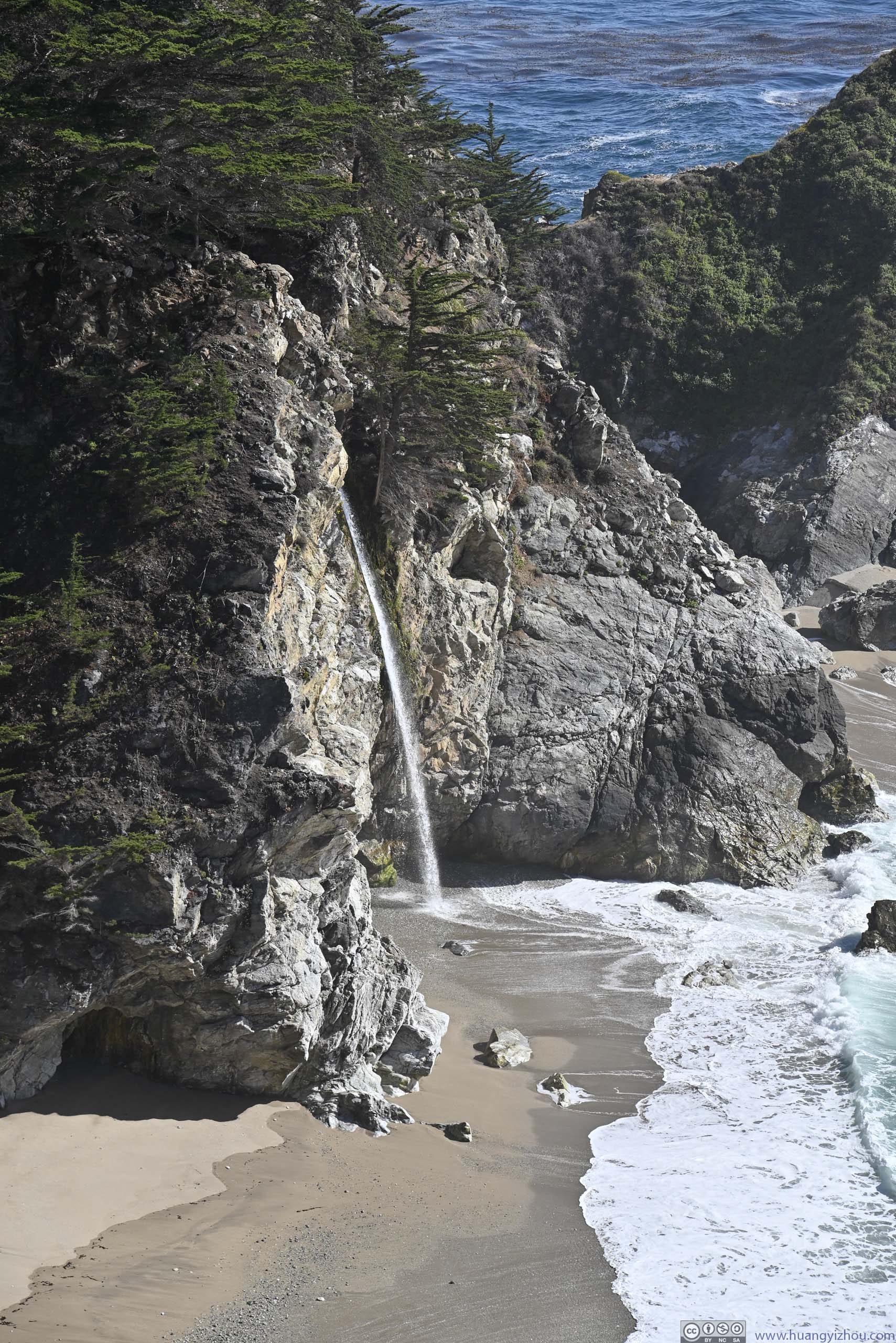
A highlight of the park was McWay Falls, a 24m-tall waterfall along the coast. Depending on the tide, it falls either onto the beach or the ocean. Its viewpoint was accessed from the parking lot via a short 500m trail. During our visit, the last part of the trail was closed for maintenance, but that did not affect us viewing the waterfall.
 McWay Cove
 McWay Cove
 Saddle Rock in McWay Cove
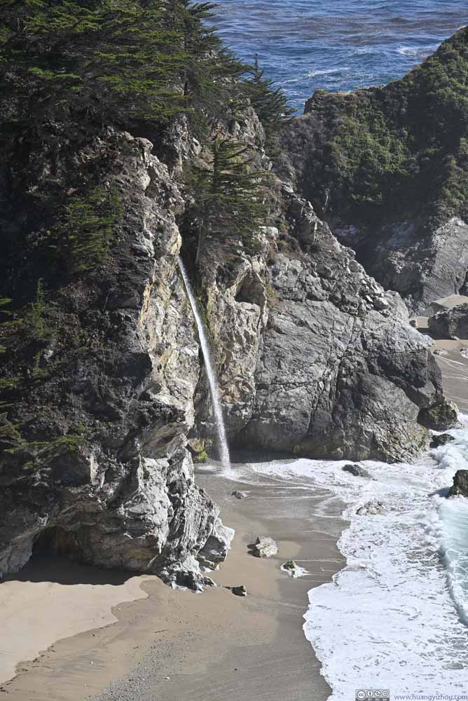 McWay Falls

Click here to display photos of McWay Falls and Cove.
McWay Cove
McWay Cove
Saddle Rock in McWay Cove
McWay Falls
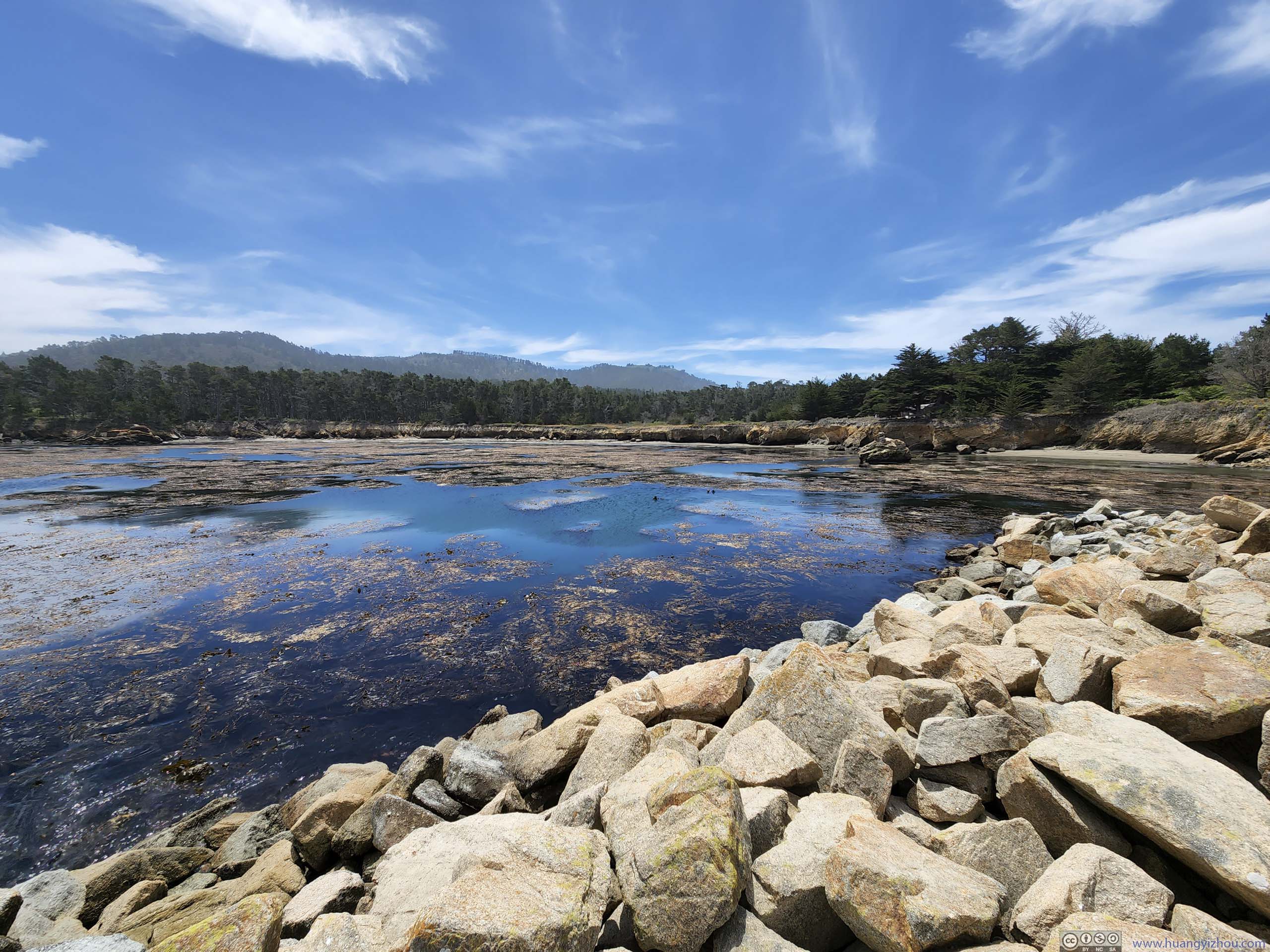
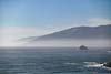
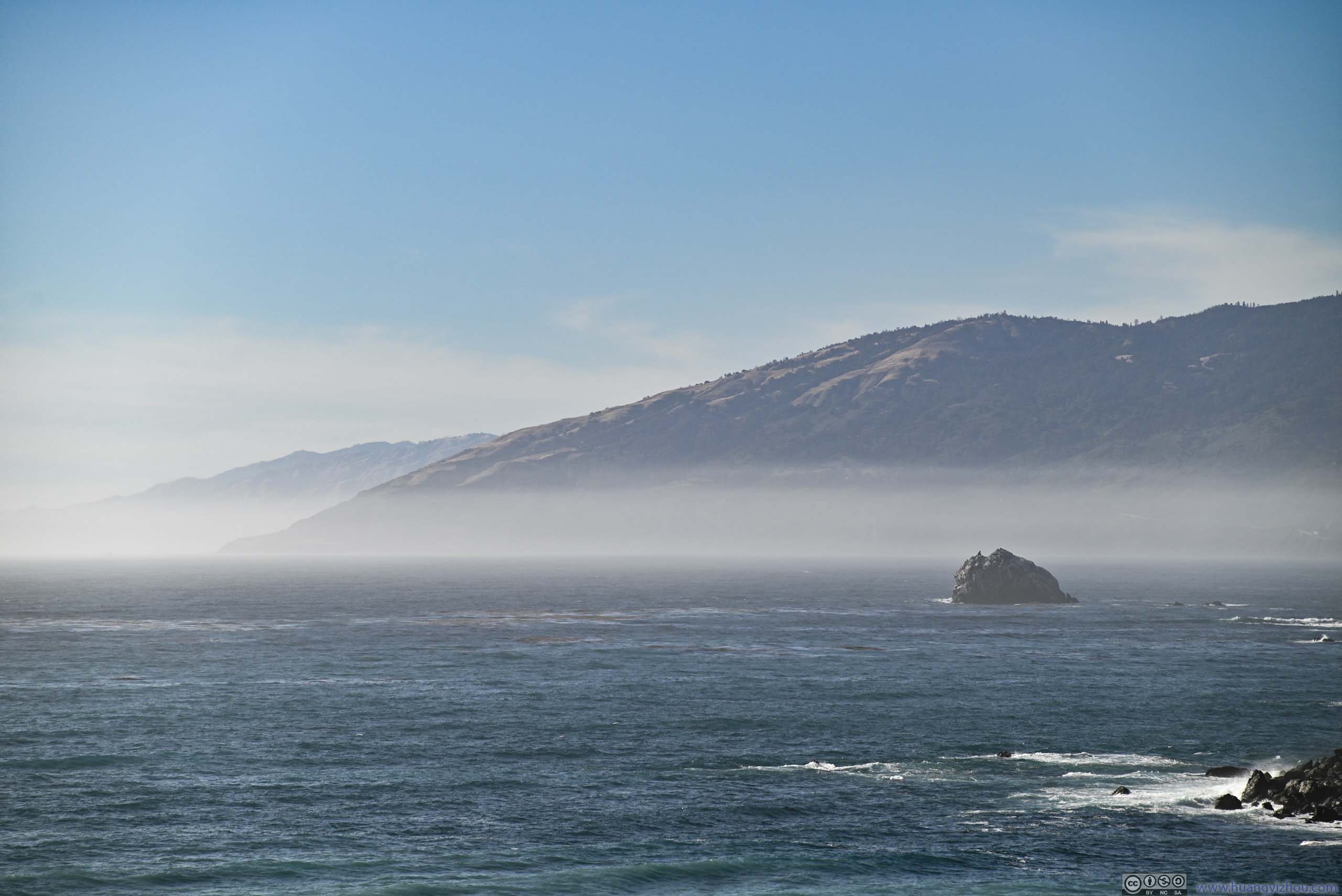
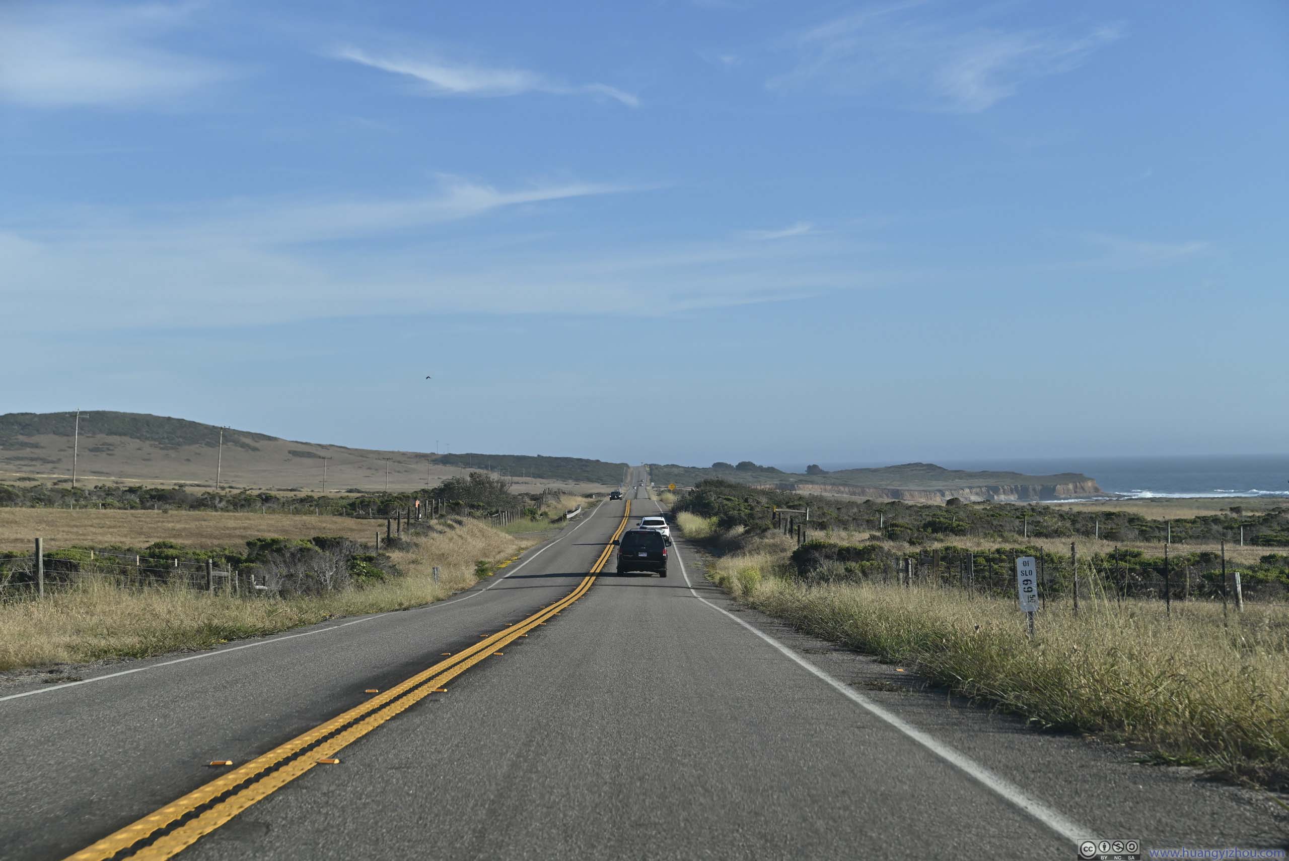
It’s already 5pm and on the map, we weren’t even halfway between Monterey and Cambria. With the best of Big Sur behind us, we hastened our pace with fewer stops along the way.
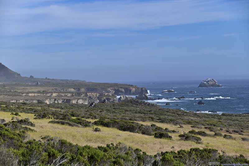 Coastline with Erosion
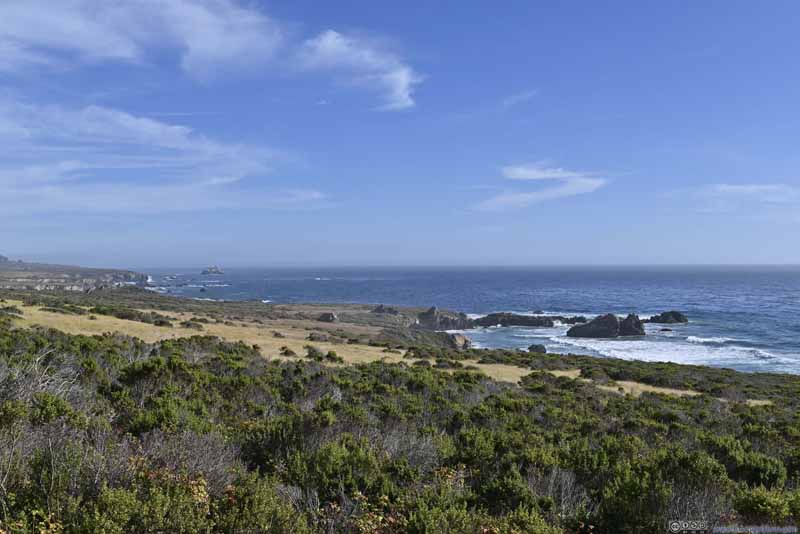 Coastline
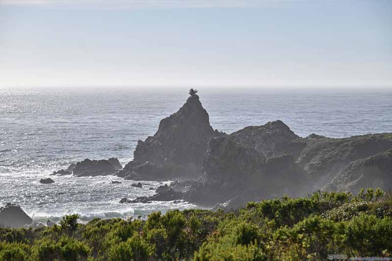 Rocky Peninsula
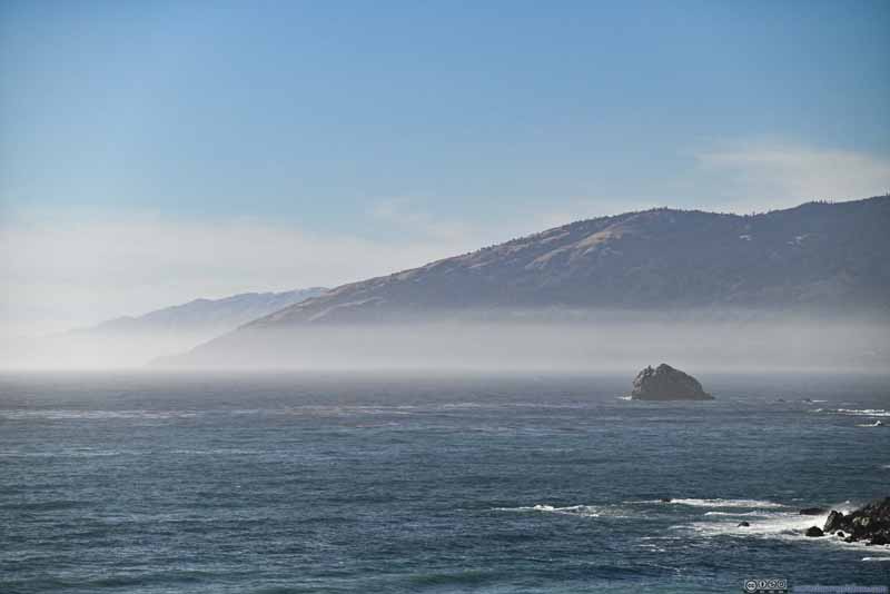 Distant Coastline in Fog
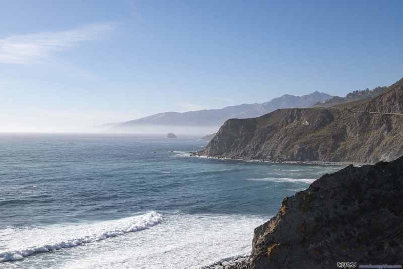 Foggy Coastline
 Cape San Martin
 Cove
Cove

Click here to display photos of the slideshow

Coastline with Erosion
Coastline
Rocky Peninsula
Distant Coastline in Fog
Foggy Coastline

Cape San Martin
Cove
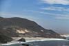
Glittering Sea from Willow Creek Viewpoint
 Coastal Road
 Boulders and Cliffs along Coast
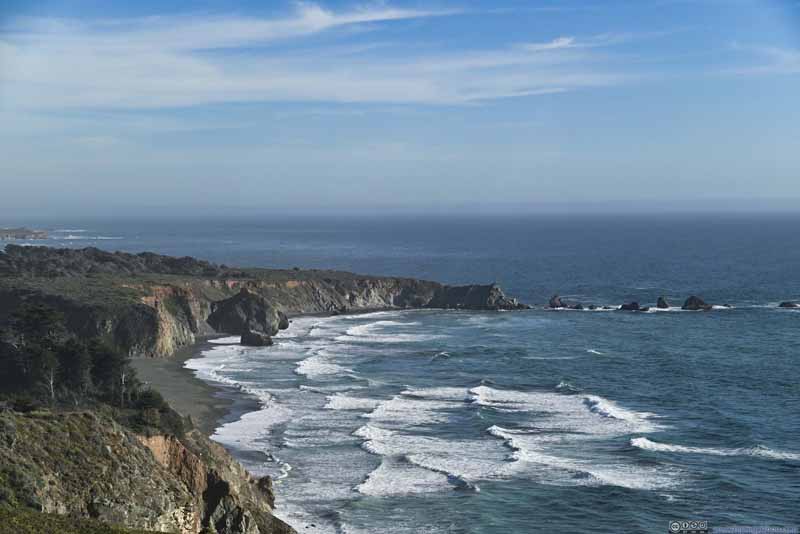 Coastline
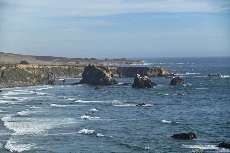 Boulders along Coastline
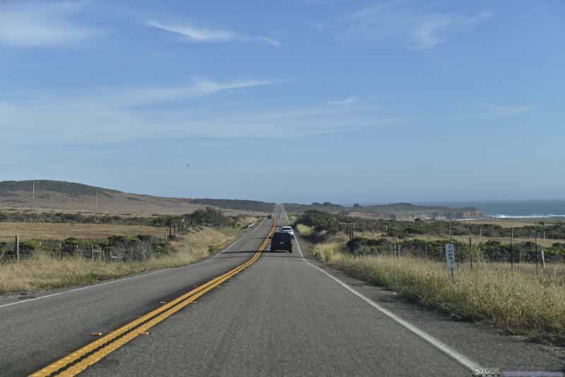 RoadOne of the few stretches of straights.
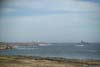
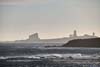
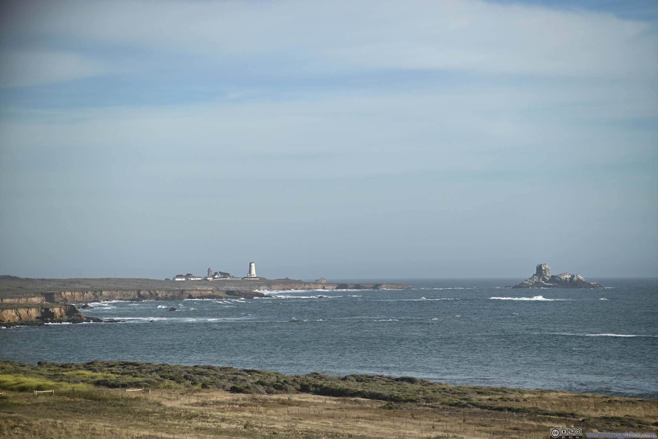
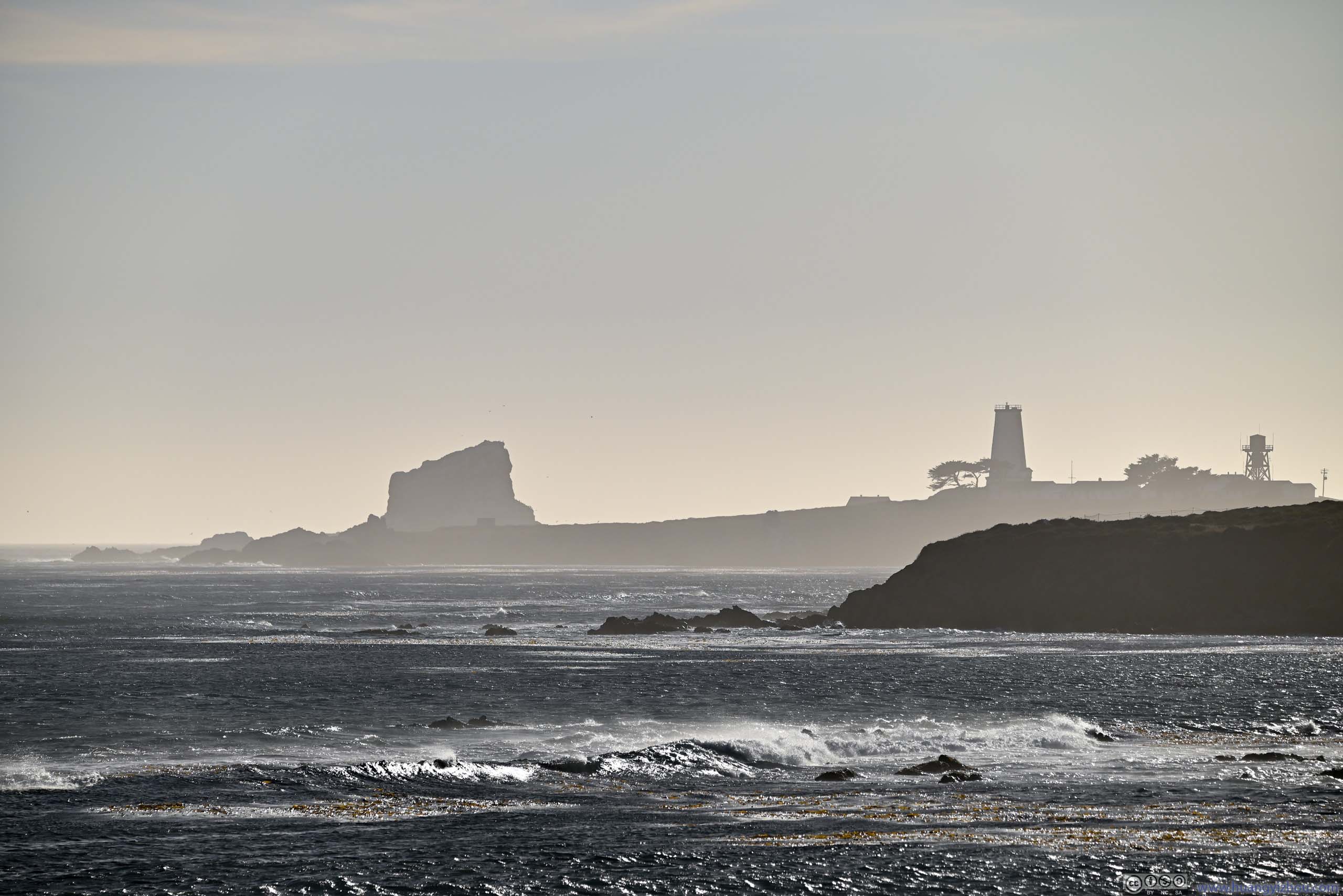
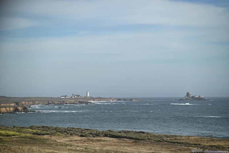 Distant Piedras Blancas Light Station
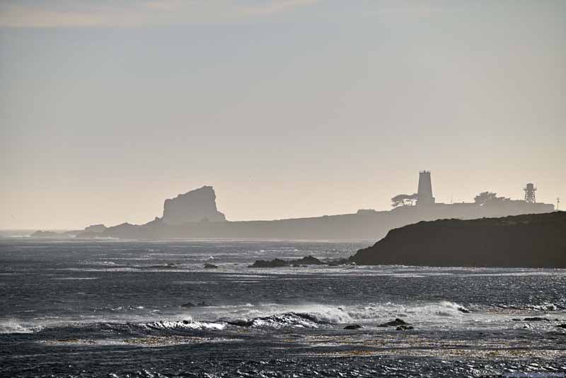 Contour of Distant Piedras Blancas Light Station
Click here to display photos of the slideshow
Coastal Road

Boulders and Cliffs along Coast

Coastline

Boulders along Coastline
RoadOne of the few stretches of straights.
Distant Piedras Blancas Light Station
Contour of Distant Piedras Blancas Light Station
Between McWay Cove and Cambria, I used a windshield-mounted GoPro to capture the views along the way. Here’s a timelapse video:
- 0:00 The video starts shortly after leaving McWay Cove.
- 3:37 Big Creek Bridge
- 7:03 Tunnel before Limekiln State Park
- 10:05 A roadside turnout between Wild Cattle Creek and Prewitt Creek where we stopped and appreciated the views.
- 10:55 Plaskett. A small town along CA-1.
- 12:13 Willow Creek Vista Point. View of Cape San Martin.
- 20:32 Ragged Point. A small town along CA-1.
- 24:52 Elephant Seal Vista Point outside San Simeon.
- 26:14 Moonstone Beach Dr of Cambria. This video ends soon after that as we arrived at our hotel.
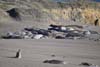
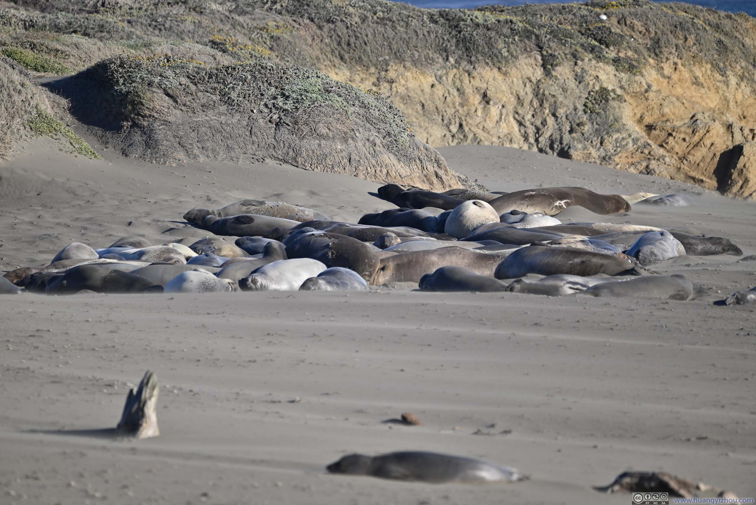
Elephant Seal Vista Point
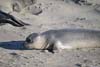
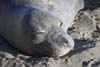
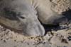
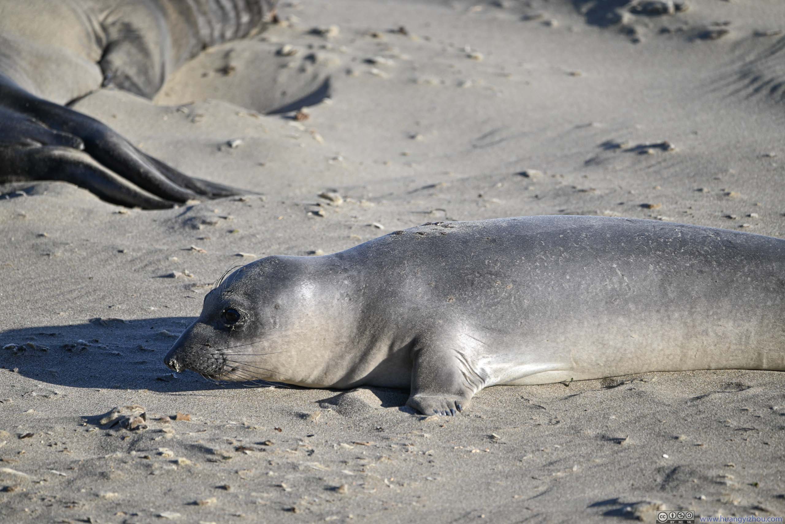
Before San Simeon, a beach served as a native habitat for a large group of elephant seals. Their numbers were so large that a boardwalk/vista was constructed so people could view them at relatively close range.
During our visit, I found most of the elephant seals sunbathing on the beach (at least I didn’t find any in the ocean). It could be that this was their molting season when they shed their fur, which could only happen on land.
 Elephant SealThis one seemed to notice my presence by staring at me.
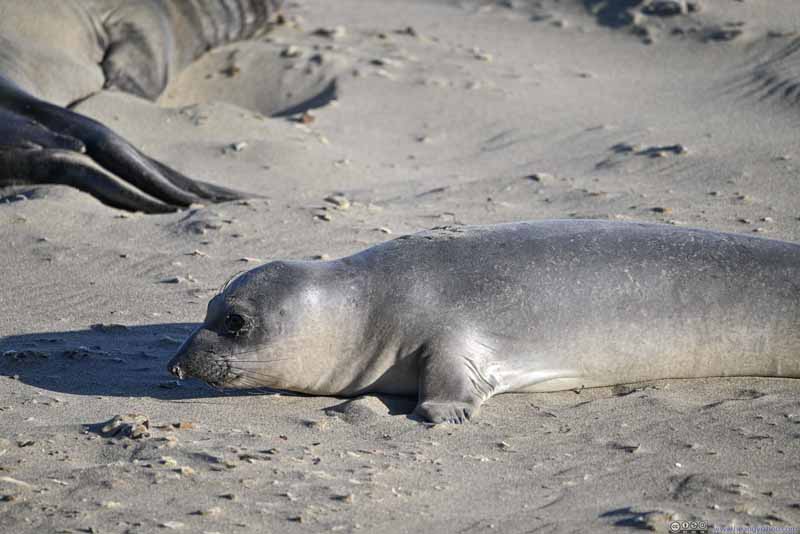 Elephant Seal
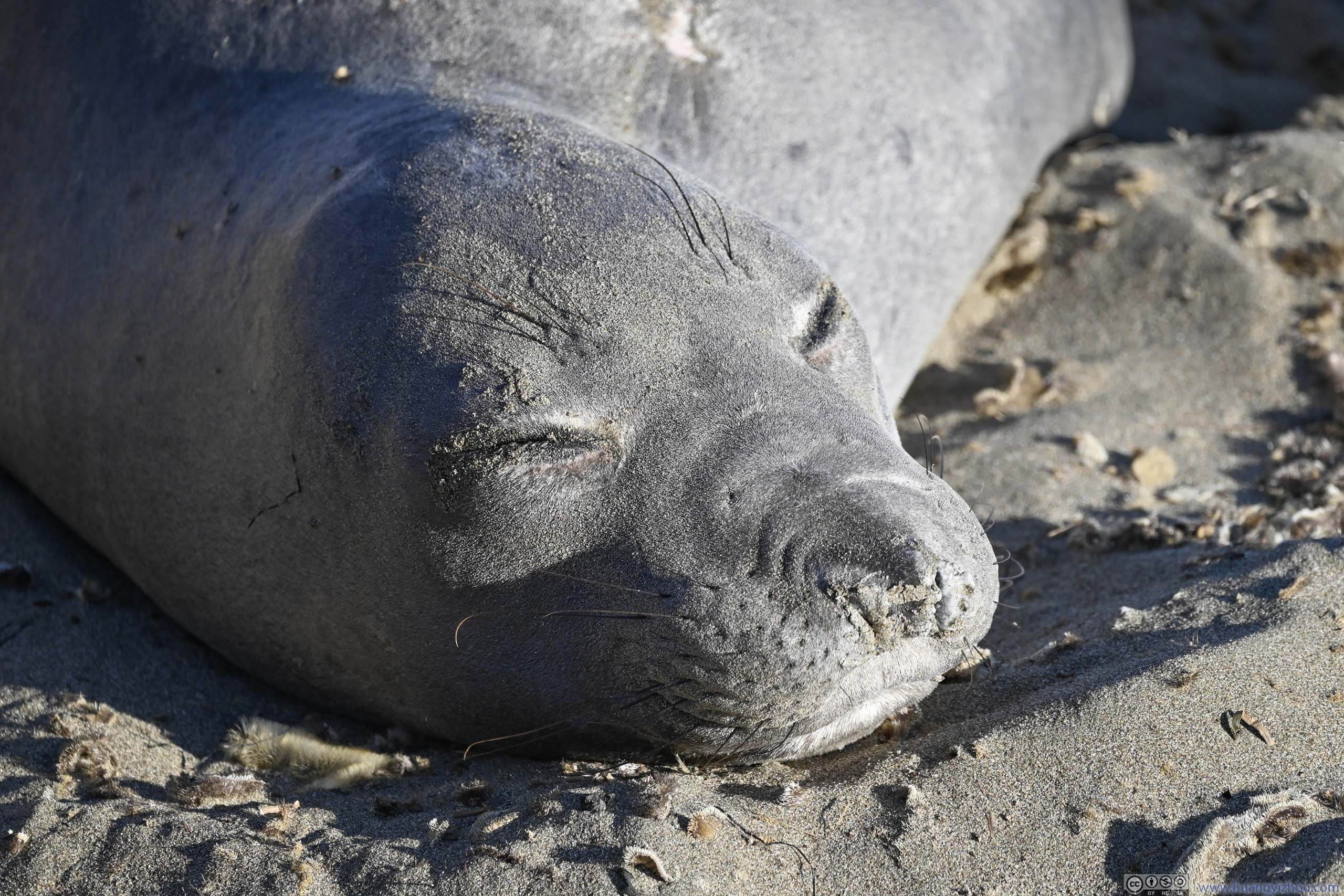
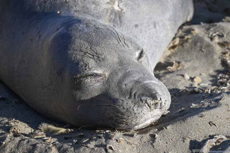 Elephant Seal AsleepI liked this facial expression.
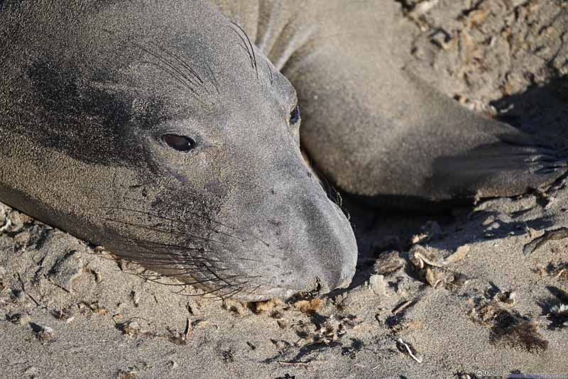 Elephant Seal
 Elephant Seal Digging SandI don’t know what’s the point of doing this.
 Elephant Seals
Click here to display photos of the elephant seals.

Elephant SealThis one seemed to notice my presence by staring at me.
Elephant Seal
Elephant Seal AsleepI liked this facial expression.

Elephant Seal

Elephant Seal Digging SandI don’t know what’s the point of doing this.
Elephant Seals
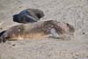
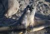
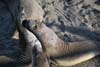
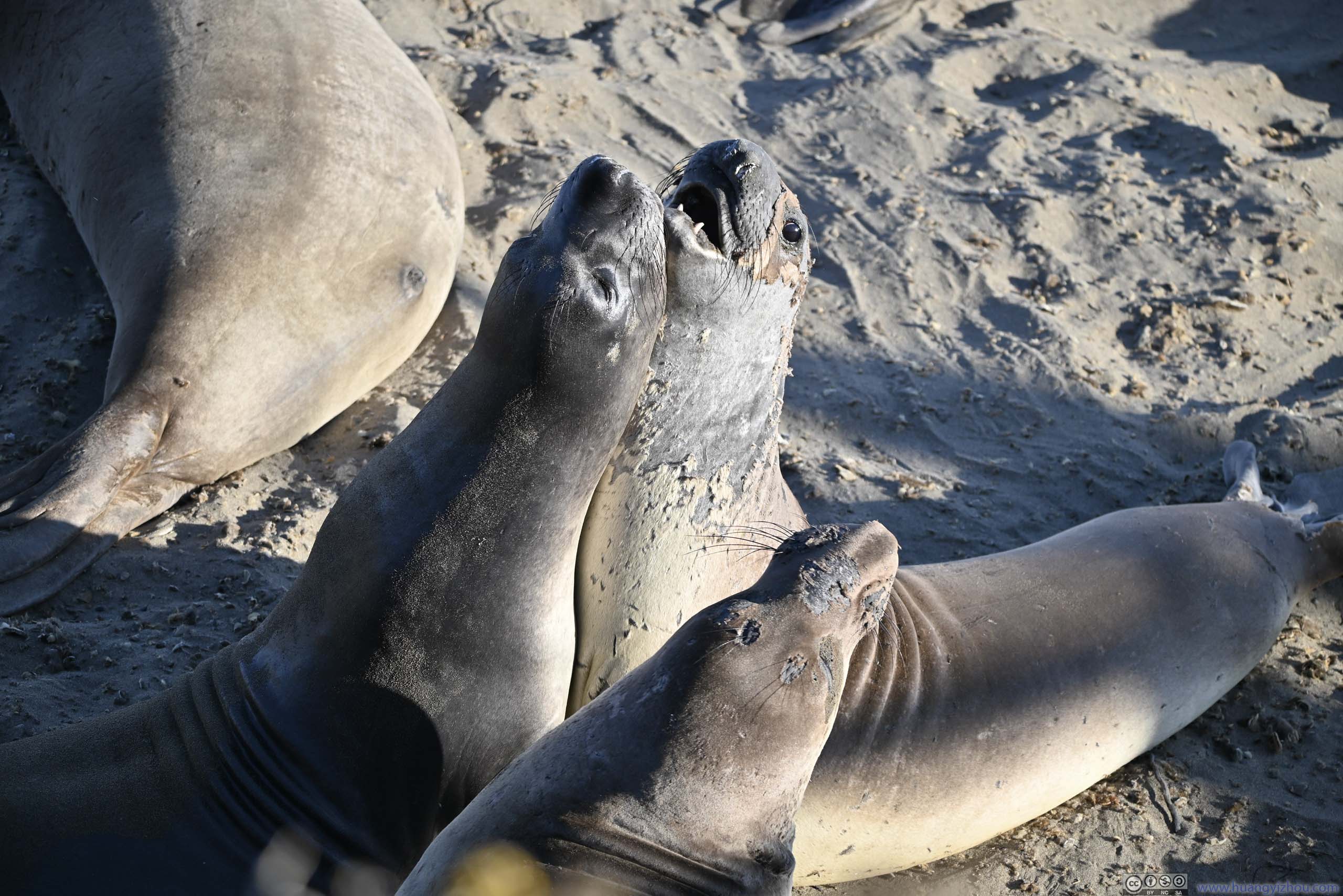
In particular, I found this pair of elephant seals were rather interested in body contact with each other. I didn’t know whether they were hugging or fighting each other.
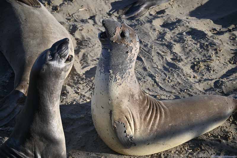 Elephant SealsThese two were either hugging or fighting each other.
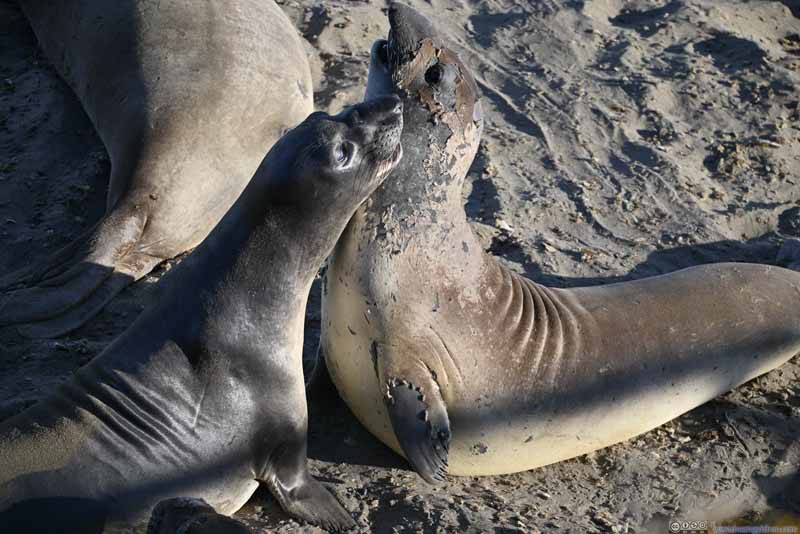 Elephant SealsThese two were either hugging or fighting each other.
 Elephant SealsThese two were either hugging or fighting each other.
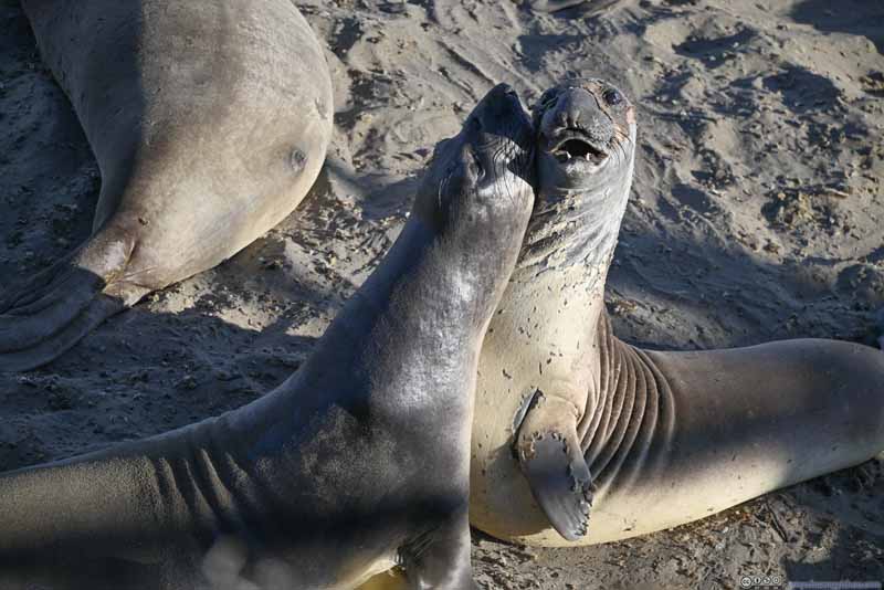 Elephant SealsThese two were either hugging or fighting each other.
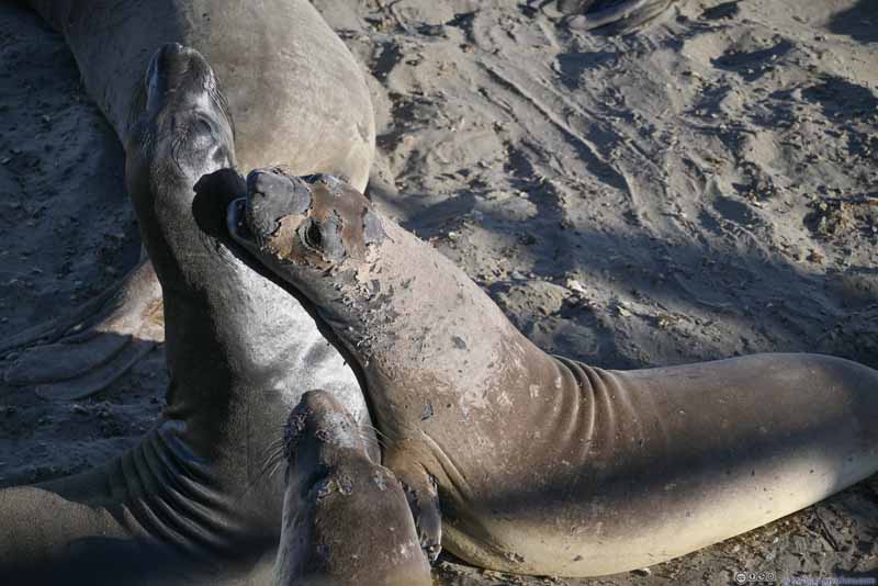 Elephant SealsThese two were either hugging or fighting each other.
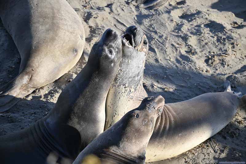 Elephant SealsThese two were either hugging or fighting each other.

Click here to display photos of the elephant seals.

Elephant SealsThese two were either hugging or fighting each other.

Elephant SealsThese two were either hugging or fighting each other.

Elephant SealsThese two were either hugging or fighting each other.

Elephant SealsThese two were either hugging or fighting each other.

Elephant SealsThese two were either hugging or fighting each other.
Elephant SealsThese two were either hugging or fighting each other.
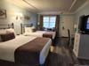
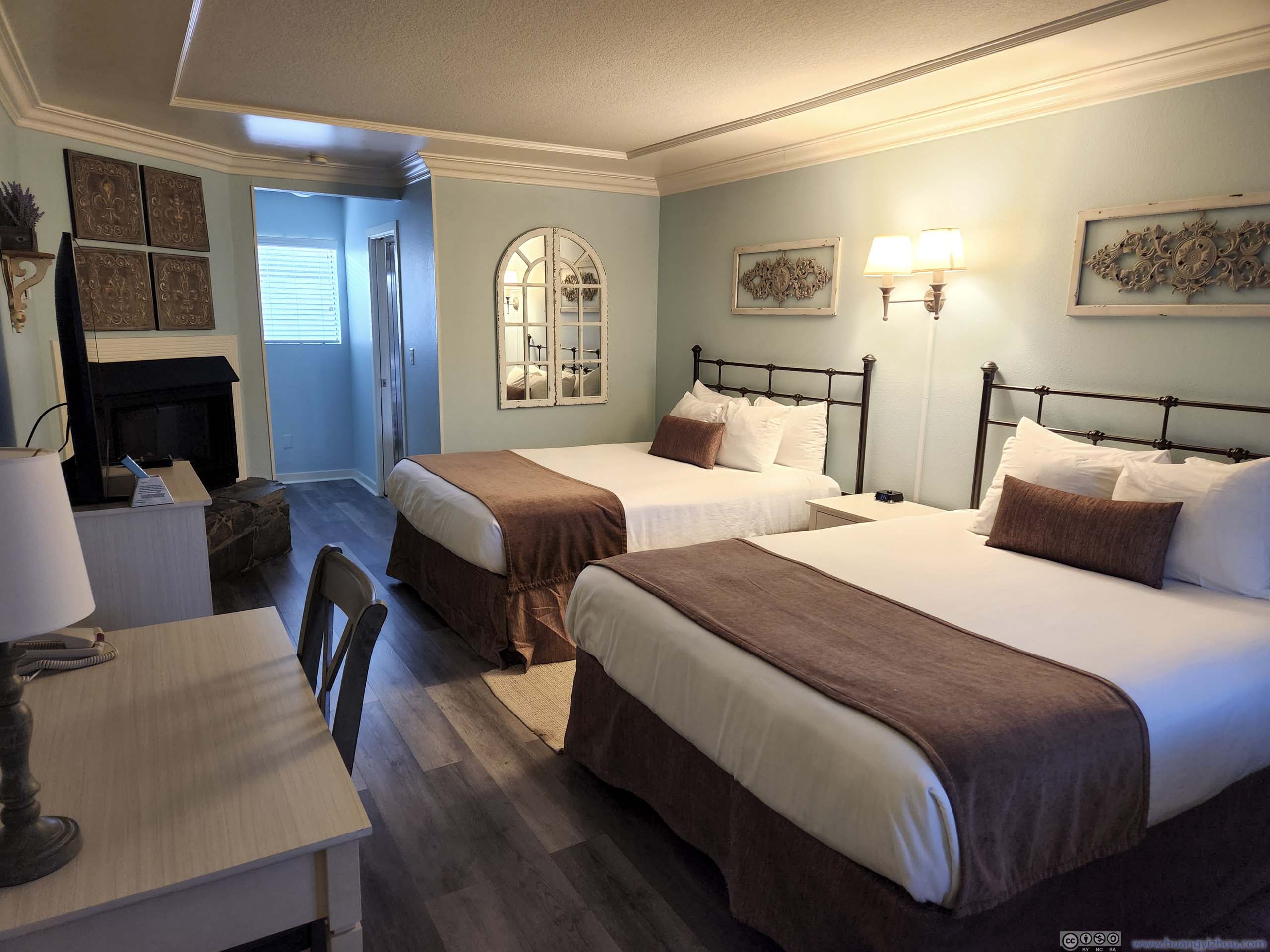
We reached our overnight hotel (Sea Otter Inn) just past 7pm. This one was located in Cambria’s coastal area, along Moonstone Beach Dr. The road had ocean on one side and an array of hotels on the other, where the hotels weren’t too different from each other, as if created by the “duplicate” tool in city building simulation games.
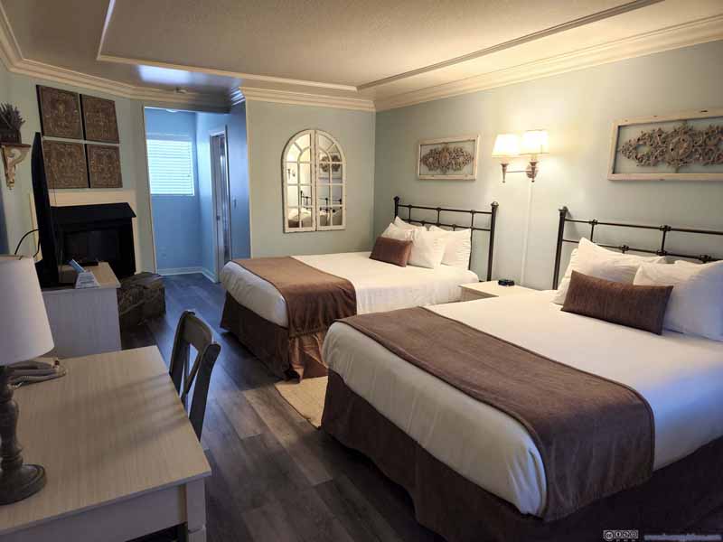 Hotel Room
 Hotel Room

Click here to display photos of the hotel room.
Hotel Room

Hotel Room
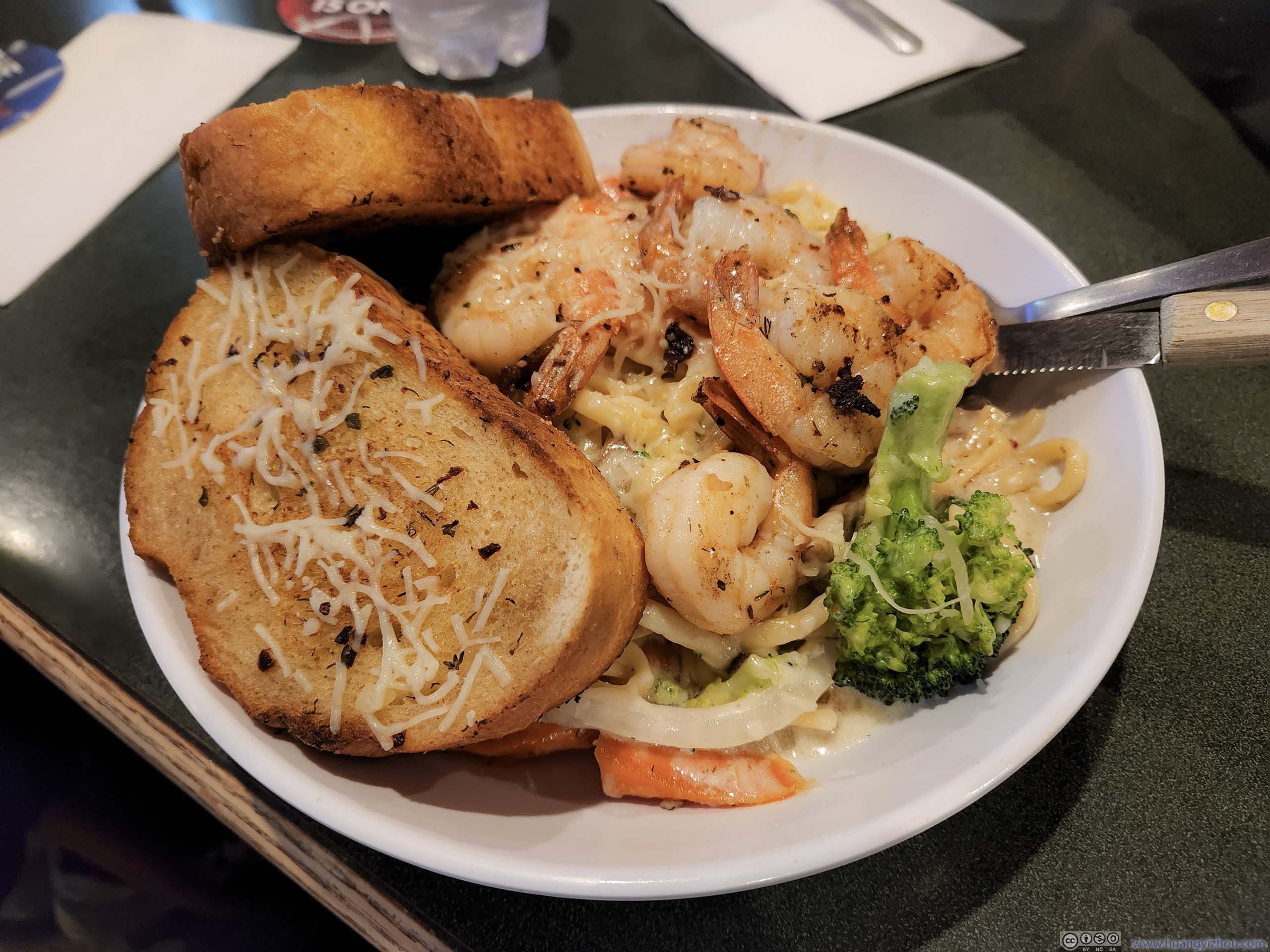
Dinner
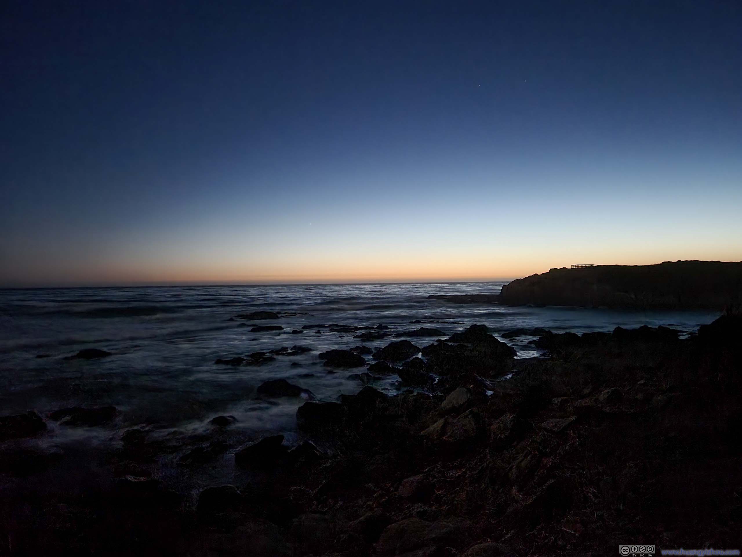
Twilight over Horizon
END
![]() Day 2 of June 2022 Trip to California, Pacific Coast Highway from Monterey to Cambria by Huang's Site is licensed under a Creative Commons Attribution-NonCommercial-ShareAlike 4.0 International License.
Day 2 of June 2022 Trip to California, Pacific Coast Highway from Monterey to Cambria by Huang's Site is licensed under a Creative Commons Attribution-NonCommercial-ShareAlike 4.0 International License.