
Updated on September 16, 2024
Day 3 of June 2022 Trip to California, Cambria to Los Angeles
The third day of my June 2022 trip to California, we drove from Cambria to Los Angeles, spending most of the day on the road.
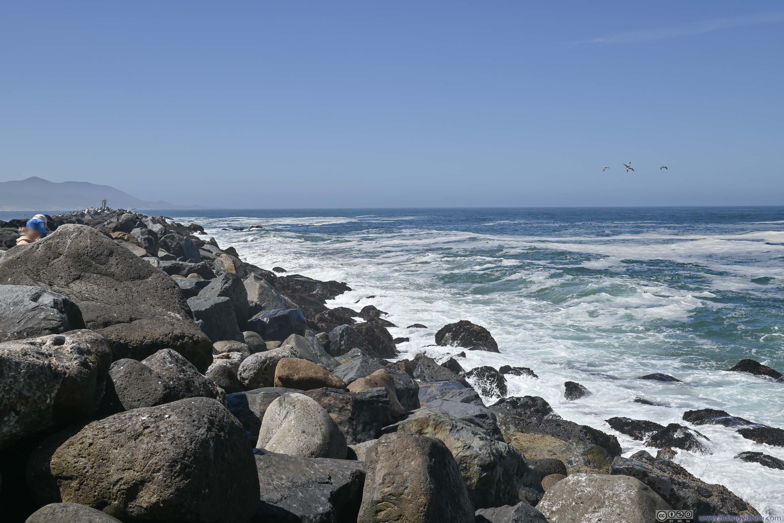
Waves Pounding Breakwater
After driving through the best part of California’s Pacific Coast Highway from Monterey to Cambria, the remaining part of CA Route 1 didn’t follow the coast as closely and wasn’t as scenic. As a result, we planned to drive all the way to the overnight lodge in Los Angeles today, with fewer stops along the way.
Drone Tour of Cambria Coast
On the morning of June 10, I woke up slightly earlier than my friends. Since we reached Cambria relatively late the previous day (and hence didn’t check out the town), I thought it would be a good idea to launch my drone for an aerial tour of Cambria’s coastline (while waiting for them to get out of bed).
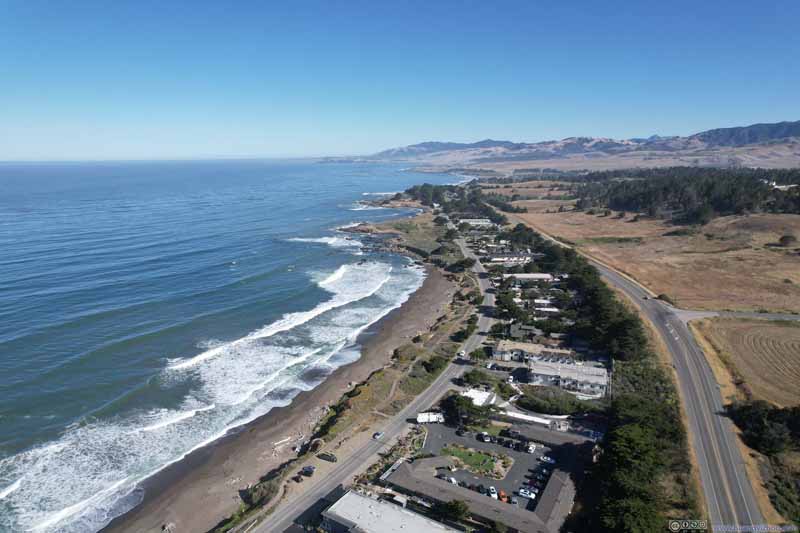 Cambria Coast
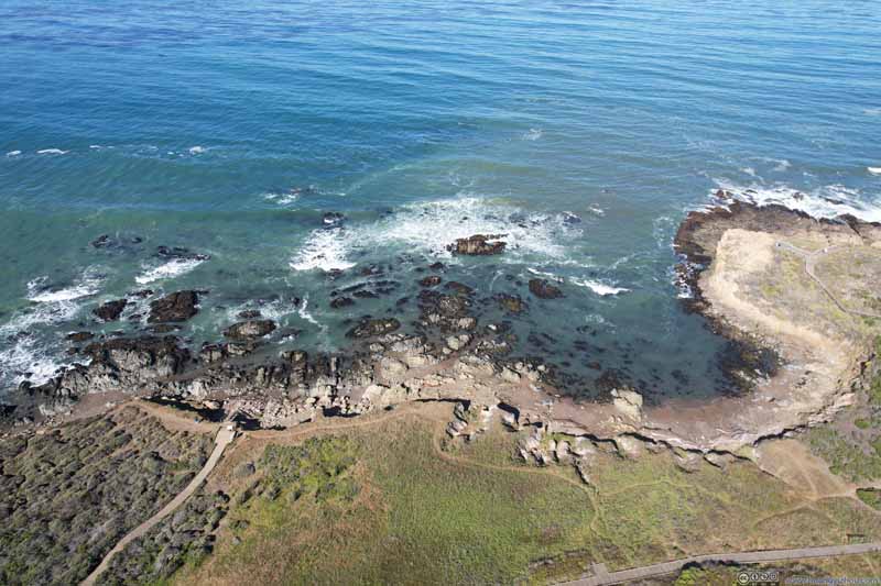 Cambria Coast
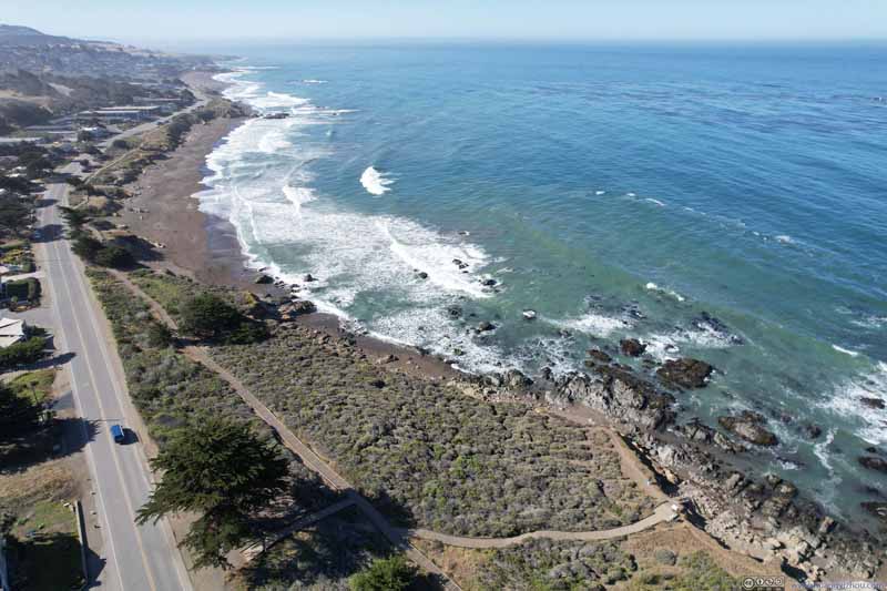 Cambria Coast


Click here to display photos overlooking Cambria’s coast.
Cambria Coast
Cambria Coast

Cambria Coast
 Overlooking Cambria Coastline
Distant Cambria Shores
And here’s a video:
- 0:00 northbound
- 0:17 southbound, overflying the array of hotels along Cambria coast
- 0:48 inland, against the backdrop of mountains
- 1:11 back towards the ocean
Morro Bay
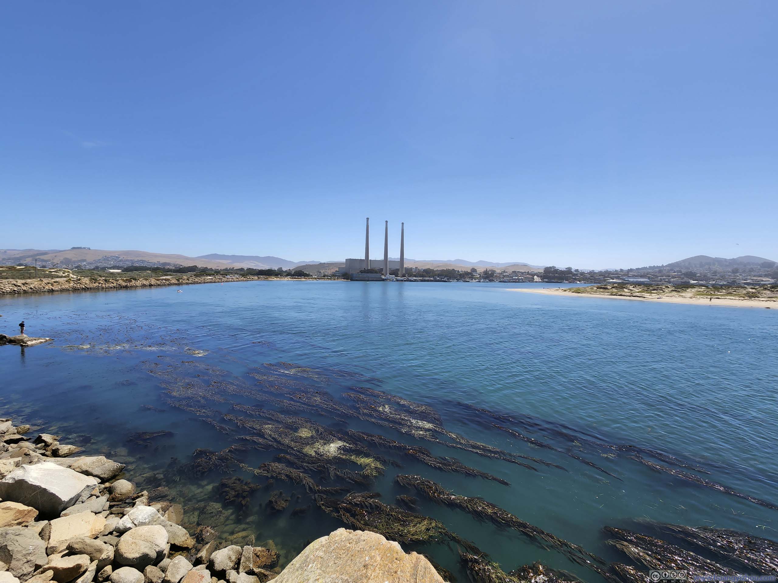
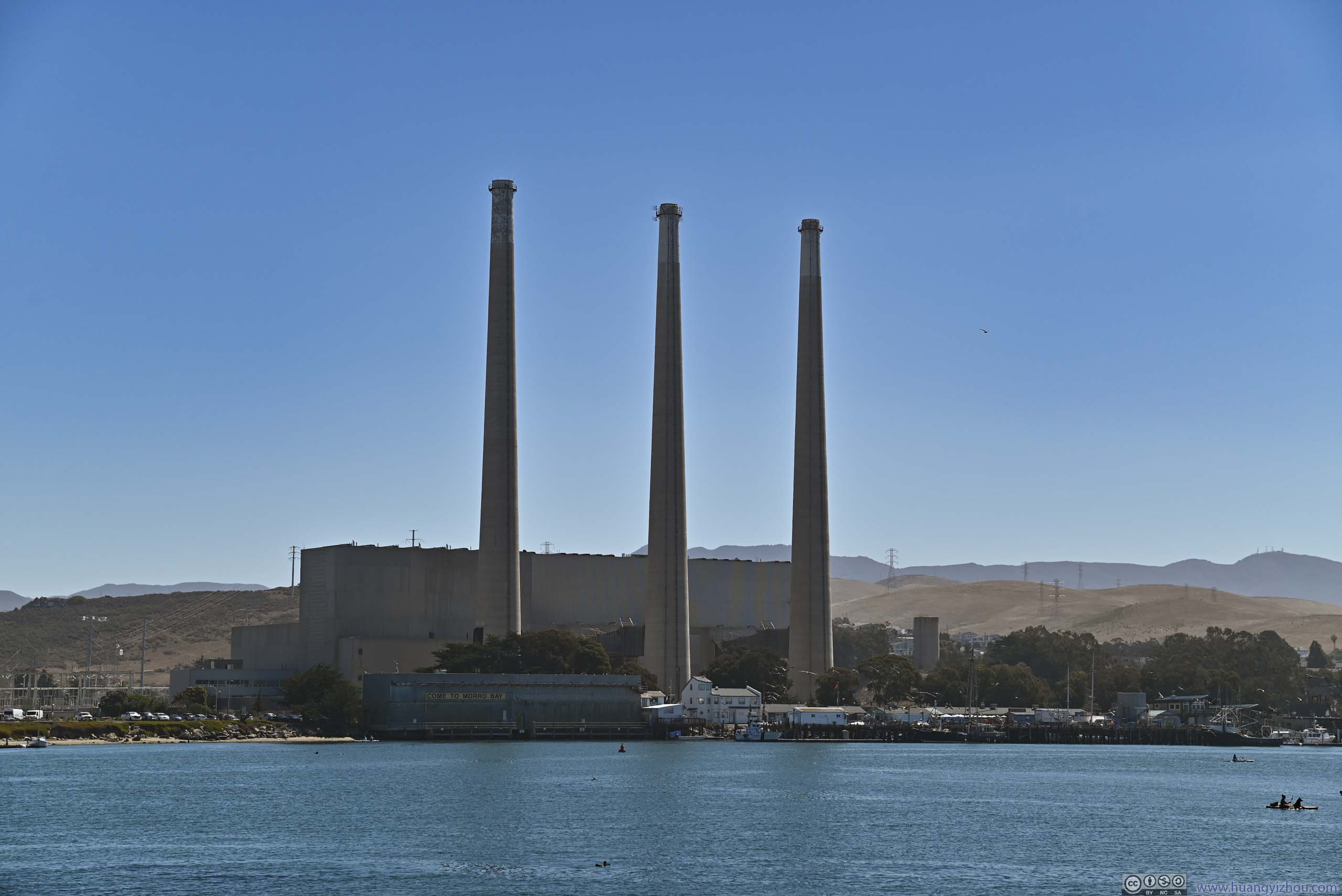
After leaving Cambria, we took a small detour to check out Morro Bay.
Here’s a video from a dash-mounted GoPro capturing our drive from Cambria to Morro Bay. It’s obvious that this segment of Pacific Coast Highway didn’t involve as many curves, instead it’s more like the typical dry southern California landscape.
3 minutes and 39 seconds, 2160p30fps, H265 only, 9Mbps/254MB.
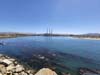
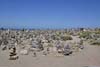
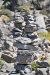
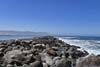
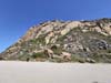
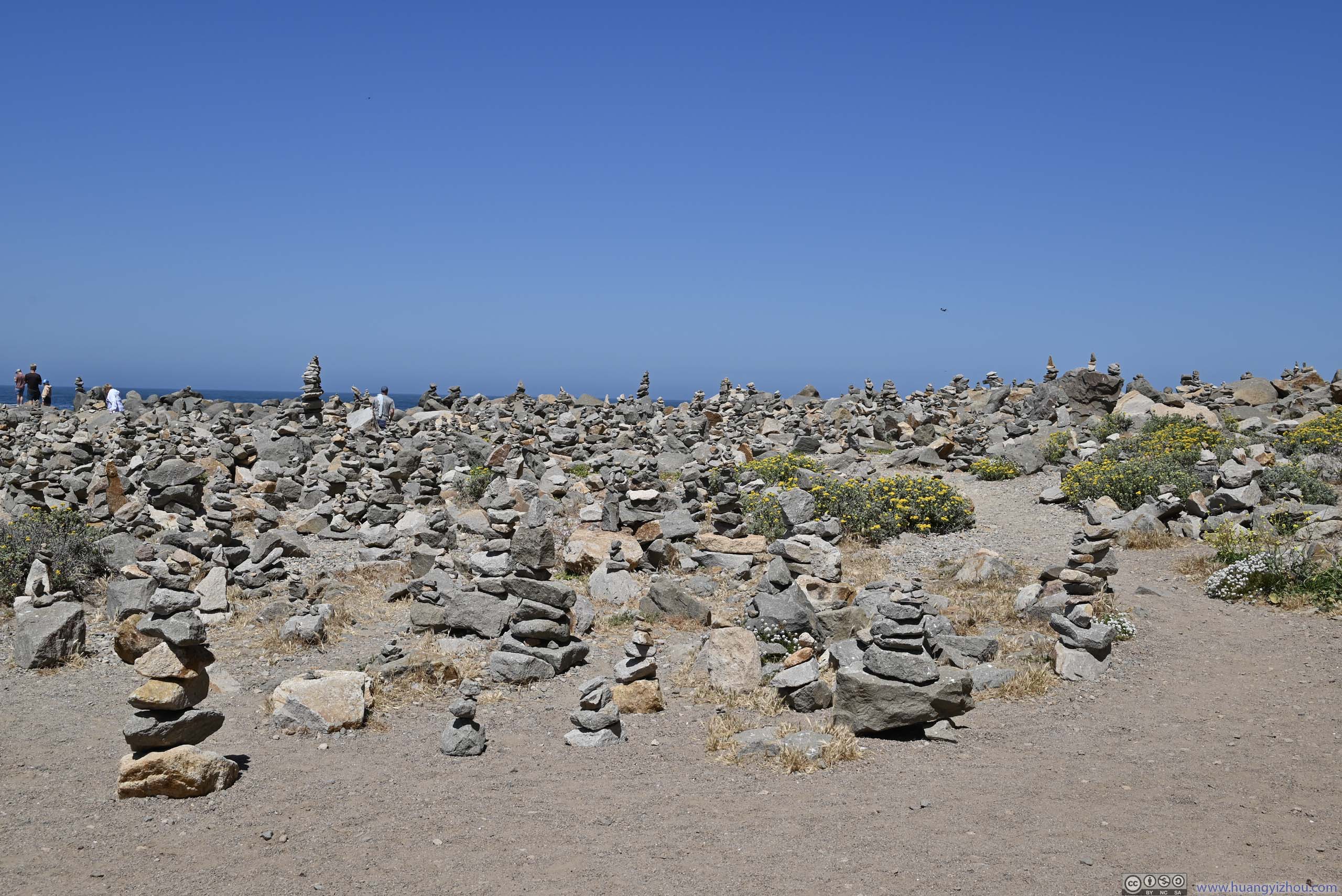
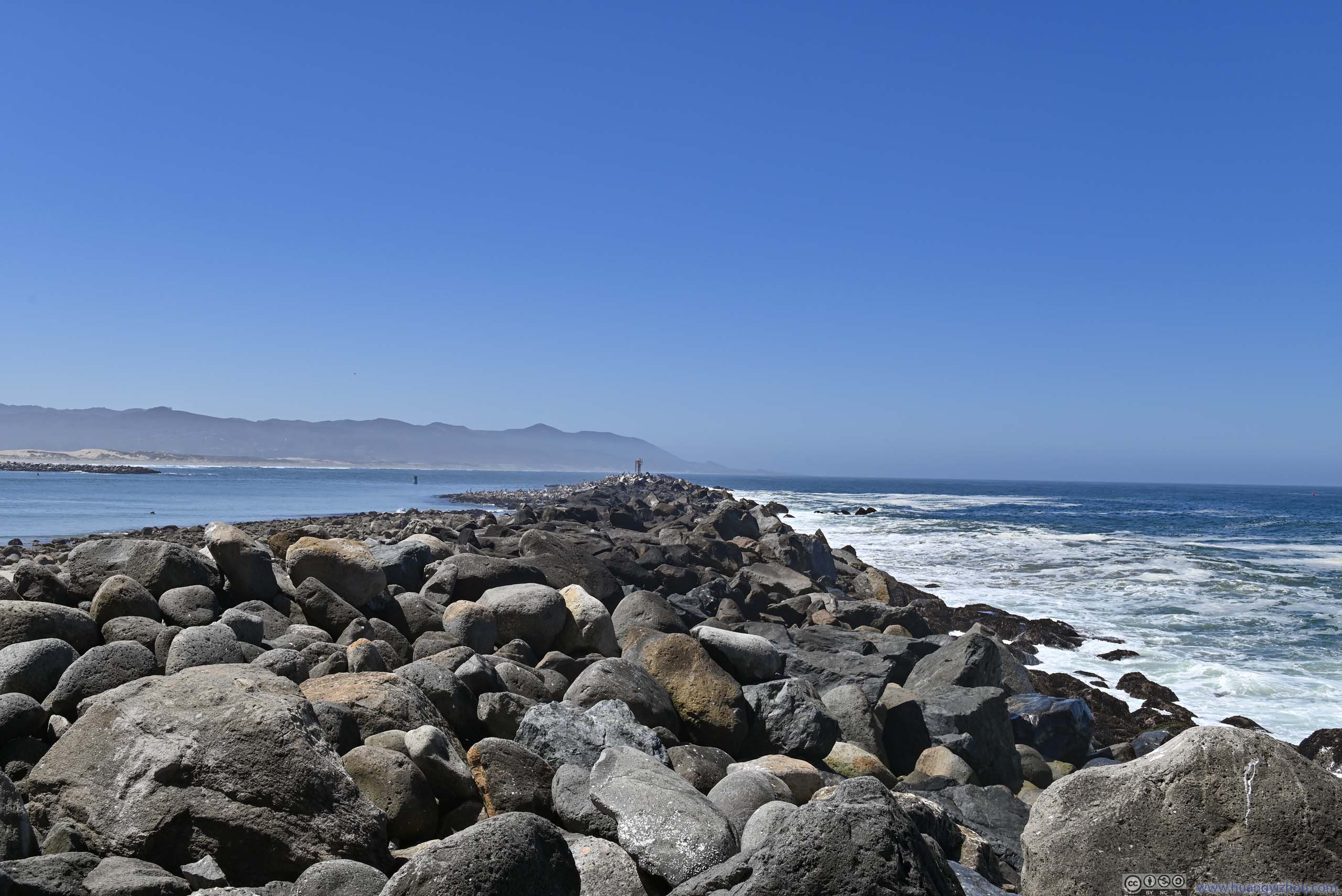
As its name suggested, this was a natural bay, an ideal site for harboring recreational boats. At its mouth was Morro Rock (p6 below), a small hill / volcanic plug that overlooked the bay. We took a short hike to its foot where various cairns were scattered around (p3-4 below), like a collective form of art, created by its visitors over time.
 Morro Bay
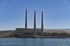
 Smokestacks of Power StationThe station stopped producing electricity in 2014.
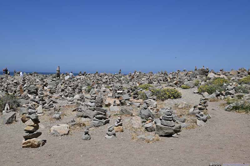 Cairns
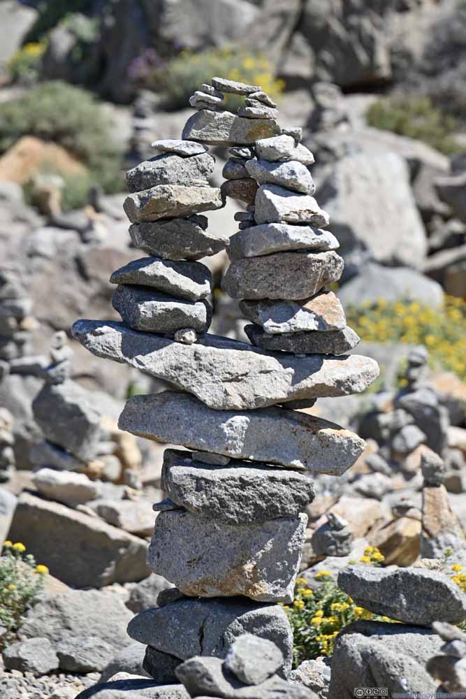 Arch Cairn
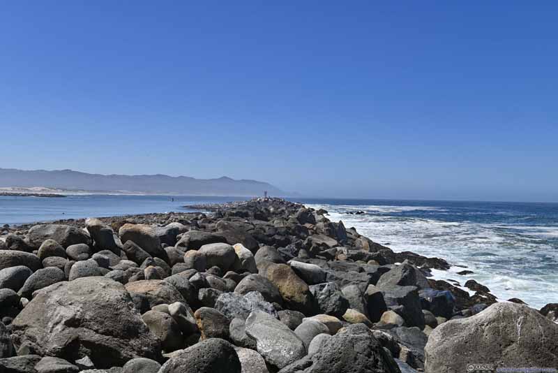 Breakwater
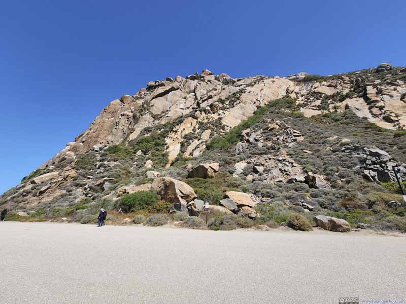 Morro Rock
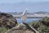
 Gull
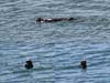
Gull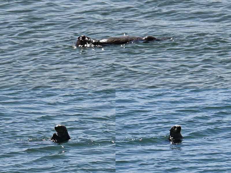 Otter
Otter
Click here to display photos of the slideshow
Morro Bay
Smokestacks of Power StationThe station stopped producing electricity in 2014.
Cairns

Arch Cairn
Breakwater

Morro Rock
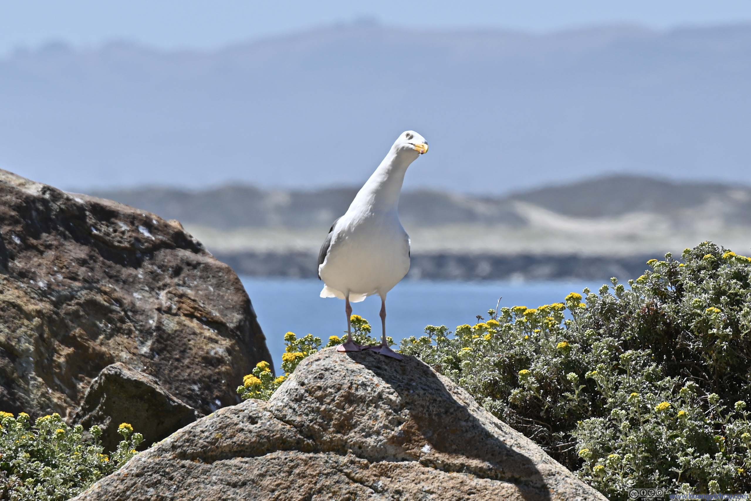
Gull
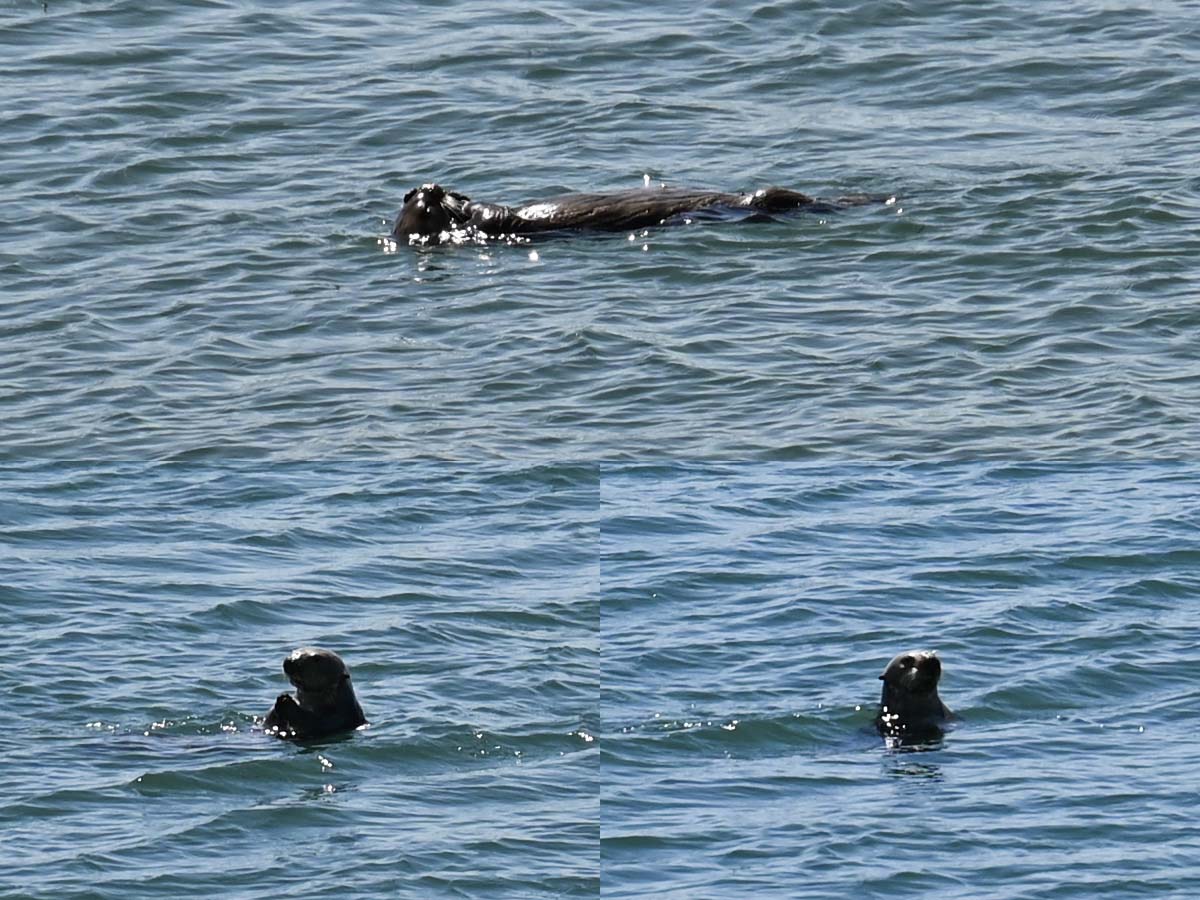
Otter
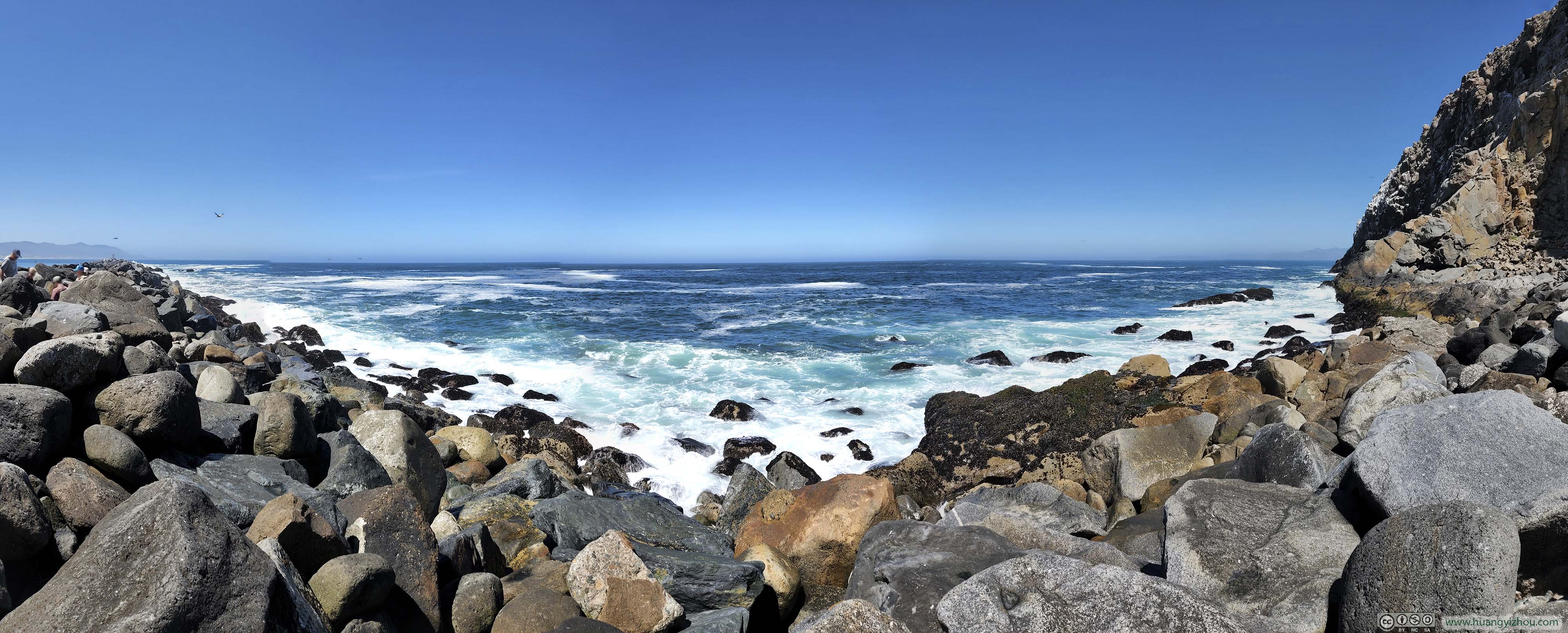
Pacific Ocean beyond Morro Bay Breakwater
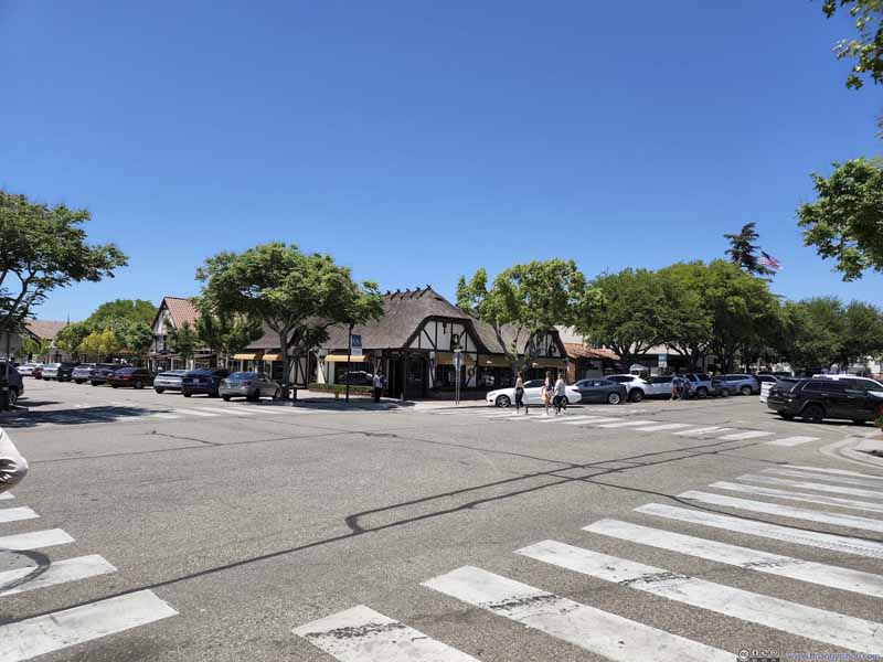
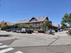
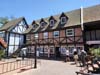
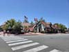
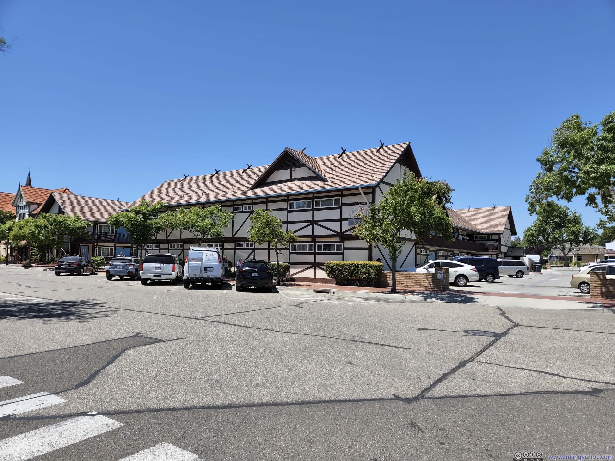
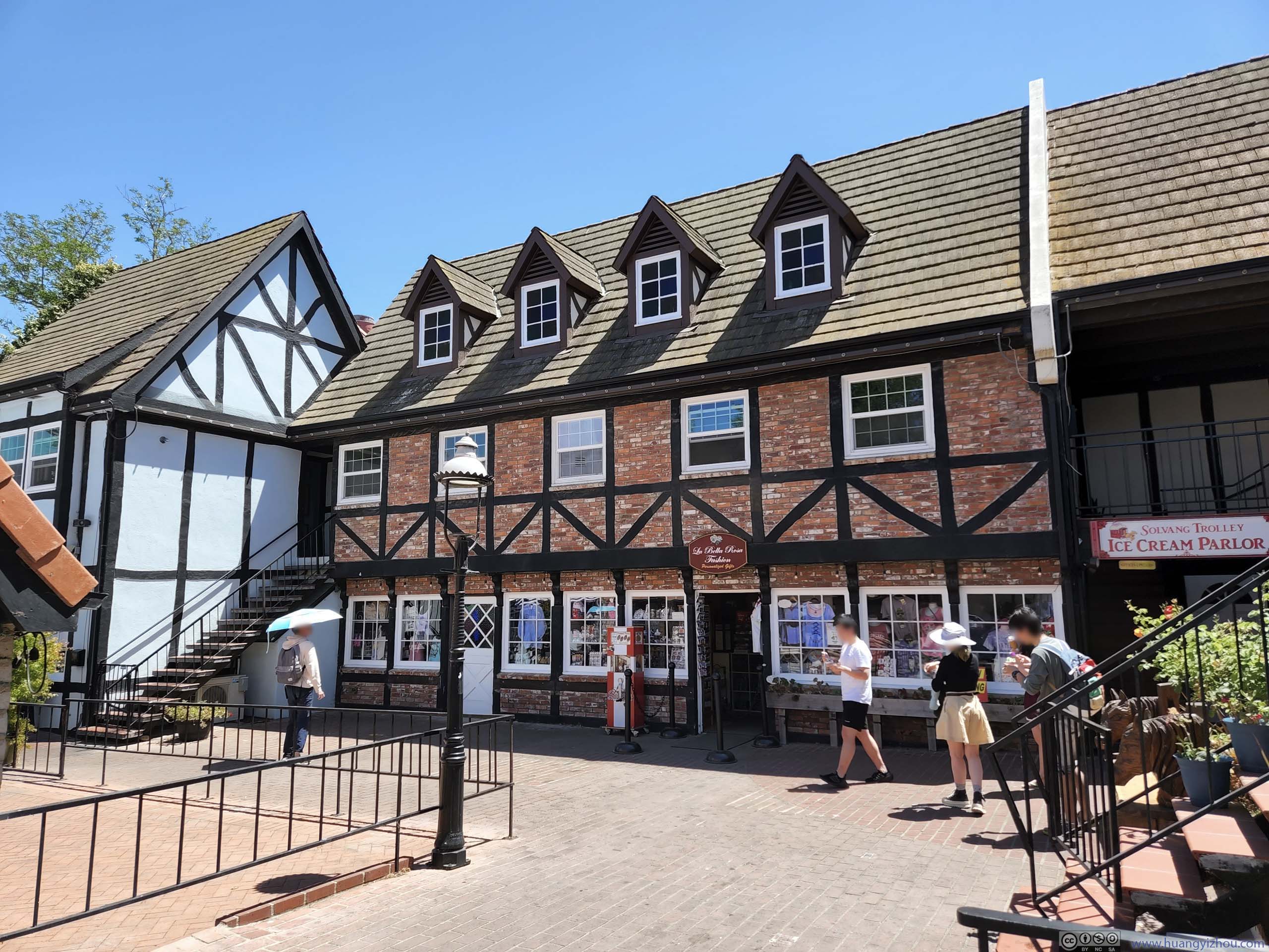
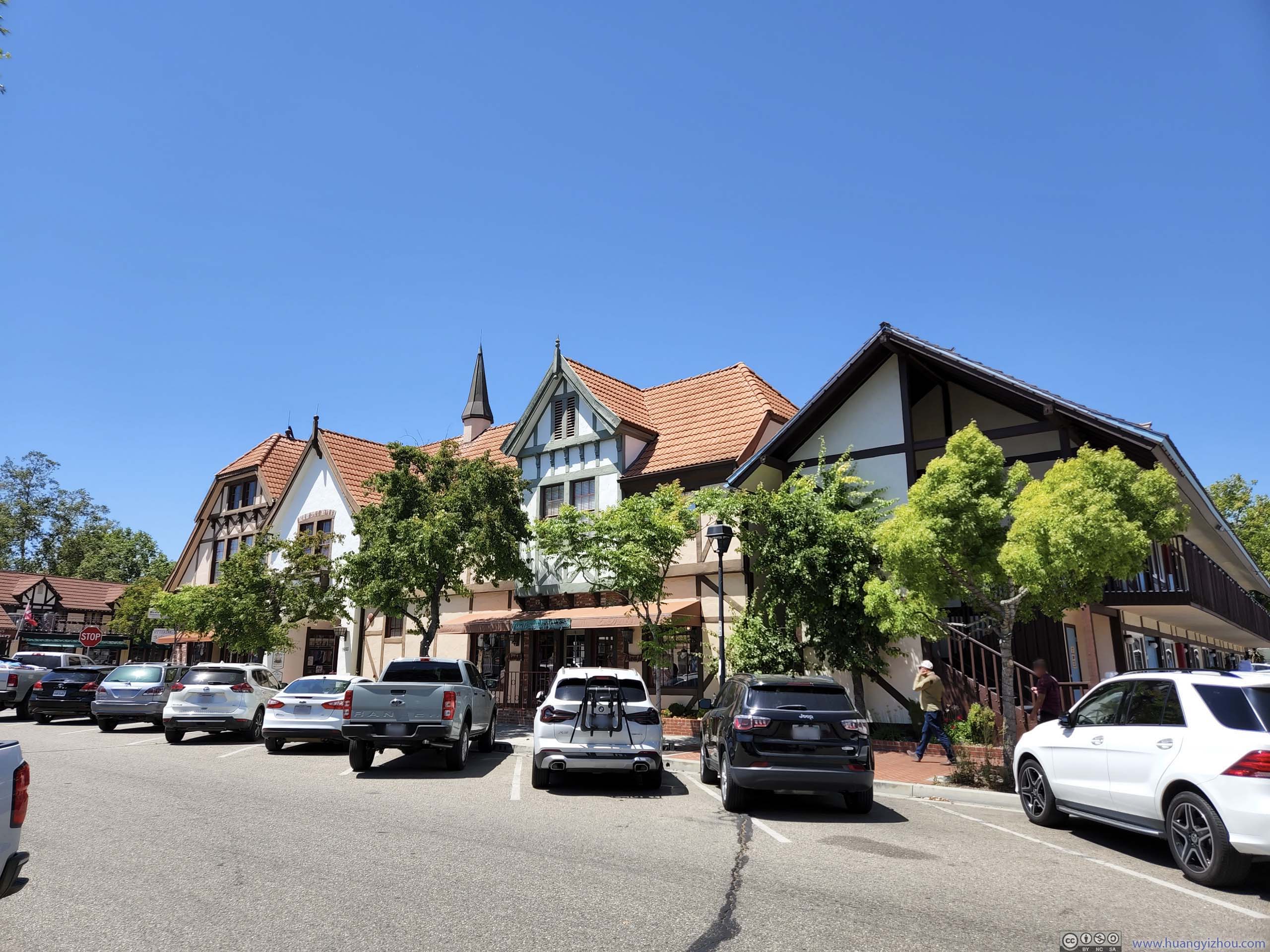
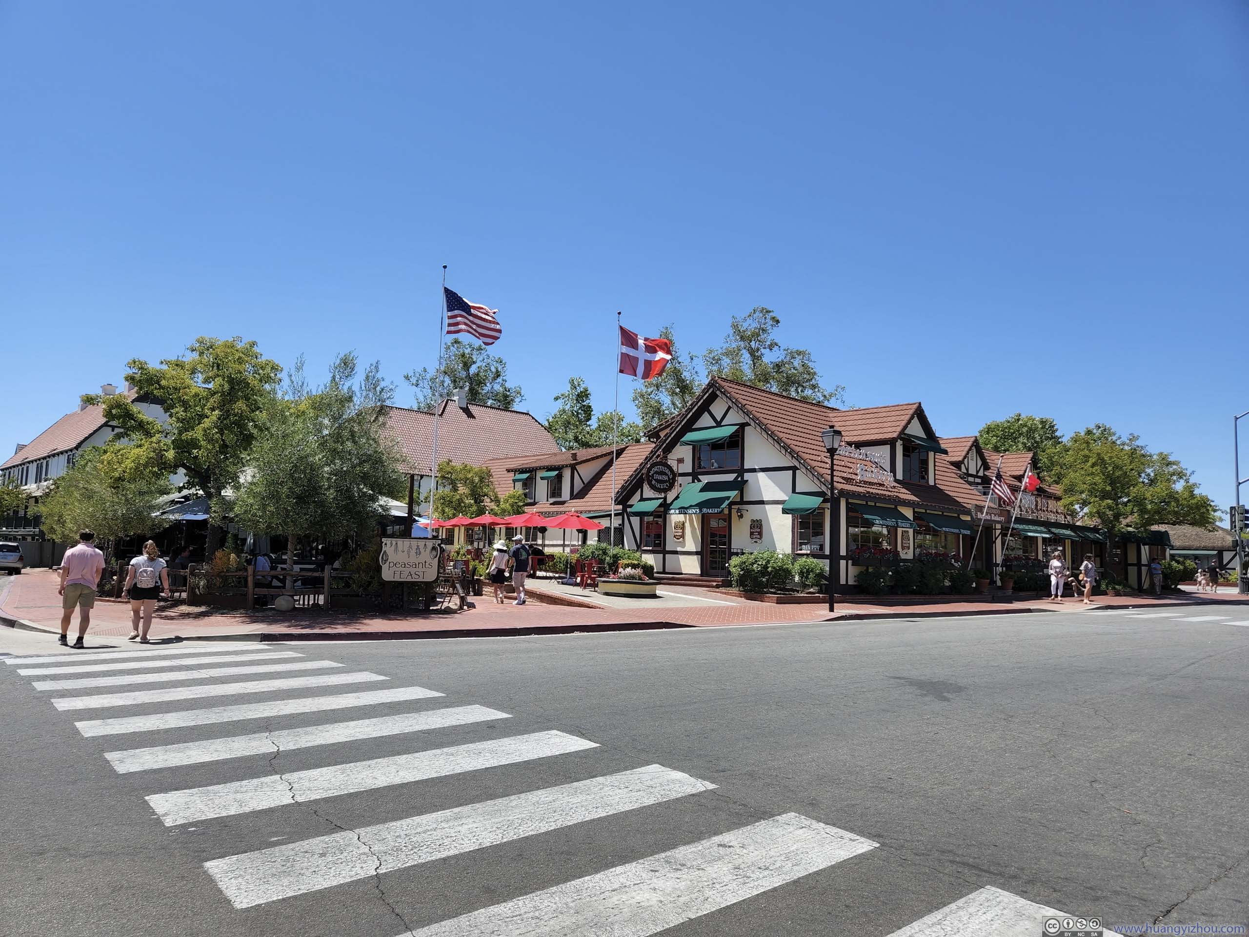
Town of Solvang
This was a town on our way to Los Angeles, known for its Danish-style architecture. We decided to pay it a quick visit by having lunch here.
 Streets of Solvang
 Streets of Solvang
 Buildings in Solvang
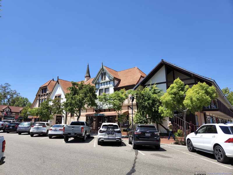 Buildings in Solvang
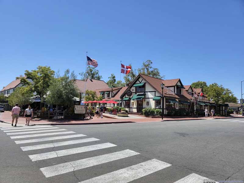 Streets of Solvang
 Lunch
Lunch


Click here to display photos from the town of Solvang.

Streets of Solvang
Streets of Solvang
Buildings in Solvang
Buildings in Solvang
Streets of Solvang

Lunch
Unfortunately, unlike the mild weather that had spoiled us for the past two days, it’s the typical southern California heat from a scorching sun that greeted us in Solvang. The uncomfortable heat meant we didn’t have the mood to explore the town after our lunch.
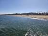
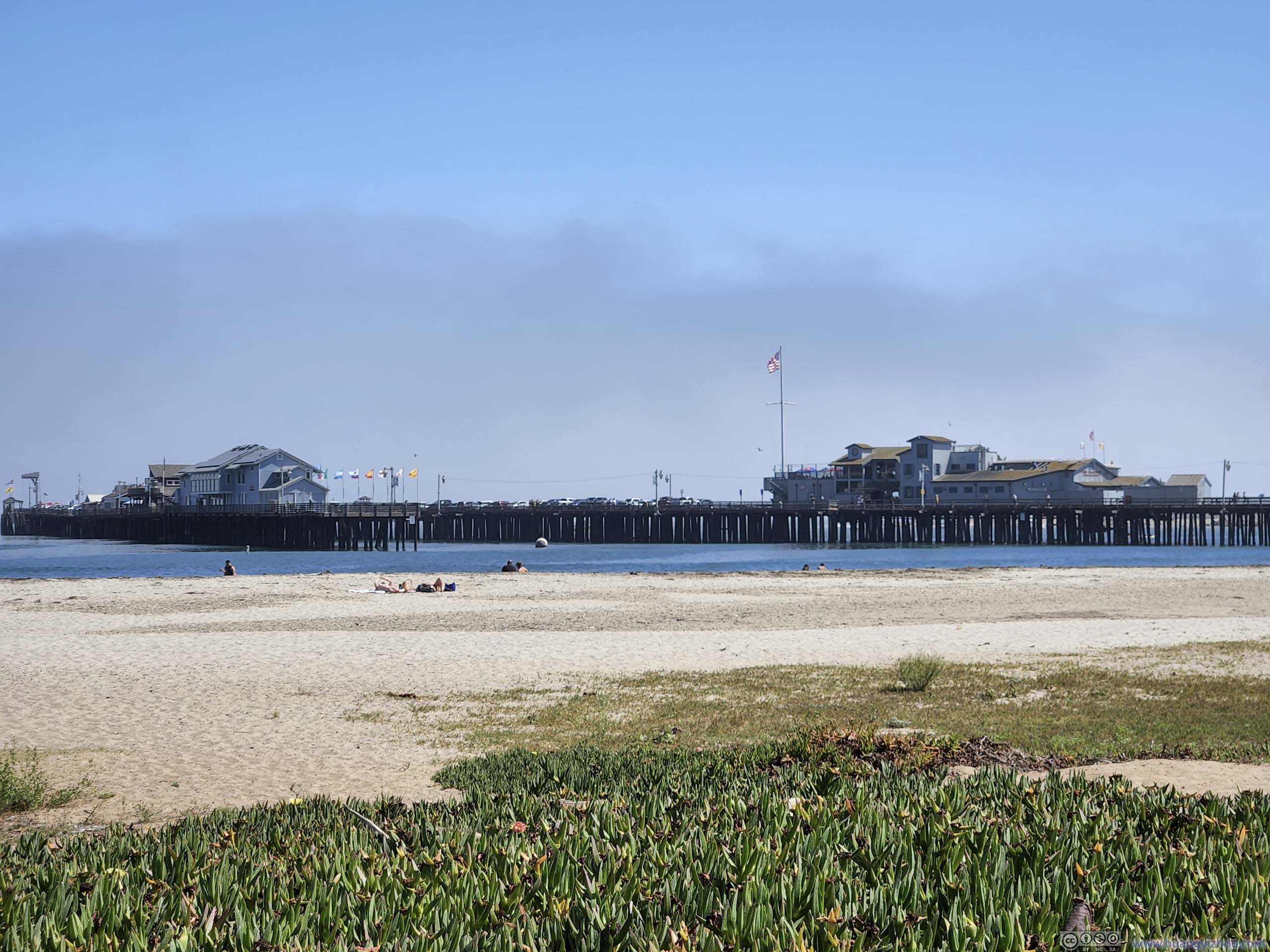
Santa Barbara Wharf
After leaving Solvang, our next stop was Santa Barbara, in particular, the Stearns Wharf along its coast.
During our visit, the coast of Santa Barbara was occasionally covered in fog, which was sort of unusual given its reputation for sunshine and its Mediterranean climate.
 Stearns Wharf
 Aquarium on Wharf
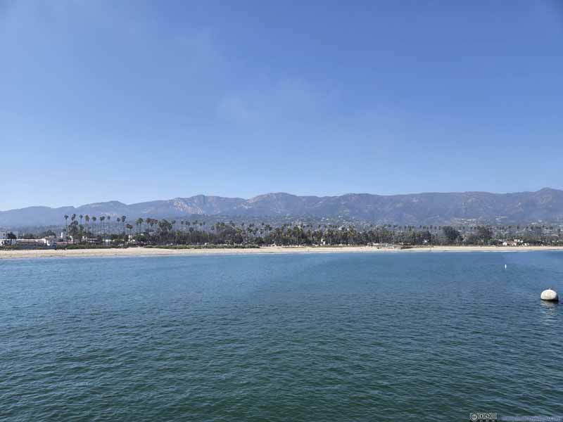 Mountains behind Santa Barbara
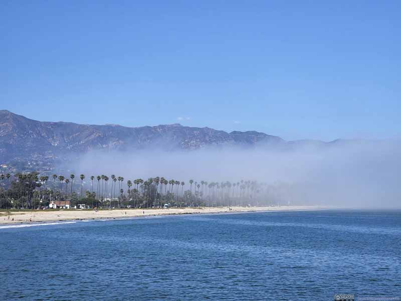 Beach Covered by Fog
 Beach
Beach

Click here to display photos of the slideshow
Stearns Wharf
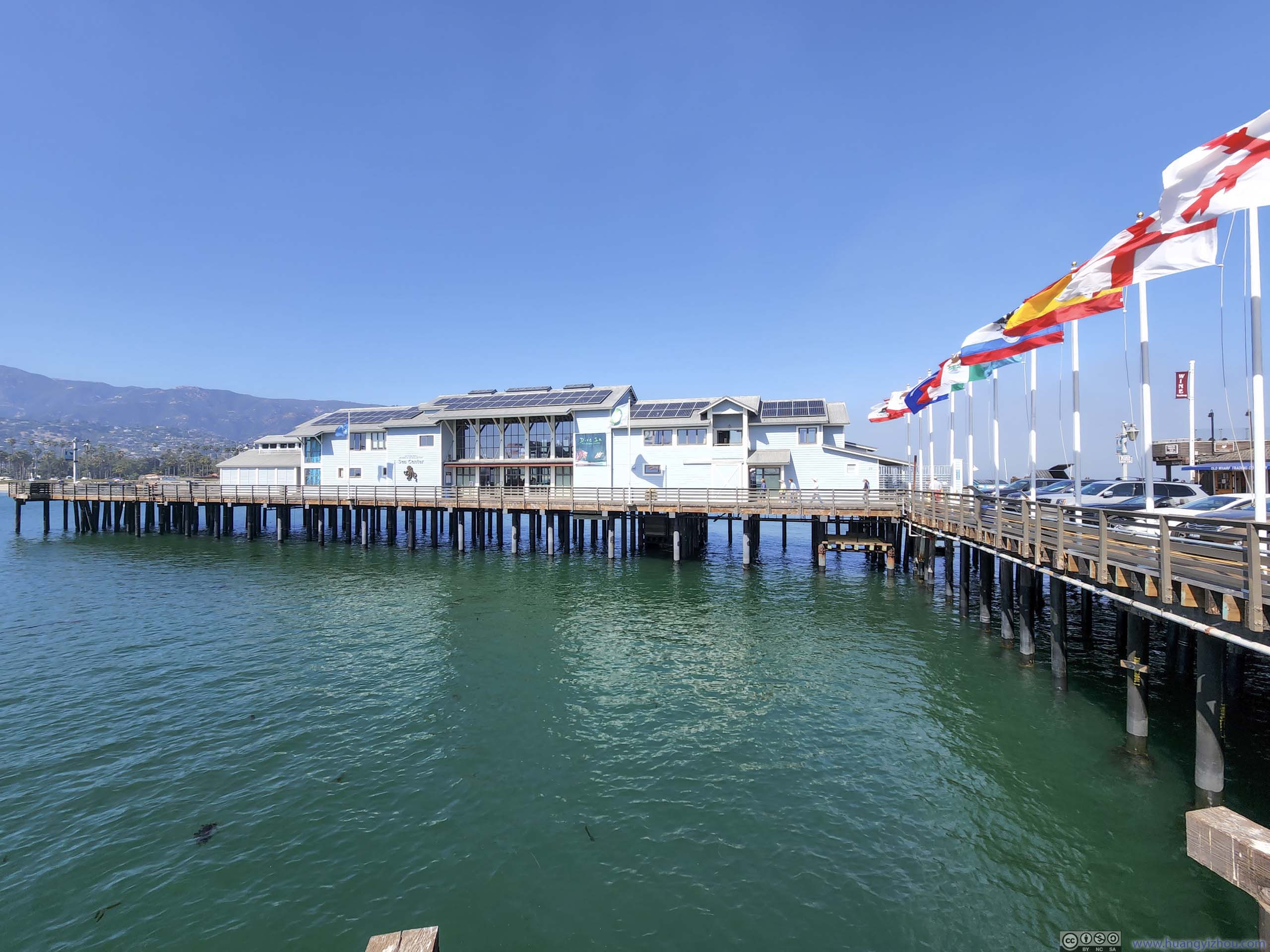
Aquarium on Wharf
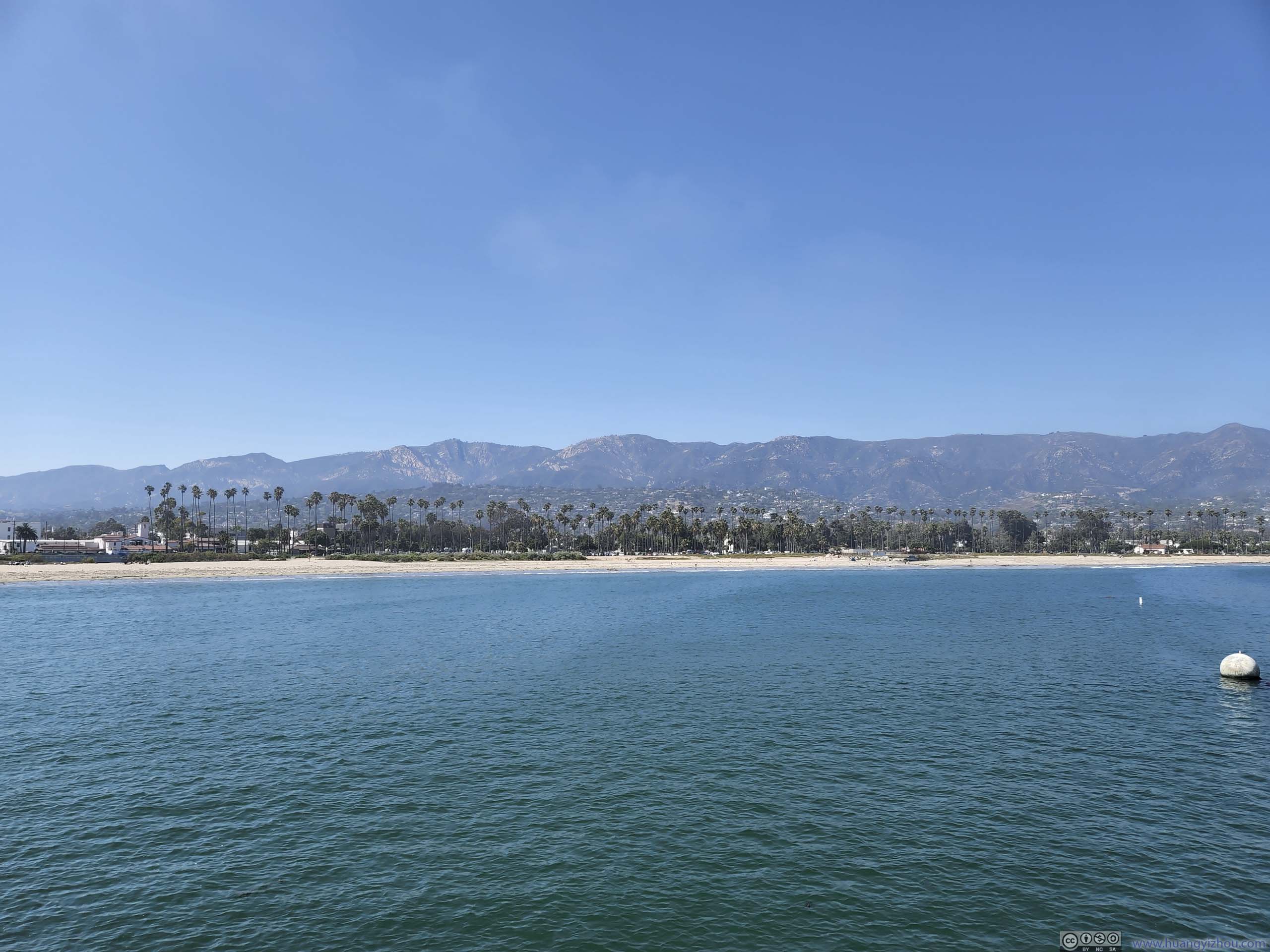
Mountains behind Santa Barbara
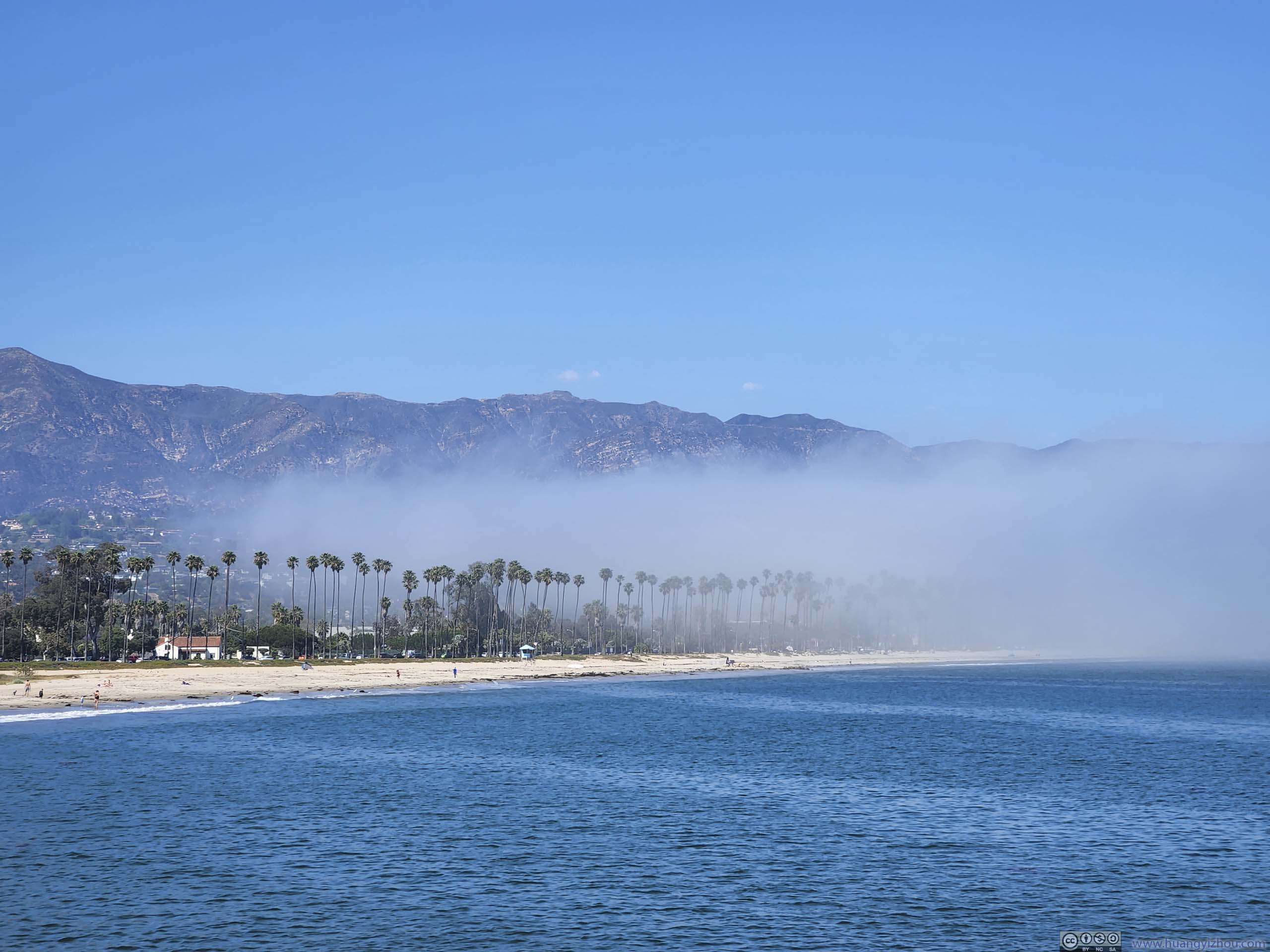
Beach Covered by Fog
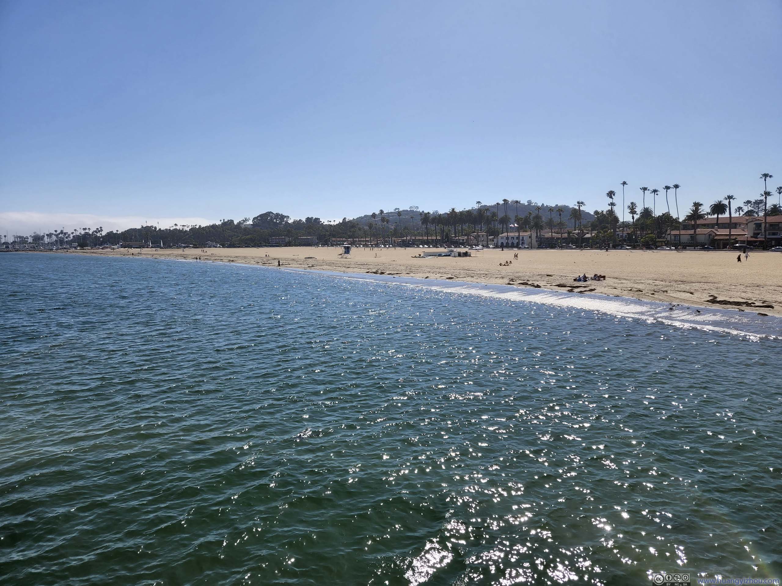
Beach
It’s getting late in the day, and with traffic jam predicted leaving Santa Barbara (it’s really bad..), we didn’t hang around for long.
With dinner on the outskirts of Los Angeles, we reached our overnight lodge at 8pm, concluding the day.
END
![]() Day 3 of June 2022 Trip to California, Cambria to Los Angeles by Huang's Site is licensed under a Creative Commons Attribution-NonCommercial-ShareAlike 4.0 International License.
Day 3 of June 2022 Trip to California, Cambria to Los Angeles by Huang's Site is licensed under a Creative Commons Attribution-NonCommercial-ShareAlike 4.0 International License.