
Updated on March 21, 2026
Hiking Mt Garfield of New Hampshire
First weekend of June 2024. With snow melted and leaves sprouted, I started my exploration of the White Mountains with Mt Garfield.
Franconia Ridge
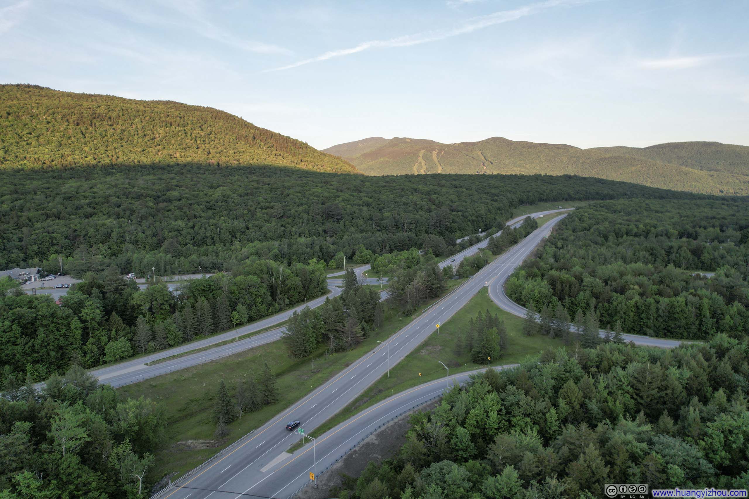
Having been subjugated by the horrendous traffic along Virginia’s I-81 before moving to Boston, the drive along I-93 from Boston into the White Mountains could only be described as a bliss, and it culminated with a magnificent sighting of Cannon Mountain while passing through Franconia Notch.
I thought I was in shape for Franconia Ridge Loop, usually considered the most challenging among popular trails in the White Mountains. But this was a popular summer weekend so as I drove by its parking lot (at 11am) it’s completely full. I had the option of using the hiker shuttle, but instead took up my backup option of “Mt Garfield”. I ended up hiking Franconia Ridge Loop the next year.
The trailhead for “Mt Garfield” was located off US-3, through a 1.9km (1.2mi) unpaved road, that was in very good shape (compared to the other unpaved roads that I’d seen). The parking lot held about 15 cars, and by the time I arrived (11:15am) a few cars overflew to parallel-parking along the road.
Hike to Mt Garfield
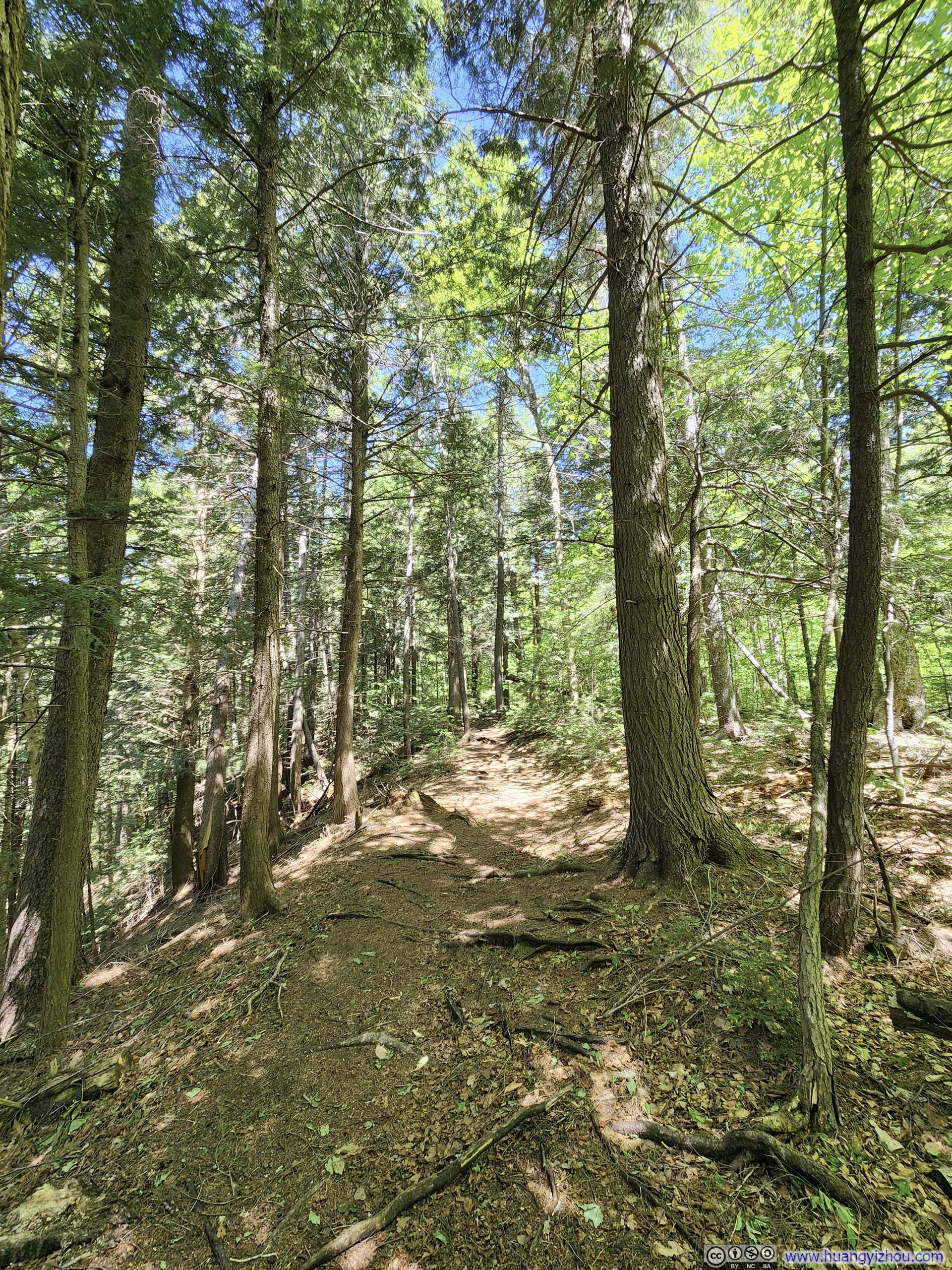
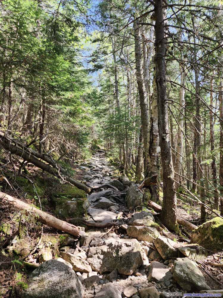
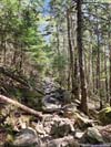
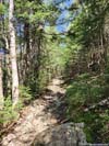
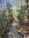
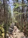
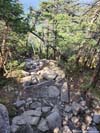
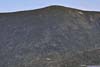
This hike was 15.4km out-and-back with 910m of elevation gain (9.6mi, 3000ft). It started out as a dirt trail and then gradually rocks made up more of the trail composition. It also grew steeper the further one went. The final 200m after the intersection with the Appalachian Trail was steep and might require very entry-level scrambling.
Here’s GPS tracking:
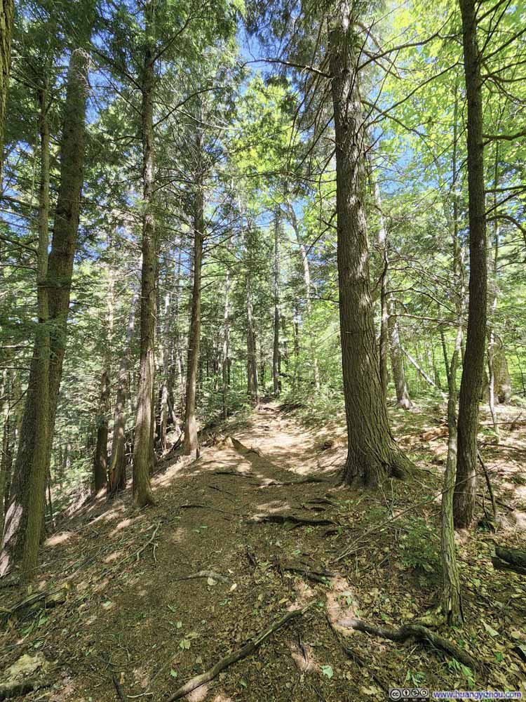
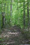
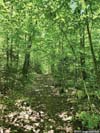
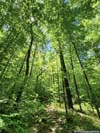
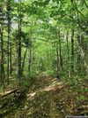
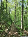
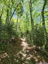
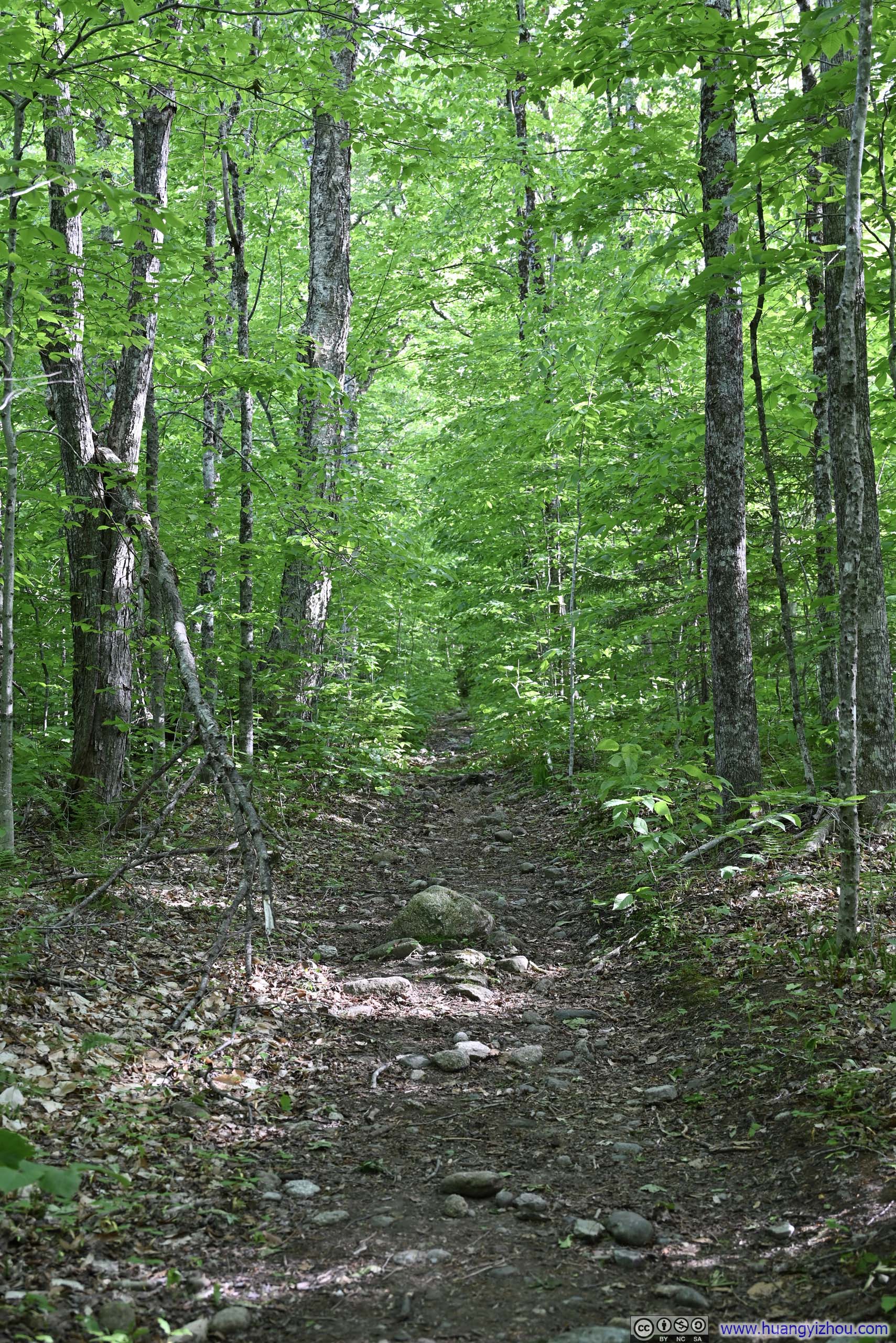
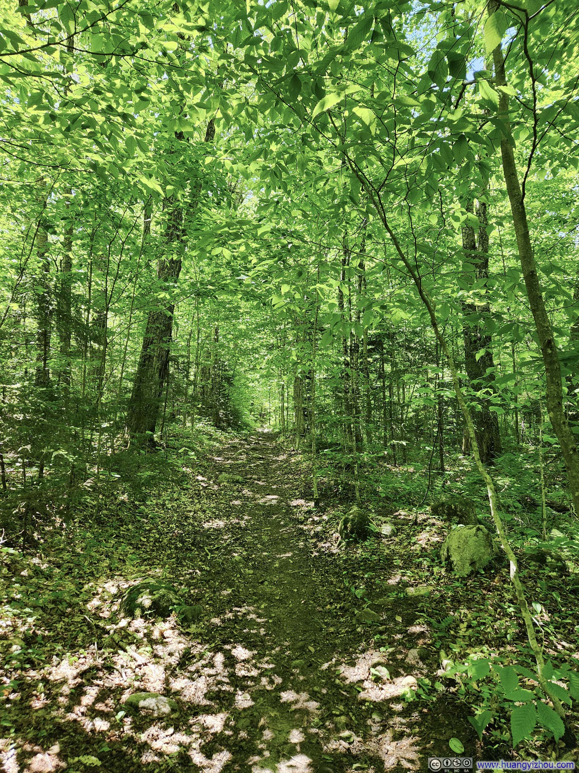
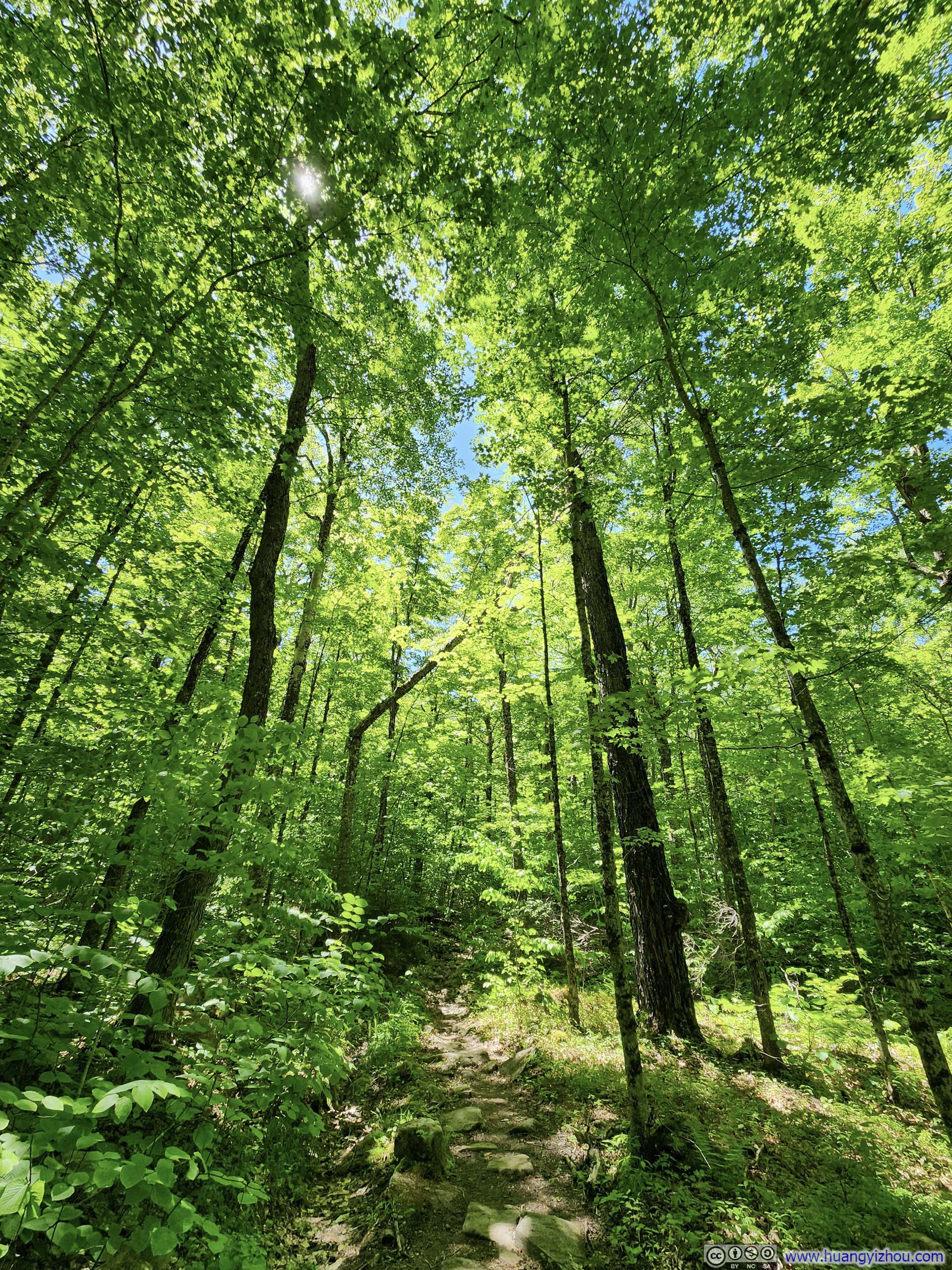
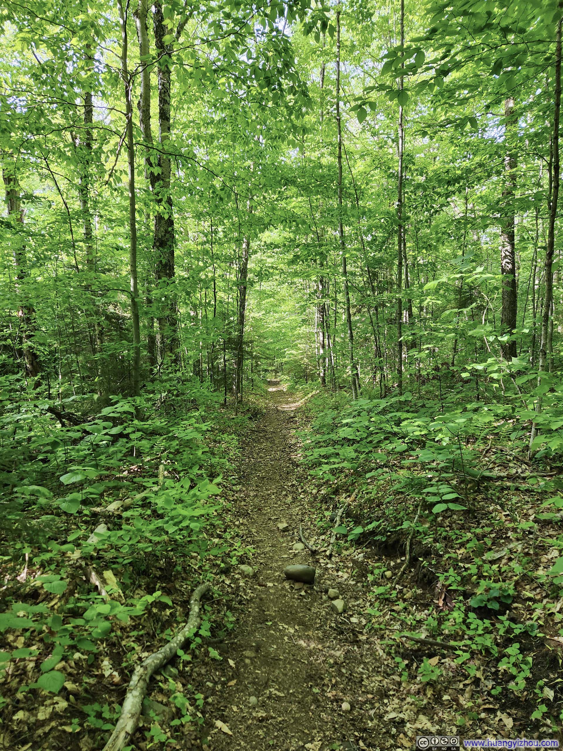
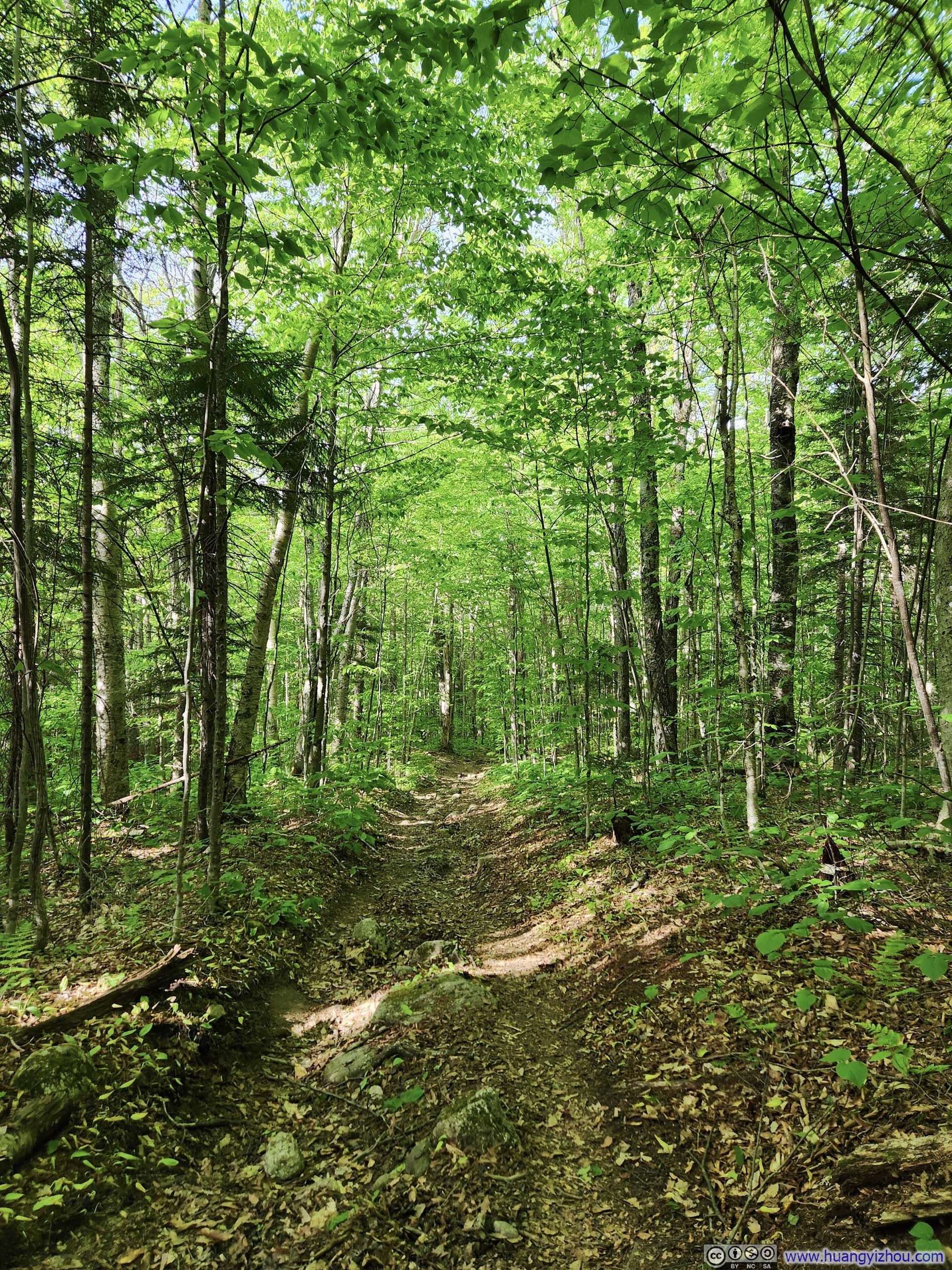
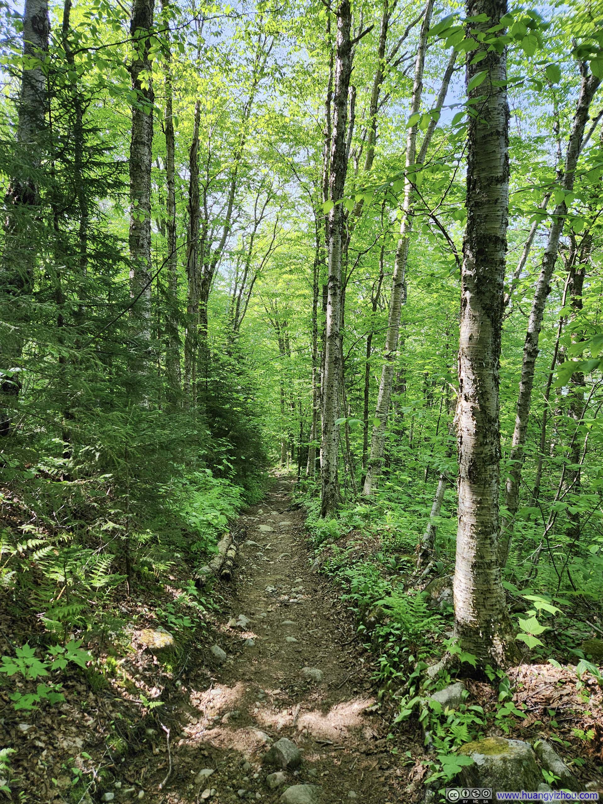
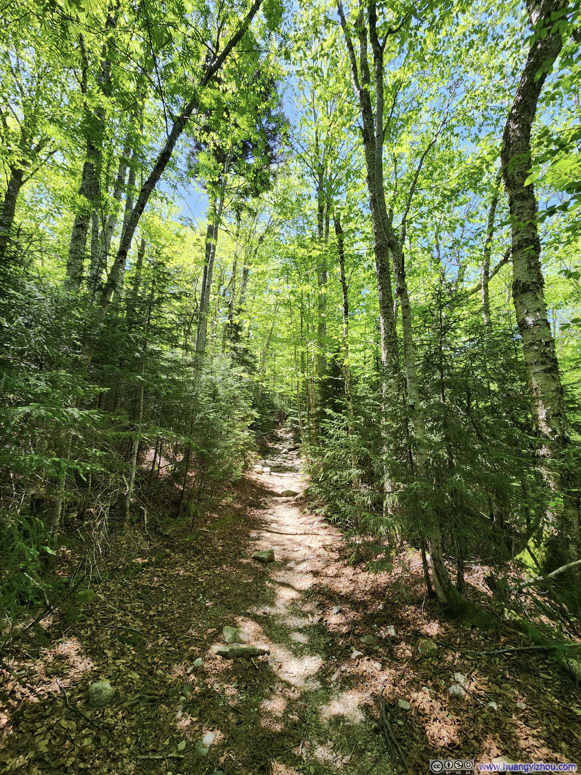
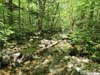
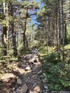
Except at the summit, all of the trail was among forests, with no views. The trees weren’t very high/dense so patches of sunlight still made it through onto the trail.
 Trail
Trail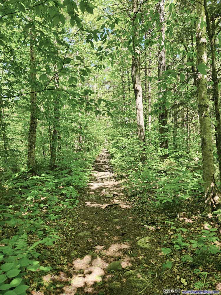 Trail
Trail Trail
Trail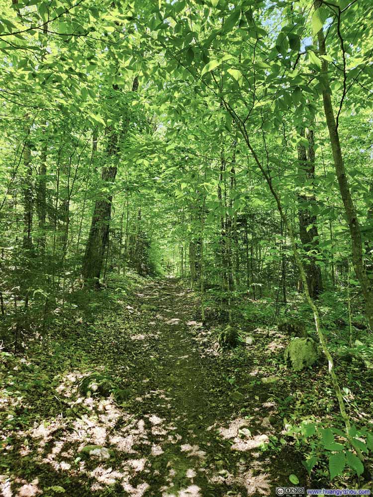 Trail
Trail Trail
Trail Trail
Trail Trail
Trail Trail
Trail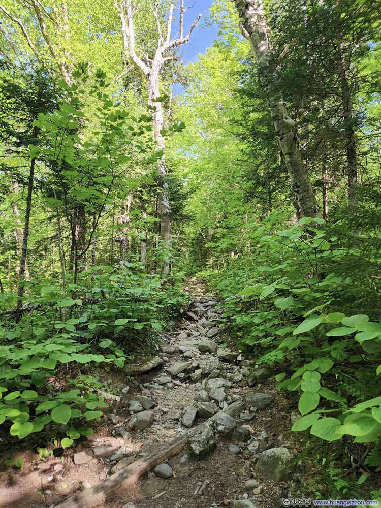 Trail
Trail Trail
Trail


Click here to display photos of the trail.
Trail

Trail
Trail
Trail
Trail
Trail
Trail
Trail
Trail
Trail
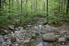
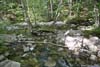
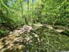
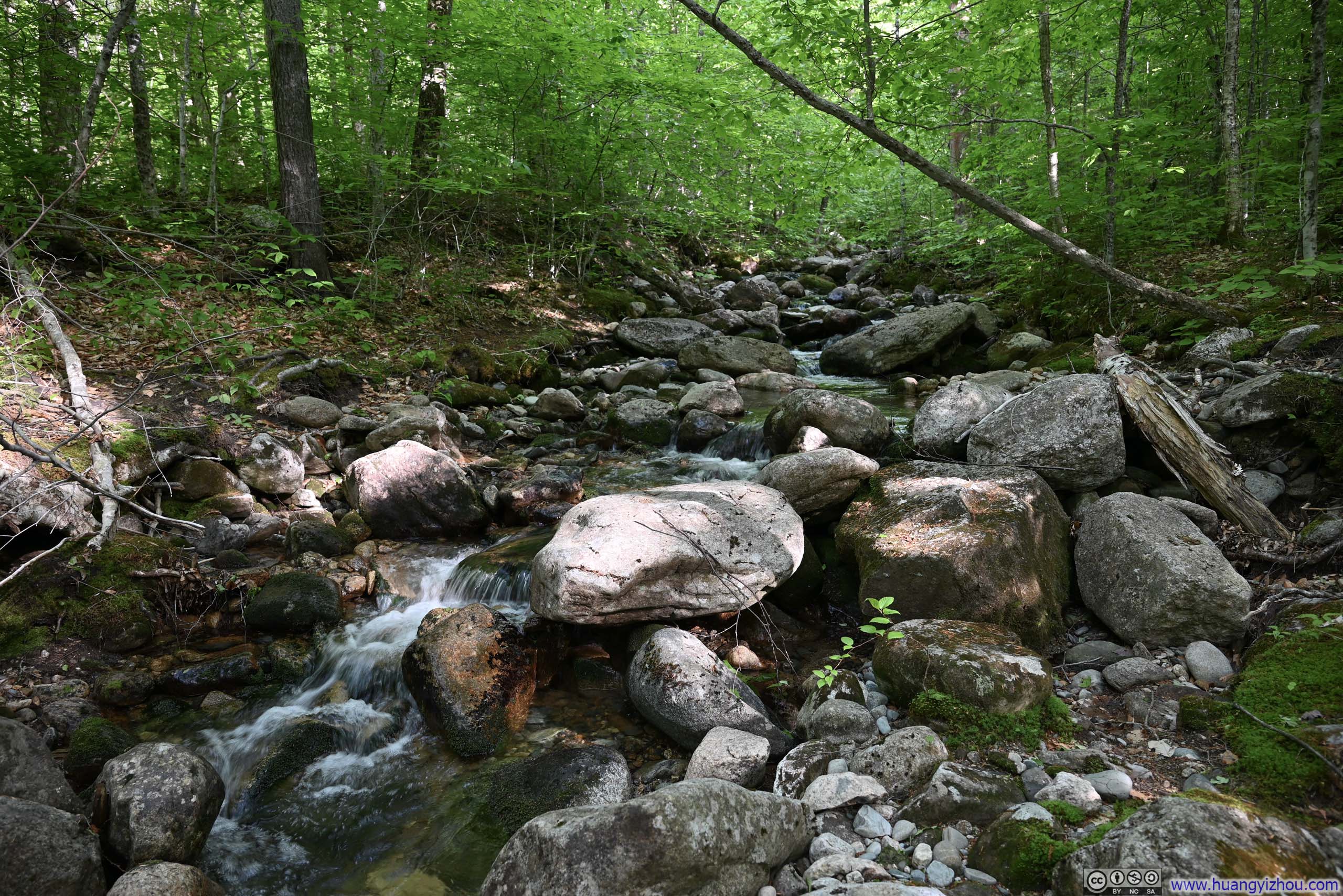
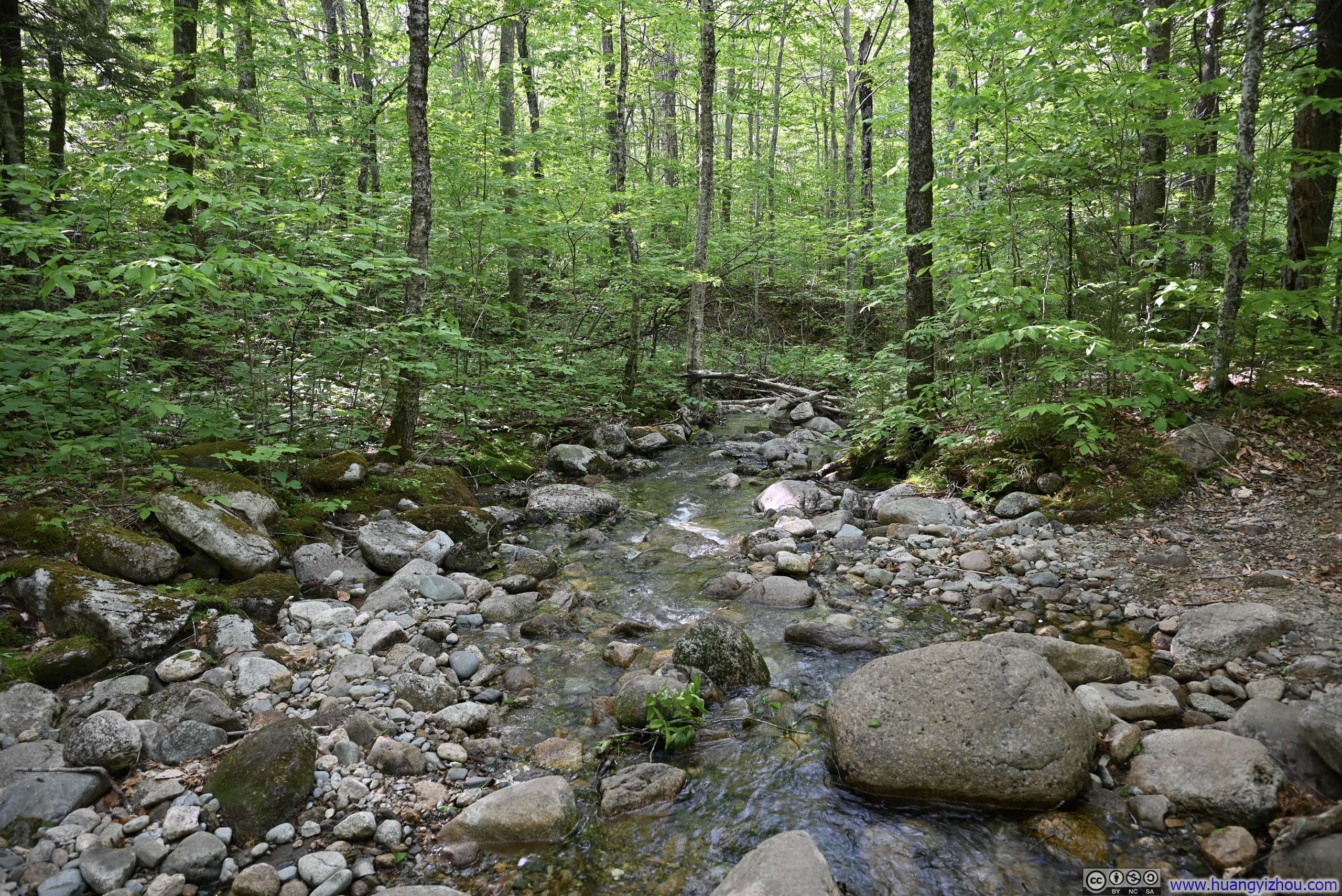
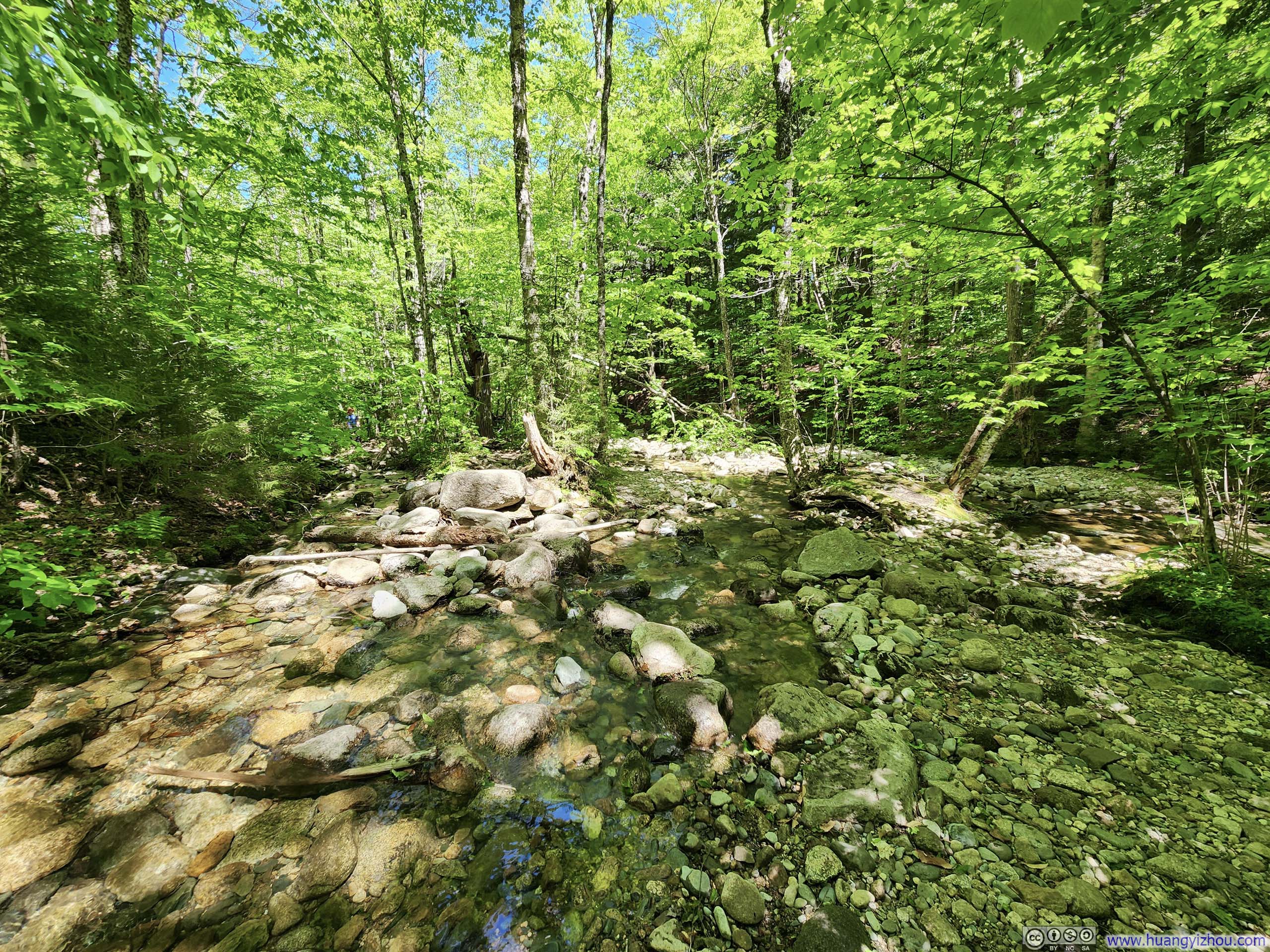
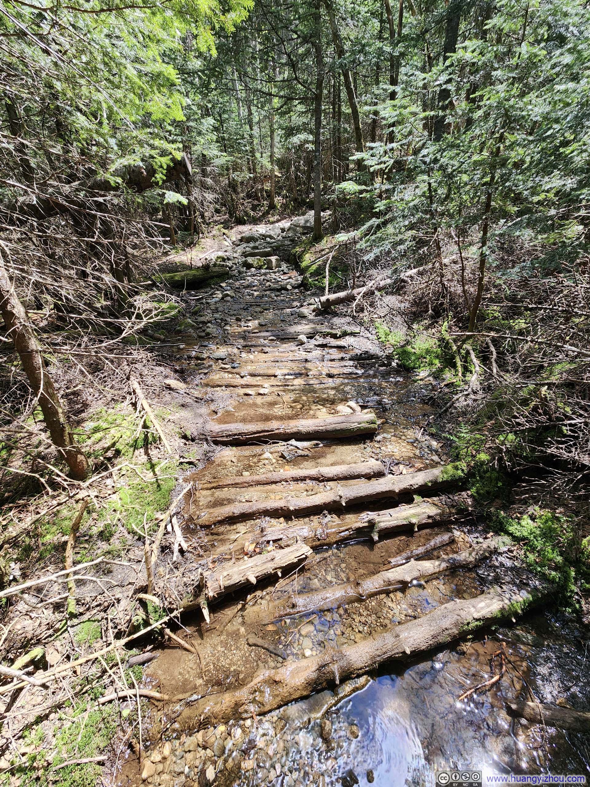
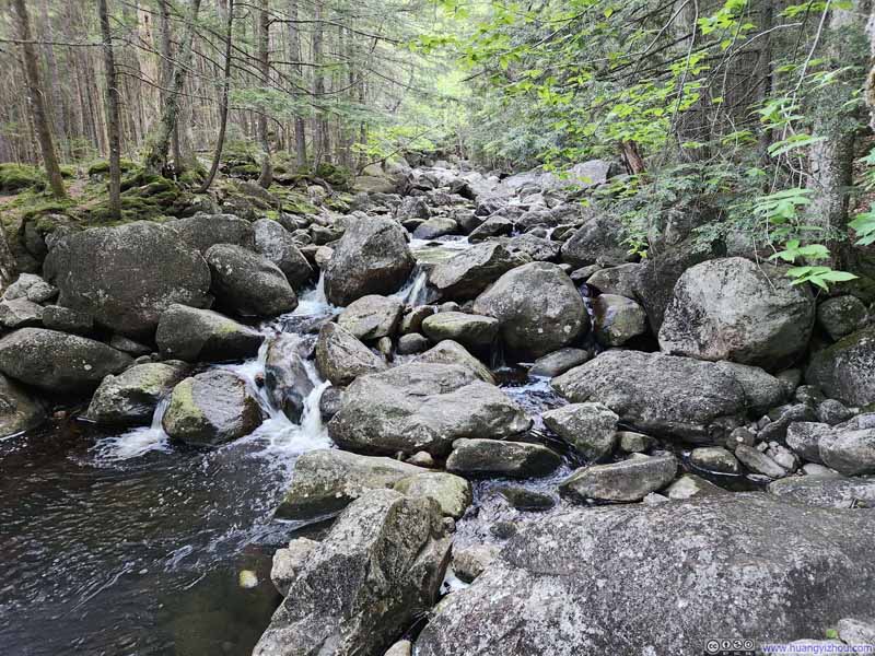
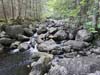
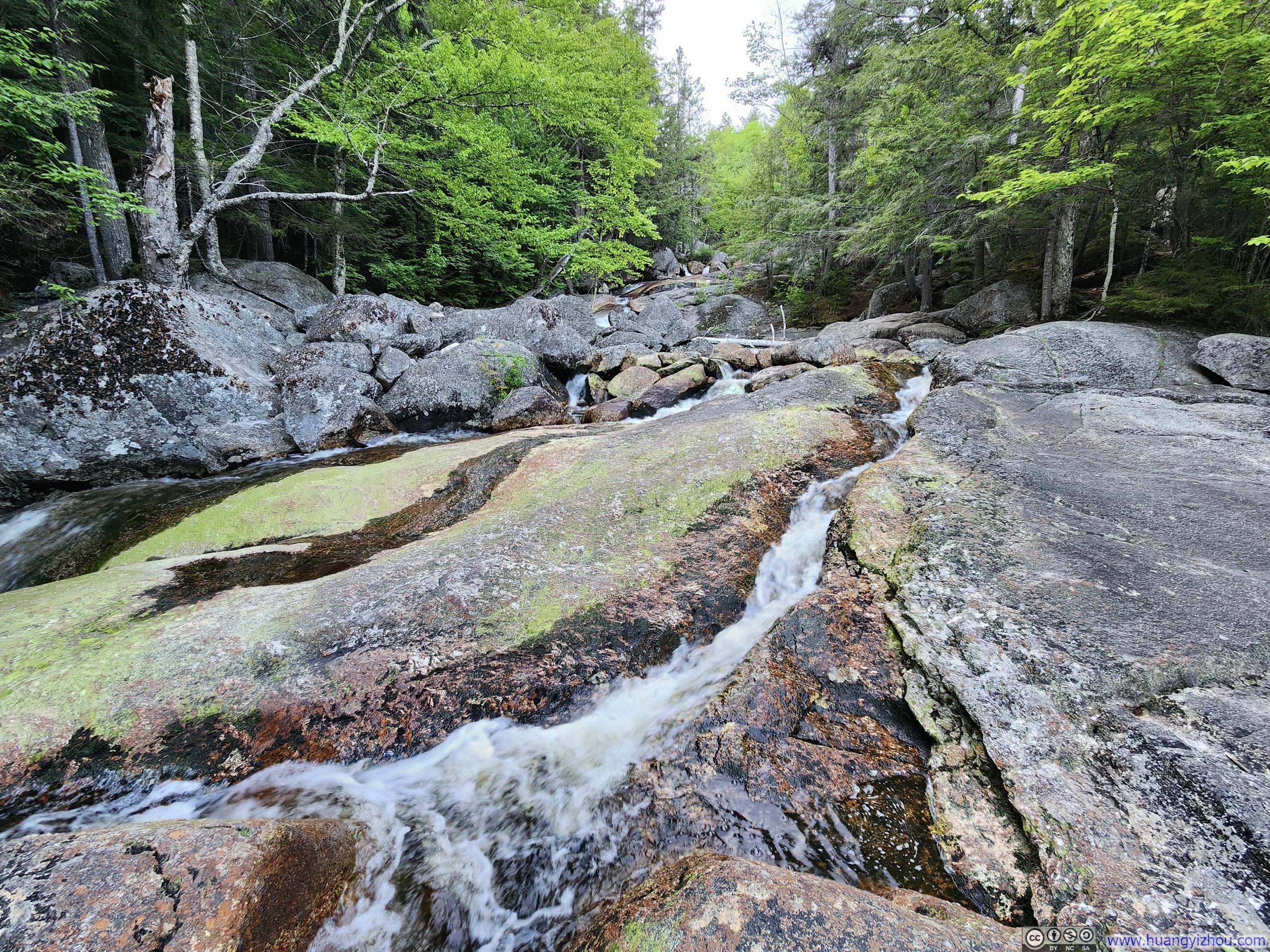
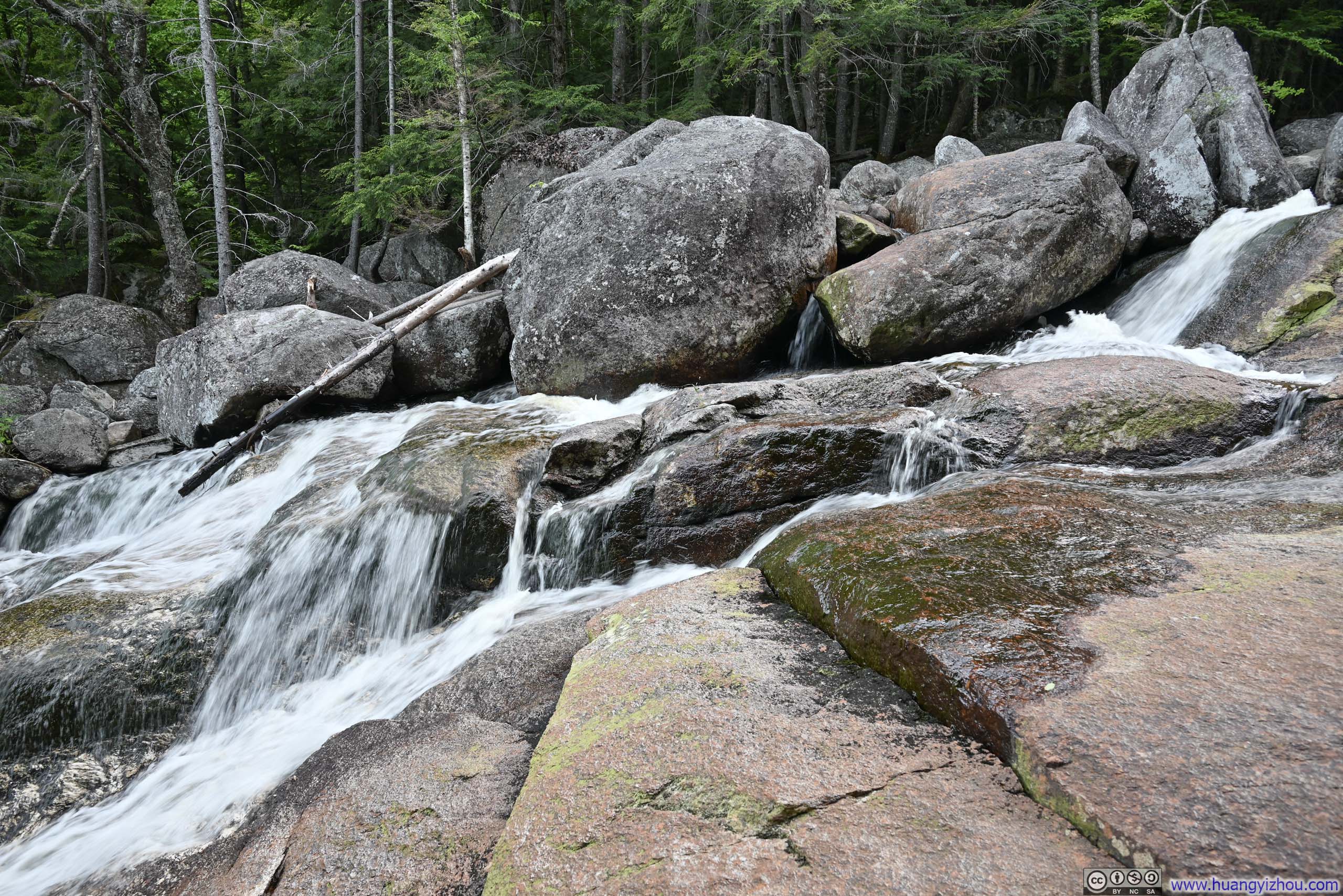
About a quarter of the way into the hike, the trail made a few water crossings. With enough exposed rocks, the crossings weren’t difficult. Near the water crossings there were one or two muddy spots that weren’t too hard to avoid.
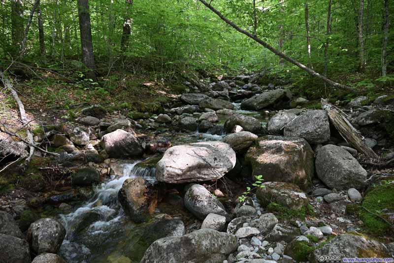 Creek
Creek Creek
Creek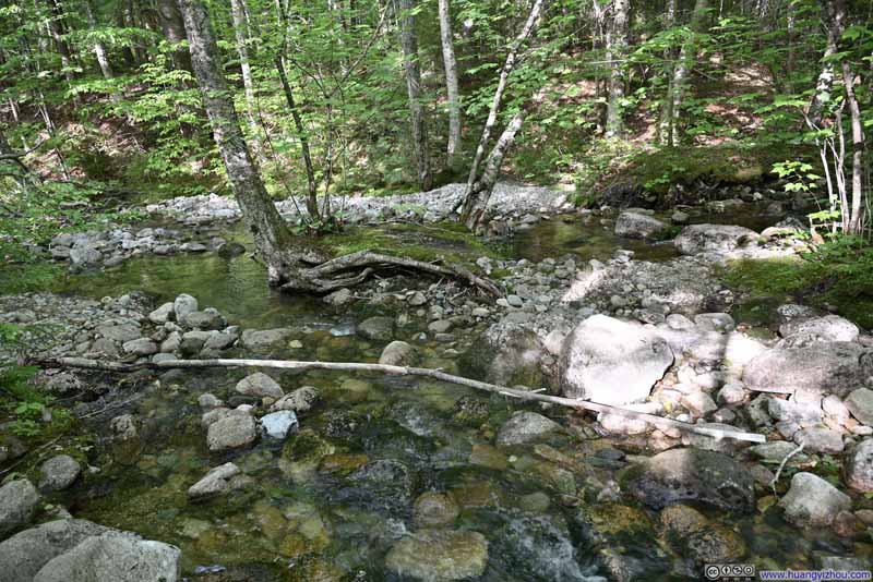 Water Crossing
 Creek
Creek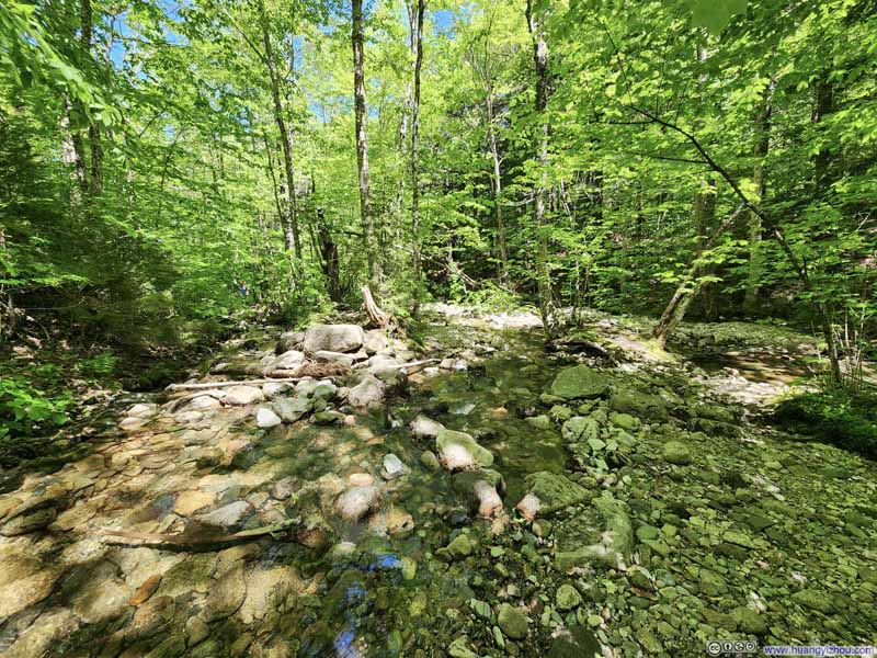 Water Crossing
Click here to display photos of the slideshow
Creek
Creek

Water Crossing

Creek
Water Crossing
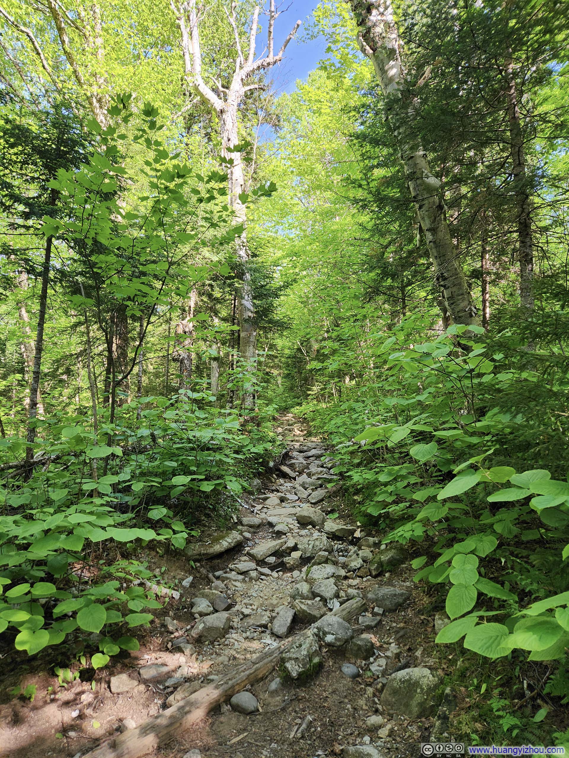
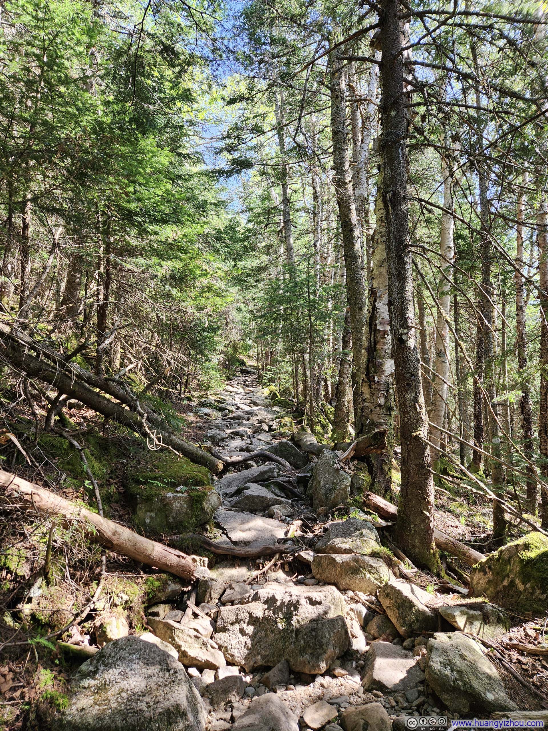
Further up the trail, it’s noticeably rockier. I also noticed more conifers as the deciduous hadn’t sprouted their leaves yet.
 Trail
Trail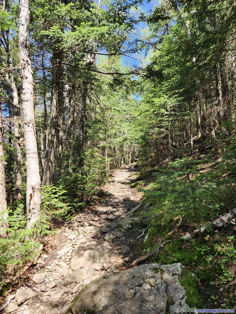 Trail
Trail TrailWith exposed trunks, I didn’t have trouble along this wet section.
 Trail
Trail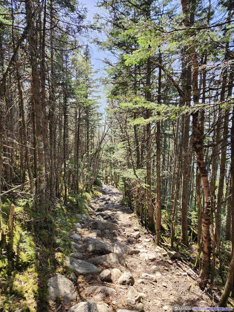 Trail
Trail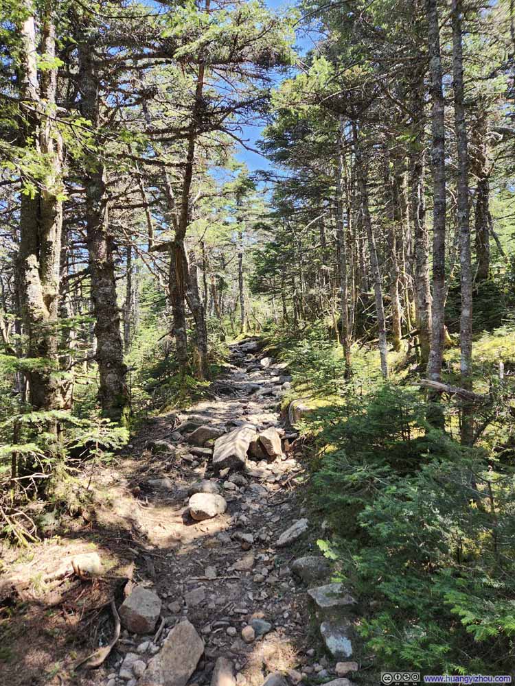 Trail
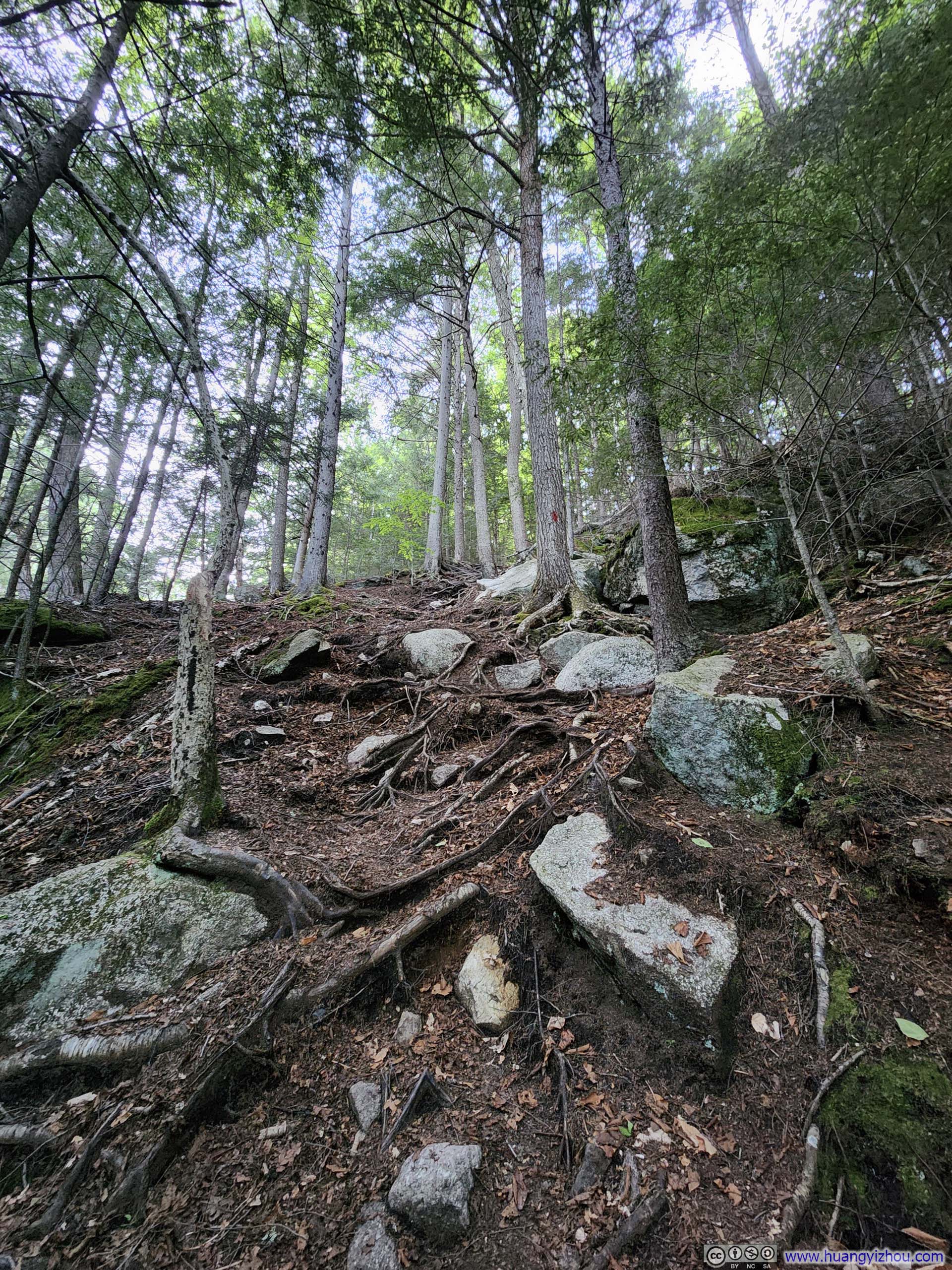
Trail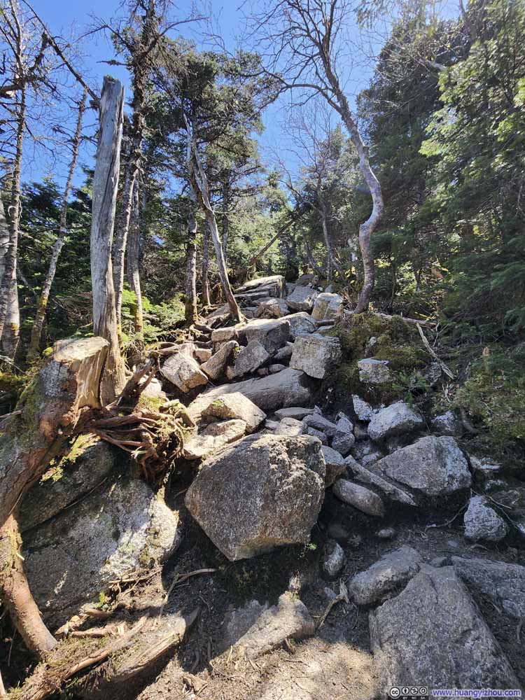 Rocky TrailThe trail was steep after the intersection with the Appalachian Trail.
 Rocky TrailThe trail was steep after the intersection with the Appalachian Trail.


Click here to display photos of the trail.
Trail

Trail
TrailWith exposed trunks, I didn’t have trouble along this wet section.

Trail

Trail

Trail

Rocky TrailThe trail was steep after the intersection with the Appalachian Trail.

Rocky TrailThe trail was steep after the intersection with the Appalachian Trail.
After the intersection with the Appalachian Trail, the final 200m was noticeably steeper (p7-8 above). Otherwise, there’s no technical difficulties throughout the entire trail.
Summit
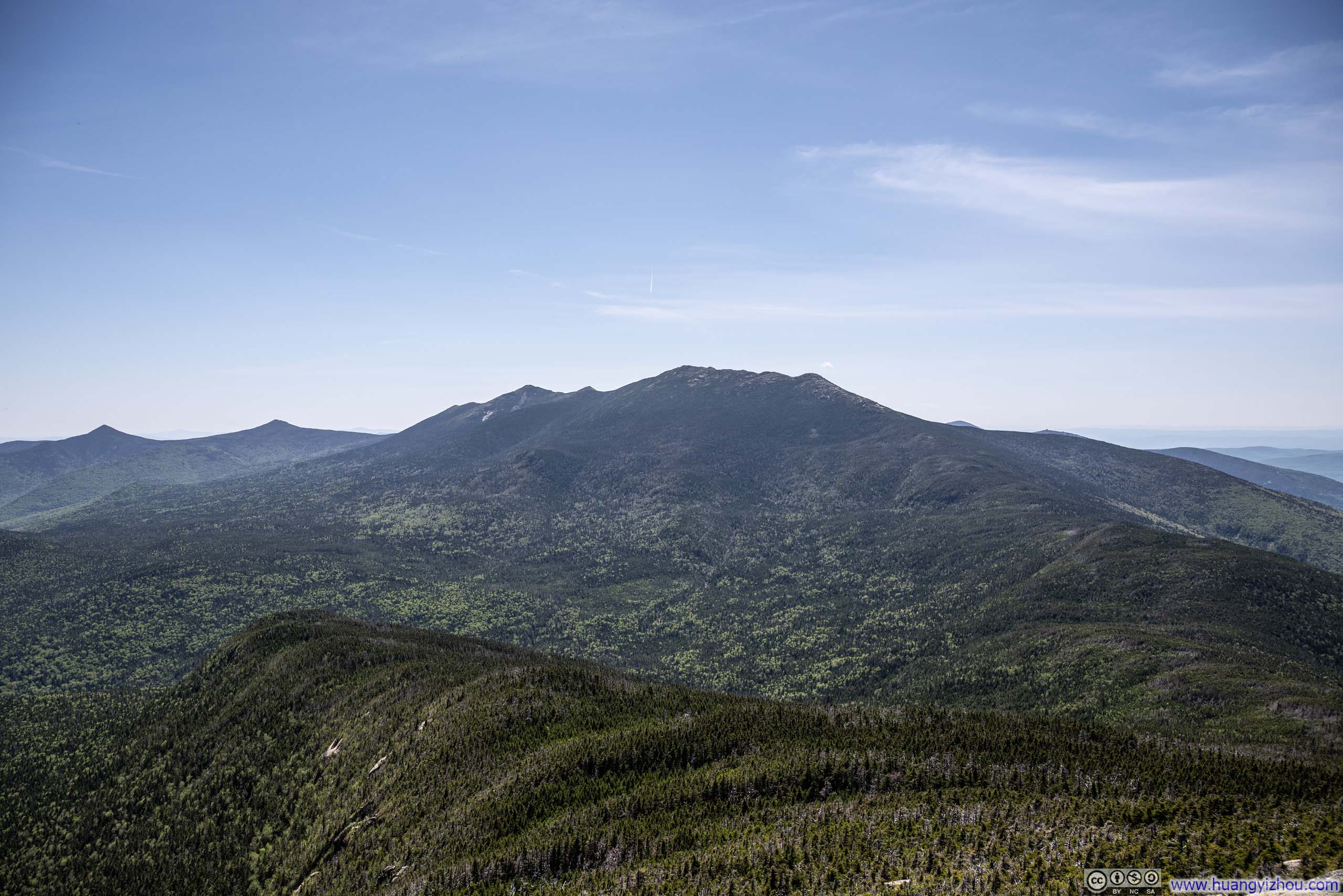
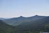
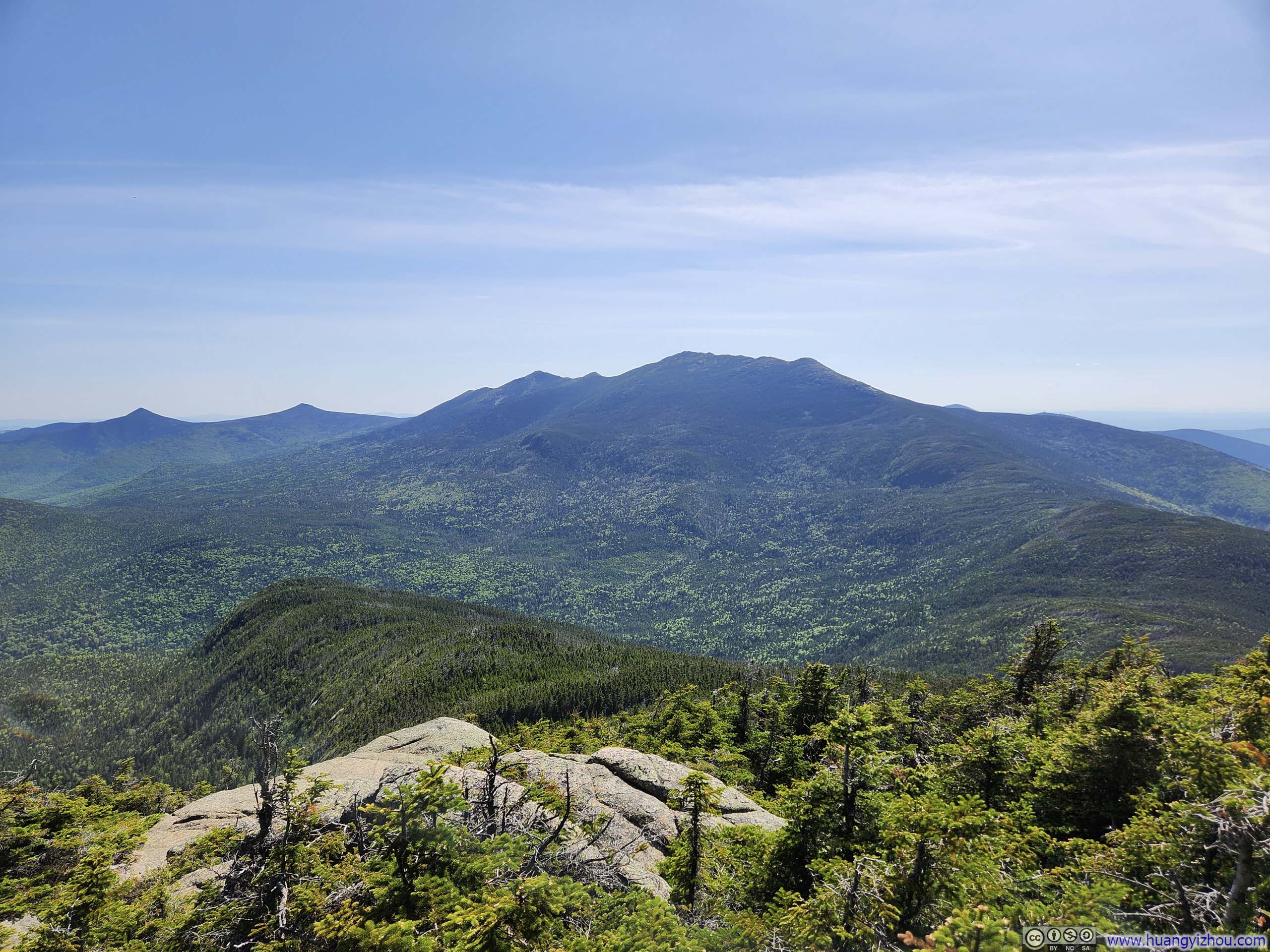
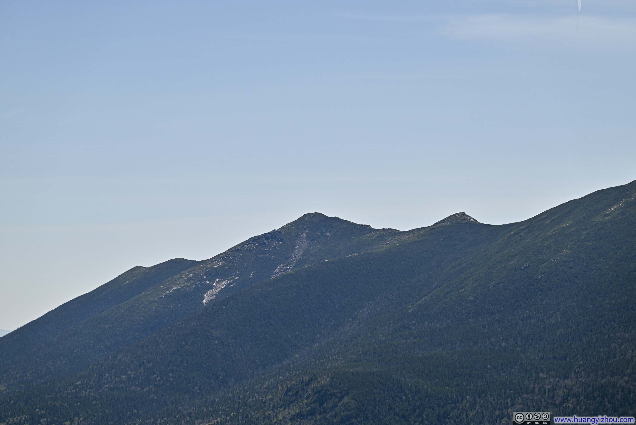
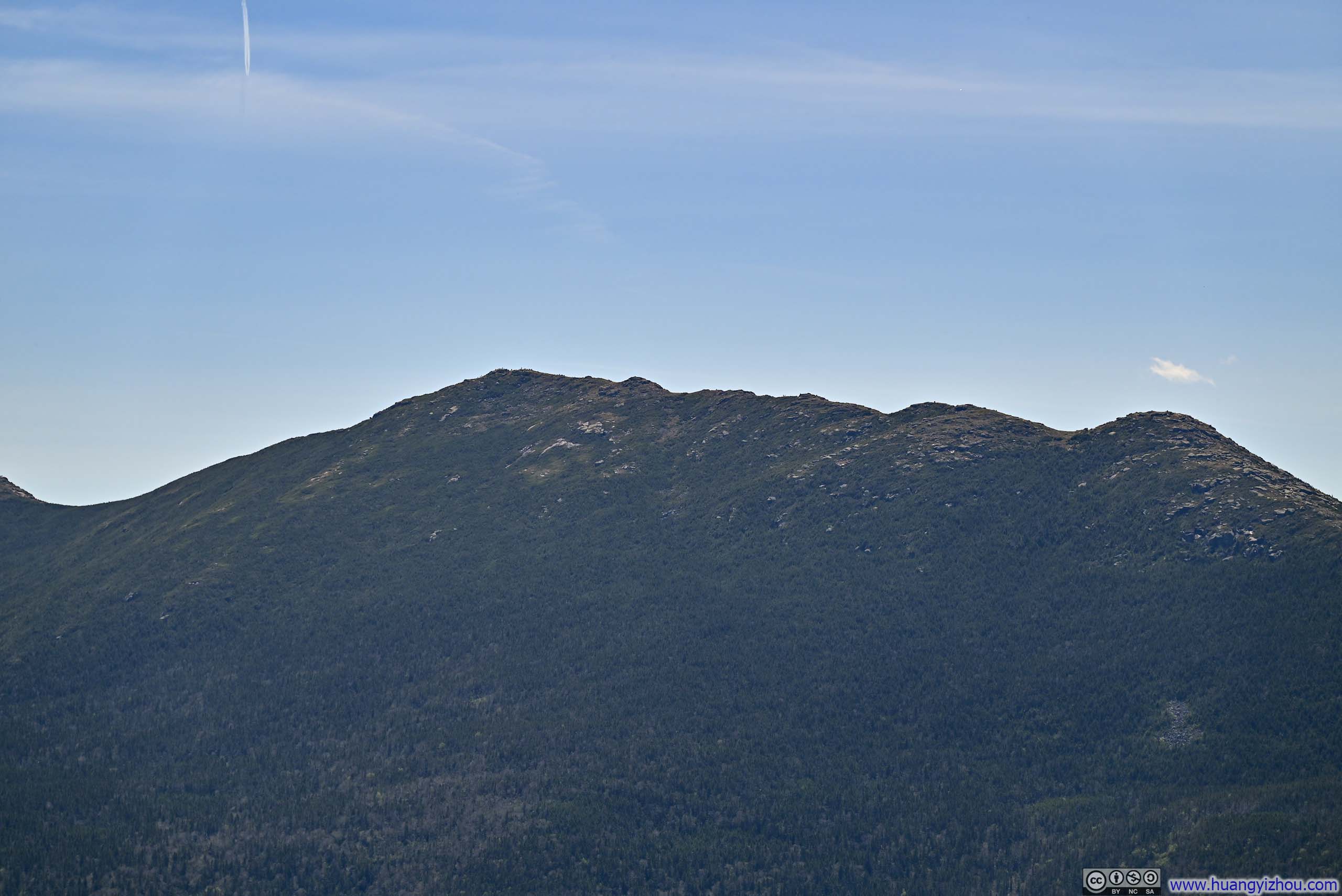
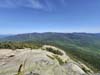
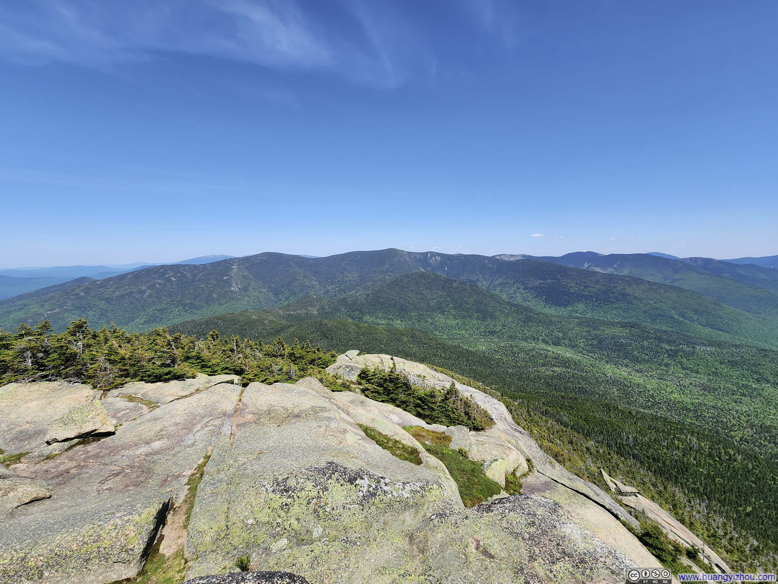
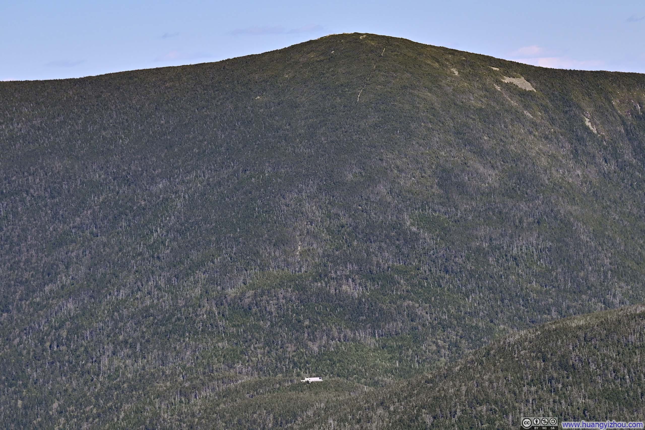
The summit of Mt Garfield was a series of exposed boulders, with the foundation of a fire tower / building at the very top. The most prominent views should be the Franconia Ridge to the south, wearing lush green.
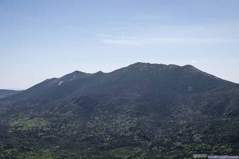 Franconia Ridge
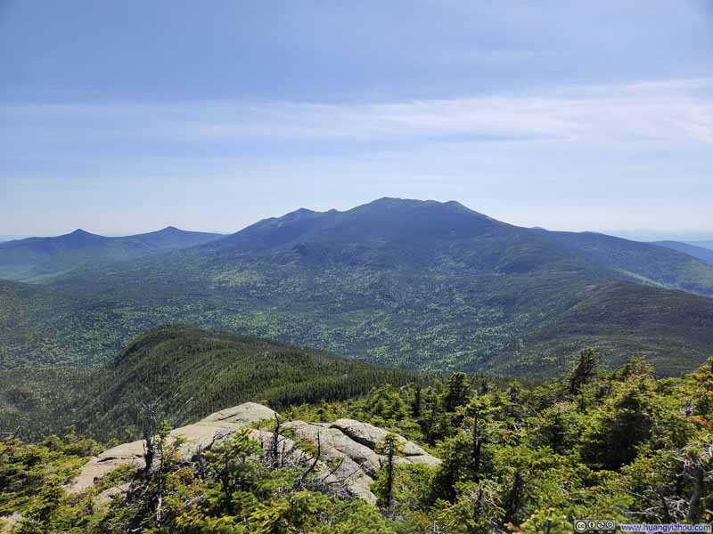 Franconia Ridge
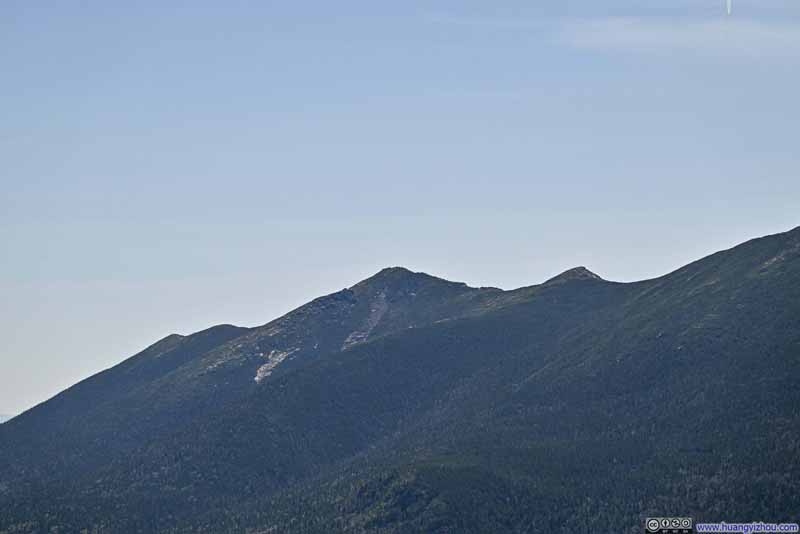 Mount Lincoln
 Mount Lafayette
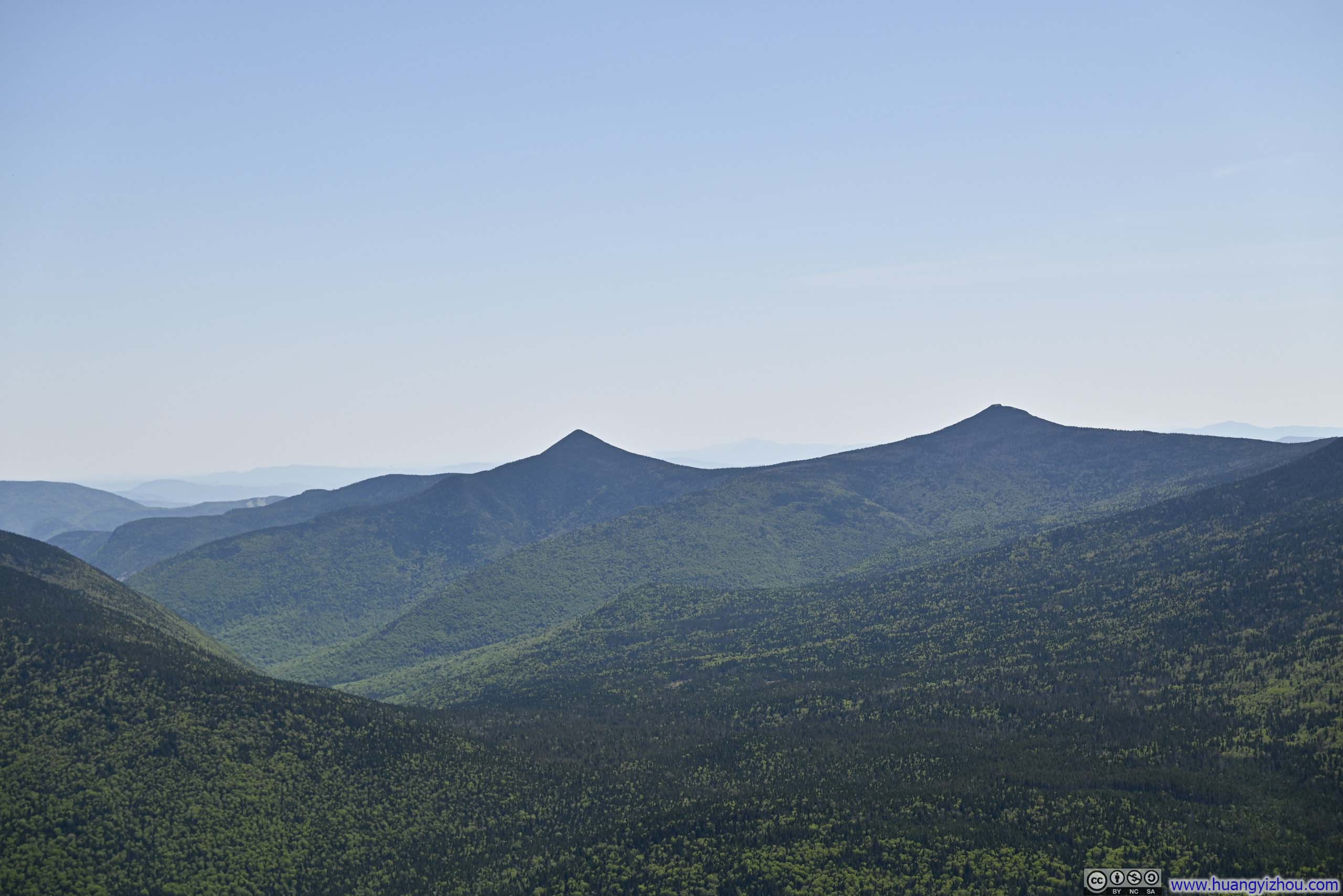
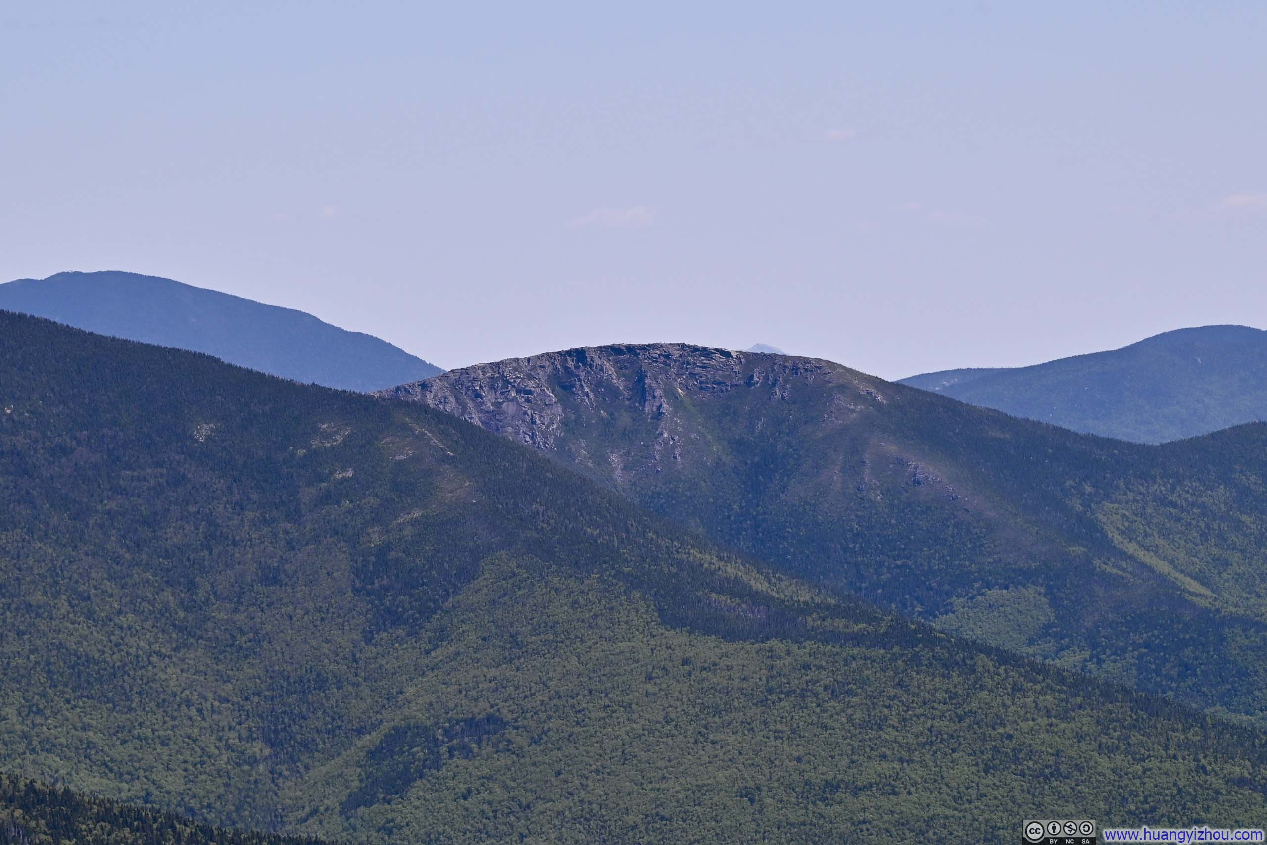
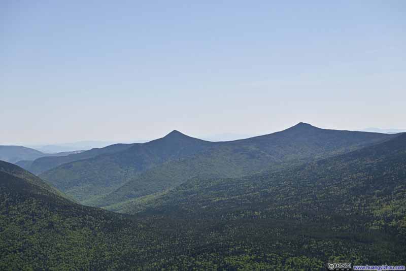 Mount Flume and Mount LibertyThe southern end of Franconia Range.
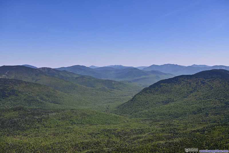 Valley
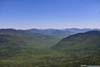
Between Franconia Range and Twin Range, Franconia Brook carved an opening among trees in the center.
Valley
Between Franconia Range and Twin Range, Franconia Brook carved an opening among trees in the center.

Click here to display photos of the slideshow
Franconia Ridge
Franconia Ridge
Mount Lincoln
Mount Lafayette
Mount Flume and Mount LibertyThe southern end of Franconia Range.
Valley
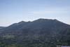
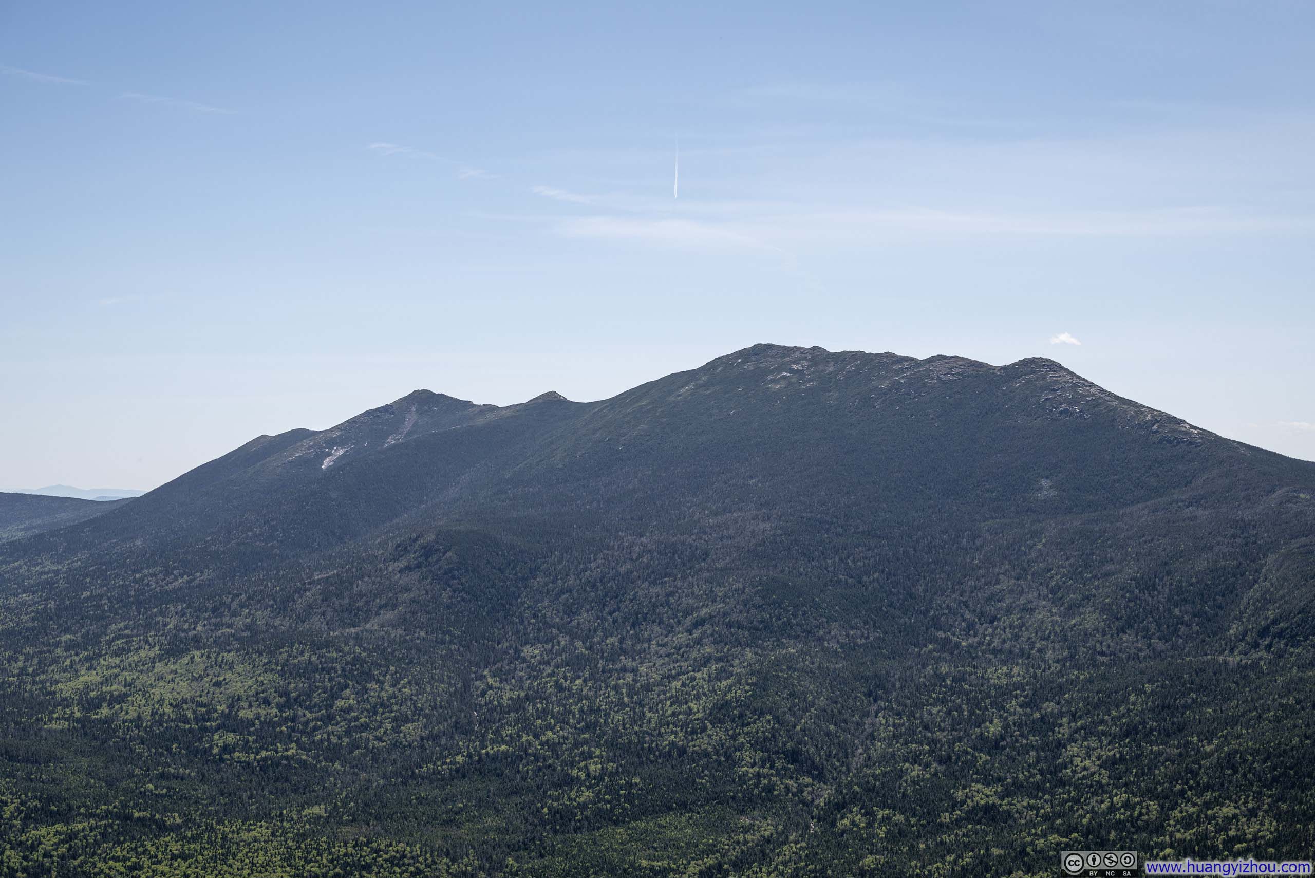
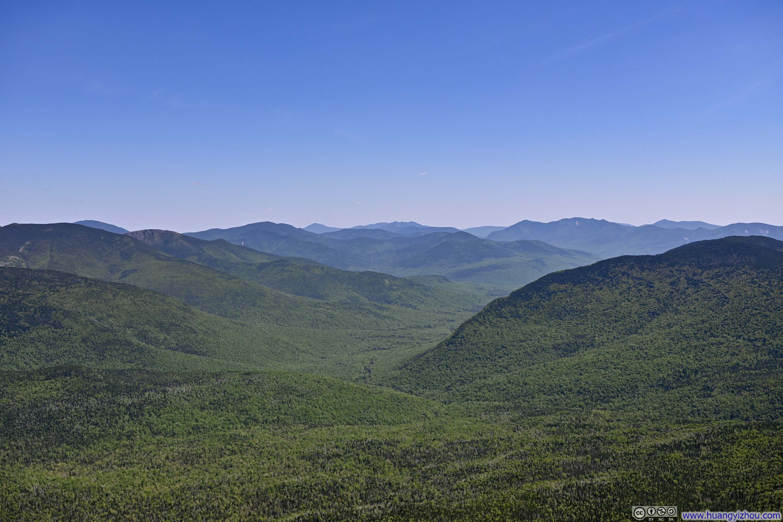
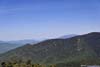
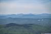
I didn’t want to expose myself to the wind from the west (I didn’t bring extra clothing), so I spent most of the time at the summit facing east, looking at the Twin Range. They weren’t as magnificent as Franconia Ridge, but they had more texture facing the sunlight.
 Twin Range
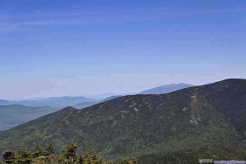 Mountains to the NortheastDistant Presidential Range in the background.
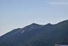
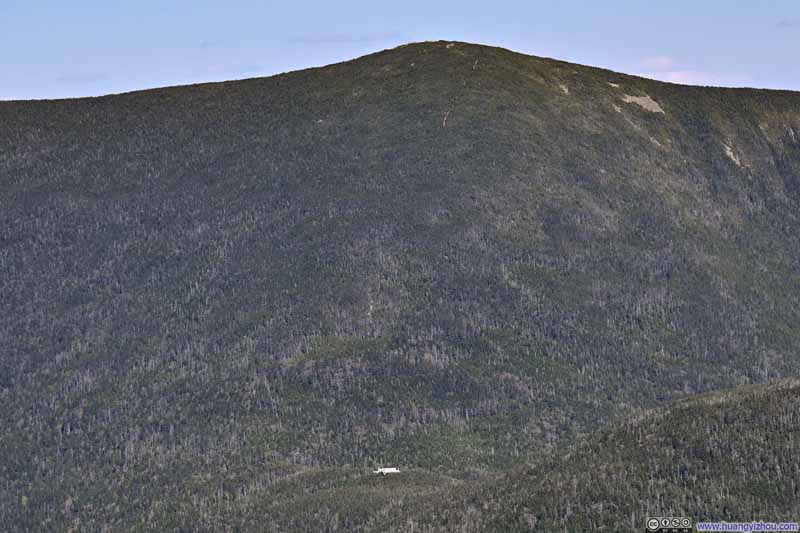 Galehead HutA shelter along the Appalachian Trail. A faint trail onto South Twin Mountain is visible.
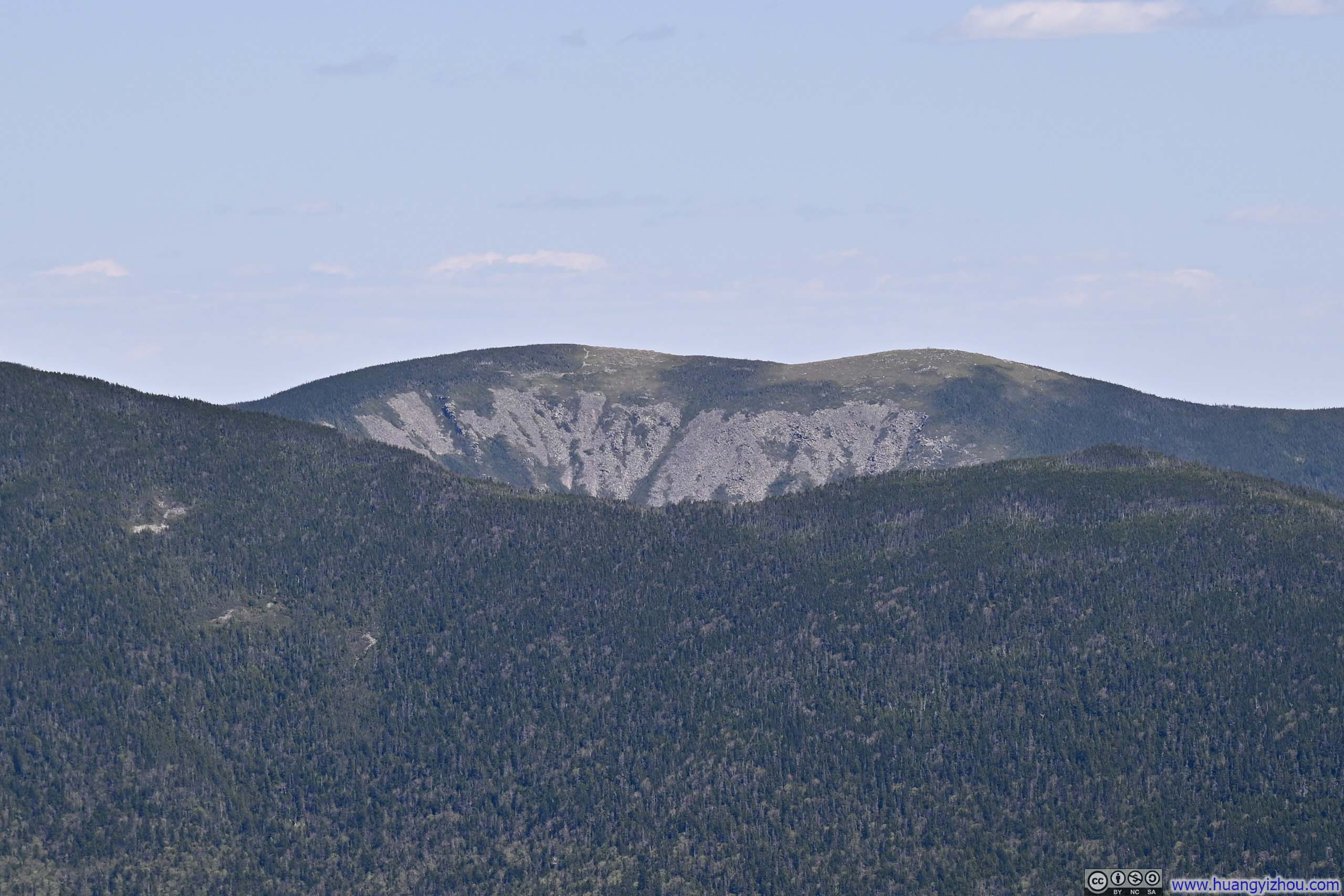
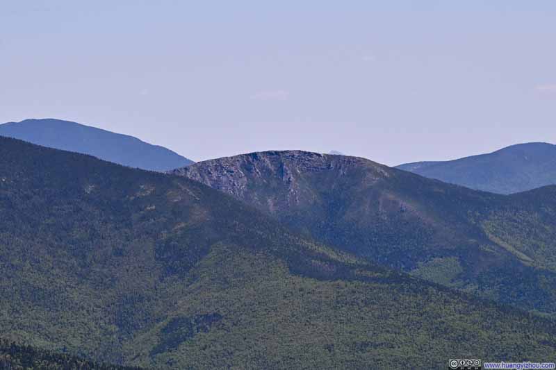 BondcliffA rather rocky summit compared to its neighbors.
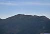
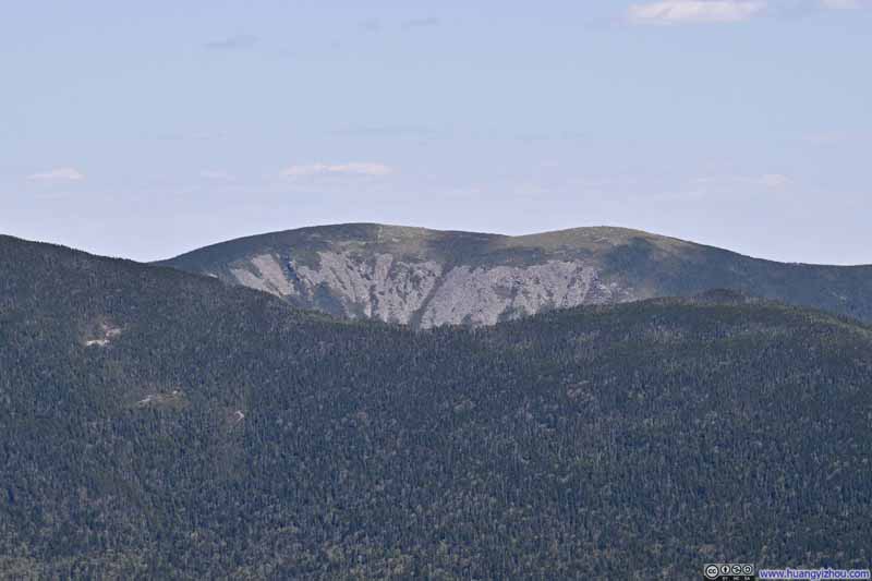 Mount Guyot
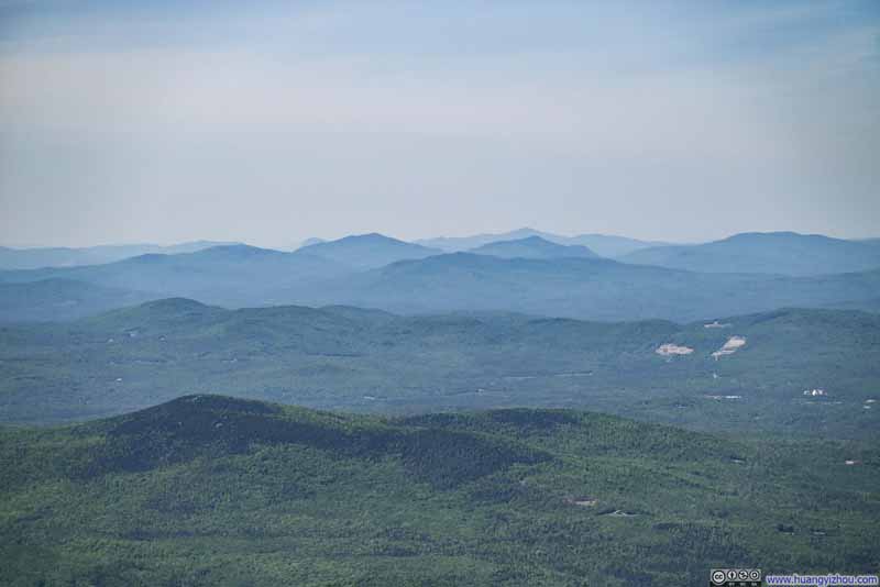 Distant Mountains to the North
Click here to display photos of the slideshow
Twin Range

Mountains to the NortheastDistant Presidential Range in the background.
Galehead HutA shelter along the Appalachian Trail. A faint trail onto South Twin Mountain is visible.
BondcliffA rather rocky summit compared to its neighbors.
Mount Guyot
Distant Mountains to the North
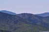
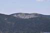
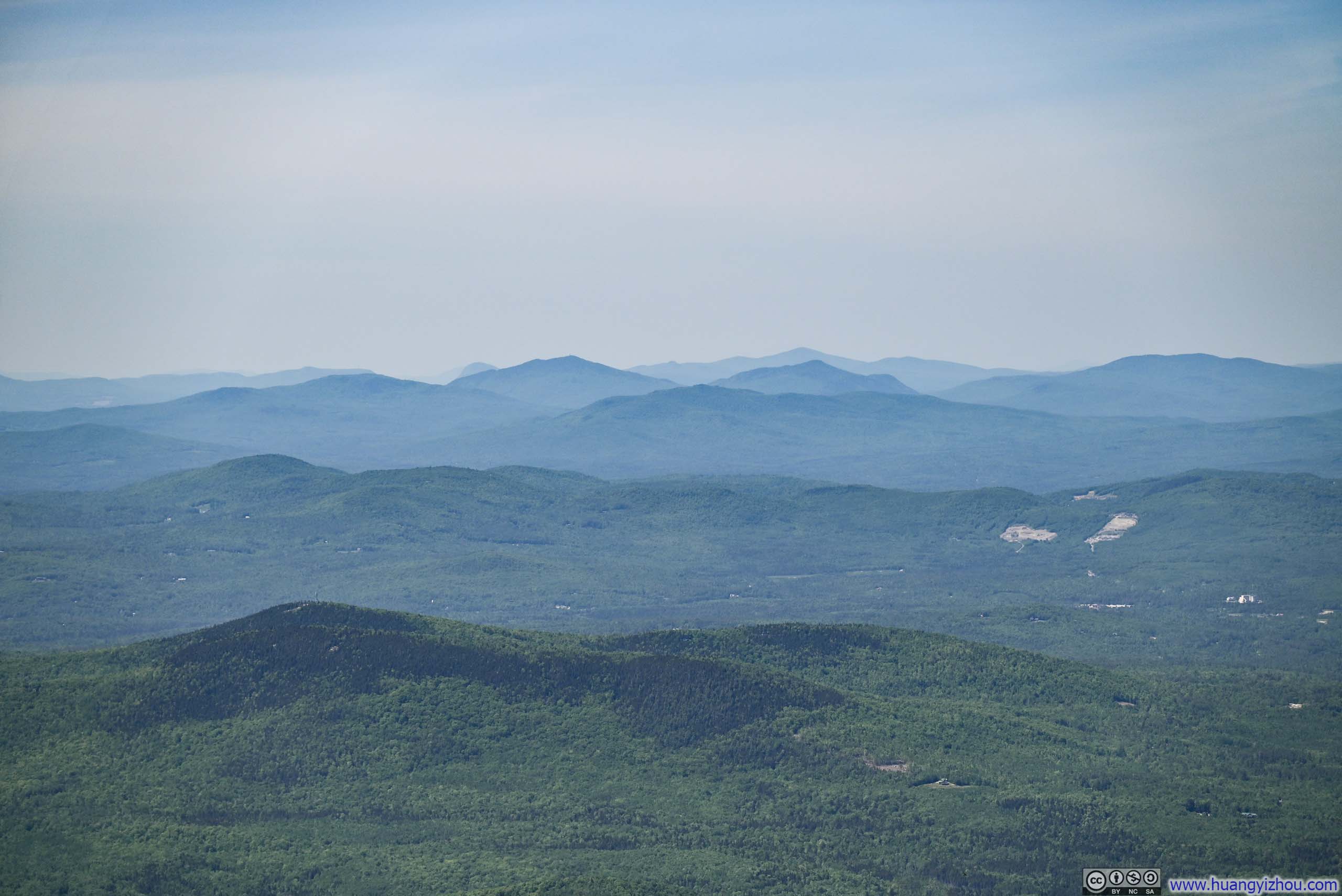
While the summit of Mt Garfield offered 360-degree views, to its north and west it was just gentle rolling hills, not as impressive.
Mountain Ranges from Mt Garfield
I was one of the last (if not the last) person to descend Mt Garfield that day, as a result, I ran into many spider nets which took away some fun of the day. I bet the spiders were hard at work throughout the day, but in the morning I had other hikers helping me clearing out their nets; in the afternoon I was on my own.
One more thing worth mentioning, along Mt Garfield Trail (and later today at Harvard Falls Trail), I both spotted a frog. So my encounter with animals didn’t have to all be the annoying bugs and spiders for the day.
 Frog
Frog Frog
Frog Frog
Frog Frog
Frog


Click here to display photos of the frogs along the trail.
 Frog
Frog

Frog
Frog
In the end, I got back to the trailhead at 6pm, 6.5 hours after I started (including 1.5 hours spent at the summit).
Since weather forecast indicated a sunny day and a clear night, I planned some stargazing later tonight in the White Mountains. With enough time before dark, I decided to check out another short hike, which was “Georgiana and Harvard Falls”.
Georgiana and Harvard Falls
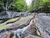
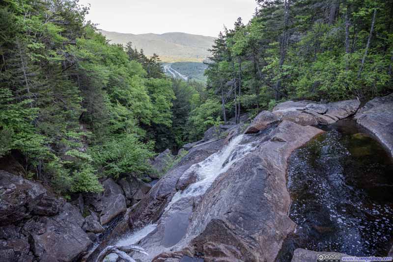
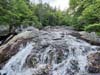
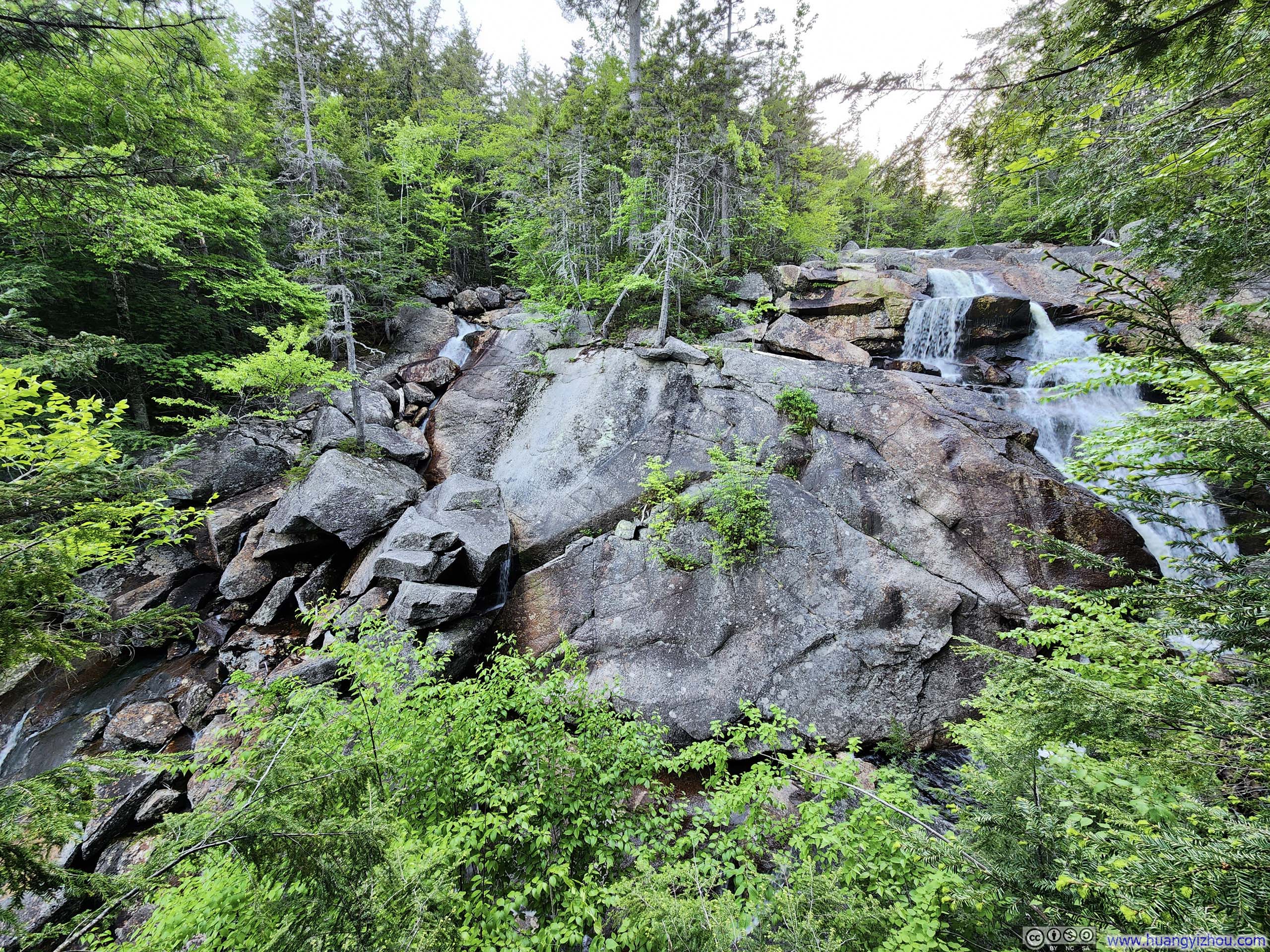
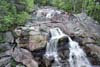
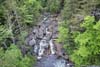
This trail followed “Harvard Brook” as it descended down a mountain, making multiple cascades and waterfalls along the way. The two most prominent waterfalls were “Upper” and “Lower” Harvard Falls. My understanding is that Google Maps called “Upper Harvard Falls” as “Georgiana Falls”. The trailhead for this hike was called “Georgiana Falls Trailhead” on Google Maps.
It was a casual stroll in the woods to the base of “Lower Harvard Falls”, and a relaxing one given the soothing sound of water just steps away.
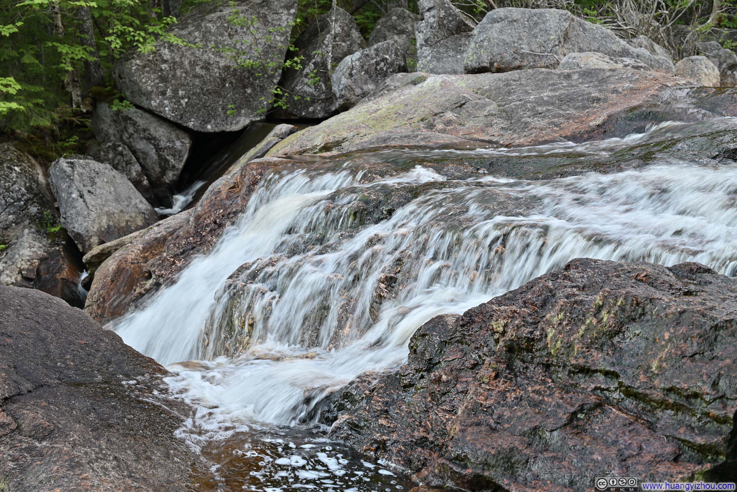
 Creek
Creek Lower Harvard Falls
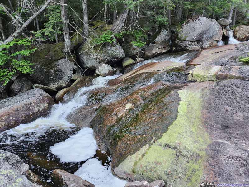 Lower Harvard Falls
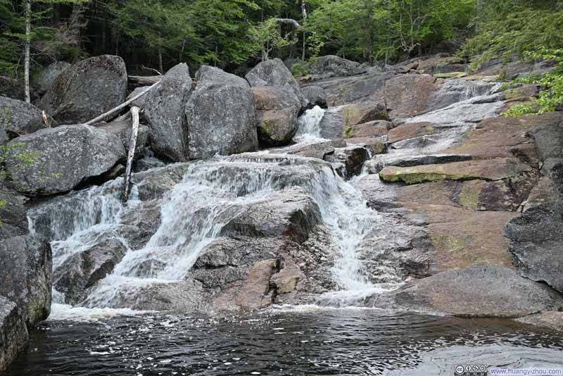 Lower Harvard Falls
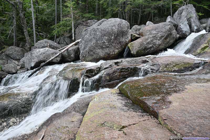 Lower Harvard Falls

Click here to display photos of the slideshow

Creek
 Lower Harvard Falls

 Lower Harvard Falls
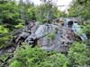
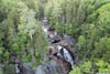
From Lower Harvard Falls, things got a bit dicey. To follow the ‘official’ trail (as marked on the maps), one should deviate from the creek, make a right turn before crossing a ravine, and follow what feels like a ridge line. I didn’t find that during my ascent. Alternatively, I followed the “AllTrails” path, which tracked closely to the creek, scrambled up a few boulders next to the water, before the two paths converged.
I would say, when it’s dry, the scramble along the creek boulders is very doable, and it’s much more enjoyable than getting lost while trying to locate the trail in the woods while fighting against spider nets and bugs.
From that point on, the ‘official’ trail had red markings, though they were few and far in between and thus not very helpful. (It was getting dark, so the red markings on the trees were getting hard to see.) To me, it’s more like finding the path of least resistance through the woods, while generally heading in the right direction. This certainly wasn’t something enjoyable. And when I had to route-find in the woods, the trail condition couldn’t be ideal.
Steep Trail
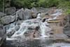
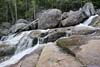
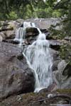
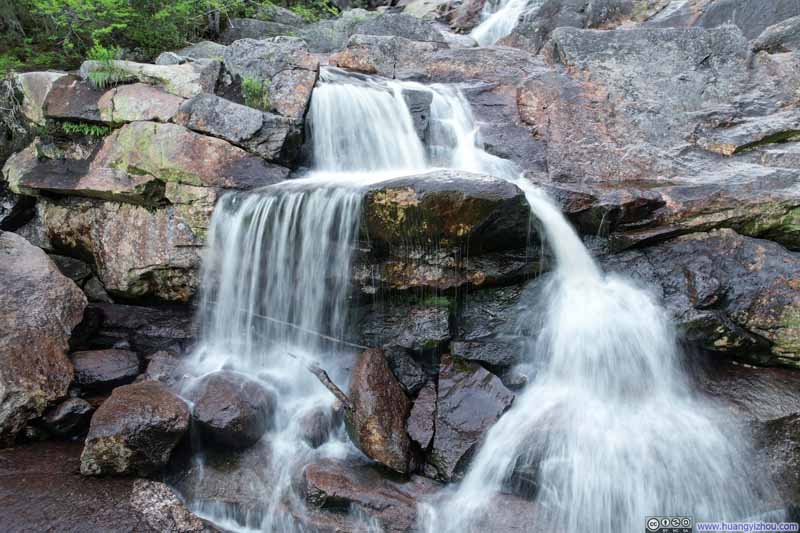
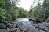
Finally, it’s “Upper Harvard Falls”. This was a proper waterfall (compared to the waterslide at Lower). From its upper brim, an opening between the trees offered its iconic views of highway and distant mountains, that’s what drew me to this trail.
 Upper Harvard Falls
 Upper Harvard Falls
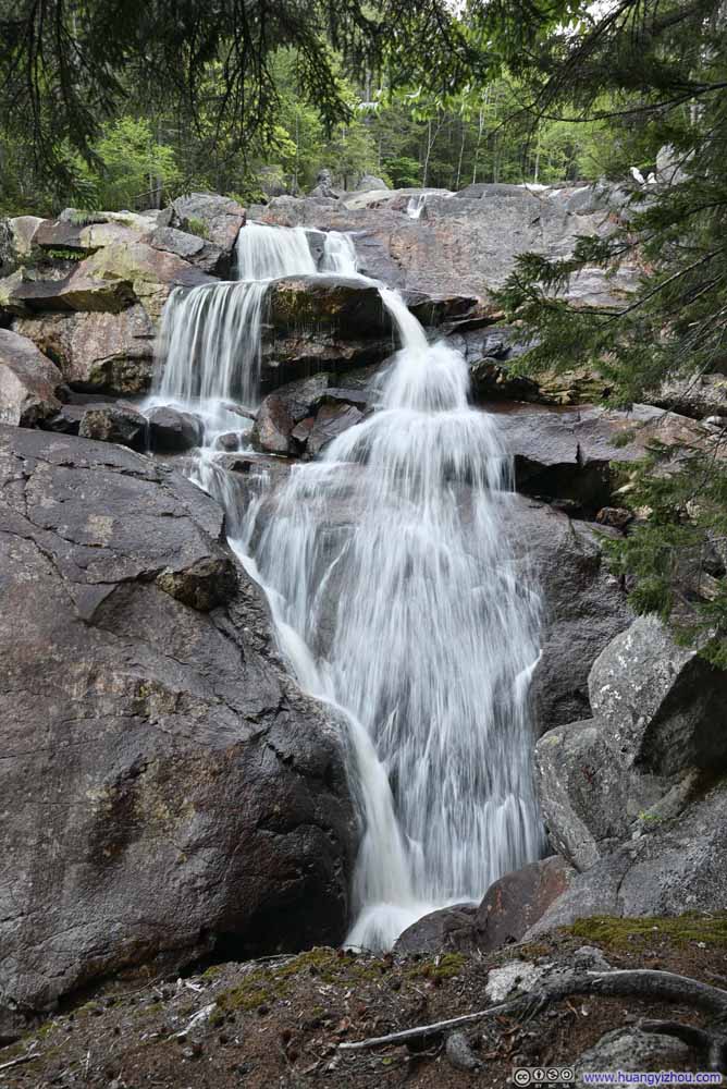 Upper Harvard Falls
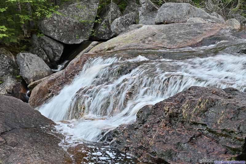 Creek above Upper Harvard Falls
 Creek above Upper Harvard Falls


Click here to display photos of the slideshow

Upper Harvard Falls
Upper Harvard Falls

Upper Harvard Falls
Creek above Upper Harvard Falls

Creek above Upper Harvard Falls
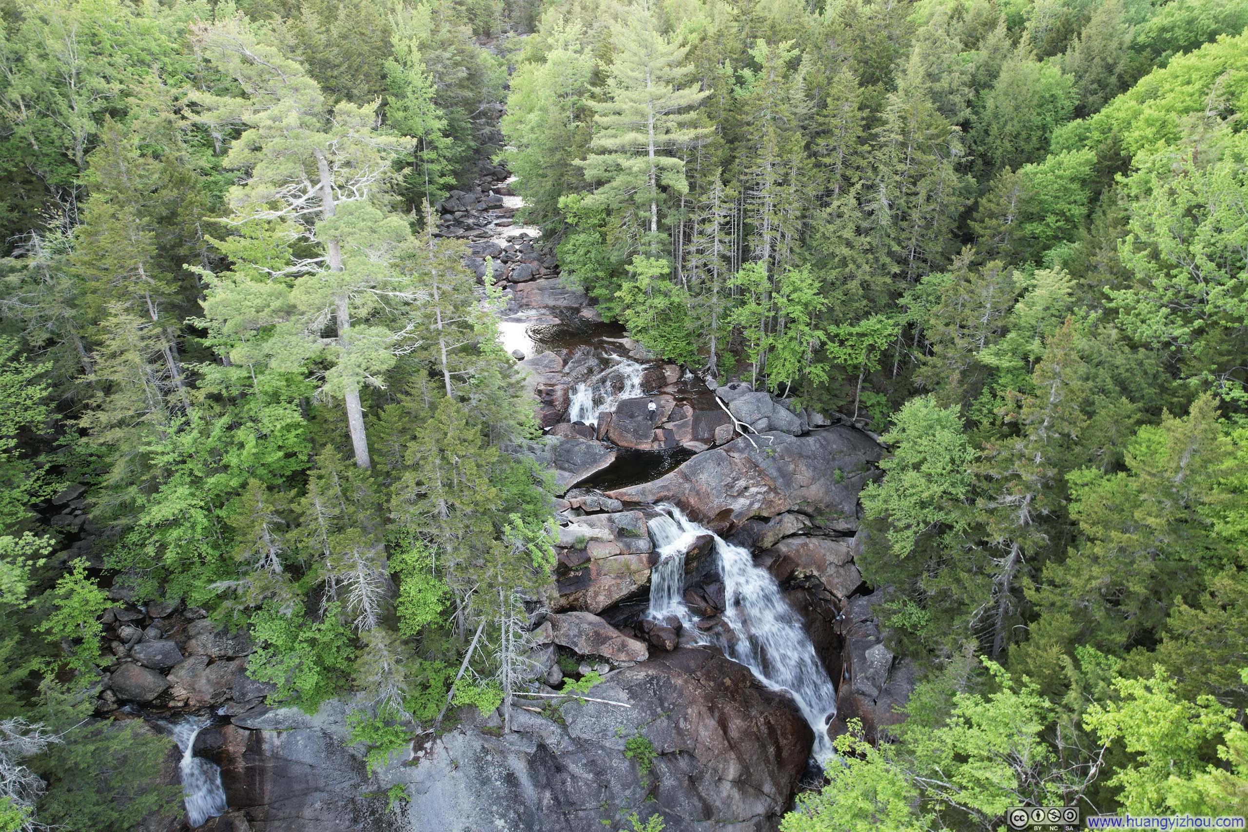
Then I launched my drone for an aerial view of Upper Harvard Falls. Along the trail there weren’t many great spots to safely view the waterfall, but with my drone I was no longer confined onto the trail.
 Upper Harvard Falls
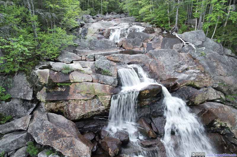 Upper Harvard Falls
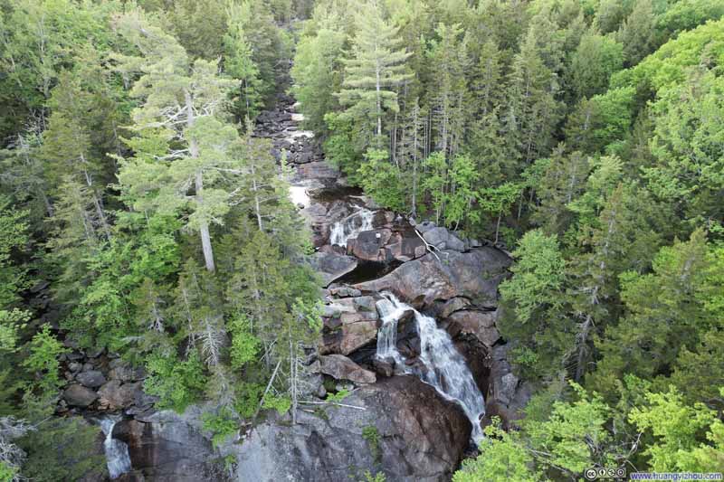 Overlooking Upper Harvard Falls
 Pond above Upper Harvard Falls
 Overlooking Lower Harvard Falls
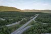
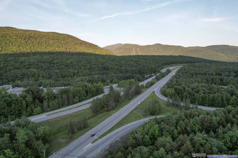 I93 Exit 33 against backdrop of Loon Mountain Ski Resort
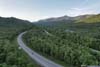
 White Mountains beyond Highway
Click here to display photos from the drone.

 Upper Harvard Falls
Overlooking Upper Harvard Falls

Pond above Upper Harvard Falls

Overlooking Lower Harvard Falls
I93 Exit 33 against backdrop of Loon Mountain Ski Resort
White Mountains beyond Highway
And this was what things looked like with me sitting on top of Upper Harvard Falls.
22 seconds, 2160p60fps, 9Mbps/25.4MB for H265, 11Mbps/27MB for H264.
Originally, I wanted to fly my drone, following Harvard Creek and its various waterfalls along the way. The trees were too dense around Harvard Creek so that quickly turned out to be impossible. Instead, I maintained altitude and flew it out of the valley onto I-93, approximately where the trailhead for this hike was, where views were more open. Here’s a video of the process:
57 seconds, 2160p60fps, 11Mbps/83.6MB for H265, 12Mbps/86MB for H264.
Interstate 93 through White Mountains
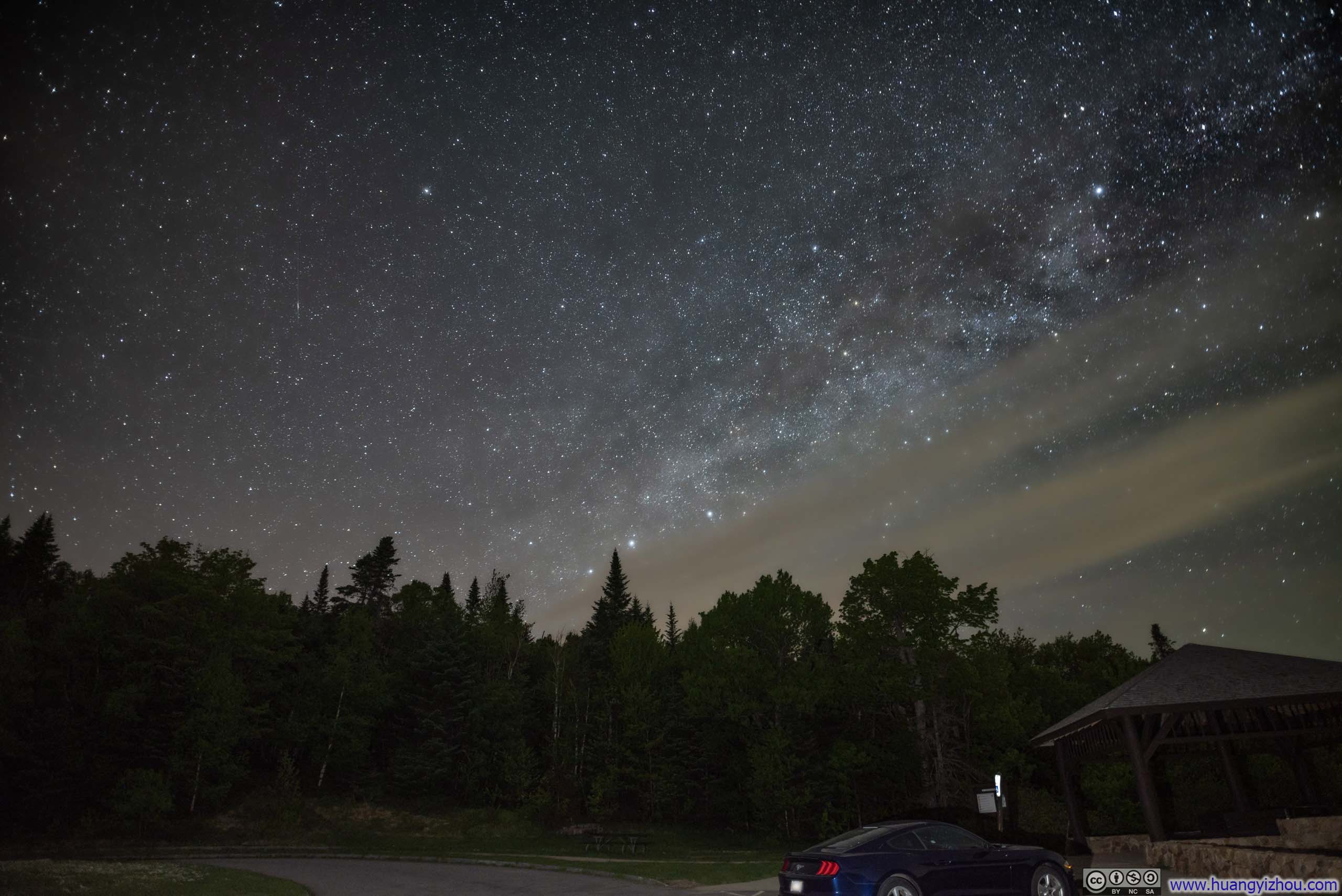
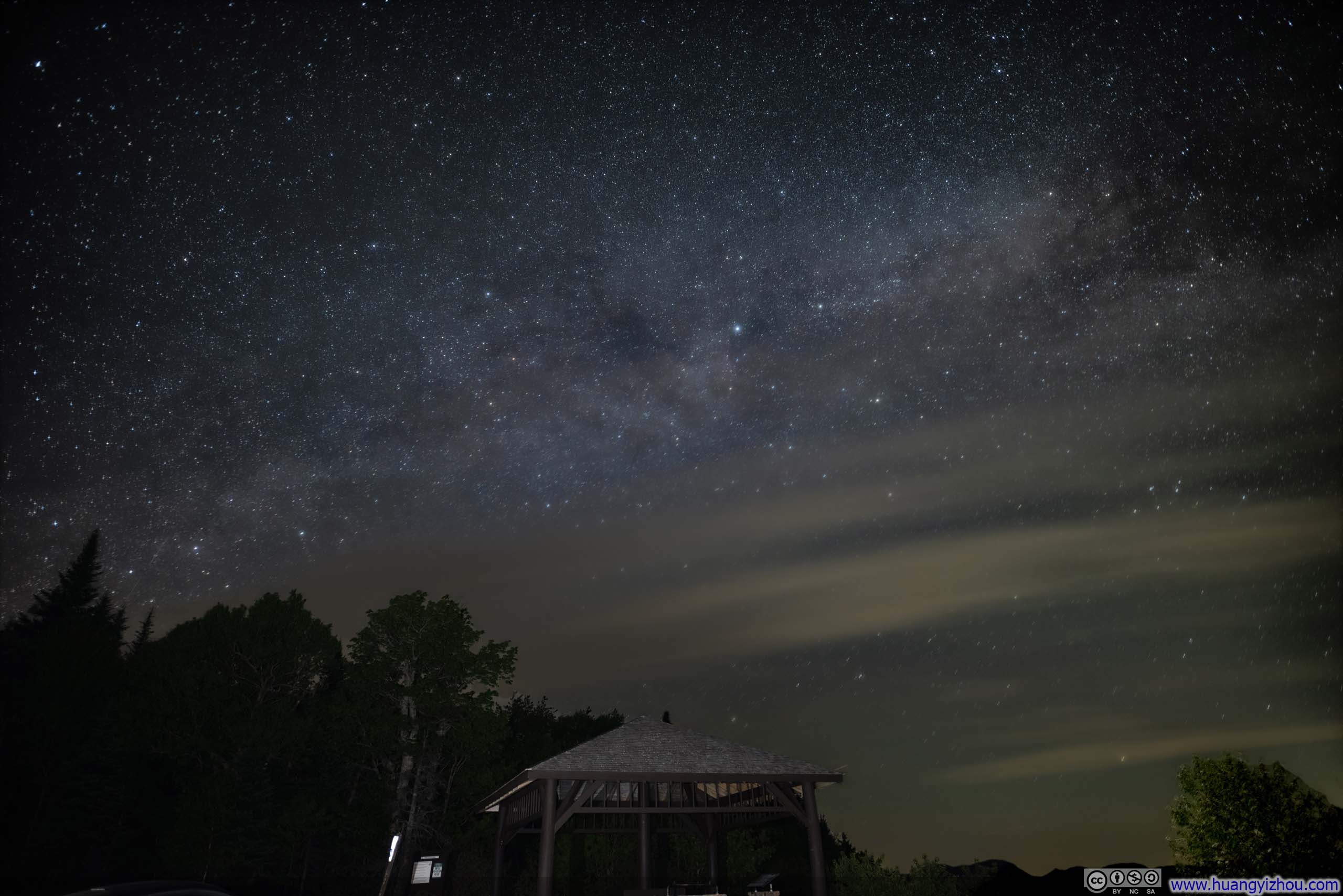
After that, I headed to the town of Lincoln for dinner while waiting for the sky to darken so that the stars could shine. After that, I headed for the nearby Kancamagus Pass, which had some of the least light pollution in the state of New Hampshire.
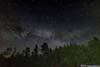
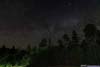
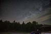
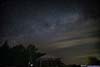
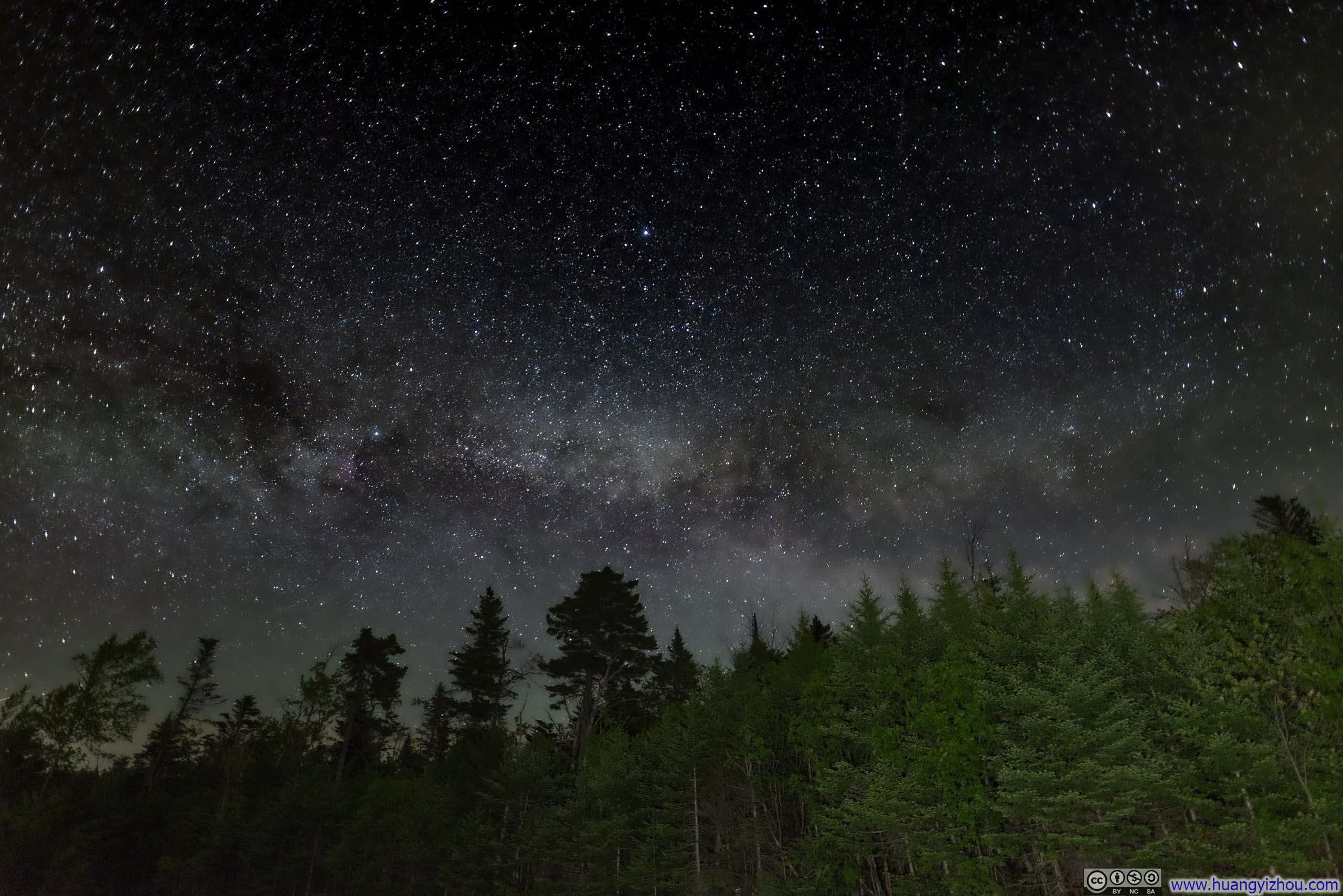
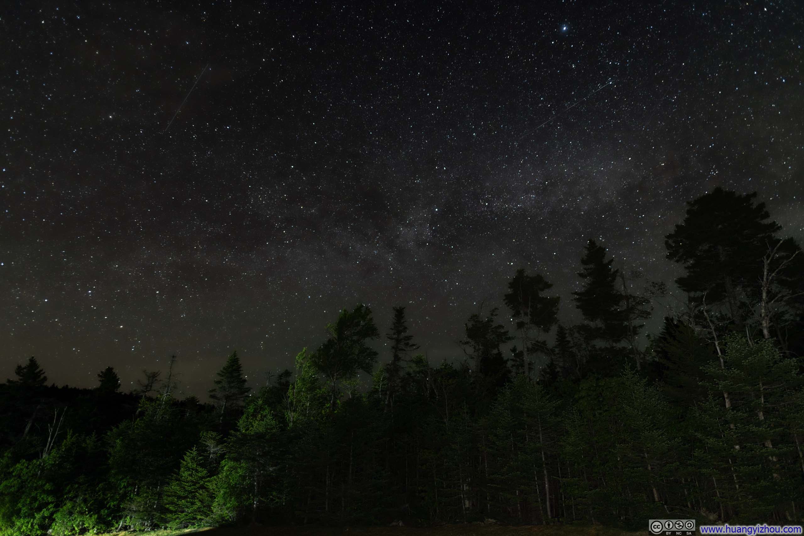
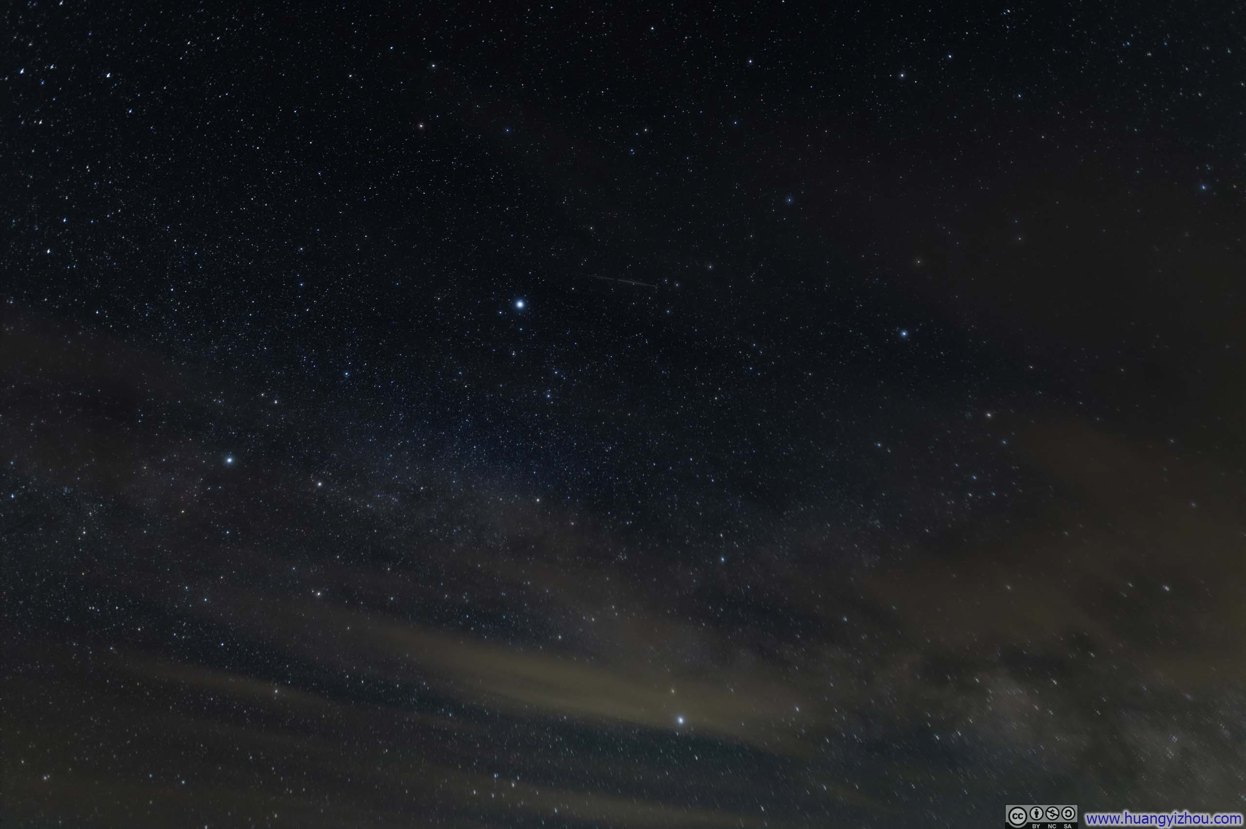
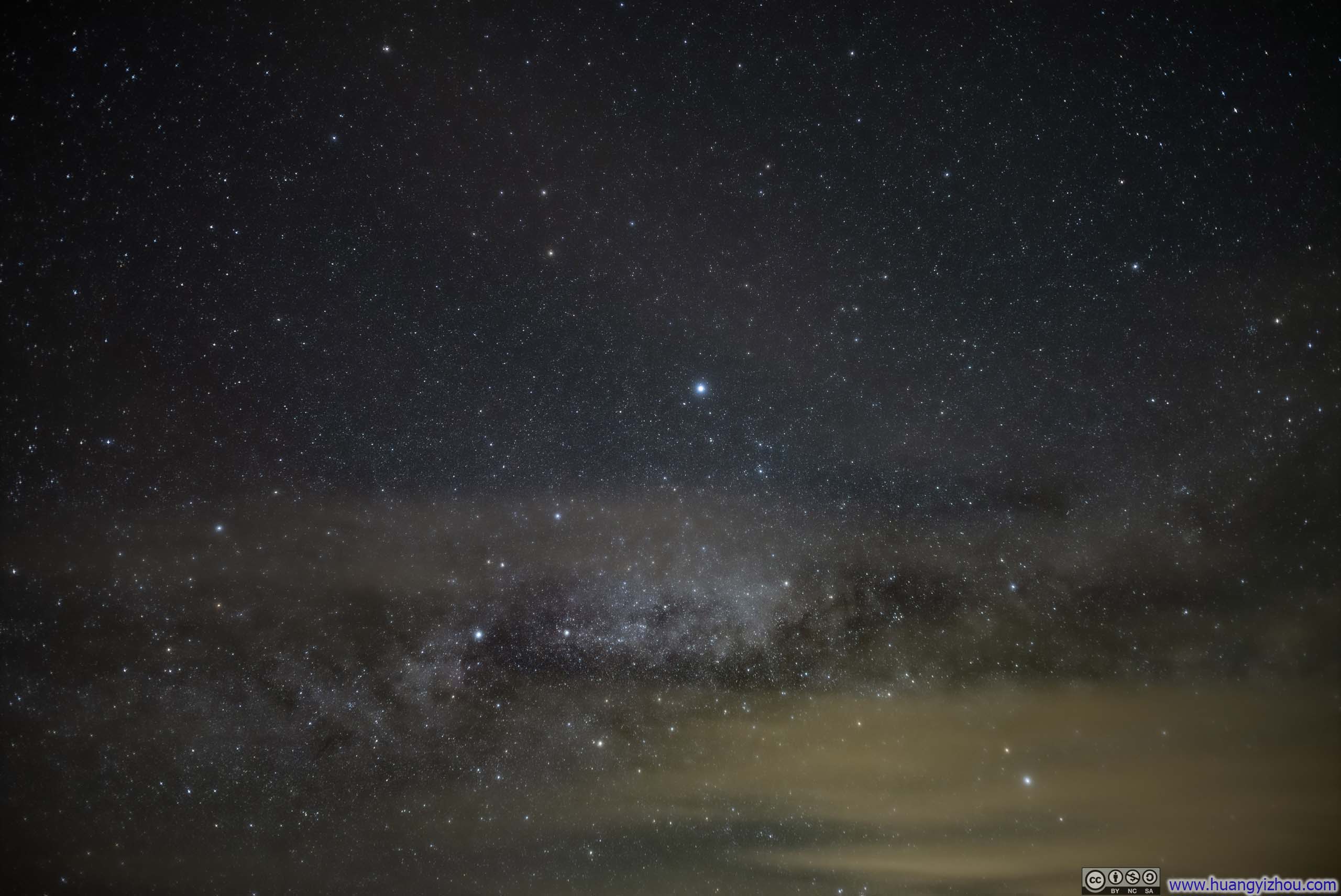
Night Sky
Unfortunately, while the weather forecast indicated a 100% clear sky, there were patches of clouds, exactly towards the direction of the milky way, and that’s quite the bummer to end the day.
 Starry Sky
 Starry Sky
 Starry Sky
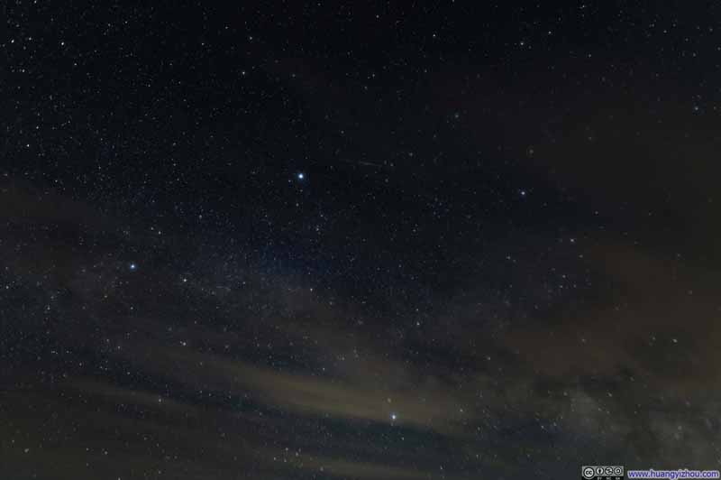 Starry Sky
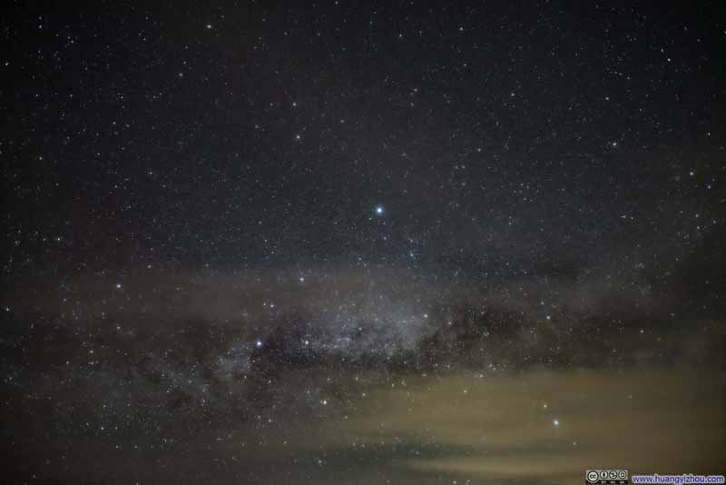 Starry Sky
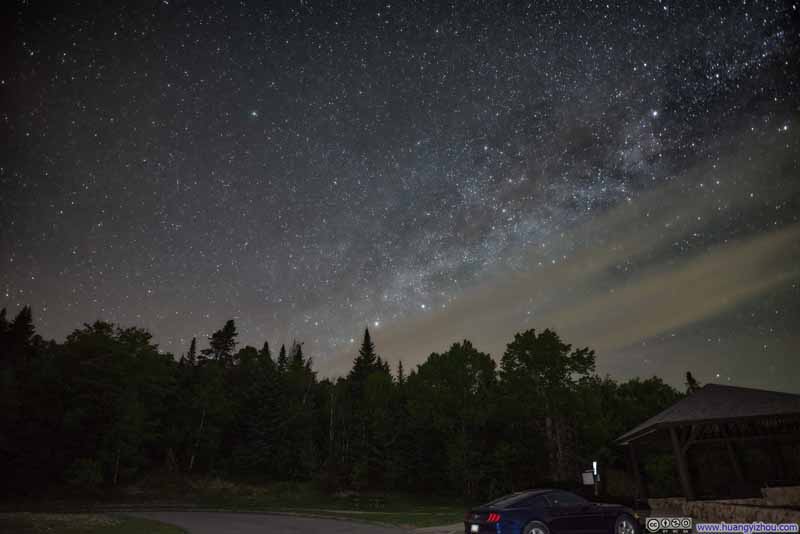 Starry Sky
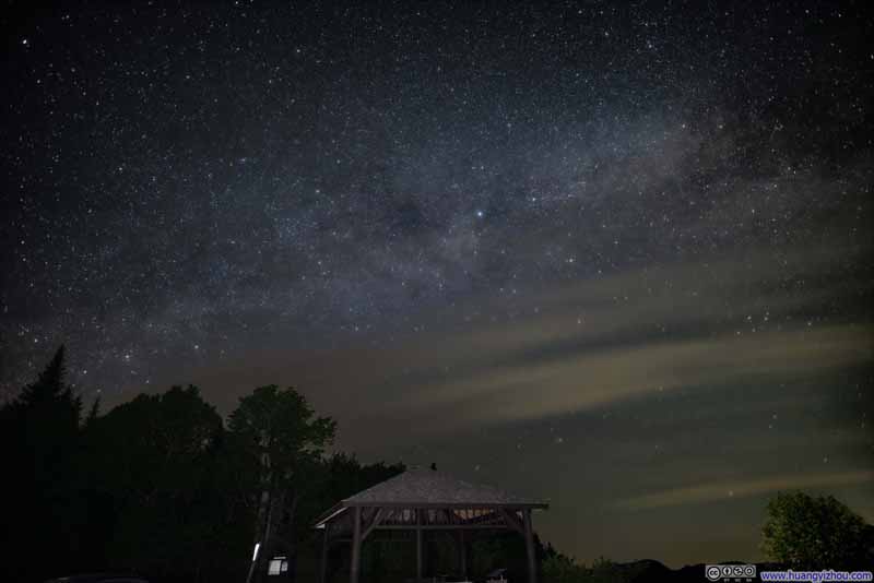 Starry Sky


Click here to display photos of the slideshow
Starry Sky

Starry Sky
Starry Sky
Starry Sky
Starry Sky
 Starry Sky
END
![]() Hiking Mt Garfield of New Hampshire by Huang's Site is licensed under a Creative Commons Attribution-NonCommercial-ShareAlike 4.0 International License.
Hiking Mt Garfield of New Hampshire by Huang's Site is licensed under a Creative Commons Attribution-NonCommercial-ShareAlike 4.0 International License.