
Updated on March 24, 2026
Hiking Mt Monadnock
Second weekend of June 2024. I joined some friends for a hike to Mount Monadnock, a popular mountain in southern New Hampshire.
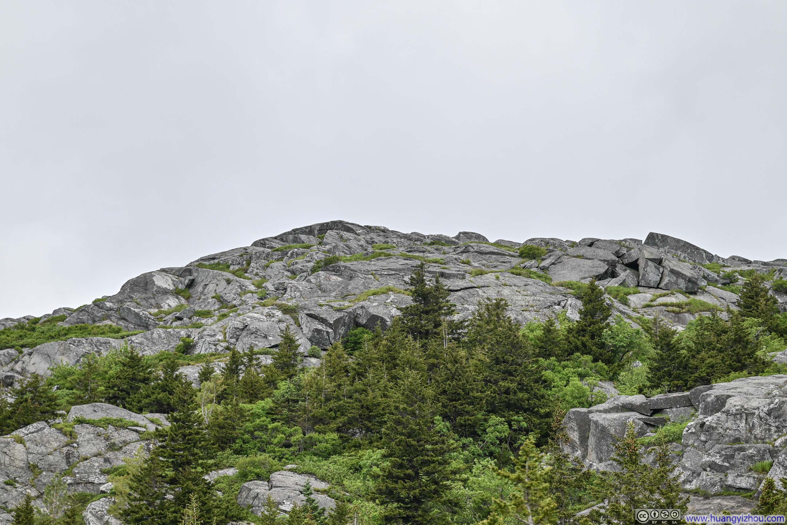
Monadnock from Trail
The day was June 8. One of my friends in the Boston area just got himself a new ride and was looking for some experience on the expressway. Thus I proposed we could head into New Hampshire for some hiking. Weather forecast indicated chances of rain further north in the White Mountains, so we decided on Monadnock, a popular mountain in southern New Hampshire.
Due to its popularity, Monadnock State Park only offered 225 parking slots each day. While leaving Boston in the morning of June 8, I found there were only ~20 left and hence booked it on the go. I believed by the time we reached Monadnock, they were all taken.
As we approached Monadnock it started to drizzle, then the rain got more intense as we were parked. Hence, we spent about 15 minutes at the “Monadnock Ecocenter” by the trailhead, waiting out the rain. By the time we set off onto the trail at 11:25am, the rain had stopped.
Here’s GPS tracking:
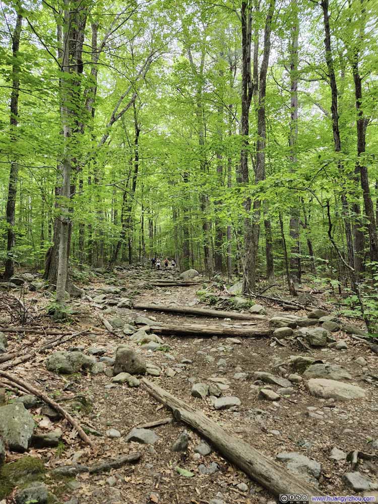
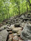
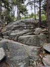
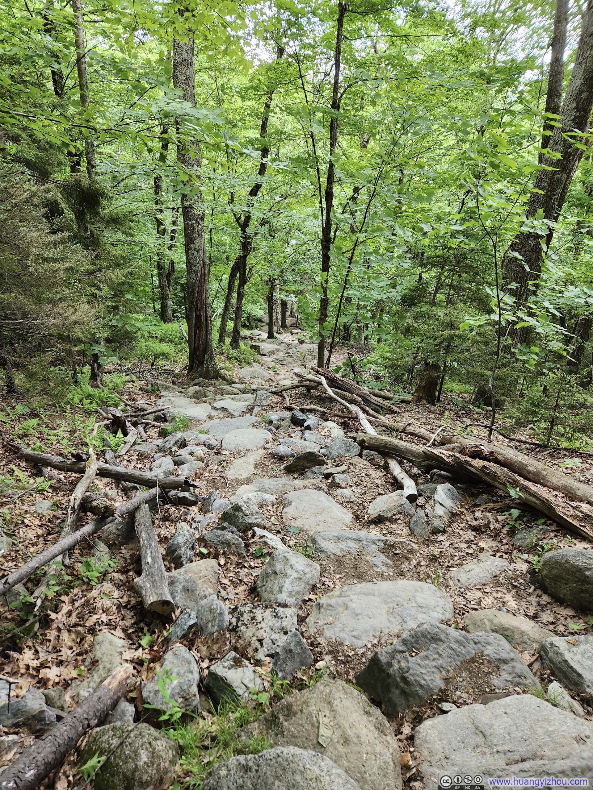
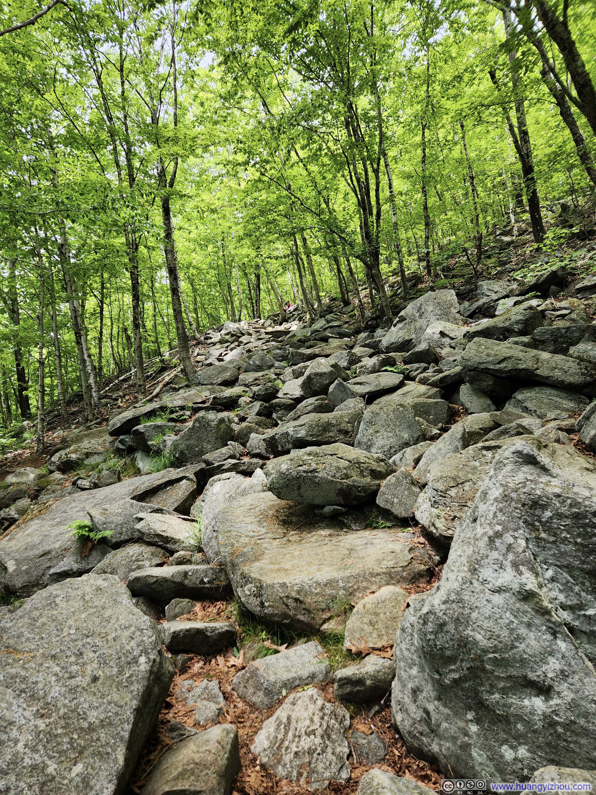
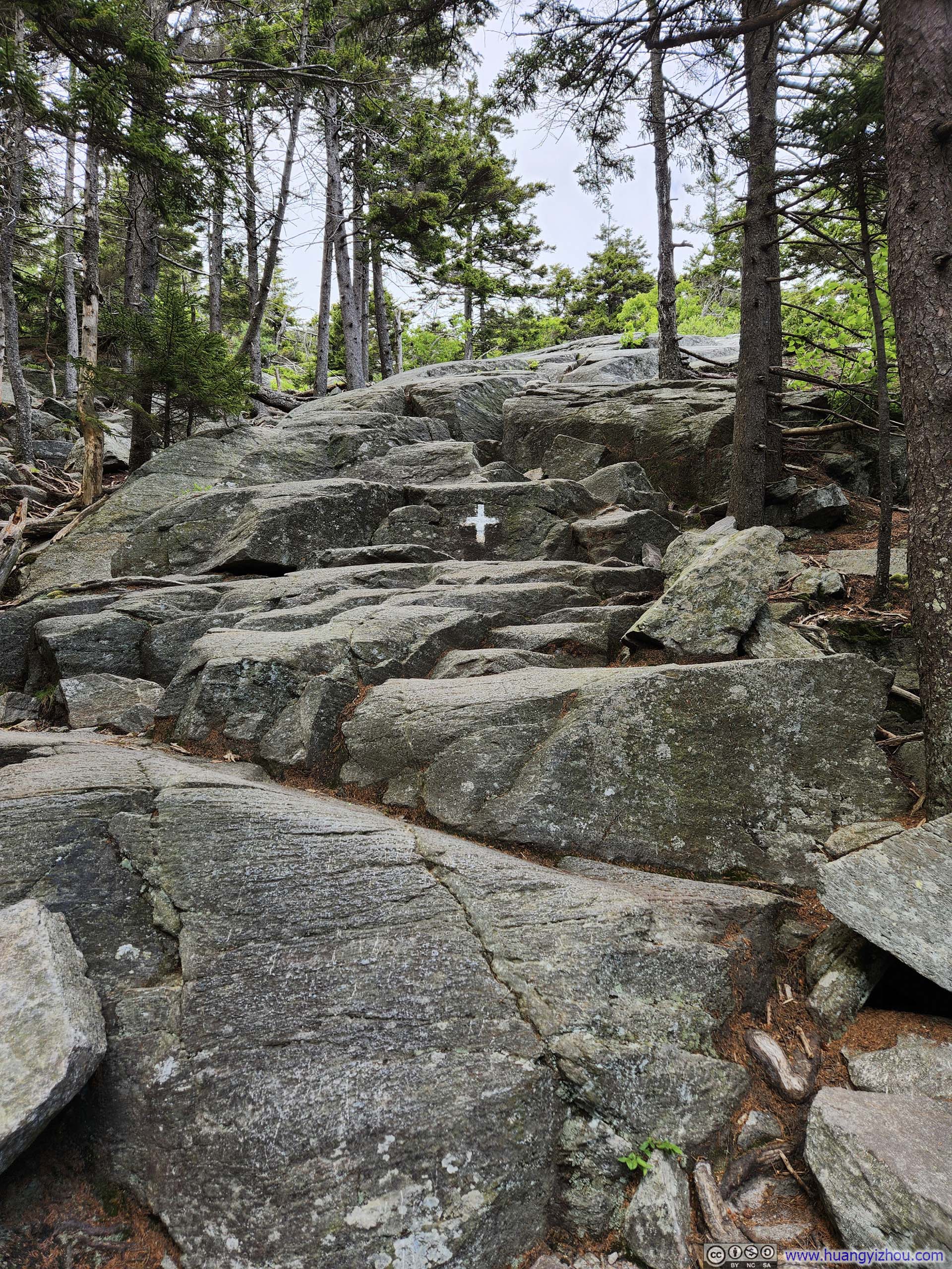
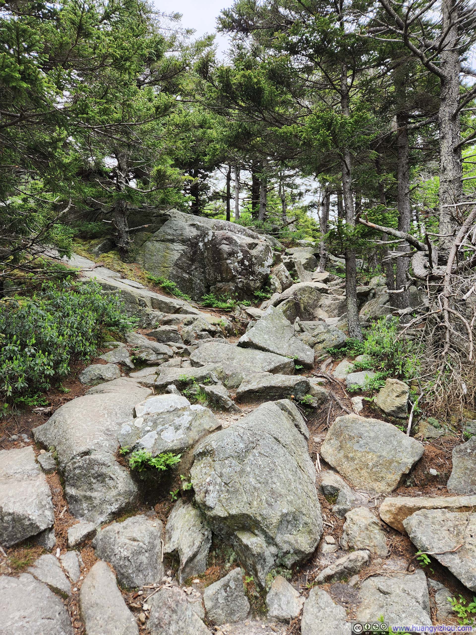
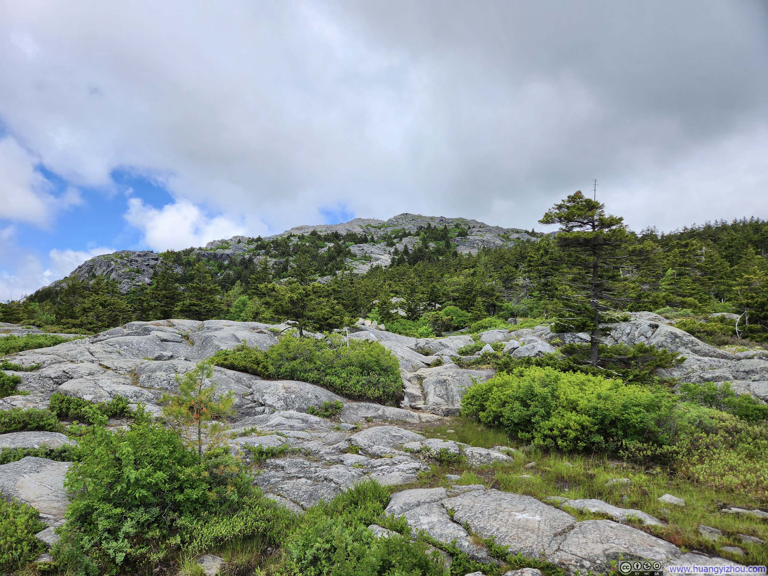
About 1km (0.6mi) into the hike, the trail forked into “White Cross Trail” and “White Dot Trail”. They were so named because one was marked with white crosses on trees and rocks, and the other with white circles. They would converge shortly before the summit. They were both steep and rocky, with “White Cross Trail” being the easier of the two.
When it’s our turn to choose, my friends randomly picked “White Cross Trail”, not knowing it’s the easier one. That’s a fact well appreciated later in the day.
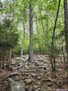
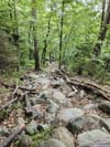
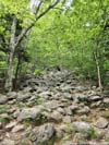
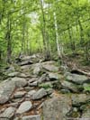
 TrailBefore getting onto “White Cross Trail” things were easy.
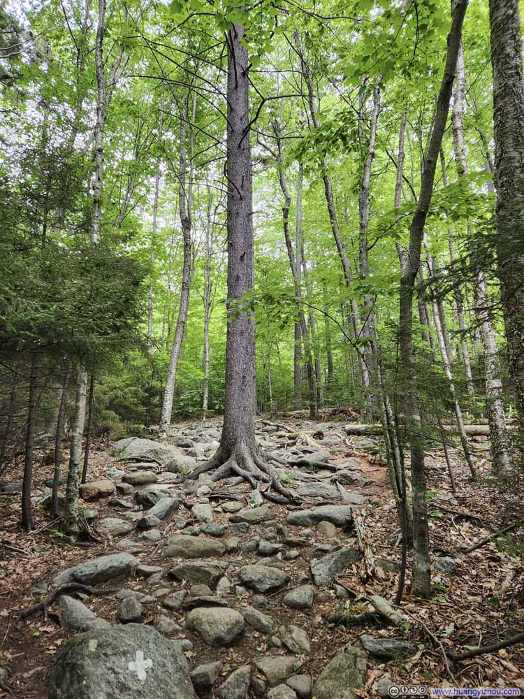 Trail
Trail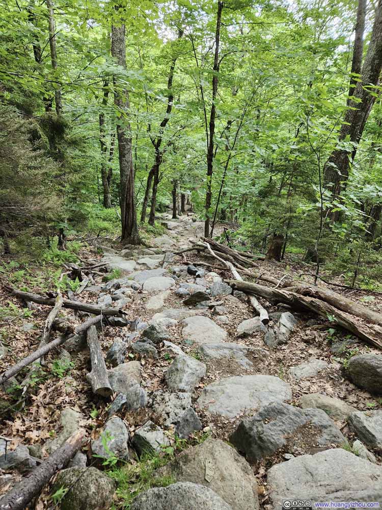 Trail
Trail Trail
Trail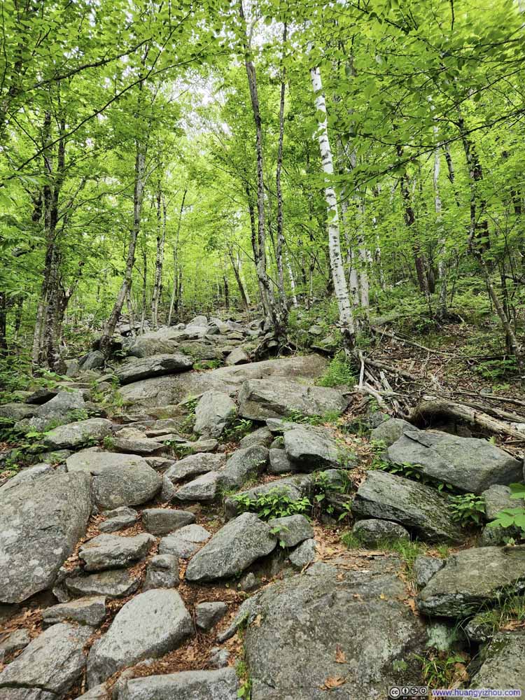 Trail
Trail Trail
Trail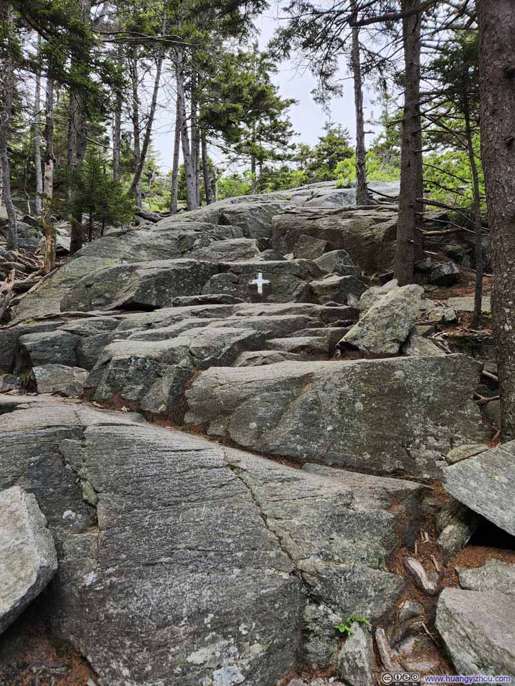 Trail
Trail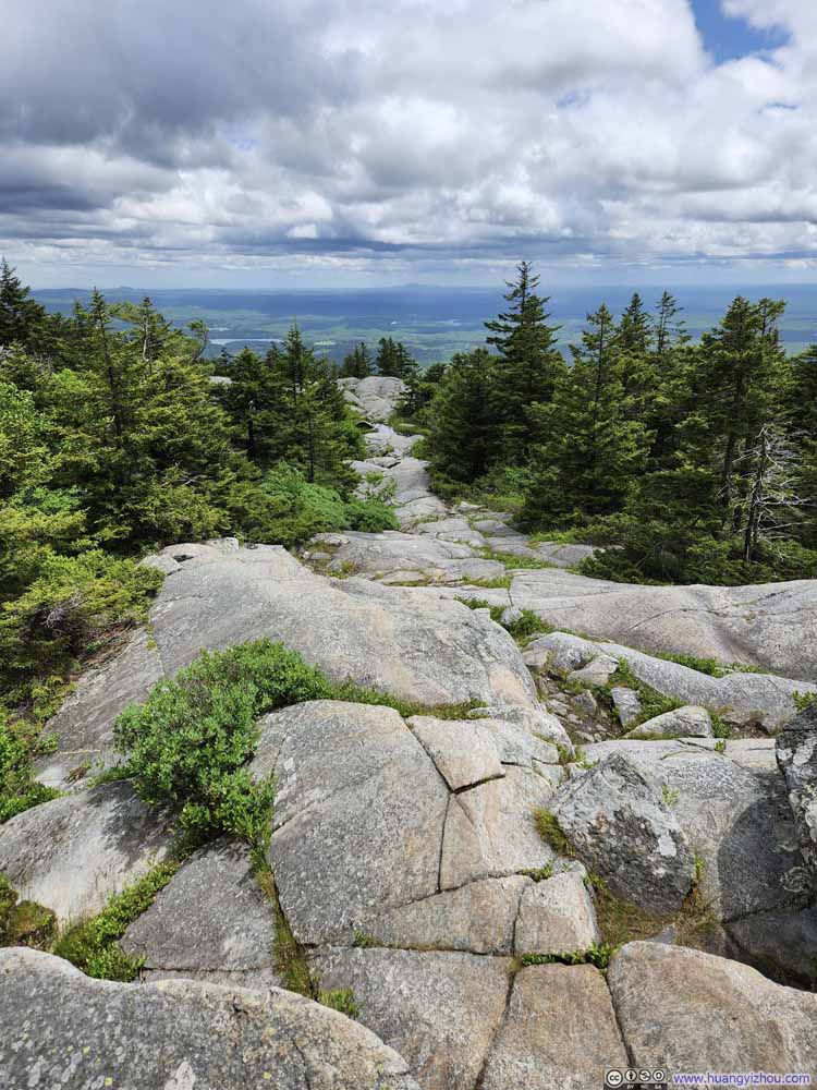 Trail
Trail Trail
Trail

Click here to display photos of the trail.

TrailBefore getting onto “White Cross Trail” things were easy.

Trail
Trail

Trail

Trail
Trail
Trail

Trail
Trail
Once onto White Cross Trail, it first got rocky, and quickly steep too. In my opinion it’s not technical, with patience and caution most people should have no issue with that trail.
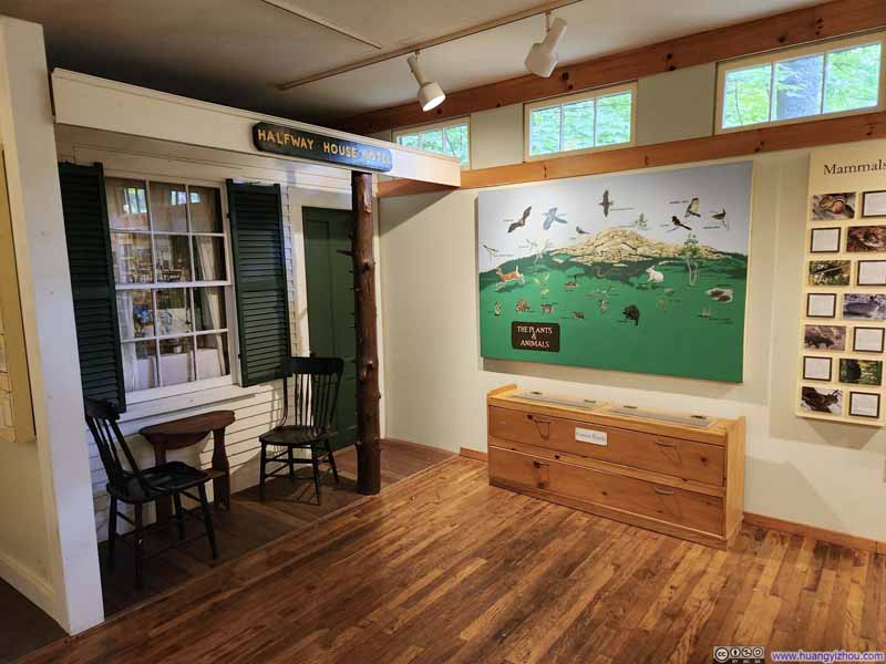 Monadnock Ecocenter
Near the trailhead, mostly photo exhibits of Monadnock. We briefly used this building to wait out the rain.
Monadnock Ecocenter
Near the trailhead, mostly photo exhibits of Monadnock. We briefly used this building to wait out the rain.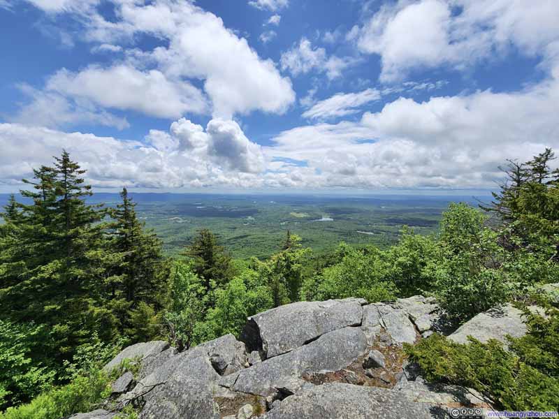 View from Trail
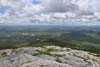
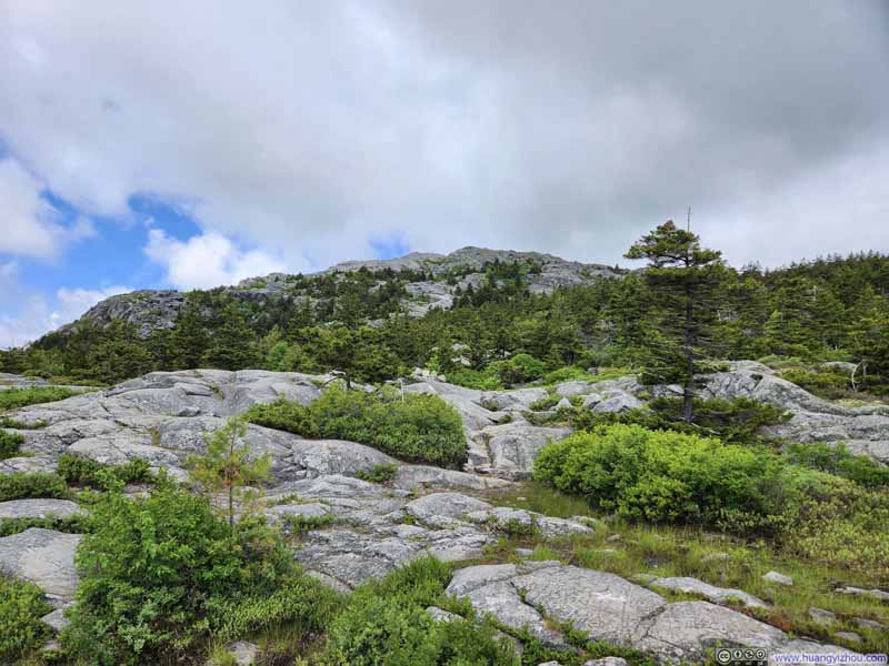 Monadnock from Trail
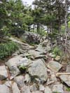
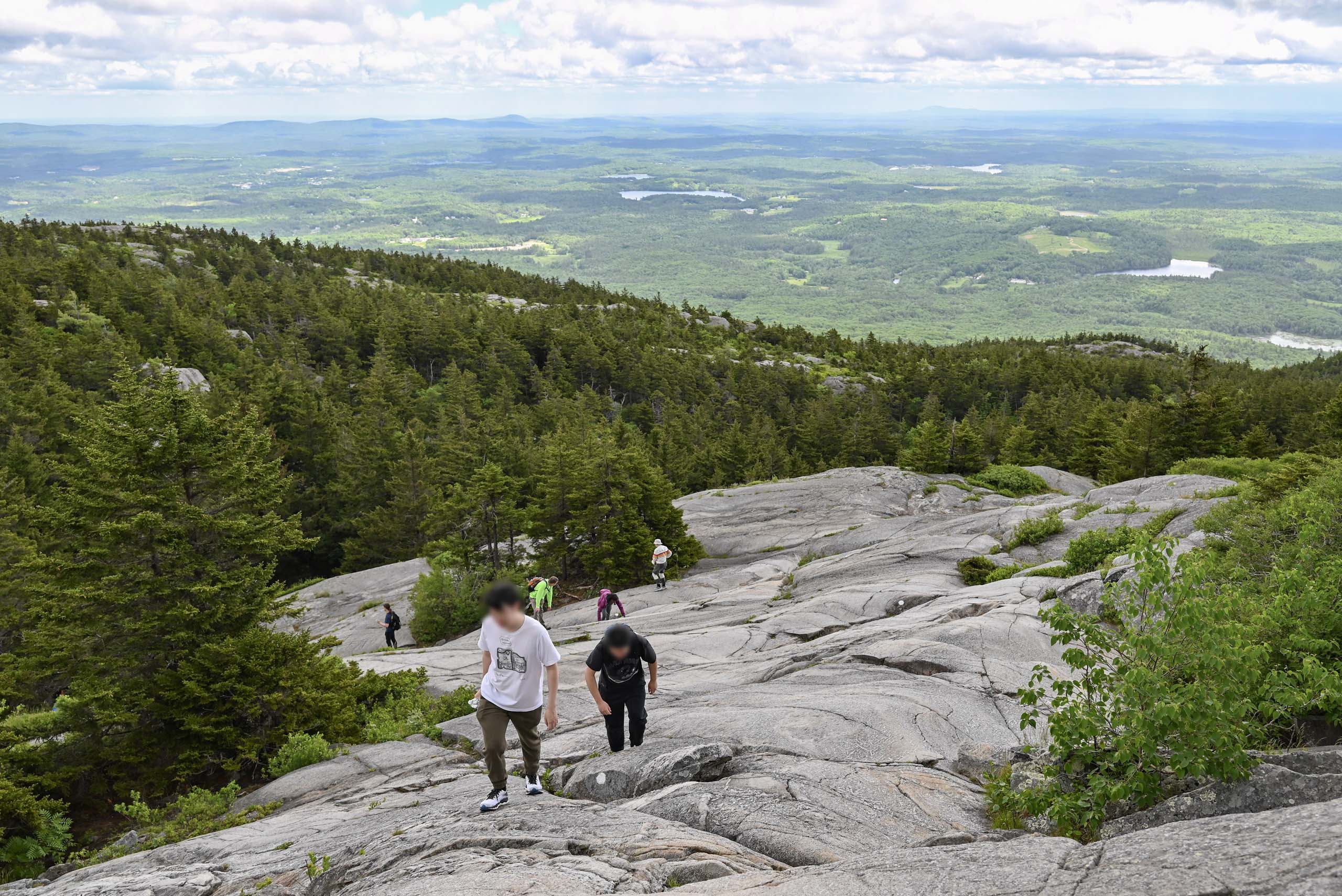
 Steep TrailClose to the summit there was a section on exposed rock faces that was sort of steep.


Click here to display photos of the slideshow

Monadnock Ecocenter

View from Trail
Monadnock from Trail
Steep TrailClose to the summit there was a section on exposed rock faces that was sort of steep.
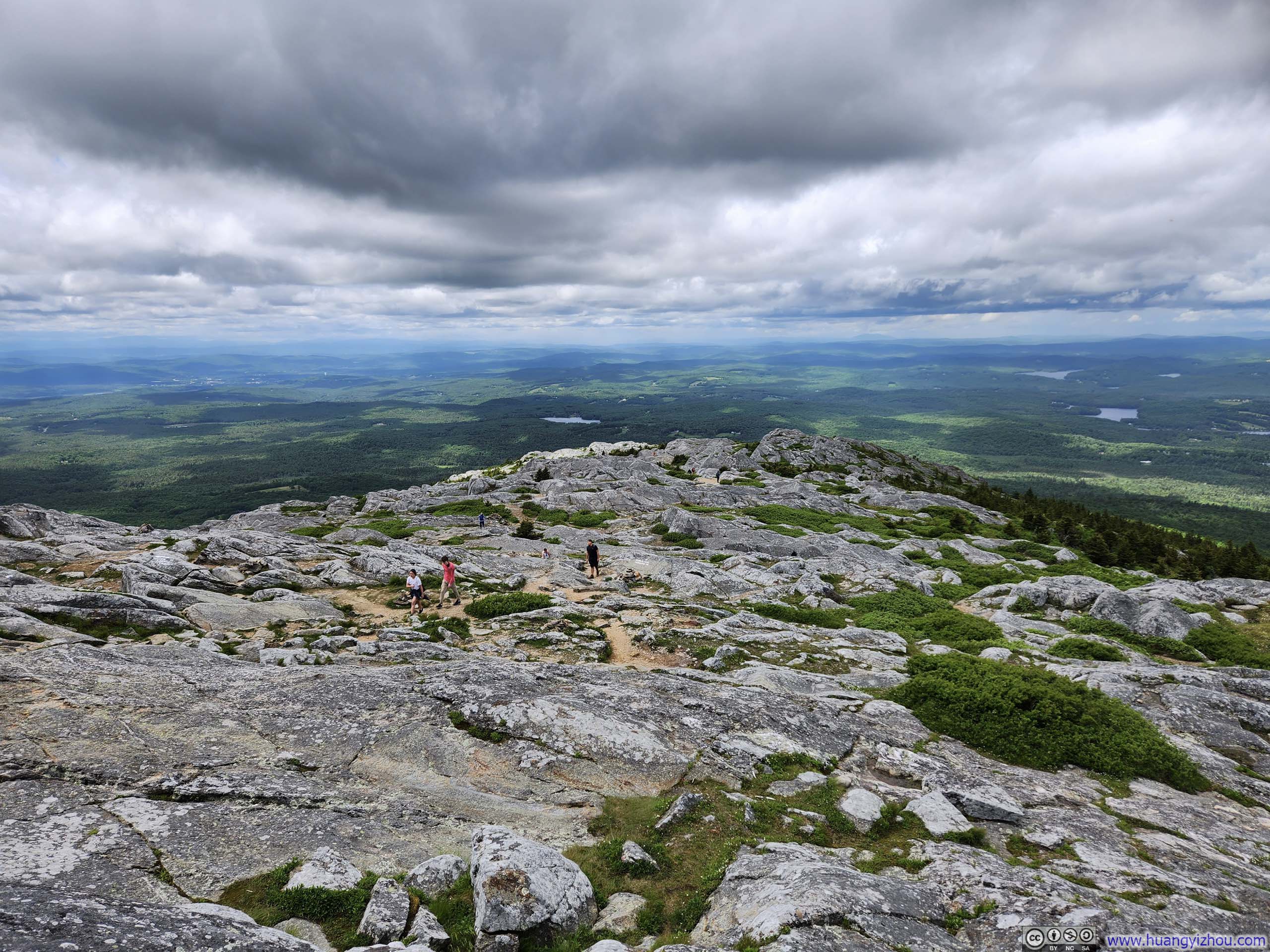
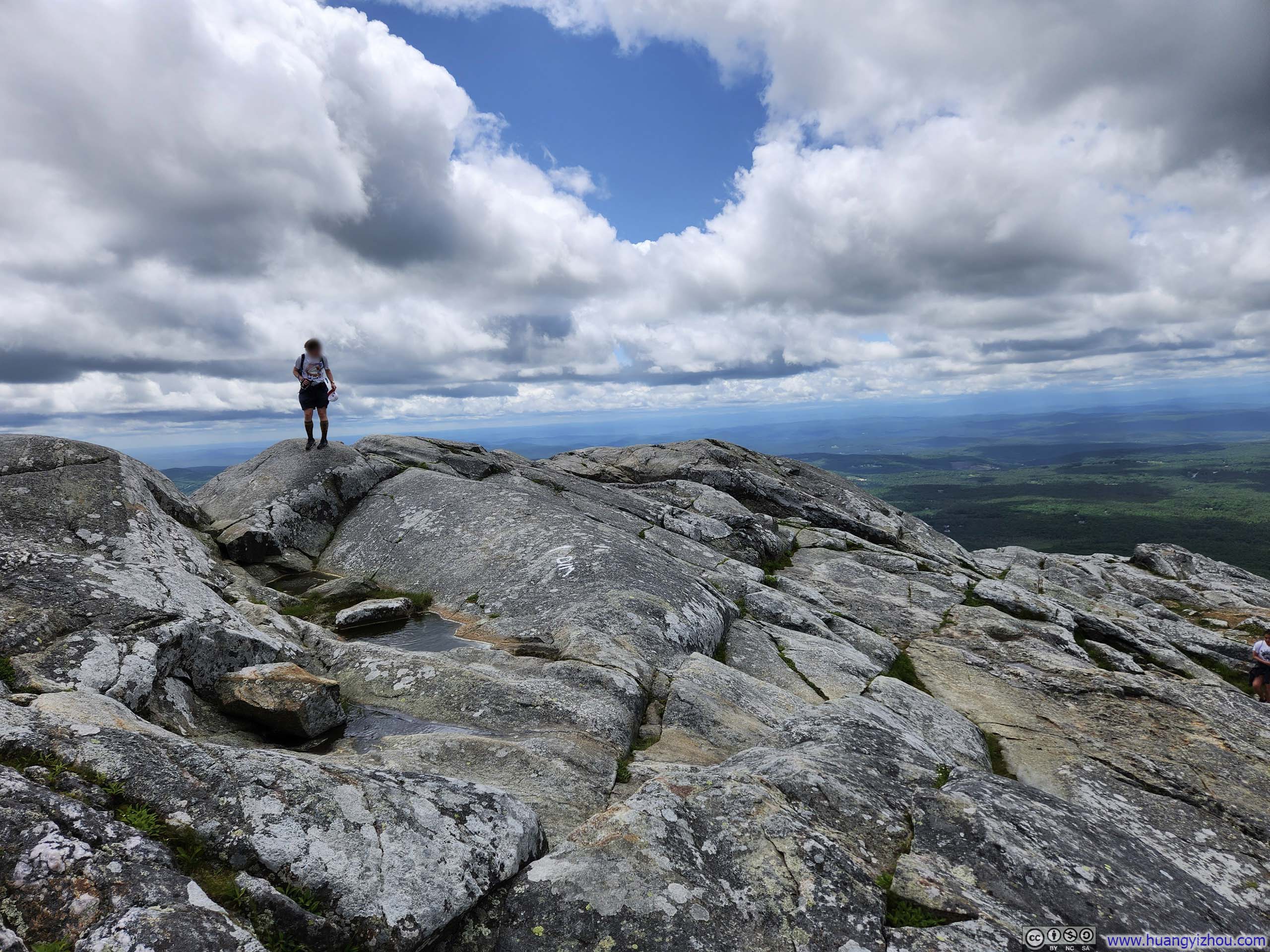
With breaks here and there, it took us just under 2 hours to reach the summit of Monadnock, which offered 360-degree views.
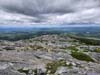
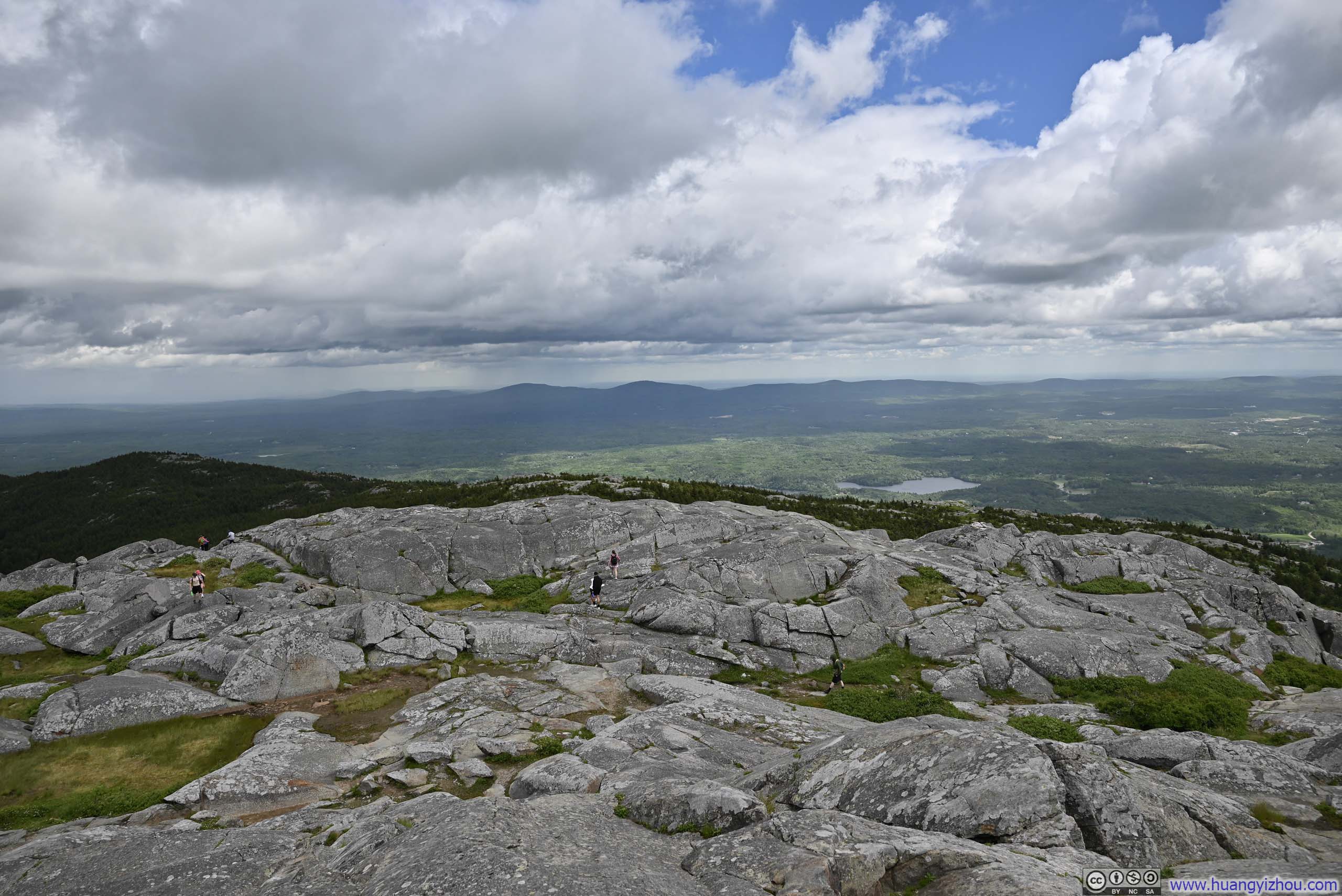
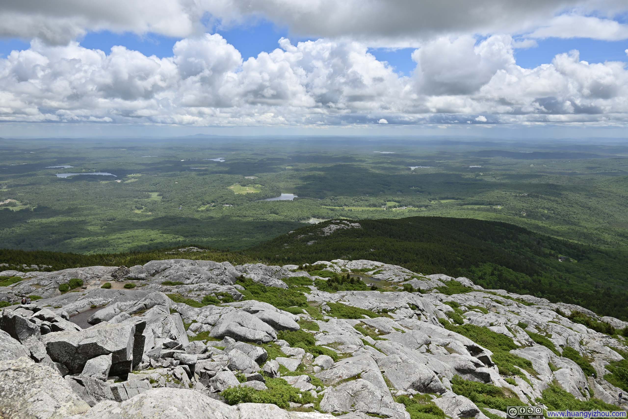
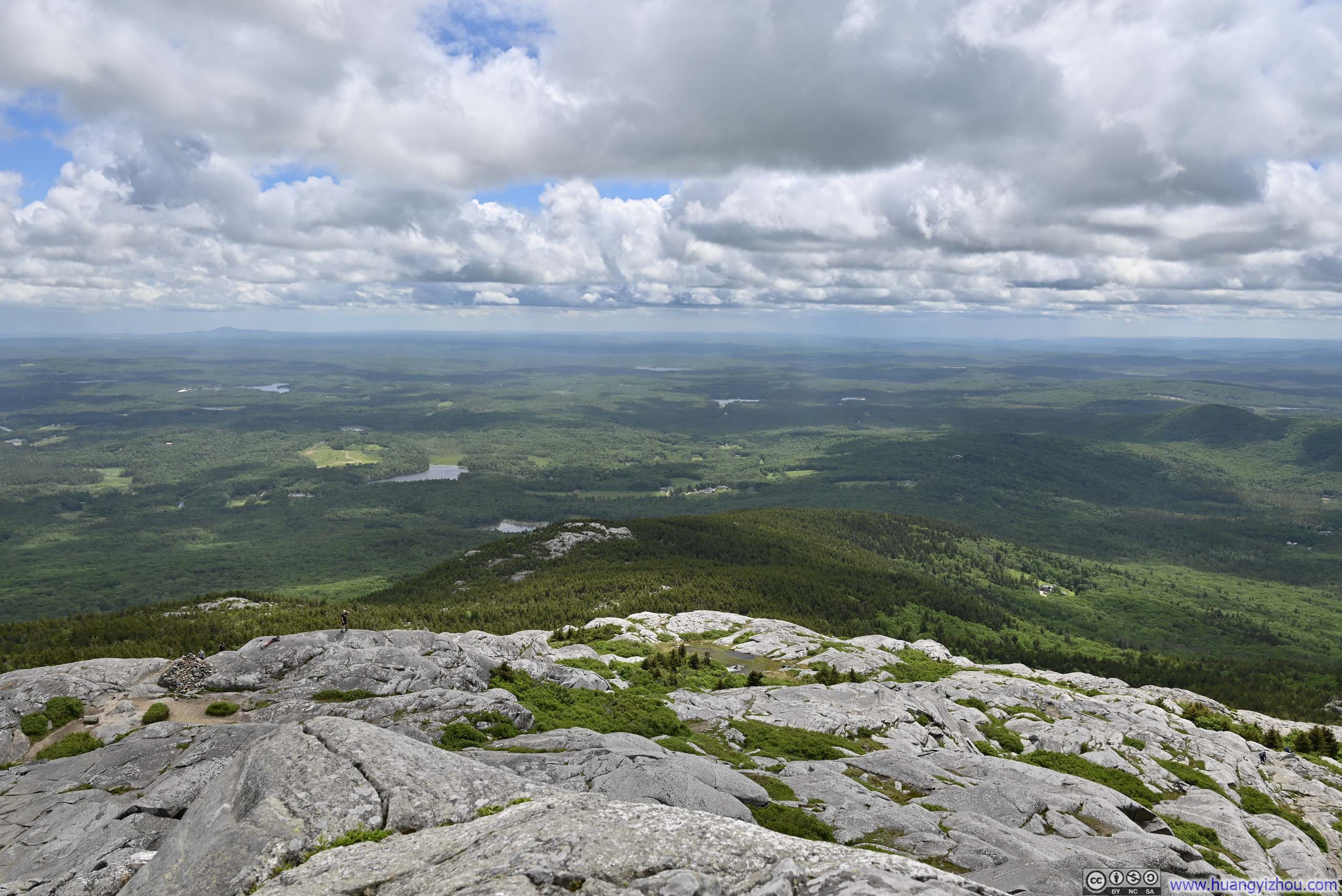
 View towards the East
 View towards the Southeast
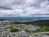
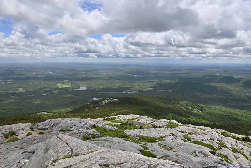 View towards the South
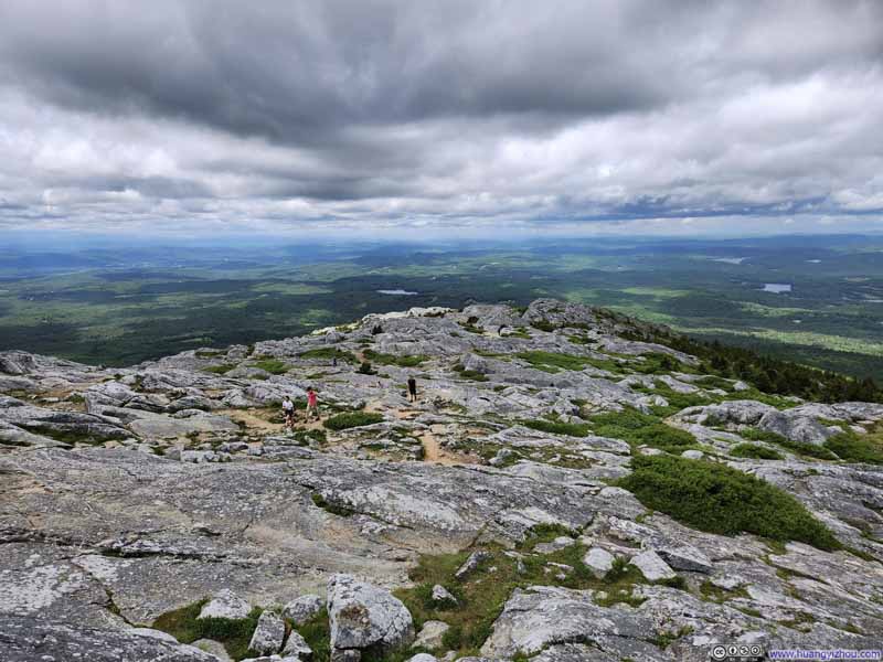 View towards the Northwest
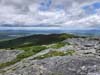
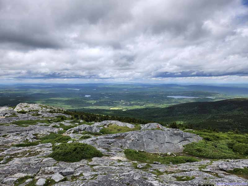 View towards the North
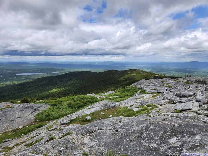 Northeastern Ridge of Monadnock
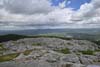
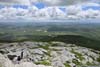
Click here to display photos of views from Monadnock Summit.
View towards the East
View towards the Southeast
View towards the South
View towards the Northwest

View towards the North
Northeastern Ridge of Monadnock
 View from Monadnock Summittowards the North (top) and Southeast (bottom)
However, wind was actually very strong that day, blowing from the west. We climbed Monadnock from its leeward eastern side, so we had been sheltered from the wind for most of the hike. That’s not the case as I tried to take the following video marking our summitting of Monadnock, where just standing on the summit was somewhat of a struggle.
14 seconds, 2160p30fps, 6Mbps/12MB for H265, 7Mbps/13MB for H264.
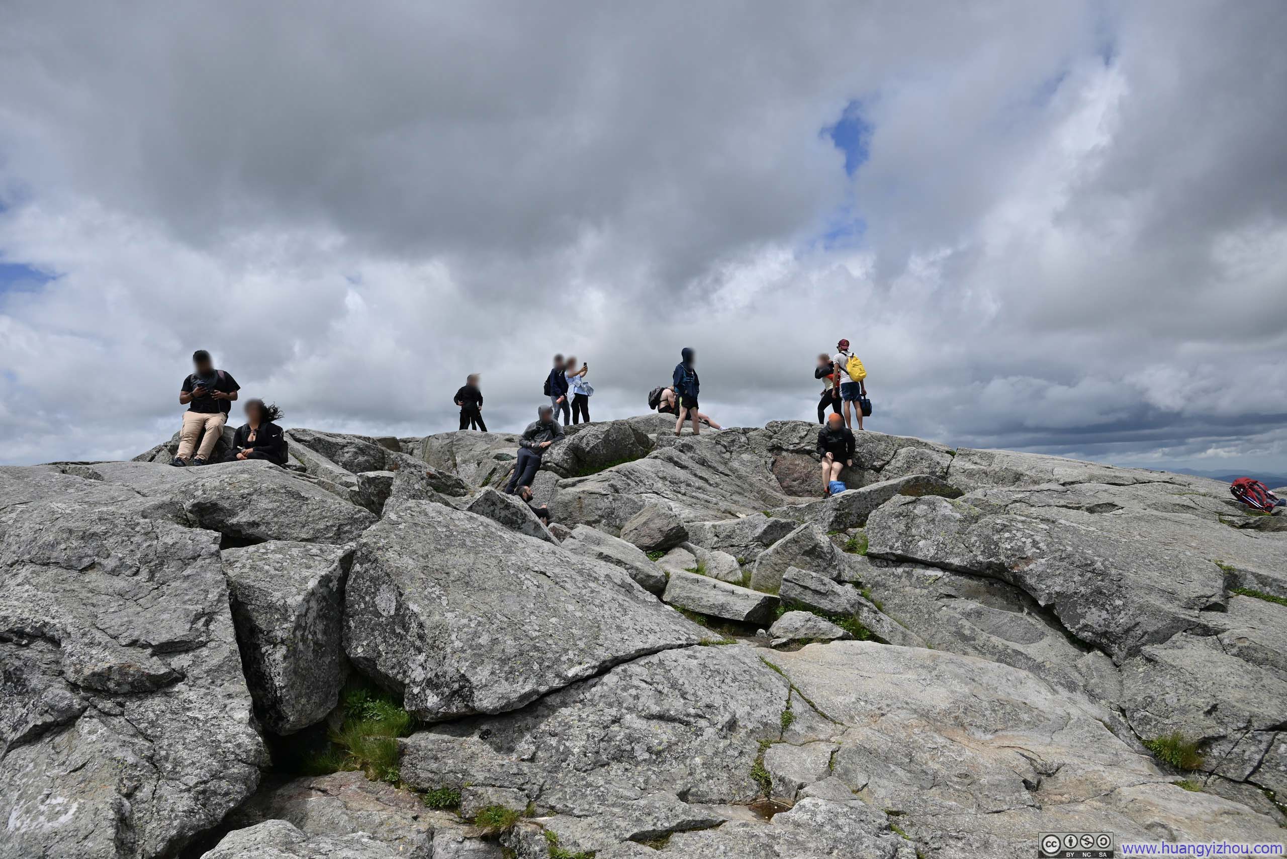
So I quickly retreated back east, joined the crowd seeking shelter from the wind. Despite its popularity, the summit block of Monadnock was large enough that people could spread out easily.
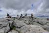
 Summit of Monadnock
Monadnock was a very popular mountain, but its summit block was large enough for people to spread out.
Summit of Monadnock
Monadnock was a very popular mountain, but its summit block was large enough for people to spread out.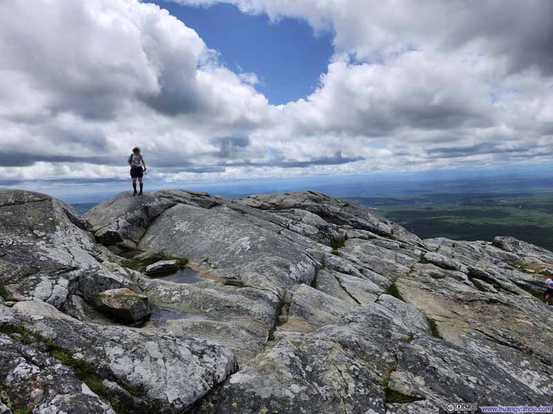 Summit of Monadnock
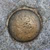
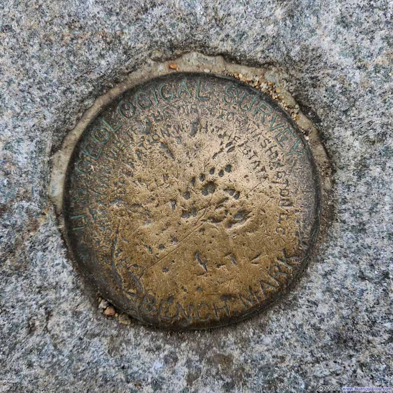 Summit Marker
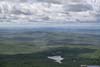
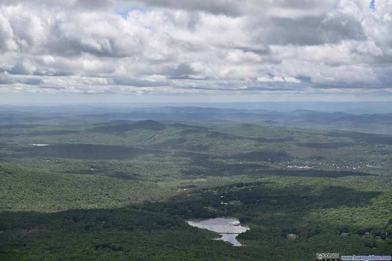 Perkins Pond
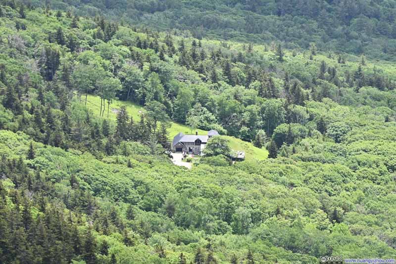 Mansion
Built near the old “Halfway House”, which was a hotel for Mt Monadnock guests that opened in the 19th century.
Mansion
Built near the old “Halfway House”, which was a hotel for Mt Monadnock guests that opened in the 19th century.


Click here to display photos of the slideshow
Summit of Monadnock
Summit of Monadnock
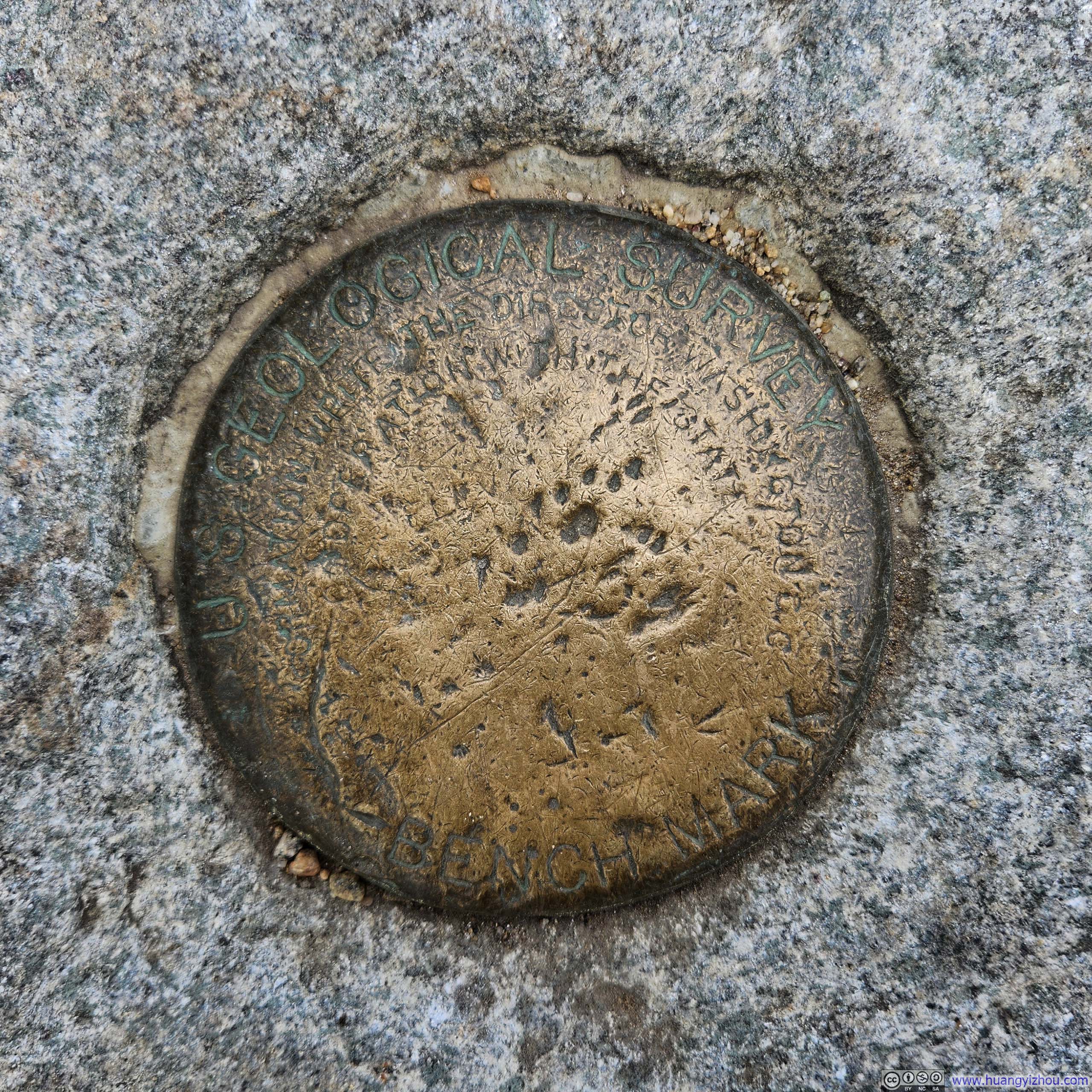
Summit Marker
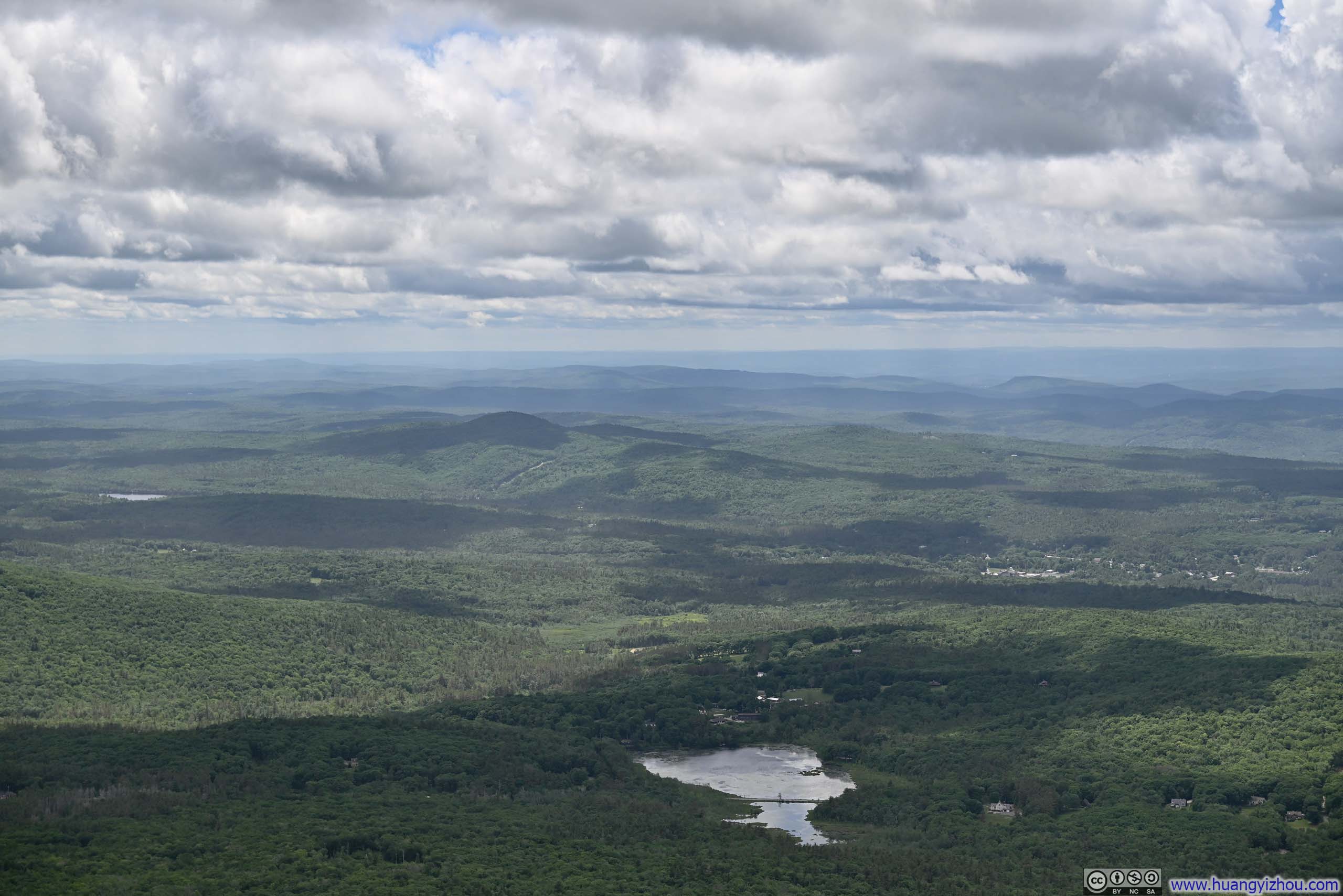
Perkins Pond
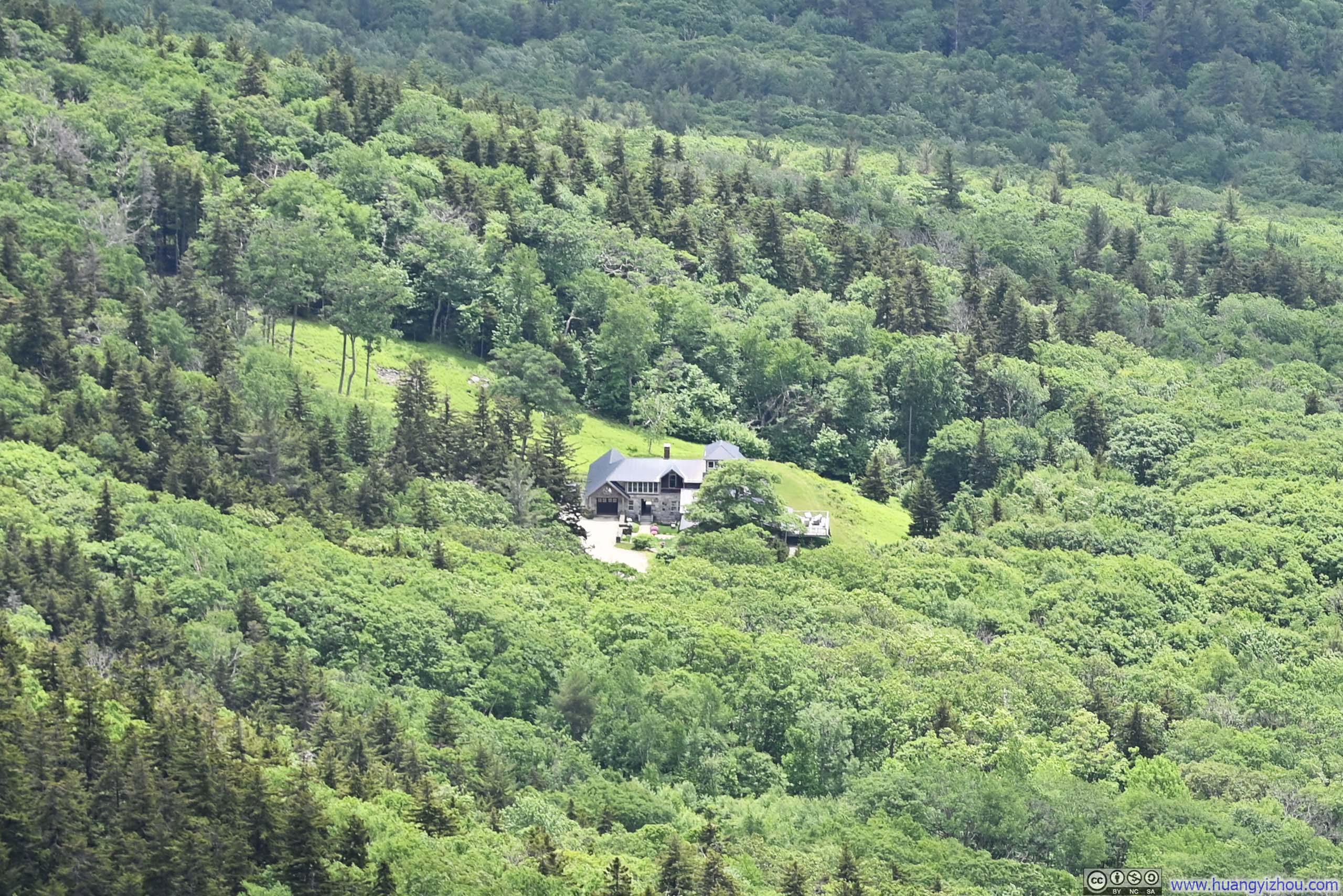
Mansion
In the end, we spent about 30 minutes at the summit of Monadnock, before heading back down (along the easier “White Cross Trail”). An hour and 10 minutes later, we were back at the parking lot, concluding the hike.
END
![]() Hiking Mt Monadnock by Huang's Site is licensed under a Creative Commons Attribution-NonCommercial-ShareAlike 4.0 International License.
Hiking Mt Monadnock by Huang's Site is licensed under a Creative Commons Attribution-NonCommercial-ShareAlike 4.0 International License.