
Updated on July 16, 2024
Hiking Mt Moosilauke
Third weekend of June 2024, I continued my outdoor adventures in the White Mountains. This time, I checked out Mount Moosilauke.
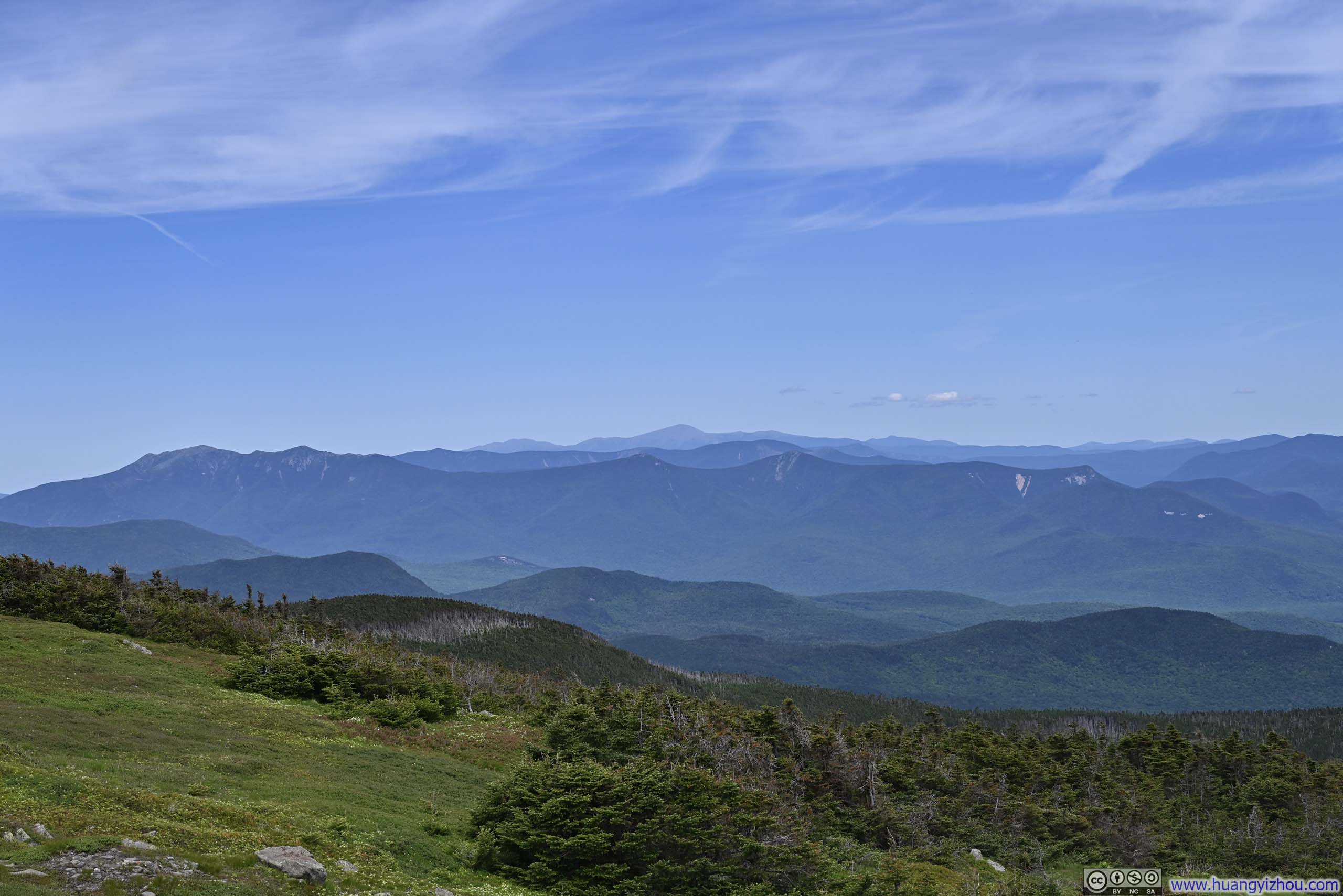
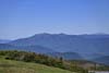
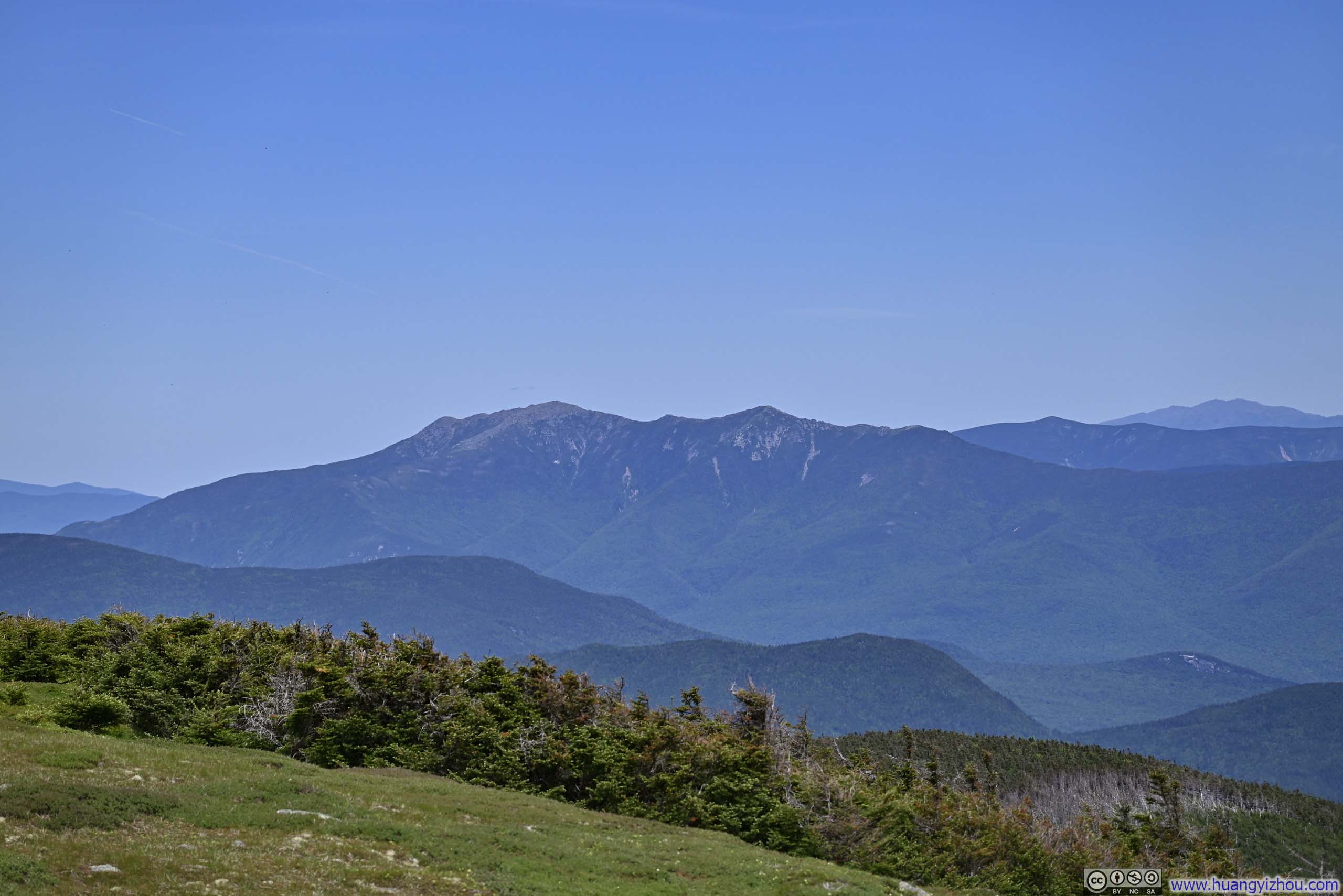
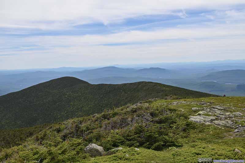
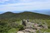
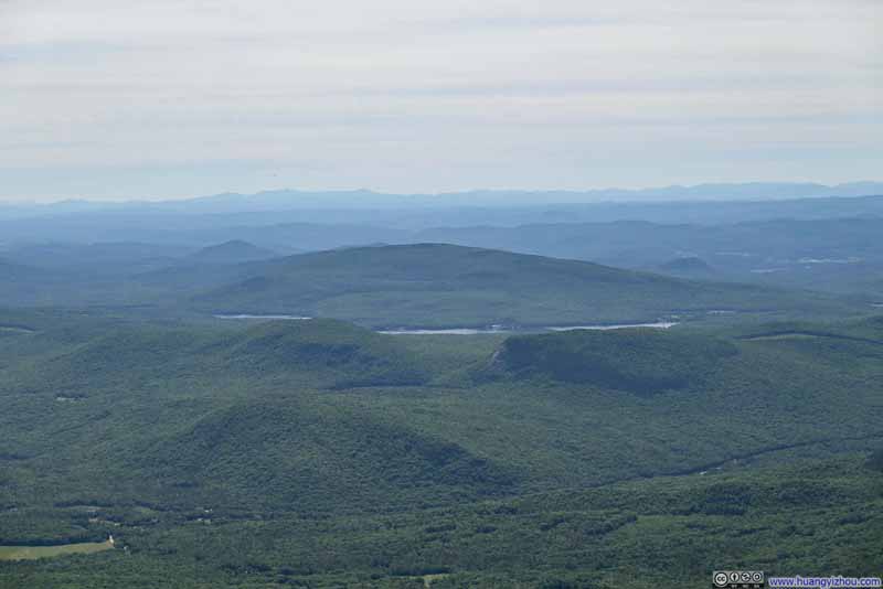
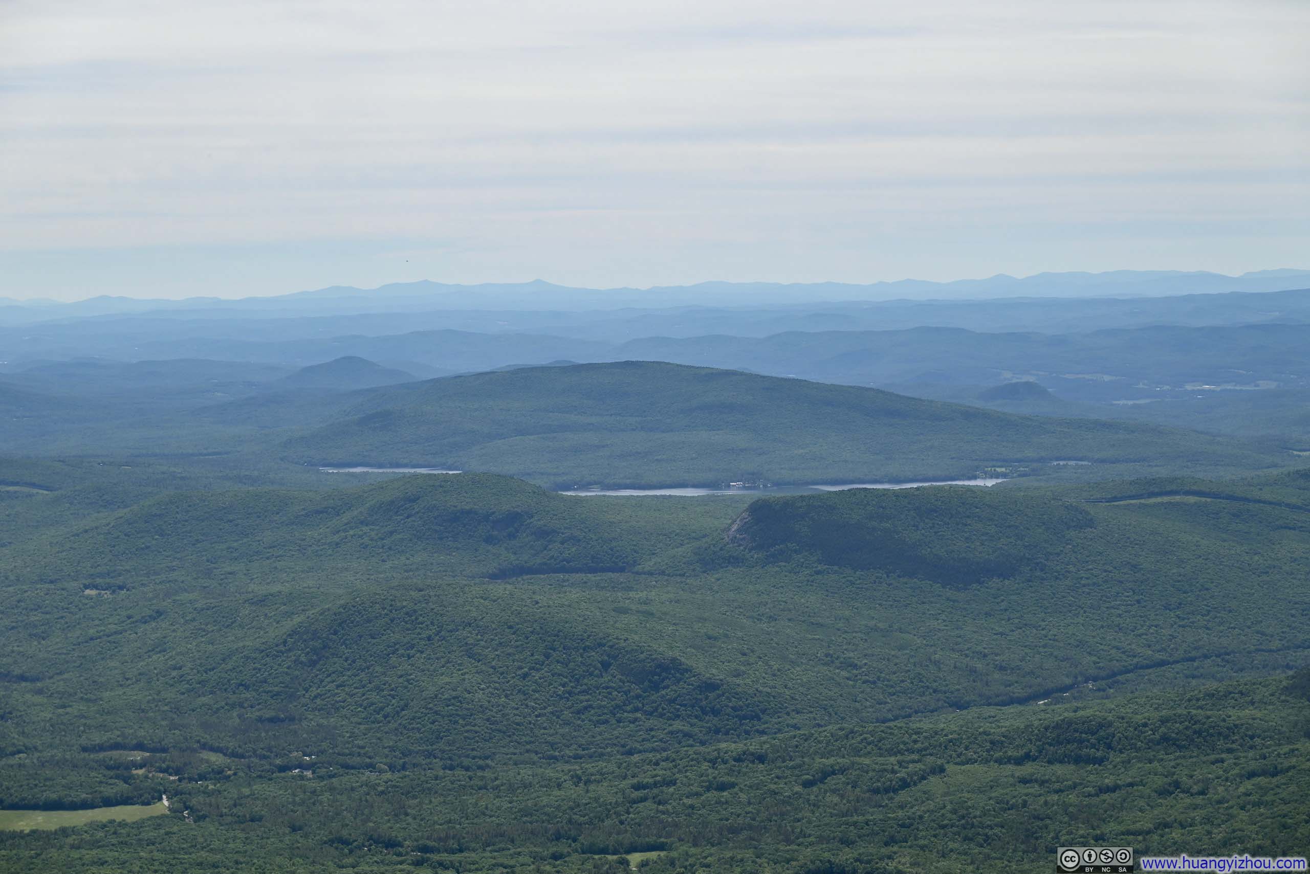
White Mountains from Moosilauke Summit
Mount Moosilauke was another popular mountain in the White Mountains. The areas around its main peak were free of trees, offering spectacular views of the mountains near and far. As a result, it’s a pretty popular mountain. To make things better, it’s a relatively straightforward loop trail to bag its main peak and south peak together, covering 11.5km with 770m elevation gain (7.1 mi, 2520 ft) (as measured from Ravine Lodge).
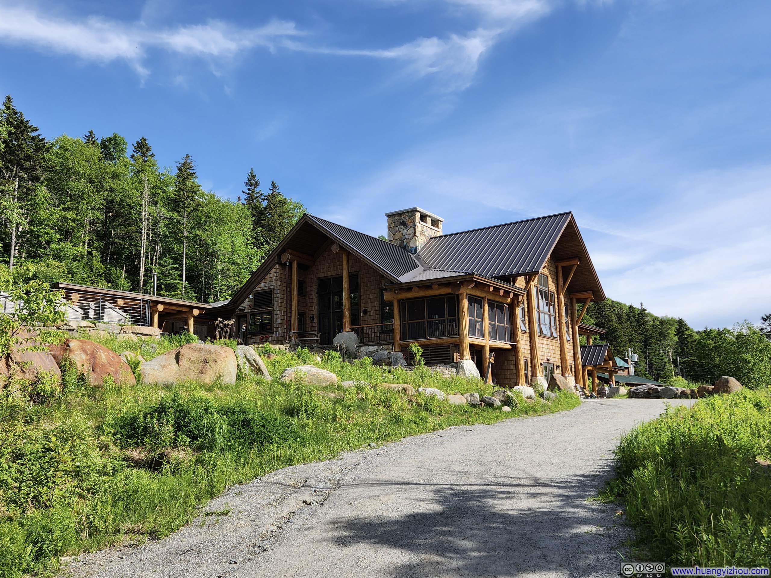
Moosilauke Ravine Lodge
The trailhead was accessed (in summer) via a 2.2km gravel road from Sawyer Hwy (NH 118). The first half of that was in good shape, the second half not so. Day hikers were asked to parallel park along the road before a “Y” bifurcation, which added some distance to the hike. I arrived just before 11am on a Sunday morning, and had to park 760m (0.5 mi) from Ravine Lodge.
Here’s my GPS tracking:
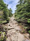
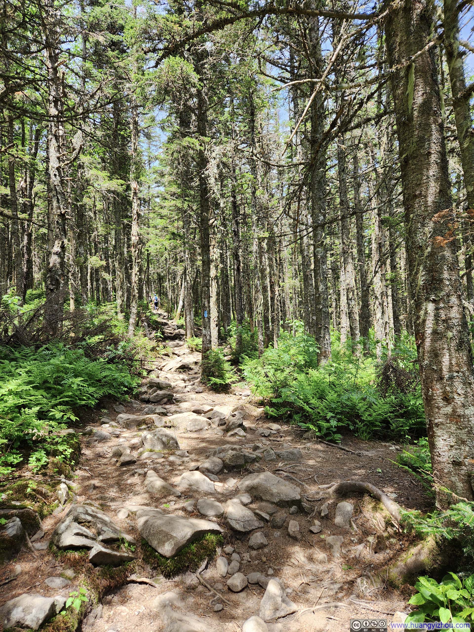
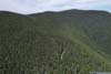
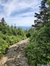
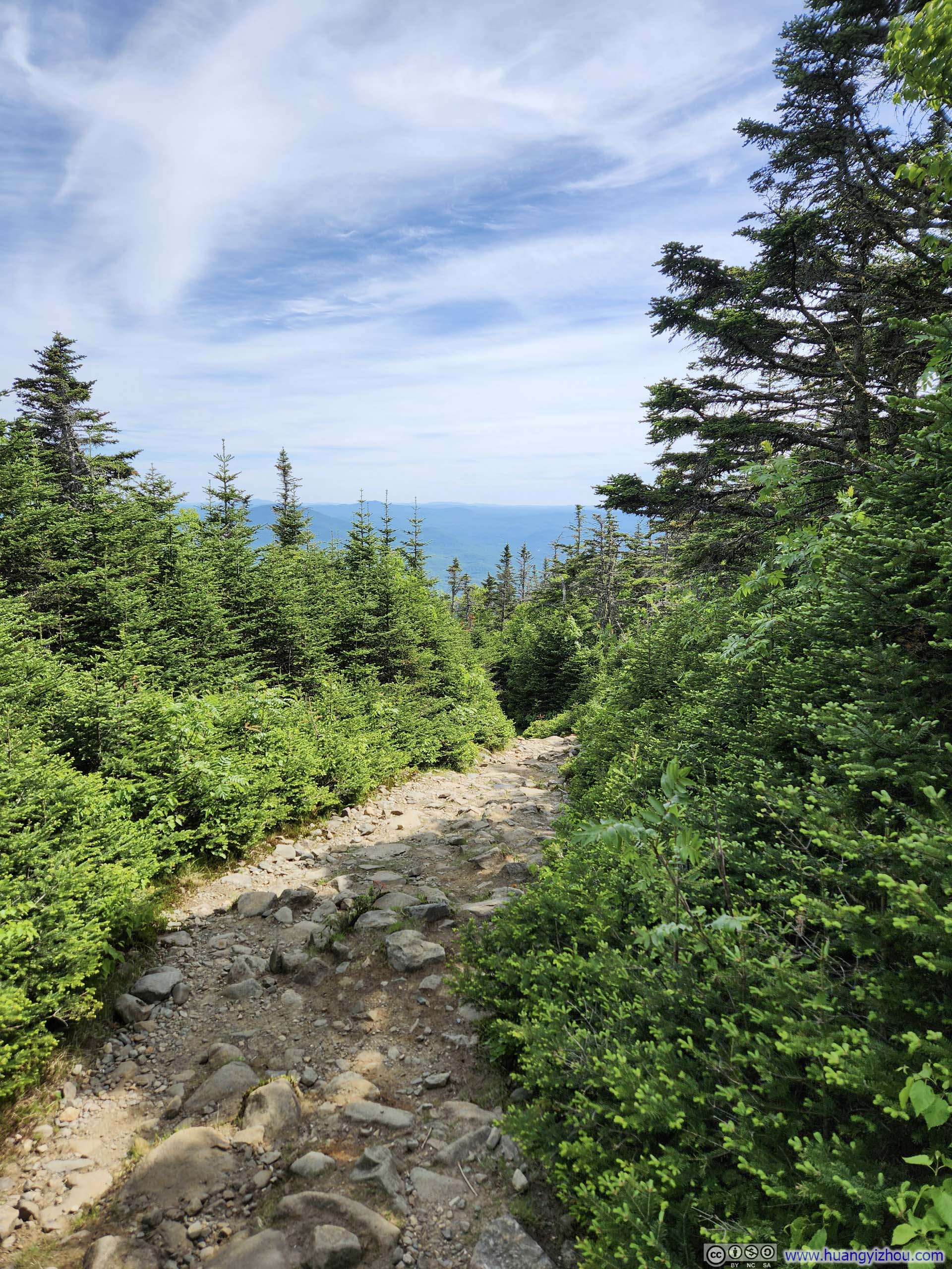
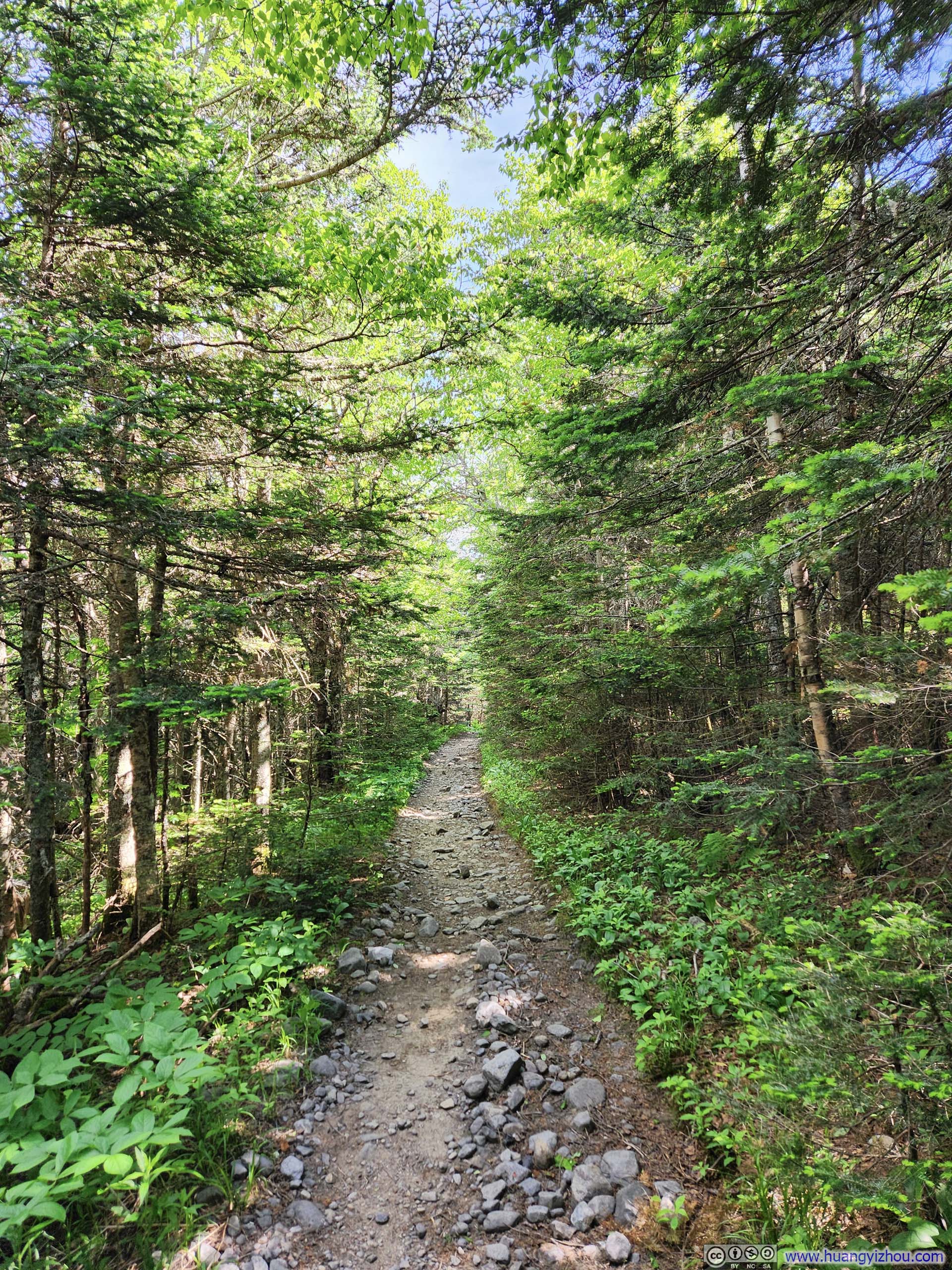
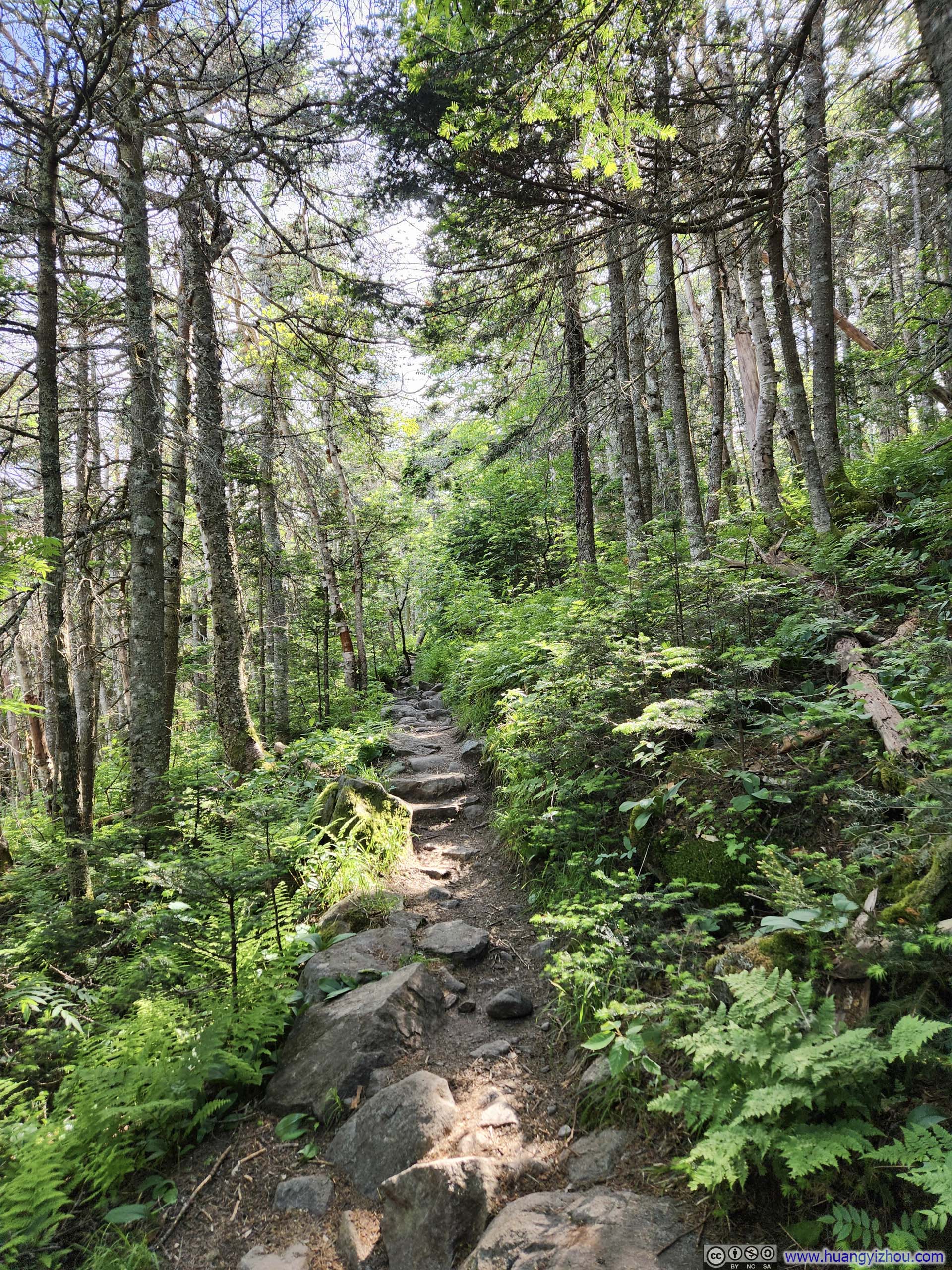
I chose to take the loop in the counterclockwise direction, following Gorge Brook Trail to Moosilauke summit first, and then descend down south peak via carriage road and snapper trail. For its part, I felt Gorge Brook Trail was more shaded and more moldy. I felt all the trails around Moosilauke were very buggy, which I didn’t like. I had bugs within my sight for about 80% of the hike and personally I found that annoying.
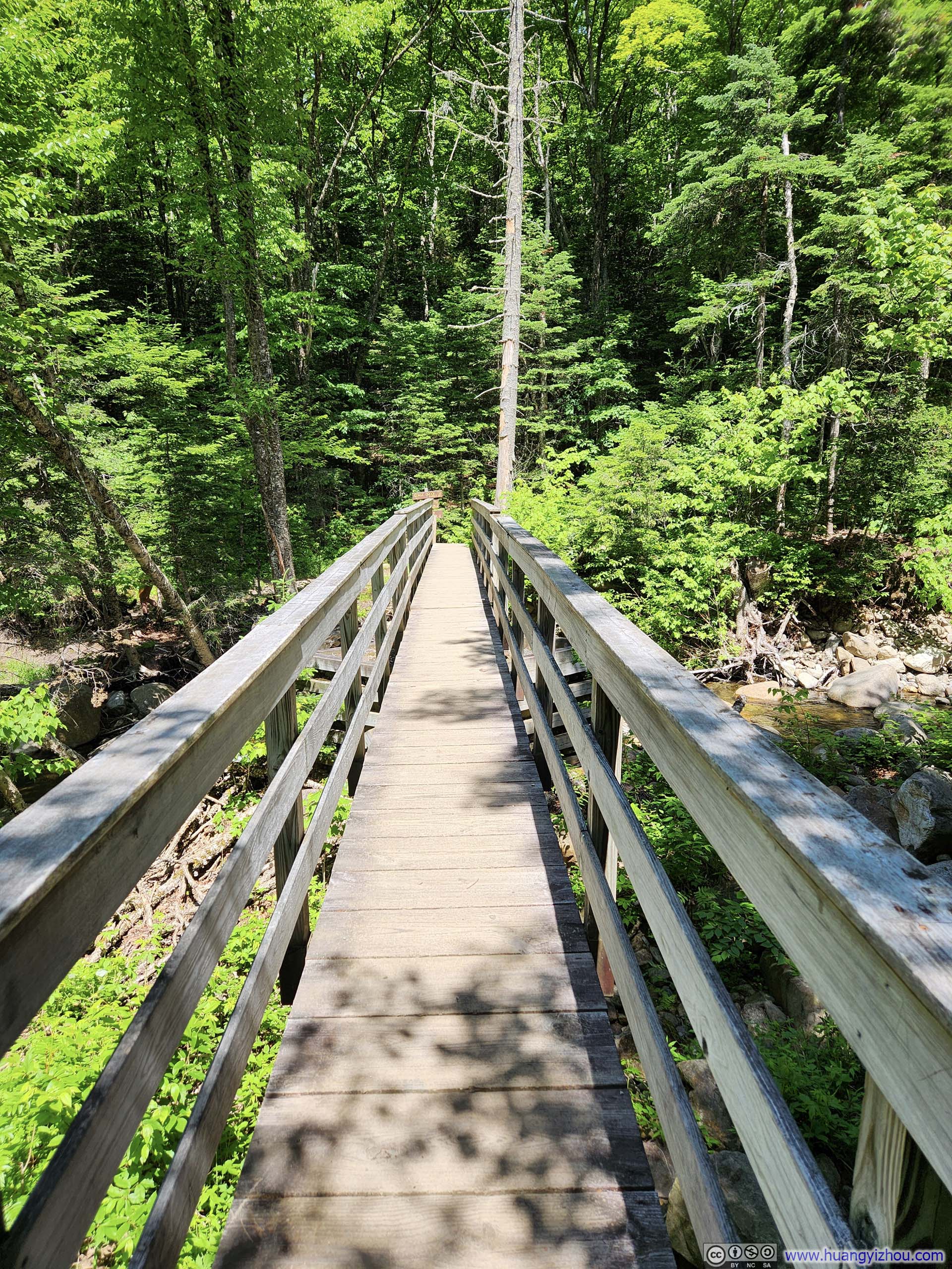
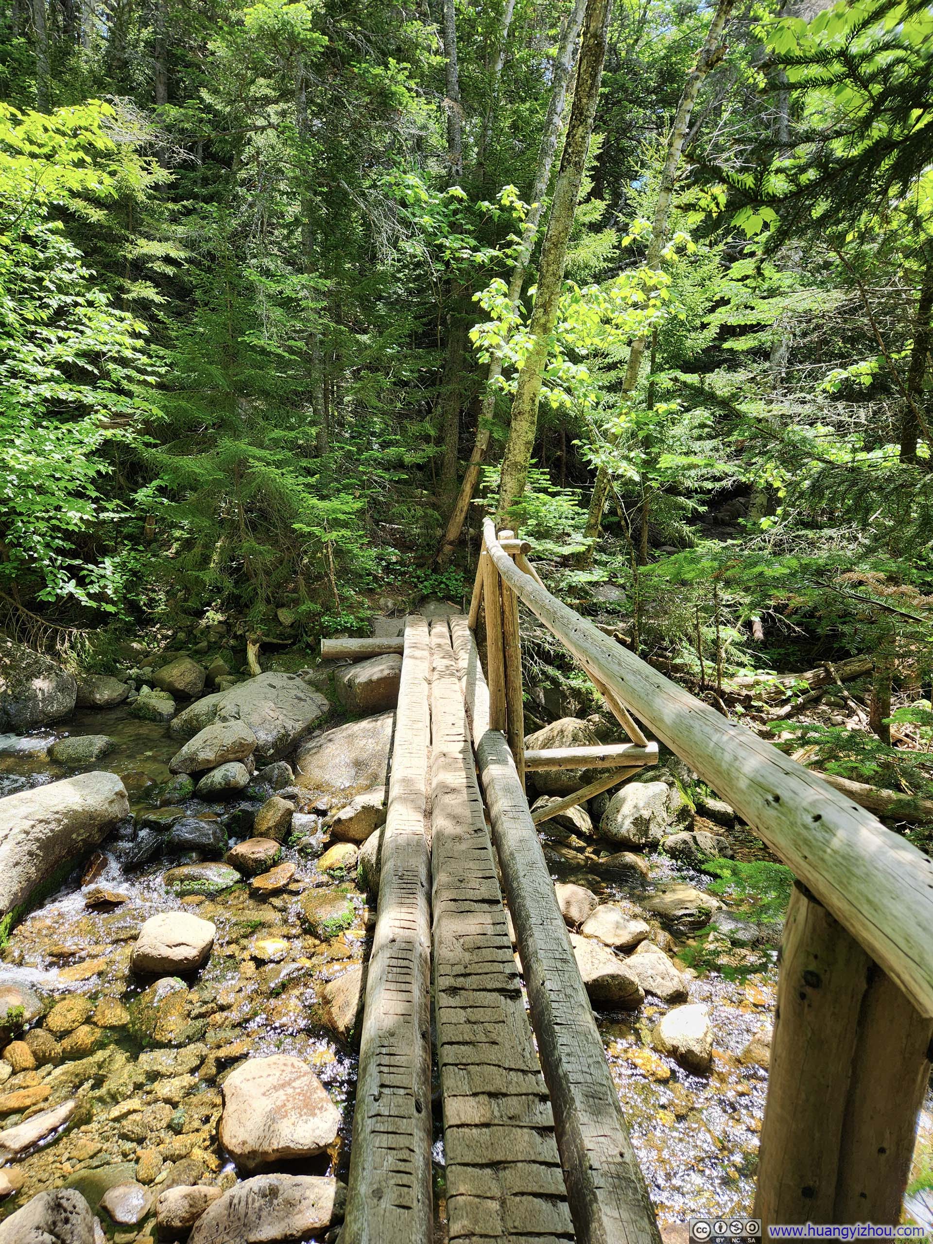
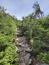
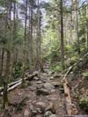
 Footbridge
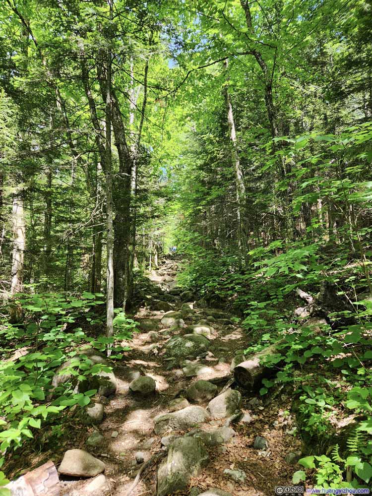 Trail
Trail Footbridge
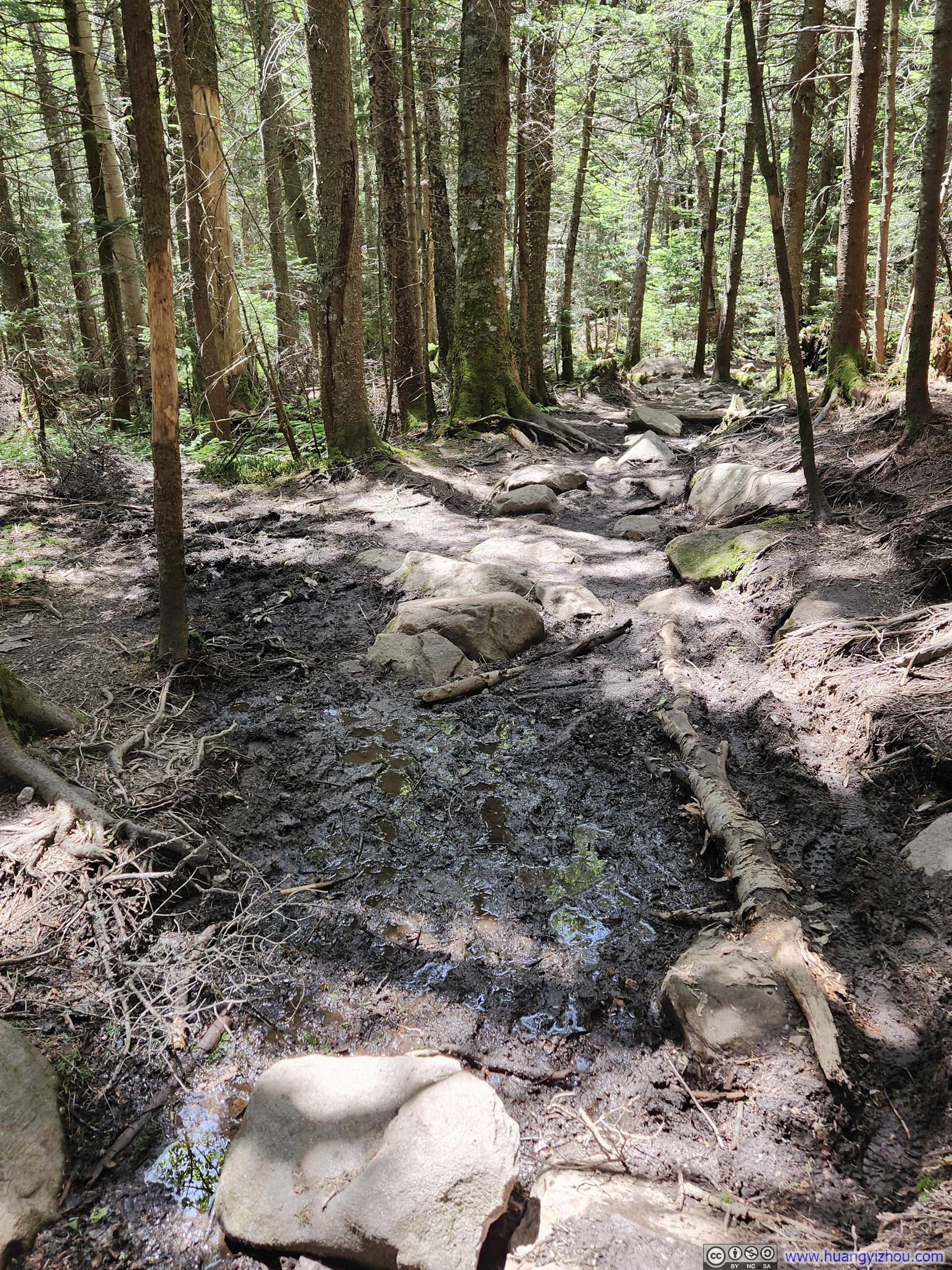
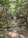
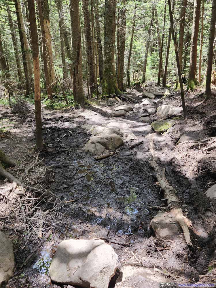 Muddy TrailJust this one muddy spot along the entire loop.
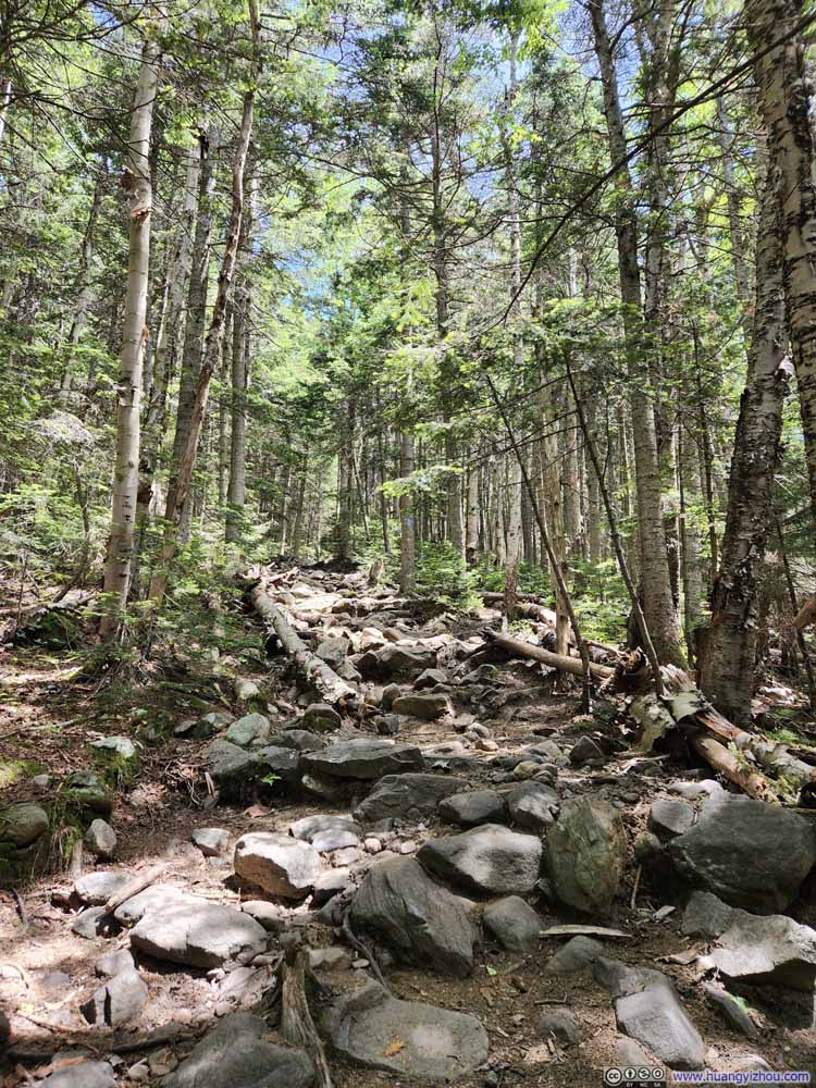 Trail
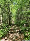
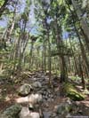
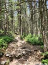
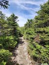
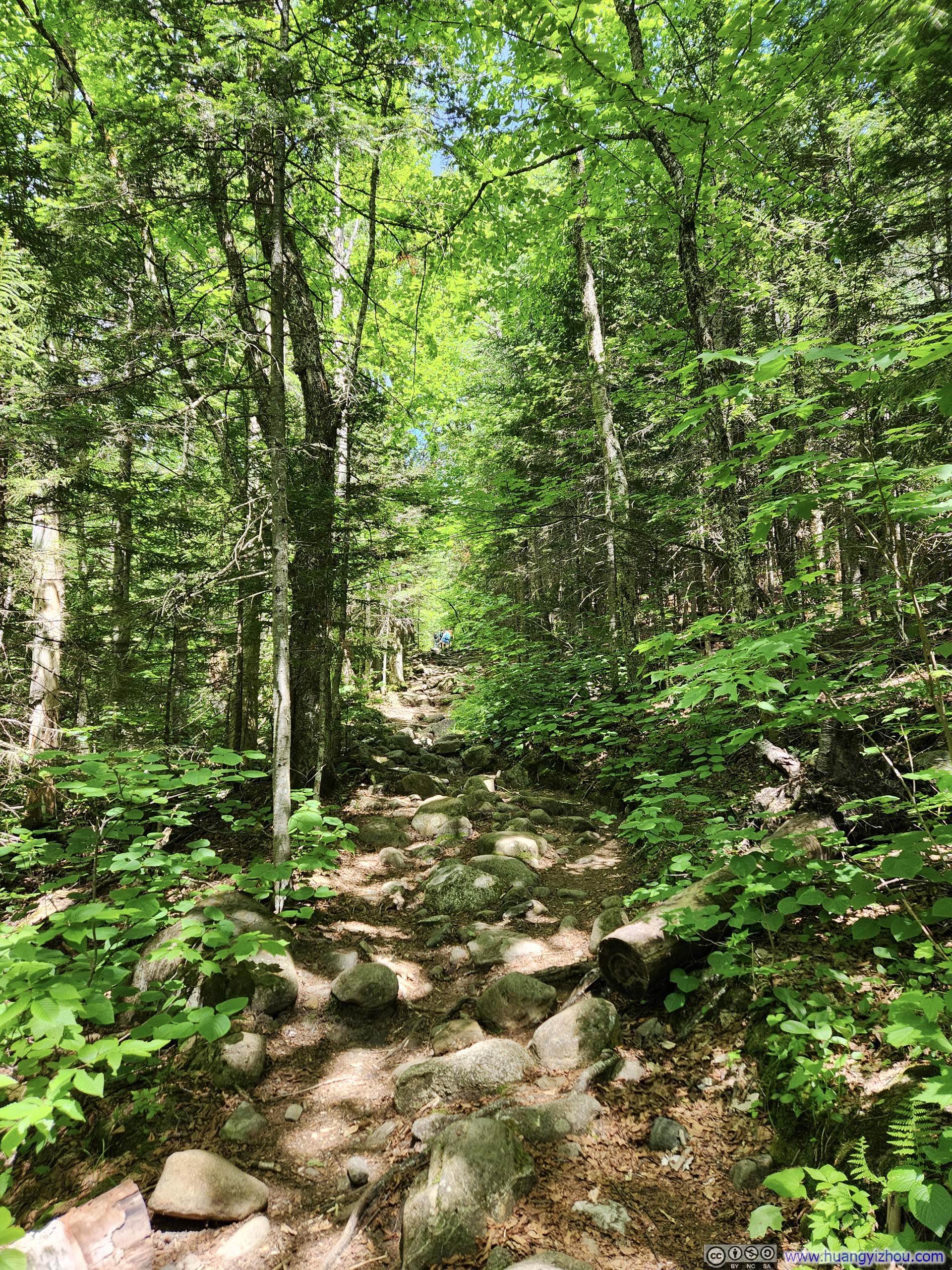
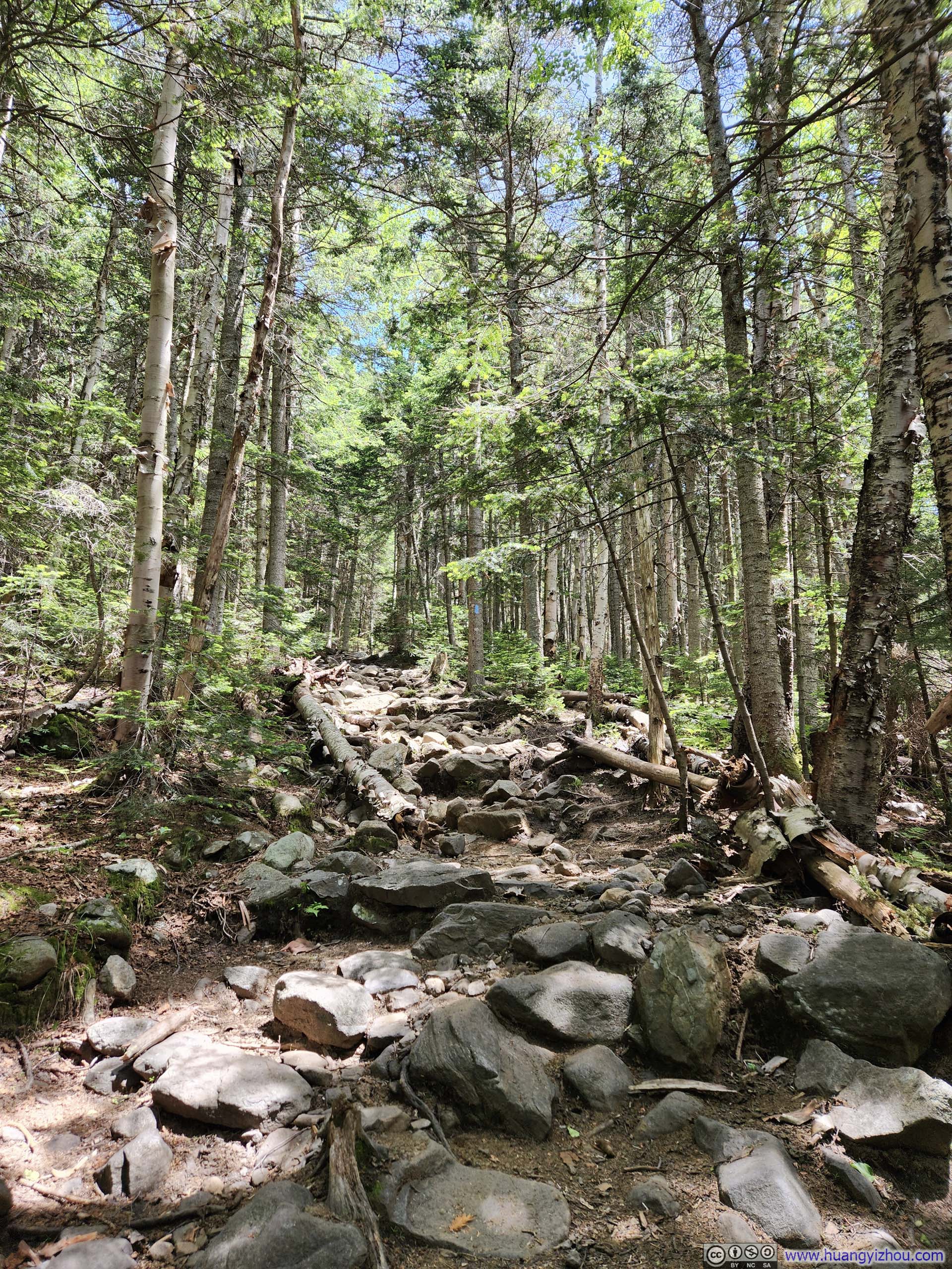
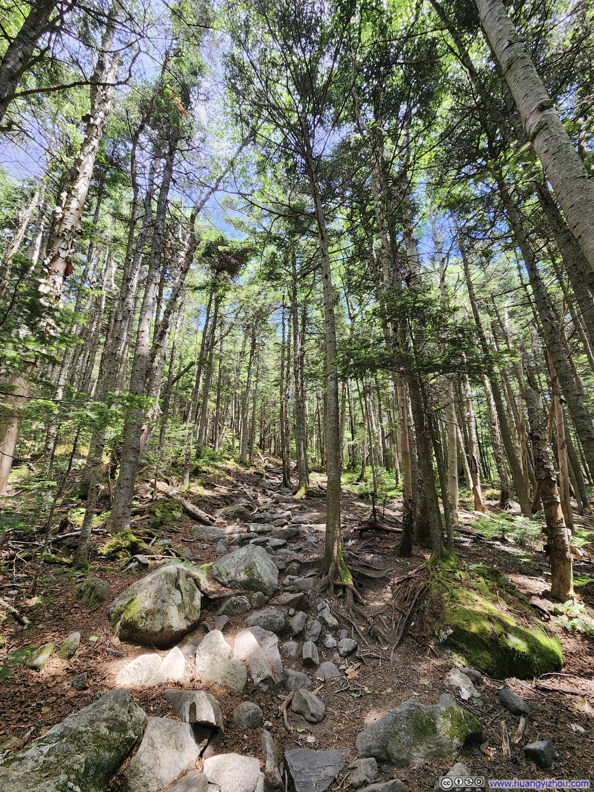
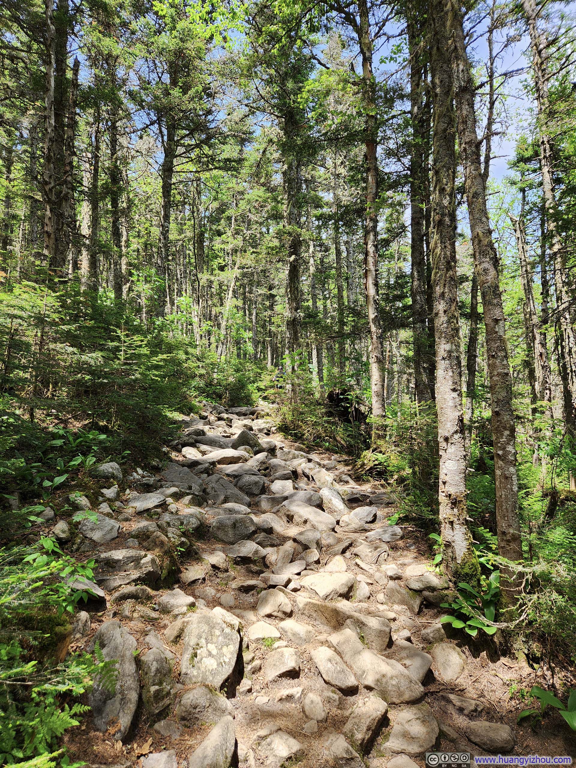
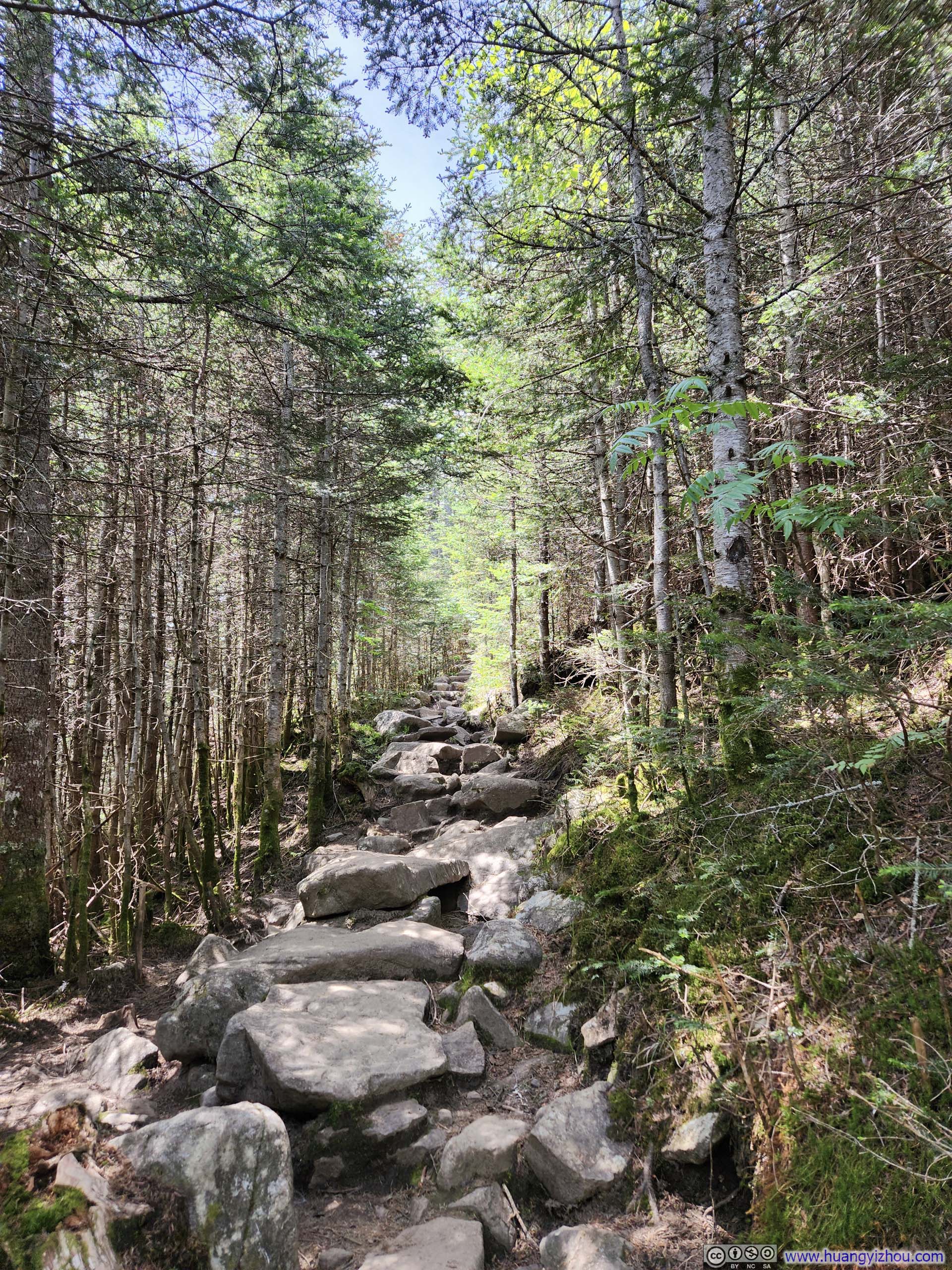
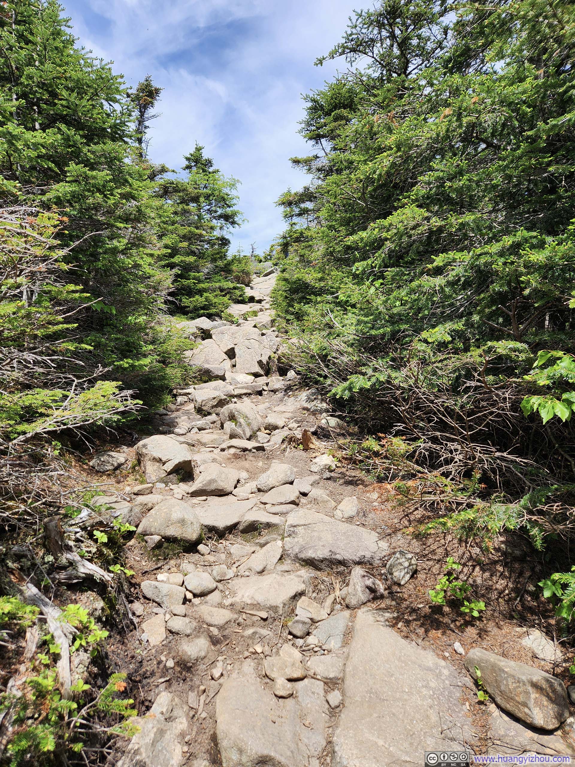
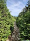
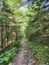
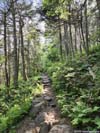
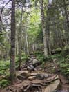
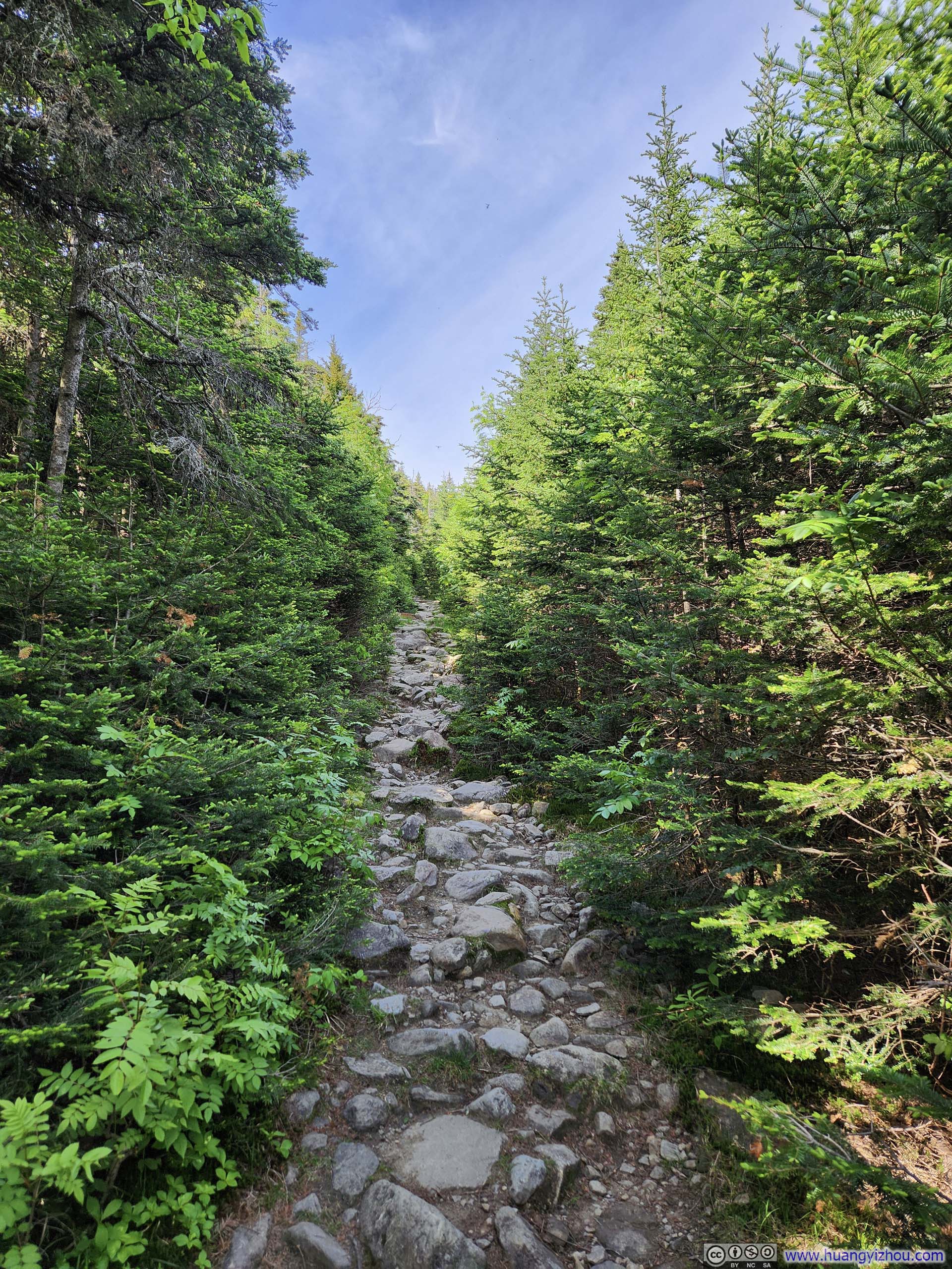
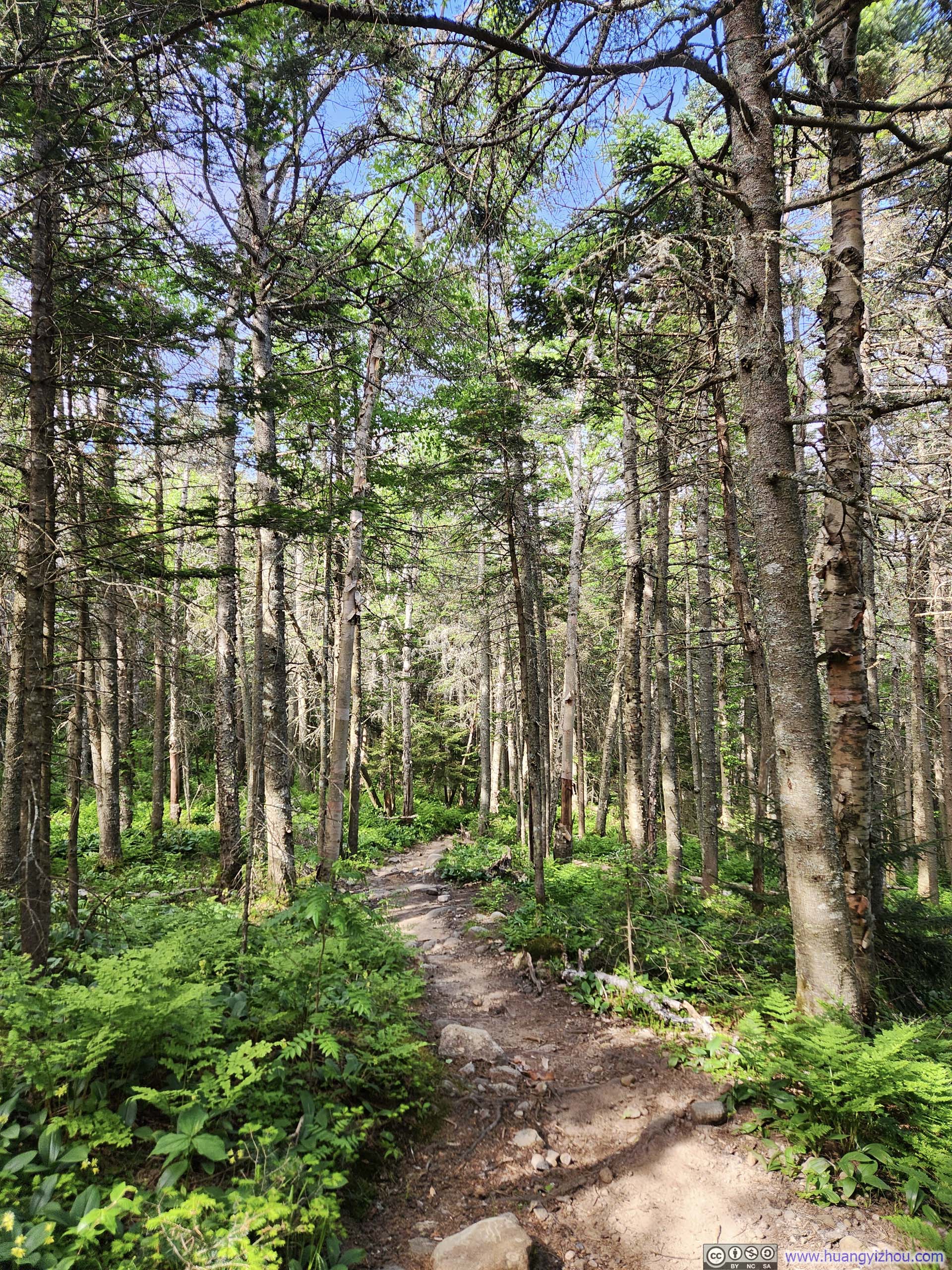
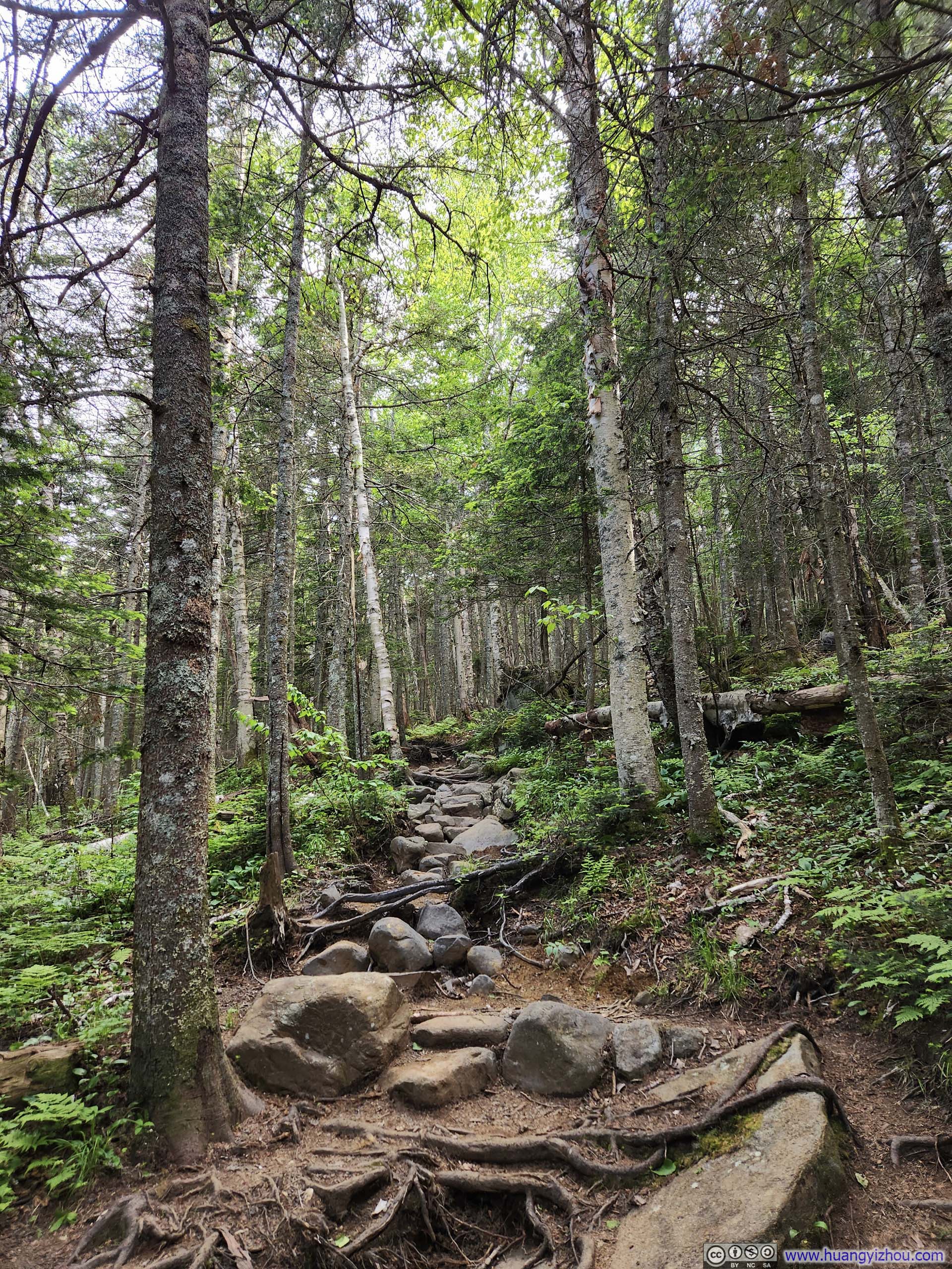
Trail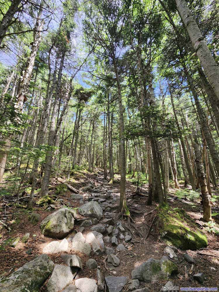 Trail
Trail Trail
Trail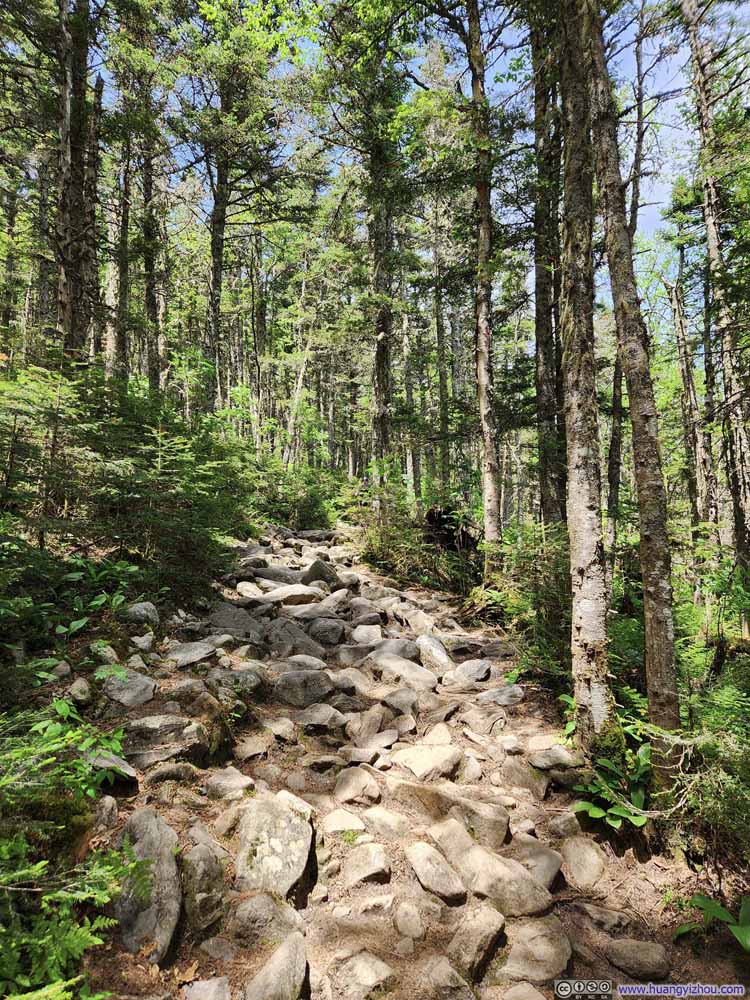 Trail
Trail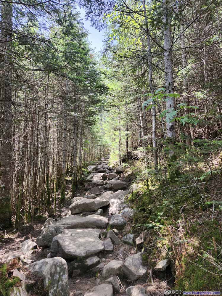 Trail
Trail Trail
Trail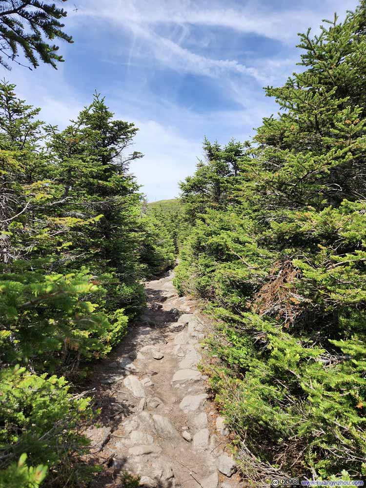 Trail
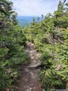
Trail


Click here to display photos of the trail.
Footbridge
Trail
Footbridge
Muddy TrailJust this one muddy spot along the entire loop.
Trail
Trail
Trail
Trail
Trail
Trail

Trail
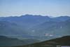
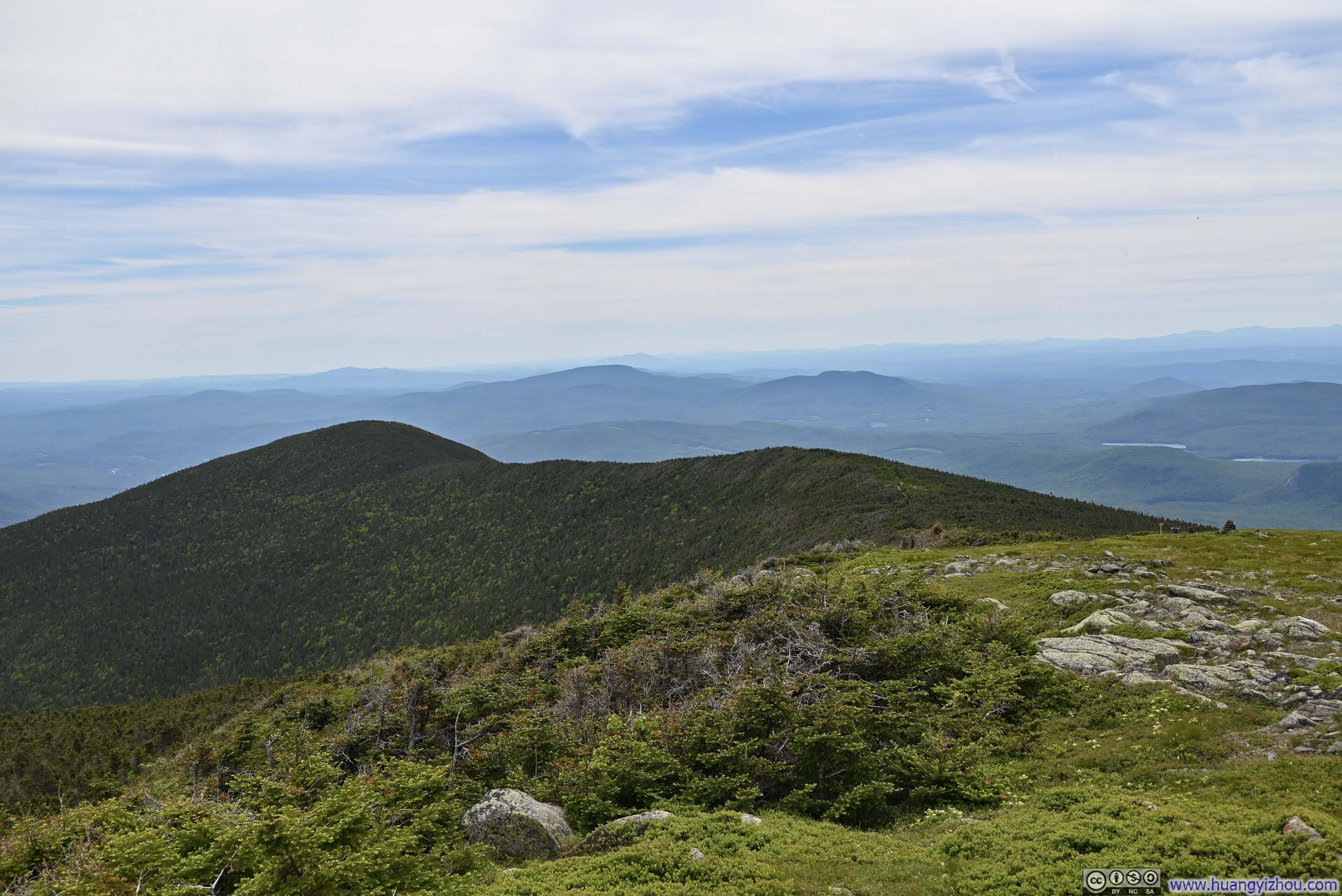
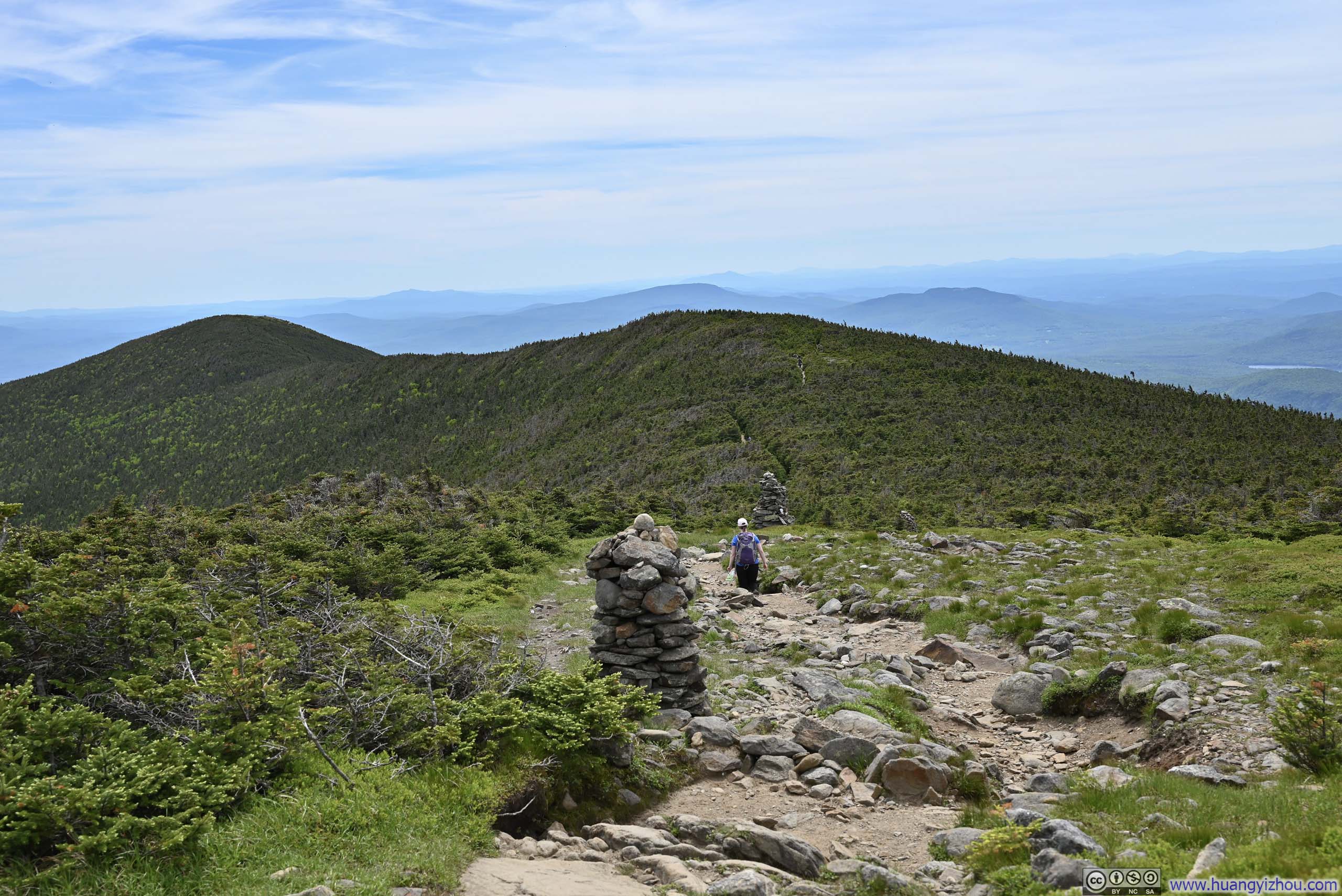
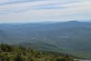
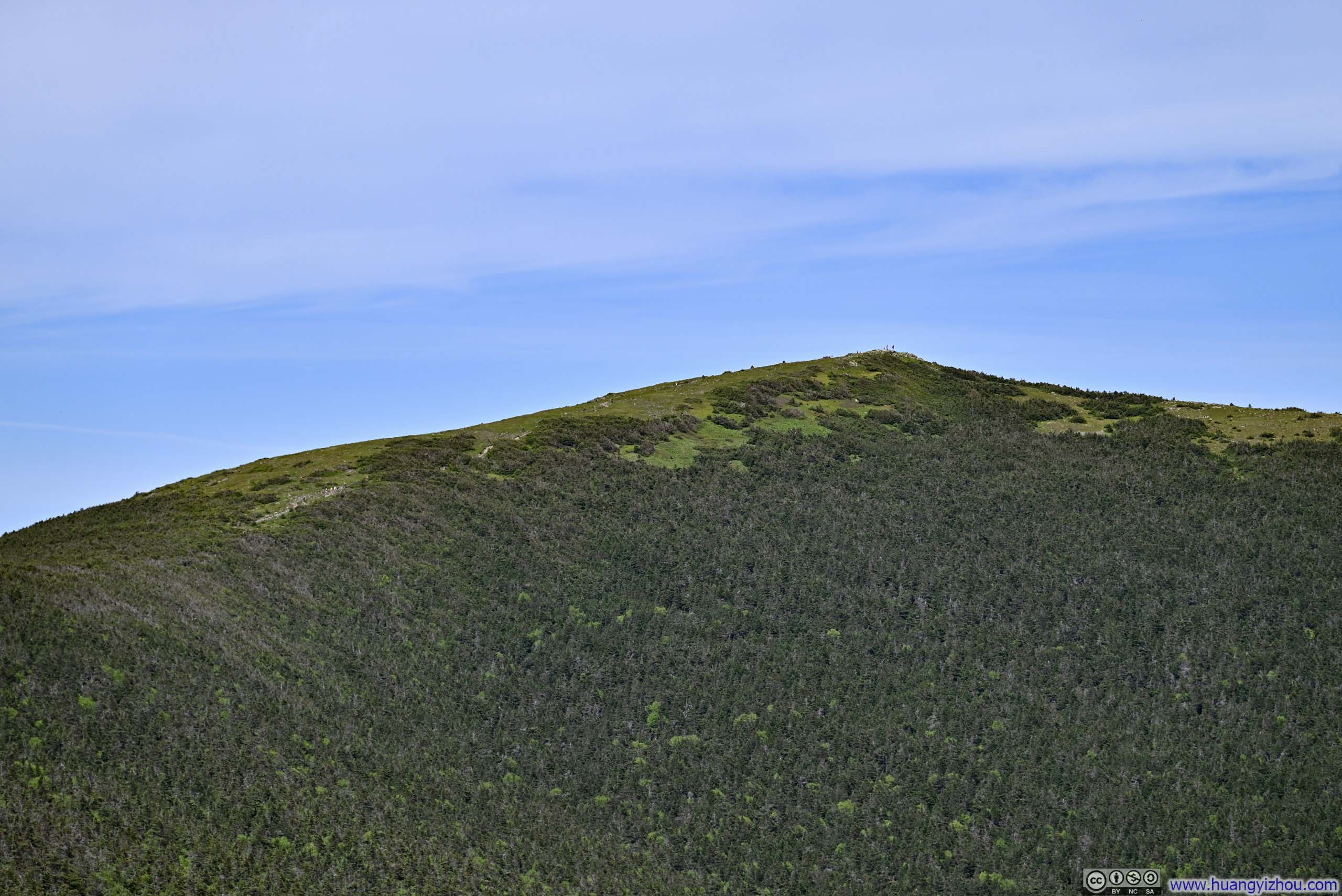
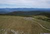
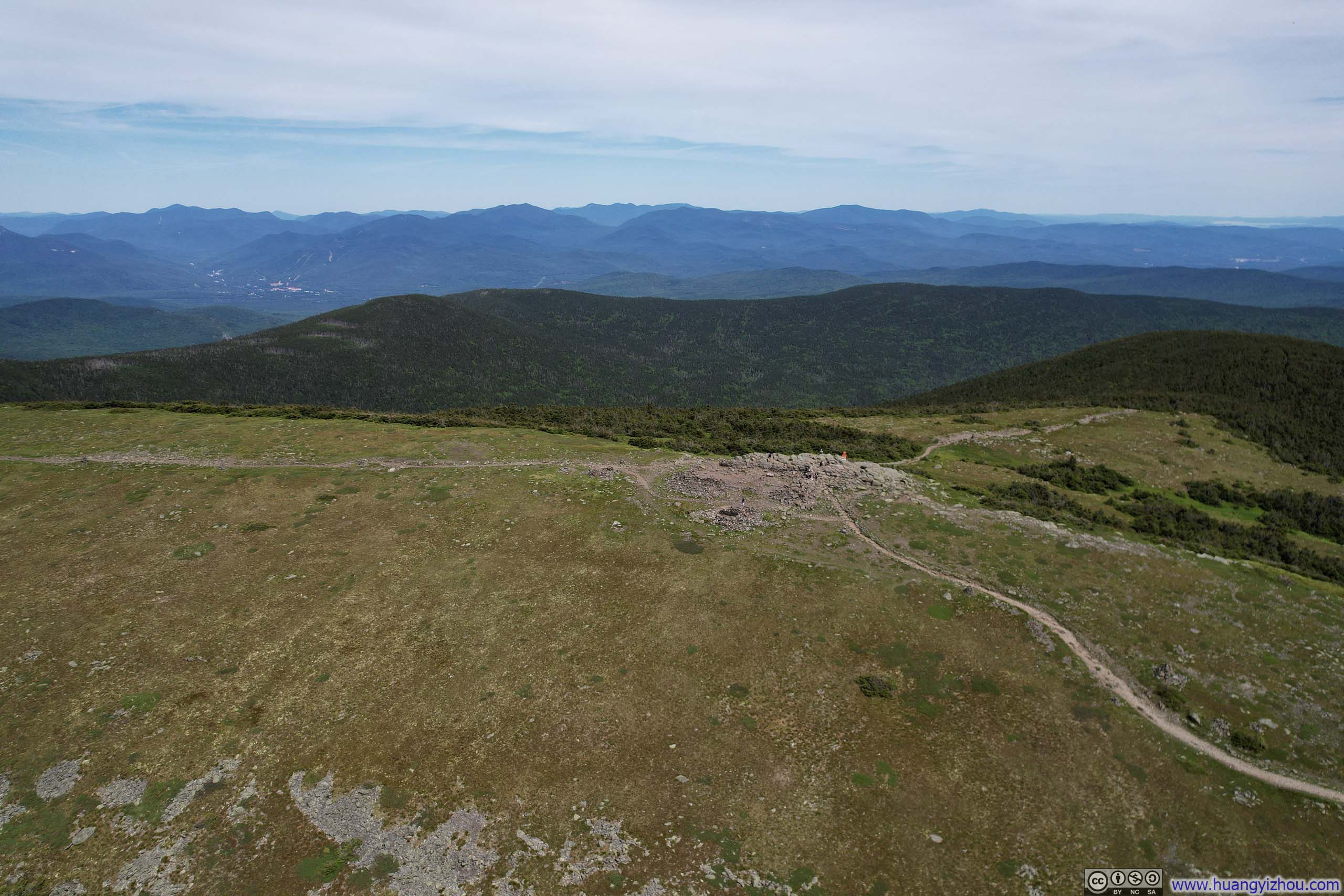
From Ravine Lodge, it took me about 2 hours to reach the summit of Moosilauke. Compared to a week ago in Monadnock, the summit block of Moosilauke was smaller, so it definitely felt crowded. While it offered 360-degree views, I felt the best views were to the northeast, towards the heart of White Mountains. That’s especially true with Franconia Ridge in the front row.
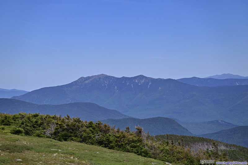 Franconia Ridge
 White Mountains to the Northeast
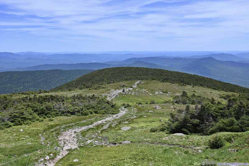 Trail from Mount Moosilauke Summit
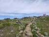
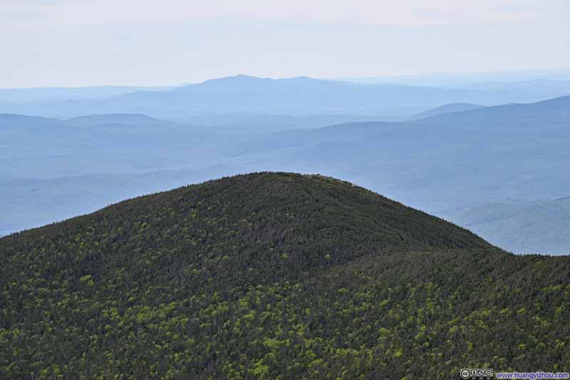 South Peak
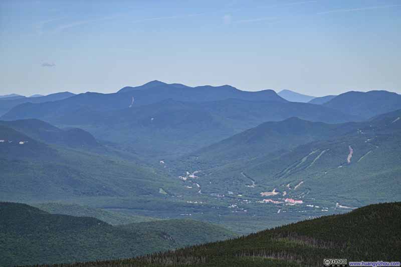 Town of Lincoln before White Mountains
 Summit Marker
 Summit of Mount Moosilauke
Click here to display photos from the summit of Moosilauke.
Franconia Ridge

White Mountains to the Northeast

Trail from Mount Moosilauke Summit
South Peak

Town of Lincoln before White Mountains
Summit Marker
Summit of Mount Moosilauke
White Mountains from Moosilauke Summit
I spent about 45 minutes at the summit of Moosilauke between snacks and scenery, before moving on towards South Peak.
 Mountains to the South
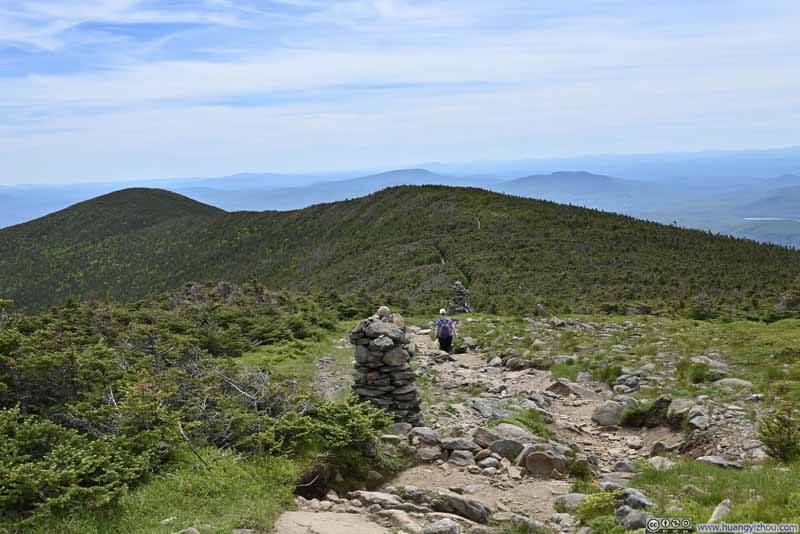 Trail to South Peak
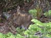
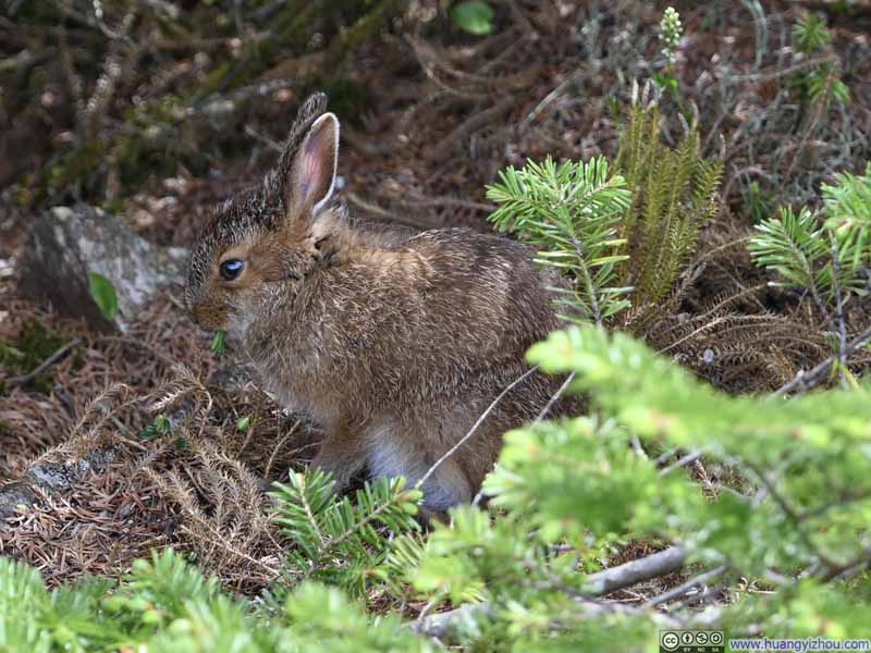 Rabbit in the Bushes
Click here to display photos of the slideshow
Mountains to the South
Trail to South Peak

Rabbit in the Bushes
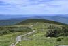
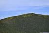
It’s a comfortable stroll along the trail connecting Moosilauke’s main peak and south peak. After an intersection, there was a short spur before reaching south peak. Part of the spur was steep (but not as technical as last week at Monadnock).
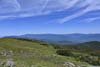
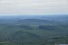
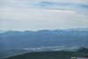
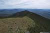
At Moosilauke’s south peak, the views were mostly towards the west, in addition to watching Moosilauke’s bigger brother to the north, as the eastern slope of south peak was covered in bushes. To appreciate the scenery to the west, I felt south peak was a better place than Moosilauke’s main peak, just that the mountains to the west weren’t as exciting.
 Lake Tarleton
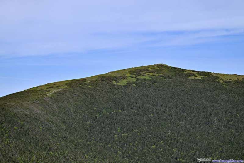 Moosilauke Summit from South Peak
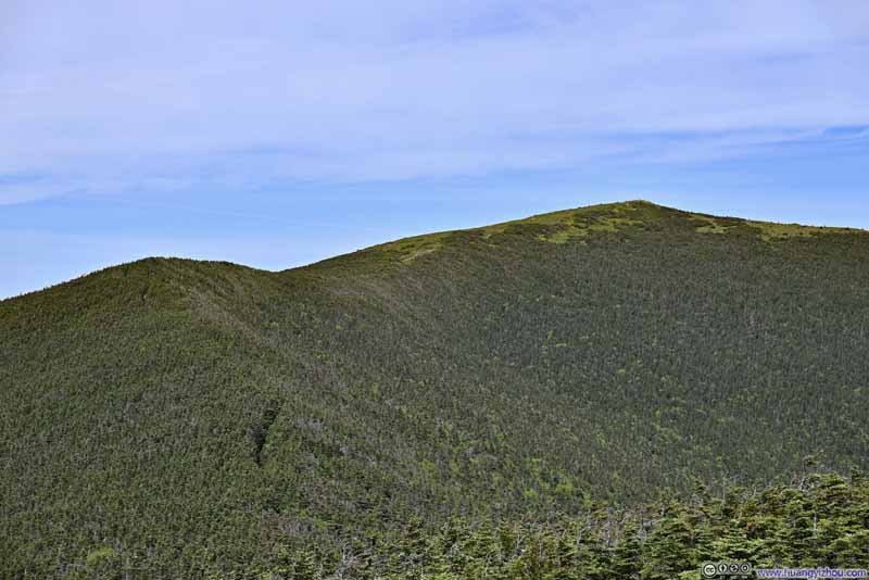 Moosilauke Summit from South Peak
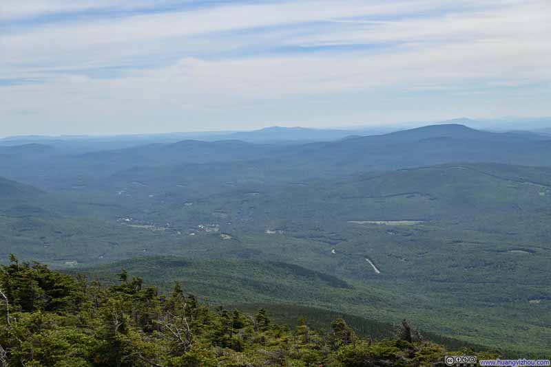 Mountains to the Southwest
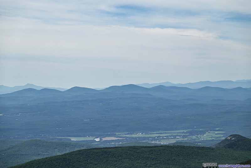 Distant MountainsAll the way into Vermont.
Click here to display photos from Moosilauke’s south peak.
Lake Tarleton
Moosilauke Summit from South Peak

Moosilauke Summit from South Peak
Mountains to the Southwest
Distant MountainsAll the way into Vermont.
Mountains from Moosilauke South Peak
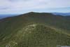
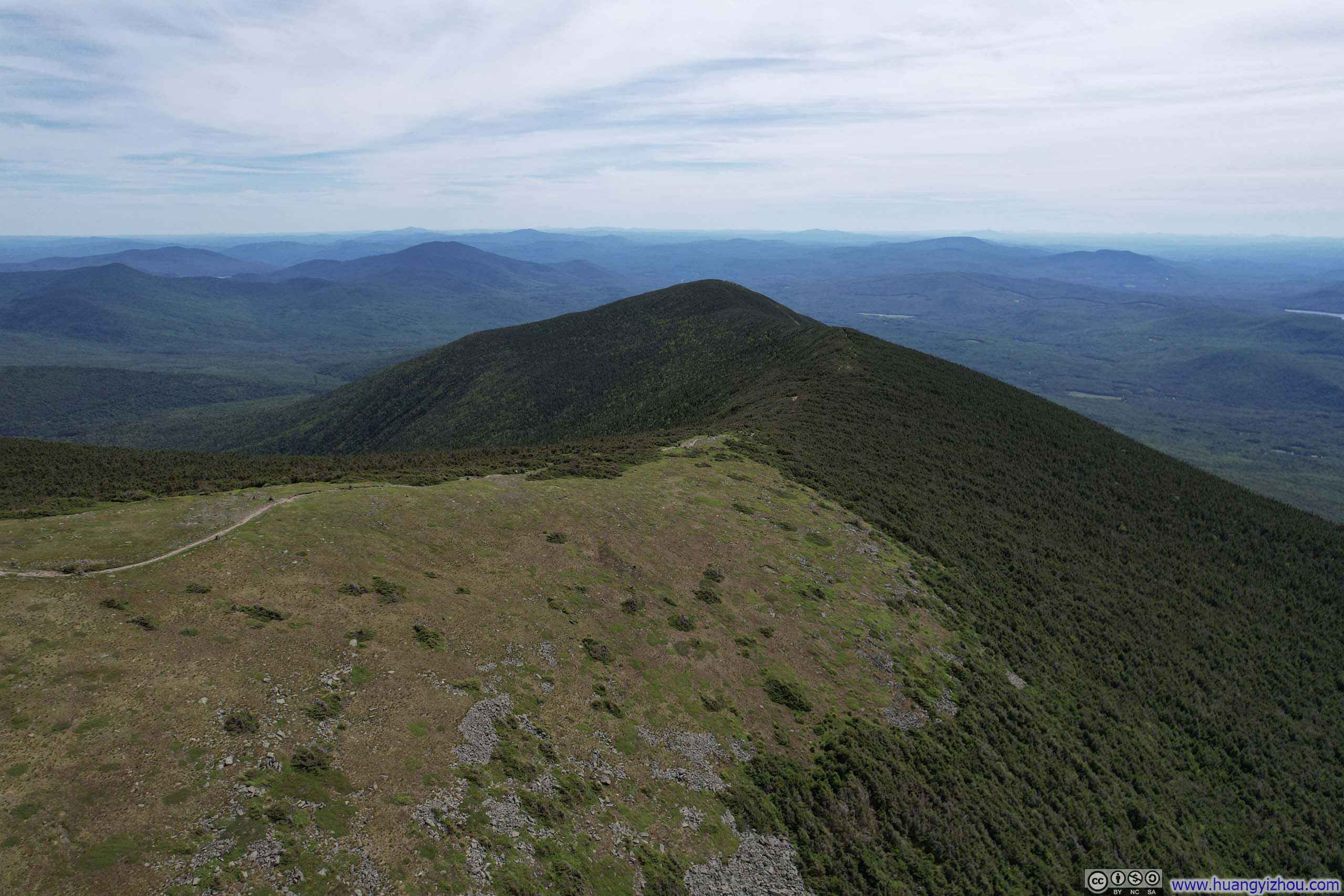
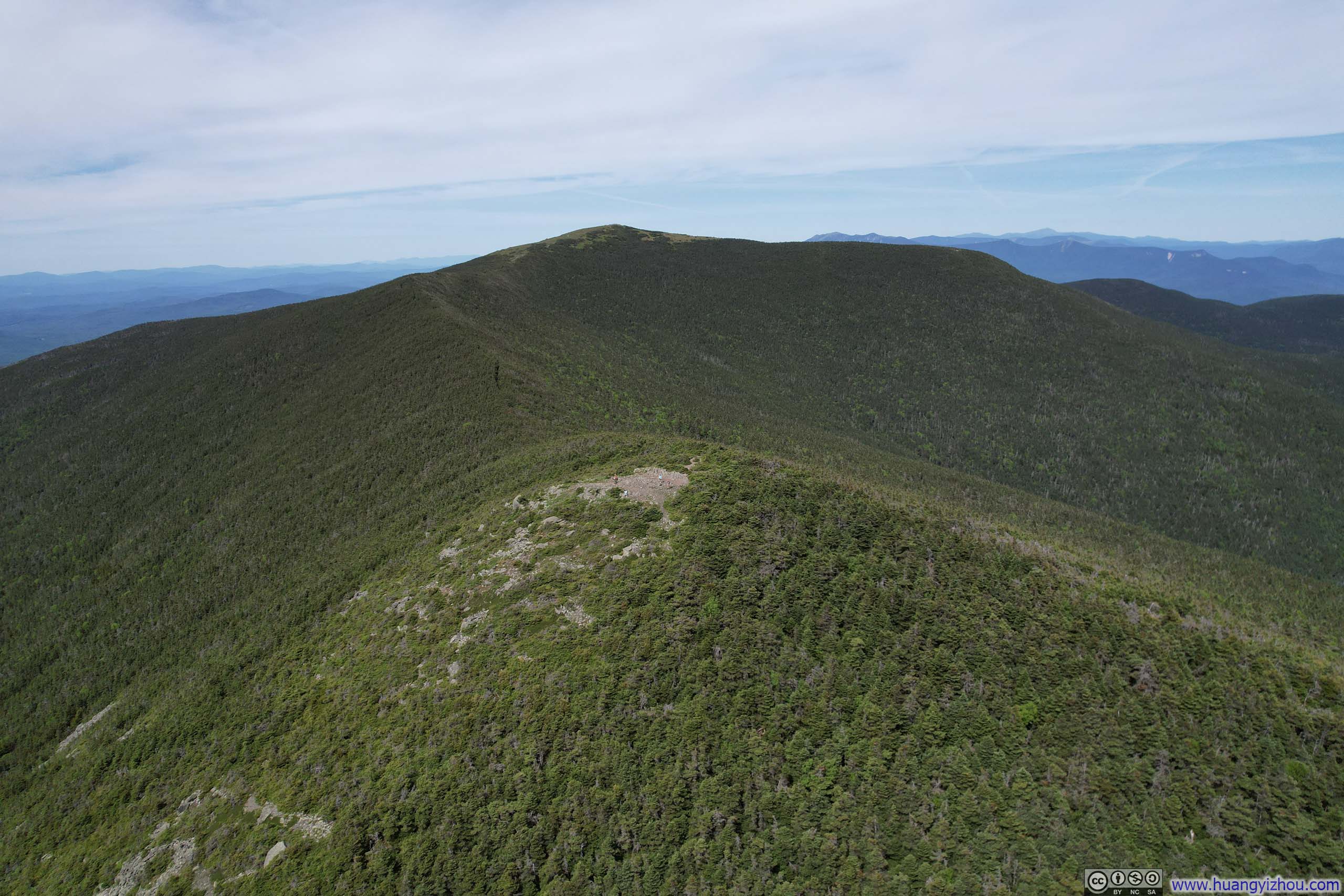
A few steps further west and inside National Forest territory, I launched my drone for an aerial tour of the surrounding, including the summit of Moosilauke and the ridge connecting to its south peak.
 Summit of Moosilauke
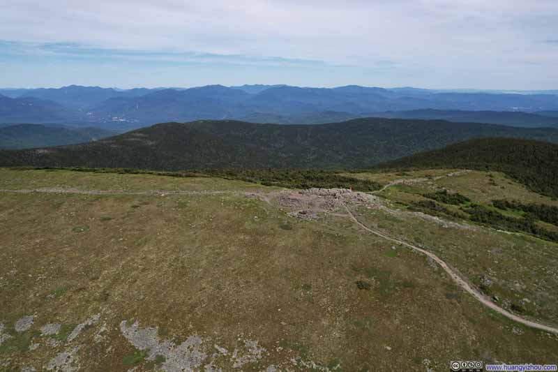 Summit of Moosilauke
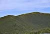
 Ridge between Moosilauke and South Peak
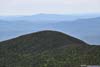
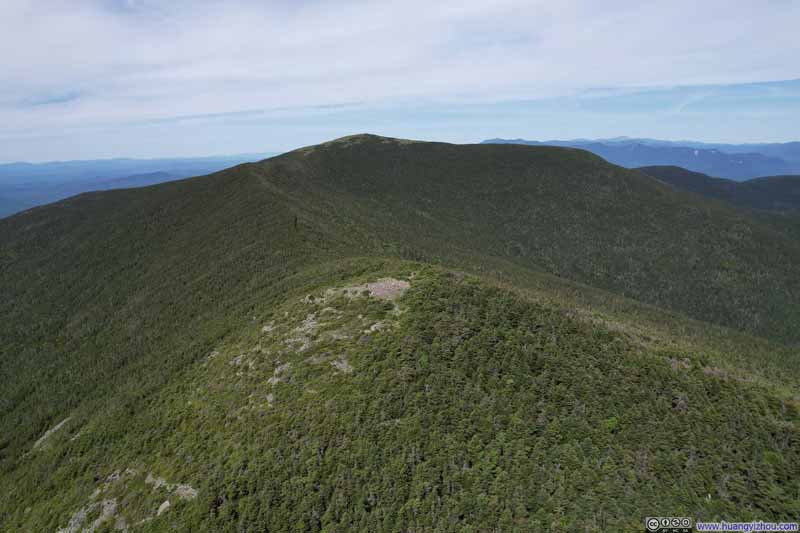 South Peak before Moosilauke Main Peak
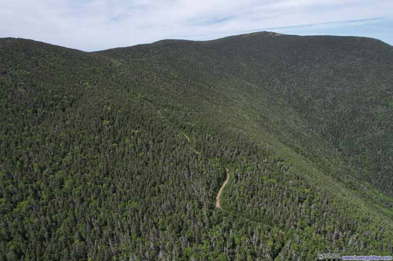 Carriage Road in WoodsDespite that name, it’s actually a trail which I was about to take on my way down.
Click here to display photos captured from the drone.

Summit of Moosilauke
Summit of Moosilauke
Ridge between Moosilauke and South Peak
South Peak before Moosilauke Main Peak
Carriage Road in WoodsDespite that name, it’s actually a trail which I was about to take on my way down.
Overlooking Moosilauke Summit
Side of Moosilauke South Peak
And here’s a video:
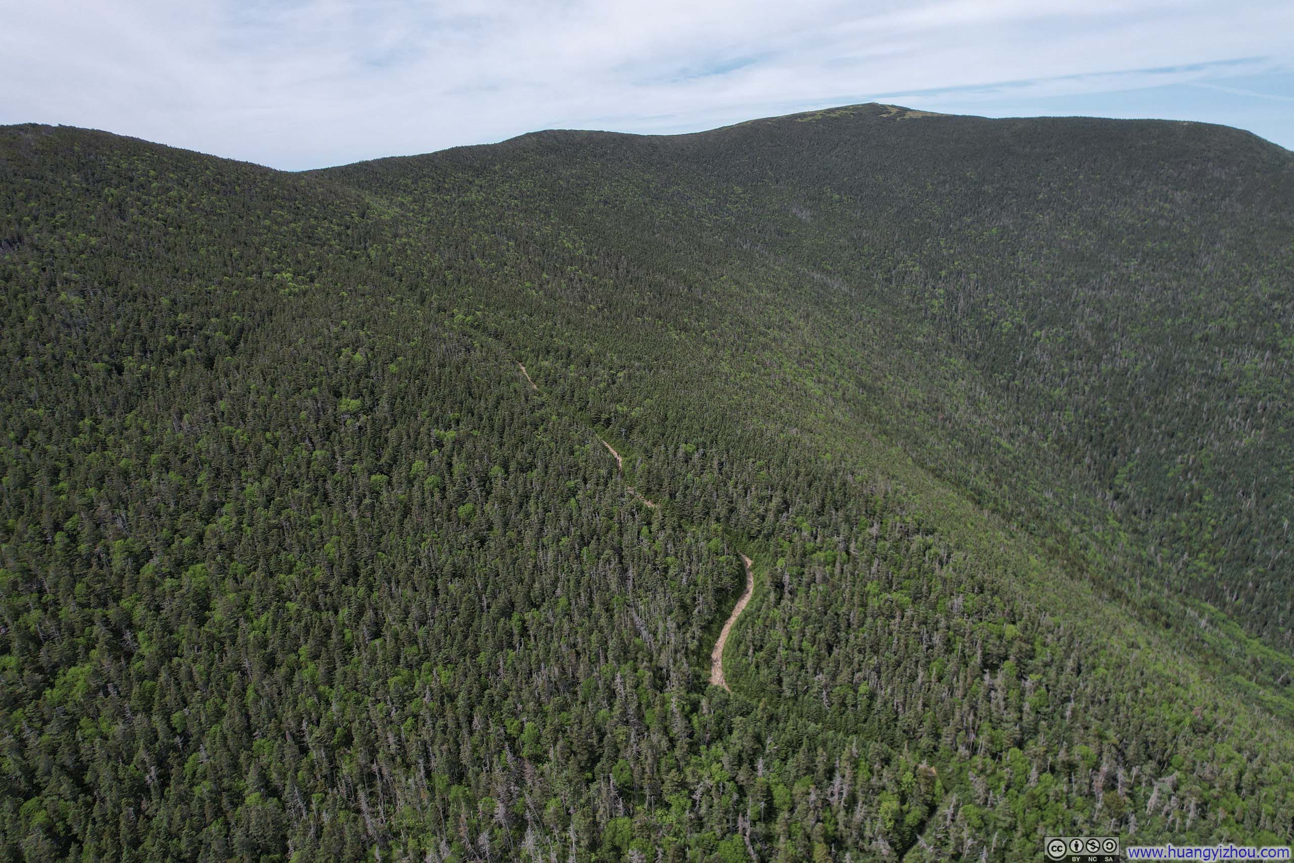
After about 40 minutes at south peak, I started heading back down along Carriage Road. Despite its name, “Carriage Road” was just a wider trail with more trees cleared out and hence fewer shades. In my opinion, no vehicle, not the best ATV’s could drive along this “road”.
 Trail from South PeakSome steep sections.
 Trail from South PeakSome steep sections.
 Trail / Carriage Road
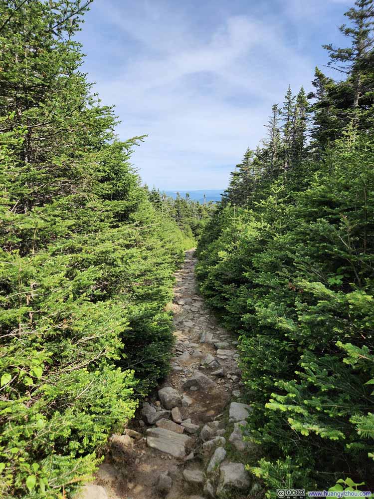 Trail / Carriage Road
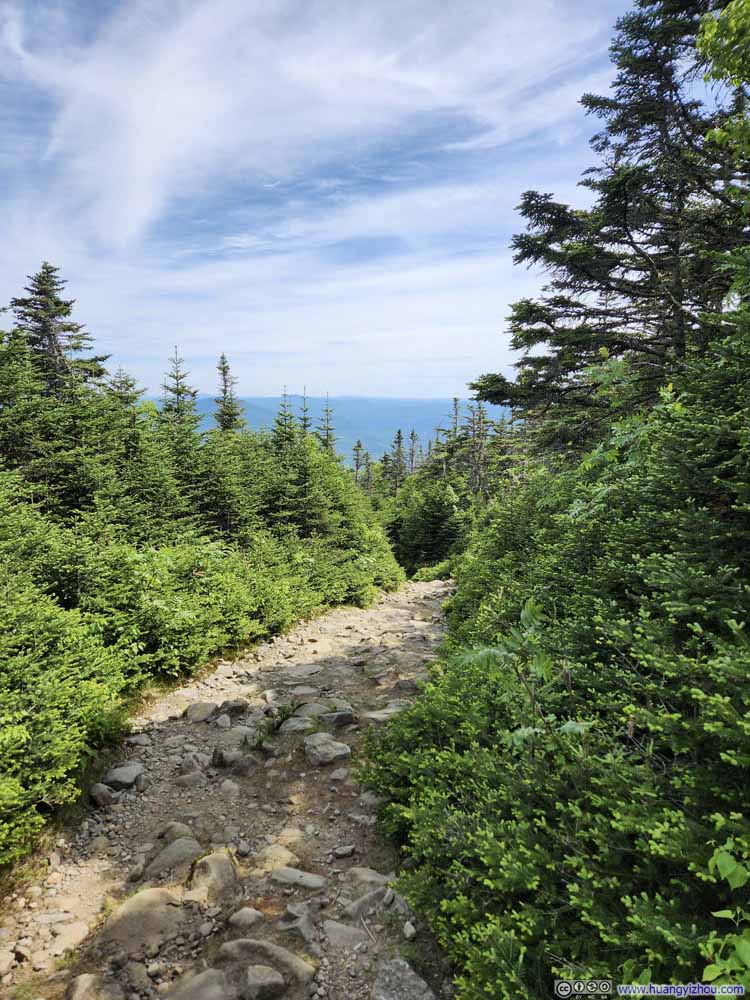 Trail / Carriage Road
 Trail / Carriage Road
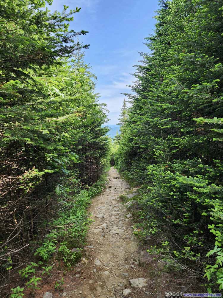 Trail / Carriage Road
 Trail / Carriage Road
 Trail
Trail Trail
Trail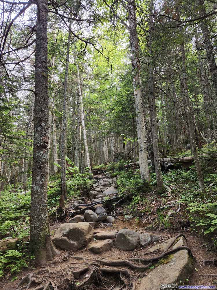 Trail
Trail Creek
Creek Trail
Trail Trail
Trail
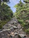


Click here to display photos of the trail.

Trail from South PeakSome steep sections.

Trail from South PeakSome steep sections.

Trail / Carriage Road

Trail / Carriage Road
Trail / Carriage Road
Trail / Carriage Road

Trail / Carriage Road
Trail / Carriage Road
Trail
Trail
Trail
Creek
Trail
Trail
In the end, I reached Ravine Lodge just past 5pm. Treating Ravine Lodge as the trailhead, the hike took me just under 6 hours, including all rest.
Bonus: Newfound Lake
On my way back, I found it’s only a small detour for me to check out Newfound Lake via West Plymouth, one of the larger lakes in New Hampshire’s Lake Regions (and the only one west of I-93). And for a lake this large, my drone came in handy for giving it a tour.
 Overlooking Newfound Lake
And here’s a video:
END
![]() Hiking Mt Moosilauke by Huang's Site is licensed under a Creative Commons Attribution-NonCommercial-ShareAlike 4.0 International License.
Hiking Mt Moosilauke by Huang's Site is licensed under a Creative Commons Attribution-NonCommercial-ShareAlike 4.0 International License.