
Updated on August 16, 2024
(Imperfect) Hike of Mt Chocorua
The final weekend of June 2024, I continued my exploration of the White Mountains with Mount Chocorua. Unfortunately, an untimely rain meant the trip was not as pleasant as I hoped.
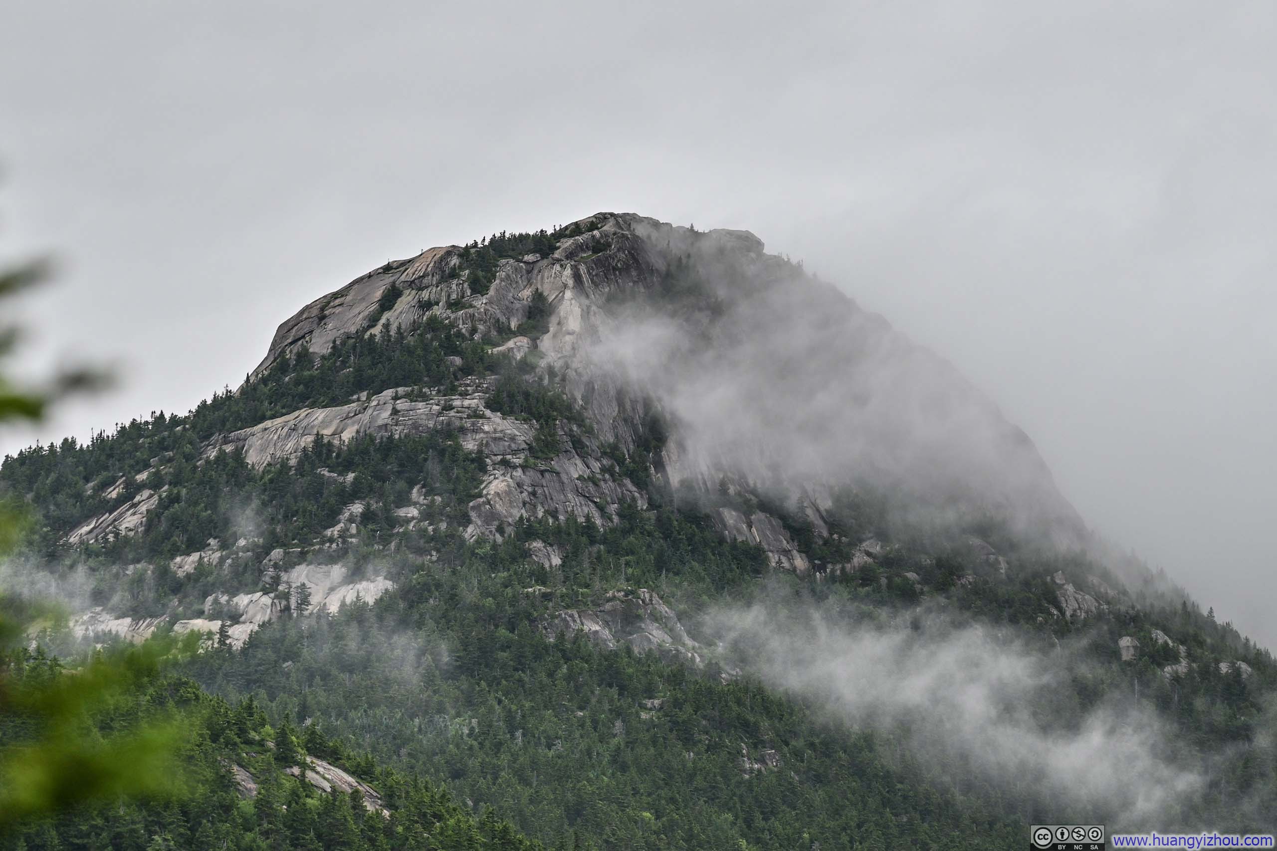
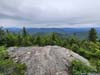
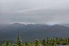
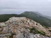
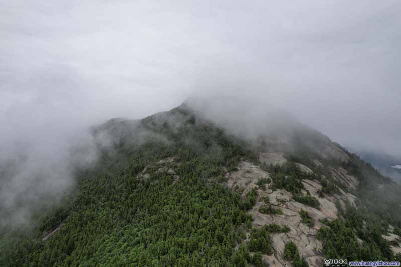
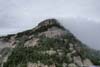
Summit of Mt Chocorua in Clouds
Weather forecast for the White Mountains wasn’t great for the final weekend of June 2024, with periods of rain in the forecast around early afternoon for both Saturday and Sunday. However, I had some incentive to finish some errands along the way, so I nonetheless decided to make a trip to the White Mountains. This time, I chose Mt Chocorua, because it’s on the southeastern edge of the White Mountains, where the weather was forecasted to be marginally better. With rain forecasted at 3pm in the afternoon, I woke up early in the morning, and left home at 6am, hoping to finish my hike by then.
After grabbing some food along the way, I reached the trailhead of Mt Chocorua just past 8am, and soon after that I started my hike.
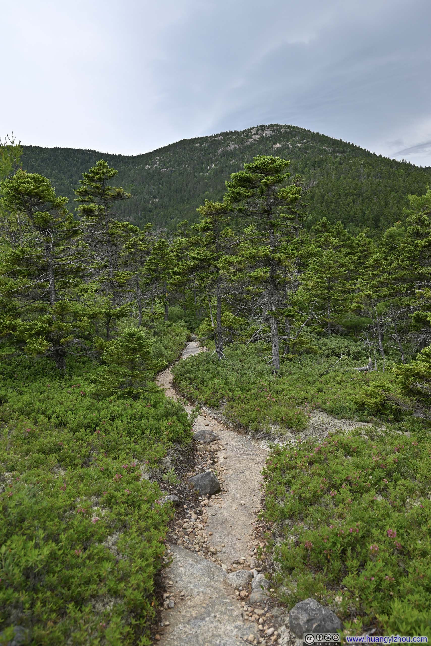
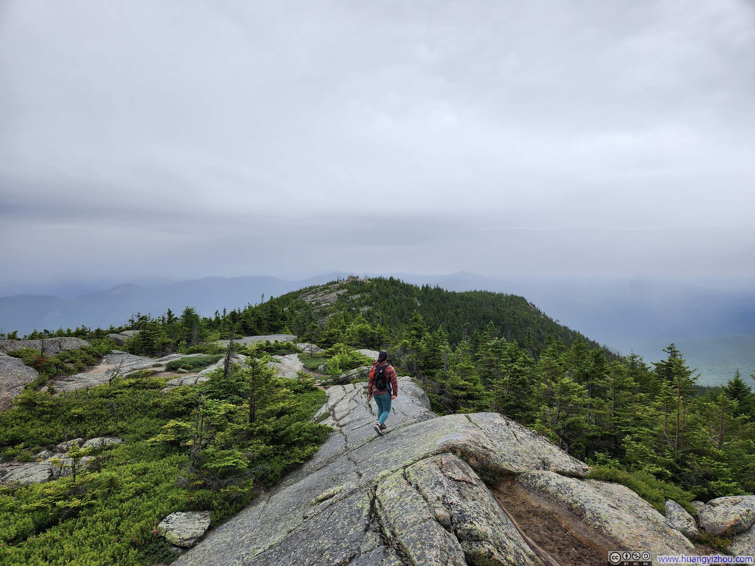
I decided to take the Middle Sister and Chocorua loop (AllTrails link) in the counterclockwise direction. This way, I headed up the mountain along Carter Ledge Trail, which featured a few open spots where I could appreciate the views. I figured once the rain arrived in the afternoon, I wouldn’t have any moods for scenery.
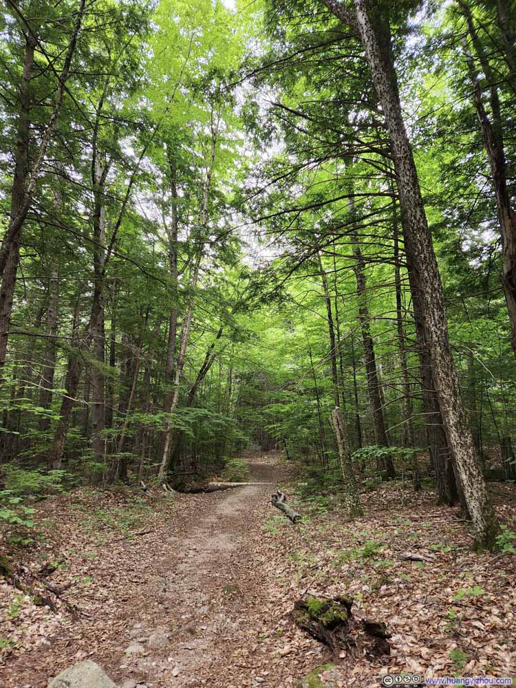
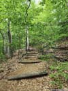
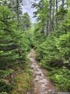
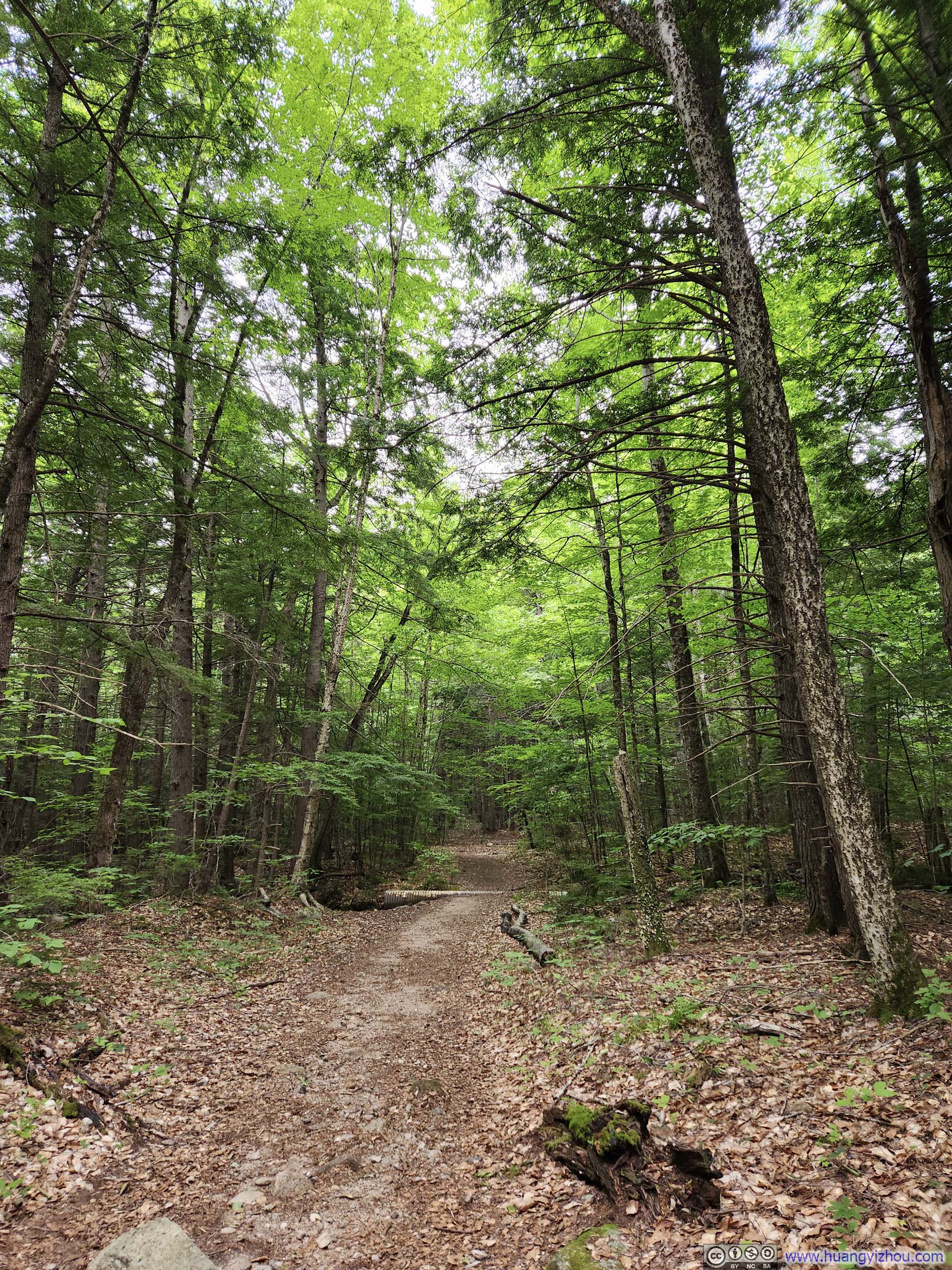
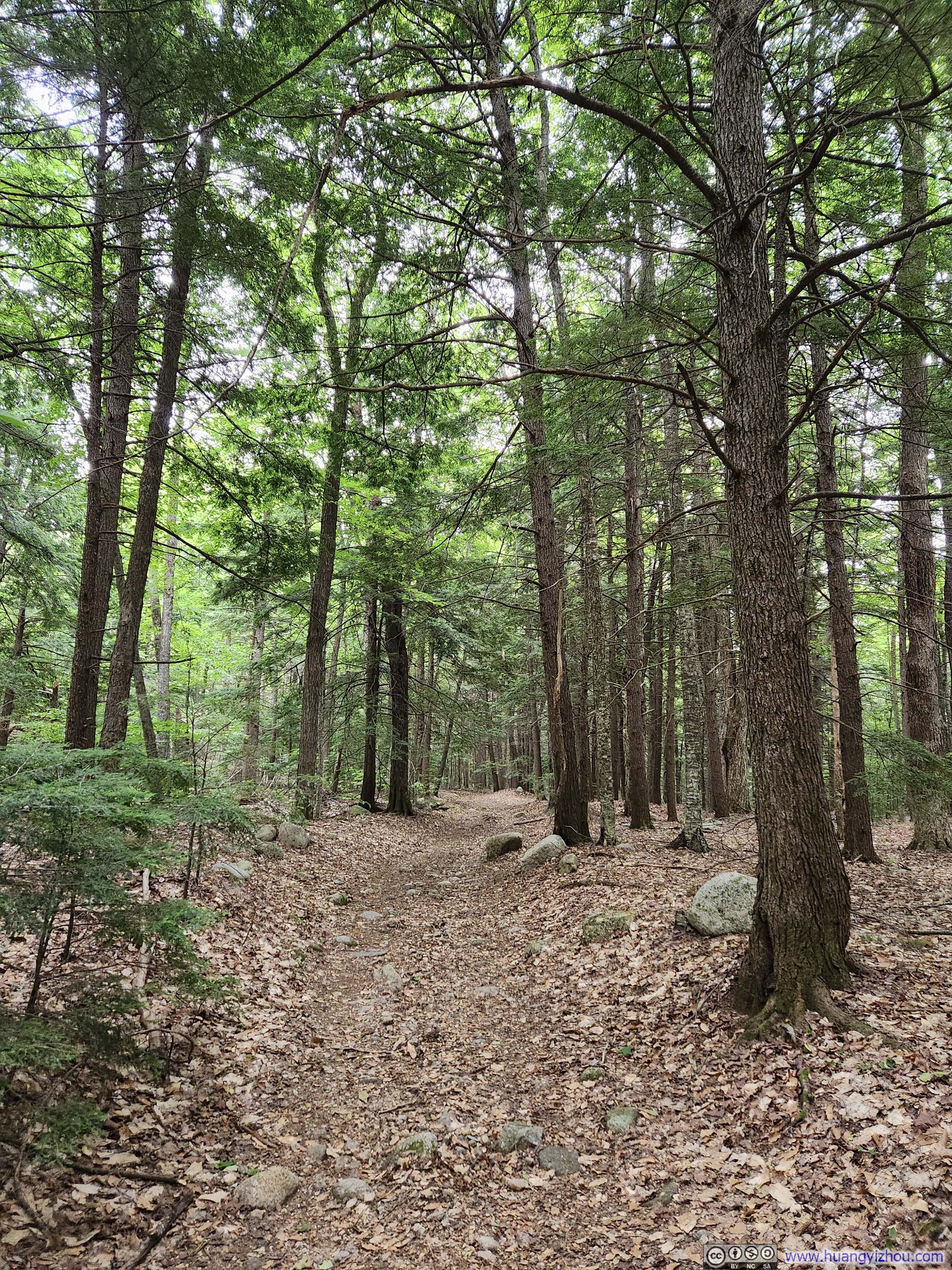
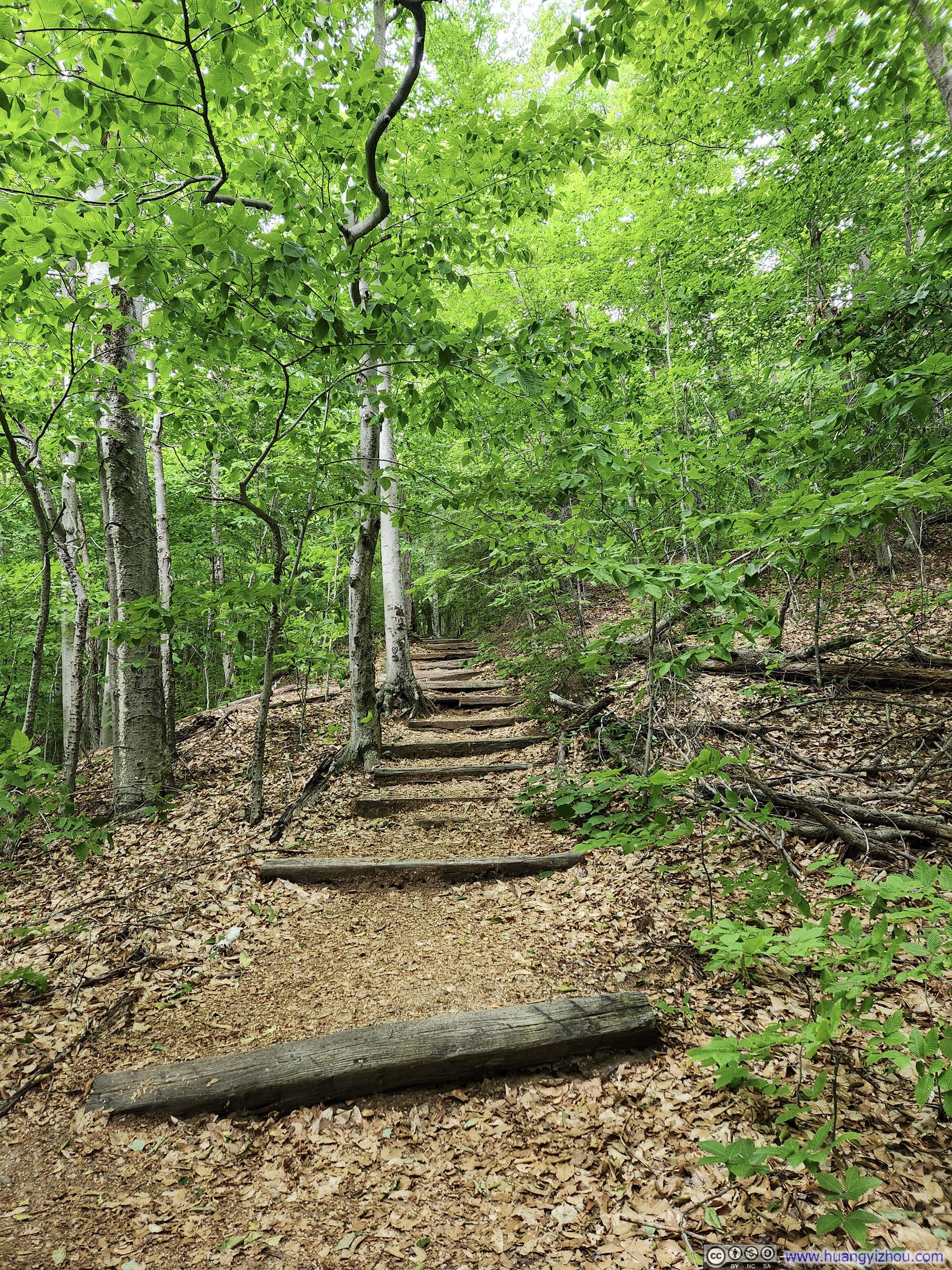
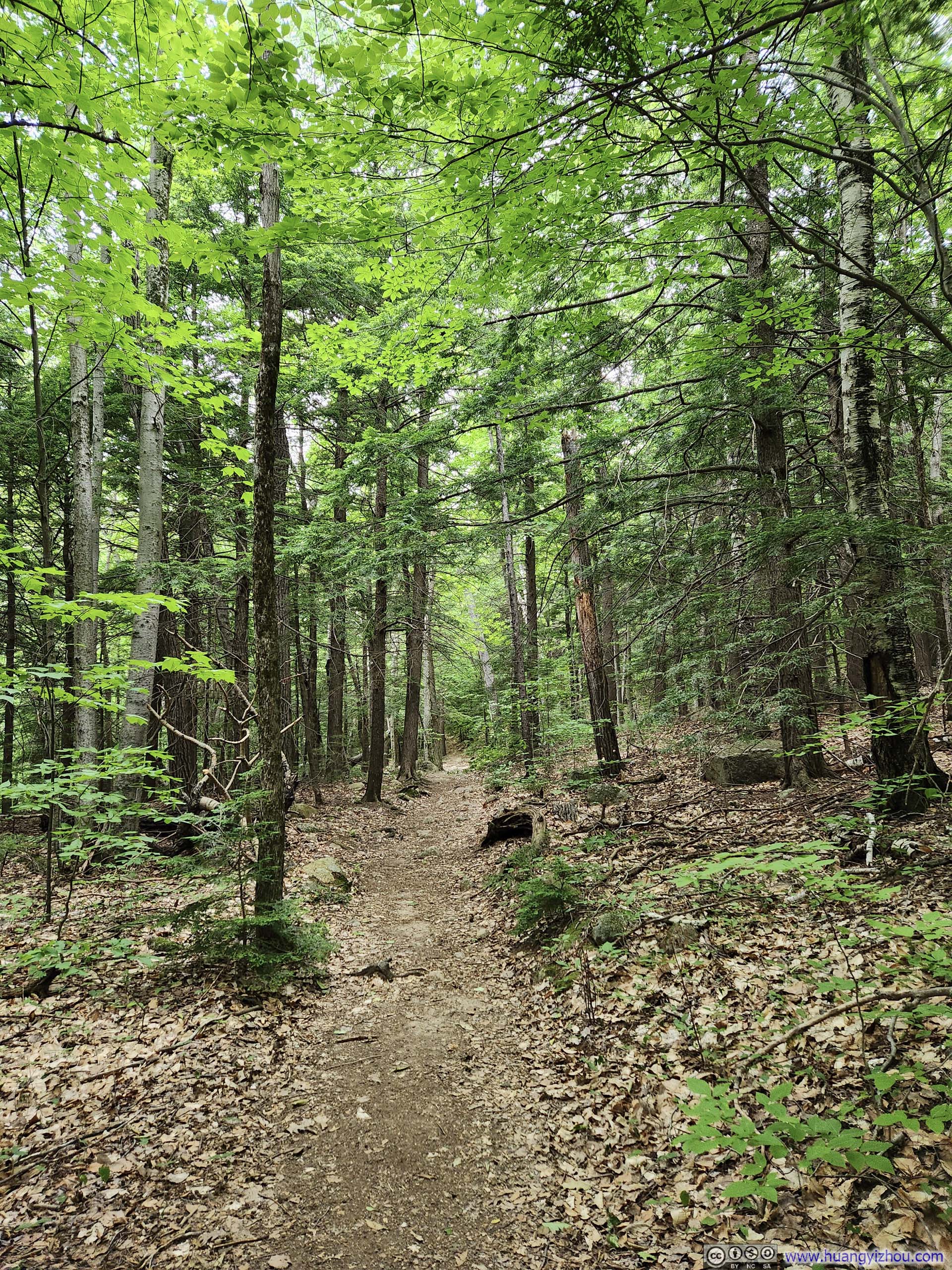
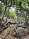
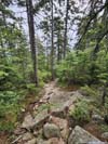
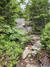
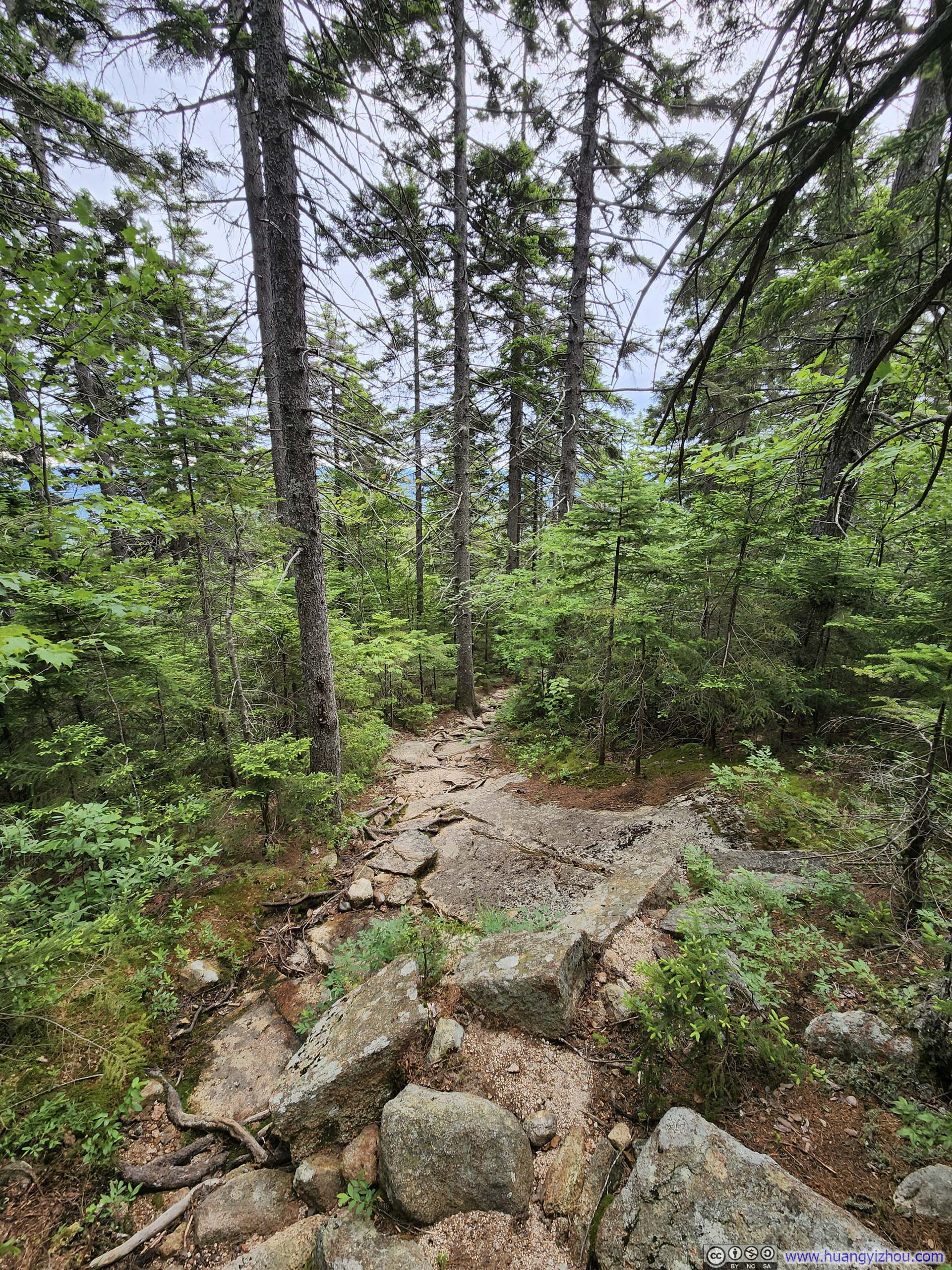
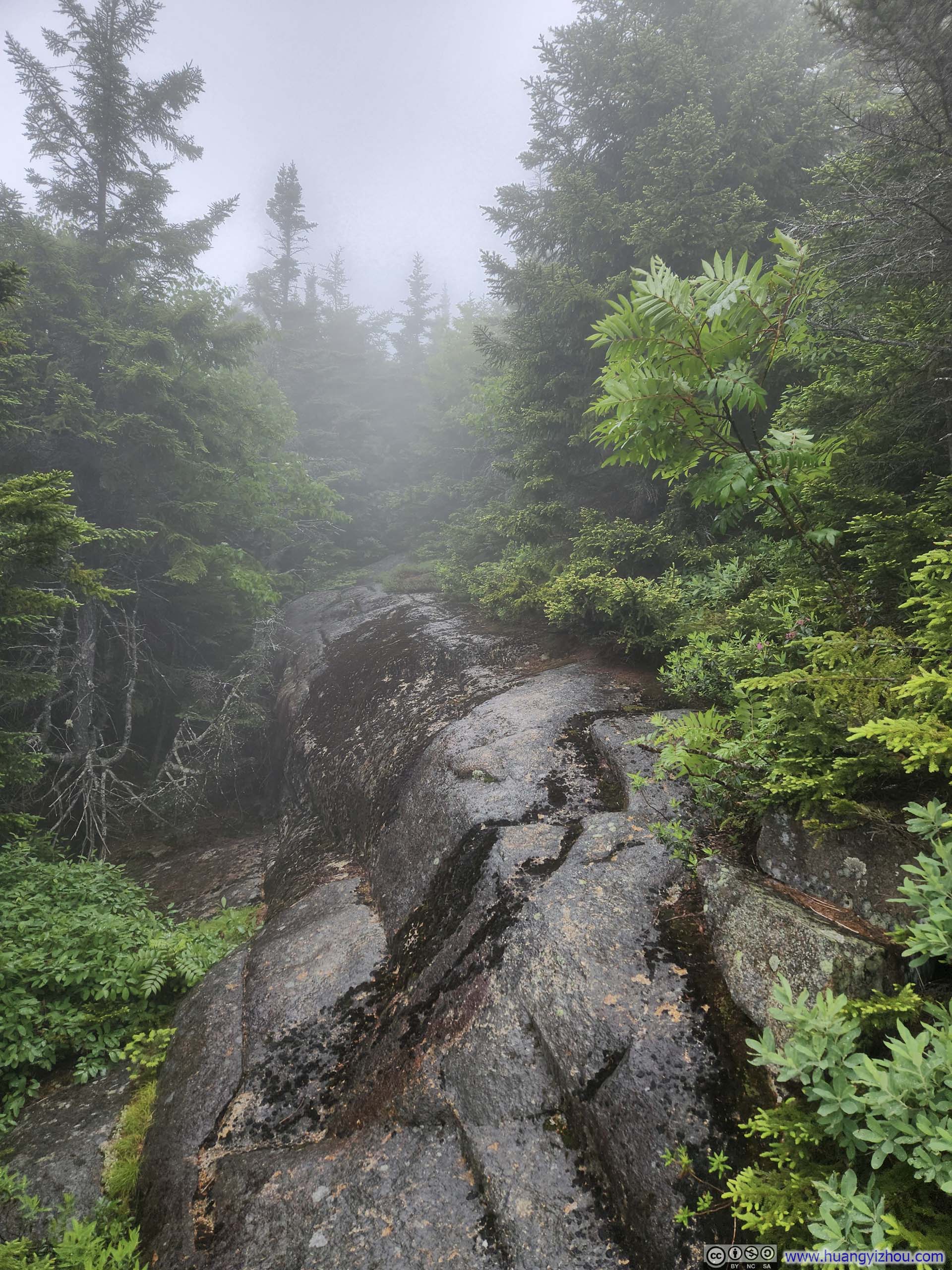
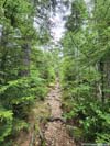
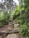
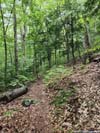
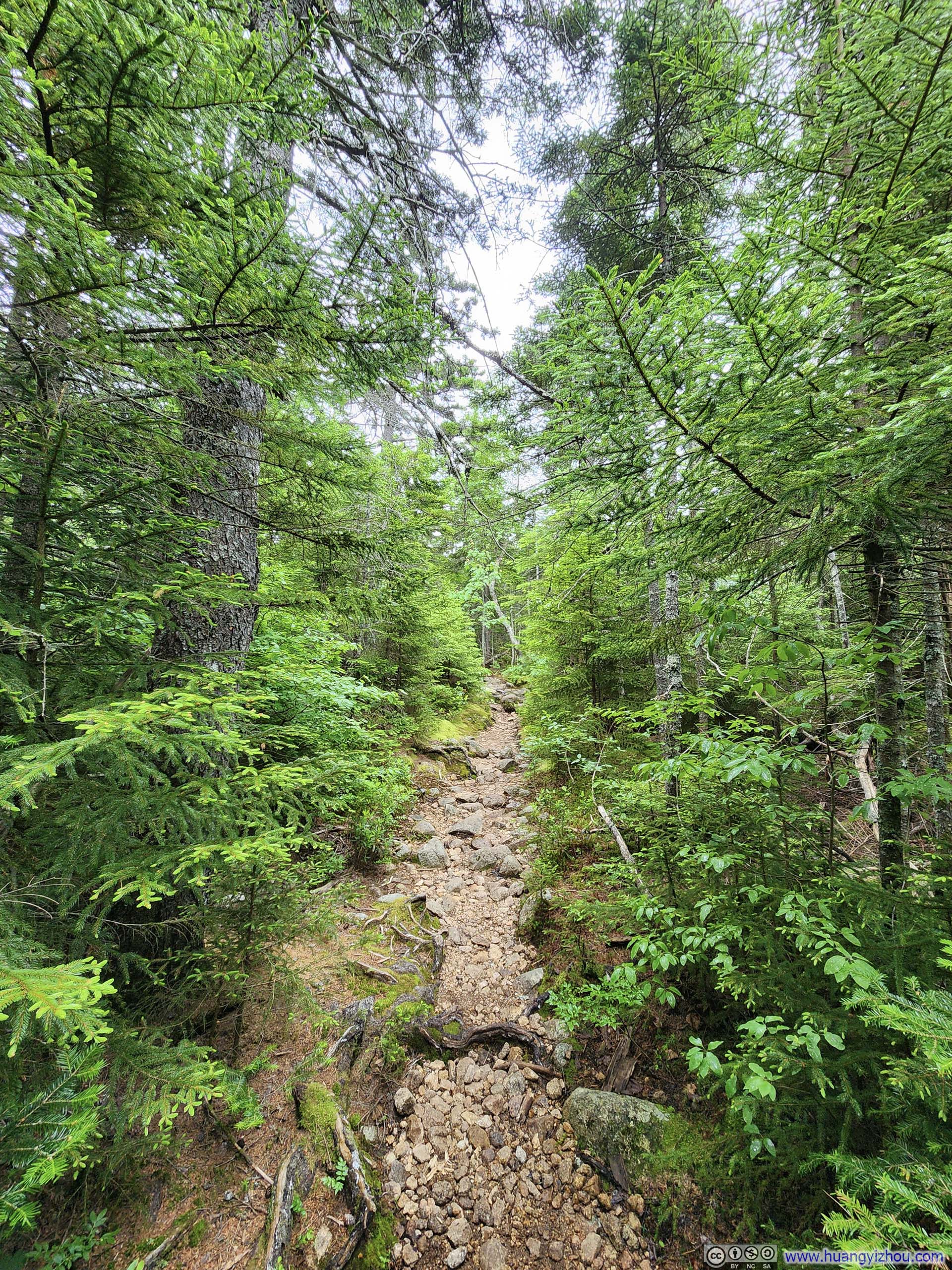
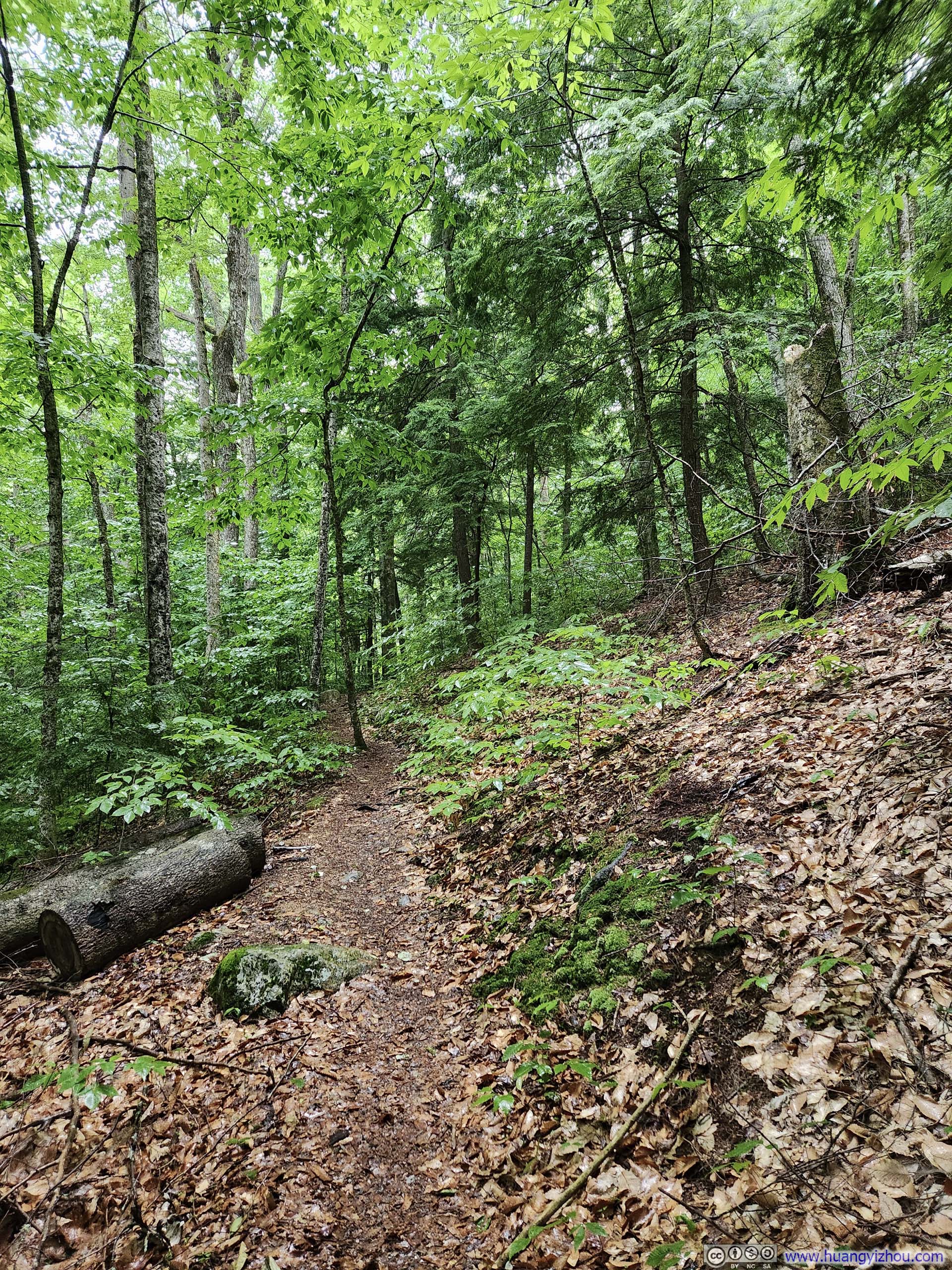
The trail started out as a casual stroll in the woods for 1.8km (1.2mi) , before I reached an intersection for Nickerson Ledge Trail, where it started to get steep.
 Trail
Trail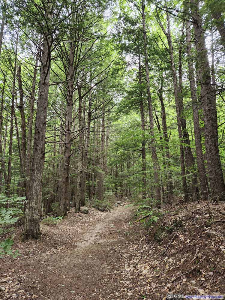 Trail
Trail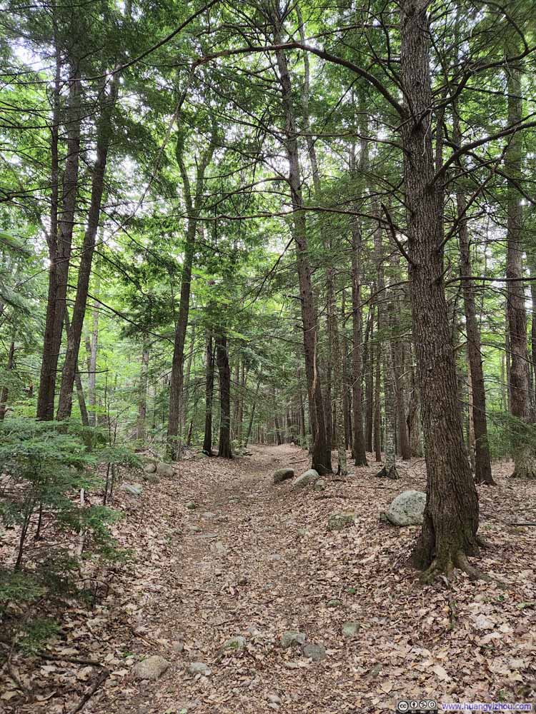 Trail
Trail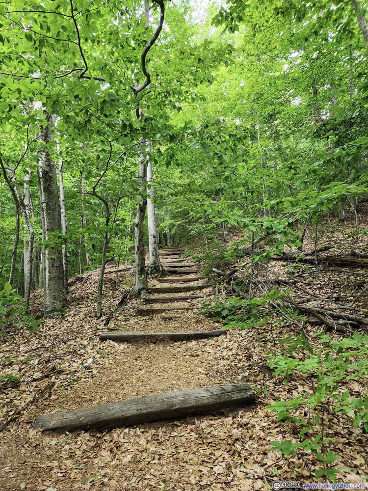 Trail
Trail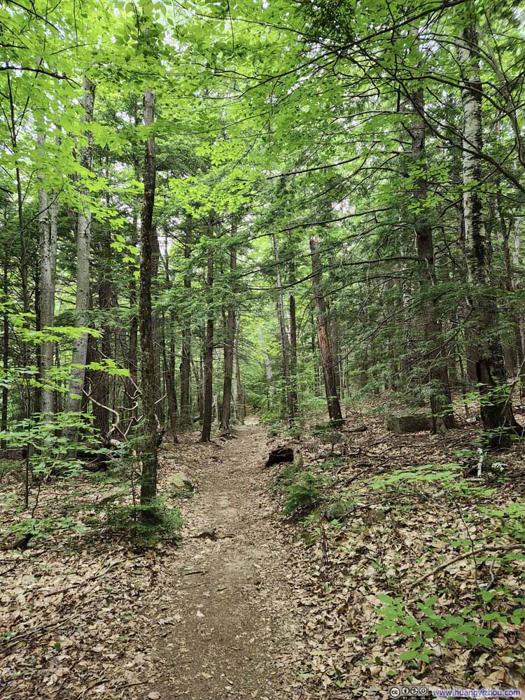 Trail.
 Trail.
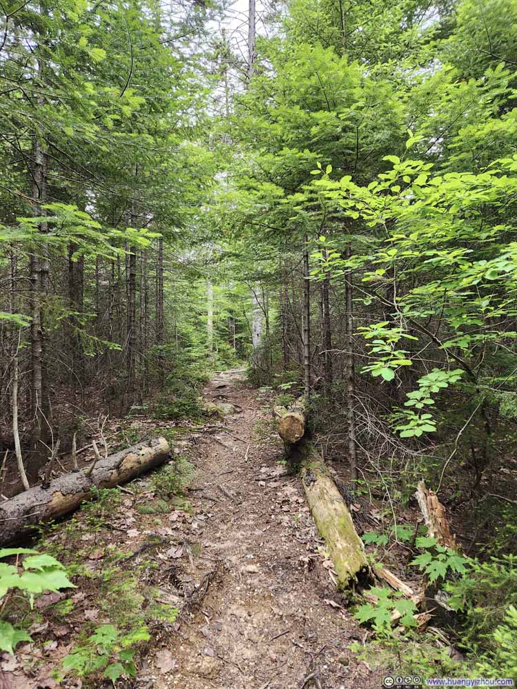 Trail.
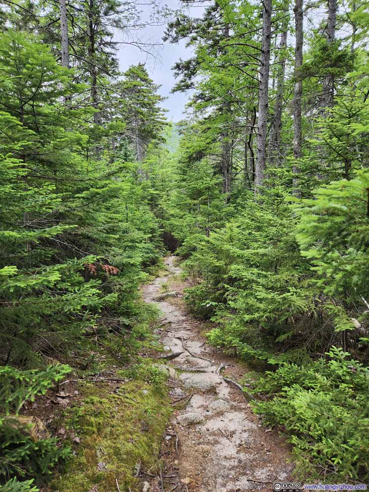 Trail.
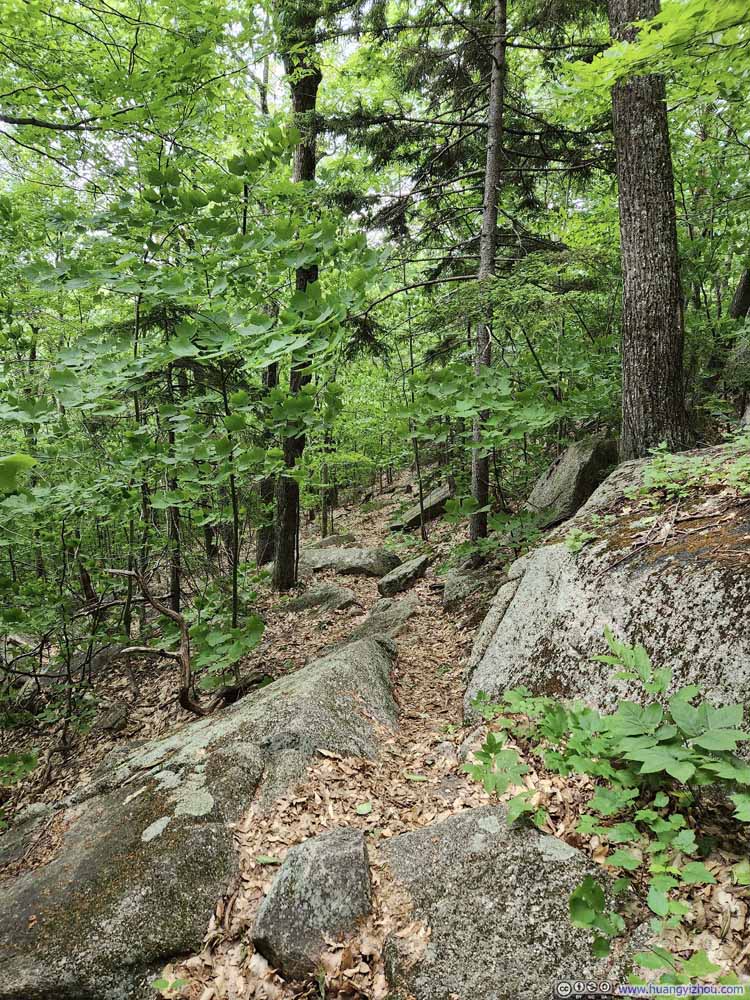 Trail
Trail

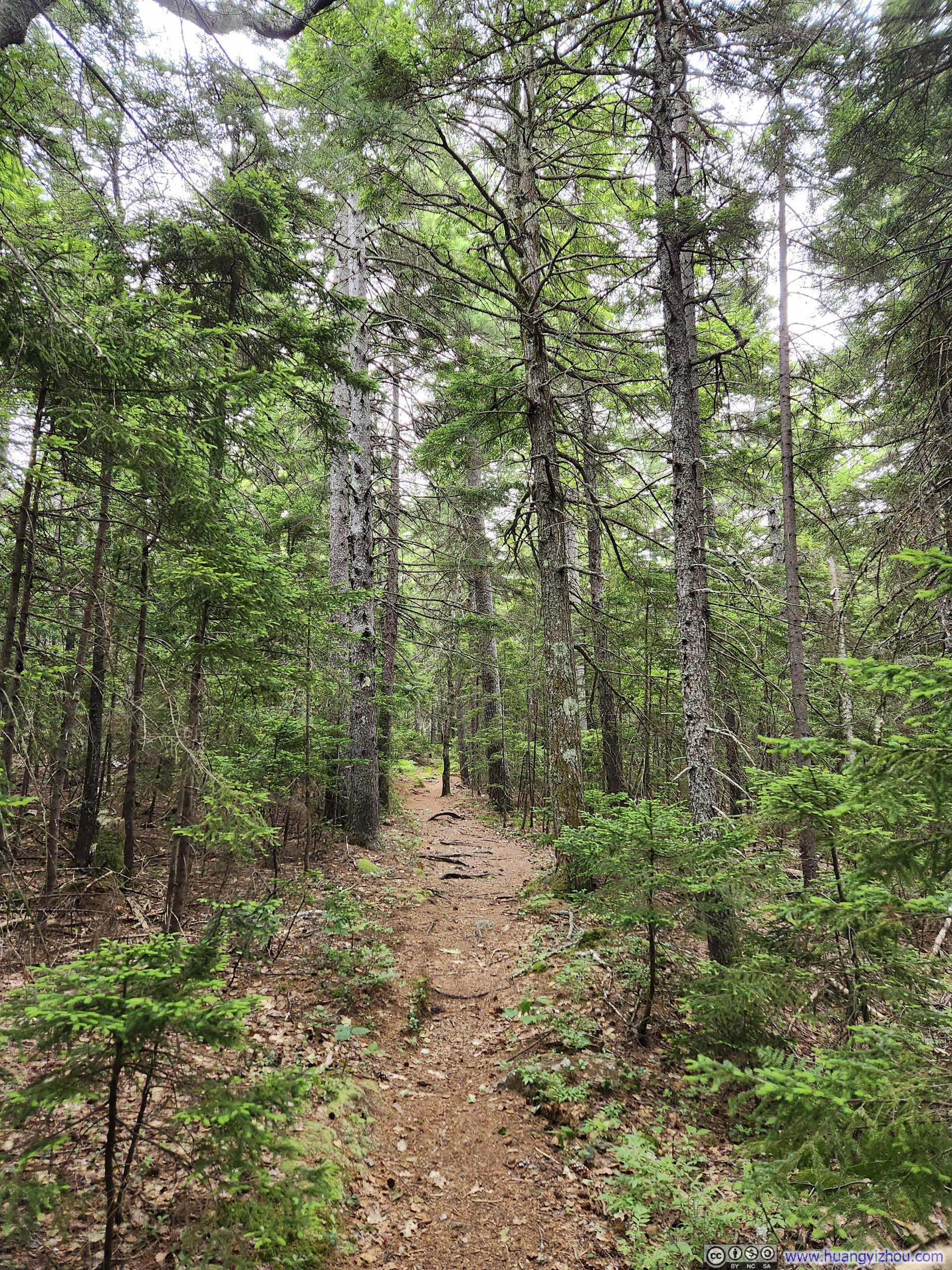
Click here to display photos of the trail.
Trail

Trail
Trail
Trail
Trail.
Trail.

Trail.
Trail.
Trail
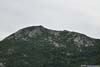
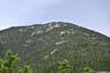
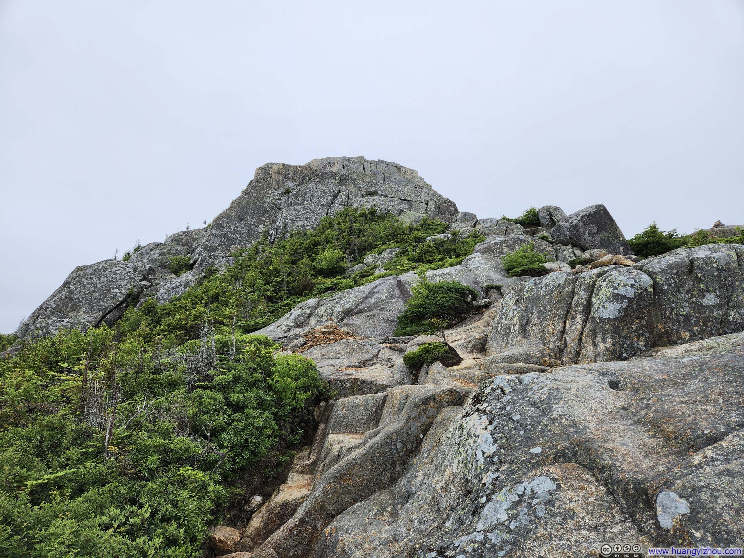
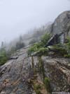
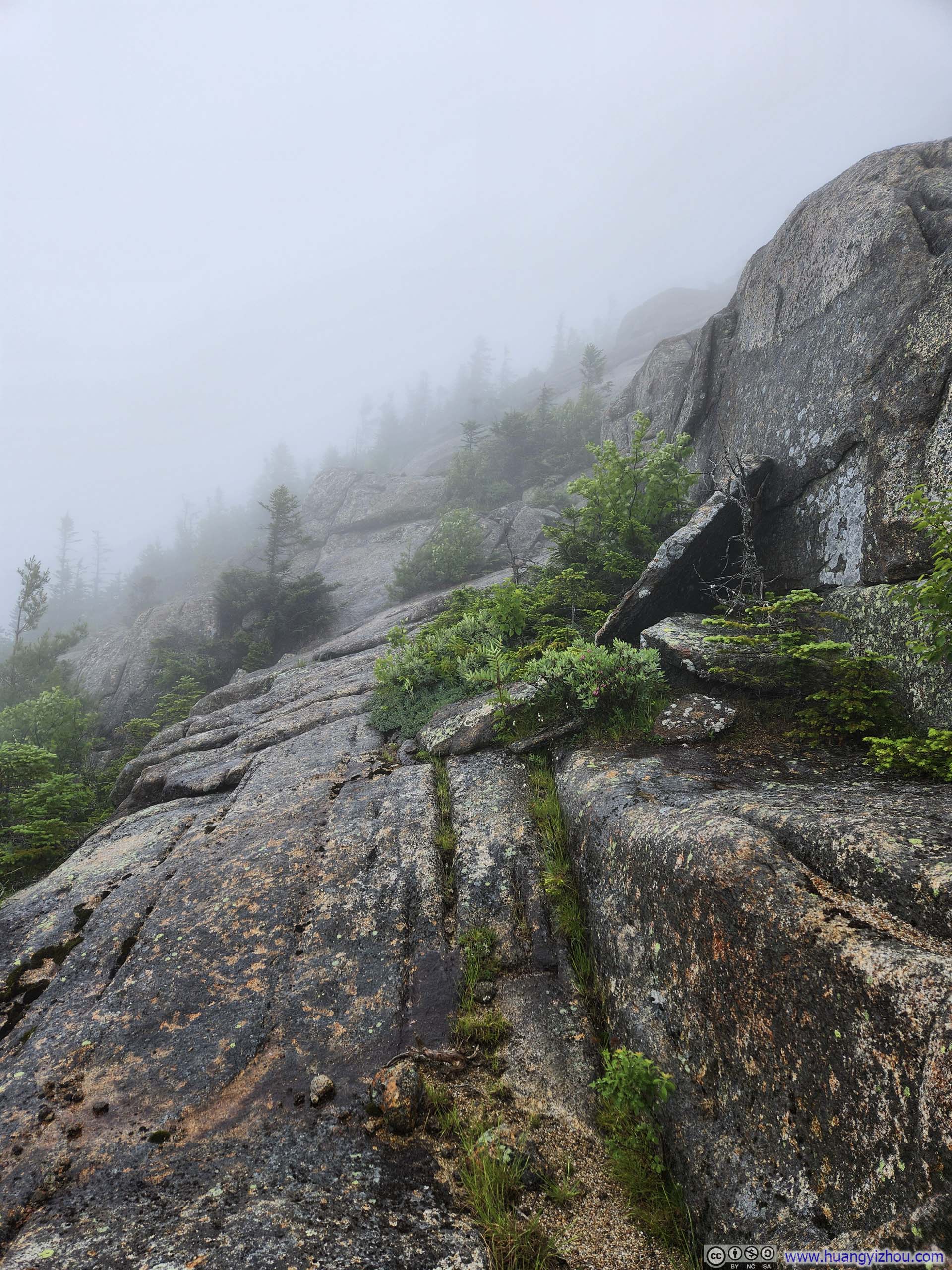
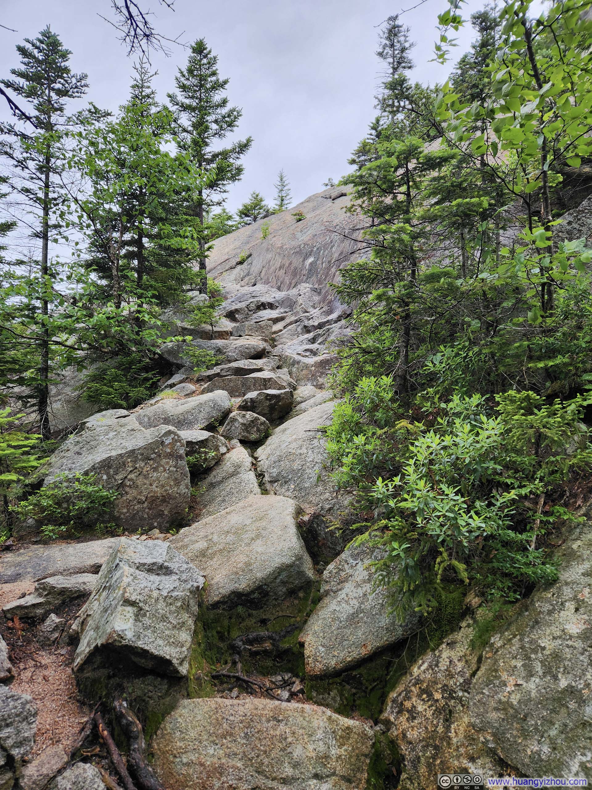
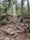
But the real challenge started about 3.4km (2.1mi) into the hike, not long after getting onto Carter Ledge Trail, just after I caught the first glimpse of Chocorua from the trail. There were a few steep and rocky sections which required minimal use of hands. I wasn’t super-careful in one of those sections and had a minor slip that resulted in a small scratch in one of my fingers, which, besides my neglect, I would blame the rest I took a few minutes earlier that cooled down my muscles. (To be clear, I didn’t consider the place where I slipped technical.)
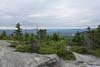
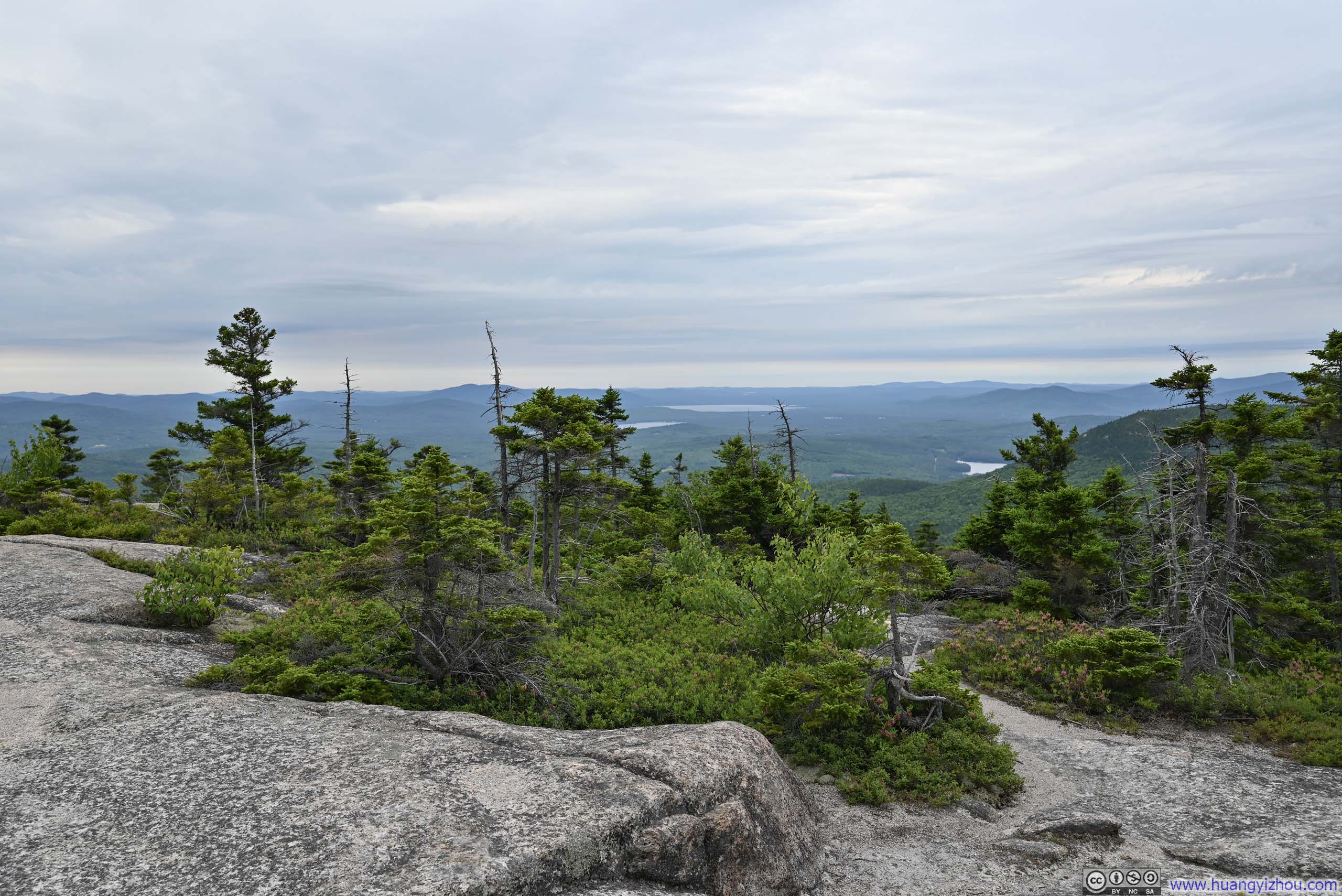
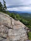
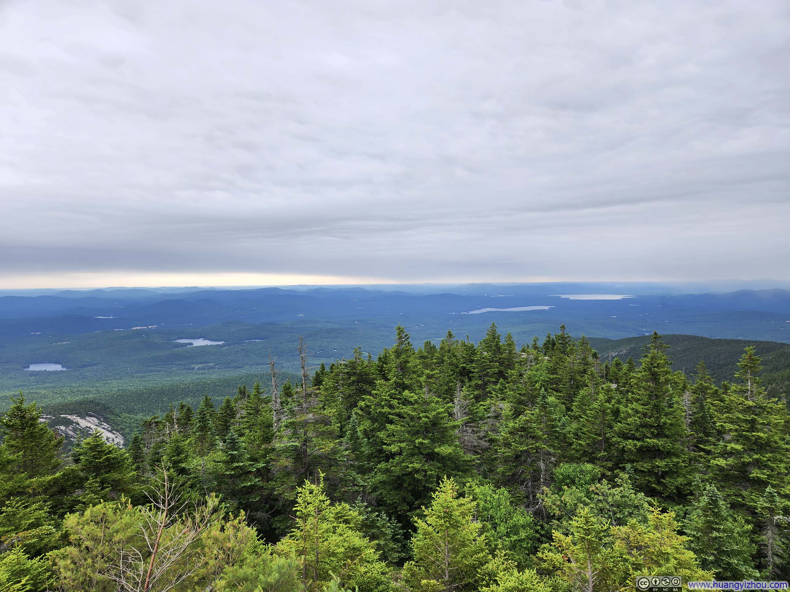
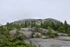
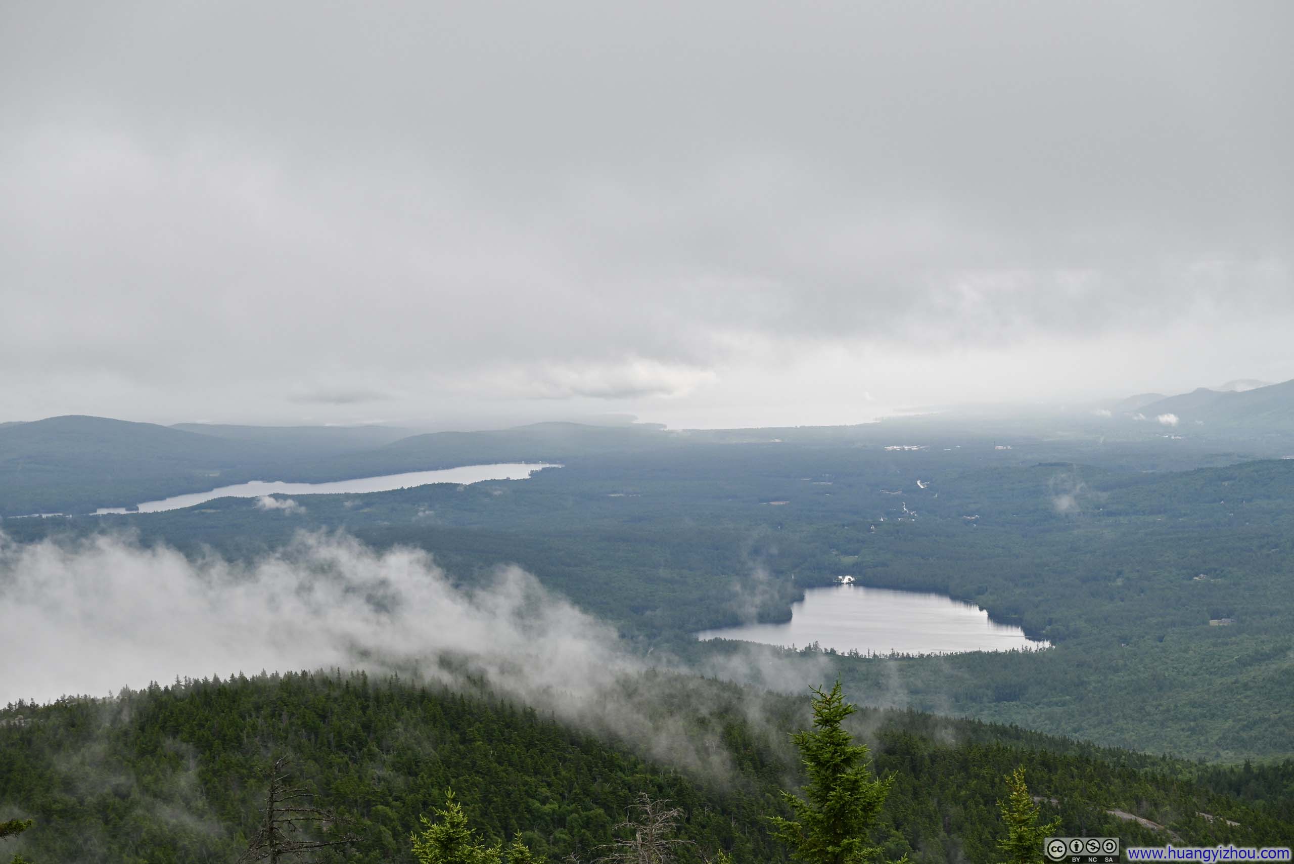
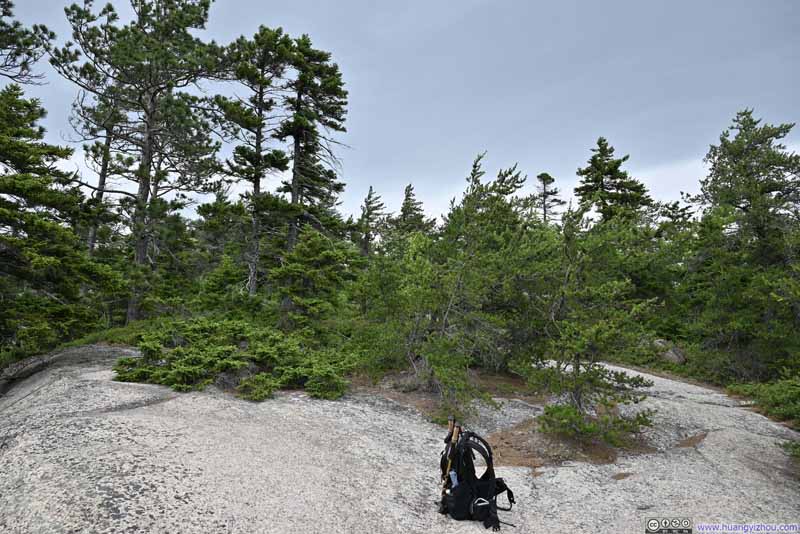 Opening along Carter Ledge Trail
There were a few openings like this along Carter Ledge Trail, where one could take a break to appreciate the views.
Opening along Carter Ledge Trail
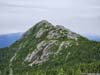
There were a few openings like this along Carter Ledge Trail, where one could take a break to appreciate the views.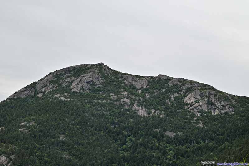 Mt Chocorua from Trail
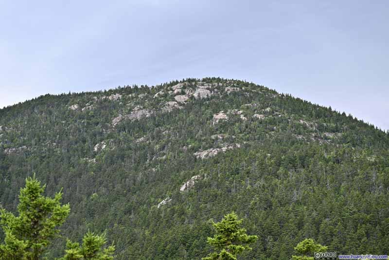 Middle Sister
 Views along Carter Ledge Trail
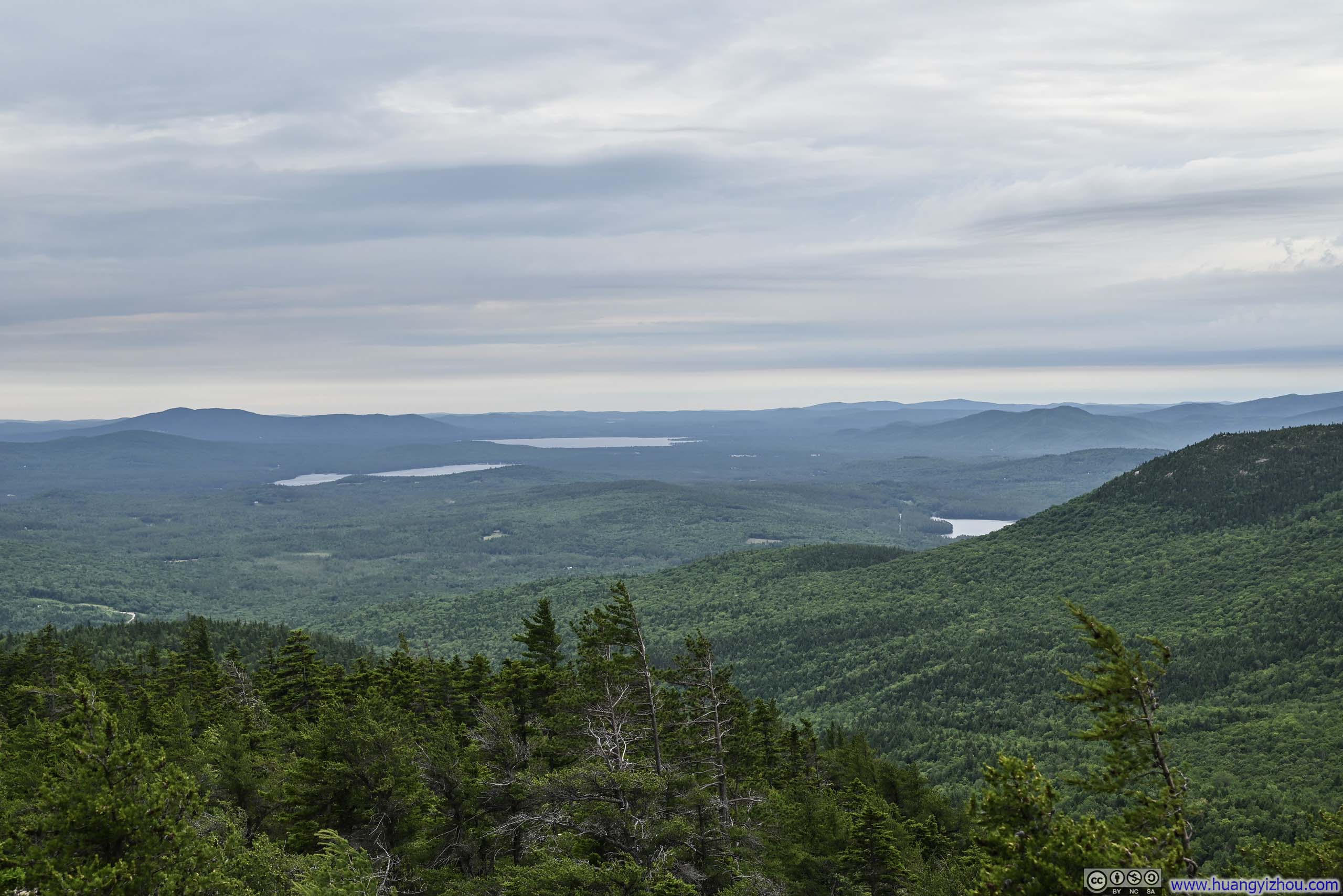
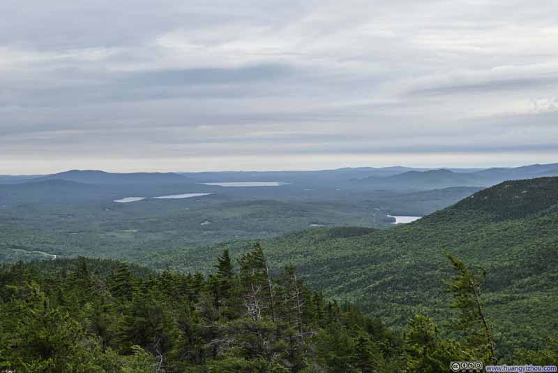 Distant Lakes
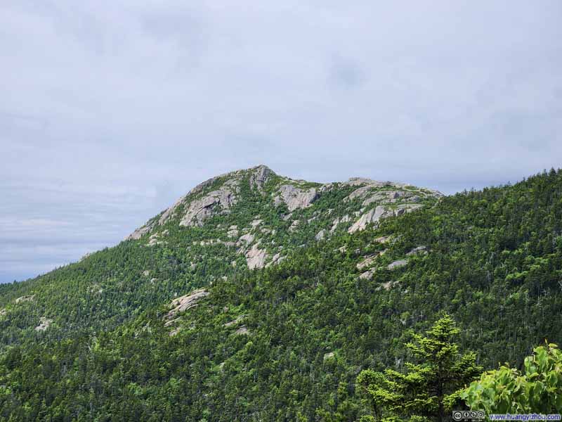 Mt Chocorua from Trail
 Lakes to the East
 Intersection of Carter Ledge Trail and Middle Sister TrailA small opening.
Click here to display photos of the slideshow
Opening along Carter Ledge Trail
Mt Chocorua from Trail
Middle Sister
Views along Carter Ledge Trail
Distant Lakes
Mt Chocorua from Trail
Lakes to the East
Intersection of Carter Ledge Trail and Middle Sister TrailA small opening.
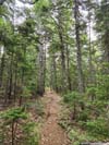
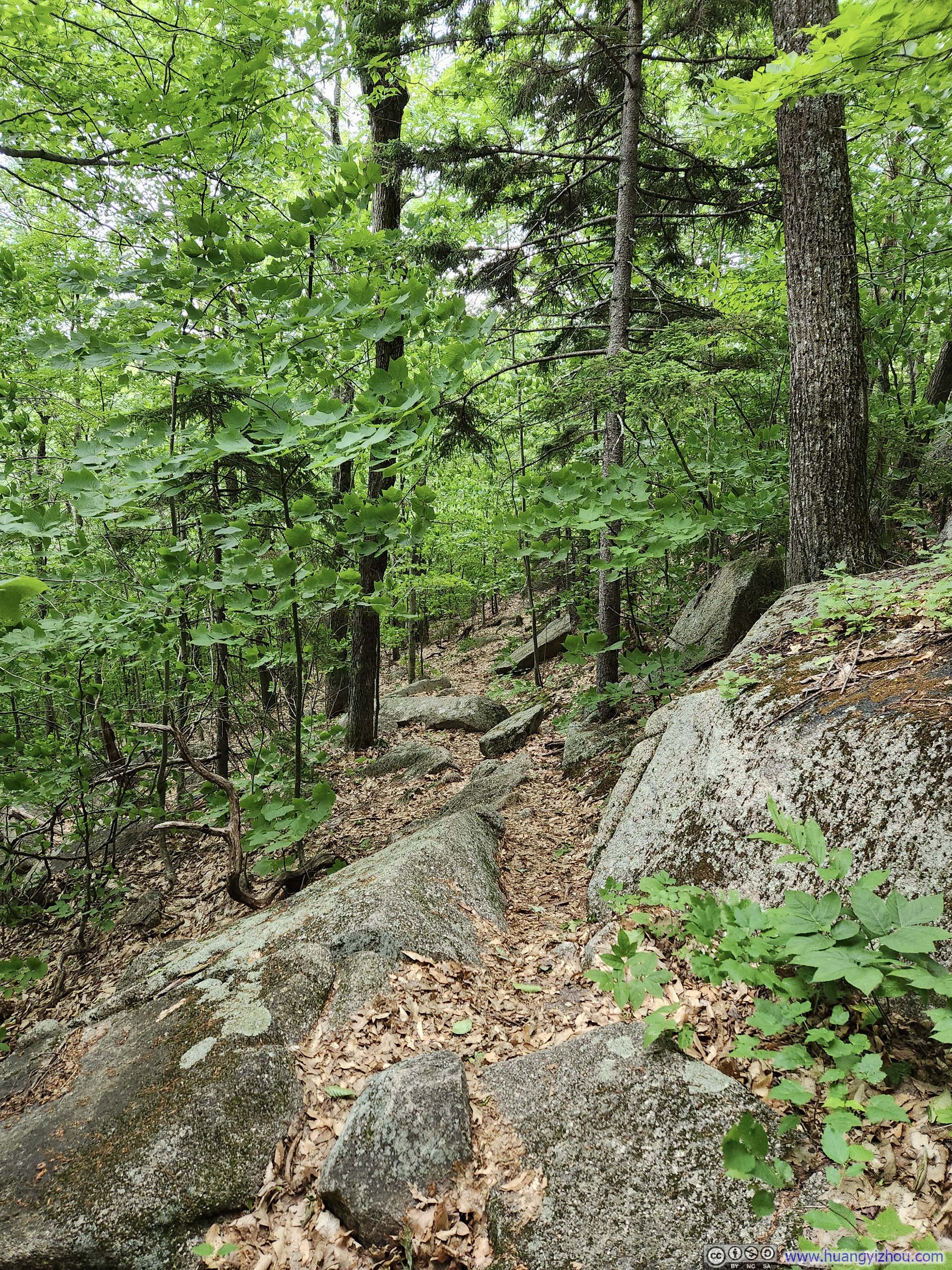
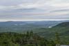
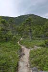
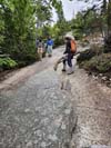
After that, Carter Ledge Trail was in between bushes and rock surfaces, where occasional views of Chocorua and fields to the southeast only got better with time.
Mountains from Carter Ledge Trail
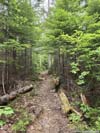
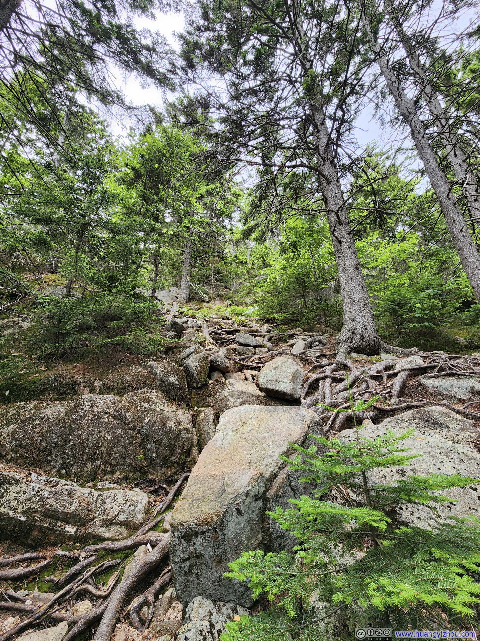
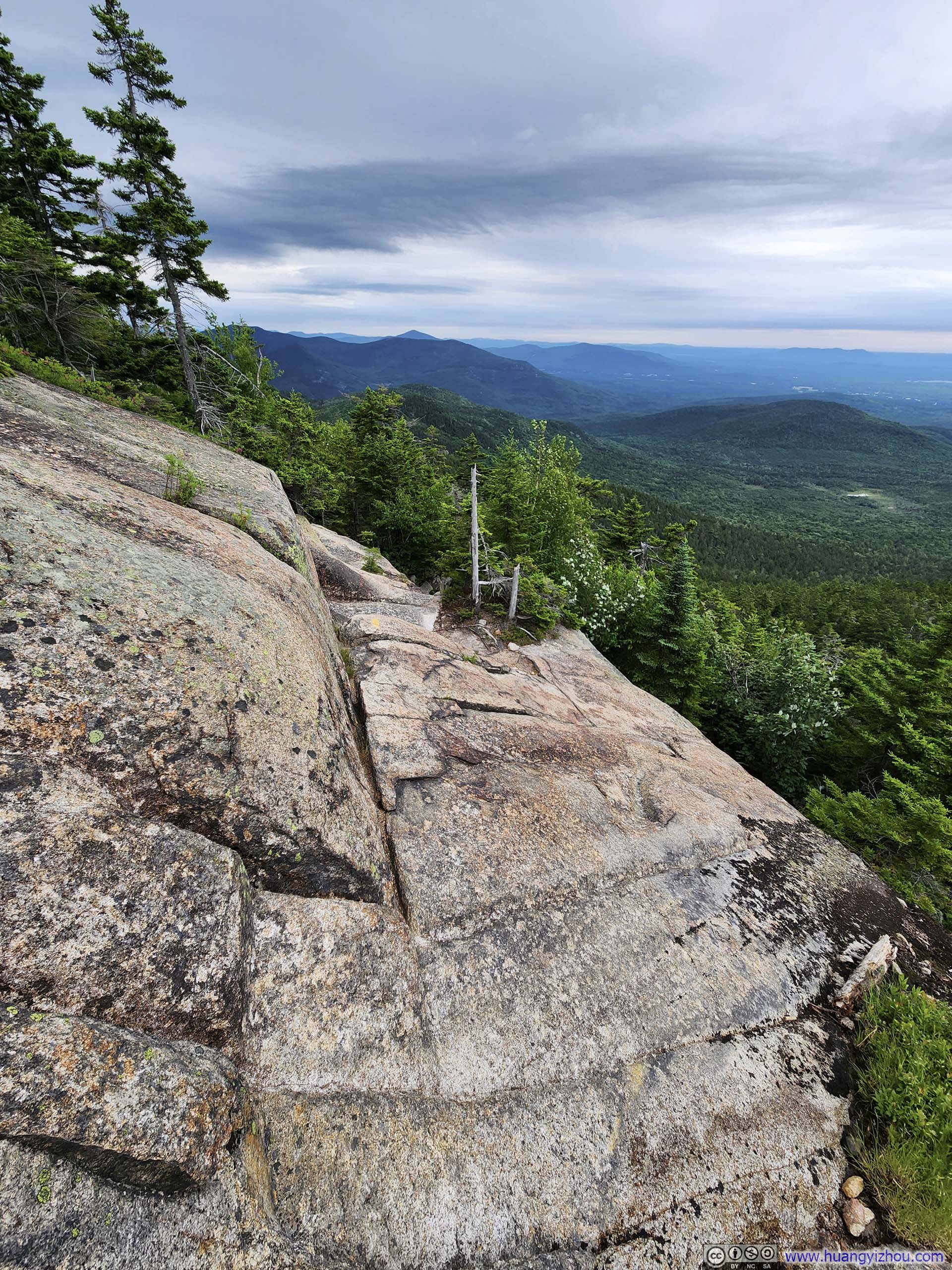
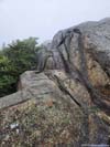
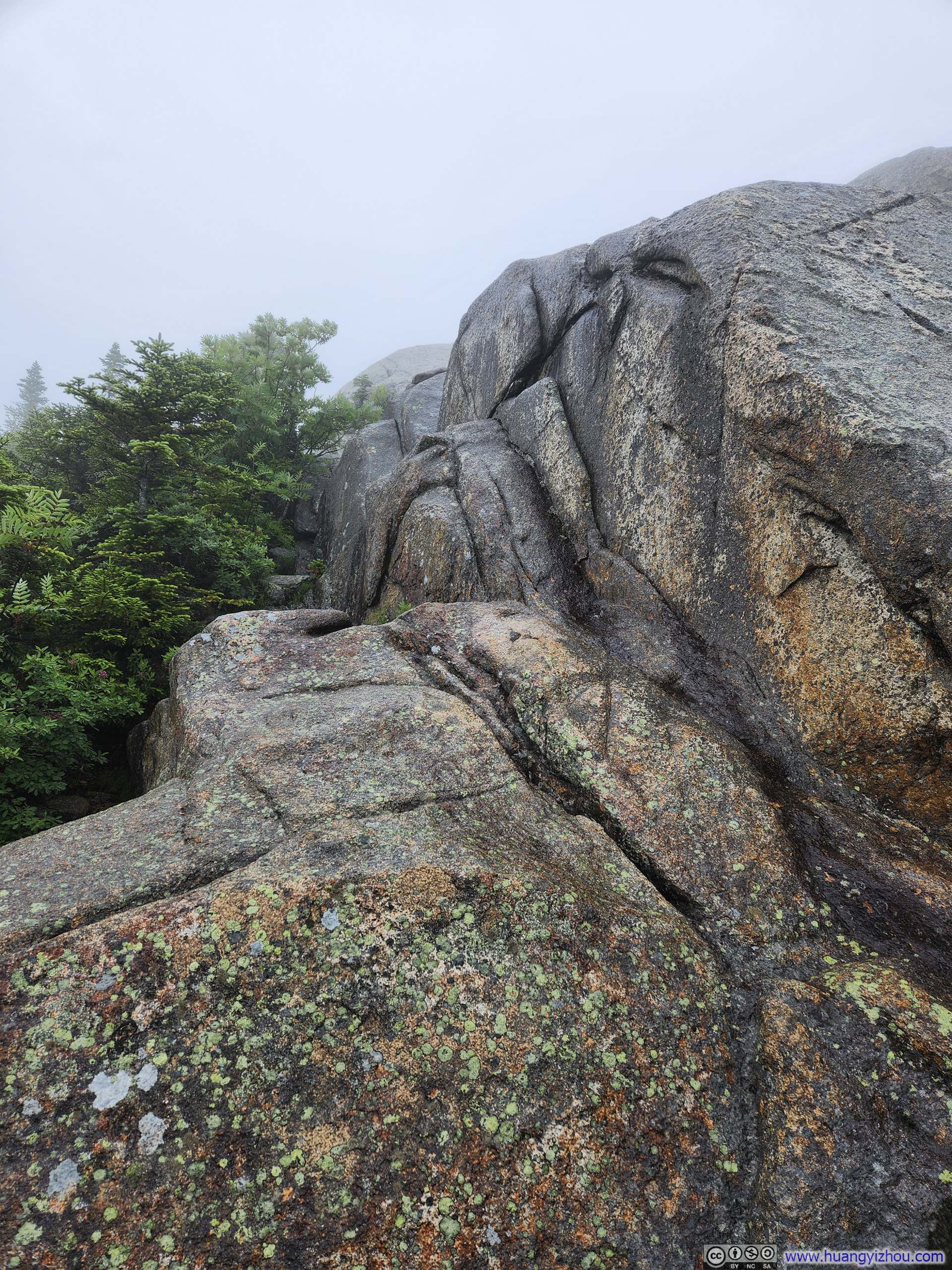
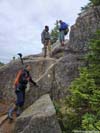
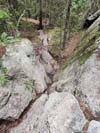
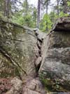
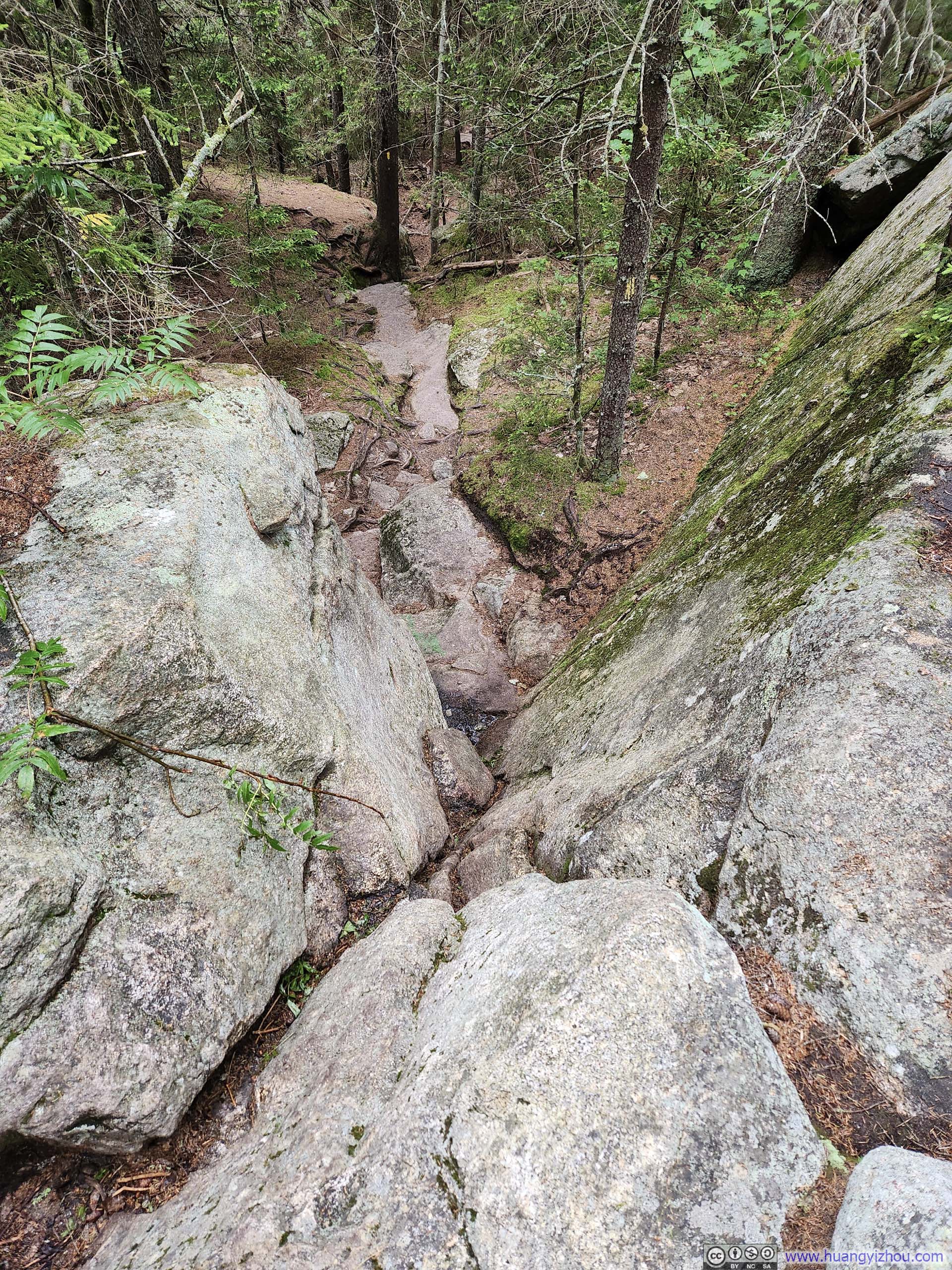
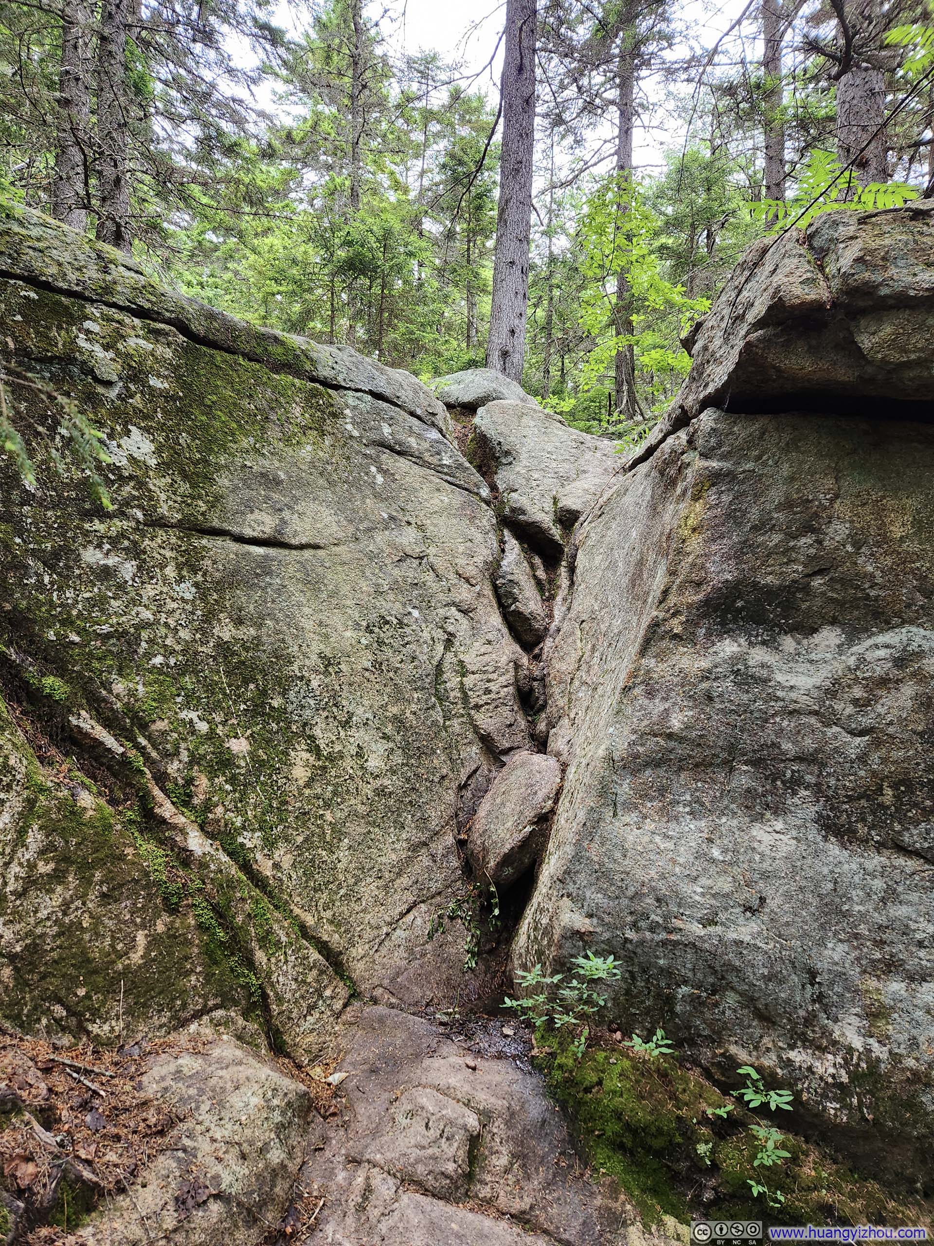
Some time later Carter Ledge Trail reentered forests and started to pick up gradient. Portions of the trail, especially towards the intersection with Middle Sister Trail, were steep and required minimal scrambling, with photos below.
 Steep Trail
 Carter Ledge Trail
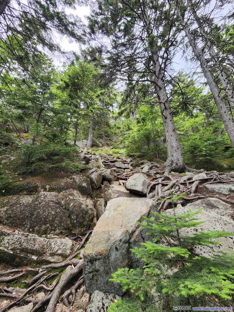 Steep Trail
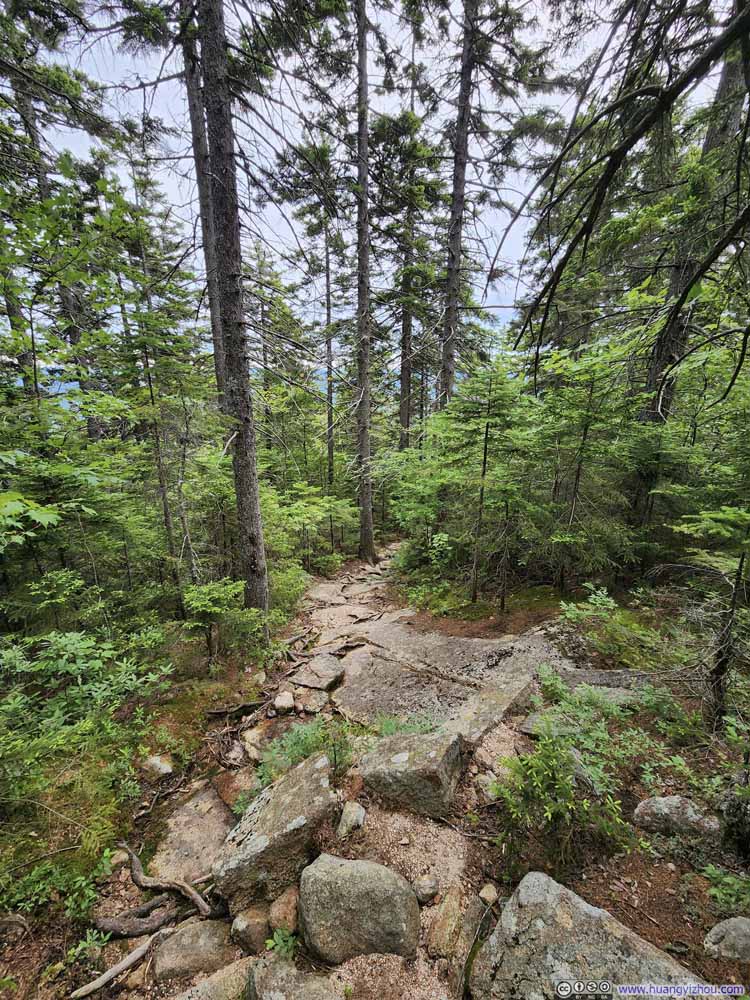 Trail
Trail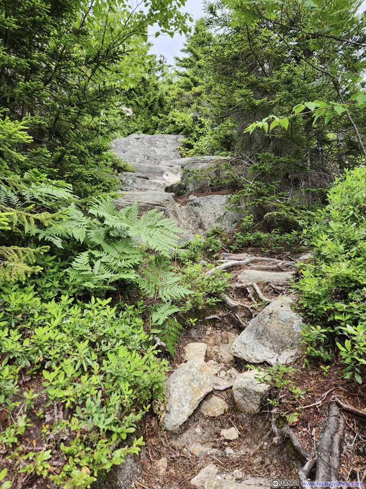 Steep Trail
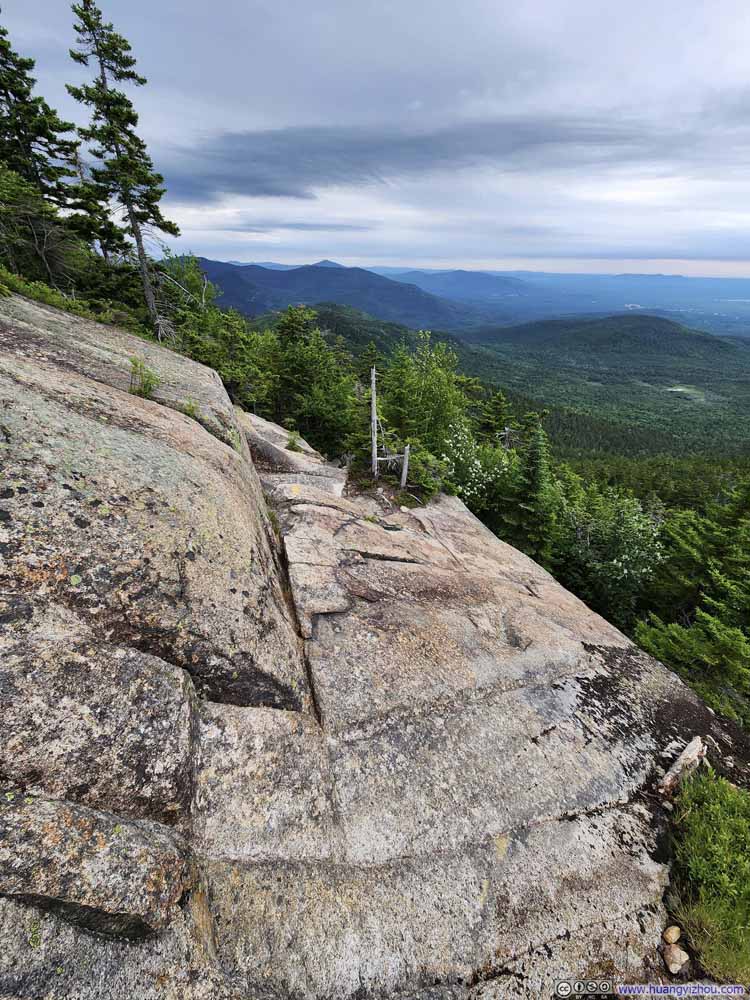 Trail with Exposure
Click here to display photos of the trail.

Steep Trail
Carter Ledge Trail
Steep Trail
Trail

Steep Trail
Trail with Exposure
I reached the intersection with Middle Sister Trail at 10:35am and that’s when I felt the first raindrops of the day. Weather forecast indicated a small chance of rain around noon (before the major precipitation at 3pm), which I wasn’t too worried about as I continued towards Middle Sister.
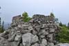
At 10:50am, I reached the summit of Middle Sister, which featured the foundation of a fire tower. (I guess the summit of Chocorua was just too steep to build a fire tower on, on the other hand, Middle Sister was closer to more of the White Mountains to the North.) An information marker mentioned that during World War II, as men joined the military, Forest Service started recruiting women as fire lookouts, which were traditionally a male occupation. That included Elizabeth Sampson who served at Middle Sister firetower. (I felt that was rather appropriate given the name of the mountain.)
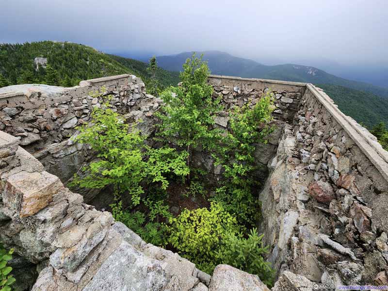 Foundation of Fire Tower on Middle Sister
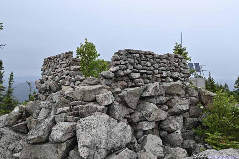 Foundation of Fire Tower on Middle Sister
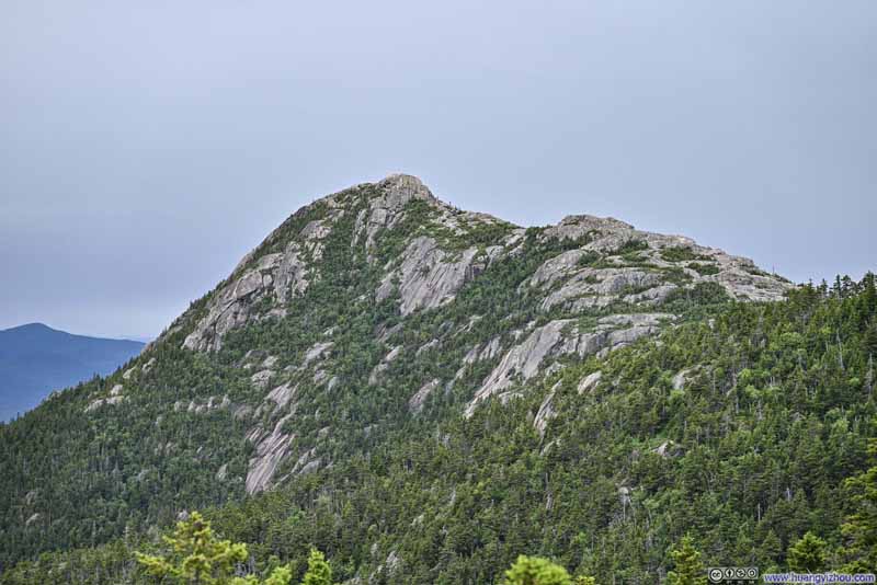 Mt Chocorua from Trail
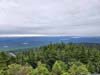
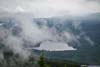
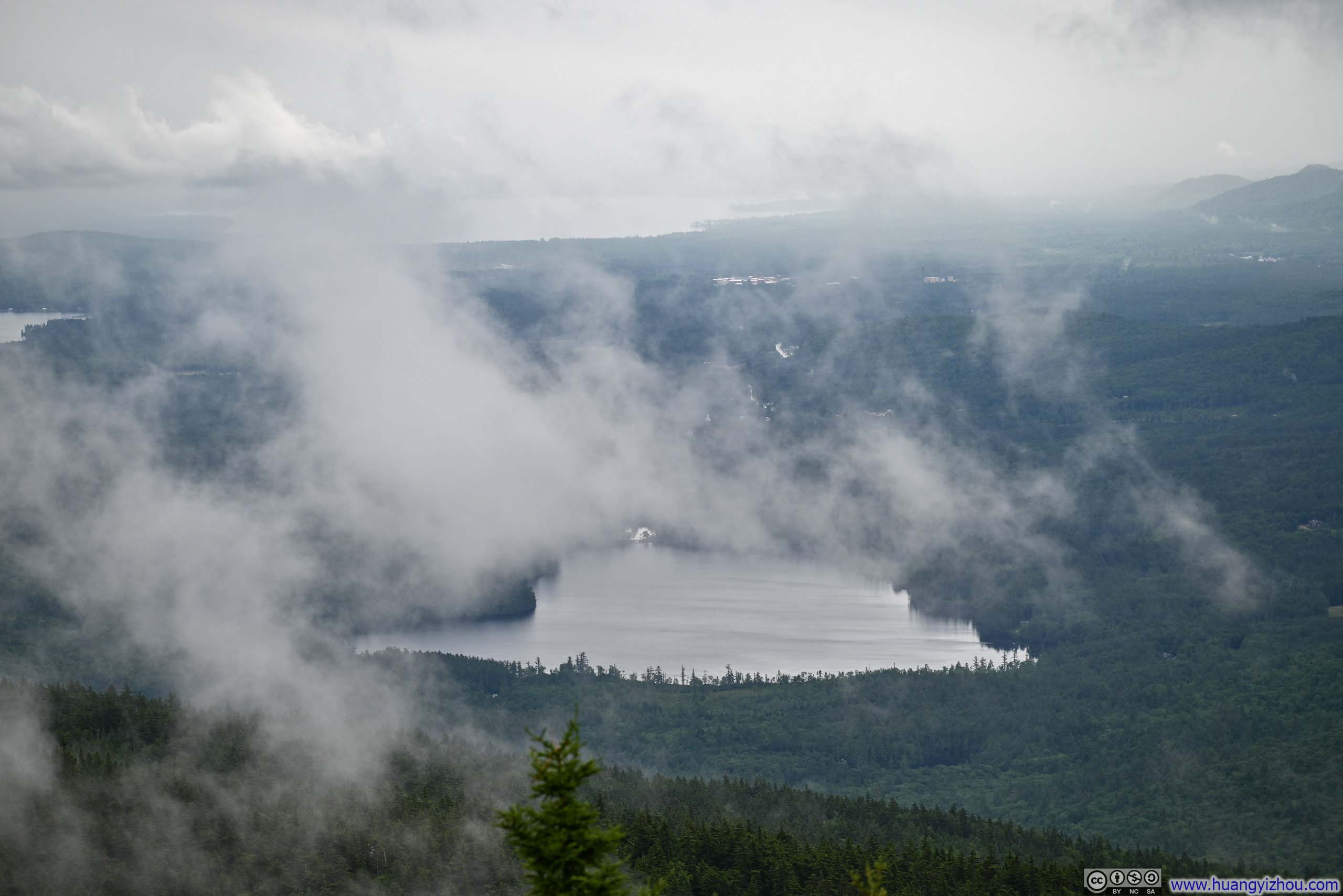
 Distant LakesSilver lake and Ossipee Lake
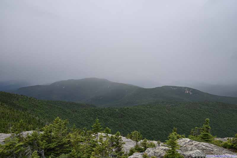 Mount Paugus
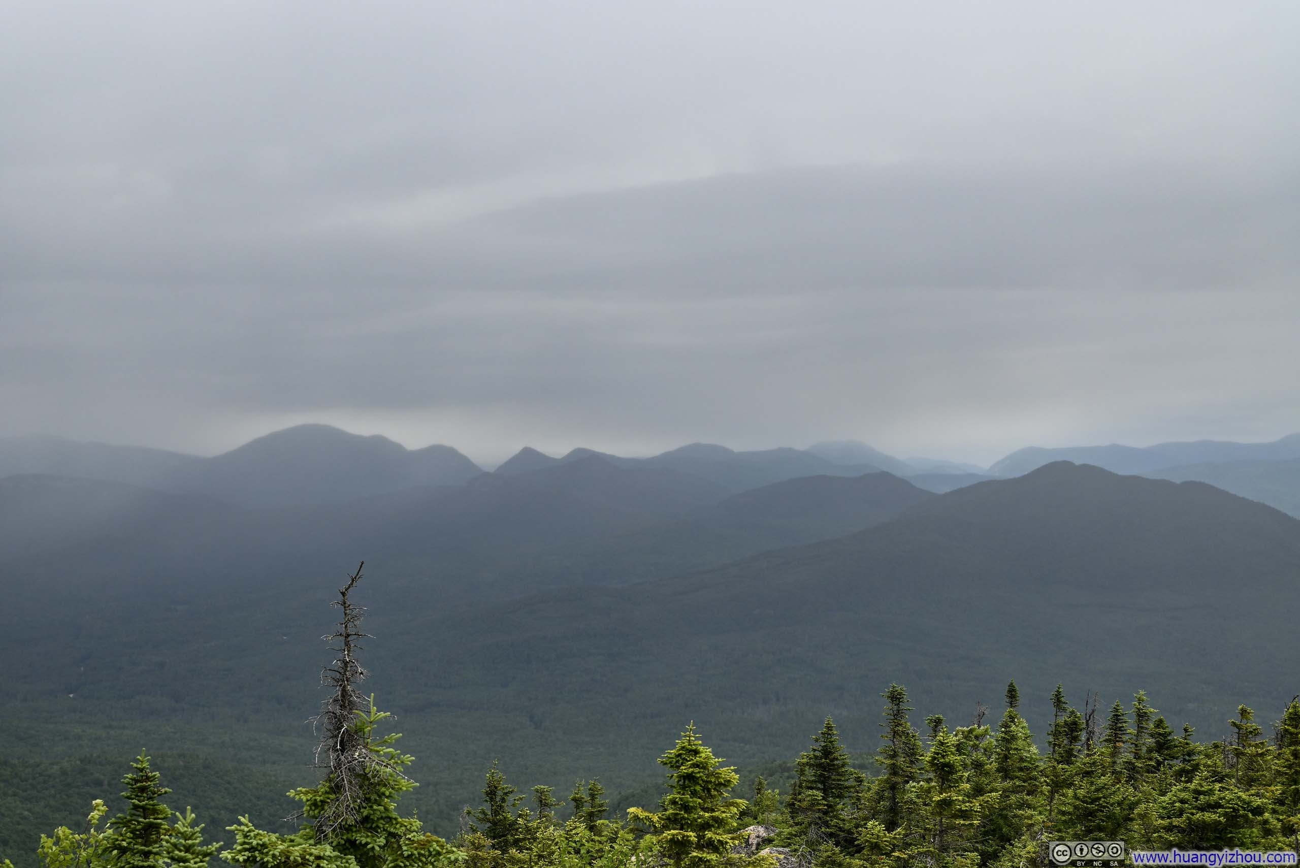
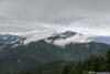
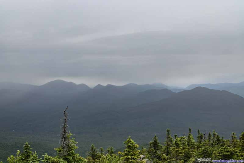 Mountains to the North in Mist
Click here to display photos from the summit of Middle Sister.

Foundation of Fire Tower on Middle Sister

Foundation of Fire Tower on Middle Sister
Mt Chocorua from Trail

Distant LakesSilver lake and Ossipee Lake

Mount Paugus
Mountains to the North in Mist
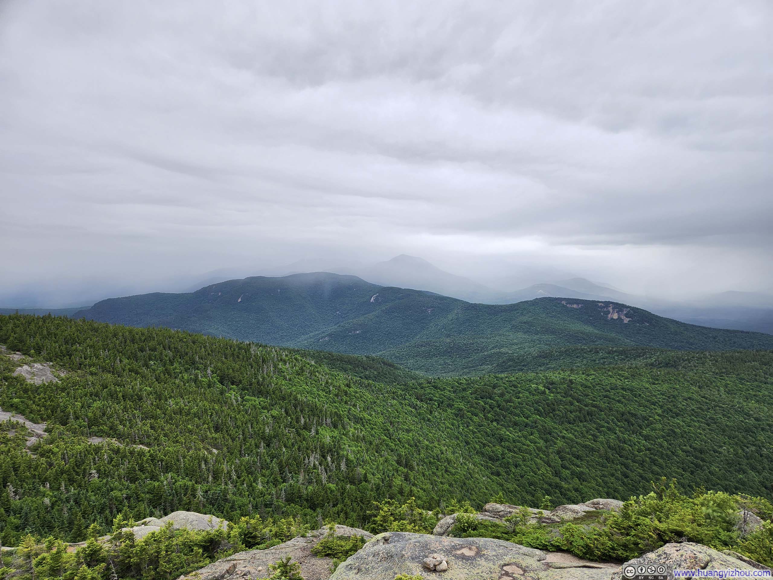
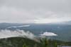
Unfortunately, just as I reached the summit of Middle Sister, the rain started to pick up. It turned out that for the next 90 minutes, intervals of drizzle and showers would have me drenched. Even worse, Chocorua (and its nearby Middle Sister) should offer great views of the southern part of White Mountains. I checked the forecast of cloud ceilings before I left home, which predicted the clouds would be high enough not to obstruct my views. That turned out to be not the case. From Middle Sister, most of the mountains nearby were already in mist/cloud/rain. With not many views to appreciate, I had some quick snacks at Middle Sister before moving on towards Chocorua.
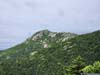
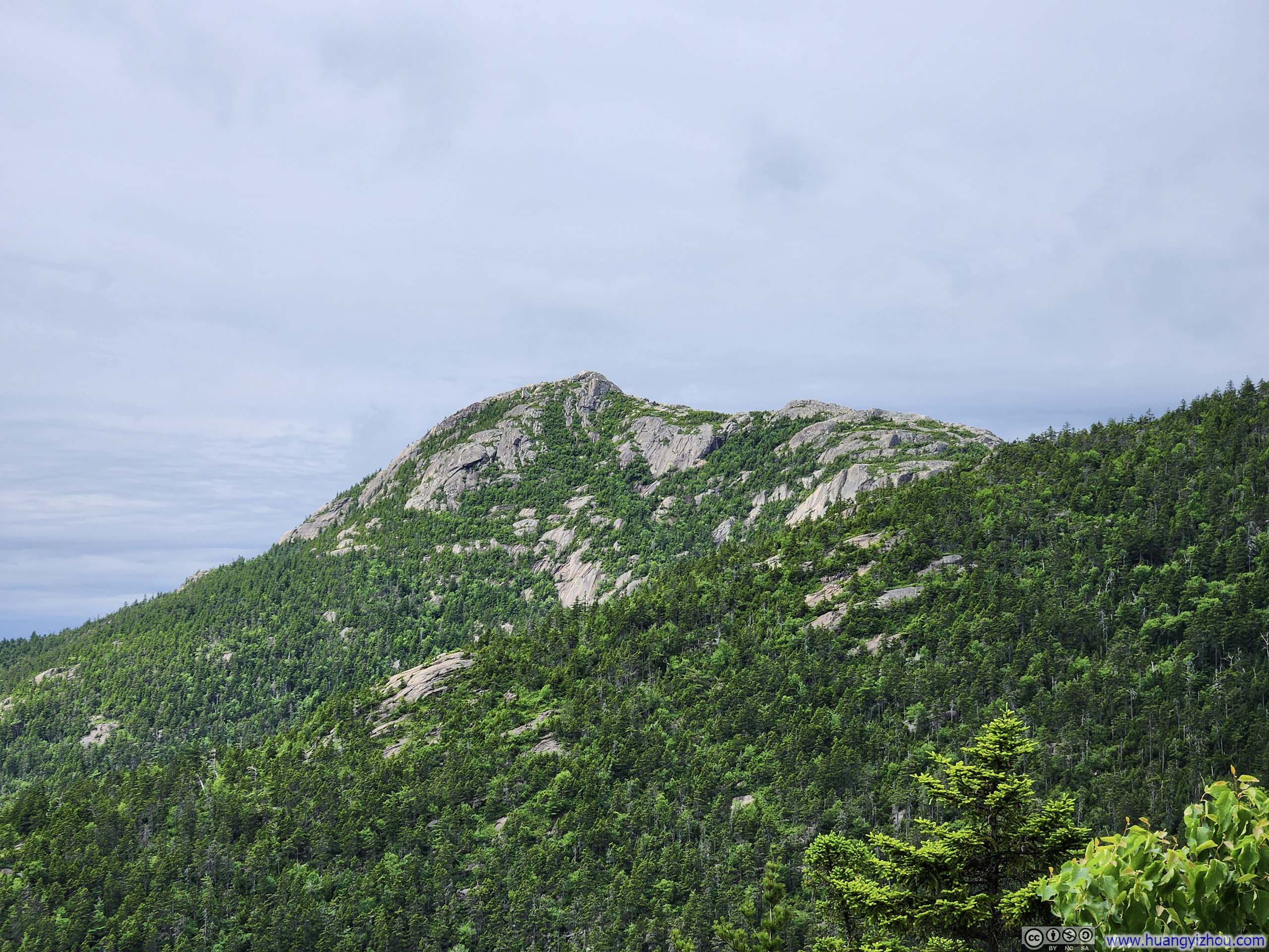
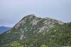
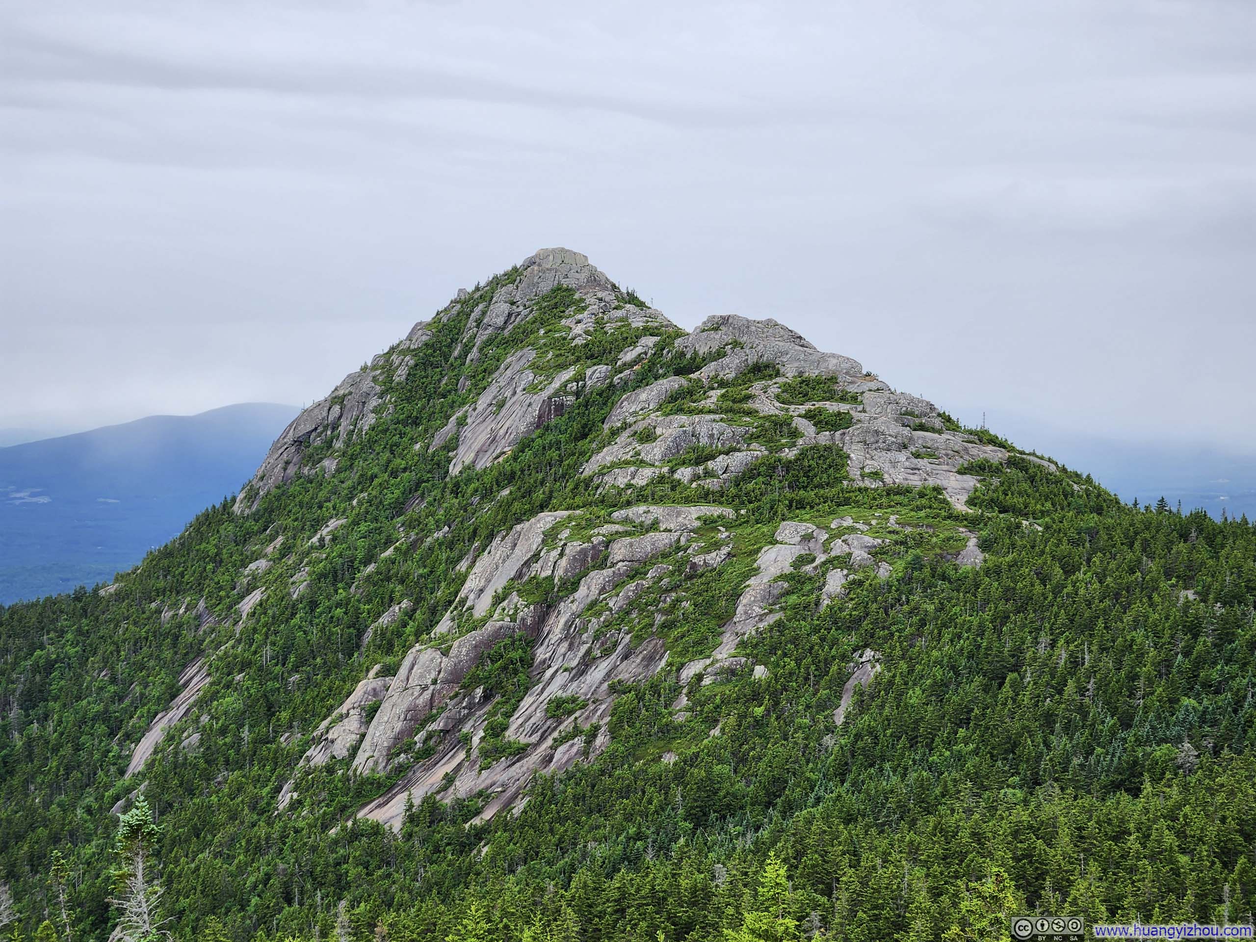
From Middle Sister, Mt Chocorua with its many exposed rock faces looked magnificent and at the same time tentatively within reach. Yet the 1.7km (1.1mi) trail between the two took me almost 50 minutes, which was longer than I hoped. Part of it was me putting on and off my rain jacket, as I deliberated over the intensity of the drizzle with the humidity (and hence discomfort) in the jacket. Part of it was certainly me running out of patience as the increasing intensity of the drizzle worried me.
 TrailLooking back at Middle Sister.
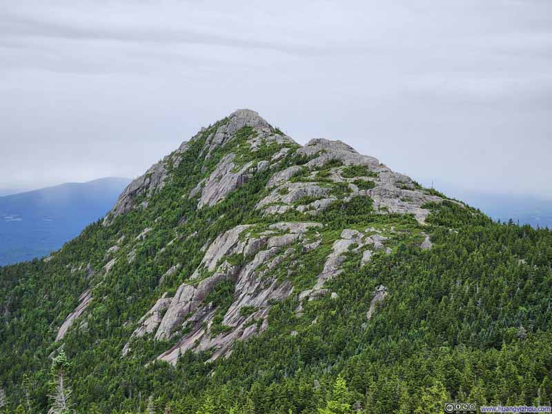 Mt Chocorua
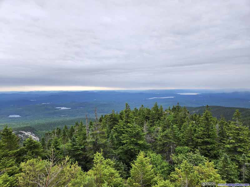 Distant Lakes
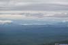
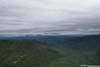
The most distant horizon didn’t seem covered in clouds, giving me some false hope of better weather to come.
Distant Lakes
The most distant horizon didn’t seem covered in clouds, giving me some false hope of better weather to come.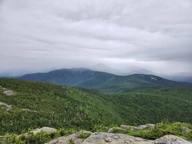 Mount Paugus
For a brief moment, visibility improved as I could see the faint contour of a few mountains behind Mount Paugus.
Mount Paugus
For a brief moment, visibility improved as I could see the faint contour of a few mountains behind Mount Paugus.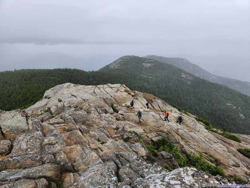 Hikers along Trail to Chocorua
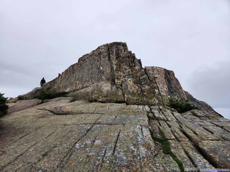 Trail to Mount Chocorua
 Trail to Mount Chocorua

Click here to display photos of the trail.
TrailLooking back at Middle Sister.
Mt Chocorua
Distant Lakes
Mount Paugus
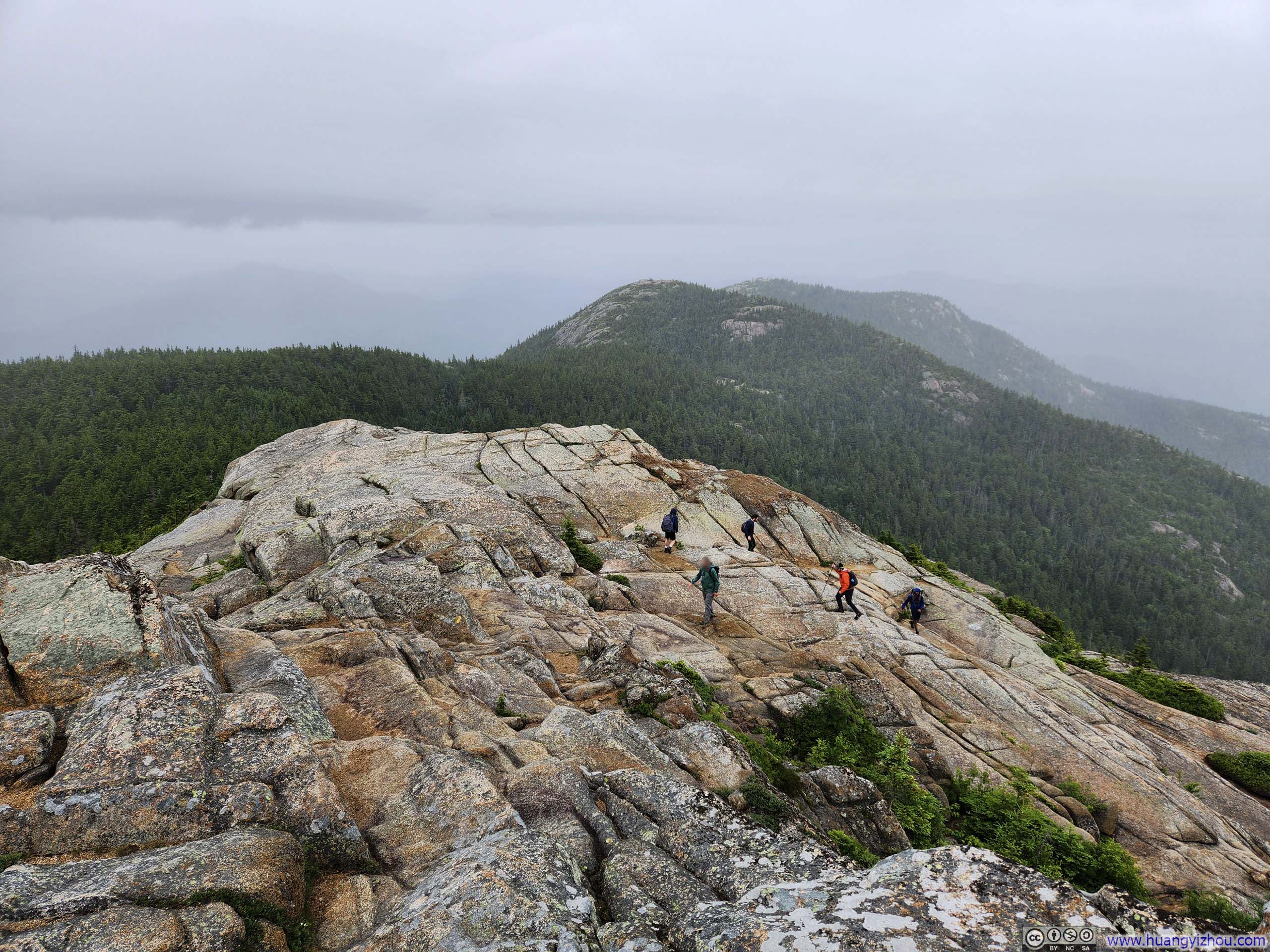
Hikers along Trail to Chocorua
Trail to Mount Chocorua
Trail to Mount Chocorua
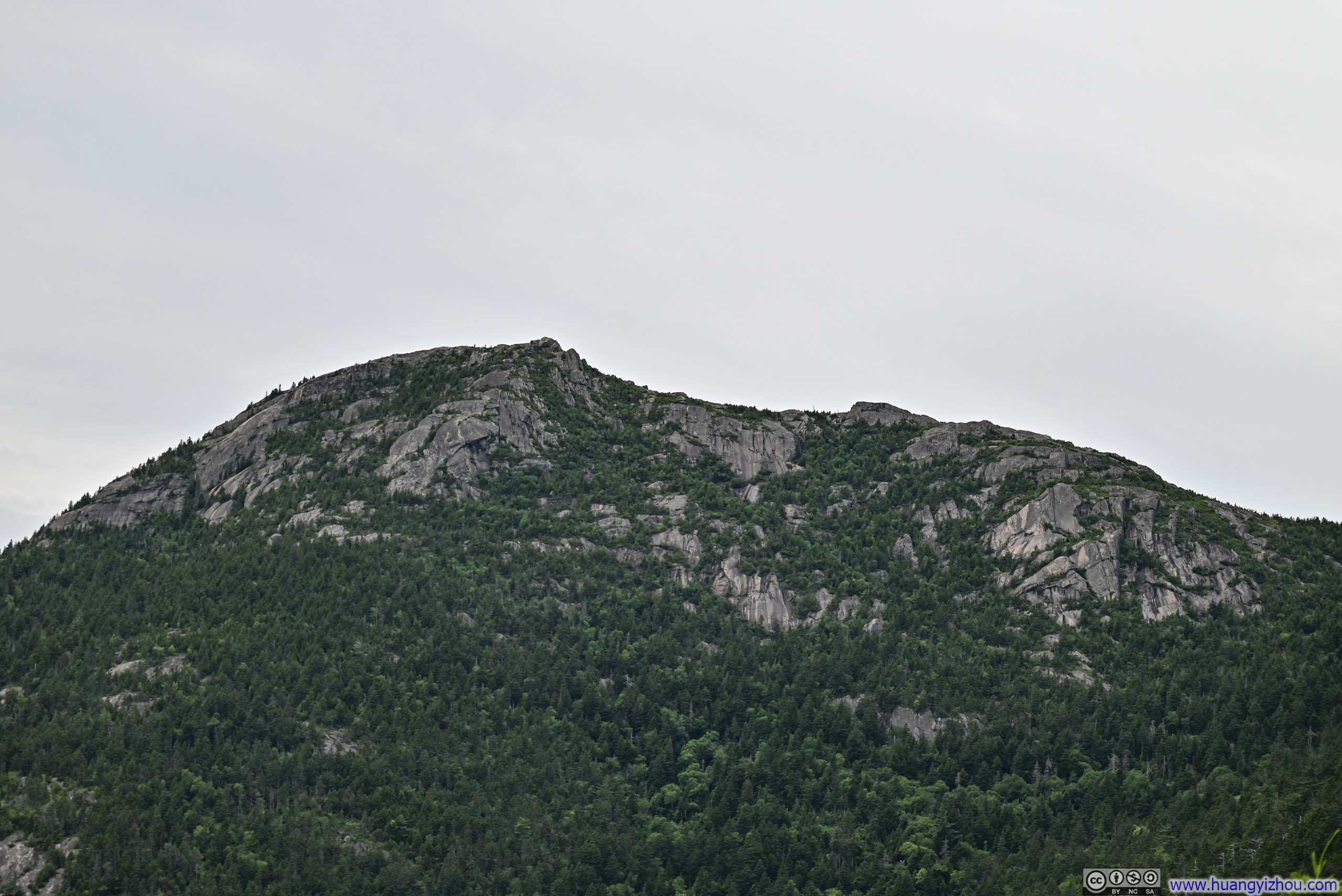
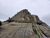
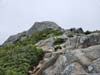
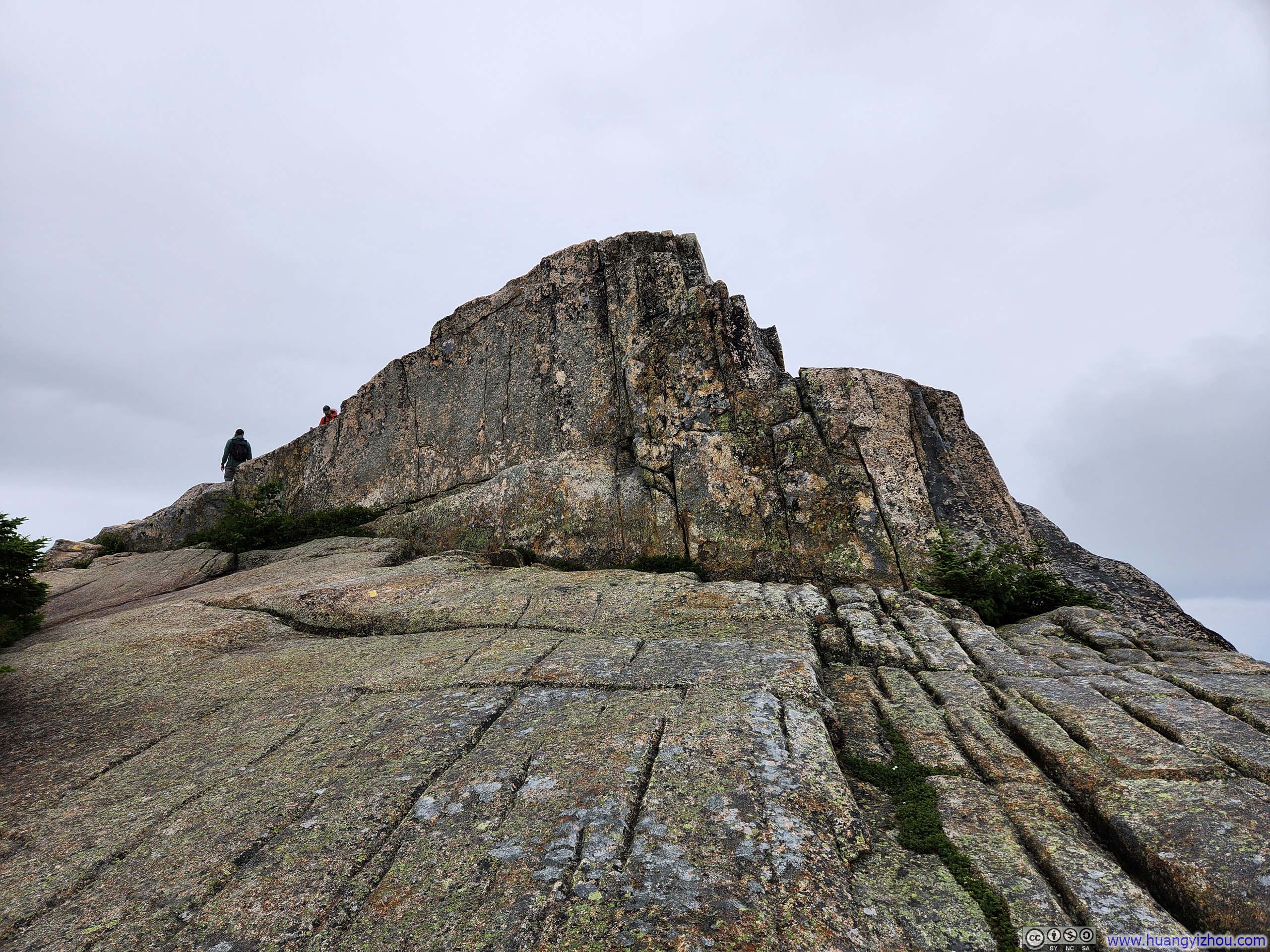
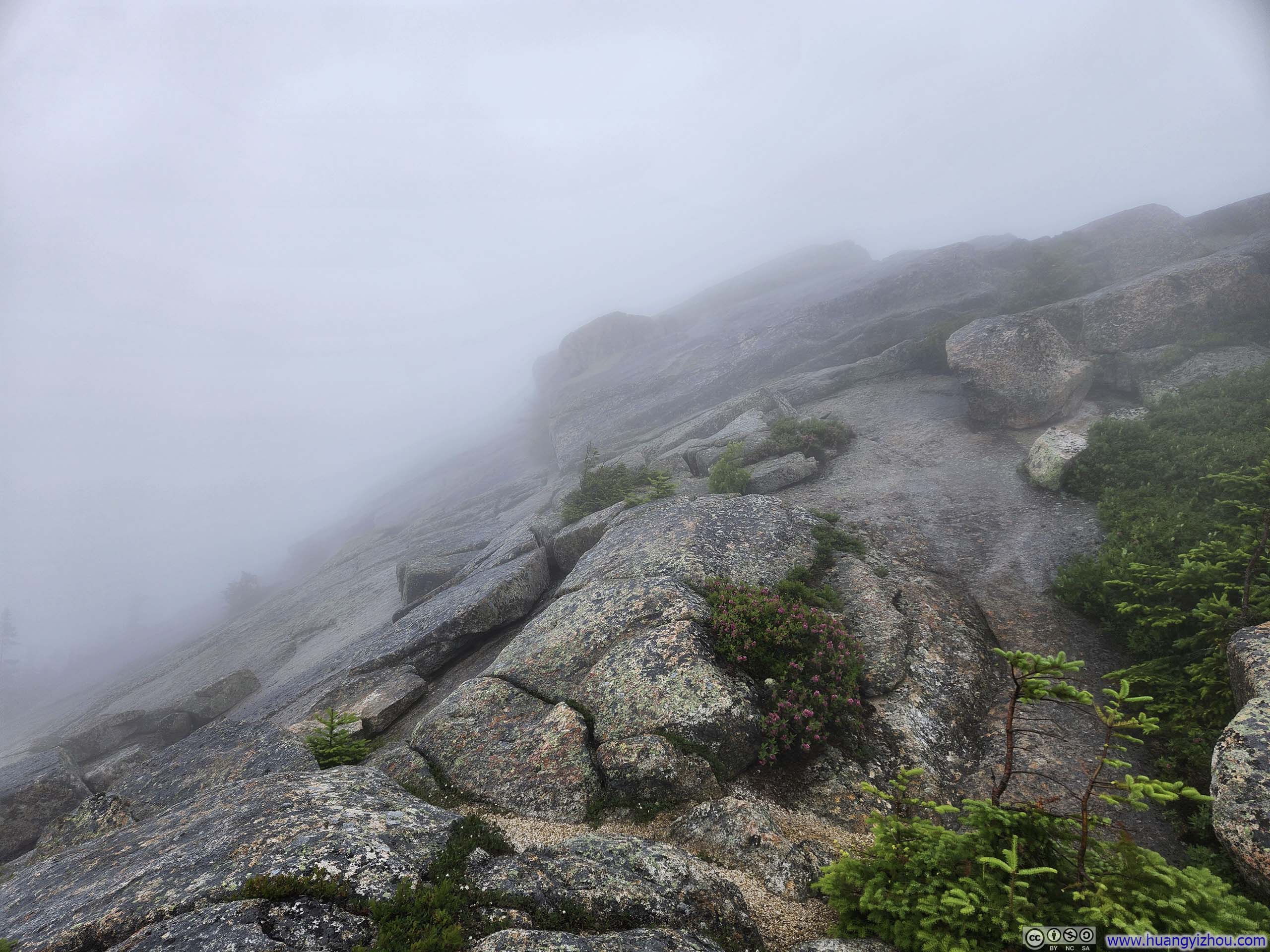
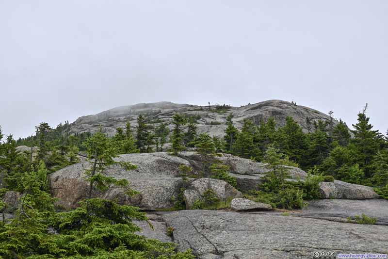
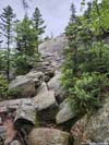
As the trail approached Mt Chocorua, the vegetation along it faded into rocks. Some route finding was needed on the rocks, although paints and cairns helped. The general idea was to keep to the left (east) side during most of the approach, and for the final 100m (300ft) keep to the right (west). The final ~25m (80ft) of the trail ascended Mt Chocorua from its western side. I believed the entire approach (from Middle Sister) was YDS class 1, although higher-rated variations were possible.
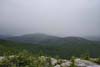
Unfortunately, the rain and (more crucially) the wind picked up as I approached the summit of Mt Chocorua. The rocks started to get wet (but luckily no traction issues). Upon reaching the top, while being battered by the elements, I found the summit completely fogged out. It’s quite the disappointment, as a result, I didn’t stay at the summit for long before starting my descent.
Partly because it’s completely fogged out, partly because for the last ~25m (80ft) before the summit of Mt Chocorua I hadn’t followed the trail, partly because I was so eager to leave the summit of Mt Chocorua to find shelter from the relentless rain and wind, I didn’t follow the trail as I started my descent. The trail headed west, while I headed south. I quickly realized my mistake, but with near-zero visibility, getting back to the trail was easier said than done. It took me some scrambling down a few steep boulders and some bushwacking to get back onto the trail.
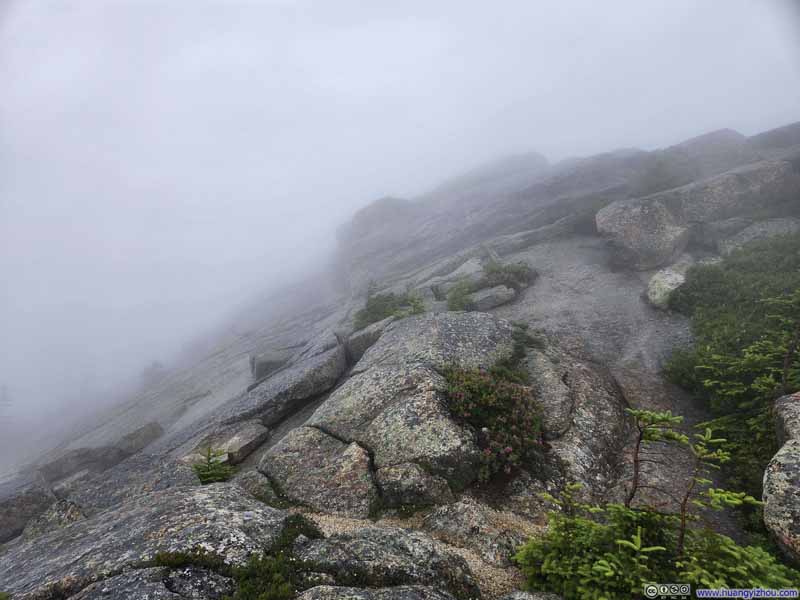 Southern Slope of Mt ChocoruaAlmost zero visibility in the clouds.
 Southern Slope of Mt ChocoruaI went off-trail on my way down.
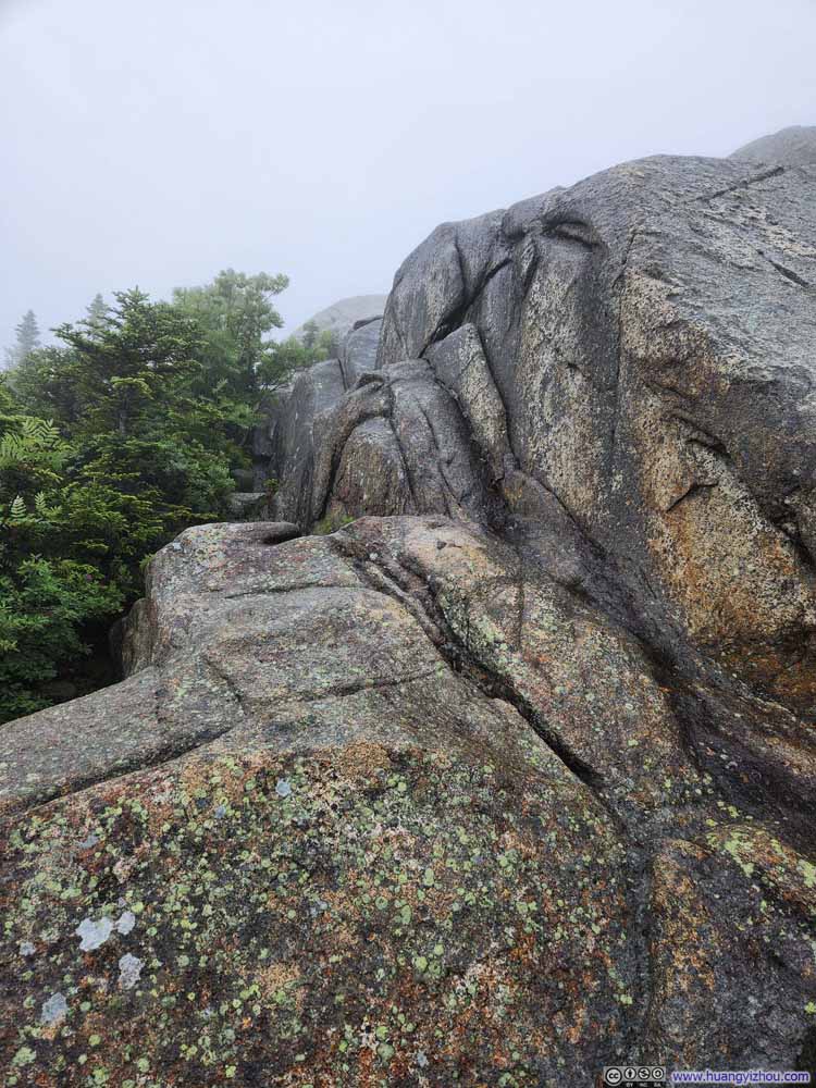 Southern Slope of Mt ChocoruaA technical bit, off-trail, that I just descended from.
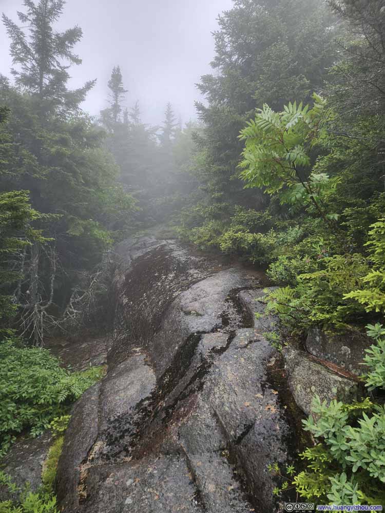 Southern Slope of Mt Chocoruastill off-trail

Click here to display photos of the slideshow
Southern Slope of Mt ChocoruaAlmost zero visibility in the clouds.
Southern Slope of Mt ChocoruaI went off-trail on my way down.
Southern Slope of Mt ChocoruaA technical bit, off-trail, that I just descended from.
Southern Slope of Mt Chocoruastill off-trail
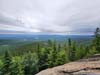
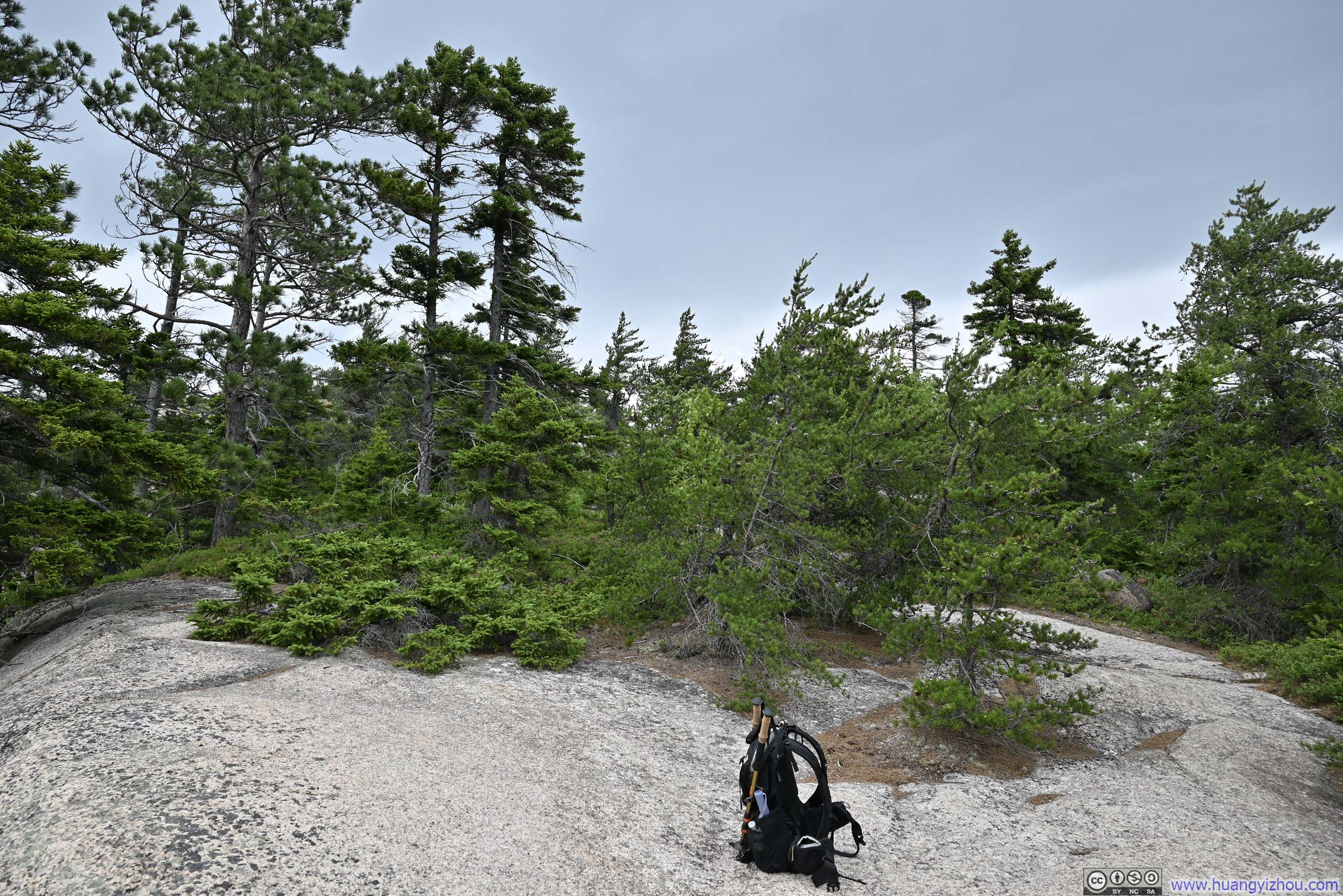
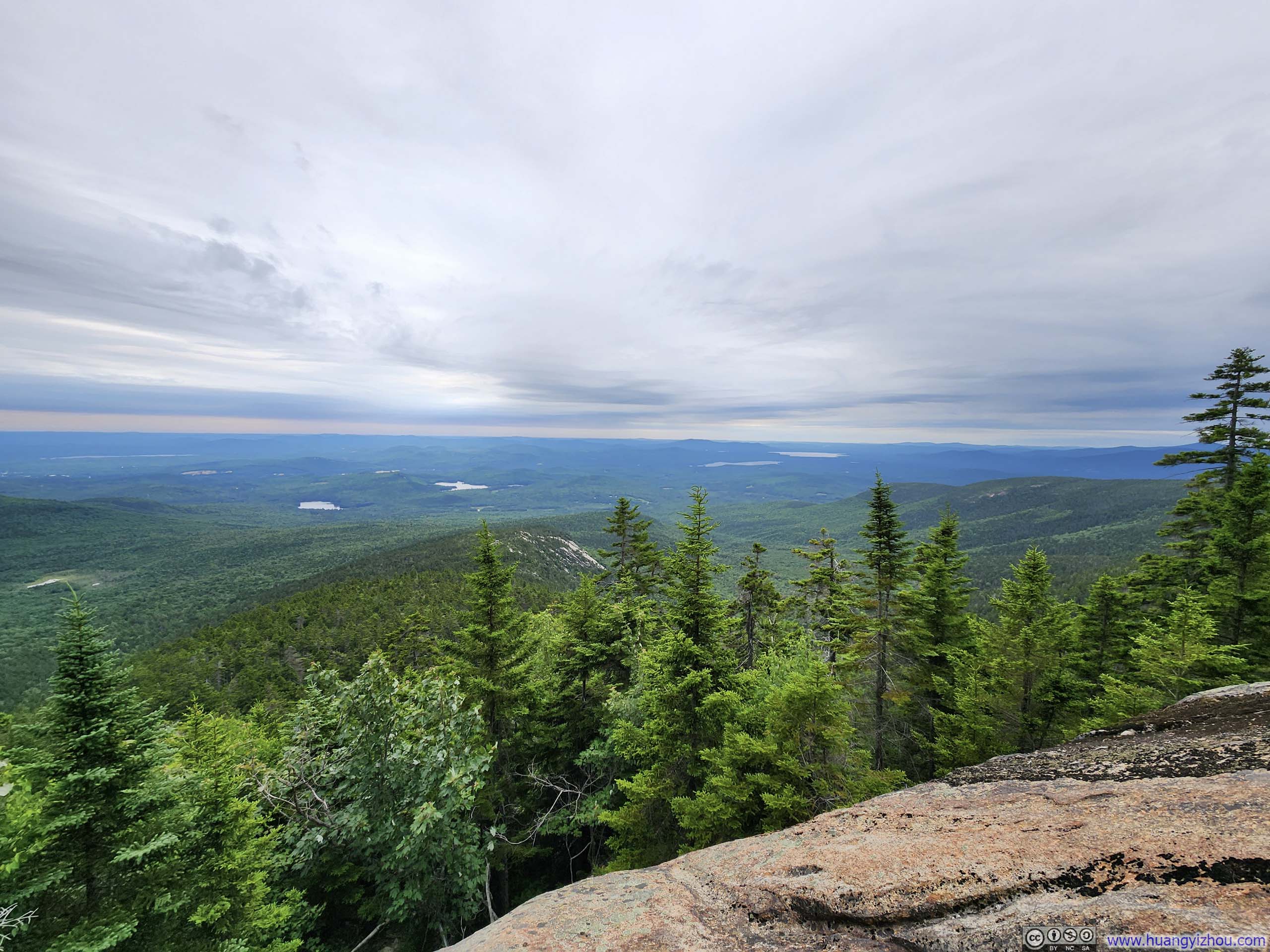
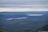
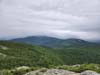
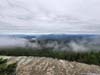
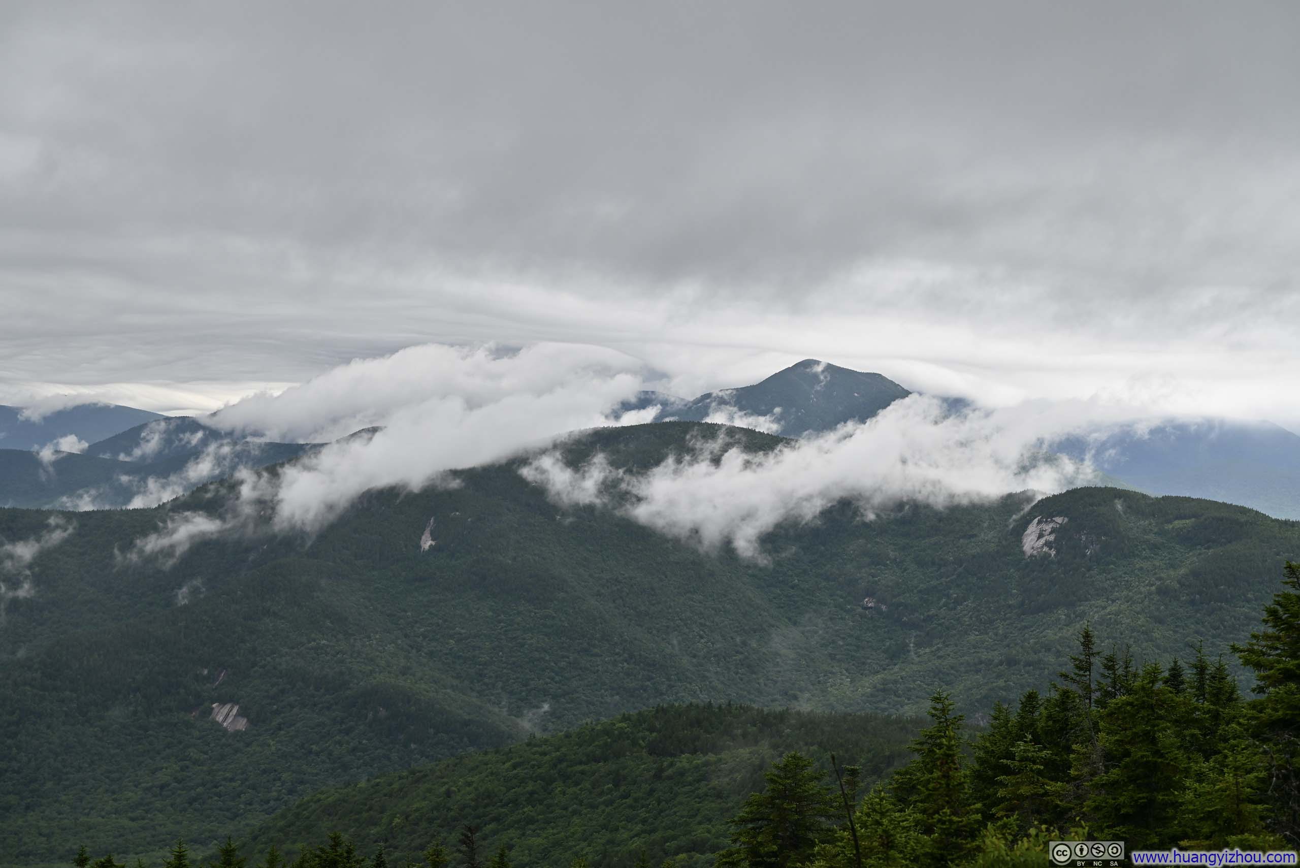
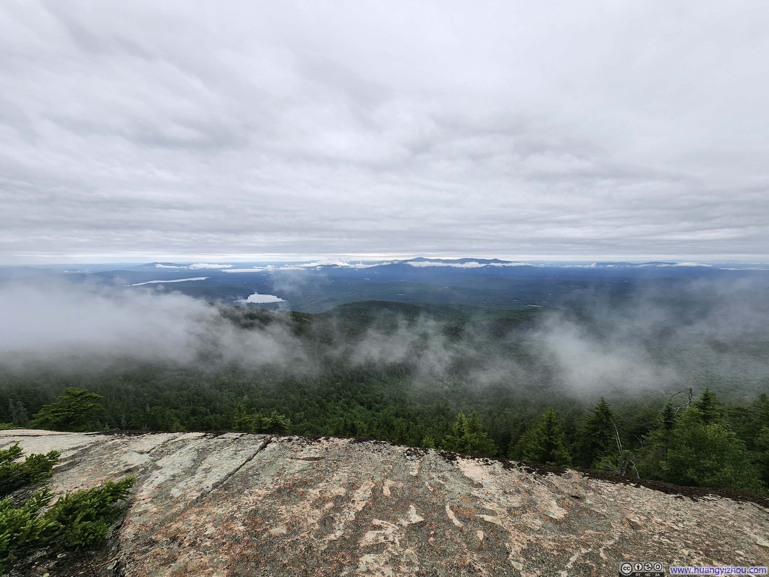
Soon after that, I reached a major intersection of trails (West Side, Liberty, Brook) and the rain stopped. Even better, cloud ceilings lifted so I was greeted with the beautiful view of mountains dressed in passing clouds. I took a longer rest there, trying to make up for the lack of views at the summit.
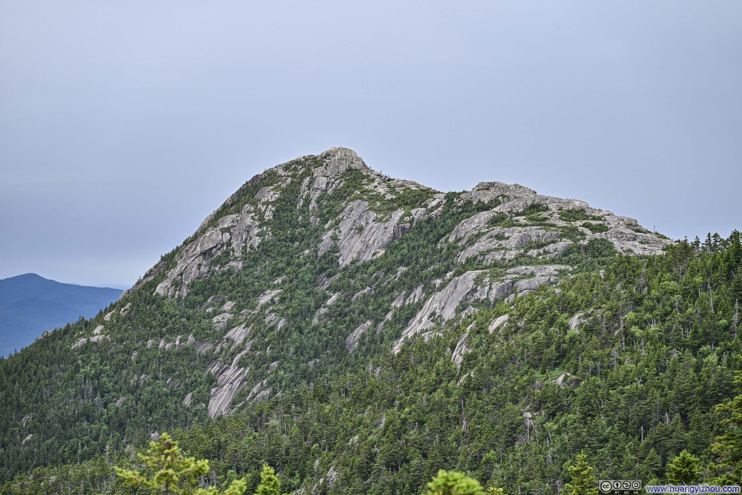
 Mount Chocorua
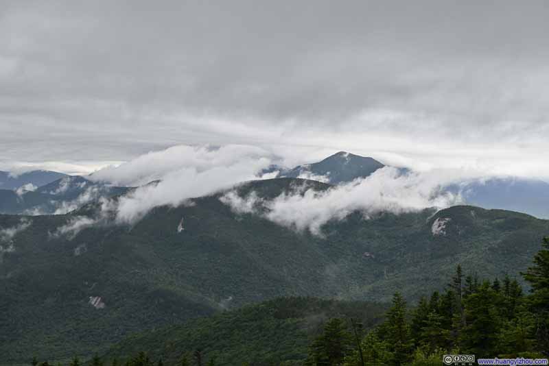 Mountains to the WestMount Paugus and Mount Passaconaway
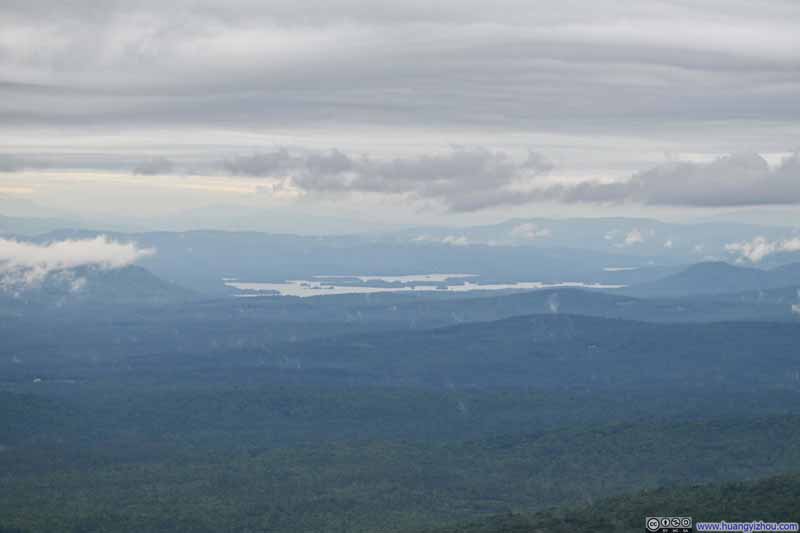 Distant Squam Lake
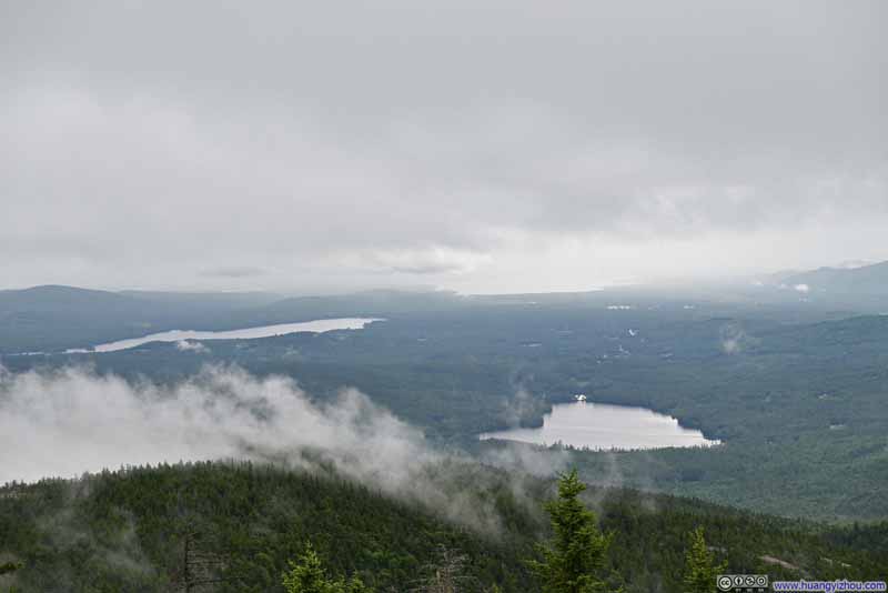 Lakes to the SouthClose to far: Chocorua Lake, Silver Lake, Ossipee Lake
 Chocorua Lake
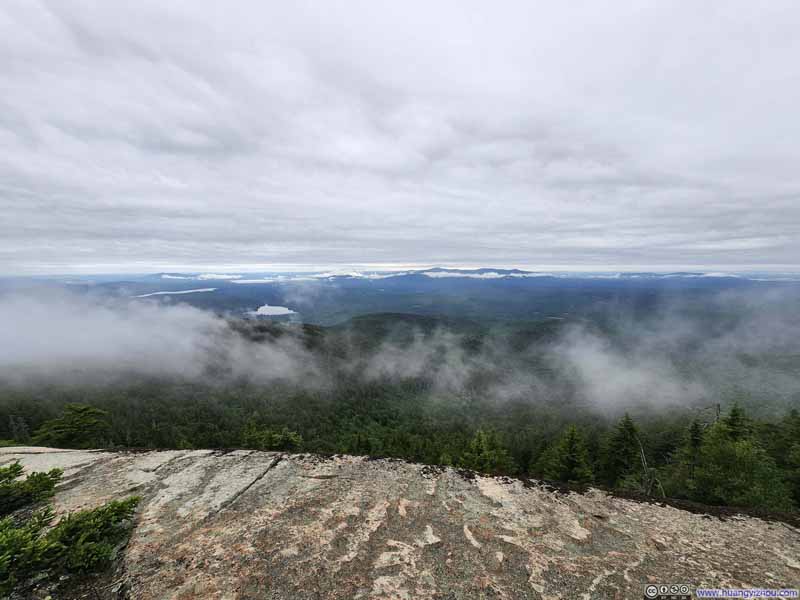 Hills to the South Dressed in Clouds
Click here to display photos of the slideshow

Mount Chocorua
Mountains to the WestMount Paugus and Mount Passaconaway
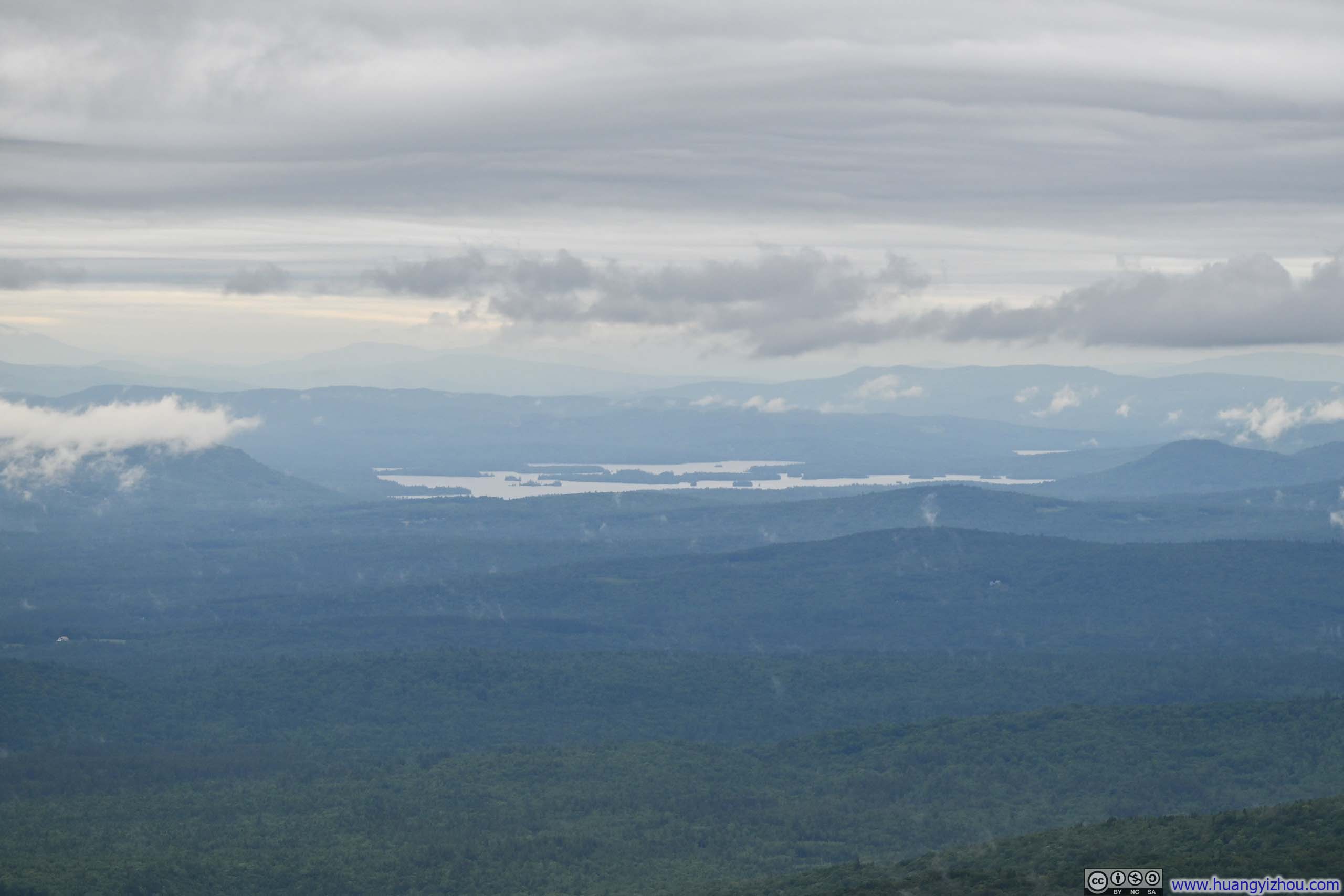
Distant Squam Lake
Lakes to the SouthClose to far: Chocorua Lake, Silver Lake, Ossipee Lake
Chocorua Lake
Hills to the South Dressed in Clouds
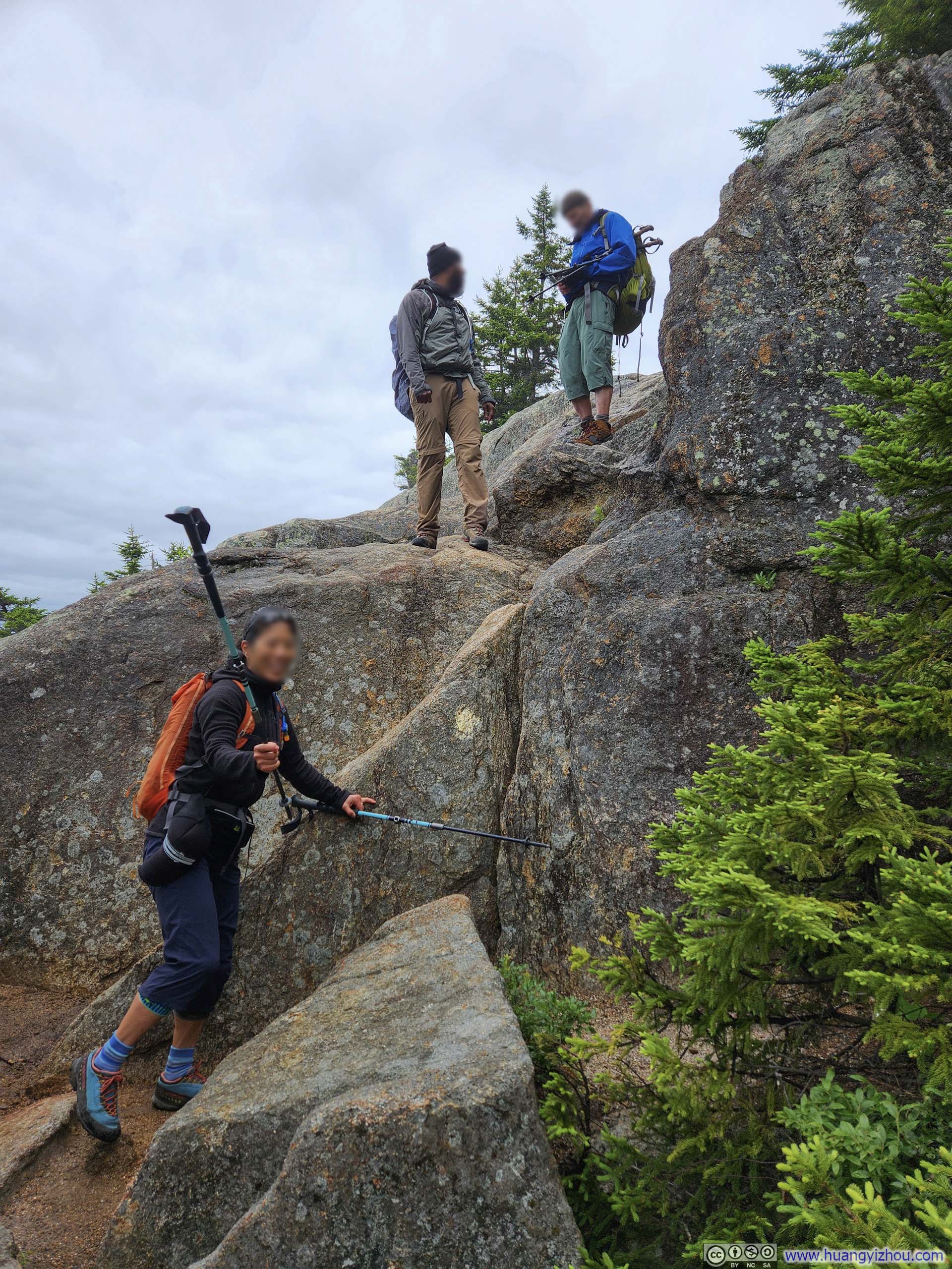
After soaking up the views, I continued along Liberty Trail for my hike back. Not long after leaving the intersection, Liberty Trail had two steep sections (p1-2 below). Compared to my ascent along Carter Ledge Trail, I would say difficulty-wise there’s no preferred direction for these two trails.
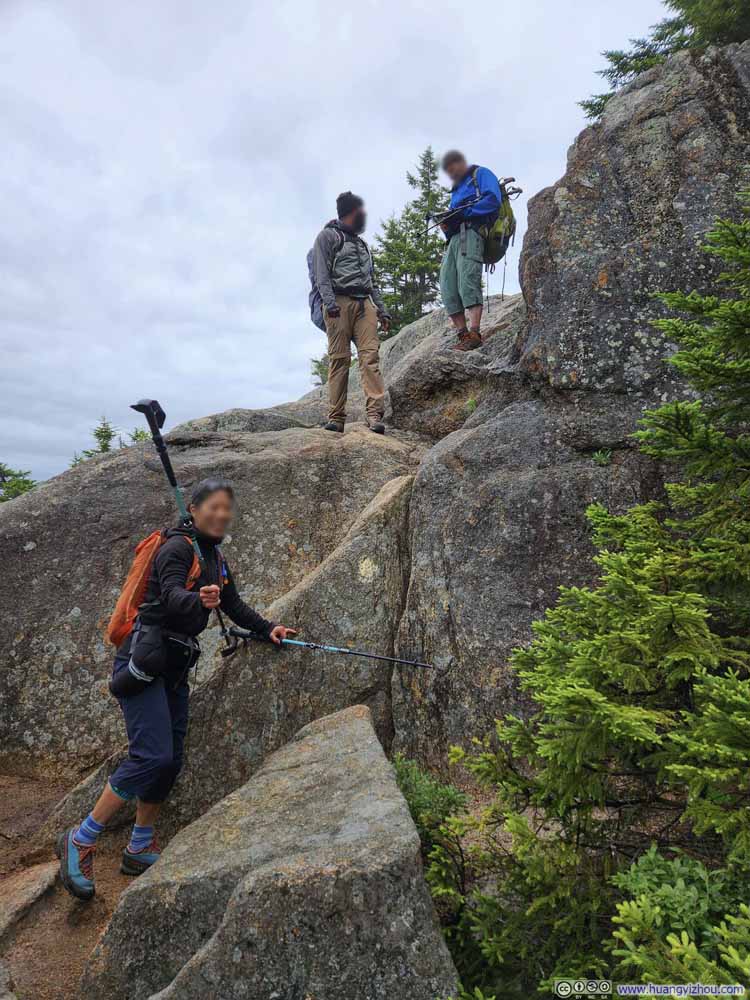 Steep Trail
I chose to jump off the ledge to the right, while the lady photo’d here chose to slide down the slope to the left.
Steep Trail
I chose to jump off the ledge to the right, while the lady photo’d here chose to slide down the slope to the left.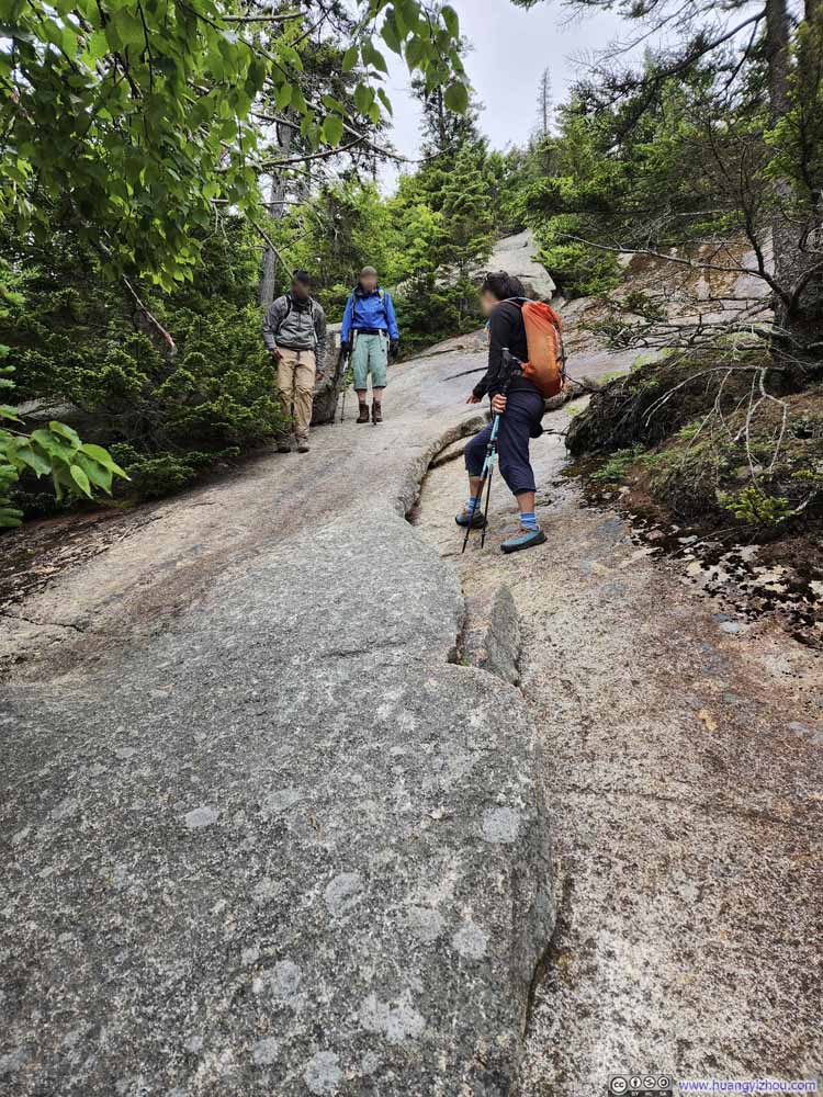 Steep Trail
 Steep Trail
 Steep Trail
This was later along Liberty Trail. I could probably handle this if going up. Going down and with the rocks not completely dry, I found a safer route a short detour away.
Steep Trail
This was later along Liberty Trail. I could probably handle this if going up. Going down and with the rocks not completely dry, I found a safer route a short detour away. Steep TrailLooking back up at the spot in the previous photo.
Click here to display photos of the technical sections of the trail.
Steep Trail

Steep Trail
Steep Trail
Steep Trail
Steep TrailLooking back up at the spot in the previous photo.
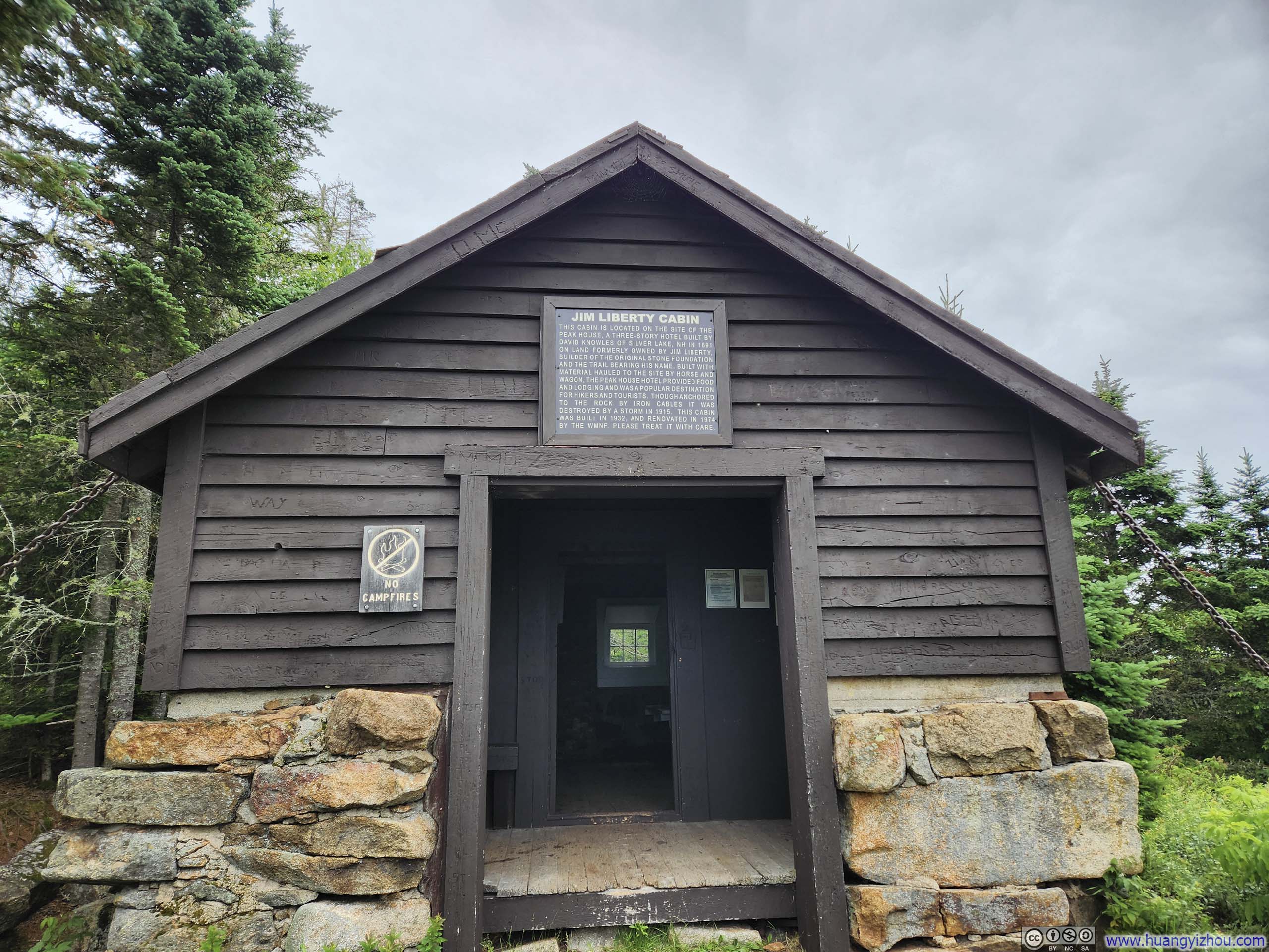
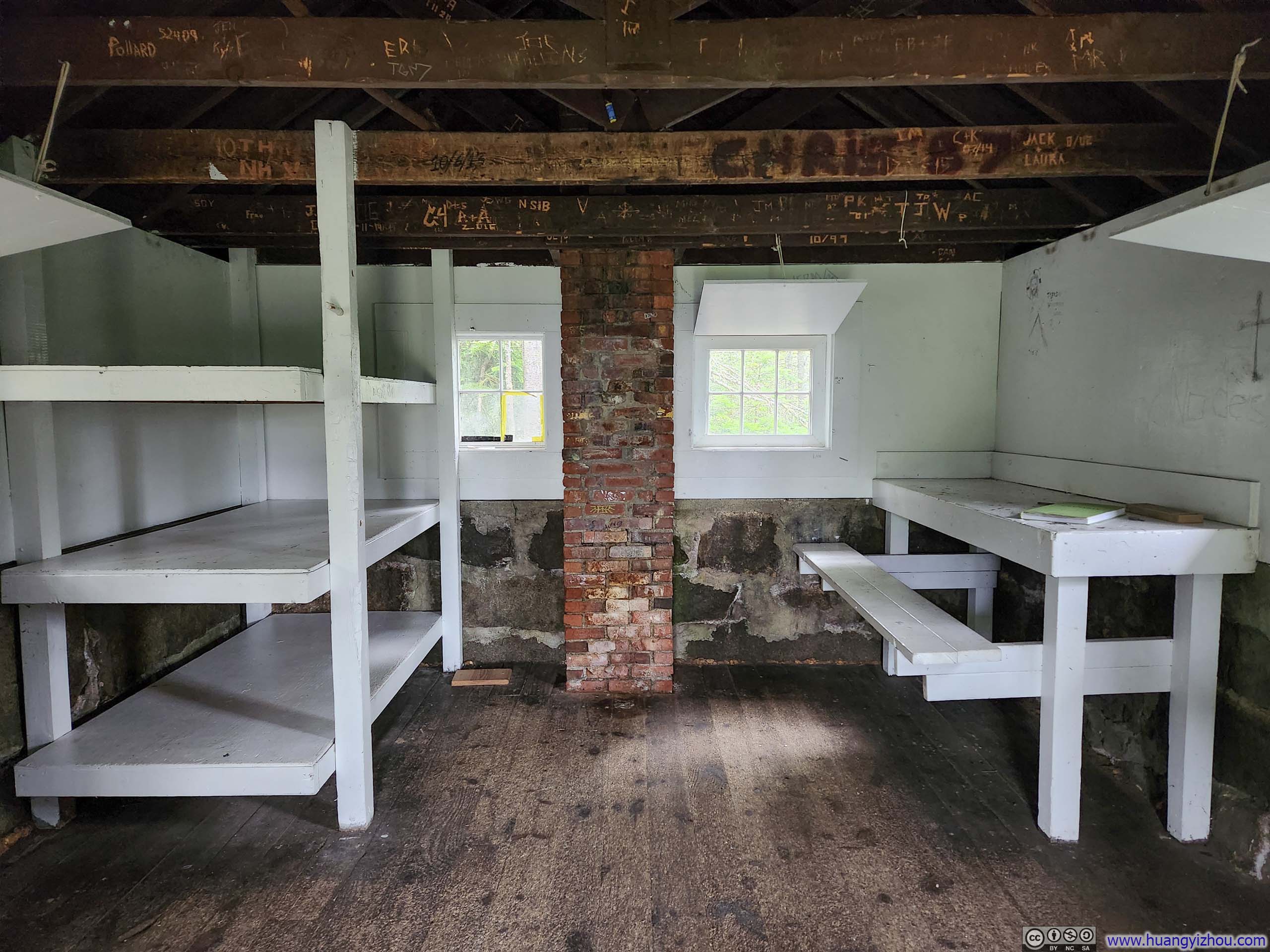 Jim Liberty Cabin
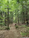
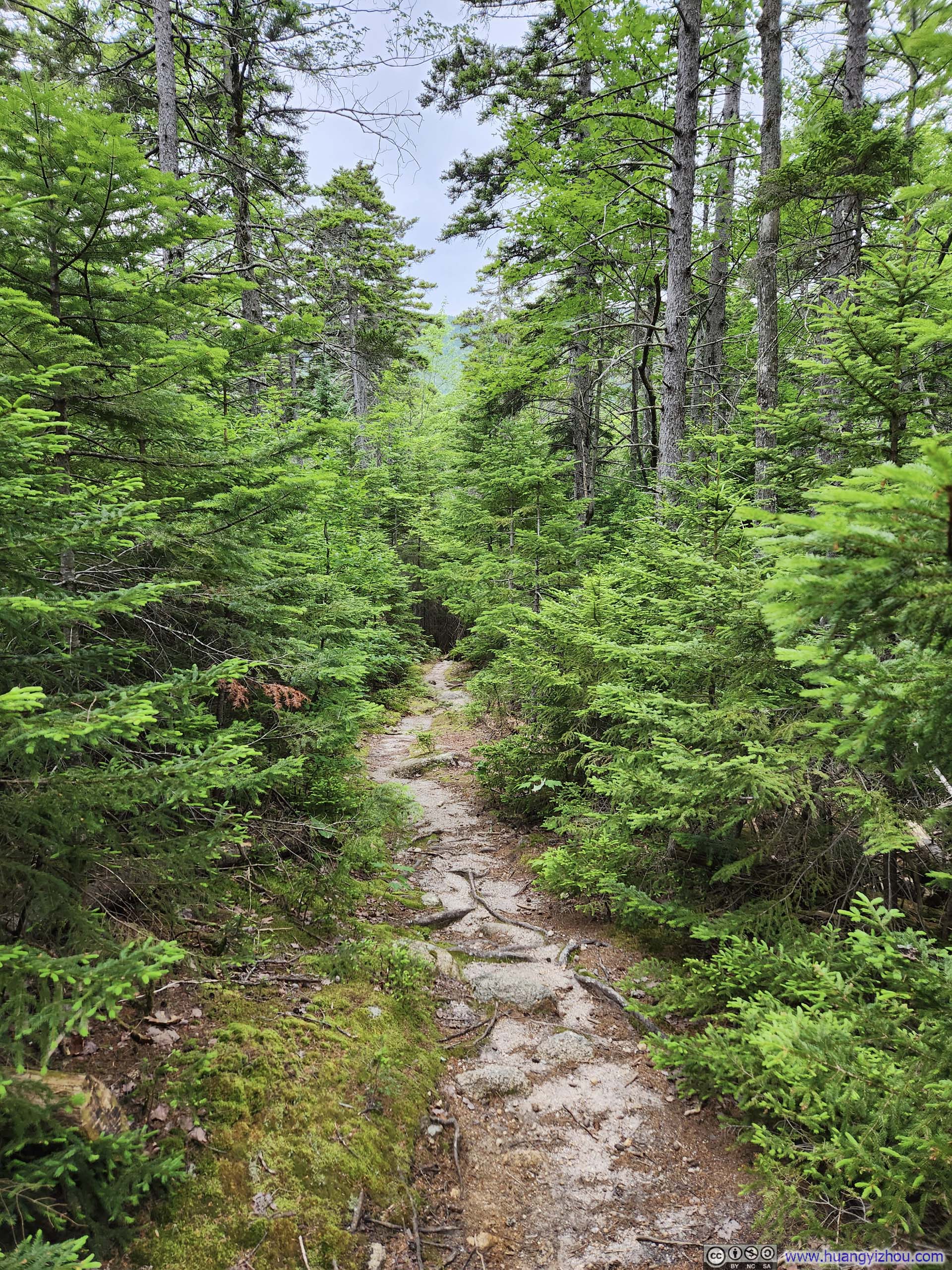
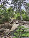
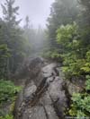
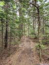
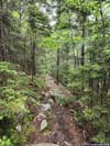
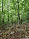
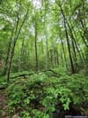
Unlike Carter Ledge Trail that I took for my ascent, the remaining Liberty/Hammond Trails offered no views along the way, so the rest of my hike back wasn’t remarkable.
As forecasted, it started to rain just before 3pm, by which time I was well in the woods, and an umbrella served me well in keeping me dry and (relatively) comfortable.
 Trail
Trail Trail
Trail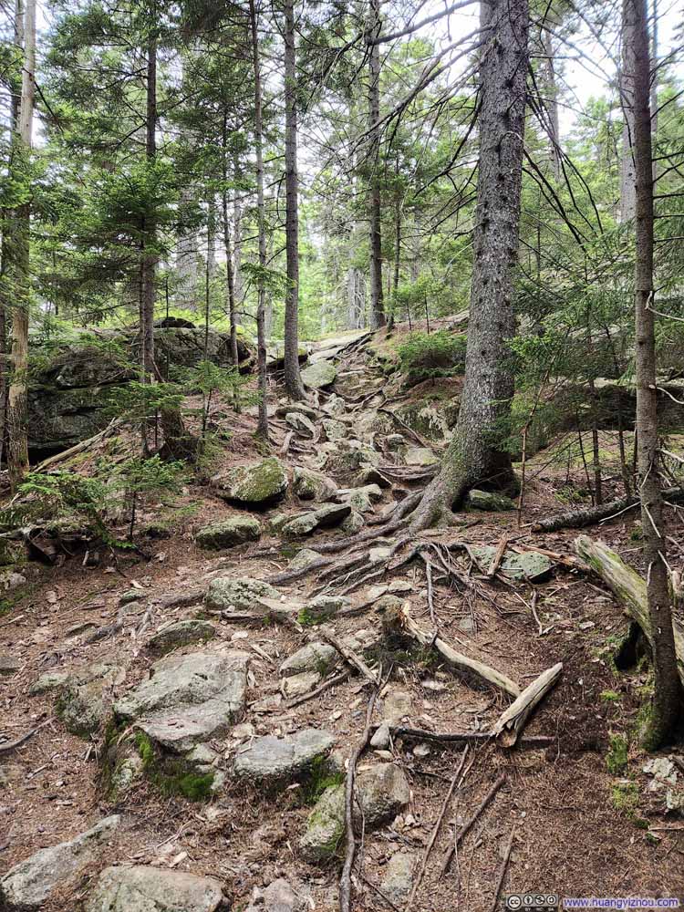 Trail
Trail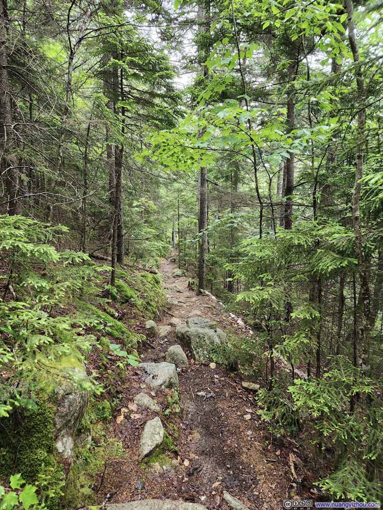 Trail
Trail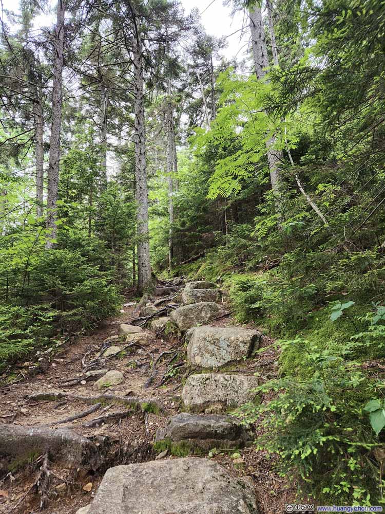 Trail
Trail Trail
Trail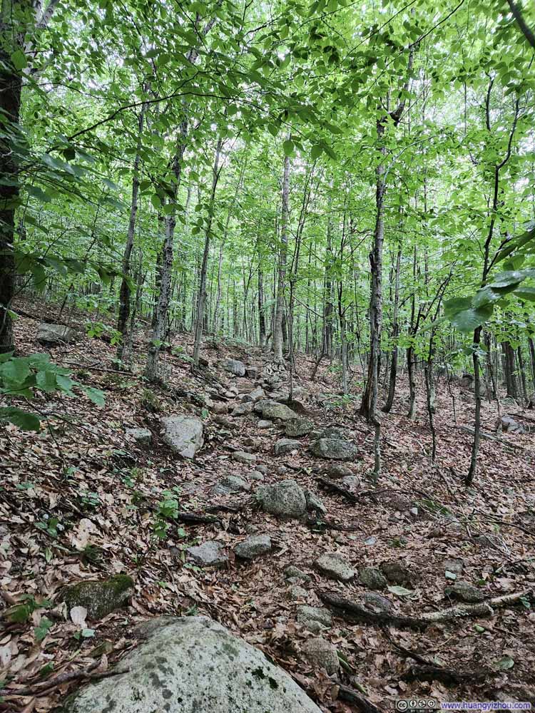 Trail
Trail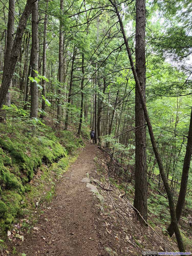 Trail
Trail Forest
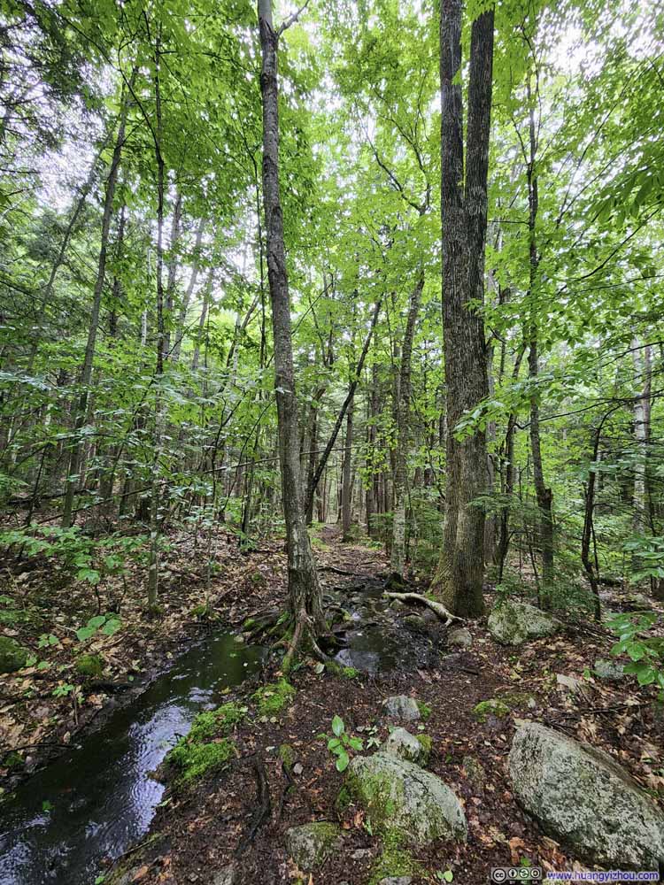 Trail
Trail Trail
Trail


Click here to display photos of the trail.
Trail
Trail

Trail

Trail

Trail

Trail

Trail

Trail
Forest

Trail
Trail
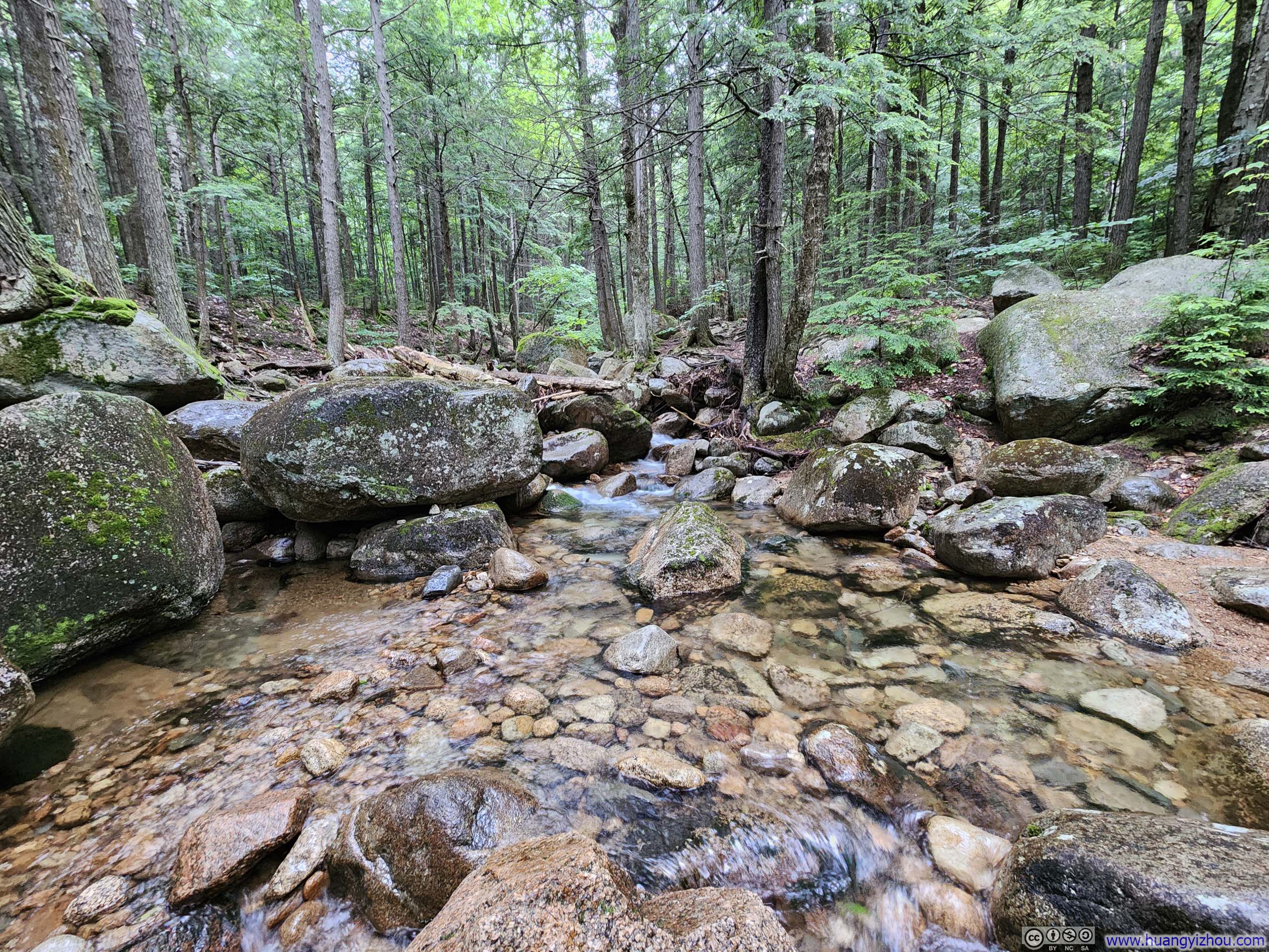
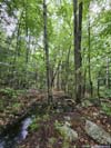
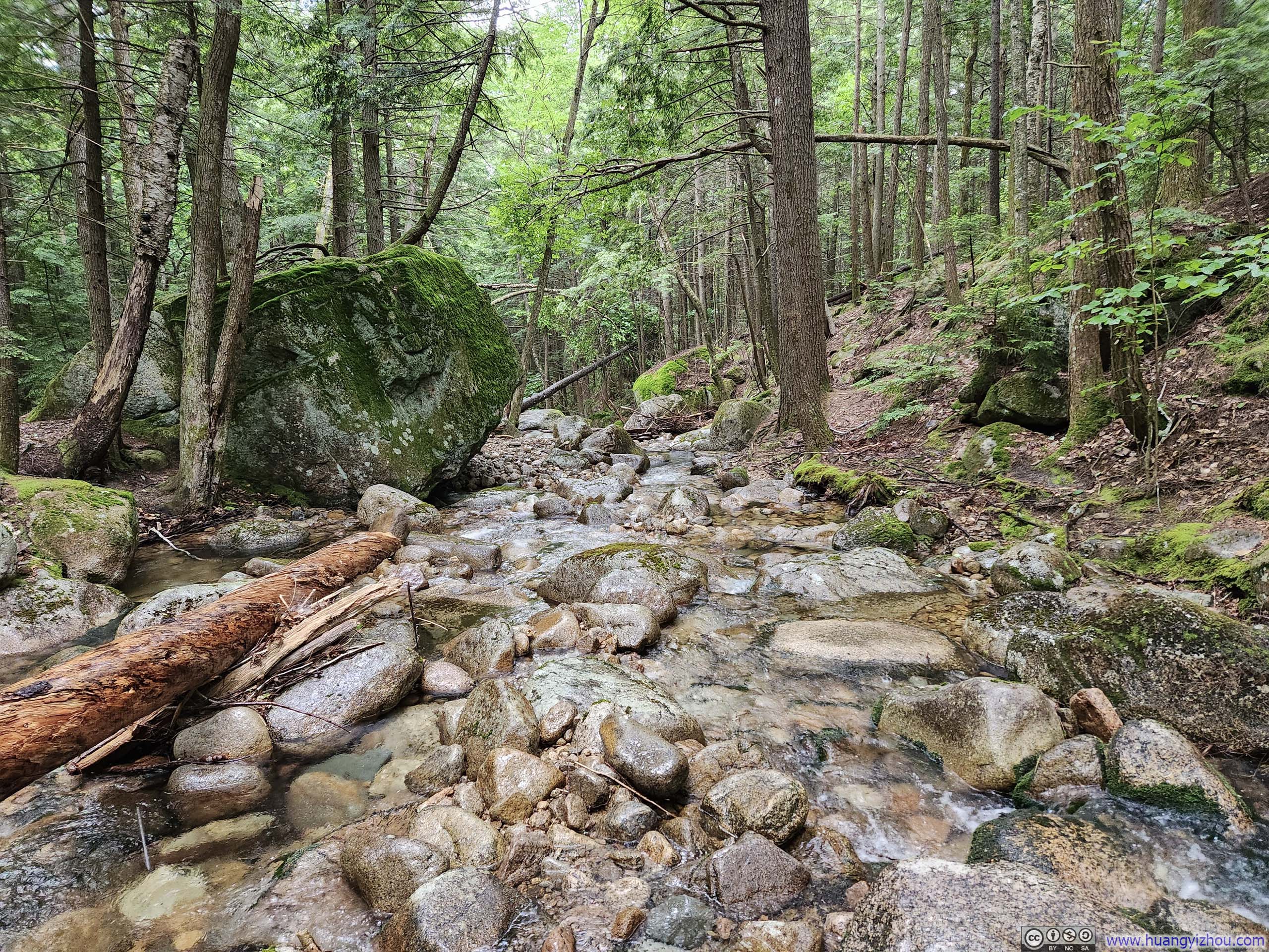 Chocorua RiverThe only water crossing throughout the entire loop.
Finally, I got back to my car just before 4pm, concluding the hike.
Bonus: From the Drone
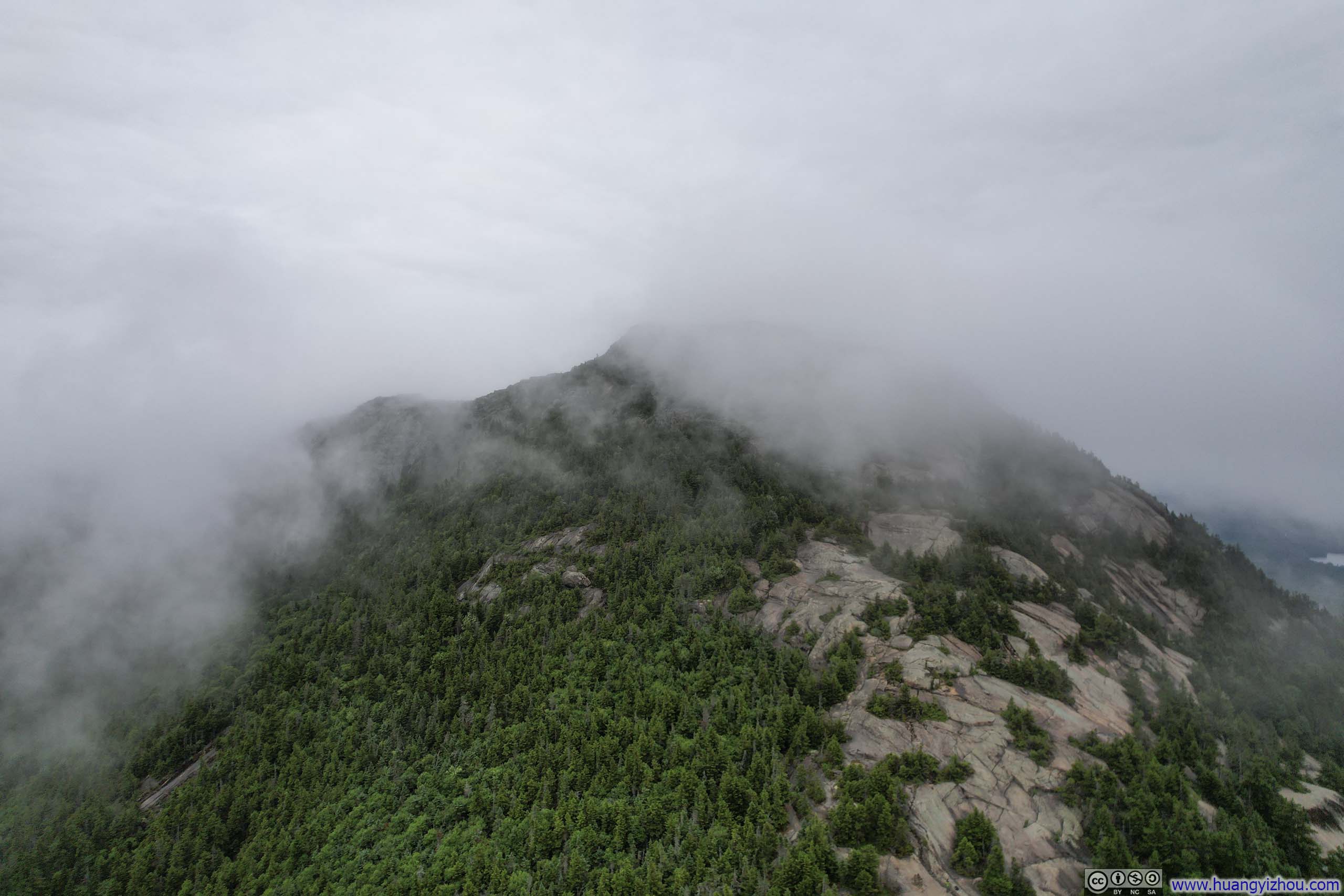
 Mt Chocorua in Clouds
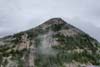
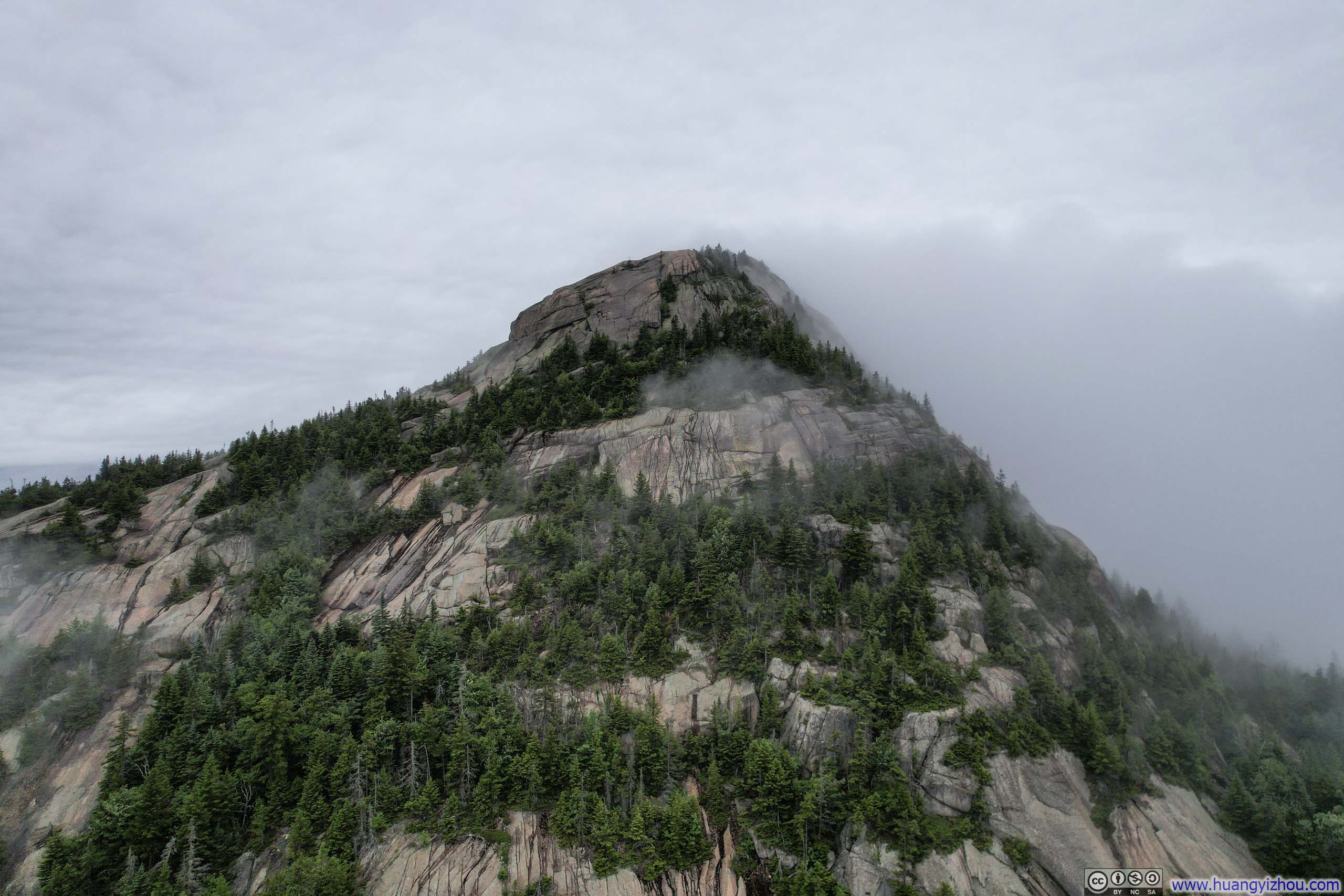
 Mt ChocoruaThinly veiled in clouds.
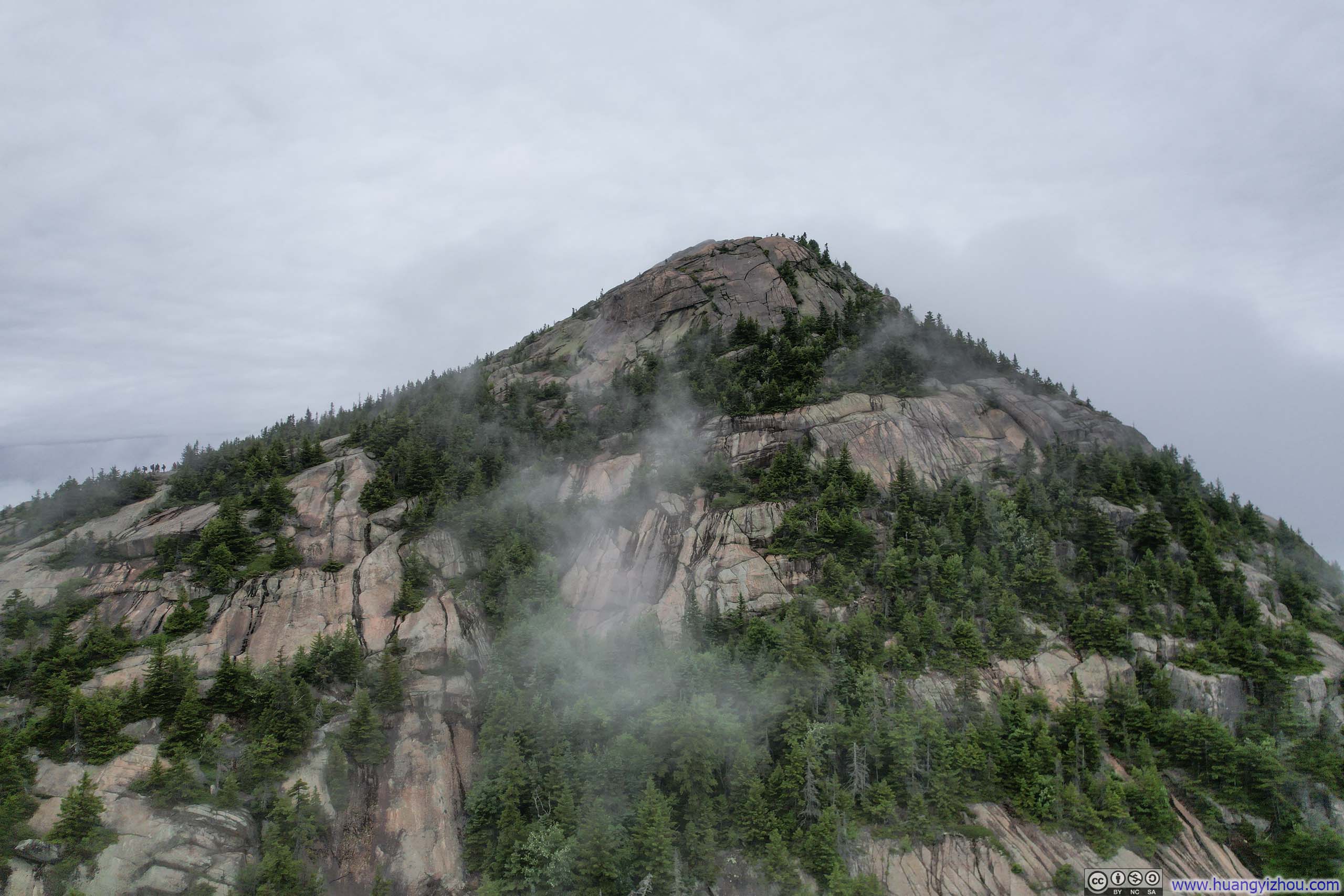
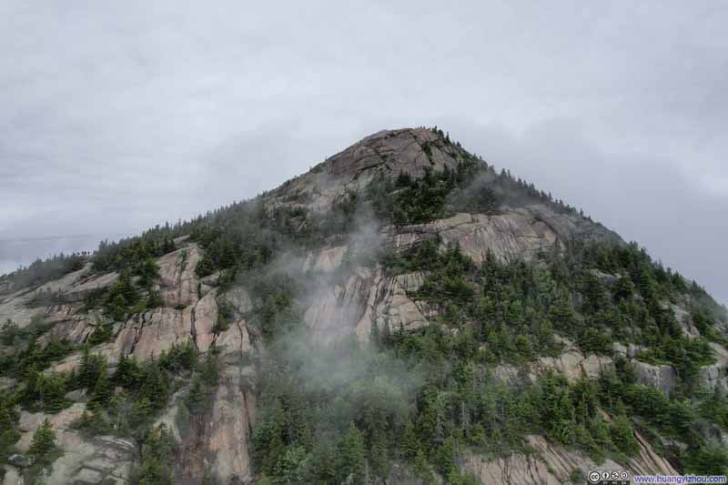 Mt ChocoruaThinly veiled in clouds.
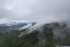
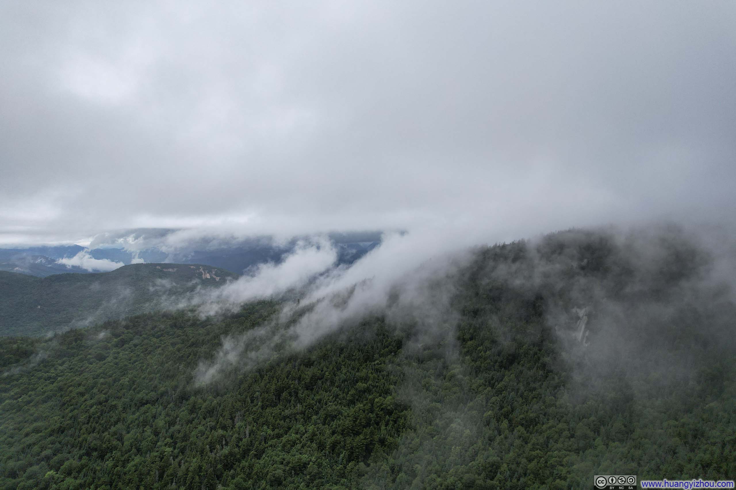
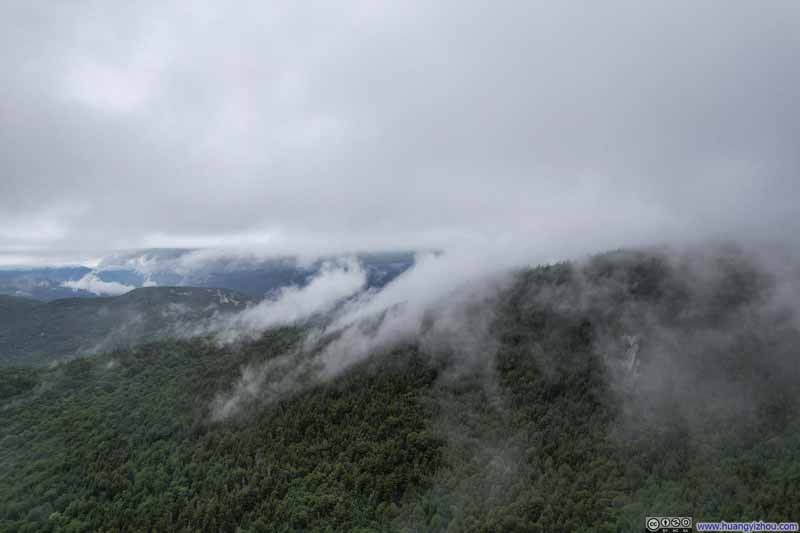 Hills Dressed in Clouds
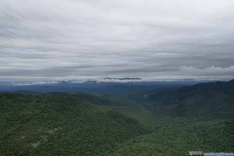 Mountains to the SouthOverlooking valley between Mount Chocorua and Mount Paugus.
Click here to display photos from the drone.
Mt Chocorua in Clouds
Mt ChocoruaThinly veiled in clouds.
Mt ChocoruaThinly veiled in clouds.
Hills Dressed in Clouds
Mountains to the SouthOverlooking valley between Mount Chocorua and Mount Paugus.
 Mountains underneath Cloudstop: Mt Chocorua
And here’s a video:
END
![]() (Imperfect) Hike of Mt Chocorua by Huang's Site is licensed under a Creative Commons Attribution-NonCommercial-ShareAlike 4.0 International License.
(Imperfect) Hike of Mt Chocorua by Huang's Site is licensed under a Creative Commons Attribution-NonCommercial-ShareAlike 4.0 International License.