Updated on December 13, 2024
Hiking Mt Morgan and Percival
The first Saturday of August 2024, I took on this popular trail on the southern outskirts of White Mountains with great views overlooking Squam Lake.
For this first weekend of August 2024, weather forecast indicated periods of rain. It wasn’t until Saturday morning that I was convinced the remainder of the day would be dry. As a result, I only set off from my home at 11:20am. Congestion caused some detour within the Boston beltway, and I also had some errands to run along the way. In the end, I only made it to the trailhead of Mount Morgan at 2:50pm.
That’s why I picked “Mt Morgan and Percival” for the day. It’s located on the southern edge of New Hampshire’s White Mountains, closer to Boston where I lived. It’s relatively short on paper (8.8km loop, 430m elevation gain / 5.5mi, 1400ft), which meant it wouldn’t take too long to complete, yet it featured some exciting scrambling sections (more on that later) together with views overlooking Lake Squam.
Here’s GPS tracking:
As for the hike itself, most of the trail (except at two overlooks, one each for Mount Morgan/Percival) was in the shade. Unfortunately, that meant there was no breeze to cool me down during the hike. With rain earlier in the morning, it was humid in the woods and I had been sweating heavily for most of the hike. In addition, the trail was a bit buggy in places. So, comfort-wise, this was far from the most enjoyable hike.
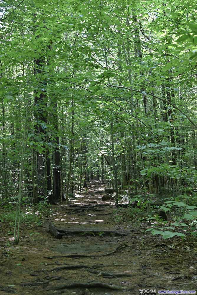
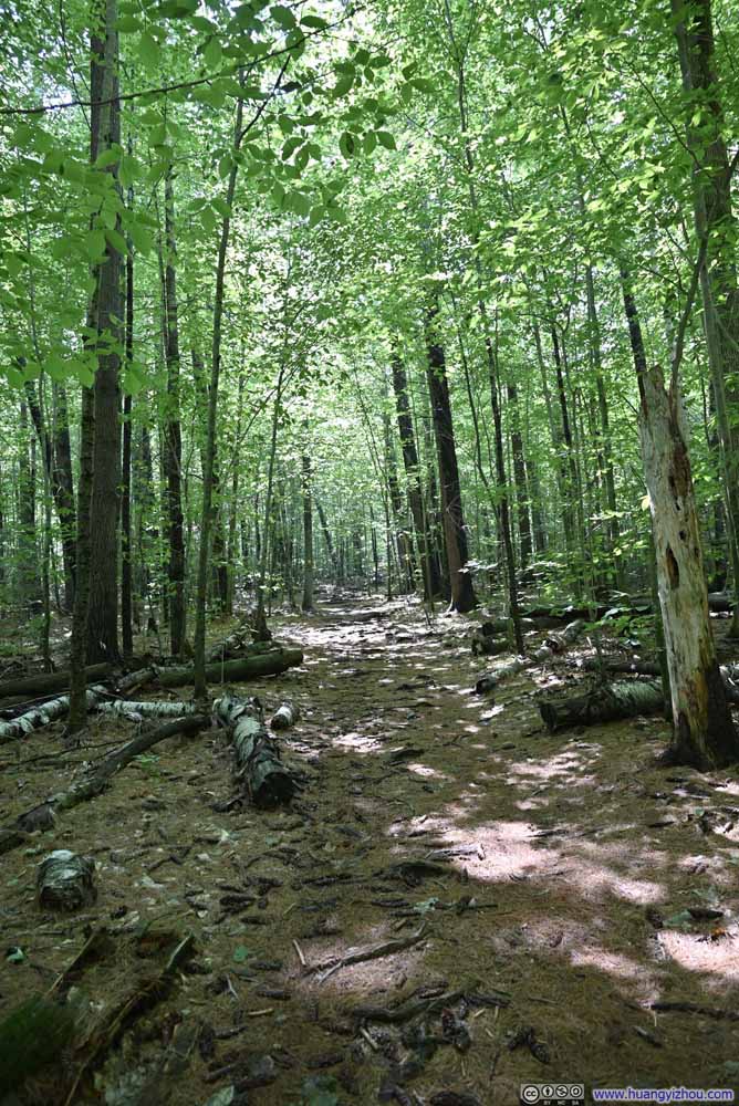
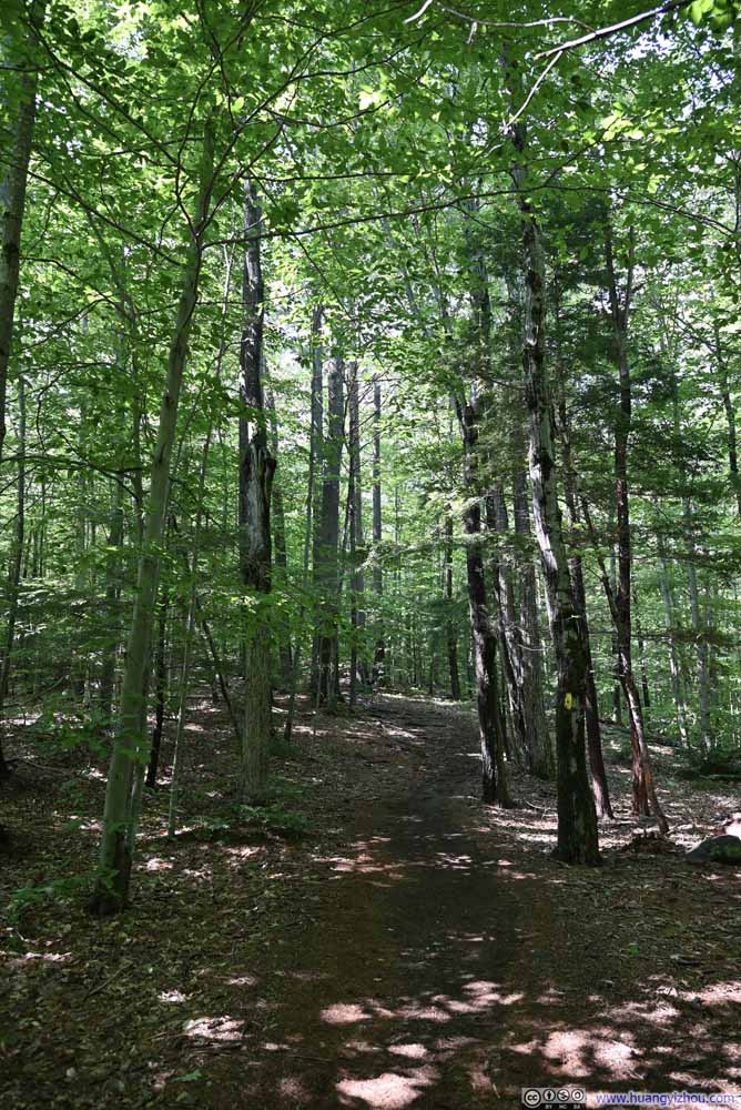
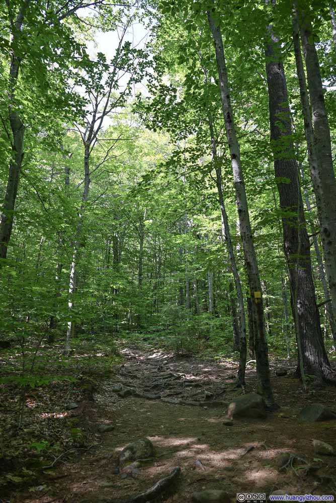
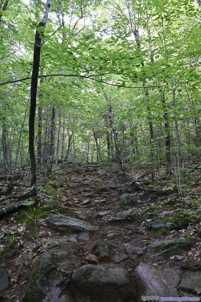
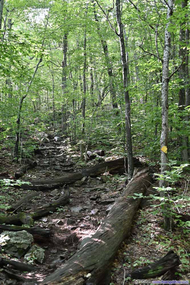
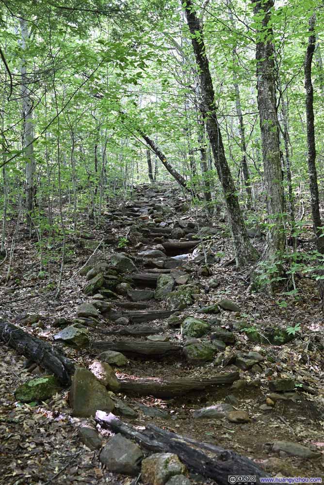
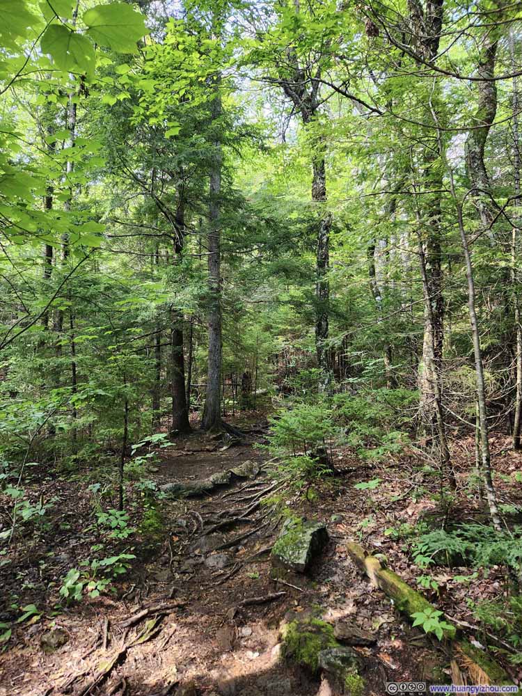
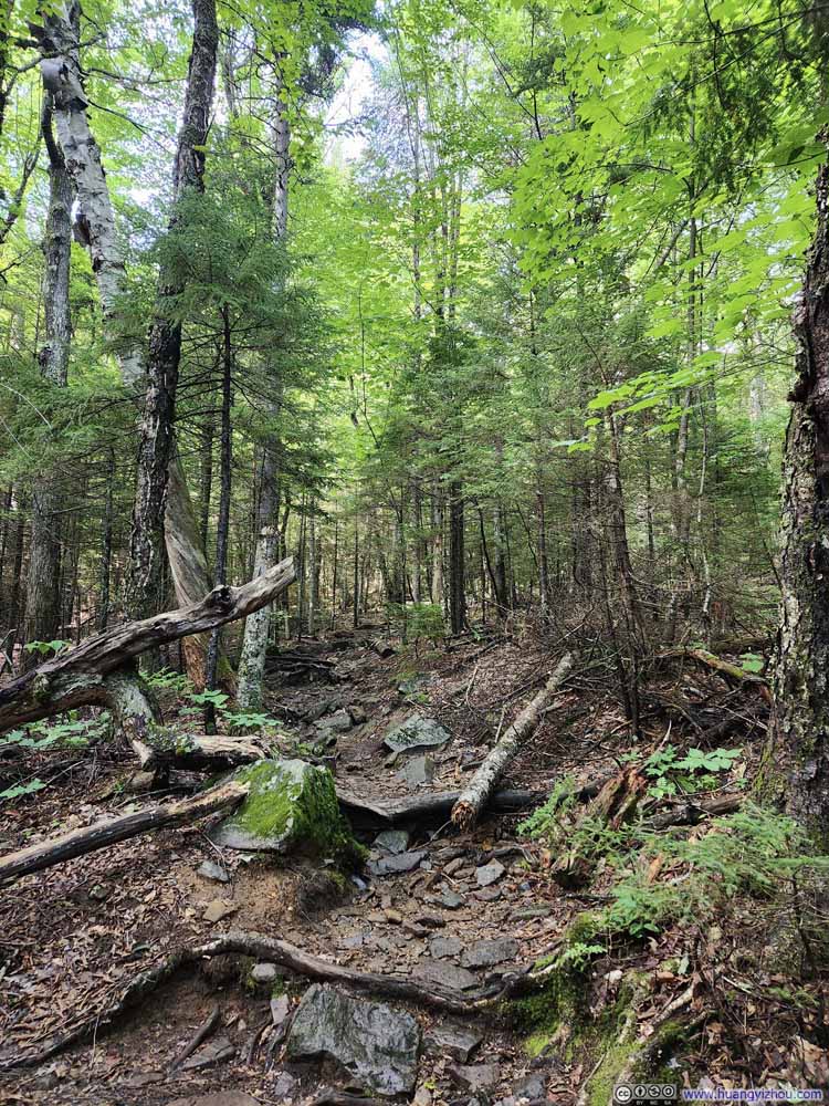
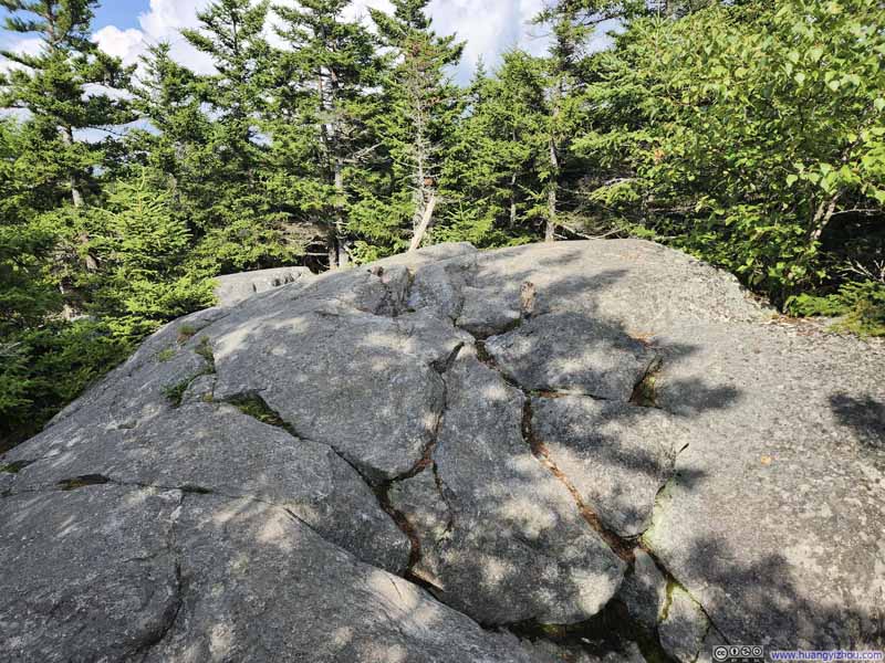
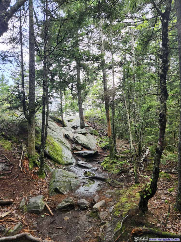
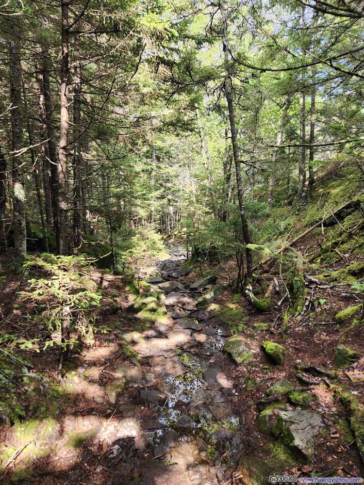
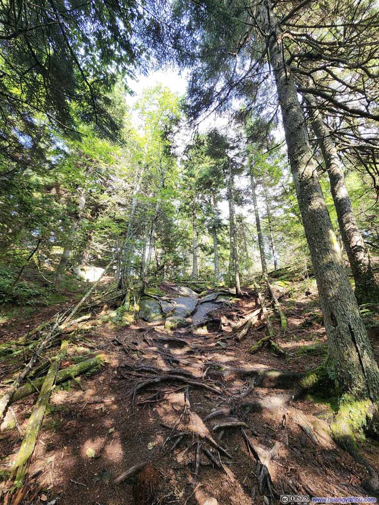
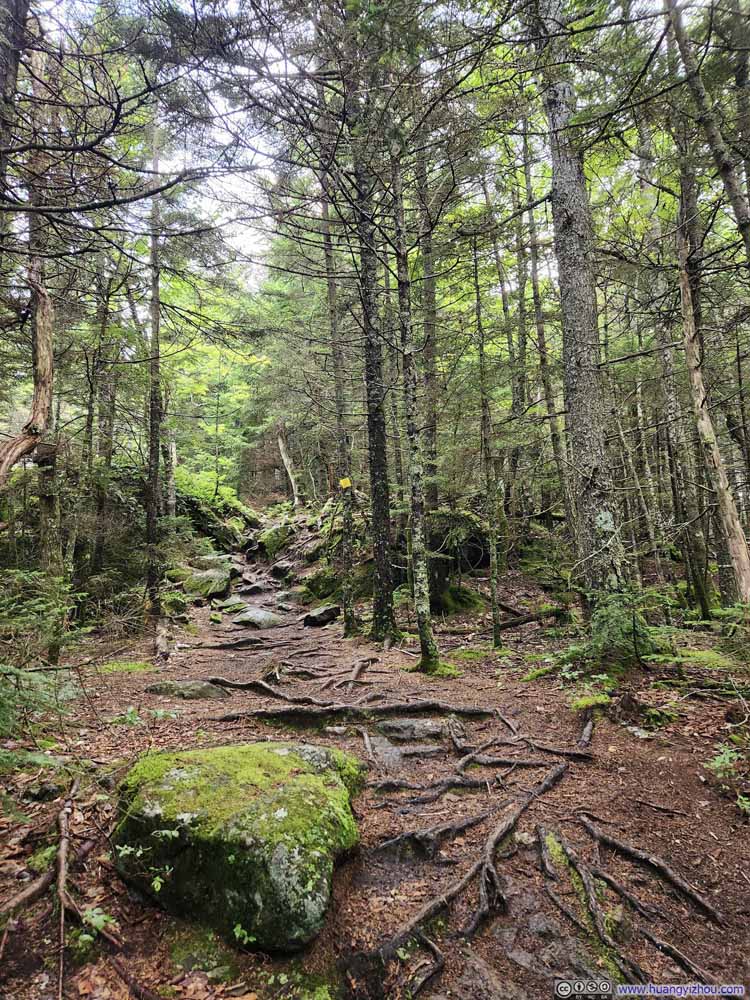
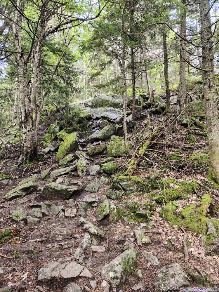
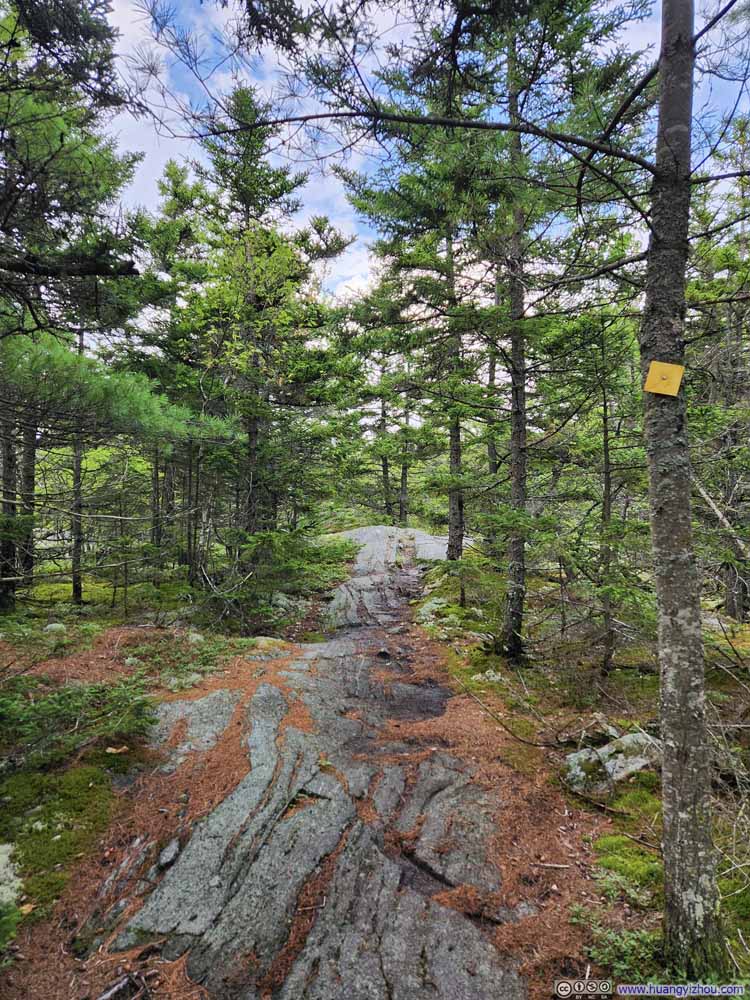
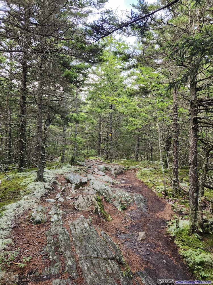
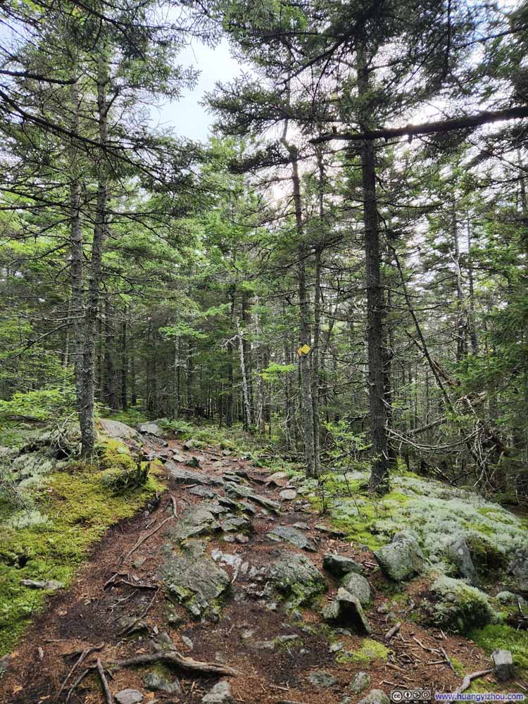
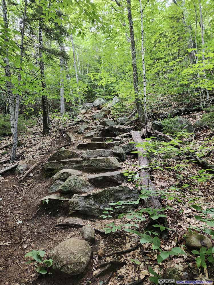
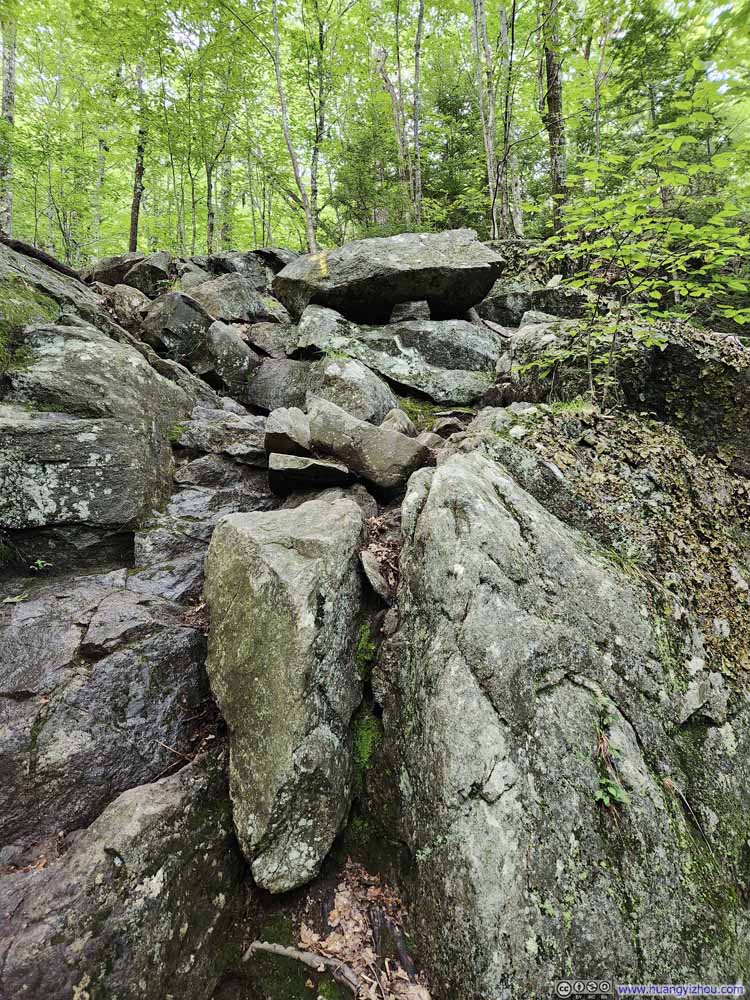
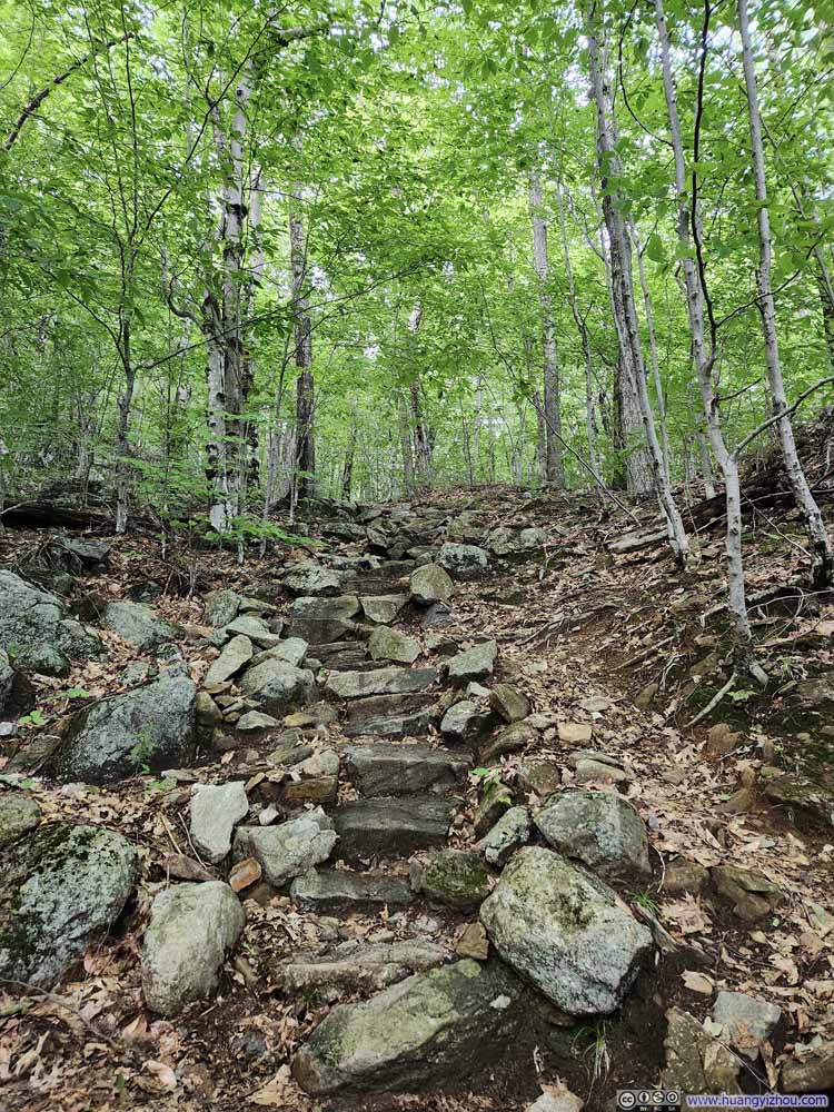
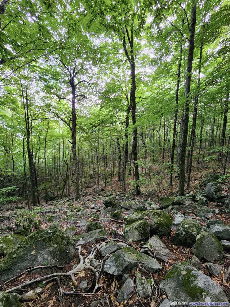
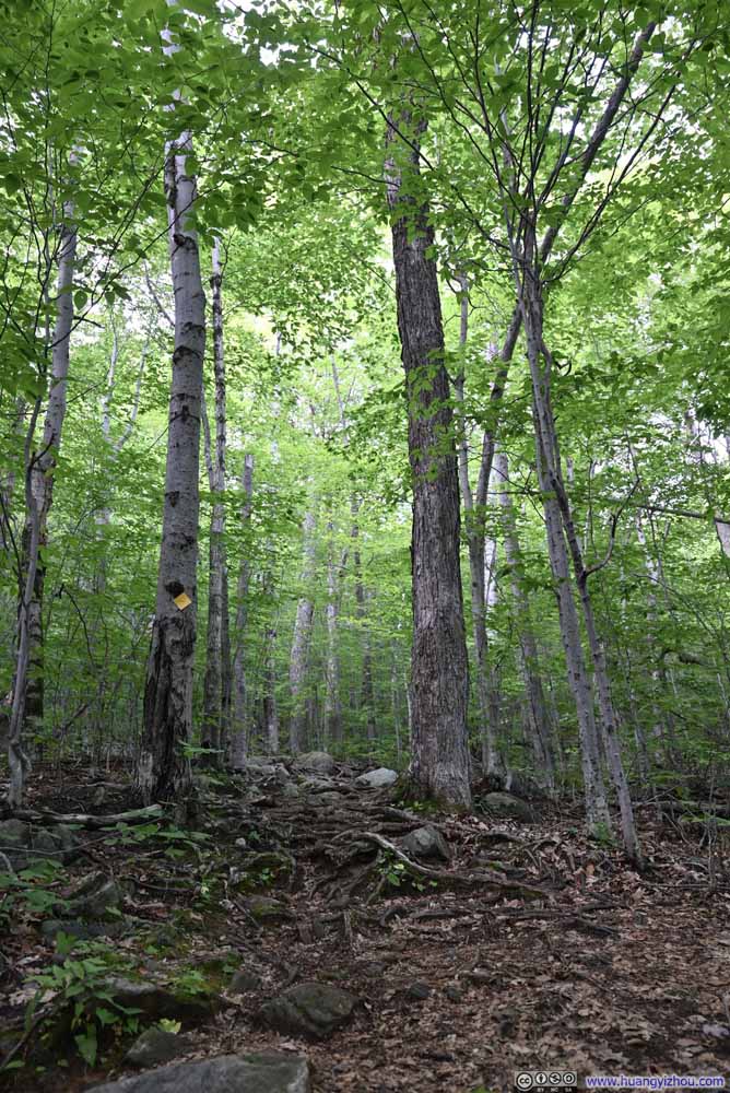
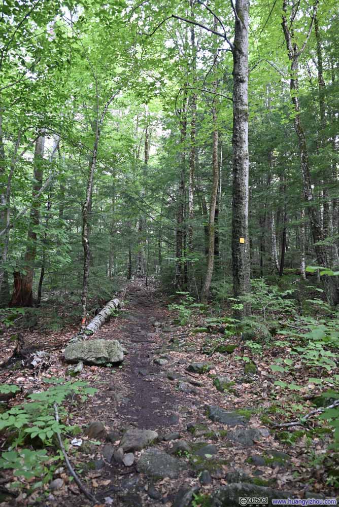
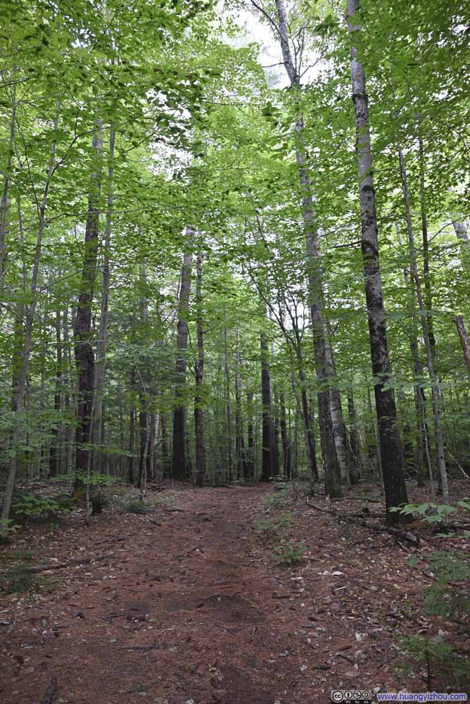
The trail started out on a gentle incline, picking up the pace of elevation gain as it progressed. Below were the typical trail conditions in the woods, not too remarkable.
Speaking of scrambling sections, there were one each before the summit of Mount Morgan and Percival. Yet the adventure was optional as both scrambling sections came with a longer, non-technical route in parallel, and the intersections were well marked (photo below). I considered myself up to the challenge for both scrambling sections, so I decided to take the loop in the clockwise direction, as it’s easier to climb up the ladders of Mount Morgan than down, while the “cave” of Mount Percival didn’t have a directional preference.
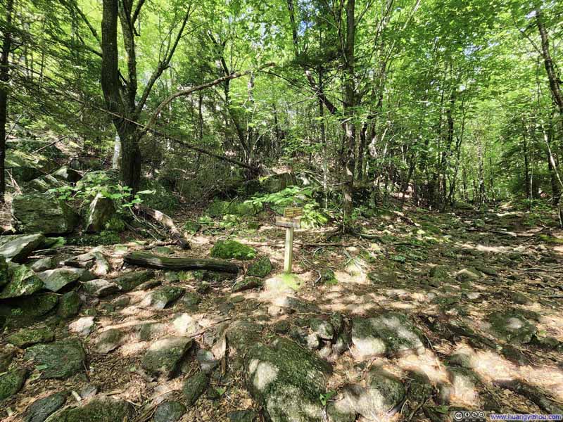
Intersection of TrailTowards Mount Morgan. The ladders and tunnel to the left, easier path to the right.
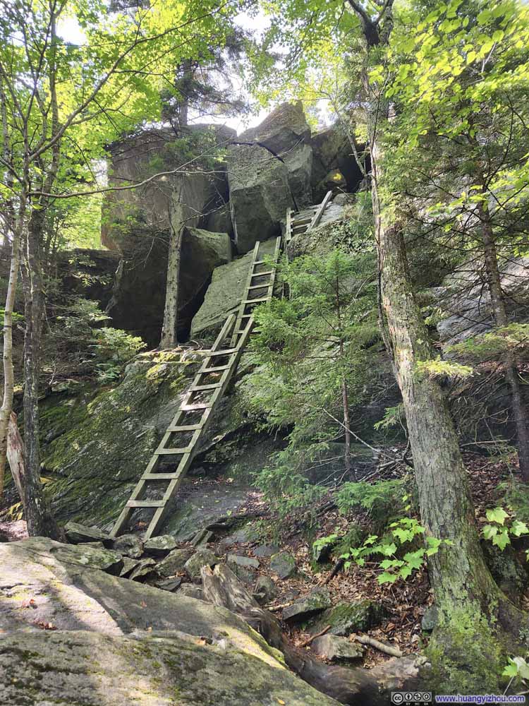
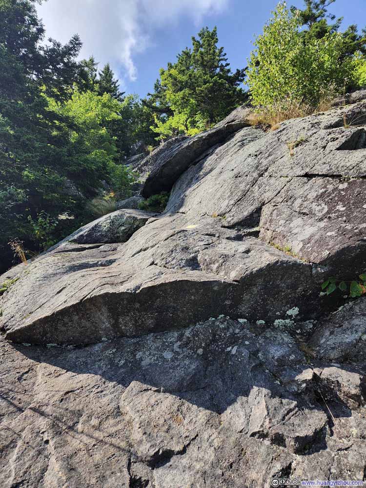
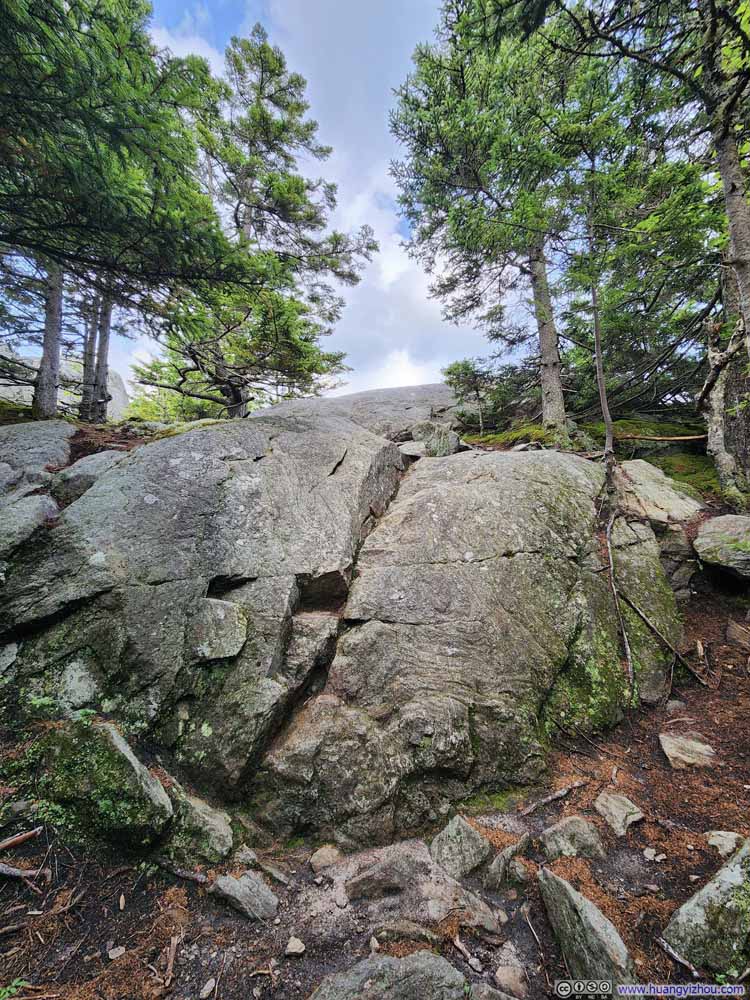
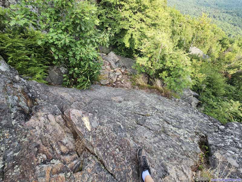
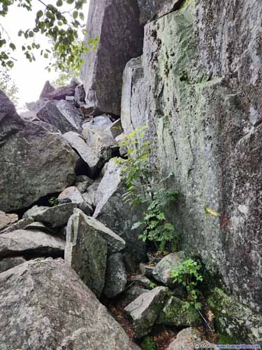
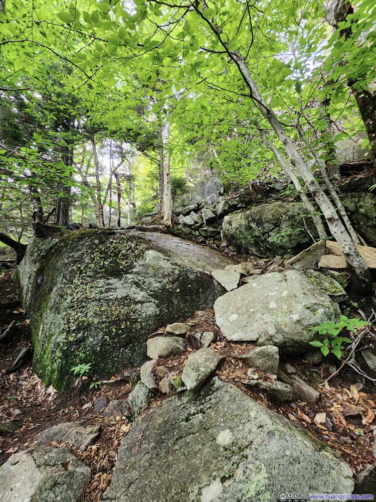
The adventure before Mount Morgan’s summit started with a series of ladders (p1 below), which, if not for the bugs on them, weren’t scary at all. At the top of the ladders was a rock tunnel (p2), which was very wide compared to the “cave” of Mount Percival. After the top of the rock tunnel I briefly lost the trail. It turned out that the path took a spiral on rocks (p3), before continuing along a moderately steep rock surface (p4) to Mount Morgan.
Click here to display photos of the slideshow
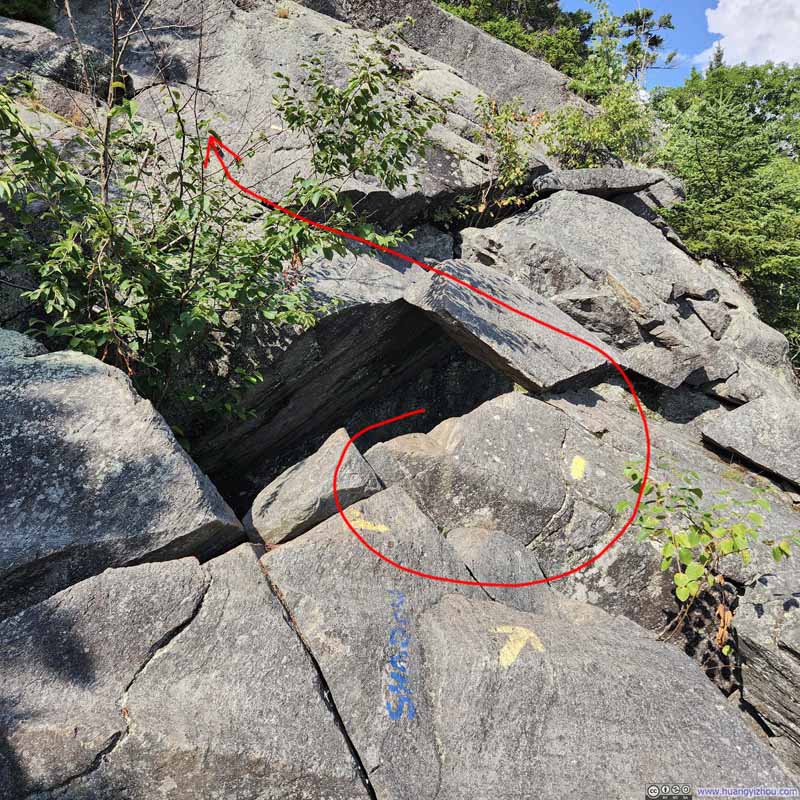
Path after Rock TunnelAfter leaving the rock tunnel, the path took a spiral, which took me some time to figure out.
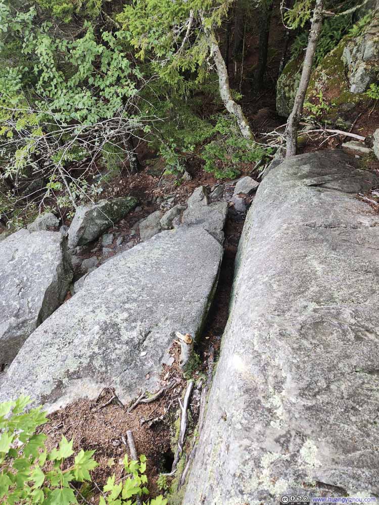
Final Obstacle
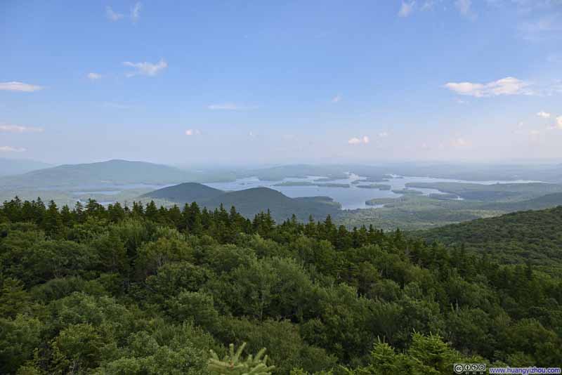
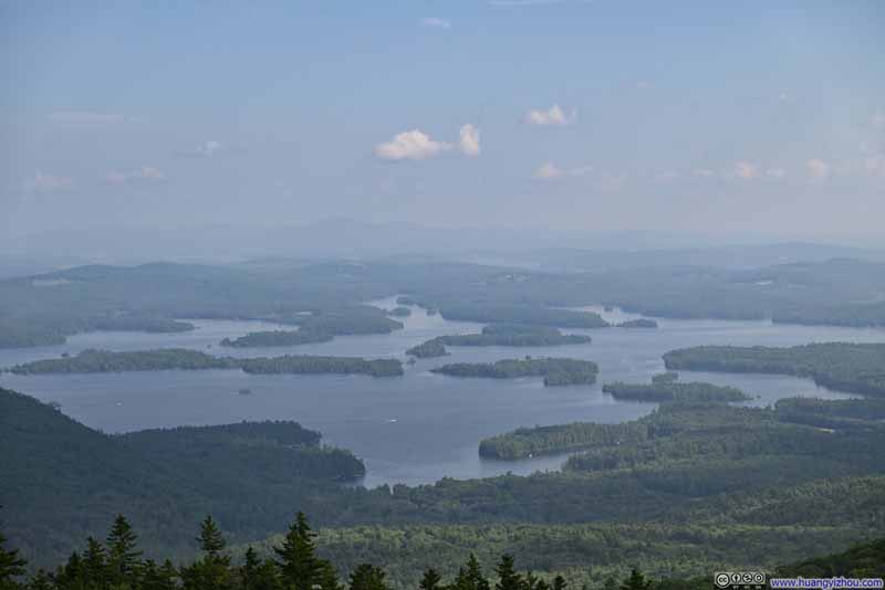
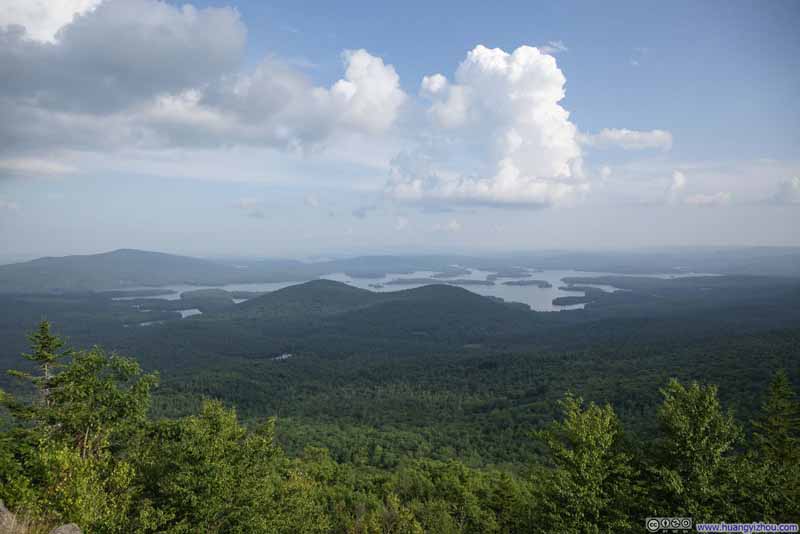
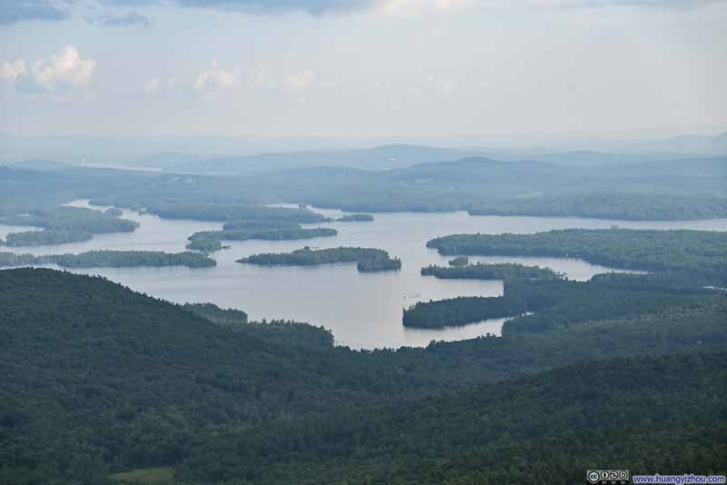
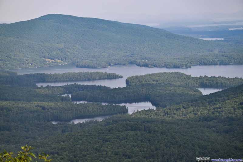
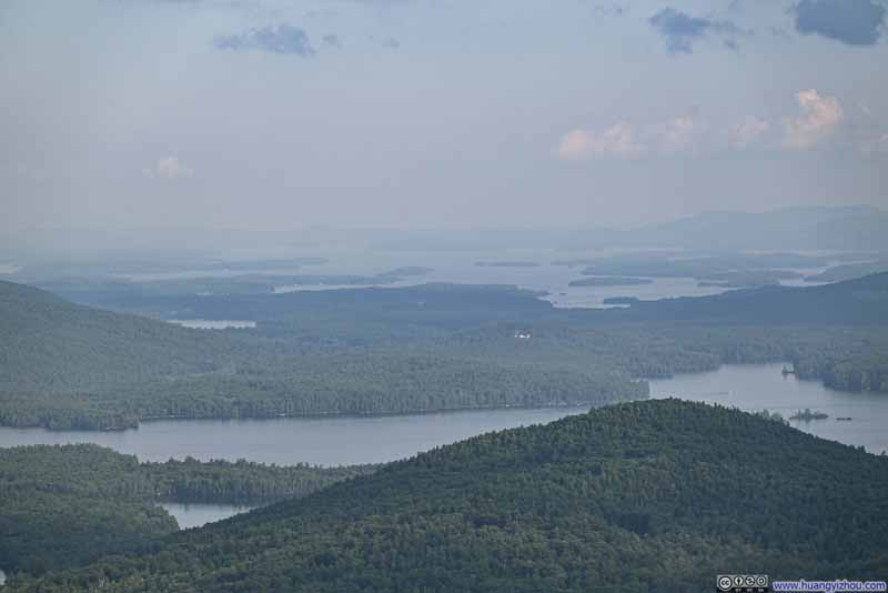
There was an overlook after the previous set of technical sections, with Squam Lake and its various islands in view. This trail was located roughly where the lake regions of New Hampshire transitioned into the White Mountains. In a sense, it had the best of both worlds. This was also a place where I properly rewarded myself with a snack break.
Click here to display photos from Mount Morgan Overlook.
Continuing on, the actual summit of Mount Morgan was a short 40m (125ft) detour from the main trail. The summit wasn’t remarkable at all.
Click here to display photos of the slideshow
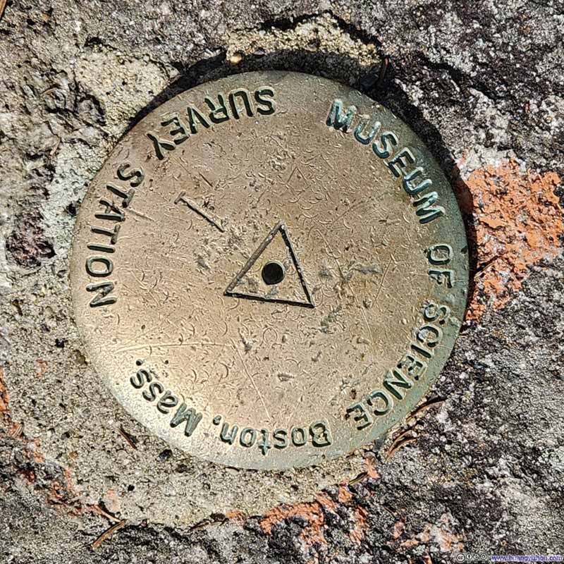
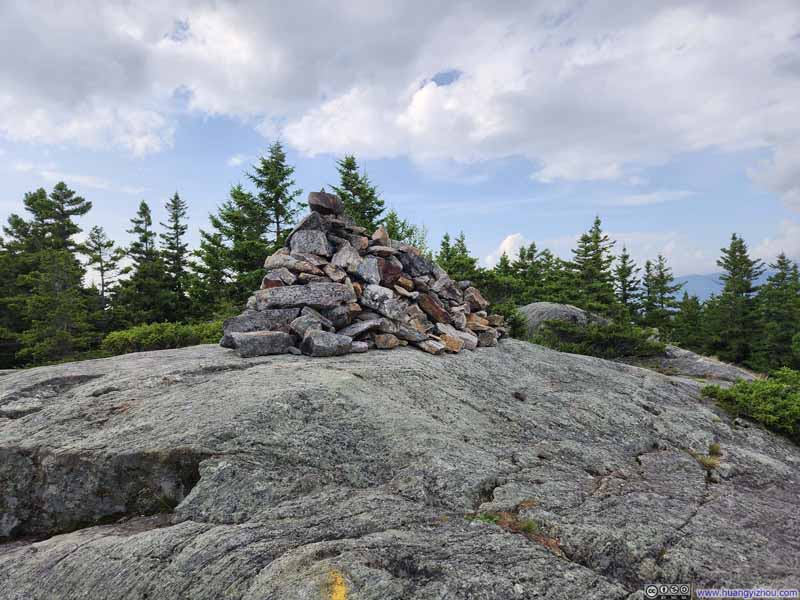
Summit Marker of Mount Morgan
Continuing on, it’s another 1.3km (0.8mi) of mostly level trail to the summit of Mount Percival. Somehow, the section of trail between the two summits were wetter and more slippery than the rest.
Click here to display photos of the trail between Mount Morgan and Mount Percival.
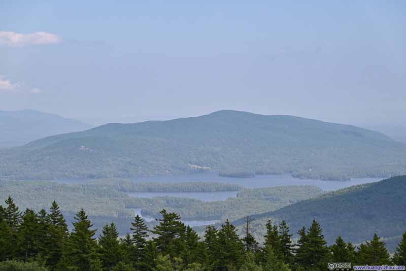
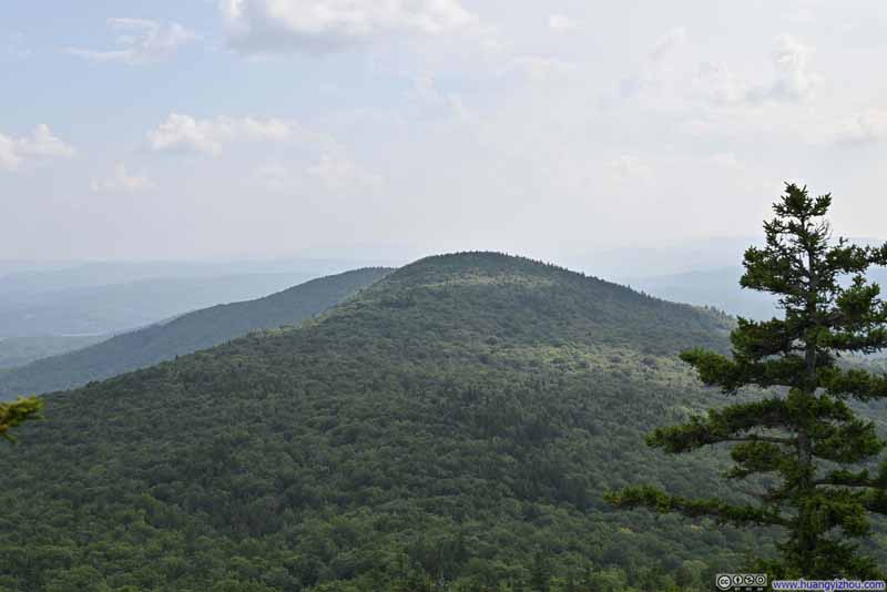
Then it’s the summit of Mount Percival. I would say the views here weren’t that different than the ones from Mount Morgan, except it might be marginally further away. It’s getting late and I had the entire summit area to myself while soaking in the views.
Click here to display photos from the summit of Mount Percival.
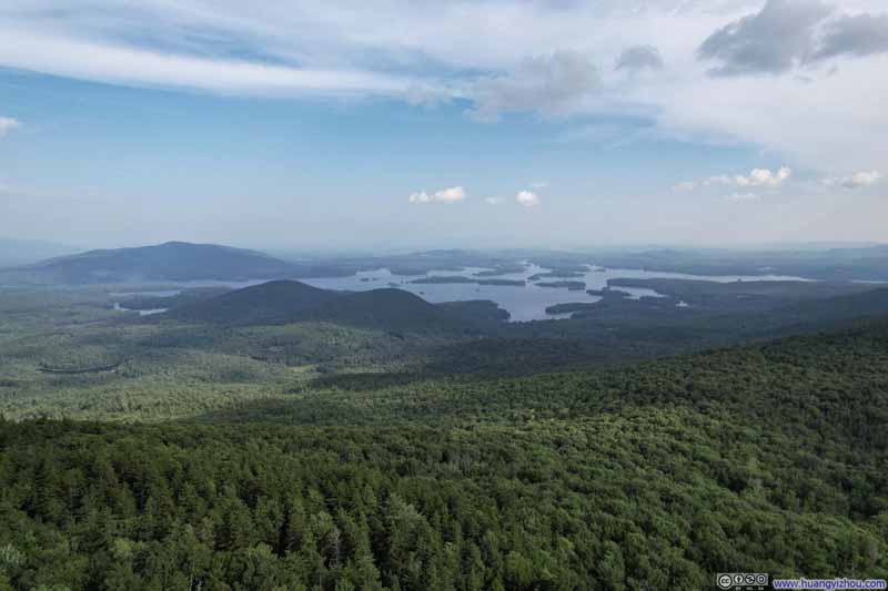
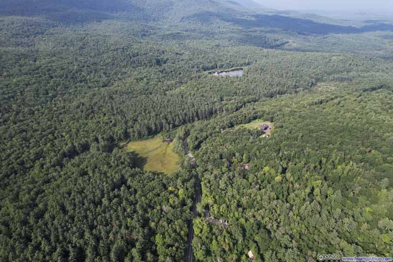
I also got the chance to launch my drone for an aerial tour of the surroundings. Here’s a video of my drone’s flight towards Lake Squam.
48 seconds, 2160p50fps, about 11.5Mbps/70MB for both H265 and H264.
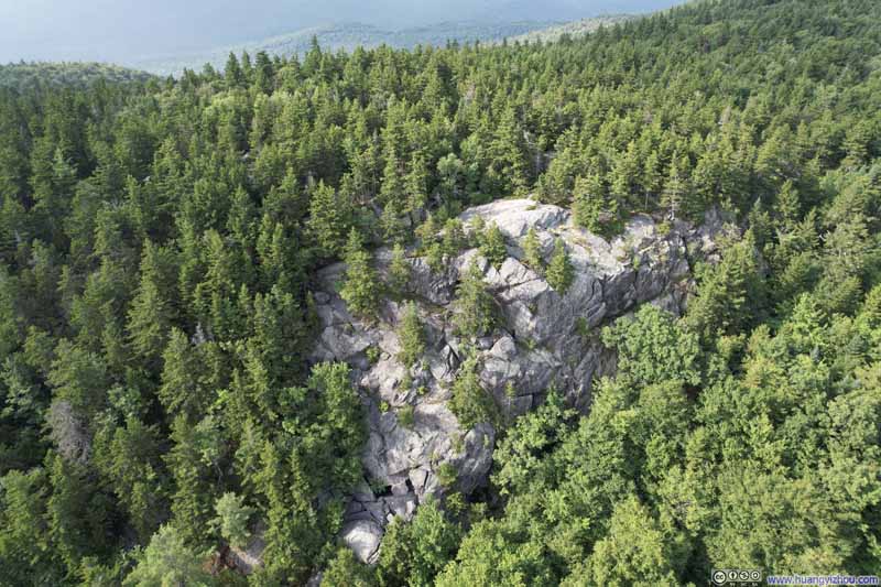
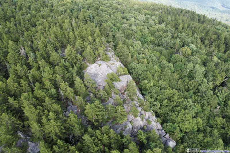
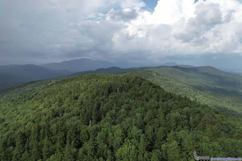
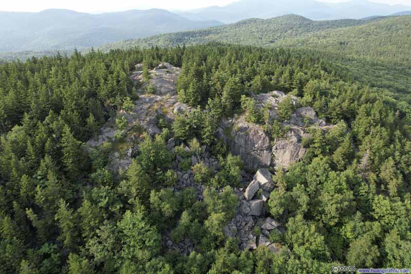
On its way back, I took a detour to check out Mount Morgan and Percival from above. They were two distinct patches of exposed rock among what would otherwise be dense forest.
Click here to display photos of the slideshow
After landing my drone and taking some more snacks and soaking in more views, I started my descent from Mt Percival. It happened that one of my drone photos captured the technical section from above.
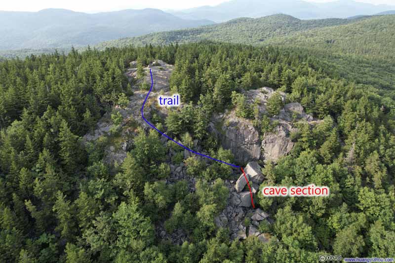
Mount Percival
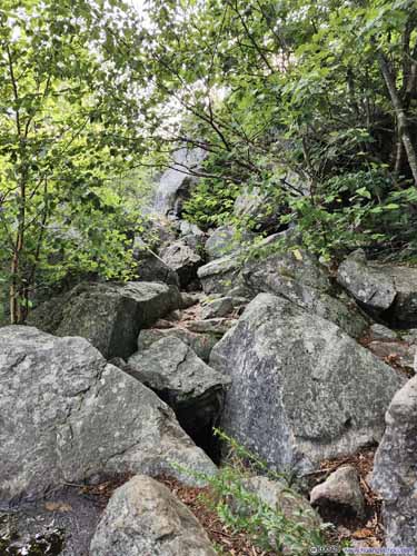
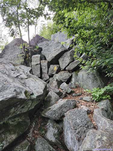
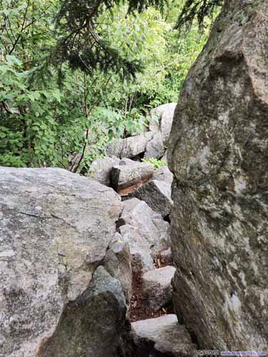
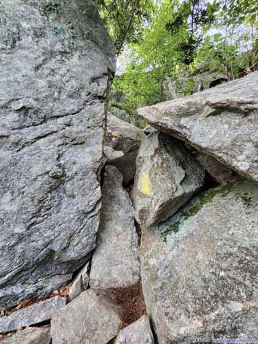
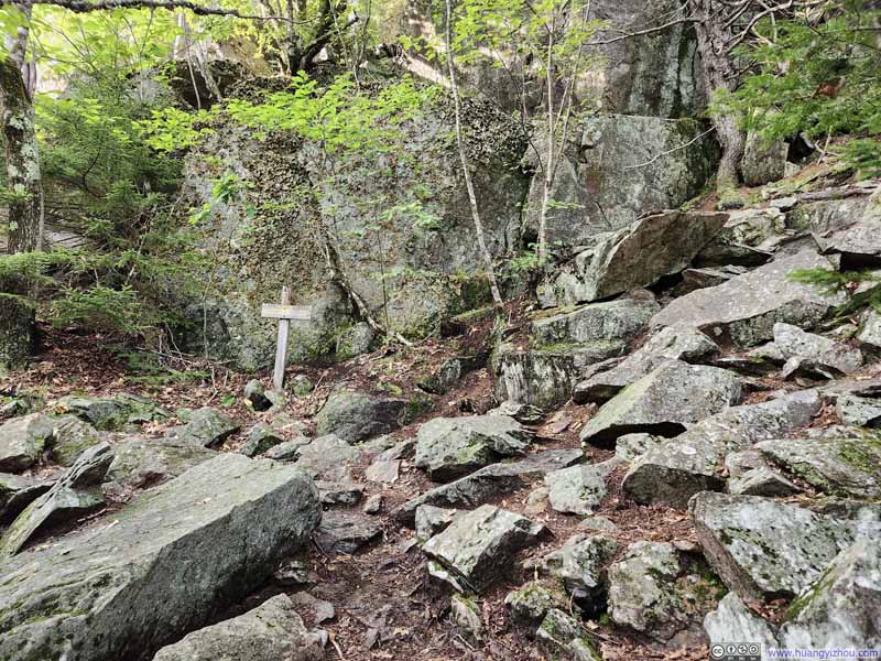
The descent began with some rock hopping (slideshow below). Apart from going through one narrow gap (after which it was a steep drop, p3 below), it never exceeded YDS class 2.
Click here to display photos of the trail before Mount Percival’s “Cave” and summit.
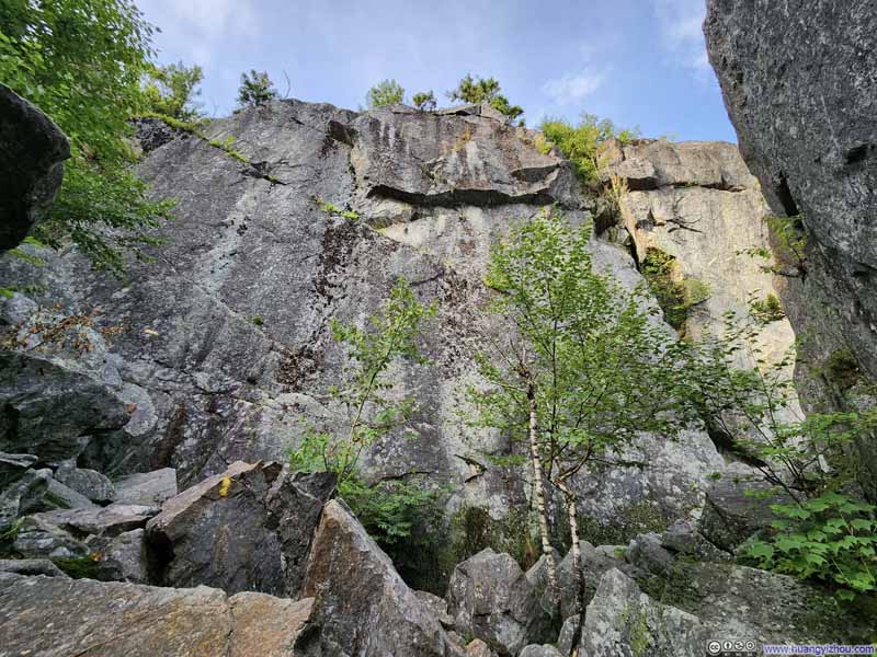
Cliff
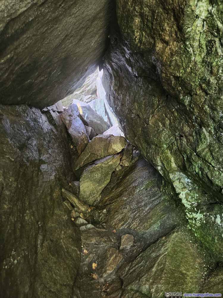
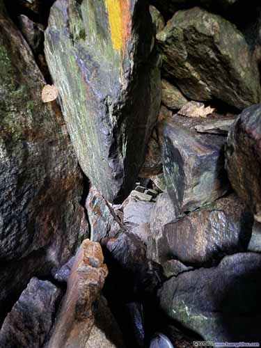
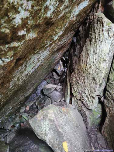
Then it’s the “cave” of Mount Percival. Despite its name, topologically it’s actually a tunnel, much narrower than the “rock tunnel” earlier on my way to Mount Morgan.
The most technical bit of the “cave” was near its upper entrance, where one had to duck underneath an overhanging rock to proceed into the “cave” (p1 below). The space underneath that rock was limited, and the rocks were wet from the rain earlier, which got parts of my clothes dirty (and hence I wasn’t too pleased).
Click here to display photos from inside Mt Percival’s “cave”.
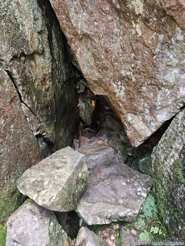
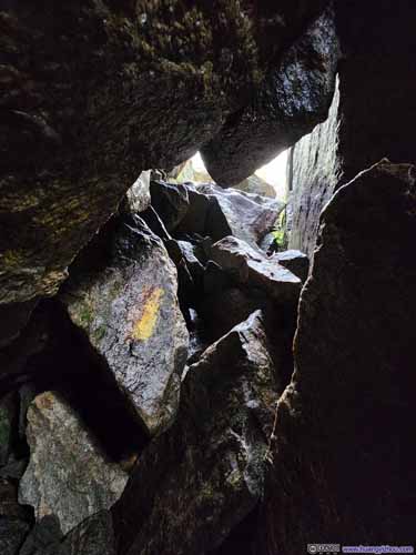
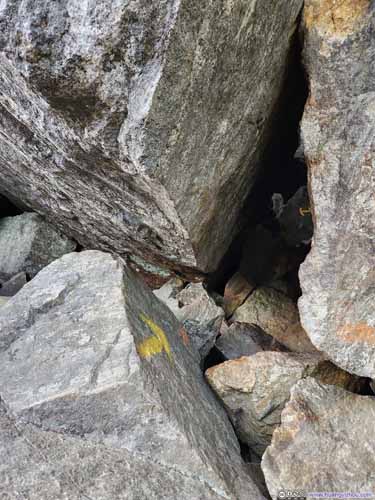
Here’s a short video taken in the middle of the “cave”, where both ends of the “cave” were visible. On this aspect, the “cave” section was very short.
11 seconds, 2160p30fps, H265 only, 18Mbps/29MB.
Shortly after leaving the “cave” section, I was at the intersection with the easier trail. Just like the intersection before Mount Morgan, going uphill, the easier path was to the right, the more technical path was to the left.
Leaving the intersection, it was an uneventful stroll back to the trailhead. With cooler weather near the end of the day and going downhill, it’s likely the most comfortable part of the hike.
Click here to display photos of the trail.
Finally, I got back to the car after spending 4 hours and 10 minutes on the trail (including about an hour of breaks), concluding the hike.
END
![]() Hiking Mt Morgan and Percival by Huang's Site is licensed under a Creative Commons Attribution-NonCommercial-ShareAlike 4.0 International License.
Hiking Mt Morgan and Percival by Huang's Site is licensed under a Creative Commons Attribution-NonCommercial-ShareAlike 4.0 International License.


