Flight Log of Southwest Airlines Flight 1641 from Baltimore to Oakland
A post about my flight from Baltimore to Oakland, California through wonderful landscapes of United States of America.
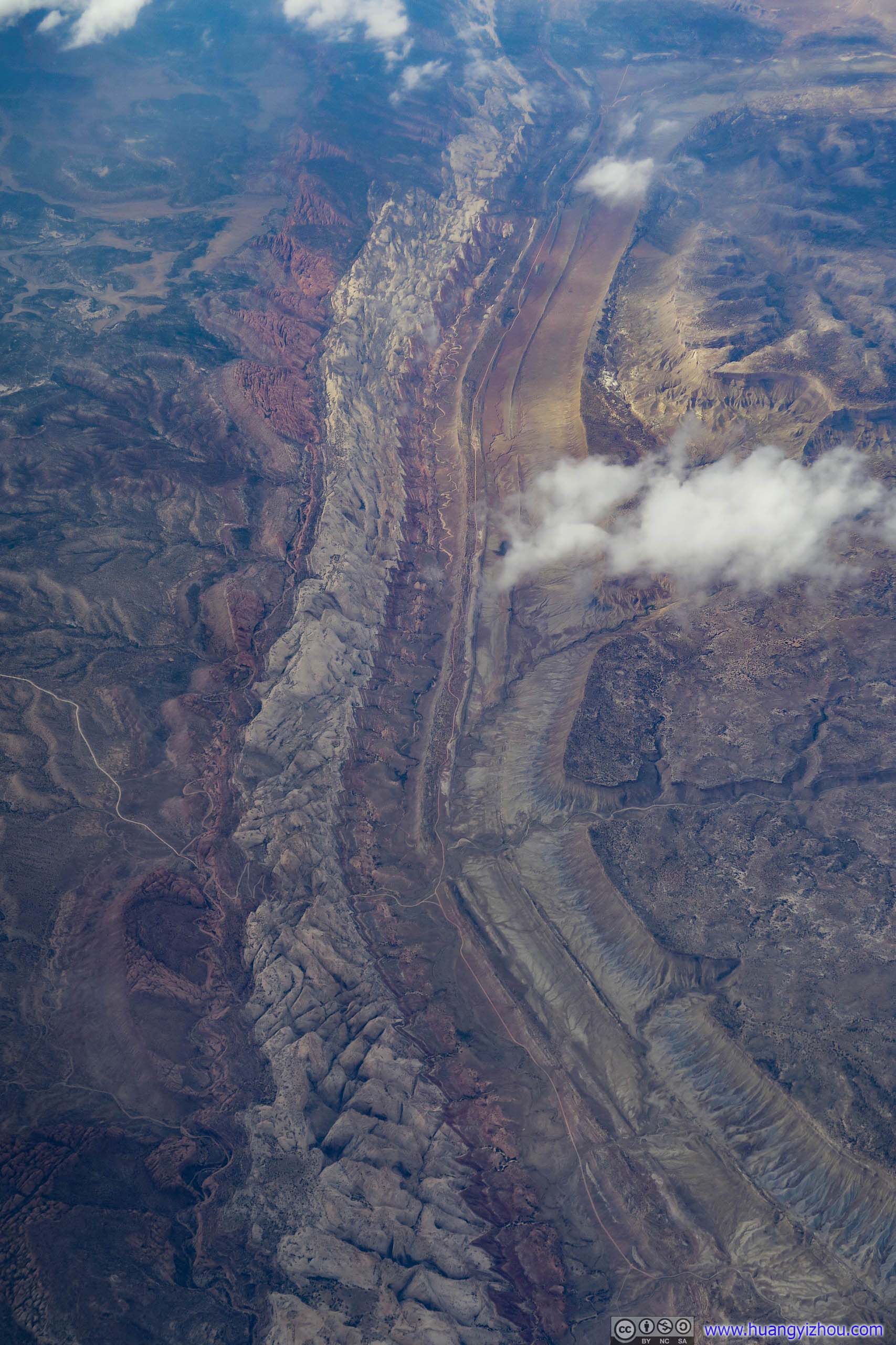
My parents were planning to visit the United States from early July to early August in 2019. They would be flying into San Francisco, took a brief tour there and flew to Salt Lake City, from which they would be visiting Yellowstone and Glacier National Parks. After that they would be in Washington DC suburb where I lived for a week, then touring Philadelphia and Niagara Falls before flying out of New York. And we planned so that I would be landing in Oakland at half past 4 on July 11, prepared the hotel rooms and greeted them at San Francisco Airport after their trans-pacific flight landing at half past 7.
Since I would be carrying clothes good for two weeks and camping gear for Glacier National Park as we gave up searching for hotels rooms there, our only choice for domestic US travel was Southwest Airlines which offered two free checked bags.
Baltimore Airport was served by bus B30 from Greenbelt Station, which was the end of Washington DC Metro green line and close to where I lived. It seemed that the bus agency was really stretching bus B30's timetable by adding a stop to Arundel Mills on the way to Baltimore Airport, presumably to boost bus ridership as almost half the passengers that morning got off at Arundel Mills than airport. Though traffic was mild that morning, the bus driver was still very much racing all the way but barely made it to the airport on time.

With Southwest's unique boarding sequence, even by setting alarm clock at exactly 24 hours before takeoff I only managed to snap a boarding position of B27. I was in a mixture of surprised and puzzled that more than a third of the plane were either Southwest loyalists or paid to upgrade that day.

Don't see this very often in the States.
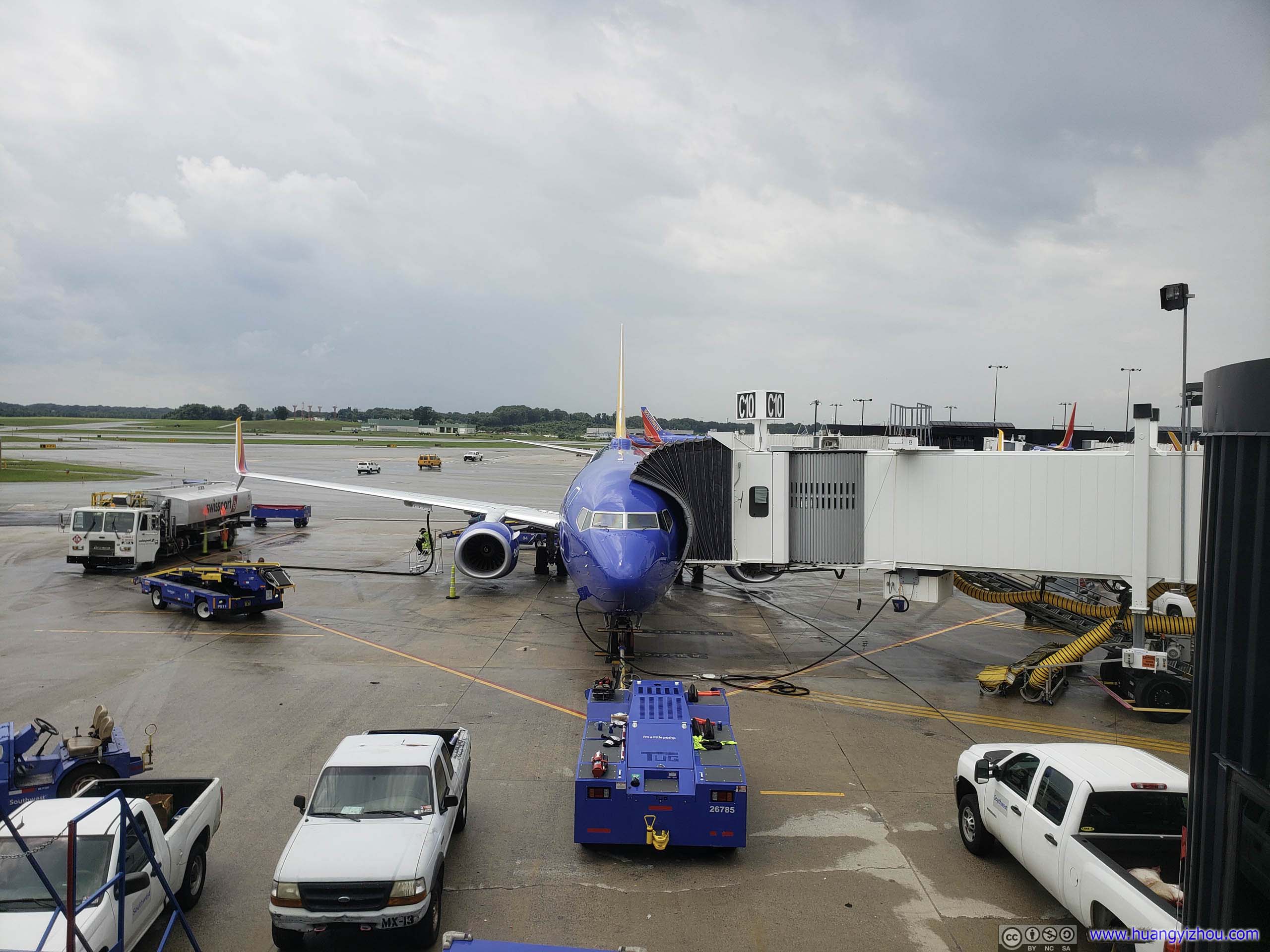
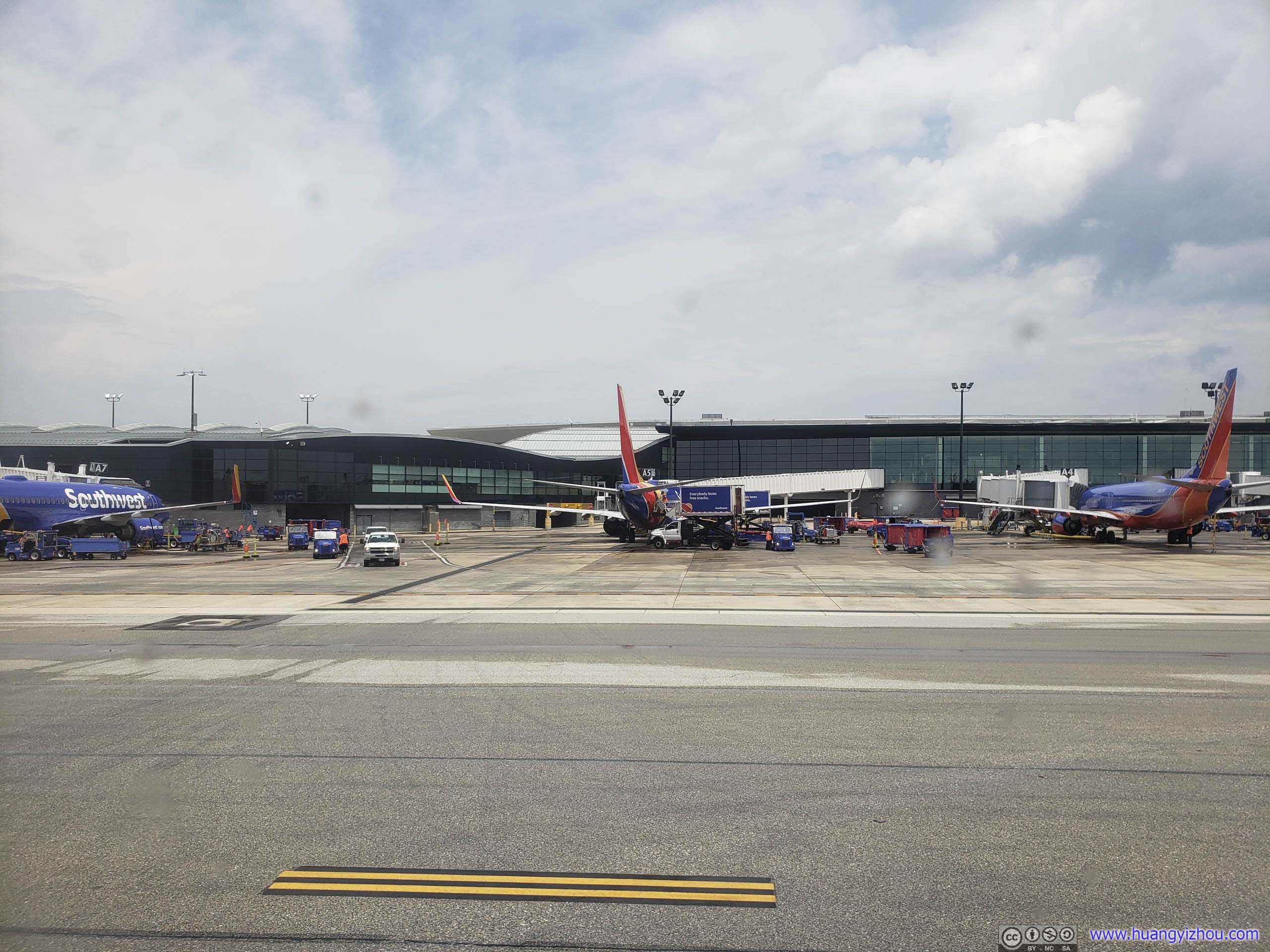
Droplets from some previous drizzle were visible in the previous photo as we were preparing to depart. Then our captain told us there was some (serious) storm on our path, so they were calculating some alternative path. Ten minutes later, the captain informed us they got an alternative path, made sure fuel was good, got permission from the airline and everthing's good, and air traffic control shut down that path too.
So after another twenty minutes, the captains picked another route, which was down south to Raleigh-Durham and Atlanta then slowly going up west. Looking at the map, it was quite a detour as it added a least 30 minutes of flight time. But amazingly, they calculated fuel and found out we didn't need to go back for more (they must had planned about this). So after sitting 50 minutes at the holding area, we were finally good to go.
And here's GPS tracking of the actual flight path.
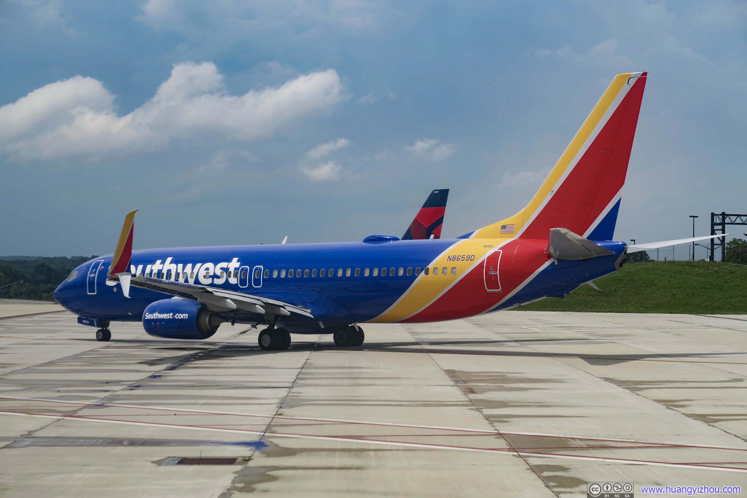
Off to San Diego, this flight was supposed to depart half an hour earlier than us. Our captain told us it too was affected by the storm and waiting here in search of a better route.
After takeoff, I was given a tour of Eastern Maryland, of places that I hadn't been before.
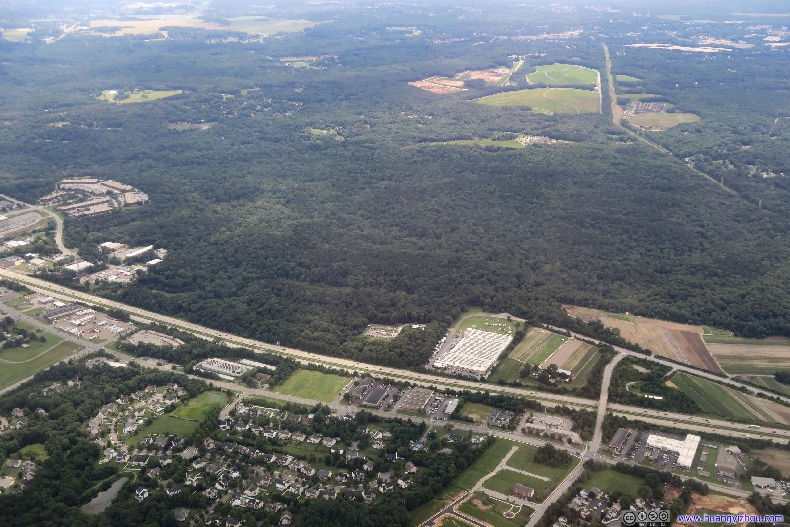
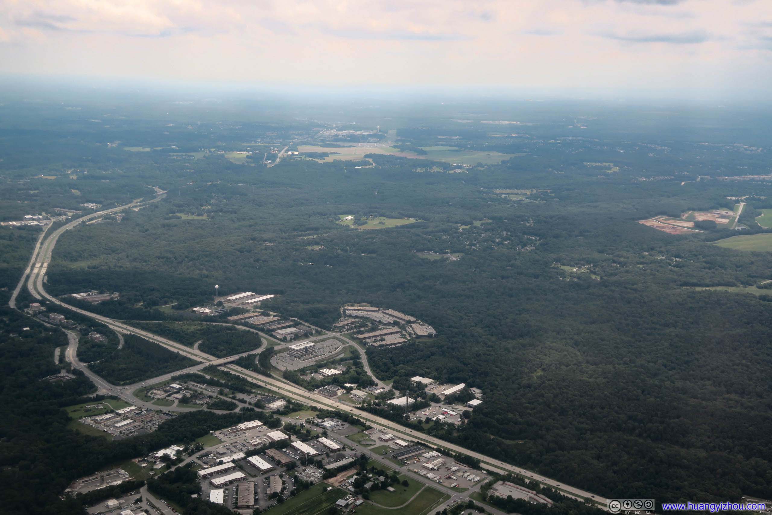
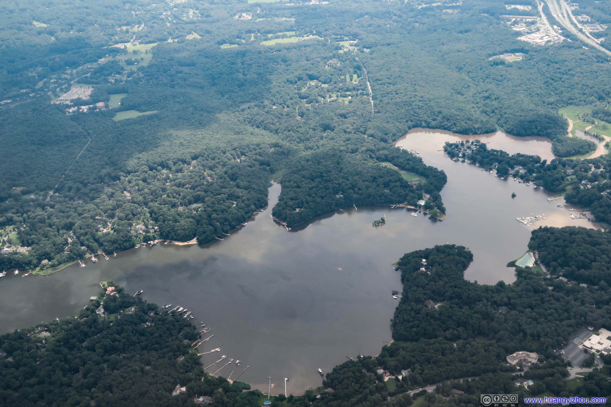
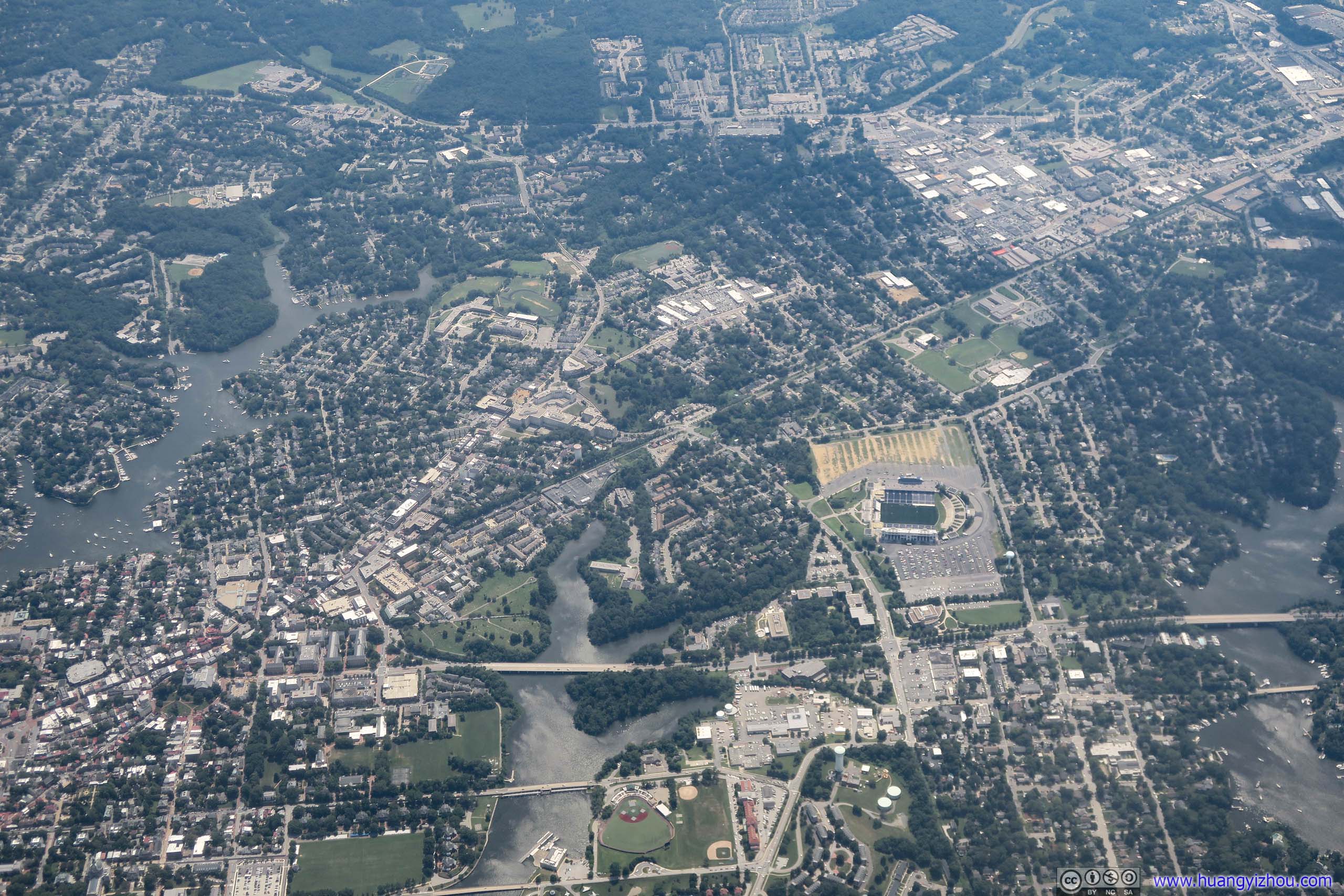
Navy-Marine Corps Memorial Stadium near the center.
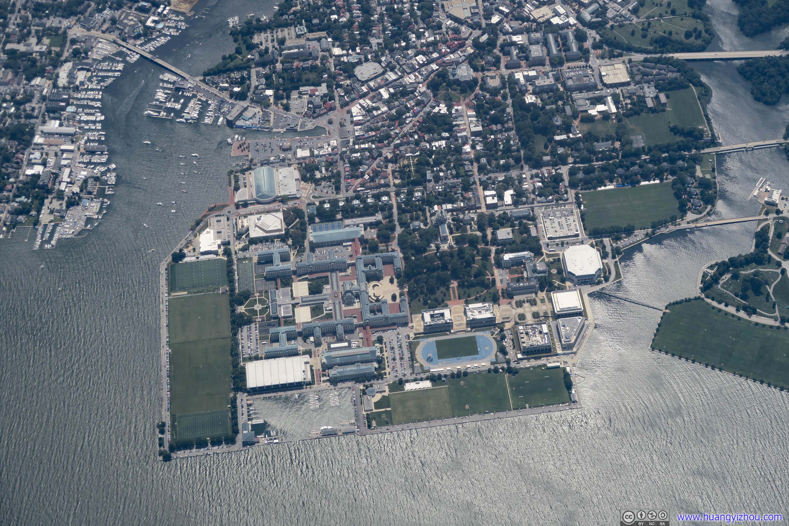
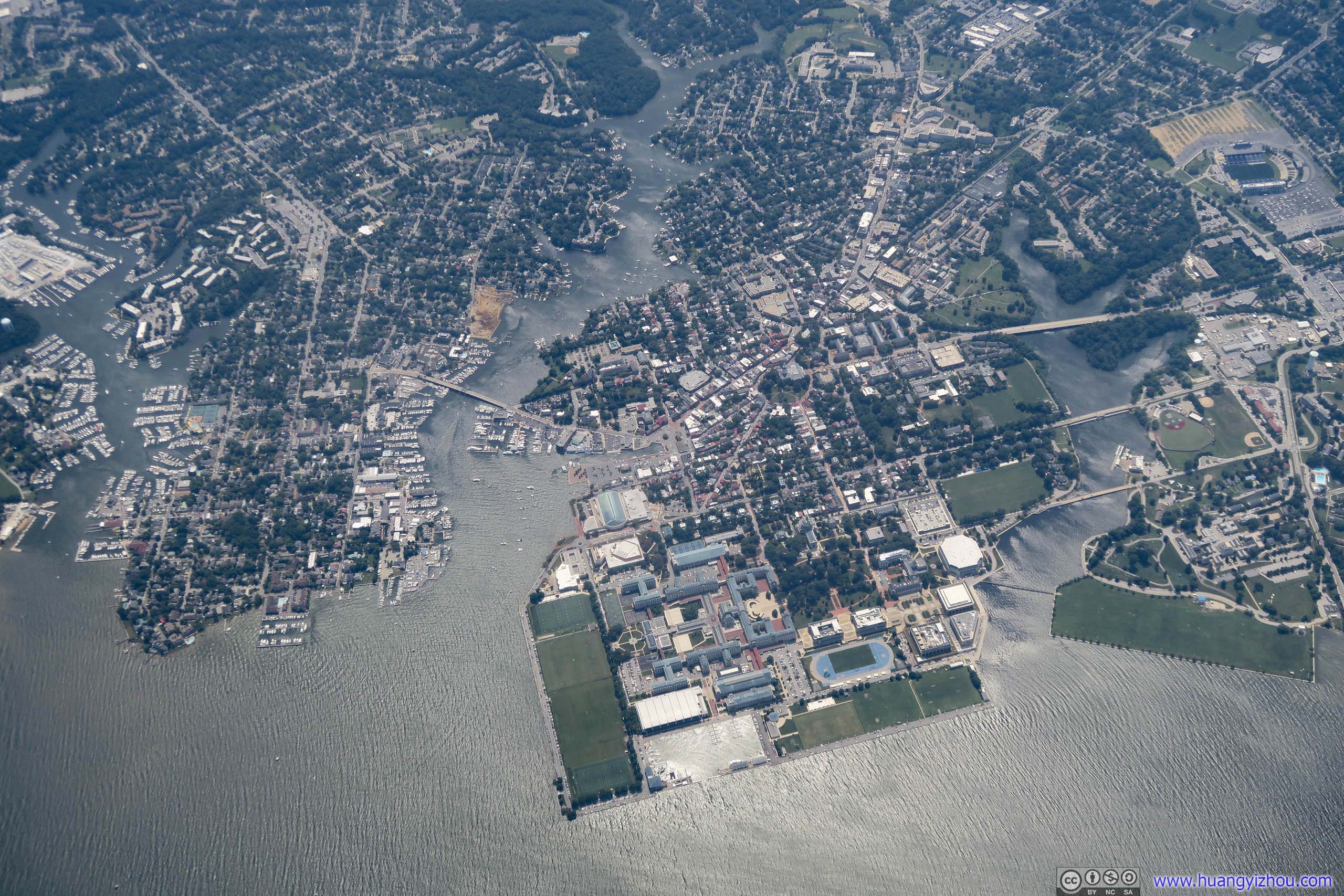
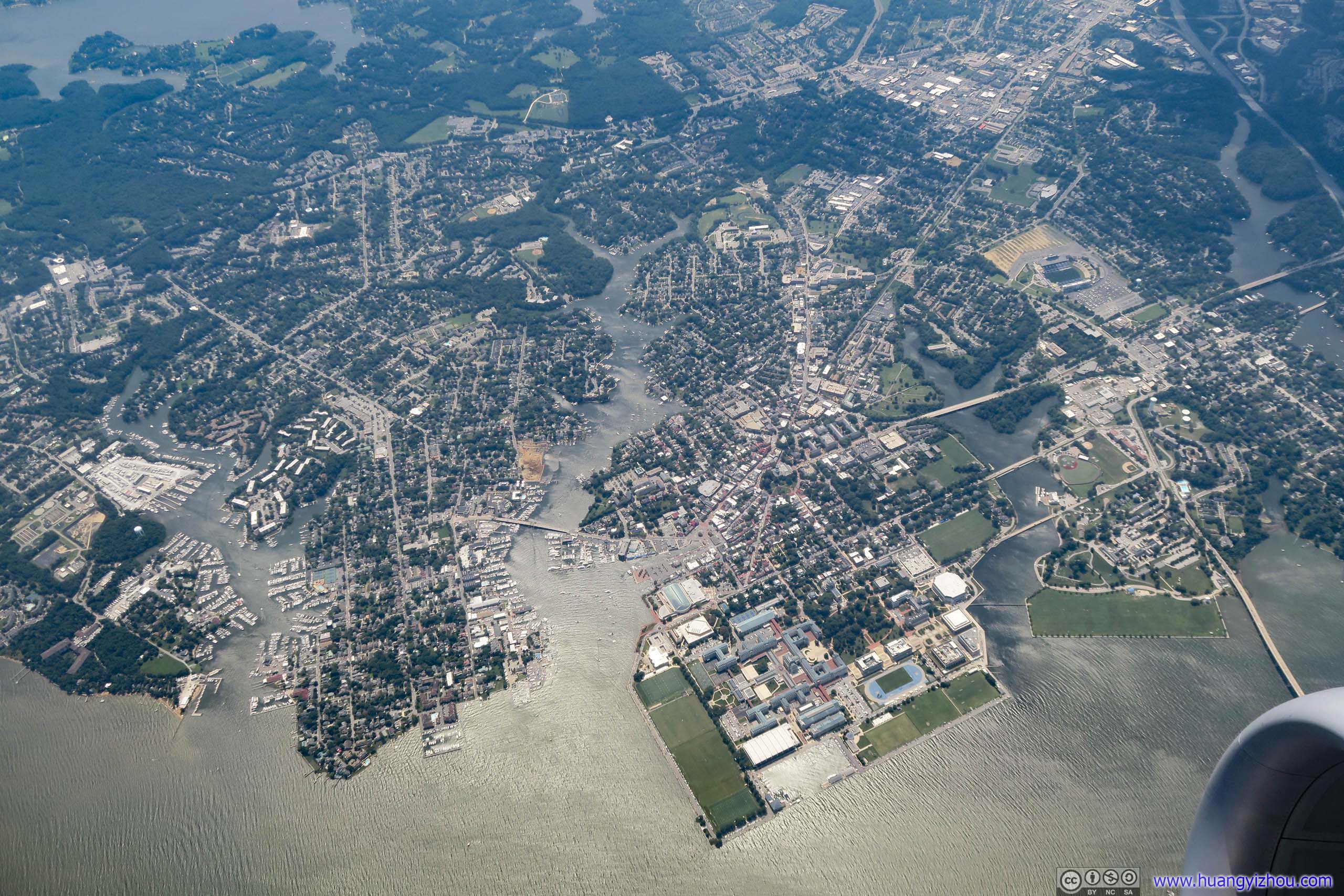
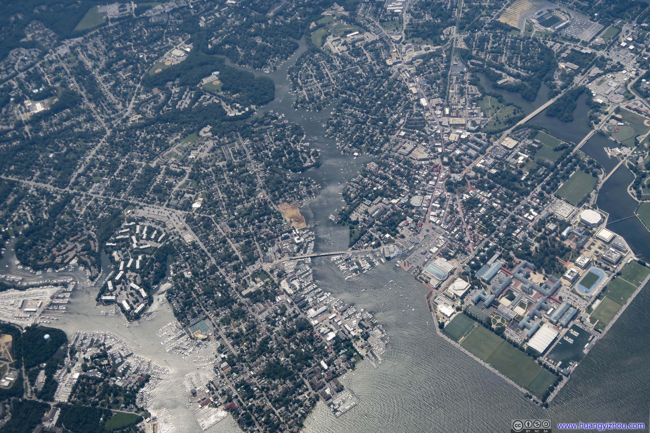

Annapolis
From these photos it's not hard to spot Maryland's State House in this capital city, the oldest US state capitol in continuous legislative use.
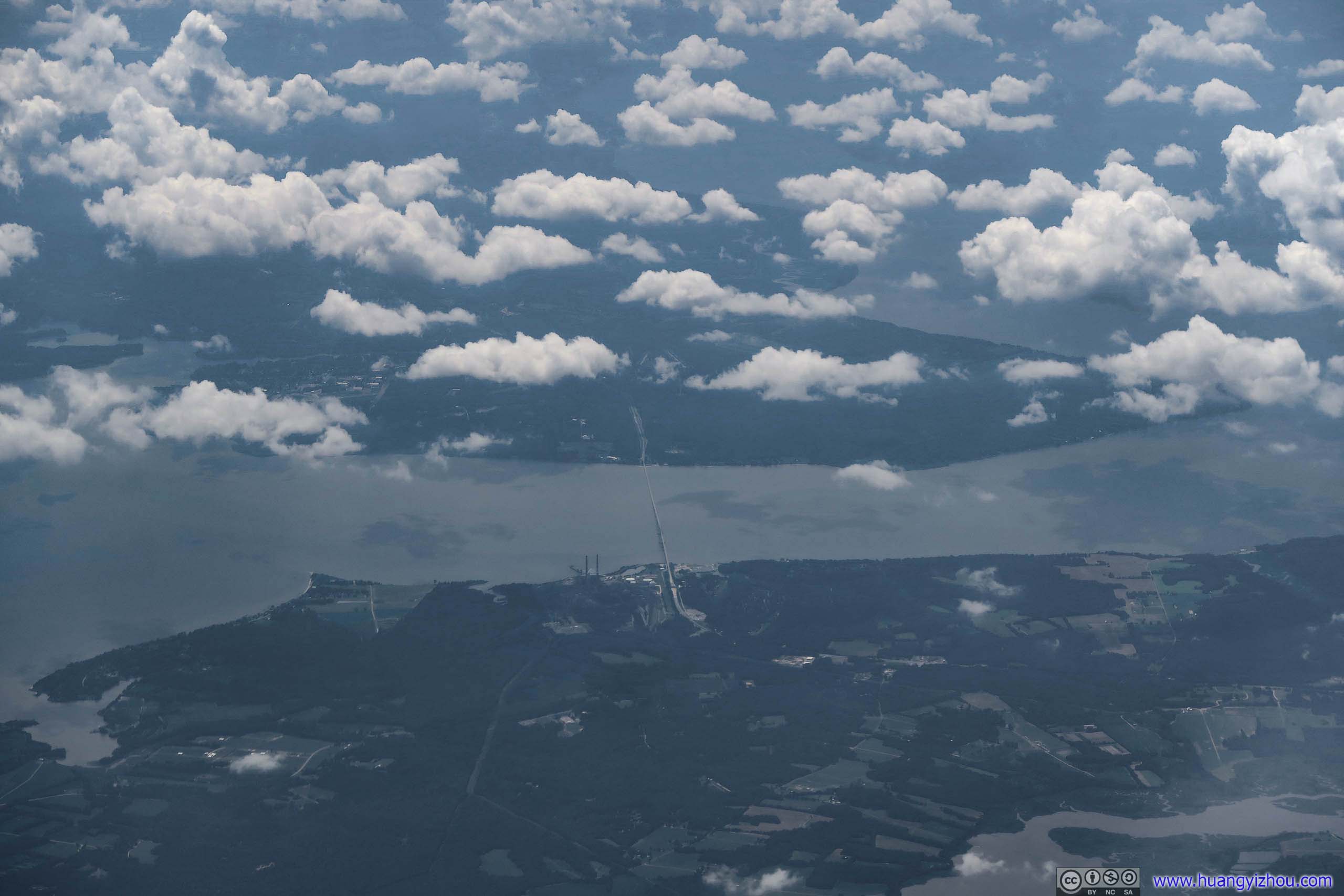
My favorite route heading up North into DC. It would be much better if areas North of this bridge in Maryland weren't that developed.
Unfortunately, the unexpected hold on the ground did result in me going through episodes of Detective Conan, which I reserved for this trip, at a rate much faster than I anticipated. So not long after we were airborne I depleted my video supply for the trip, meaning I had got between trying to sleep and watching landscape to kill the prolonged journey time brought by this detour. Oh yes, the seat back magazines could be gone through in five minutes.


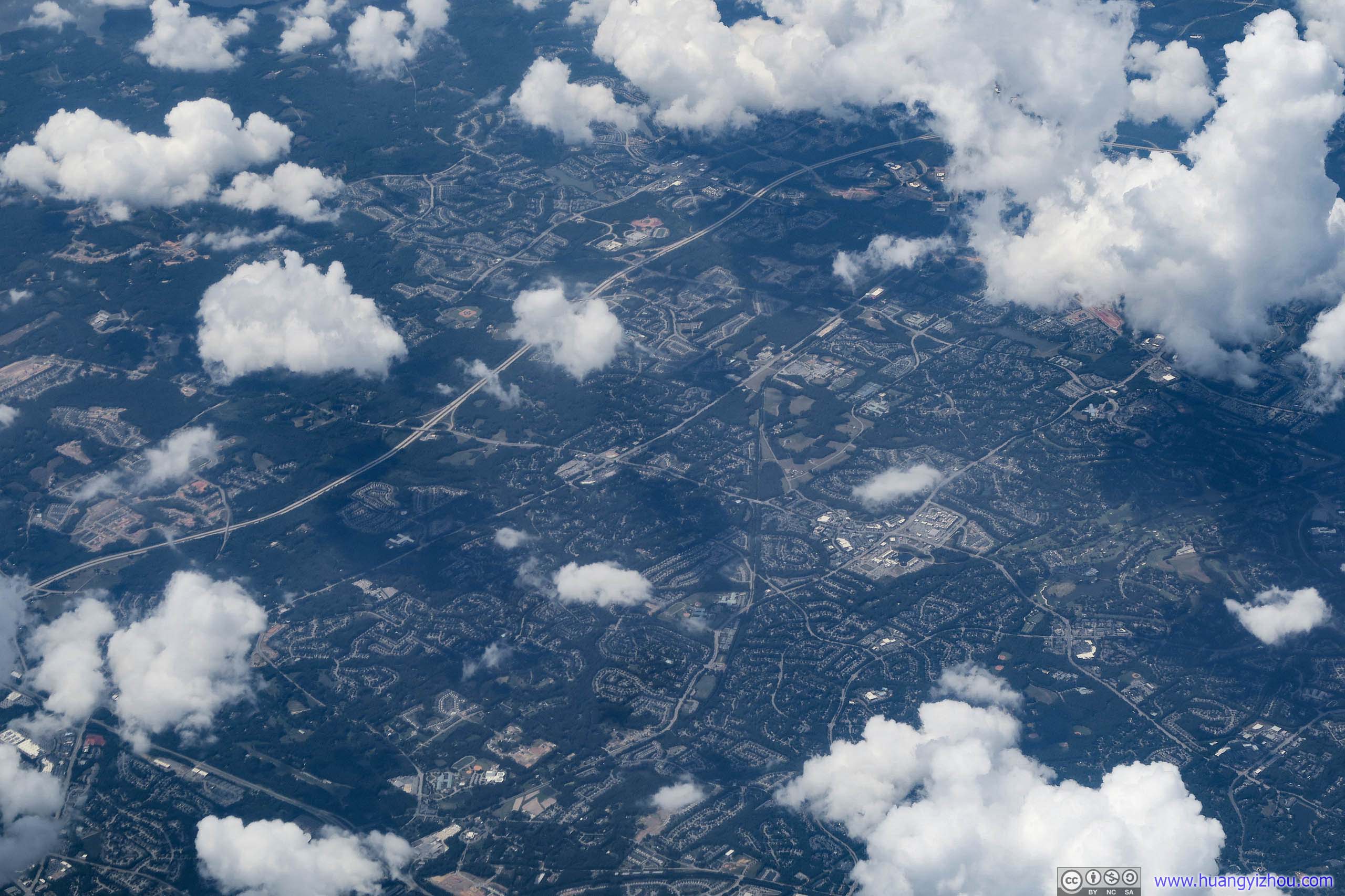
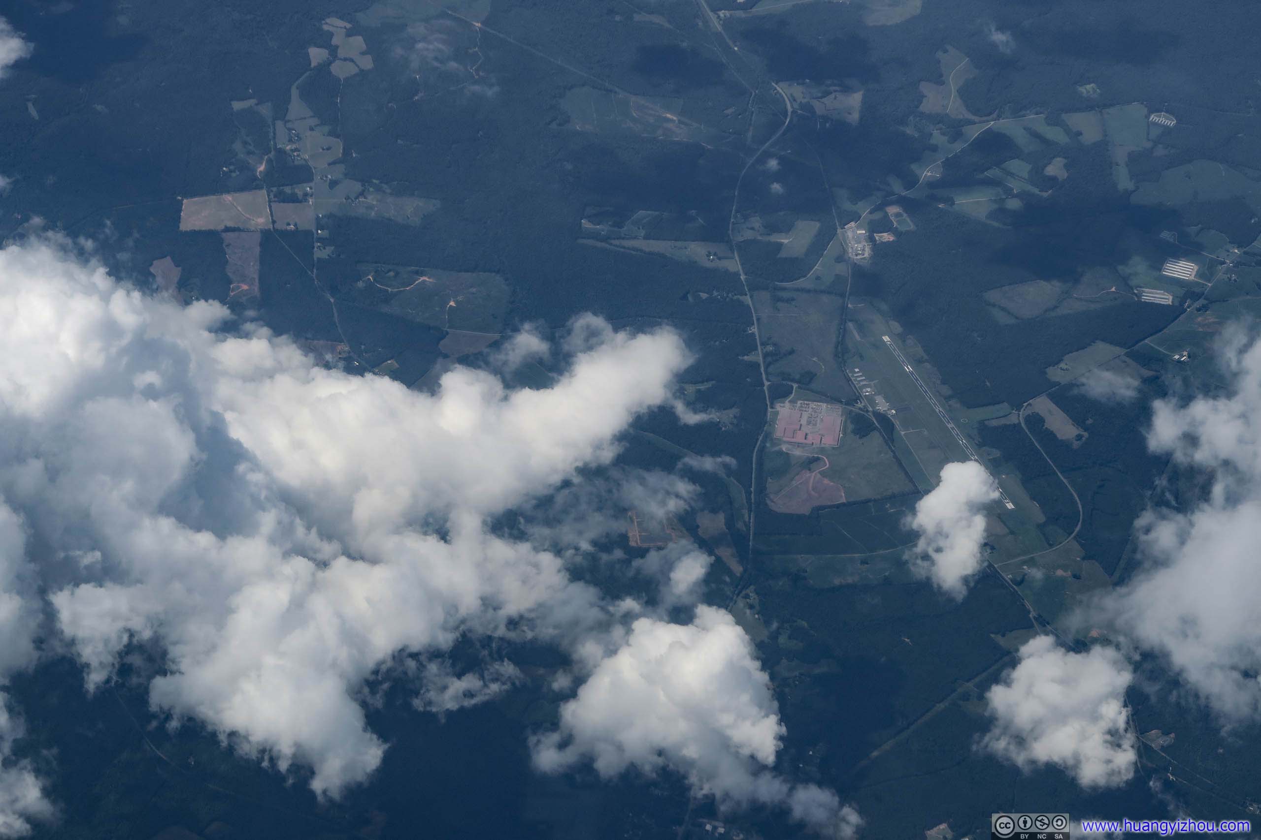
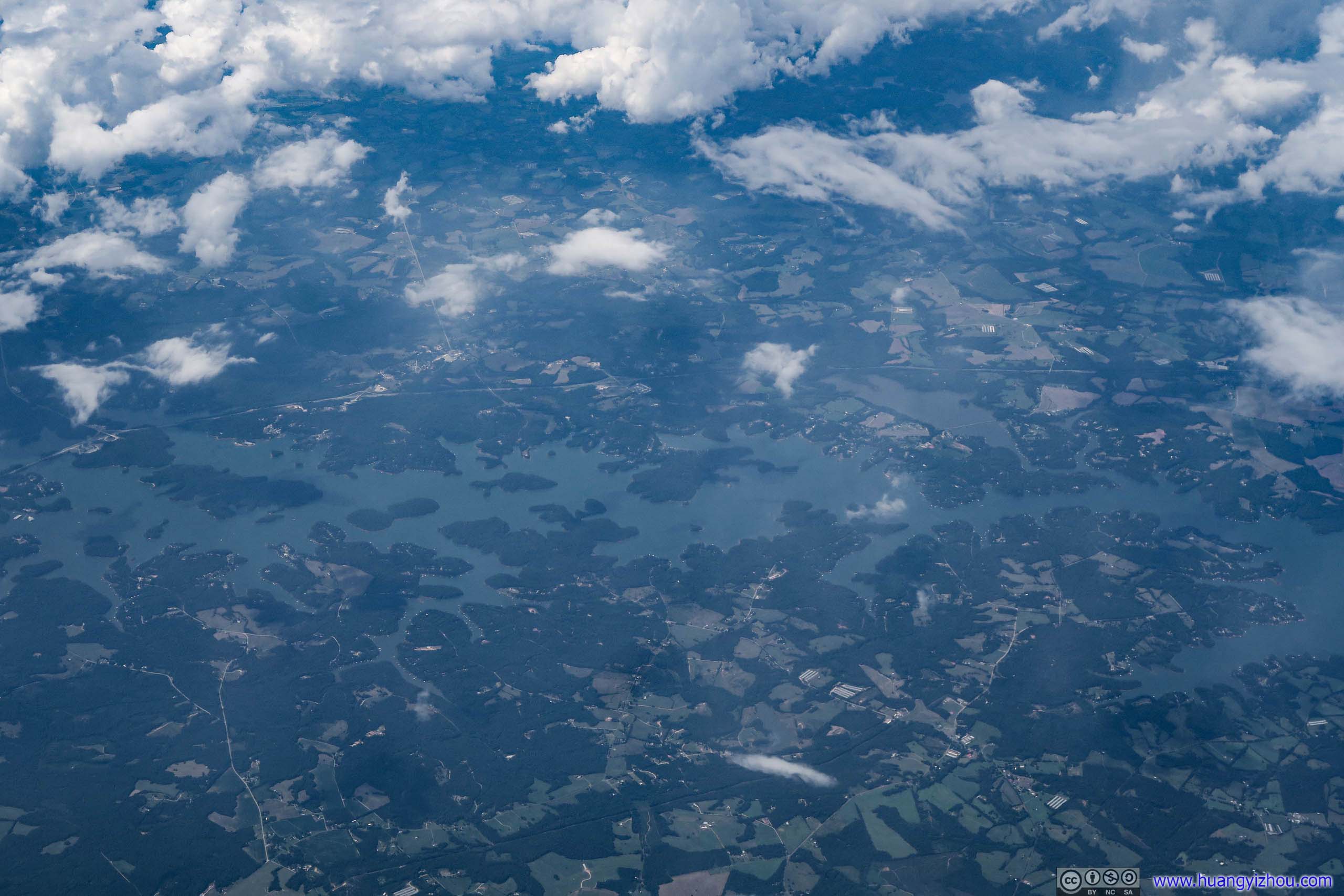
Artificial lake created by Hartwell Dam. State line of Georgia and South Carolina crosses right in the middle of this picture.
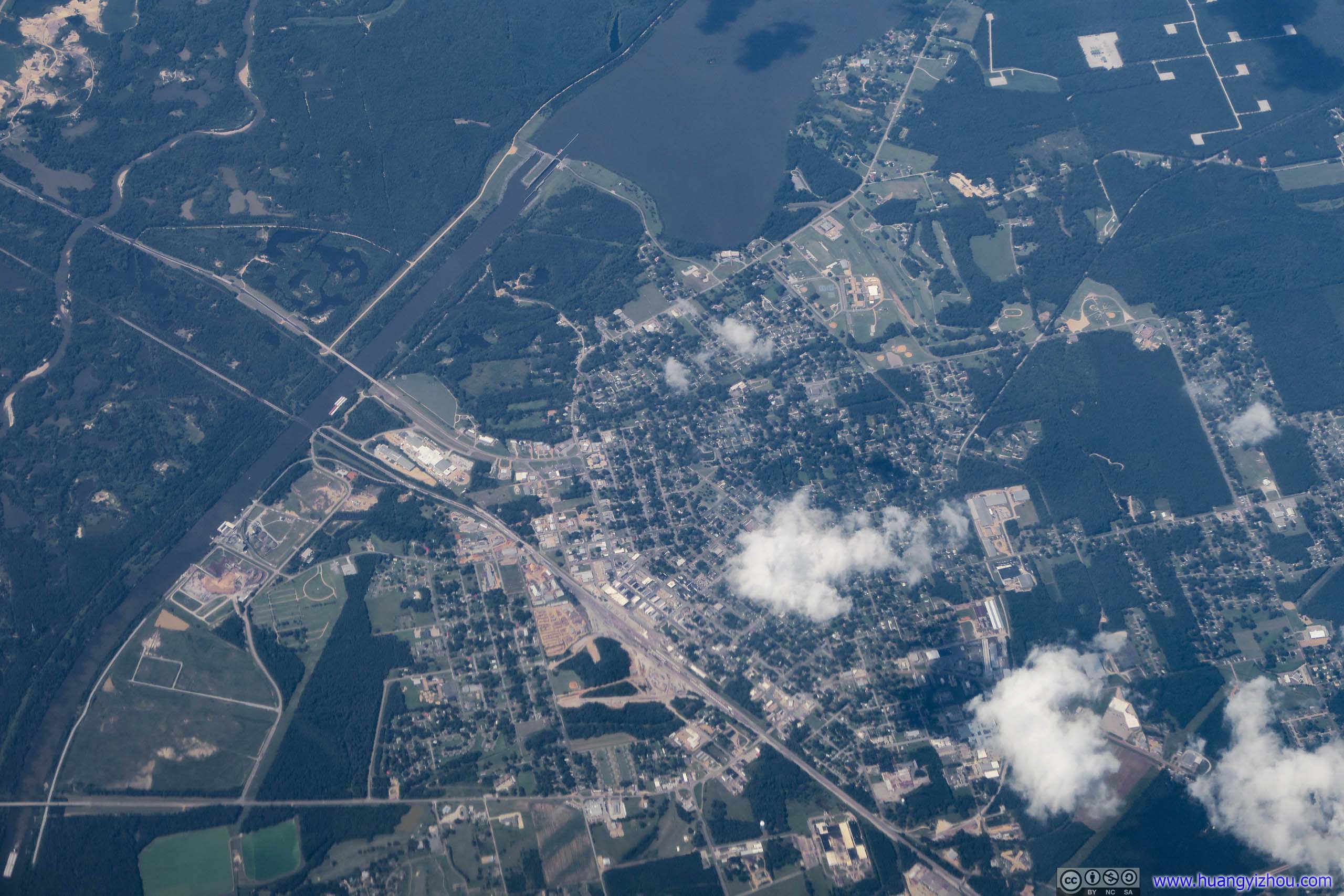
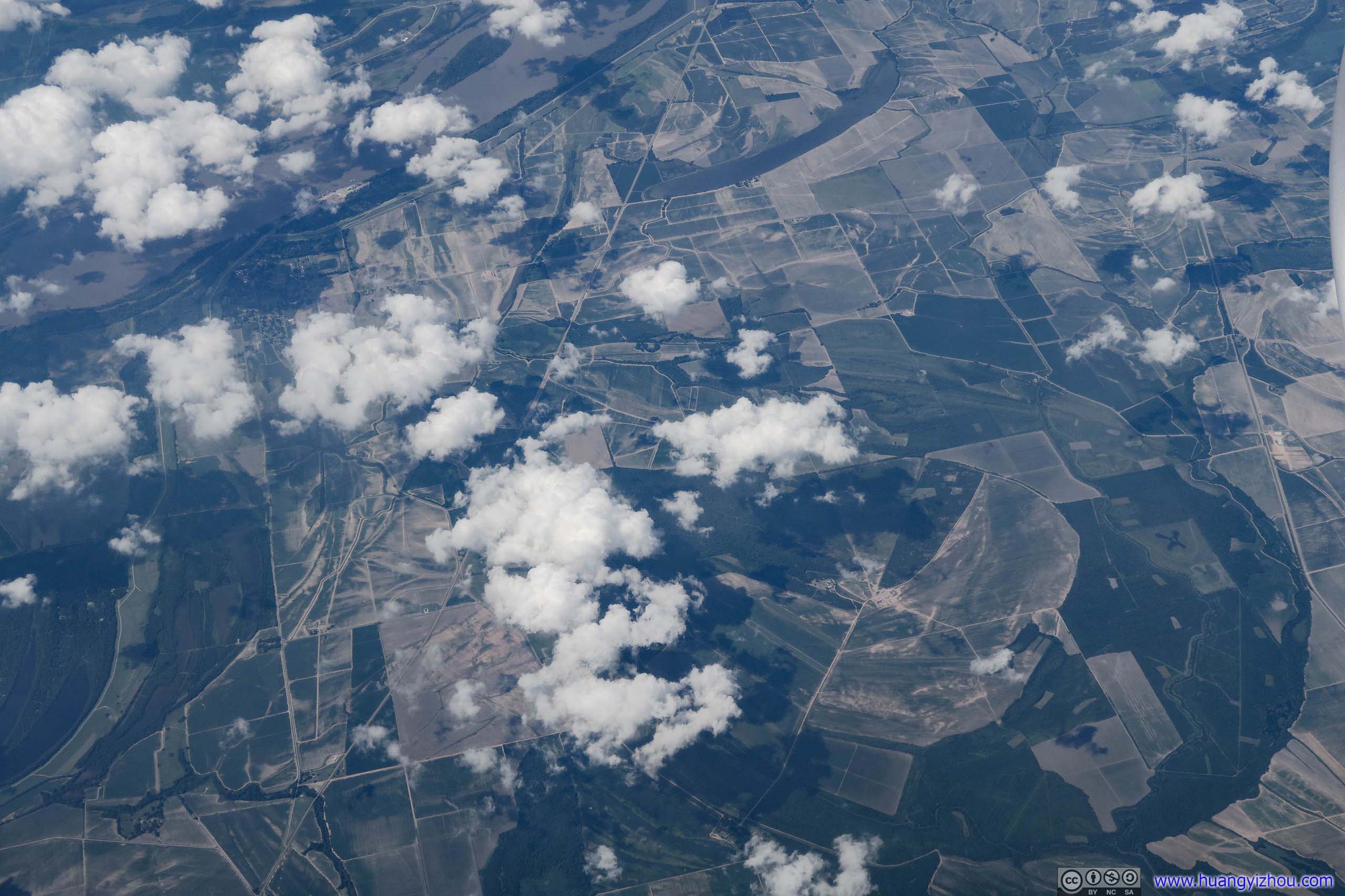
Outside Clarksdale, it looked very much like the locals did some engineering work and changed the course of Mississippi river for farming.
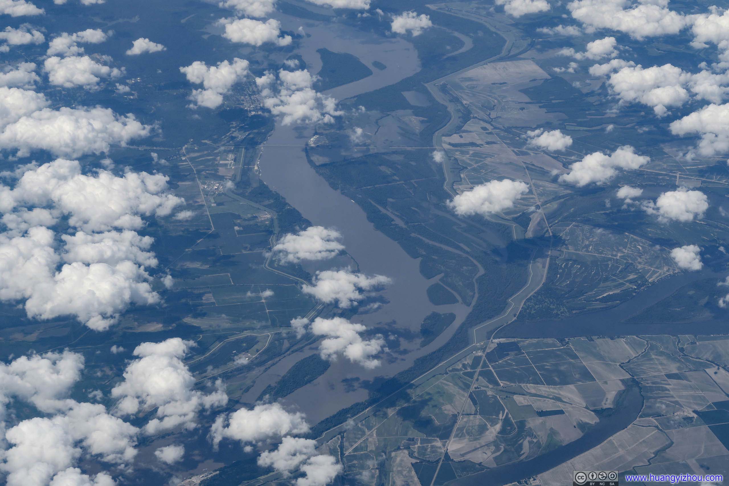

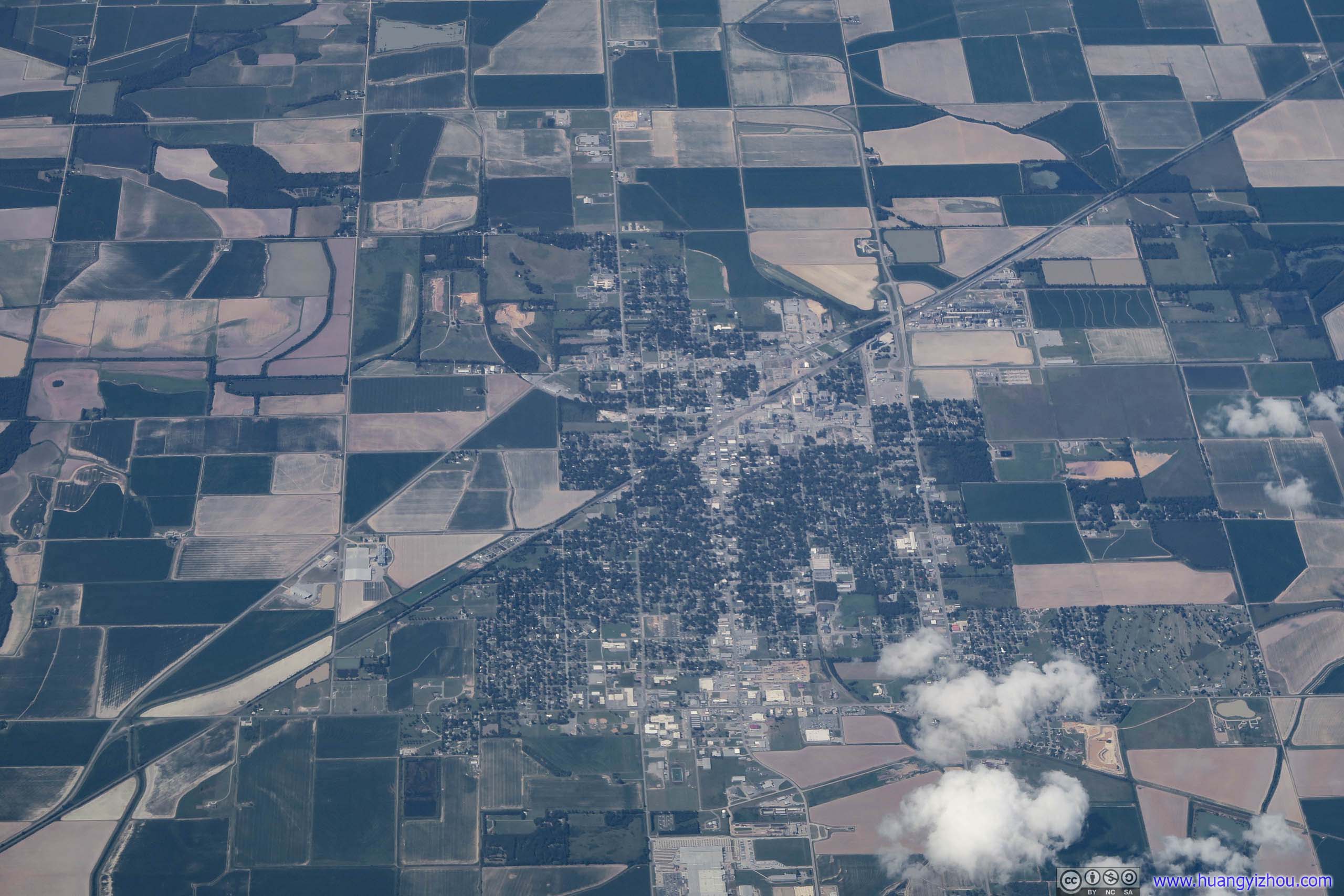
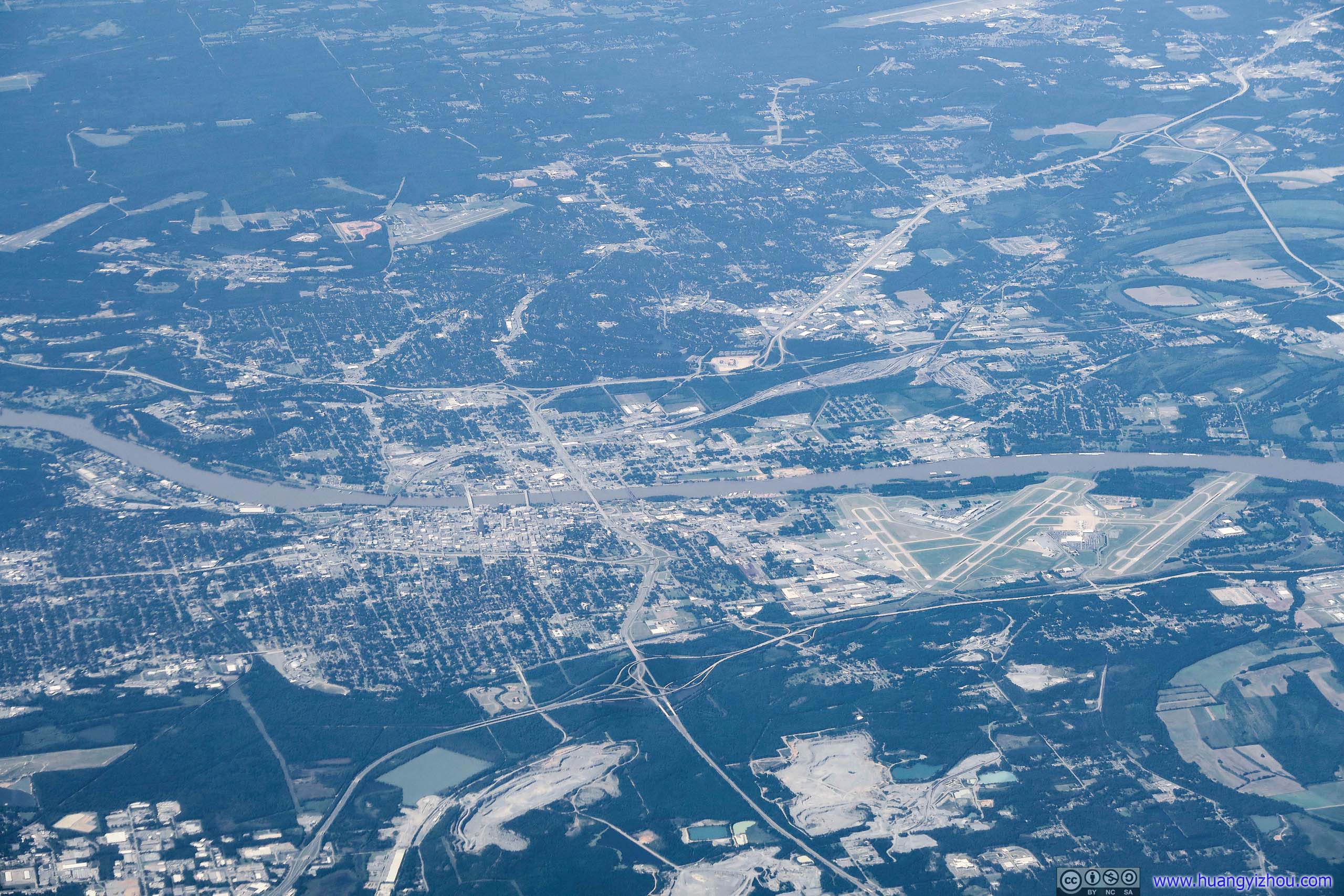
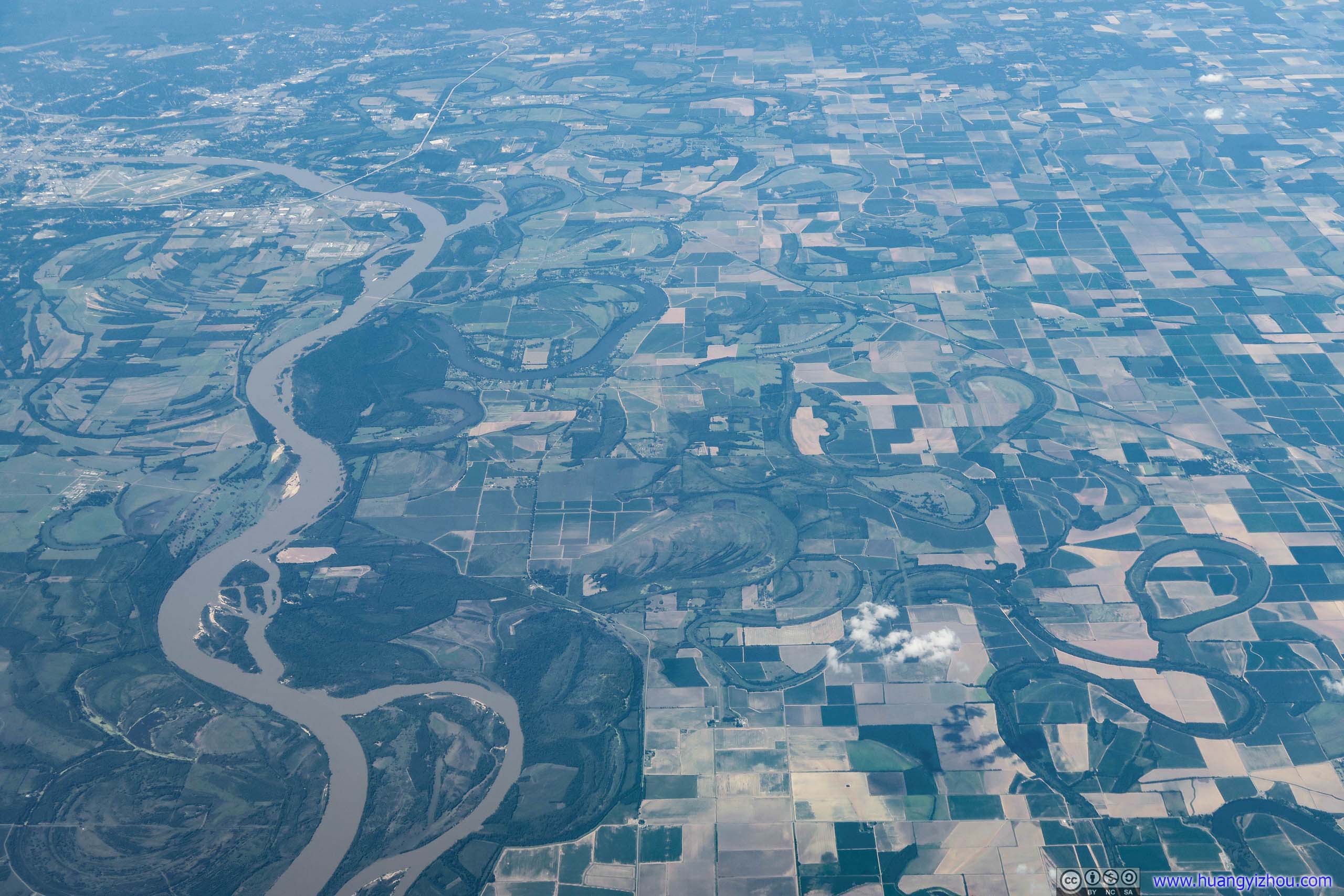
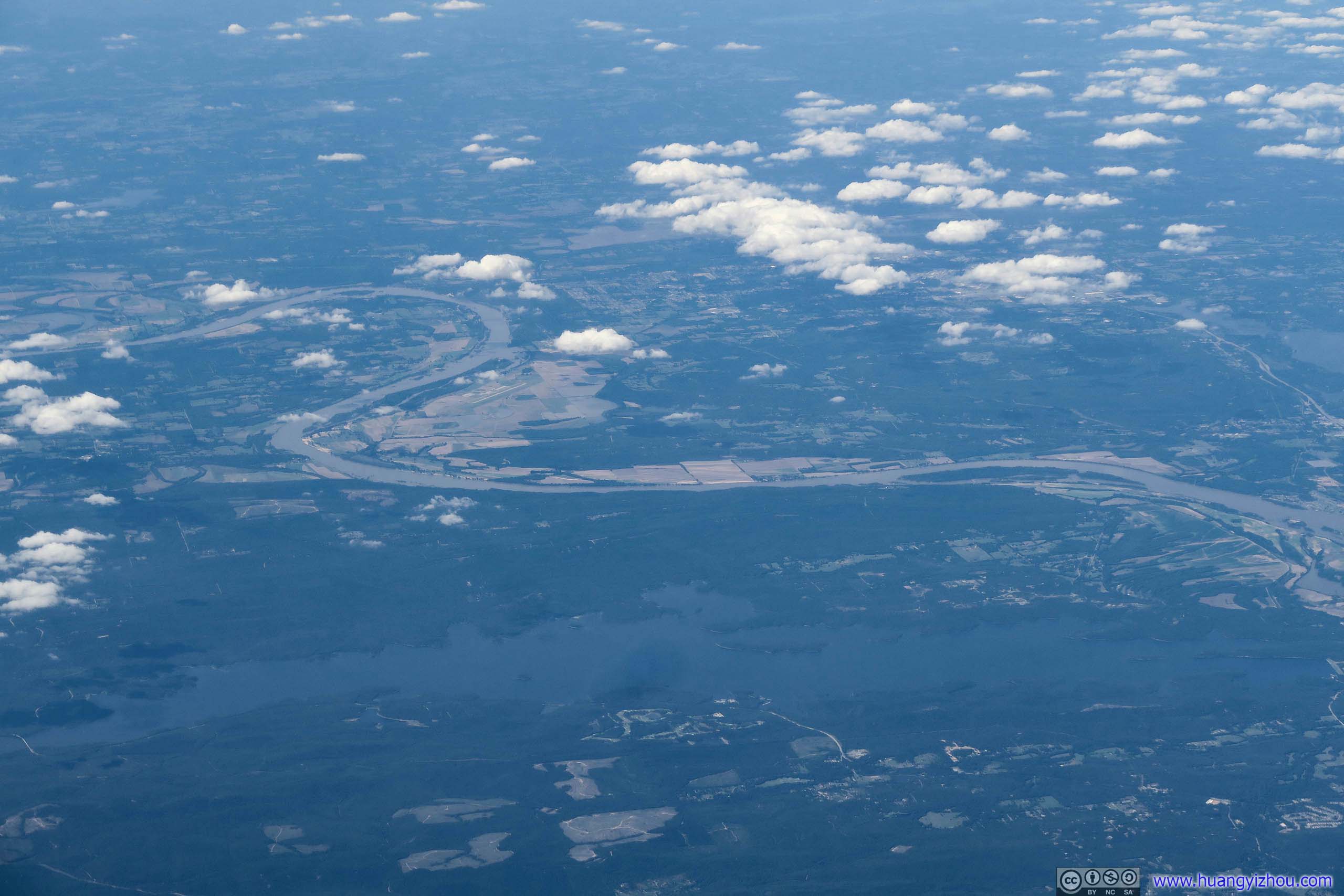
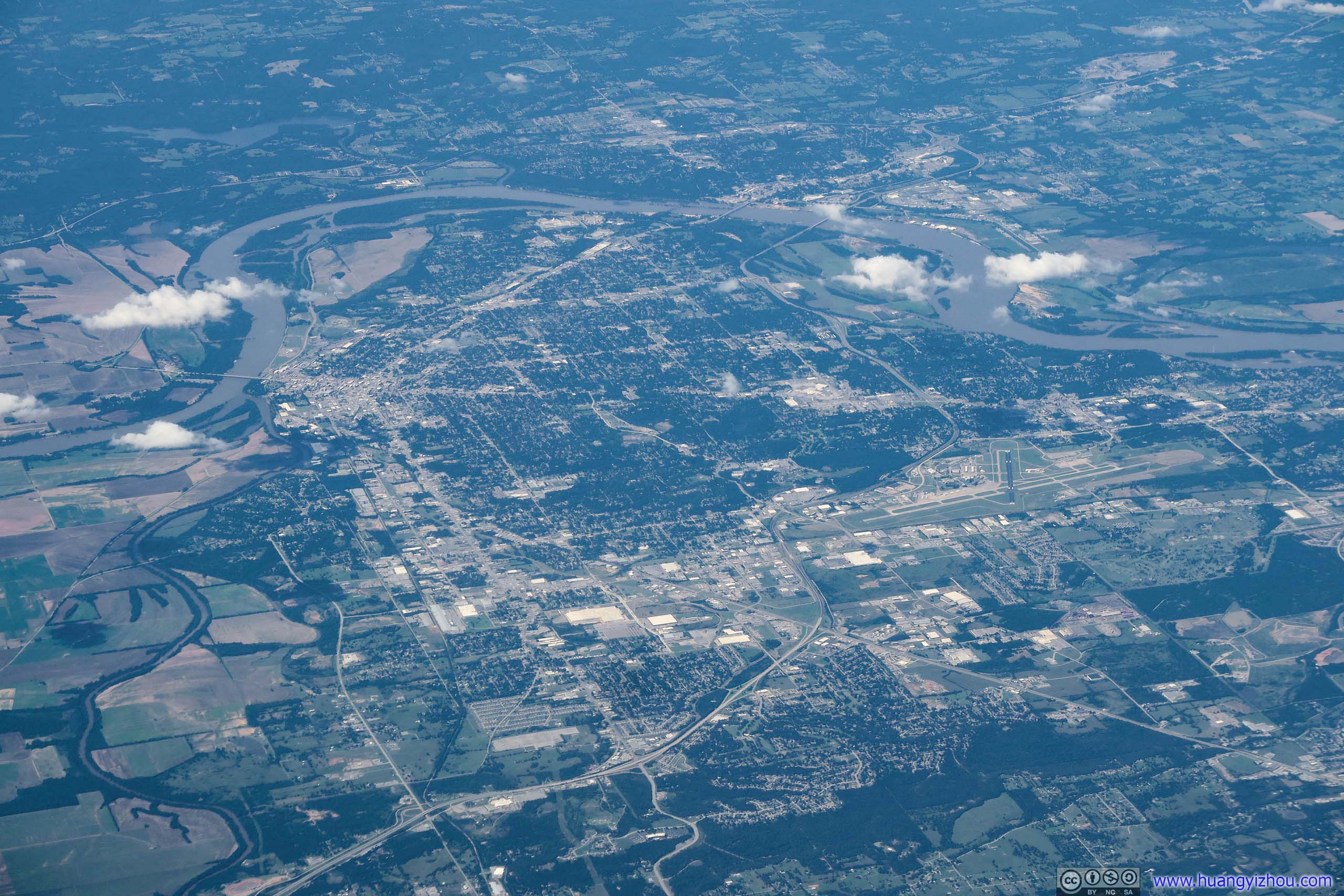
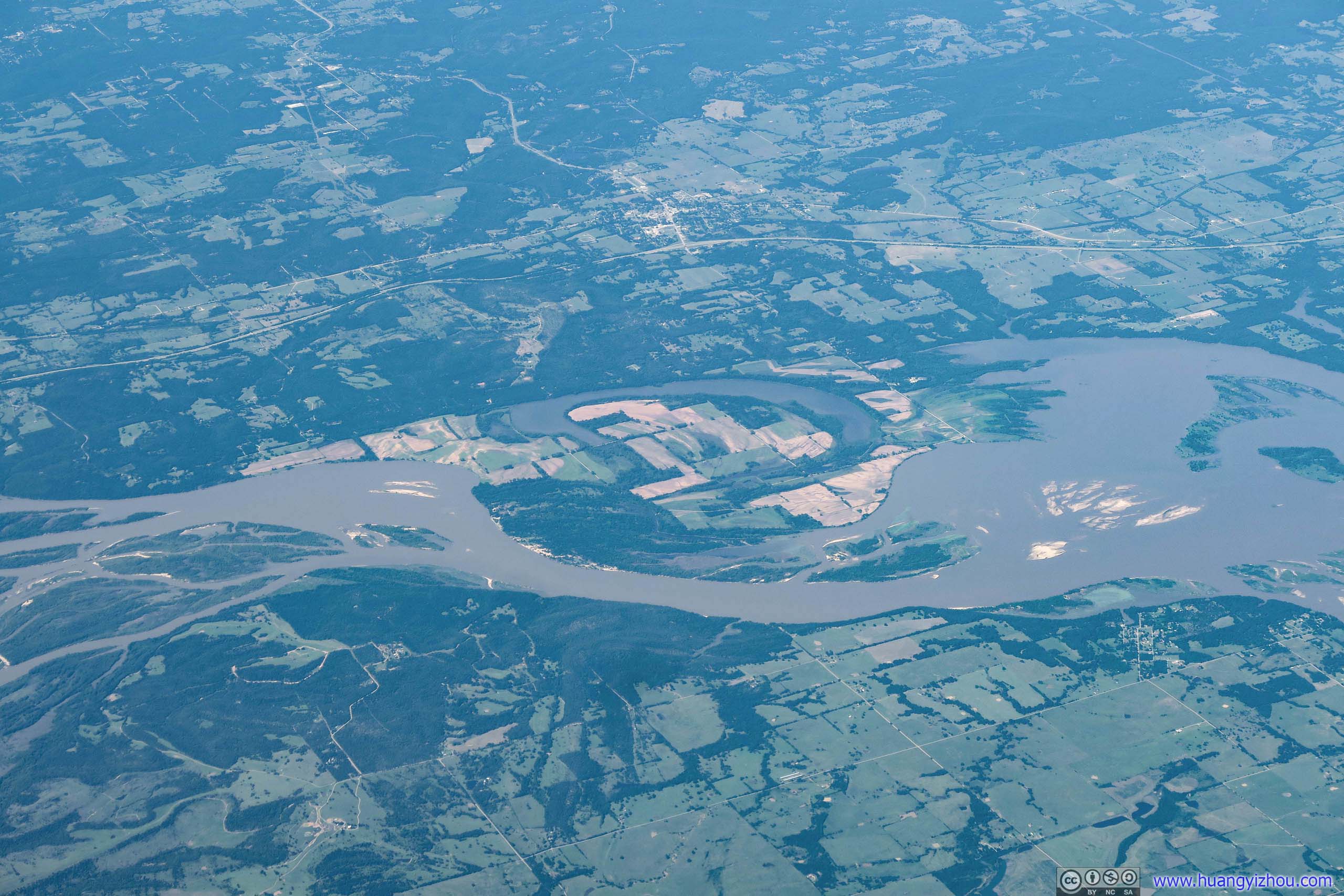
As told by Google Maps, I didn't know why that refuge, which was the island in the middle, was made mostly of farmland.
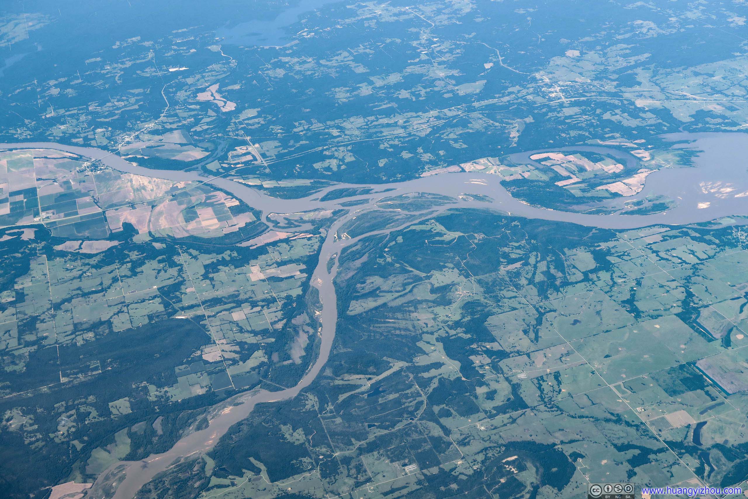
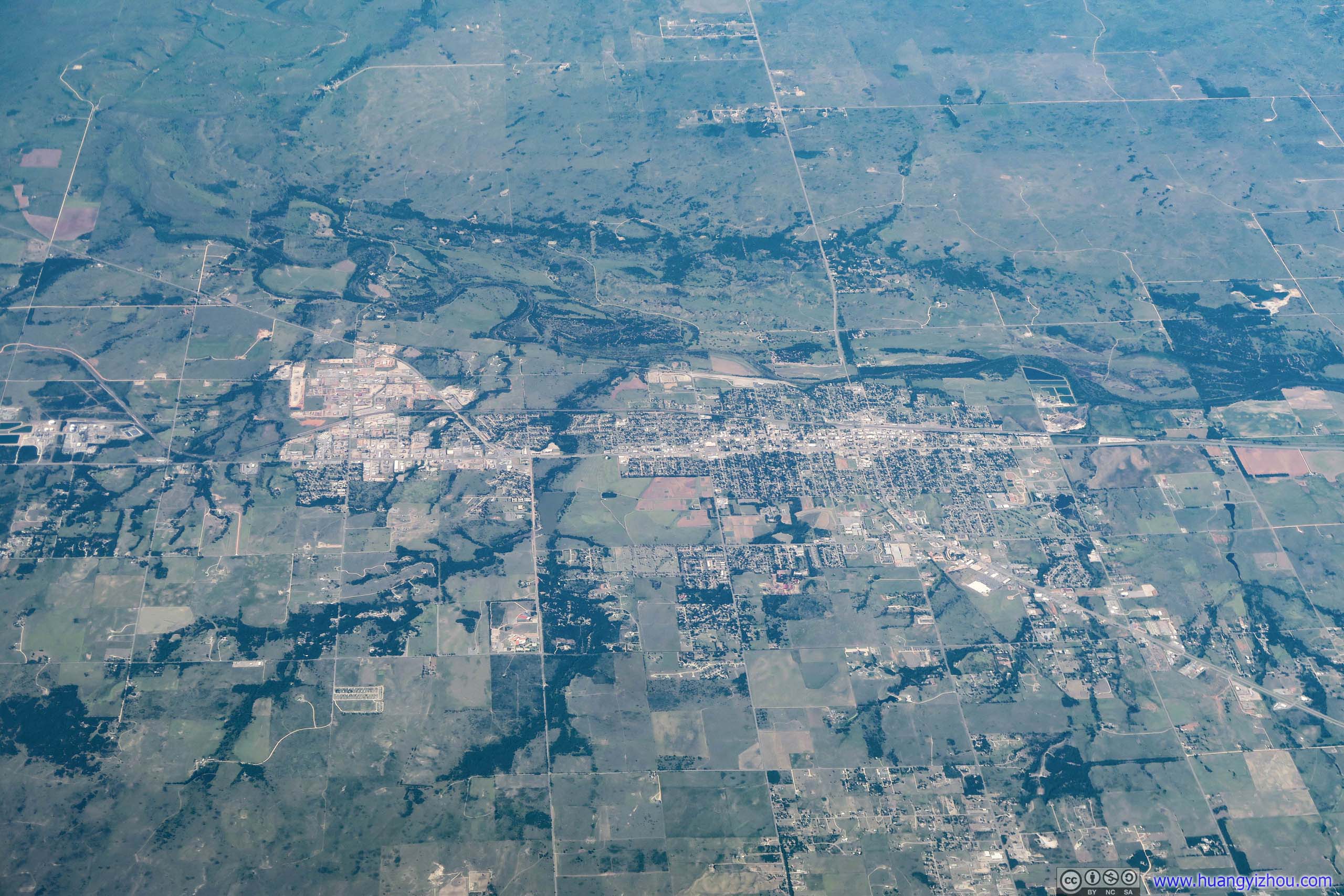
After that, we were heading into Colorado, where scenes below started to become pleasure to the eye.
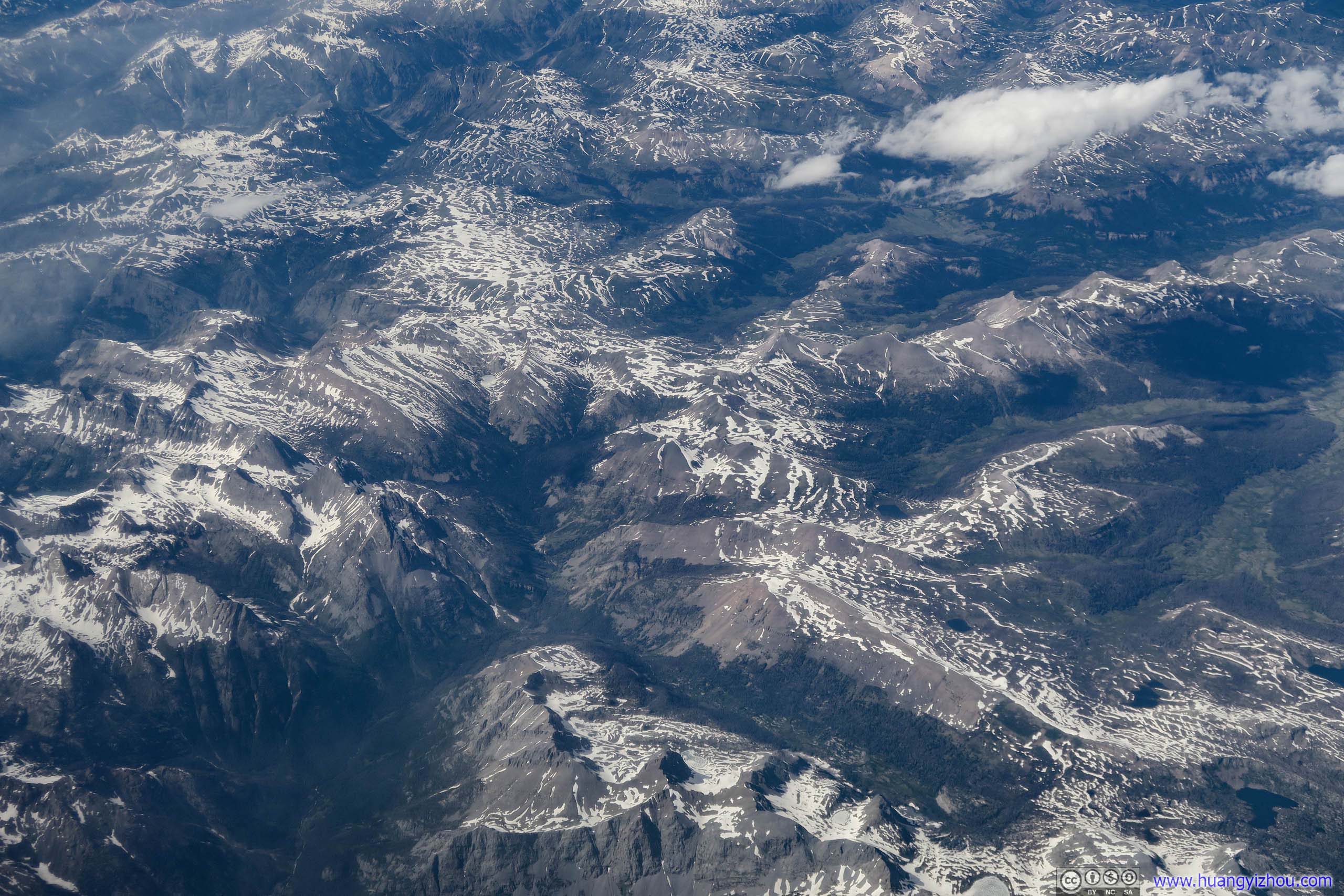
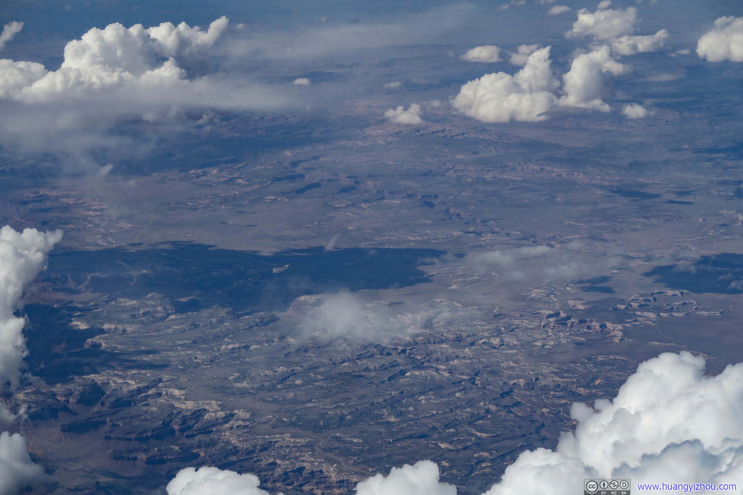

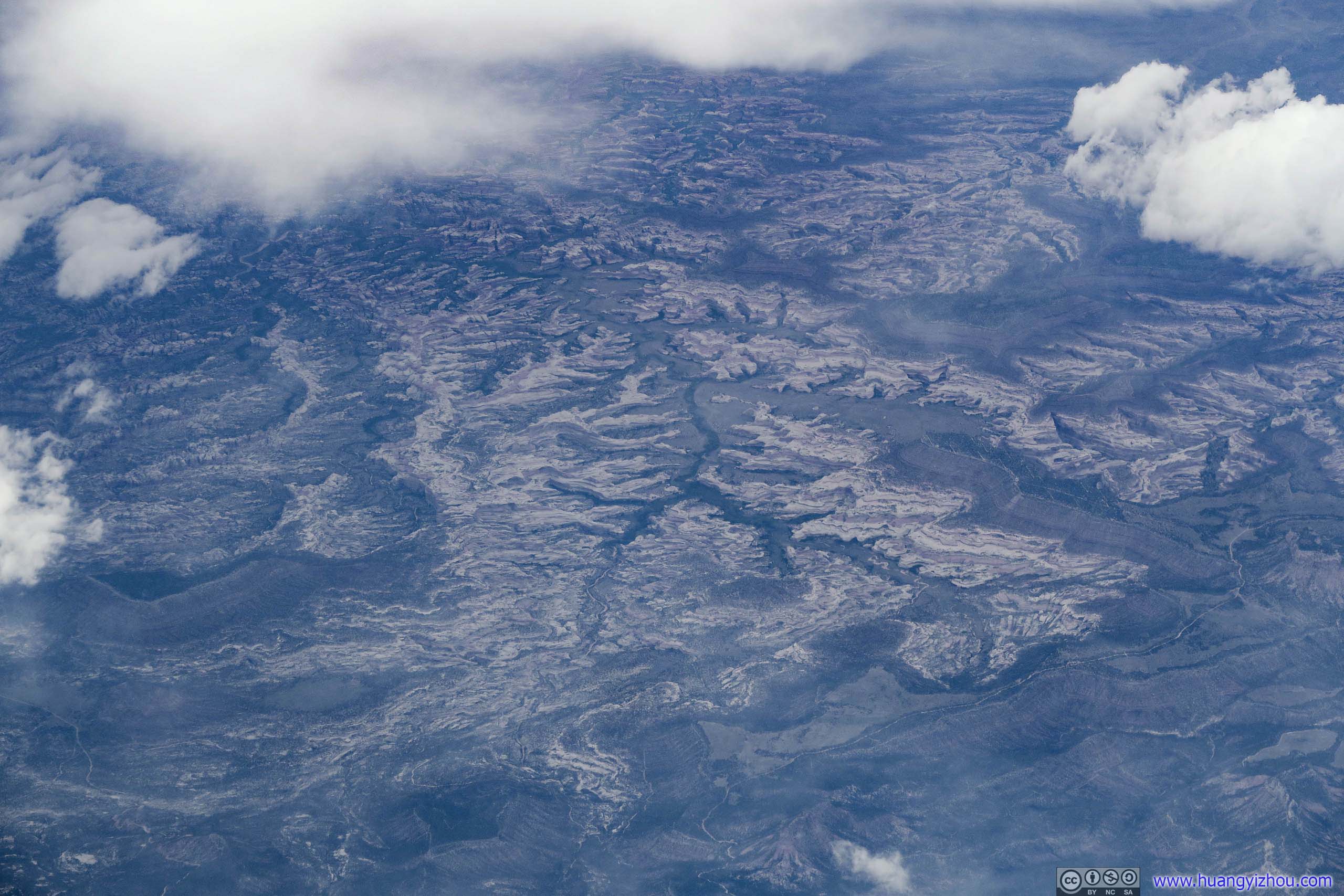
Bears Ears National Monument
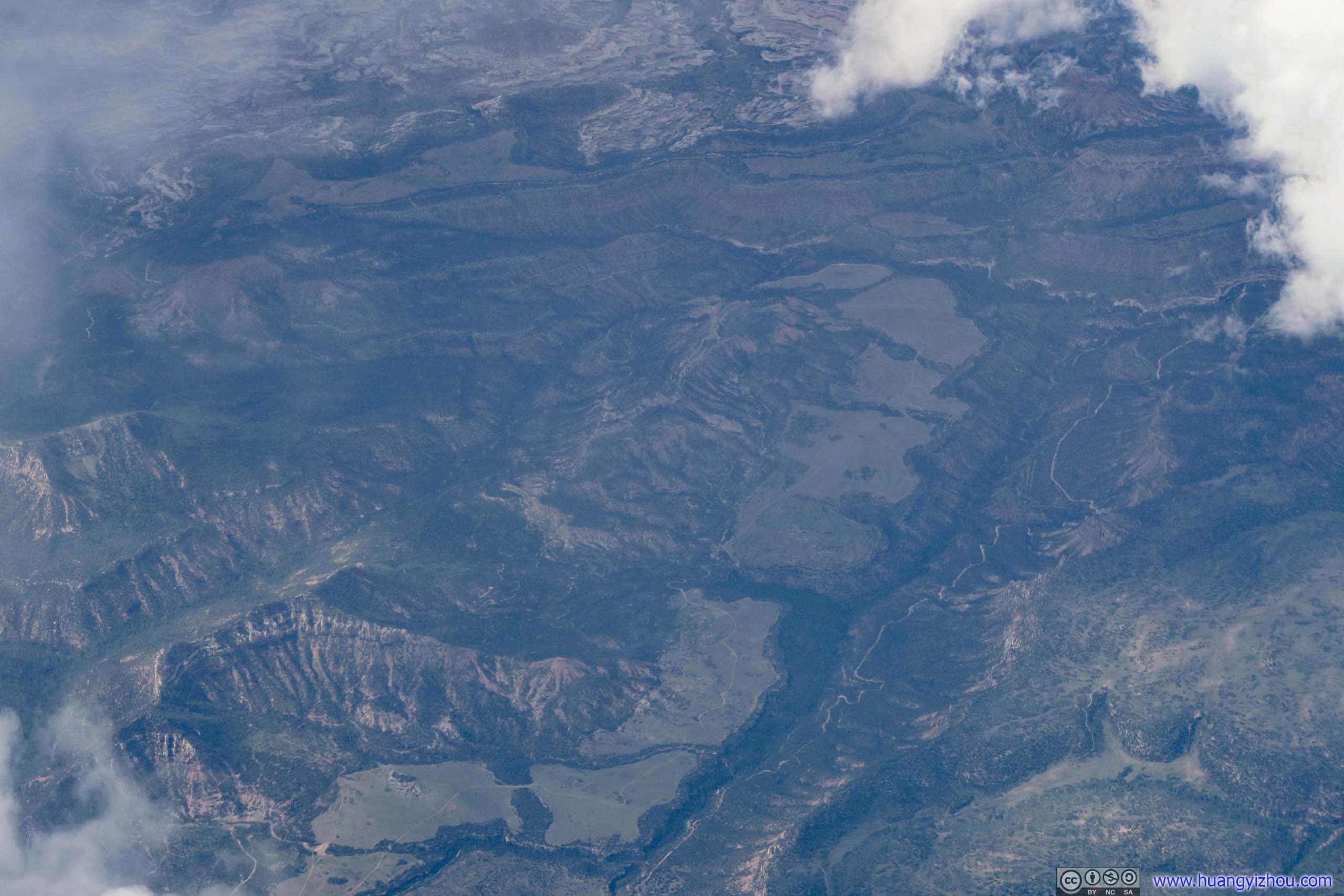
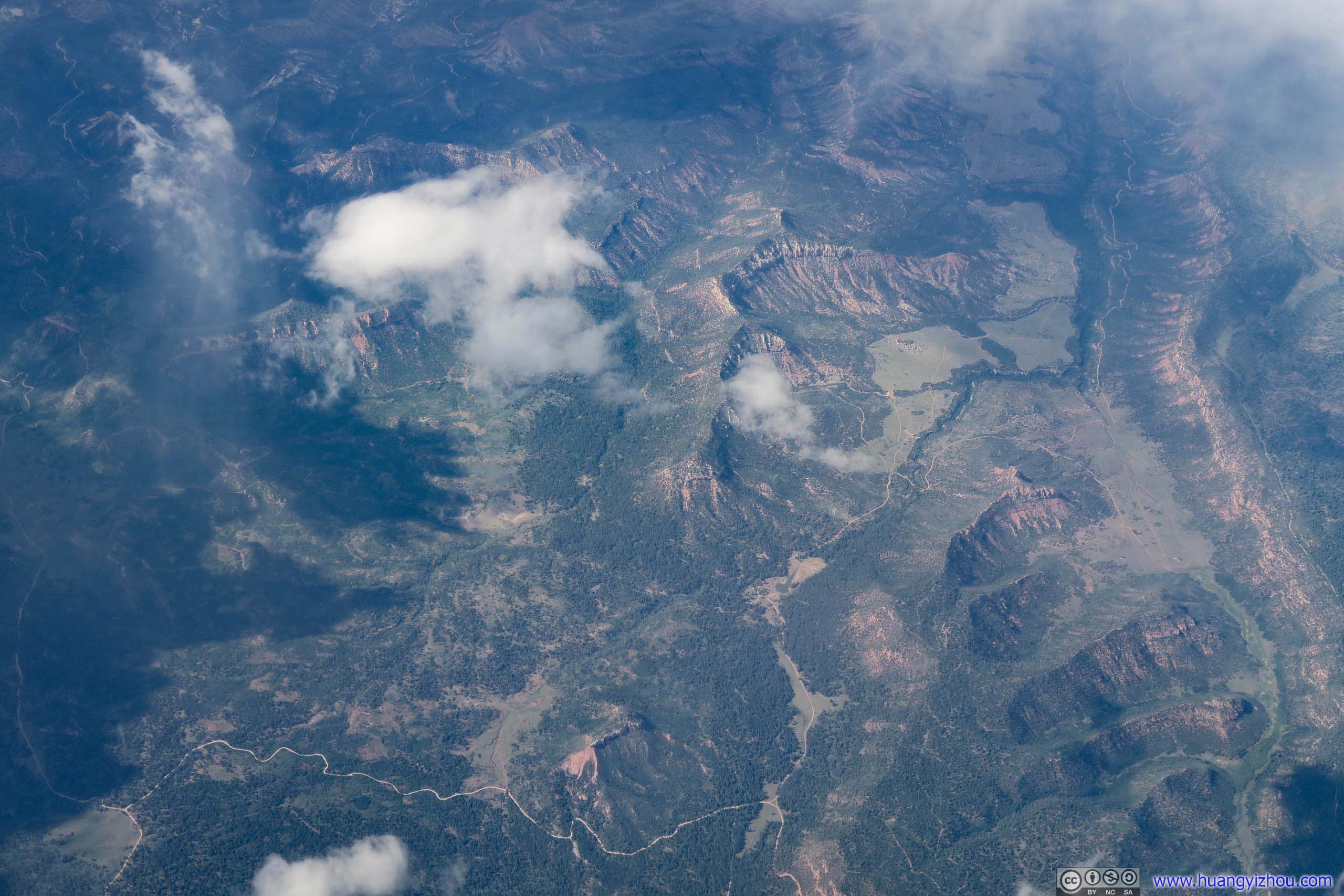
Seven Sisters Buttes North / South.
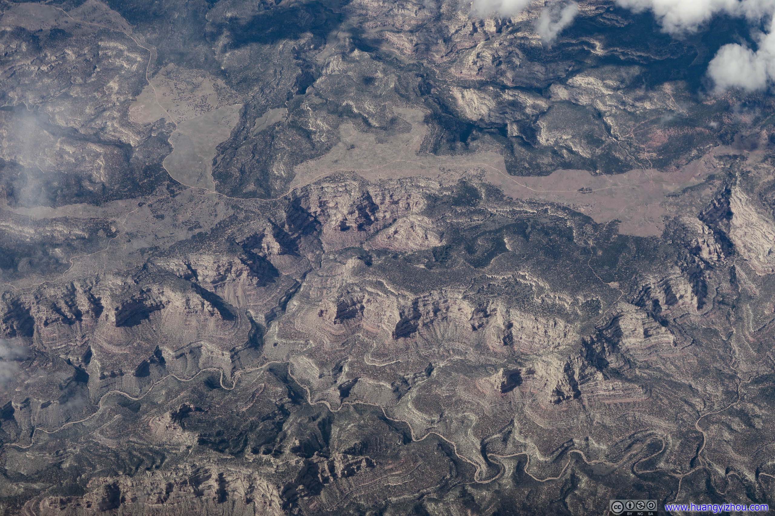
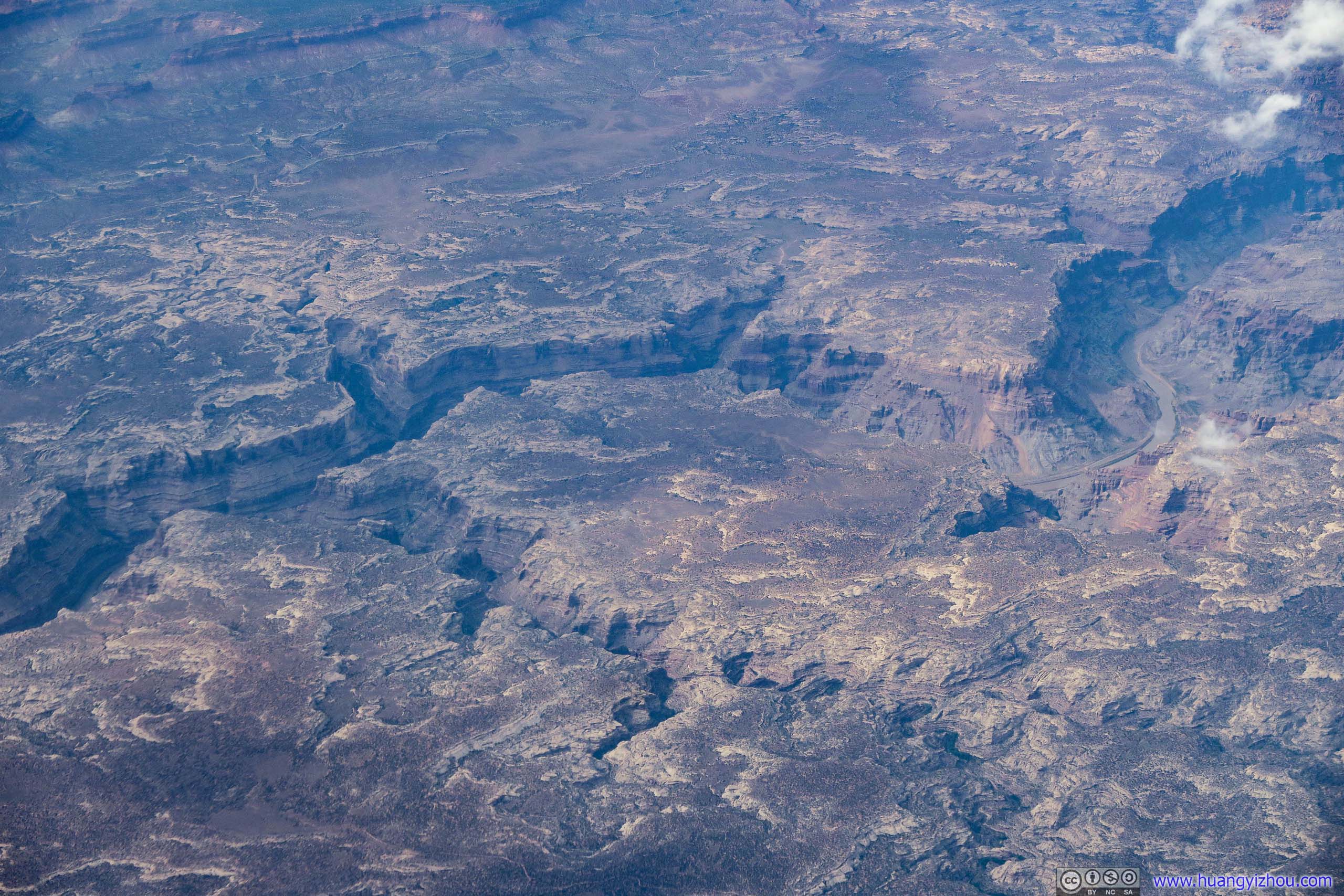
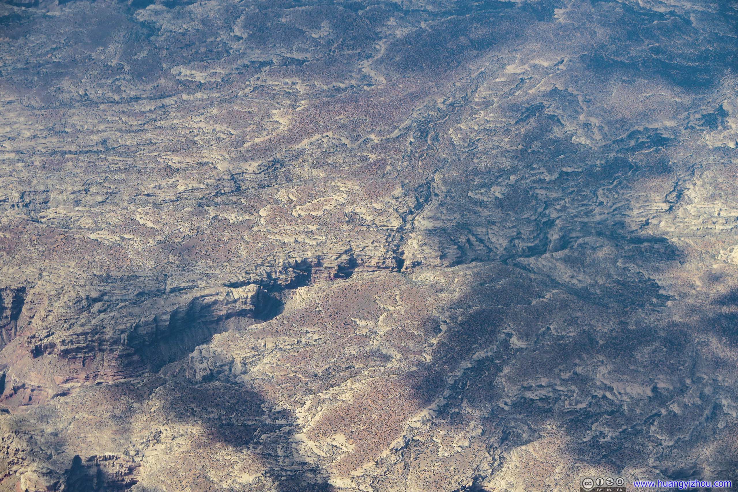
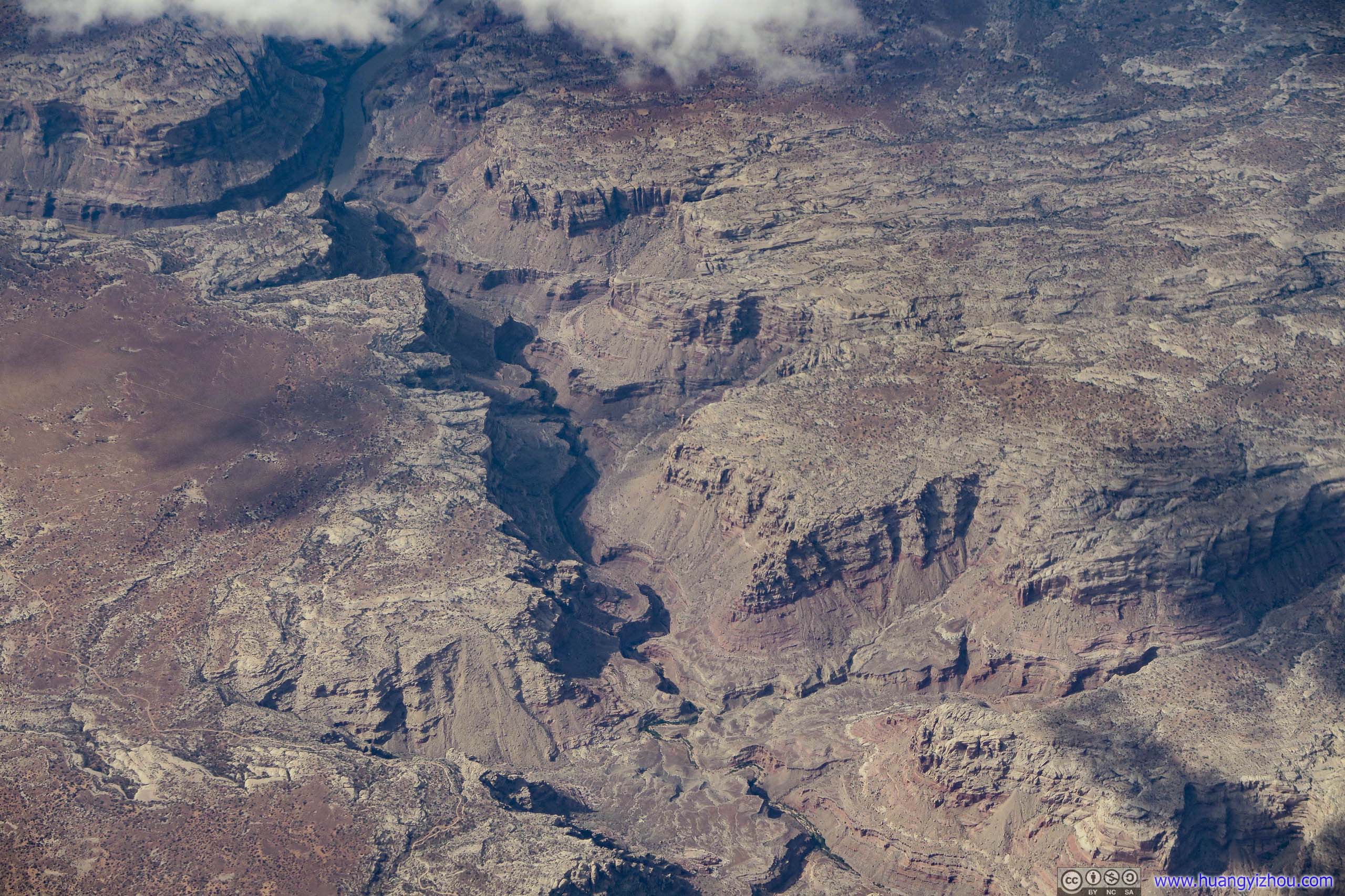
Canyon

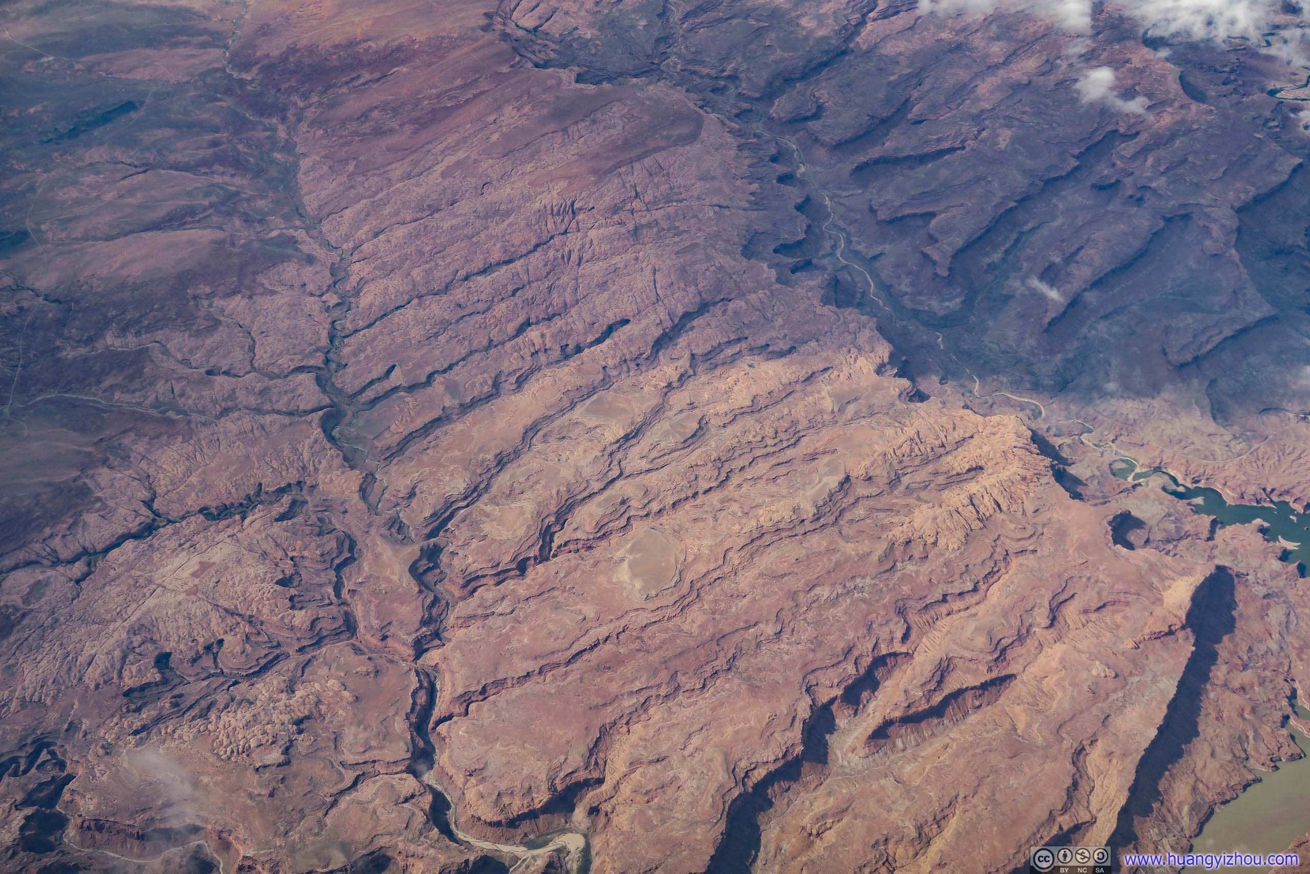
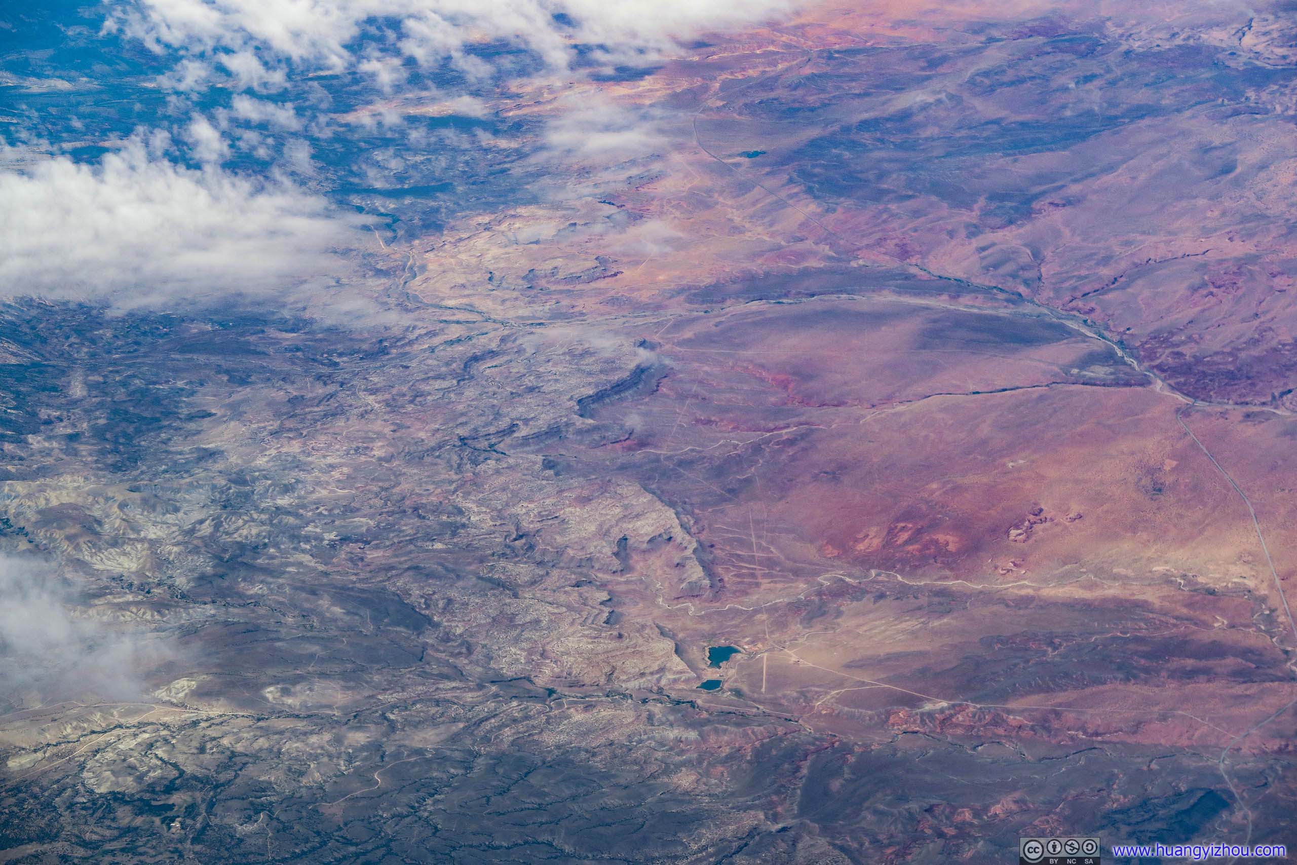
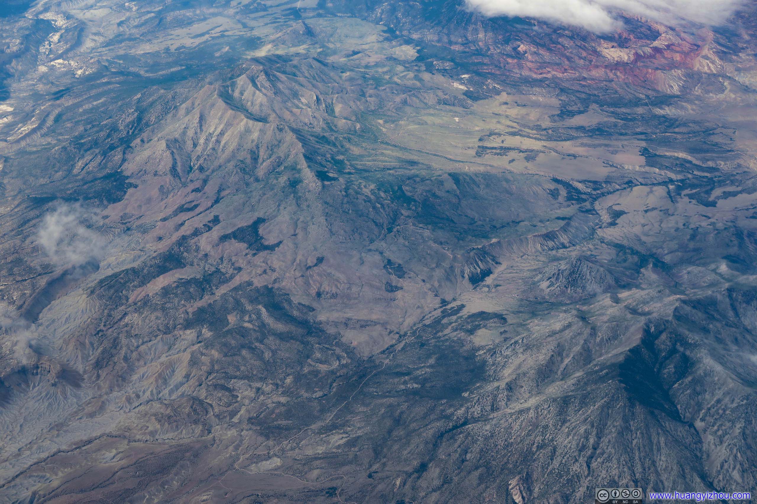
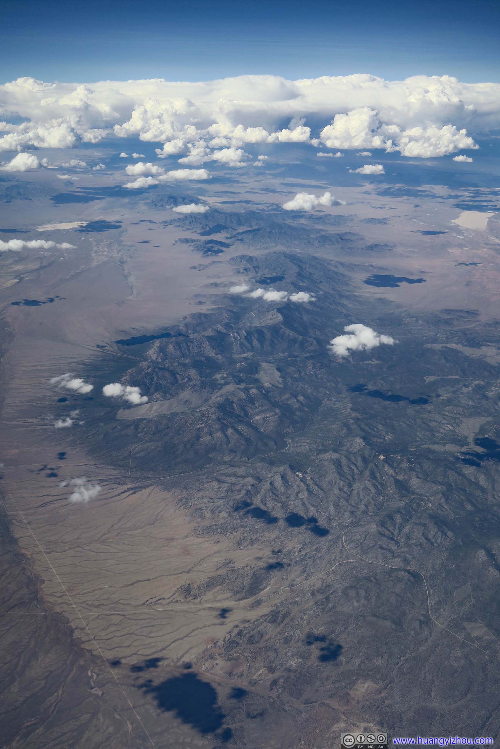
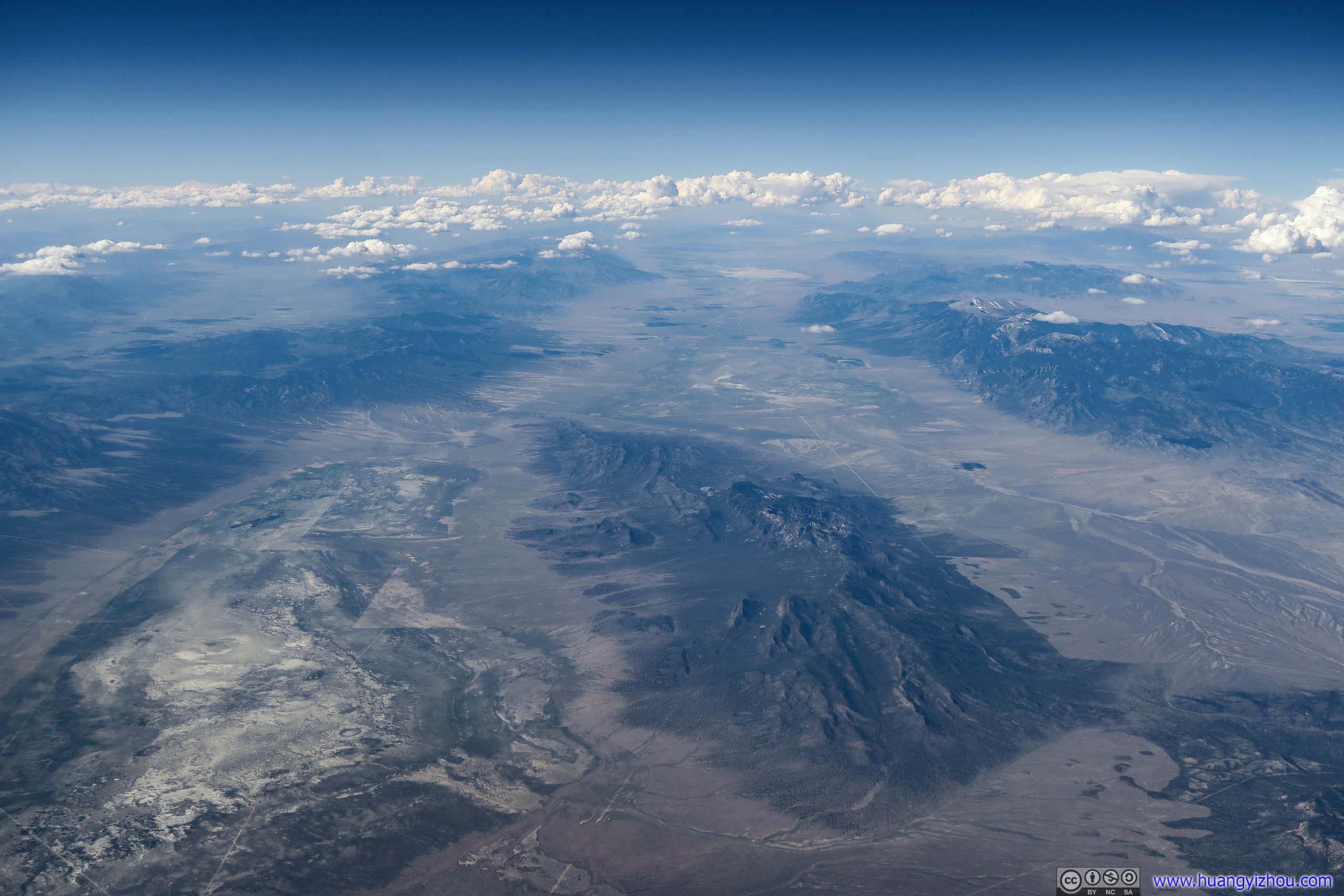
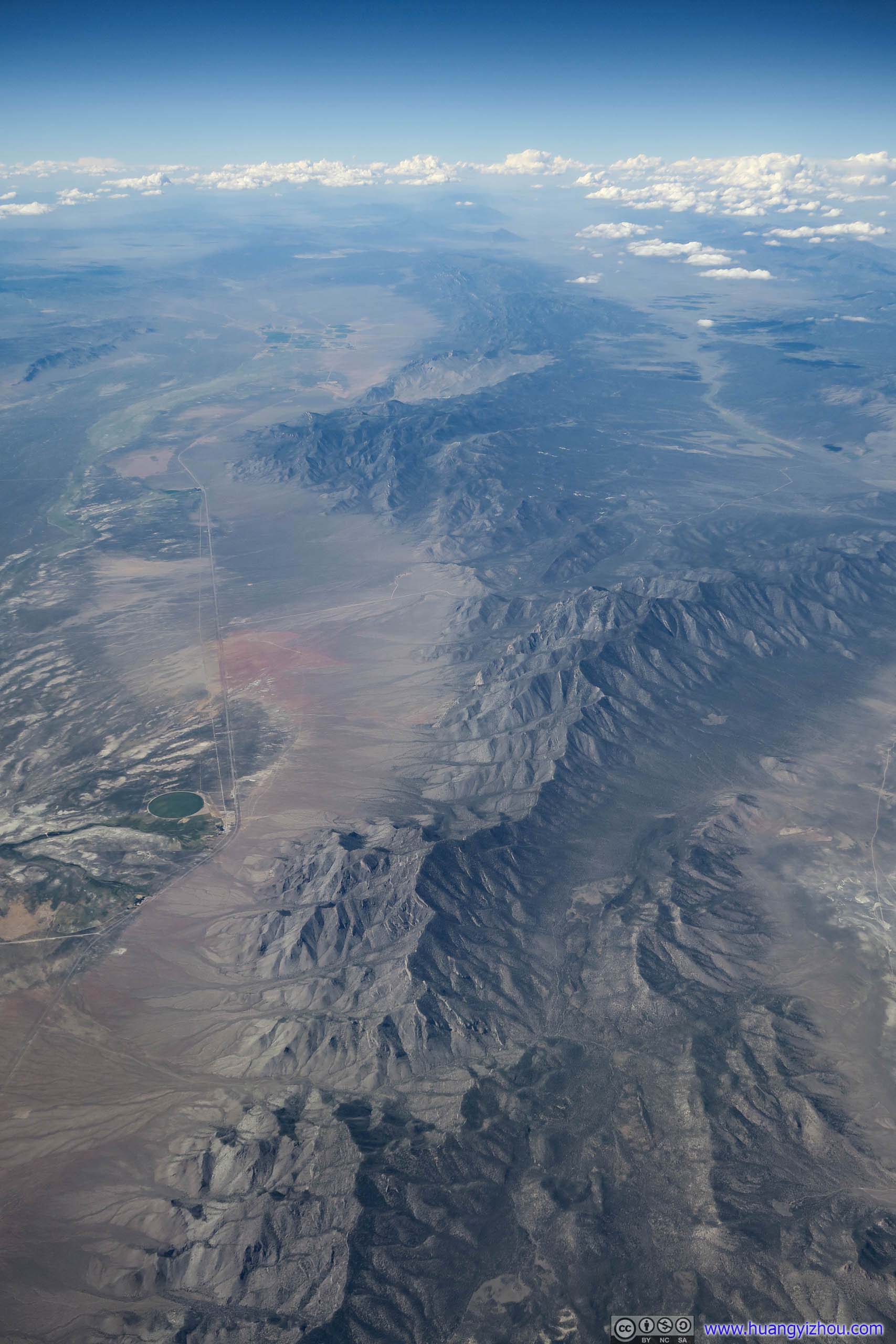
Shingle Peak at the top and Whipple Peak at the bottom.
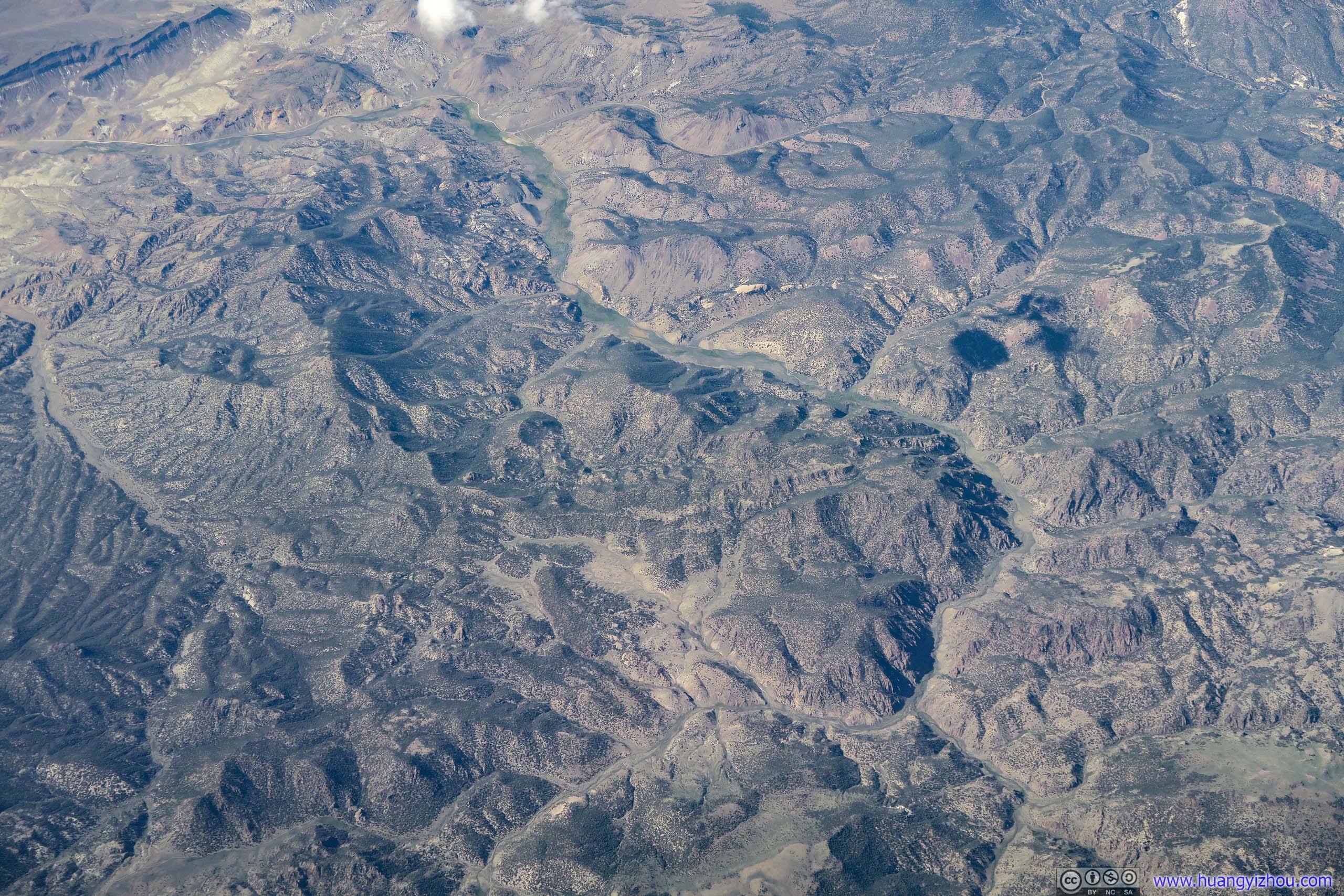
In Humboldt–Toiyabe National Forest.
Then we were in California, flying across Yosemite National Park no, I was sitting at the wrong side for the famous Half Dome, the last of wilderness before civilization.
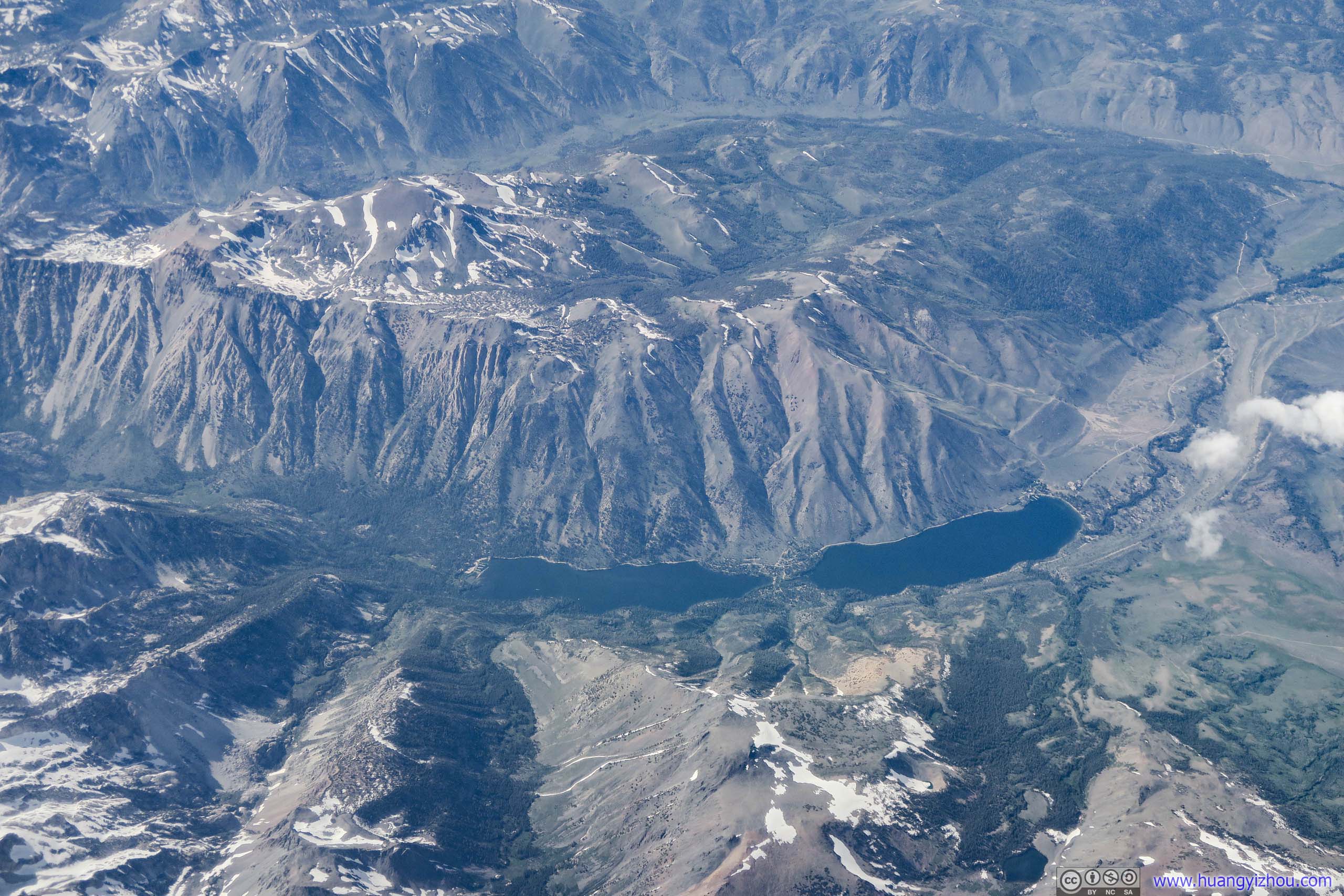
North of Yosemite National Park.
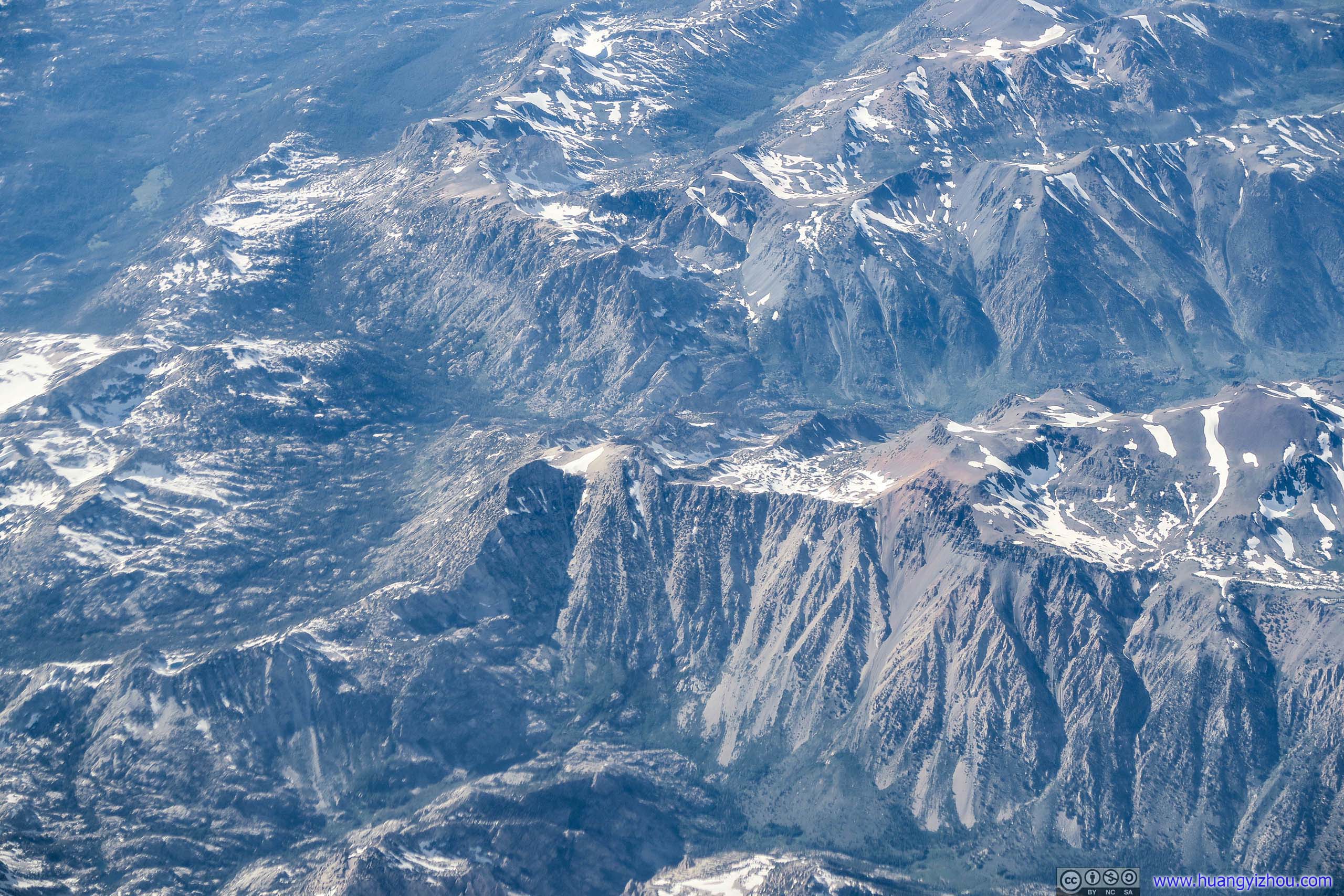
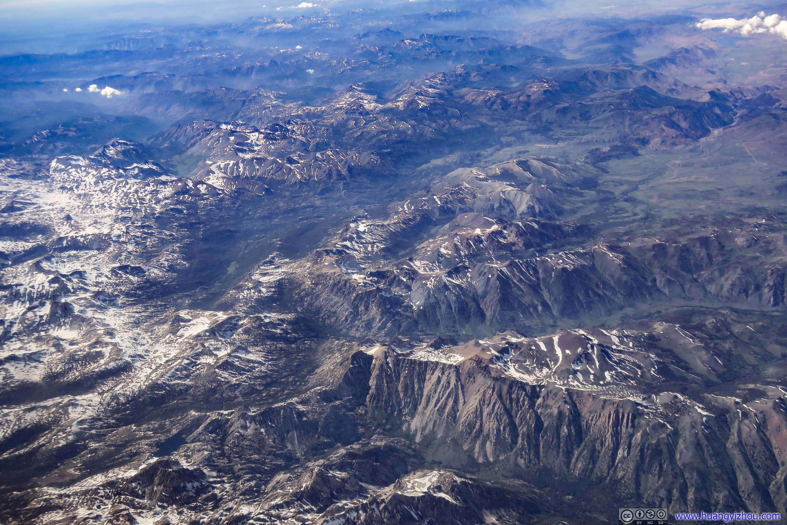
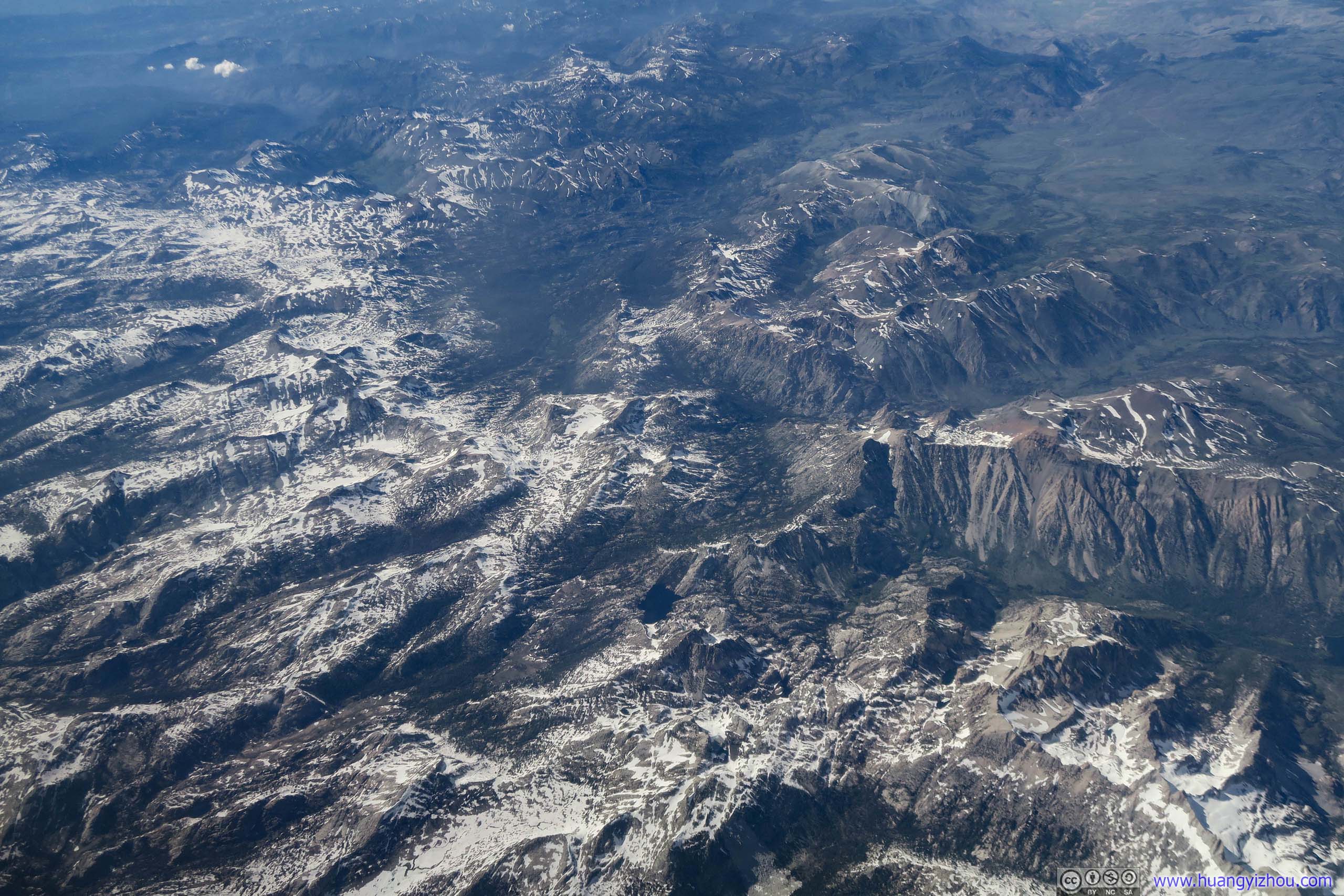
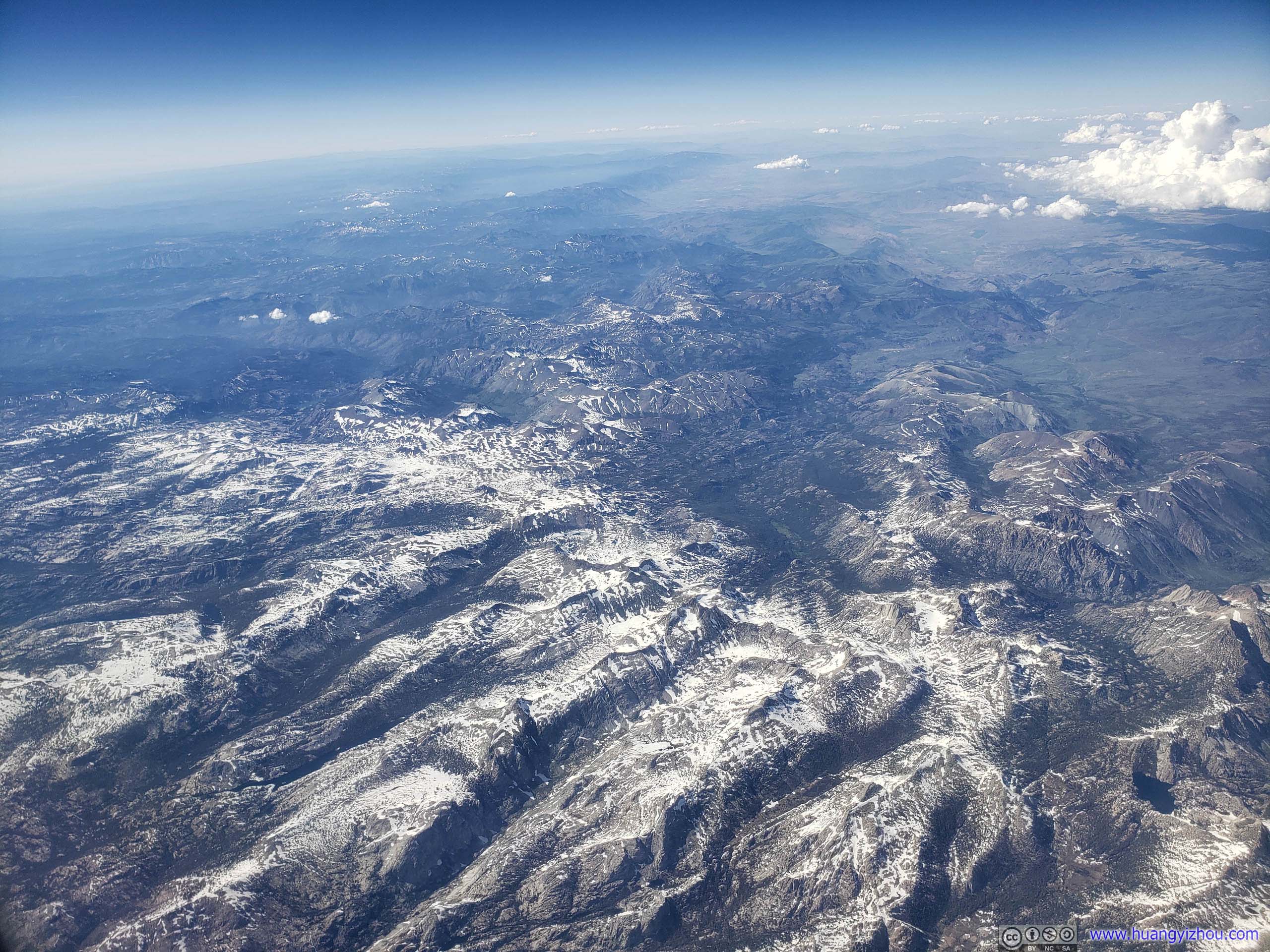
Hoover Wilderness
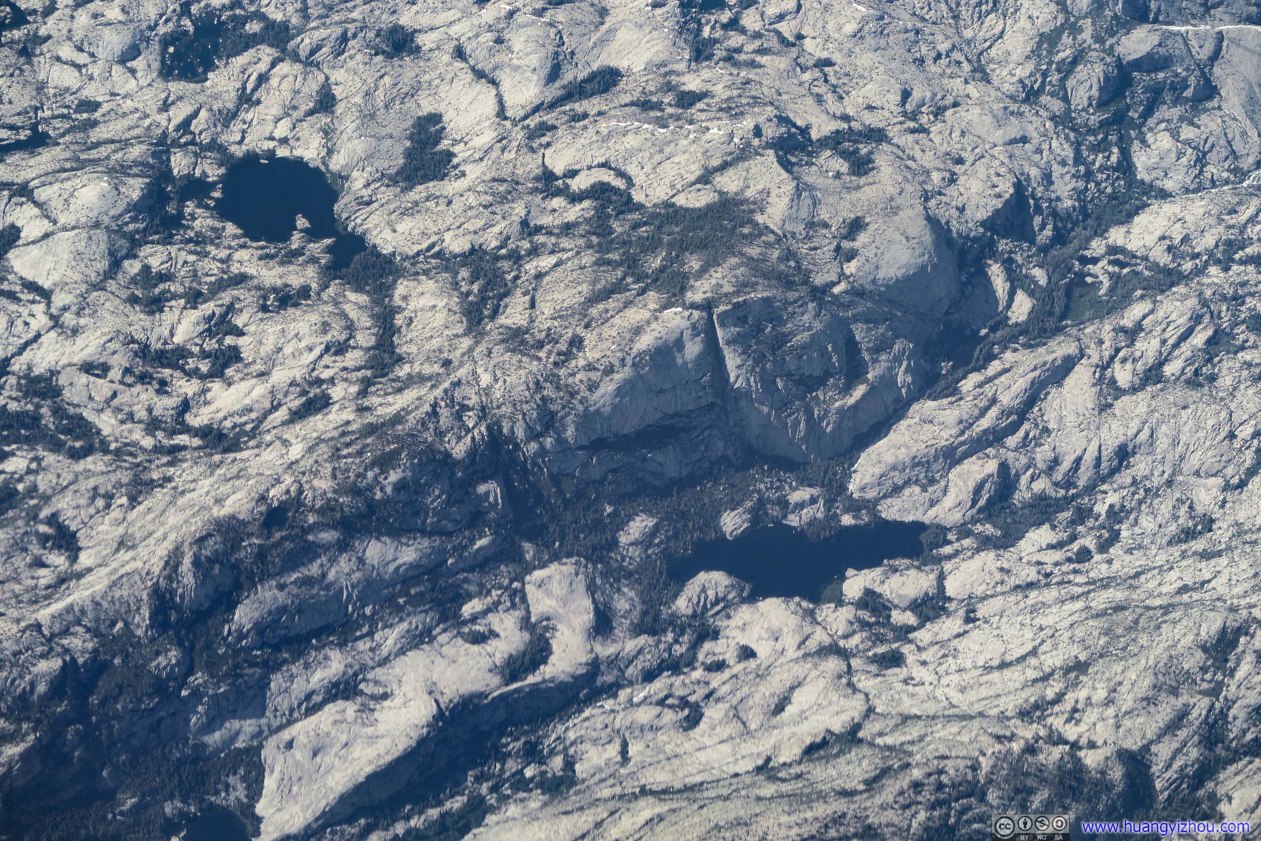
In Yosemite National Park.
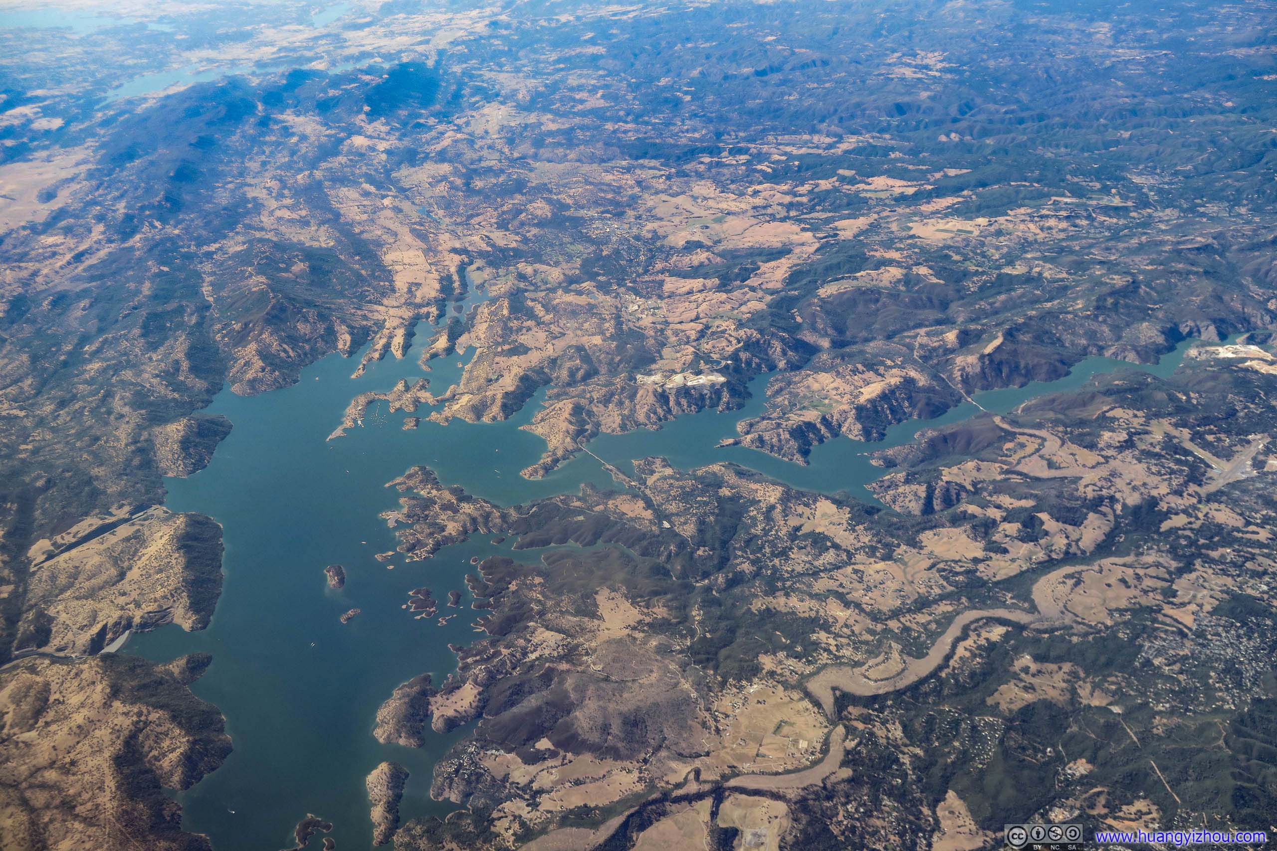
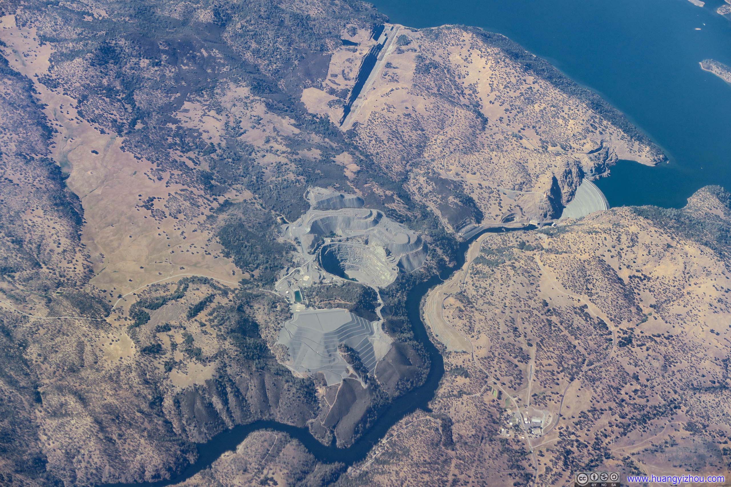
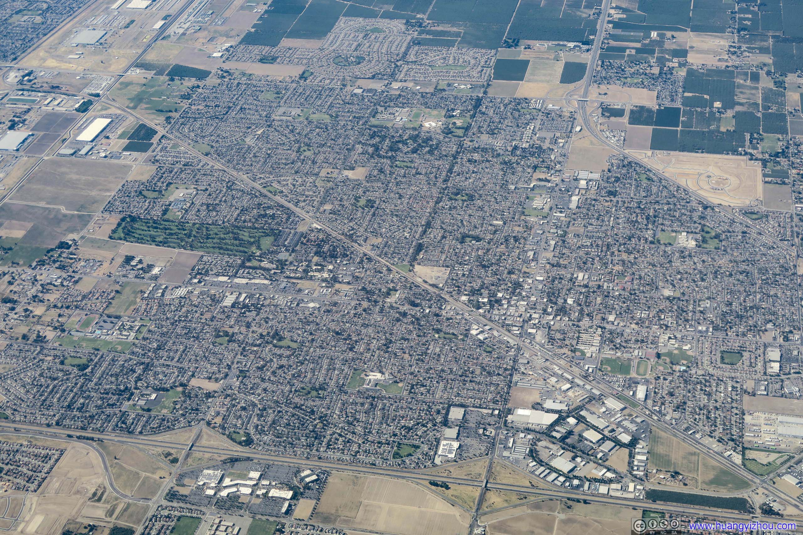
About ten minutes before landing, we were above Stockton, where Bay Area's middle class lived. Evening rush hours was starting as I watched traffic on Interstate fleeing work, to residential units that sprouted out of farmlands and were listed at astronomical prices. I doubt the parents that I was about to meet would appreciate this side of ineptness from the democratic government.

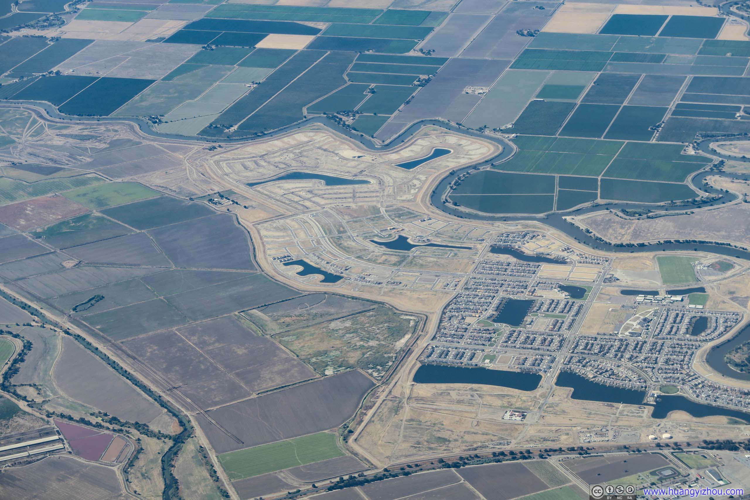
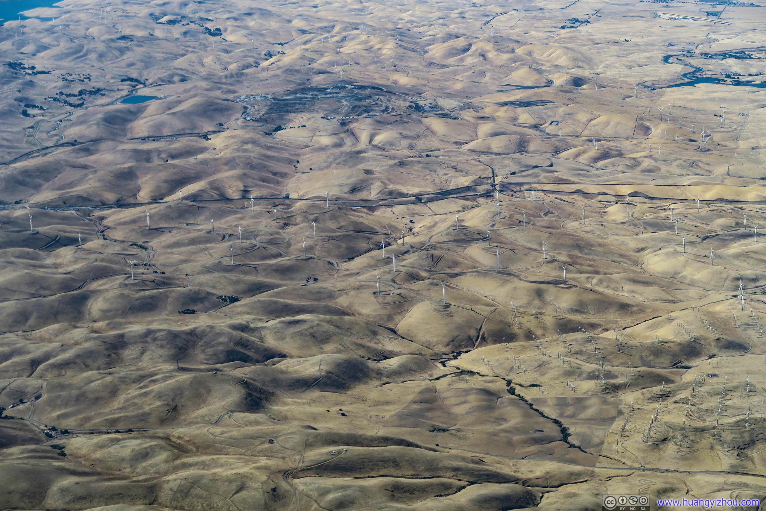
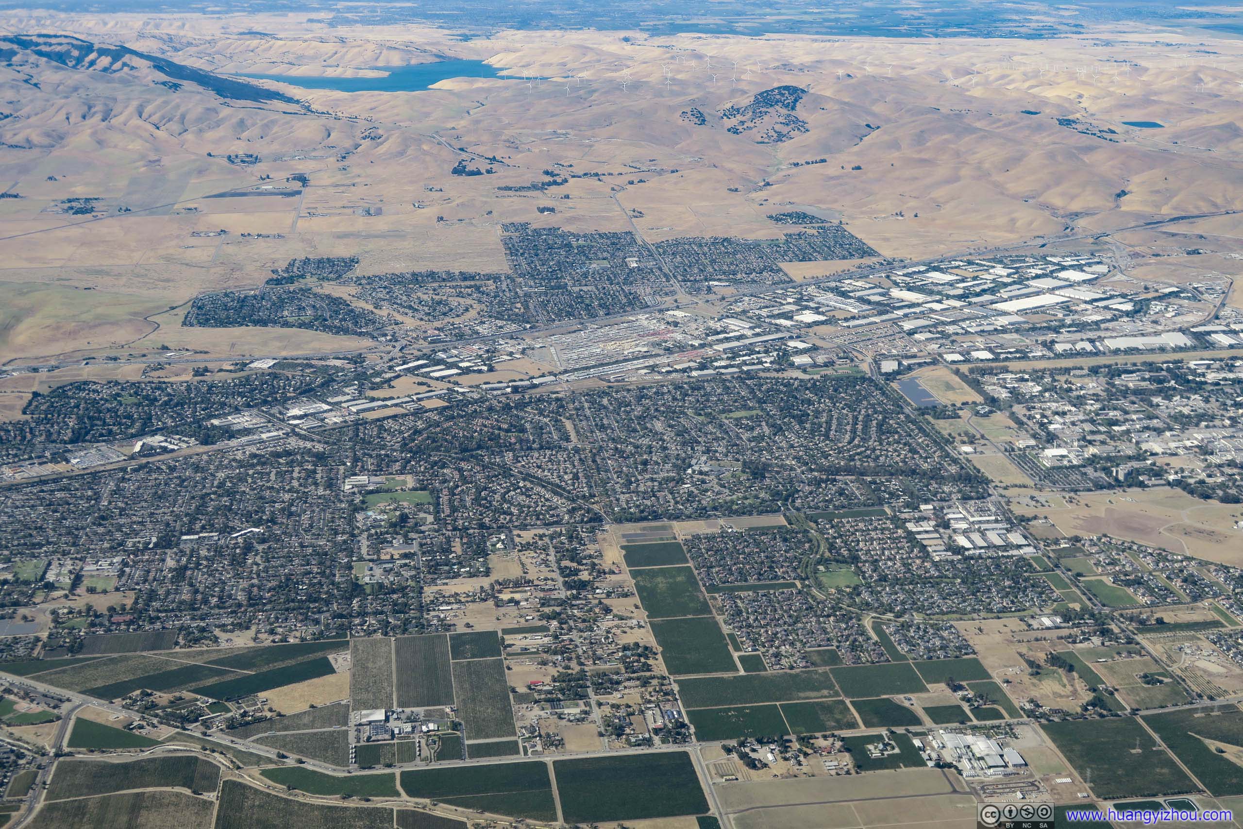
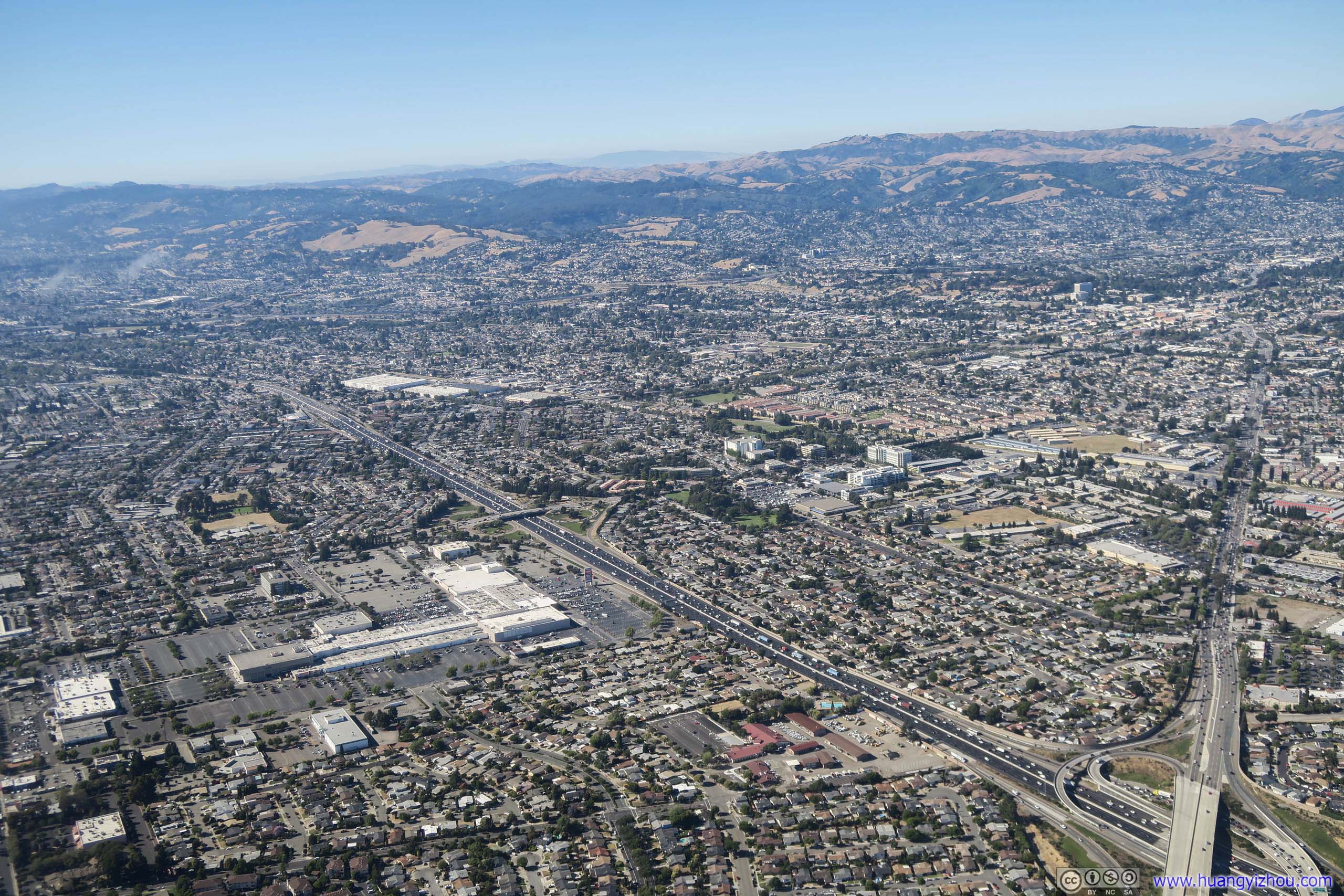
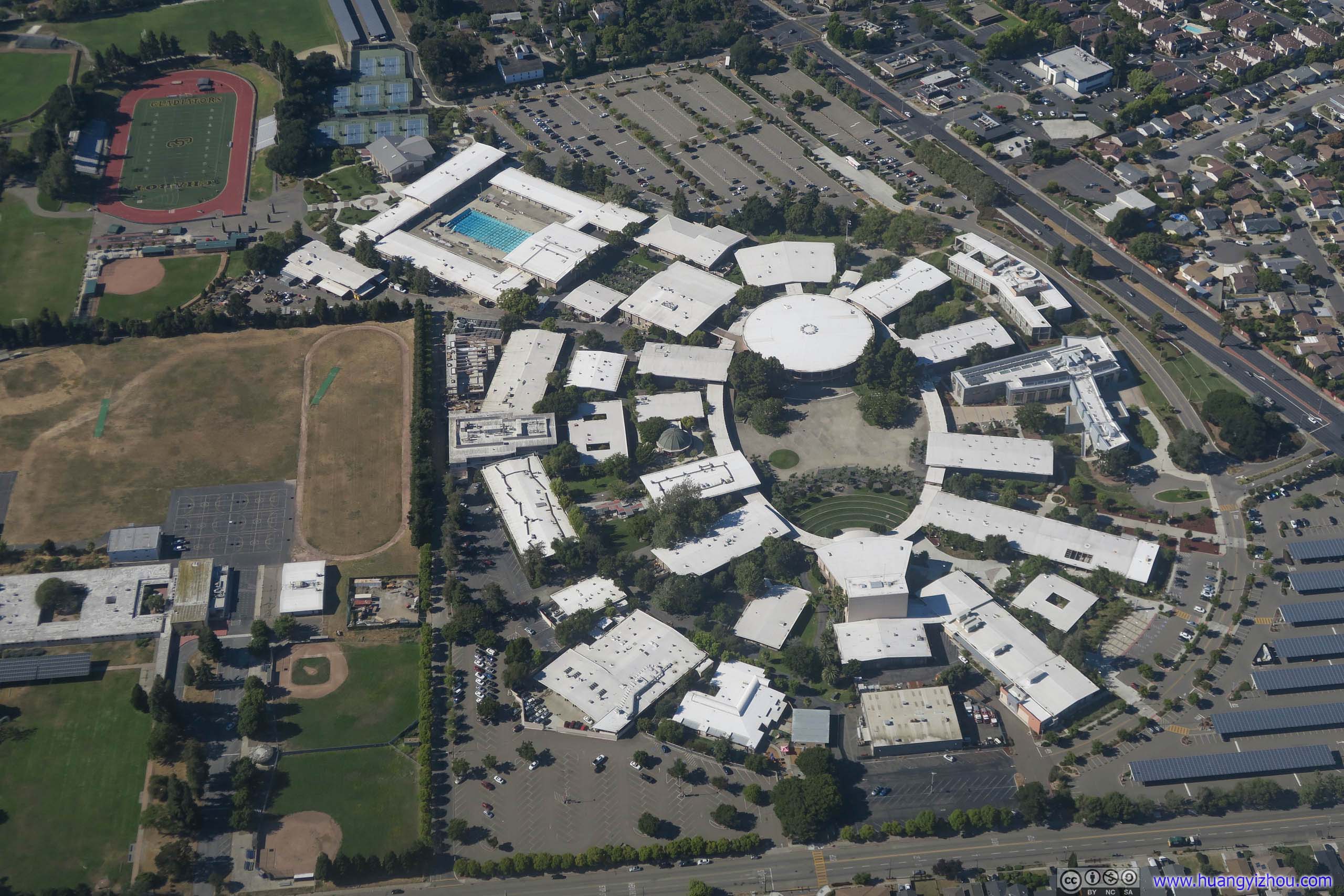
A community college with futuristic looking buildings. I don't know whether exuberant taxes were partly at play for its magnificence.
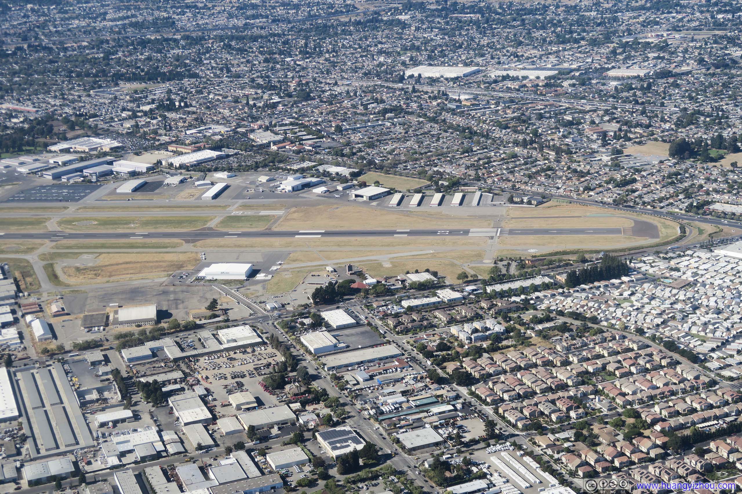
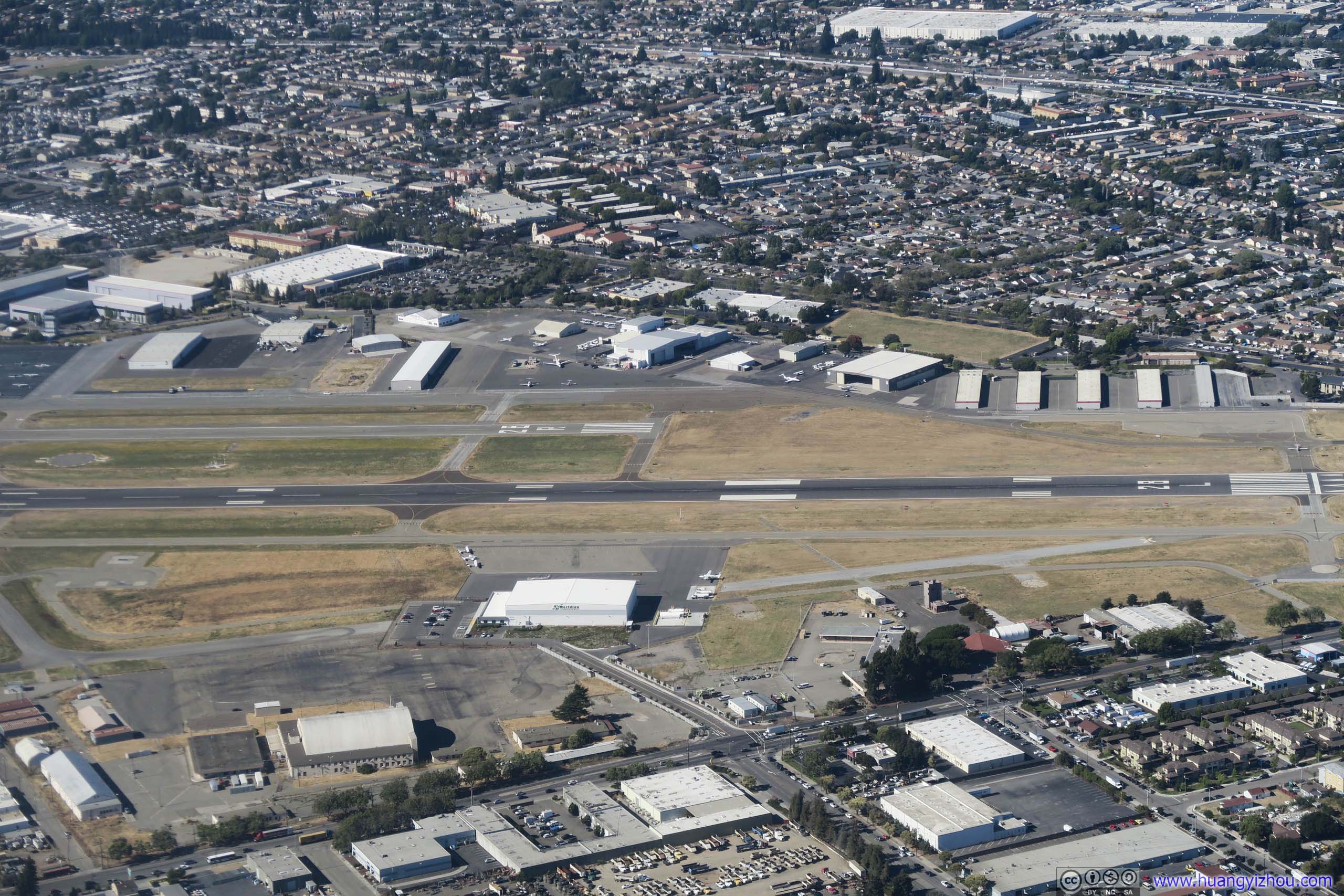
After that, we landed at Oakland Airport, and I was immediately impressed by the wonderful California climate. In the middle of July where Washington DC was baked in heat, the bay area was smoothed by gentle breeze. It's particularly appreciated after a day full of misery with delay and detour (should I mention I hadn't eaten anything since my sandwich lunch eight hours ago), there was finally something refreshing in Oakland, albeit a little overboard to the point of being chilly for someone in full summer gear like me.
After that I checked into hotel in Emeryville, then raced by BART to San Francisco Airport. Unfortunately, my parents still beat me to the airport by a few minutes, for which I only had poor weather to blame.
END