Hiking Appalachian Trails in Northern Virginia
A typical autumn weekend when I decided to explore some nature. This time I picked two famous routes along Appalachian Trail in Northern Virginia, Buzzard Hill and Raven Rocks.
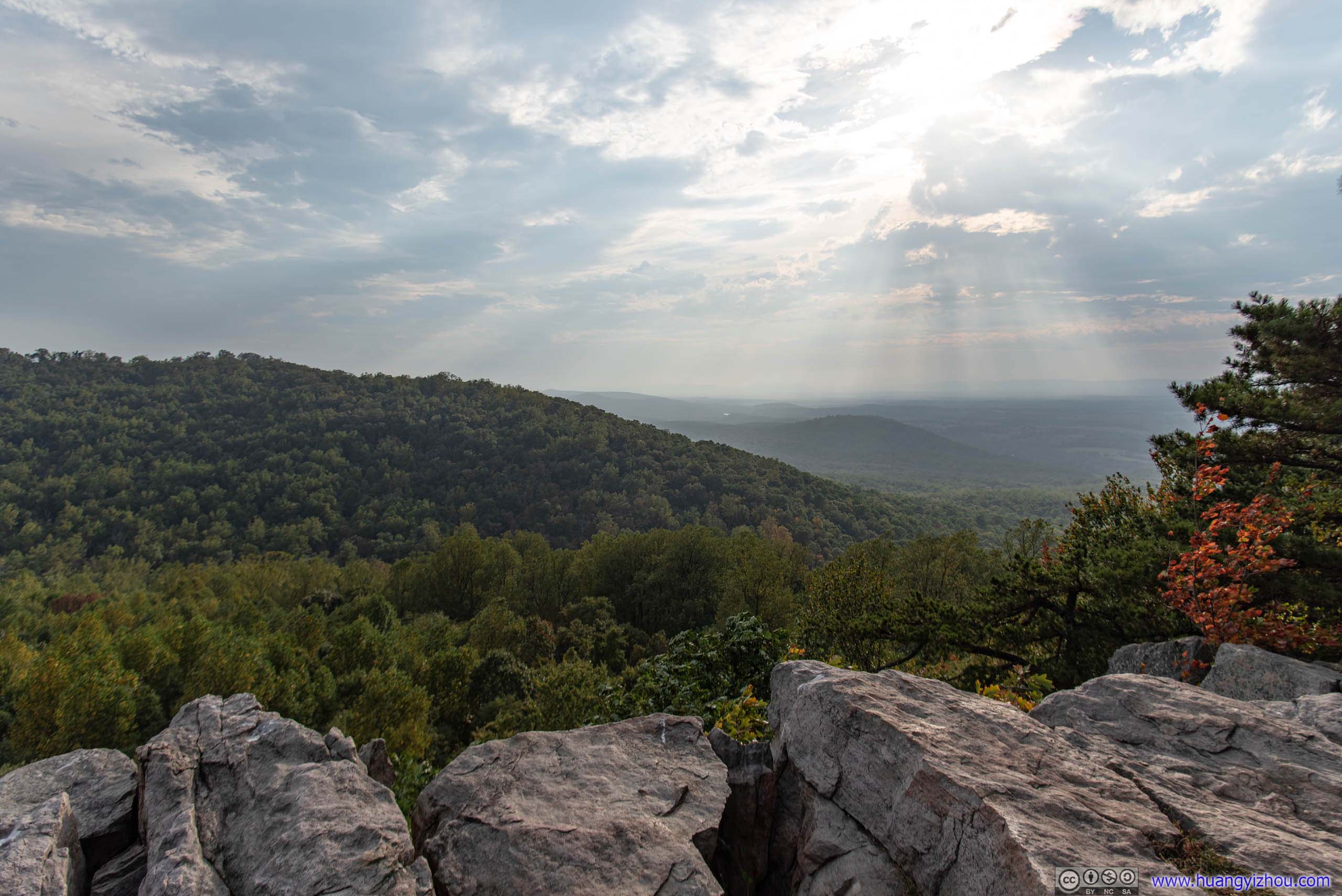
On my way to the Appalachian trails I stopped by Leesburg Outlets for some shopping, so by the time I arrived at Buzzard Hill trailhead it was 12:50. The last 1.5 miles to Buzzard Hill trailhead on Virginia Route 605 was on gravel, and the last 5 meters or so to the parking lot was some steep incline with loose gravel, which caused more trouble to my sporty coupe than I'd like.
Buzzard Hill
By the way, it seemed that parking at the trailhead wasn't as bad as some online posts had described. With what looked like a newly cleared ramp for parking, there should be at least a dozen parking spots at the site.
And here's GPS tracking.
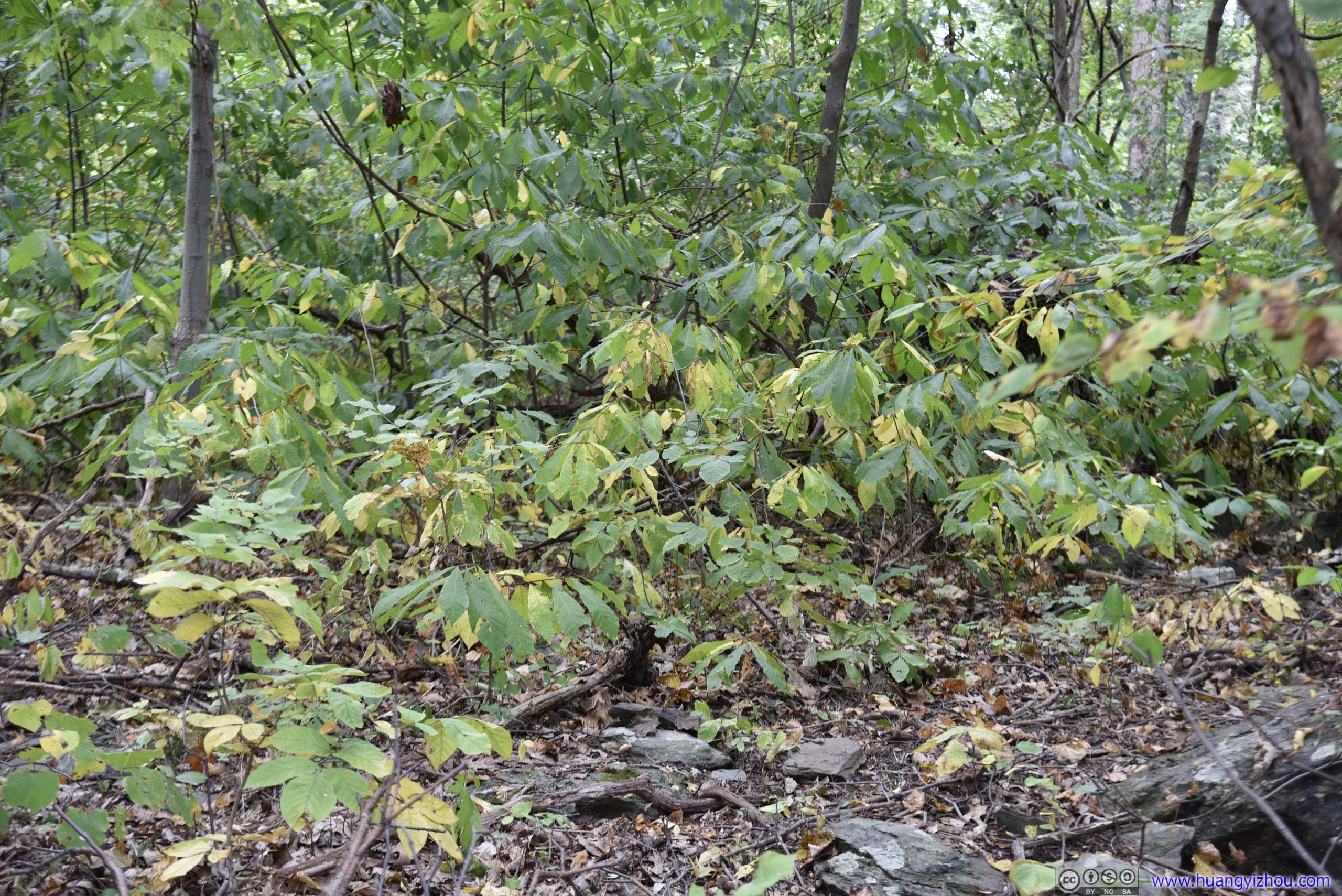
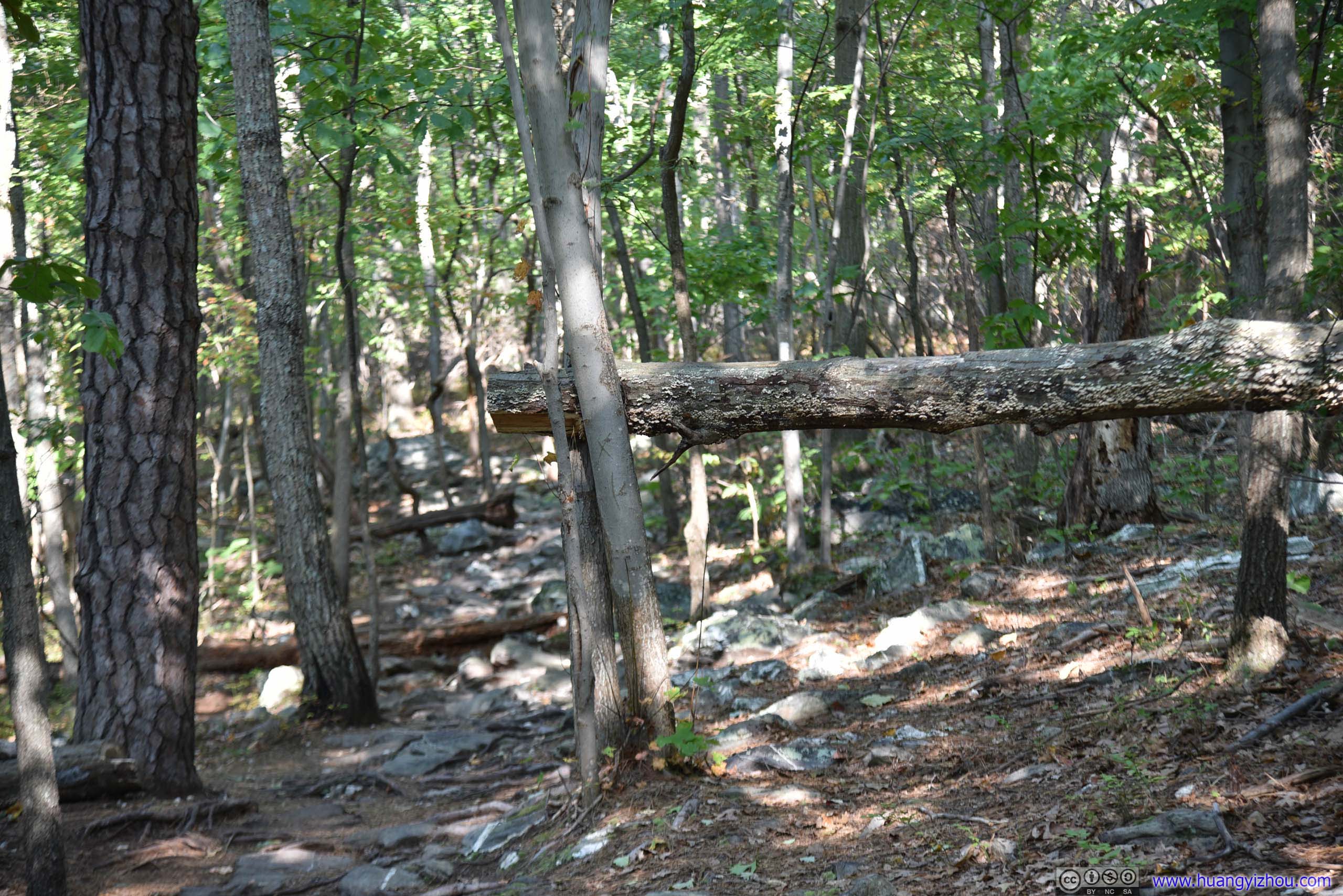
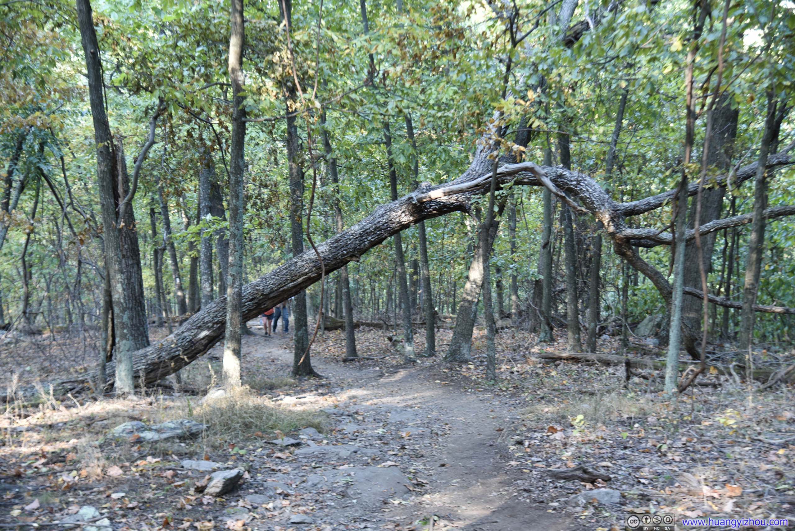
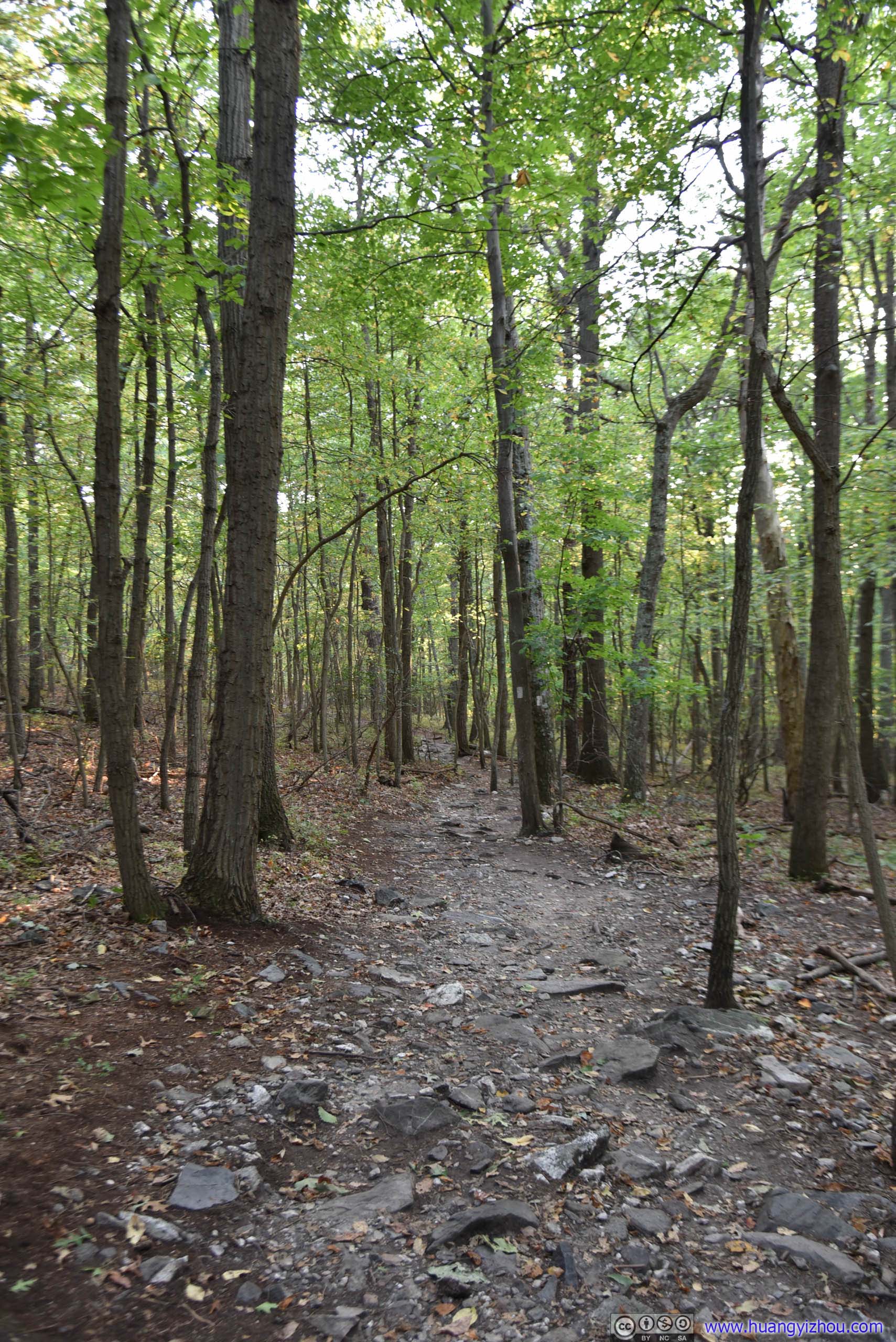
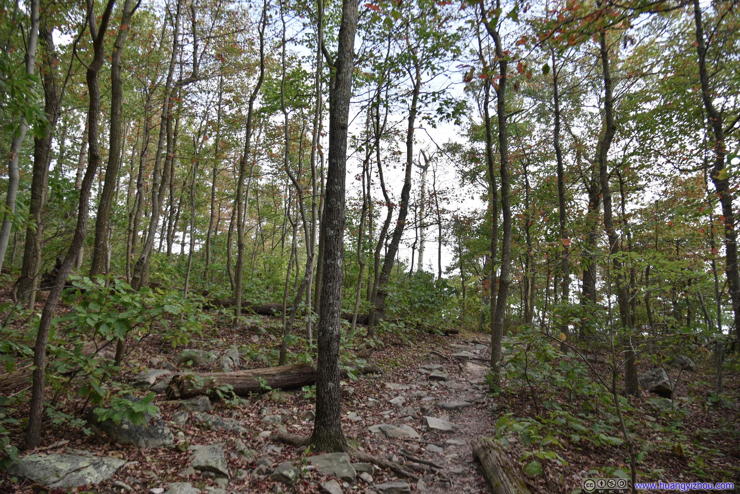
As for the trail itself, it's part of Appalachian Trail section that's nicknamed "Roller Coaster" for its rapid elevation change. However, from trailhead to Buzzard Hill, elevation change was rather modest, and the trail was mostly on sturdy ground, compared with all the rocky paths I ran into later in the day for Raven Rocks. The only downside, perhaps in just a few spots the trail was too narrow and overgrown with plants.
And honestly, the view at Buzzard Hill wasn't that stunning to justify two hours of otherwise scenery-less journey.
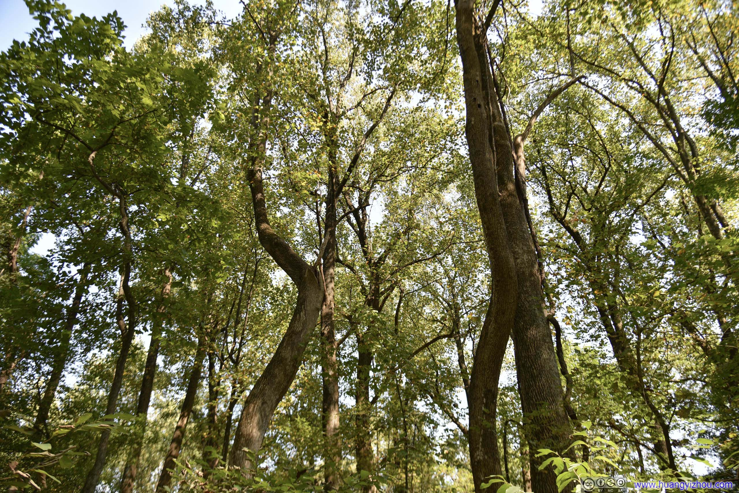
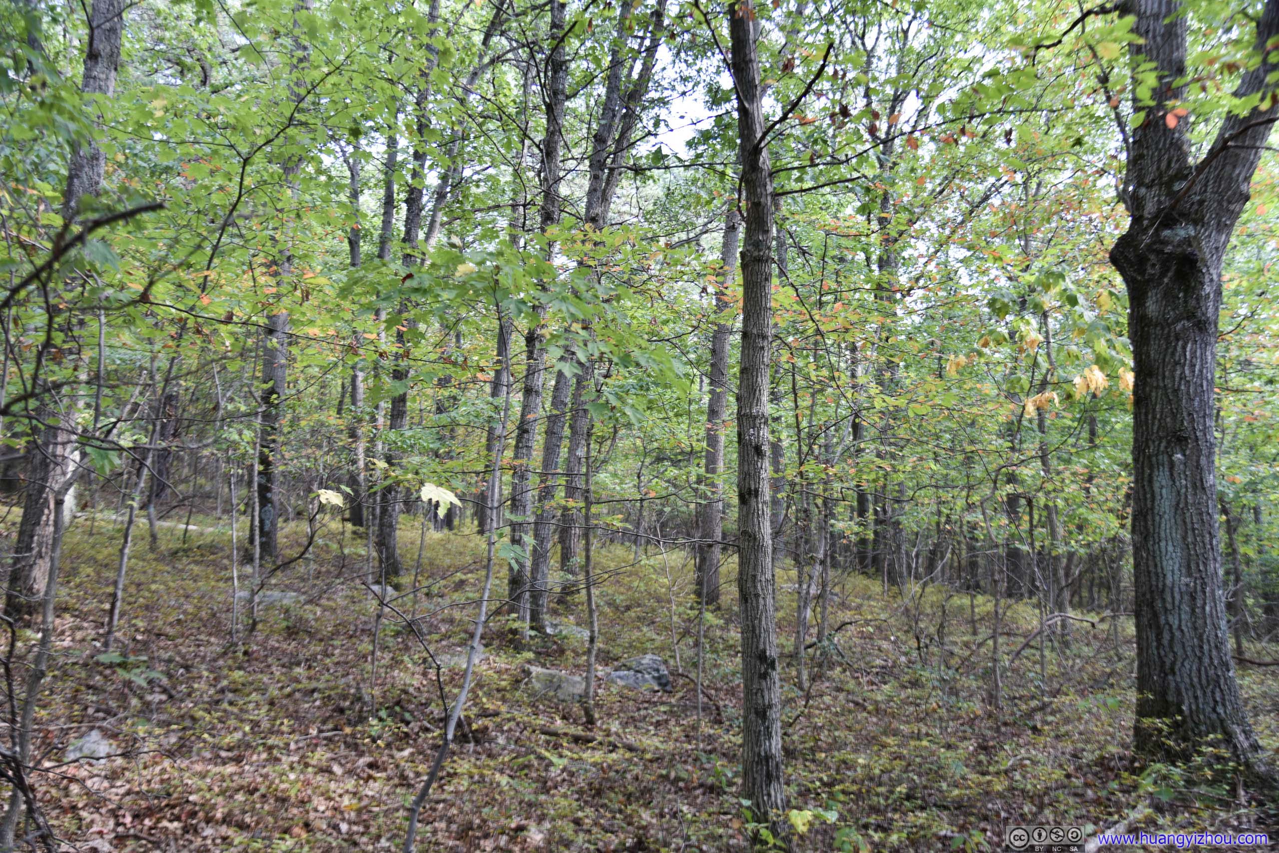
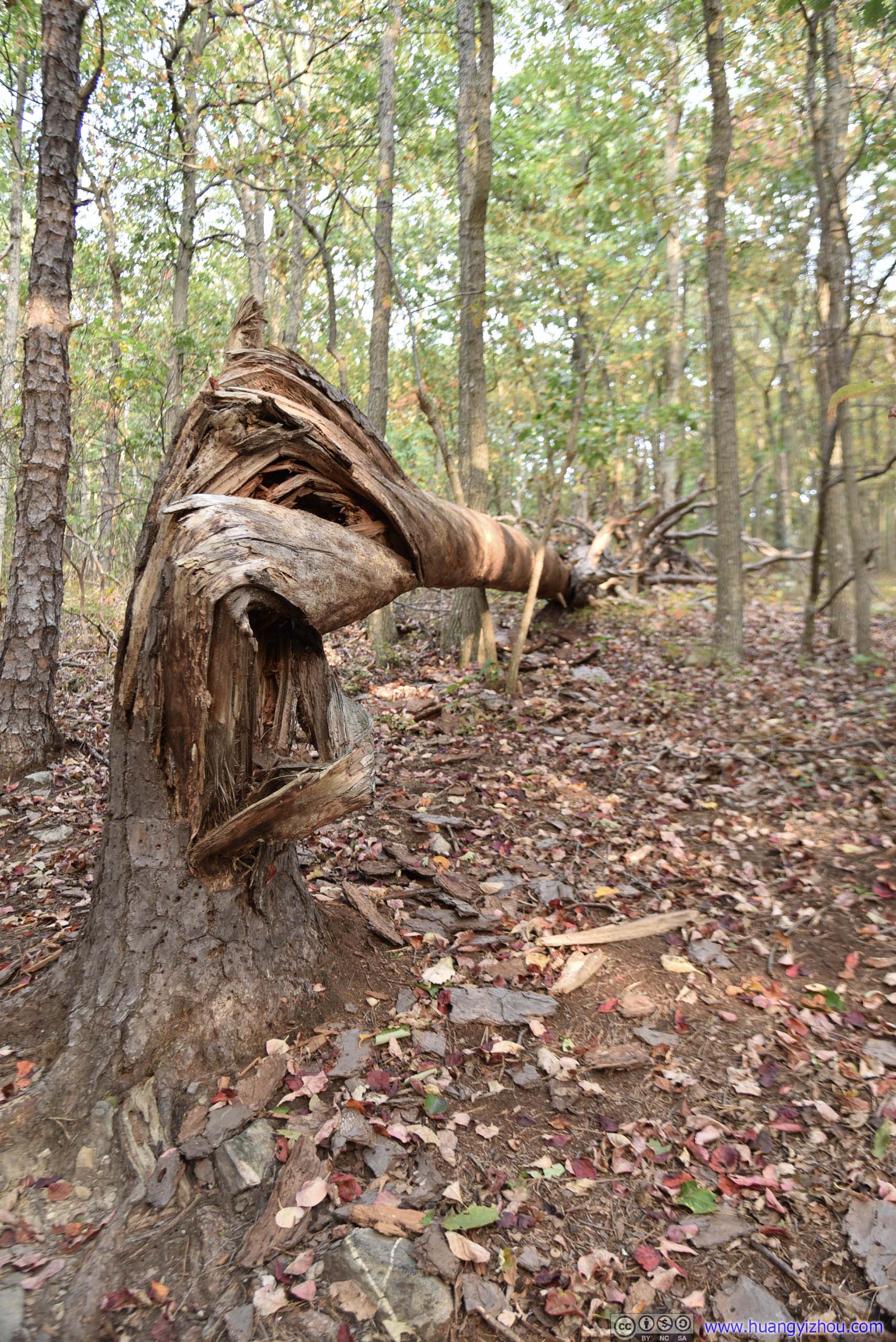
Don't know why these curvy trees don't grow straight up.
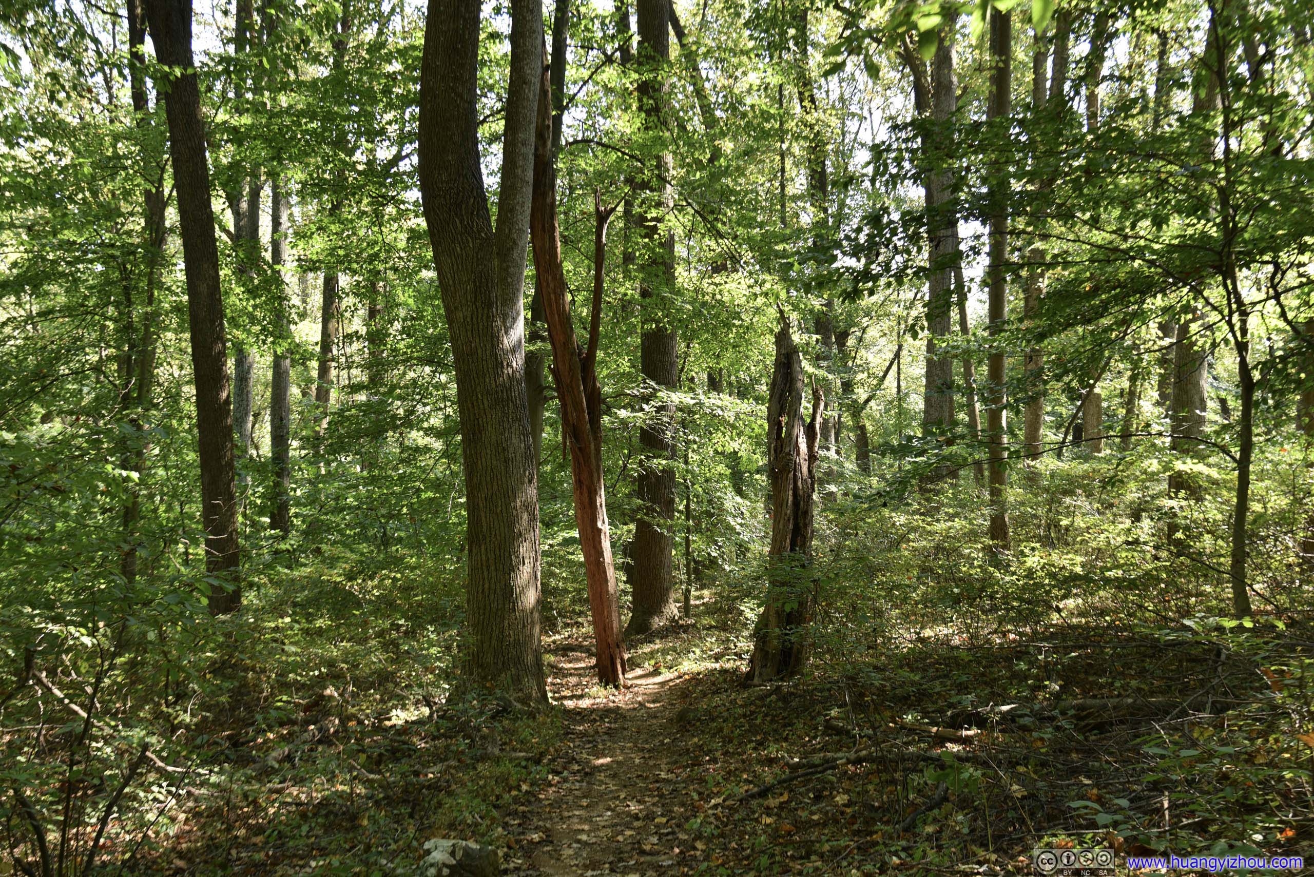
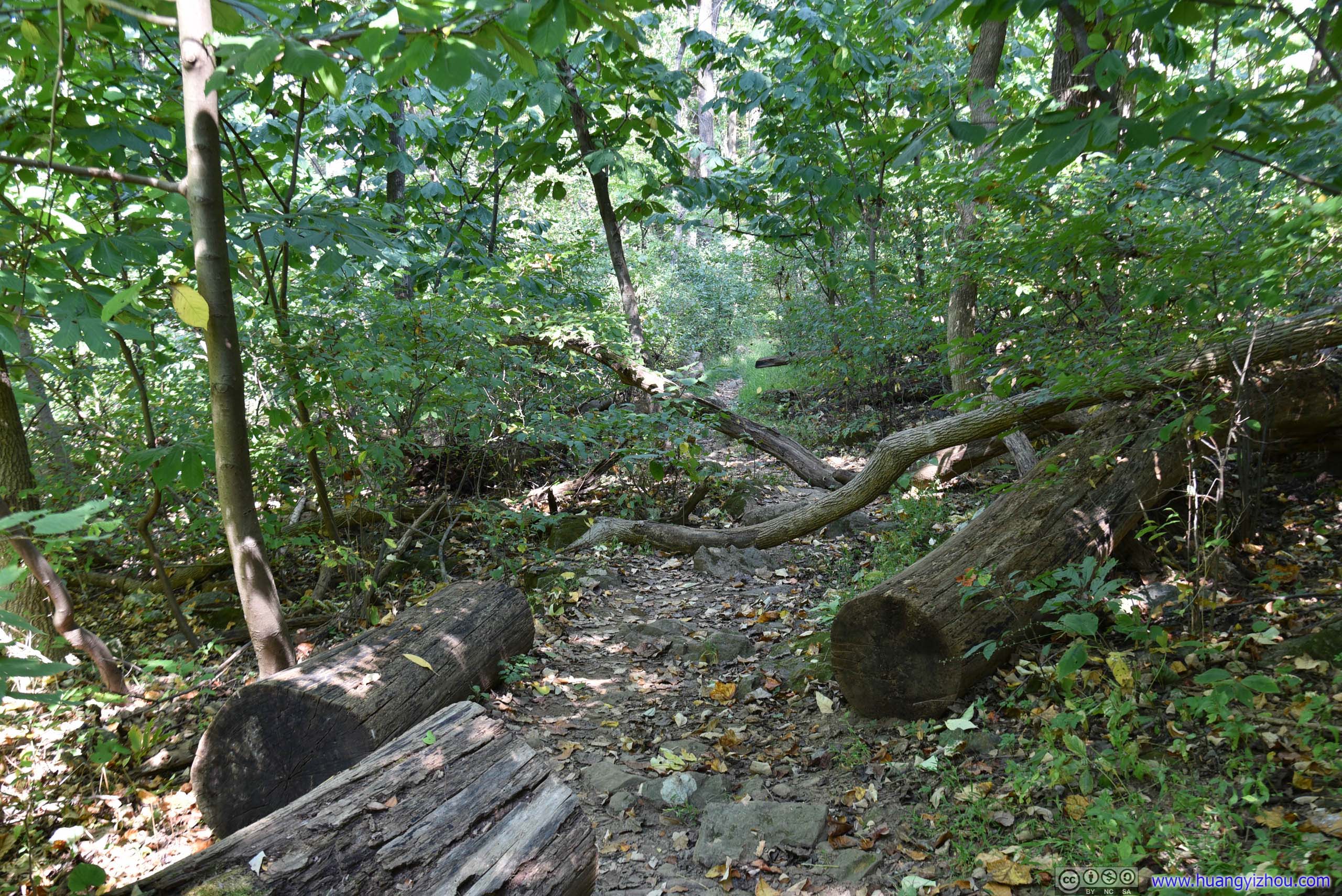
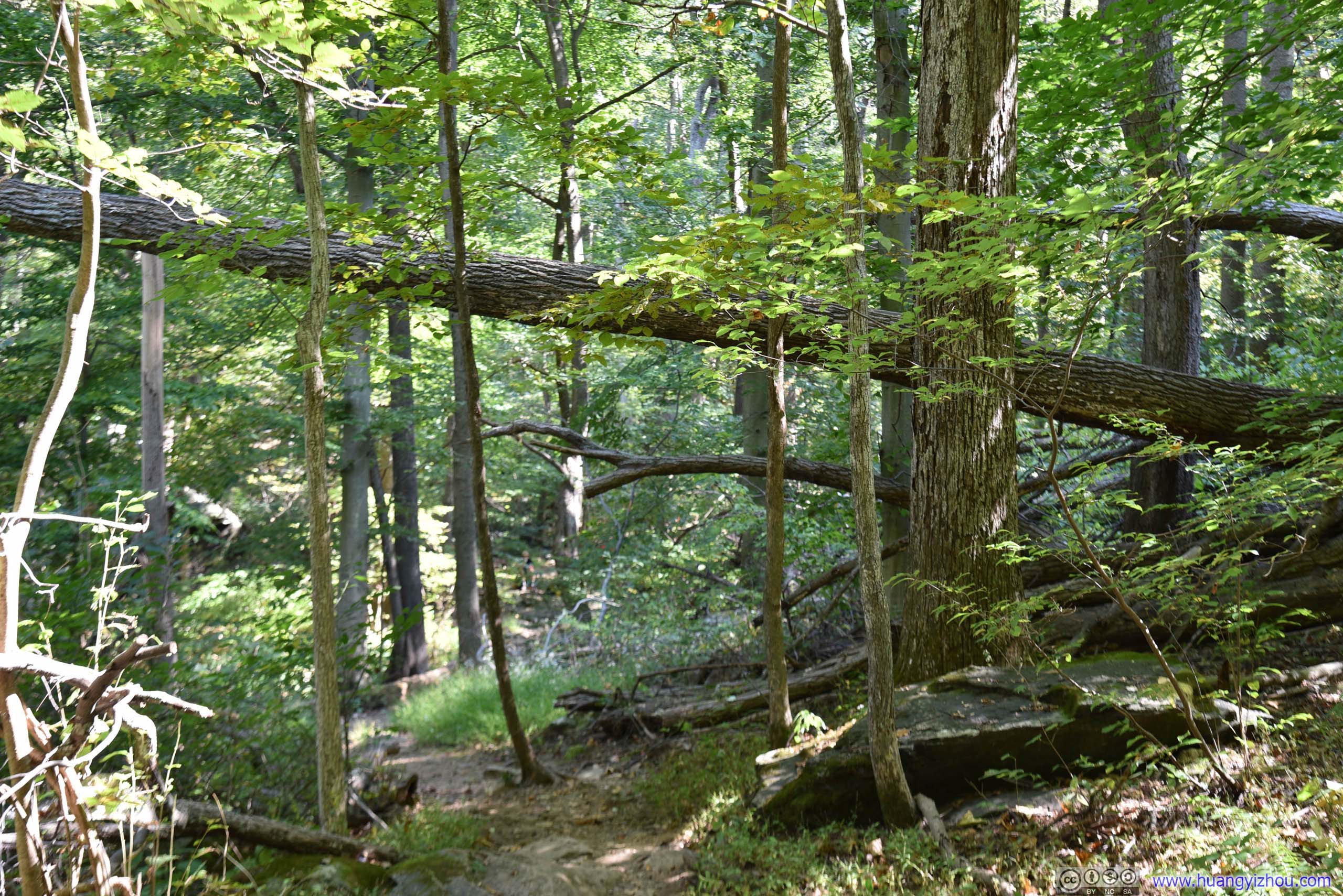

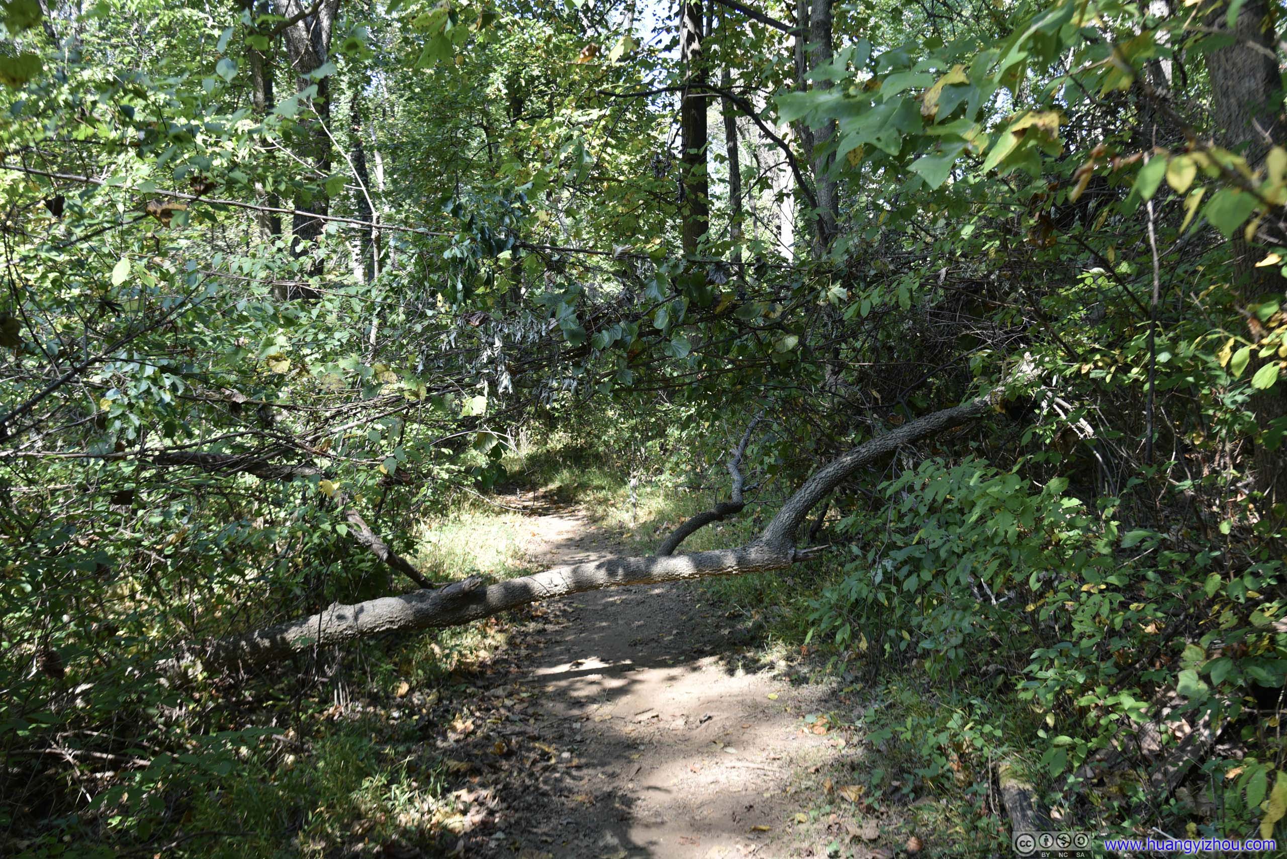
Hopping over that trunk turned out to be harder than it looked due to its height, thus this was the only part of the hike where hands were needed.
There's nothing exciting along the way, so I will fast forward to the summit of Buzzard Hill.
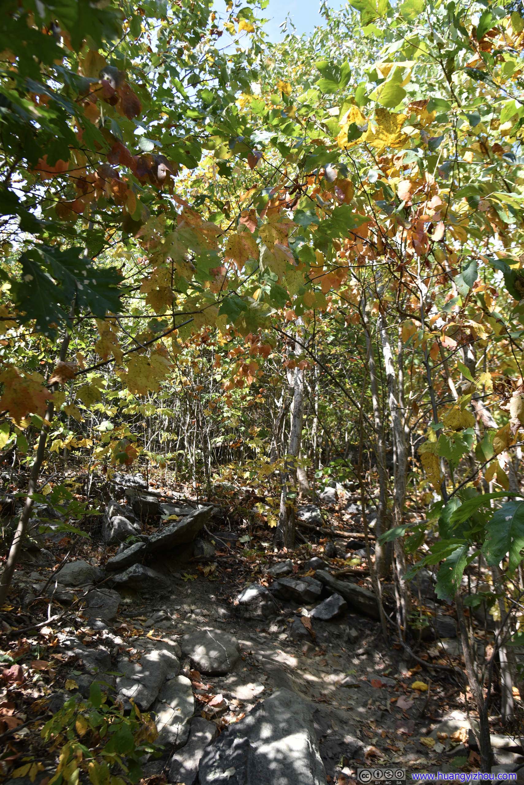
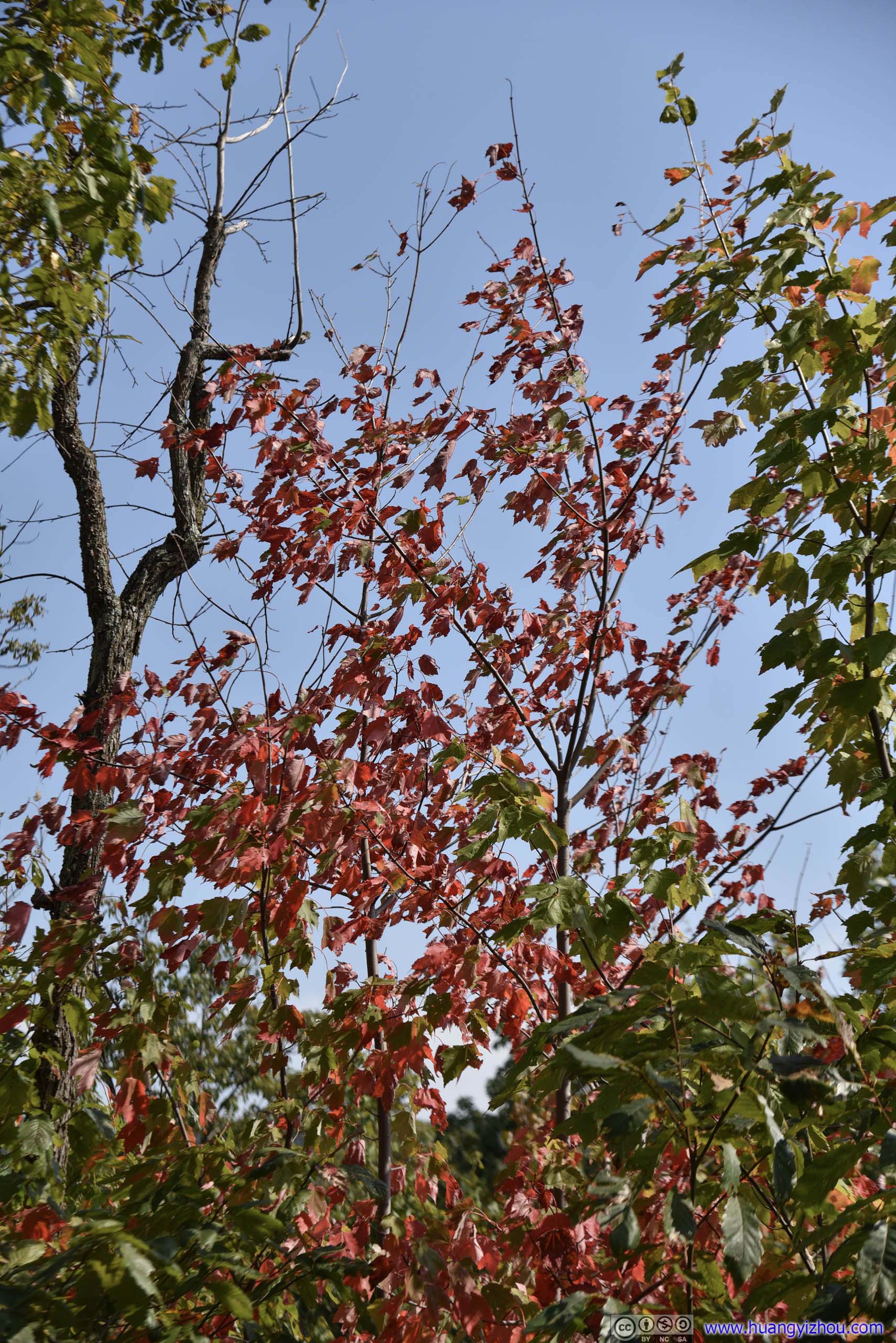
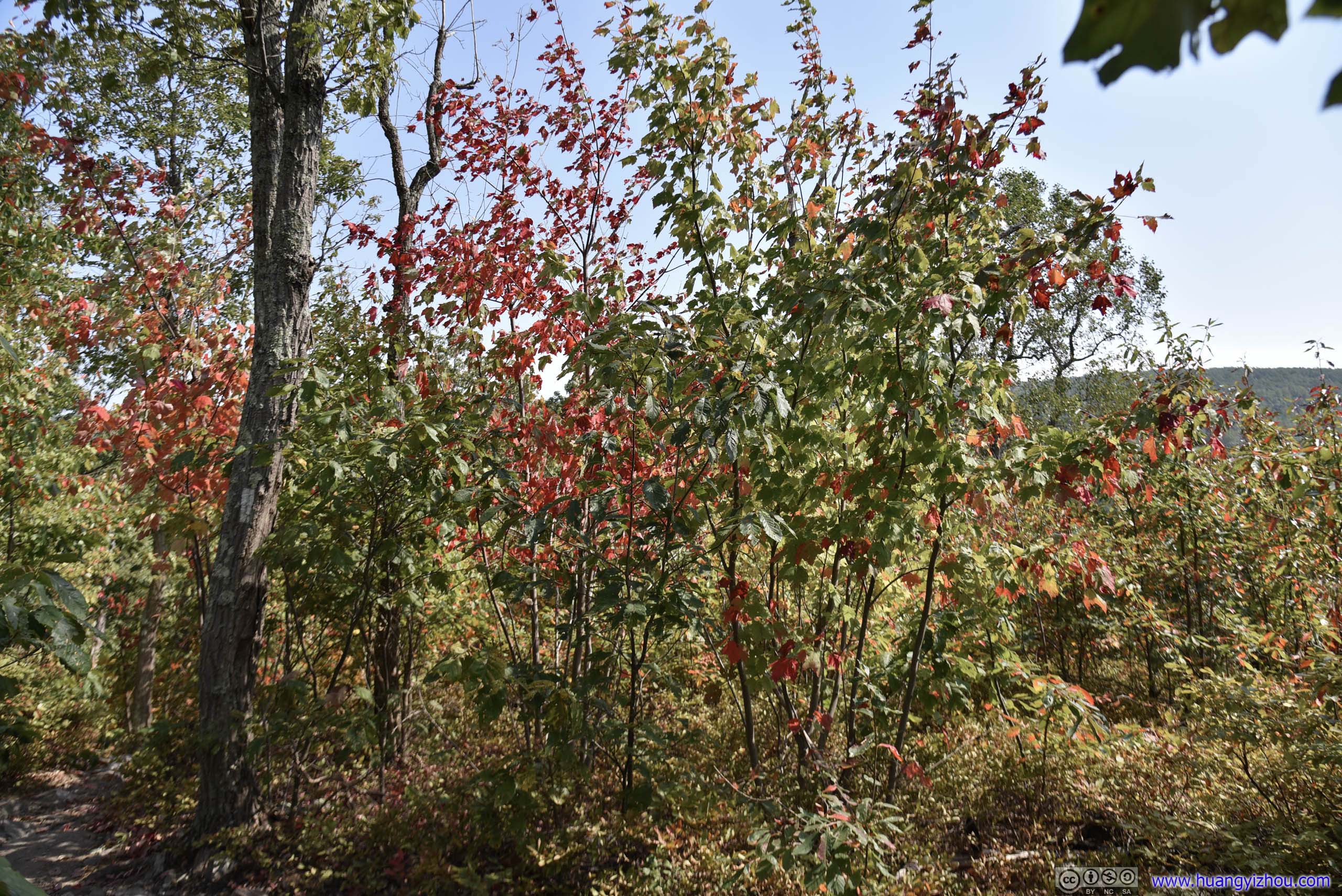
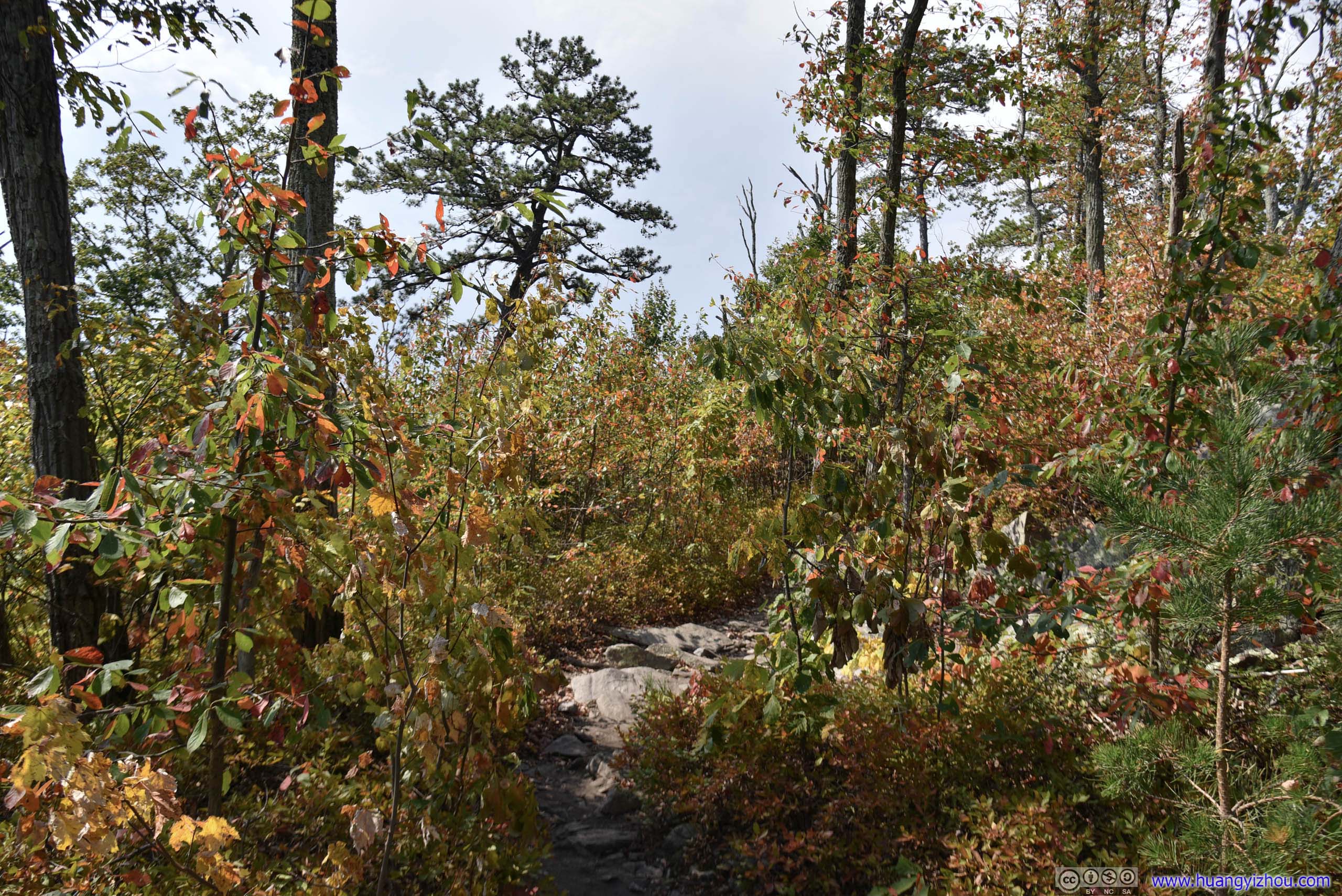
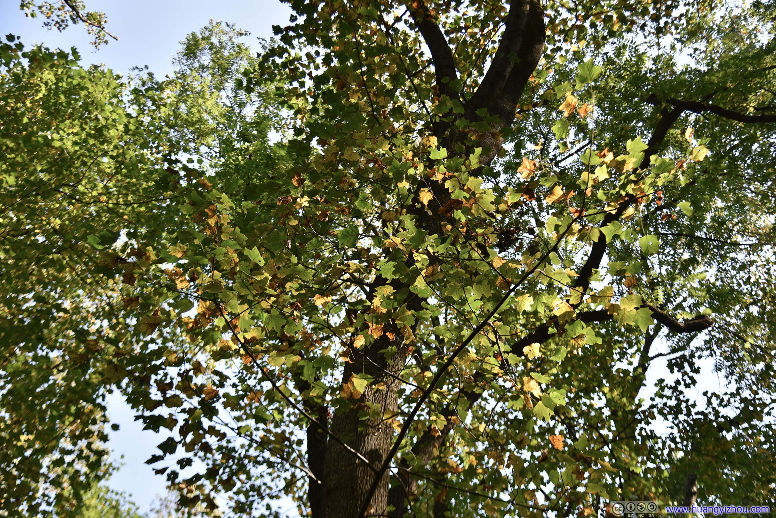
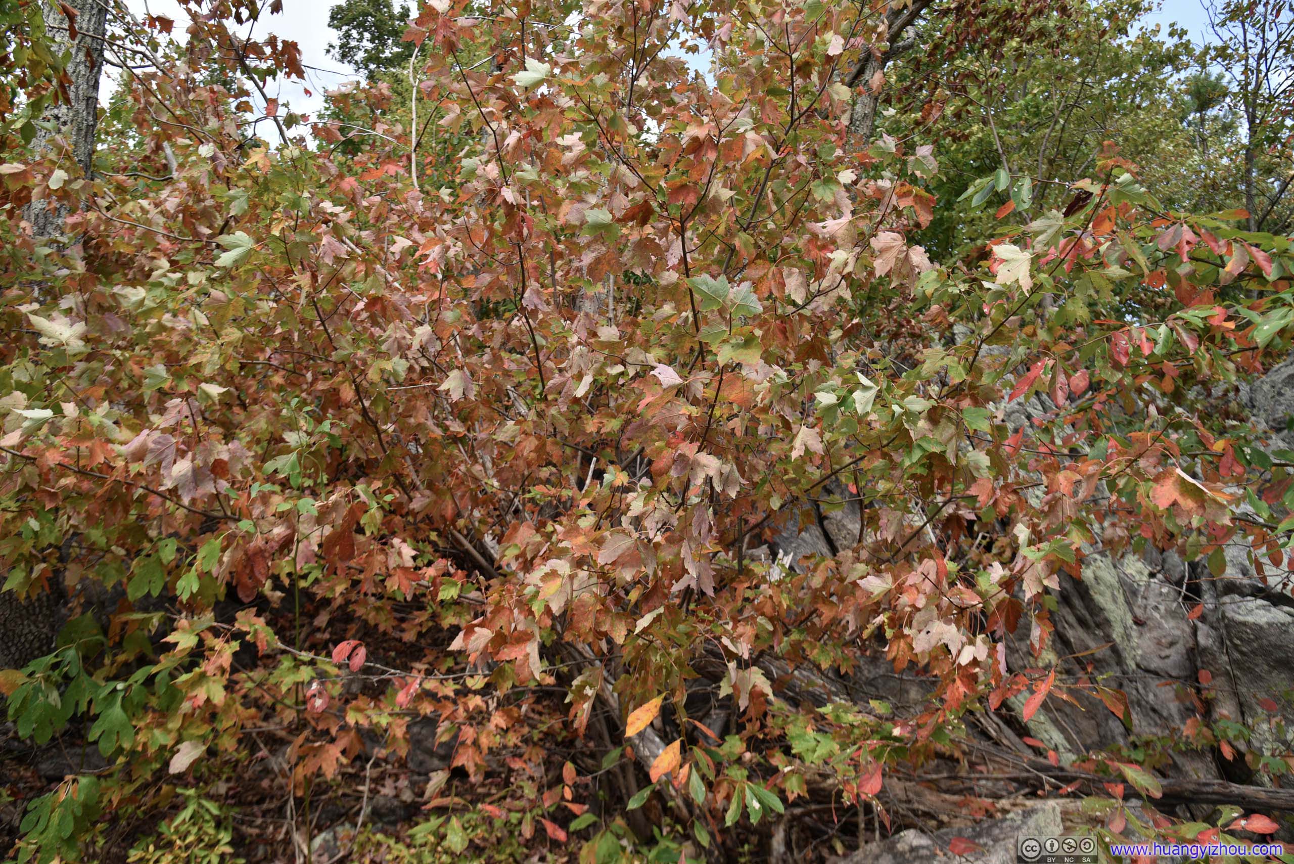
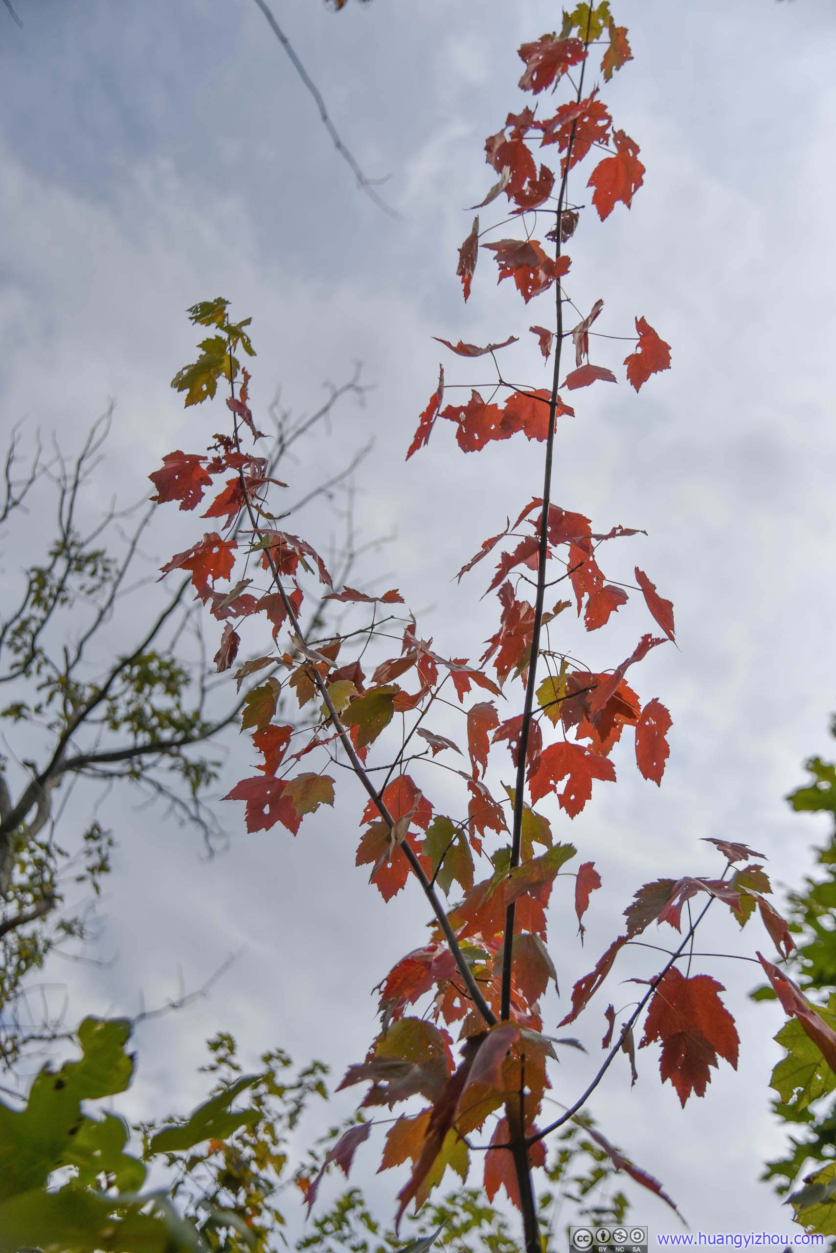
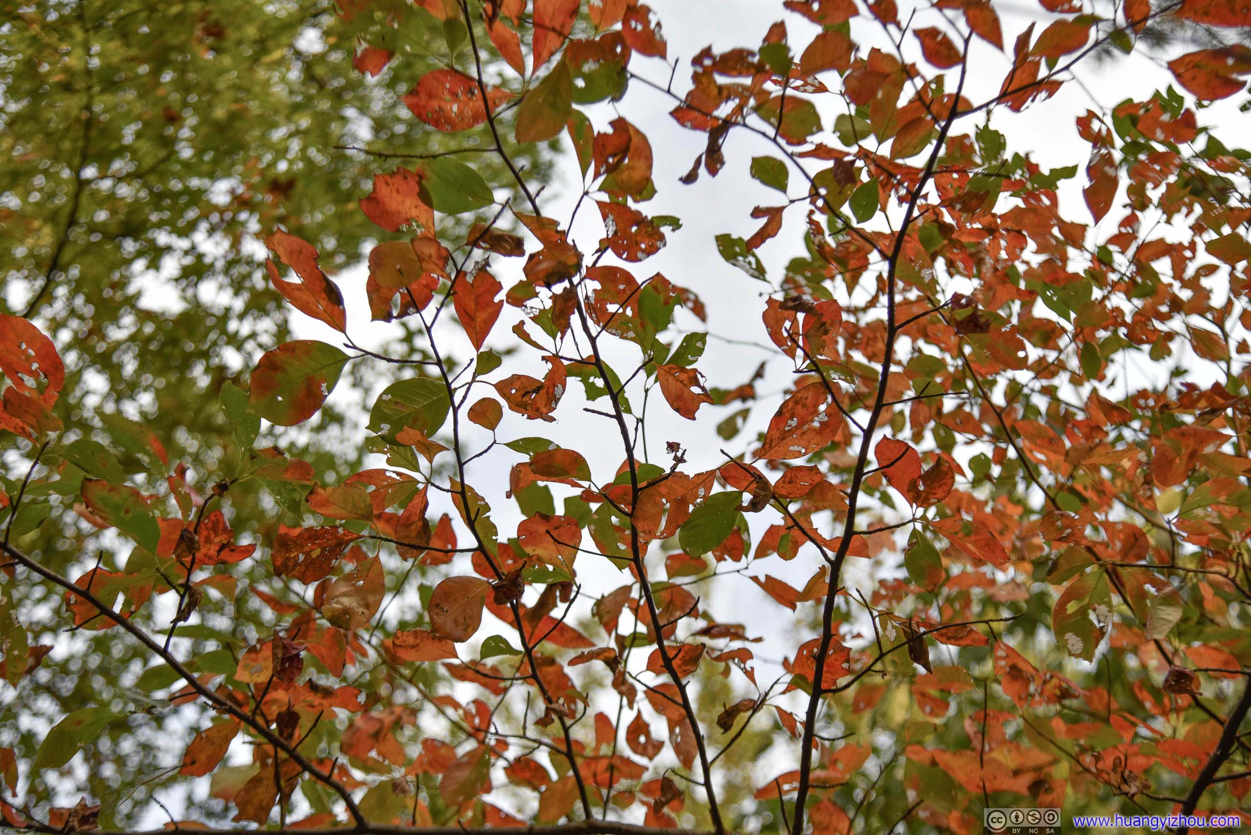
Leaves in Autumn Color
Just before the summit of Buzzard Hill there was a primitive camp site with a small overlook.

Not much to see here as view was blocked by overgrown trees.
A little bit forward there's the actual summit overlook of Buzzard Hill.
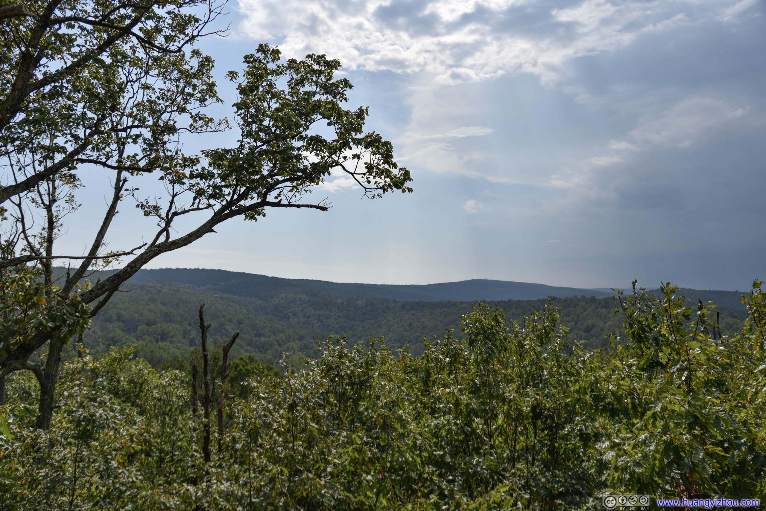
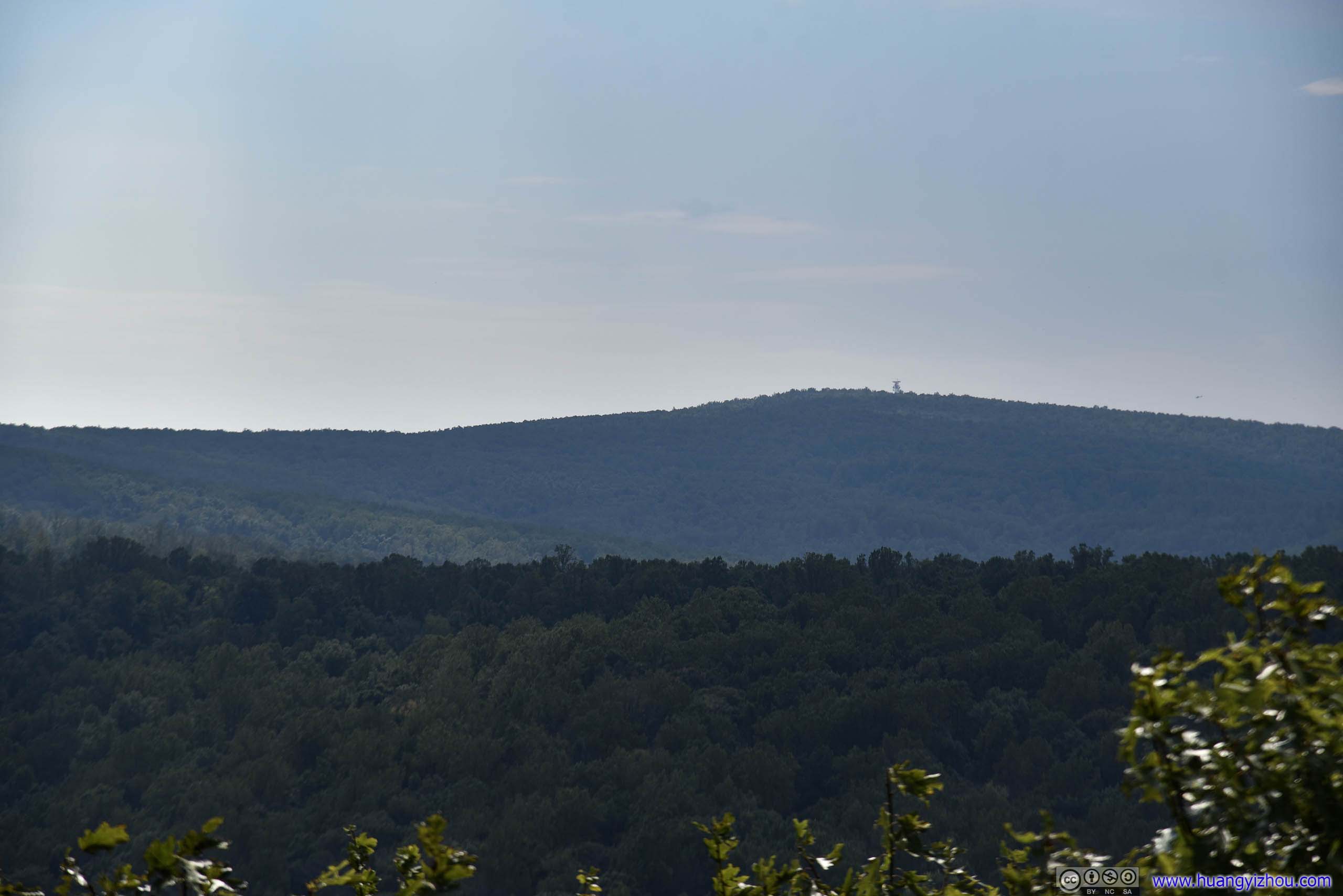


Twisted branches without much signs of life.
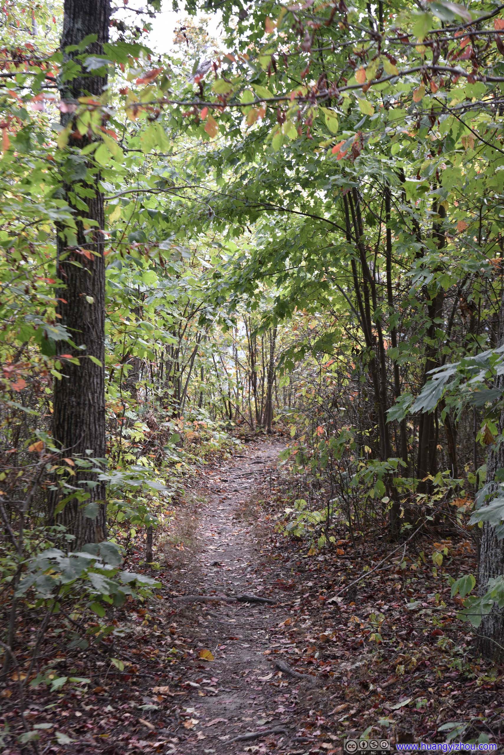
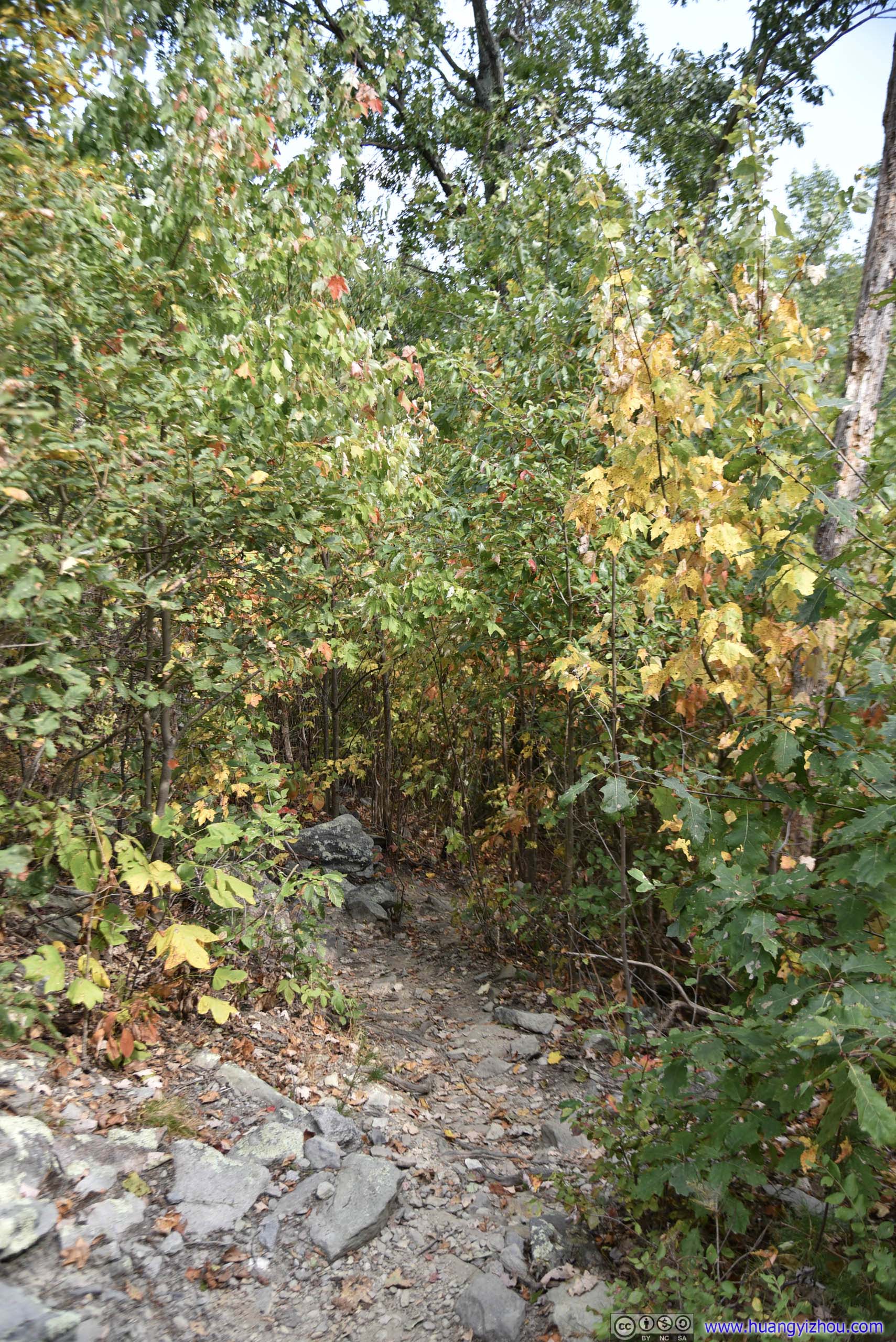
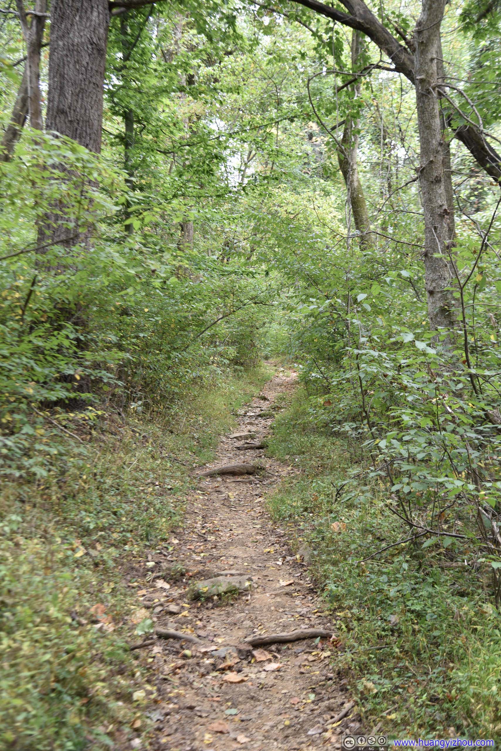
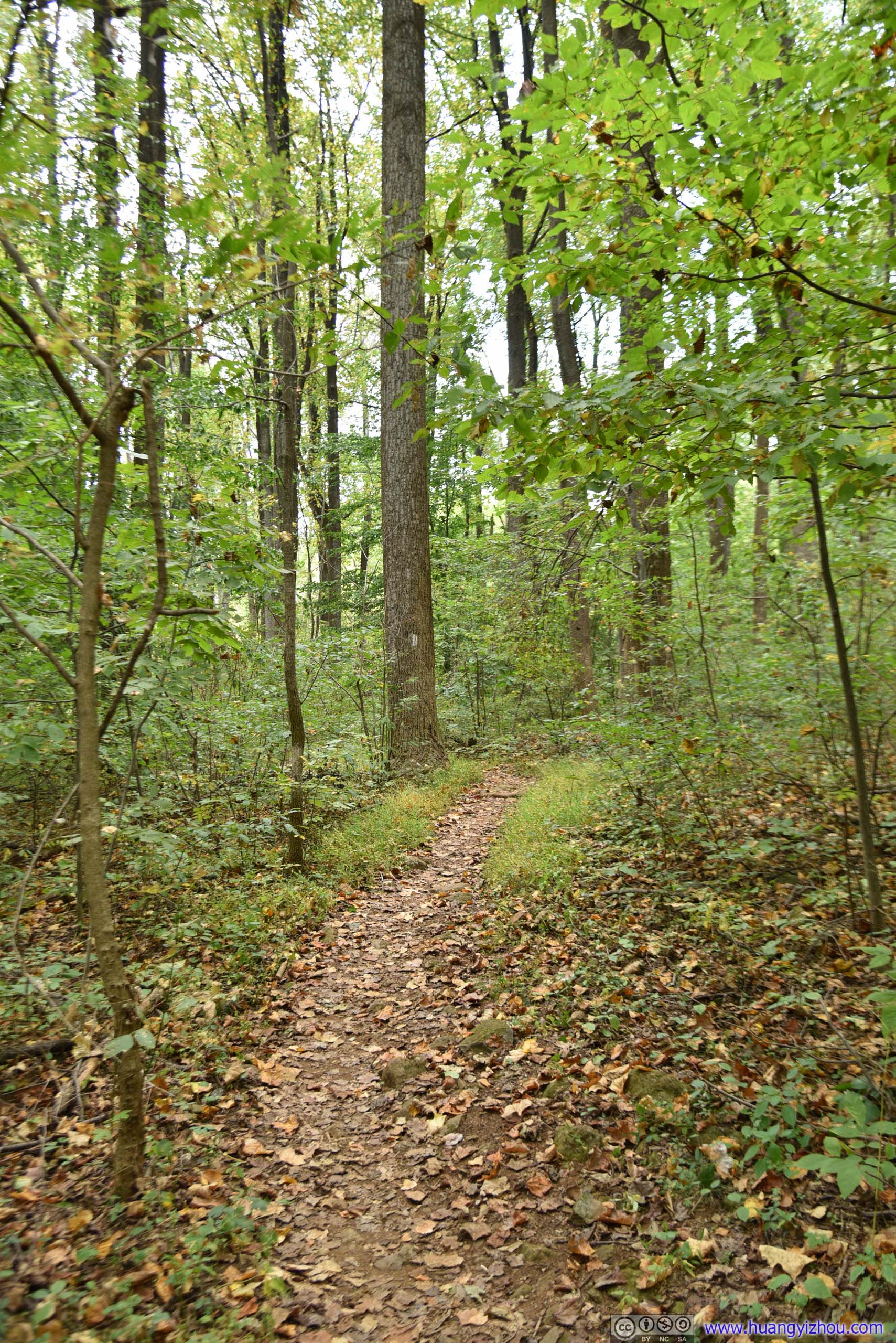
Trail
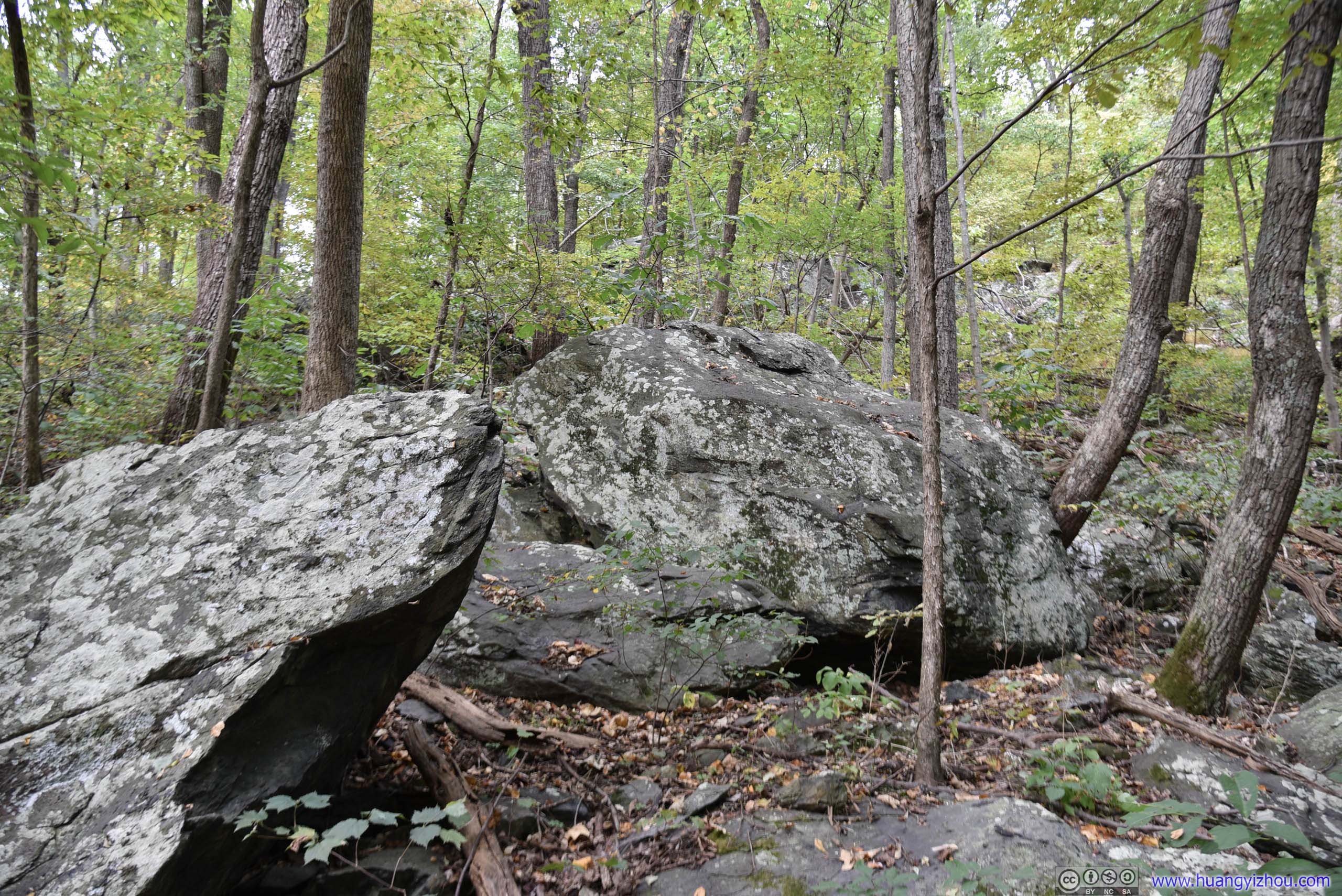
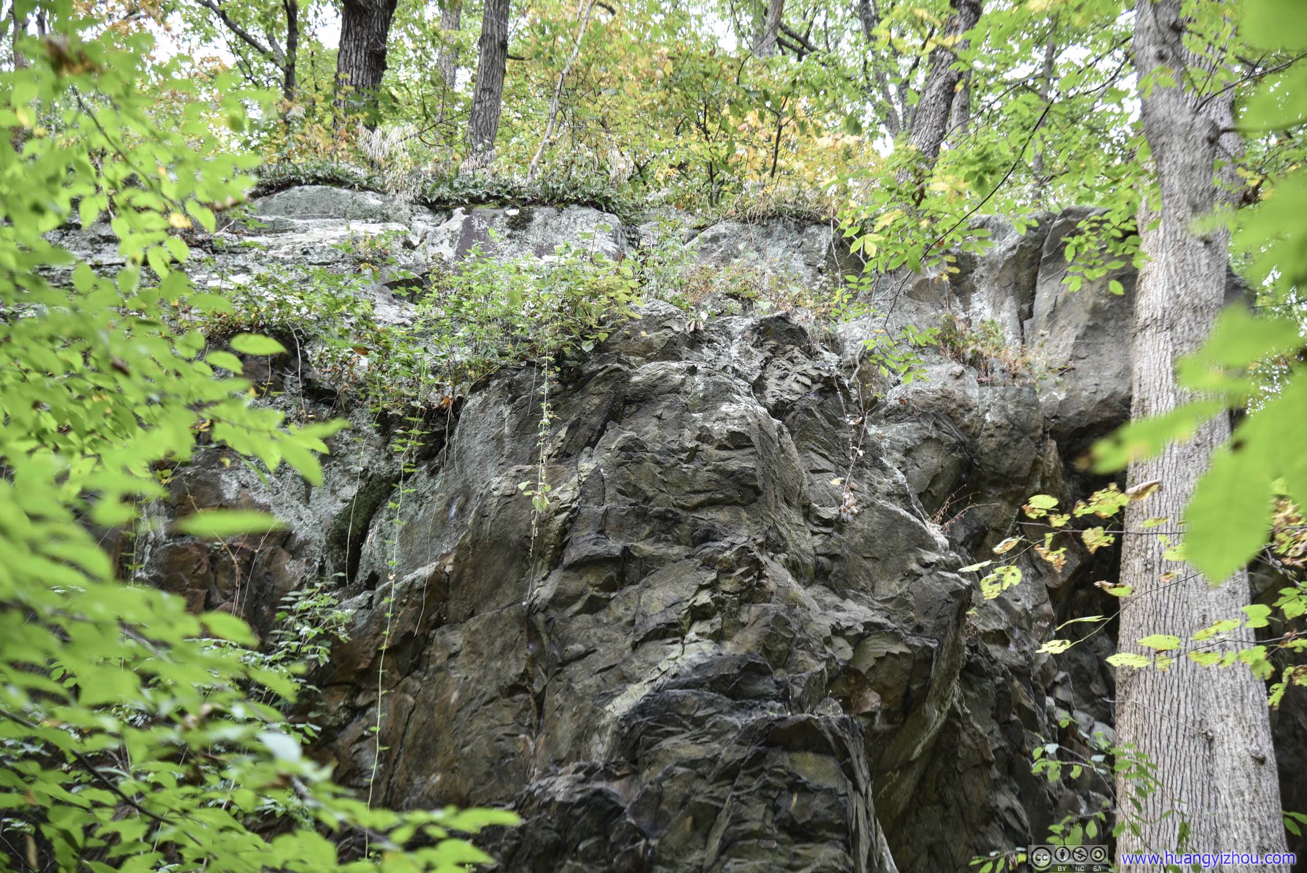
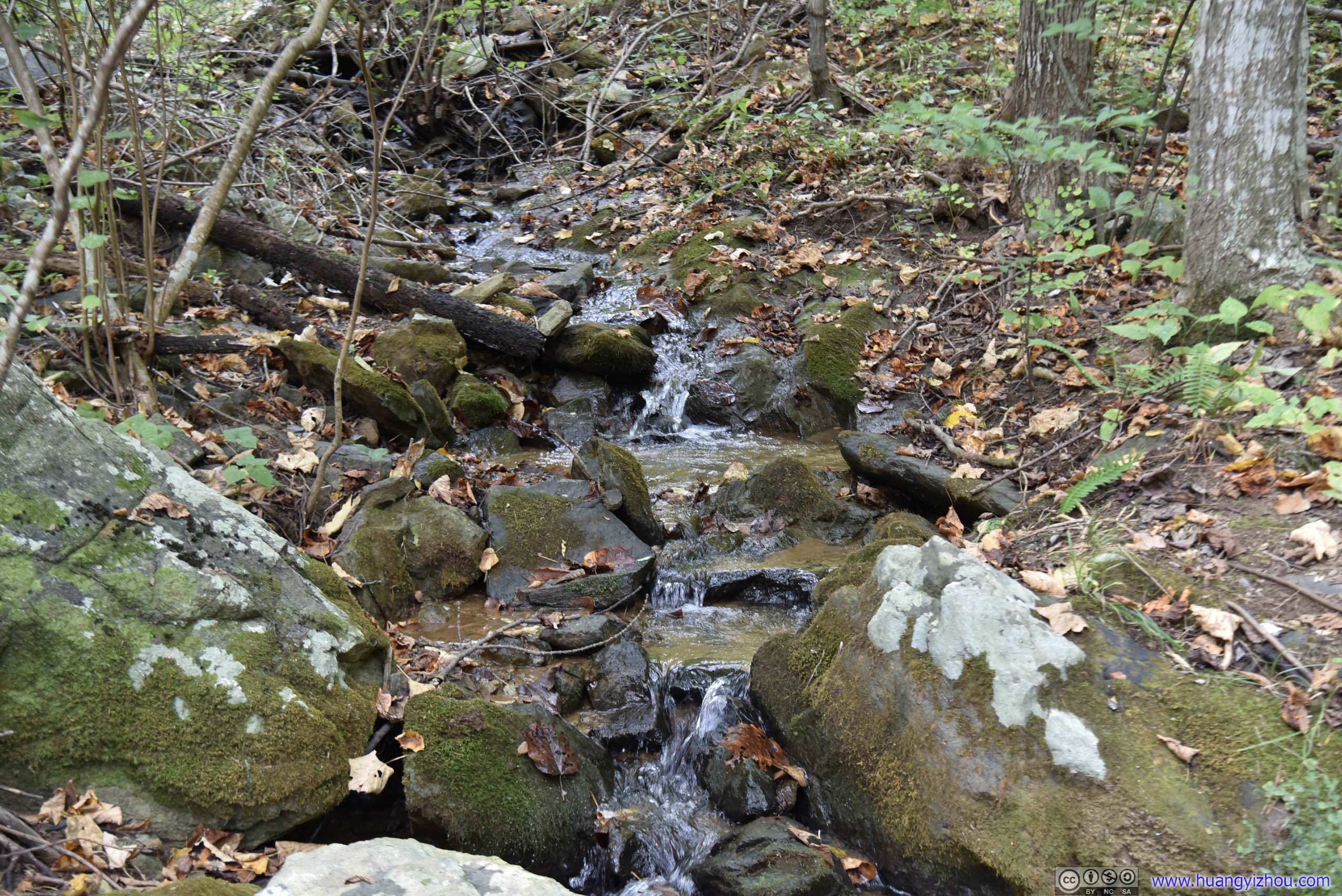
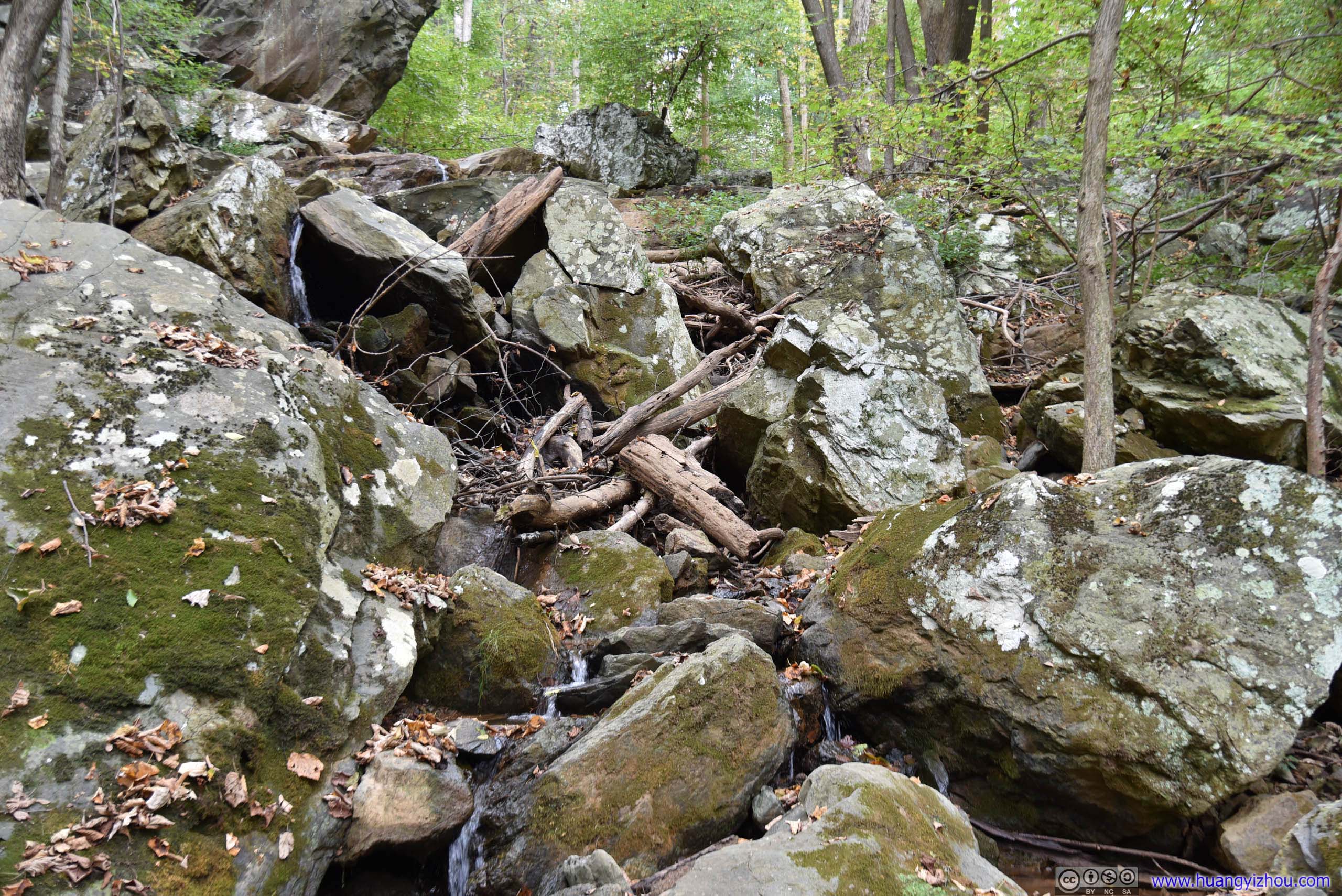
1/3 of the way from parking lot there's a spur leading to a waterfall (with the unexciting "Reservoir Hollow" being the name of the creek on maps). Unfortunately, it barely rained in the previous few days weeks, so the waterfall was actually a dribble.
And the spur existed more on maps than in the real world, which meant going to the waterfall was more an adventure cutting through tree branches and bushes, not something I'm fond of.
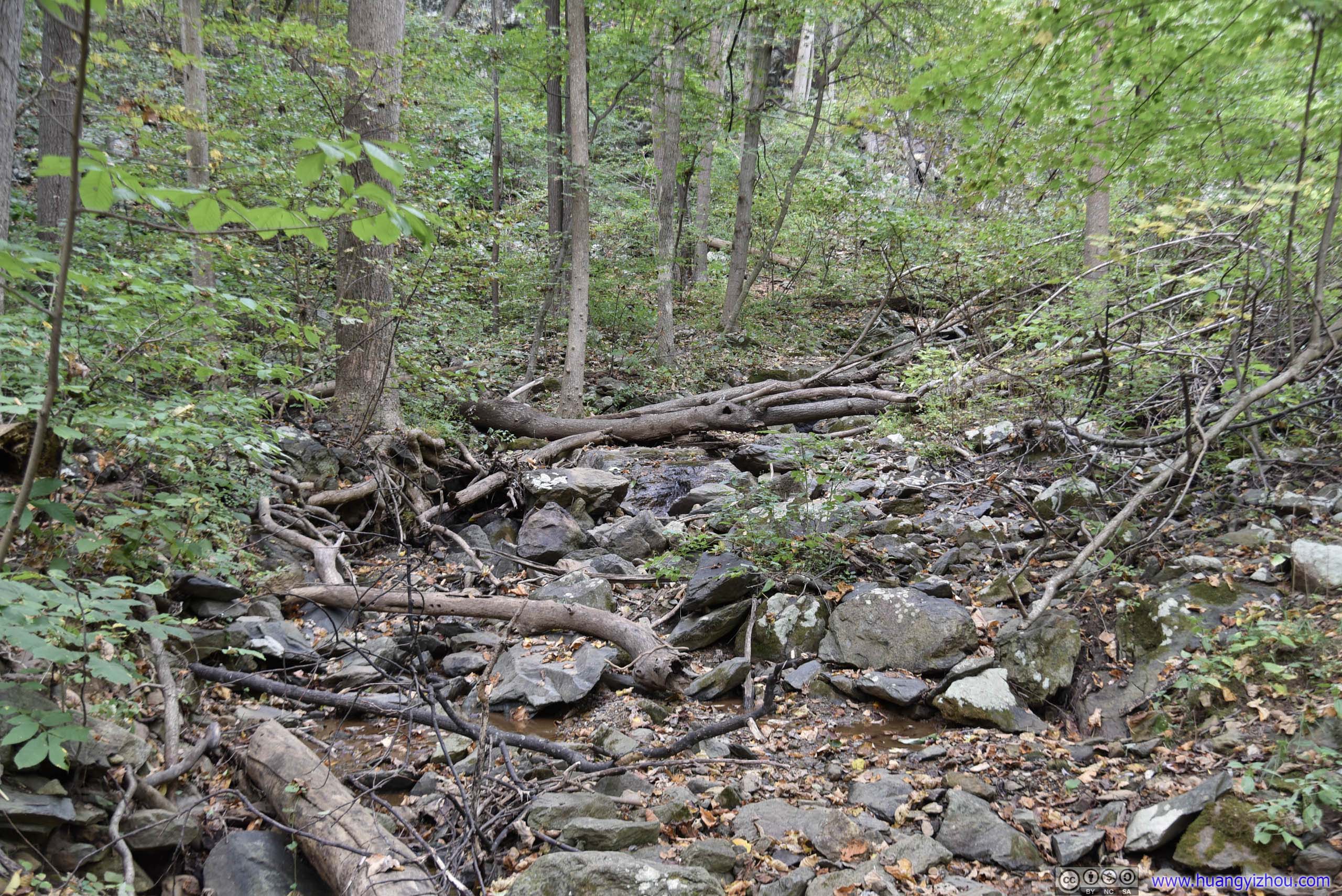
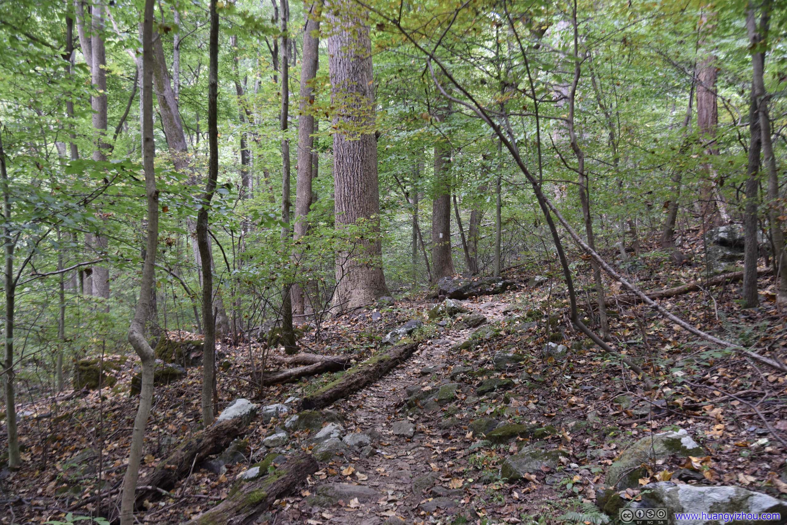
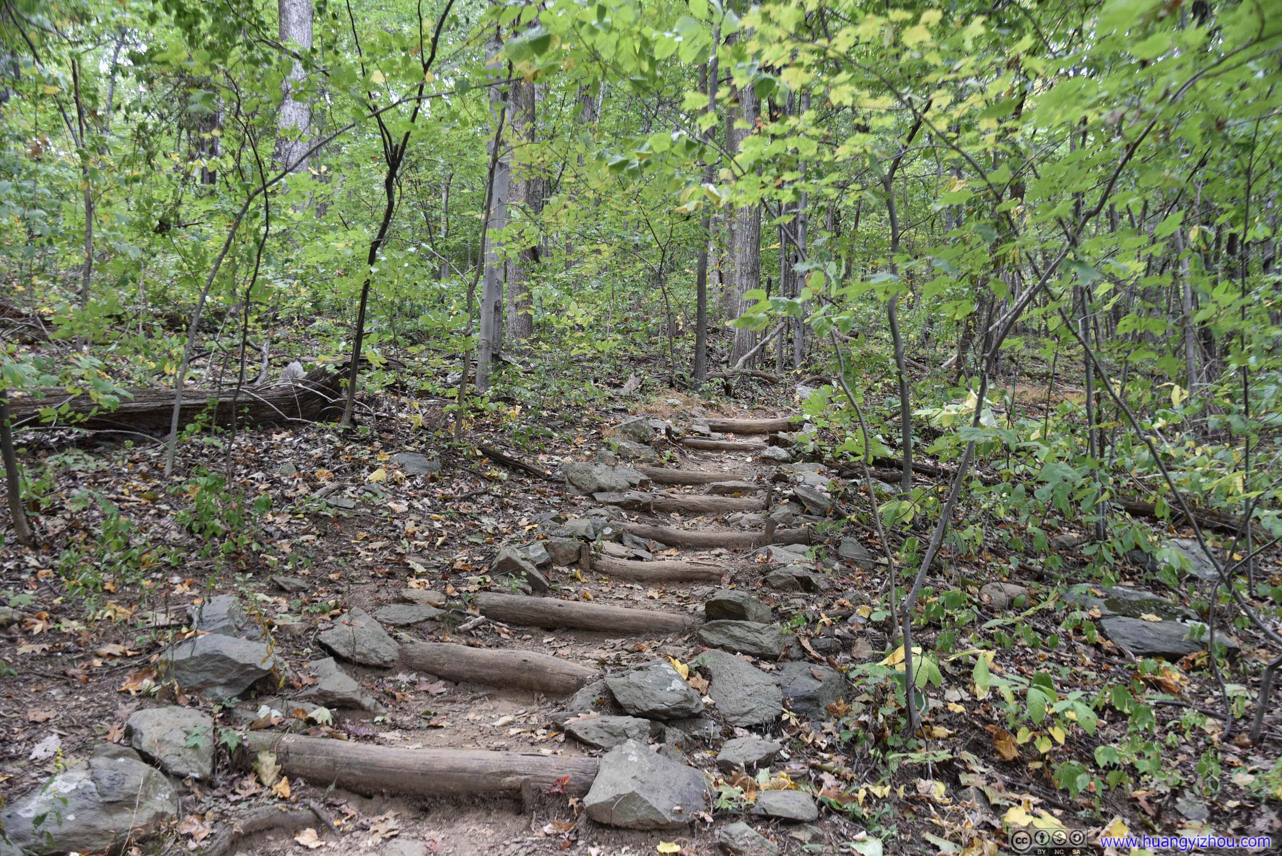
And that concludes the Buzzard Hill part, from which it was only a short(with unpaved gravel roads it didn't feel short at all) drive to the trailhead of Raven Rocks.
Raven Rocks
Compared with Buzzard Hill, finding parking spaces by the more famous Raven Rocks trailhead seemed to be a challenge on weekends. I literally had to wait for another car to exit before entering the parking lot. There was overflow parking across the street like 200 meters away though.
And here's GPS tracking.
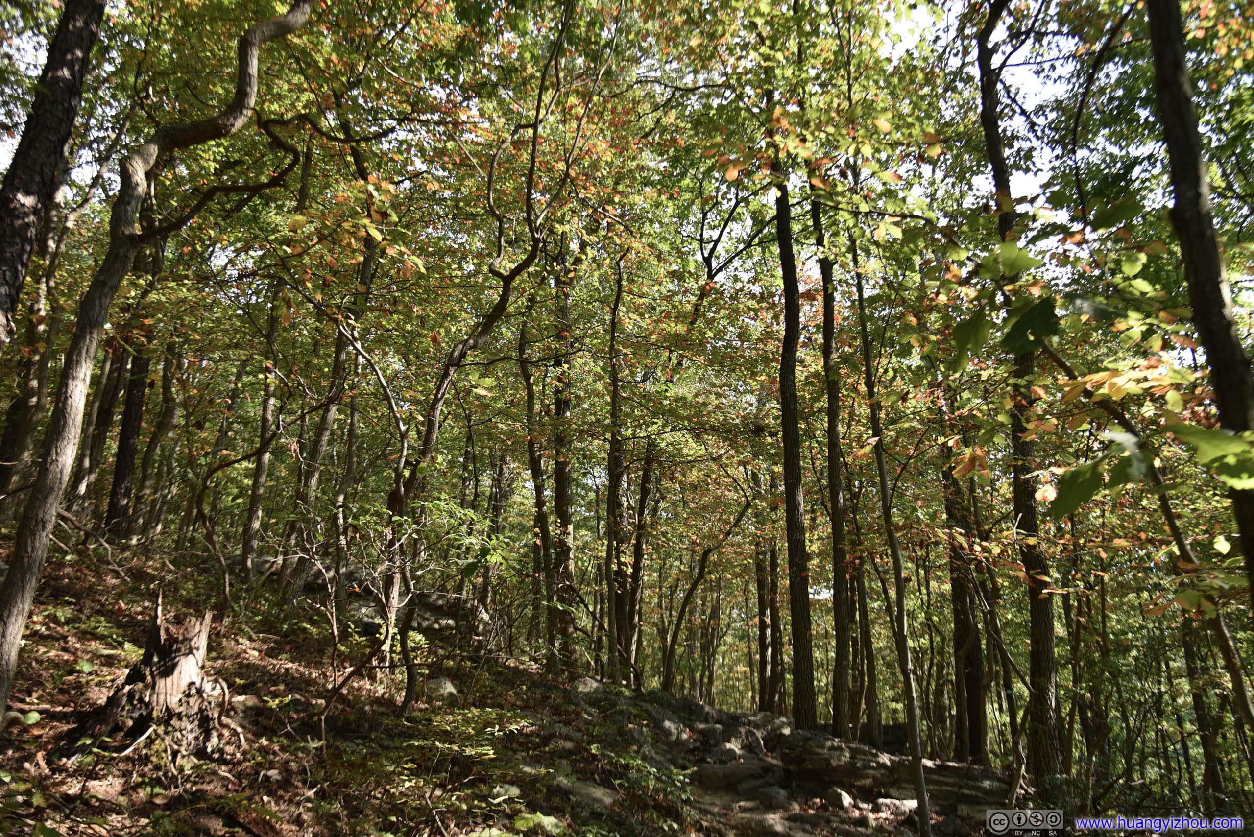
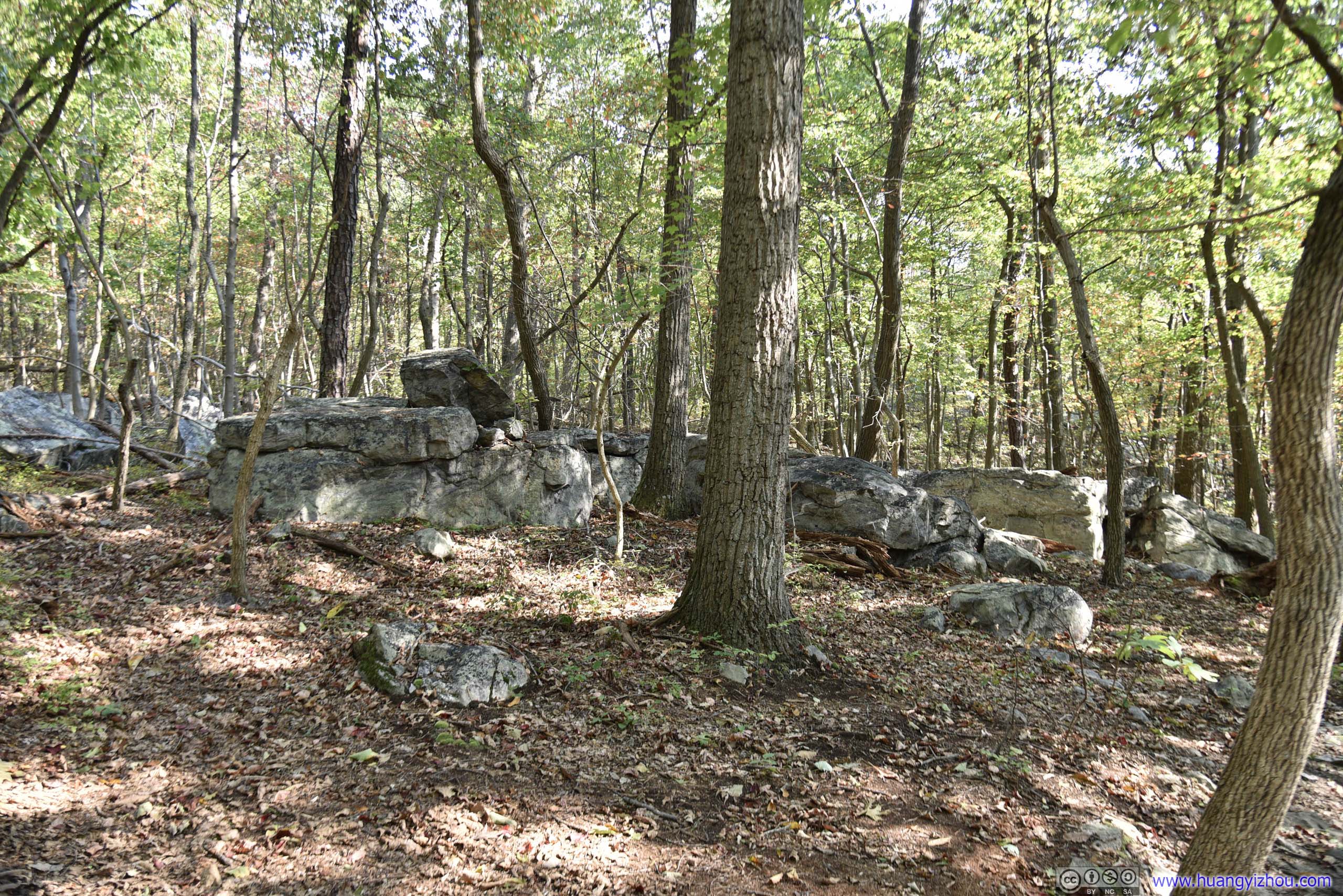
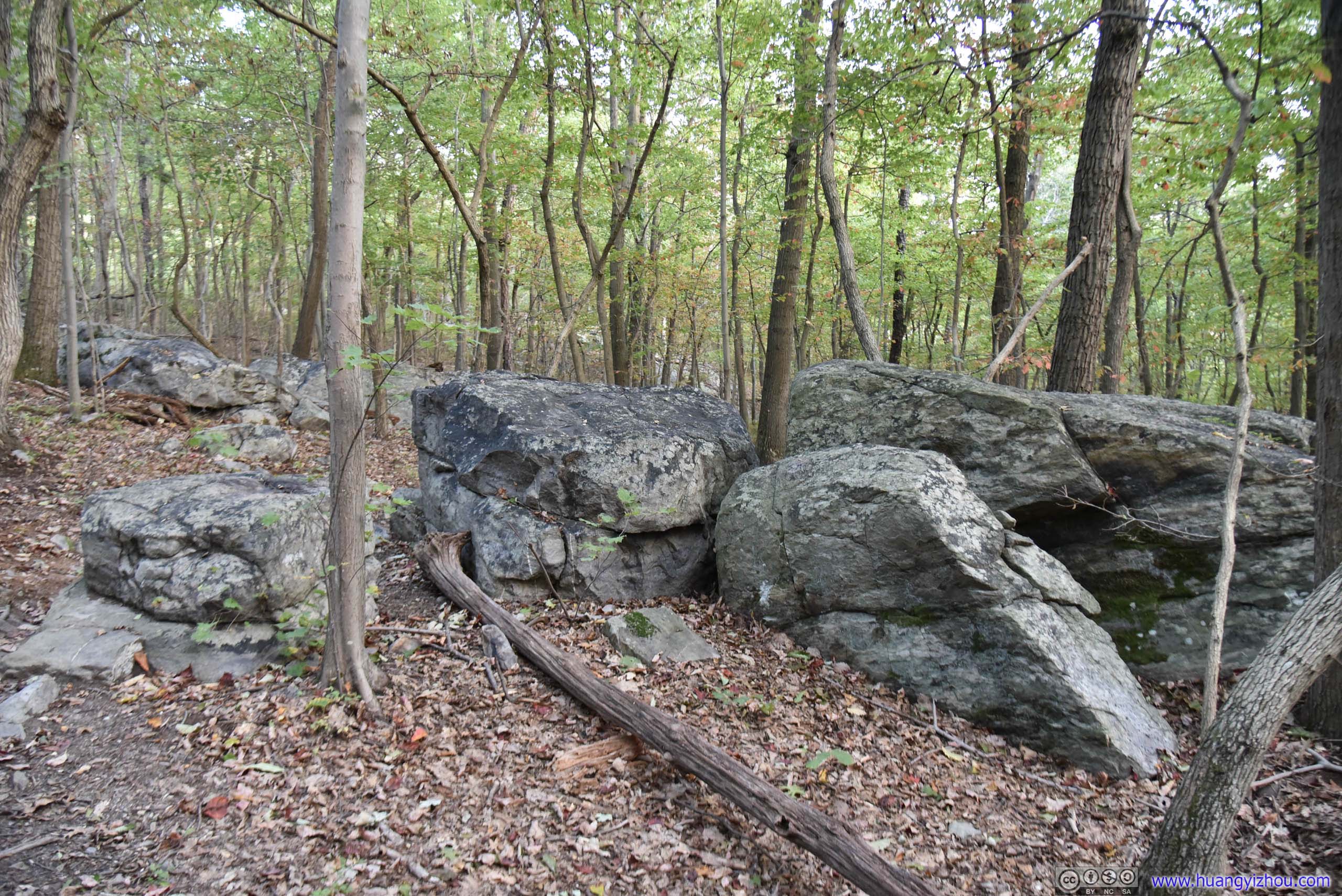
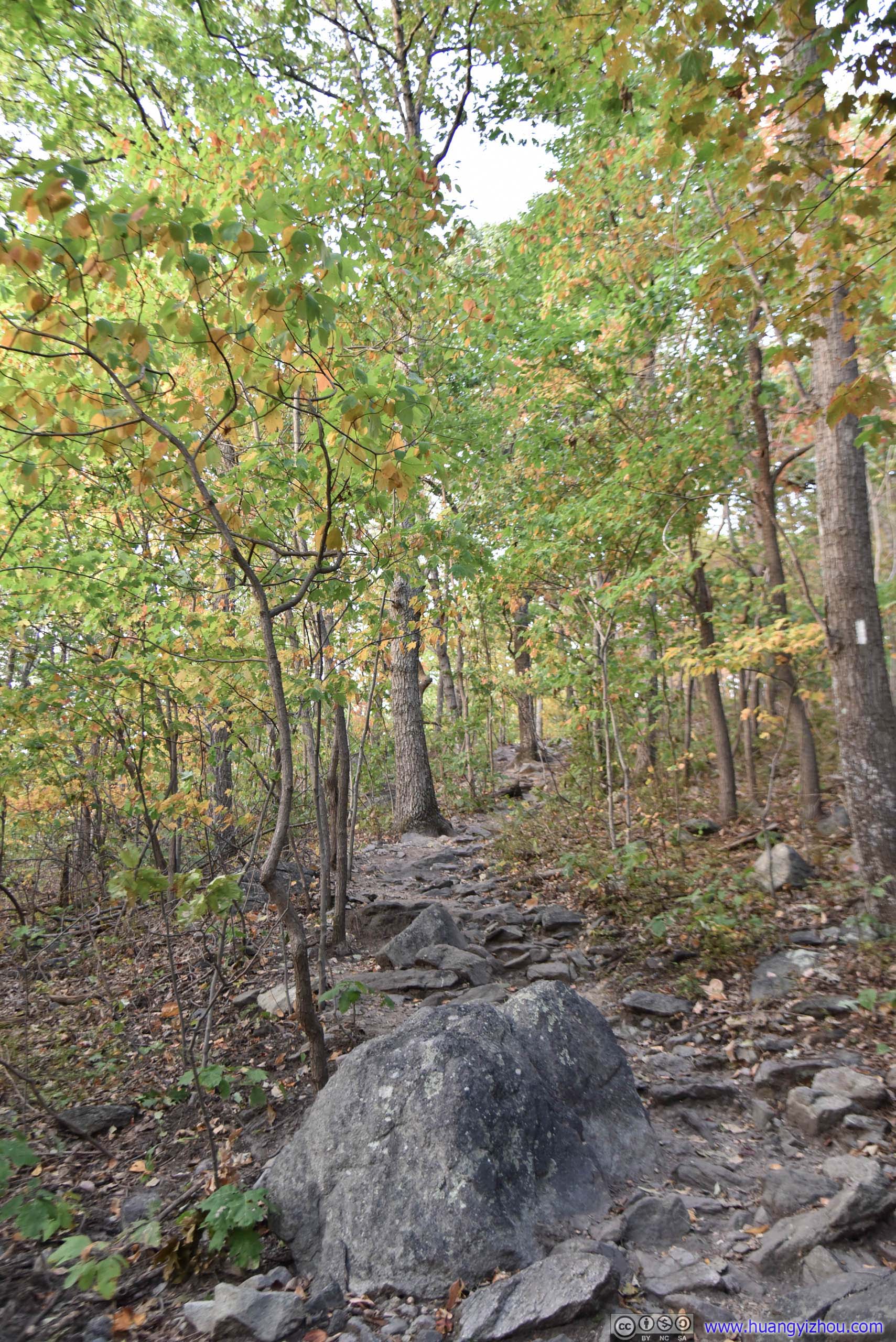
These rocks were huge and they sat right in the middle of hiking trail. For once I had this far-fetched thought that they weren’t creations of nature, but instead foundations of some run-down cabins.
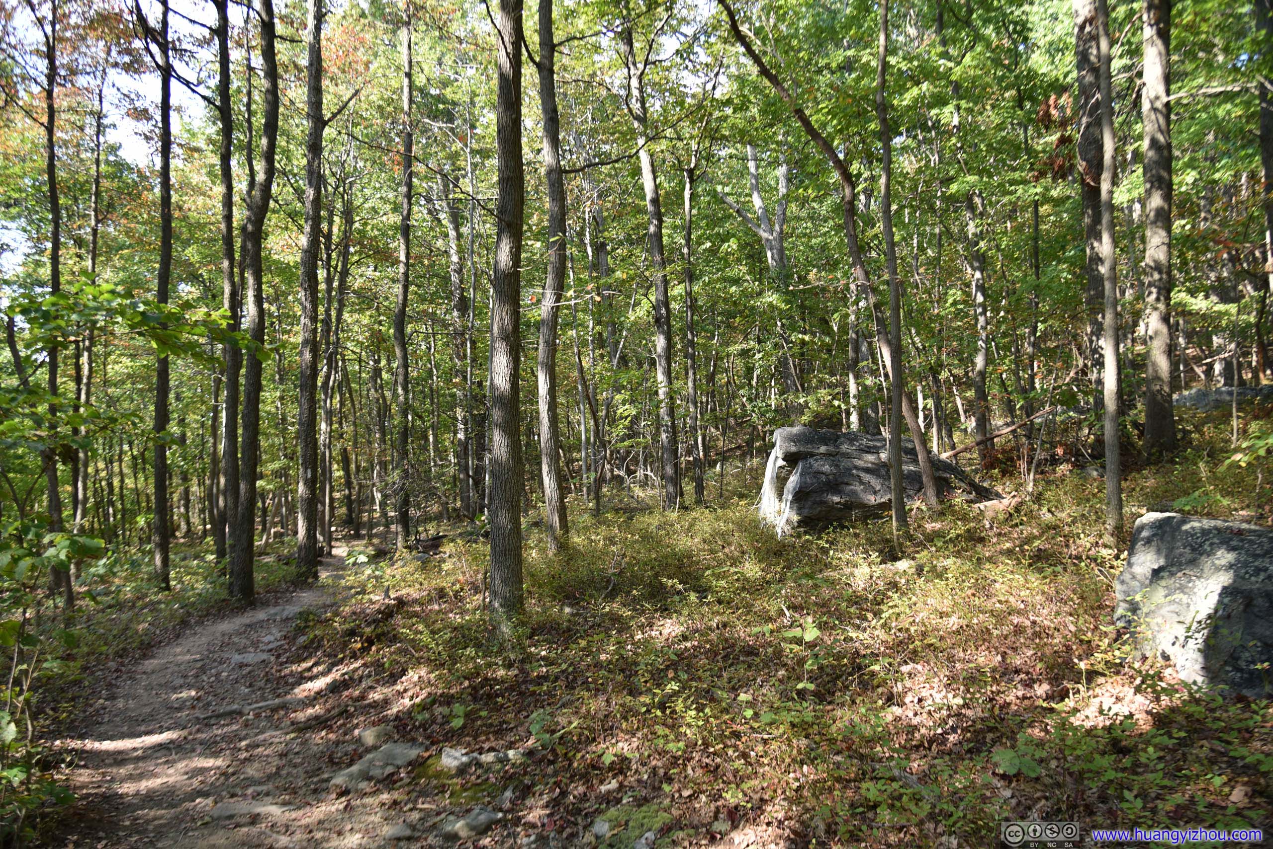
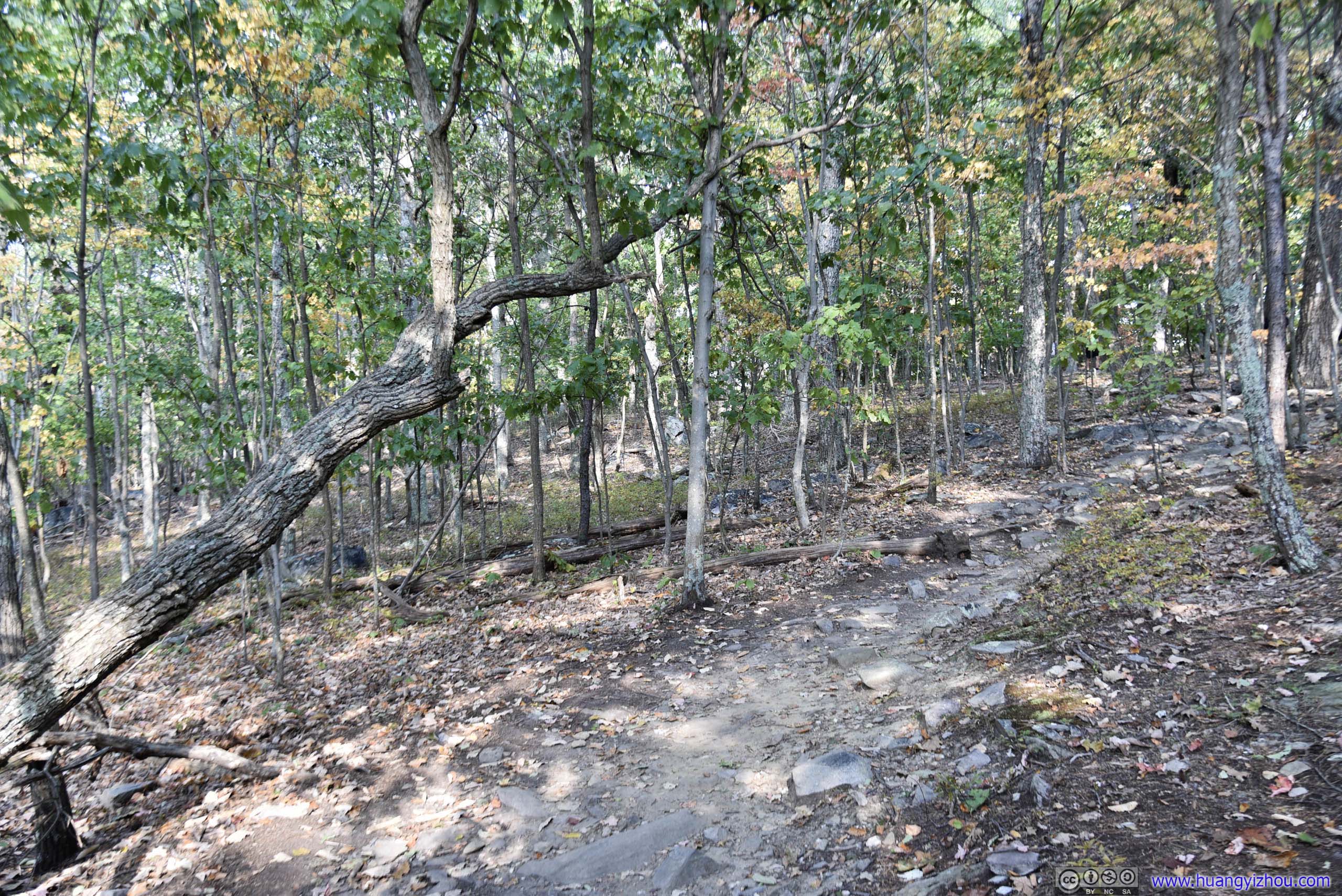
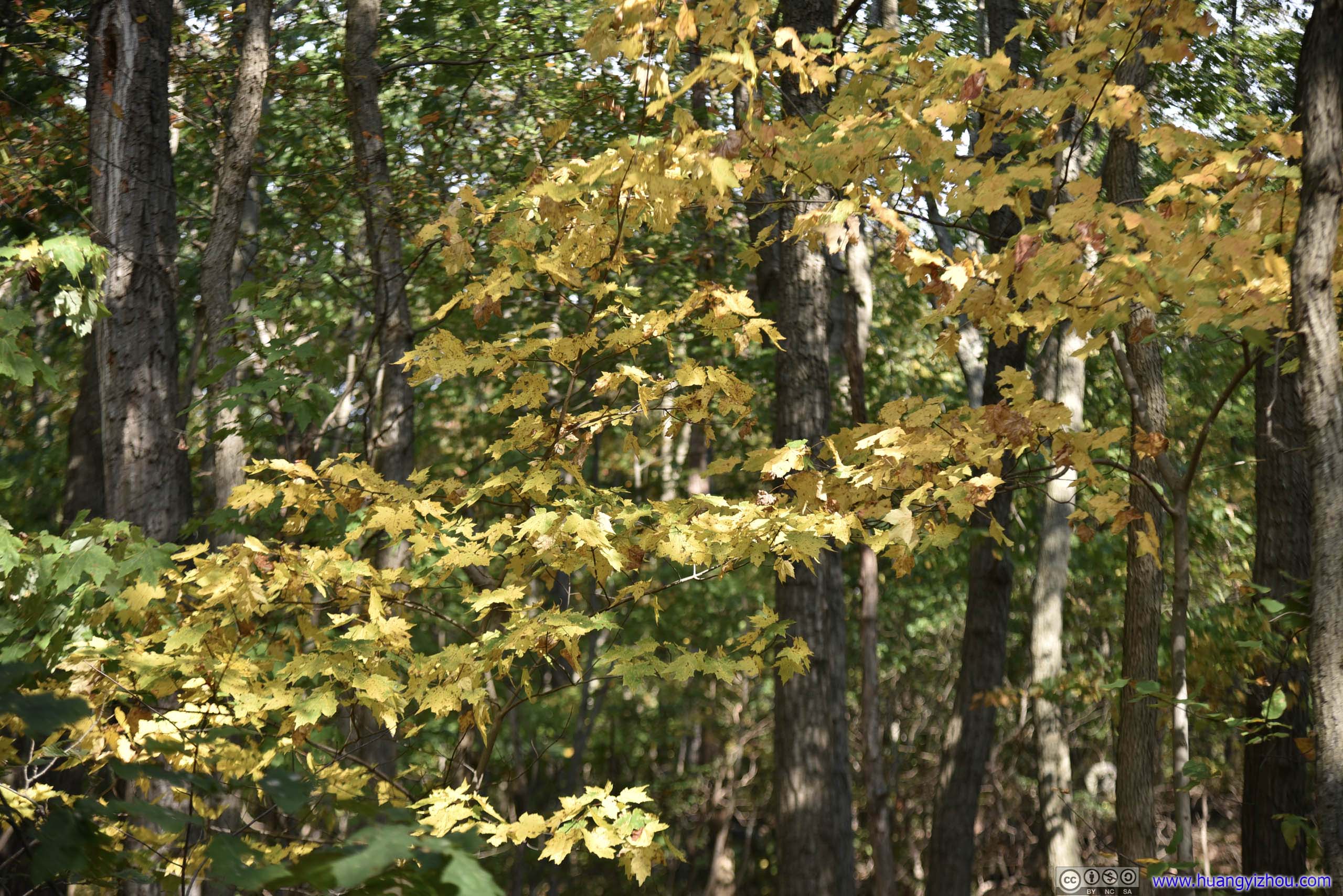
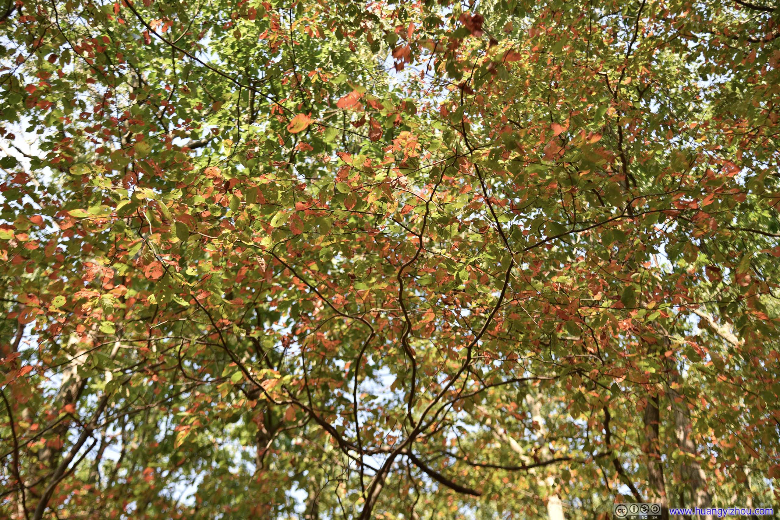
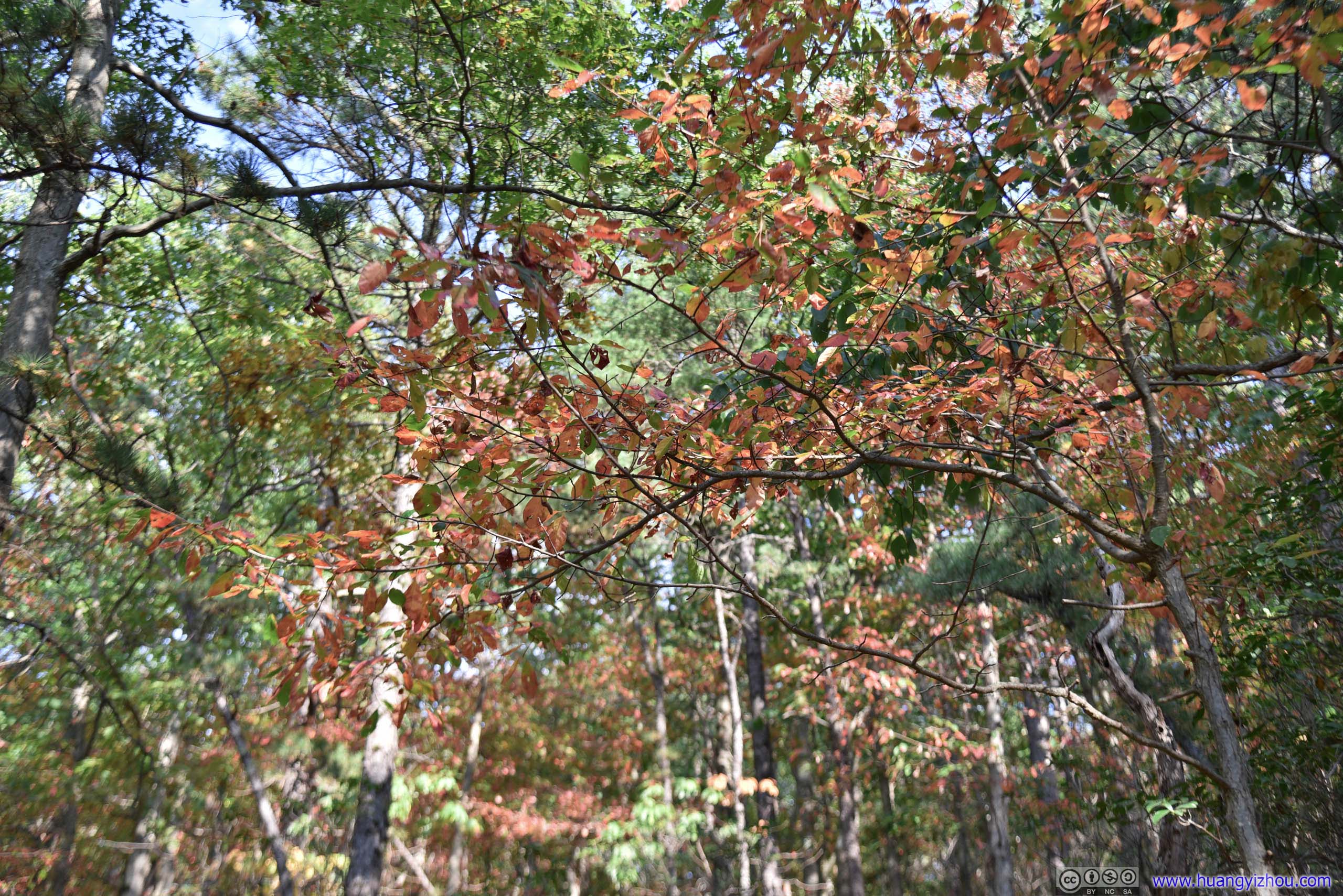
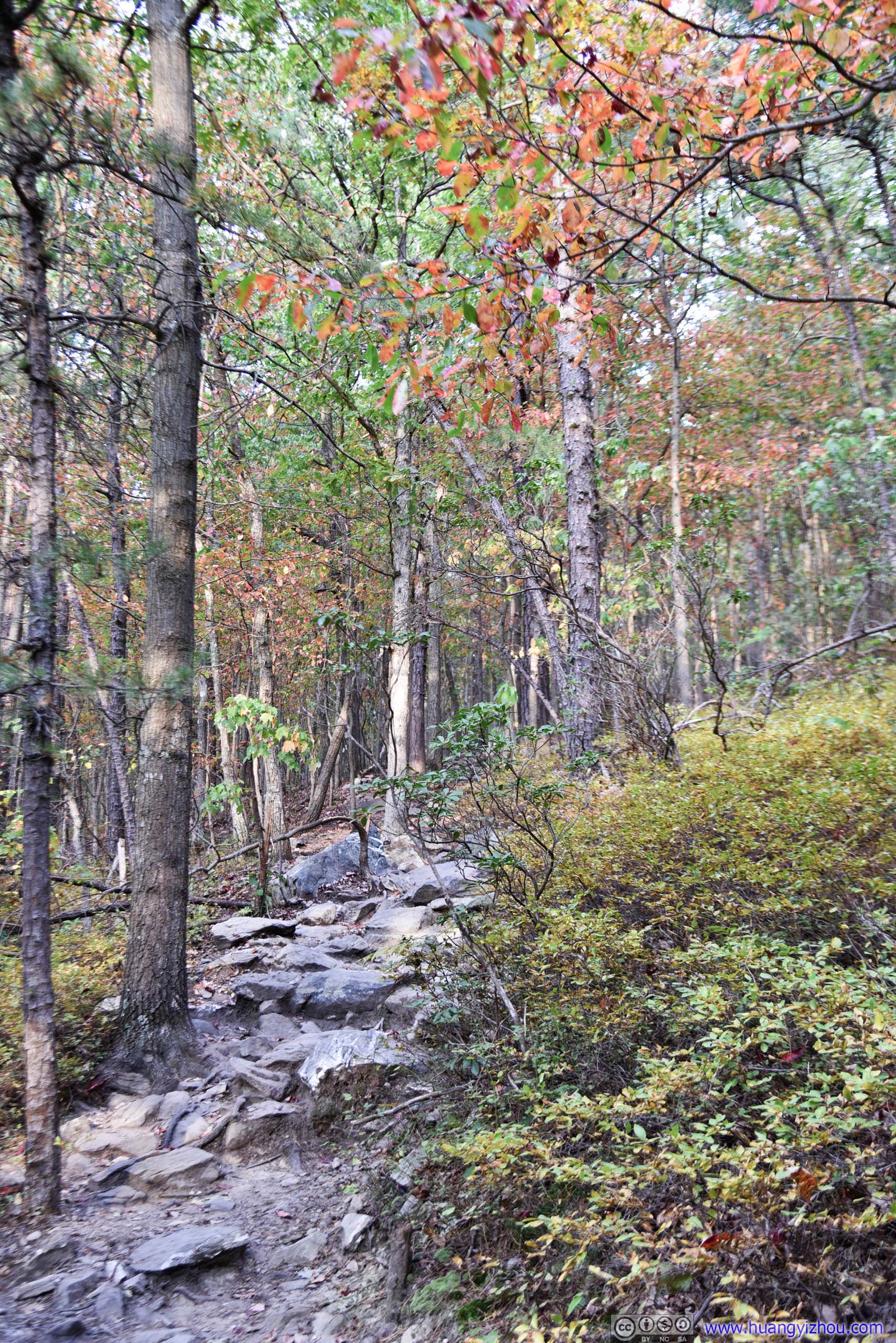
Leaves in Autumn Color
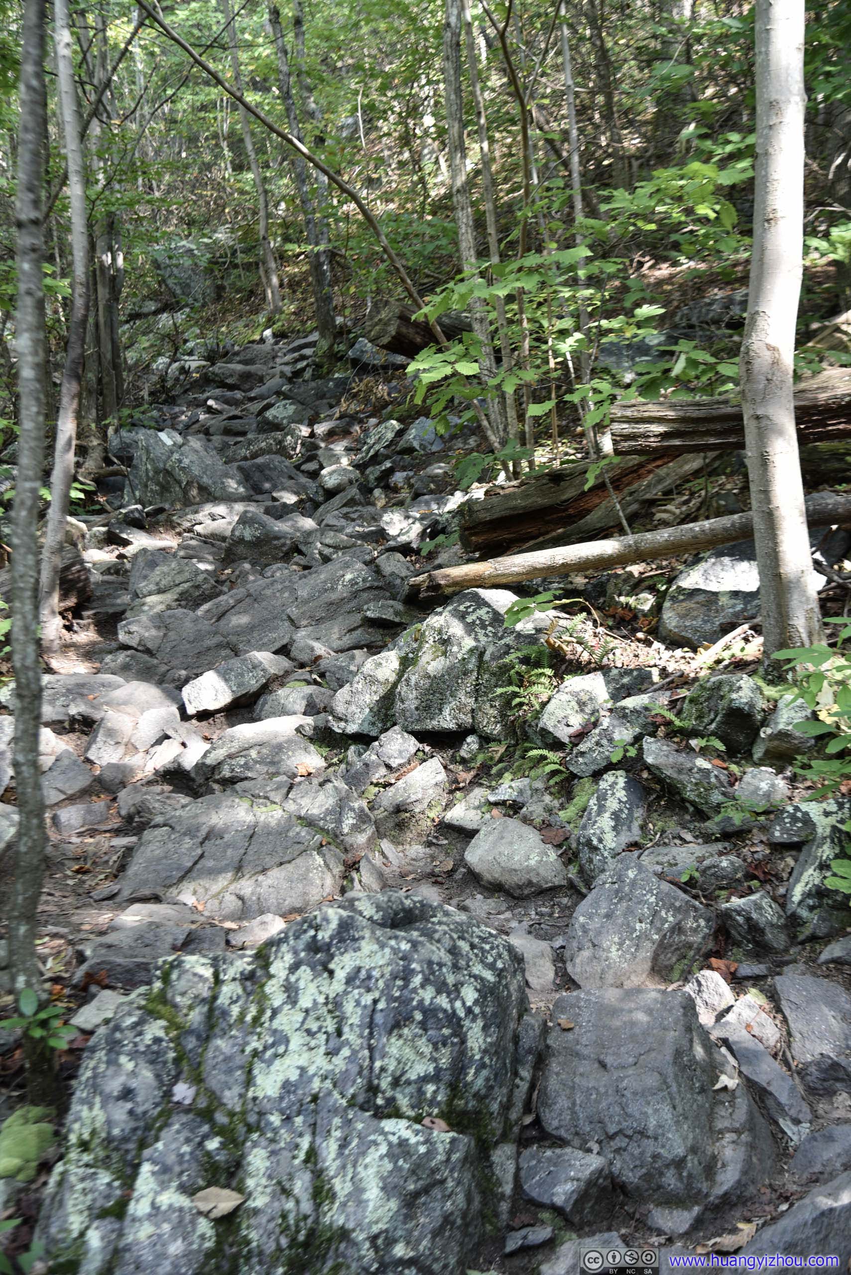
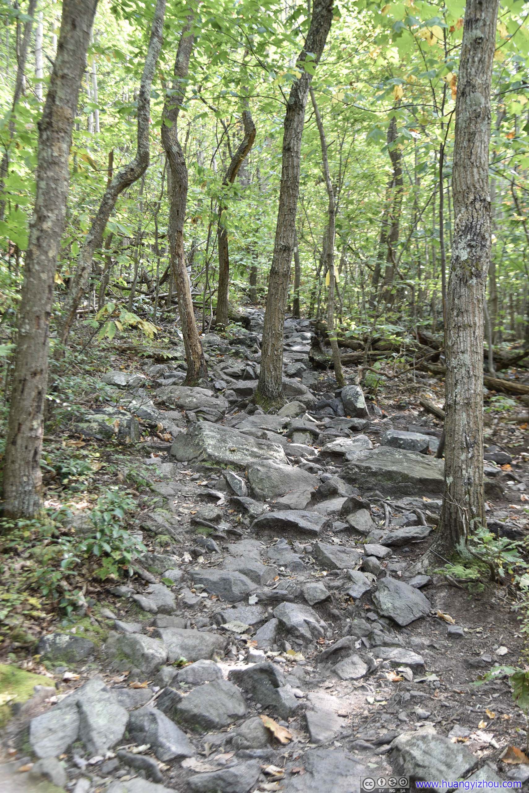
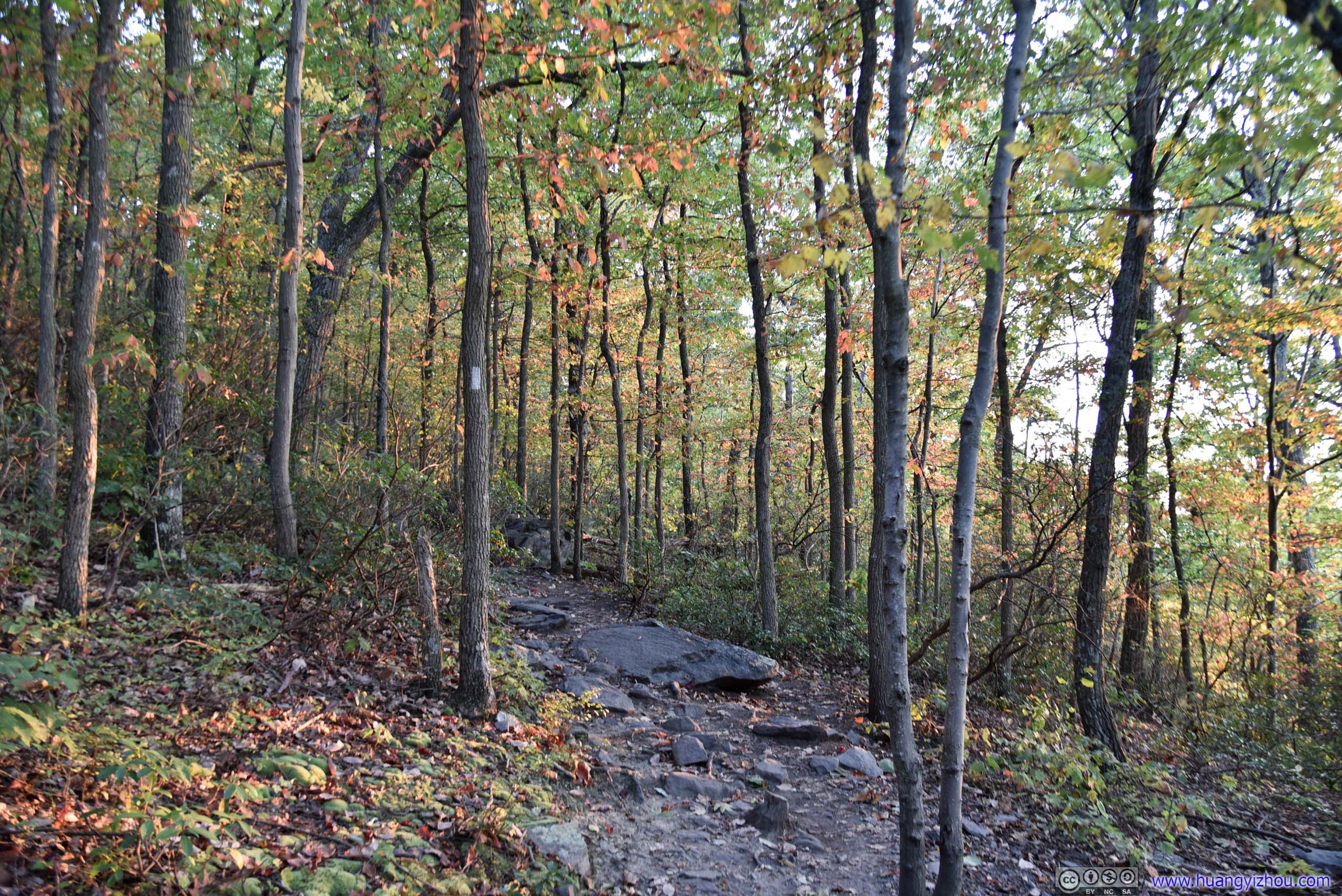
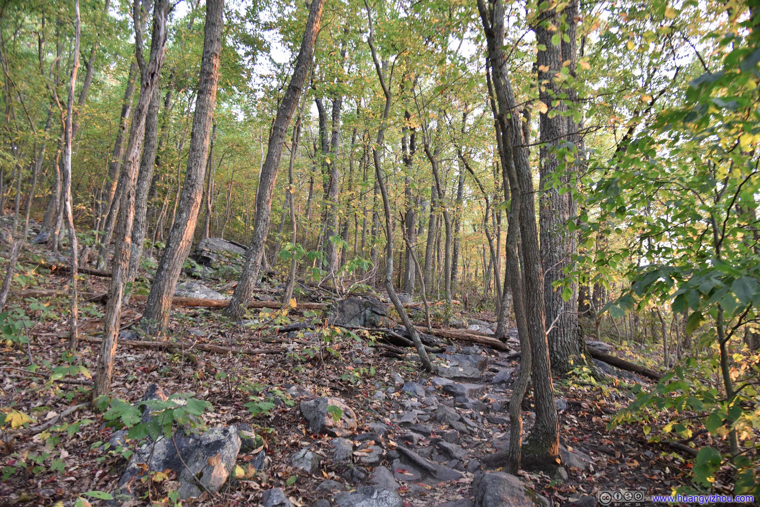
As for the trail itself, quite significant portions of it was on rocks like these, navigating through which did add some difficulty (and senses of achievement) to hiking. However, when the trail wasn't made of these rocks, it was usually wide and flat, much better than the Buzzard Hill trail that I hiked earlier in the day.
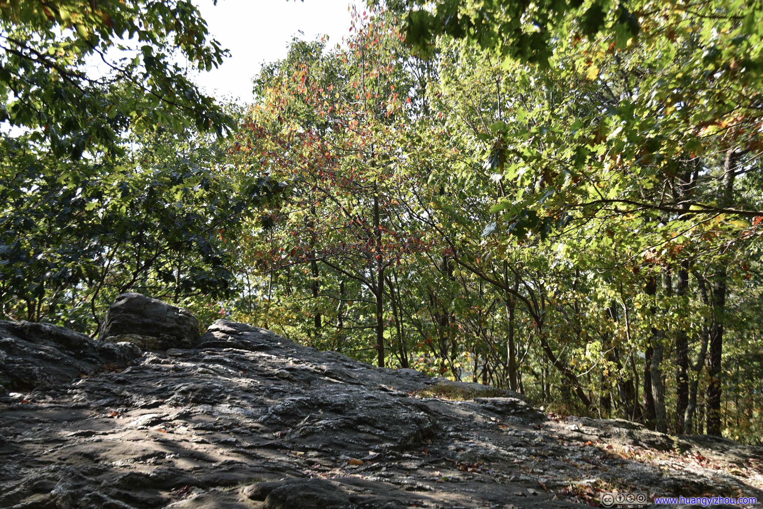
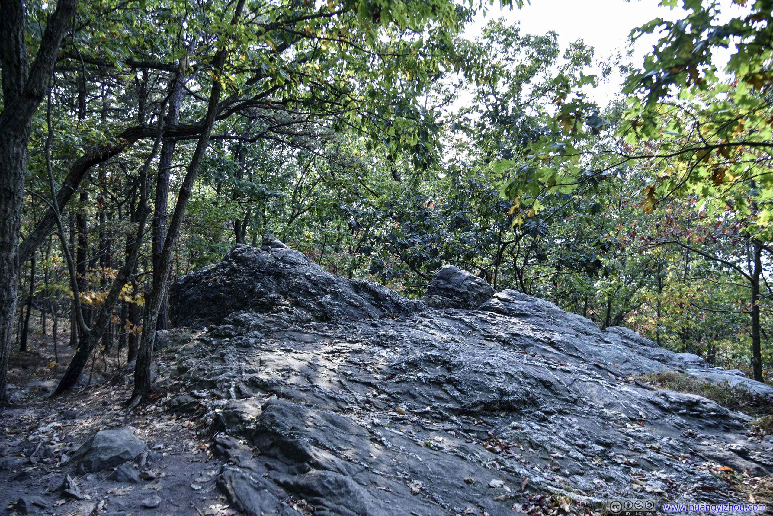
This was supposed to be some sort of overlook, only that it's totally overgrown.
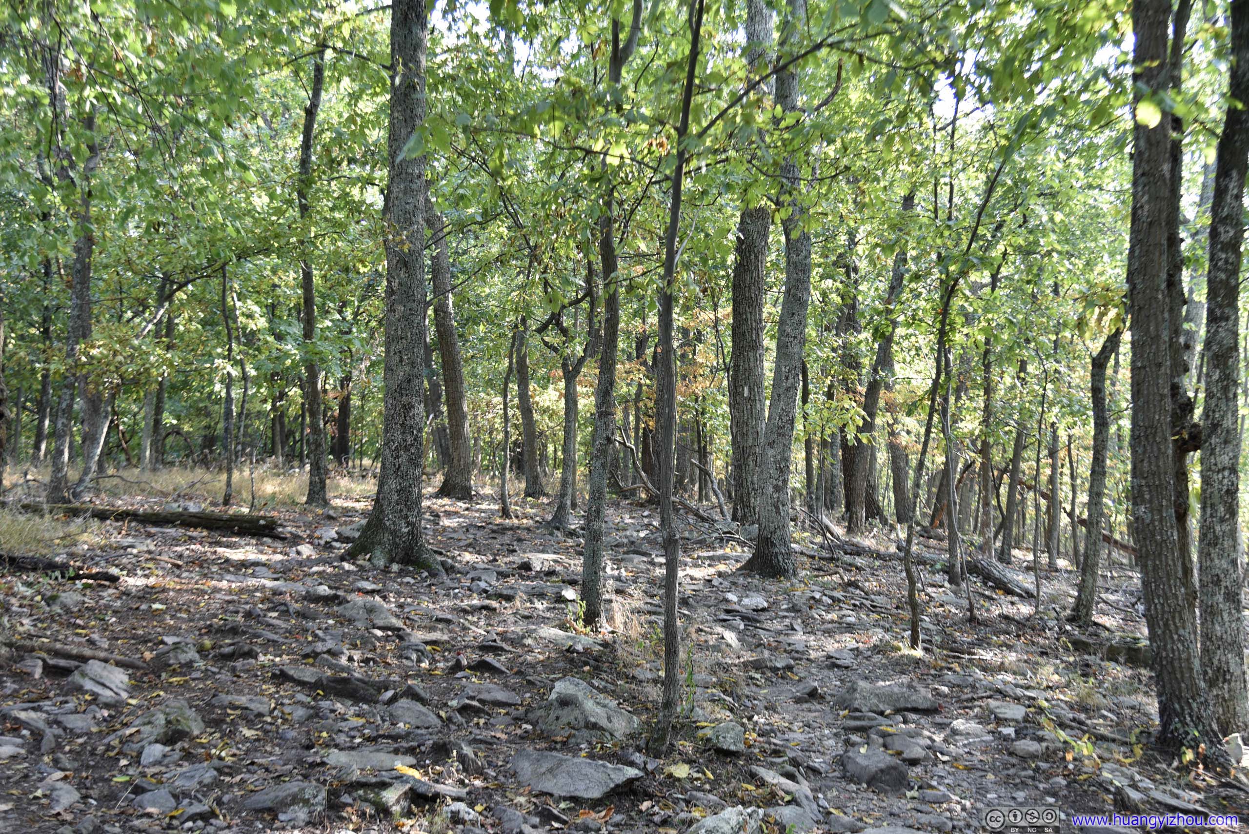
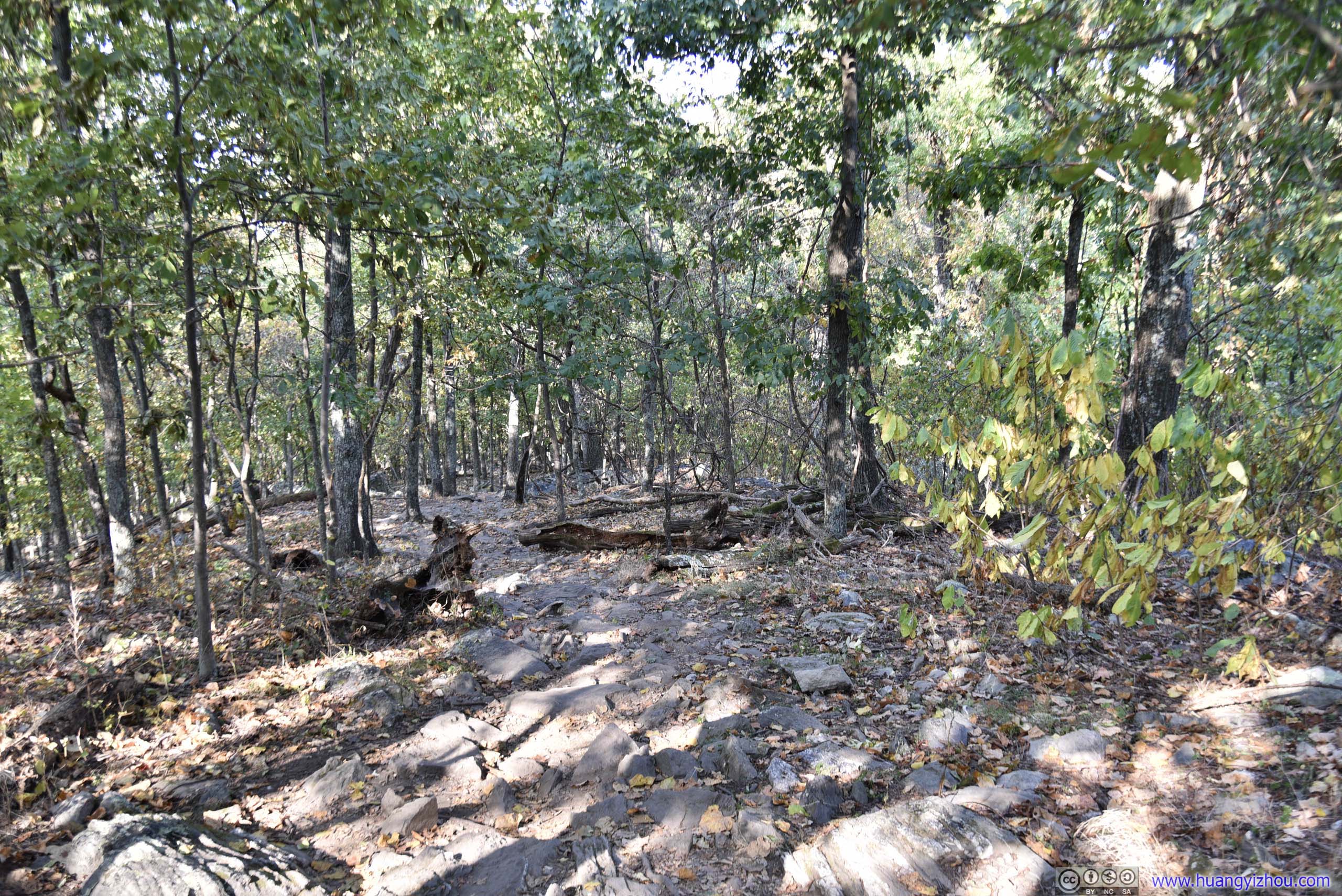
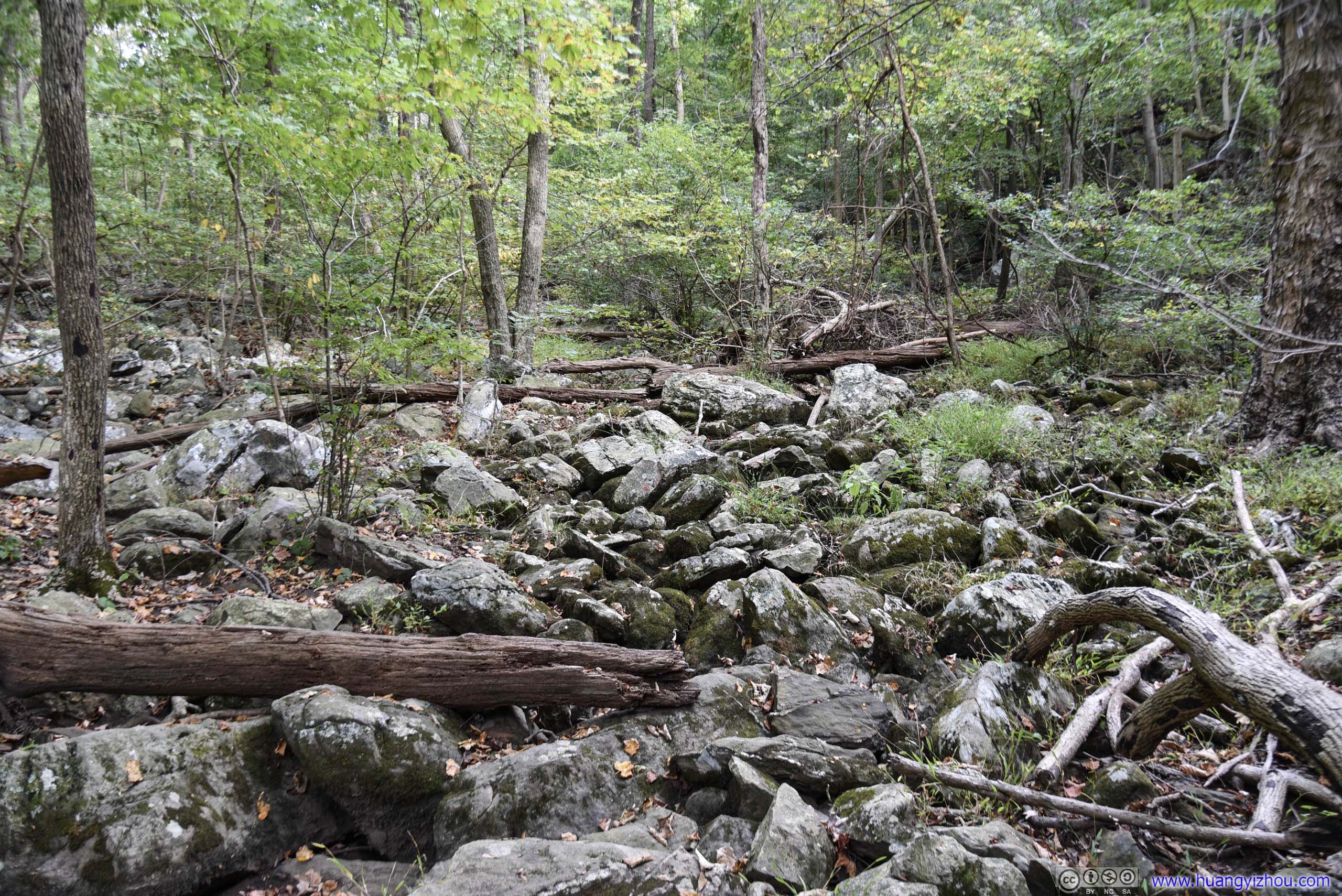

On the map this is a creek. Since it barely rained recently, all that's left were rocks.
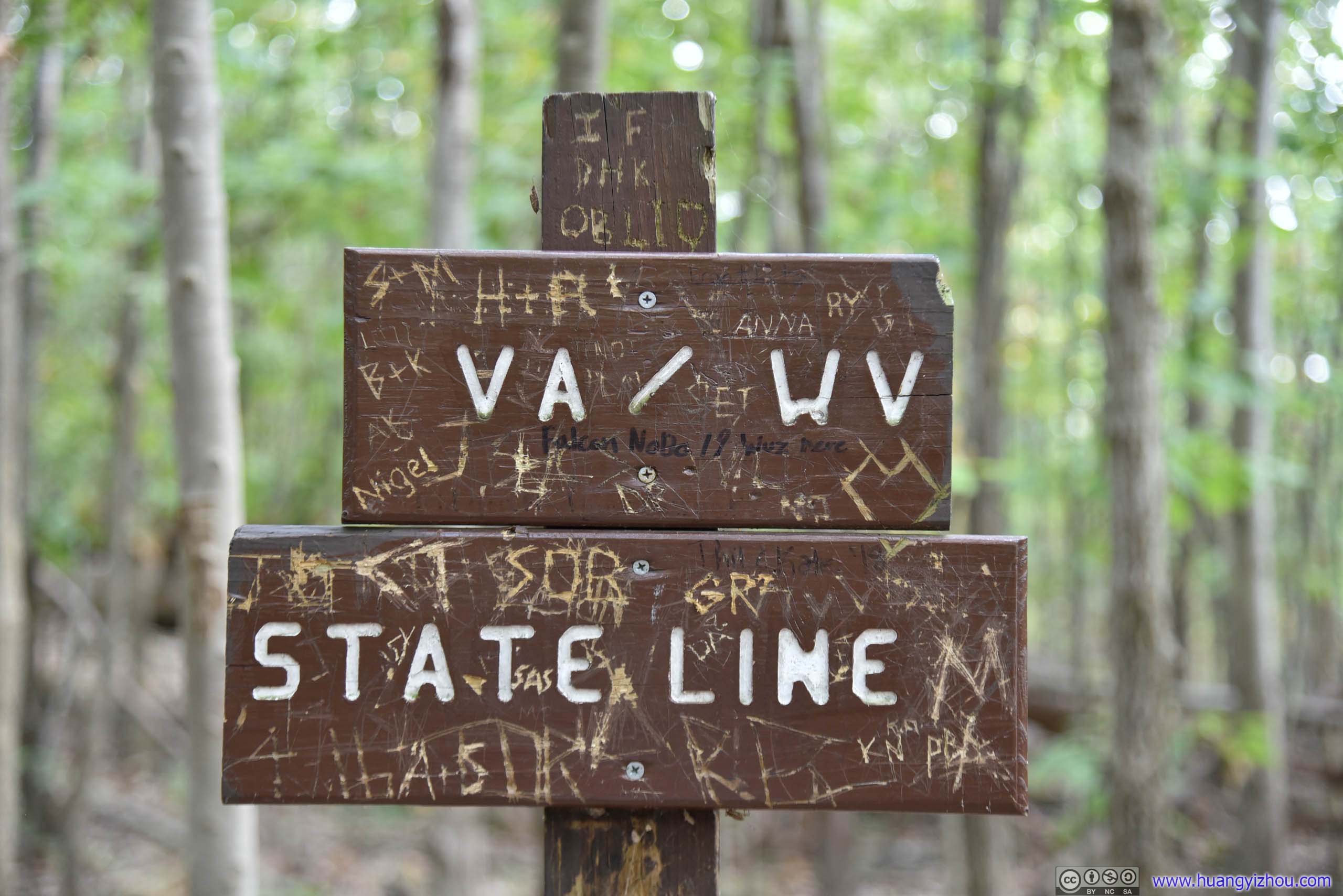
A small portion of the trail towards the end was in the state of West Virginia, including Raven Rocks. The only problem? This sign was like 30 meters off the state line by my phone GPS.
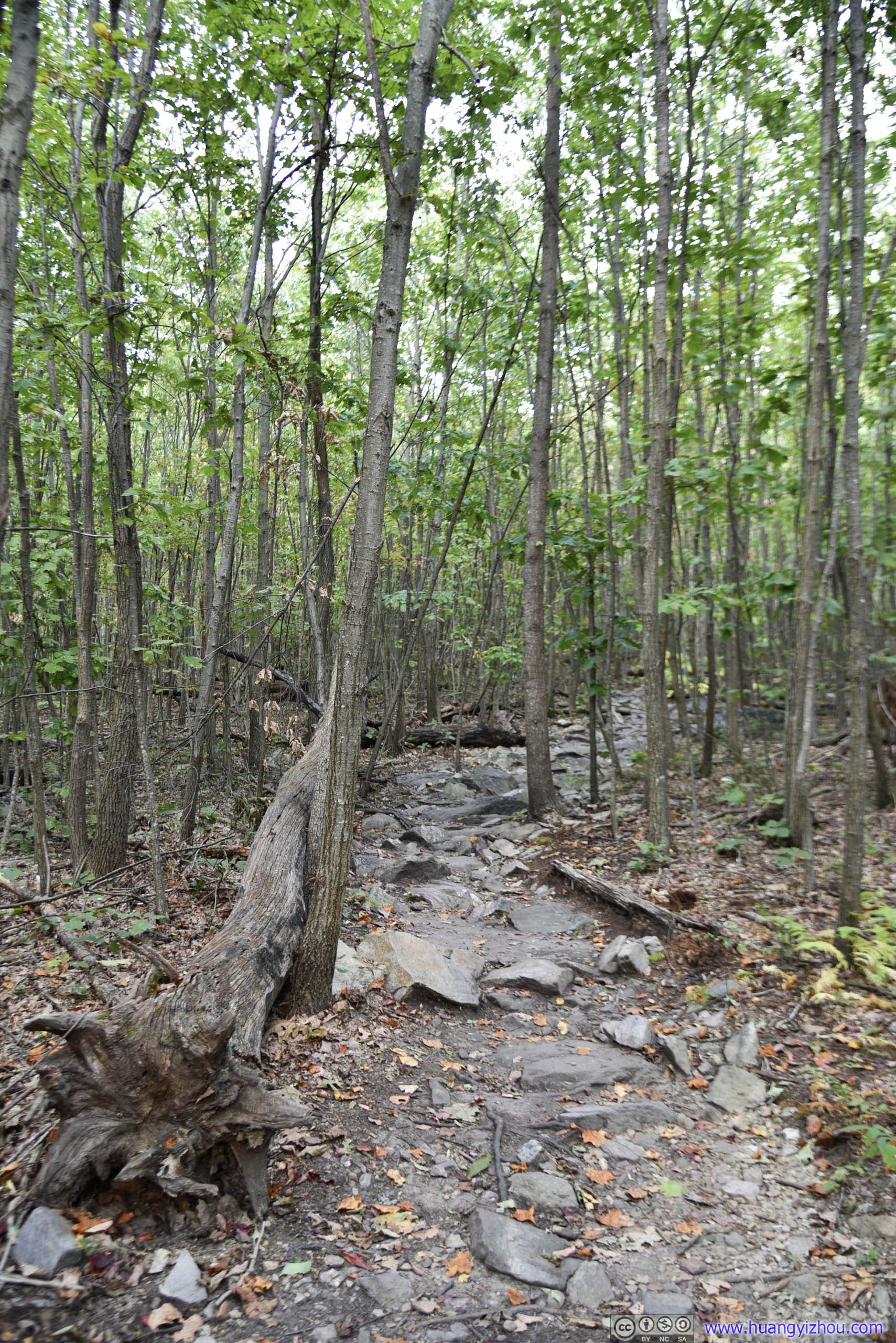
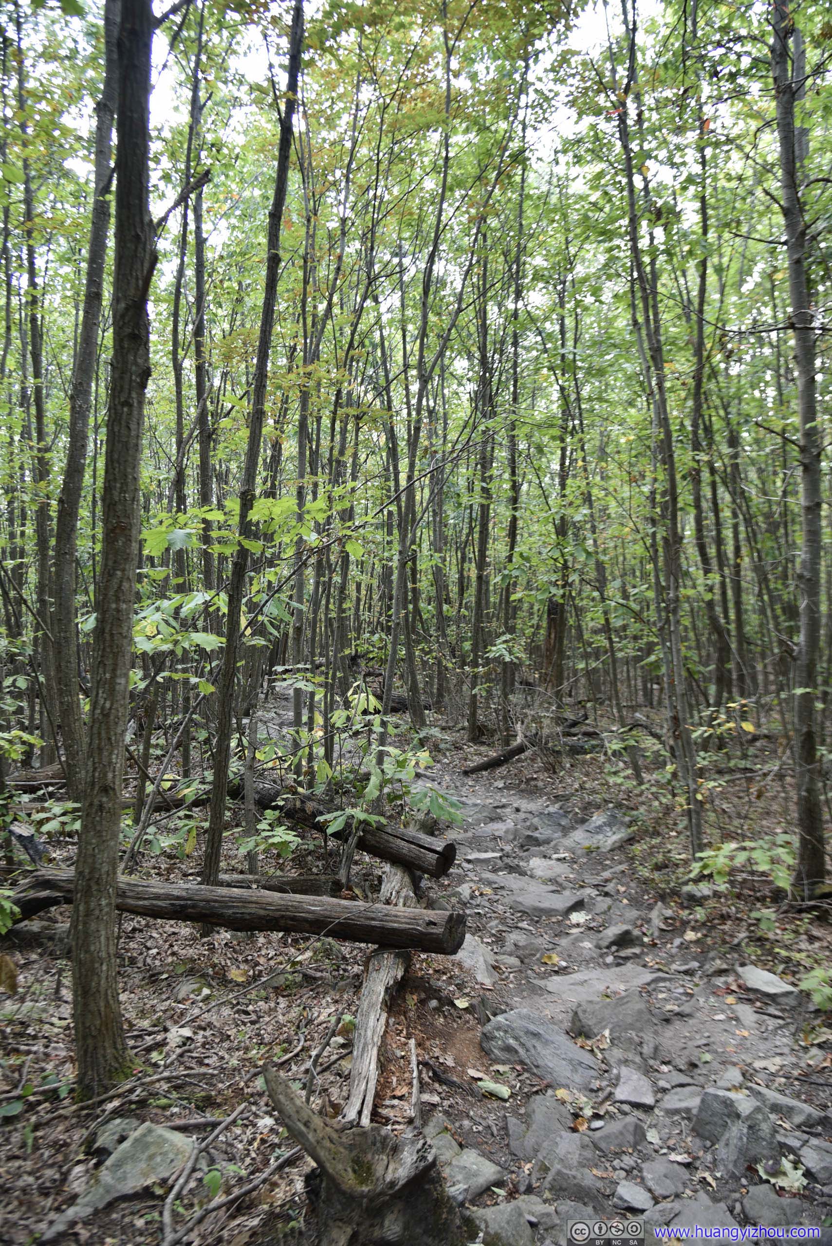
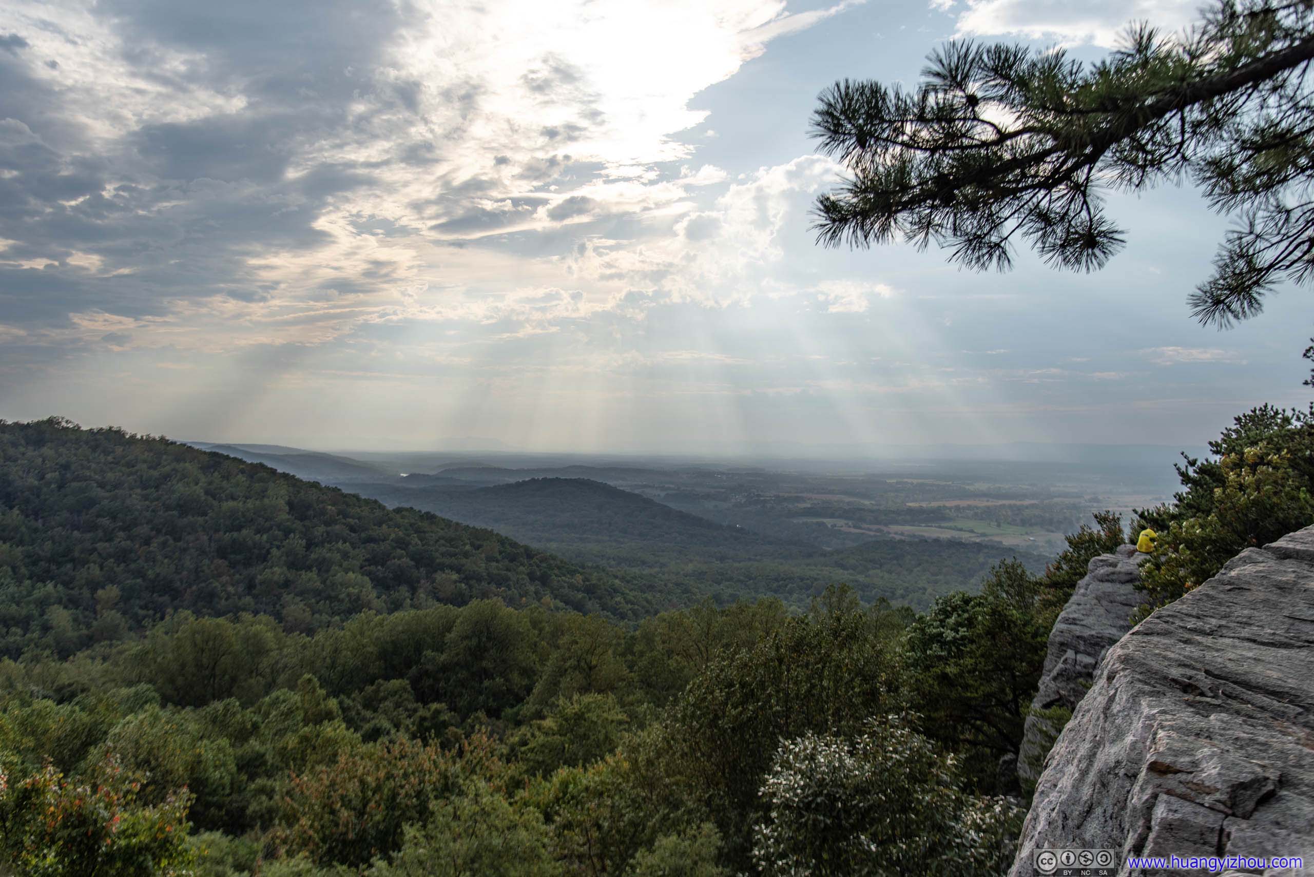
Then I reached Raven Rocks, with the best view of the day.
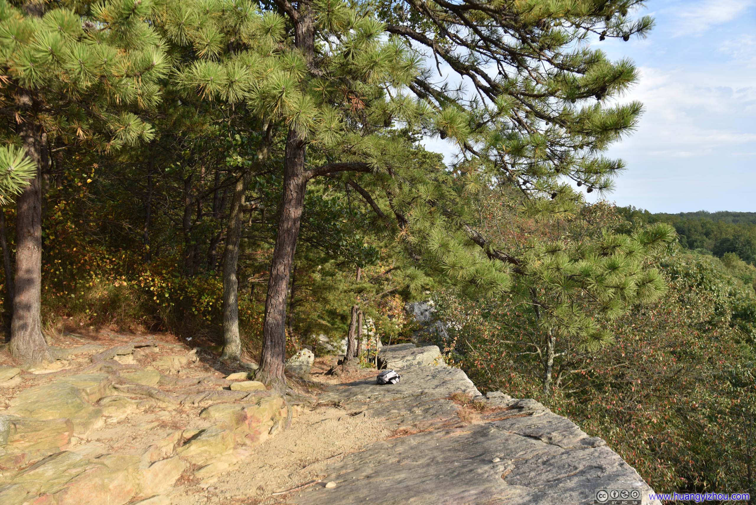
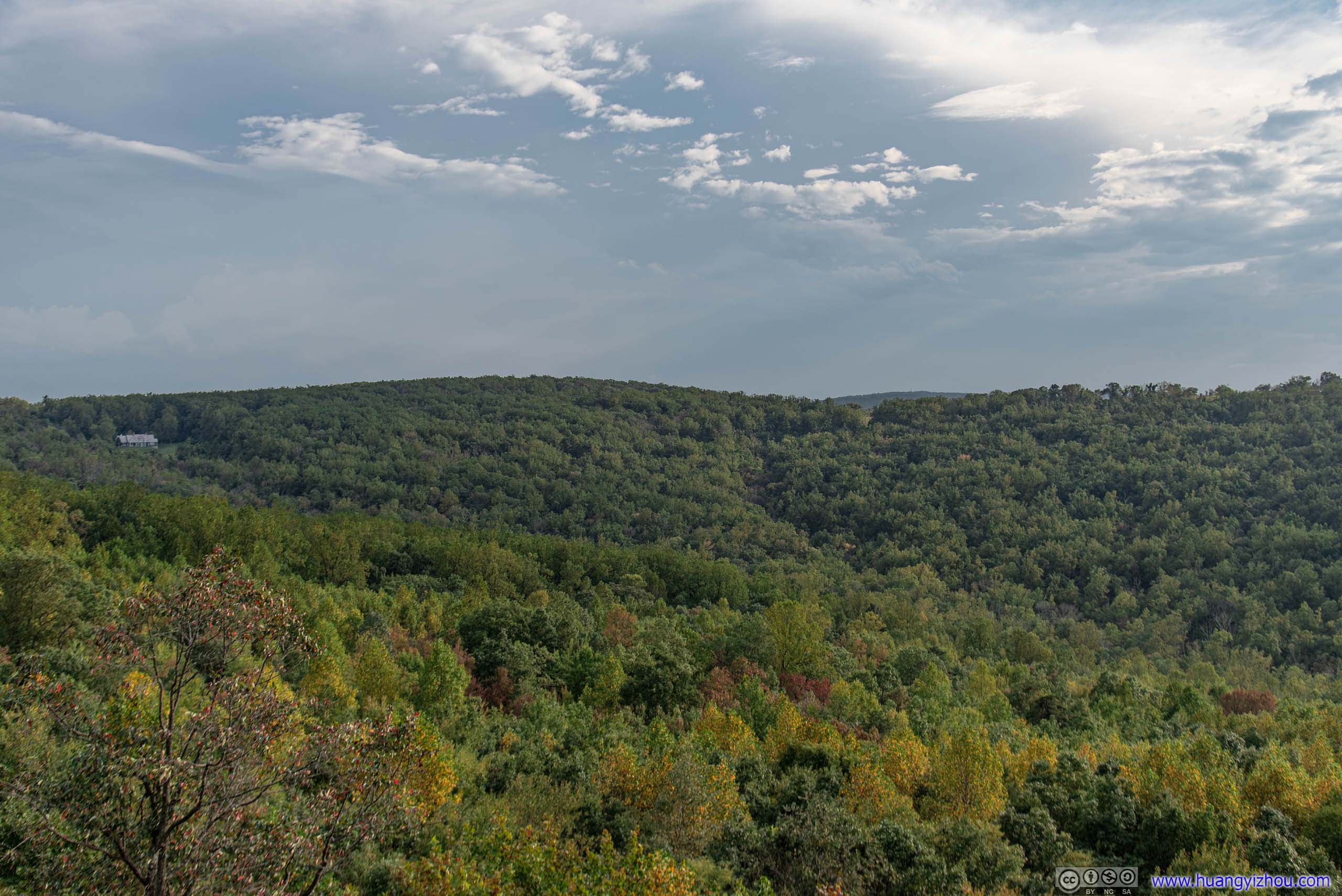

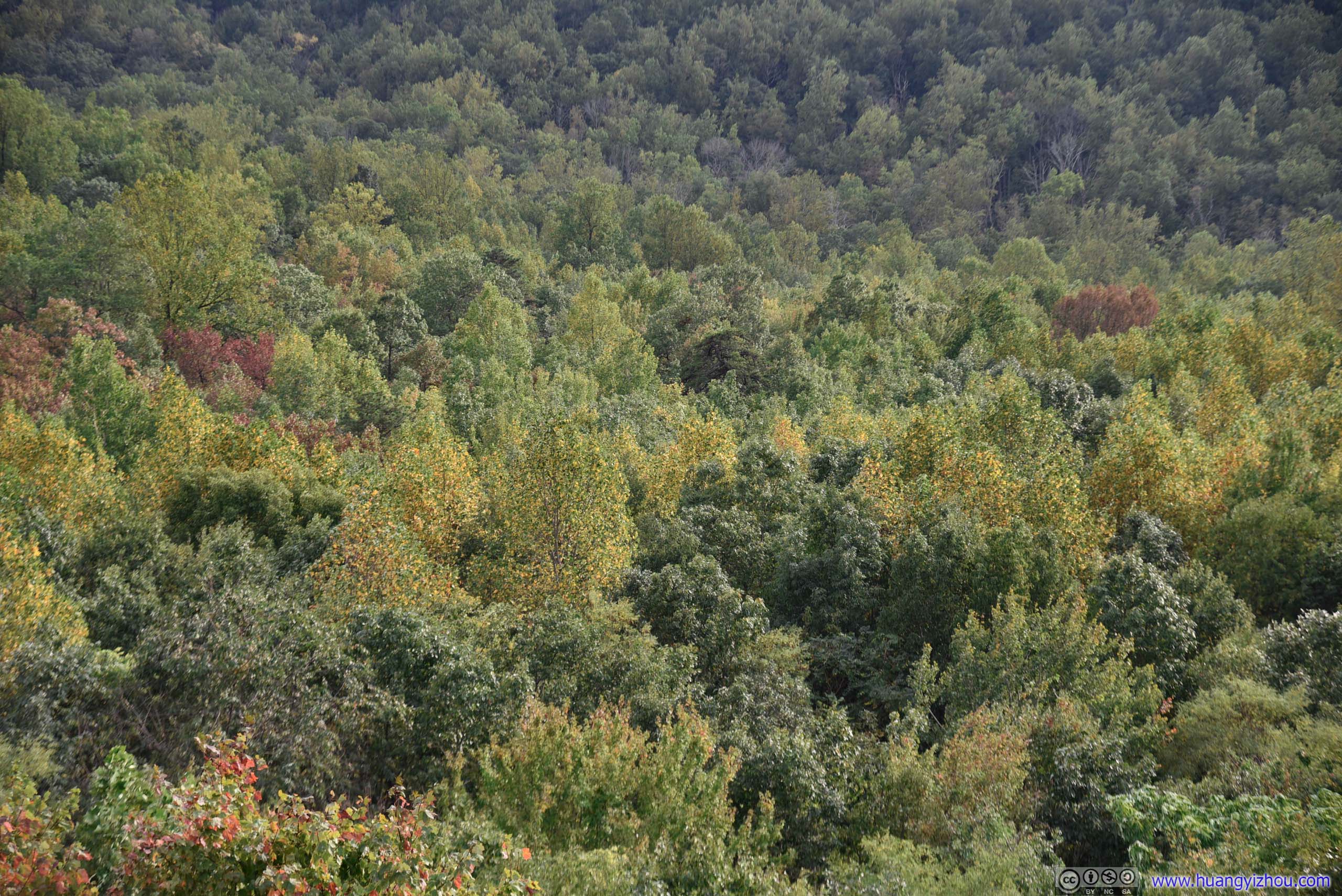
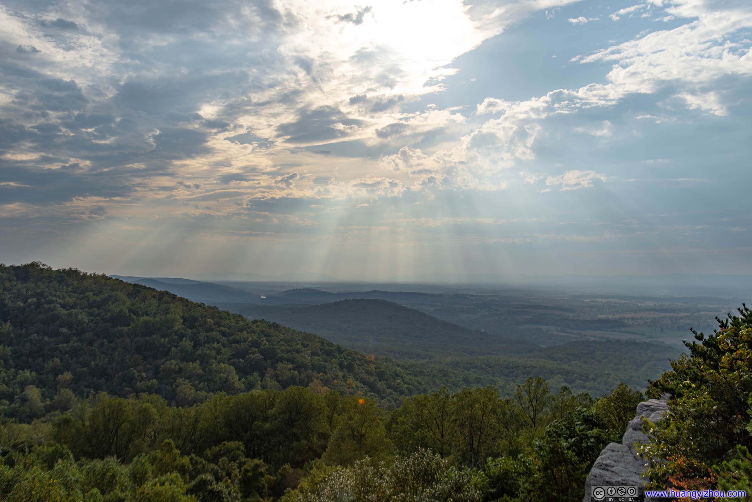
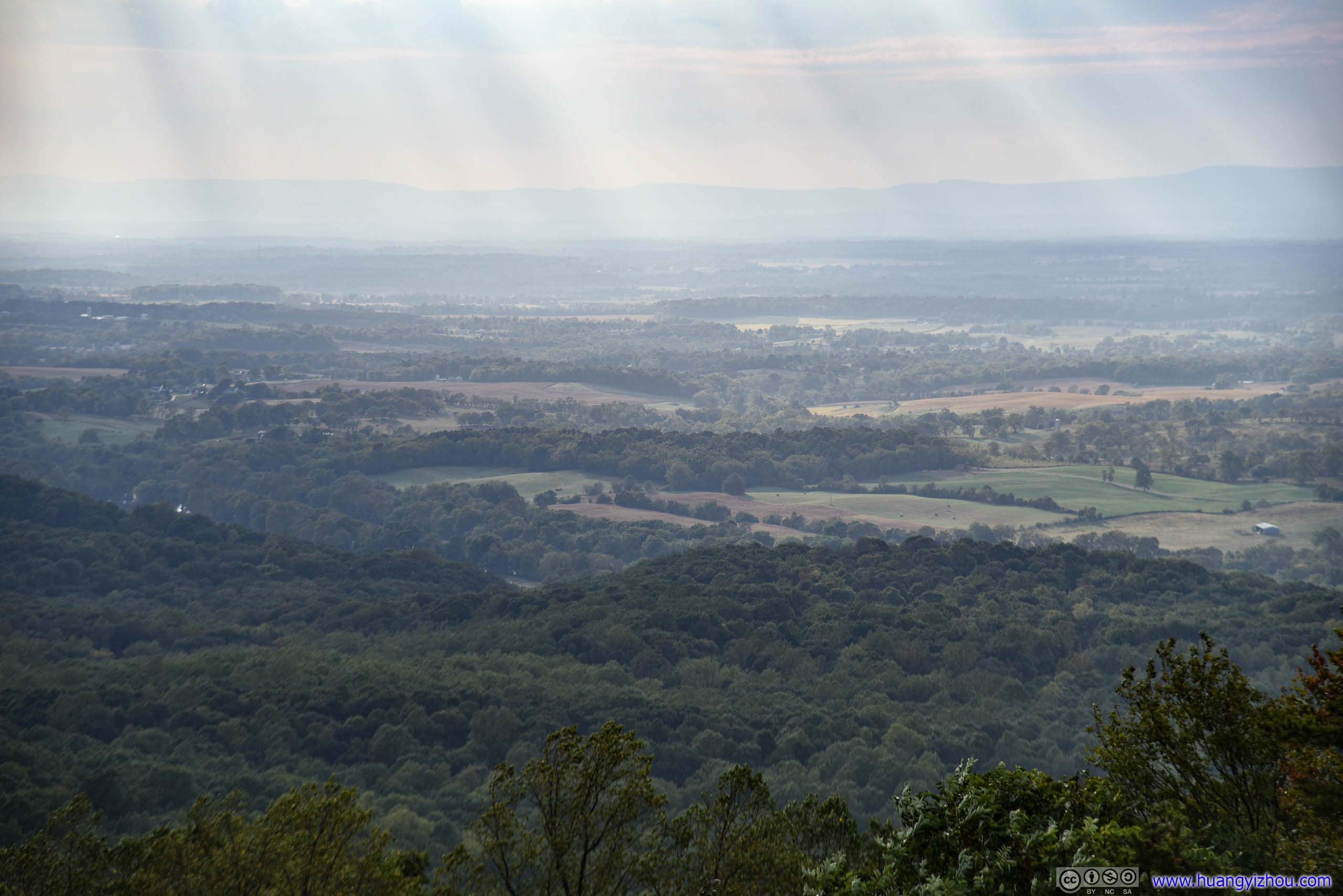
Distant Fields
And after staying at Raven Rocks for about half an hour enjoying wonderful views and casual chats with backpackers, I was on my way back hoping to get to my car before sunset.

This seemed to be a camp site with fireplace, just by Raven Rocks Hollow.
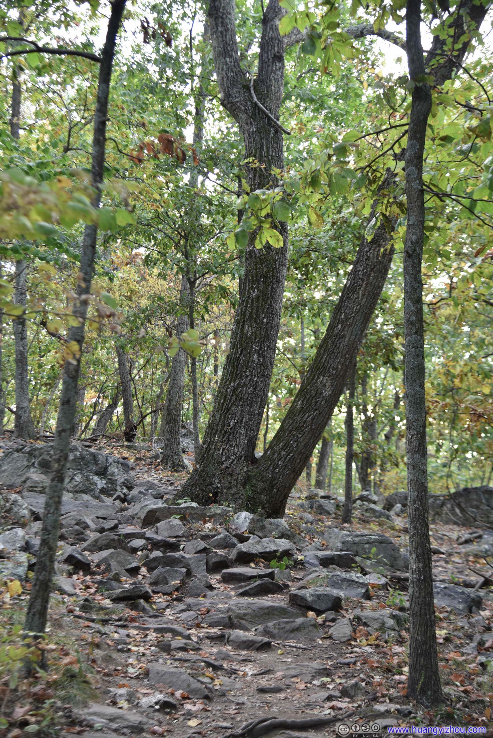
Binary tree!
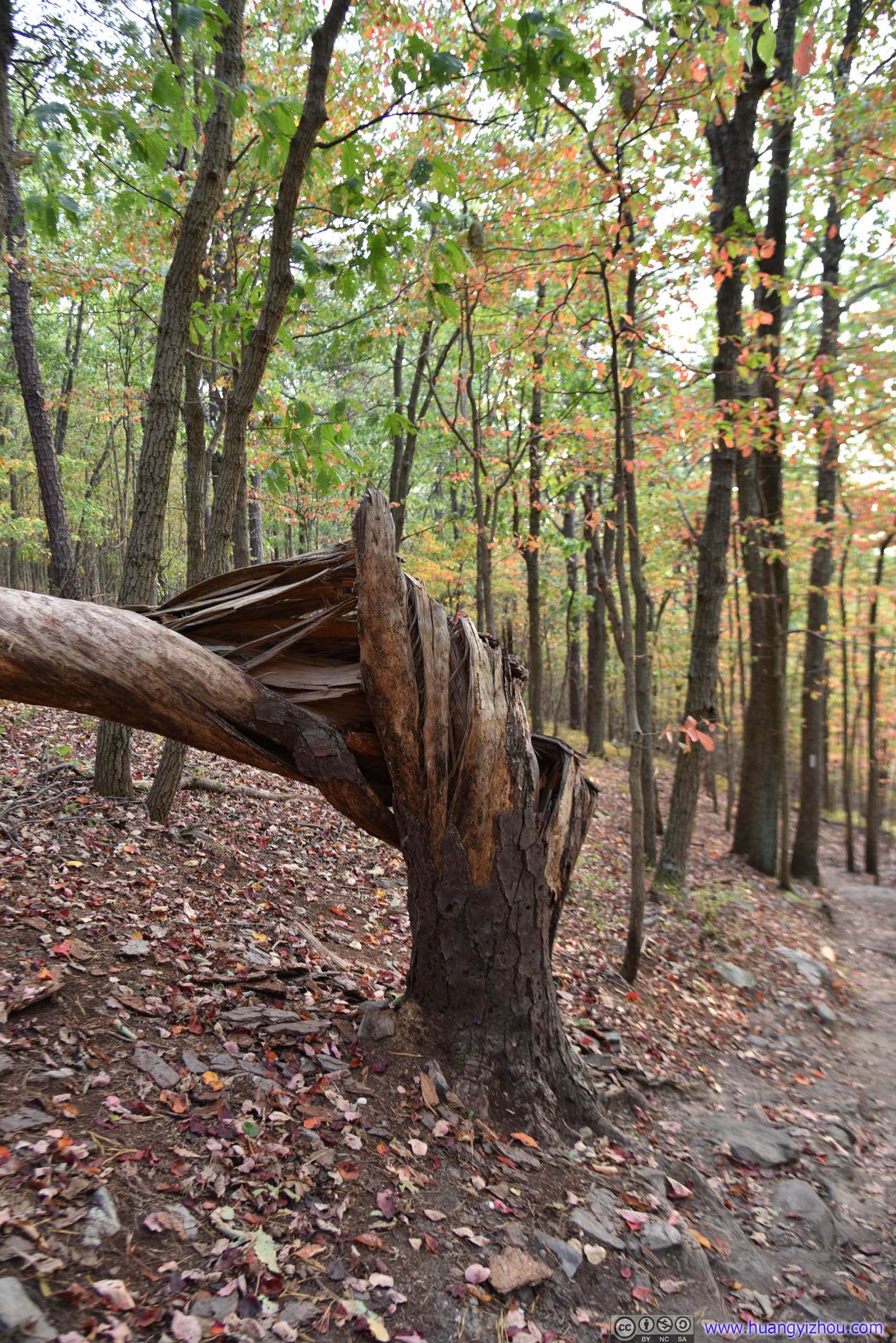

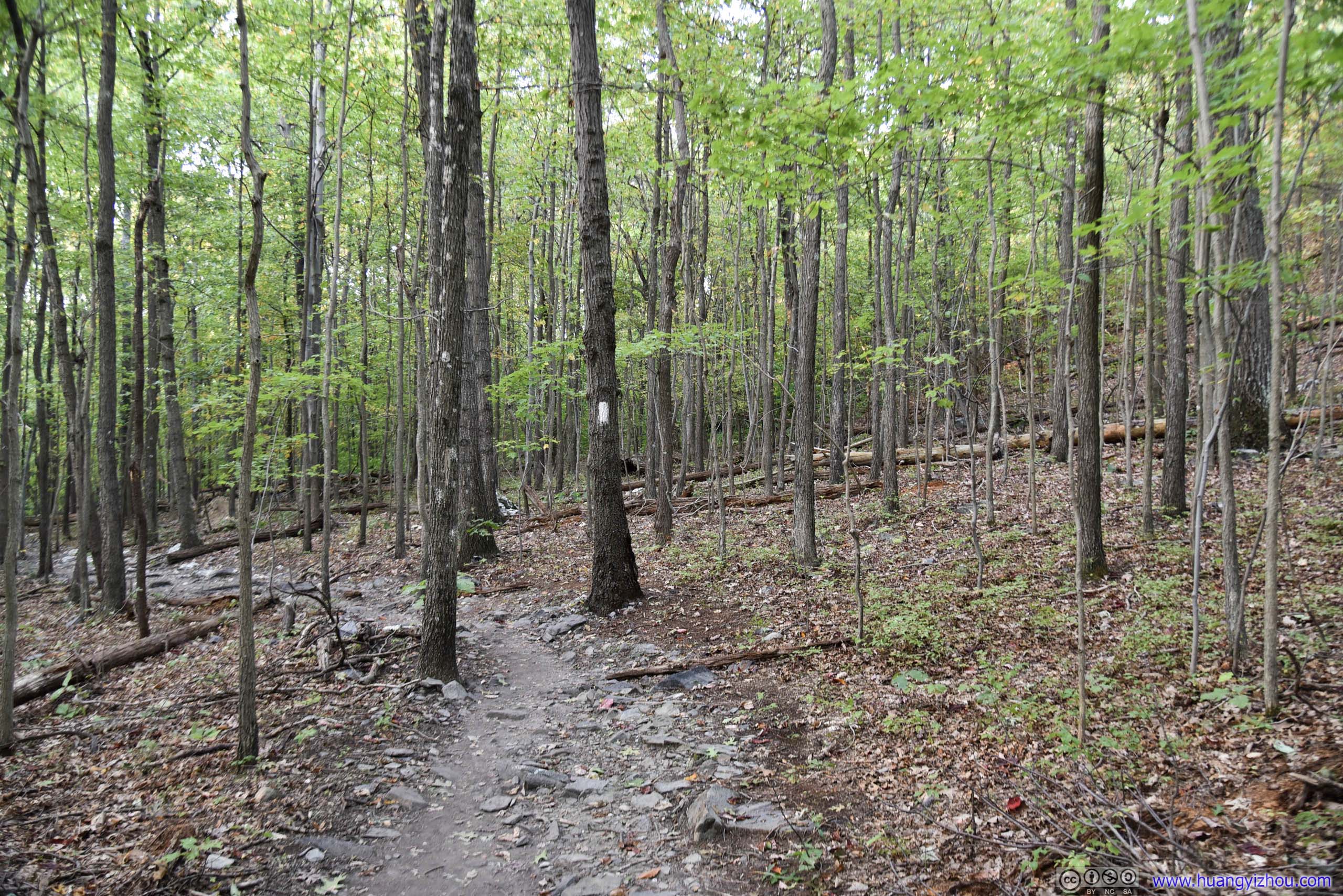
Trail
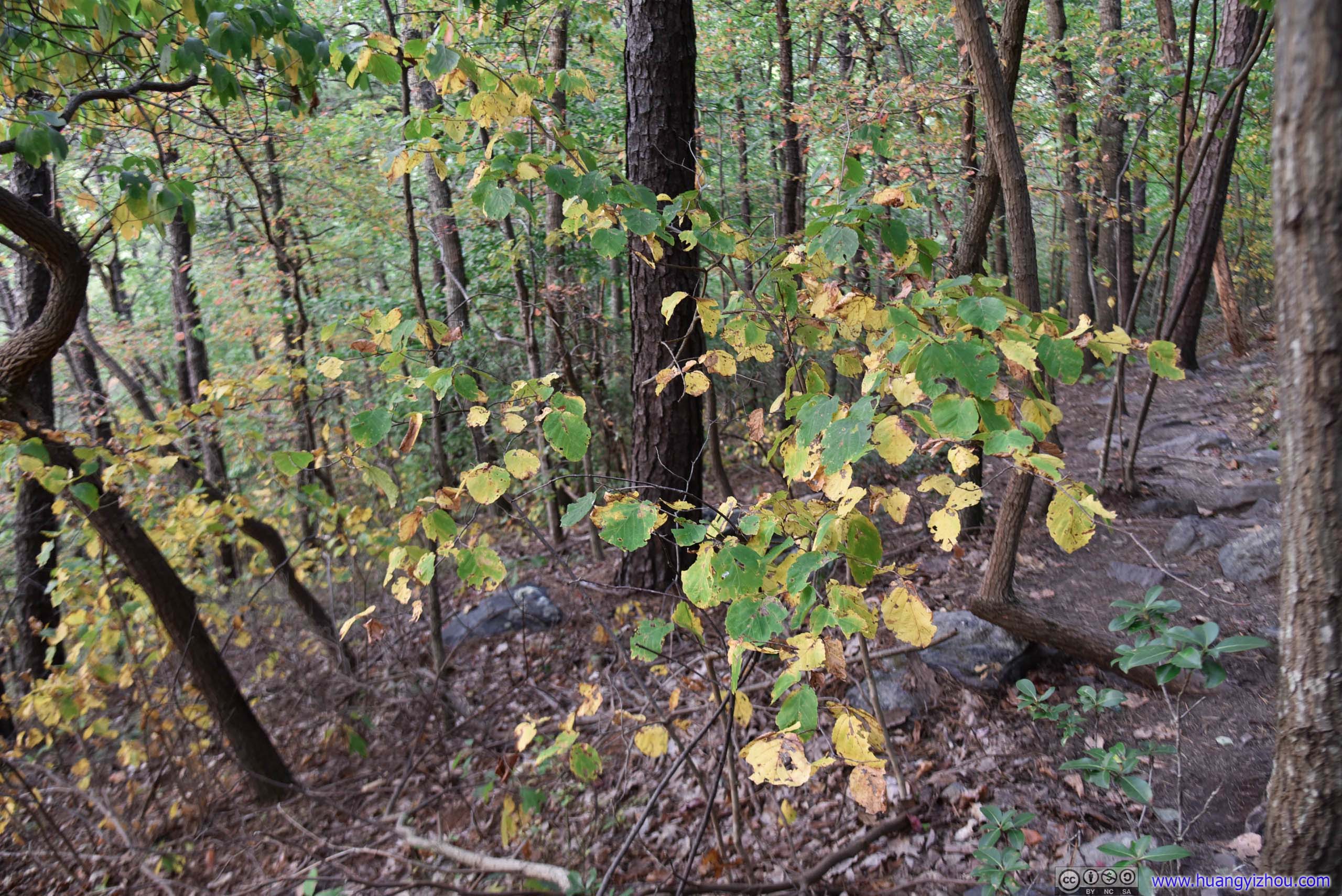
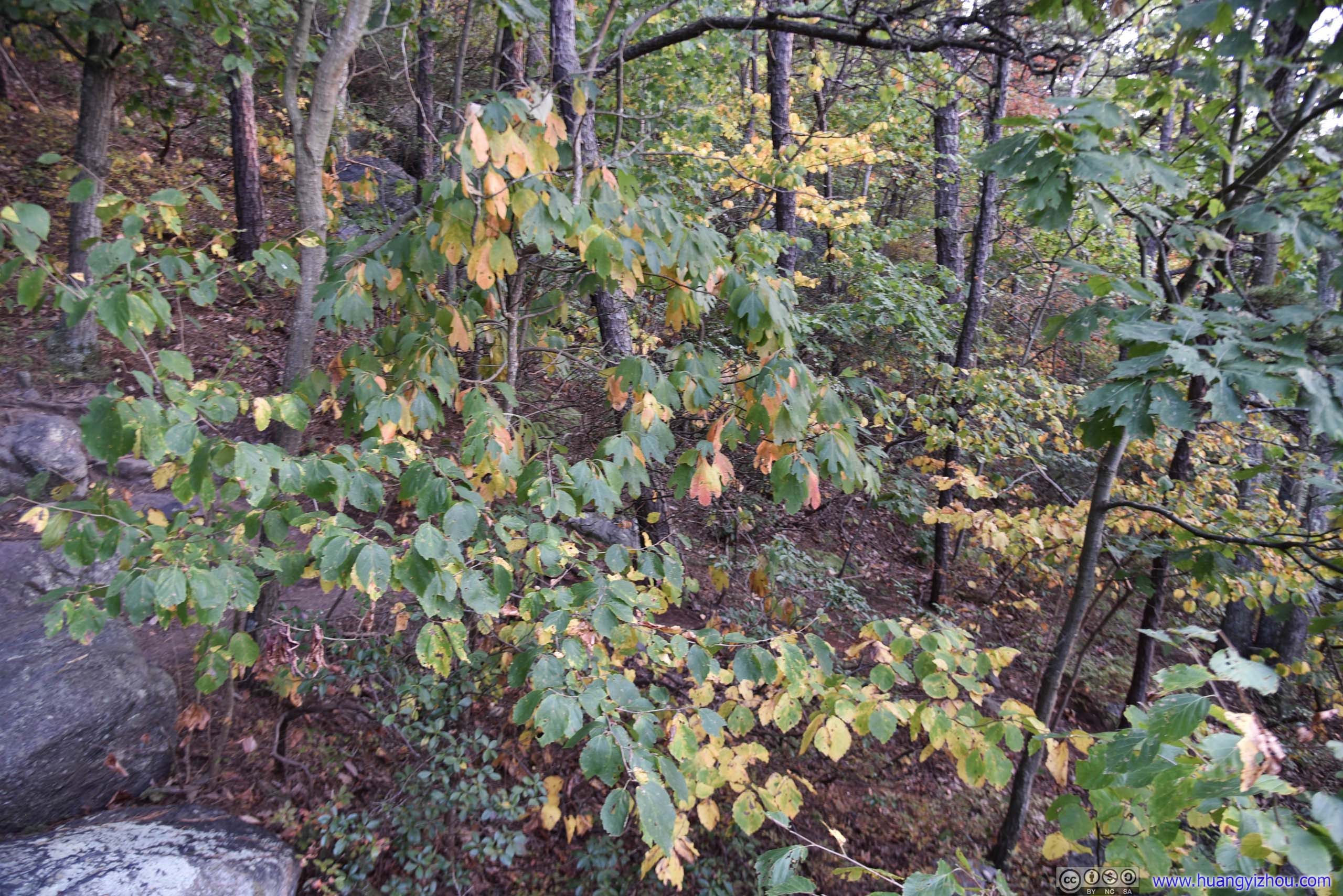

By Alltrails, there were a couple of overlooks on the way. However, apart from Raven Rocks, the other ones either didn't exist, or were rather overgrown with obscured views like this one.
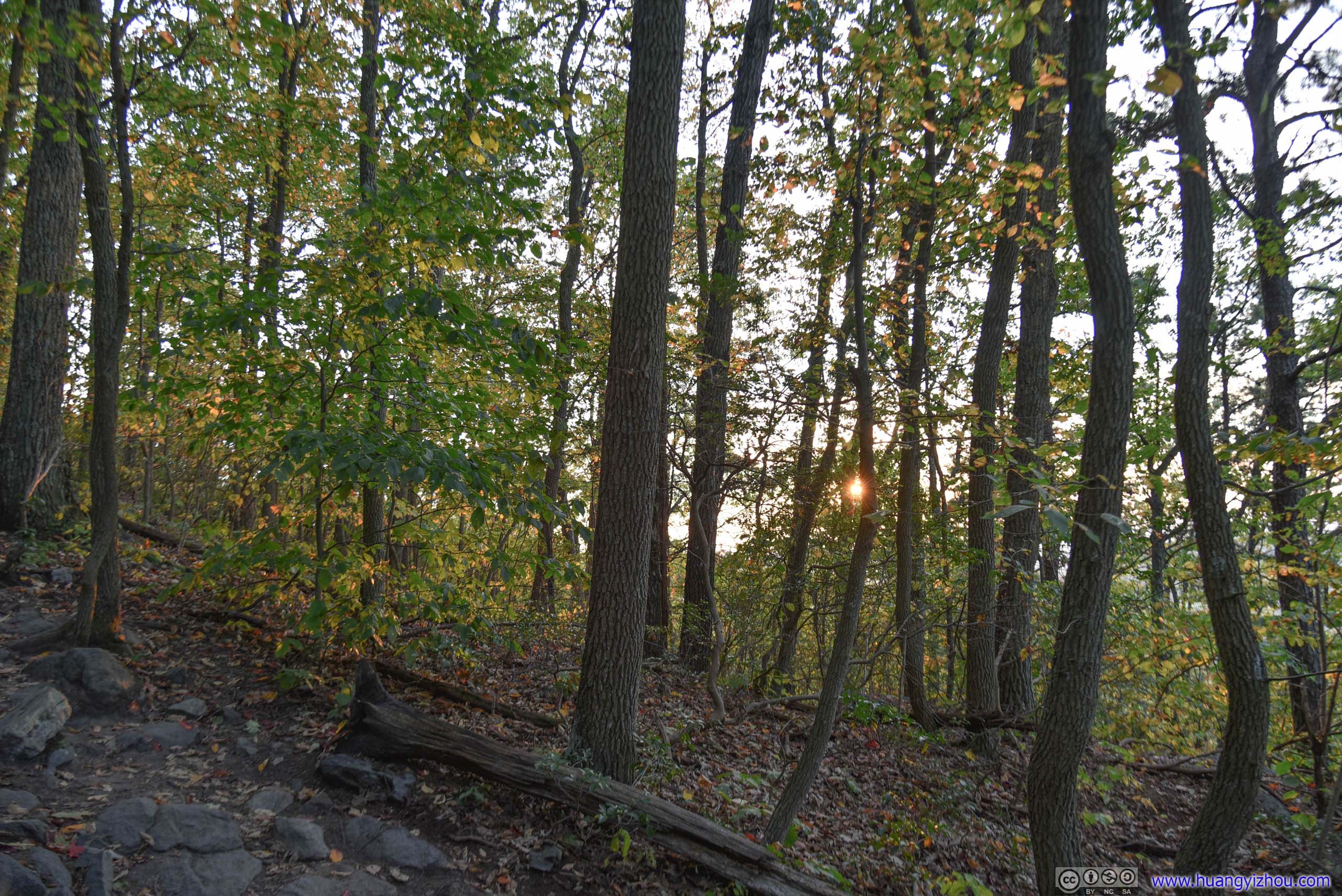

And that's it about Raven Rocks as I got back to the parking lot at exactly sunset time. I was hoping that if I had enough time left before sunset, I would be visiting nearby Bear's Den which was a shorter hiking trail that's also part of Appalachian, the orientation of which seemed to afford good views of sunset. So, hopefully that would be another time.
END