Day 7 of 2019 Western US Tour, July 18, Yellowstone
Another day of watching various geysers of Yellowstone National Park, with a few wildlife encounters.
The plan of the day was to visit the few clusters of geysers that weren't located in the lower-left corner of Yellowstone's figure-8 loop. They were Mud Volcano area, Norris Basin area, and Artists Paintpot area. While the geysers we visited the previous day were mostly clear and enchantingly colorful, mud pots were a common theme throughout today's footprint.
And we bumped into quite some wild animals today, the first of which was just outside our cottage as we checked out.
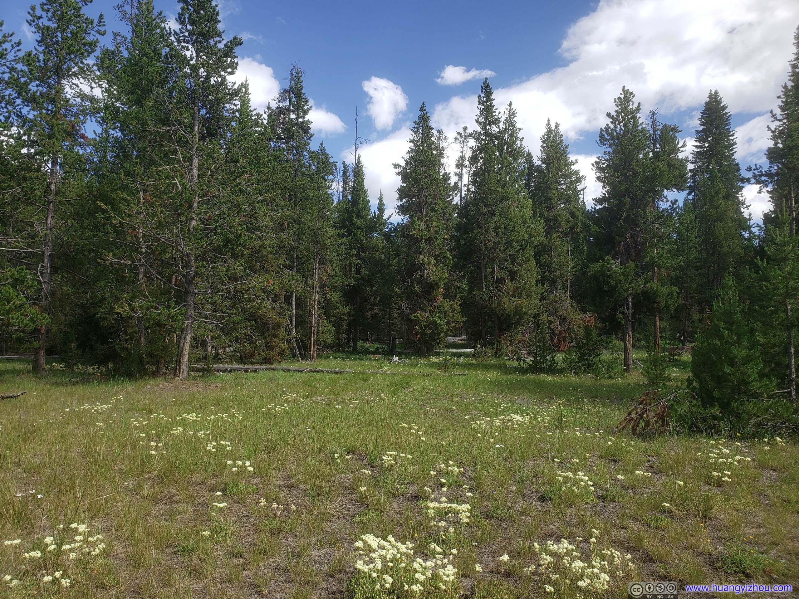
The same woods that previous pack of deer dwelt in.
And it seemed that park rangers were pretty active with wildlife patrol. As we pulled in for these photos, they had already set up picket lines reminding people to stay back.
Yes, although the name was wildlife patrol, they seemed to be regulating humans more than wildlife...
Since we felt the day ahead would not be too rushed, we planned to visit the Eastern part of the park first, areas like Fishing Bridge and Storm Point Trail.
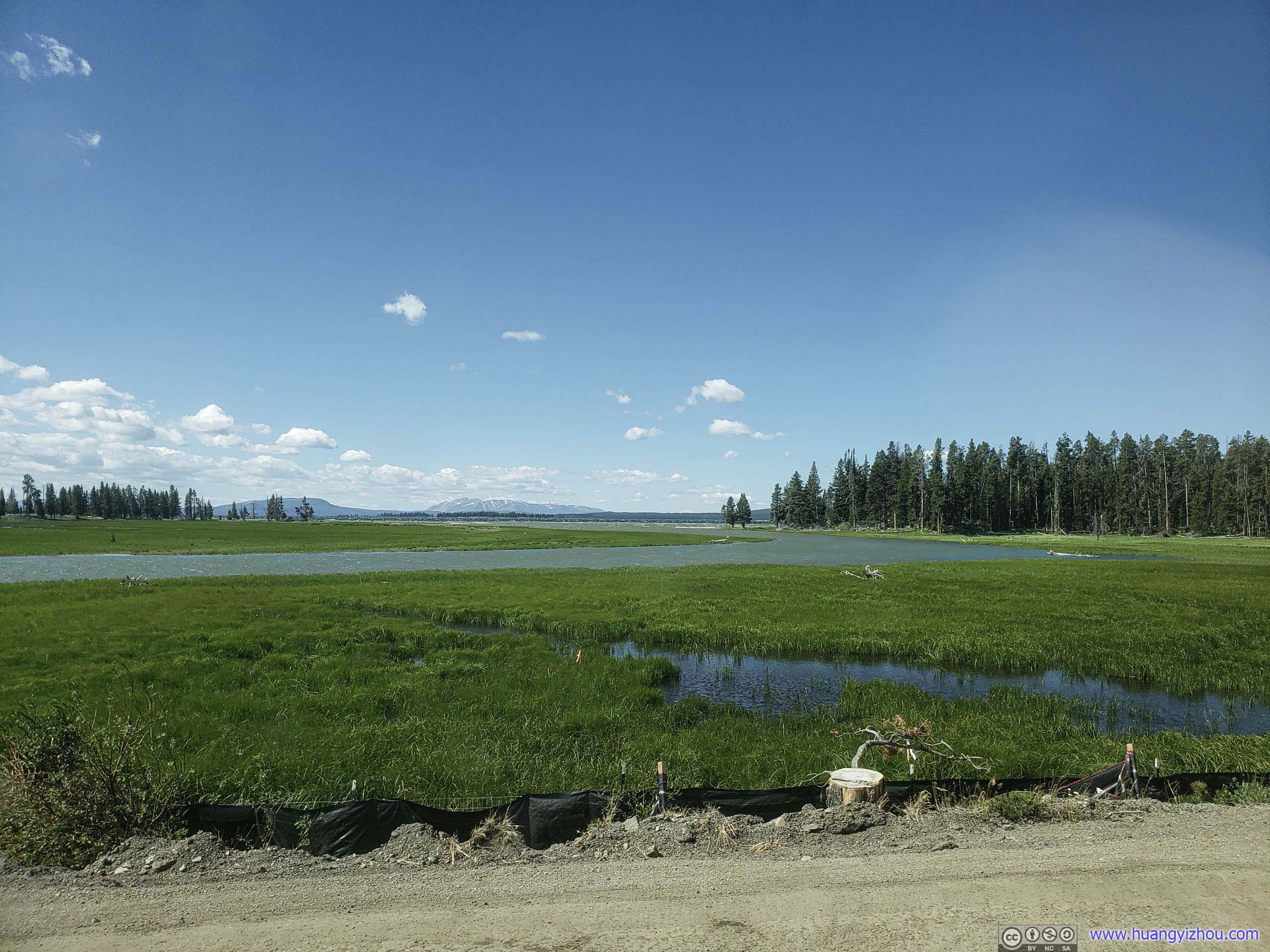
Unfortunately, there were major construction going on near Fishing Bridge Visitor Center that occupied a few roadside parking lots. Since we didn't feel like hiking amid dust from roadwork, we moved on towards Mud Volcano Area.
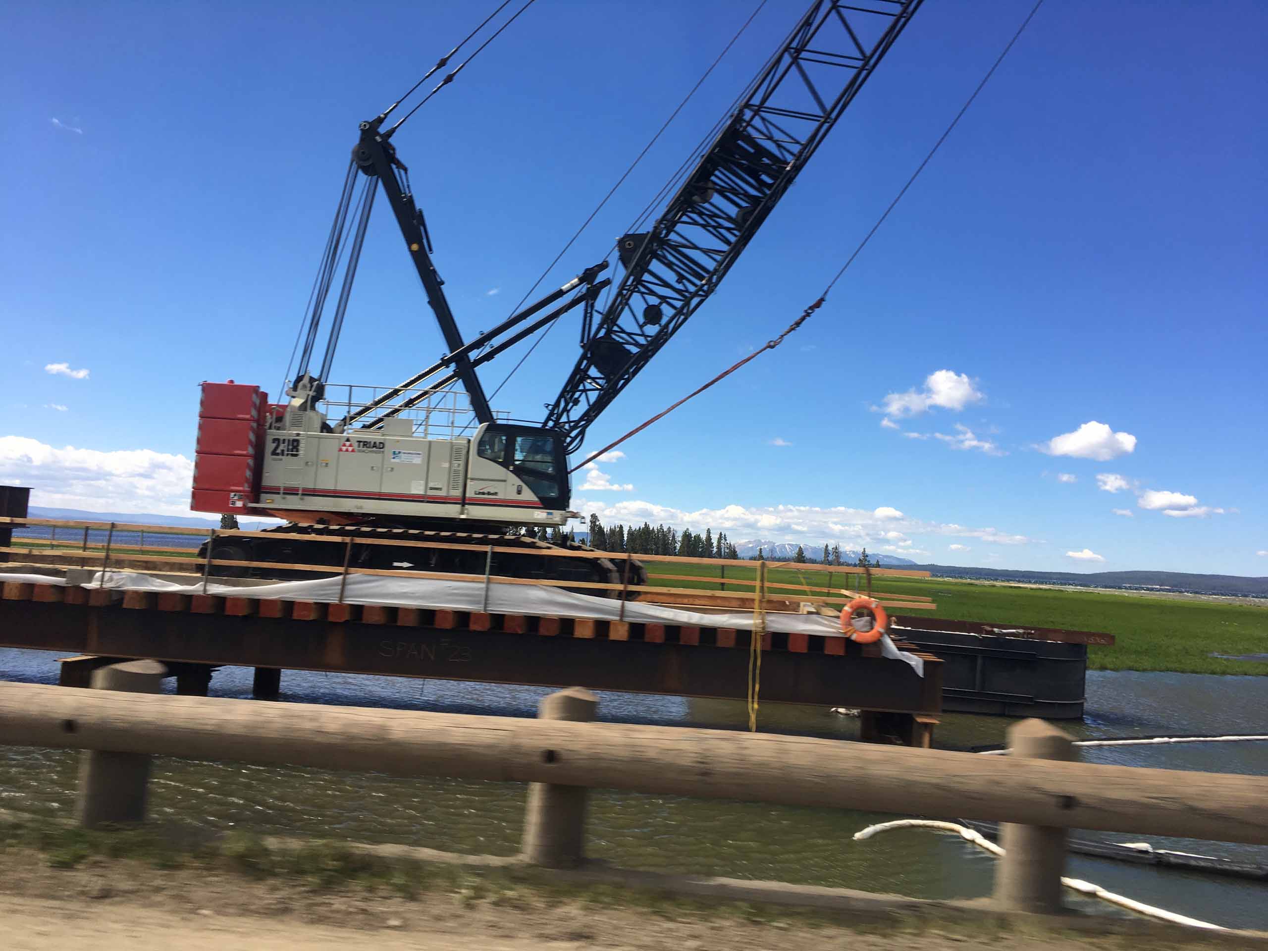
This photo was taken by my parents.
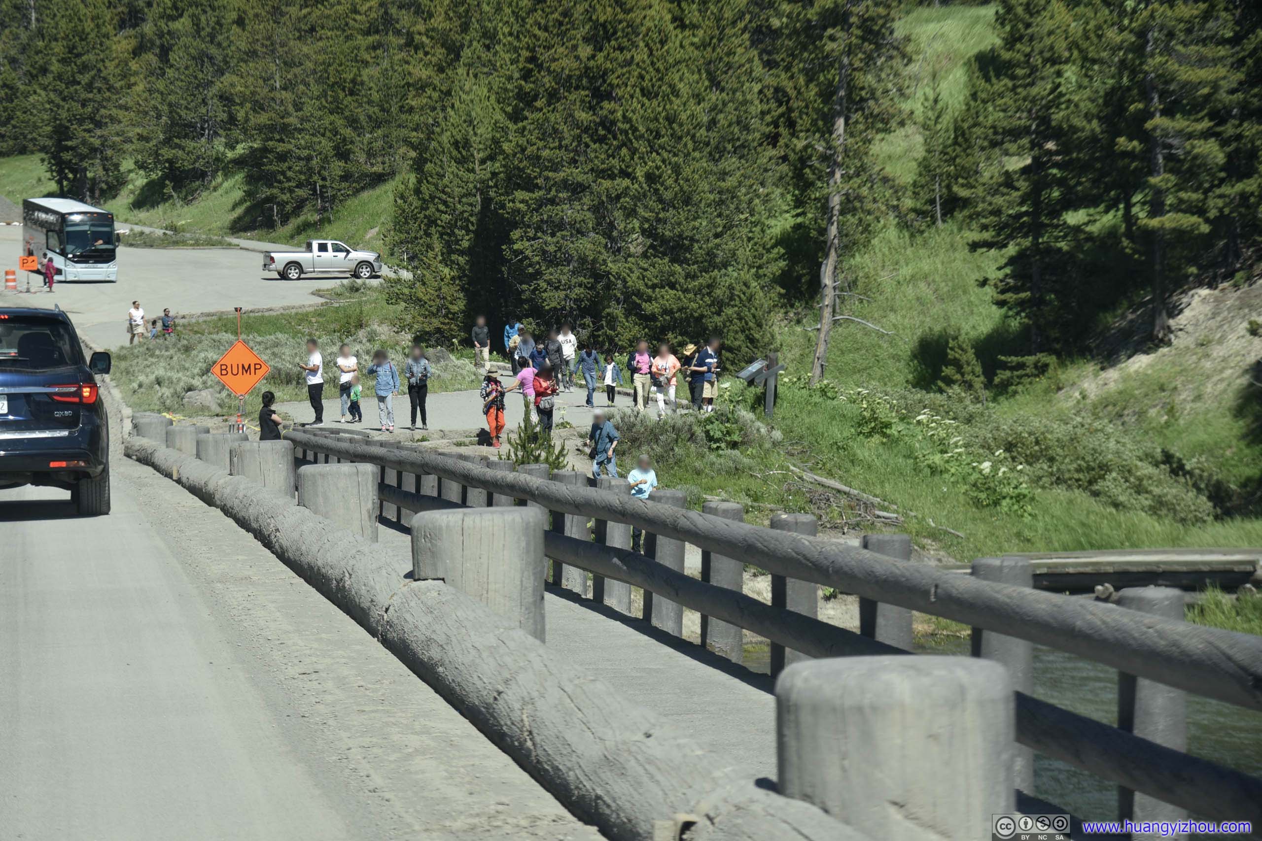
Construction created too much dust and noise for an enjoyable stop here, we chose to drive on instead.
To make matters worse, a 4-mile section of Grand Loop Road just South of Mud Volcano parking lot was also under construction and was reduced to one-lane only. As a result, all the roadside turnouts were closed, and that included LeHardy's Rapids.
And we waited half an hour there for the signal man.
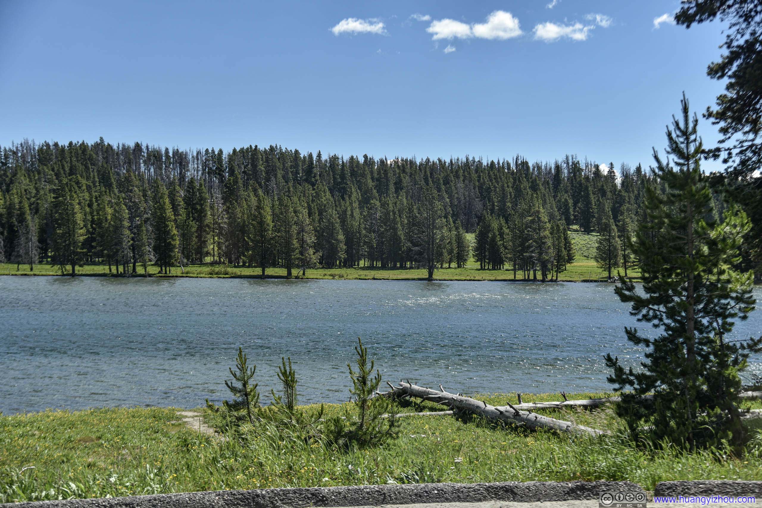
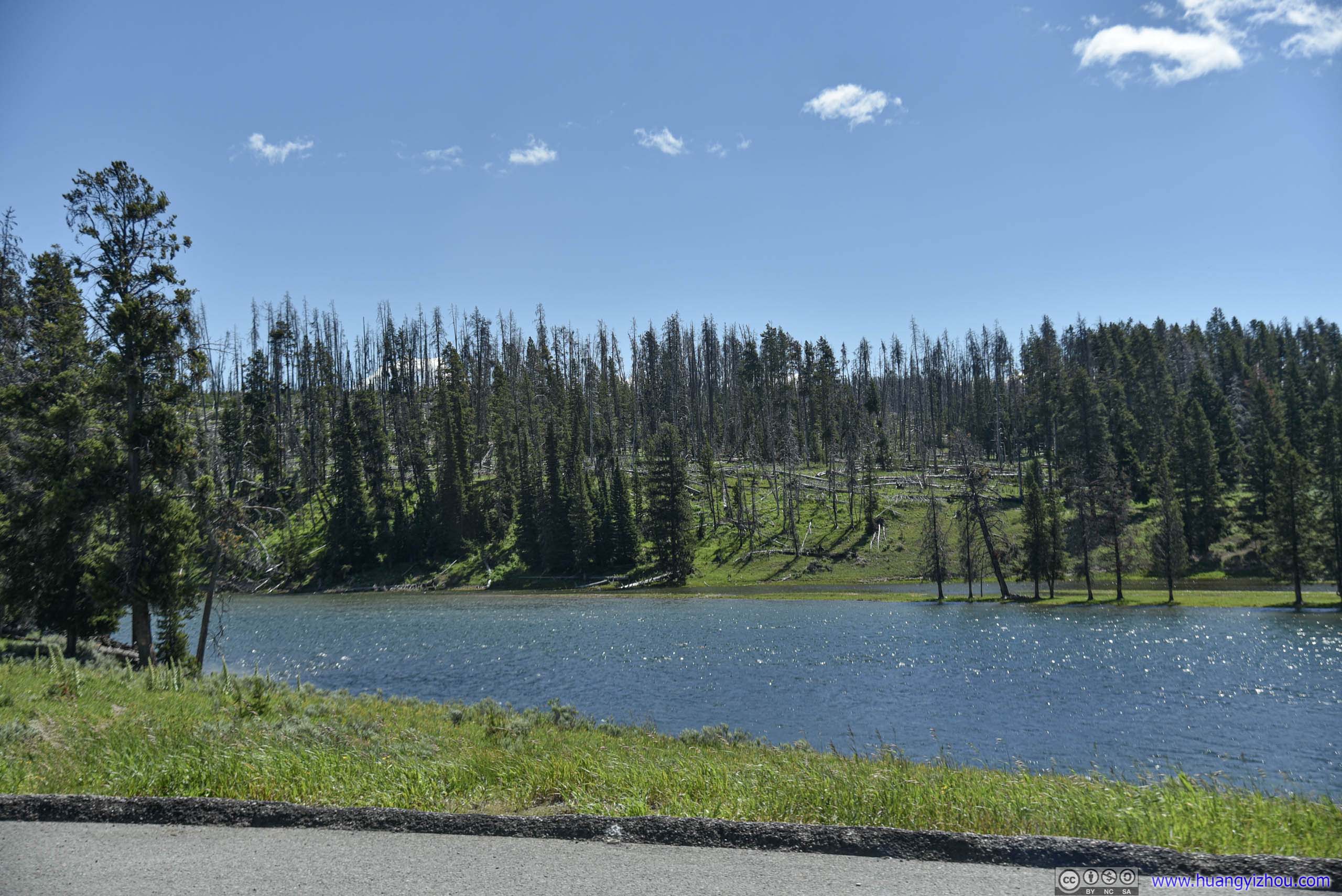
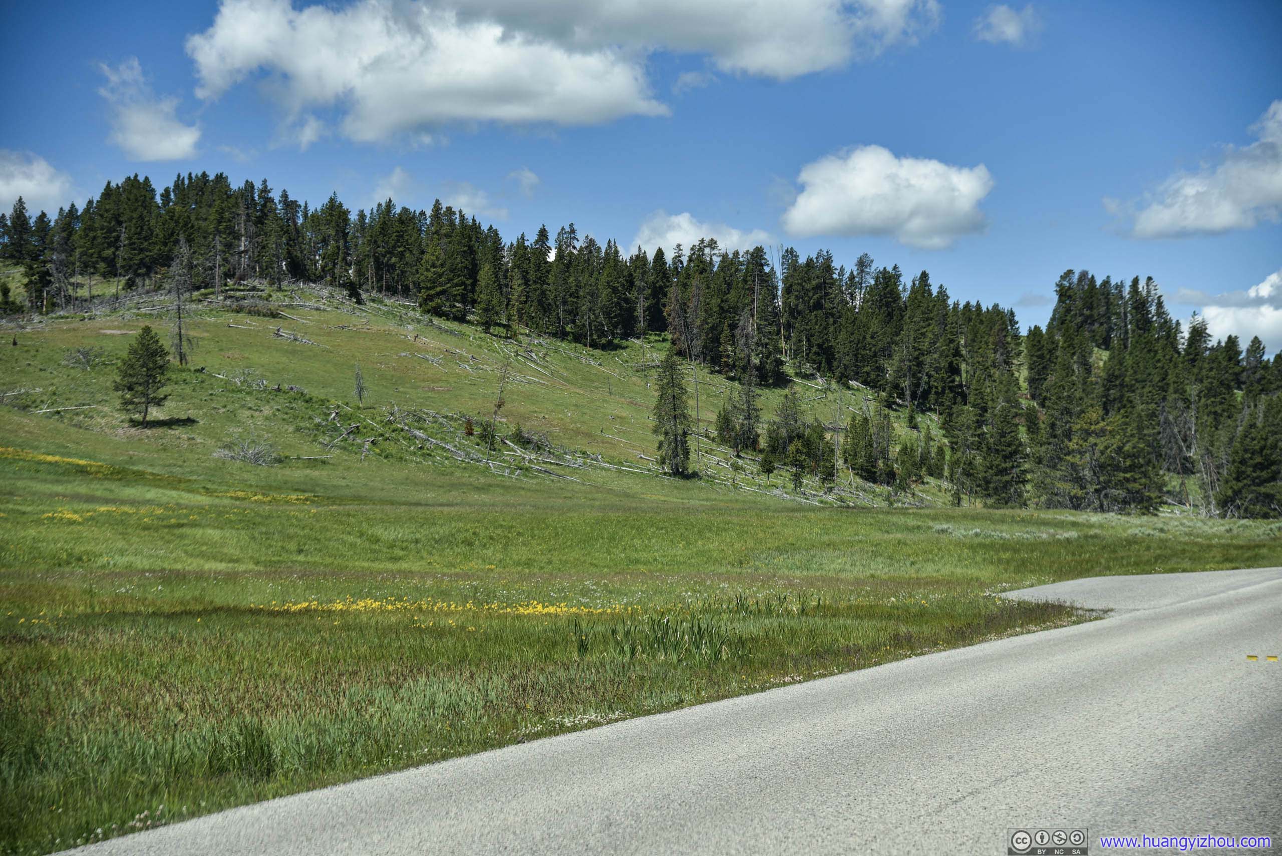
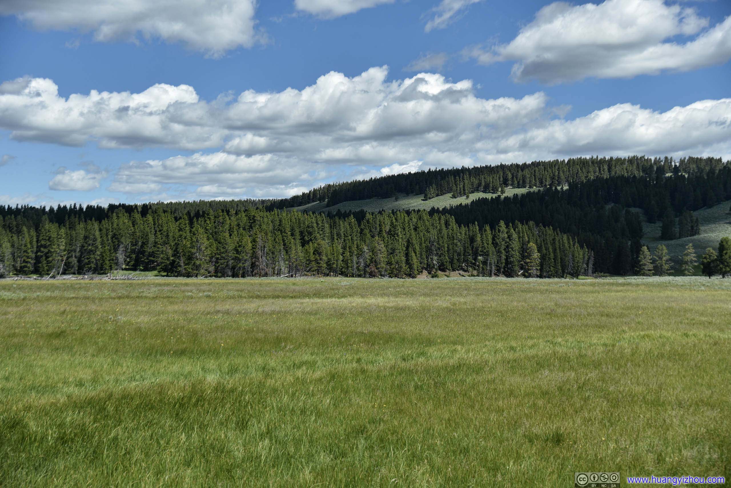
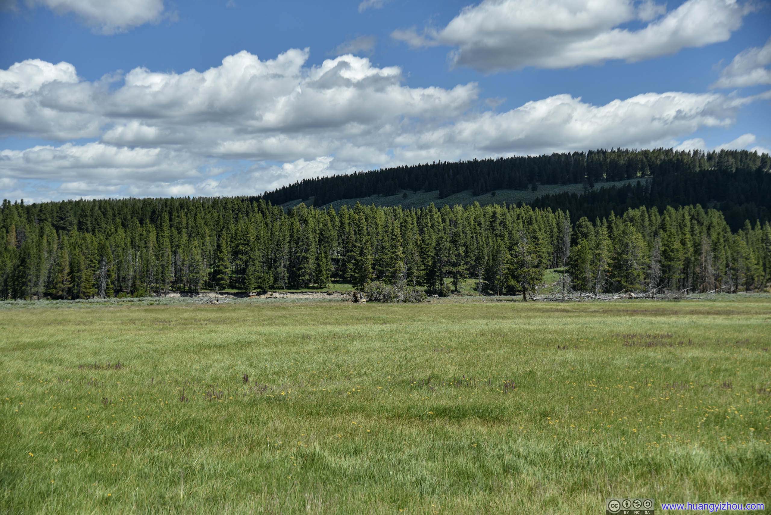
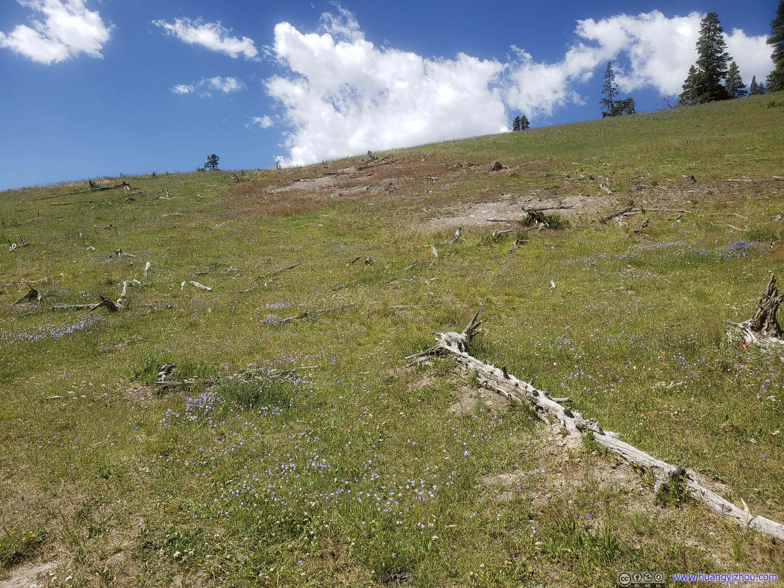
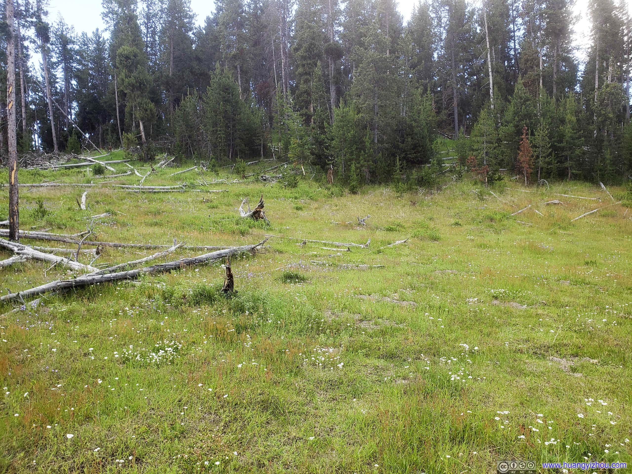
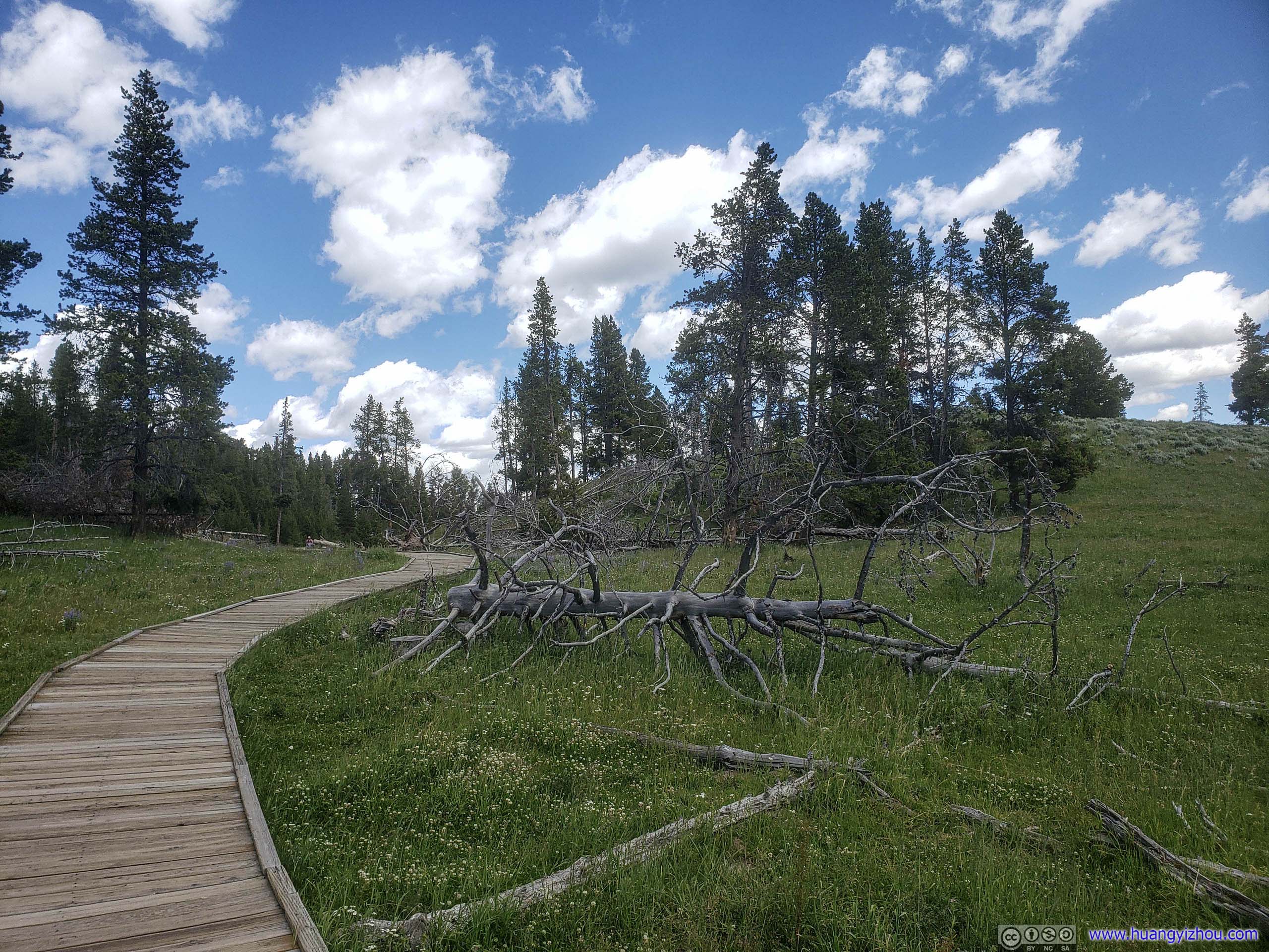
Meadow
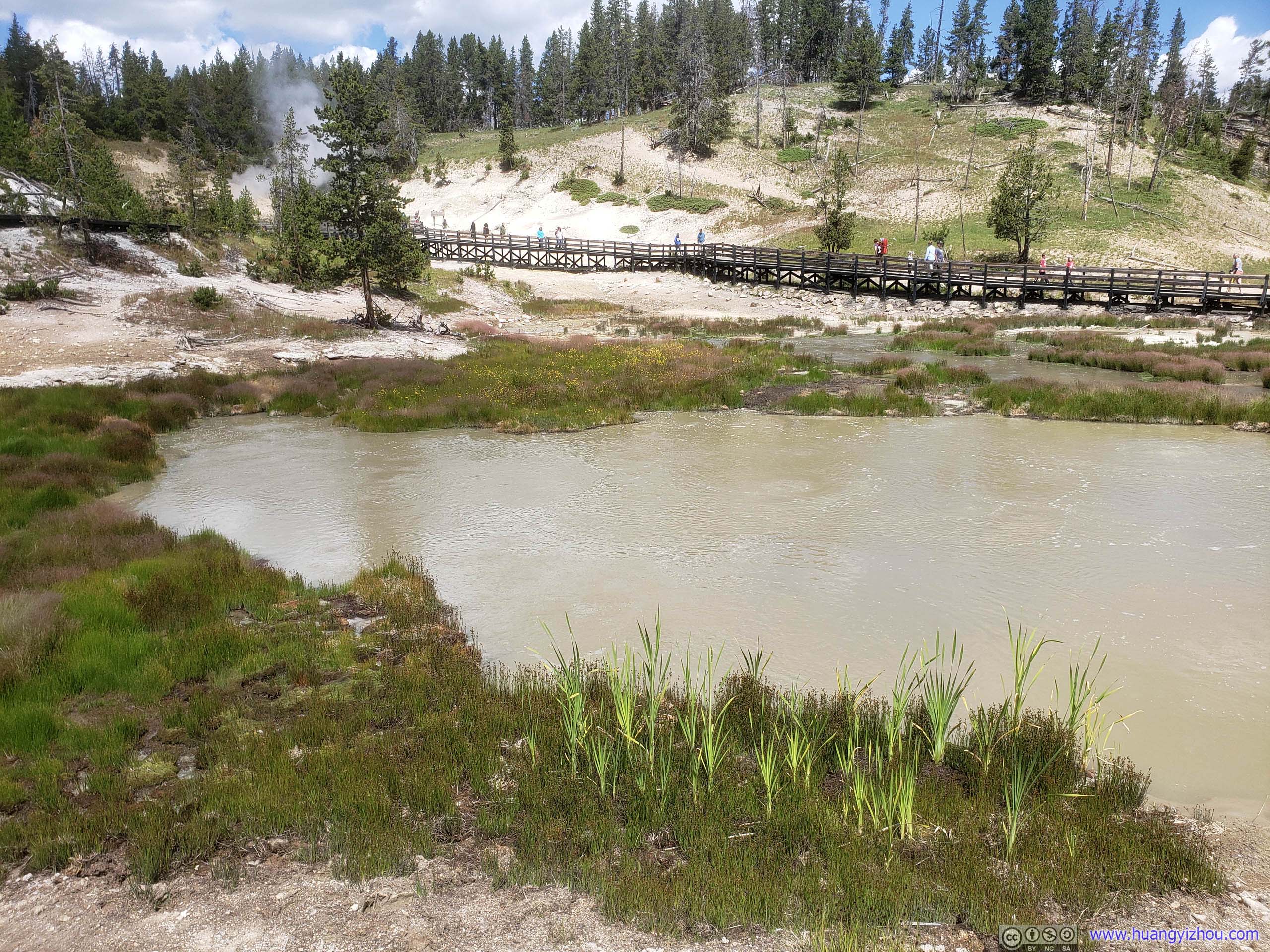
So, more than an hour after we left our lakeside cottage, we were at Mud Volcano Area, with a short (<1 mile) hiking trail along some muddy pots.
Mud Volcano Area
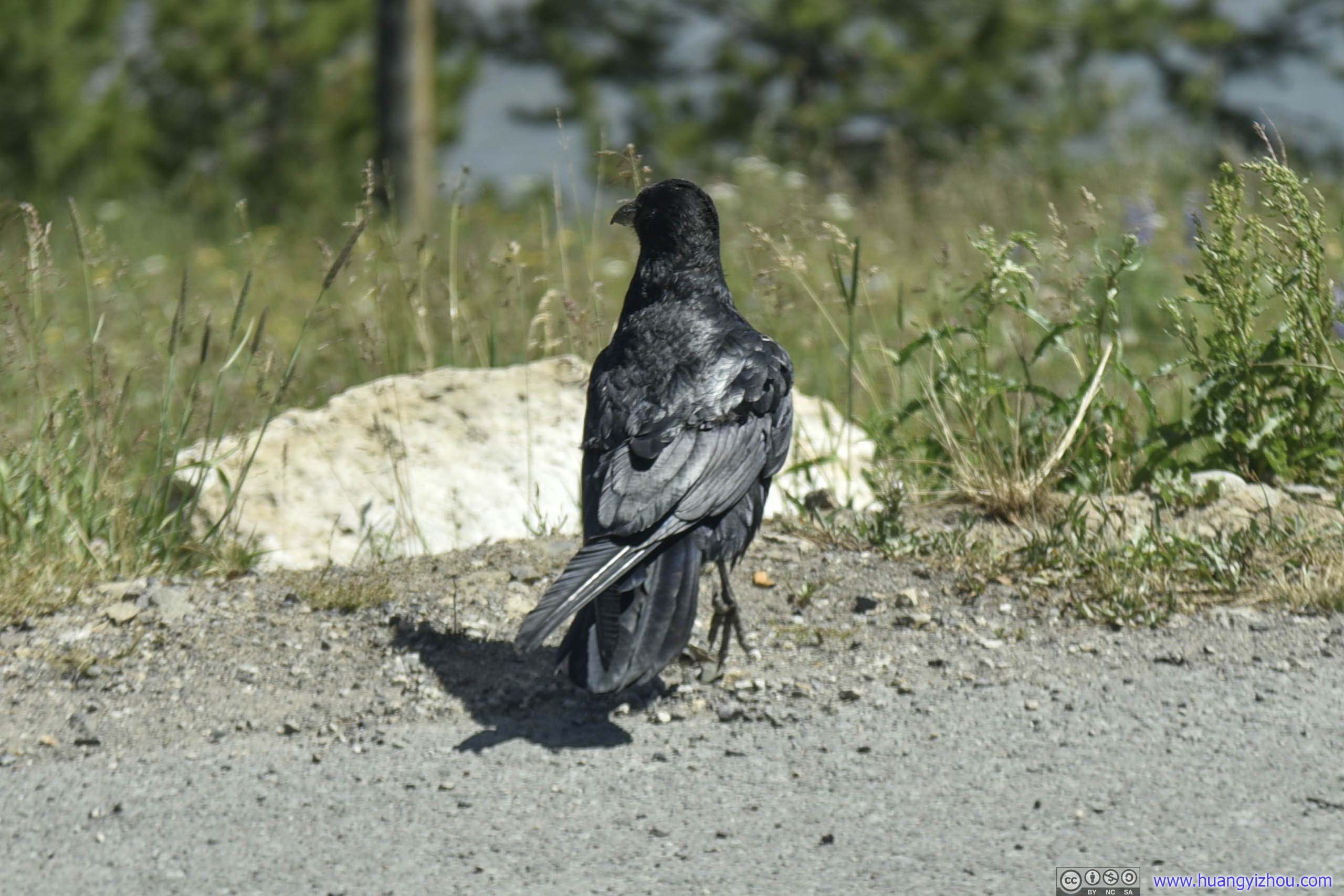
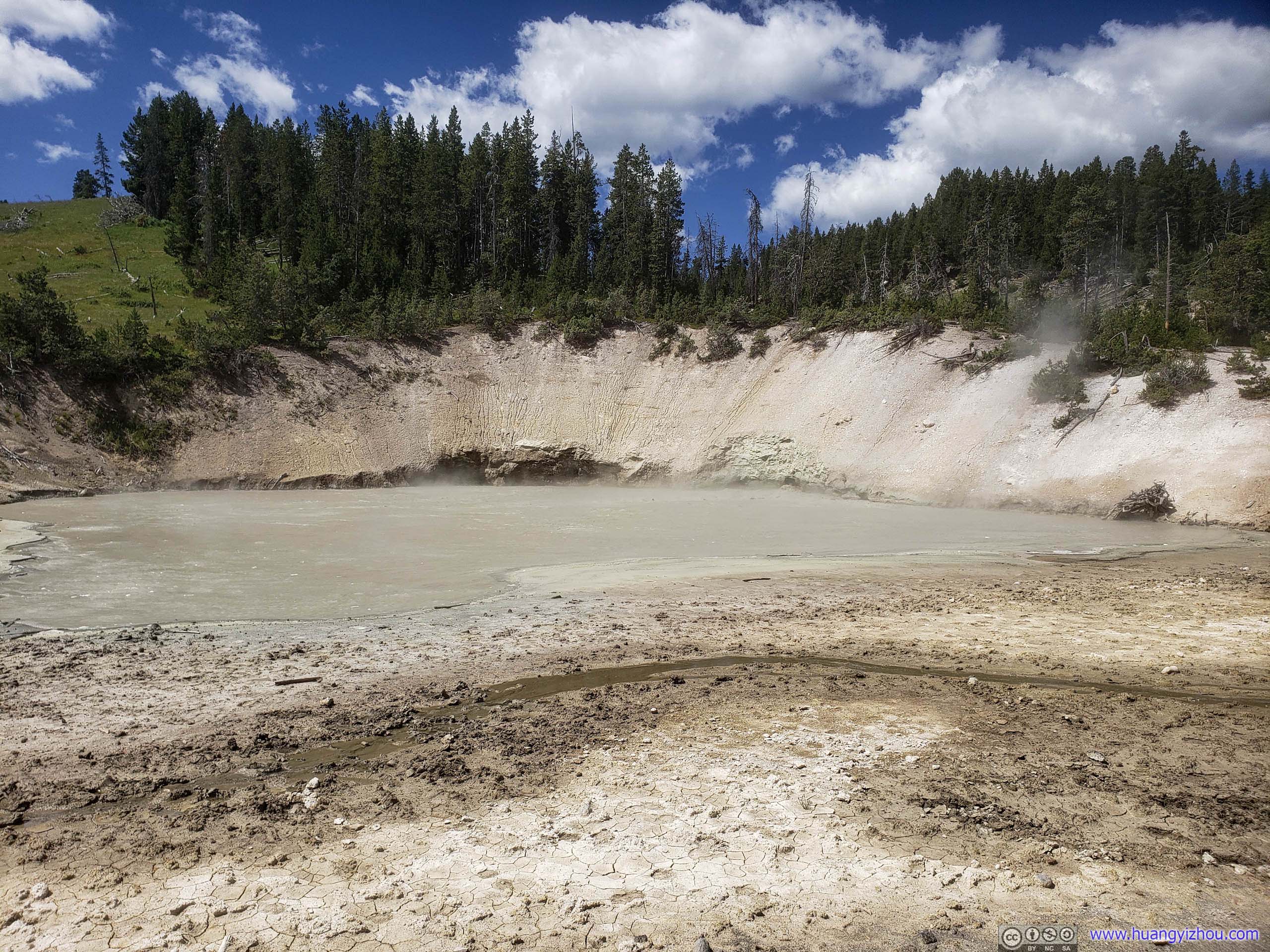
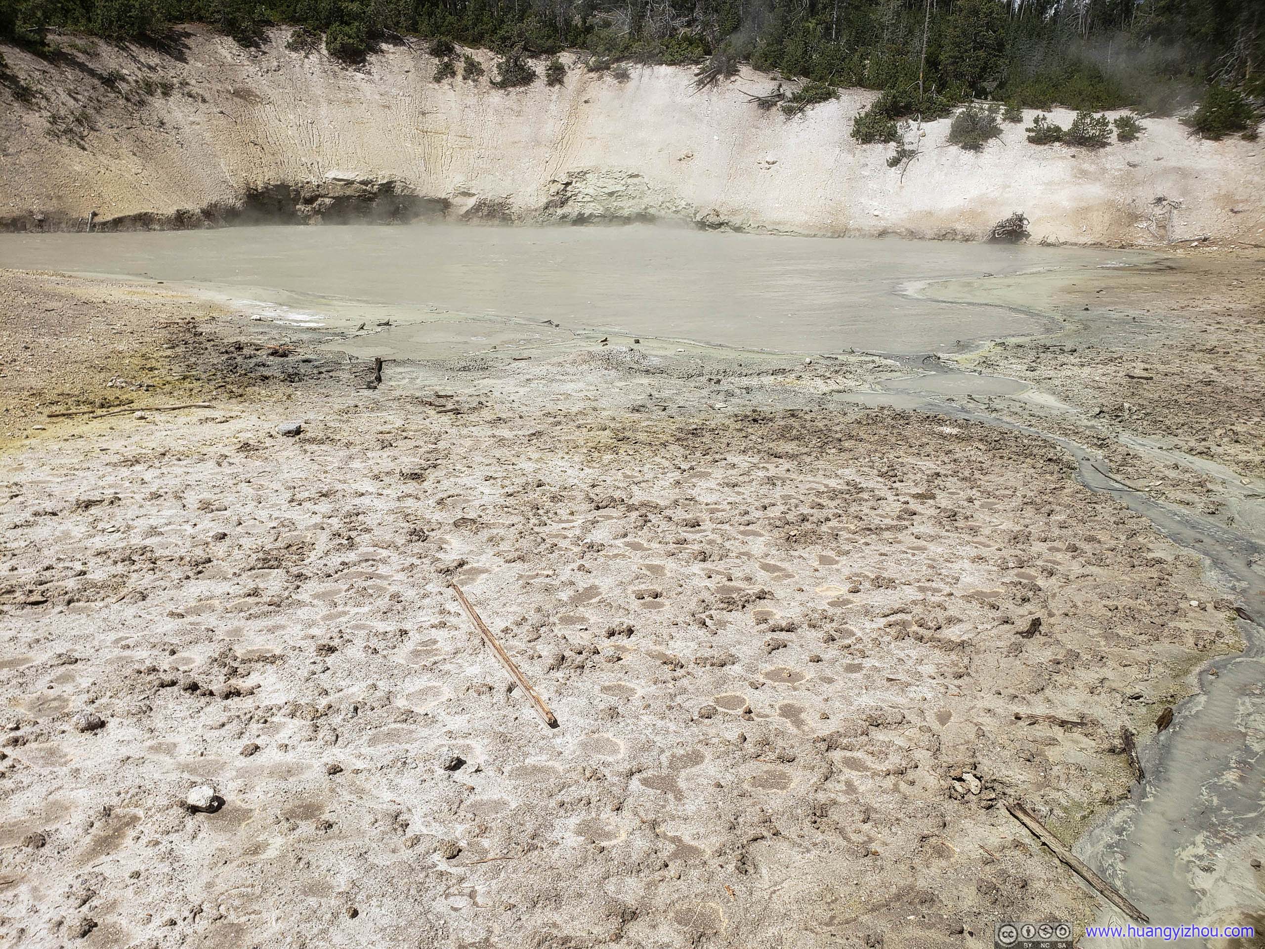

Not long after that, we spotted a bison resting by Mud Geyser, probably for its warmth.
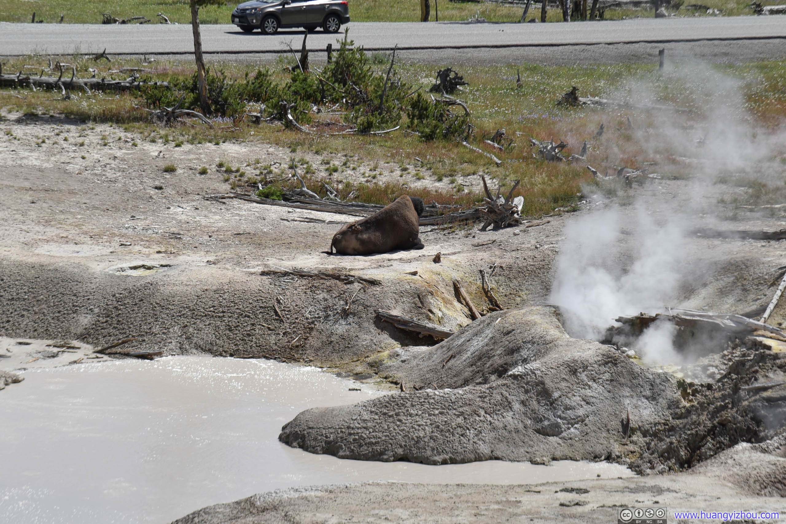


Bison Resting by Mud Geyser
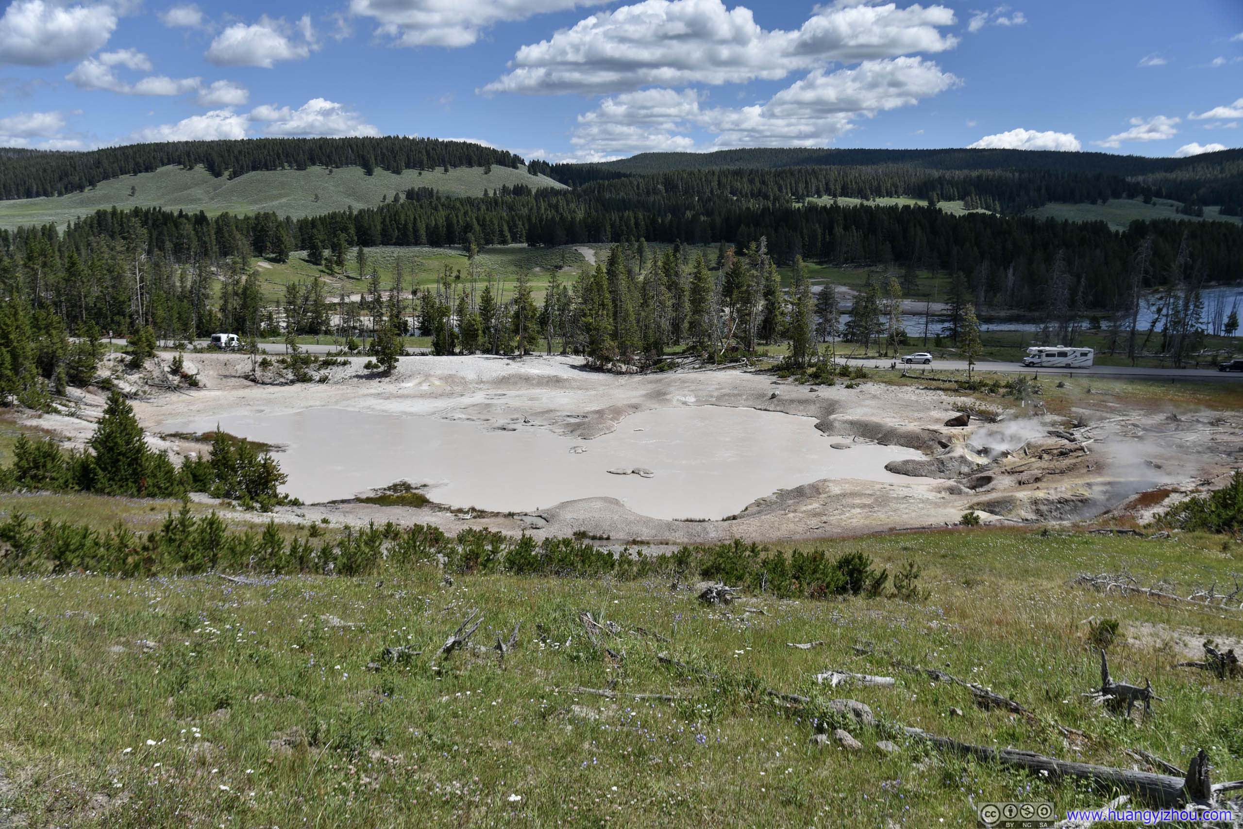

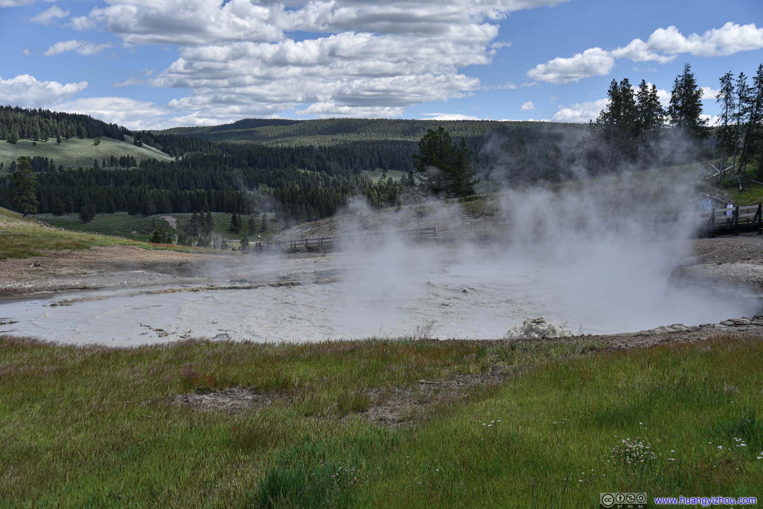
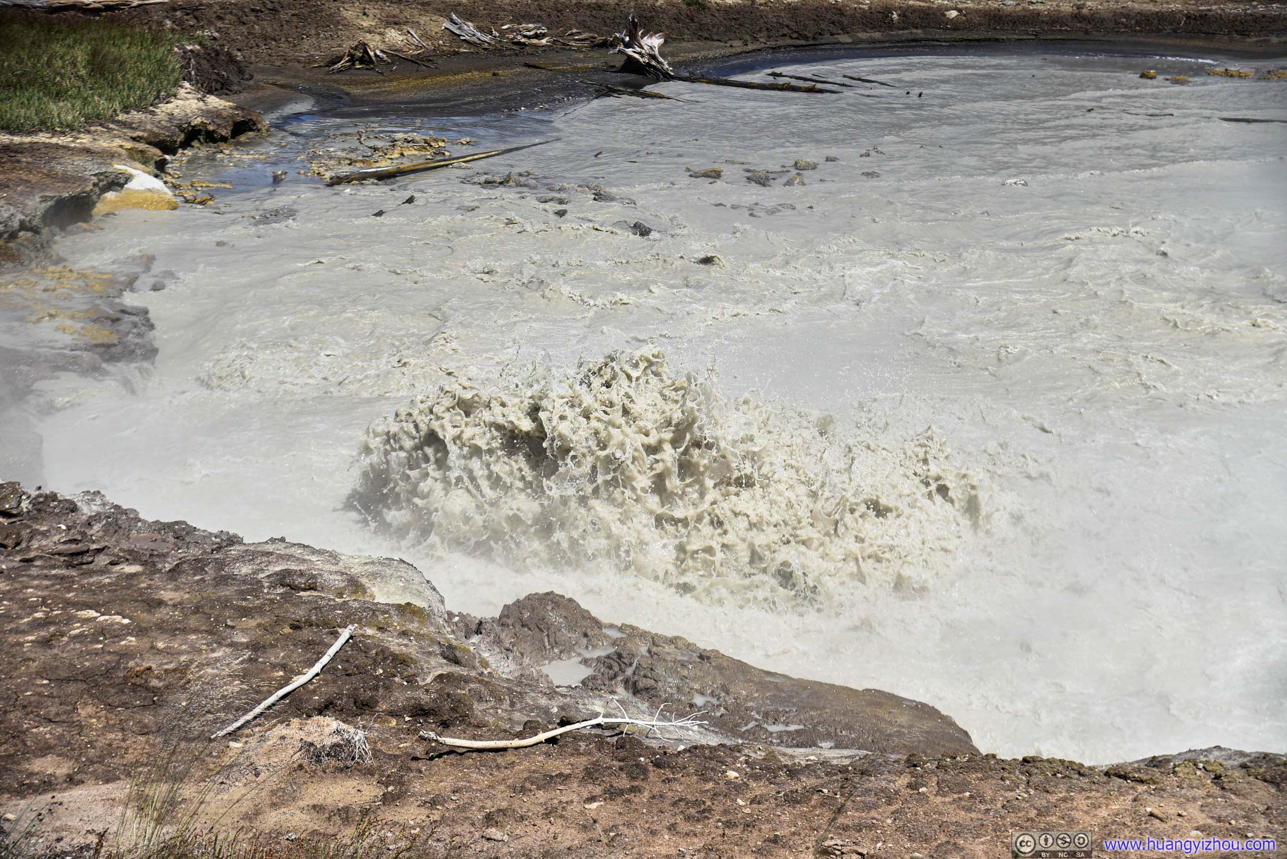

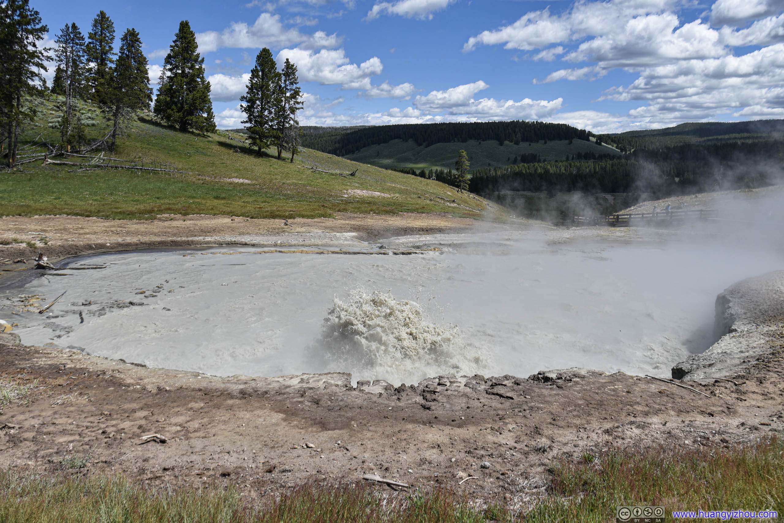
Churning Caldron
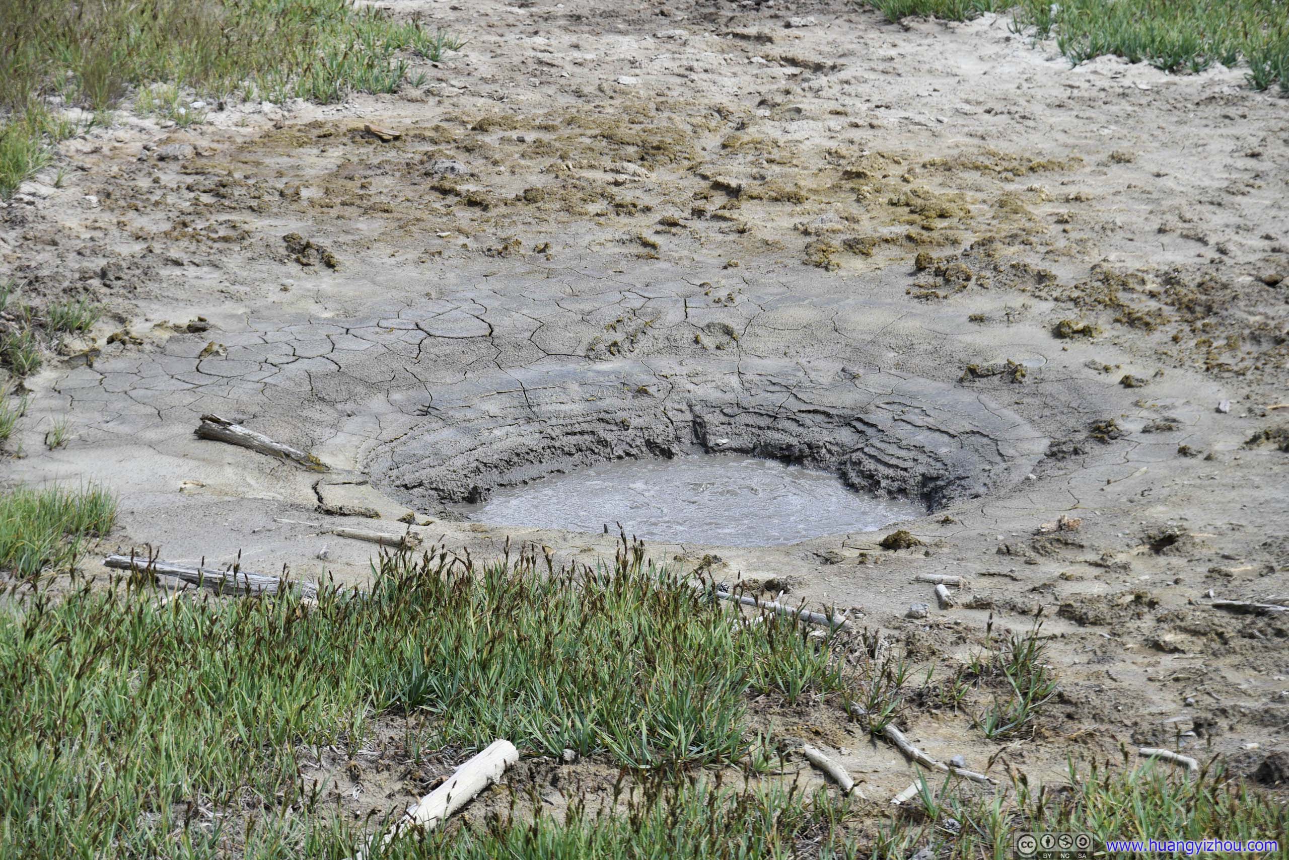
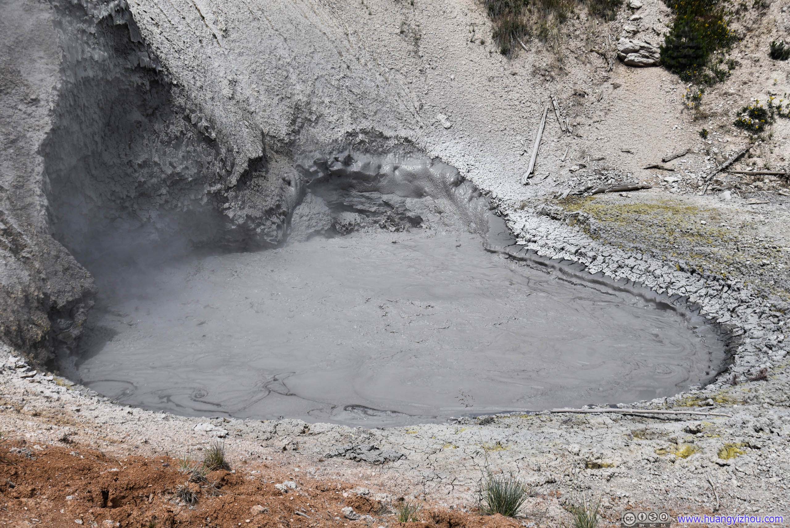
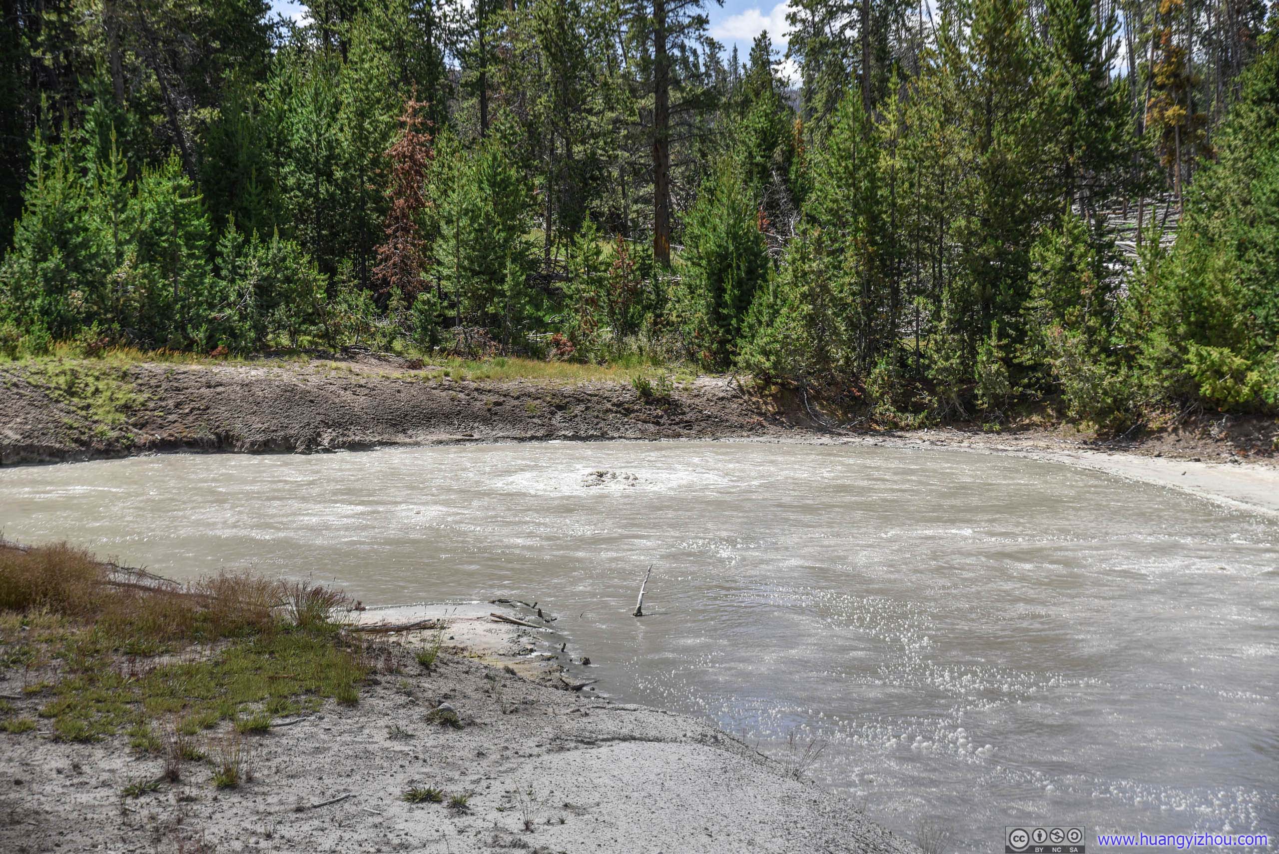
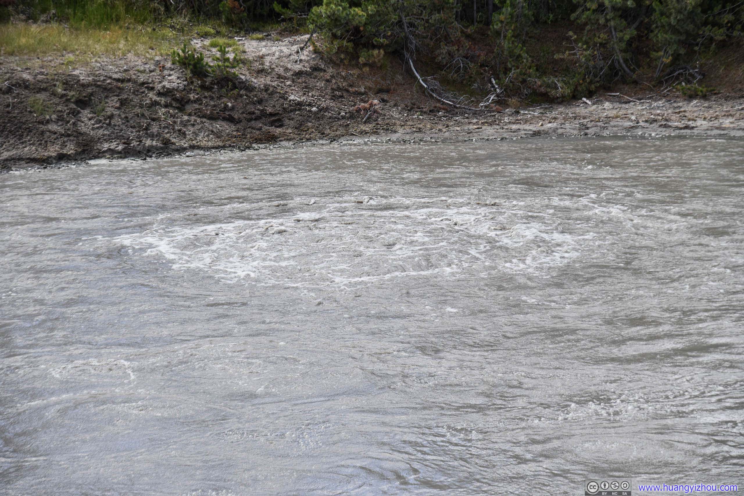
Black Dragons Caldron
Click for details
This mudpot roared into existence in 1948, blowing trees out by roots and forever changing this once quiet forested hillside. A park interpreter named the new feature for its resemblance to a darkly colored “demon of the backwoods.” For several decades, it erupted in explosive 10 – 20 foot bursts of black mud. Over the years, it has moved 200’ to the southeast and become relatively quiet. However as change is constant in Yellowstone, the black dragon may one day roar back to life.
Source: Information board nearby.
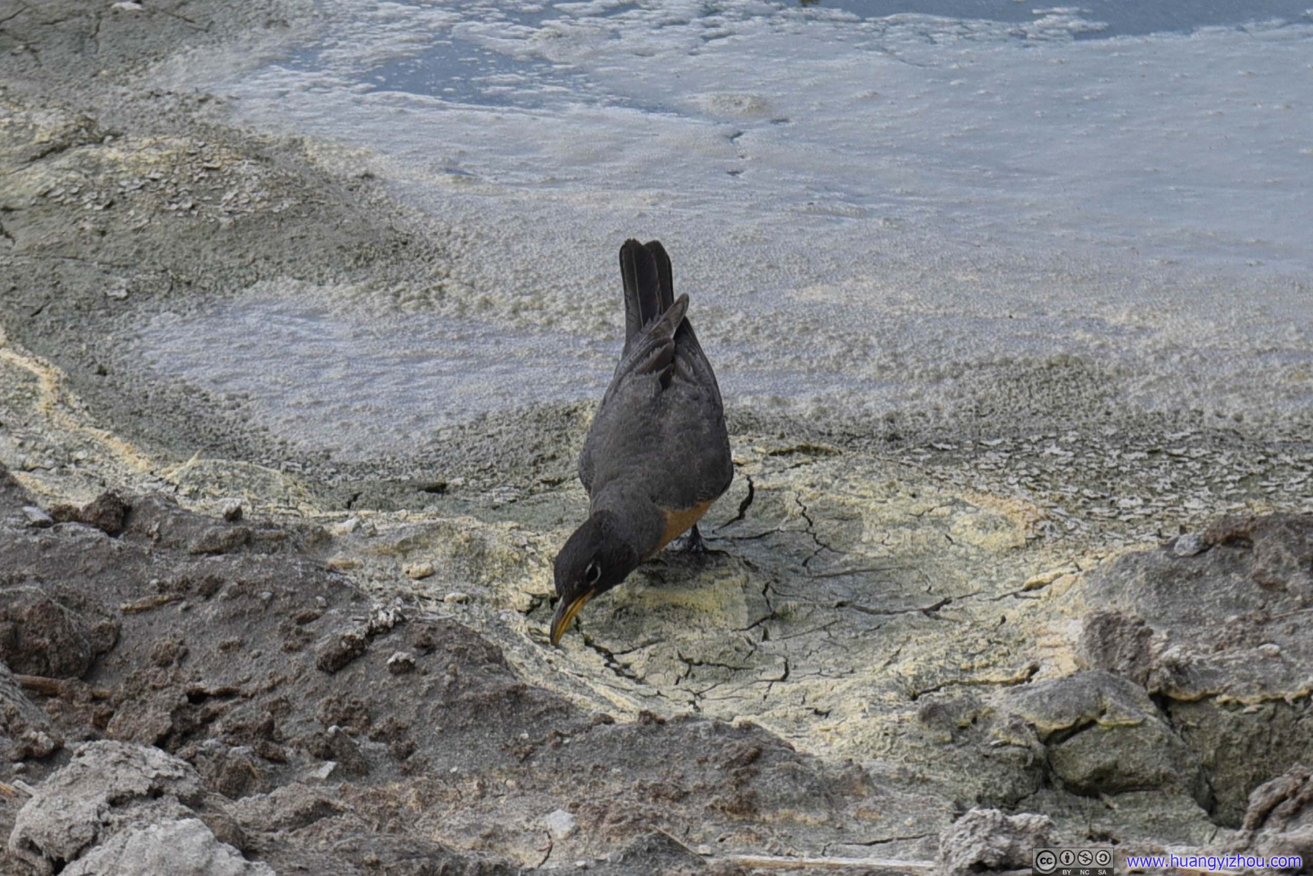
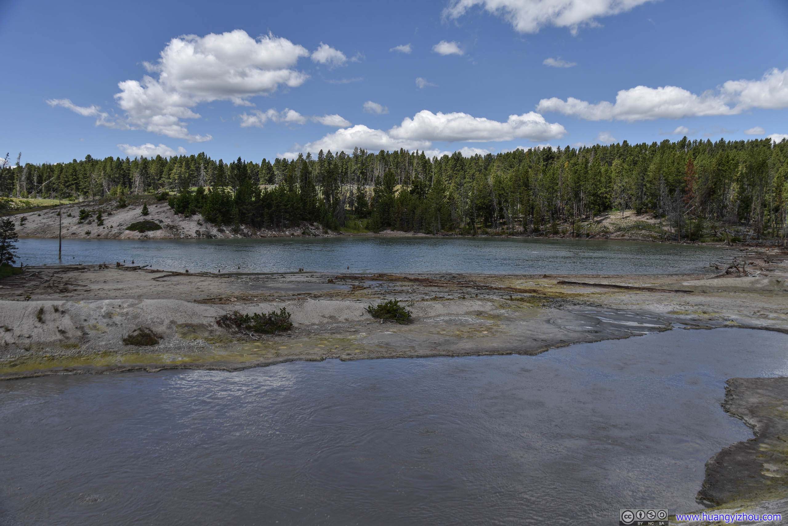
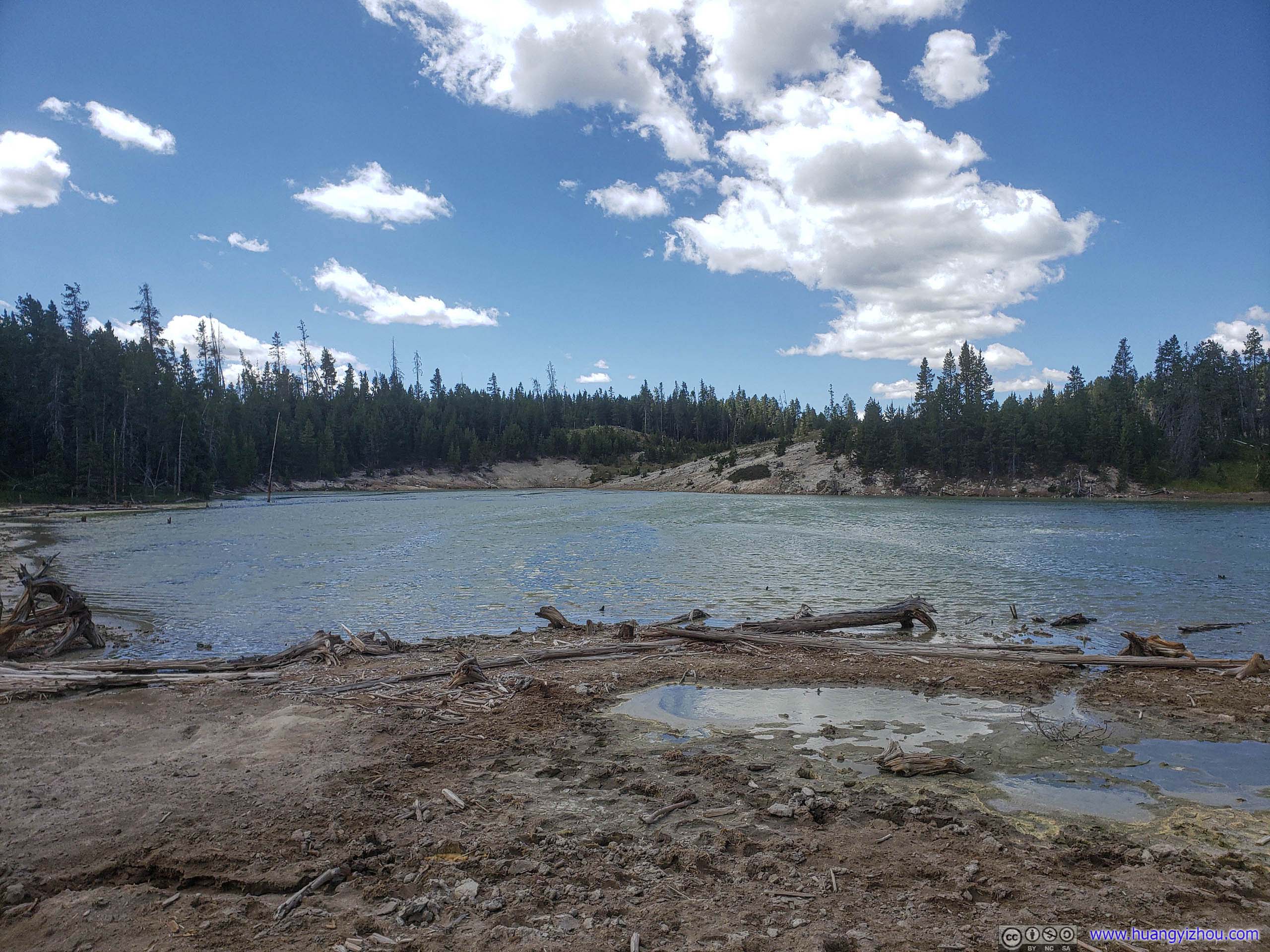

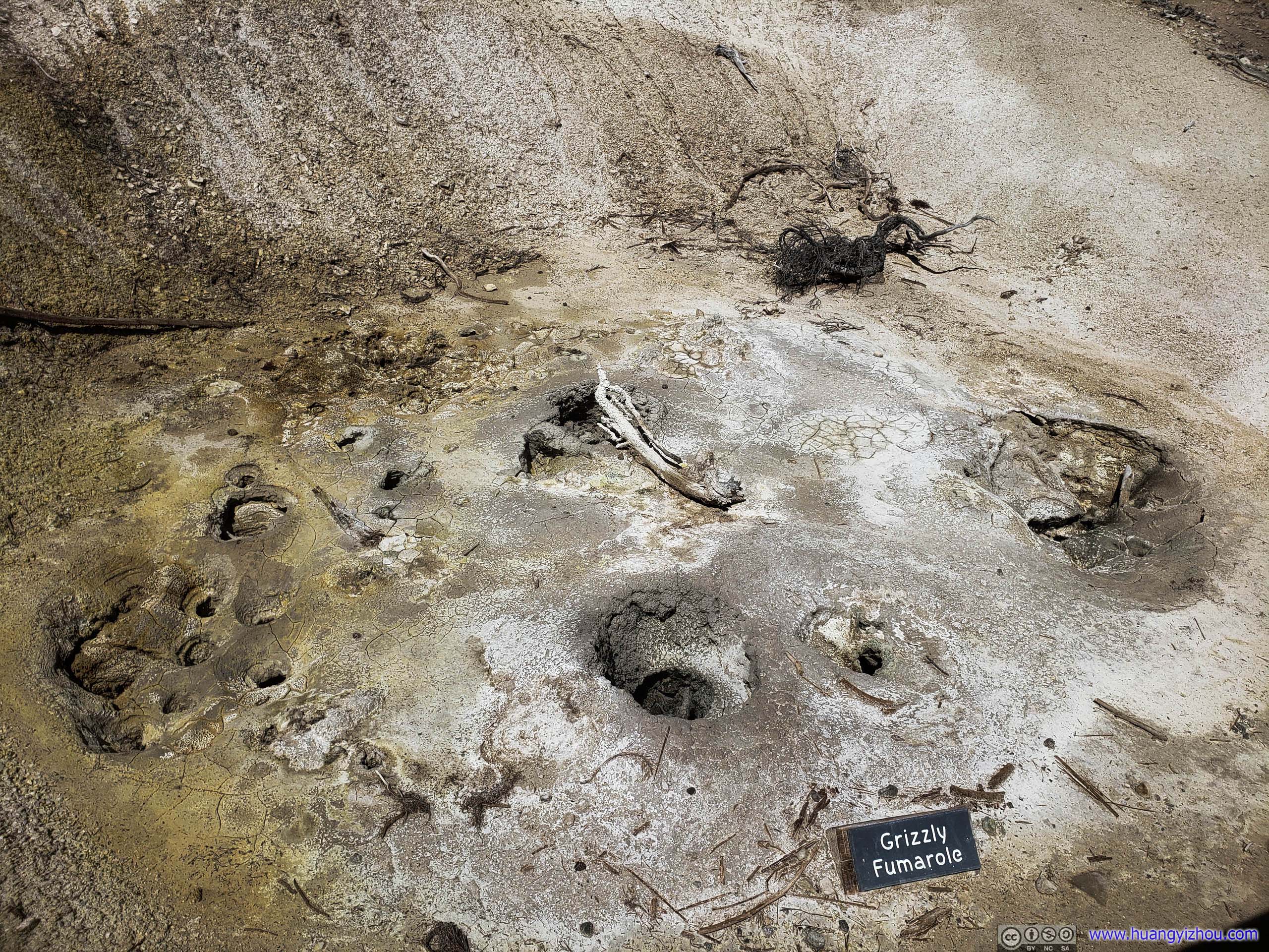
"All hydrothermal features change, but Grizzly Fumarole changes from day to day, and season to season, reflecting recent weather conditions."
Back near the parking lot, we found another bison resting, this time it's much closer to the boardwalk.

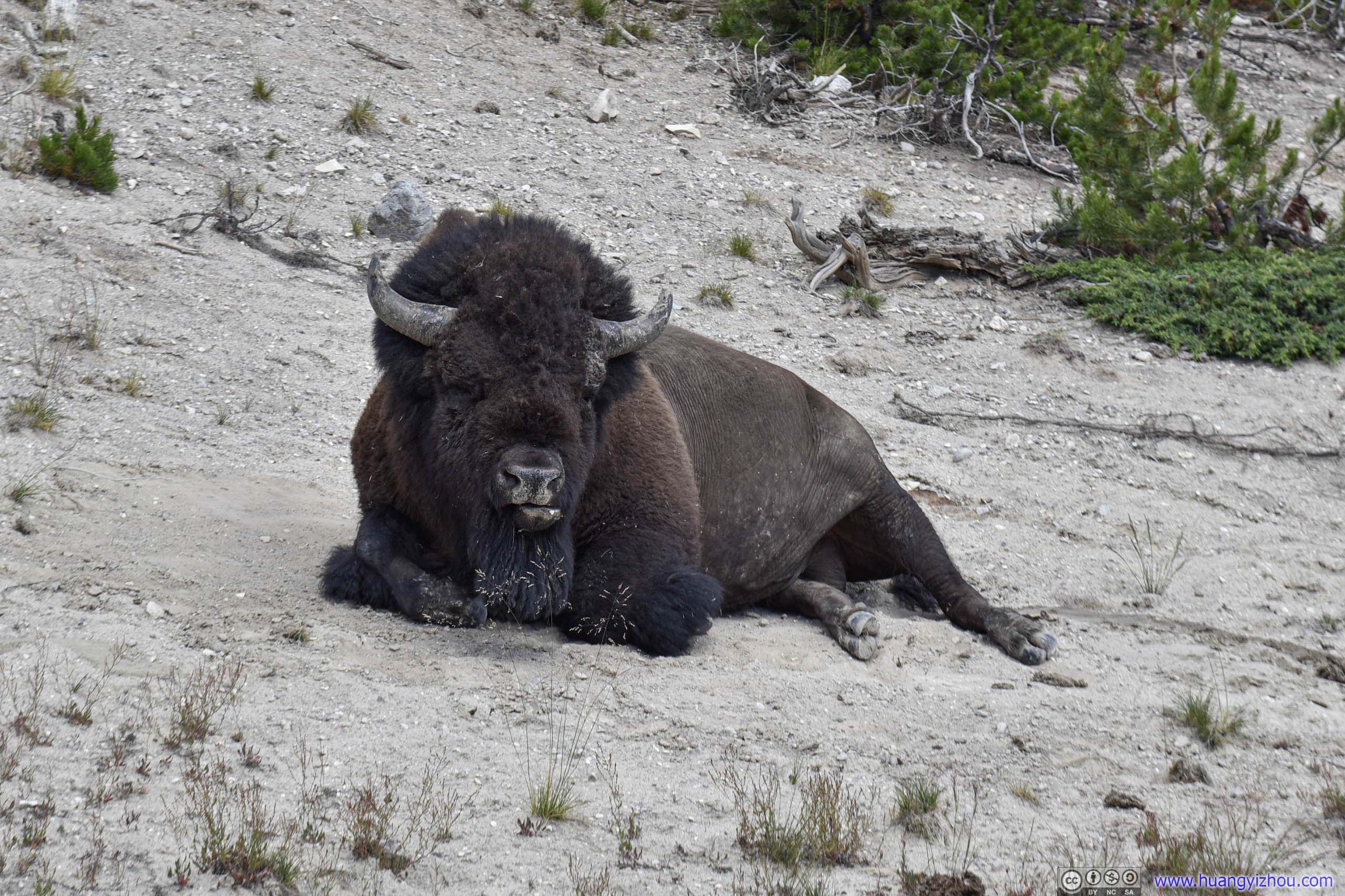
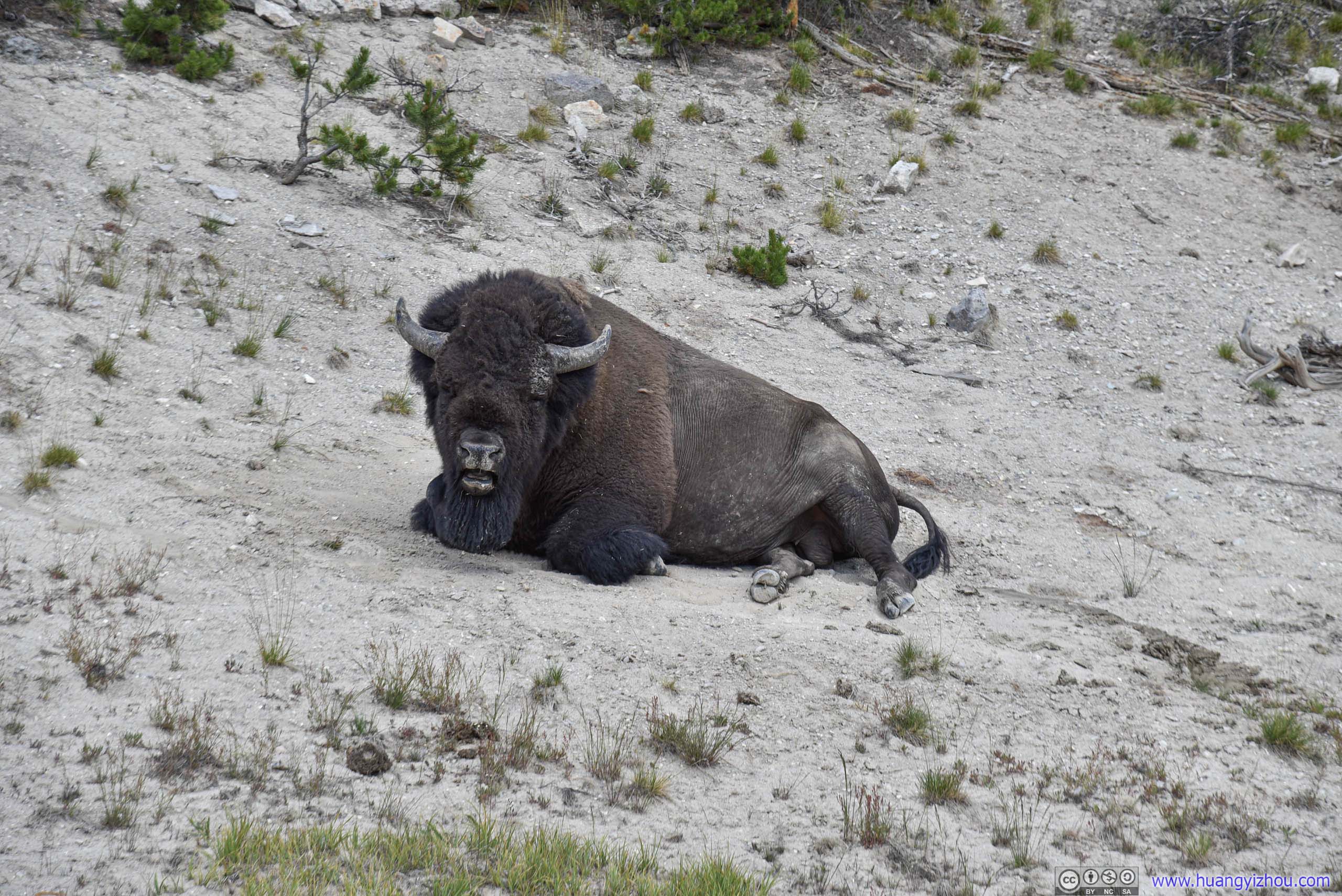
Bison Resting
And this one's more playful.
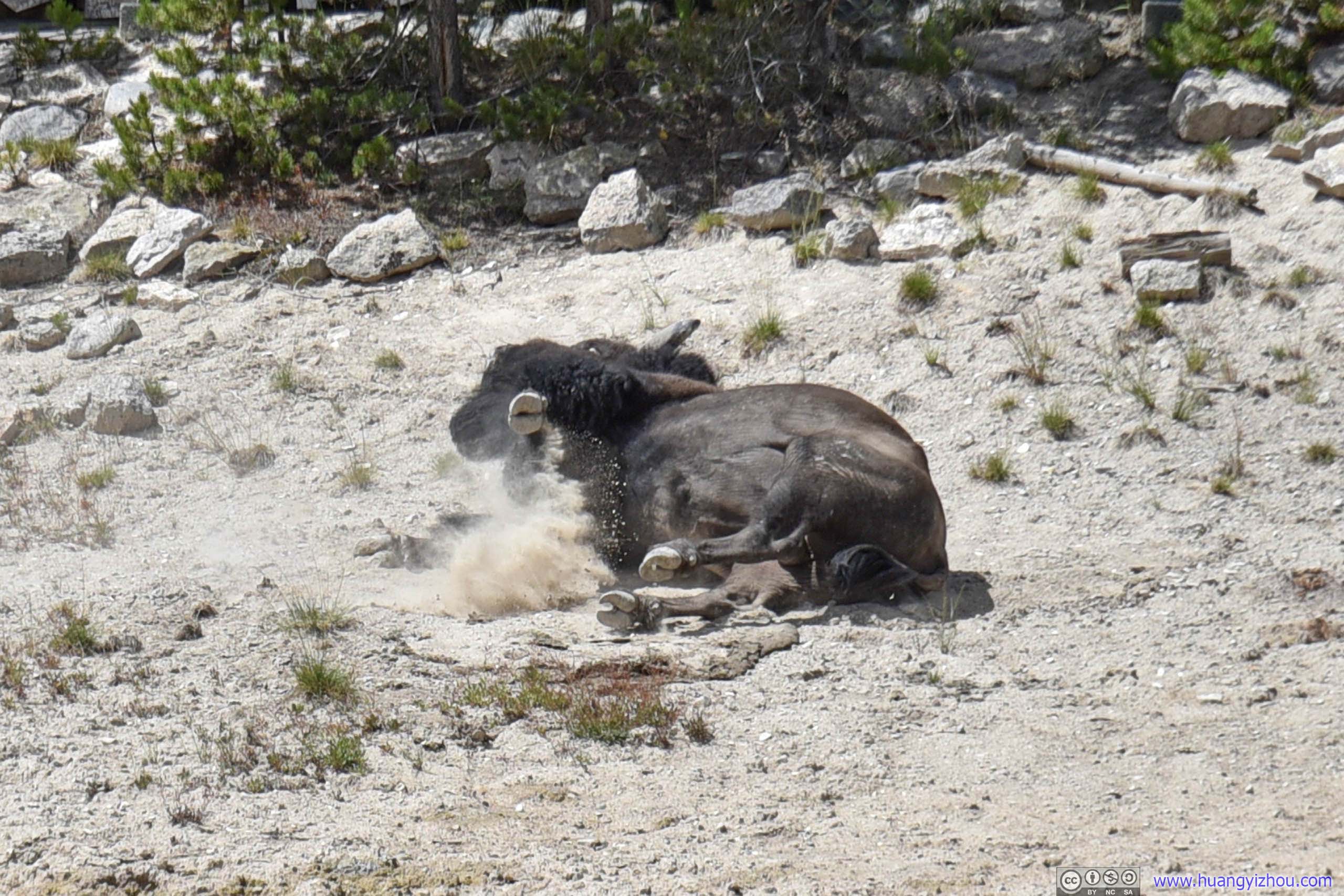
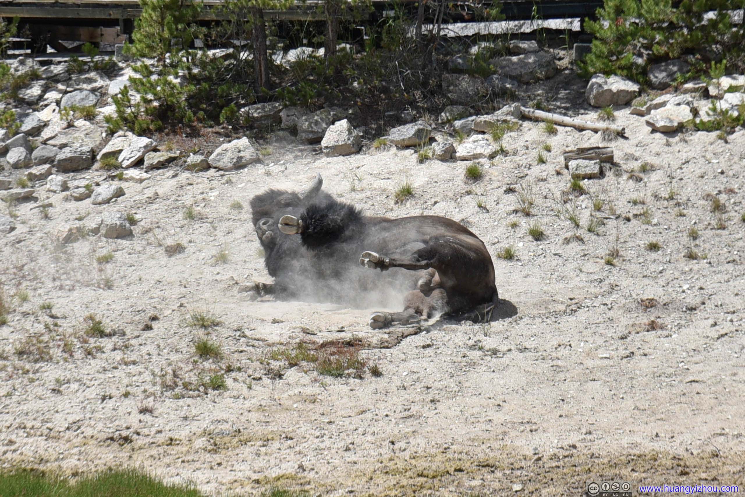
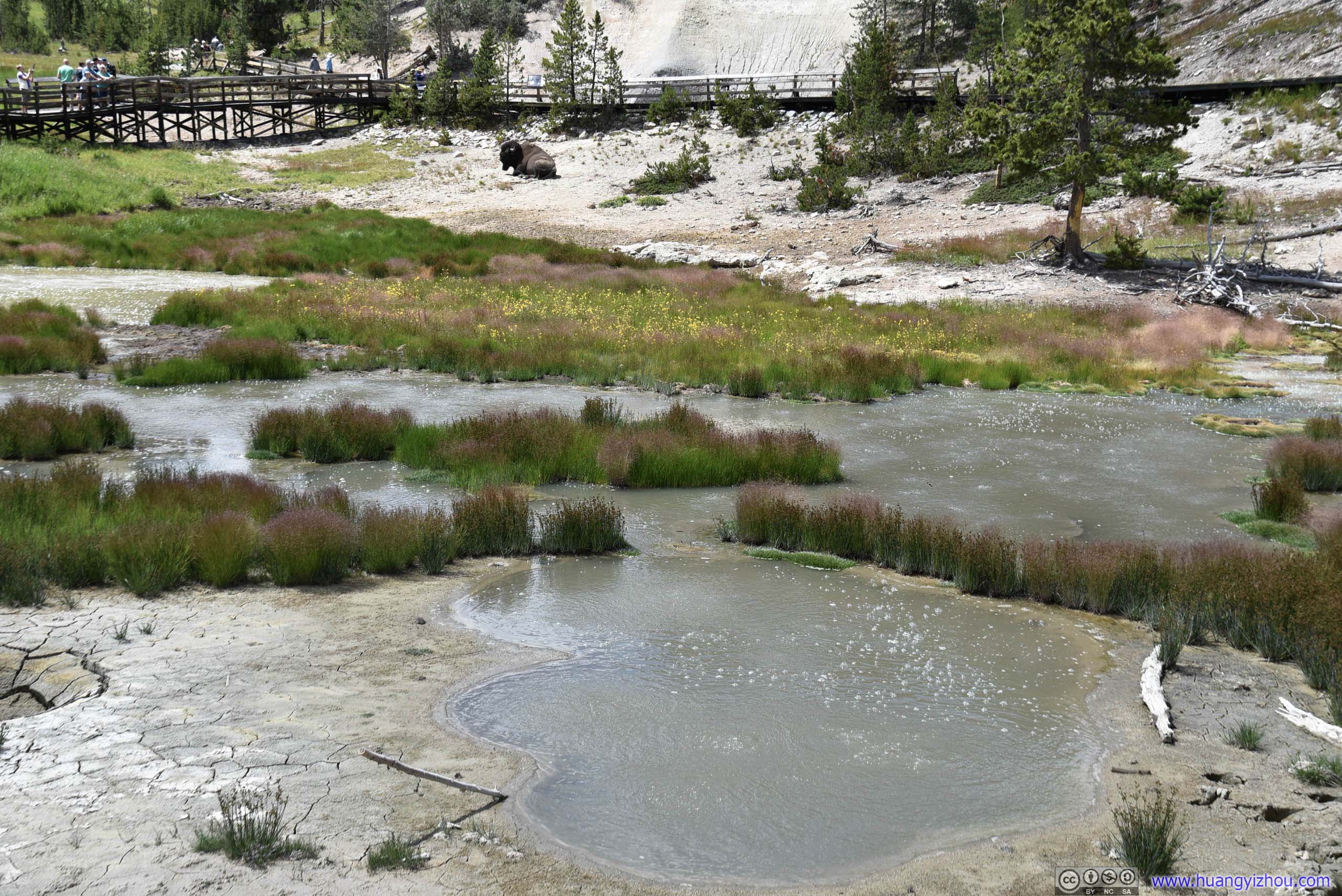

Click for details
An unknown park visitor named this feature around 1912, perhaps due to the water that frequently surged from the cave like the lashing of a dragon's tongue. Until 1994, this dramatic wave-like action ofter splashed water as far as the boardwalk. The rumbling sounds are caused by steam and other gasses exploding through the water causing it to crash against the walls of the hidden caverns.
Source: Information board nearby.
Hayden Valley
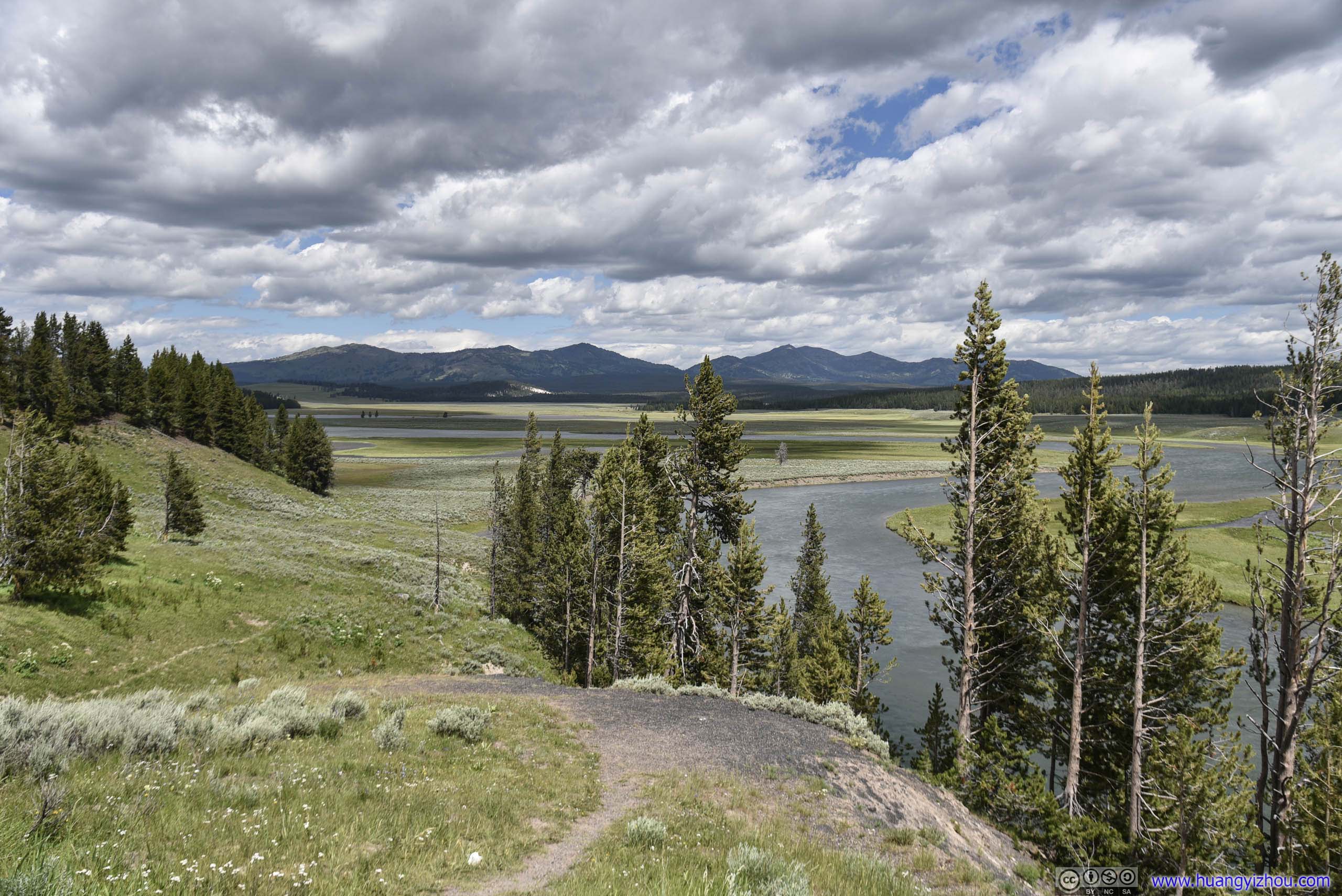
After leaving Mud Volcano area, we were technically in Hayden Valley, which was one of the few spots that's famous for wildlife viewing in Yellowstone.
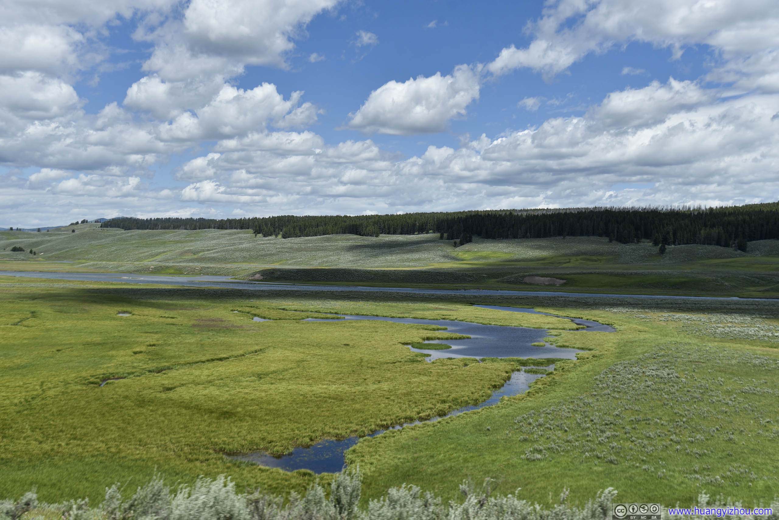


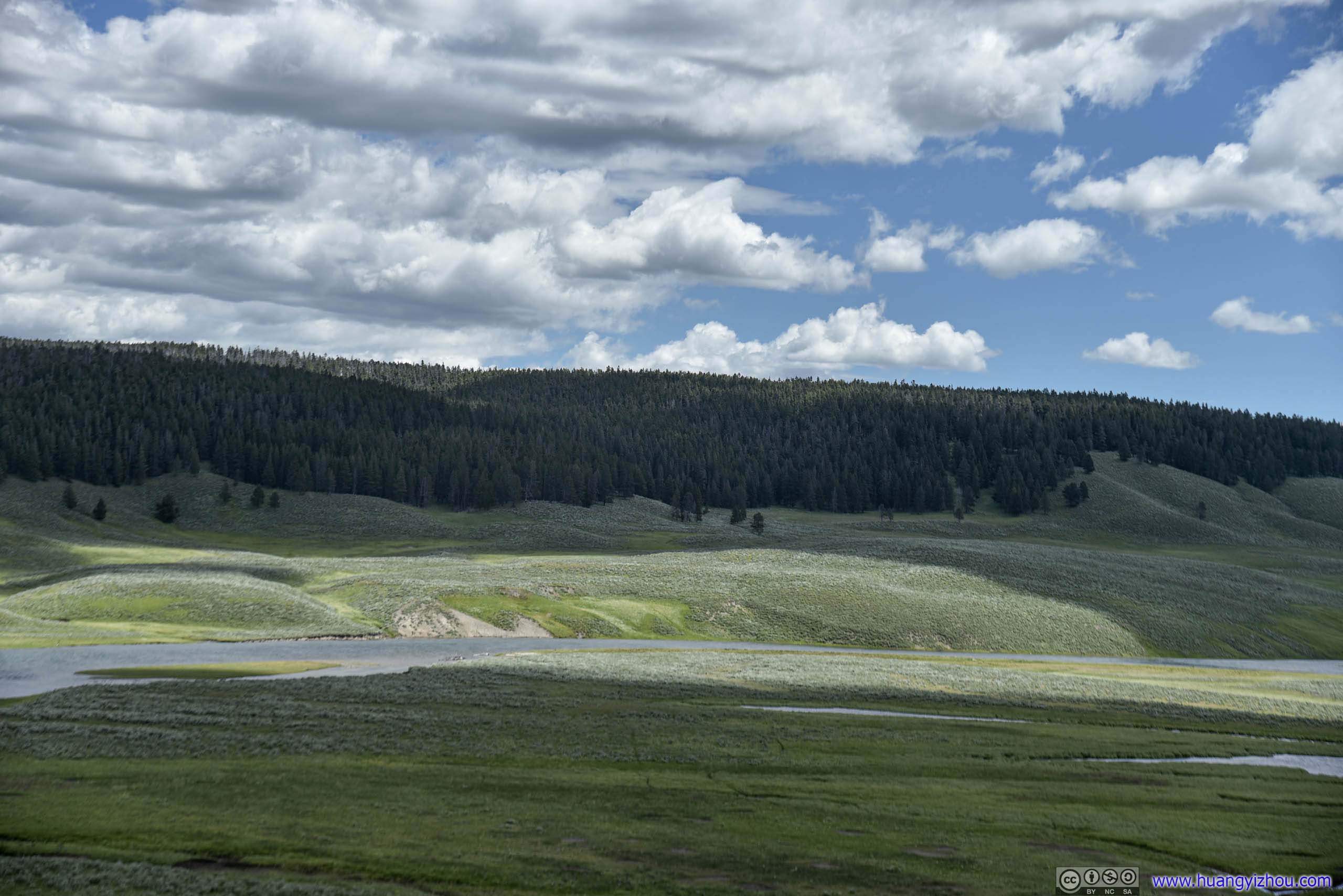
Hayden Valley
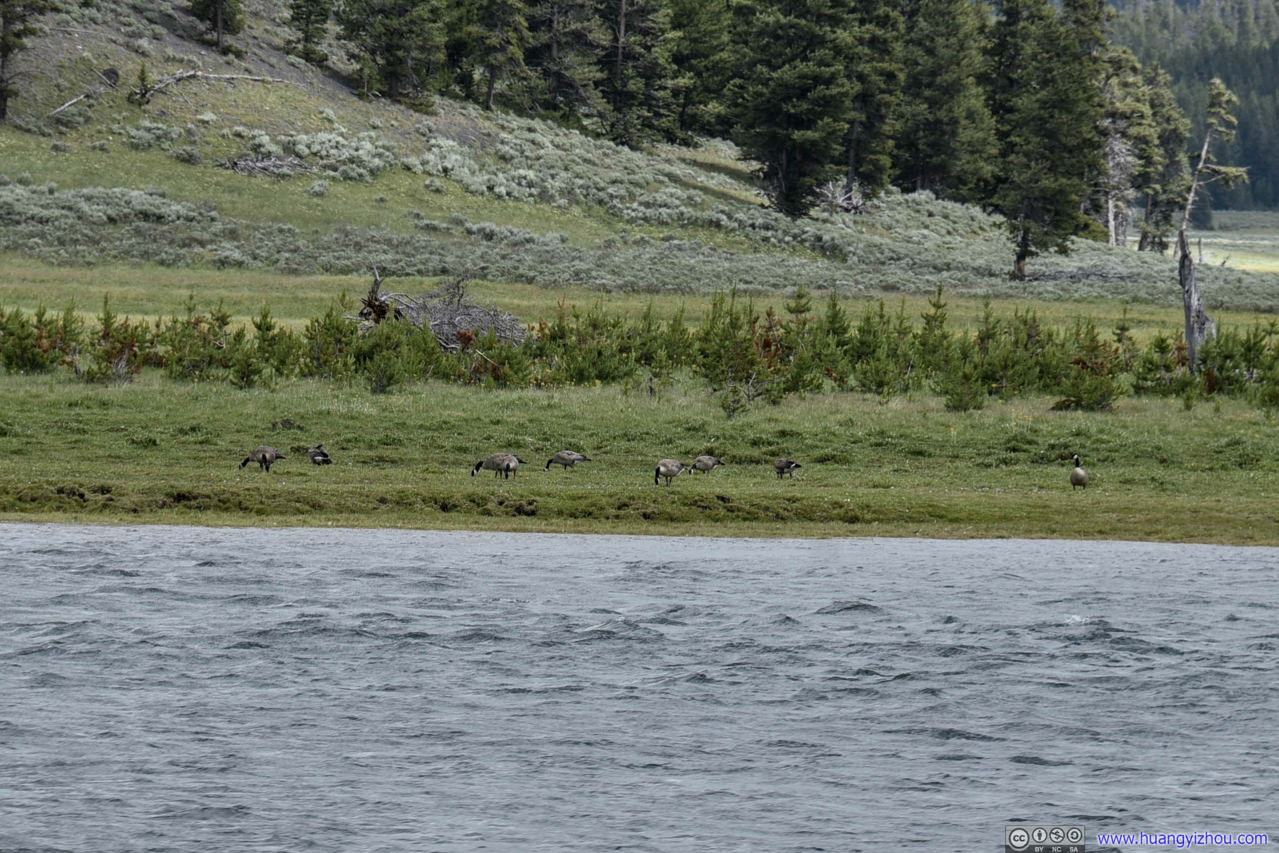
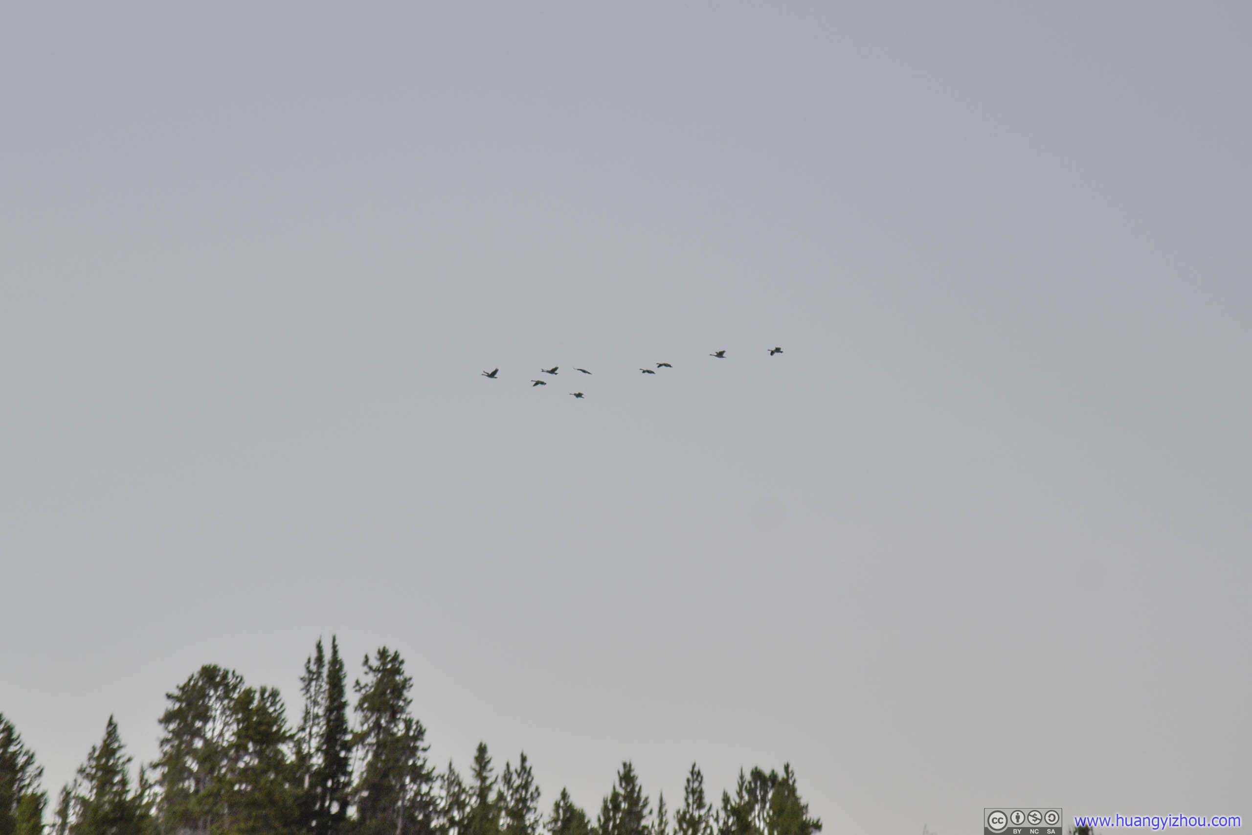
Yes, the landscape here, of rolling hills and winding river, was magnificent. Wildlife-wise, well, I could only spot a few packs of geese.
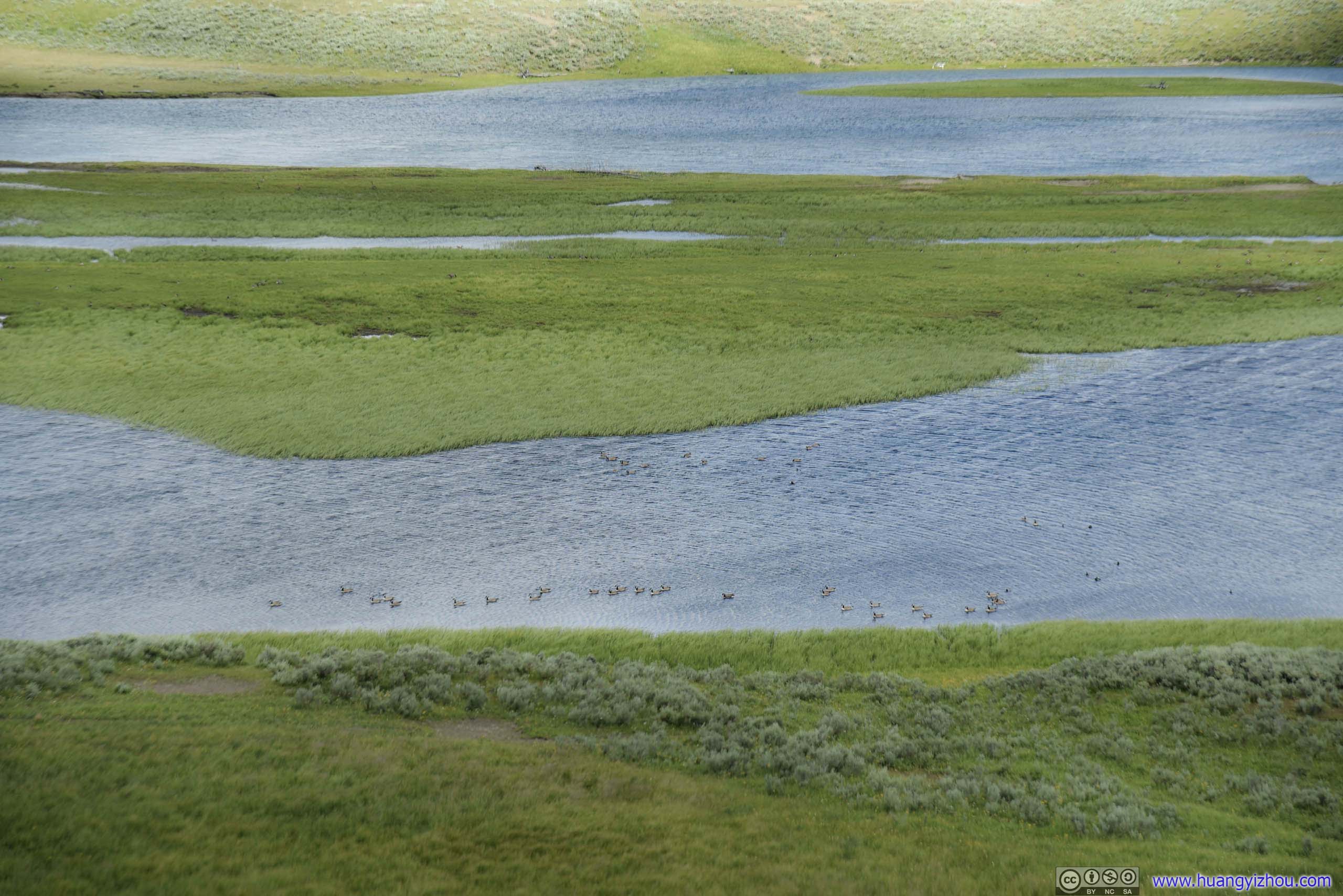
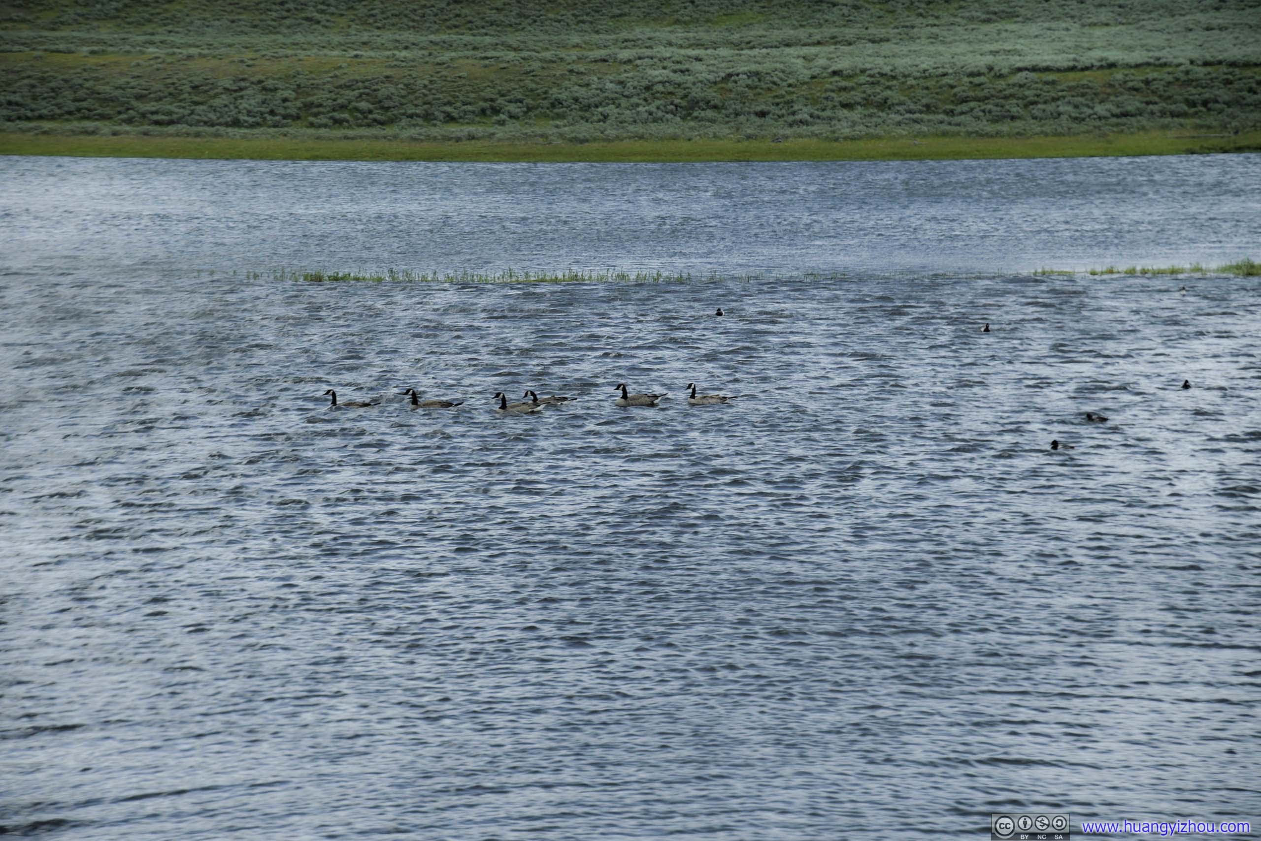
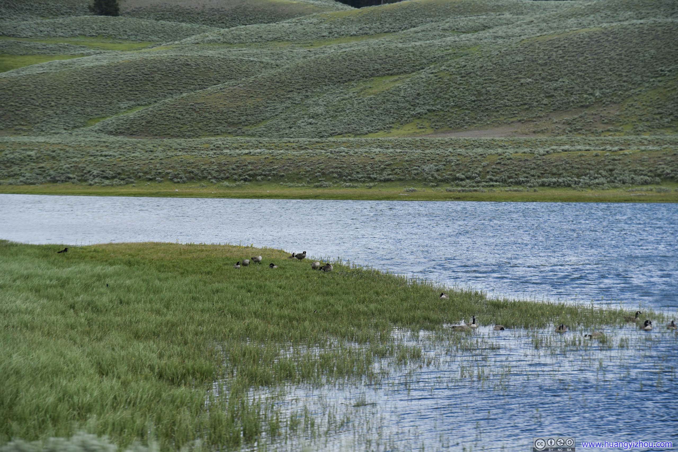
Geese
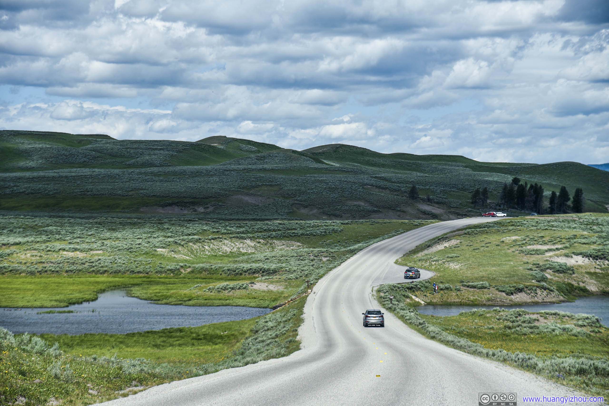

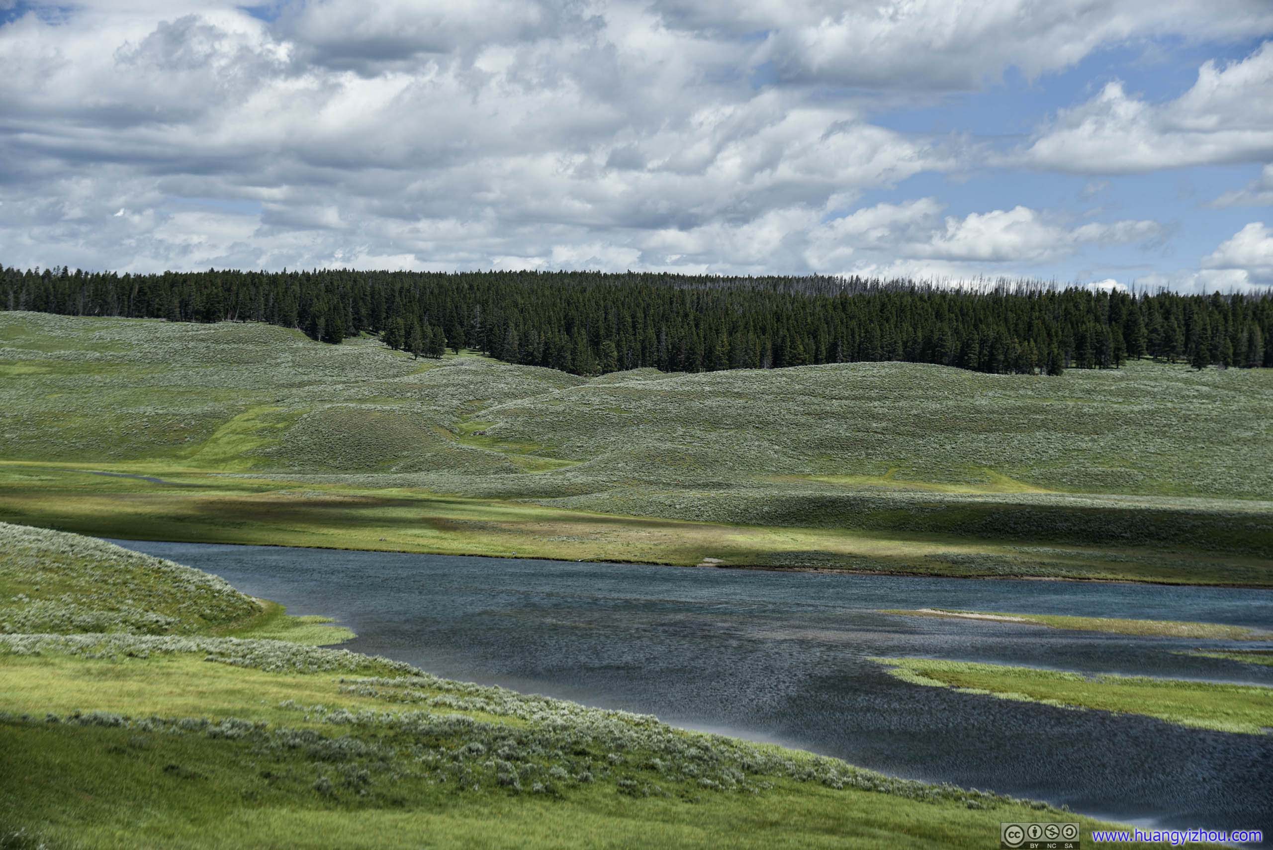
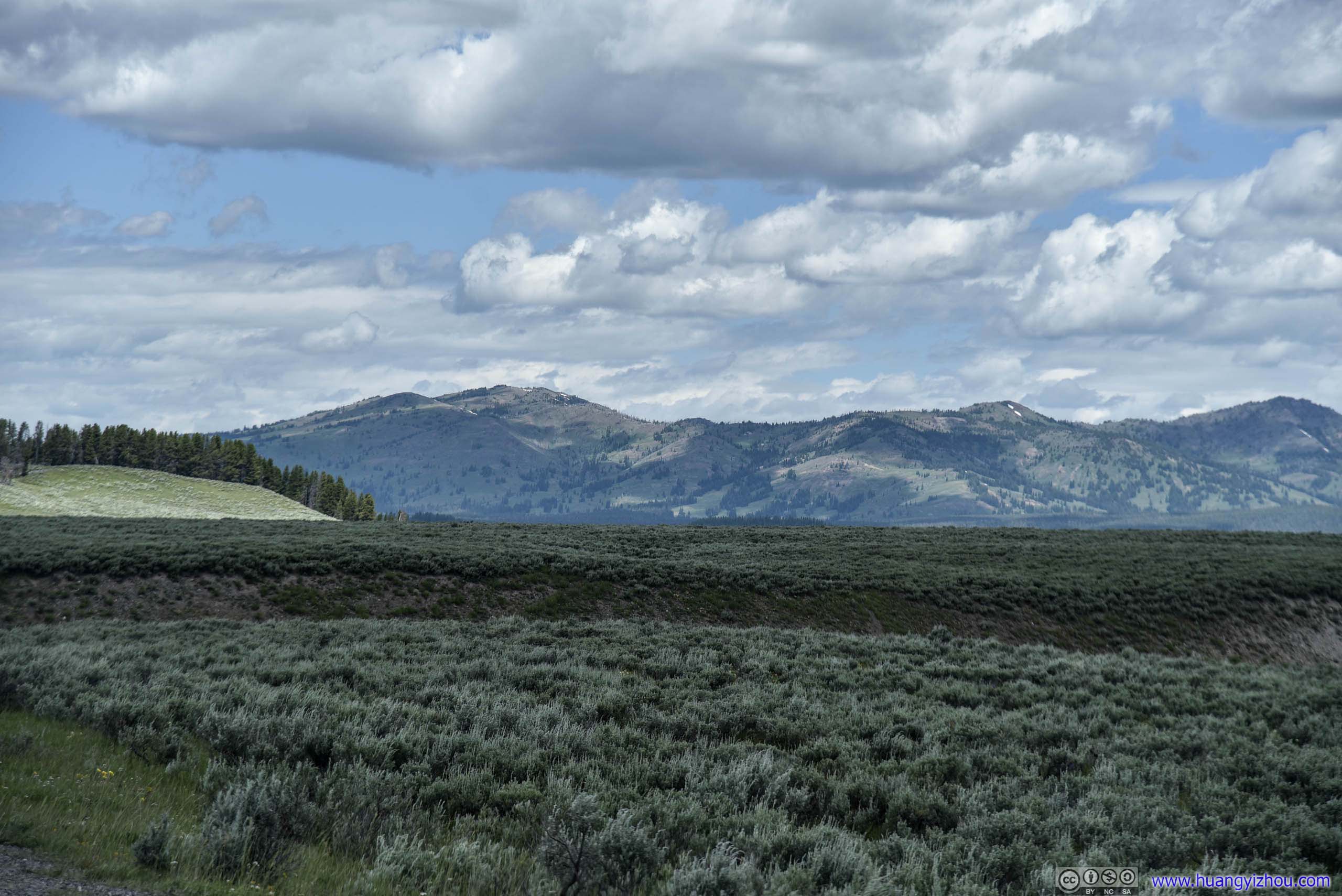


Hayden Valley

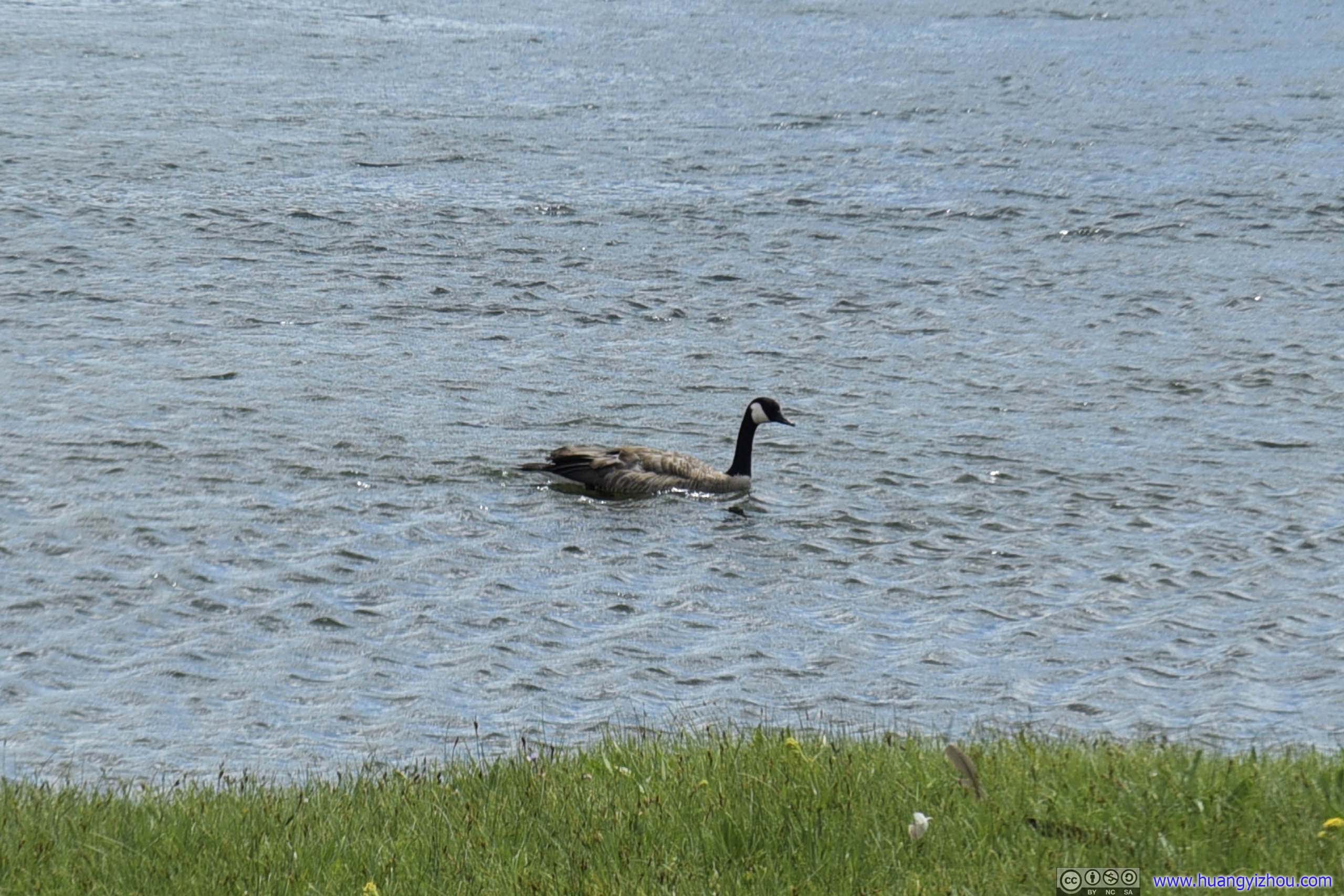
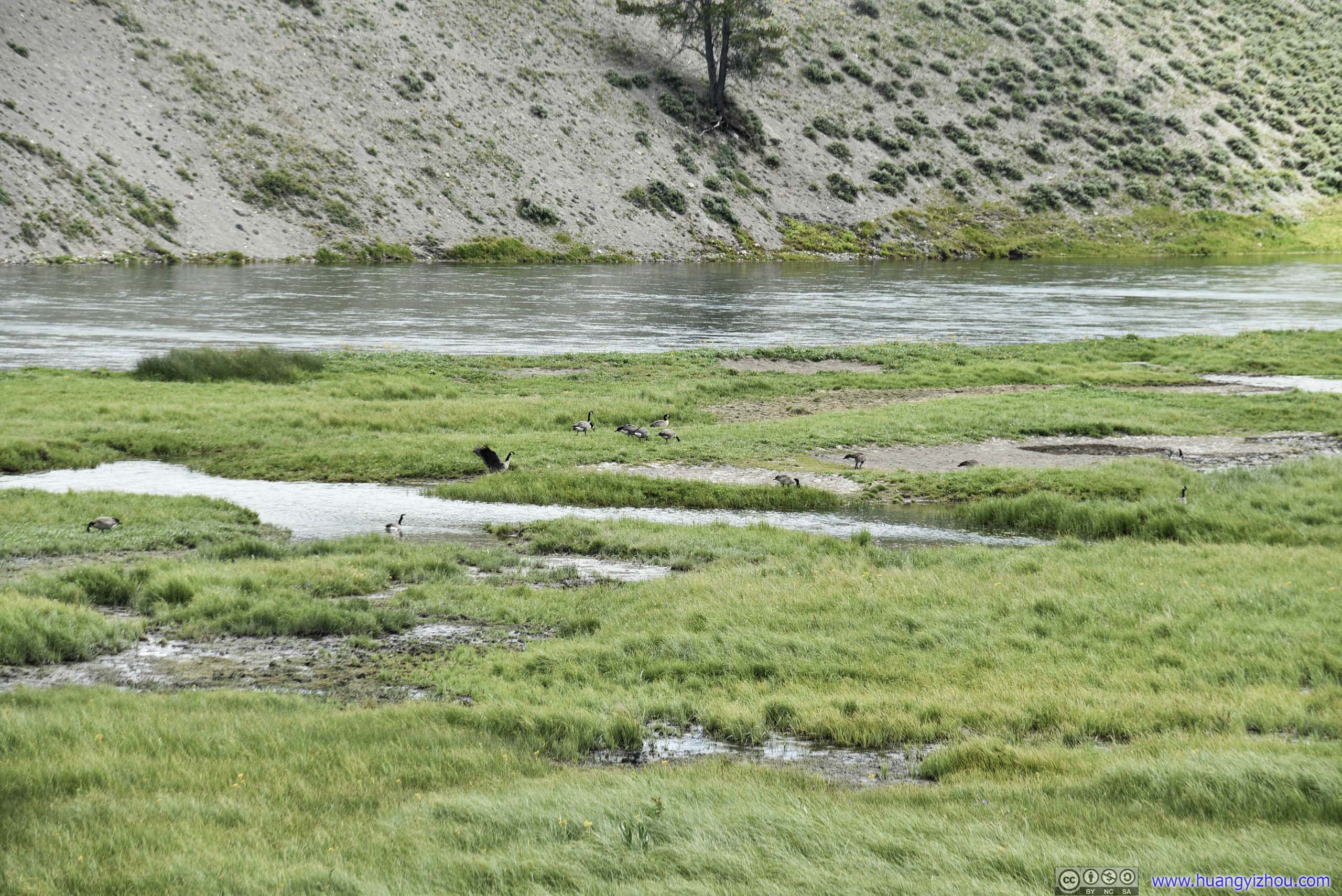
Geese
And a few bison in distant field.
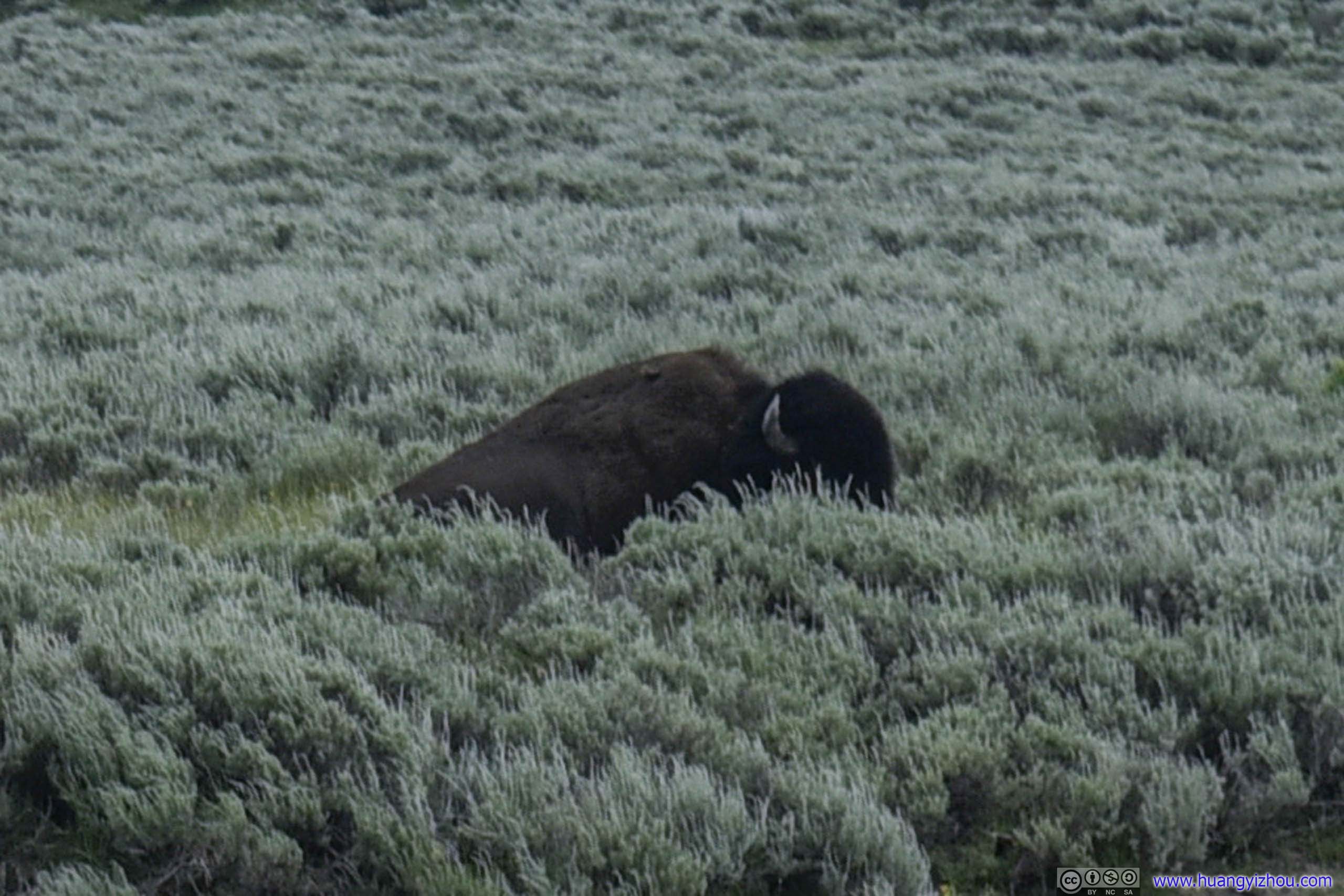
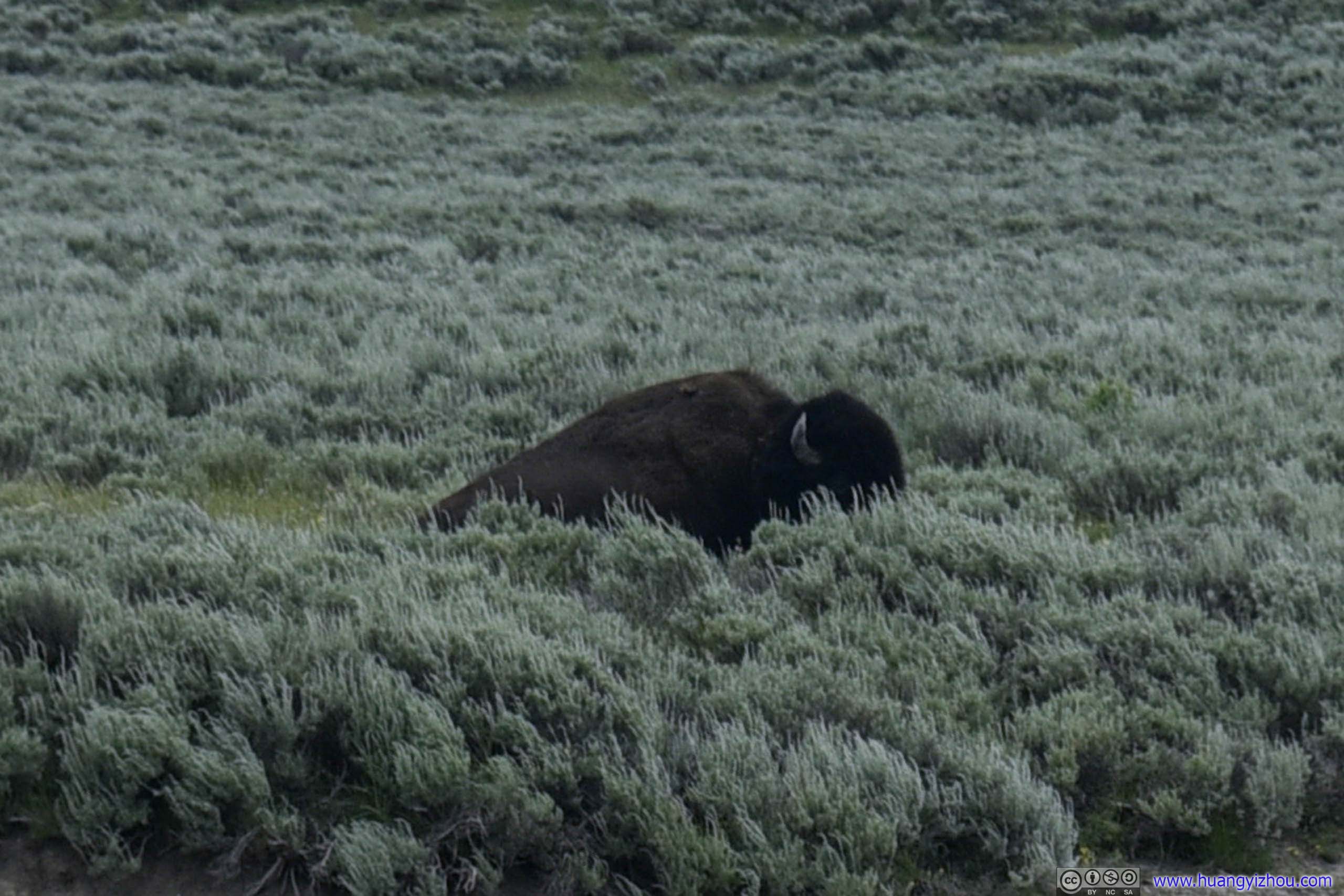
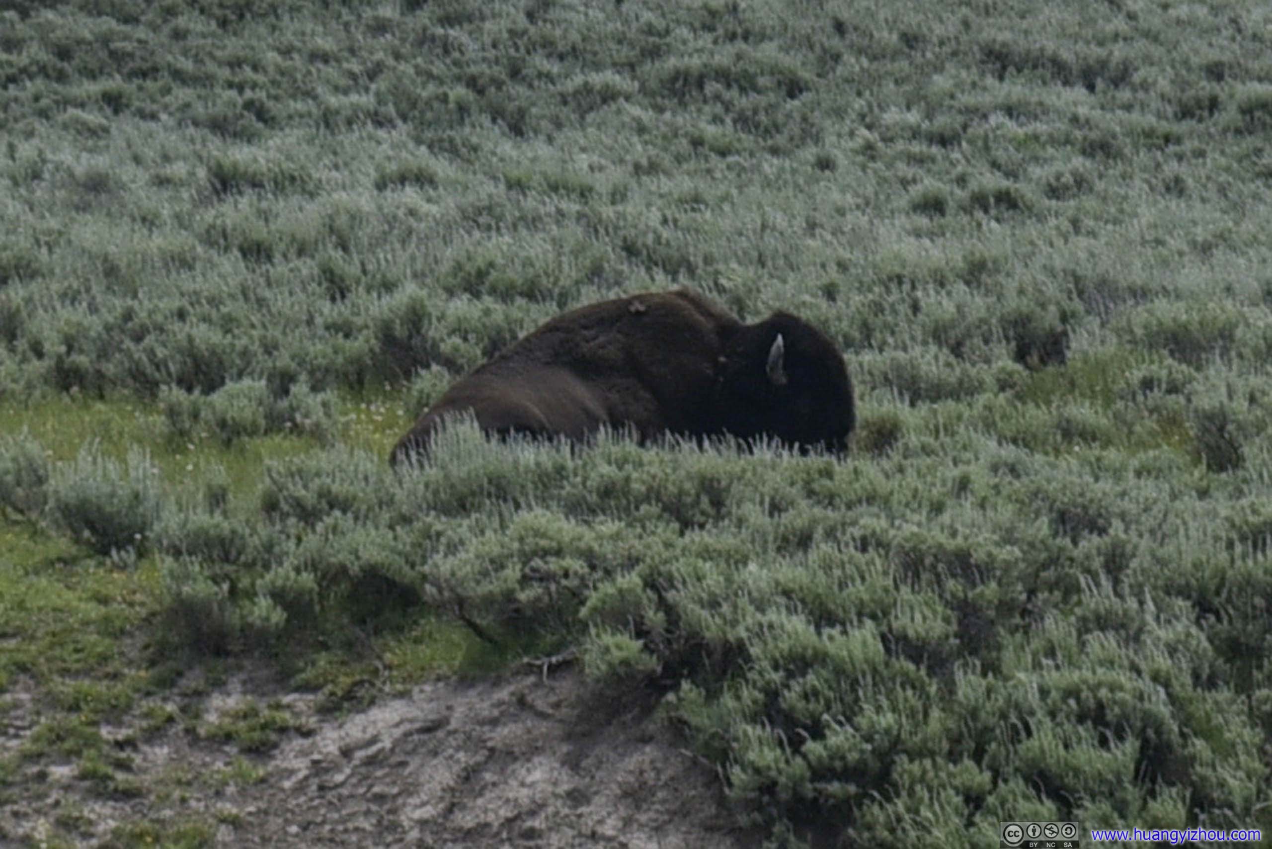
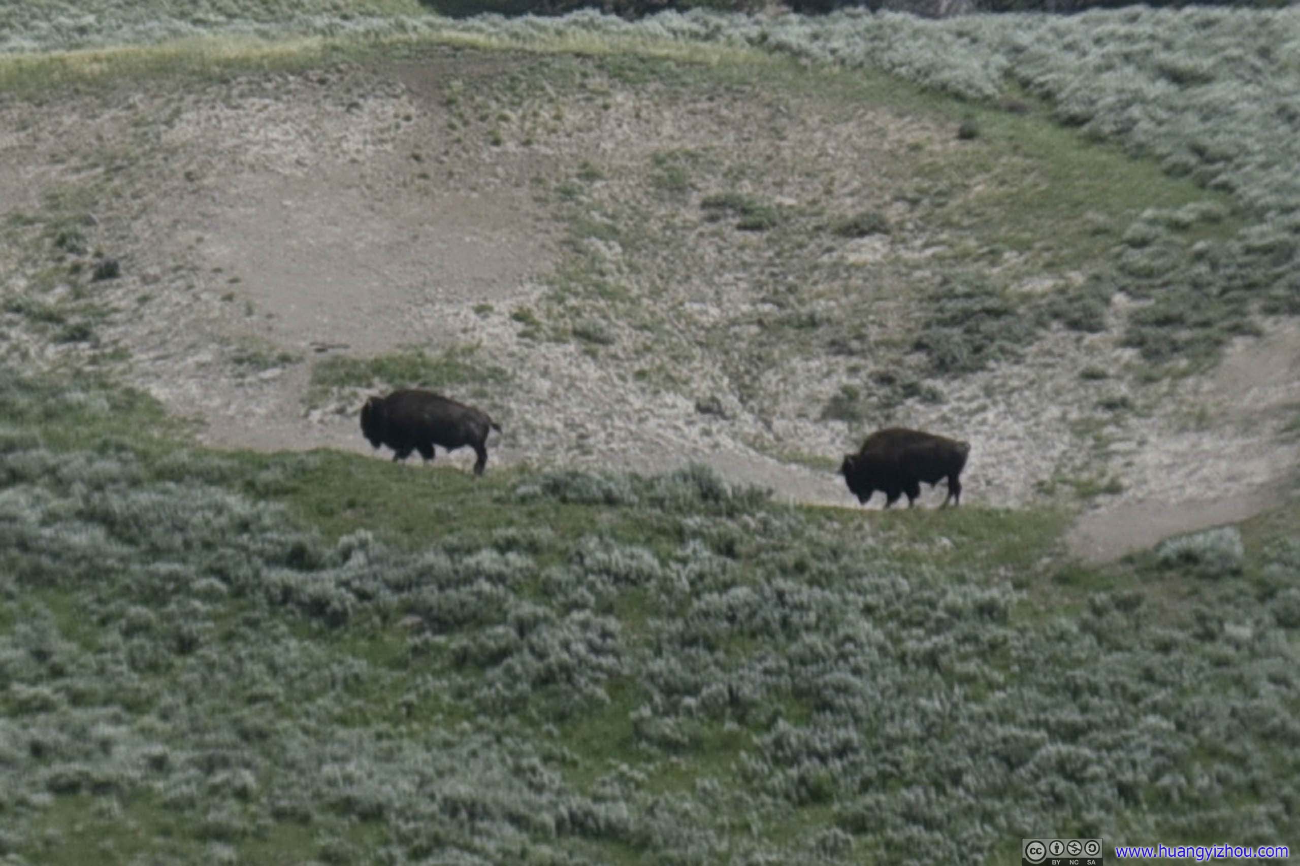
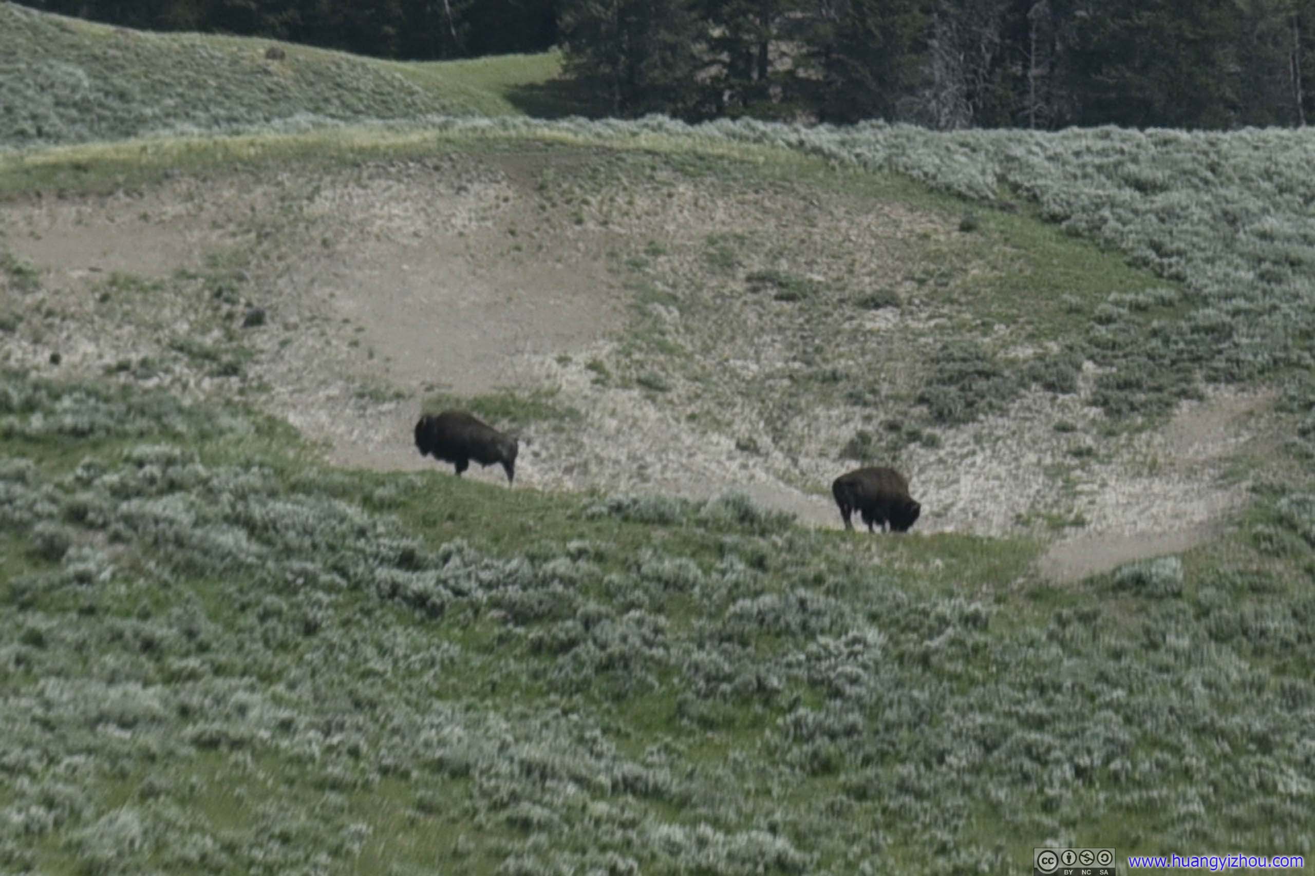
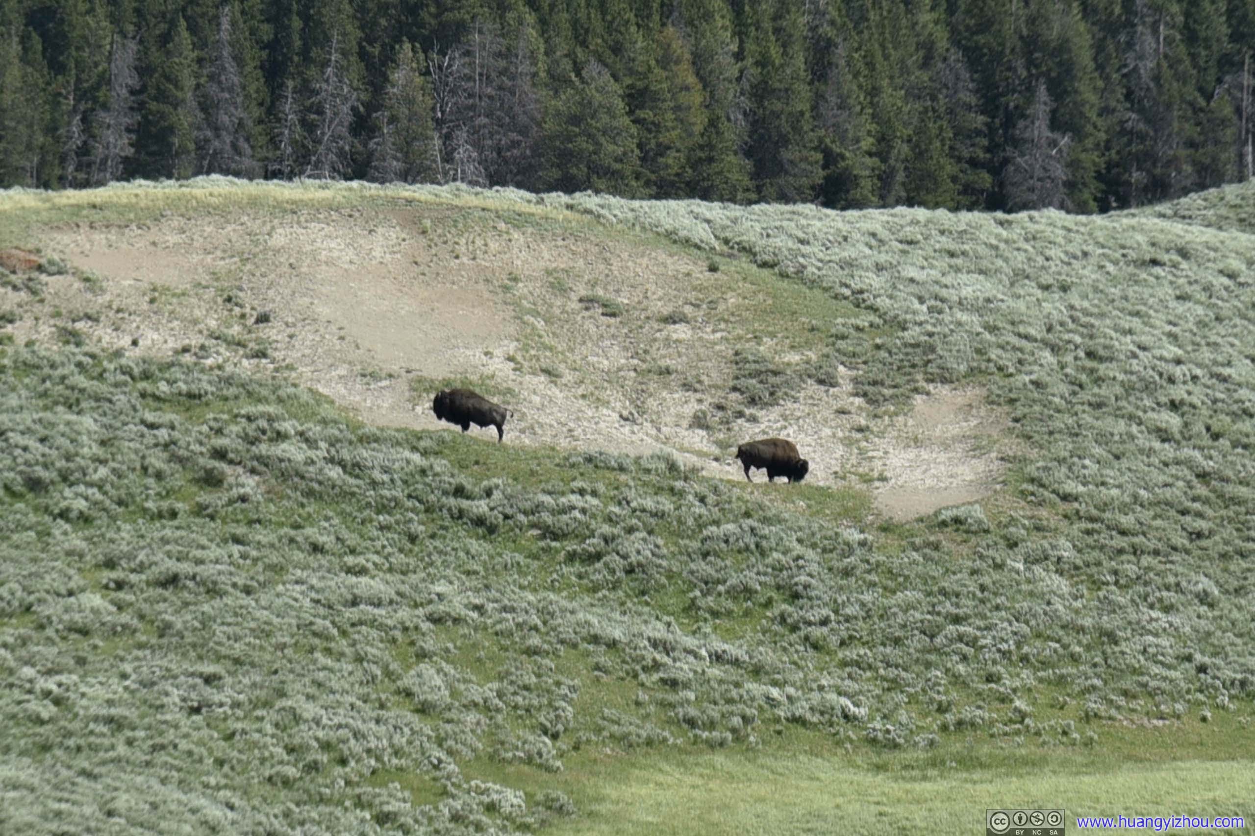
Bison in Field
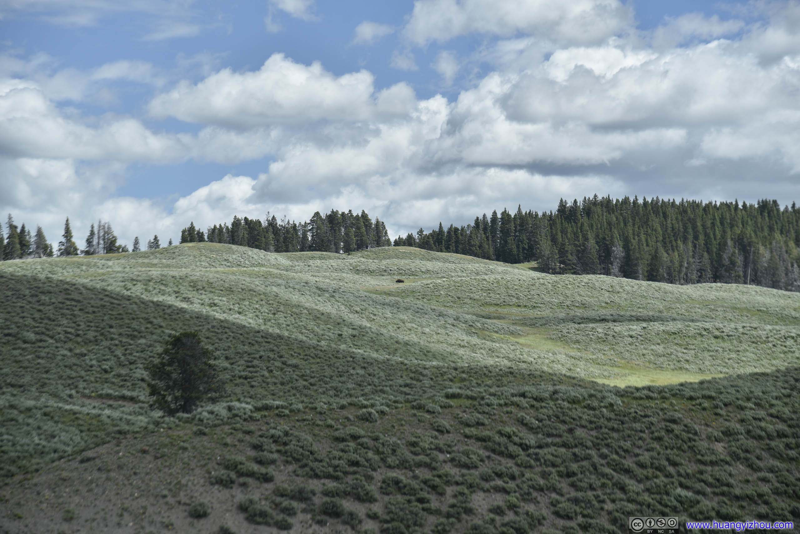
This was what it looked like if I don't crop a 120mm image. A black dot in the center of this photo was a bison.
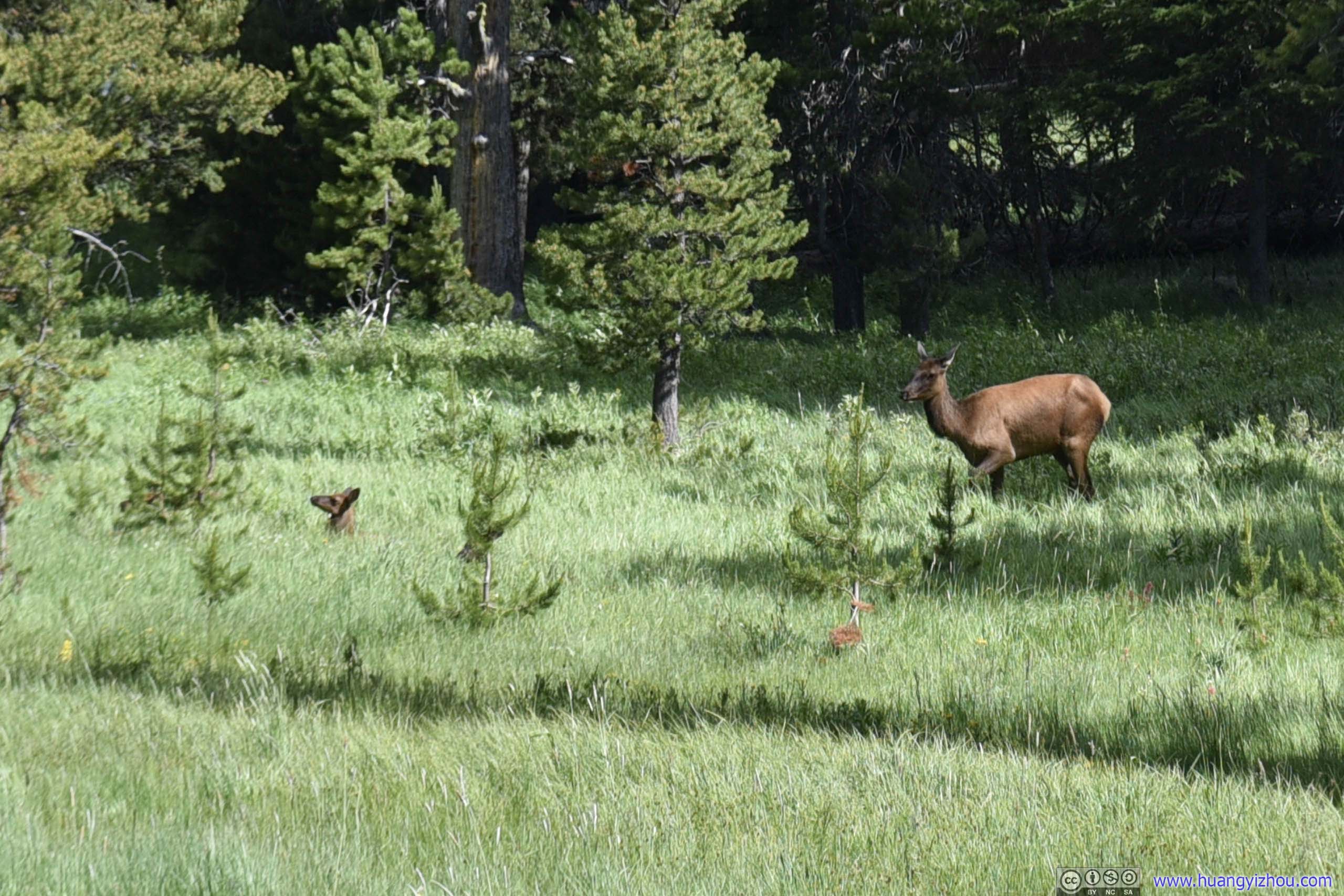
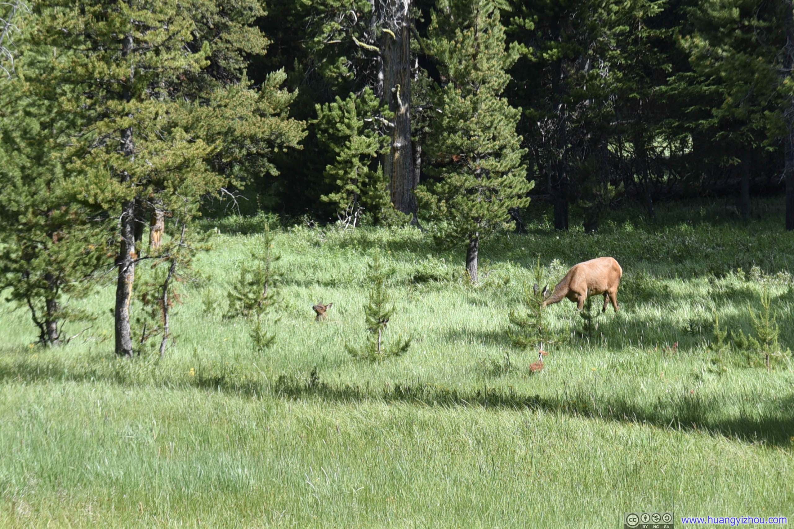
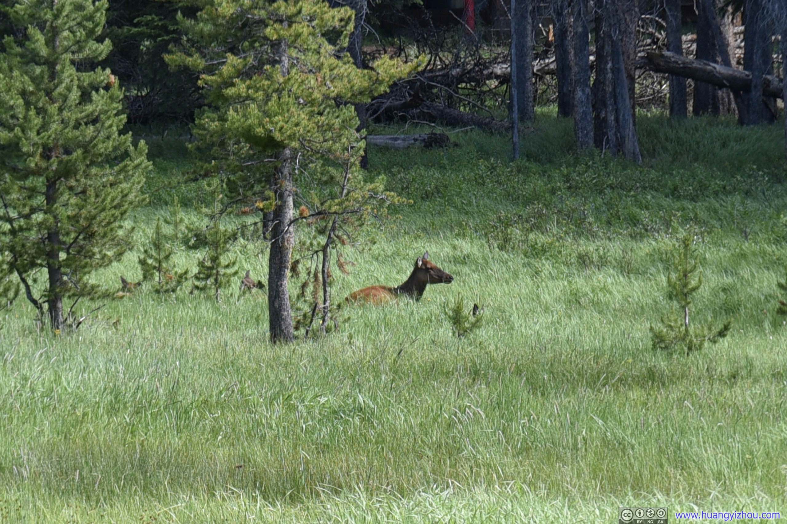
Pack of Elks
Just as we were least expecting wildlife, we found some traffic jam ahead of us, which was due to a pack of elks resting in the bushes just by main road.

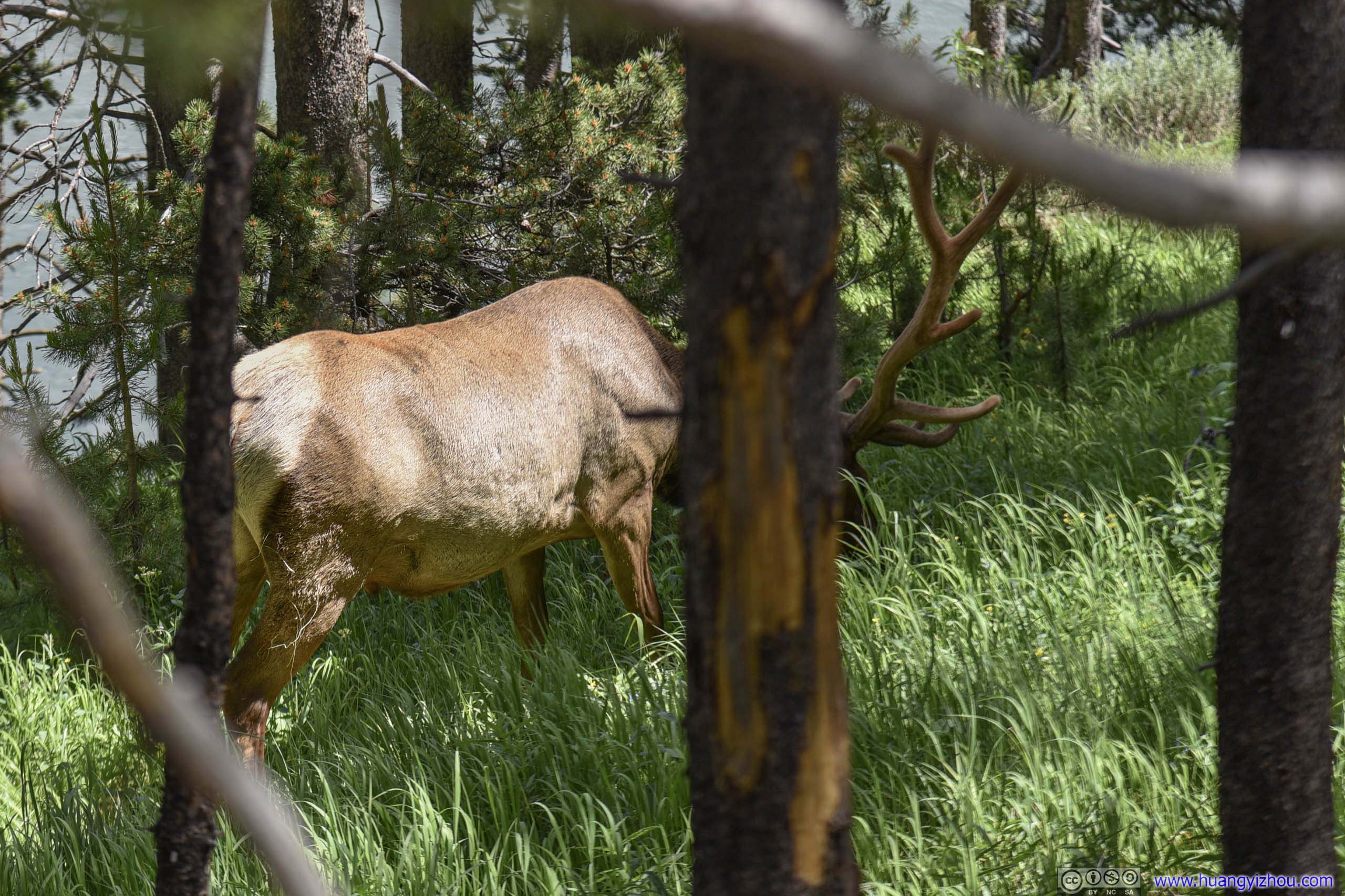
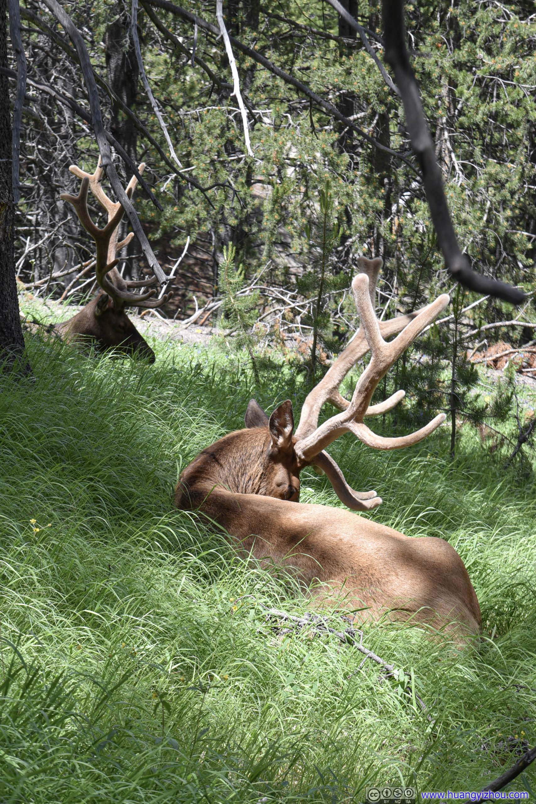
Elk
However, a lady from wildlife patrol was already on scene herding traffic, and instructing people to stay back a certain distance. So photographing this pack of elks was harder than it seemed.
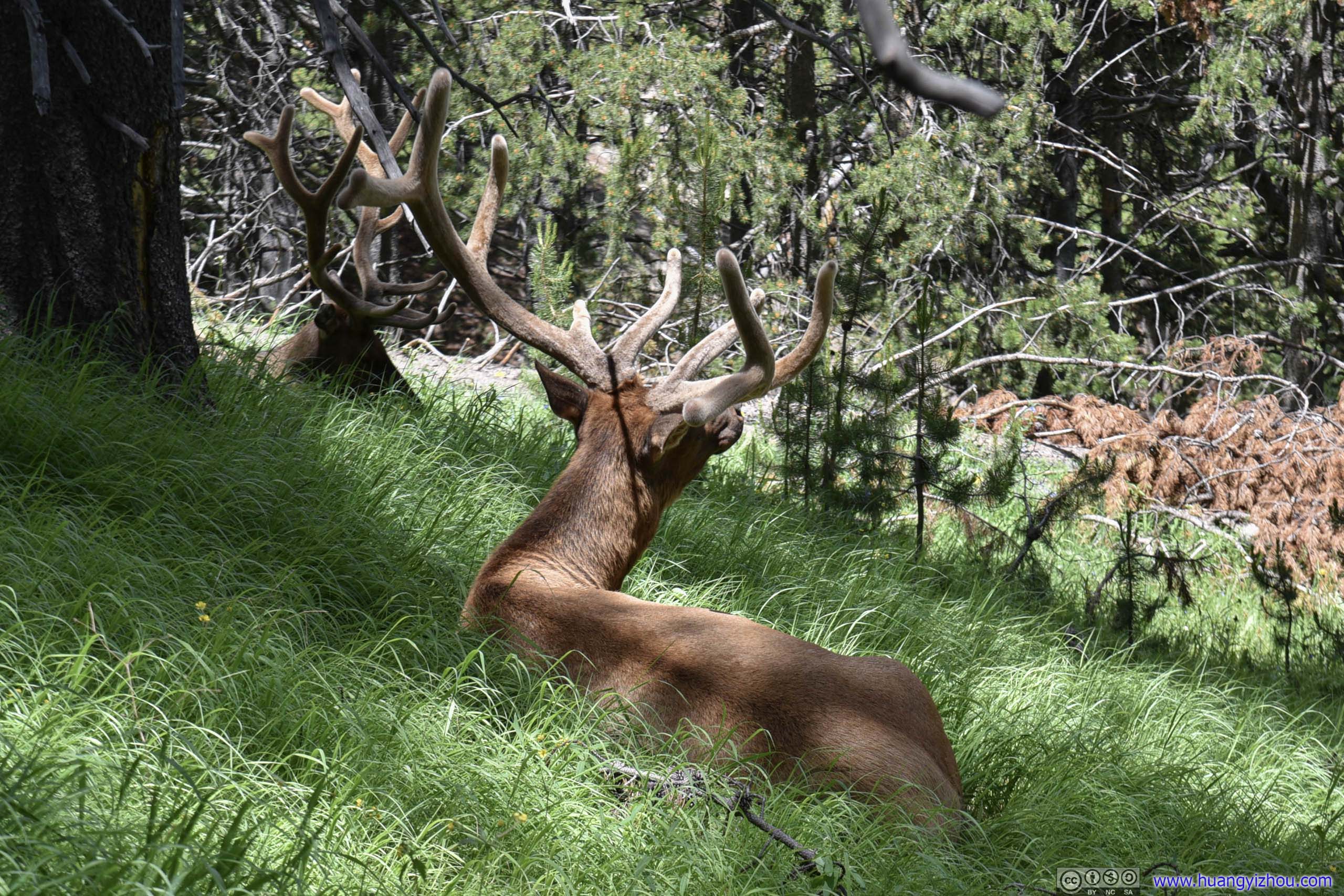
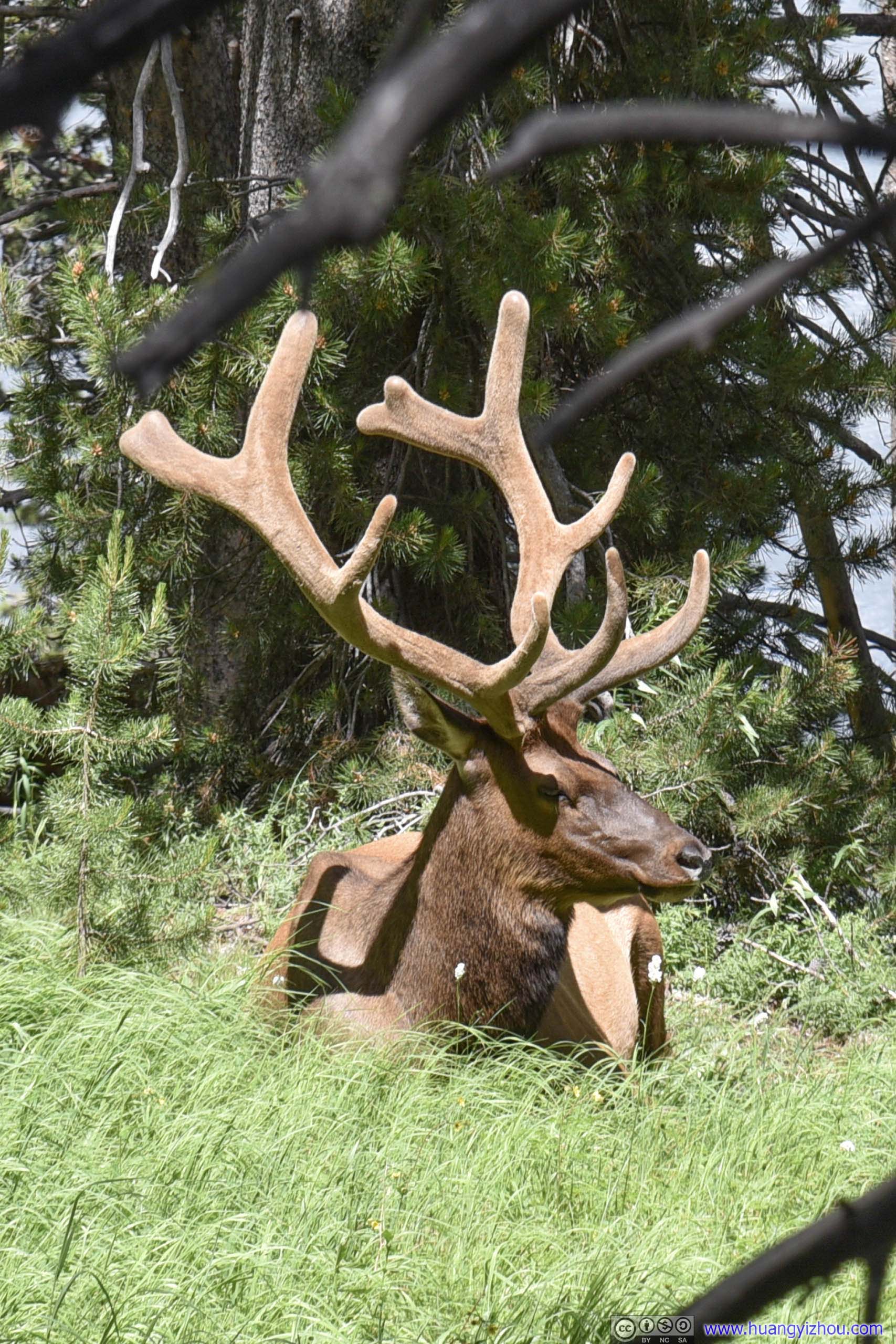

Elk
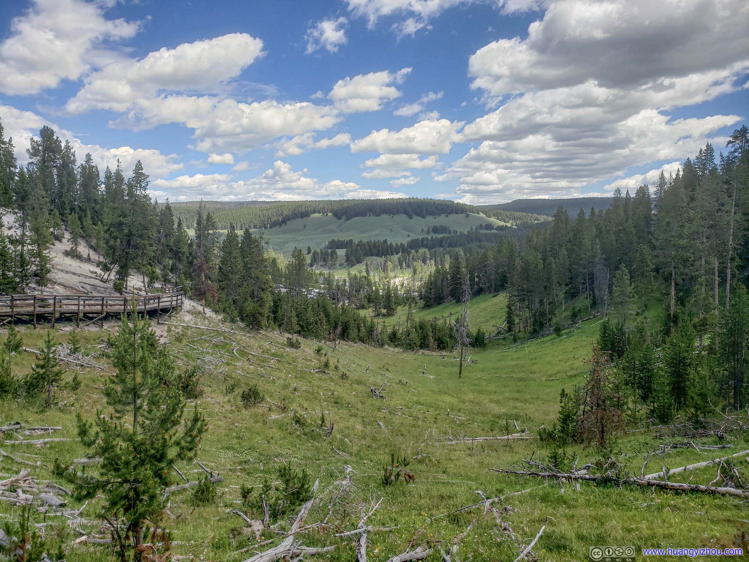
Not much farther away was Hayden Valley Overlook, where we parked our car and walked back towards this pack of elks. It also offered spectacular views of Hayden Valley.
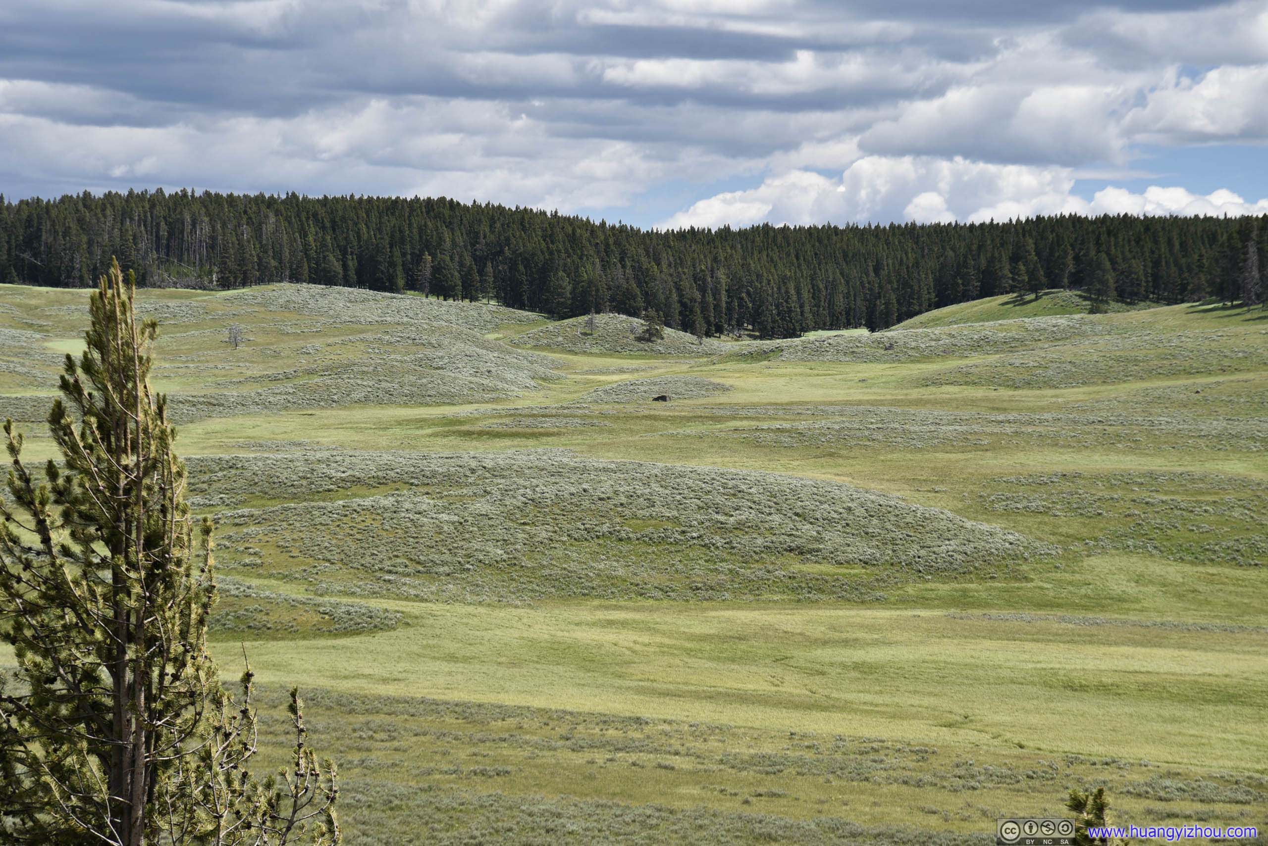
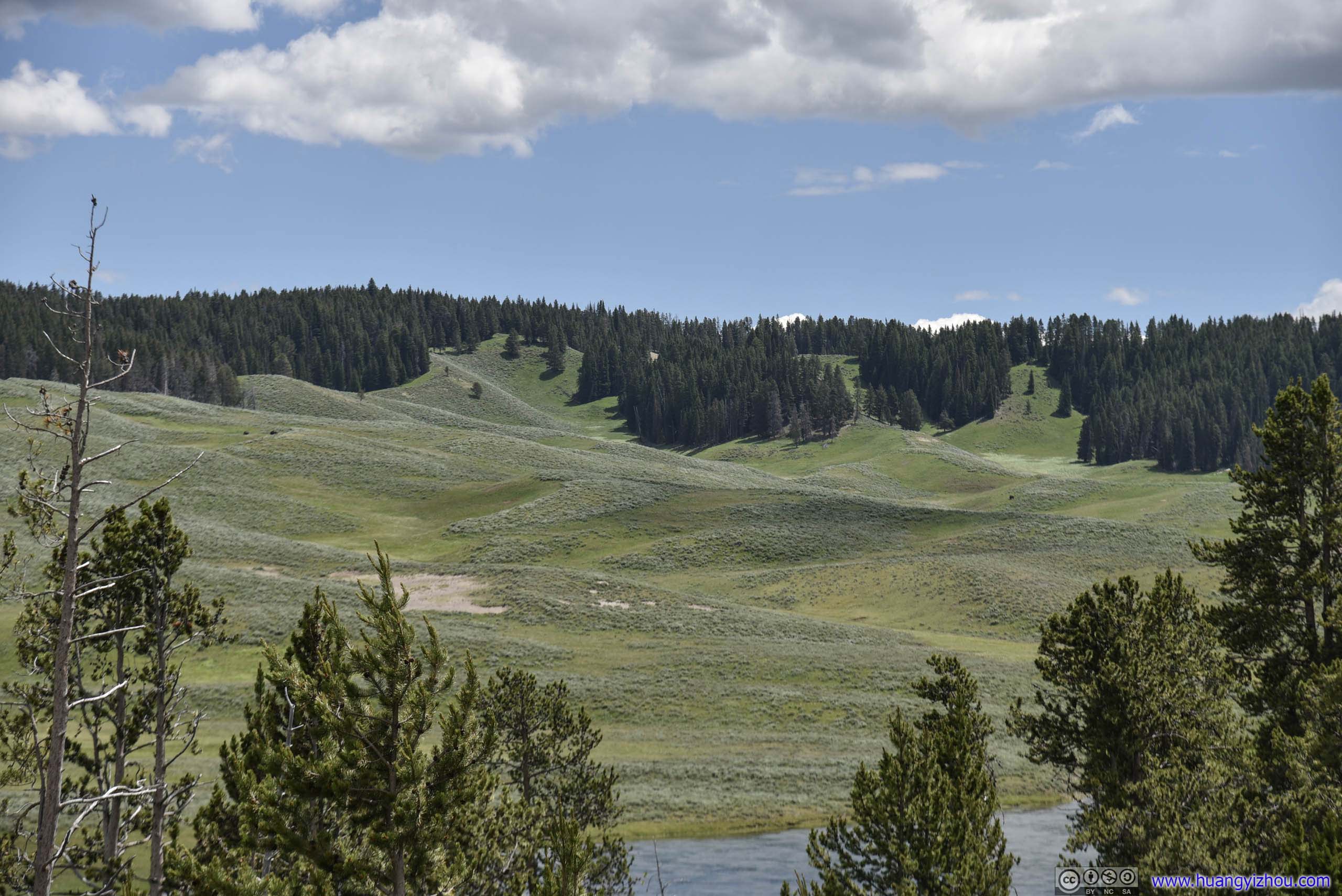
As we drove on, the scenery continued.
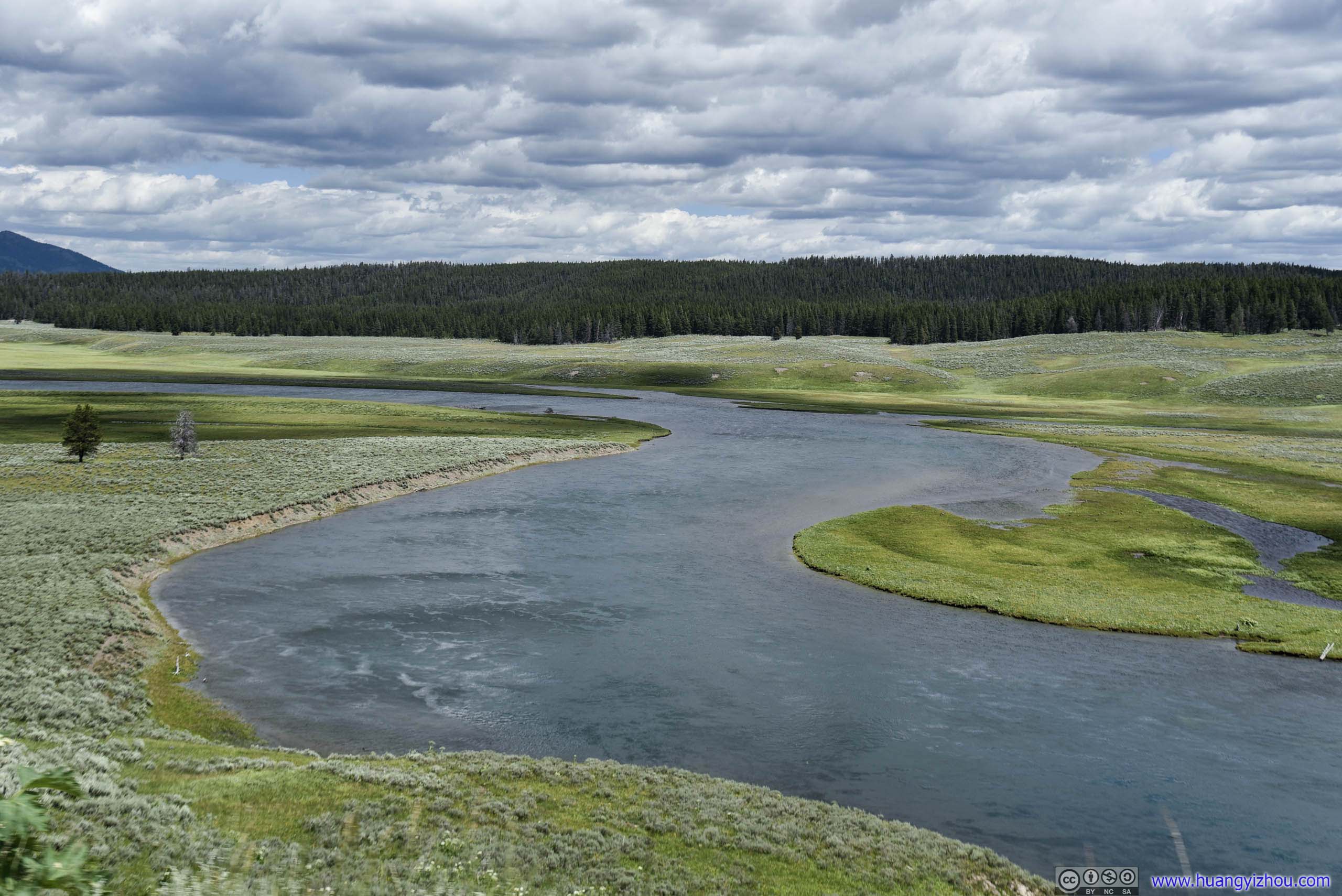
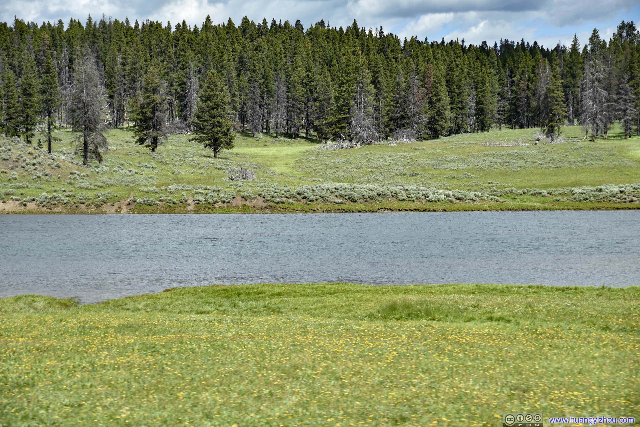
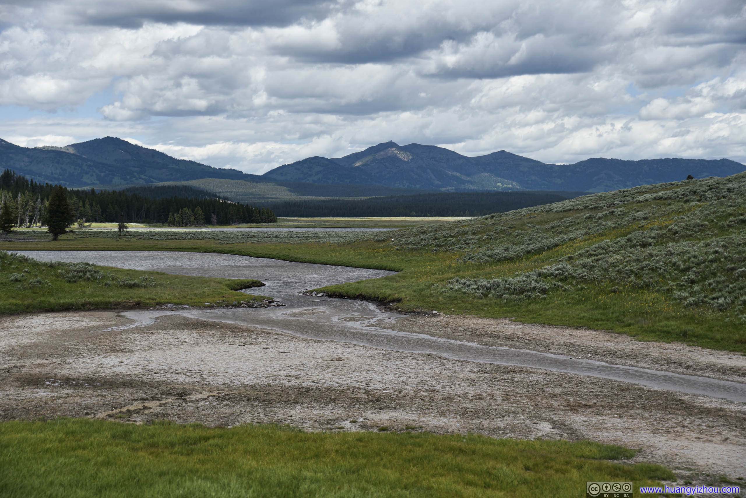
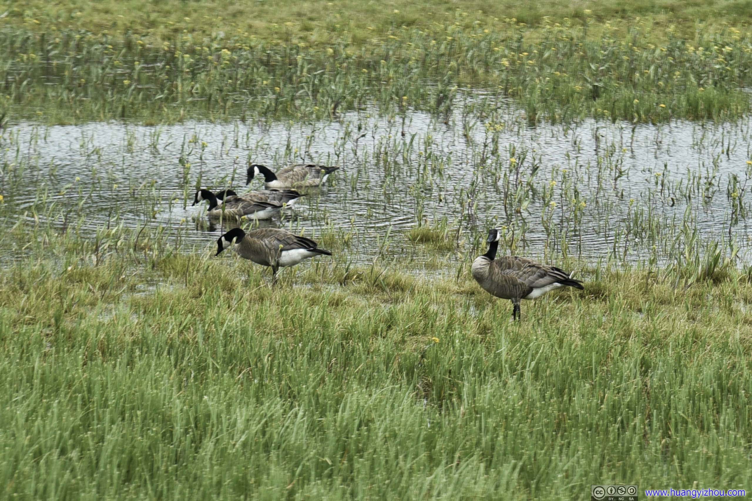
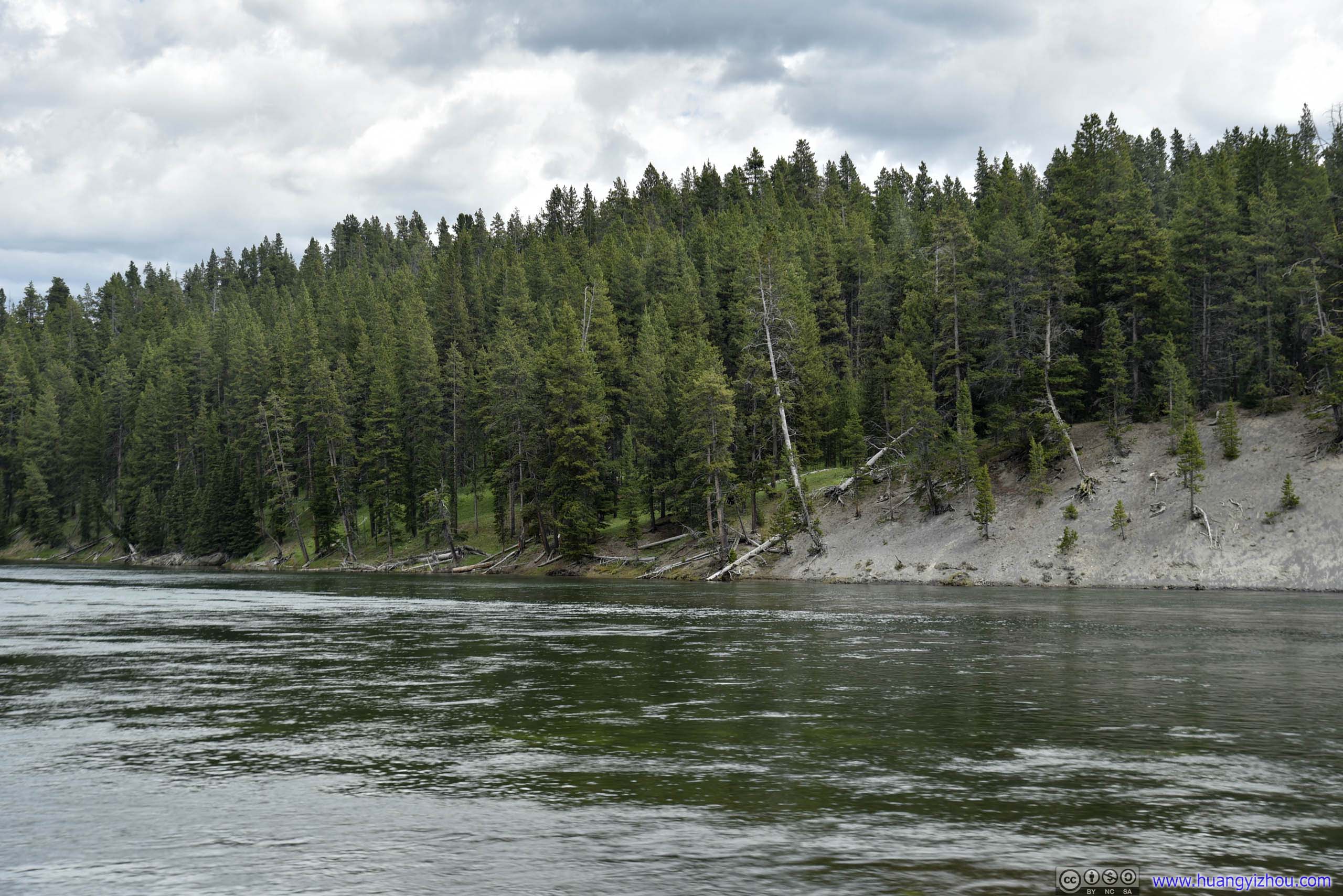
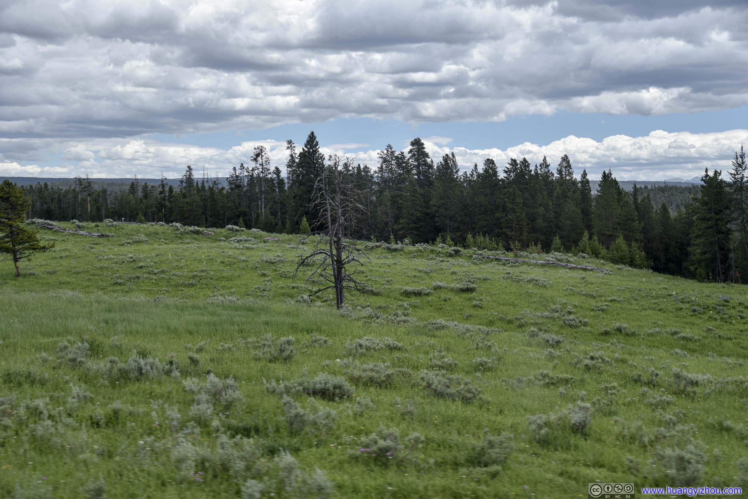
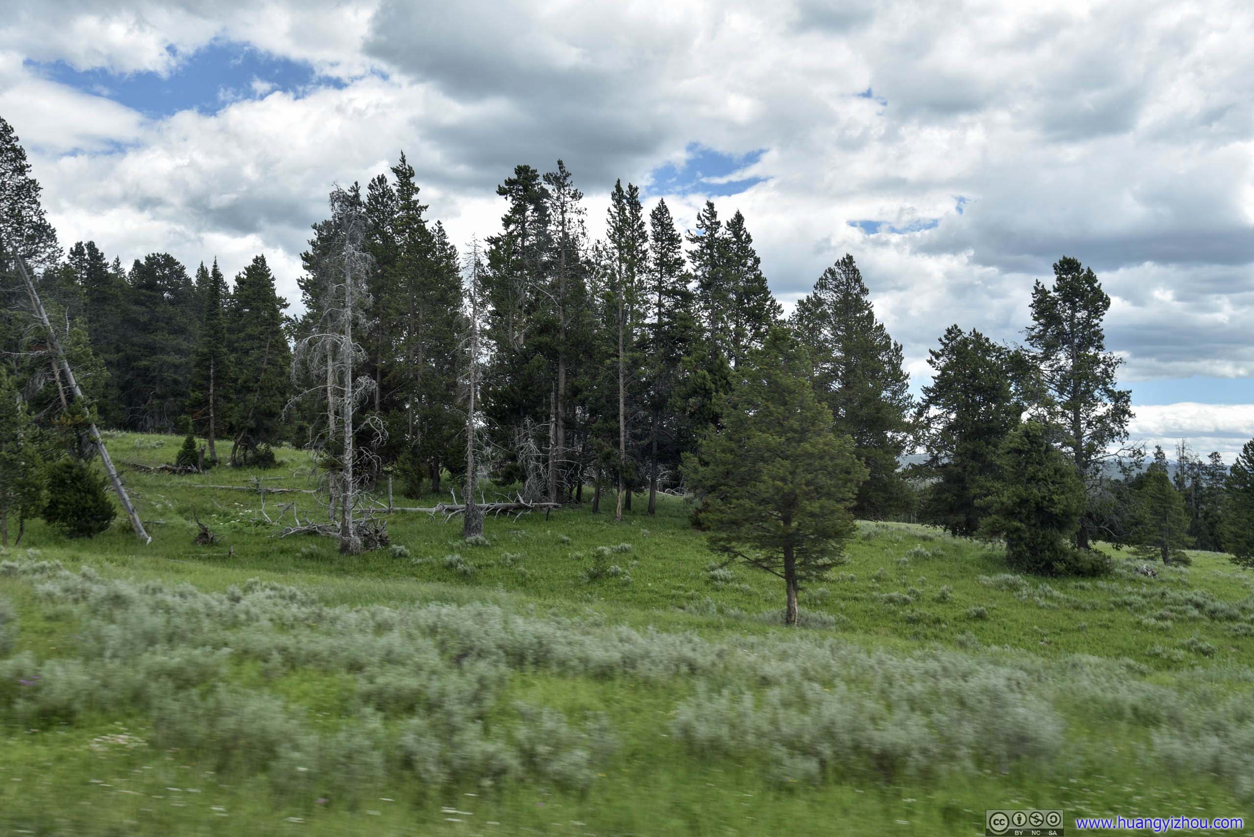
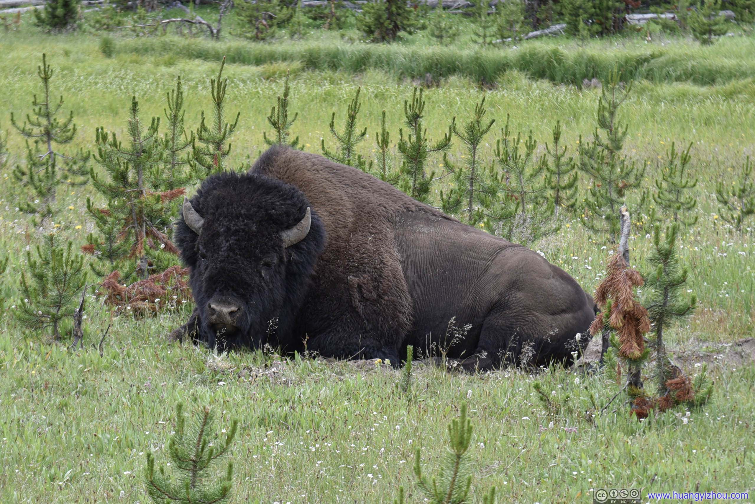
Just as we approached Canyon Junction, we found another bison sitting by the side of road, this time much closer to the road, and amazingly, without wildlife patrol nearby.
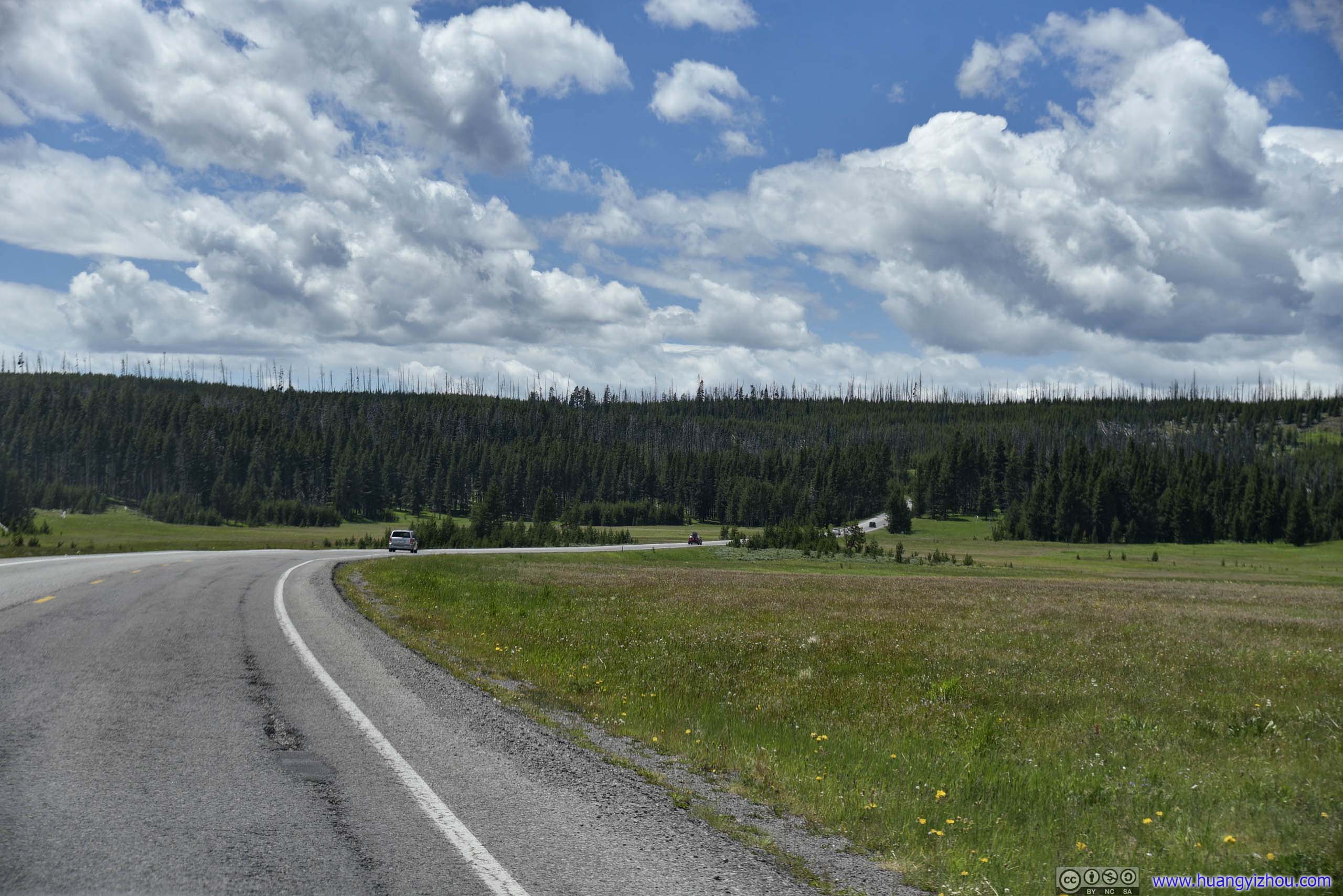
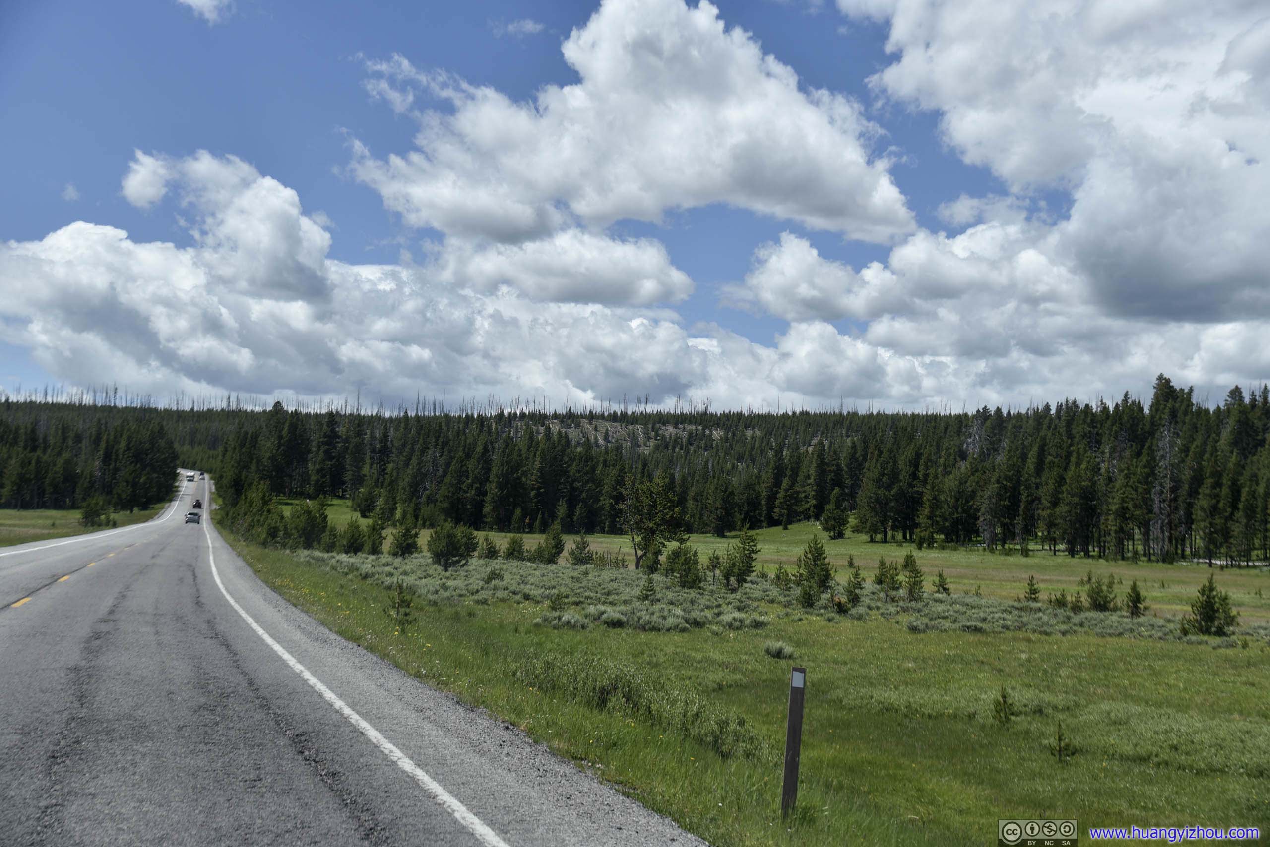
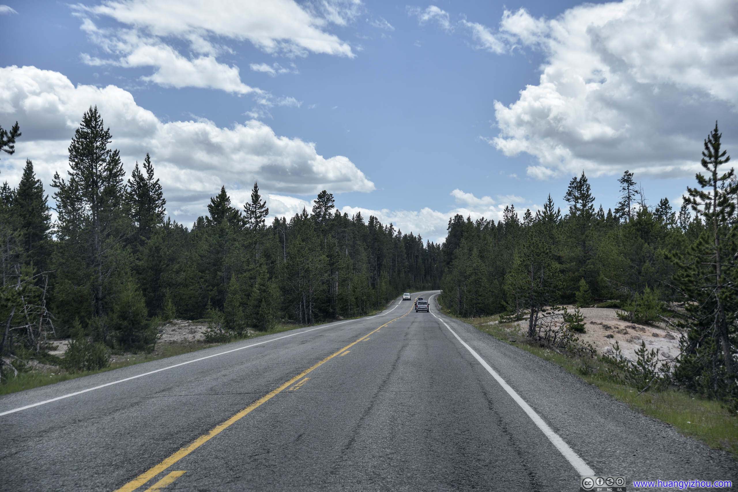
After lunch near Canyon Visitor Center, which was a major service station in Yellowstone National Park, we headed West towards Norris Geyser Basin.
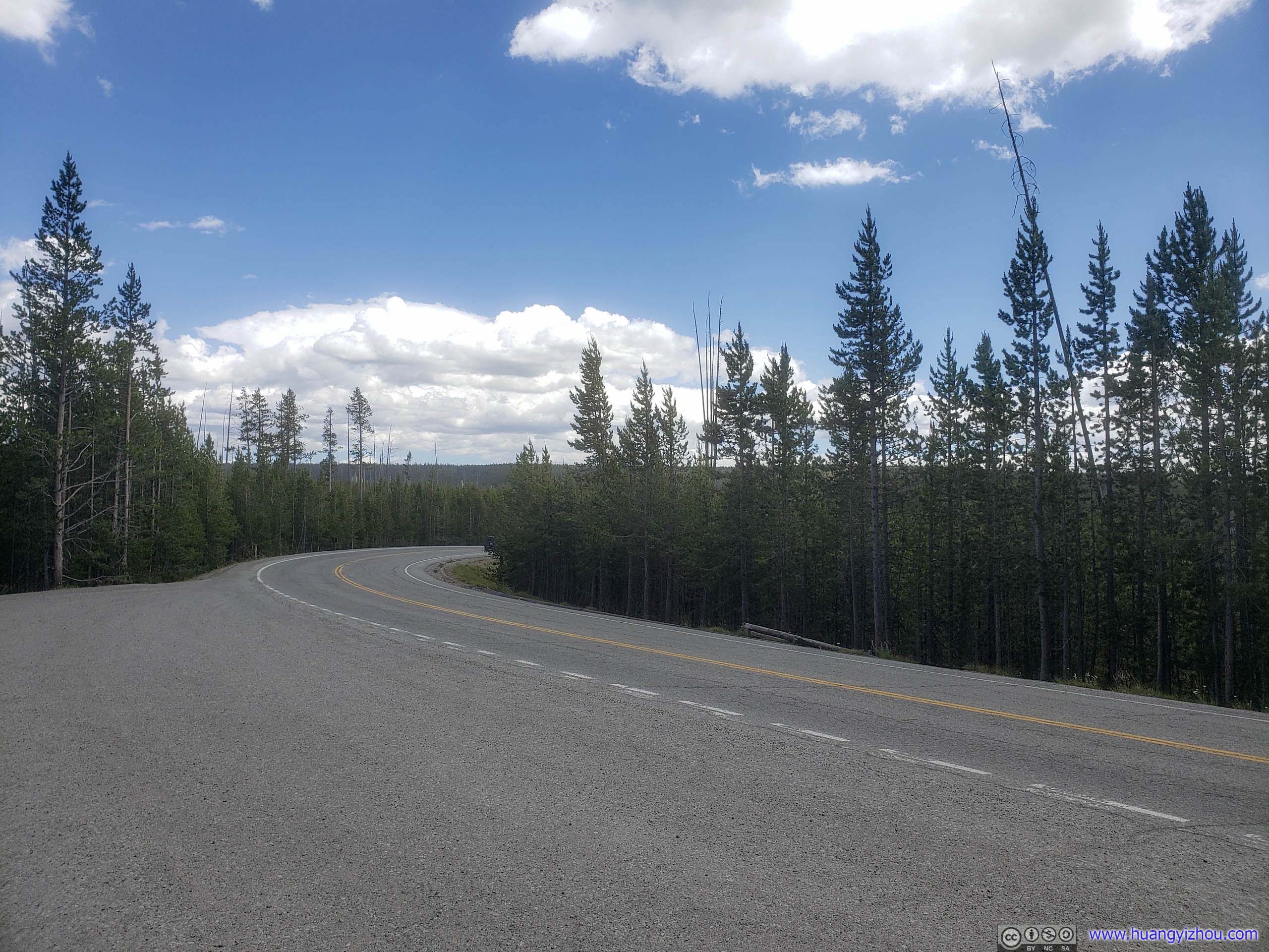
Ice Lake
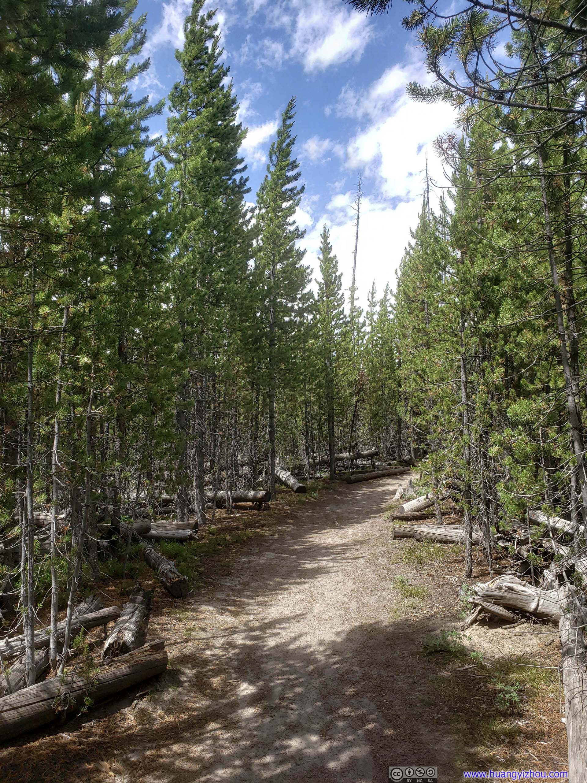
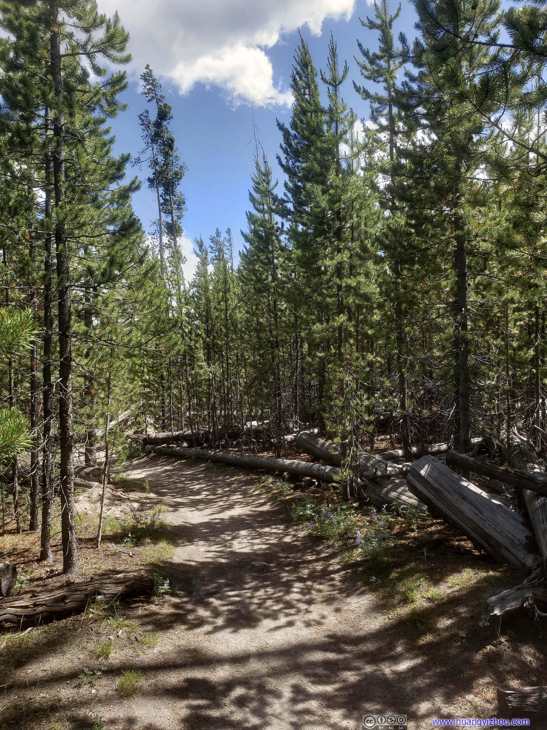
On our way to Norris Geyser Basin we passed Ice Lake trailhead, and we decided to take a stroll here, deep in the woods of central Yellowstone.
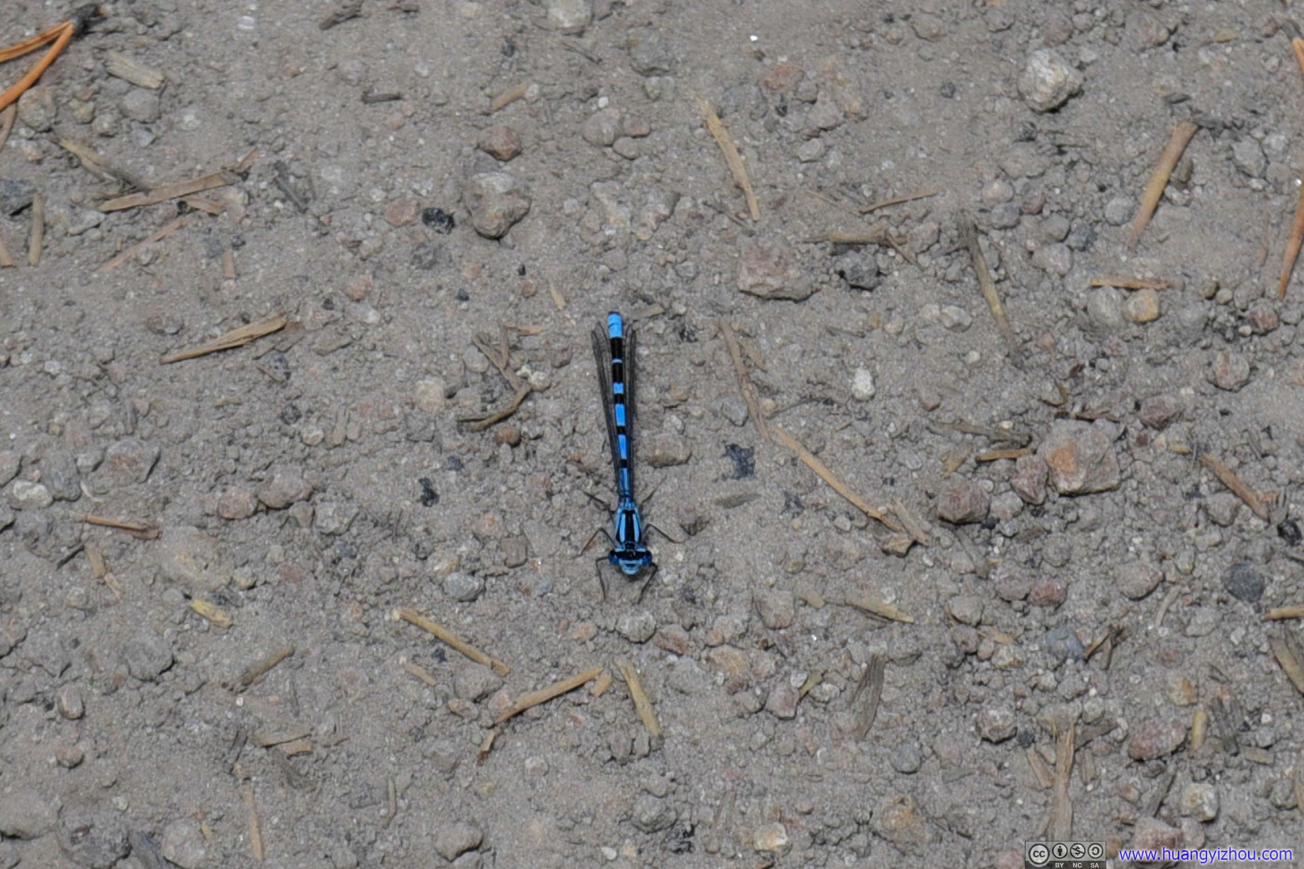
A rather beautiful one. There were quite a lot of these along the trail.
230 meters into the hike, Ice Lake Trail forked into two. For casual hikers like us, we were supposed to take the shorter path (on the right / East) to the side of lake, which would make a comfortable 1 km roundtrip hike.
Unfortunately we took the wrong fork, which led to the North side of the lake 1km away, and by the time we realized it was too late. So we found an opening in the woods and made it to the lake, took a few pictures and headed back.

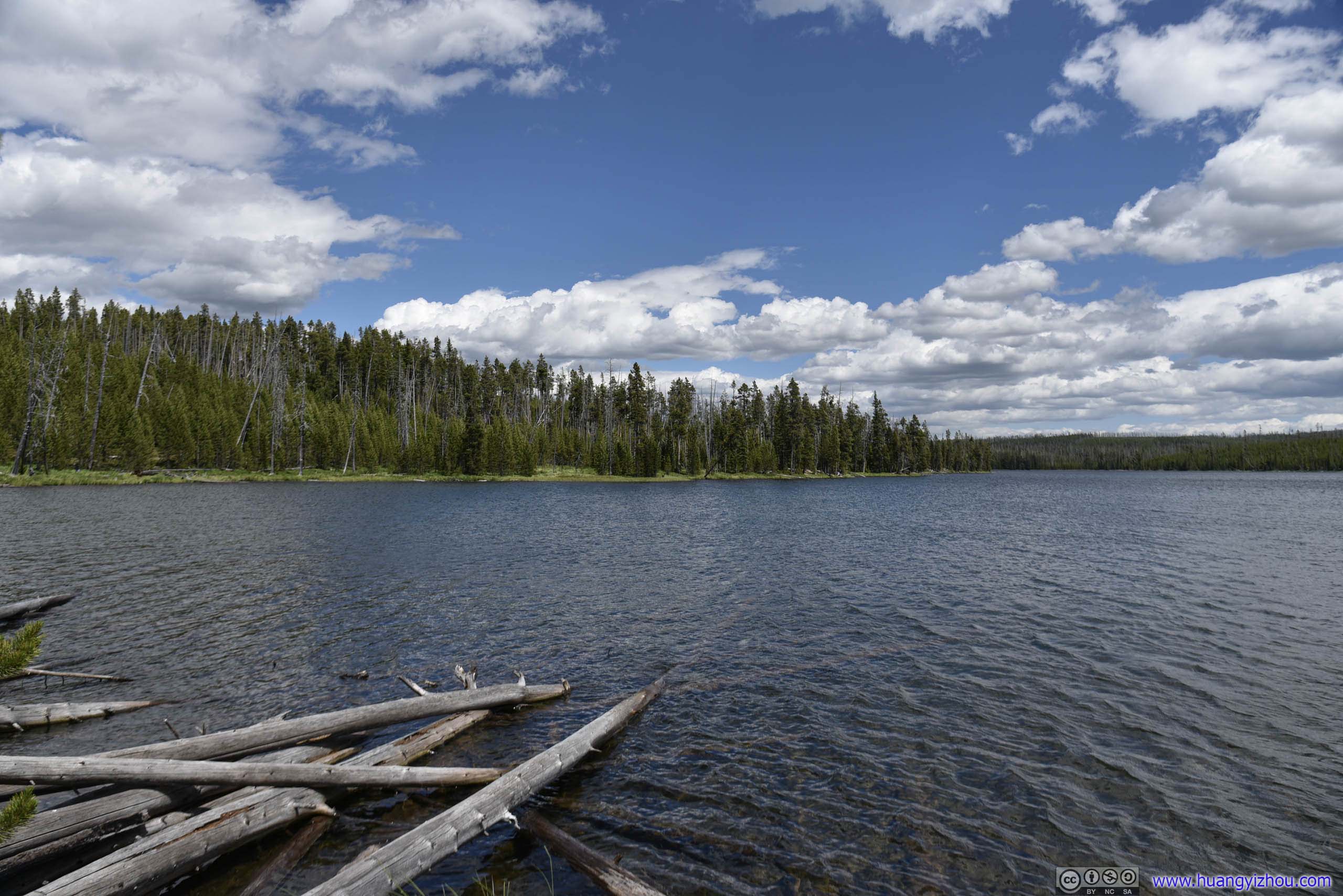
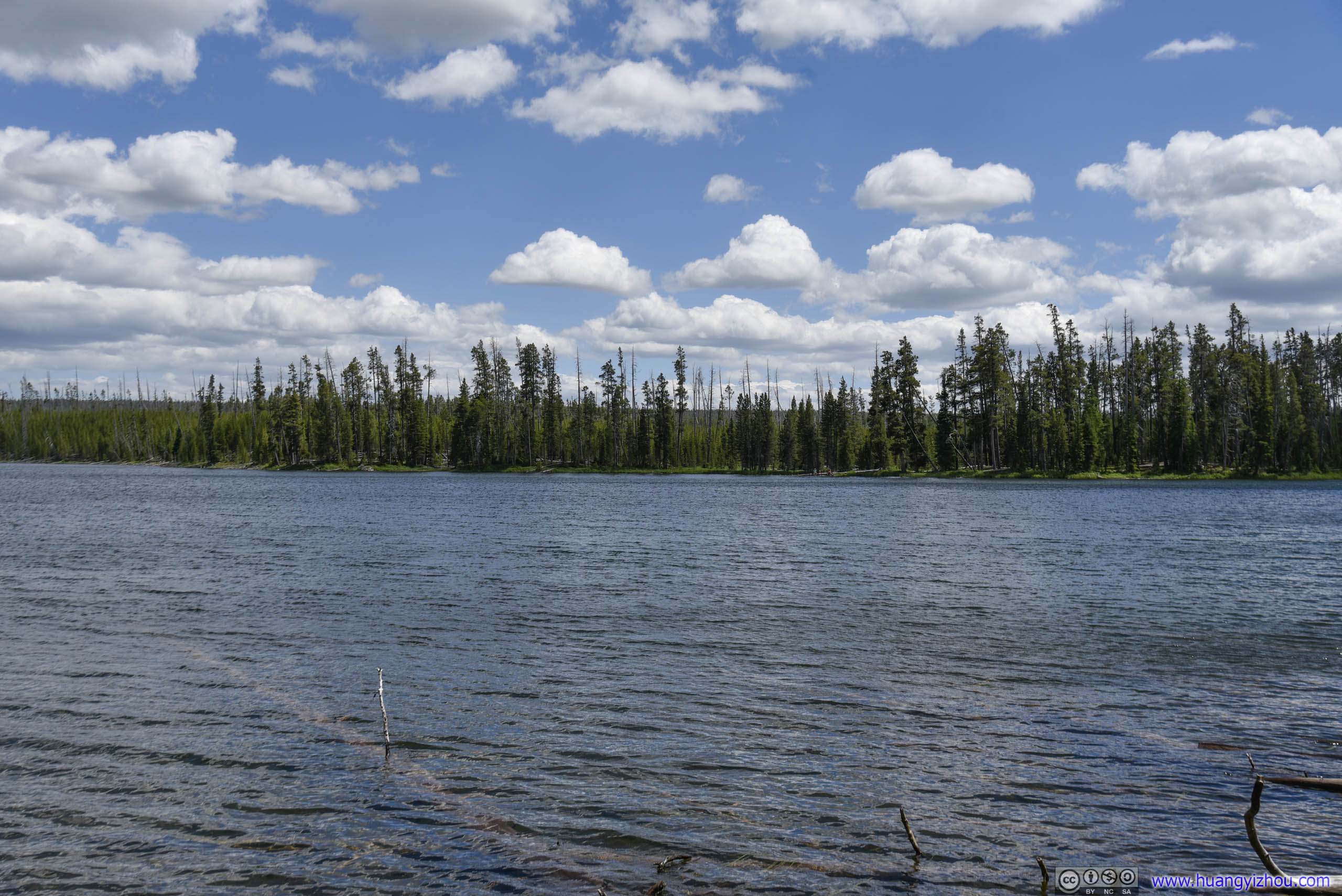
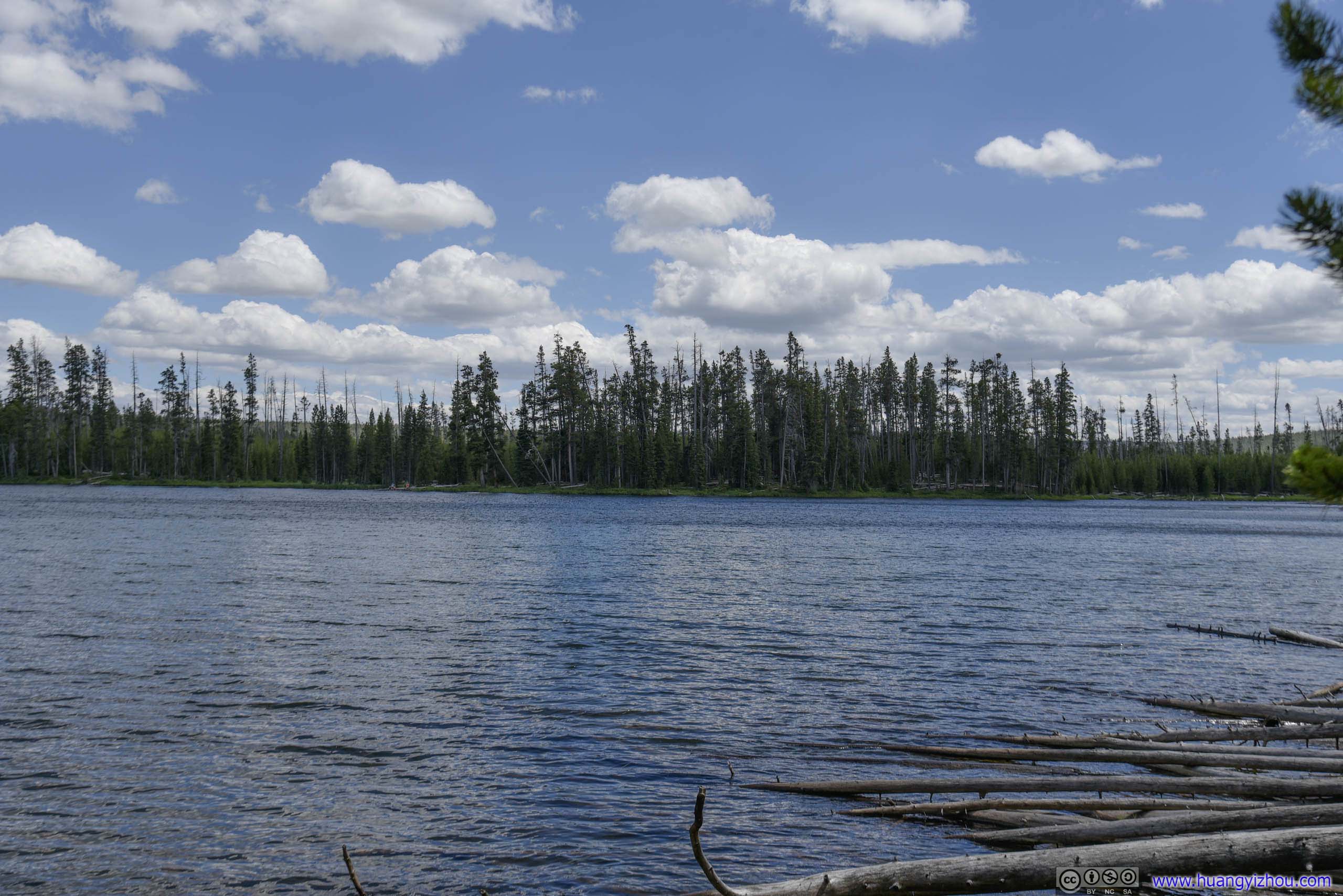
Ice Lake
Norris Geyser Basin
Amazingly finding a parking spot here only took 5 minutes.
The entire Norris Geyser Basin was divided into two parts, the smaller upper (North) part with more concentrated geysers, and the larger lower(South) part with much fewer visitors. Touring both parts took about 4km of walking, and we started with the upper part first.
By the way, I found it interesting that many geysers and springs were wearing different colors during our visit, compared with their online pictures. Maybe something’s happening underground?
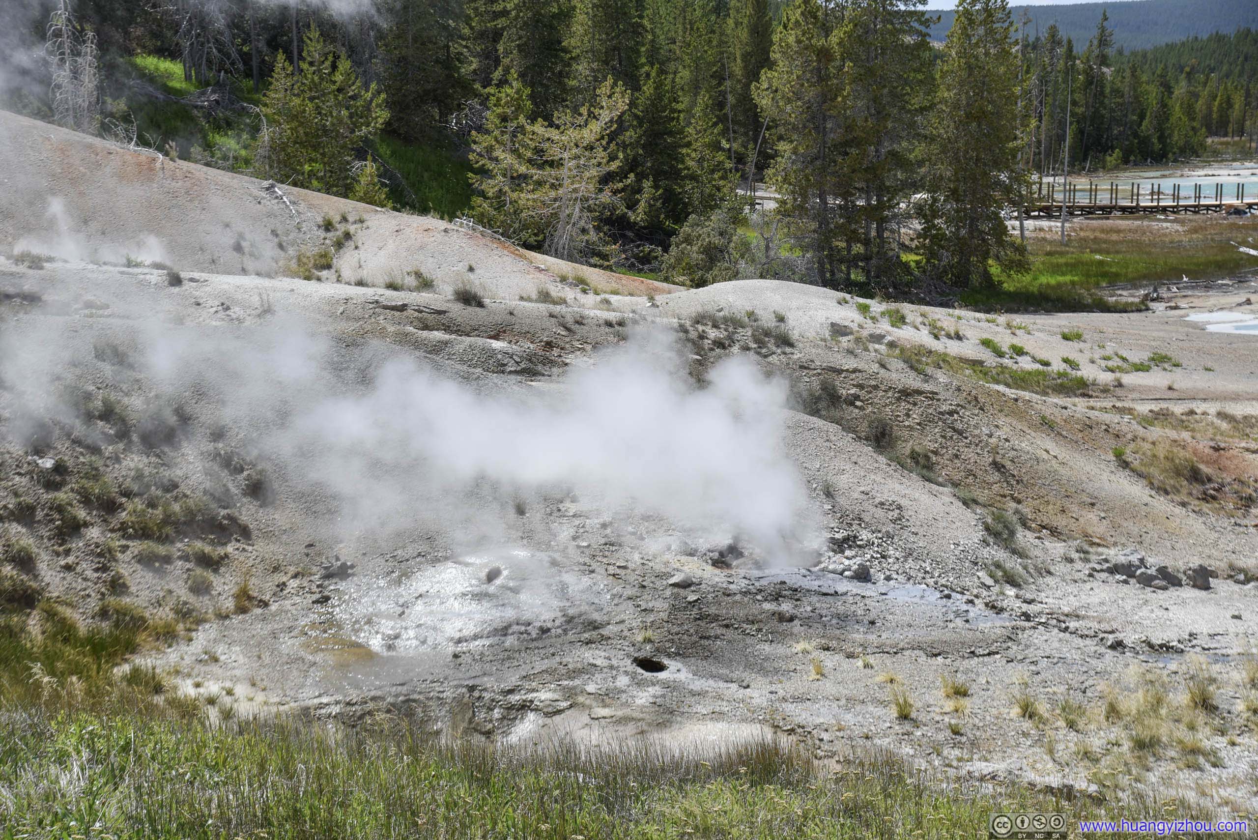
Jetsam Pool in the foreground, Lewis Mud Pots in the background.
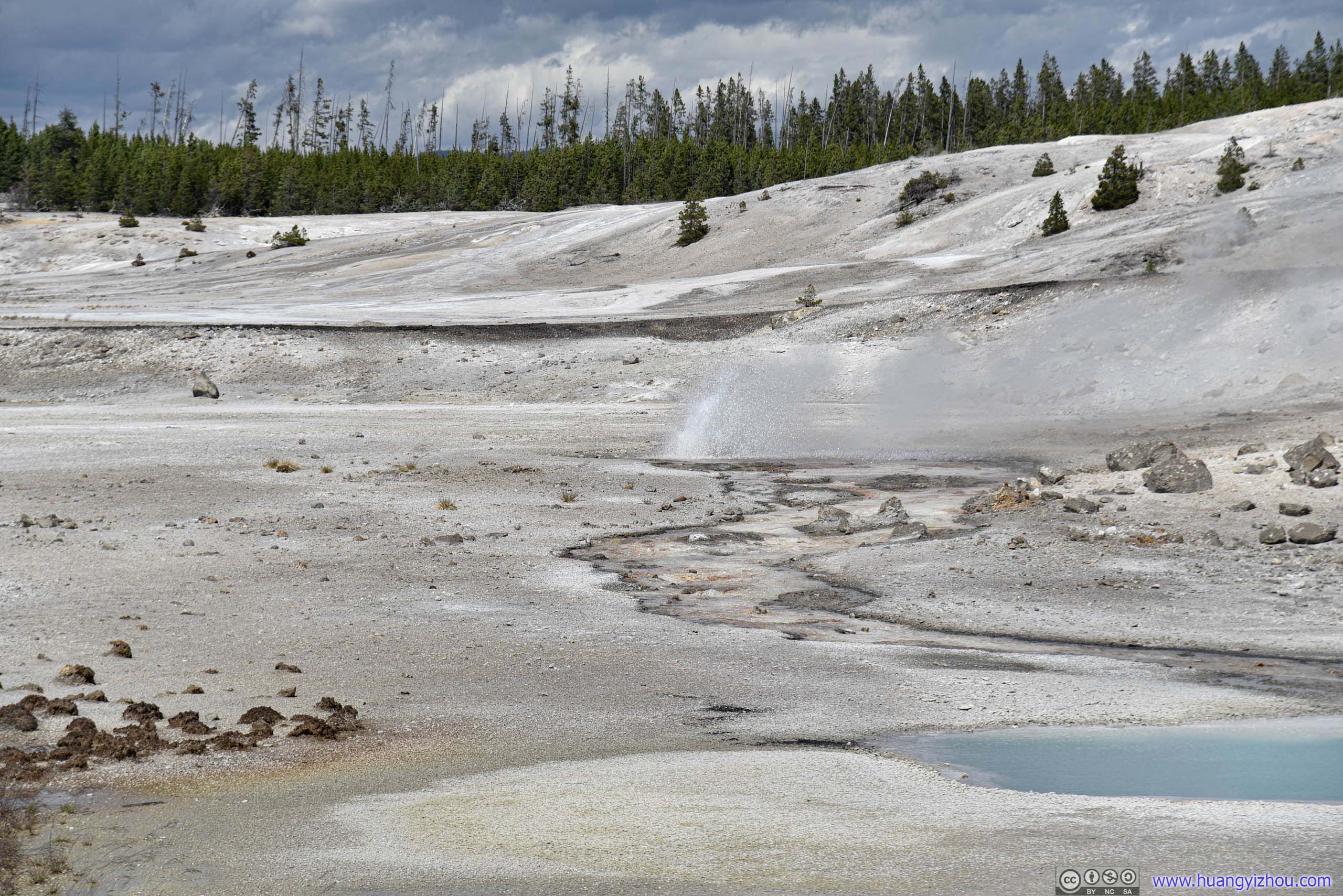
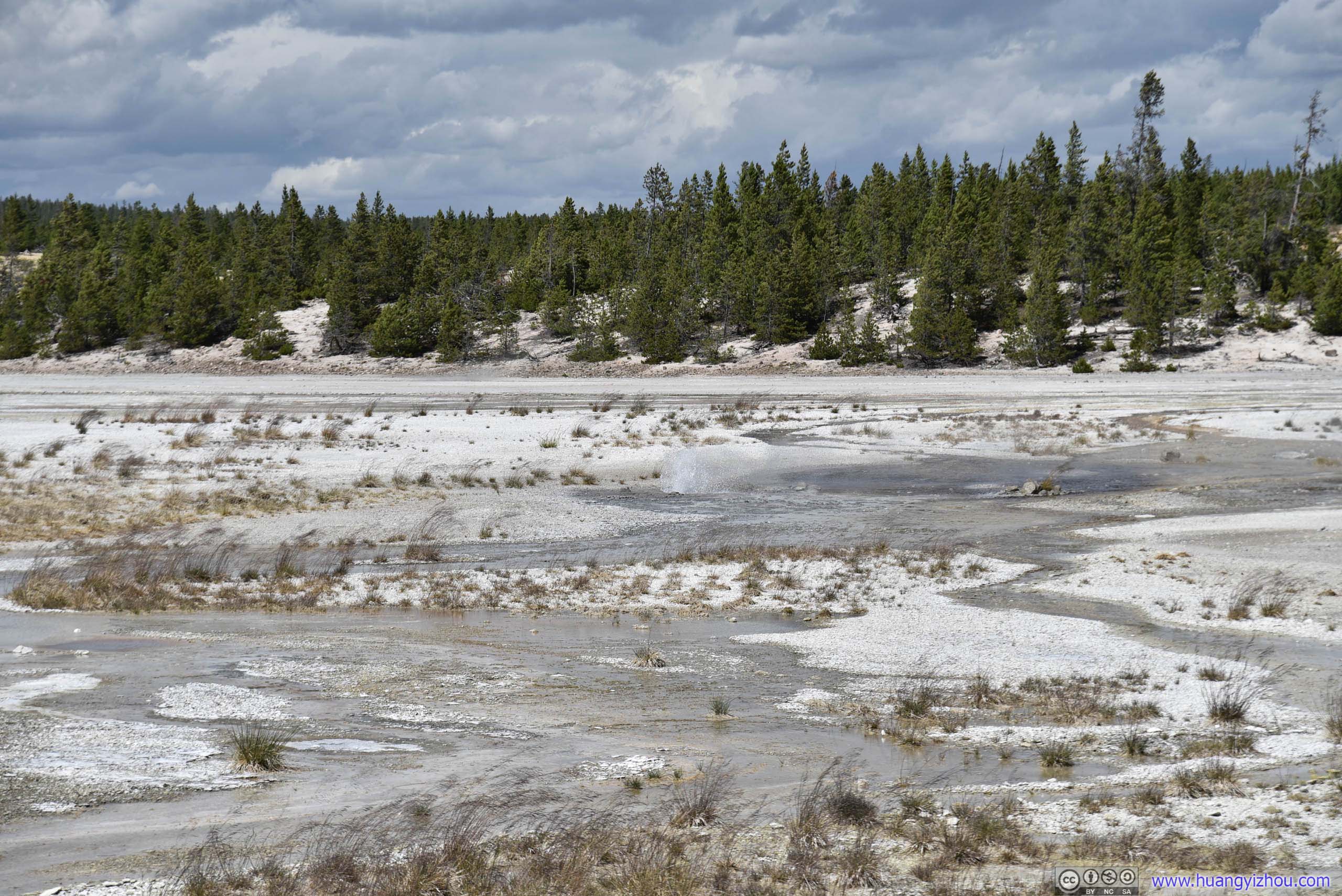
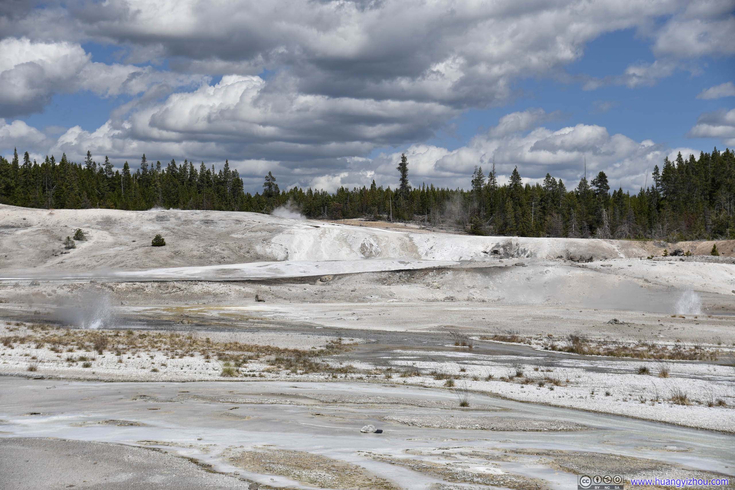
Geysers Erupting
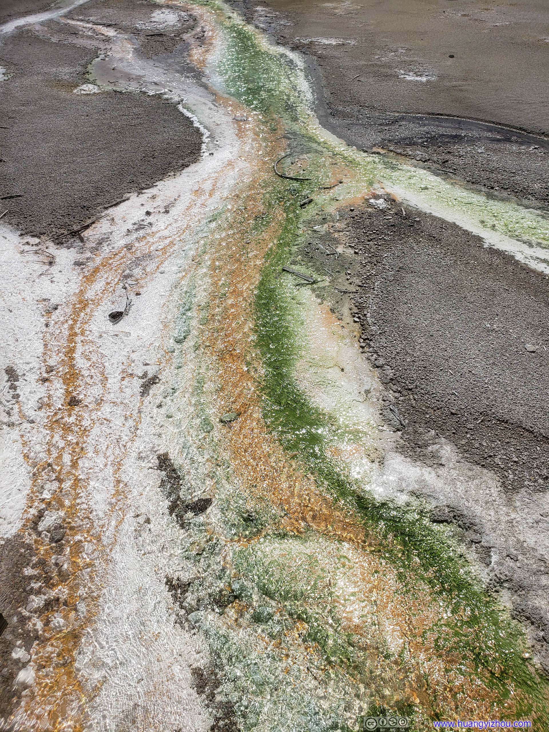
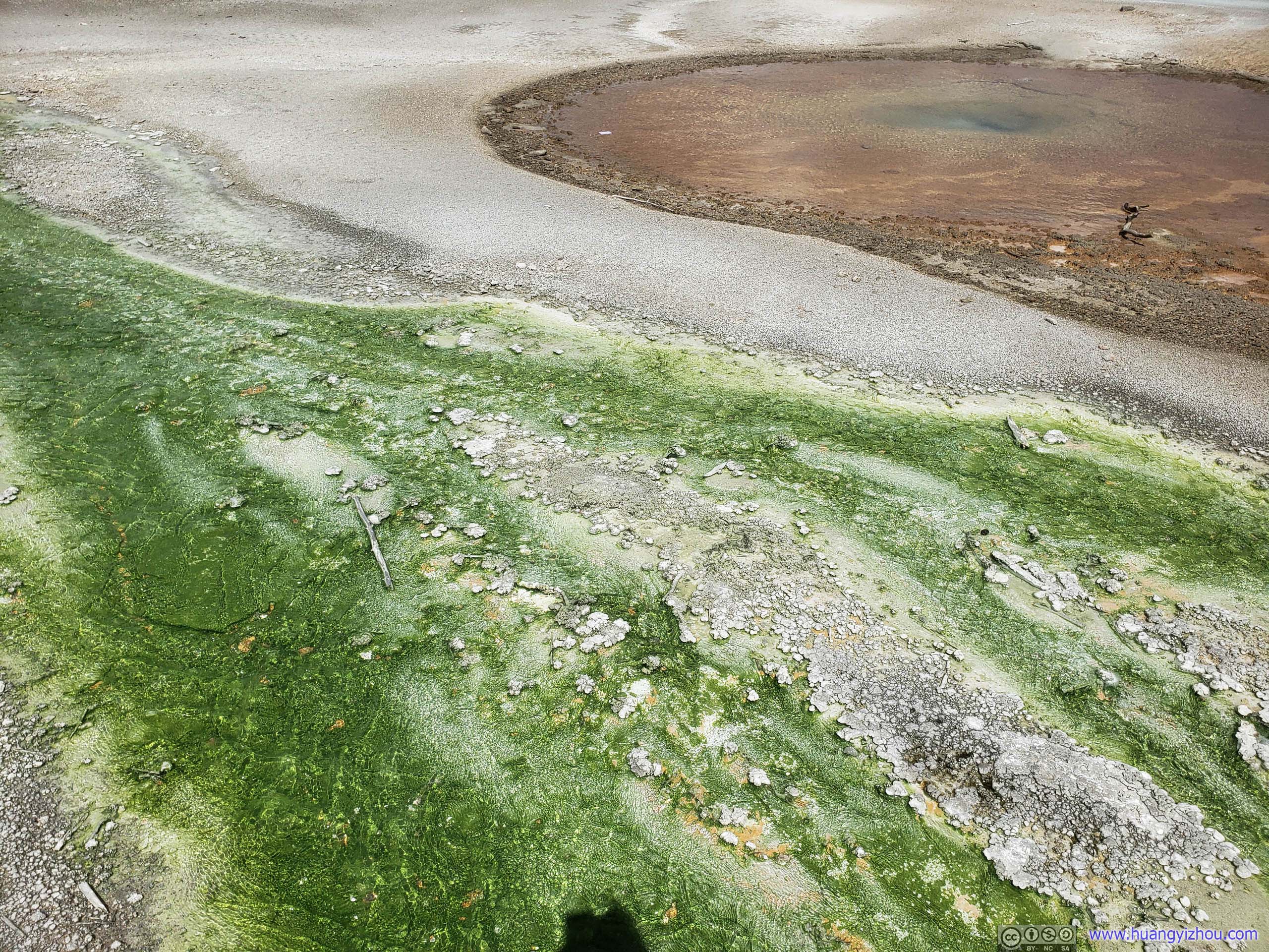
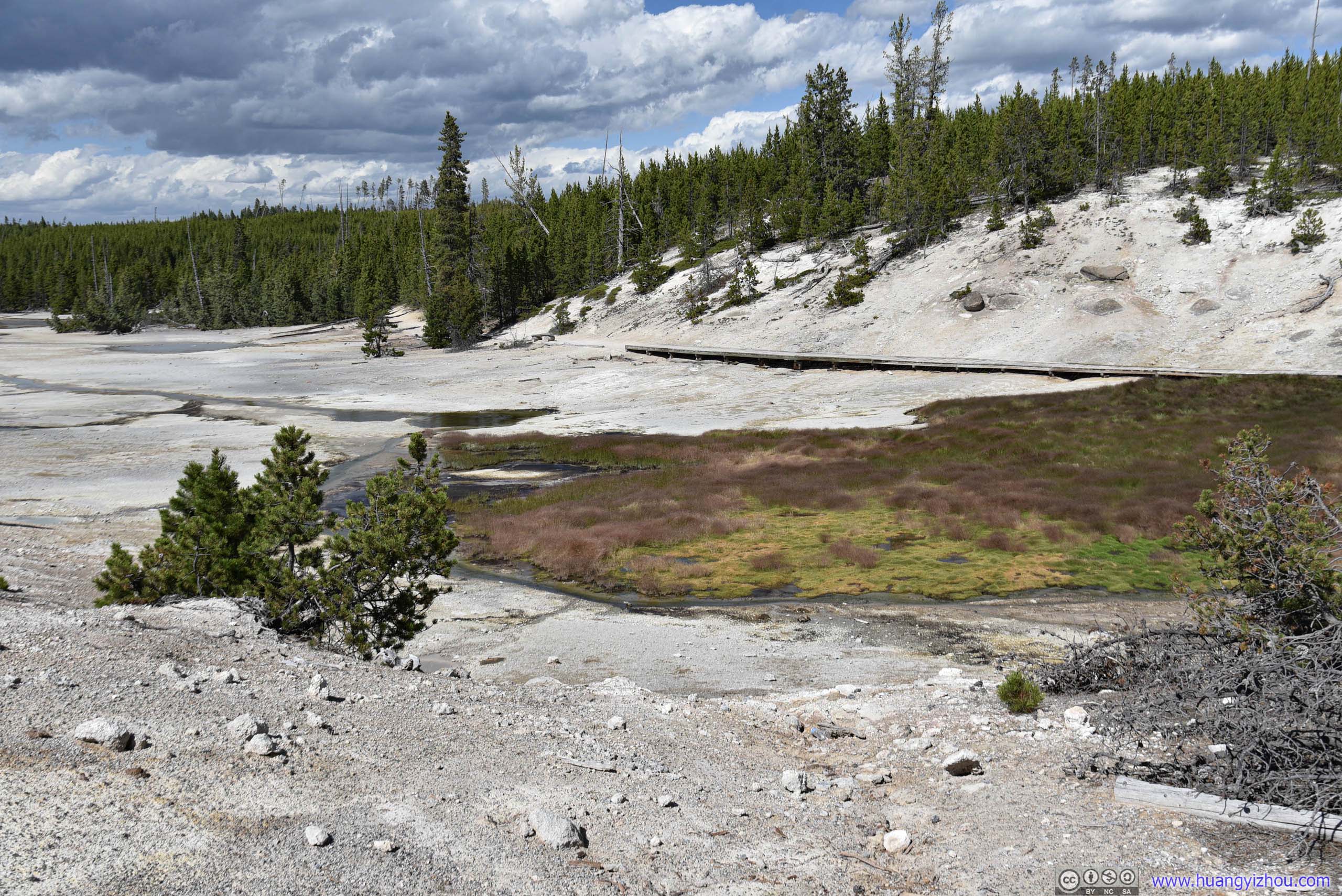
By information board nearby, the green color in this runnoff, which wasn't commonly seemed in other parts of Yellowstone, was Thermophilic Algae. Quite amazing feast for eye.

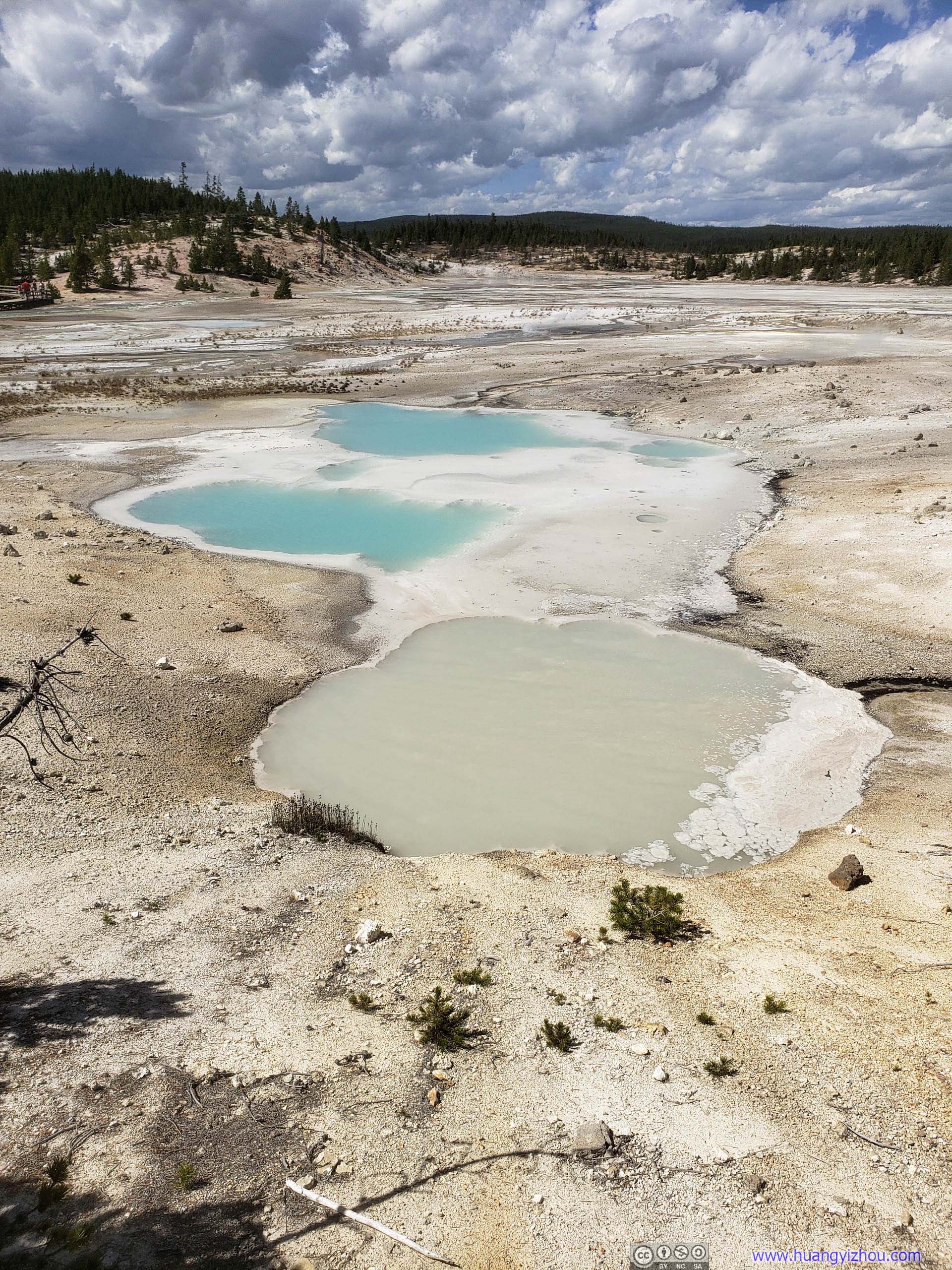

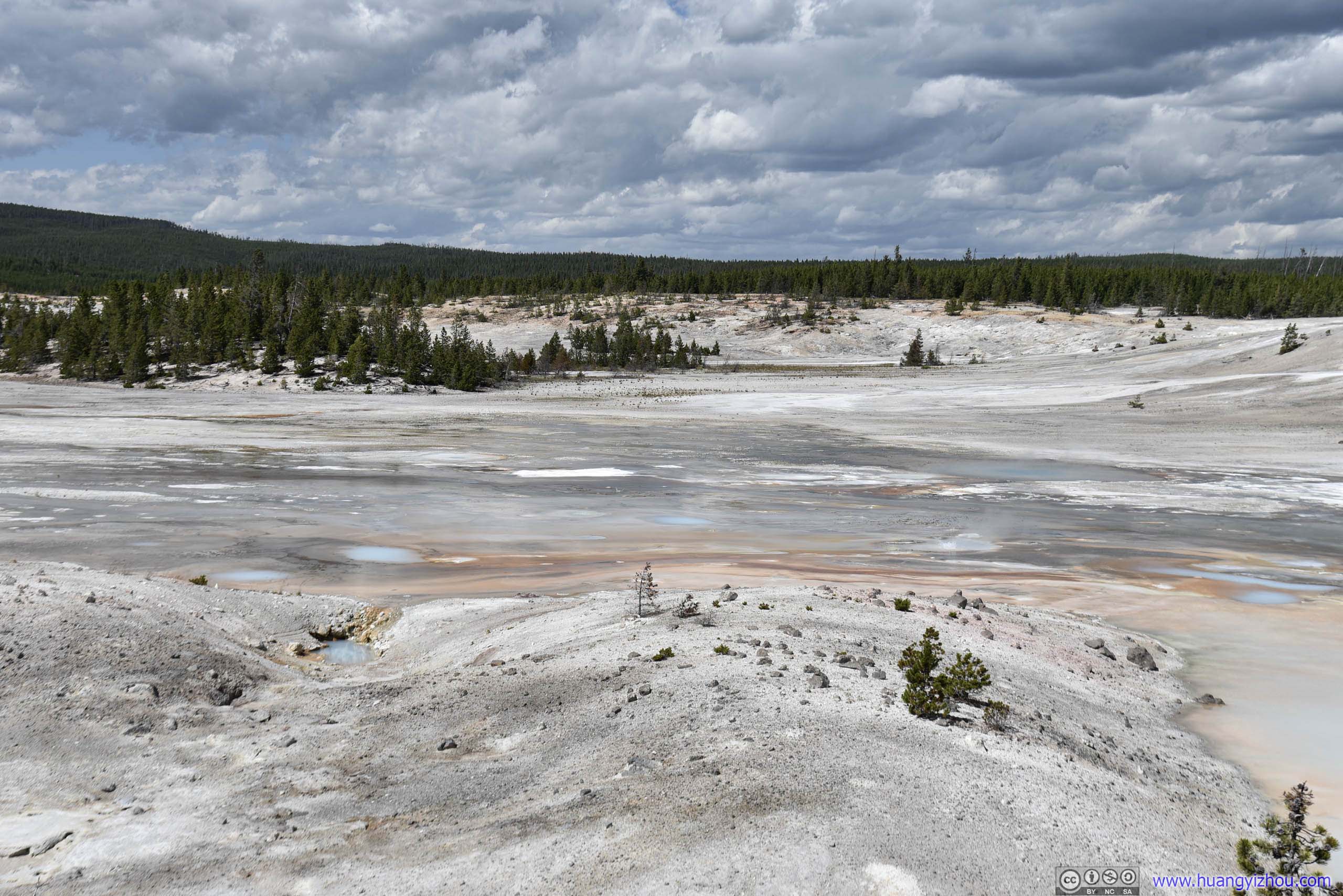
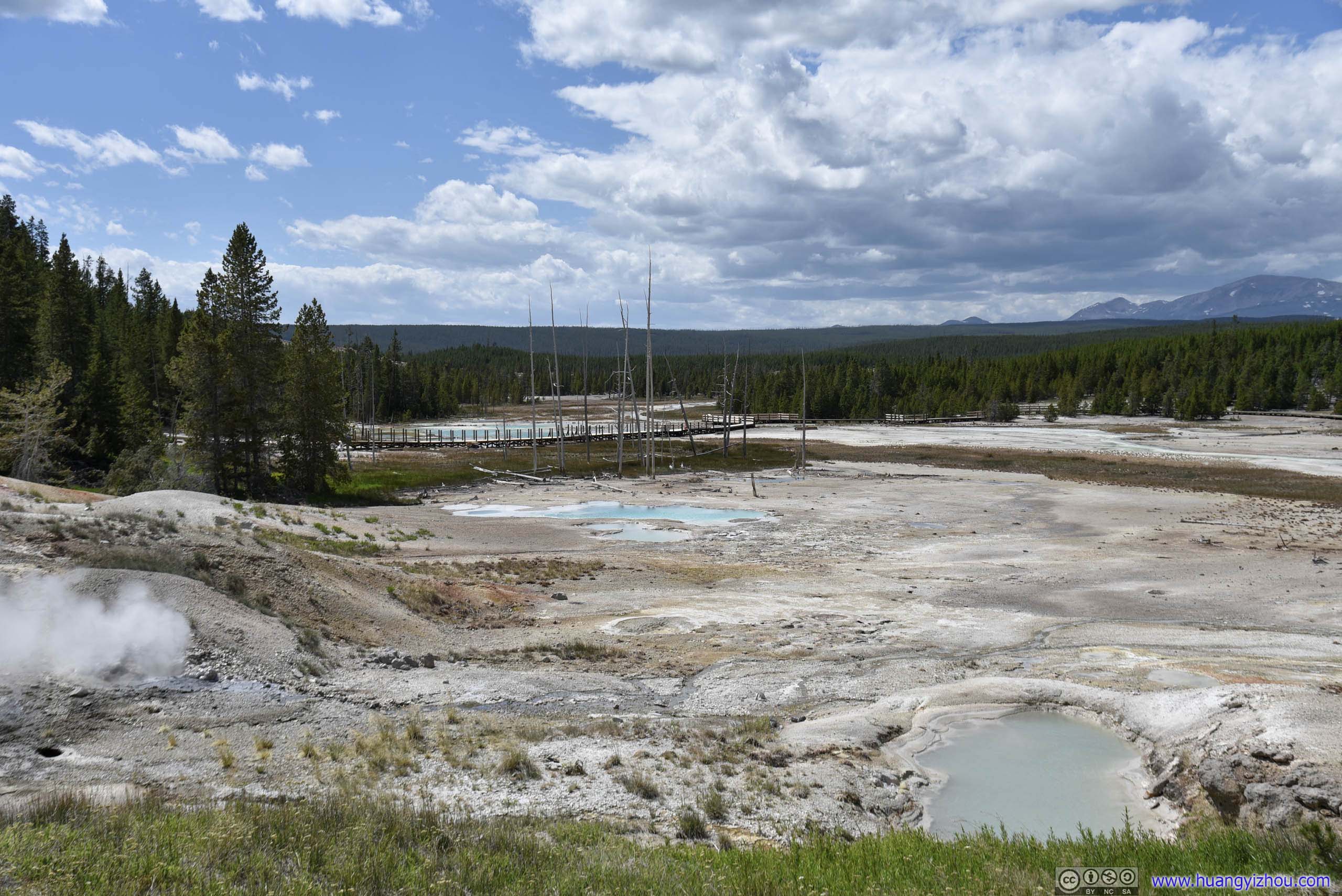
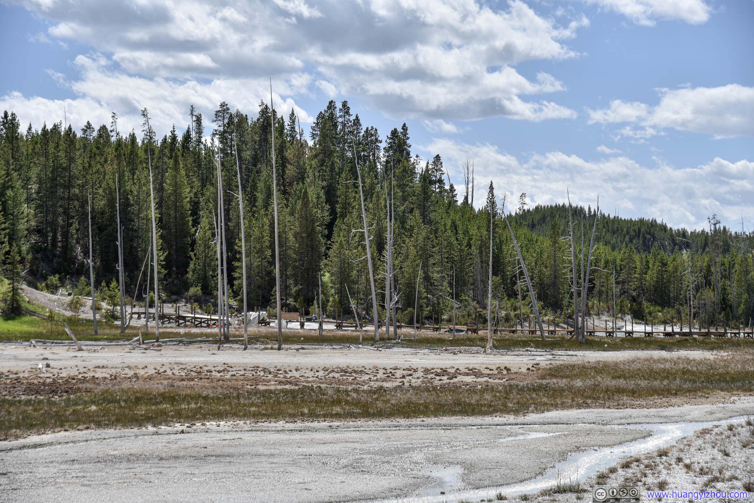
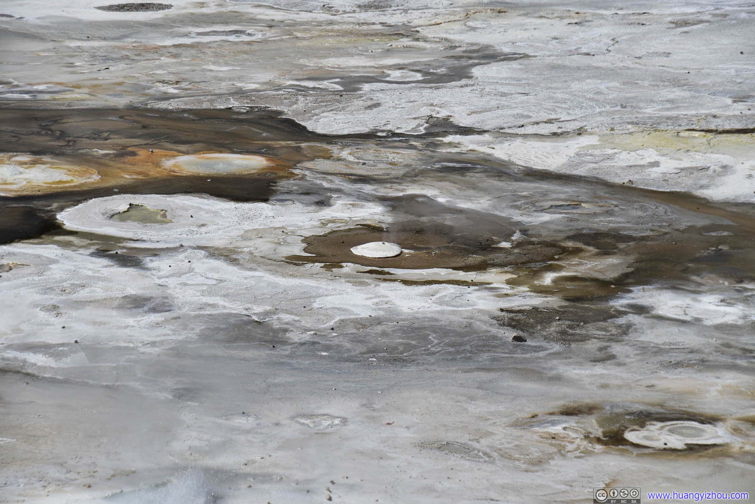
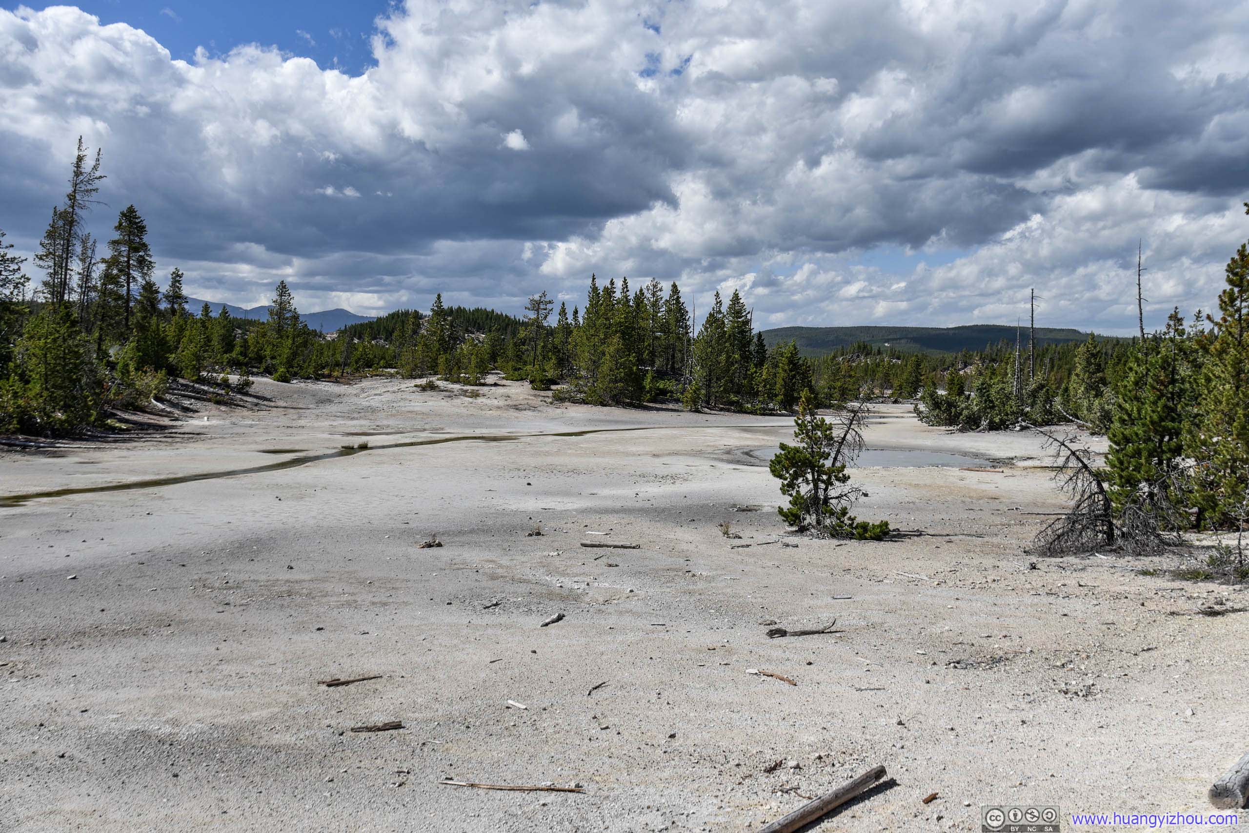
Down the hill, this part of Norris Geyser Basin was pretty flat, with lots of pools and geysers scattered far from boardwalk.
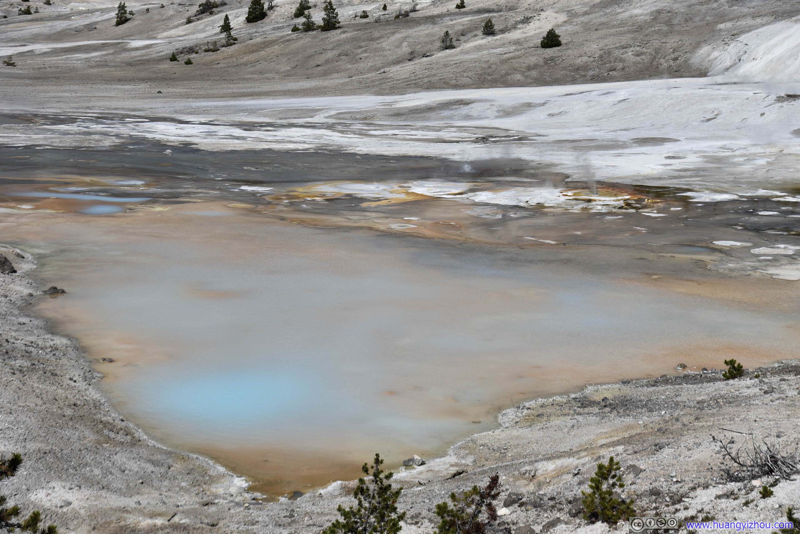
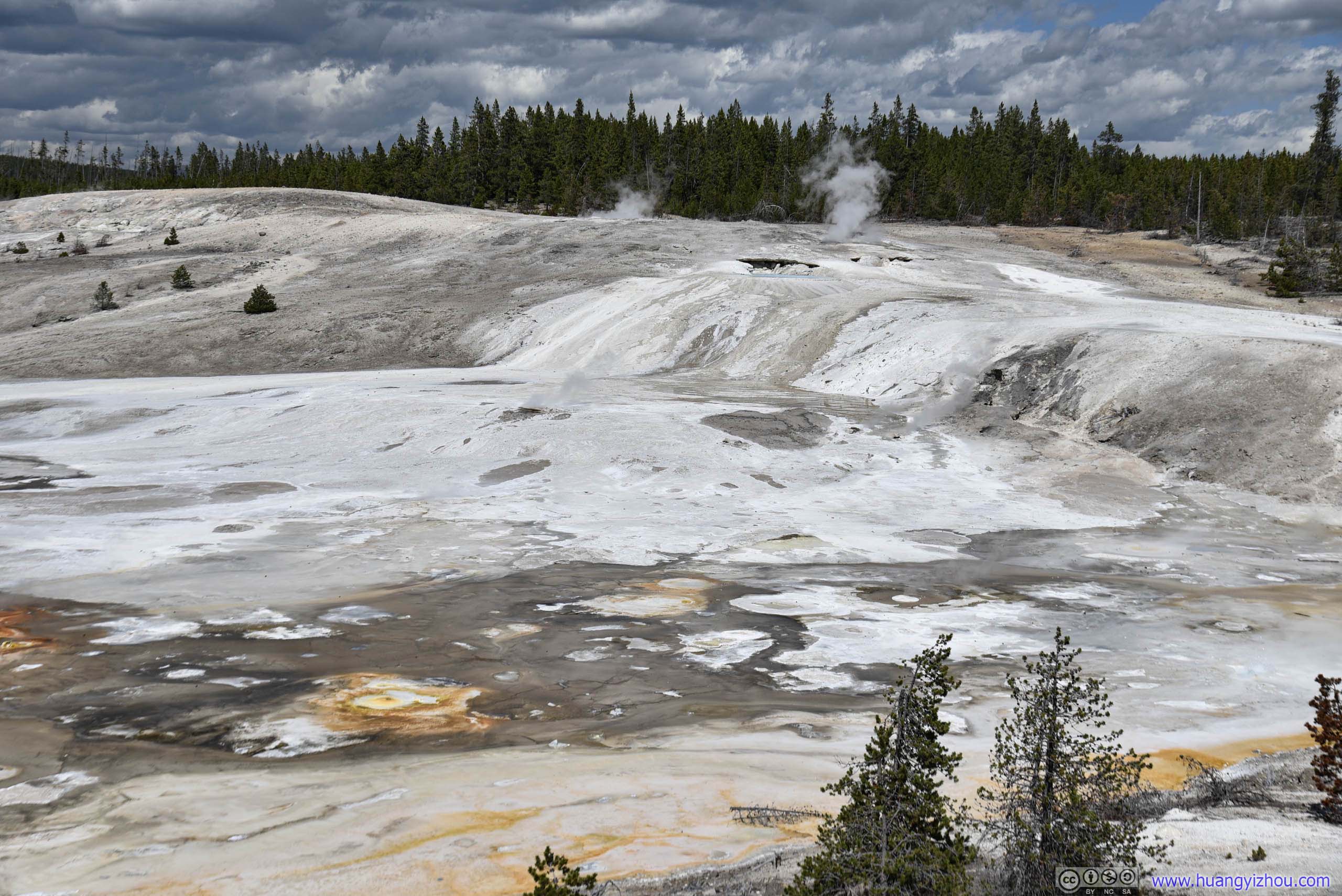
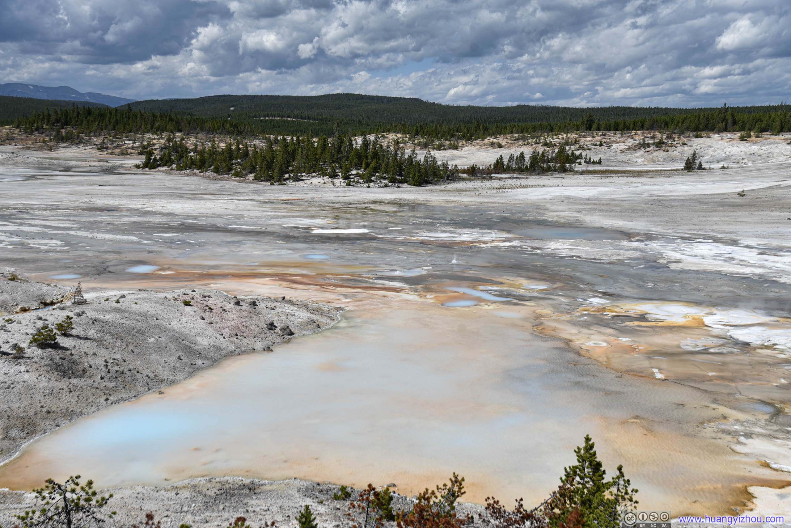

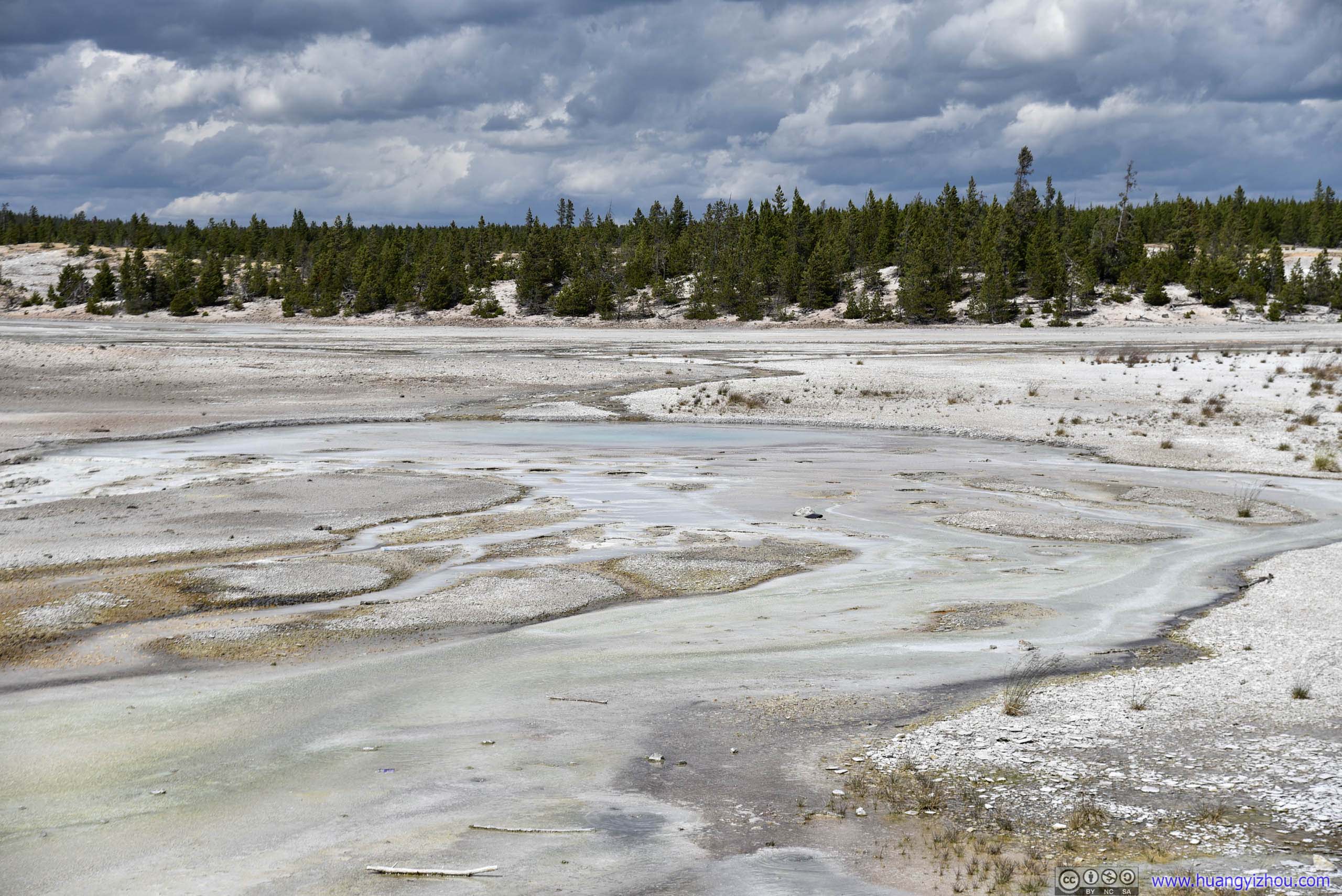
Porcelain Springs
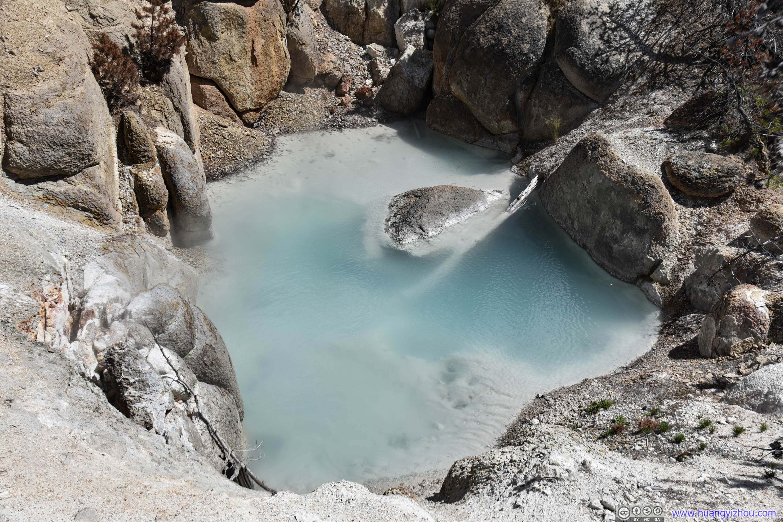
Its name refers to the 5th International Geological Congress held 1891 in Yellowstone. However, when I first saw its muddy appearance, I thought it was a rather appropriate satire for United States Congress, with all their shady business. To be fair, a Google search later I found the pool was wearing aqua blue most of the time. Don’t know why it’s muddy like this during my visit.
That's the part of upper Norris Geyser Basin. After that, I headed for lower Norris Geyser Basin, where geysers and springs were more isolated from each other.
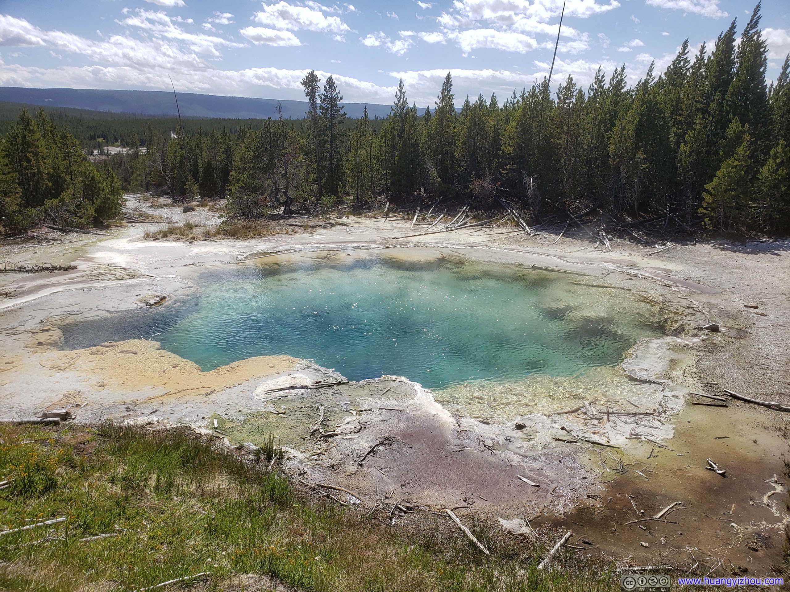

A collection of small springs named after Dr. Eugene Thomas Allen.
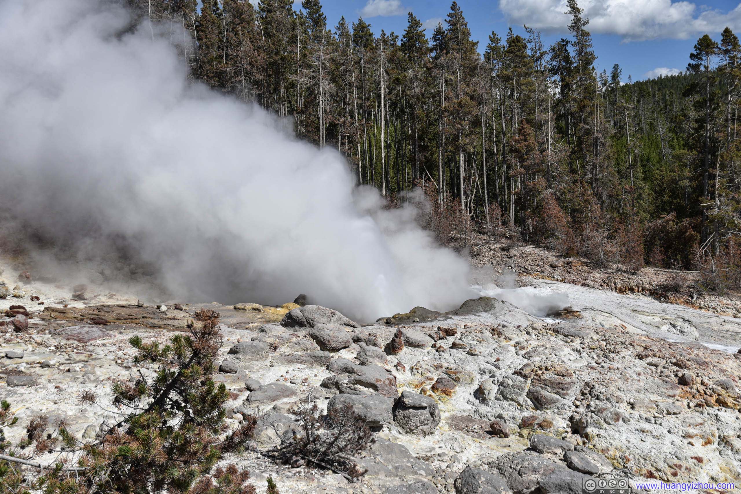
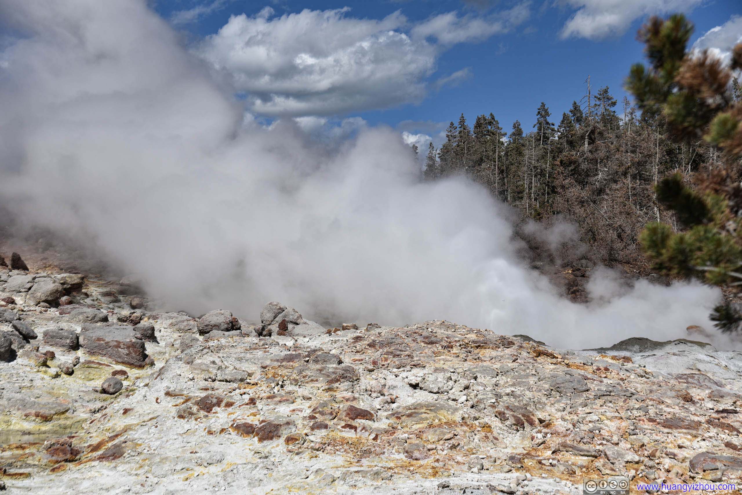
Steamboat Geyser was the world's tallest active geyser, with unpredictable and infrequent major eruptions reaching 100 meters or more. Unfortunately, by a sign nearby, its last major eruption was 6am that day, so I guessed I won't see it erupted in a spectacular fashion for a while.
It did have frequent minor eruptions about 3-12 meters high though.

Located downhill from Steamboat Geyser but interconnected underneath.
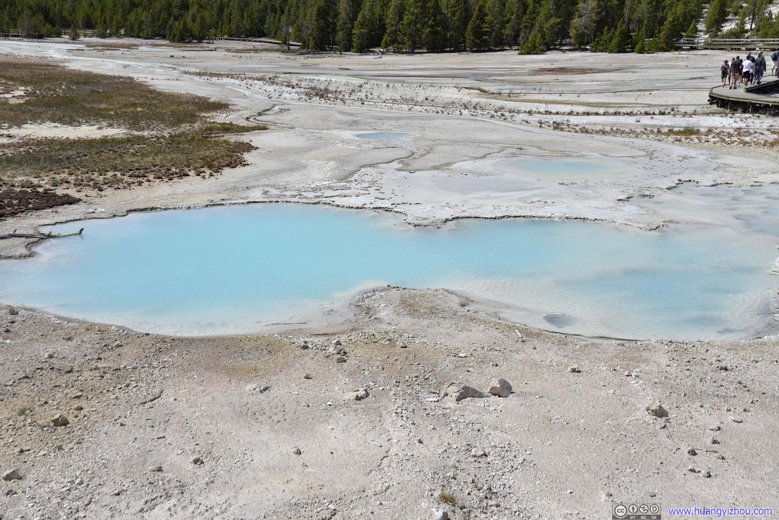
An online search later I found Cistern Spring often wears a spectrum of colors of blue, green and yellow, which according to a nearby sign was due to different breeds of bacteria dwelling in different temperatures. I didn’t know why during my visit it’s in such uniform aqua.
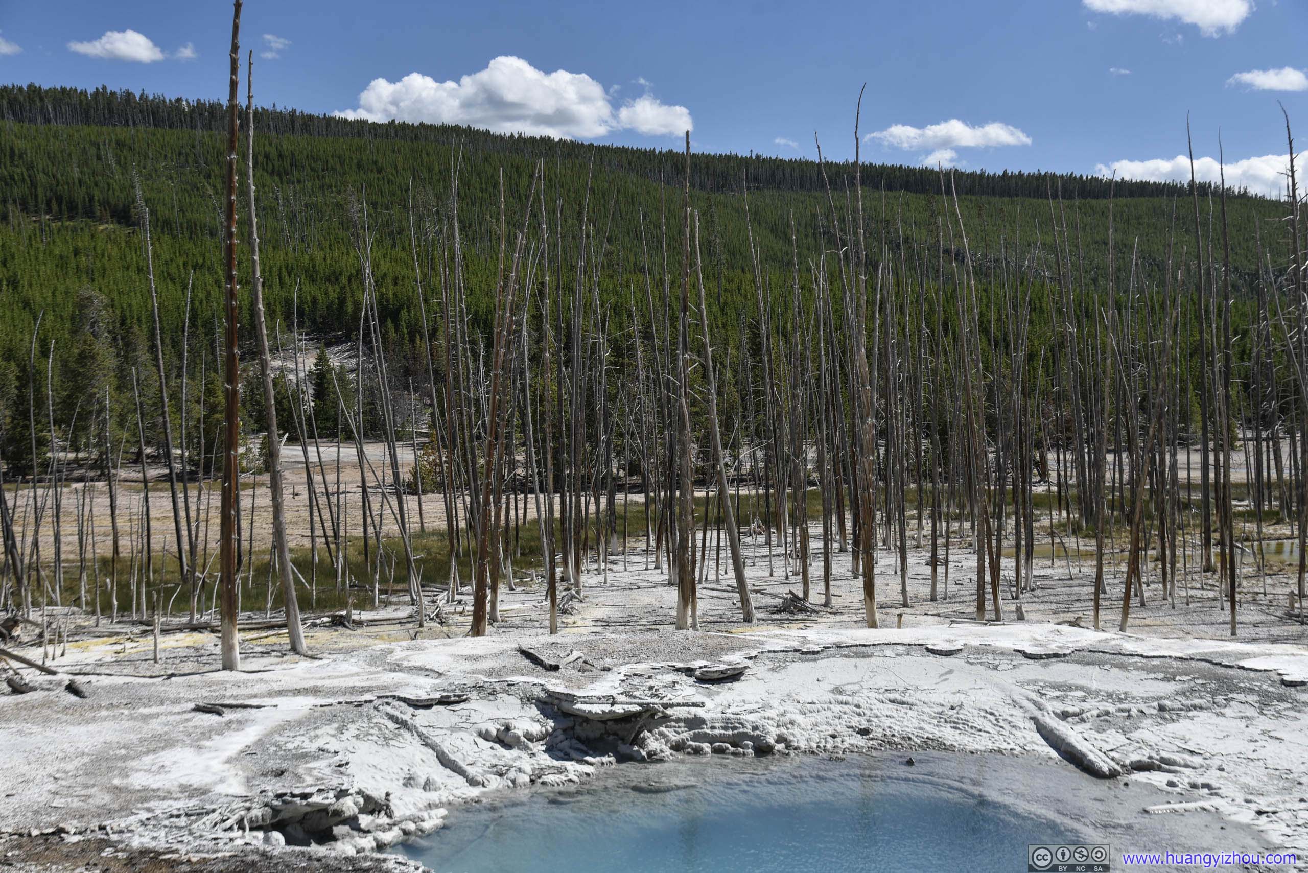

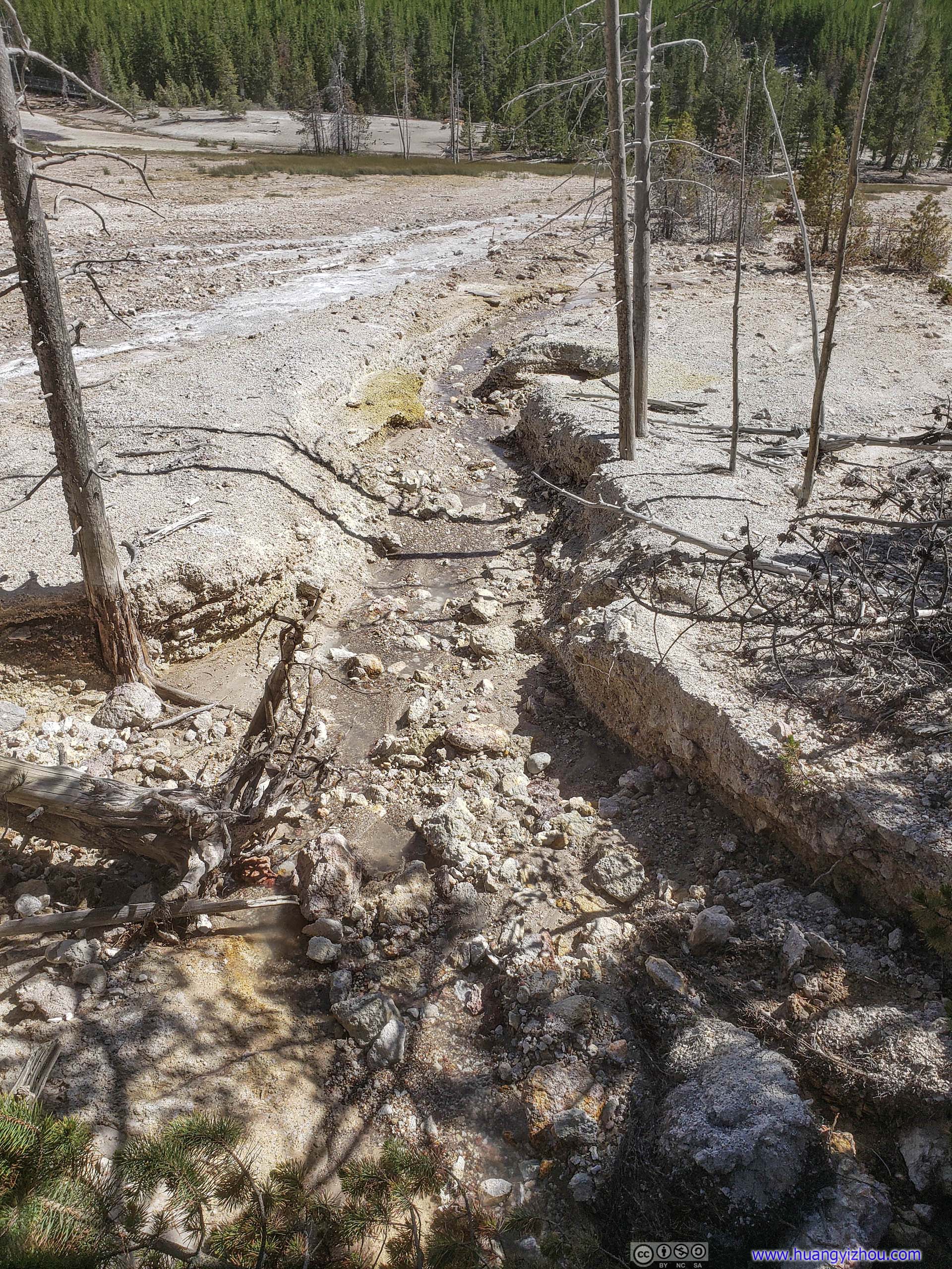
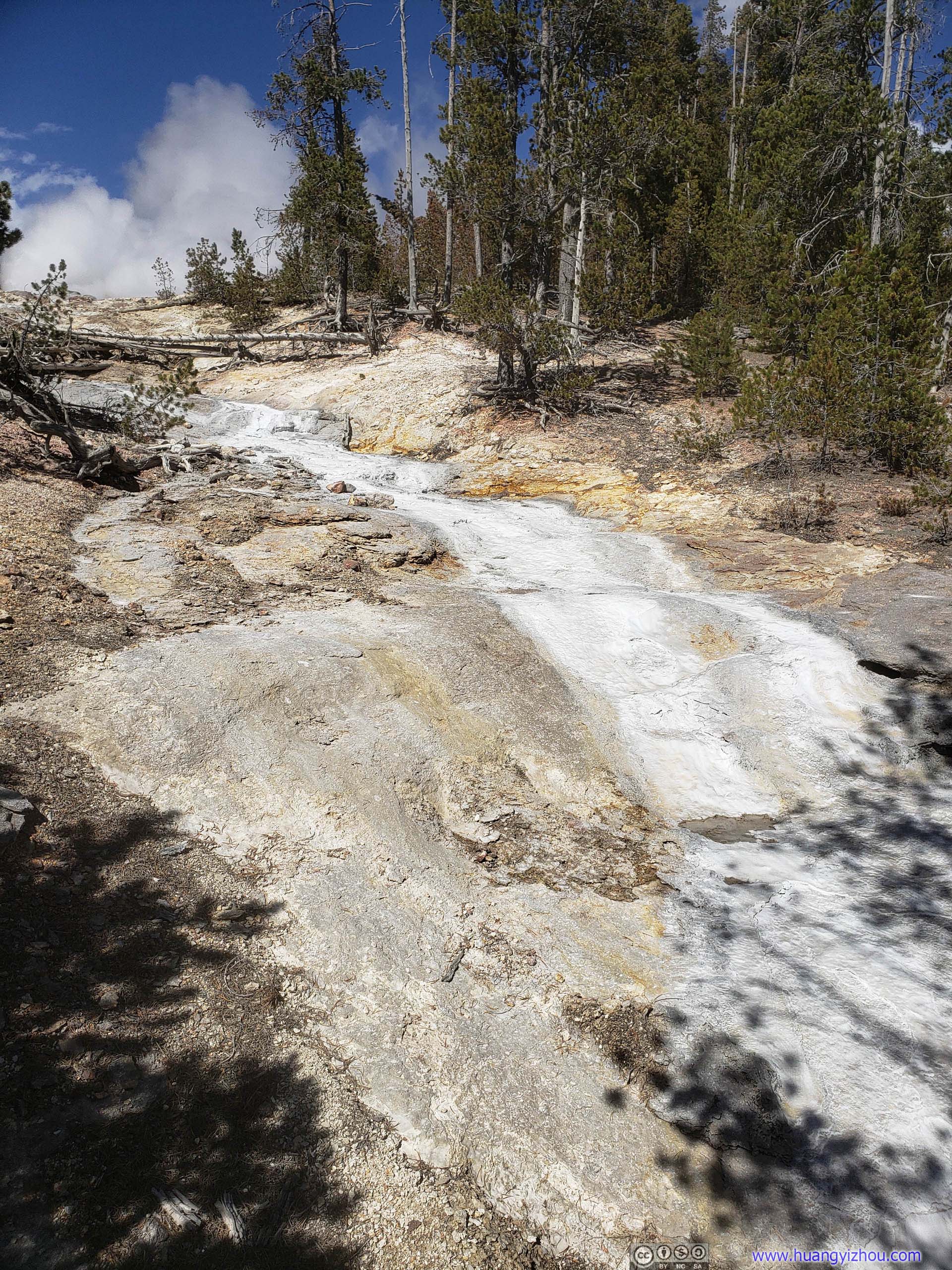
Ditch and Waterflow
For runoff from Steamboat Geyser.
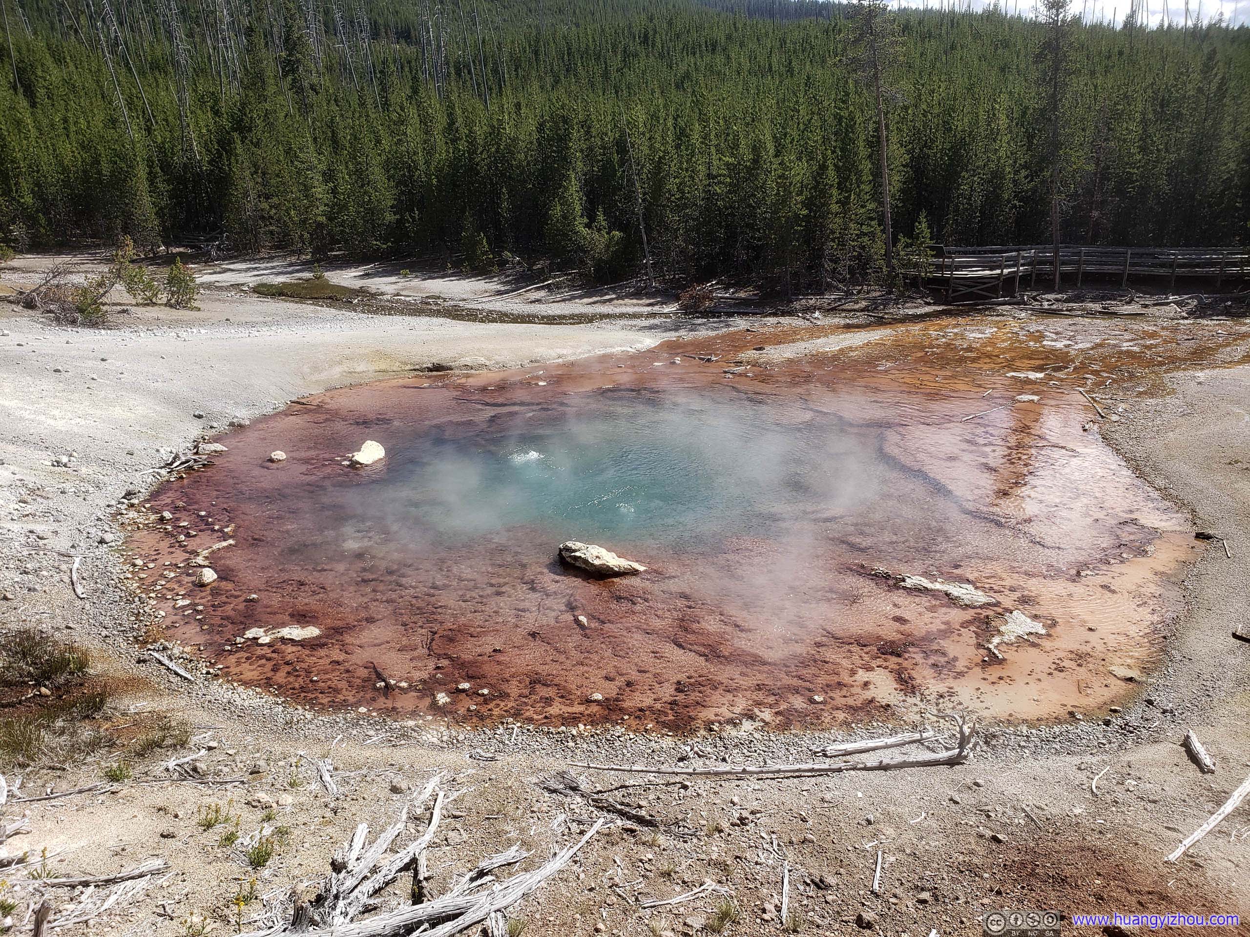
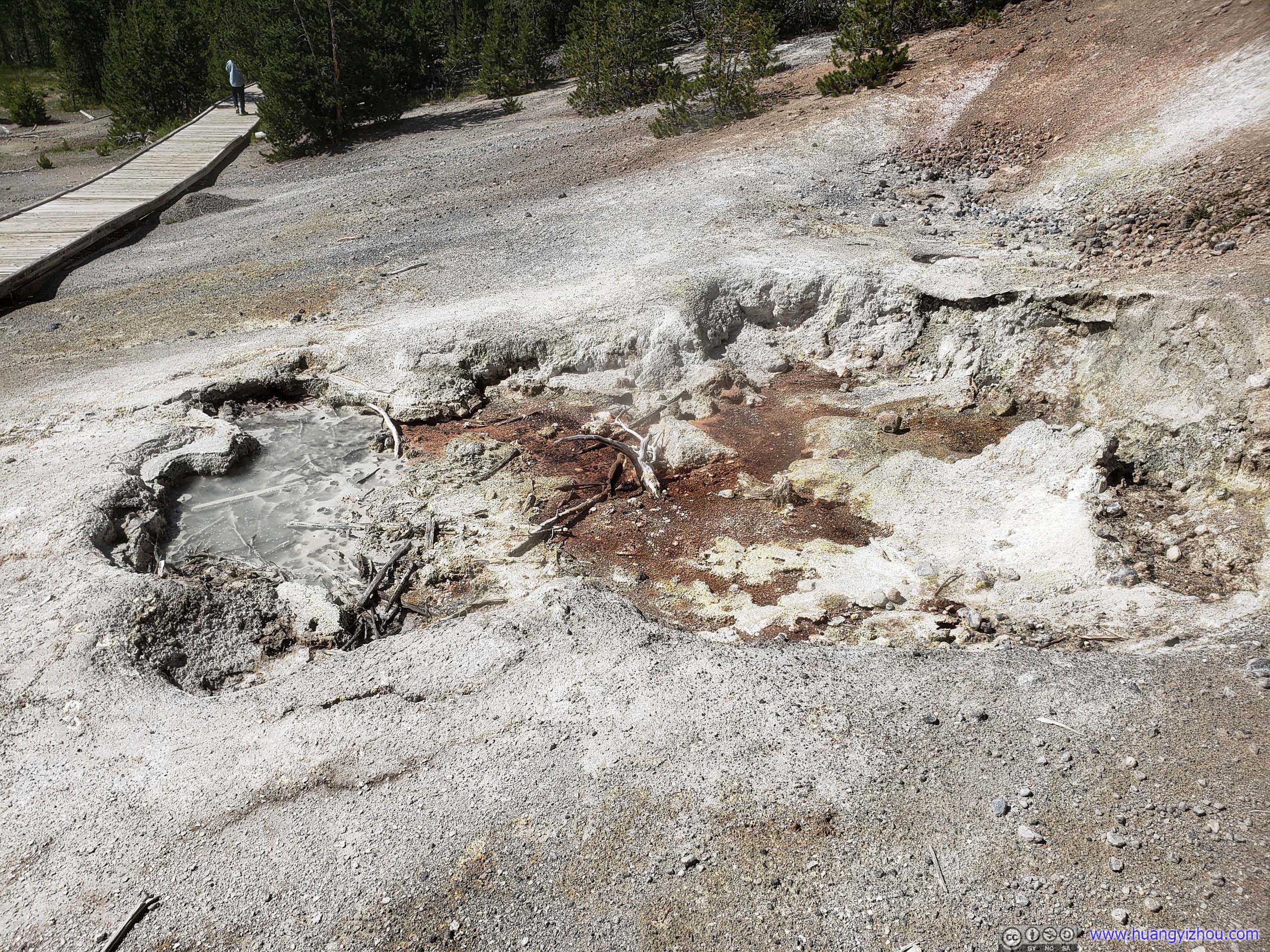
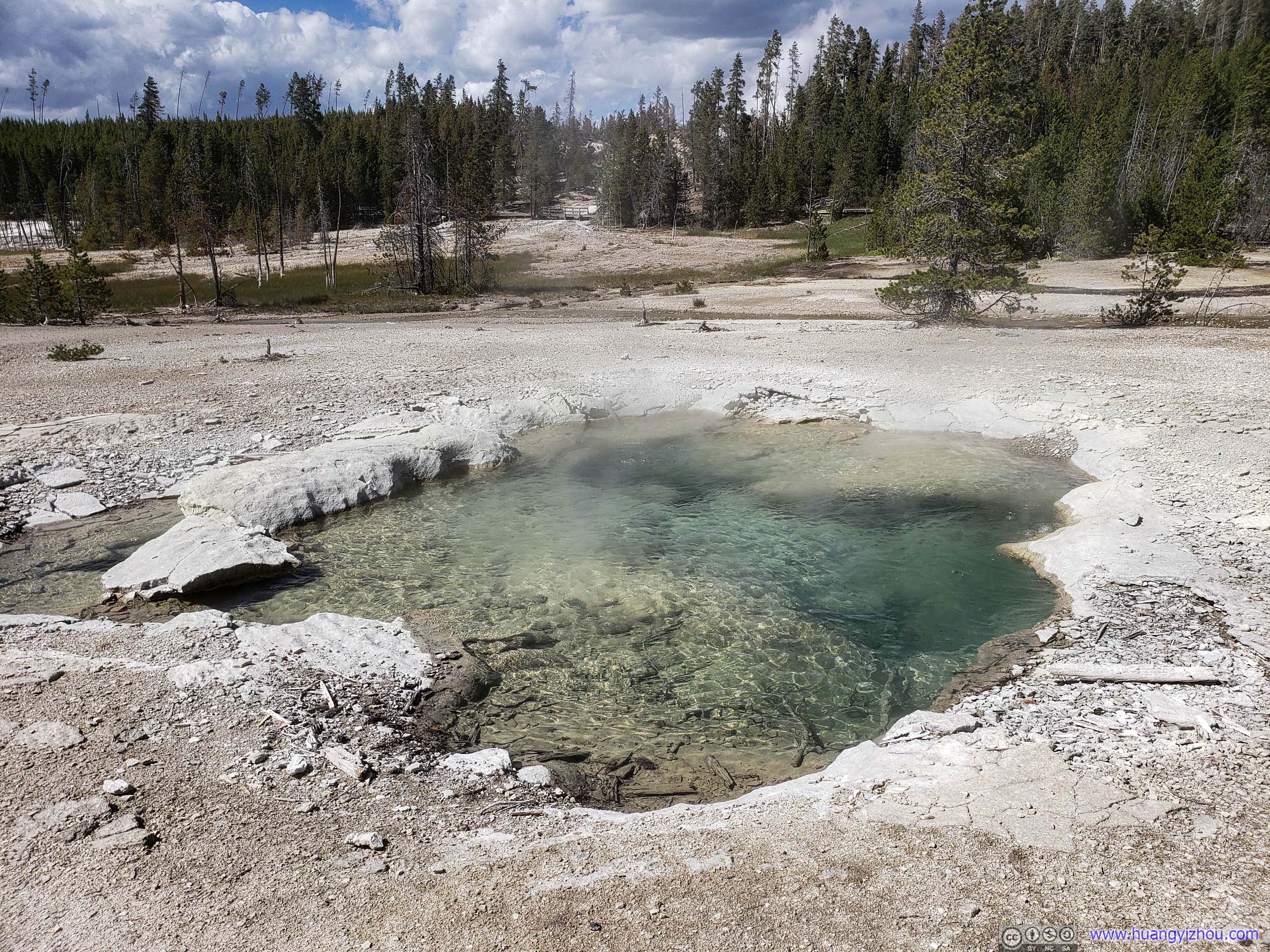

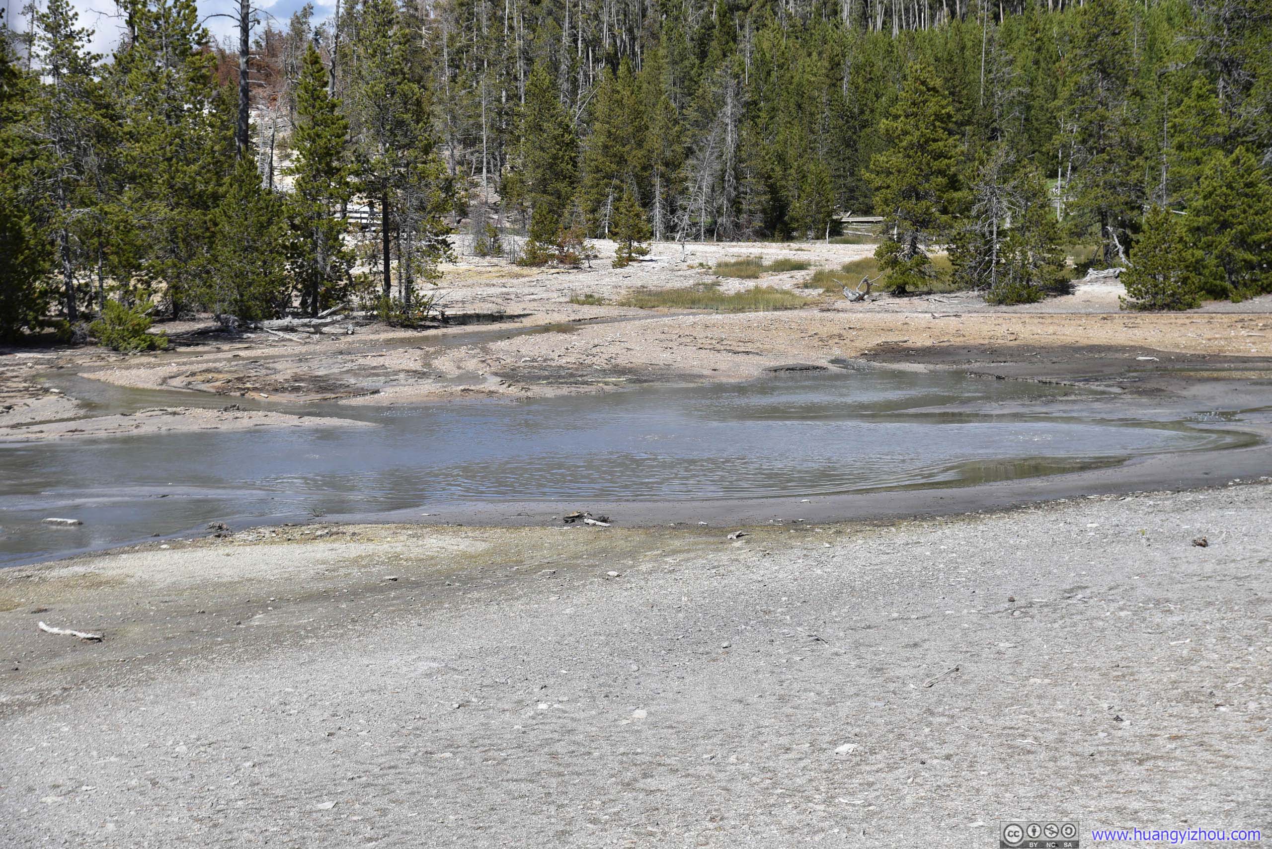
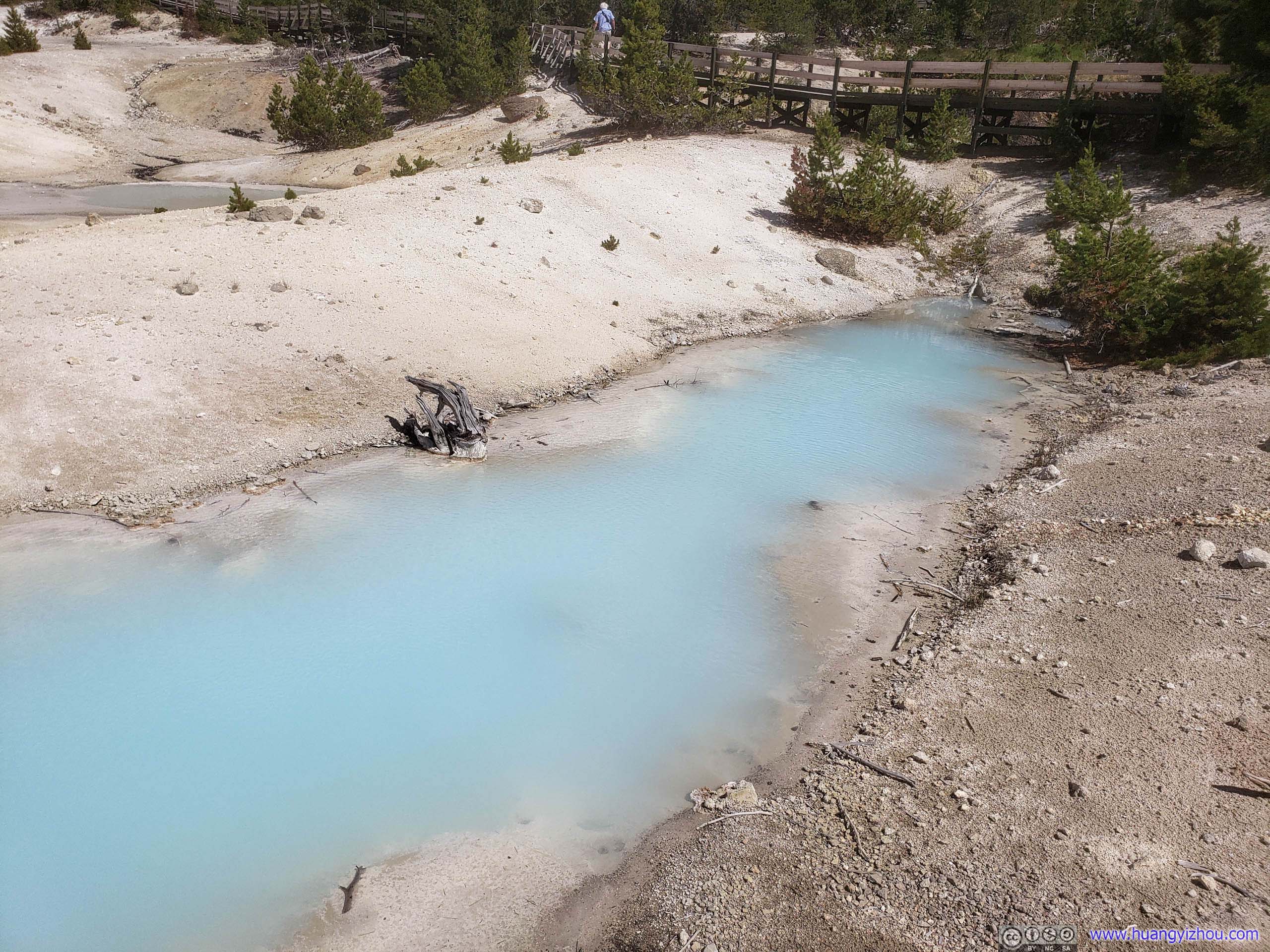
Like Congress Pool, online pictures of Tantalus Geyser looked a lot nicer with blue-ish waters.
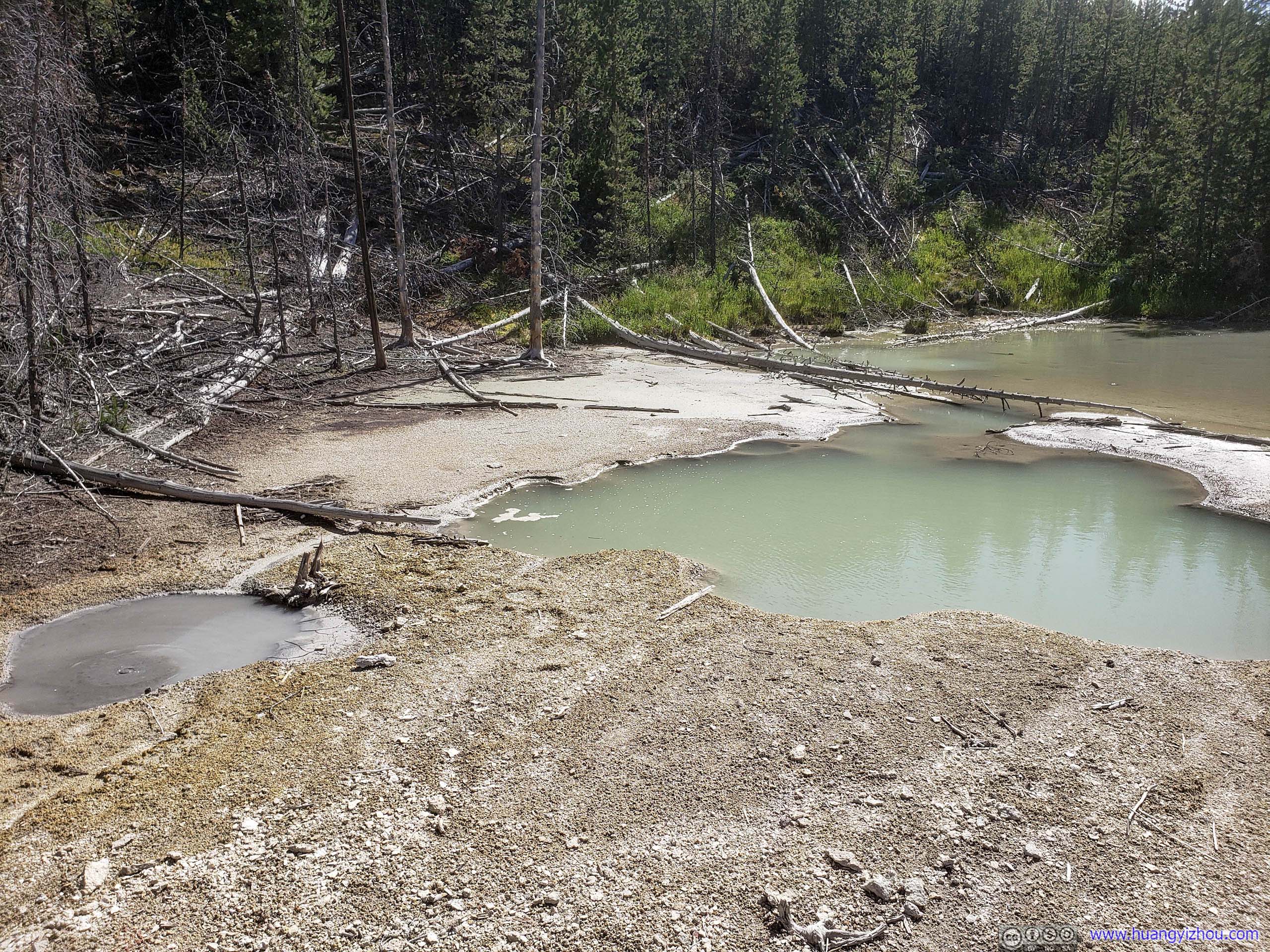
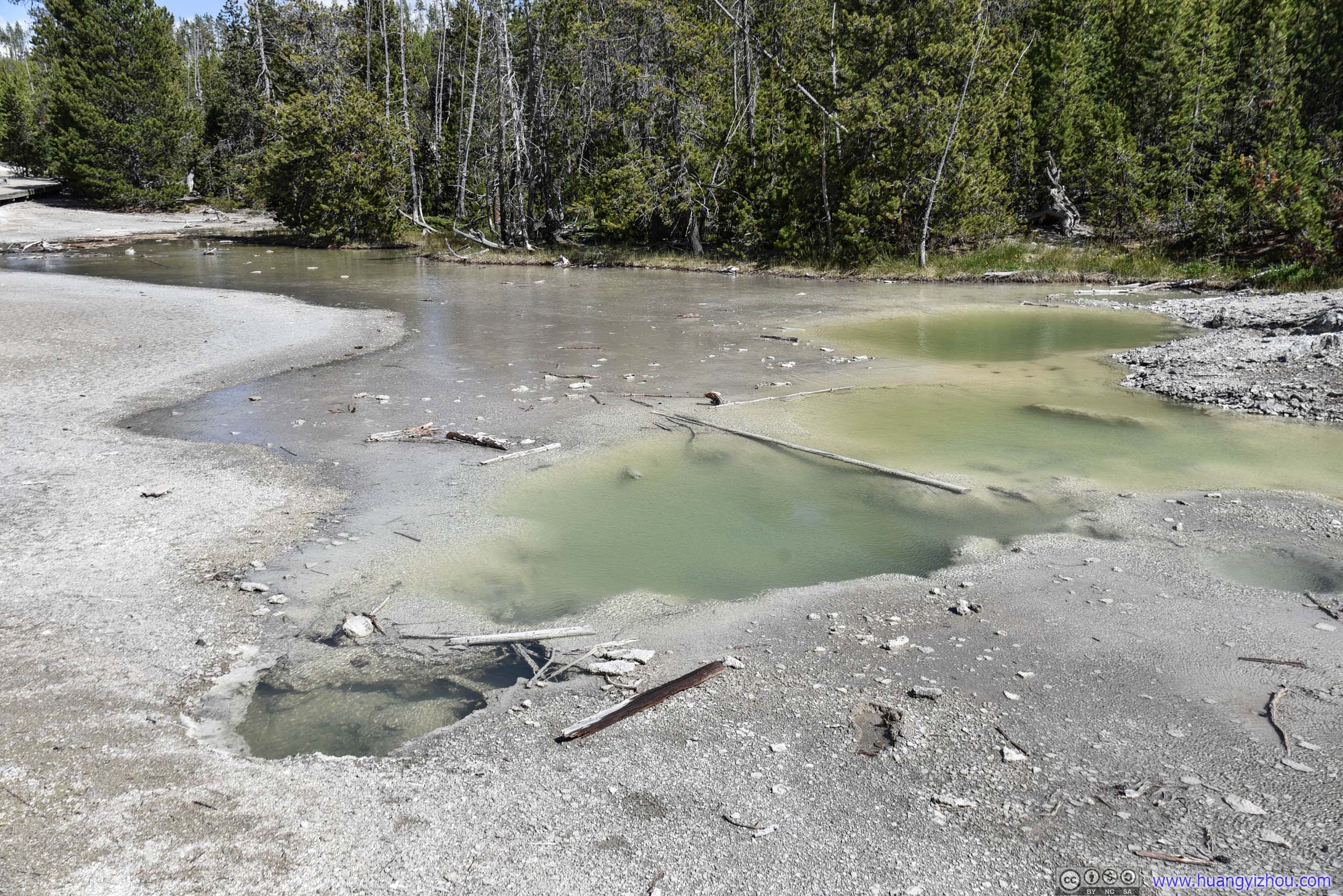
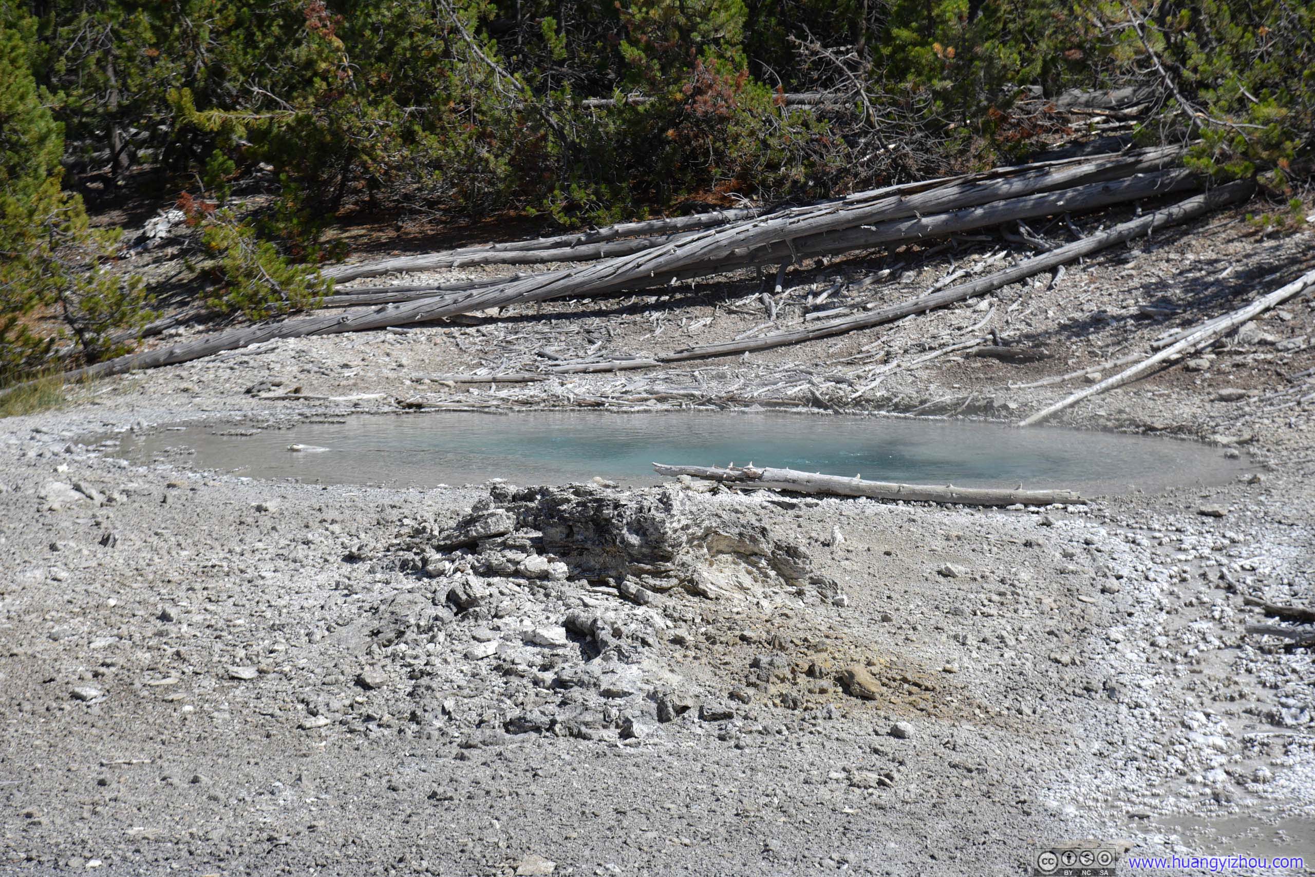
This one was located high above its neighbors.
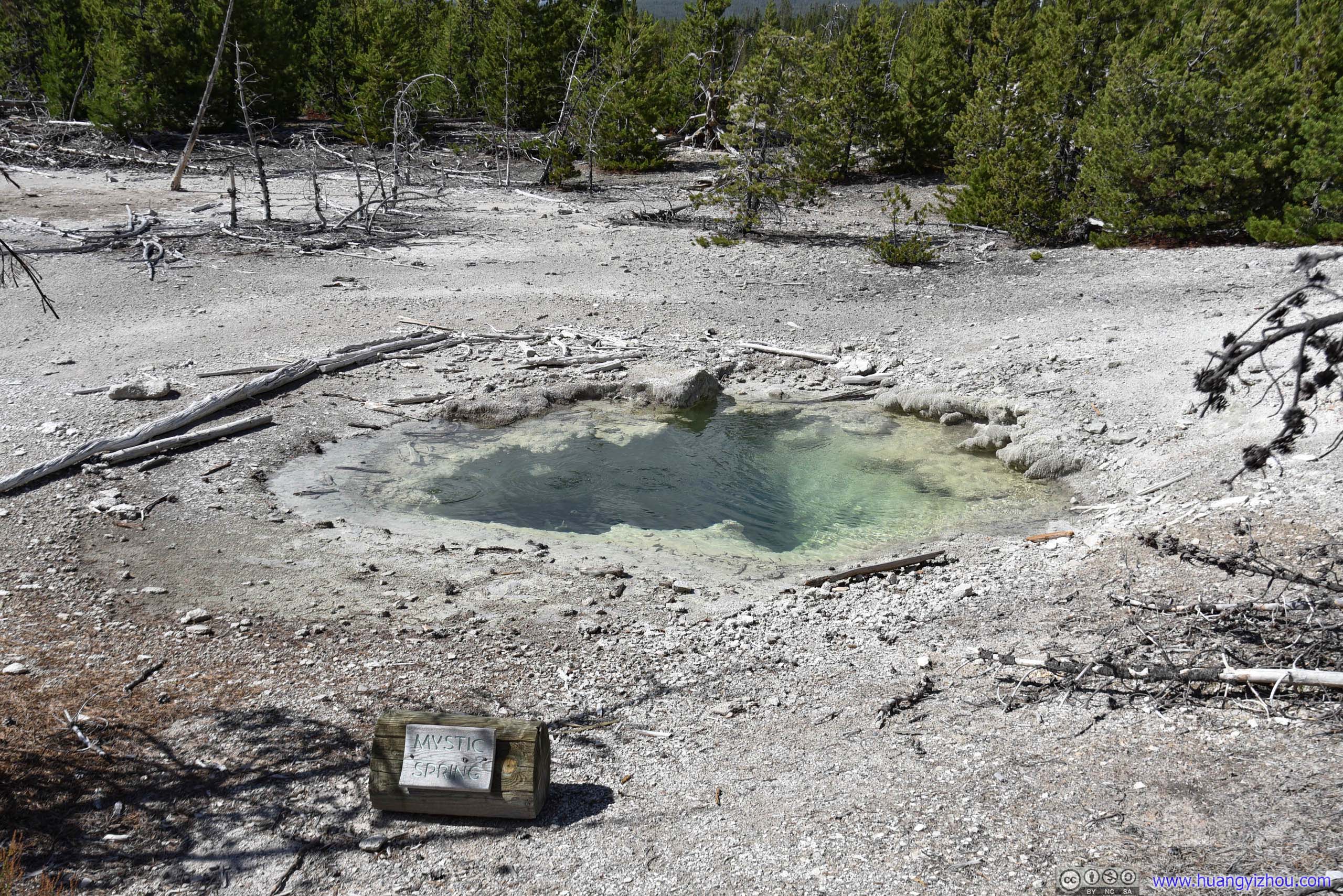
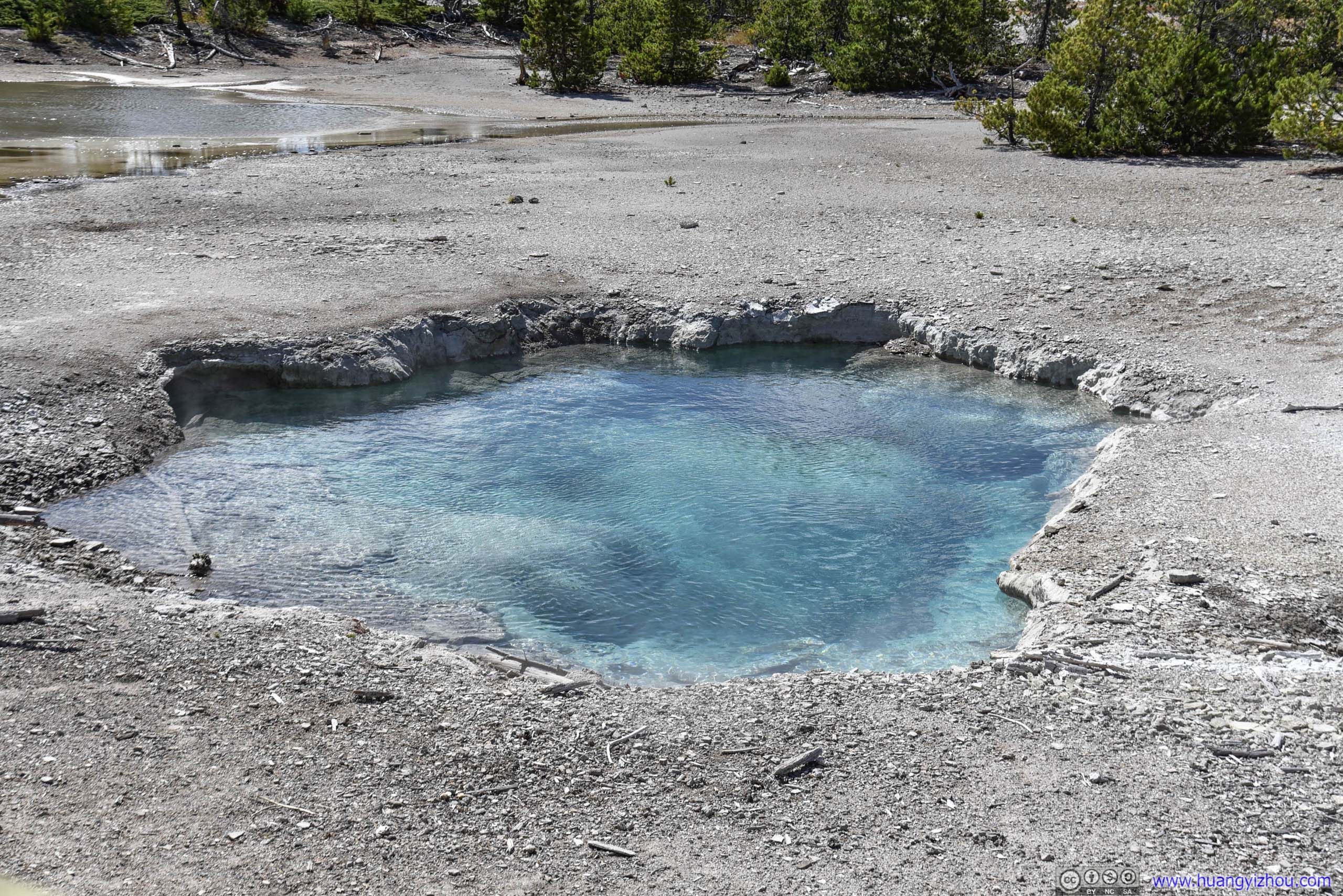
And weirdly this one was in such a clear transparent state.
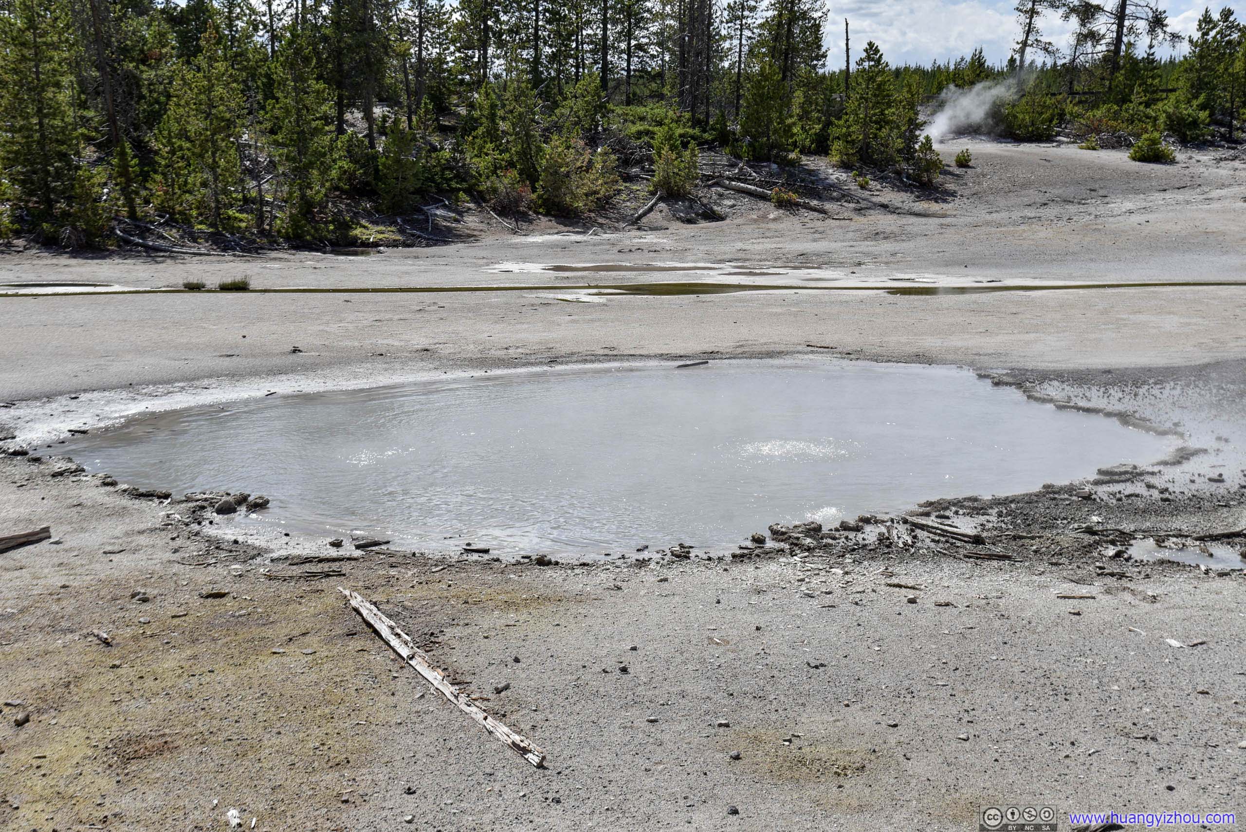
This one was fittingly muddy.
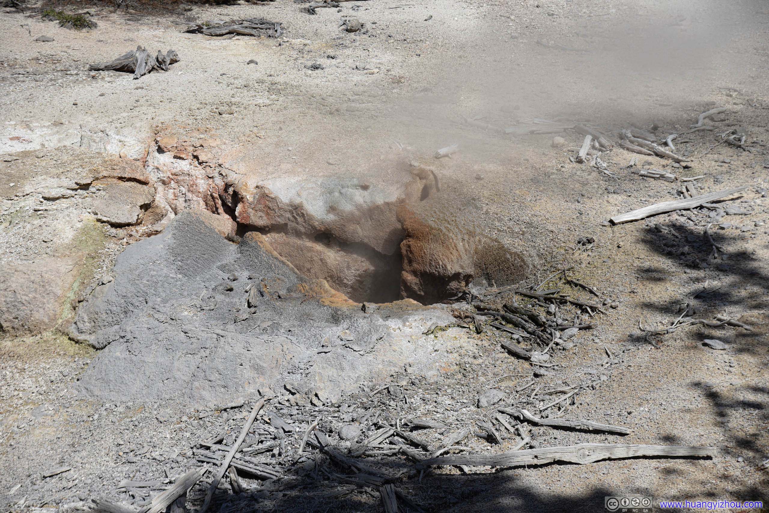
This one constantly emits a mixture of steam and fine spray, whereas real "water-phase" eruptions are very rare.

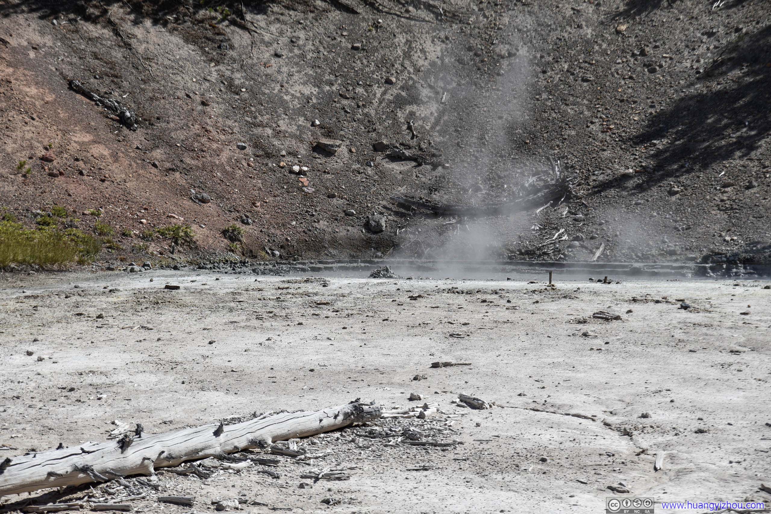
Black Hermit Caldron
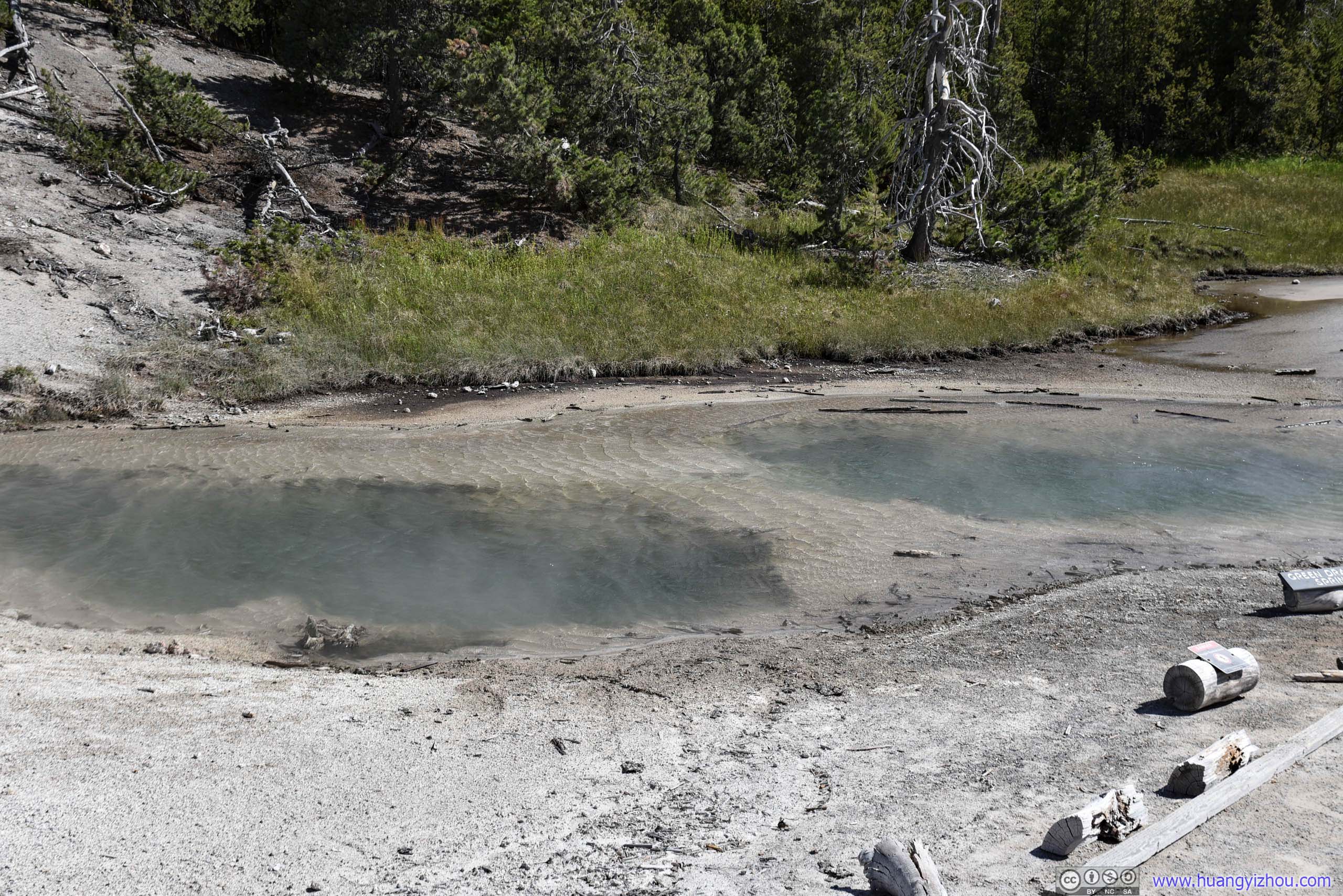
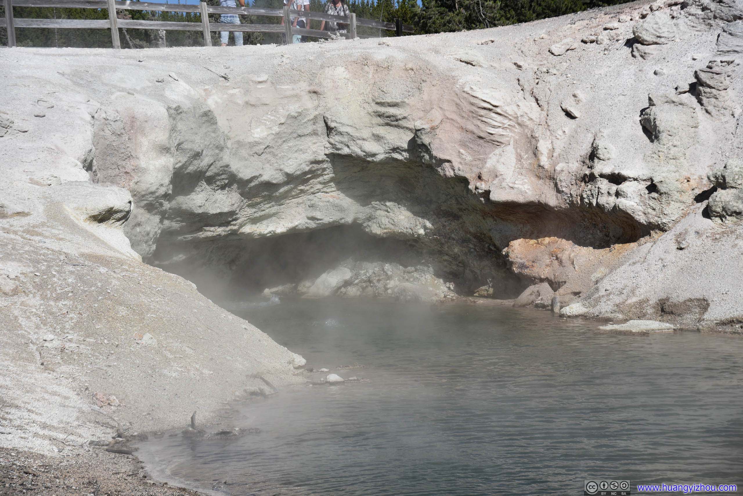
Green Dragon Spring
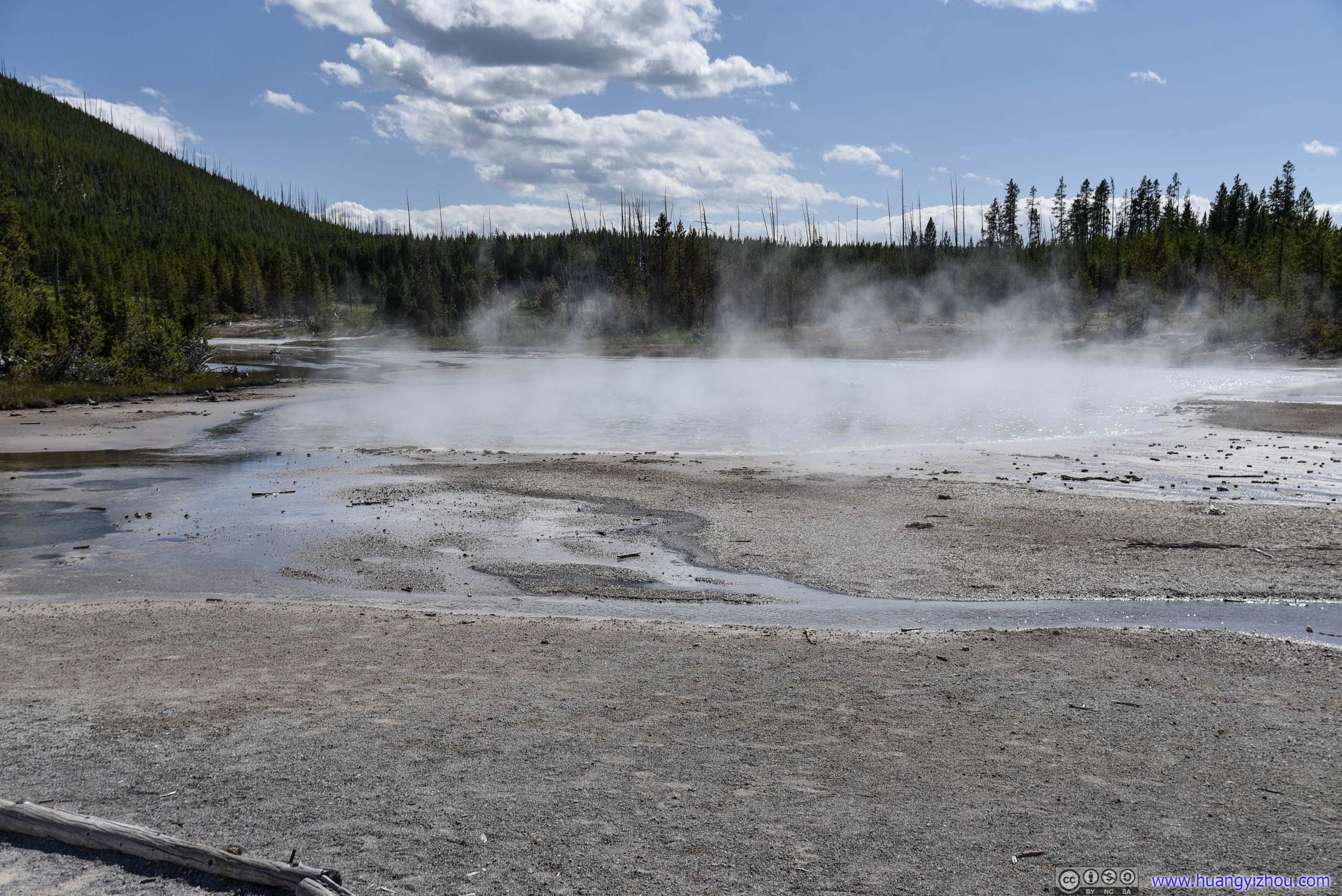
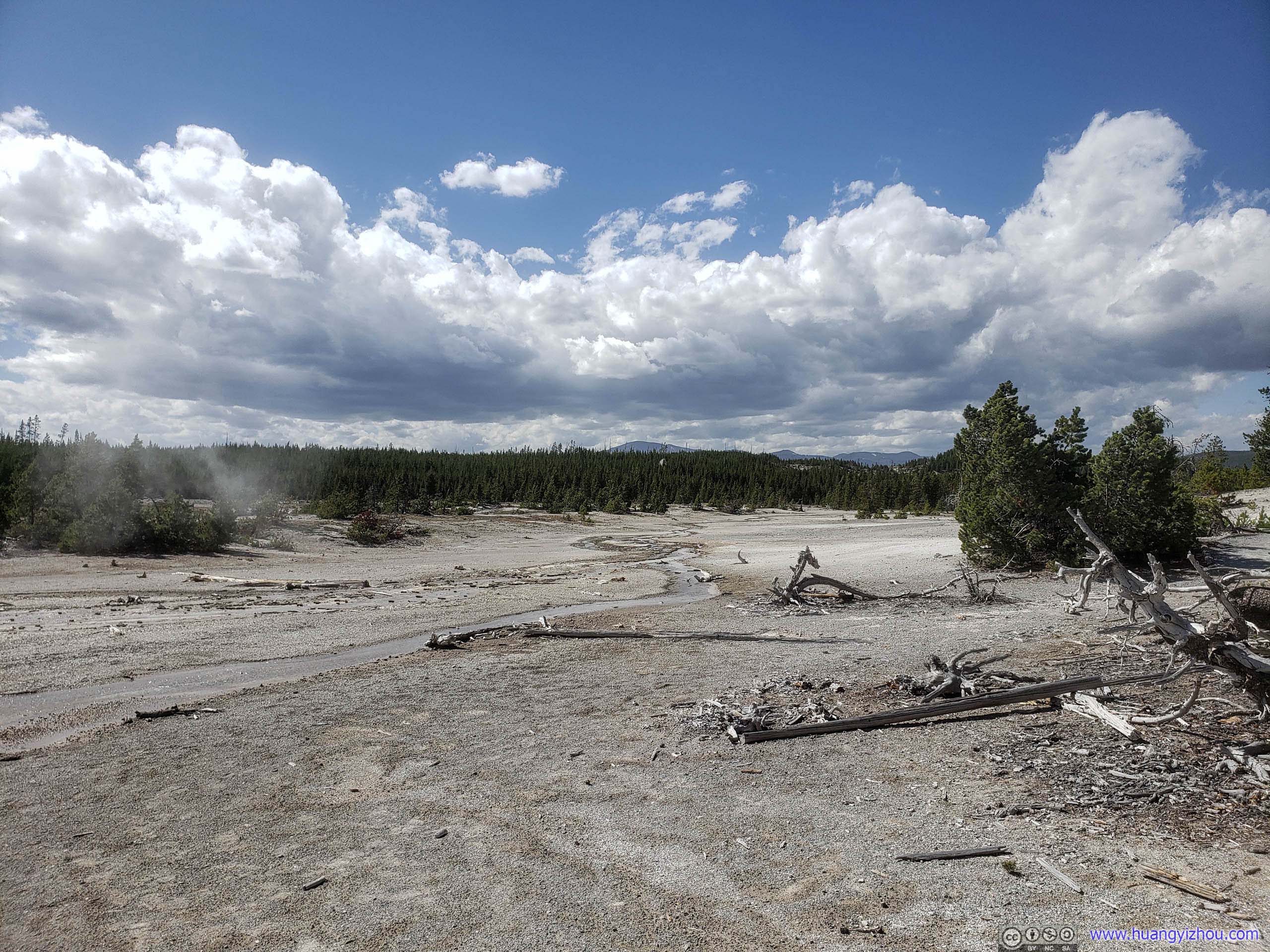
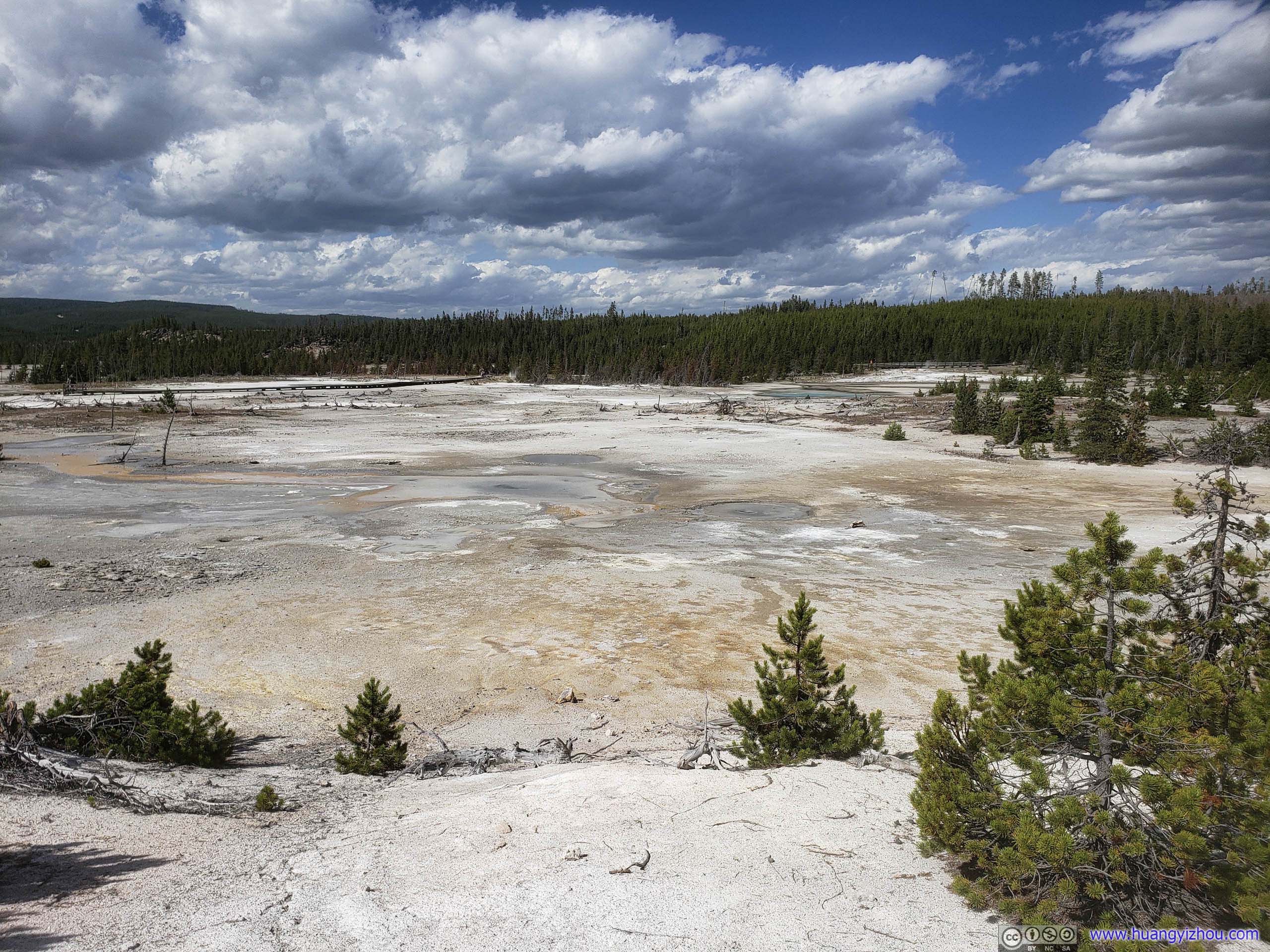

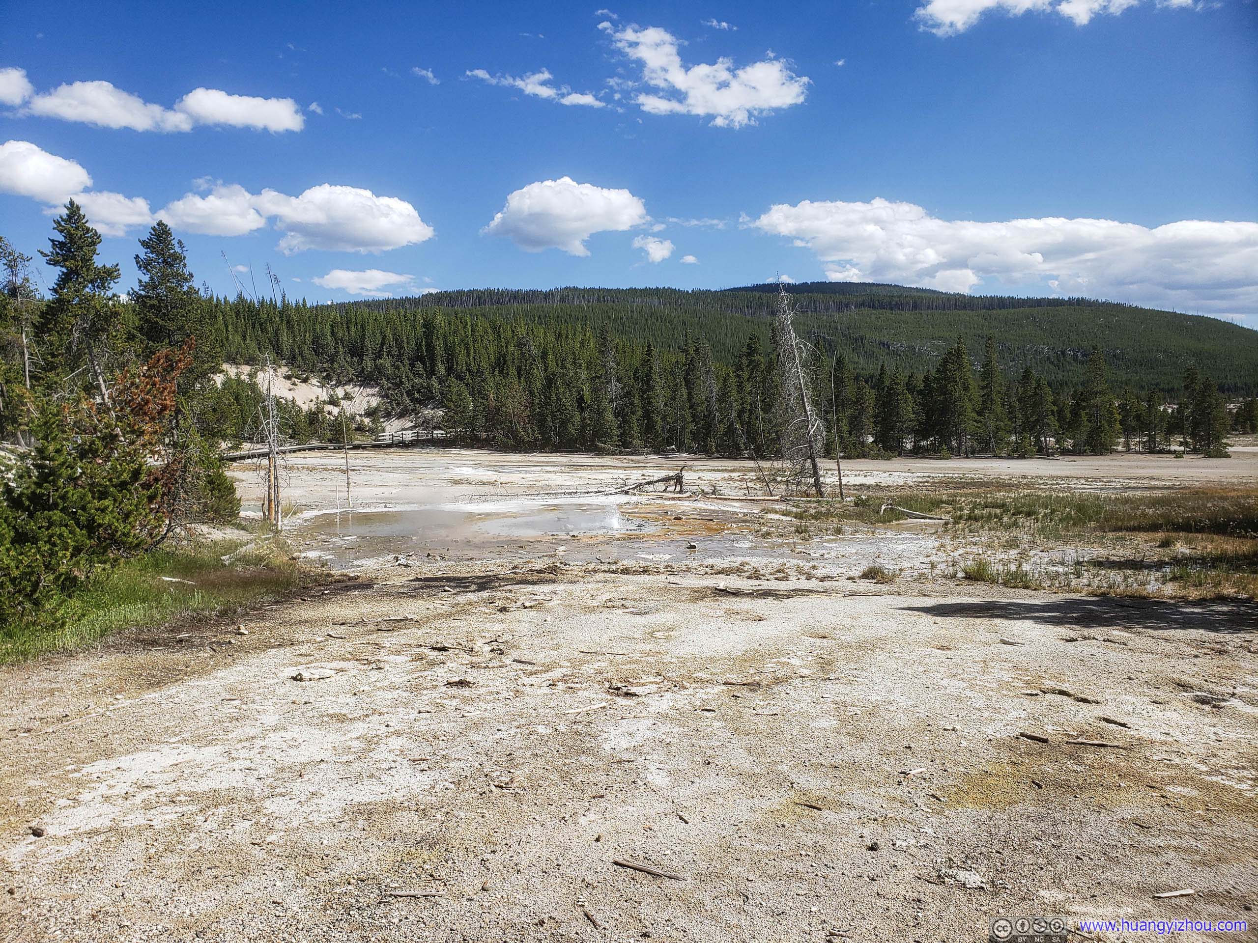
Field
Blue Mud Spring in the foreground.

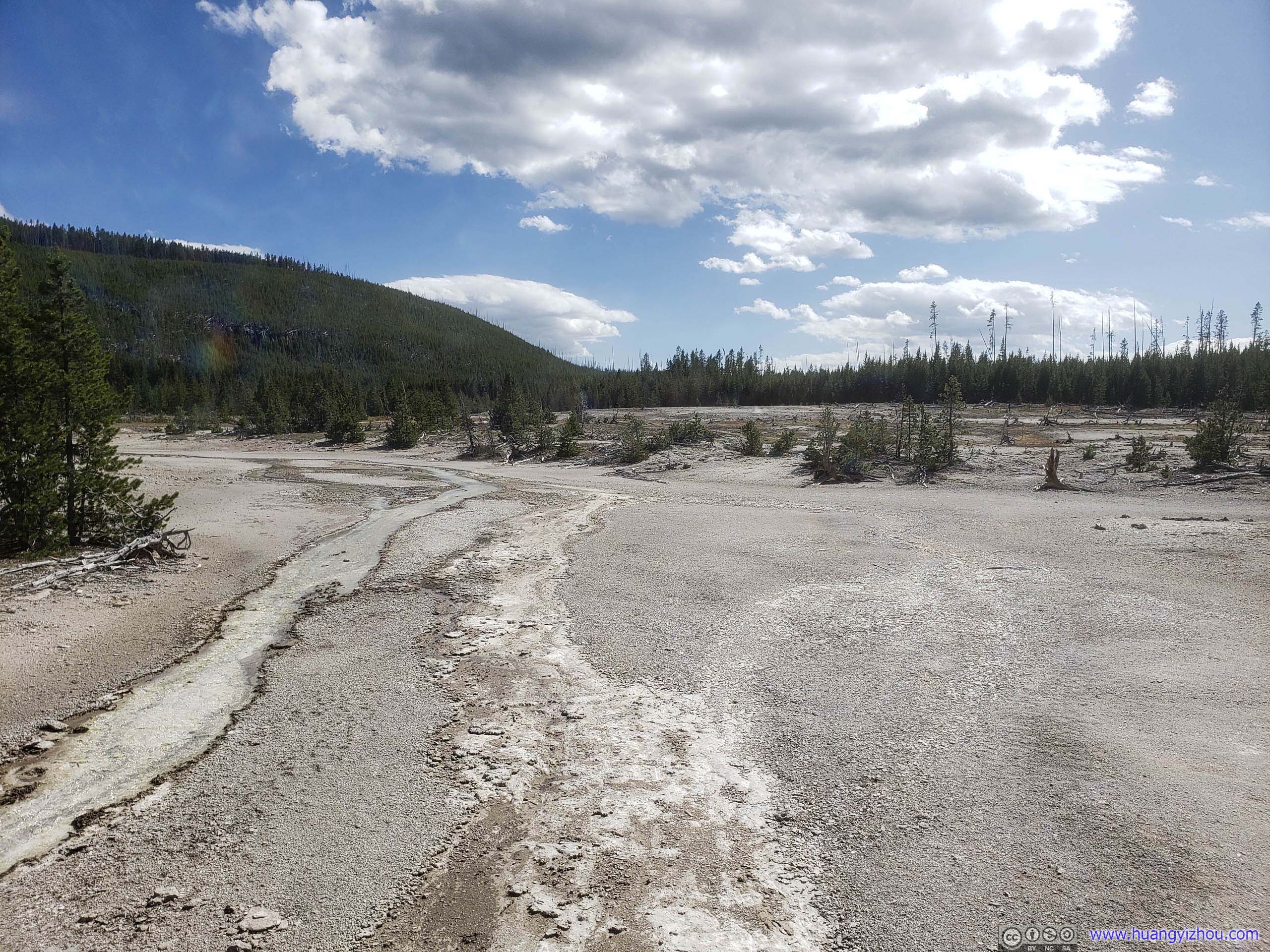
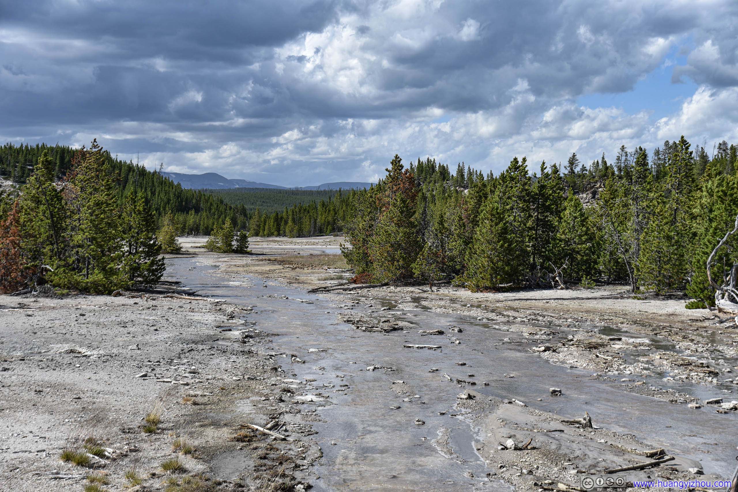
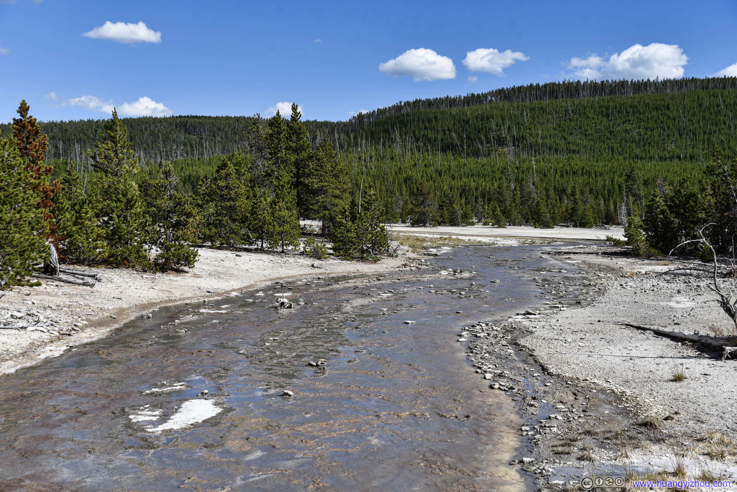
Waterflow
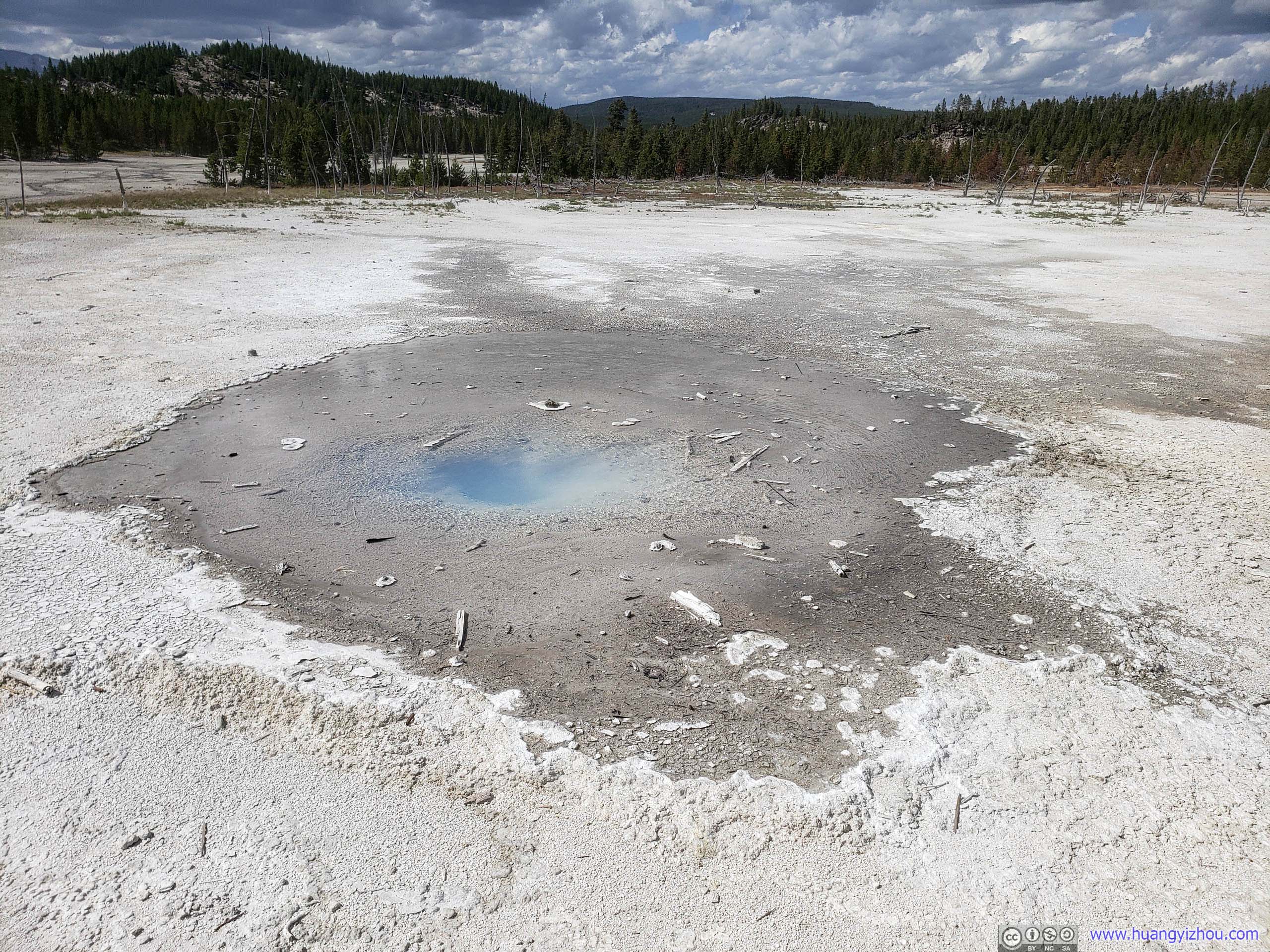
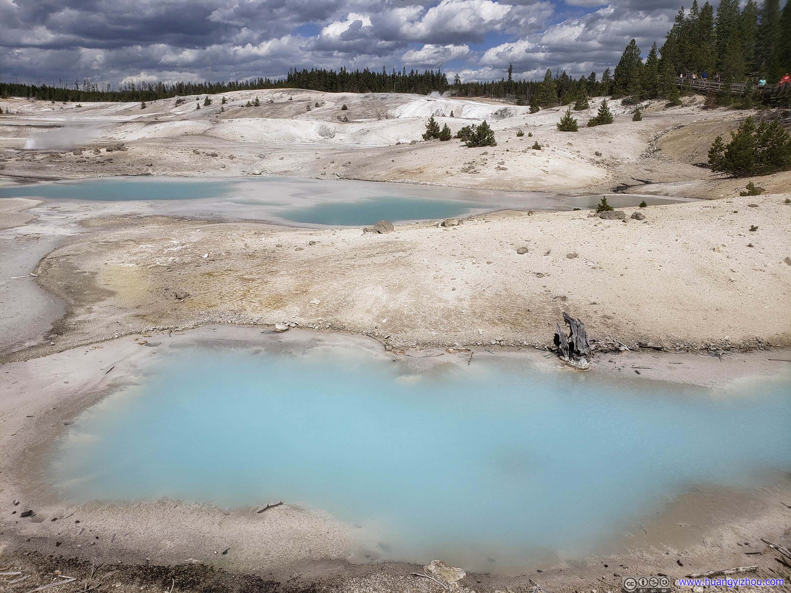
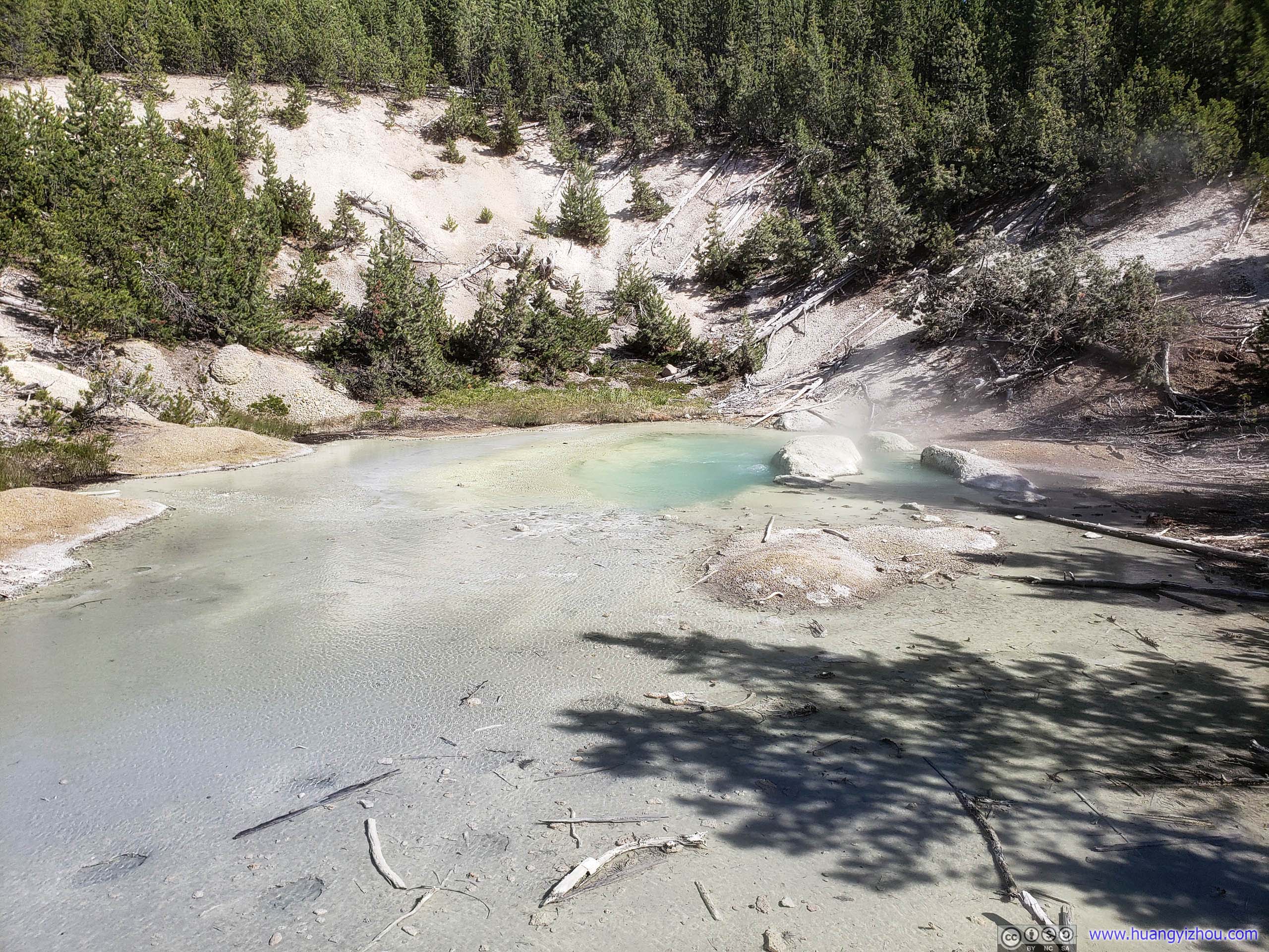
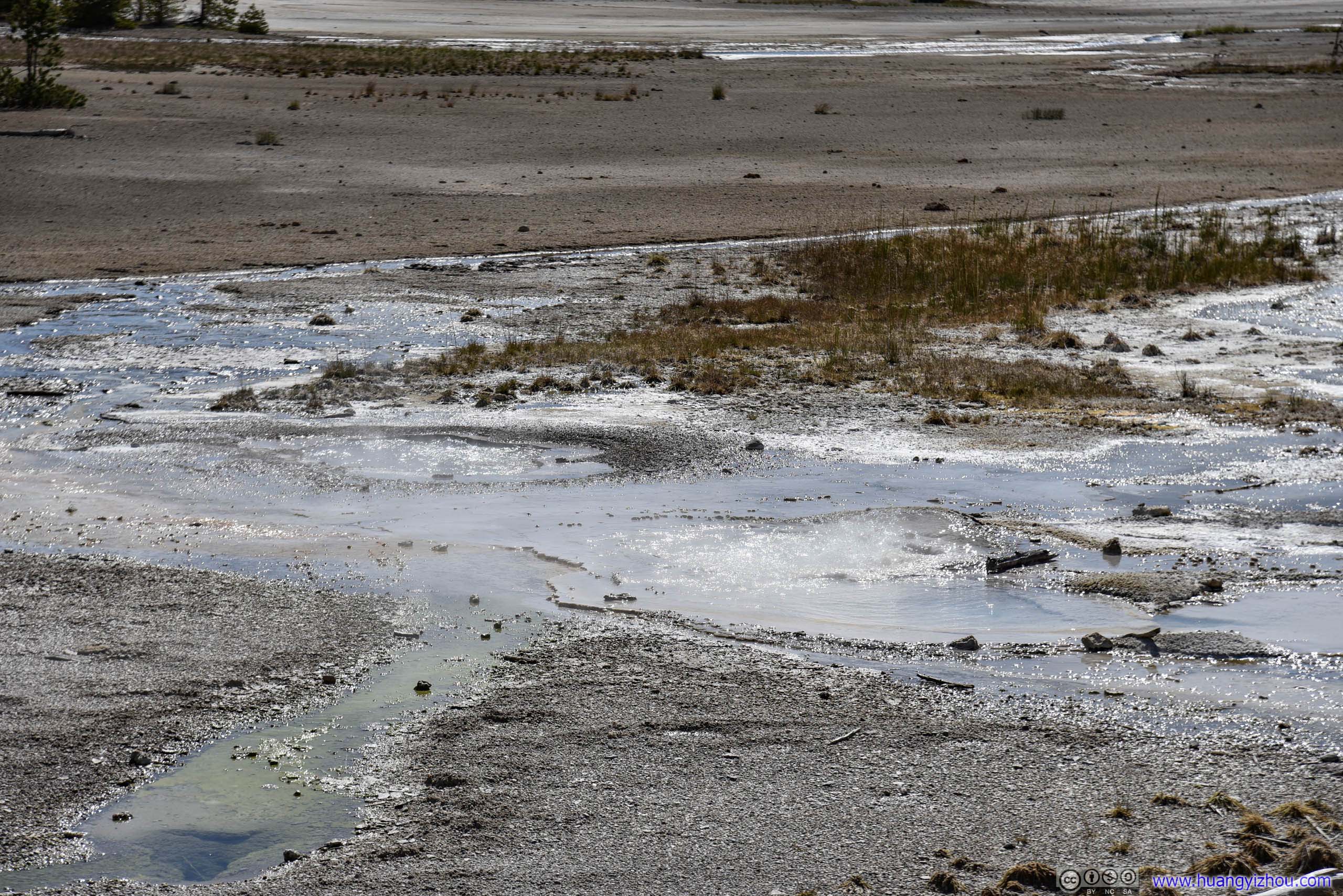
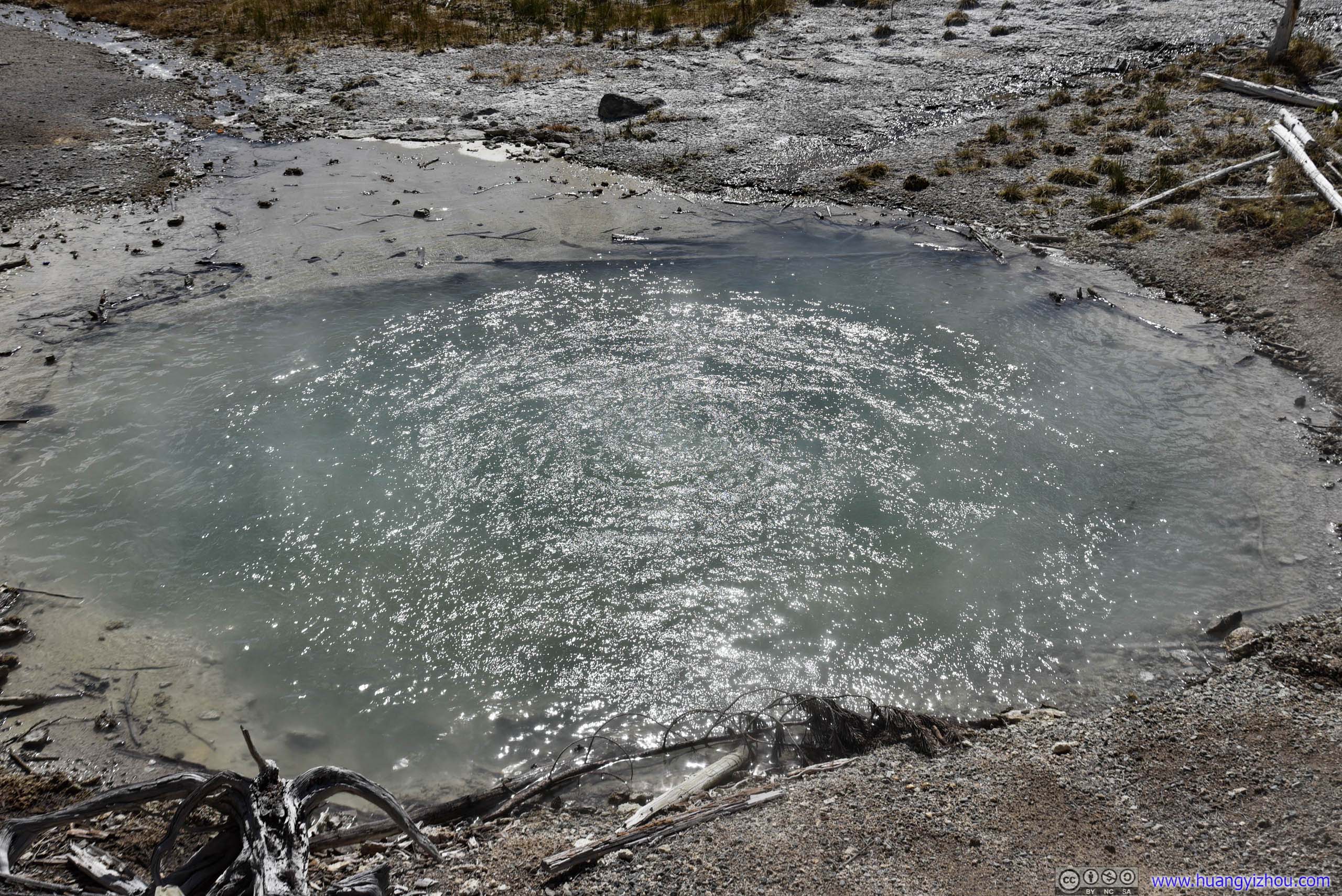
Water level was running low here. The online pictures had much larger areas of sapphire blue.

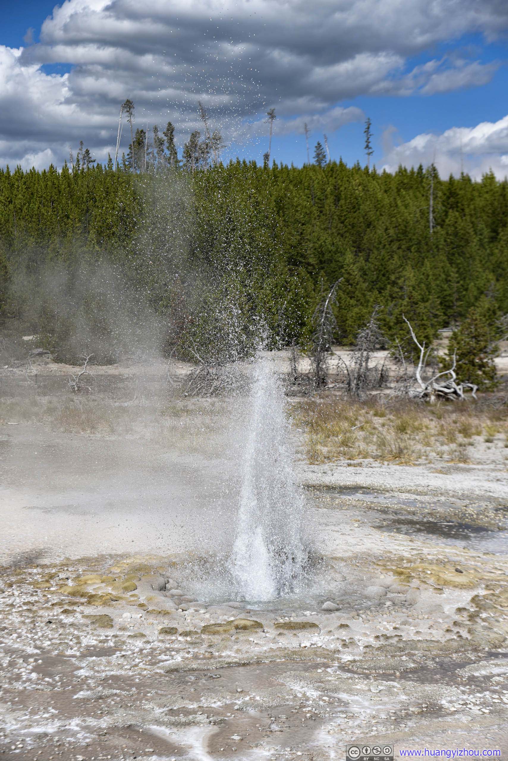
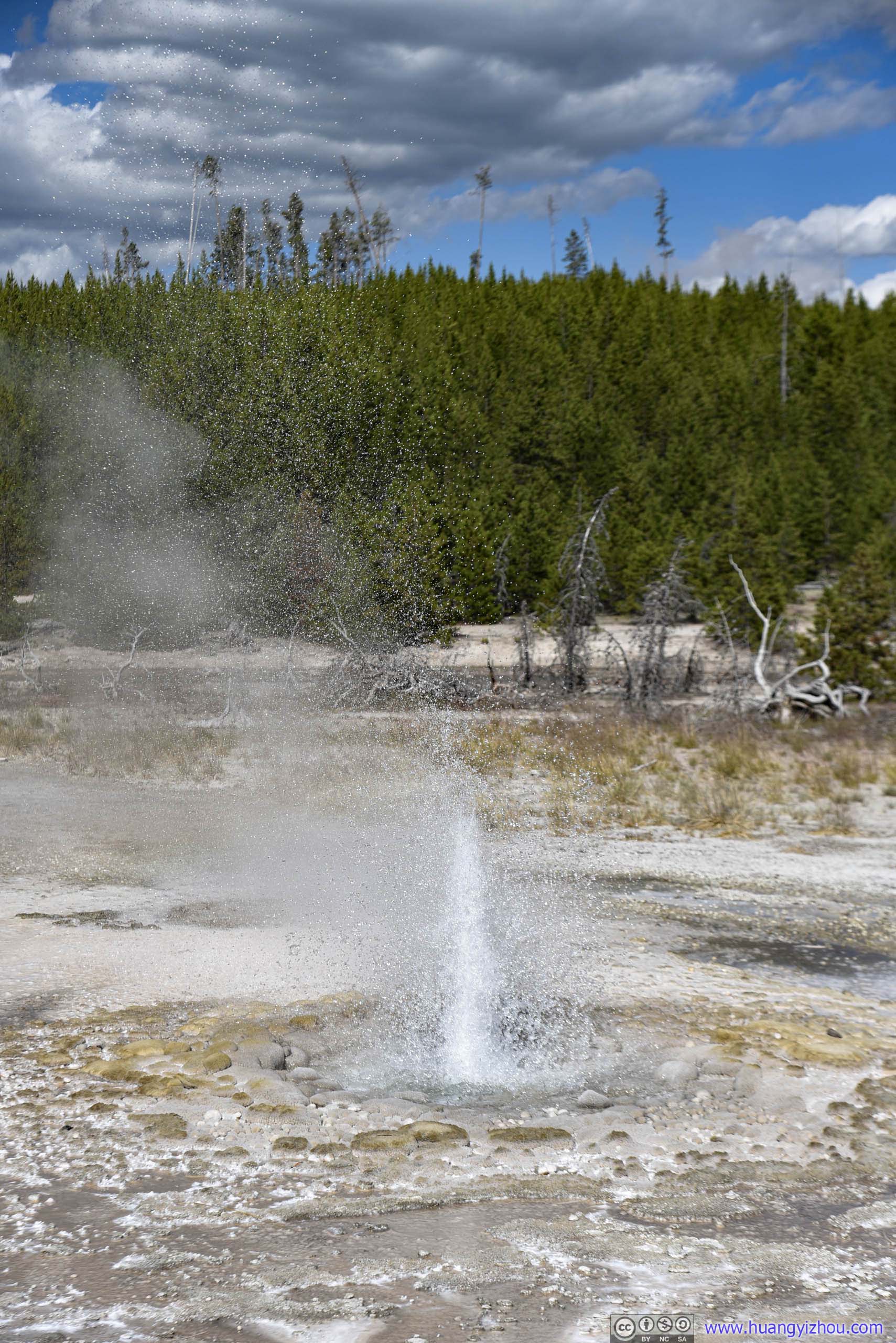
Vixen Geyser Erupting
And I took a video of Vixen Geyser Erupting on that afternoon. Unfortunately wind took the leading role from Vixen Geyser in it.
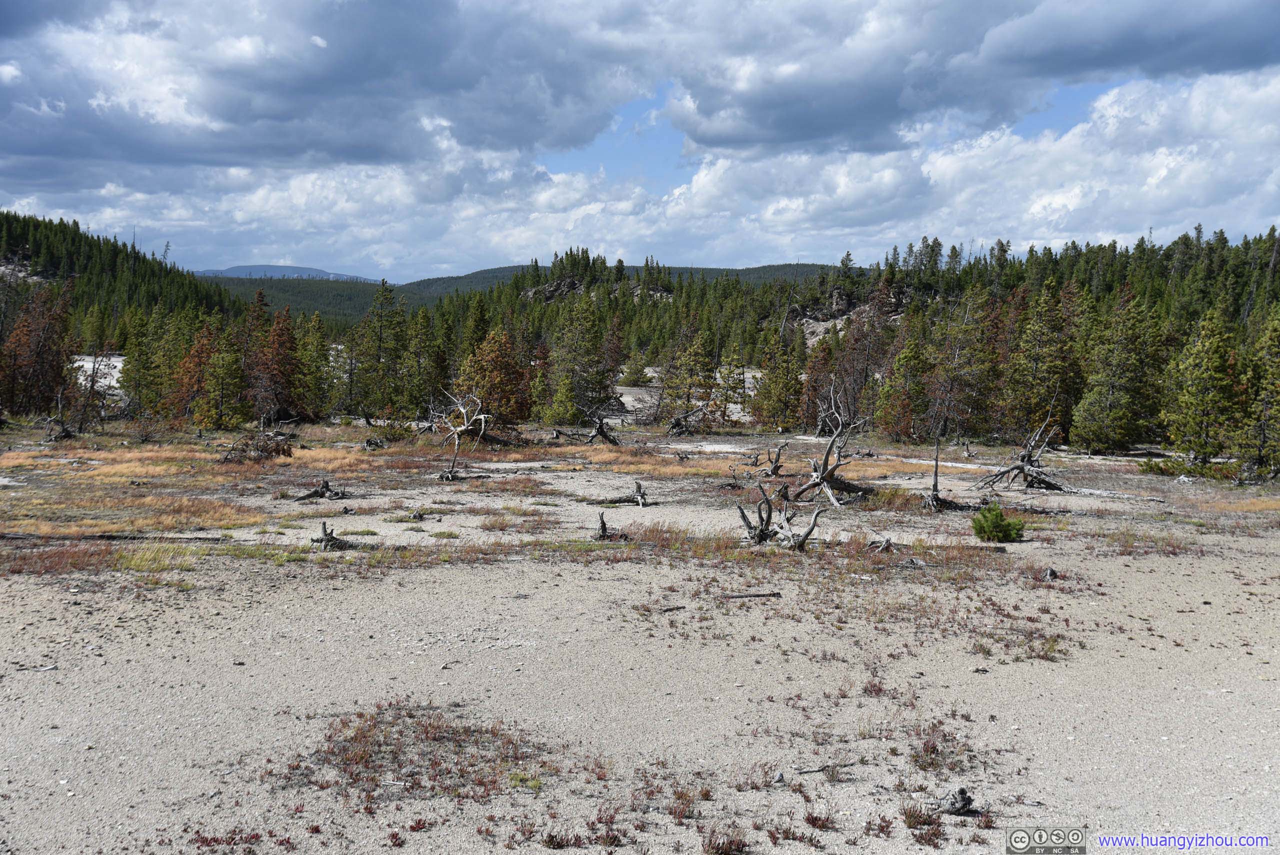
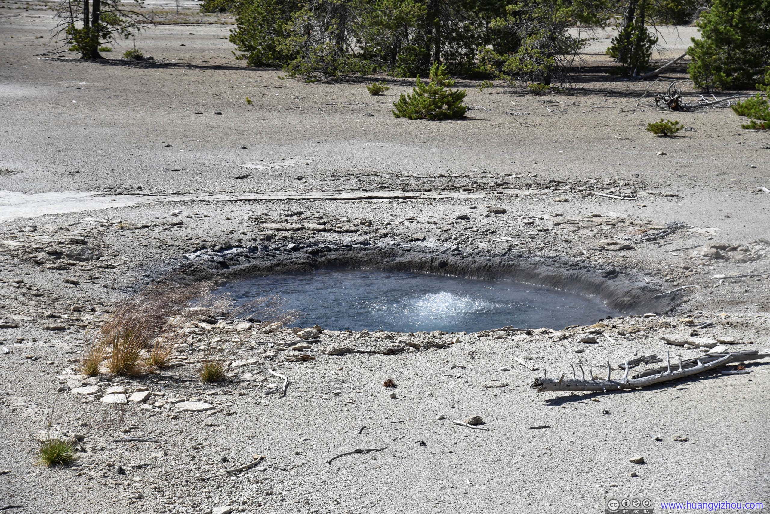
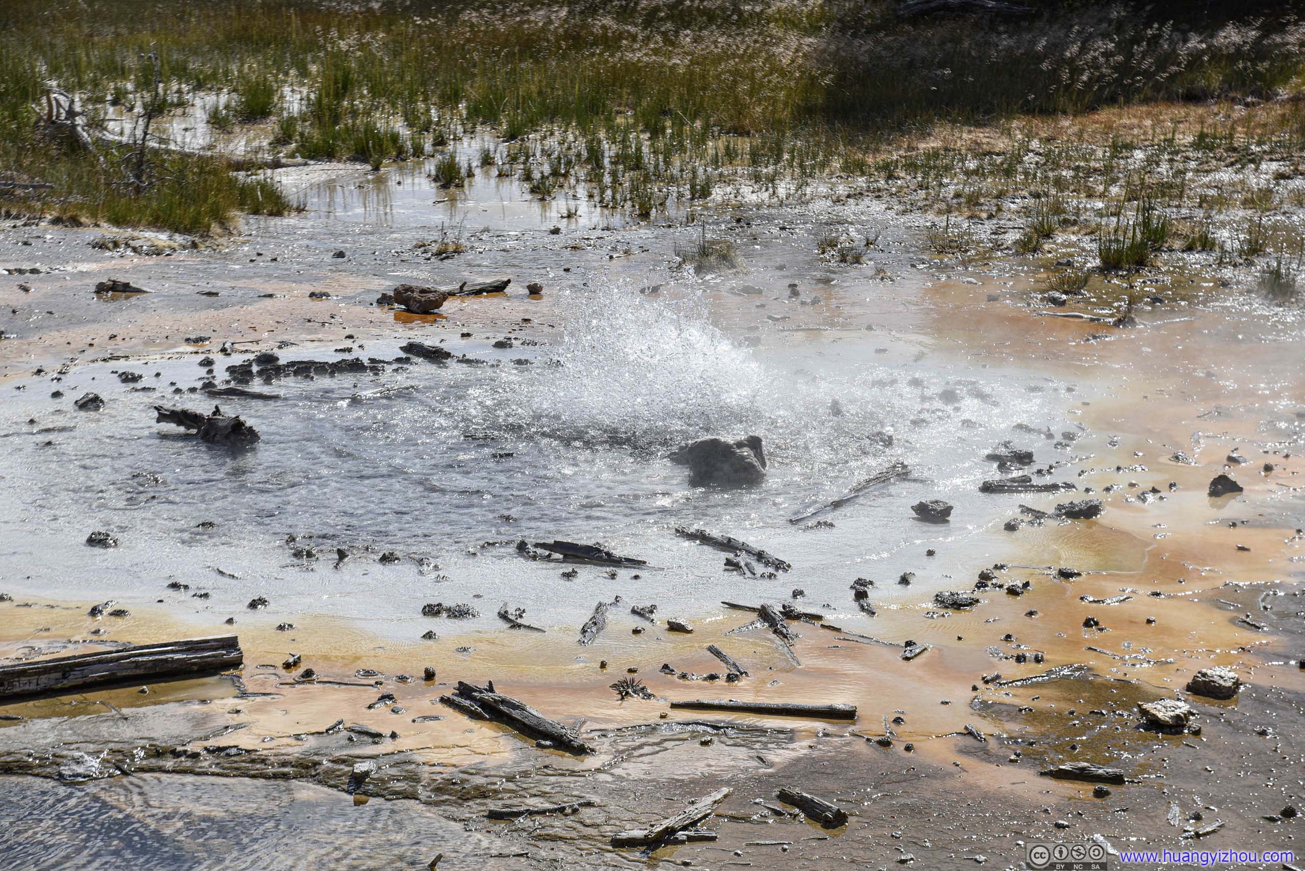
Okay, another geyser that went against its name, as Minute Geyser was now a perpetual spouter.
After this, our next stop was Artists Paintpots, which was located 6 km South on Grand Loop Road.
Artists Paintpots
The hill of Artists Paintpots were located 550 meters from a tiny parking lot about 40 spots, so expectedly, we waited 15 minutes in the queue entering parking lot.
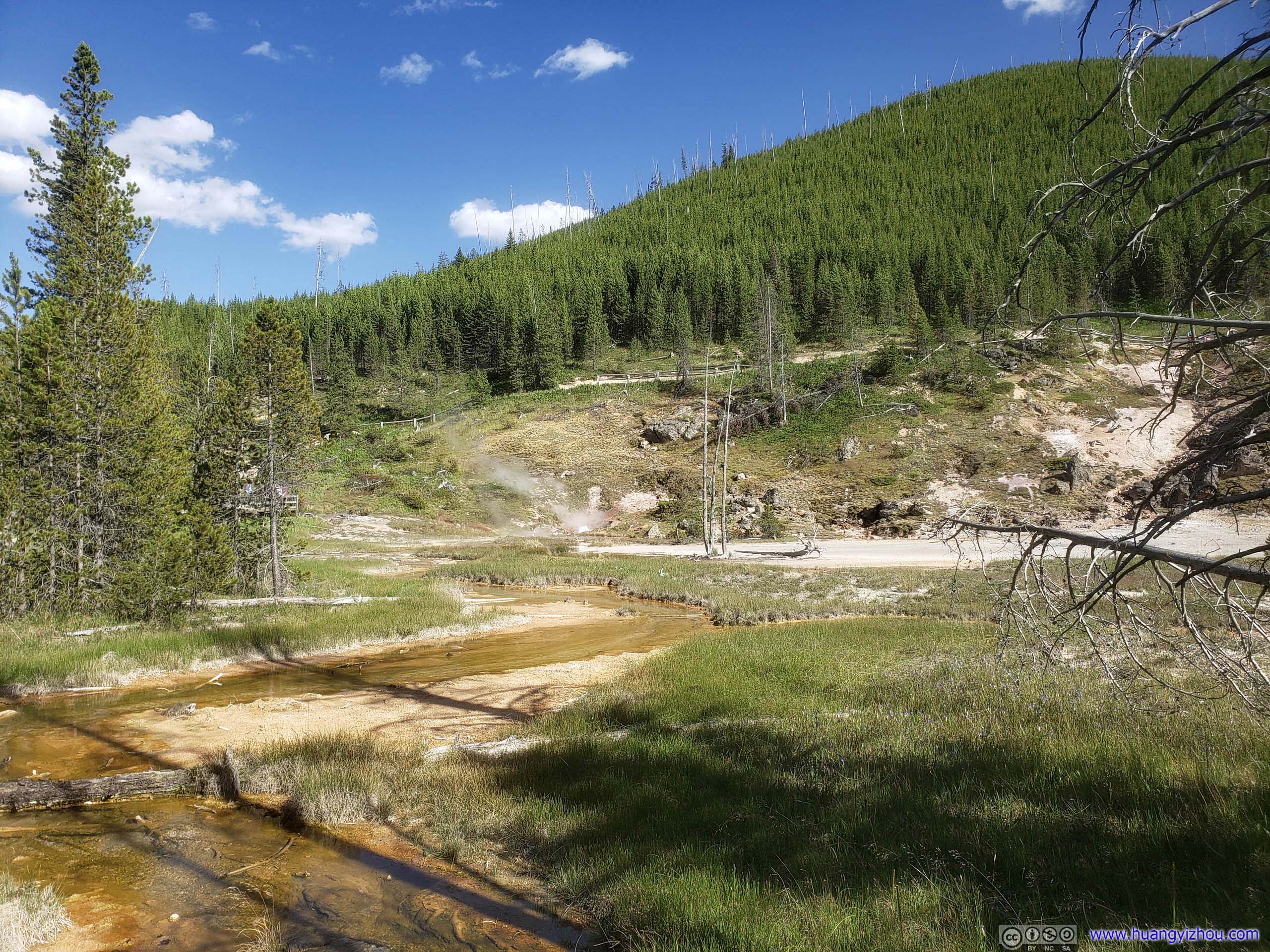
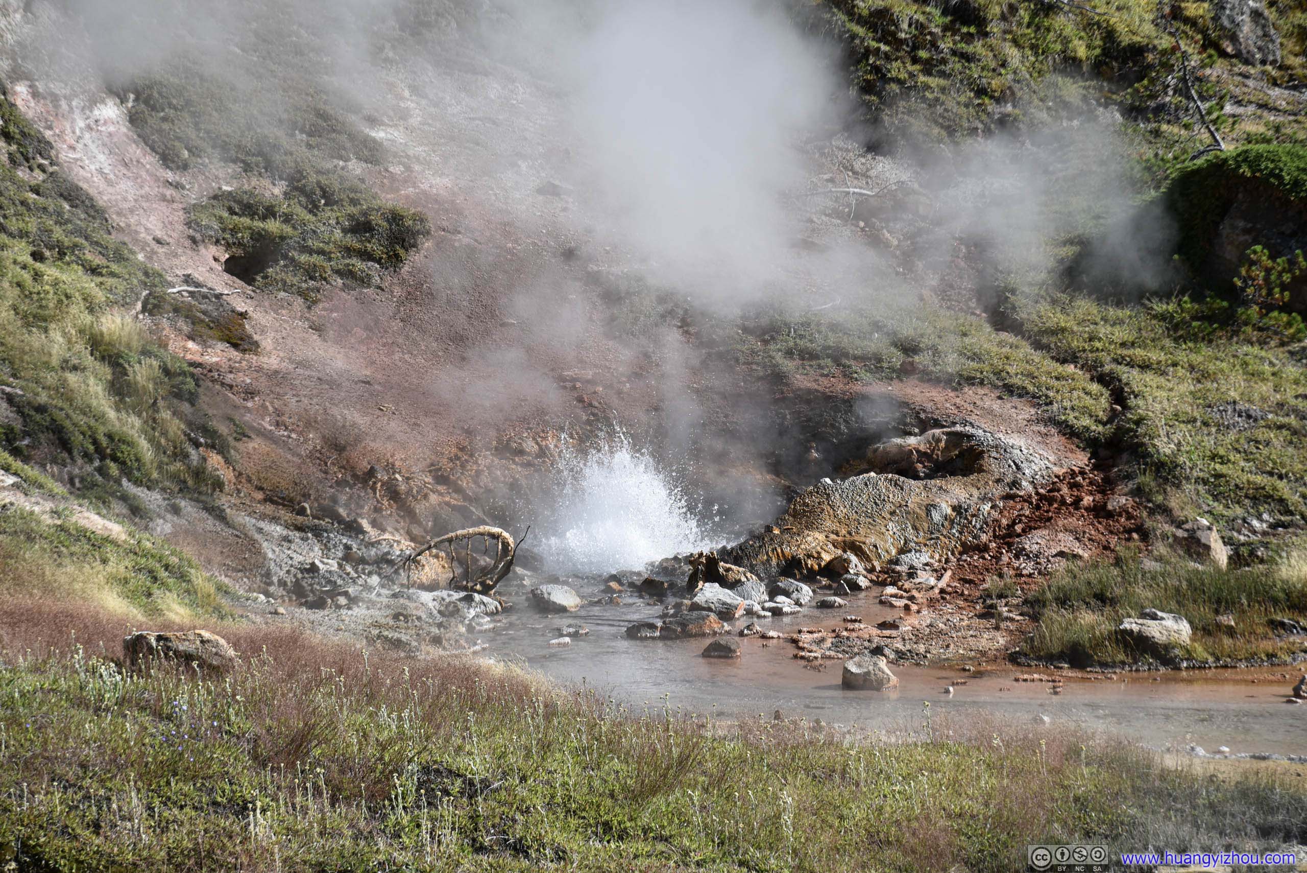
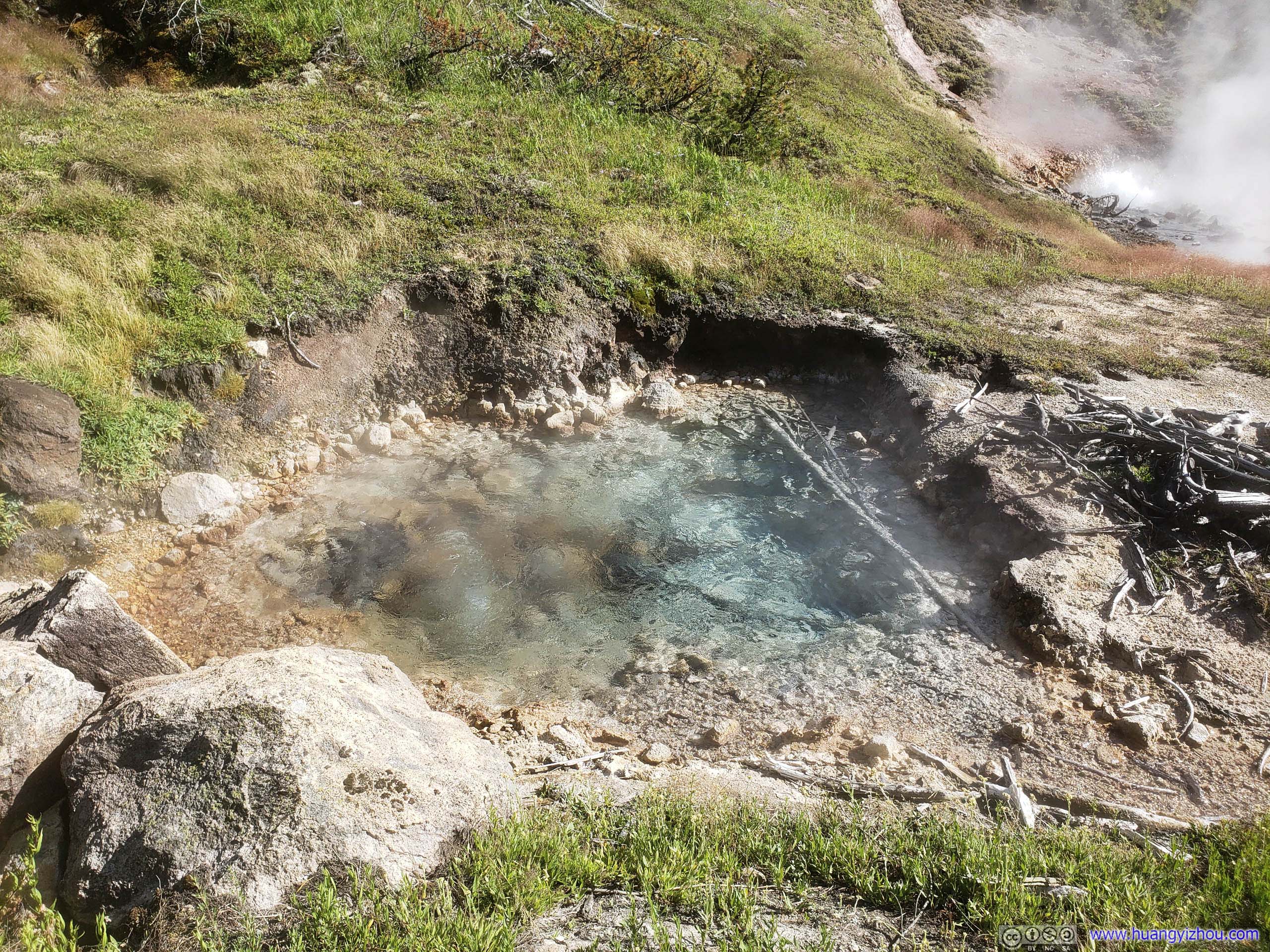
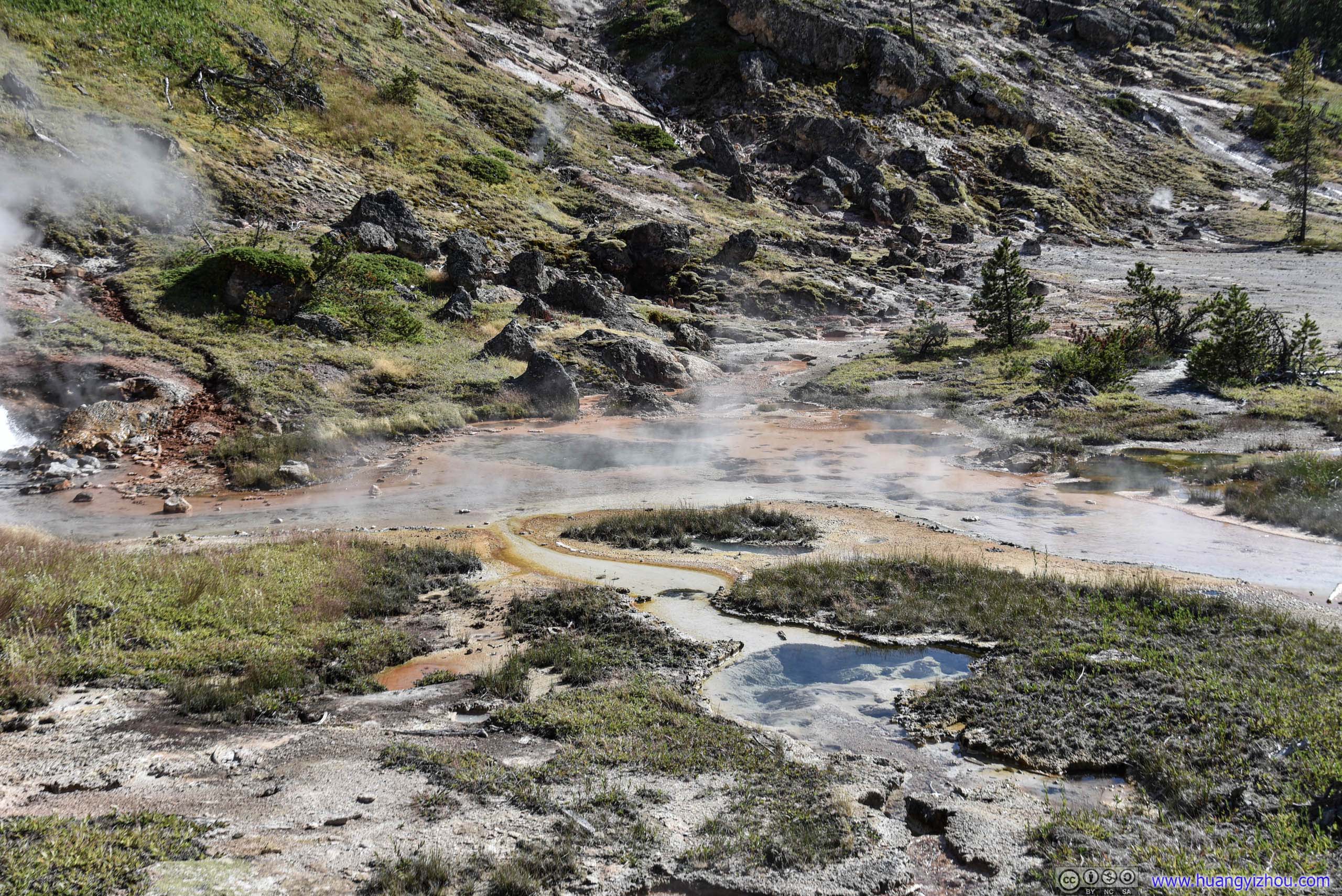
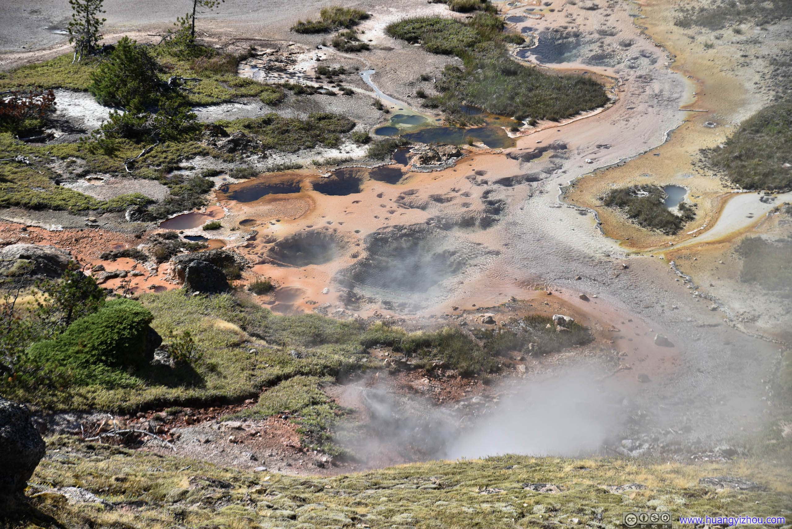
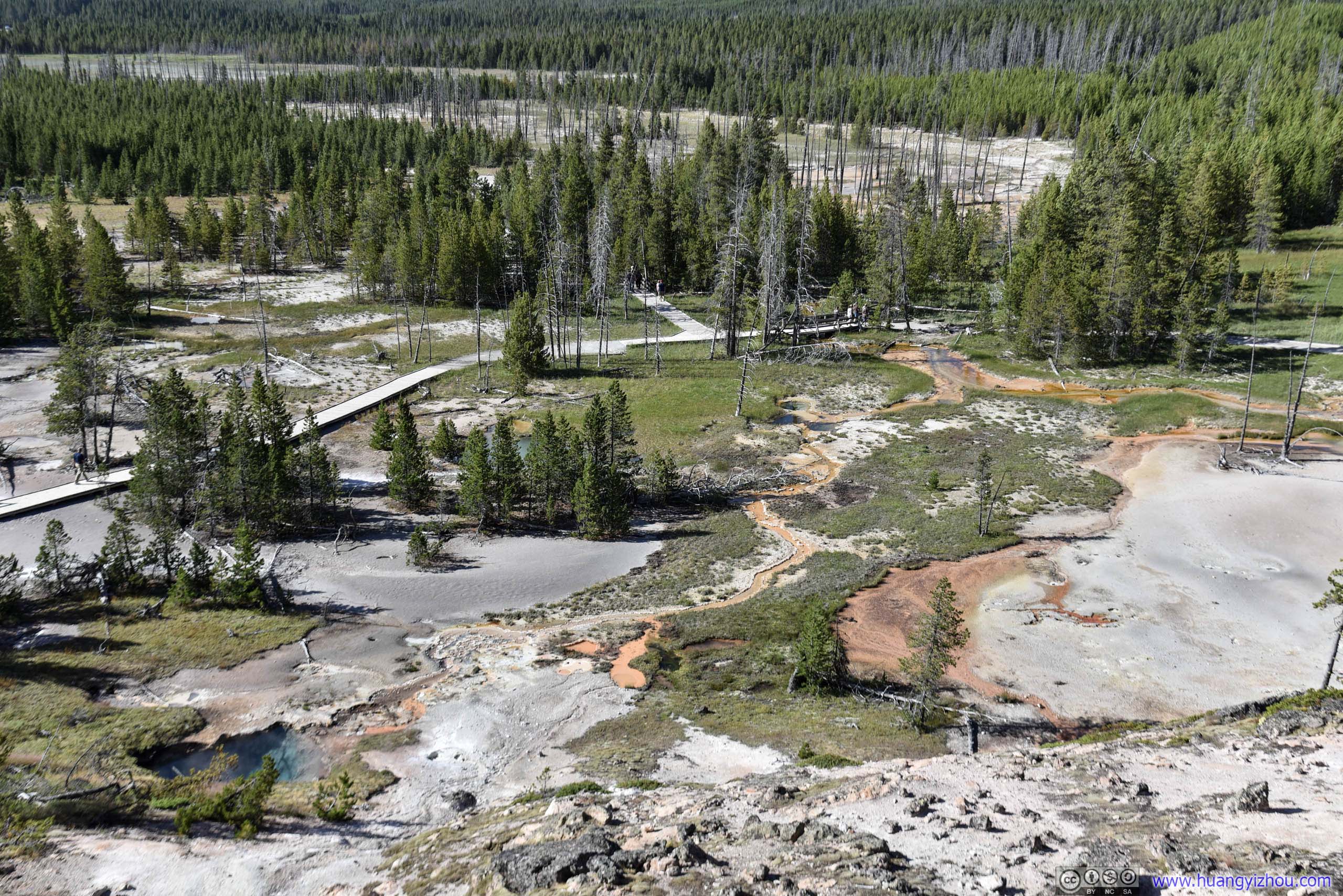
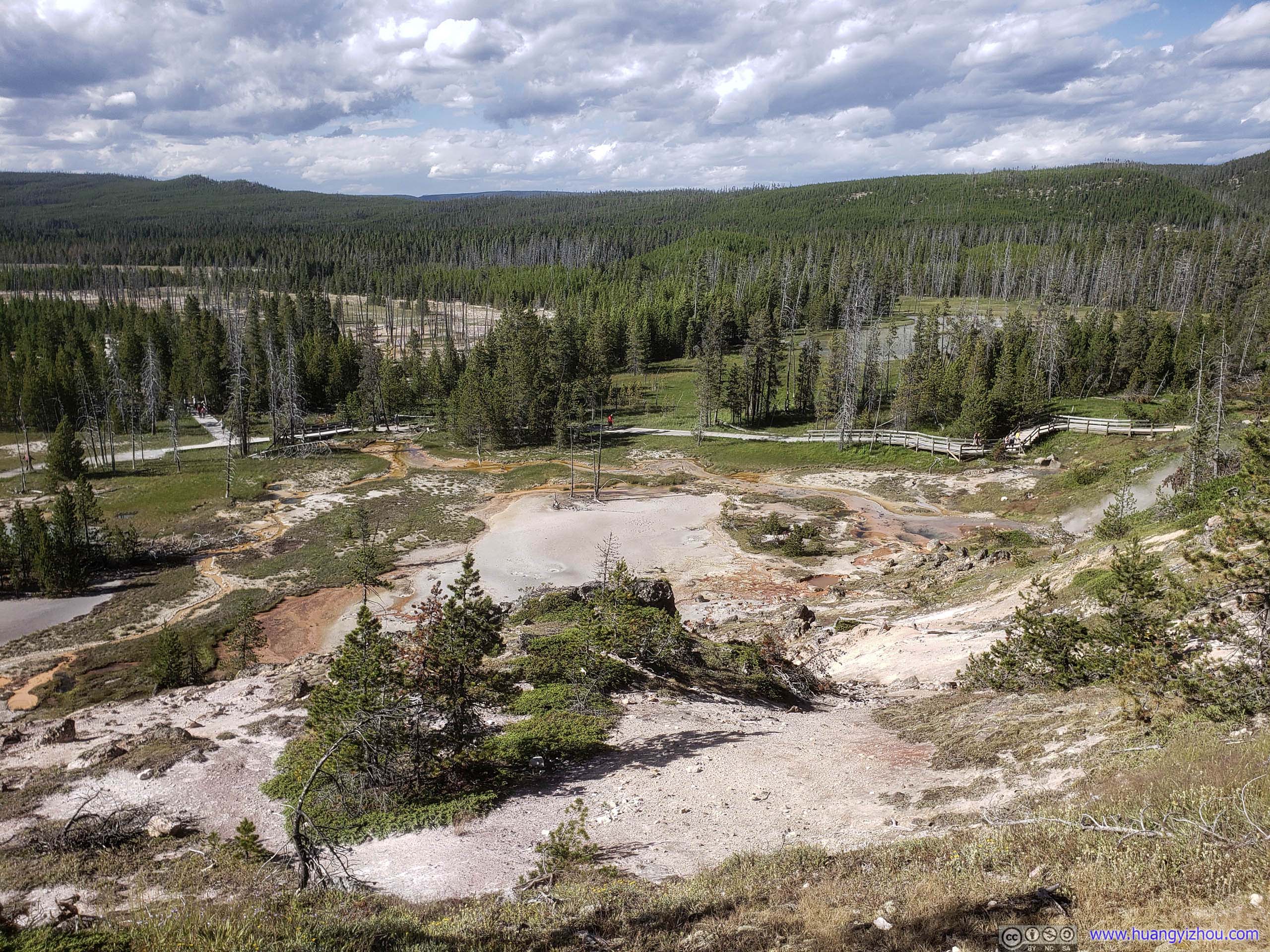
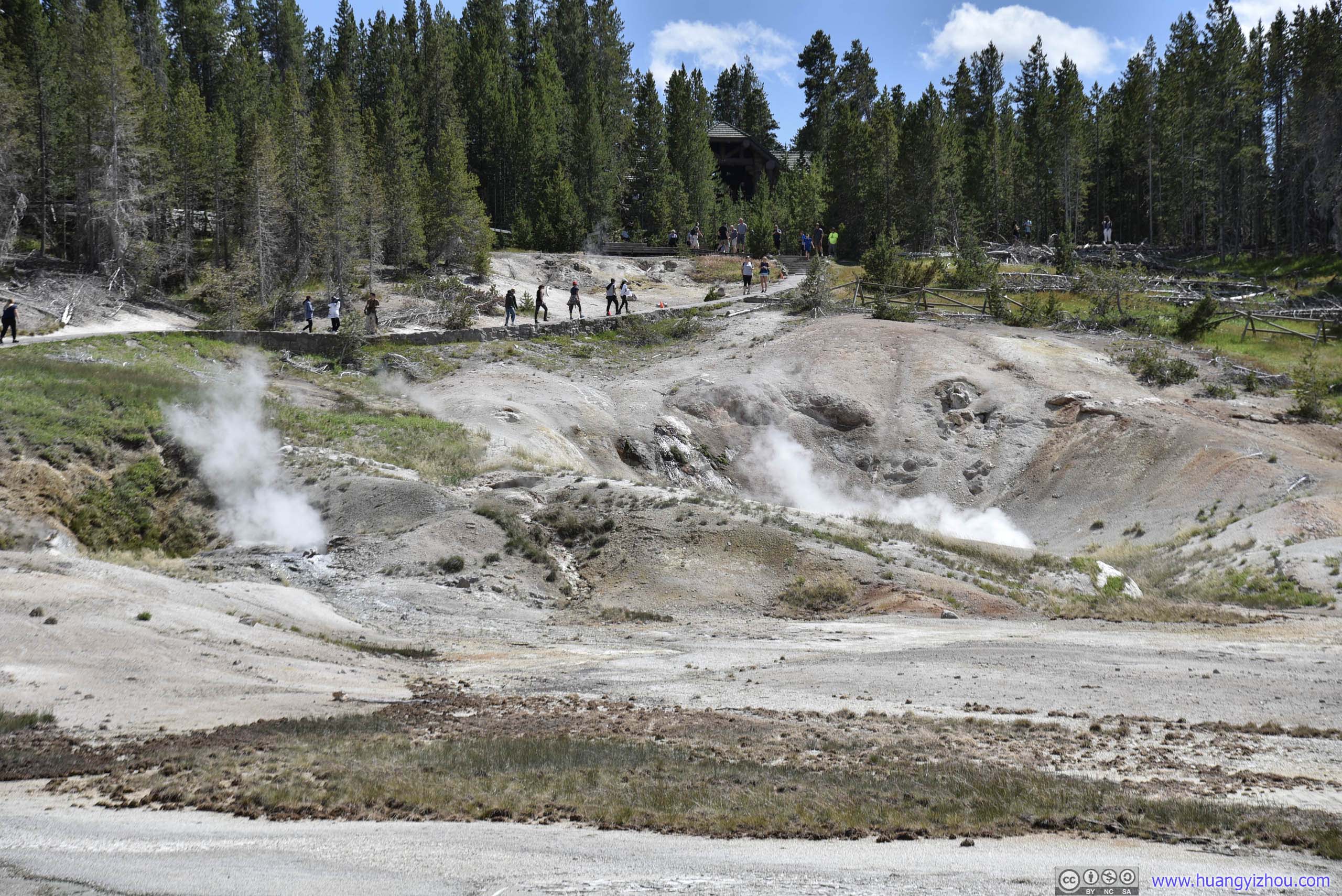
From these photos, I guessed "Artists Paintpots" must be named for the many holes of springs and geysers on the ground, not for the variety of colors (Upper Geyser Basin could certainly beat it in this aspect).
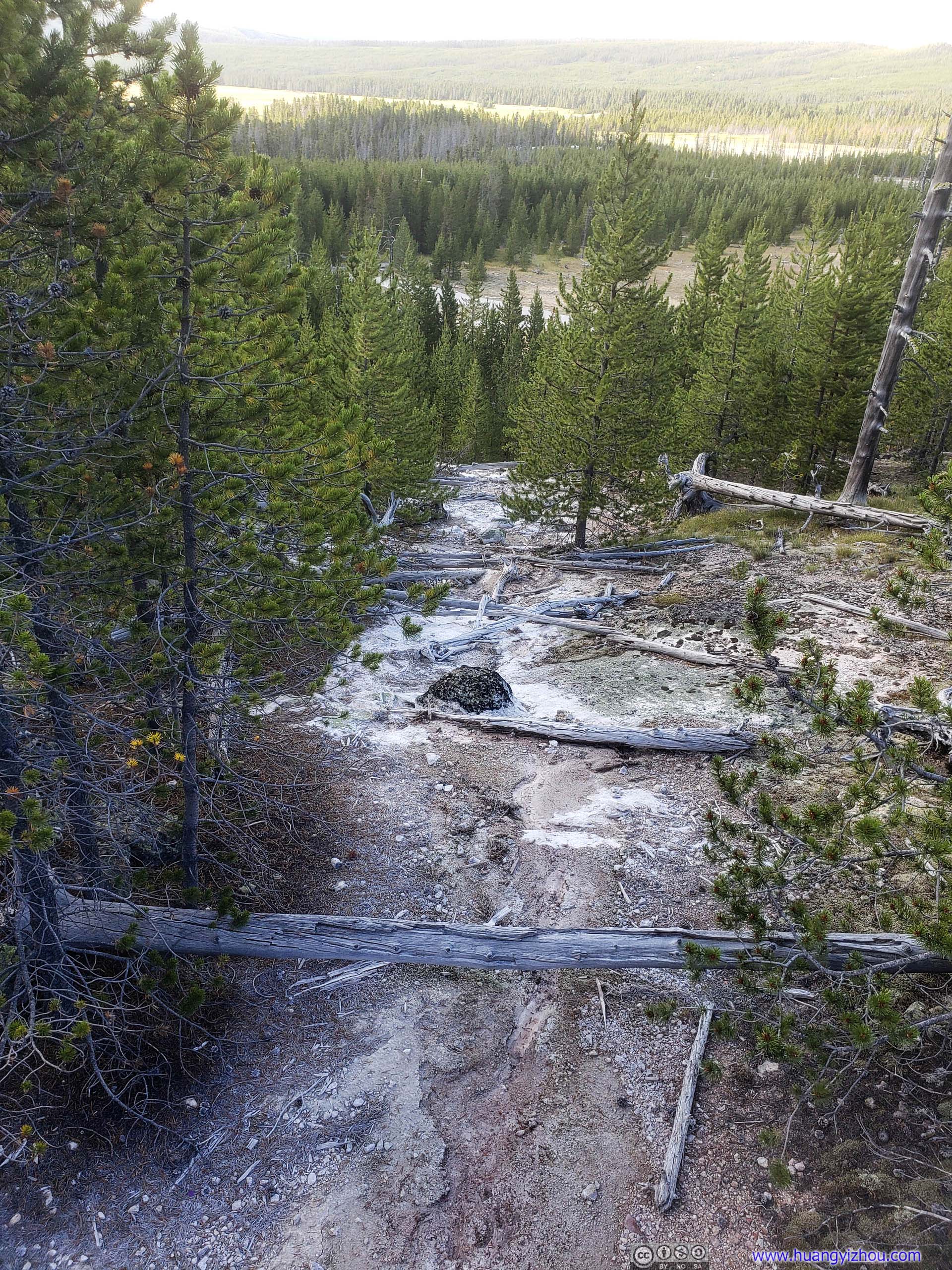
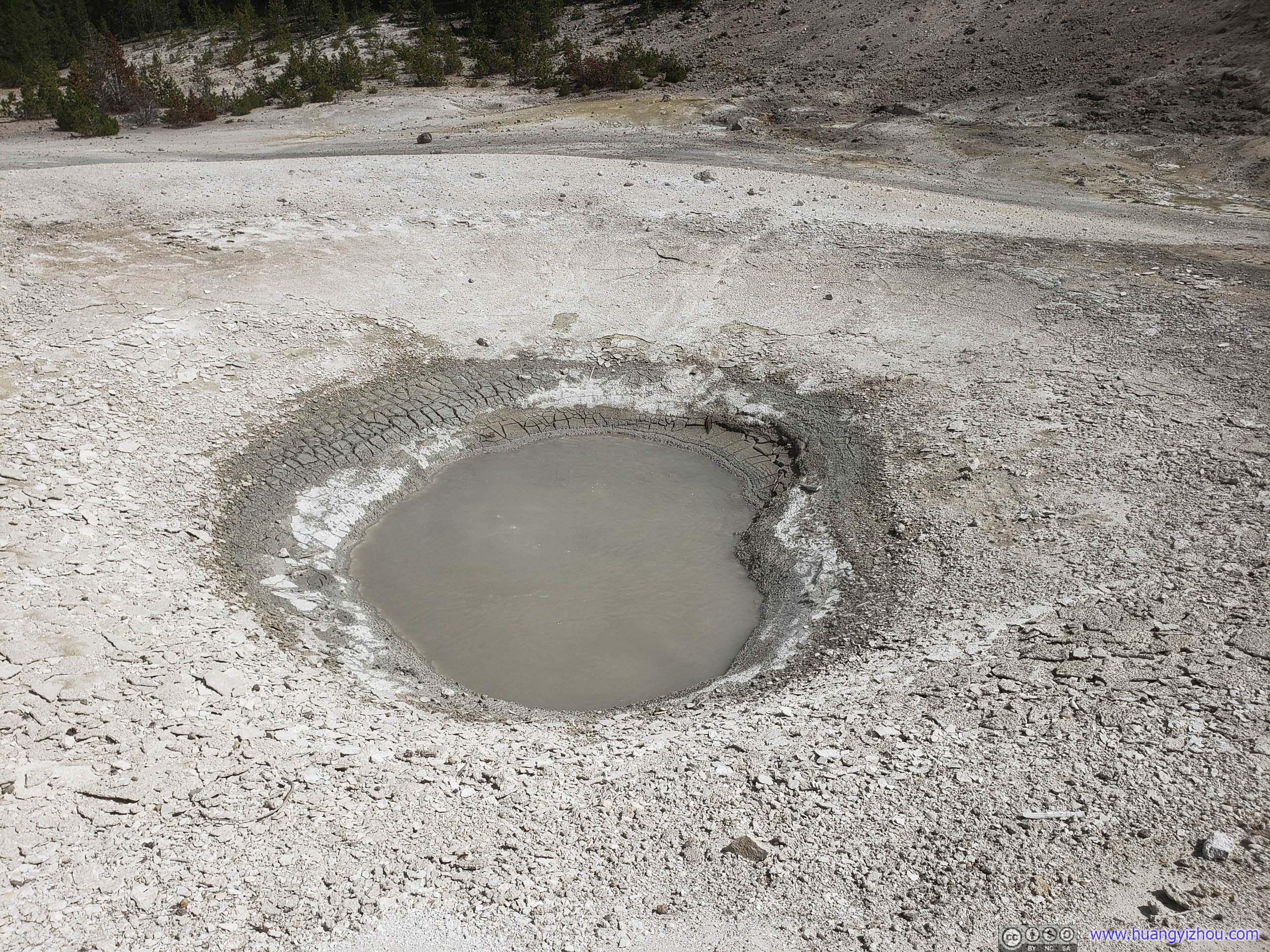
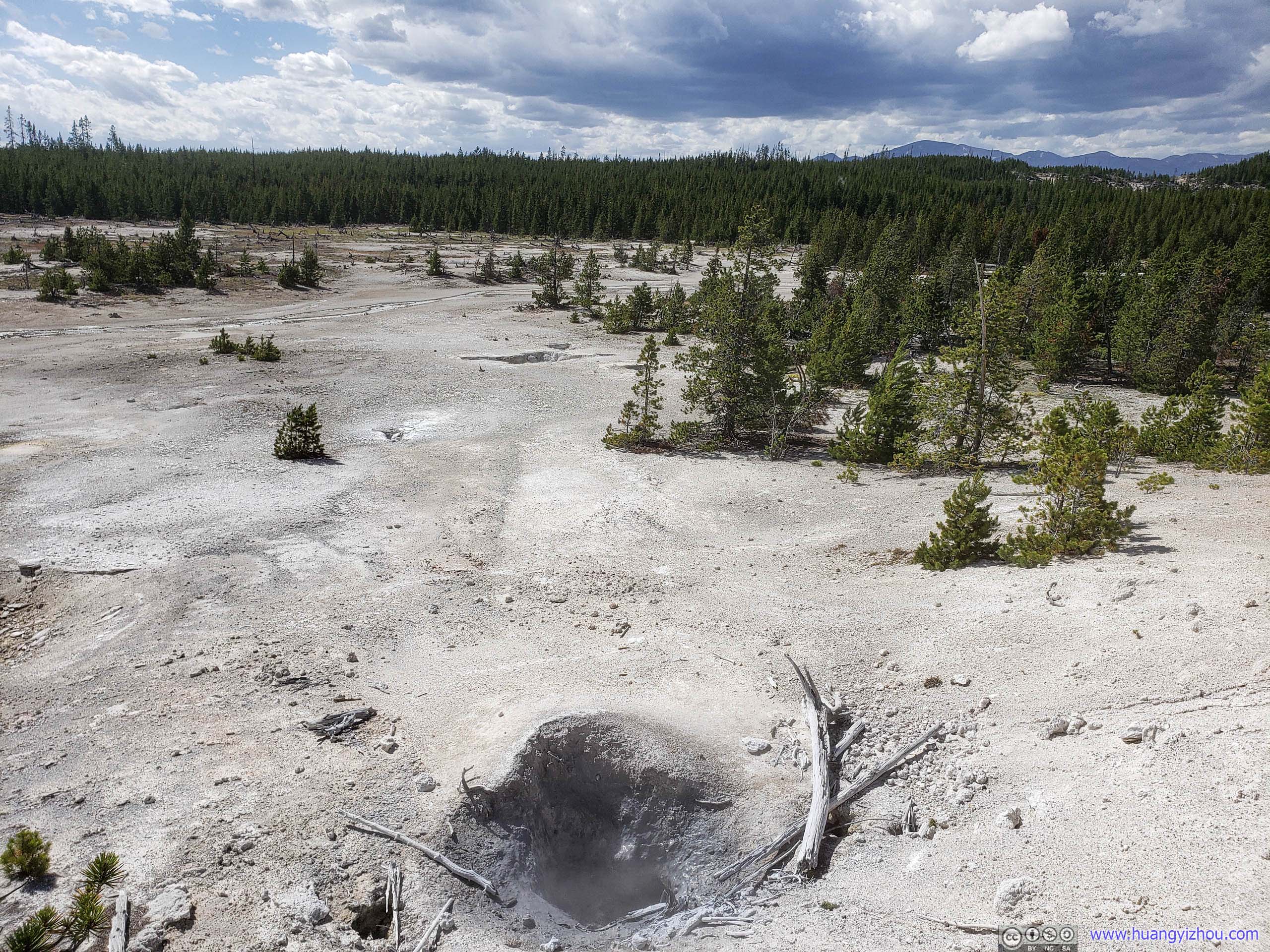
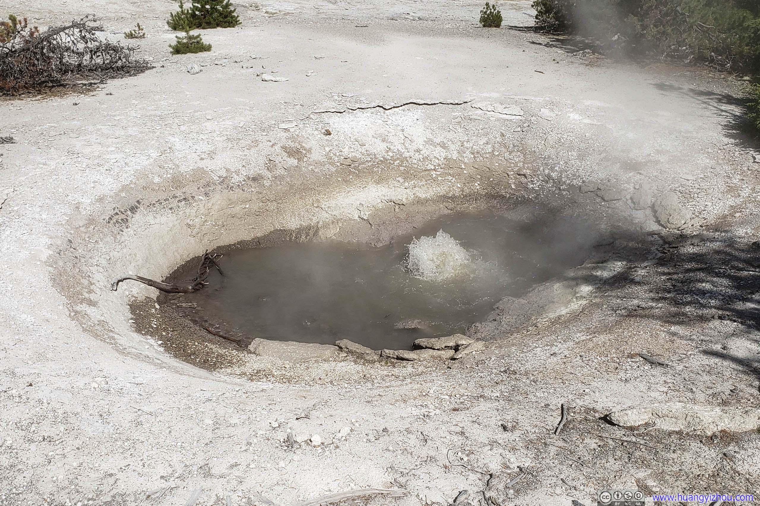
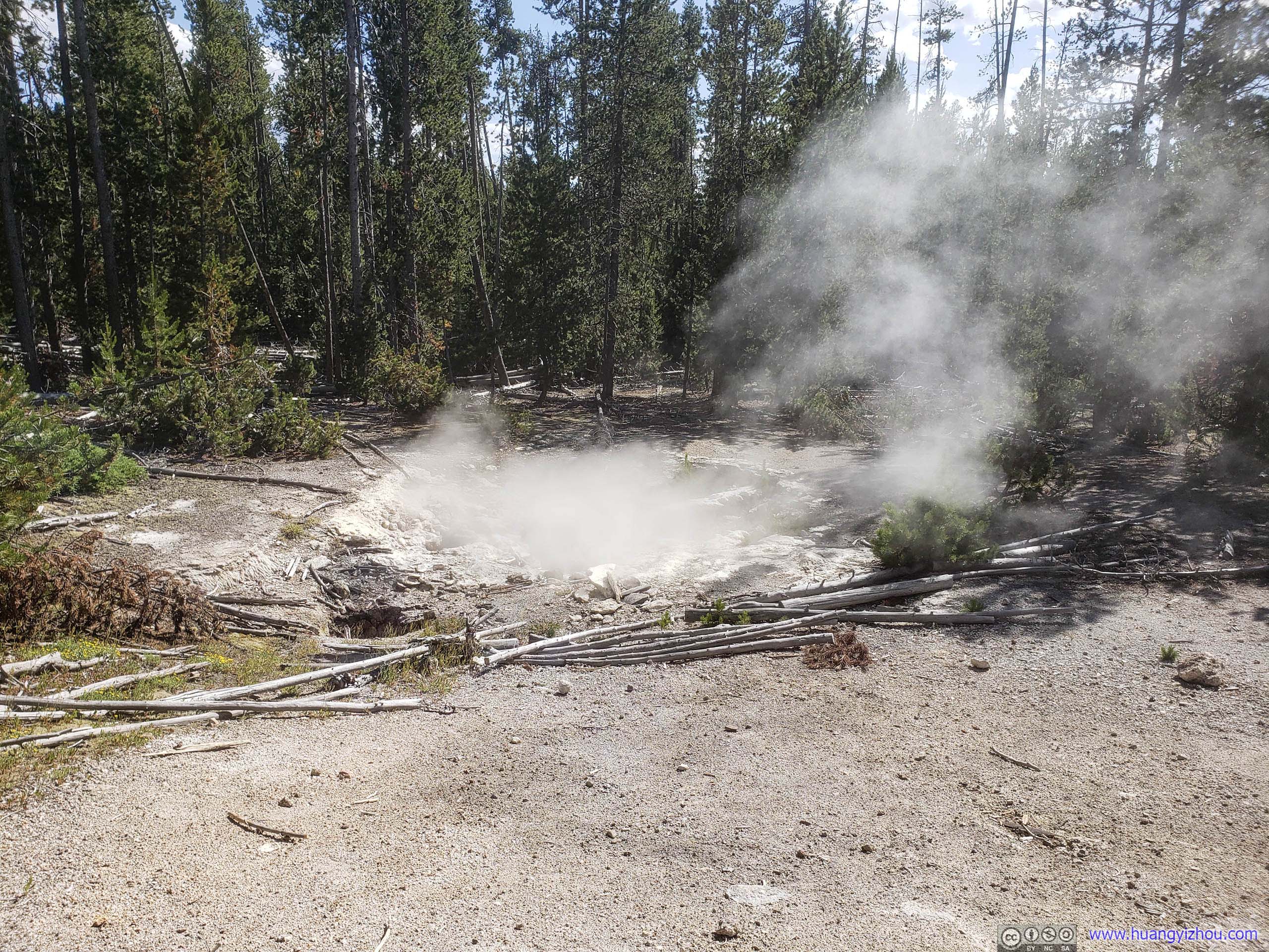
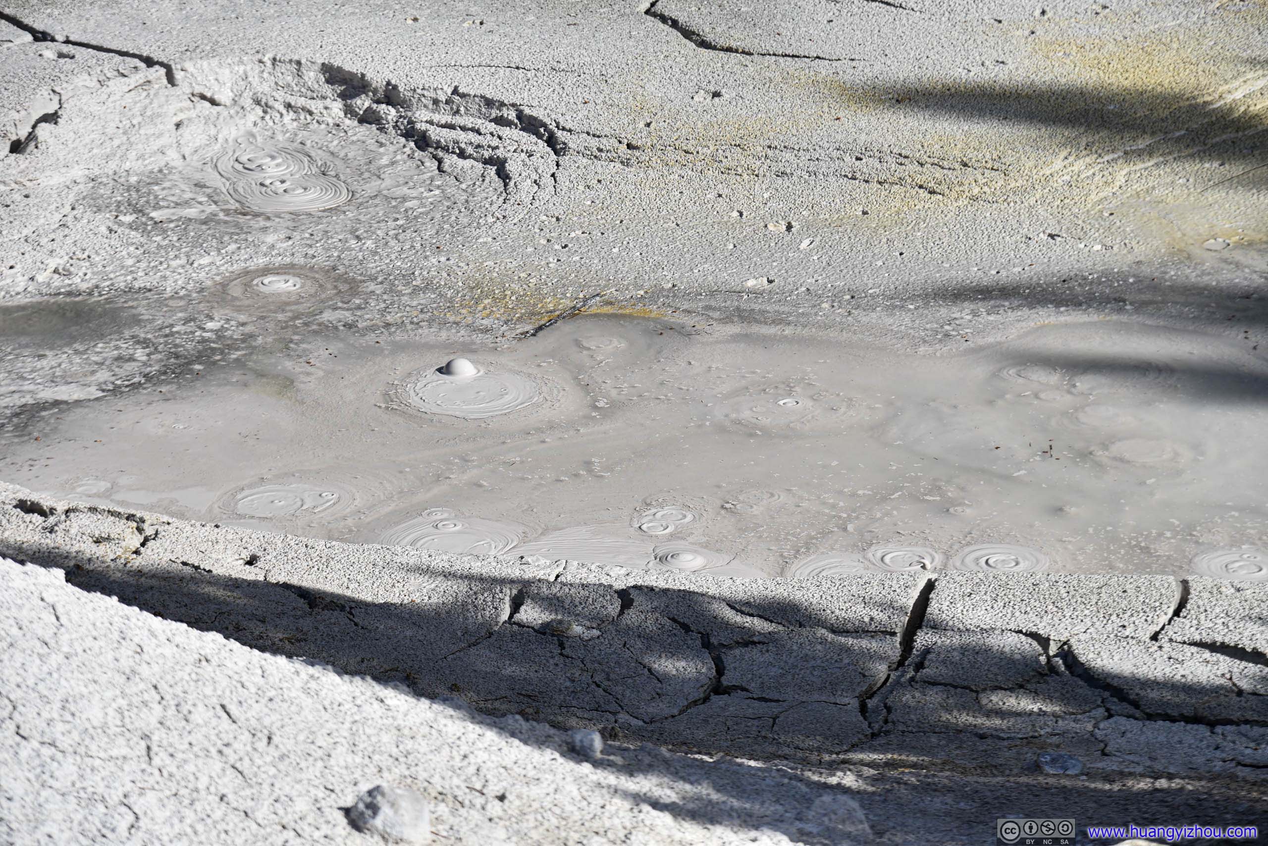
And that name sure should only apply to the downhill basin. On top of the hill, what we saw were all mud pots like this:
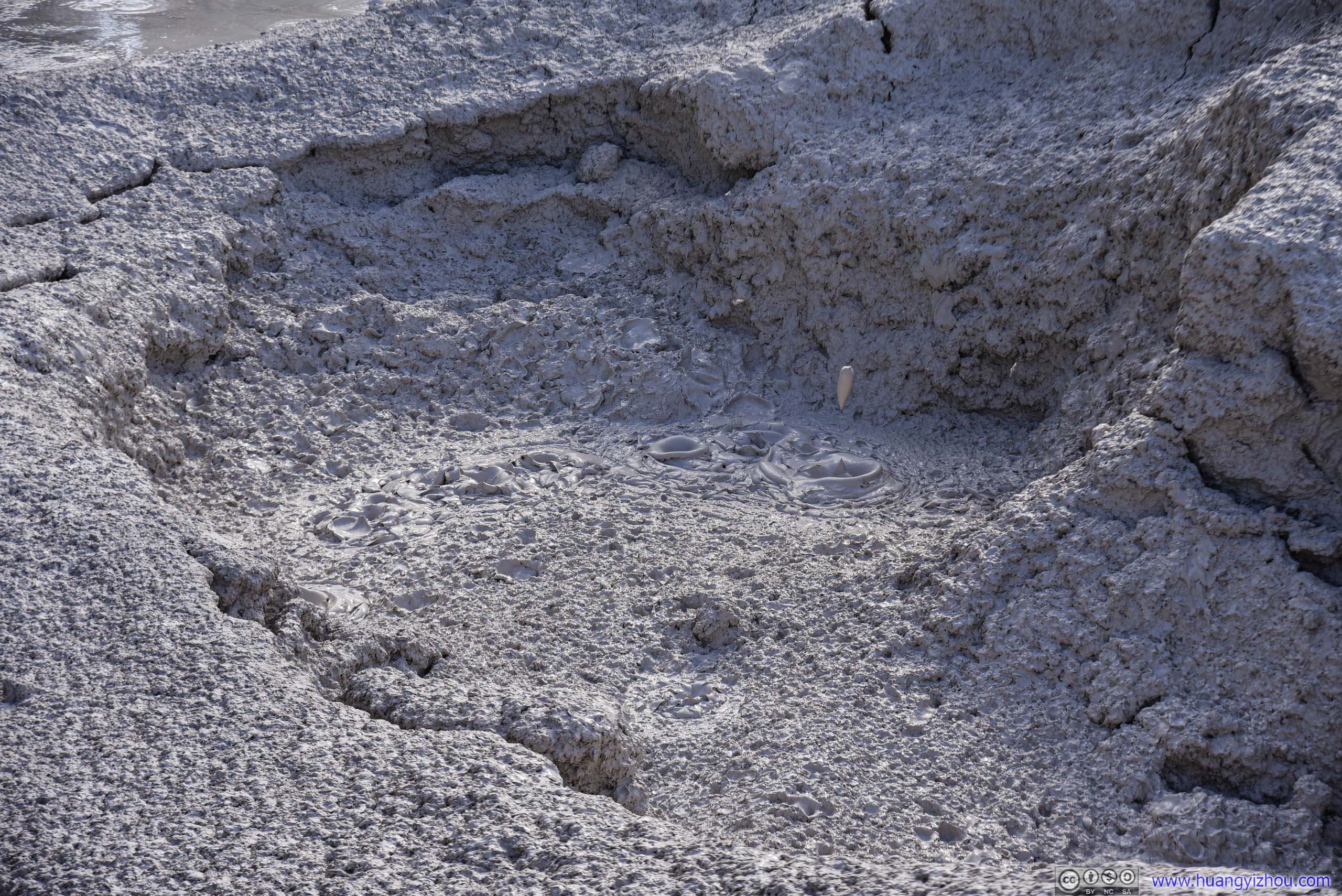
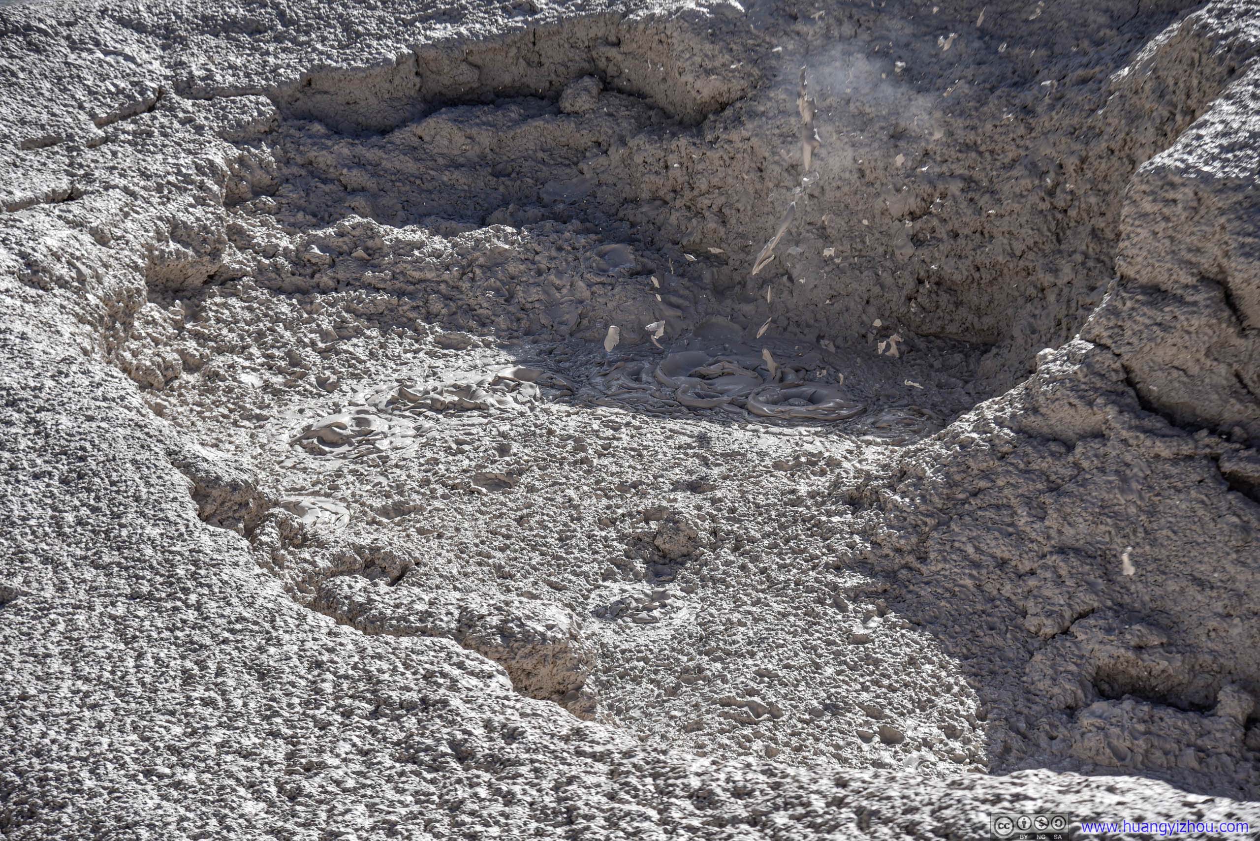
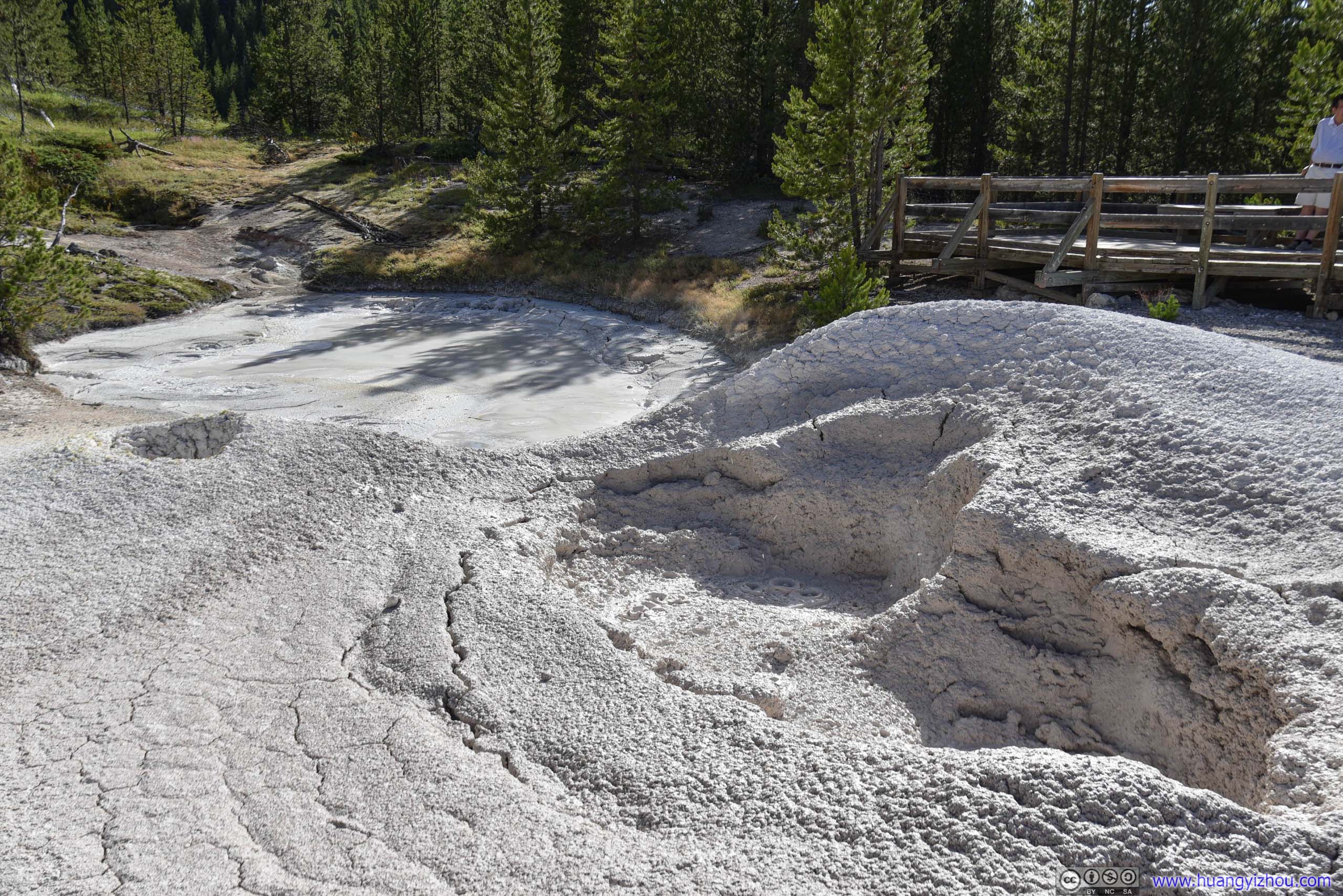
Mudpot
And I'm pretty sure no artist would be interested in these muddy colors.
According to a nearby post, these mud pots received water from rain and snowmelt only. So they were more splashy in spring and thicker in summer.

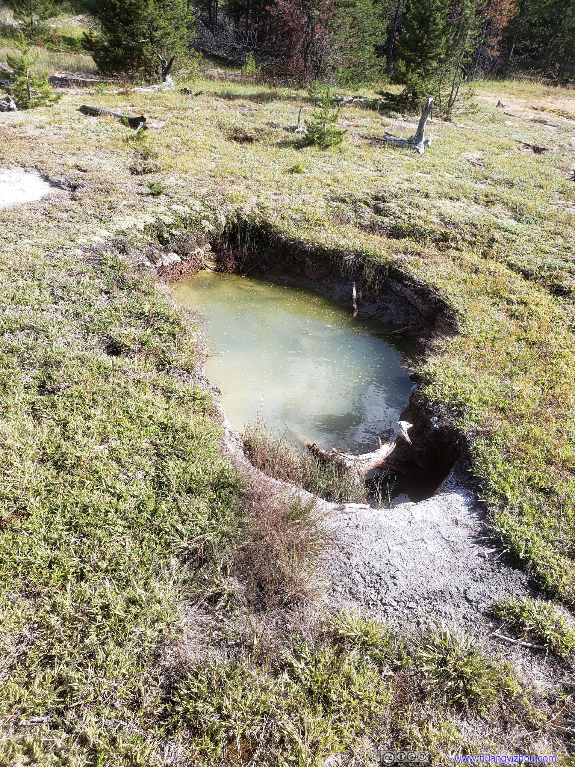


Hot Spring
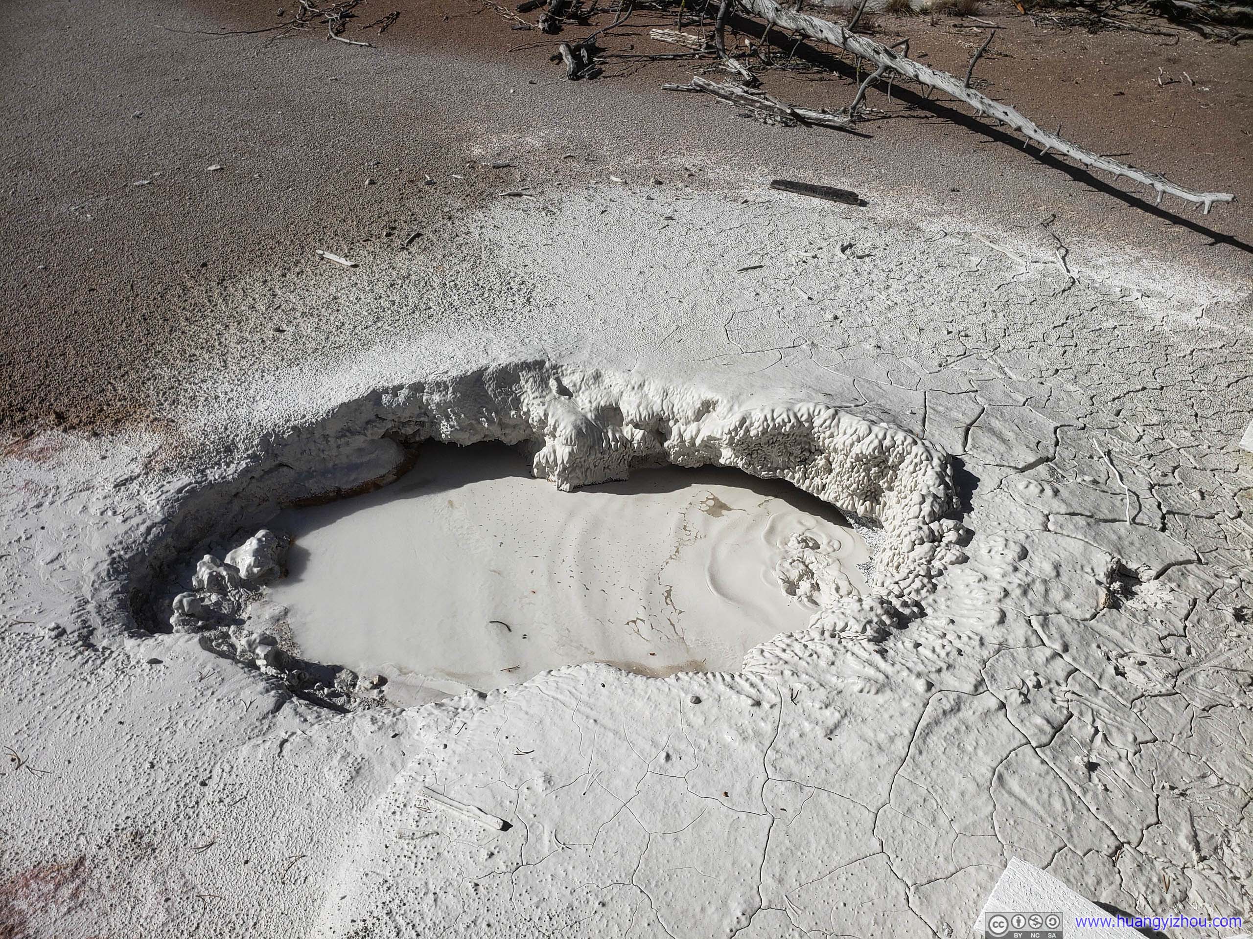
After that, we headed for Gibbon Falls, our last stop of the day.
Gibbon Falls
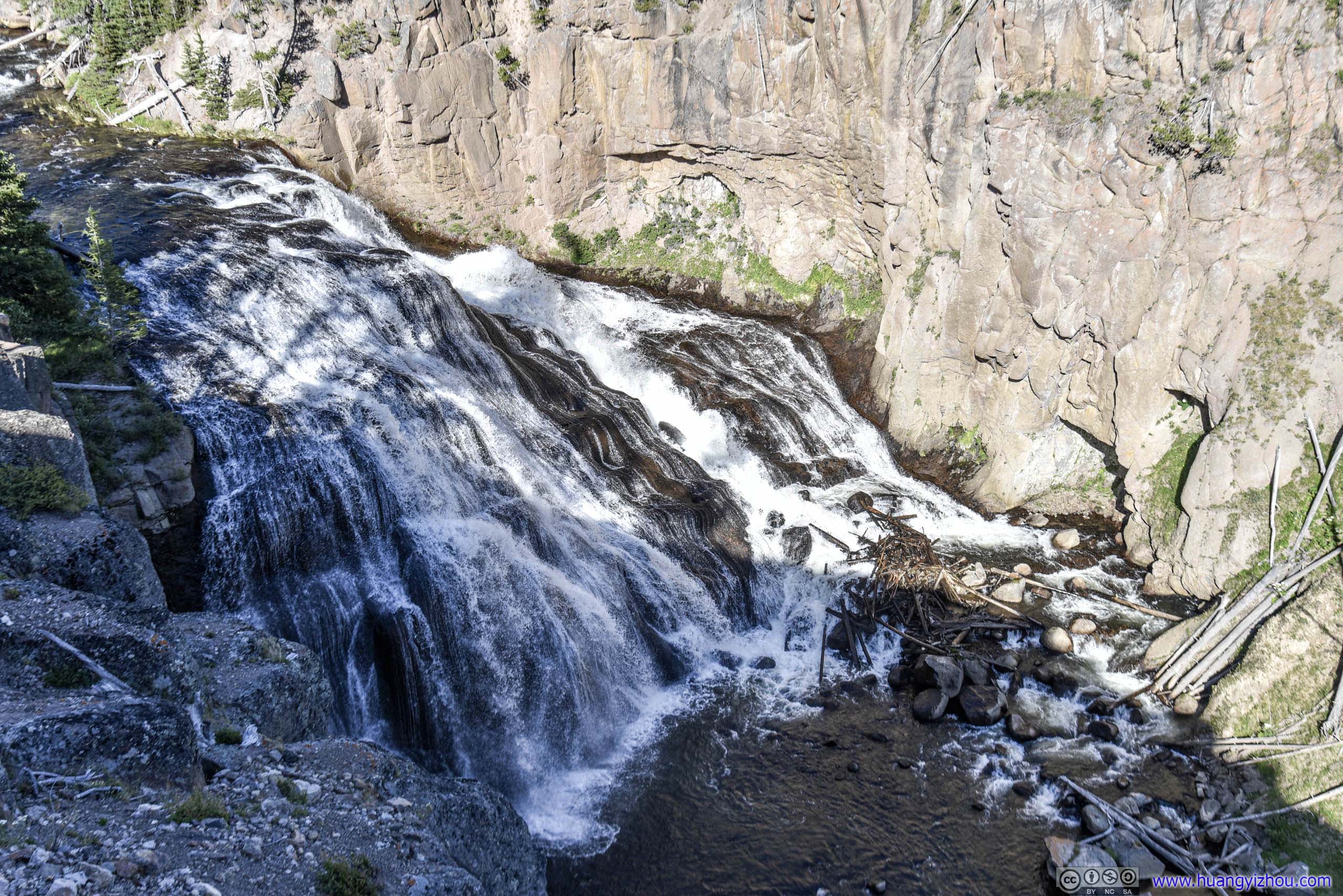
Unfortunately, it seemed that the best time to visit Gibbon Falls should be noon to early afternoon. It was 6 pm and part of the waterfall was in the shadow of surrounding canyons, which wasn't ideal for photography.
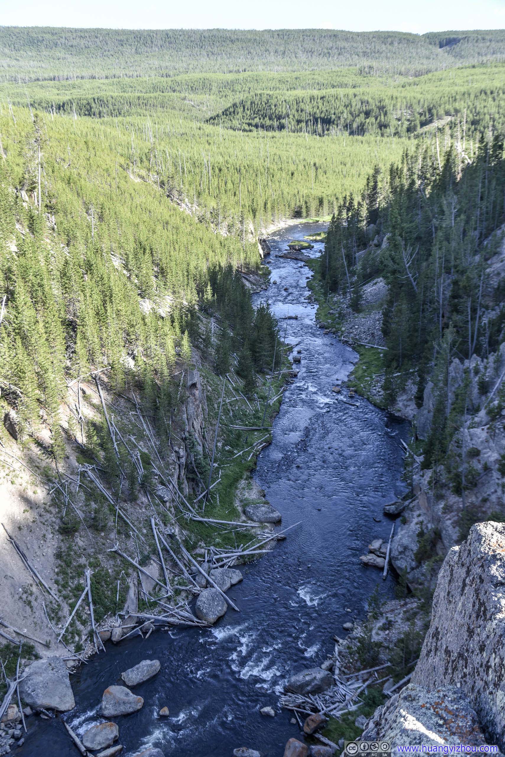
We didn't find any trails to the edge of Gibbon Falls from parking lot, so after a few photos, we were on our way back.
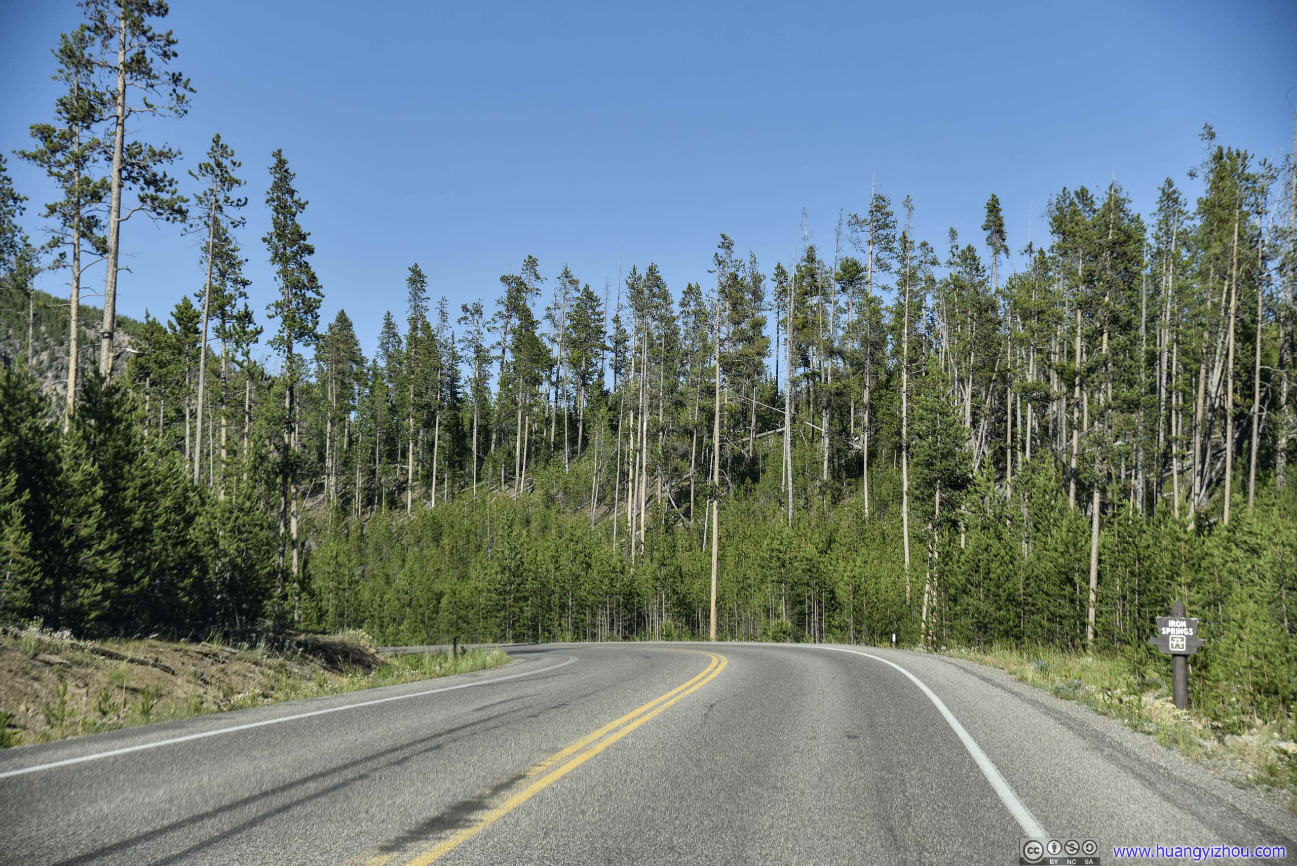
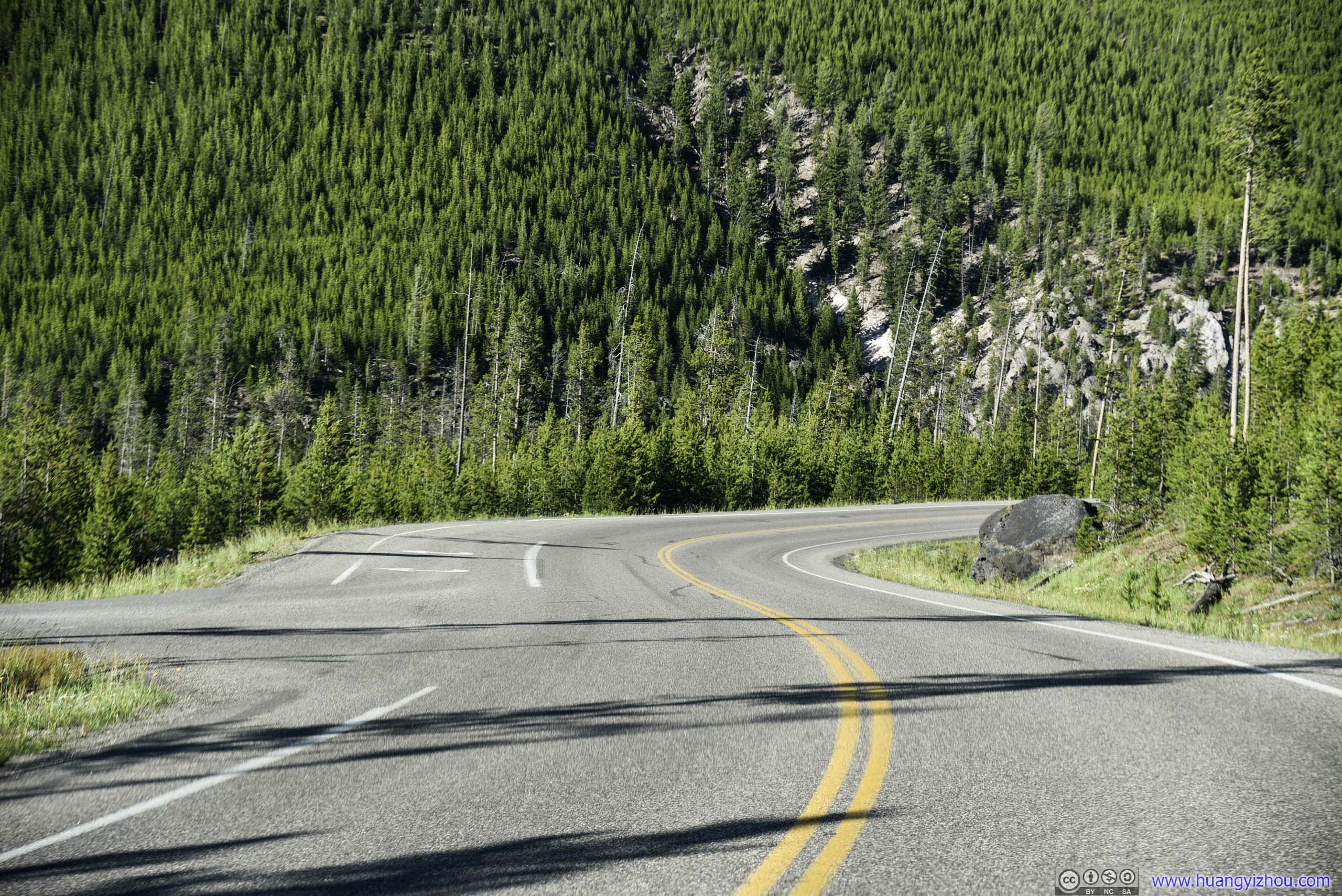
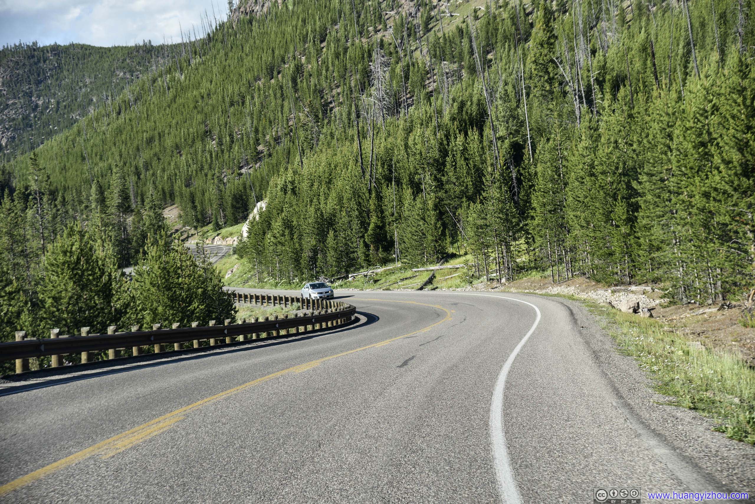
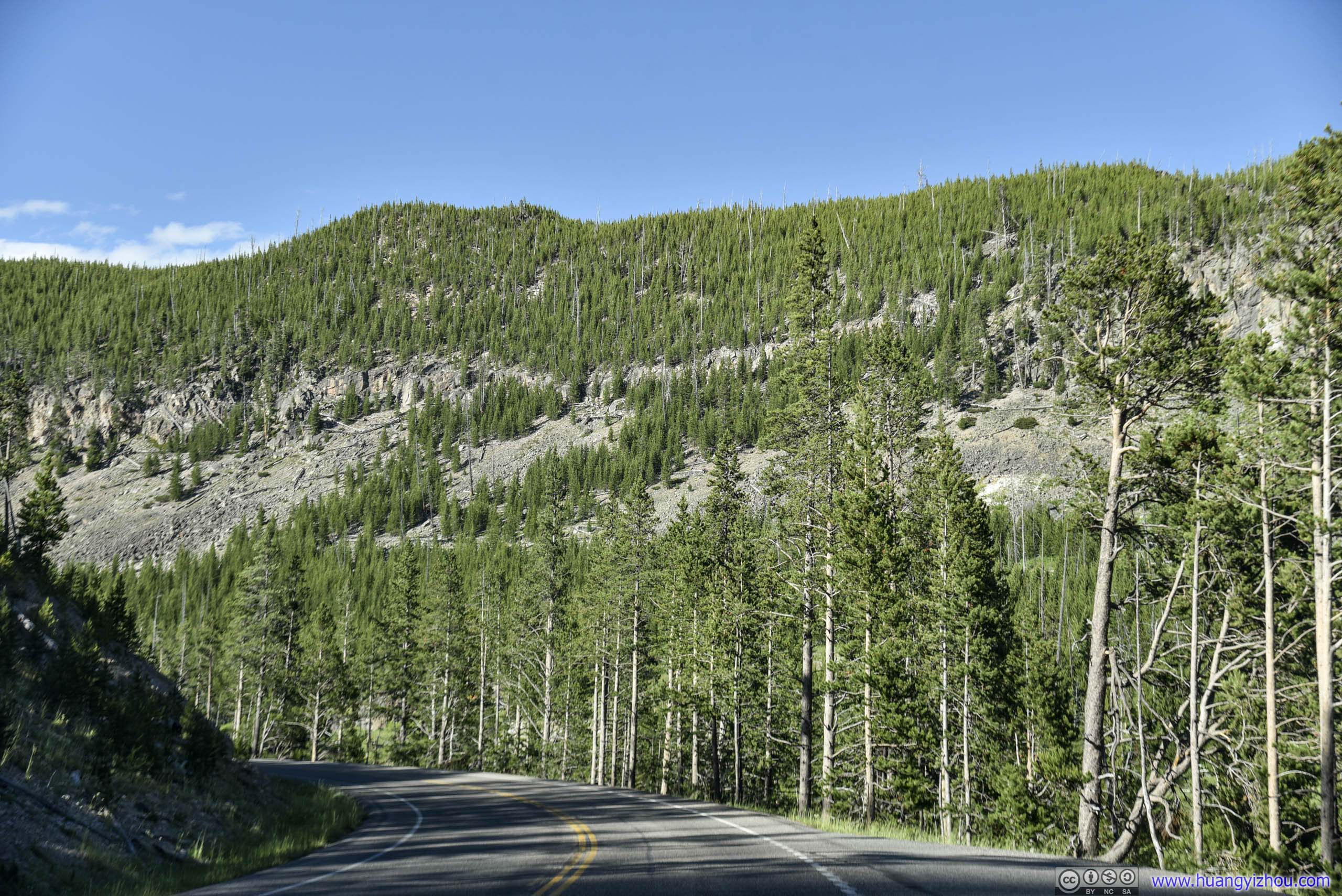
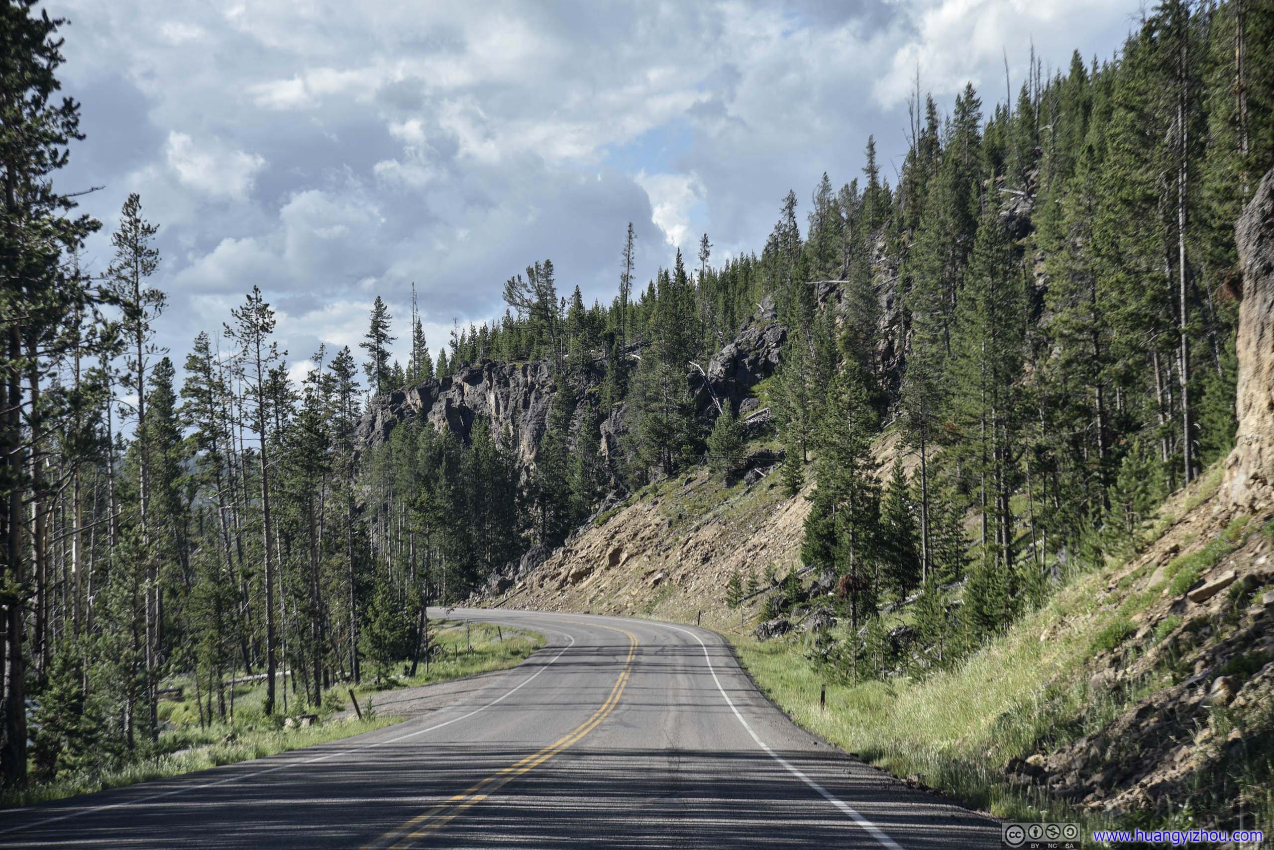
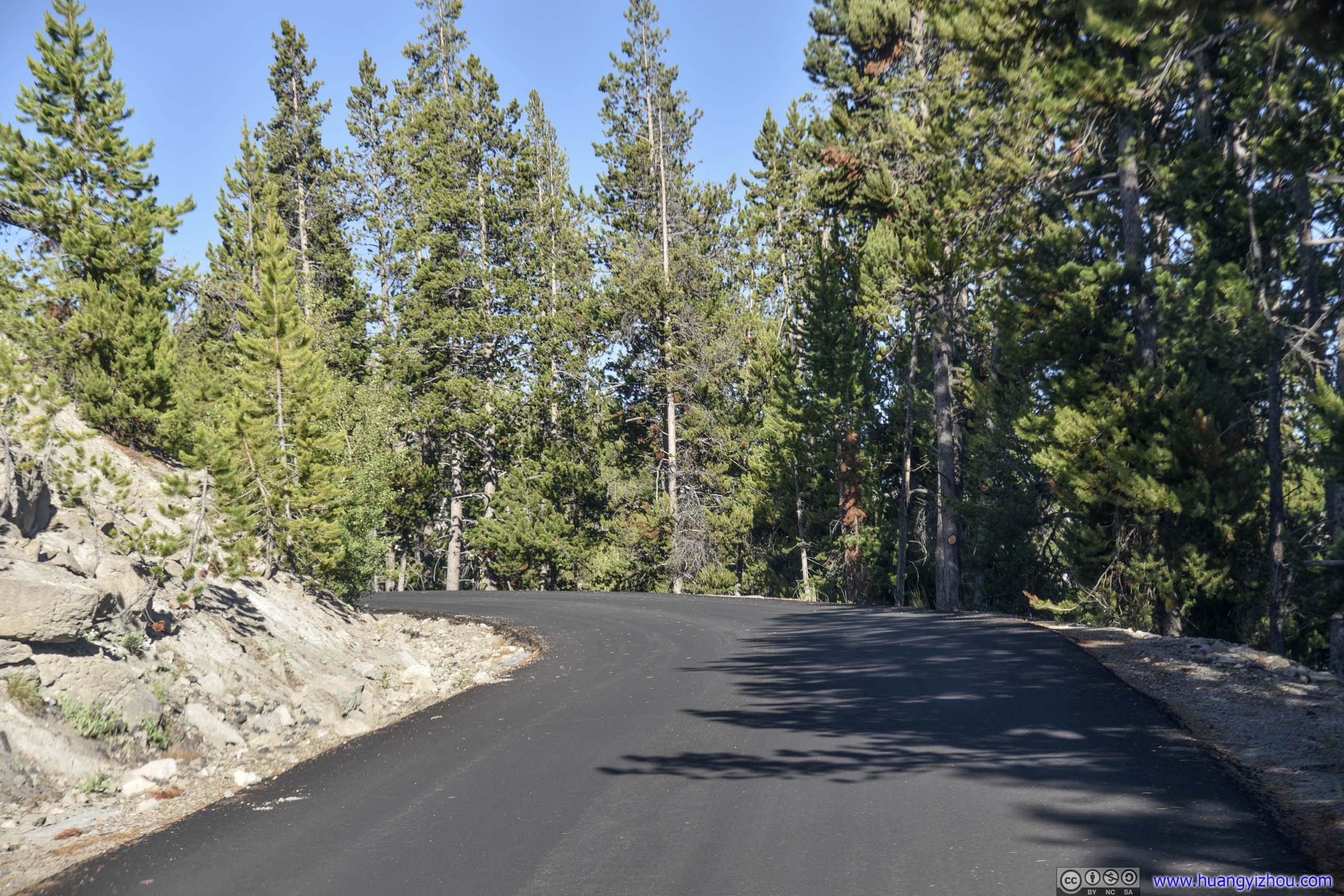
Park Road
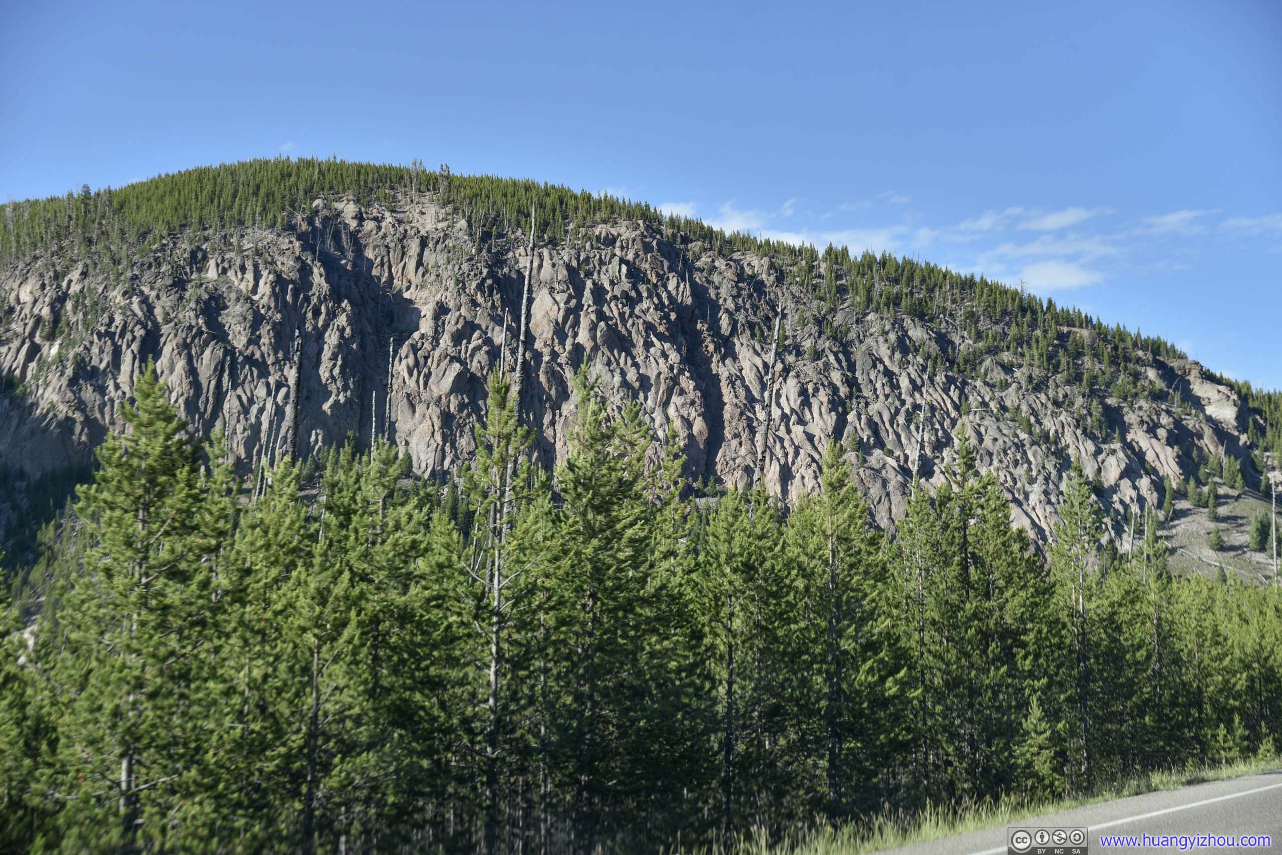

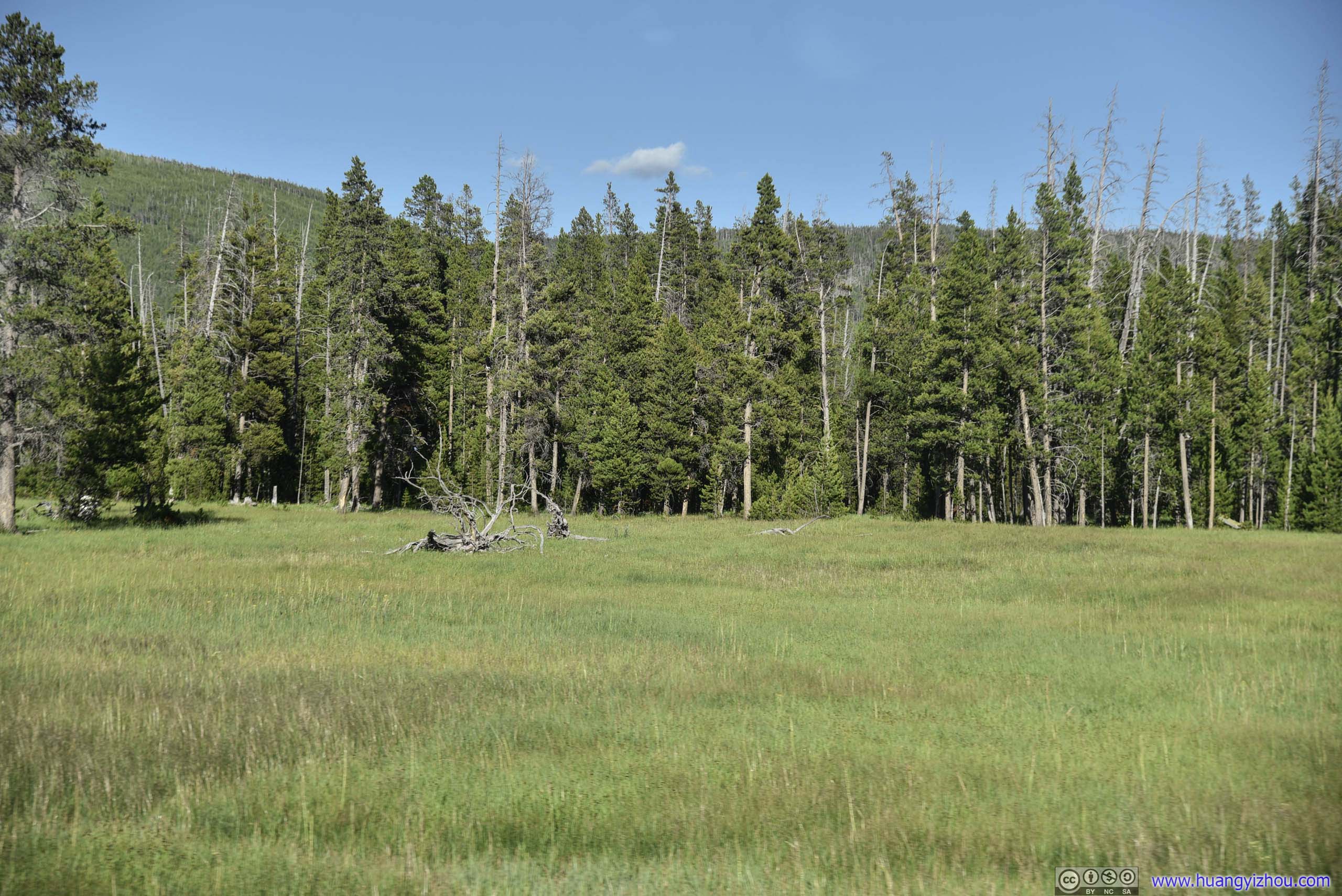
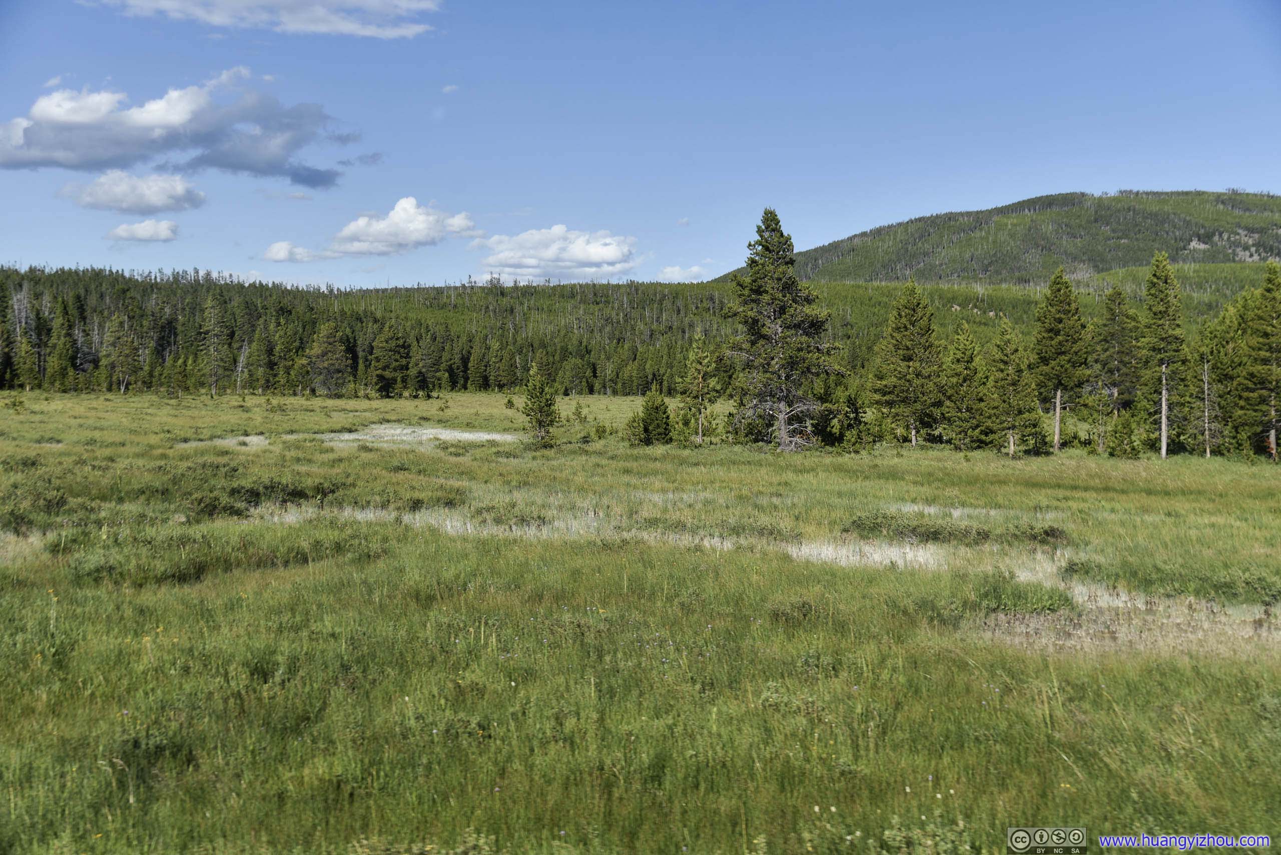

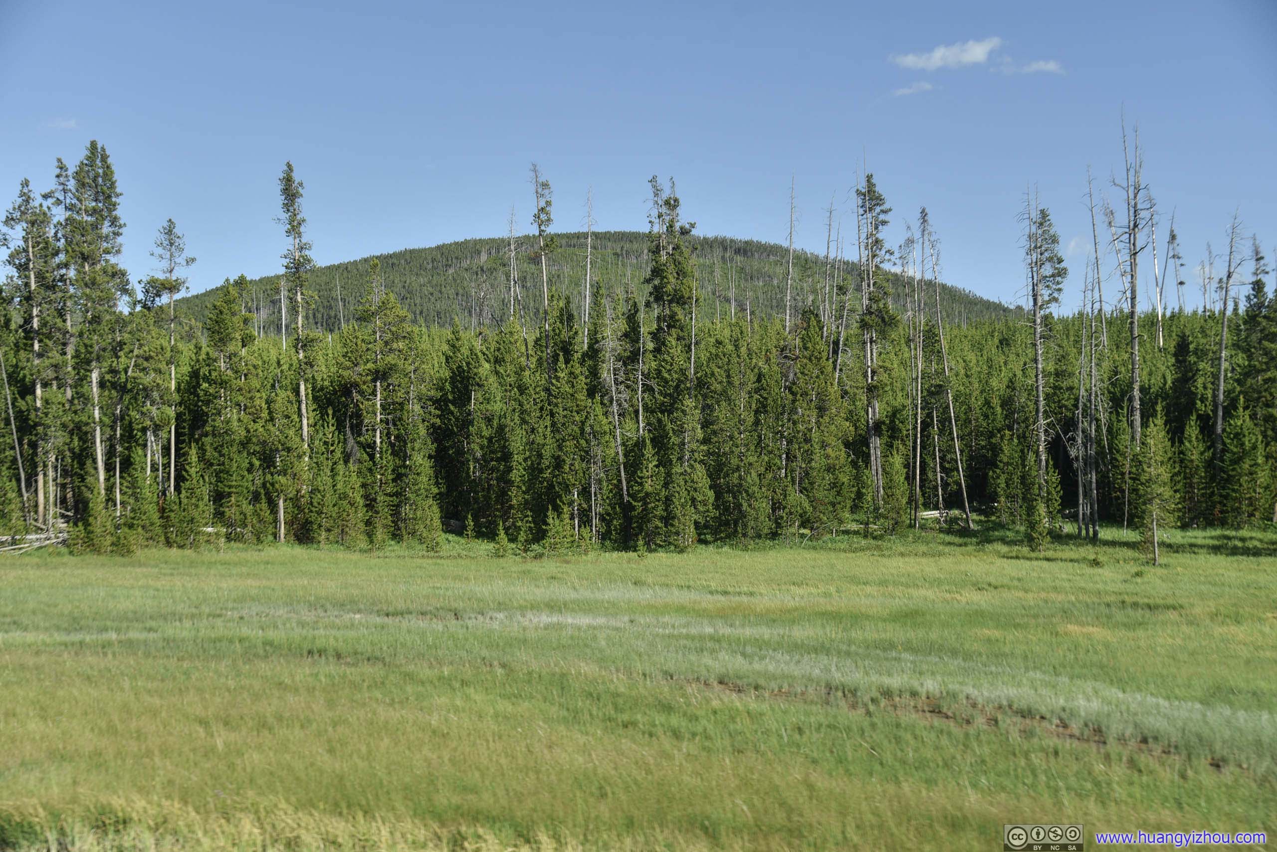
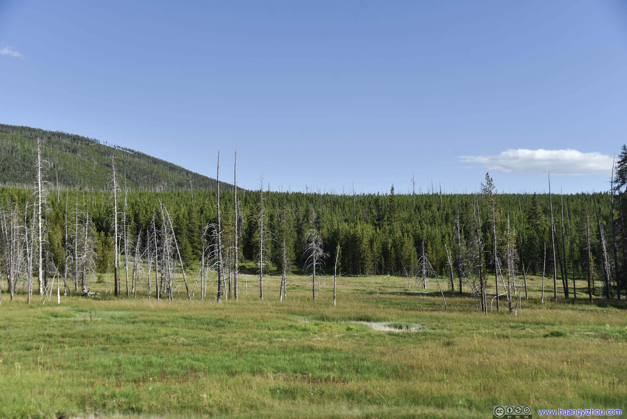
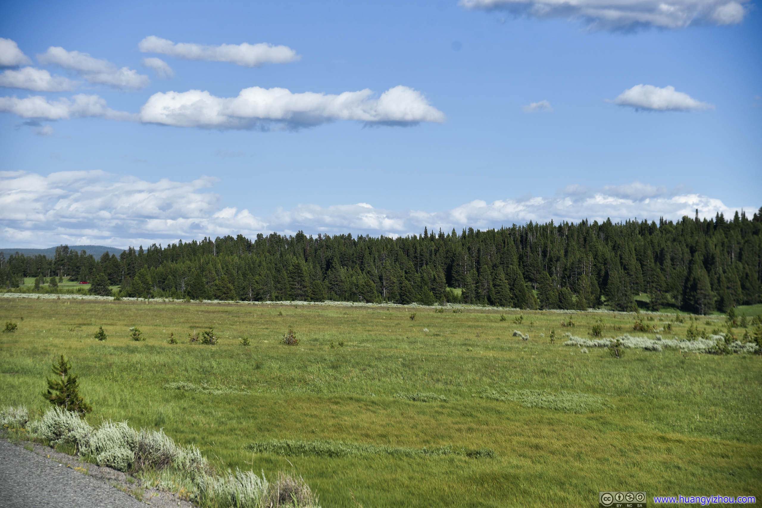
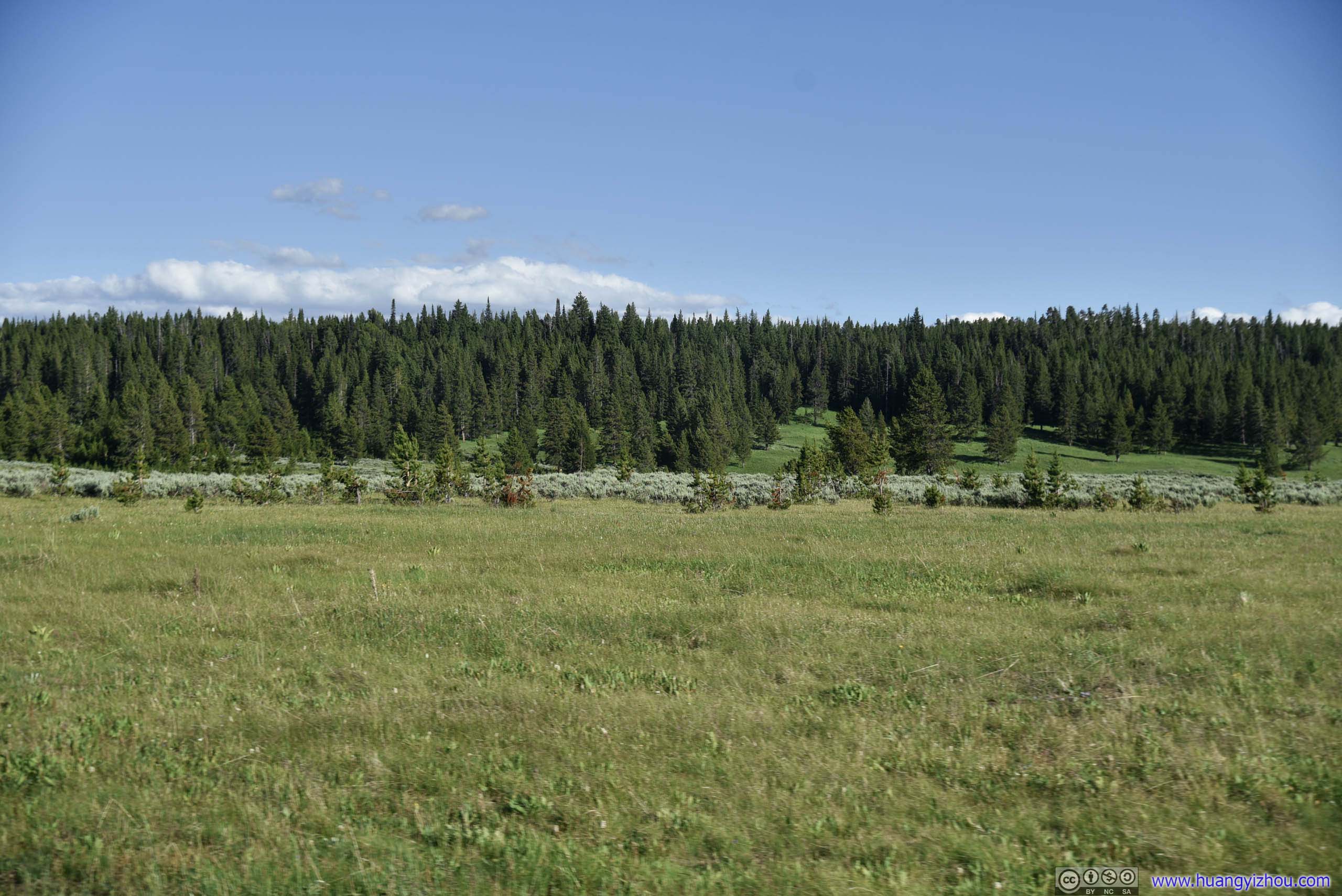
Meadow
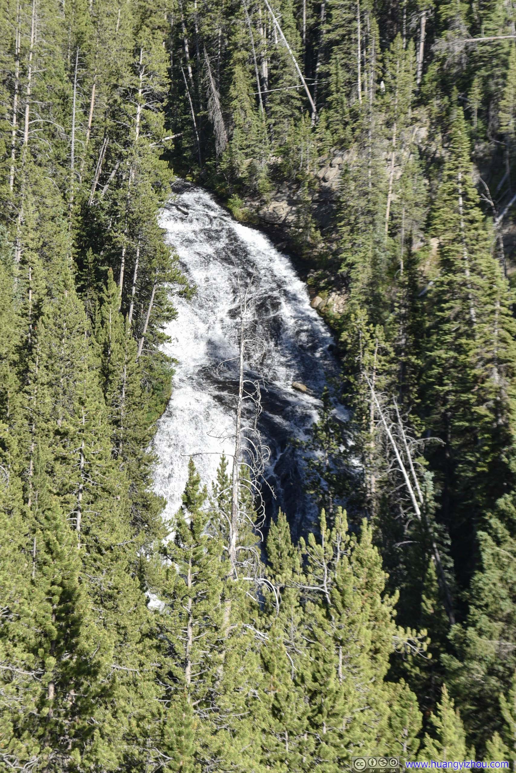
Virginia Cascades
On our way back to Yellowstone Canyon, we decided to visit Virginia Cascades, which was a waterfall located on a one-directional detour (eastbound only) off Norris Canyon Road.
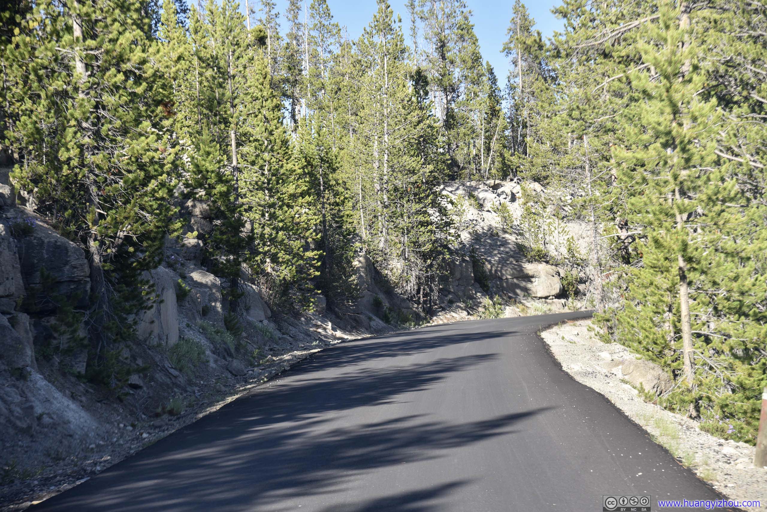
However, there was no pullover area for viewing waterfall on this one-lane drive, and Virginia Cascades was located some distance away from the road and partially obscured by trees. So after taking this photo, we quickly left.


Then, just as we were approaching Canyon Junction, we found a bison crossing the road. He's certainly doing this without haste, creating a traffic standstill.
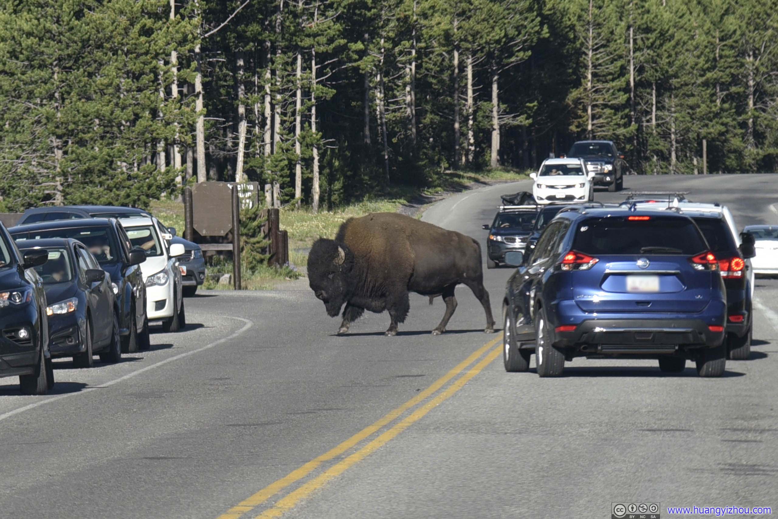

Bison Crossing Road
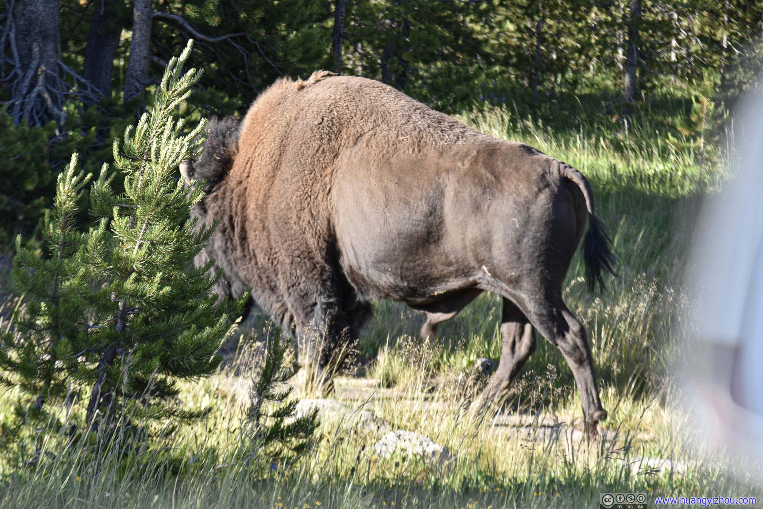
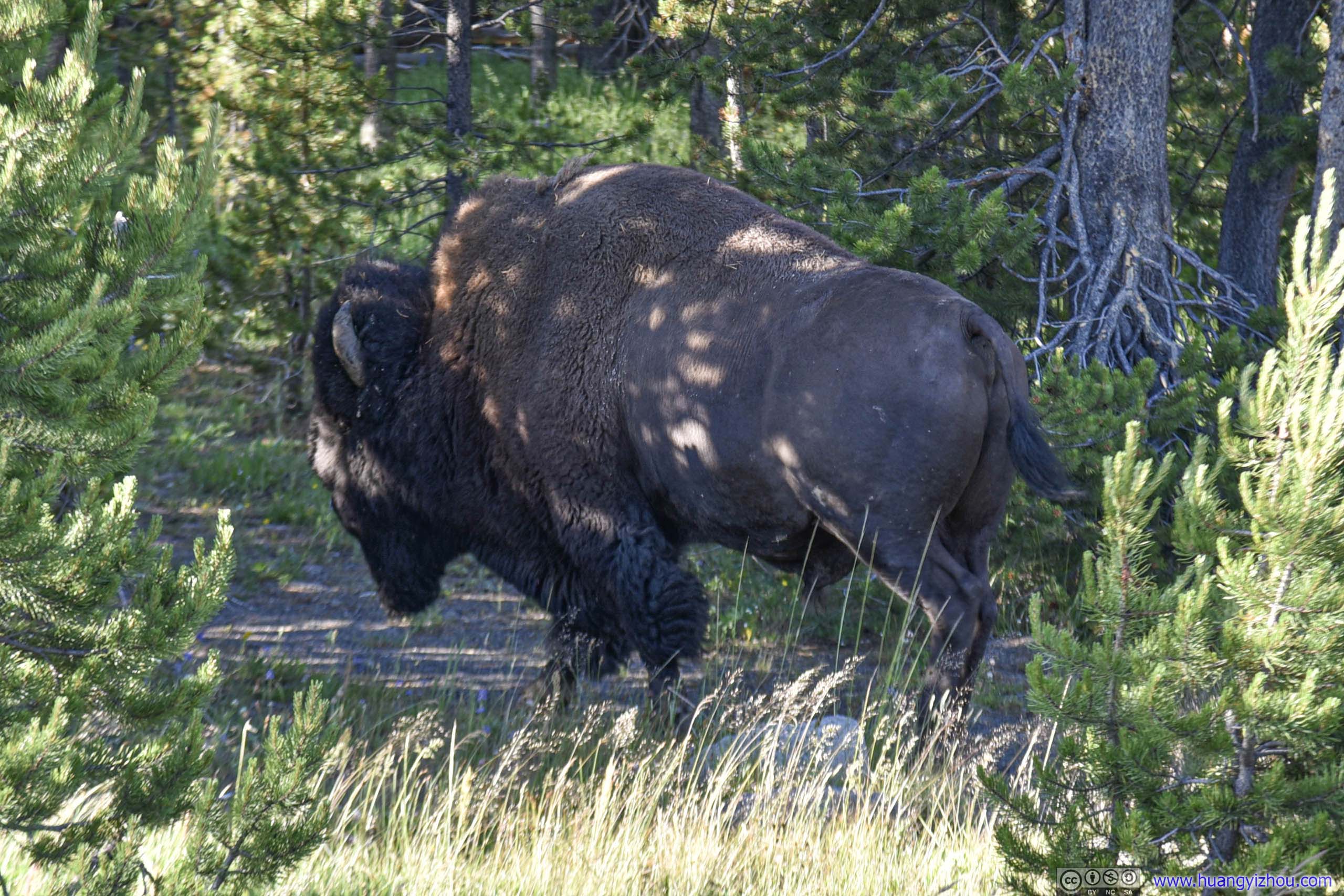
Our overnight lodge was Yellowstone Canyon Lodge Western Cabins. Like the cottage we stayed the previous night, the cabins were located not too far away from a major hotel ("Canyon Lodge" in this case) where checkin should be performed.

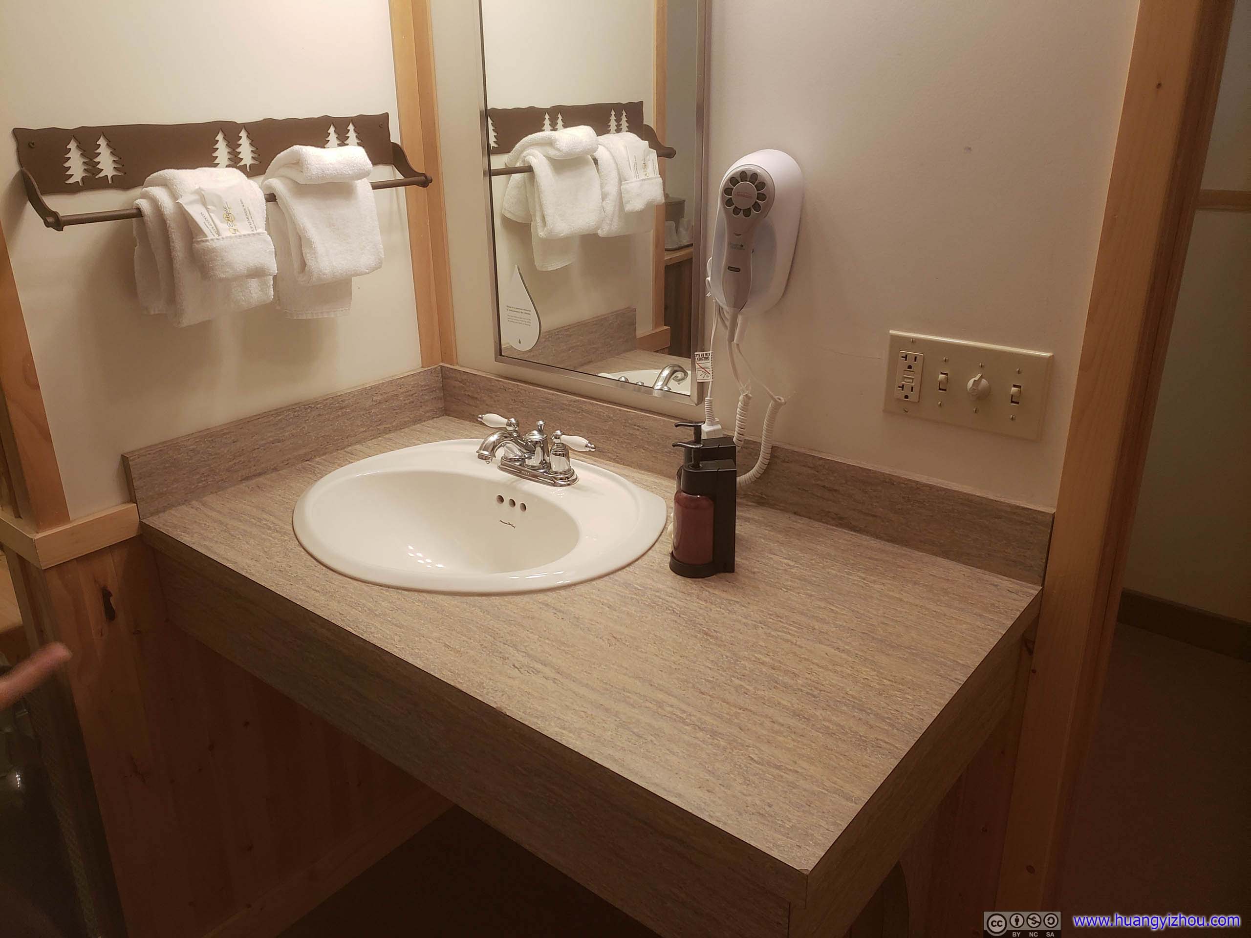
The cabins were constructed at a more modern day with seemingly better amenities. It's also more expensive.
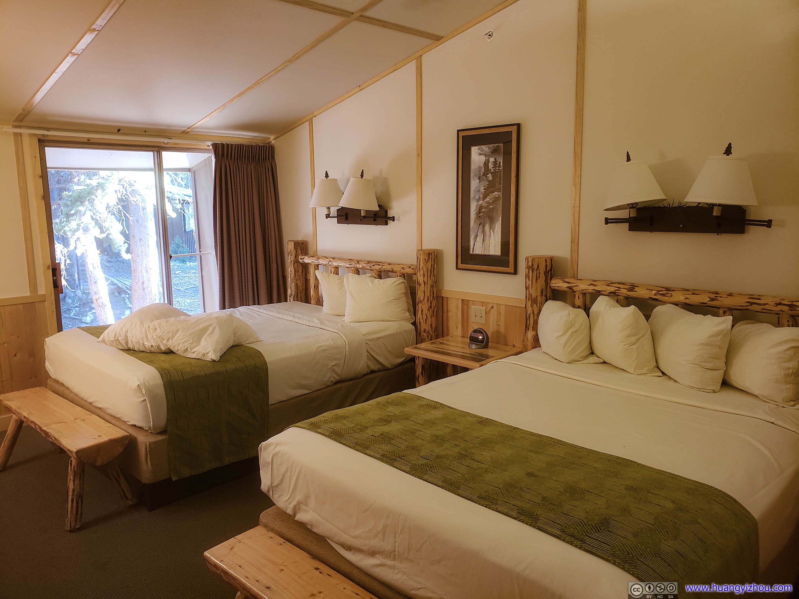
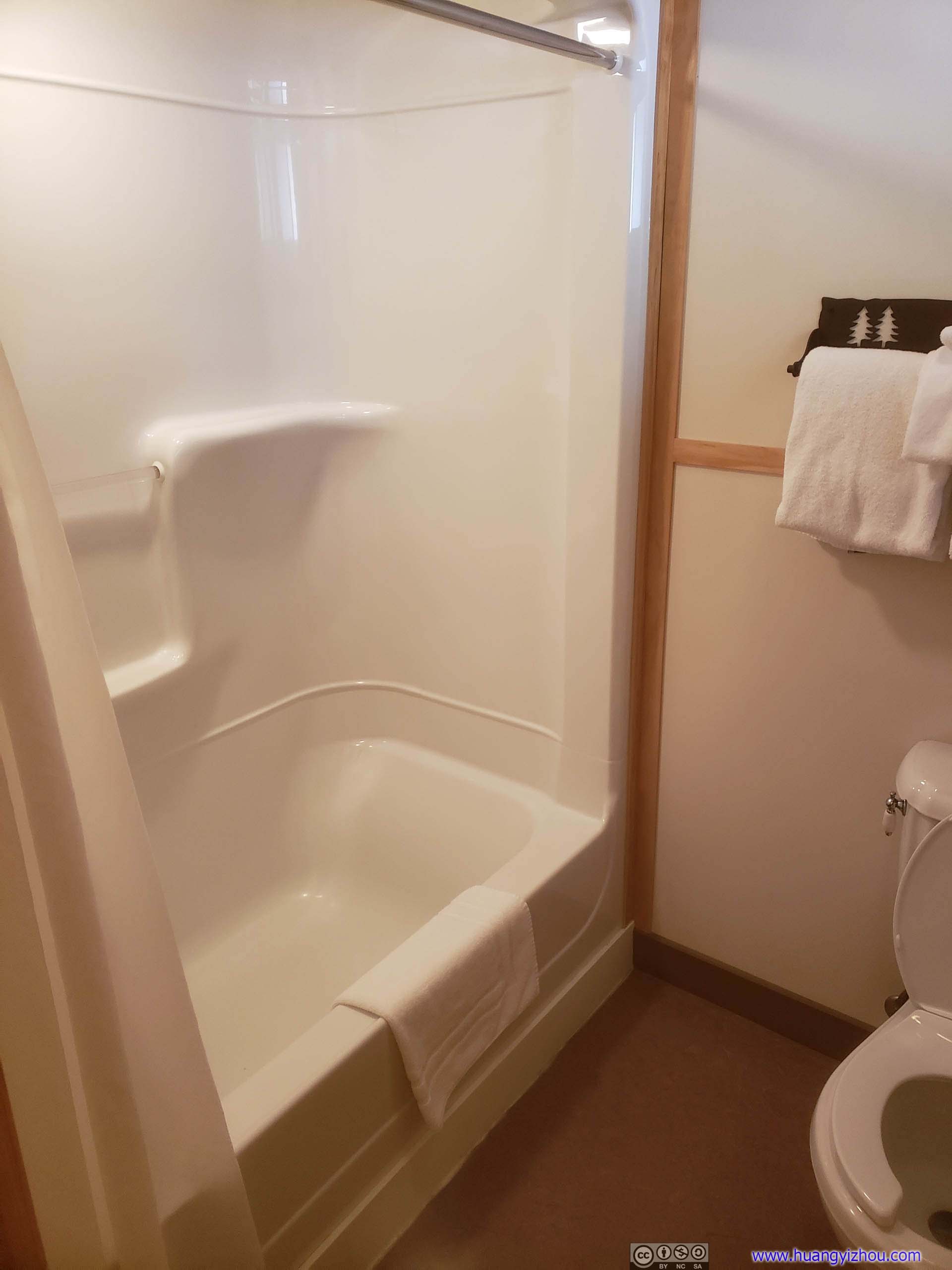
This was newly constructed cabins, so bathroom furnishings followed the predicted modern minimalist trend.
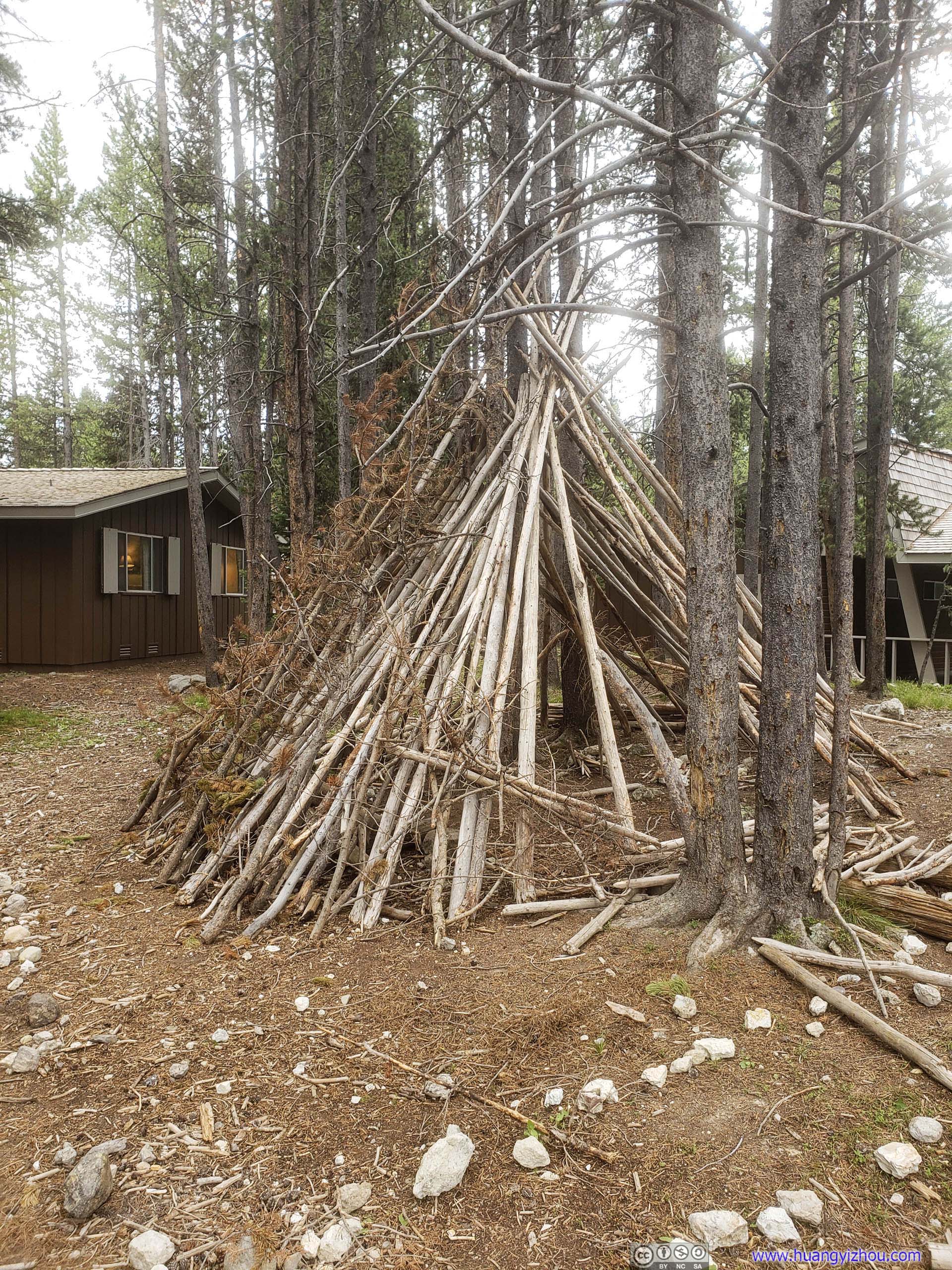
And as we were about to head off for dinner, we found this pile of woods outside our room, probably serving a playground for kids.
And a wild rabbit, which the kids were more interested in.
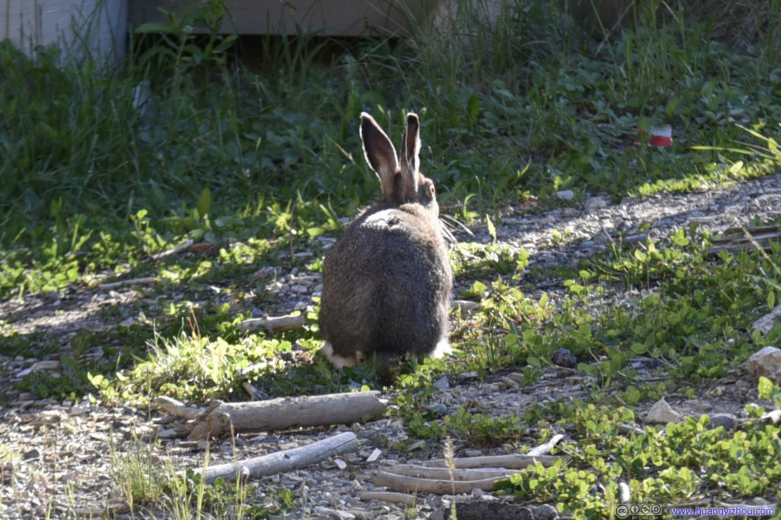
I spotted it right outside our cabin. It quickly disappeared into the woods as some nearby kids chased it away.
As for dinner, at the end of the day, I believed Canyon and Old Faithful were the only two locations where Healthy Panda like this were served:
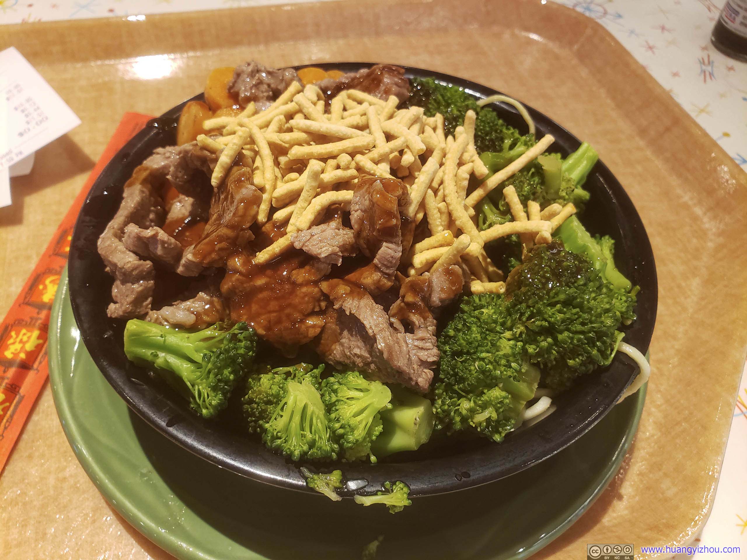
By the way, a very important note: Canyon Village, especially areas around its visitor center and food court, were in my opinion the only areas with decent cellular coverage. For this trip, I purchased a one-month Verizon plan (which was claimed to have the best rural coverage of all US carriersS), and Canyon Village was the only place in the park that I could browse the web at a reasonable speed.
After a delightful dinner, I headed over Hayden Valley again. It's just that I wasn't very satisfied with the many geese and distant bison I captured during the day, so I decided to give it another try at dusk, the time of day with more wildlife activities.
Hayden Valley at Sunset
The result was that, I did capture some splendid sunset glows, but not many more animals.

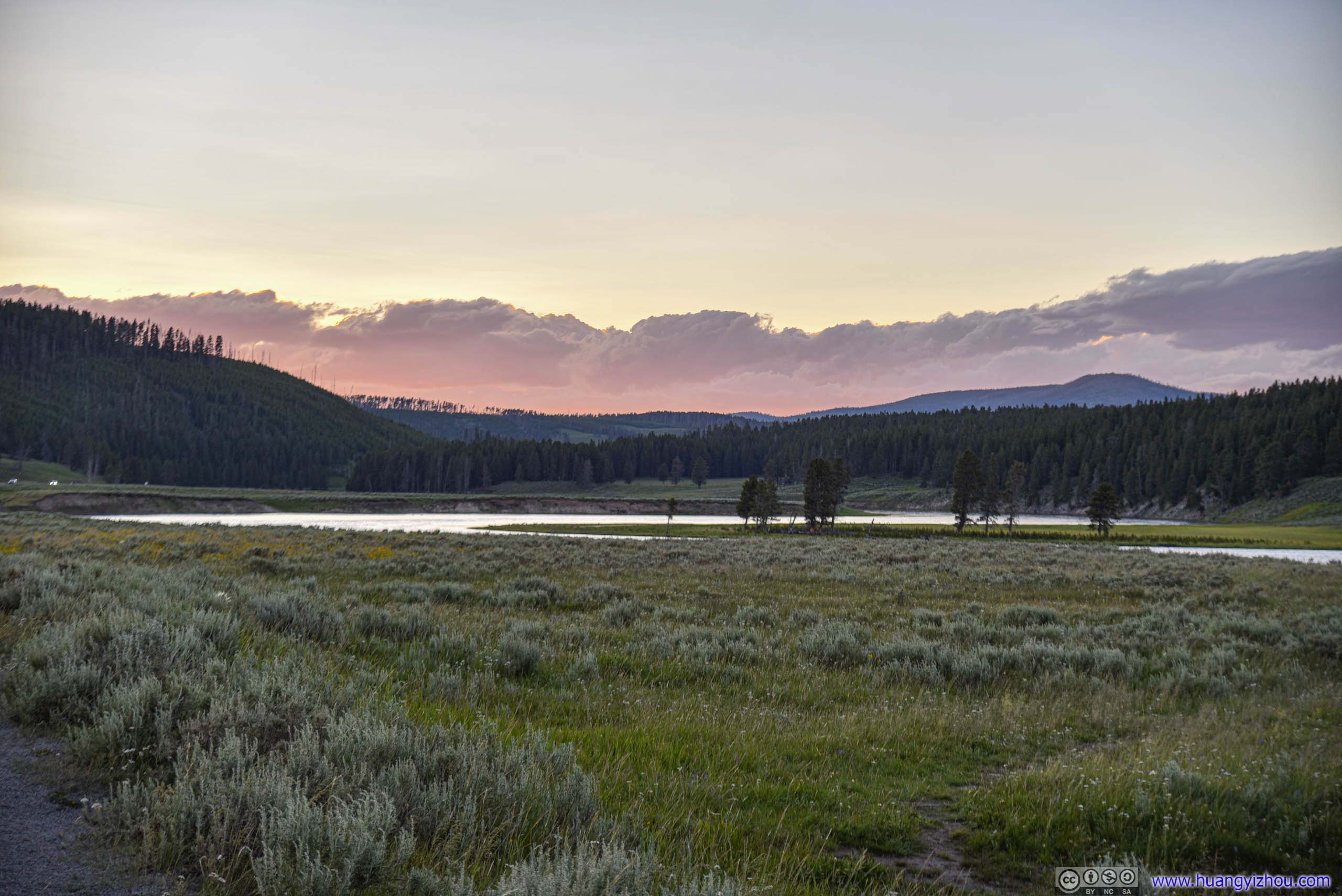
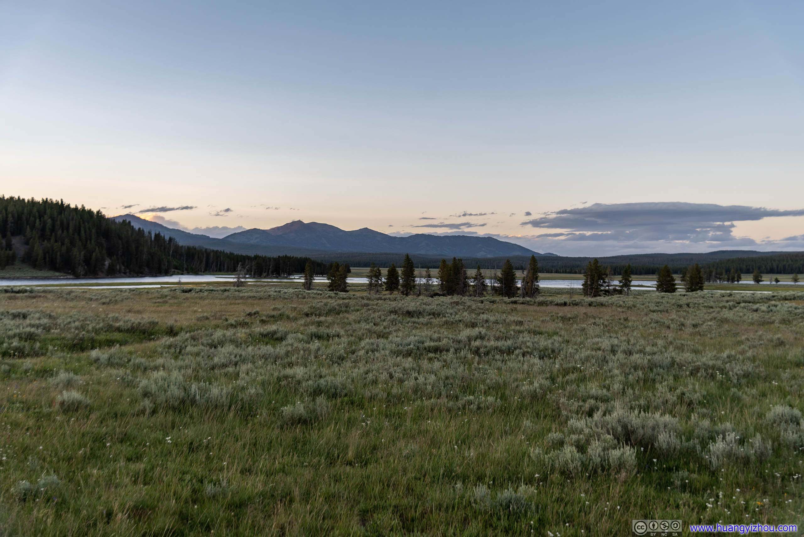
Field under Sunset Glow
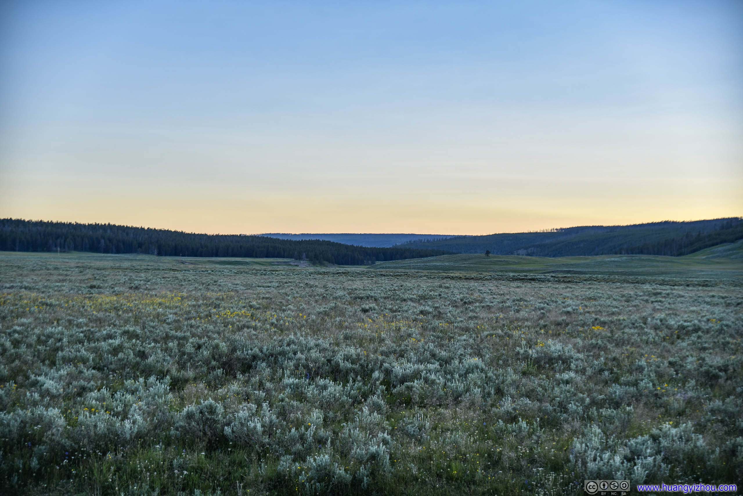
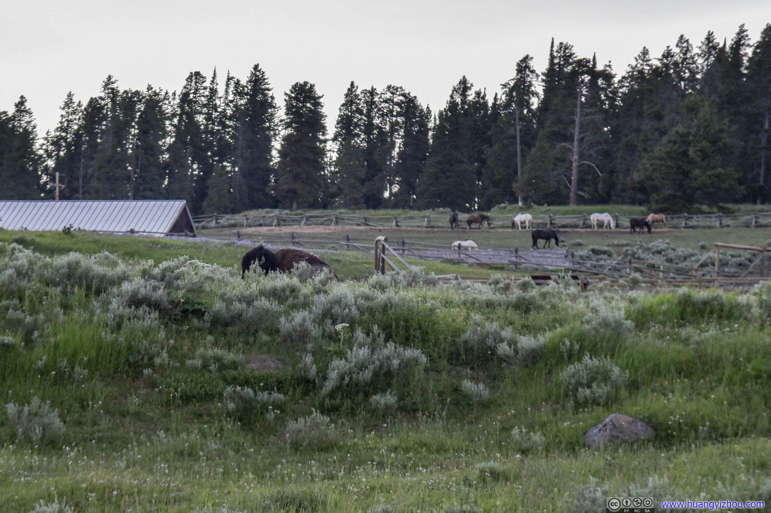
Canyon Horse Corral in the background.
That is, except this pair of bison outside Canyon Horse Corral (which wasn't technically Hayden Valley), which were running walking away from me as I captured these shots.
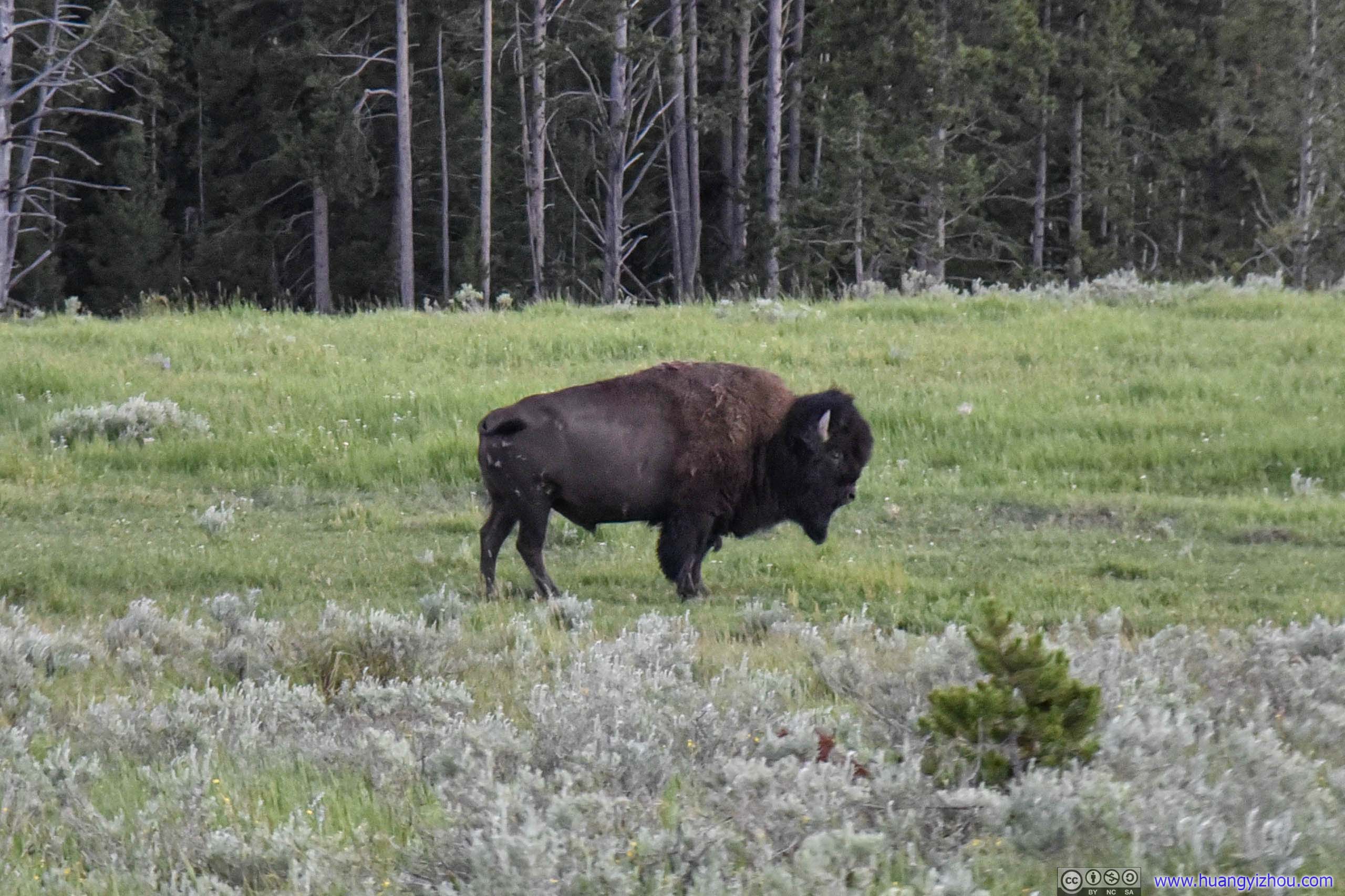
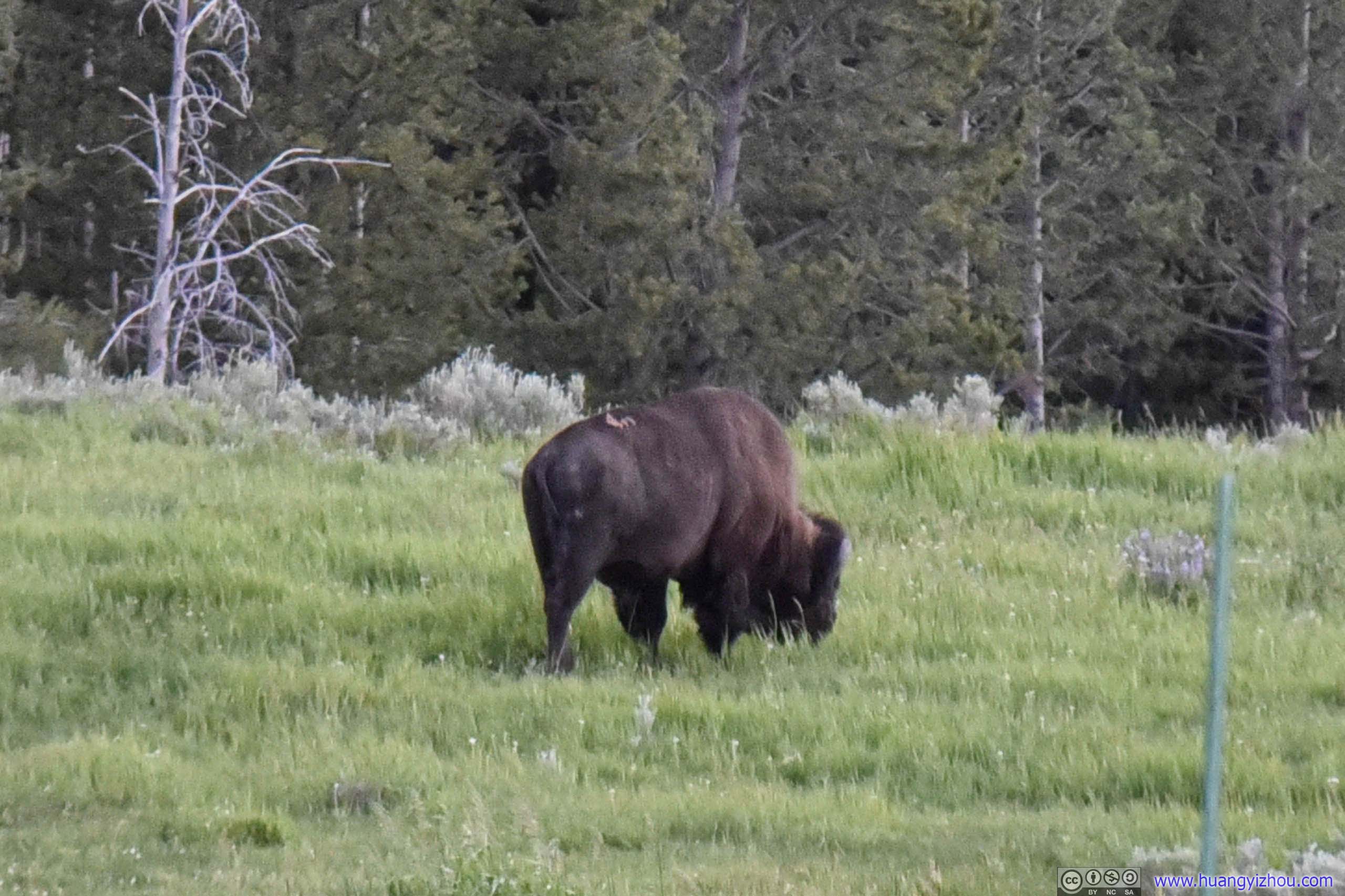
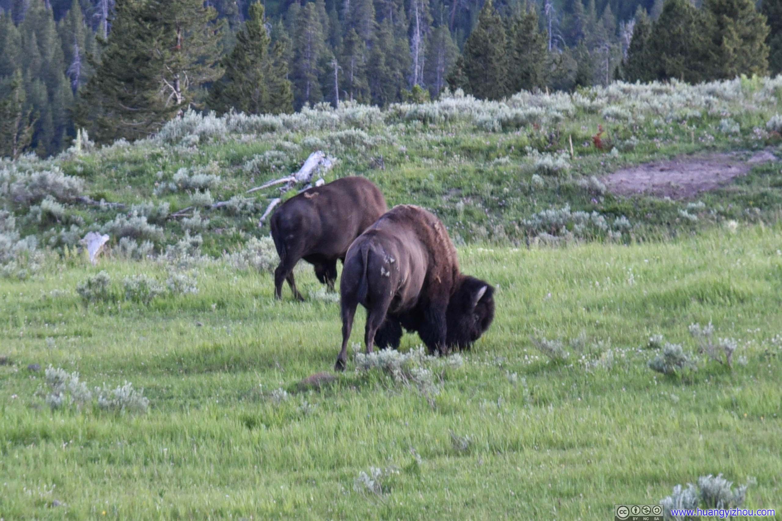
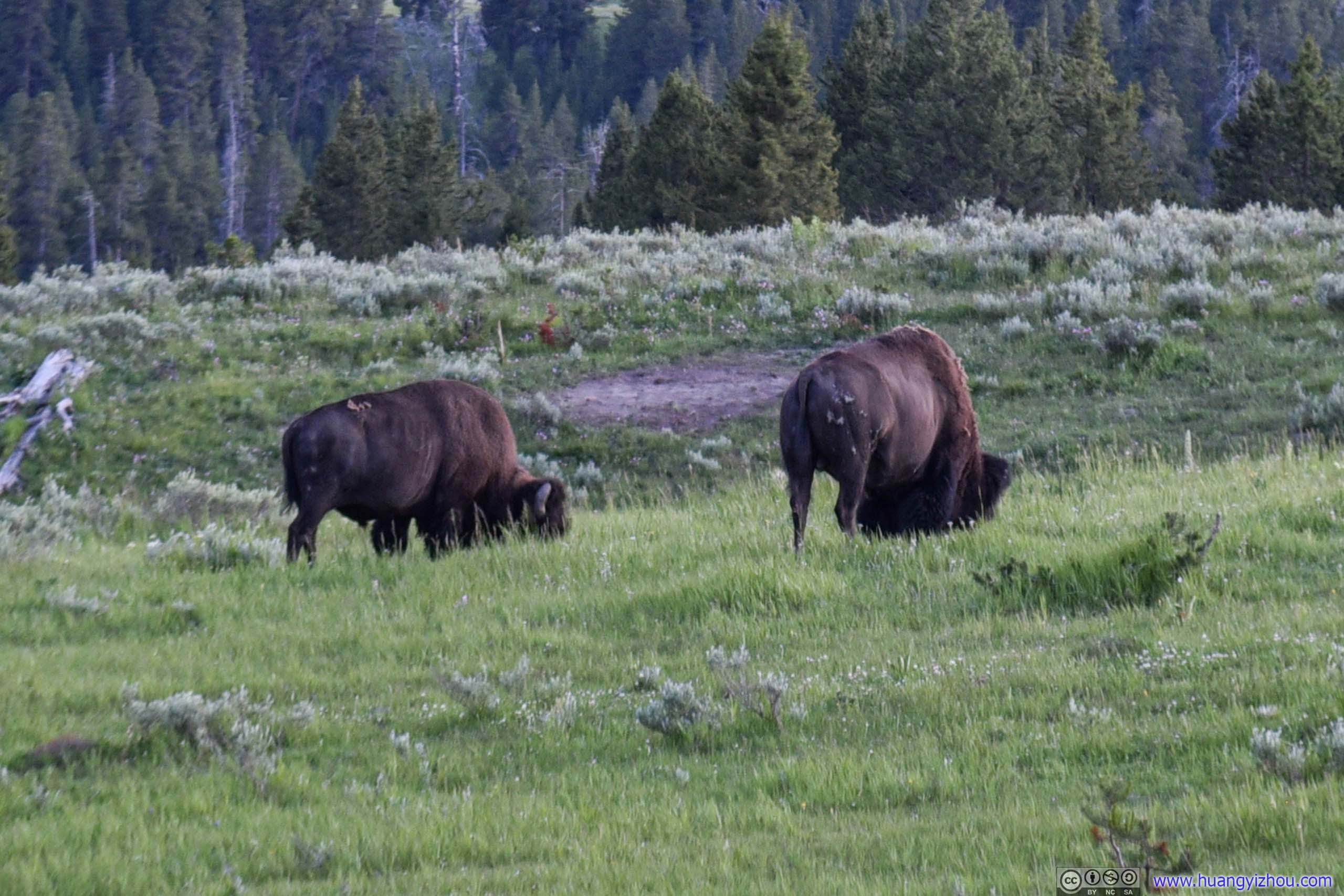


Bison in Field
A typical parameter for these shots were F4 1/4s ISO200, with the help of tripods things didn't look too bad.
END