Day 6 of 2020 Alaska Trip, Mount Healy Overlook Trail and Driving to Palmer
Sixth day of our Alaska trip. I would be hiking Mount Healy Overlook Trail in Denali National Park in the morning, after which we would be driving to the town of Palmer where we would spend our last night in Alaska.
Our plan of the day was to drive from Denali to Palmer, so that the next day we could hike some nearby trail (Lazy Mountain) before flying back to Seattle. The drive was predicted by Google Maps to take only 4 hours, so we have time to spend on other activities. At the end, I chose to hike a short trail in the morning near Denali's entrance, Mount Healy Overlook (while my friend chose to stay in the comfort of his bed). We would also pay a visit to Independence Mine State Historical Park and nearby Hatcher Pass in the afternoon, for some history of the region.
Mount Healy Overlook Trail
At about 7:15, I reached the trailhead for Mount Healy. There were ample parking spaces at the nearby Denali Visitor Center. The entire trail was 5 mi / 8 km roundtrip with 540m elevation gain.
Here's GPS tracking:

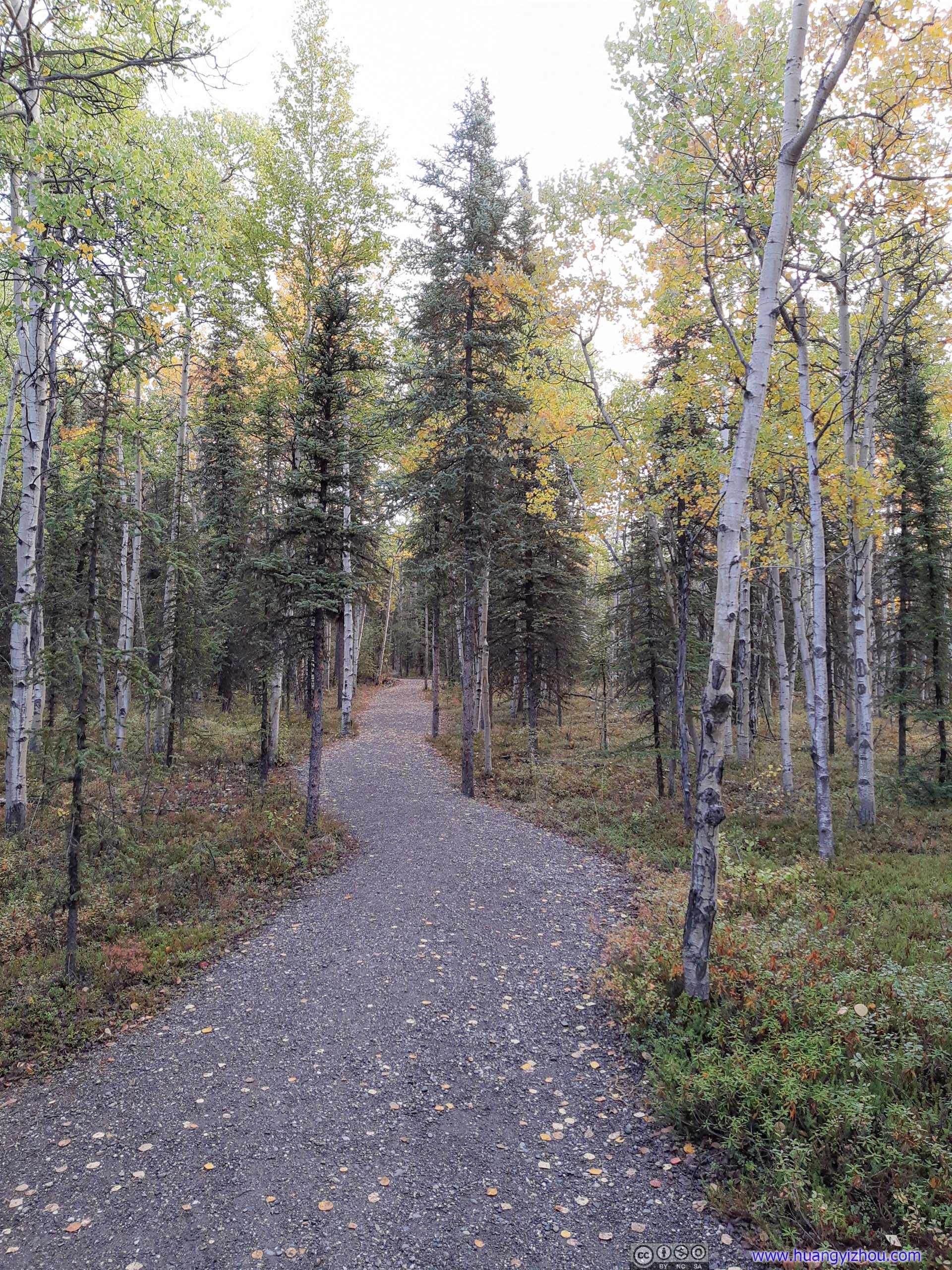
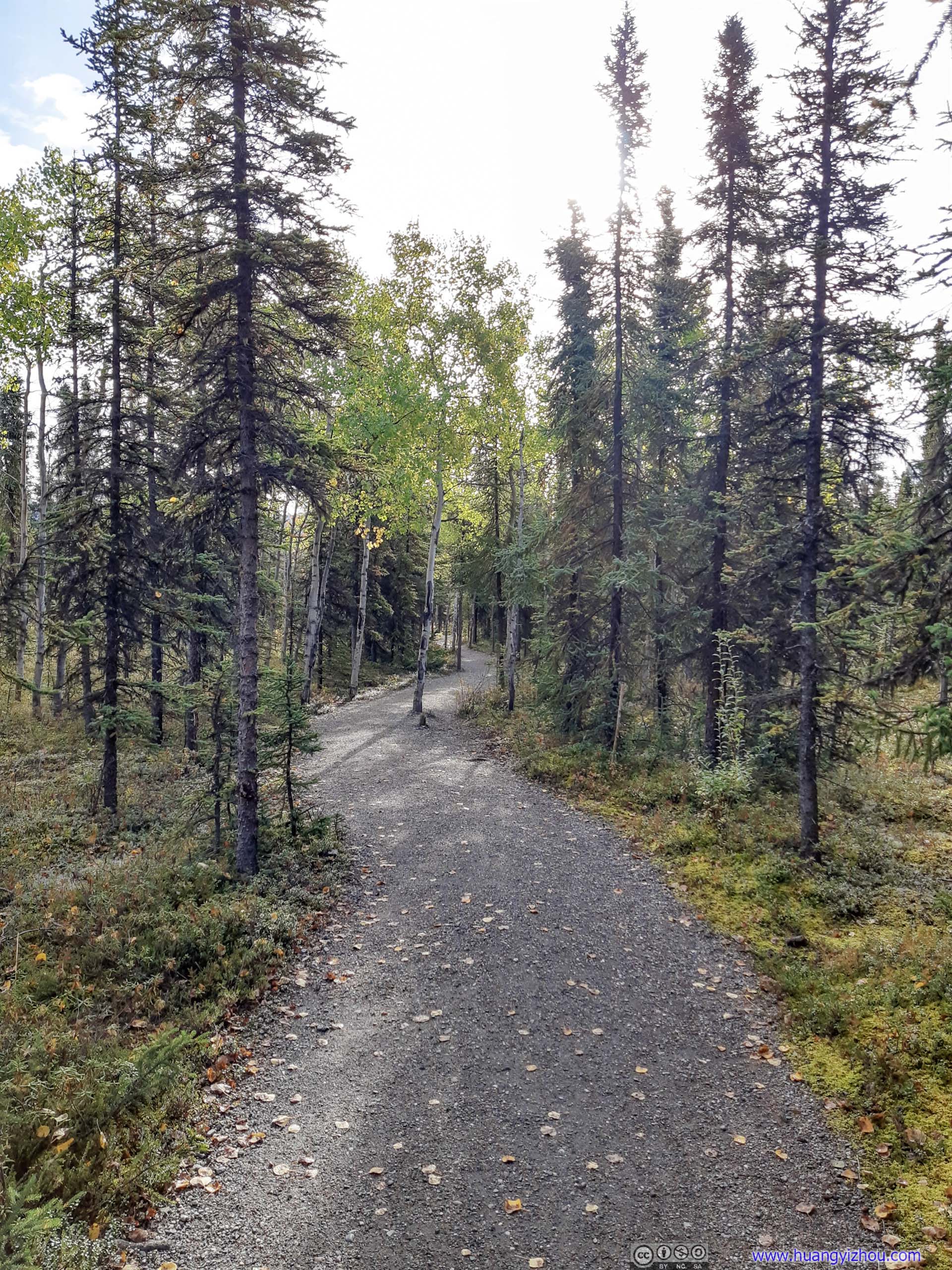
Trail
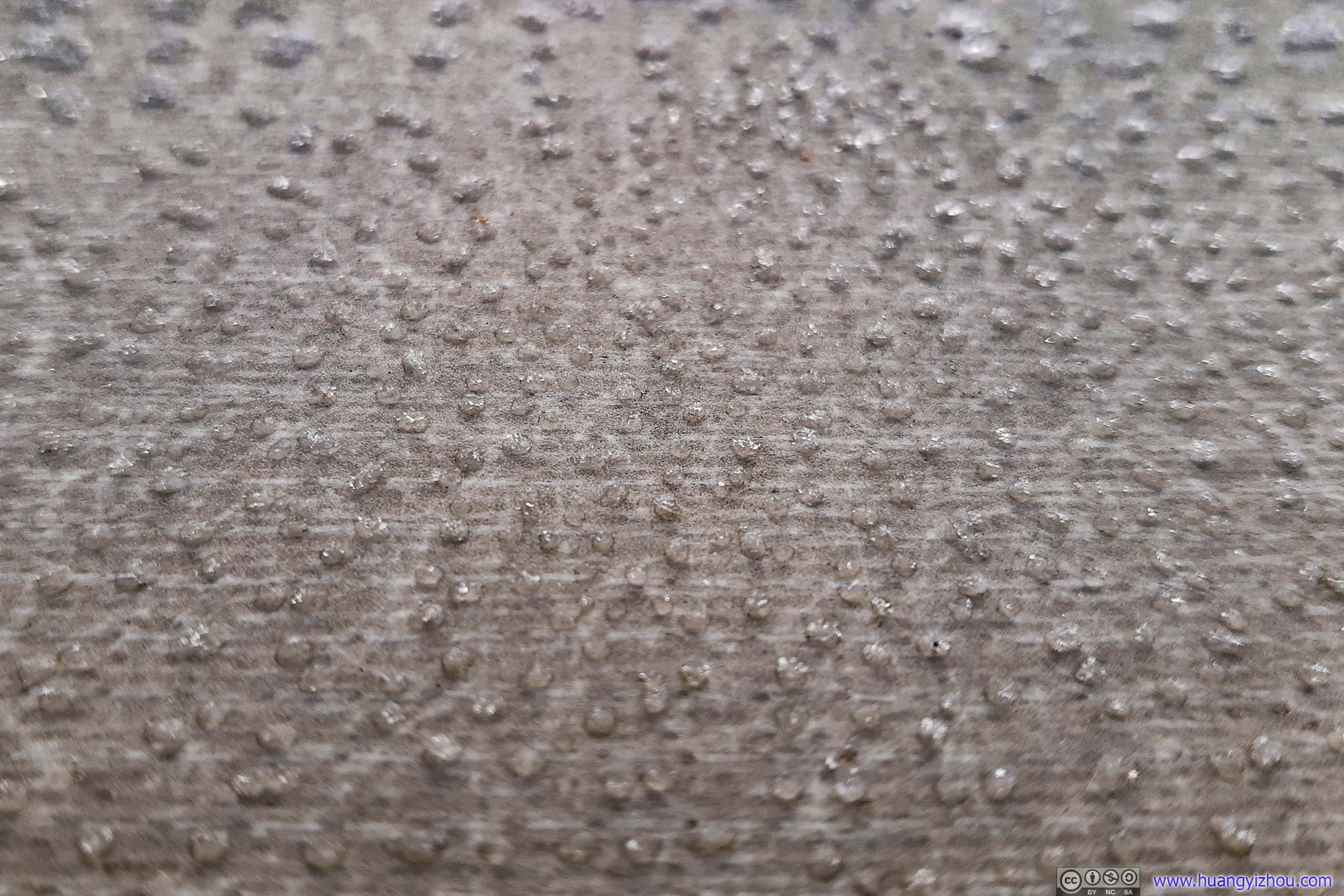
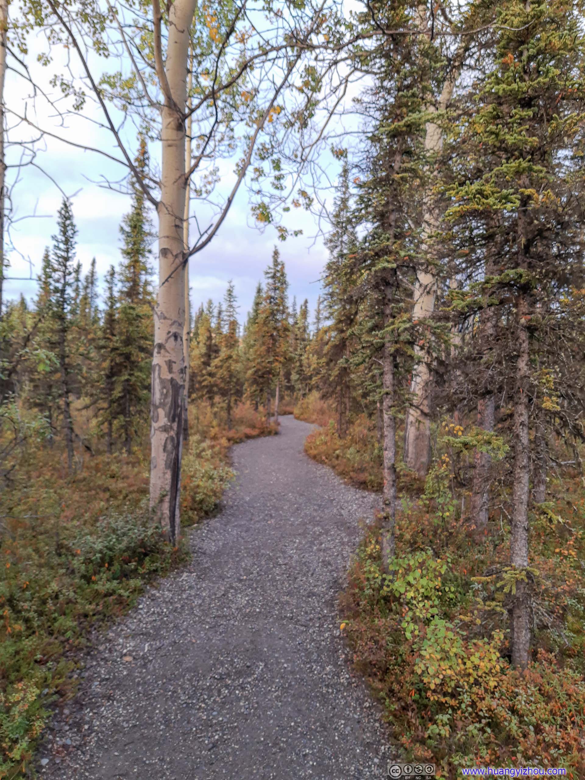
After crossing a footbridge, Mount Healy Overlook Trail departed from "Taiga Loop" through a sharp left turn and headed uphill.
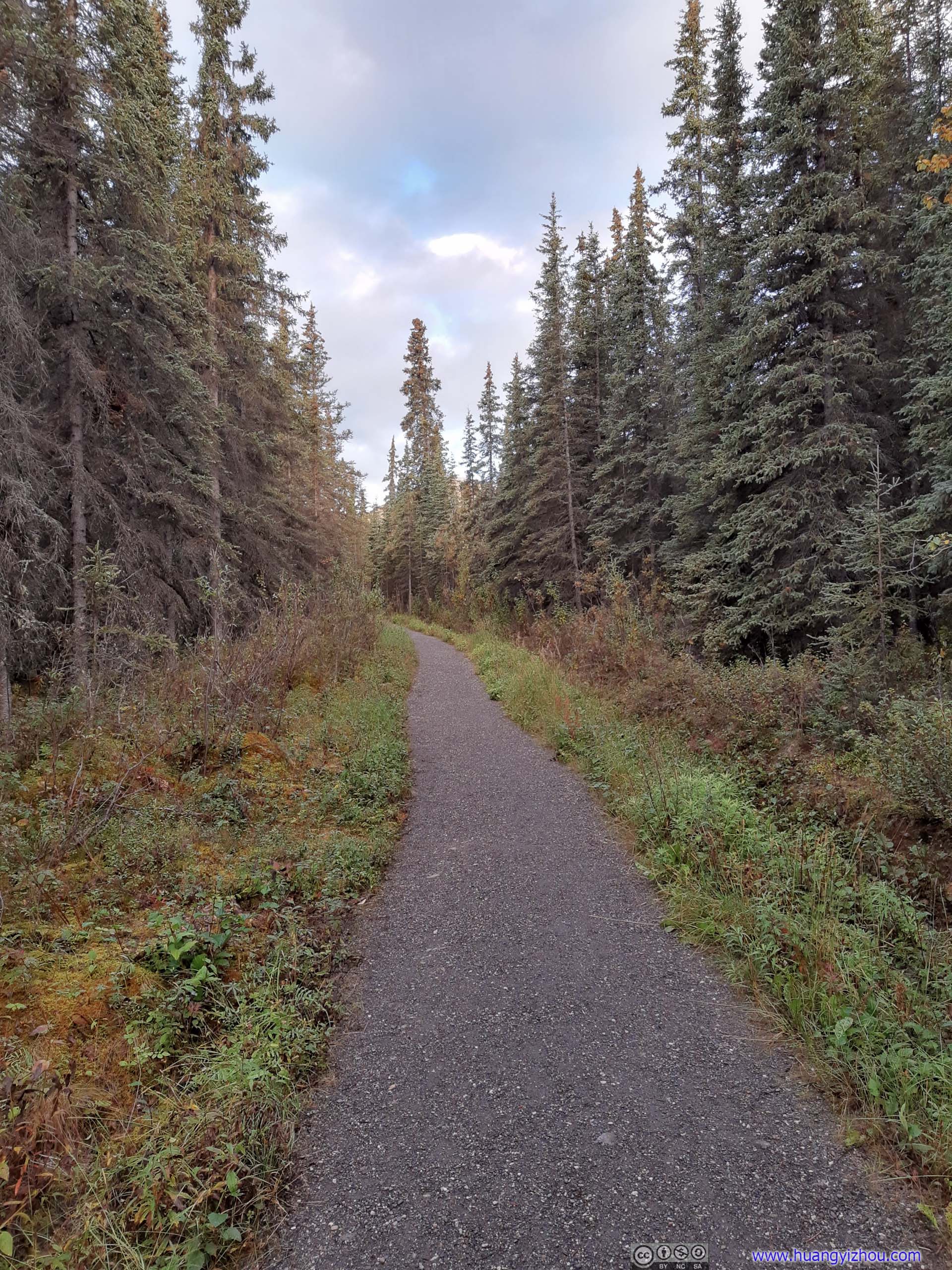
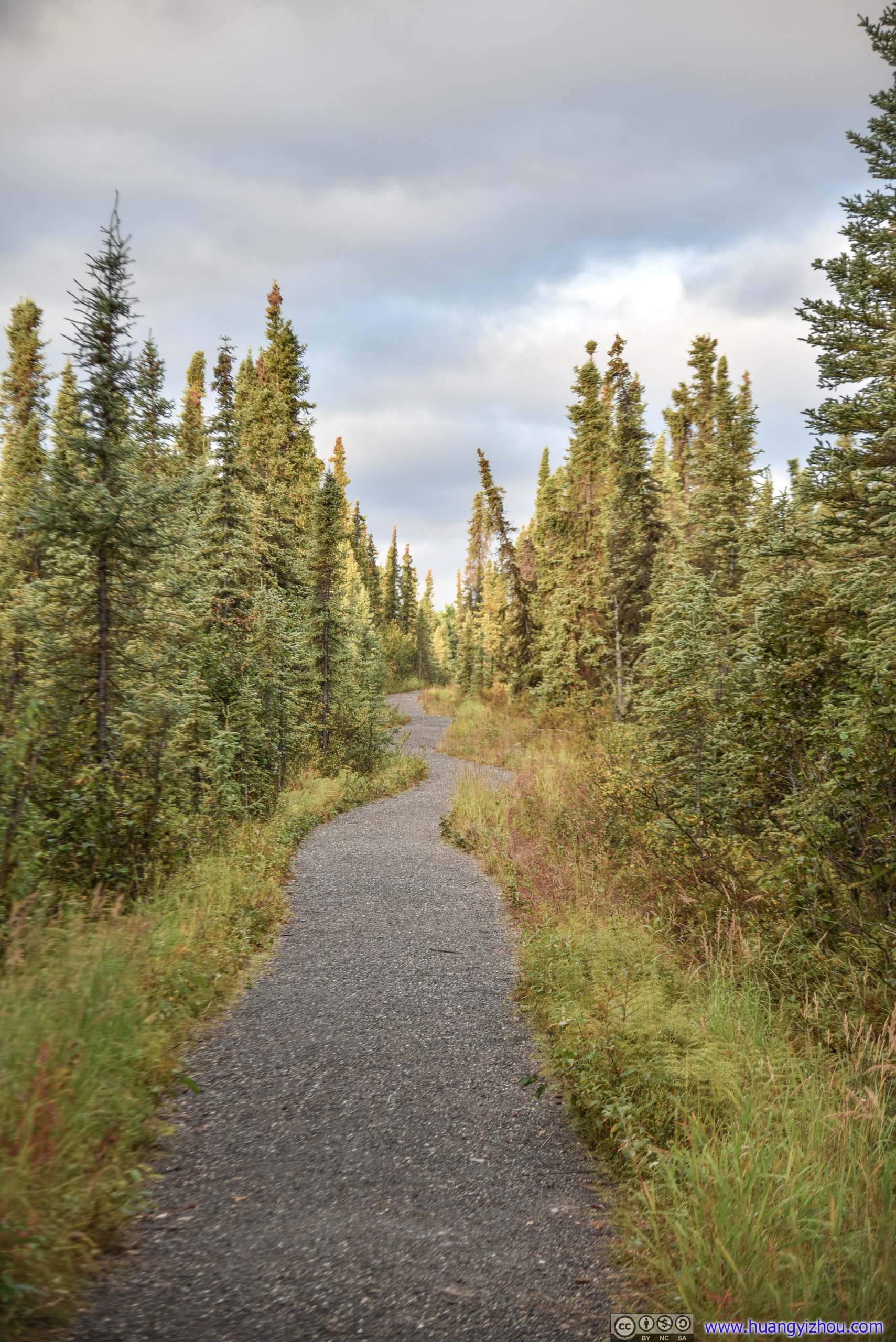
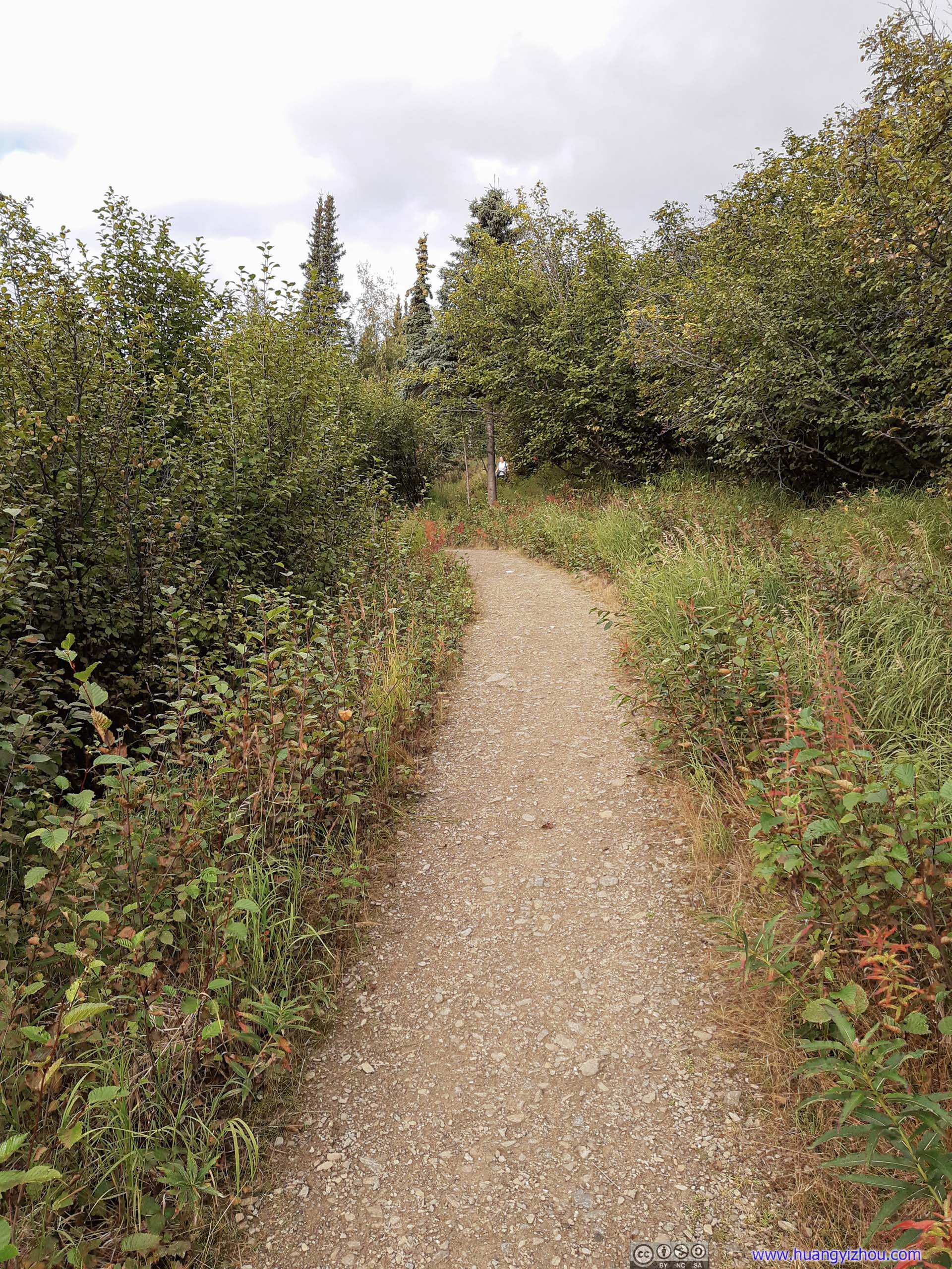
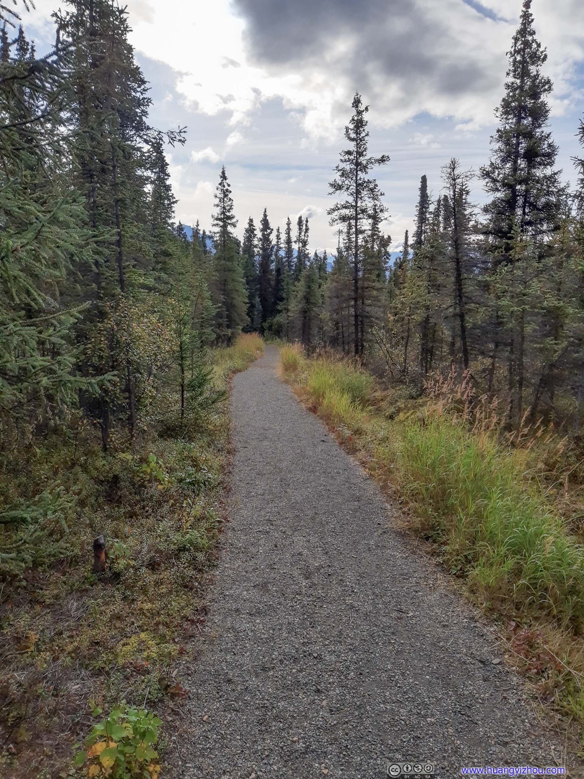
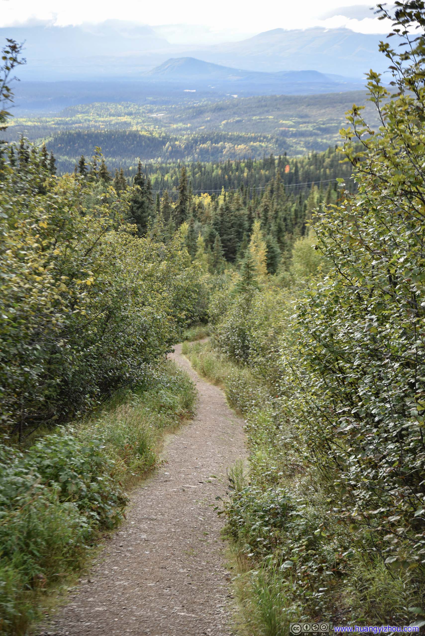
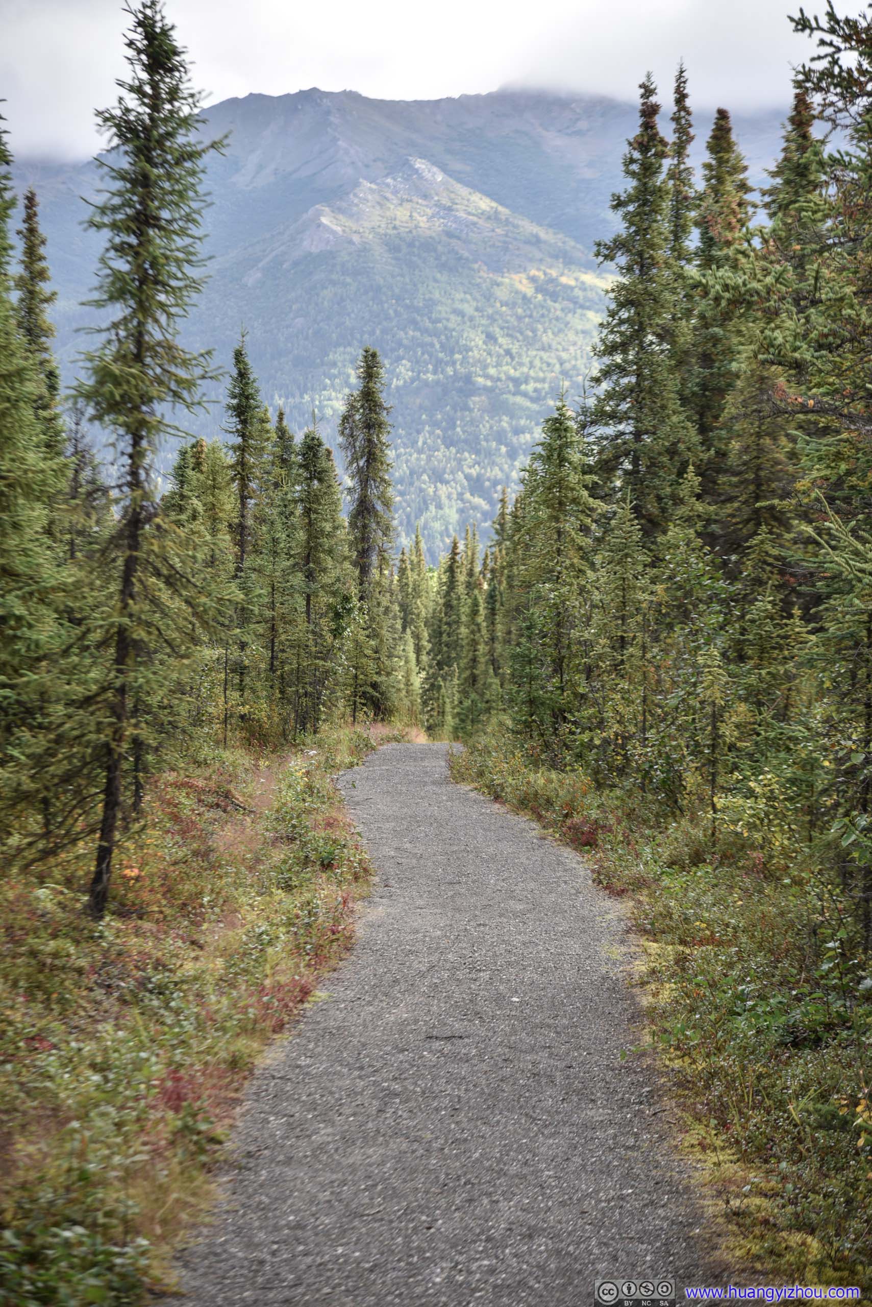
Trail
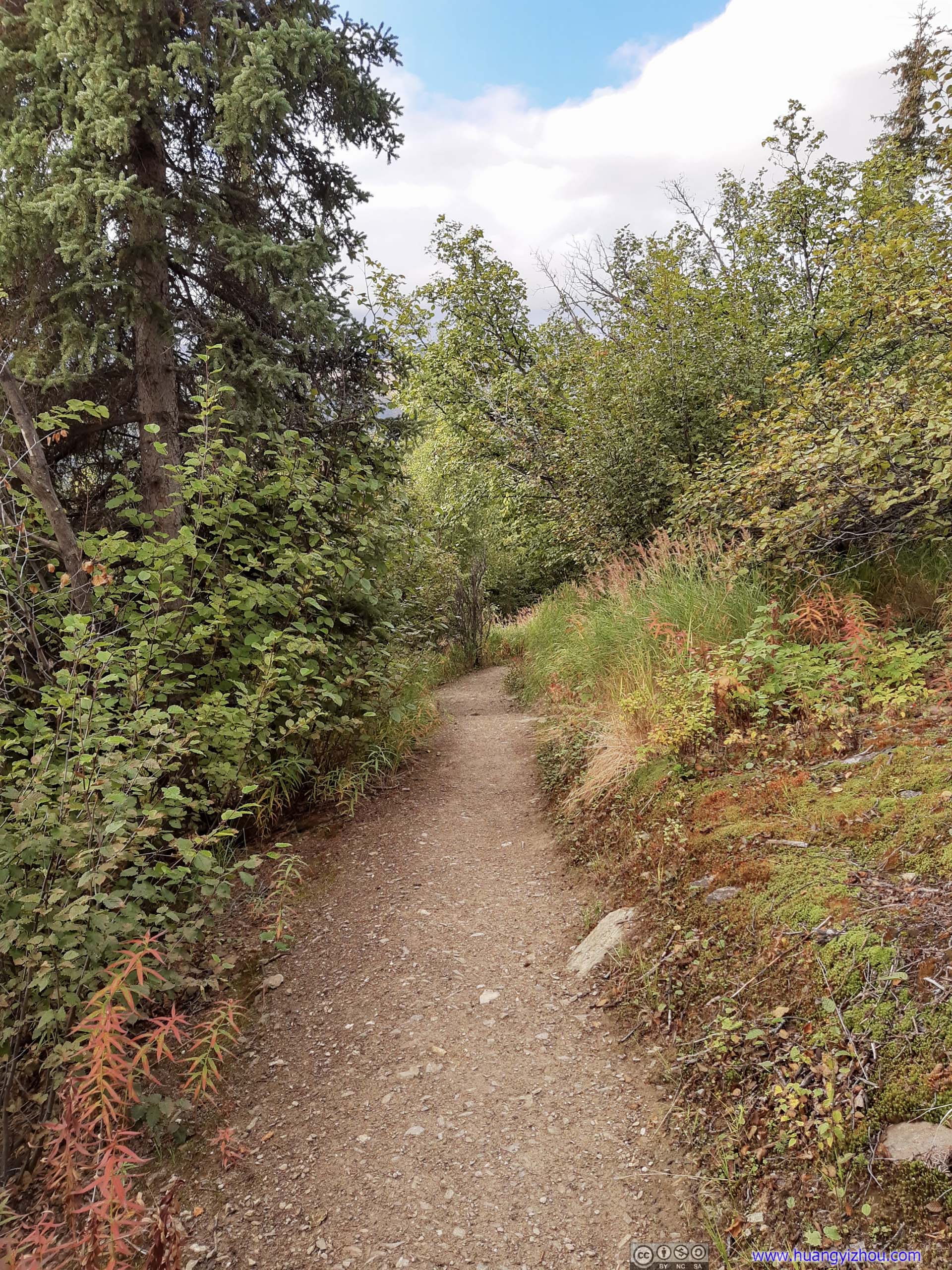


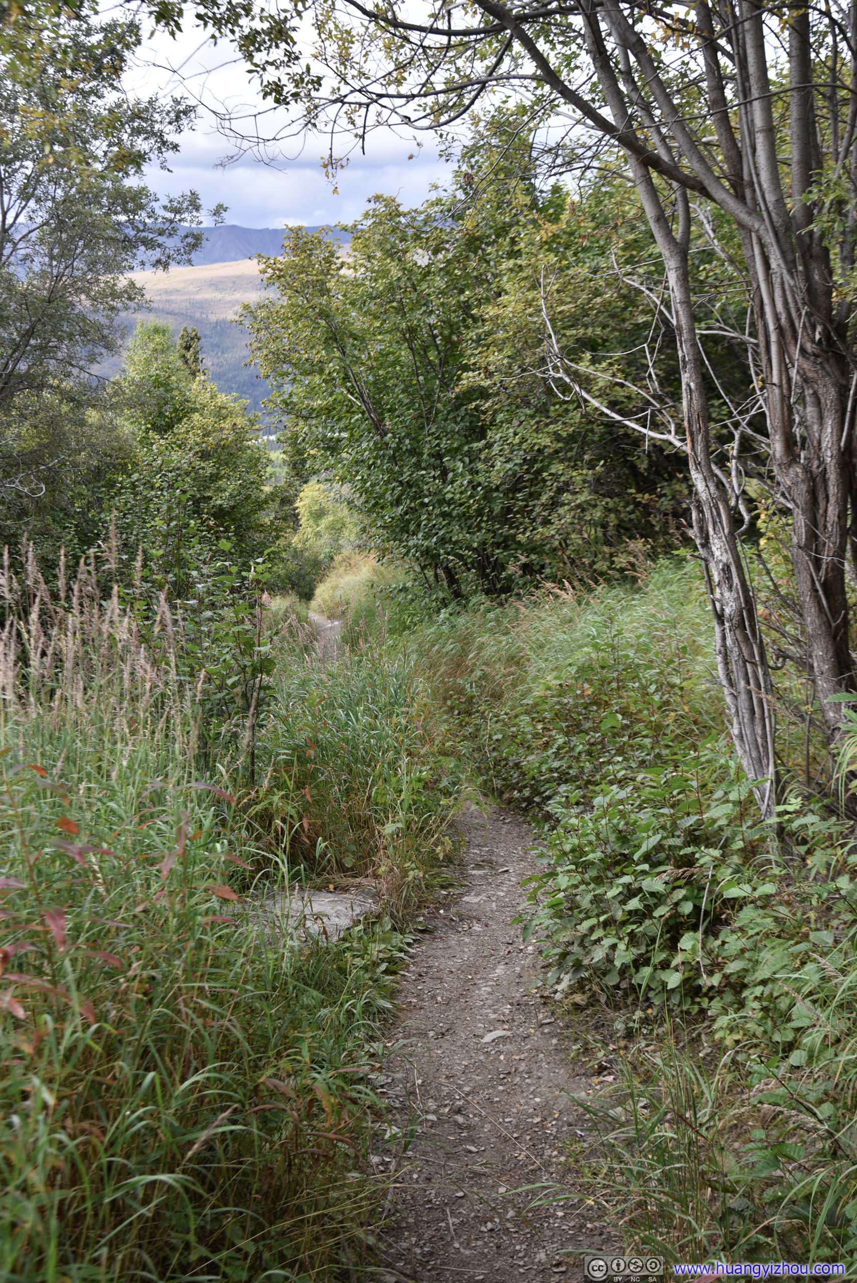
Trail
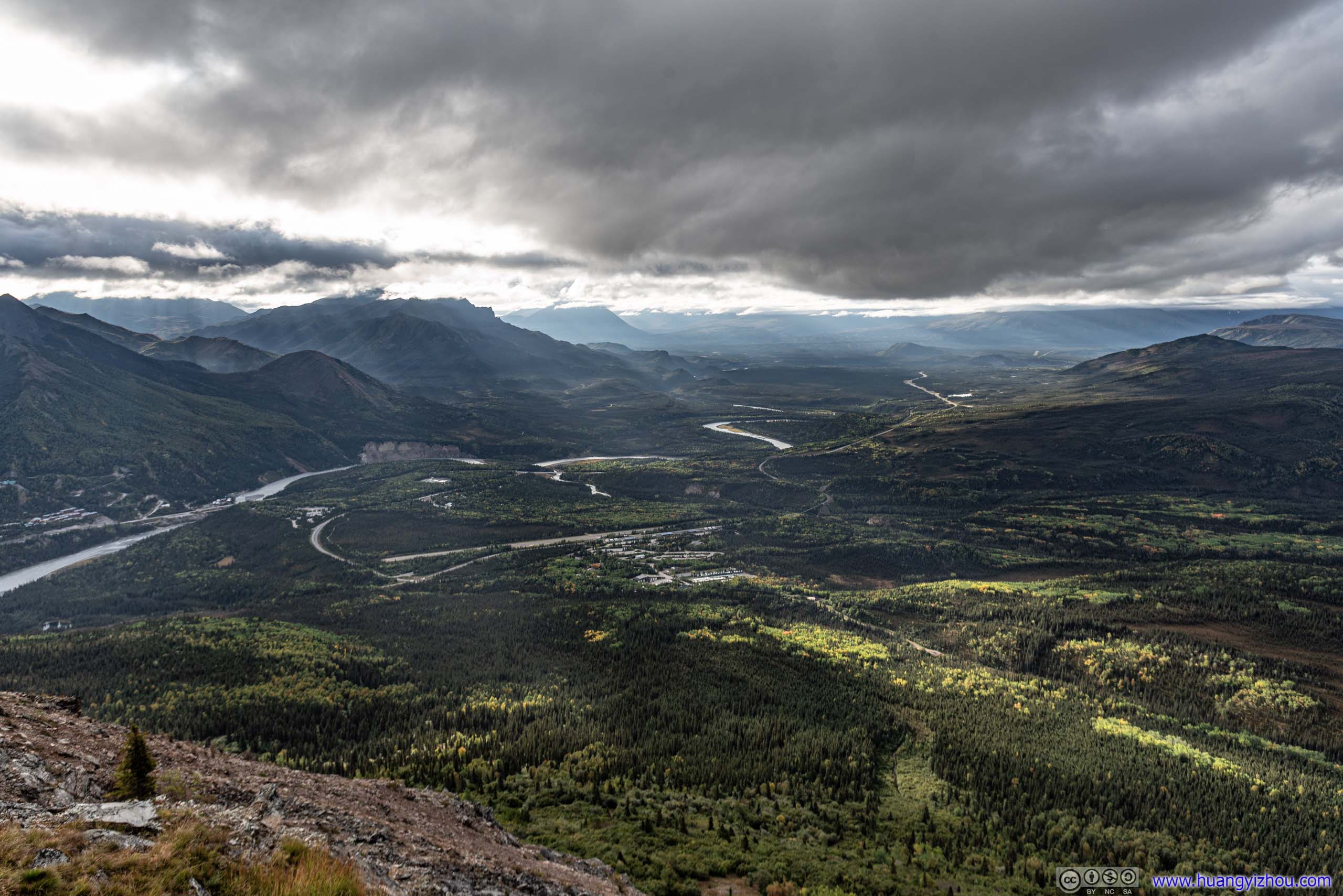
That's also where one started to get an expansive view of distant fields.
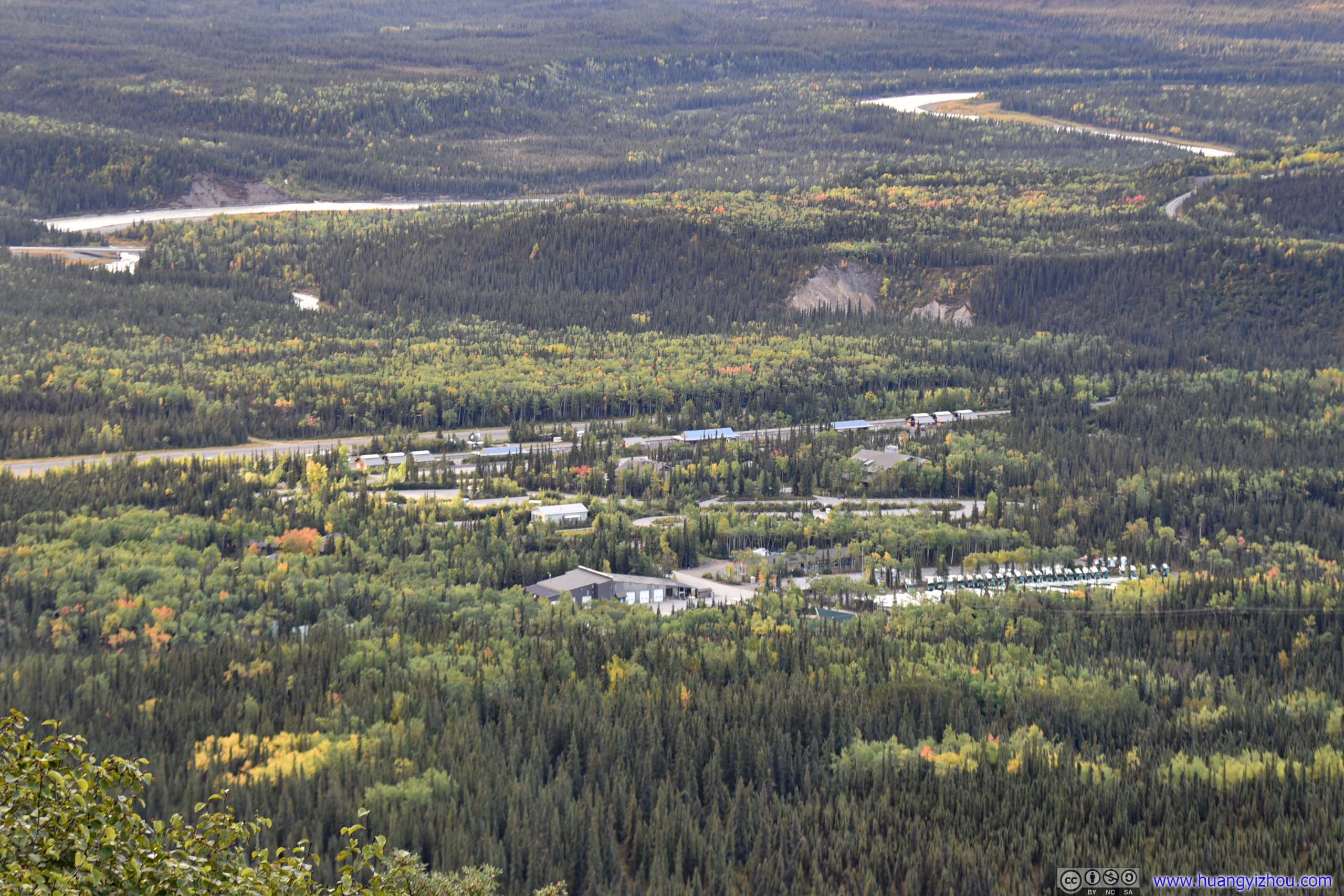
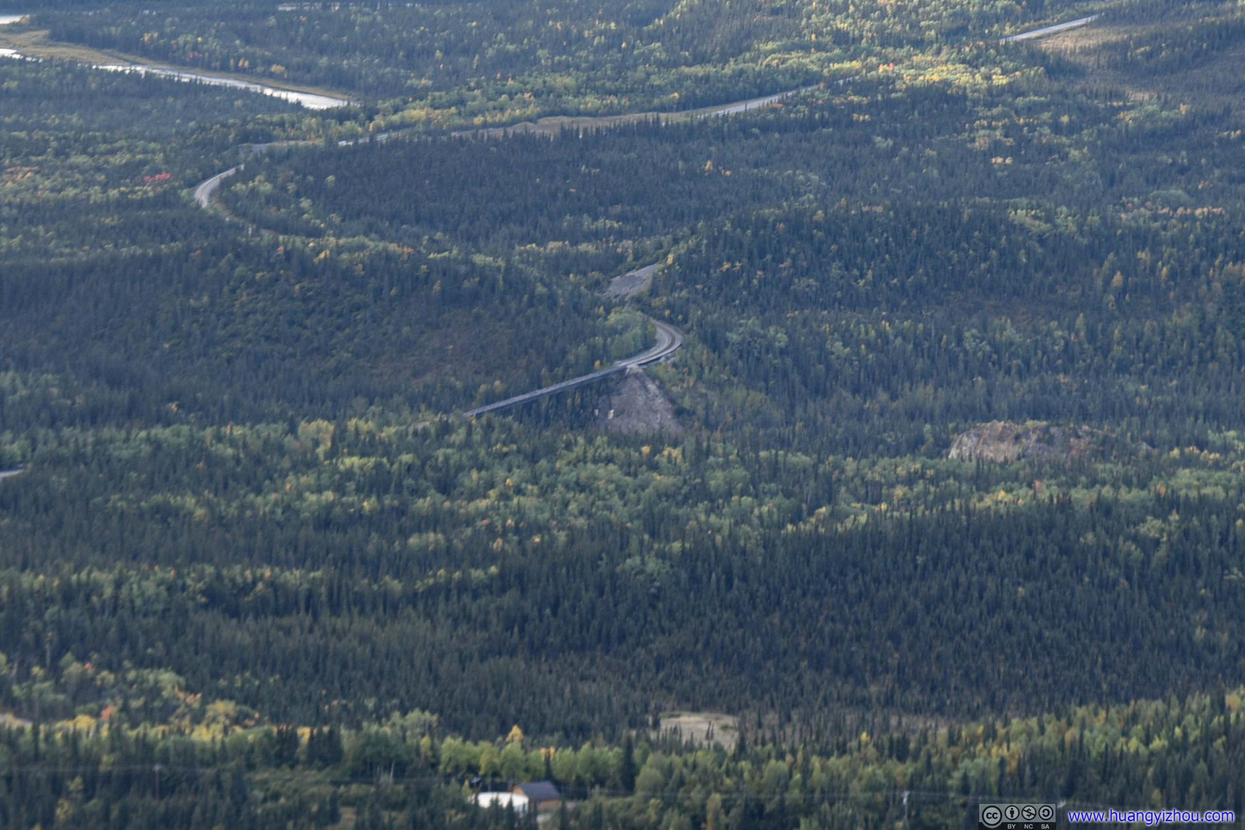
Where I parked my car and started this hike. McKinley National Park Airport and Nenana River in the background.
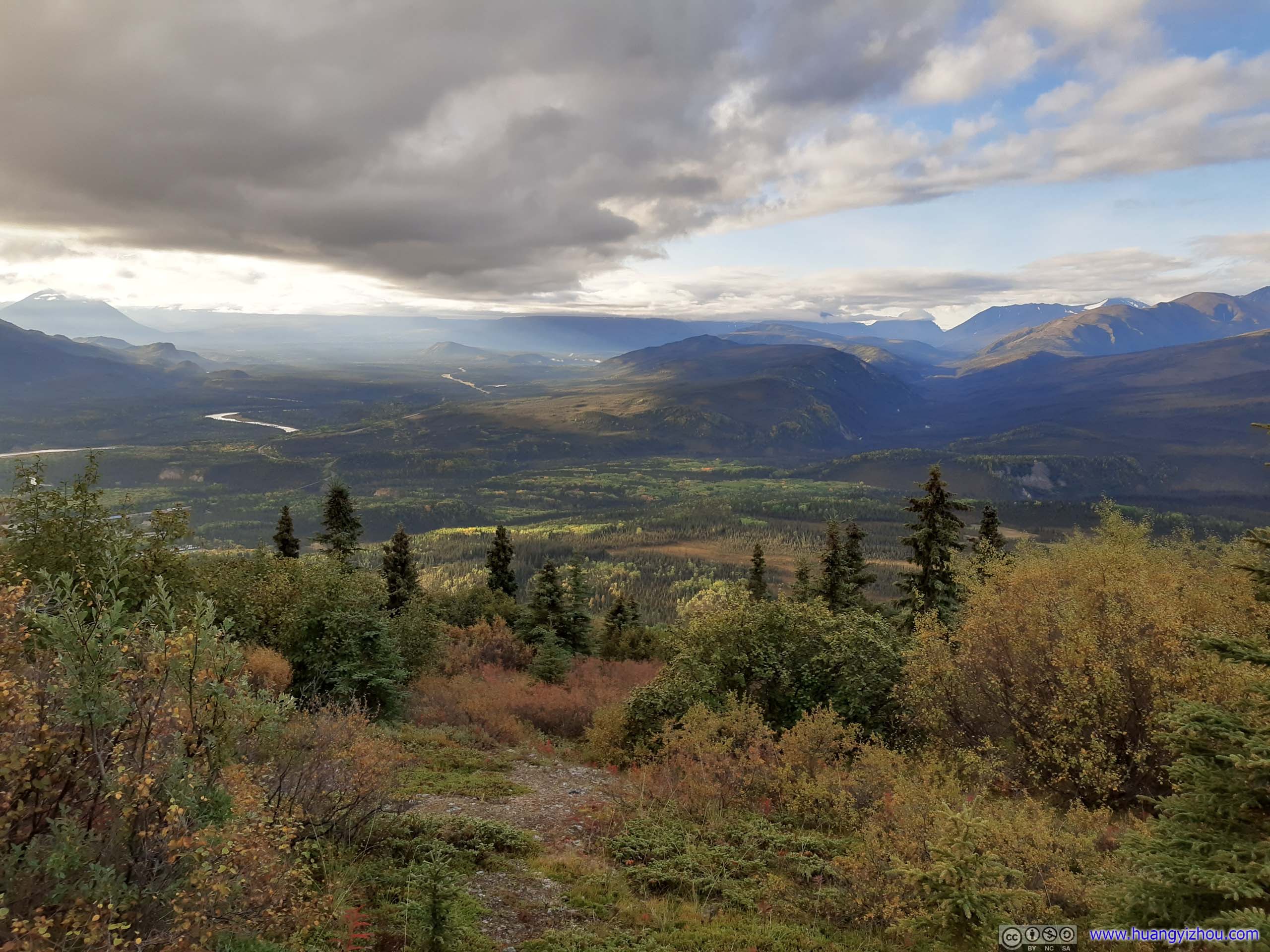
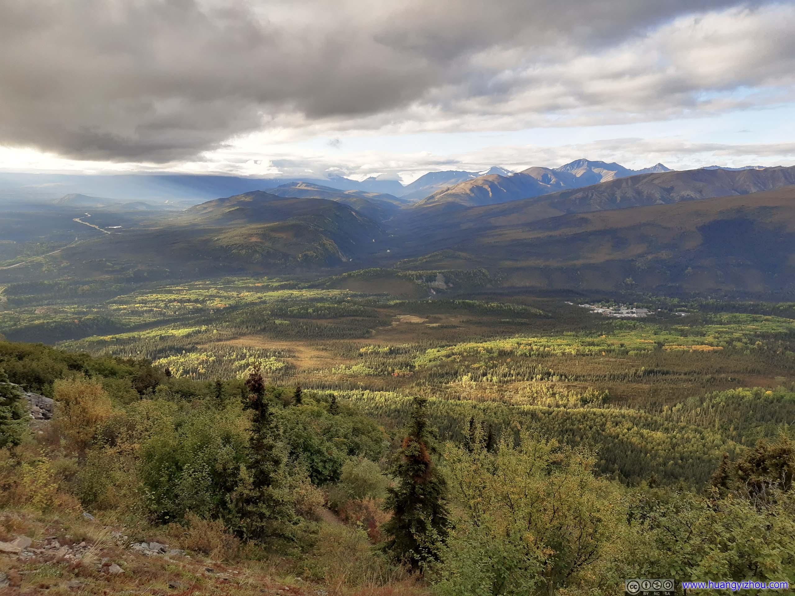
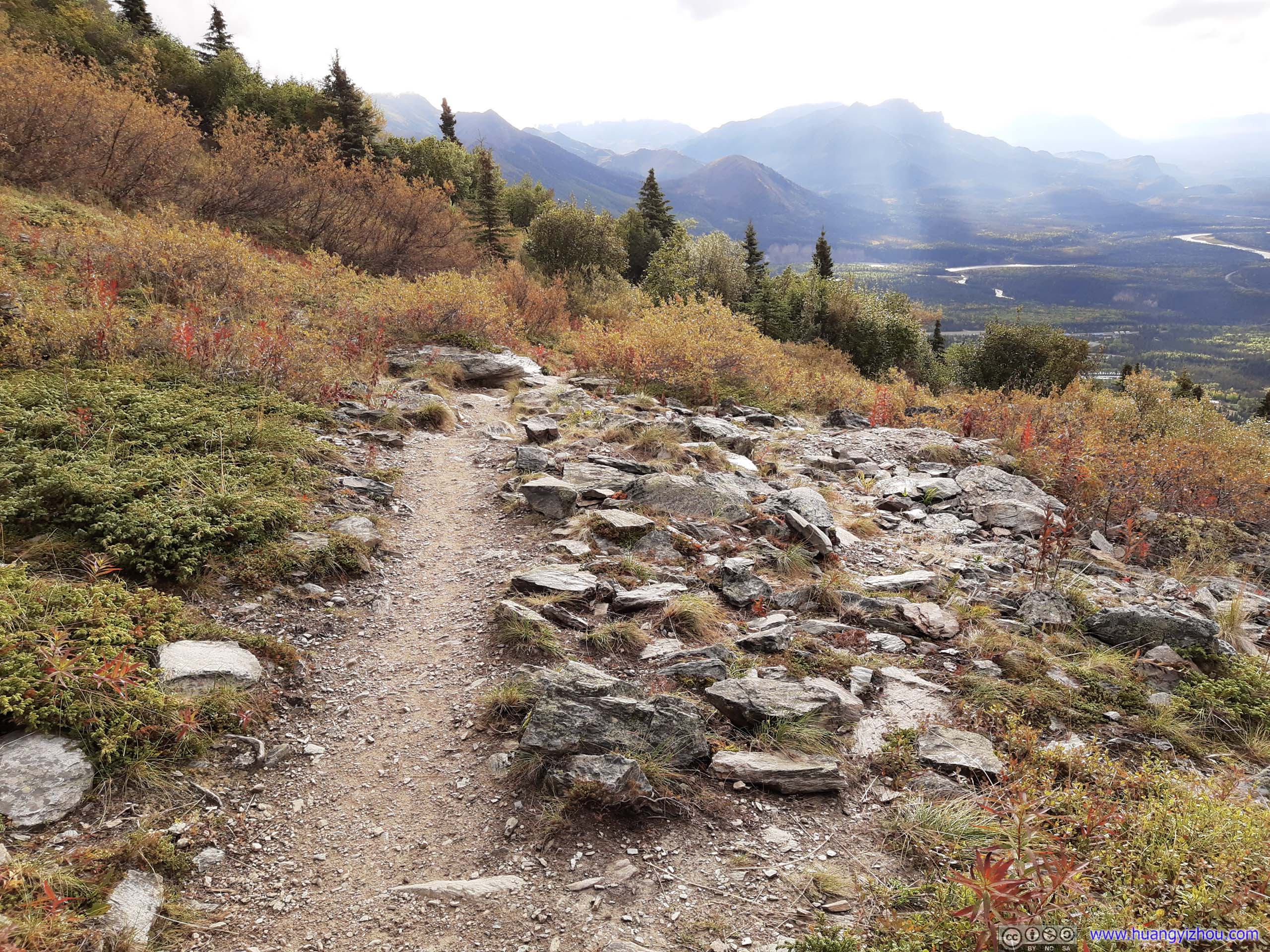
As one emerged out of treeline the expansive landscape came into sight.
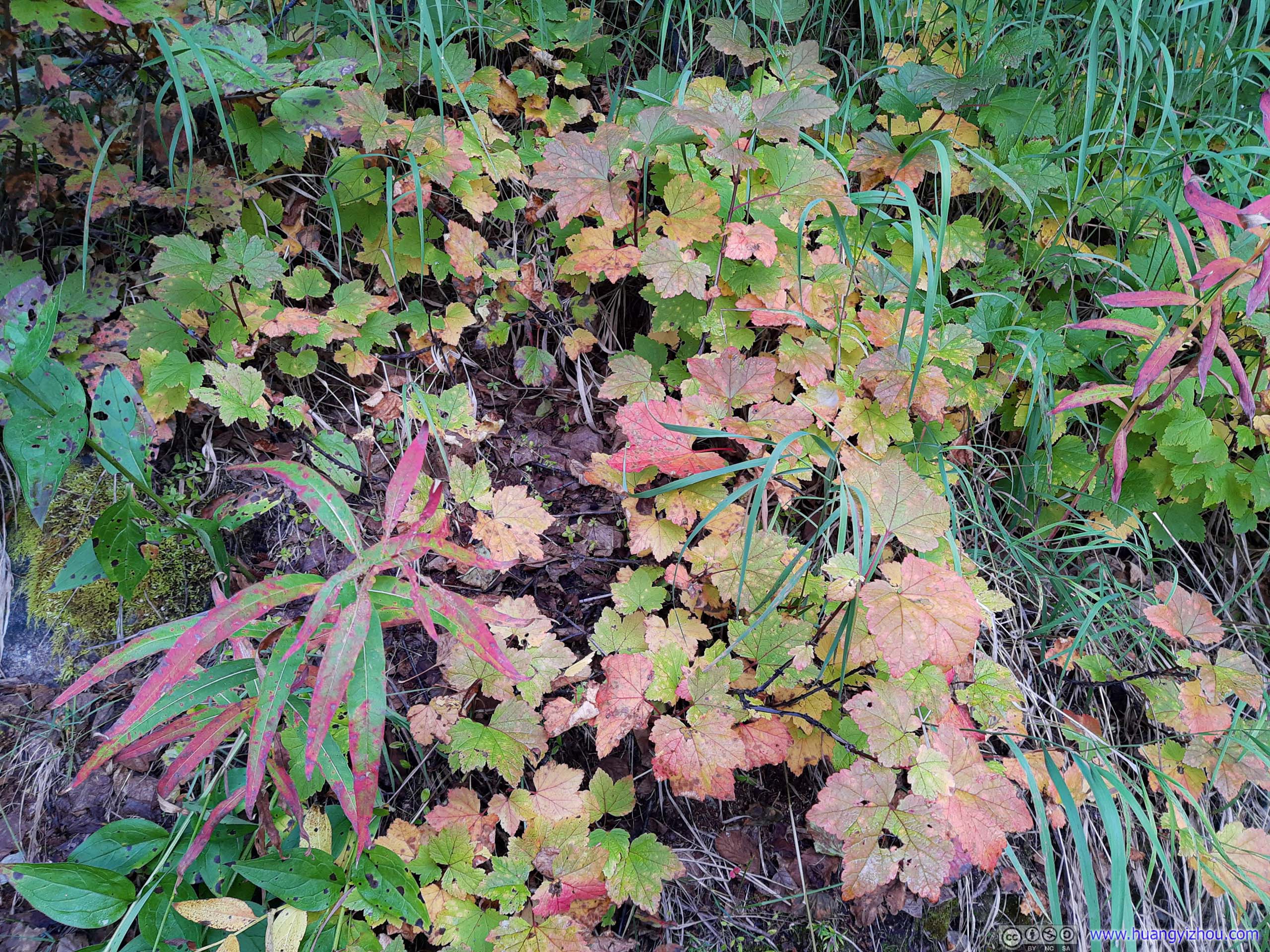
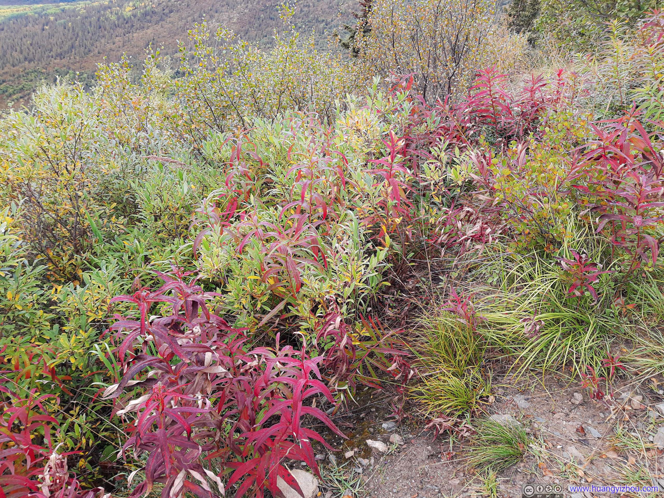
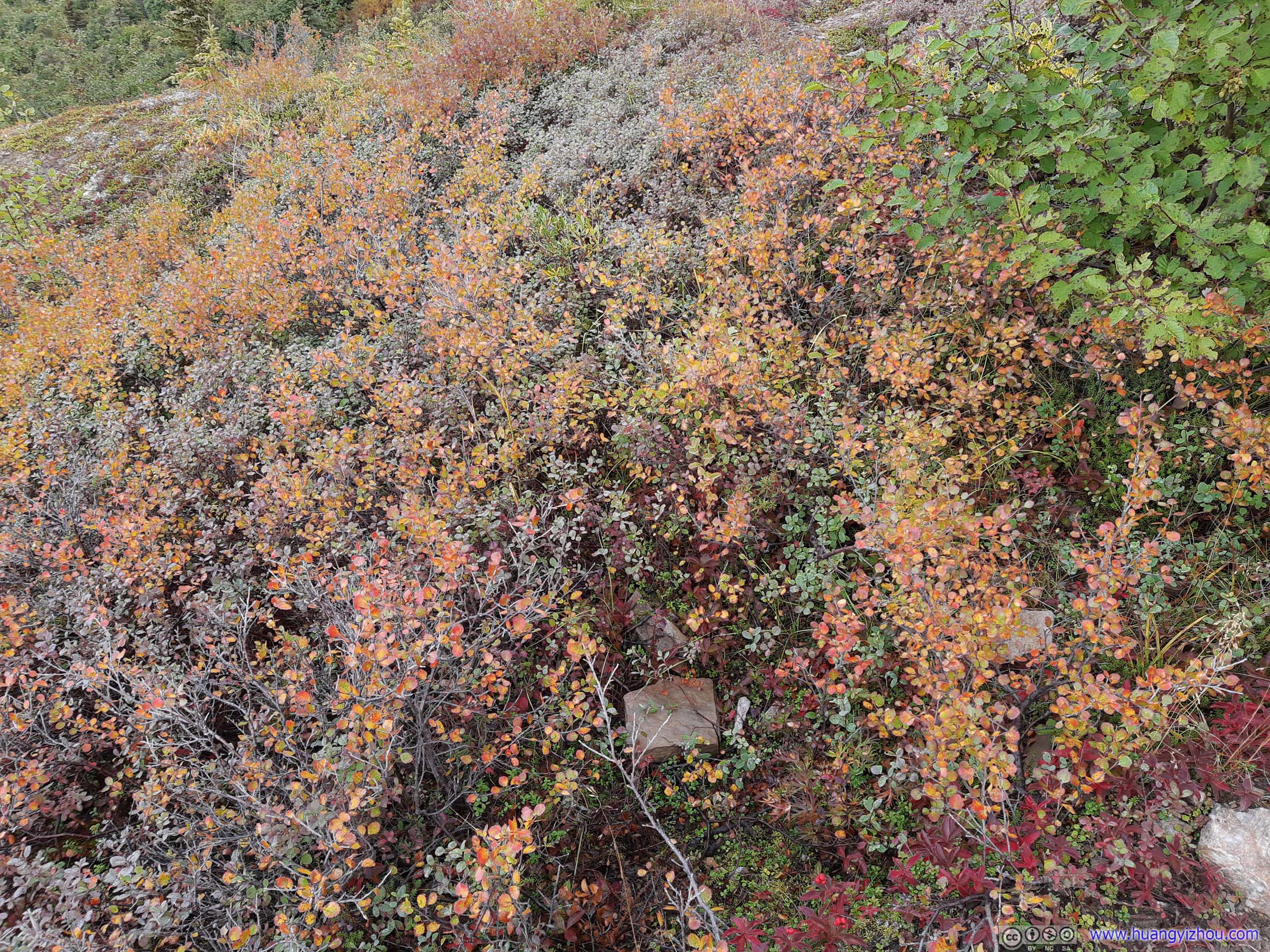
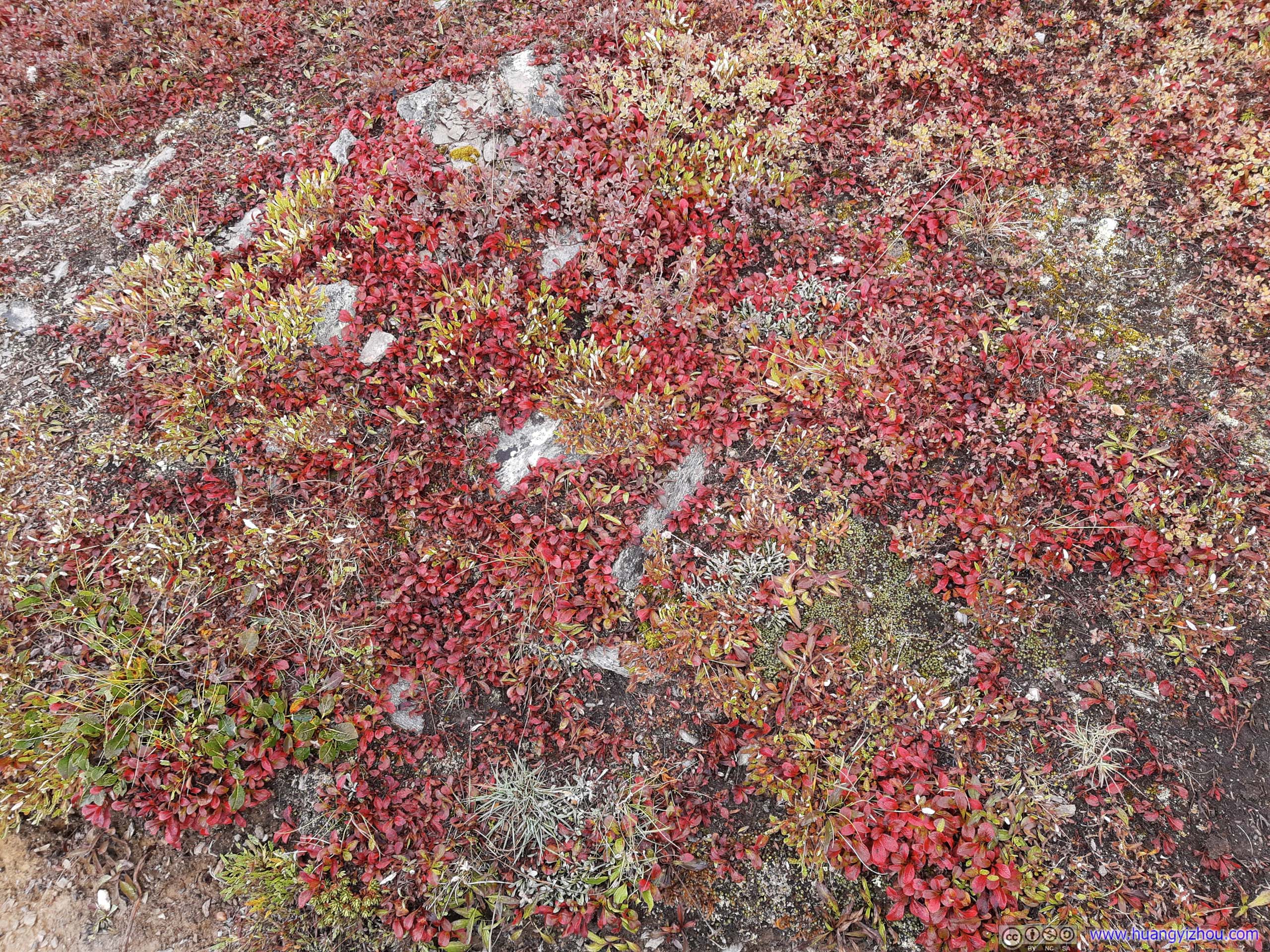
Plants
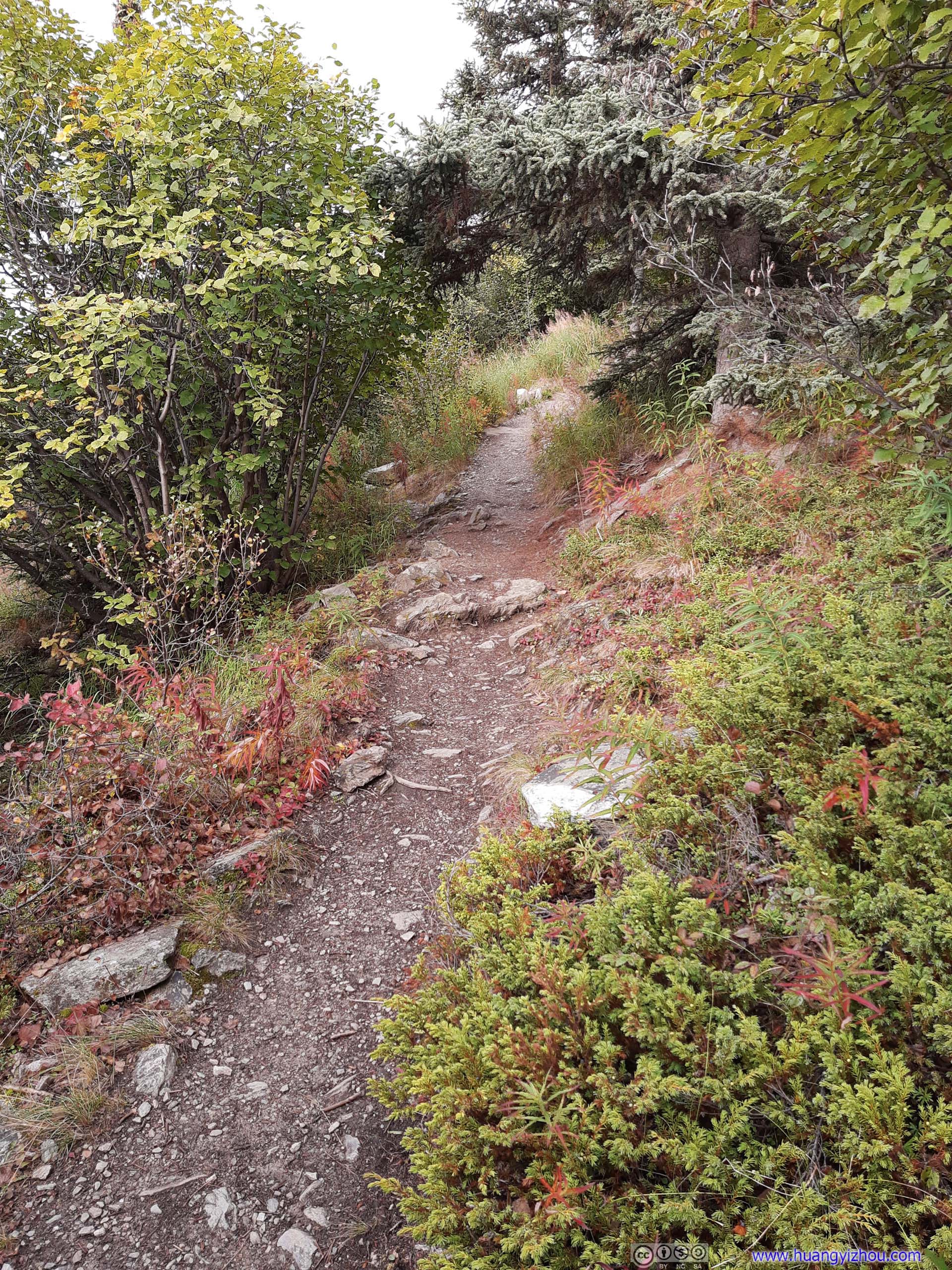
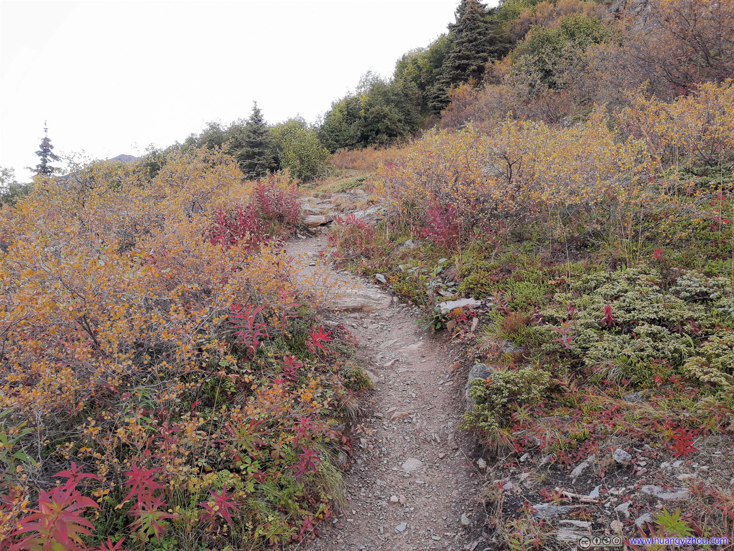
As elevation changed, so were the color and breeds of plants along the trail.
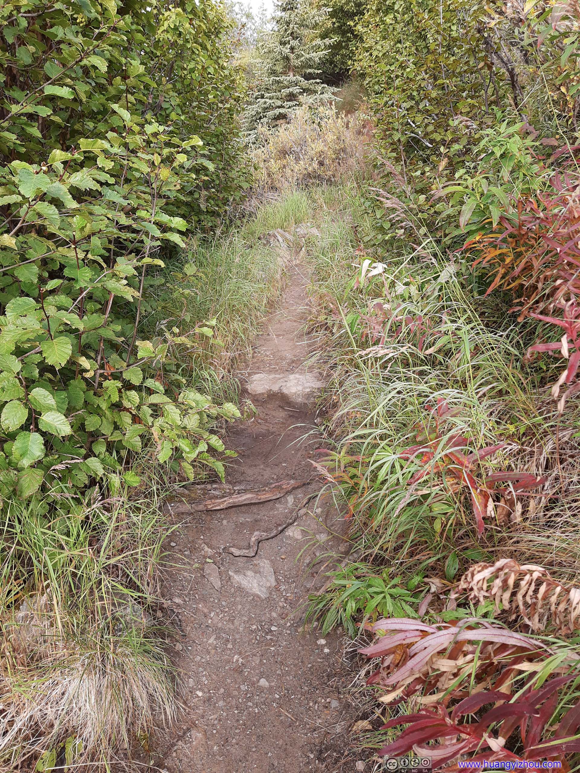
Trail
Colors along the trail never faded all the way till overlook.
Overlook
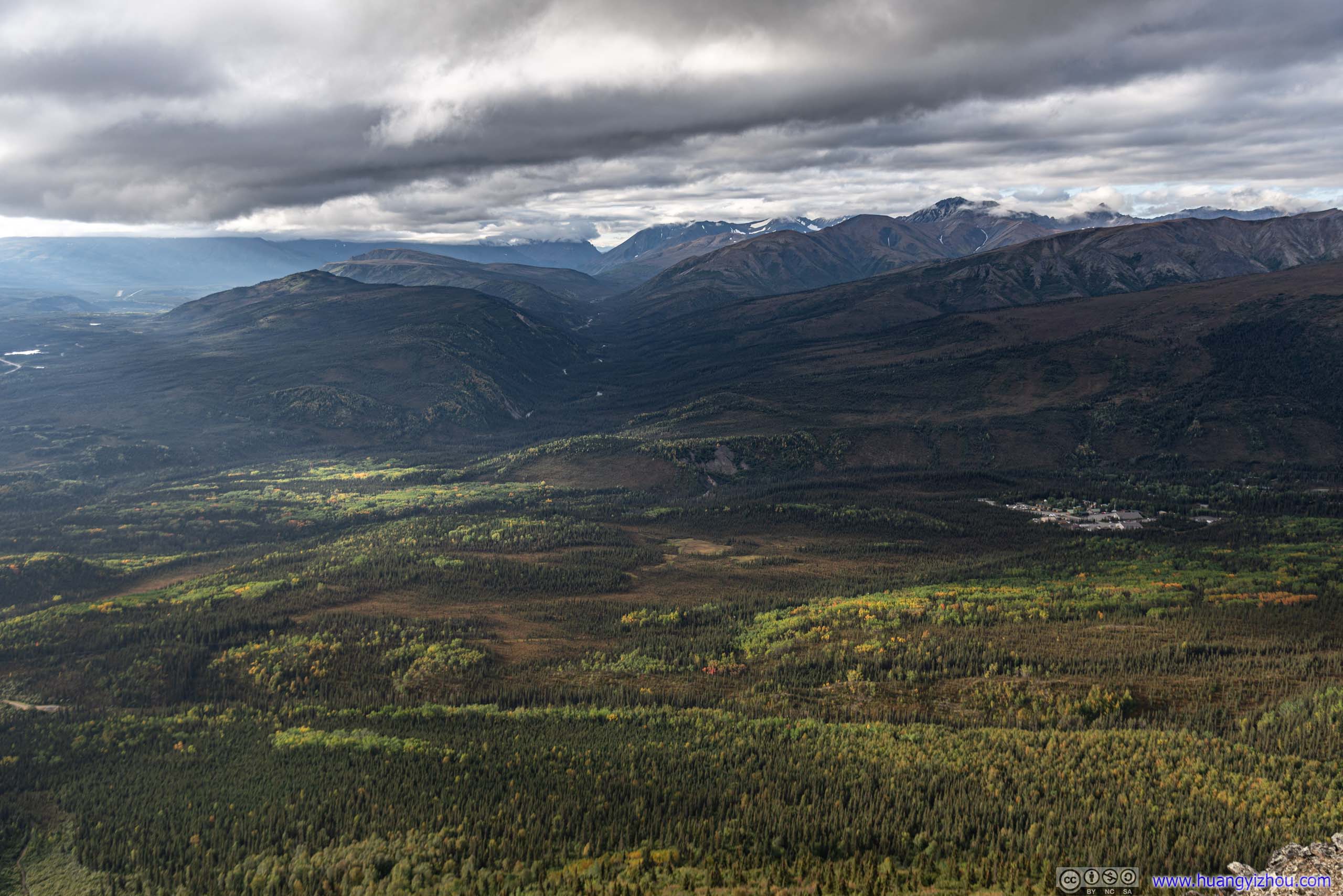
At 8:40am, I reached Mount Healy Overlook, which was made of a series of boulders overlooking the valley to the South.

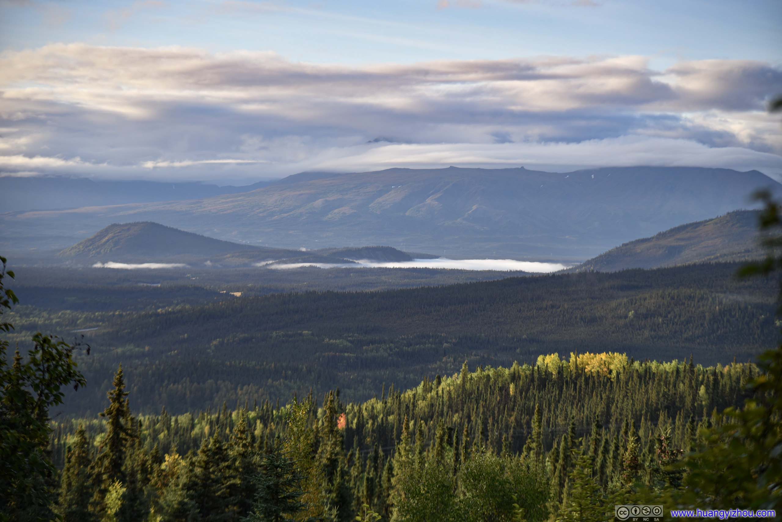
Fields
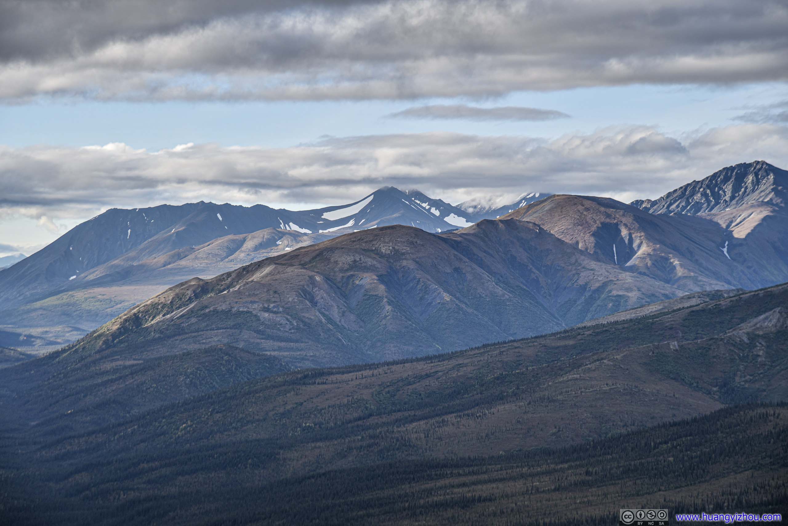
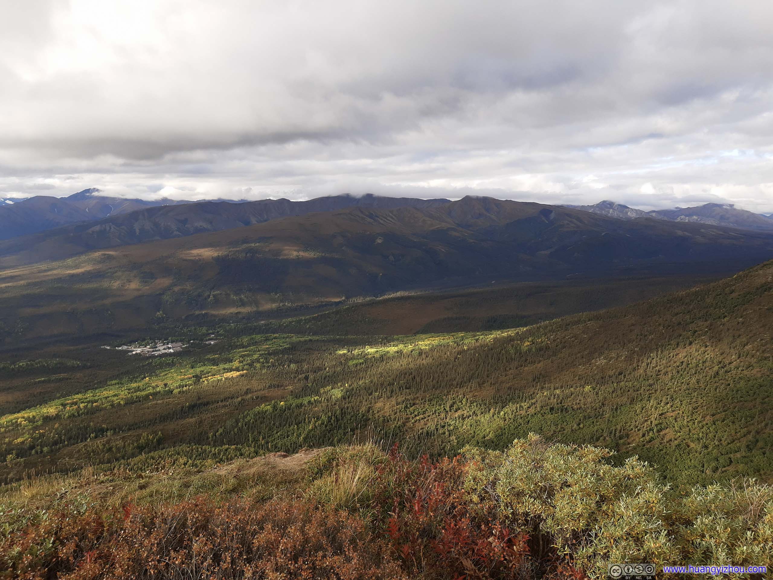
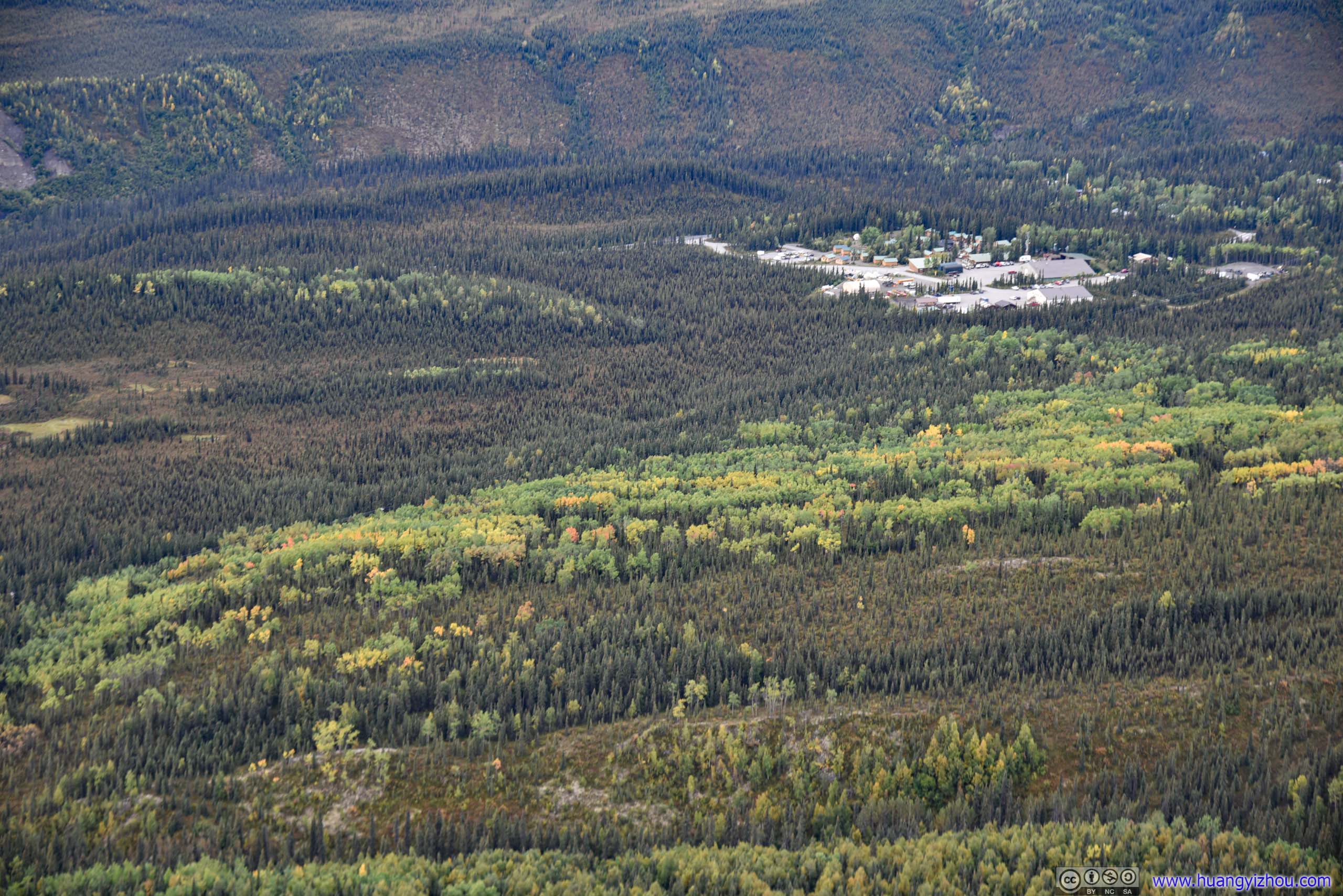
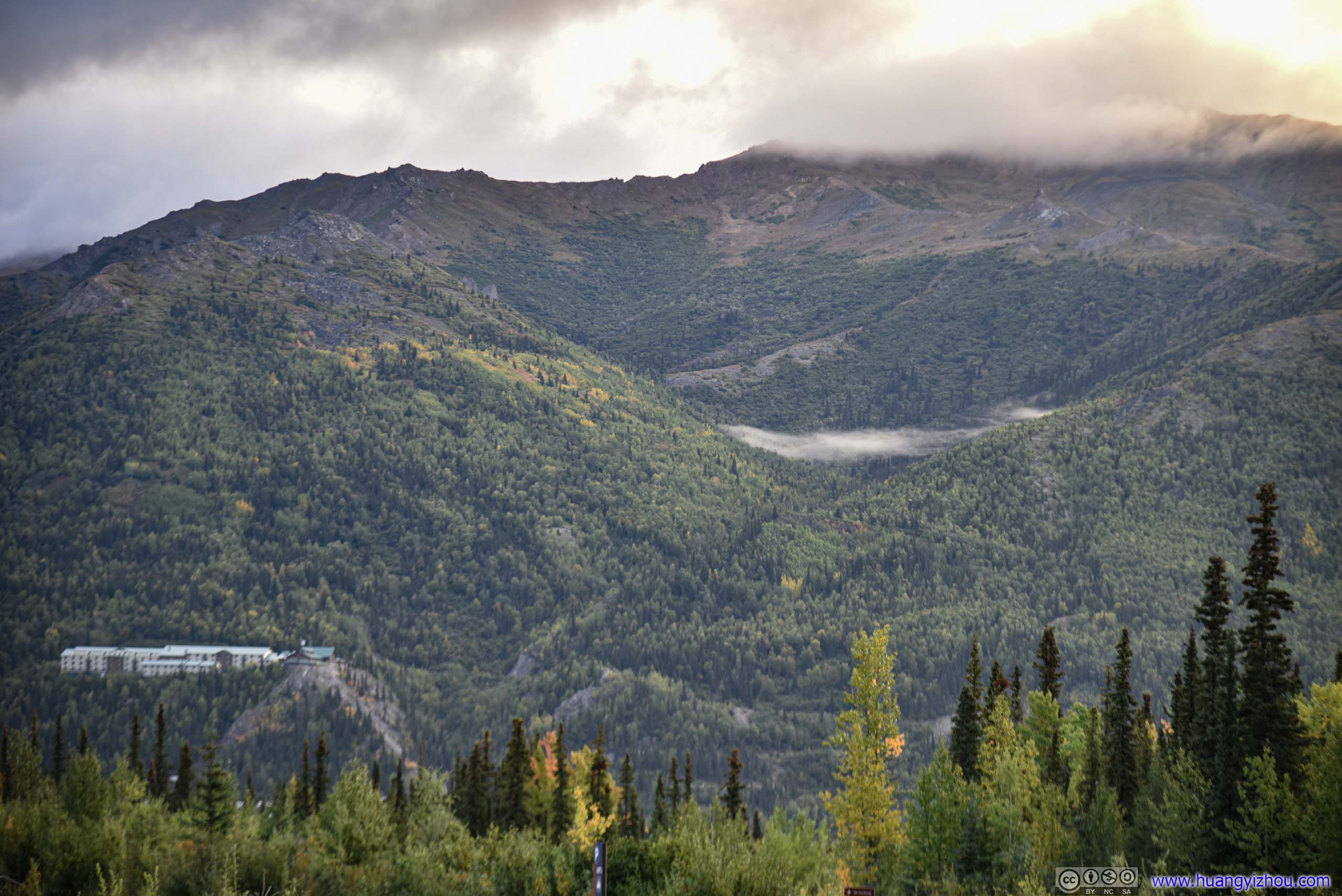
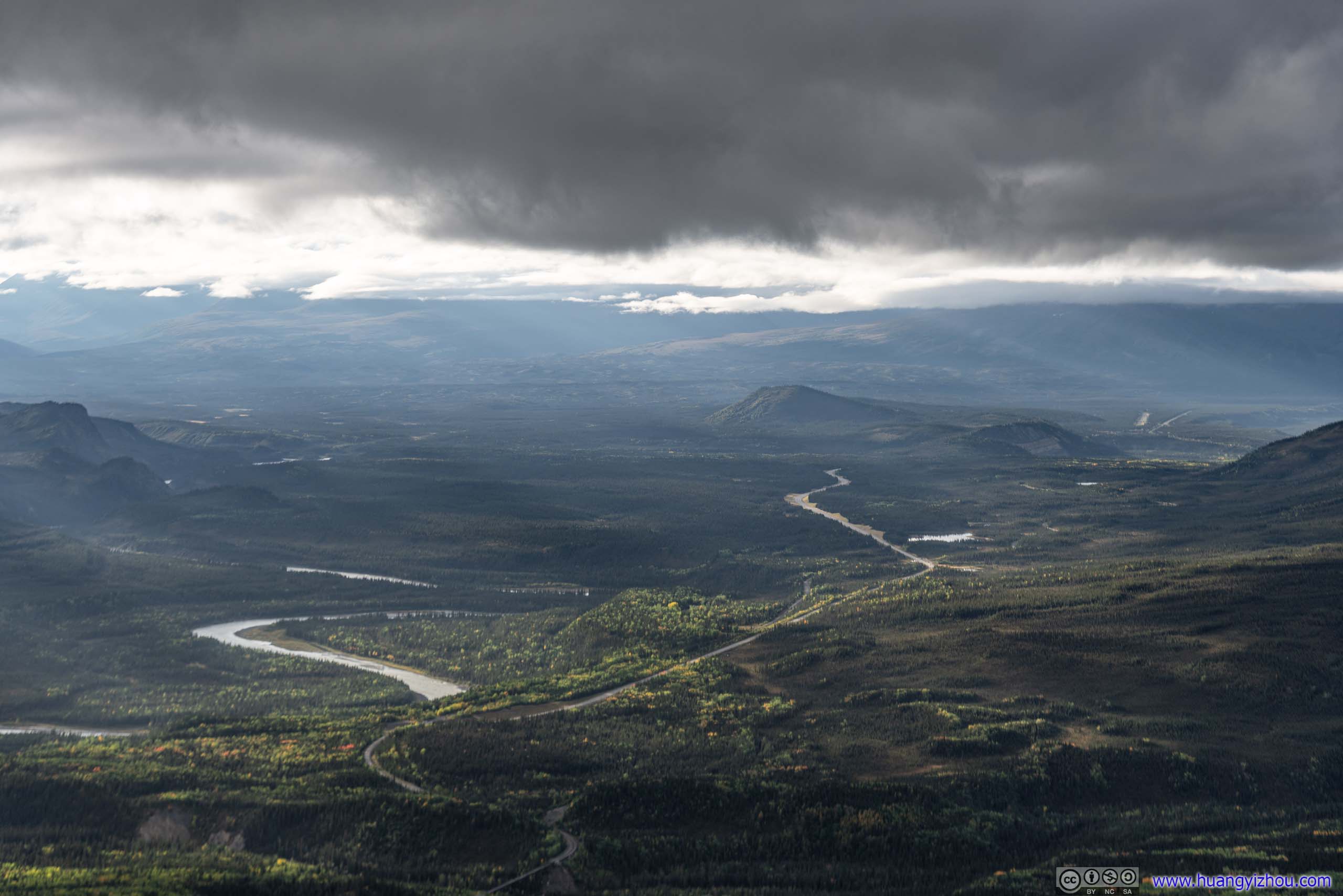
Park headquarters in the background.

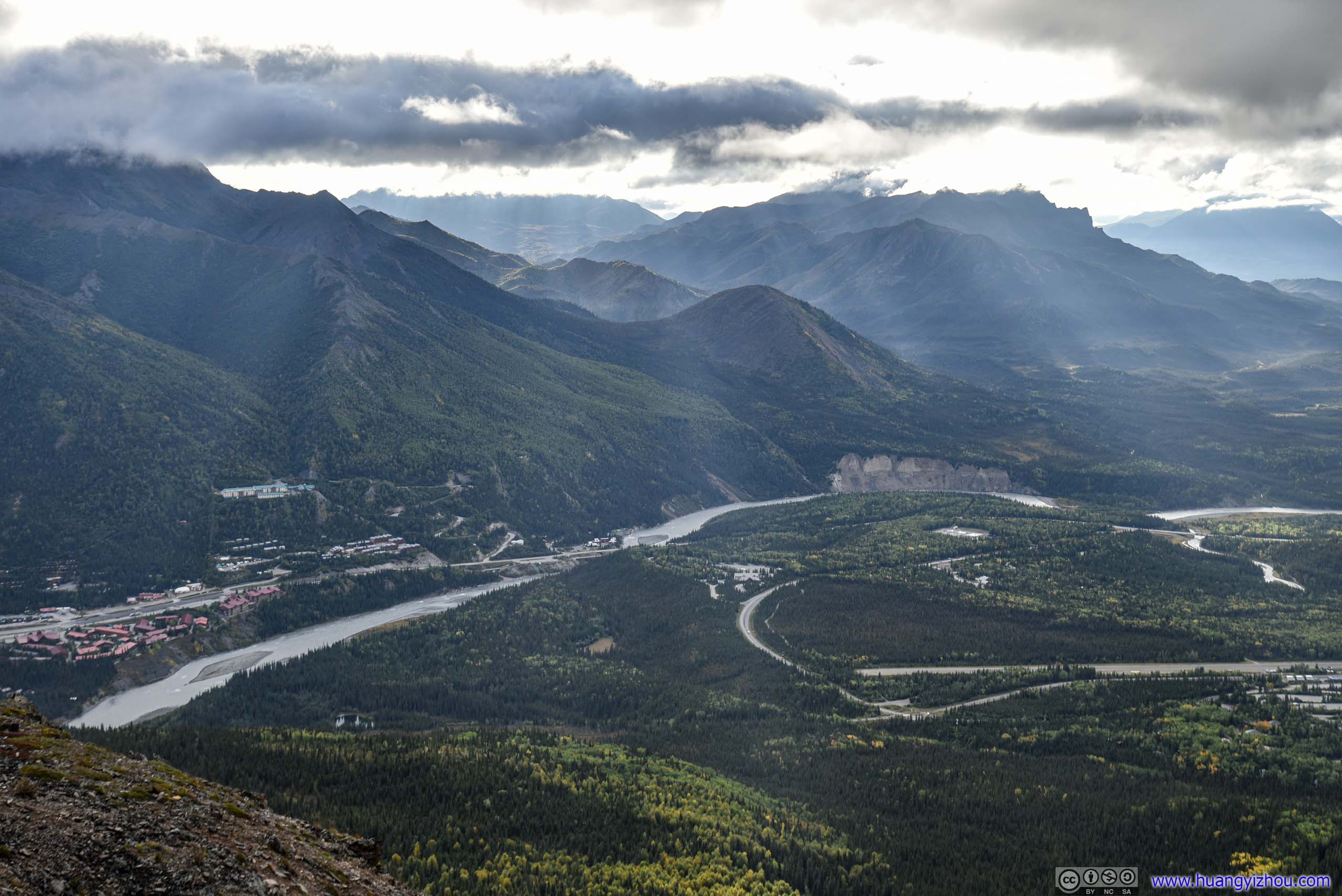
It's sensational watching sun piercing through clouds.

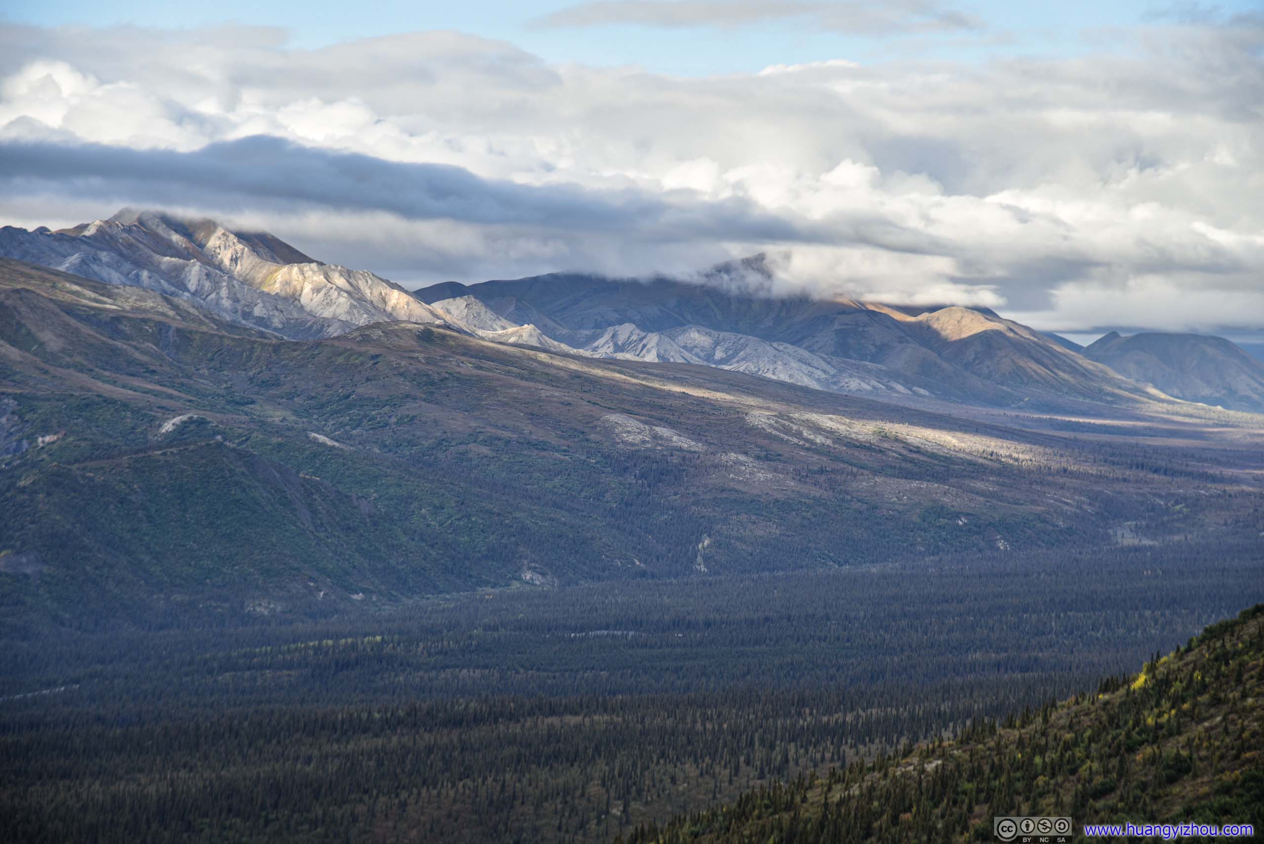
Denali behind clouds.
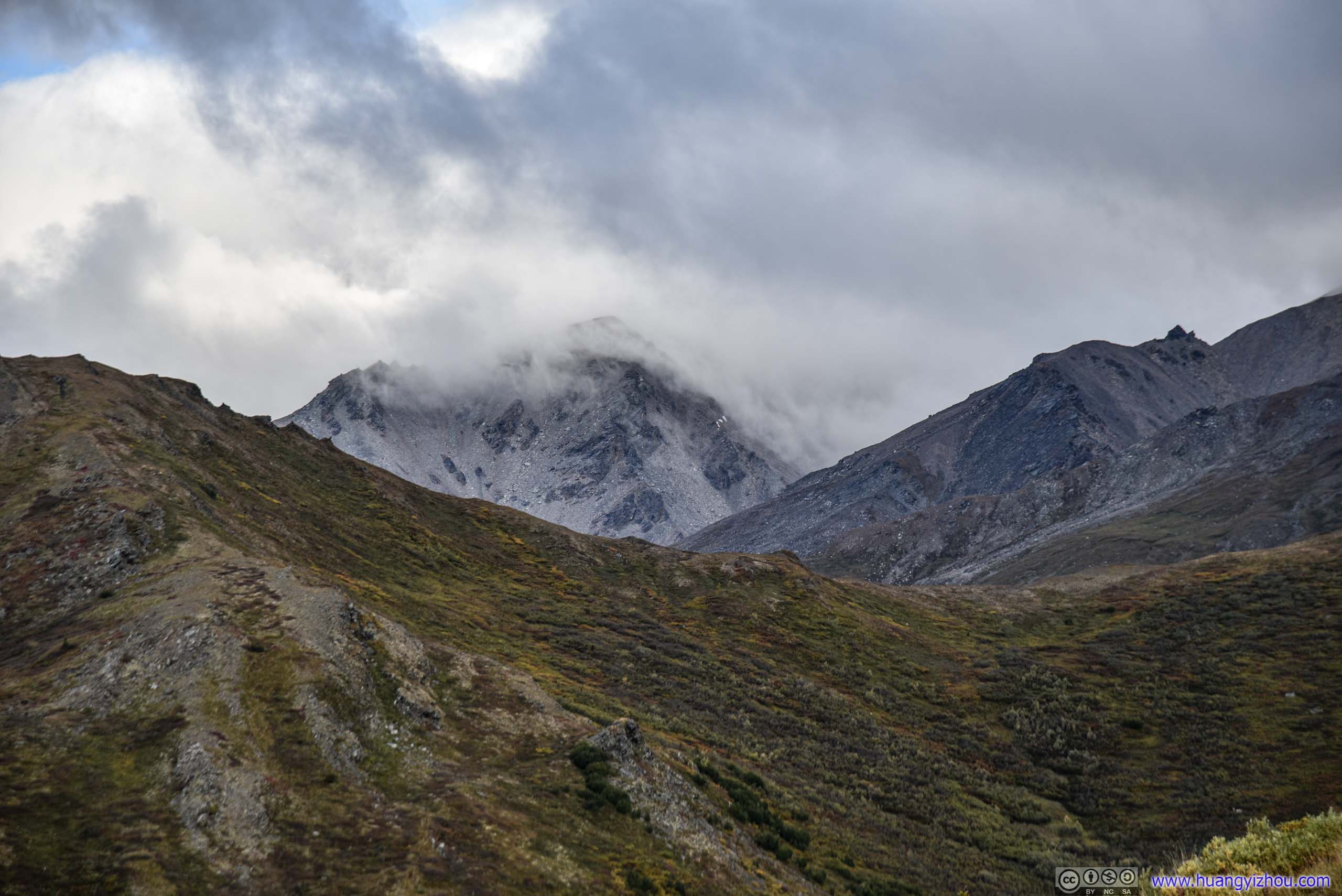
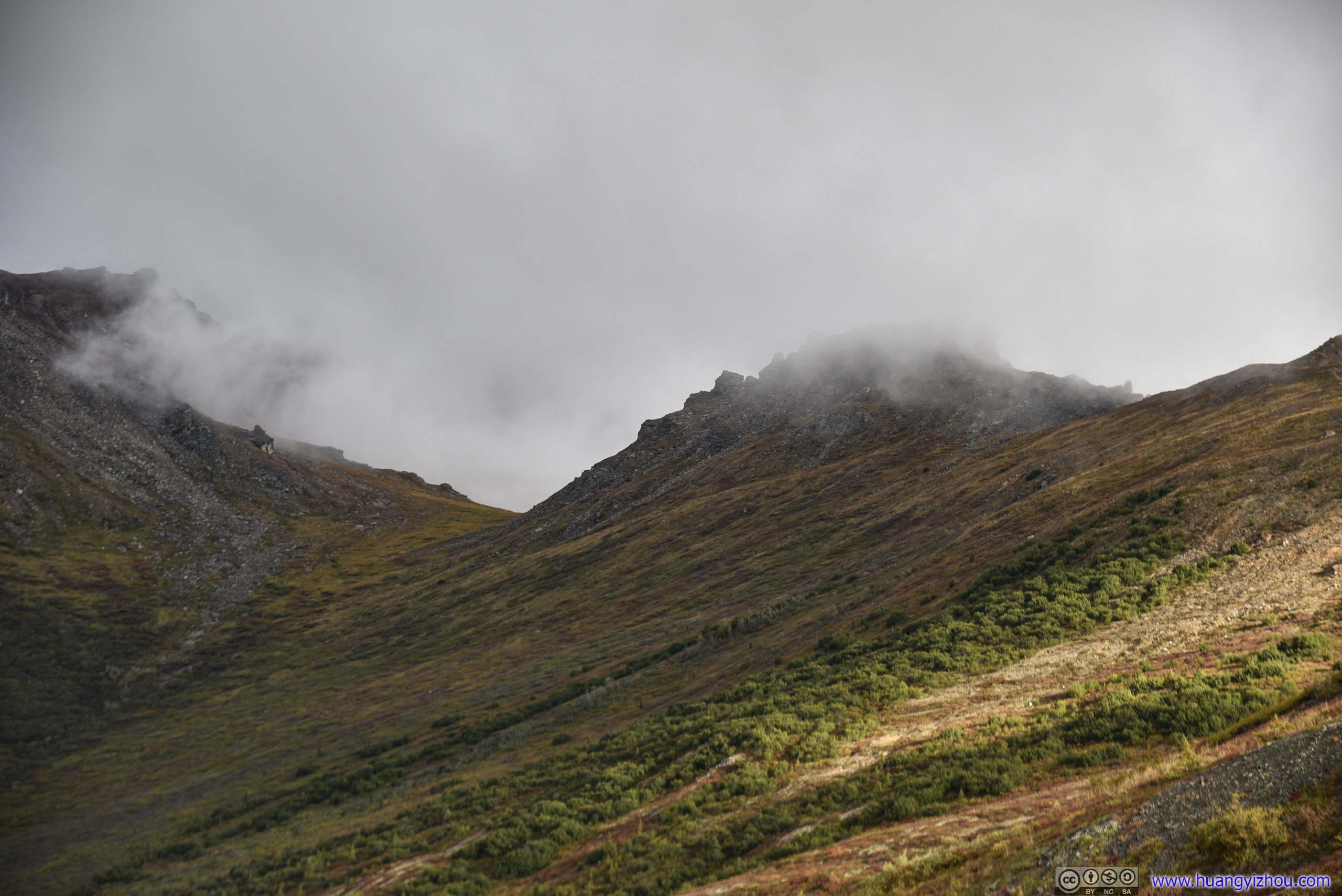
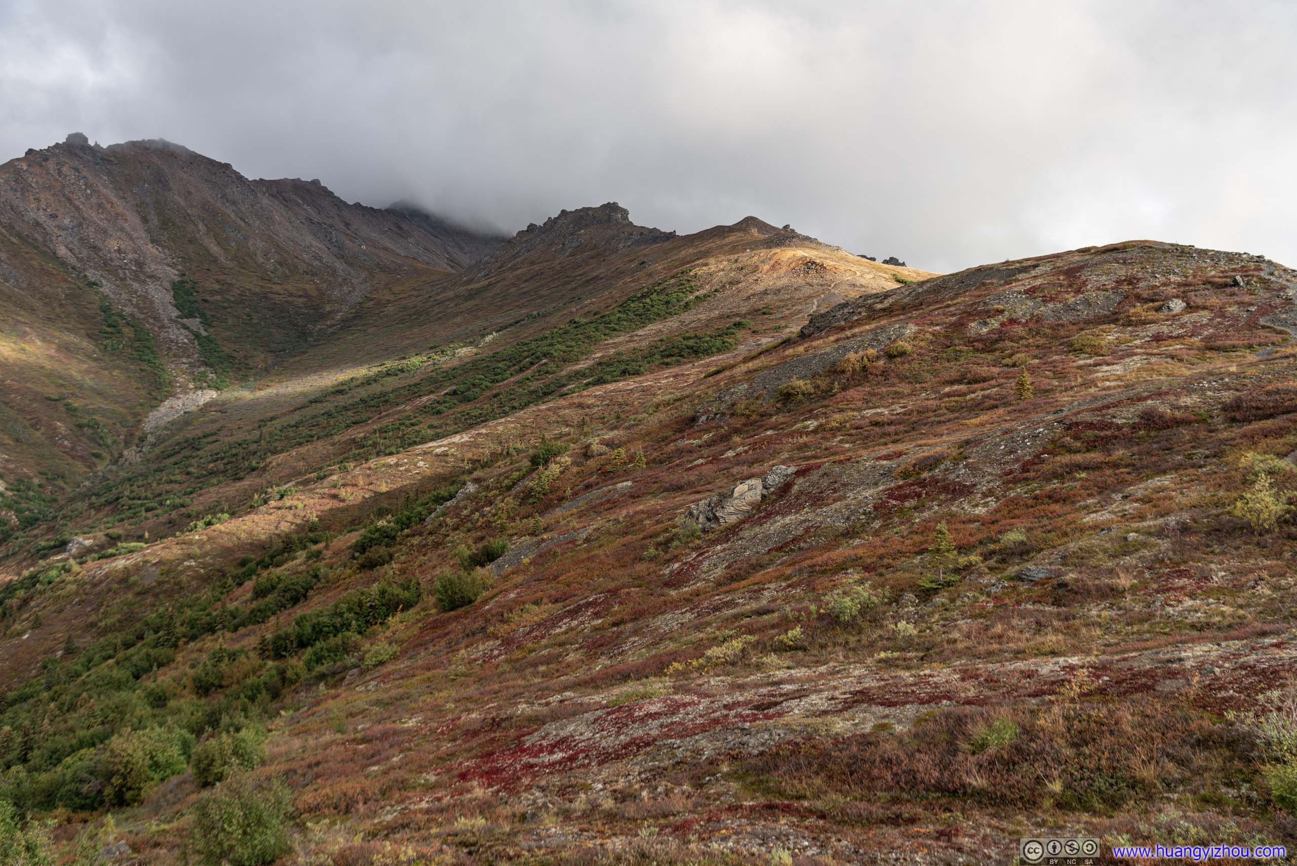
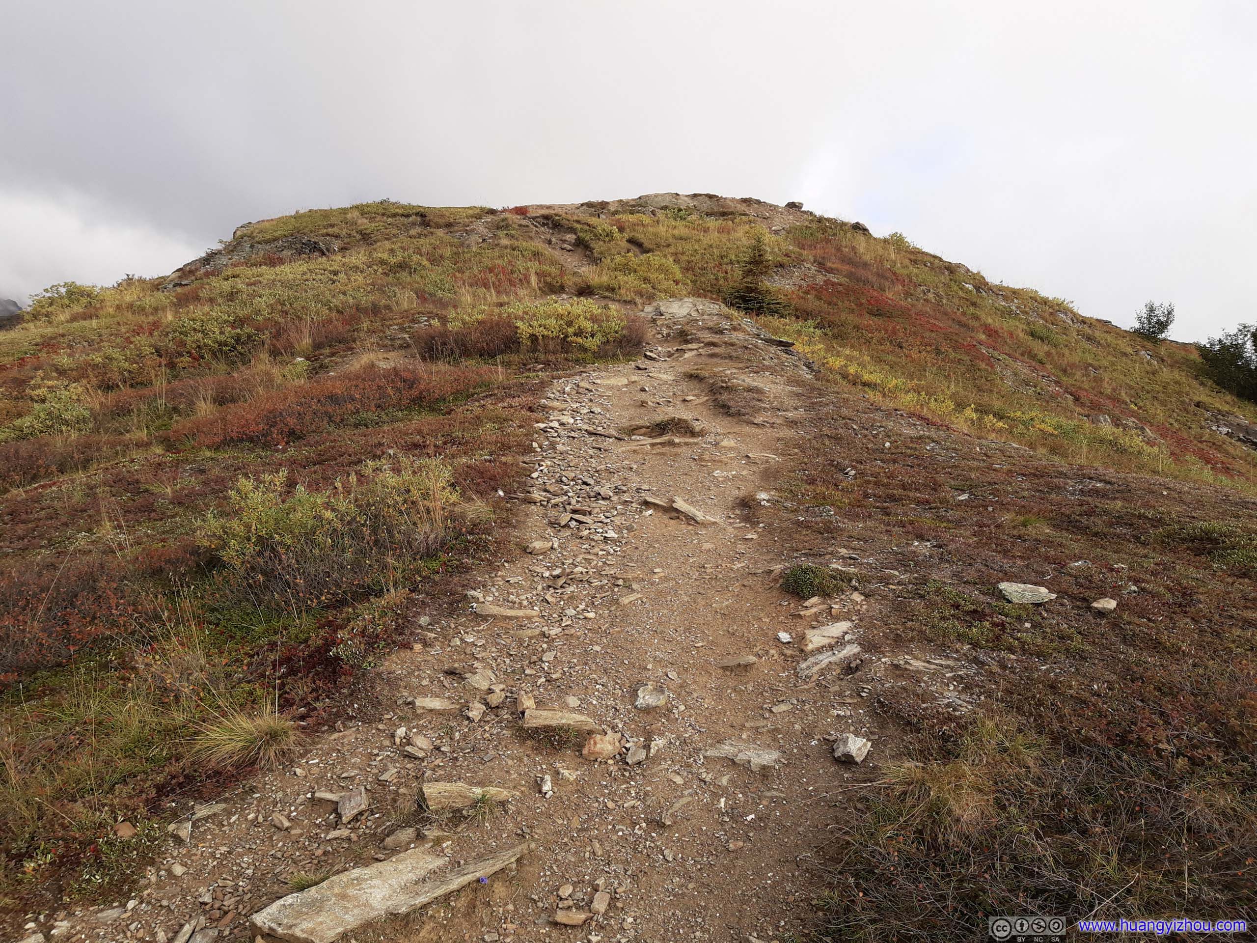
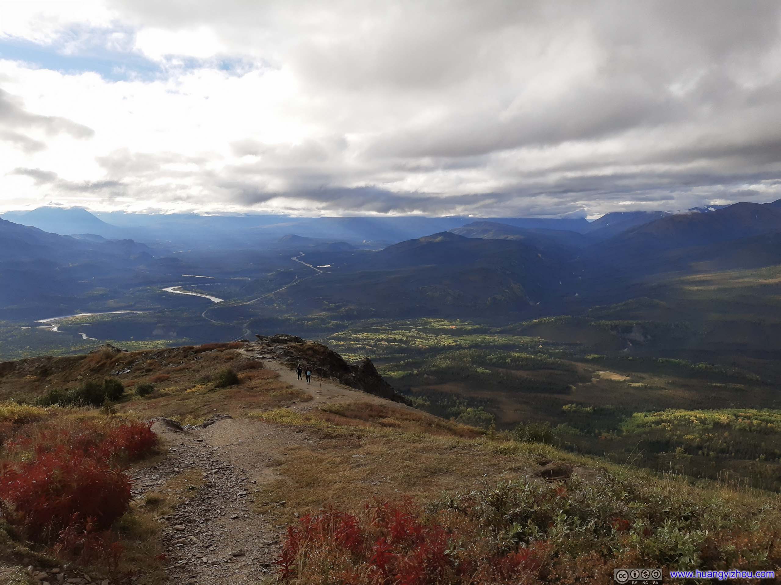
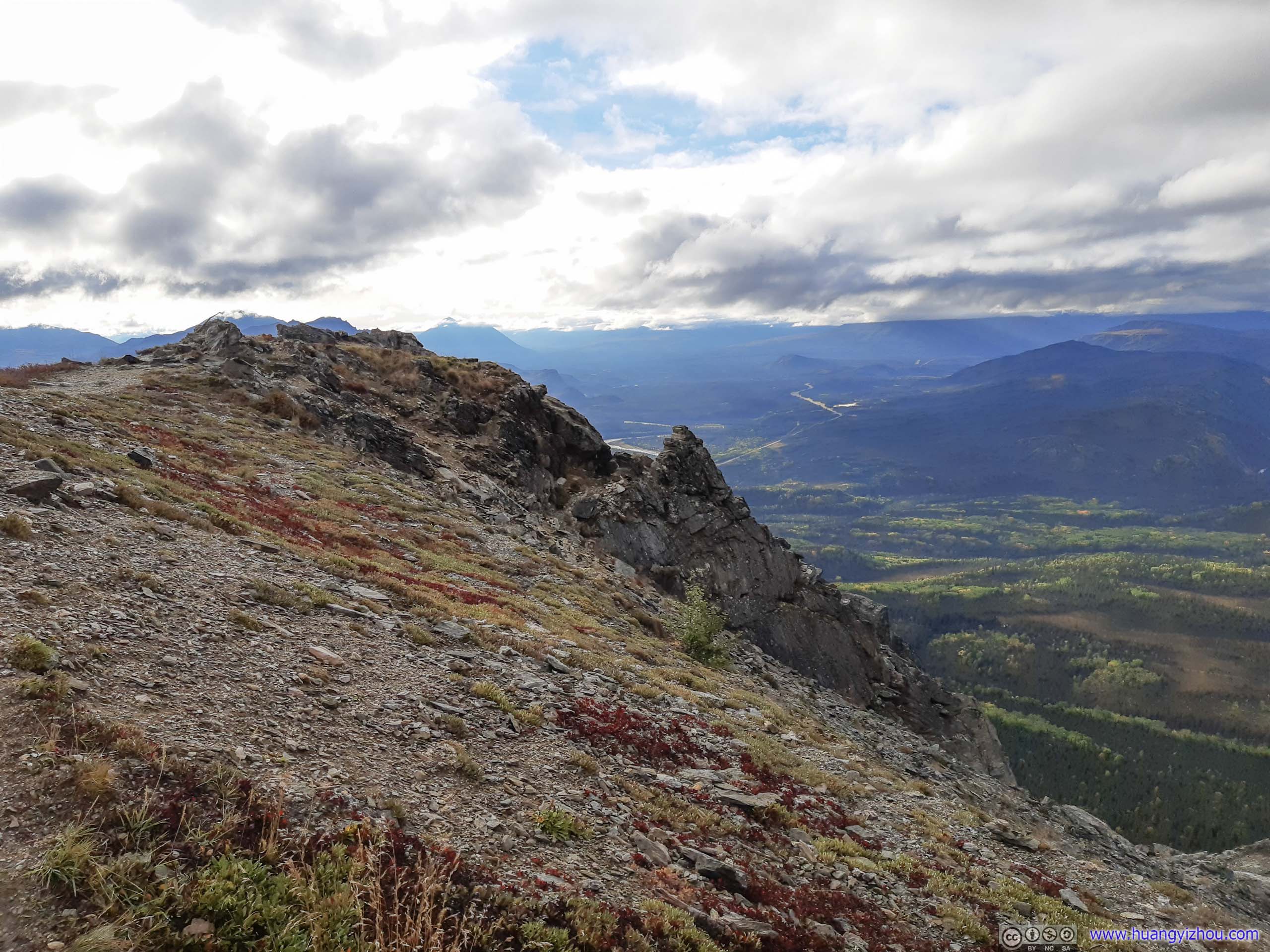
A series of rocks with outstanding view.
After spending about 30 minutes at Mount Healy Overlook, I traced my footsteps back.
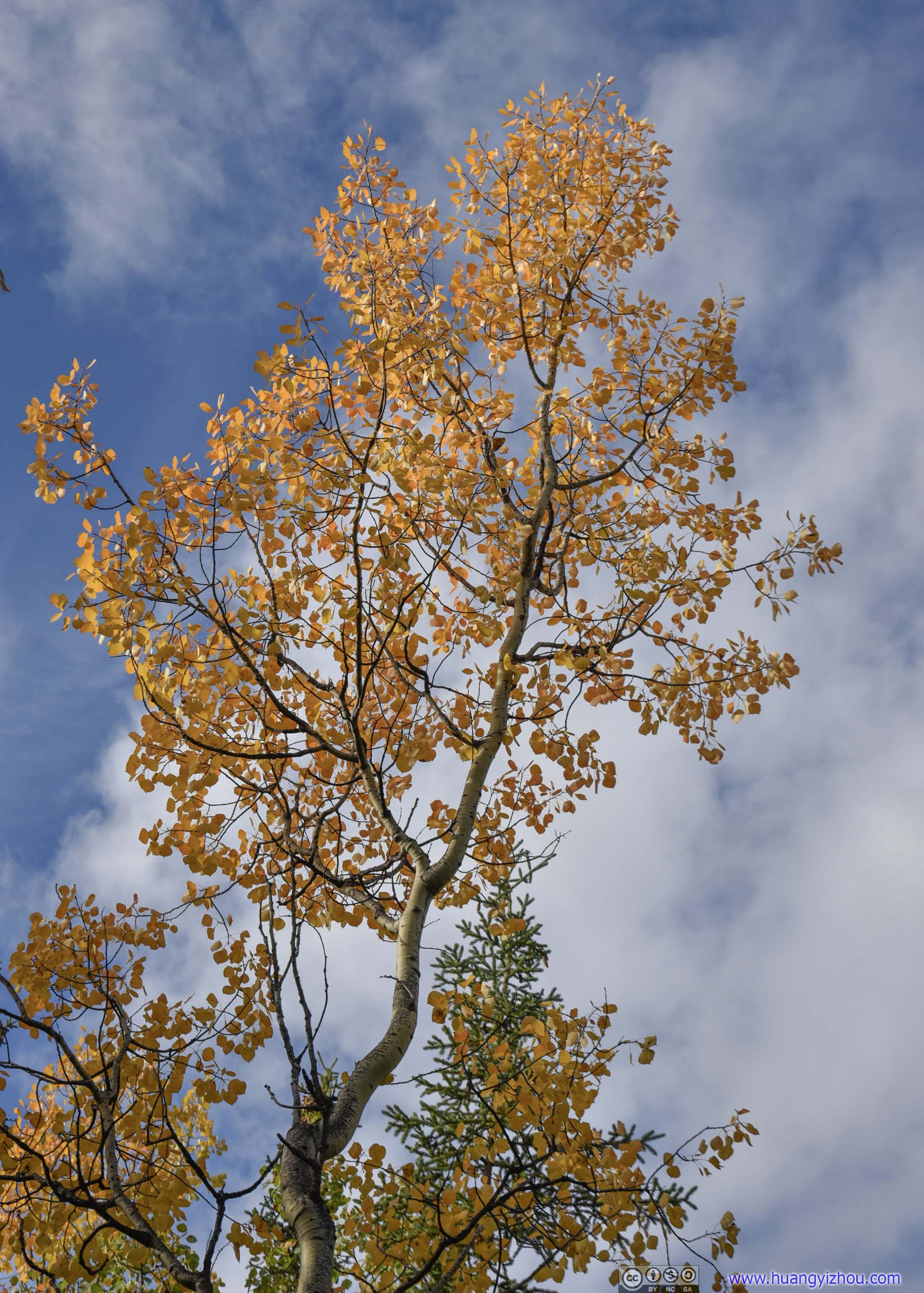
And I reached parking lot 3 hours after I left.
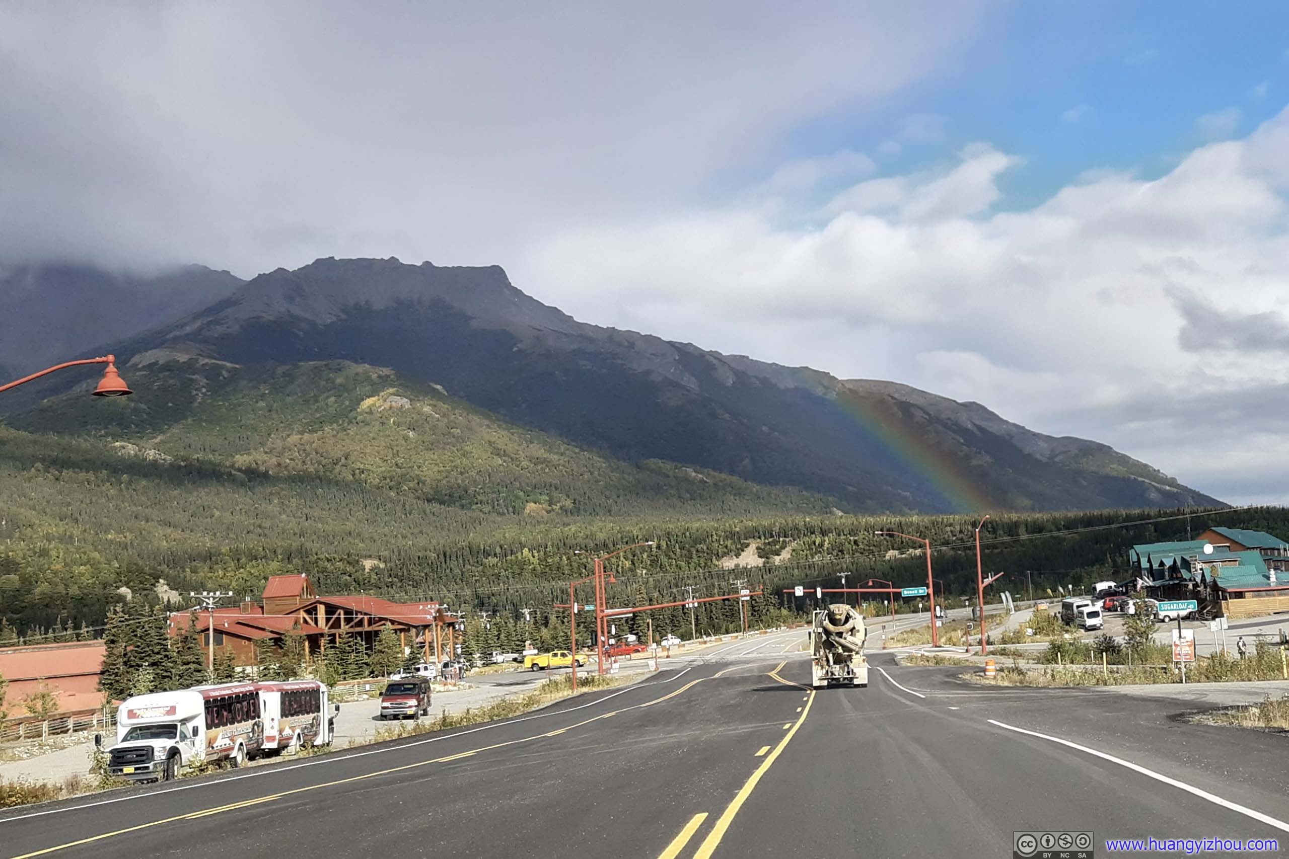
A wonderfully surprising conclusion of my days at Denali.
After that, I drove back to hotel, packed our stuff, and started our drive to Palmer.
Road to Palmer
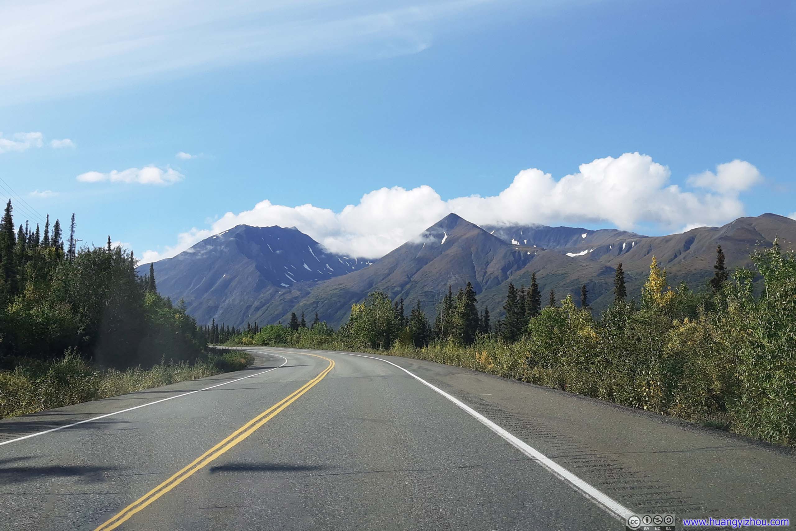
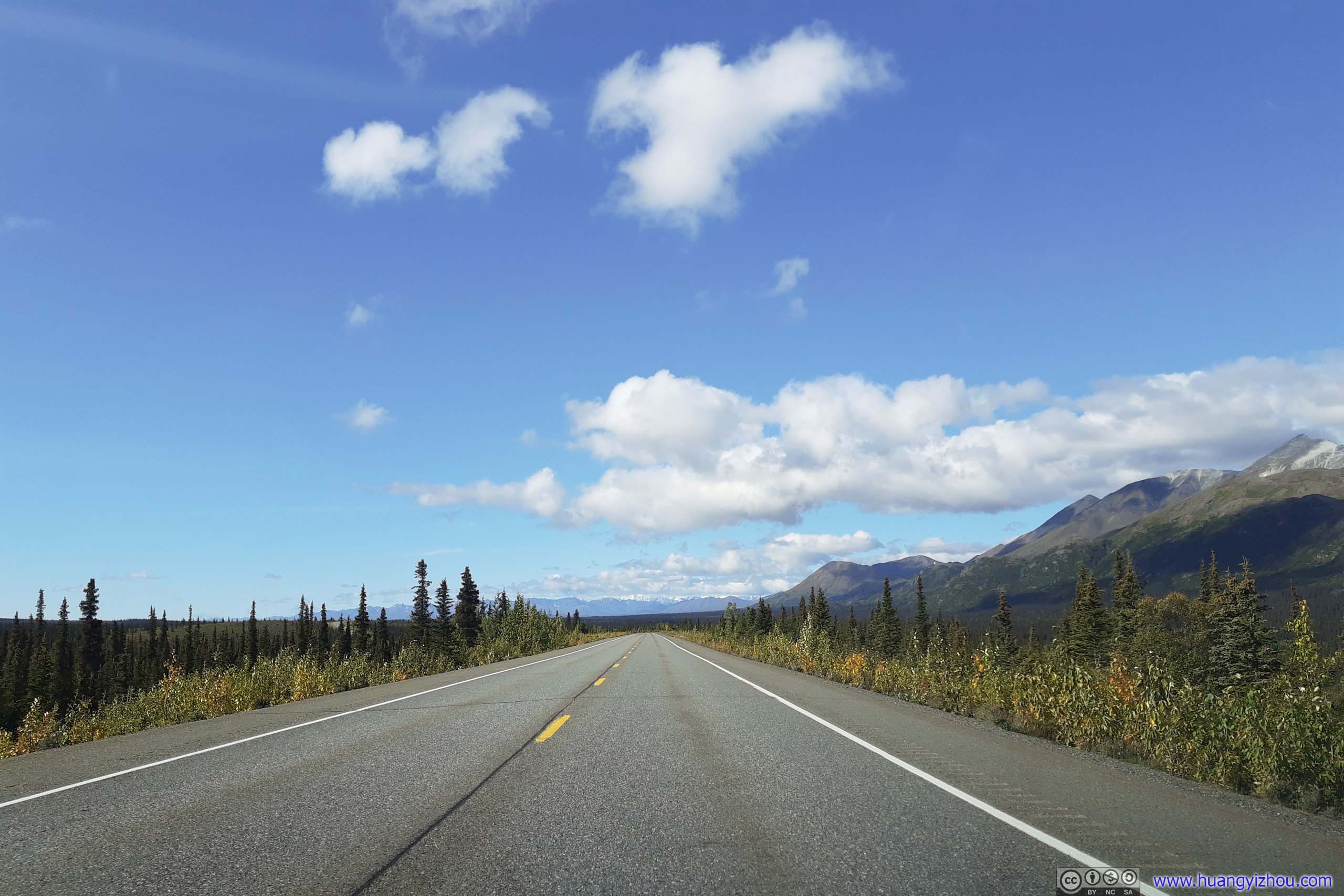
Roadside Turnout
Not long after leaving Healy, we saw clouds over Denali's mountain ranges had cleared, so we were looking for somewhere to pull over for a few photos of this magnificent mountain. Unfortunately, we didn't find any turnouts along the alluring taiga field we passed by two days ago, and when we did find one, it's tucked behind tall trees, so I have to unleash my drone.
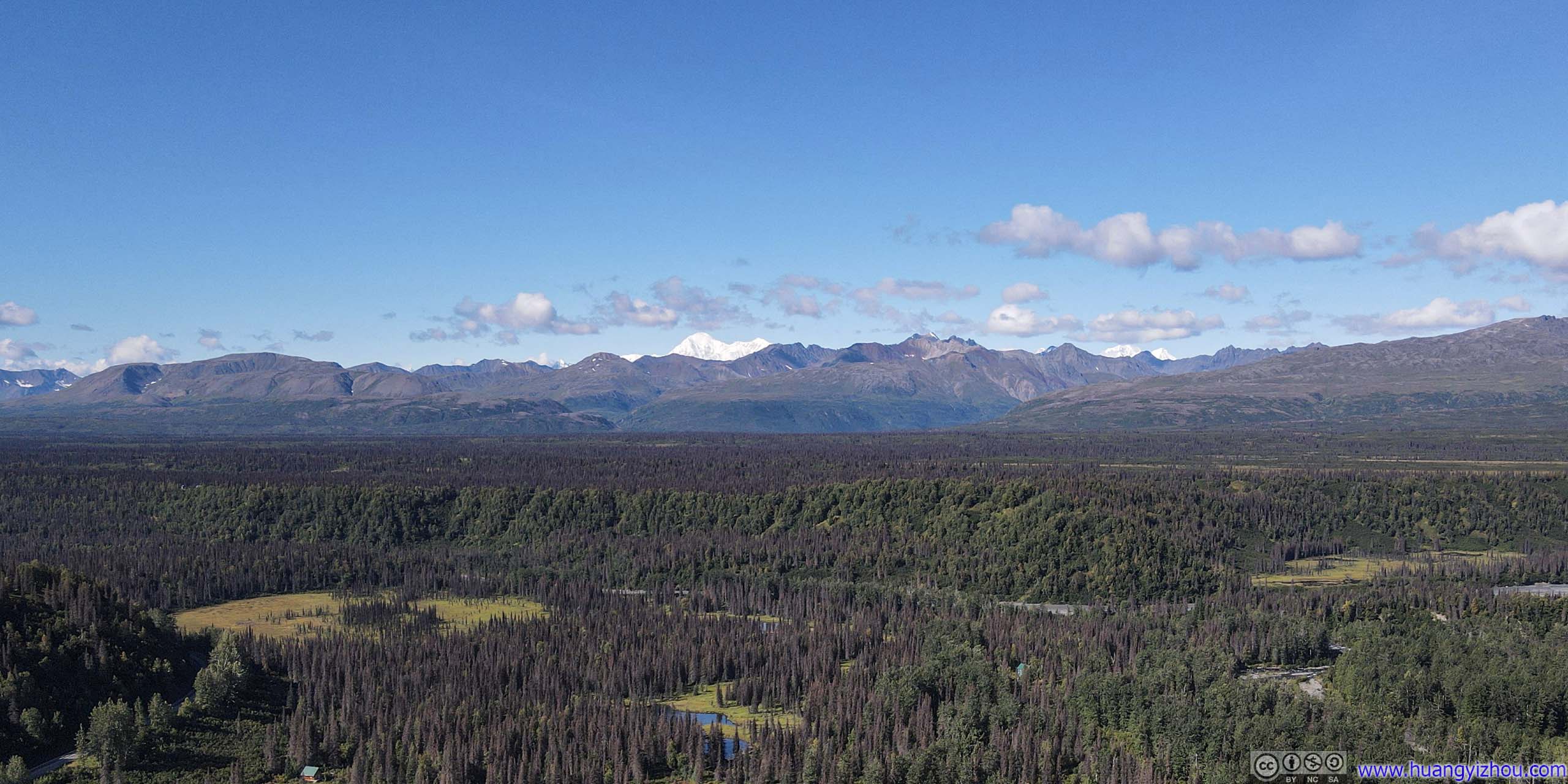

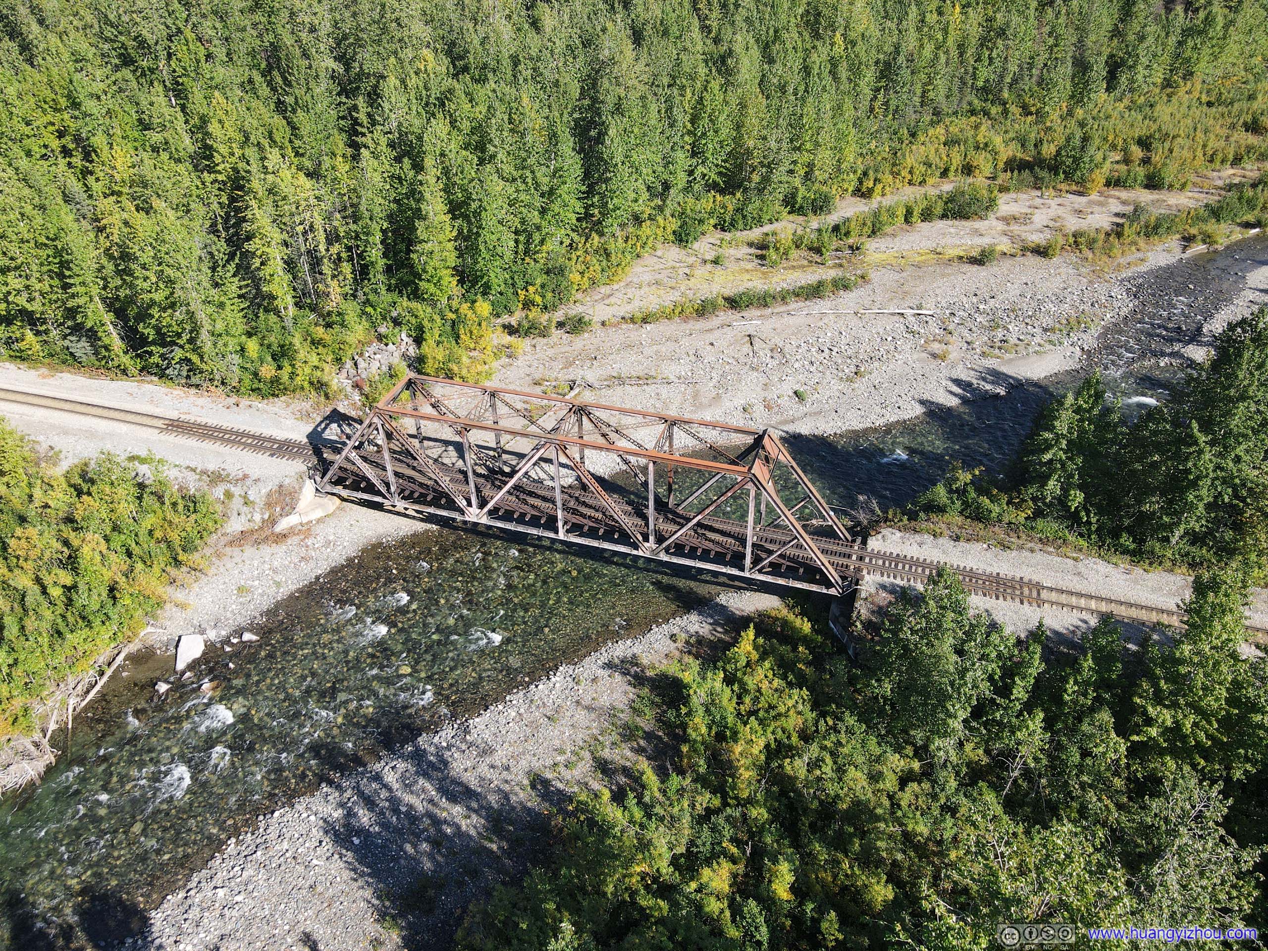
Soon after that, we ran into the dreadful construction zone. But unlike our trip to Denali, this time it's middle of the day and workers were in full swing paving the road. It also seemed that pilot car drivers were more available during the day, so we were guided by a pilot car for 40 minutes, throughout the entire 15-mile construction field made of loose gravel. It's nice to see things running in such orderly fashion.
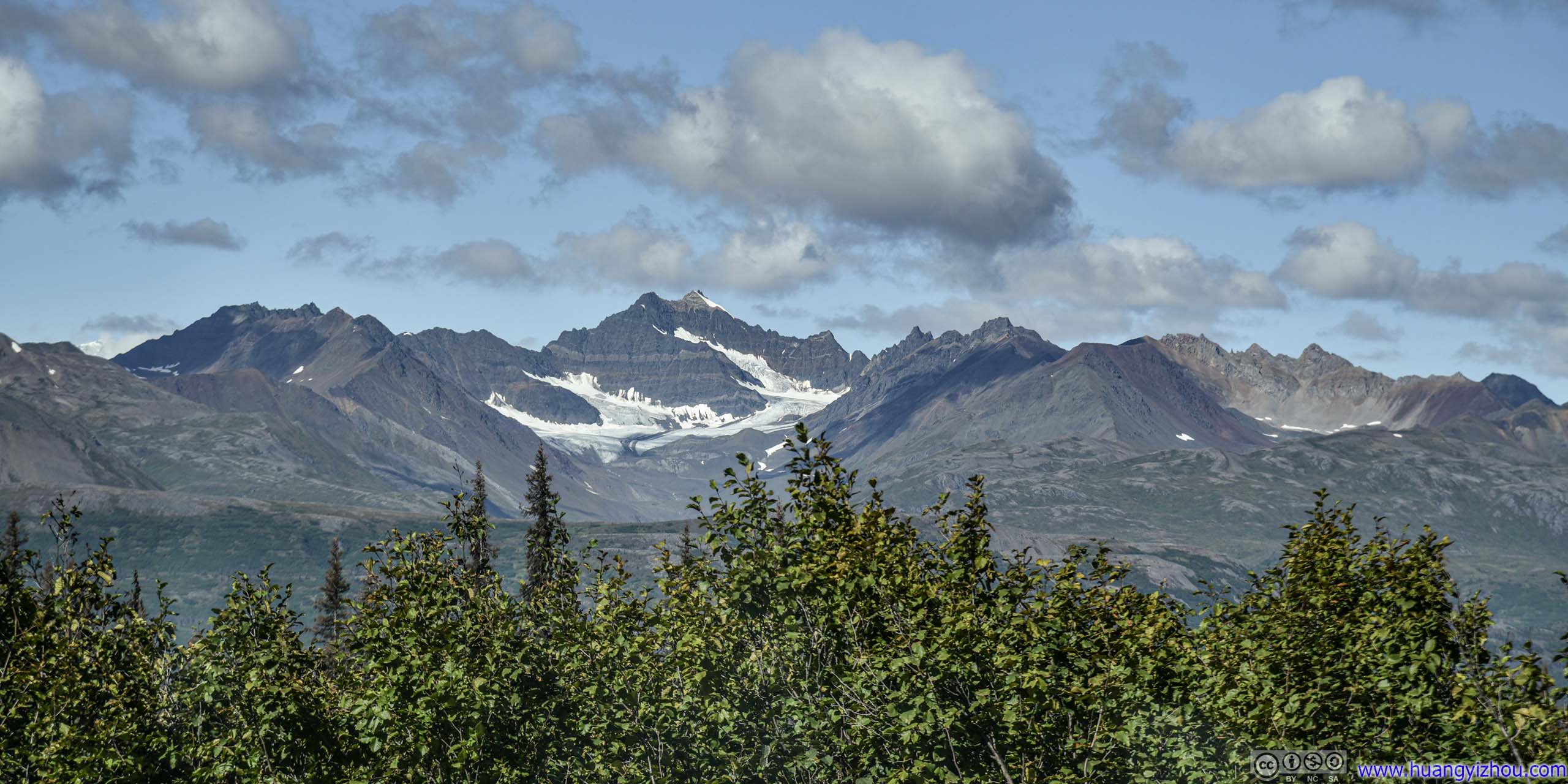
In addition, this section of roadwork seemed to provide excellent views of distant Denali mountains. It's a pity that we had to take these photos in a moving car.
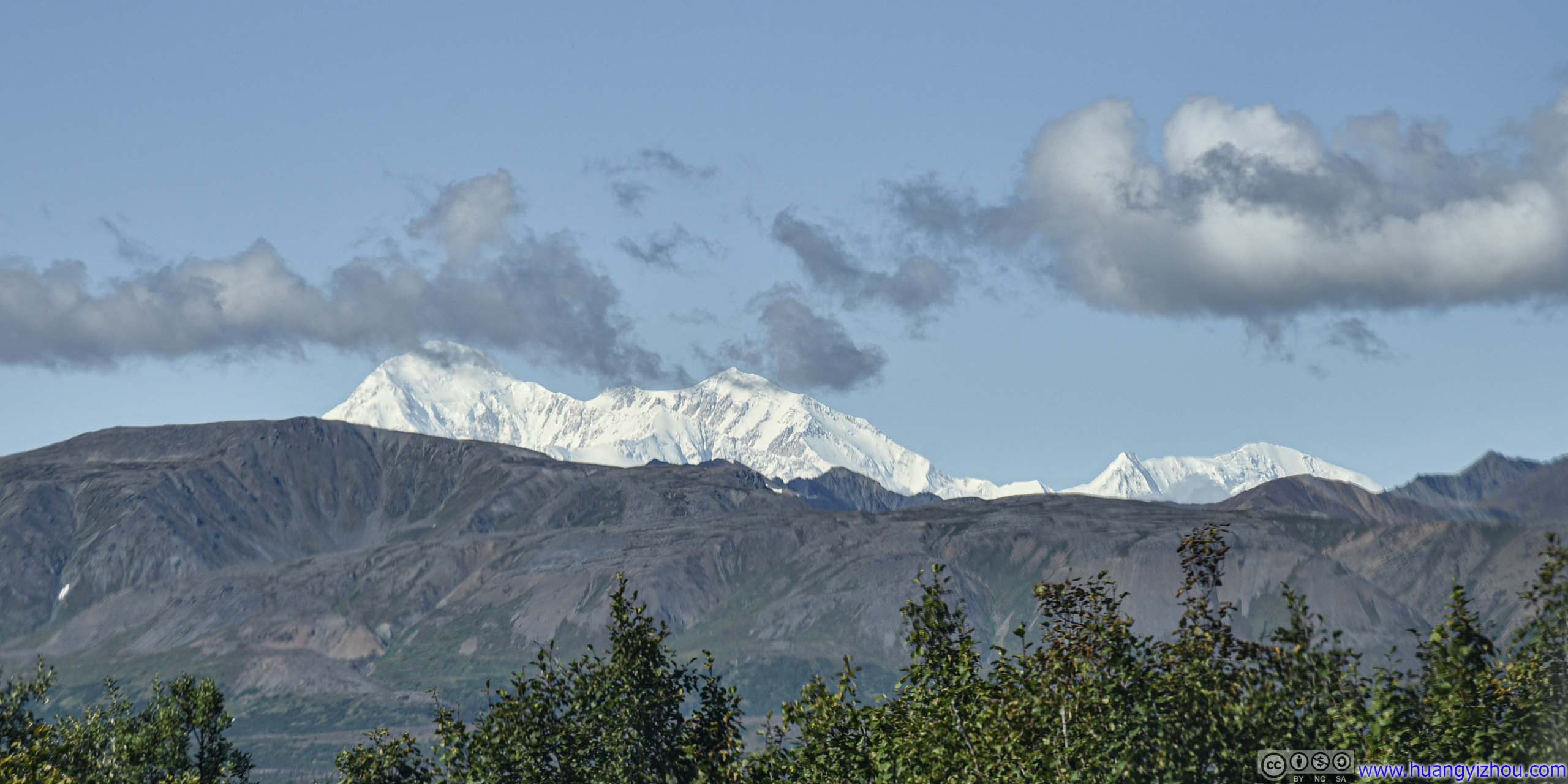
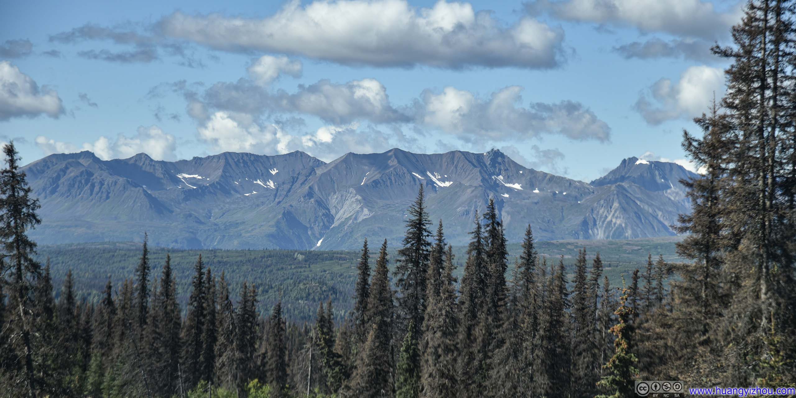
Denali View South
There were two "official" turnouts along Parks Highway that offered views of distant Denali mountains. The "North" viewpoint was in the construction zone, so we skipped it (, despite it's still open, we didn't want to wait for another pilot car).
Both viewpoints also offered vault toilets, so the parking lot was actually quite popular.
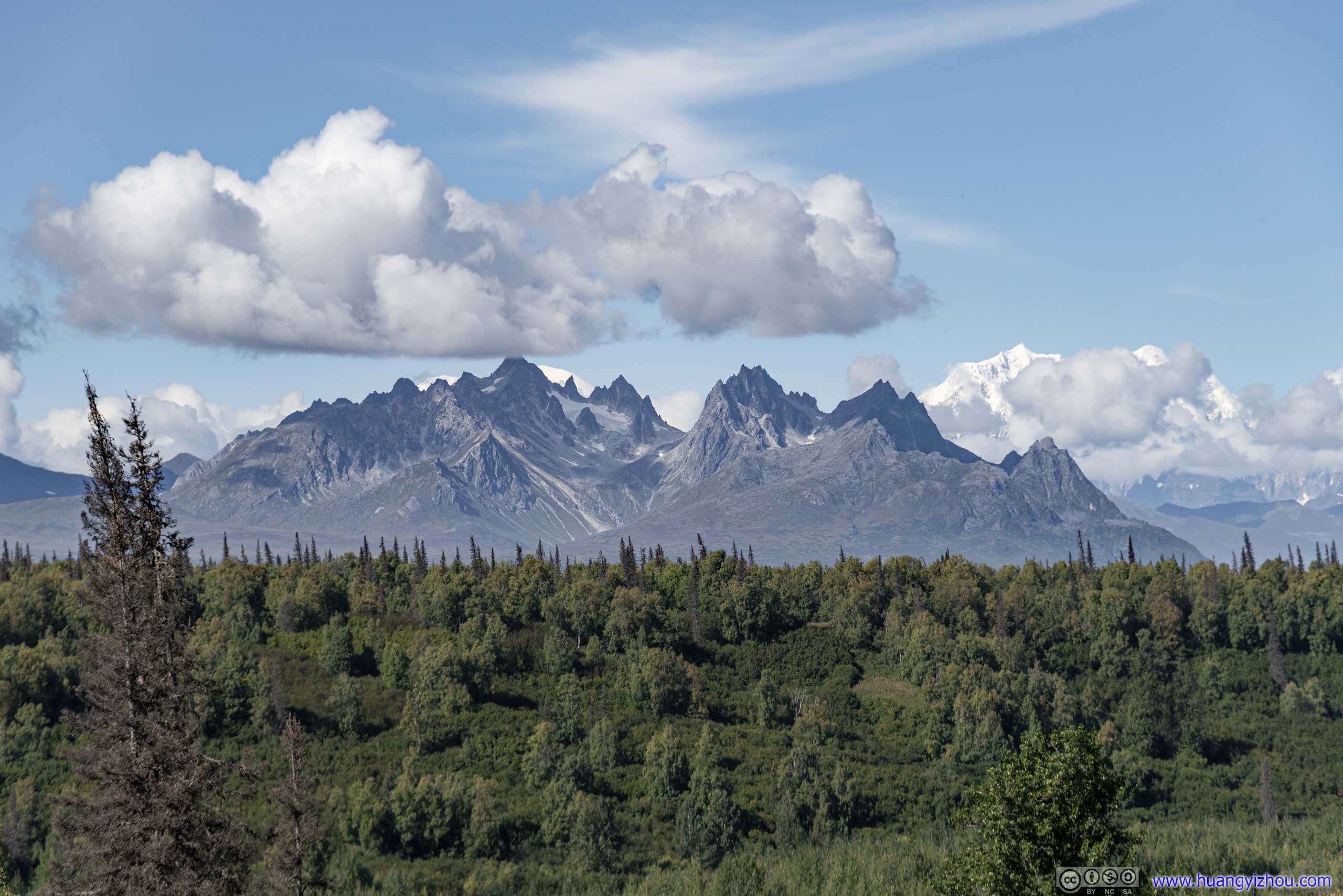
Unfortunately, during our brief stop there, the peak of Denali was mostly covered in clouds.
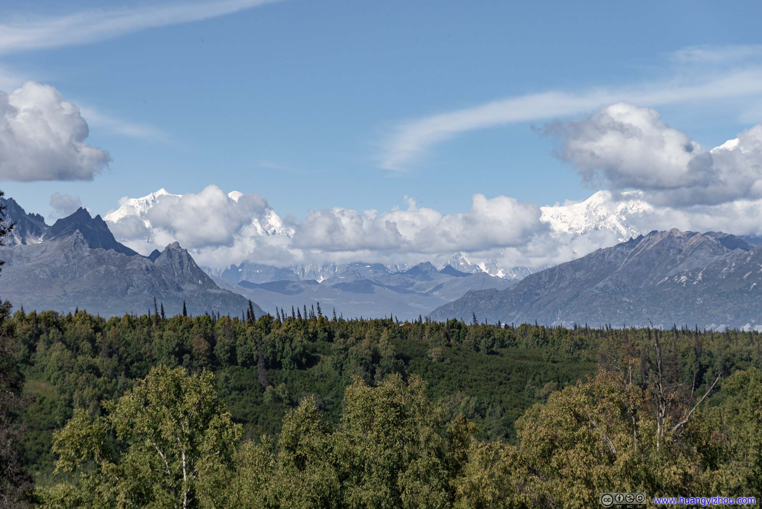
Mt Hunter on the left, Denali on the right.
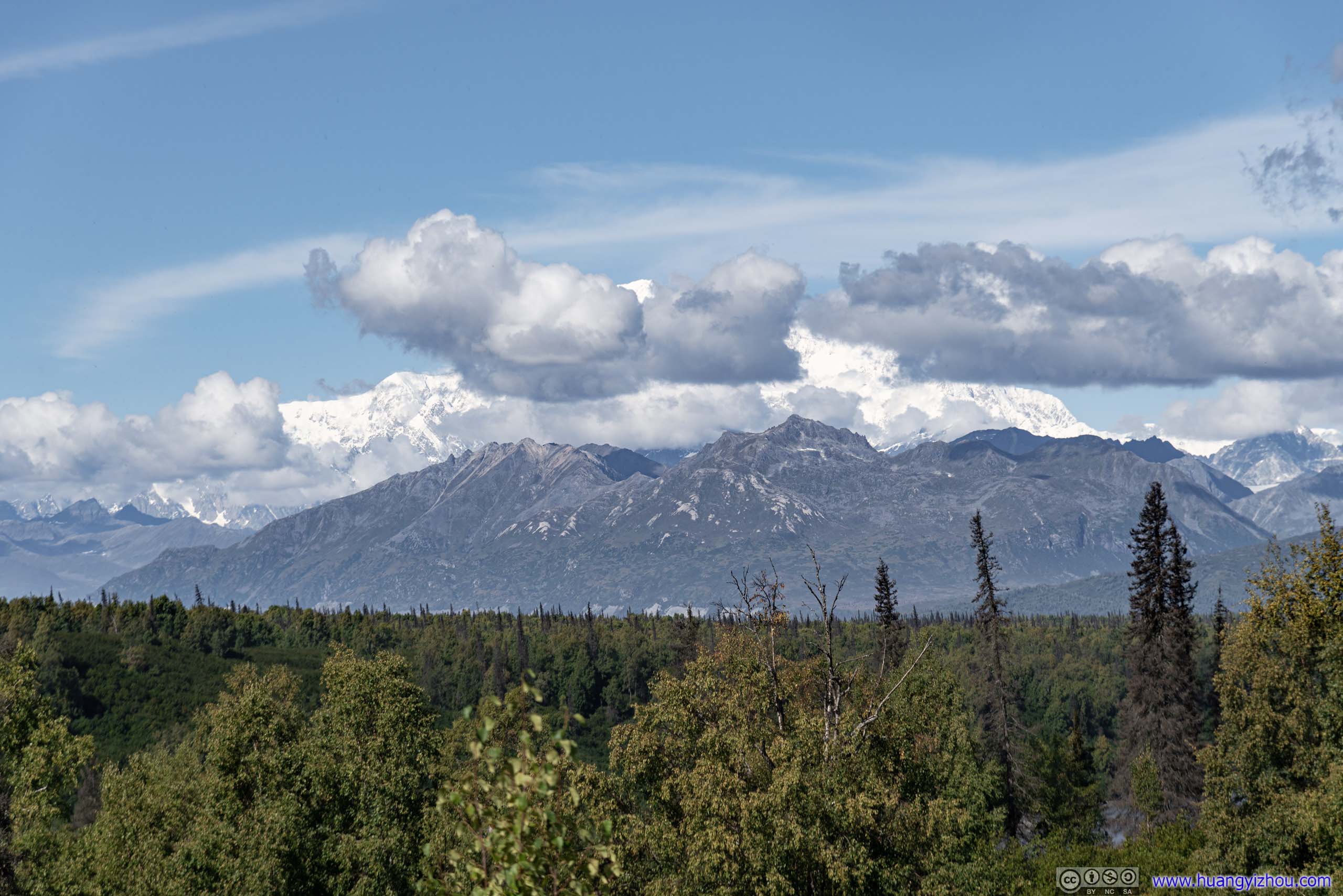
The peak briefly came out of clouds.
Kashwitna Lake
About an hour after leaving Denali View South, we made another brief stop along Kashwitna Lake to stretch our legs. This was one of the few lakes directly along Parks Highway.
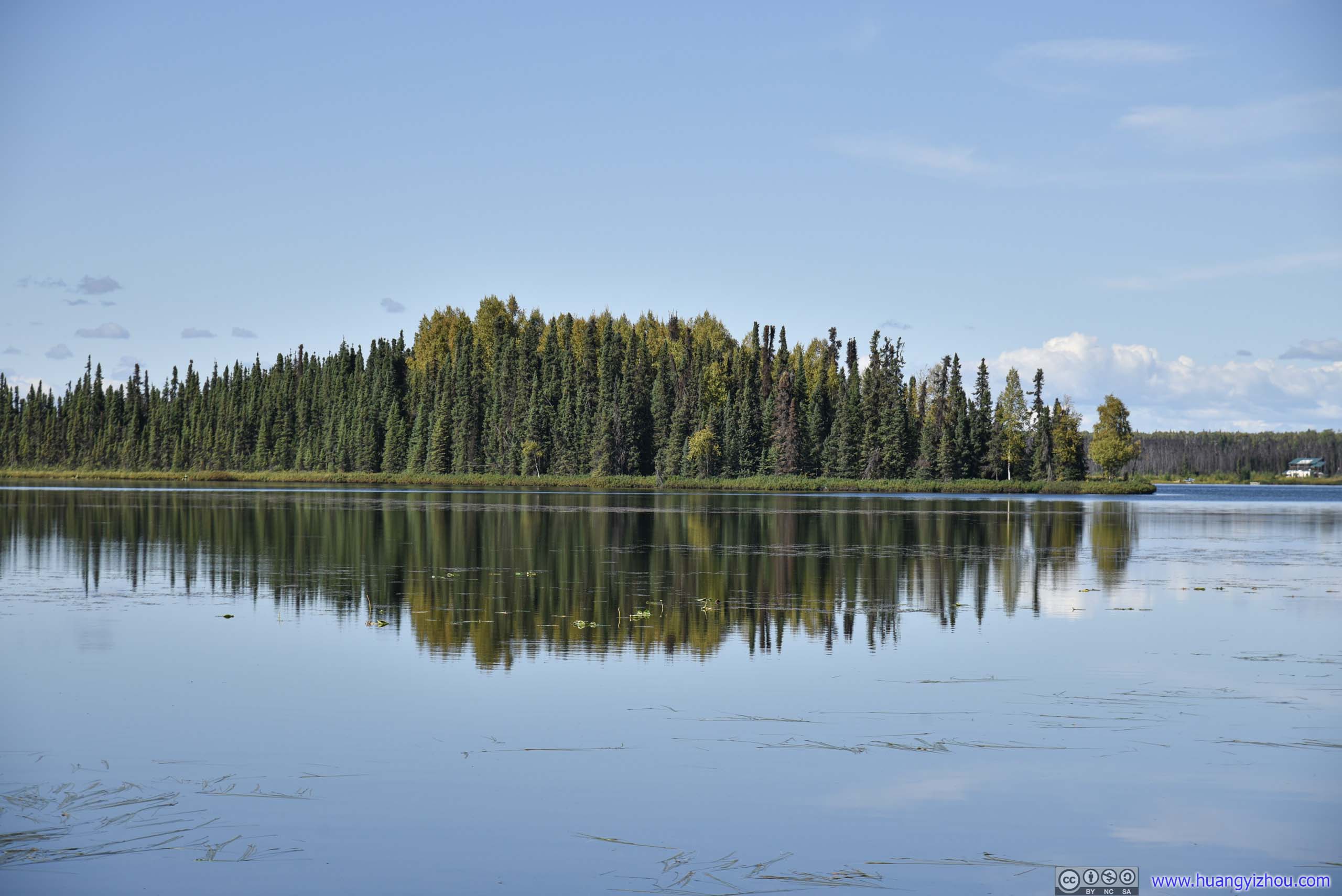
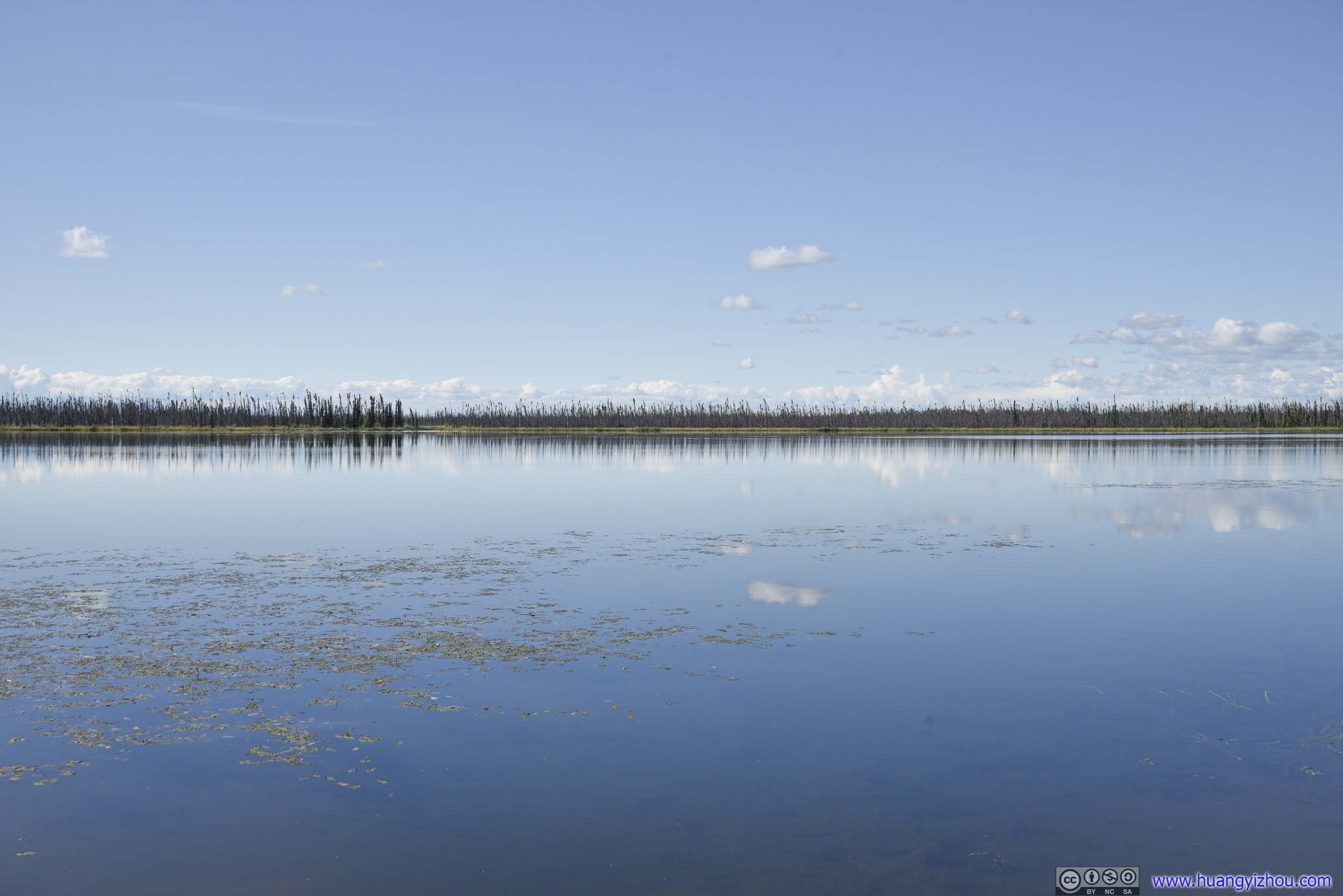

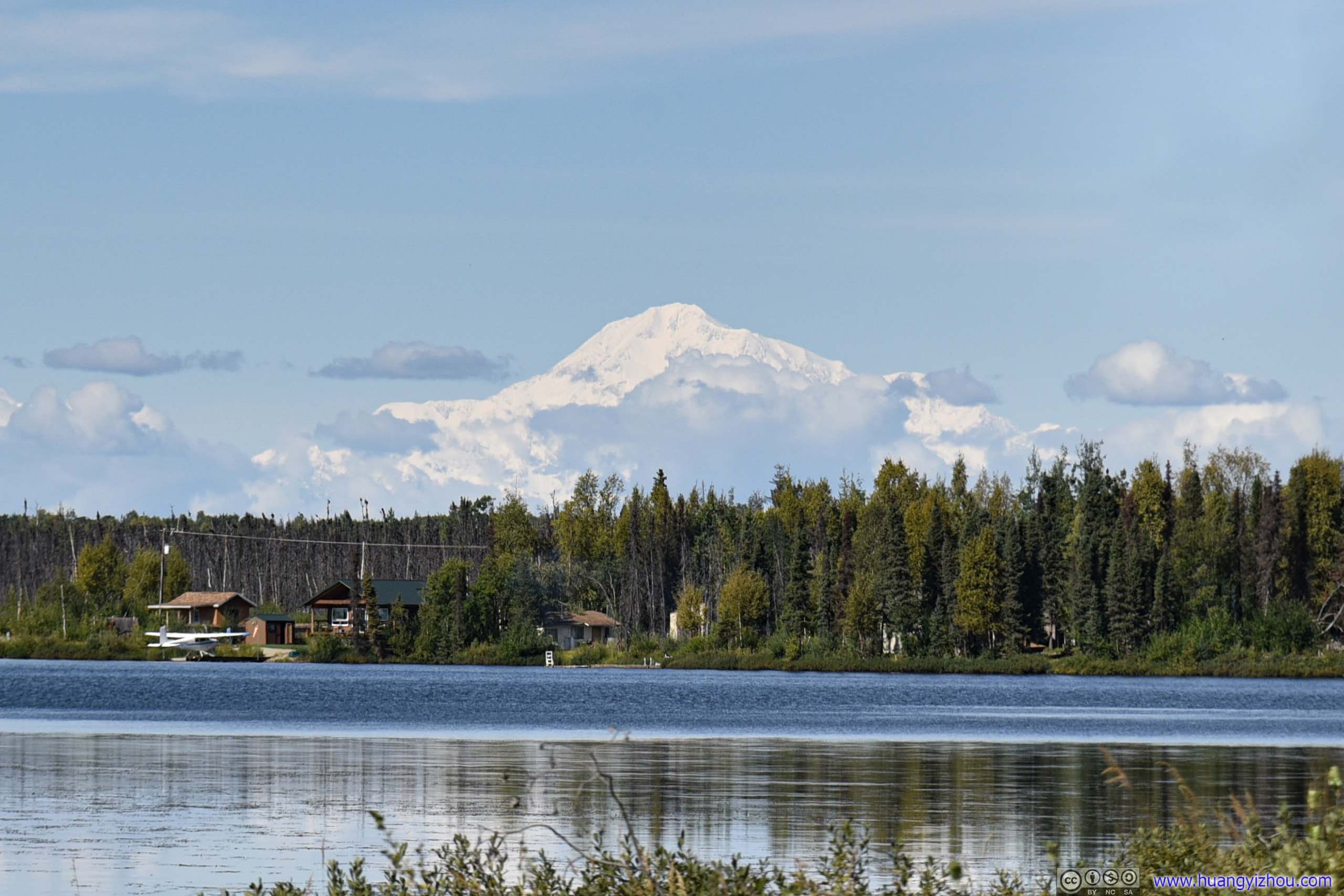
While there's nothing too noteworthy about this lake, my friend spotted a soaring mountain to the North, and we quickly identified it as Denali. Its towering peak was clearly visible 146km away.
Independence Mine
After that, we reached the town of Wasilla (back to civilization!), had a (late) lunch, and it's 4pm. Since it's still early by Alaska standards, we decided to visit Independence Mine State Historical Park.
The mountain road up Independence Mind was narrow and meandering, which meant it's fun to drive. The road mostly followed a creek, and there were lots of families having fun in the water.
Independence Mine charged 5 dollar per vehicle parking as part of state park. Credit card accepted at a machine near its entrance.
As for Independence Mine, it's the site of second largest mining operation in Alaska (second to a site near Juneau) that operated between 1934 and 1950. Nowadays, a large mining complex remained for us to peek into the area's mining history.
First, we visited the manager house, nowadays serving as visitor center.
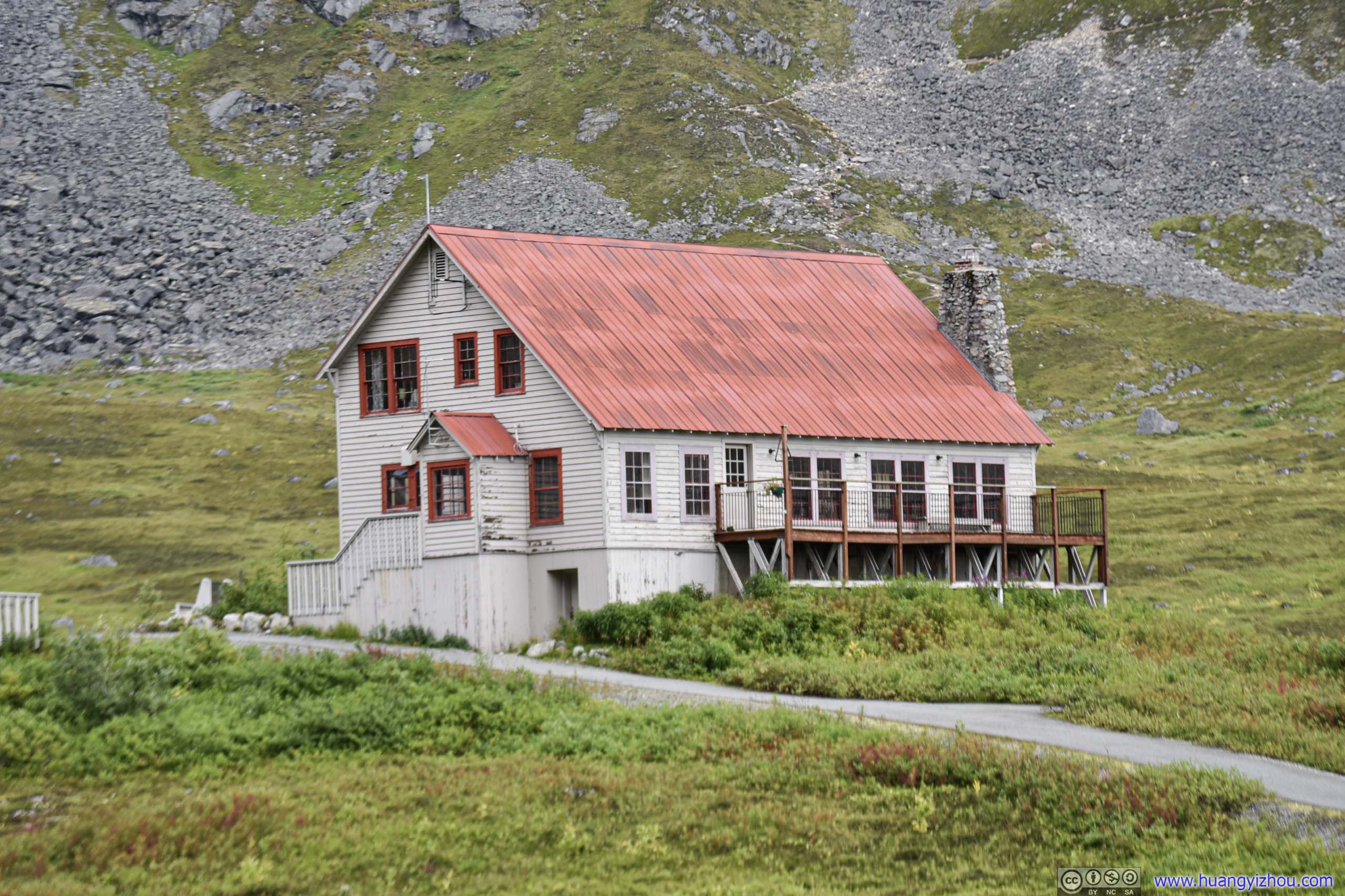
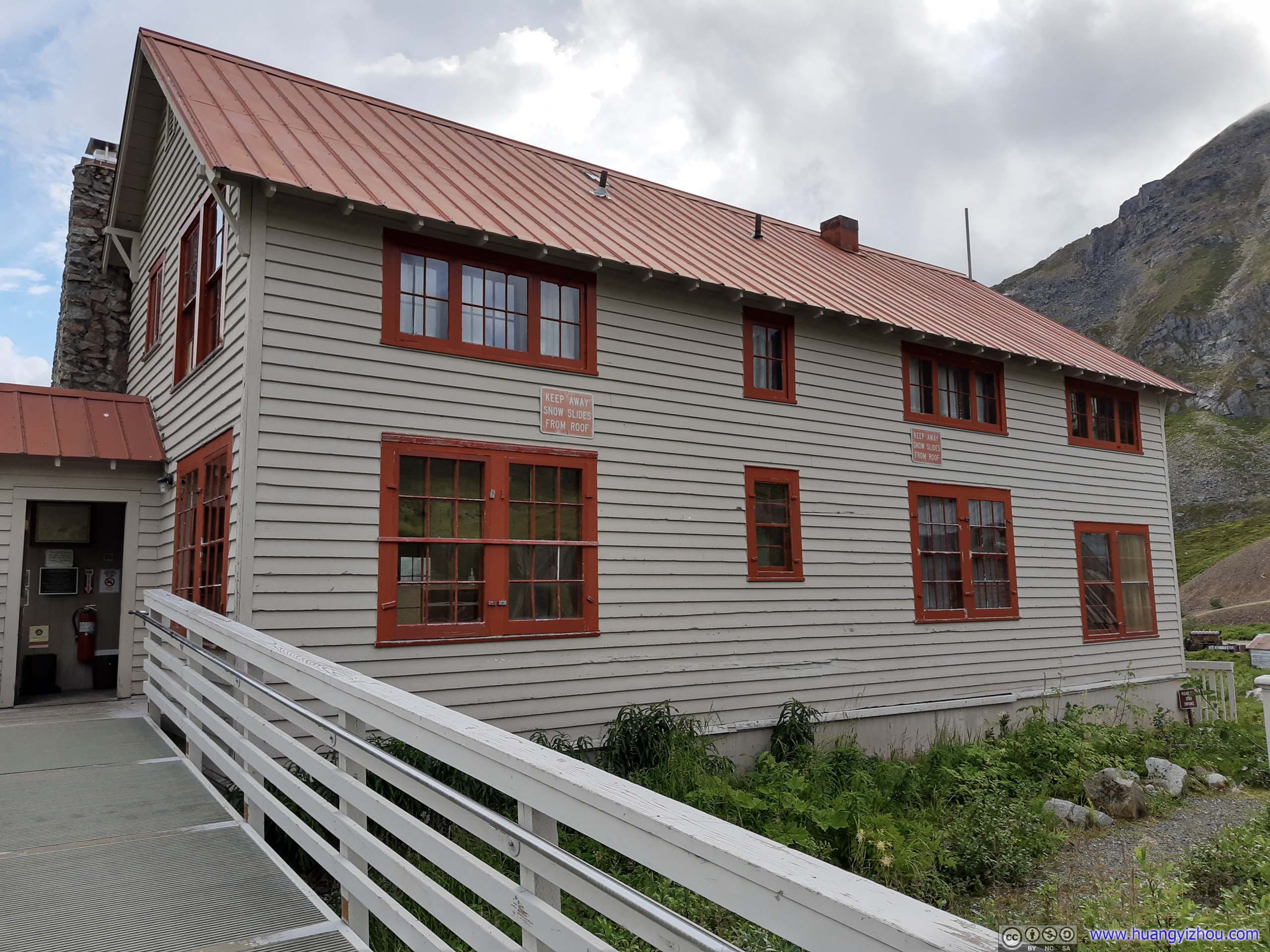
Located apart from rest of the camp and painted with superior material, the house was the residence of the mine's manager.
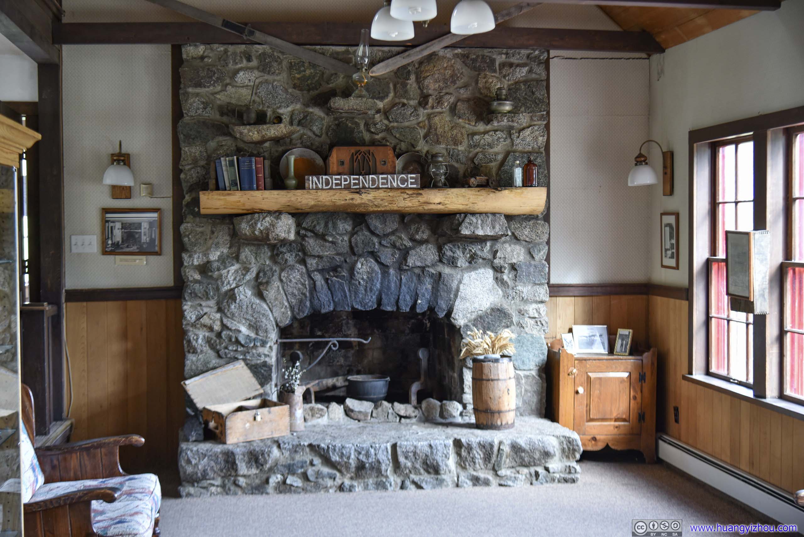
Built with rocks from nearby mine.
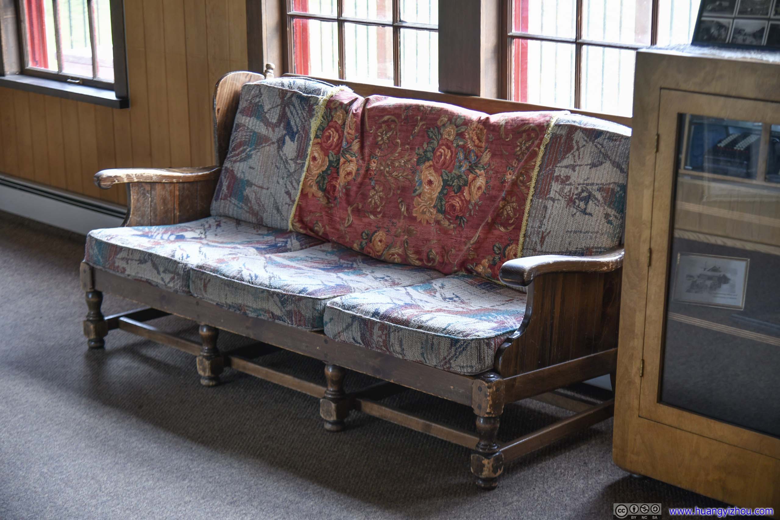
The house was built with conveniences like hot water, refrigerator and a washing machine.
The manager house was the best preserved (meaning most money spent) structure at the site. I had to say, it also had the best view, overlooking nearby mining sites and distant civilization beyond the valley.
After that, we visited one of the bunkhouses.
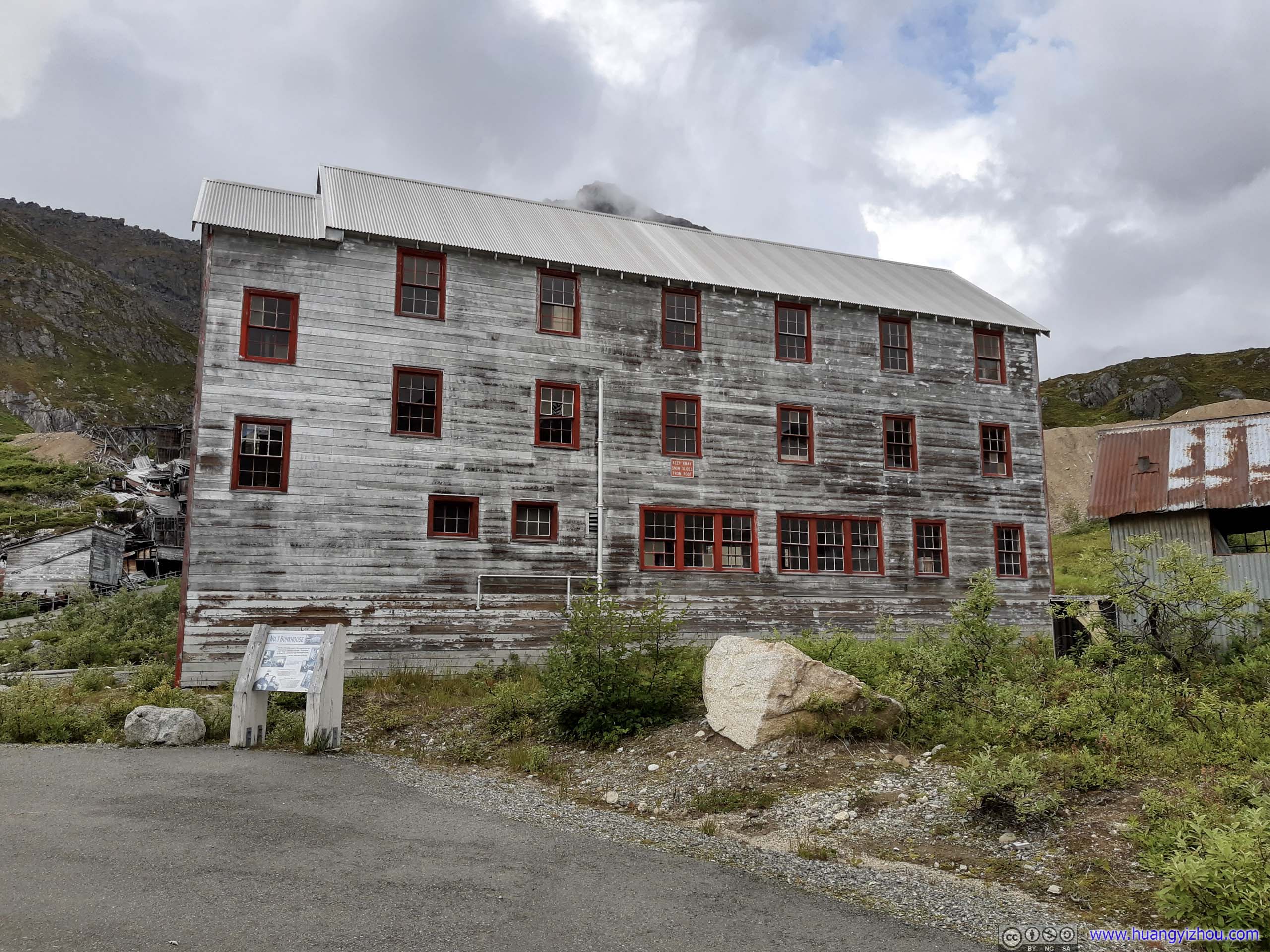
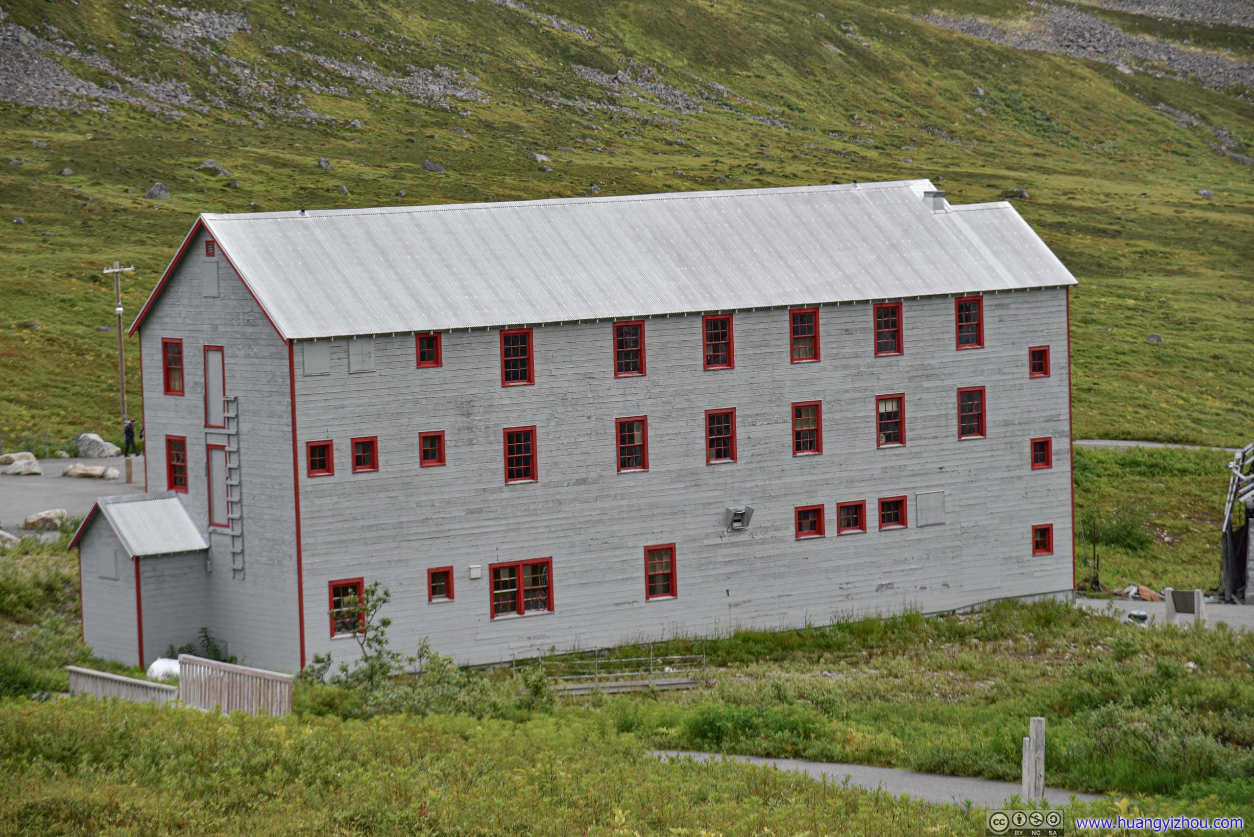
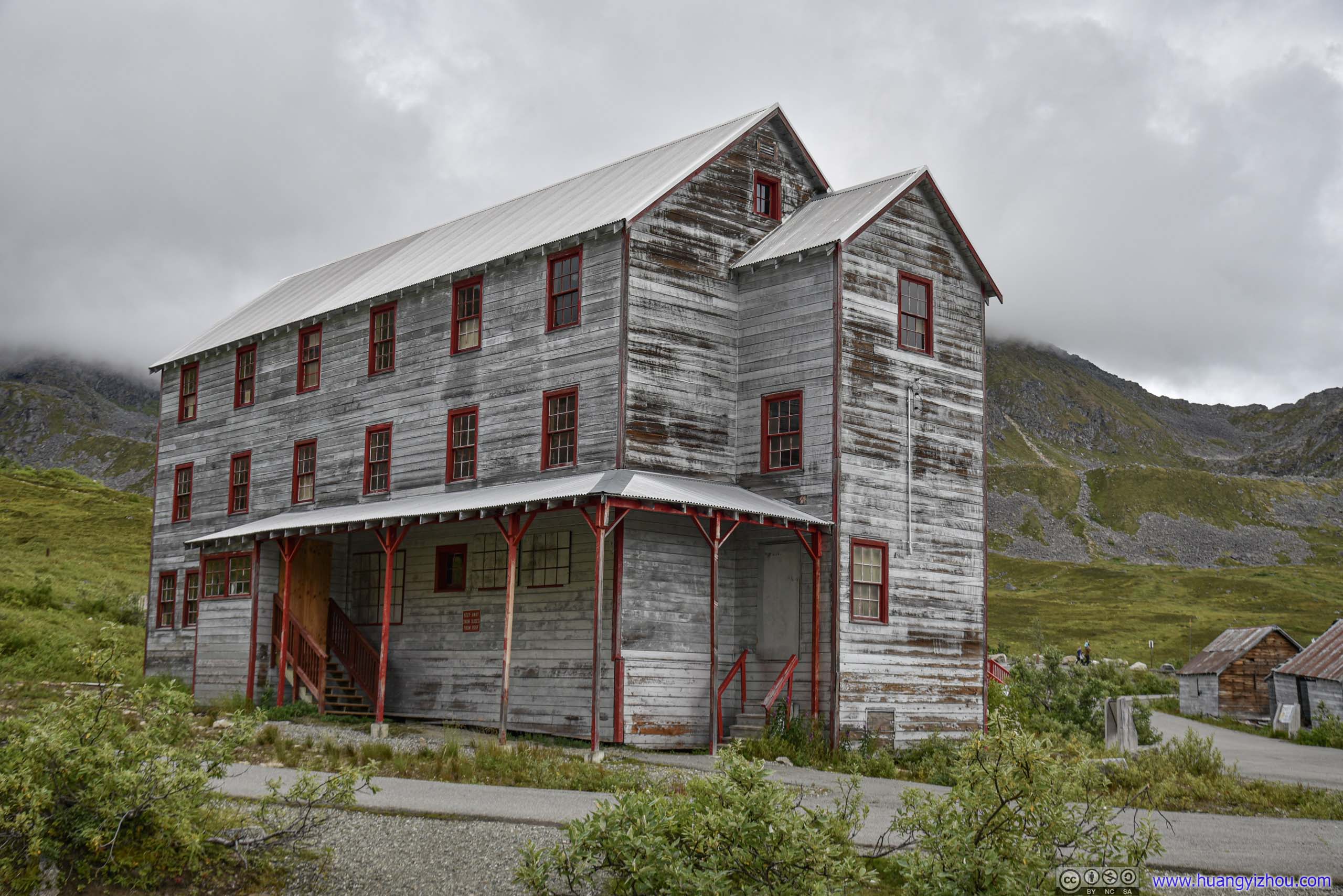
Bunkhouse
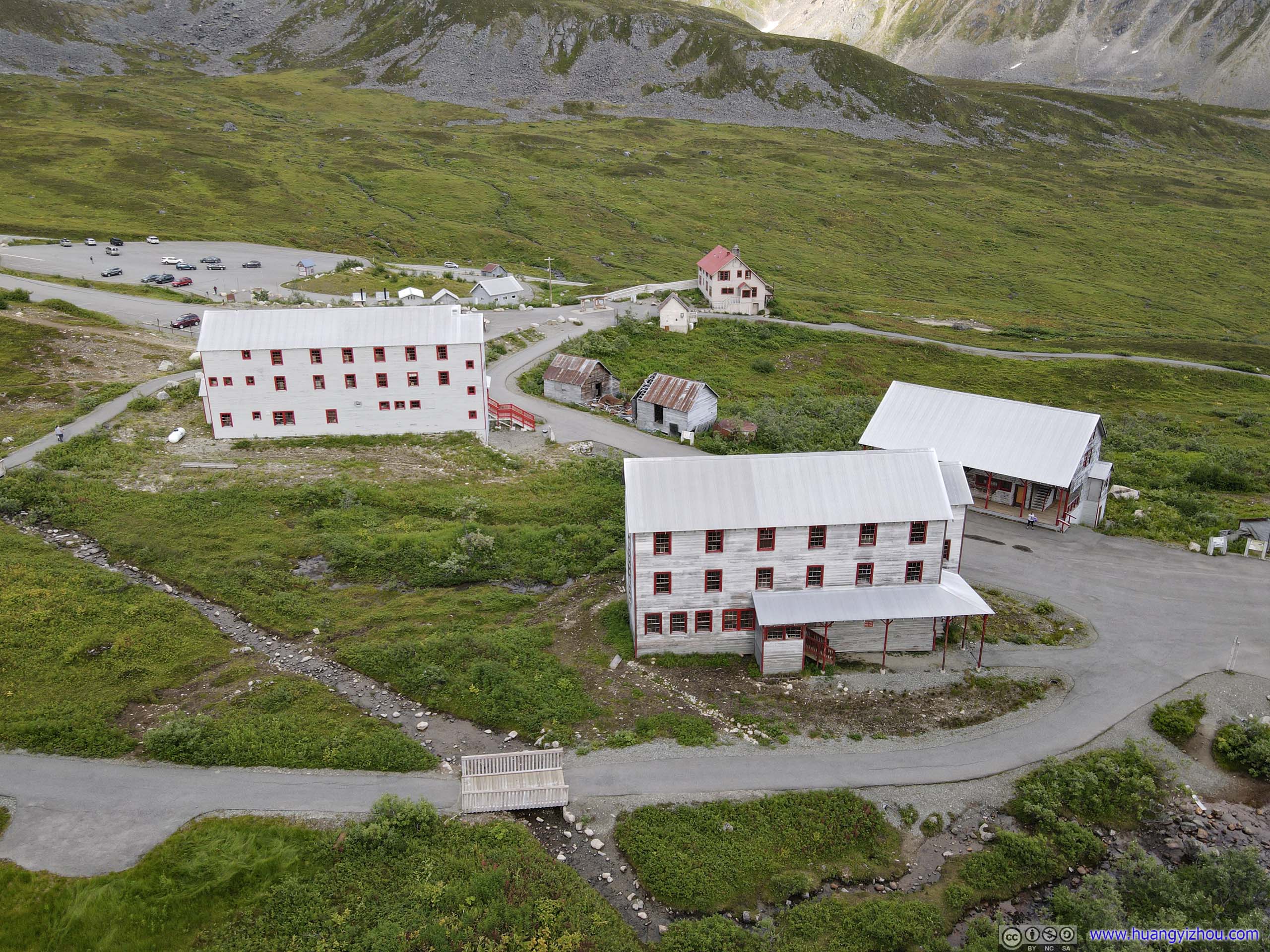
There were a total of two (identical?) bunkhouses built to accommodate increasing mining population, each housed about 50 workers in what's described as "modern" conditions. The workers work 363 days a year, except Christmas Day and July 4th (since it's called "Independence Mine"...). The mining company boasted about its "first-of-its-kind" paid-leave system where workers receive 2-4 weeks off per year (that still sounds exploitation in modern standards).
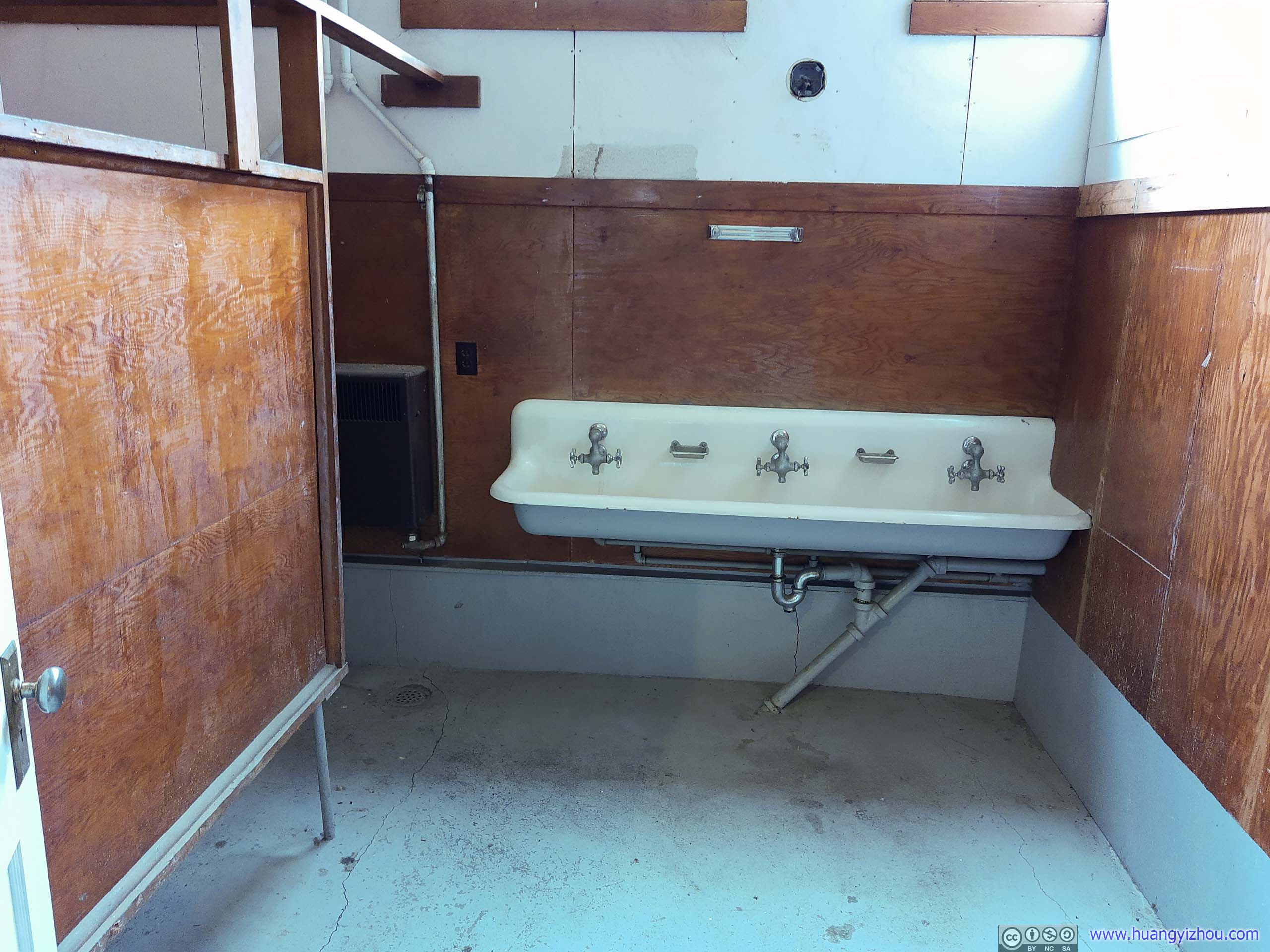
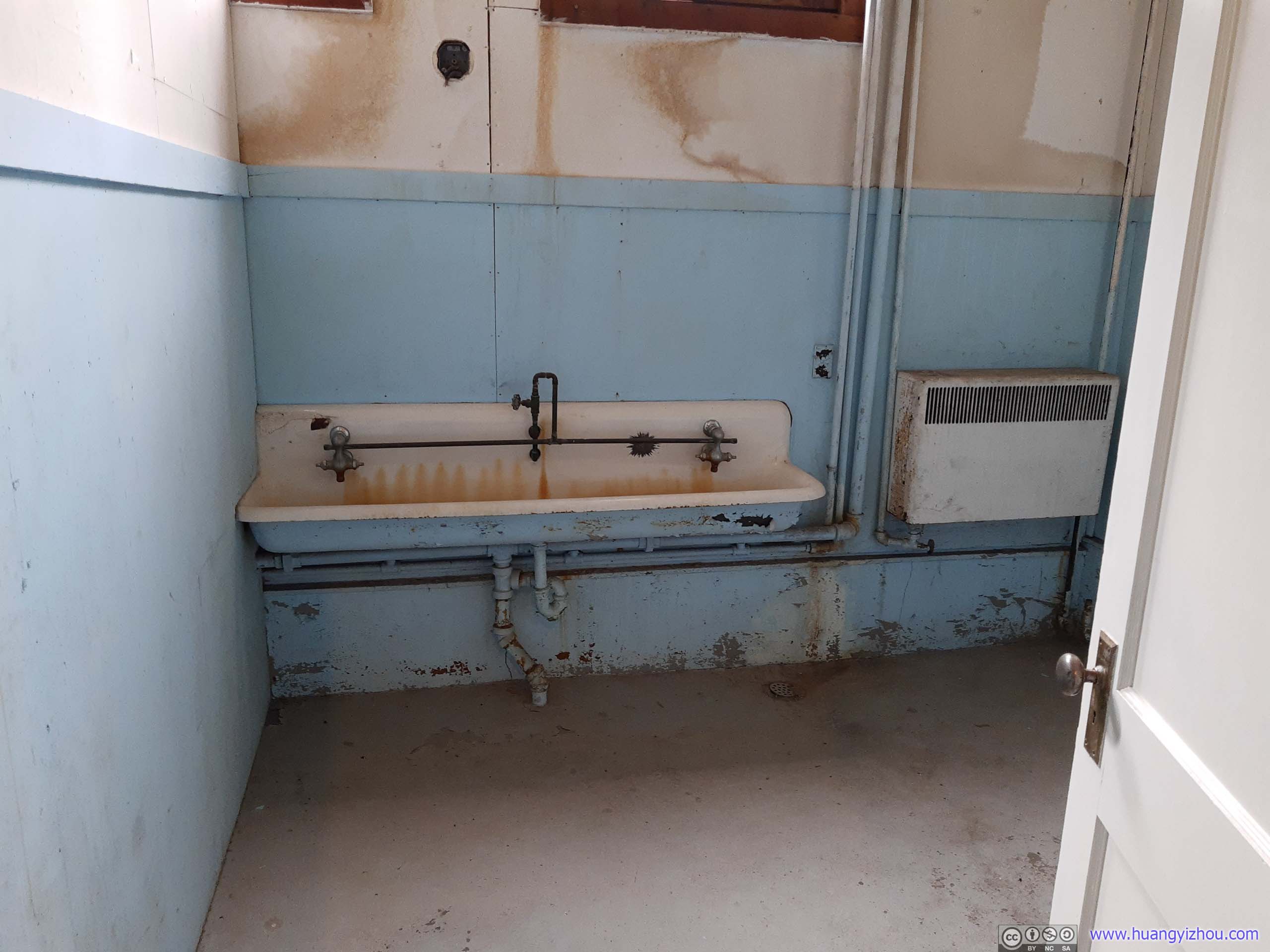


After that, most other buildings in Independence Mind were locked off visitor access. Still, the information boards revealed much of their function and history.
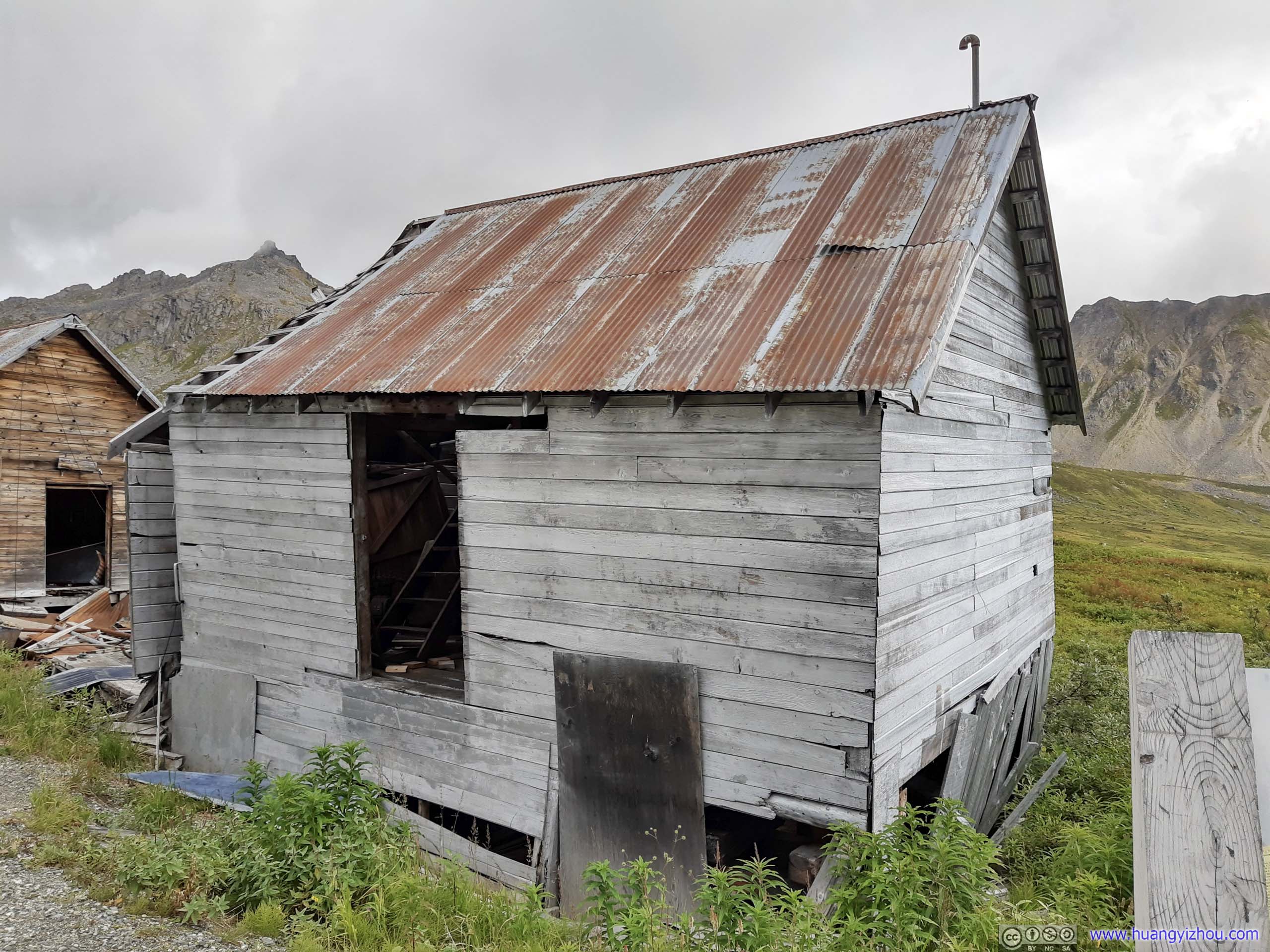
Where wood for mining operations were cut.

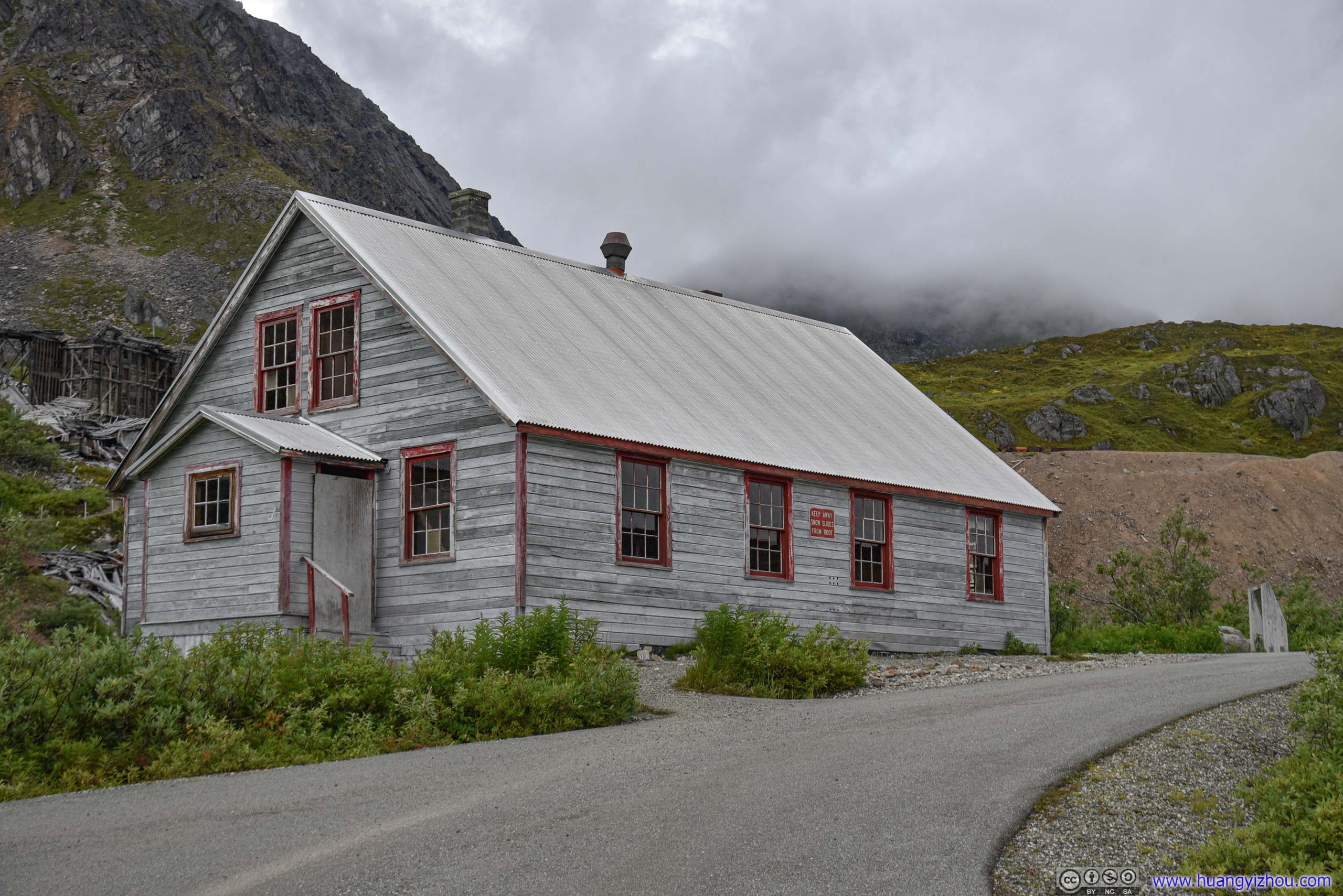
Consisted of four identical units with kitchen and full bathroom, built for married supervisors with families.

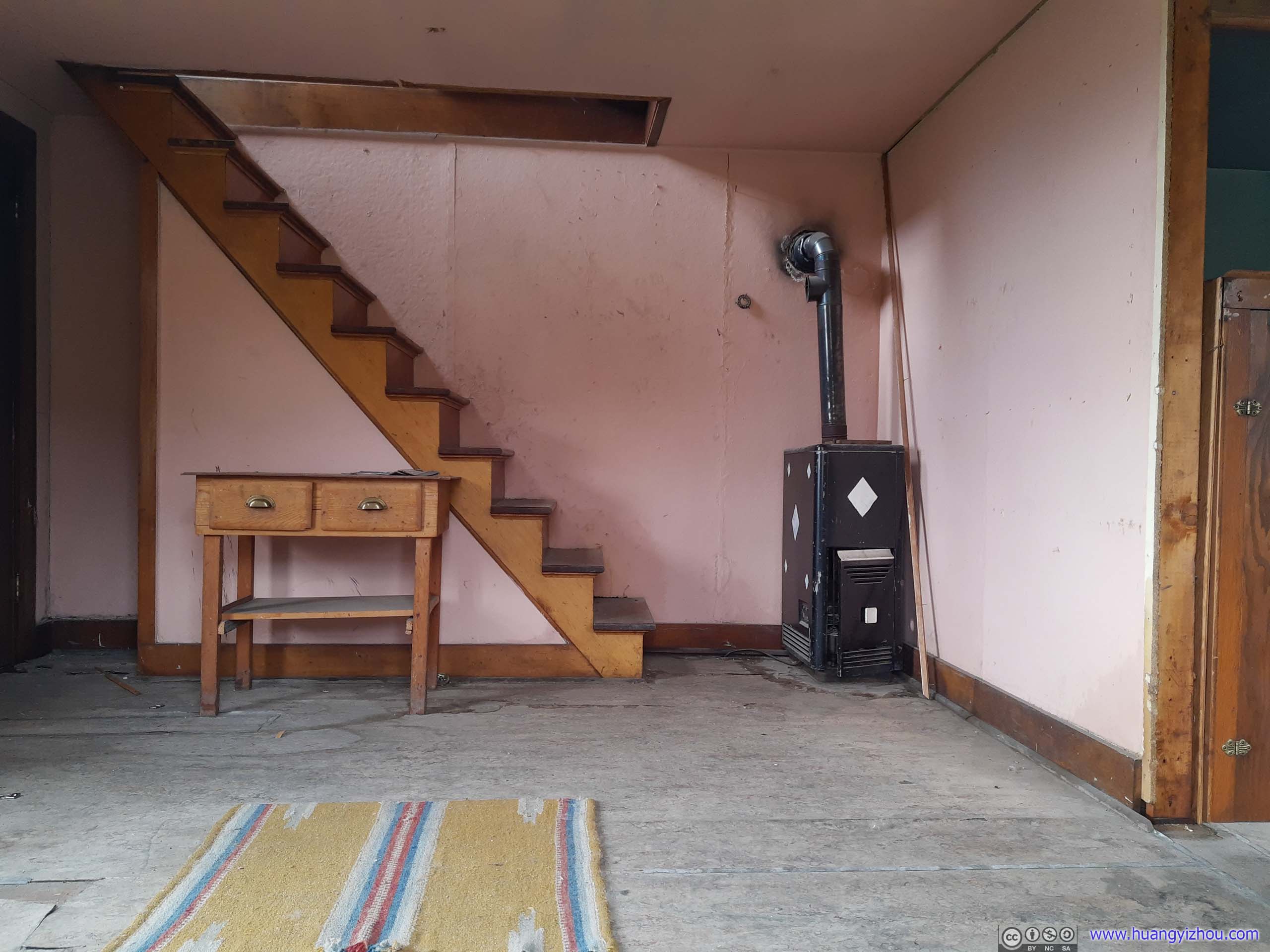
The doors were locked, so I took these photos through the windows.
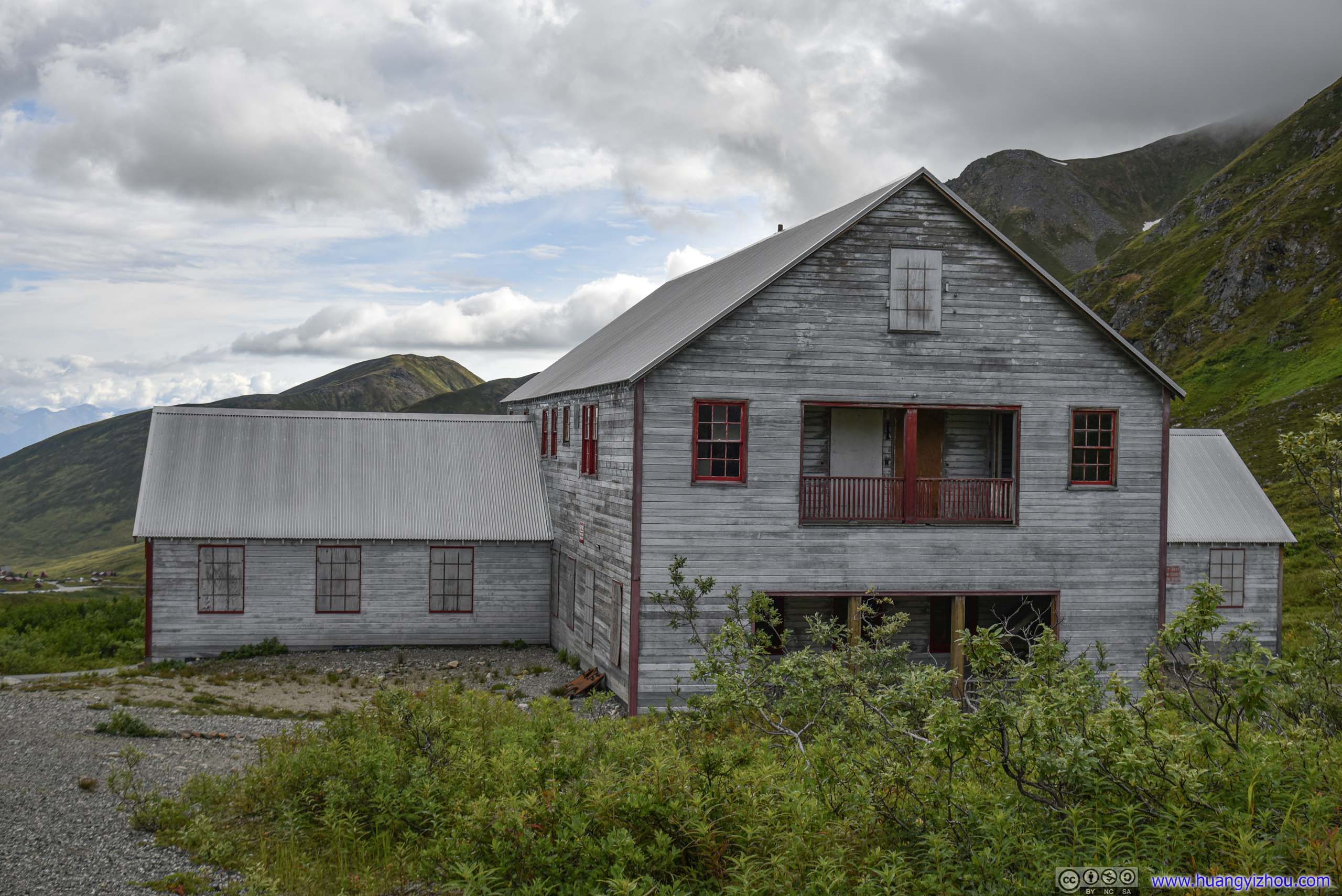
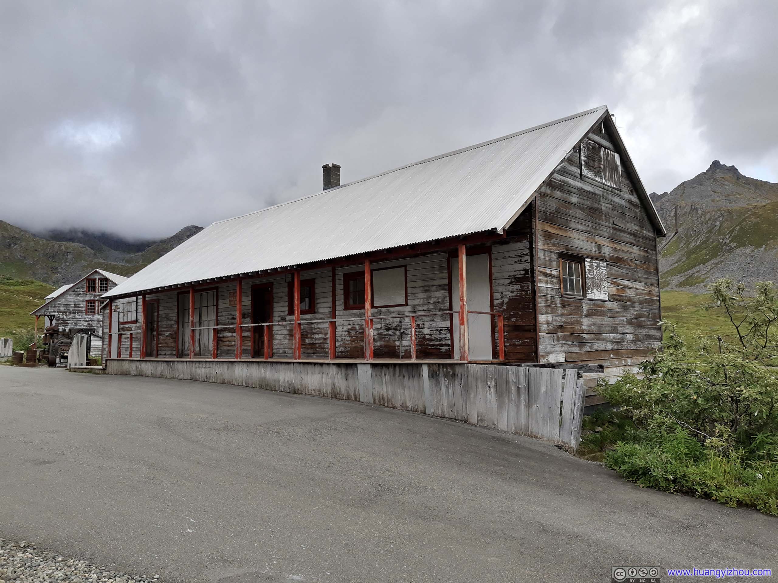
Where mine manager arranged operations like shipping and payroll. The commissary sold goods like food, clothing, tobacco and candies to miners both at Independence and other nearby mines.
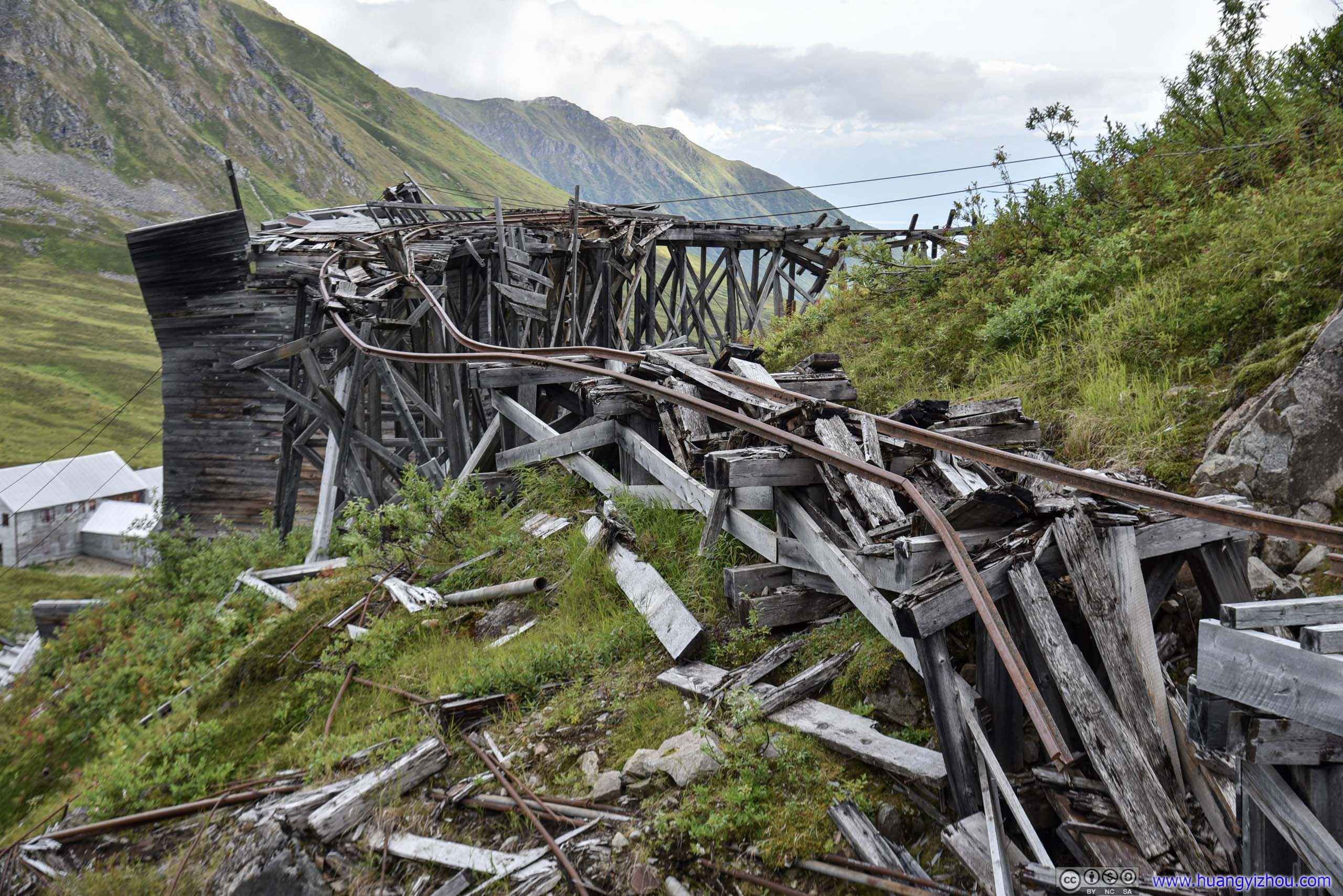
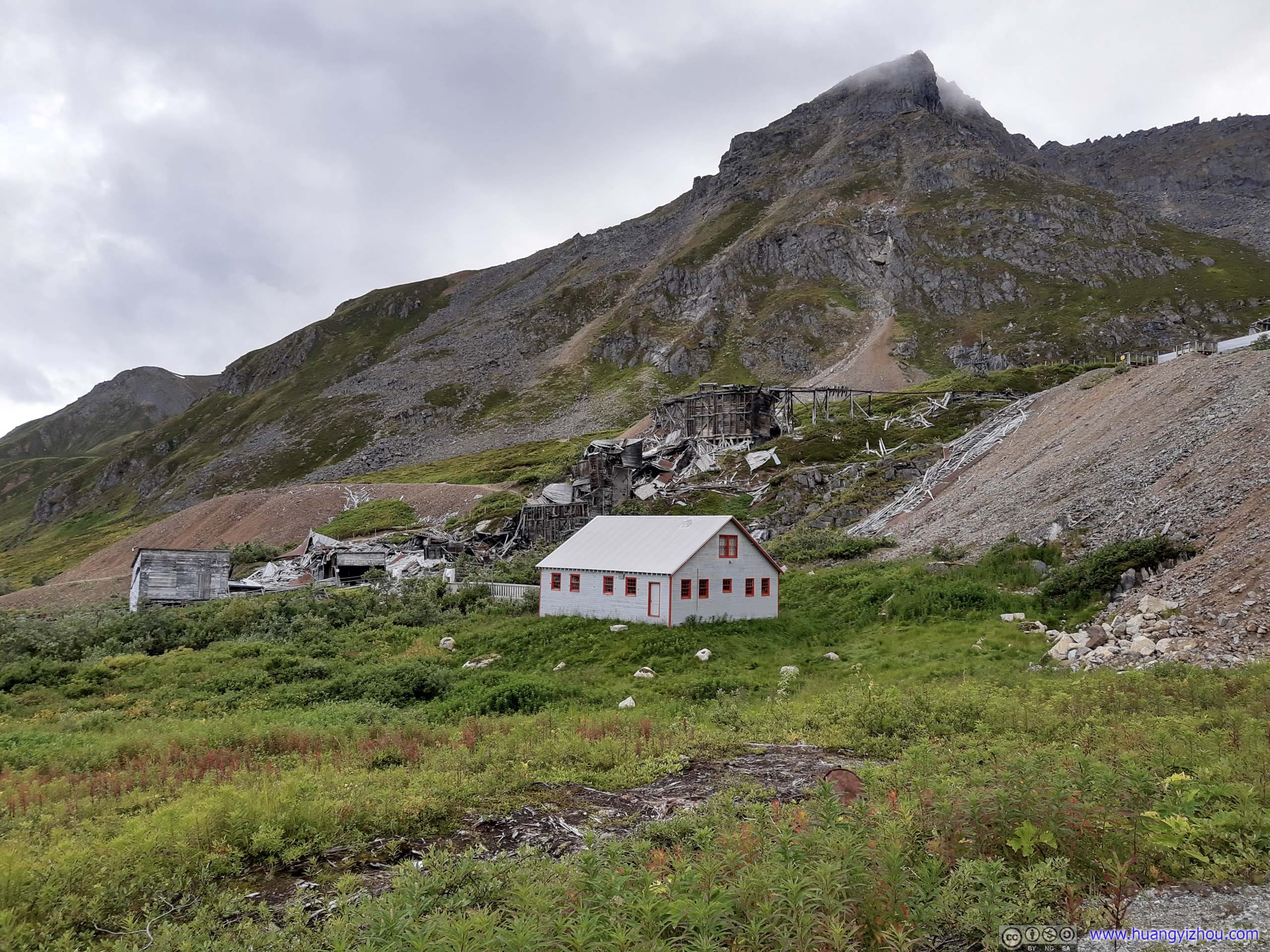
Next, there were a series of crumbling ruins along an uphill slope. Some of those were metal and electric shops, where replacement parts were made on site for things that continuously wore out. The mining camp was self-sufficient to a very large degree. The other buildings were the core of mining operation, where (from top down), ore from the tunnels were sorted, washed and crushed. Gold was extracted through Mercury Amalgamation, while waste rocks were dumped.

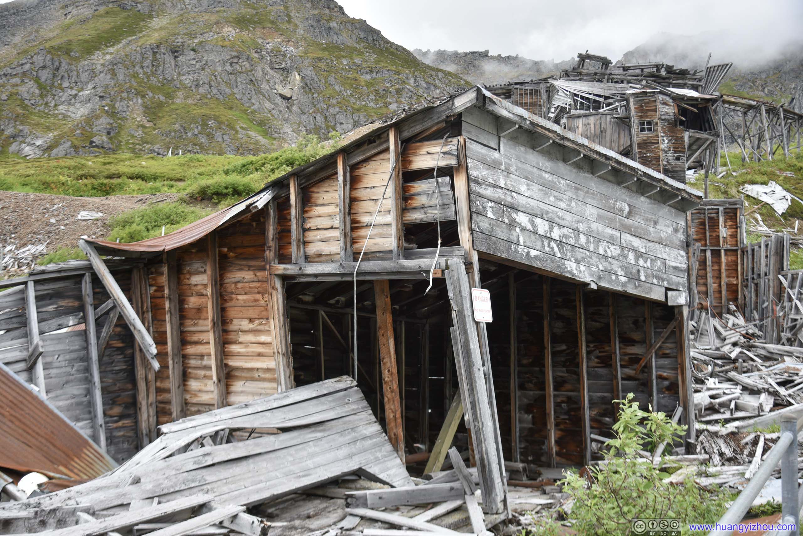
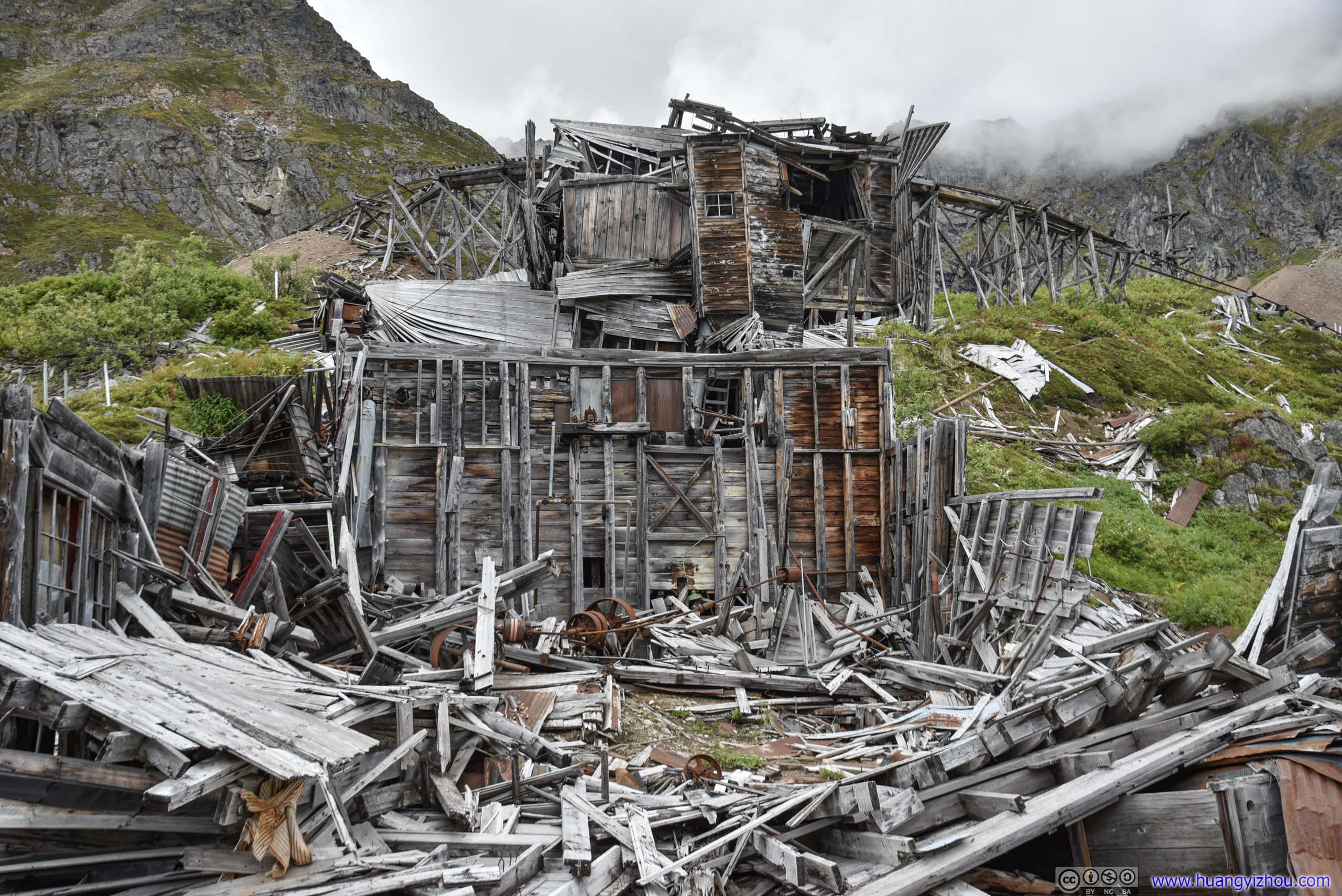

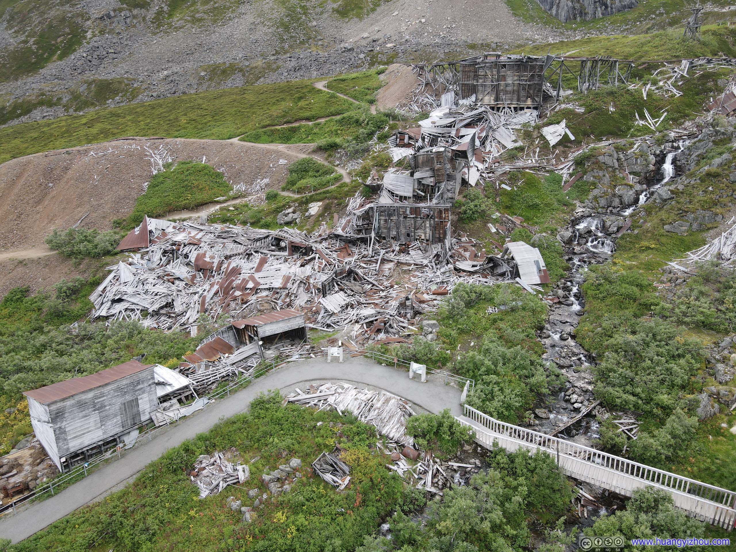
Buildings in Ruin
Next to the line of crumbling ruins was Assay Office, the last building with visitor access. Here the mixture of gold and mercury was separated by retorting and distillation. While the original assay office was along the line of buildings, fire danger prompted the construction of this new Assay Office away from them.
In addition, other parts of the building served various functions.
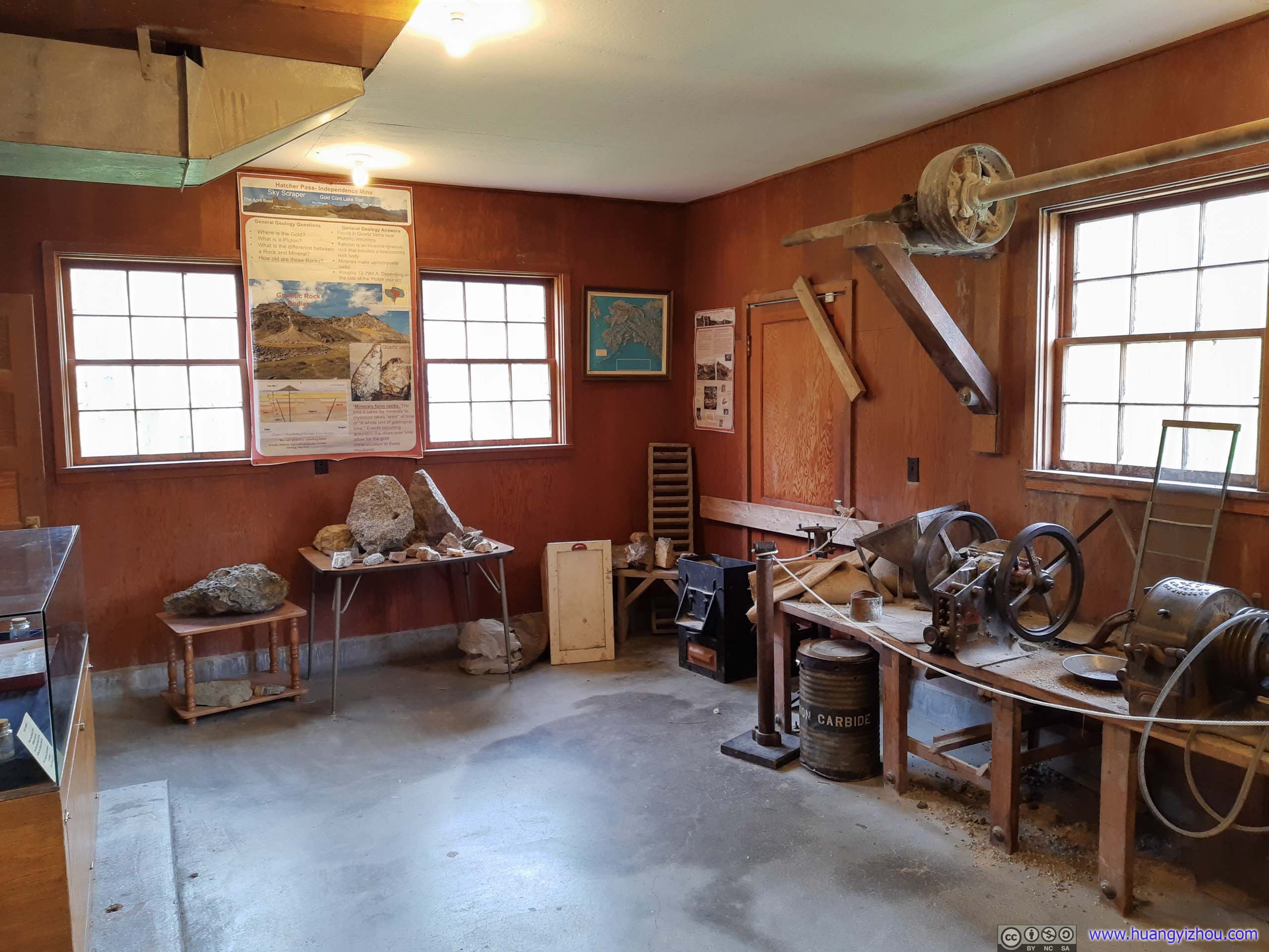

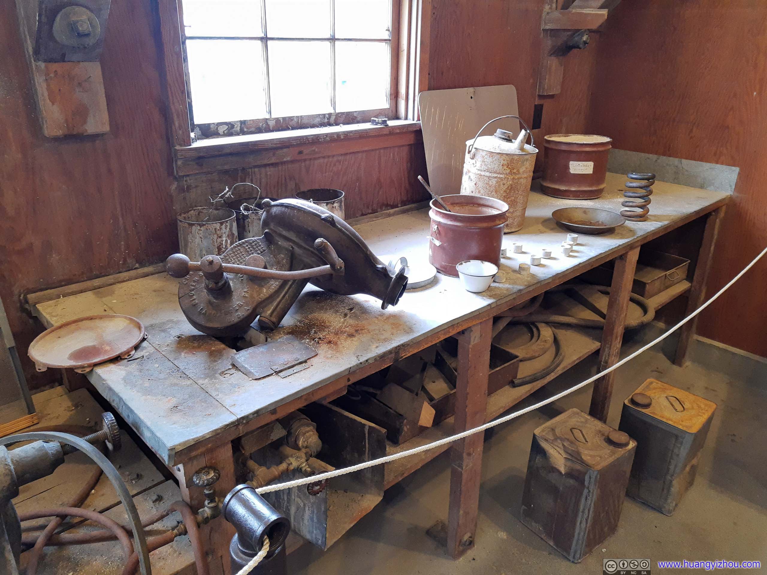
Bucking Room
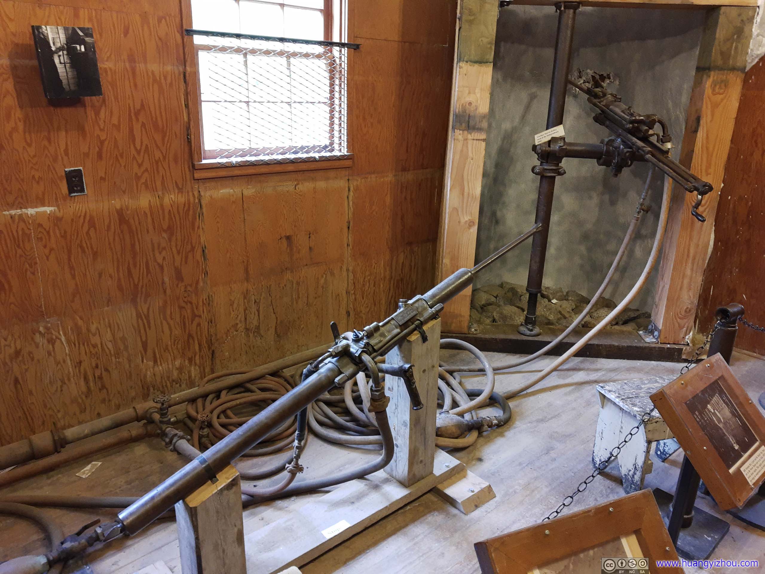
Supporting pneumatic equipment in the mines.
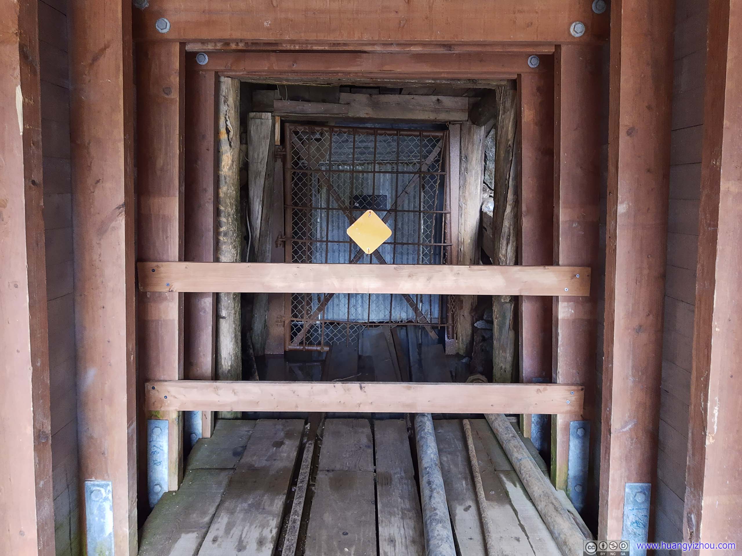
Farther uphill, visitors could wander about 5 meters into what used to be a mining tunnel. Tram tracks led from various mining tunnels into the top of sorting plant, greatly increasing efficiency.
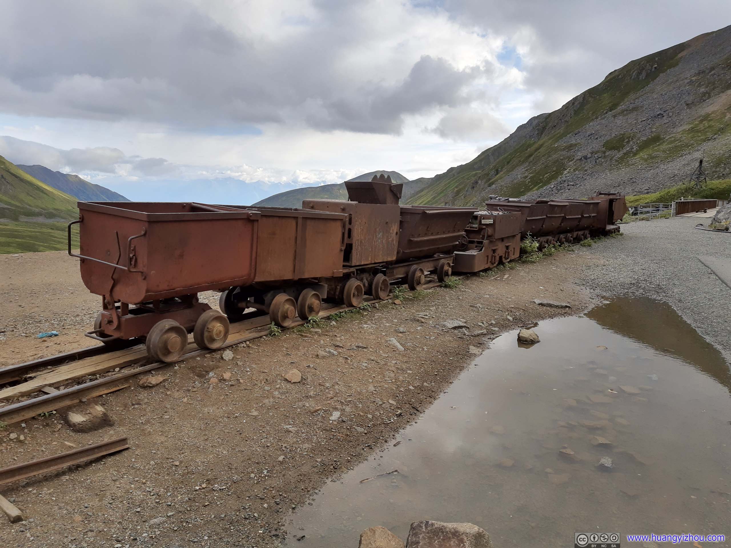
Interesting to learn that the tram was powered by electric batteries.
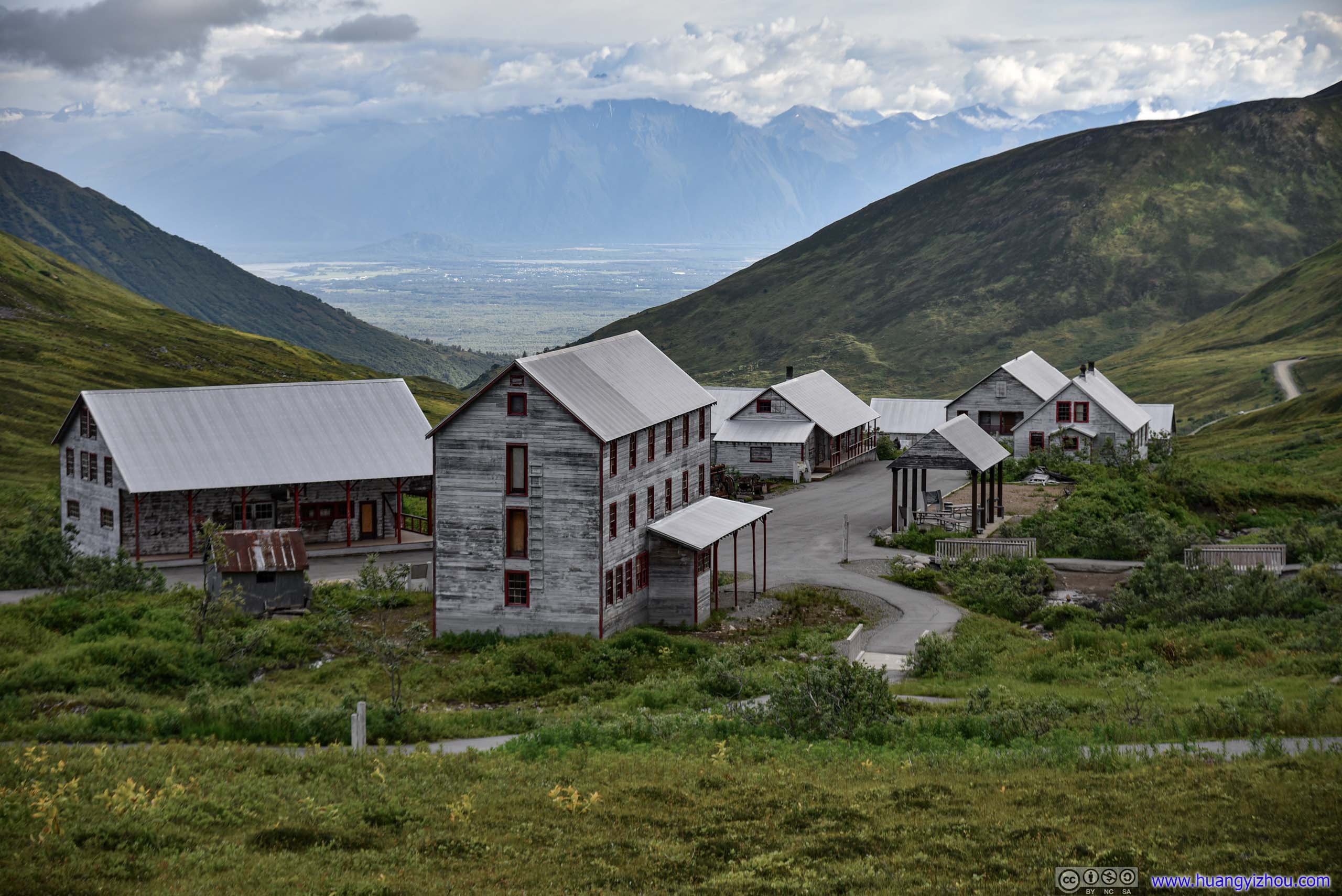
Valley and town of Palmer in the distance.
After about an hour, we basically concluded our visit to Independence Mine. Nearby, beyond their lofty elegance, the rugged peaks half-concealed behind clouds were reminiscent of the aera's remoteness and the endeavors that miners here once carried out.
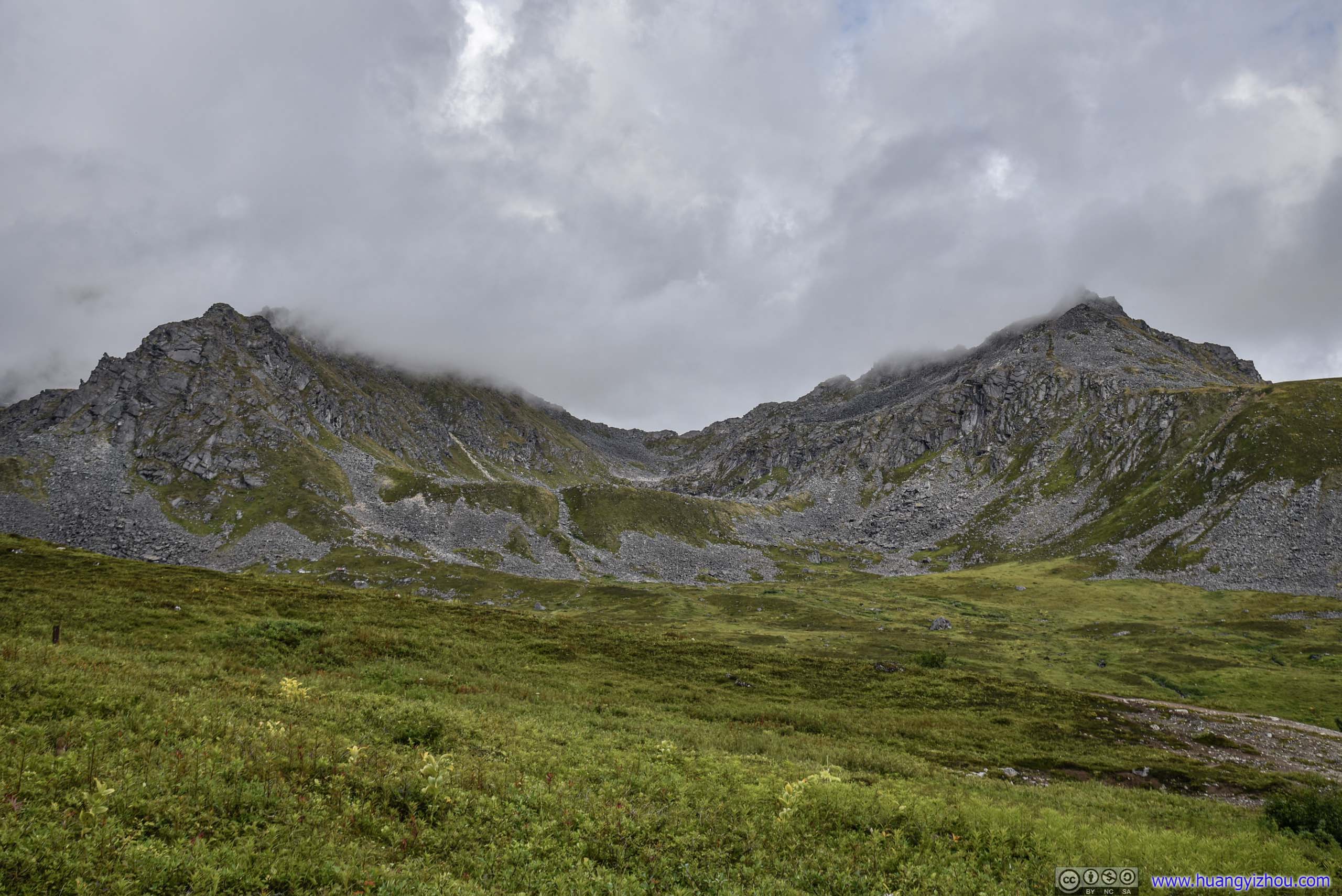
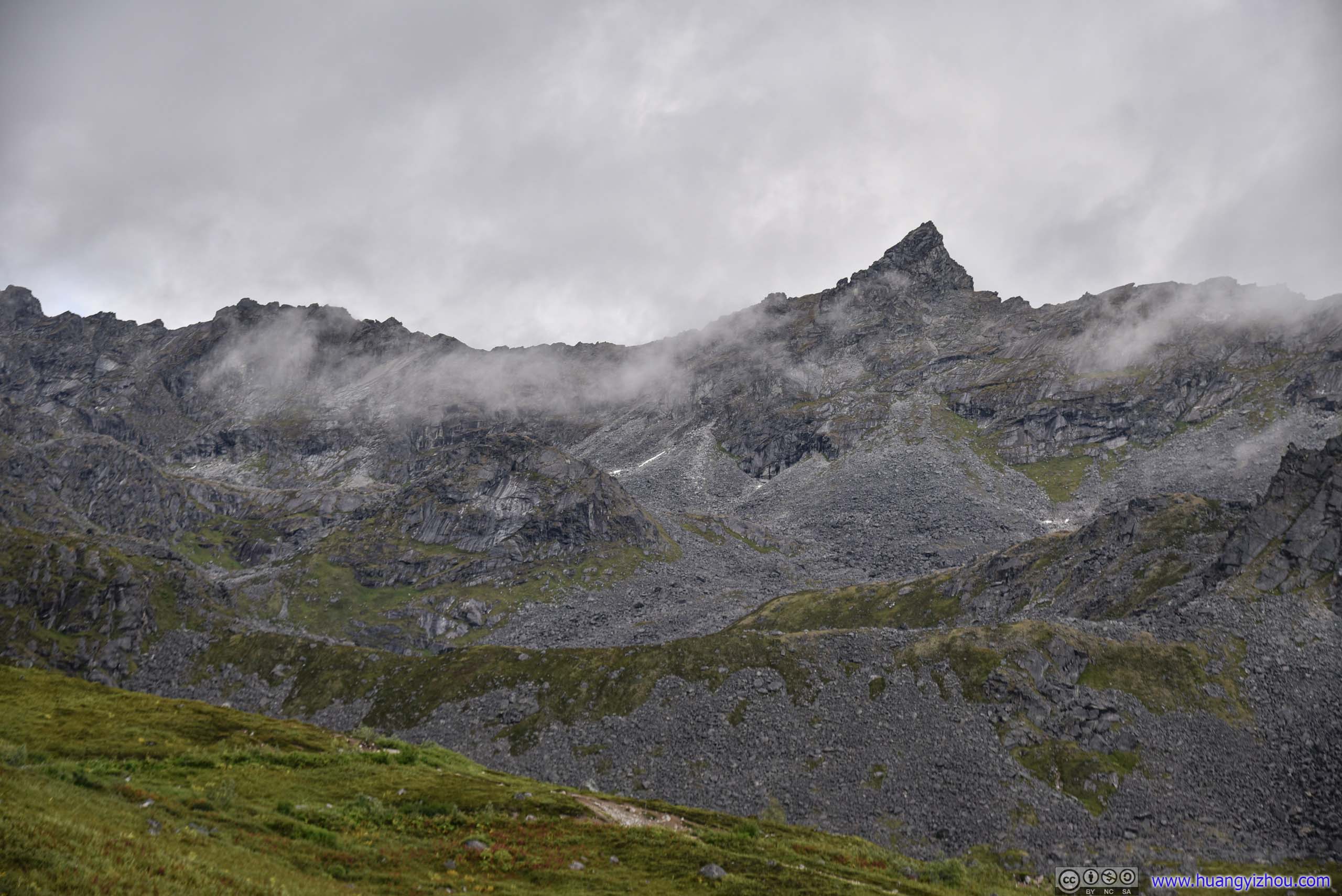
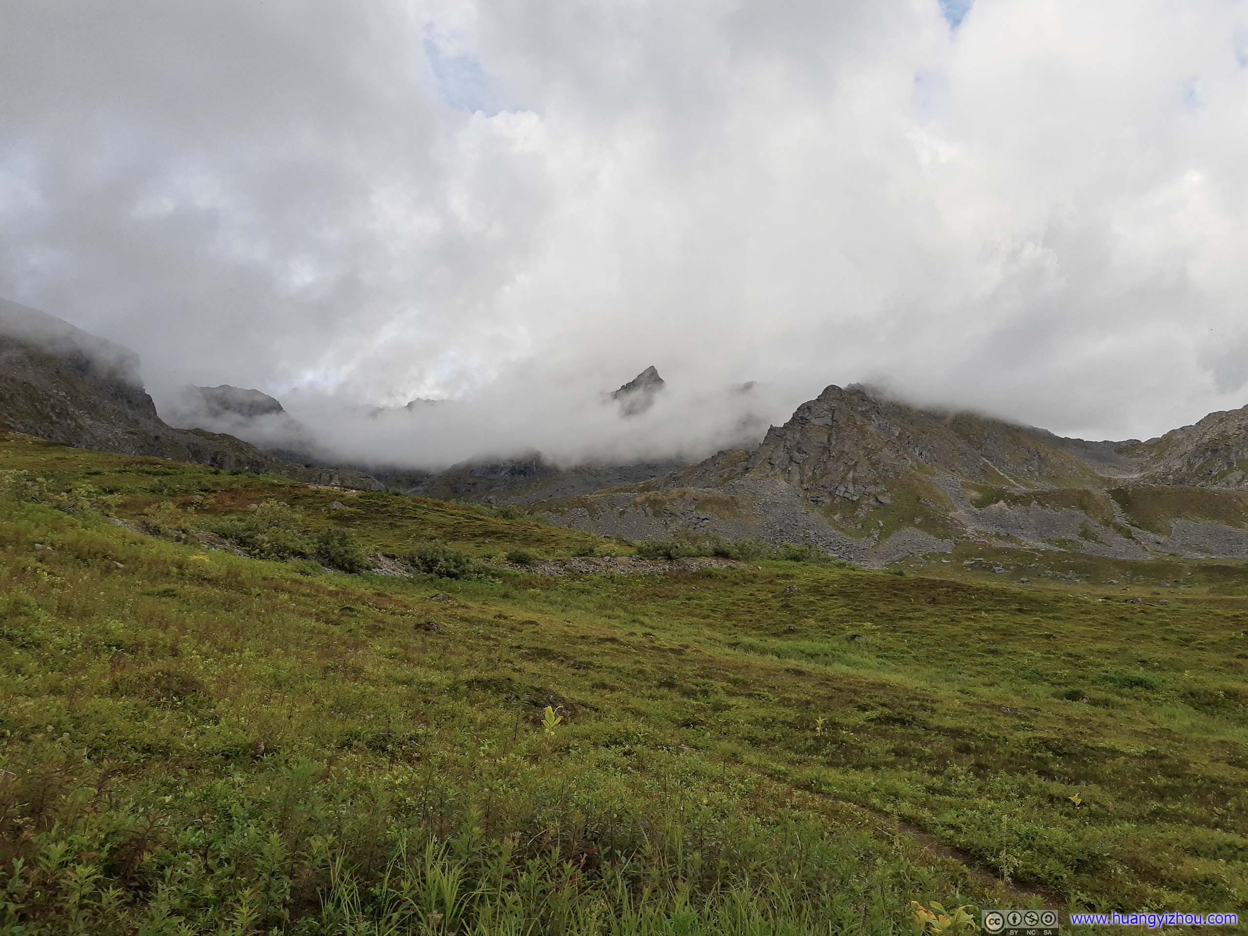

Mountains behind Clouds
And since I had my drone with me, we concluded our visit with an aerial tour.


Hatcher Pass
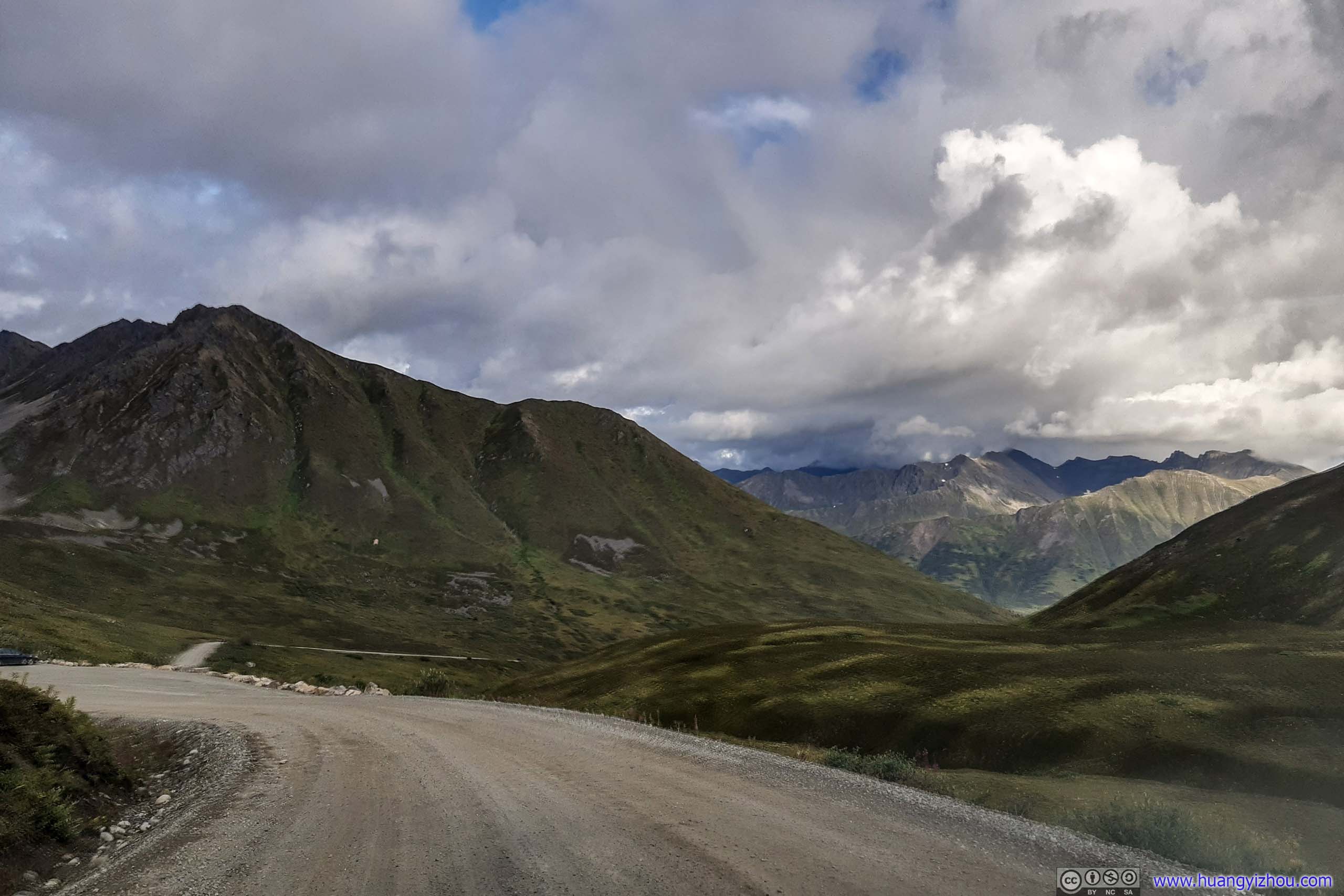
Before heading back to Palmer, we decided to pay nearby Hatcher Pass a visit. It’s a scenic mountain pass named after Robert Hatcher, who opened the area’s first hard-rock mine.
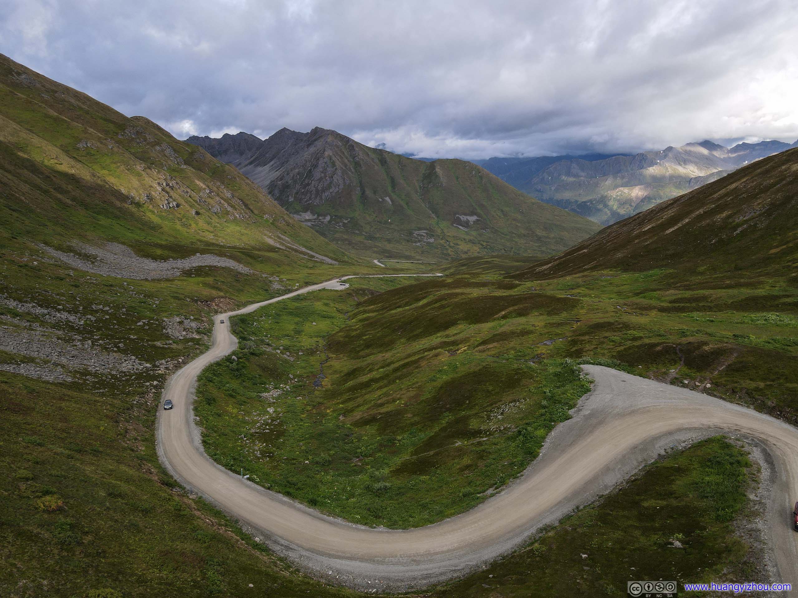
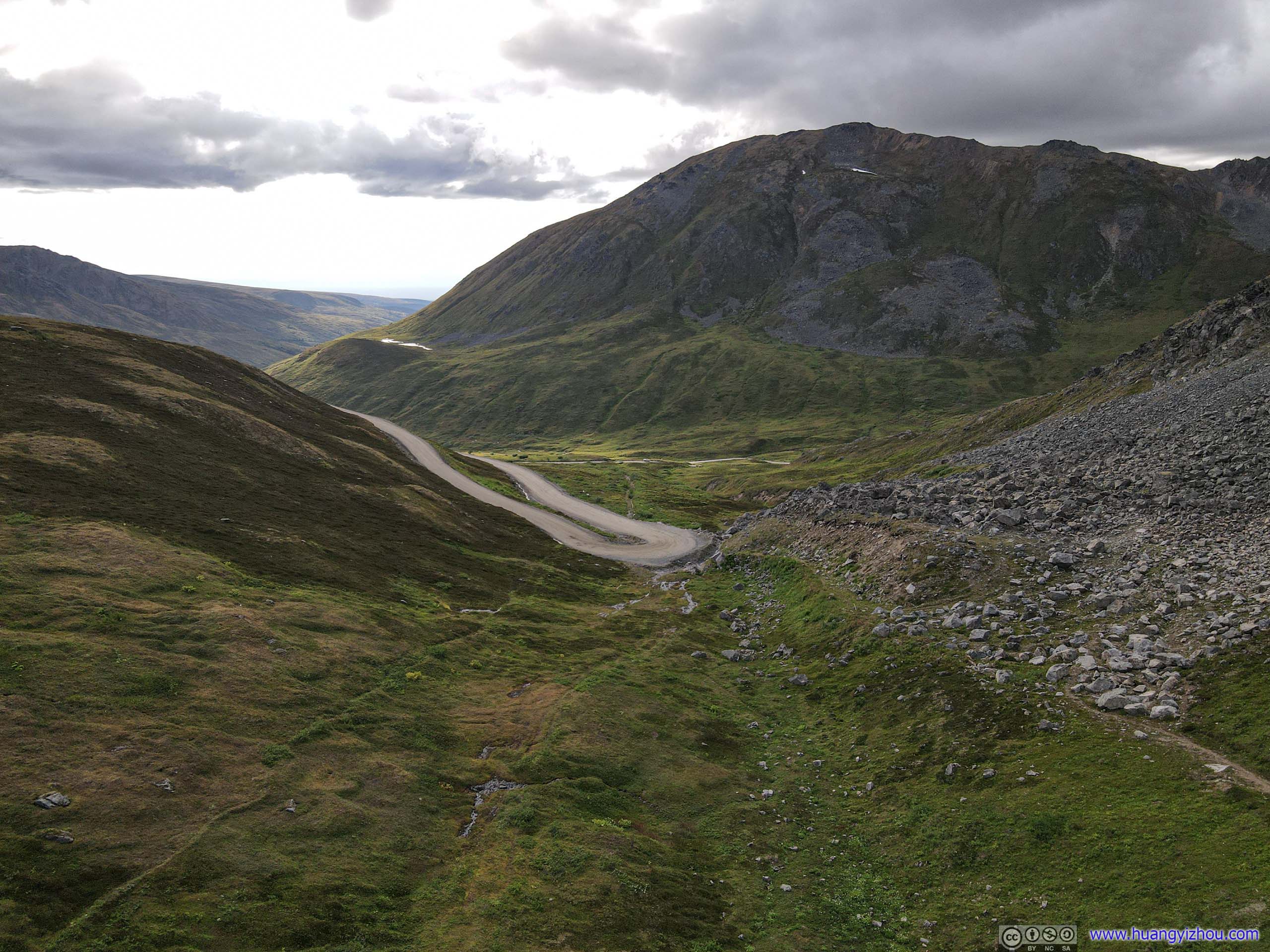
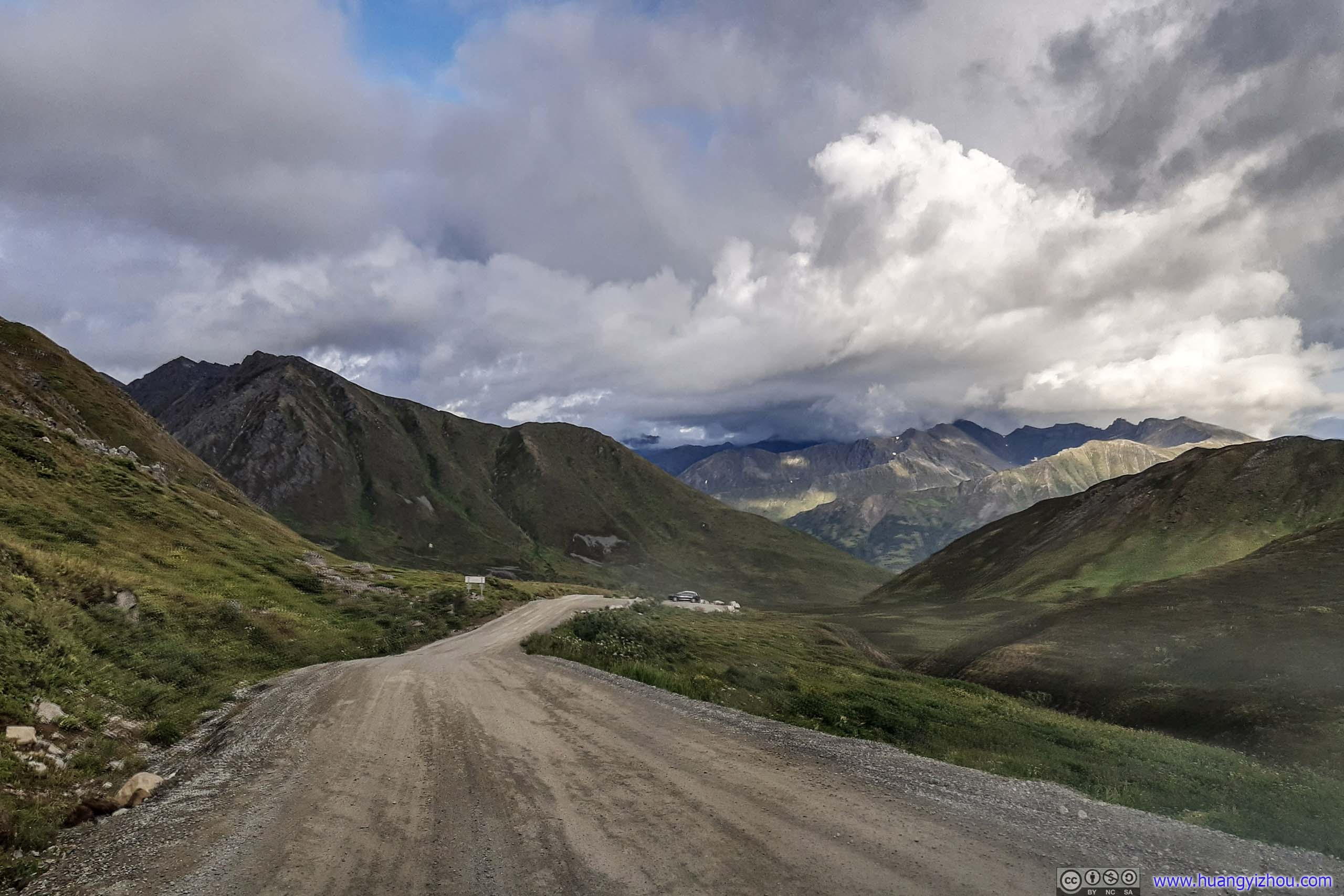
To reach Hatcher Pass from the east, there’s a 2.6-km gravel road, the views of lush meadows along which were epic. If continuing the west, Parks Highway could be reached by additional 40 miles of gravel road.
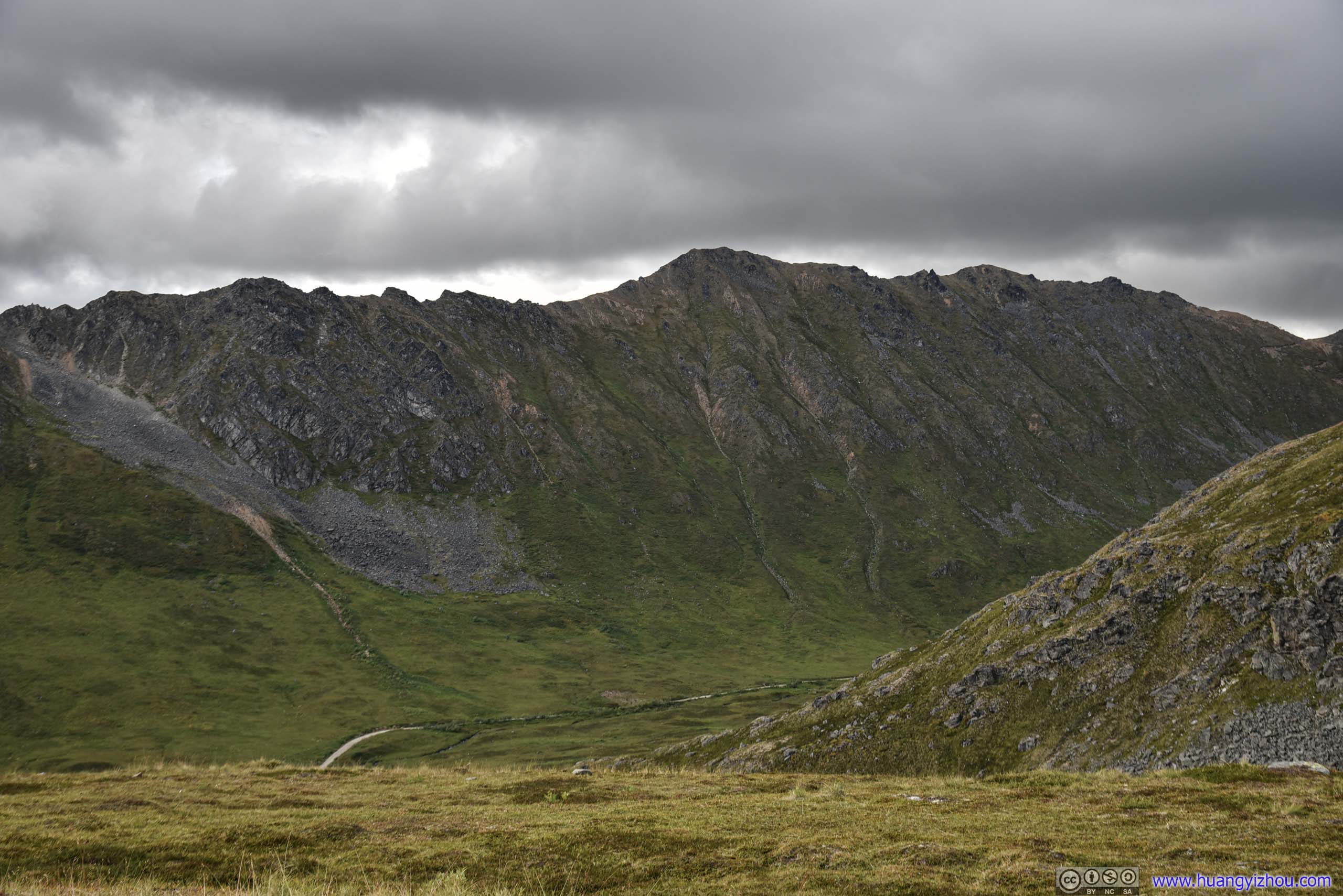
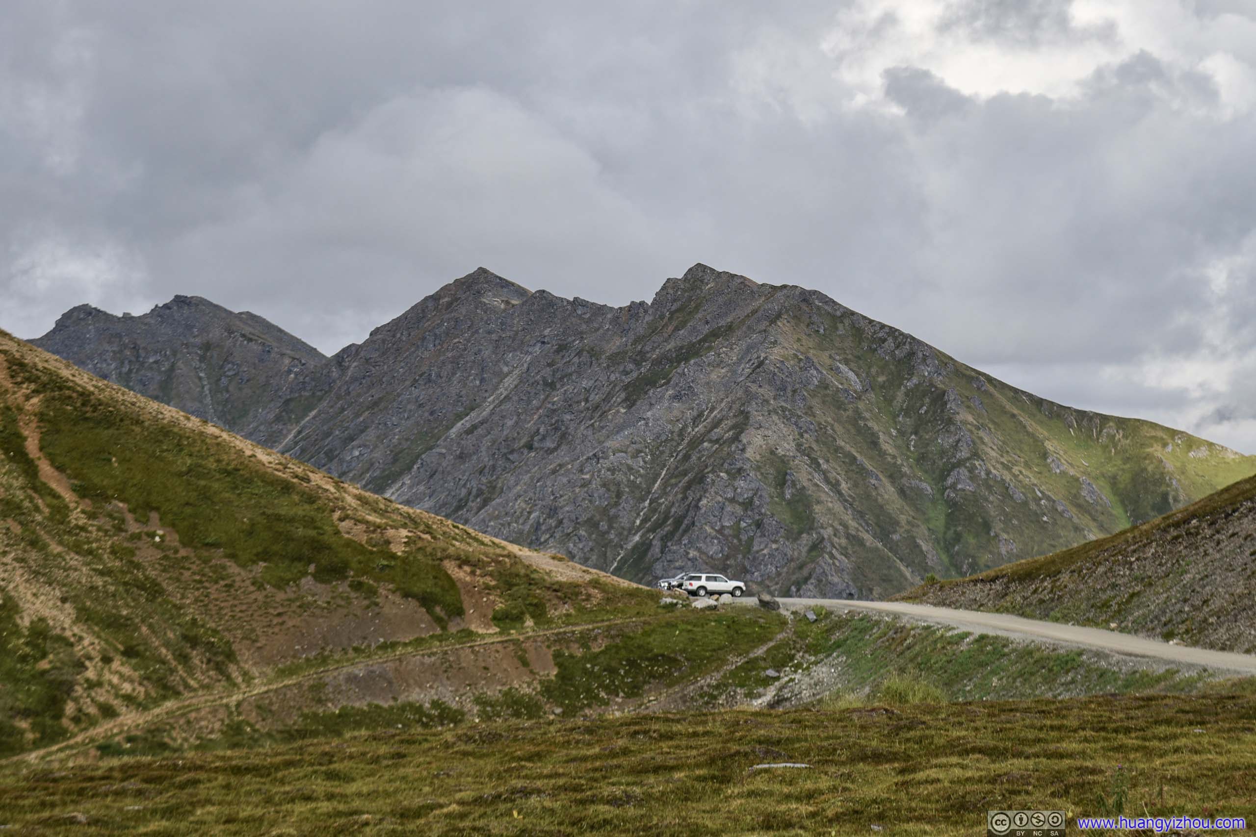
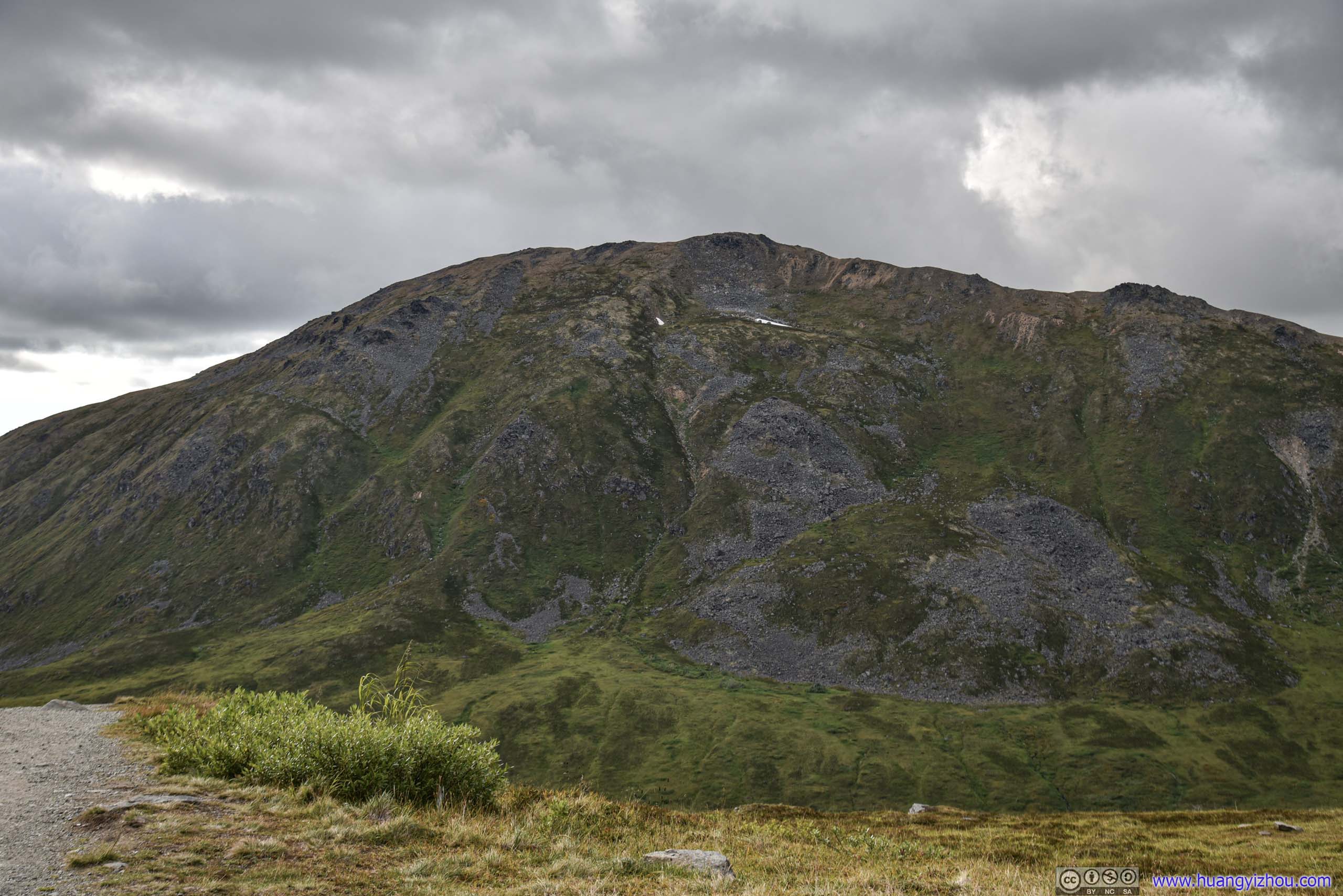
Mountain
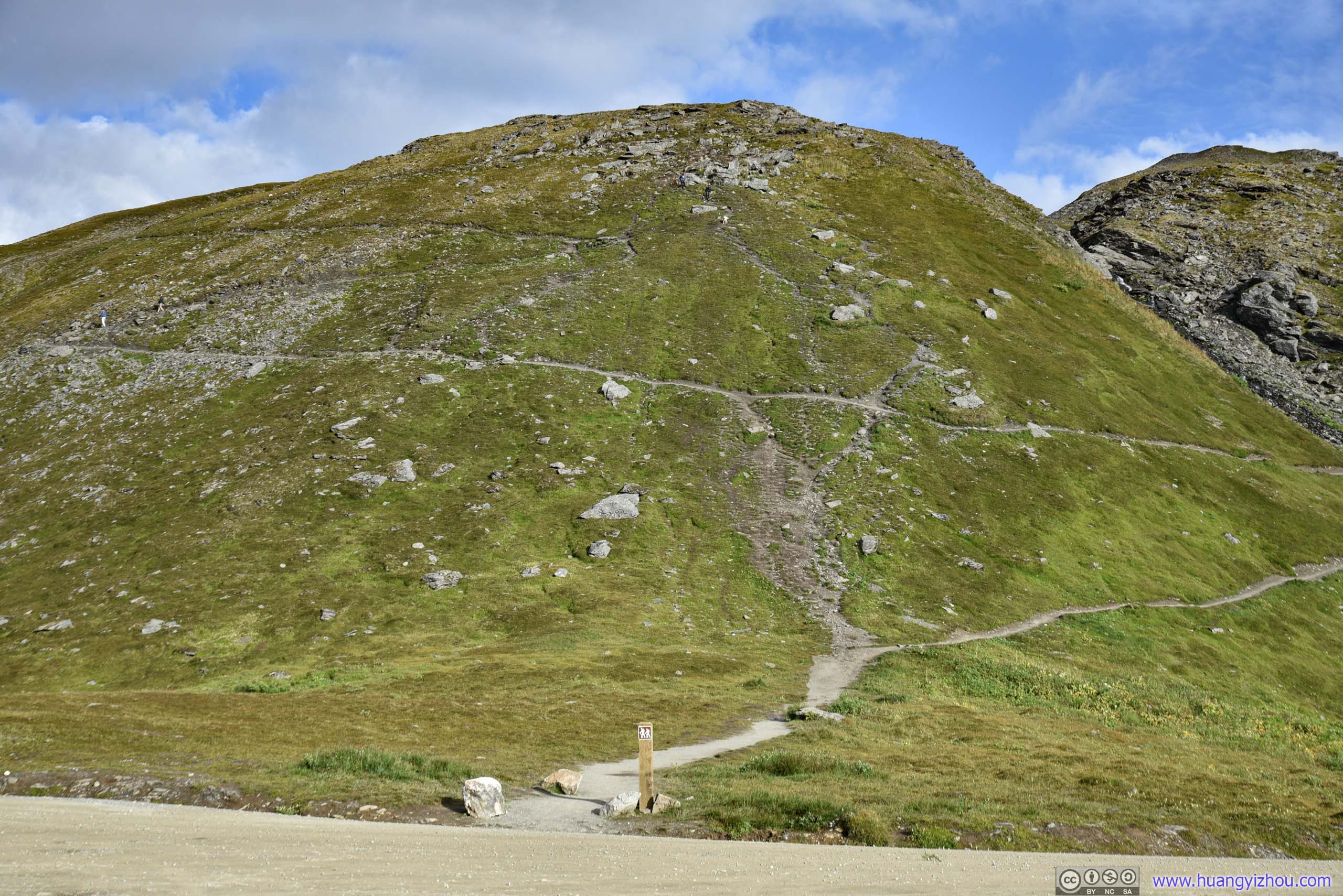
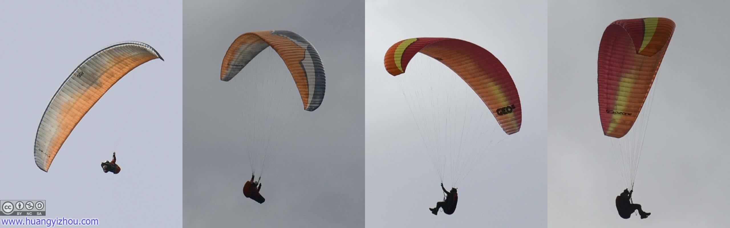

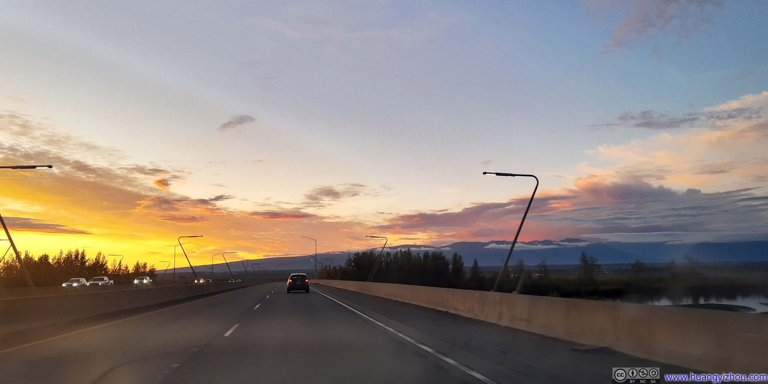
After that, we headed towards the town of Palmer and checked into our overnight Airbnb. My friend happened to learn that one of his friends was visiting Anchorage, and Alaska Zoo certainly interested him more than hiking some jagged mountains, so I drove him halfway to Anchorage, where his friend picked him up. And on my way back, I watched probably the most spectacular sunset glow.
END