Weekend Trip to Shenandoah, Hiking and Star Gazing
A weekend of hiking to South Shenandoah with my friends, in the middle of September at the tail of summer.
It's the middle of September when weather forecast indicated sunny days and clear skies for the weekend. Given the fact that my NPS annual pass had only been used once since its purchase in July, my friends and I set off for the southern part of Shenandoah National Park, and planned two days of hiking and a night of stargazing.
We left home at 10am, on the morning of September 19. Unfortunately, construction along I66 in Northern Virginia was in full swing, which created a huge traffic jam near Manassas even for a Saturday morning. So by the time we reached the town of Culpeper, it's already 12:30pm.
Burgandine House
In the town of Culpeper, we planned a short visit to Burgandine House to stretch our legs. Built about 1800, it's the oldest residence in the town of Culpeper. Now it's a museum into the town's colonial past.
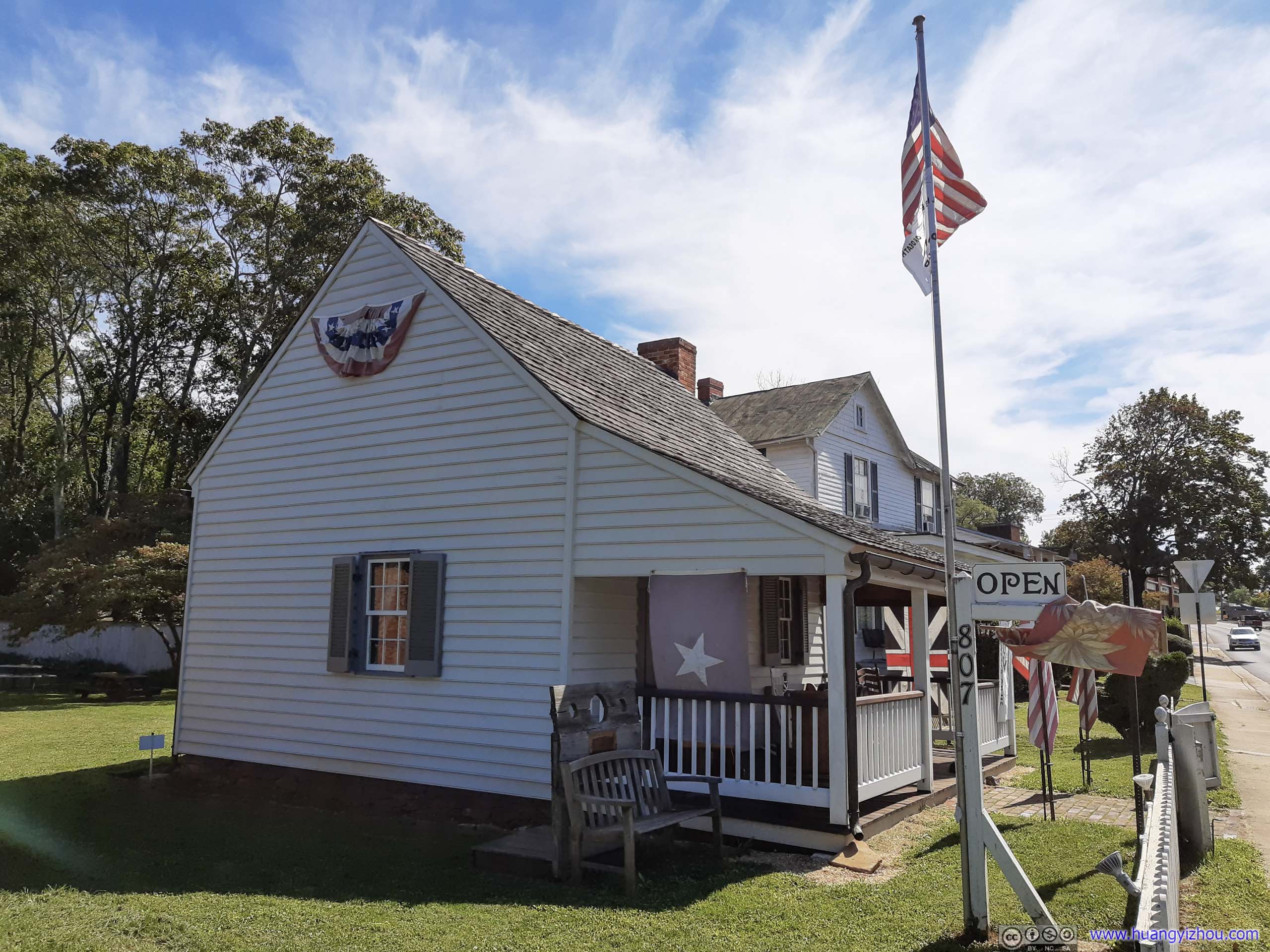

Burgandine House
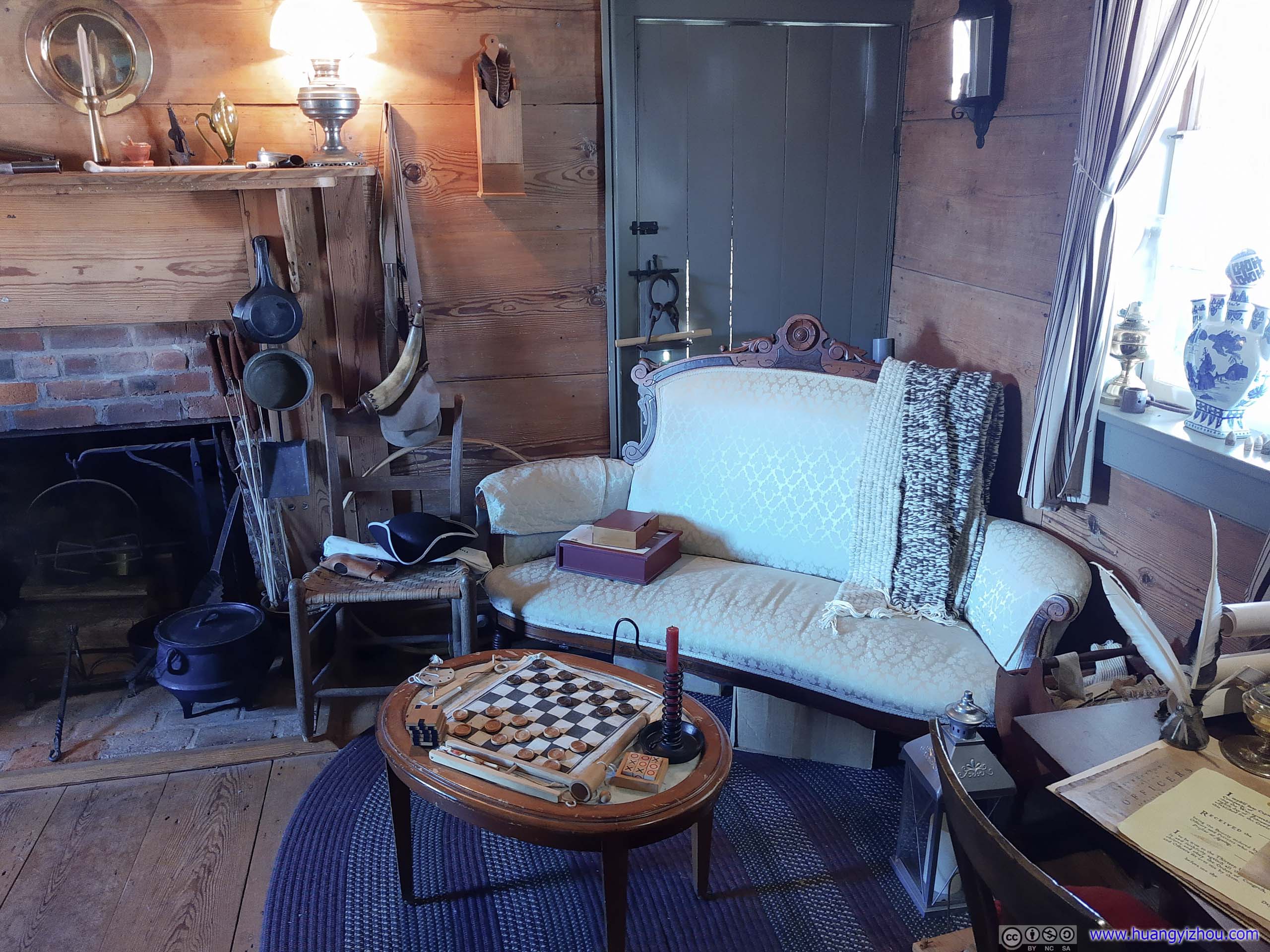
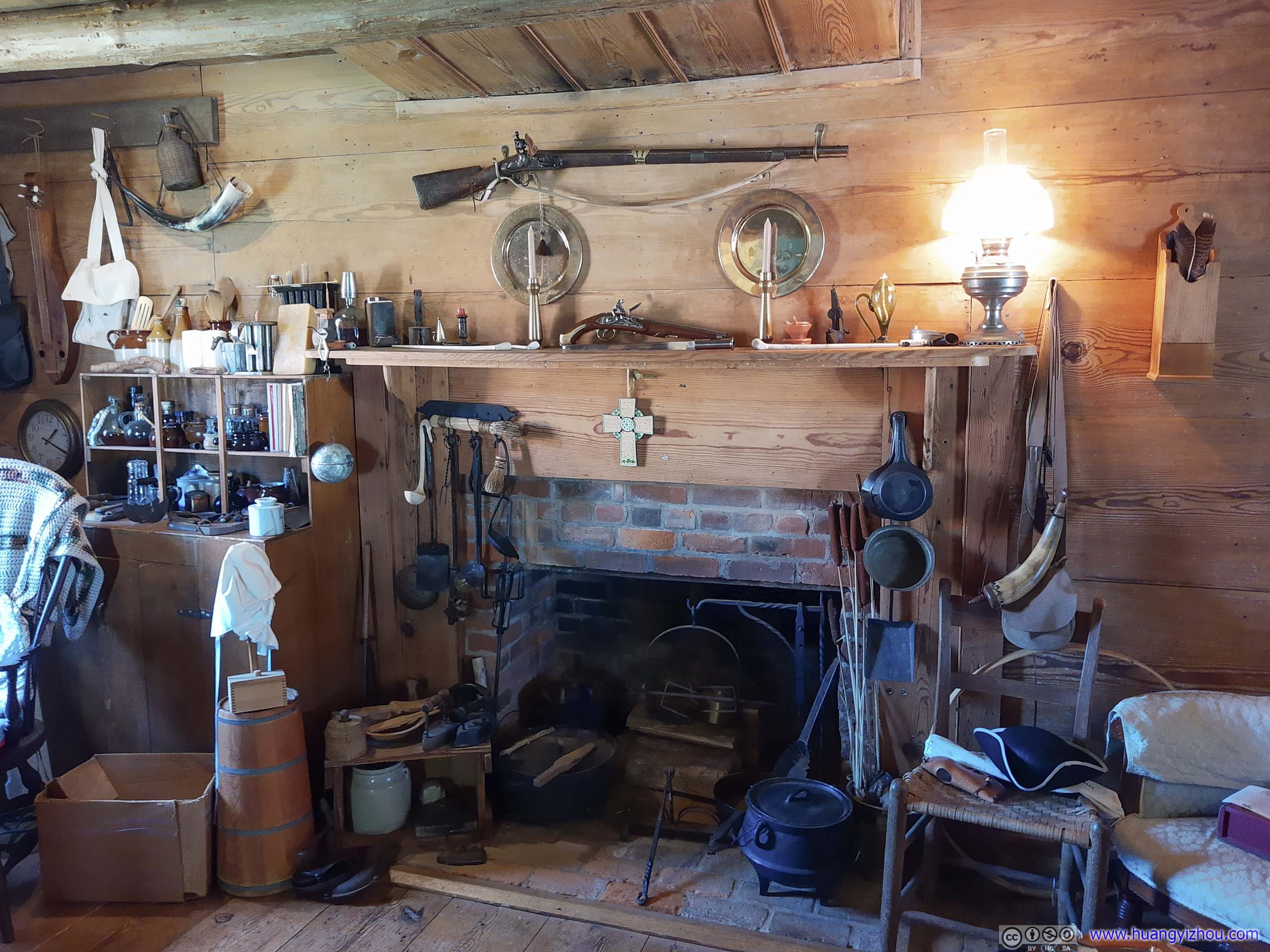
Once inside, we were greeted by a wonderful couple that served as the museum's guide. Dressed in colonial clothes, they gave a very detailed walkthrough of both the town and the house's history. The house wasn't very large, the above photos showed most of its ground floor. But it's well preserved, like the guide's own house, where every seemingly insignificant object has its own story, like clothes for the Virginian militia that once roamed this land, the pots that were used to cook food, so on.
And here were some objects that most fascinated me.
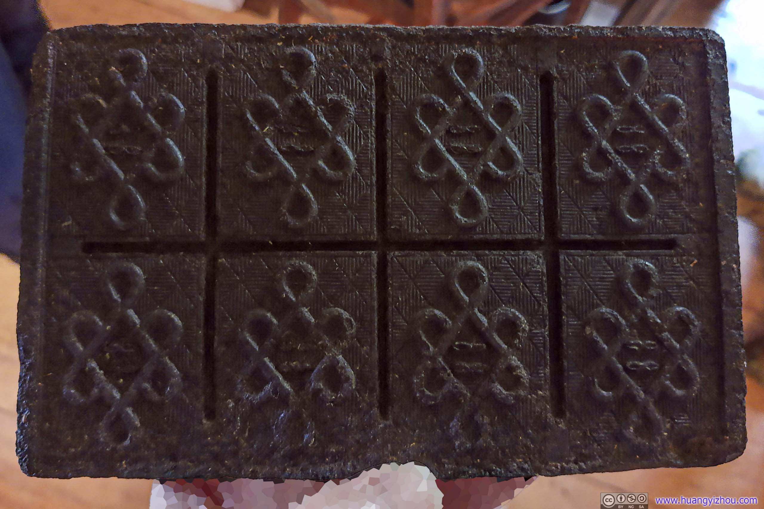
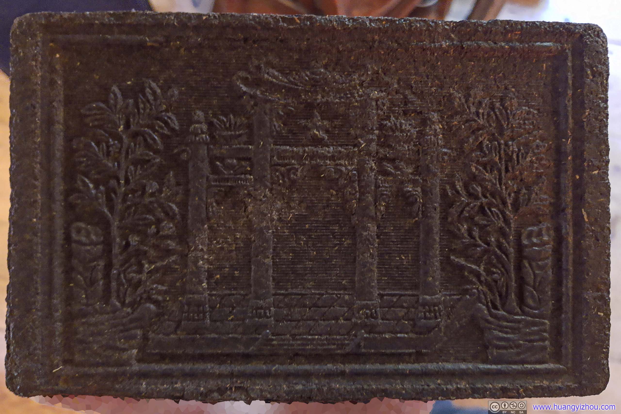


The house served different functions in different times. Most interesting to me, it used to be the town's only public house, serving as both the courtroom and the jail (talk about streamlined process). When I asked how they could hold a court session in such tiny spaces, the guide told me, "oh they held it outside and the entire town watched".


Speaking of the house's multitude of functions, its second floor was preserved as an inn, with a few beds lying around.
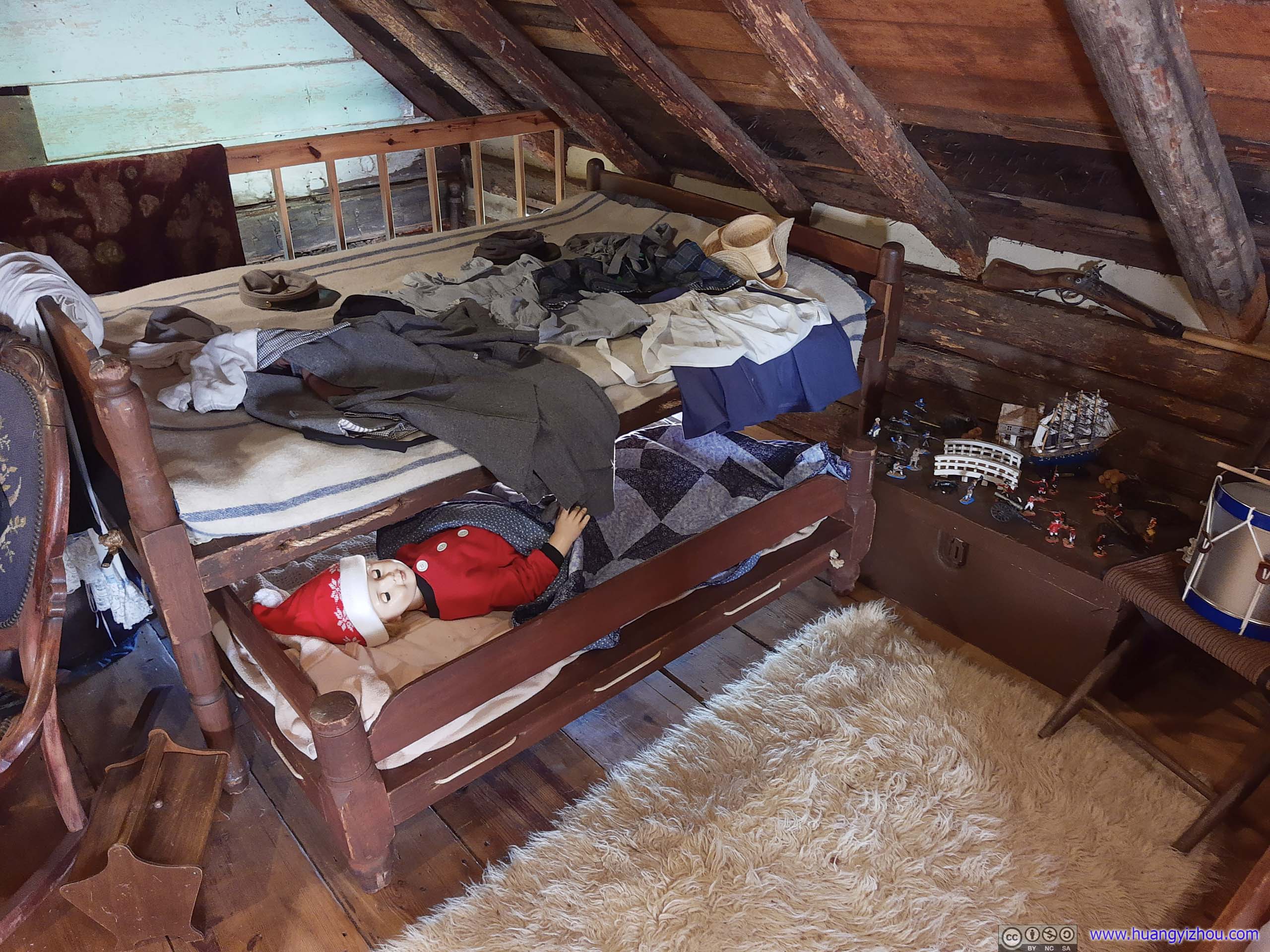
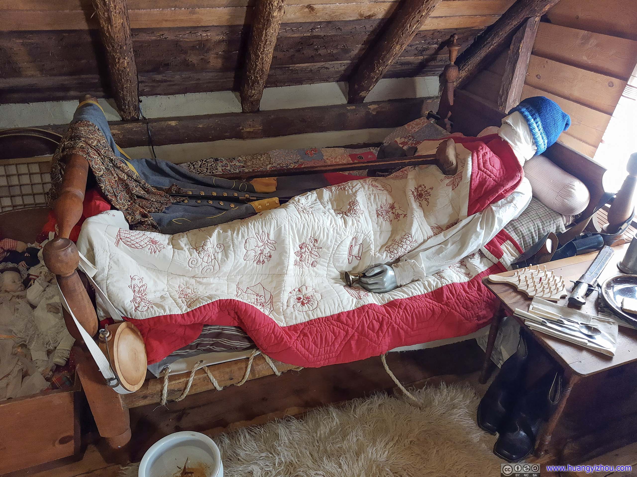
Well, at least the handicapped got to have a more spacious bed.
Here just some highlights of the tour were shown, but the two chatty guides really went through every object in the house in great detail, that when we said goodbye to them, it's 80 minutes since we stepped into the house.
Shenandoah National Park
After a quick lunch, by the time we entered Shenandoah National Park through Swift Run, it's 3:20pm, only 4 hours to sunset. So planned to hike a short trail before heading farther South, watch sunset somewhere epic (preferably Humpback Rocks) before reaching our overnight hotel in the town of Waynesboro.
The trail to Hightop, just near the entrance, was a perfect choice. Unfortunately, the small trailhead parking lot was already full, with more cars parked alongside Skyline Drive than in it. So we moved on.
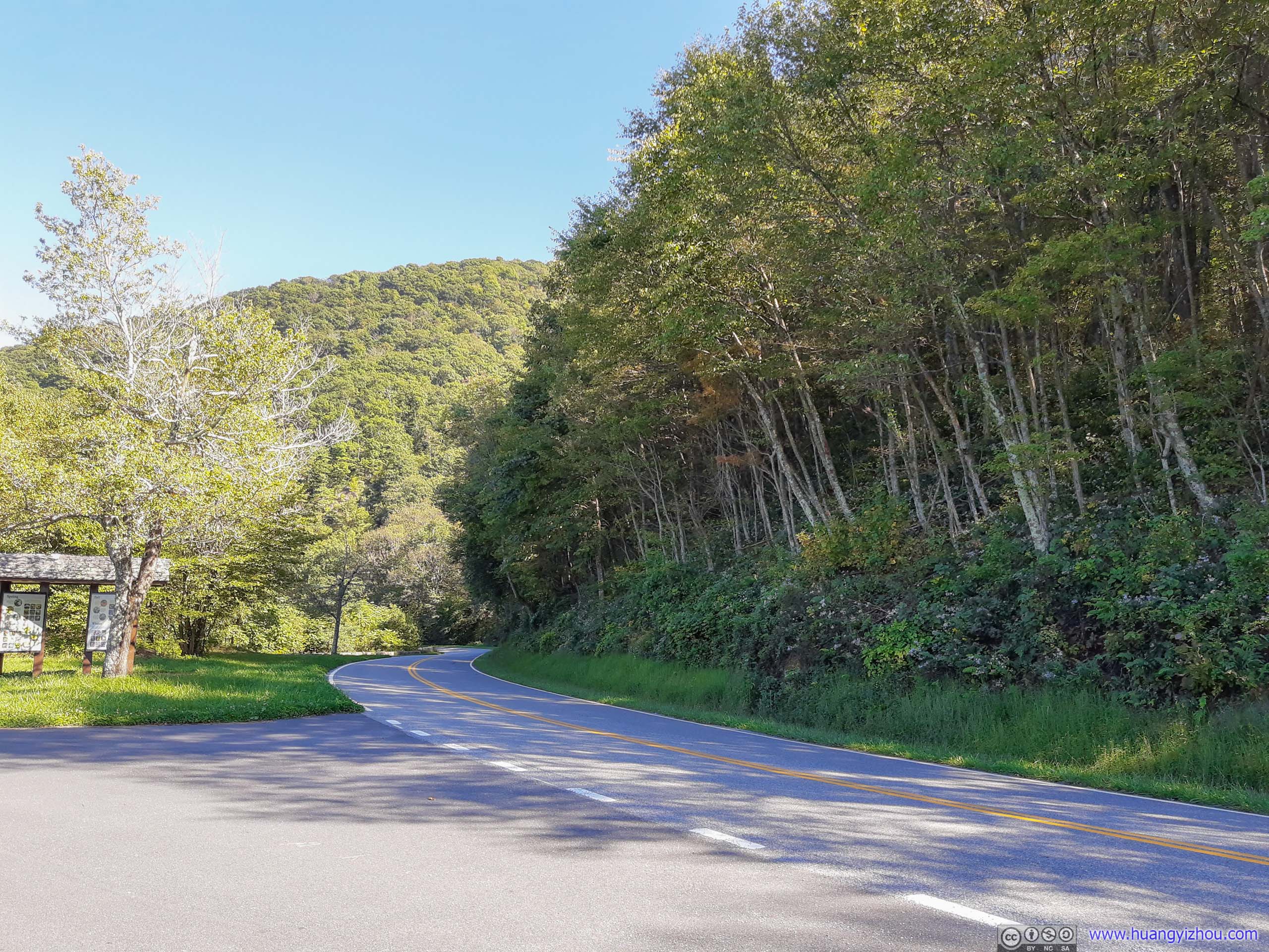
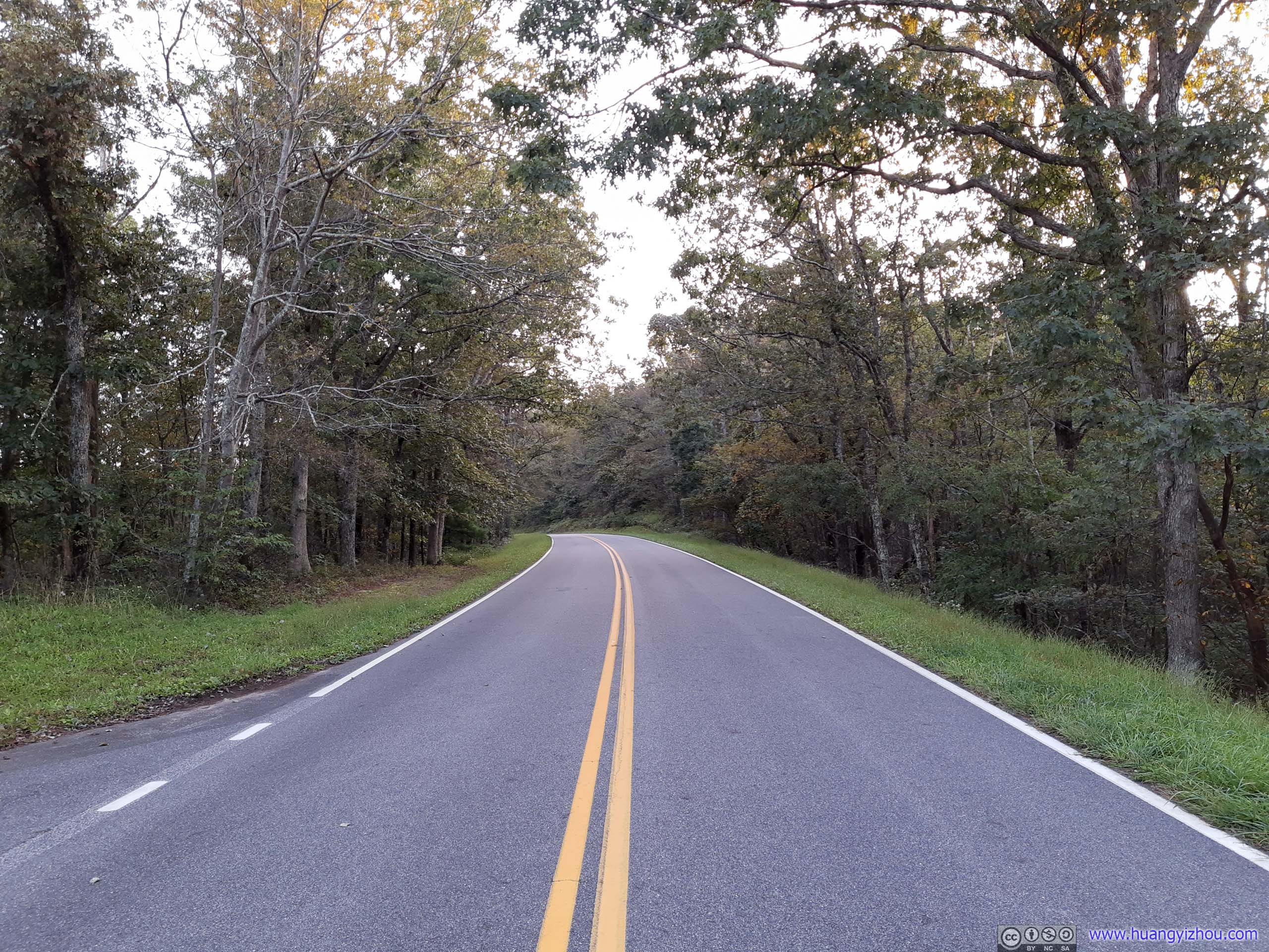
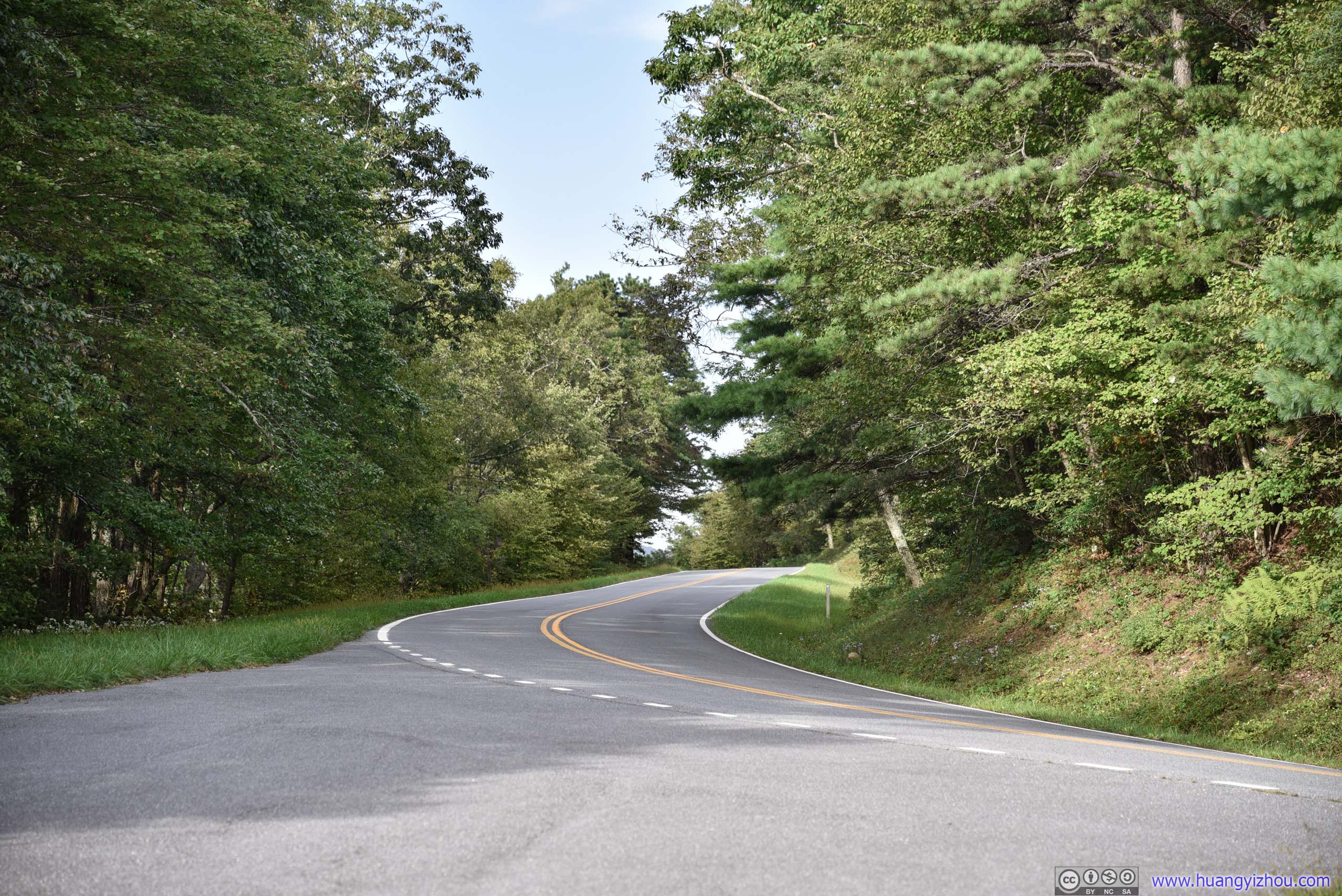
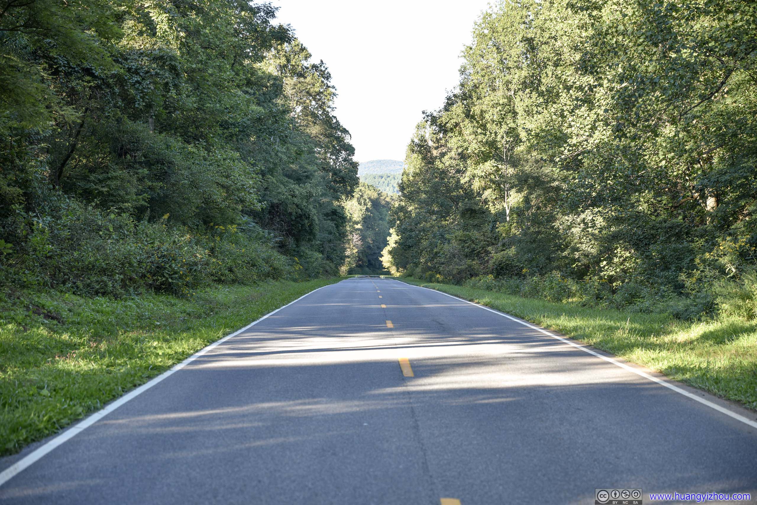
Park Road
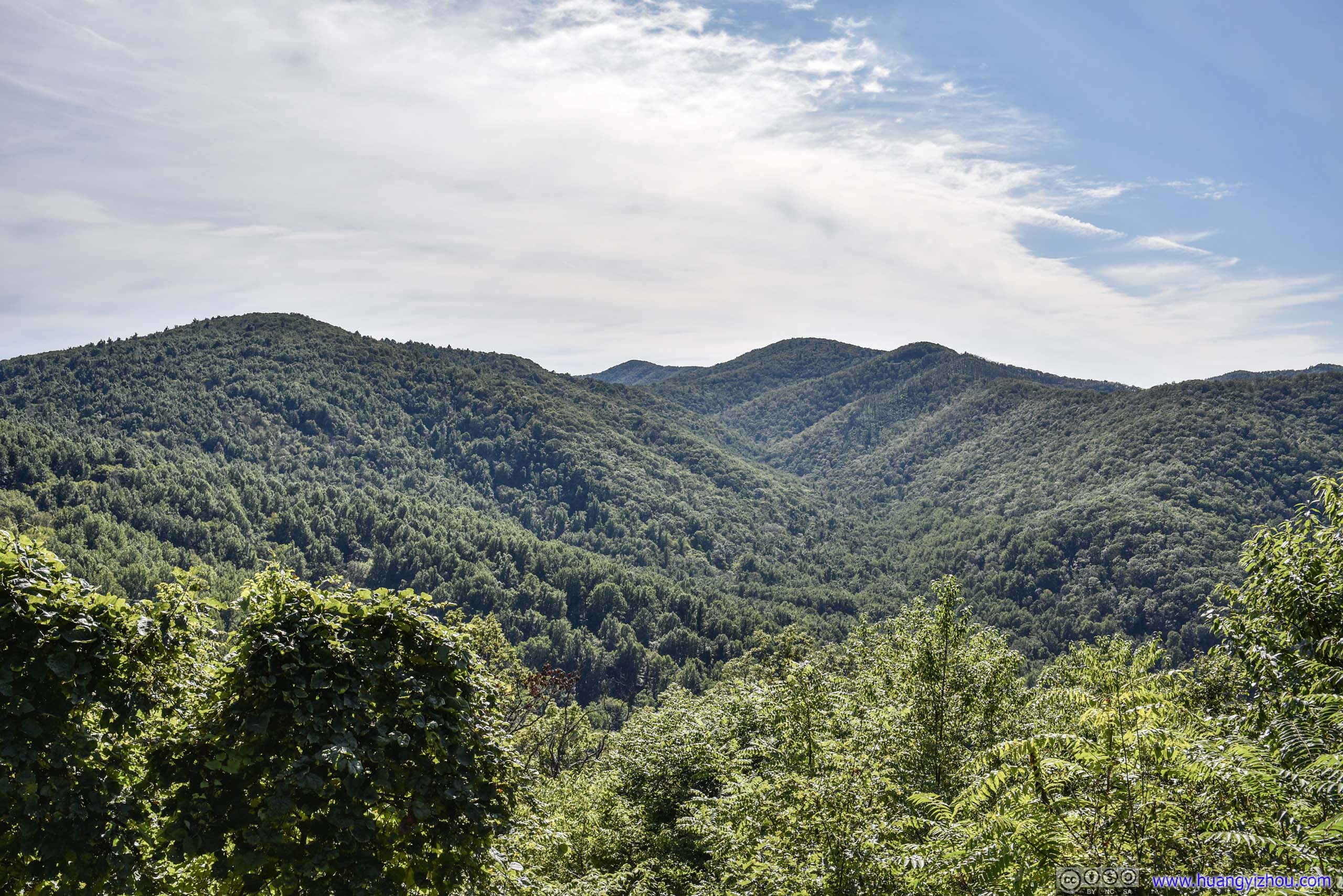
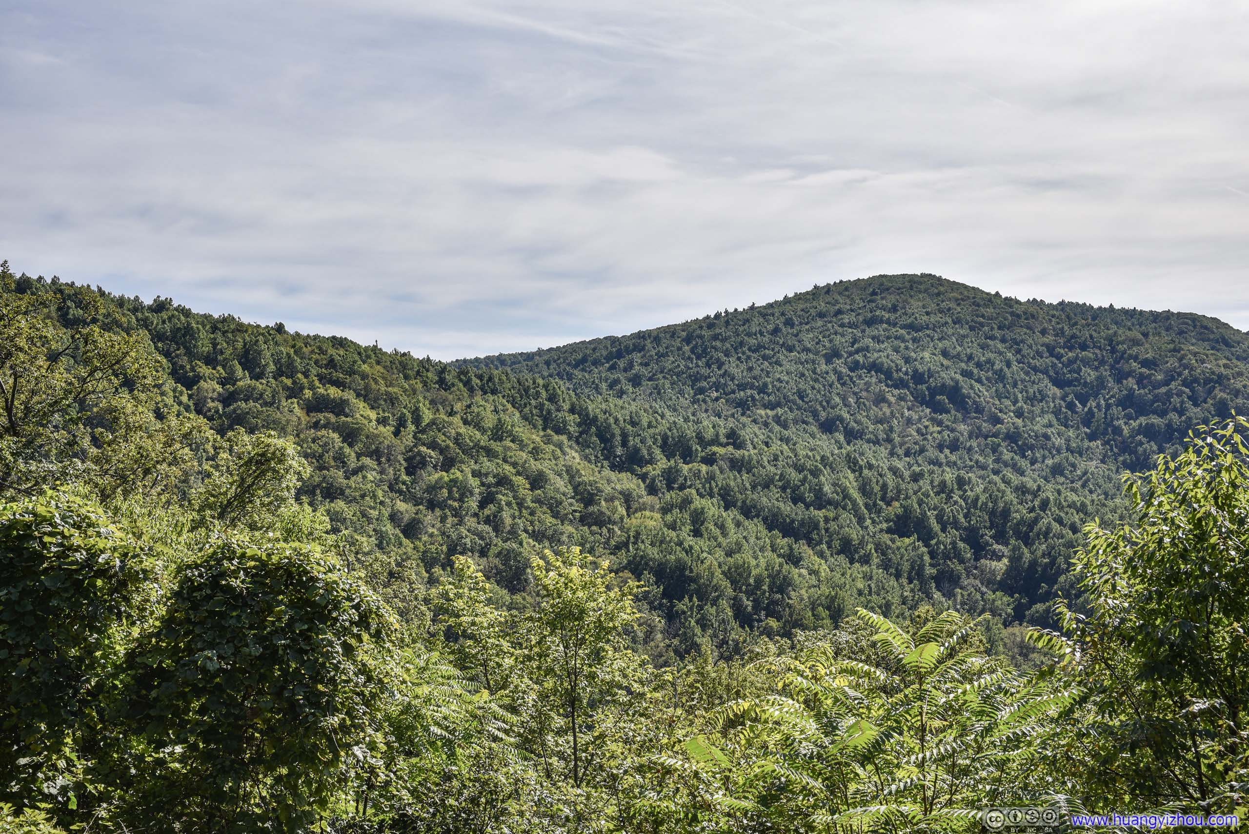
Blackrock Summit
Since the parking lot at Hightop was full, we picked another trail, Blackrock, to hike instead. The parking lot at Blackrock was almost full, but we managed to find a spot.
The trail to Blackrock was only 900m one-way. Although one could proceed farther to Hall Mountain or Trayfoot Mountain, most people made Blackrock their destination.
Here's GPS tracking:
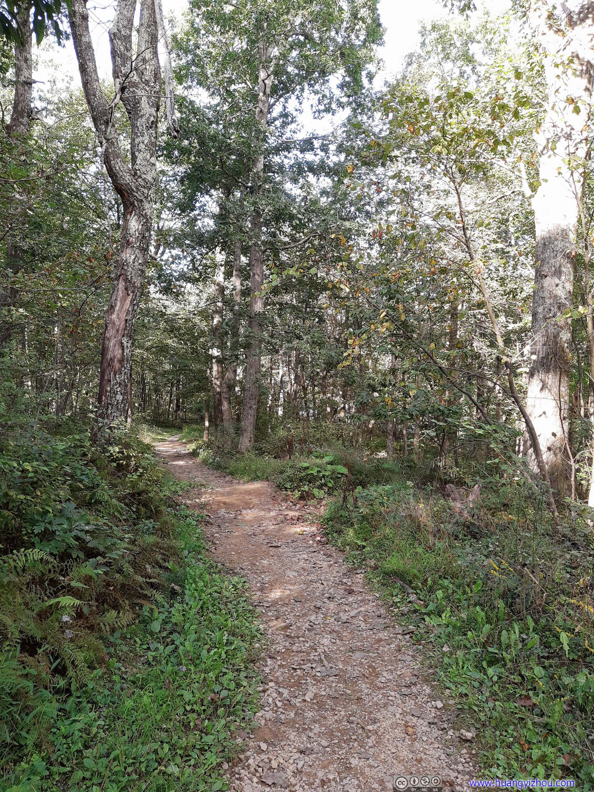
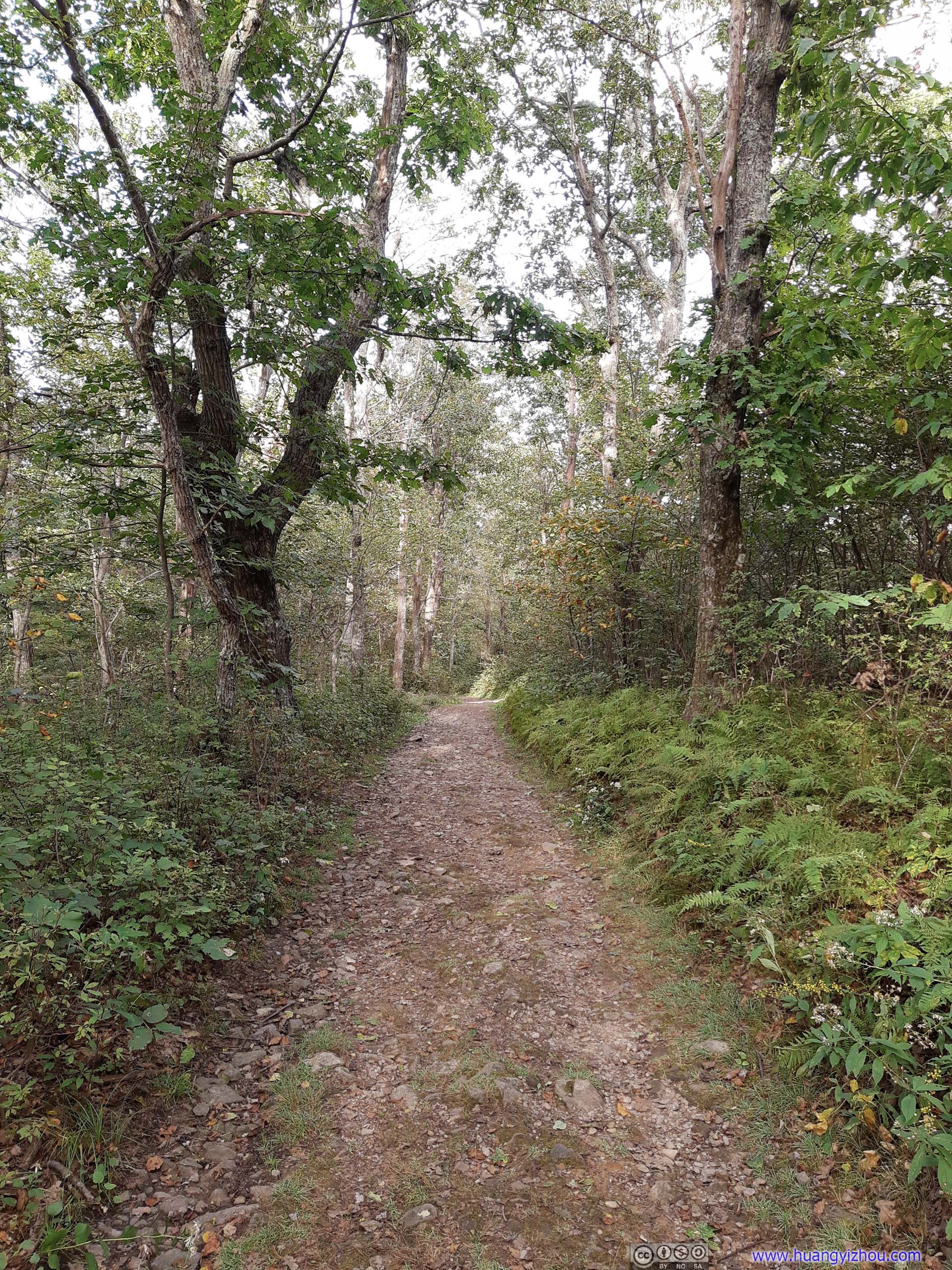
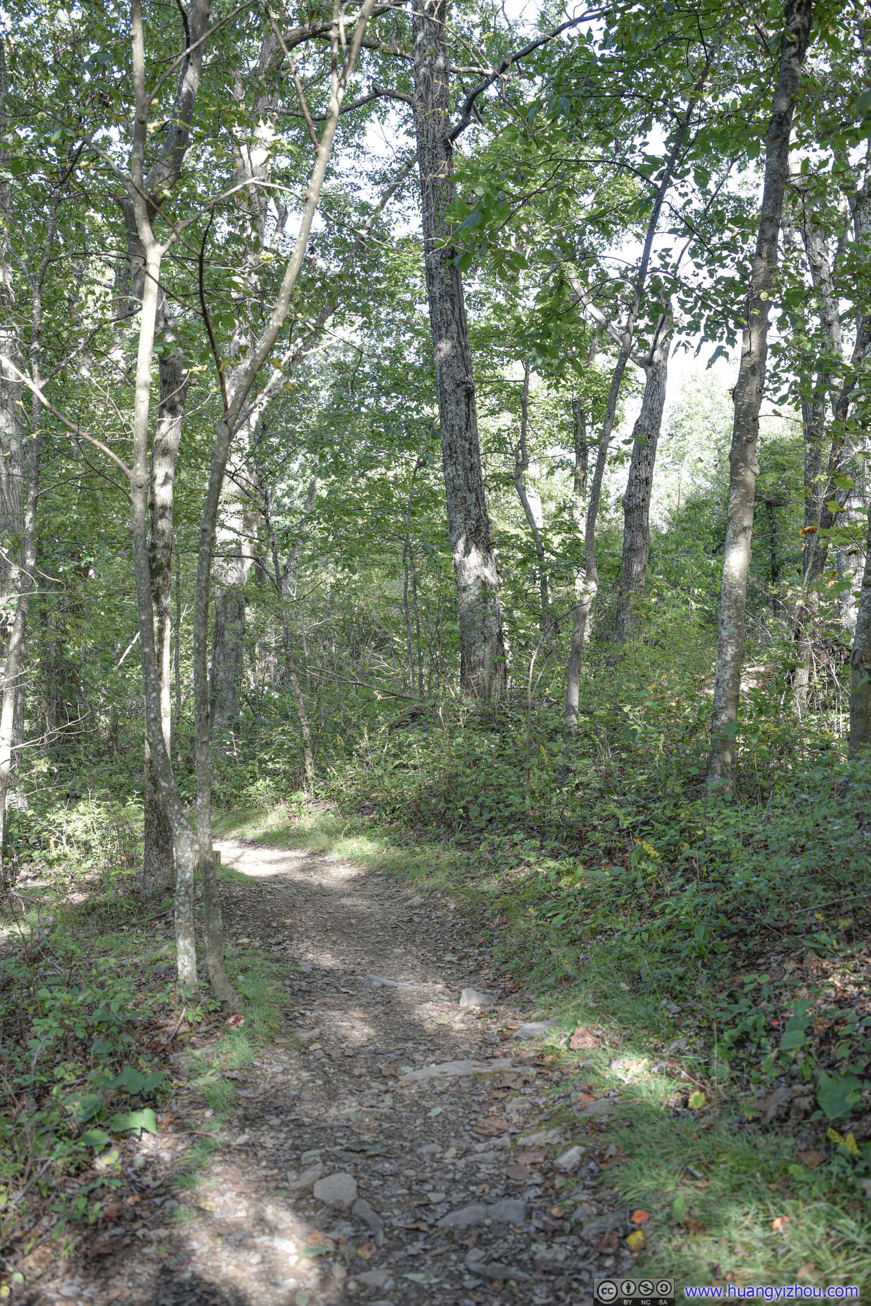
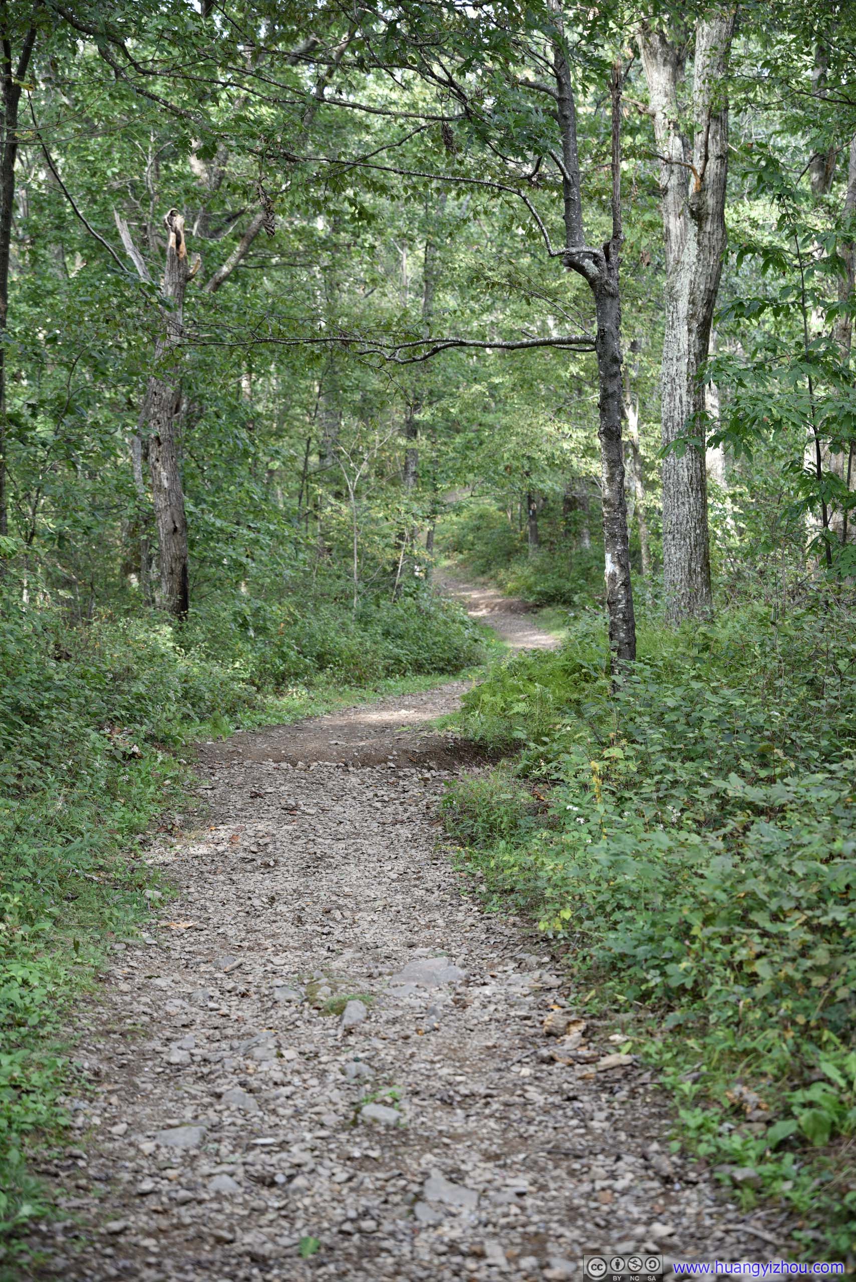
Trail
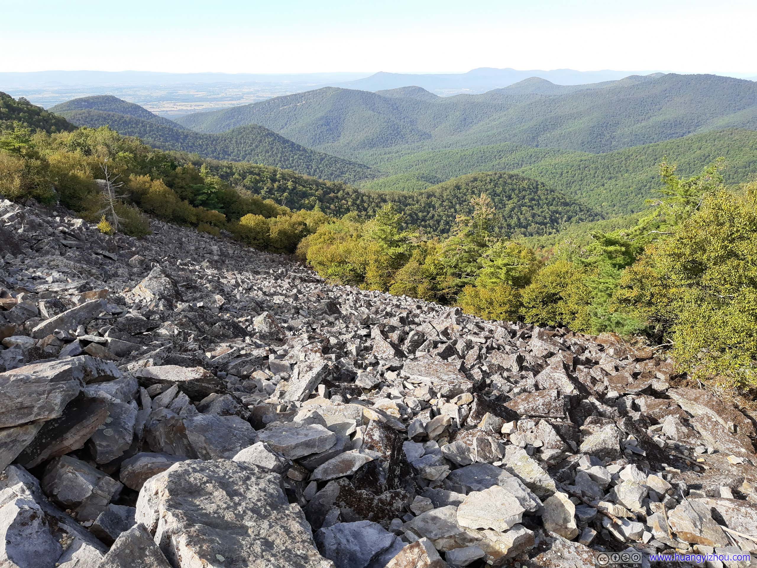
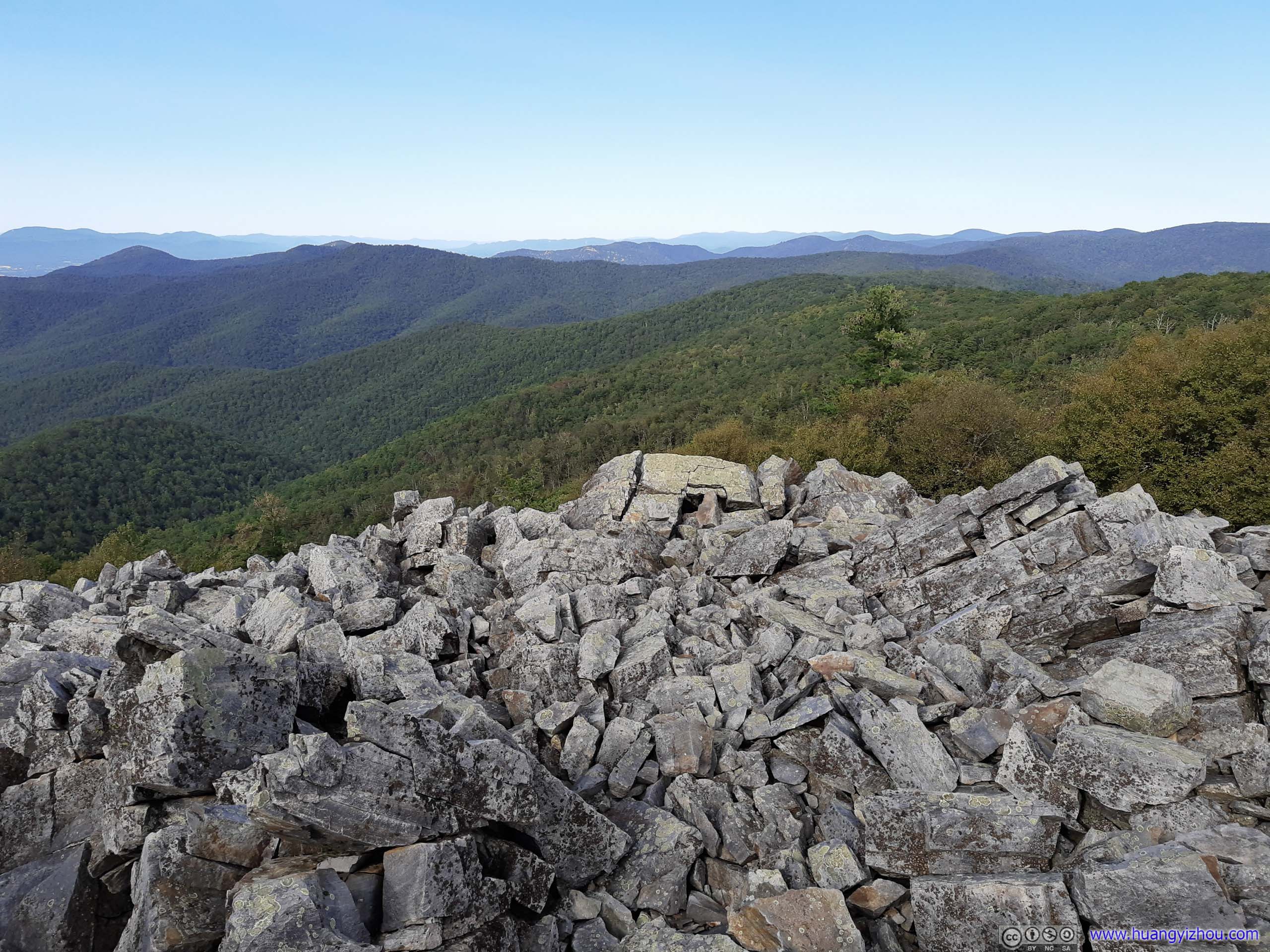

Rock Field
While most visitor stayed on the improved pavement around the rock fields, it's a short class 1-2 scramble to reach the center and top of it, where we enjoyed panoramic views in invigorating breeze.
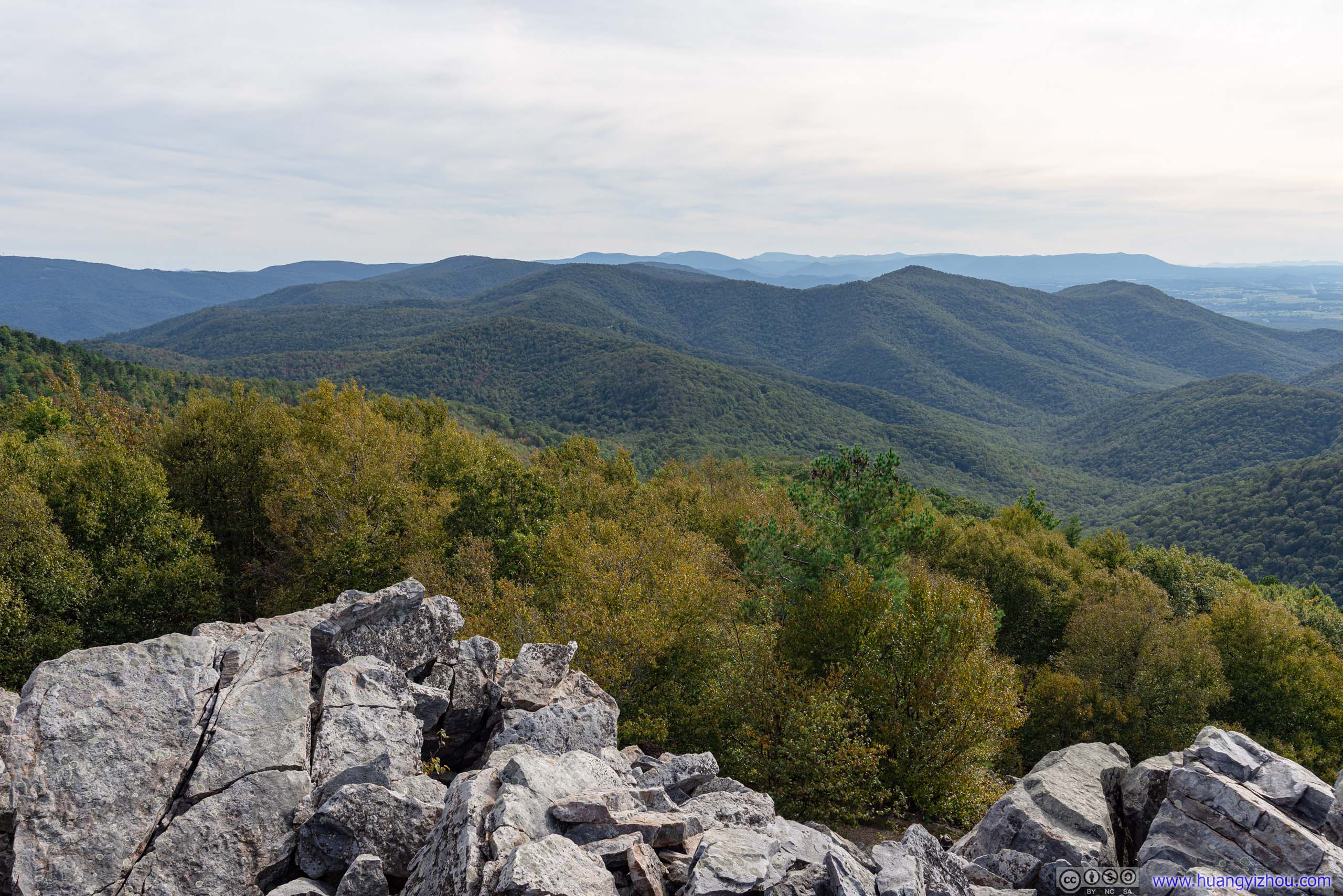
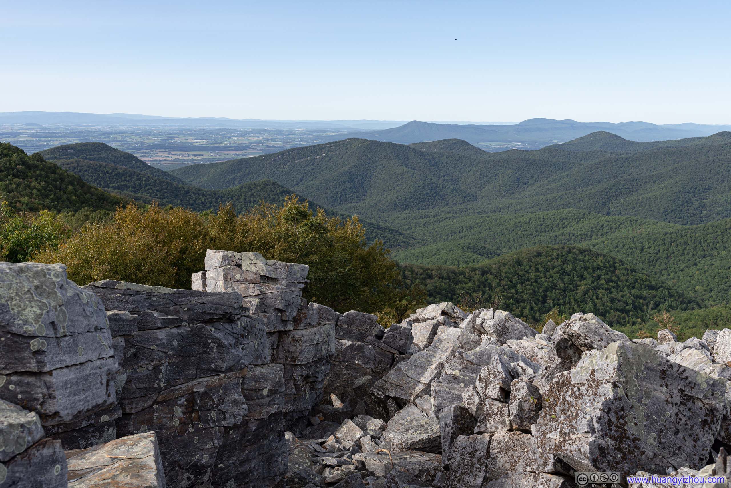
Mountains from Blackrock
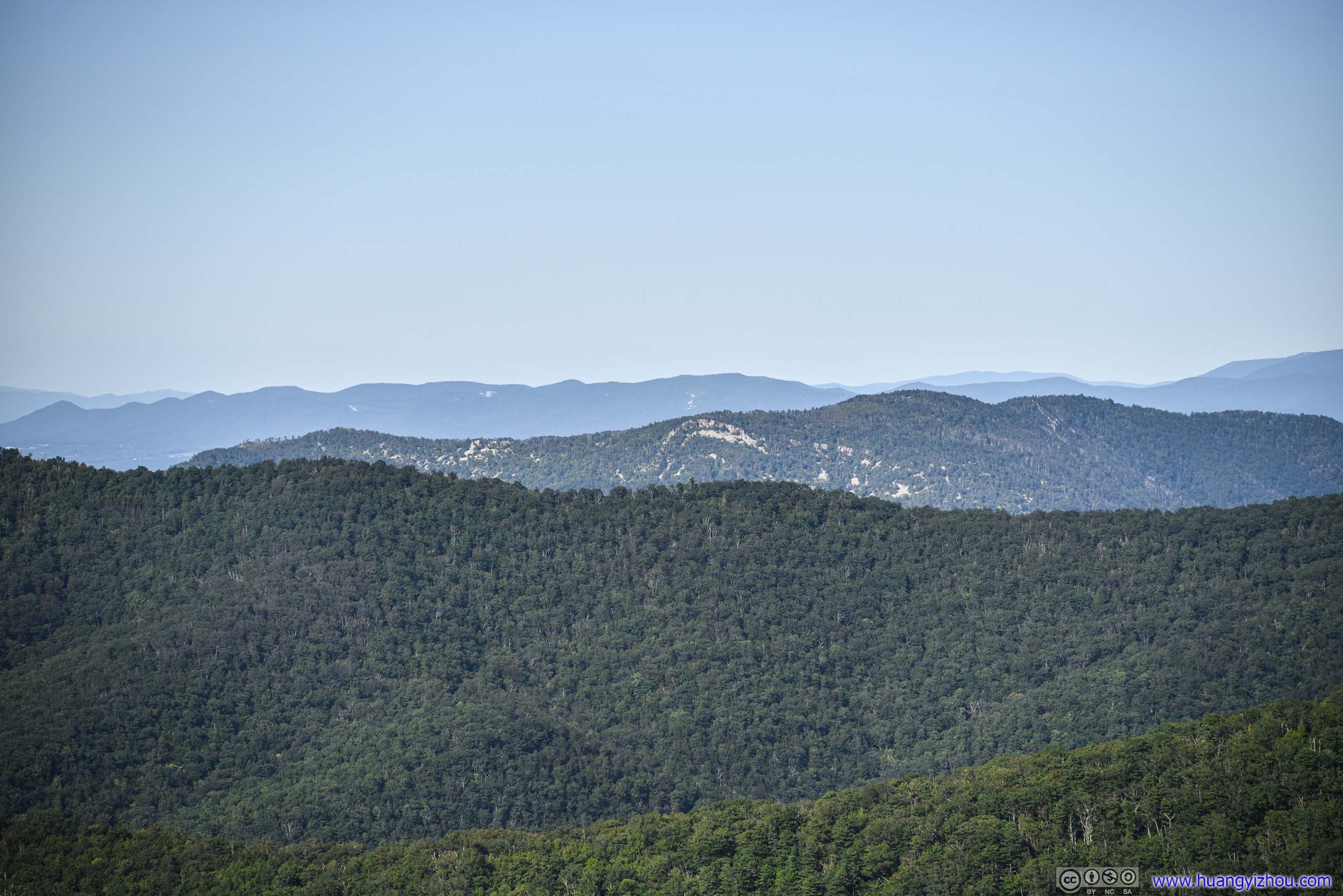
Had we have more time before sunset, we would probably hike those mountains instead.

40 minutes later, we were back at the parking lot, and continued our journey south.
While enjoying scenery and waiting out some slow traffic ahead at Rip Rap Overlook, we spotted a group of deer in the bushes.
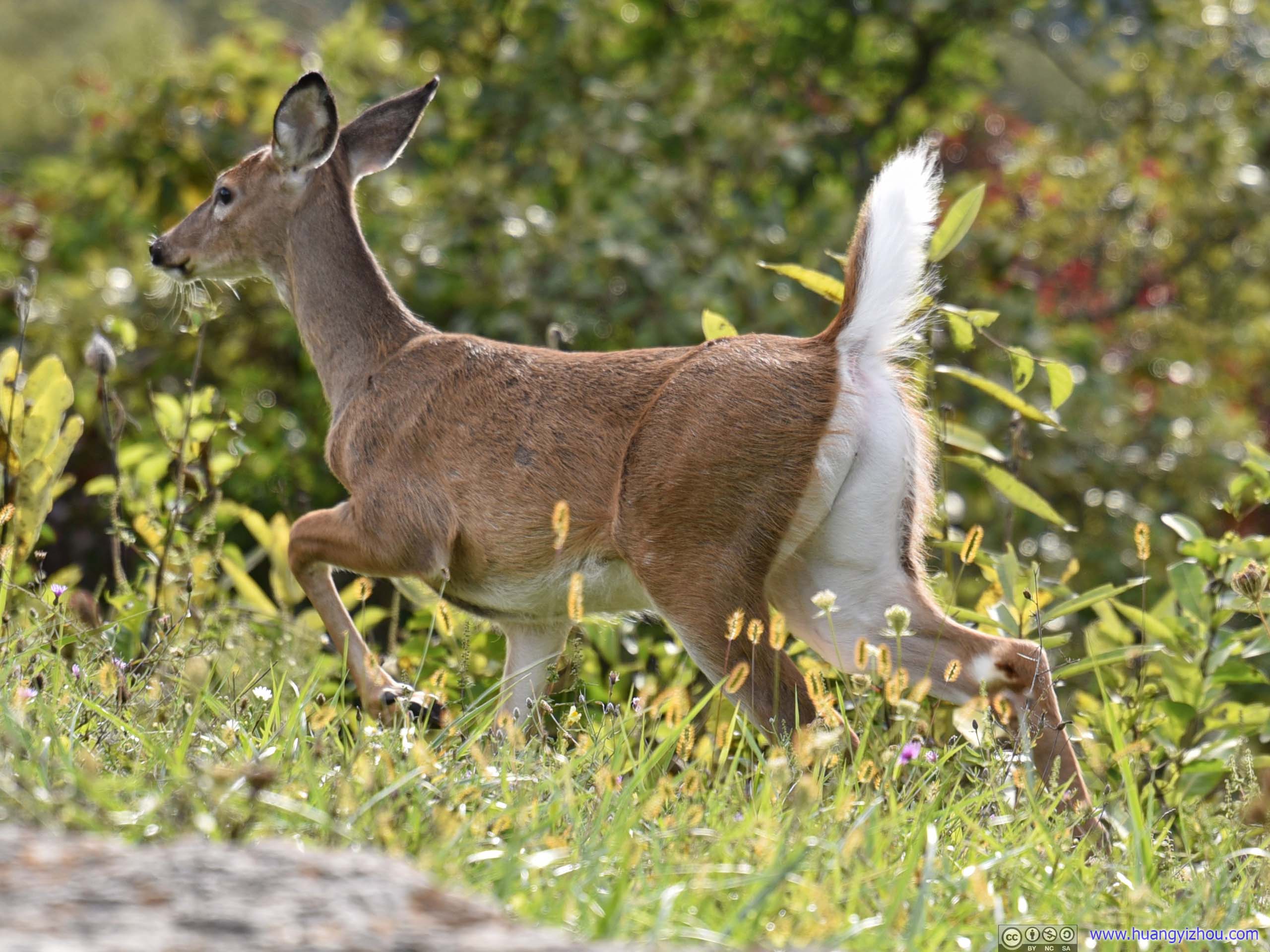
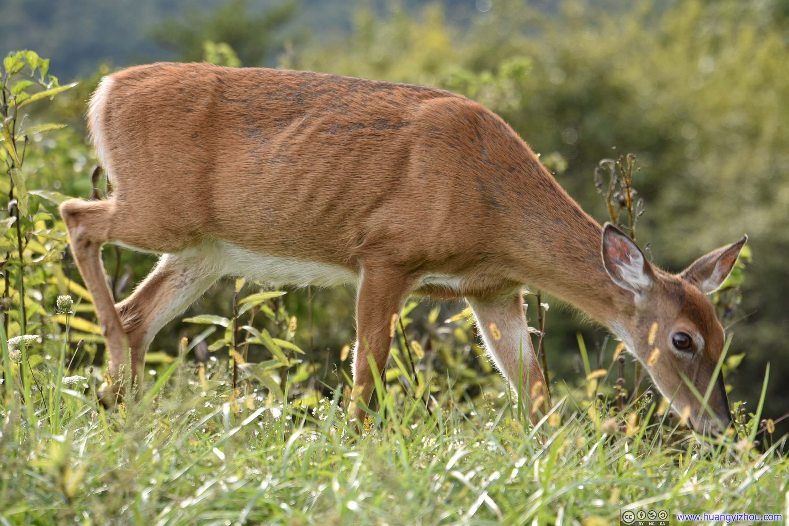
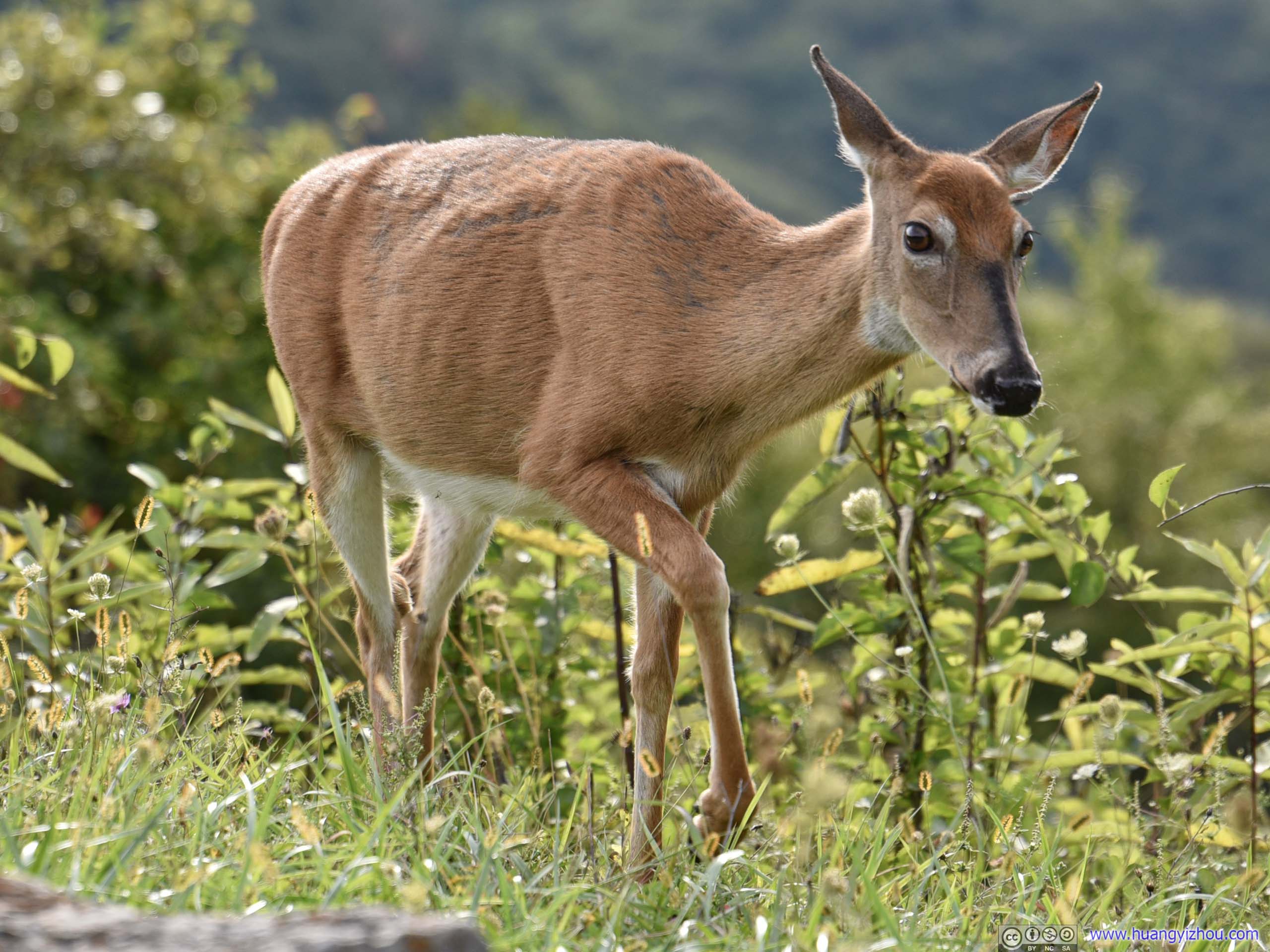
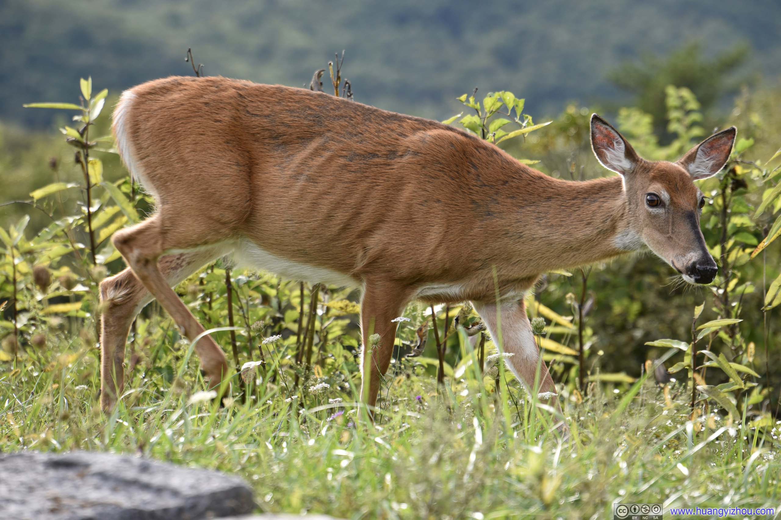
Deer

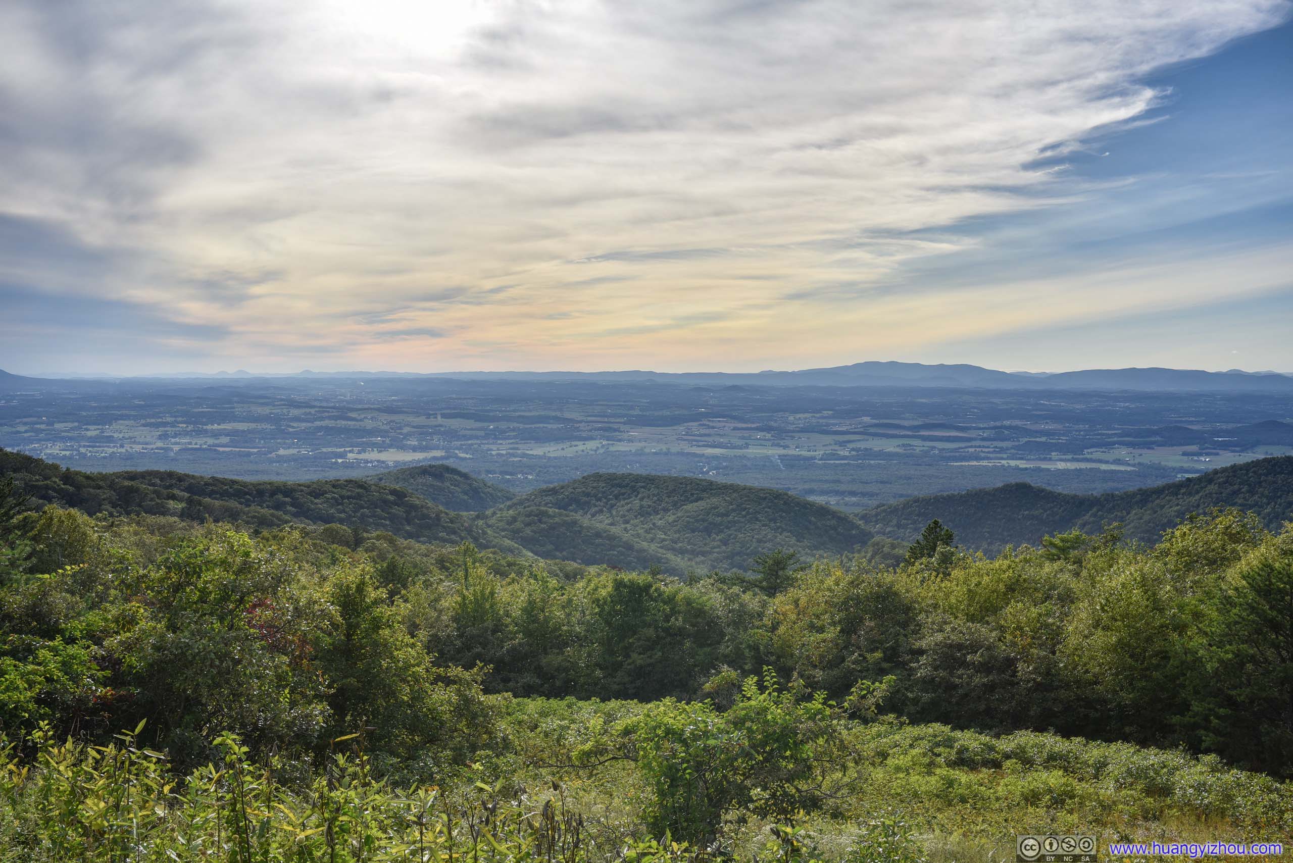
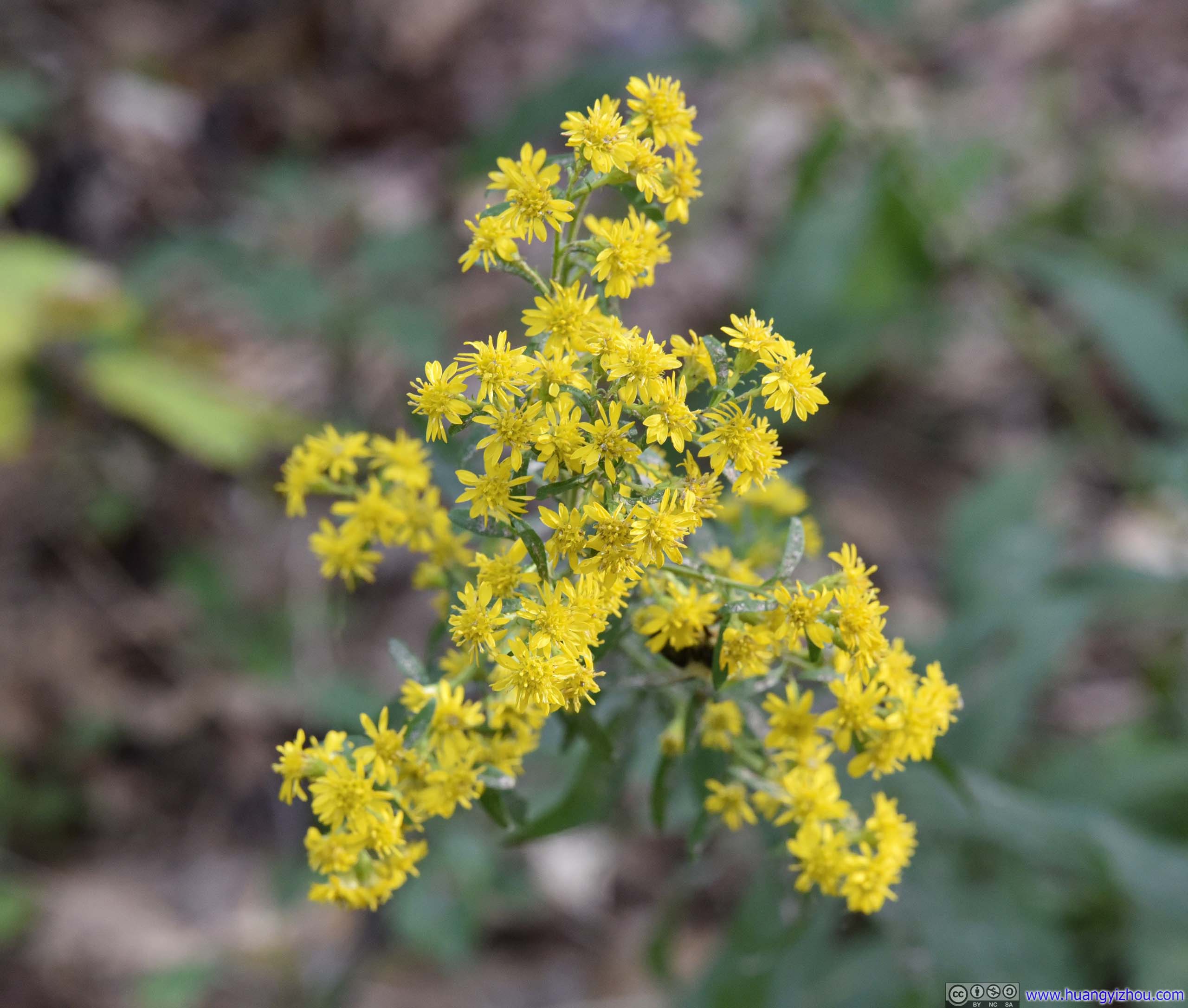
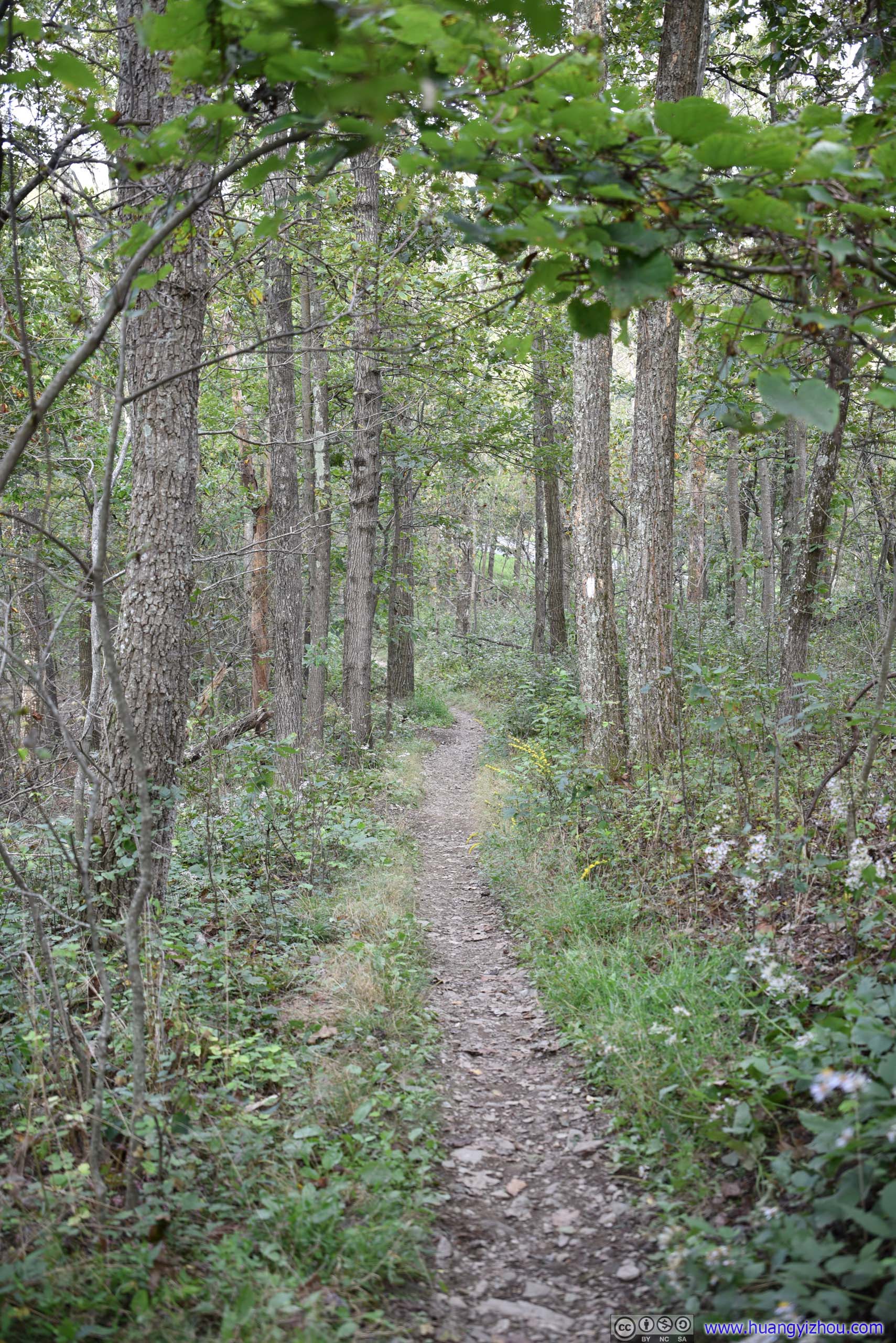
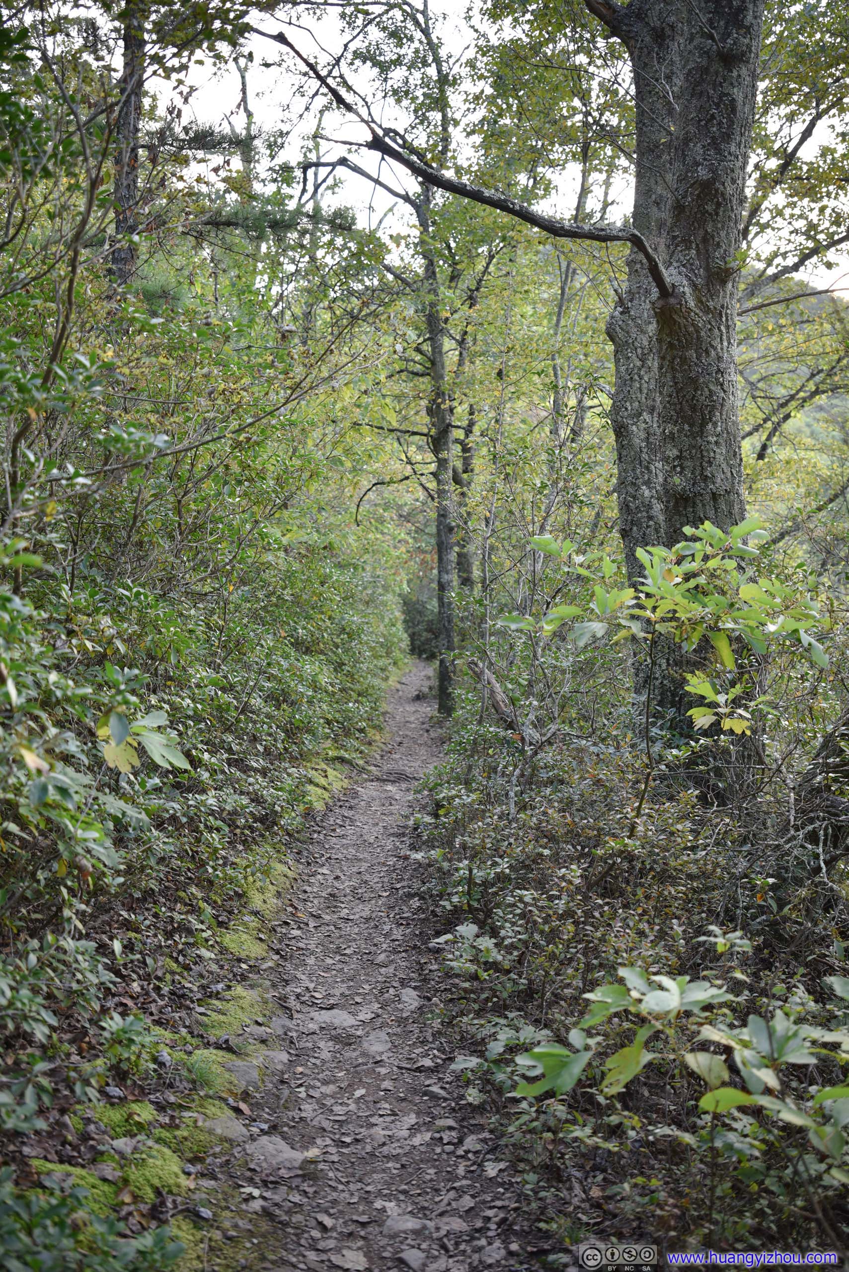
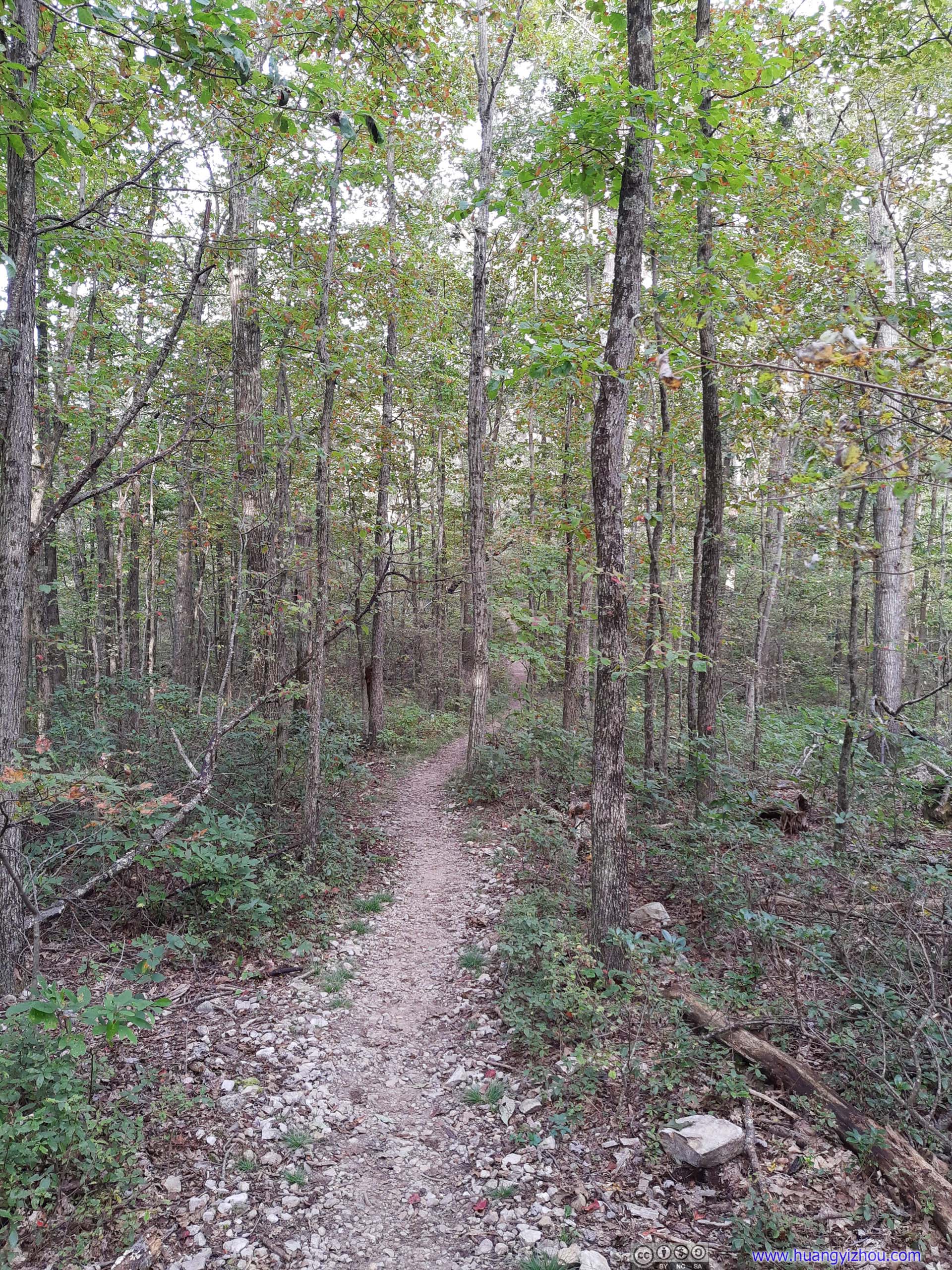
At this time, we changed our plan and decided to do some more hiking before sunset, and we picked Turk Mountain Trail.
Turk Mountain
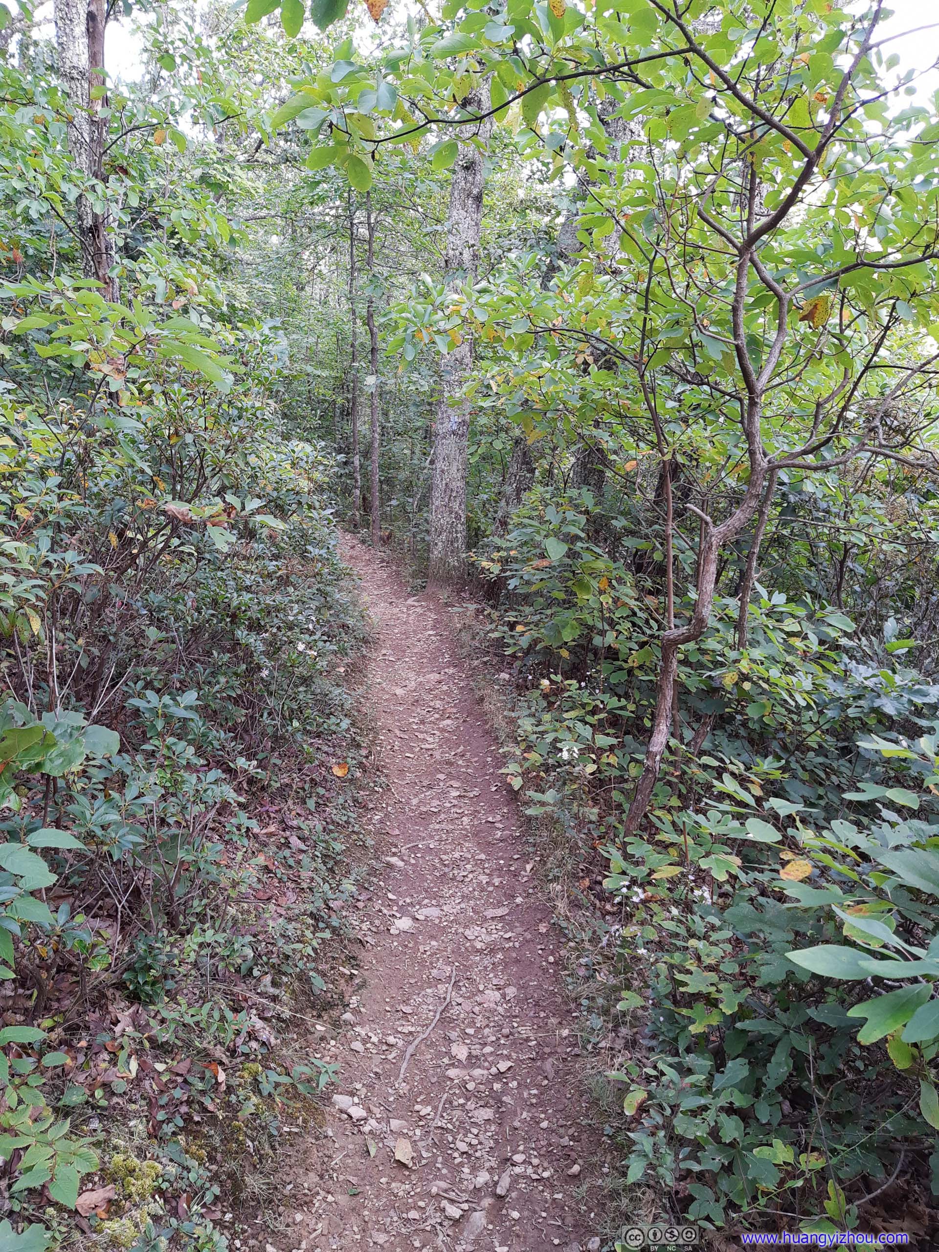

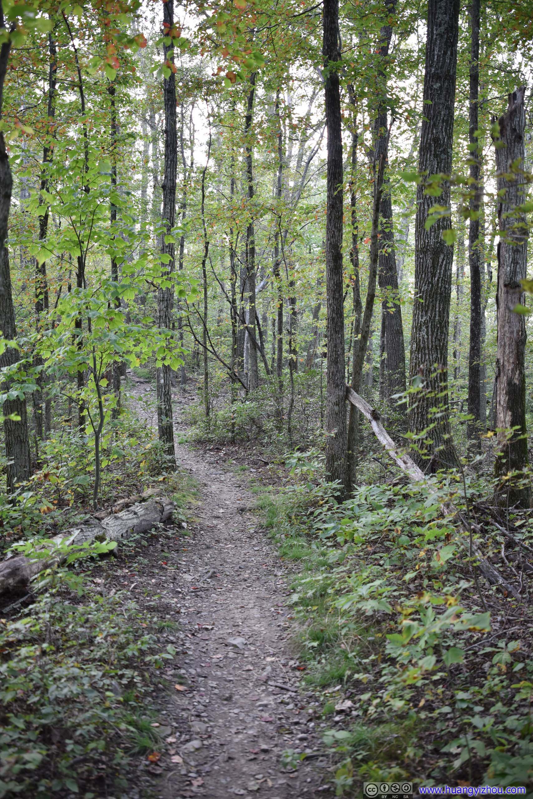
Trail
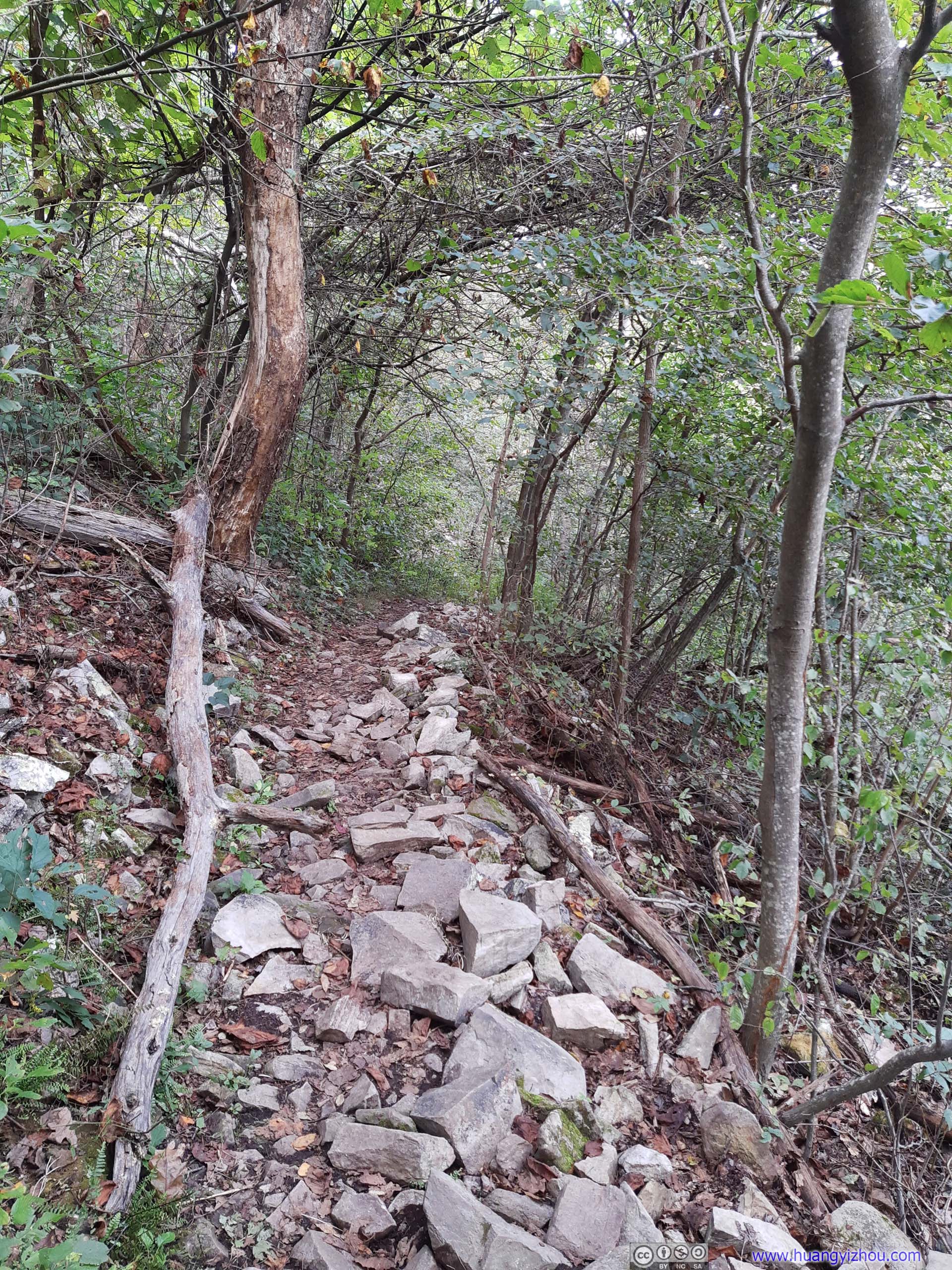
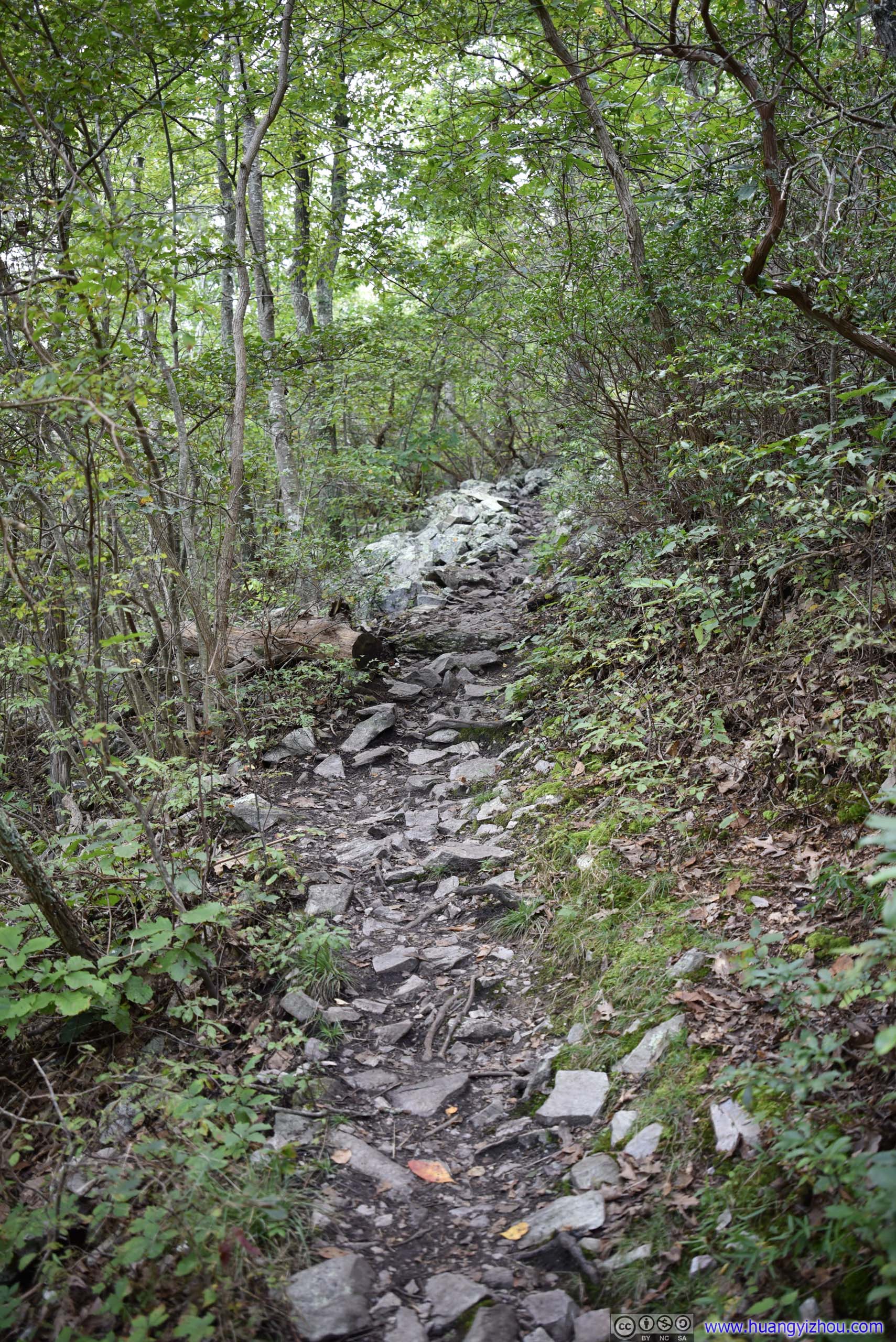
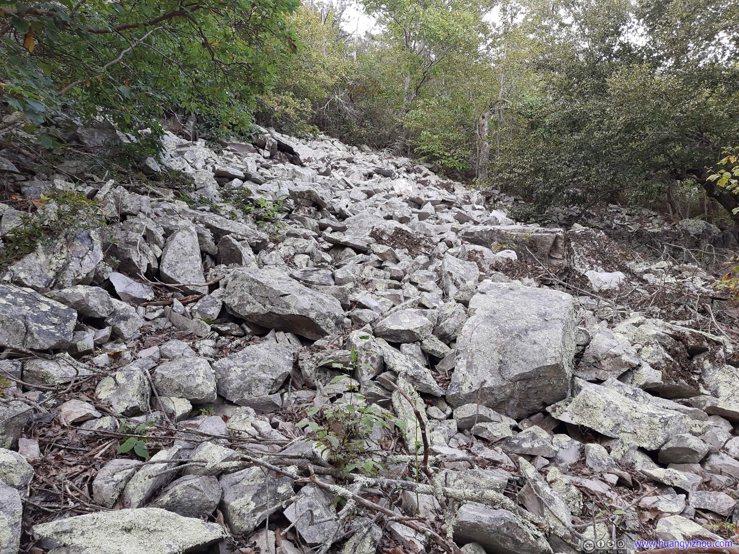
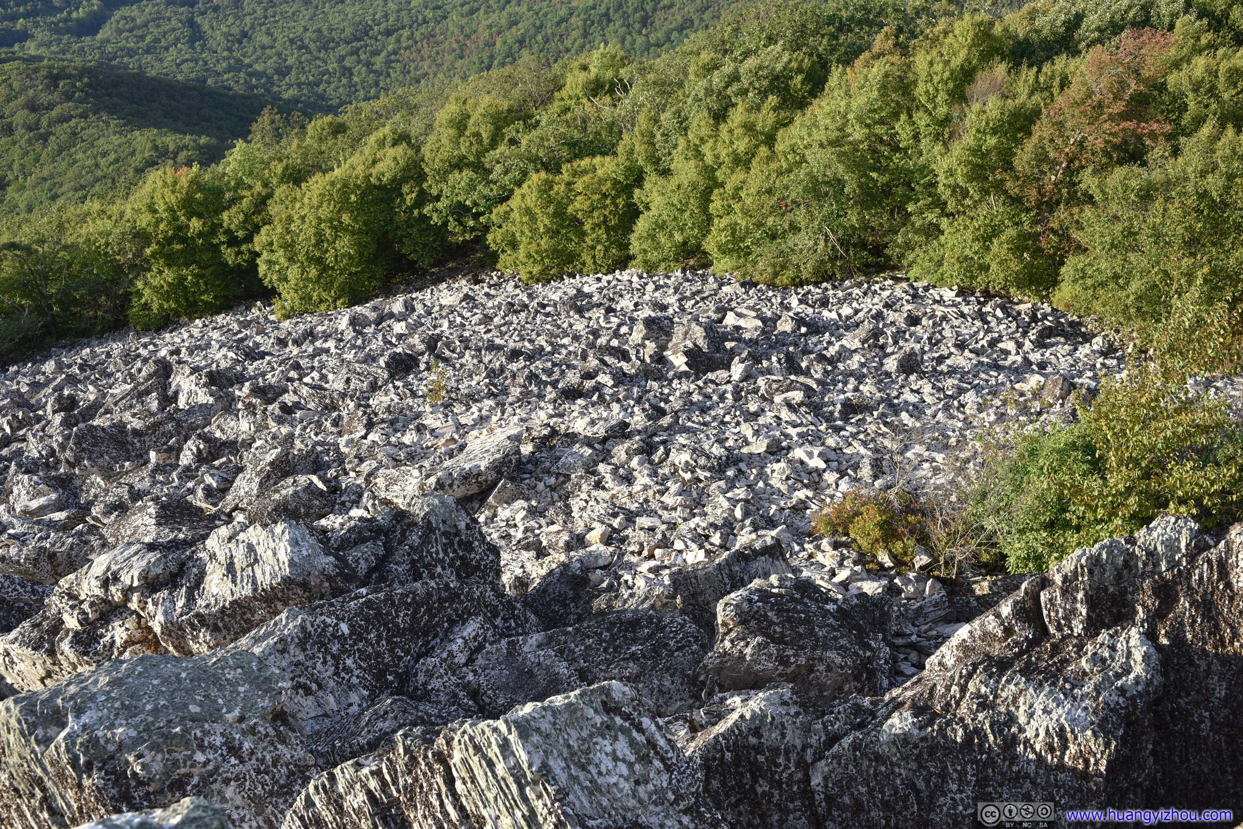
40 minutes later, we arrived at an empty summit, having all the rocks and sceneries to ourselves.
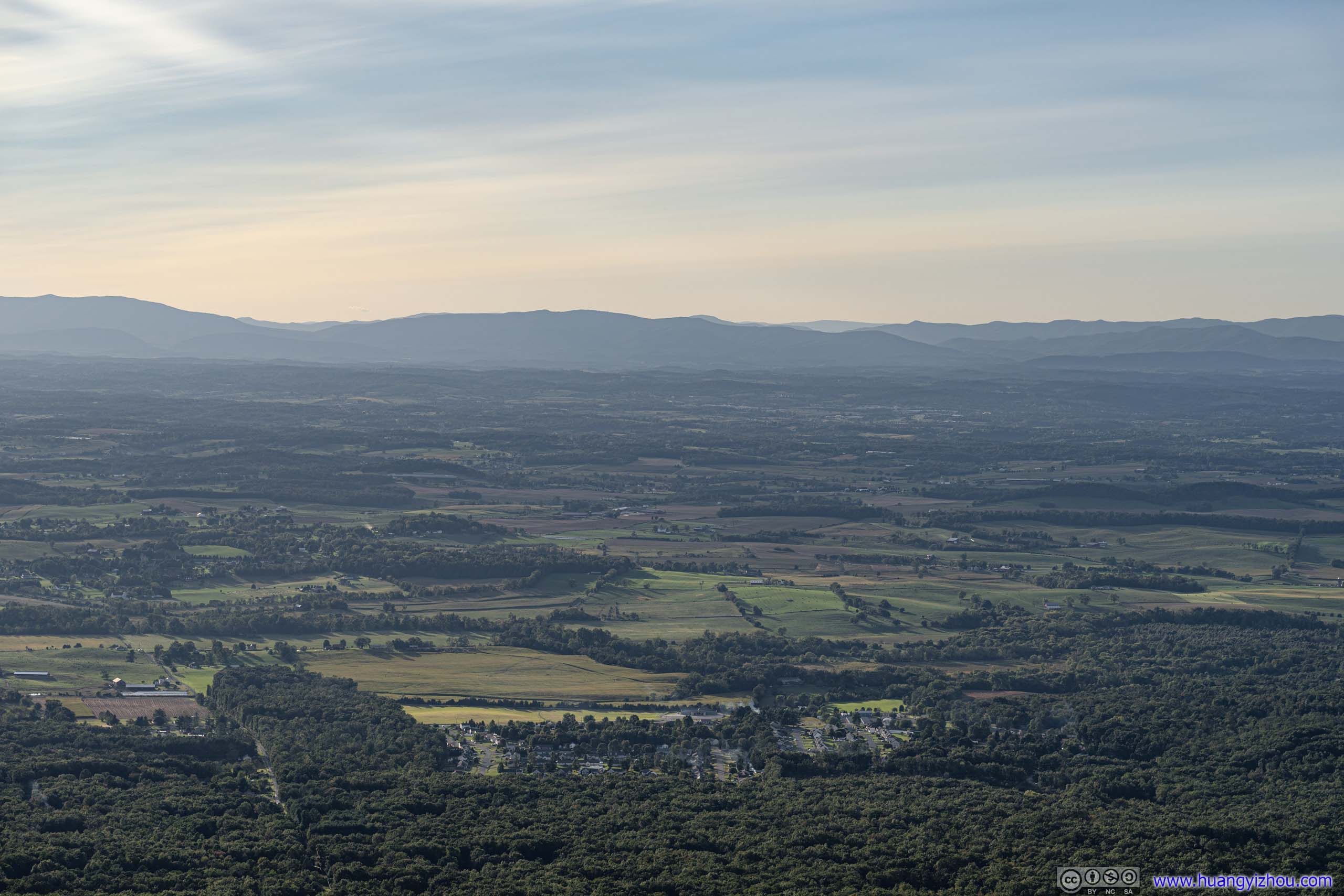
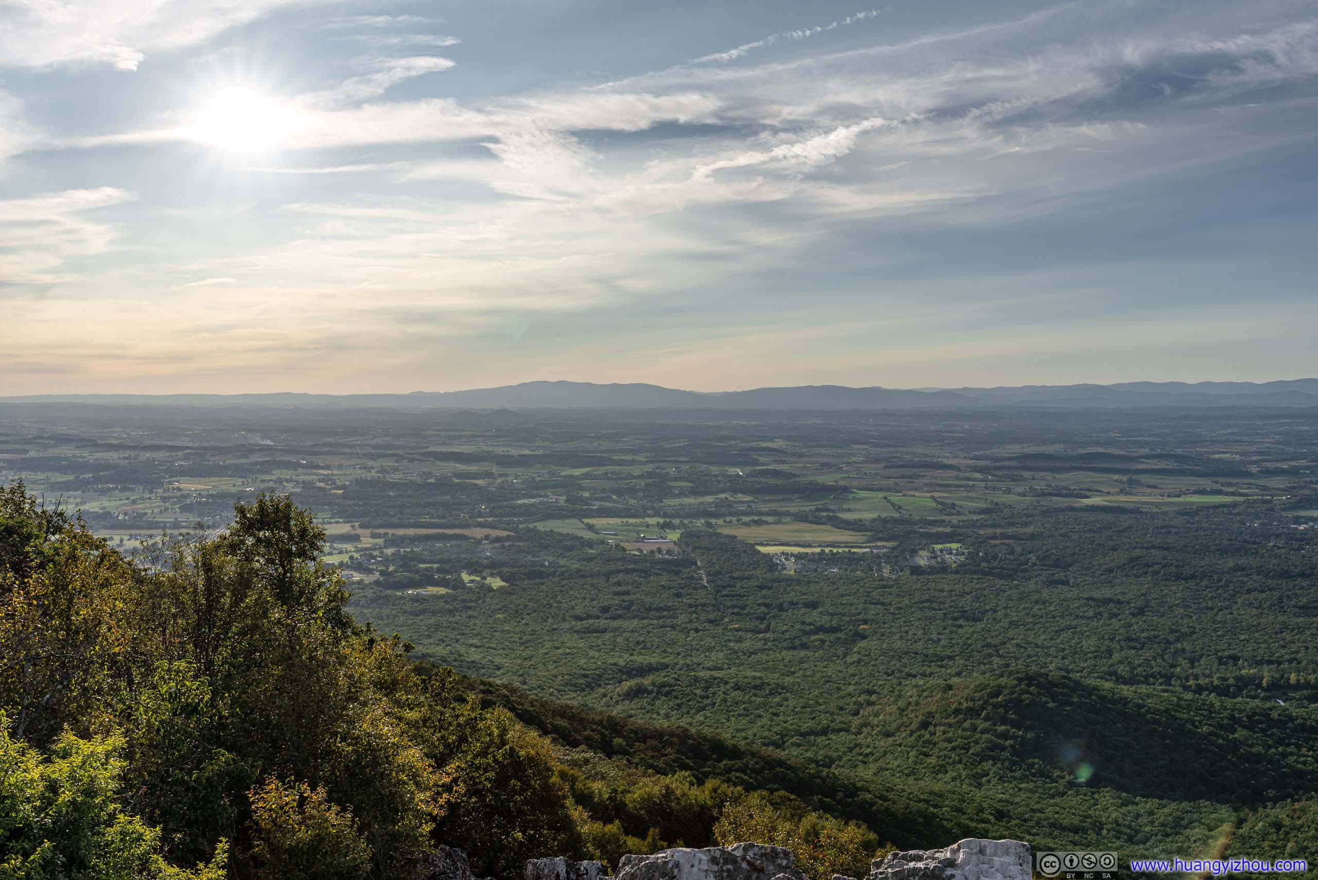
Field and Villages

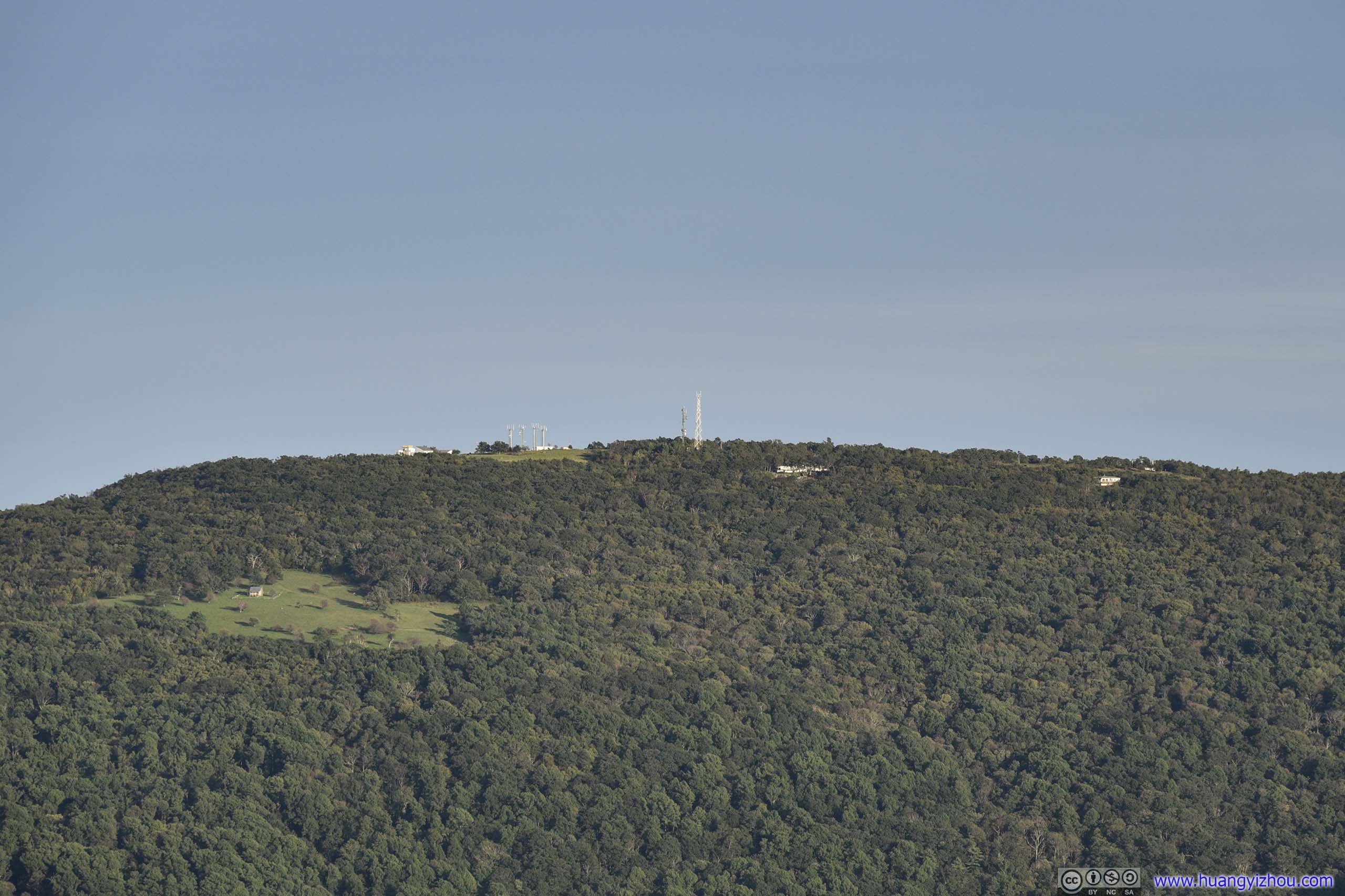
Located outside the park, so there were sprinkles of residences and array of cell phone towers.
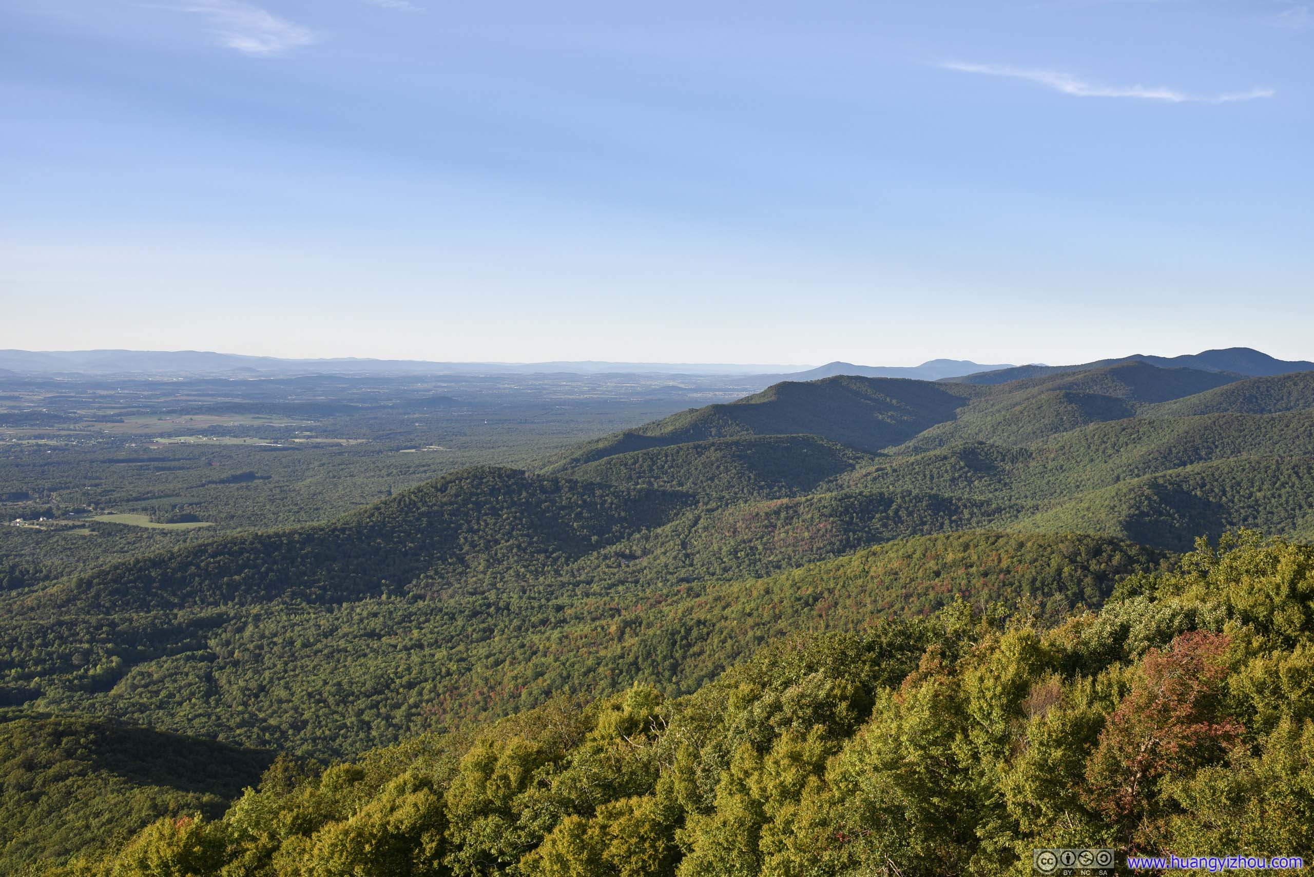
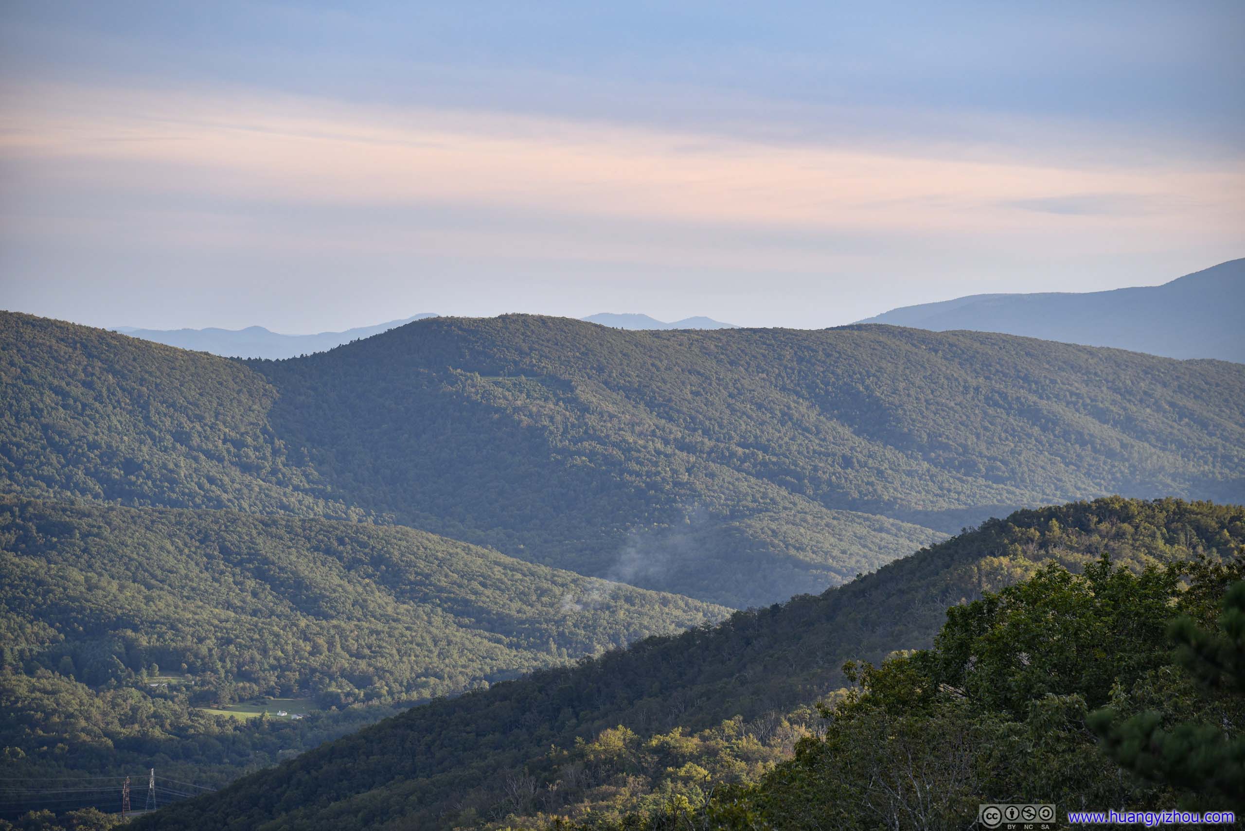
Hoping to catch sunrise at a roadside overlook along Skyline Drive, we stayed at the summit of Turk Mountain for about 20 minutes before making our way back.
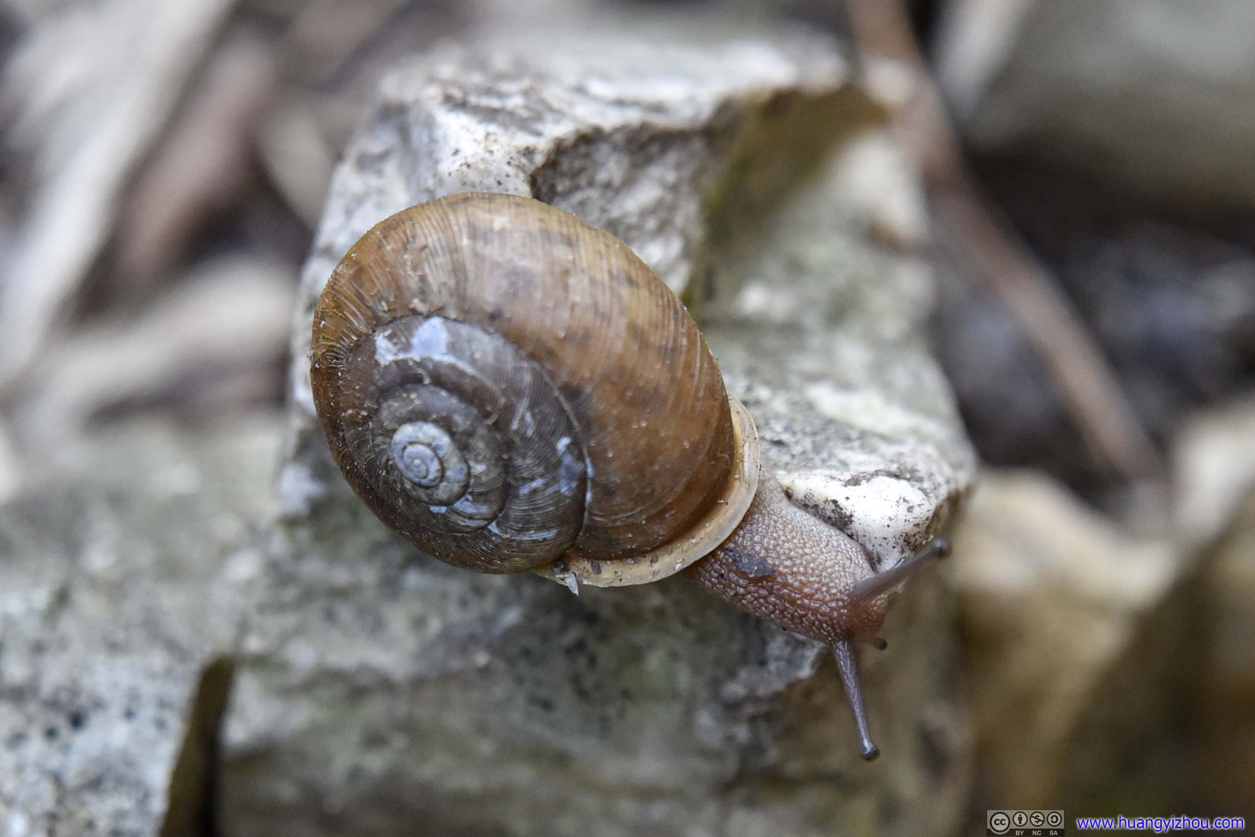
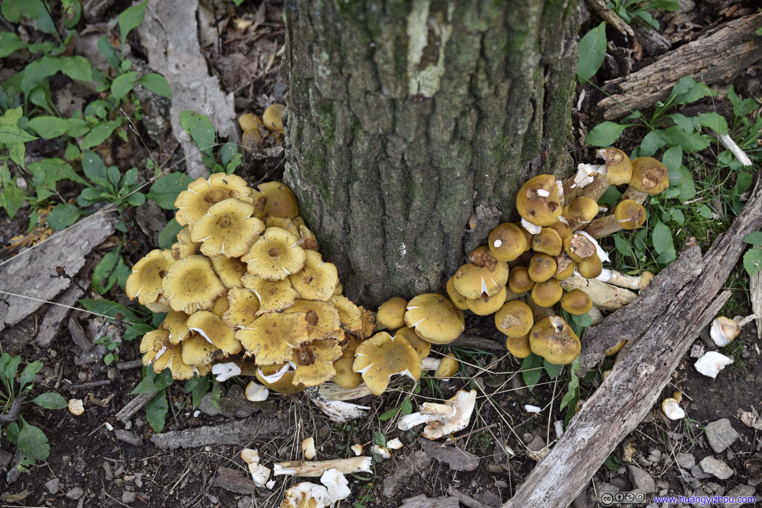
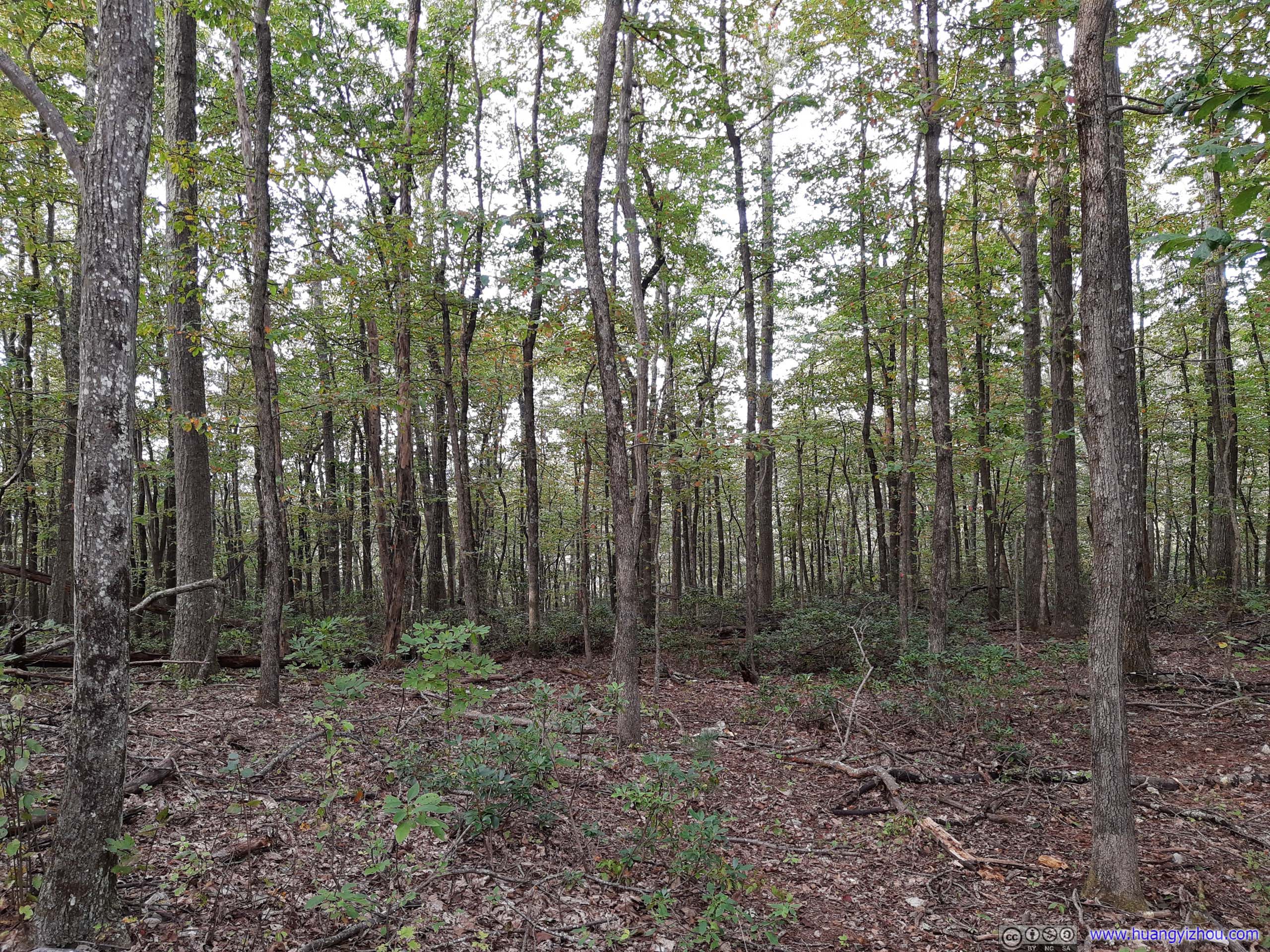
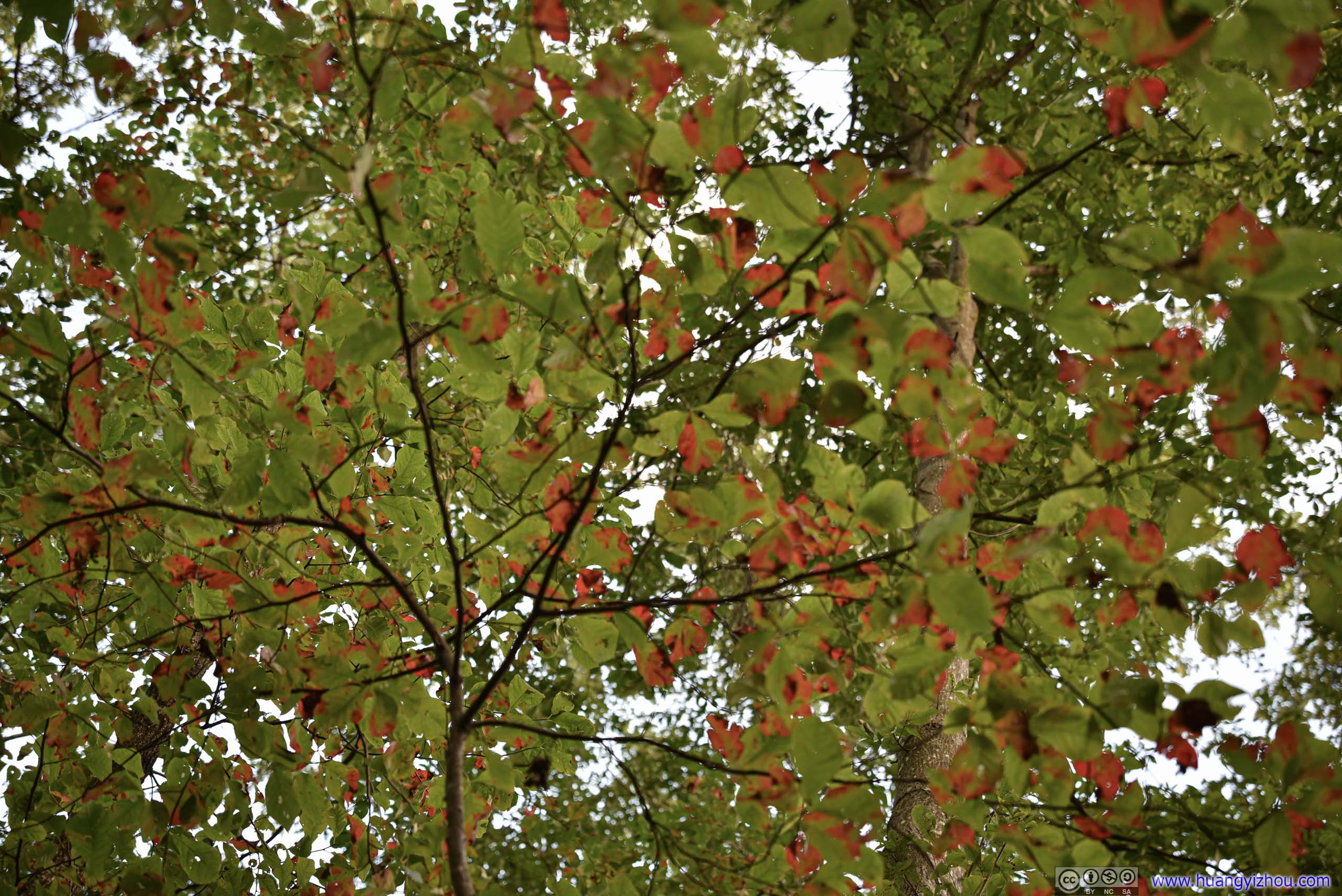
Already signs of autumn.
It's 7:07pm by the time we got back to the parking lot, with about 10 minutes left till sunset. As we drove South, all we were looking for was a turnout facing West with views of setting sun. Unfortunately, the first overlook meeting these criteria was Calf Mountain Overlook, 5 miles away. Despite the best of my driving, we still missed the sunset.
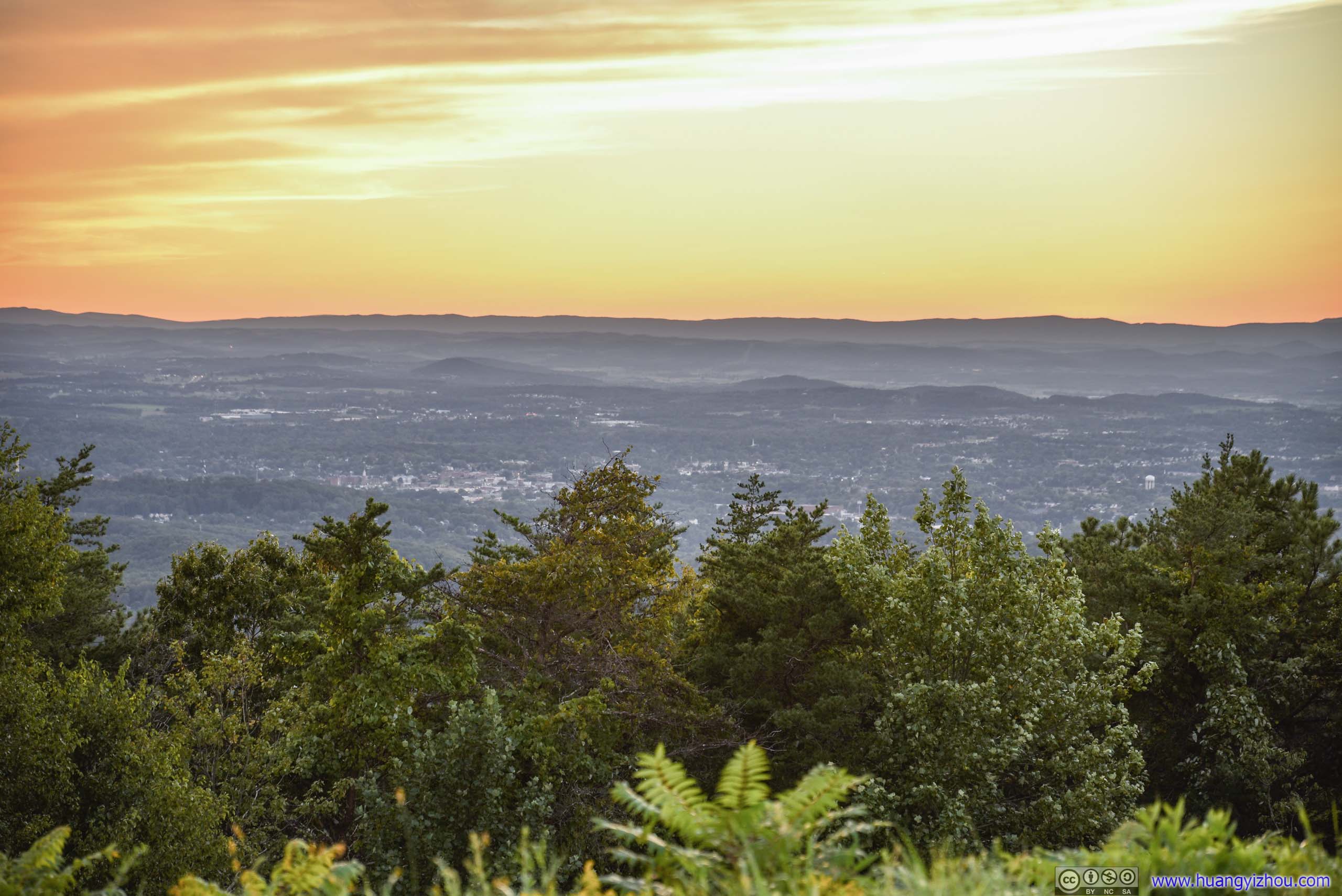
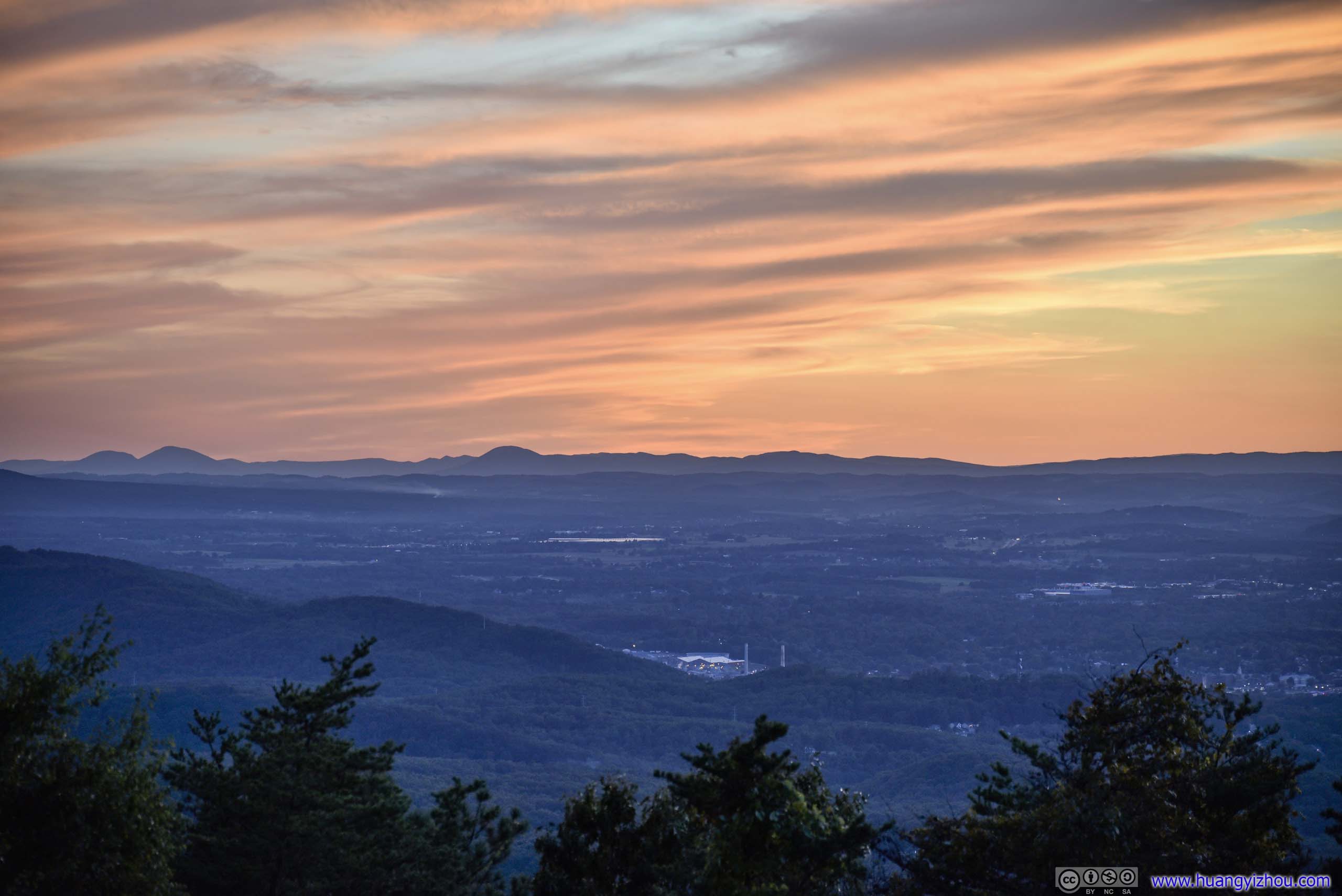
But on a different note, the fiery clouds under sunset glow was still gorgeous.
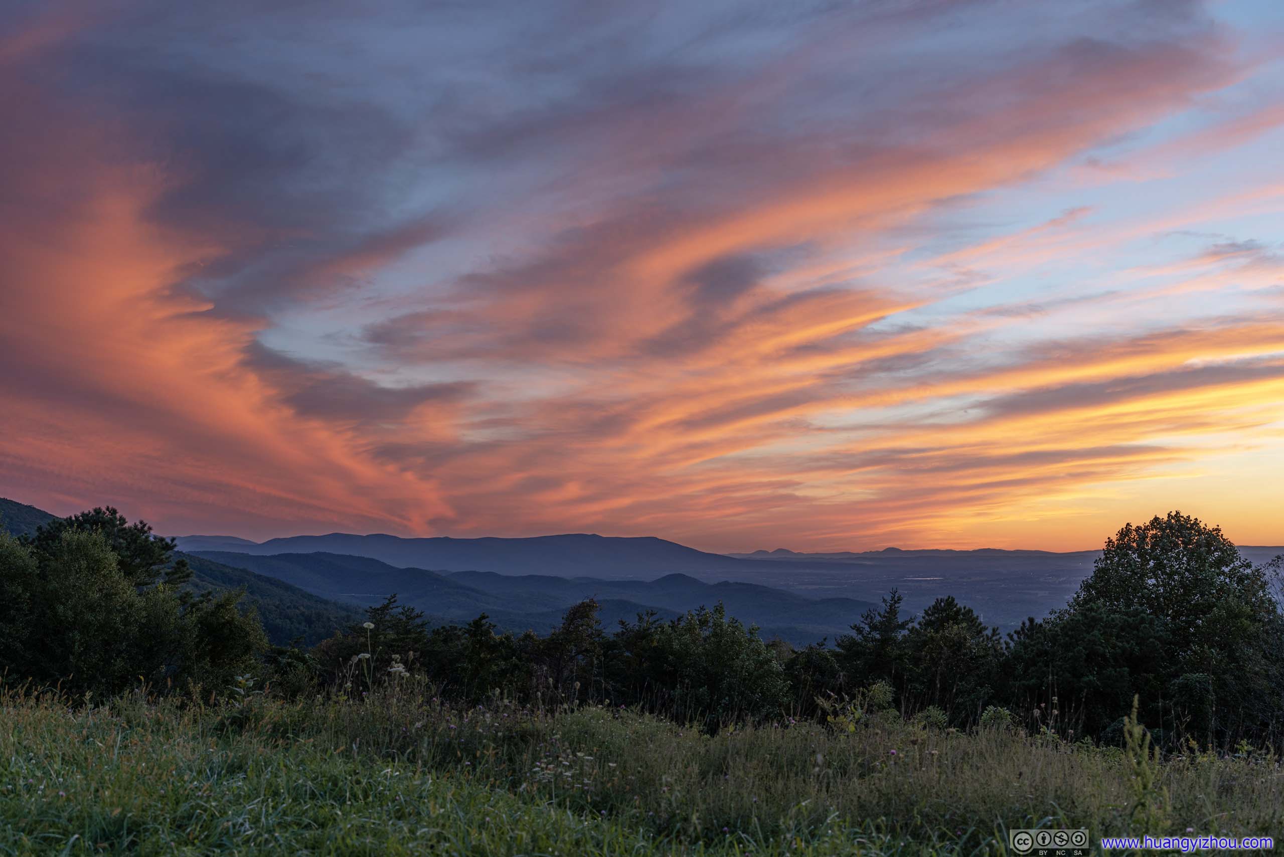
After that, we headed out of park, and checked into our overnight hotel in Waynesboro.
Star Gazing
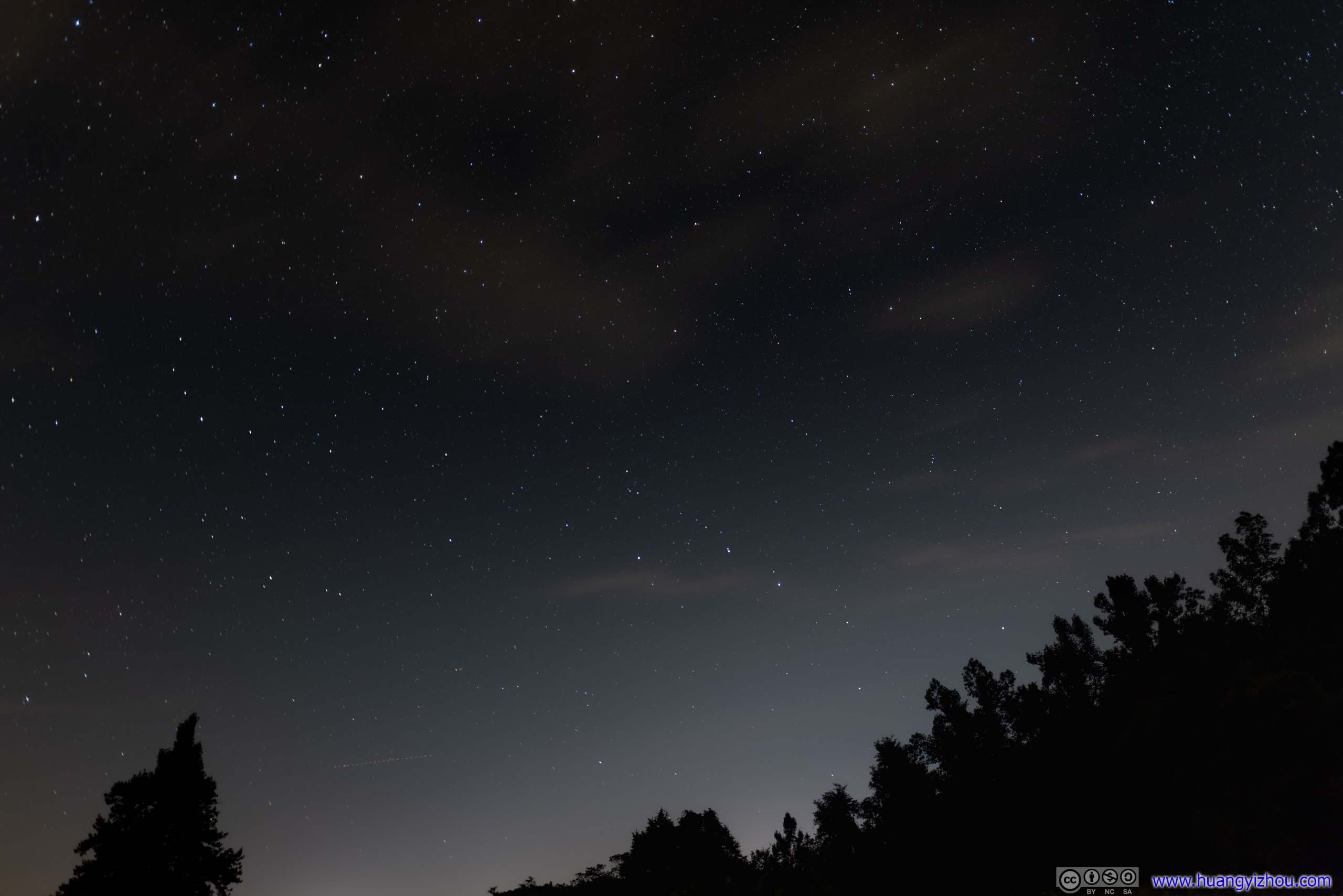
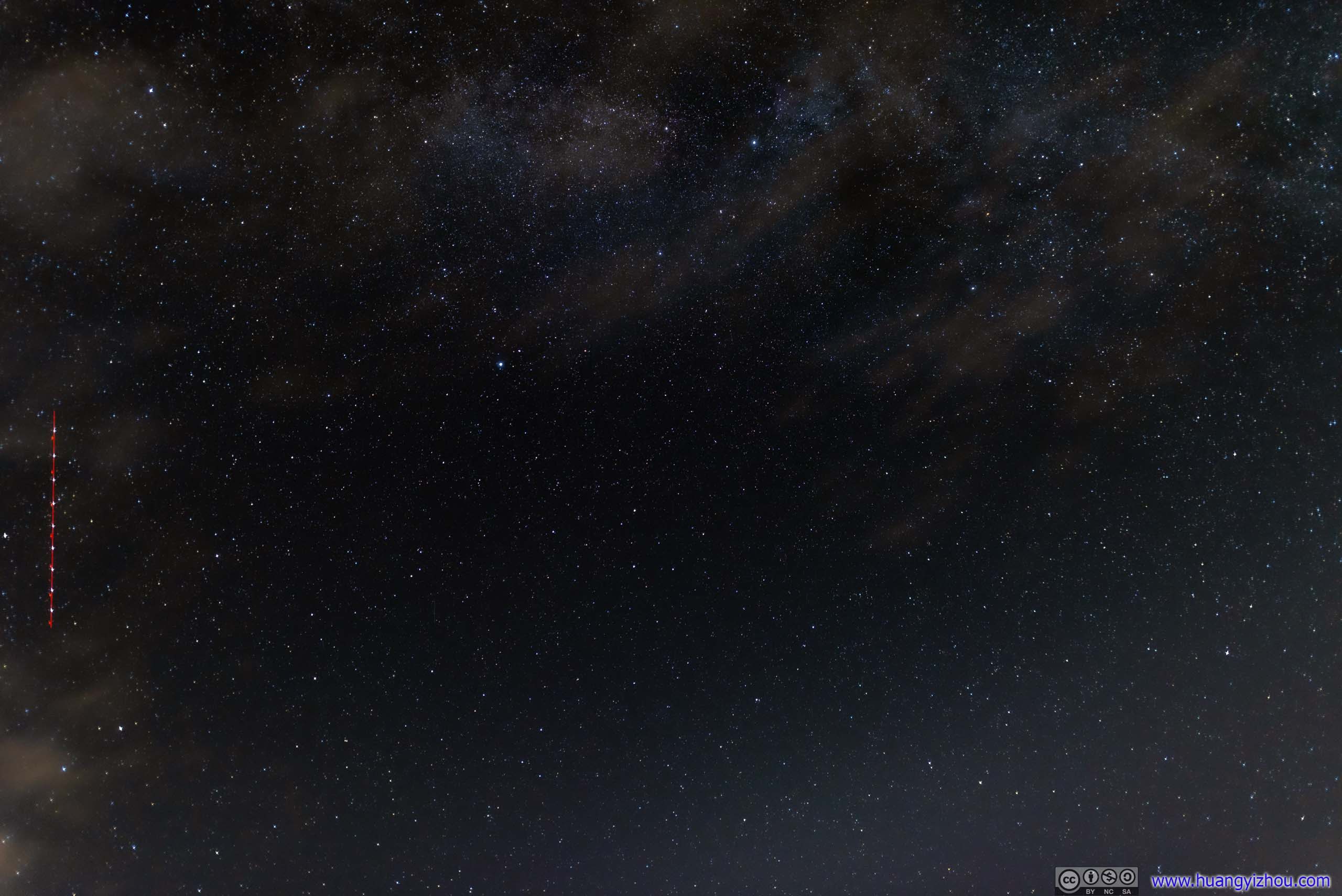
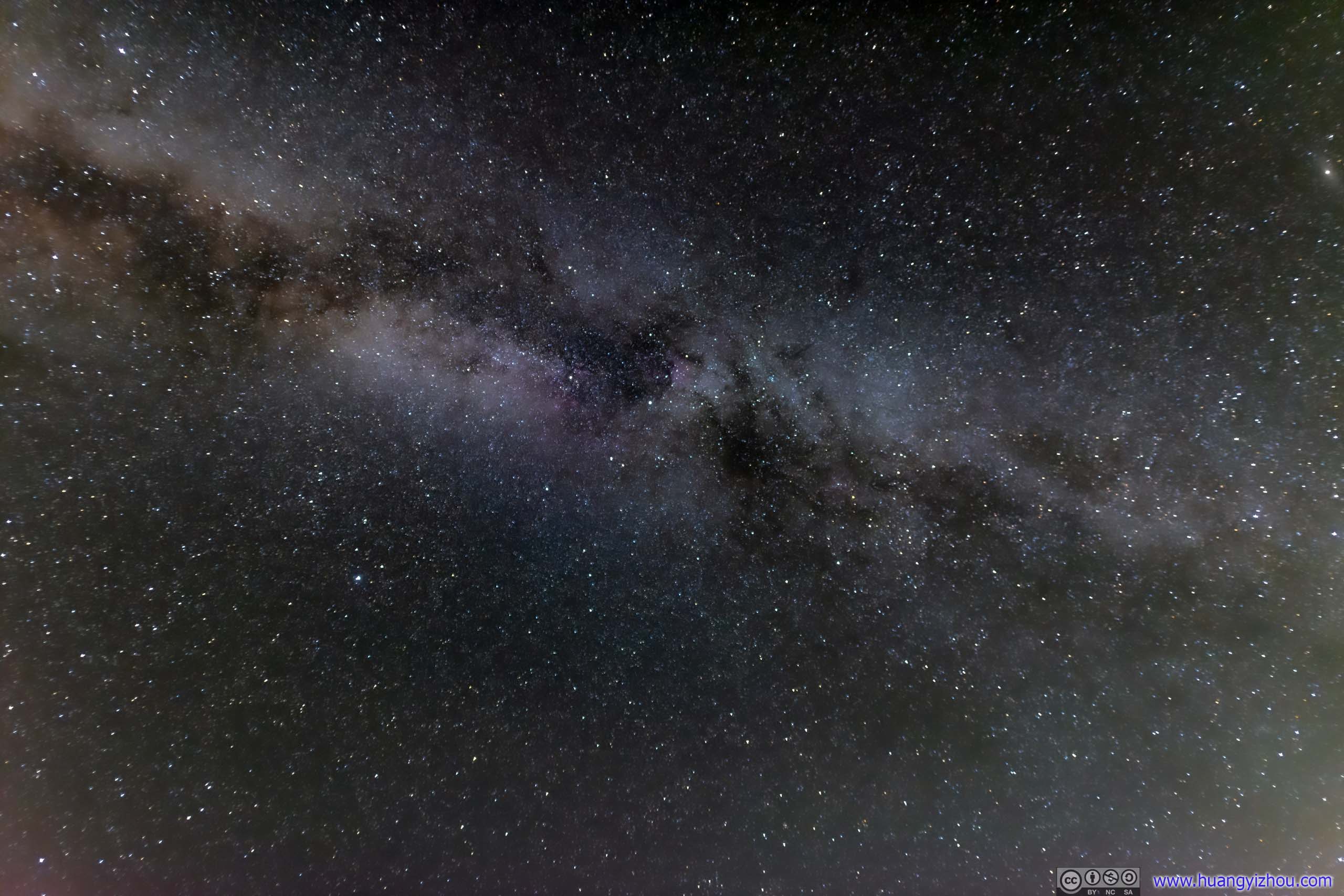
Weather forecast indicated clear skies for the night, which would be ideal for star gazing. So after dinner in our hotel room, we headed out again. This time, our plan was to watch the starry skies somewhere along Blue Ridge Parkway, where there's least light pollution in the region.
Stars
While the stars were barely visible among city lights of Waynesboro, they were much clearer along Blue Ridge Parkway. We settled at Ravens Roost Overlook and joined a few other groups appreciating the night sky.
It's just that night temperature was approaching freezing this weekend, and winds were strong (that's probably what blew away all the clouds), so we didn't stay out for long.
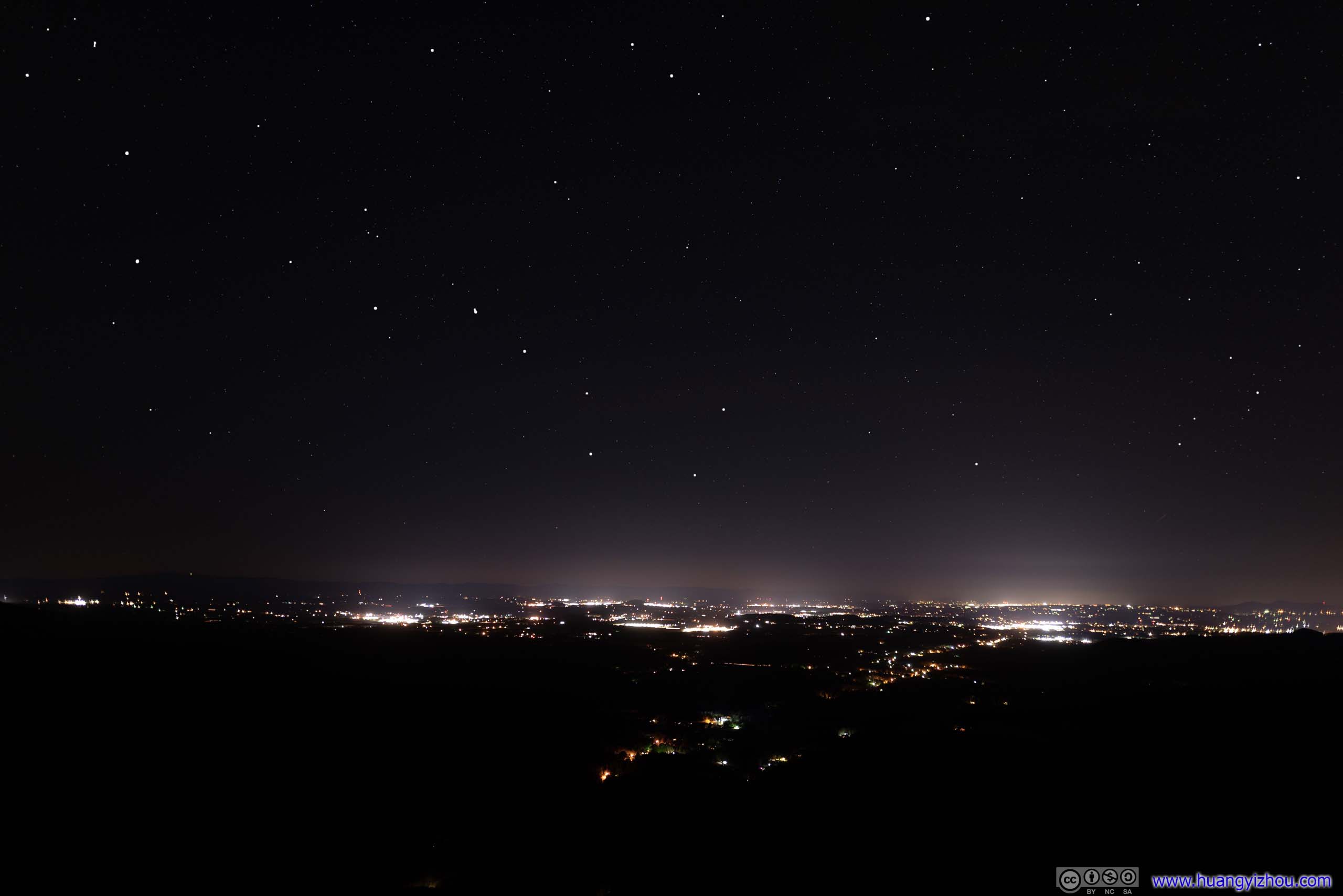
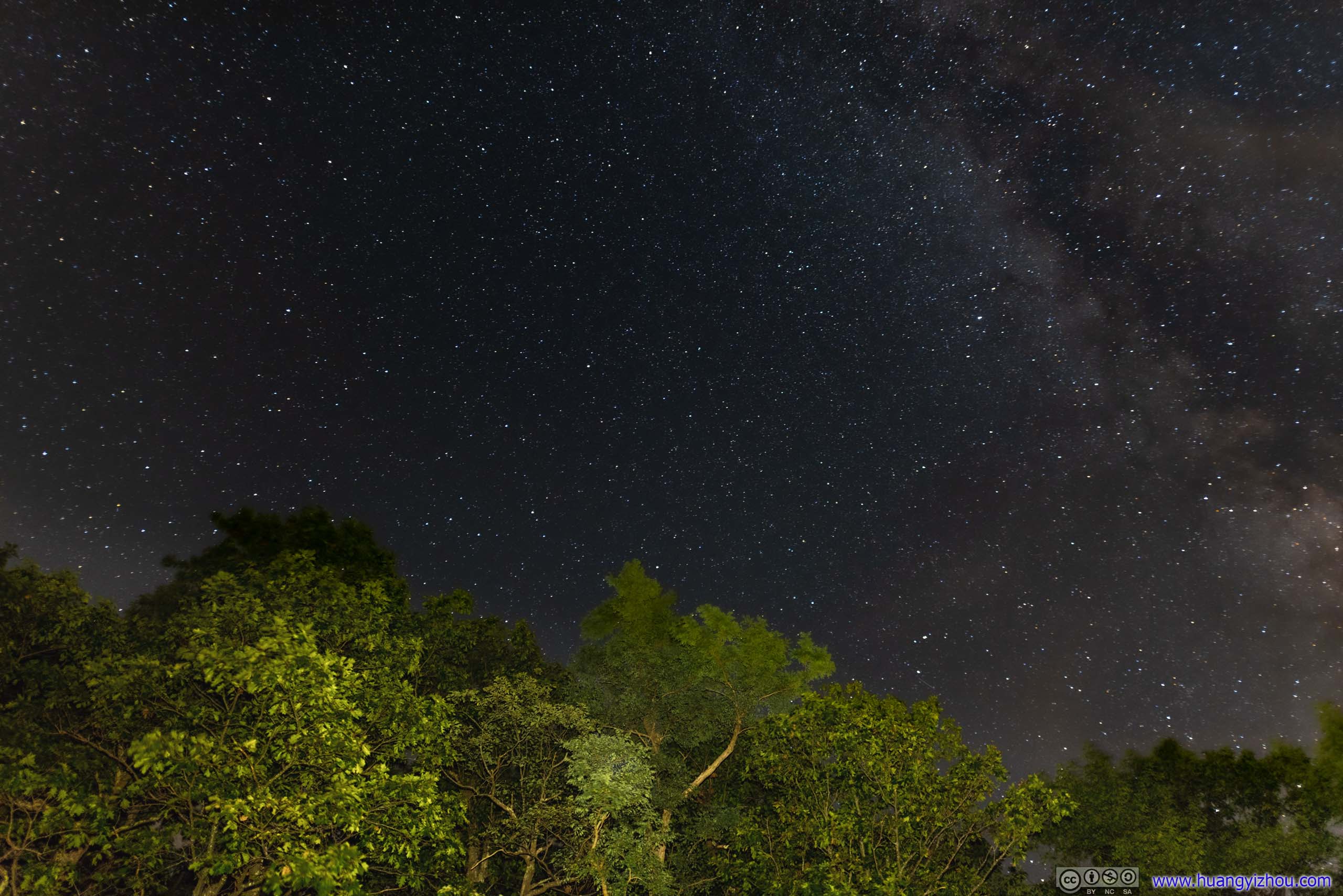
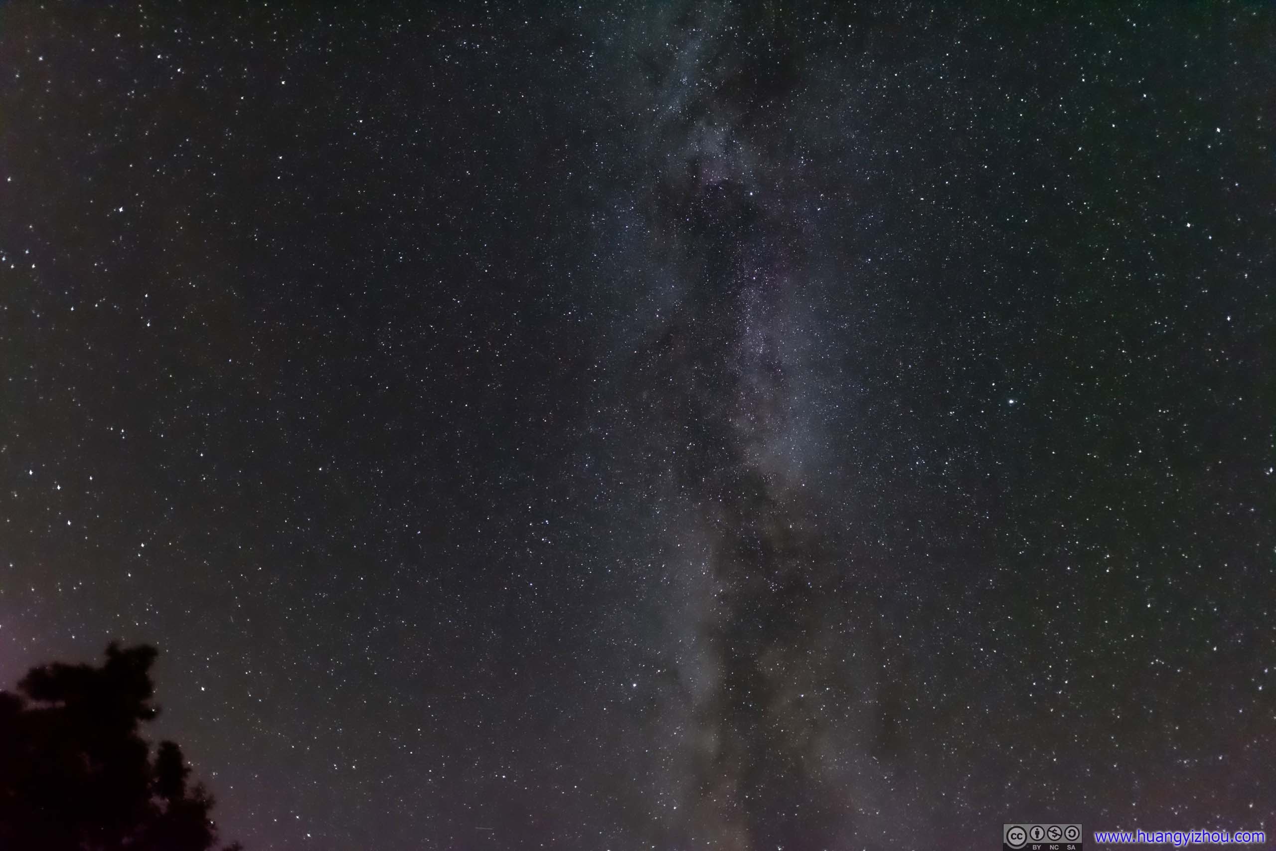
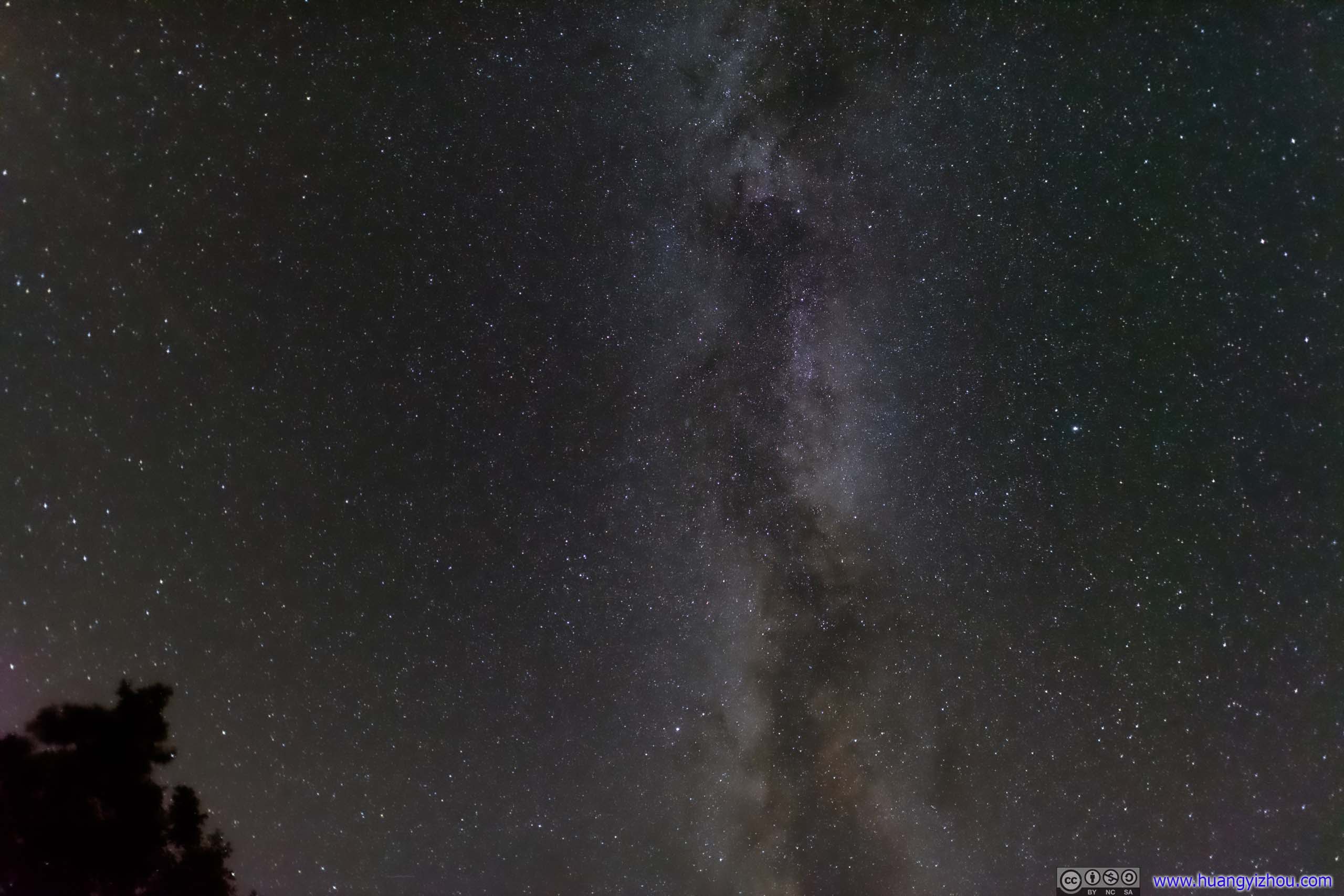
Stars
Sunrise
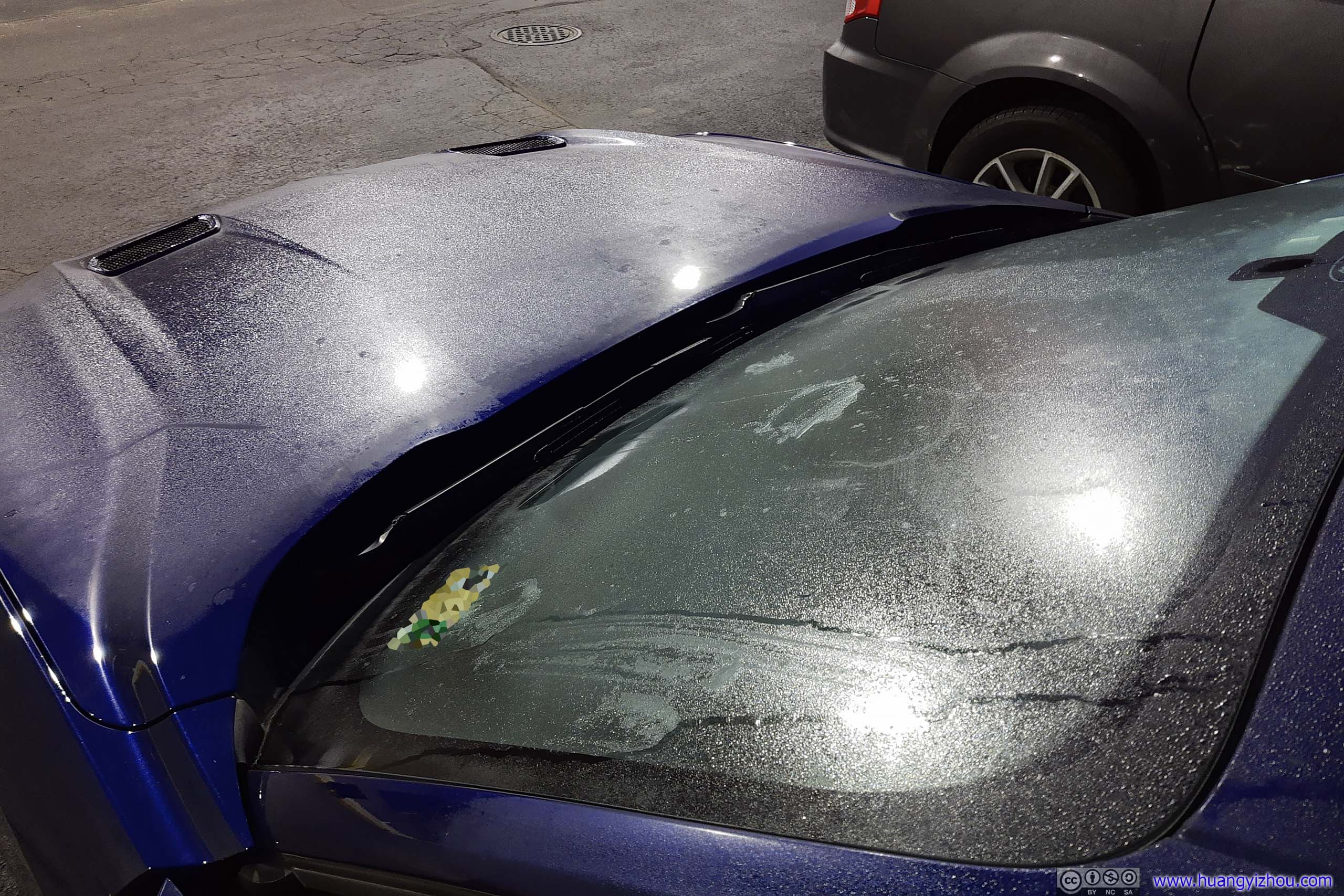
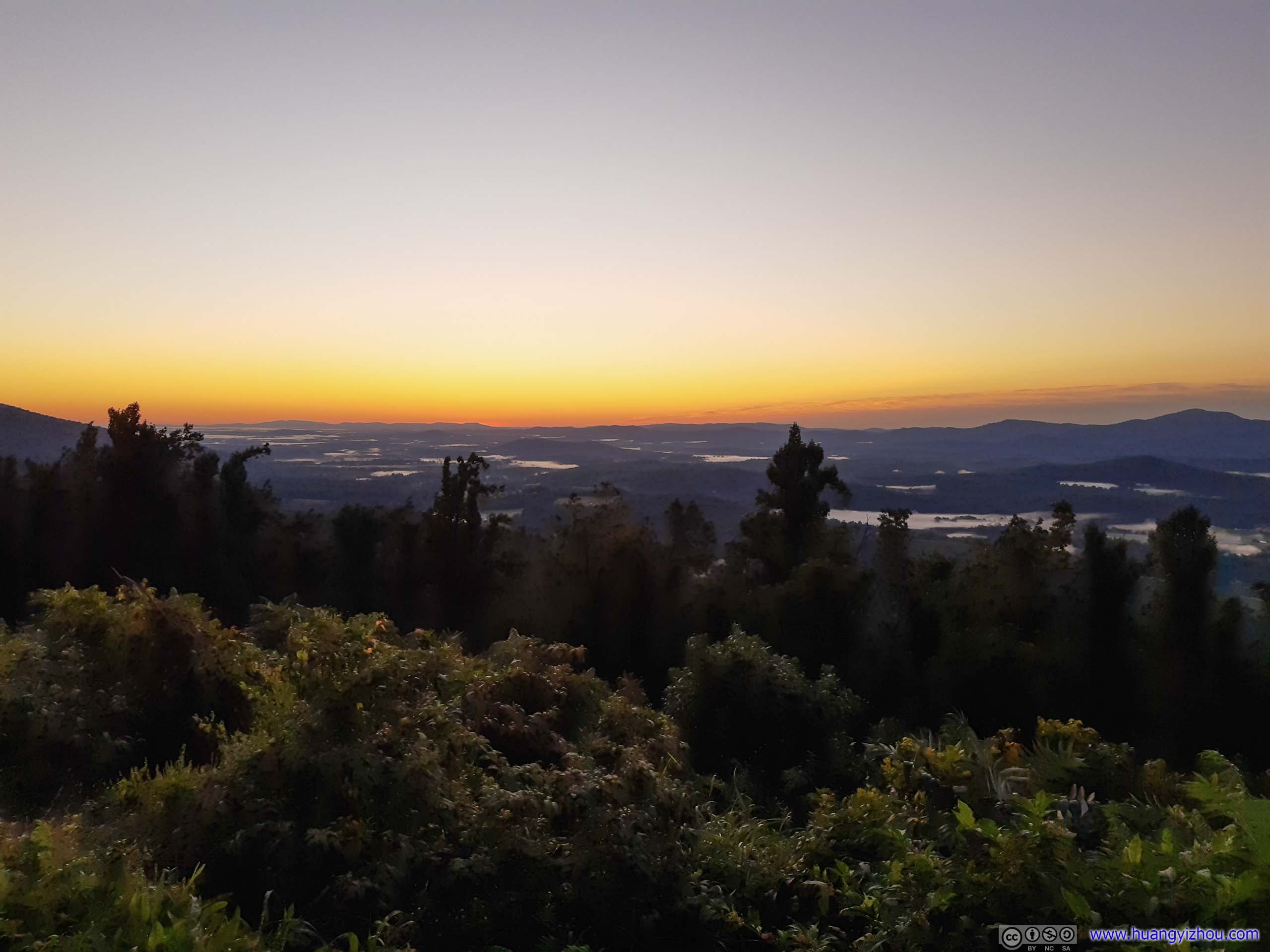
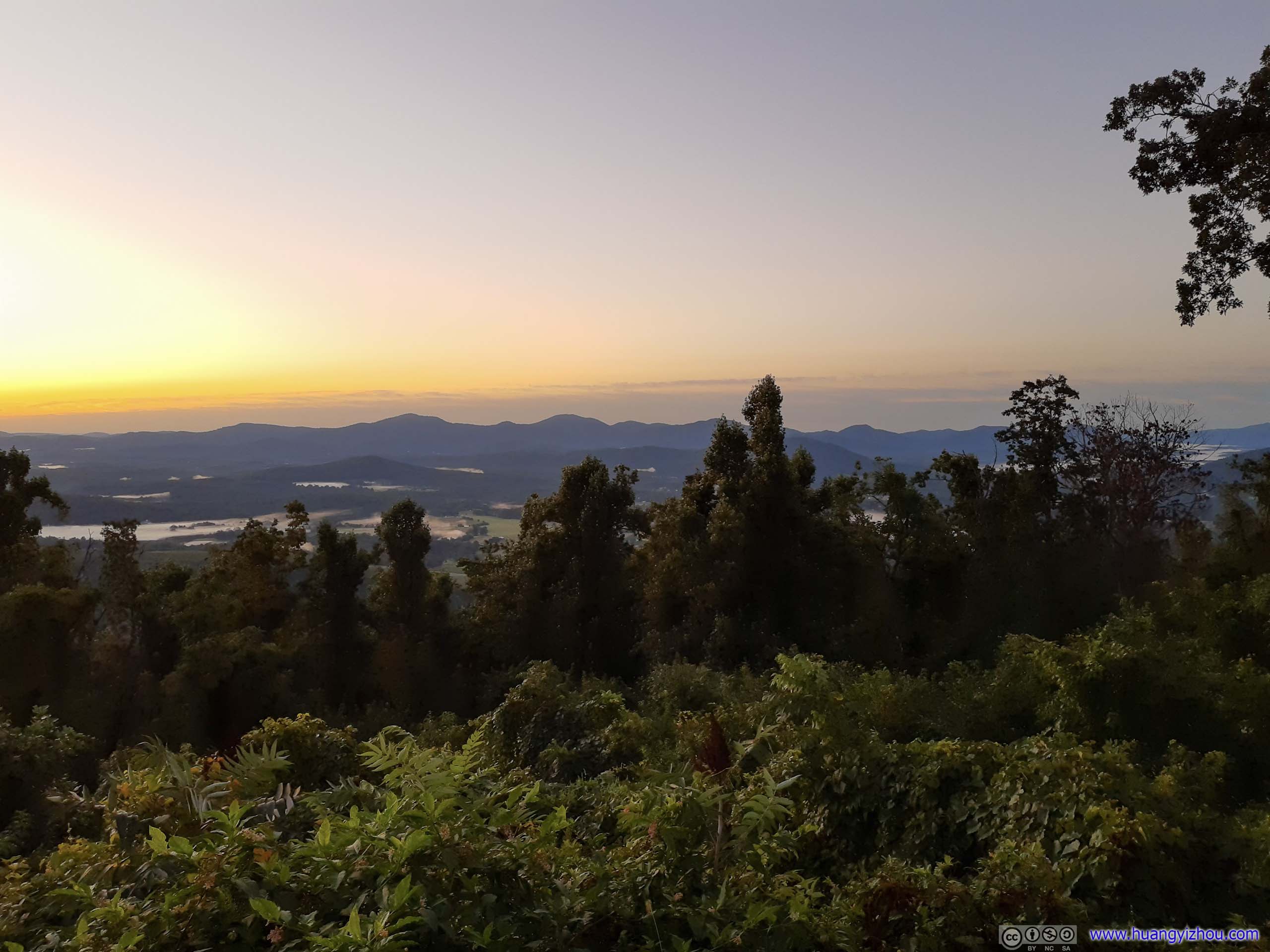
After missing sunset the previous day for a mere few minutes, we decided to substitute that by rising up early the next morning and watch sunrise instead. This time, we picked Afton Overlook, the closest to the start of Blue Ridge Parkway, set our alarm clocks, and made it on time.

Unfortunately, probably because we were still drowsy when we left, that I realized I left my camera at the hotel room. So, I only had my cell phone to capture this spectacular sunrise.
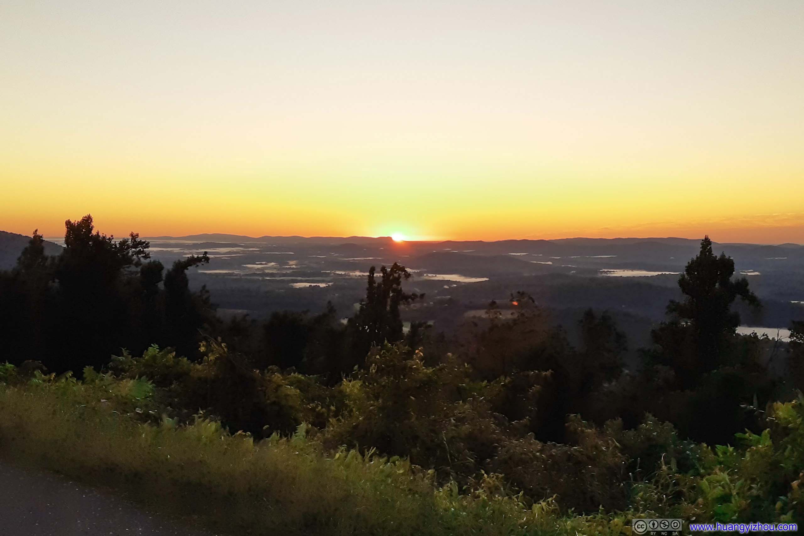
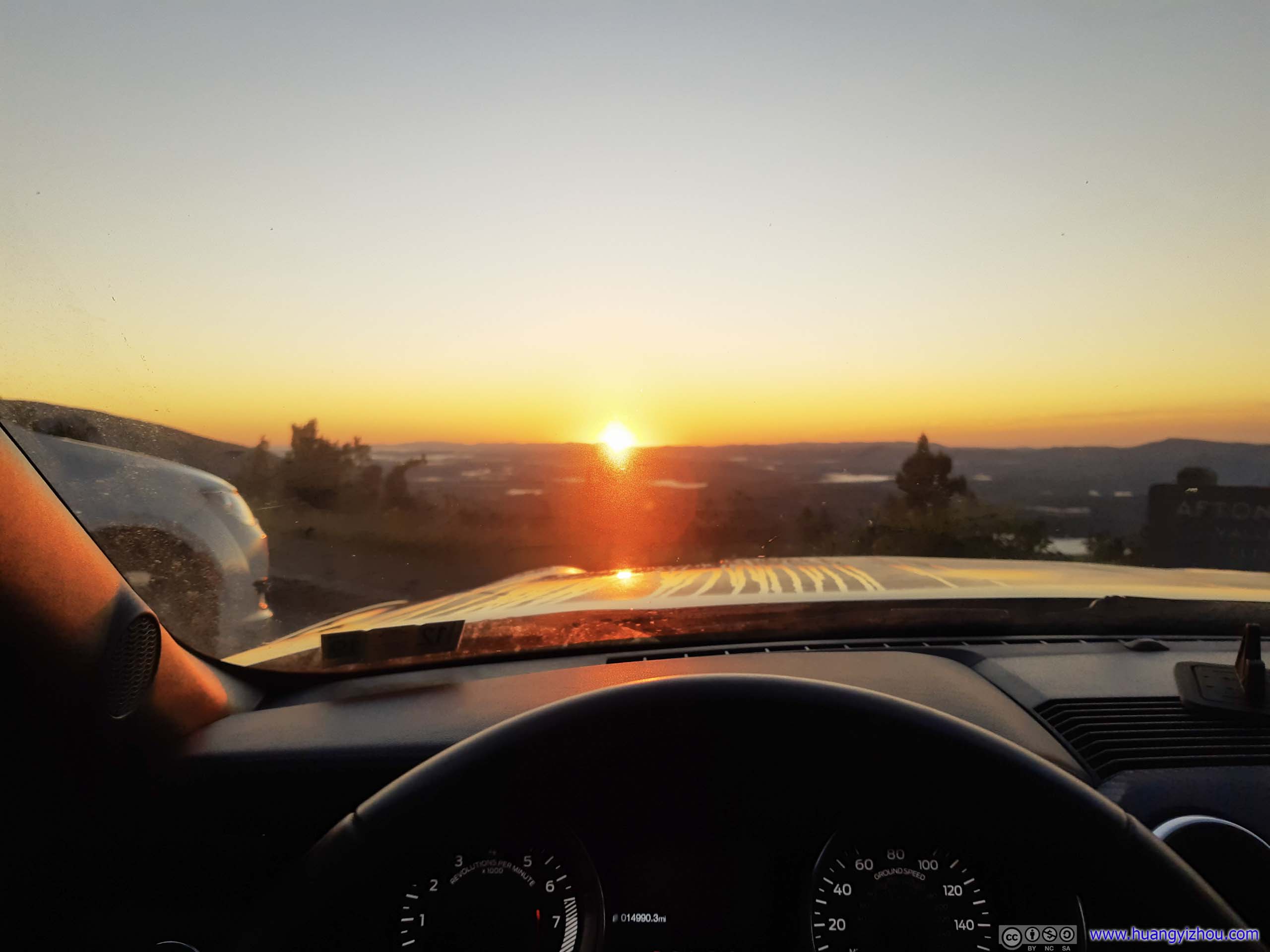
After this morning excursion, we drove back to hotel and headed right back to bed. By the time we were packed and ready to go, it's 3 hours later.
After hiking two mountain trails for the previous day, we were looking for something different this morning. That's when Saint Mary Falls trail came across our radar, a 7-km out-and-back trail to a waterfall.
Saint Mary Falls
After driving among Virginia's beautiful countryside, we were at the trailhead of Saint Mary Falls. A small section of road right before trailhead was unpaved.
It's a Sunday morning and the trail was teeming with people. We snatched one of the last spots in an overflowing parking lot.
Here's GPS tracking:
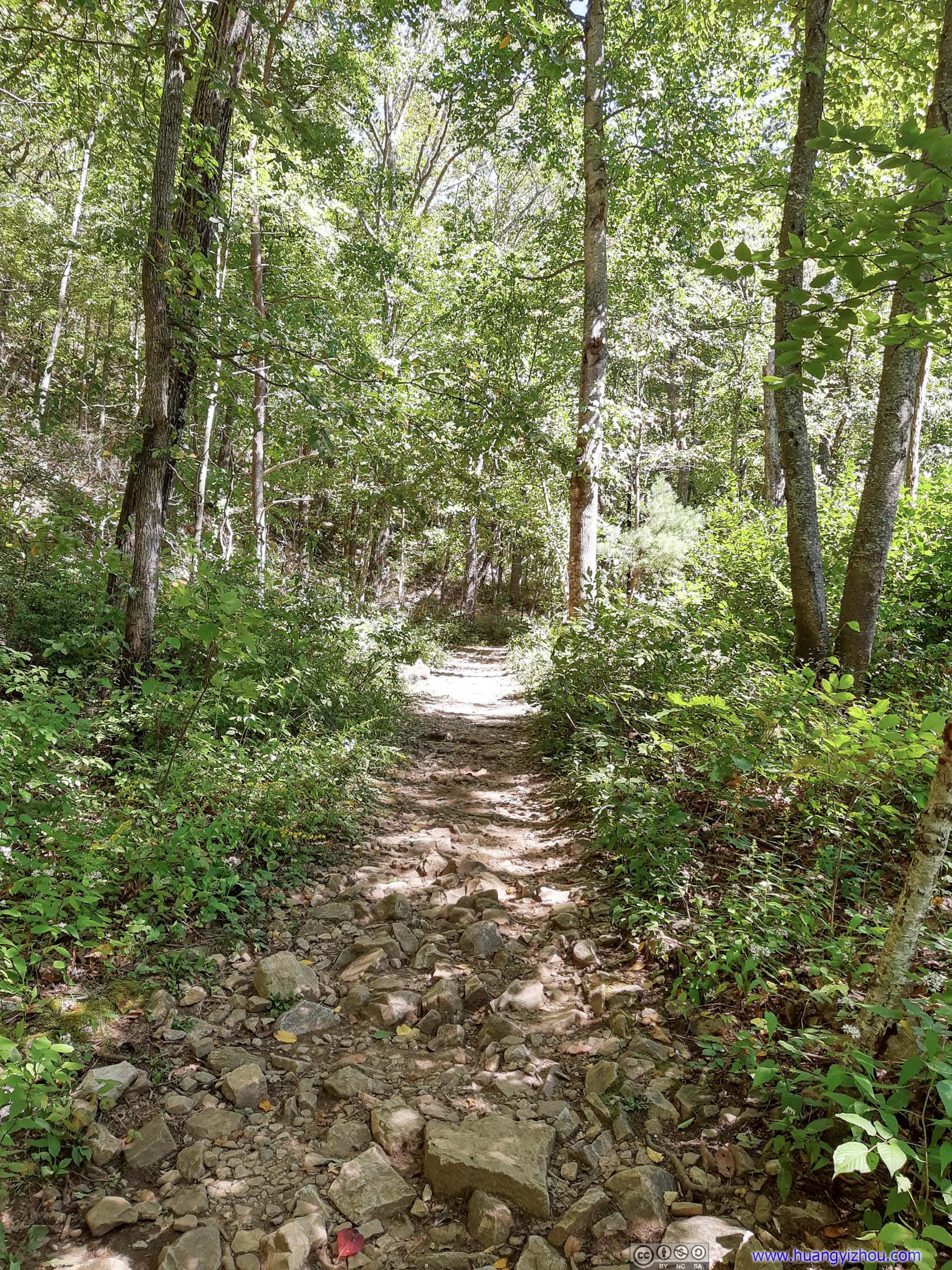
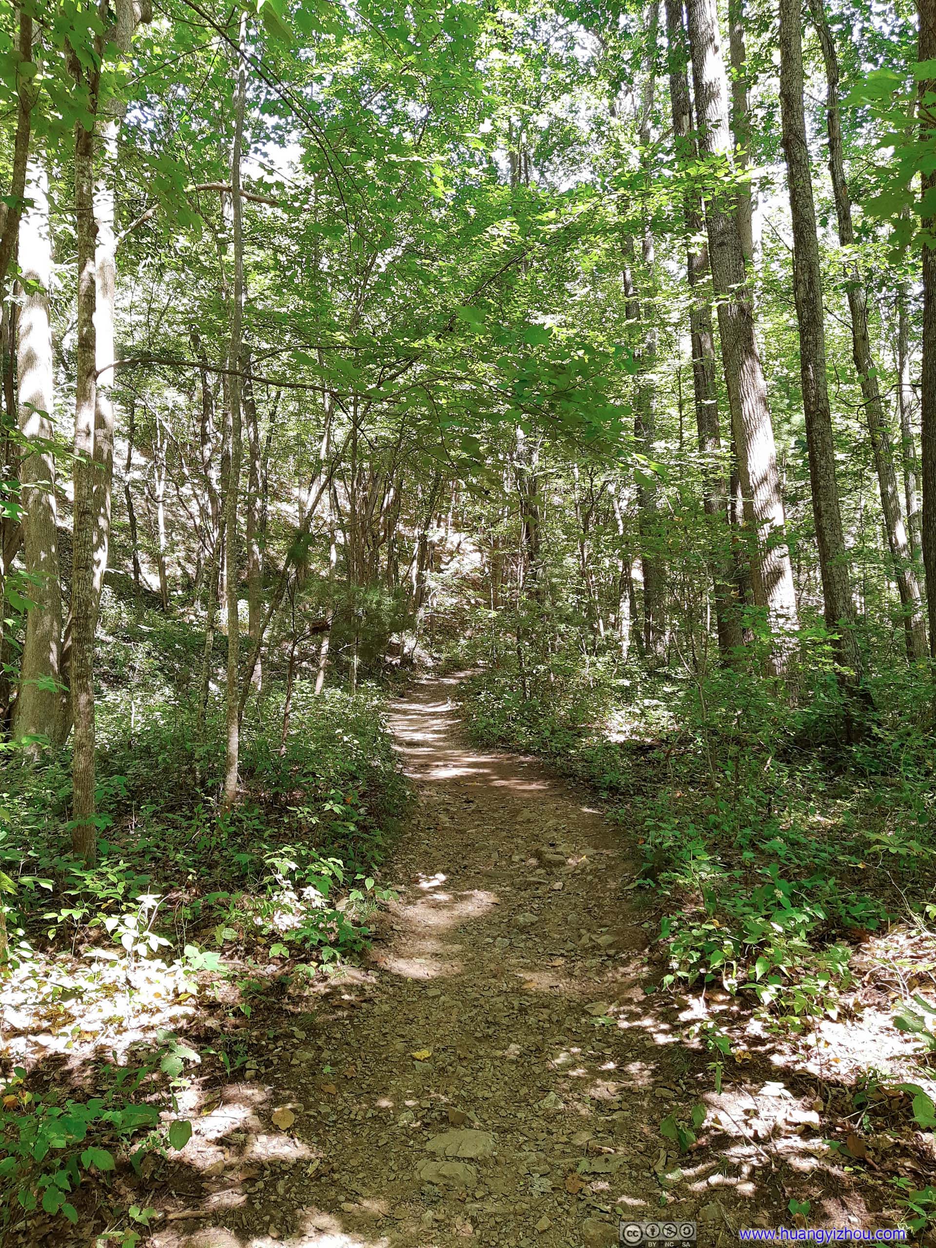
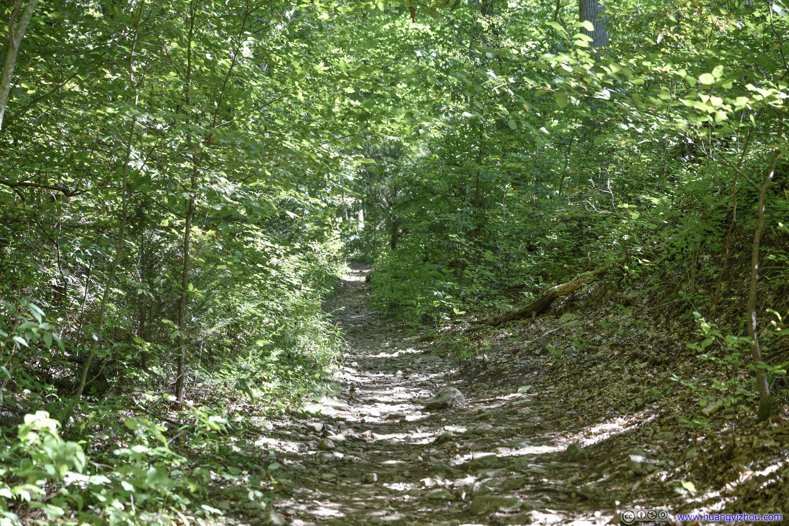
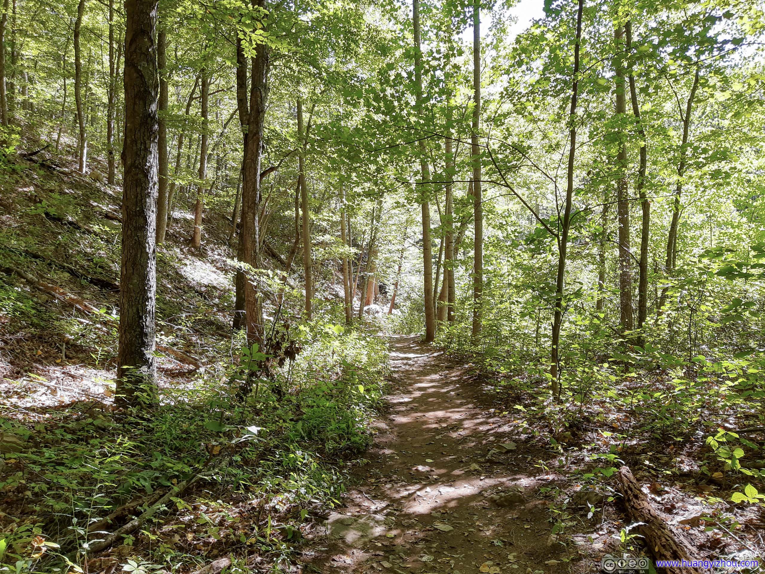
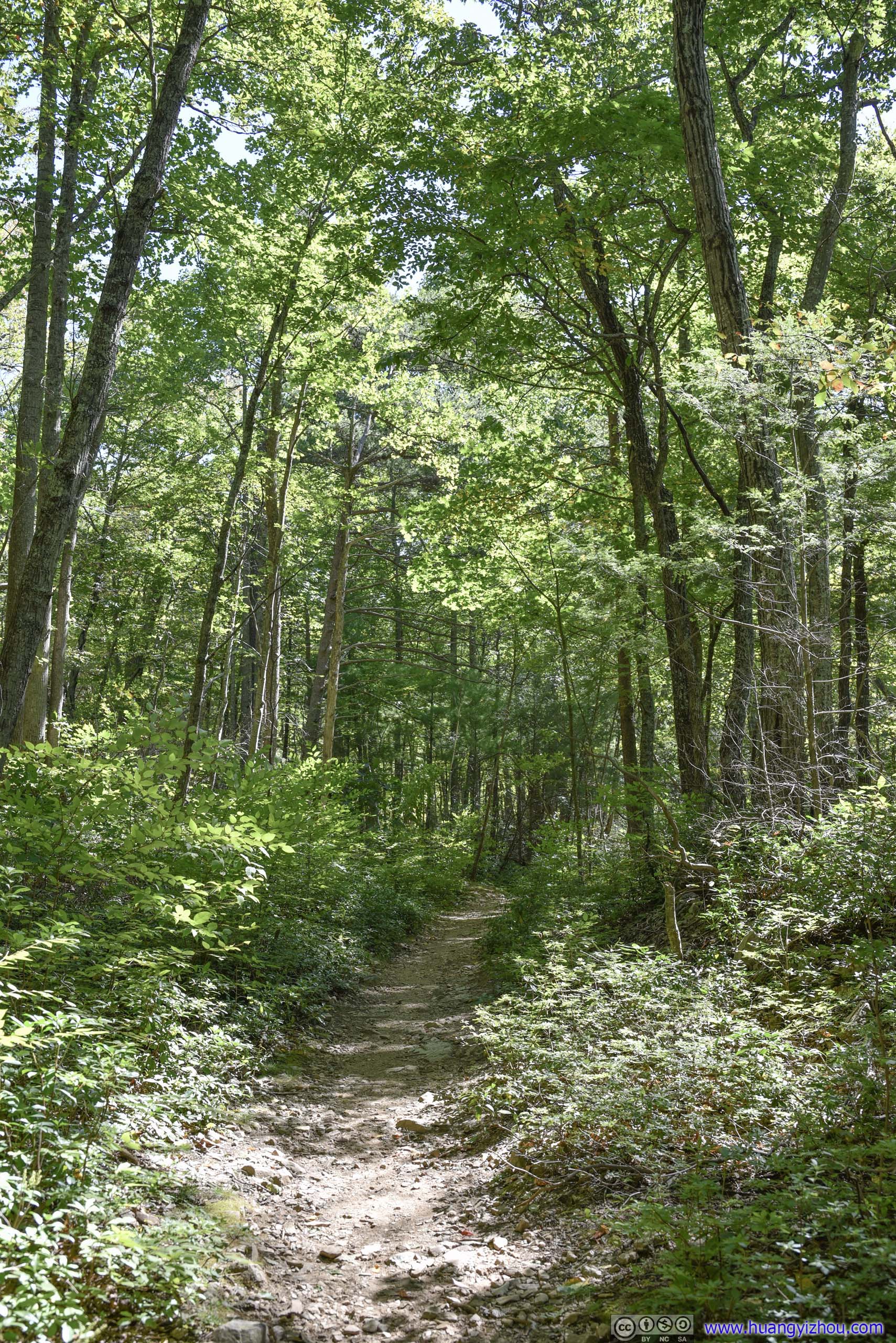

Trail

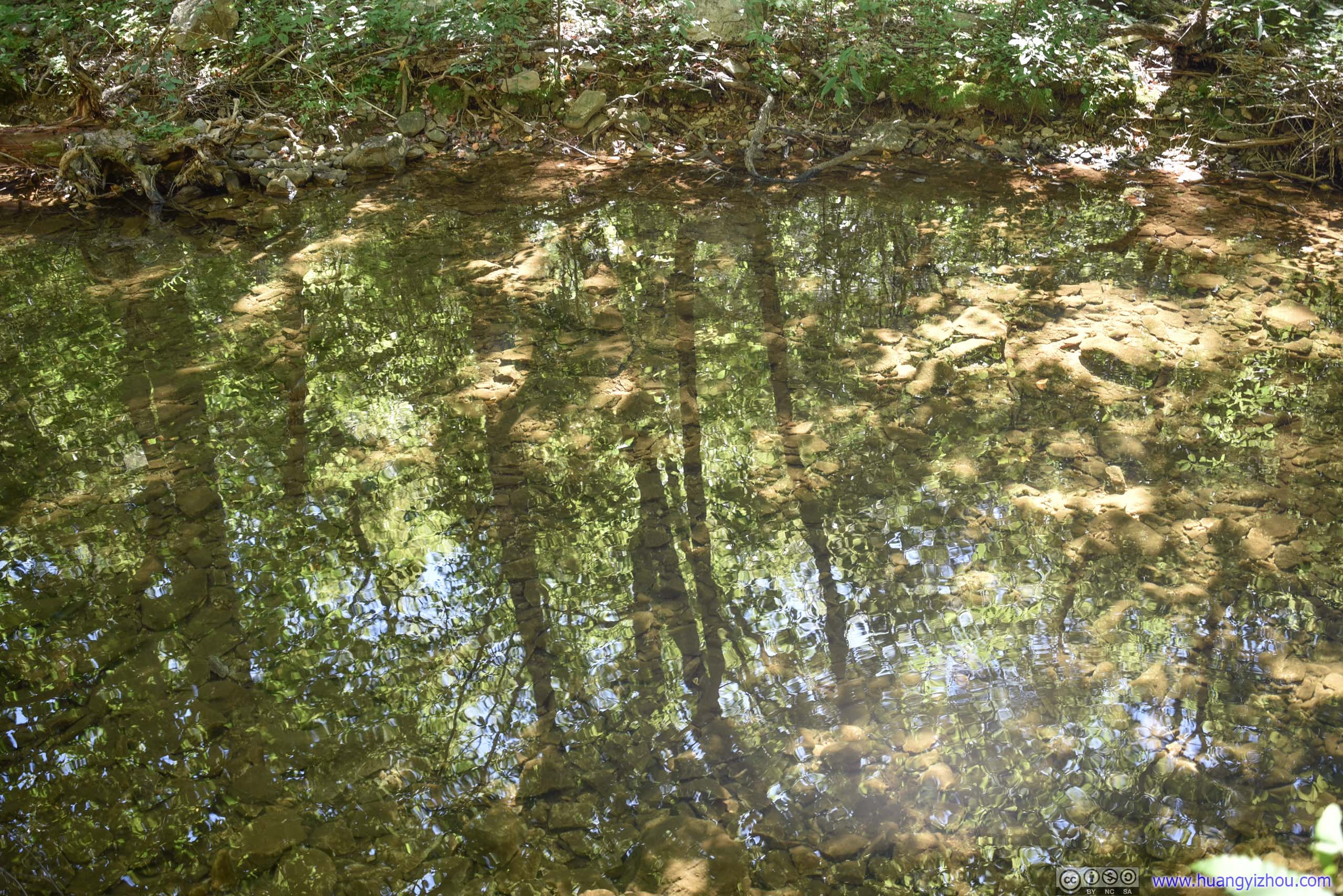
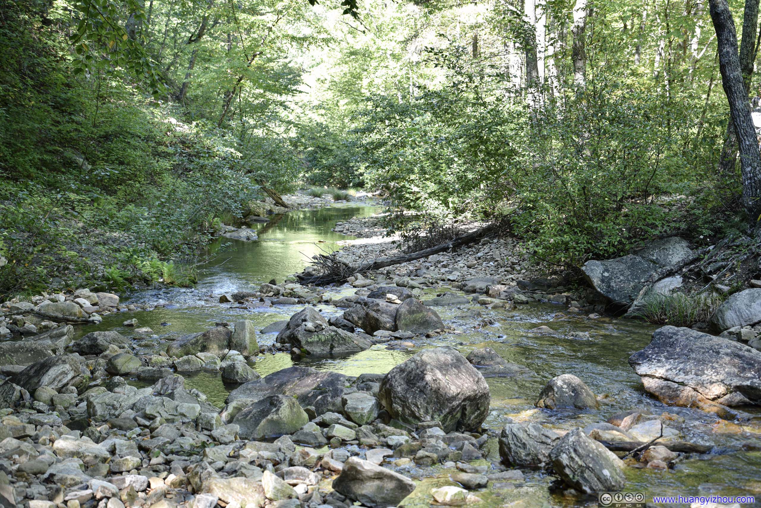

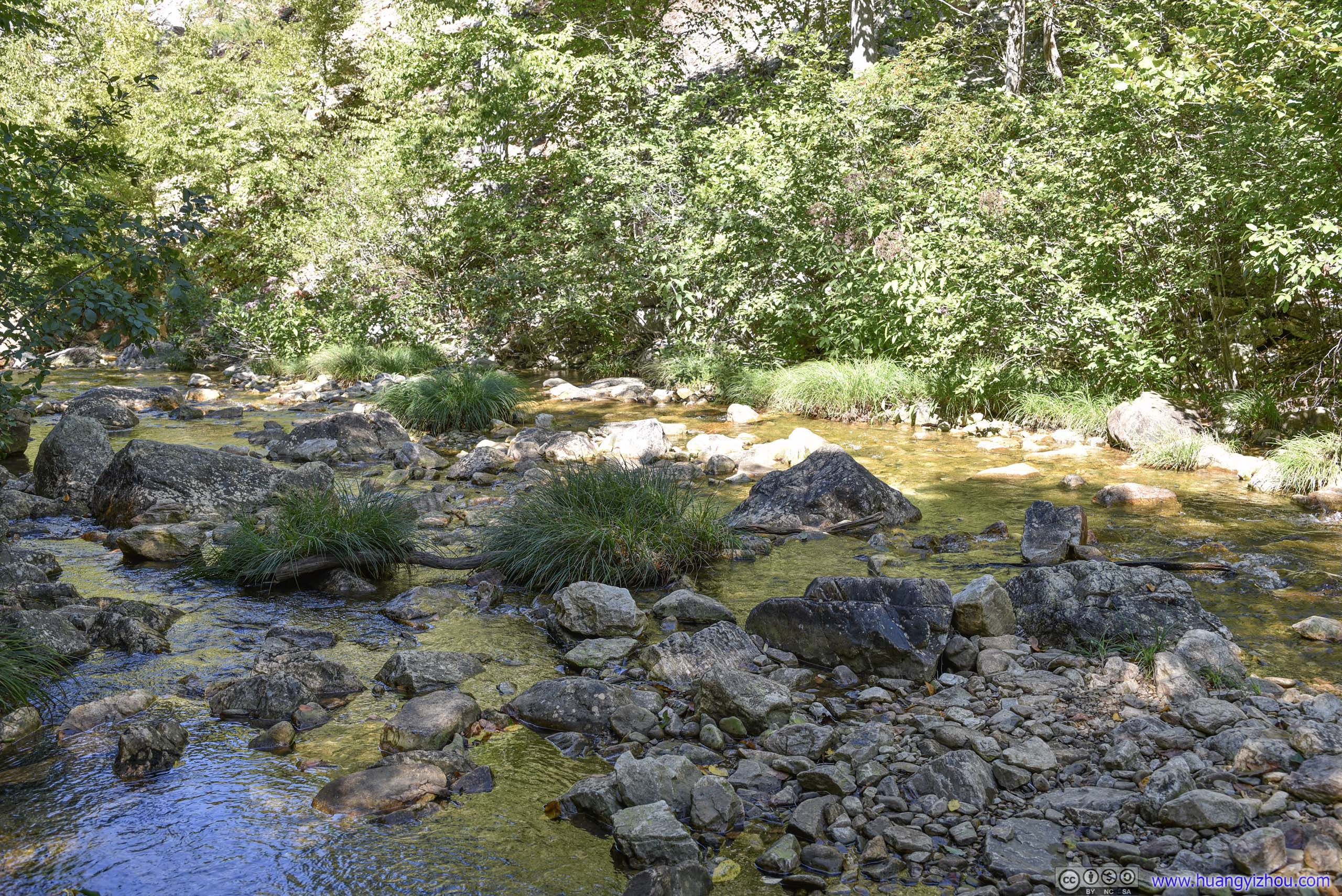
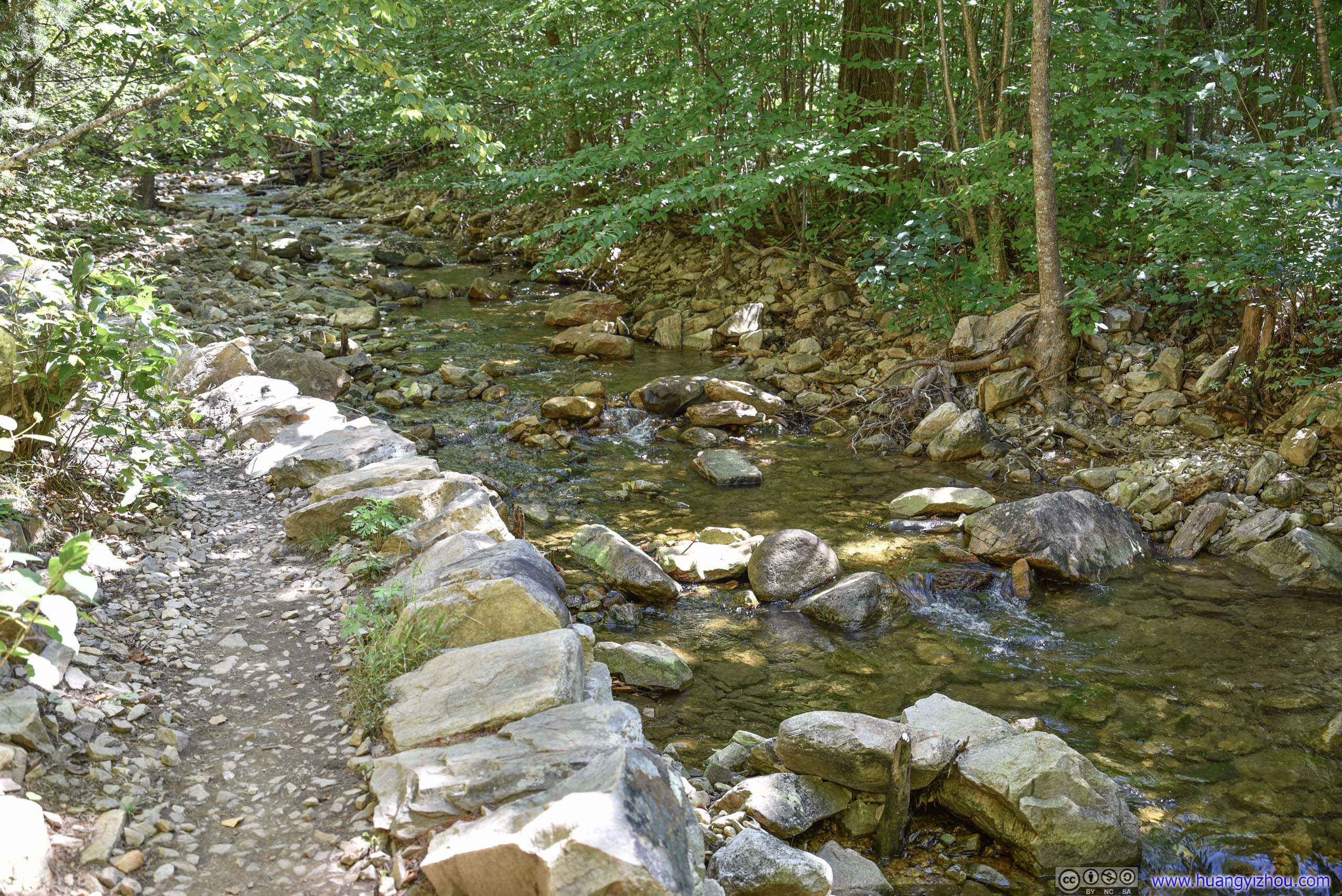
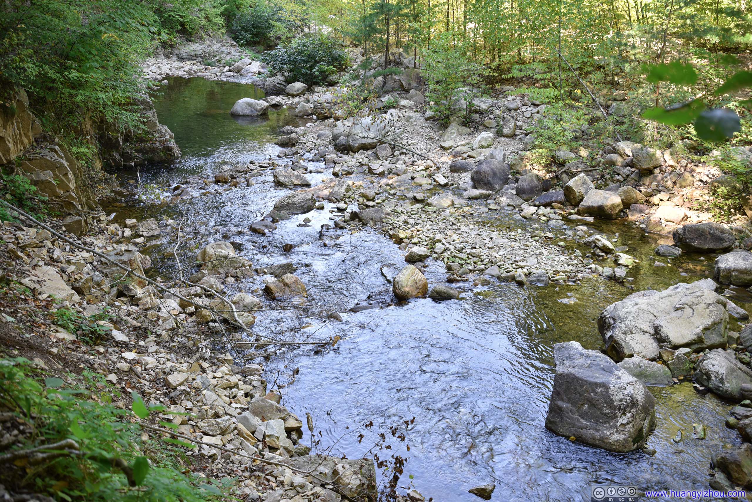
Creek
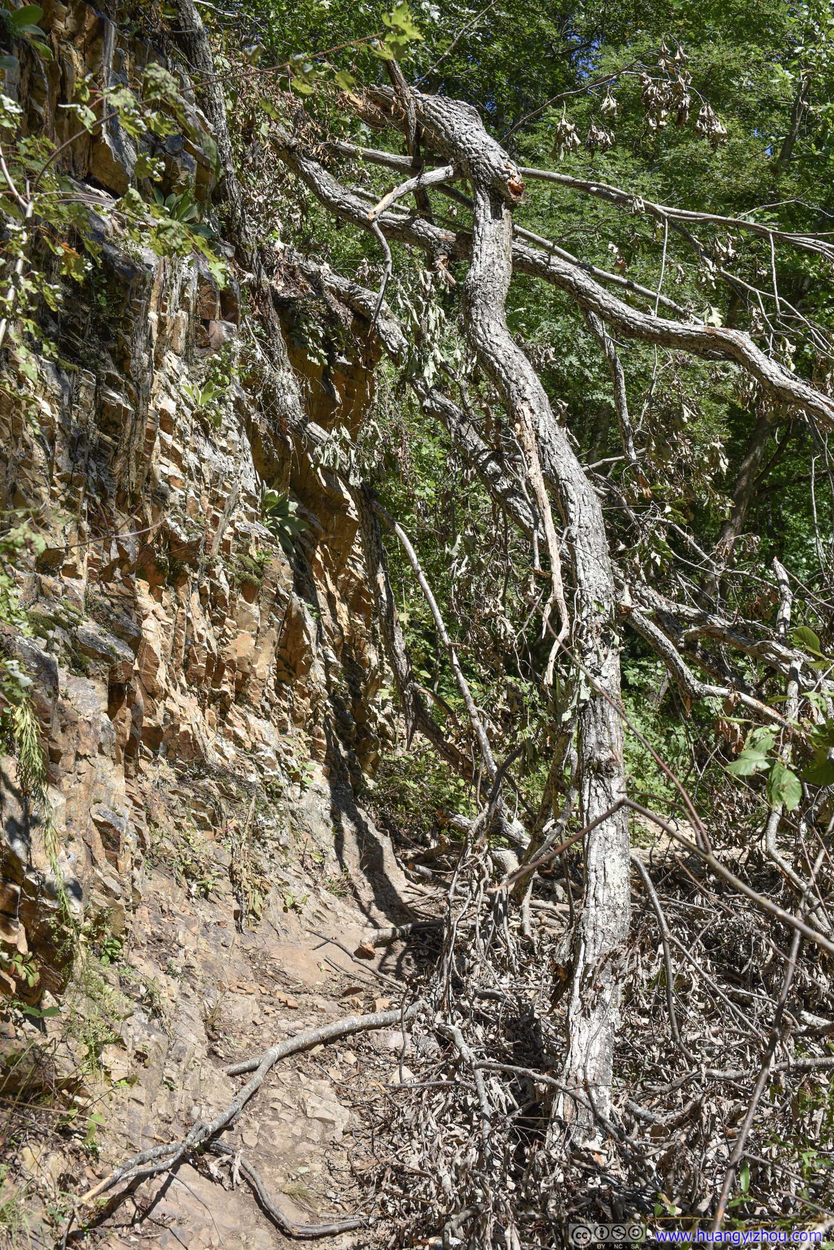
That took some effort to navigate around.
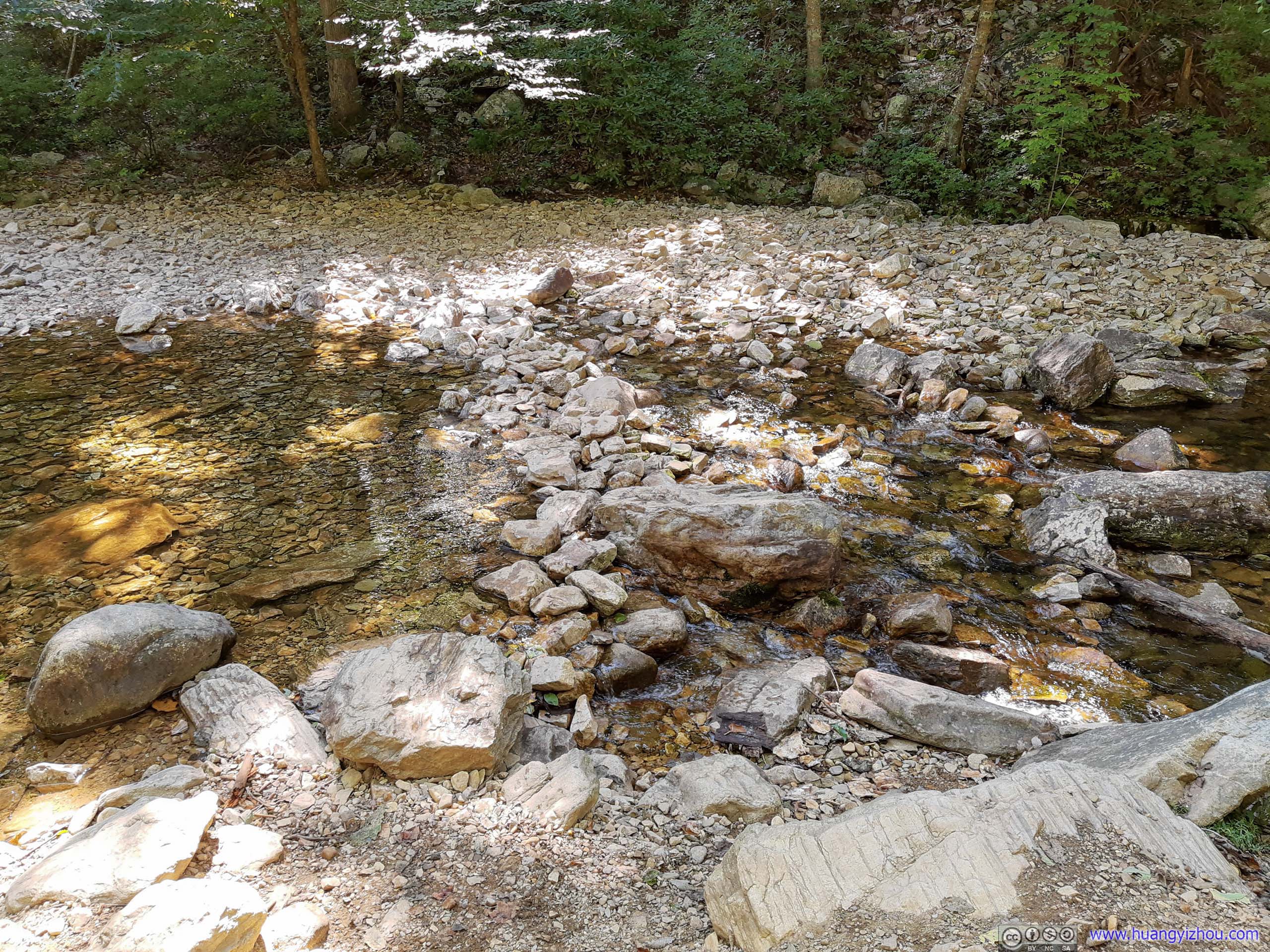
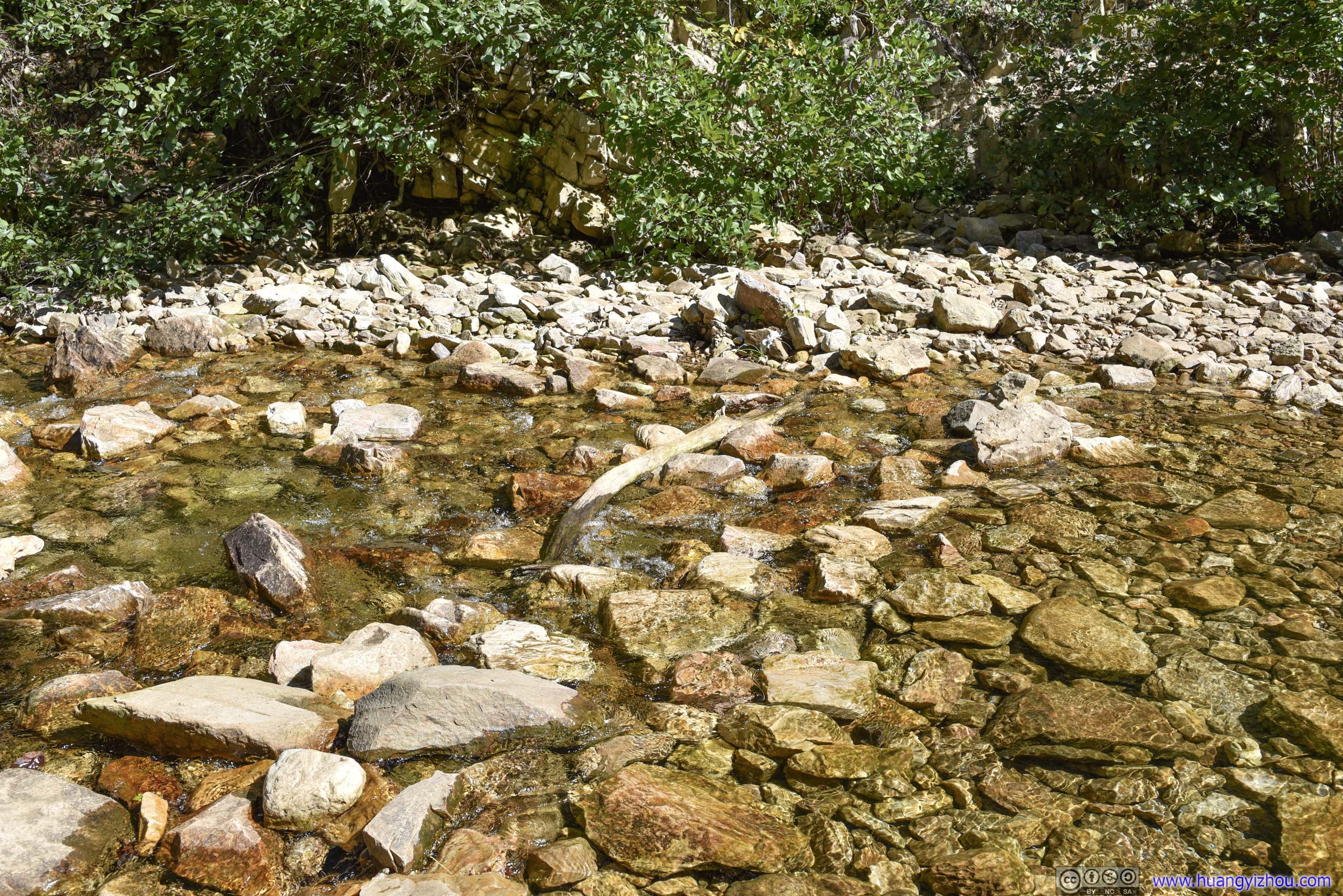
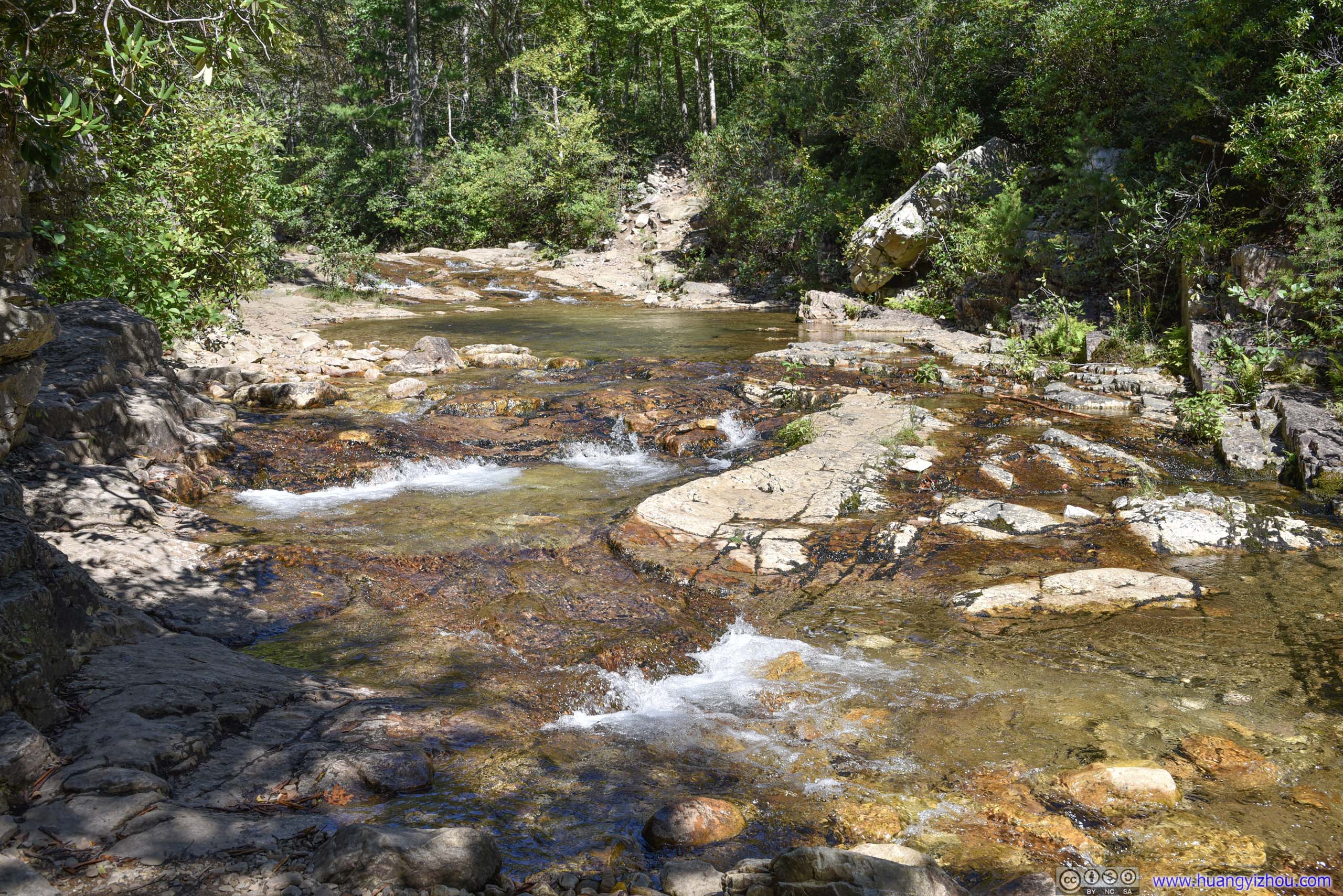
Creek Crossing
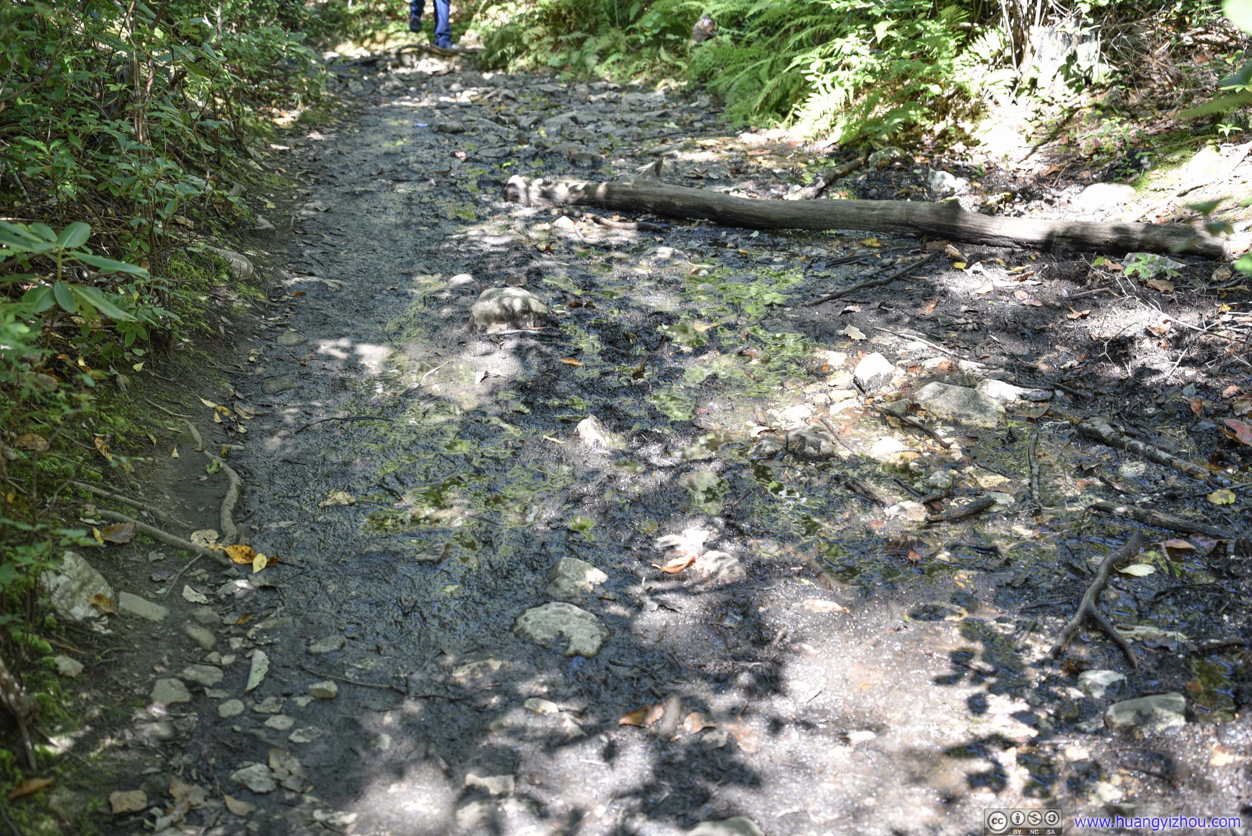
The only muddy spot along the trail that required care navigating through.

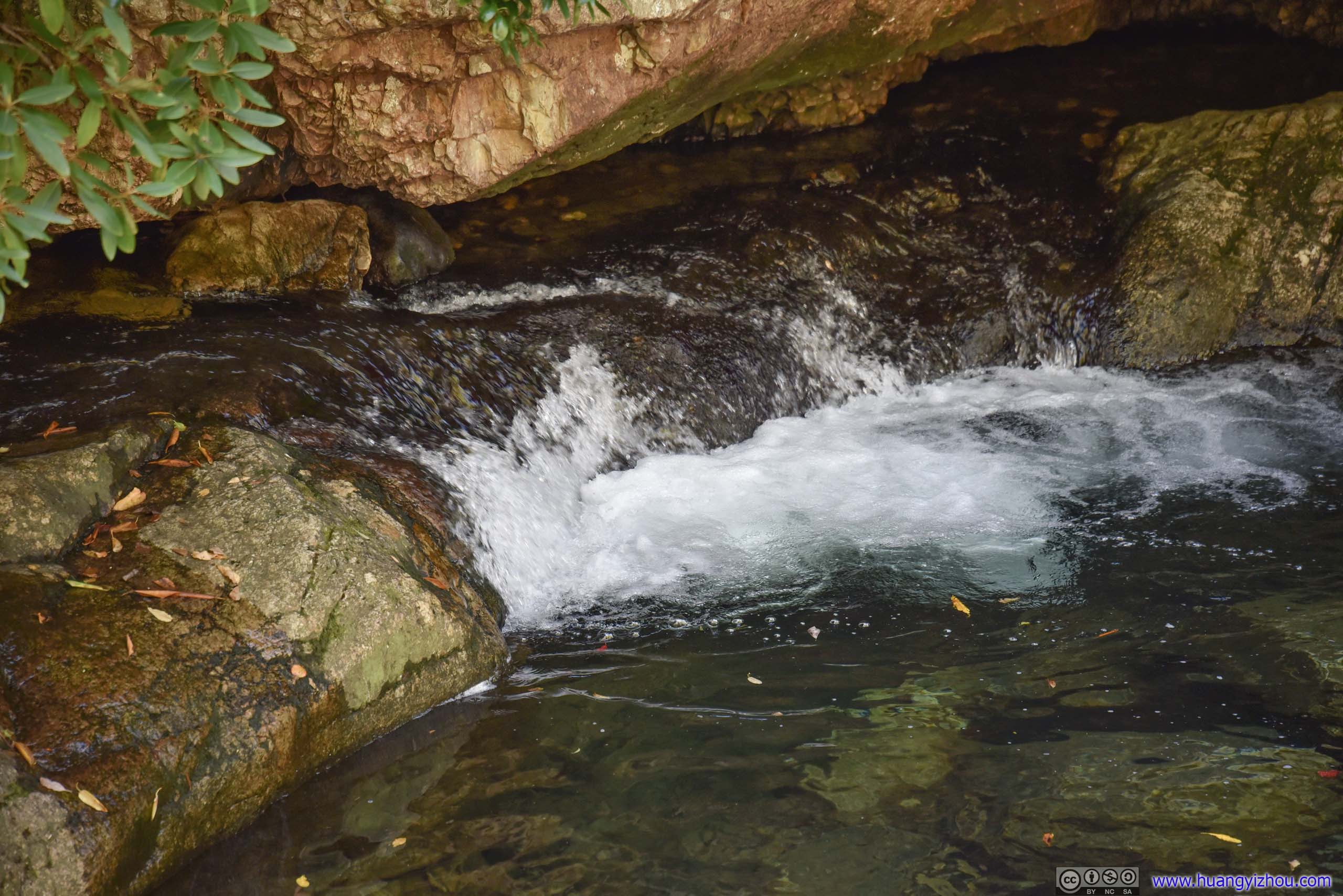
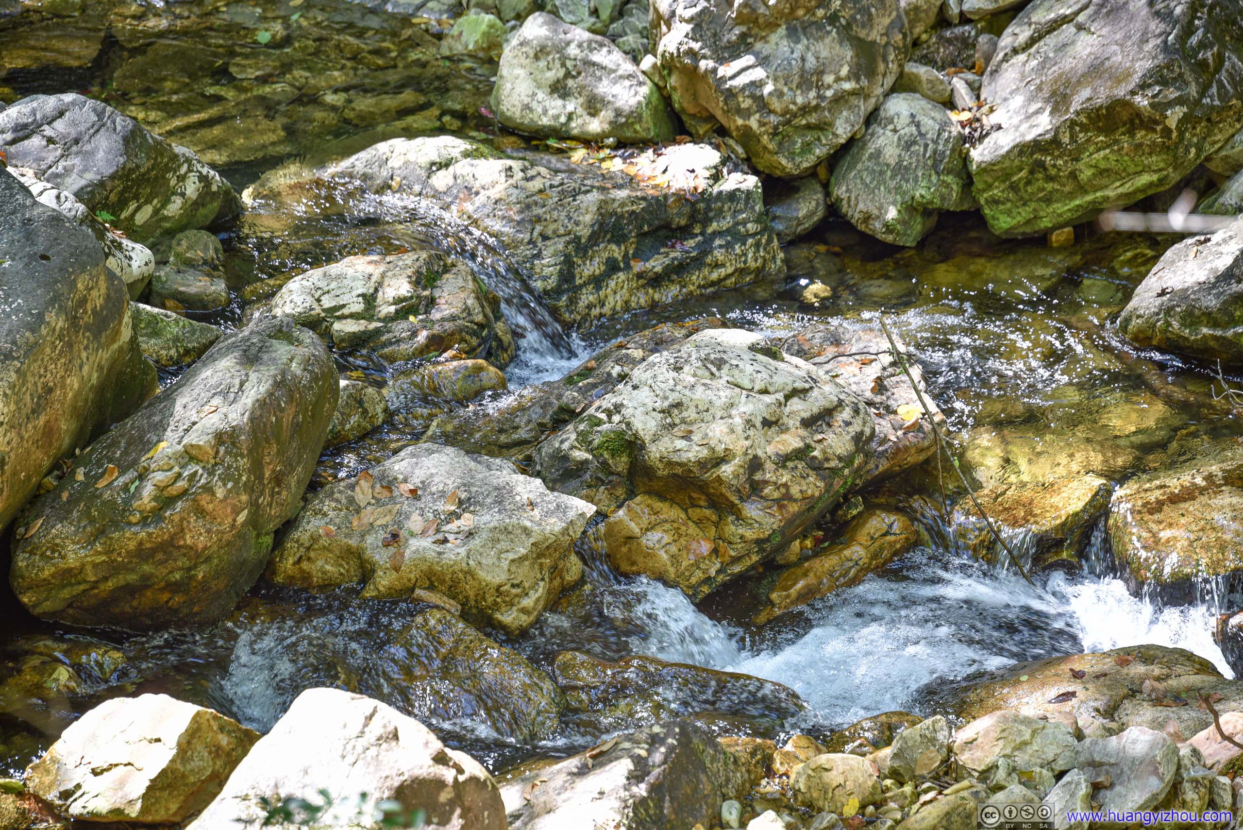
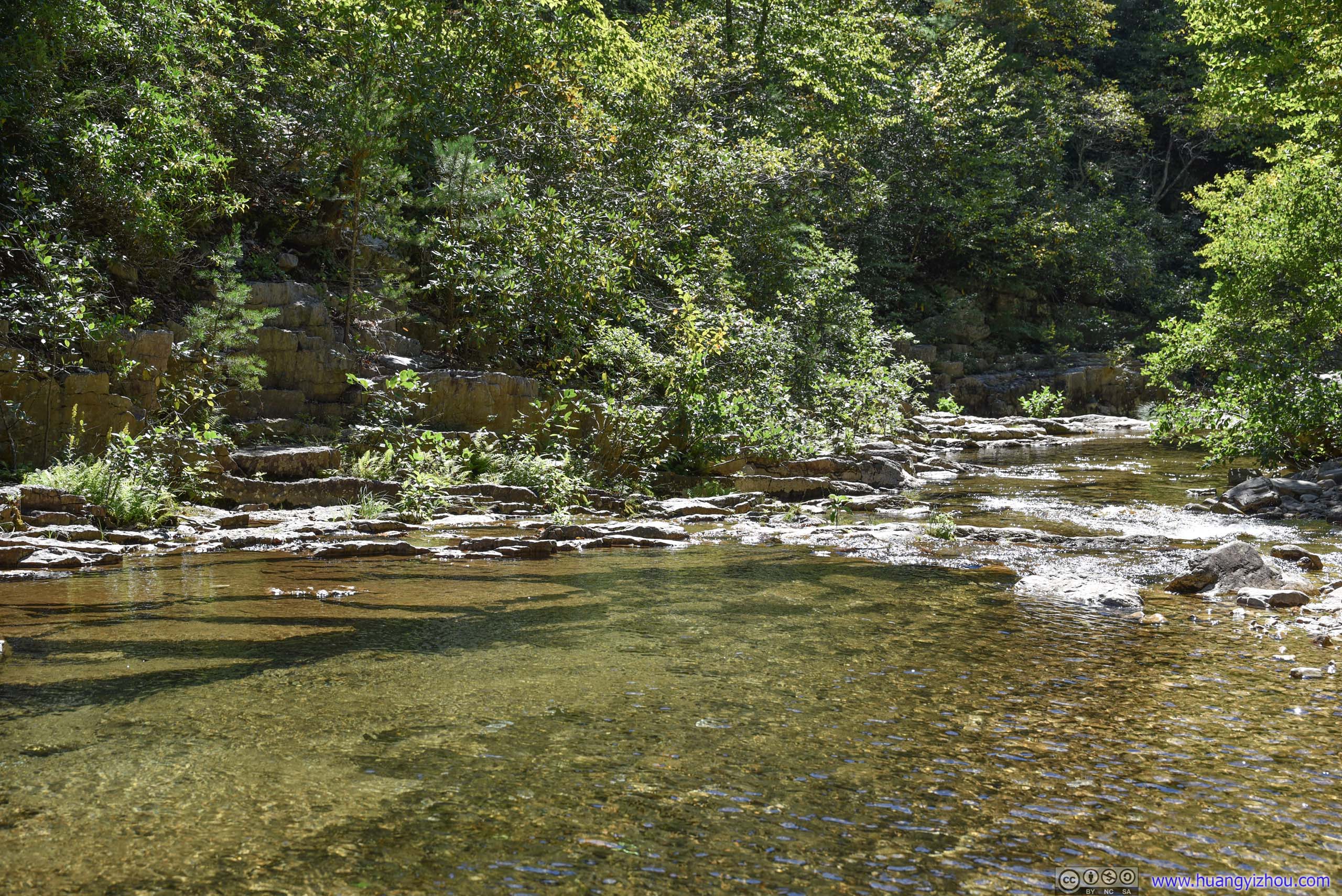
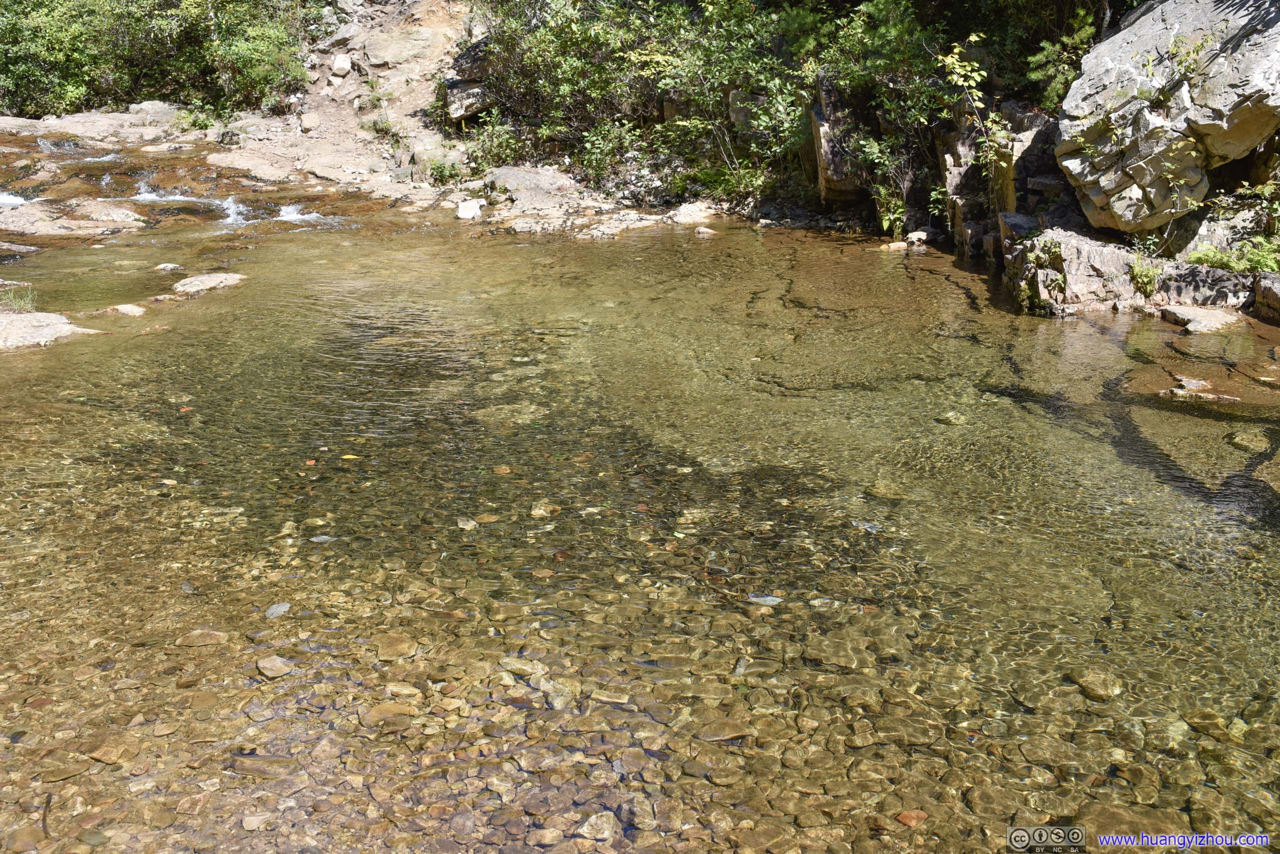
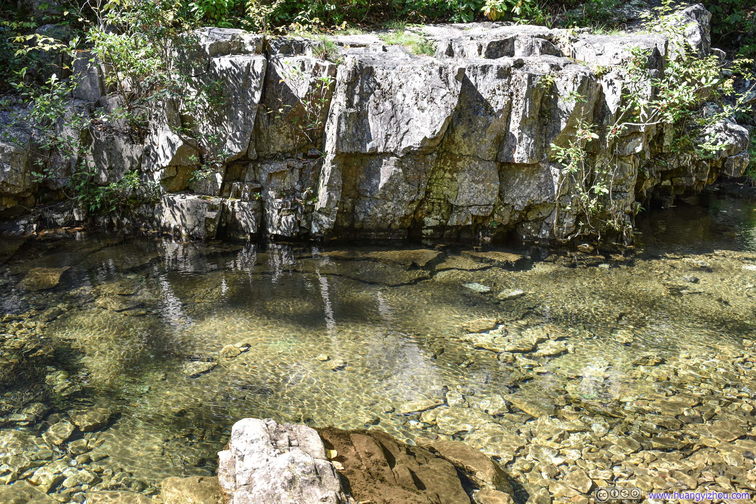
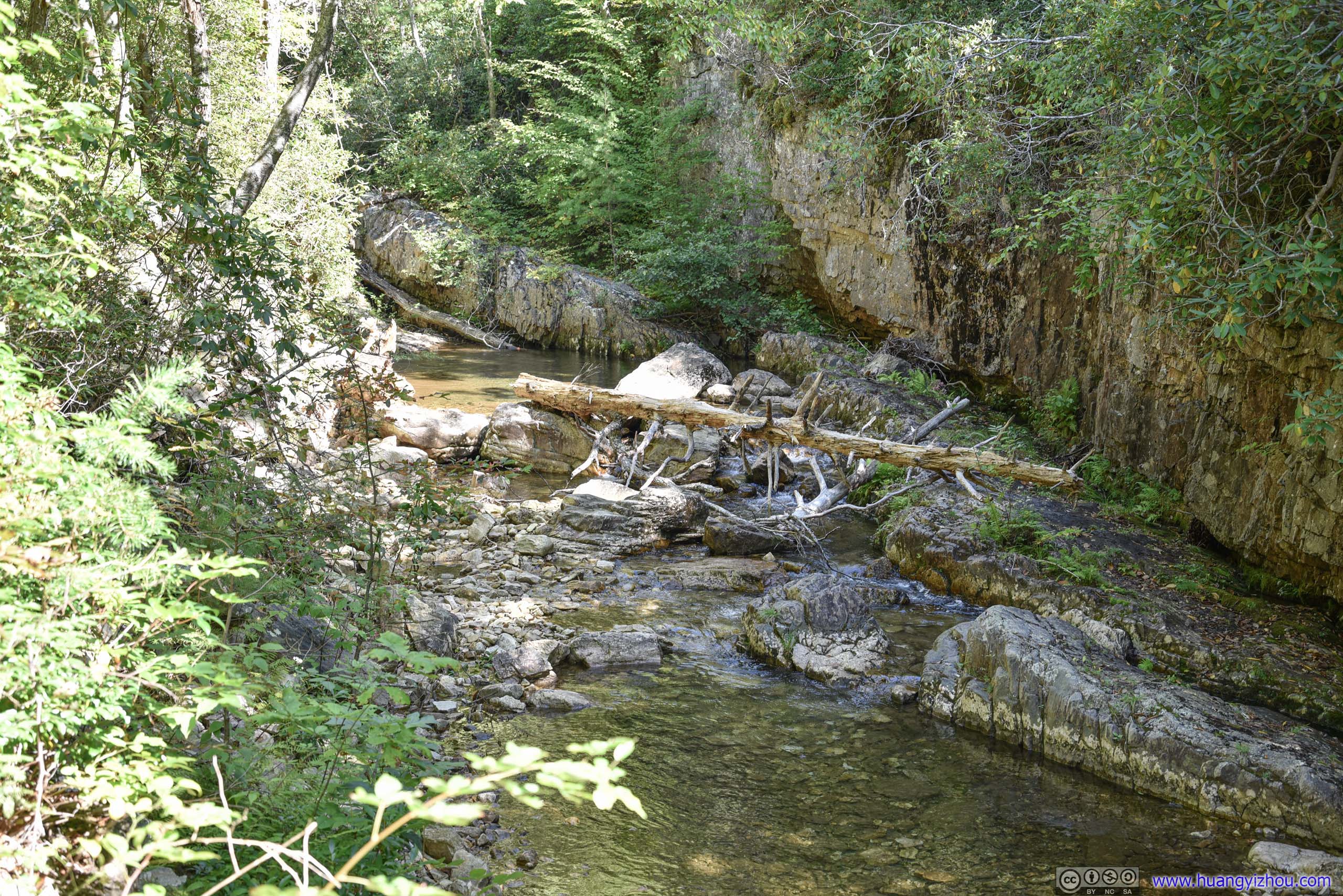
Creek
At 20 past noon, 75 minutes since we started, we were at Saint Mary Falls.
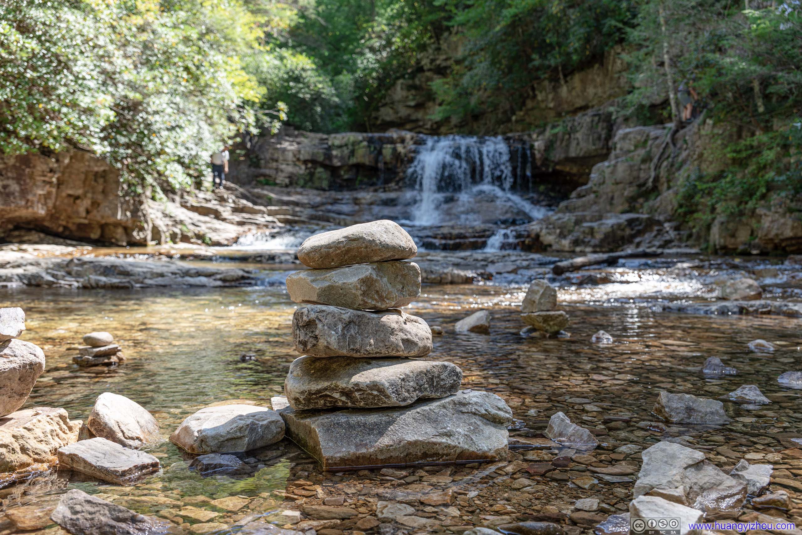
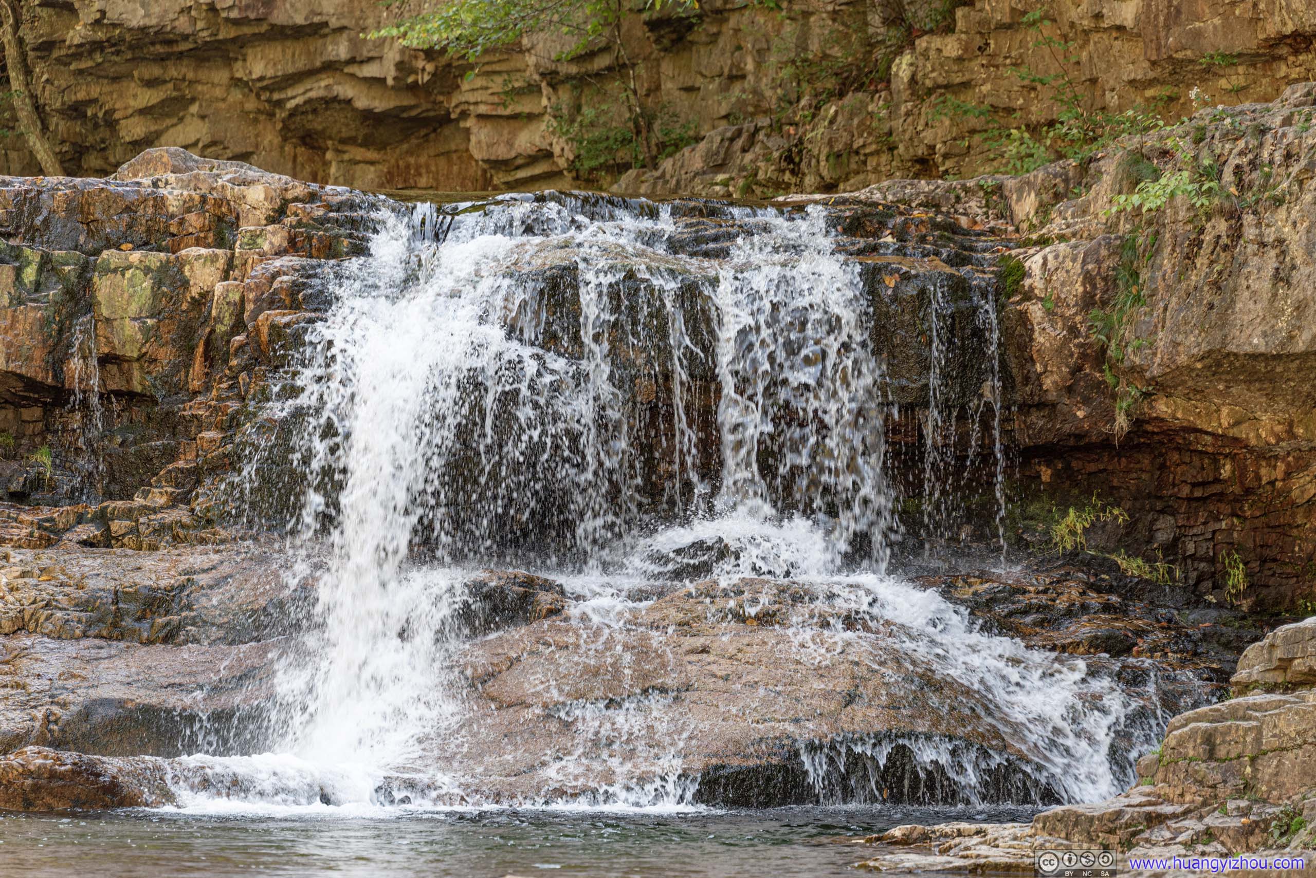

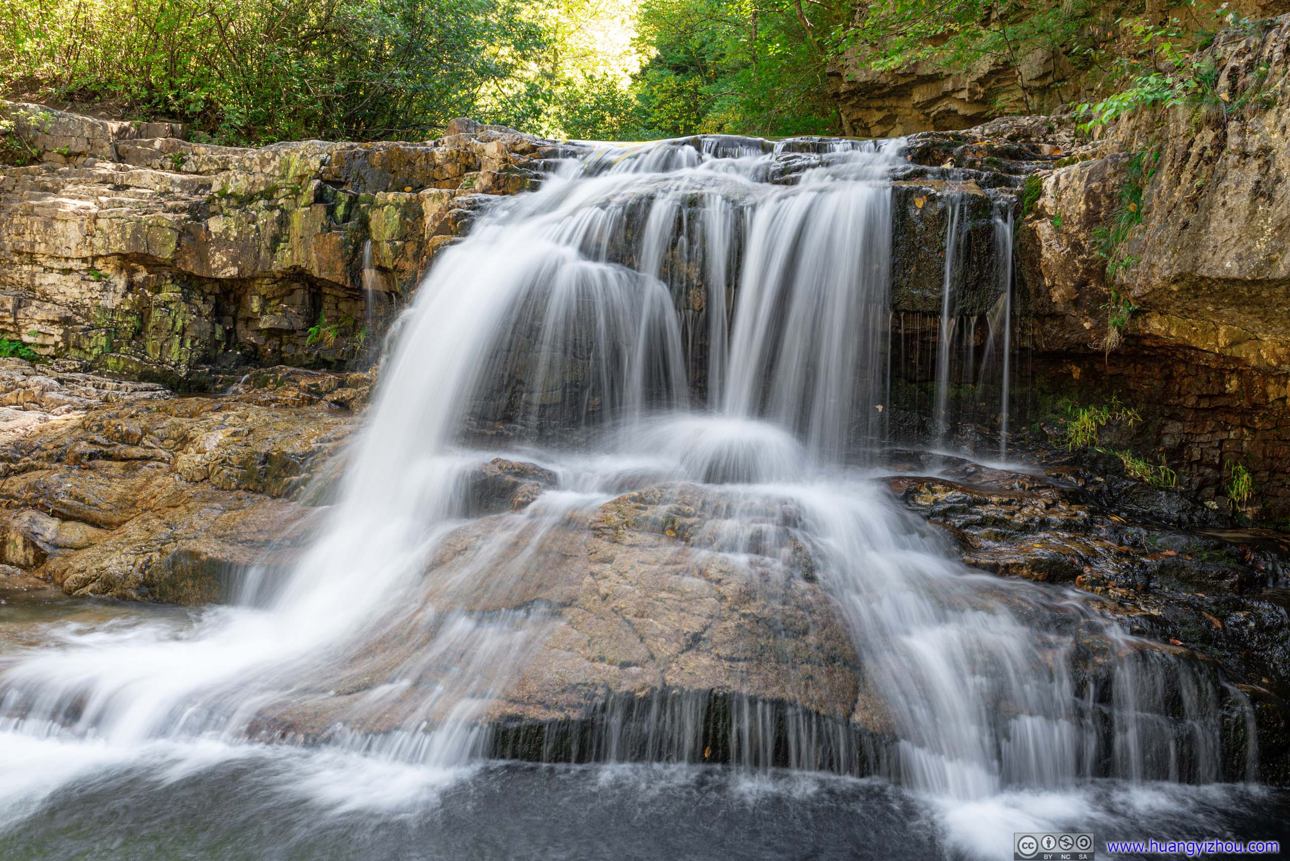
Saint Mary Falls
It's possible to get around the waterfall and hike deeper into Saint Mary Wilderness, but like most people, we made the waterfall our destination. We spent about 15 minutes near the waterfall, appreciating its beauty and listening to its raging torrent, before it got crowded and we decided to head back.
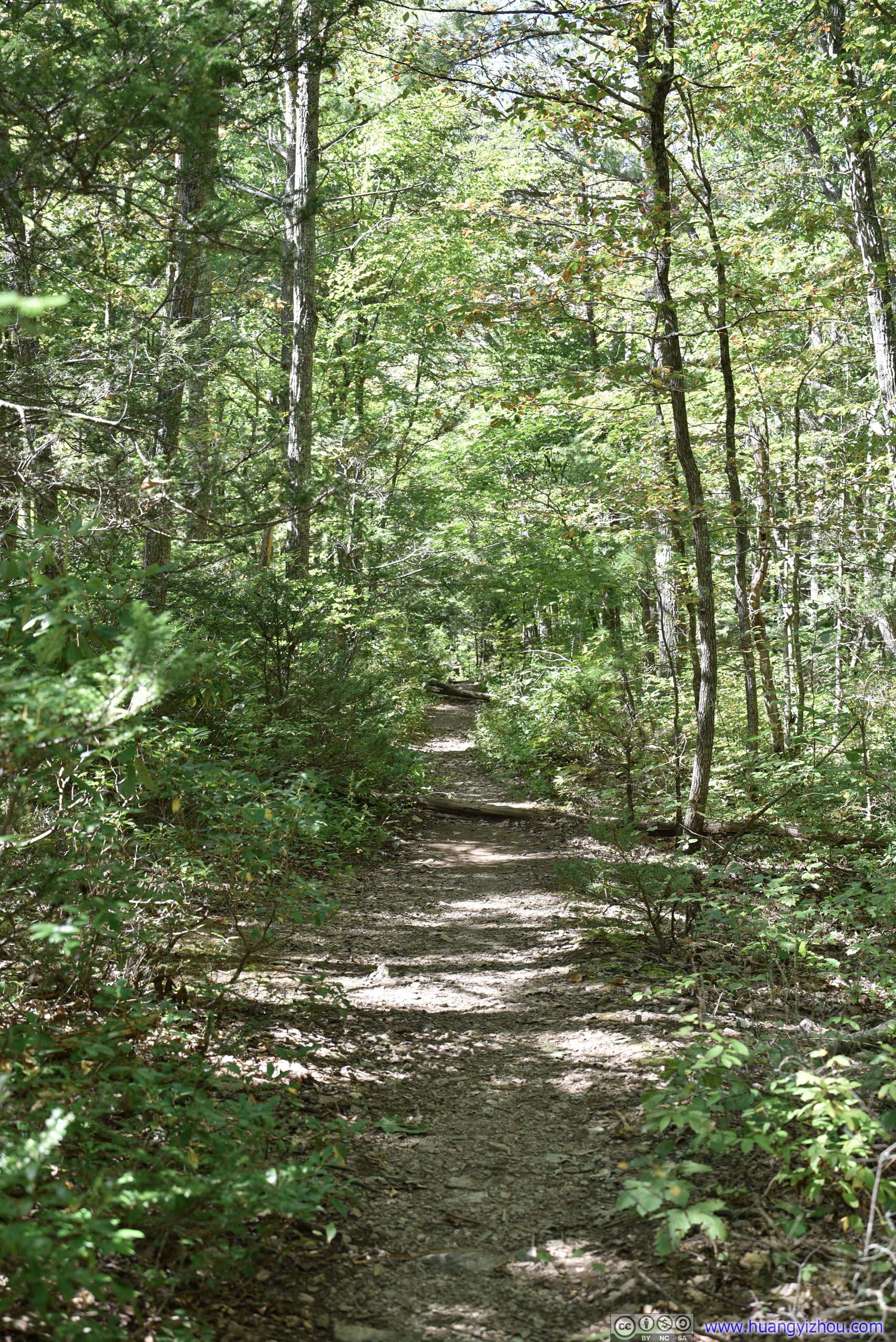
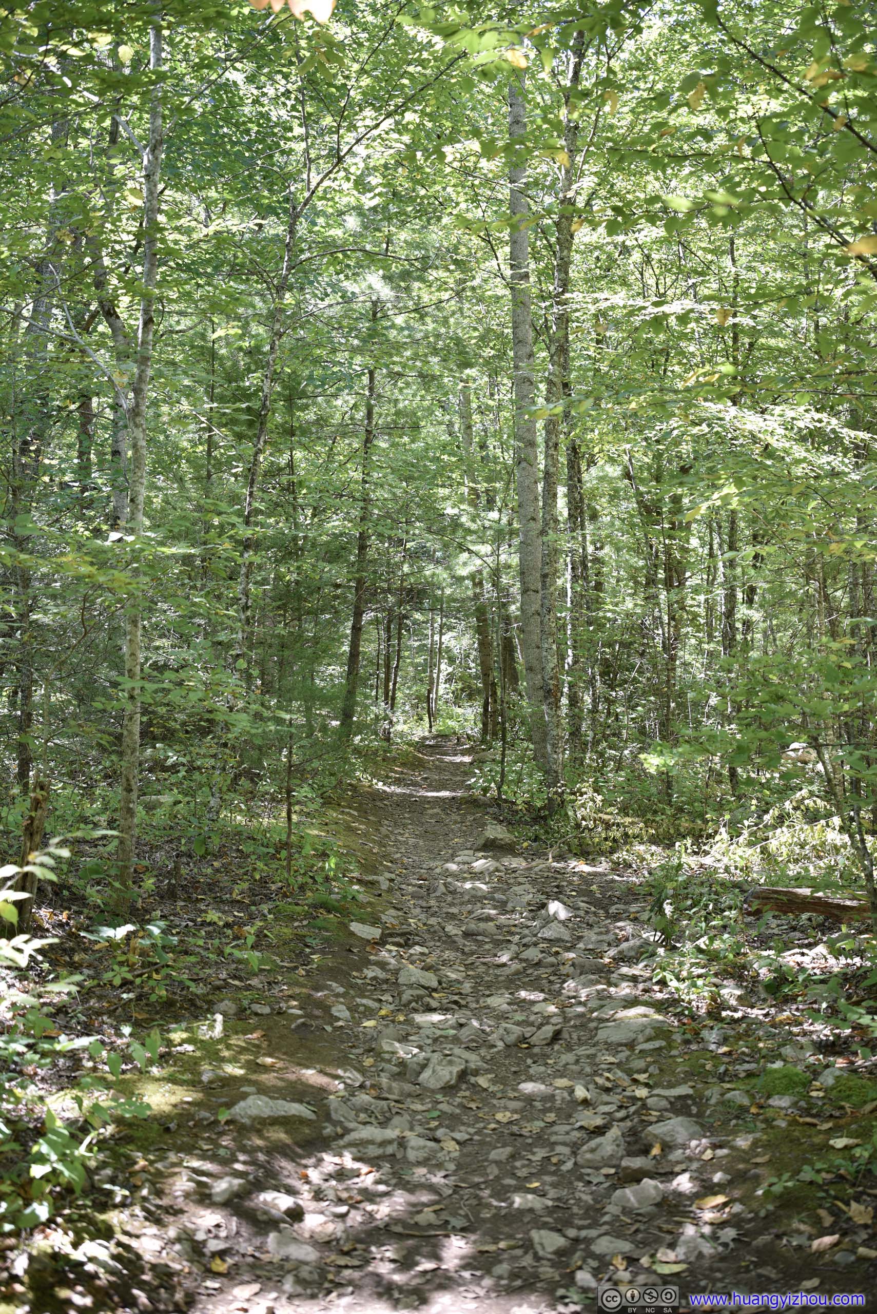
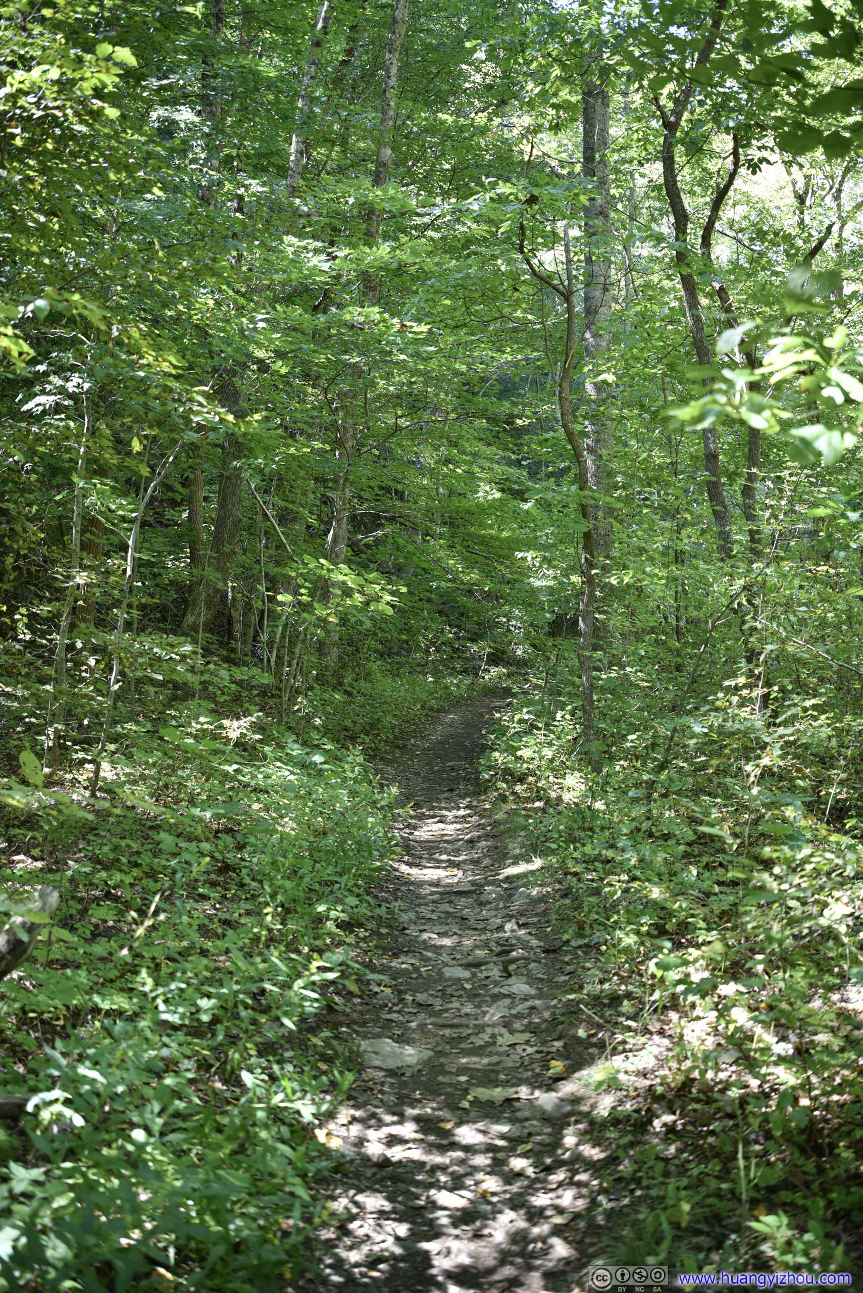
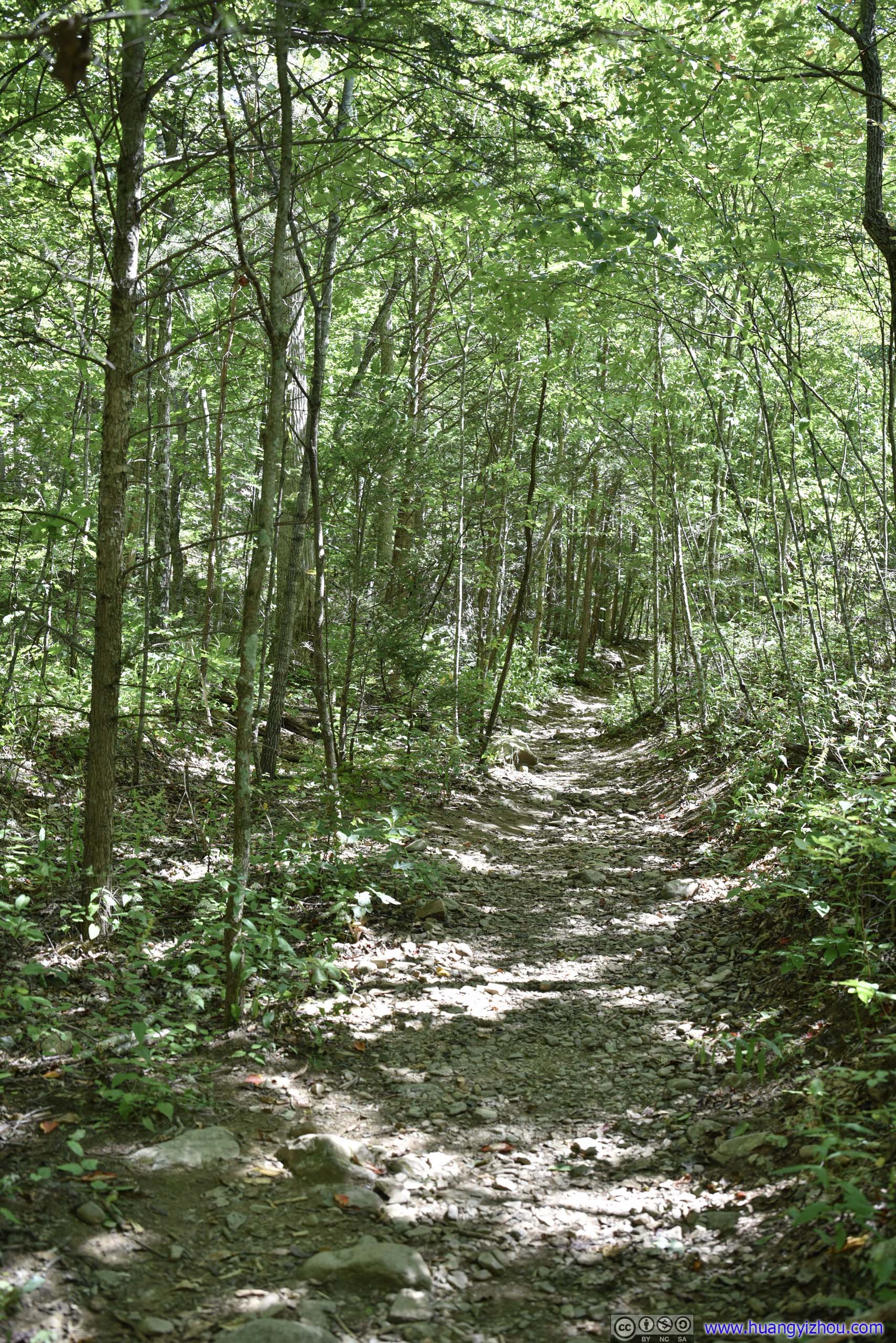
Trail
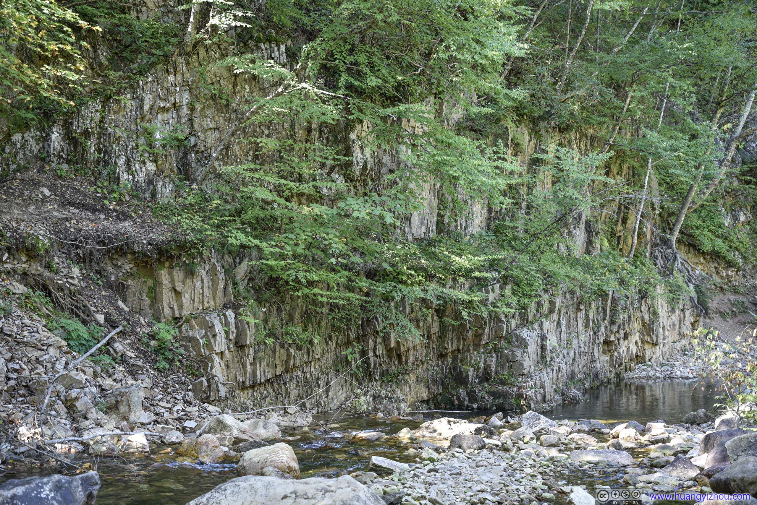
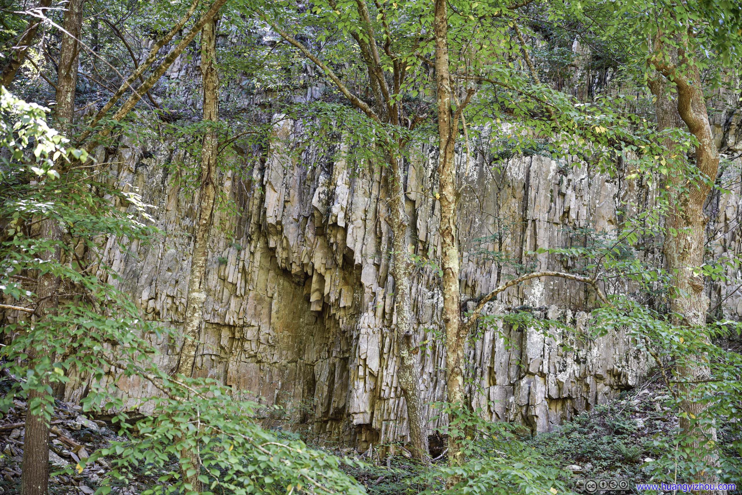
Grains of Rock
Sign that one was in a valley.
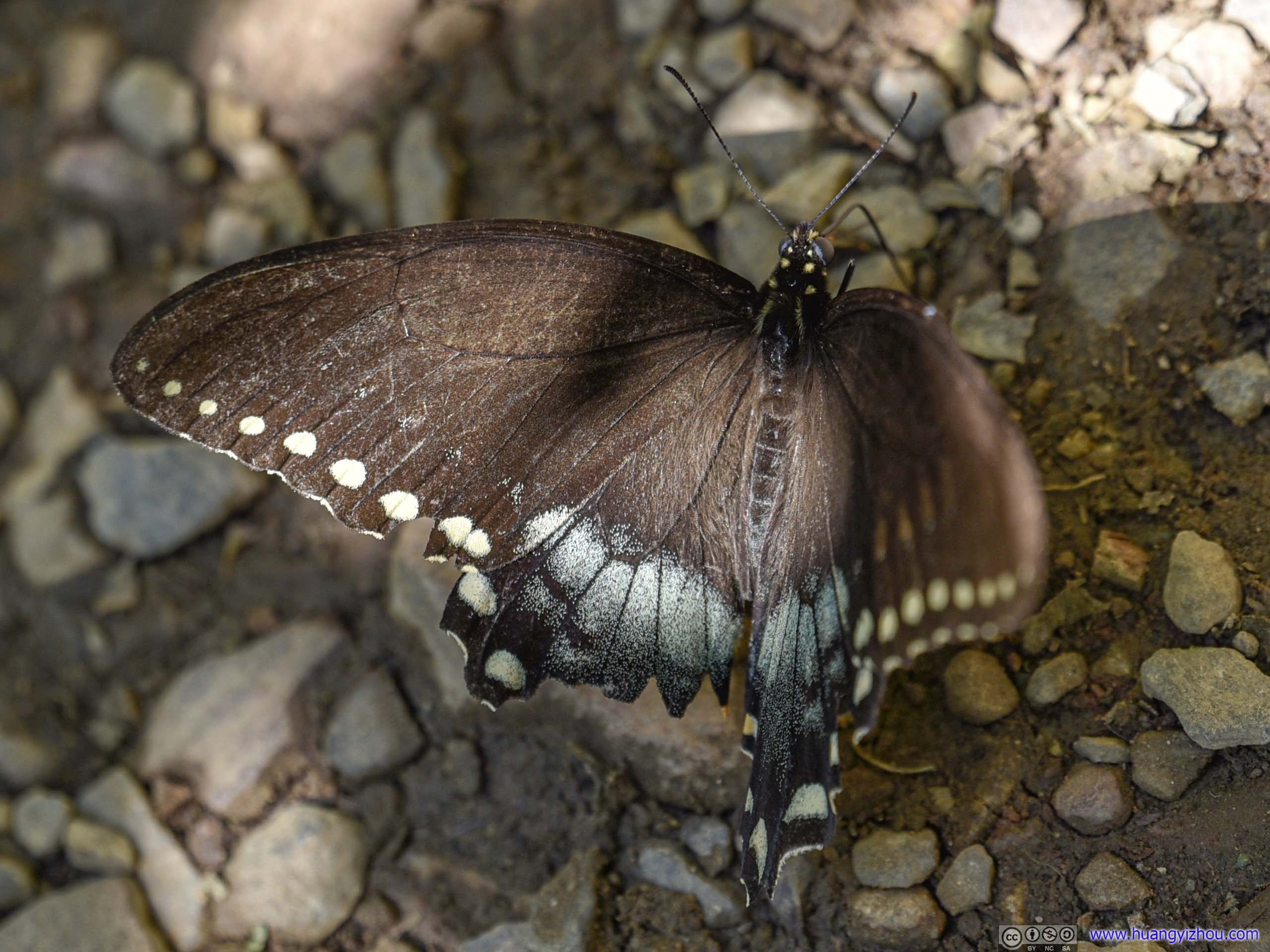
It's 2pm by the time we returned to trailhead and finished our lunch. We decided it's time to head back. However, we thought there was still enough daylight left that we could do another short hike on our way home. This time, we picked Hightop Trail in Shenandoah, one that we missed the previous day.
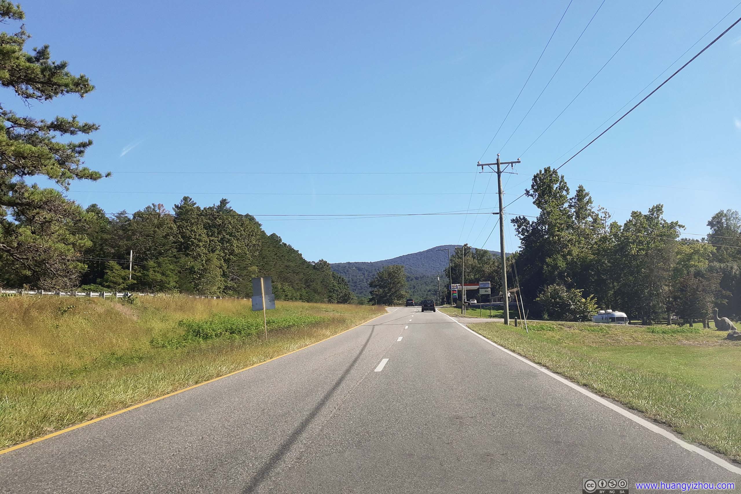
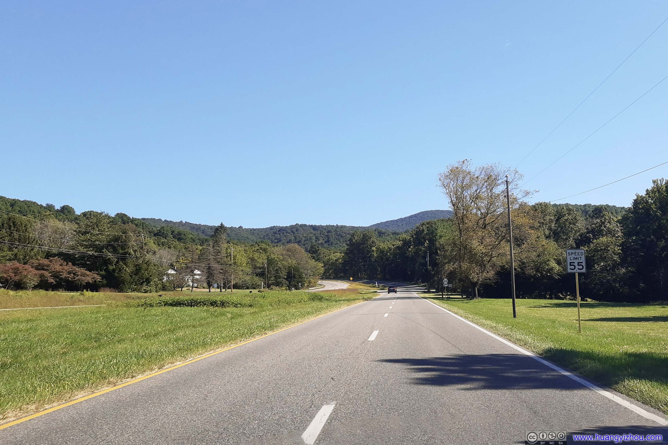
Hightop
It's half past 3 in the afternoon by the time we got to Hightop's trailhead. Surprisingly, the small parking lot was still full, but with fewer cars parked along the road on the shoulder, we decided that's the way to go.
Here's GPS tracking:
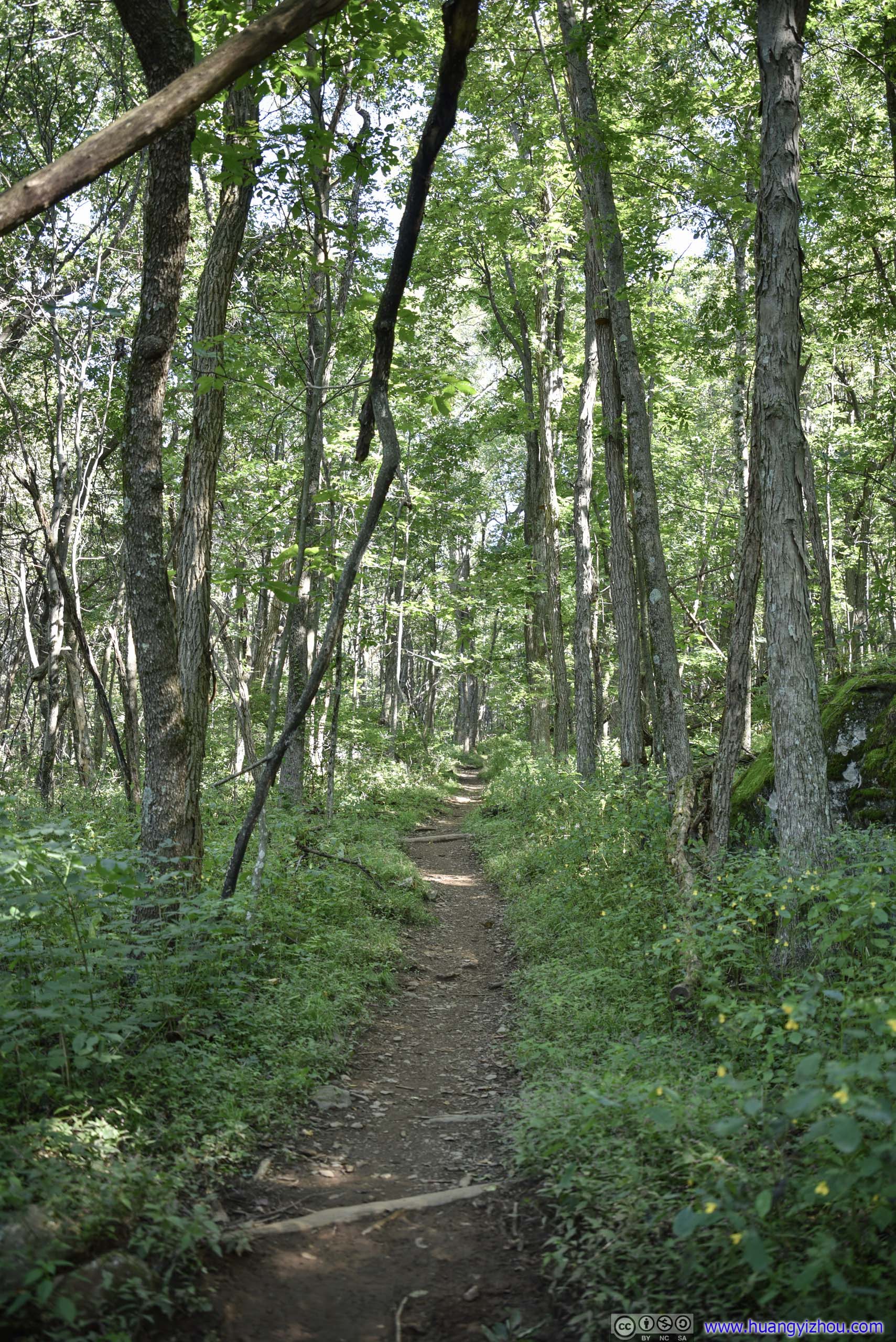
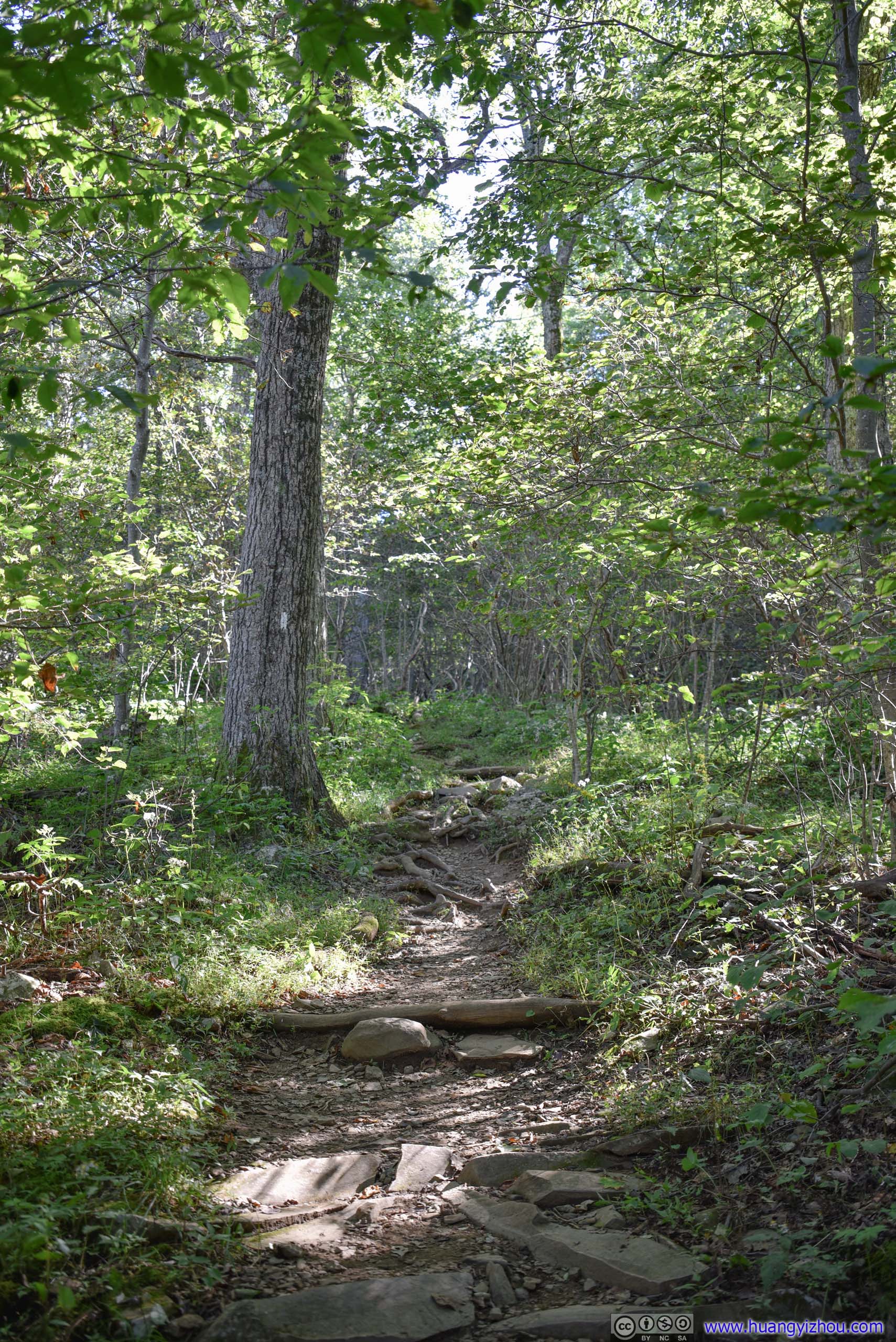
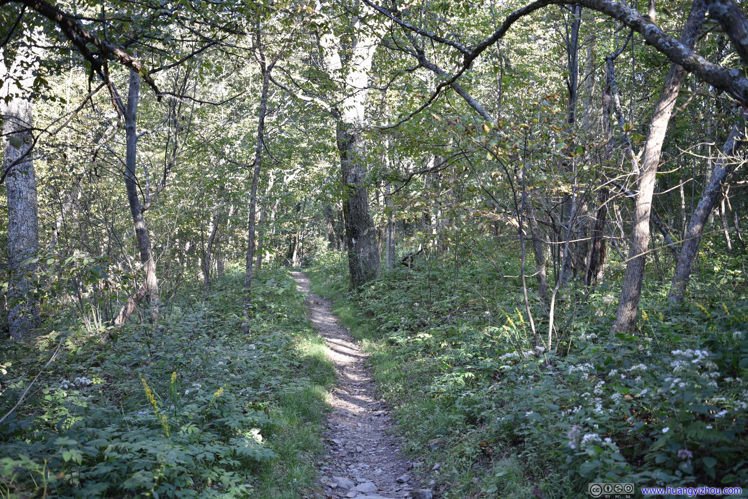
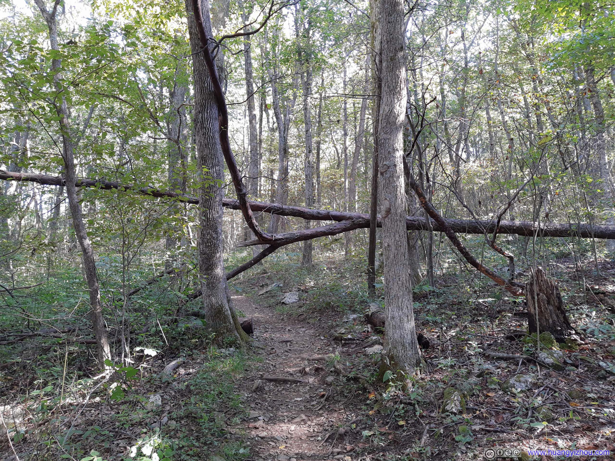
Trail
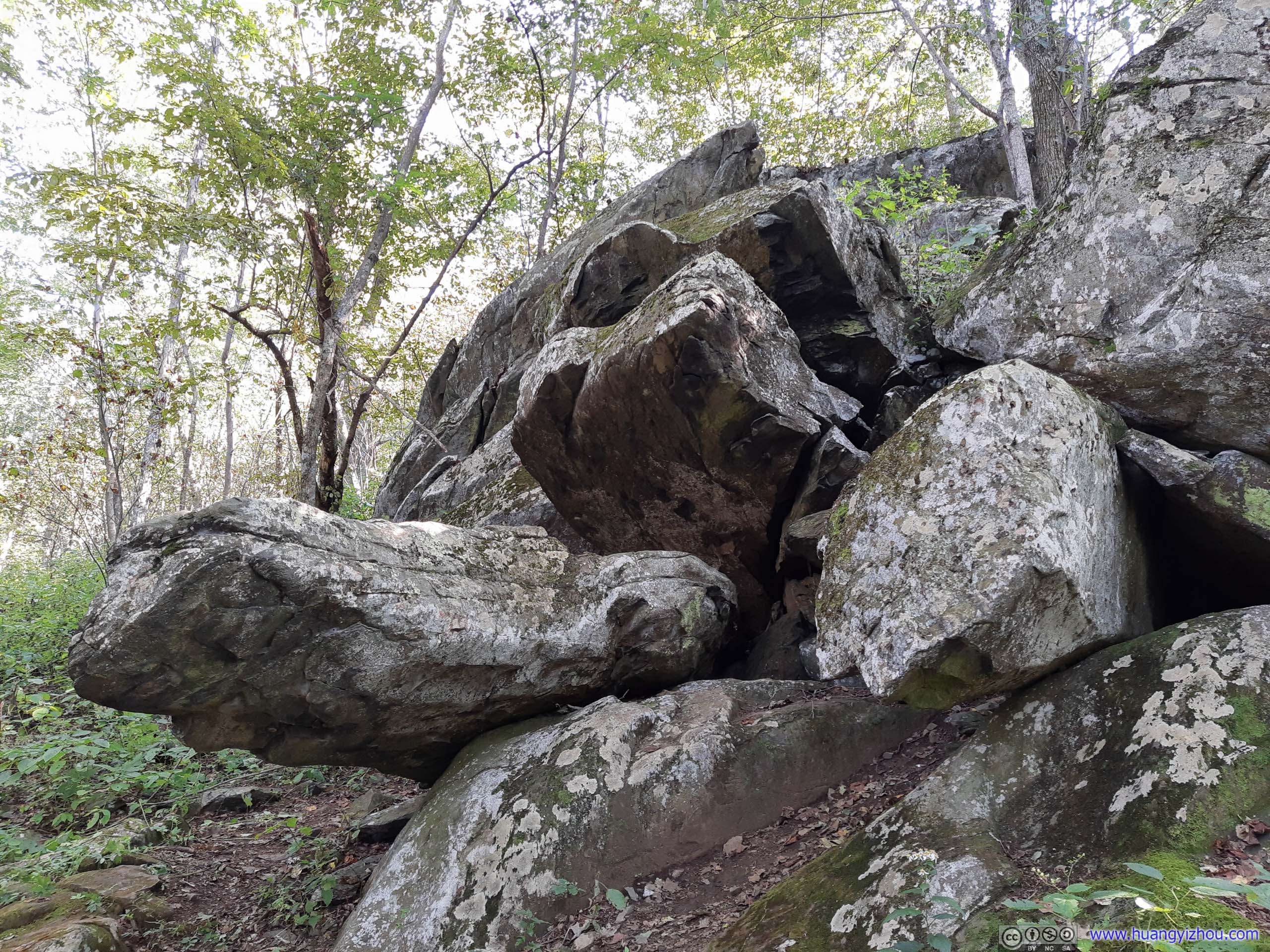
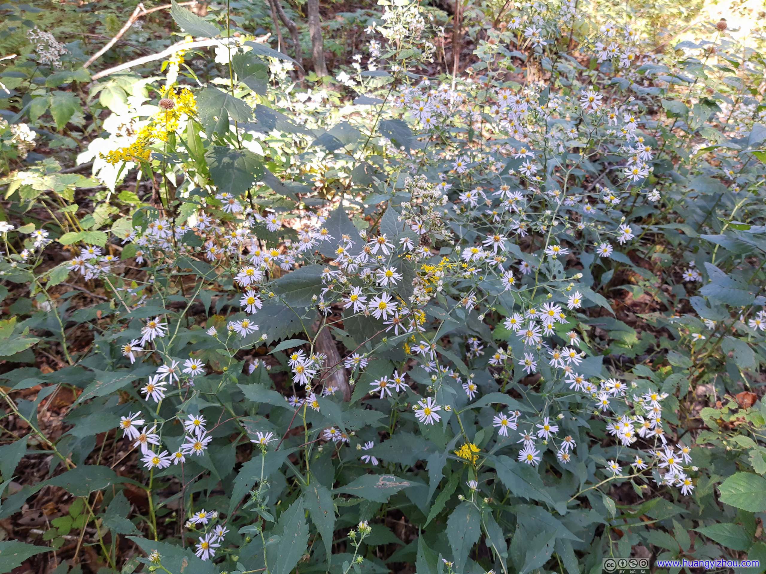
The short 2.3km trail was a great workout, and in 40 minutes, I was at Hightop Overlook.
Just a note that Hightop Overlook was facing west, which was about 100m from where "Hightop" was marked on Google Maps and OpenStreetMap. However, the overlook was right next to an obvious trail with no forks, so it's impossible to miss.

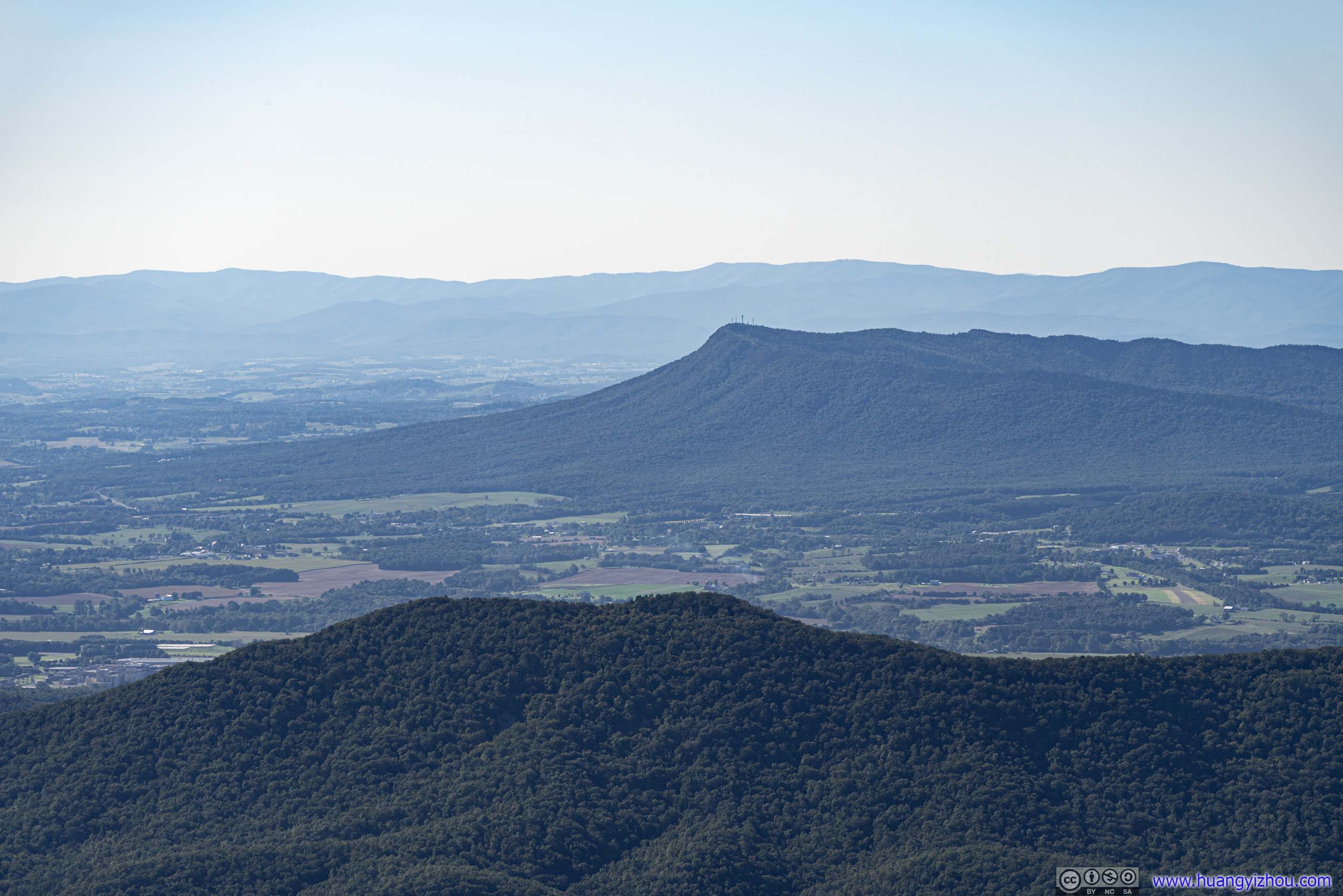
A uniquely shaped ridge in Shenandoah Valley. In winter it's the only ski resort in the vicinity.
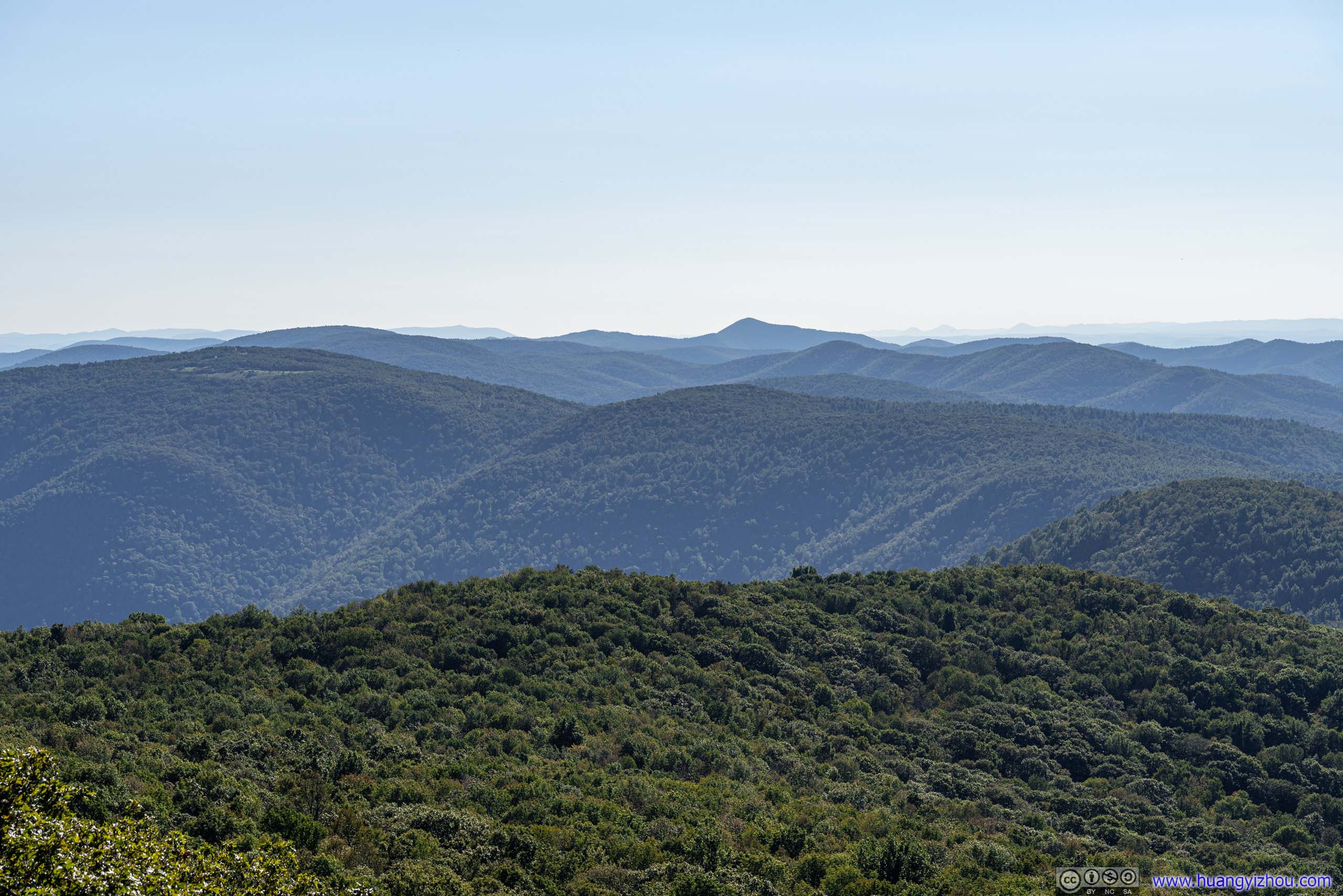

The overlook was made of a few boulders, not very large in size. As for the view, it's typical Shenandoah view with expansive fields and ranges of mountains. Something that I didn't regret hiking here for.
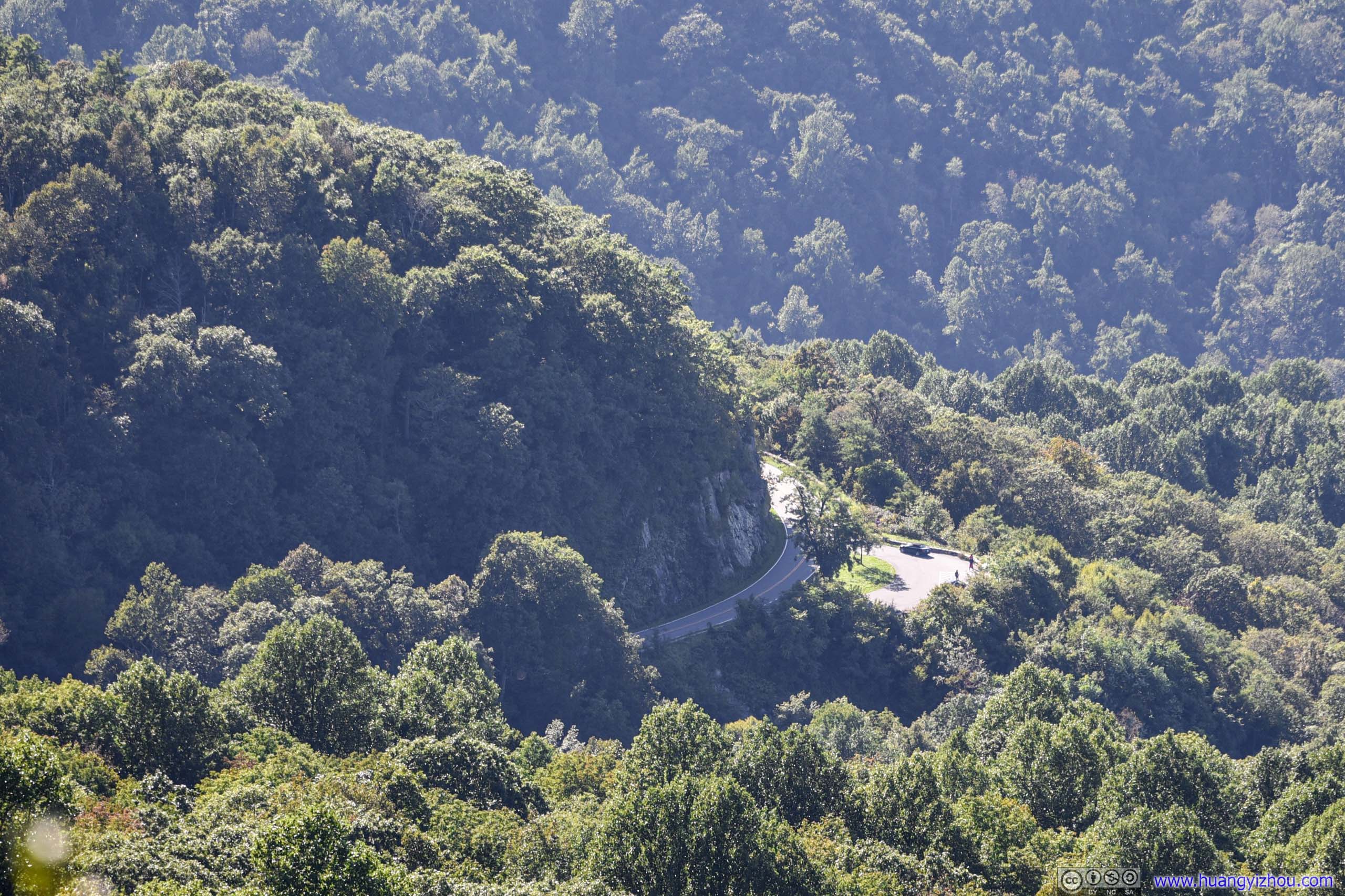
Where the park road wound around a huge slab of rocks.
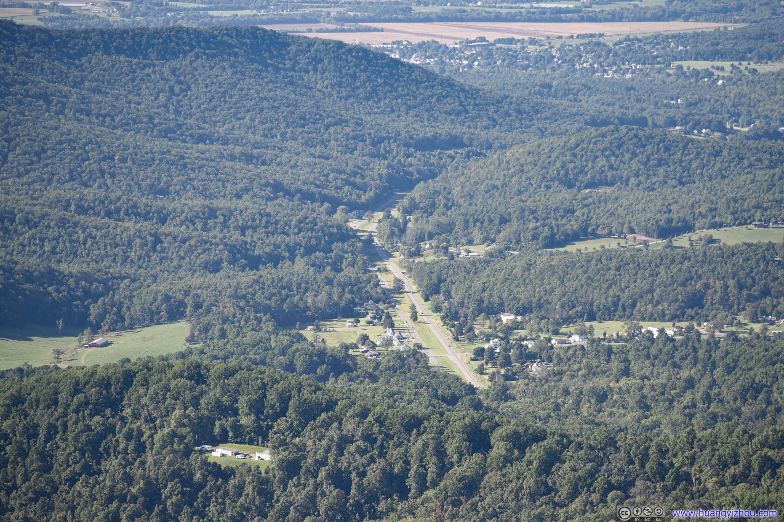
Where we came from. It's weird that such a wide and straight avenue was called a trail.
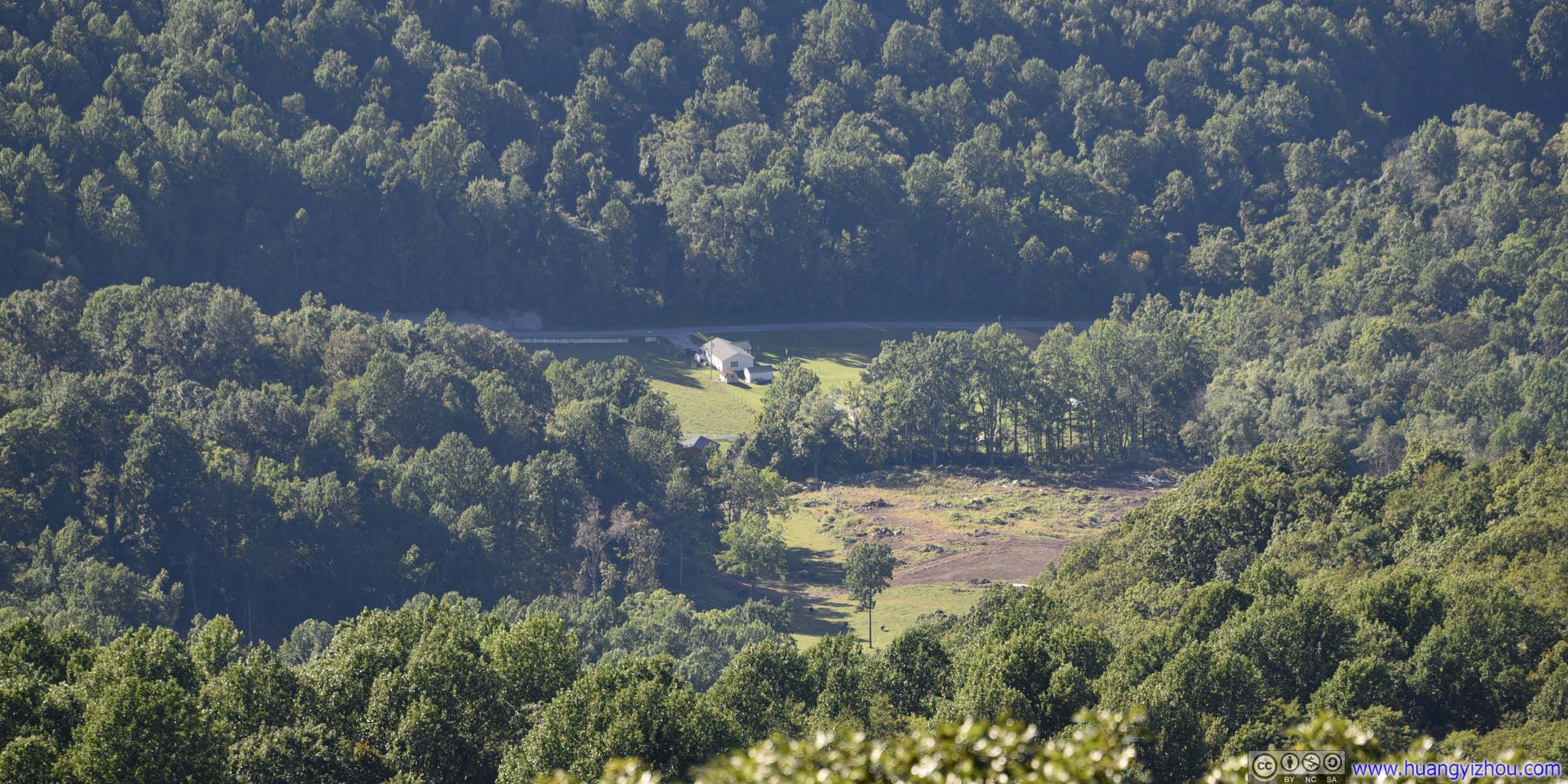
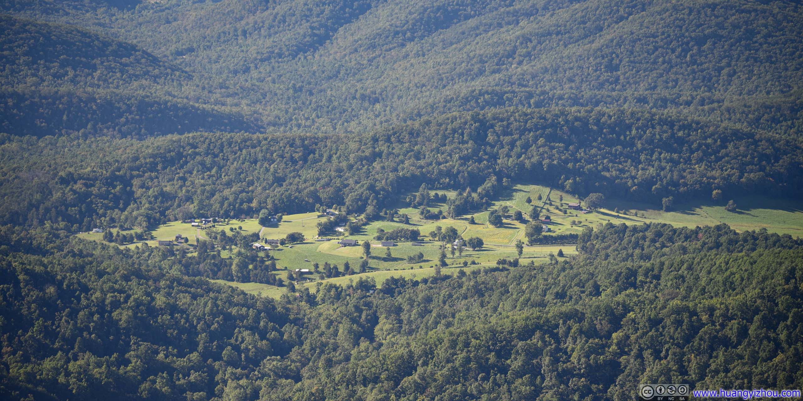

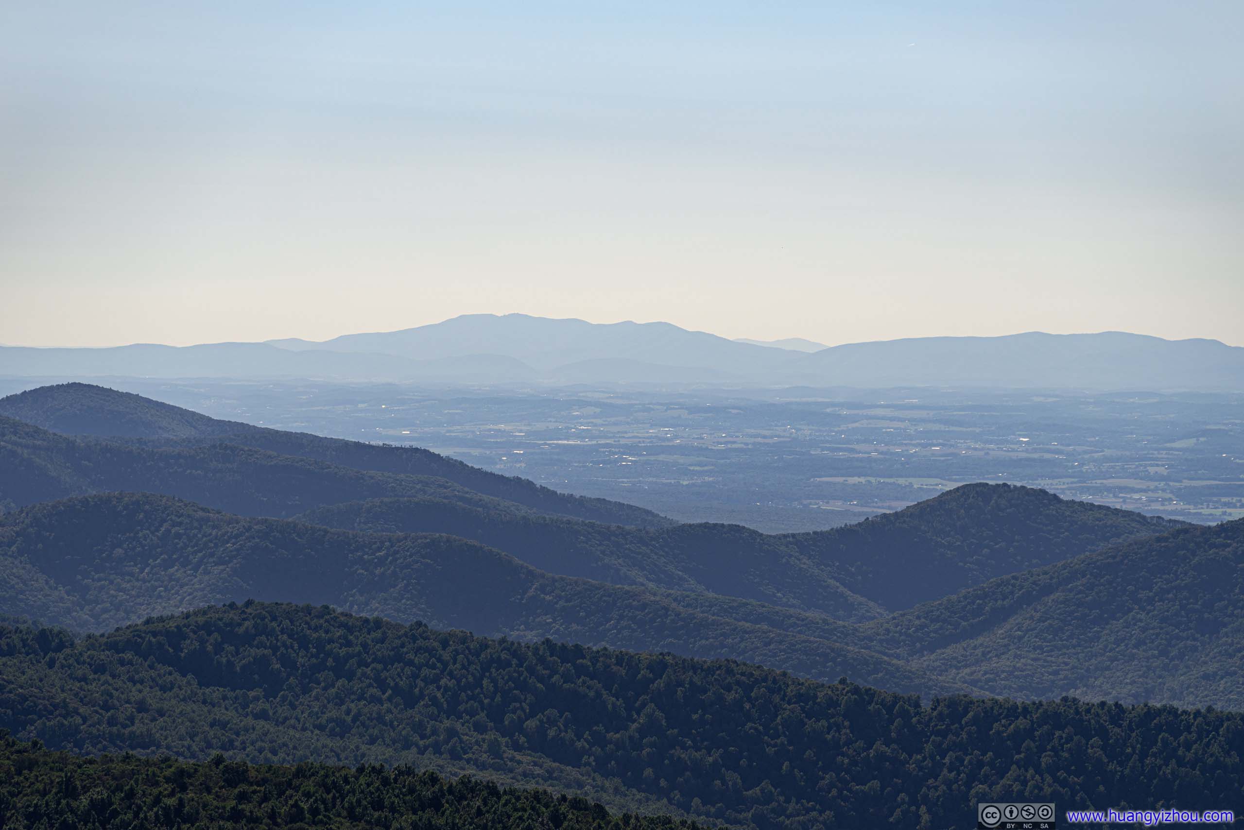
Elliott Knob, highest point in Northern Virginia.
After enjoying breeze for about 20 minutes, we headed back down.
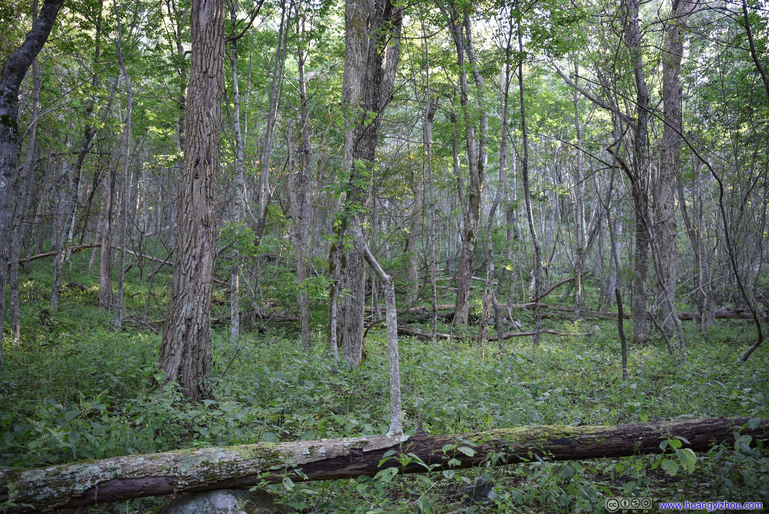
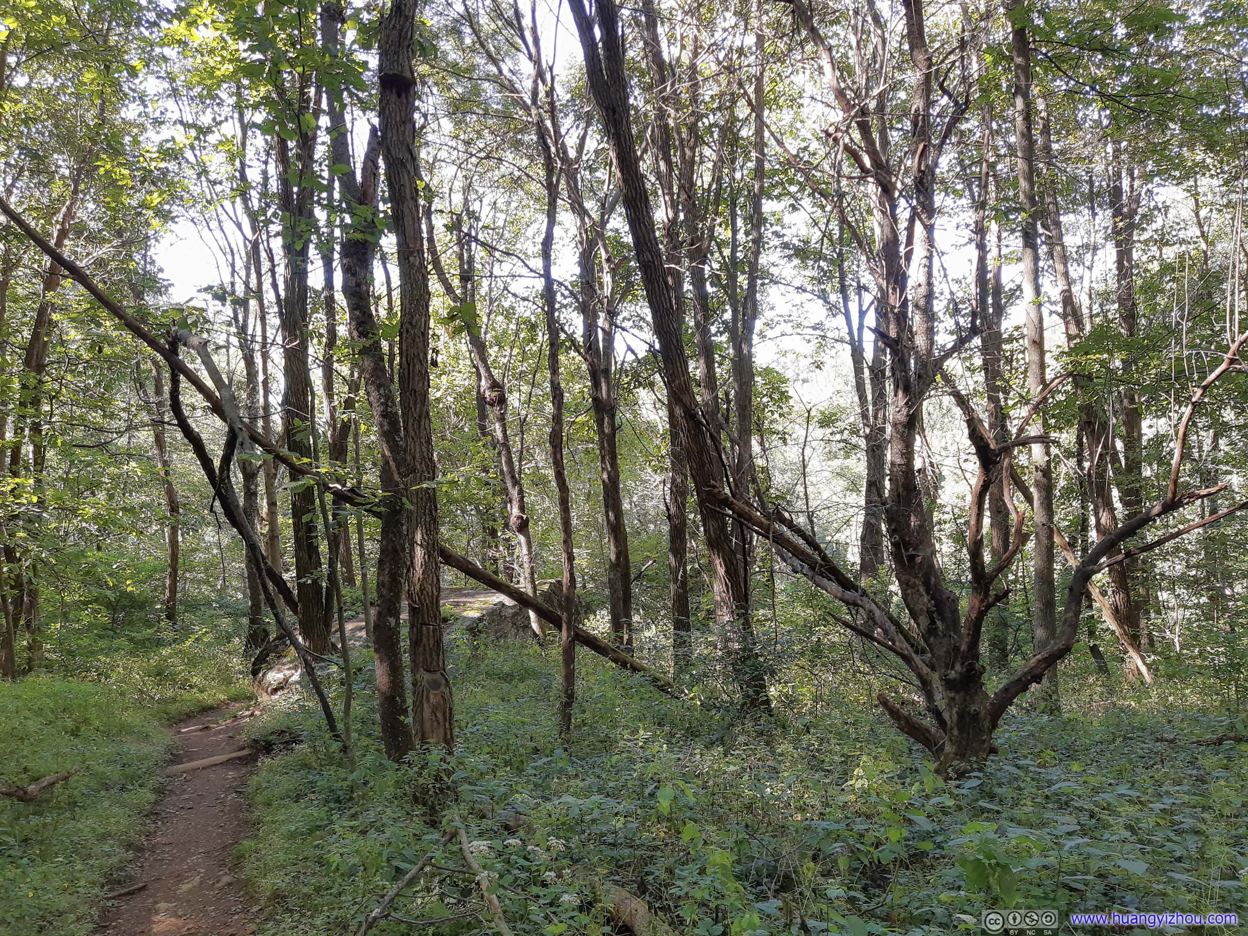
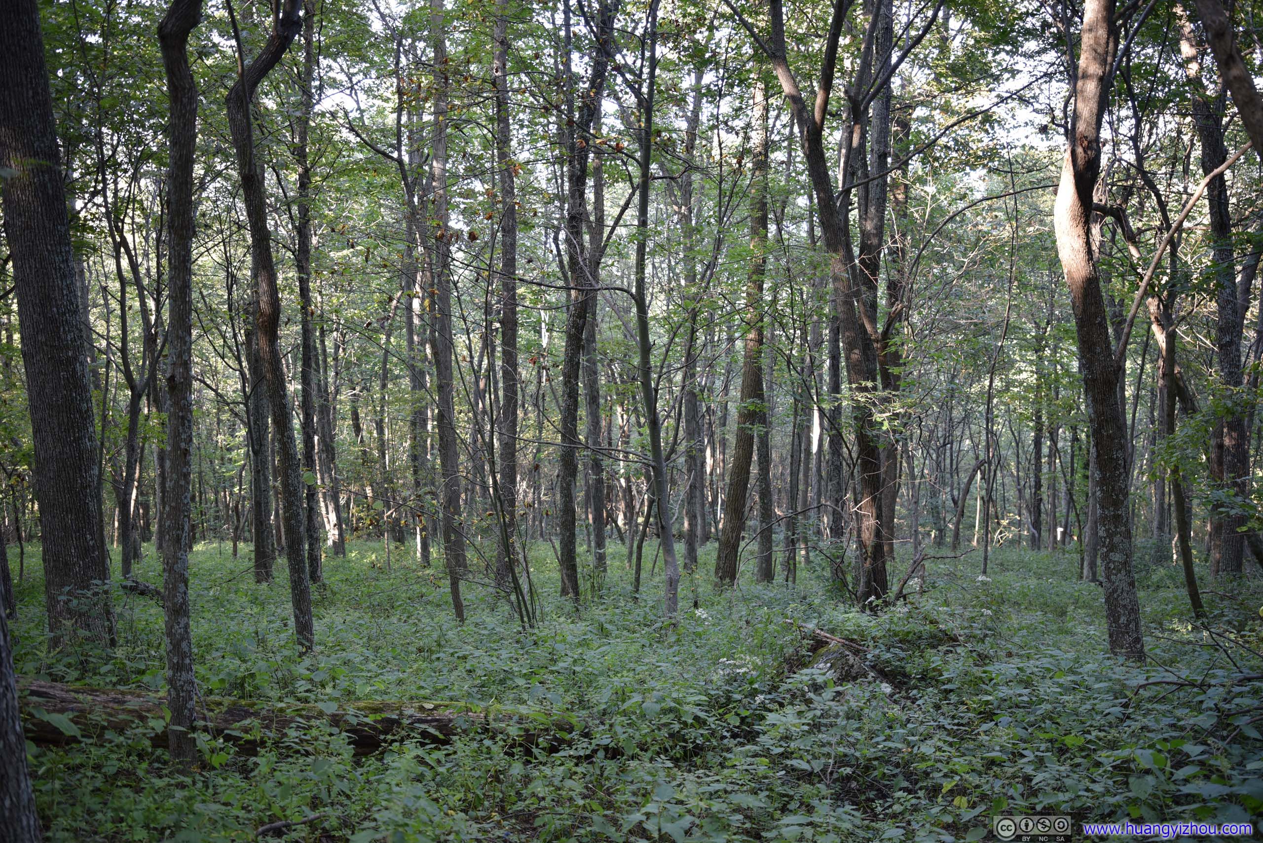
Forest

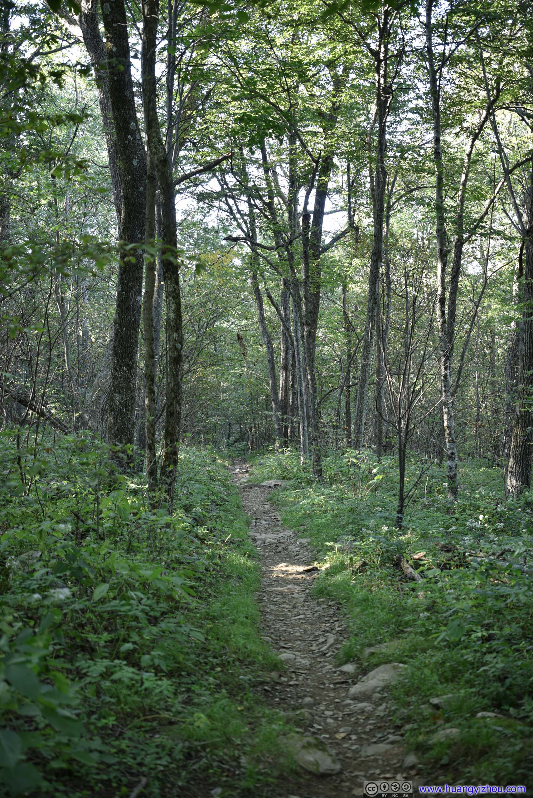

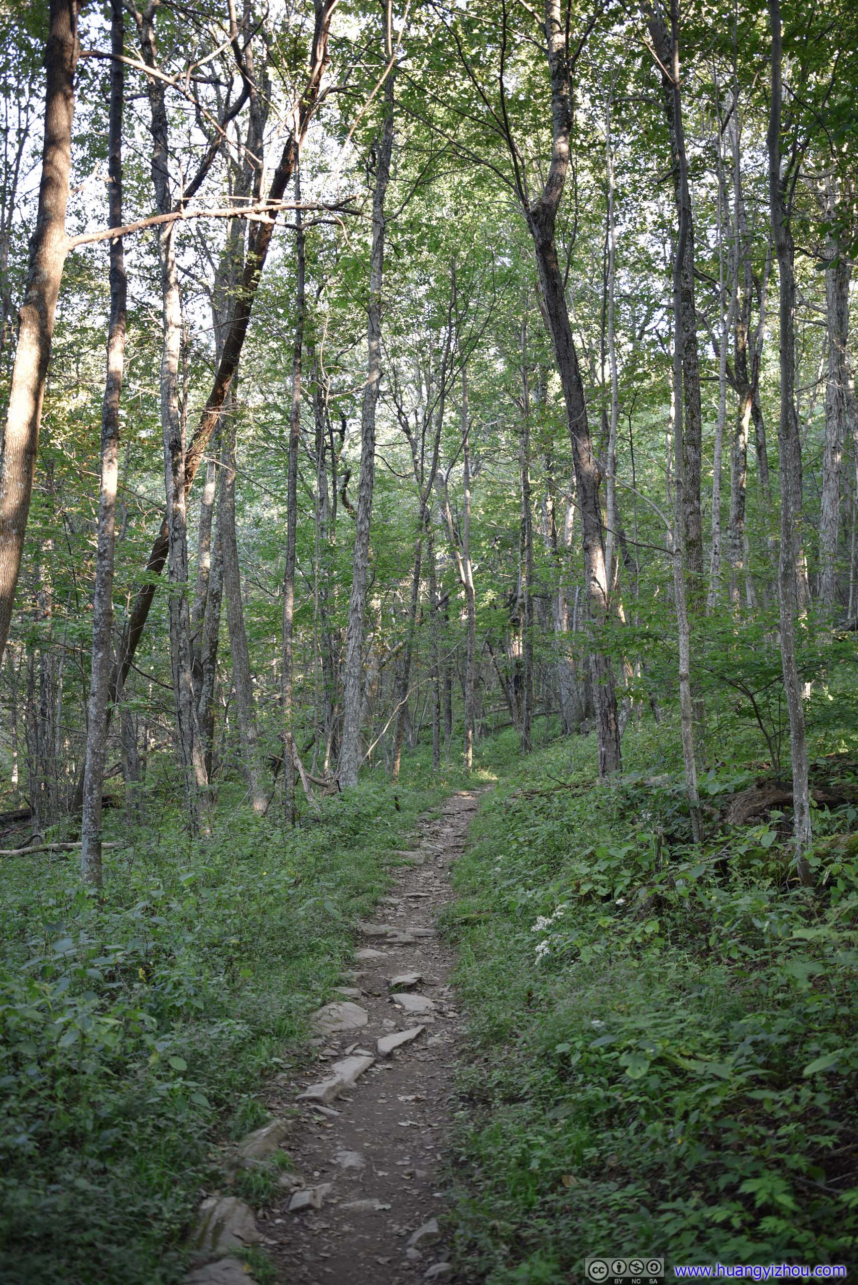
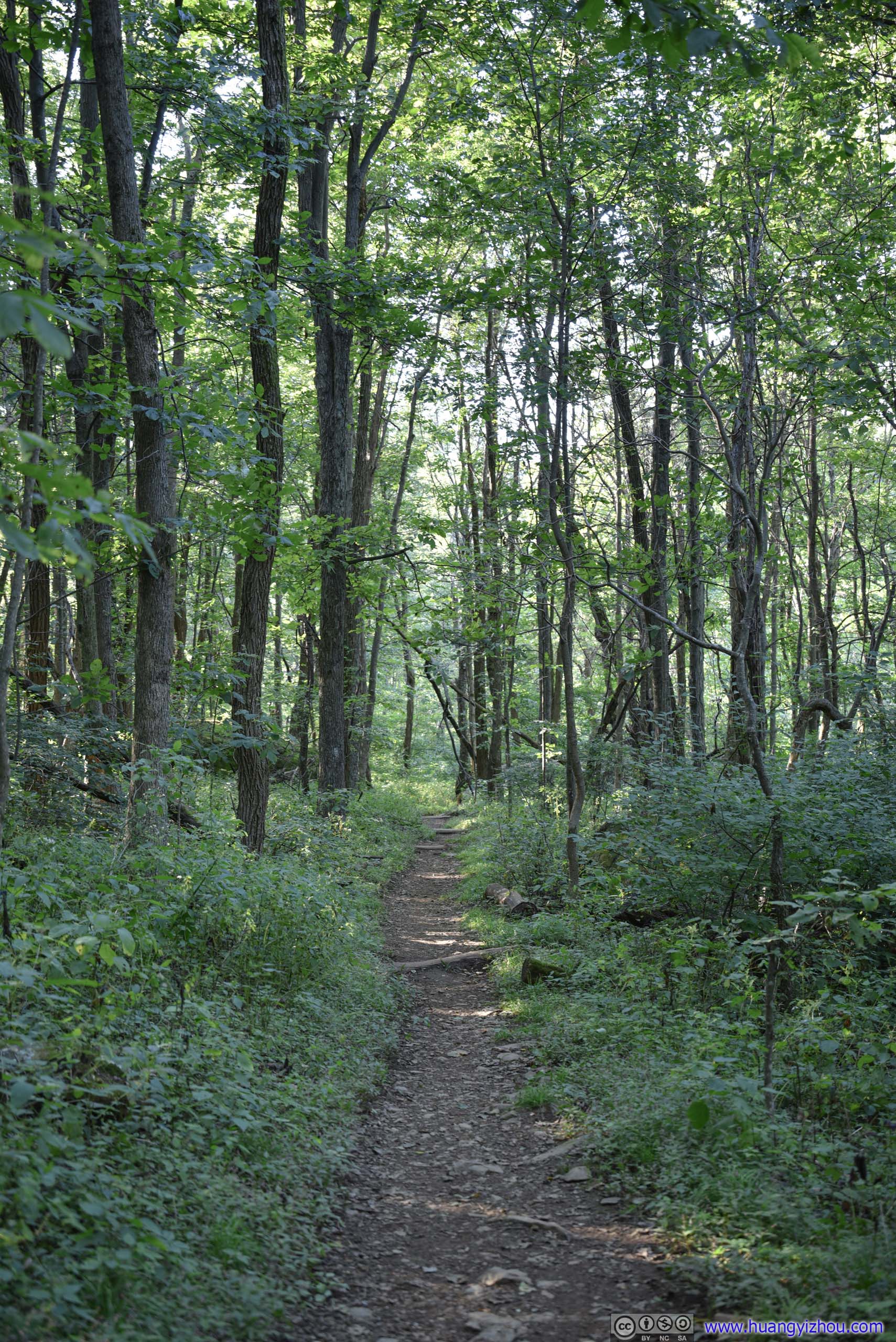
Trail
After that, we drove back home. Unsurprisingly, we encountered construction and traffic jam along I66 again, (didn't know whether they were related), this time, it's near Fairfax. It's certainly not how we'd like to start our weekend, nor to end it.
END