Winter Hiking to Cascade Falls, Patapsco Valley State Park
Snow seemed to frequent mid-Atlantic region a lot more often for the winter of 2020-21. After some snowfall early February, I was again allured by nature covered in white. This time, I headed for Patapsco Valley State Park outside Baltimore.

Patapsco Valley State Park had many regions that were detached from each other. For today, I visited its most popular Avalon region. I intended to hike the most popular trail of the park, Cascade Falls Trail, thinking the waterfall would look stunning when decorated by white snow.
In winter months the park charged $2/4 per vehicle (in-state / out-of-state) as entrance fee. An honor system was in effect at the Avalon entrance.
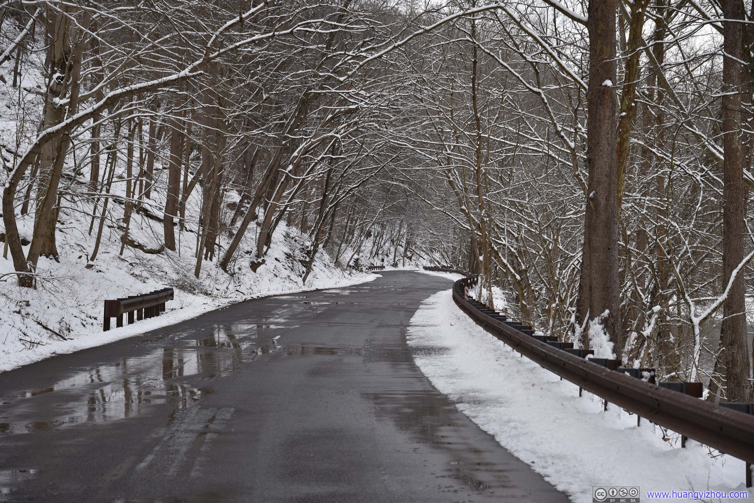
While the park would occasionally close due to inclement weather, the workers did a great job at snow removal and kept it open. Unfortunately, while normally one could drive all the way to Orange Grove / Swinging Bridge, which was right below Cascade Falls, the road was closed during my visit, so I had to park farther away at the picnic ground.
Here's GPS tracking:

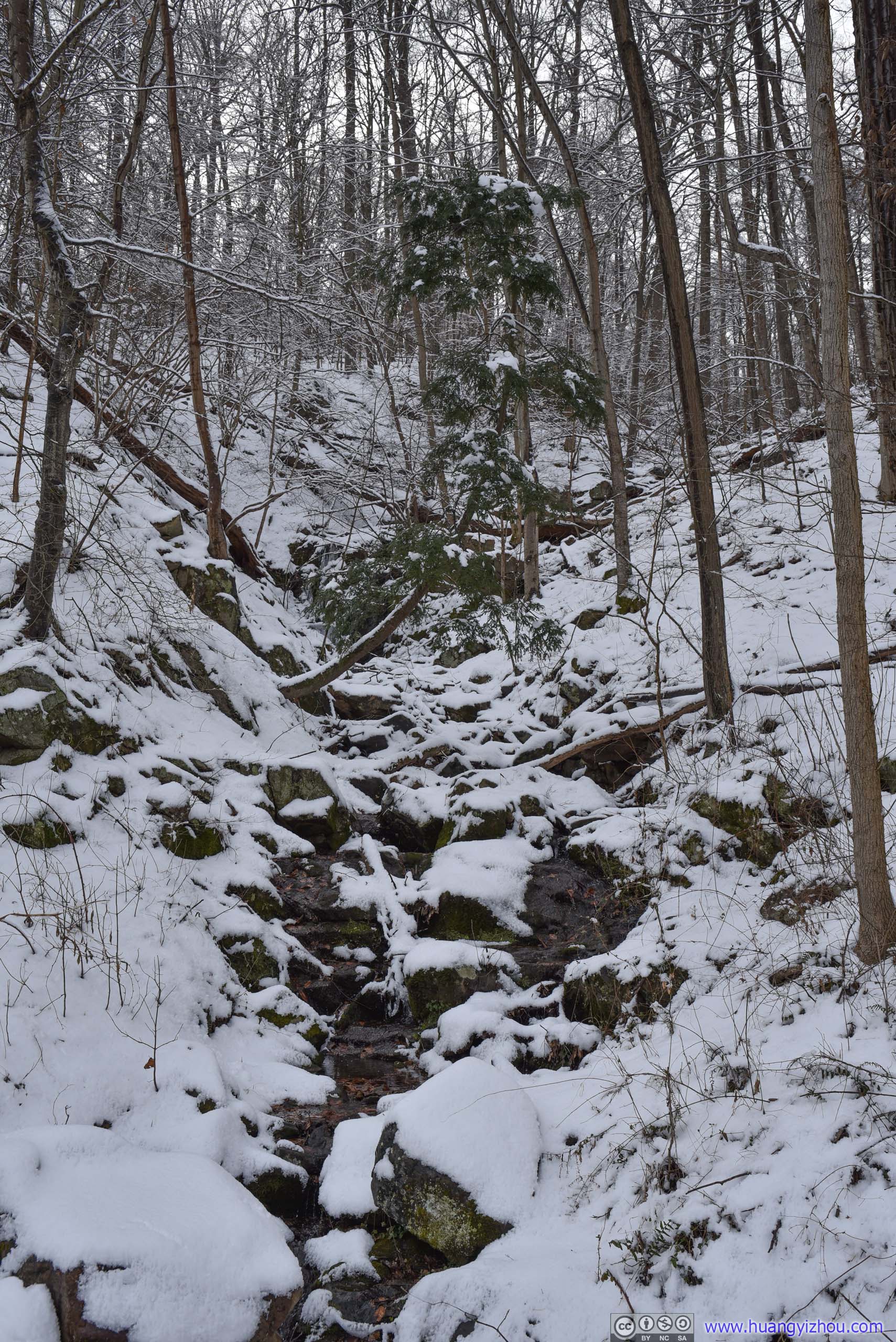
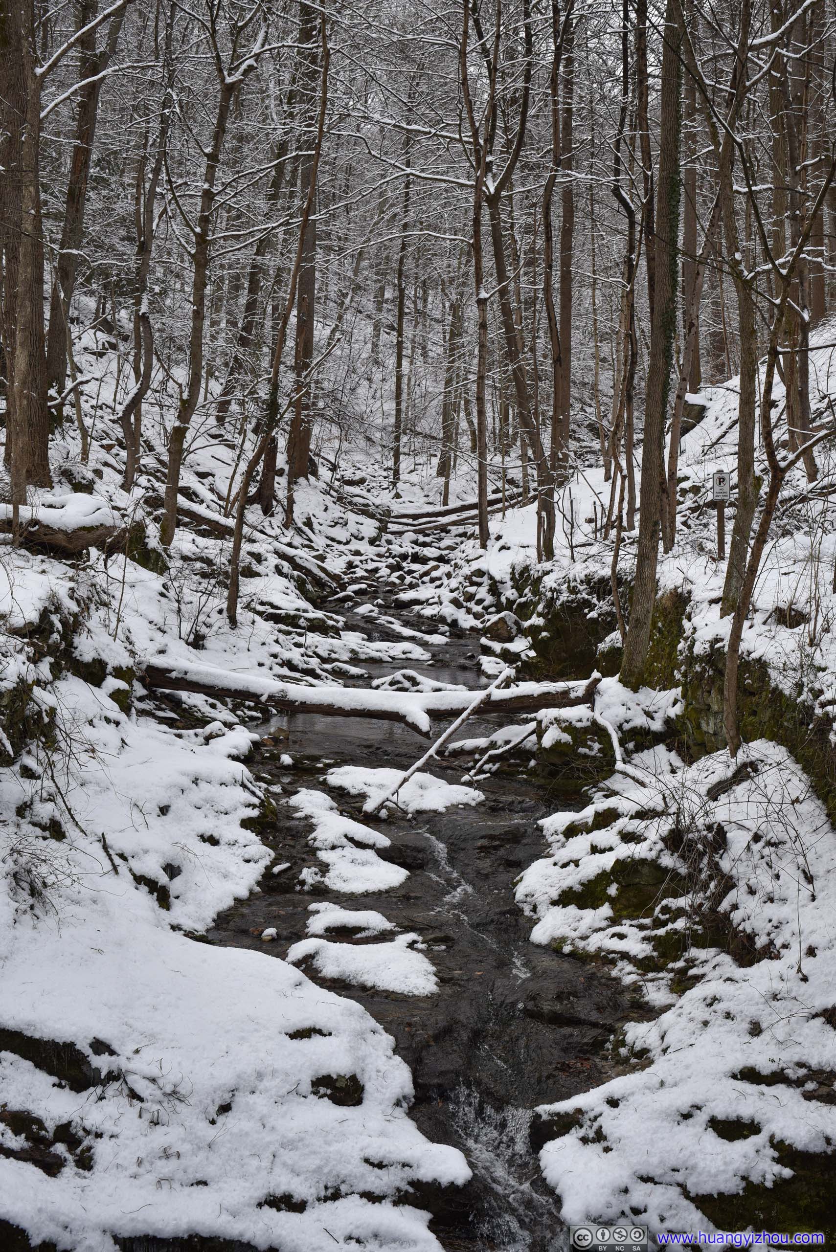
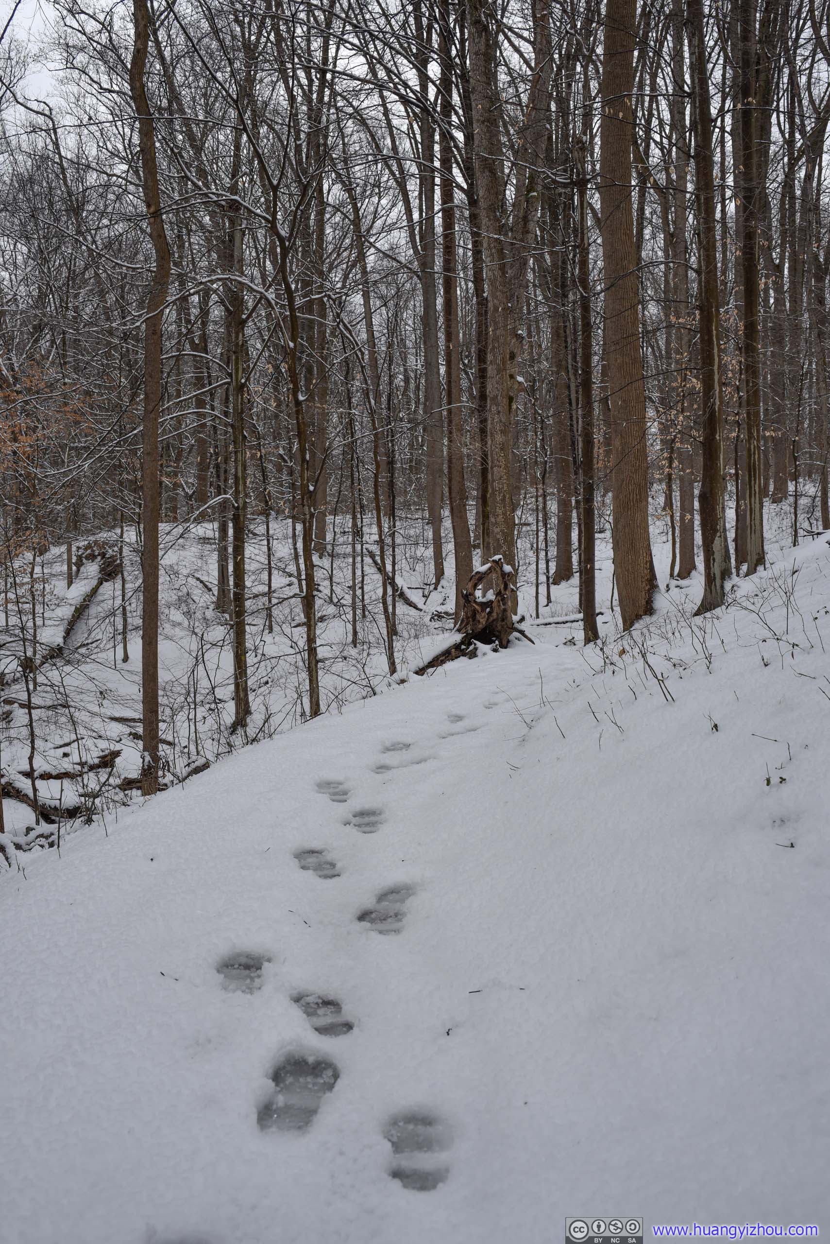
At about 1pm, I reached the start of trail and headed into the woods.
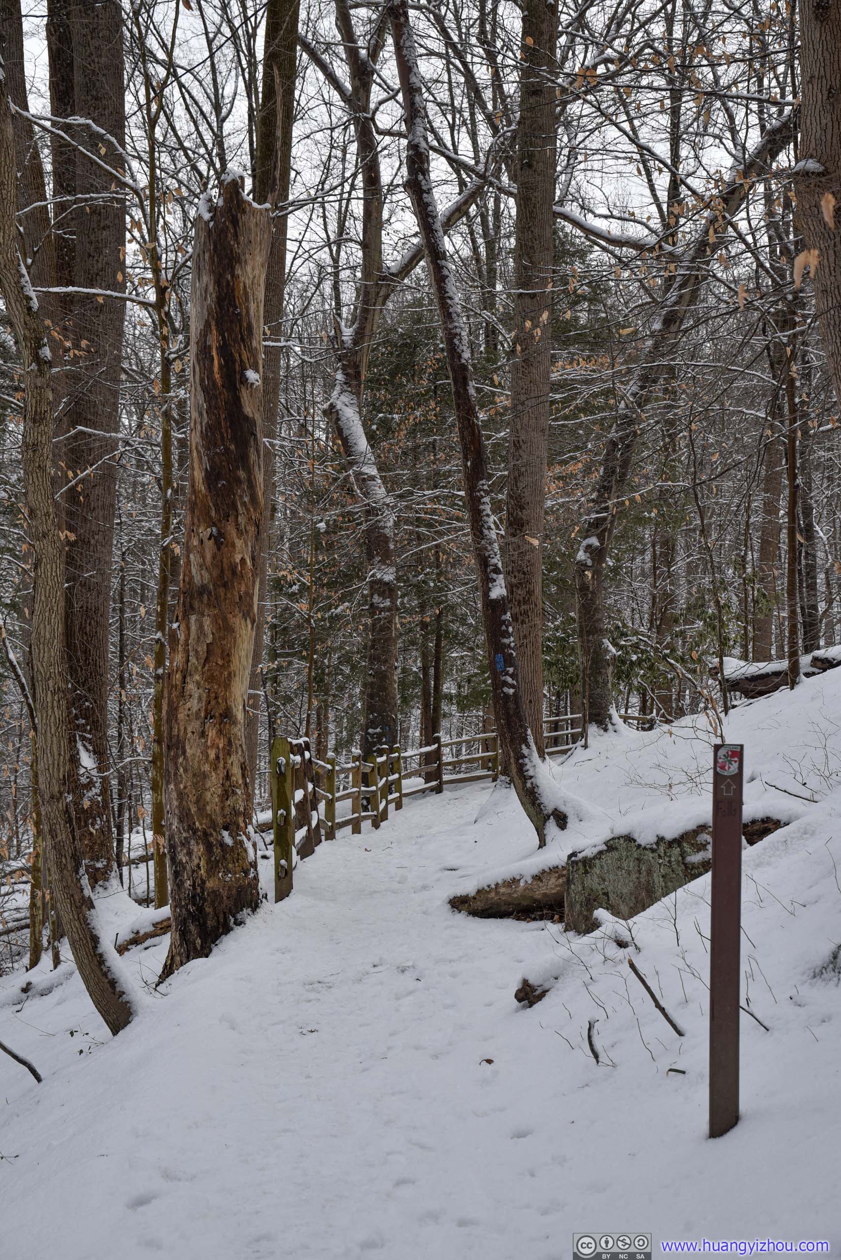
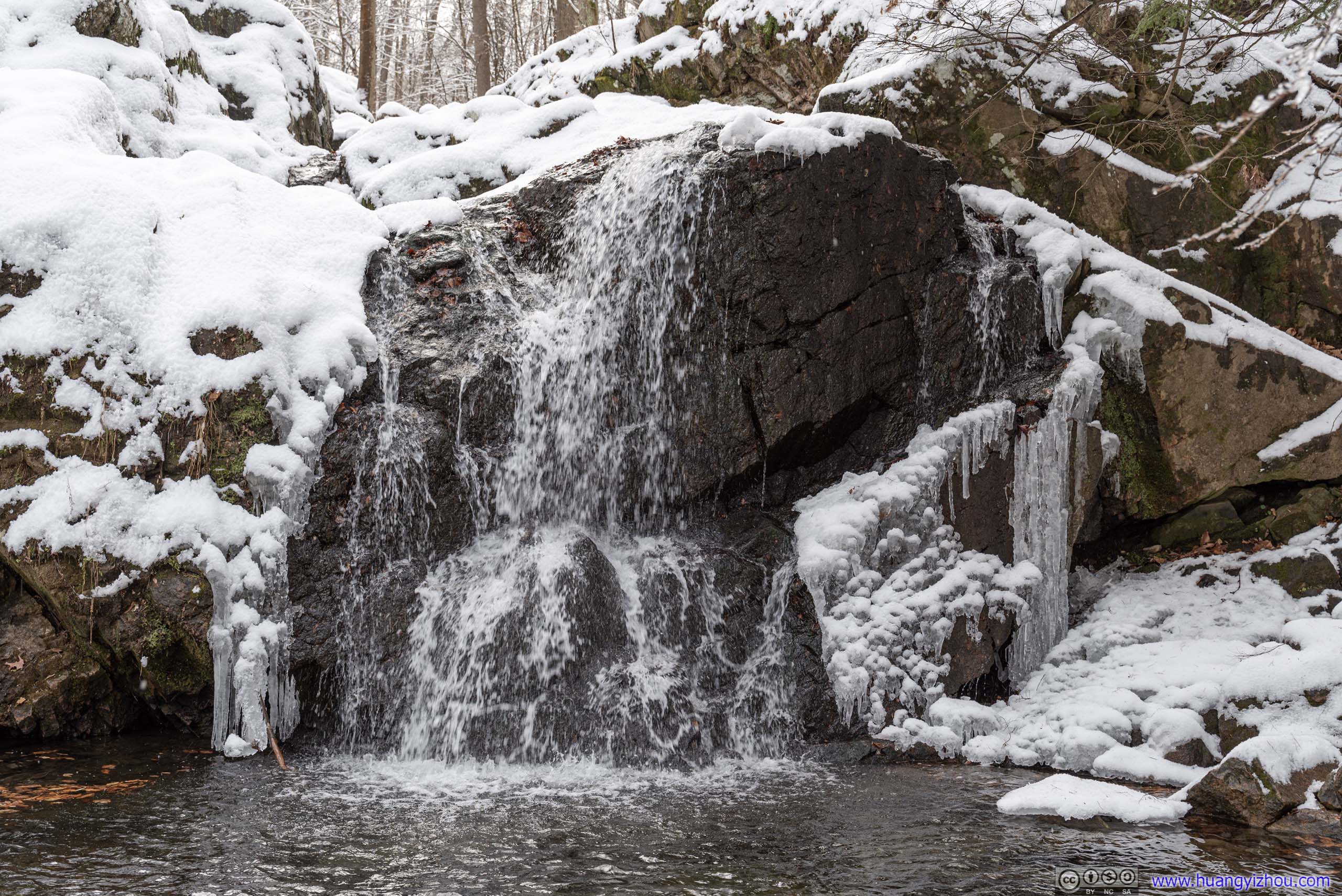
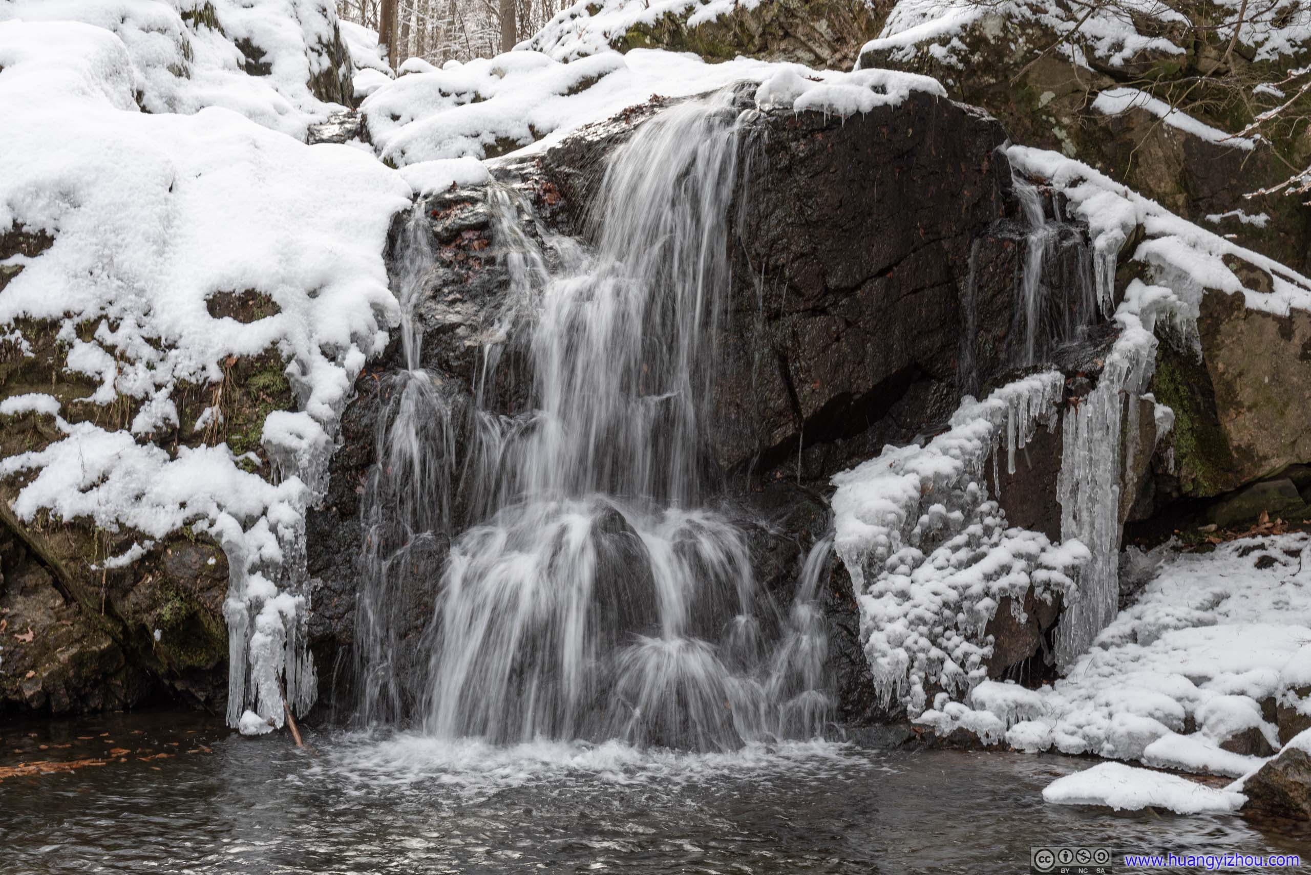
Cascade Falls was only 250m from trailhead, soon I heard its roaring water.
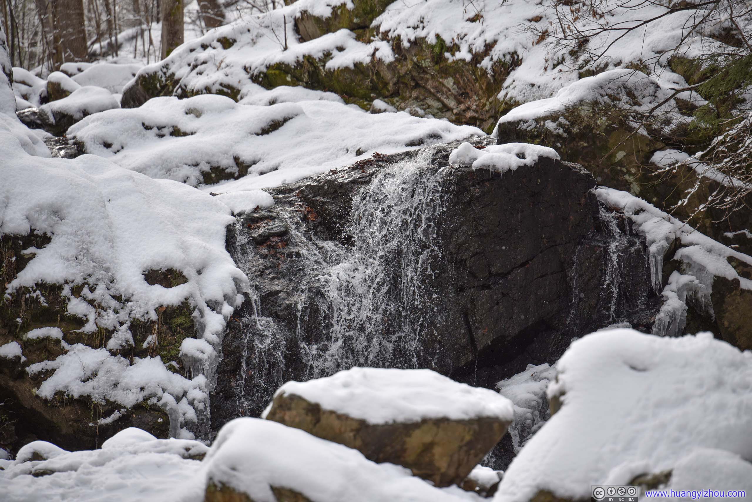
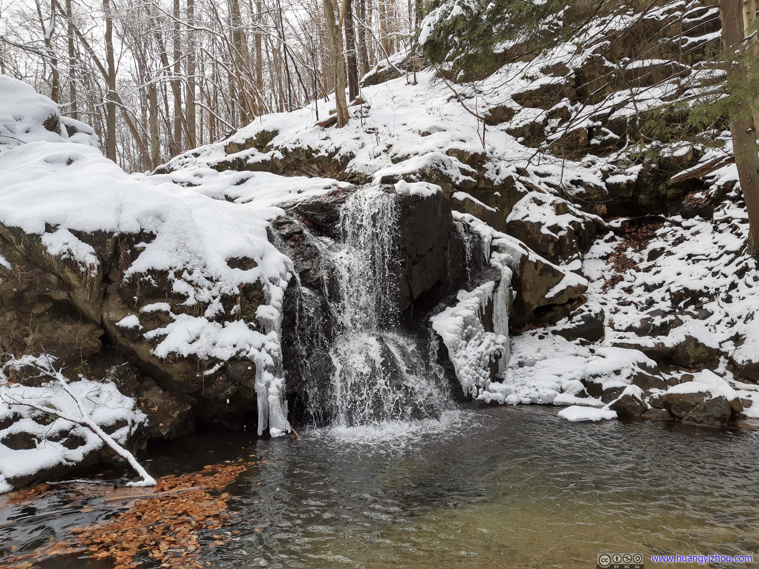
With long (left) and wide (right) focals.
After leaving Cascade Falls, I decided to take the longer loop trail back to the trailhead, venturing deeper into the woods.
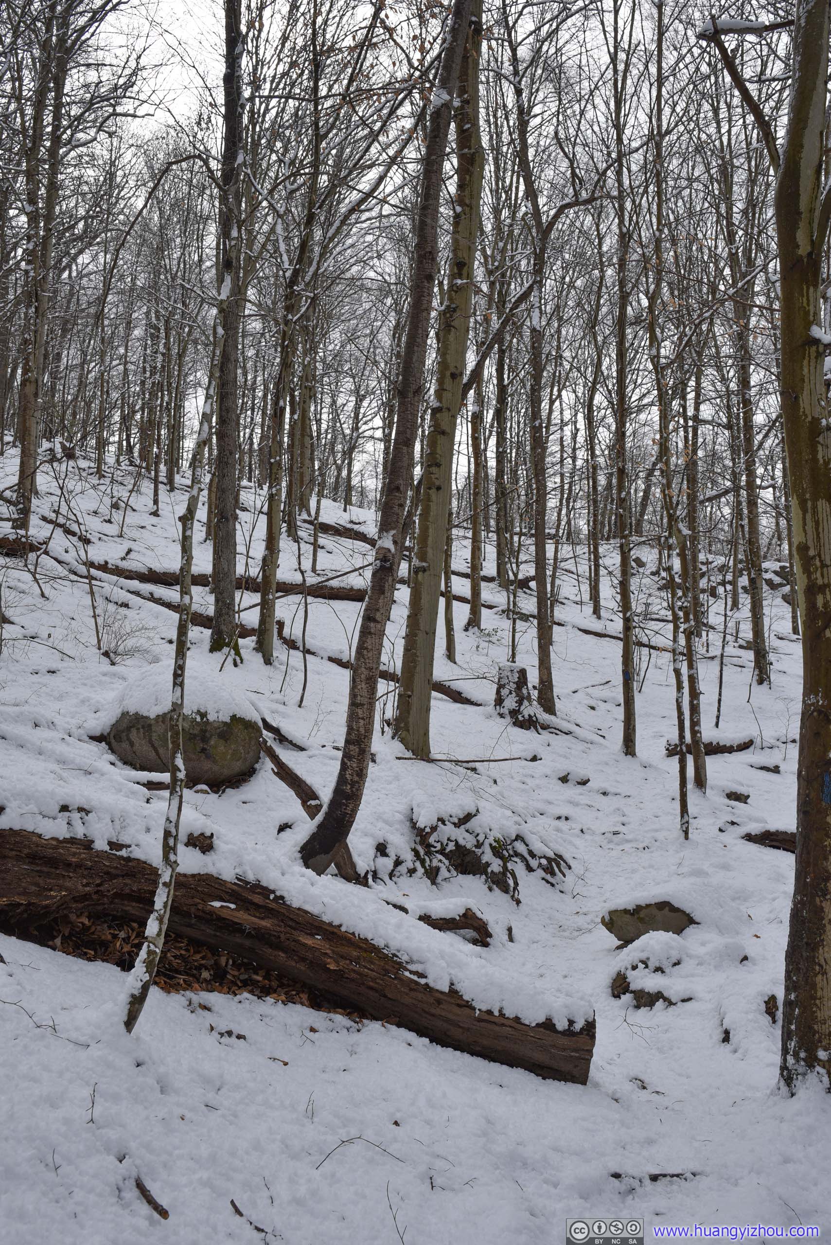
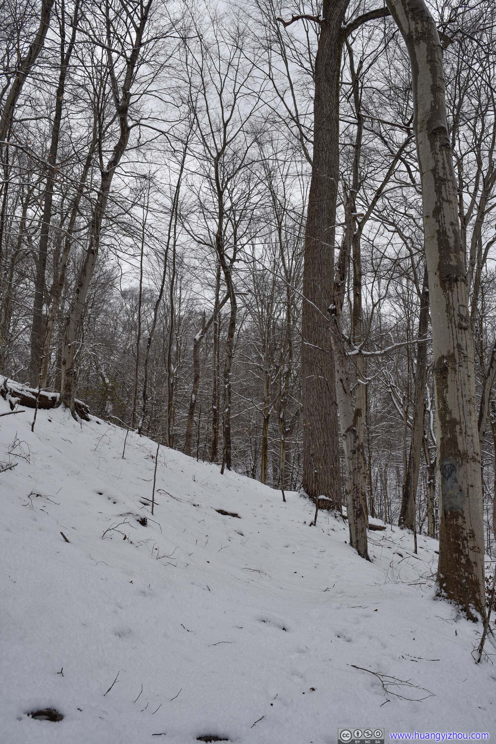

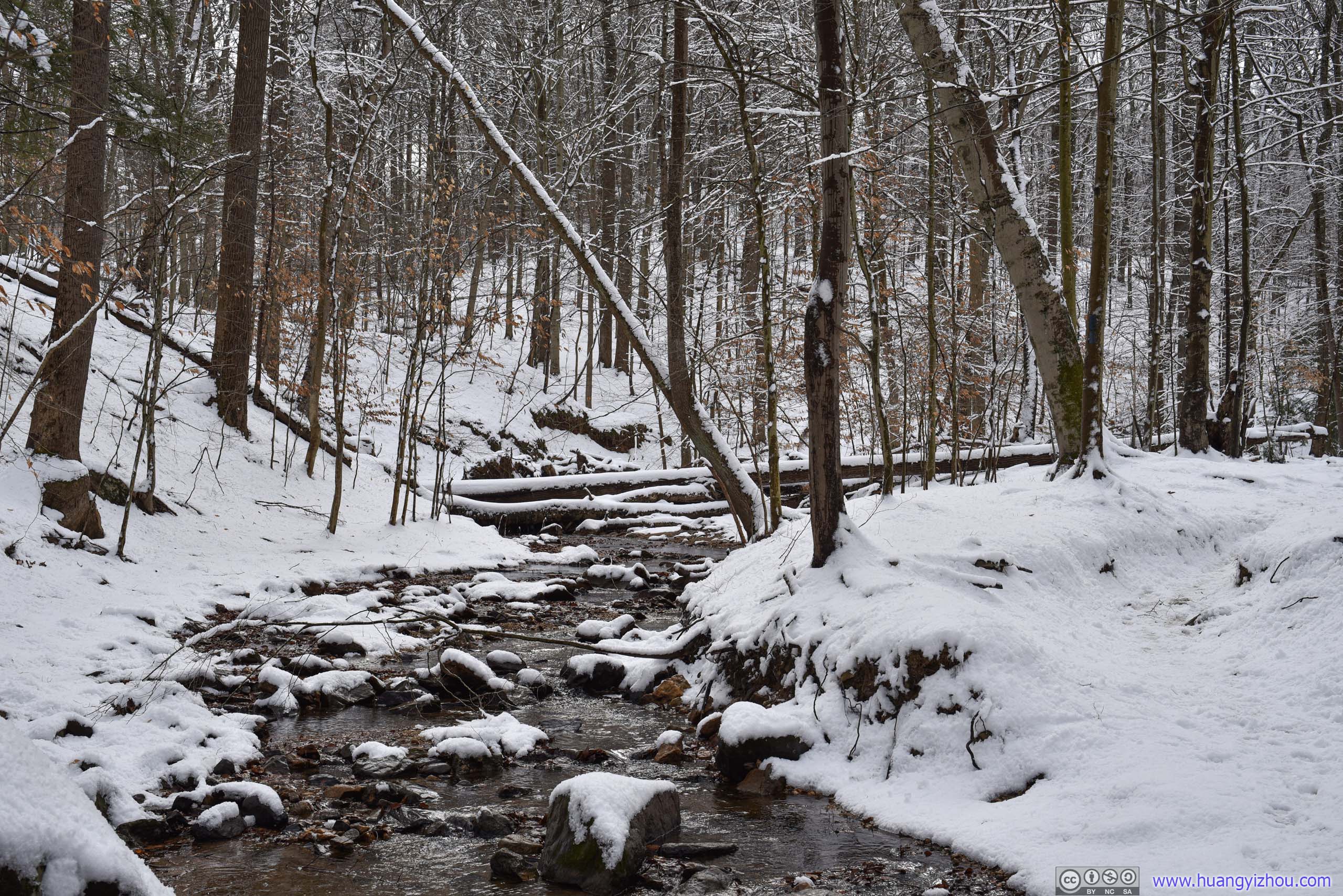
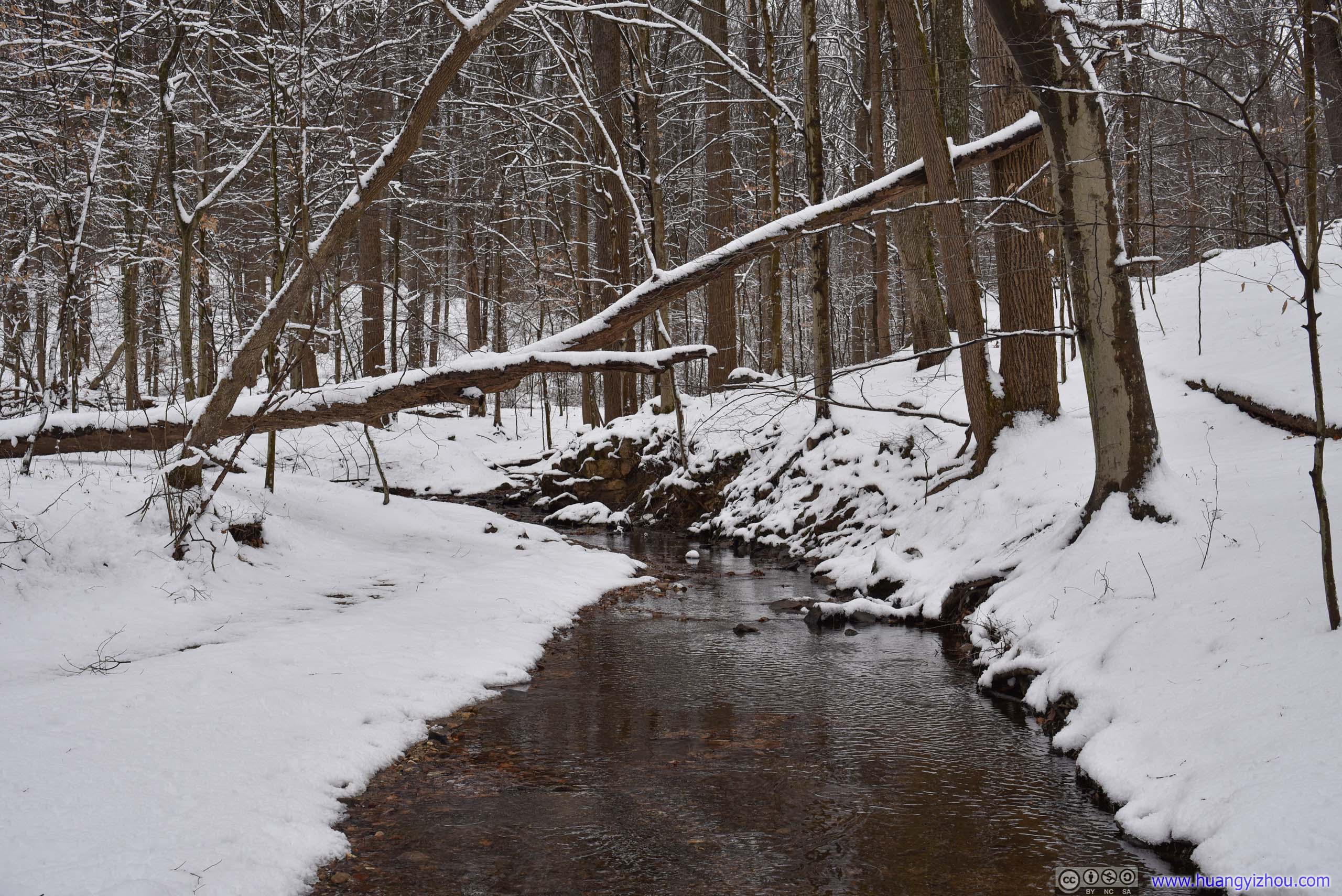
Upstream from Cascade Falls, the water seemed so quiet here.
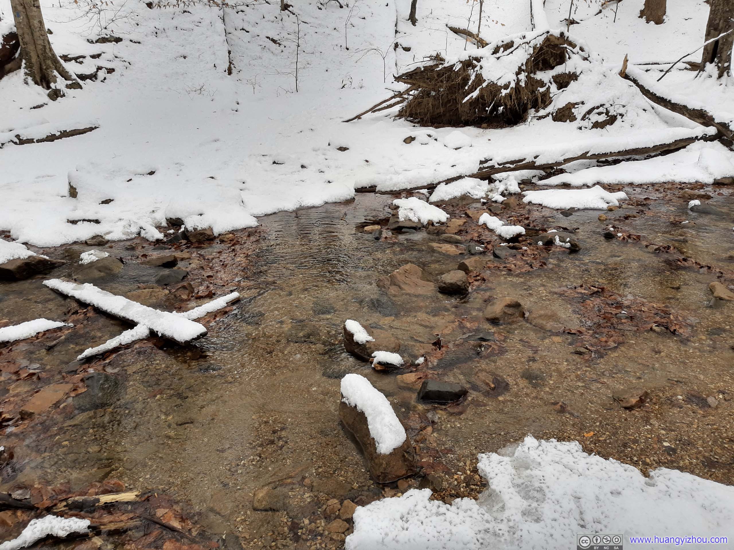
With a few exposed rocks this wasn't that difficult.
Towards the latter half of the loop the trail forked into many branches in the woods. While most of them still led back to the trailhead, it’s easy to get lost.

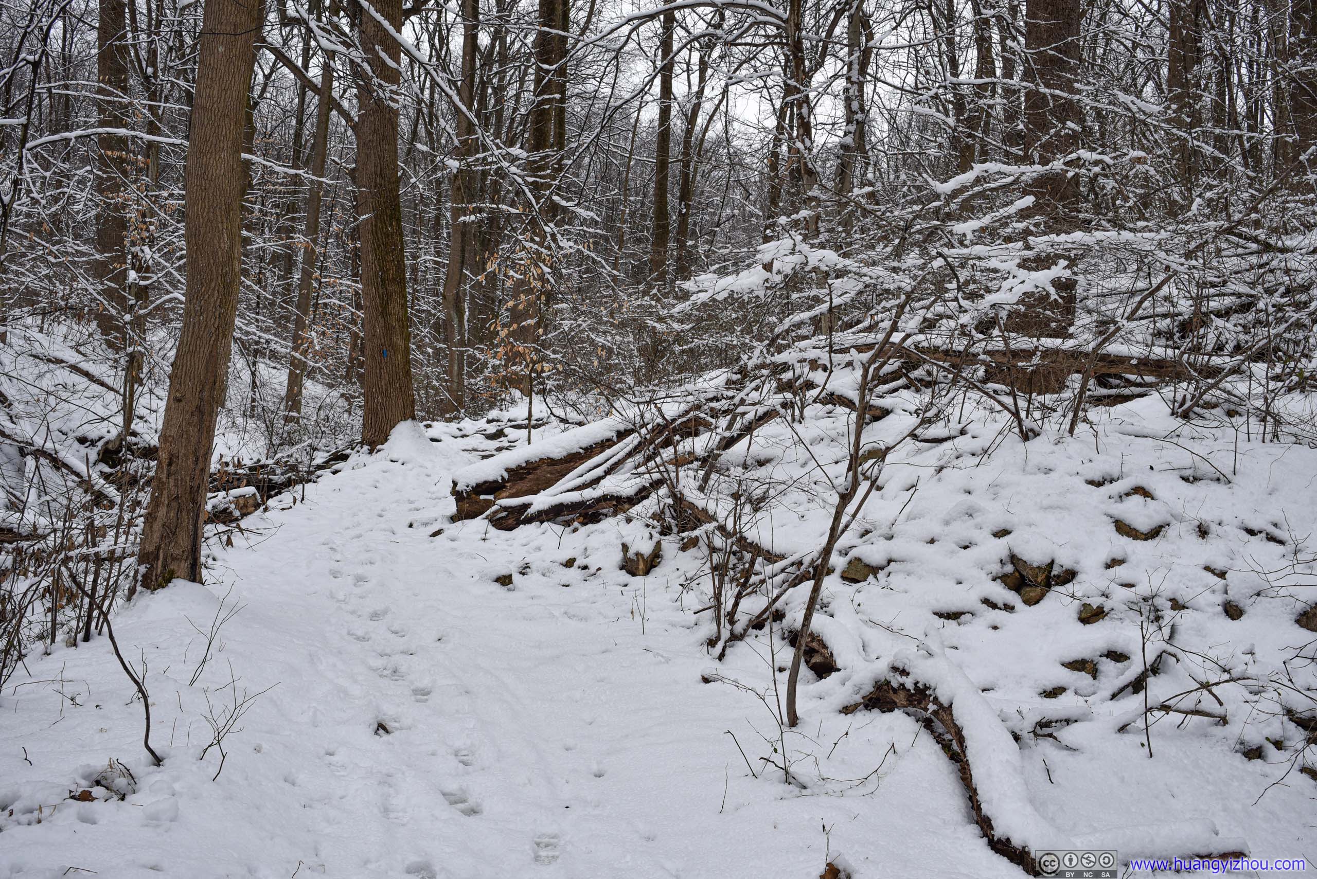
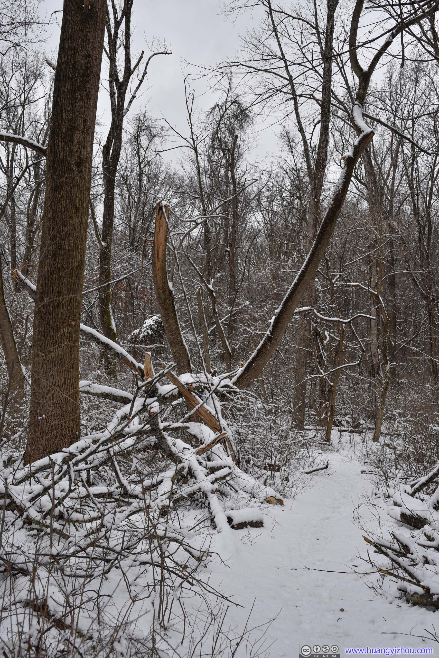
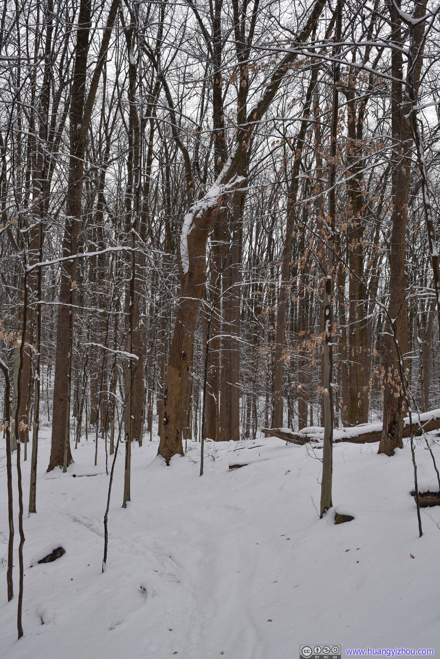
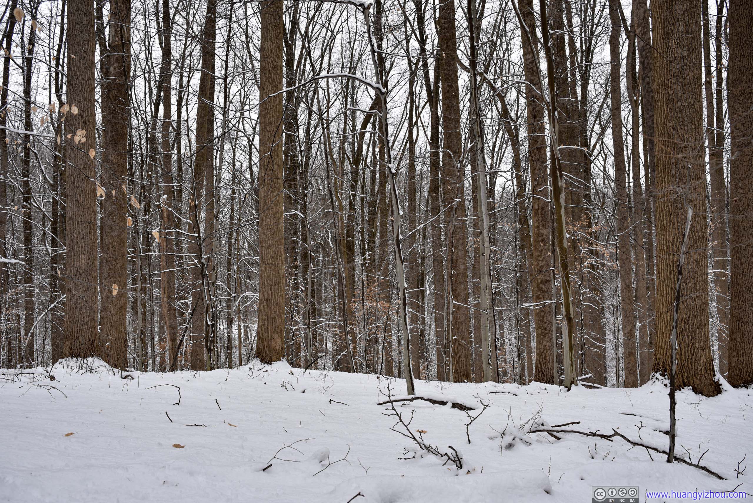


About 75 minutes after I started, I finished the loop and was back at the trailhead.
To head back to the parking lot, I decided to cross Patapsco River via the swinging bridge here and followed the trail on the north bank of river.
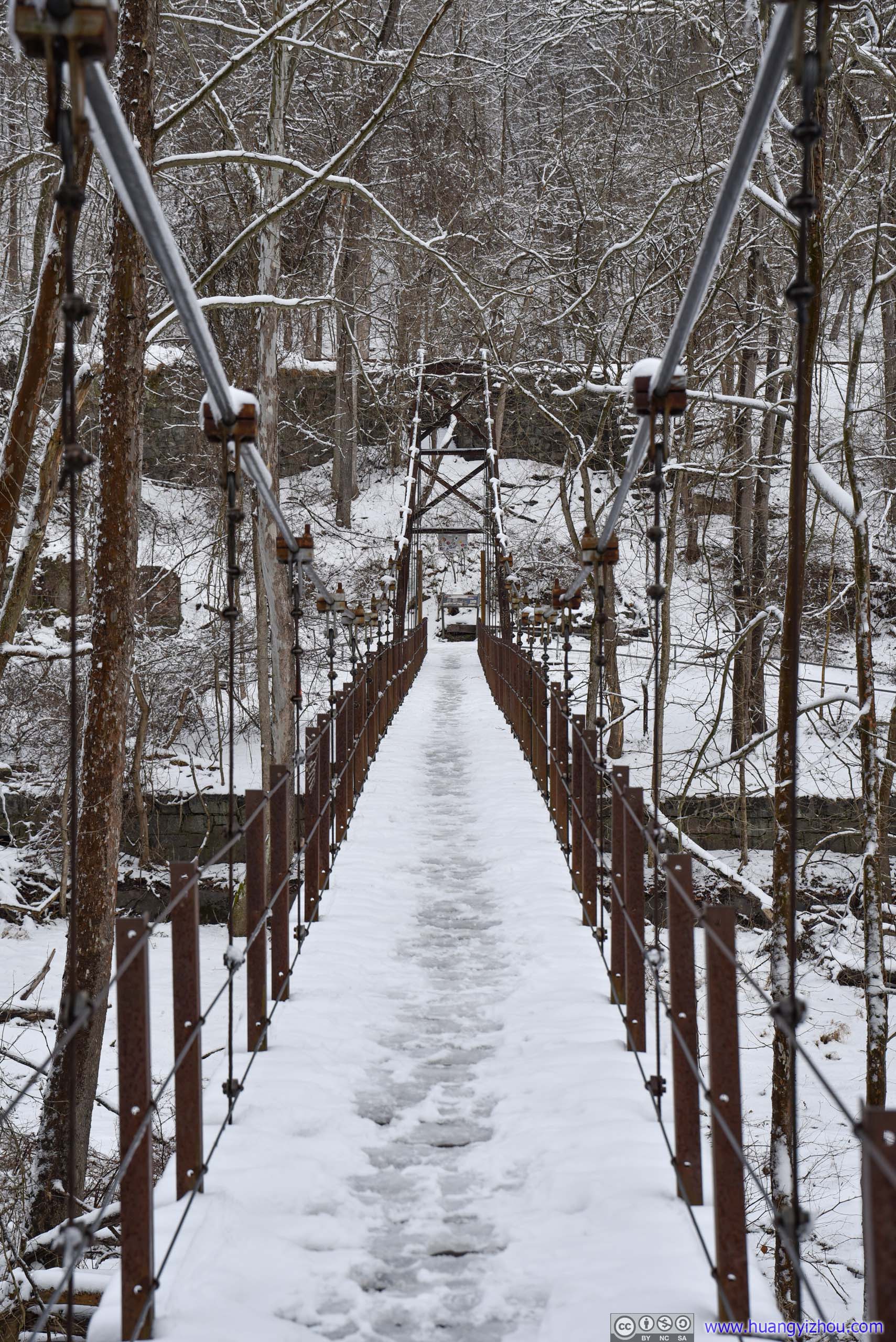
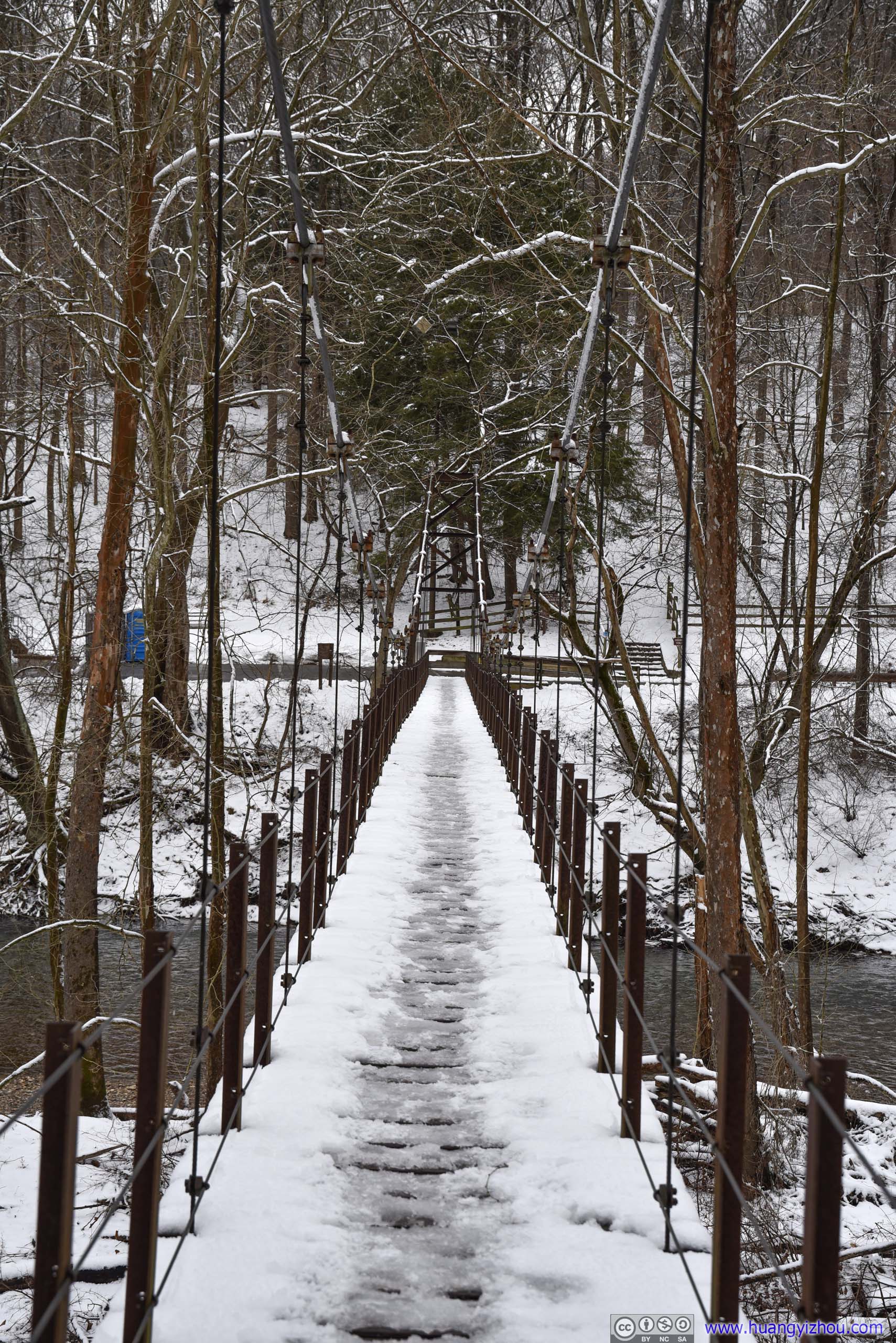


Right across the river were the remains of an old flourmill factory. I checked it out together with the railway tucked behind it.

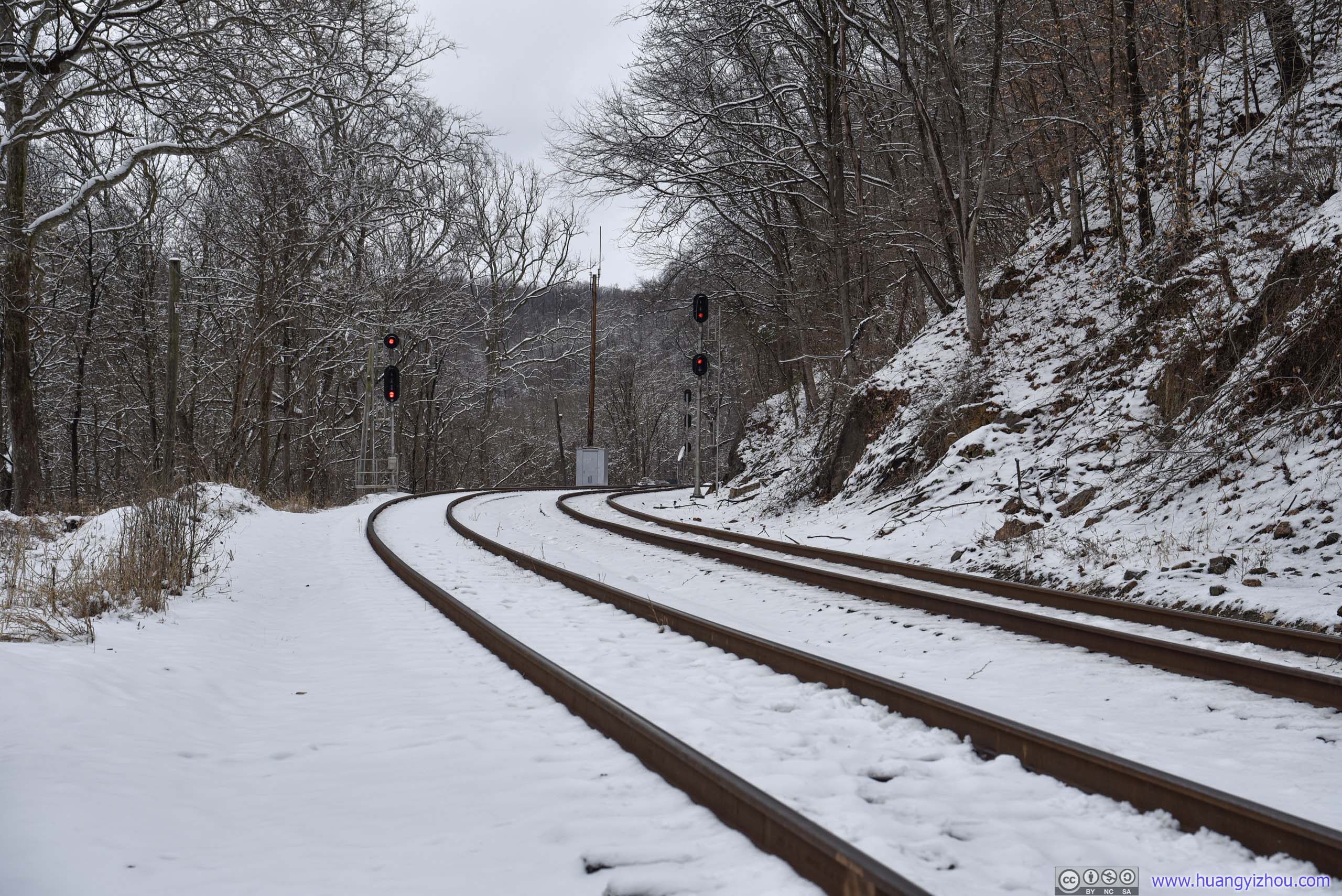
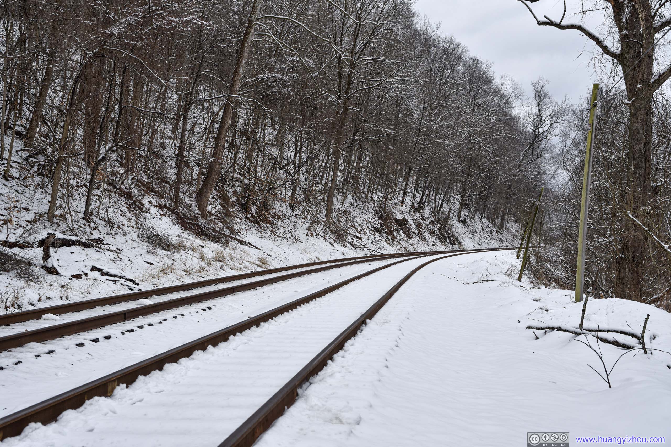
Old Main Line Subdivision
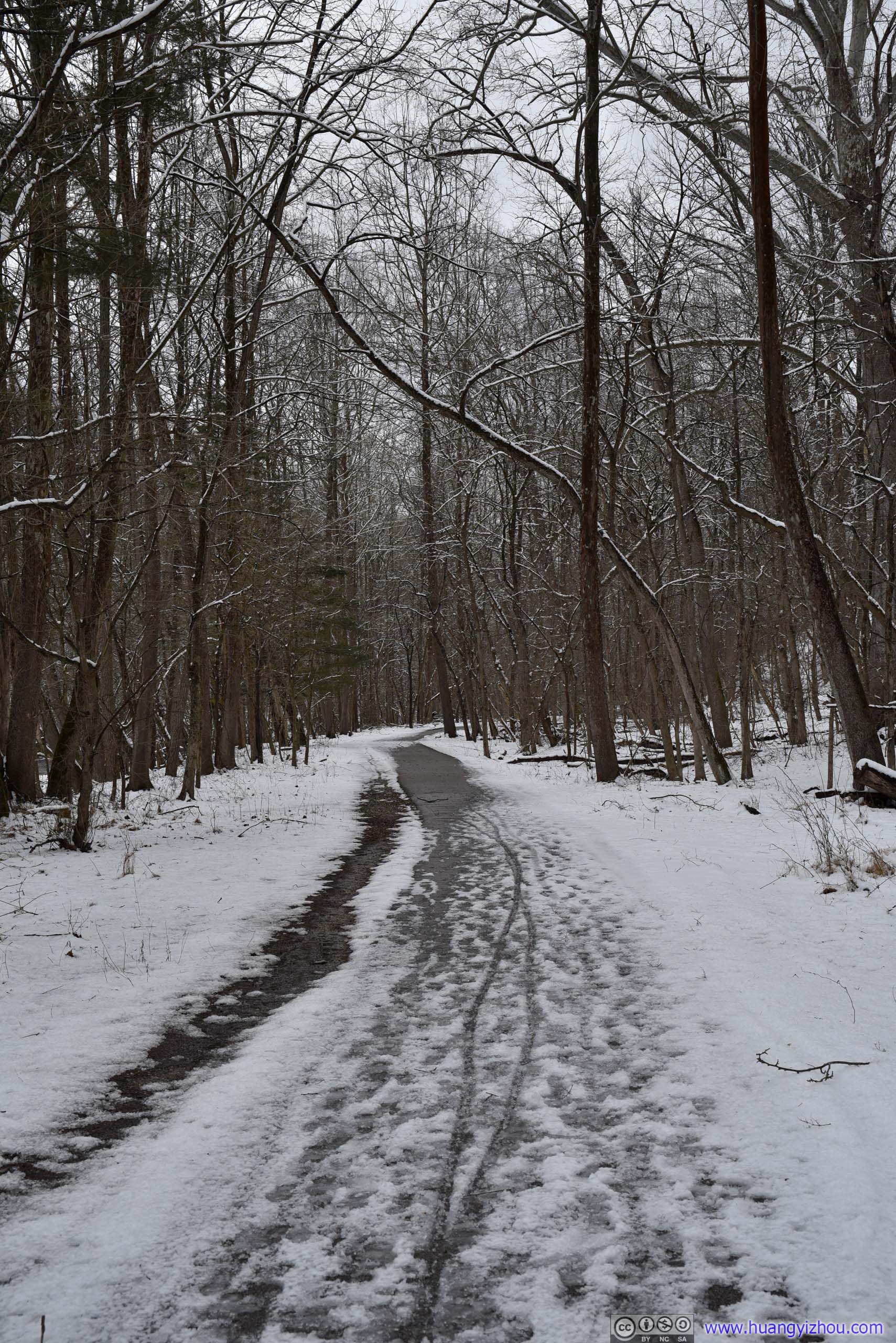
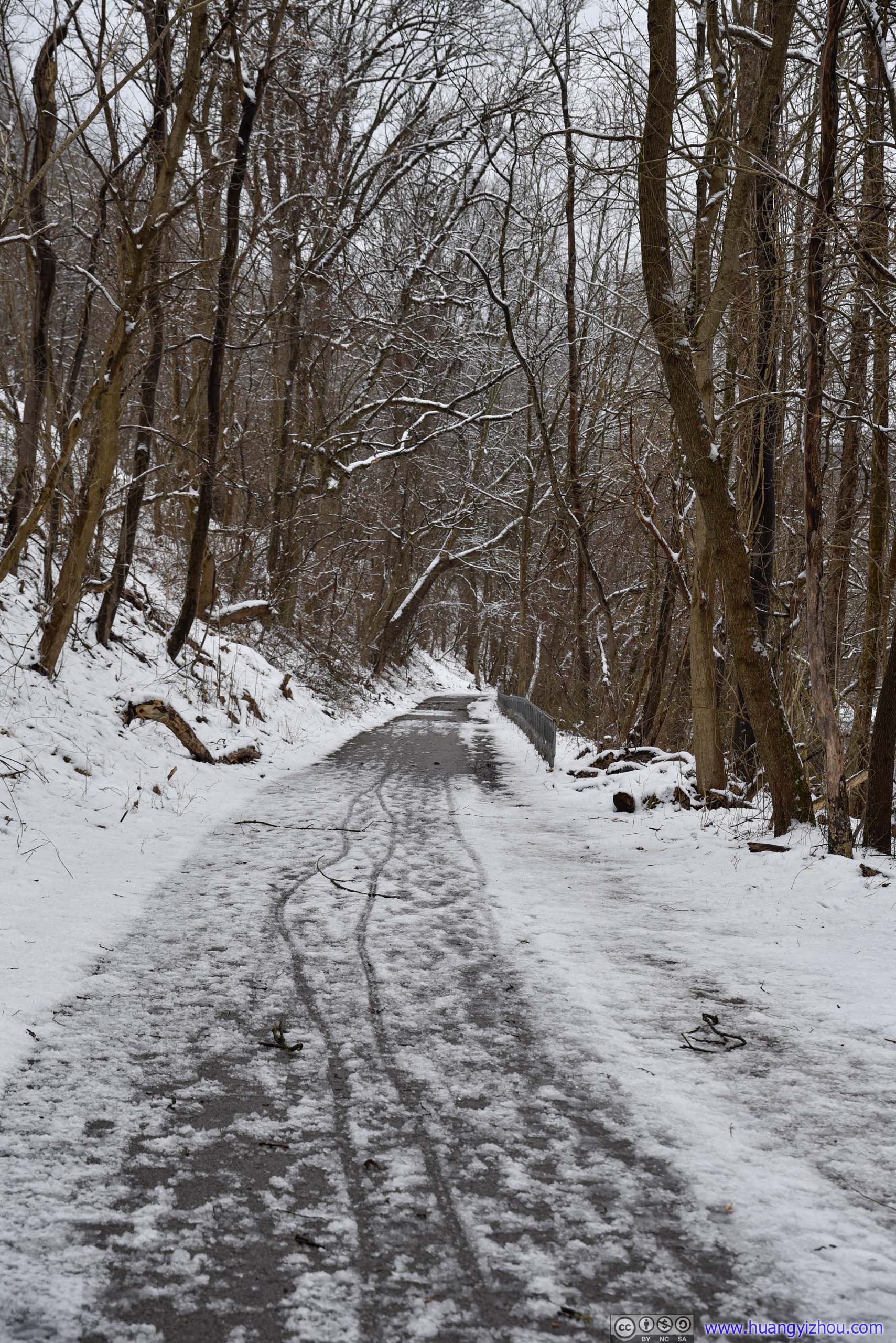
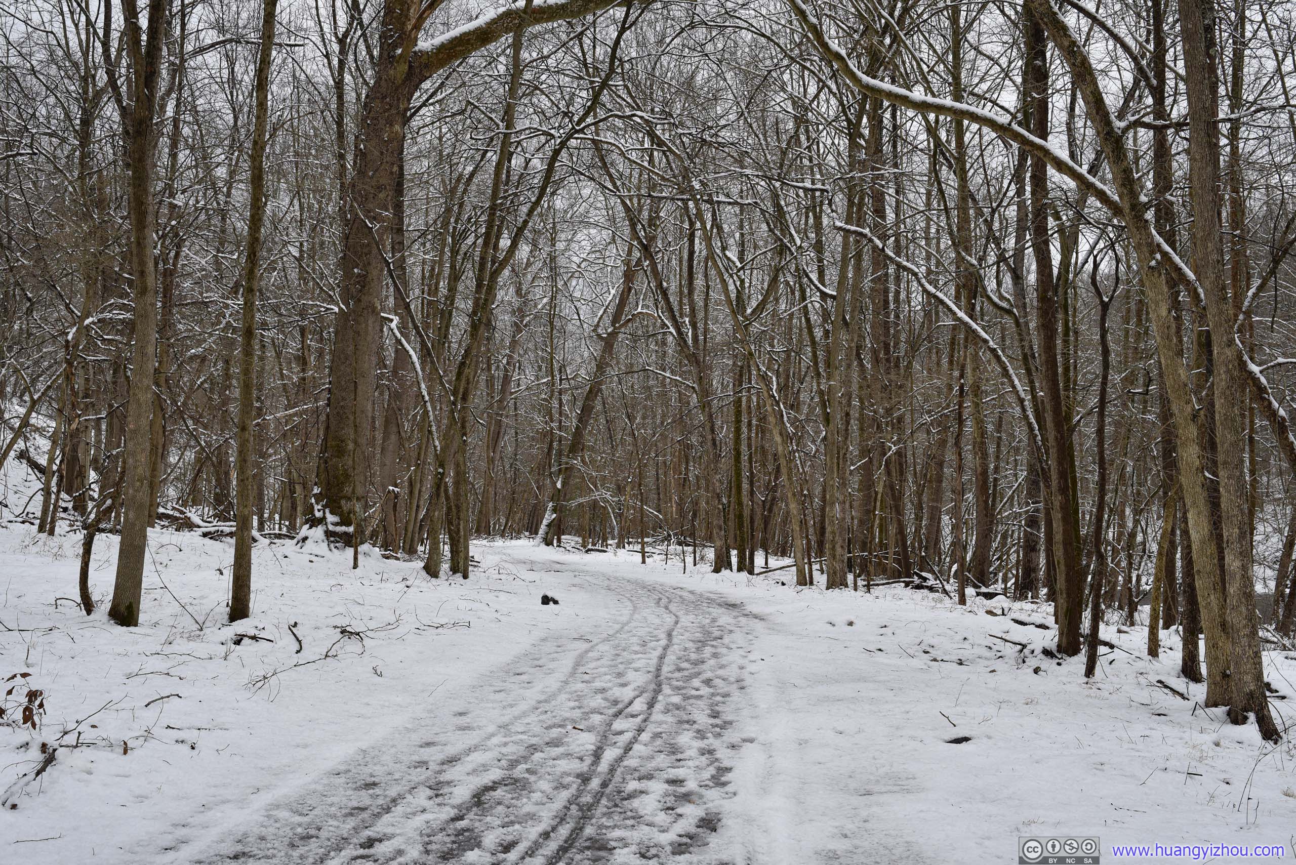
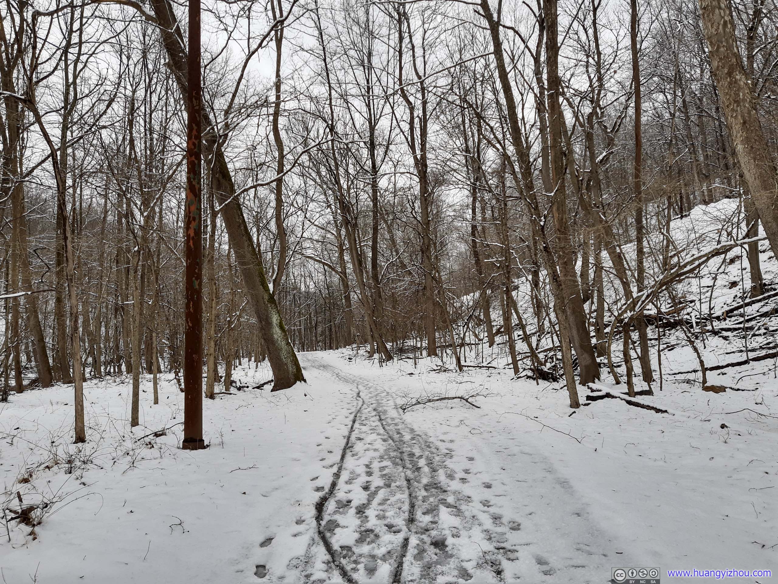
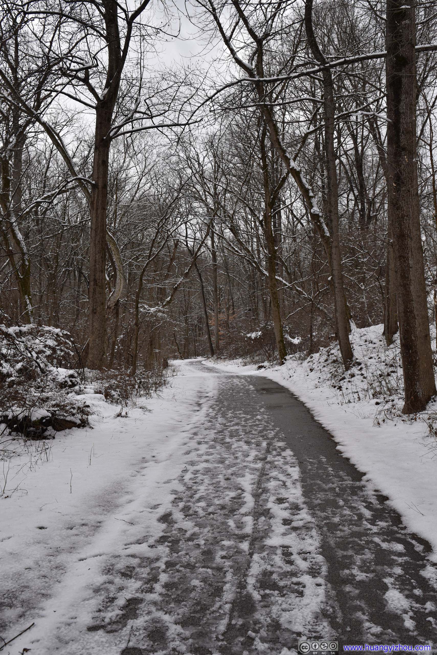
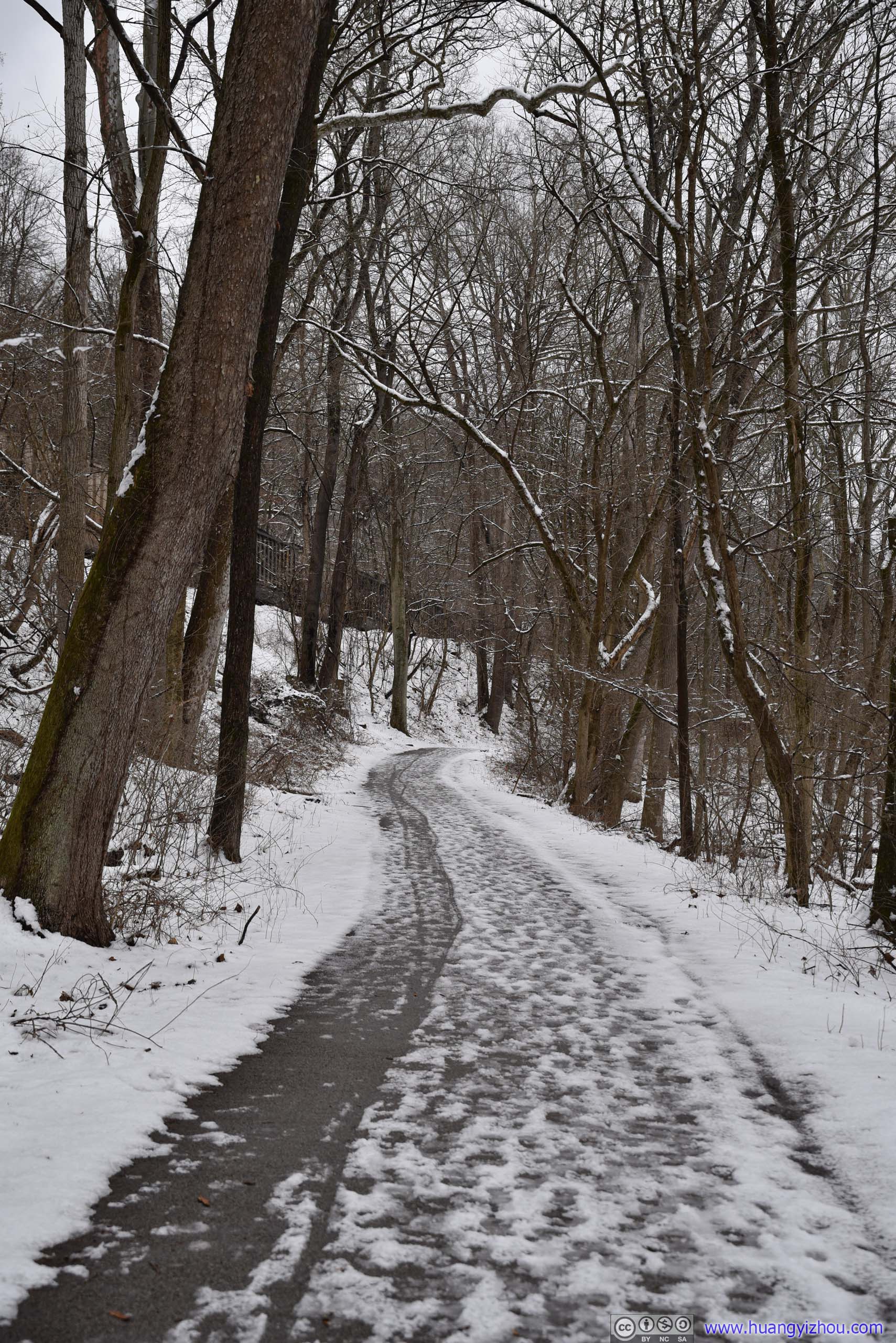
Towards the end of trail there's a small pond called "Lost Lake" that's mostly frozen. Park officials taped it off to keep people off the thin ice.
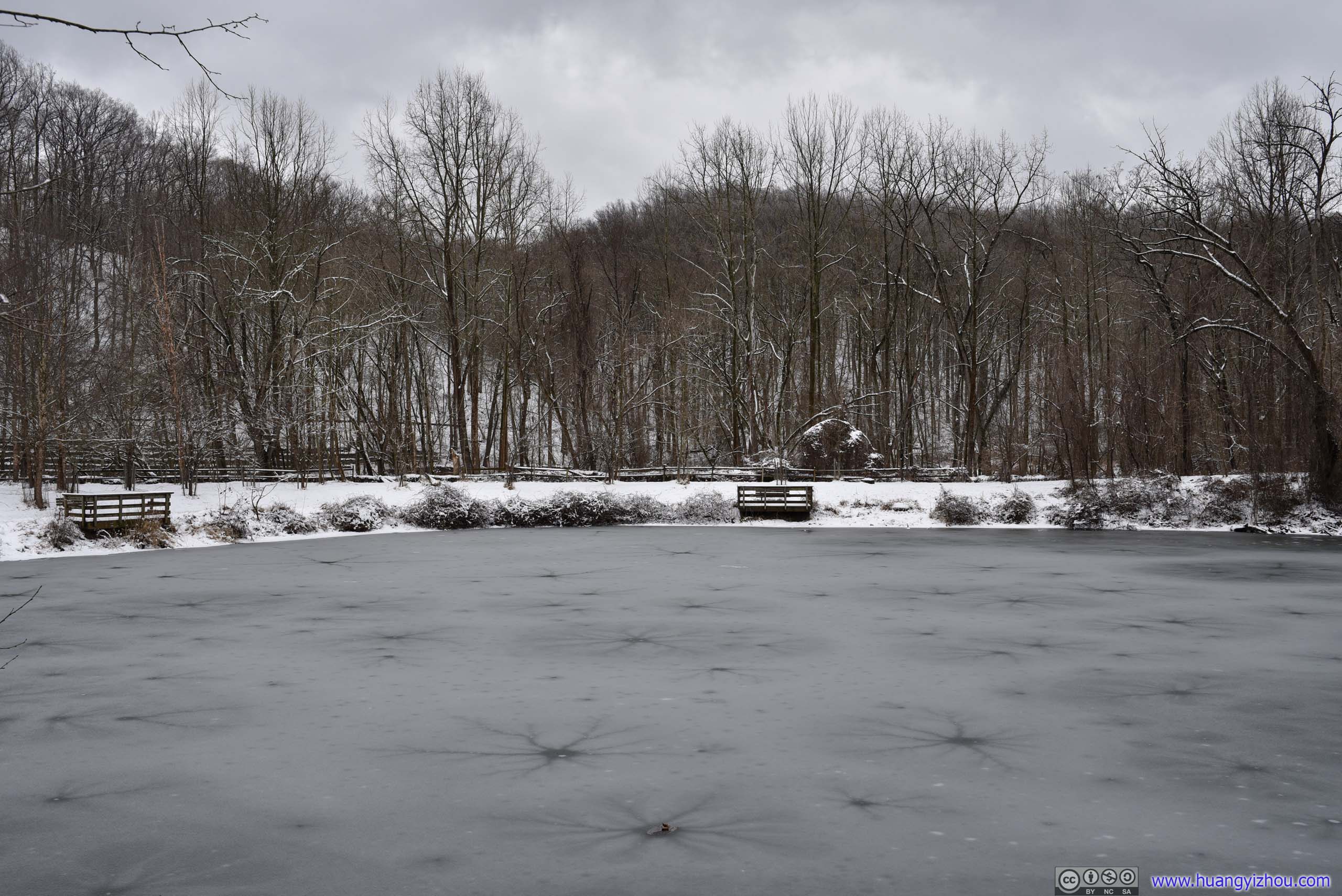
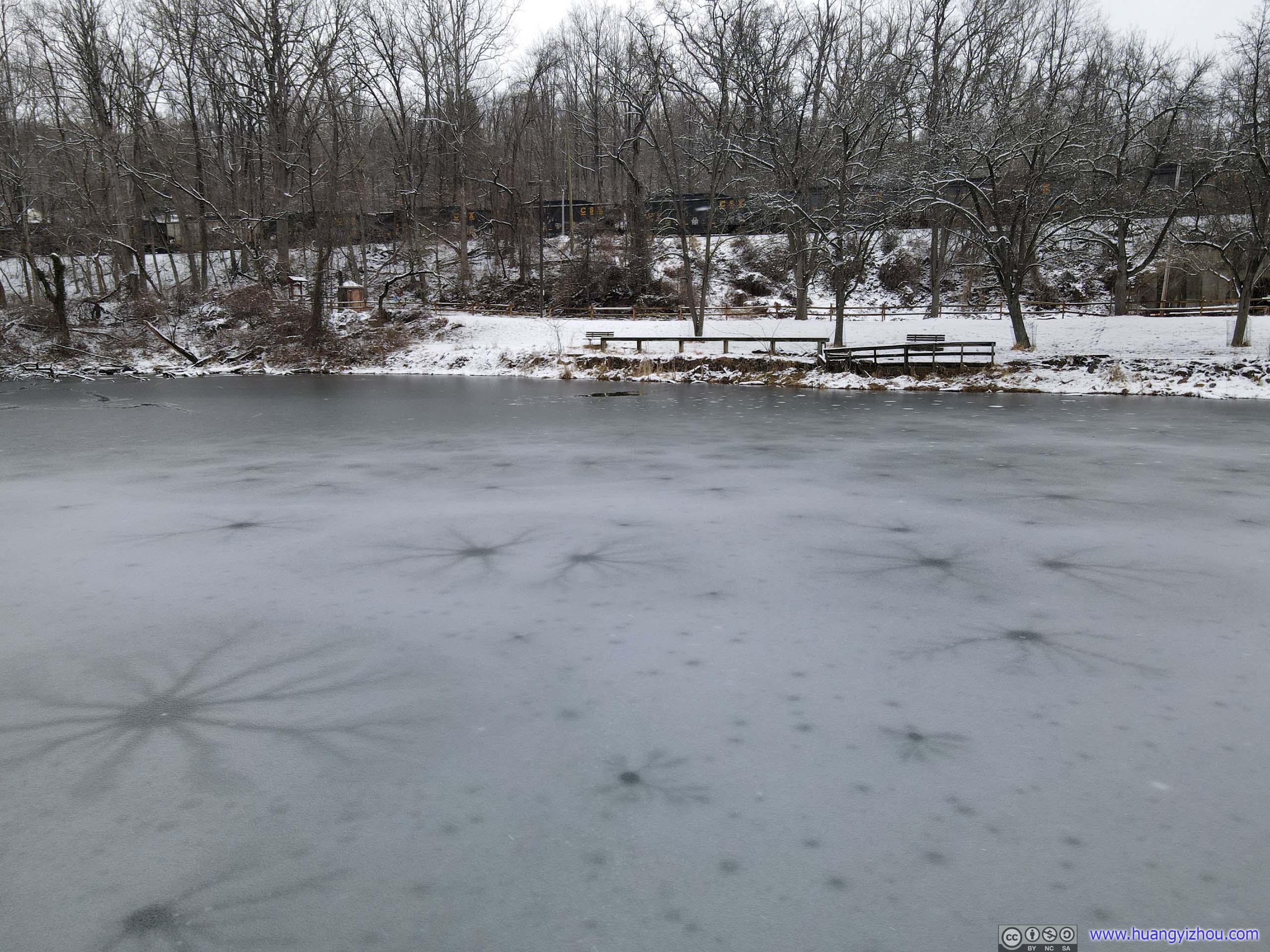
From my camera (left) and drone (right).
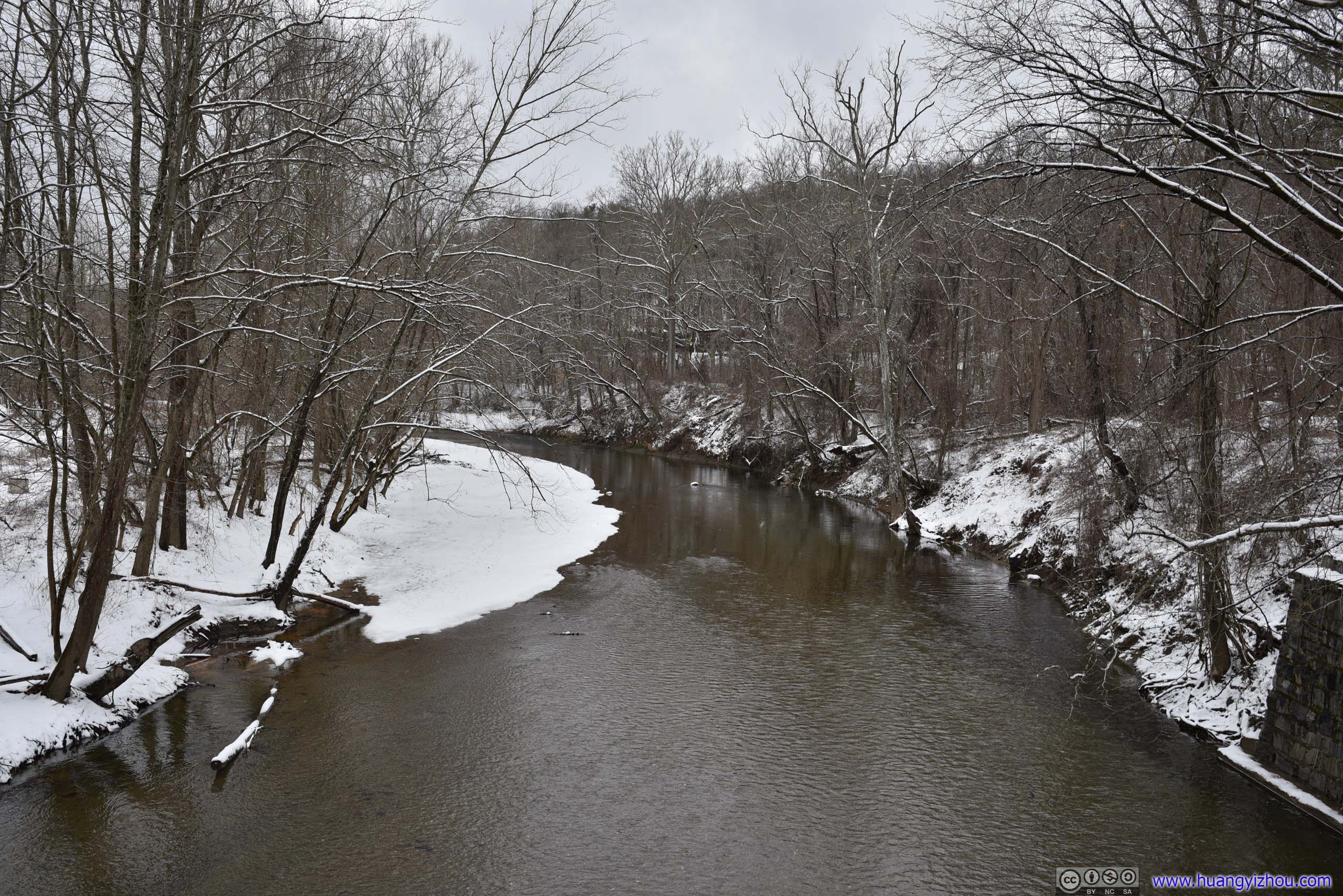

Around Gun Road bridge.
9.3km of walking later, I was back with my car.
I carried my drone with me, and I thought an aerial view of this valley covered in snow would be spectacular. With low-lying clouds (and even flakes of snow) in the air, the valley felt secluded to the outside world.
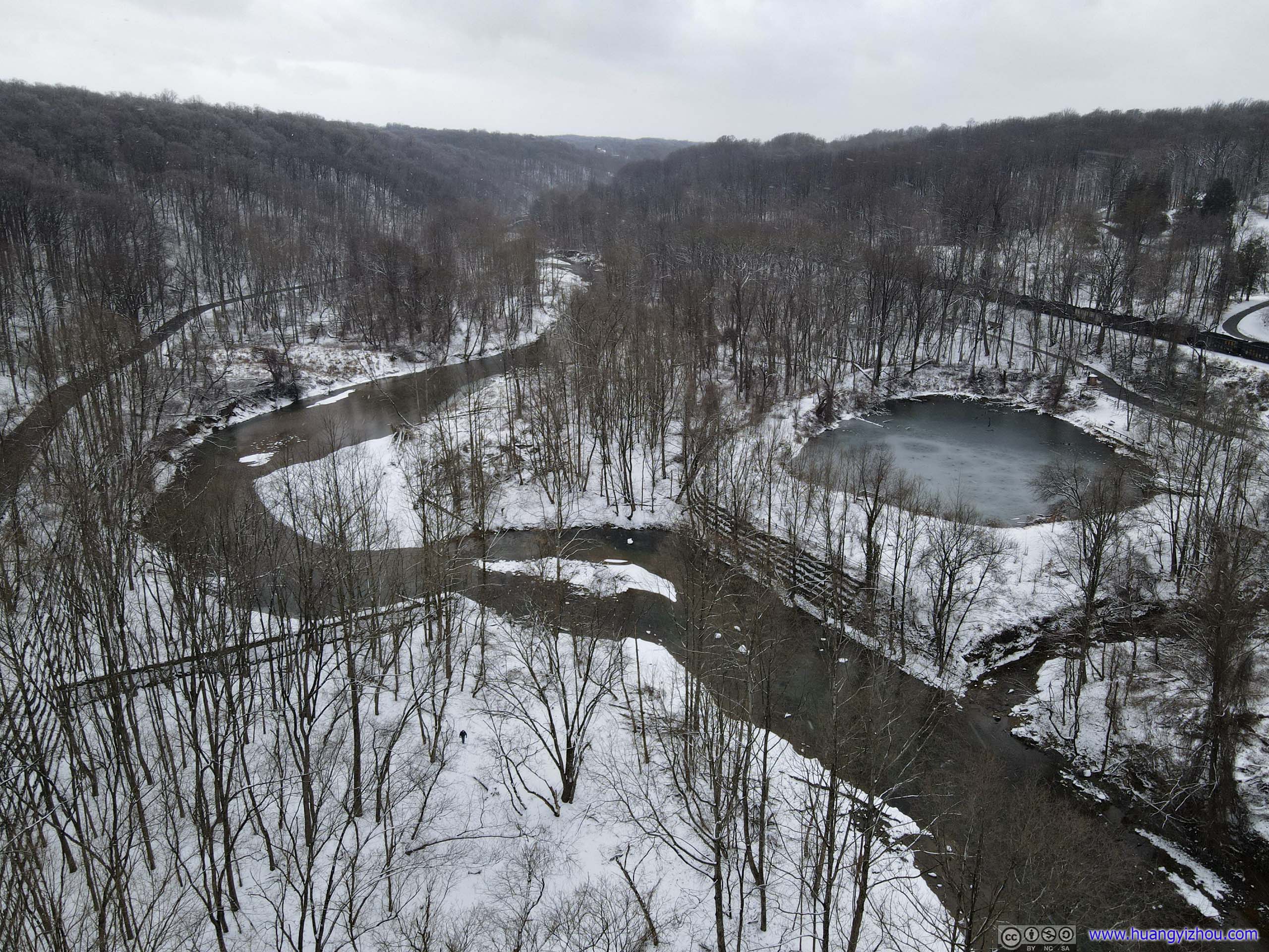

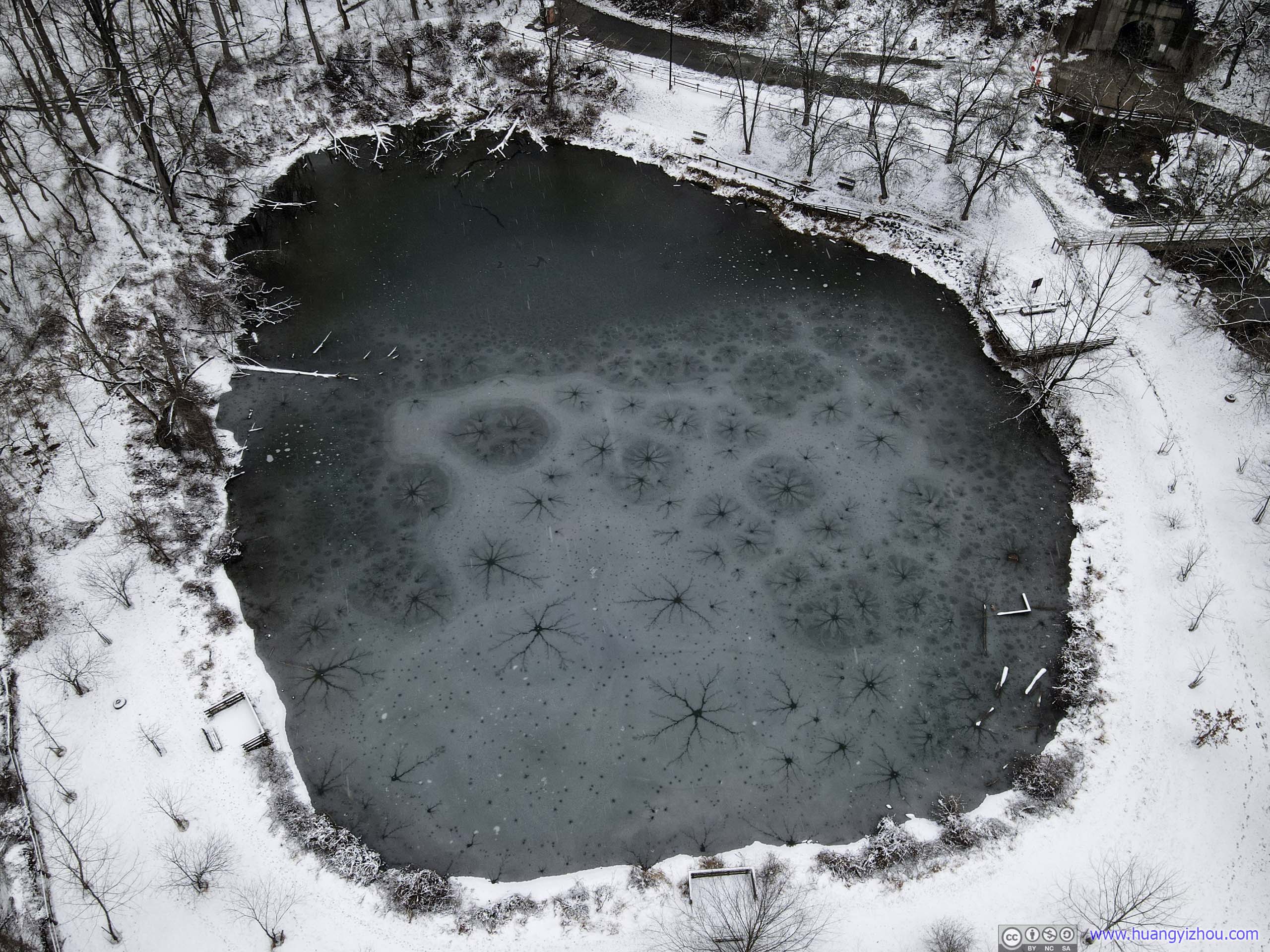
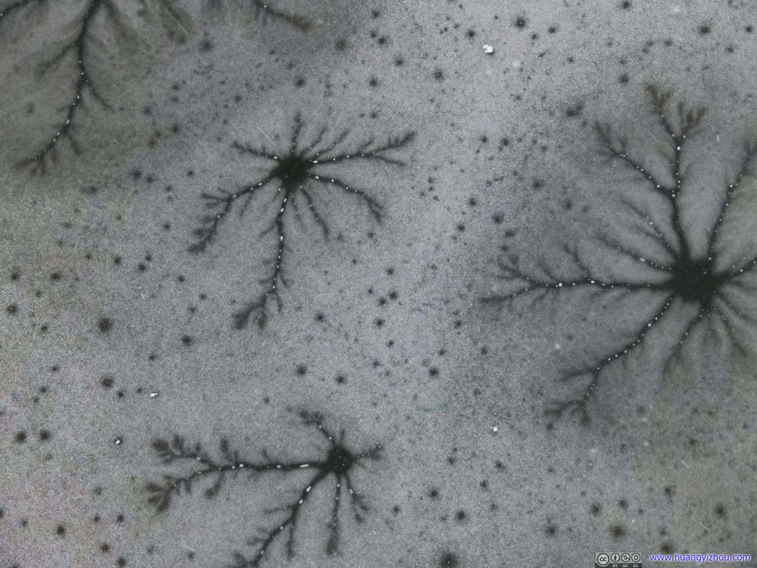
The lake’s mostly frozen. The wrinkles of the ice looked like lightning from above.


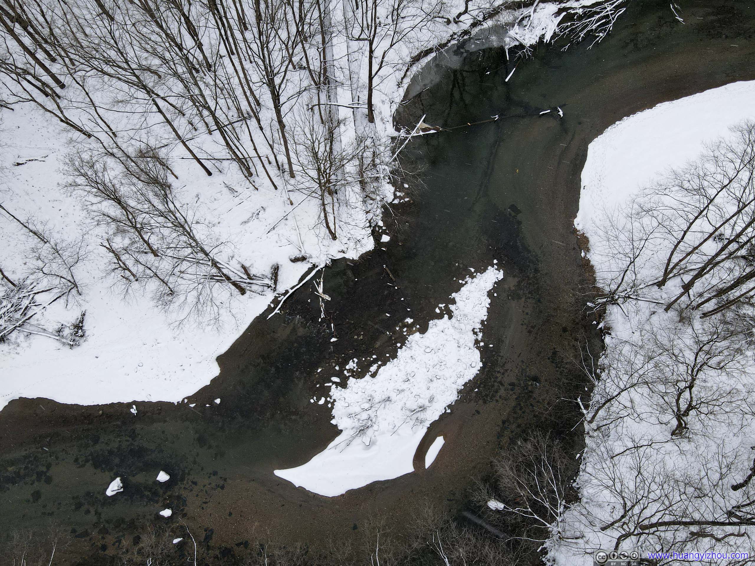
And here's a video of my drone flying down and up Patapsco River. I had hoped to reach all the way to the swinging bridge upstream, but my drone's control signal wouldn't go that far in this obstructing valley terrain.
That concluded my visit to Patapsco Valley for the day.
END