Day 2 of 2021 South California Trip: Suicide Rock in San Jacinto Mountains
Second day of my April 2021 southern California trip. I would be hiking Suicide Rock trail in San Jacinto Mountains.
Sunday, April 11. Learning from my experience the previous day that Joshua Tree National Park could get pretty busy on a spring weekend, I decided to try a different type of hiking today, in the nearby San Jacinto Mountains, a more familiar landscape to me than Joshua Tree desert.
While it would be exciting to summit Mt San Jacinto, Palm Springs Aerial Tramway only reopened with limited capacity and was sold out before I searched, without which it would take 22km of hiking to summit Mt San Jacinto, too much to me with portions close to summit still covered in ice.
Tahquitz Peak via Devils Slide seemed like a perfect fit for me. Unfortunately, I had been paying attention to mountain reports, which mentioned snow and ice was still present on the trail to Tahquitz Peak in early April, and out of abundance of caution I picked the nearby "Suicide Rock" trail, which was shorter, easier and snow-free.
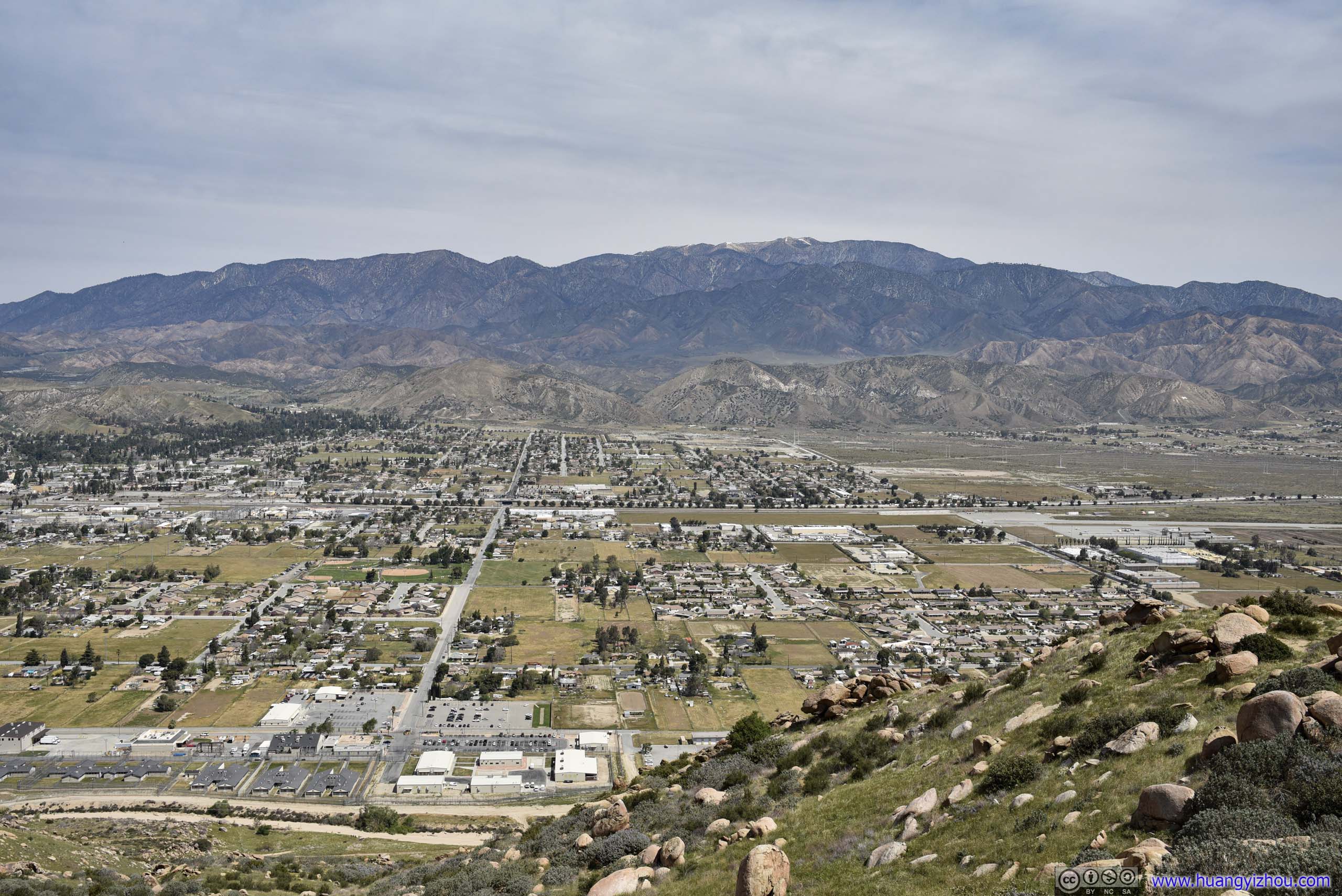
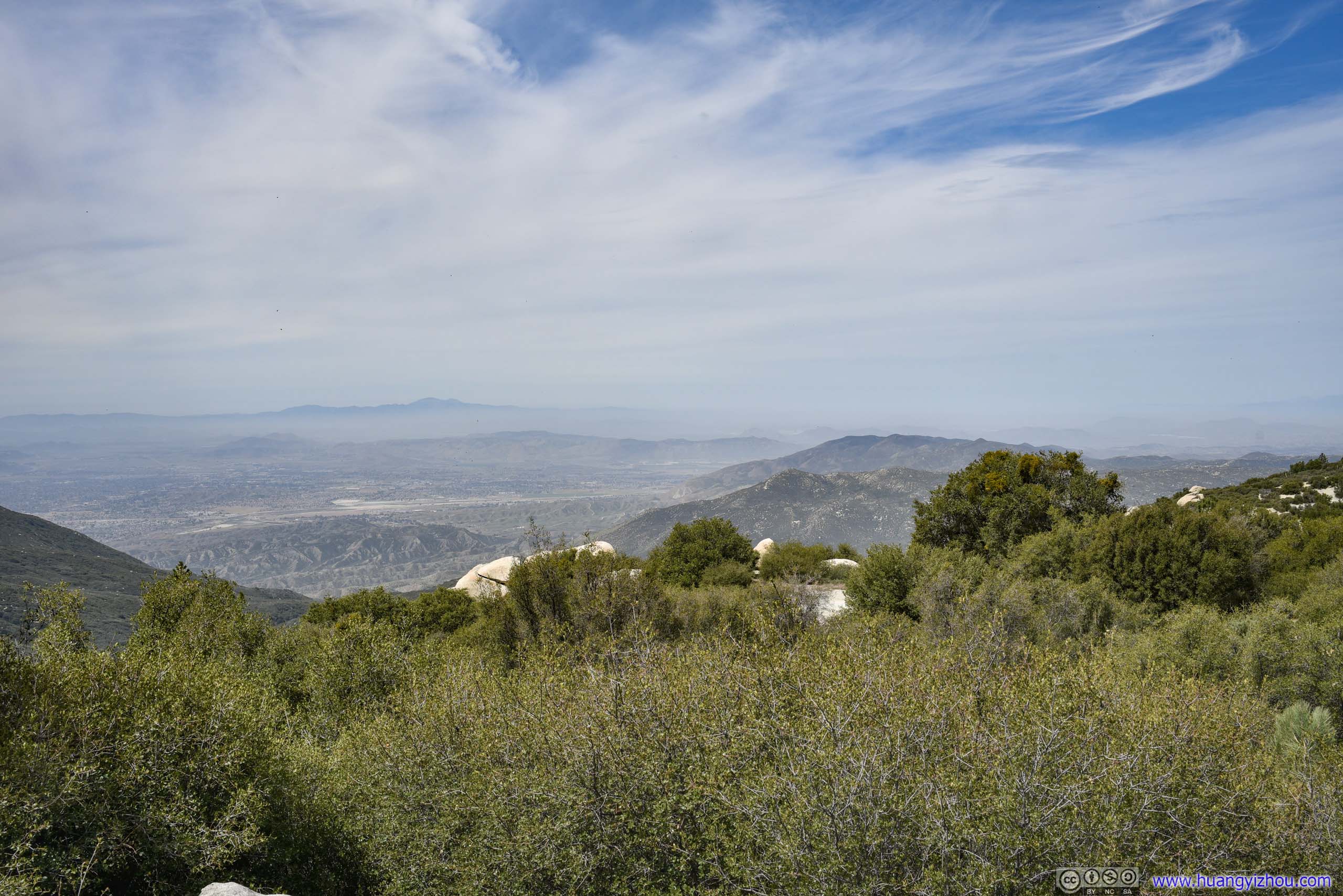
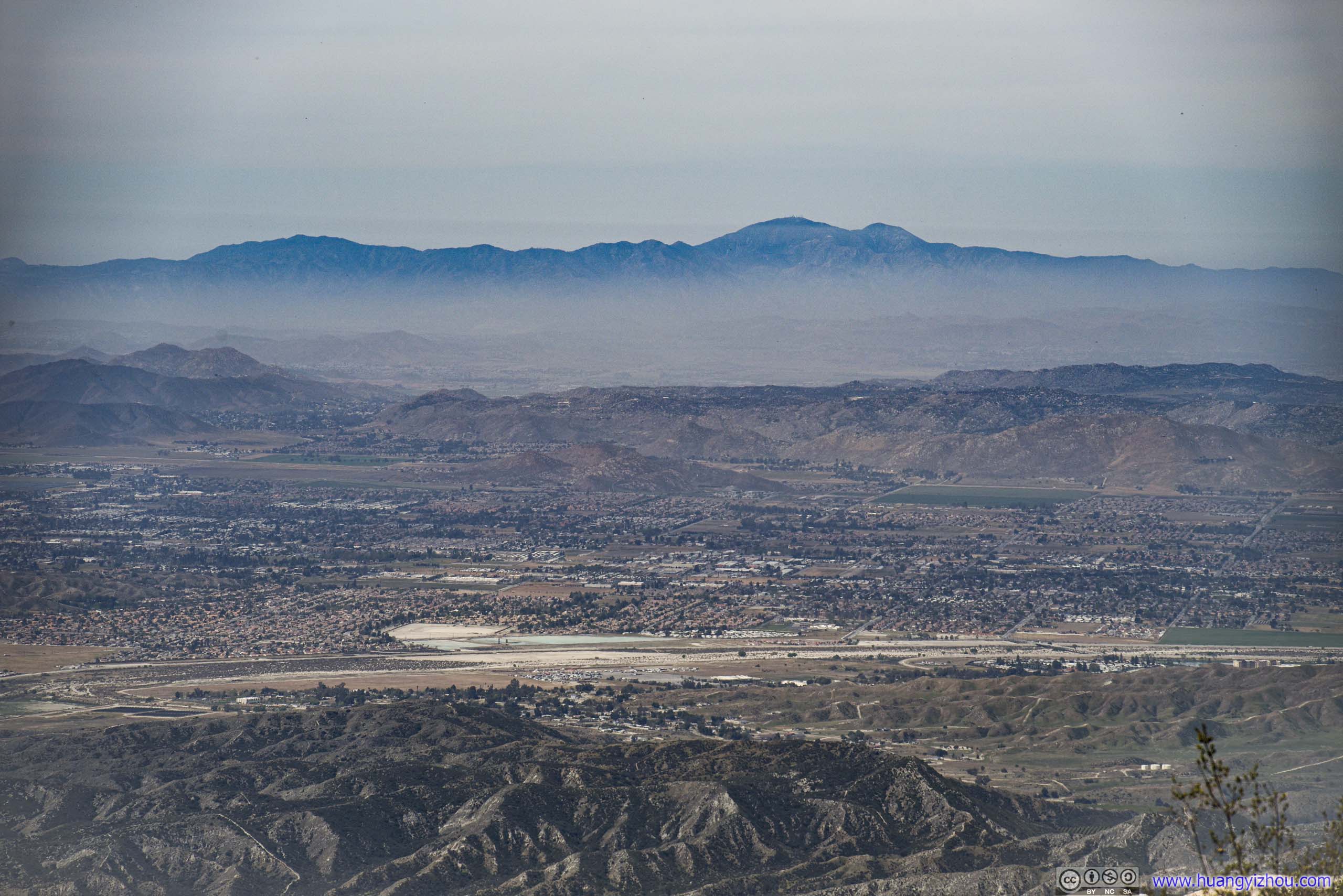
From my overnight lodge in Desert Hot Springs, I chose to take I10 first, and entered San Jacinto Mountains from the town of Banning. There were a few roadside turnouts with decent views, offering me reprieve from slow traffic ahead. Otherwise, the twisty mountain road was fun to drive.

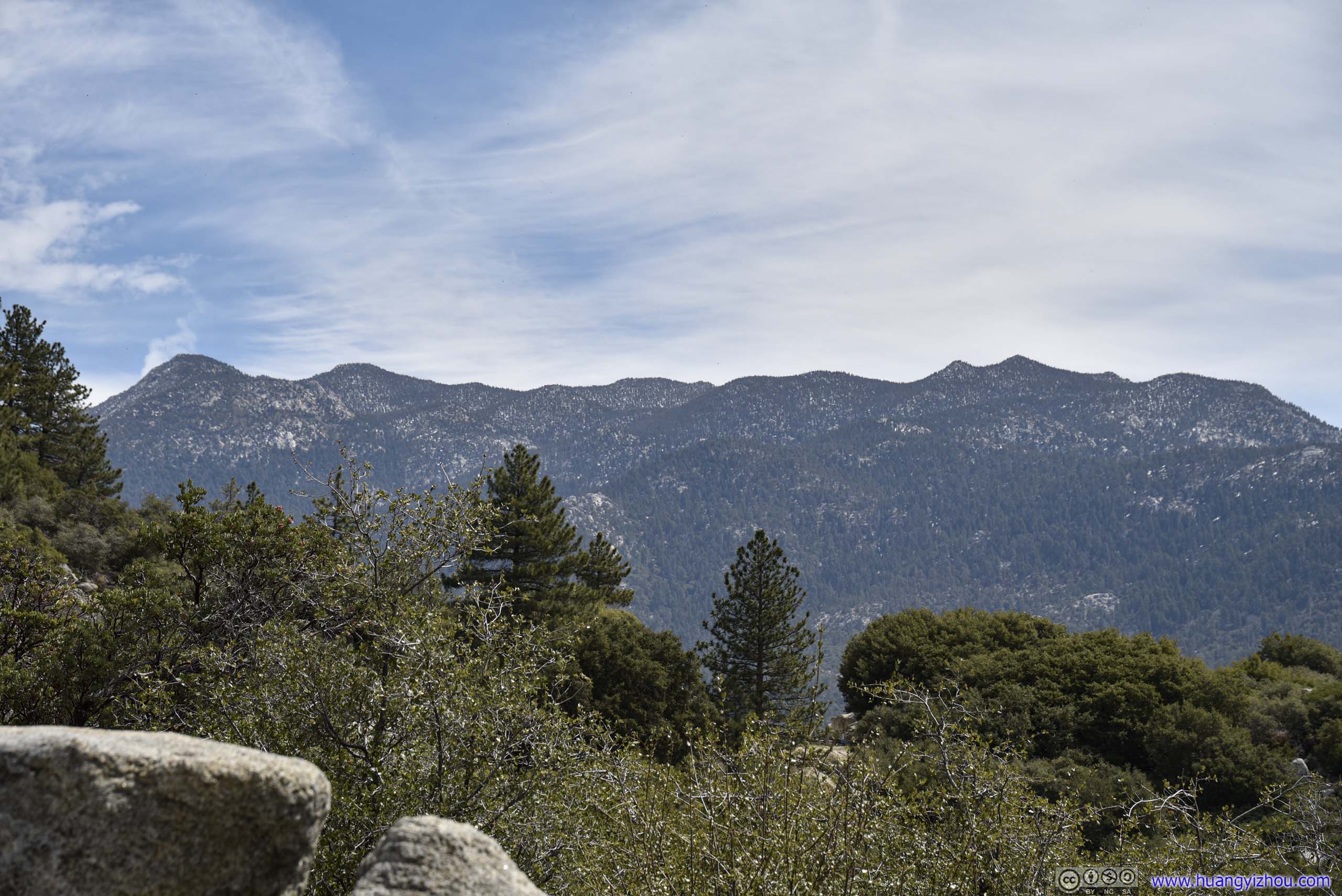
Suicide Rock Trail
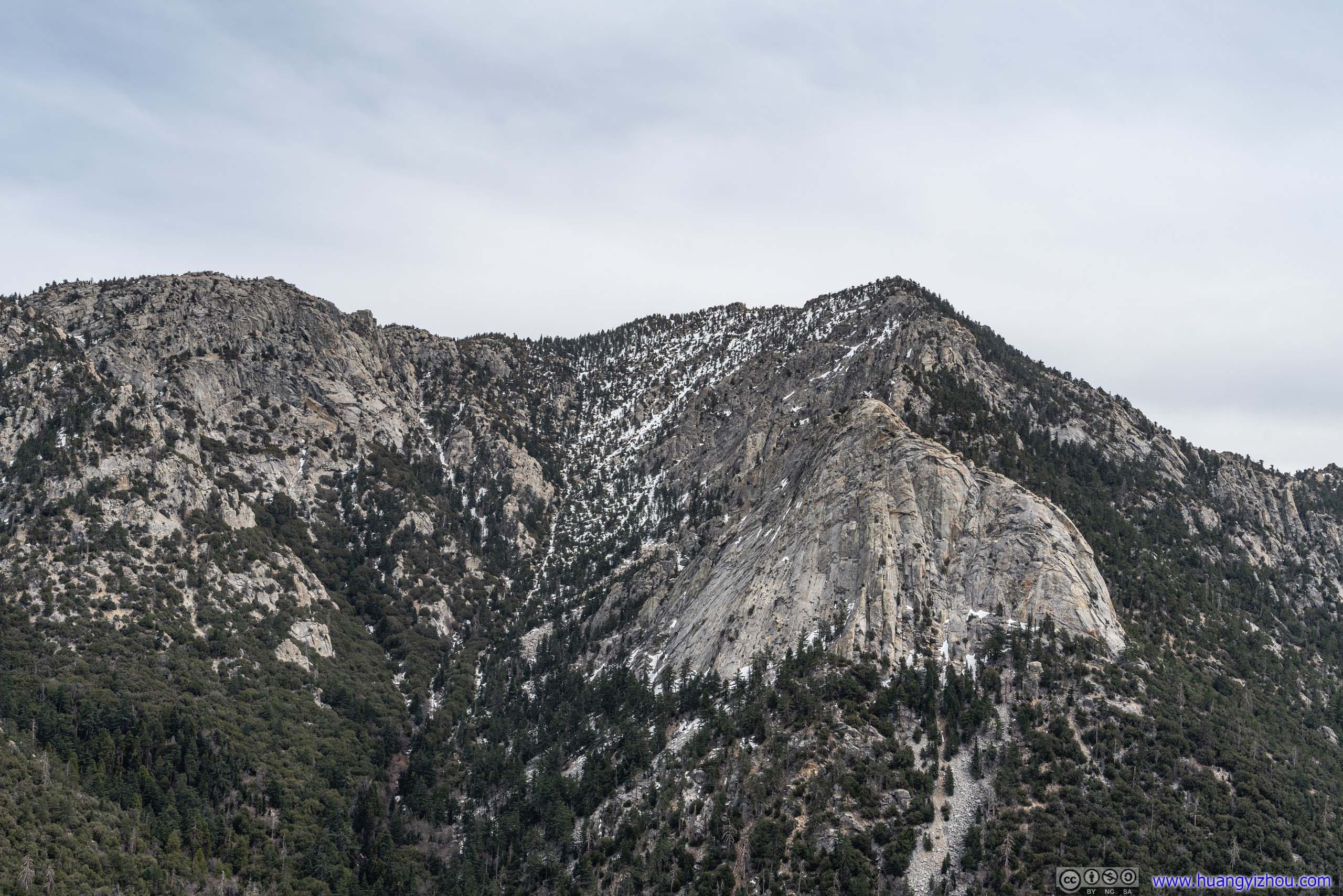
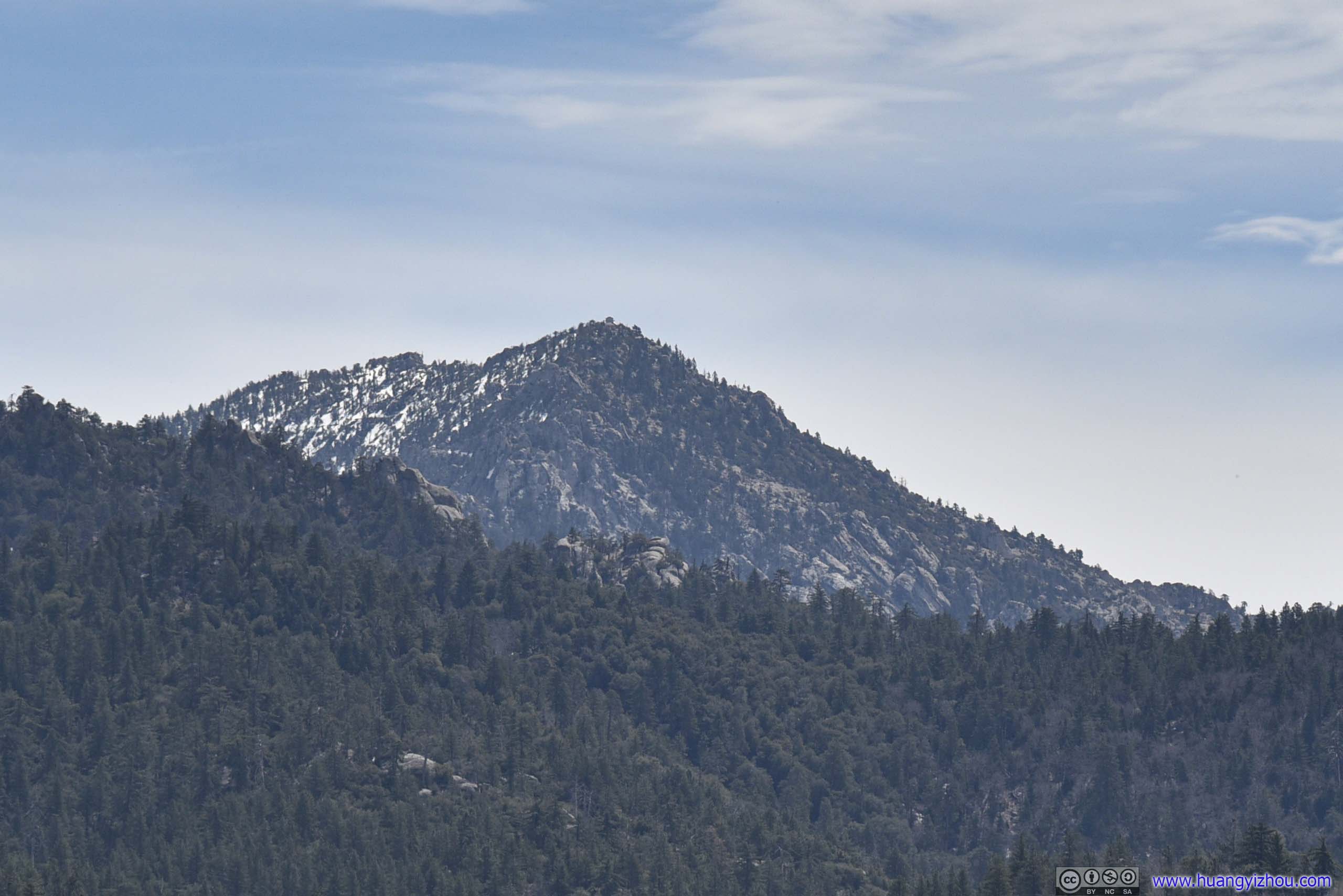
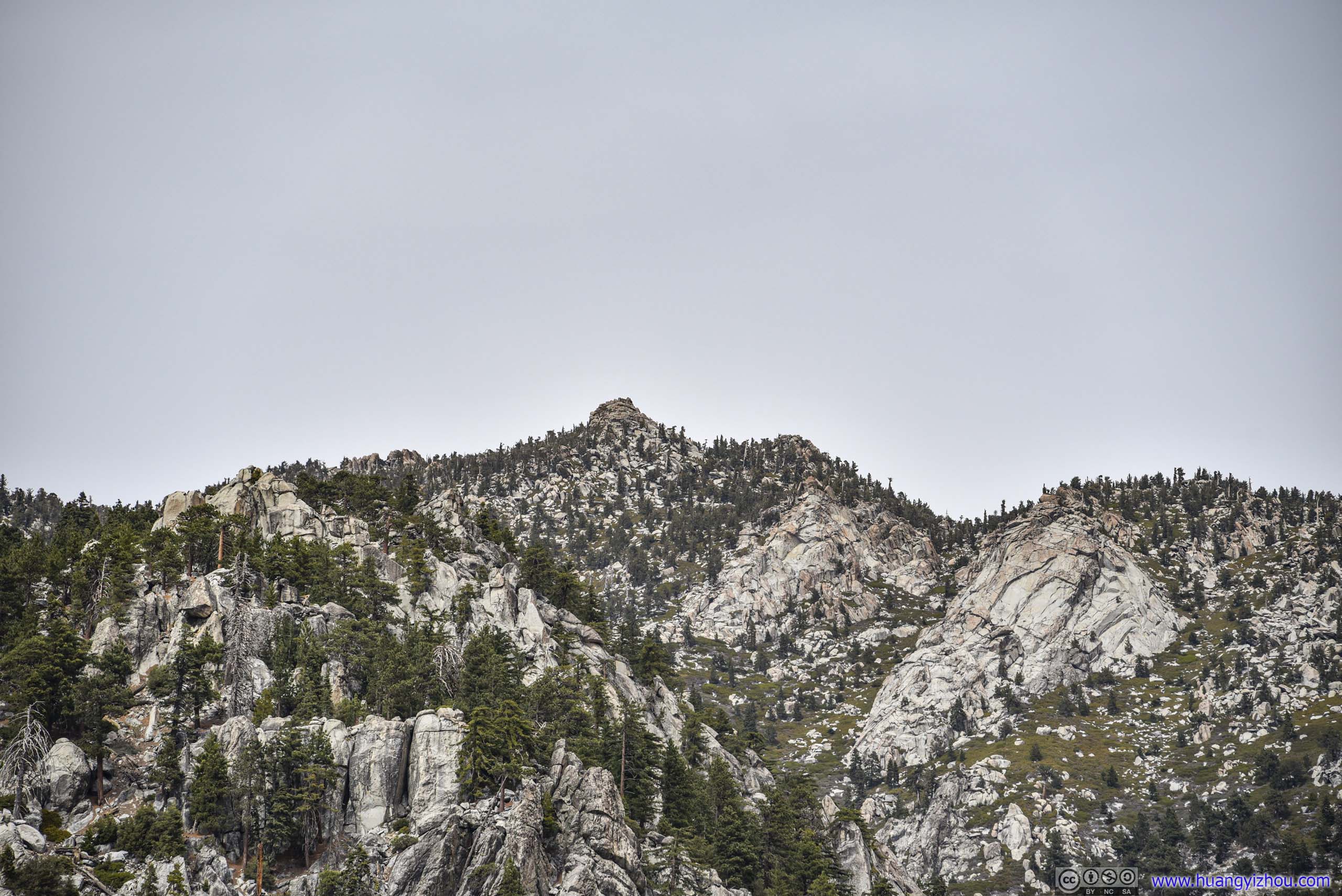
It's said that the granite outcrop got such a name from the story of Indian lovers that were denied marriage jumping to their deaths at the spot, which turned out to be more unsubstantiated legends to boost tourism. Suicide Rock offered great views of Tahquitz Peak across the valley (and vice versa).
As for the trail itself, it's a 10.8km easy-to-moderate out-and-back with 569m of gentle elevation gain. One had to drive down the road to San Jacinto Ranger Station, located along Pine Crest Avenue, to obtain a free wilderness permit before setting on the trail though. The permit was offered at a desk outside the ranger station, so there was no need to worry about its office hours.
Another thing to note about the trail was parking. The official Deer Springs Trailhead only held about 10 cars, which was grossly insufficient on a weekend like this. There seemed to be some unofficial overflow parking towards the west of the trailhead, where I parked my car and started the hike just past noon.
Here's GPS tracking:
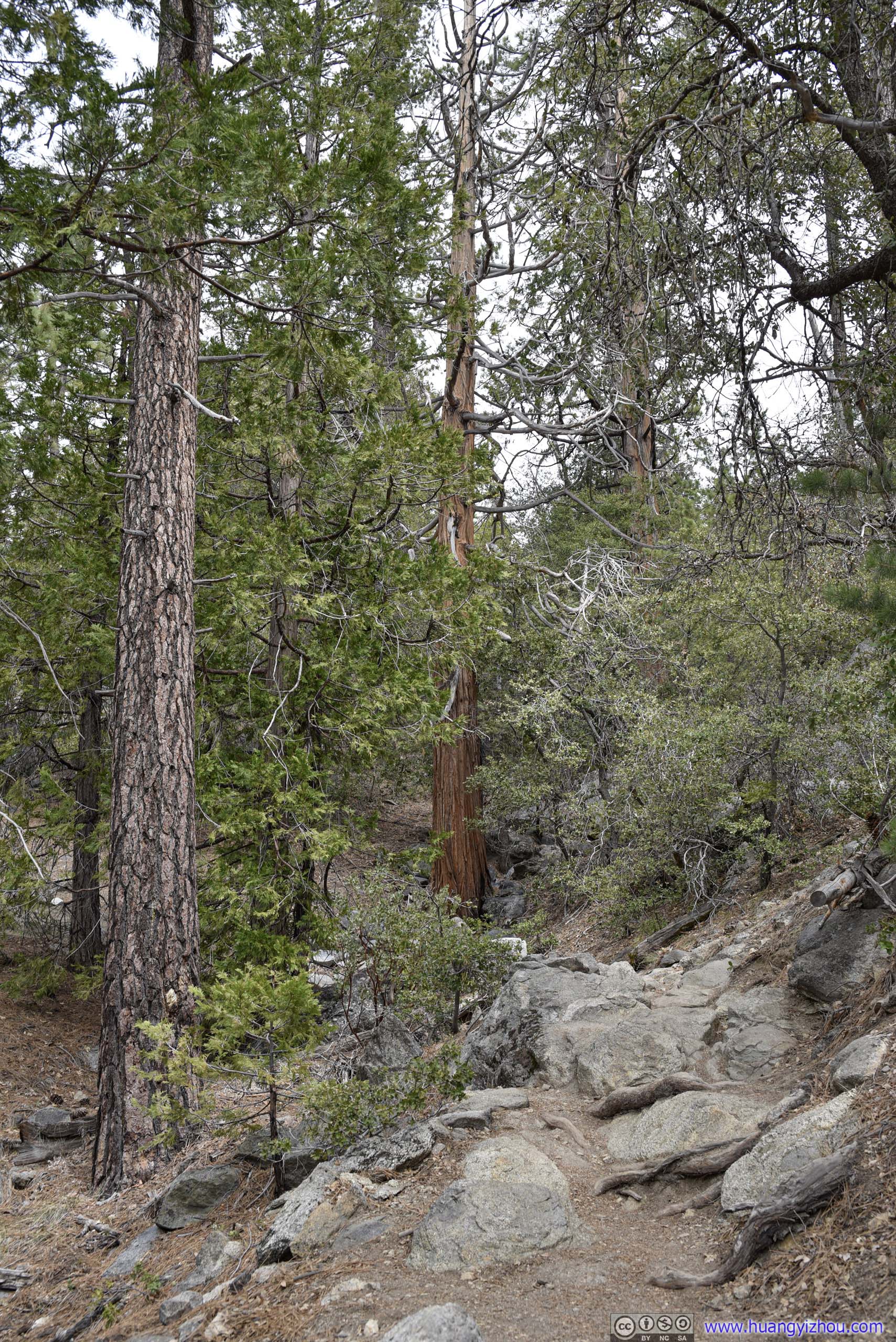

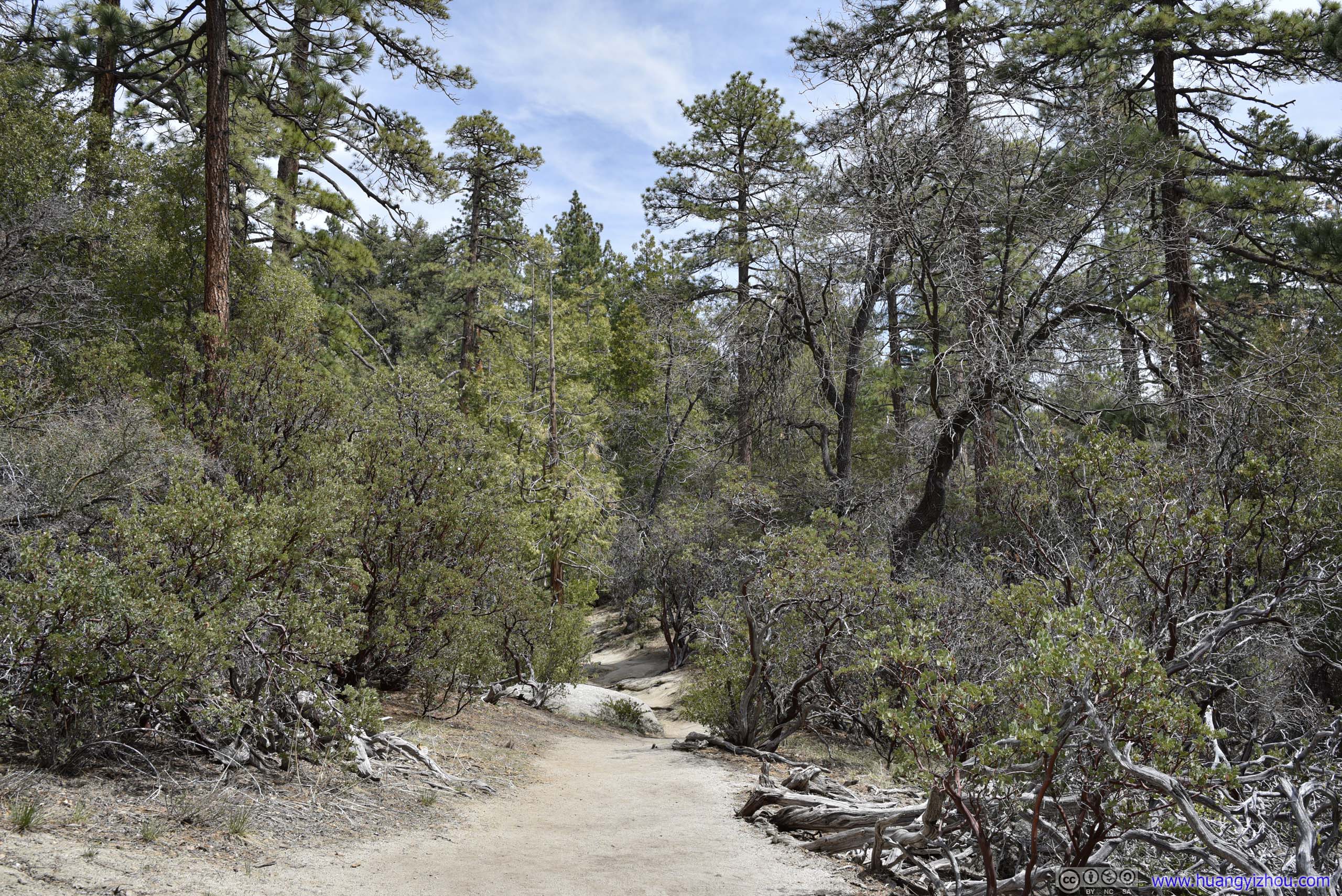
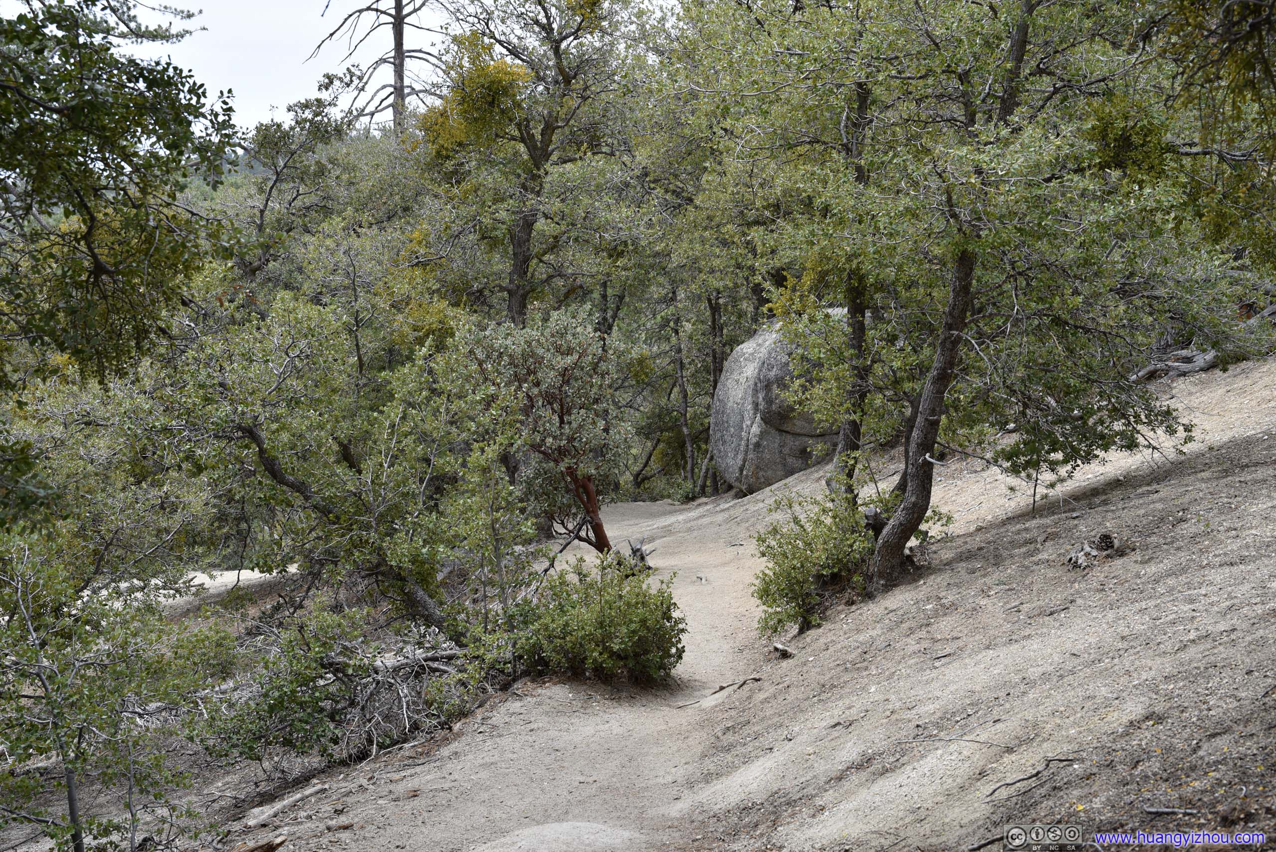
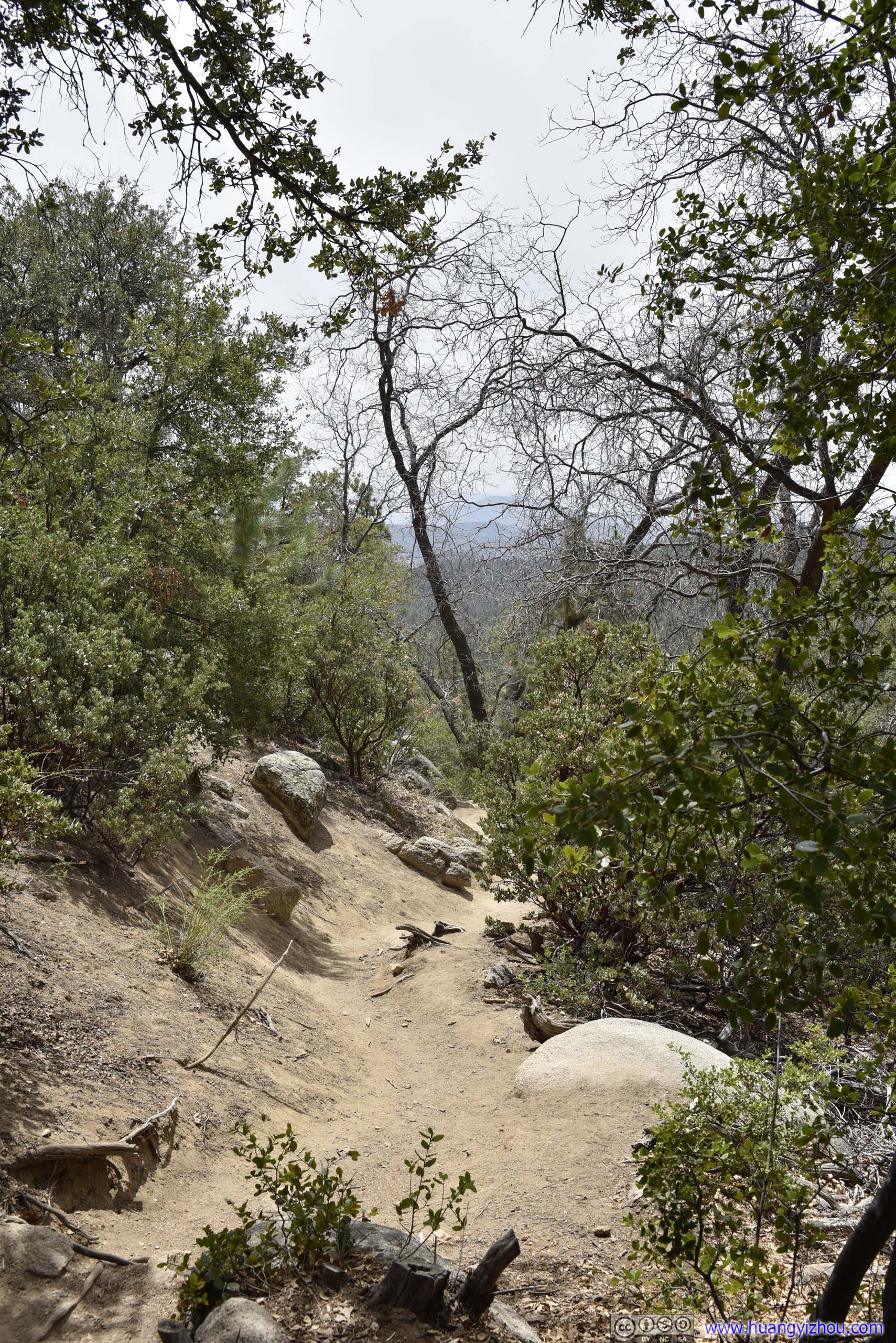
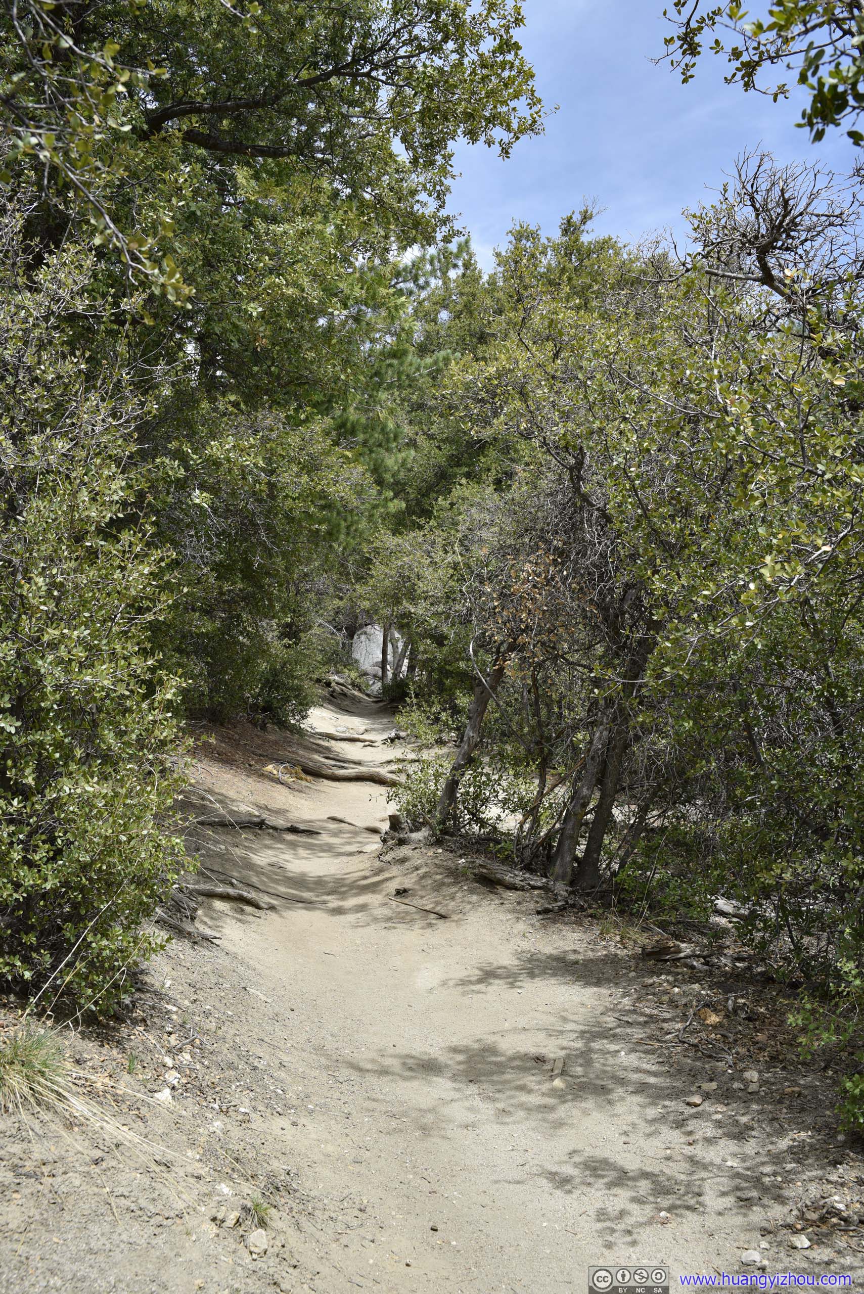
Trail
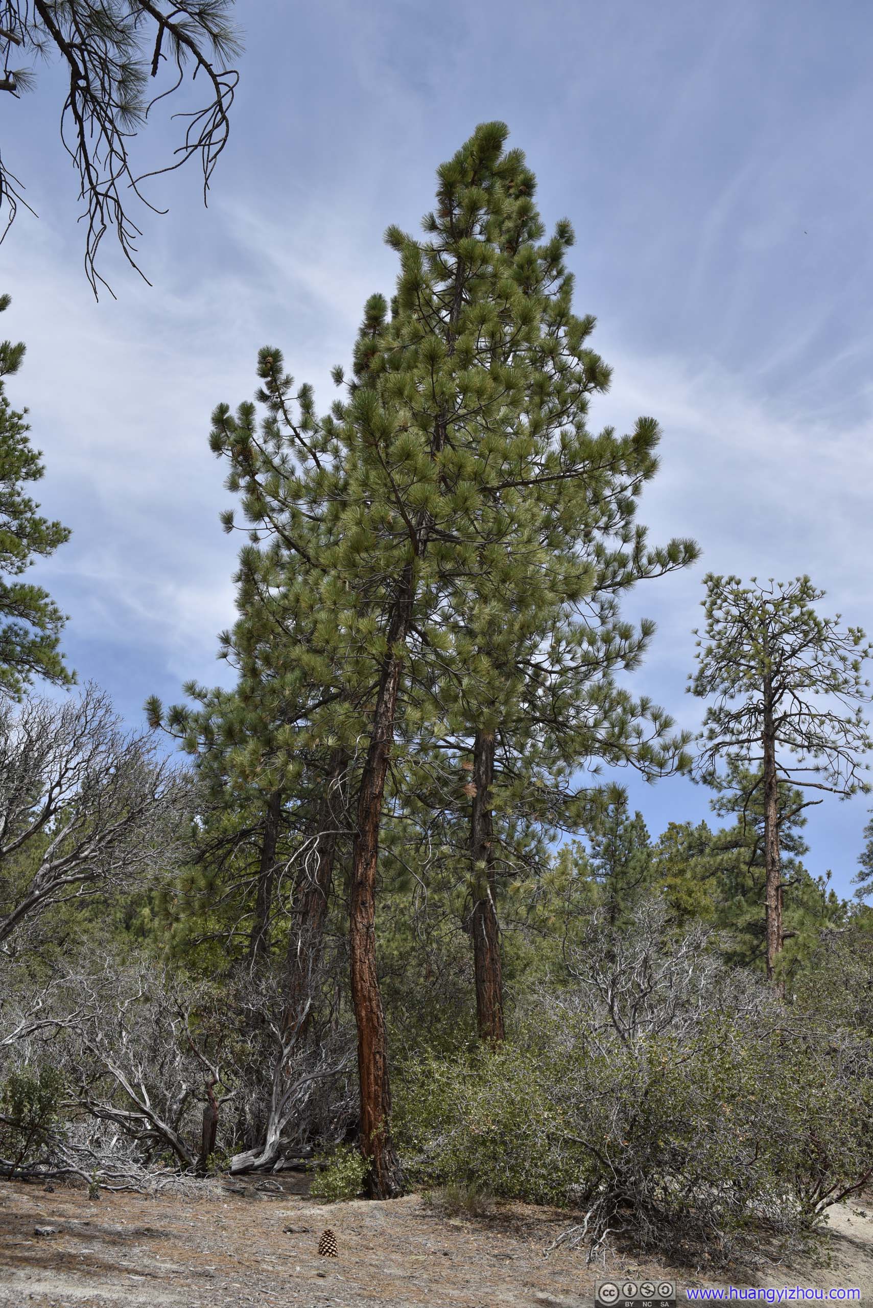
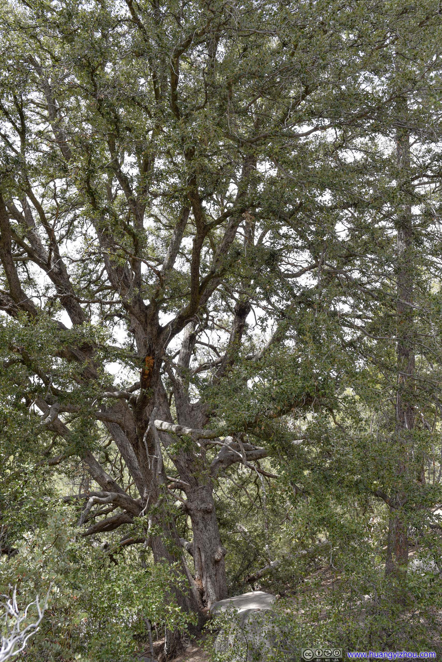
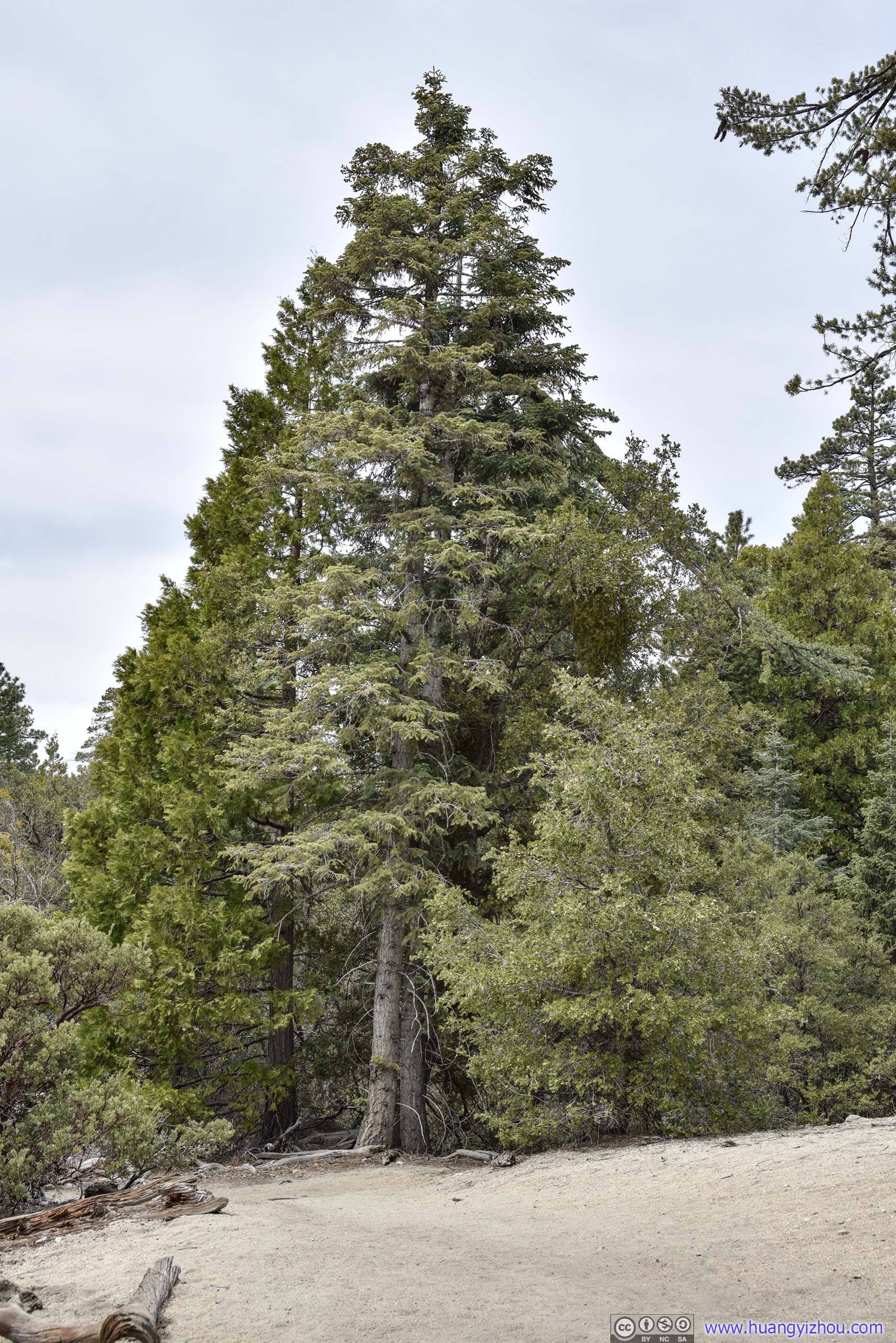
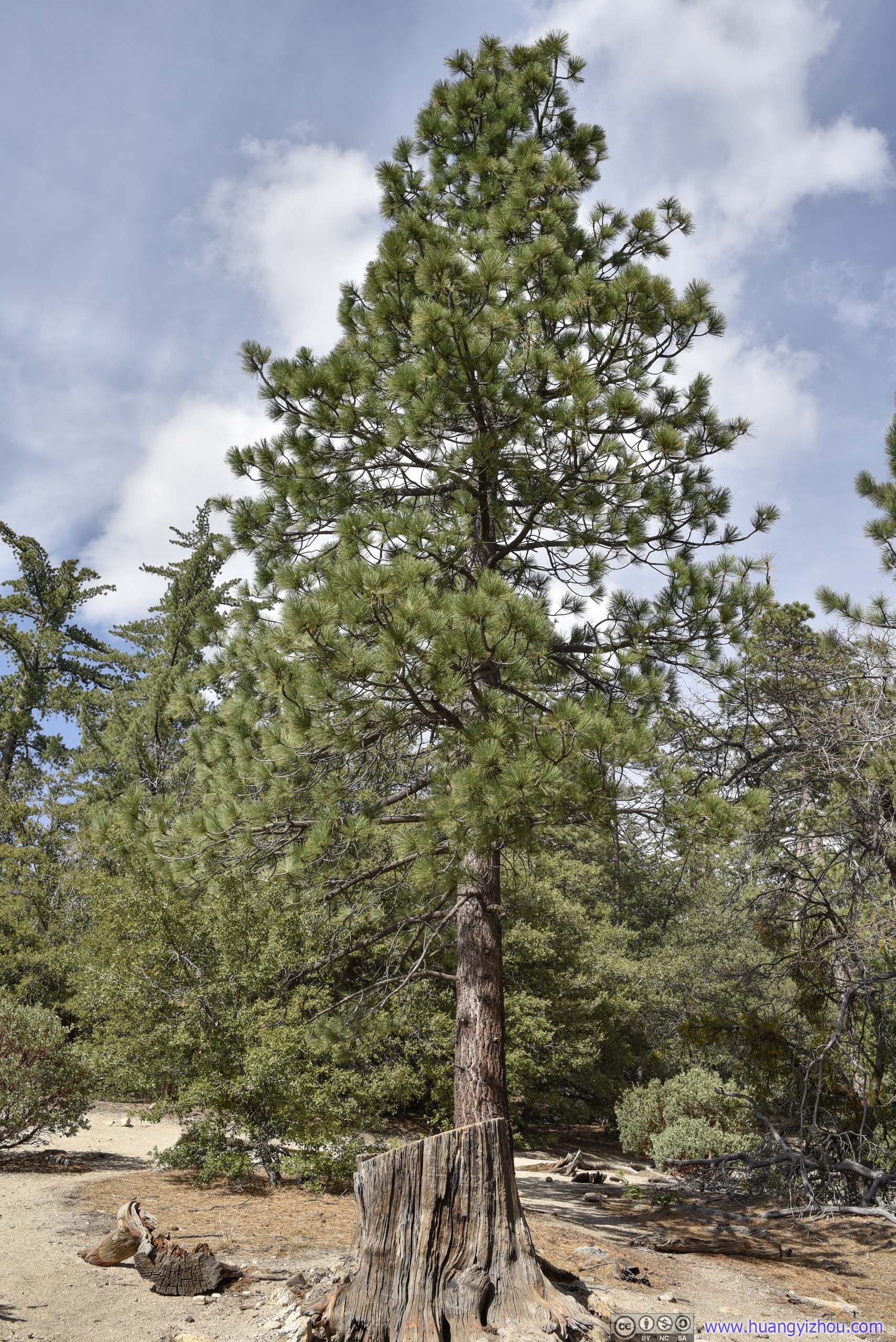
Trees along Trail
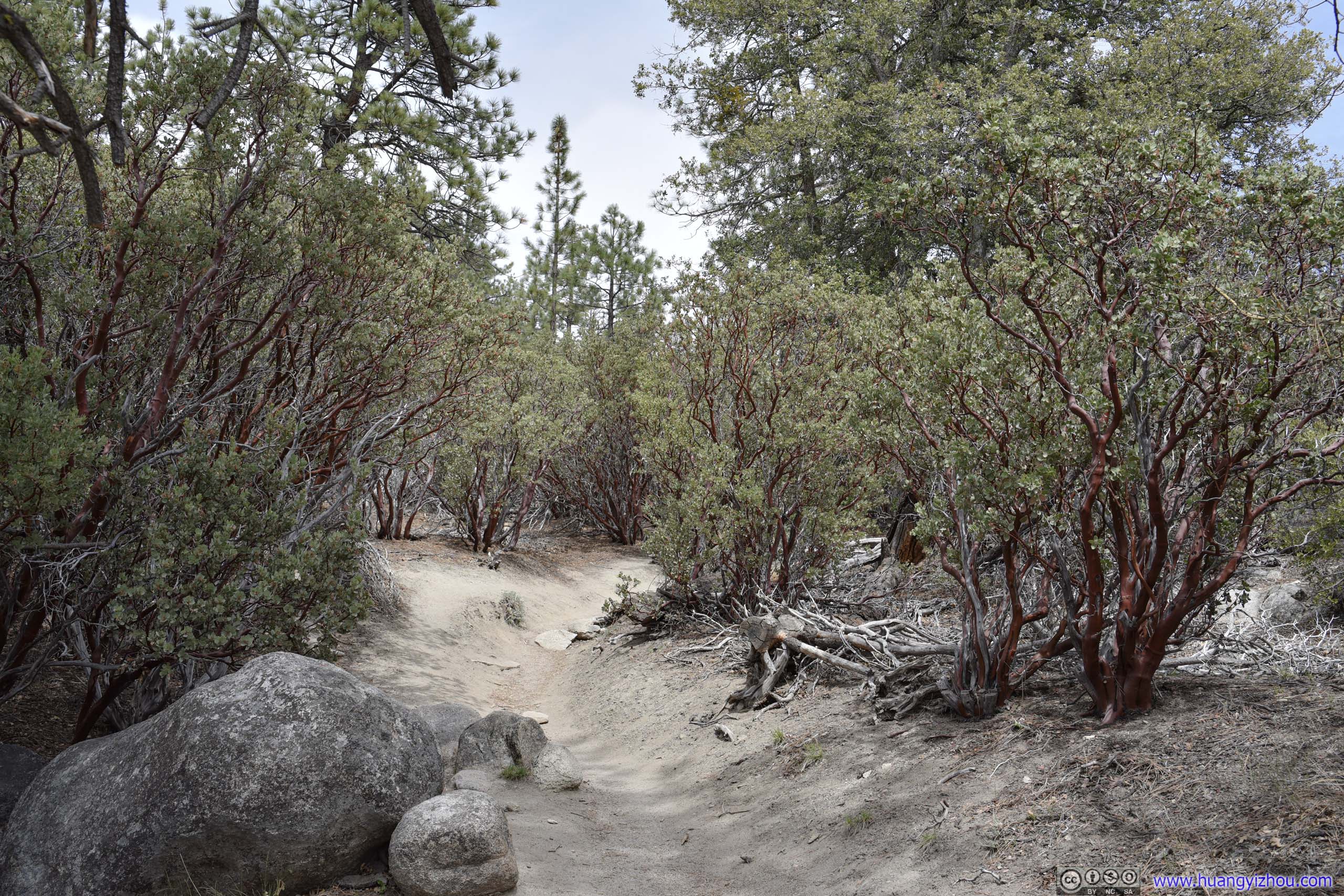
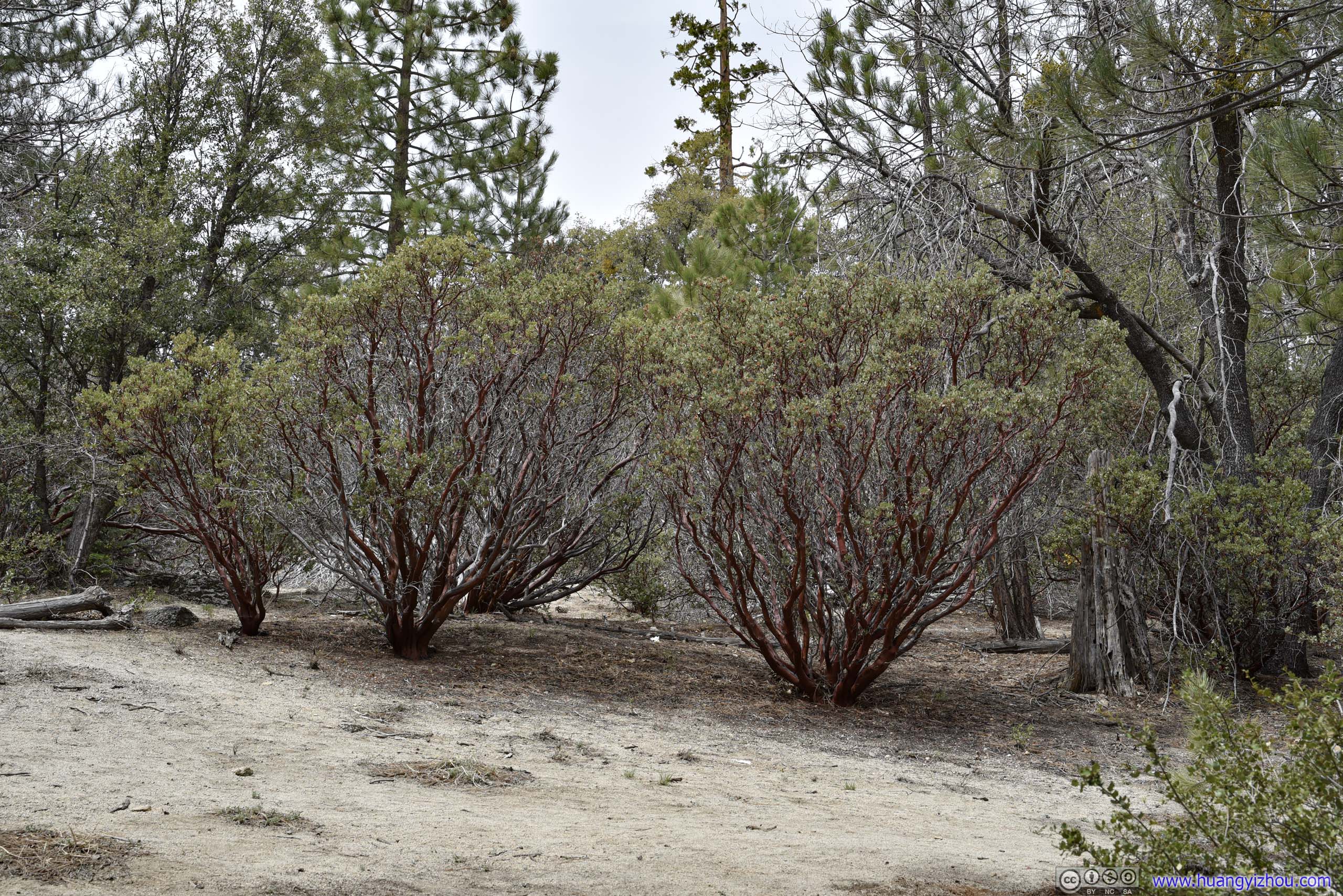
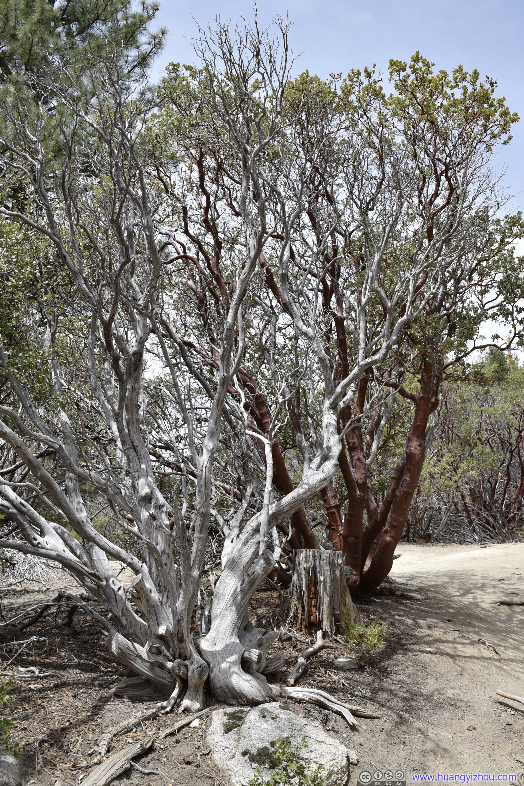
Contrast of life and death in this photo. Even in death they looked beautiful.
As one headed deeper into forest and higher in elevation, the red waxy trees started to give way to soaring pine trees. Just over halfway distance, one would enter a section of pine forest where their droppings dominated the landscape color.
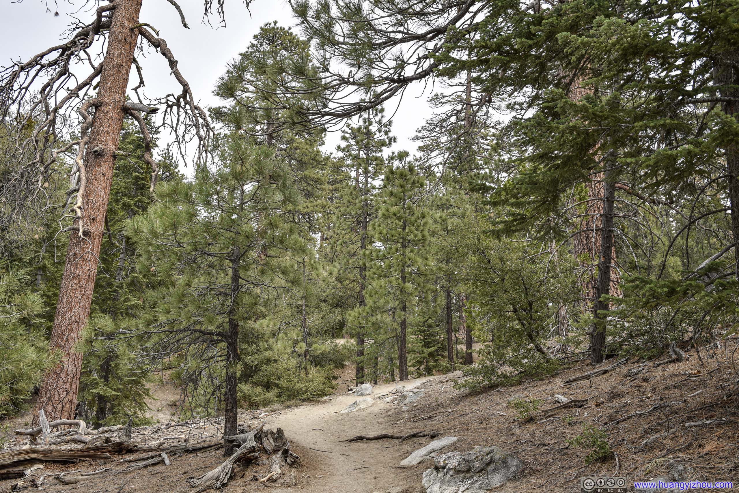
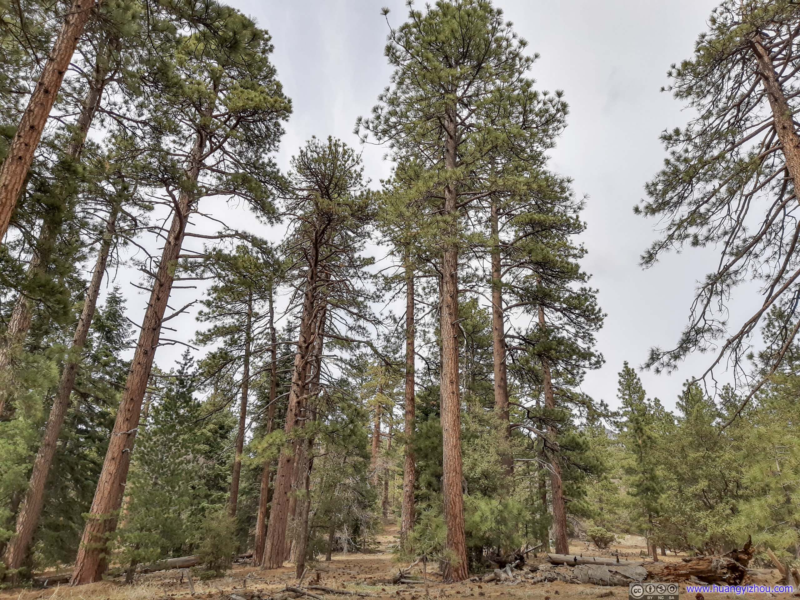
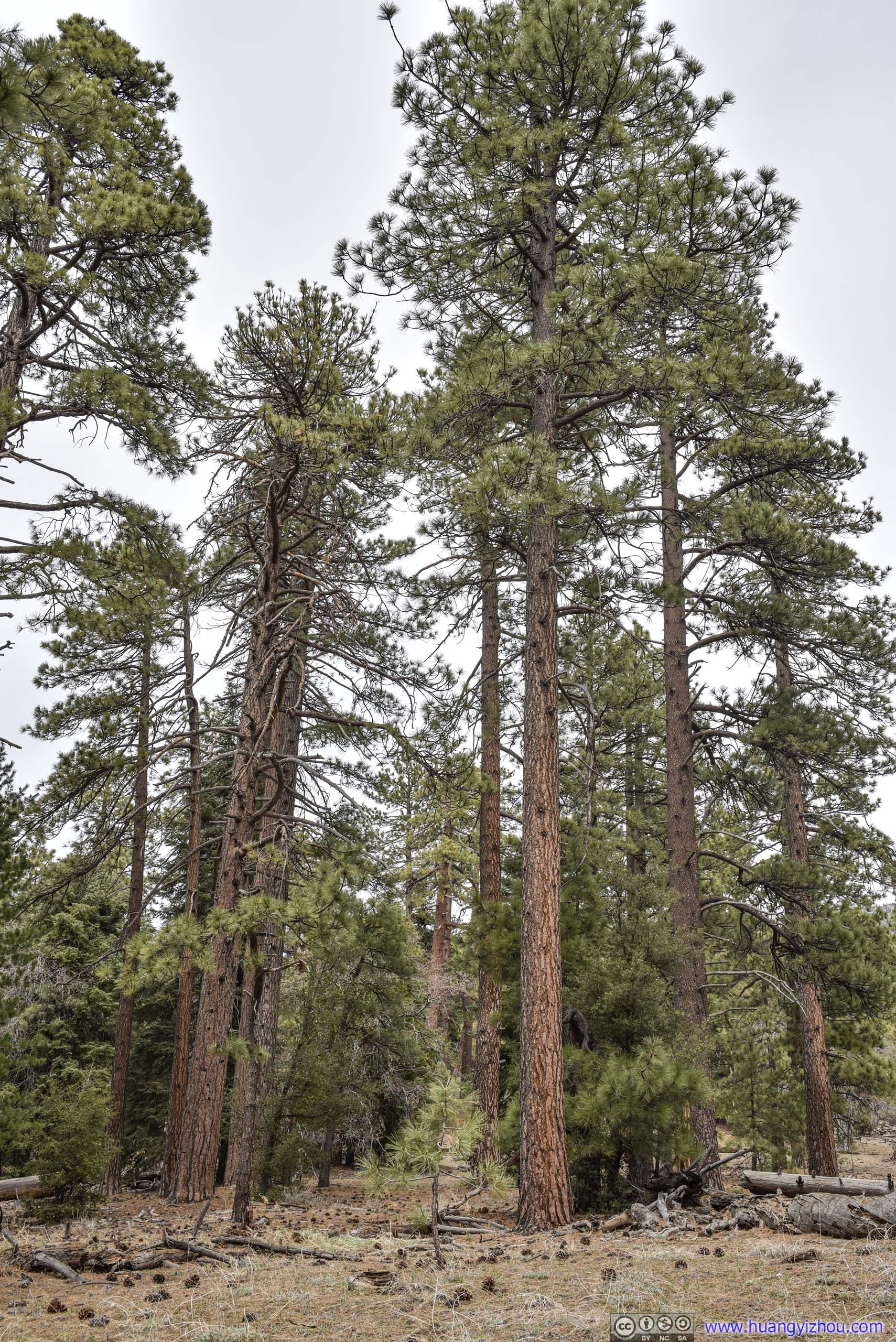
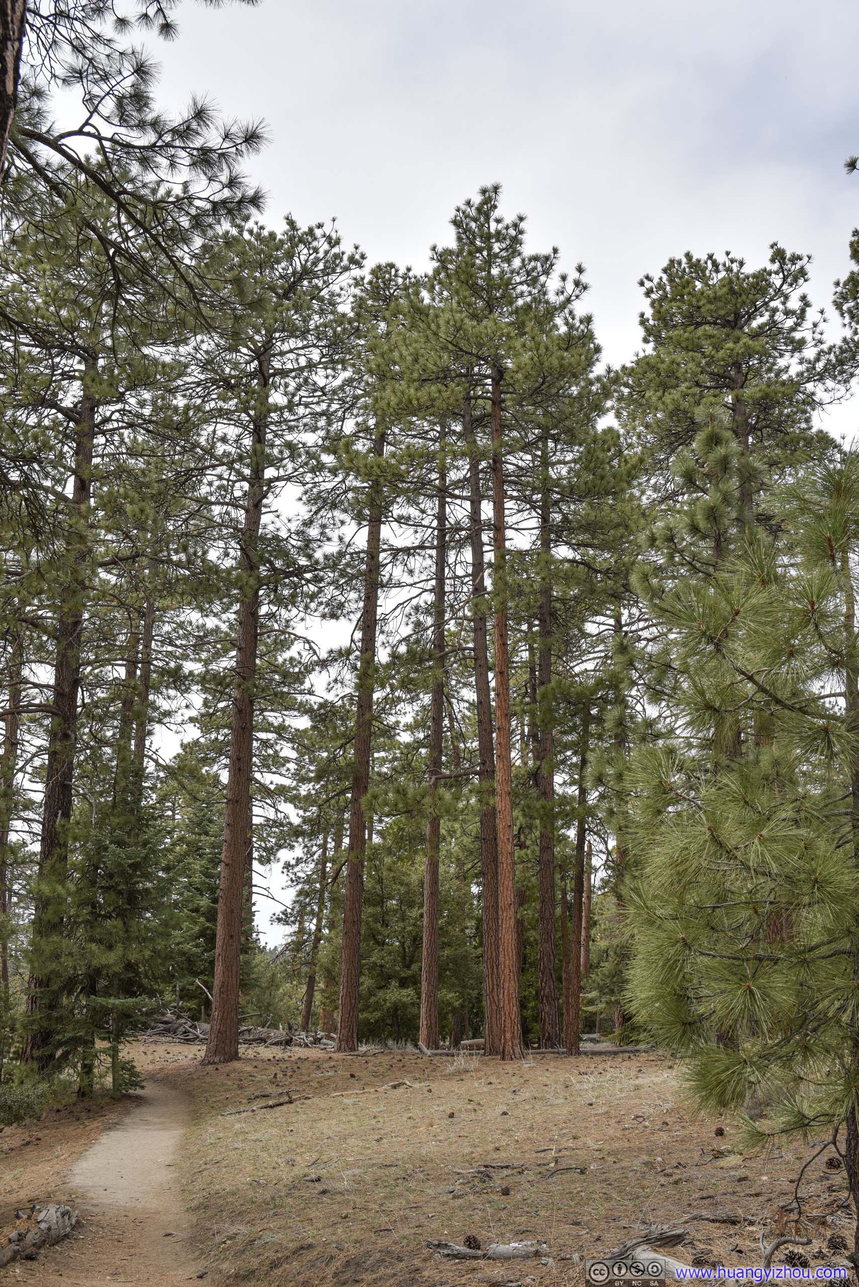
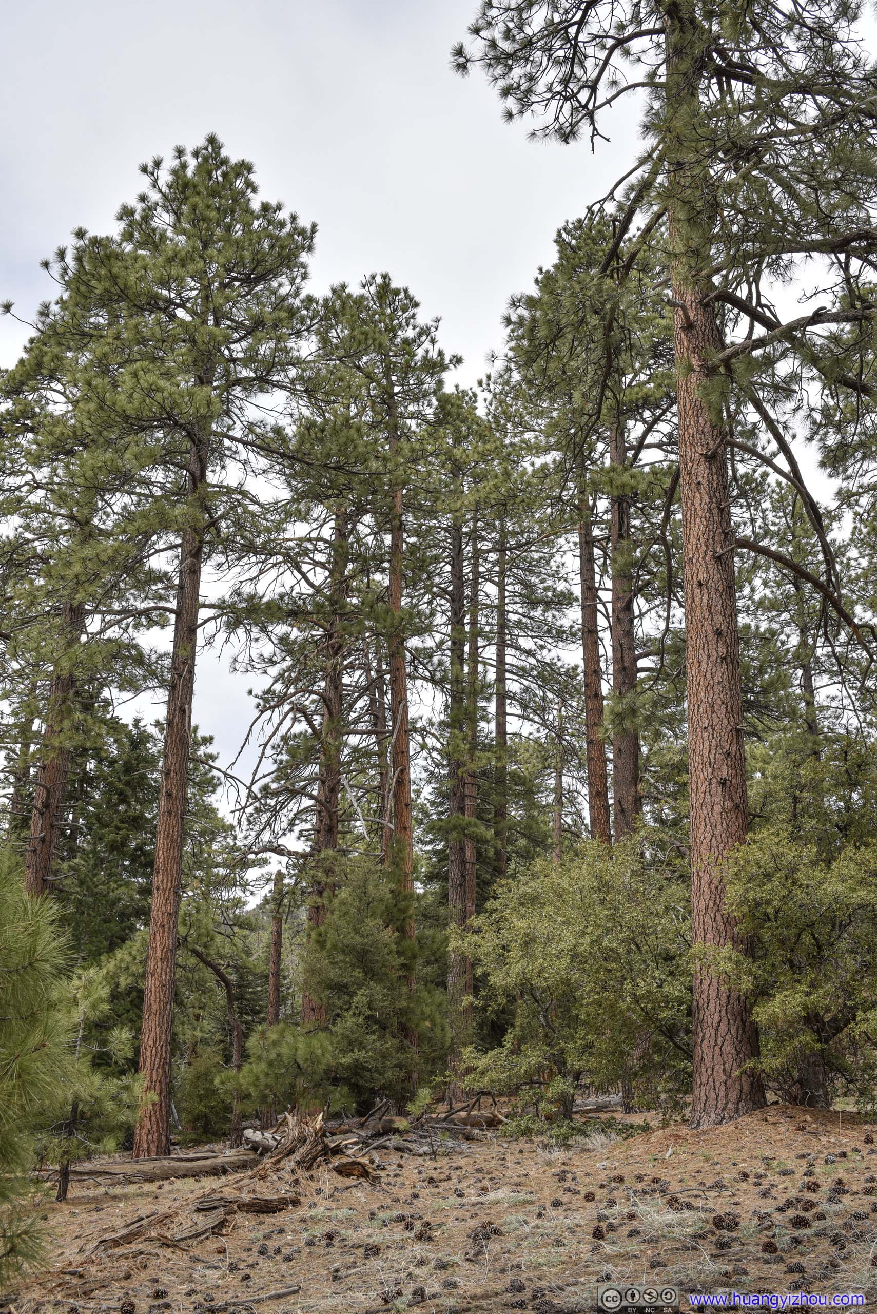
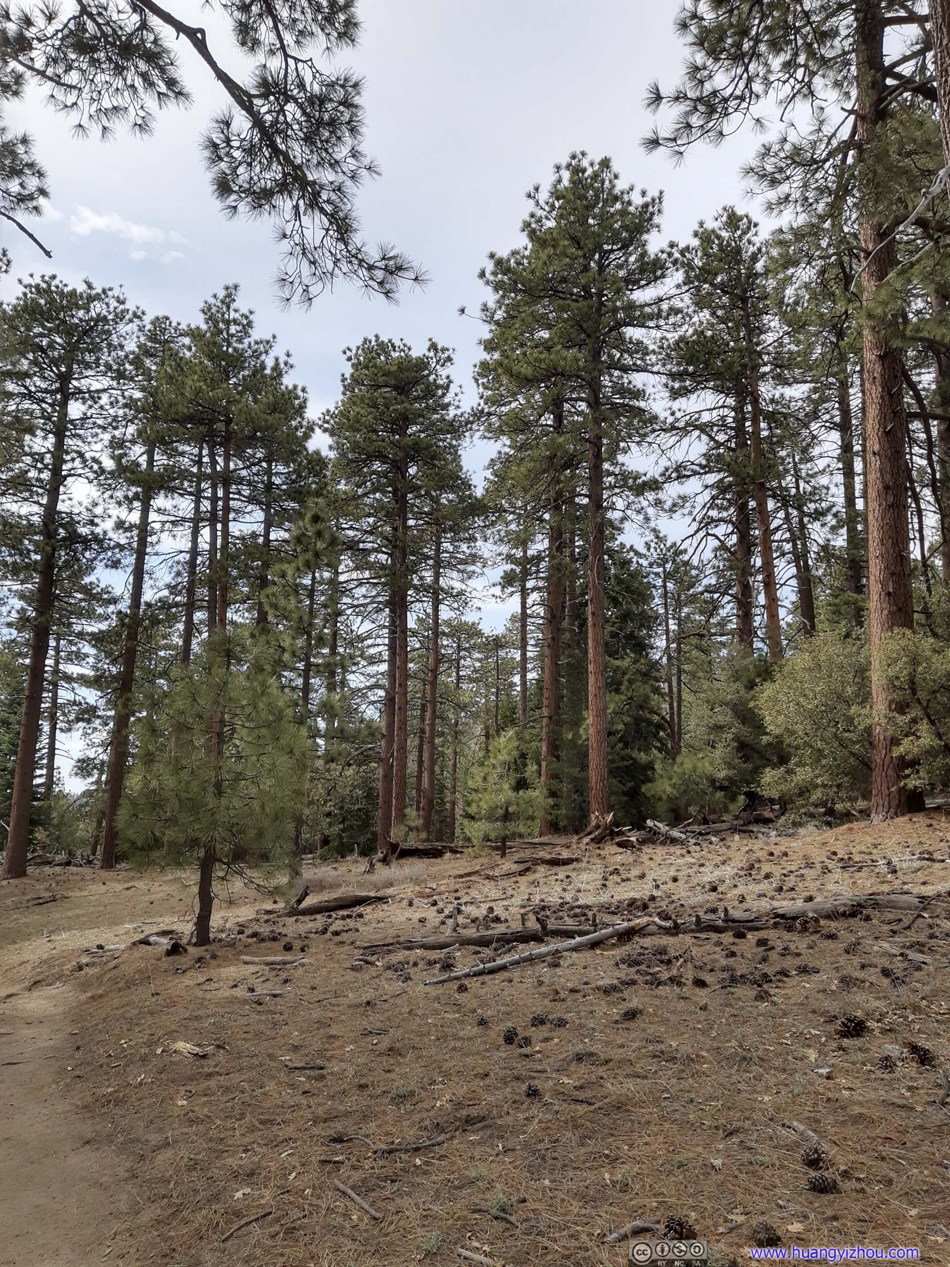
Pine Trees
Just after the section of pine trees, the trail reached a well-marked intersection, where the other forks headed deeper and higher into the mountains. The trail to Suicide Rock was straight ahead at the intersection.

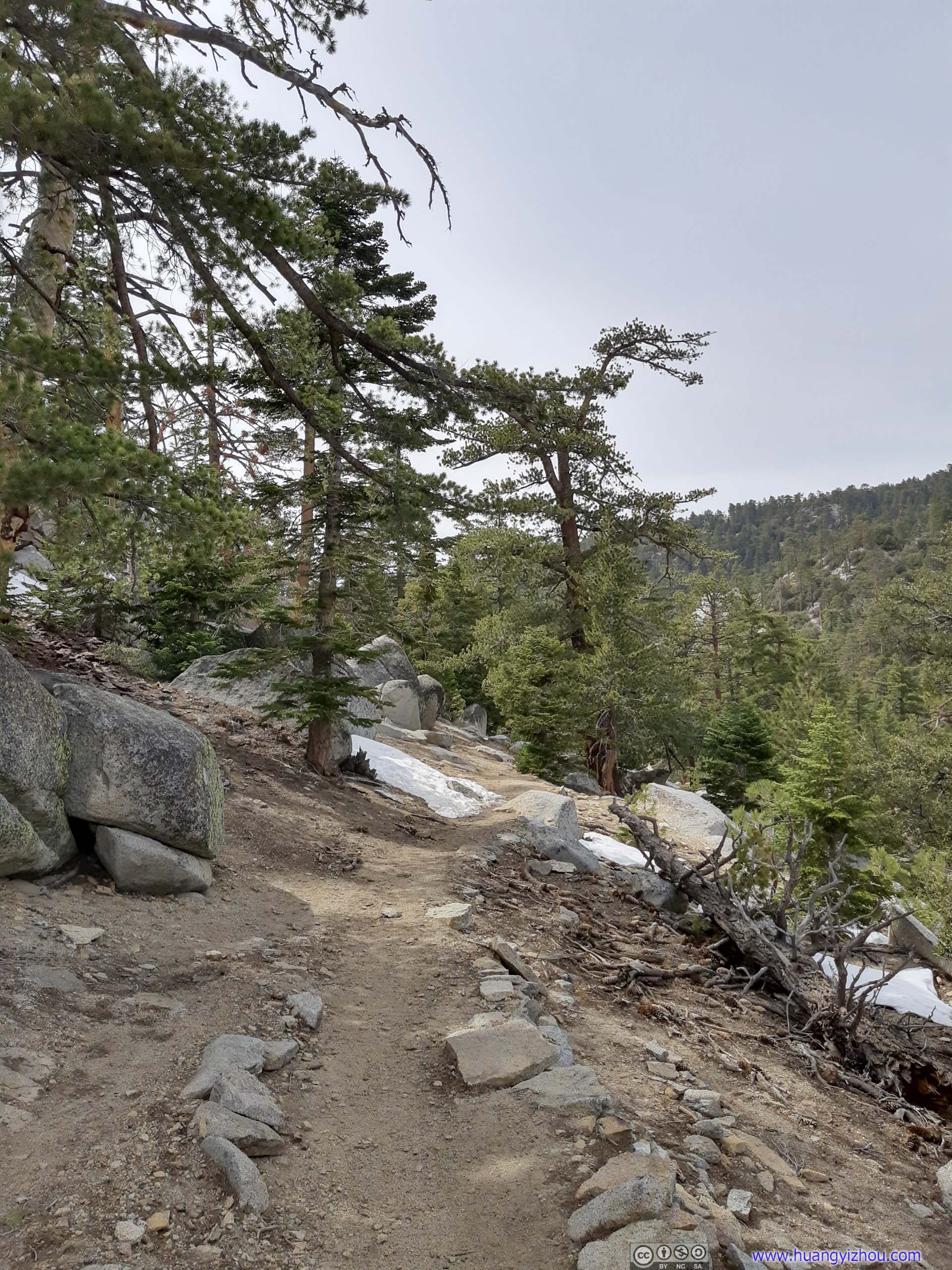
Trail conditions didn't change much after the intersection.
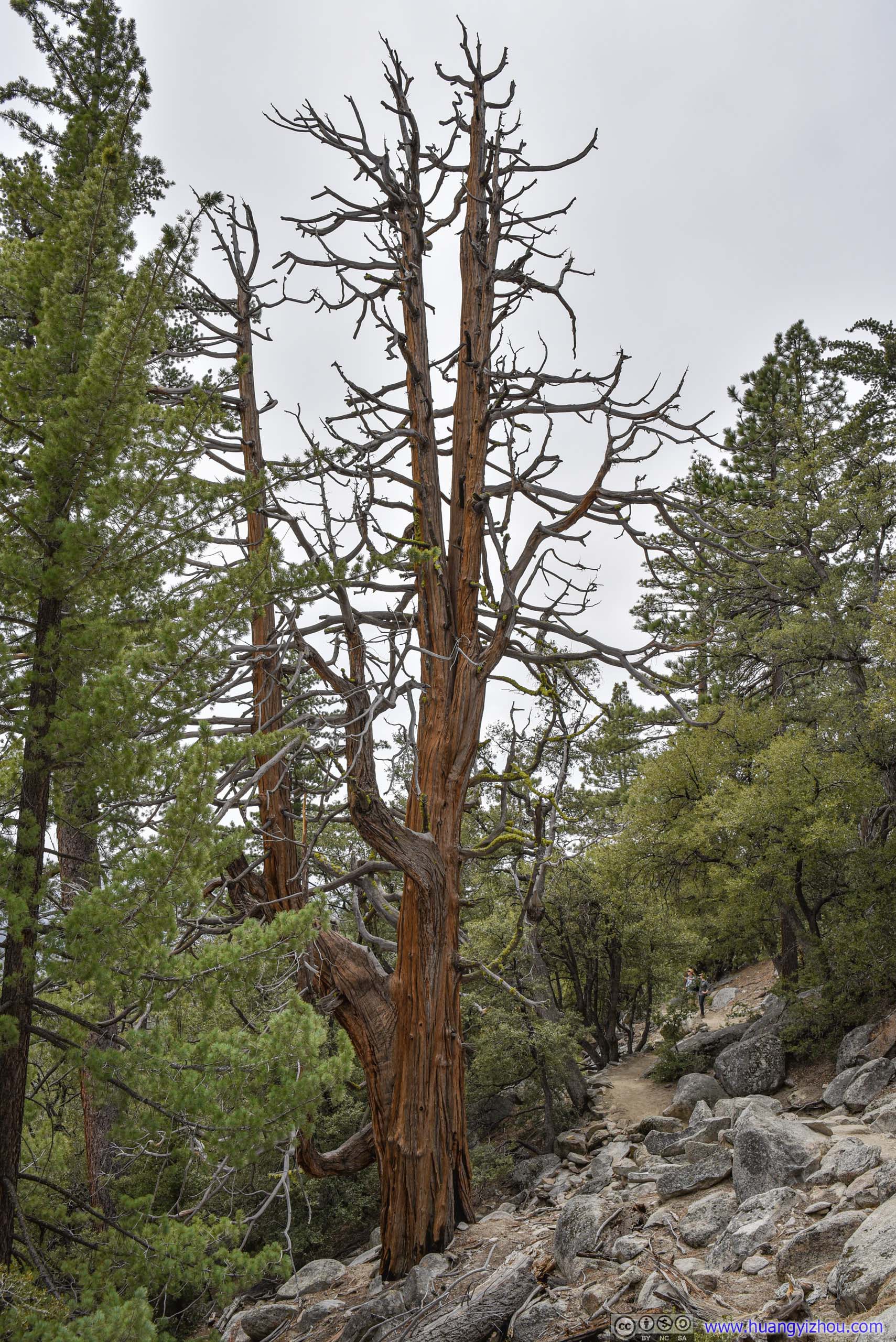
Seems like lightning broke this tree into half.
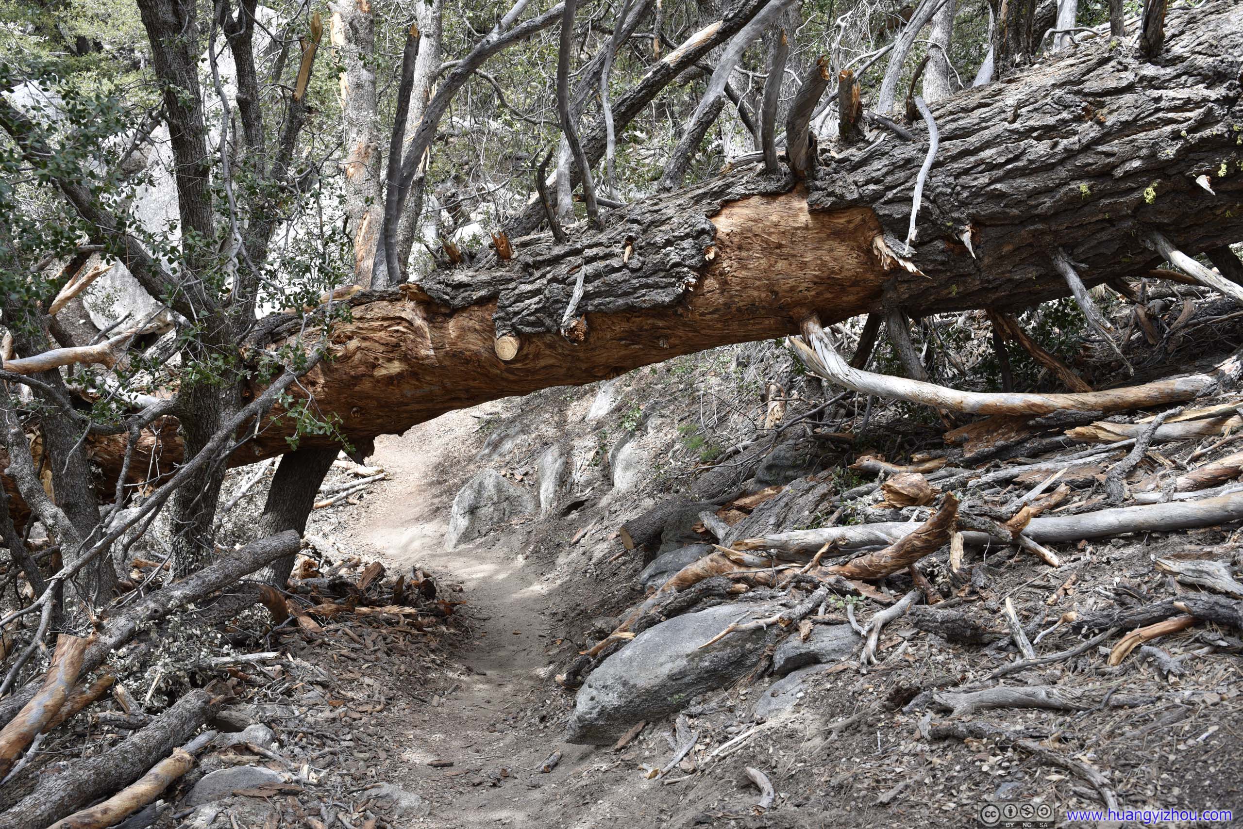
Not too hard to get around this fallen tree.
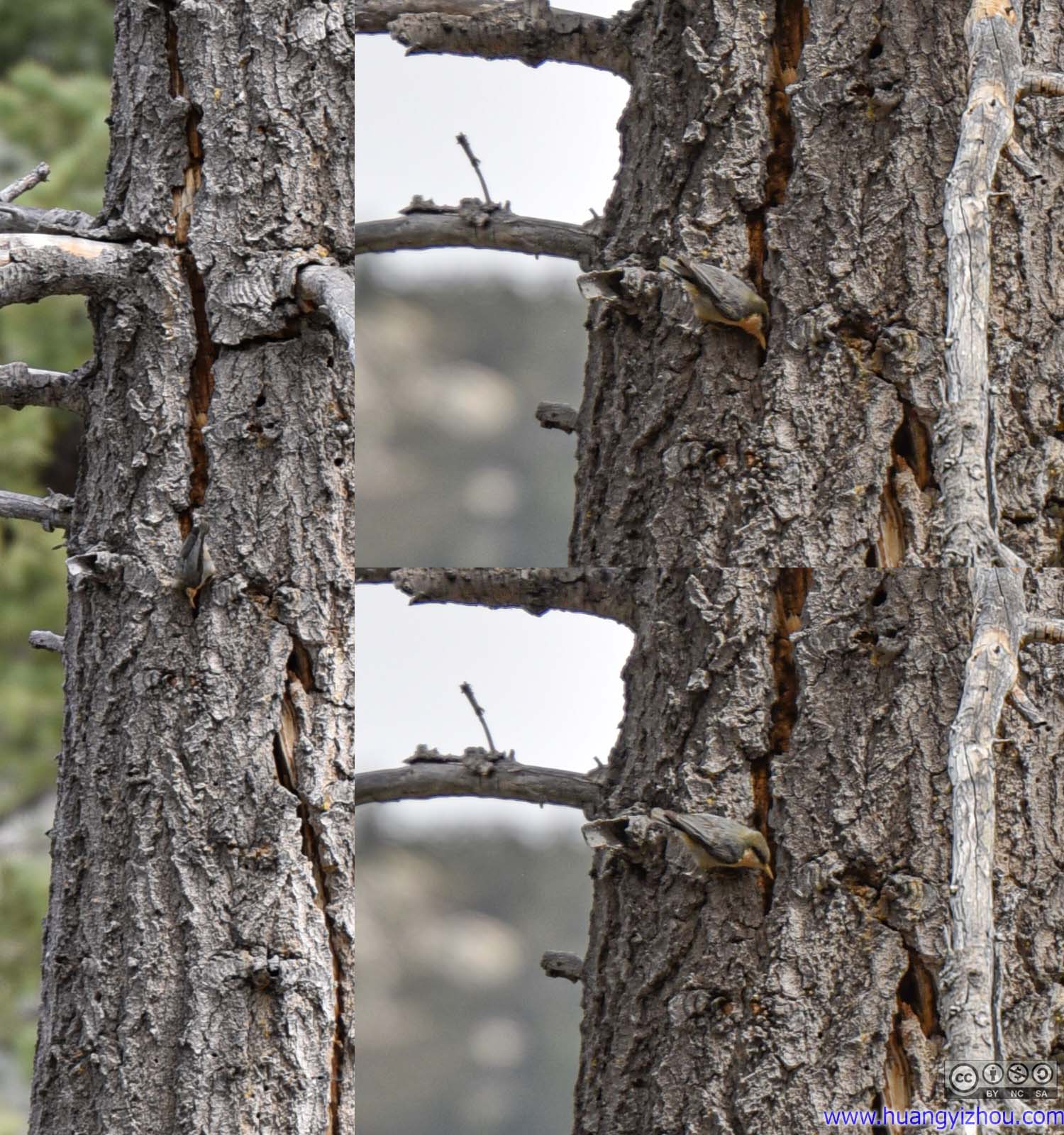
For most of the trip, I had been accompanied by the beautiful singing sounds of various birds in the forest, which was both calming and refreshing. Towards the top, I picked up a packing sound and then located a woodpecker at work.
Summit
Finally, I reached the summit of Suicide Rock after about 2 hours on the trail.
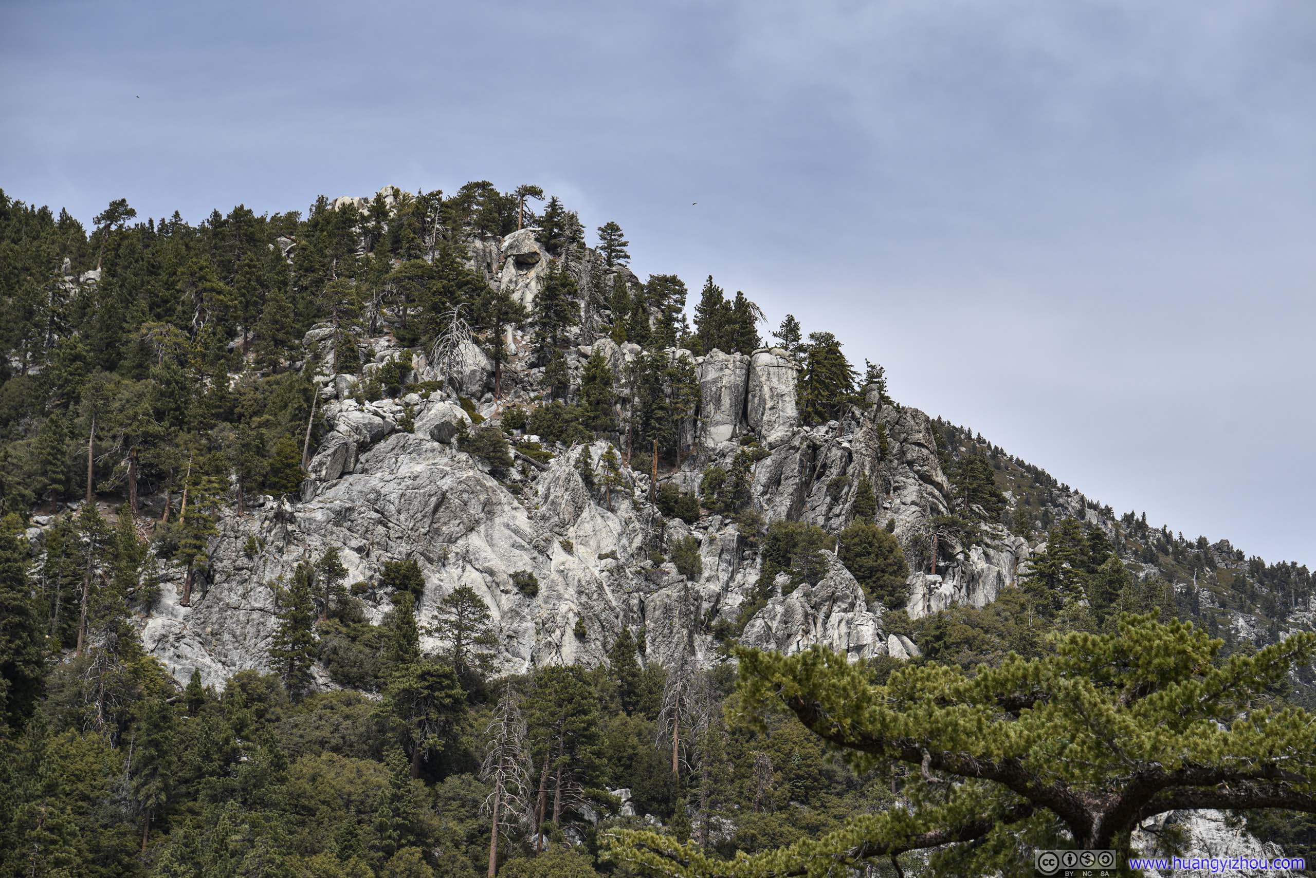
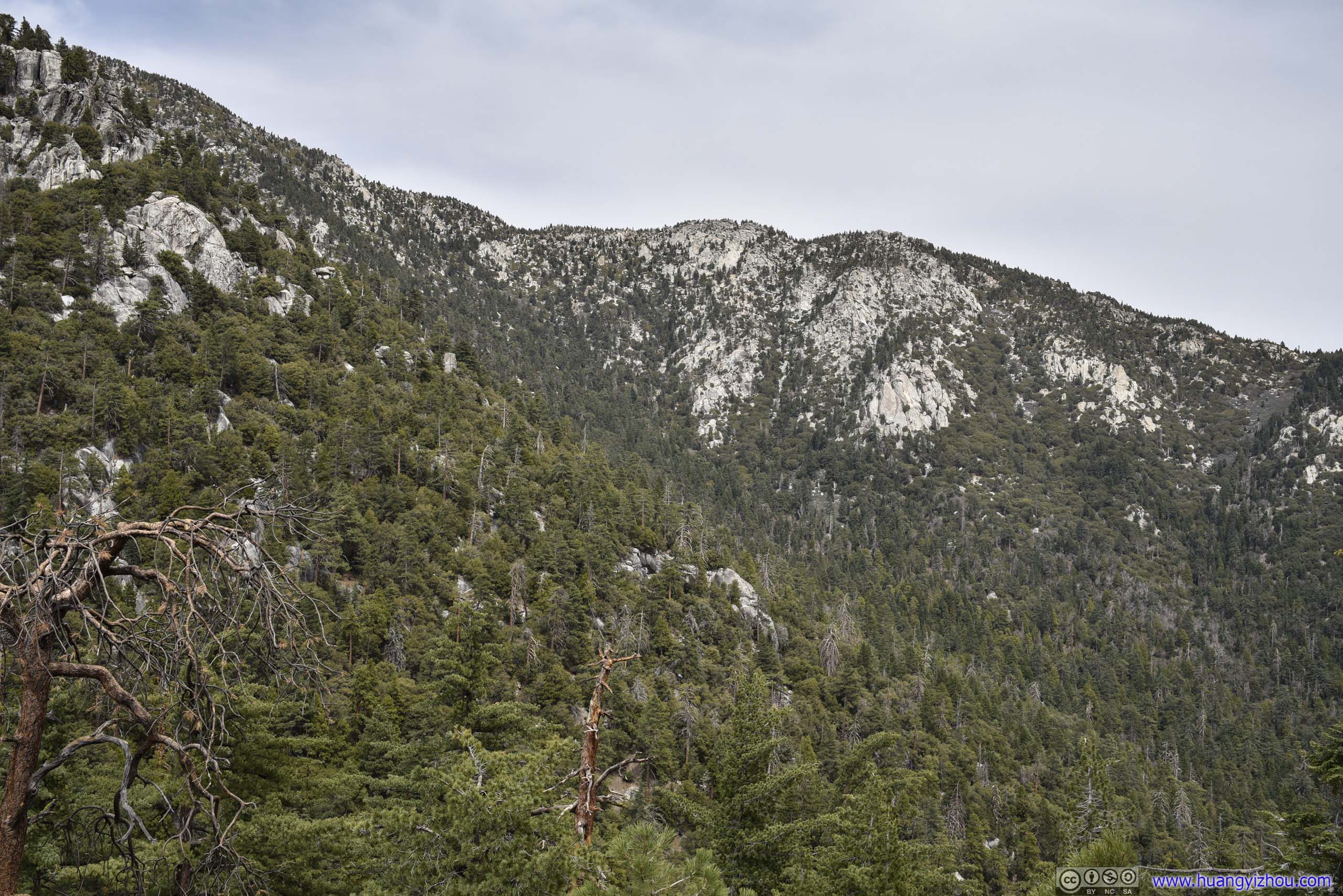
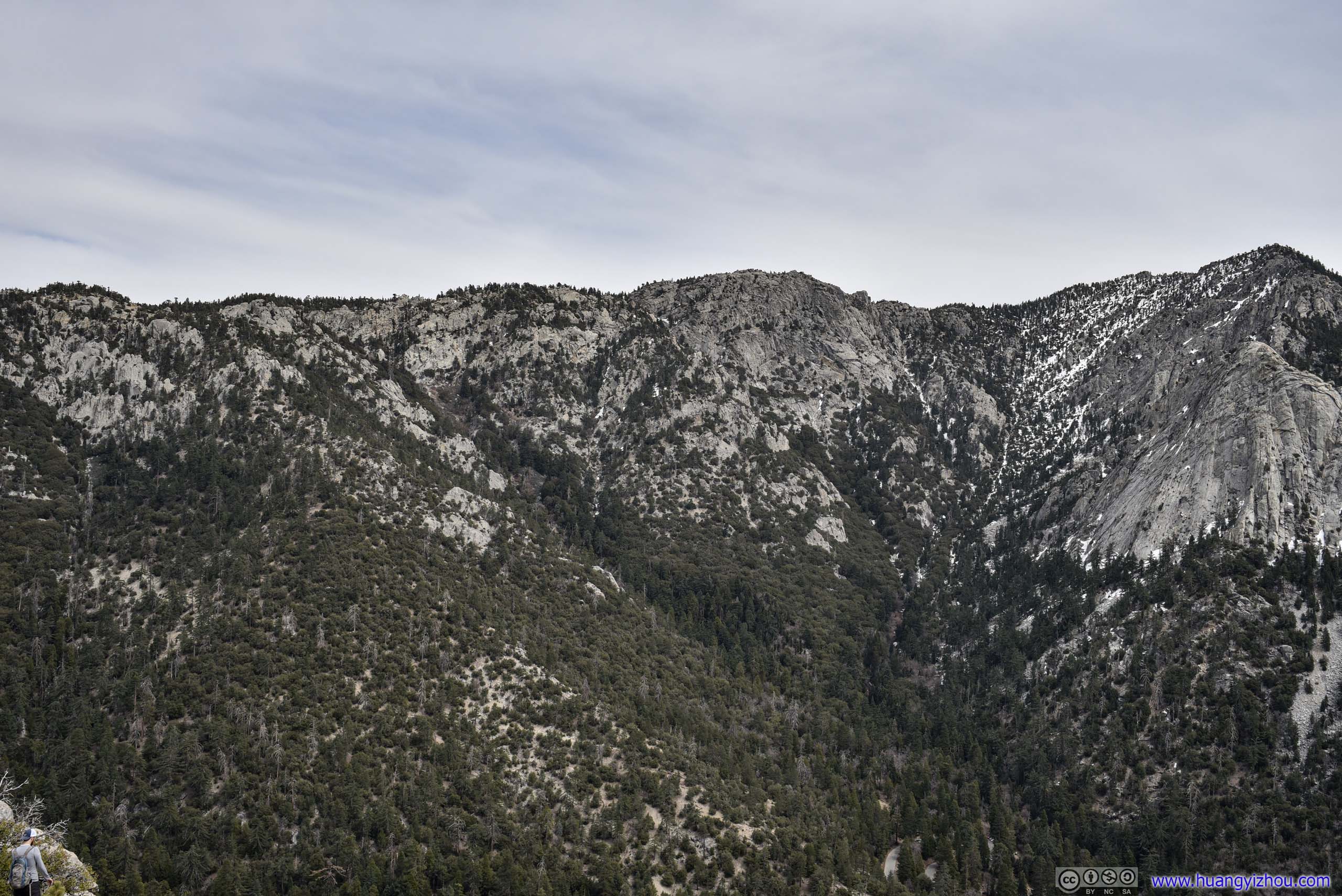
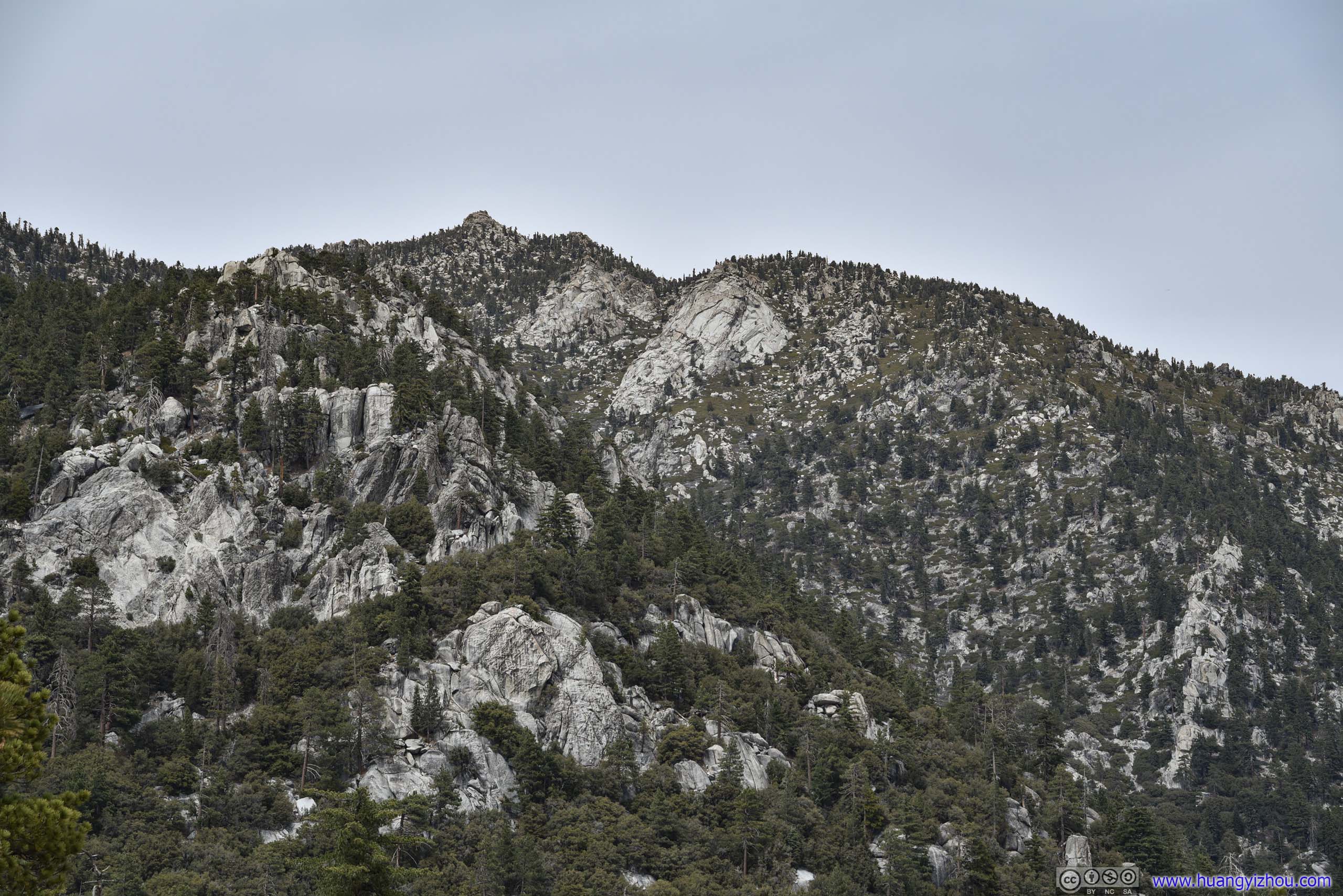
Nearby Mountains
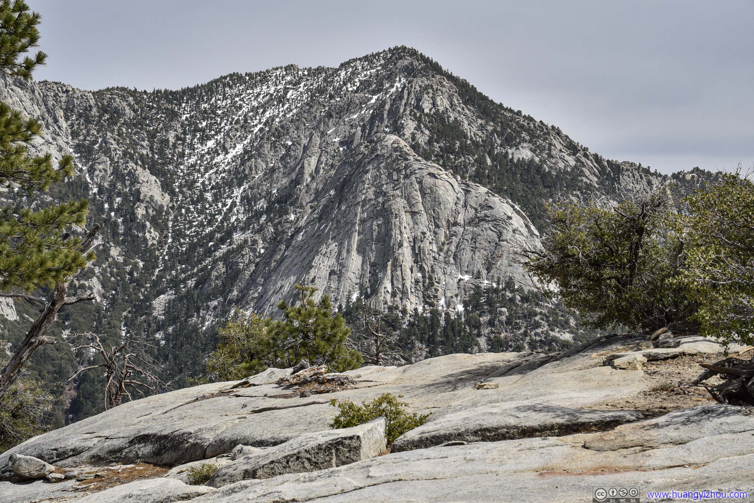
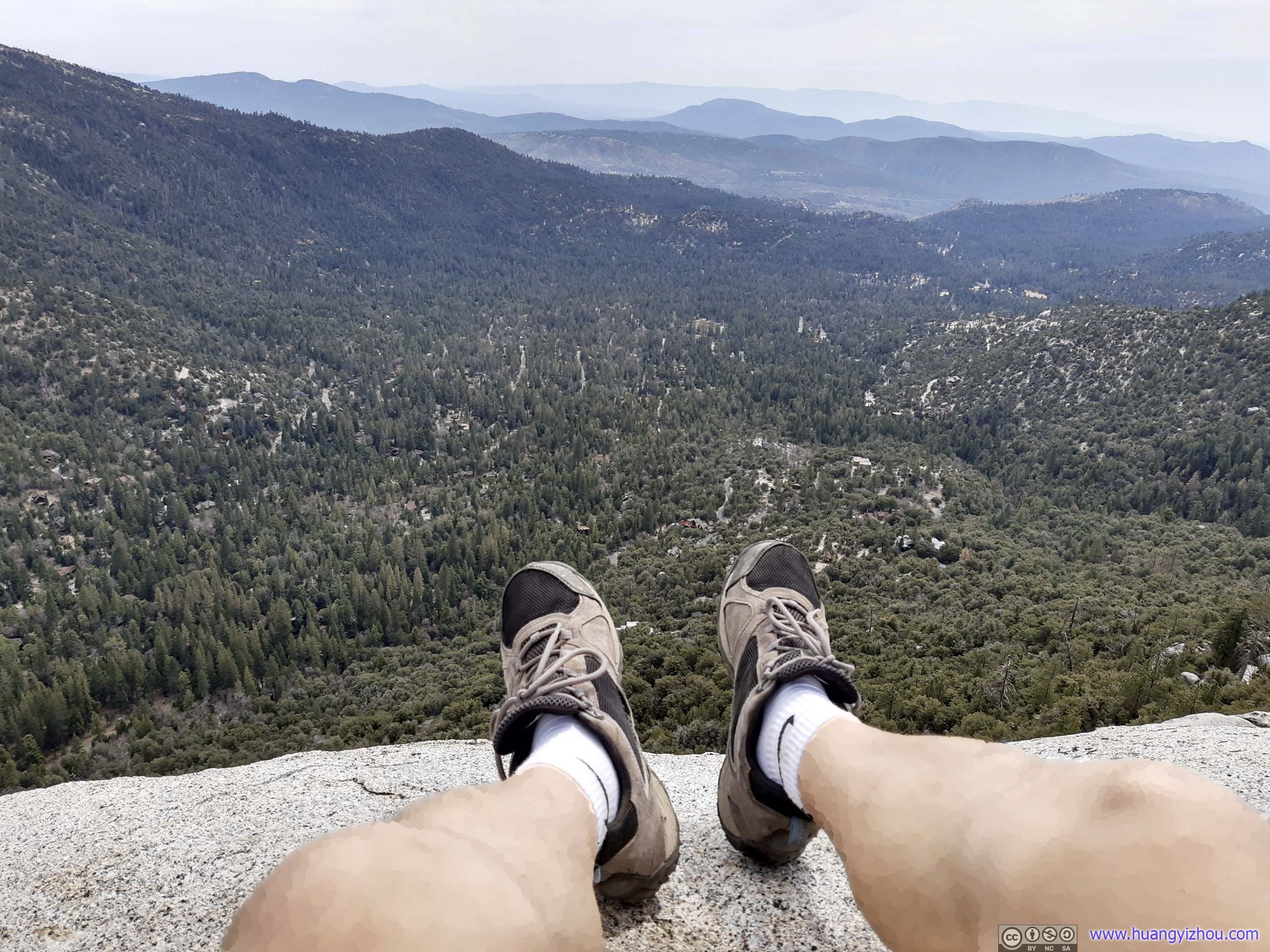
I picked a spot closer to the rock's edge, taking in sceneries of Idyllwild to the south.
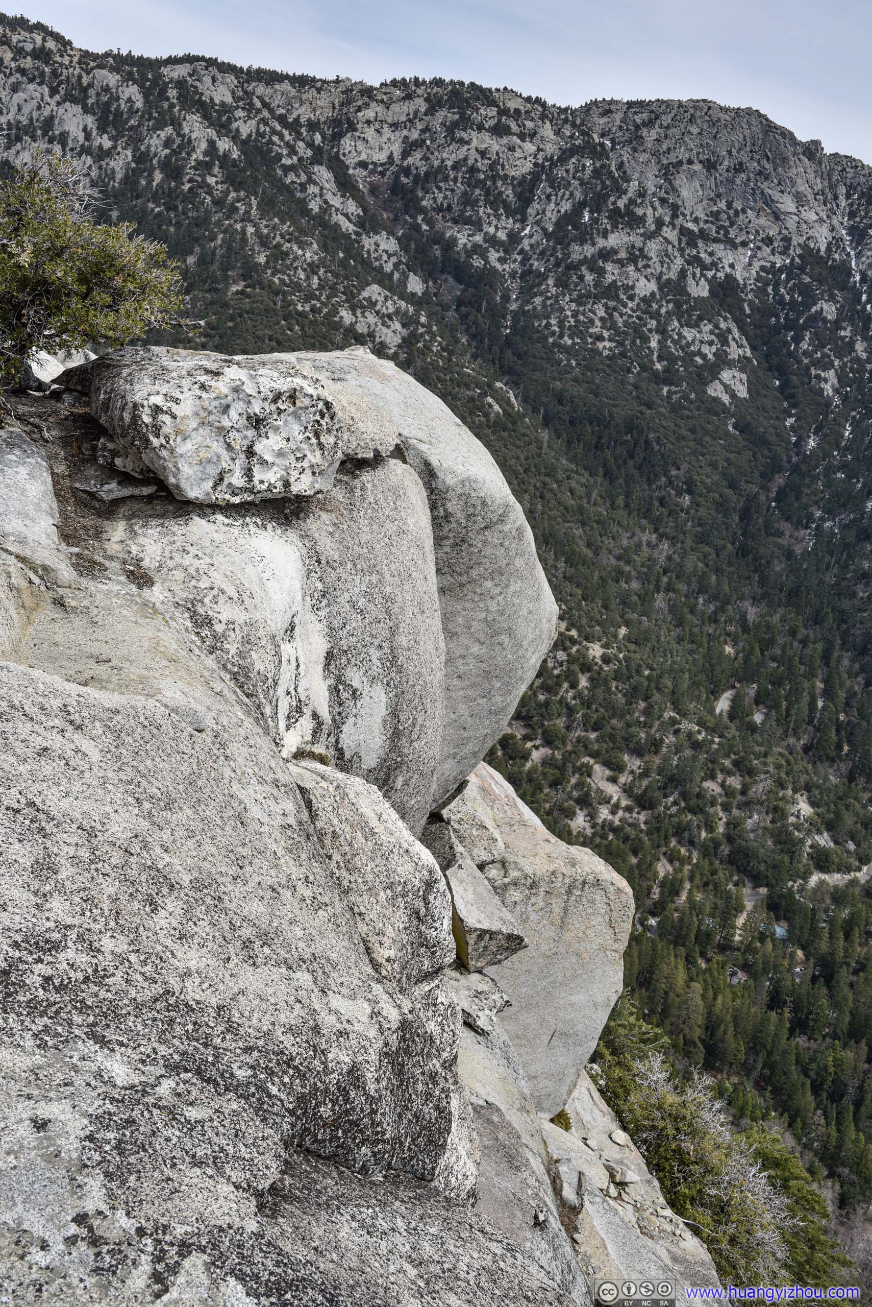
Where I sat in the previous photo, a place of both beauty and caution.
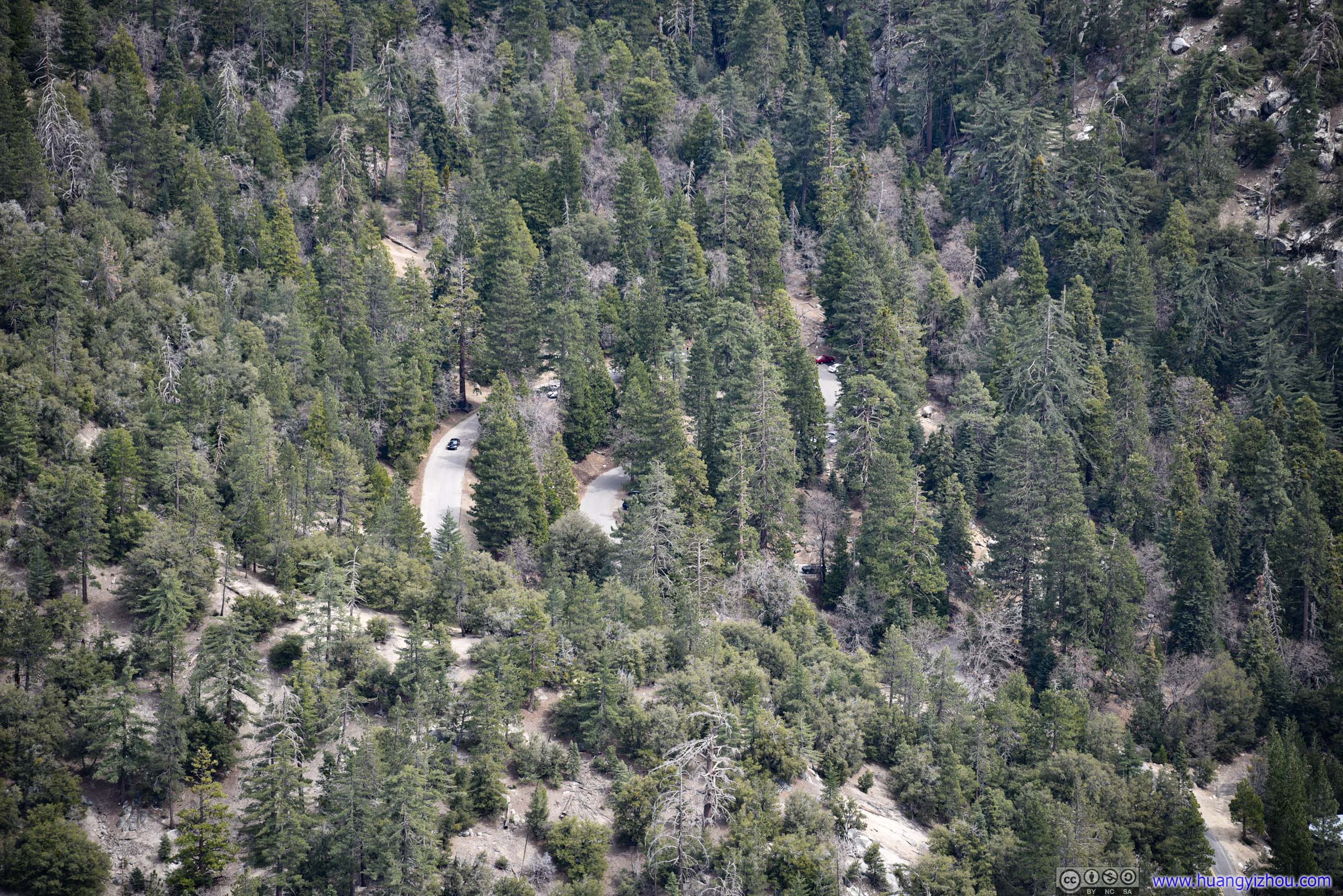

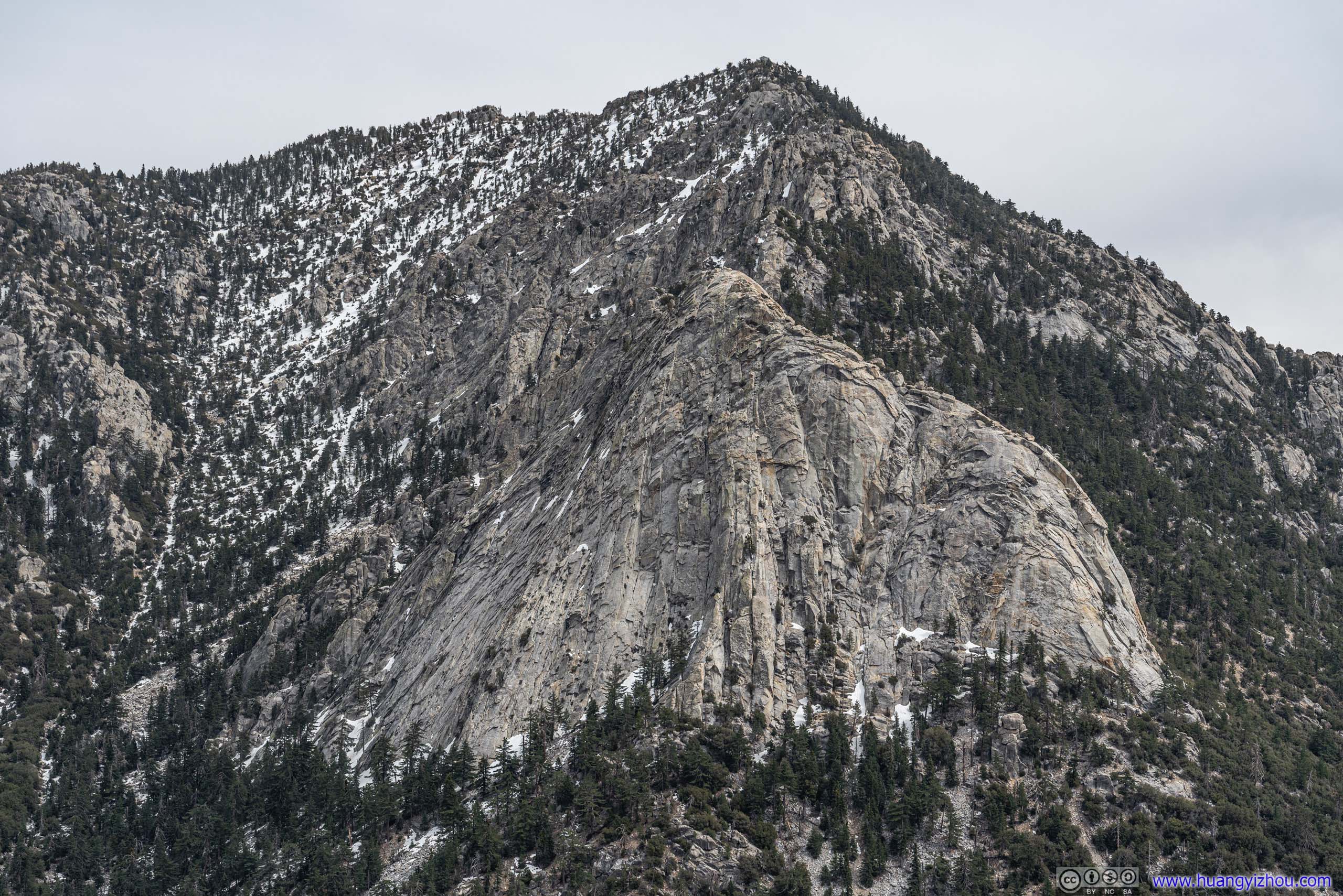
Before leaving Suicide Rock, I walked around this huge granite outcrop. And while it’s a huge area, I found the edge facing Tahquitz Peak having the best of views.
So by the time I left Suicide Rock, it's pushing 3pm.

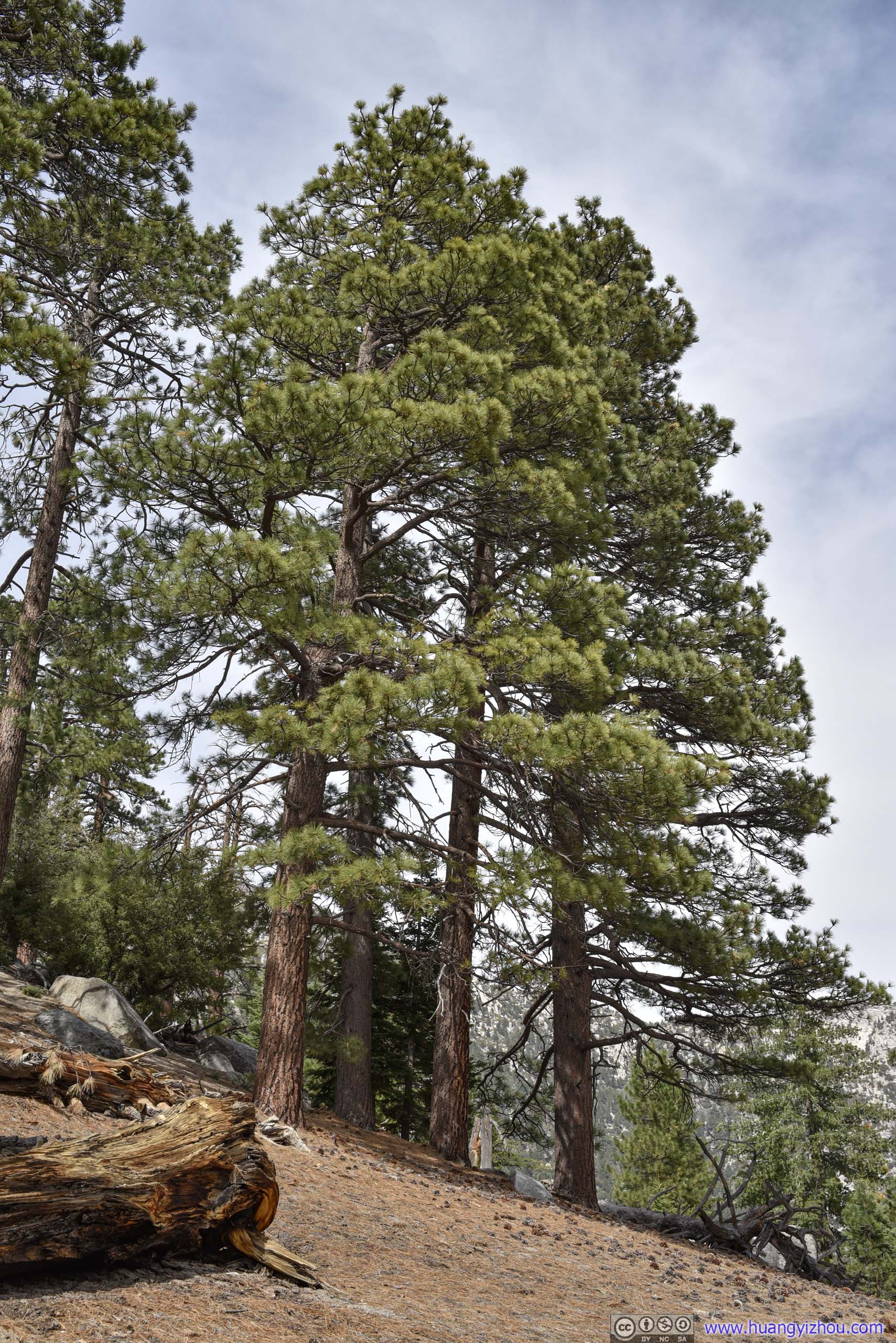

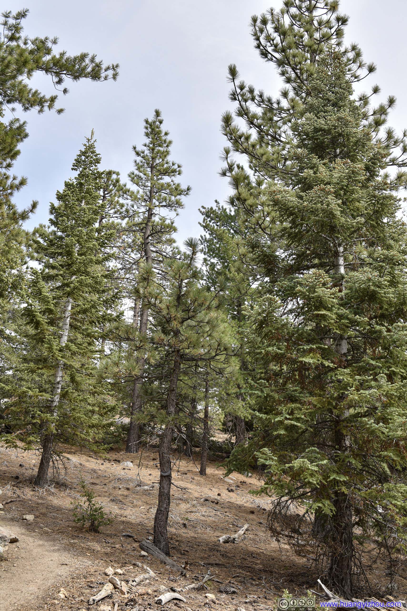
Trees

A beautiful one, pushing the limit of my lens. I had been listening to their songs all afternoon.
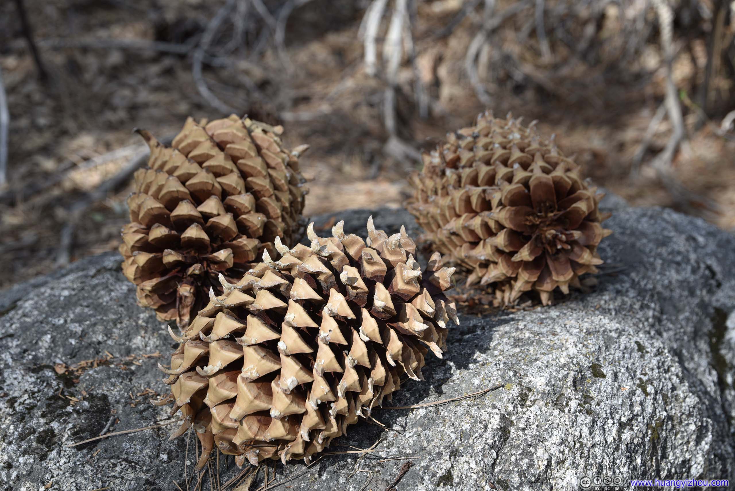
They were as large as pineapples and looked pretty exotic to me.

They were omnipresent along the trail.
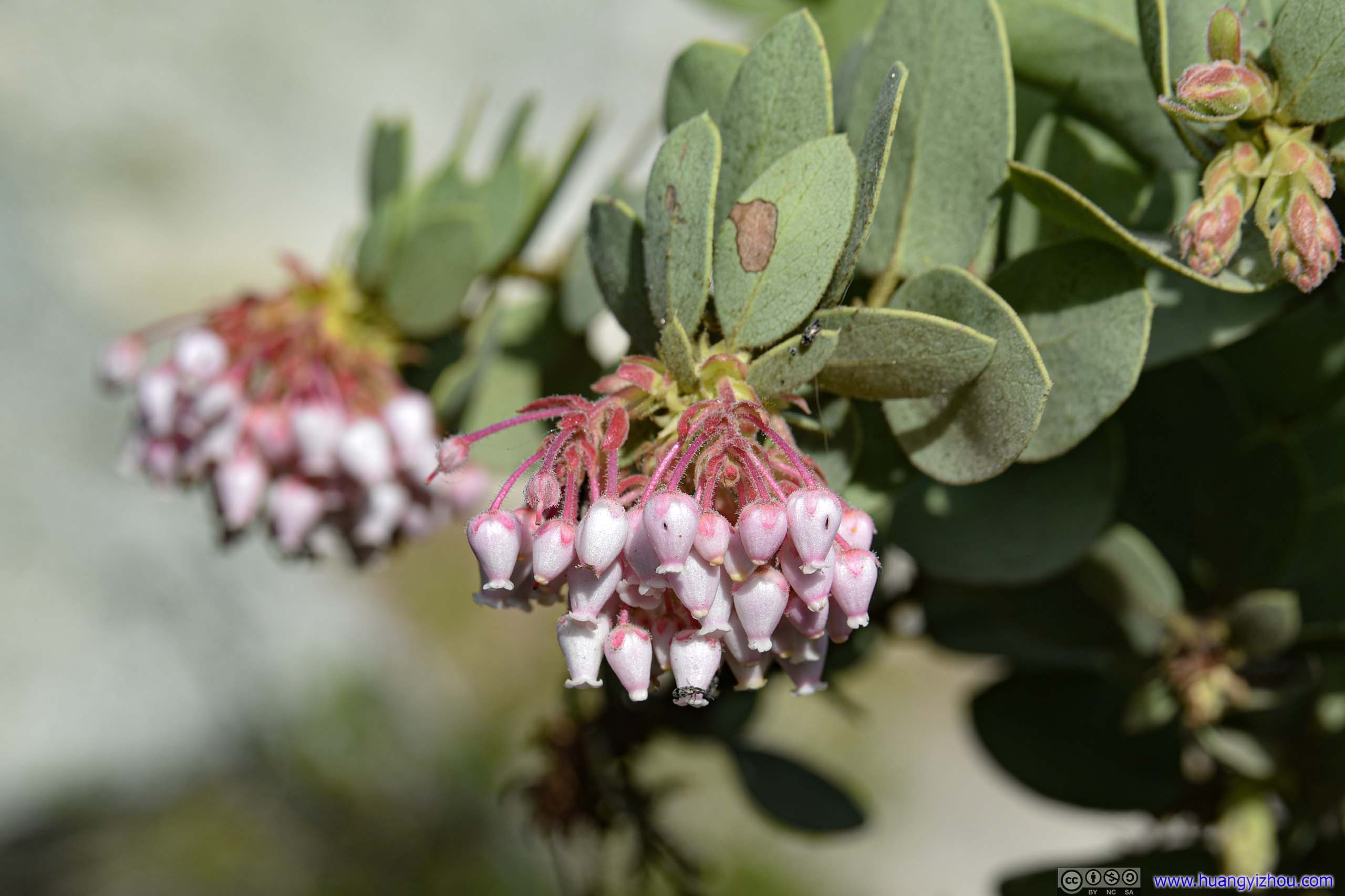
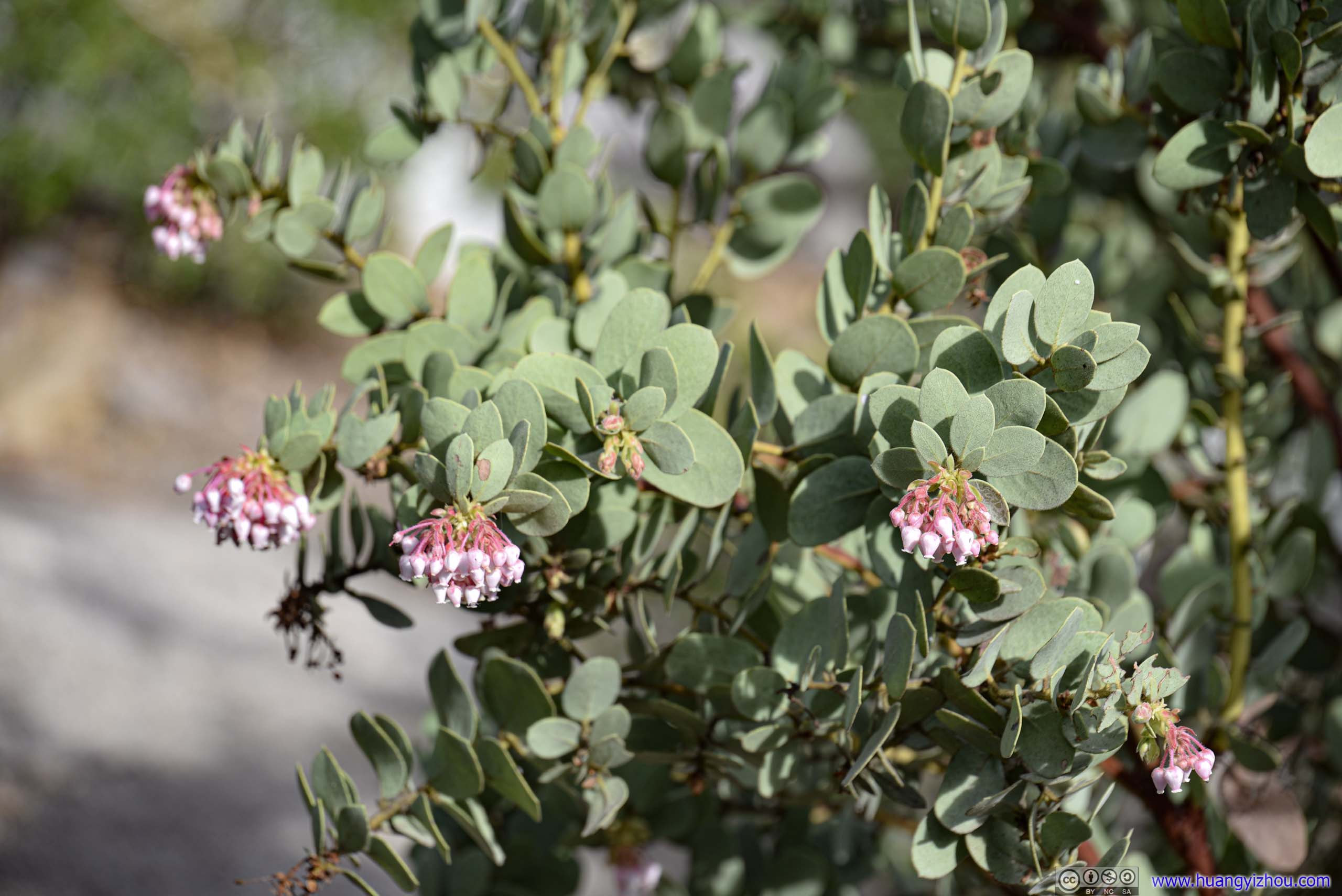
The only thing in bloom along the way.
By the time I got back to trailhead, it's 4:45pm. Still early in my opinion, I decided to take the detour of CA74 and get back to my Airbnb around the south of San Jacinto mountains, stopping at a few roadside turnouts along the way.
Turnouts along CA74
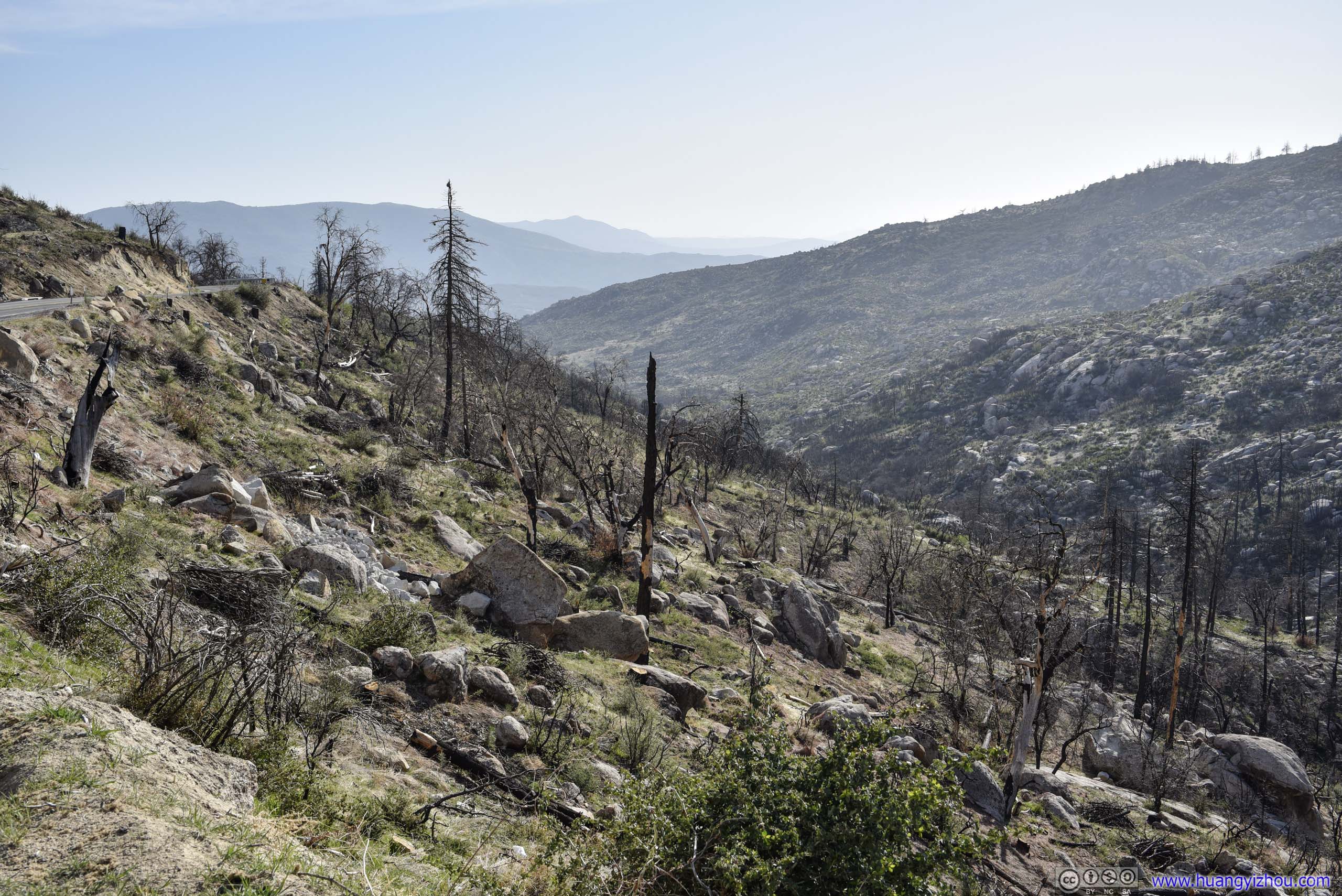
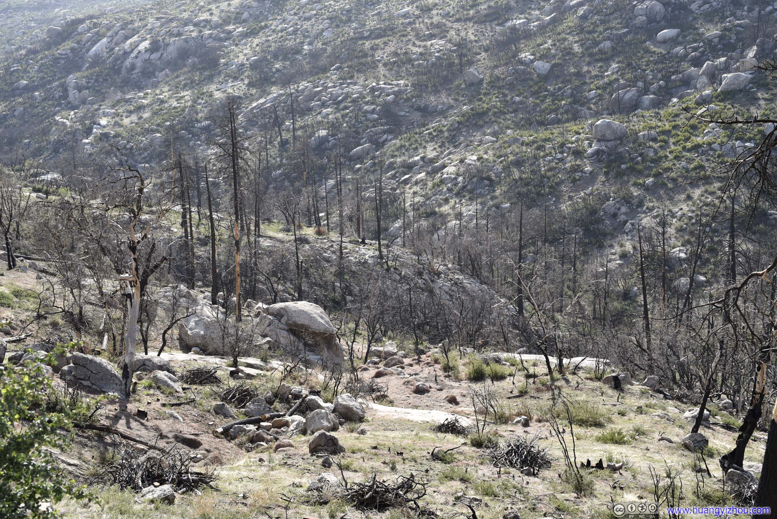
Before reaching Lake Hemet, driving down the twisty mountain roads was quite an excitement.

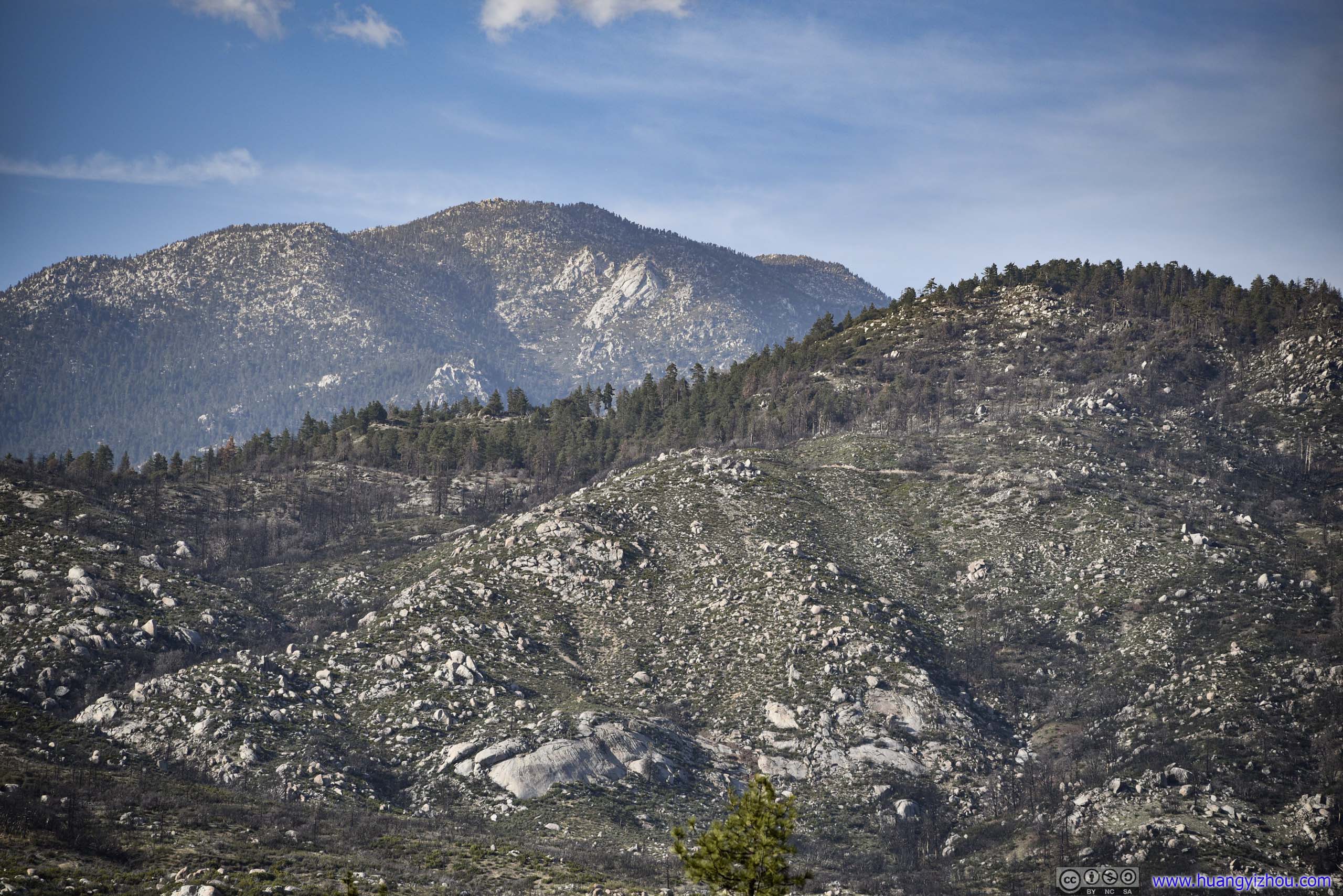
Along a roadside turnout.
Passing Lake Hemet, the road entered a valley between two mountain ranges, cutting through a few ranches. I loved the scene of extensive farmland nested beneath soaring mountains. It's spring but the lands were in brownish harvest color reflecting sunshine.
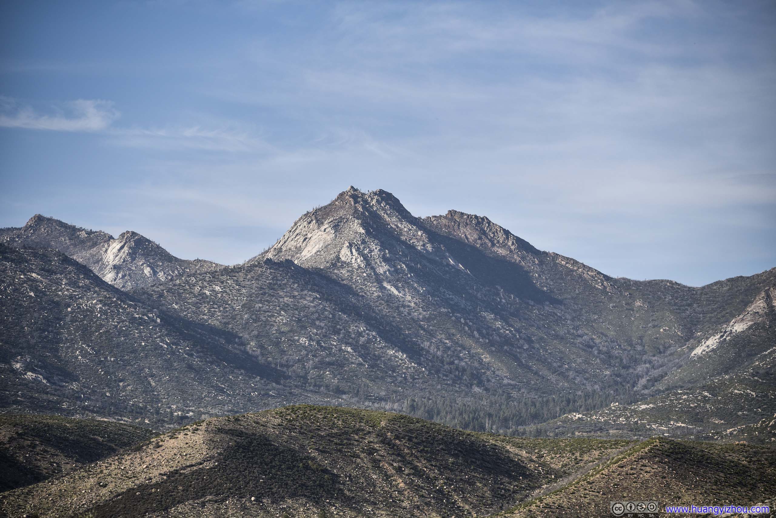
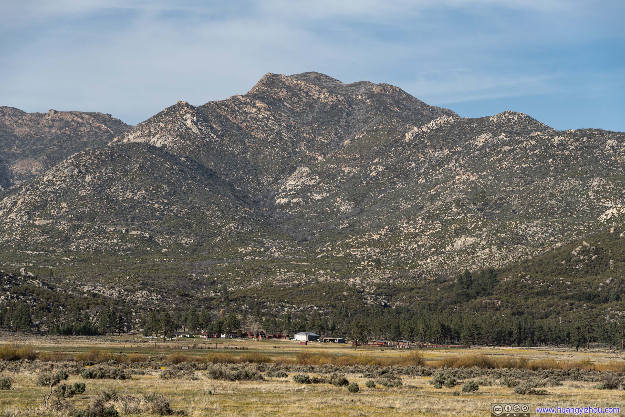
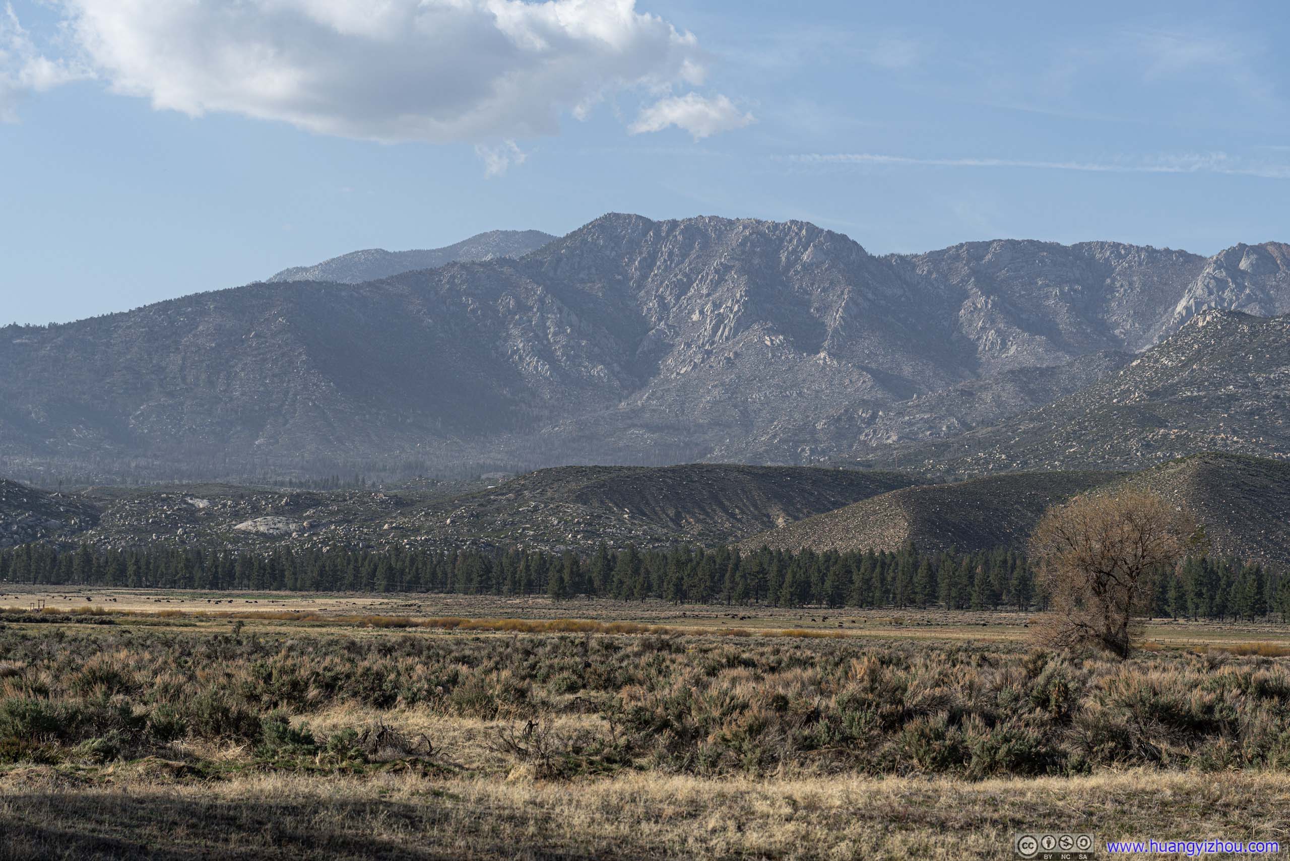

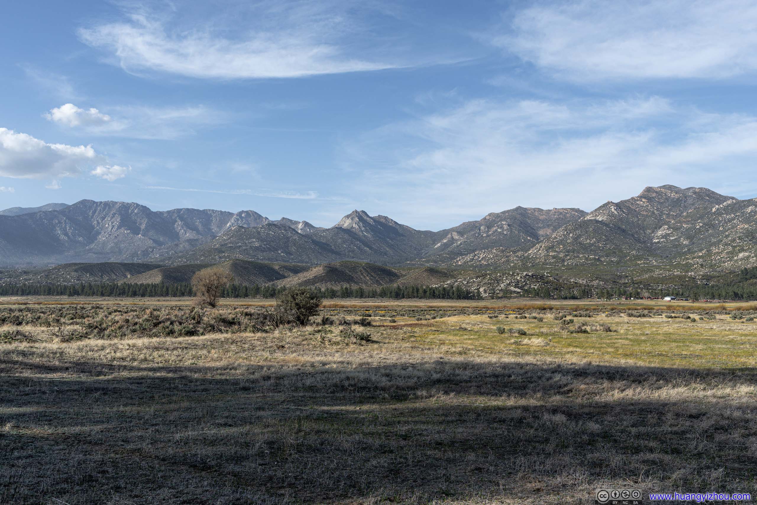
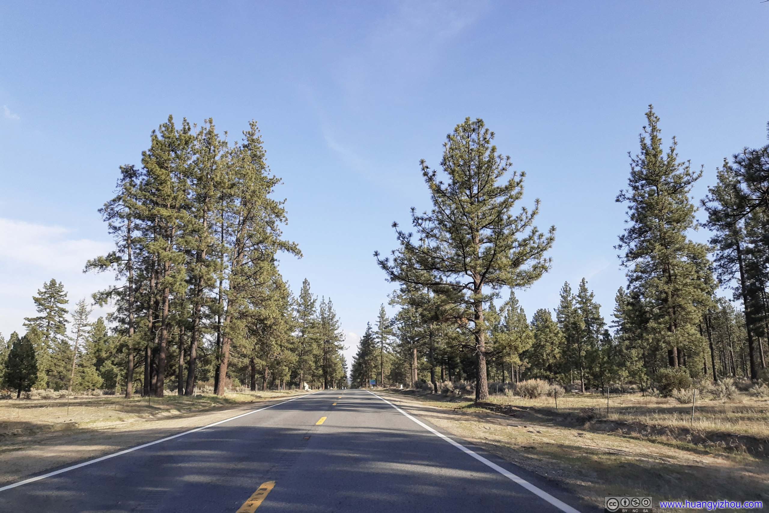
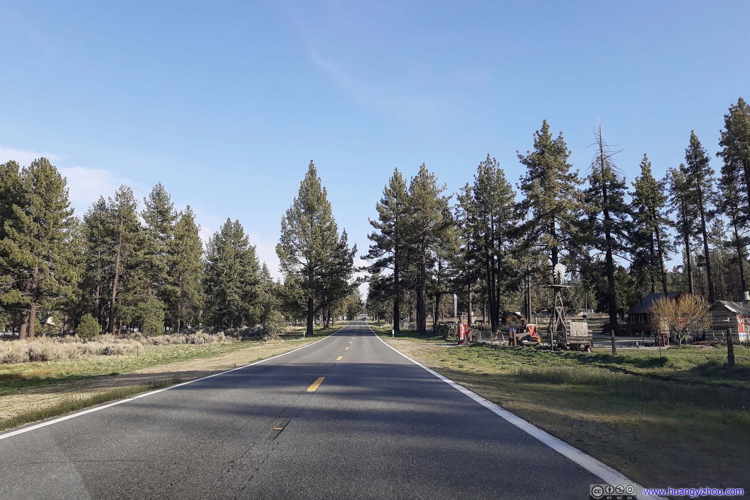
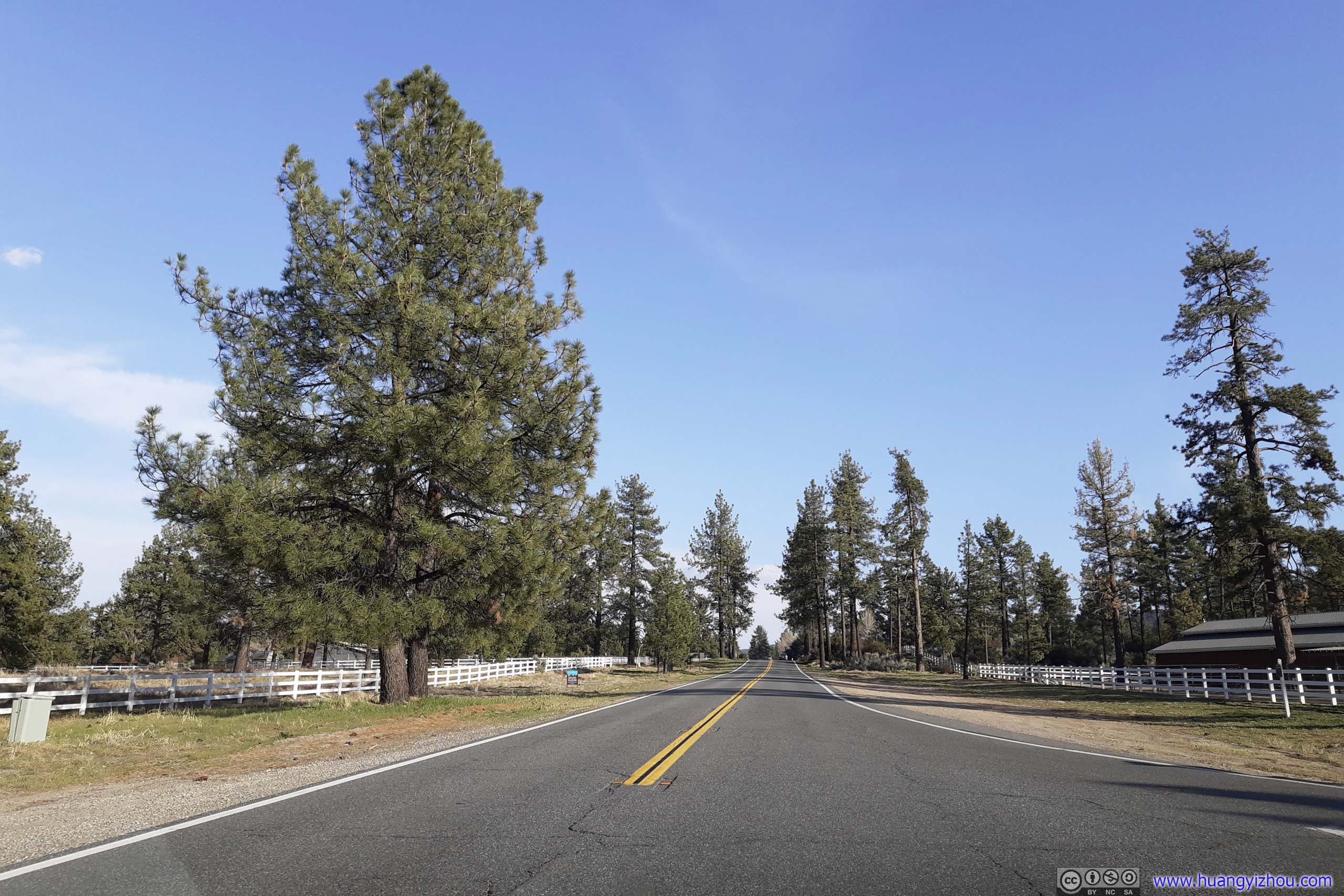
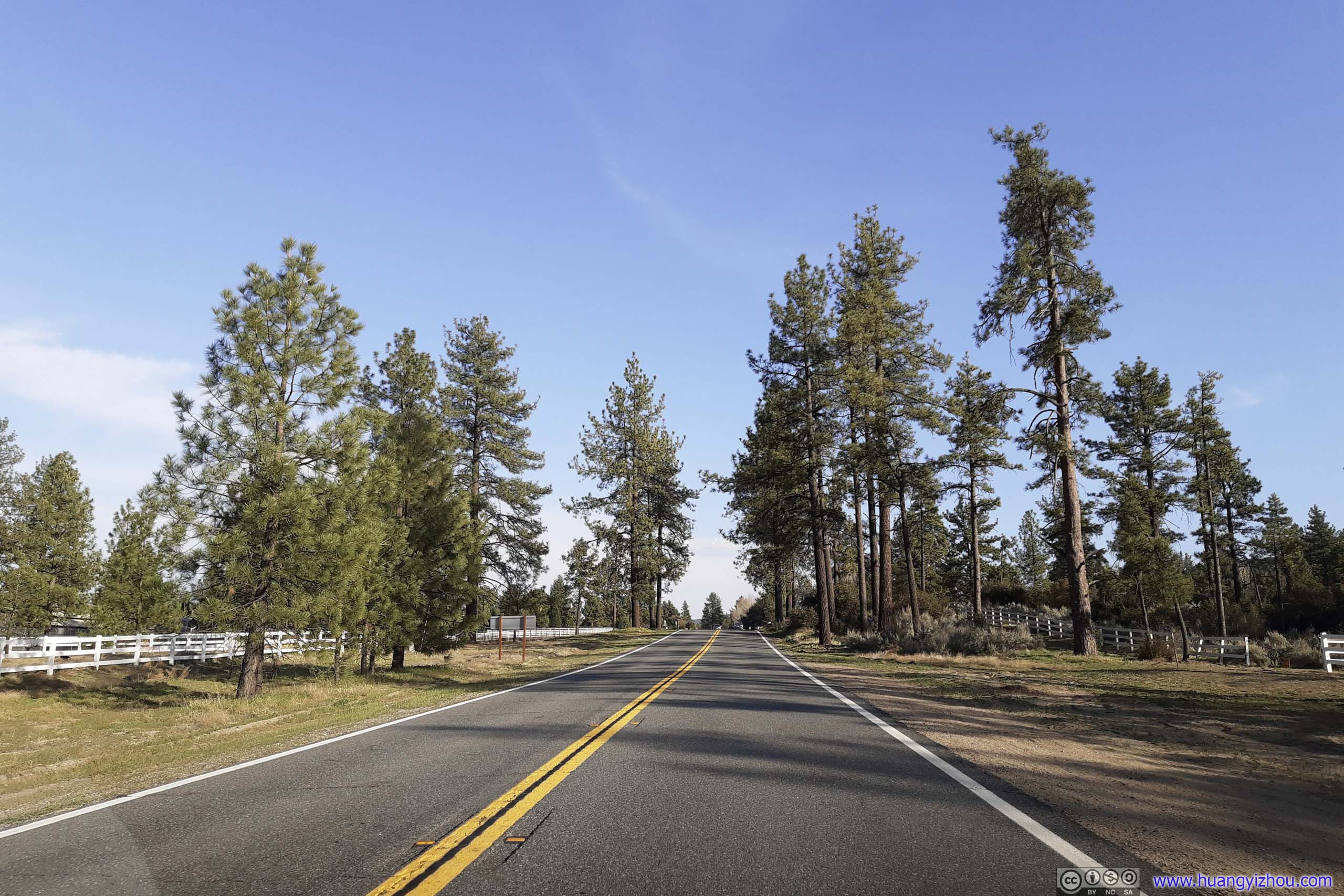
Country Road
After crossing CA371, the road entered mountain terrain again, this time, it's Santa Rosa Mountains, which looked a lot more arid than the ones I saw earlier.
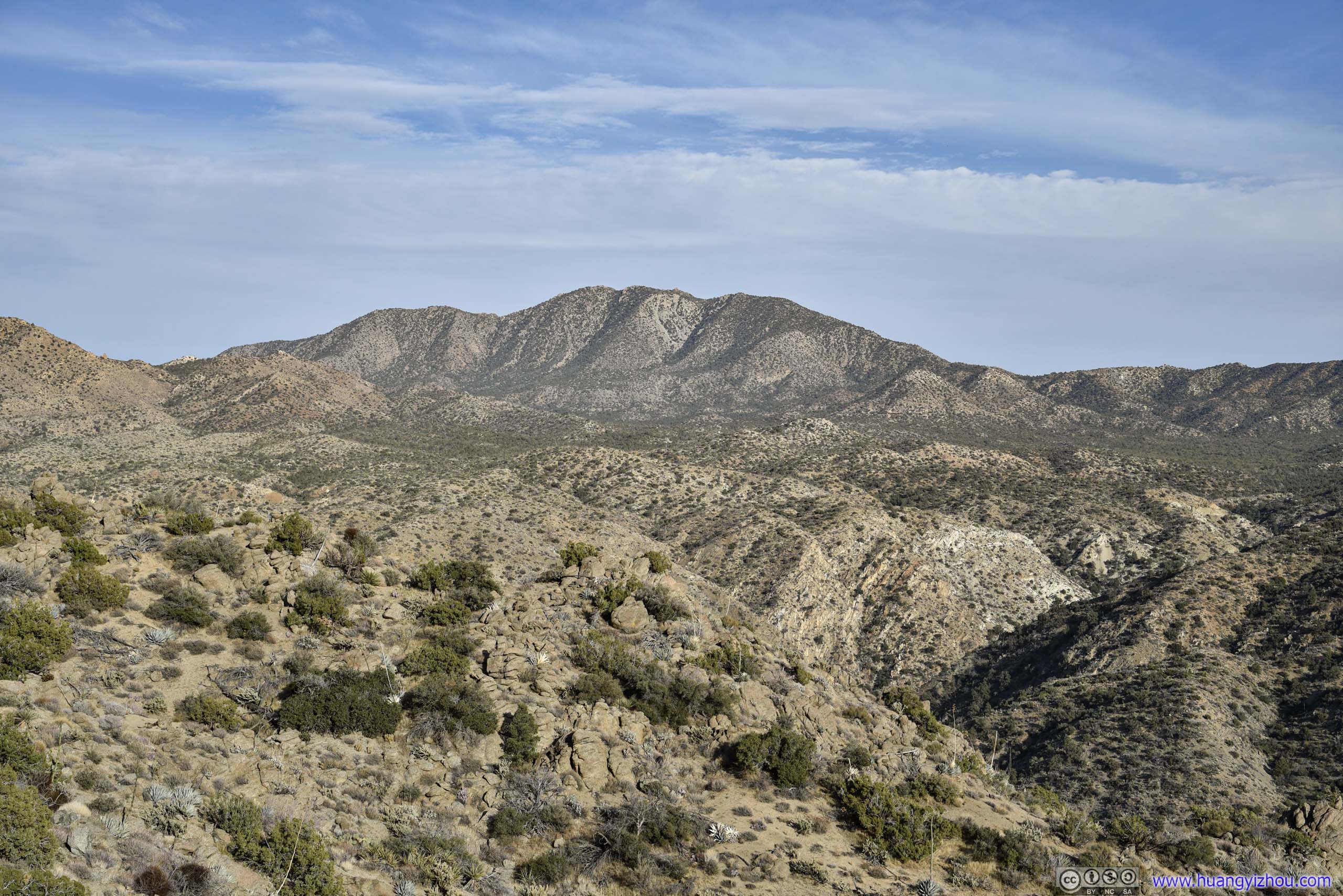
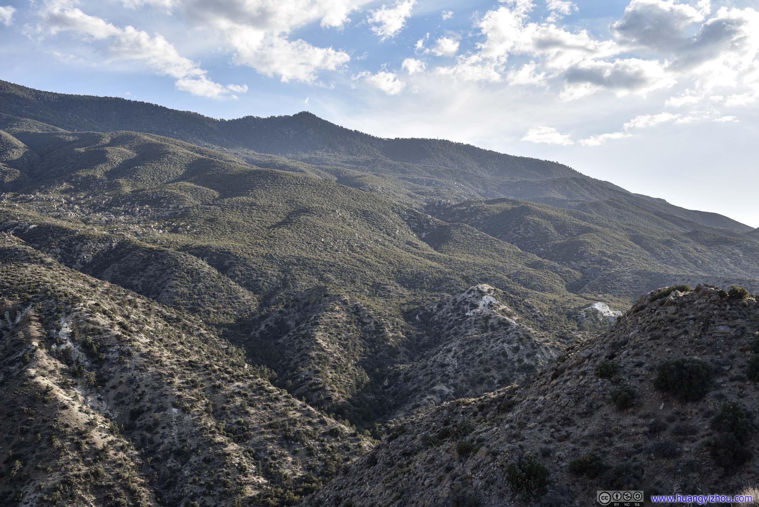

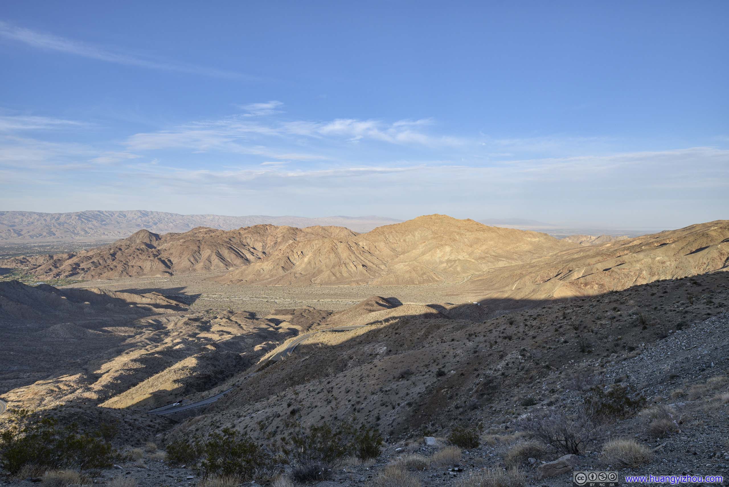

Coachella Valley Vista Point
Just before descending down the mountains into Palm Desert, there was a section of winding mountain roads, on top of which a vista point was built overlooking Coachella Valley to the north. I joined the large group of people enjoying scenery on that spot.
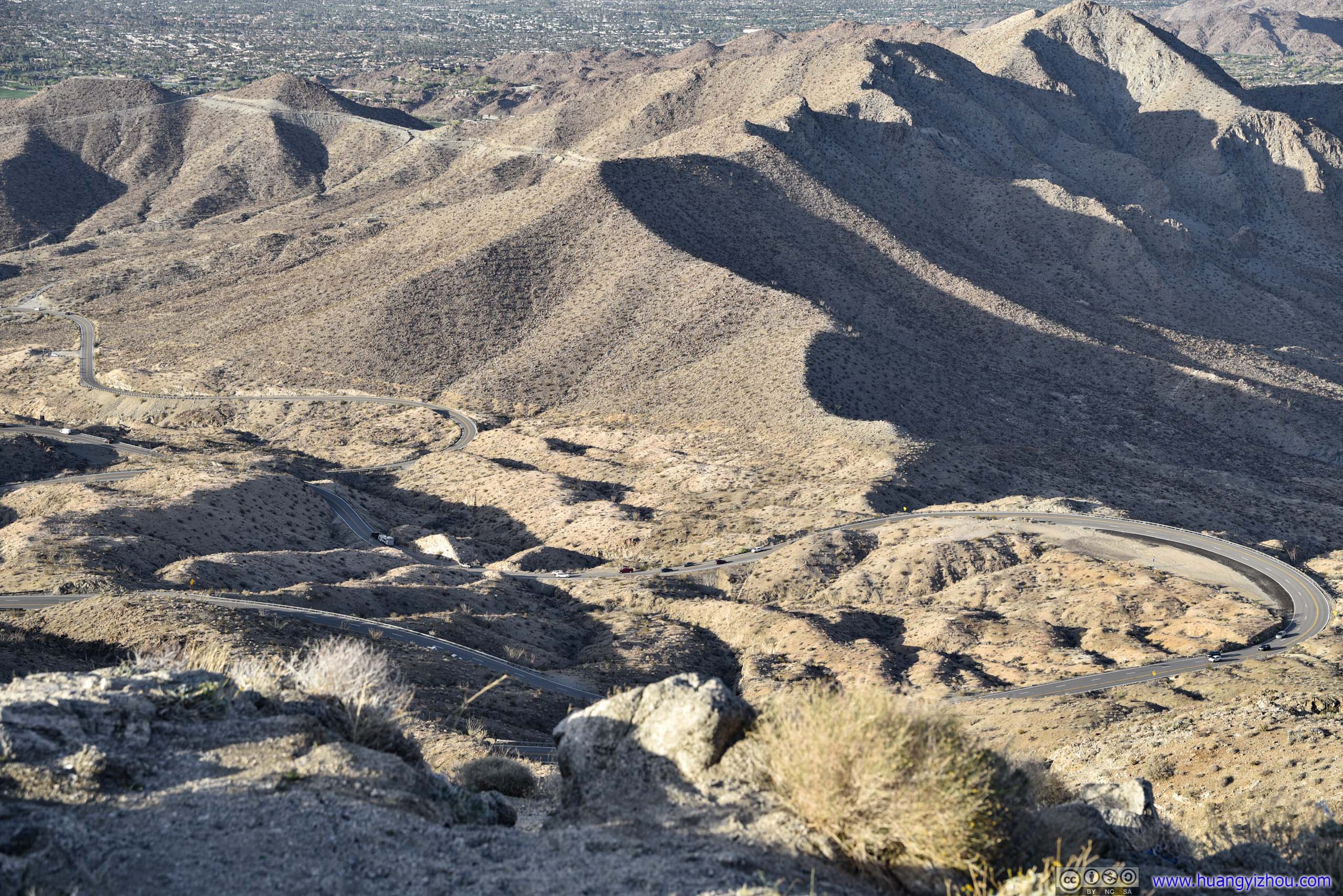
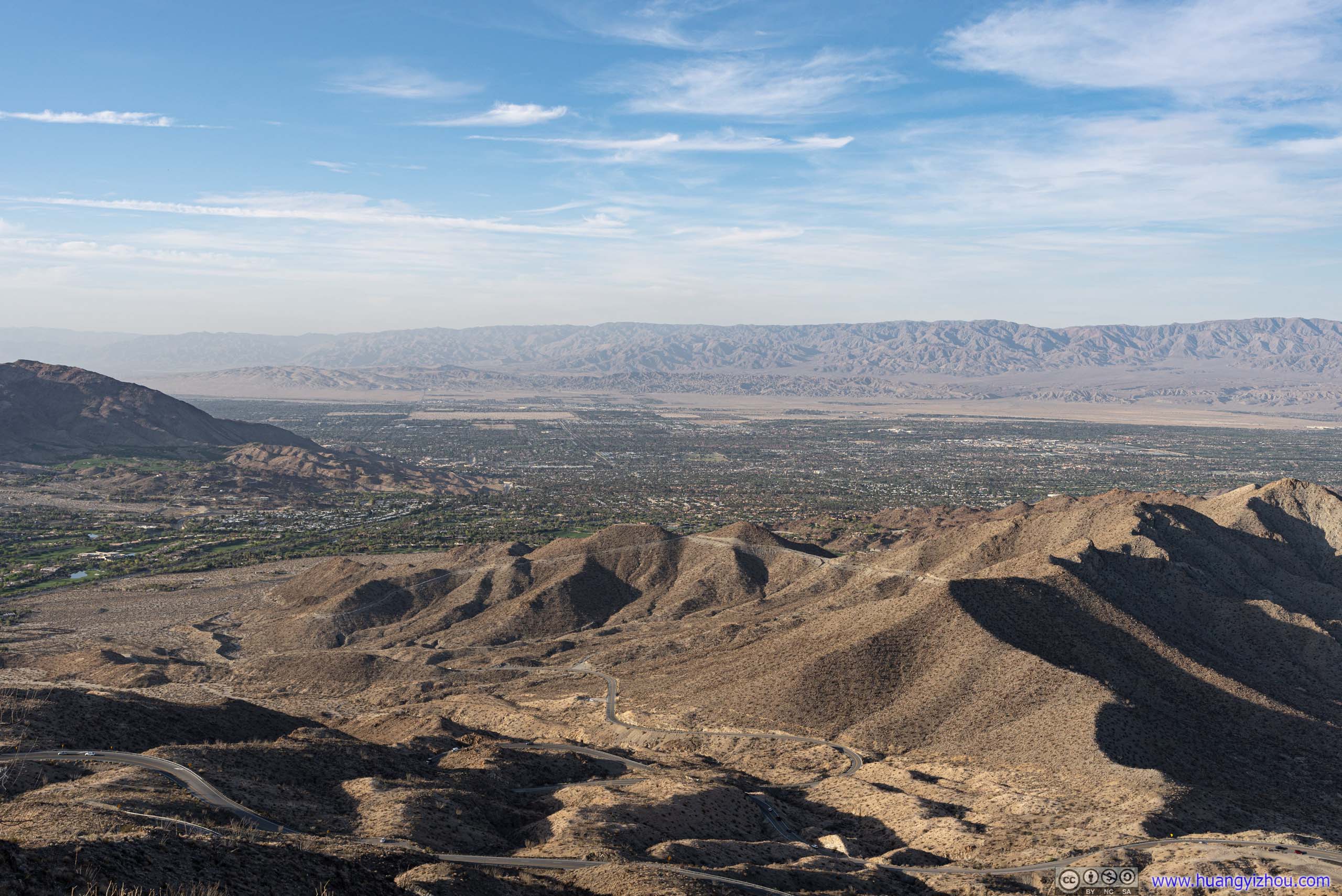
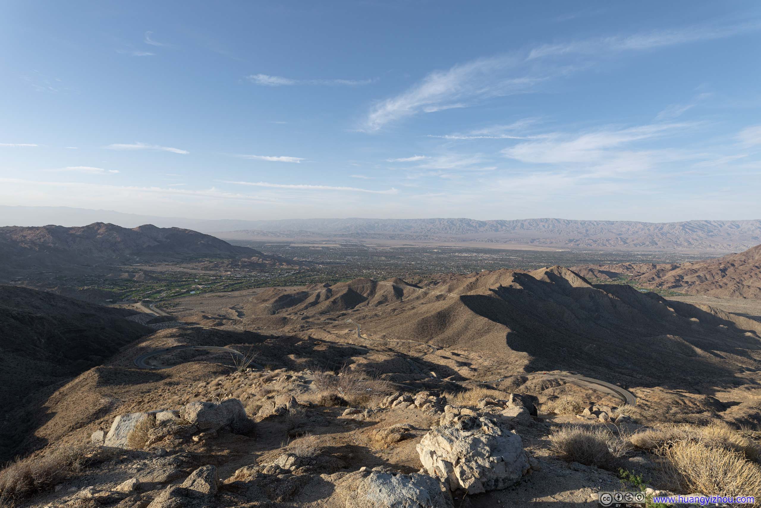
Coachella Valley

It's 6:30pm by the time I got to Palm Desert, just in time for dinner as I was calling it a day.
END