Day 1 of 2021 Memorial Day Weekend, Driving to Roanoke
First day of 2021 Memorial Day weekend. On our drive to Roanoke, Virginia, we visited the city of Lexington, Natural Bridge and Hanging Rock Raptor Observatory along the way.

Memorial Day weekend, 2021, my friend and I decided to spend the holiday in Roanoke, exploring the few popular hiking trails nearby (famed Virginia Triple-Crown).
This was the first day of the long weekend. We left home at 9:20 in the morning, traffic was heavy most of the way. Yet besides a small traffic jam where I495 meets I66, which we avoided by taking detour into local roads of Vienna, we were moving at highway speed all the time.
Battle of Weather Forecast
I have been paying attention to weather forecasts for pretty much the entire week leading up to our trip. While it’s pretty clear that the last day of the long weekend would be sunny, most forecasts mentioned considerable chances of rain for the first two days. It's more intriguing that the night before the trip, I found two leading weather websites of United States, weather.com and accuweather.com, gave two completely different forecasts for the following day: one said rain is inevitable while the other said don't worry about rain.

In the end, weather.com prevailed as we drove into a constant afternoon drizzle.
I have had a few occasions before when I cared much about weather, and most of those times weather.com turned out to be the more accurate one. This experience decisively cemented my faith in weather.com. That's when I learned both Google and Apple used weather.com data for their phone apps.
Lexington, Virginia
With a rainy day in the forecast not suitable for hiking, we decided to add a stop at this historic town for some sightseeing. It's the burial place of Robert Lee and Thomas Jackson, two famous Confederate generals in US Civil War.
Washington and Lee University
We parked our car outside Washington and Lee University, and decided to give its campus a tour.
It's interesting that the university was founded largely with money from George Washington, an icon of the nation's foundation. After Confederate's defeat in US Civil War, it offered the most notorious (by today's standard) general of the Confederate, Robert Lee, to be its president. And now, its bears both names in a rather ironic form.
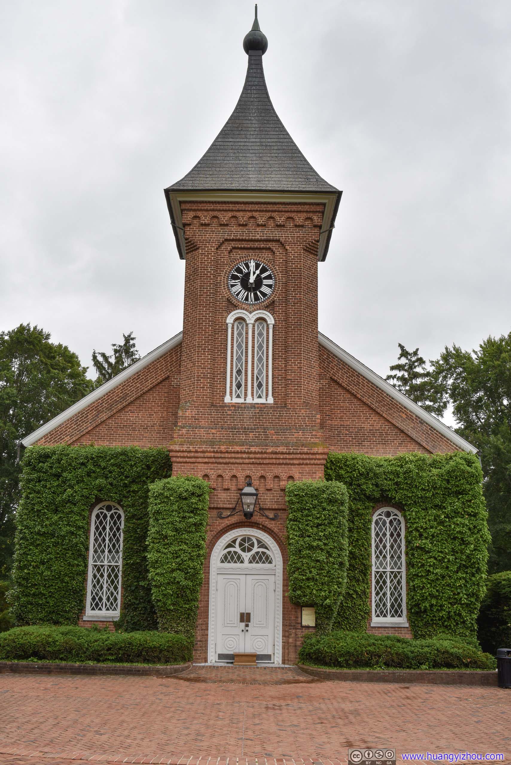
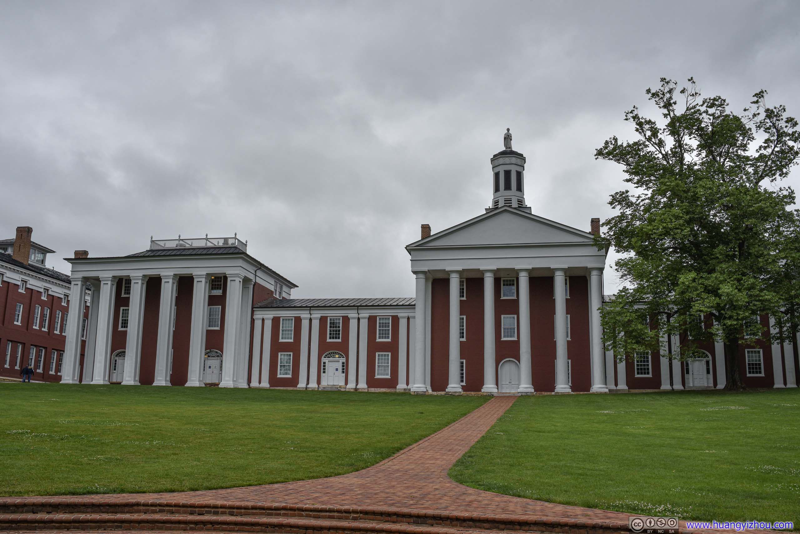
With university chapel closed, we wandered to the nearby Virginia Military Institute.
Virginia Military Institute
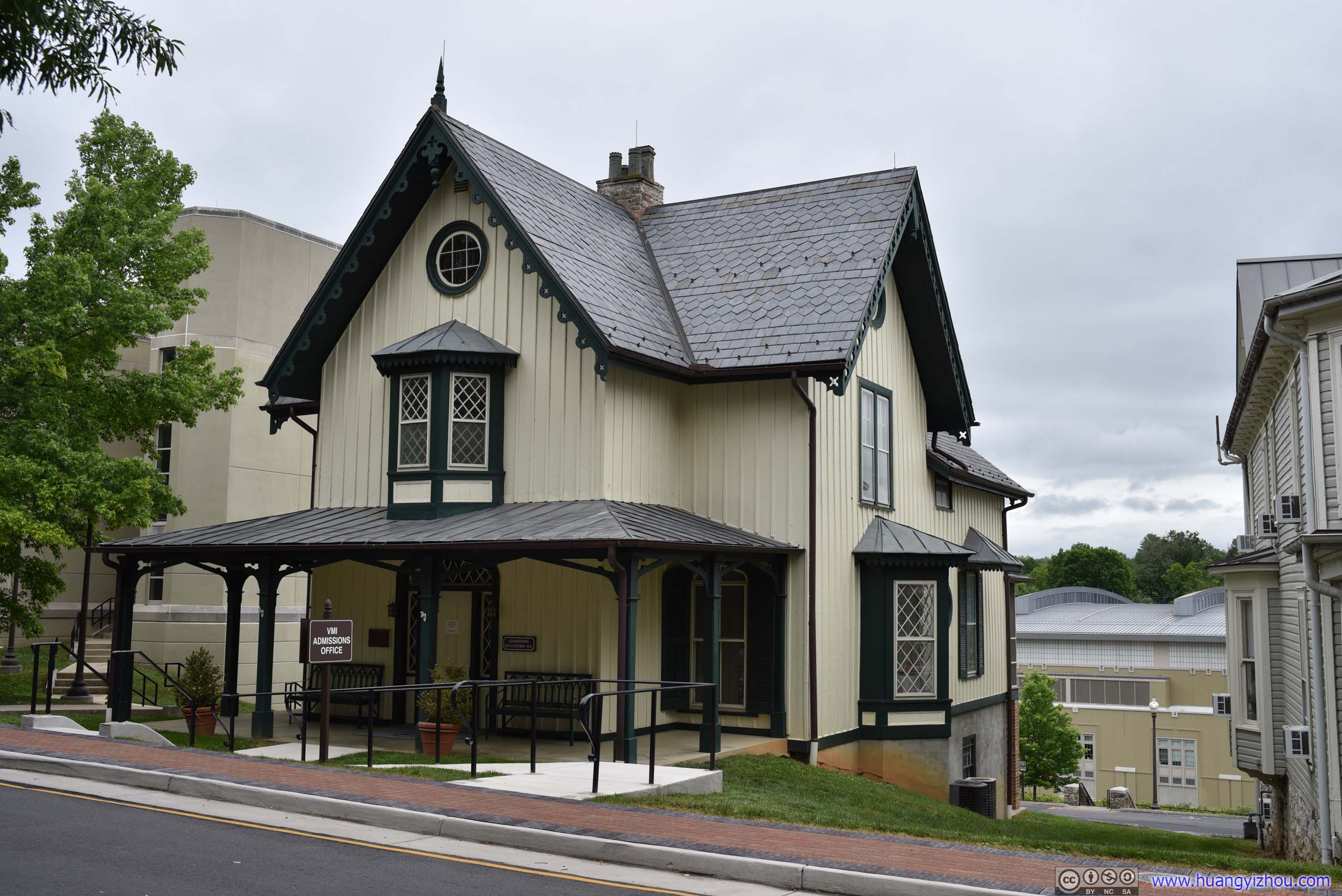

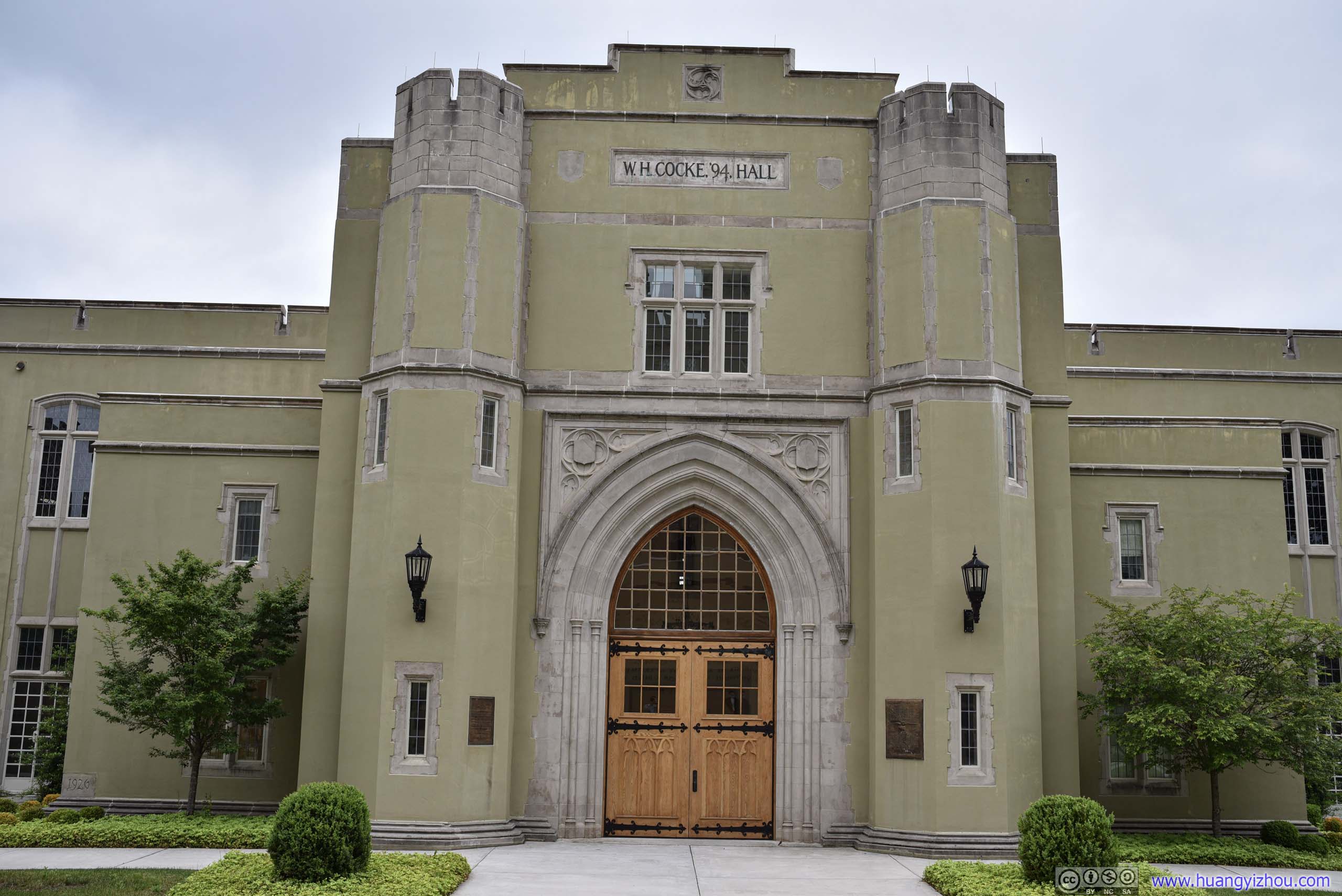
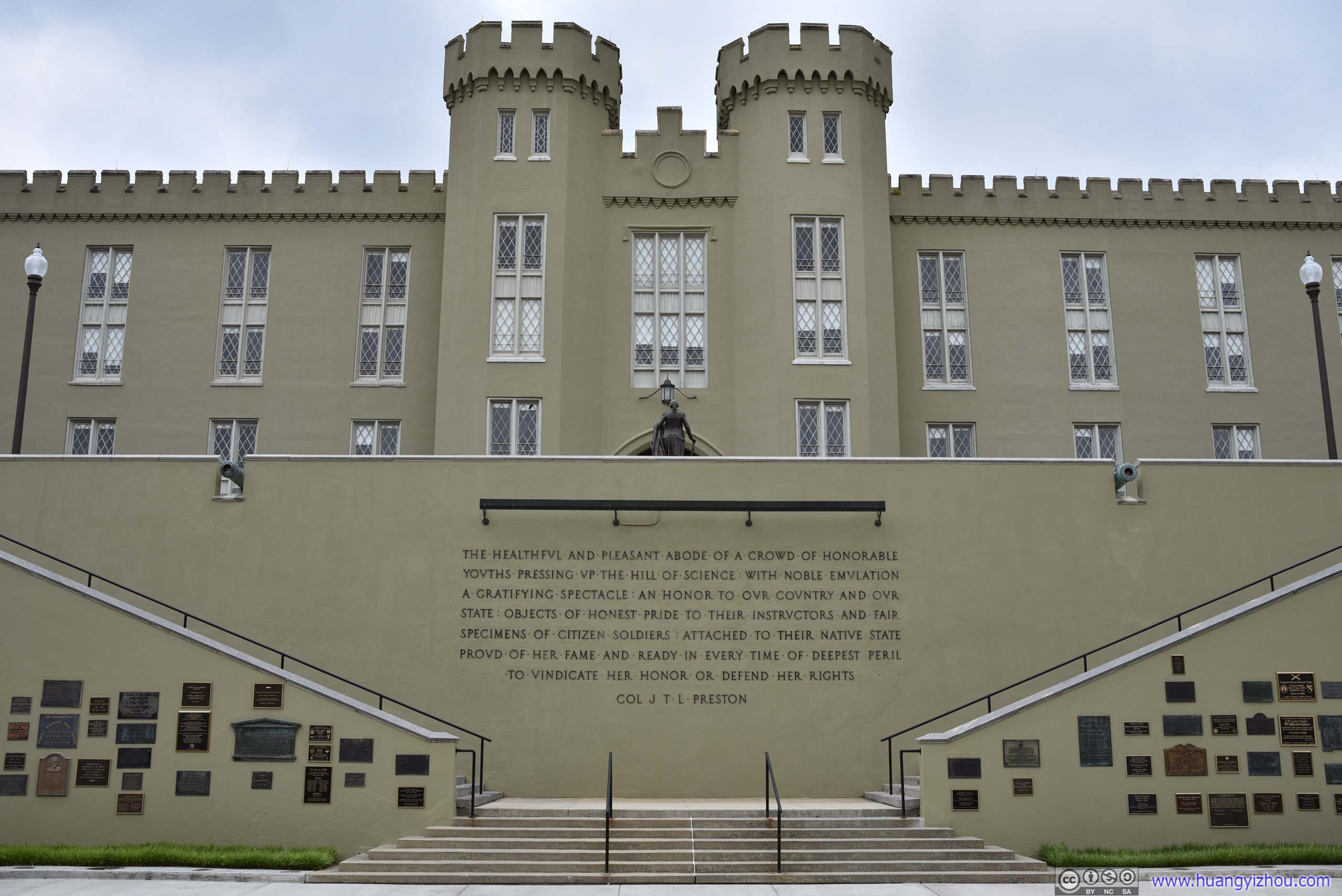
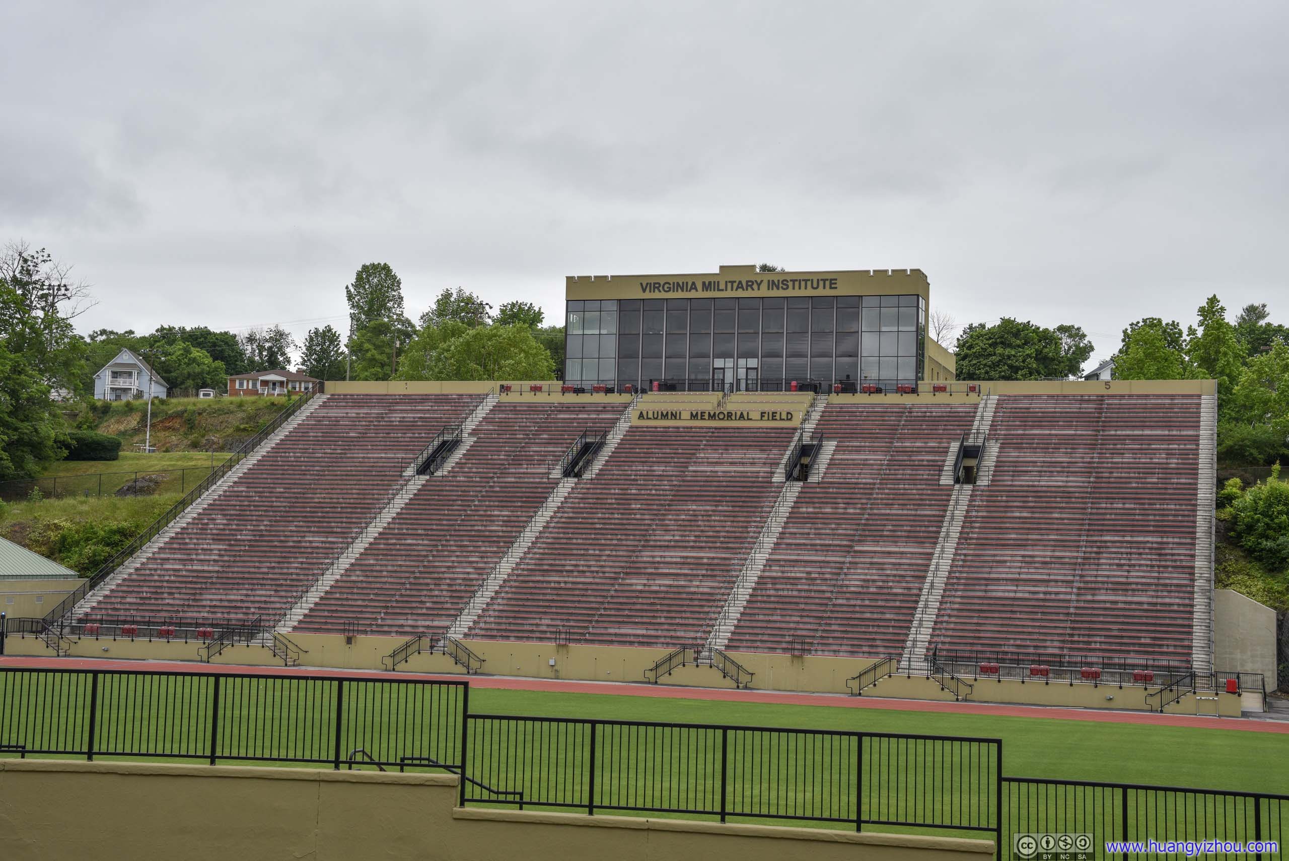



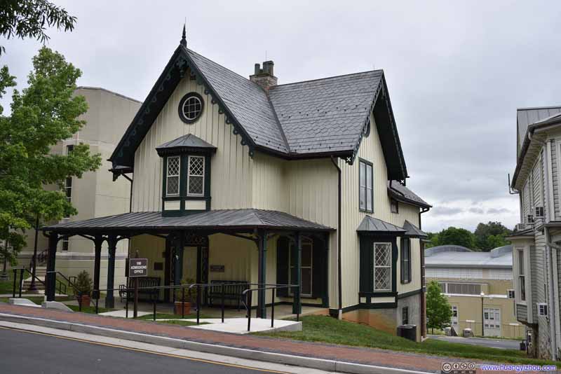
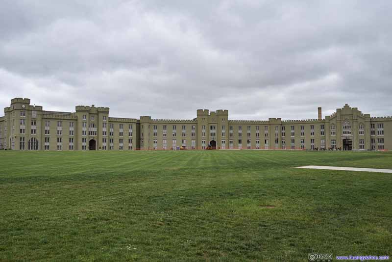
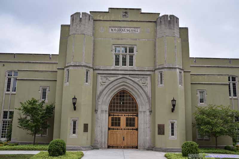
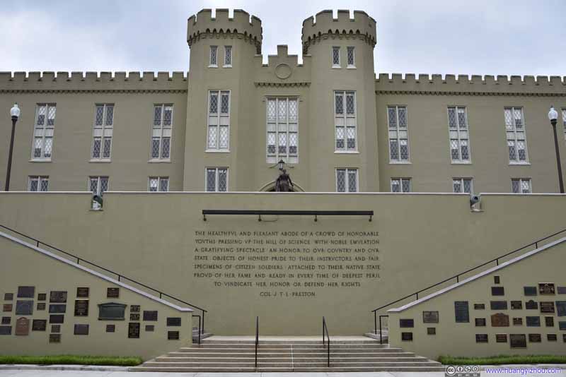
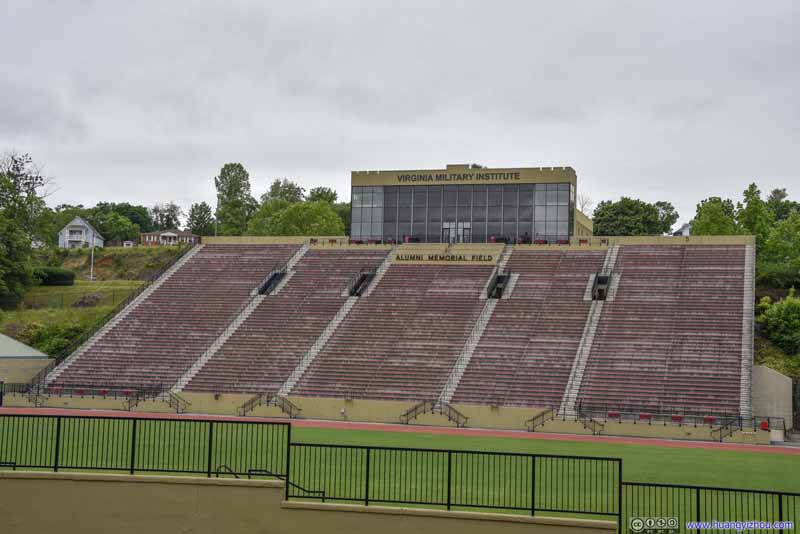
Virginia Military Institute's chapel, which also housed its museum, was open, so we gave it a brief tour.
That’s when I learned this school was founded so that “idle hours of young militia stationed in rural Virginia could be occupied with something useful, otherwise their entertainment would come into conflict with nearby community”.
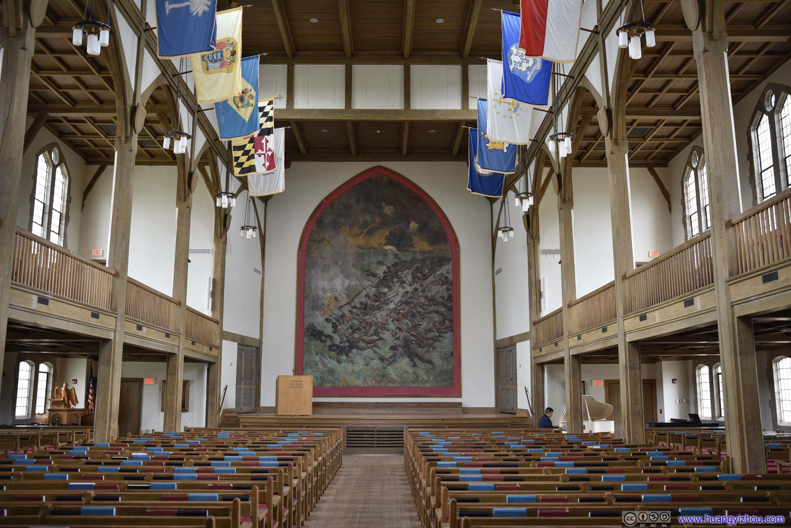
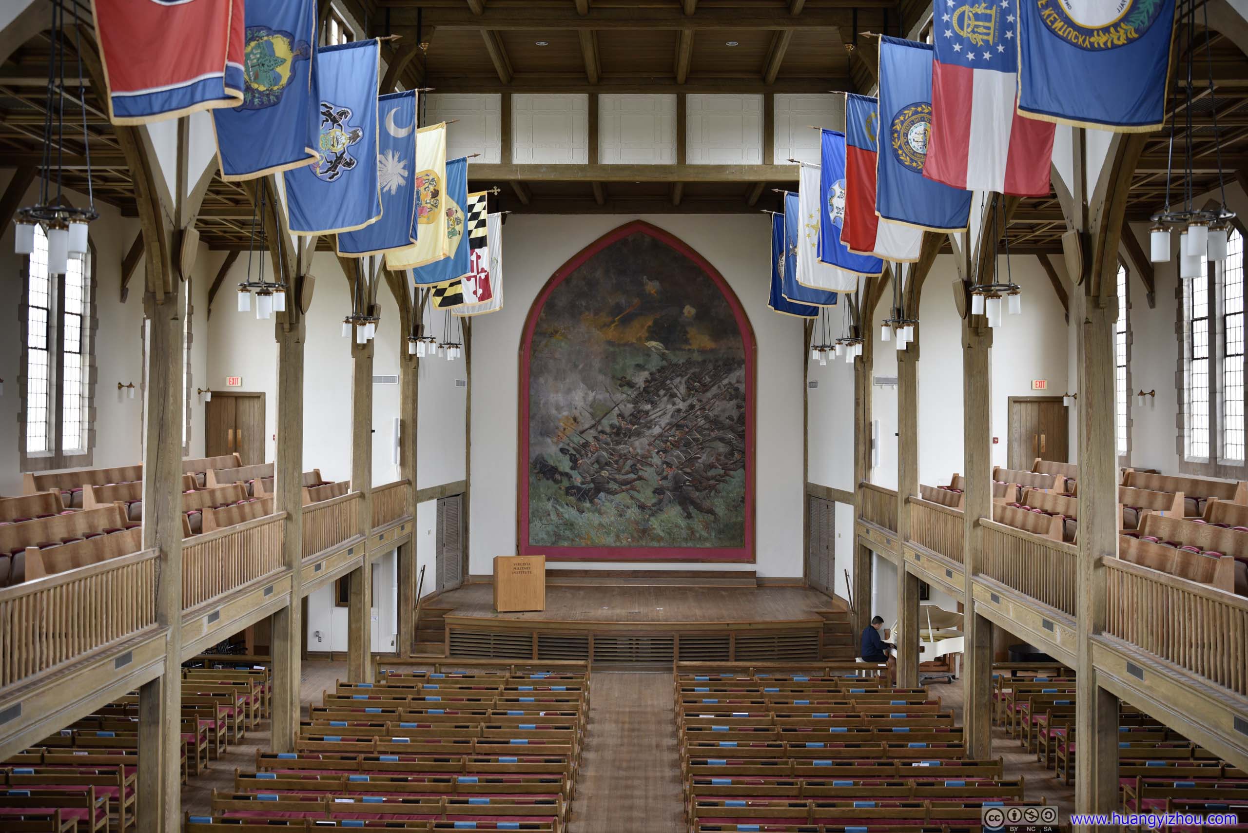
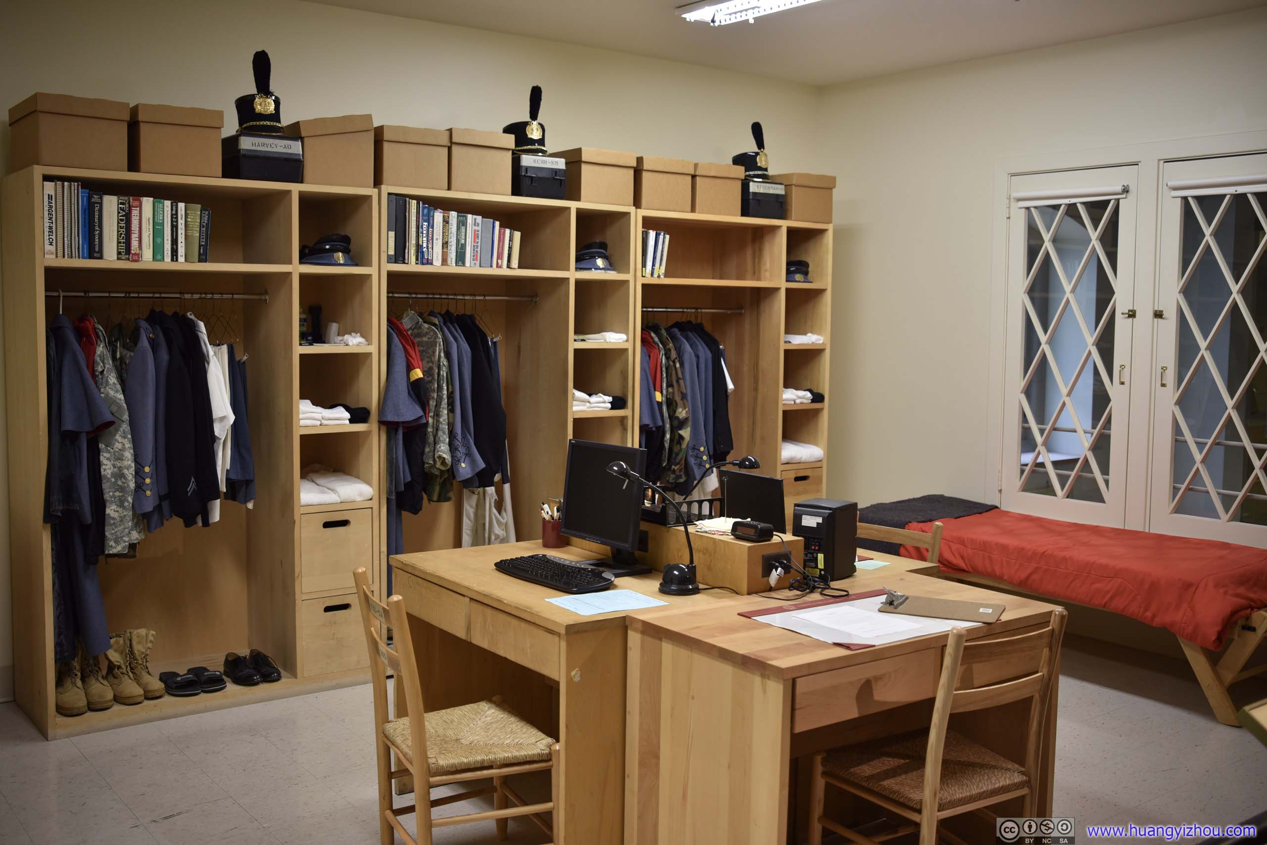
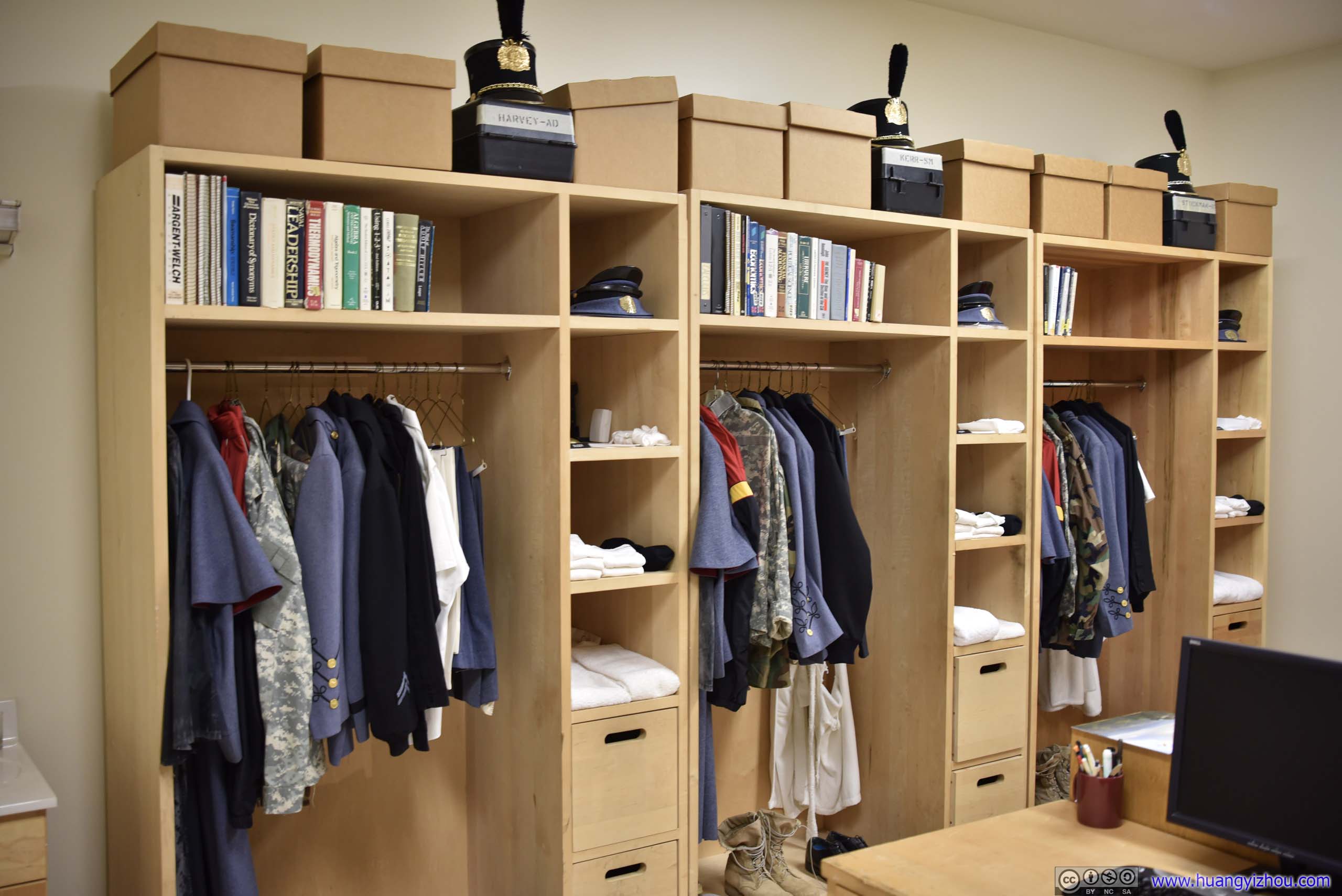

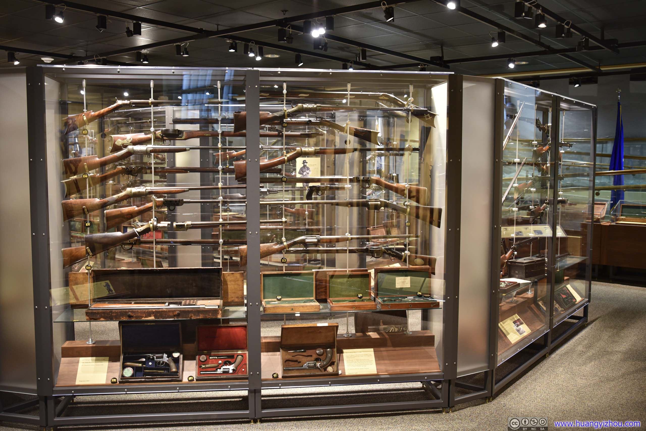





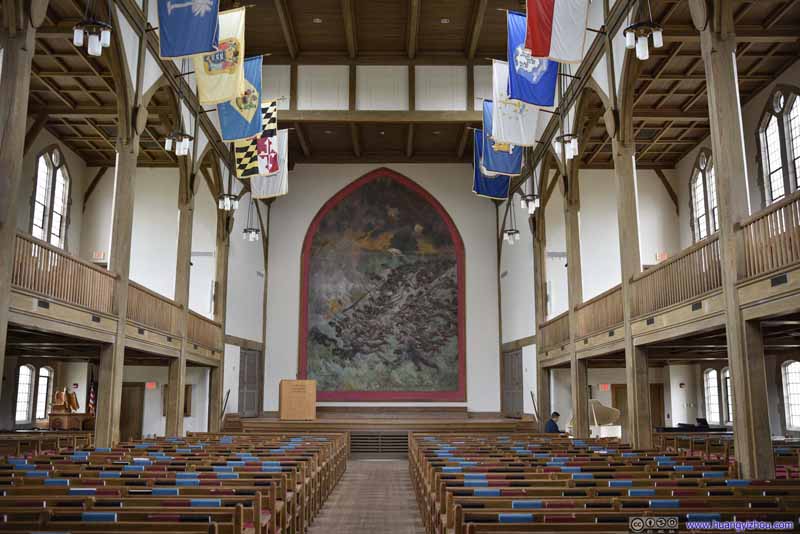
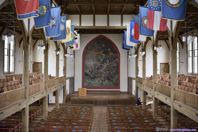
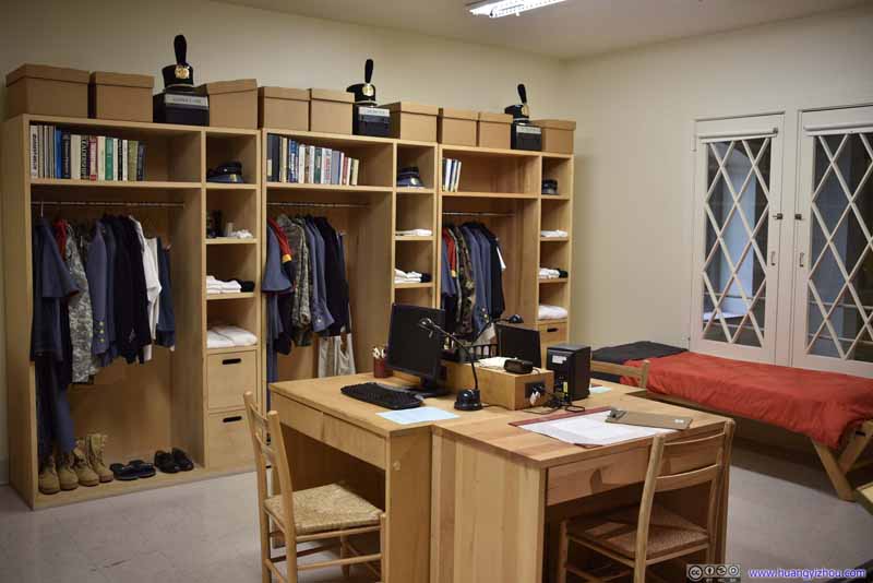
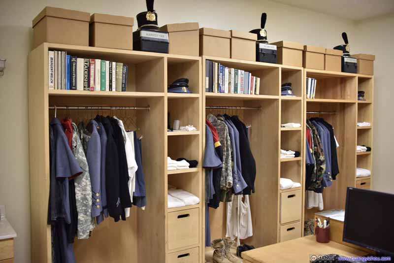
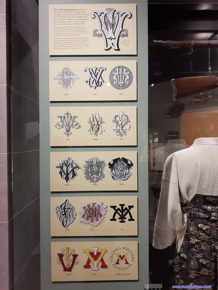
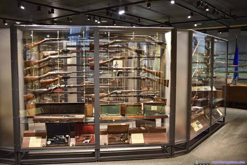
After we left VMI's chapel/museum, it's starting to drizzle, so we hastily made our way back to the car, and moved on to the next stop of the day, Natural Bridge.
Natural Bridge
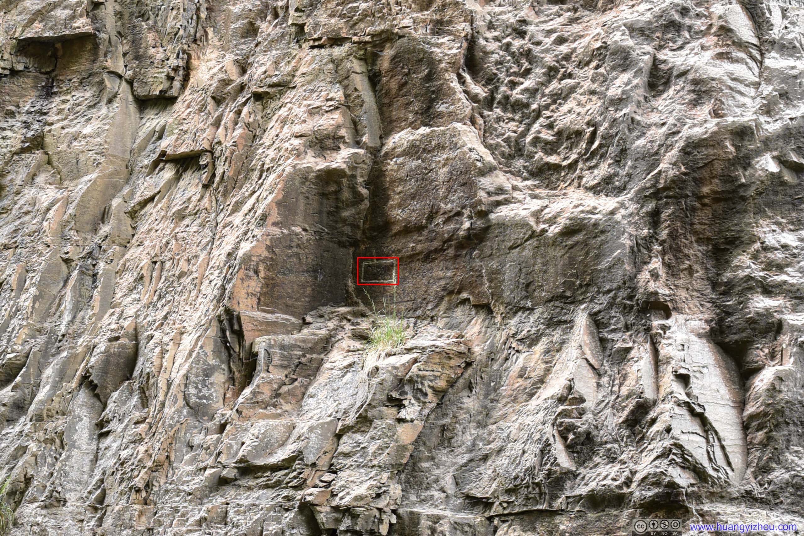
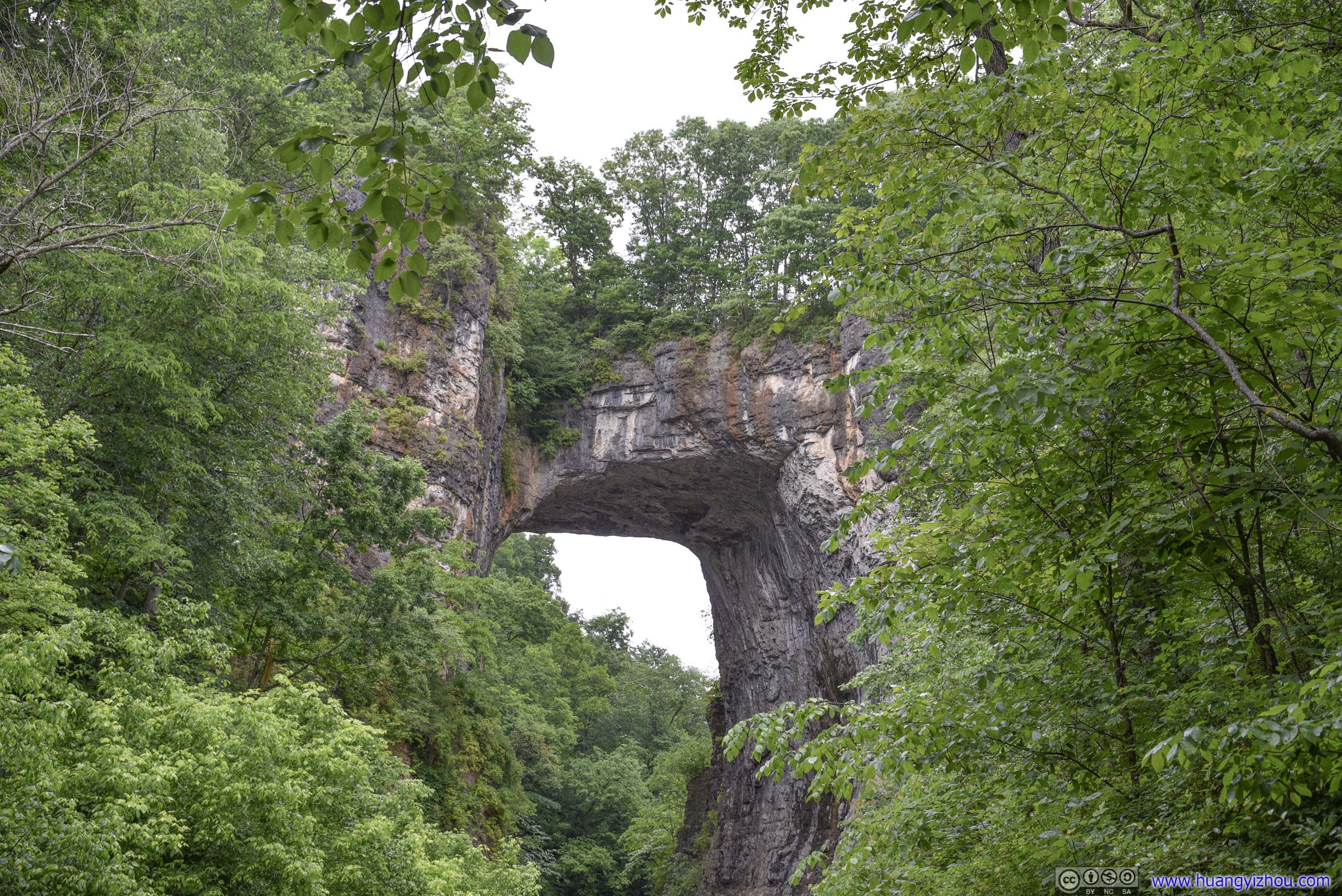
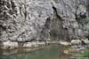
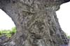
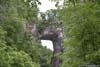
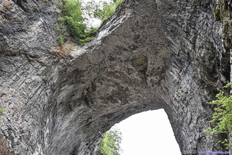
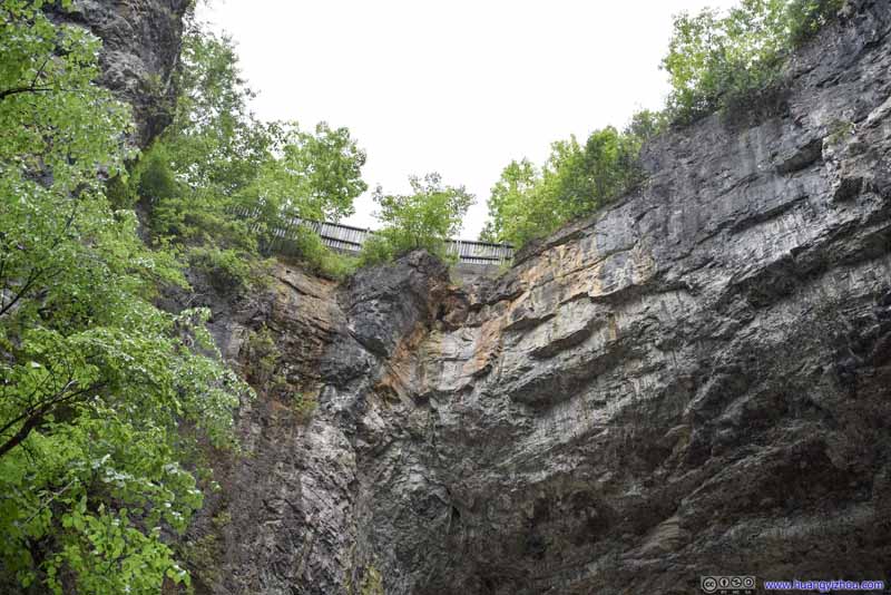
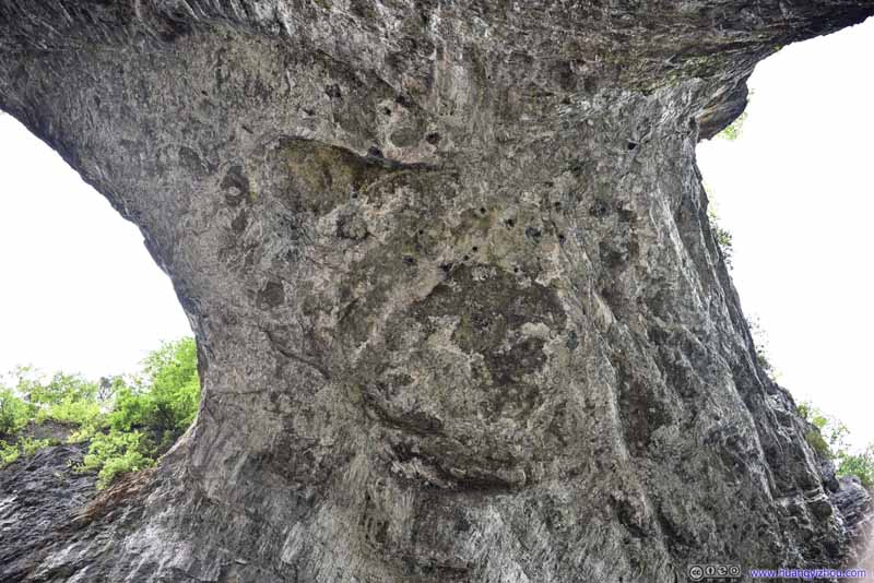
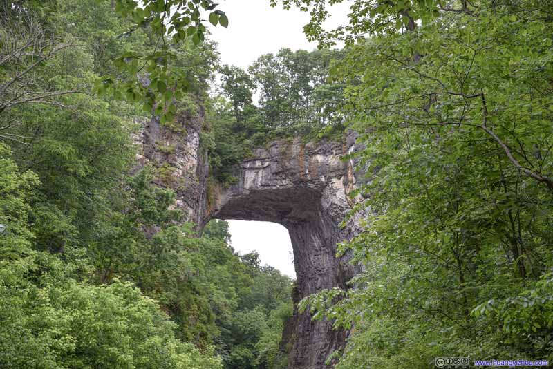
As its name suggested, it’s a giant limestone with a giant and naturally formed hole in it, created by water erosion. Its sheer height was surely something to marvel at.
The state park charged 9 dollar per person for admission, which could be purchased either at the visitor center next to the parking lot, or down the set of stairs at valley floor. During our visit, it's constantly raining, so it's a bit awkward for me to hold an umbrella with one hand while fiddling my camera with another.
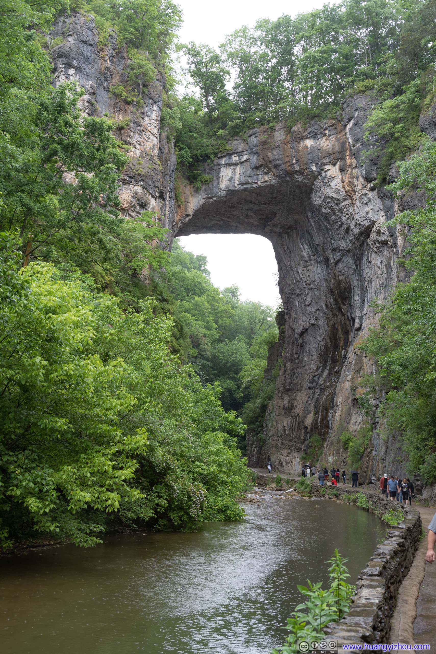
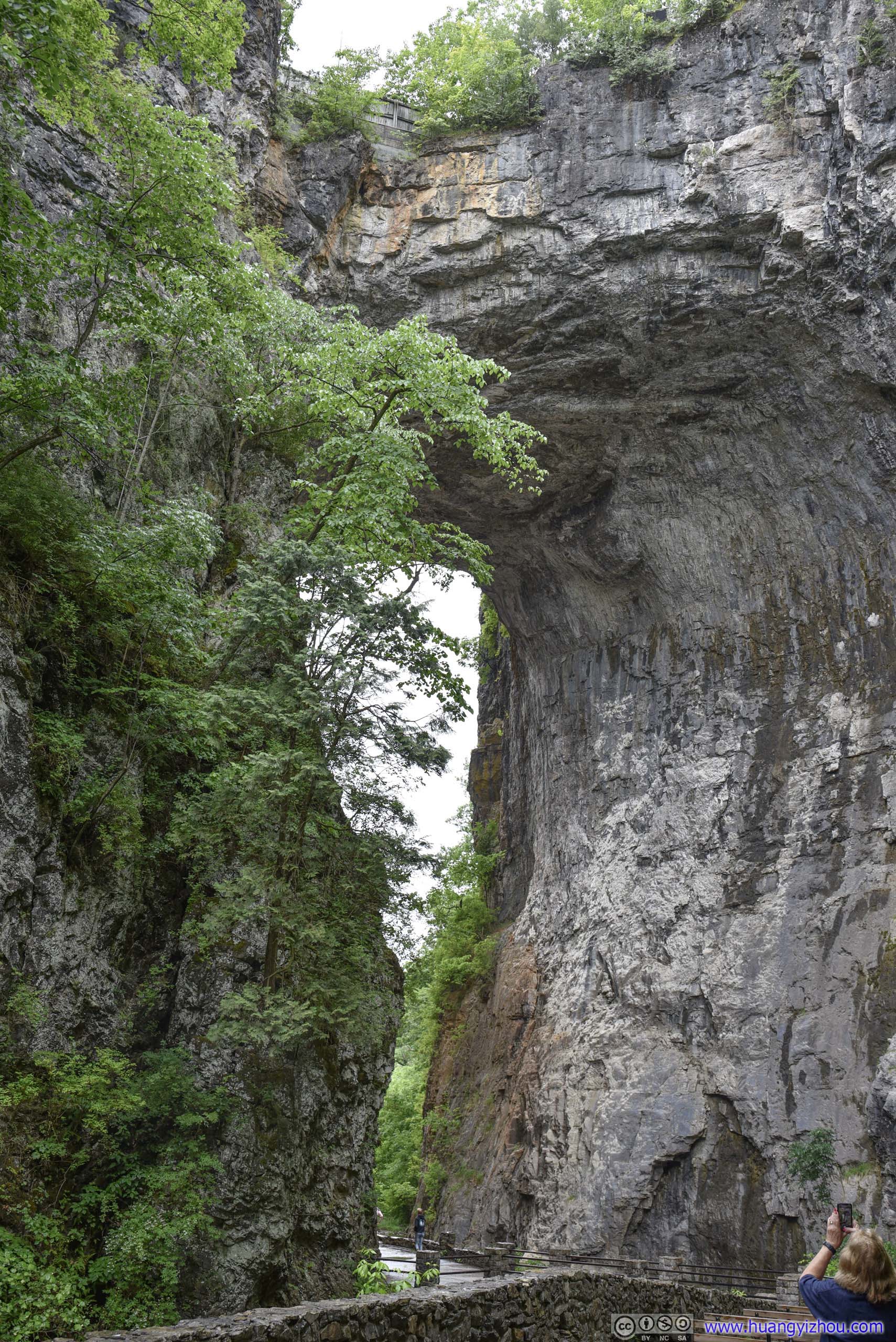
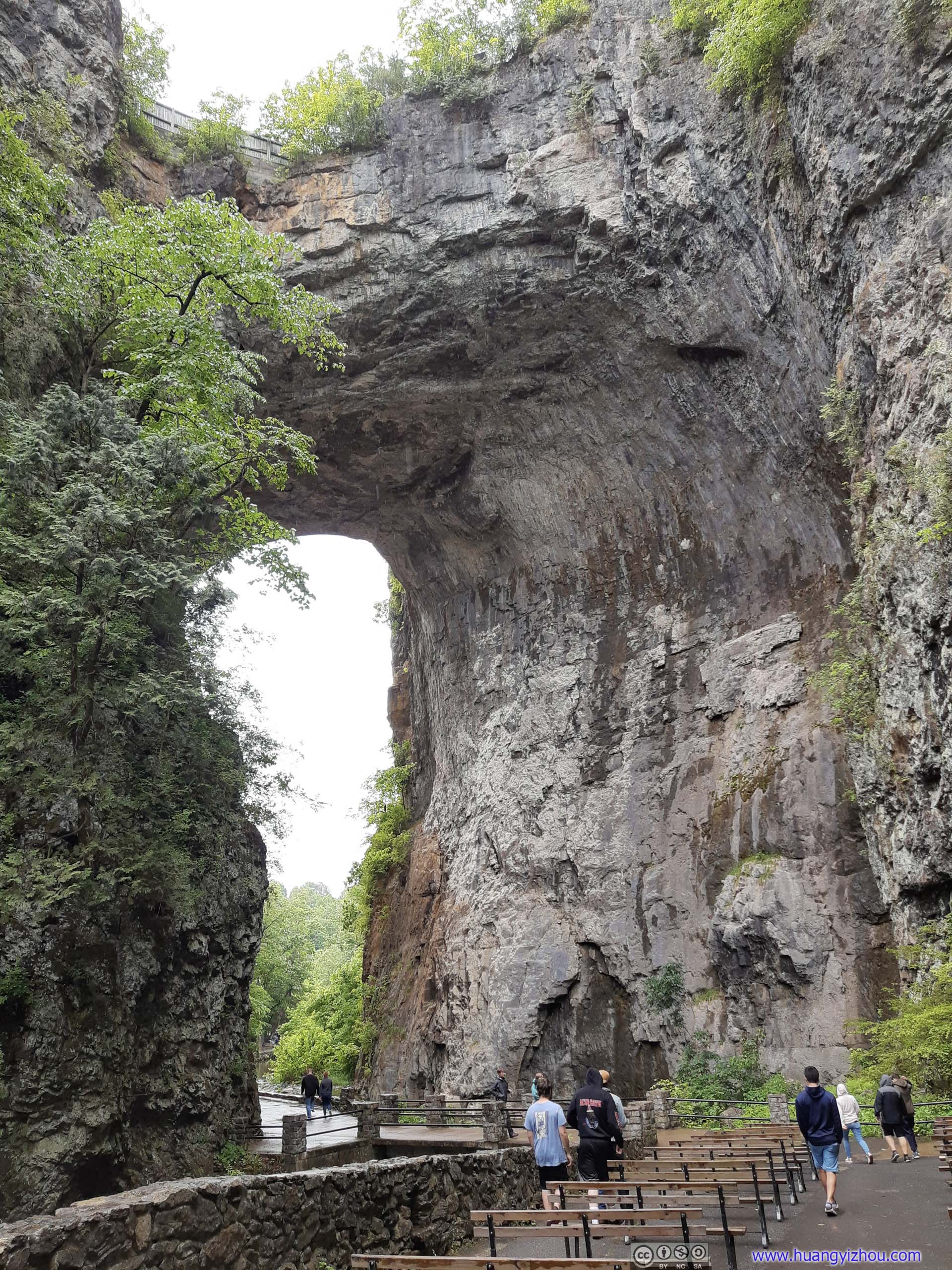
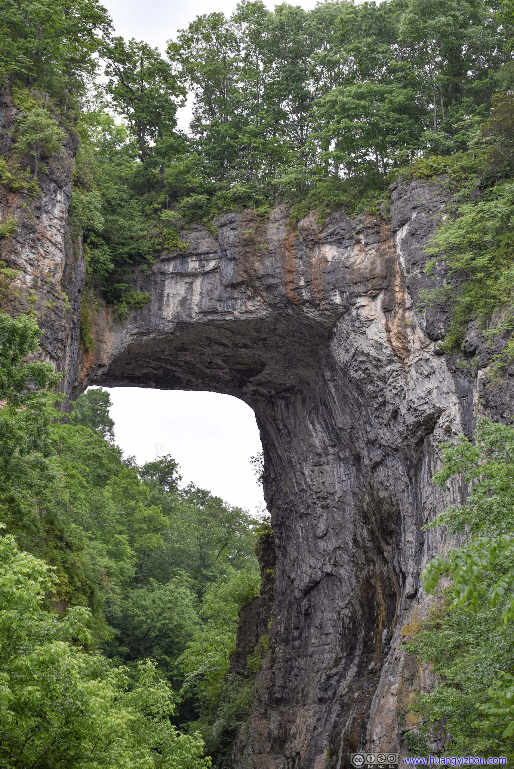
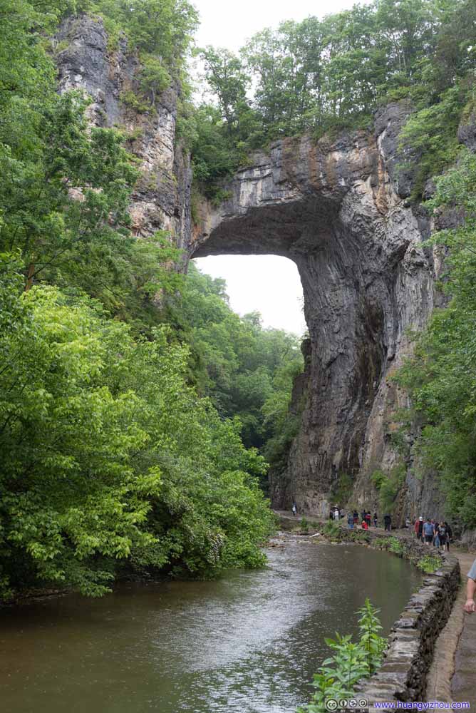
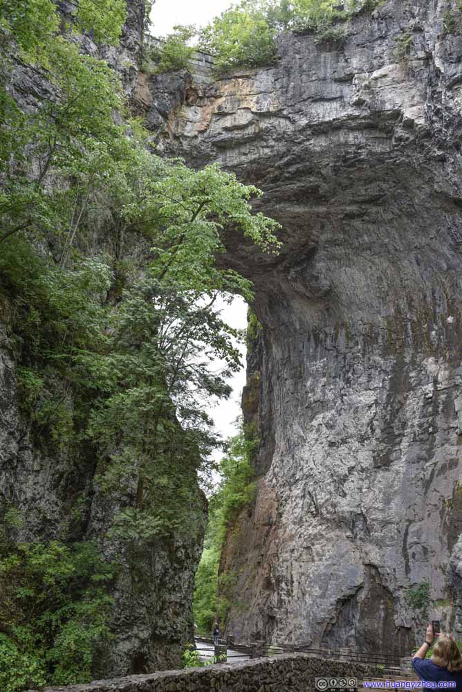
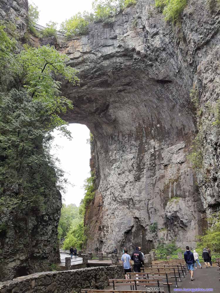
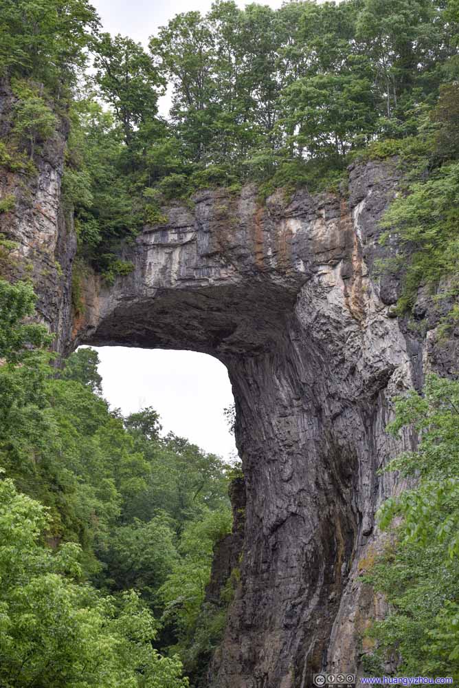
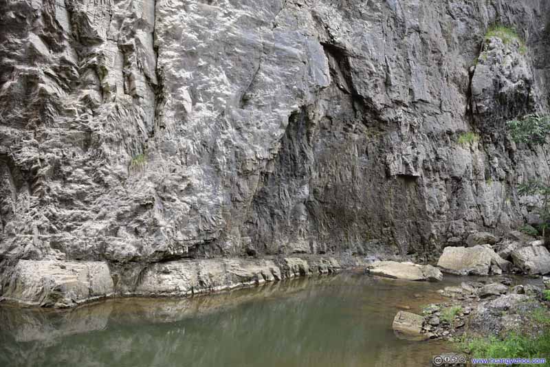
Once down the valley floor, the pavement followed Cedar Creek through Natural Bridge. Due to curvature of Cedar Creek, I felt the view of Natural Bridge was better from the side of the ticket booth. That’s also the angle taken in various paintings of this natural wonder.
Once past Natural Bridge, one may choose to follow the trail for an additional 1.2km to Lace Falls, a small waterfall. My friend and I were not in the mood of walking in the rain, and photos of Lace Falls were not as stunning as the Natural Bridge in front of us, so we didn't linger for long before making our way back to the car.

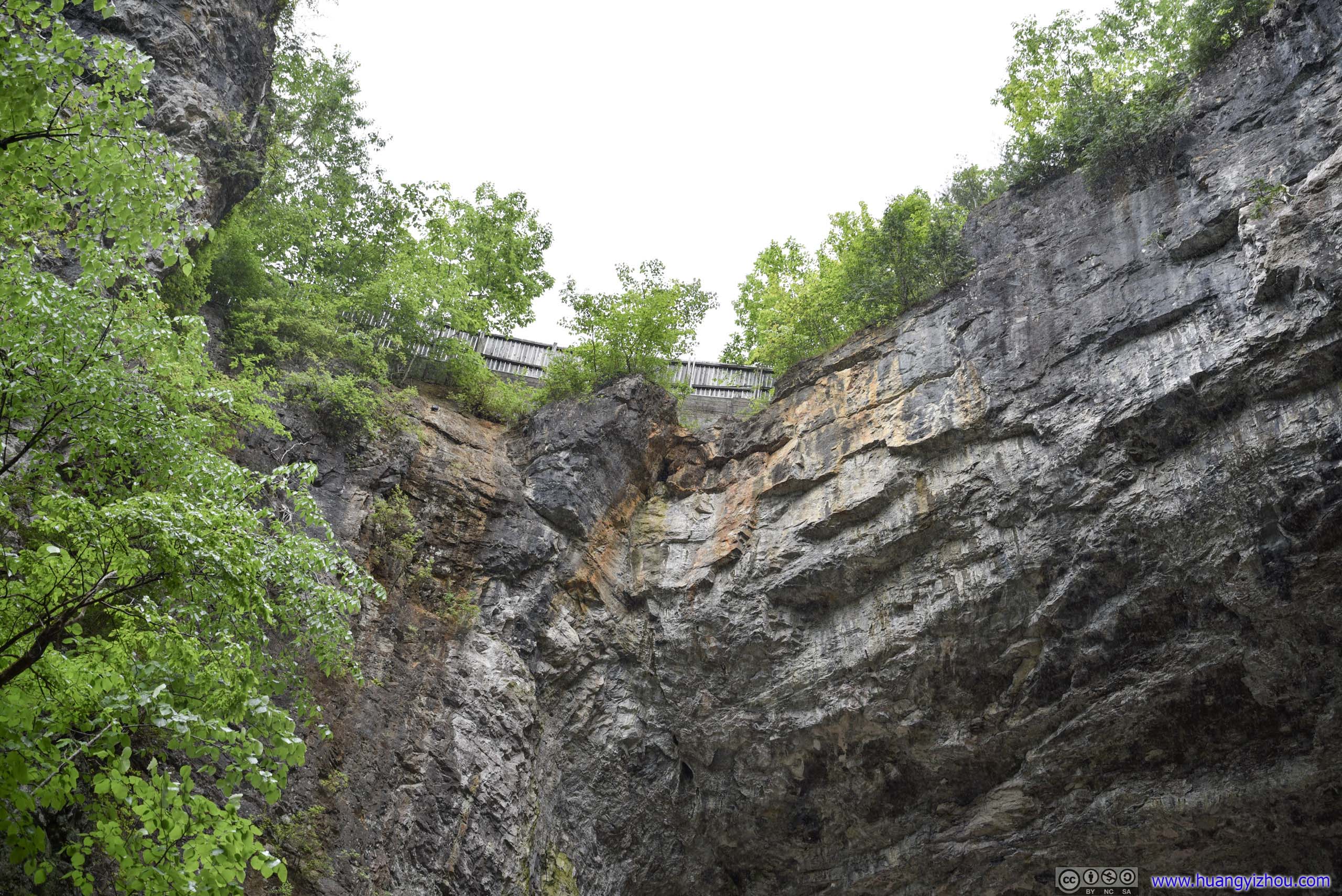
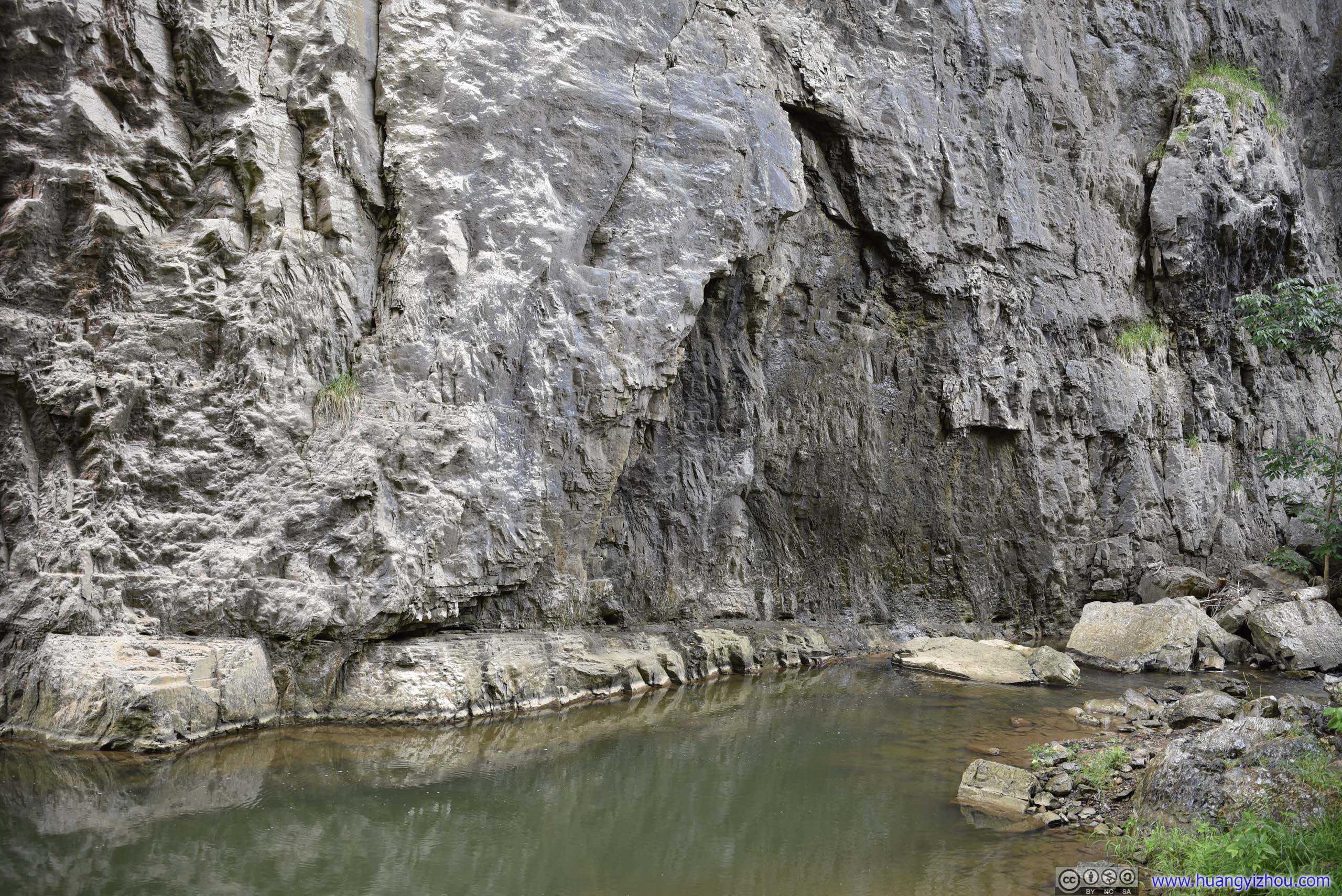
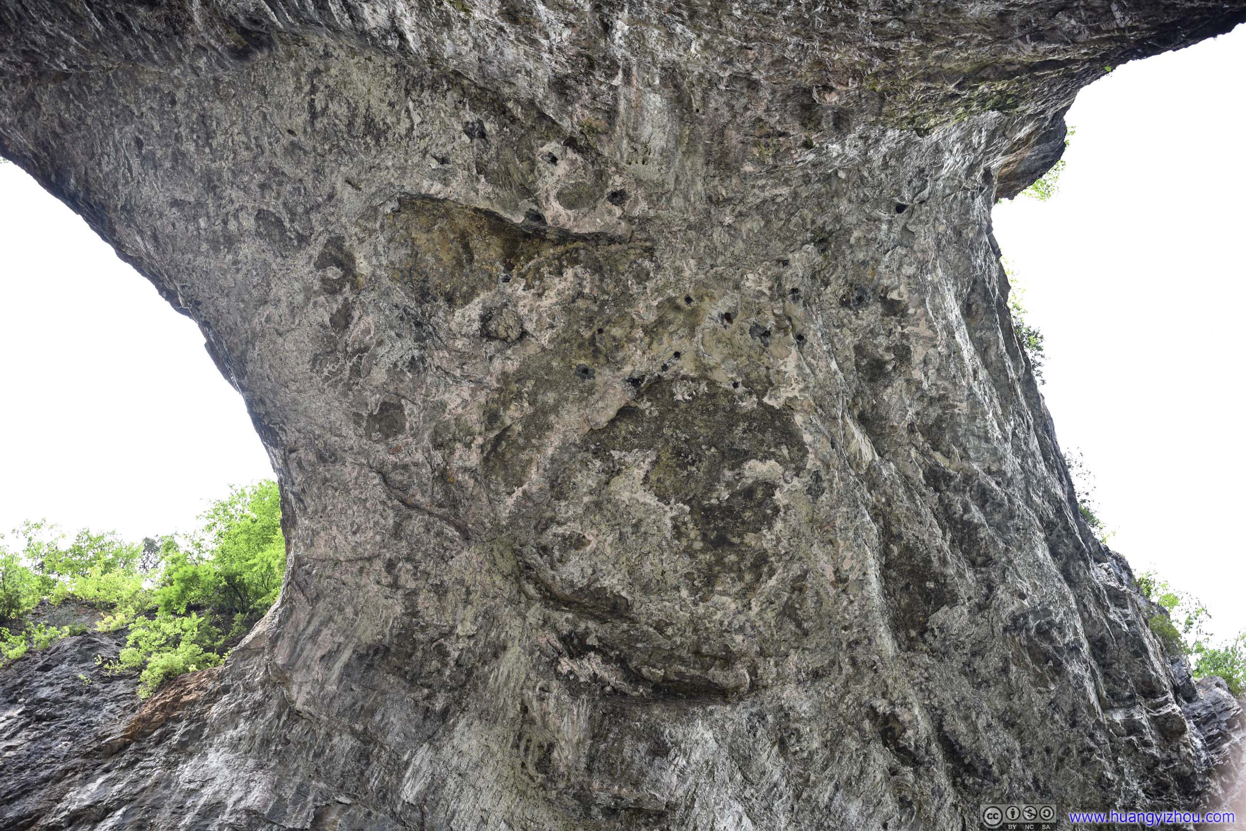
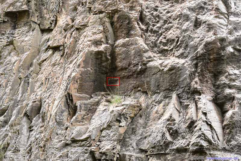
By the time we got back to the car it's only 3:15pm in the afternoon. We felt it's still early to head to our hotel in Roanoke. After checking weather radar, which showed the rain was mostly along Appalachian Mountains, we identified Hanging Rock Raptor Observatory, located near Waiteville, West Virginia in Jefferson National Forest, was outside the rain and worth a visit.
Hanging Rock Raptor Observatory
While Hanging Rock Raptor Observatory was famous, it’s not heavily visited, and I soon learned why as it took more than an hour of twisty mountain roads to reach its trailhead.
A brief note that to reach its trailhead, we drove for 10 miles along Virginia Route 600/Monroe County Route 17, which didn’t have center marking. After which, we made a turn onto Limestone Hill Road/Monroe County Route 15, which was narrow but amazingly, was paved to the trailhead!
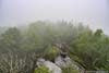
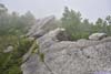
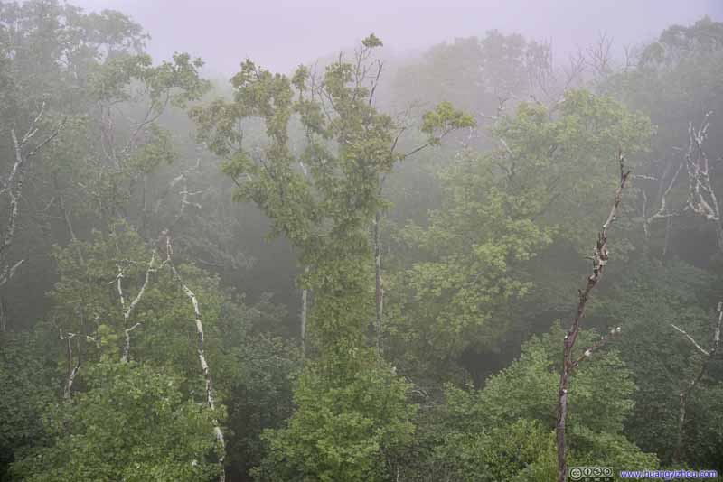
While we were delighted to find the road paved, weather actually wasn’t cooperating. Despite the absence of rain, we didn’t take cloud ceiling into consideration (which wasn’t included in most weather forecasts). While driving down the 10-mile country road at 650m elevation, we found the top of nearby mountains, at 1000m+ elevations, covered in clouds. That included our destination, Hanging Rock at 1153m. As a result, our entire hike was in mist.
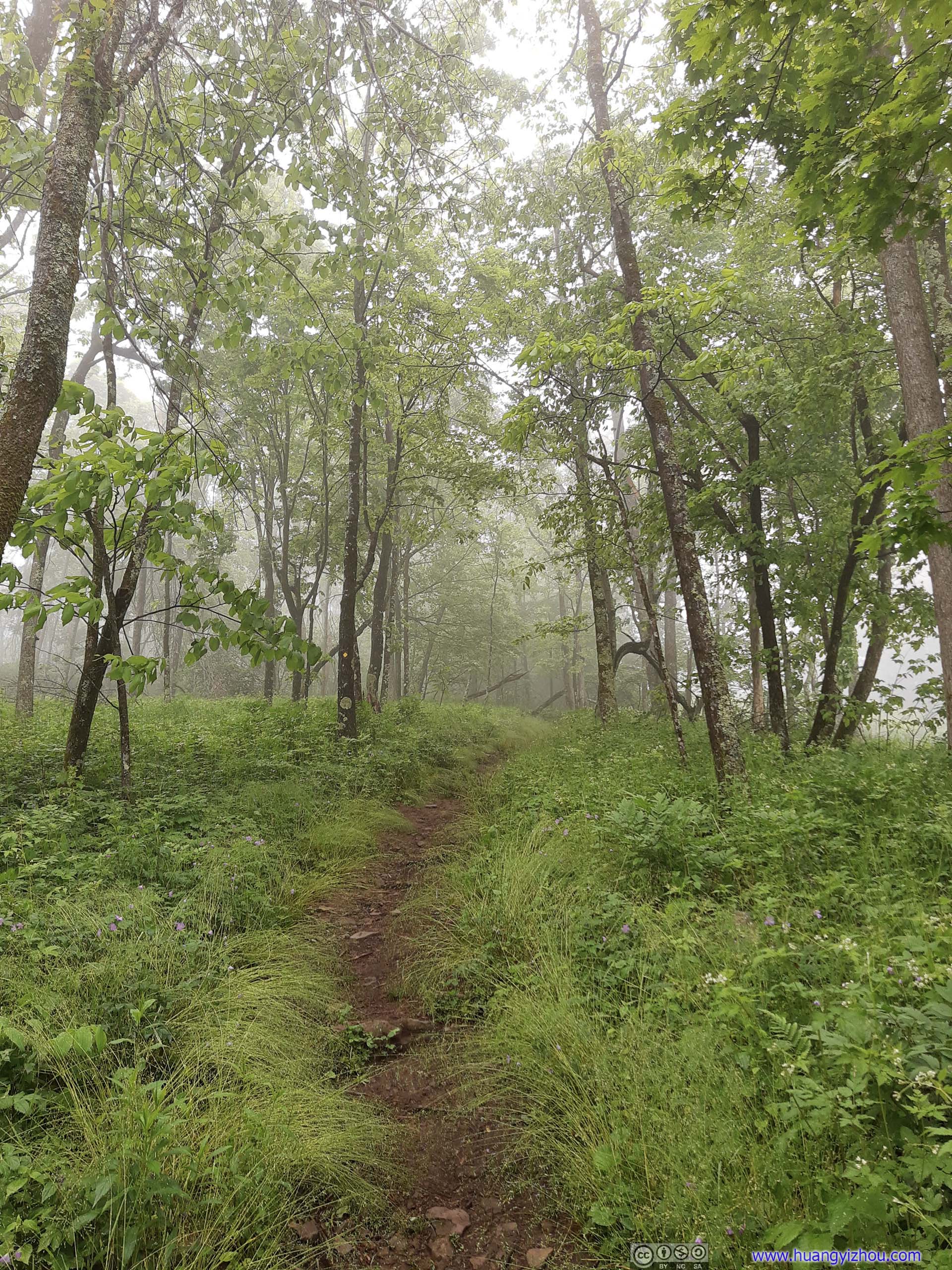
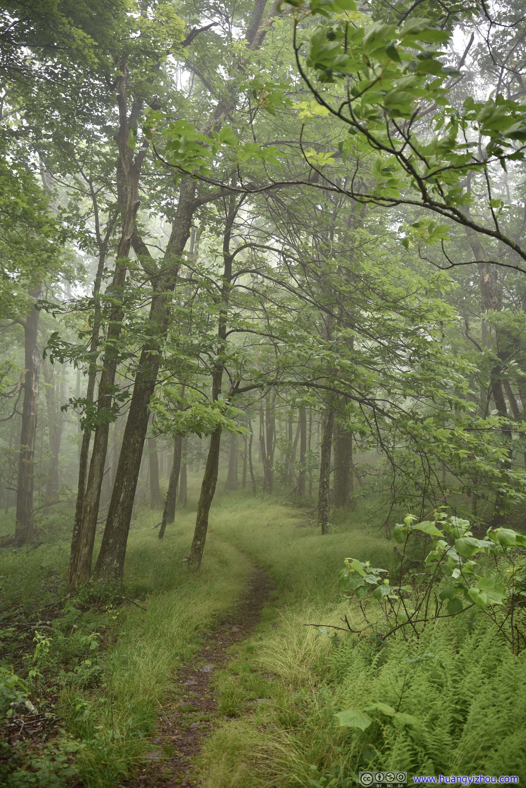
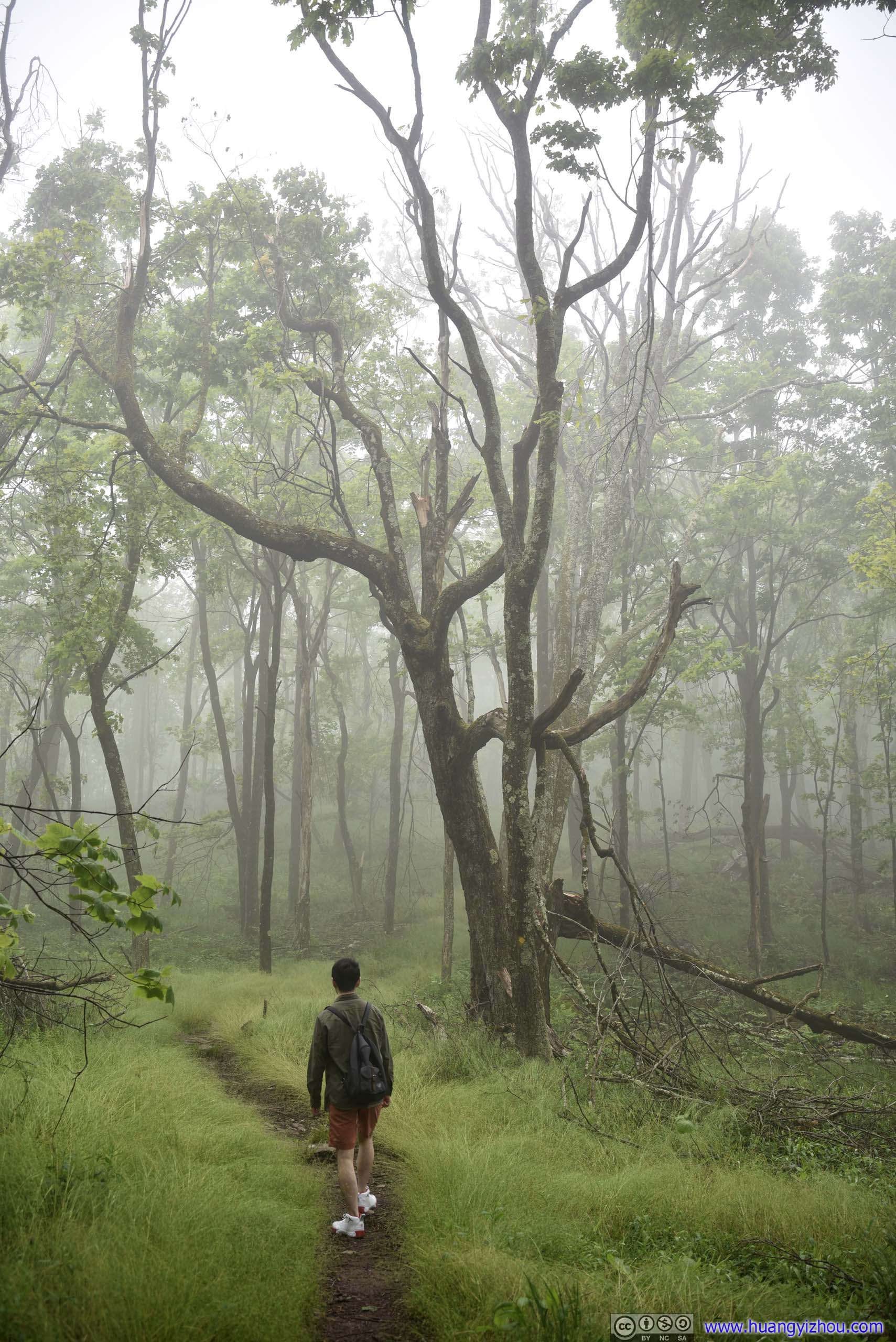
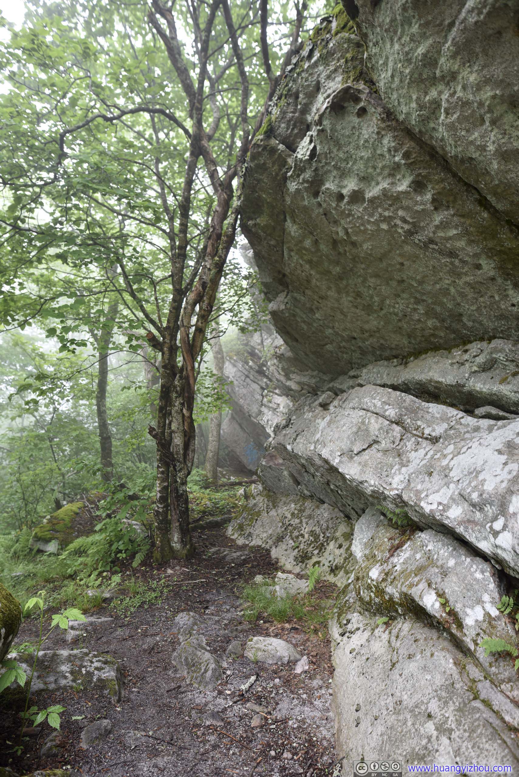
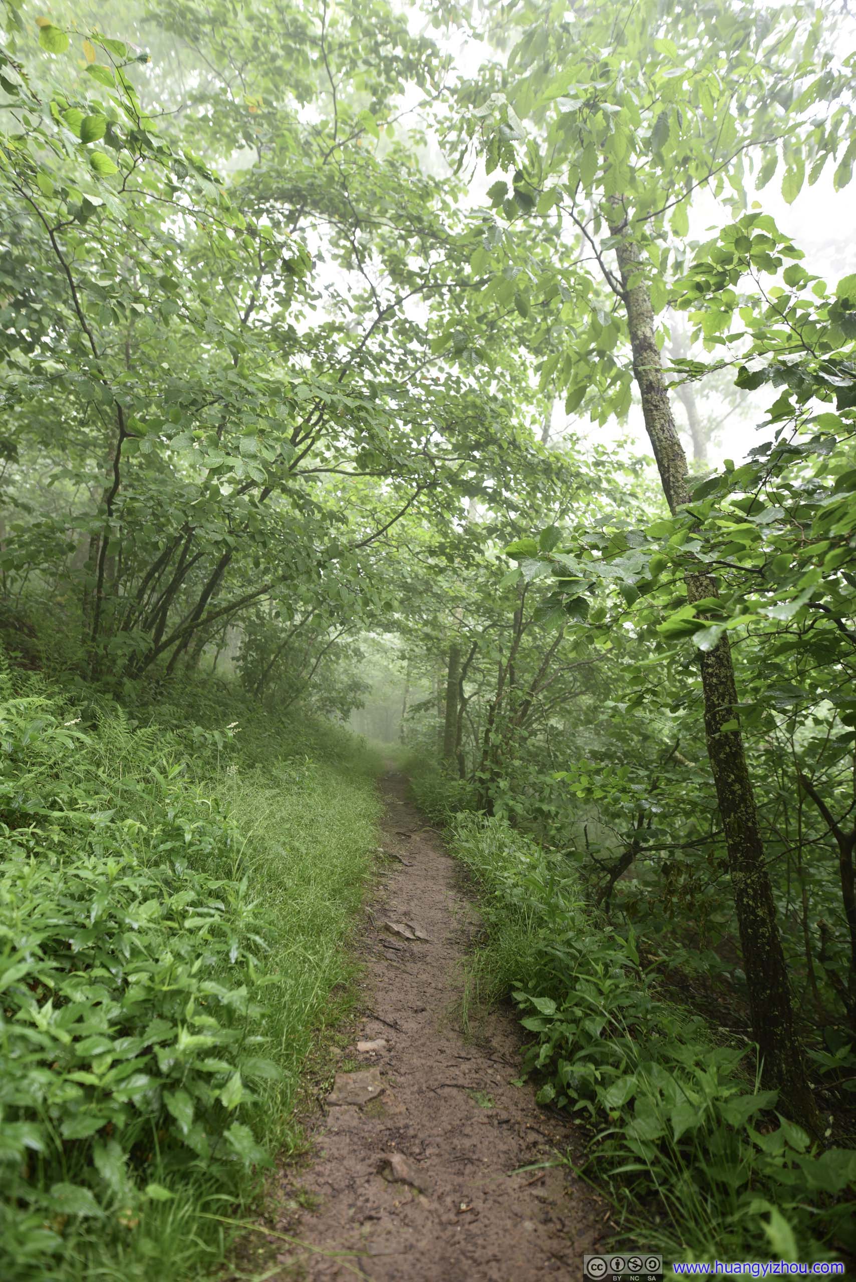
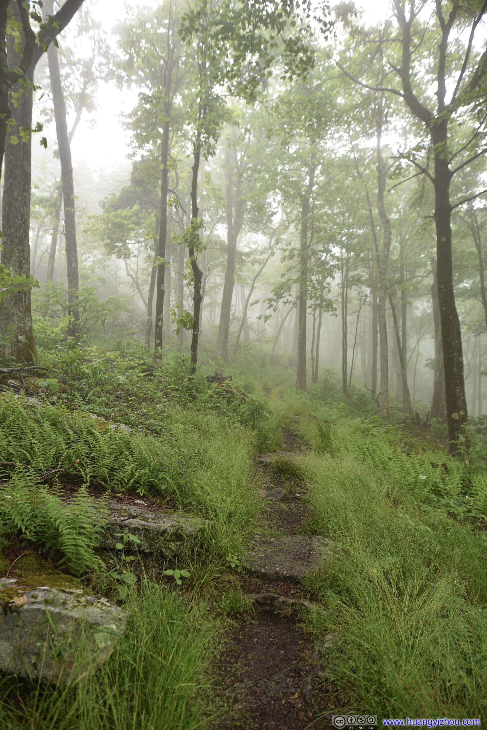
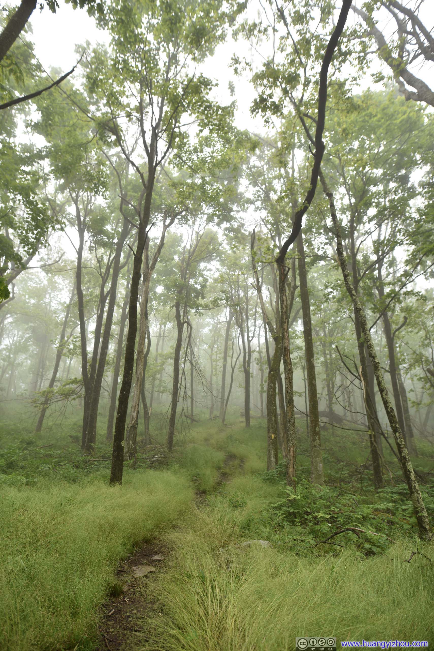
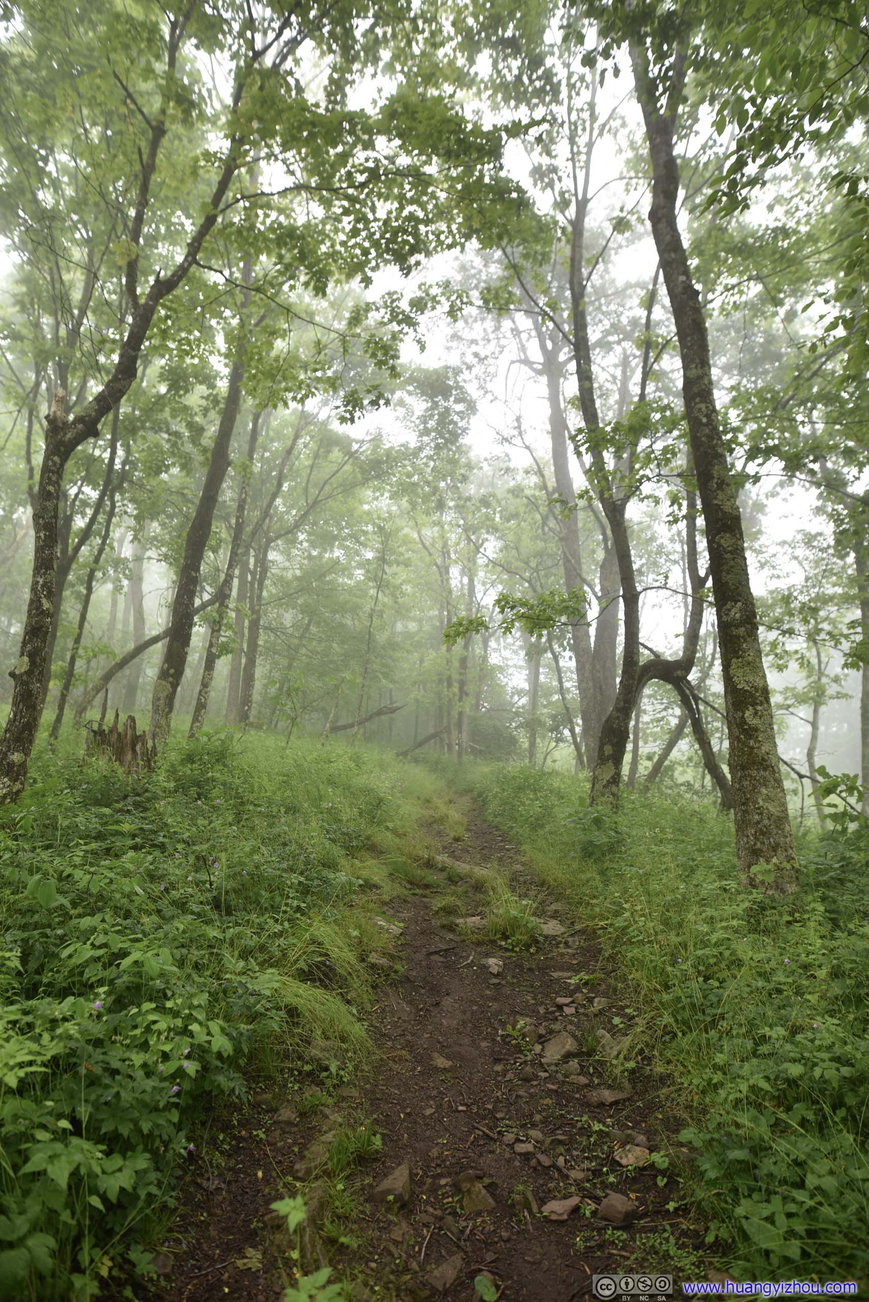
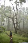
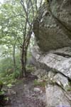
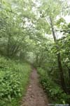
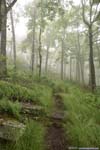
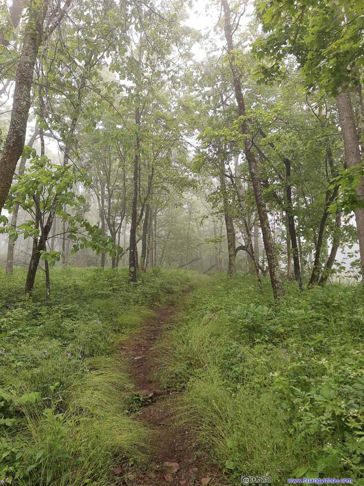
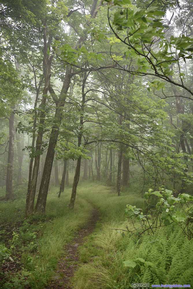
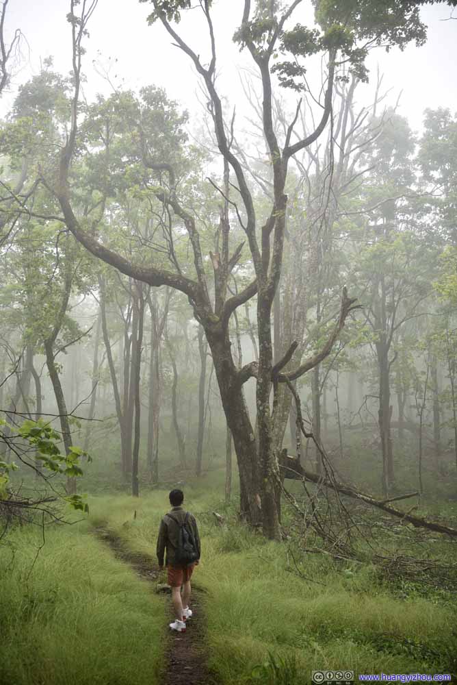
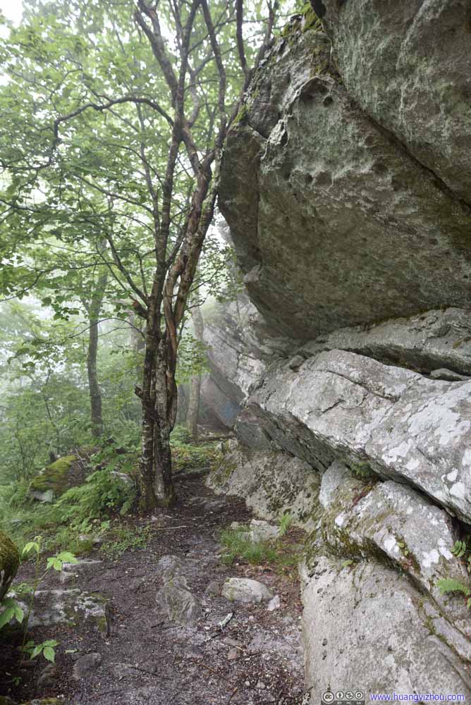
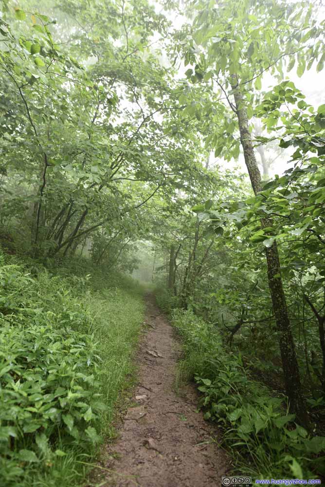
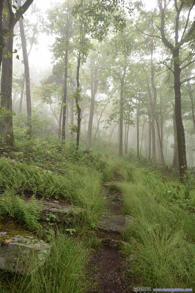
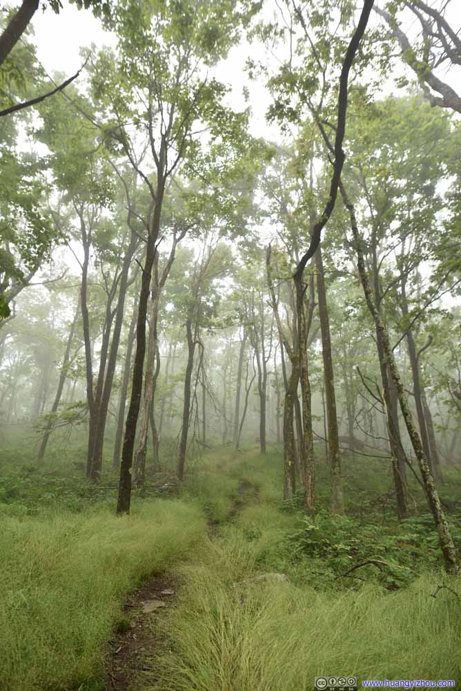
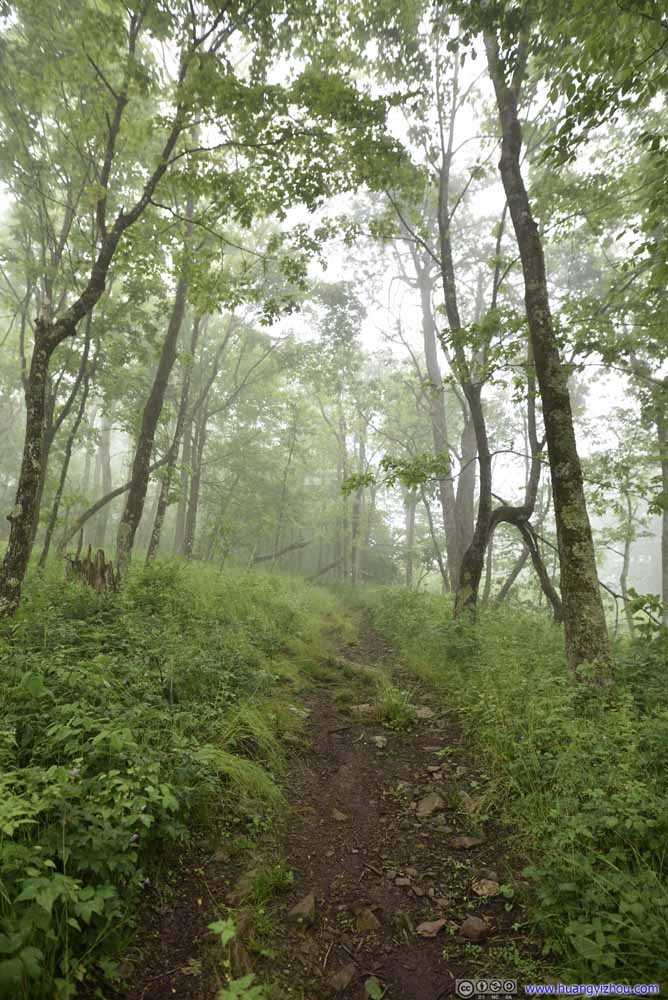
My friend compared the scenes around us to Silent Hill, a horror video game. Well, it’s pretty quiet, we were on a hill, and it’s misty like in the video game. Luckily we still had daylight left so it’s not as scary.
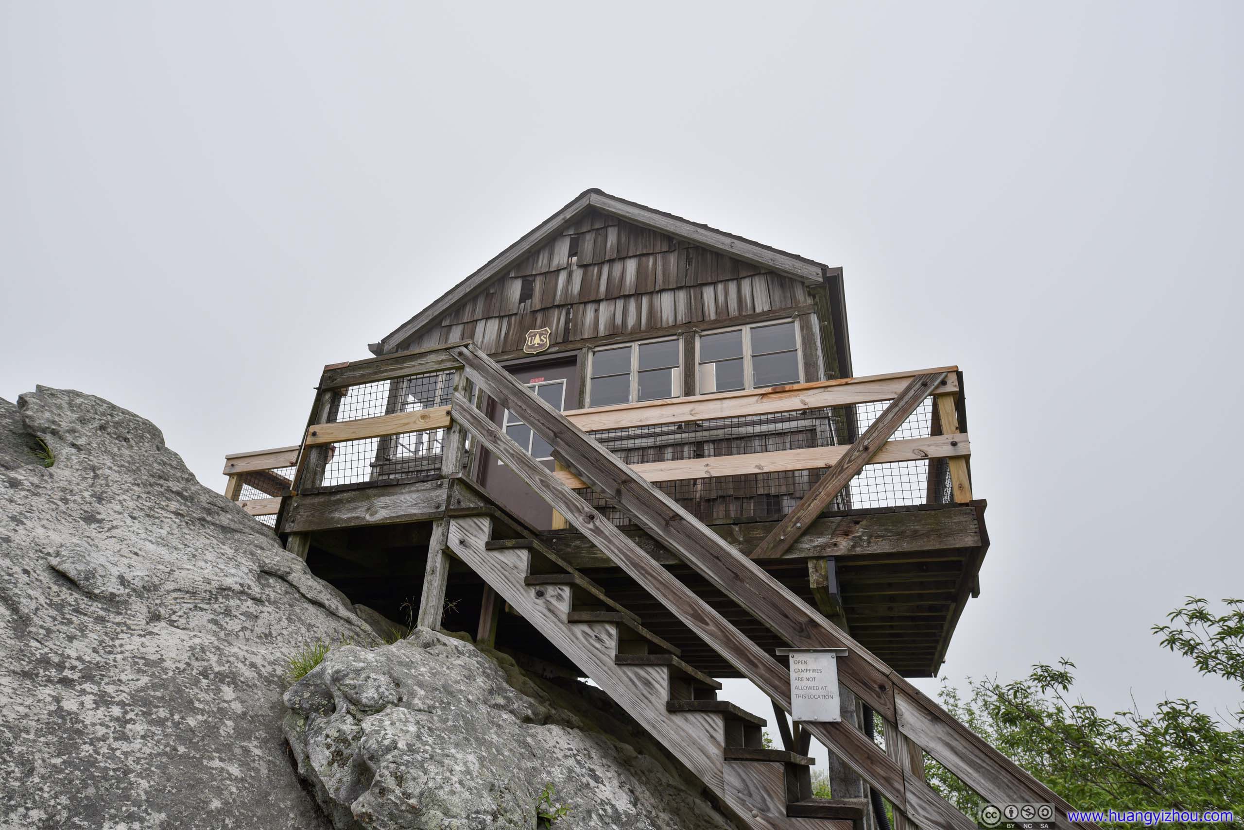
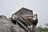
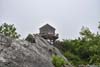
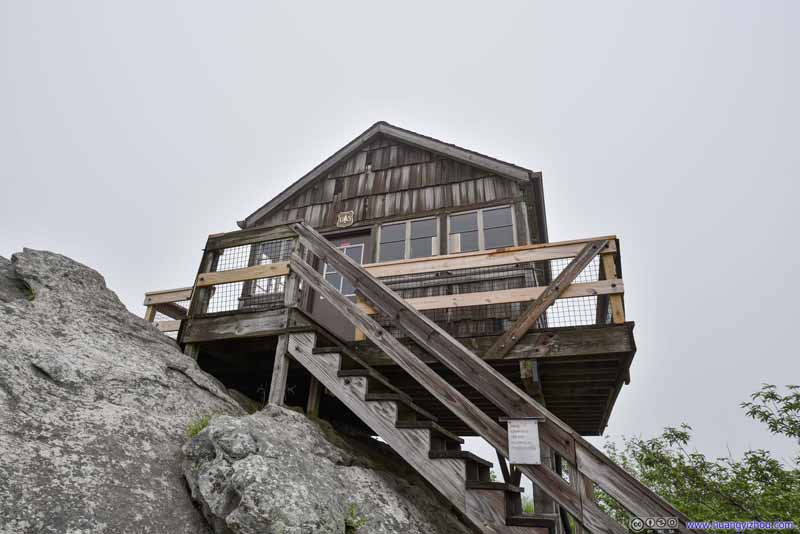
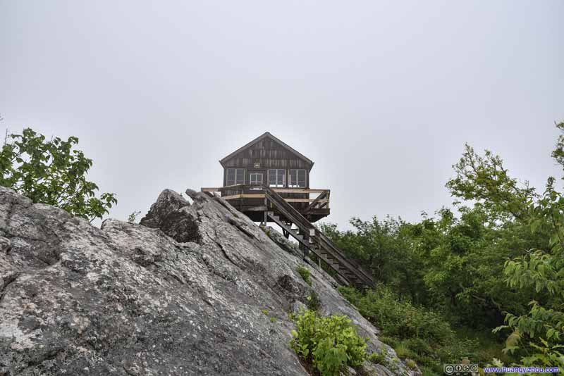
Half an hour later, we were at Hanging Rock Raptor Observatory. The observatory was a former fire tower built on a giant slab of rock. Frankly, I didn't feel it's remotely living up to the name of "hanging". Nowadays it sat on the migration path of various birds, including raptors hence the name.
While on a clear day we should be able to enjoy phenomenal views all around, today we were technically in clouds with significantly obscured views, which was rather disappointing.
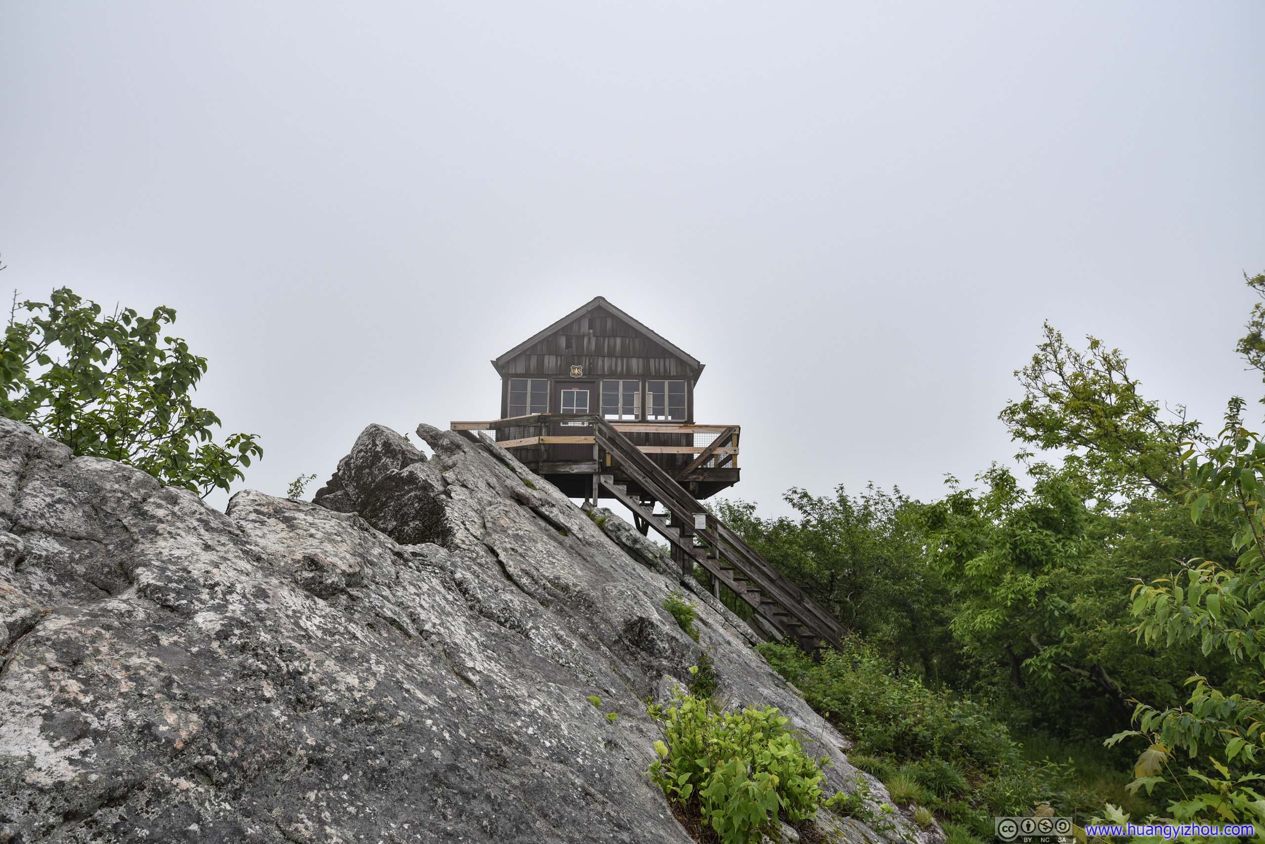
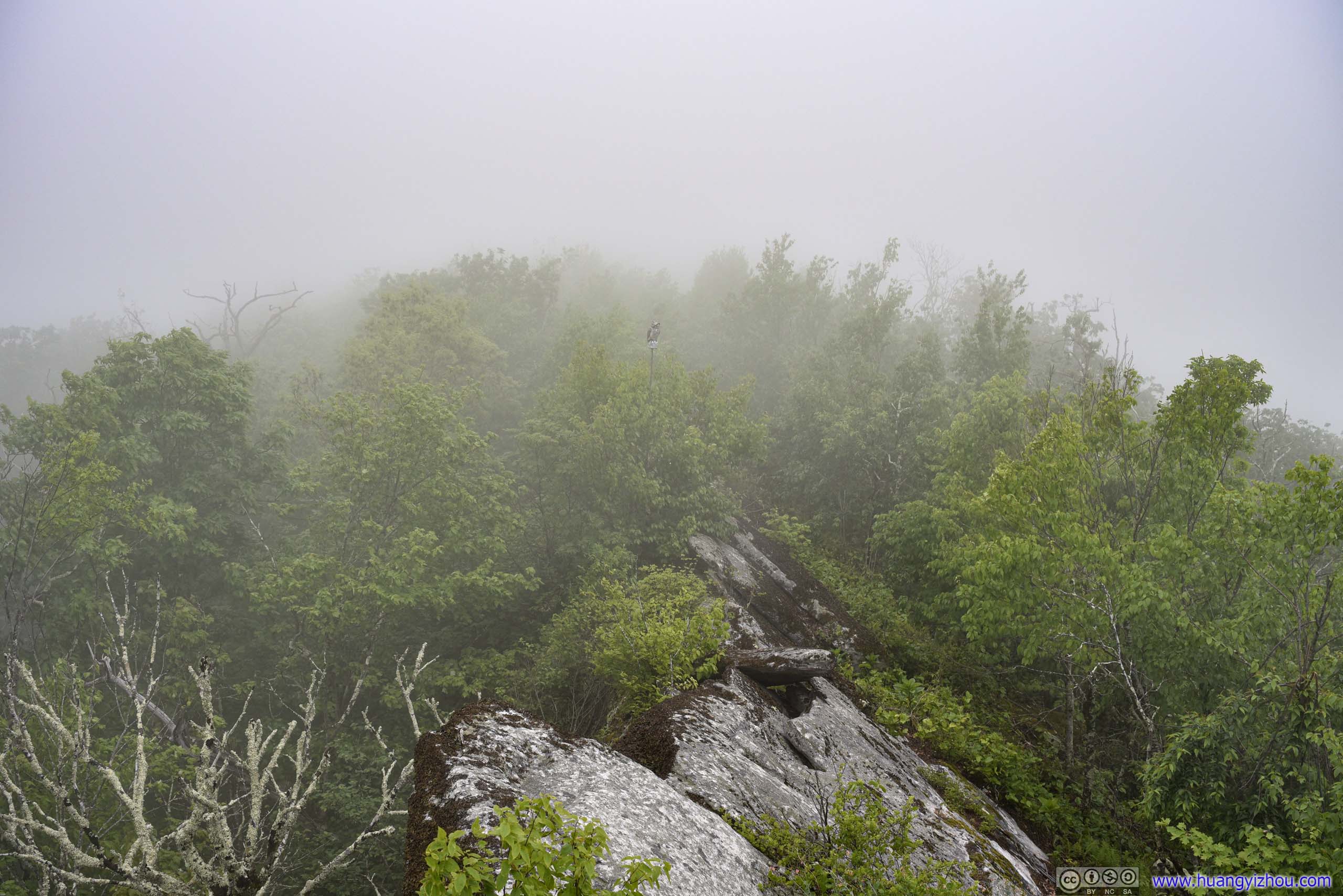
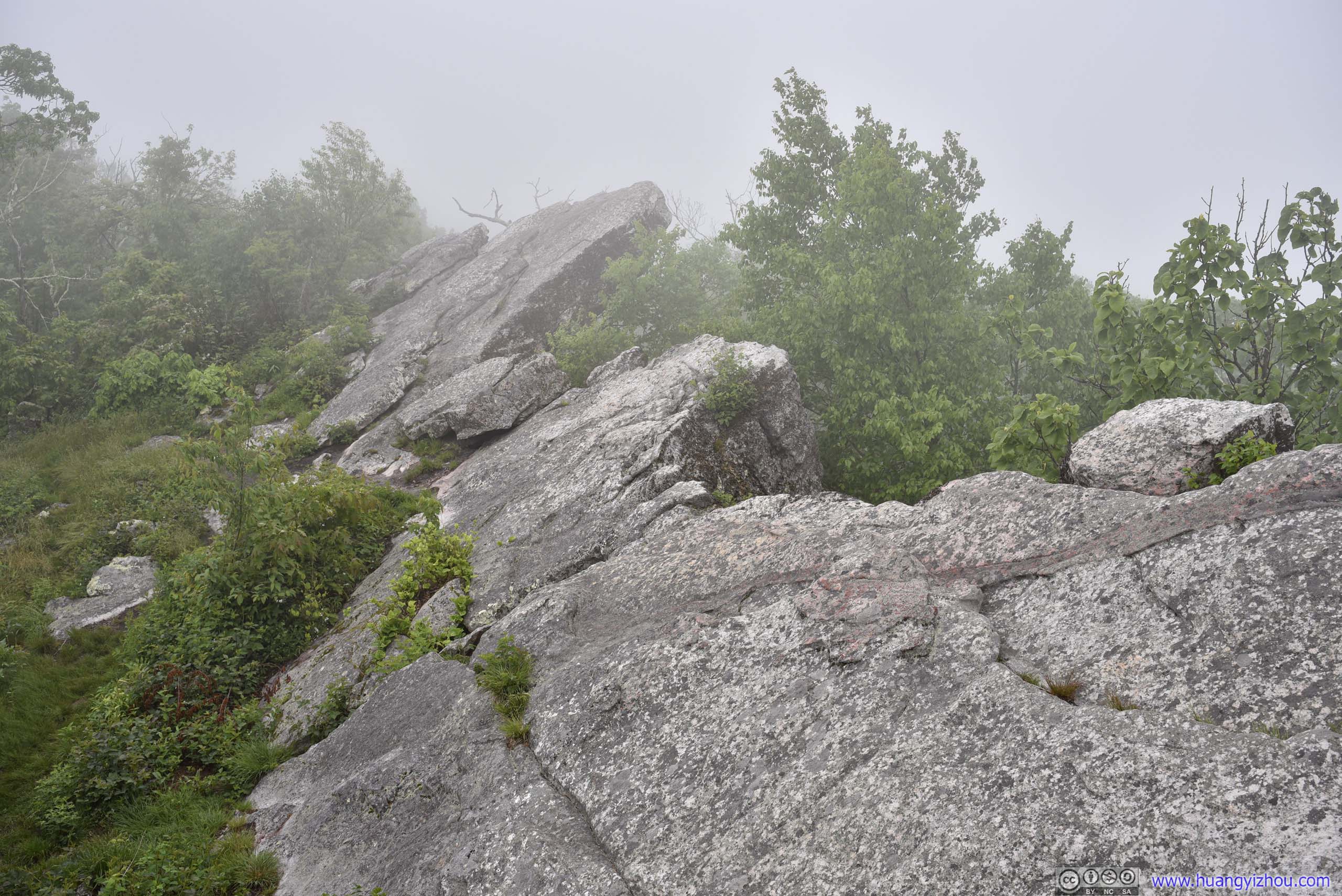
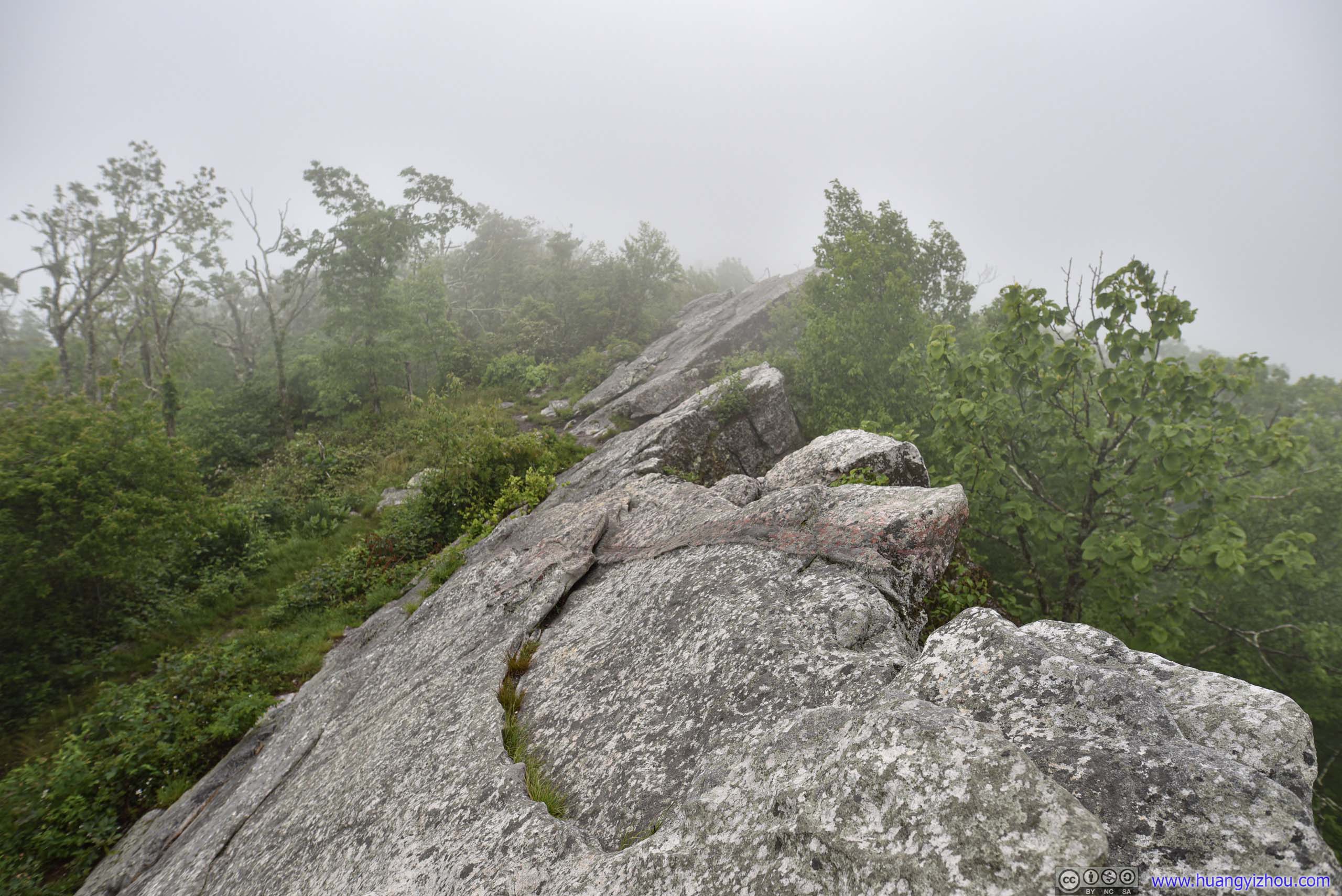
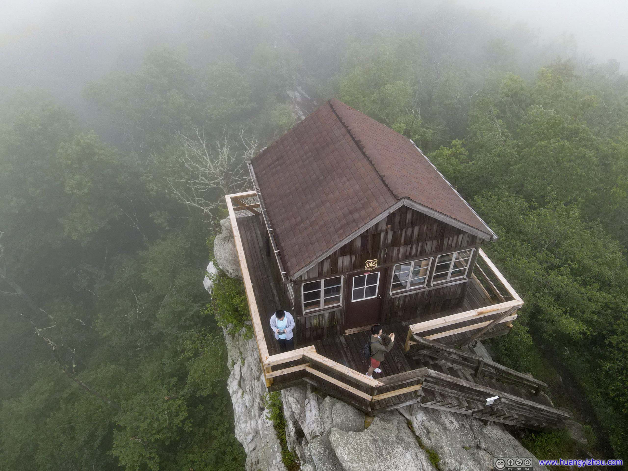
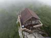
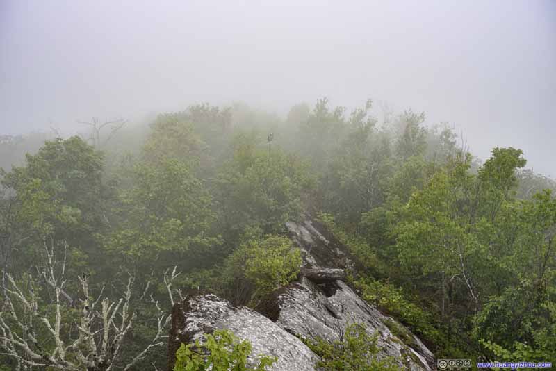
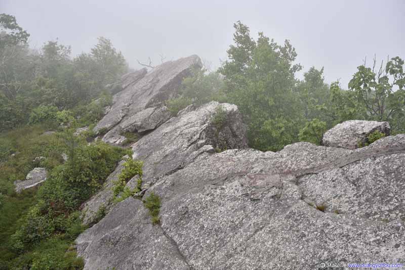
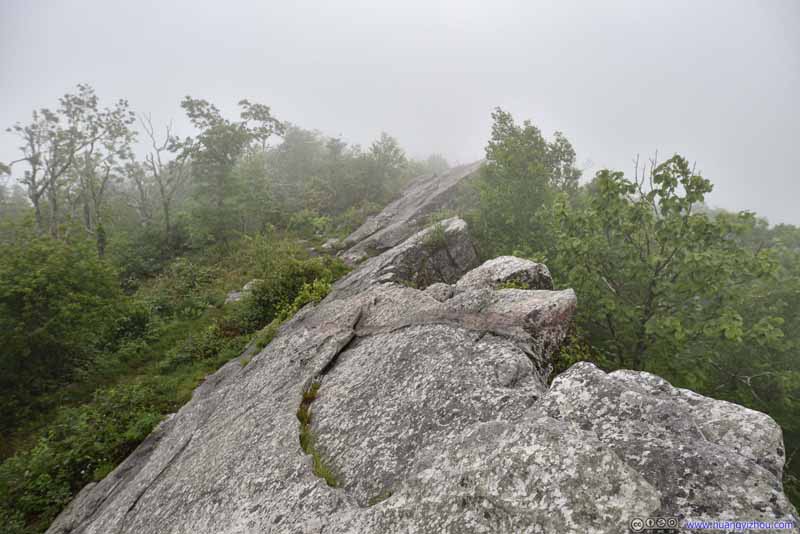
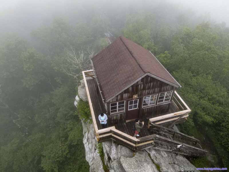

I attempted to launch my drone at the site, hoping to fly above the clouds for some view. Unfortunately, every time I tried to lower its altitude, it would trigger landing mode as it treated the mists underneath it as some solid object, which meant it would only descend very slowly. As a result, I quickly gave up that idea, packed up my gears, and we headed our way back.
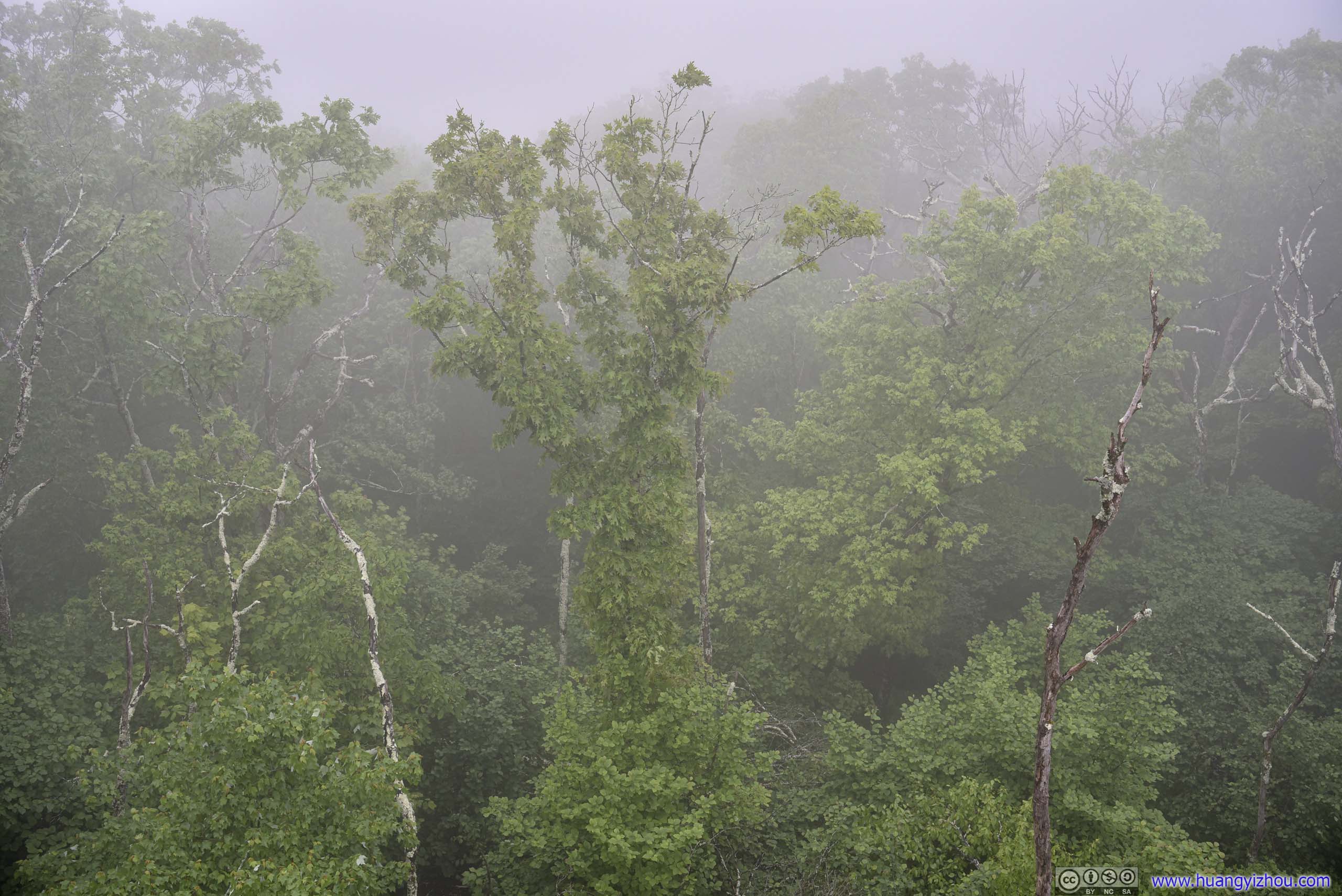
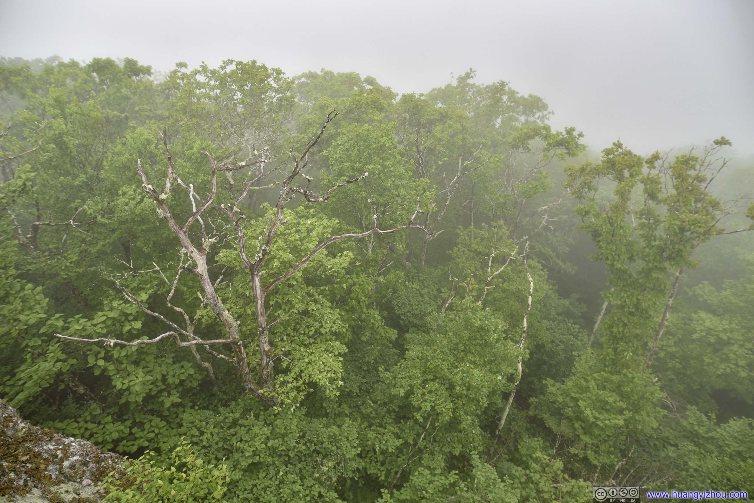
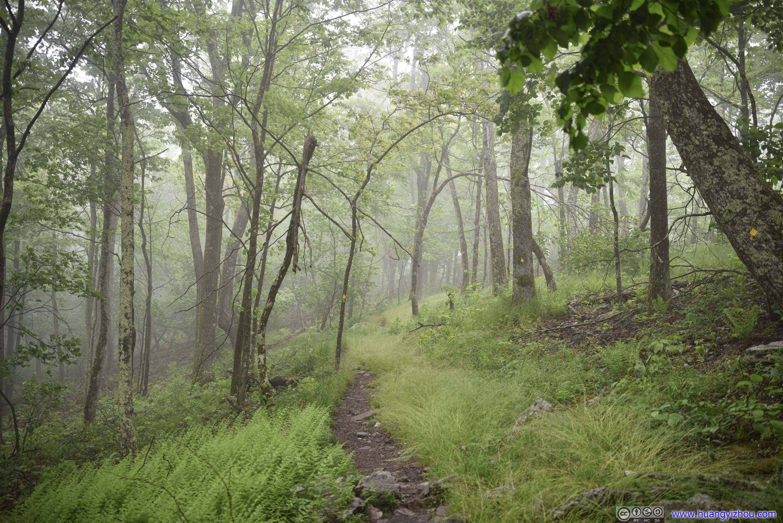
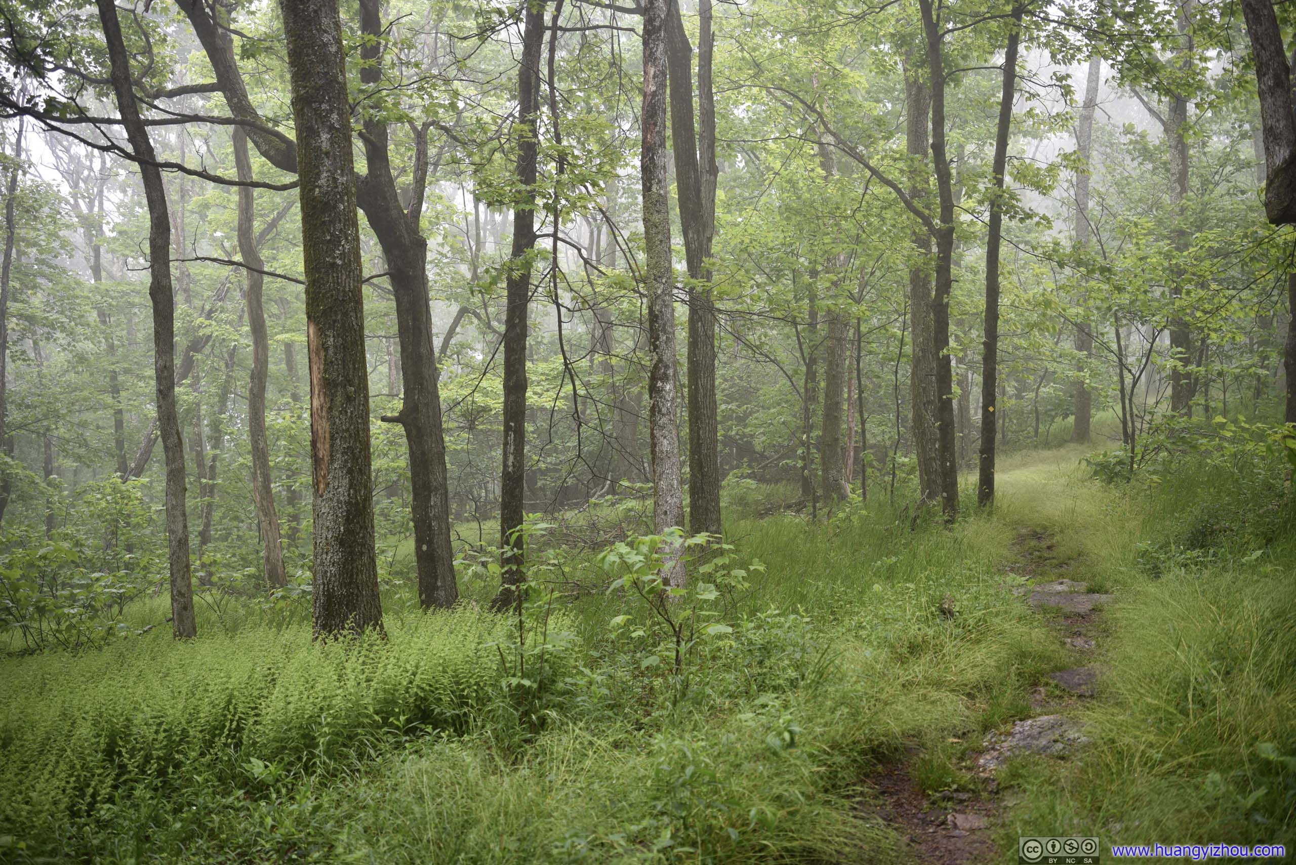
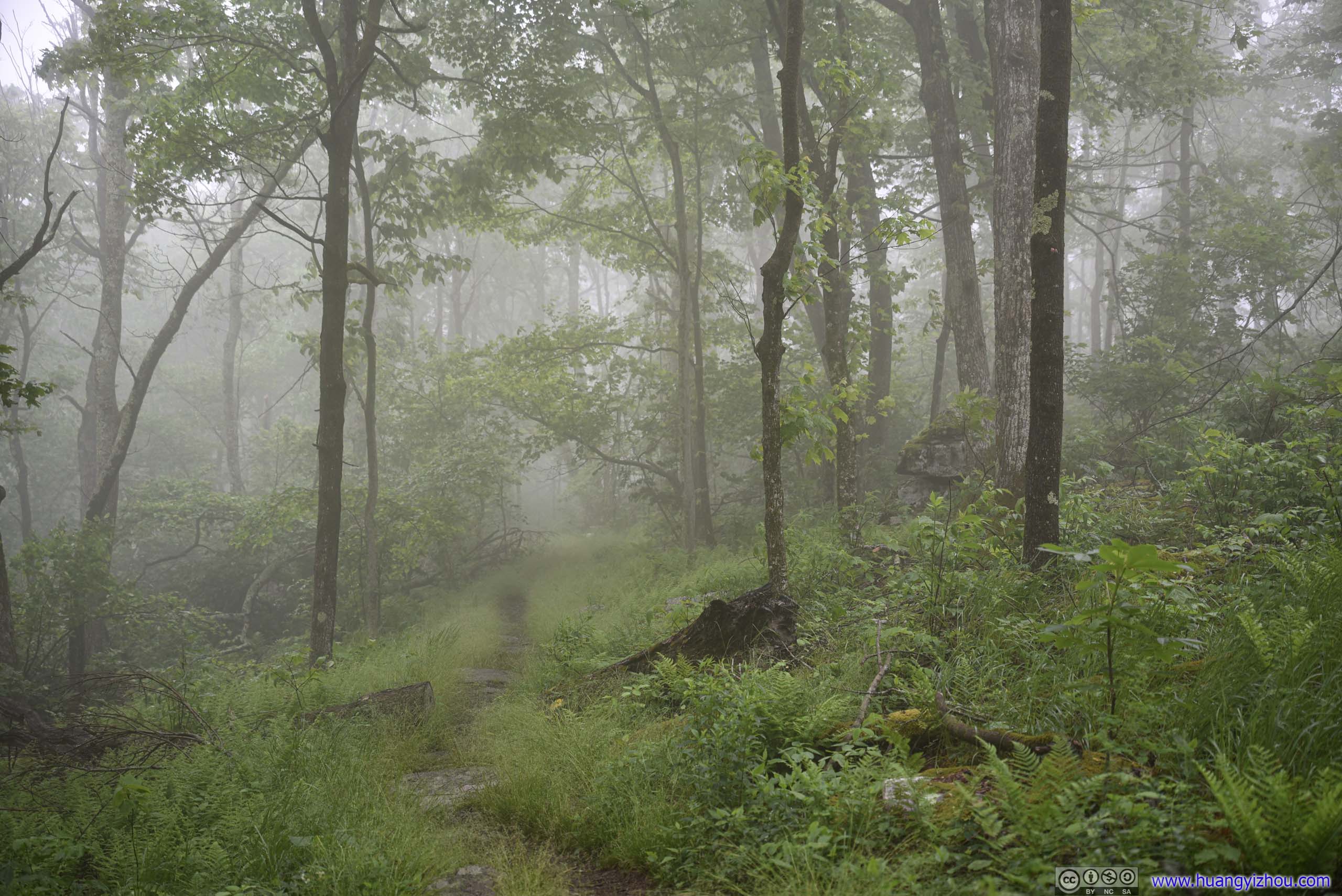

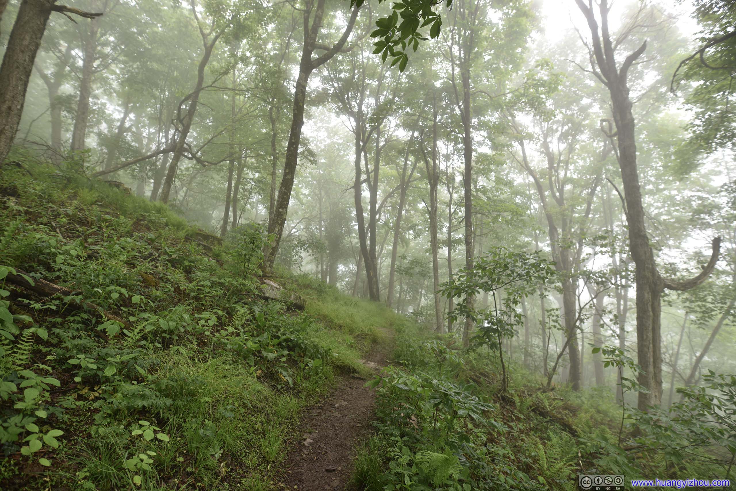
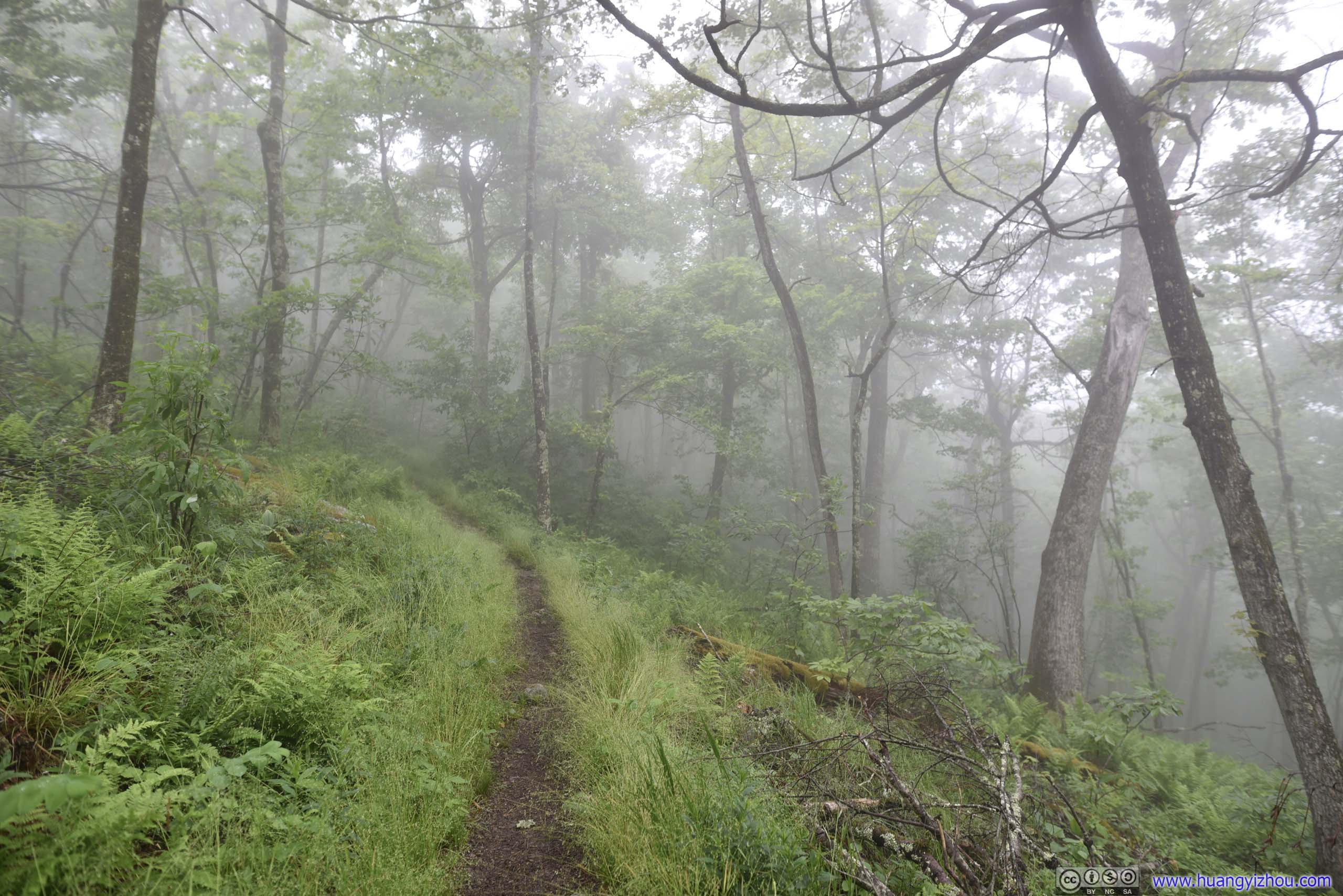
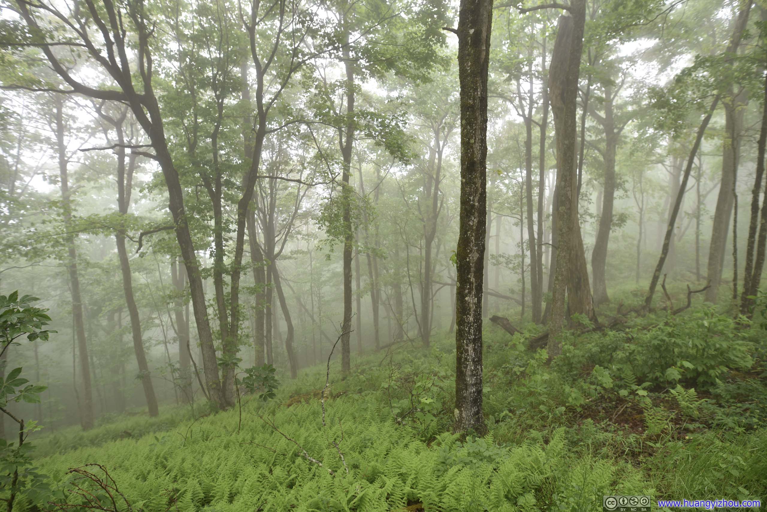
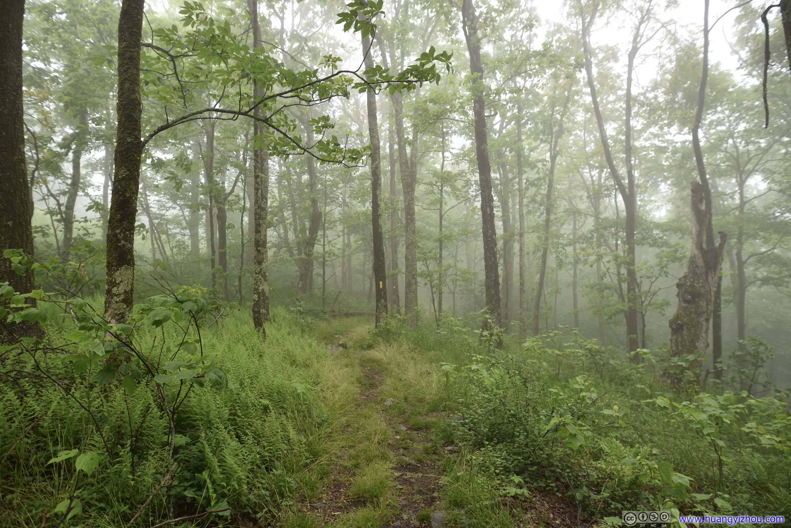
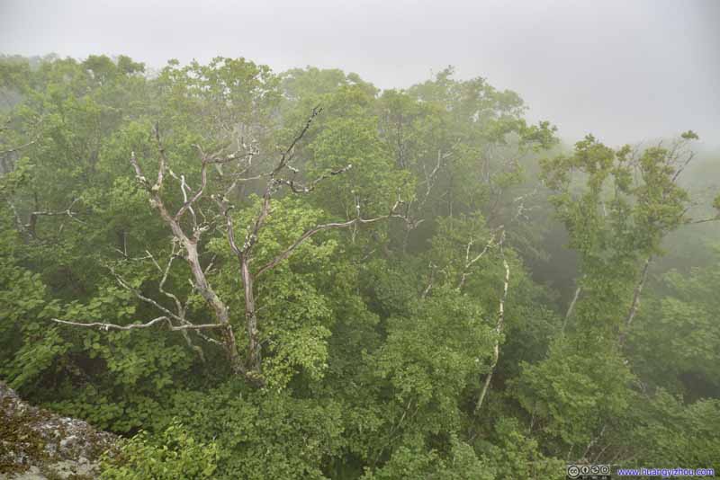
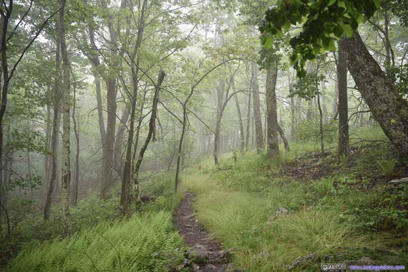
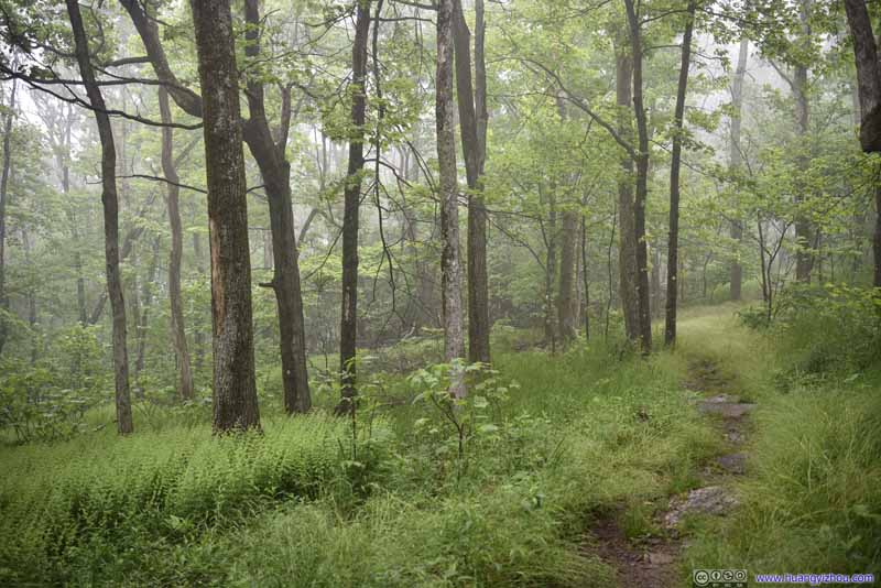
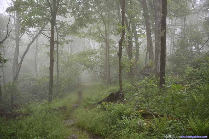
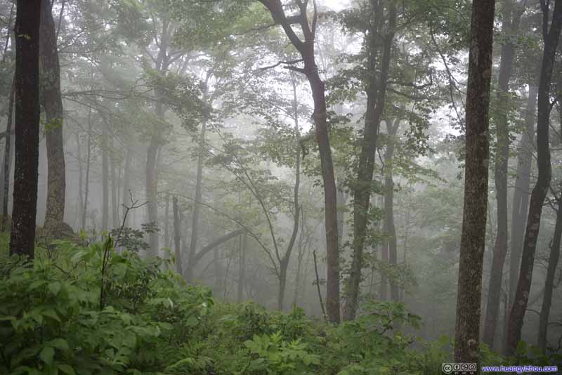
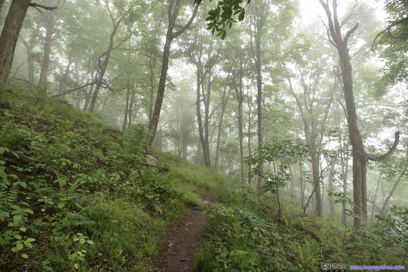
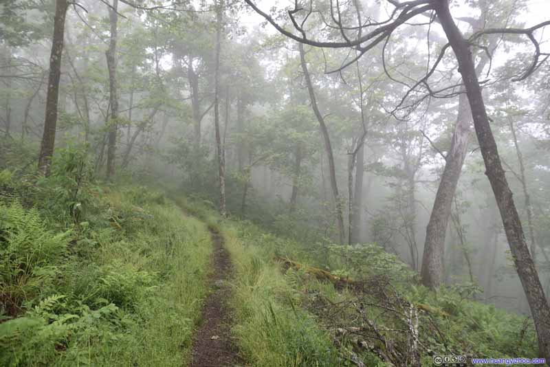
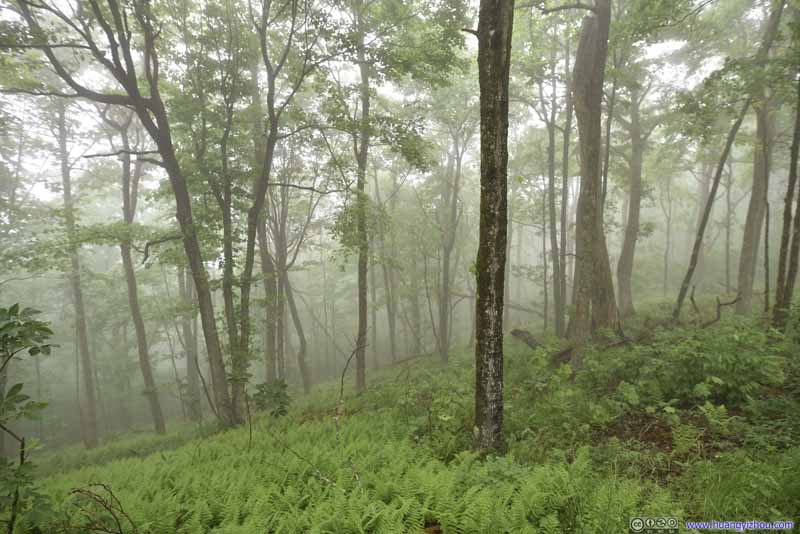
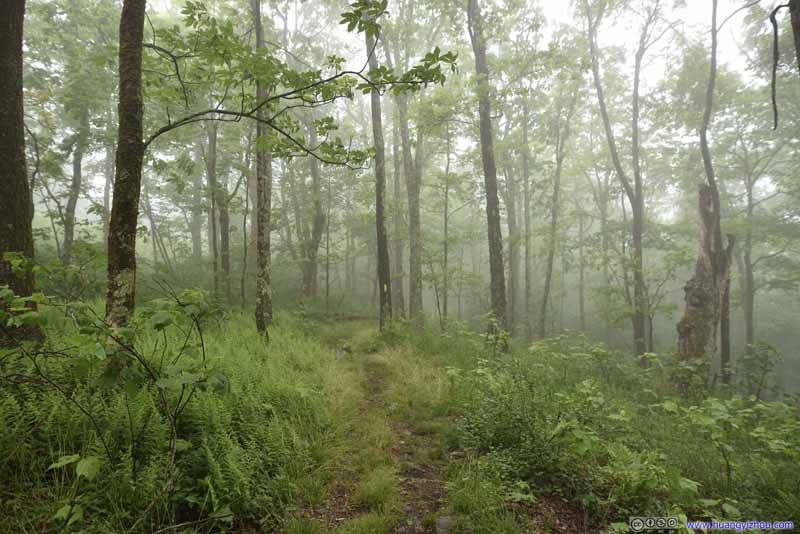
Just over an hour after we left, we were back at the trailhead parking lot, covering 3.1km for the hike. After that, we drove back to Roanoke, crossing a few mountain ranges and back into the rain.
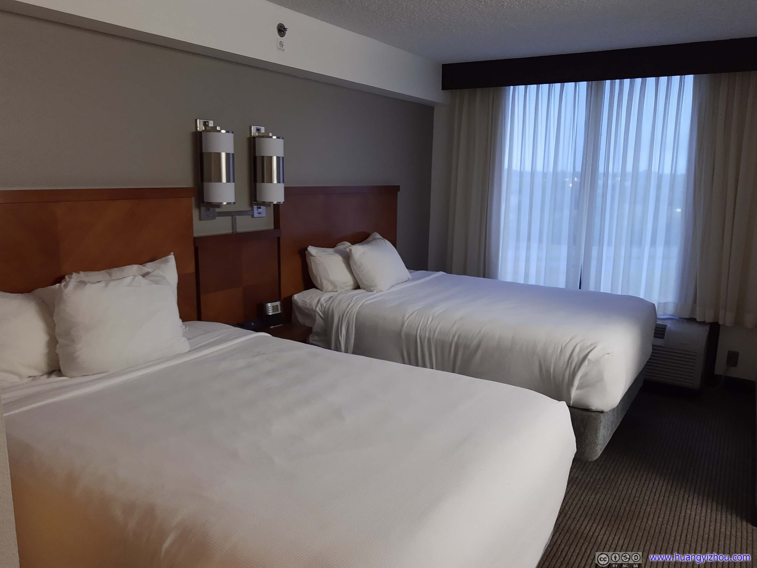
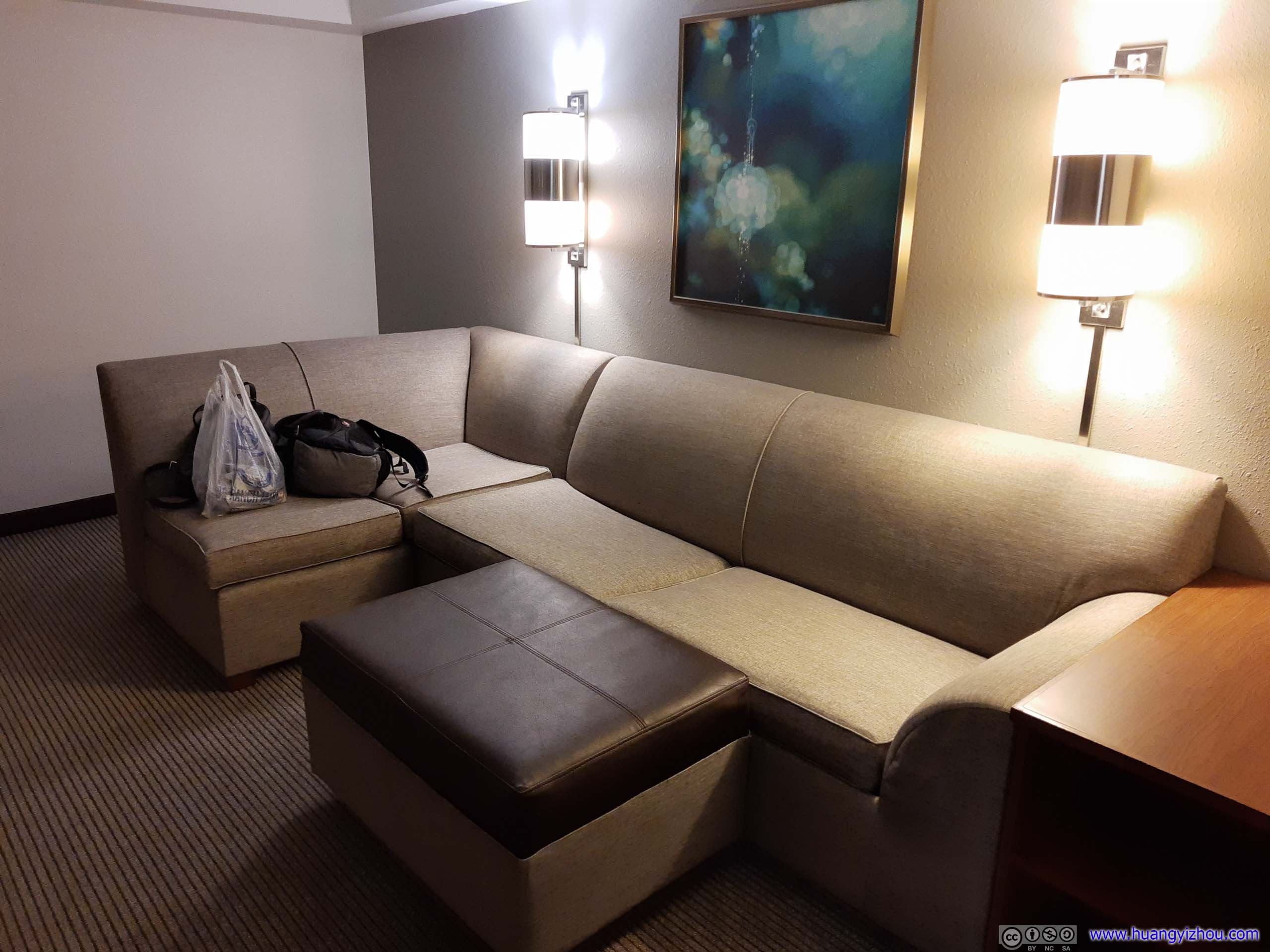
As for the room, while the layout was typical of Hyatt Place, I did feel it’s a bit more spacious, having about 1 more meter of depth to the point that its living room portion felt a bit empty. Our room was facing the highway below, but the rooms had excellent sound isolation and that was never an issue during our stay.
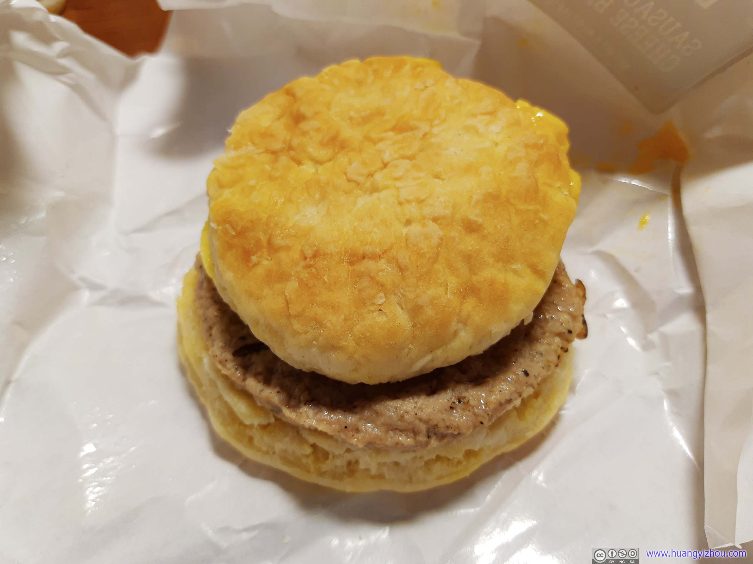
After that, my friend insisted on a proper dinner, so we headed out again in pouring rain and found some downtown restaurants that were still open, and concluded our day with a proper feast.
END