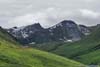
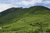
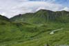
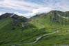
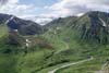
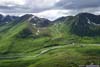
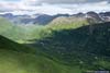
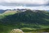
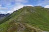
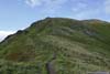
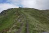
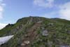
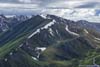
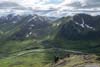
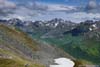
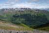
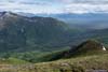
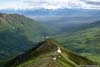
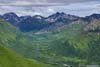
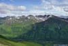
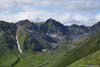
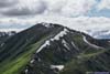
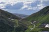
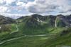
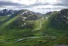
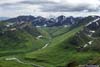
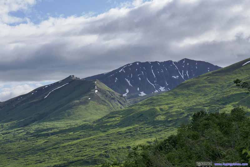
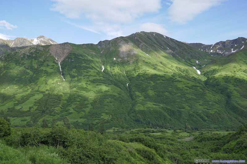
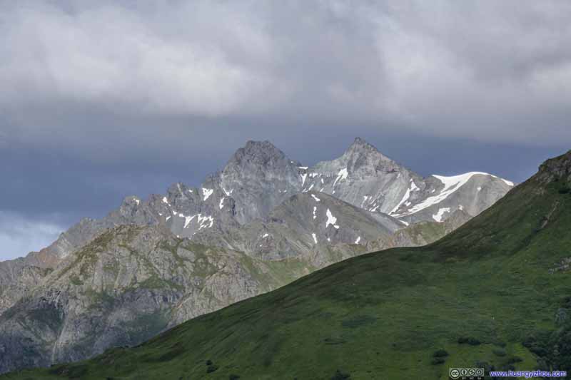
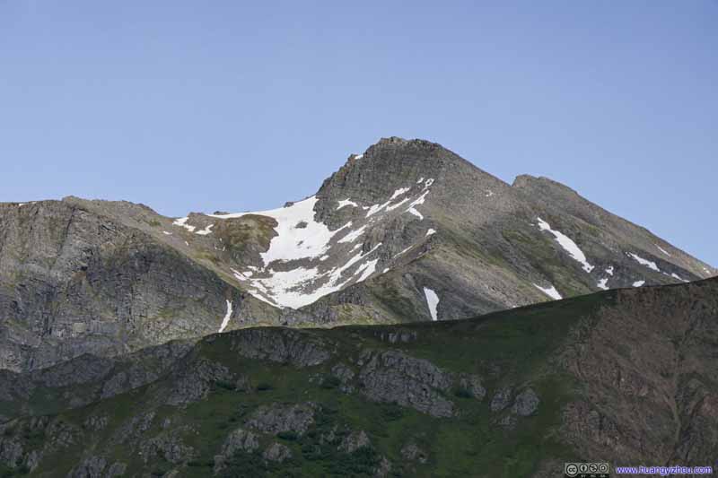
Second day of my 2021 Alaska trip. Yesterday’s excursion to Matanuska Peak took quite a toll on me that I spent most of the day resting. But since I still wanted something done for the day, I decided to take a short hike to Marmot Mountain near Hatcher Pass towards its end.
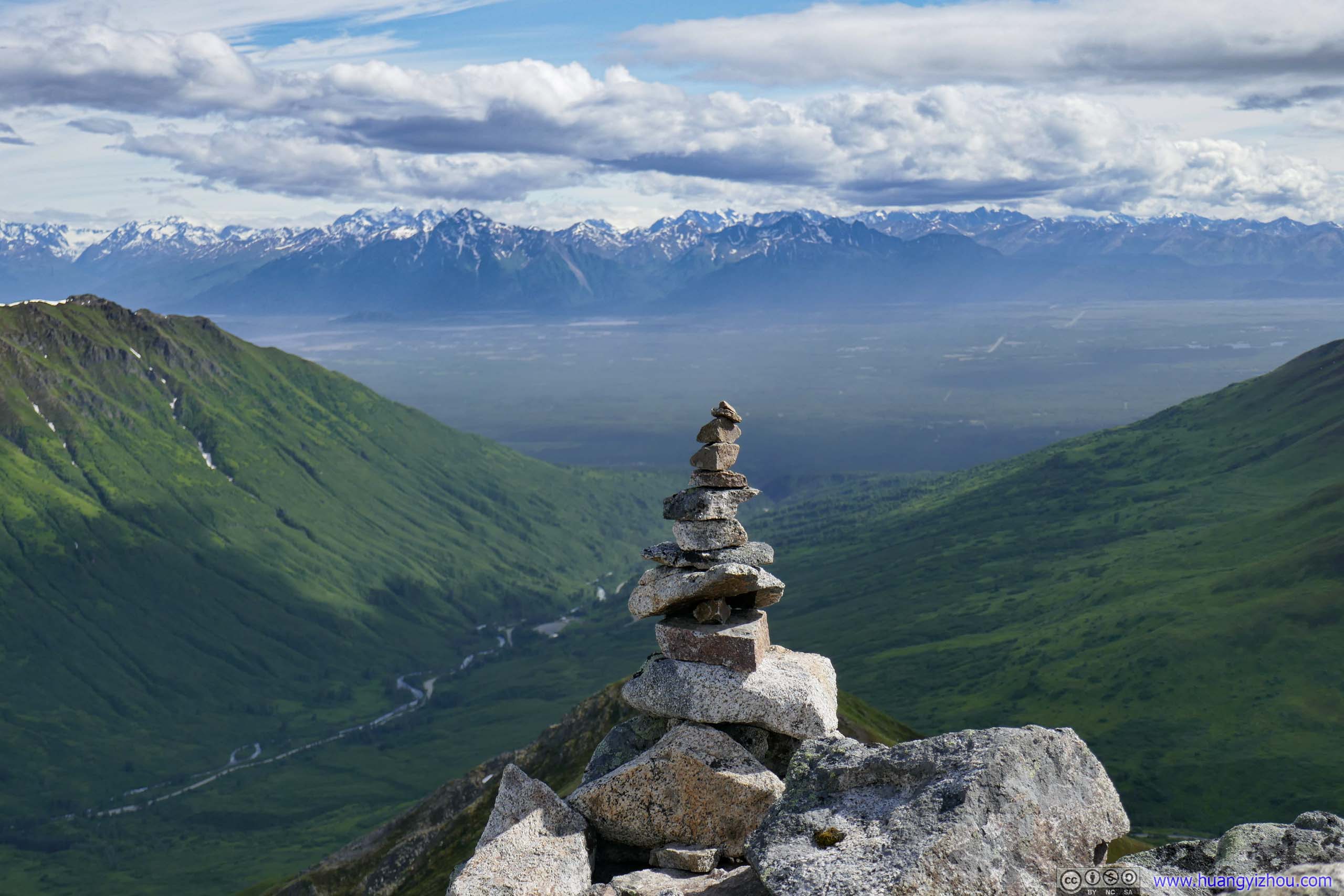
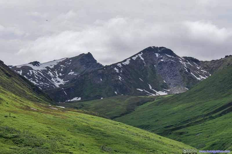
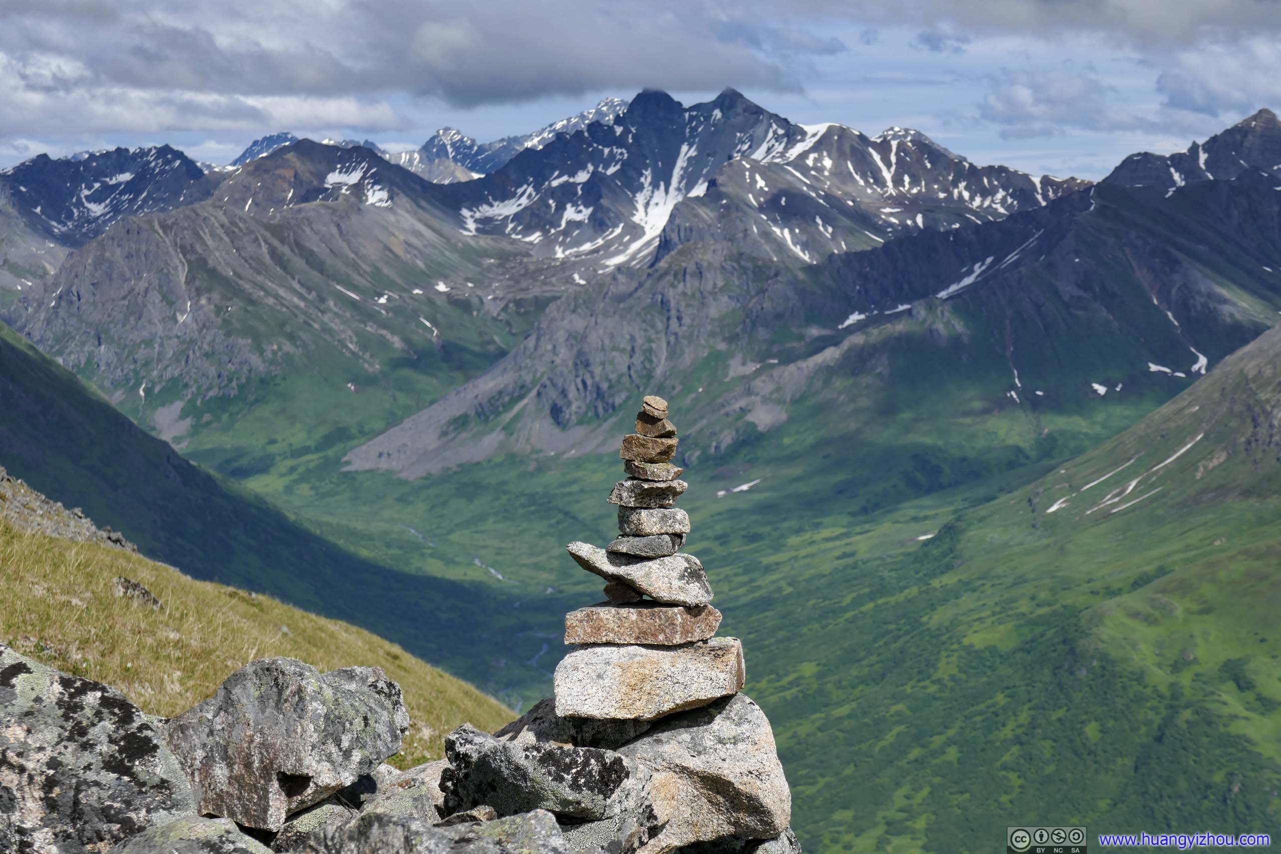
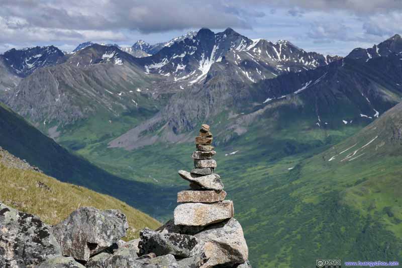
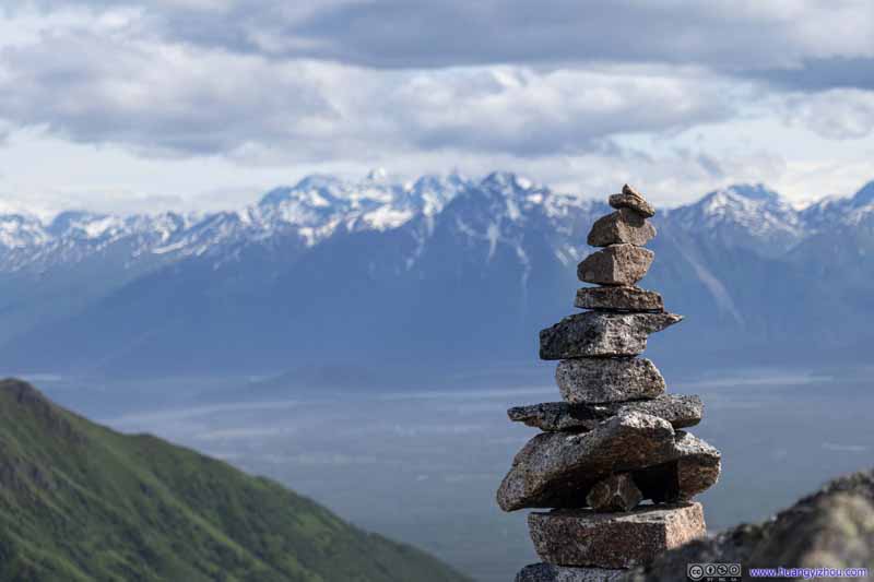
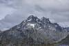
Cairn before Distant Snowy Mountains
After yesterday’s strenuous hike summitting Matanuska Peak, I unwillingly came to the findings that this trip to Alaska bore too many similarities to my trip to Idaho last year. Both were in July when alpine snow had melted; I attempted a warmup hike on the first day for some bigger hikes later and I turned out to be ill-prepared for that warmup hike, as a result of which I took much of the second day off resting in bed. Last year I didn’t dress properly and didn’t follow the best route up Hyndman Peak, and ended up with a running nose at the end of the day; the previous day I mentally underestimated the difficulty of the final summit ridge, and got beaten up, not to mention the geologies of Hyndman Peak and Matanuska Peak had a lot in common, like their orientations.
Adding to that, I was staying in a lovely Airbnb room in Farm Loop, Alaska, with a host serving wonderful breakfast, just like last year in Hailey, Idaho.
So following this tradition and tired from the previous day, I took most of today off resting in bed. But towards the end, I picked a short hike nearby so that I wouldn’t completely waste the day. I knew from last year’s visit that the area near Hatcher Pass had lots of great hiking trails of various lengths and difficulties. After some searching on AllTrails, I picked on Marmot Mountain, with probably the best view in the region. Weather forecast indicated a very windy day with wind abating in the afternoon, which suited this short afternoon hike pretty well.
So after resting and recovering for most of the day, I reached the trailhead of Marmot Mountain (Google Maps called it "Fishhook Trailhead Parking Lot") at around 3:30pm. An honor system was in place to enforce a nominal parking fee which I remembered to be 5 dollars. The parking lot was pretty empty during my visit. Soon after that, I headed out onto the trails.
As for the trail, it's a 4.2km out-and-back with 594m elevation gain, the first half of which was steep and then it eased up into the second half. Here's GPS tracking:
Trail
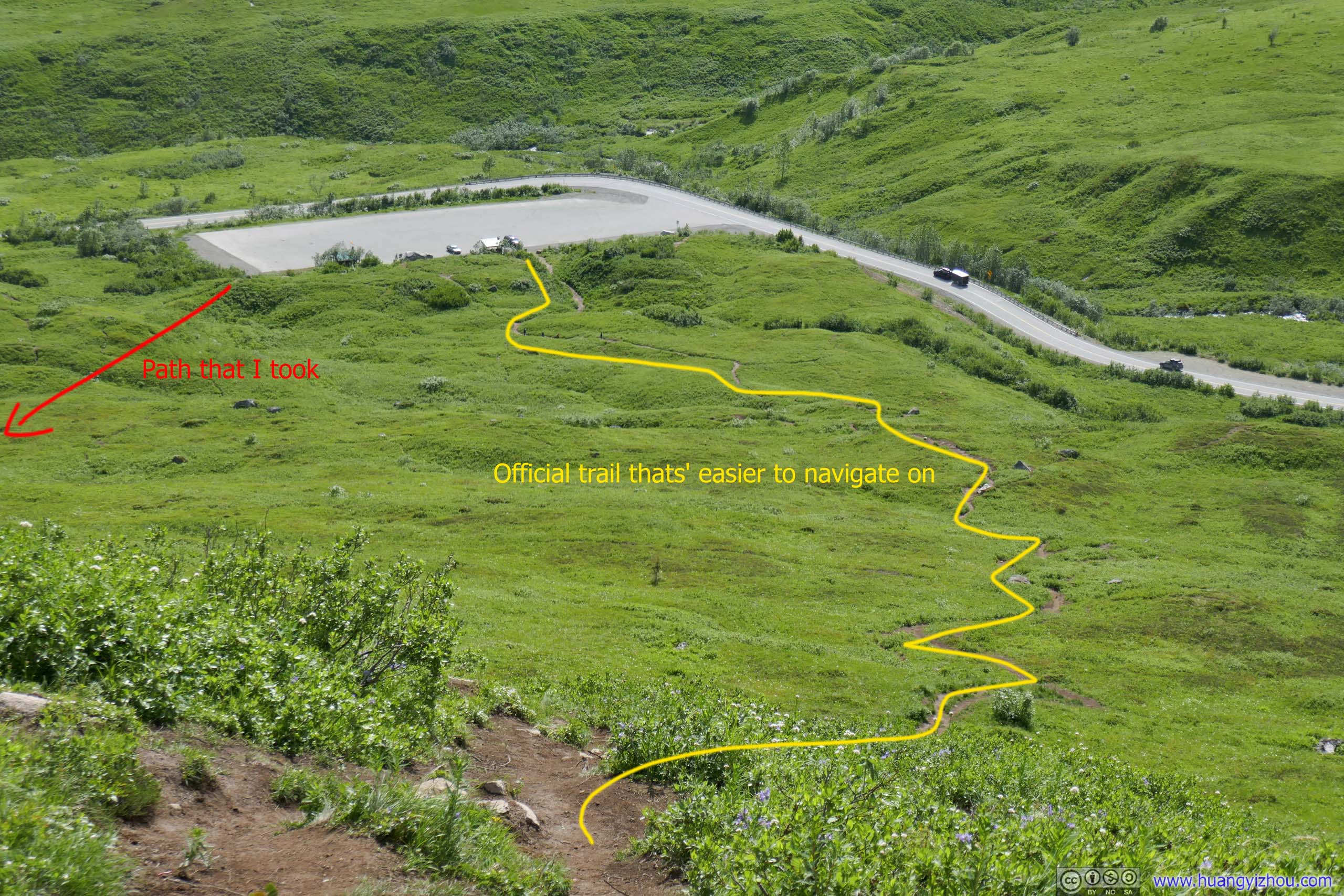
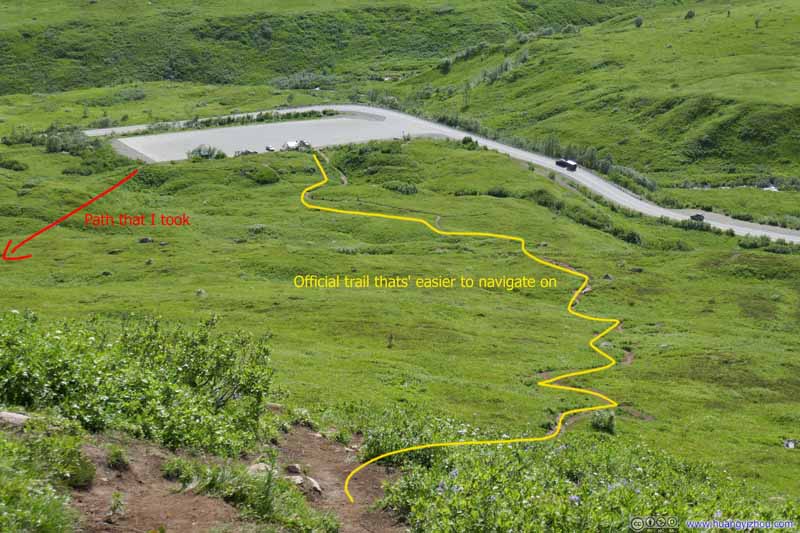
There were many trails in the area in lower elevations. I picked one leading out of the eastern end of the parking lot, which was less travelled and more overgrown at places. Not the most pleasant start.
Trail Distant mountains across Knik Arm looking spectacular.
Trails 20 minutes in and 640m from trailhead I joined back the official trail.
Trail
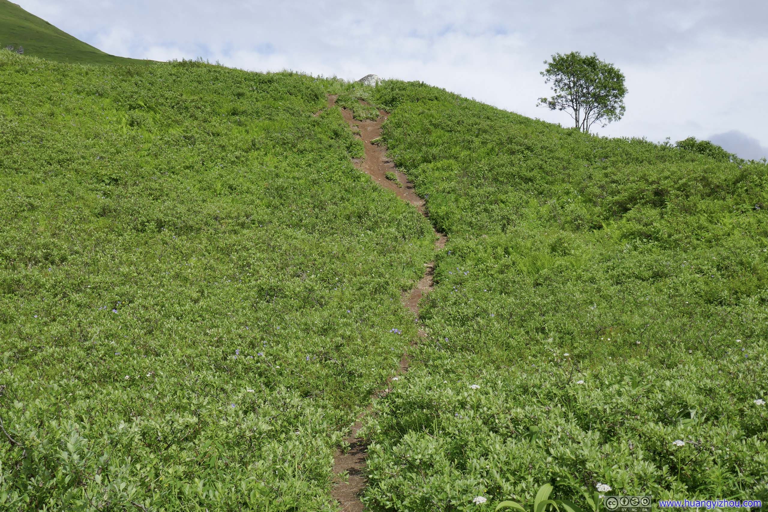
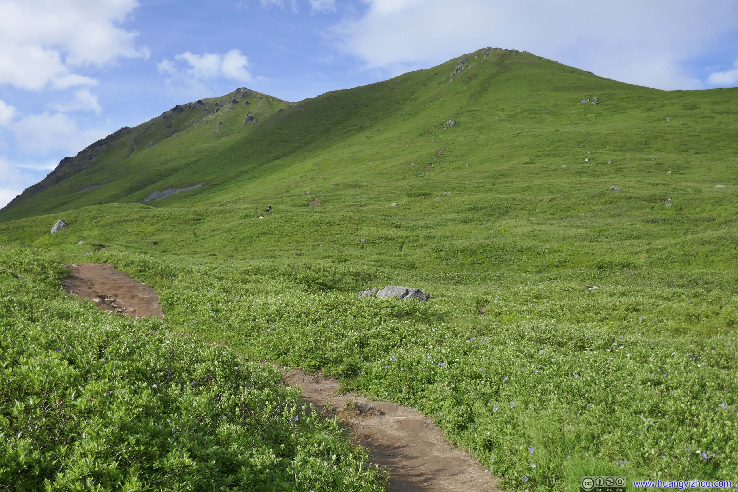
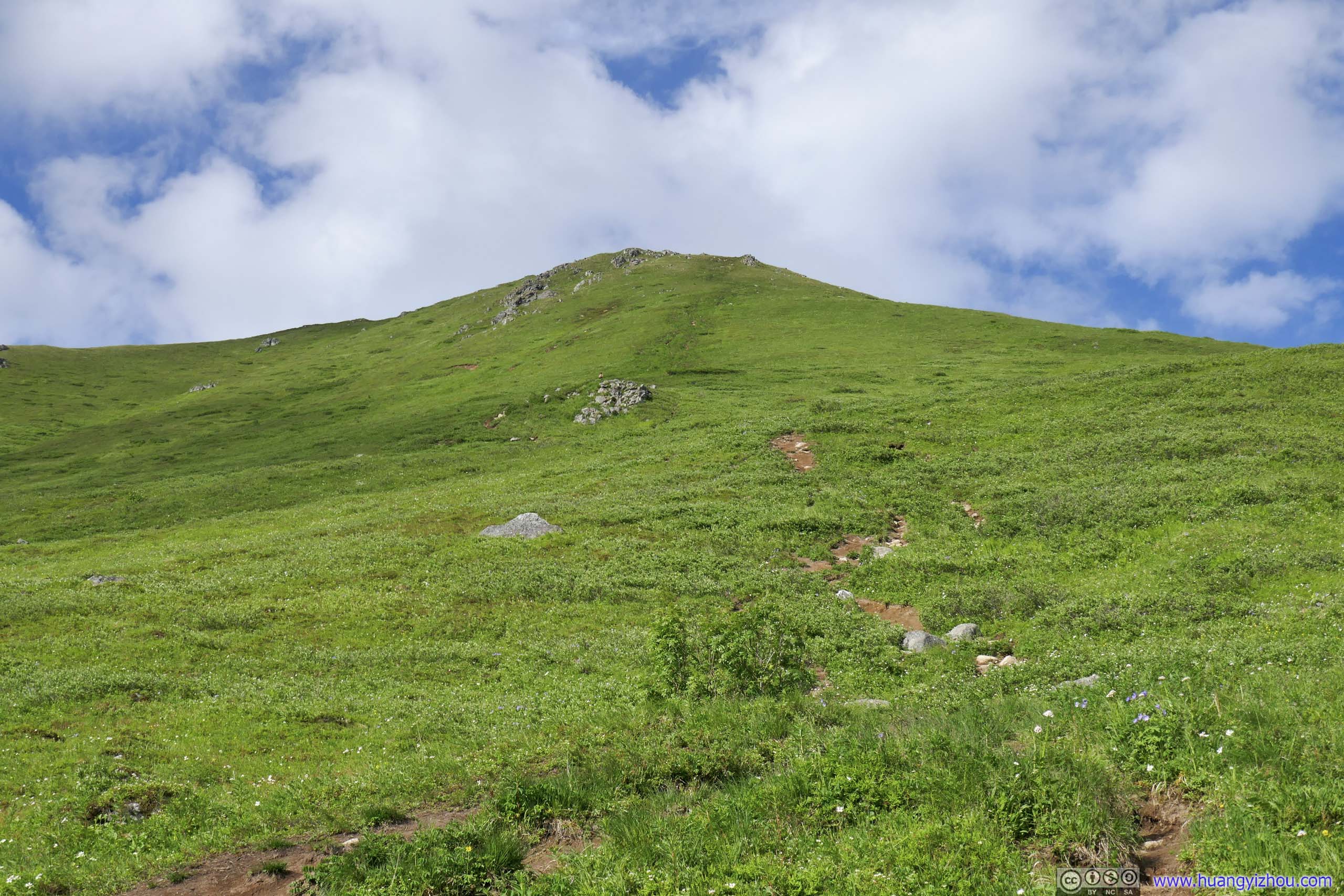
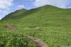
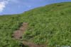
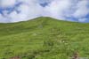
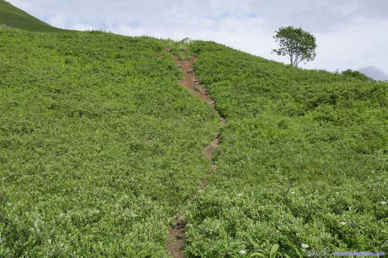
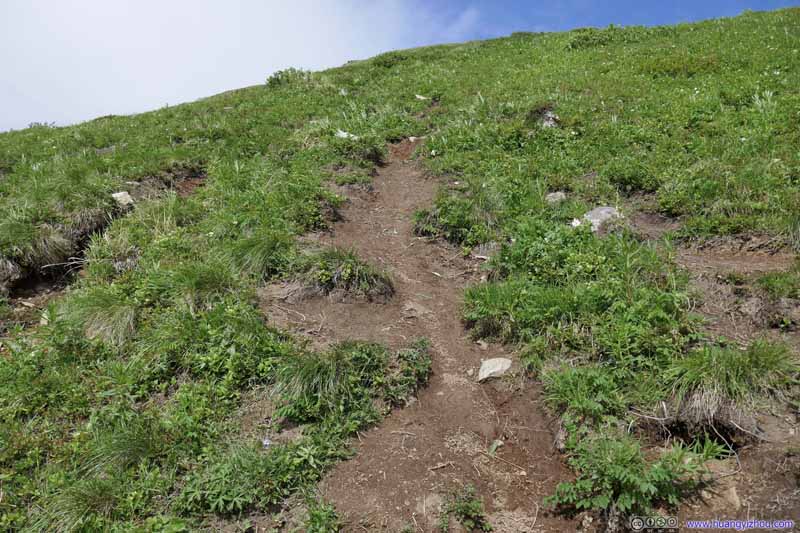
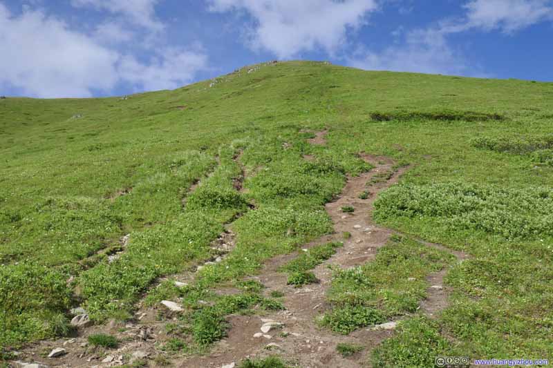
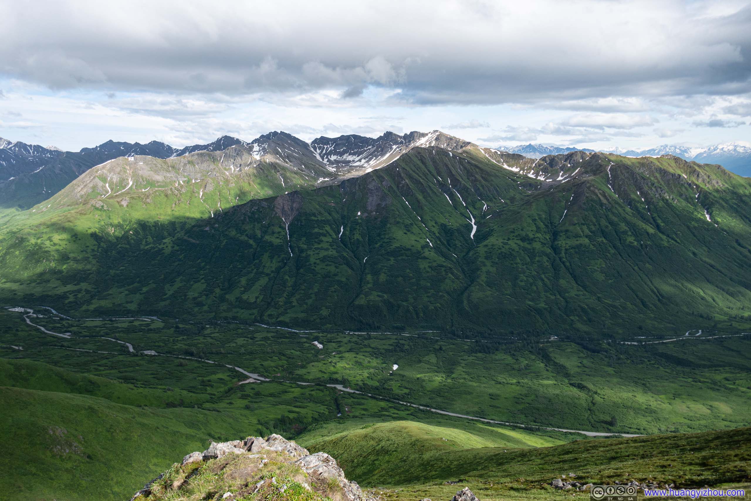
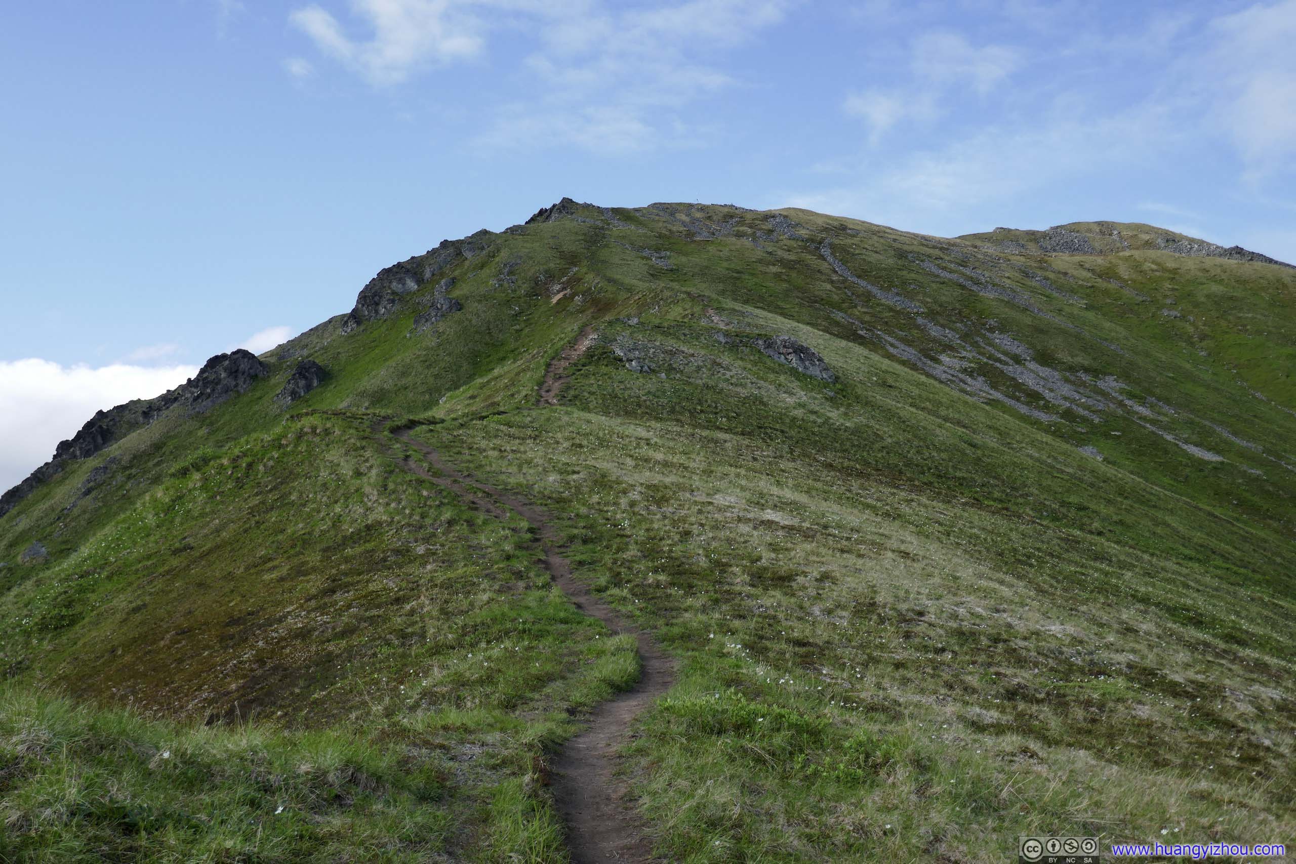
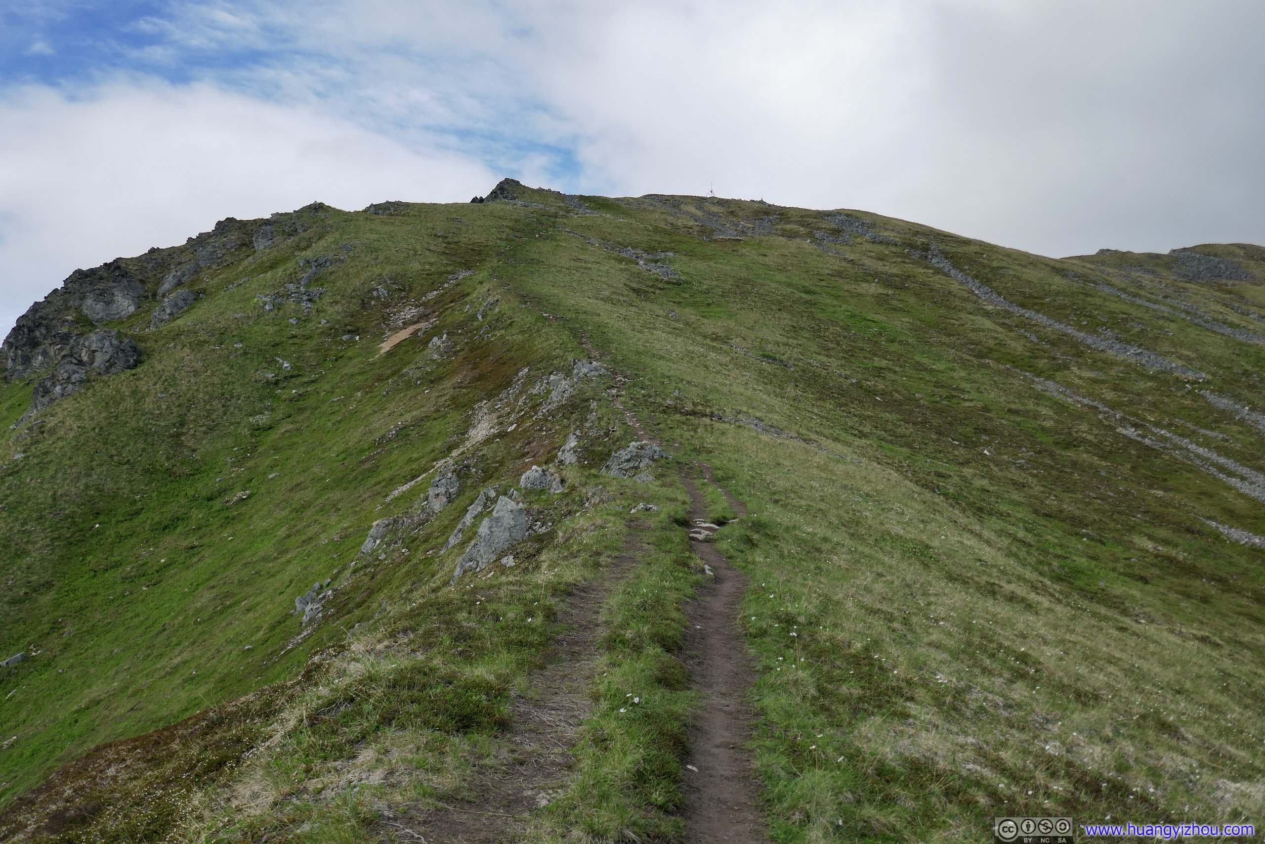
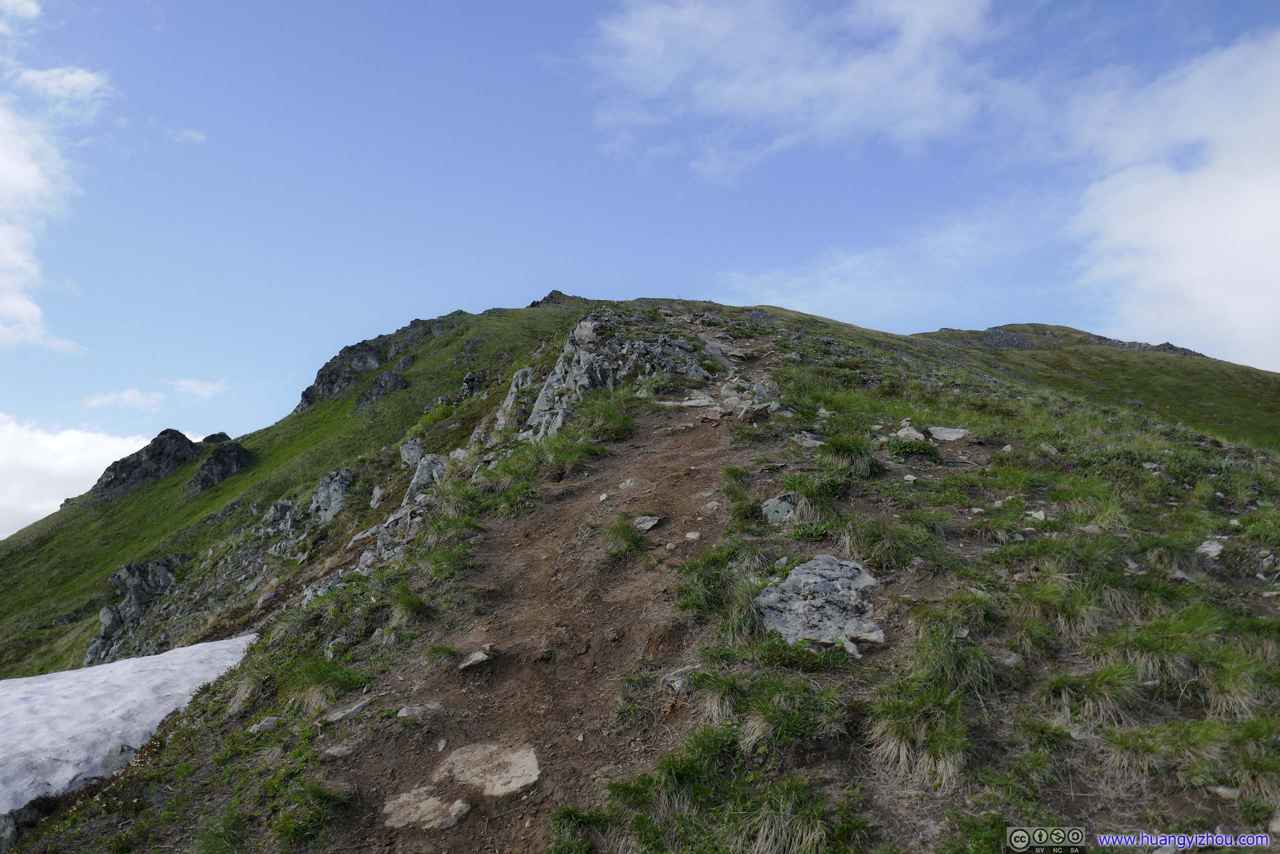
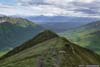
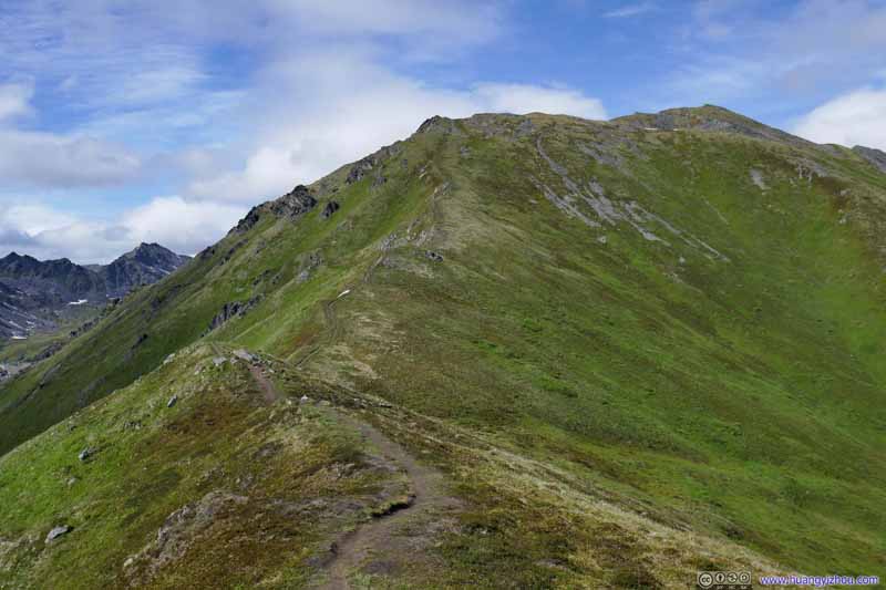
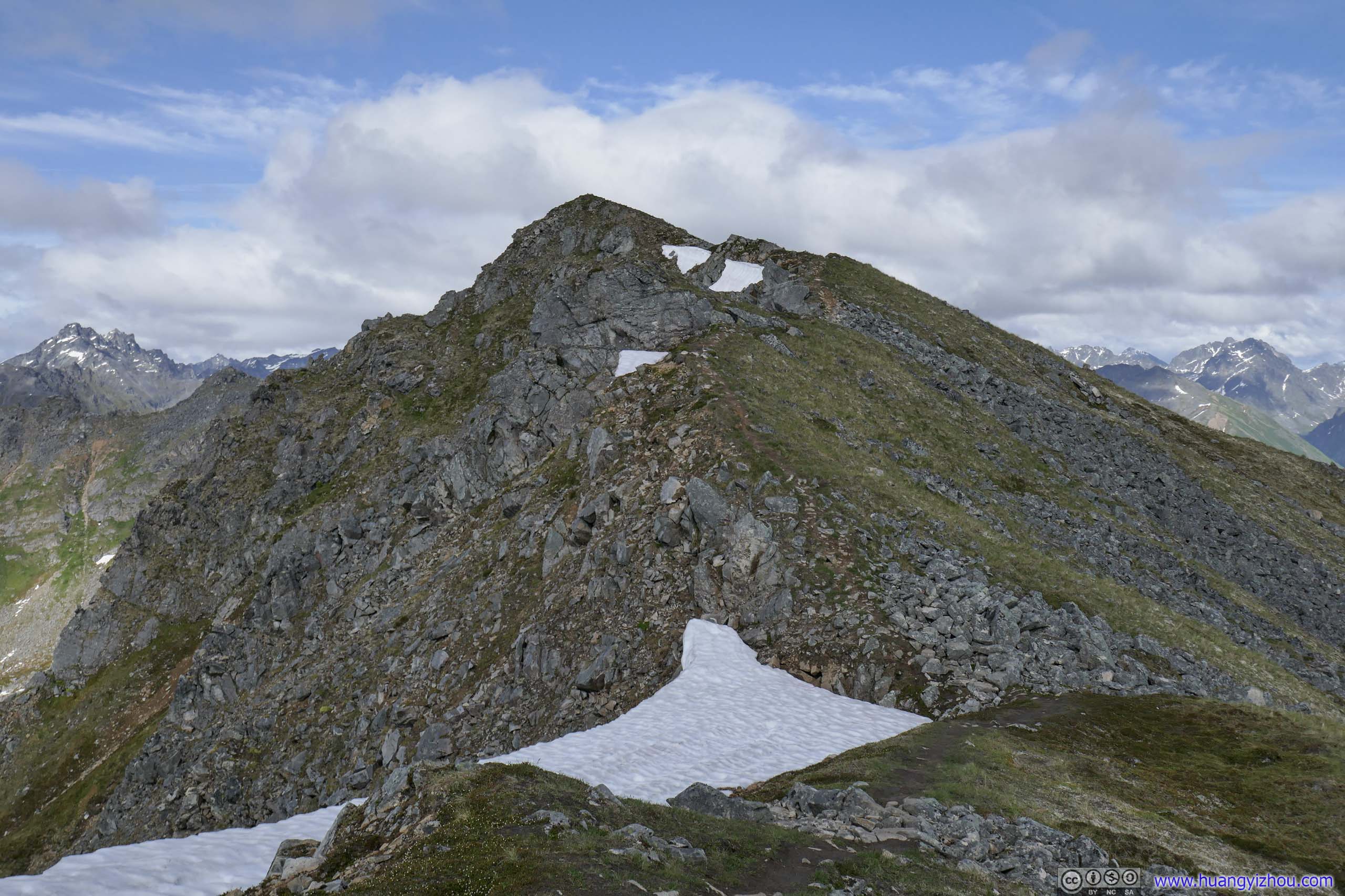
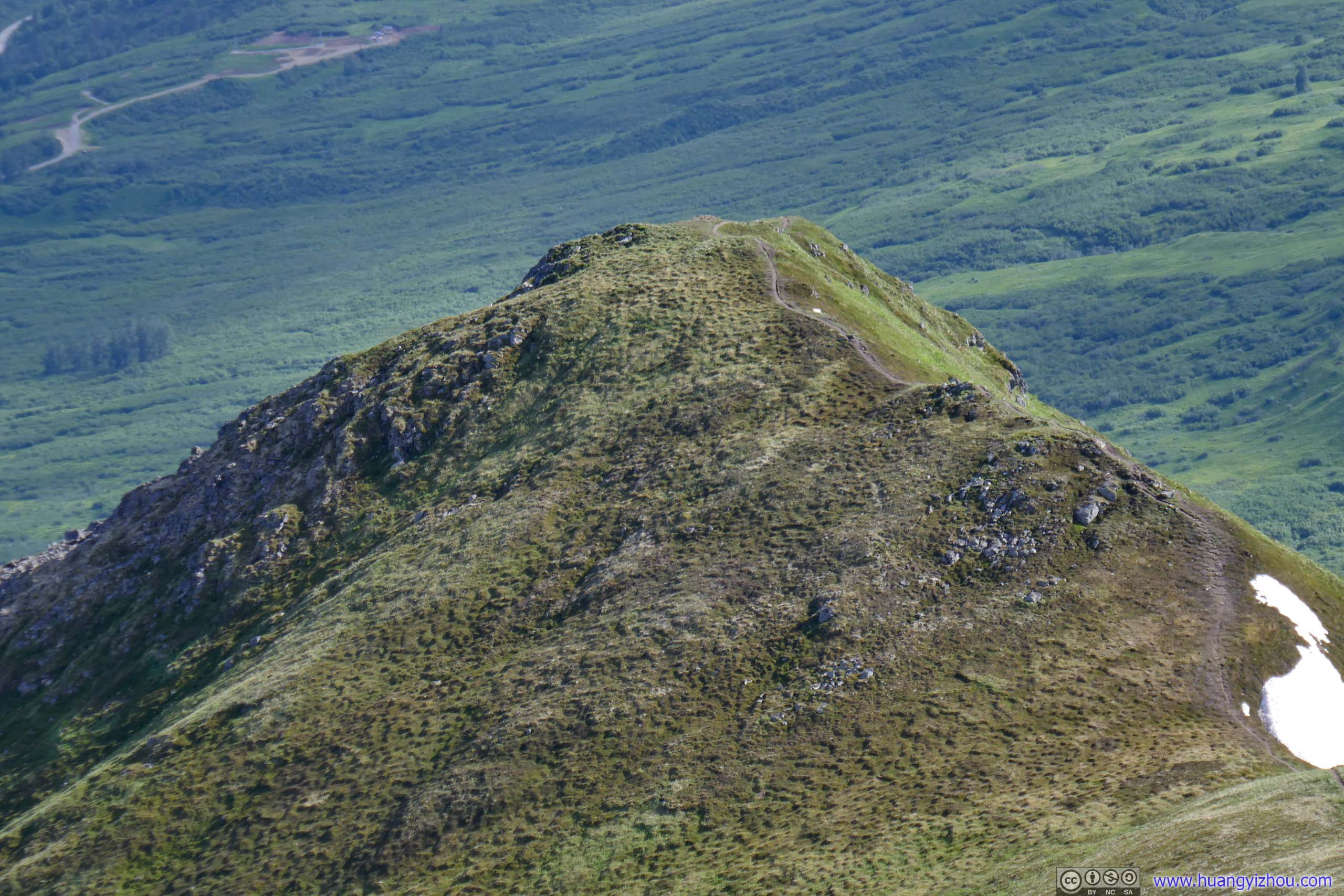
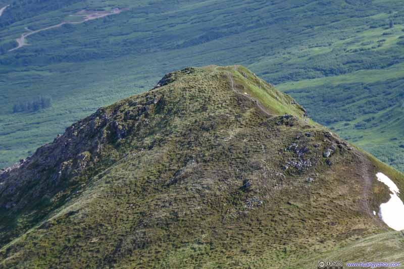
The trail made a faint opening in the bushes leading up to the hill on the right of this photo, with phenomenal views of the valley to the south. It’s a very steep path up that hill, with similar gradient to the final leg up Matanuska Peak that I summited the previous day. After that, the trail eased up and followed a ridge to Marmot Mountain on the left of this photo.
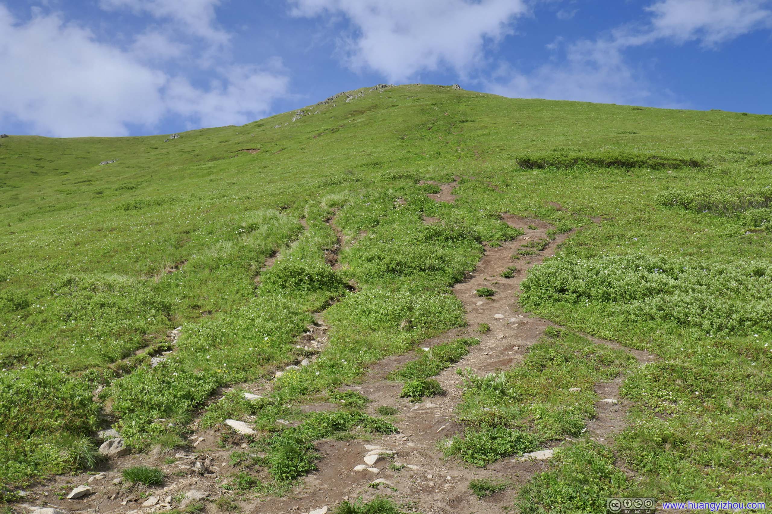
Trail That forked into many smaller paths, possibly due to erosion.
Trail That forked into many smaller paths, possibly due to erosion.
Trail
Trail to Hill
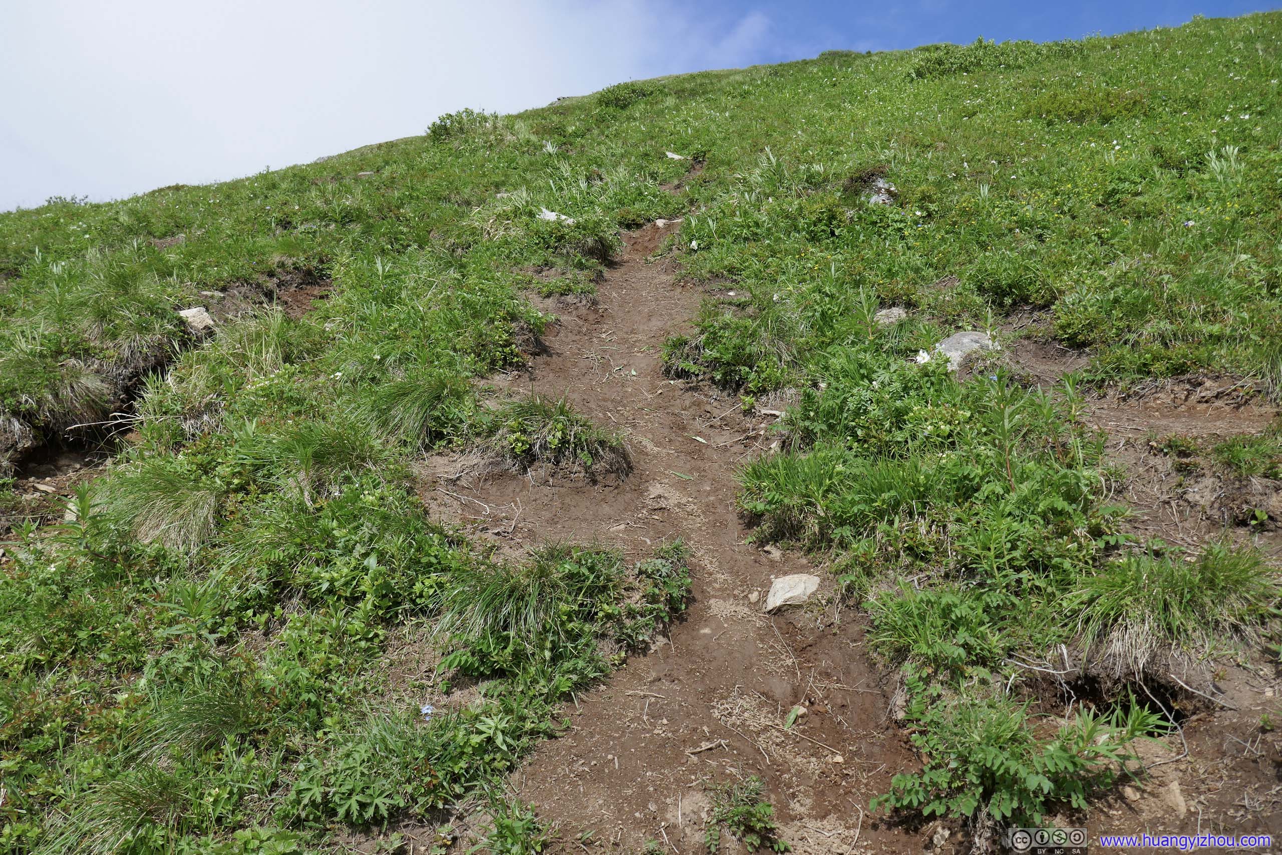
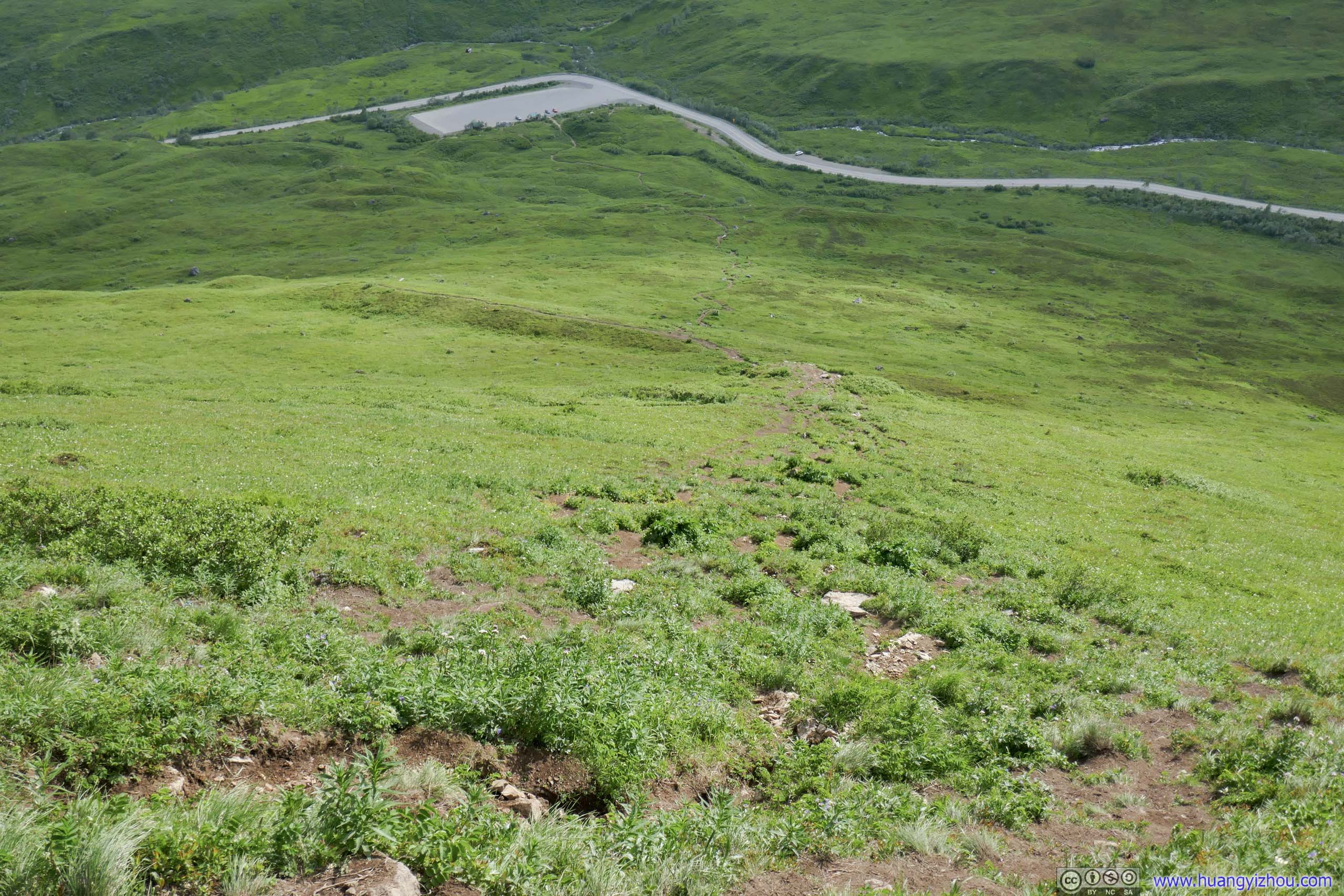
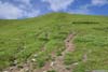
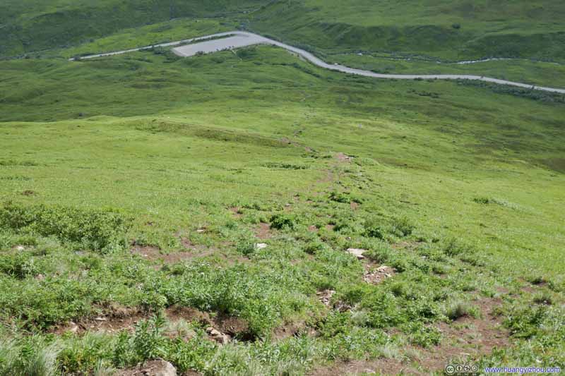
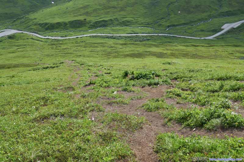
Trail Looking back at this rather steep section.
Trail Looking back at this rather steep section.
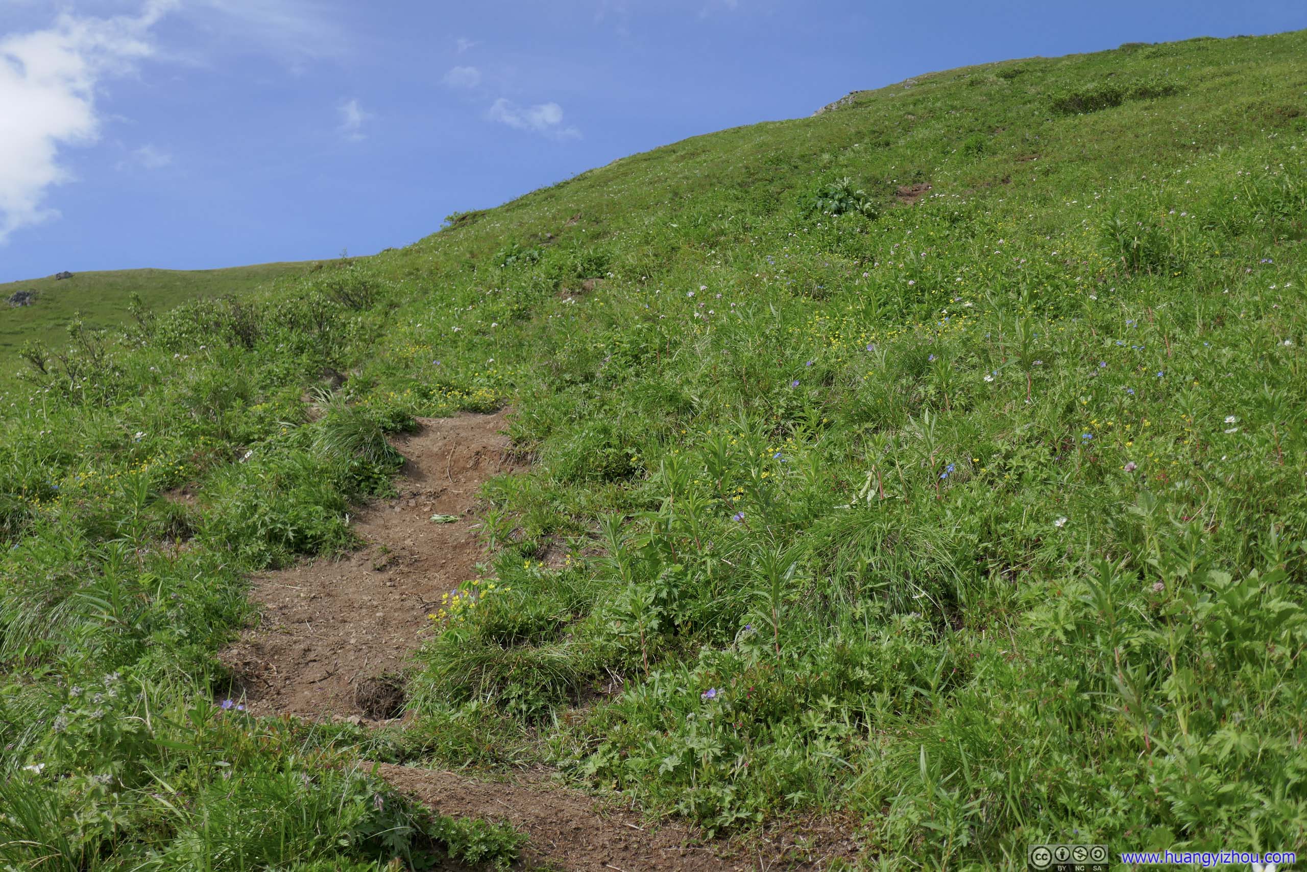
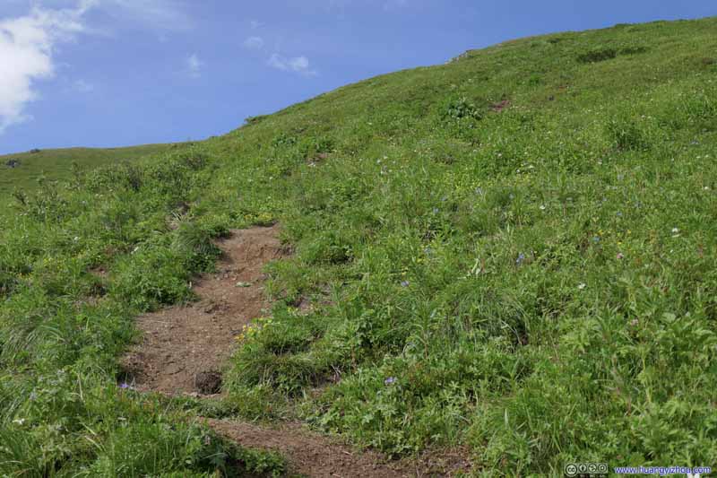
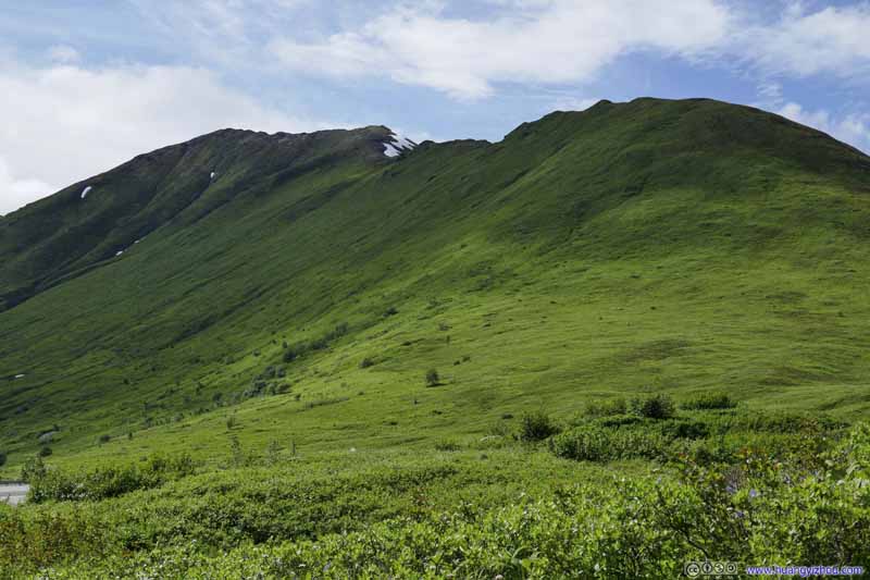
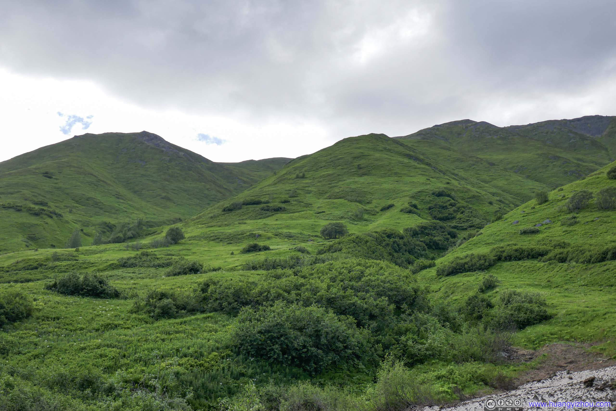
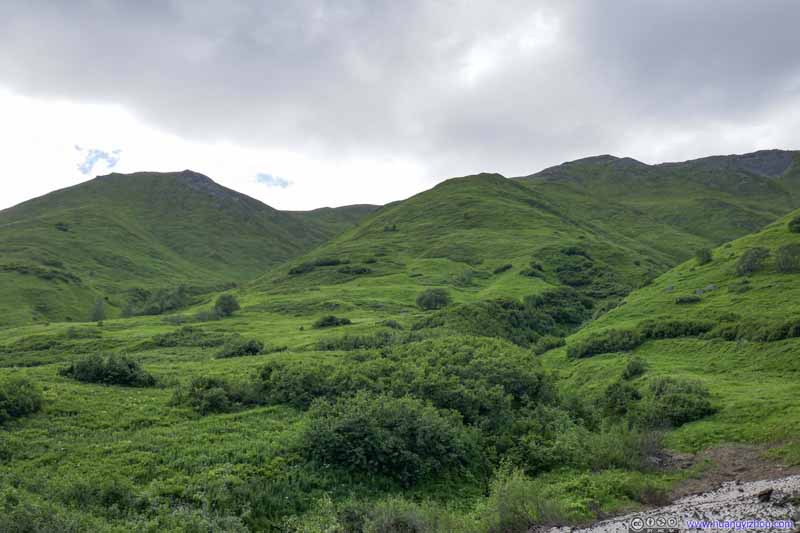
Despite the trail being pretty steep, the soil was pretty stable from all the surrounding vegetations so there really weren’t any technical difficulties. In addition, it’s a pleasing sight to watch the nearby mountains covered in lush meadow that swung graciously in the wind, a much more welcoming sight than the many technical alpines that I visited.
Mountains
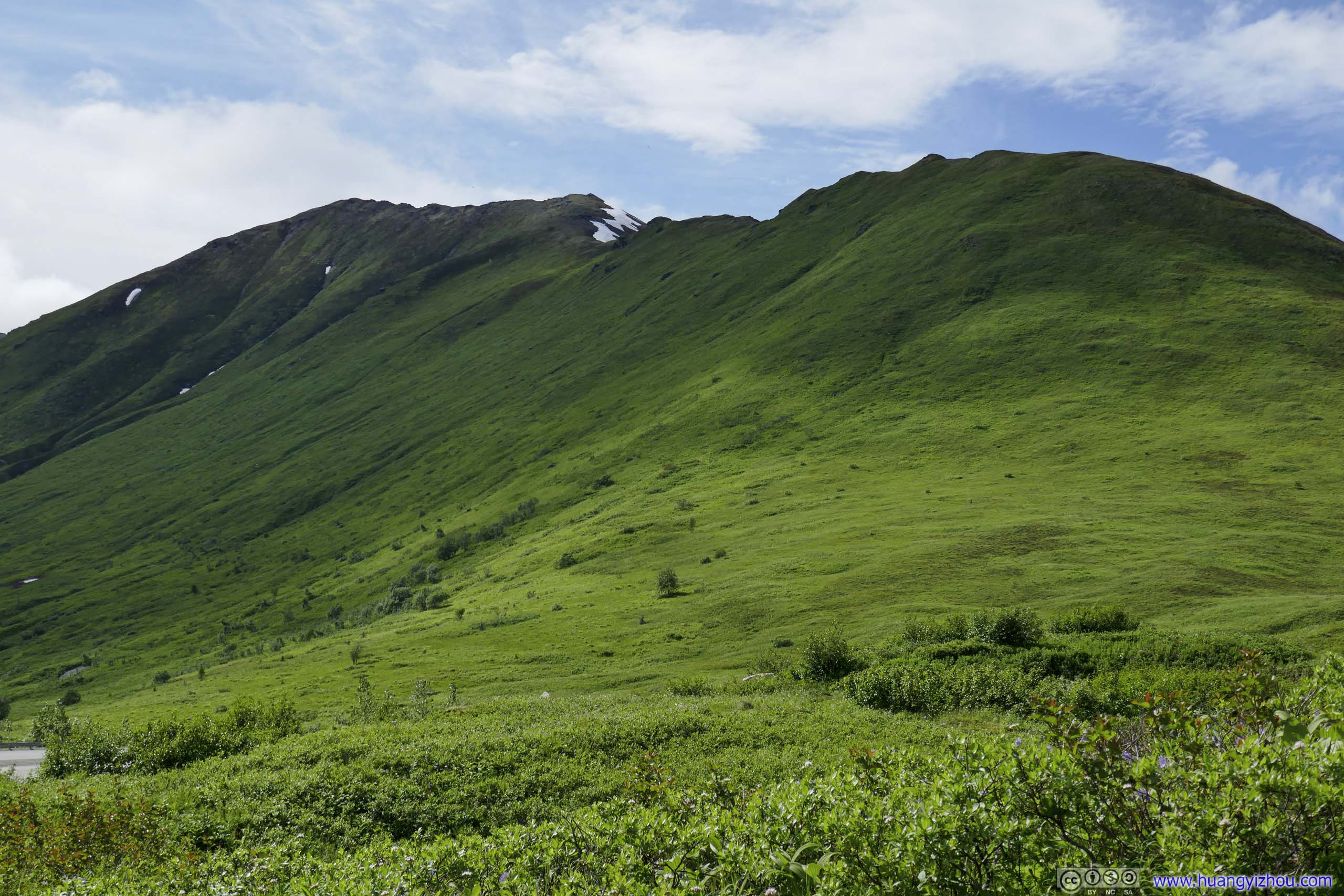
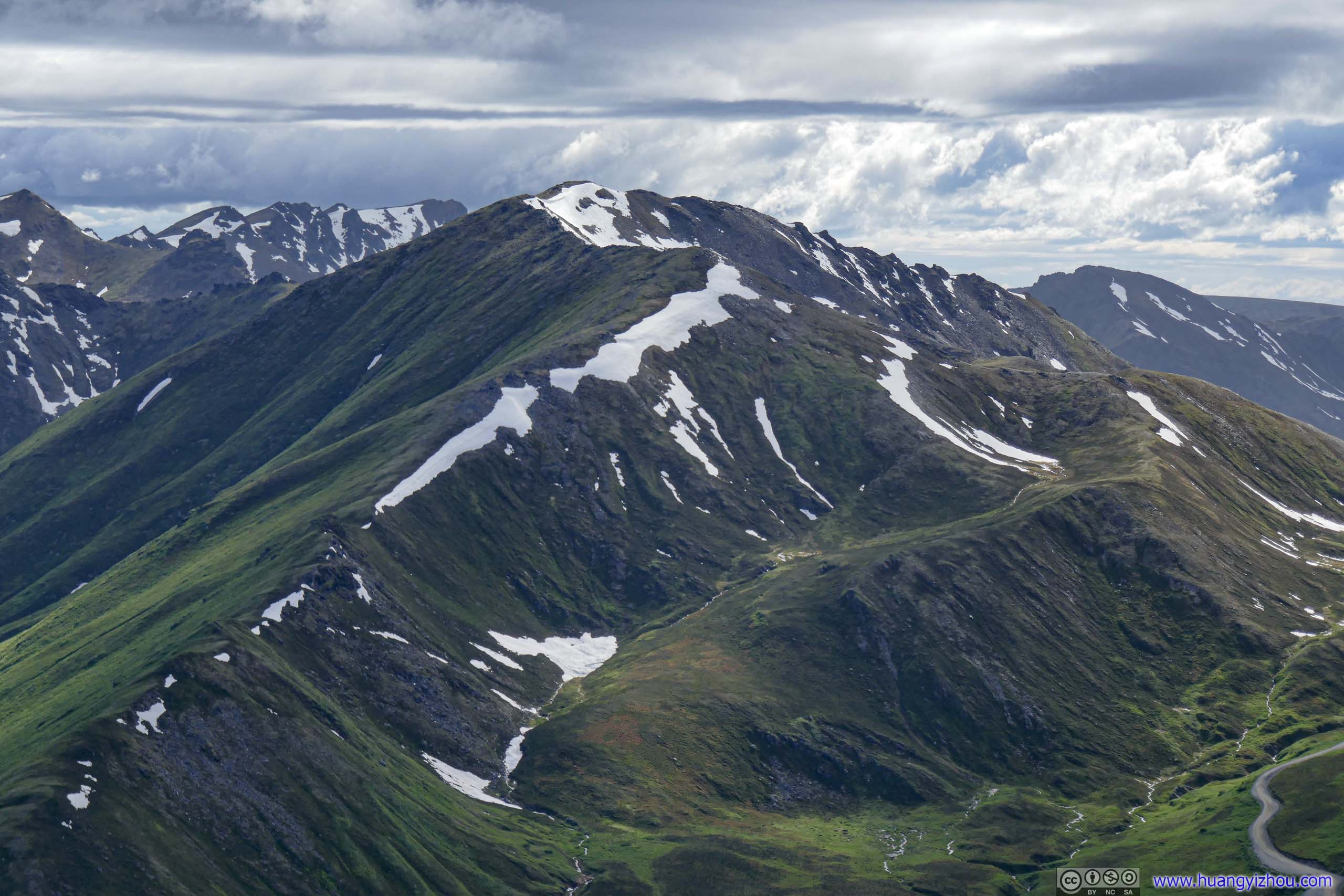
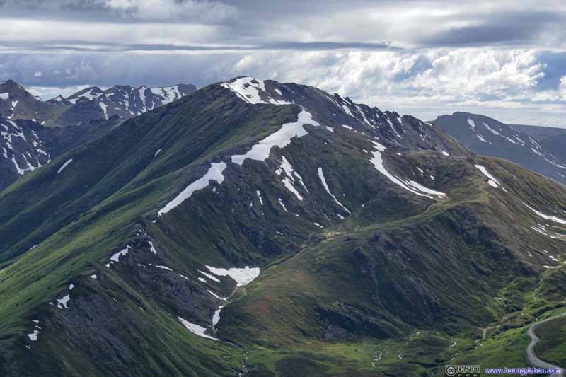
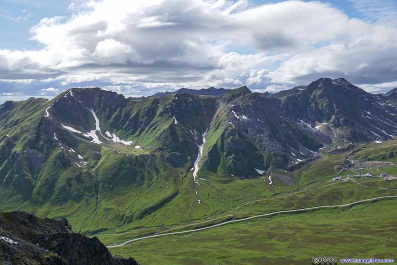
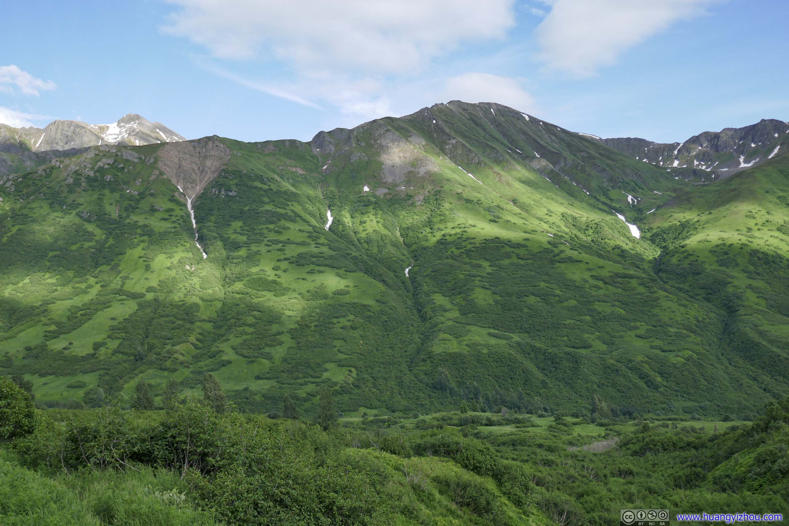
Mountain with Green Slope
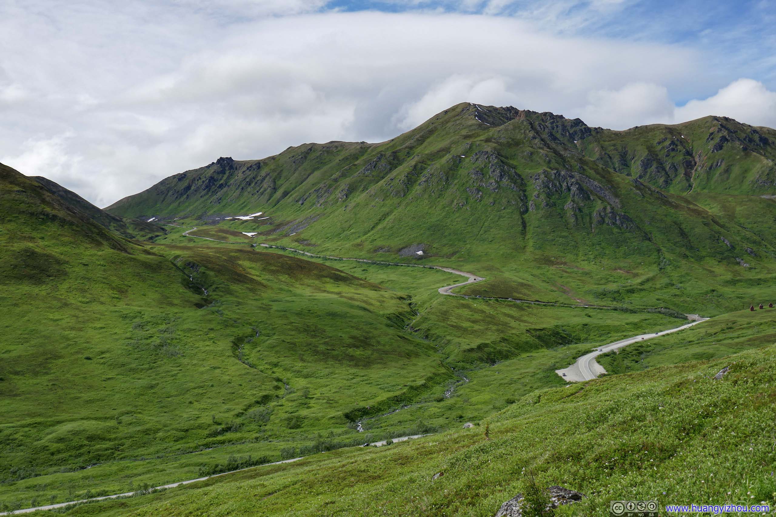
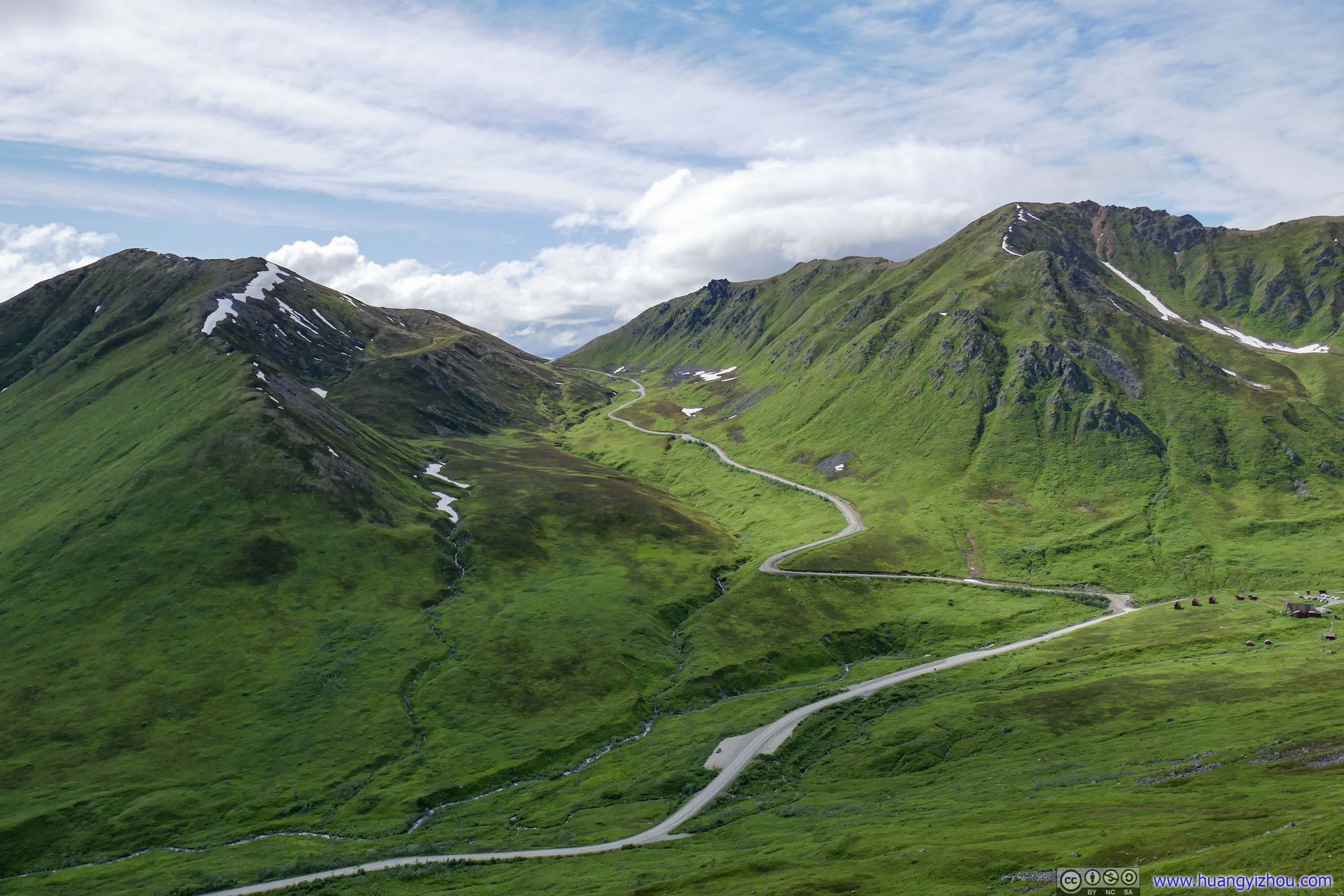
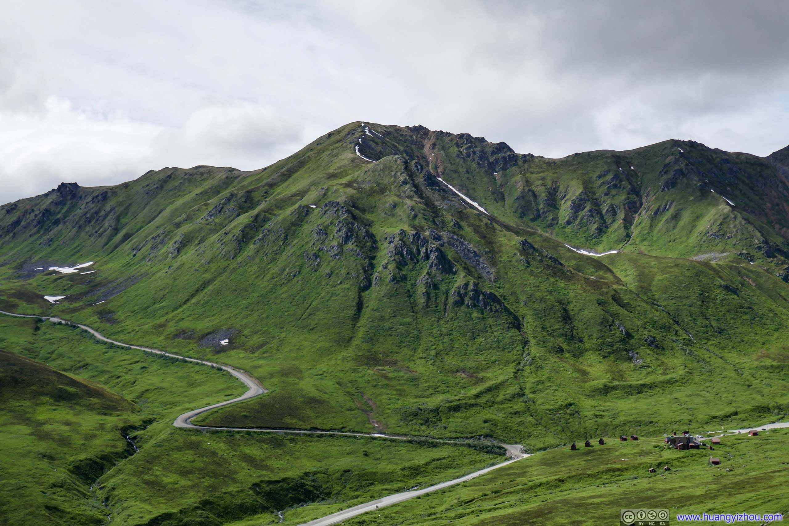
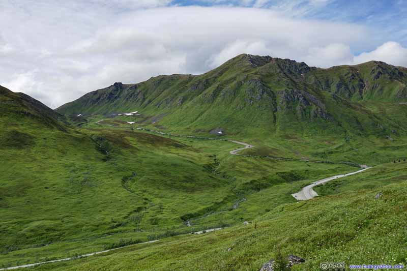
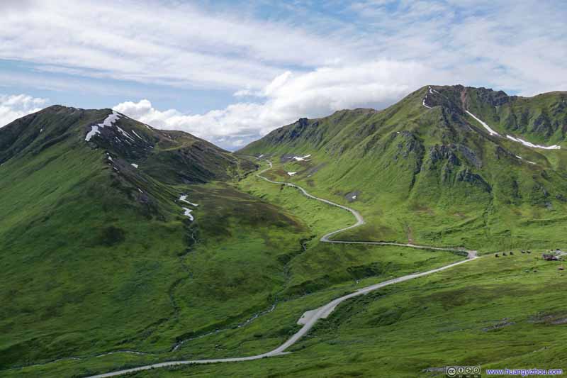
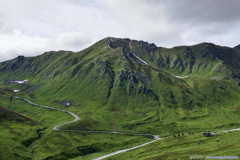
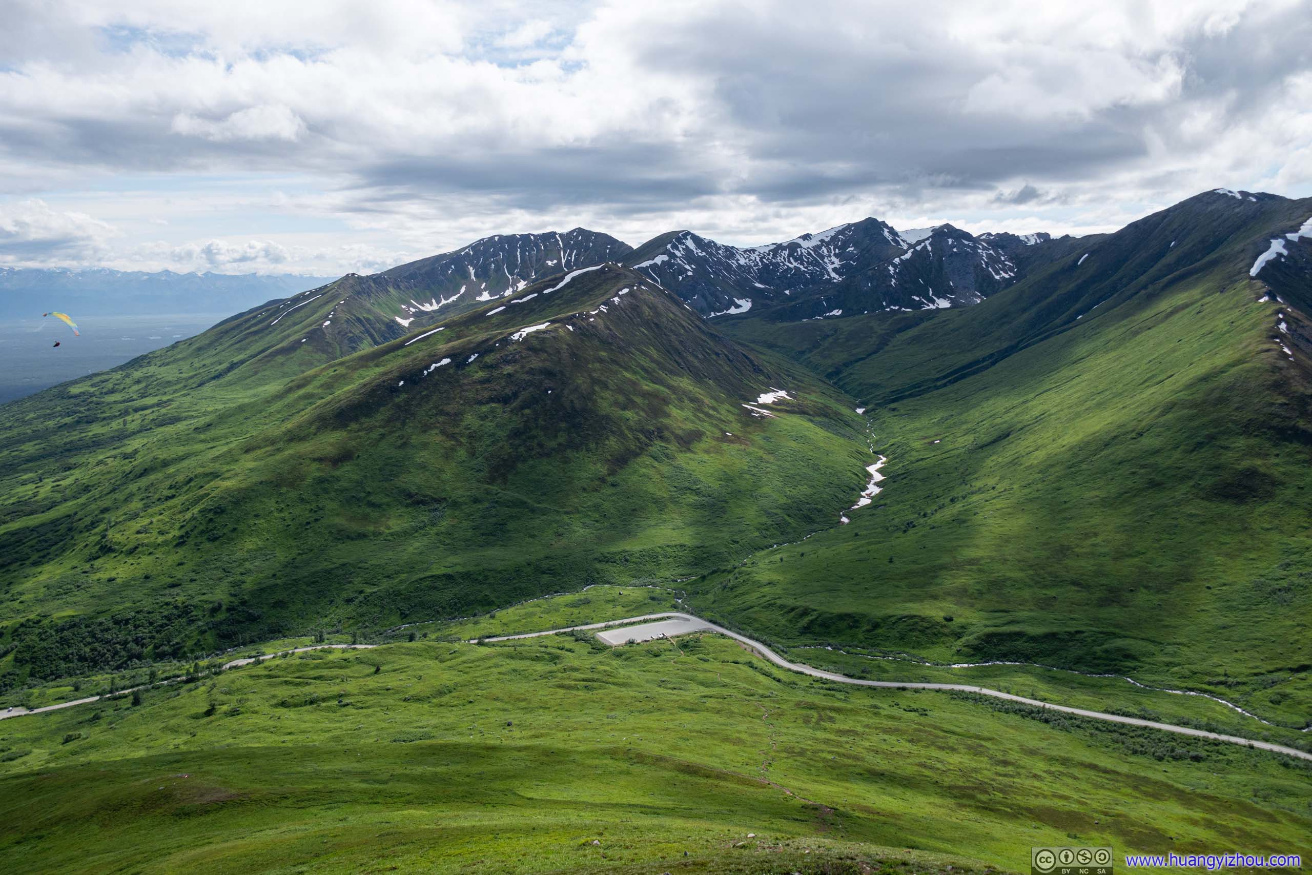
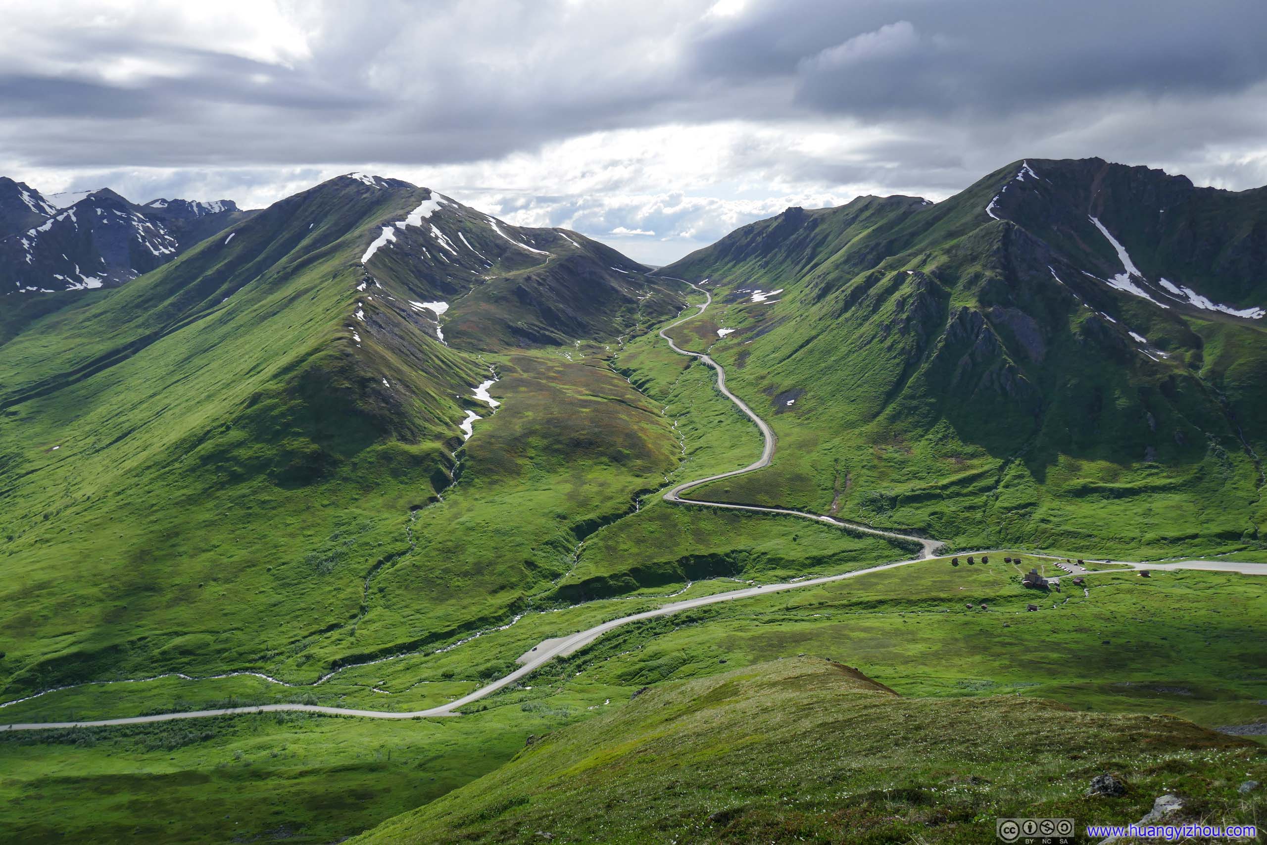
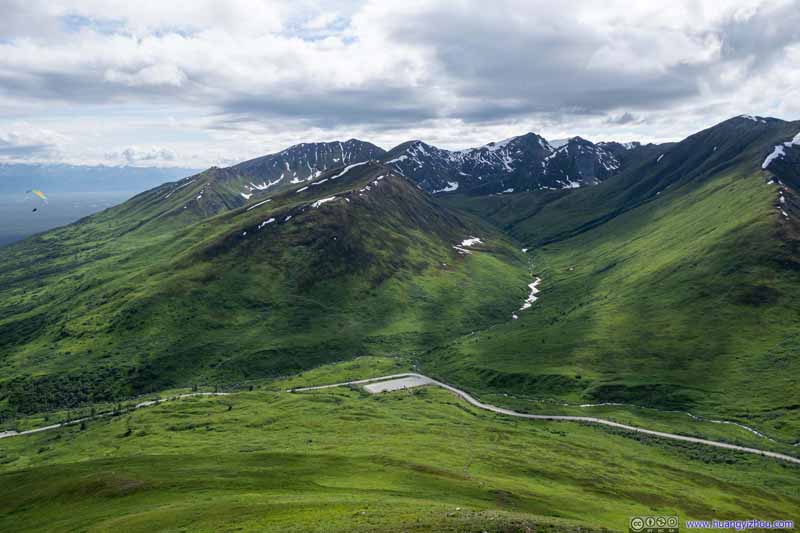
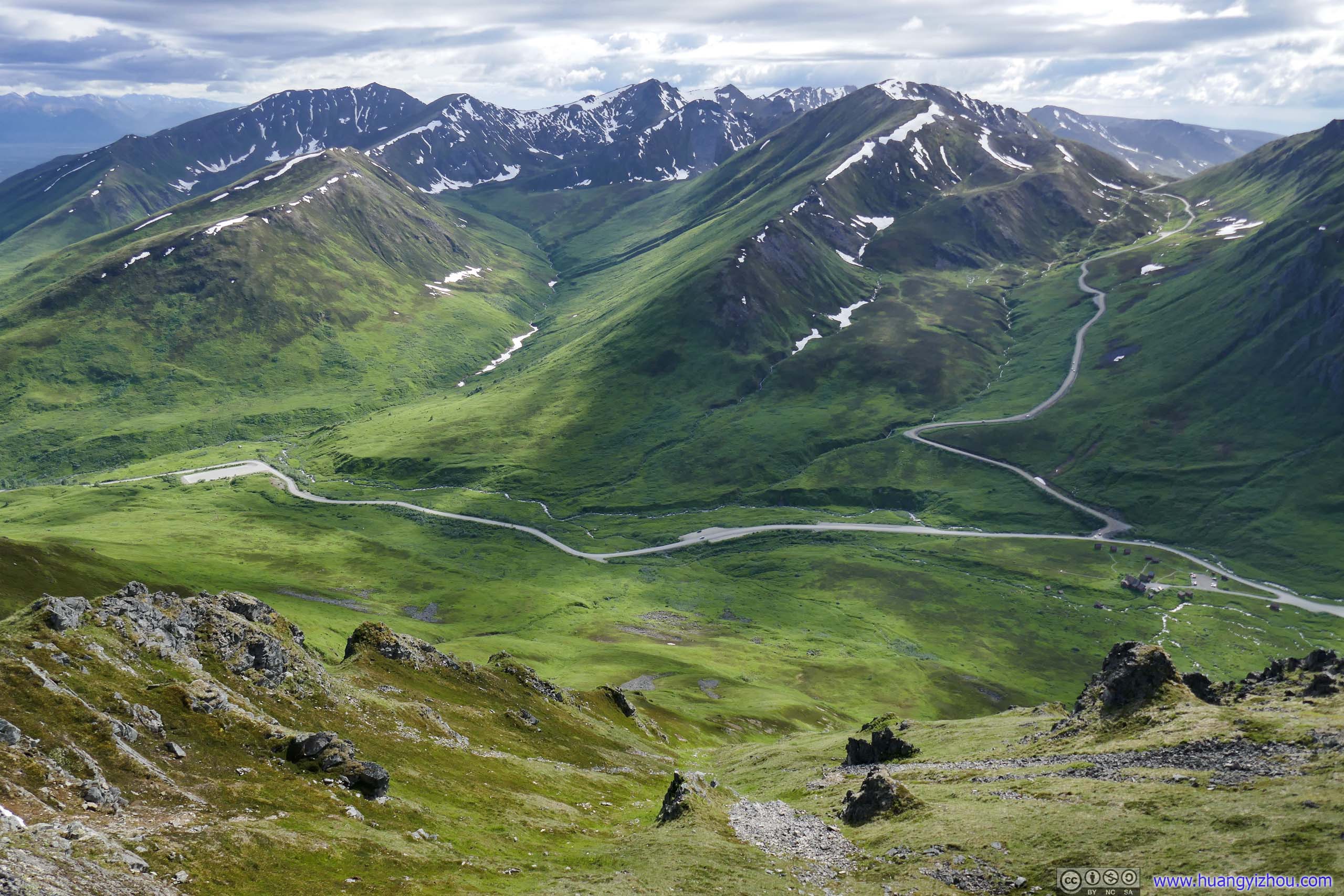
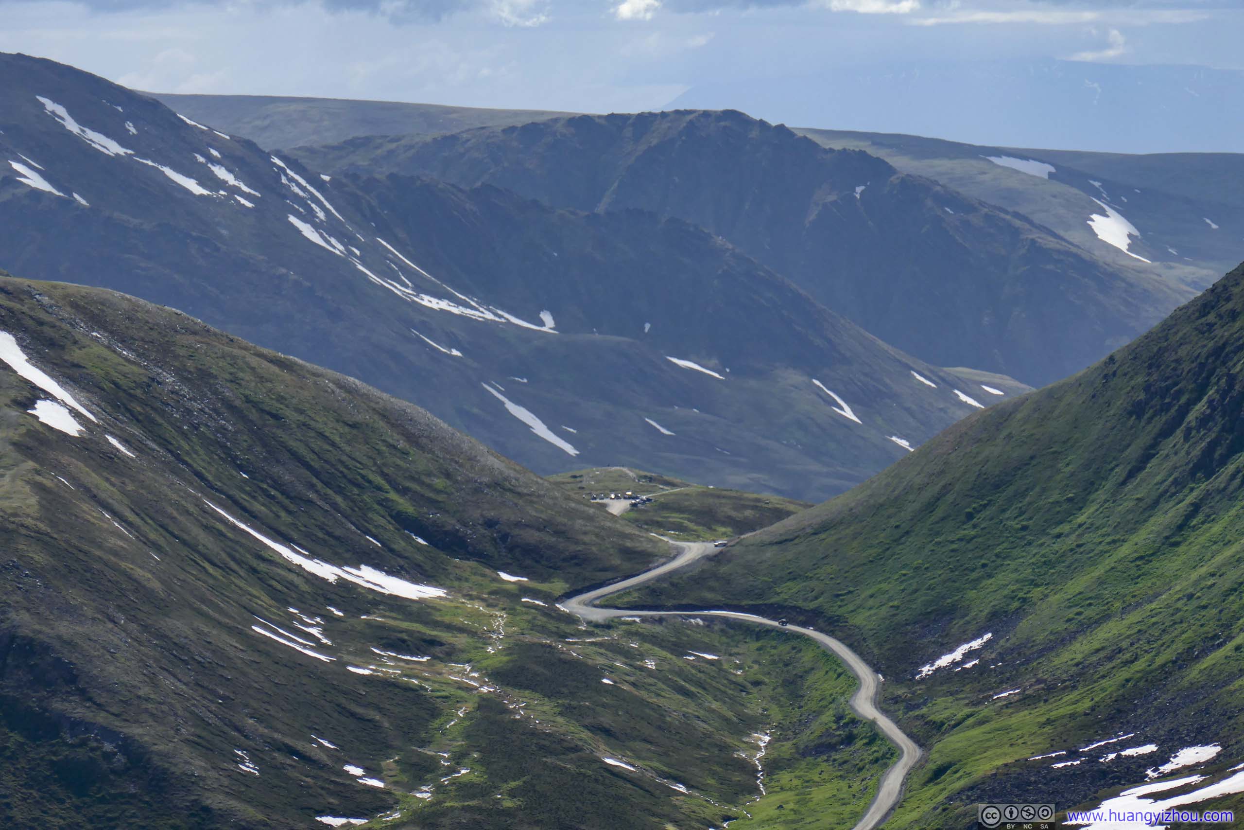
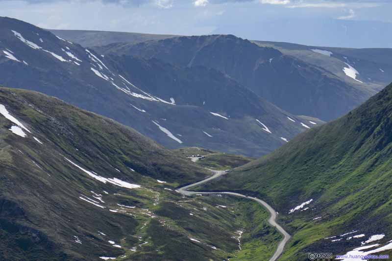
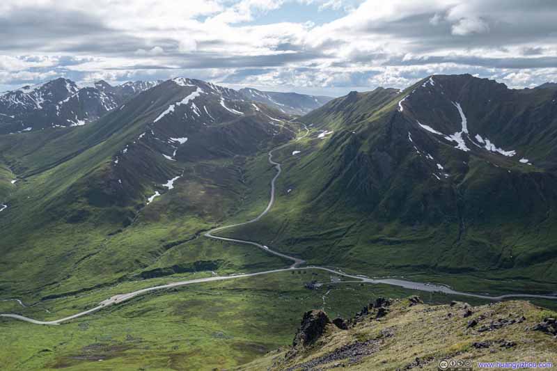
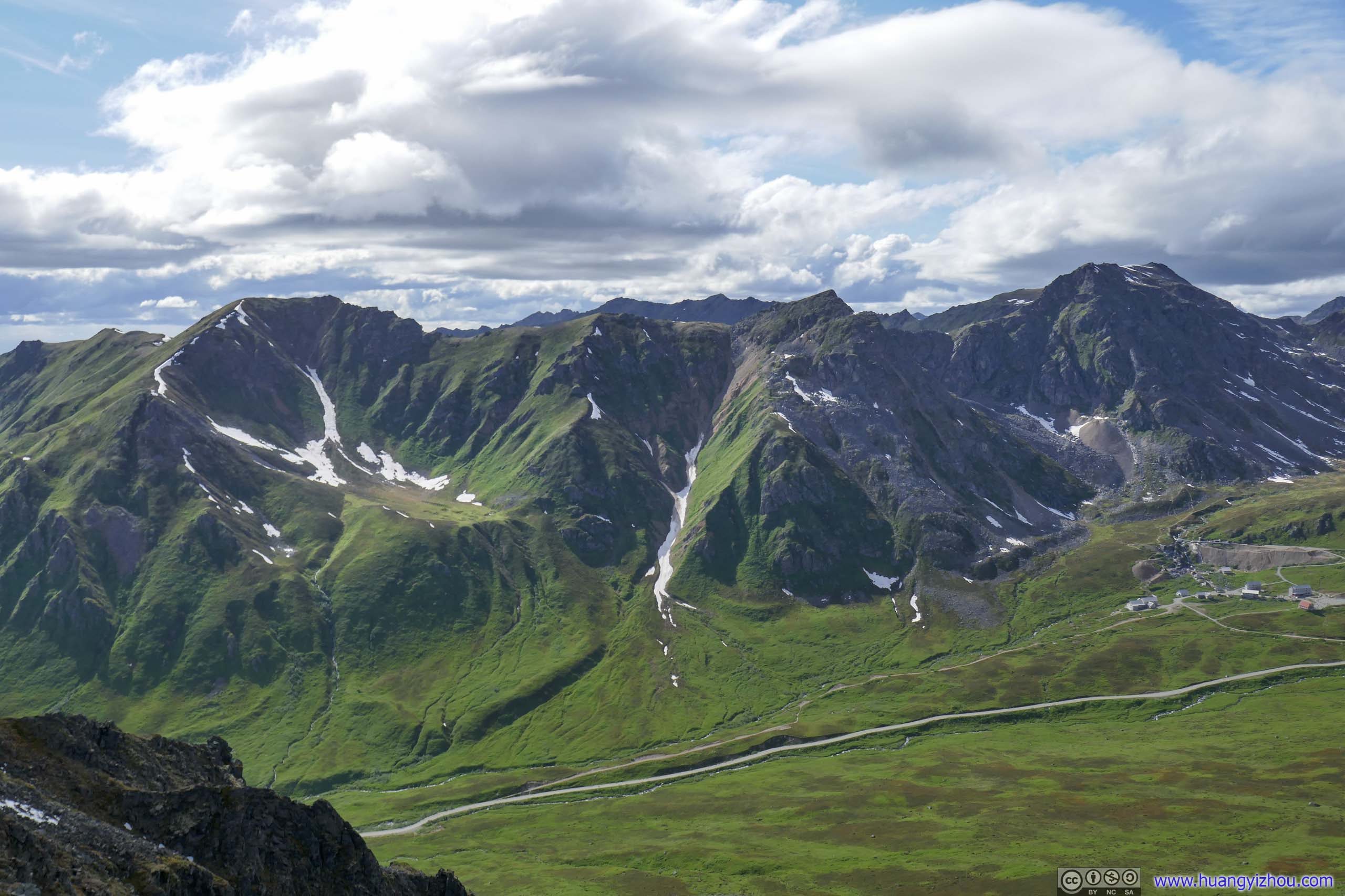
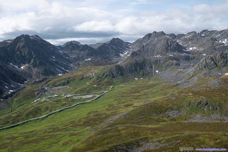
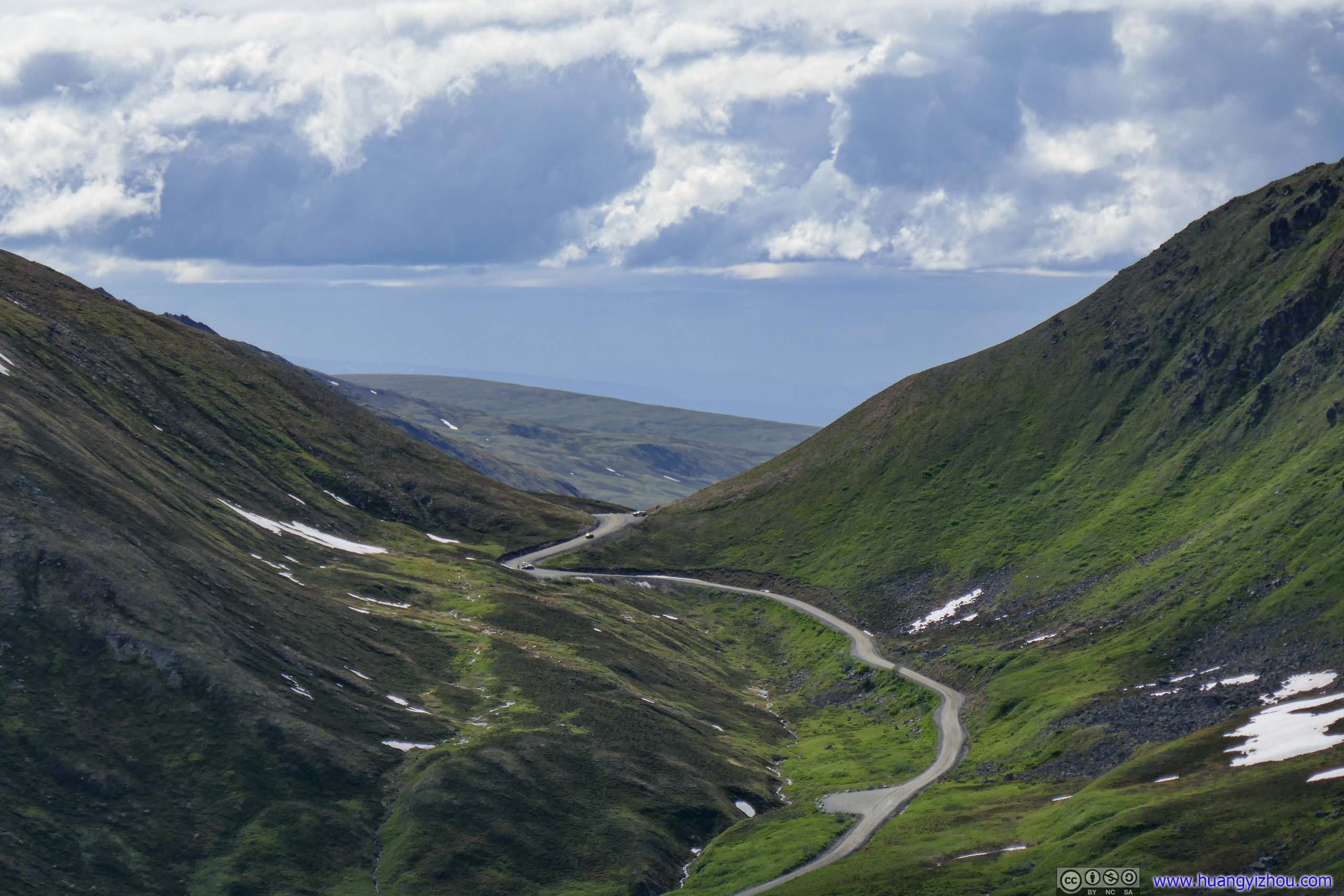
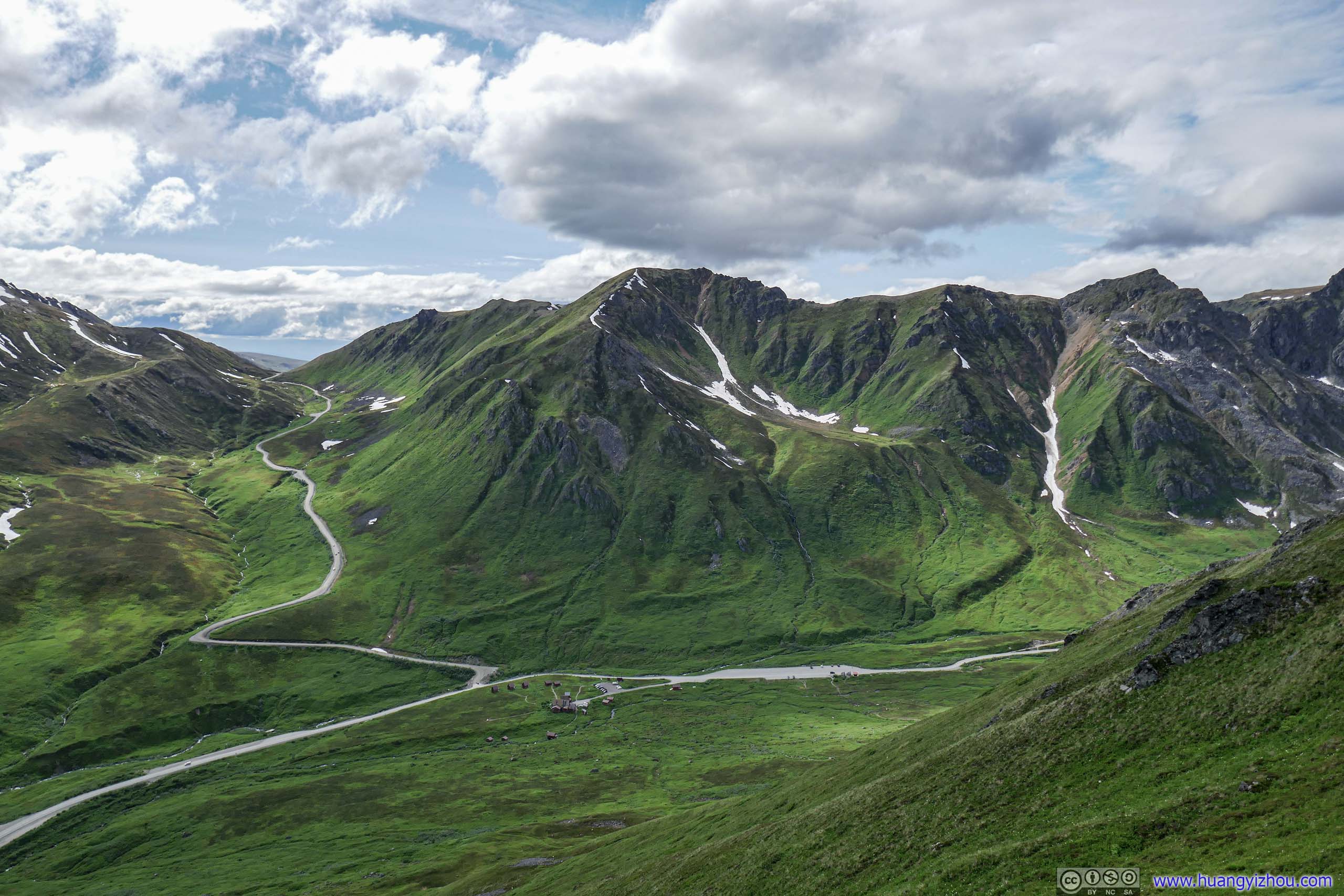
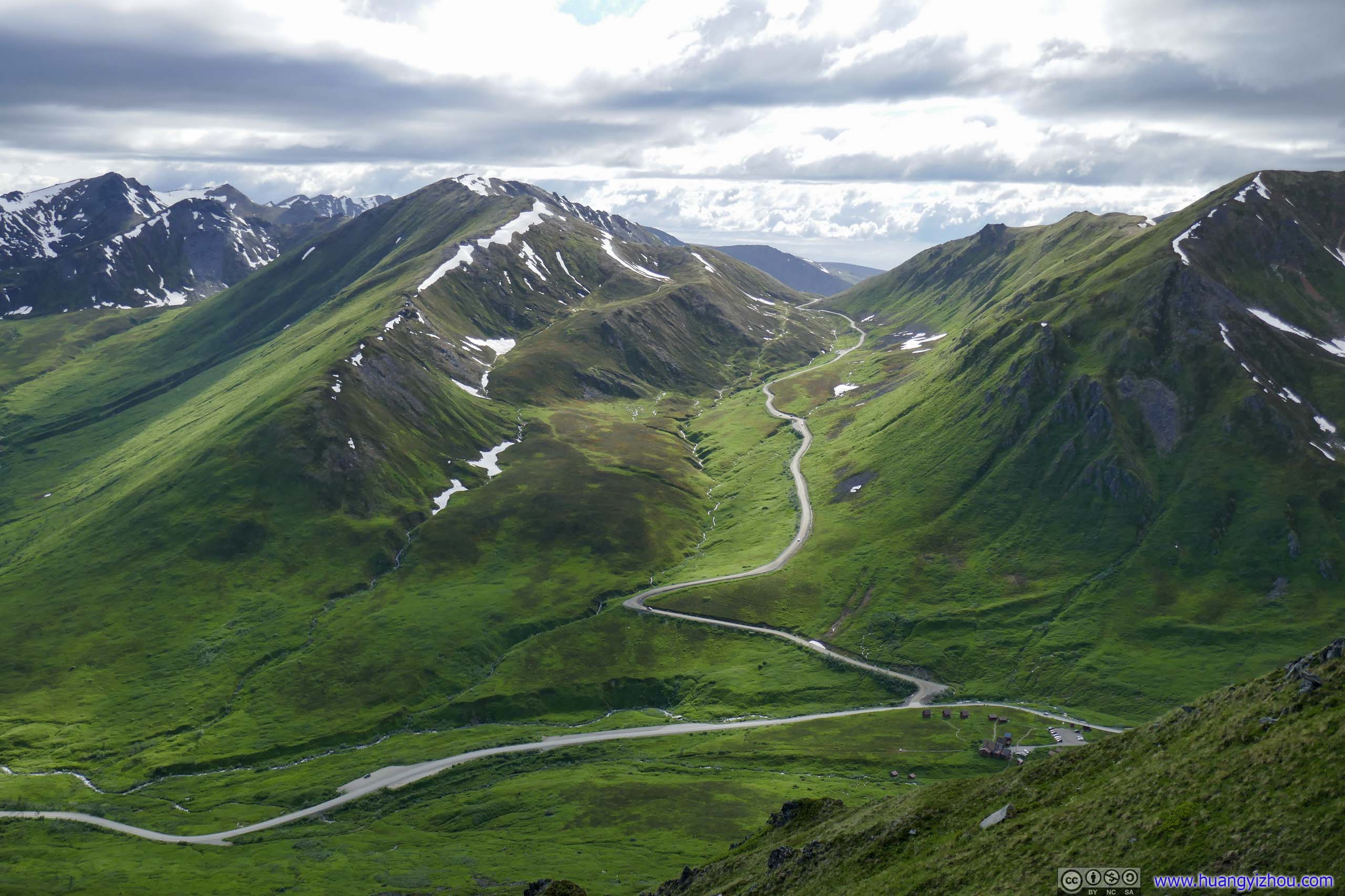
Road to Hatcher Pass
Road to Hatcher Pass
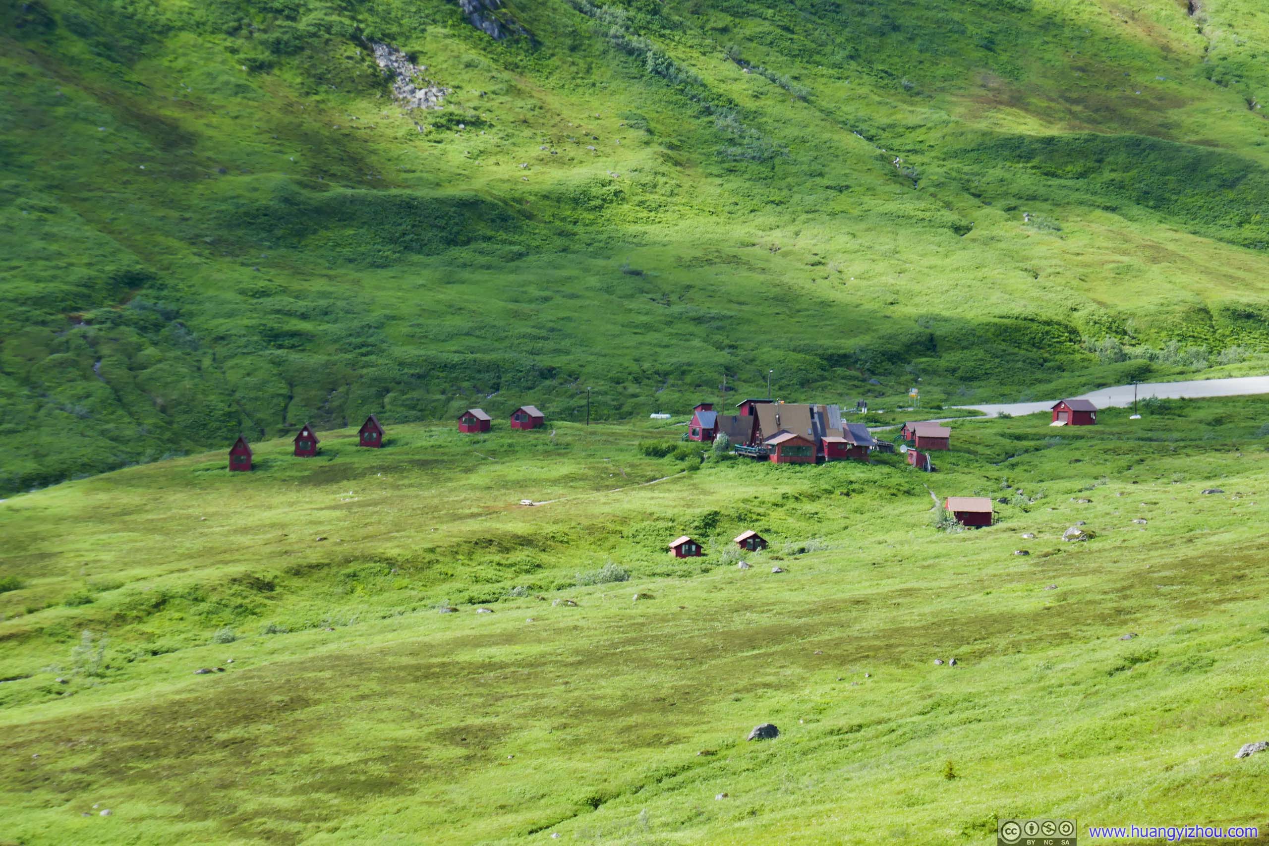
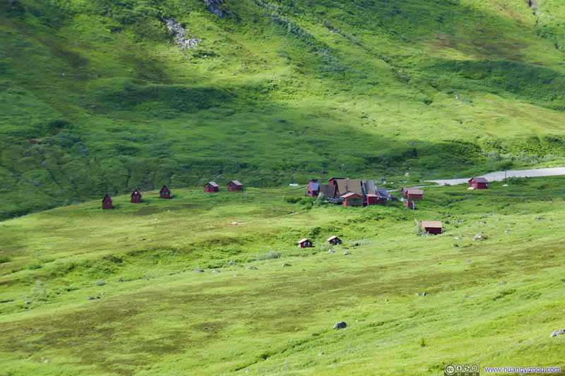
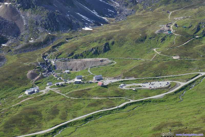
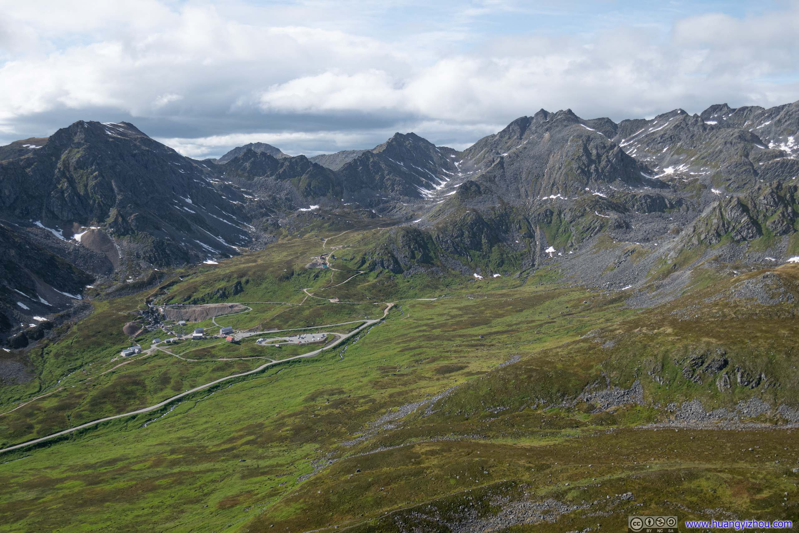
Hatcher Pass Lodge Probably converted from some mining age houses.
Skyscraper Peak
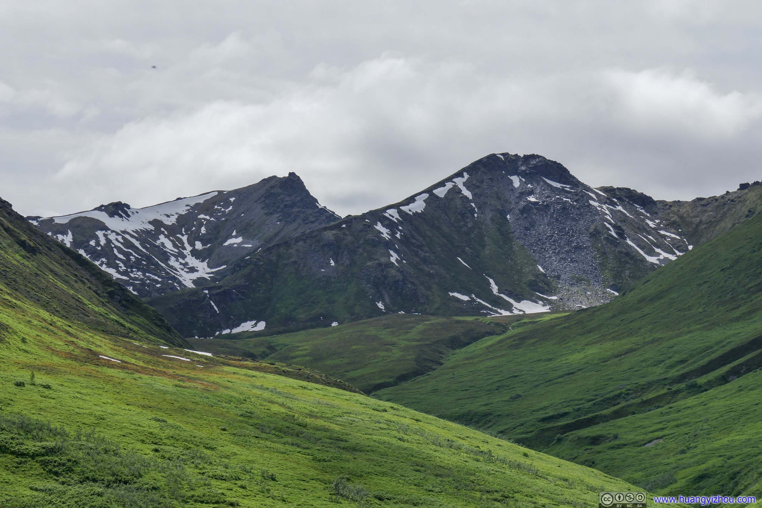
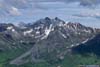
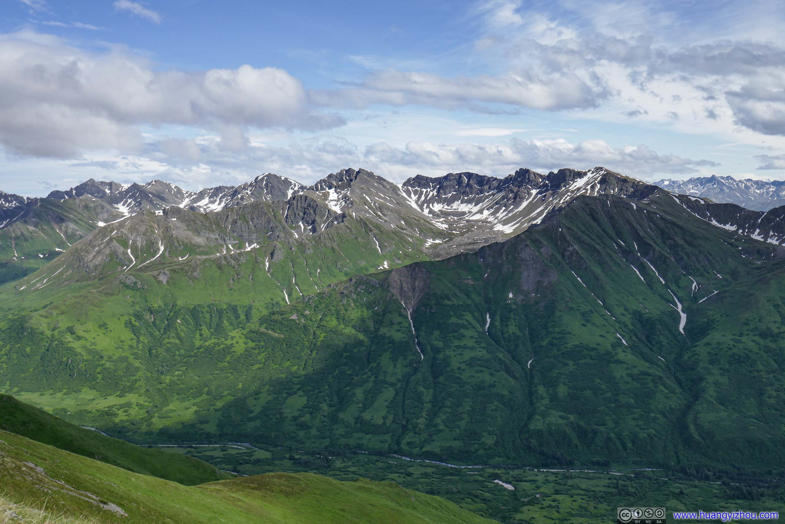
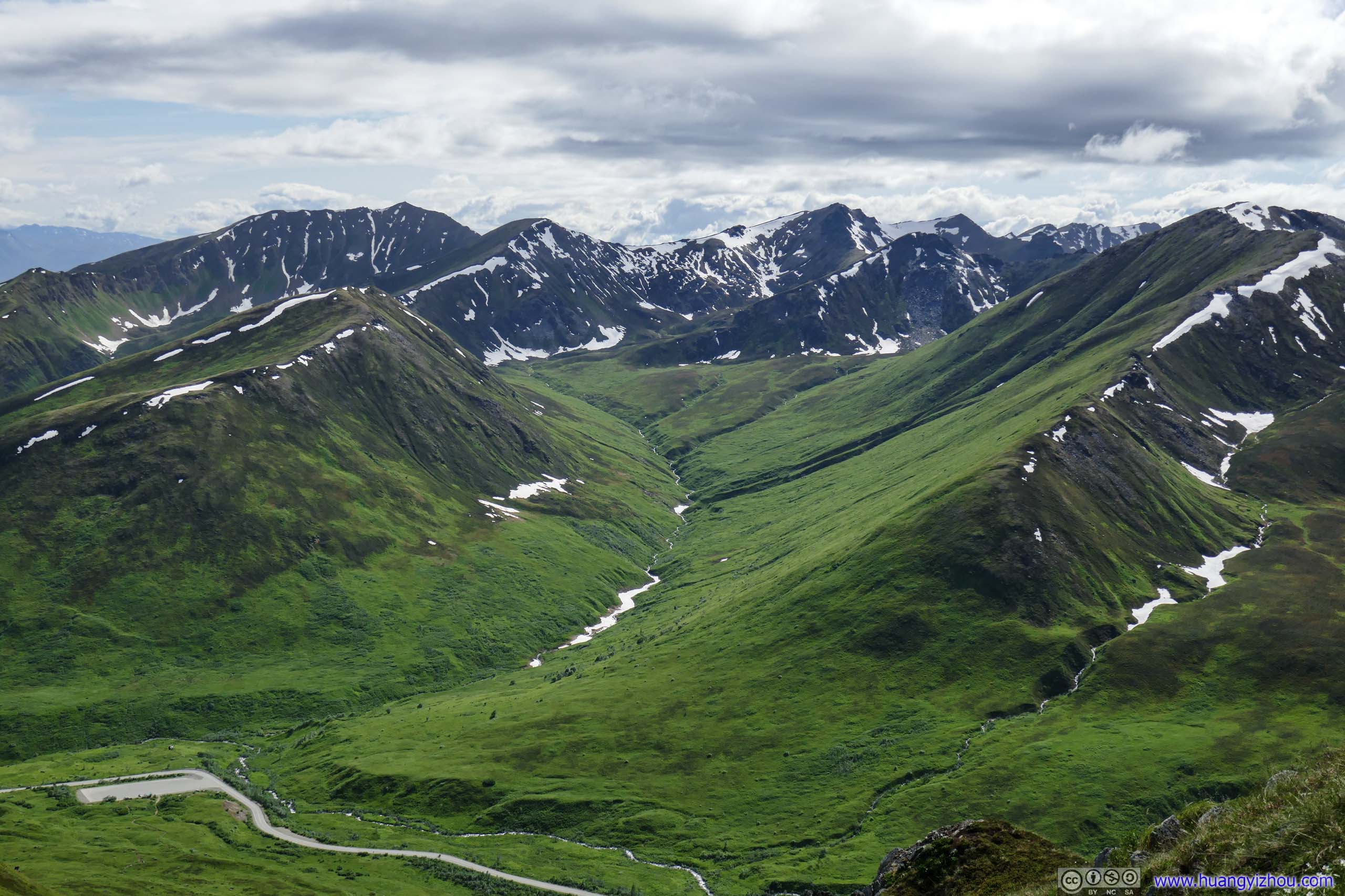
Mountains to the Southwest
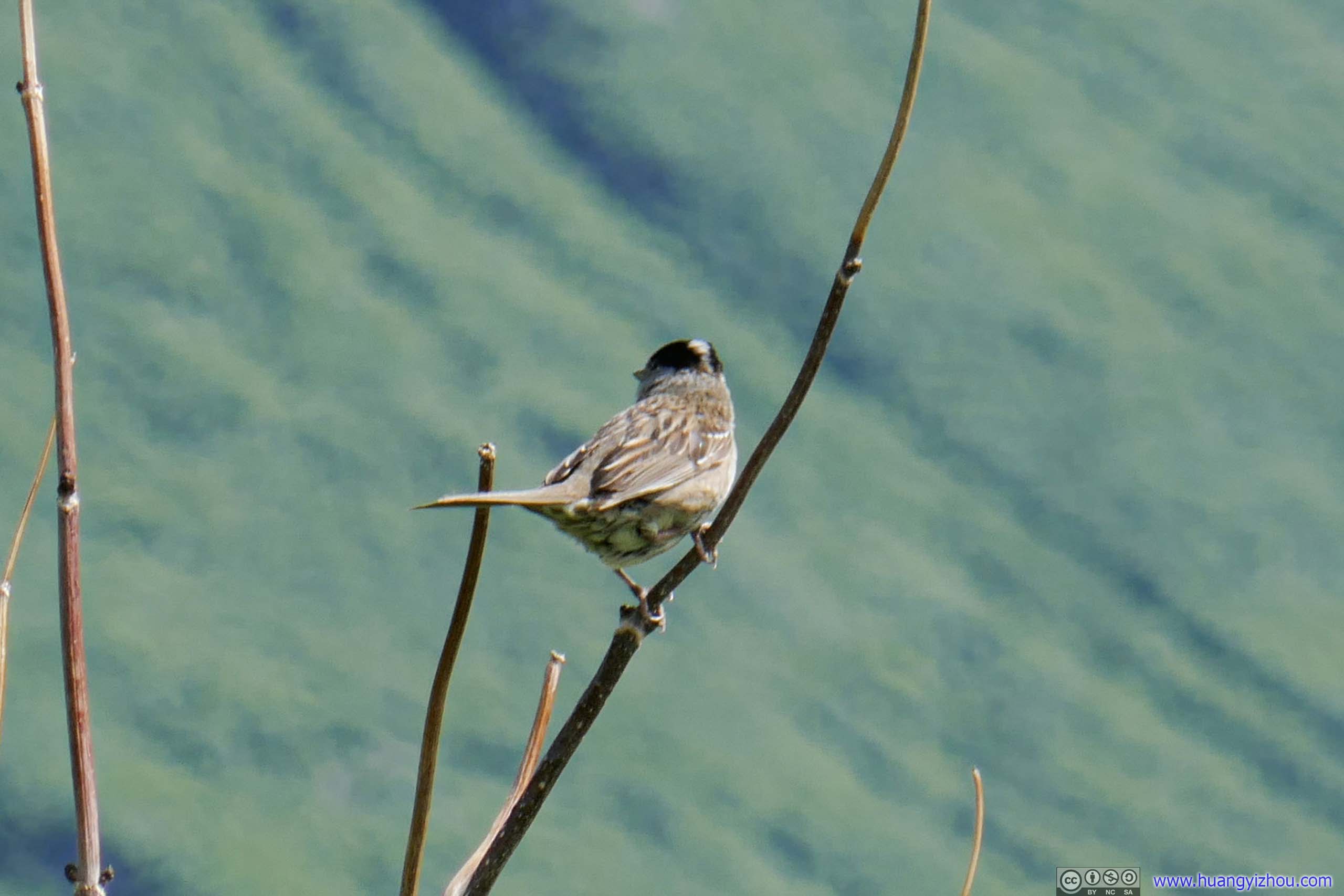
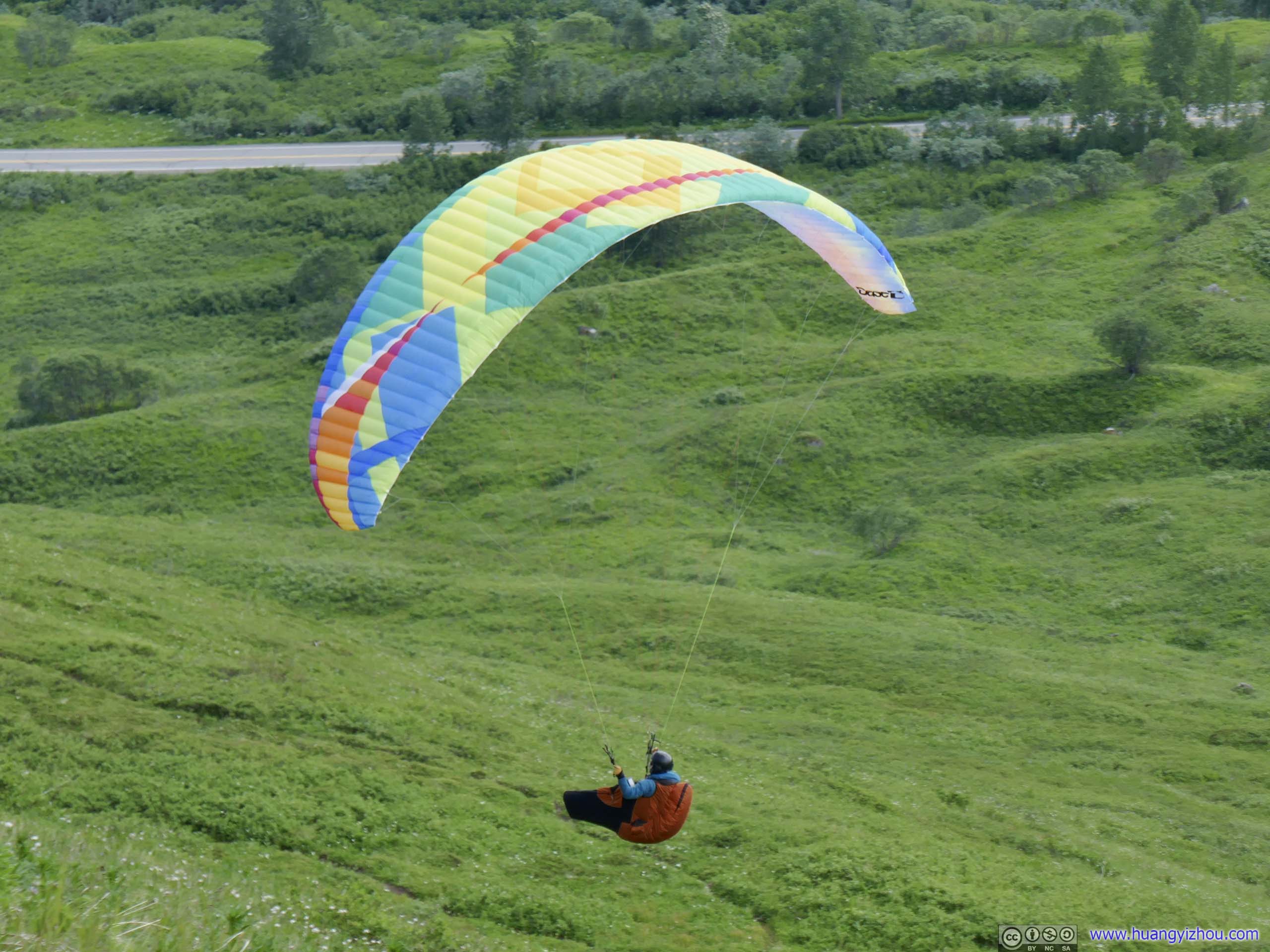
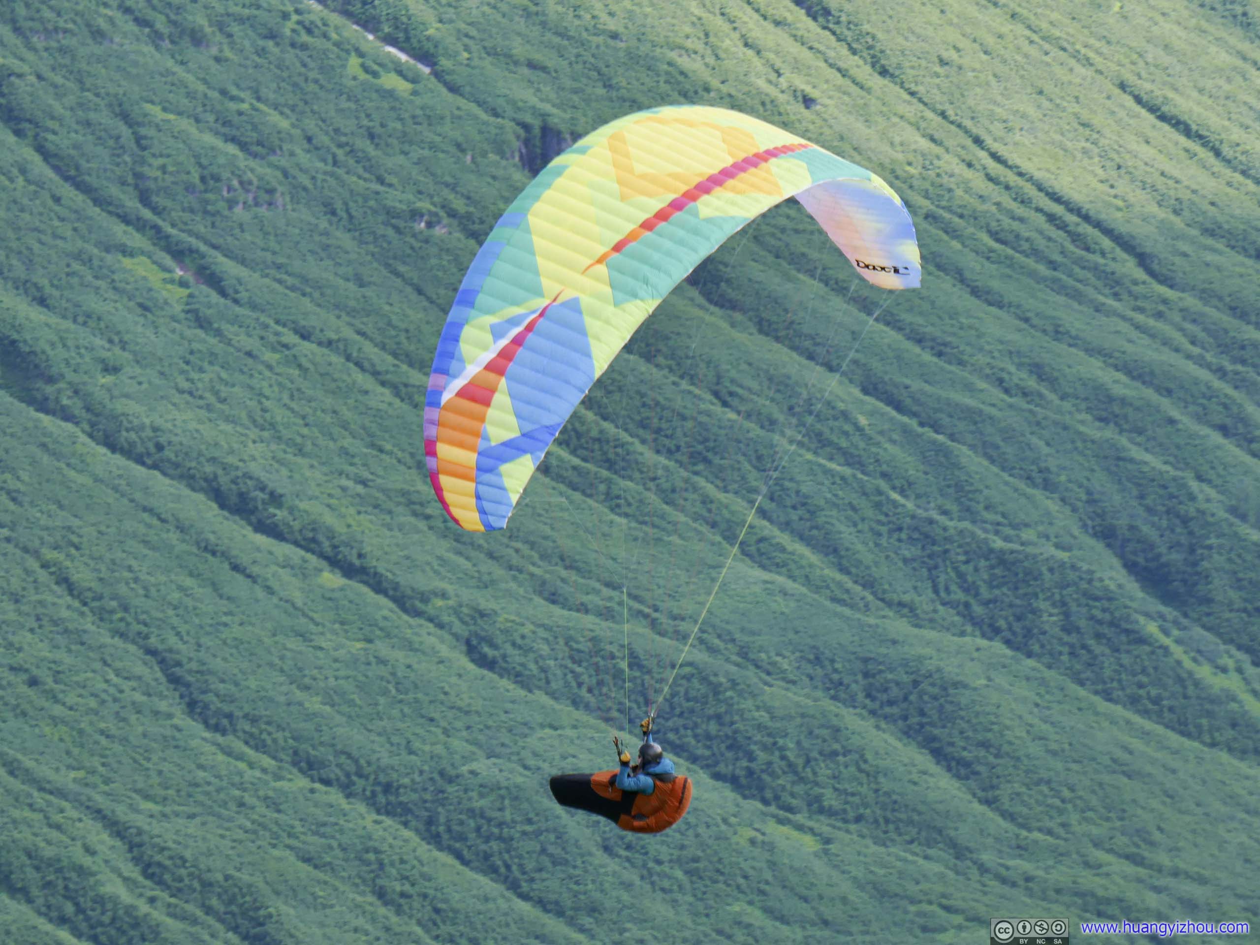
Bird One of the few creatures I ran into today.Paraglider
By flying close to the mountain, this gentleman actually used upward airstream from the landscape to reach higher elevations. I was struggling with the slope of Marmot Mountain so it was a rather jealous sight.
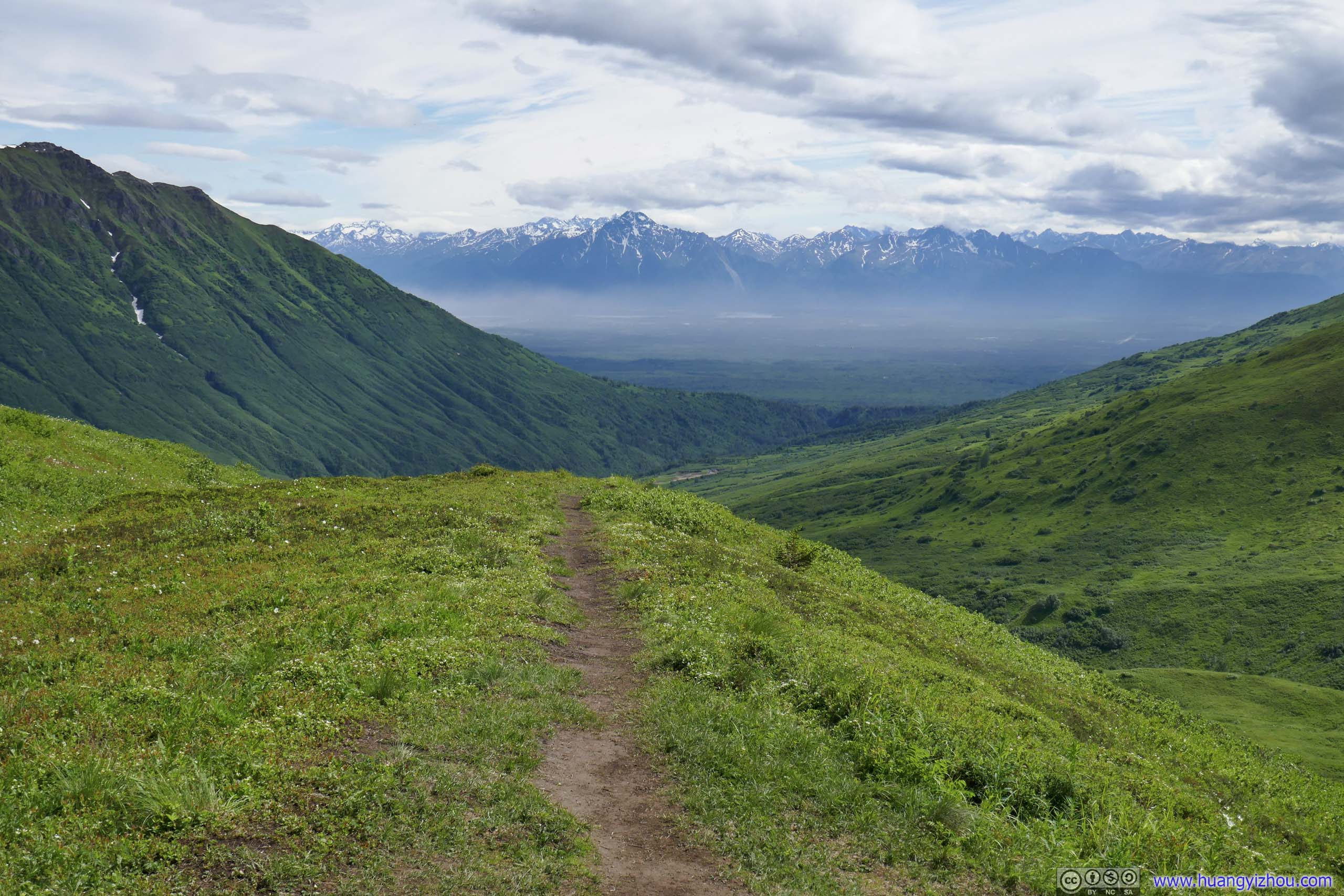
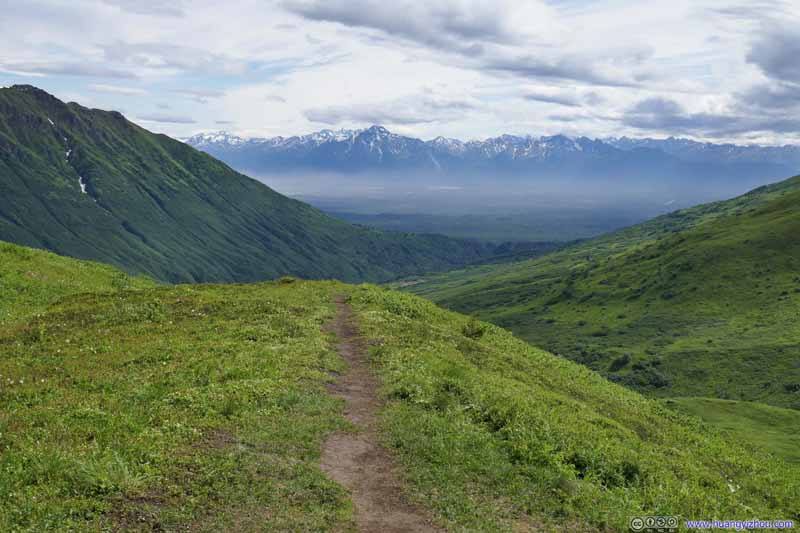
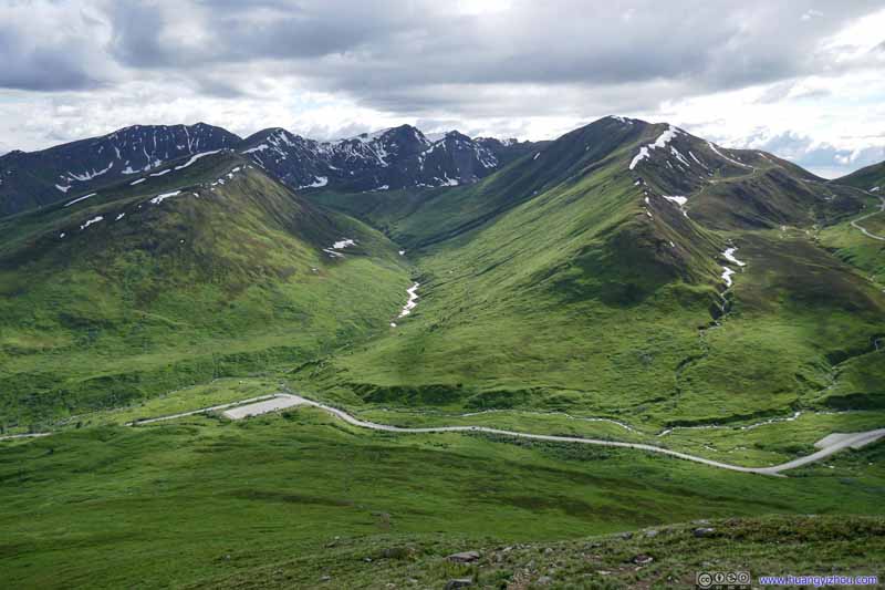
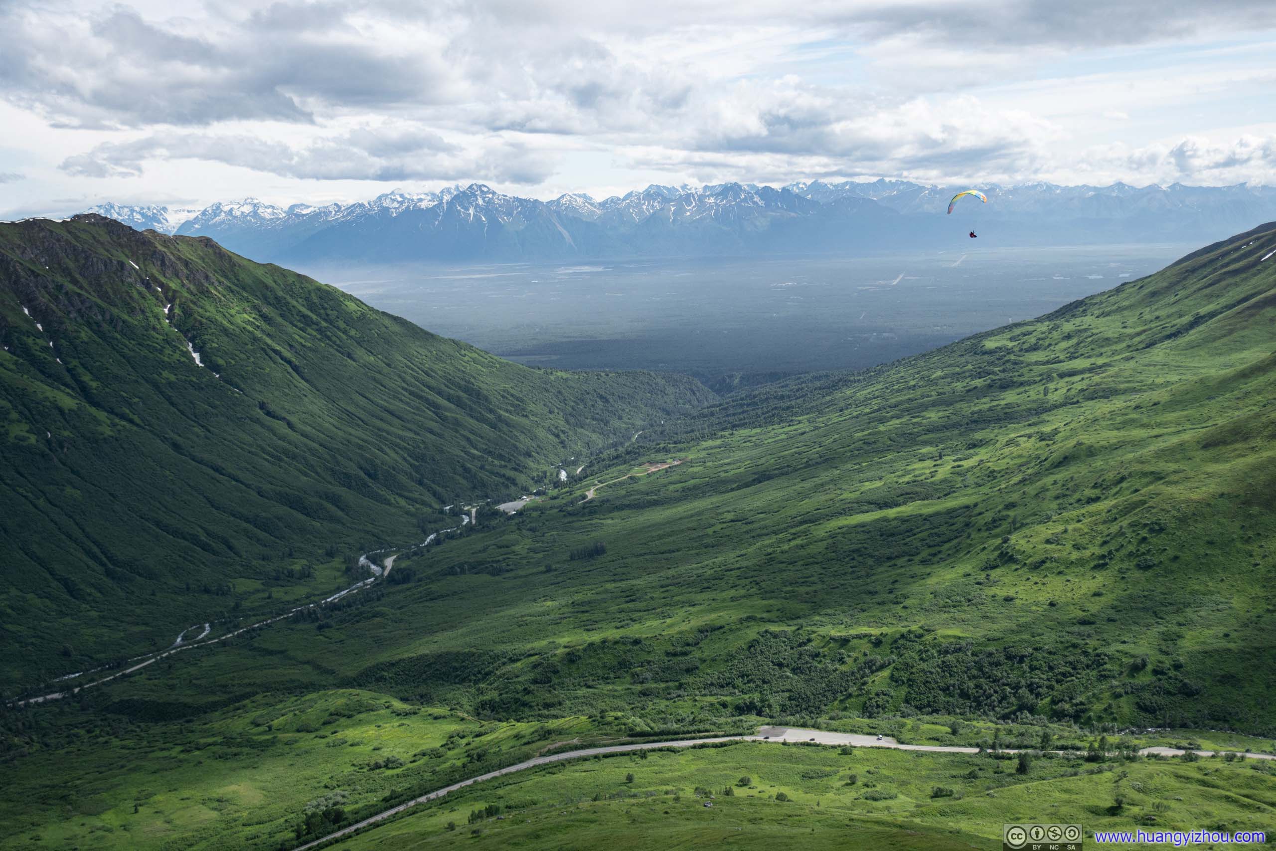
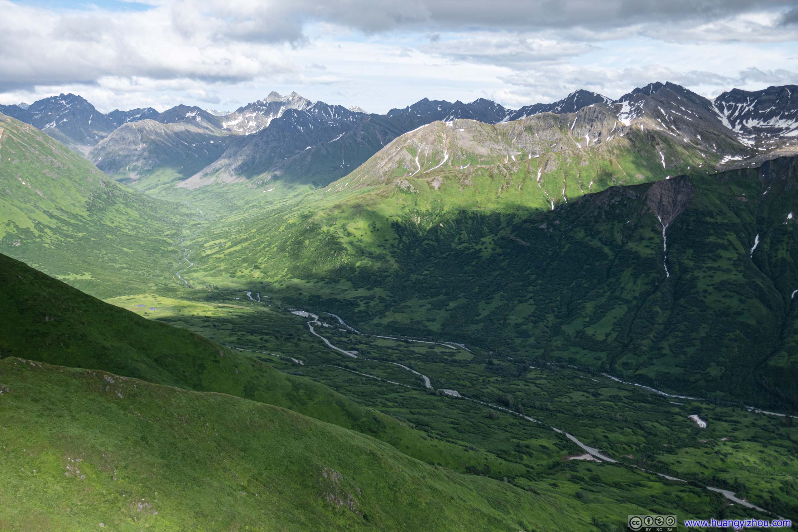
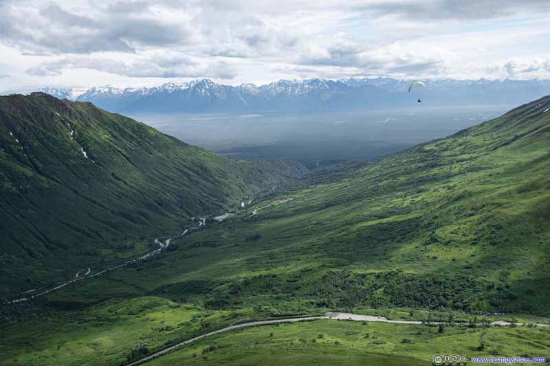
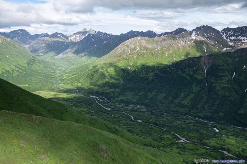
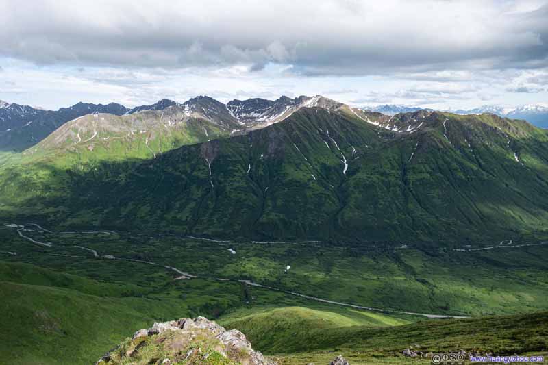
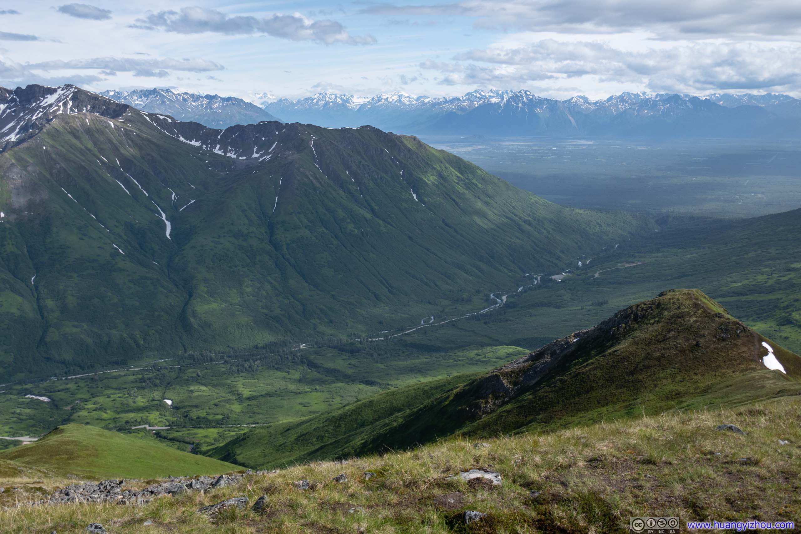
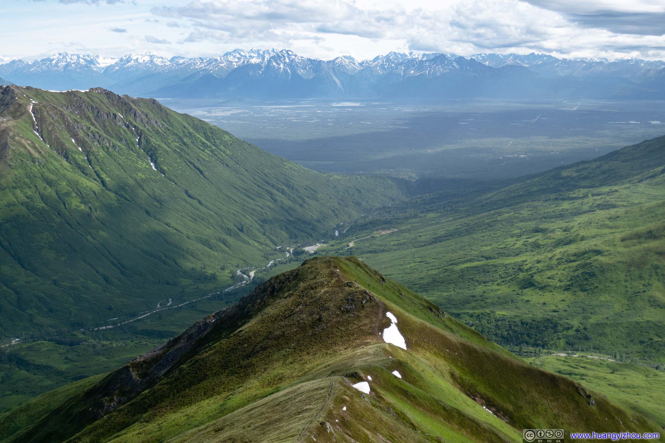
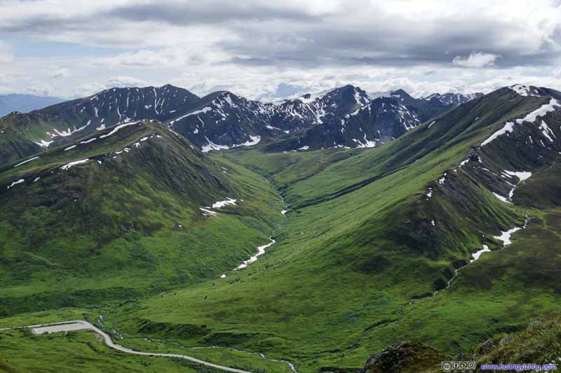
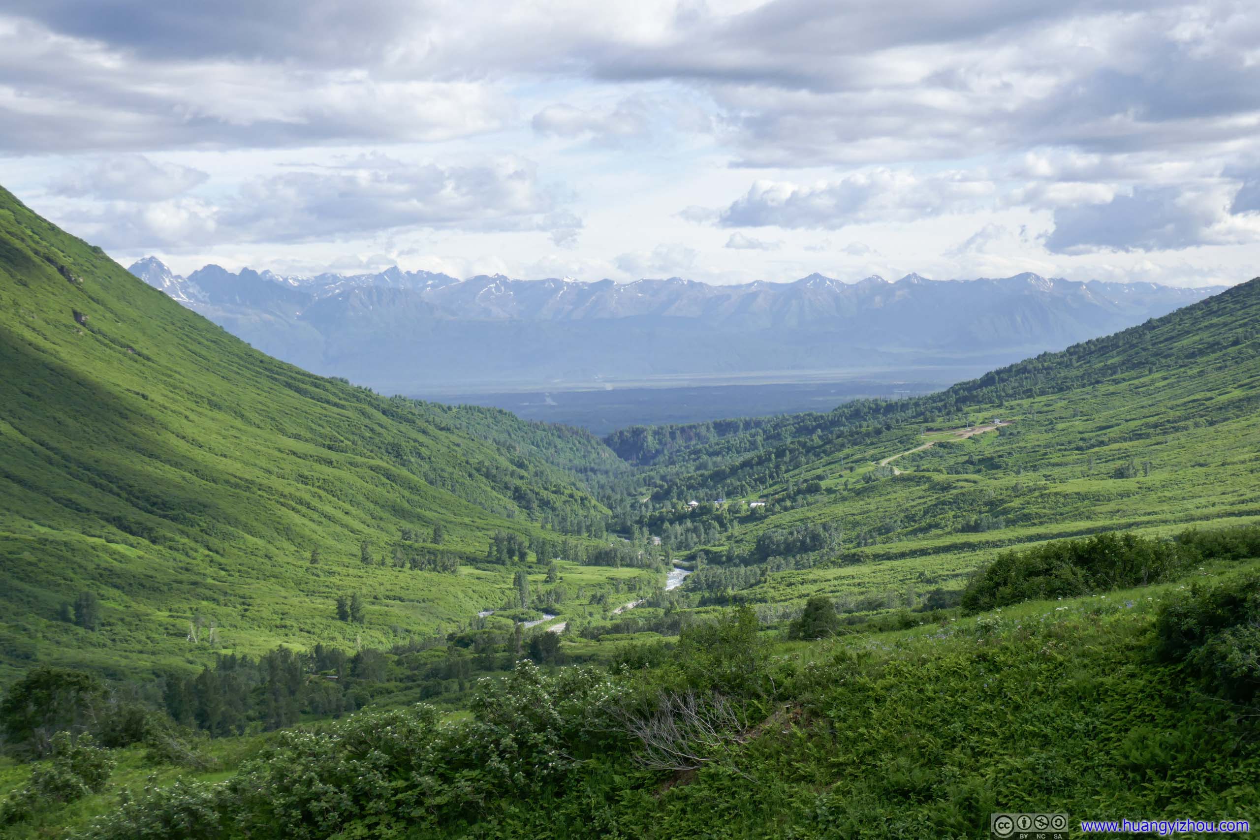
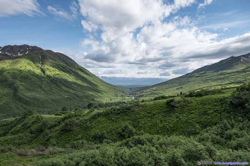
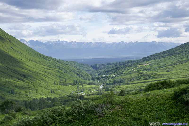
About 1.1km from trailhead, I covered the first half of the trail to Marmot Mountain and reached the top of a small hill. The mountains opened into a valley to the south where Little Susitna River flowed through, where distant mountains across Knik Arm popped into view. The hilltop provided a front-row view to all this splendor. Wind was strong from the south so it did somewhat take away the experience, but it’s nonetheless a wonderful reward for the steep section that I just covered.
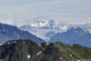
Valley to the South Snowy Mountains across Knik Arm. The previous paraglider soaring into the view.
Mountains to the Southwest
Road to Hatcher Pass
Road to Hatcher Pass
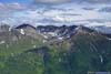
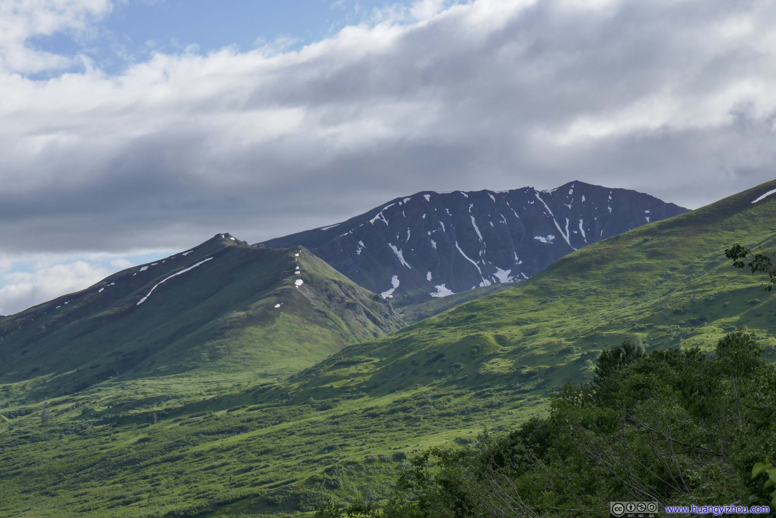
Mountains to the Northeast Talkeetna Mountains
Mountains to the East
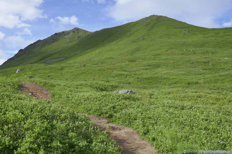
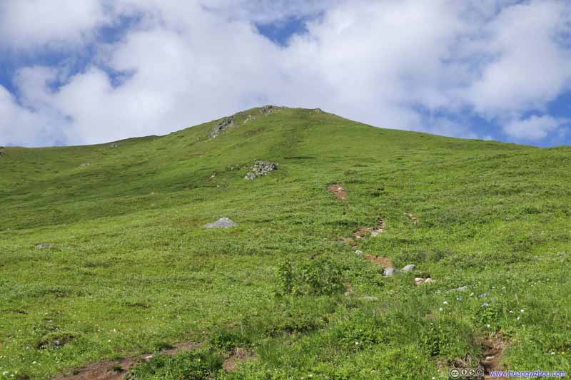
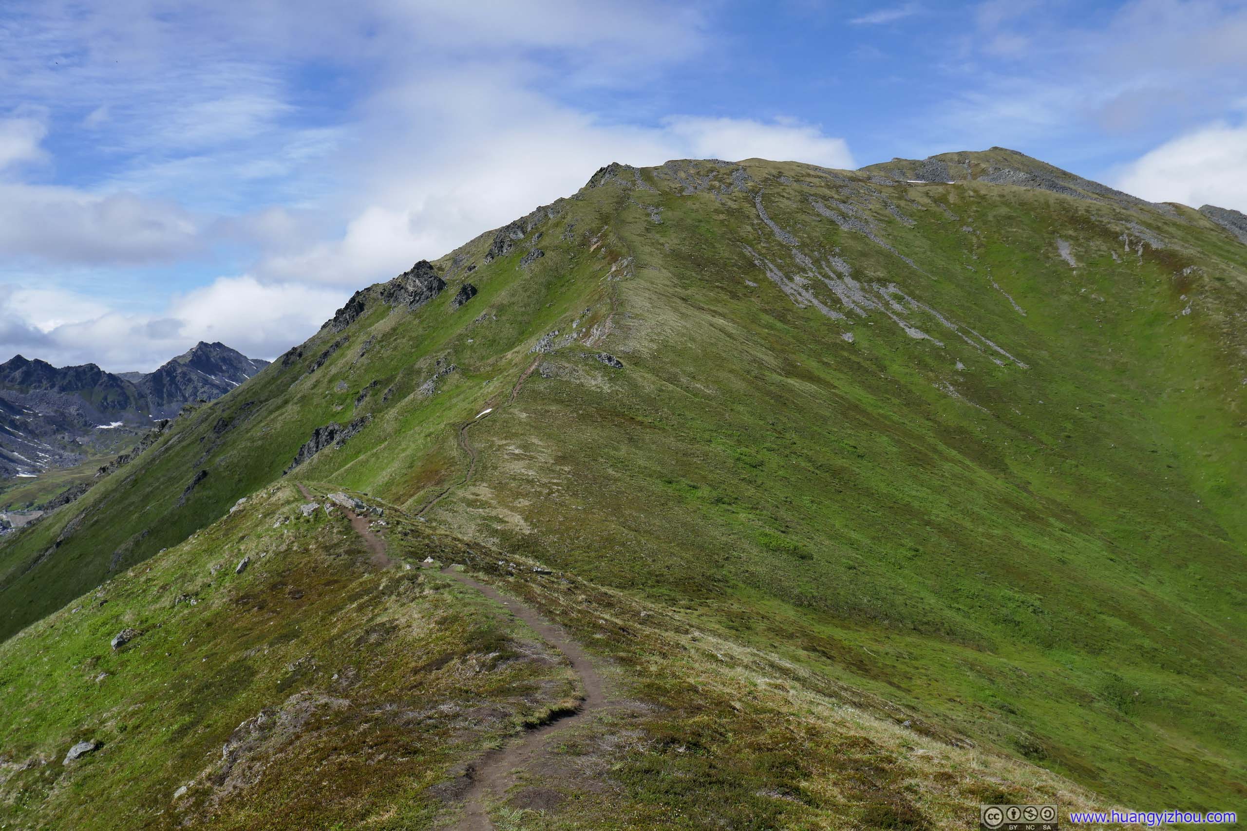
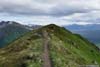
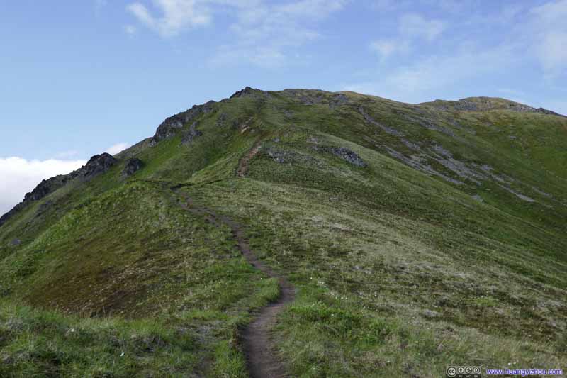
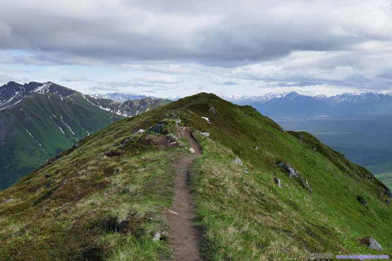
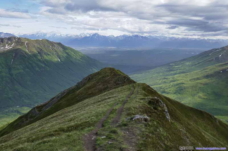
From this point on the trail followed a rolling ridgeline to Marmot Mountain. Elevation change eased up so it’s really a gentle stroll in incredible sceneries.
Trail Following a ridge up to Marmot Mountain.
Trail Following a ridge up to Marmot Mountain.
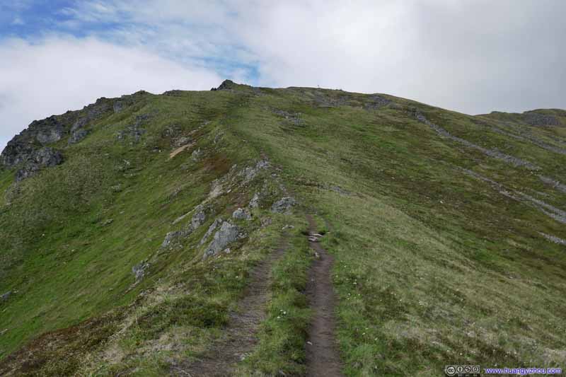
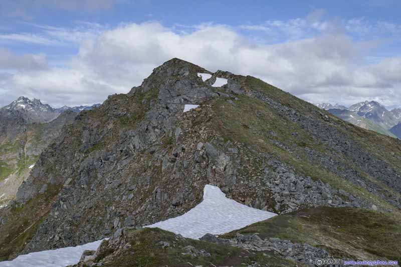
Trail The final leg up Marmot Mountain.
Trail
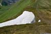
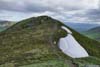
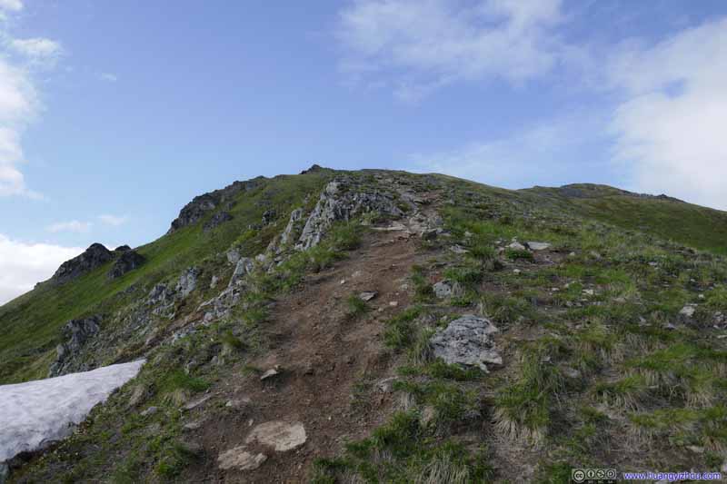
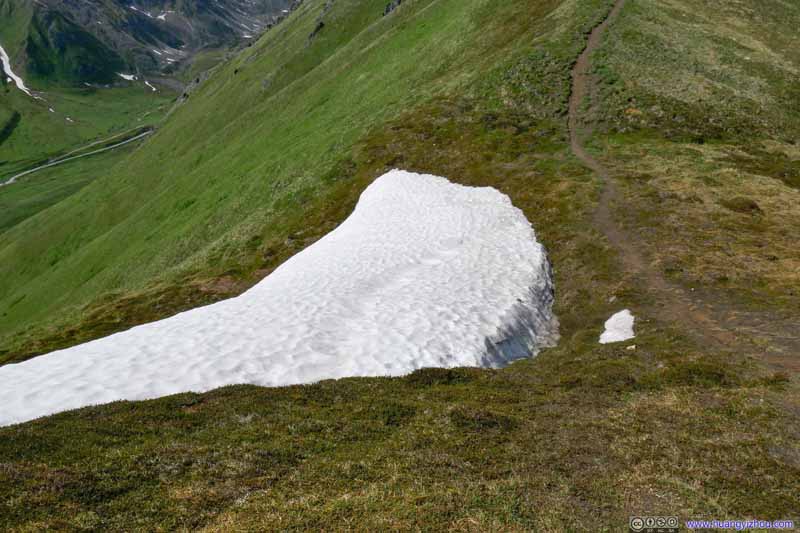
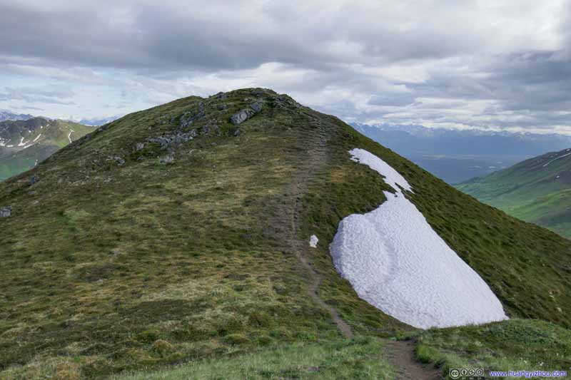
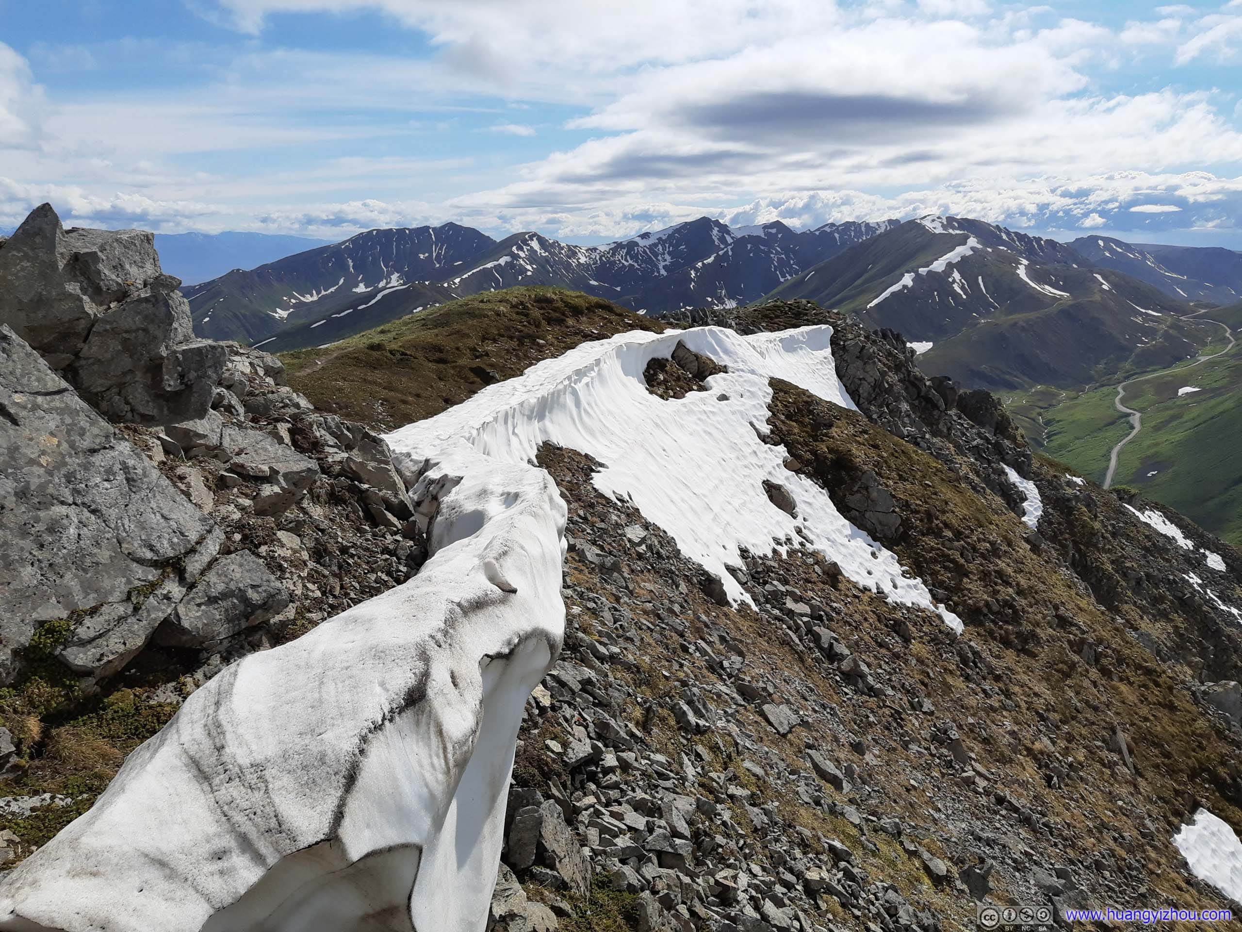
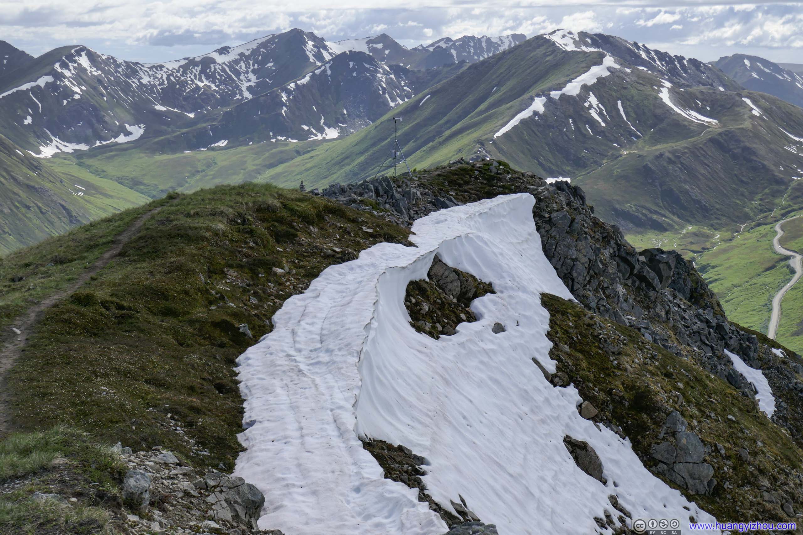
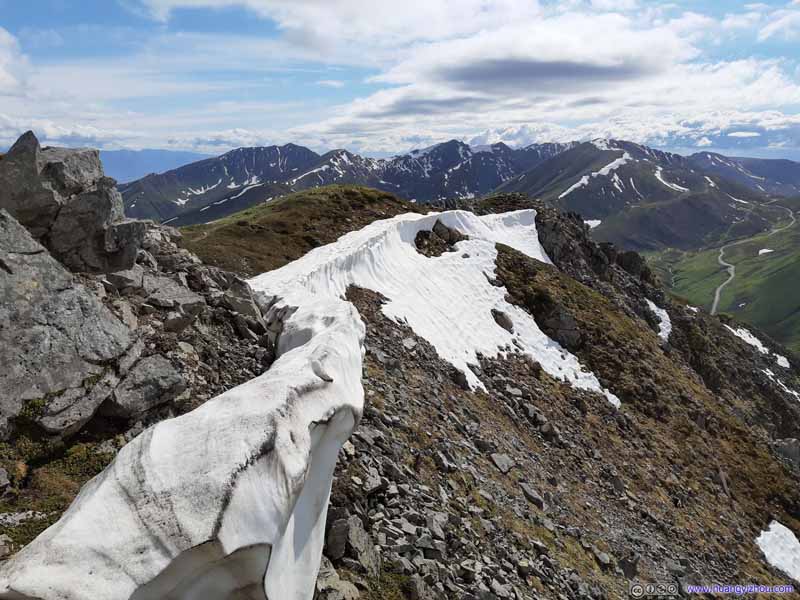
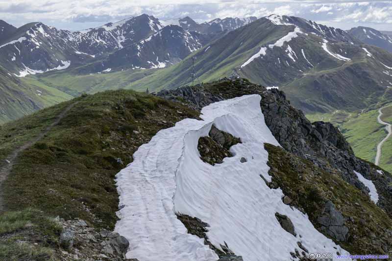
Trail A giant patch of snow next to the trail.
Trail A giant patch of snow next to the trail.
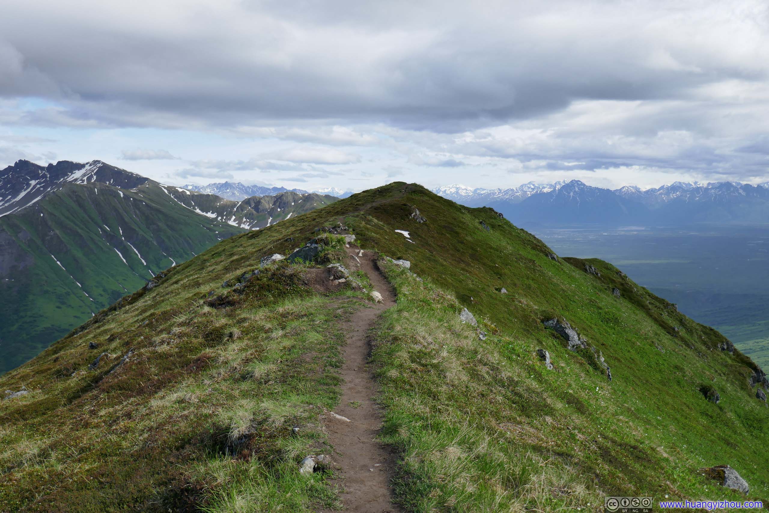
Trail This ridge part was a lot easier to tackle than the previous steep slope.
Trail The ridge part with magnificent mountains as backdrop.
At 4:55pm and 1.83km from trailhead, I reached the end of the aforementioned ridge. The trail made a right turn here and continued on, seemingly to Rae-Wallace Peak and beyond.
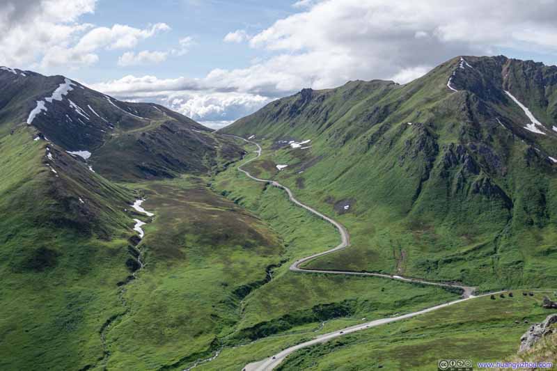
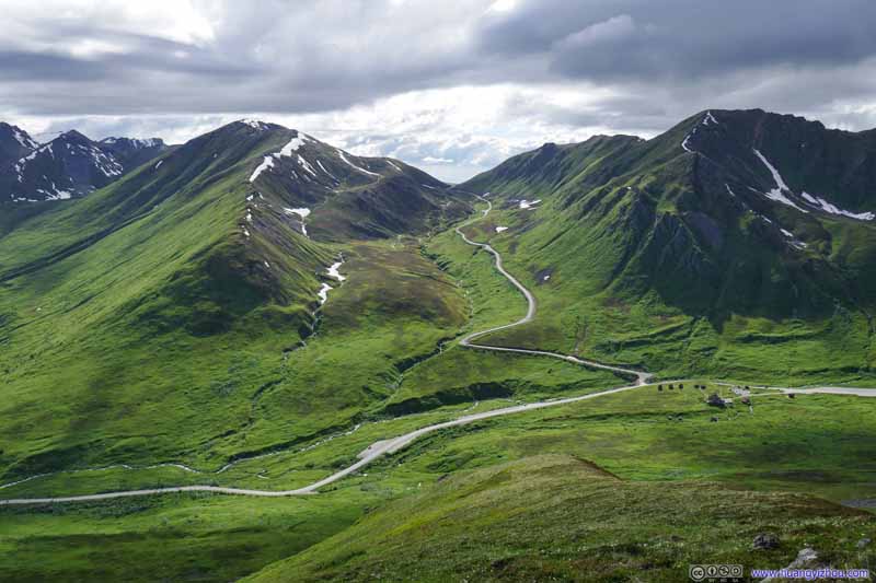
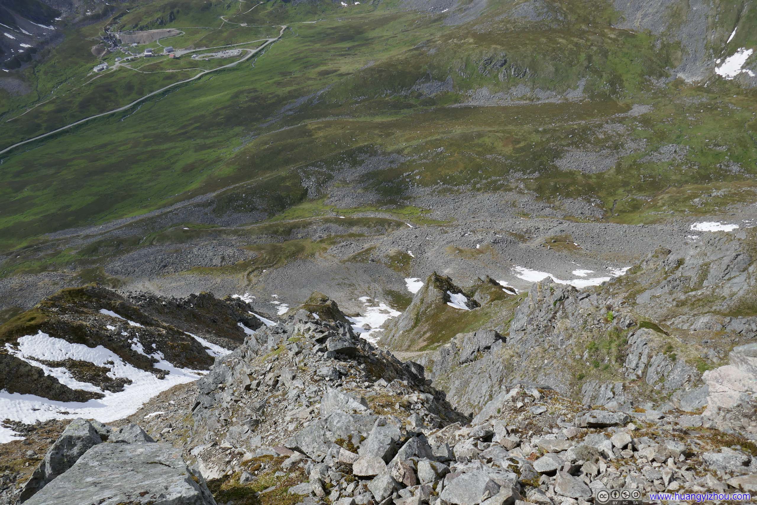
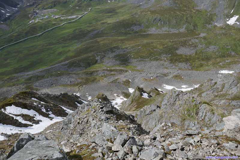
If one made a left turn here followed by a few rock hoppings (class 1), one could get onto a few boulders on the western face of Marmot Mountain, directly opposite of Hatcher Pass with its winding mountain roads.
Mountains to the Southwest The steep western slope of Marmot Mountain in the foreground.View to the West
If one instead make a right turn and follow the trail, one would pass a field weather station and some rocks.
Cairn Granite Mountain, partly covered in clouds, in the center background.
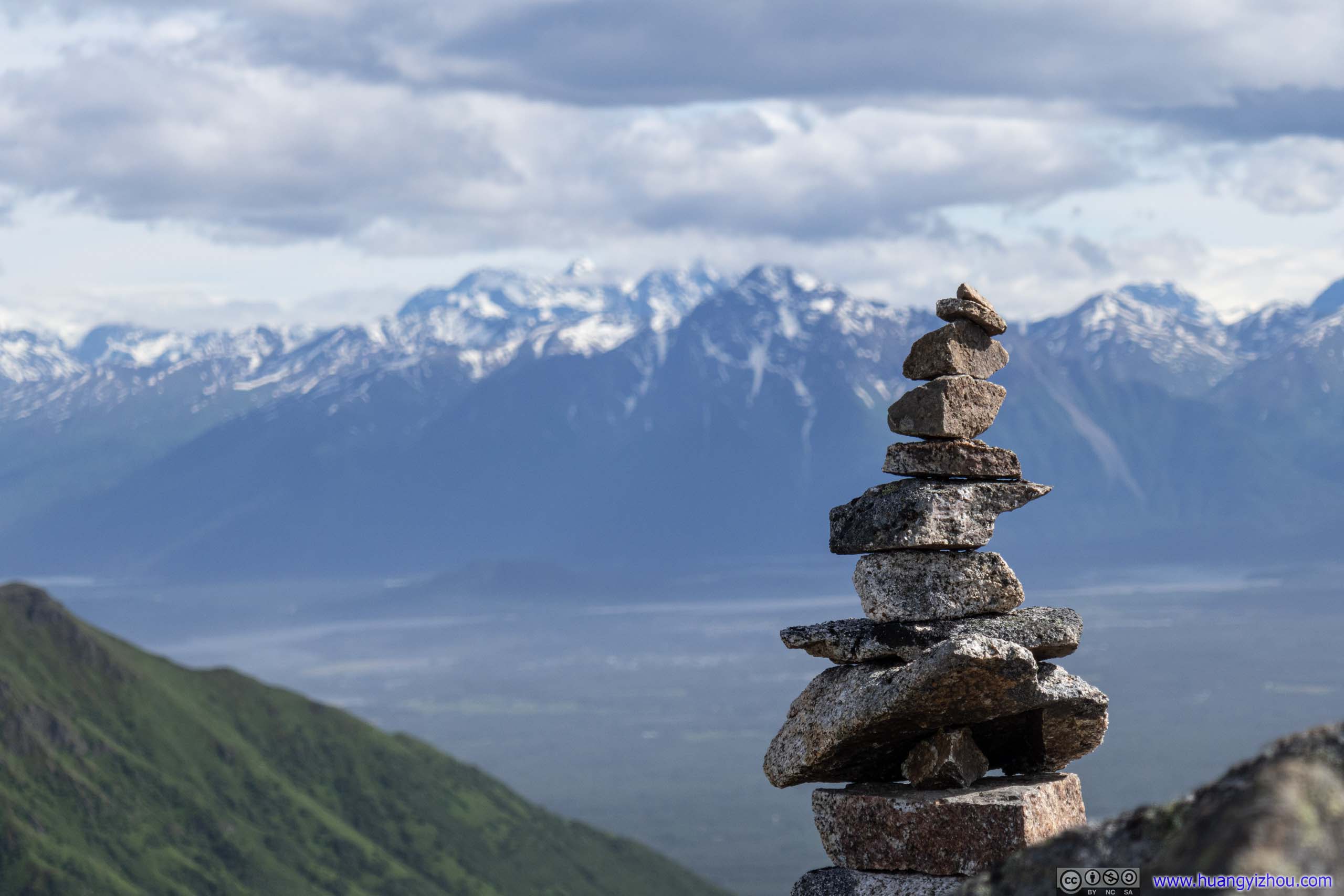
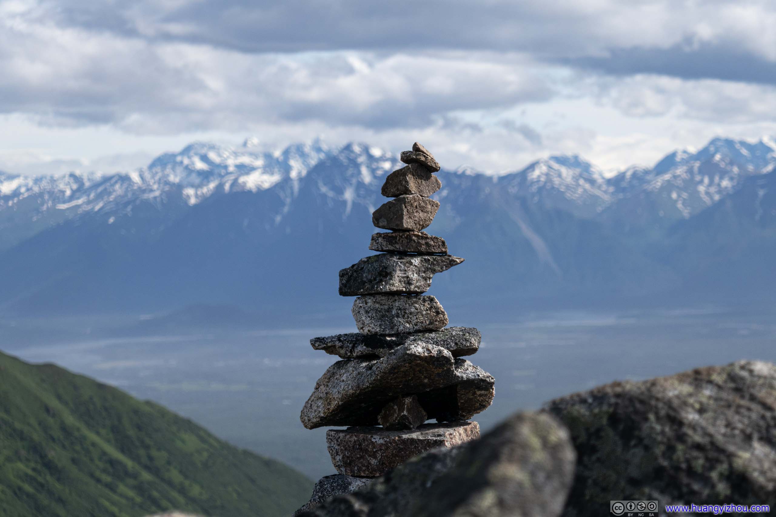
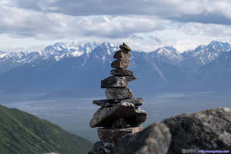
Cairn before Distant Mountains
Pioneer Peak, which I would summit in 2 days, in the front background. Bashful Peak as the highest mountain in Chugach State Park behind Pioneer Peak, partly covered in clouds.
Cairn before Distant Mountains
Pioneer Peak, which I would summit in 2 days, in the front background. Bashful Peak as the highest mountain in Chugach State Park behind Pioneer Peak, partly covered in clouds.
After that, the trail continued along a few mini summits into the wilderness. I decided to make one of them my destination for the day (despite later finding out that I stopped 60m short of the official "Marmot Mountain" mark on map).
Hill
The trail continued beyond where I stopped. On the map, “Marmot Ridge” and “Rae-Wallace Mountain” were ahead.
Cliff The northern face of Marmot Mountain was a steep dropoff.
Cliff Patches of snow that remained on Marmot Mountain’s northern slope.
Cliff Patches of snow that remained on Marmot Mountain’s northern slope.
Then I began to appreciate the sceneries from my self-appointed summit.
View from Marmot Mountain
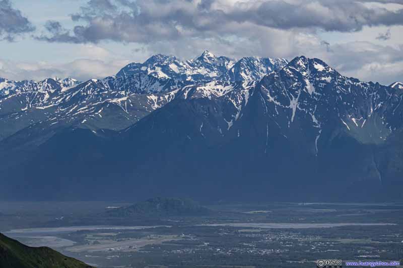
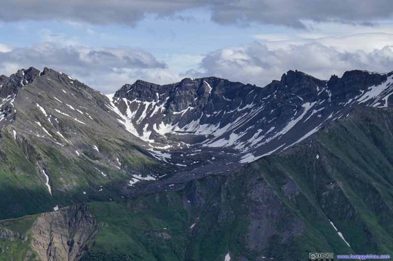
A few prominent mountains were visible from the top, beginning with the most majestic ones across Knik Arm.
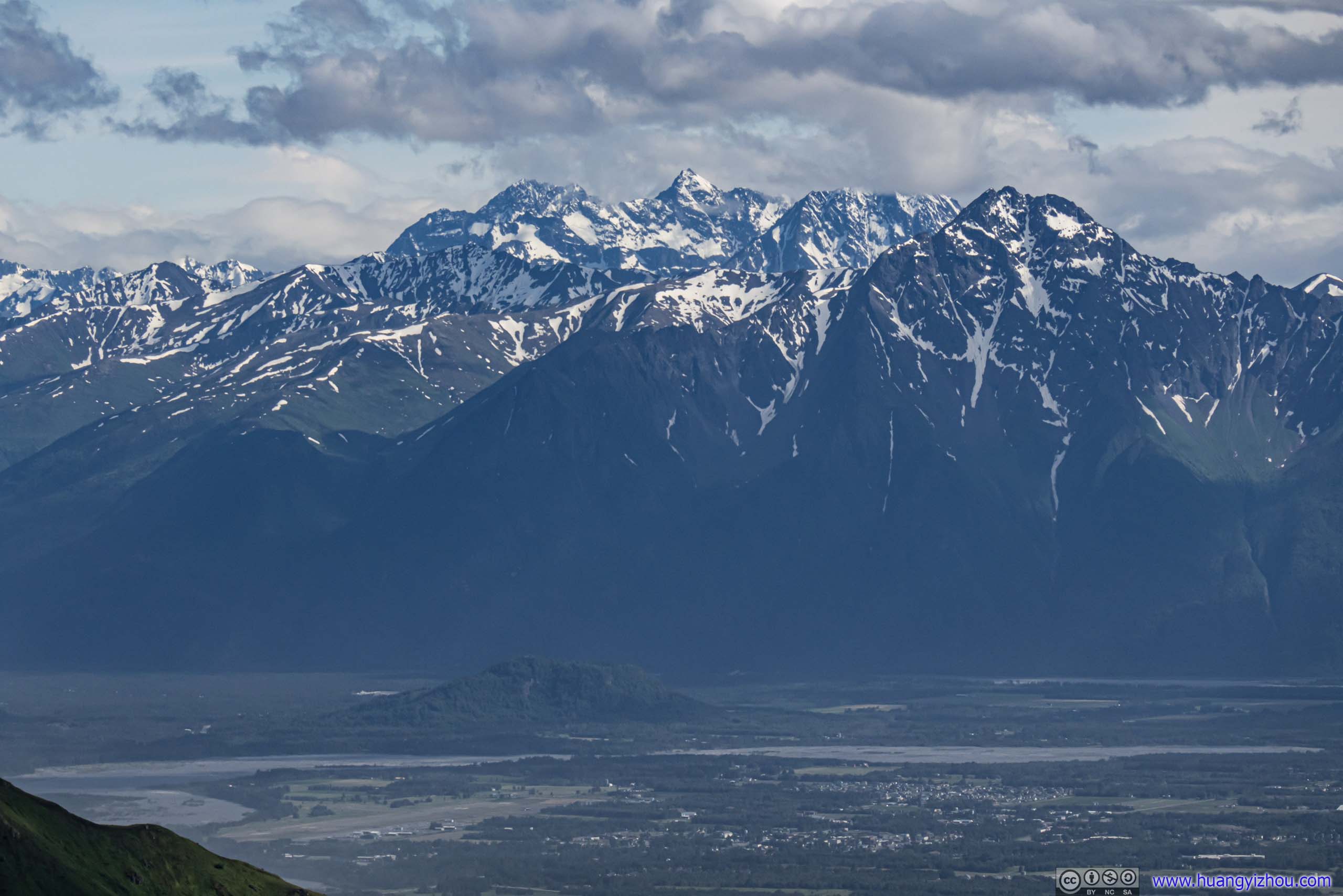
Mountains across Knik Arm
City of Palmer in the foreground, Pioneer Peak in the front right background, which I were to summit in 2 days. Bashful Peak as the tallest mountain in Chugach State Park in the center background, amid the clouds.
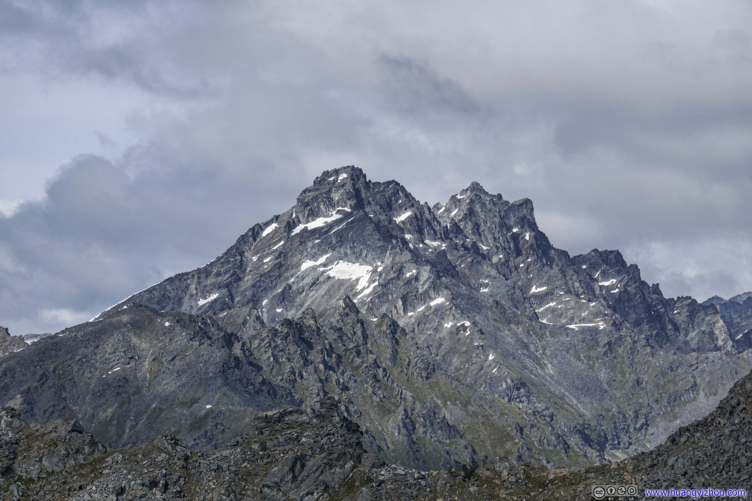
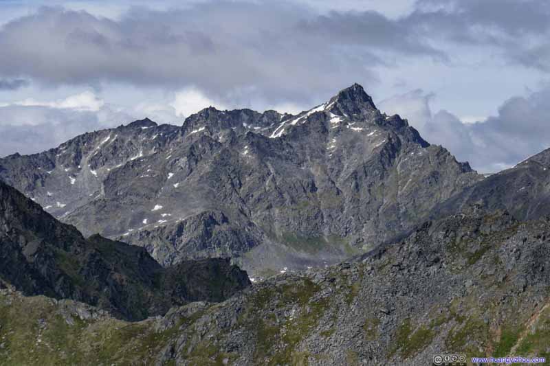
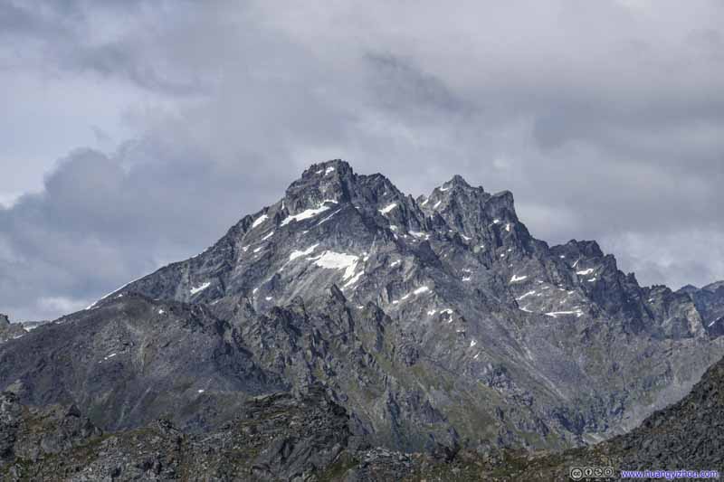
Didikama (1834m)
Higher Spire (1858m)
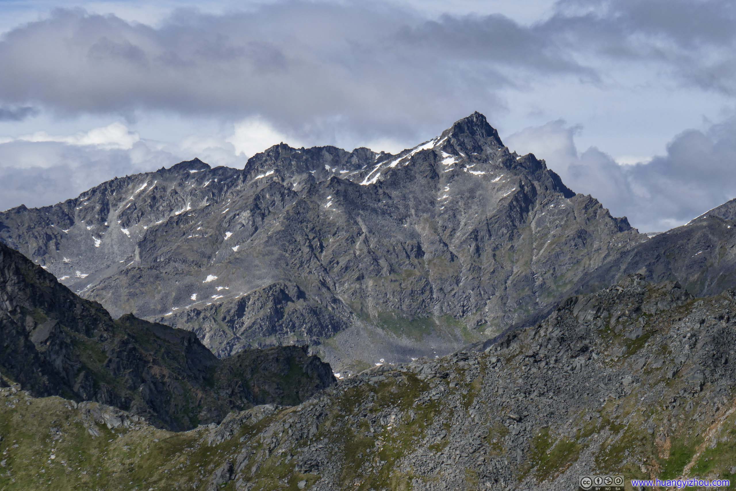
Arkose Peak Granite Peak farther back to the left.
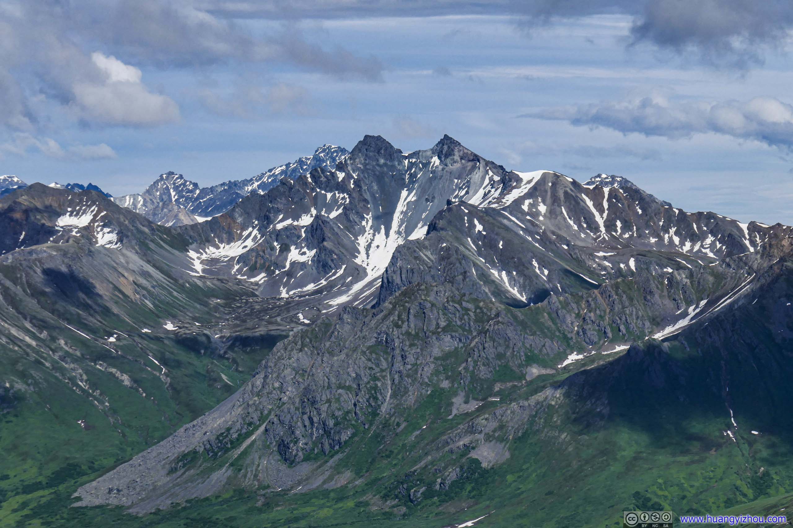
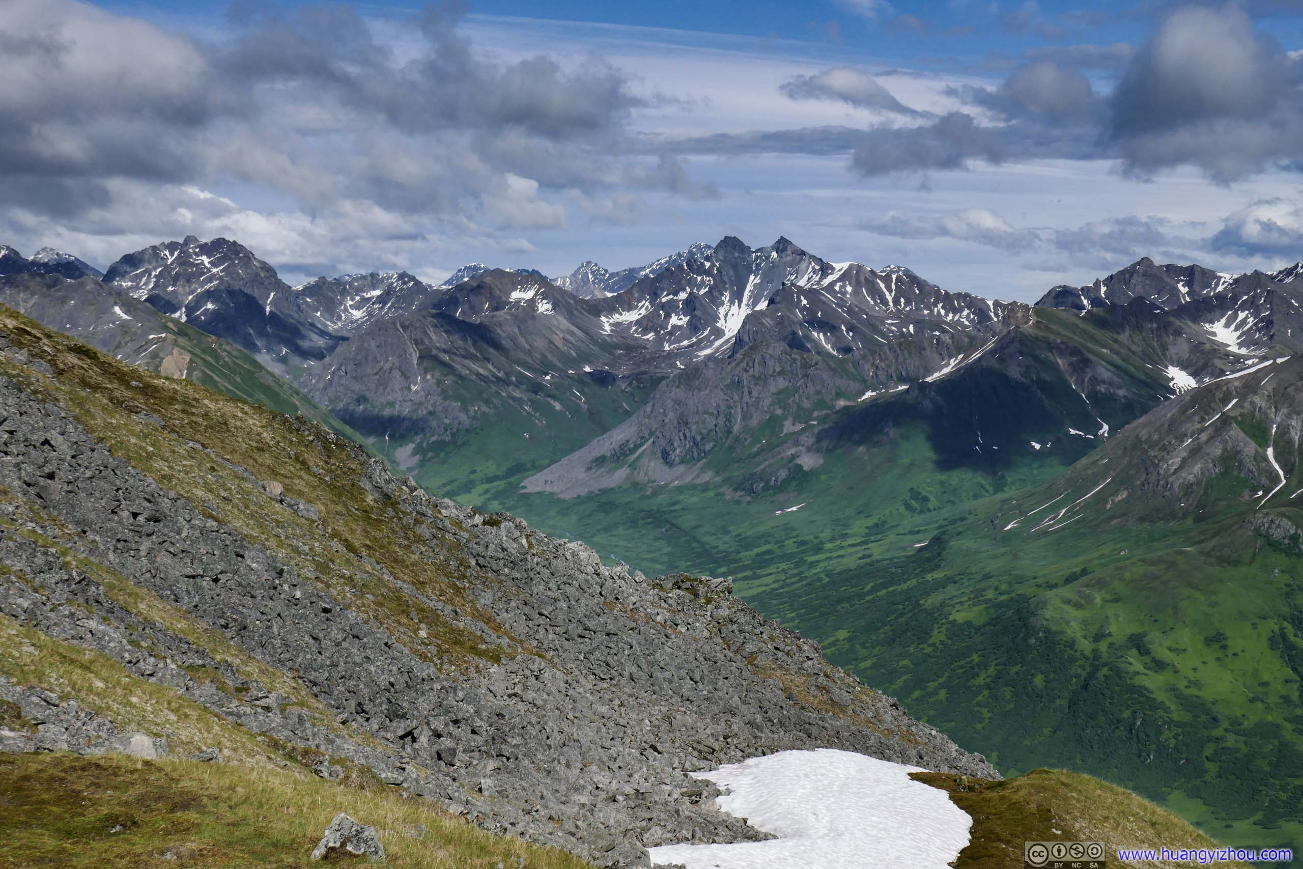
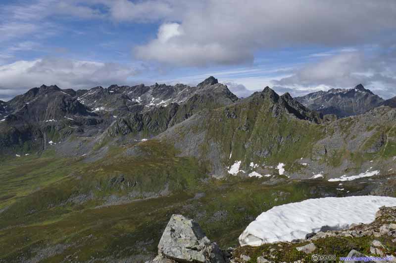
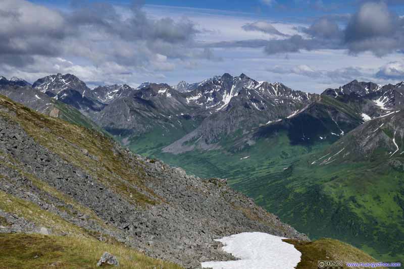
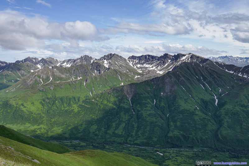
Mountains to the Southeast
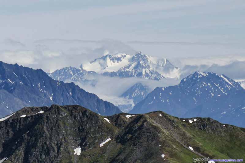
Distant Mount Gilbert (2911m) 85.6km away.
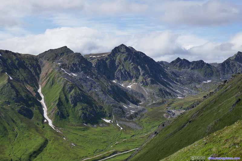
Hatch Peak
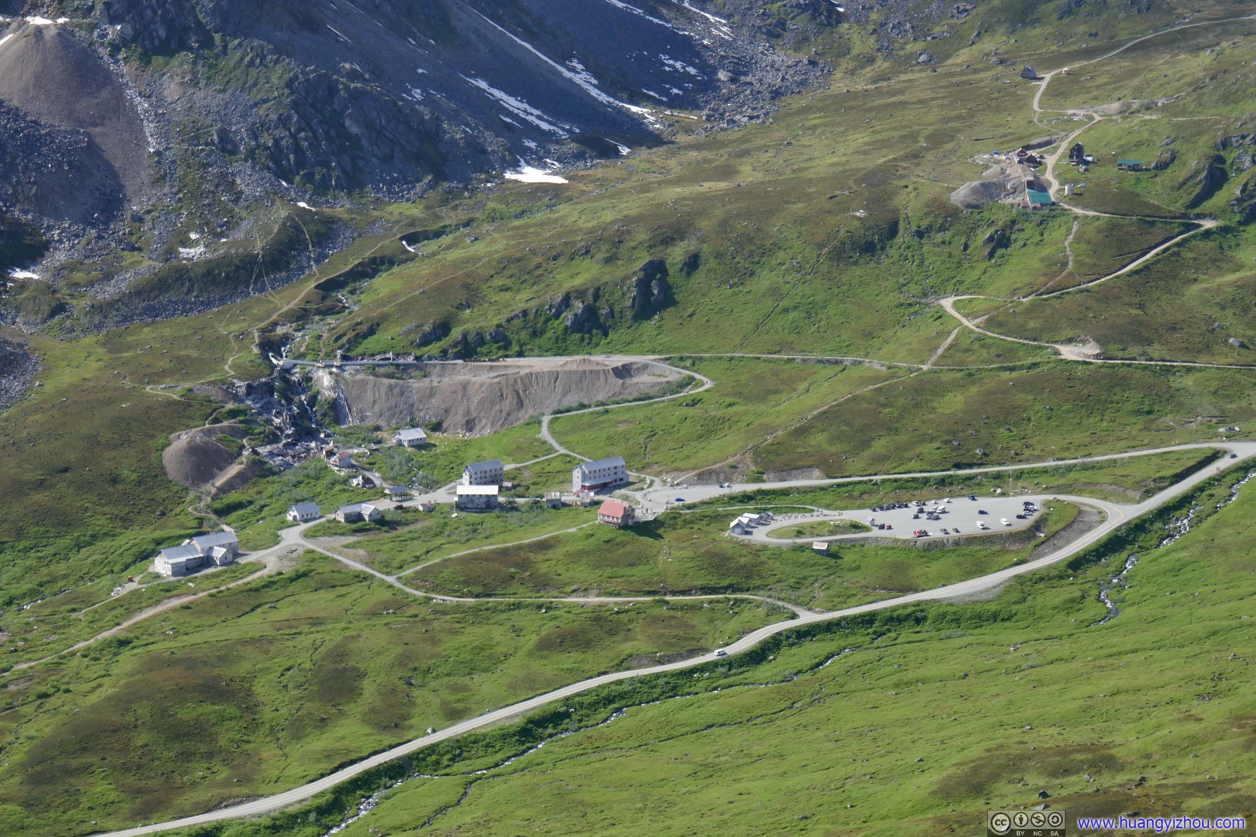
Independence Mine Which I visited last year, once the largest mine in the region.
Hatcher Pass Which I made a brief visit after Independence Mine last year.
Hatcher Pass
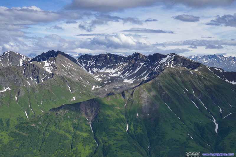
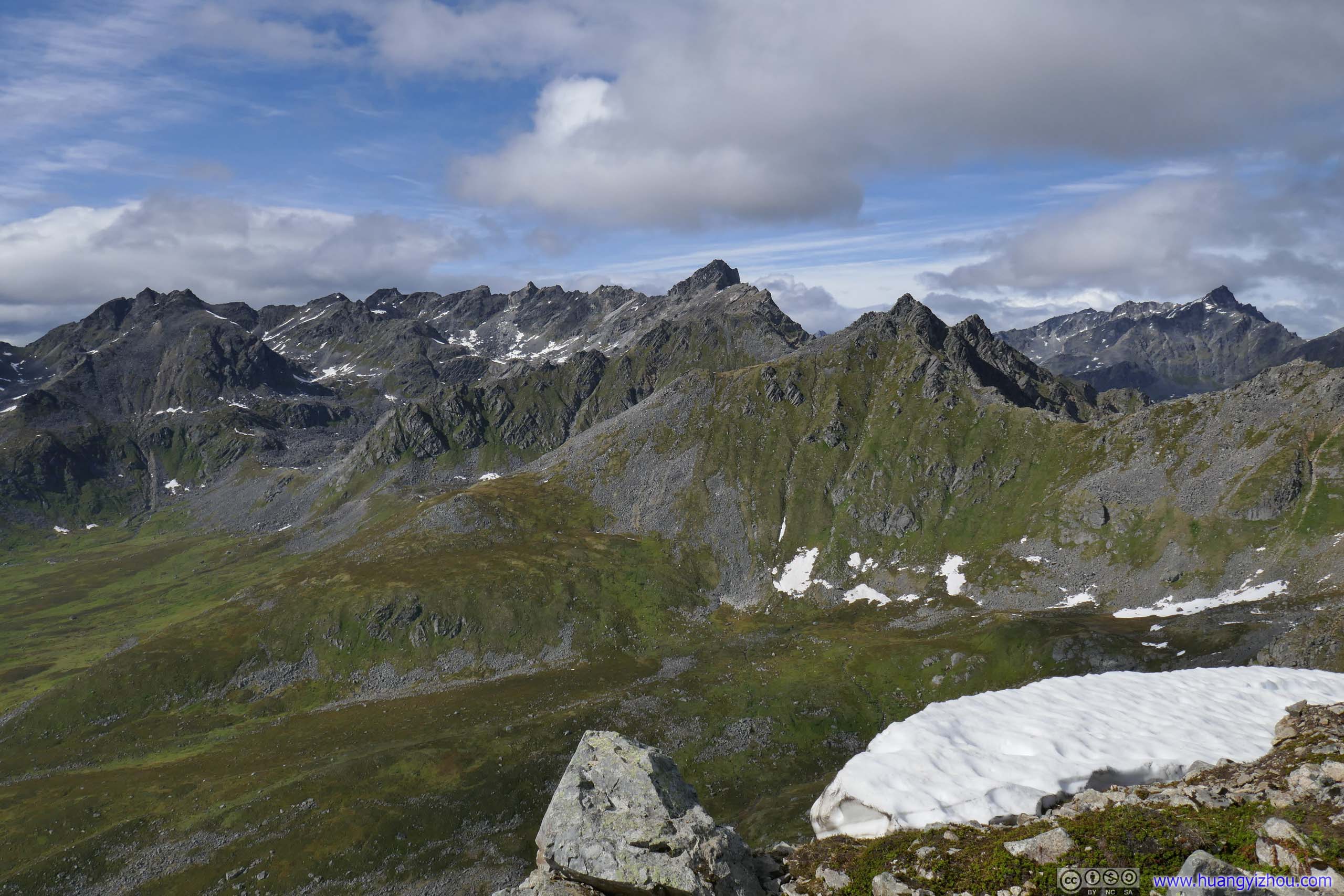
Then there were these more generic mountain chains.
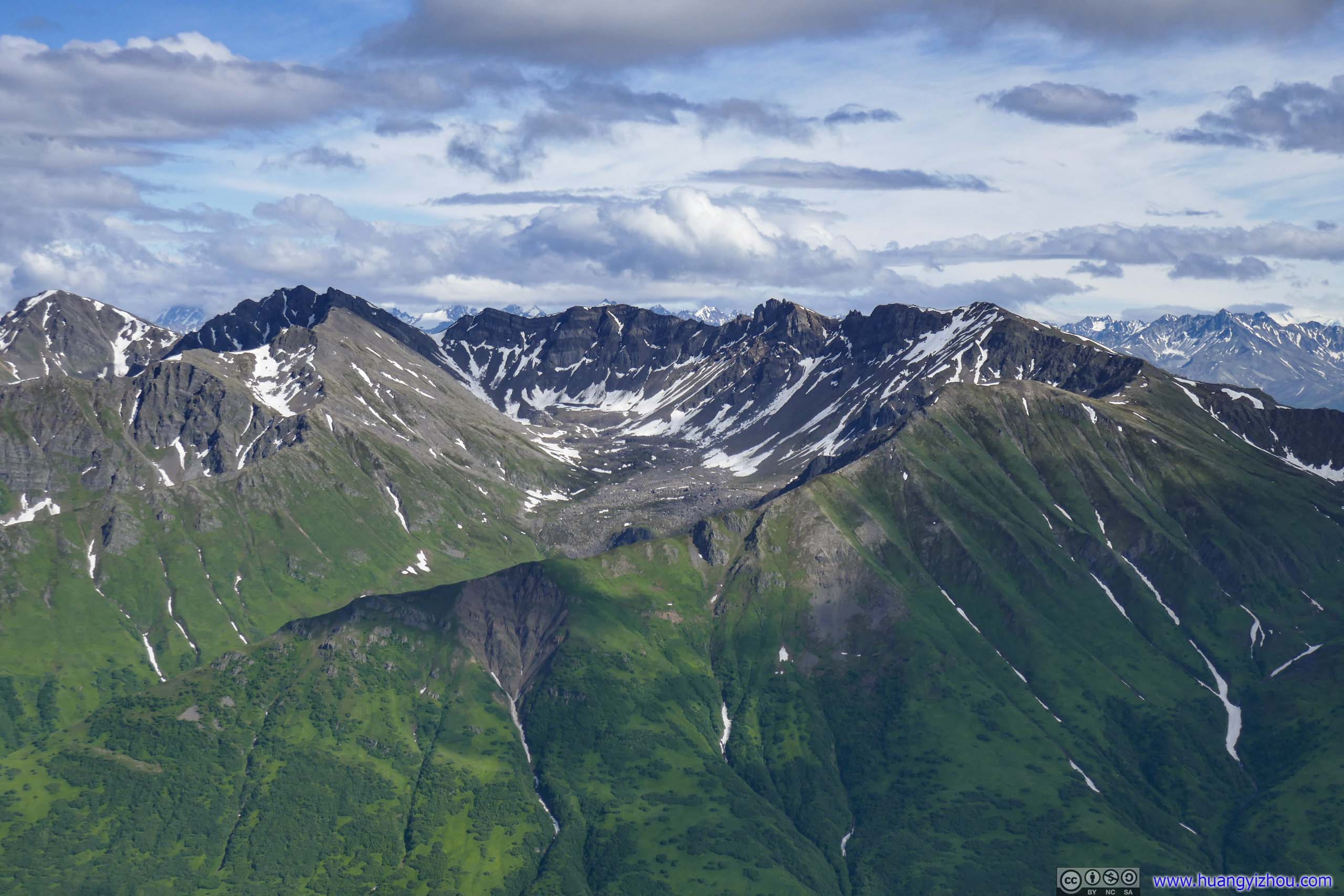
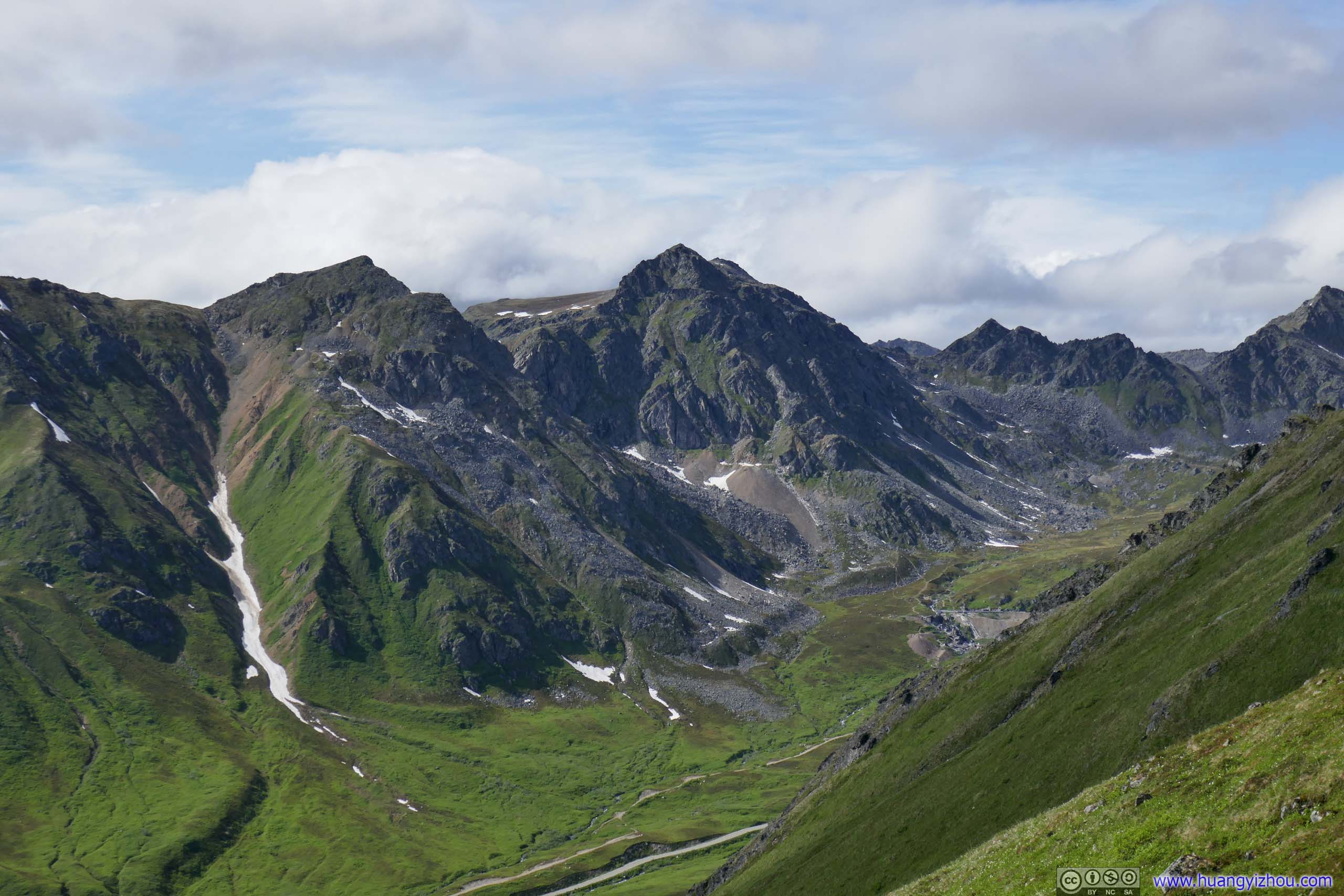
Mountains to the North Various mountains surrounding Independence Mine.
Mountains to the North Various mountains surrounding Independence Mine.
Mountains to the West
Mountains to the East
Mountains to the Southeast
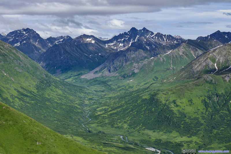
Little Susitna River in Valley
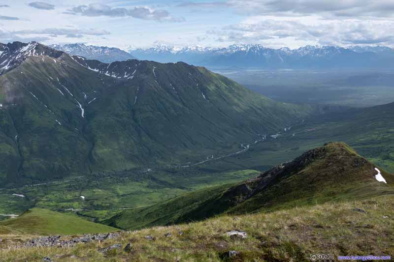
Valley to the South
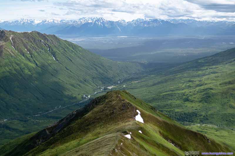
Which Little Susitna River flowed through. The hill/lookout that I passed through earlier was in the foreground, with a front-seat view of the valley to the south and distant snowy mountains across Knik Arm.
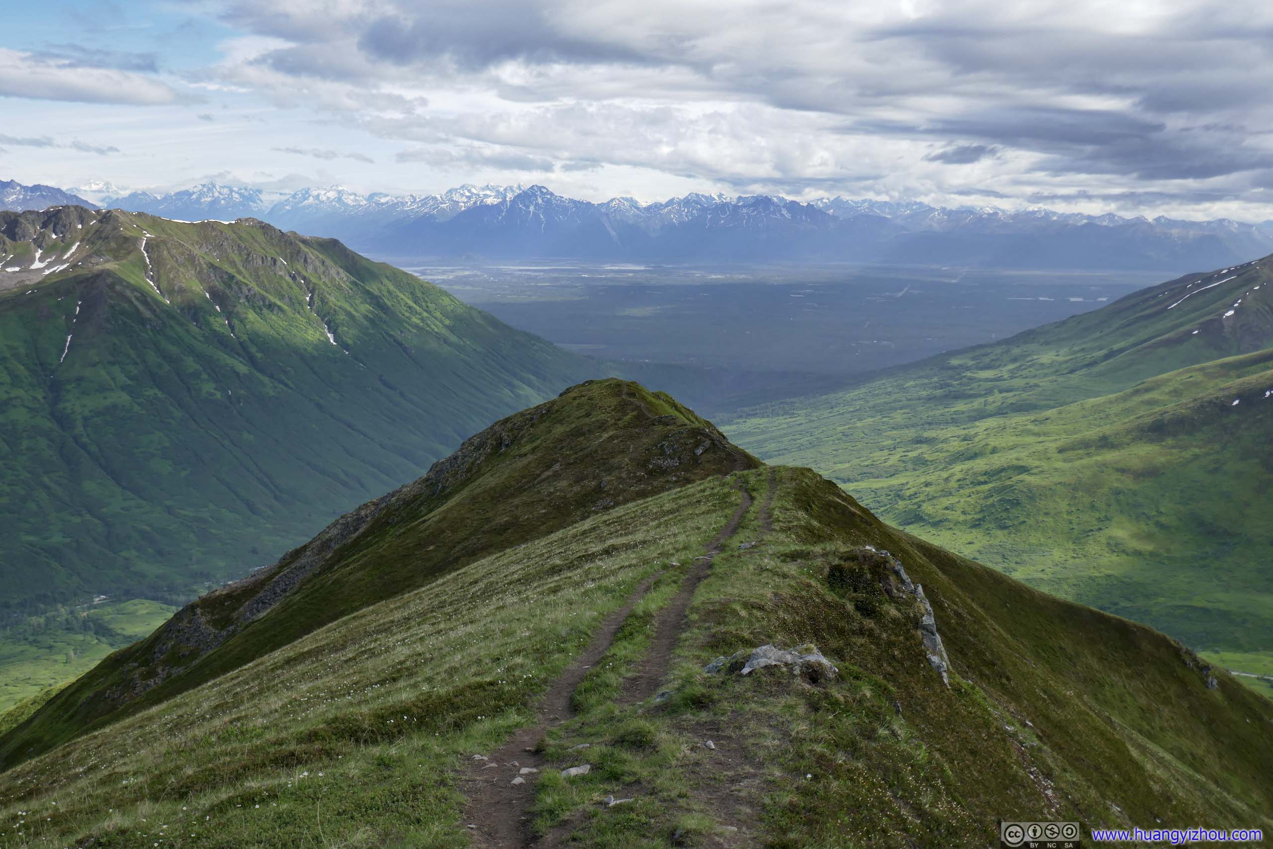
Ridge Trail After the first overlook/hill, the trail followed a ridge and dialed down intensity.
In line with my tradition, I commemorate summitting Marmot Mountain with a drone video:
29 seconds, 2x playback speed, 2160p60fps, 15Mbps/54MB for H265, 16.5Mbps/60MB for H264.
Marmot Mountain and Surrounding Mountains
Wind was pretty strong today so I wasn’t in the best shape on top of the mountain. While I’d like to enjoy the sceneries more, I started to feel uncomfortable with my noses so I started my descent.
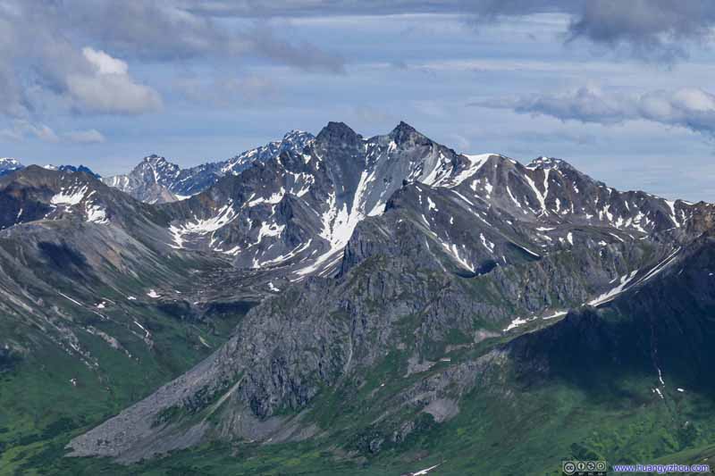
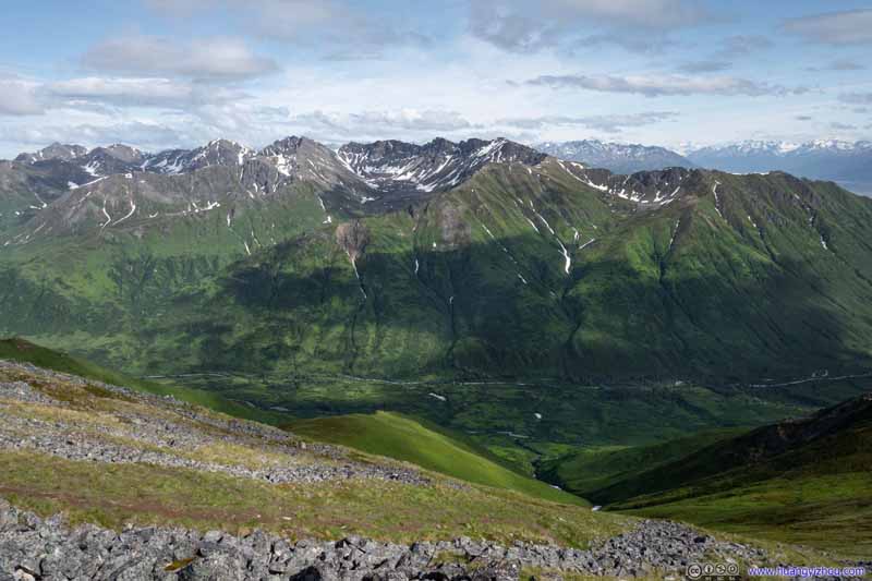
Mountains to the Southeast I couldn't find the name for this ridge.
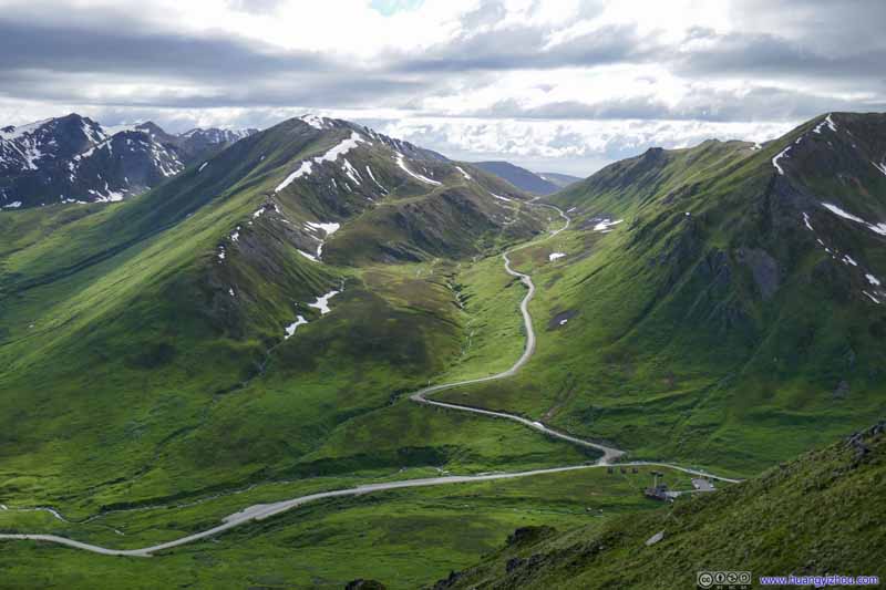
Upper Little Susitna River in Valley
Mountains
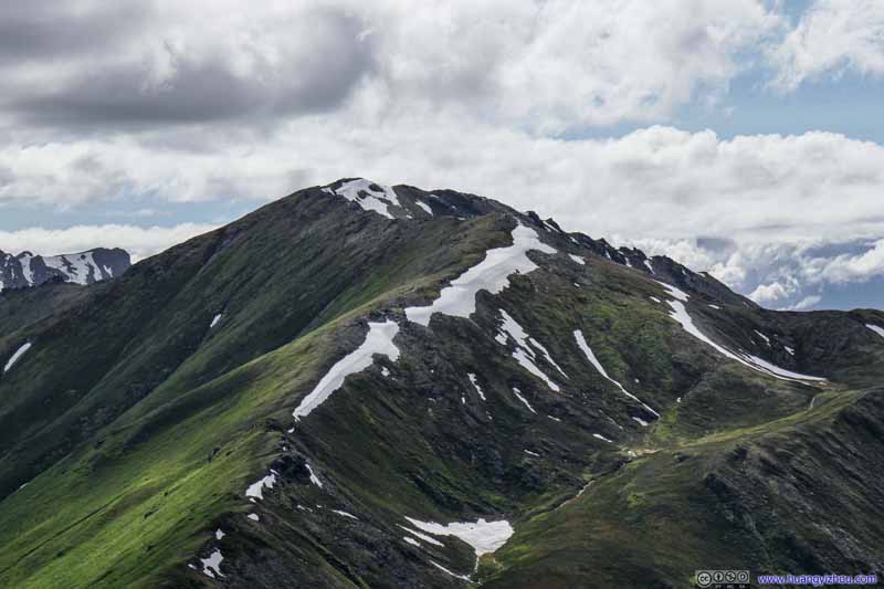
Mountains to the Northwest
Hatch Peak
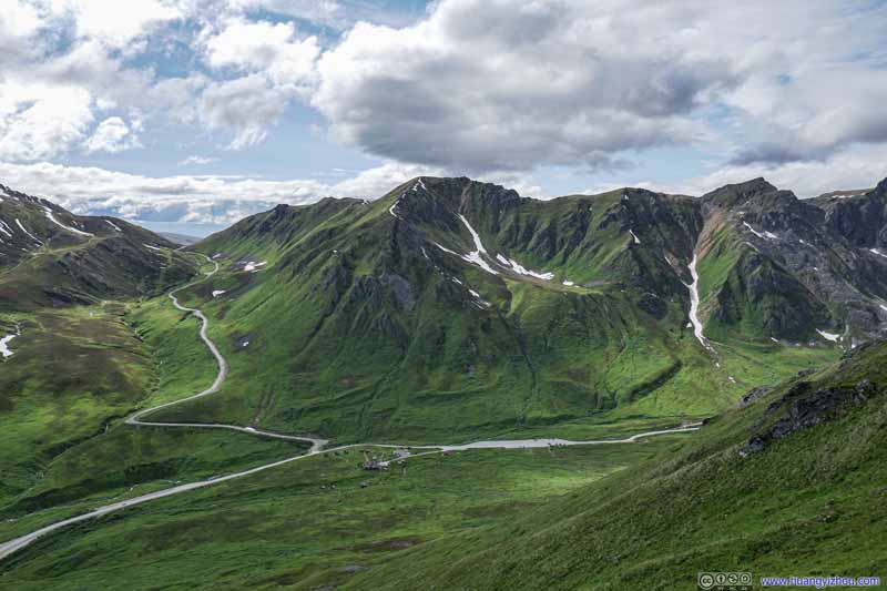
Hatcher Pass
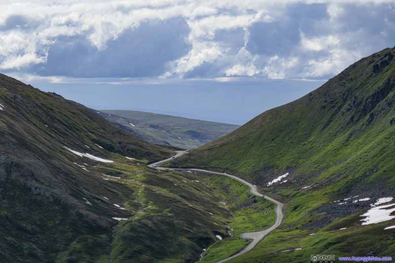
Road to Hatcher Pass
Road to Hatcher Pass
Mountains to the Southwest
During descent I ran into a lady with her dog, the first hiker that I greeted for the day. It’s in the ridge part so they had the steepest section behind them, but somehow they turned back soon after greeting me without making it to the top. What a pity.
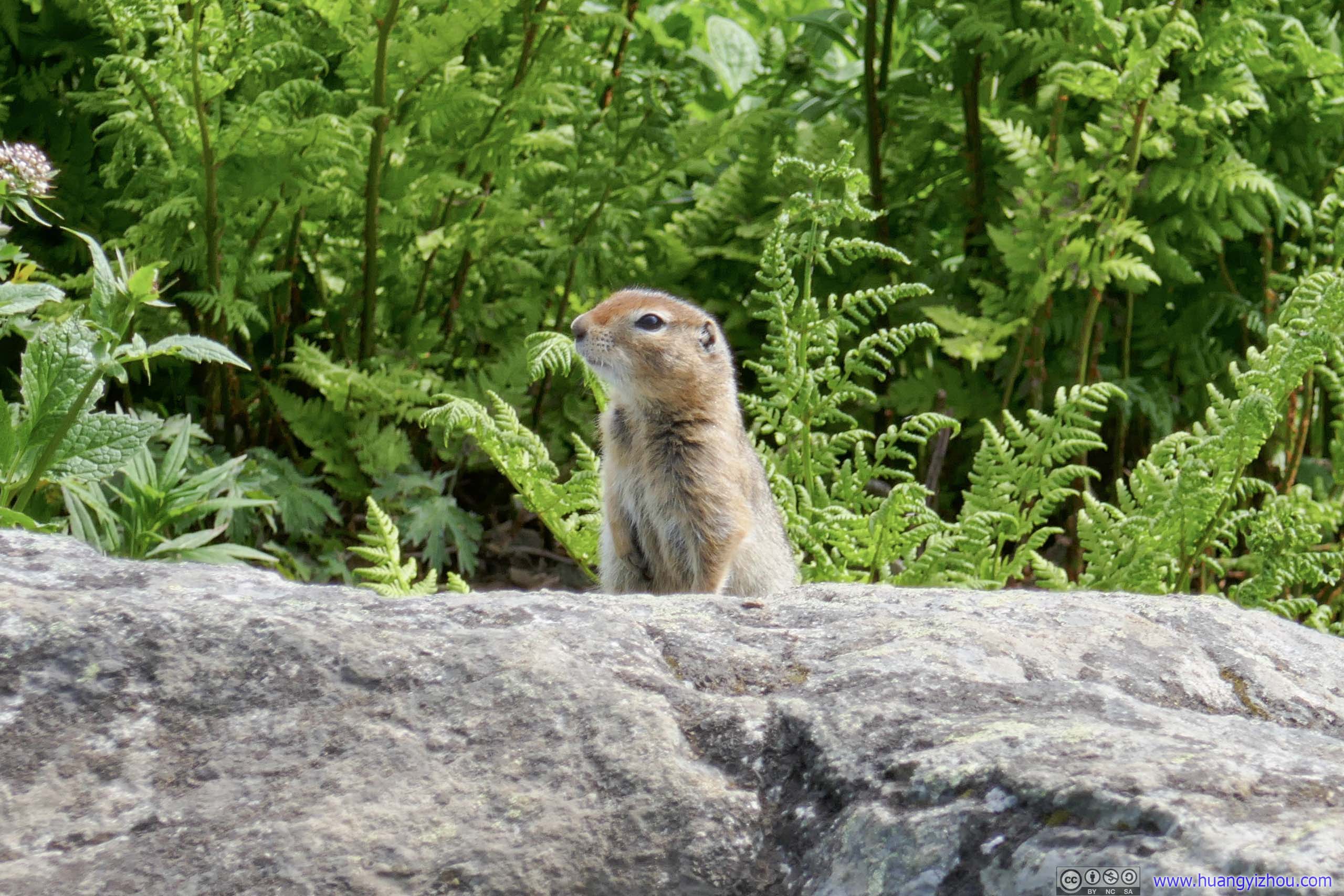
Marmot It’s interesting that I ran into a marmot on the trail to “Marmot Mountain”.
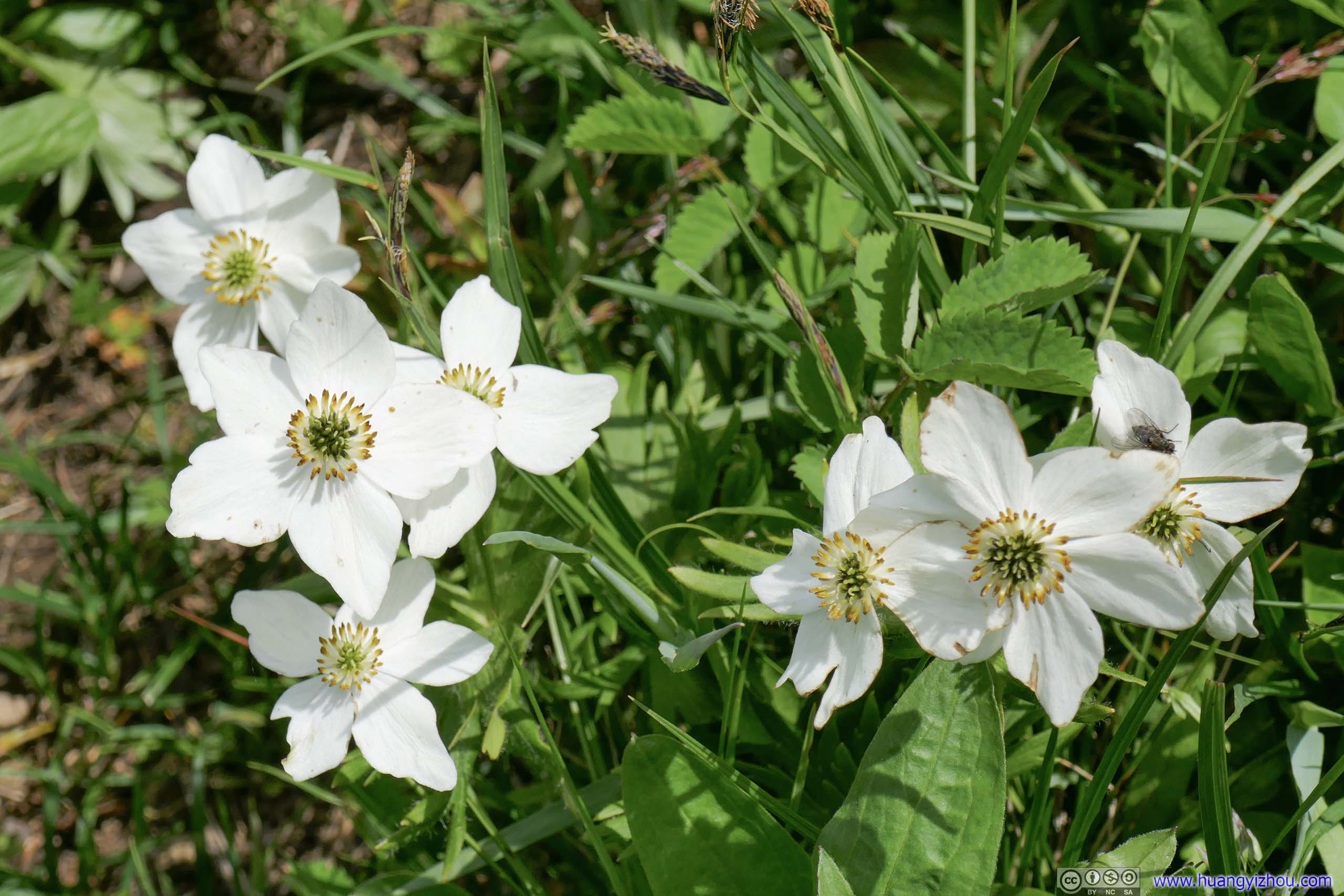
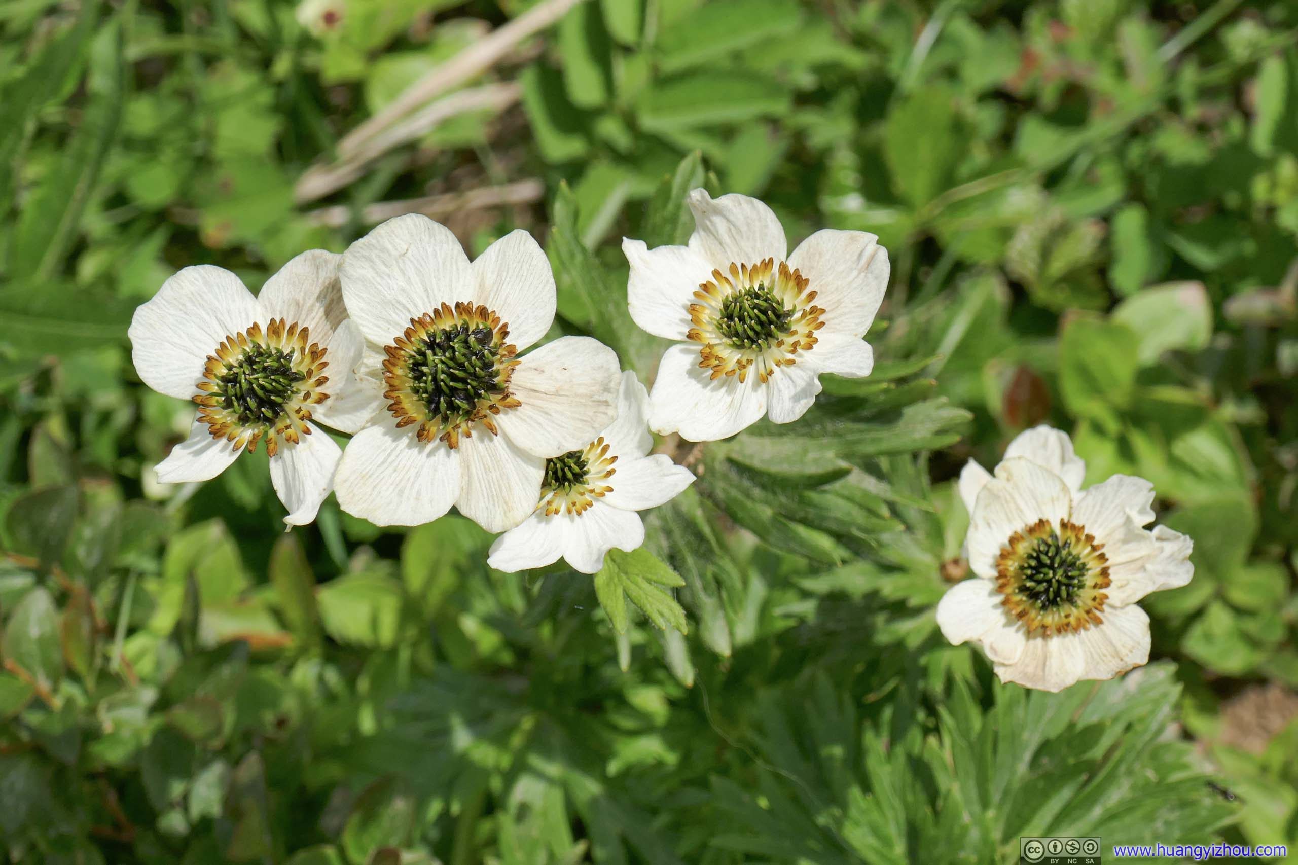
Occasionally I ran into a few bugs today. But with my long sleeves they didn’t seem to bother me. I probably had to thank the strong winds for that.
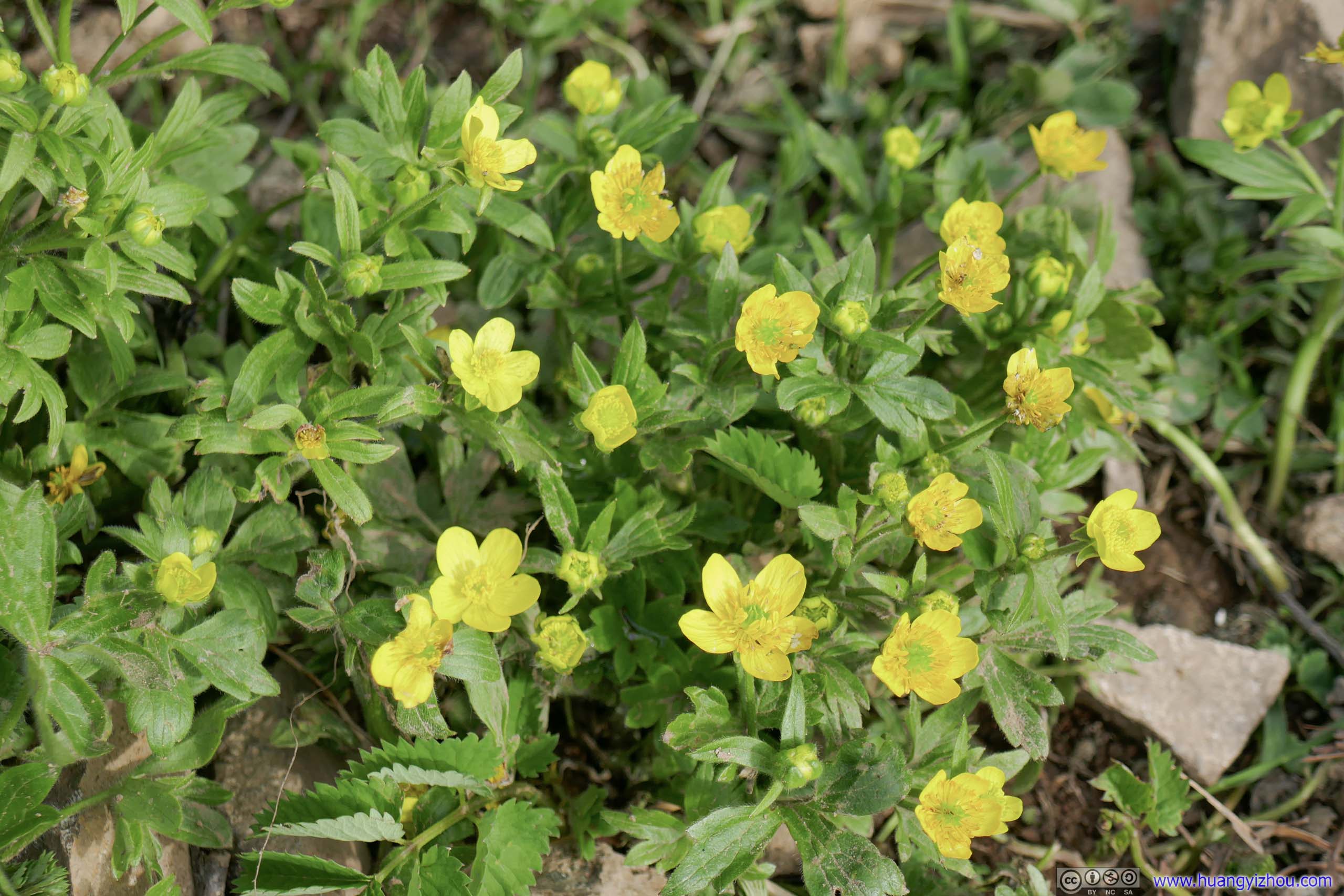
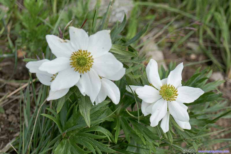
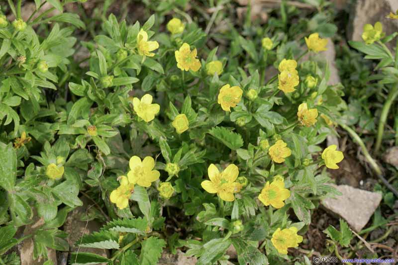
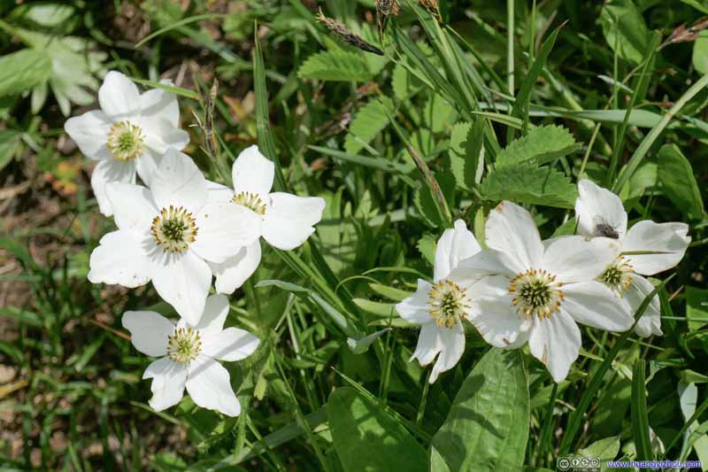
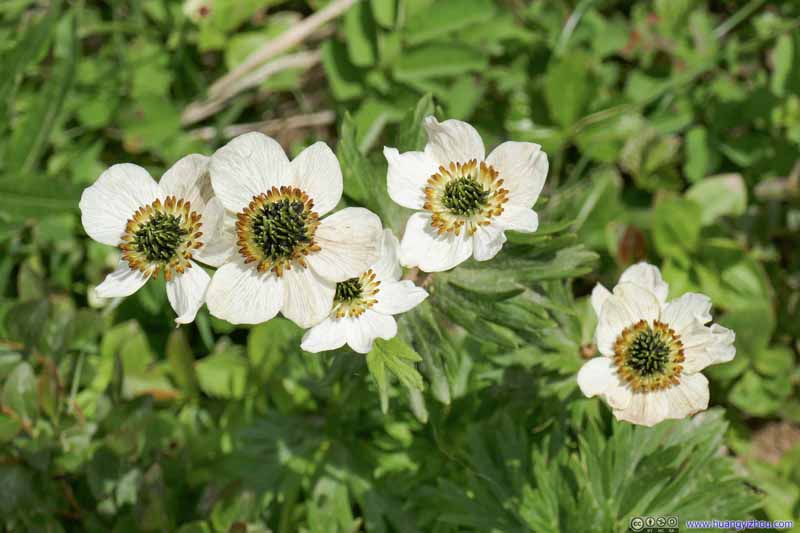
Flowers
Flowers
Flowers A bug in the right.
Flowers
Finally, just before 7pm, I made it back to the trailhead parking lot.
There were a few turnouts along Fishhook-Willow Road, some with decent views of the valley to the south. Since there was still daylight left, I stopped at one of them and snatched a few photos.
Valley Little Susitna River flows through this valley.
Distant Mountains Across Knik Arm.
Mountains
Mountains
Mountains
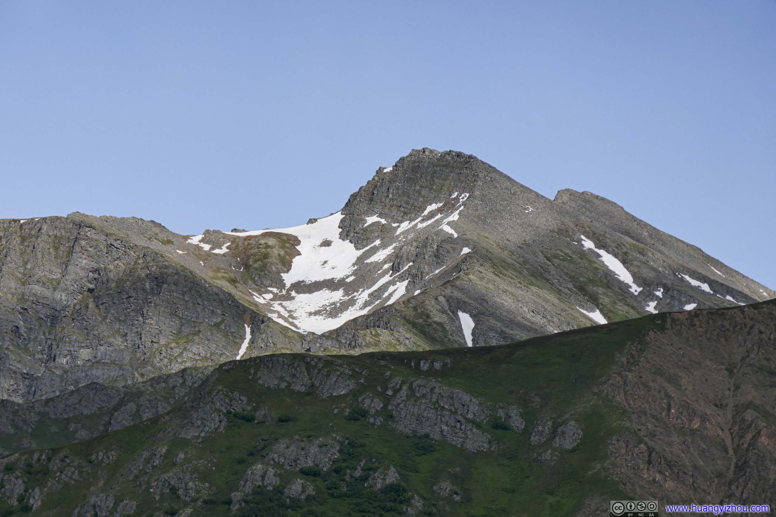
Arkose Peak
Mountains
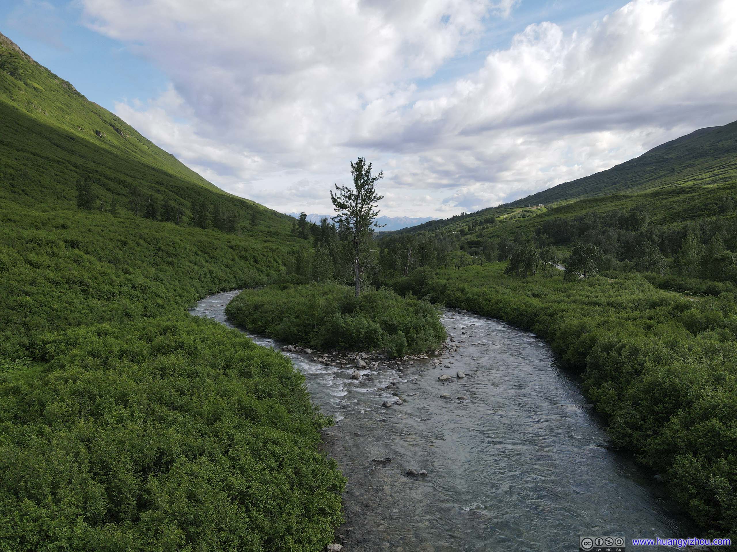
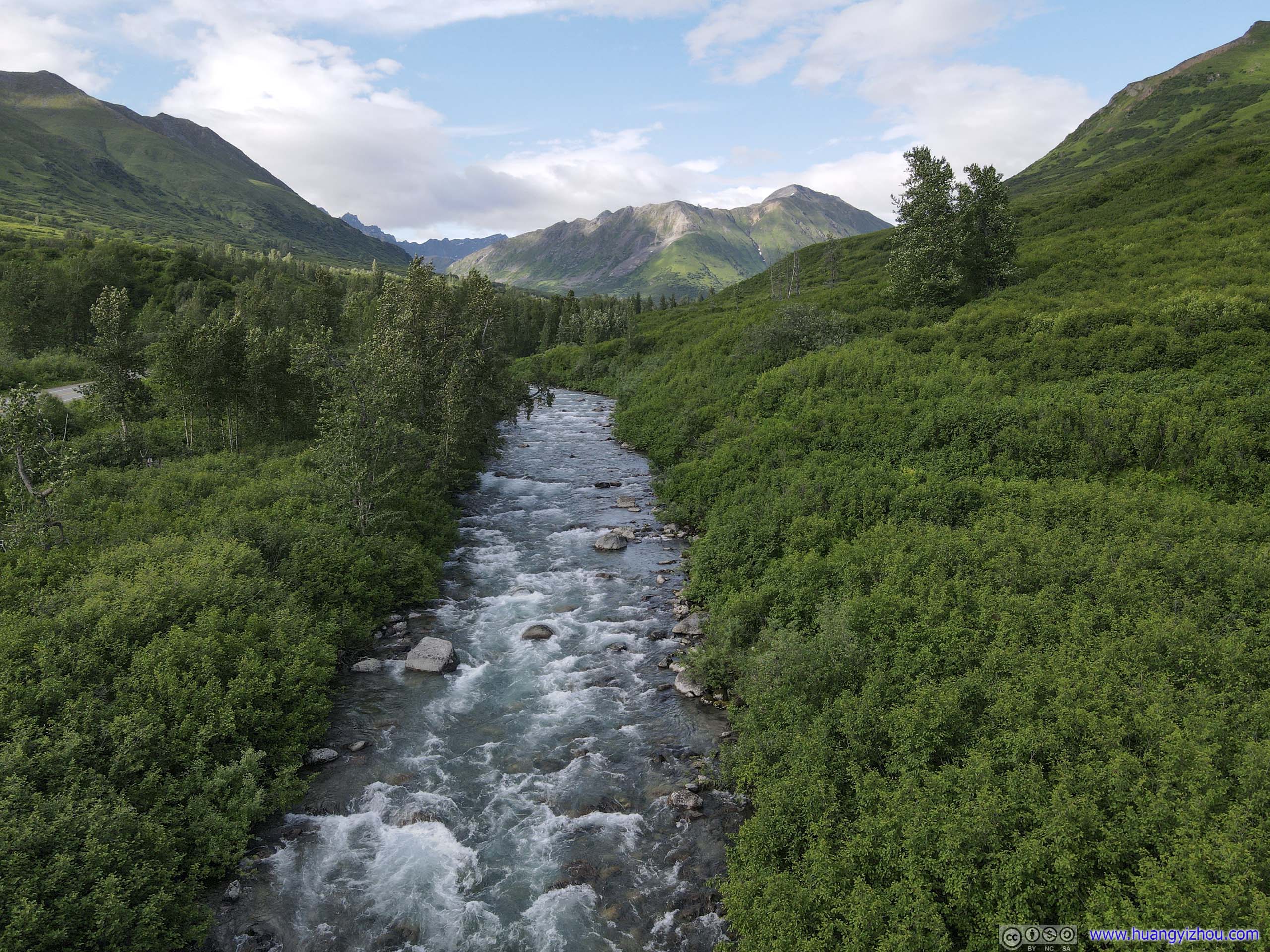
But more importantly, those turnouts were great places for me to launch my drone for an aerial tour of Little Susitna River and the valley that it flowed through. And I did just that.
Little Susitna RiverView over Little Susitna RiverValley and Country Road