Hiking Tibbet Rock and Big Schloss in George Washington National Forest
I had some great memories with autumn colors around Fort Valley for the previous two years. So this time in mid-October 2021, I decided to head a bit west towards Wolf Gap, on the boundary of Virginia and West Virginia, and hike two popular trails in the region, Tibbet Knob and Big Schloss, in peak foliage season.
With nice weather forecast for the day, I thought a hike during this peak foliage season would be a great idea. Within 2 hours of driving from my home, the only place left on my bucket list was Wolf Gap on the boundary between Virginia and West Virginia. From there, a 3.4km one-way trail led north to Big Schloss, an outstanding group of boulders overlooking the surrounding valley with fantastic views. In addition, a 2.3km one-way trail led south to Tibbet Knob, a less spectacular rocky outcrop, nonetheless with some views.
I had some errands to run this morning on my way to Virginia, which meant roadwork in Virginia along I495 caused some slowdown at American Legion Bridge across Potomac River. In addition, I had to take a detour at Strasburg to avoid a crash along I81. These factors combined, I only reached Wolf Gap at 12:30pm.
Wolf Gap Recreation Area featured a campground and a small parking lot. But the area was popular with visitors on autumn weekends, that people used whatever space they could find along the access road as overflow parking, in quantities that were multiple of the official parking lot’s capacity. But luckily, I arrived and pulled into a vacant spot in the actual parking lot.
Tibbet Knob Trail
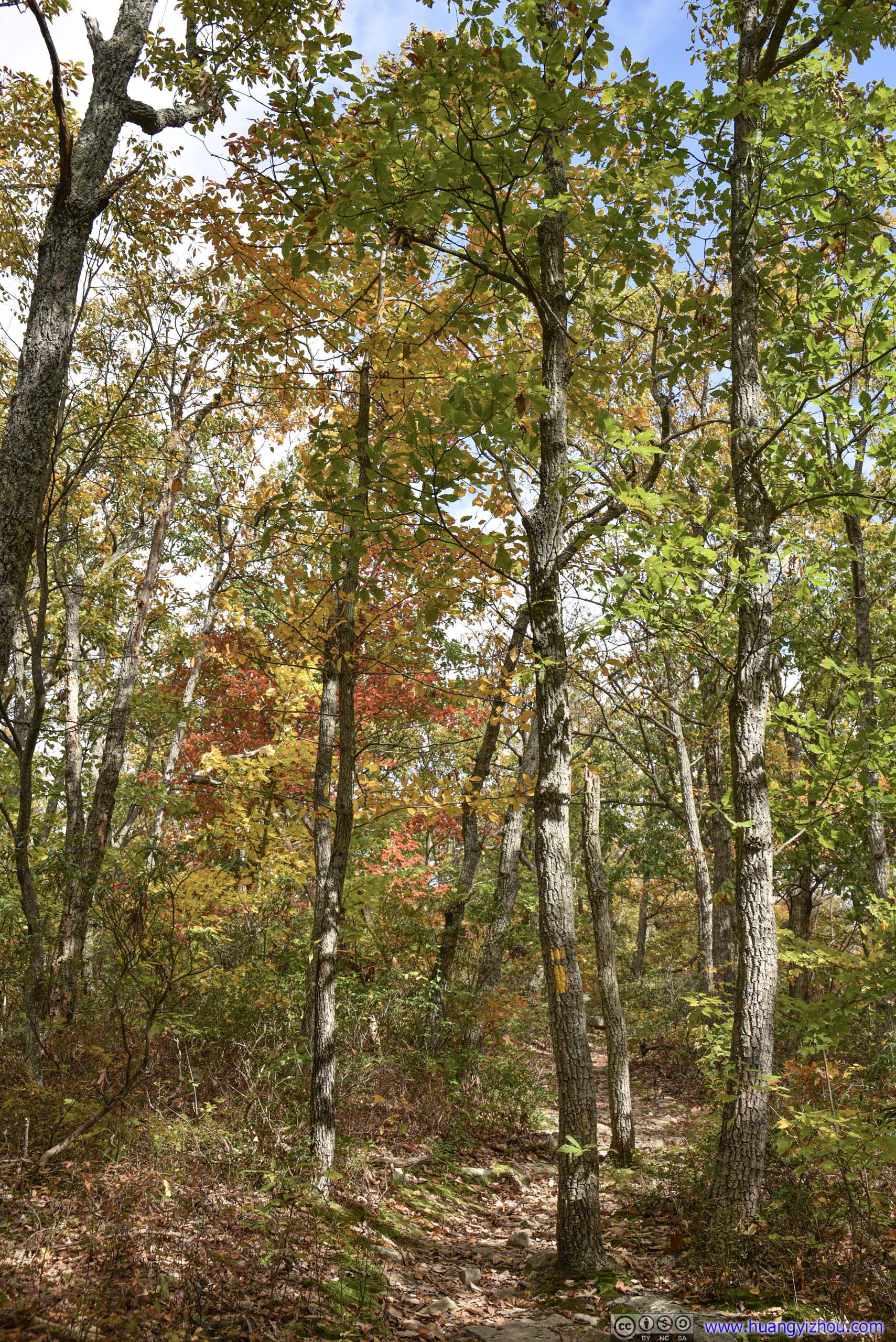
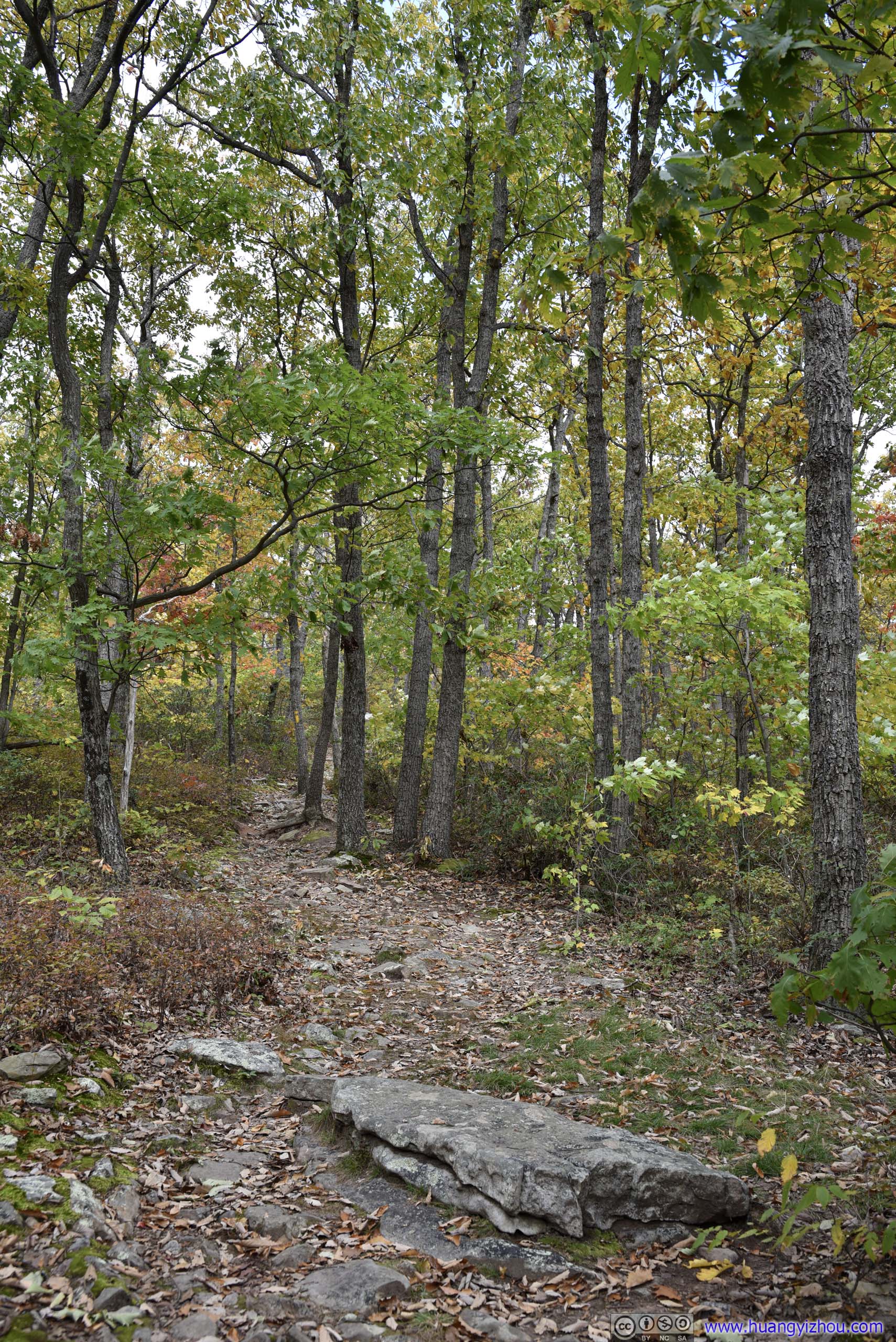
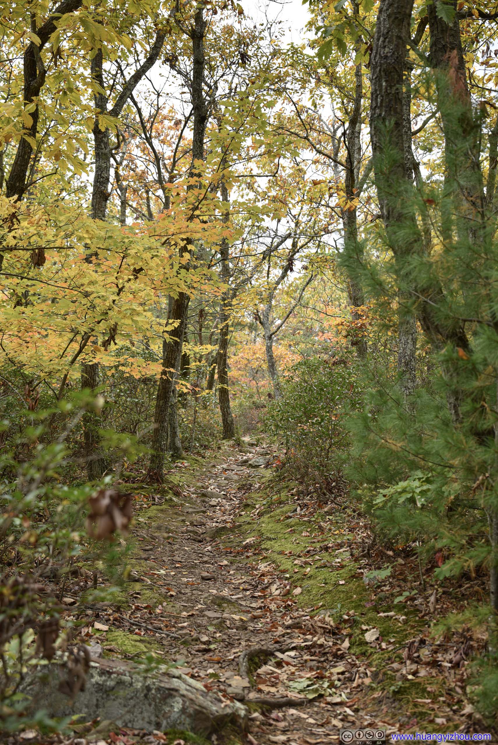
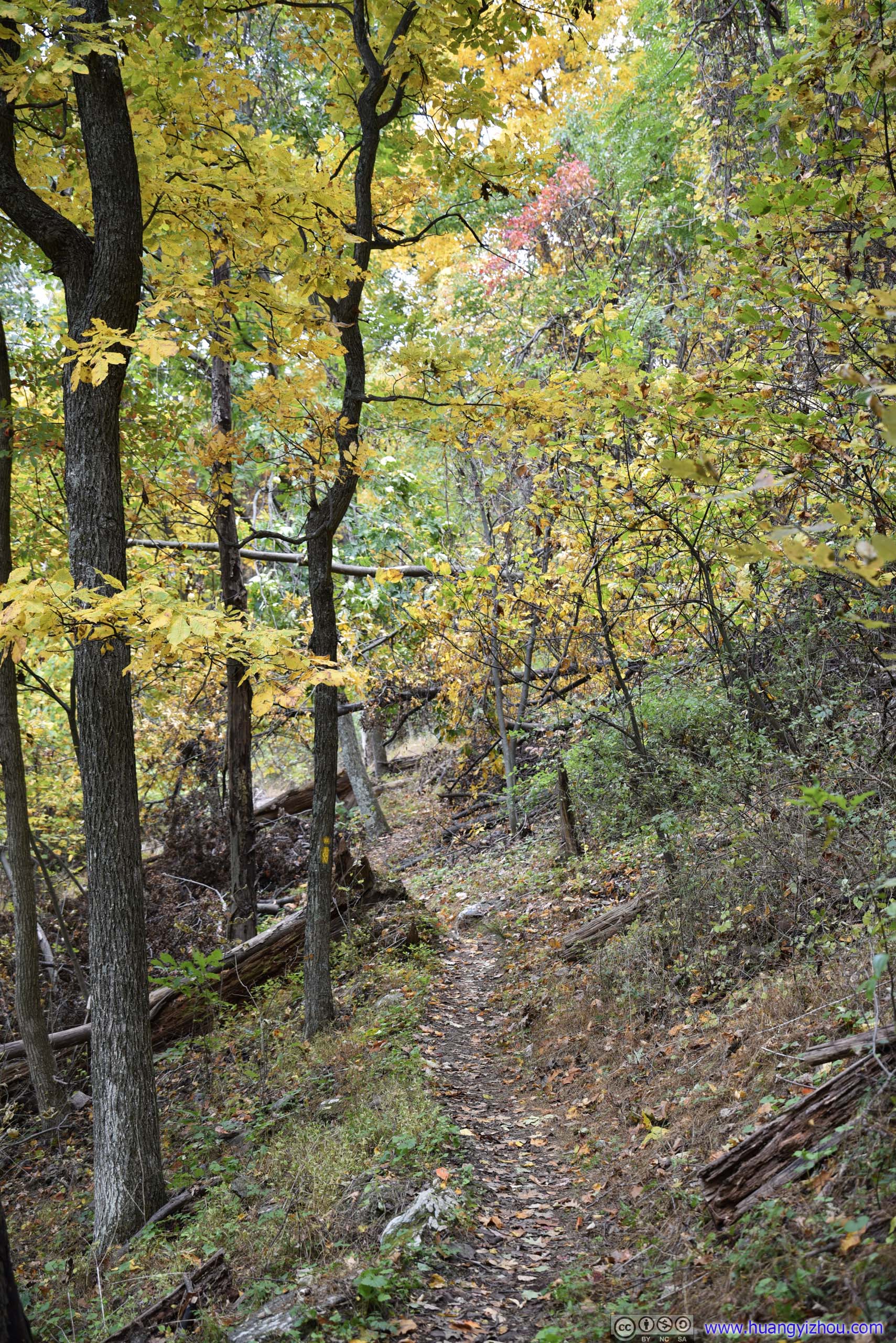
After stretching myself up, I headed onto Tibbet Knob Trail first. Tibbet Knob was also accessible from Virginia State Route 691 / Judge Rye Road, which was shorter in distance and elevation gain, but I wasn’t sure about pavement or parking conditions along that road, so I opted to start from Wolf Gap nonetheless.
Here's GPS tracking for the day:
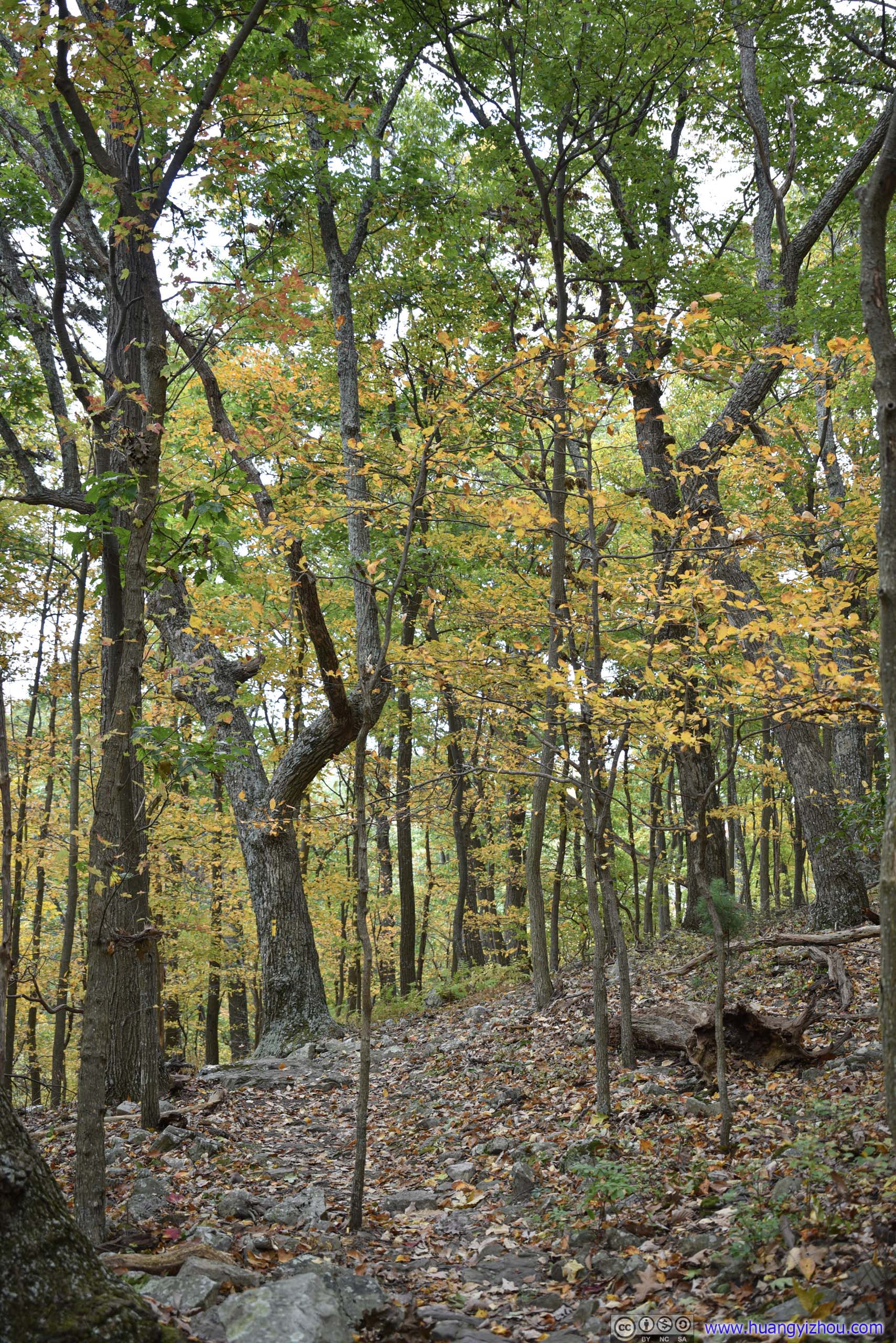
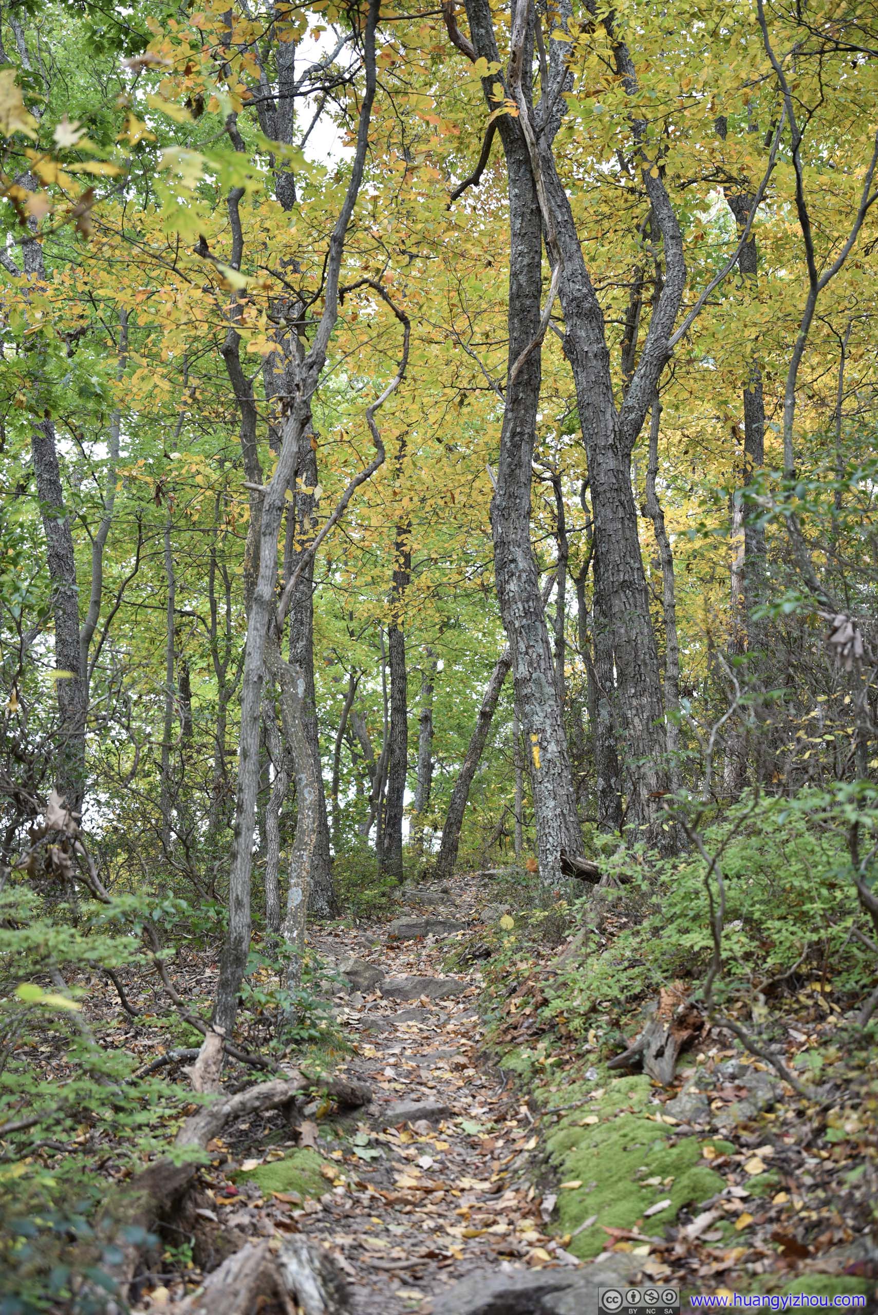
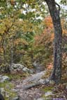
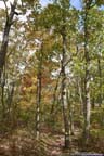
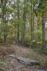
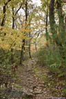
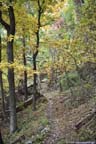
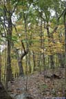
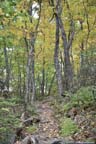
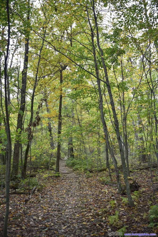
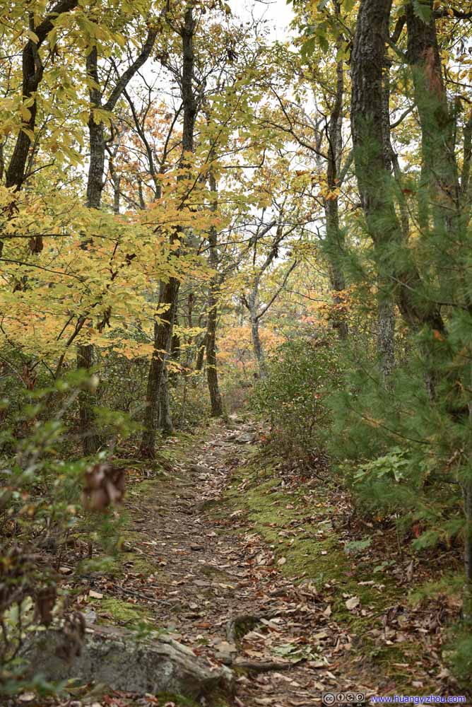
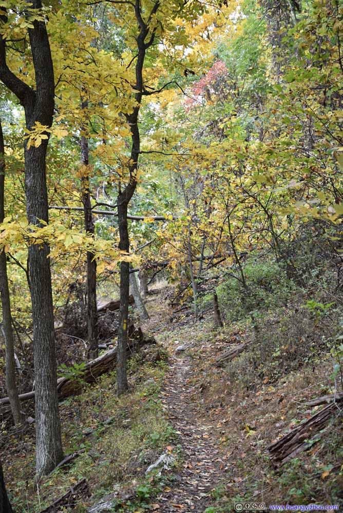
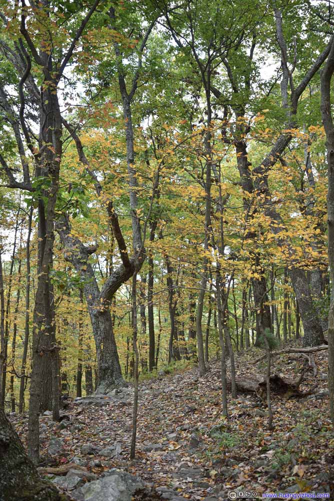
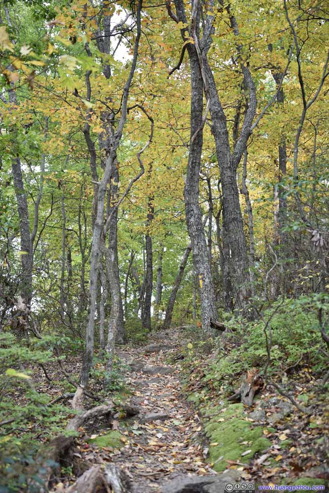
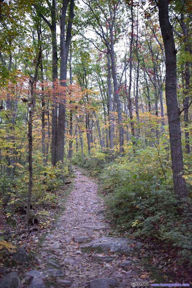
After crossing a few dispersed campsites, I hit the trail.
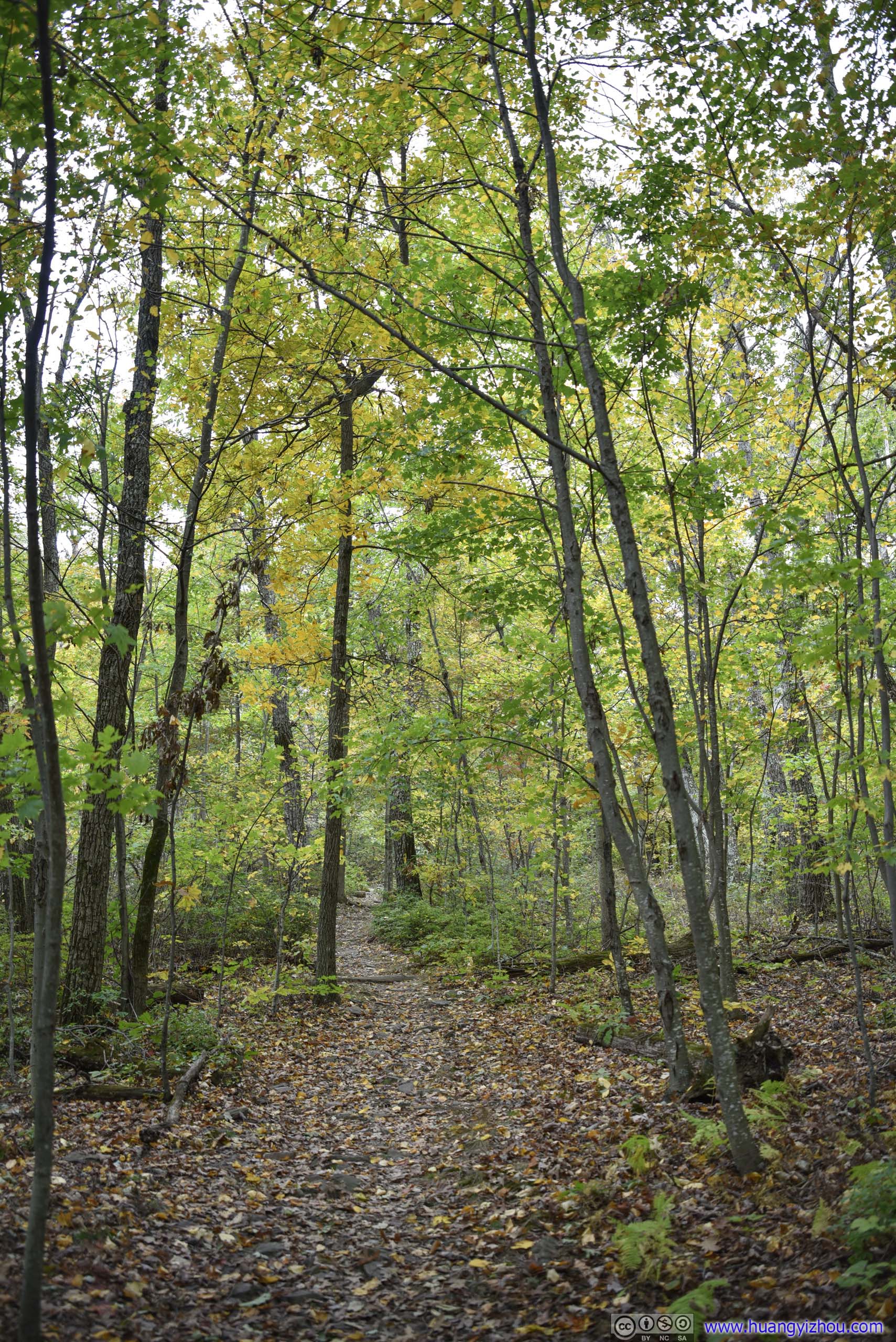
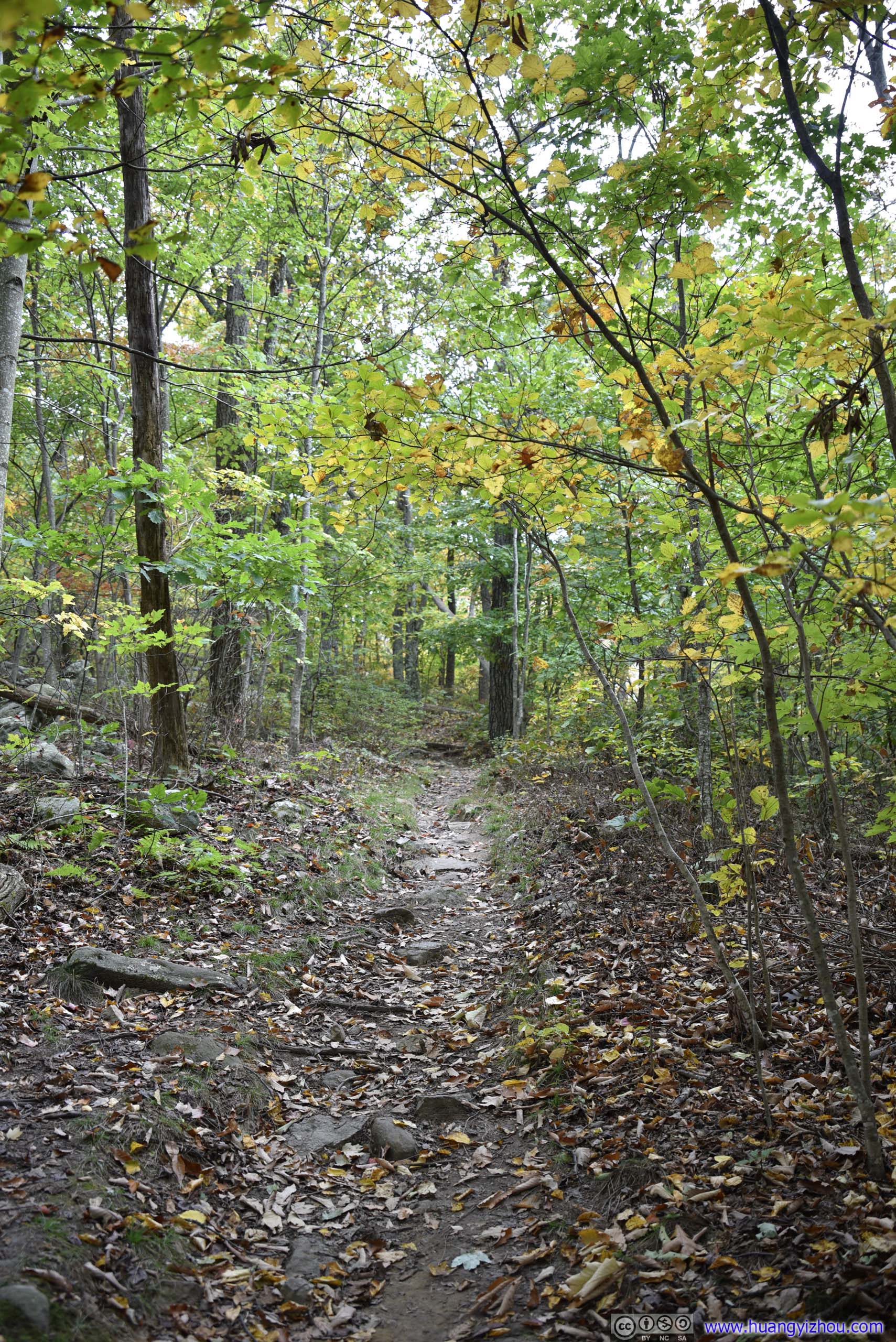
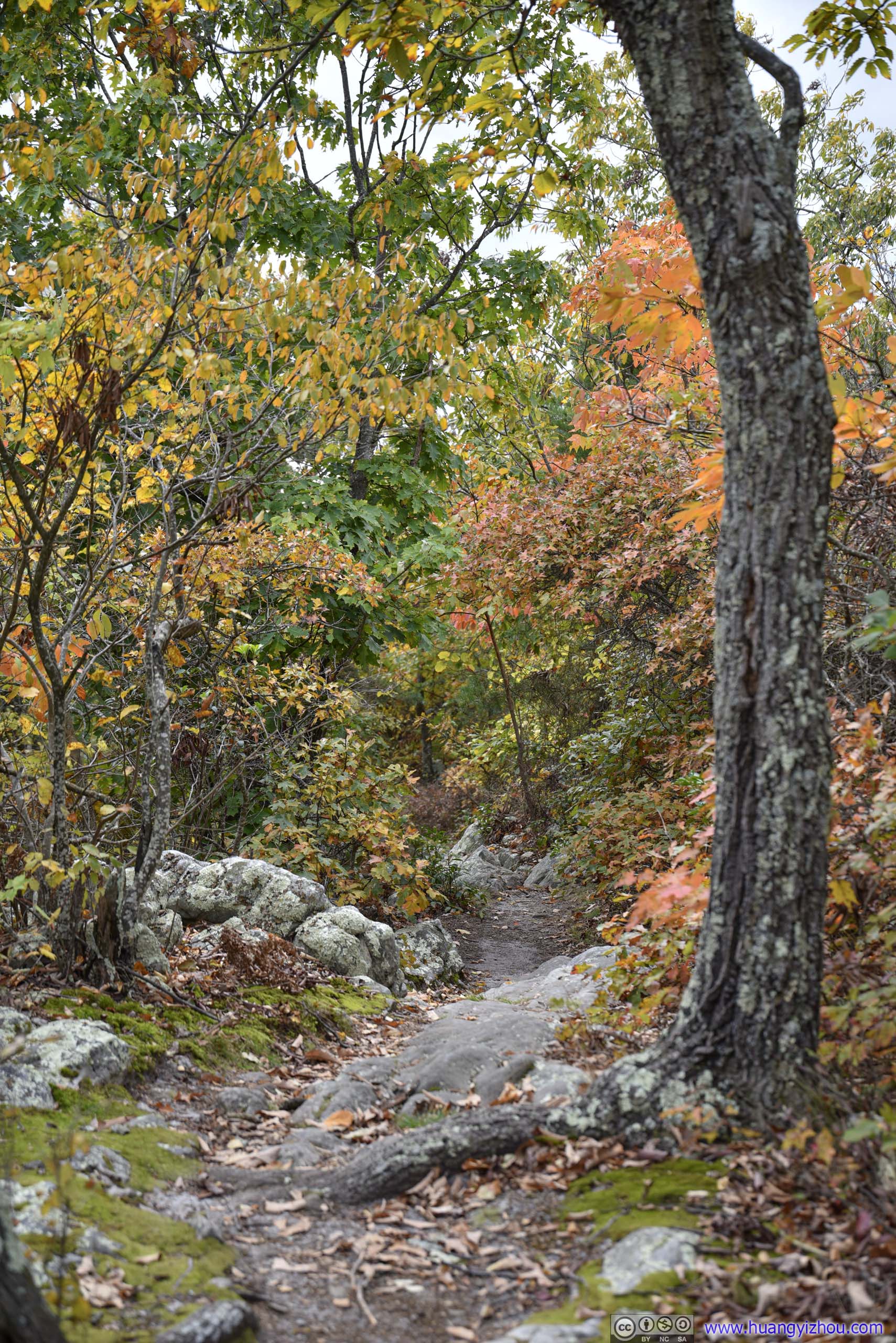
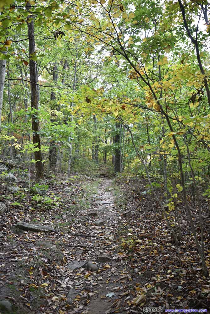
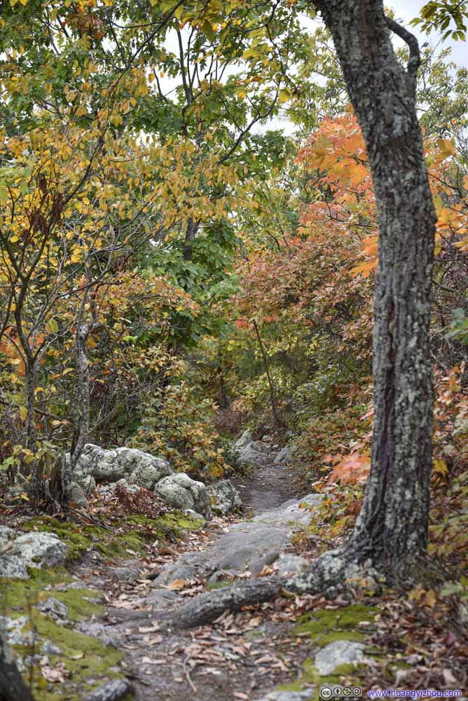
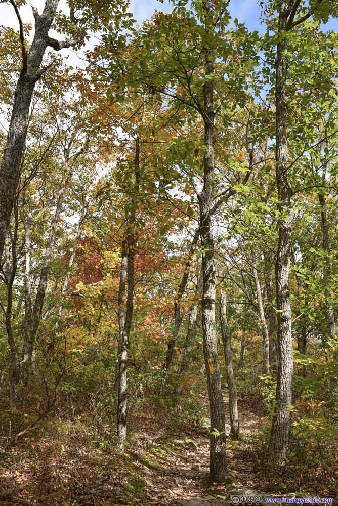
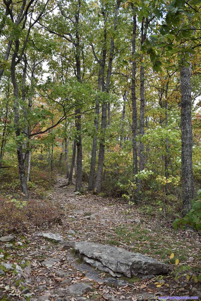
First Overlook
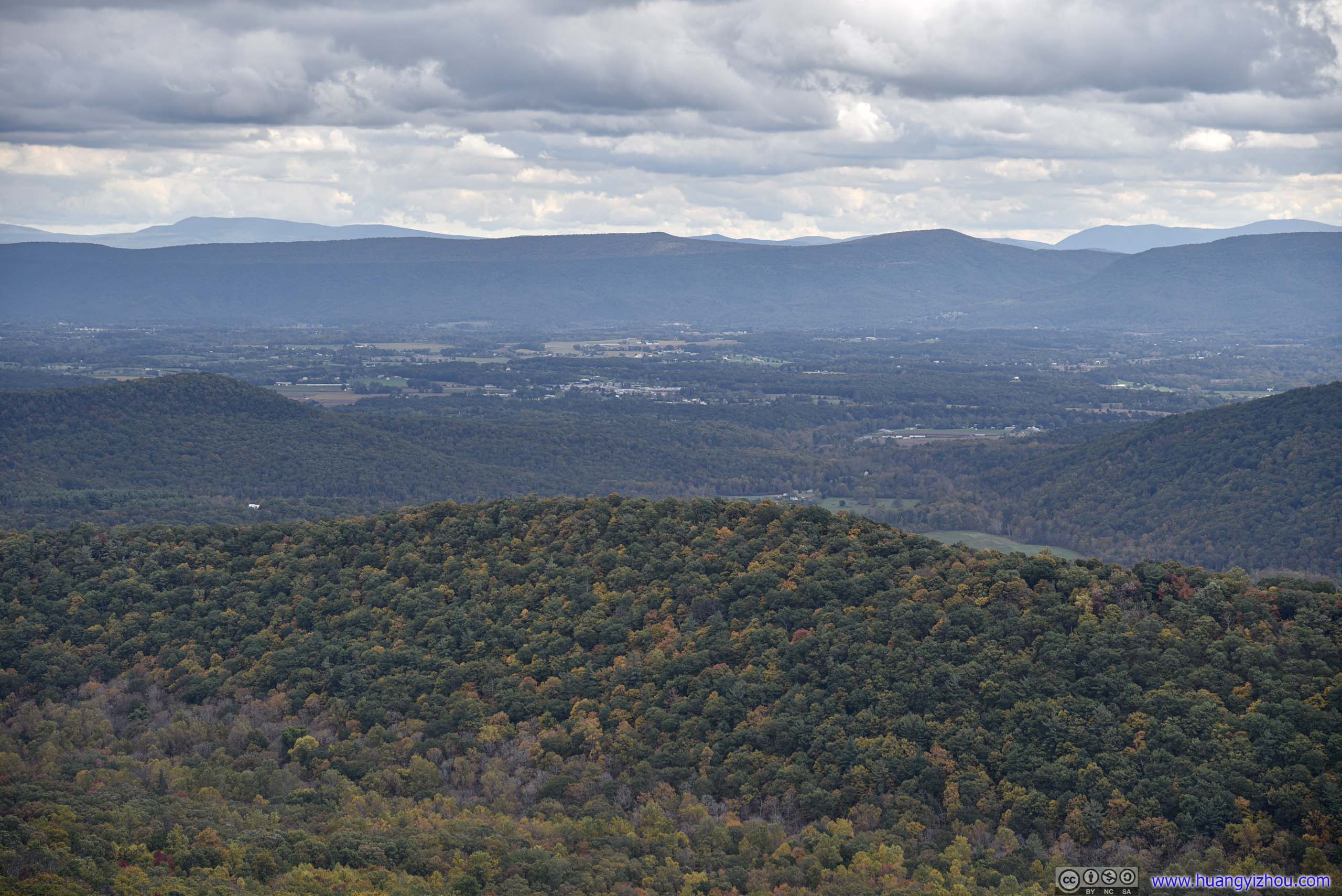
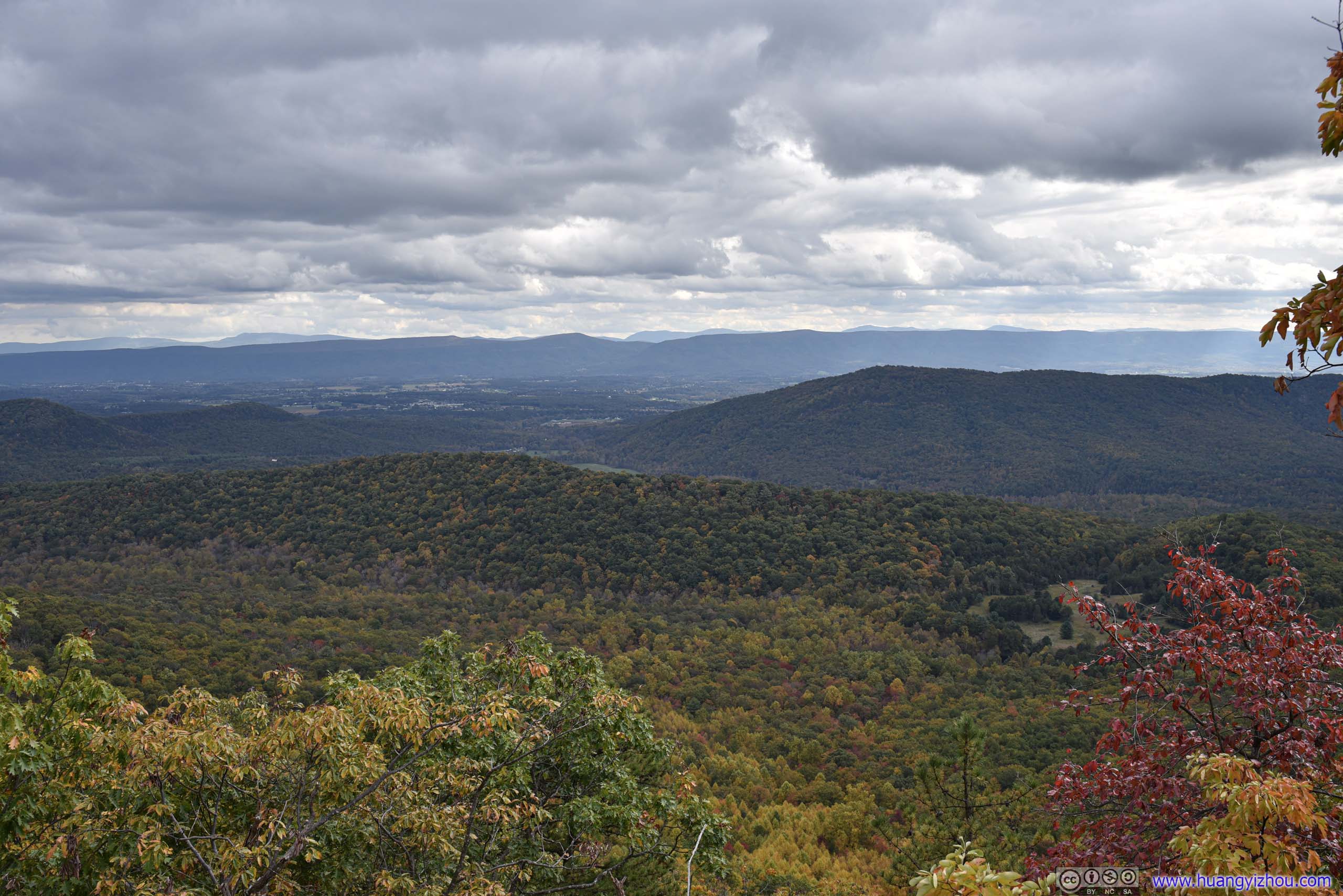
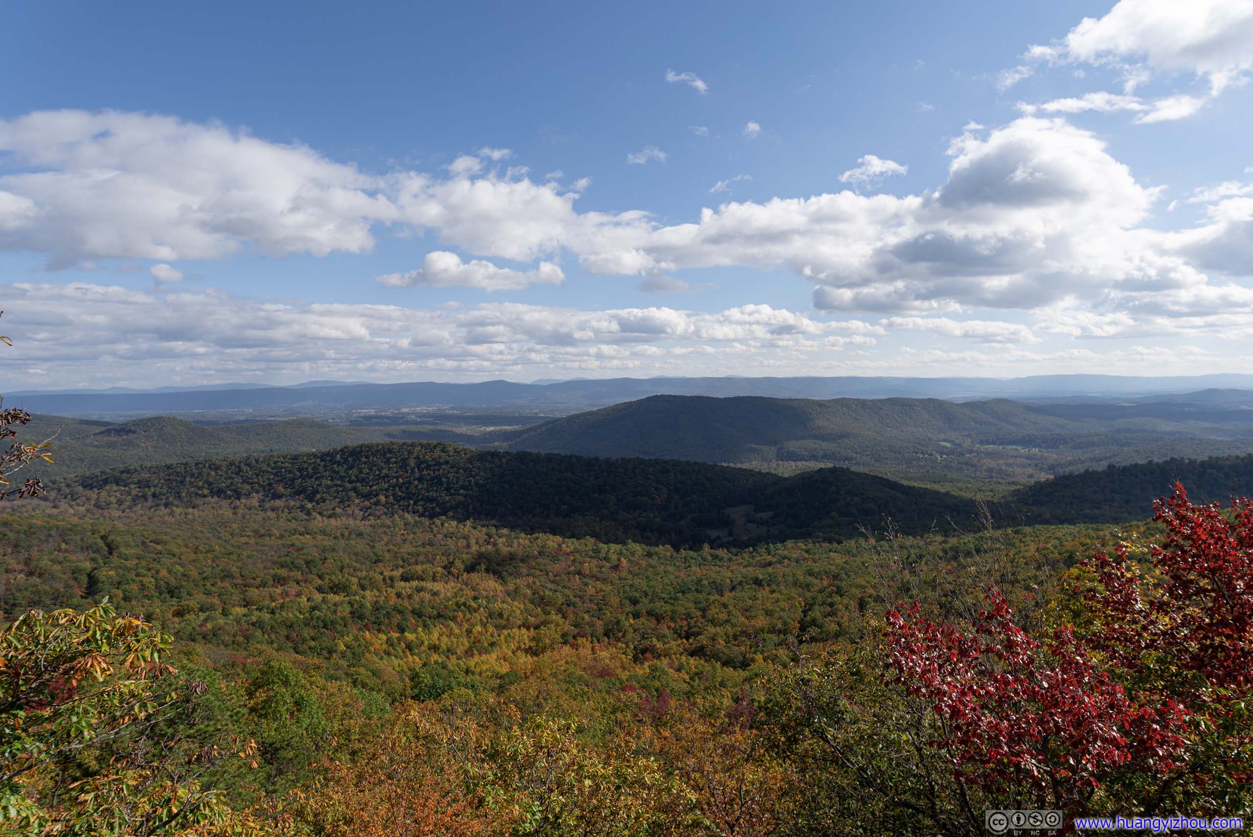
View to the East
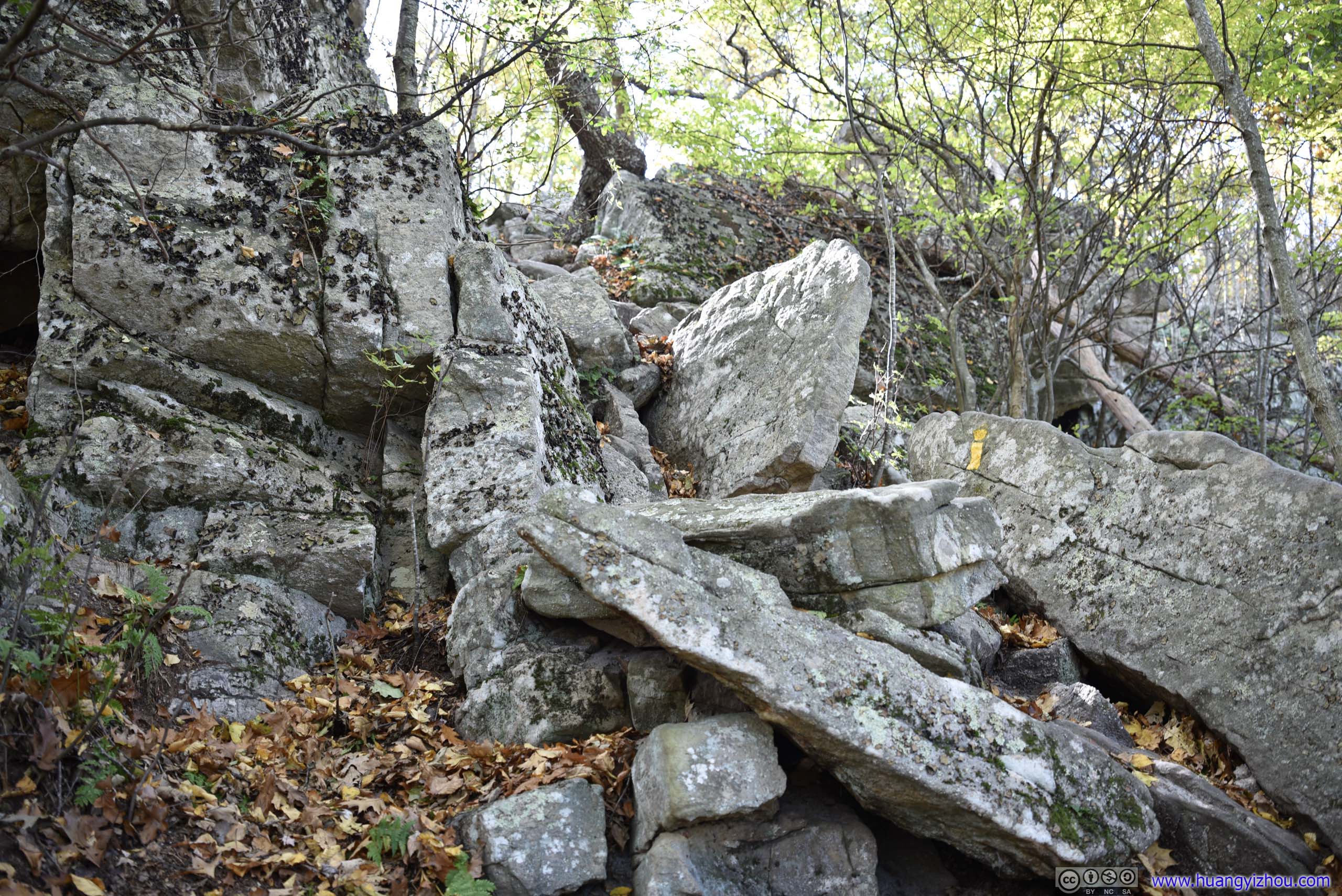

Tibbet Knob
At 1:30pm, I reached Tibbet Knob.
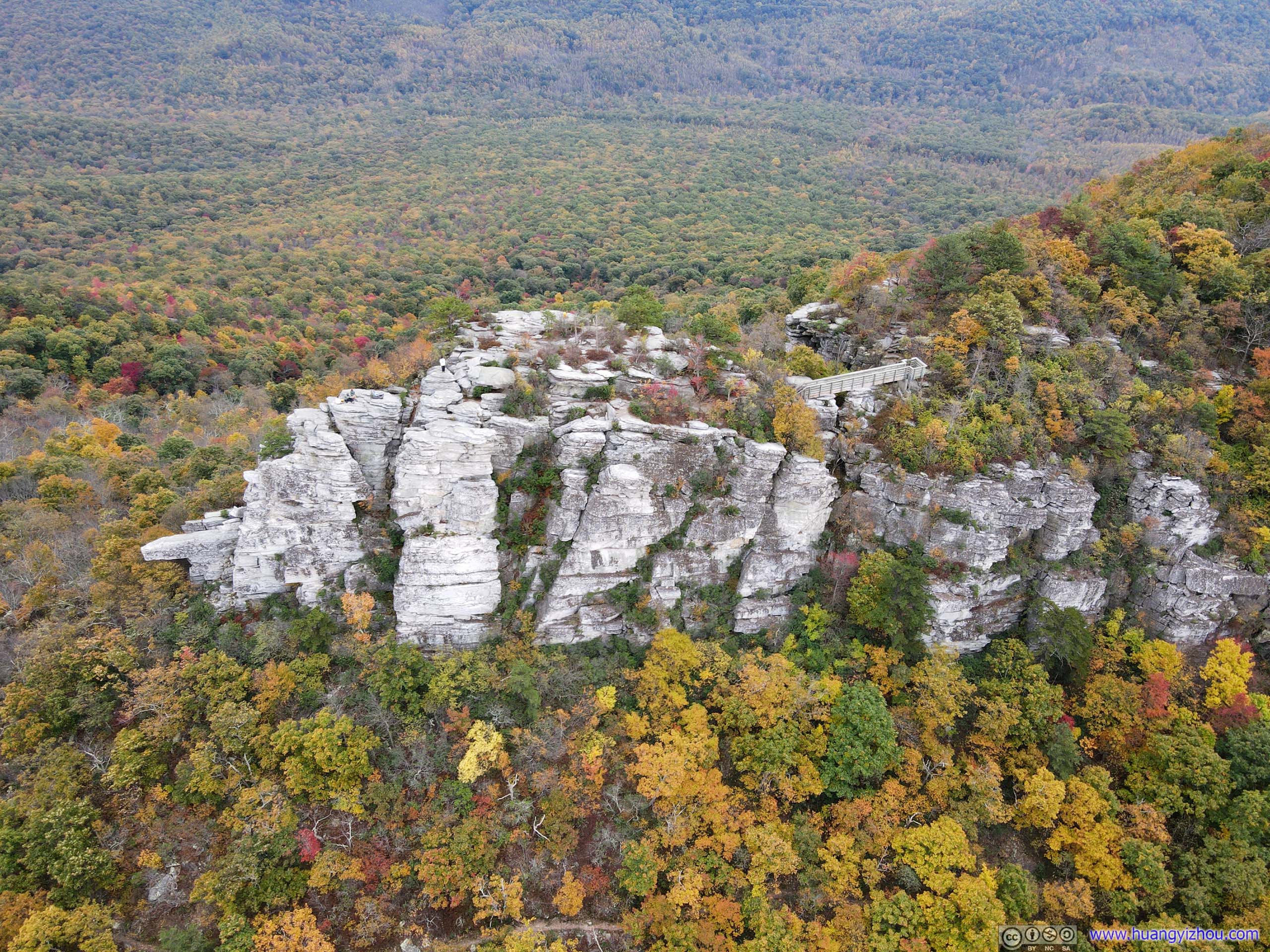
On the map, “Tibbet Knob” was marked as the highest point of the hill, however, the trail only passed around that point, not through it, and there was no view at that highest point. Instead, the overlook was about 150m towards its north. Arriving from the Wolf Gap, Tibbet Knob was a rocky outcrop that was impossible to miss.
It’s a very windy day. I didn’t feel that among the shelter of trees. But once I stood on the exposed Tibbet Knob, the frigid winds were bringing chills which I was certainly not dressed for. I wanted to appreciate the scenery but too often I had to retreat back to the woods to warm myself up.
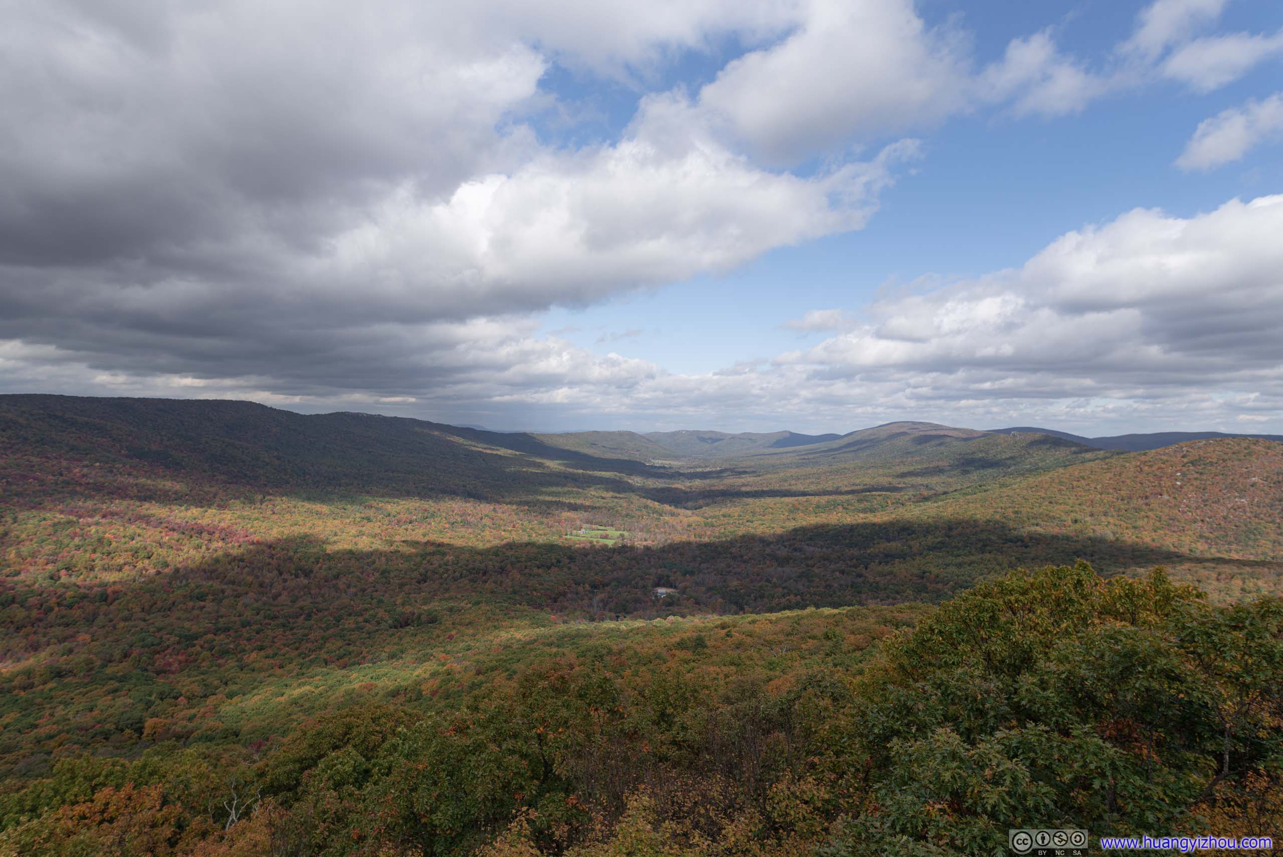
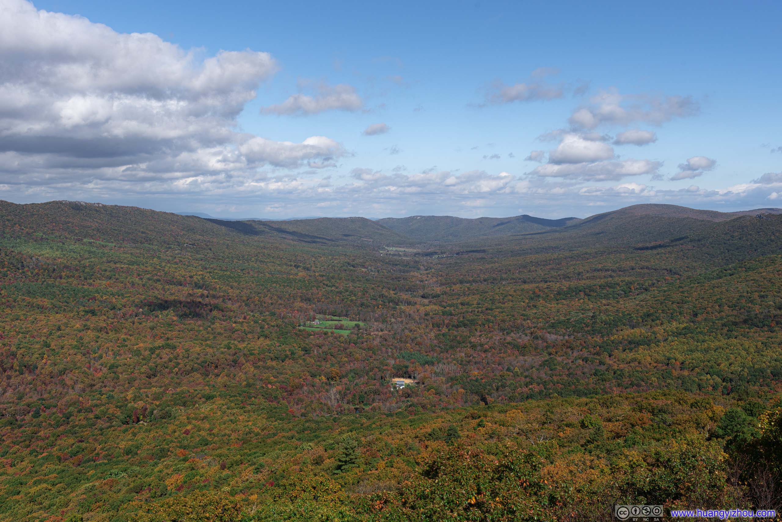

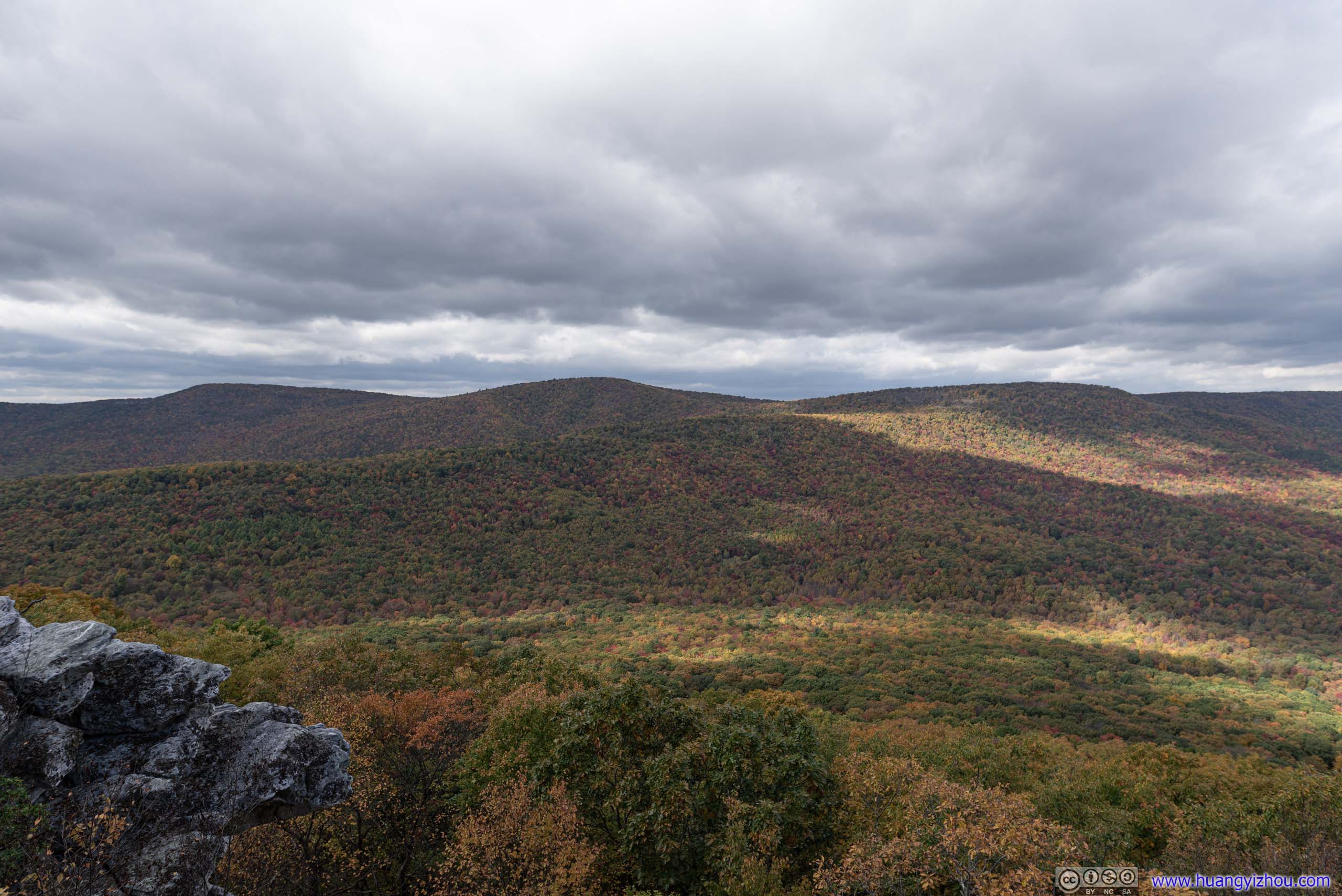

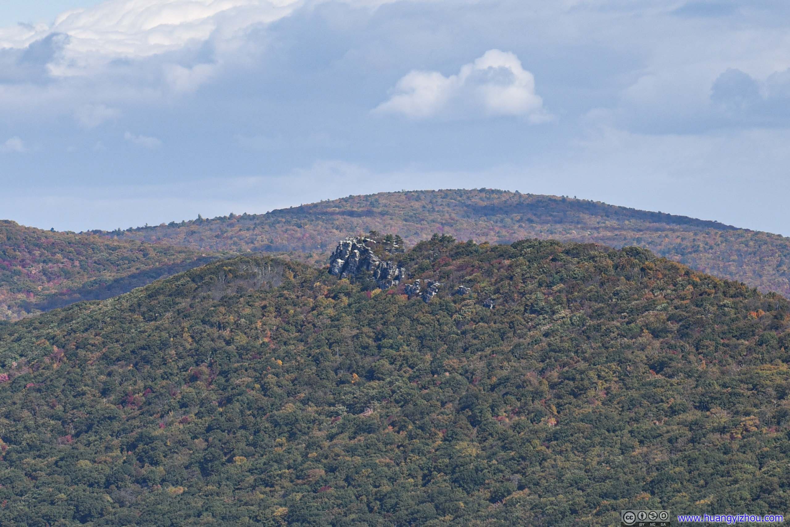
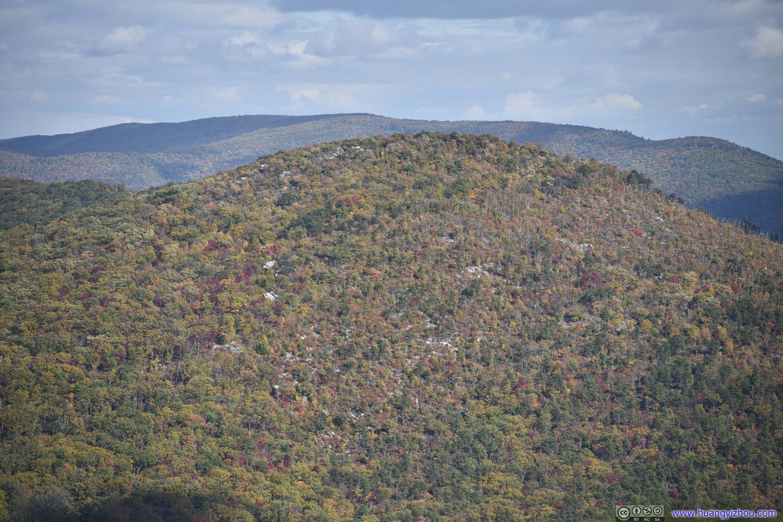
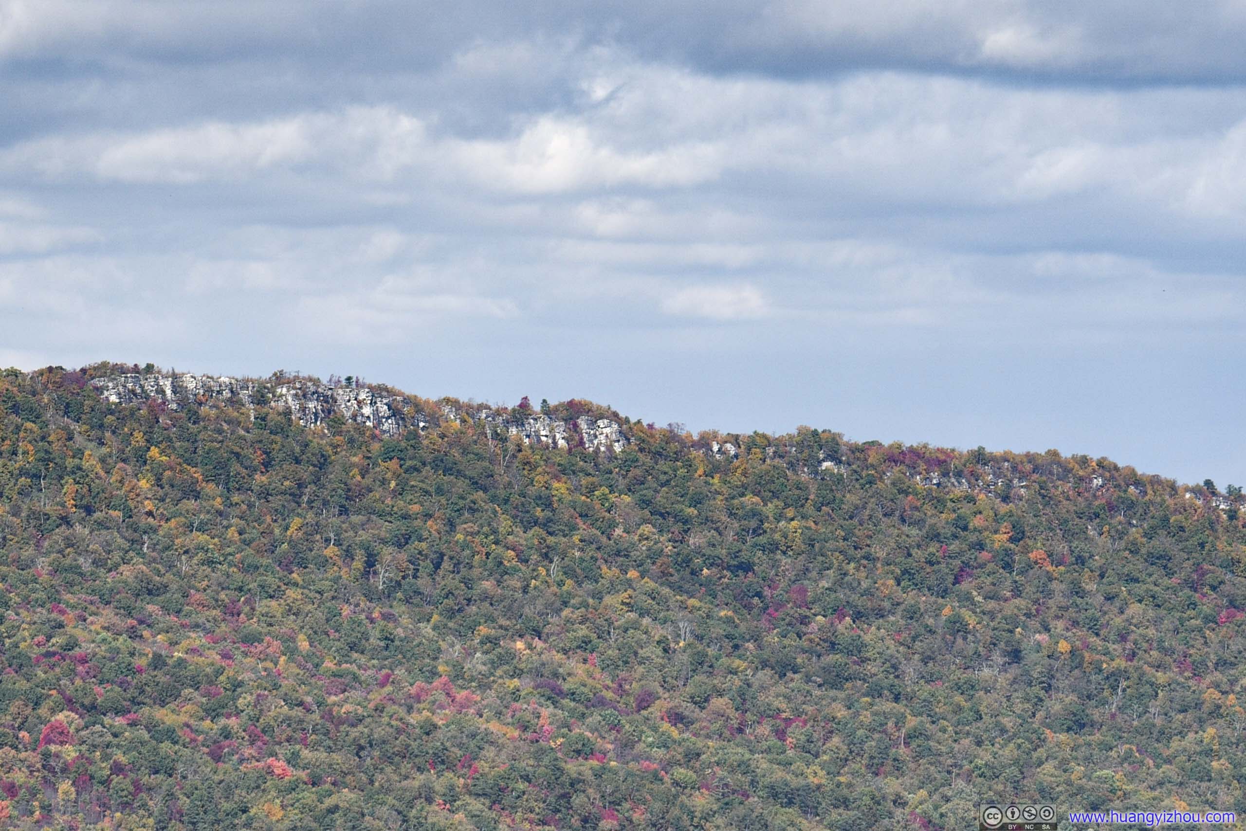
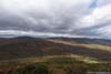
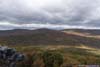
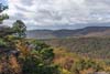
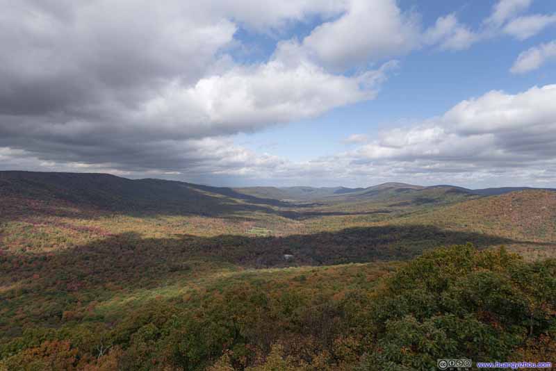
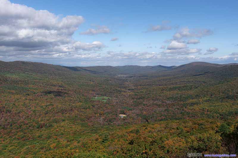
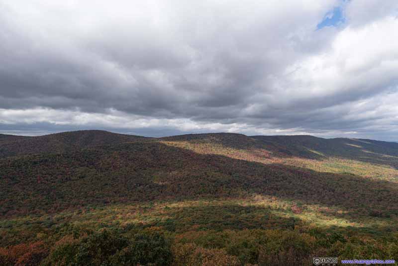
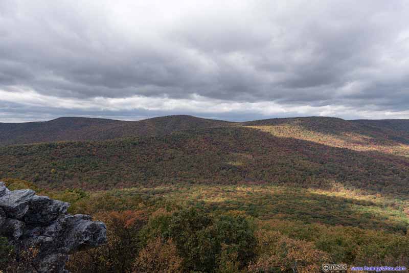
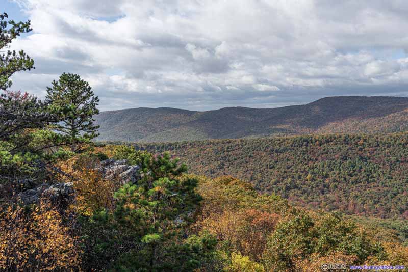
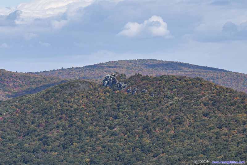
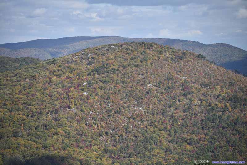
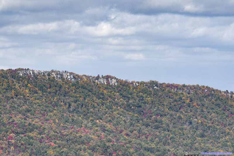

I carried my drone with me, and it turned out to be a great idea to launch the drone for an aerial tour while I retreated back to the woods for warmth, after I took the following video commemorating my visit.
19 seconds, 2160p60fps, at least 2.5x playback speed, 15Mbps/34MB for H265, 16.5Mbps/39MB for H264.


Valley and Mountains by Tibbet Knob
Towards its west (top) and east (bottom).
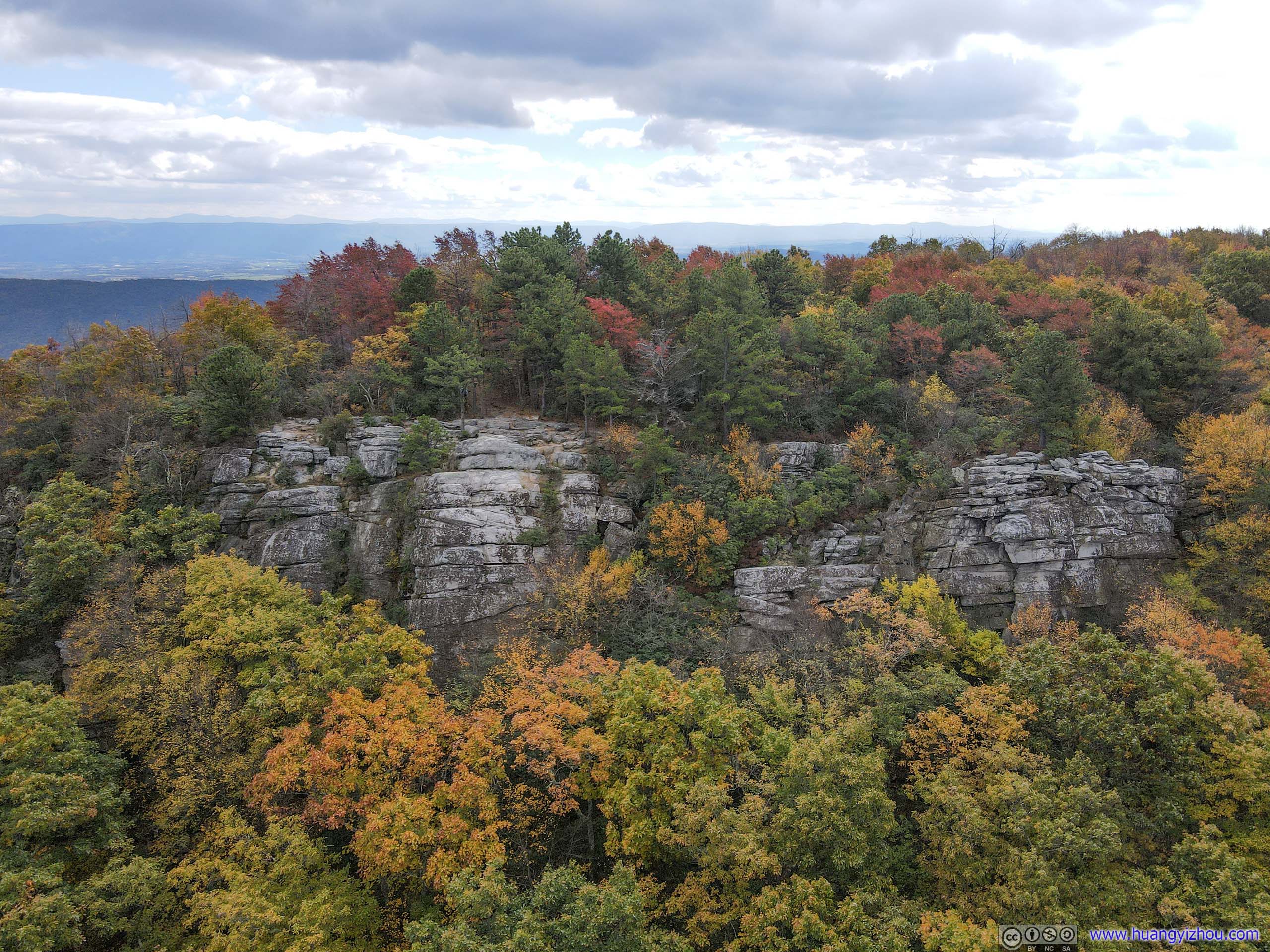
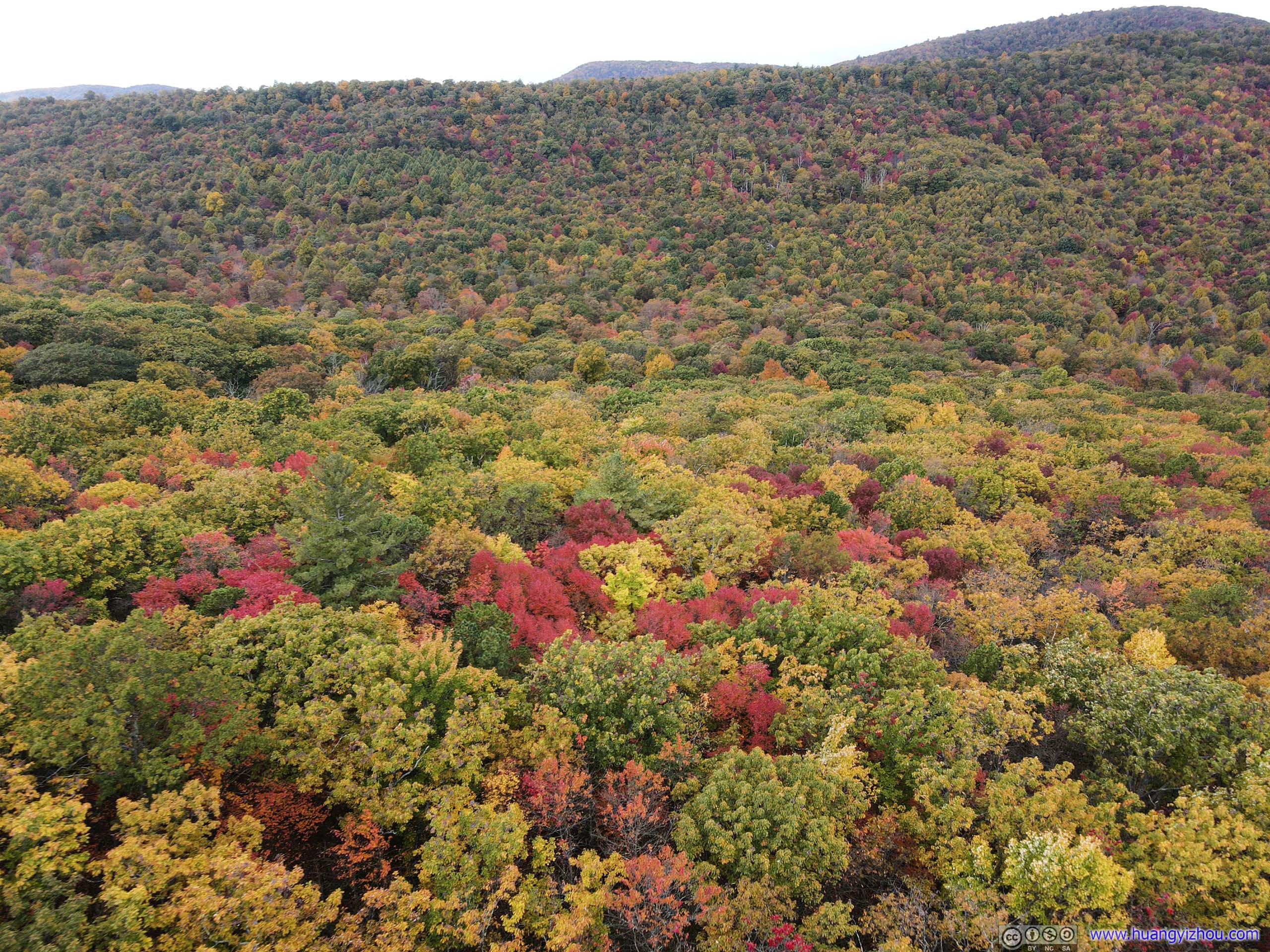


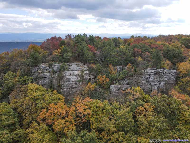
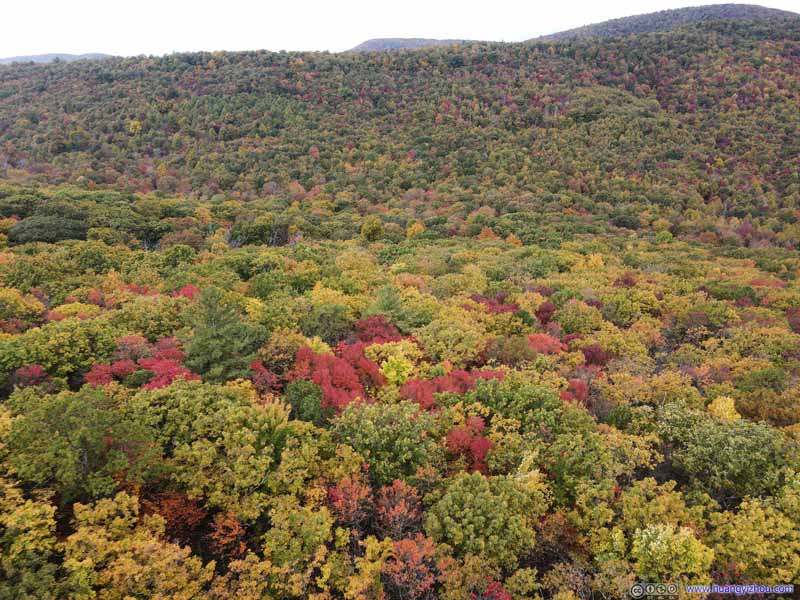
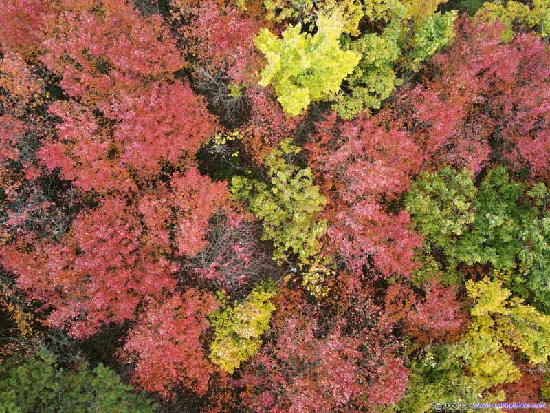
And here were some footage I shot from my drone flying around the surrounding valleys.
Finally, I started to head back at 2:15pm.
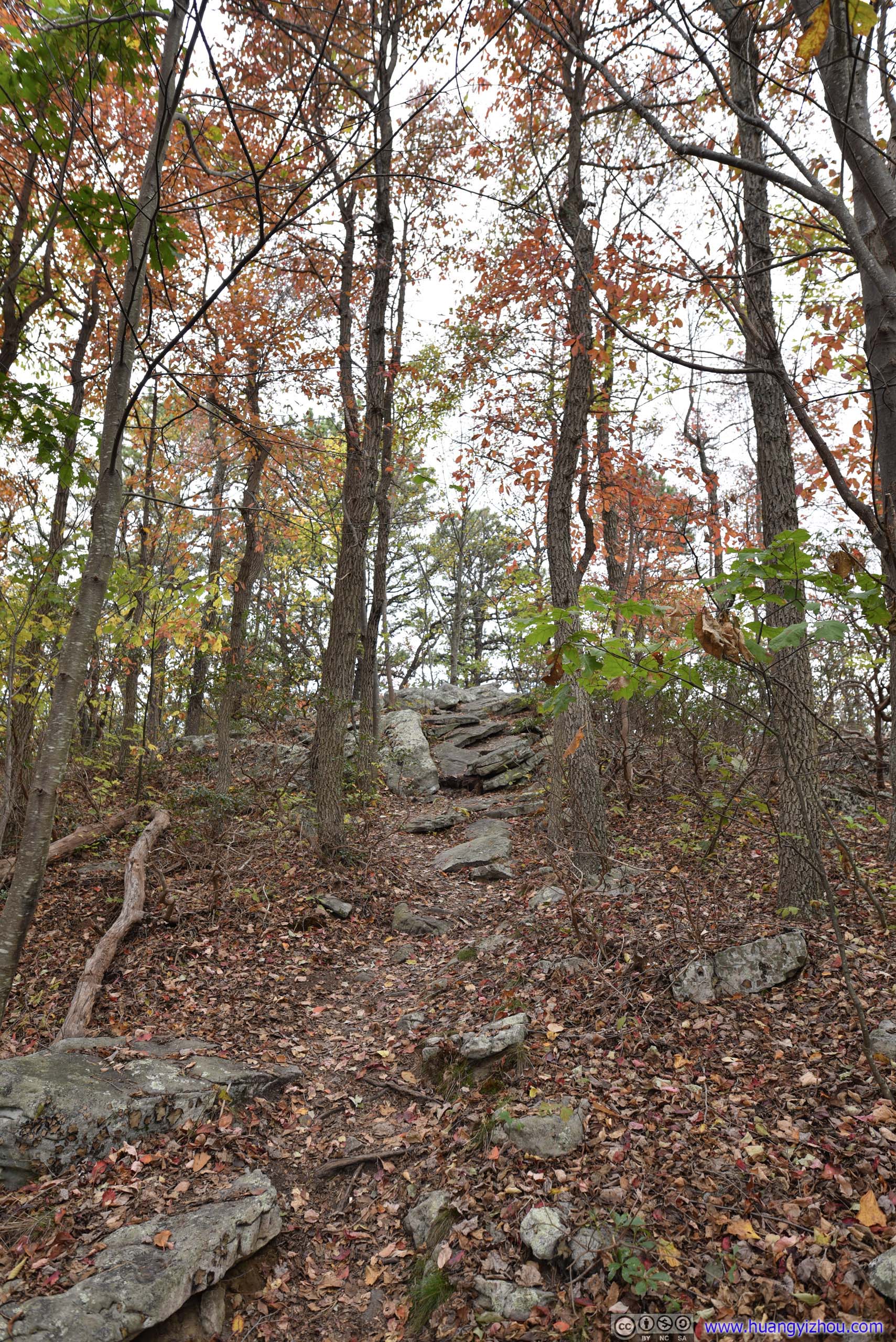

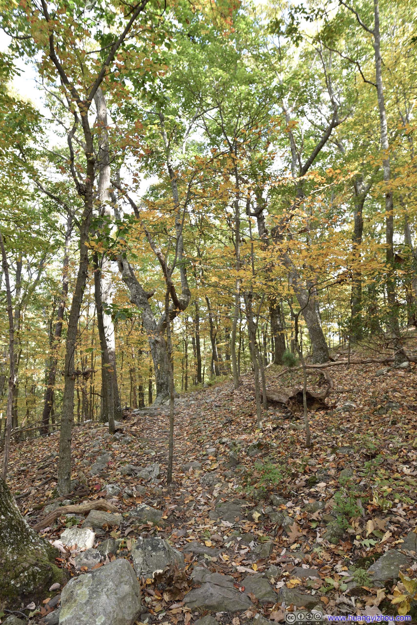
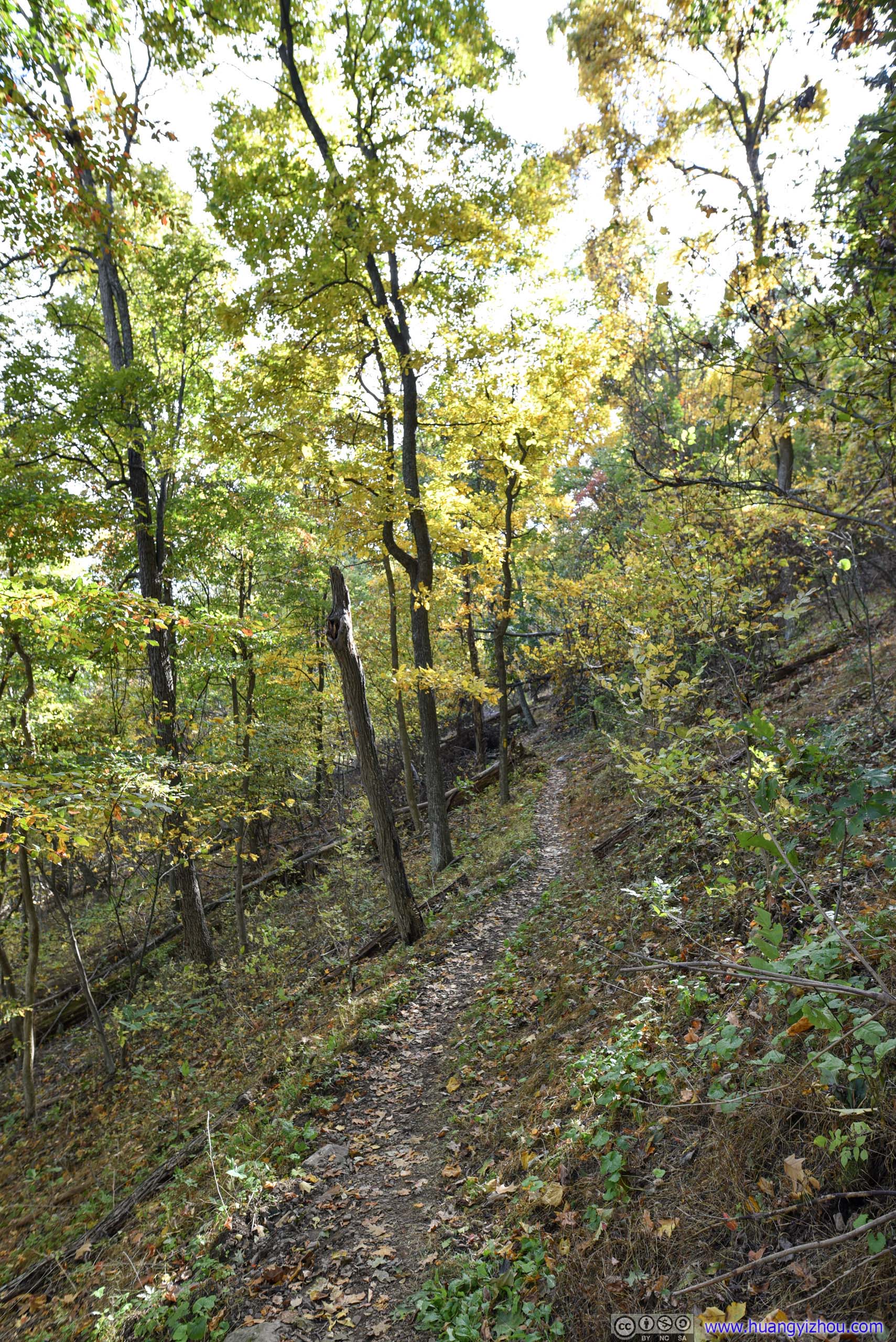
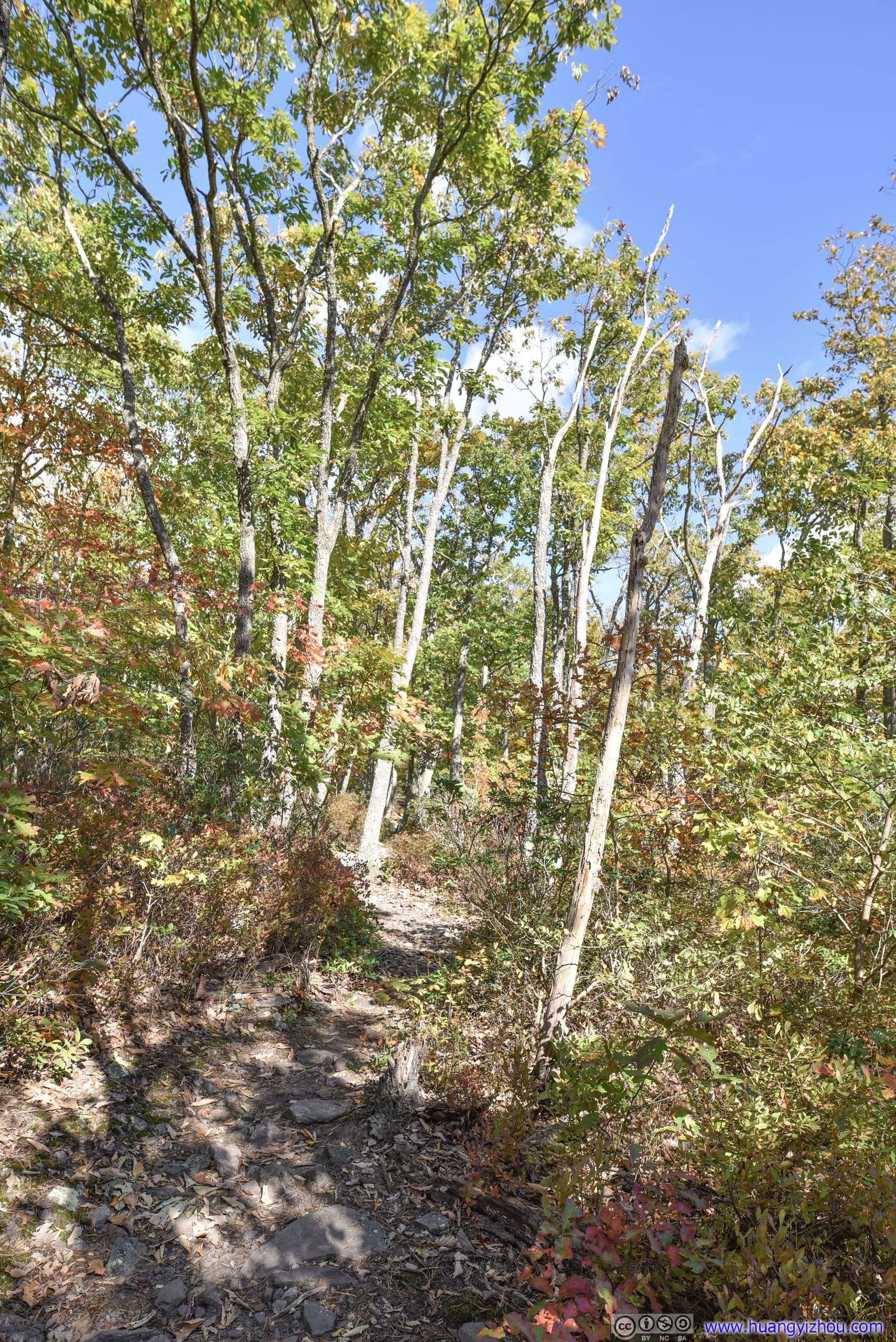
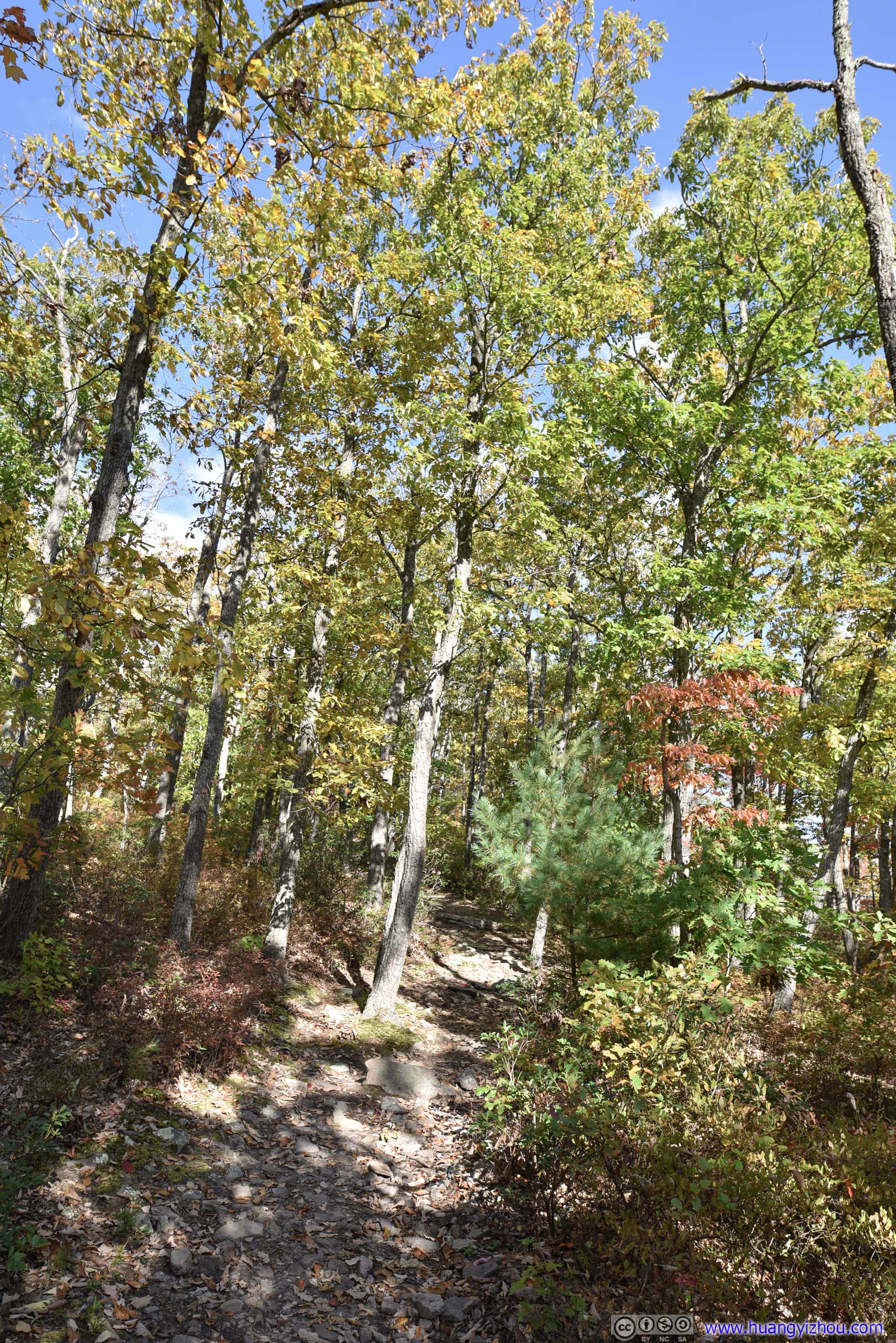
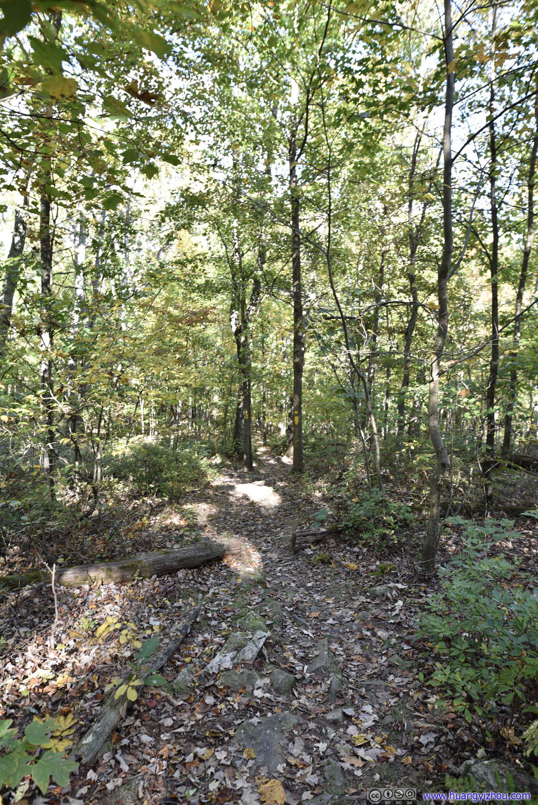
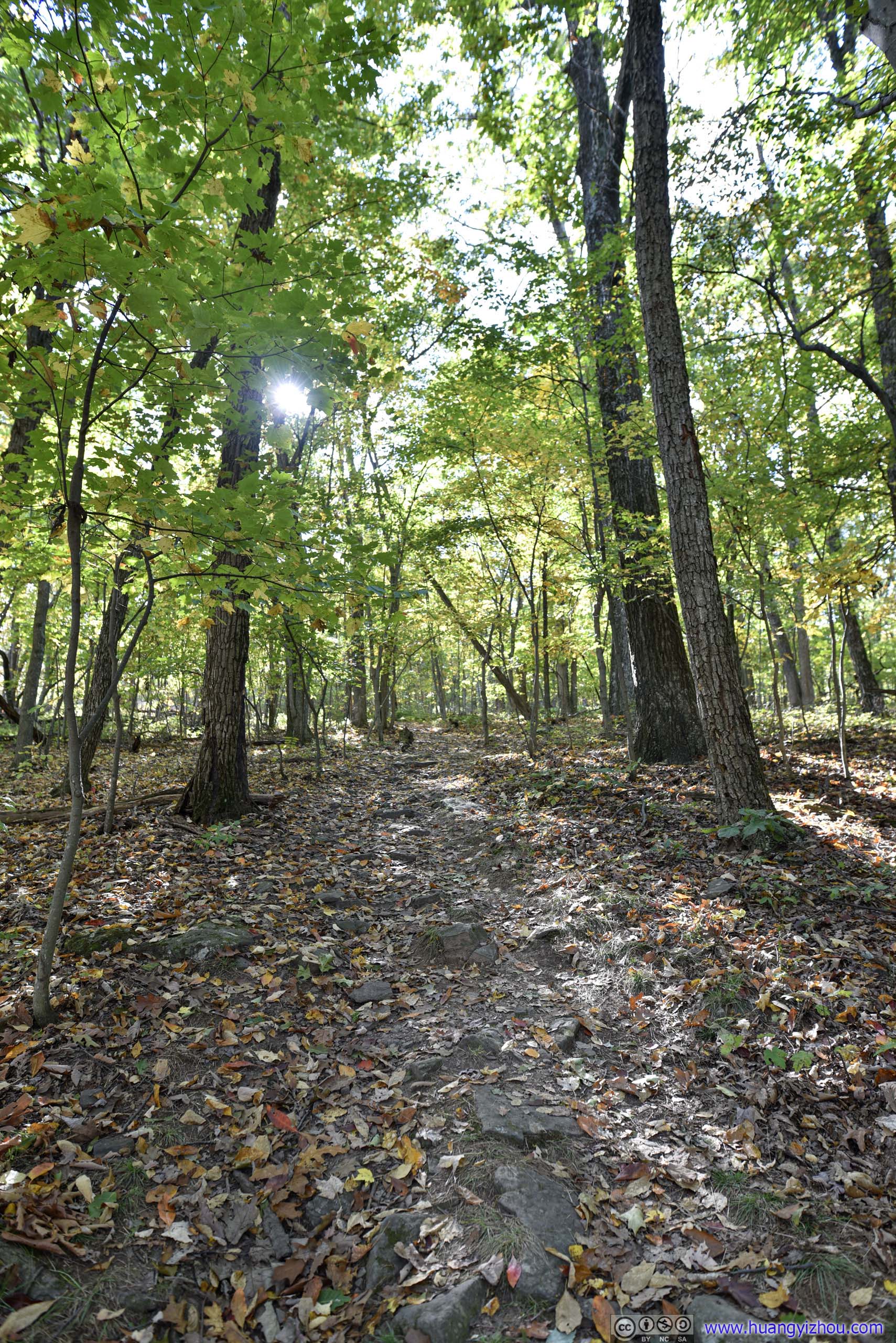
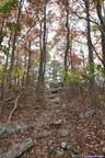
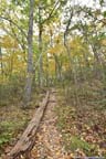
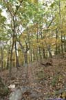
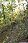
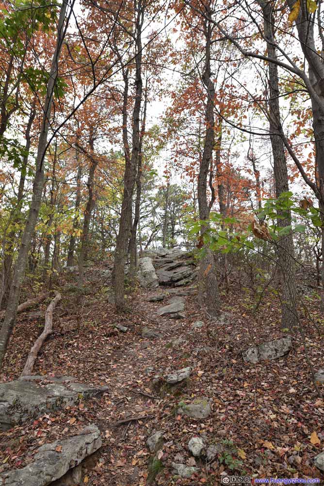
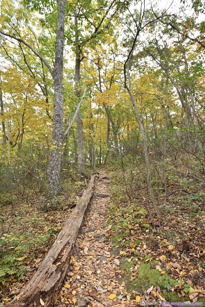
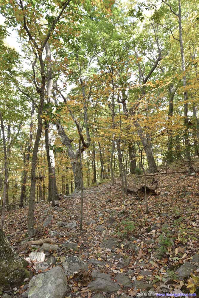
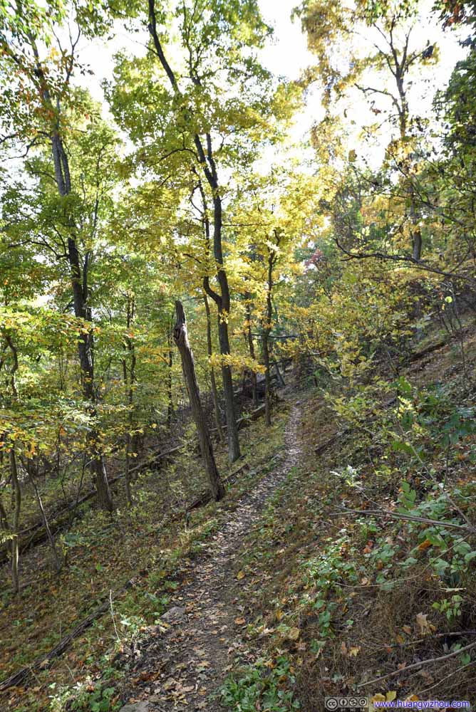
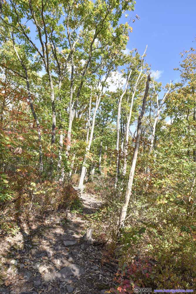
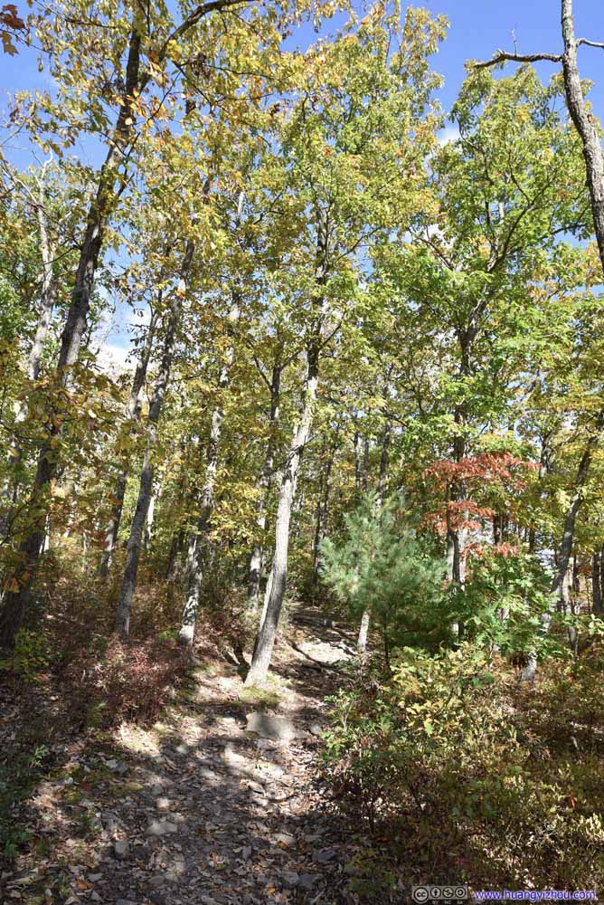
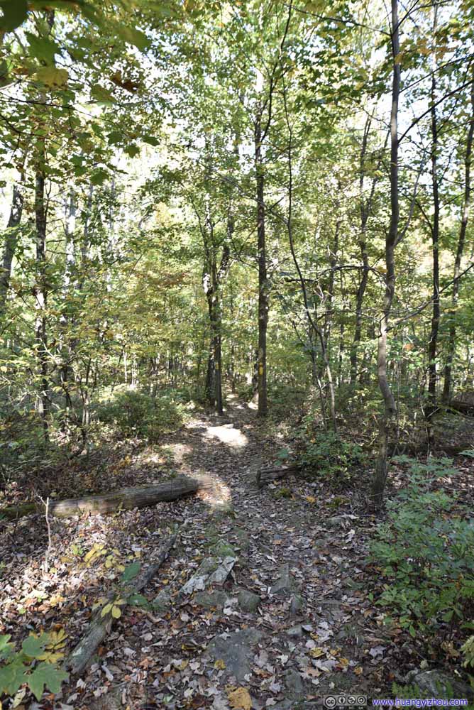
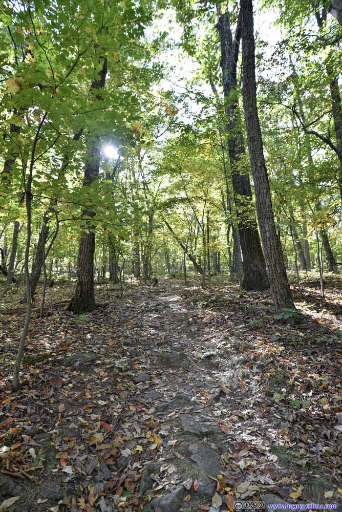
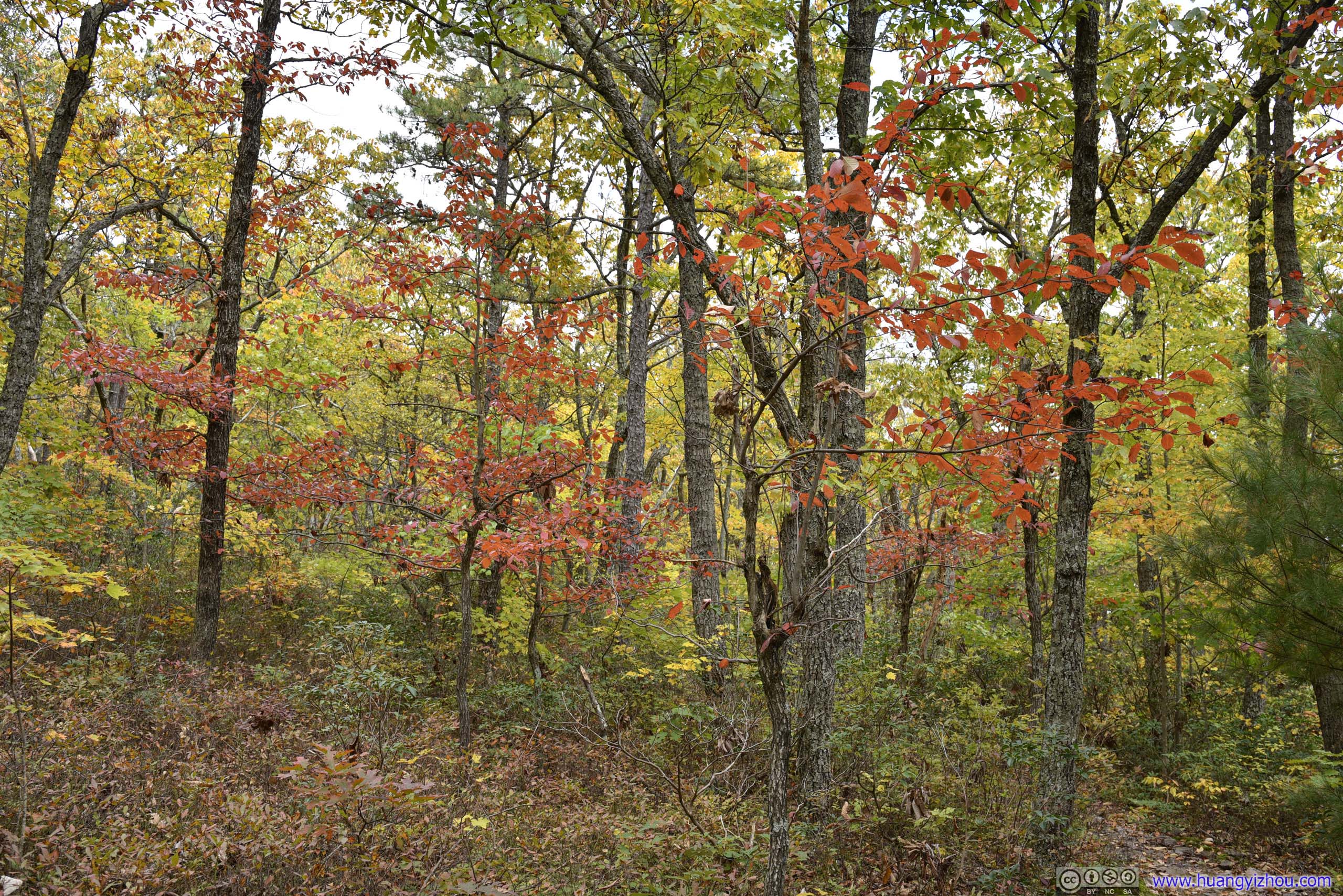
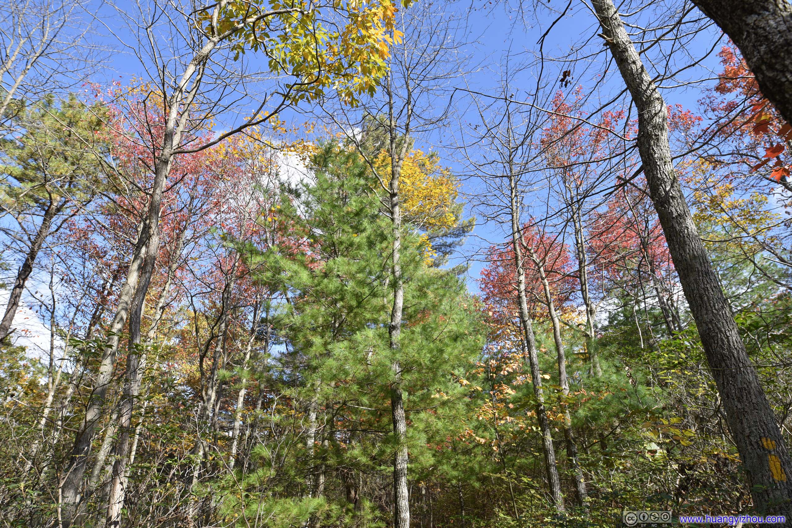
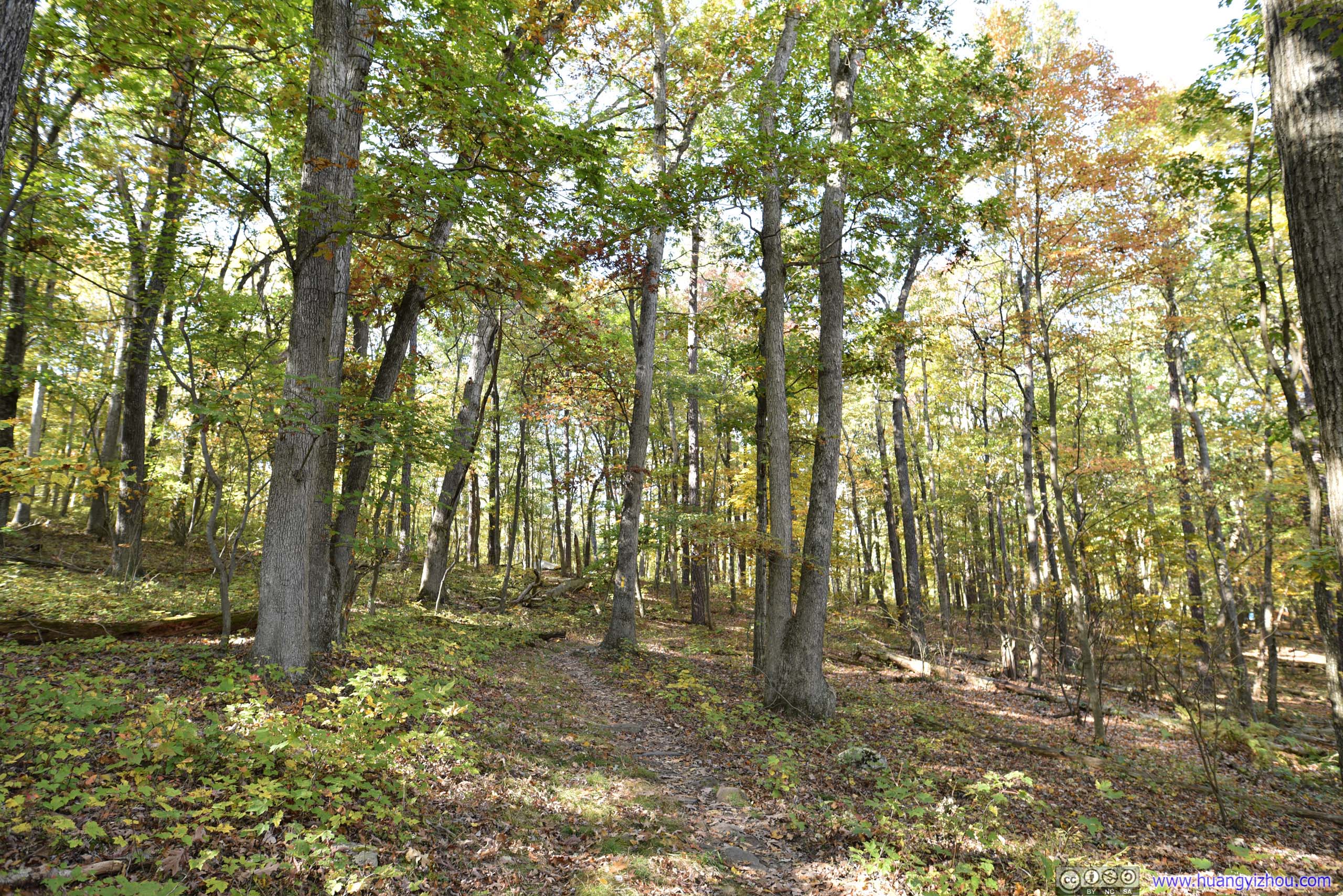
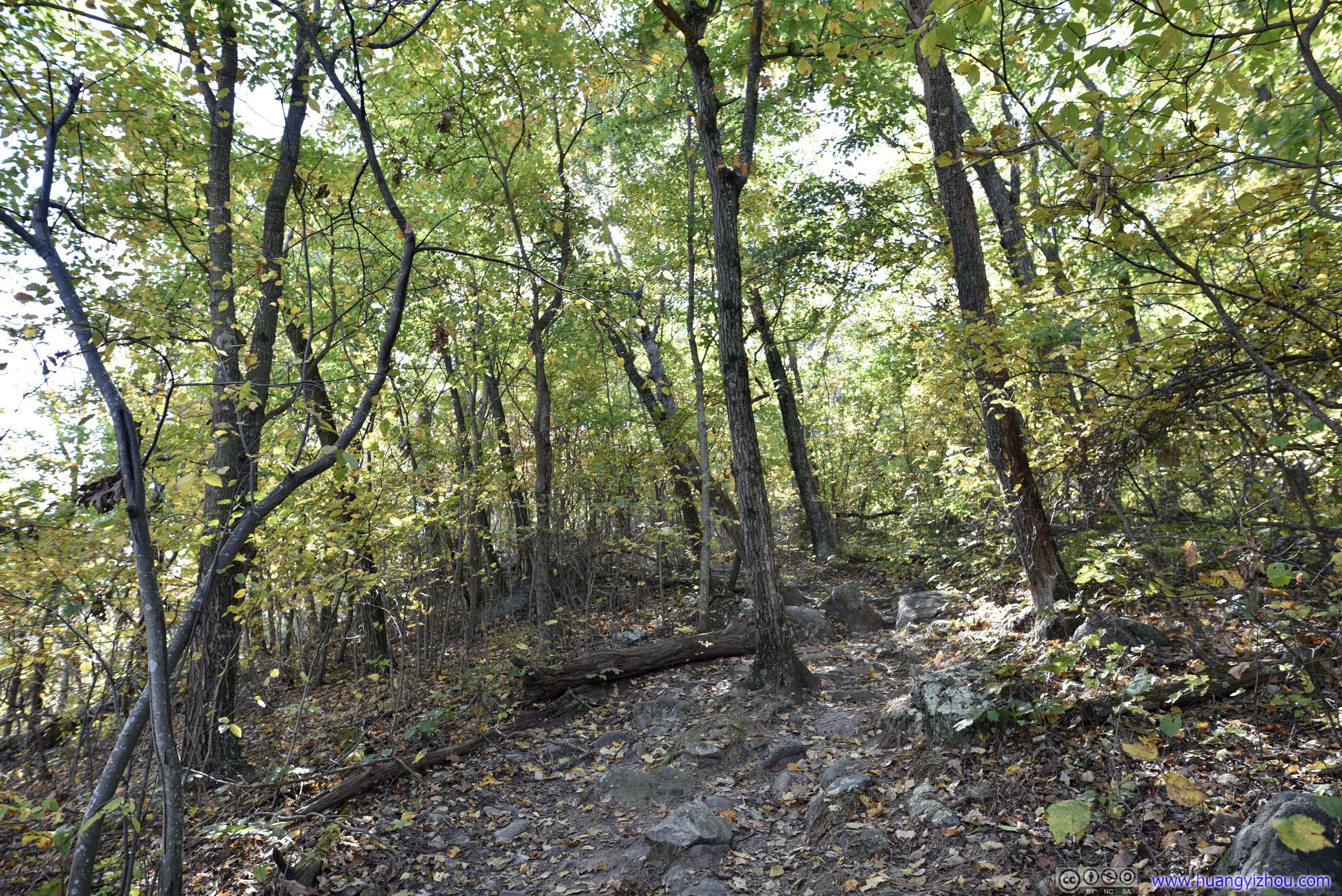
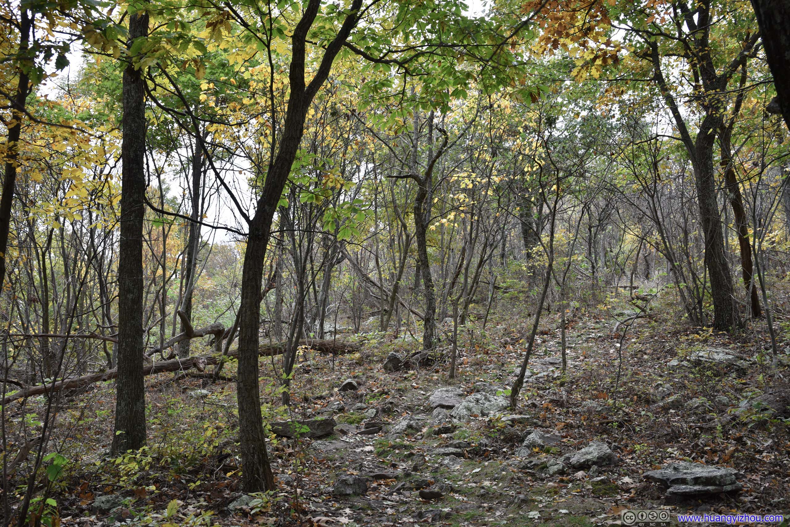
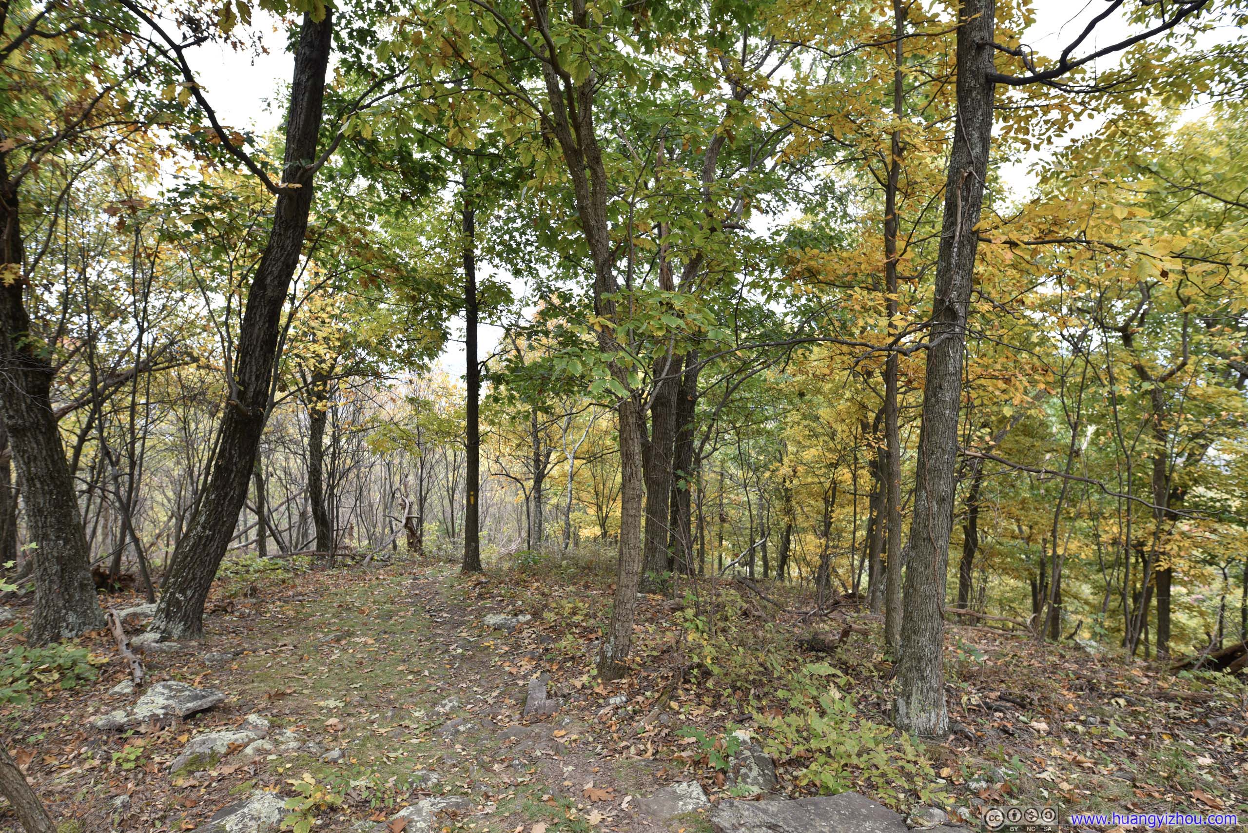
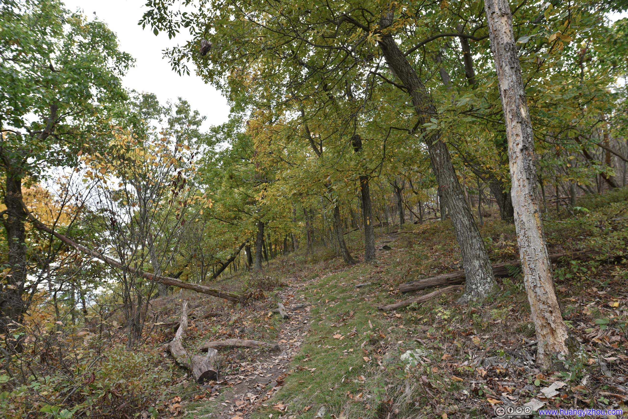
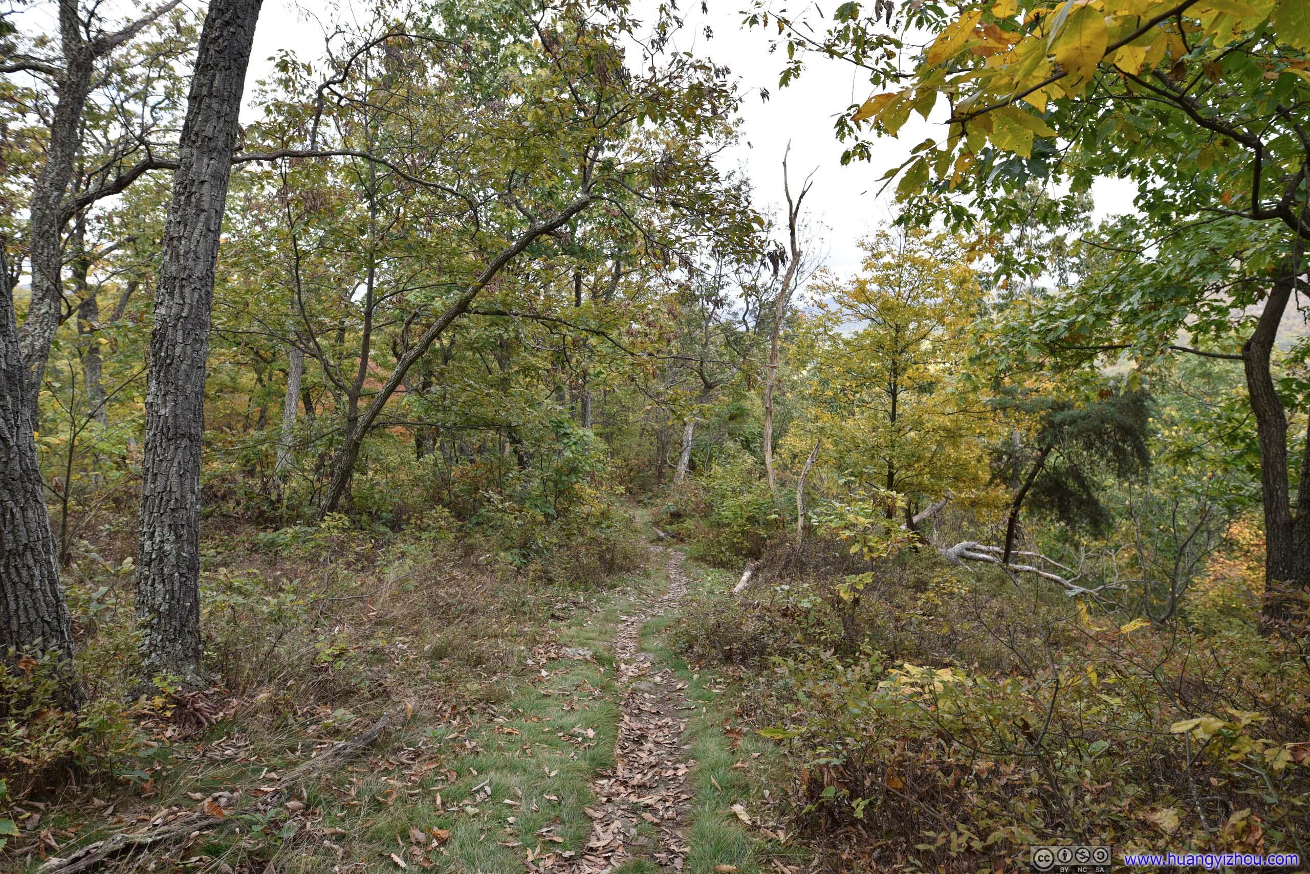
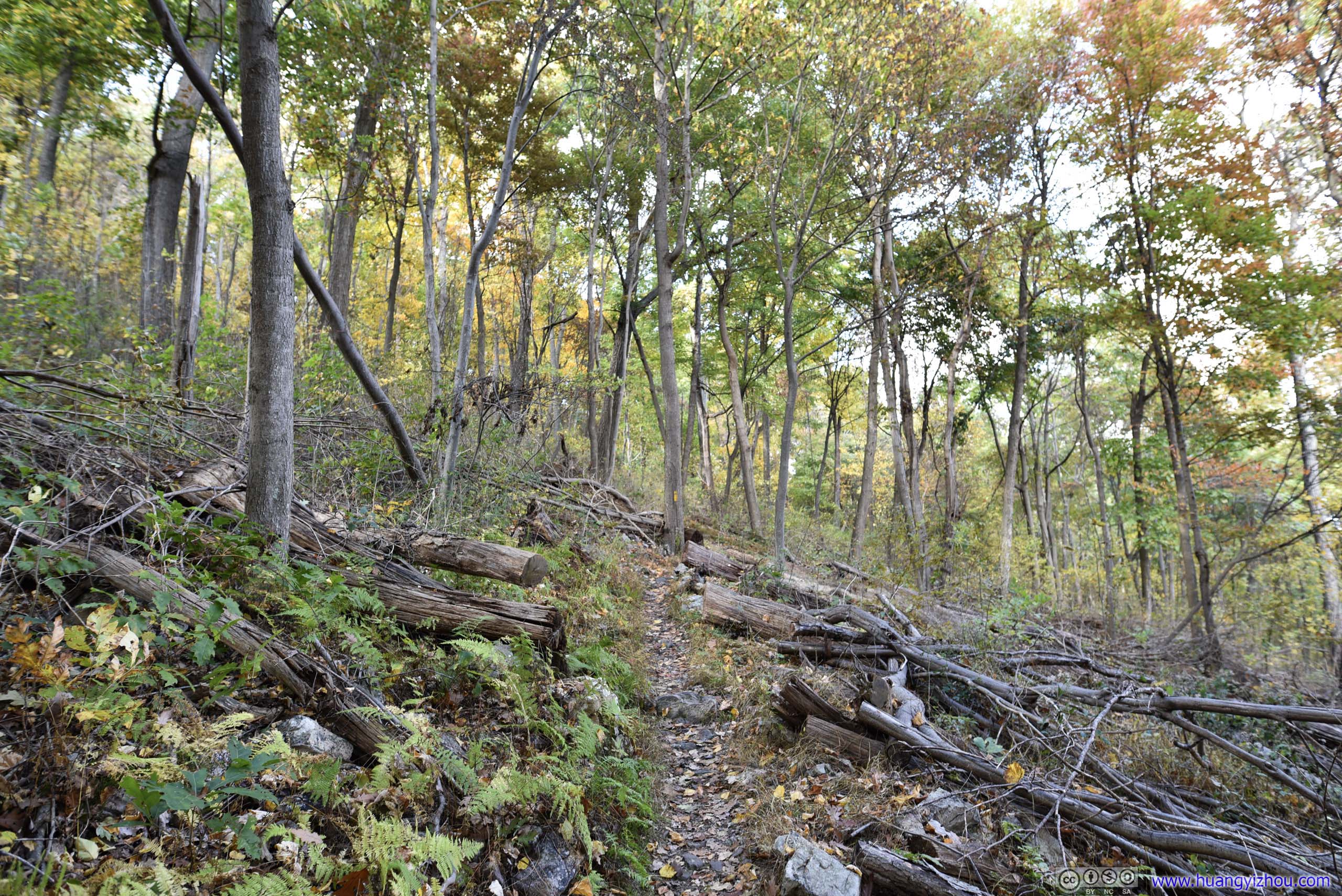
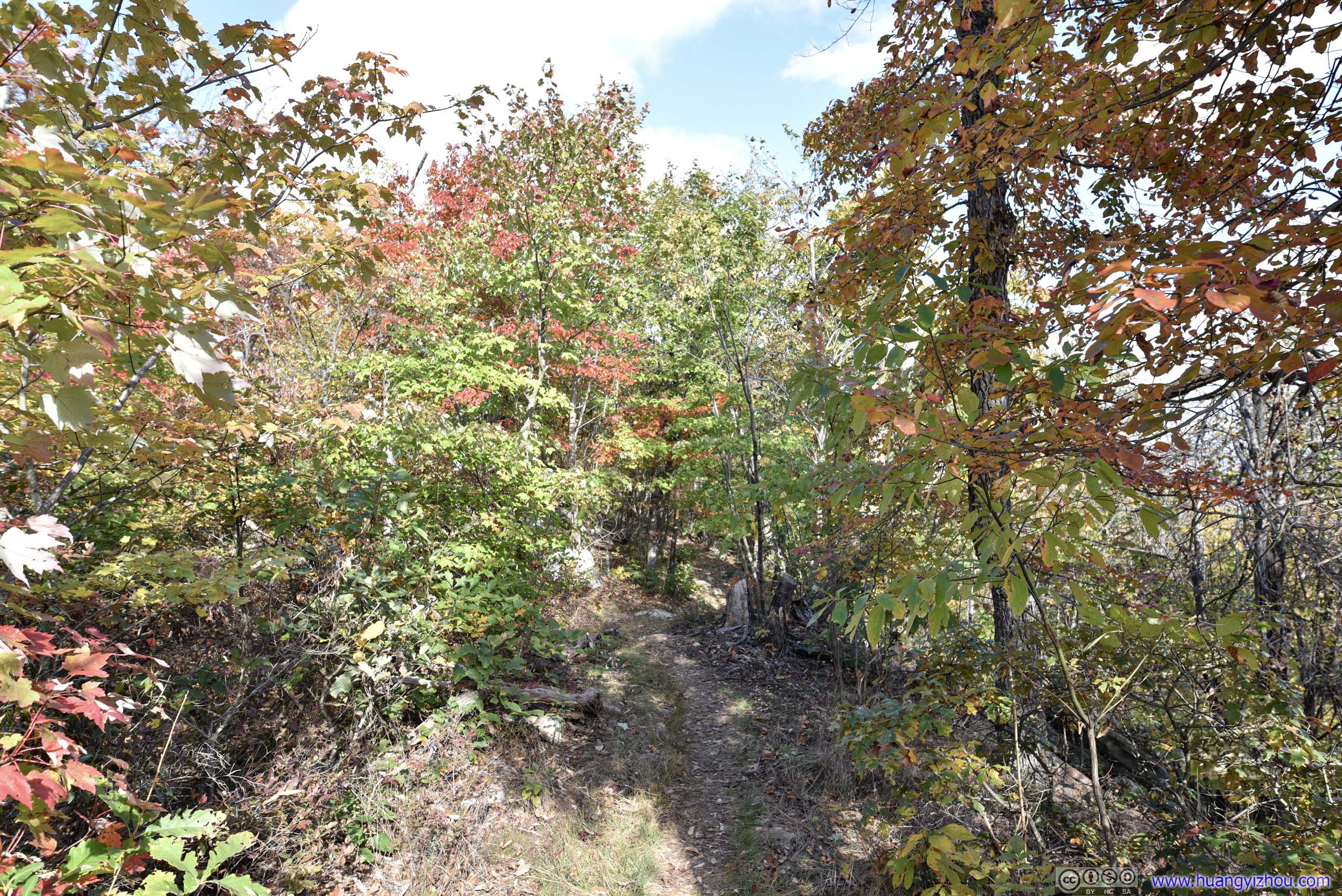
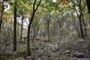
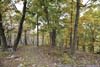
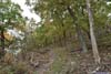
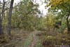

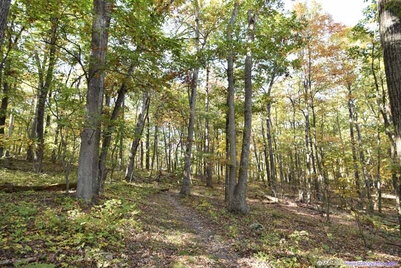
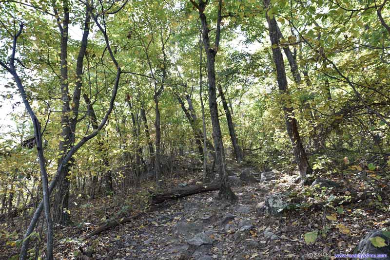
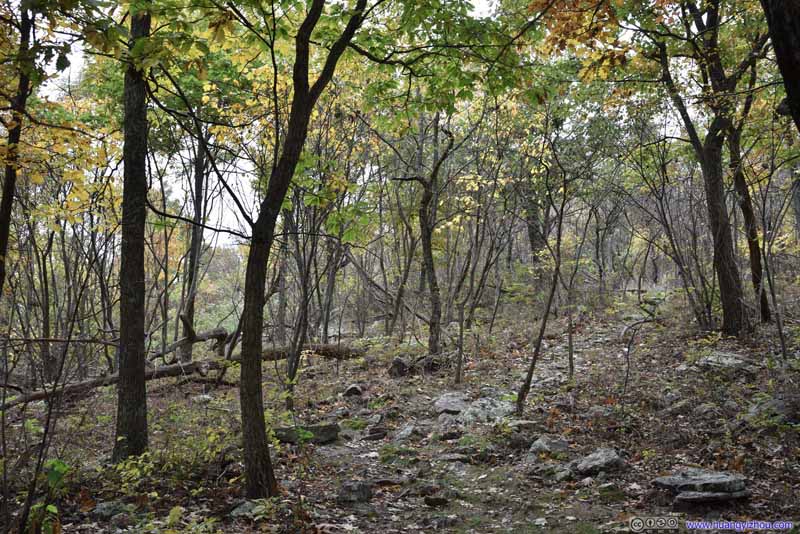
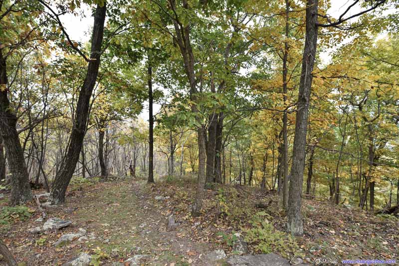
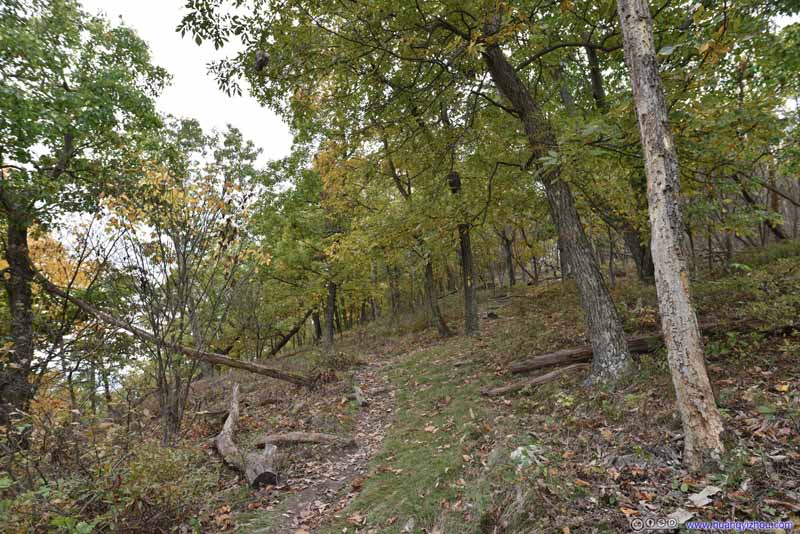
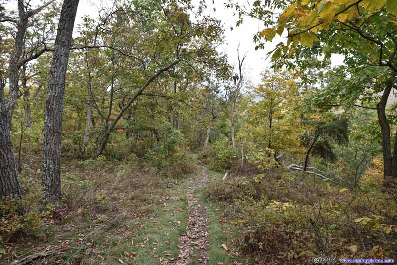
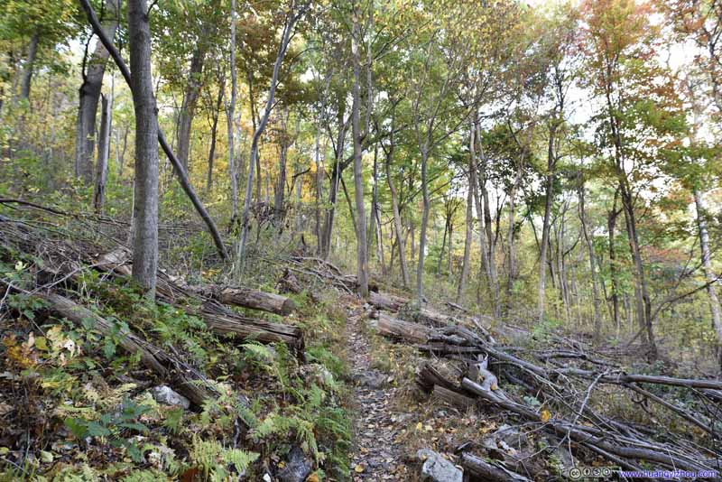
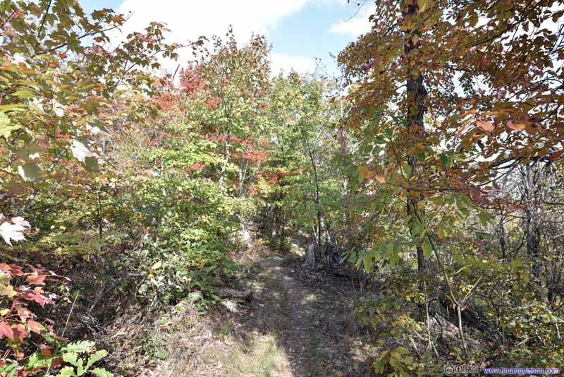
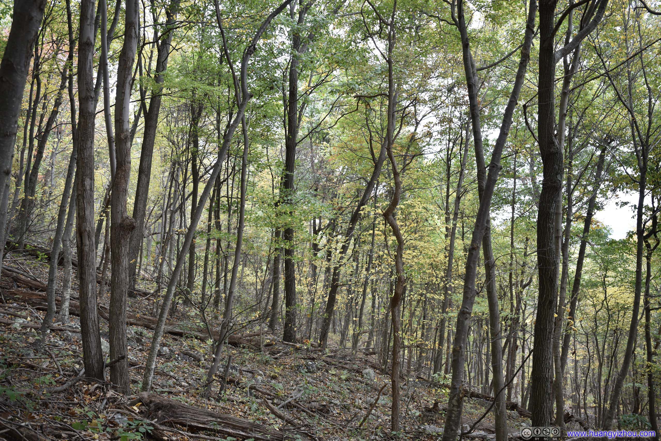
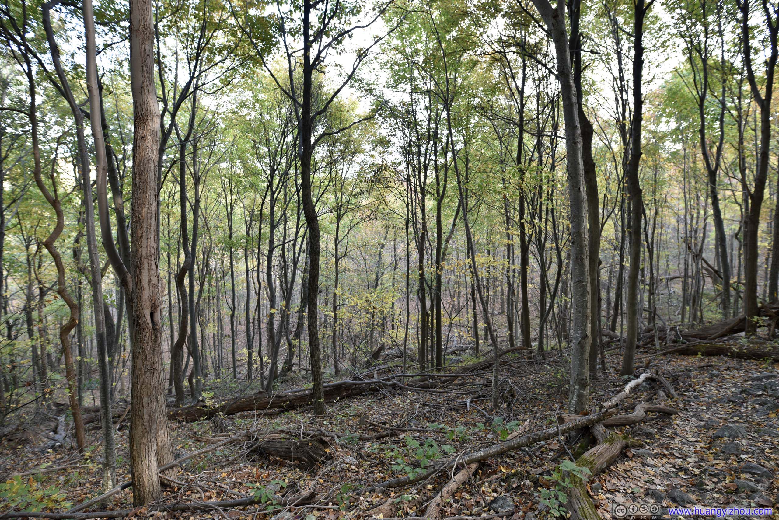
Finally, I got back to the trailhead parking lot at 3:05pm. I had some snacks and rest in my car, before heading out onto Big Schloss Trail at 3:25pm.
Big Schloss Trail
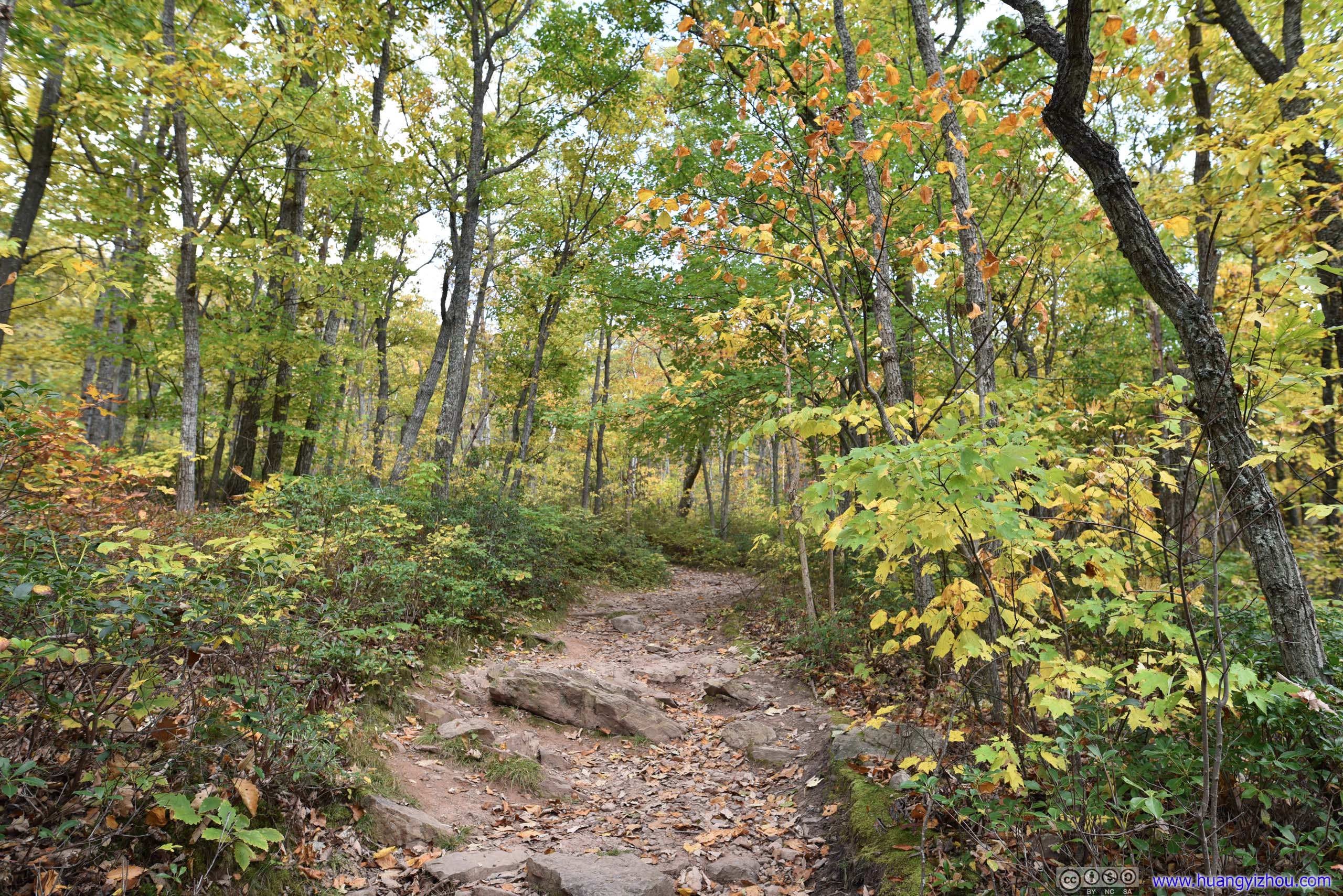
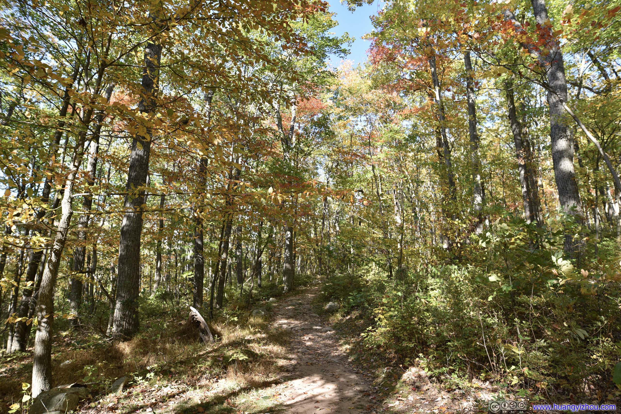

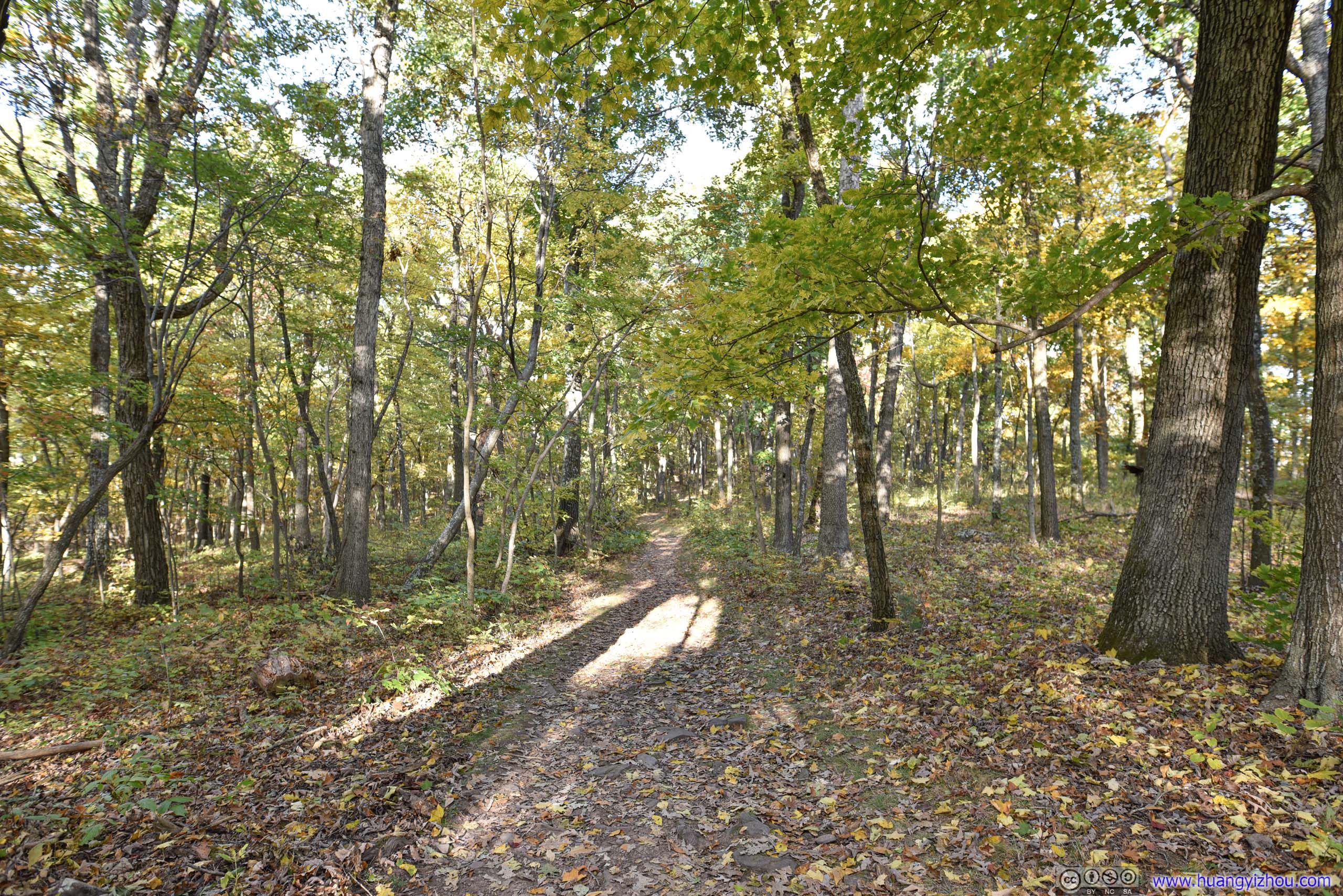
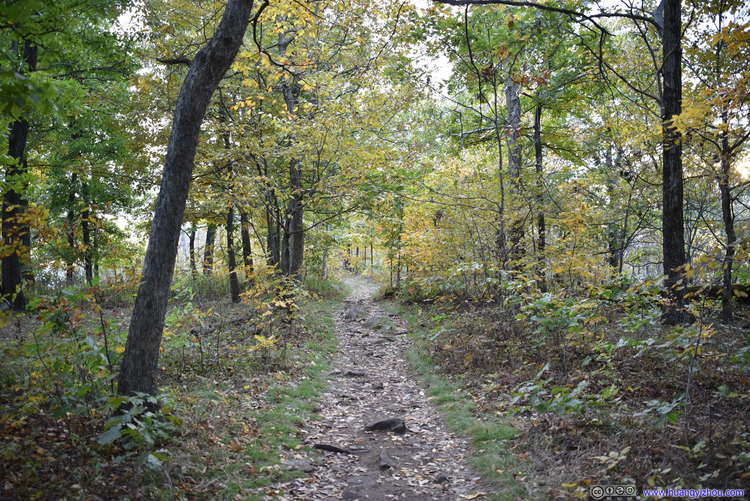
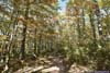
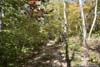
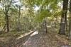
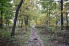
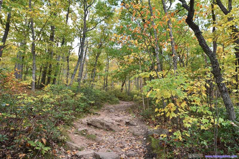
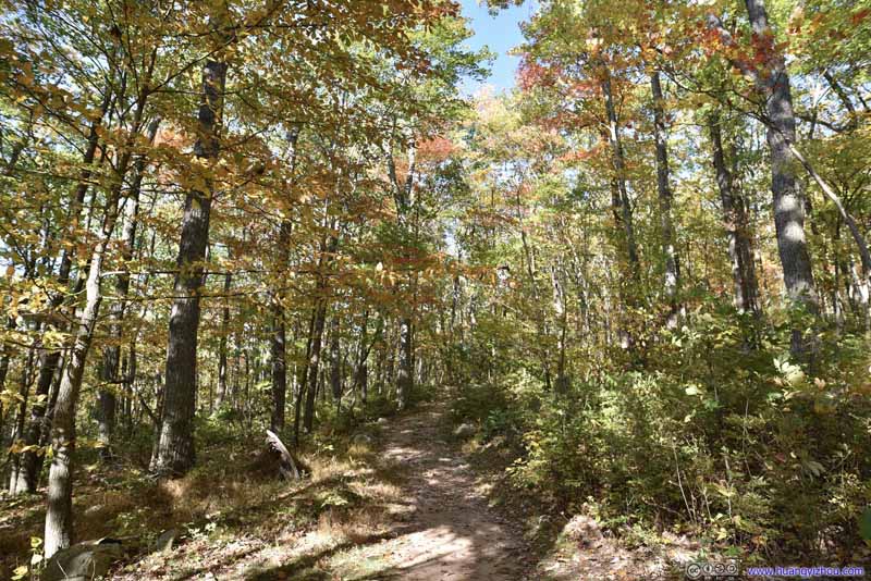
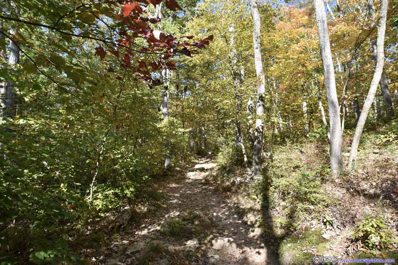
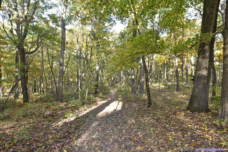
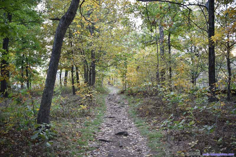
Compared with the previous trail to Tibbet Knob, the trail to Big Schloss was wider and more even, and it didn't contain any steep or technical sections, which contributed to its popularity. While I only ran into a handful of groups throughout my entire hike to Tibbet Knob, greetings along the trail to Big Schloss were much more frequent.
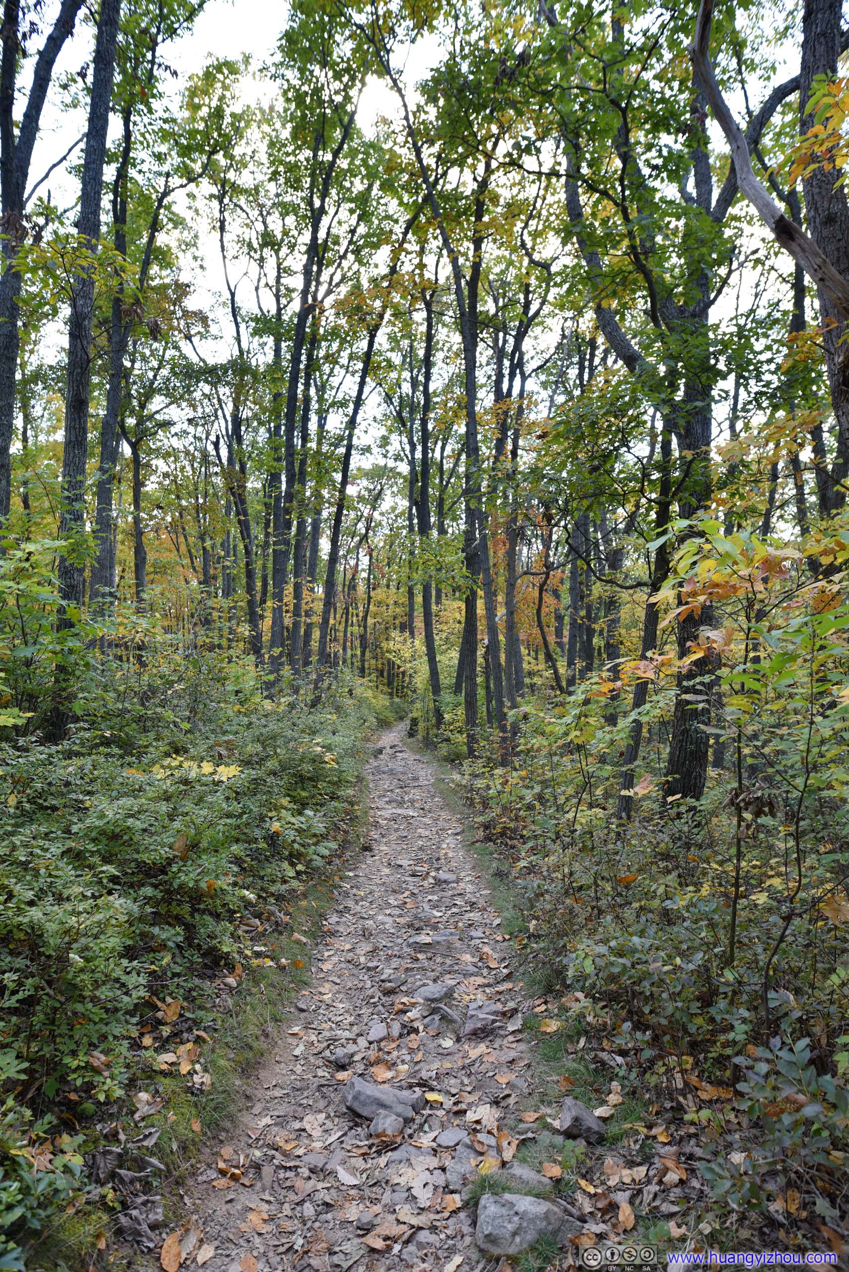
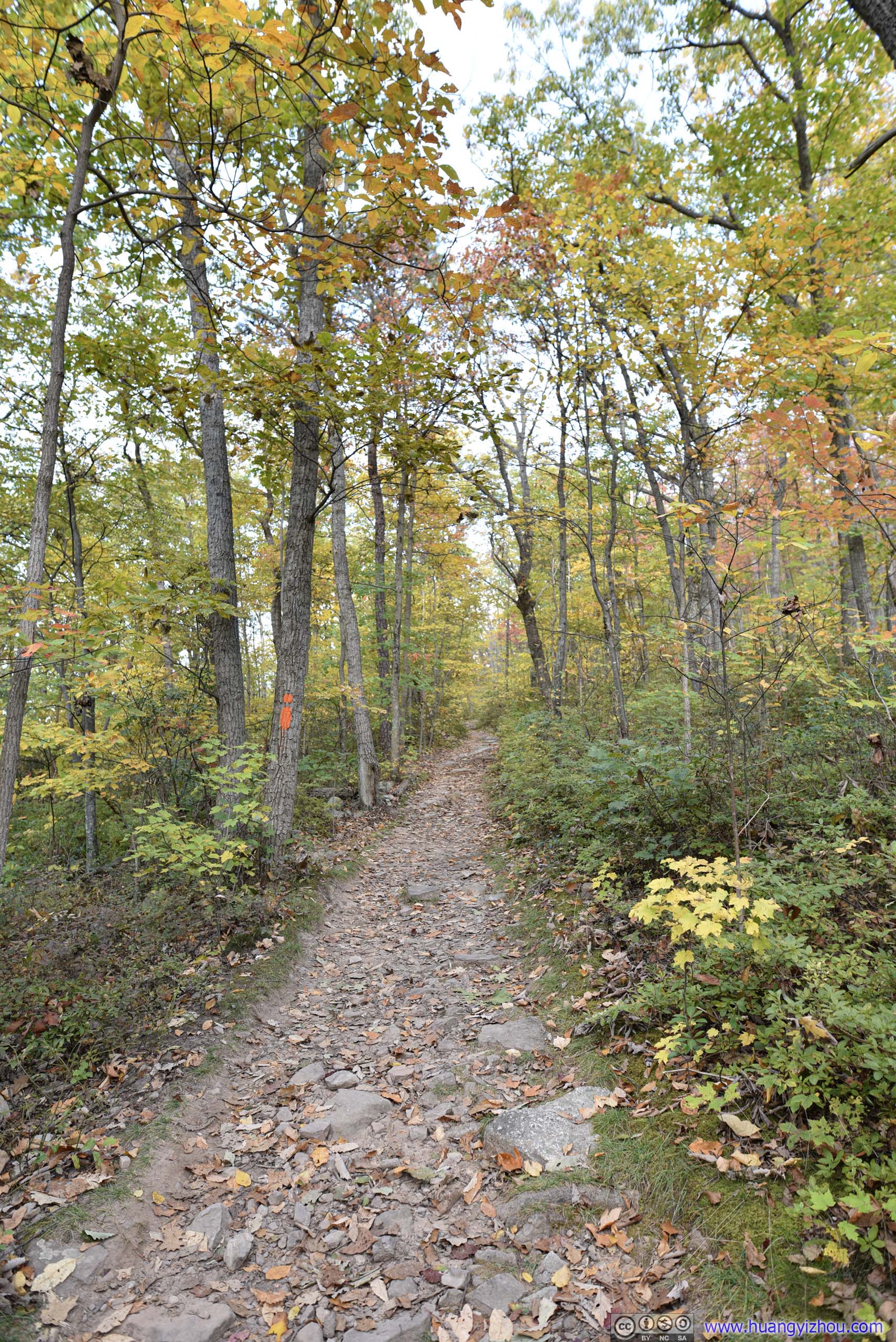
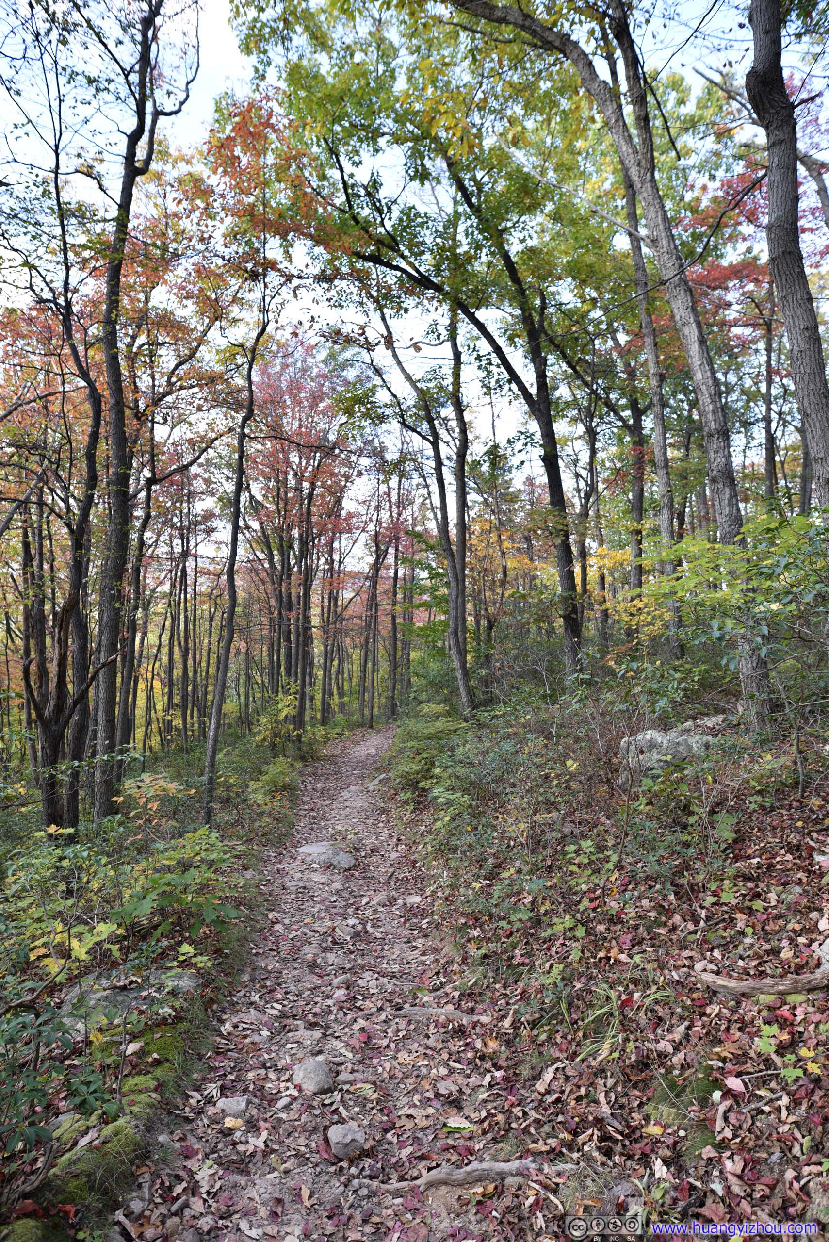
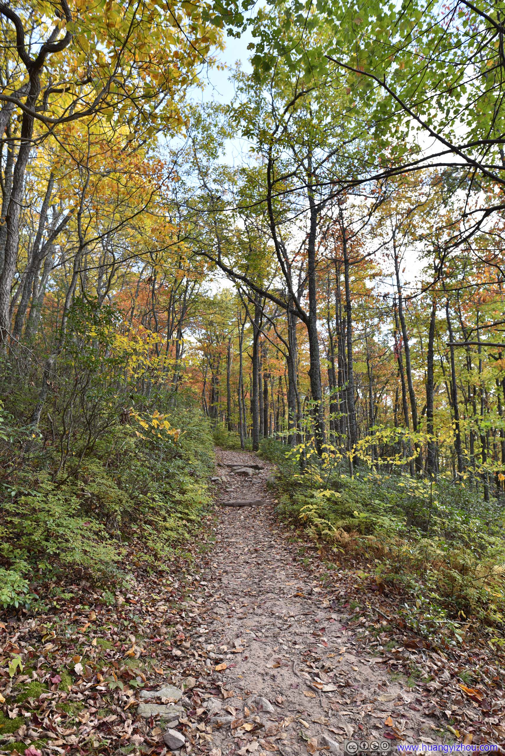
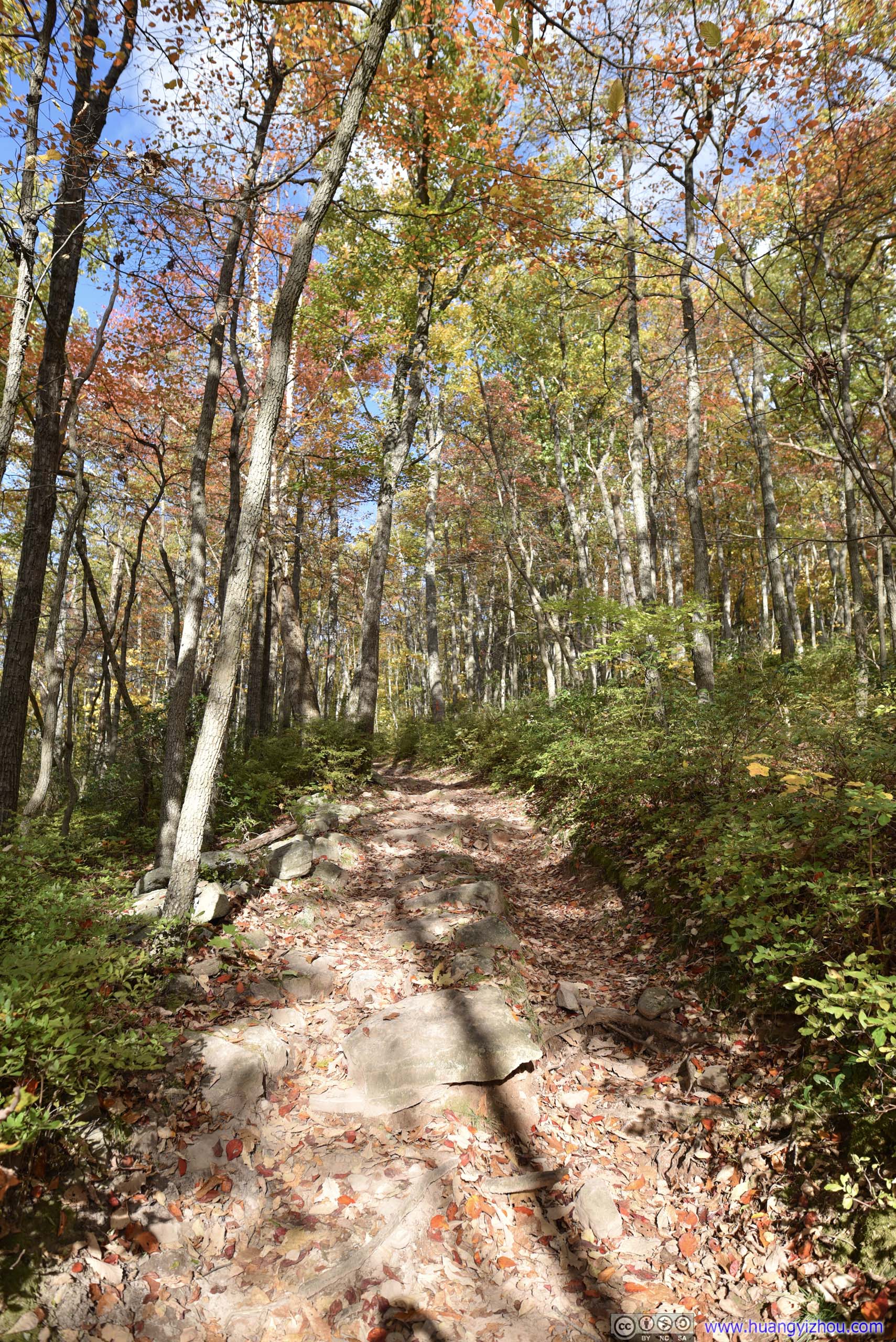
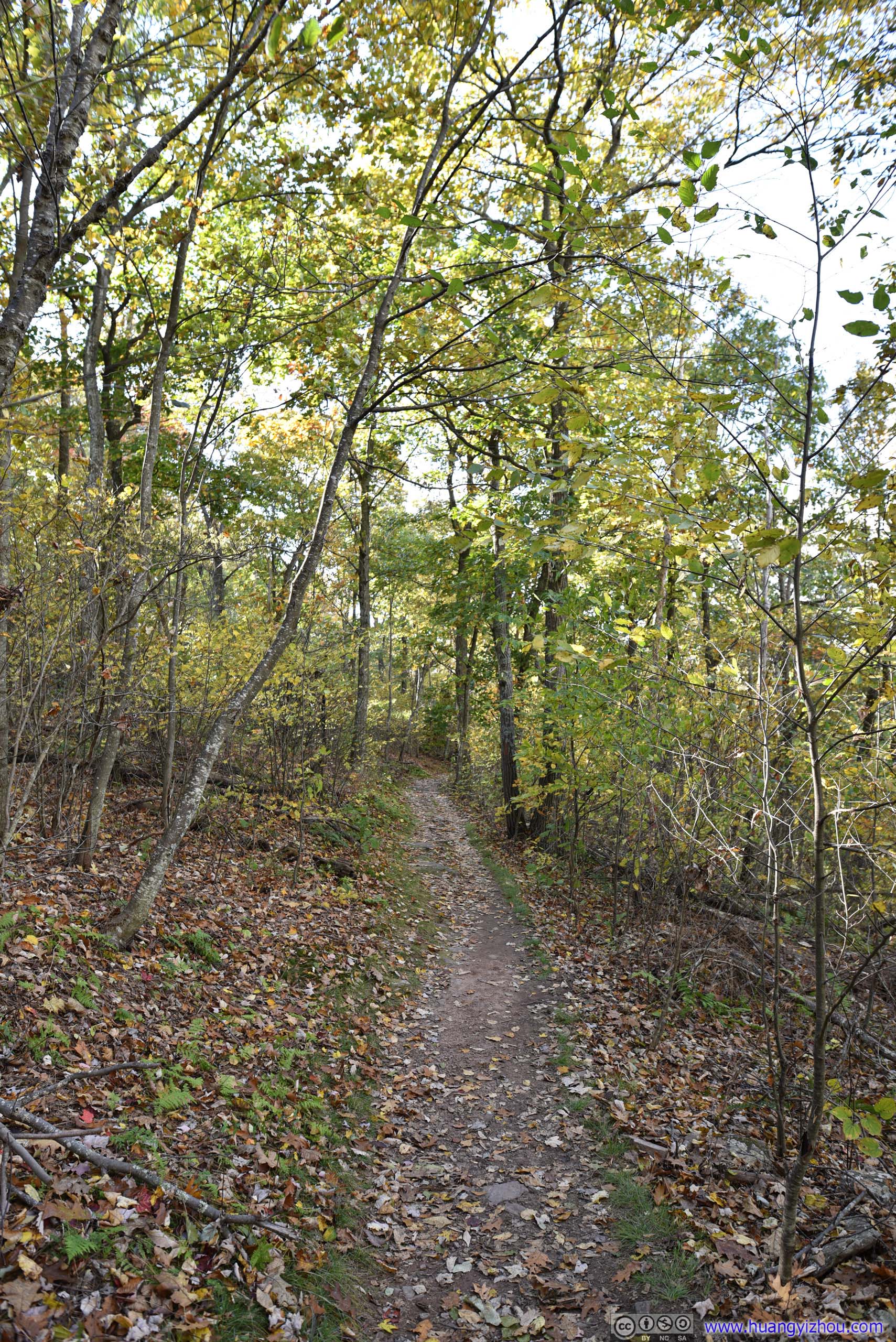
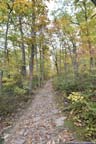
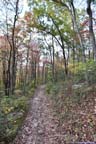
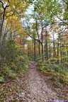
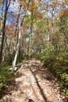
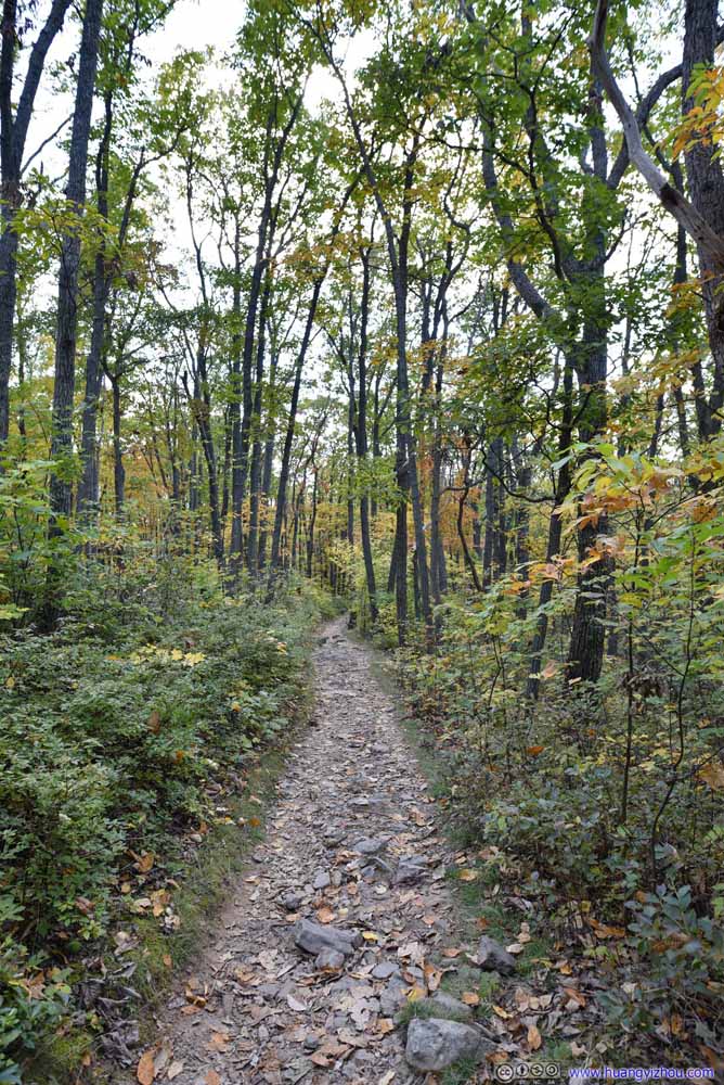
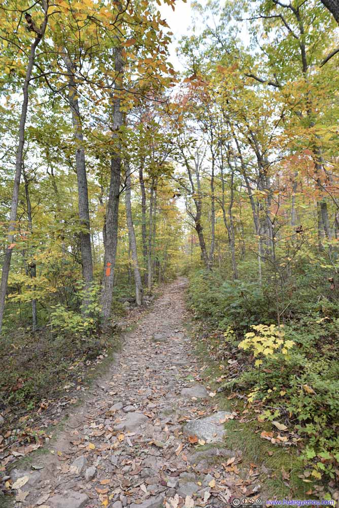
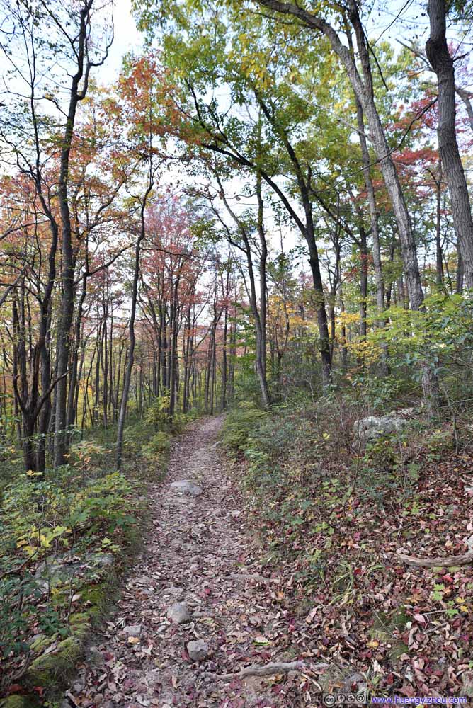
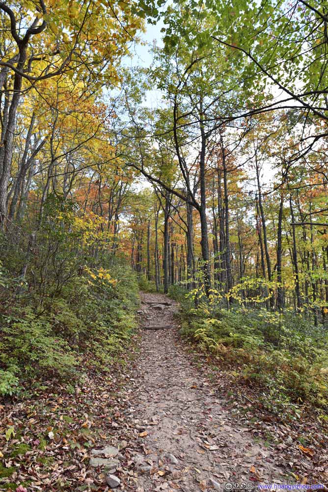
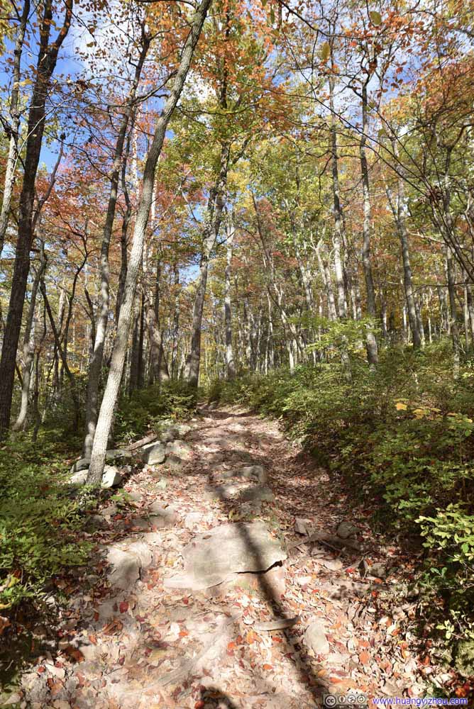
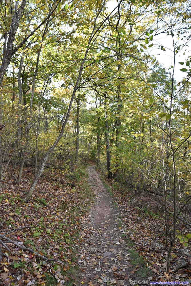
Most of the elevation gain towards Big Schloss happened during the first one-third of distance, after which the trail followed the ridge of a mountain and had minimal elevation change.

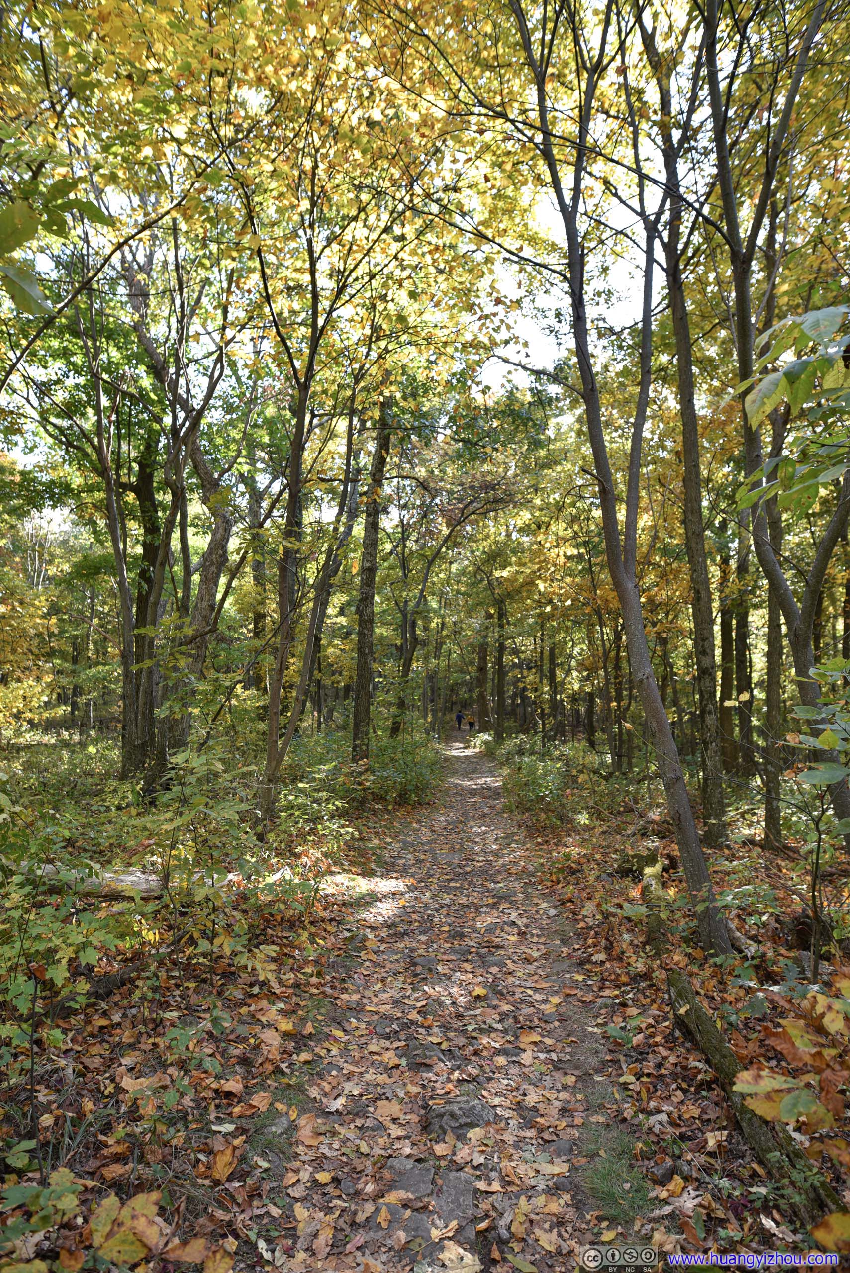
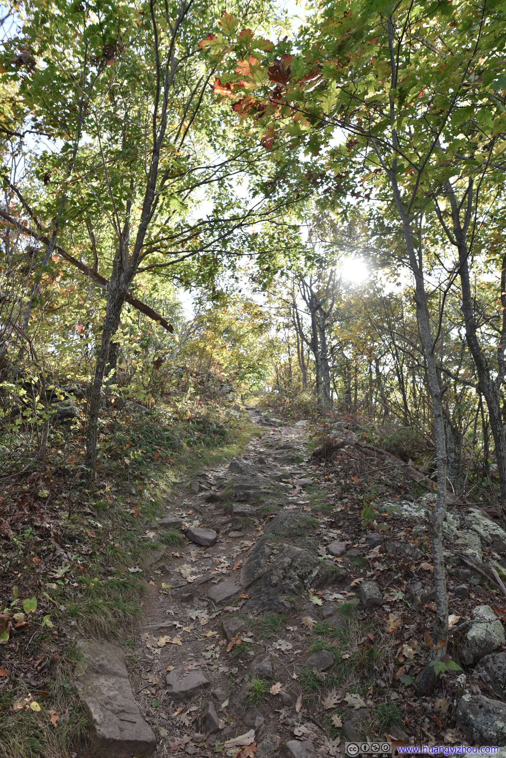
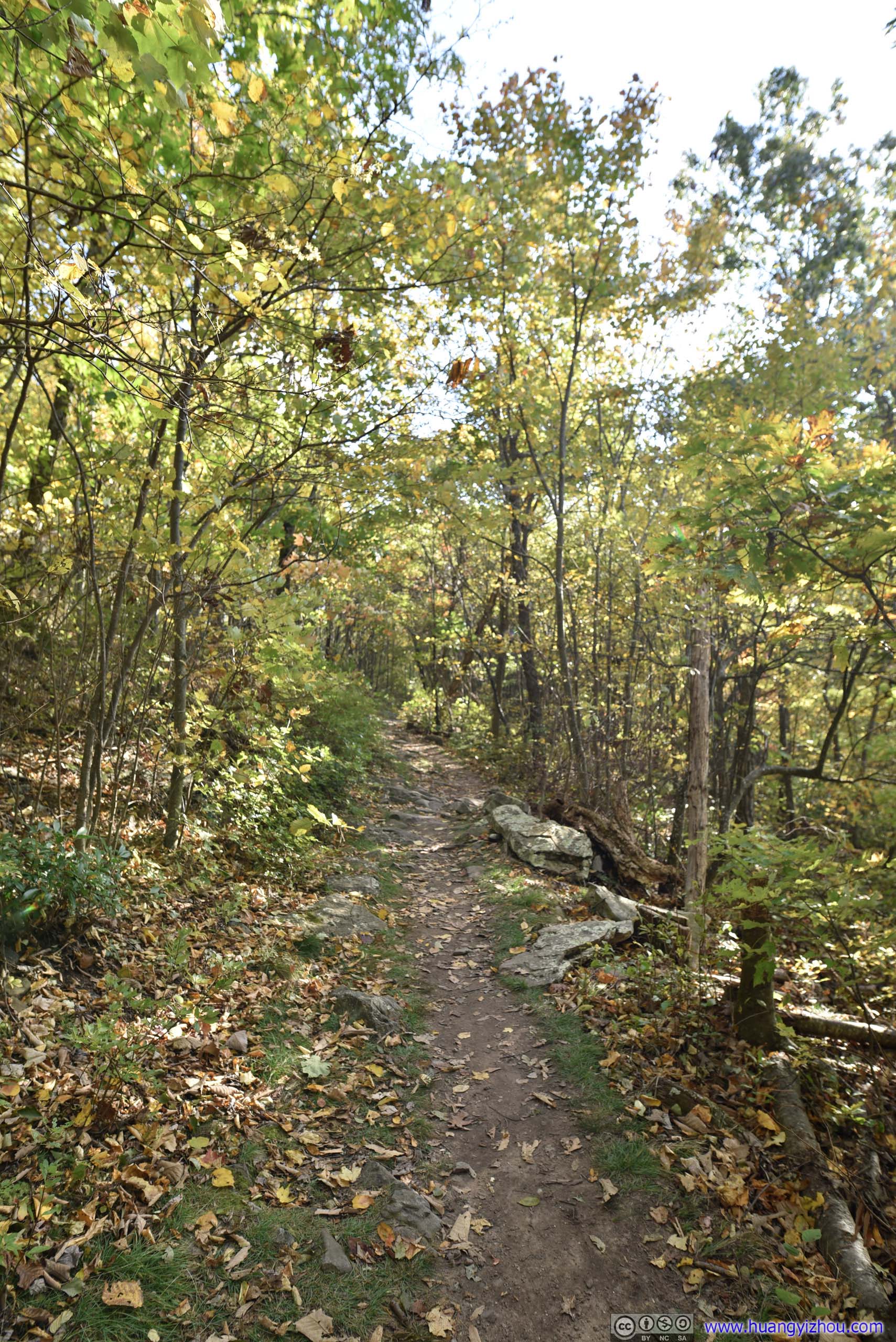

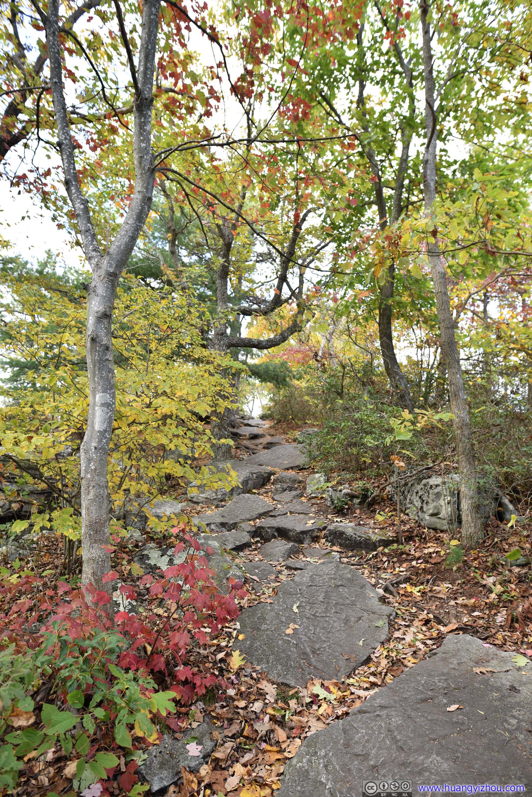
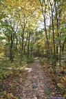
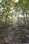
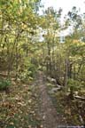
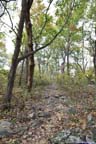
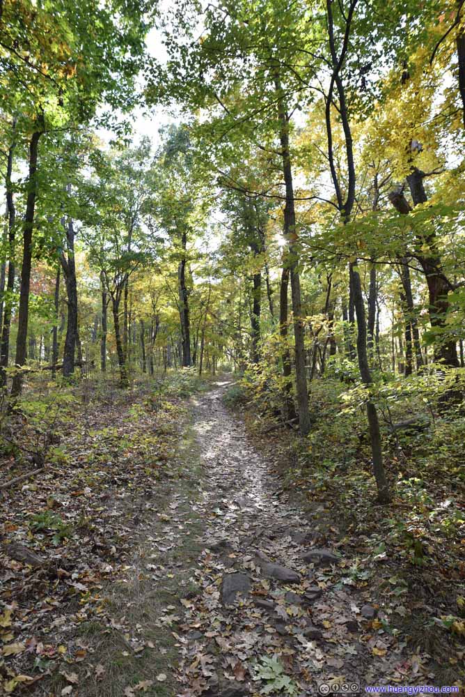
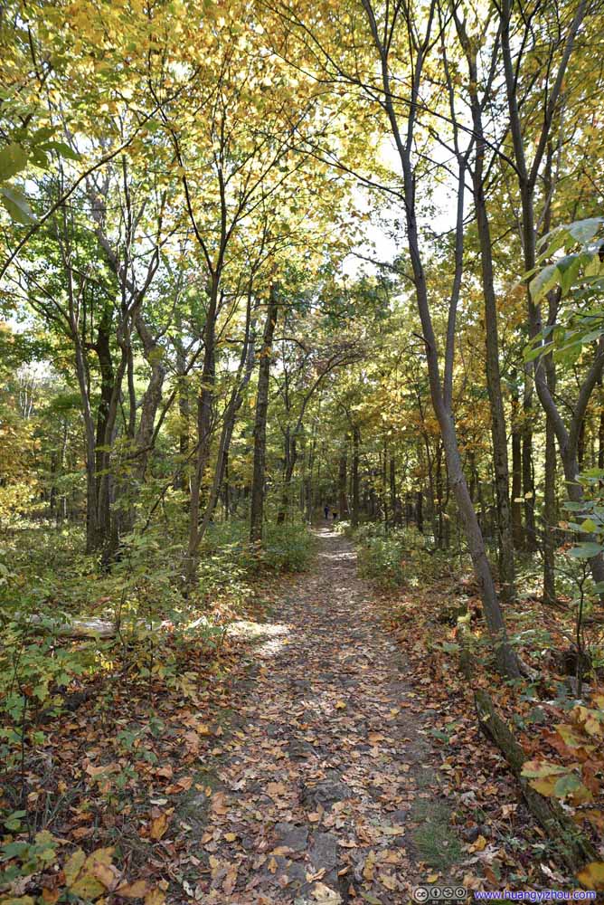
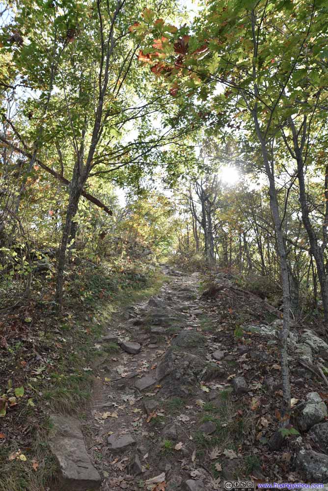
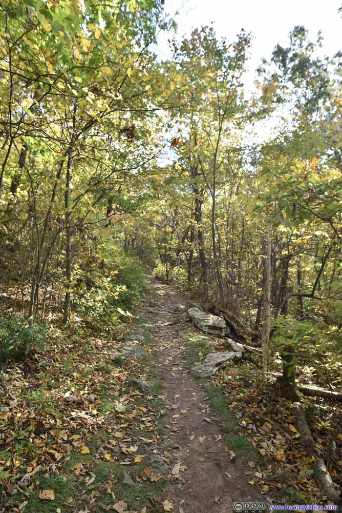
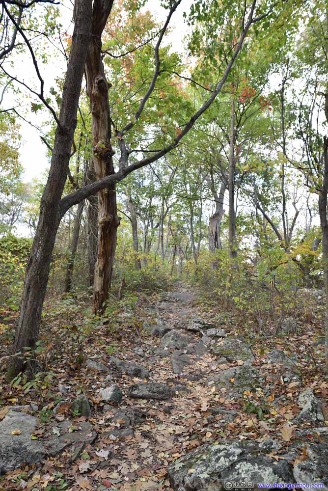
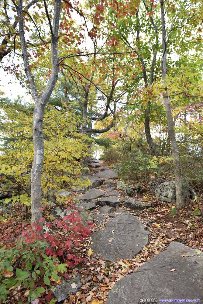
2.9km from trailhead, the trail reached a marked 3-way intersection, where it took a right turn to stay on the spur towards Big Schloss 0.5km away.
Big Schloss
Finally, I reached Big Schloss at 4:40pm.
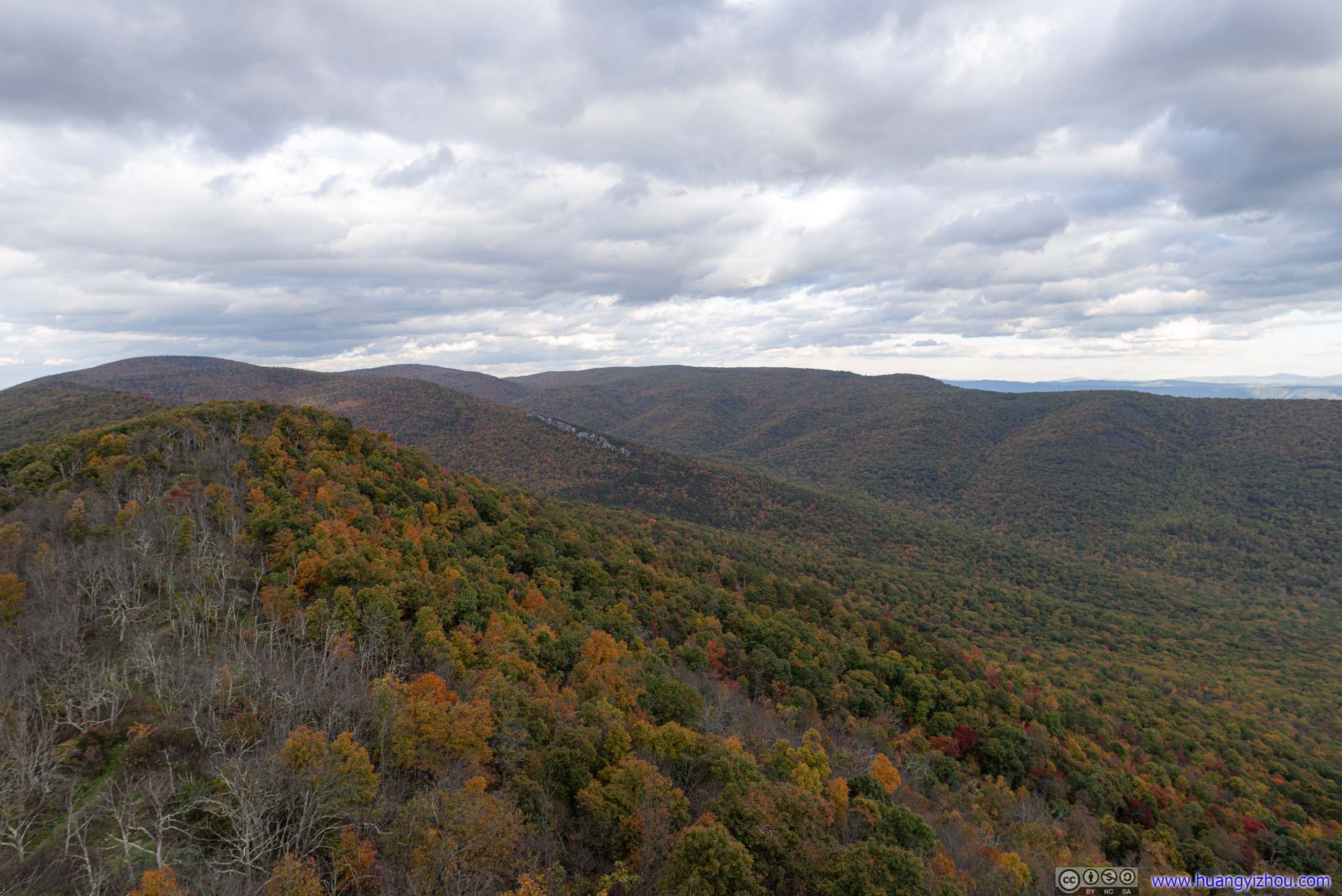
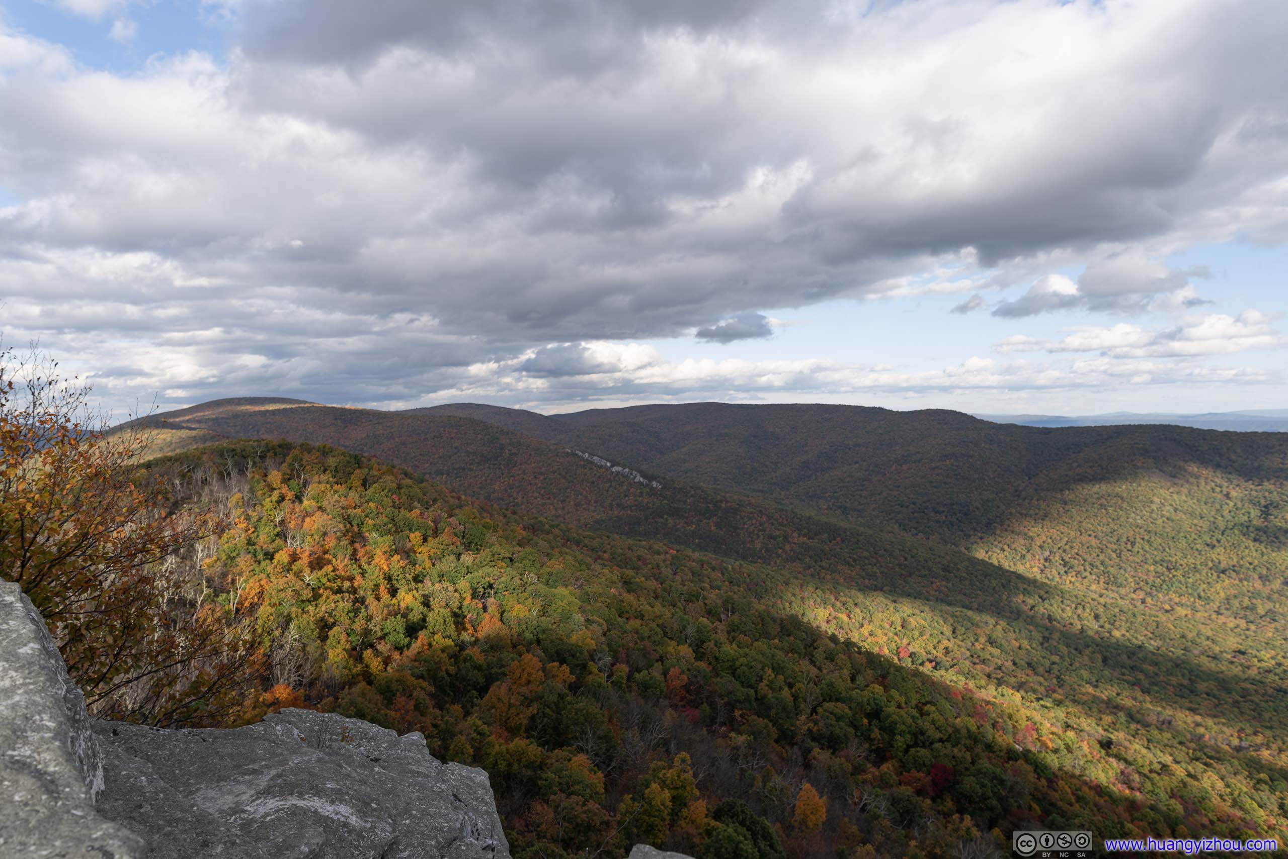
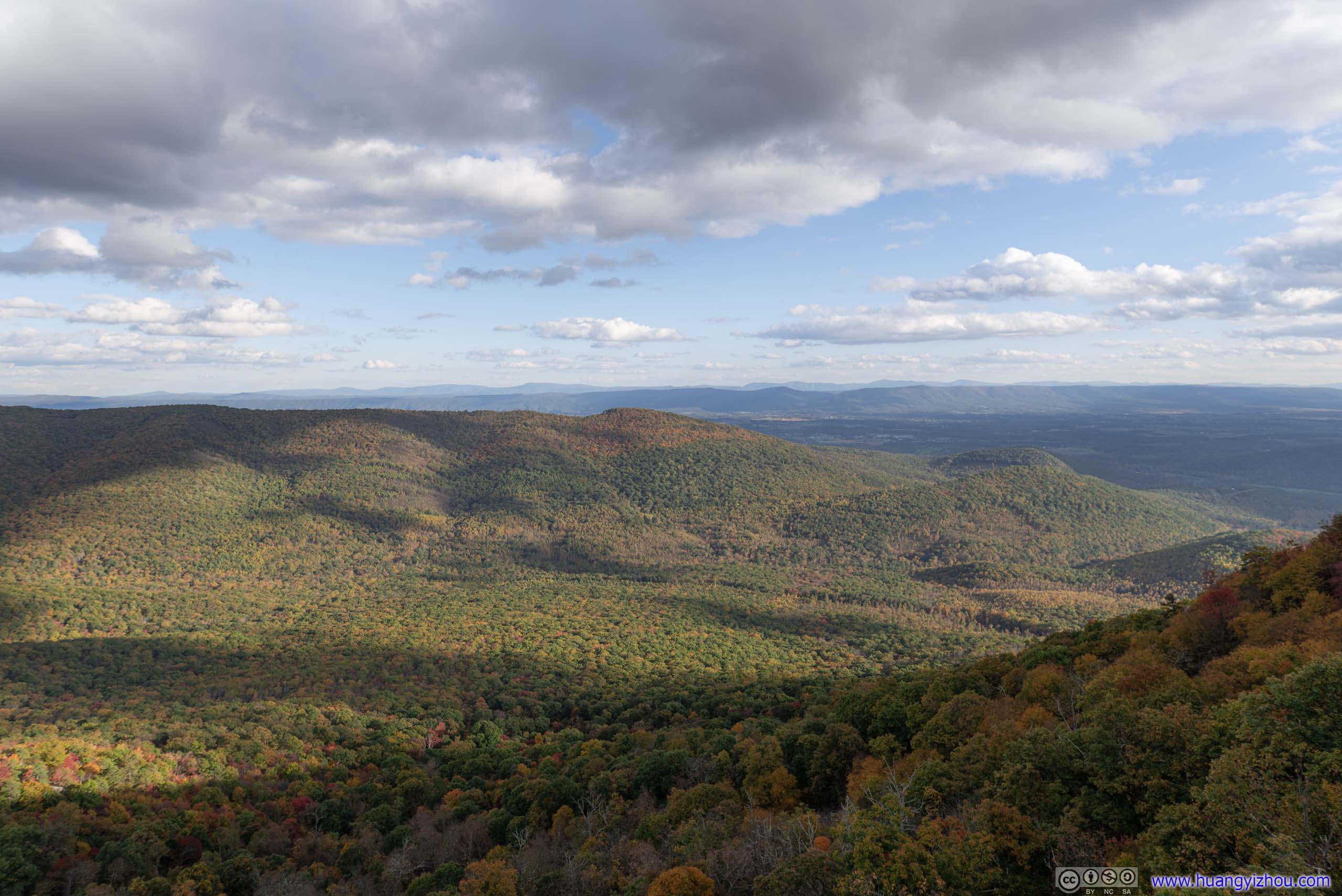
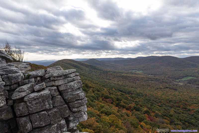
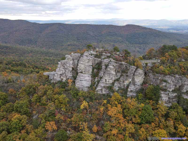
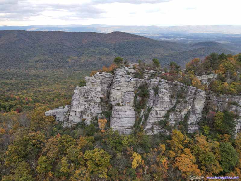
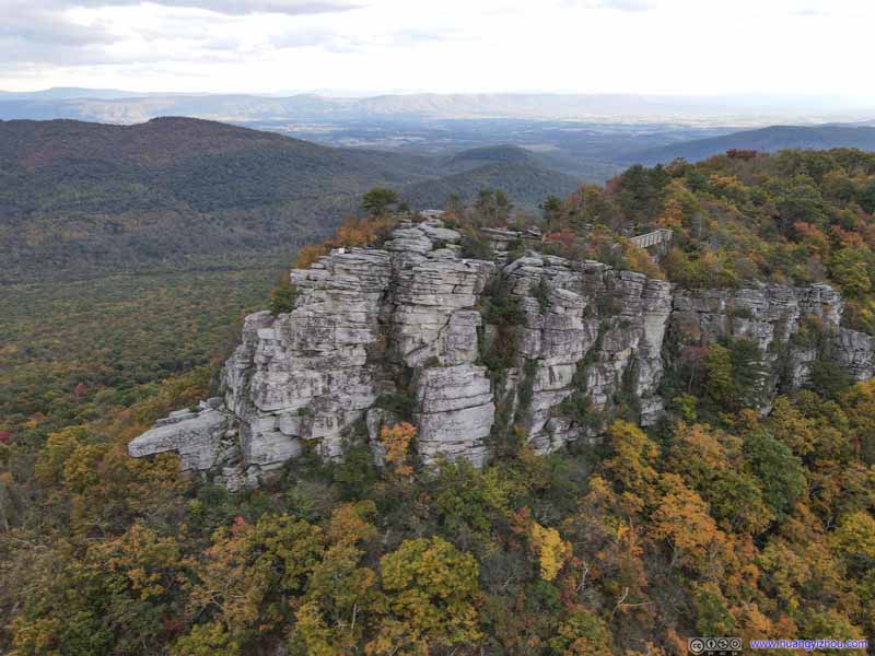
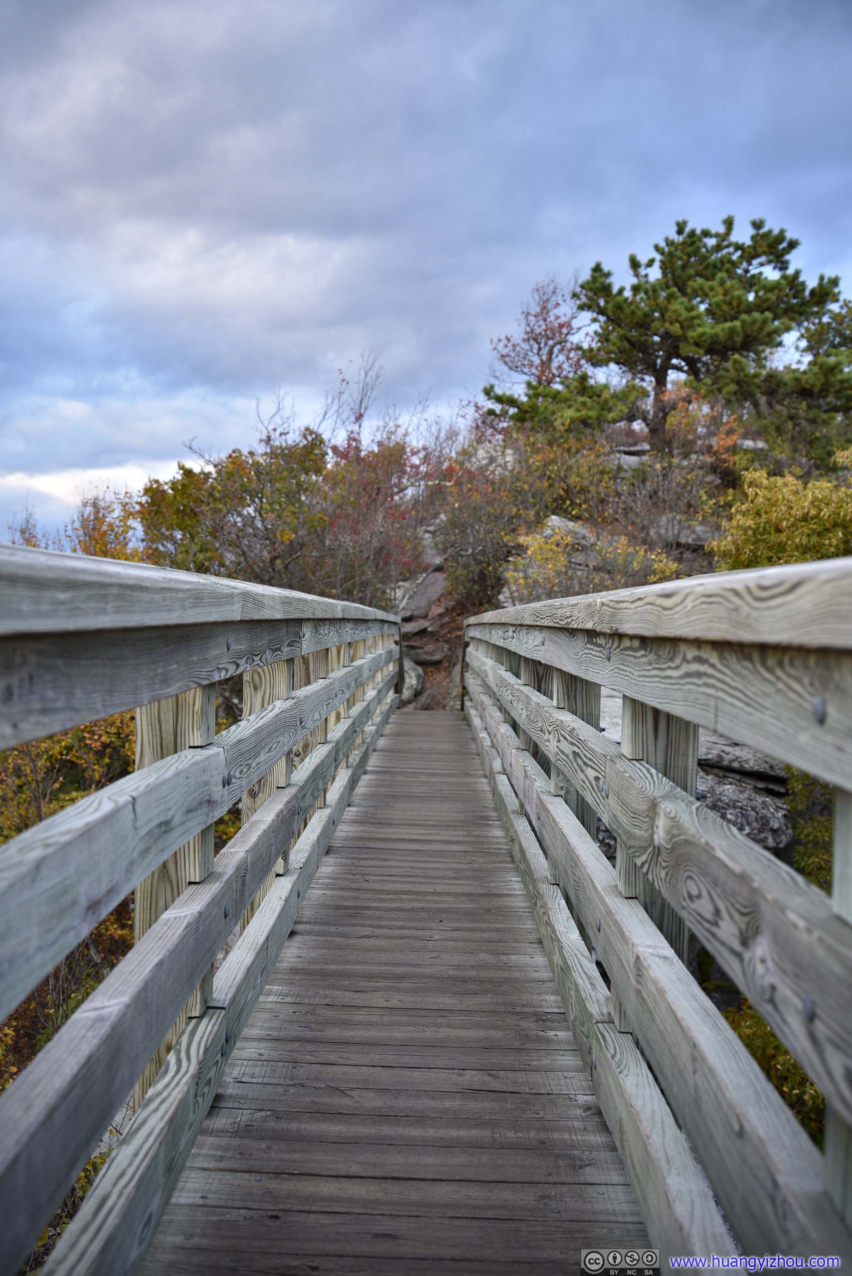
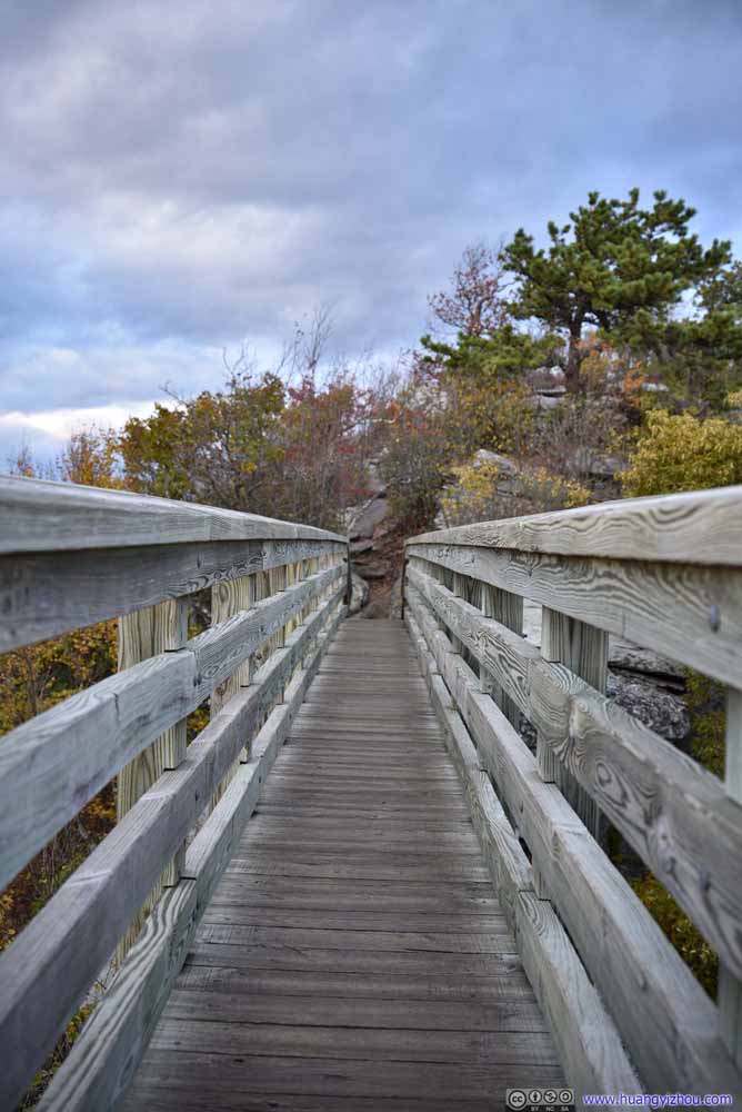
The end of the trail, Big Schloss, was made of a giant field of boulders towering above the nearby valley floor, which offered panoramic views of the surrounding landscape. After a footbridge, it did take minimal rock scrambling to get on the boulder field, but that didn’t turn out to pose any challenges for the people at Big Schloss that day.
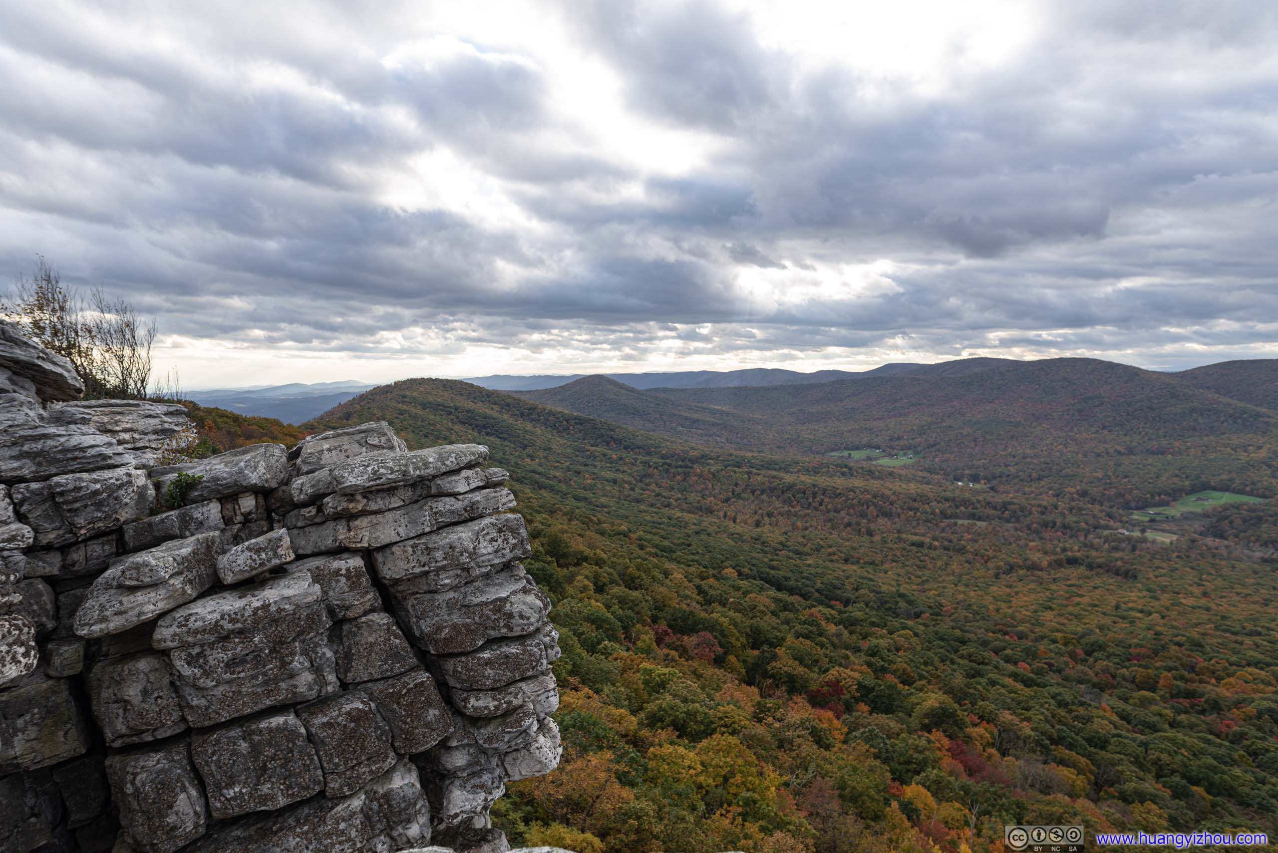
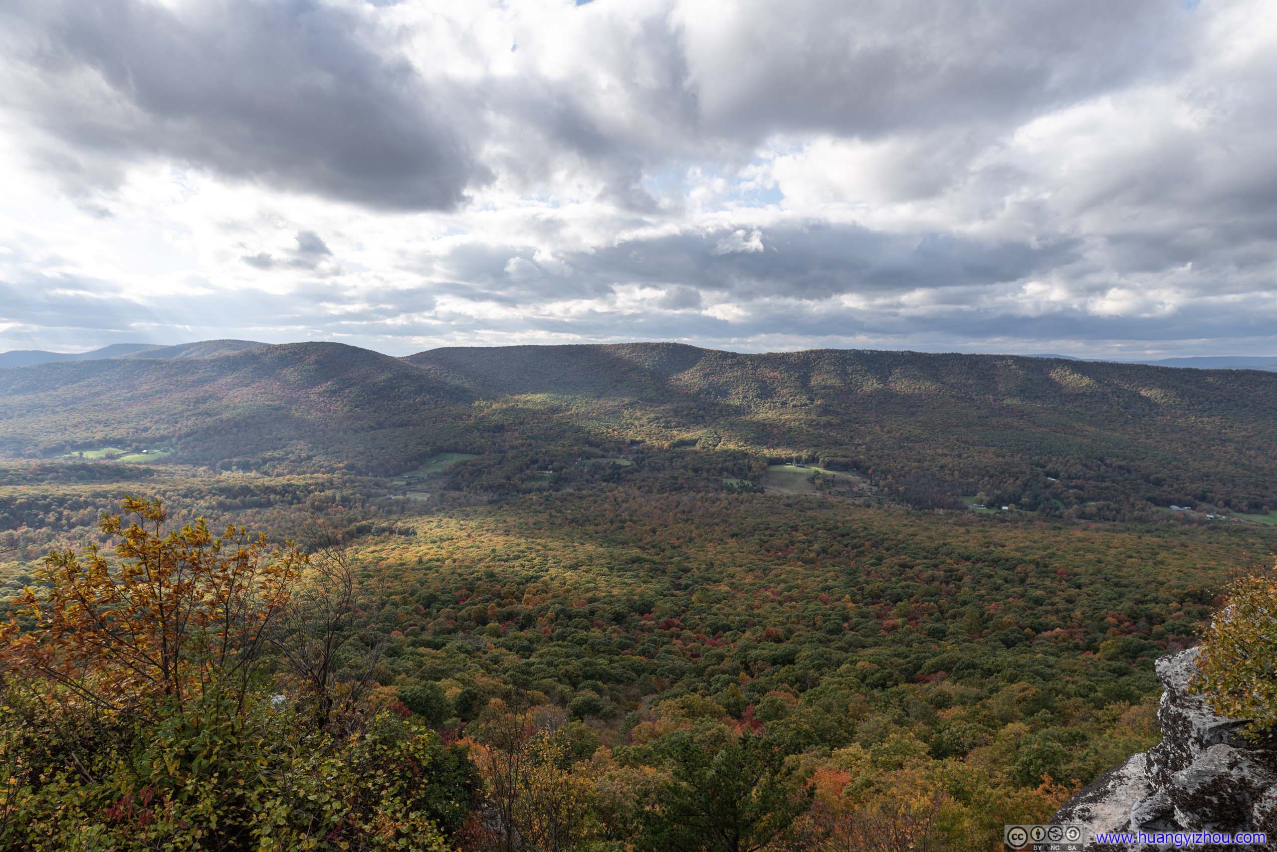
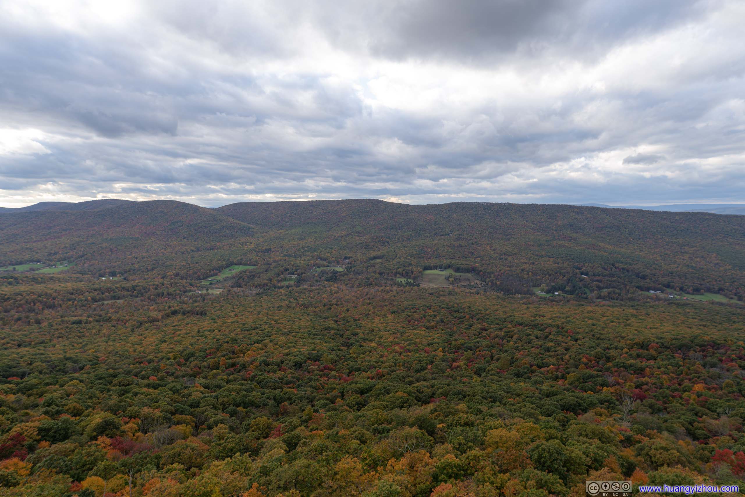
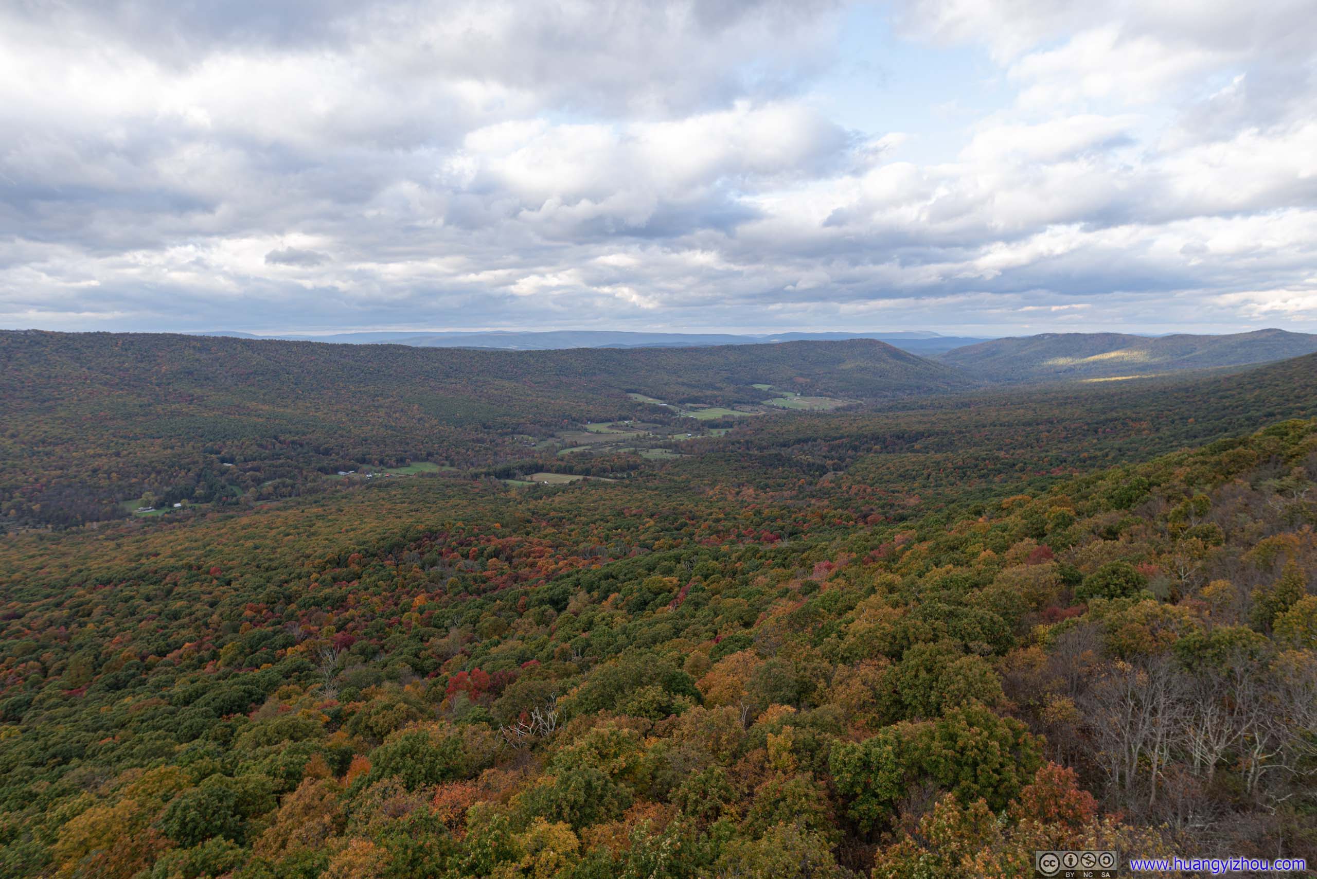
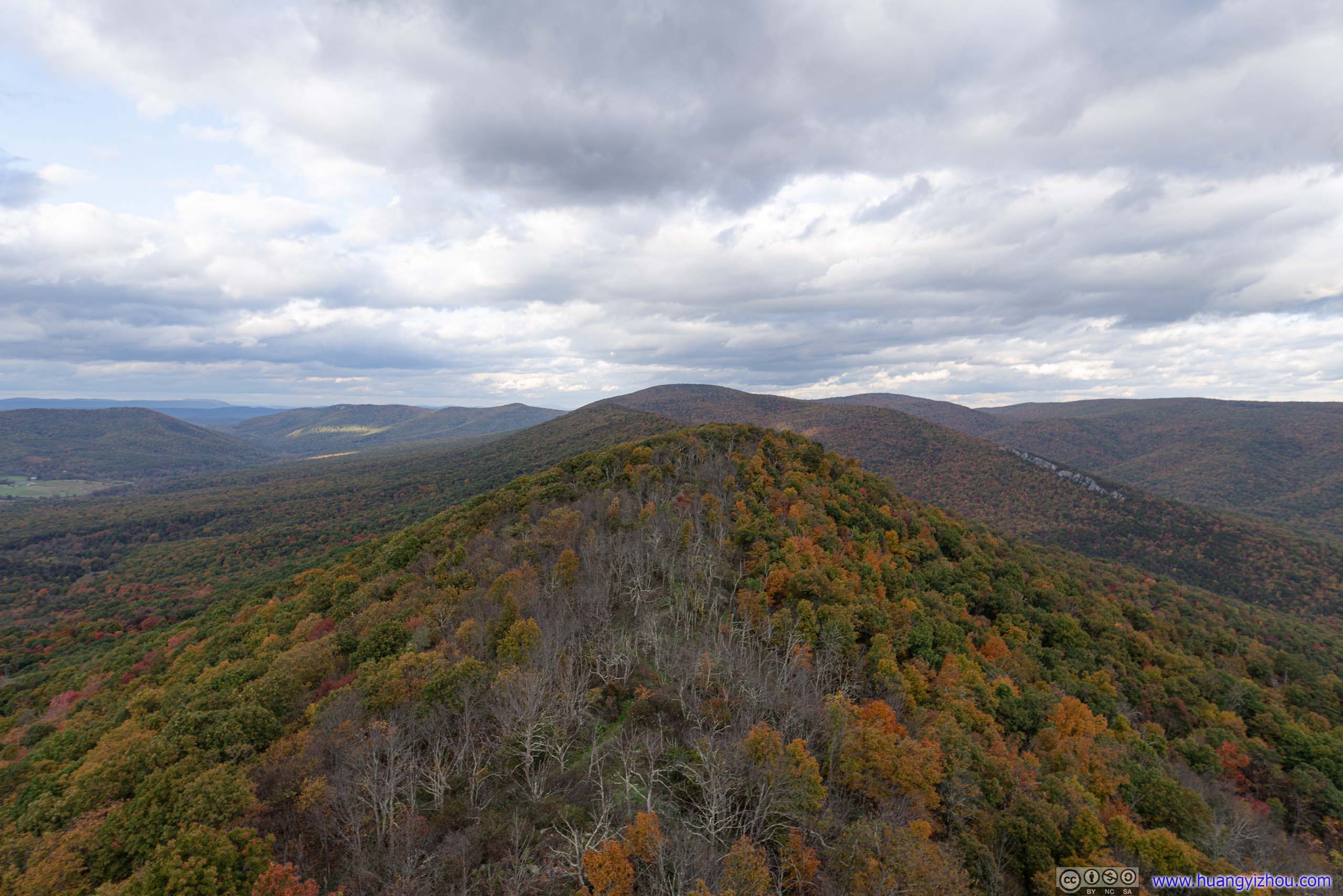
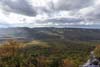
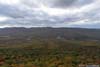
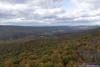
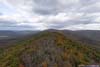
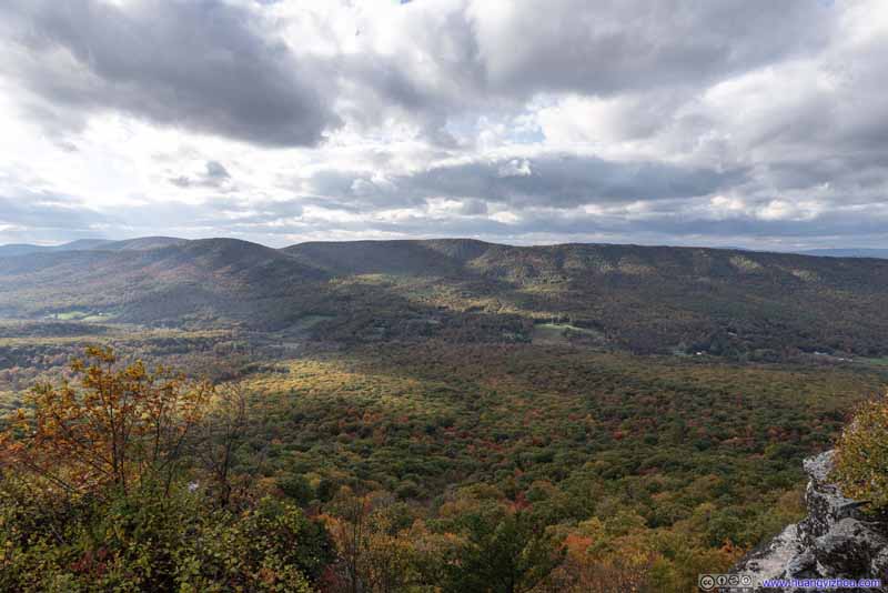
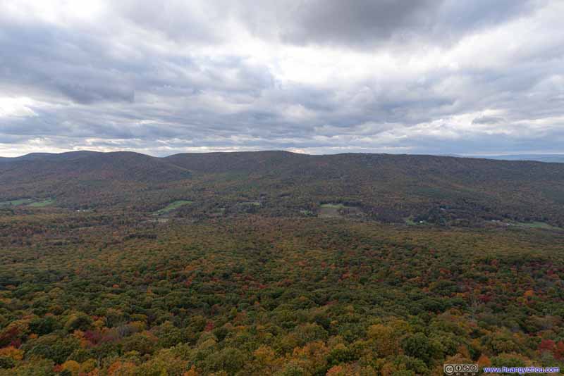
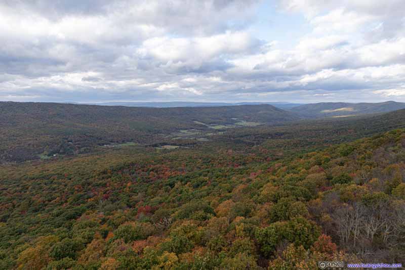
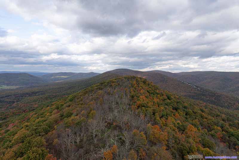
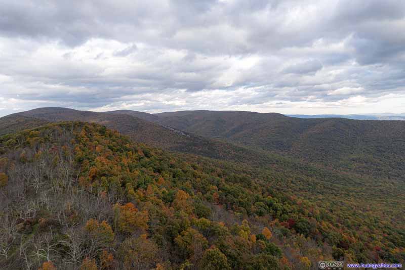
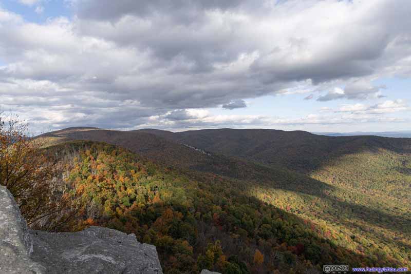
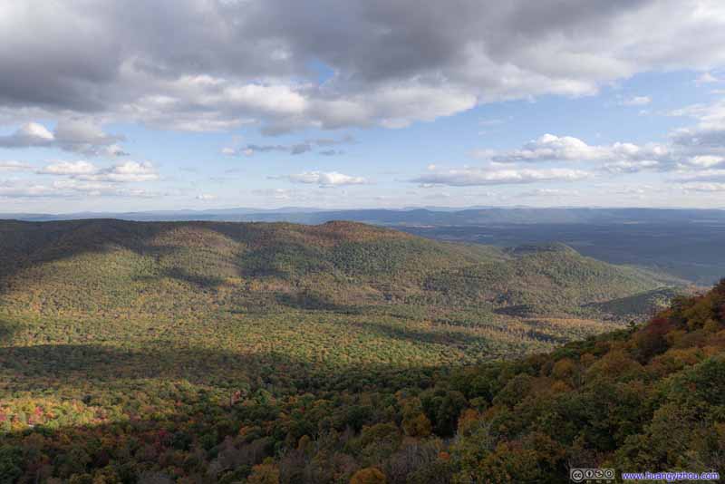
Then I changed back to a 35-150mm lens from the 20mm that I used for the previous photos.
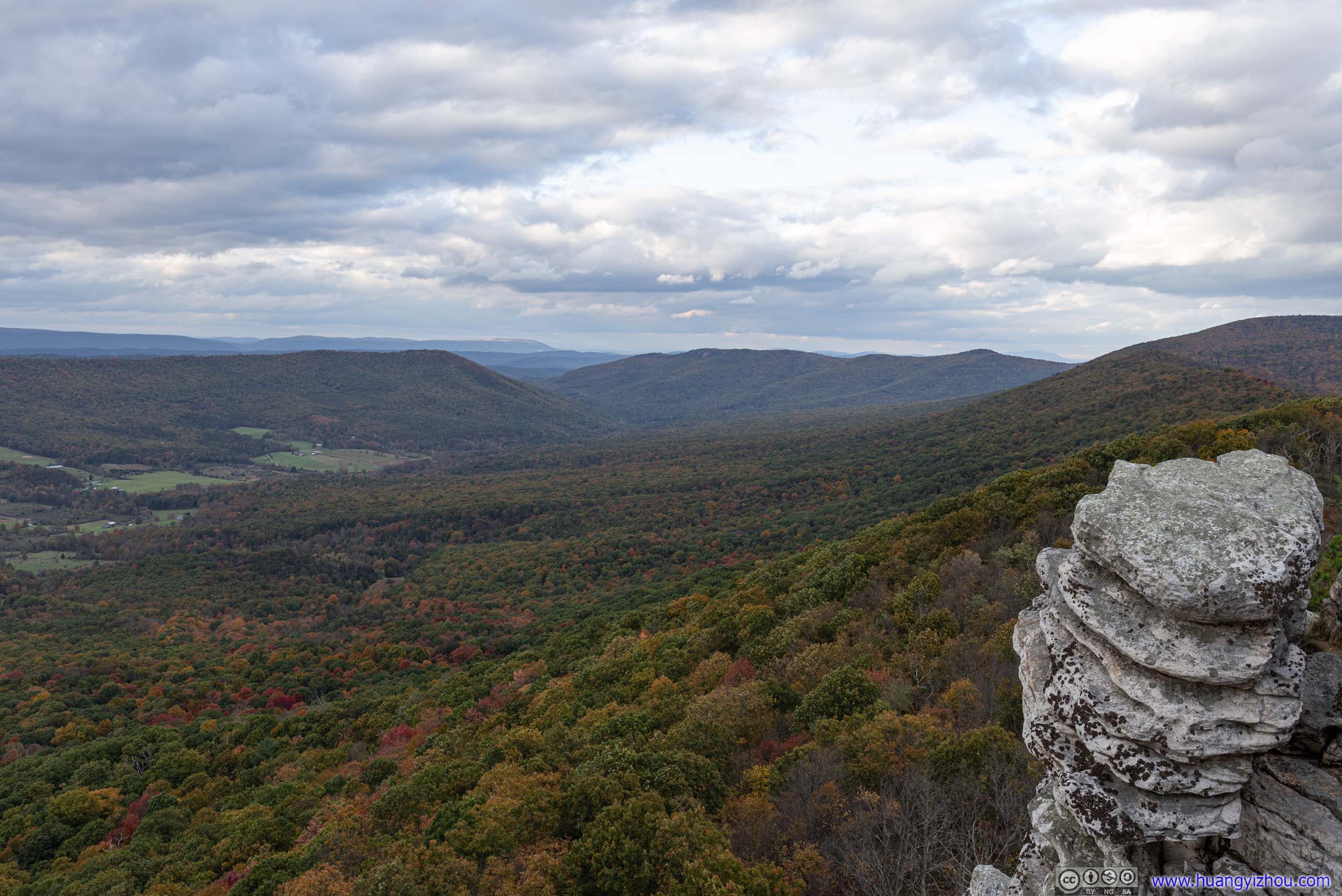
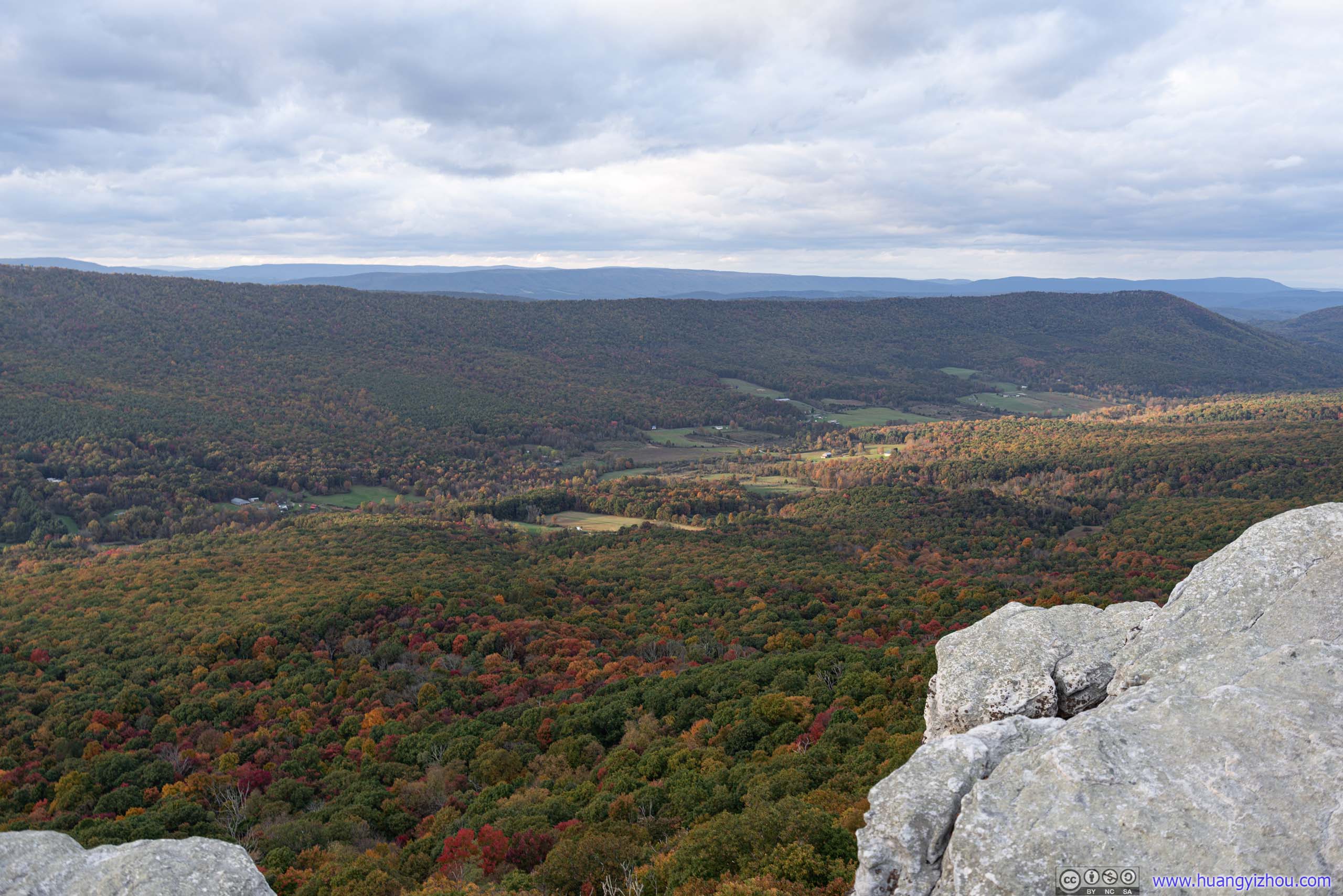
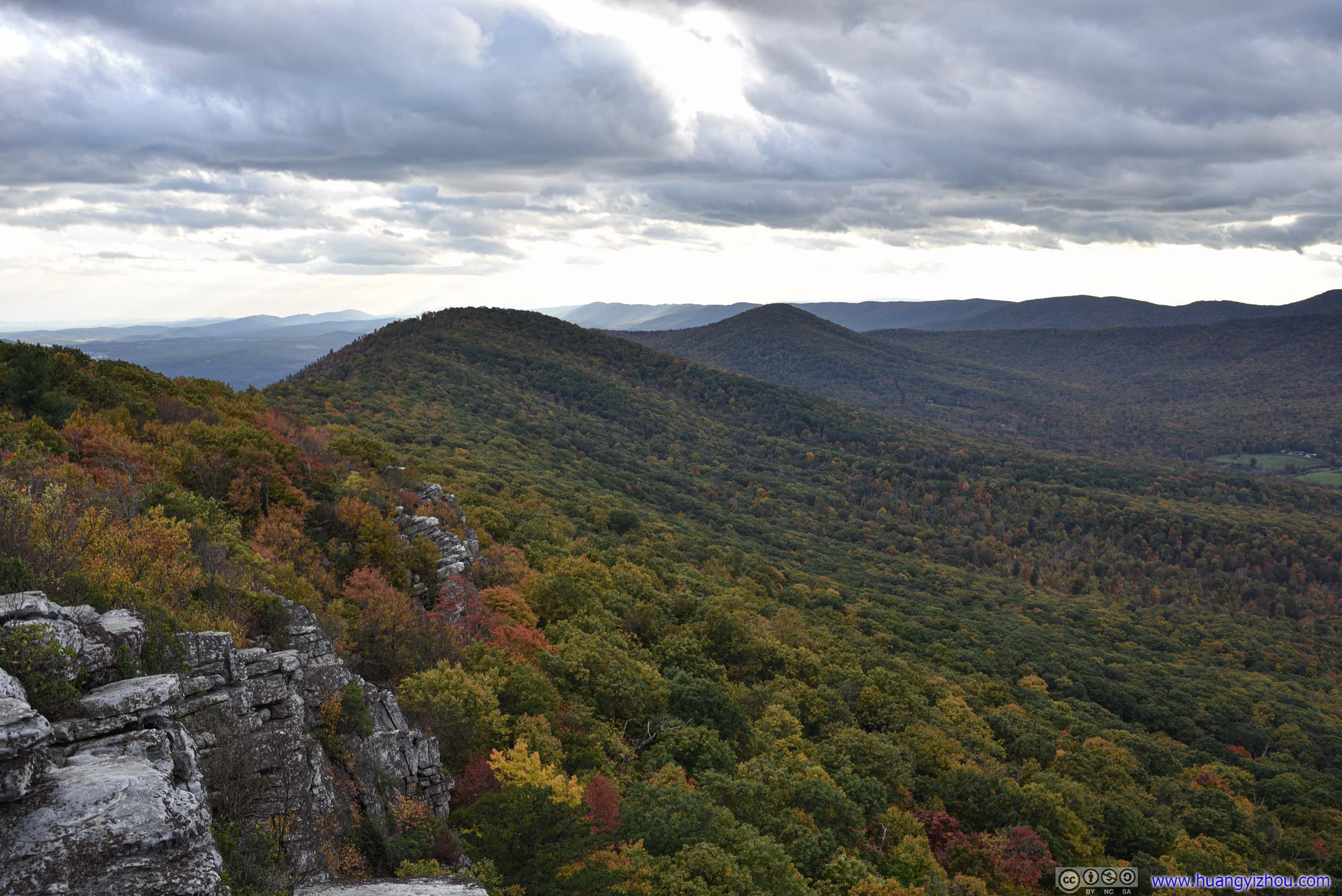
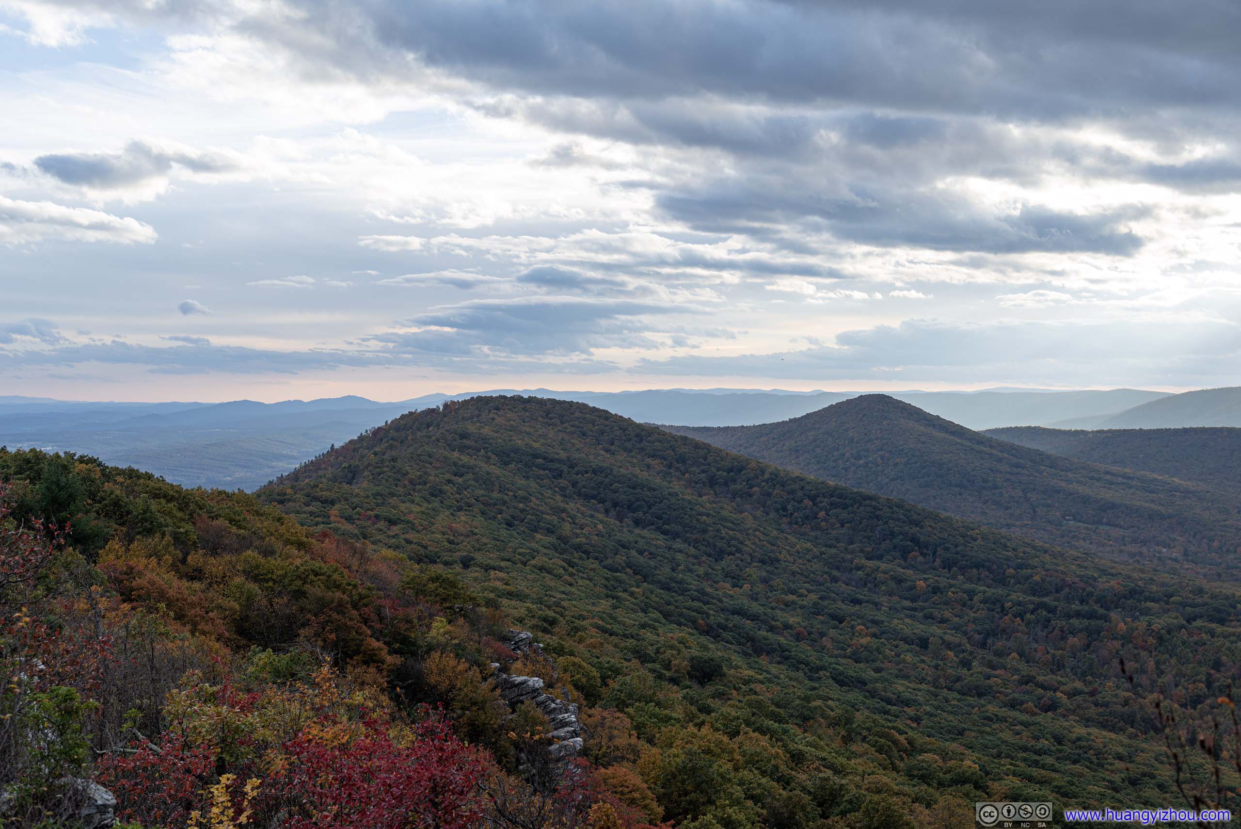
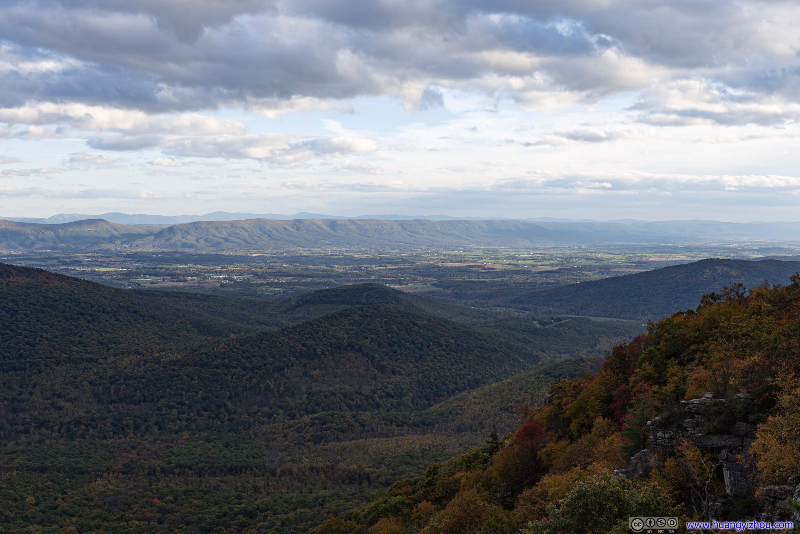
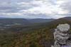
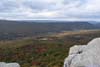
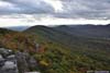
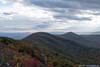
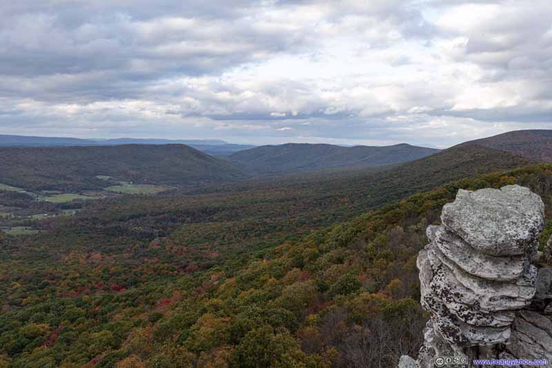
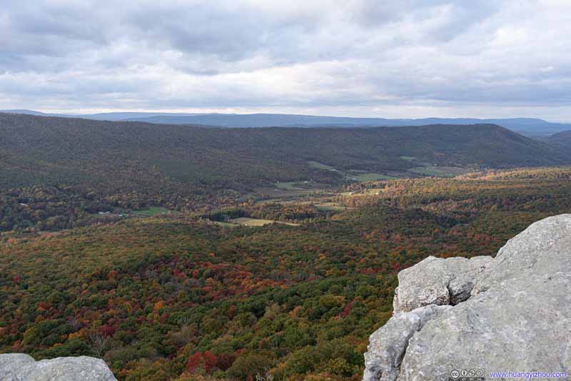
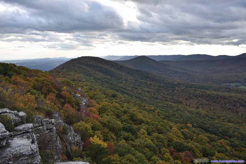
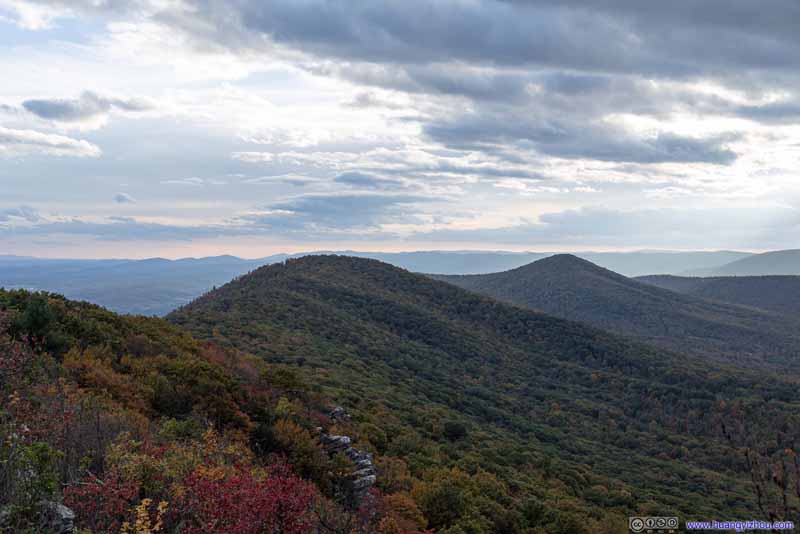
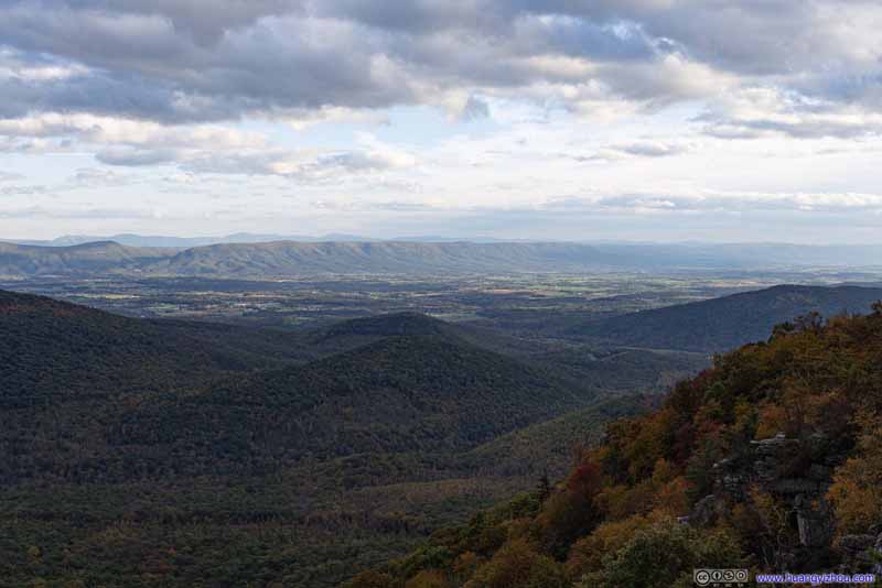
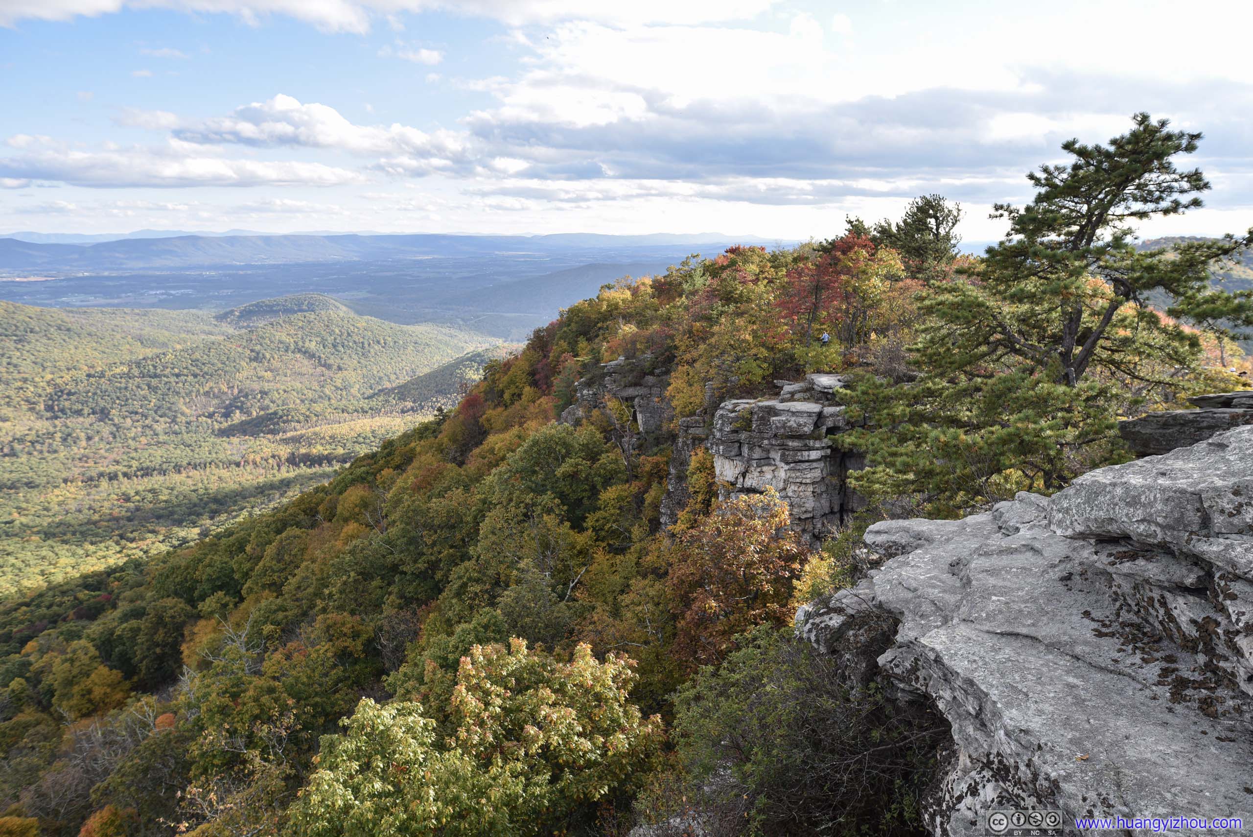
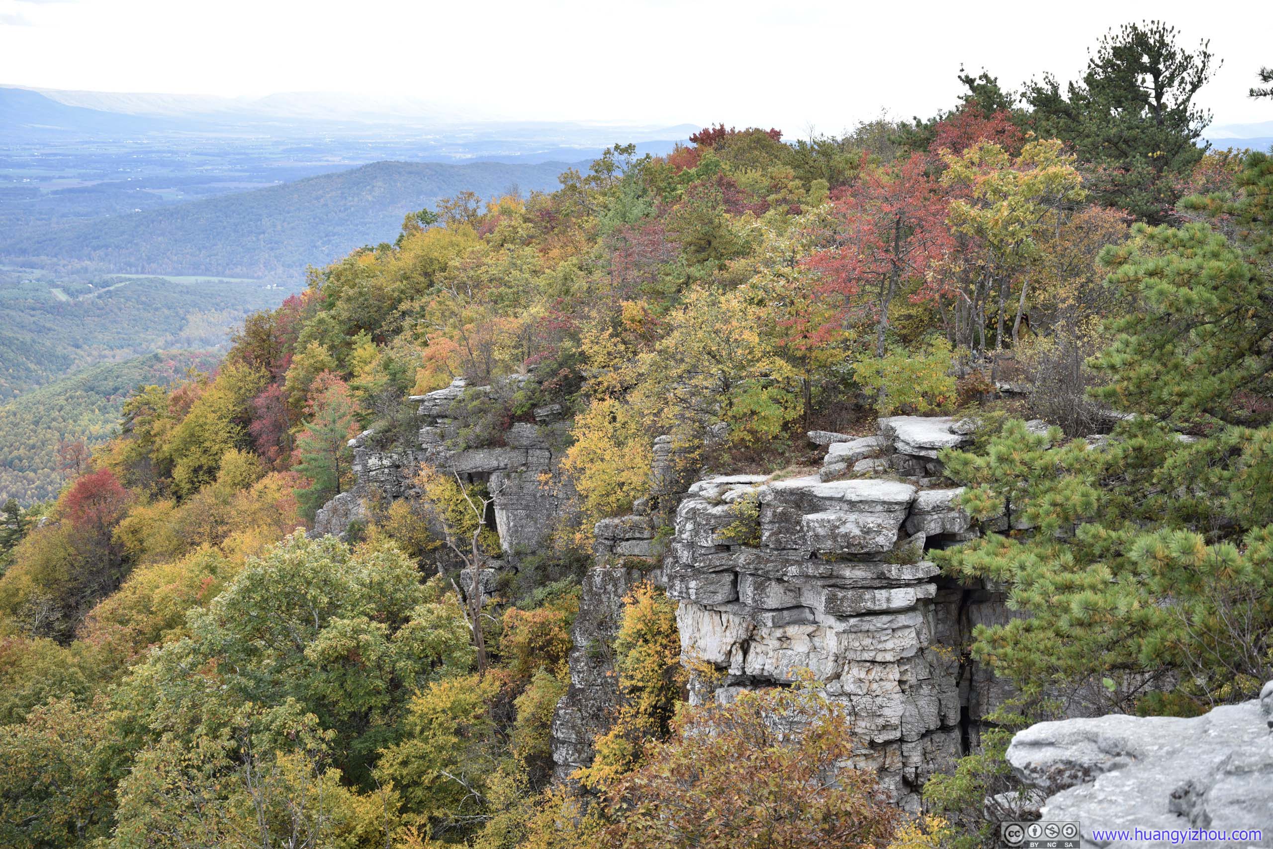
The part of the mountain before the footbridge.

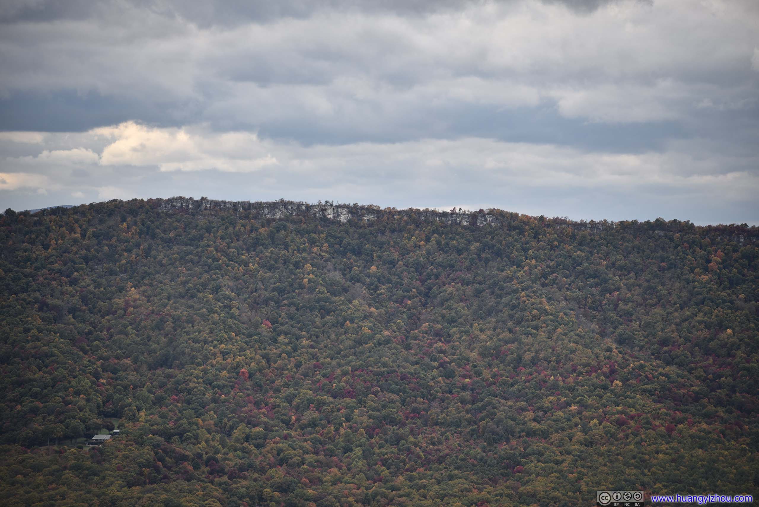
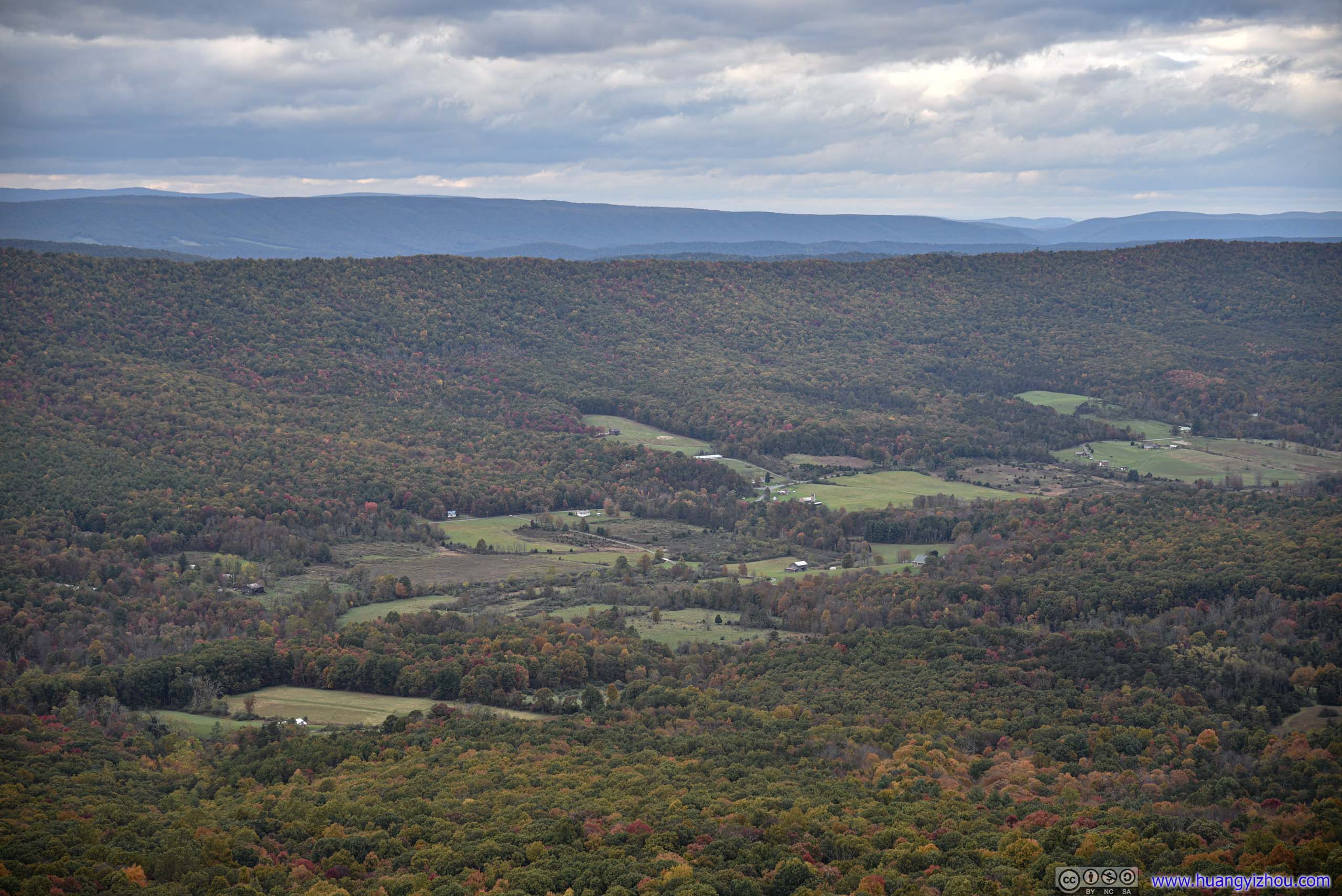
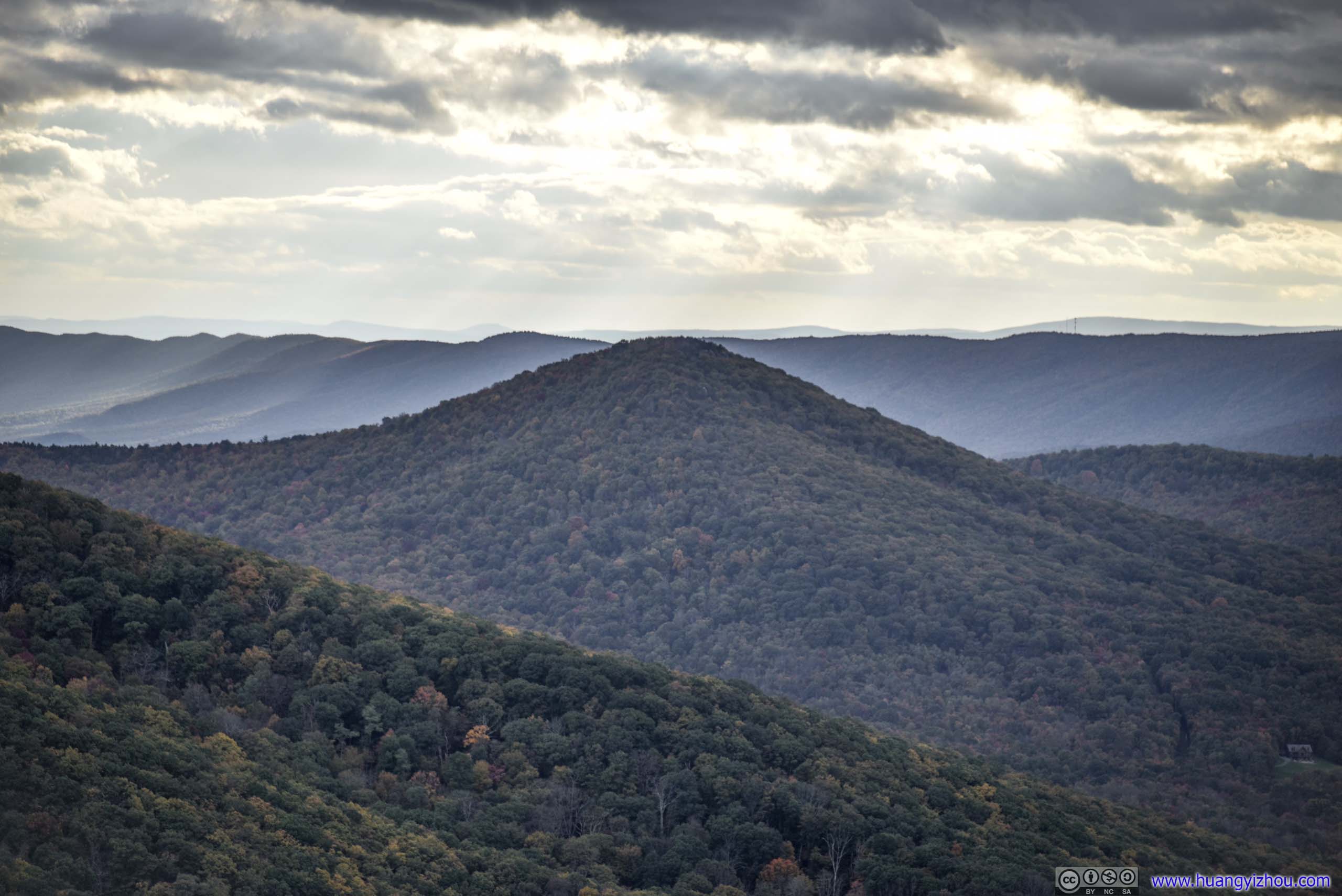
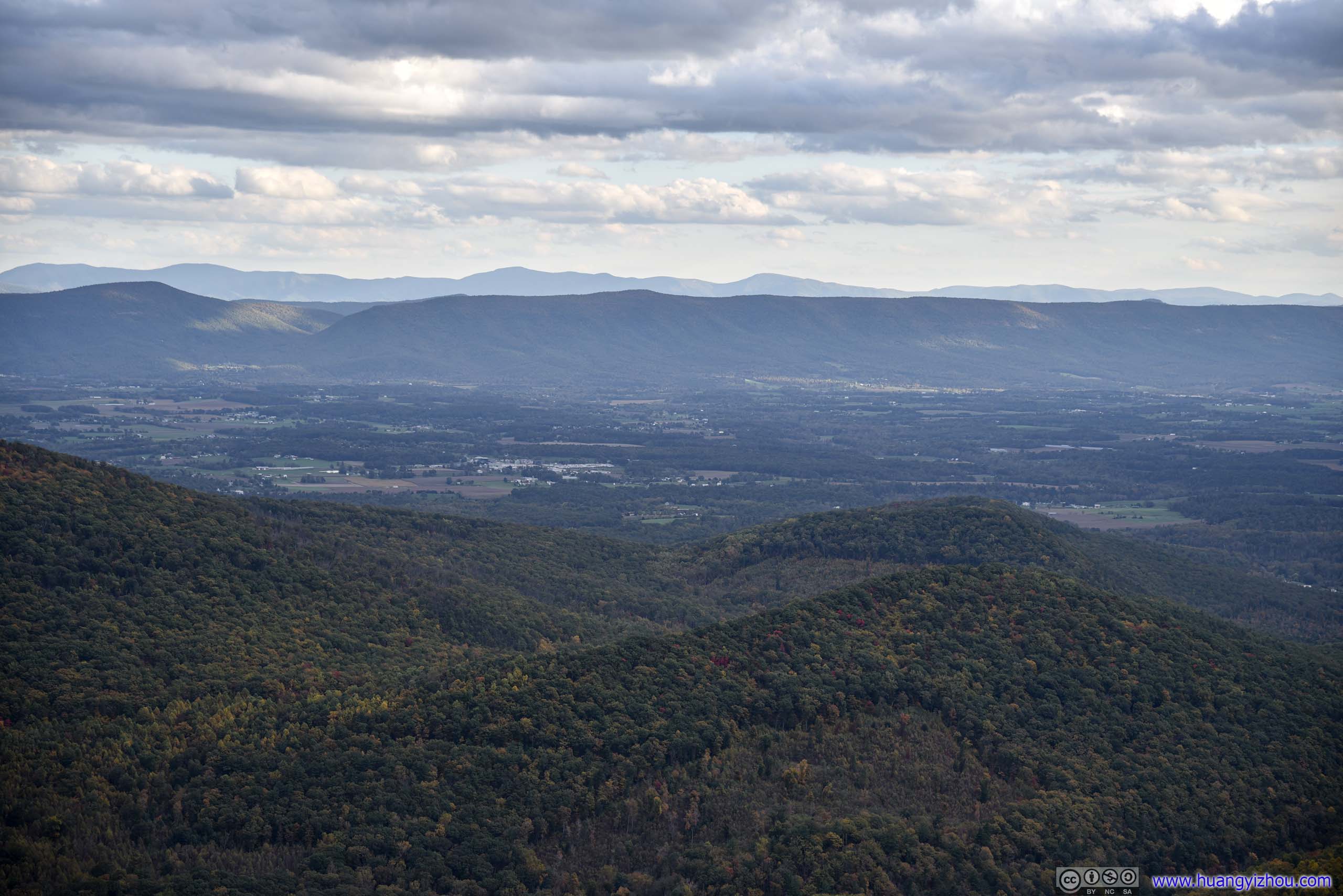
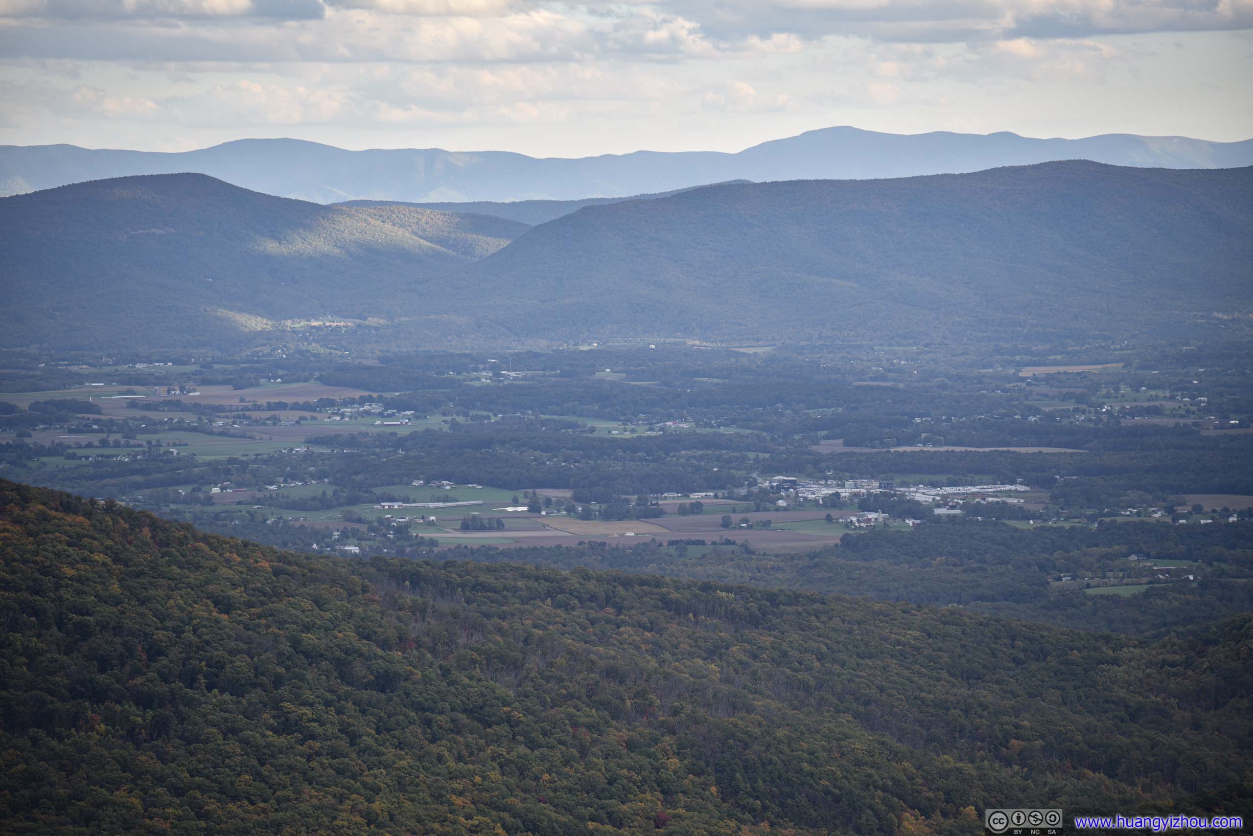
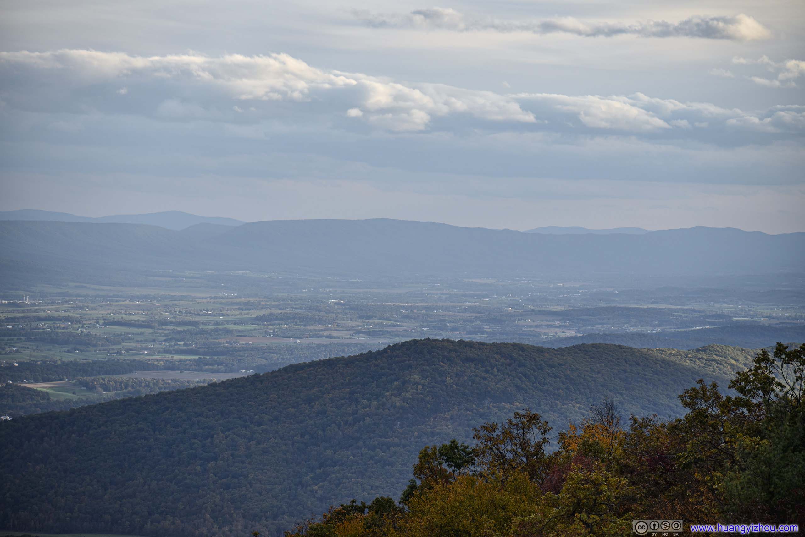
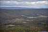
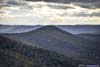
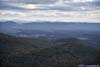
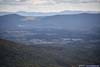
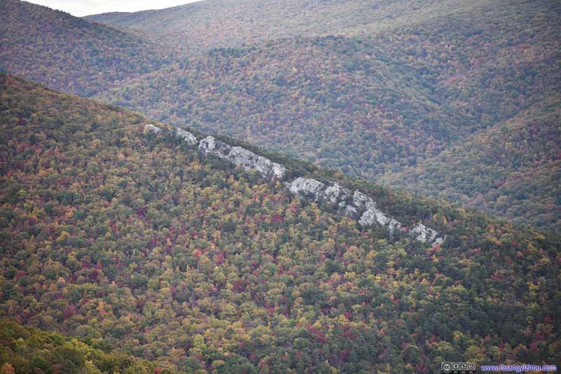
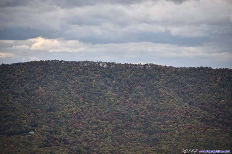
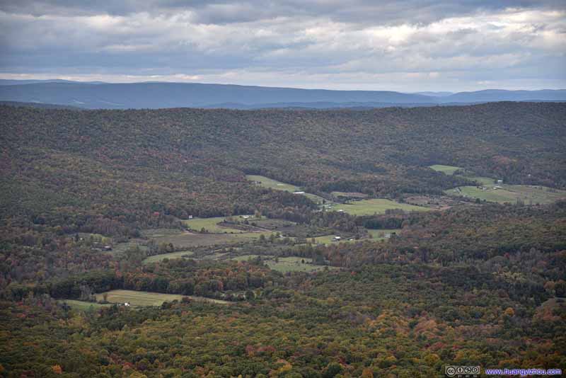
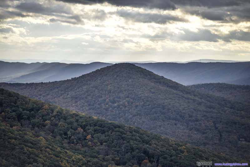
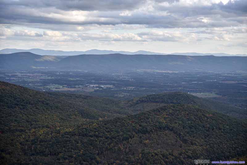
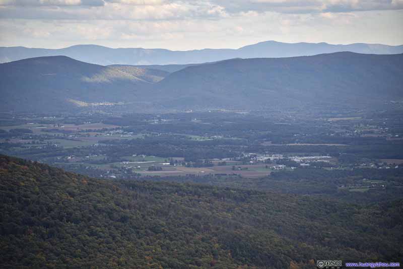
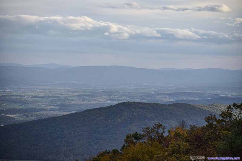
The skies that afternoon were overcast with clouds. But occasionally radiant sunbeams broke through the clouds, lighting up distant fields with patches of gold. It’s like the transient rays of the sun had become tangible in front of me.
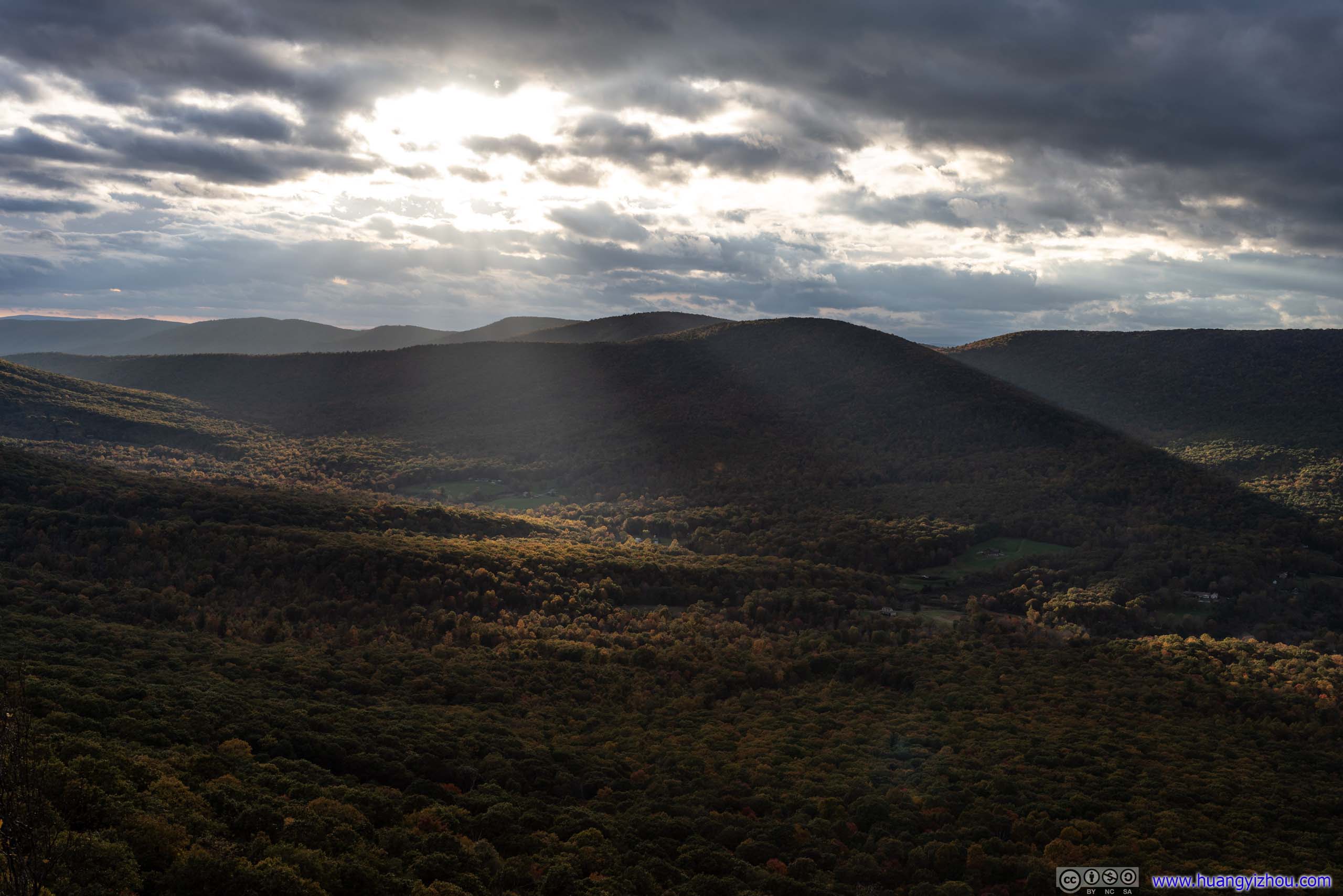


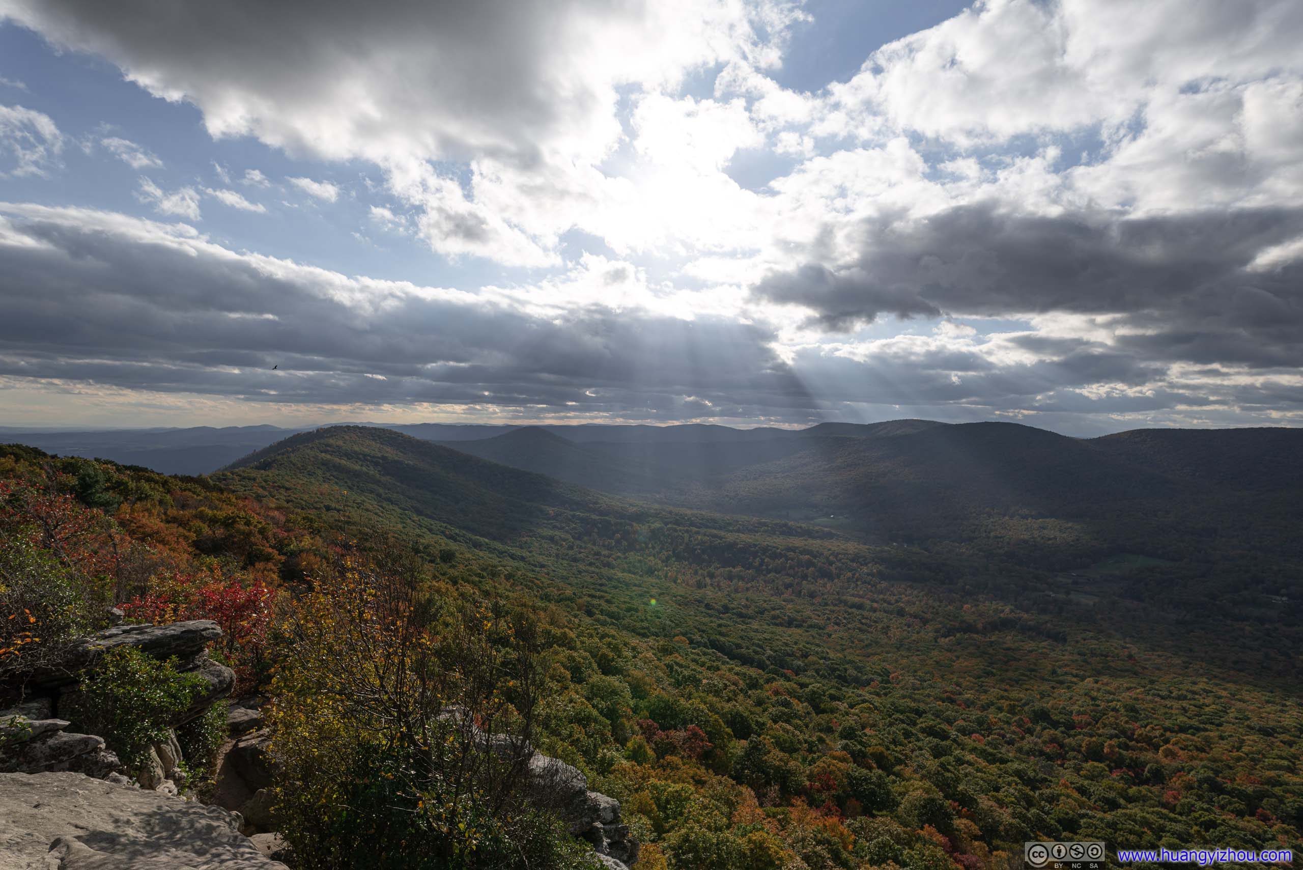
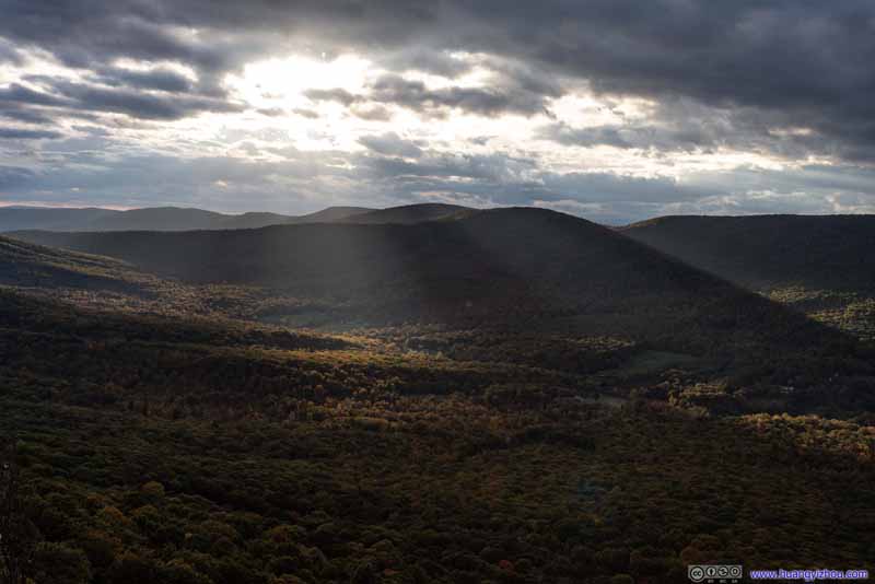
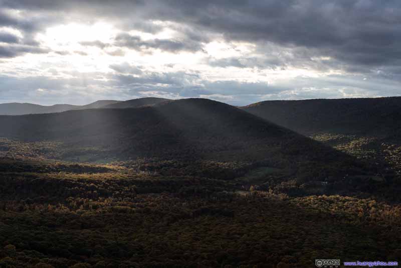
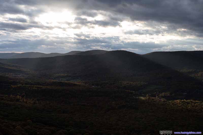
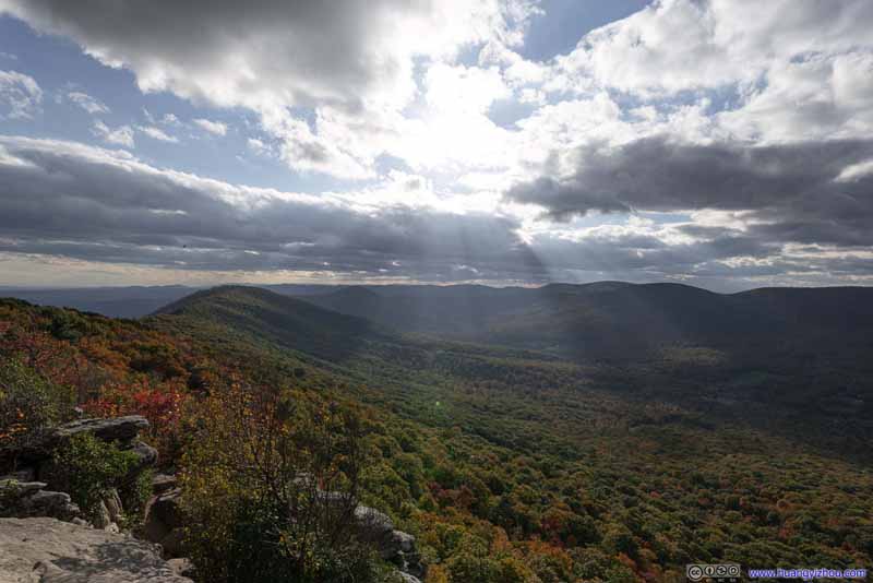


View from Big Schloss
Towards the West (top) and East (bottom)
After that, I launched my drone for an aerial tour, in what's probably the best way to view this magnificent rock structure all around.
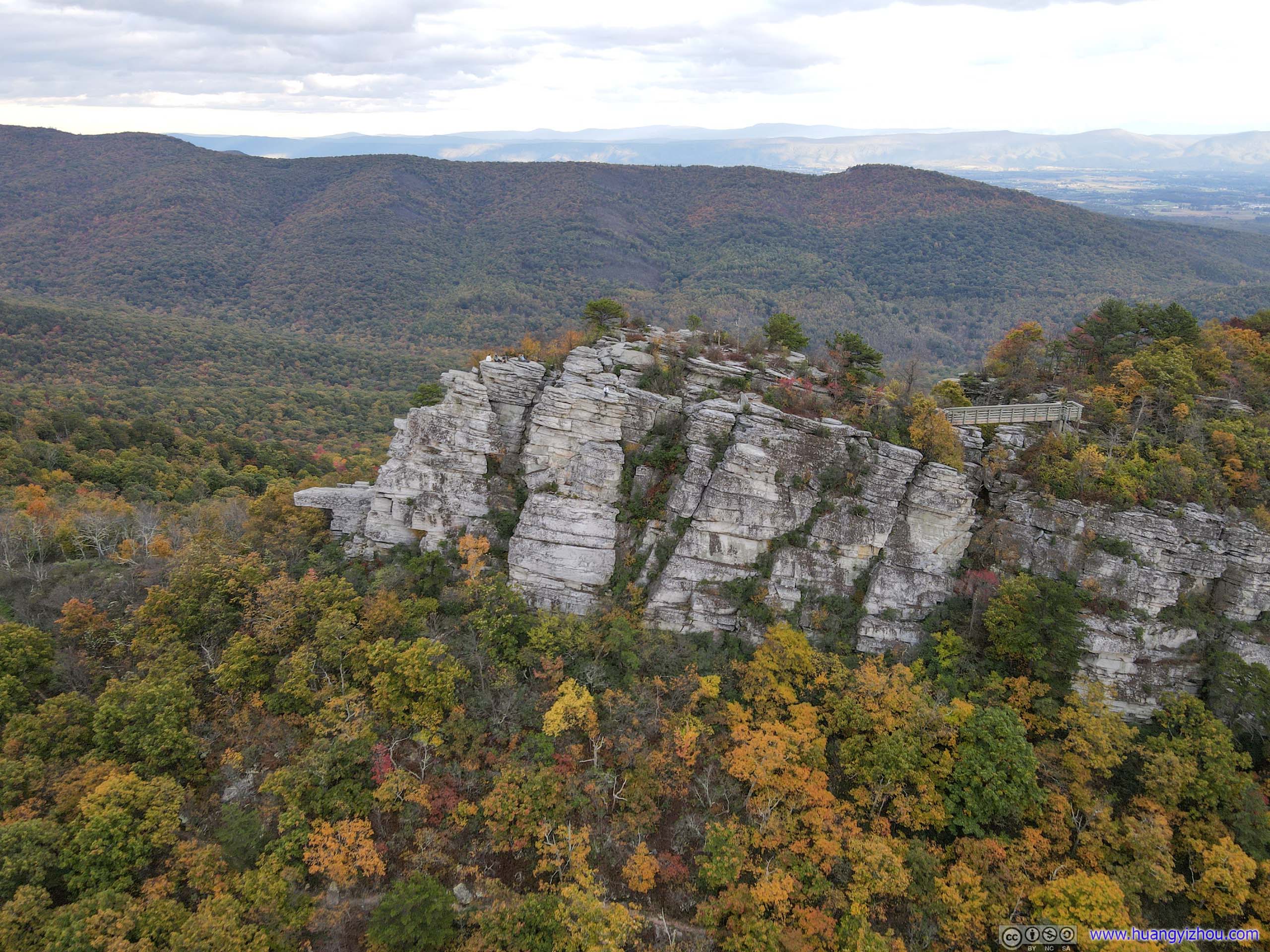
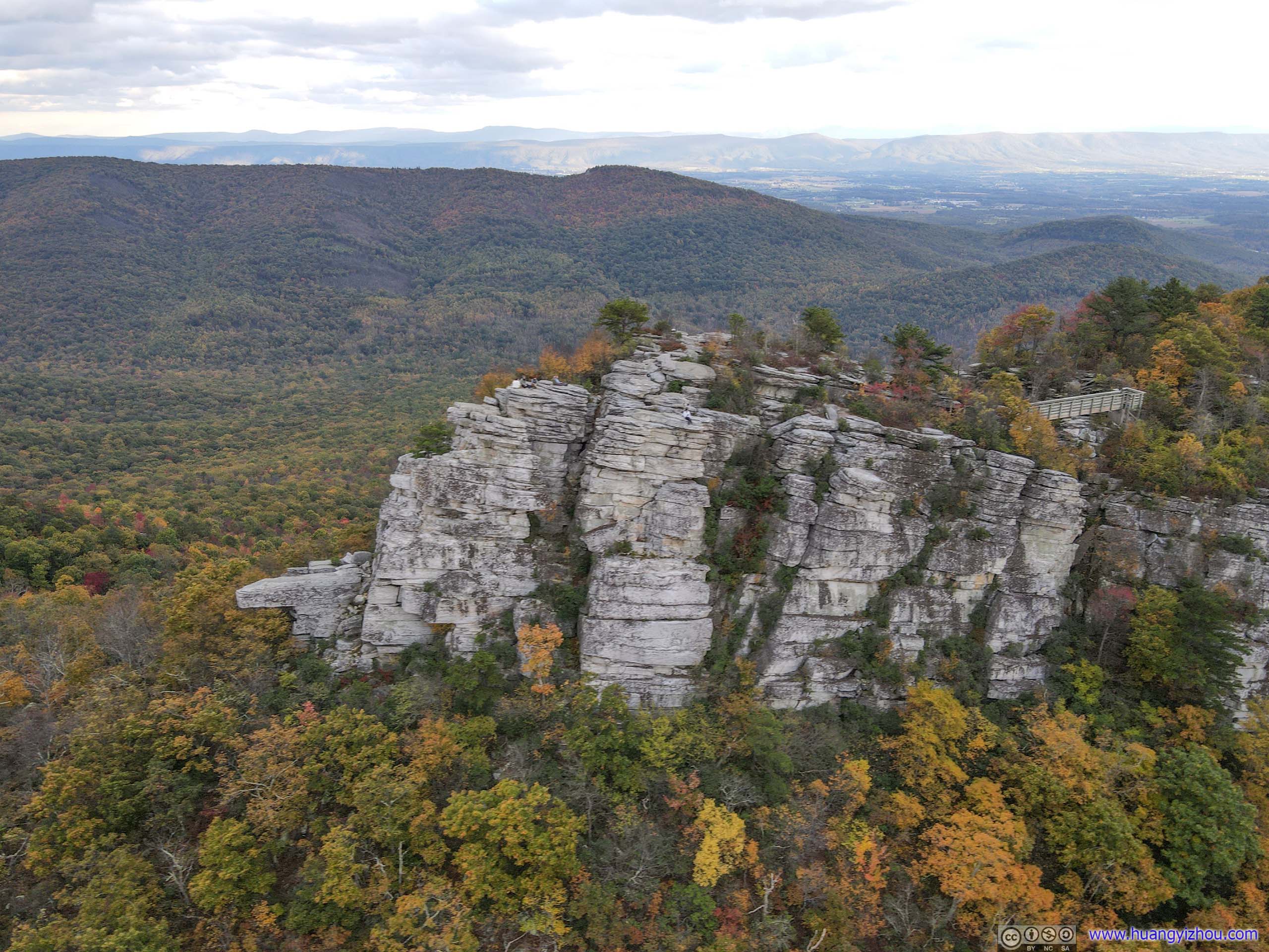
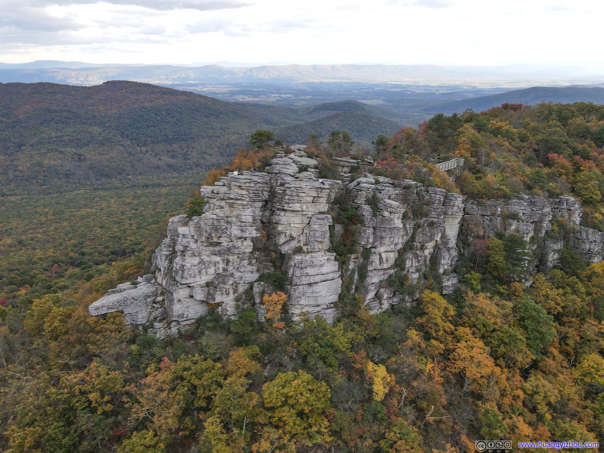

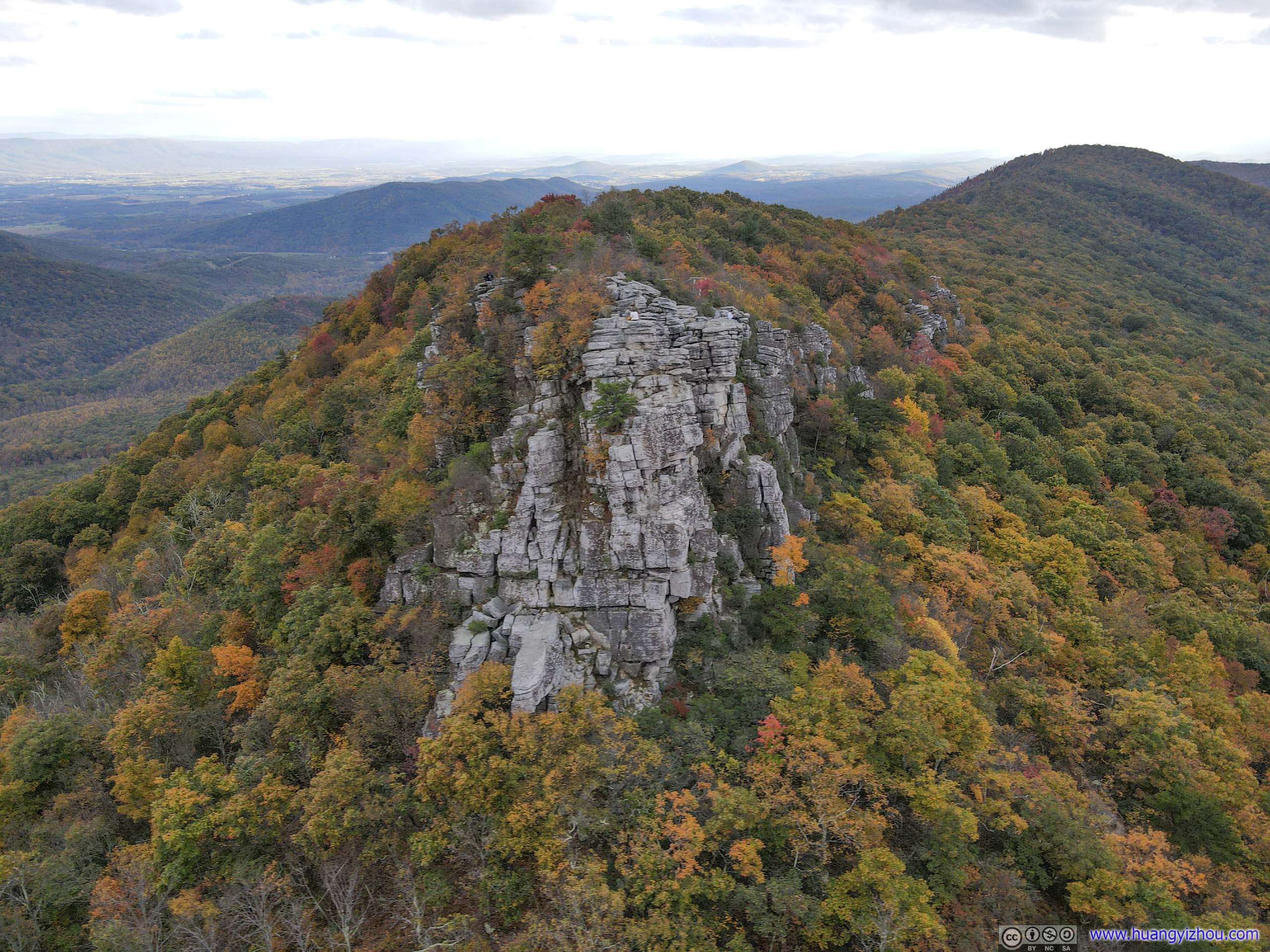
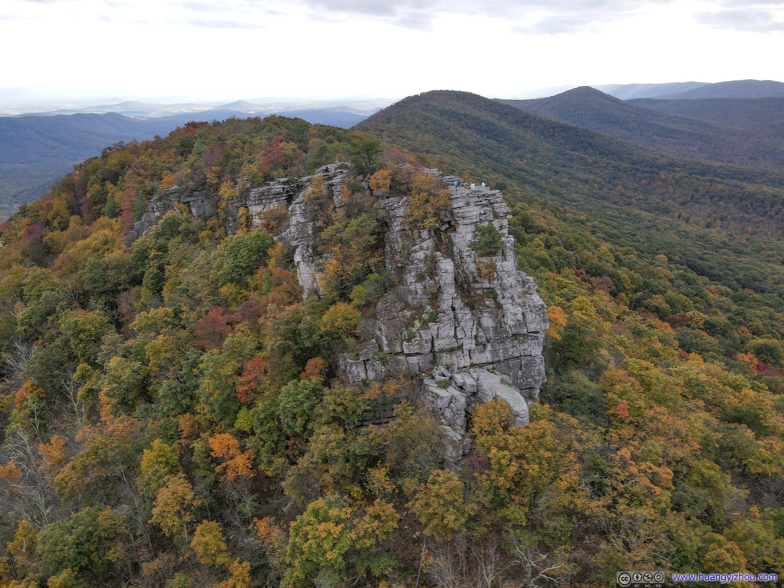
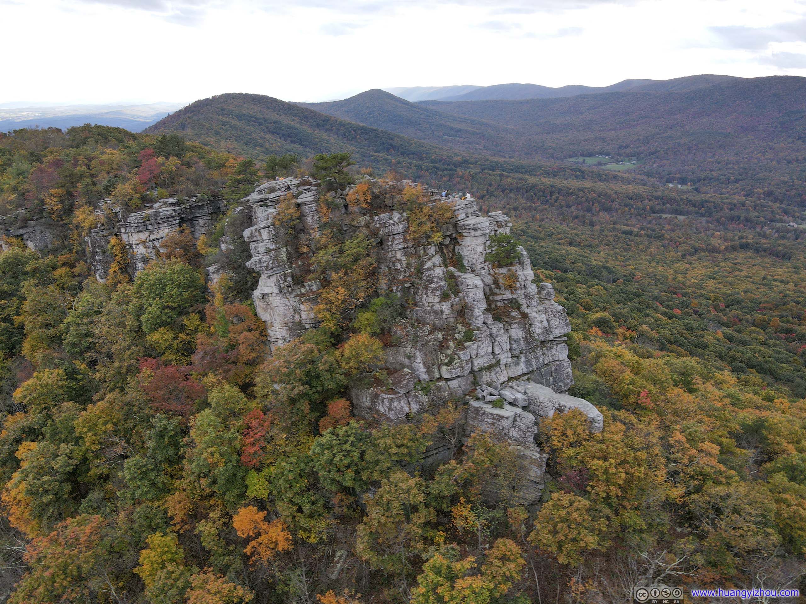
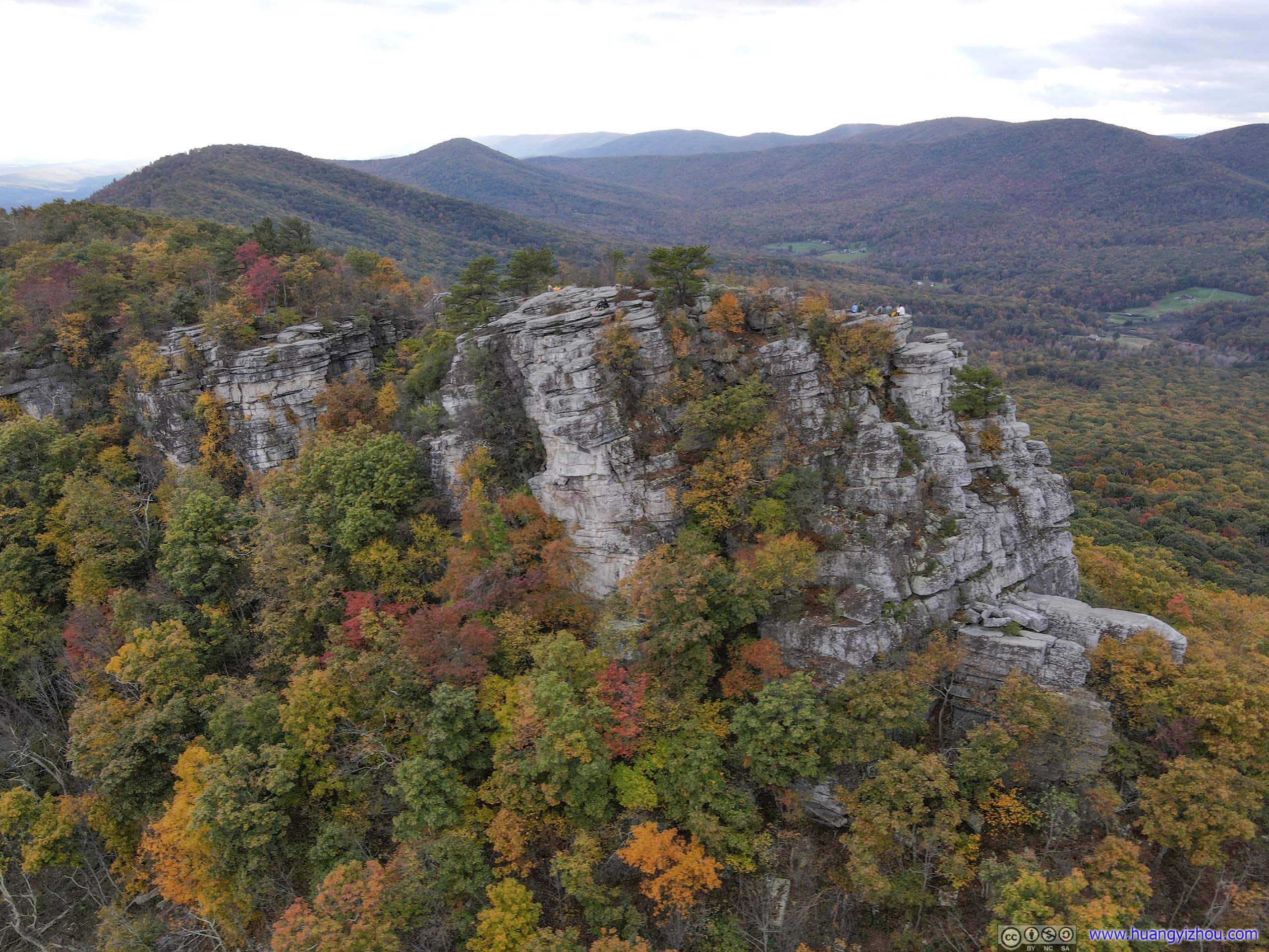
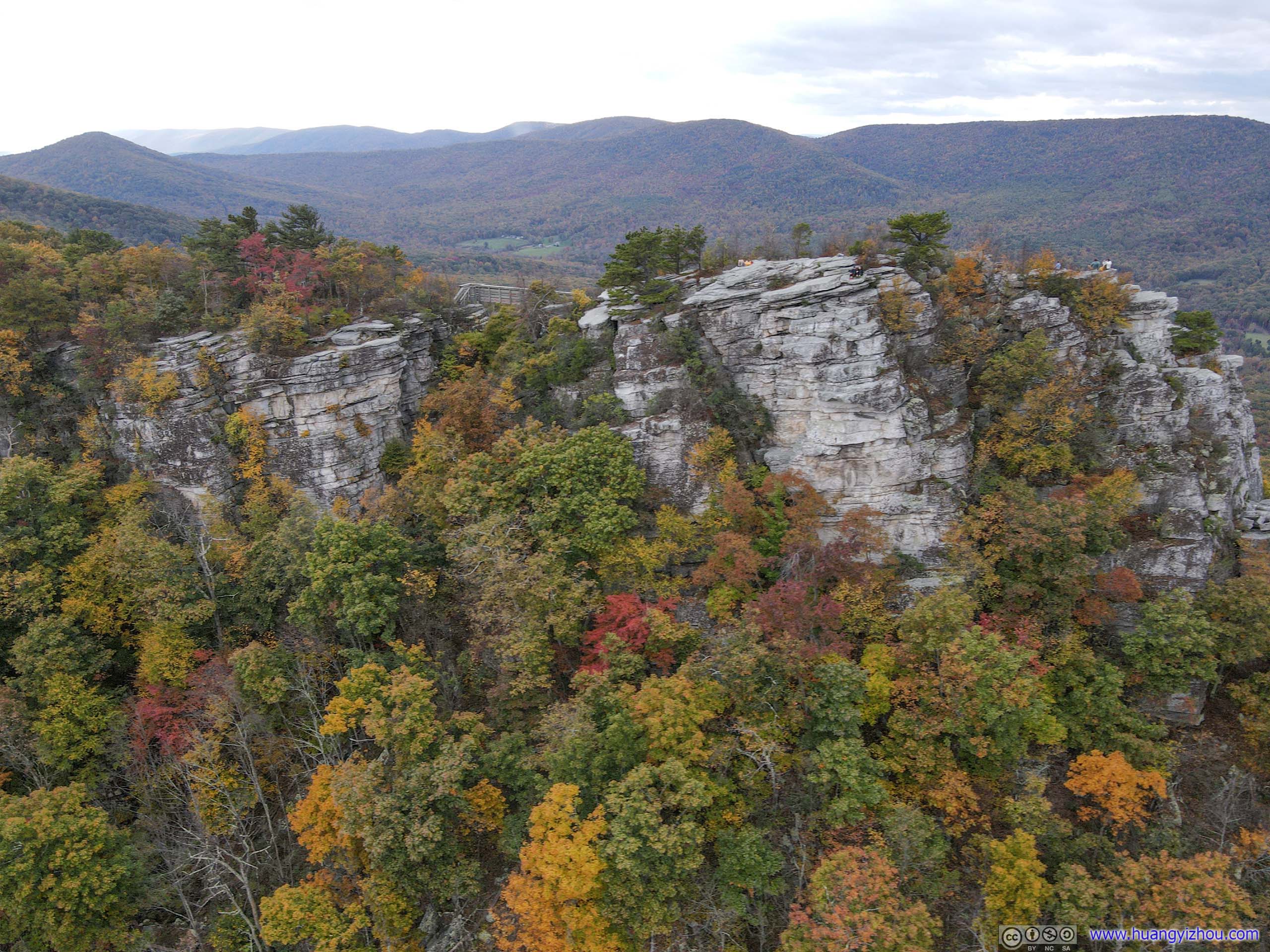
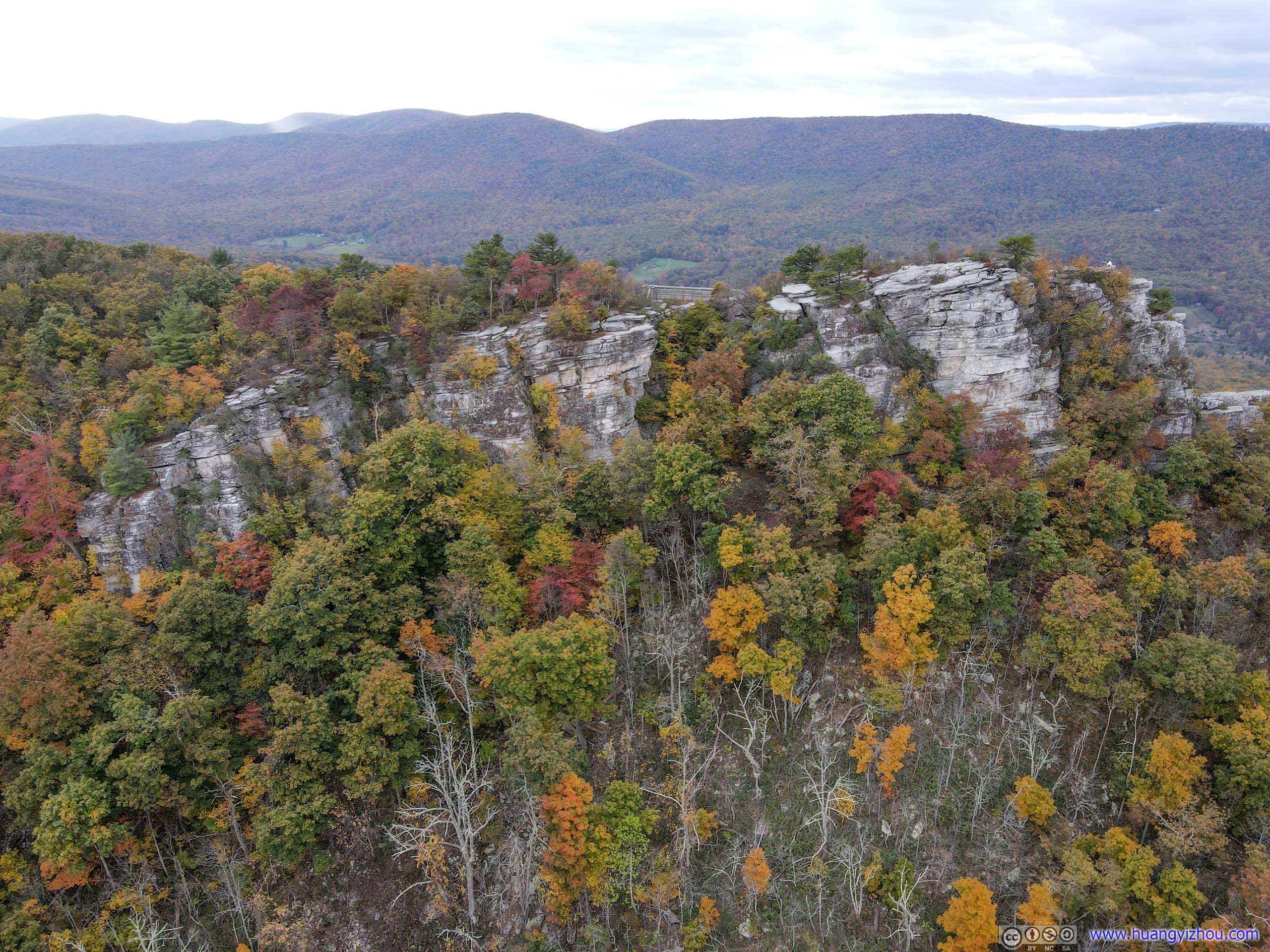
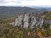
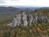
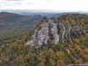
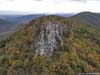
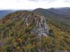
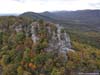
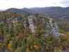
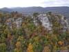
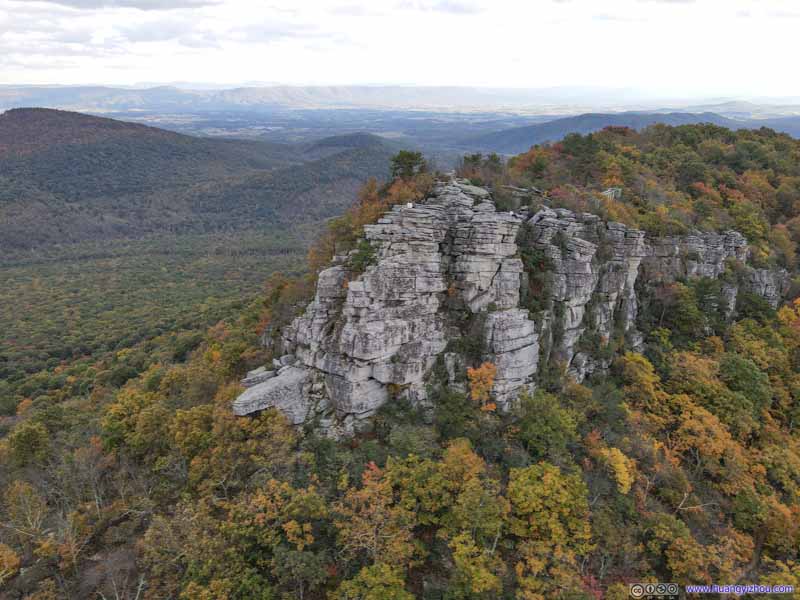
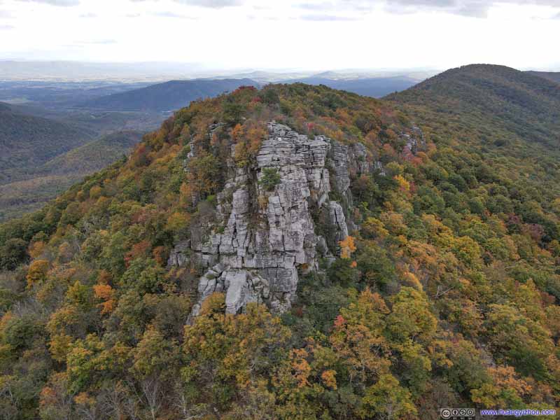
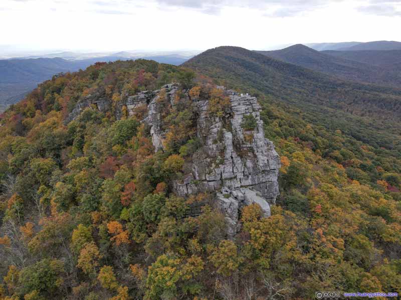
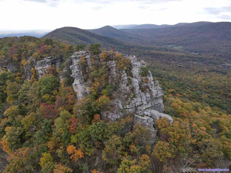
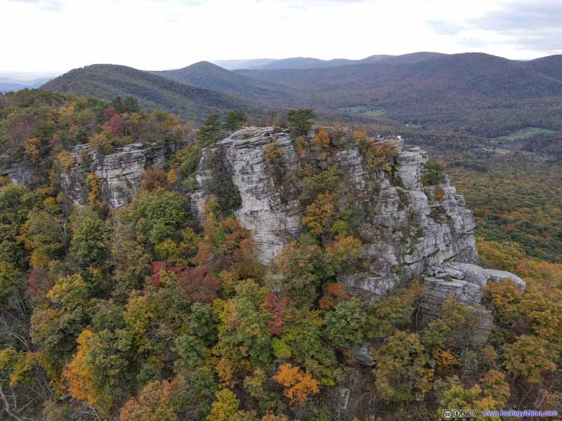
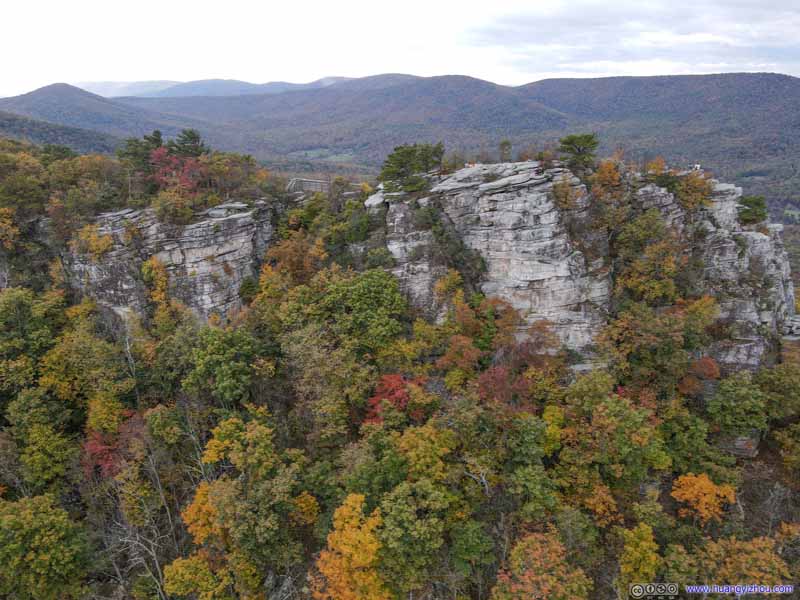
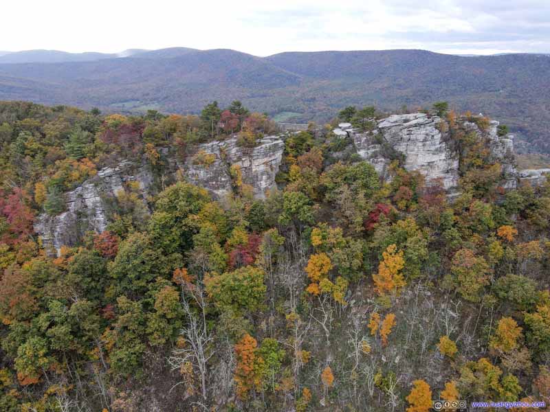


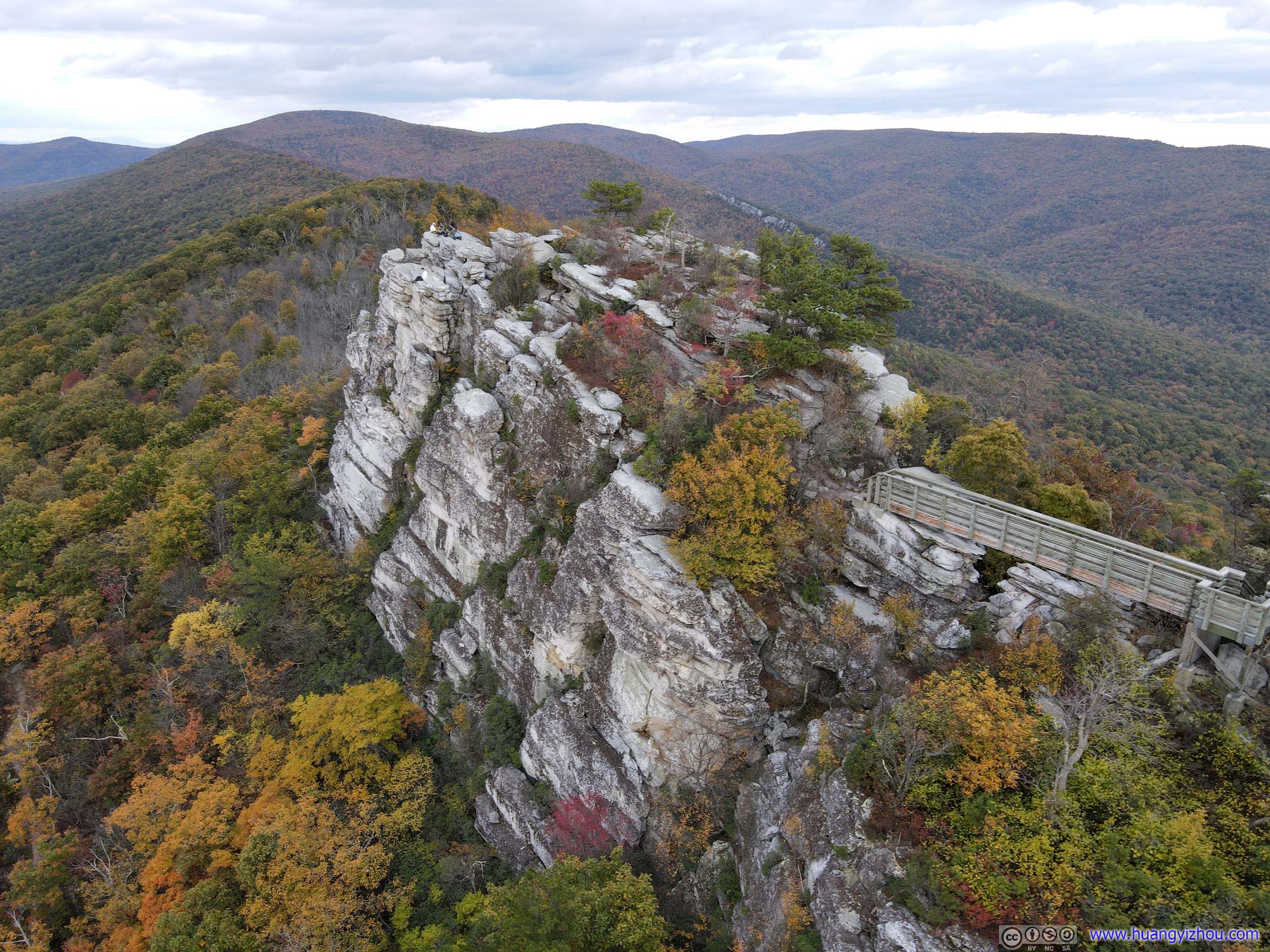
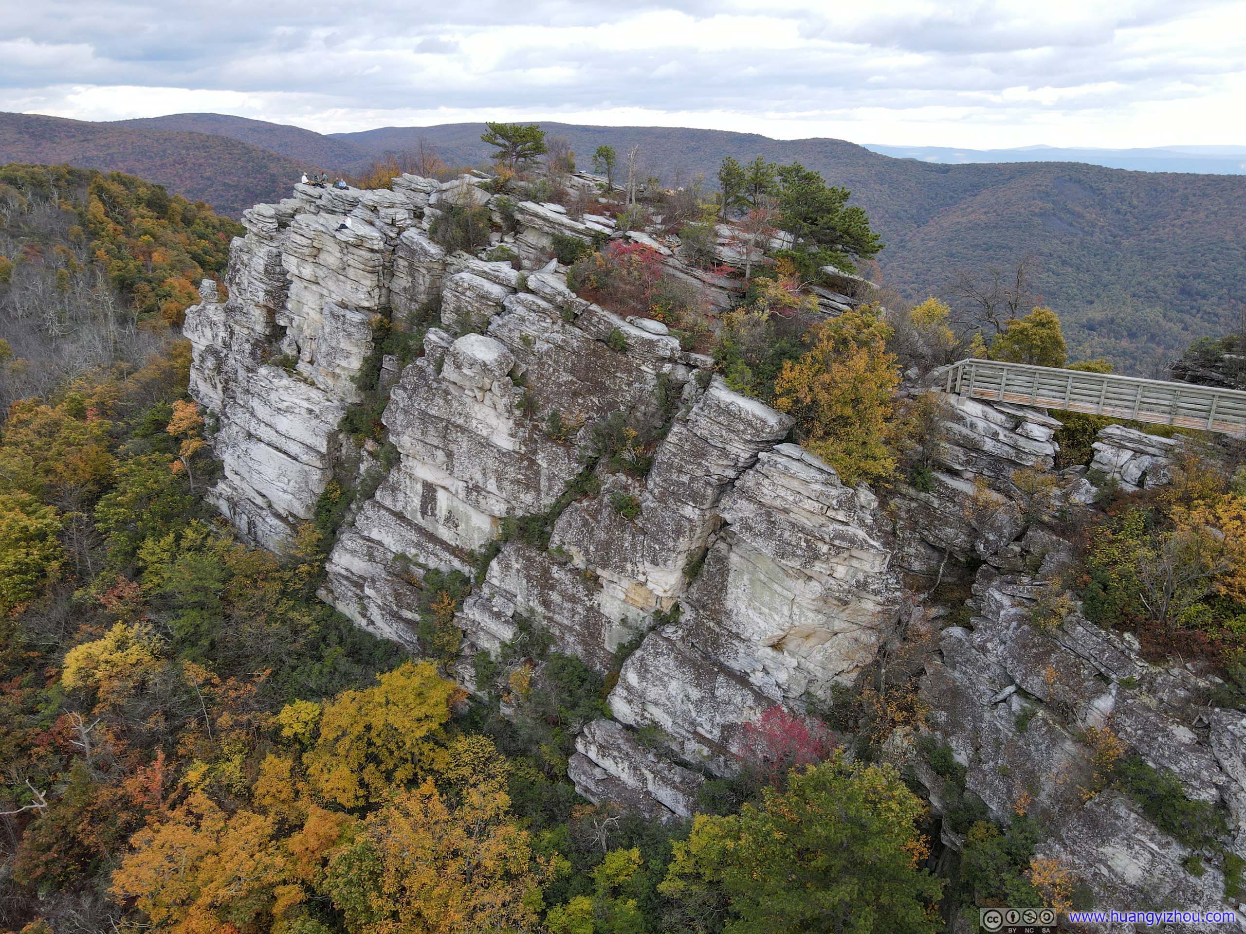
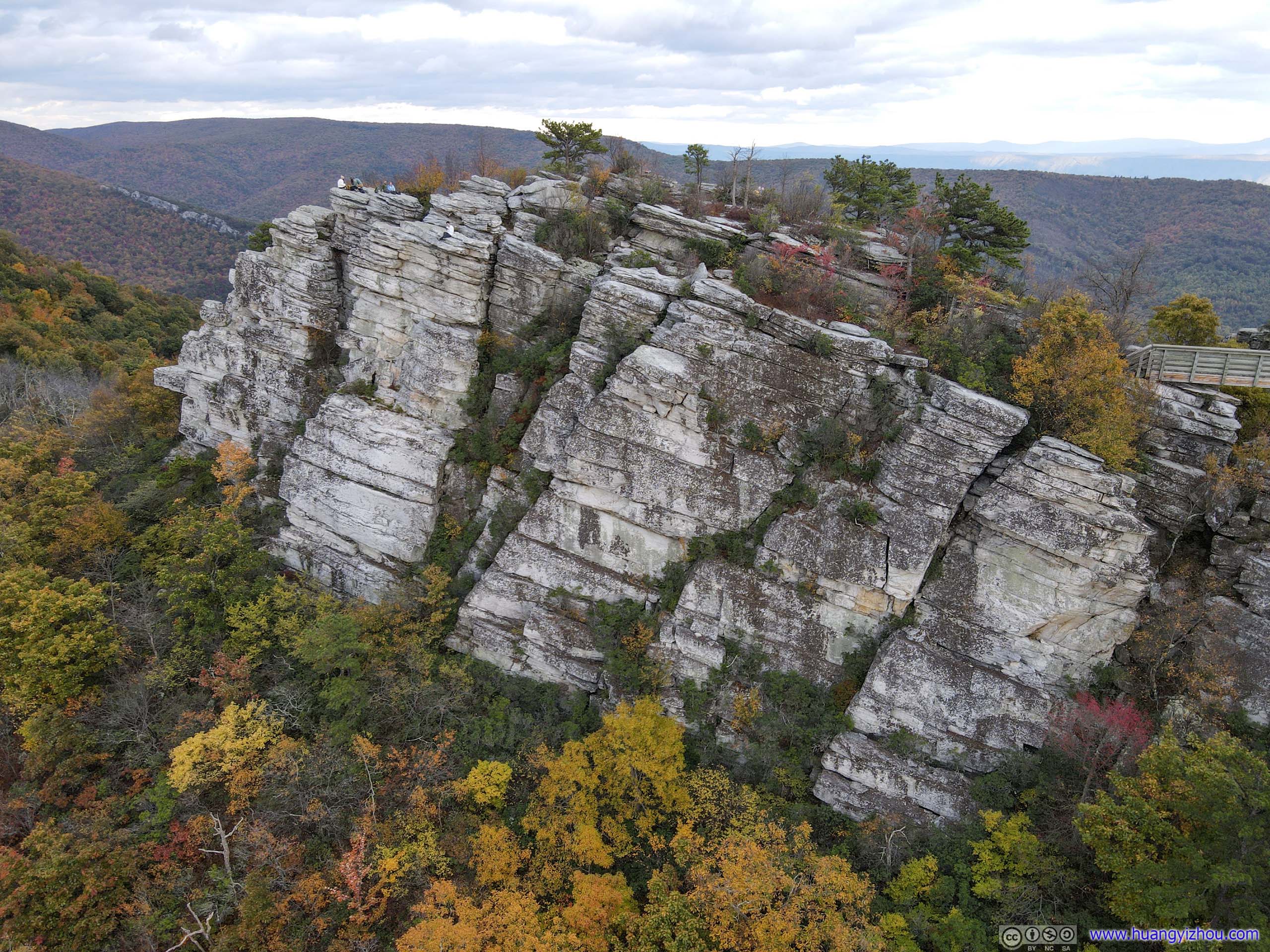
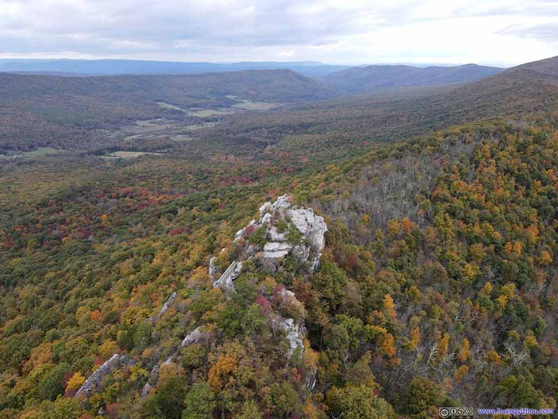

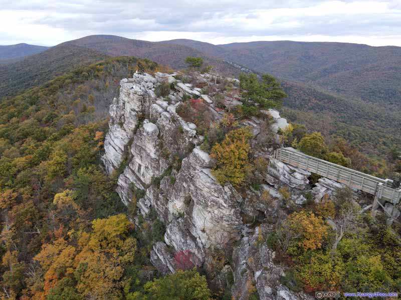
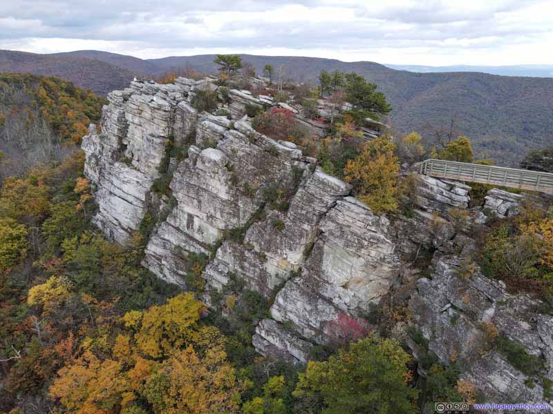
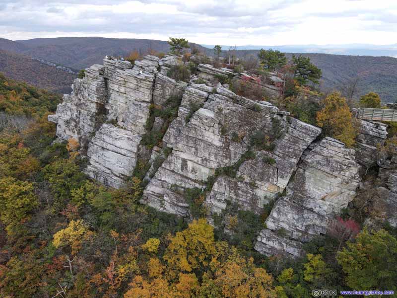


Big Schloss
And here's a video of my drone flying around Big Schloss.
And in line with my tradition, I shot a few footages of myself on Big Schloss commemorating my visit.
19 seconds, 2160p60fps, at least 2.5x playback speed, 15Mbps/35MB for H265, 16.5Mbps/40MB for H264.
31 seconds, 2160p60fps, 2.5x playback speed, 15Mbps/56MB for H265, 16.5Mbps/62MB for H264.
All in all, I spent about an hour at Big Schloss, before I made my way back at 5:40pm, about half an hour before sunset. That meant, I had to hasten my pace heading down or I would run out of daylight, which I eventually did.

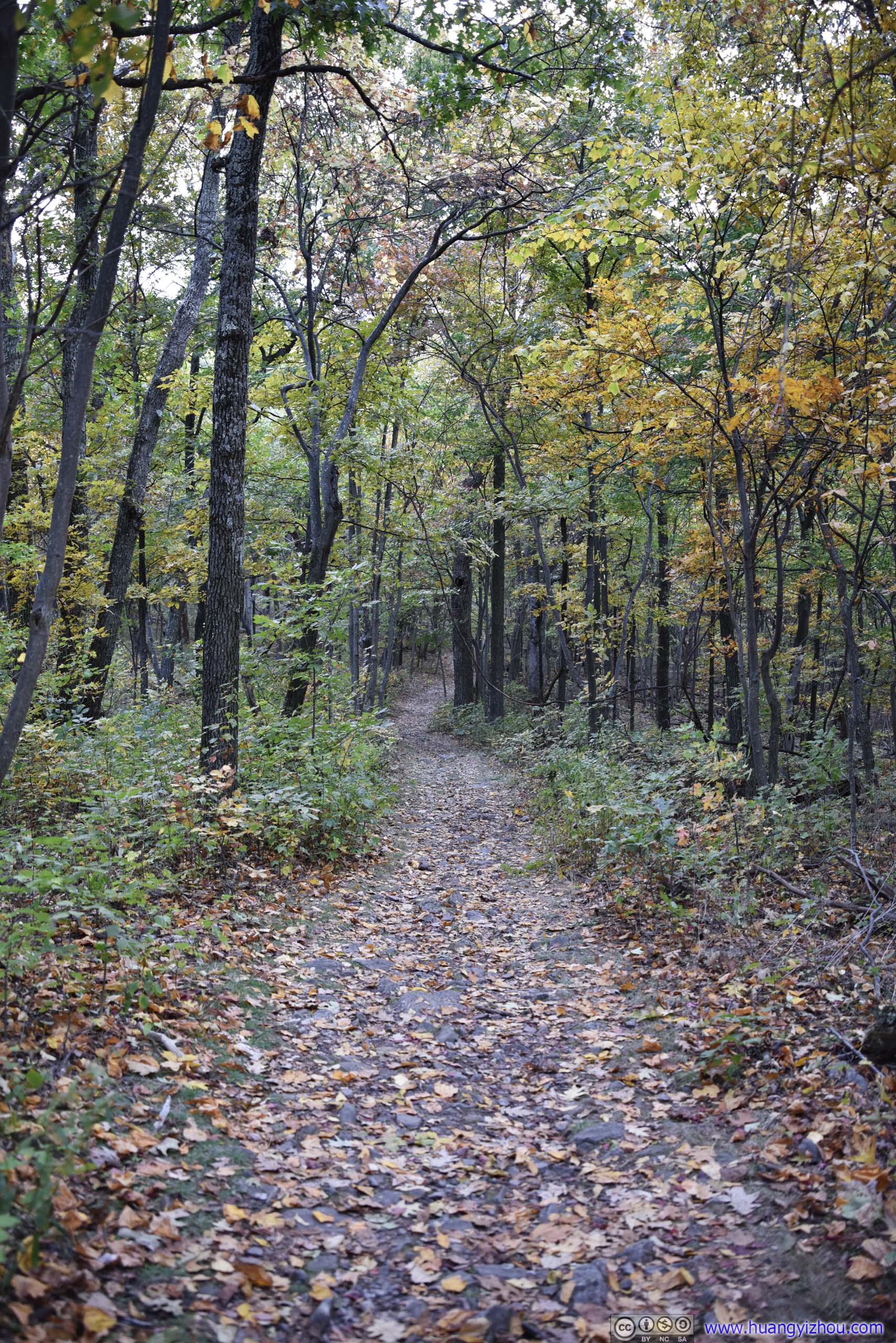
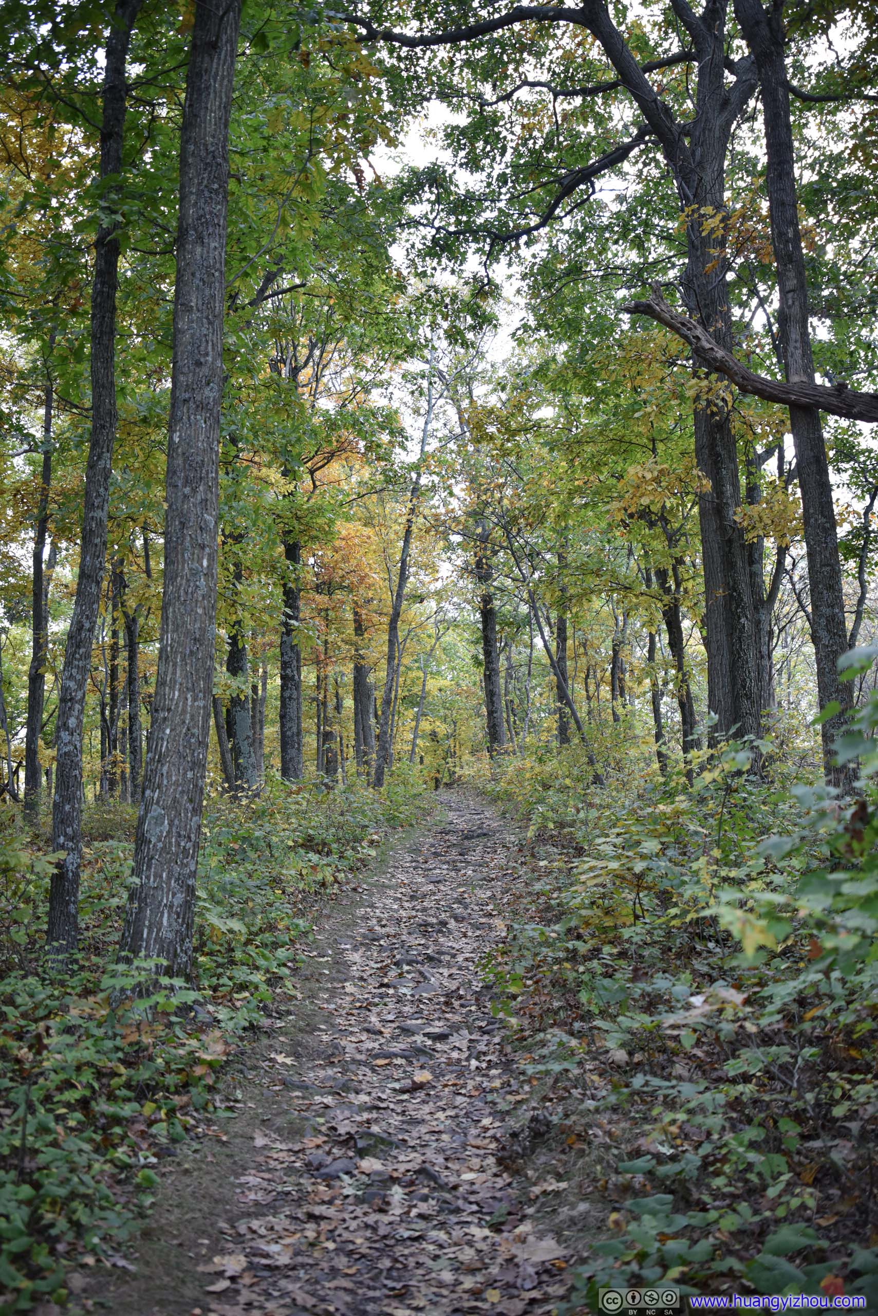
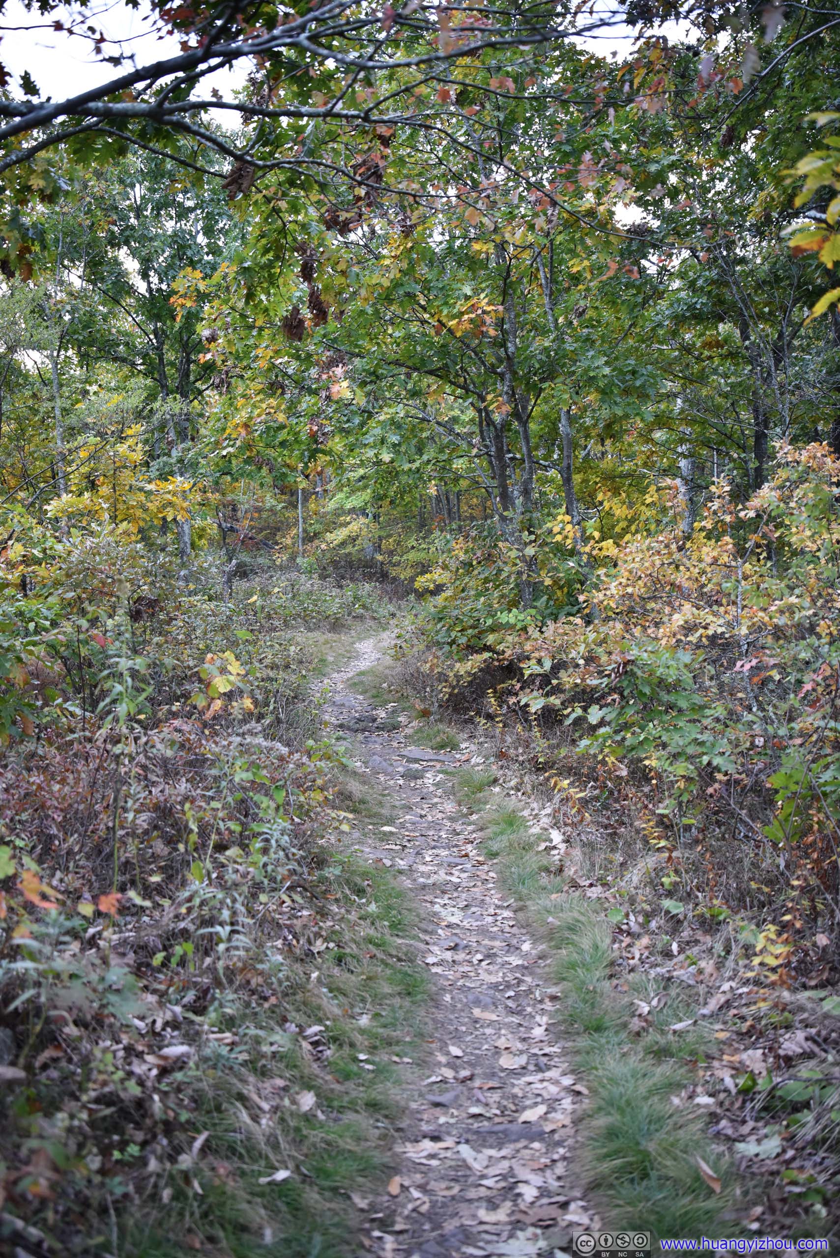
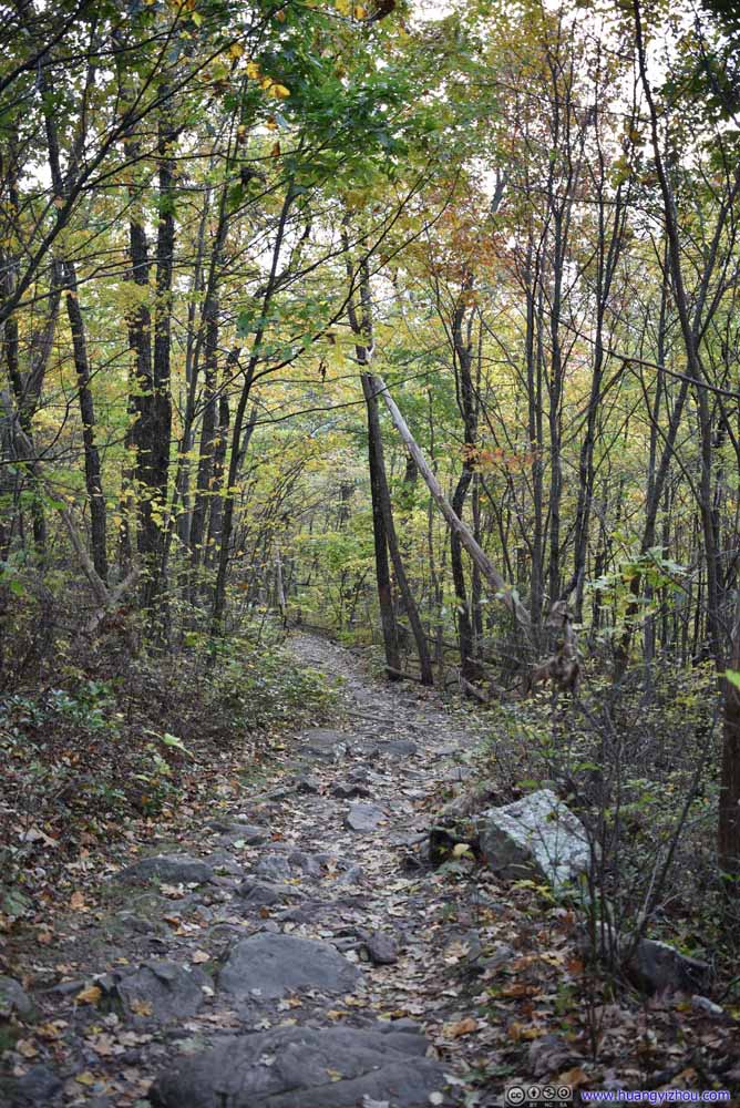
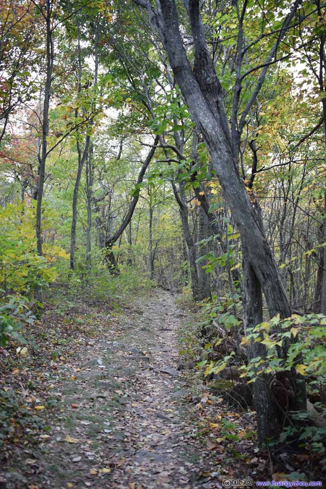
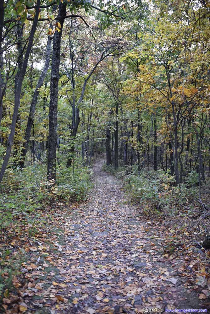
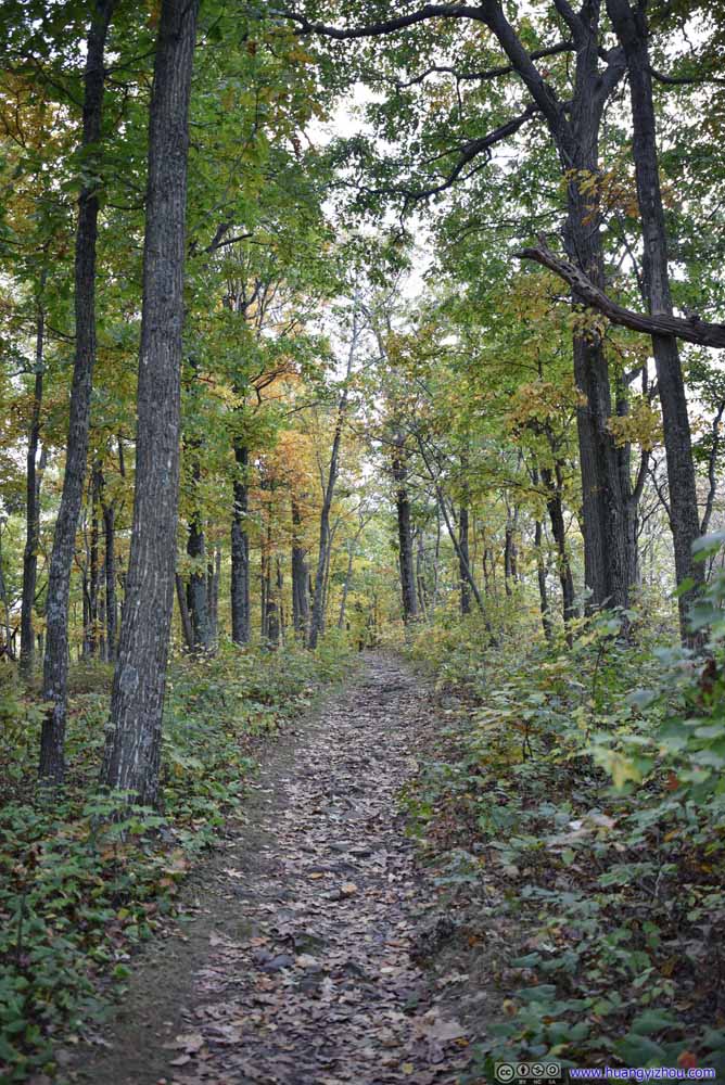
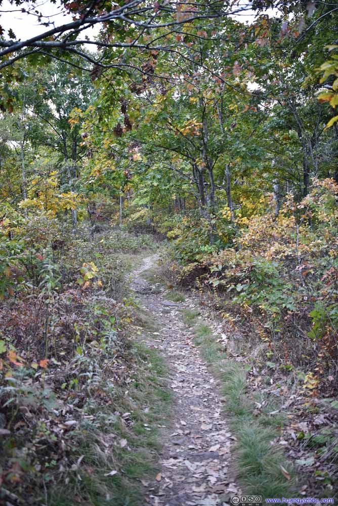
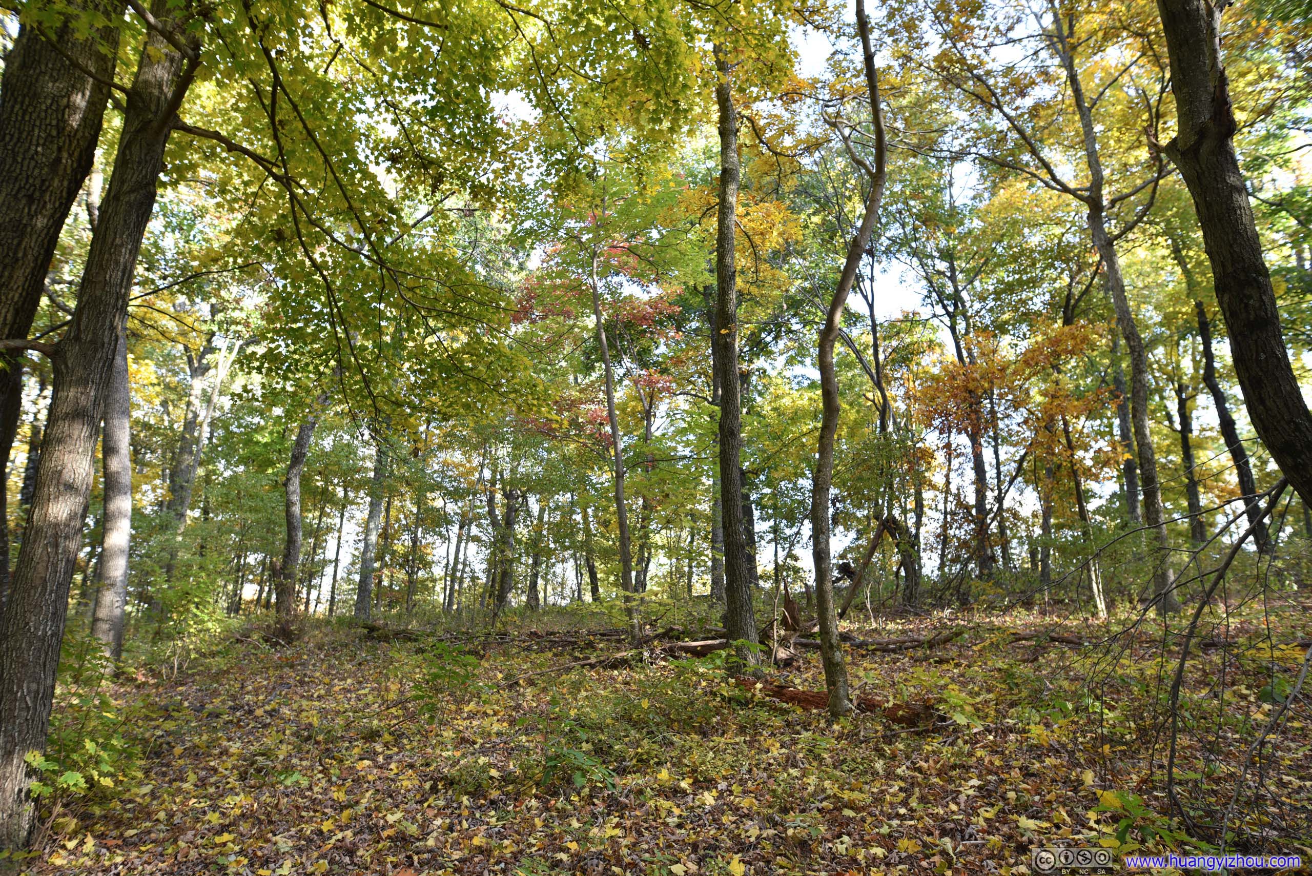
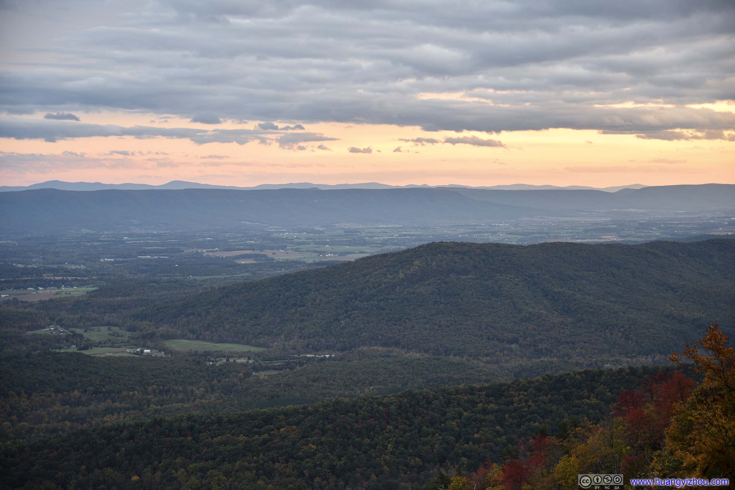
Before the trail descended from the ridge, there was an overlook on the left (east) side of the trail, with views of villages before Fort Valley mountains. The distant skies were gleaming gold at sunset, the last of the day's glory.
Overlook

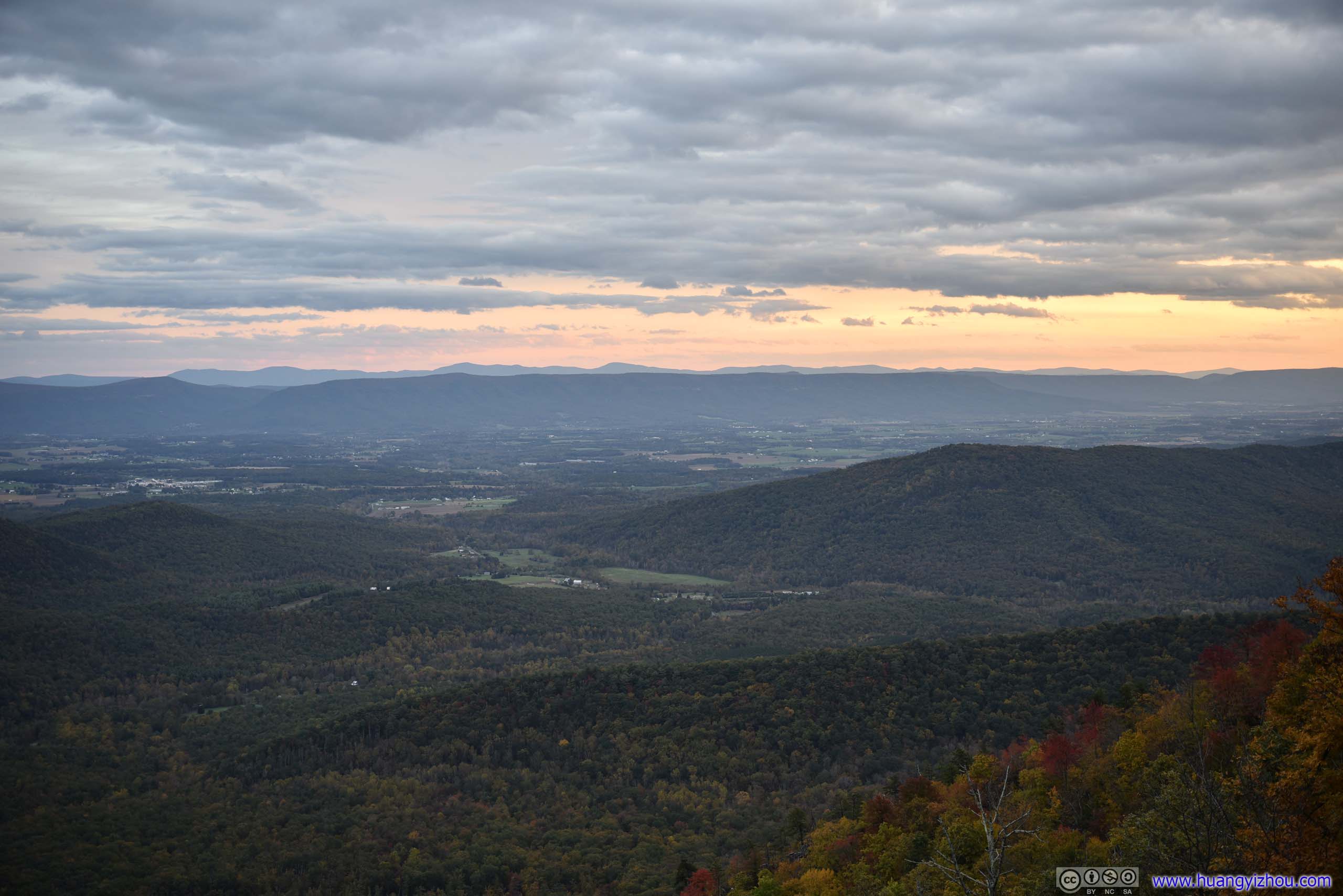
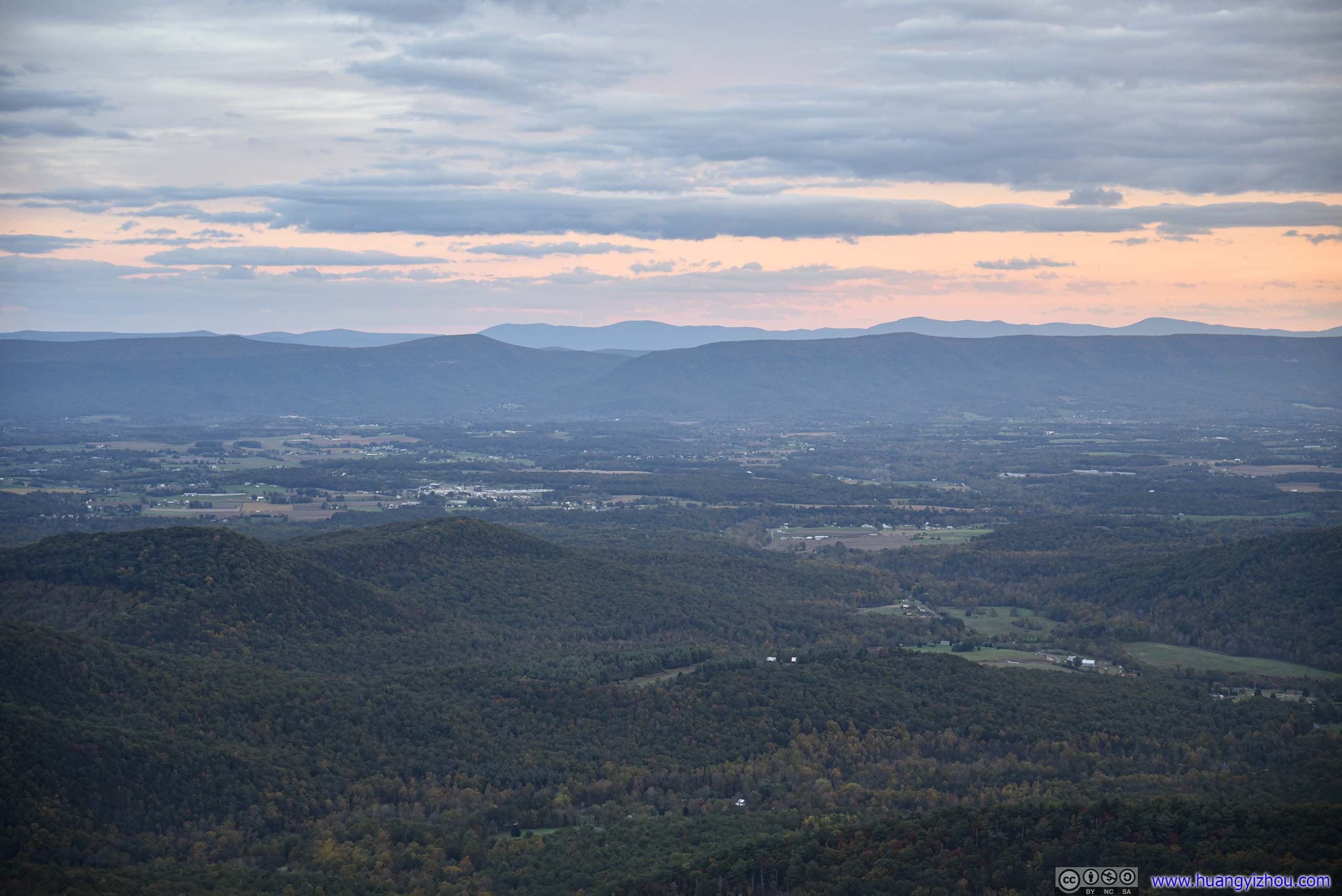
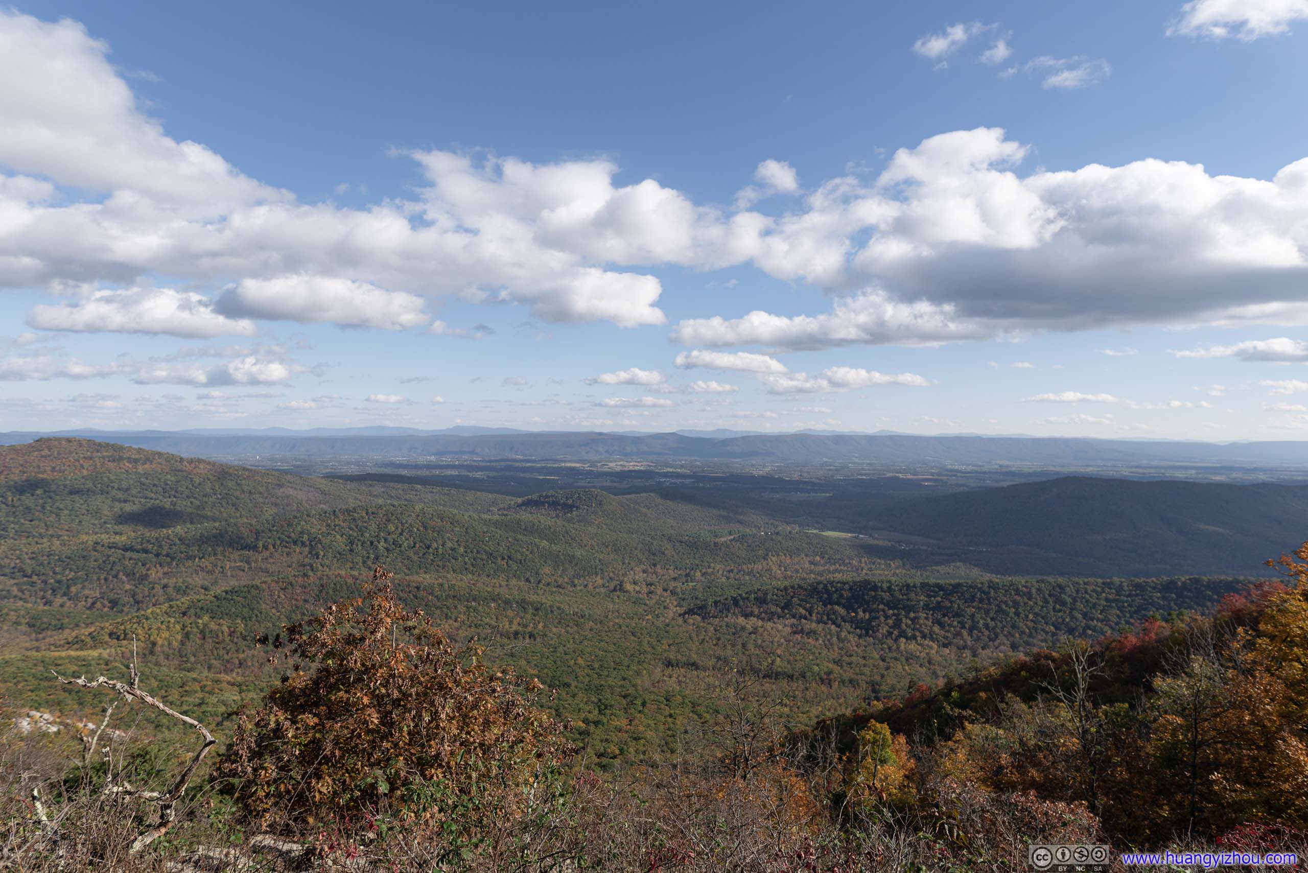
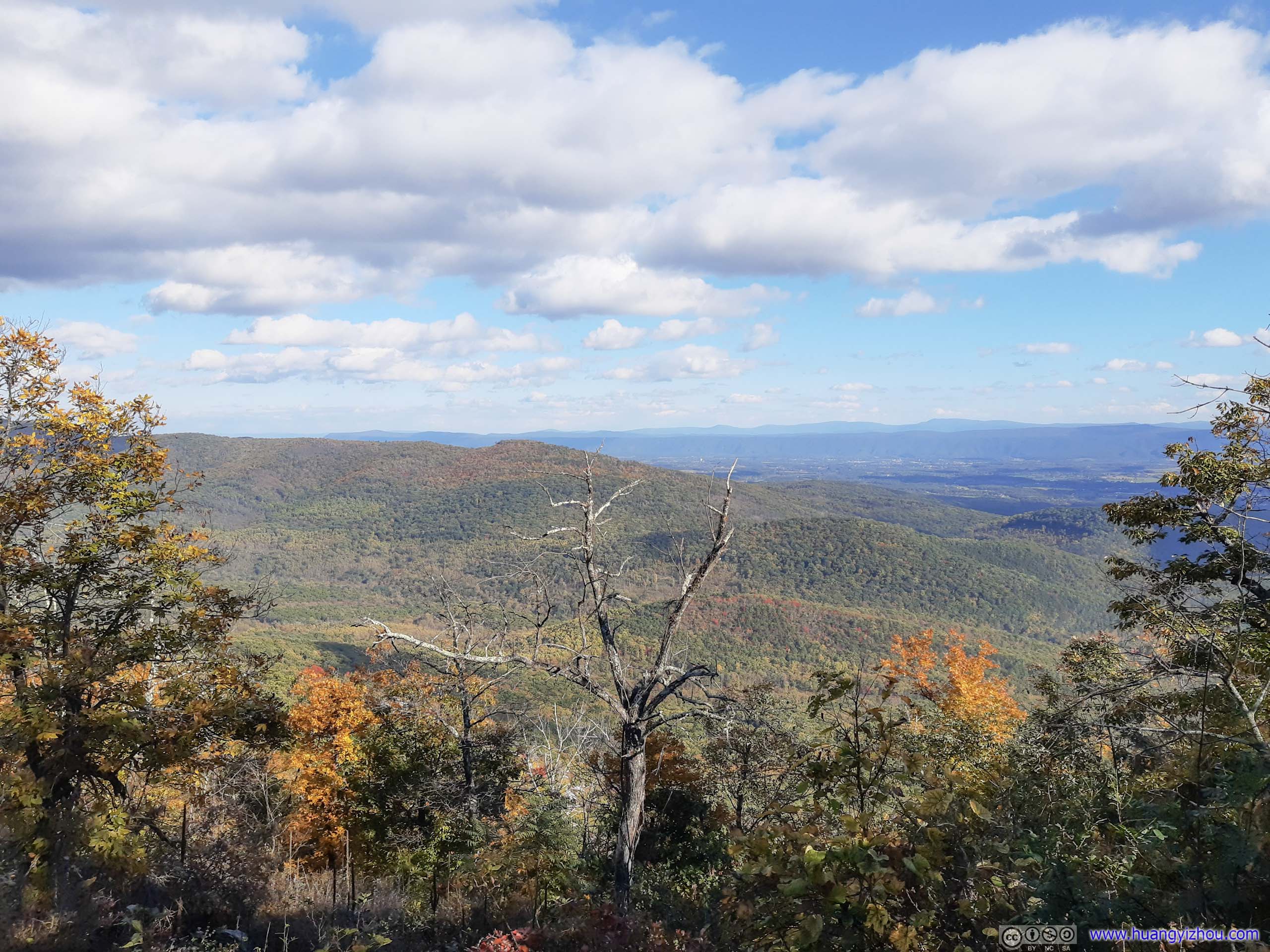
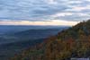
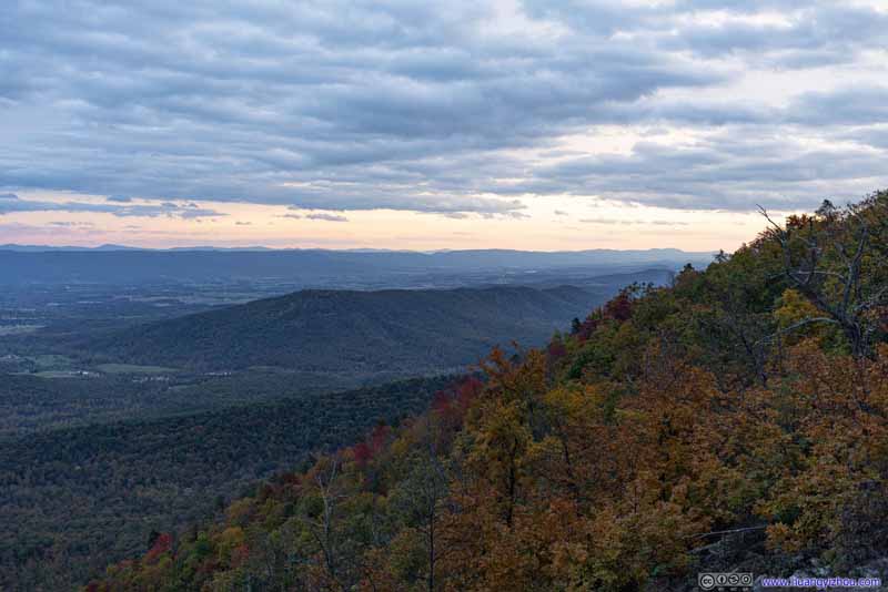
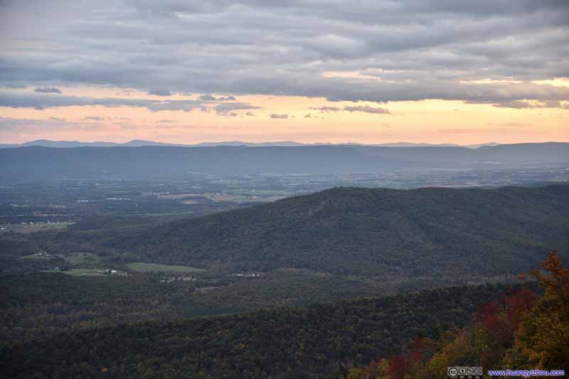
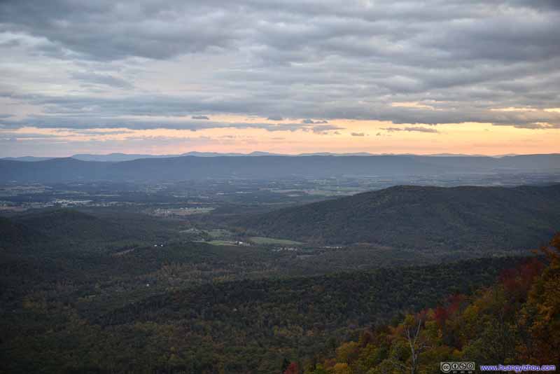
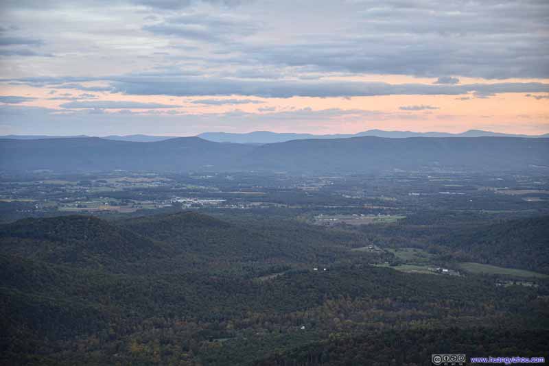
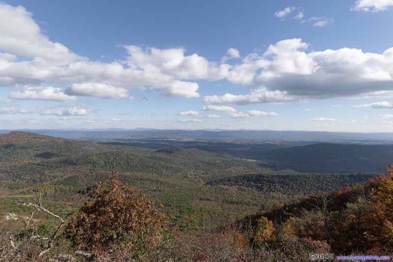
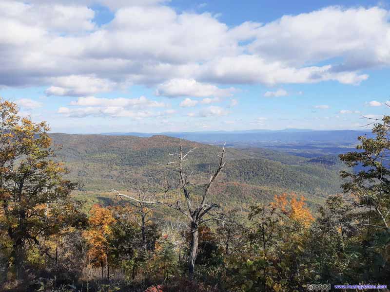
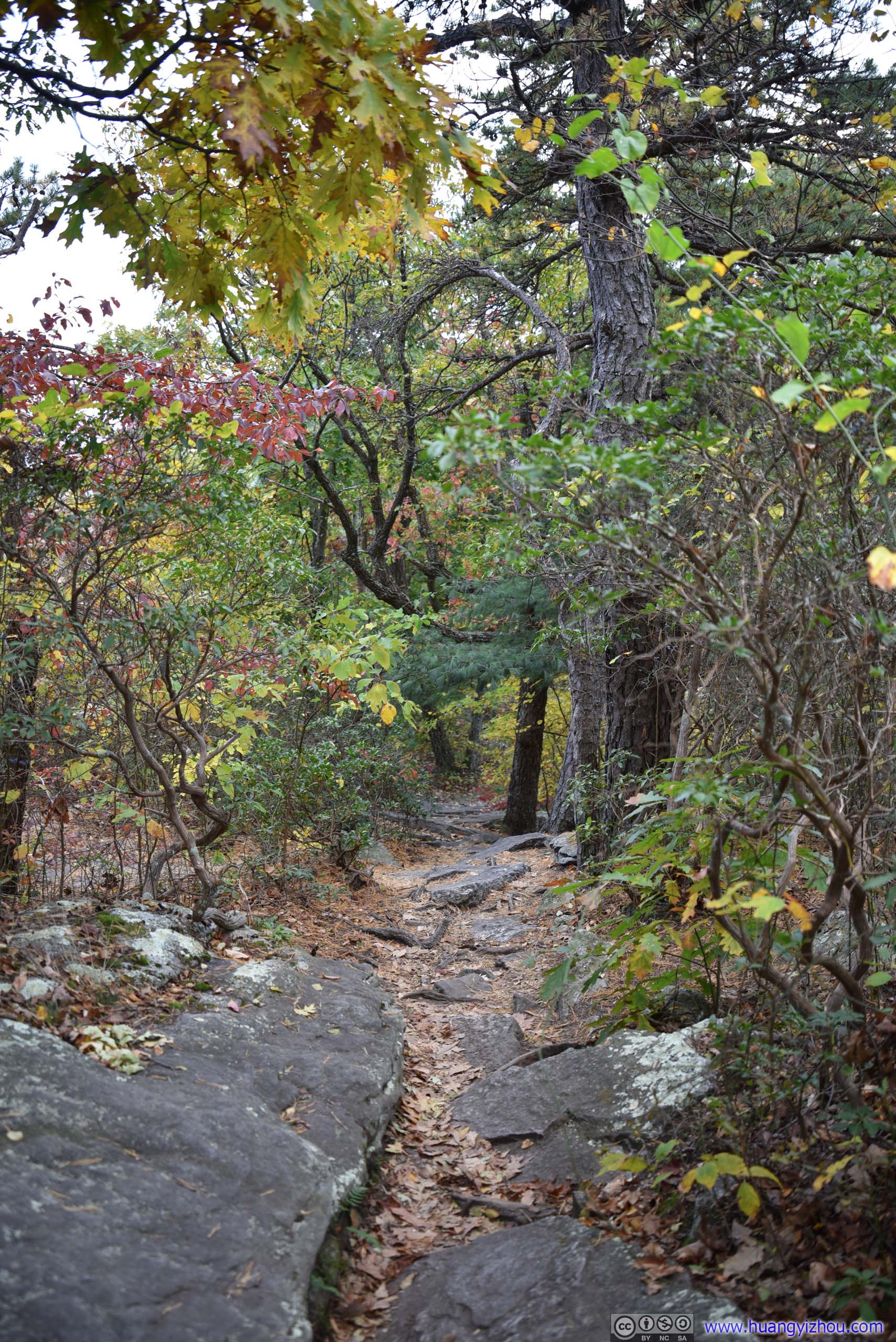
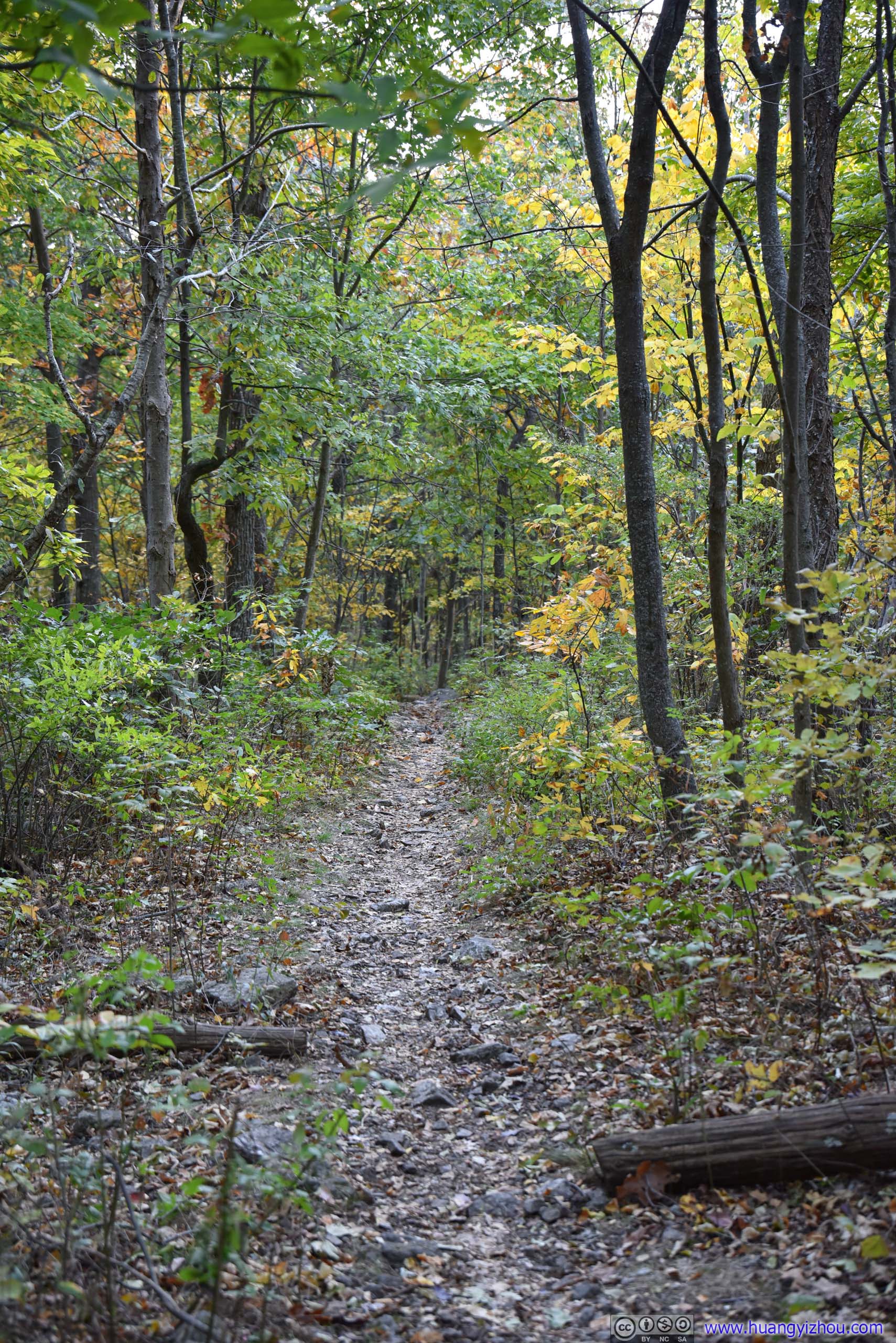
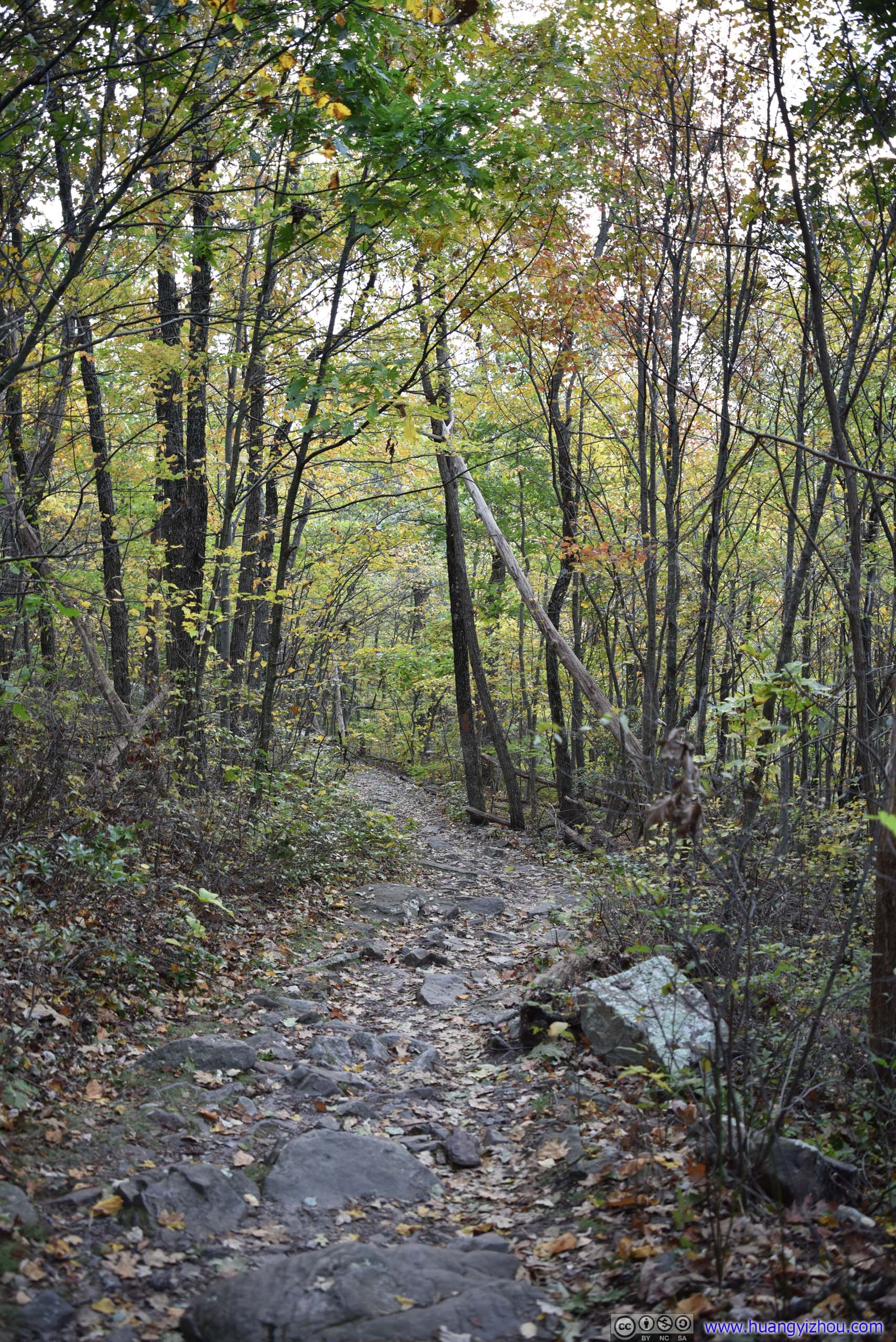
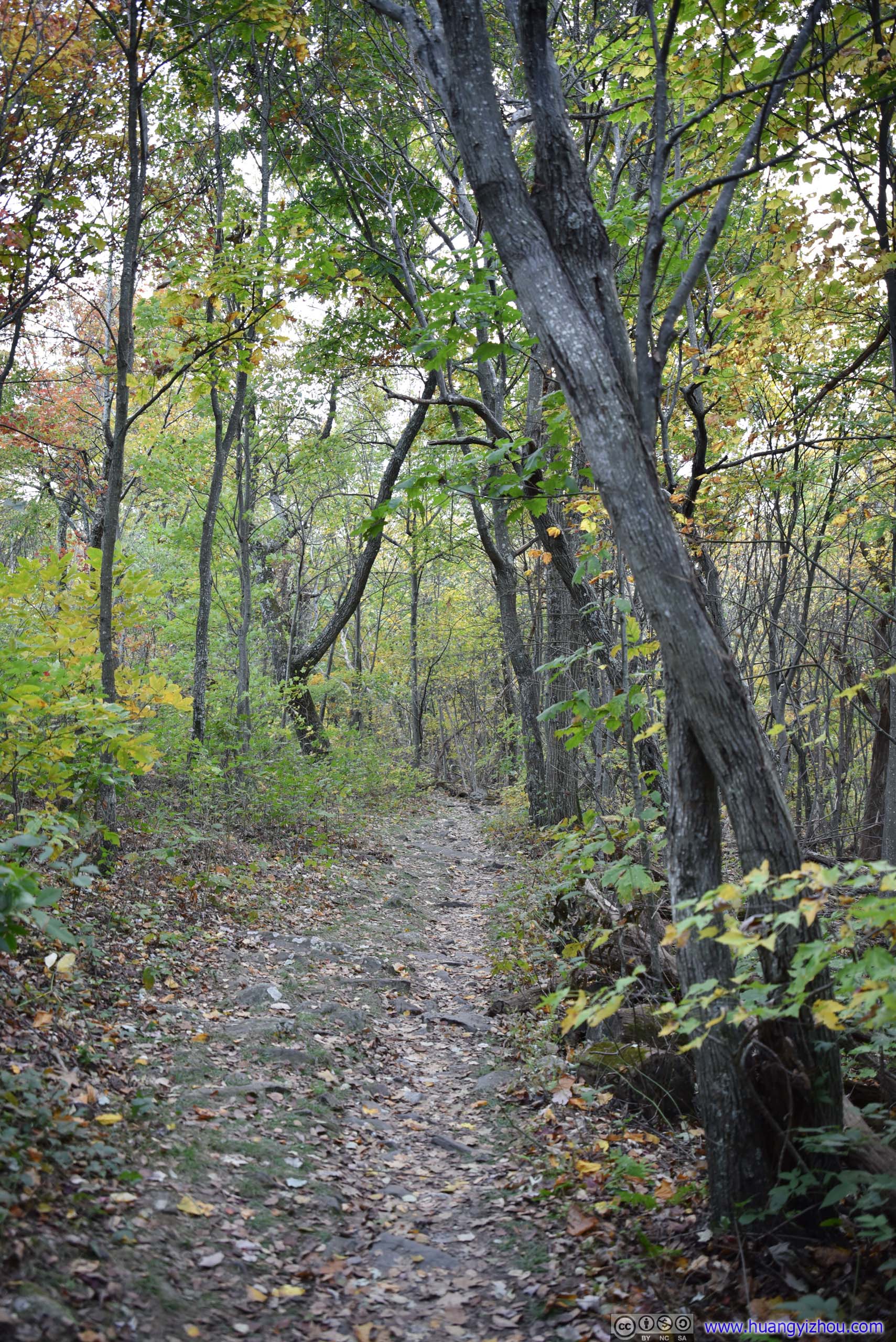
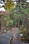
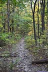
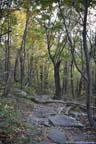
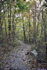
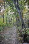
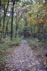
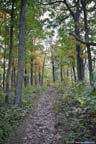
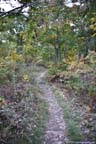
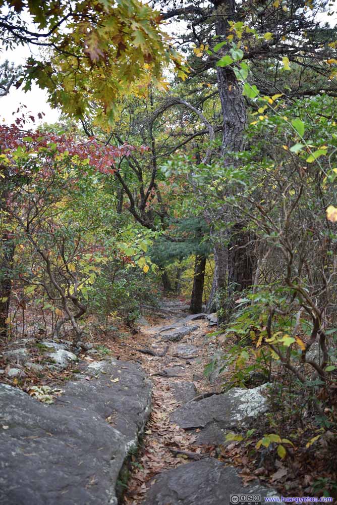
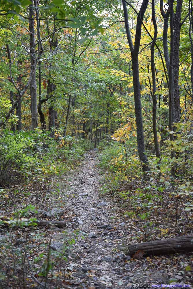
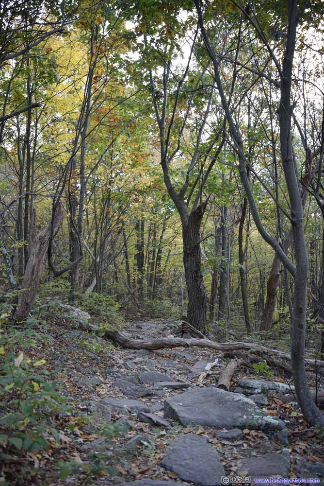
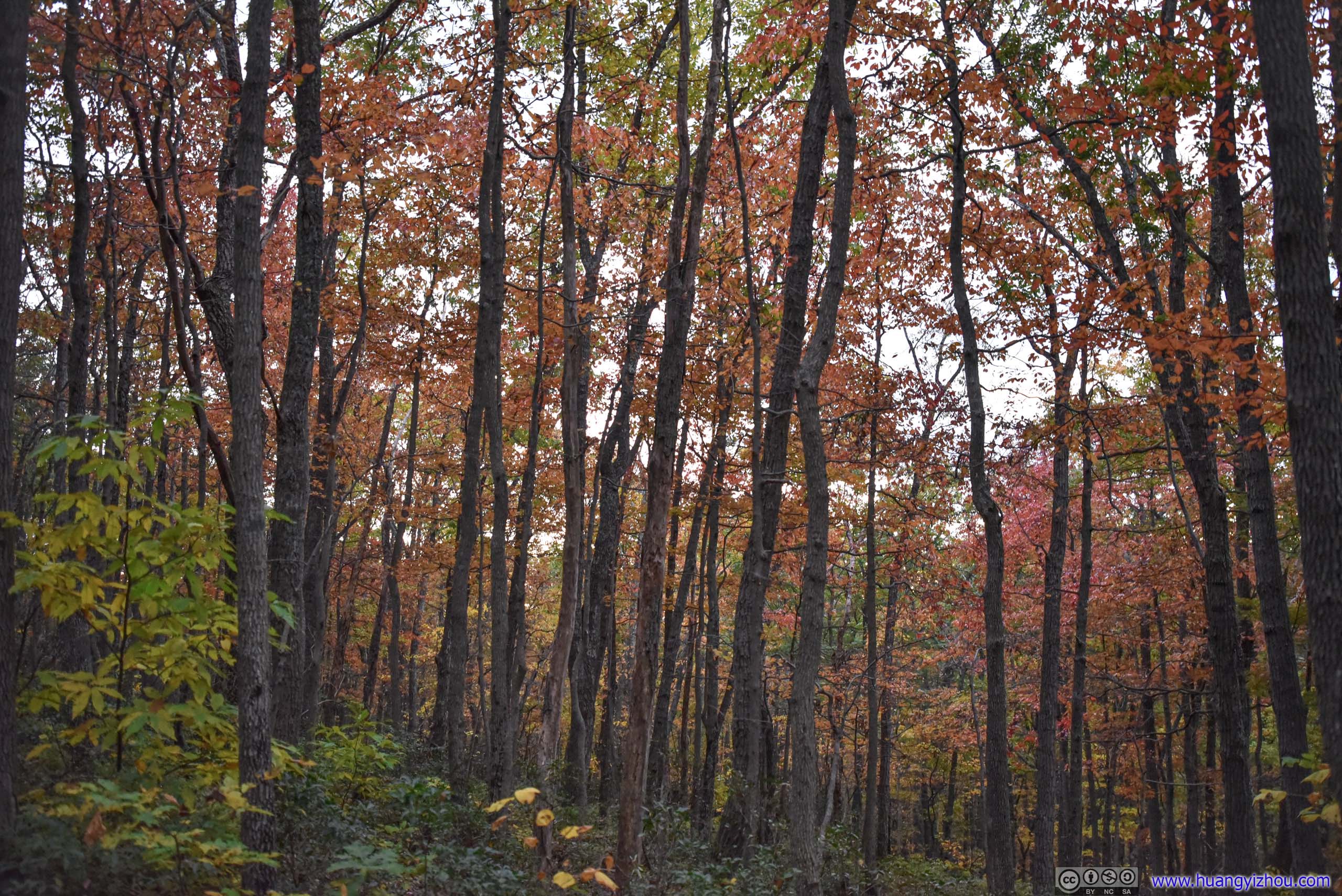
After that I descended from the ridge back to the trailhead. The soft ambient lights on this twilight hour meant the forests put on their most vibrant colors at their best time of the year, before being devoured by darkness.
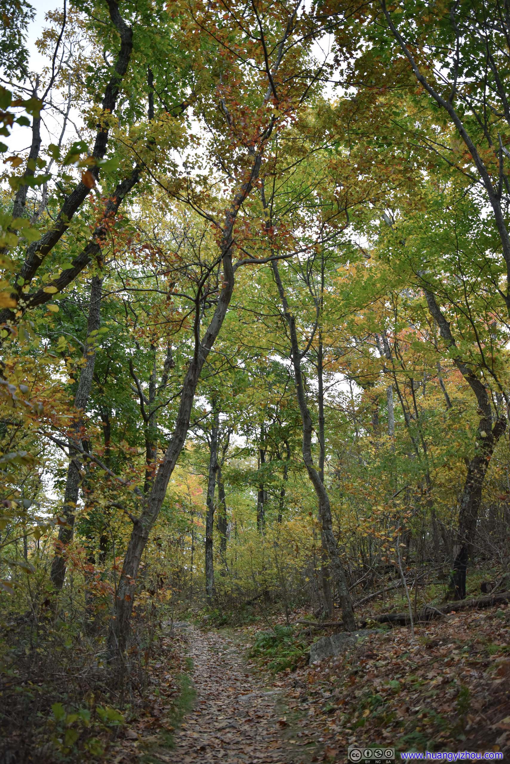
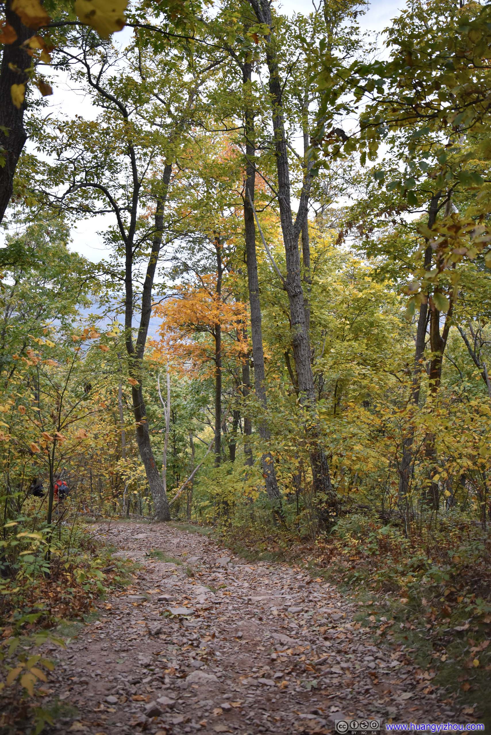
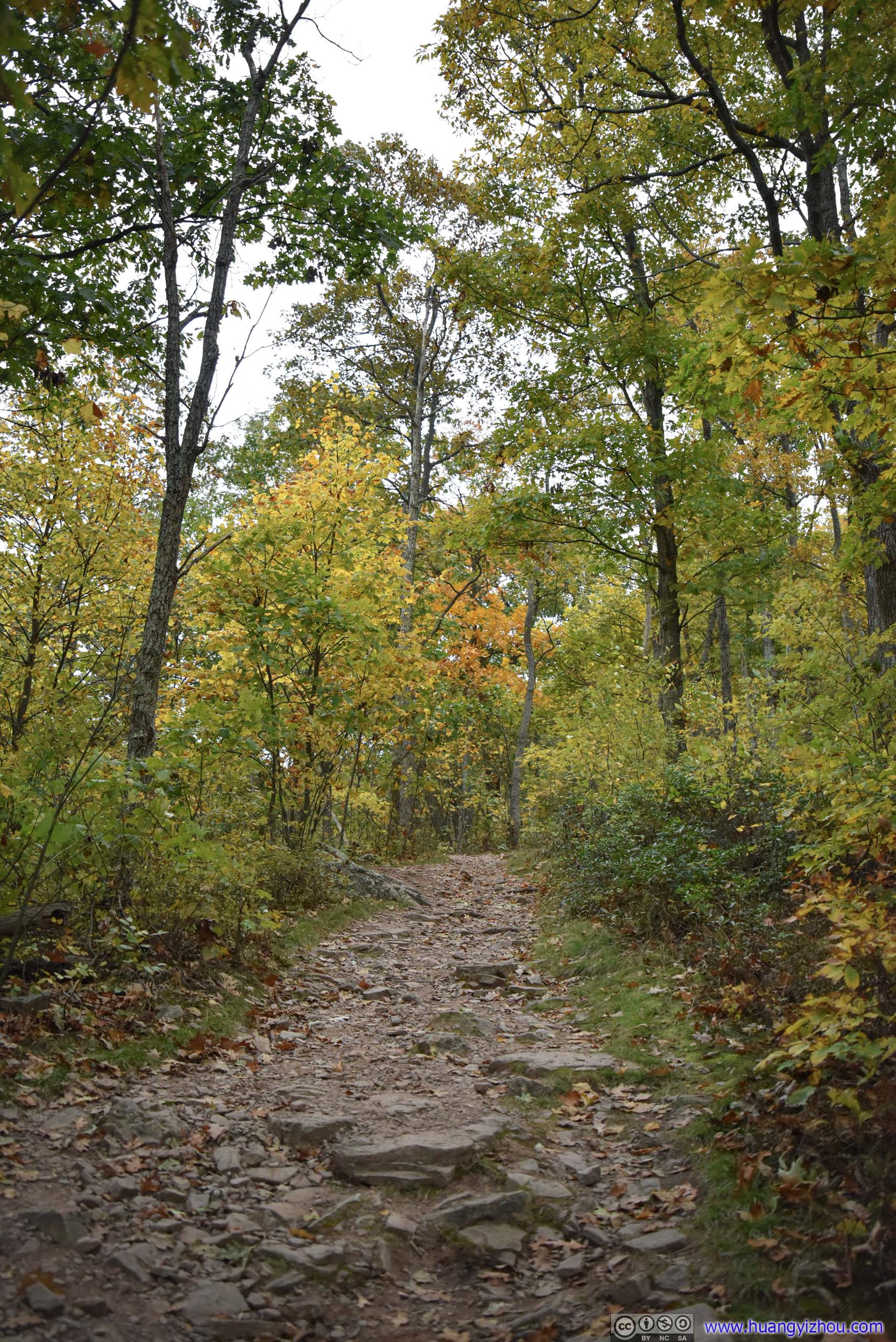
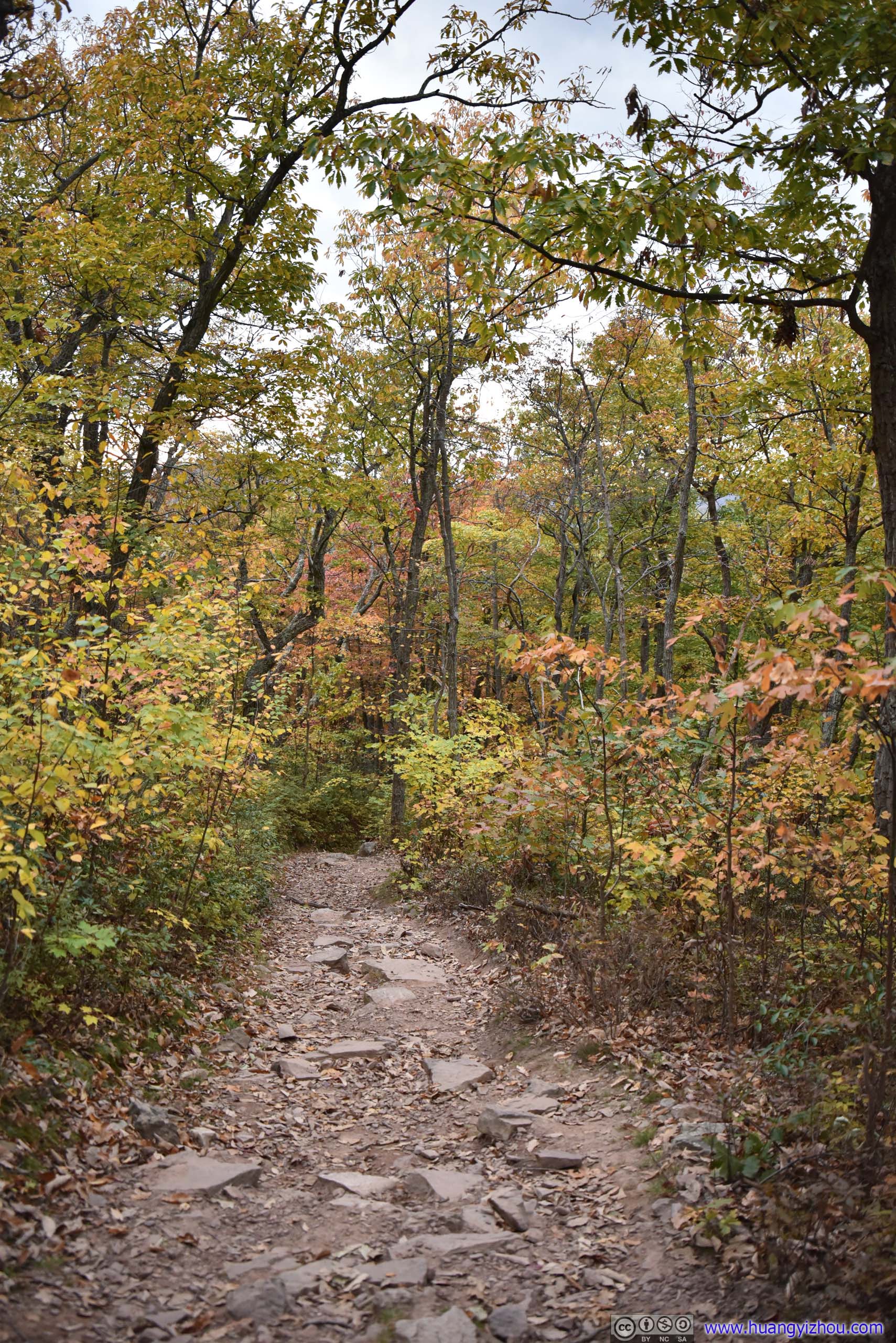
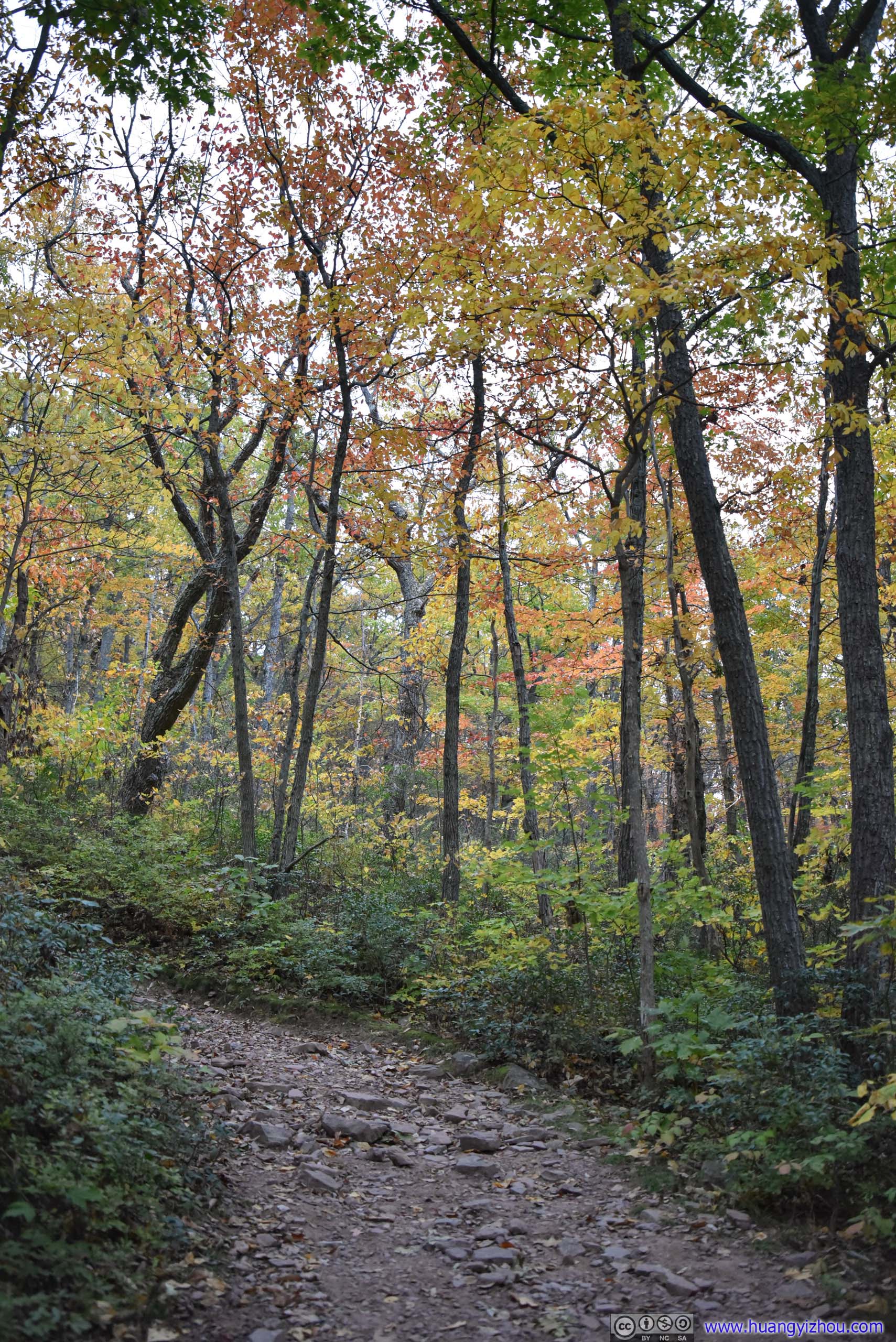

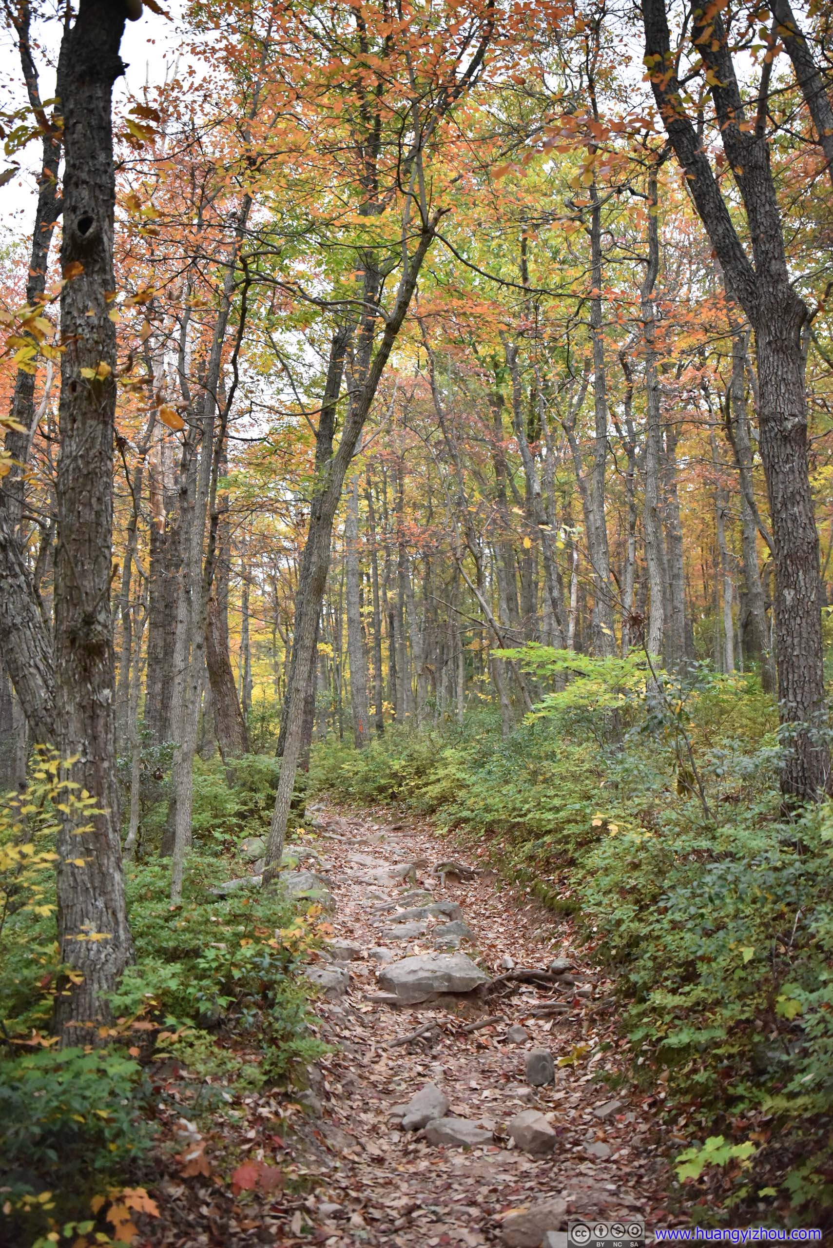
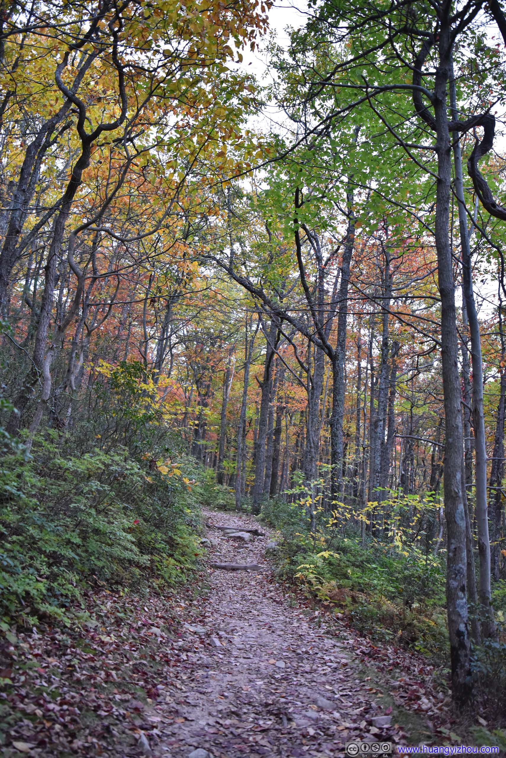
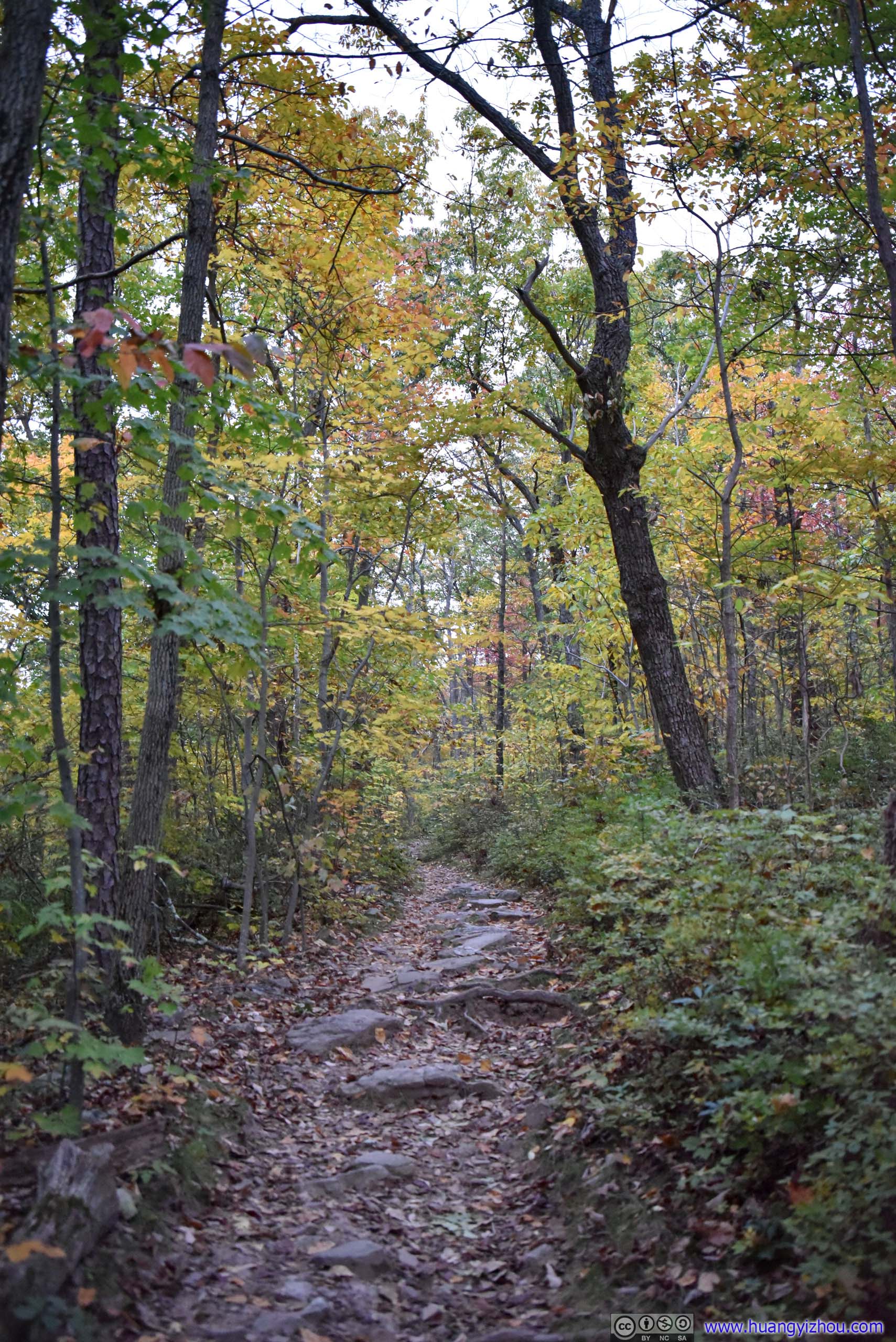
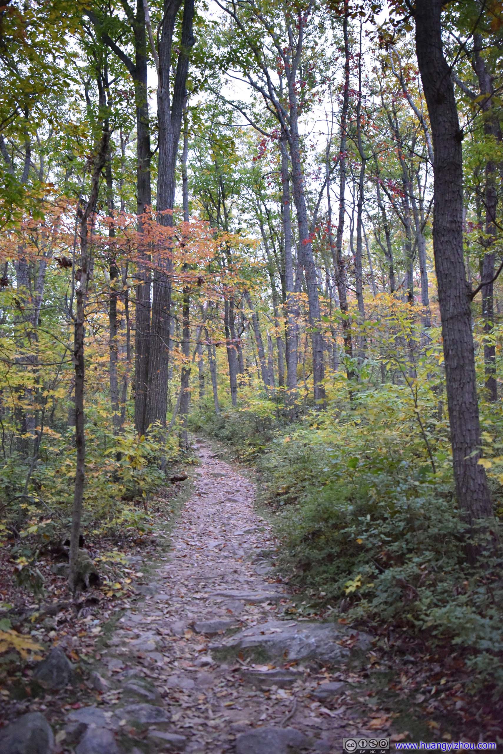
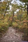
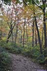
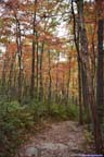
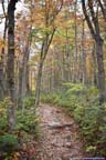
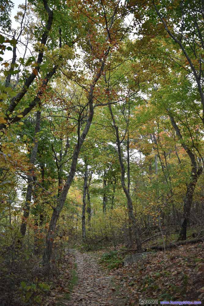
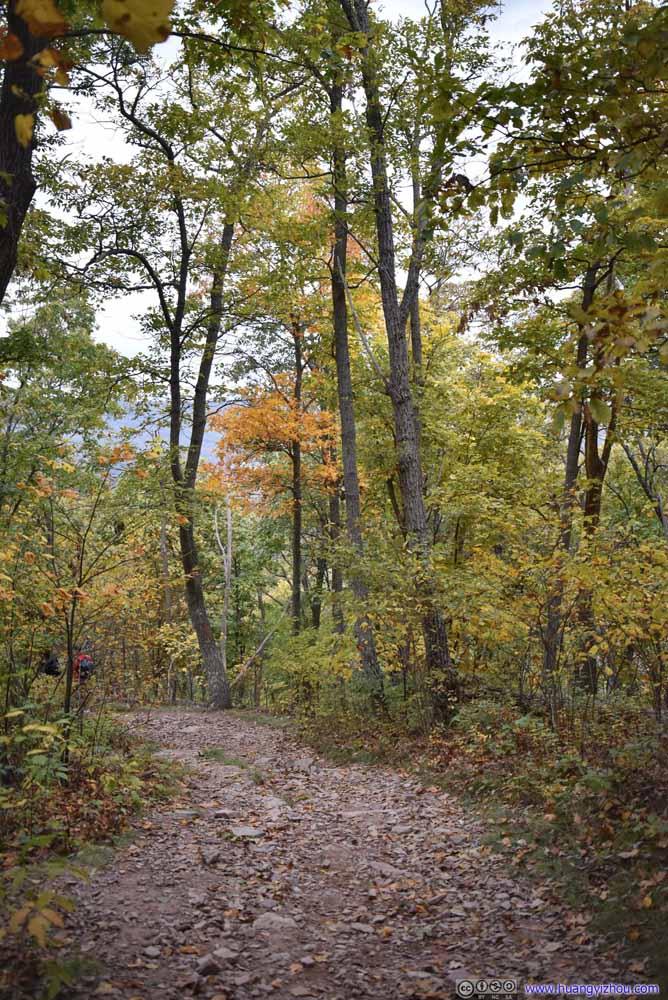
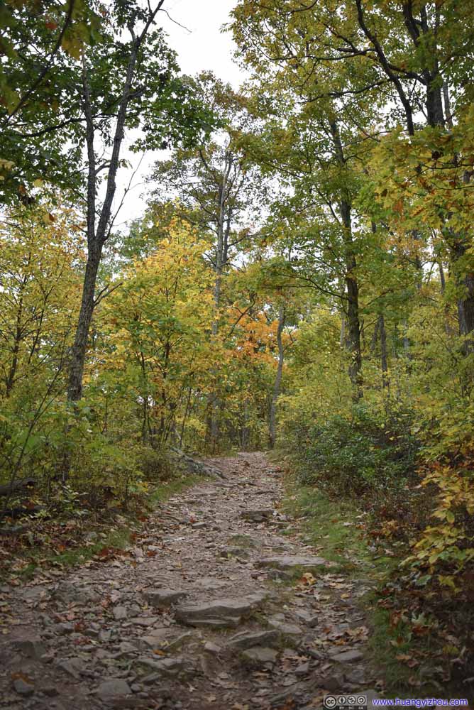
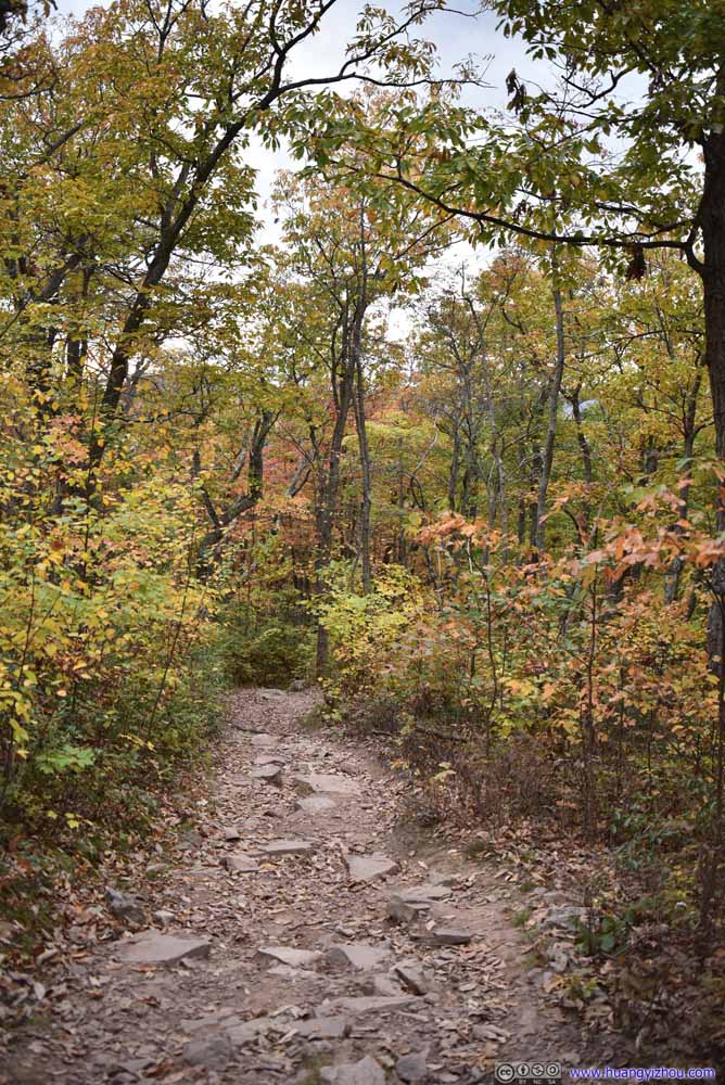
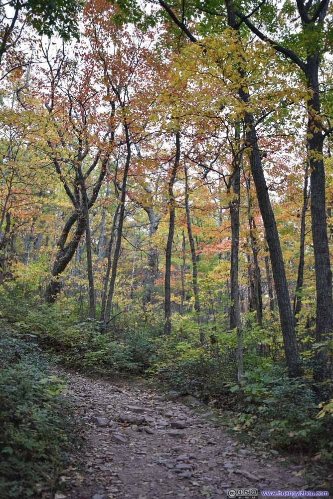
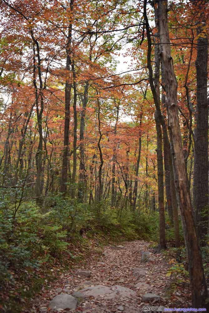
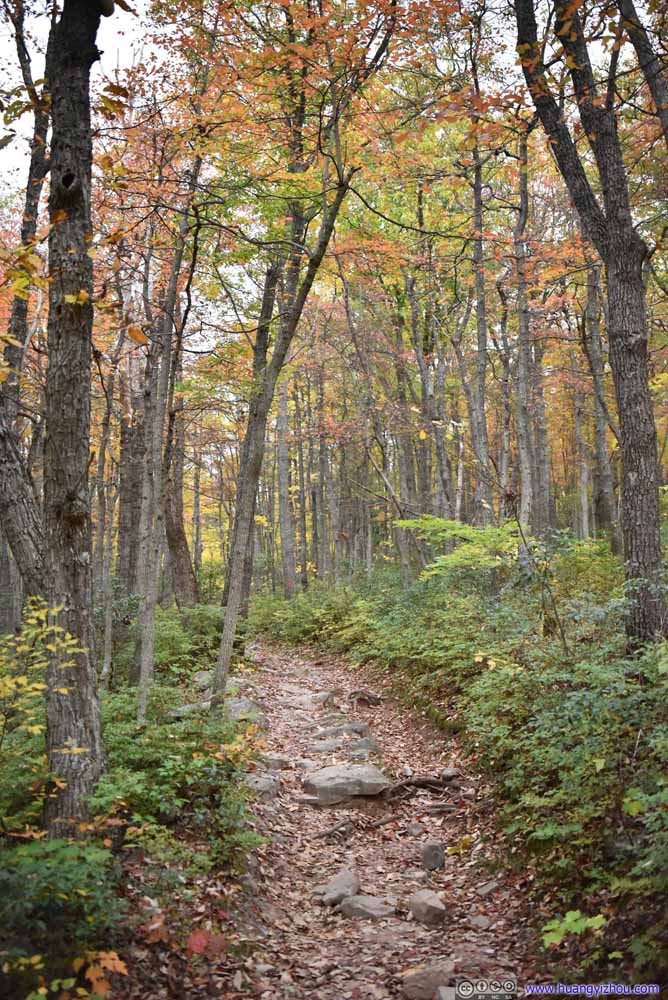
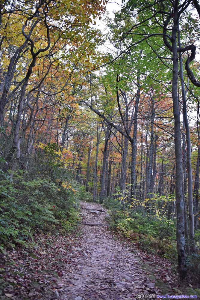
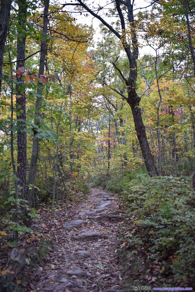
Finally, I got back to the trailhead at 6:40pm. After grabbing dinner at the nearby town of Woodstock, traffic along I81-I66 was uncharacteristically light, which resulted in an enjoyable drive back home, concluding my day.
END