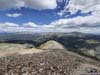
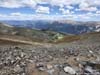
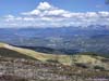
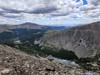
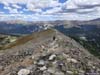
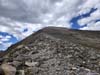
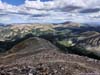
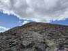
Second day of our 2022 summer trip to Colorado. We would be climbing Quandary Peak outside the town of Breckenridge, our first 14er of the trip.
Trail to Quandary Peak
My friend and I would spend the first 4 days and 3 nights of this Colorado trip in and around the town of Breckenridge. Our plan was to gradually go up the difficulty scale before the more challenging hikes later in the week, and for that the town of Breckenridge was a perfect outpost. In fact, there were so many mountain peaks surrounding this ski town that they didn’t even bother to name them properly. Instead, the few peaks of Tenmile Range to the immediate west were named uncreatively "Peak 1,2,...9".
Just south of the town and at the boundary of White River and Pike National Forest, are some of Colorado's most accessible 14ers, including Quandary Peak, DeCaLiBron group, and Mount Sherman. They are all reasonably short for day hikes (~10km roundtrip or shorter), with elevation gains that aren't too excessive (~1000m or smaller), and thus perfect candidates for our acclimatization hikes.
Our Airbnb lodge was at the foot of Quandary Peak (we could see it from the windows). So for this day, August 27, we picked this closest peak as the destination of our first day hike. It turned out to be the only YDS Class 1 mountain of this Colorado trip (I was surprised that both Grizzly Peak and Mount Sherman are class 2). At an elevation of 4350m/14271ft, it's the first 14er of our trip.
Due to its popularity (and thus the limited parking lot size), Summit County operated a shuttle service between Breckenridge Airport and the trailhead in the summer of 2022. And with that, they also required reservations (and a non-nominal fee) to park at the trailhead. This didn't fare well with some nearby landowner (Summit Acoustics Drywall?) who felt that all this development was affecting their property values (I didn't get the logic of this).
With weather forecast indicating a rainless day, we got up reasonably late and started our hike at 10:40am.
Here's GPS tracking:
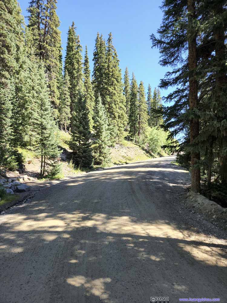
Country Road
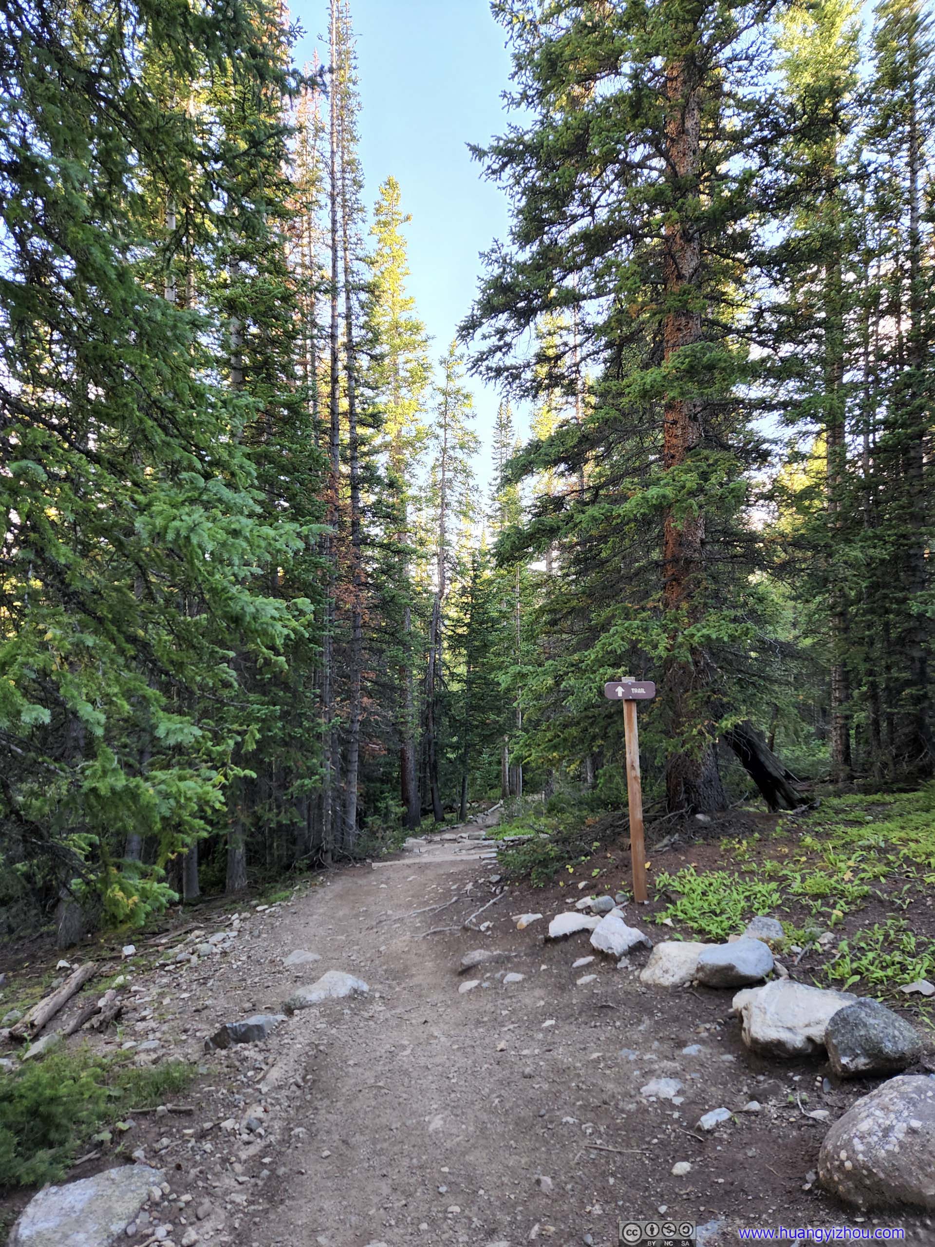
The first 400m of the trail followed this unpaved country road. Since there weren’t any good parking spots along this road, the official trailhead was farther down the mountain.
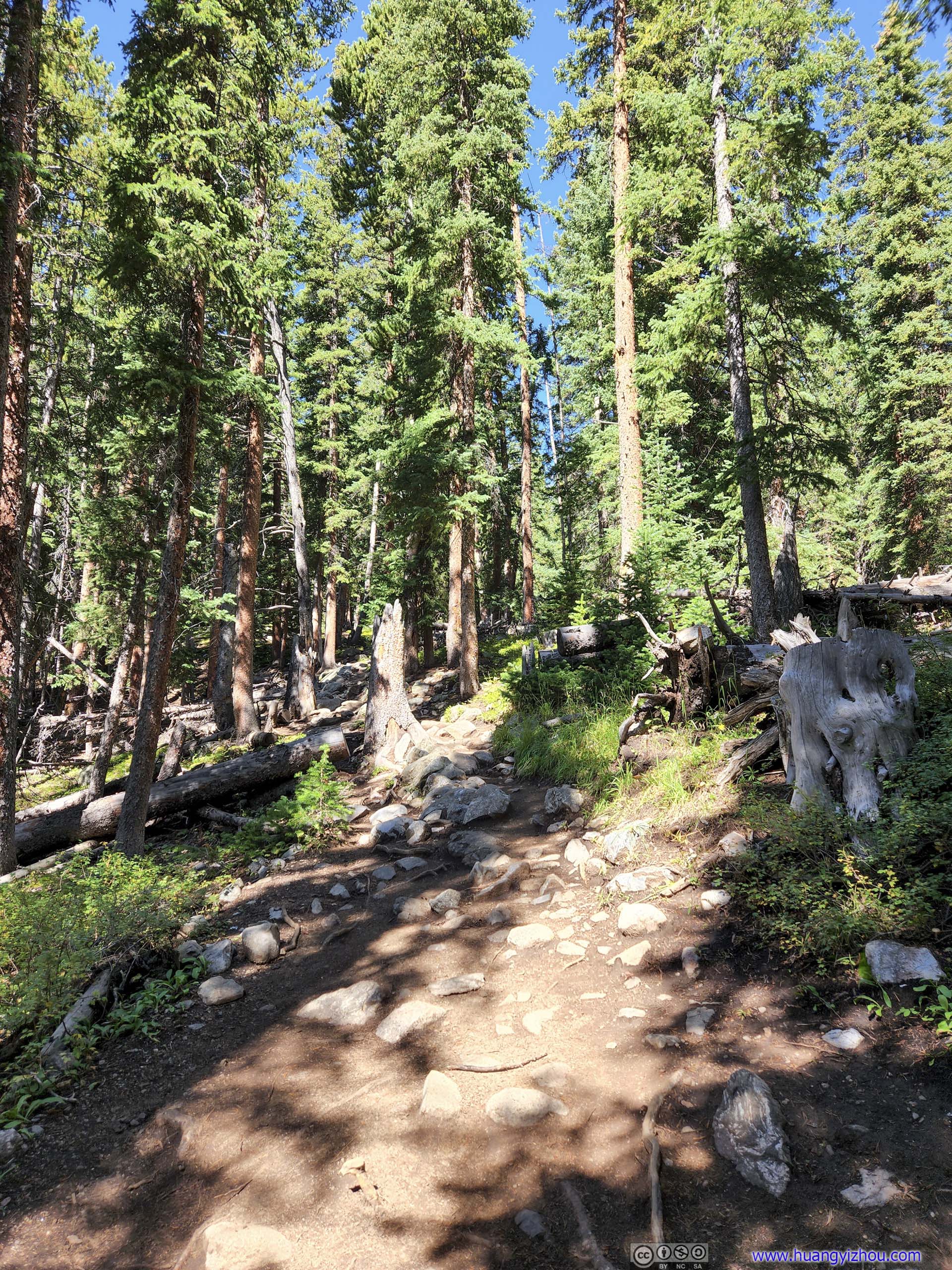
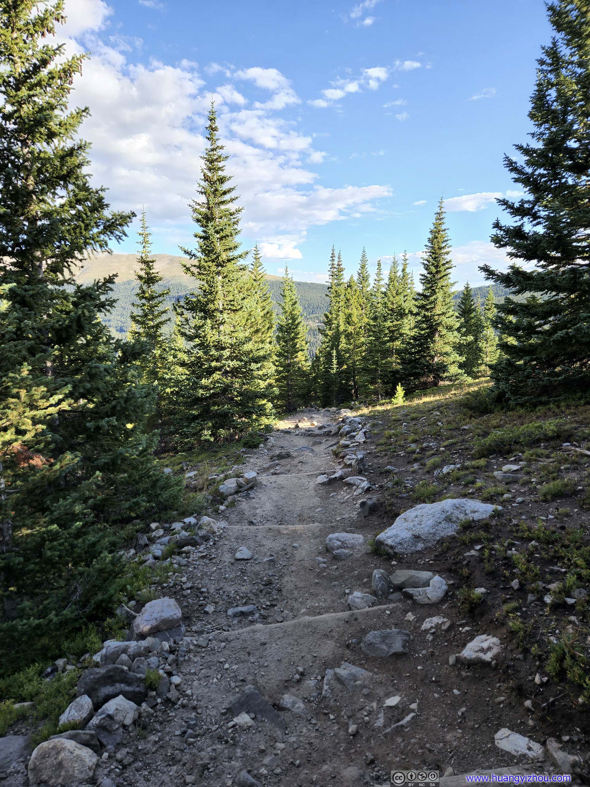
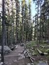
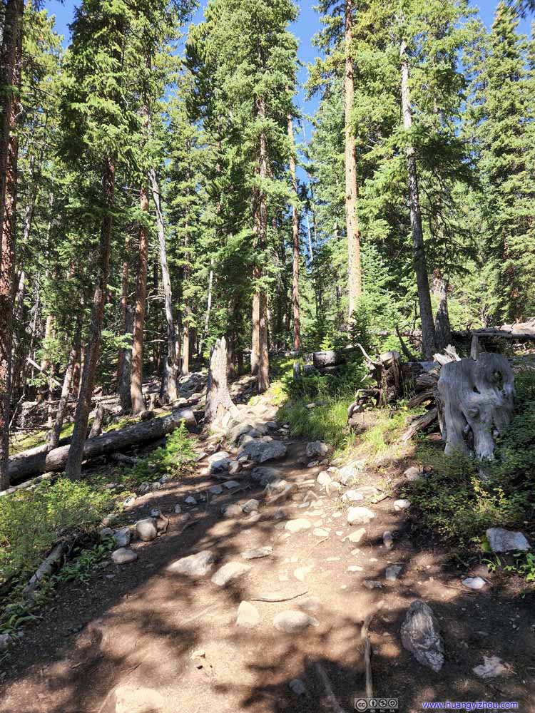
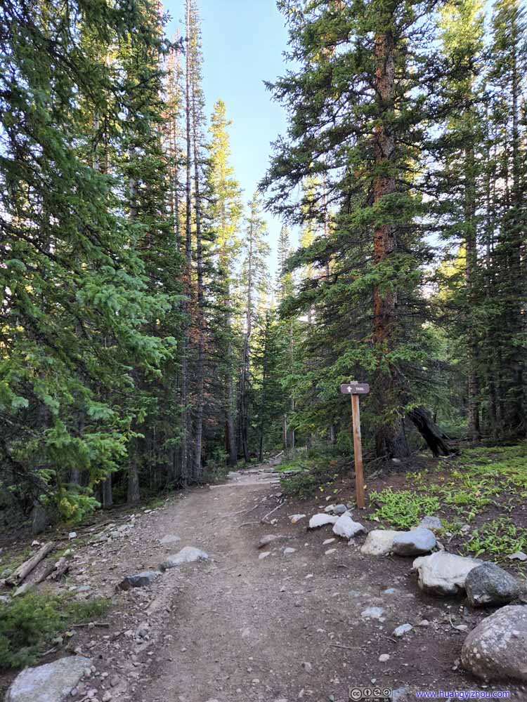
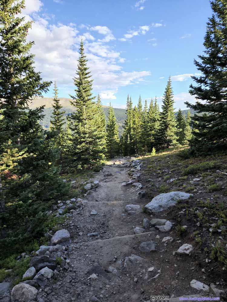
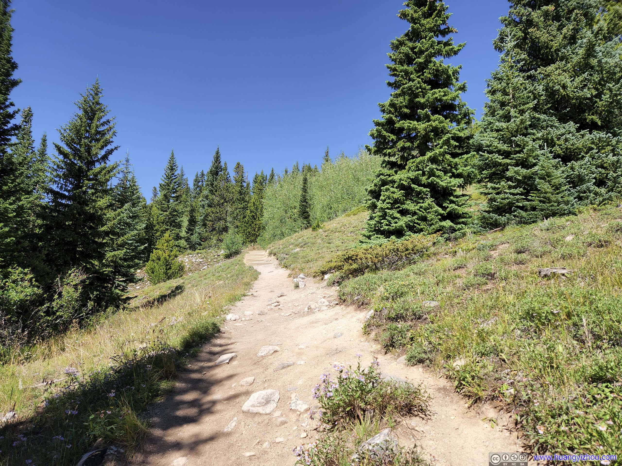
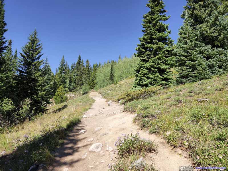
Trail The initial part of the trail in the woods.
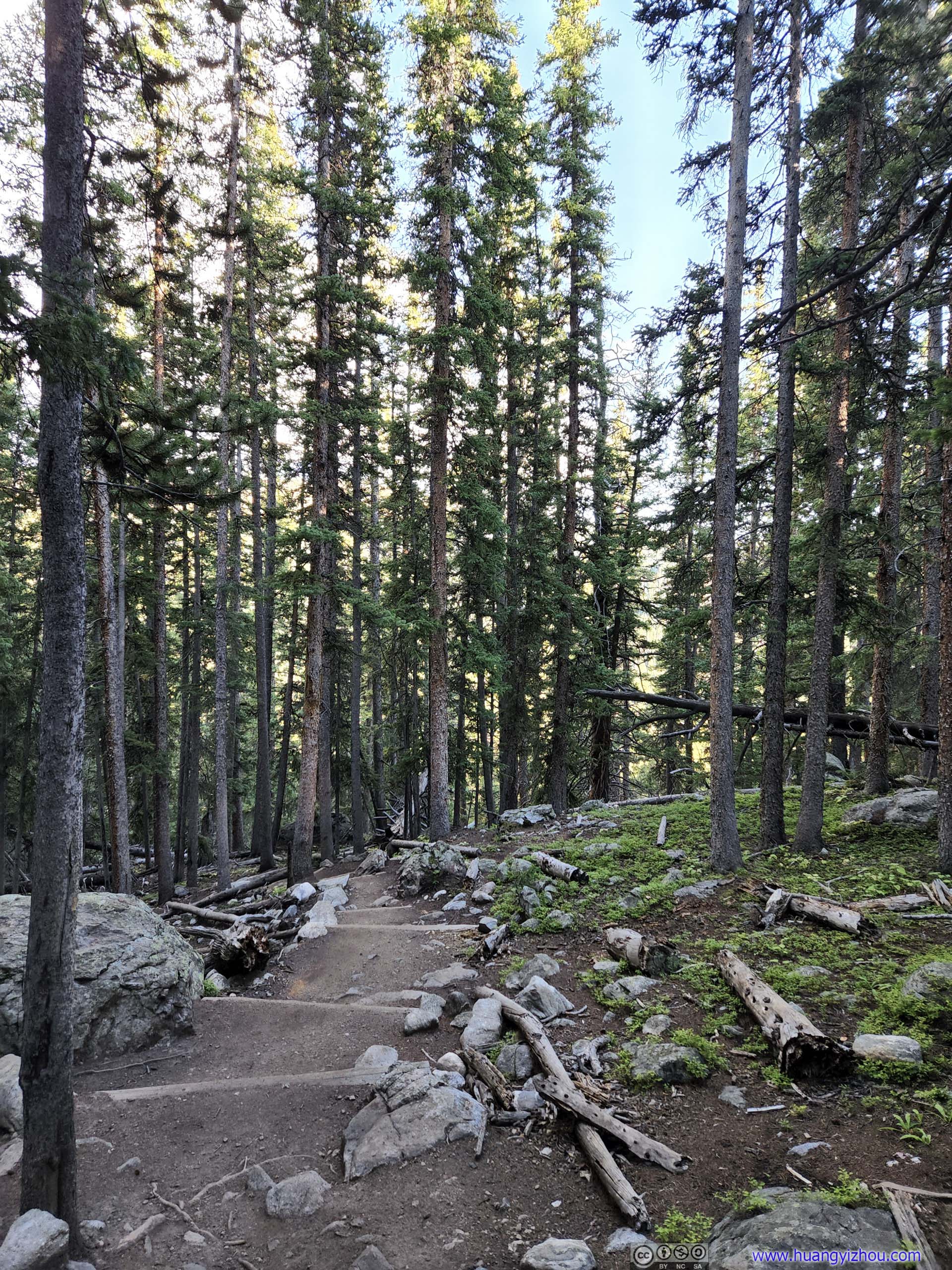
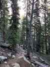
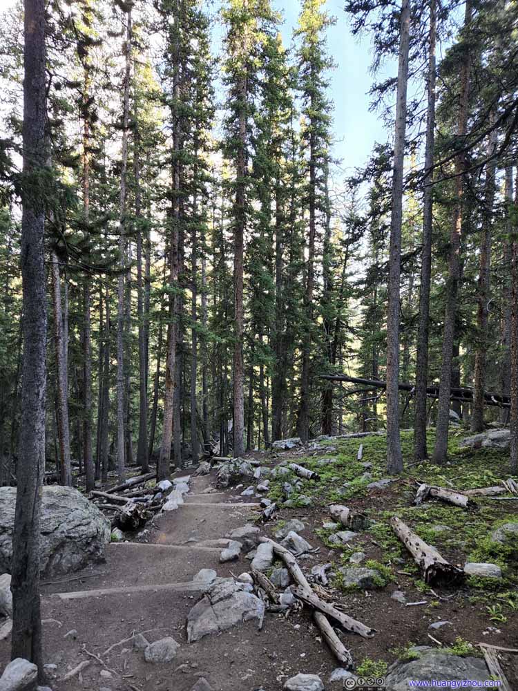
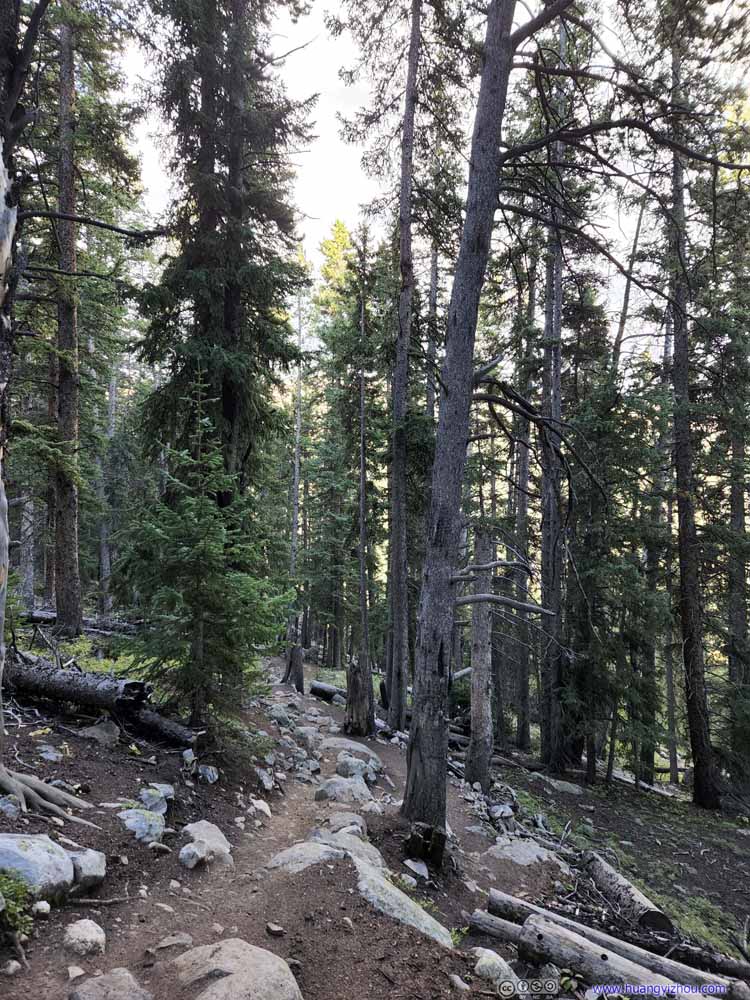
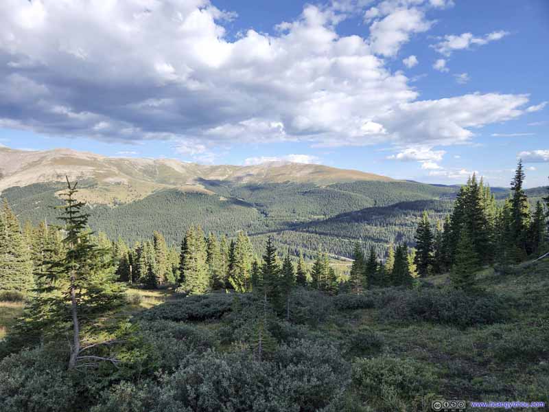
Trail Taken during my descent when the lights were softer.
Trail Taken during my descent when the lights were softer.
Trail Taken during my descent when the lights were softer.
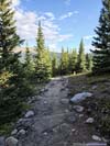
Trail Coming out of the woods.
The trail stayed in the trees for about 2km, before gorgeous views of nearby mountains emerged out of it.
Trail Emerging out of the tree line.
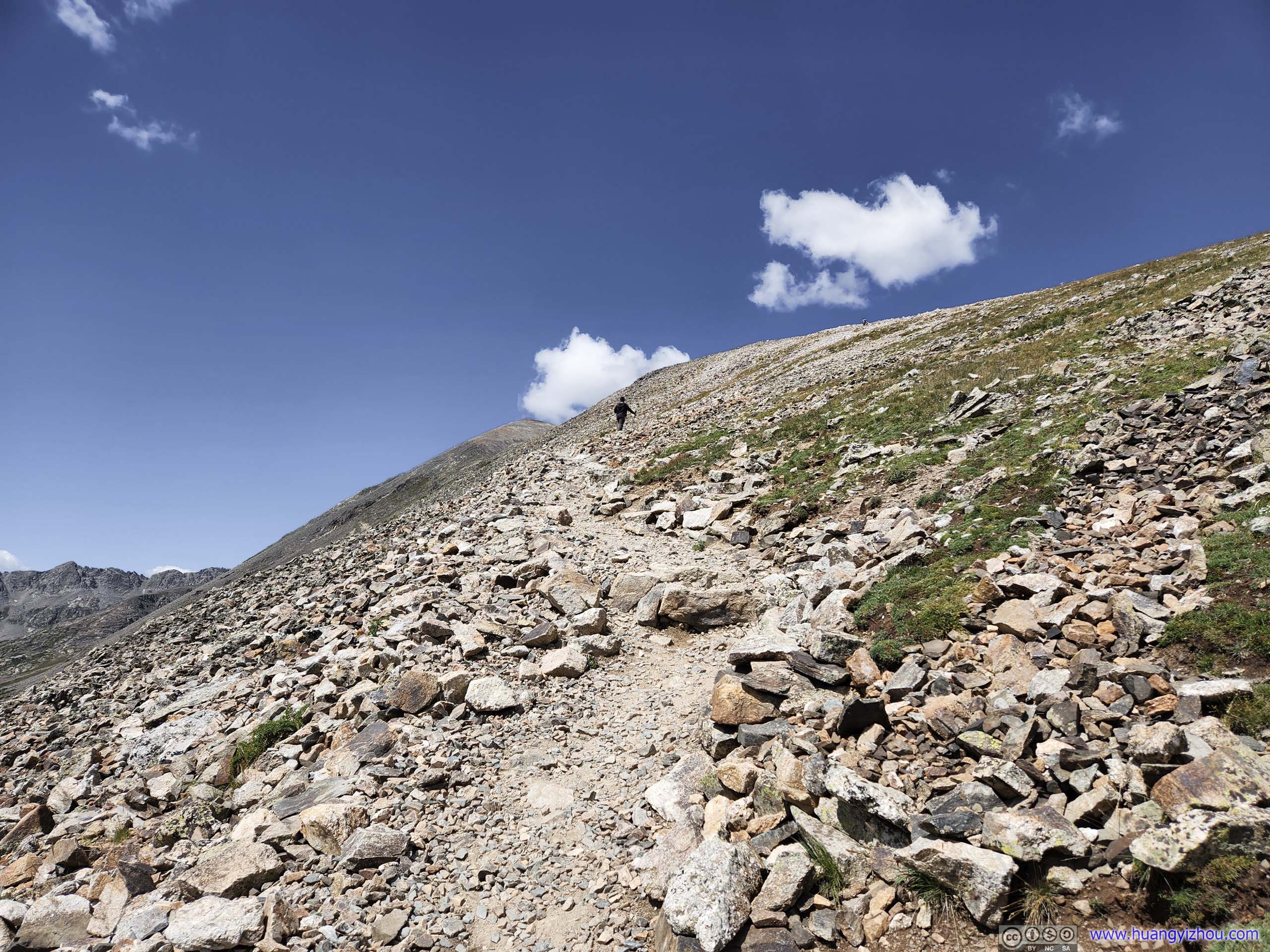
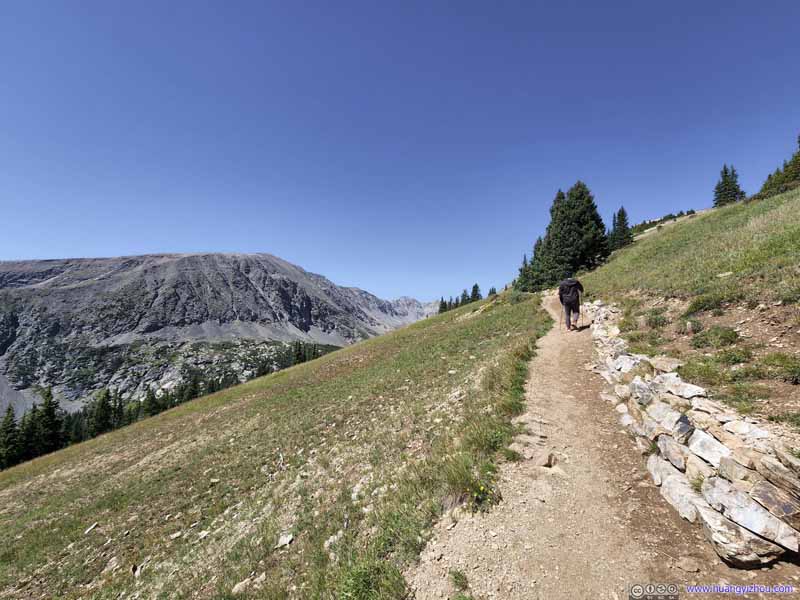
Trail The grass by the trail didn’t last long before they transitioned into rocks.
Trail
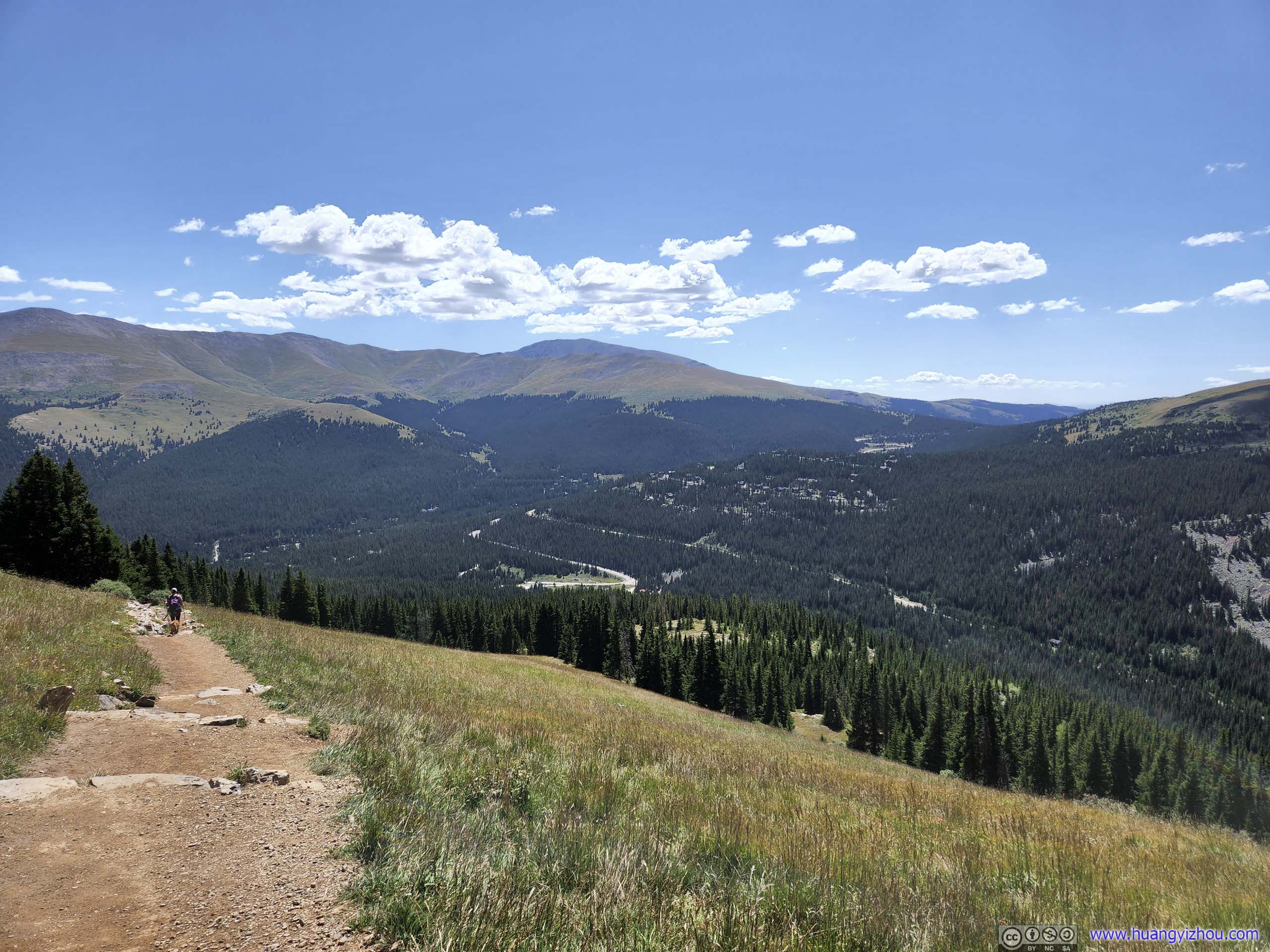
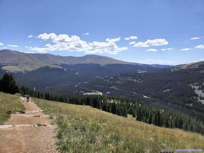
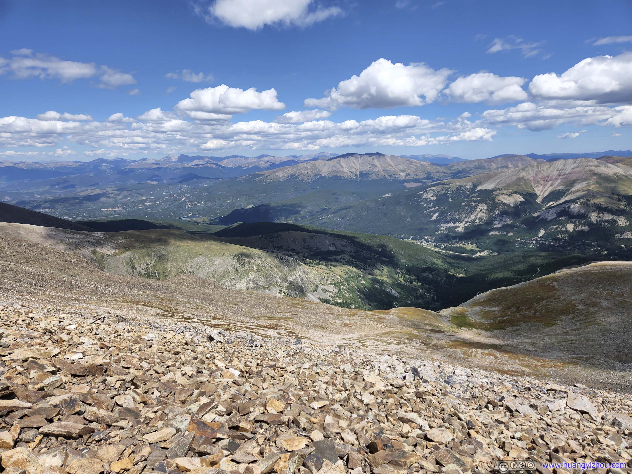
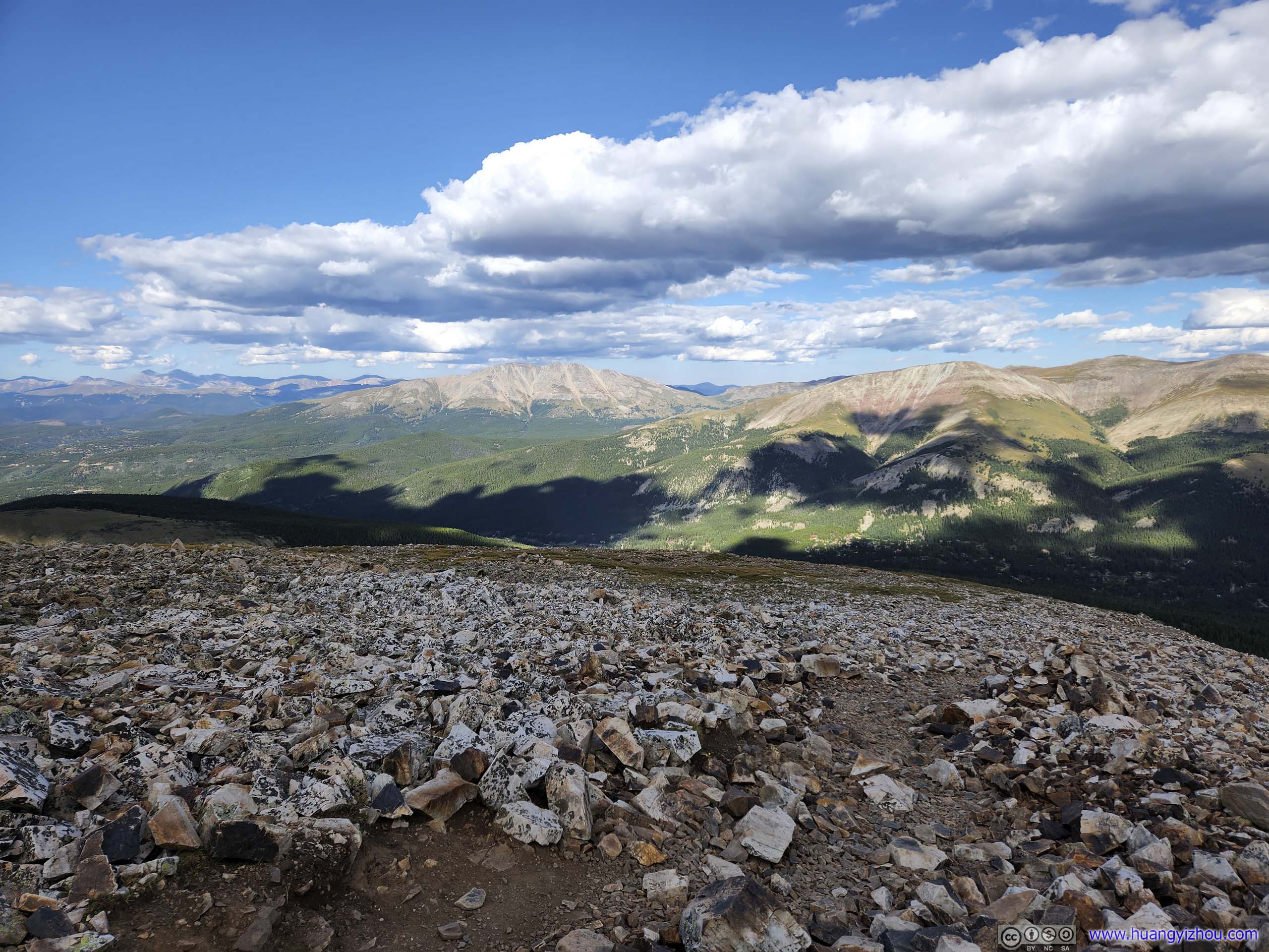
The mountains to the southeast and the country road up Hoosier Pass were a constant backdrop of the day.
Trail
The mountains to the southeast and the country road up Hoosier Pass were a constant backdrop of the day.
Mountains to the Southeast
A constant view for this part of the trail, with CO 9 ascending onto Hoosier Pass. Taken during descent.
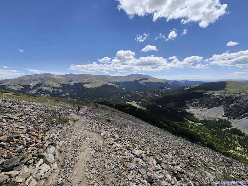
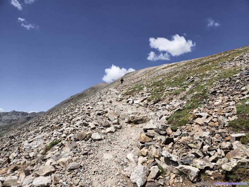
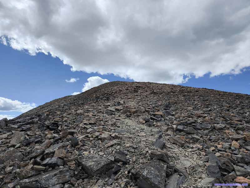
Trail Typical conditions out of the tree line, among the rocky slope of Quandary Peak.
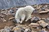
Throughout the day, we had a few interesting encounters with animals along the trail.
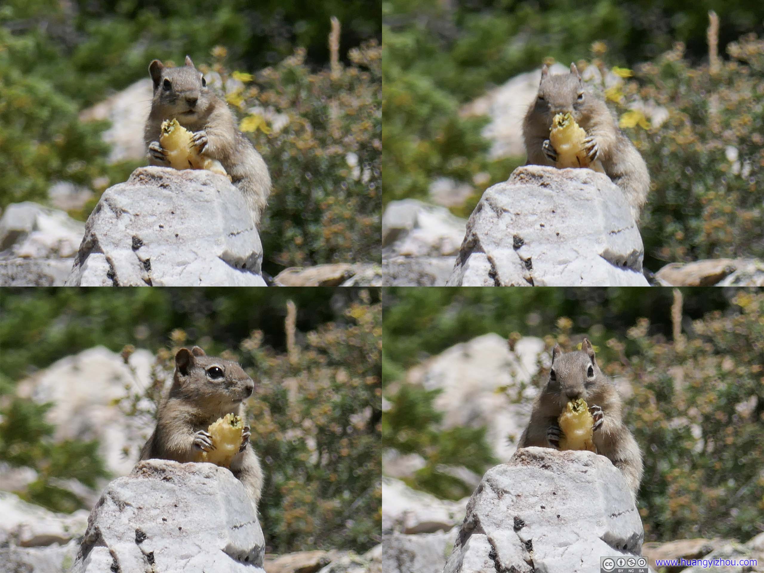
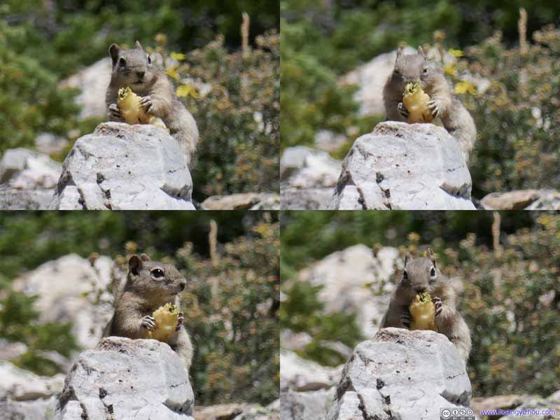
Squirrel
We bumped into this squirrel in the woods, enjoying its lunch. It first seemed alerted by our arrival (upper left), then it alarmingly started at us (upper right), as if we were to steal its lunch. After it got used to my camera (bottom), it continued its business.
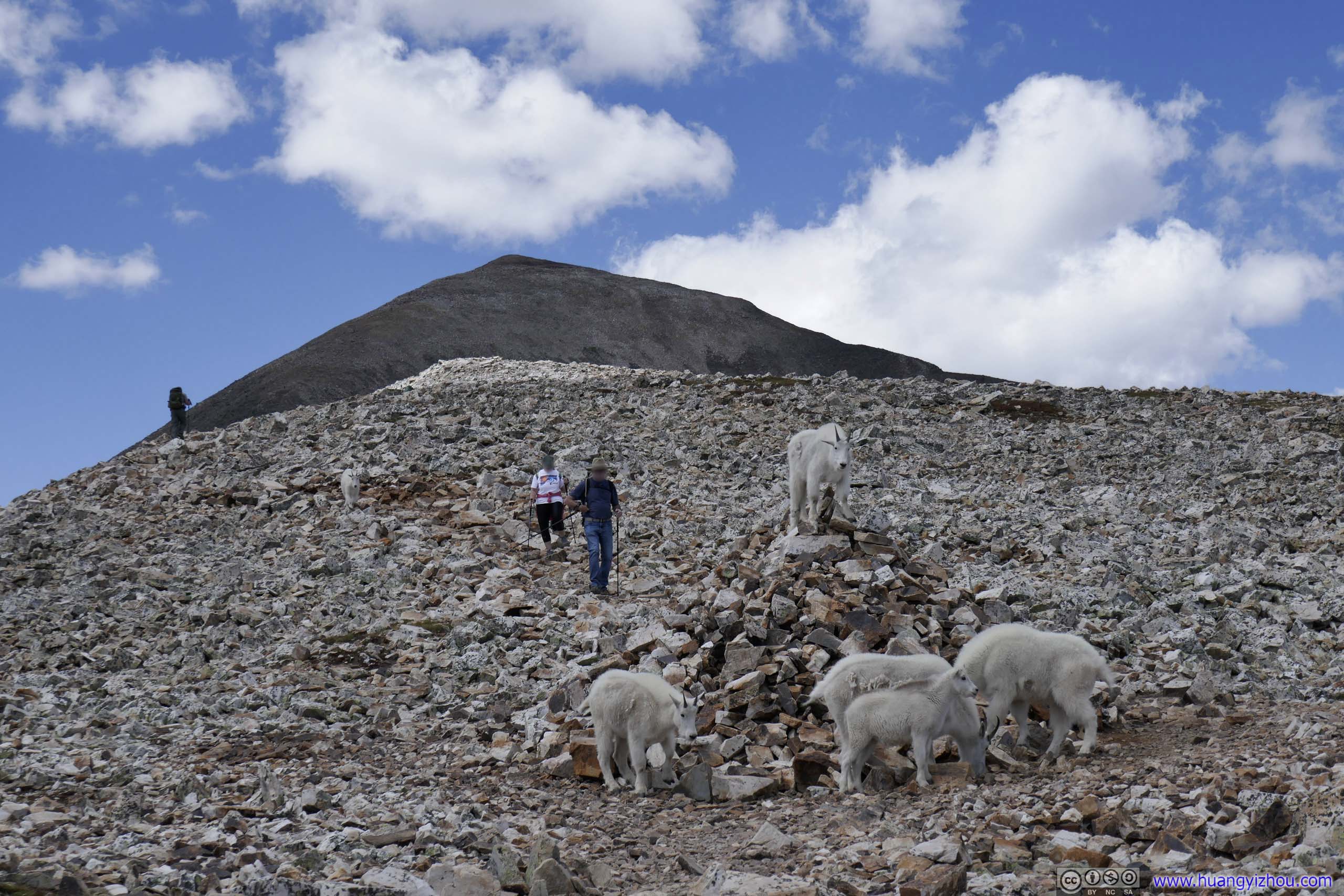
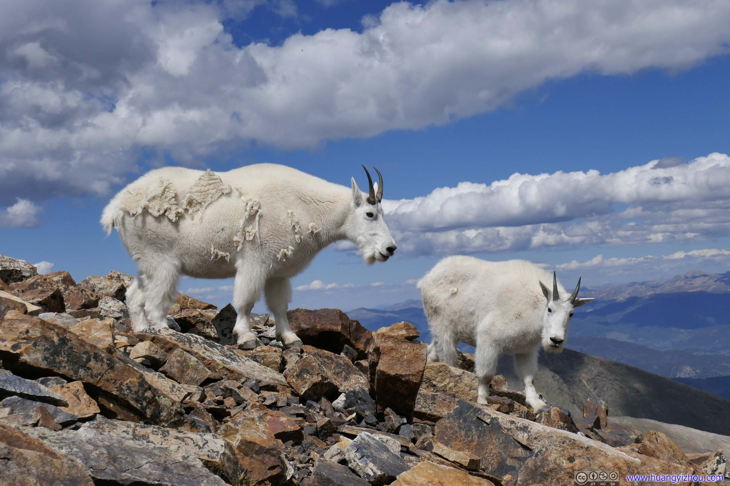
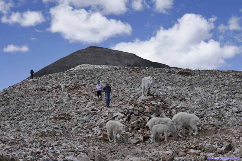
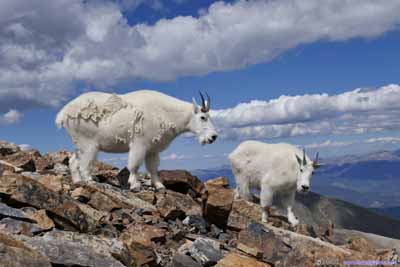
Goats
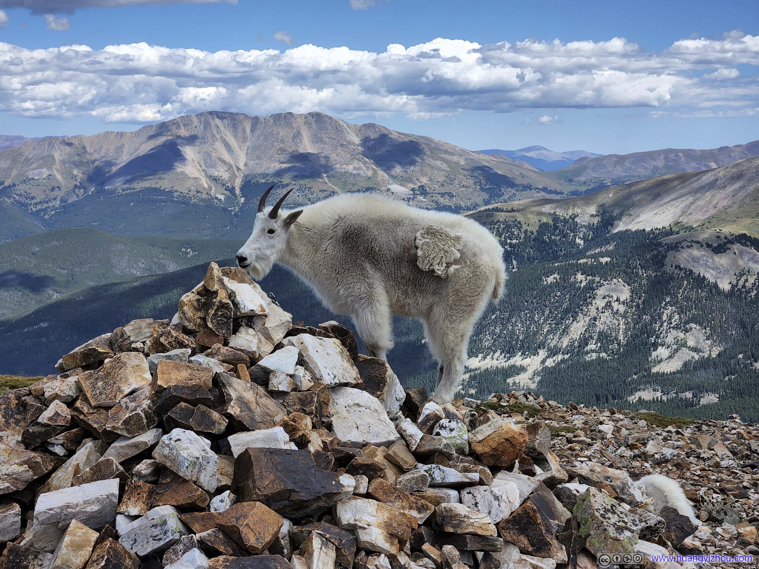
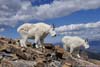
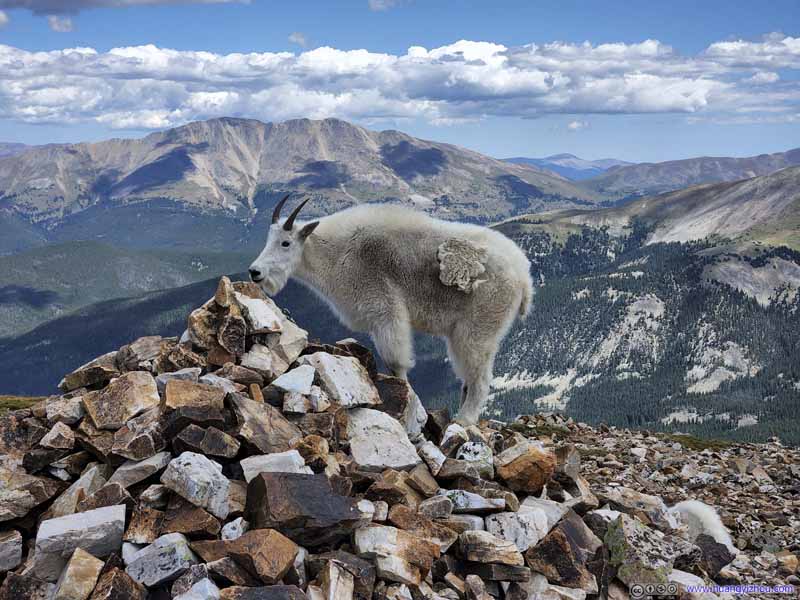
The rocky mound was located about two-thirds of the way, near an intersection of with "Old Quandary Peak Trail" on maps. Quandary Peak was visible in the background of this photo.
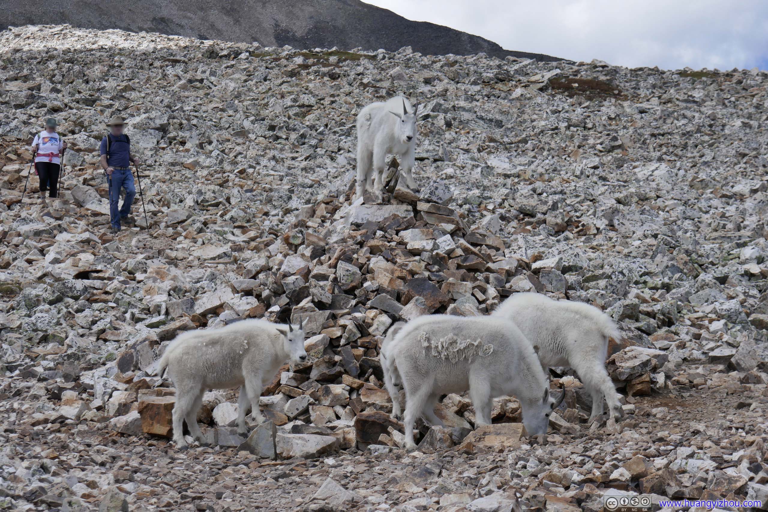
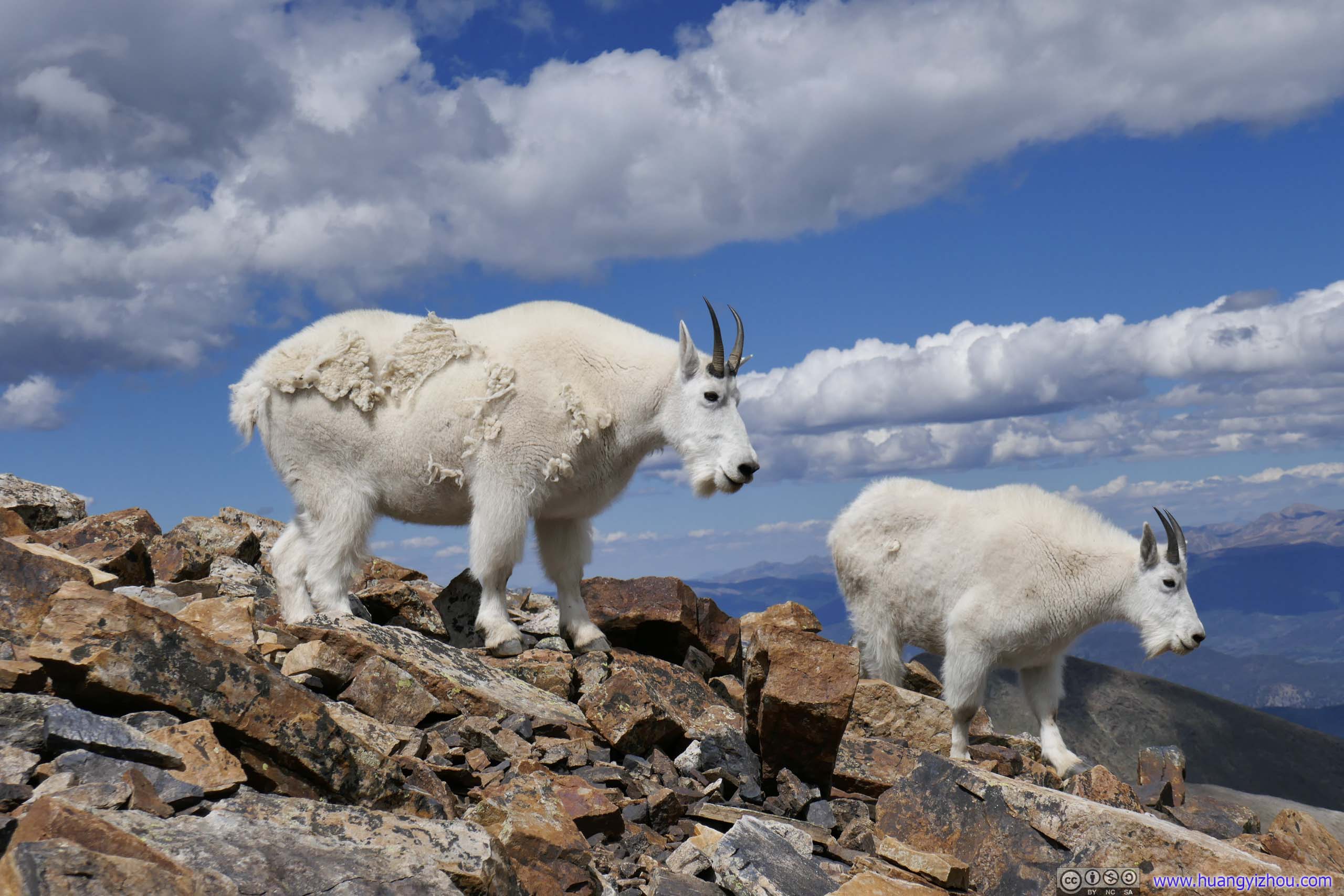
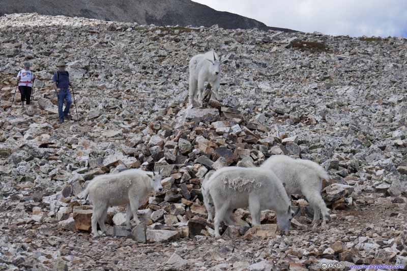
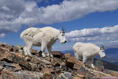
Goats
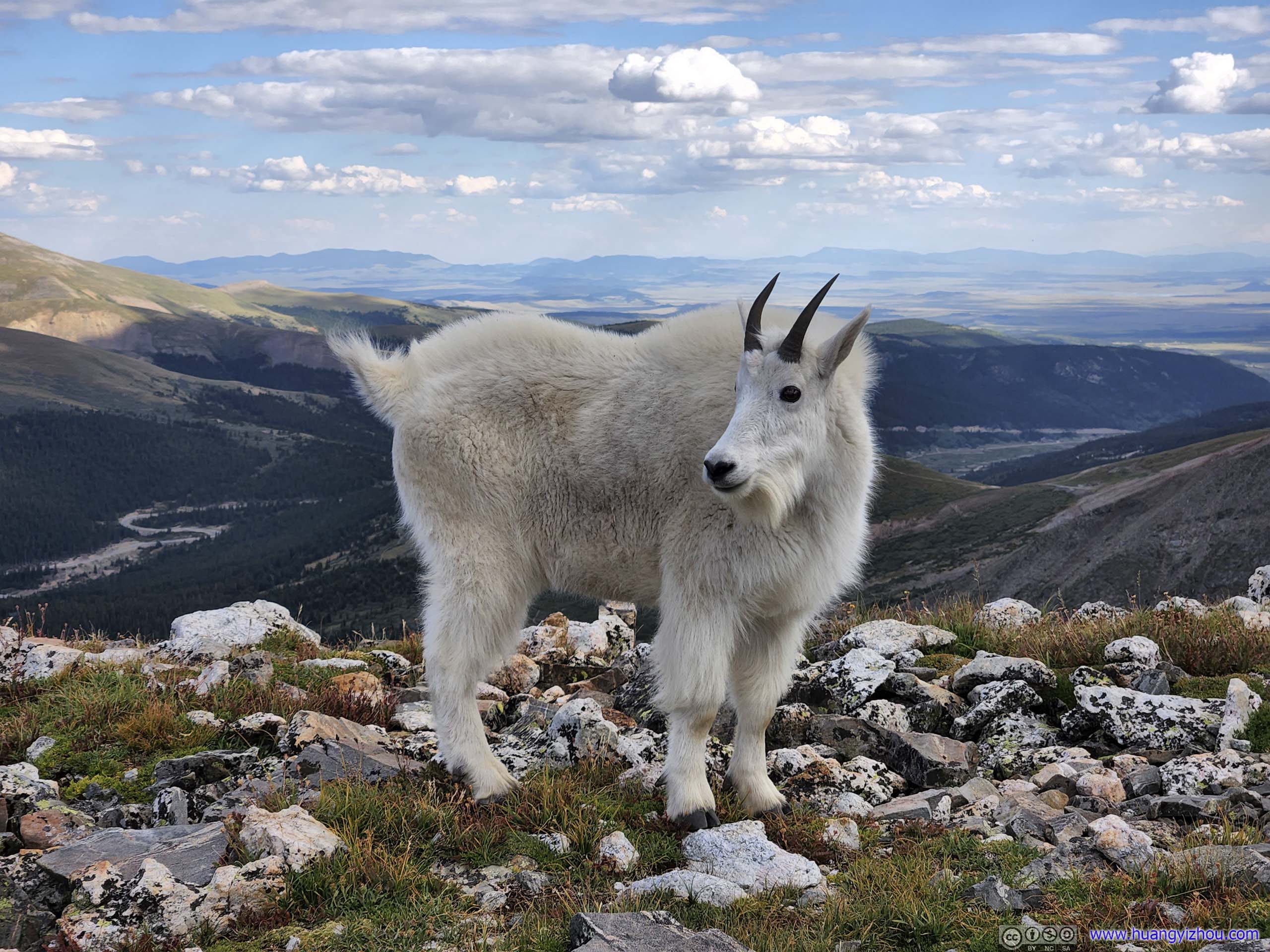
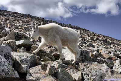
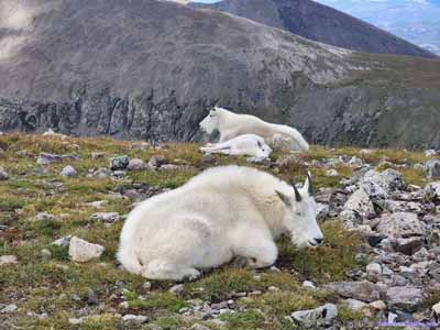
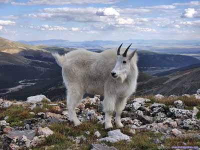
I didn’t see any grass between the rocks, but this group of grazing goats certainly thought otherwise. The one standing on top of the mound looked like their leader.
Goat on Rocky Mound The leader goat from a different angle.
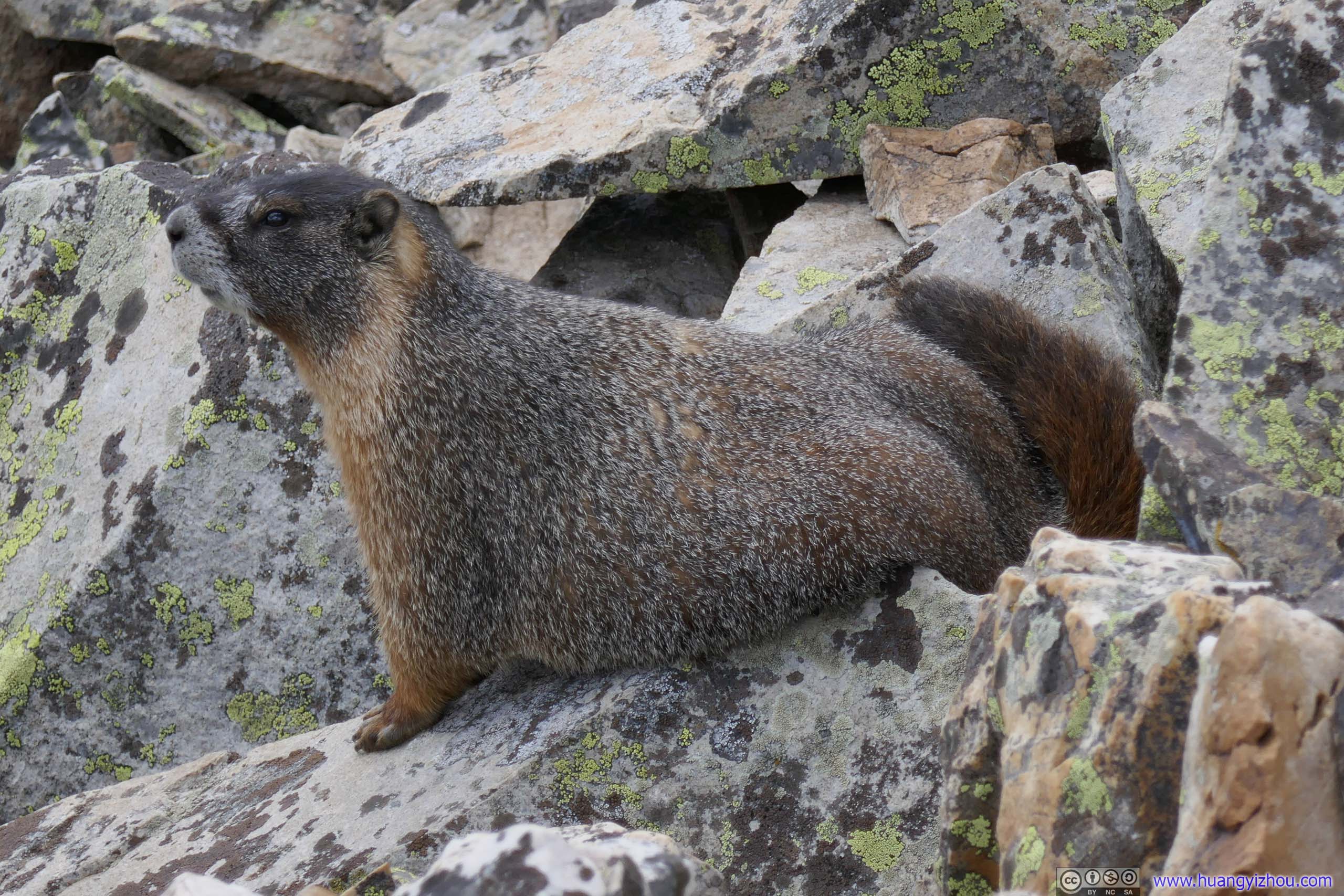
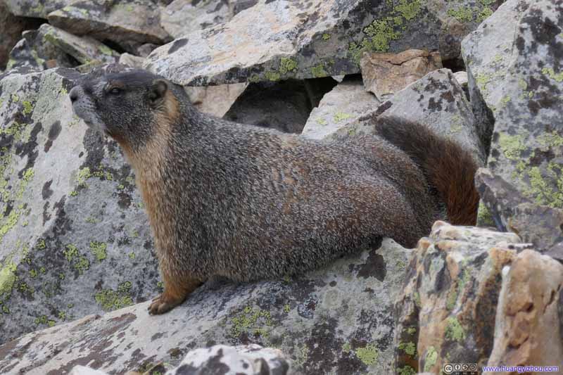
Marmot Next to the previous group of goats, this marmot stood guard out of the rocks.
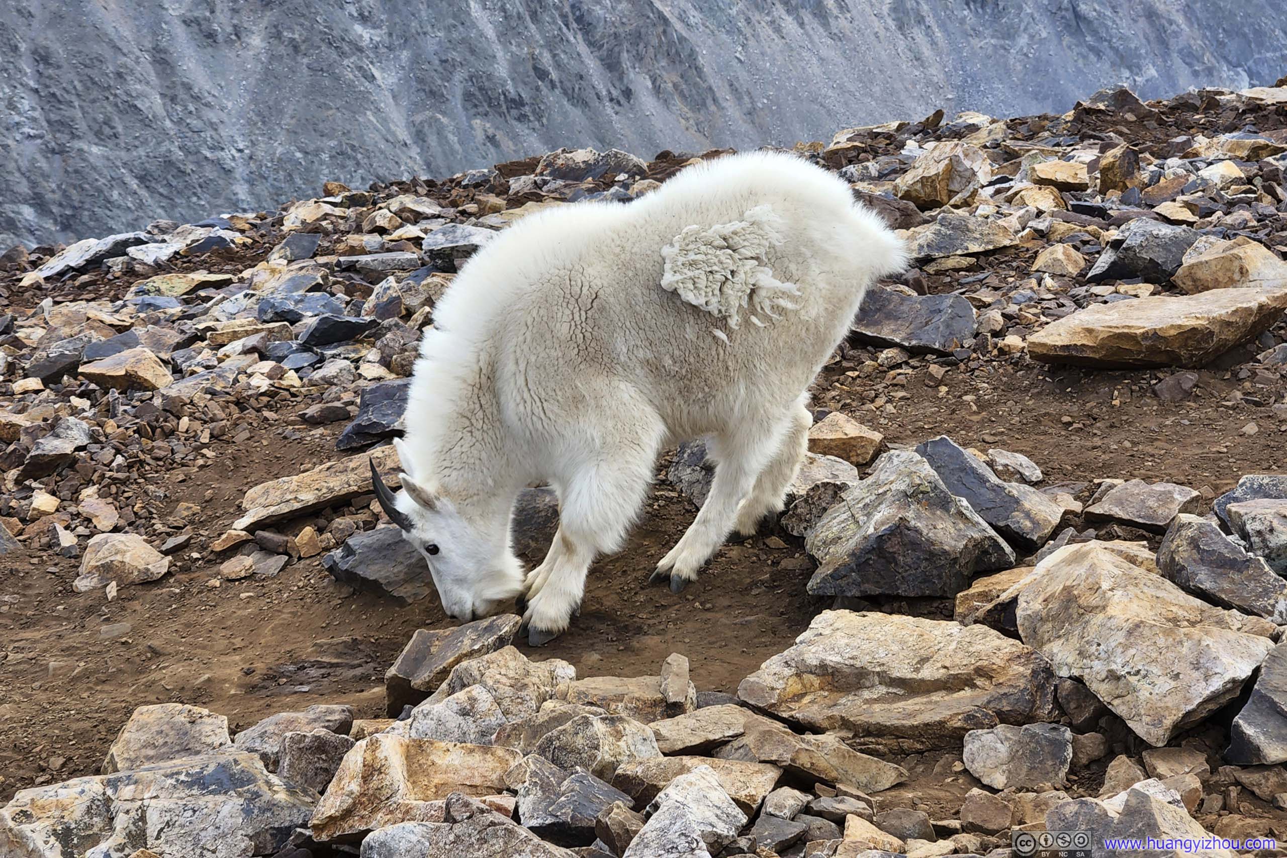
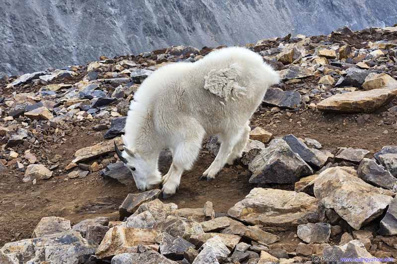
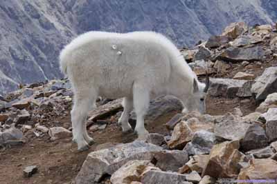
Goat This one seemed to be drinking from the puddle underneath it, which to me, was just slightly wet.
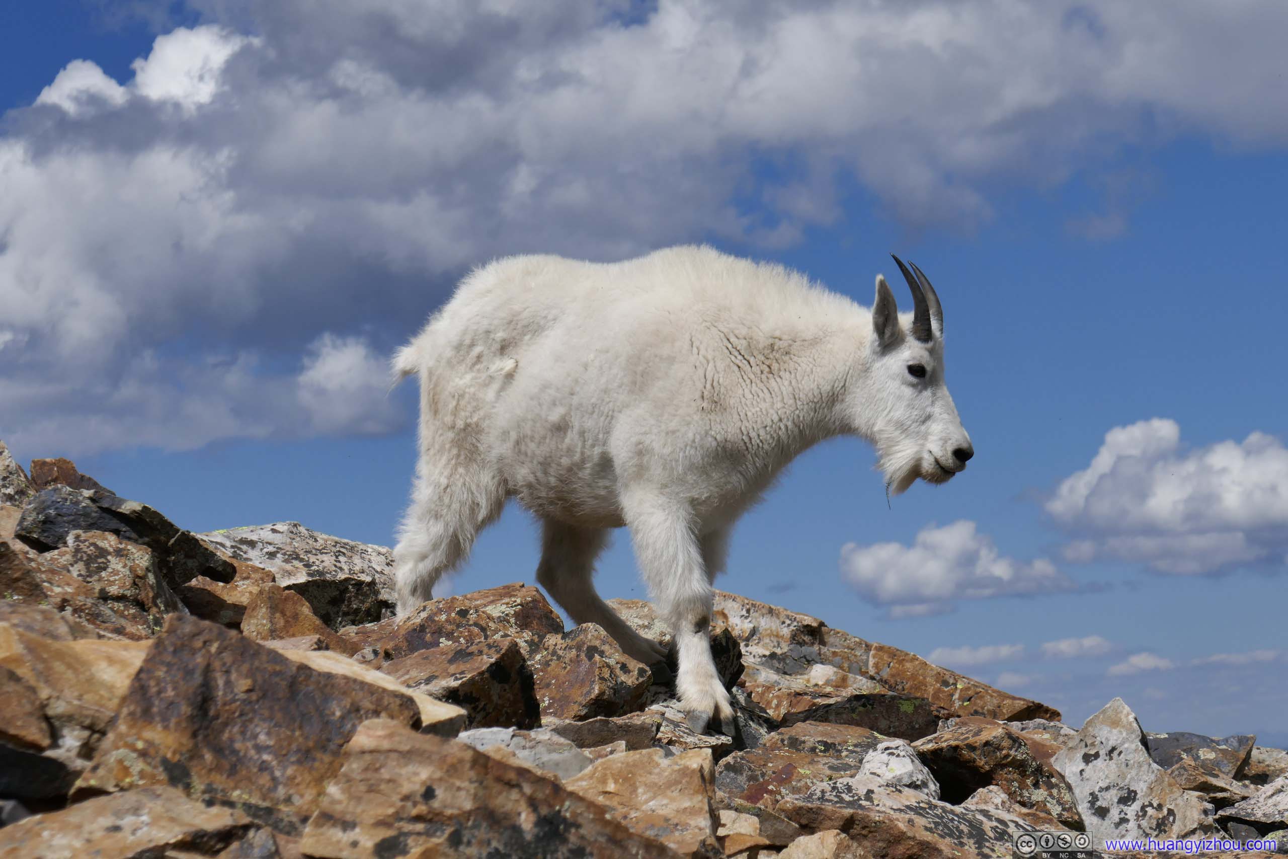
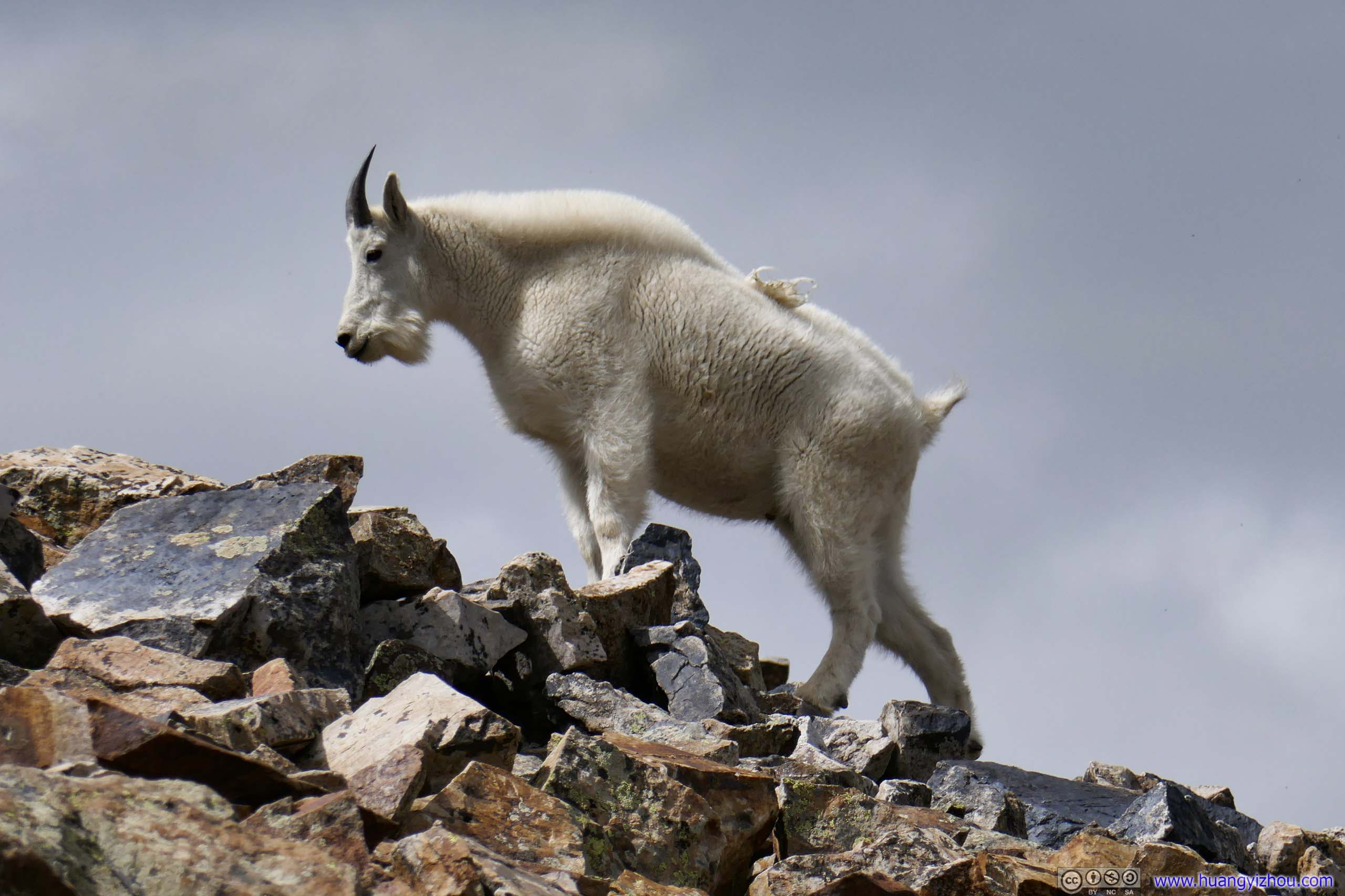
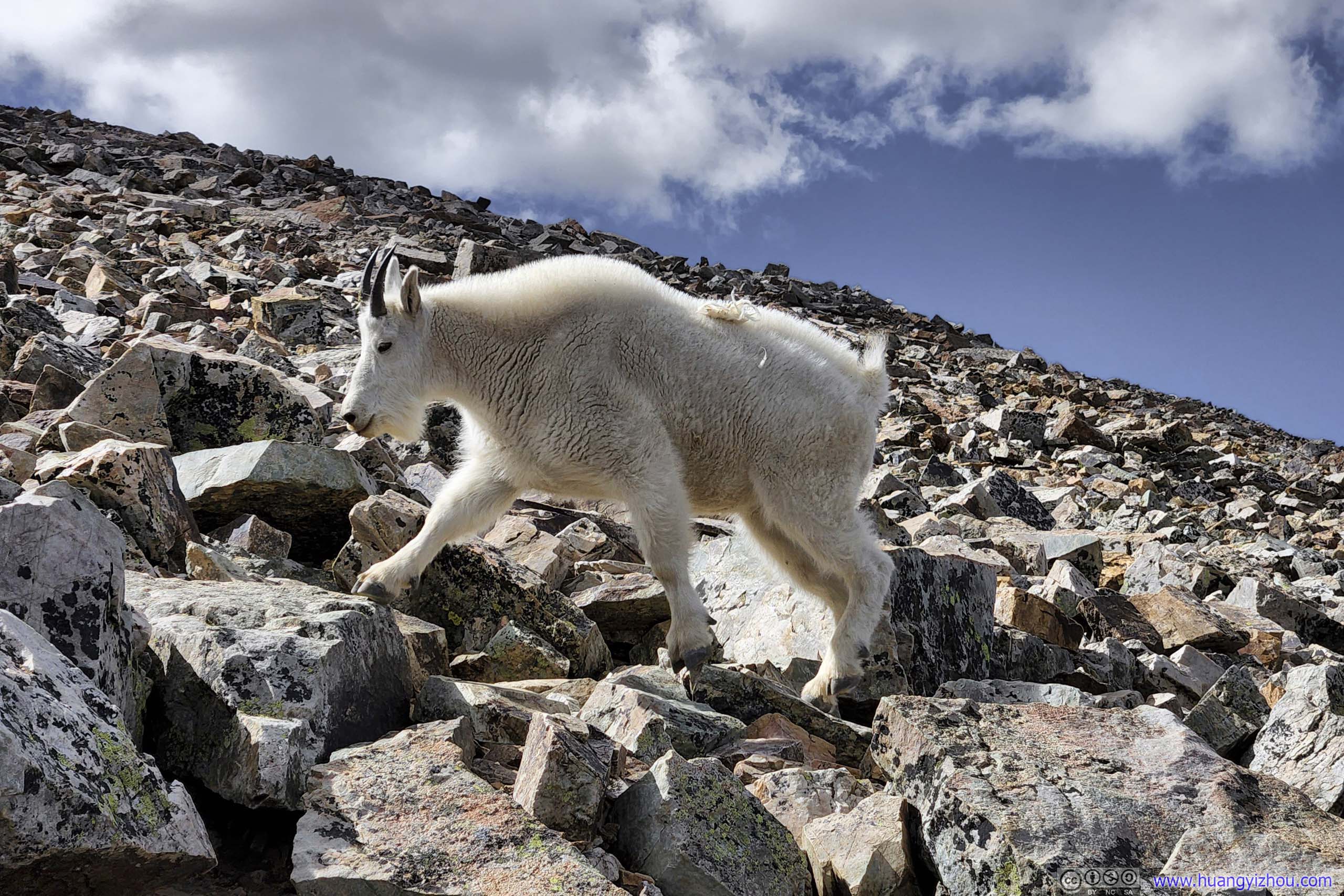
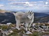
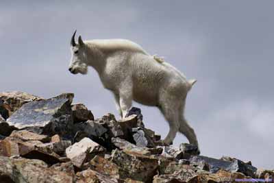
Goat Another group of goats we encountered. A lone one looked rather momentous against a gloomy sky (lower-left), compared with its more approachable companions.
Goats
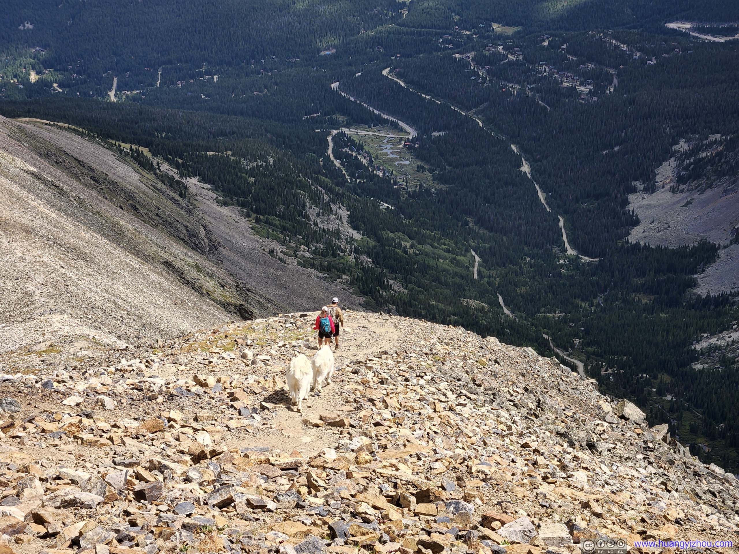
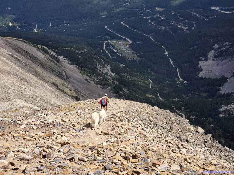
Goats Following Hikers Didn't know why they did this.
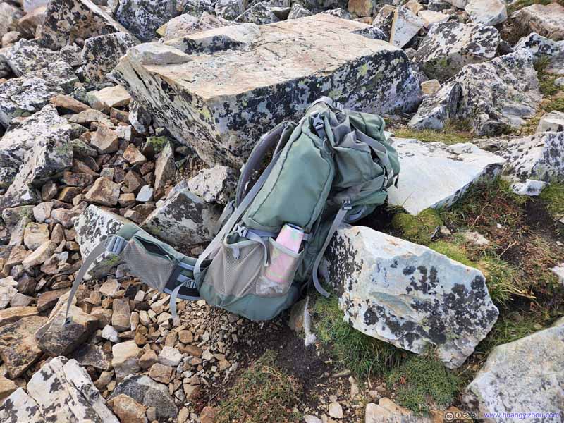
Backpack
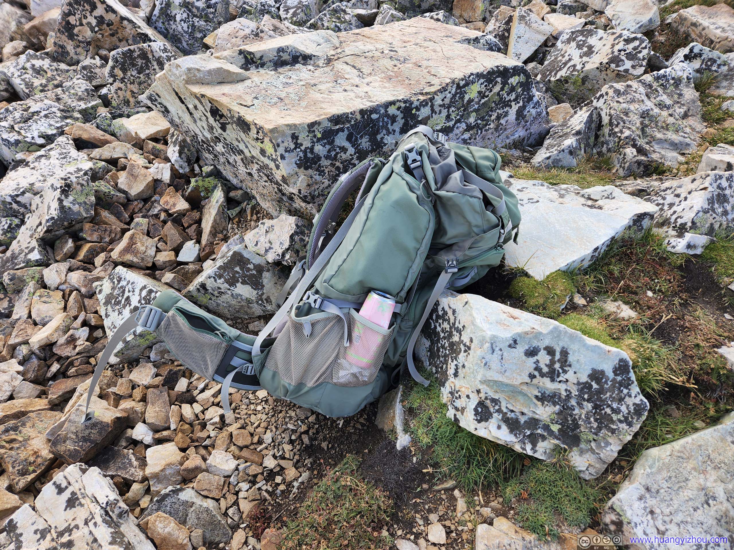
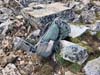
Speaking of things we ran into today, I had a hard time thinking of why someone would leave behind a backpack along such demanding trail.
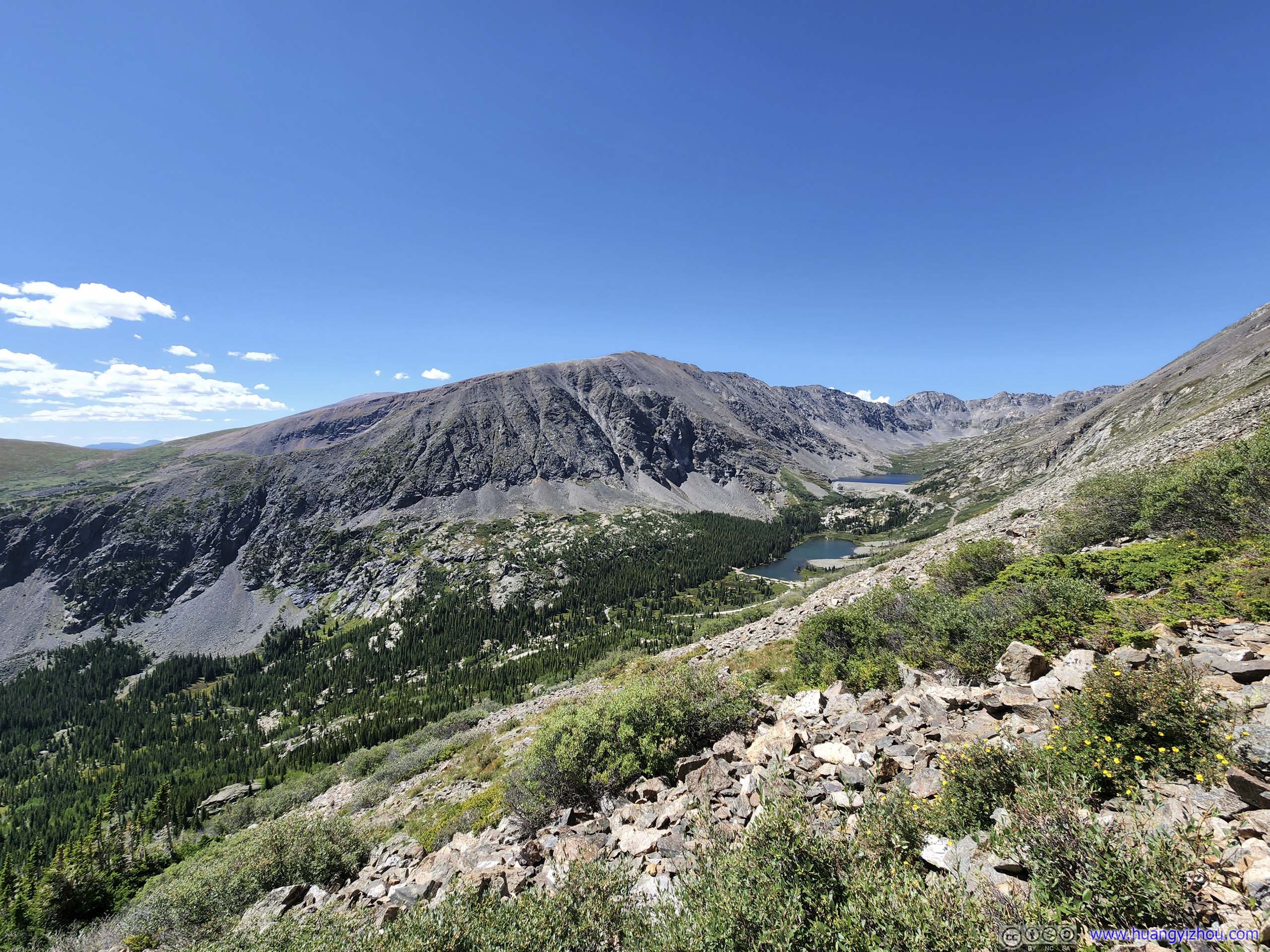
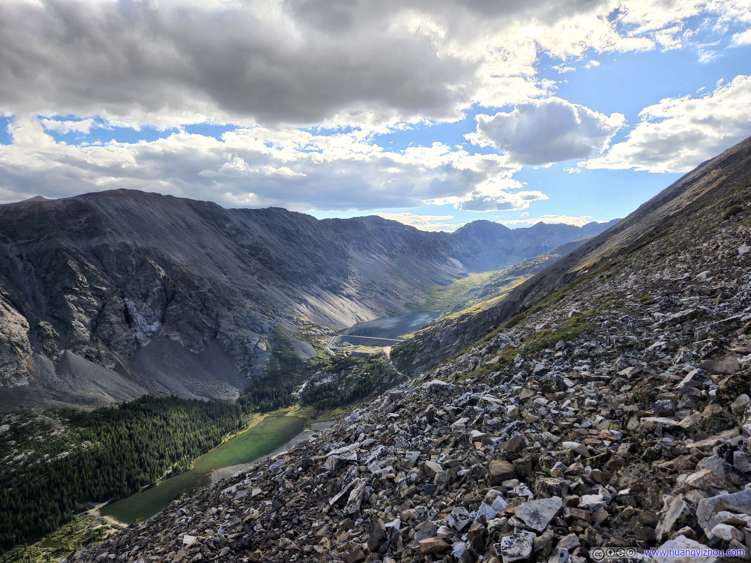
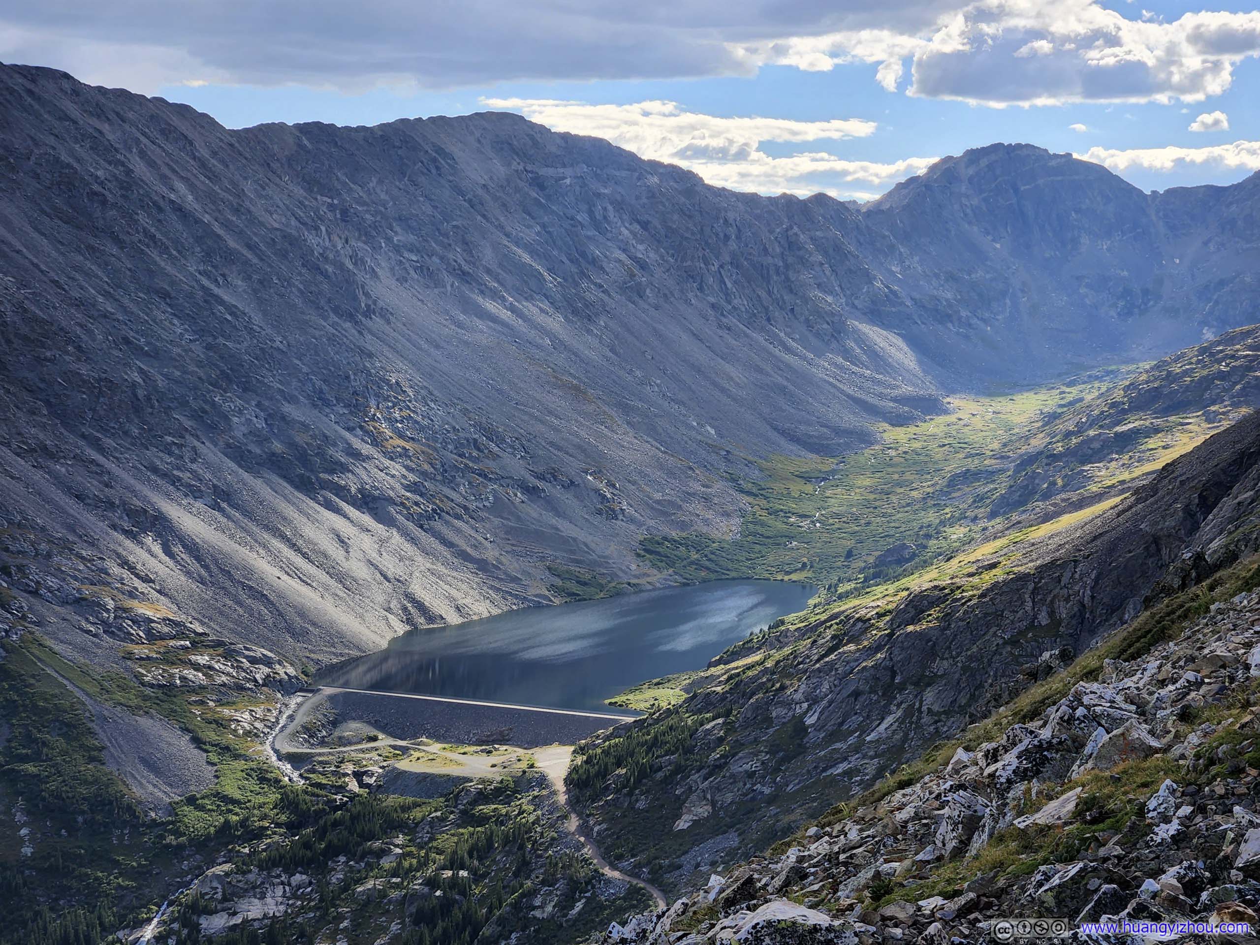
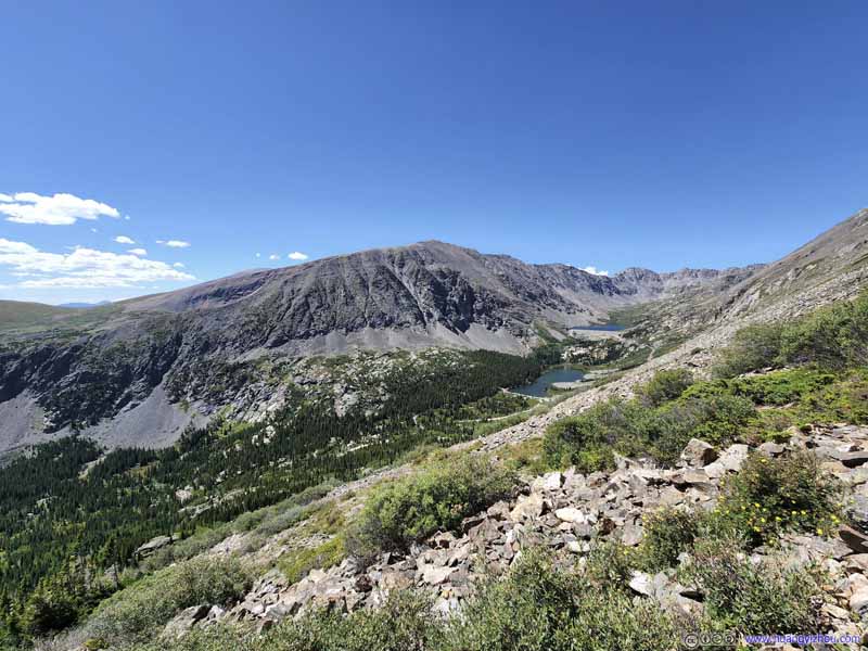
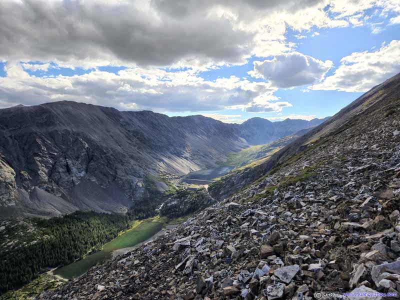
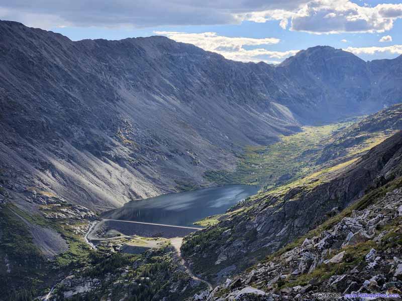
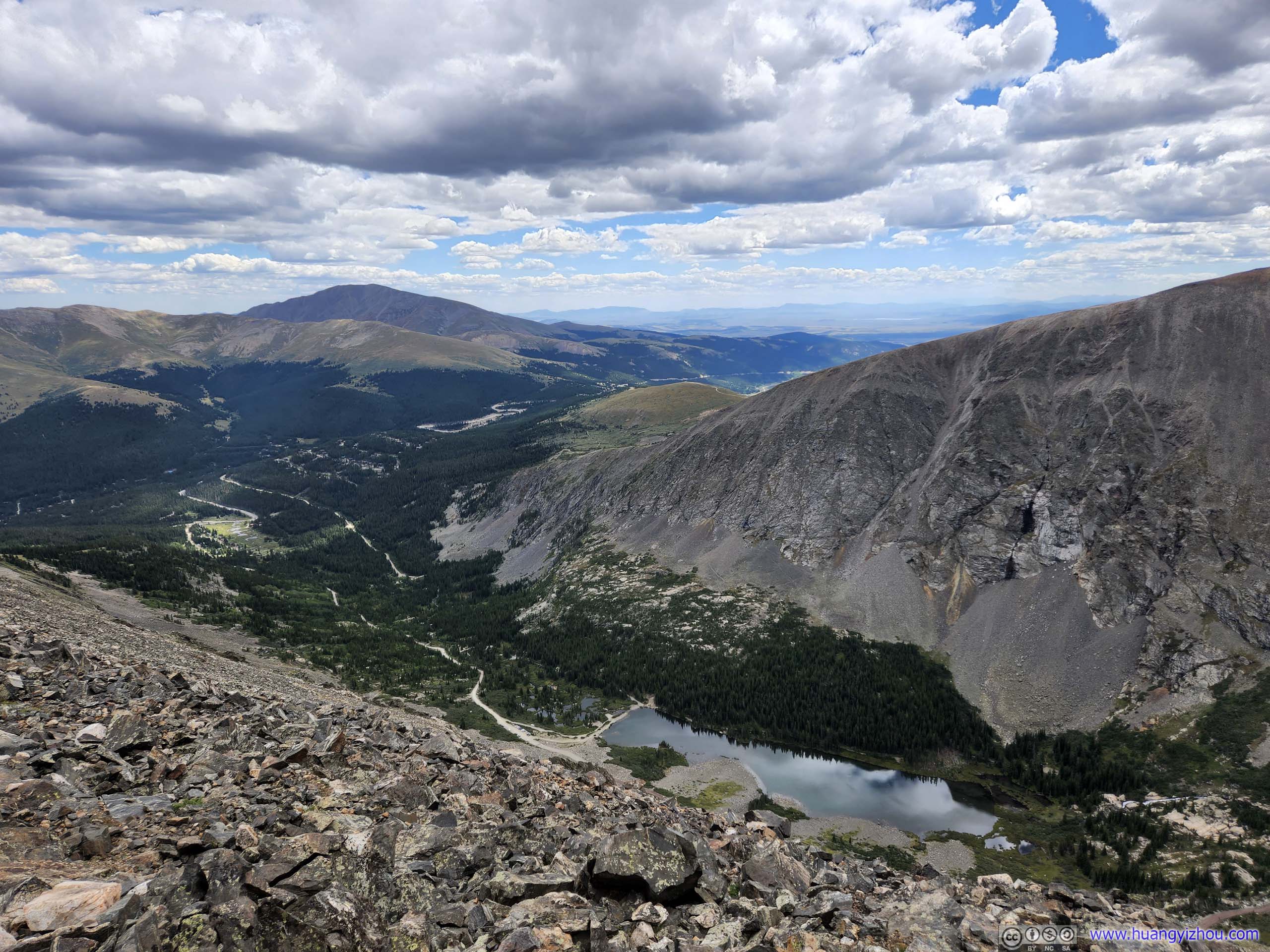
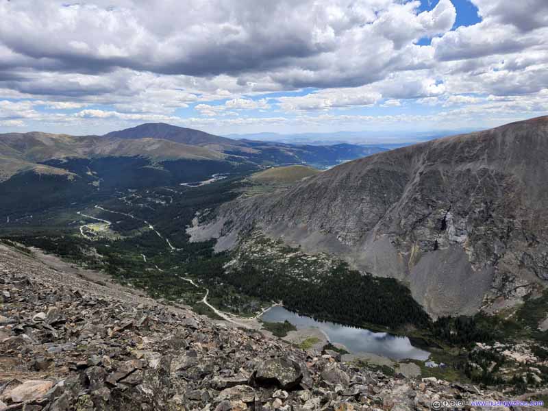
In my opinion, the trail around halfway towards the summit offered the best views (slideshow below), where two alpine lakes rested peacefully before North Star Mountain to the south. It’s also refreshing to observe the contrast between morning sun and afternoon clouds. Farther up the mountain, the lakes felt too low down the sight to be appreciable.
Blue Lakes under North Star Mountain Dammed alpine lakes in the gulch between Quandary Peak and North Star Mountain.
Blue Lakes
Dammed alpine lakes in the gulch between Quandary Peak and North Star Mountain. I liked the intense interplay of afternoon lights and shadows in these photos.
Blue Lakes I liked the intense interplay of afternoon lights and shadows in these photos.
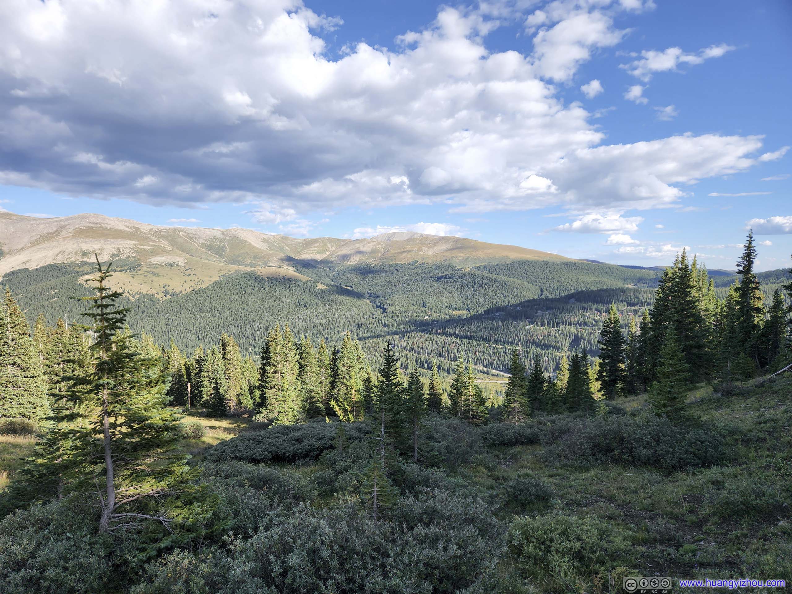
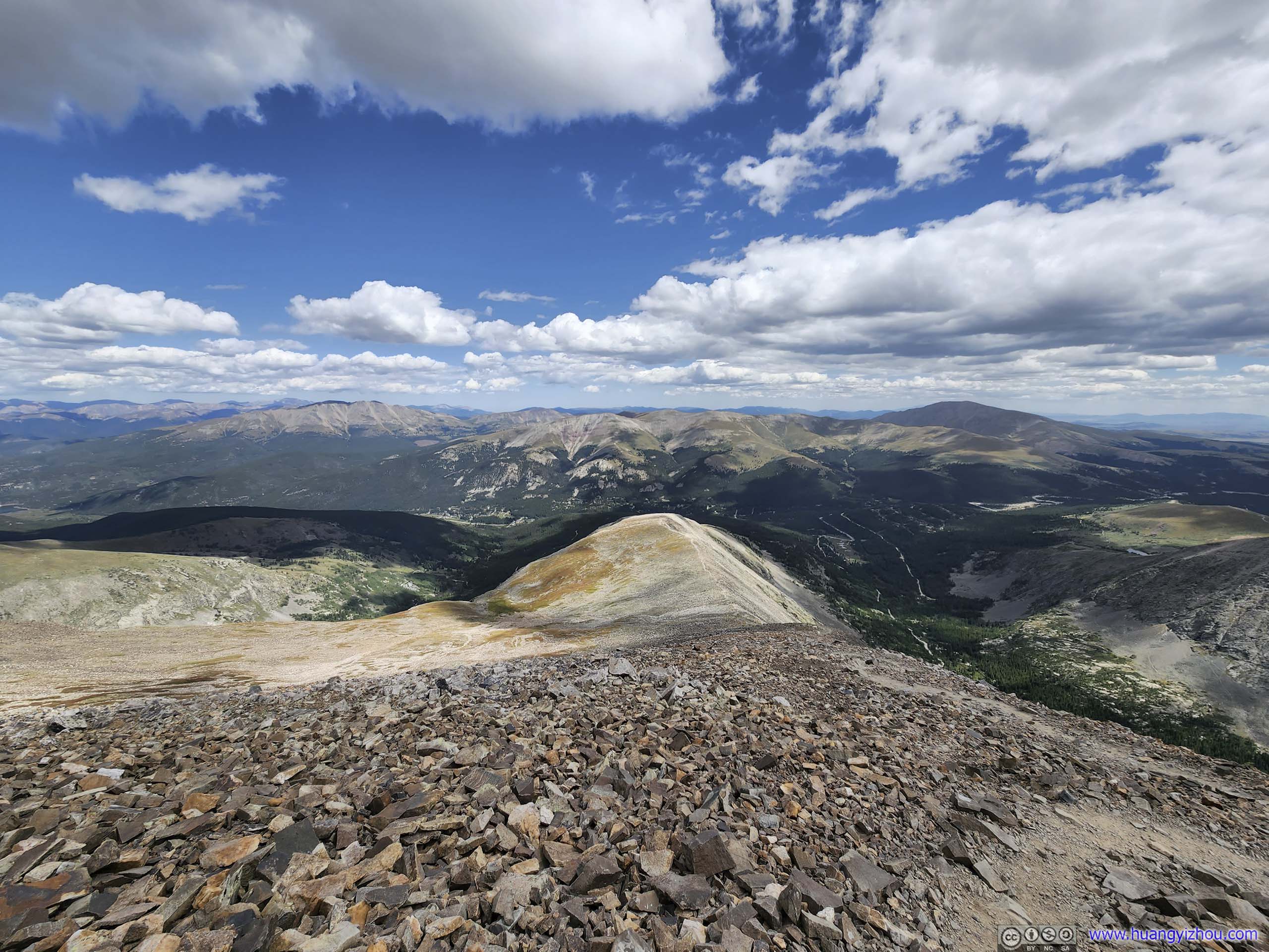
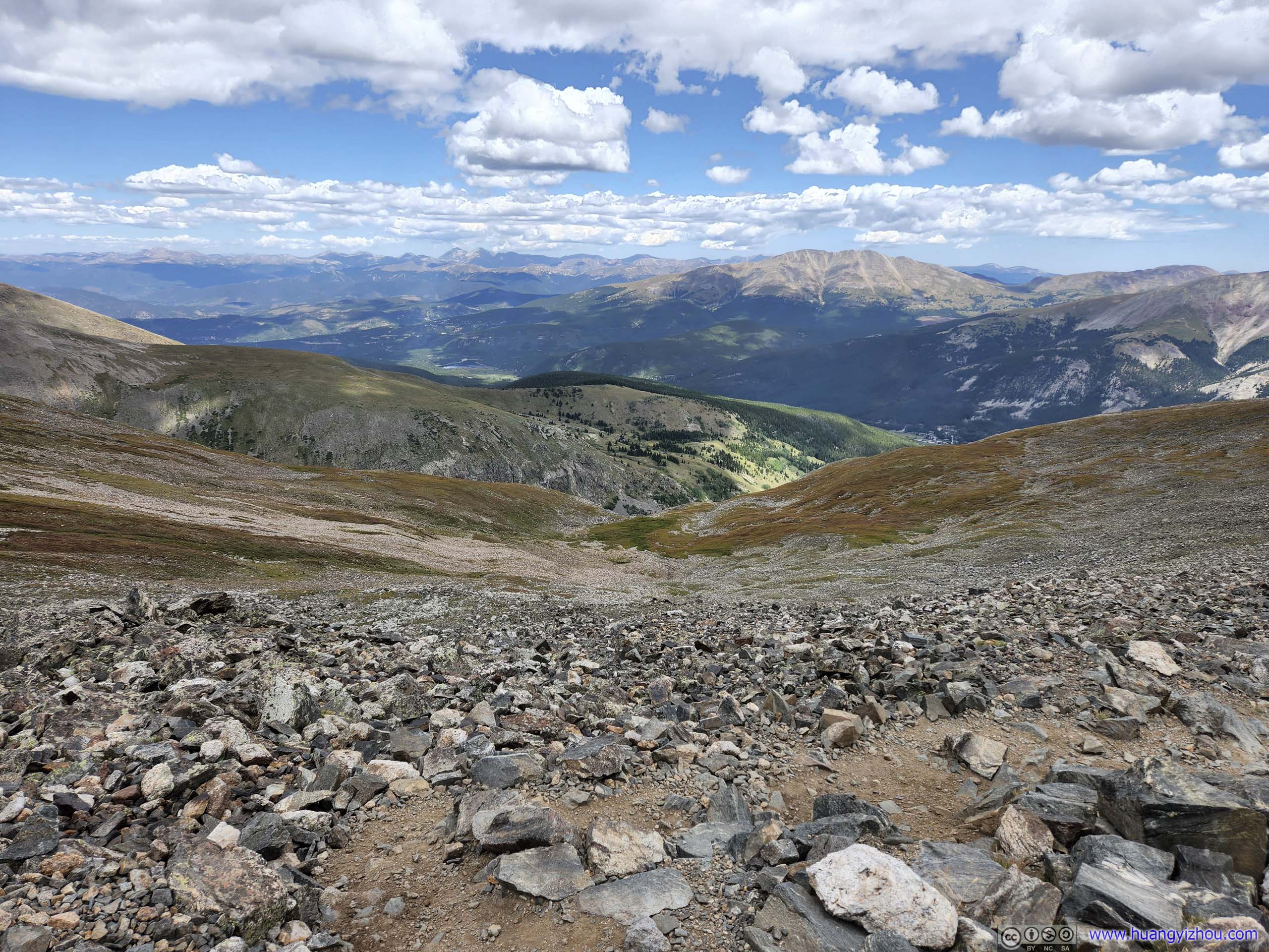
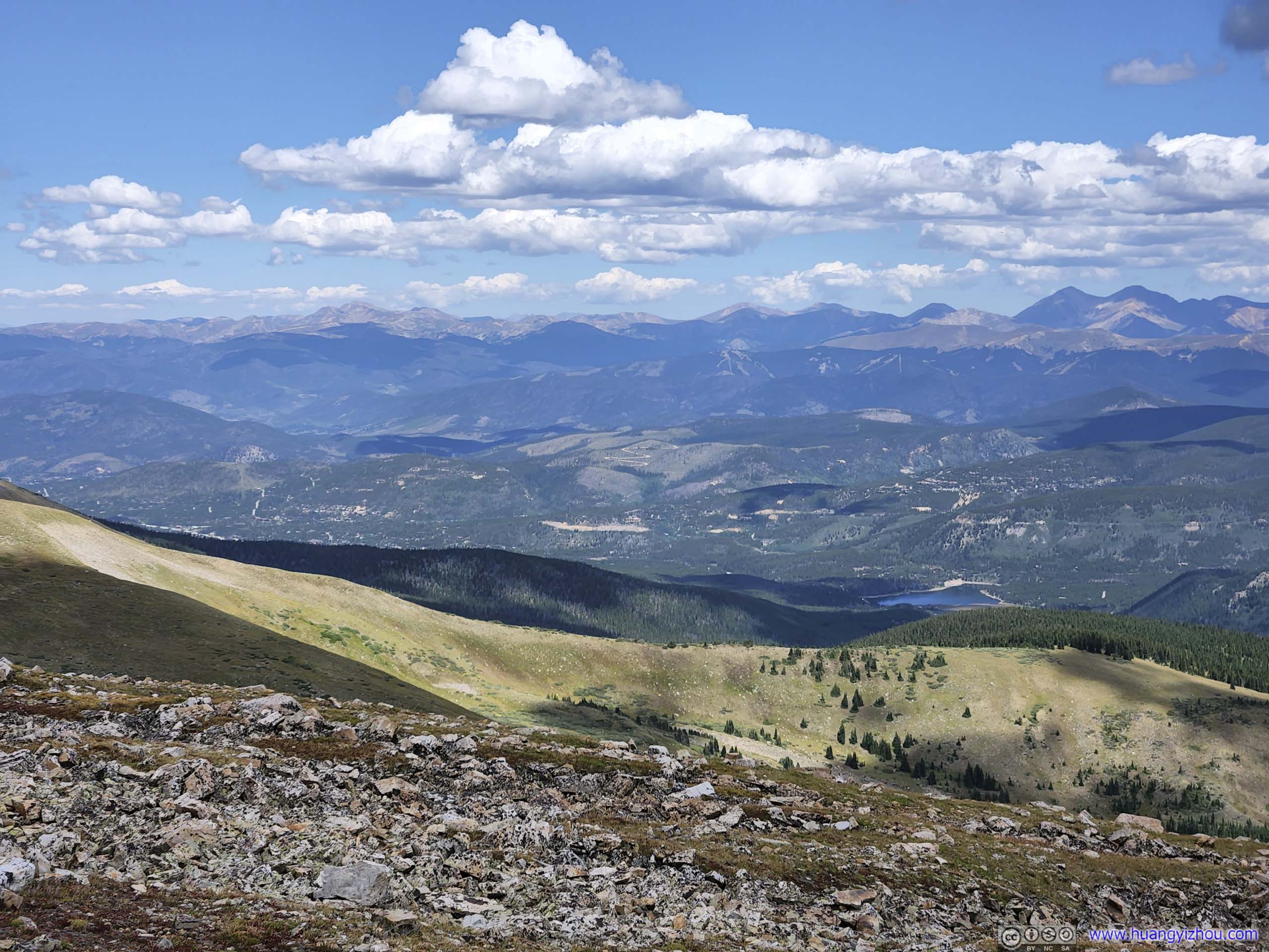
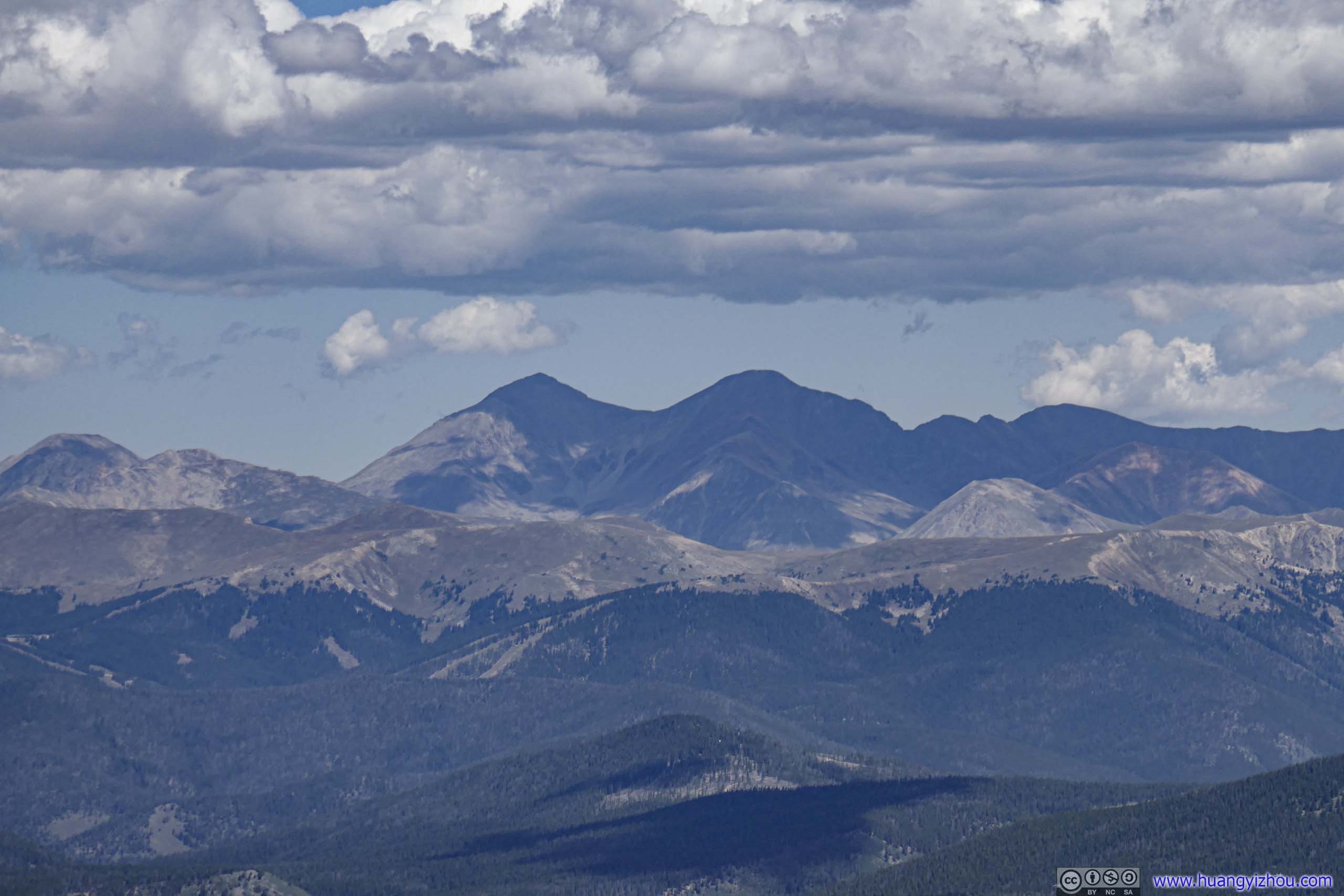
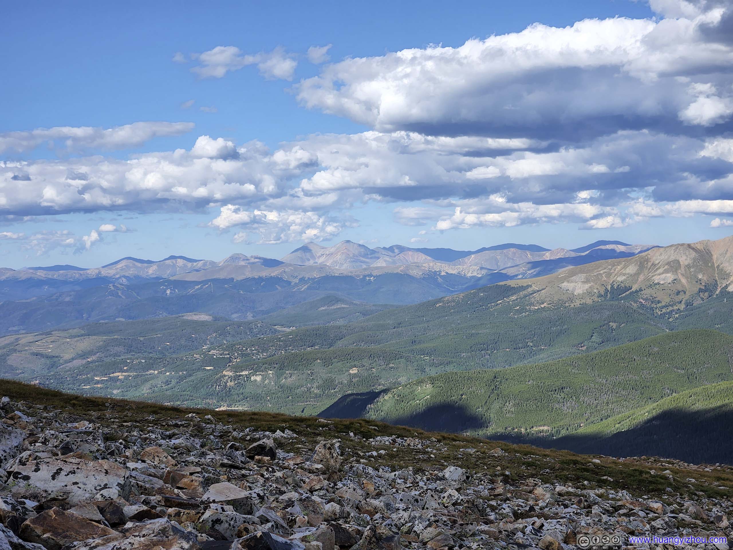
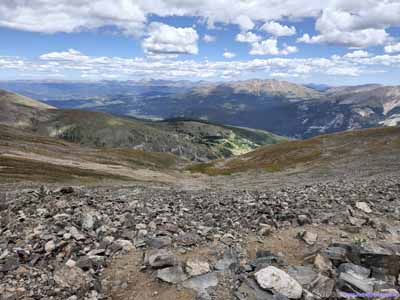
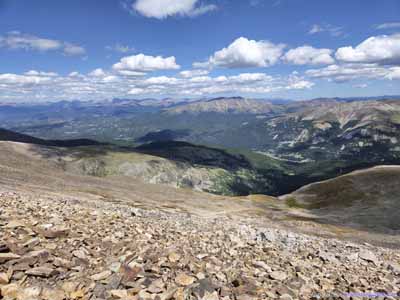
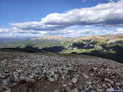
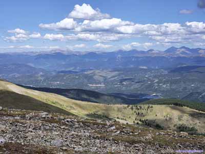
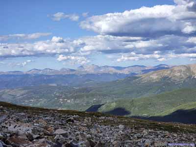
Along the way, views of various mountain ranges to the east were a constant backdrop, standing testimony to the progress that we had made.
Distant Mountains
Mountains to the Northeast
A constant backdrop for the day.
Mountains
Blue Lake (upper left) before Front Range Mountains, visible from lower parts of the trail. Bald Mountain (4157m, upper right), towards the northeast. Distant Torreys and Grays Peak (bottom), two 14ers near where we hiked the previous day.
Mountains and Lakes to the Southeast
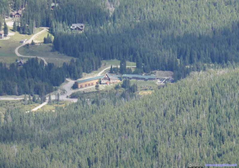
Condo Hotel This is actually the condo hotel where we spent these nights.
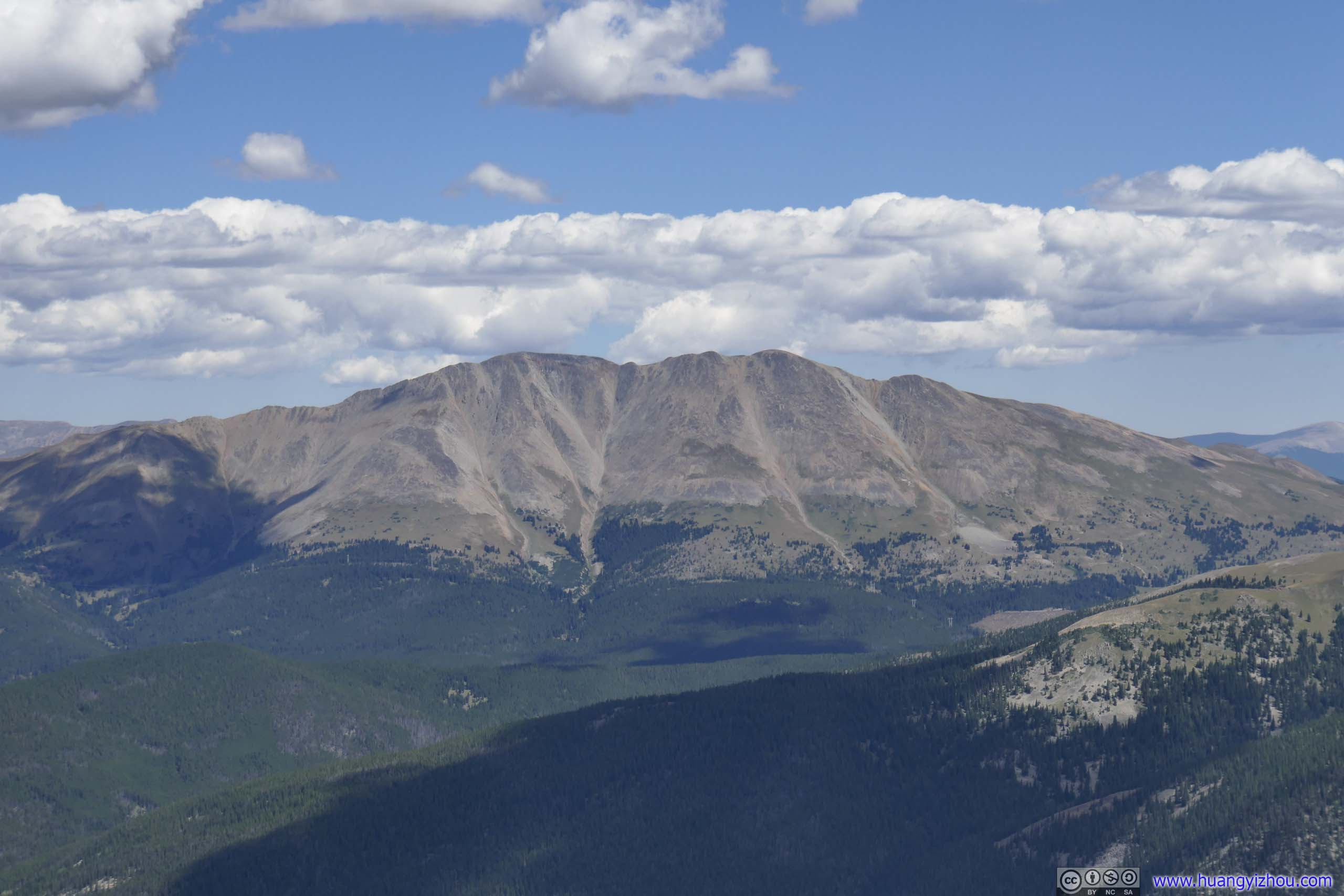
Red Mountain across CO9 Appropriately named for its reddish rocks above treeline.
On AllTrails, the trail to Quandary Peak was 10.6km roundtrip with 1014m elevation gain (excluding the section of dirt road). The elevation gain was evenly distributed throughout the length, making it a constant effort battling with gravity and altitude. Unfortunately, it seemed that yesterday's encounter with hail on Grizzly Peak had taken a huge toll on my friend, that he really struggled today. As a result, it took us about 4 hours to reach the summit of Quandary Peak, which was about the pace of the slowest hikers. Luckily, weather was good today and we had plenty of daylight left.
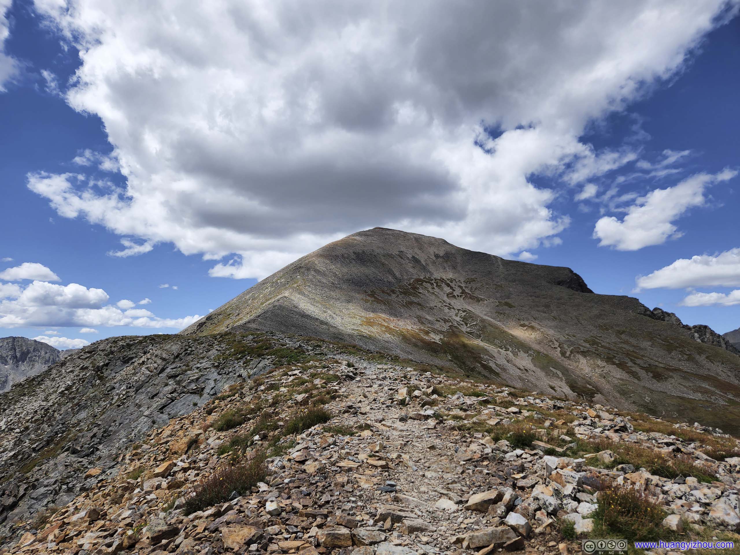
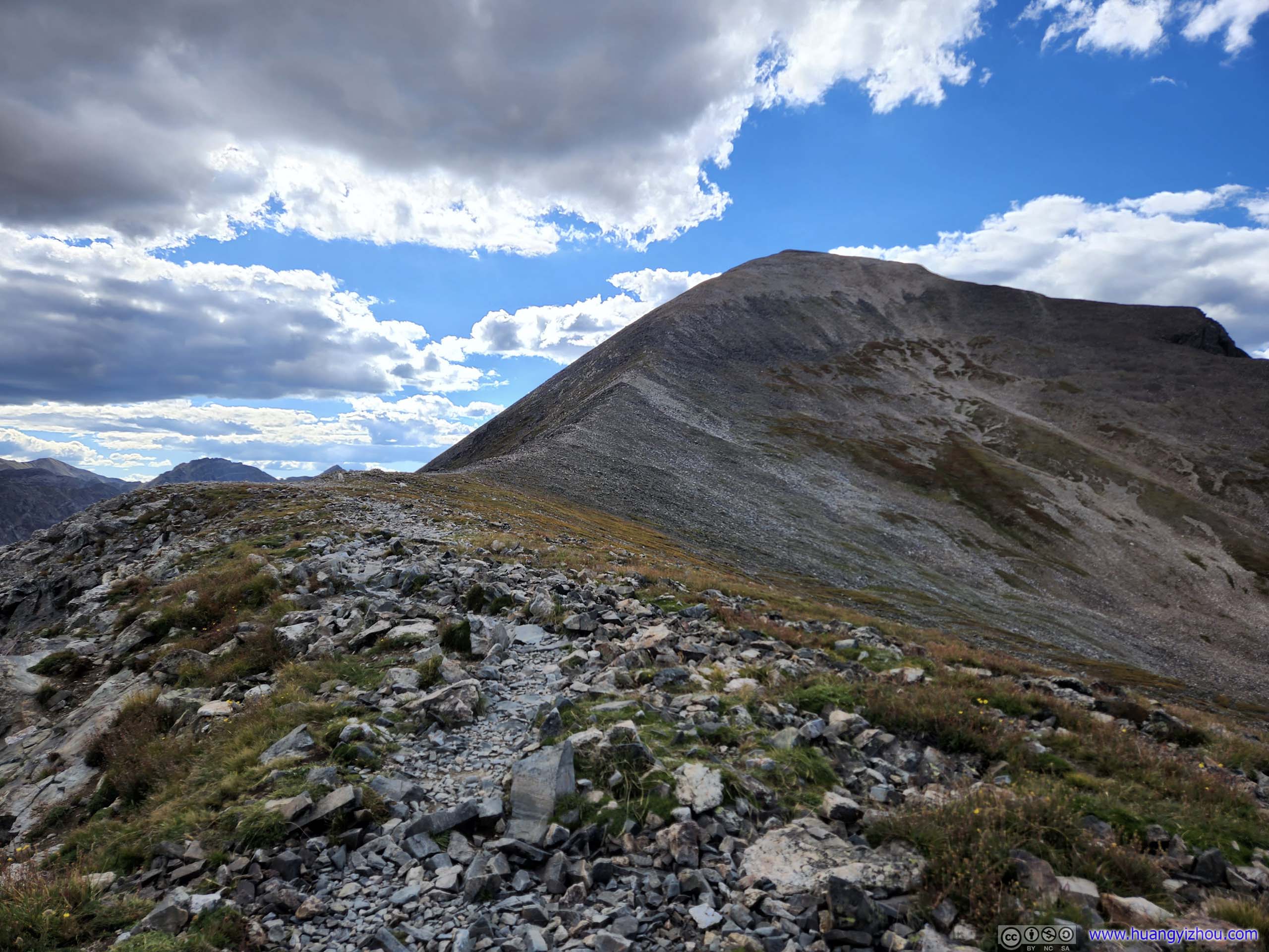
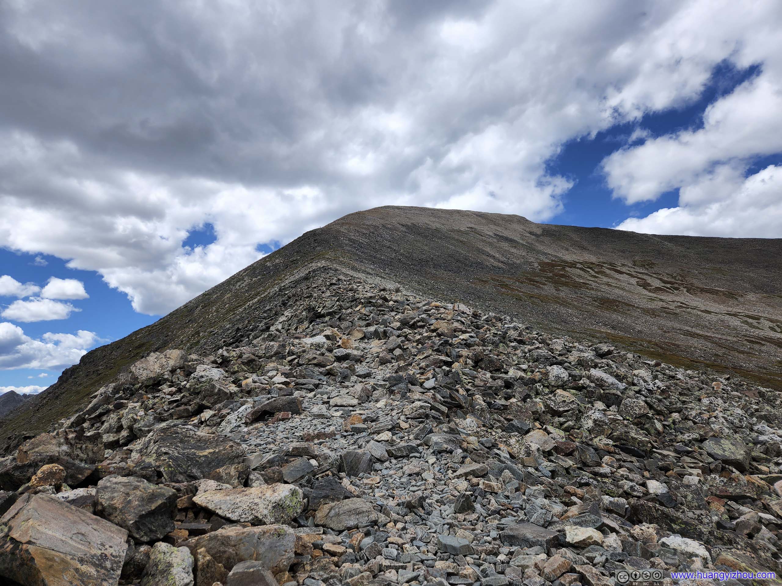
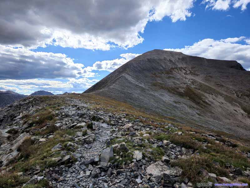
Trail to Quandary Peak The trail briefly eased up on elevation gain, where Quandary Peak was imposingly visible ahead.
Trail from Quandary Peak The relatively flat section.
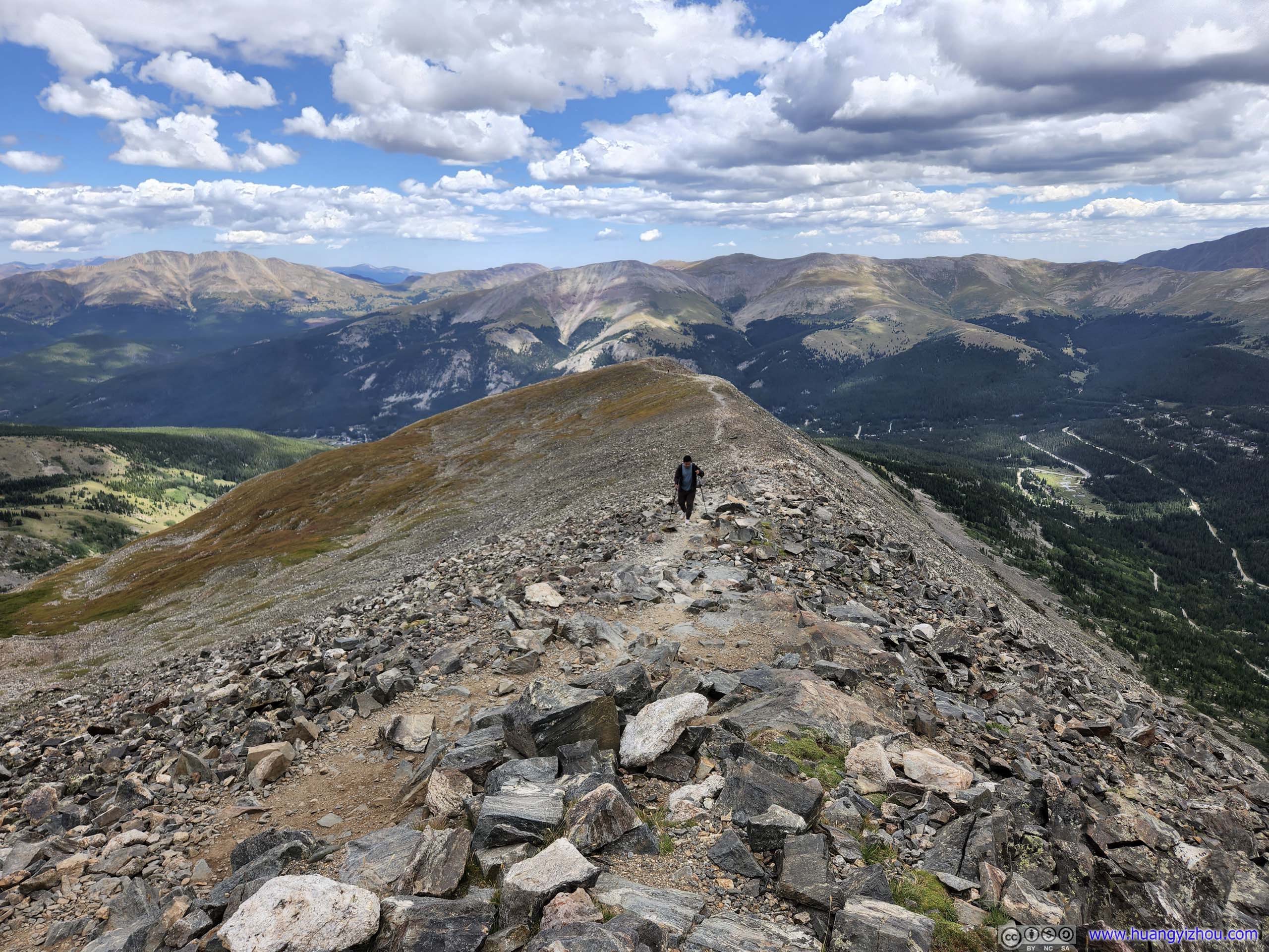
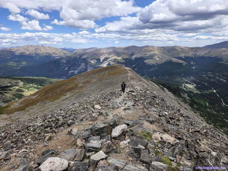
Trail to Quandary Peak Then it resumed the pace of elevation gain.
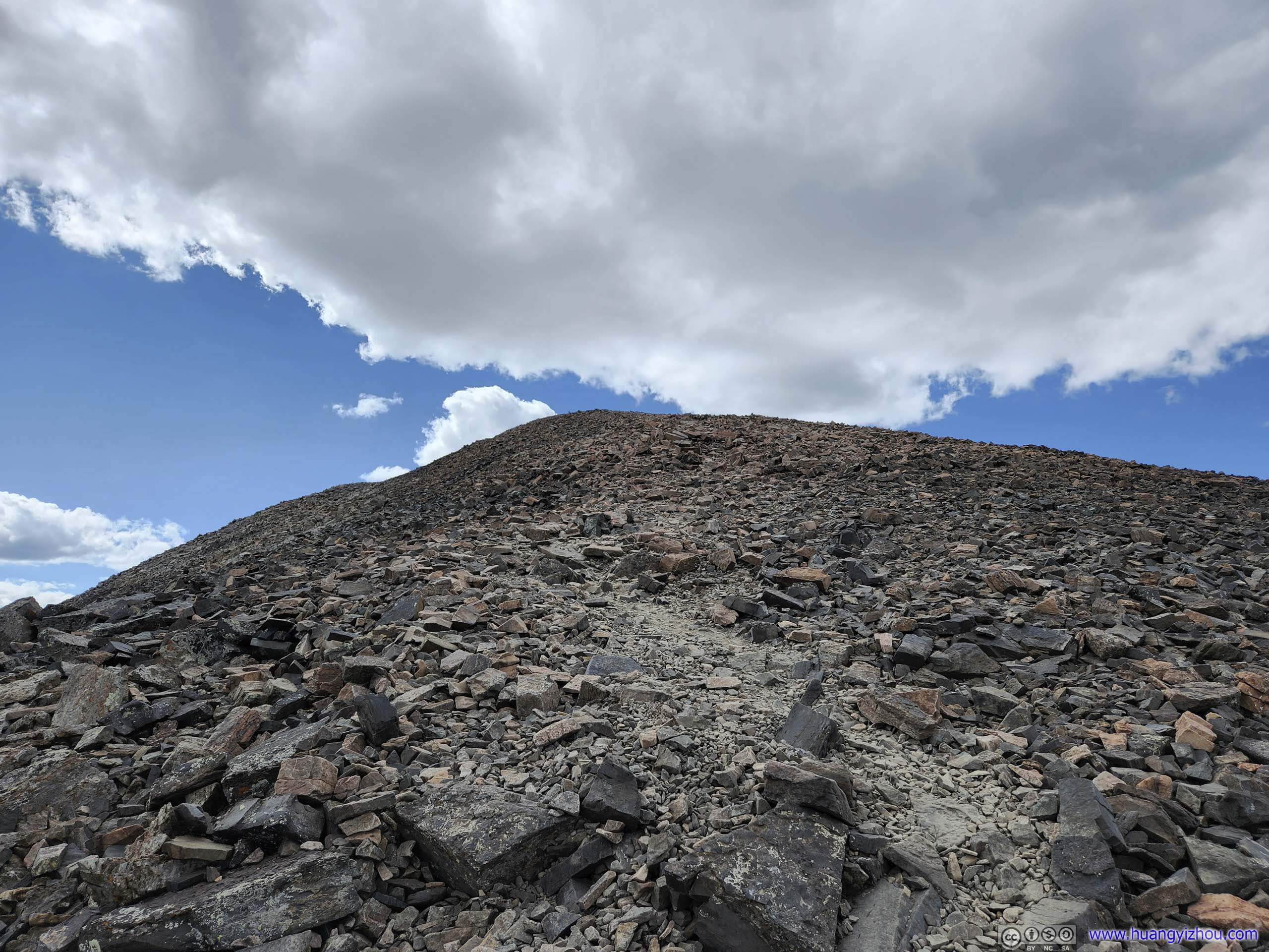
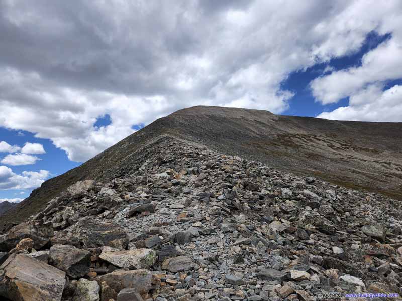
Trail from Quandary Peak During the final stretch up the summit.
Trail to Quandary Peak About 200m from summit.
About 300m from the summit, I launched my drone and used its "trace" feature to record the final moments of me summiting Quandary Peak.
Or if one doesn't like the ads on YouTube, below is the same video hosted on my server.
8 minutes and 36 seconds, 2160p24fps, H265 only, 12Mbps/787MB.
And once I was on top, I followed my tradition to commemorate the moment with a drone video.
27 seconds, 2160p60fps, 2x playback speed, 17Mbps/59MB for H265, 20Mbps/65MB for H264.
With my friend's relatively slow pace, we were the last group of hikers to summit Quandary Peak for the day, and thus had the entire summit to ourselves. I took some moments to appreciate the views, which were spectacular.
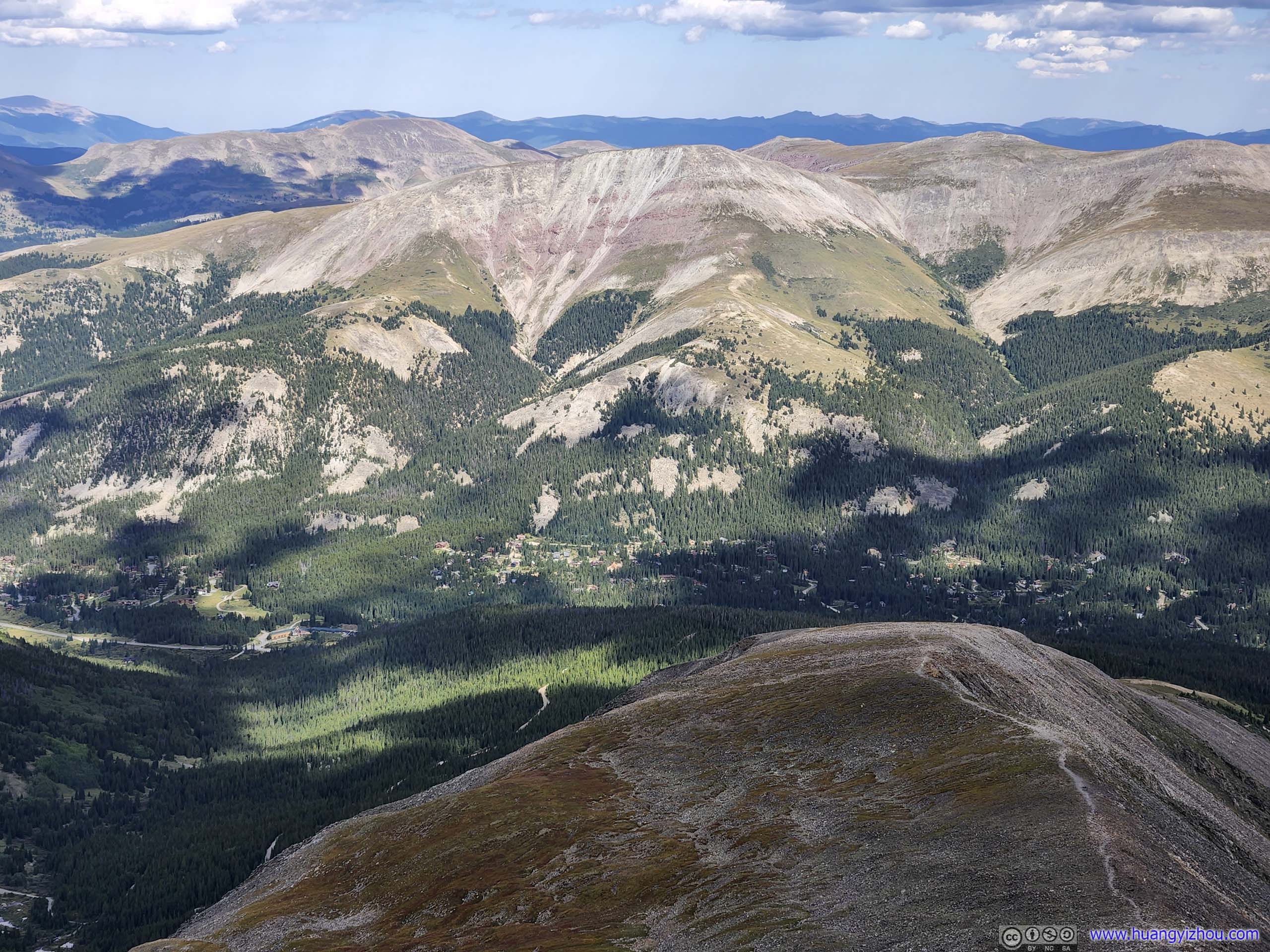
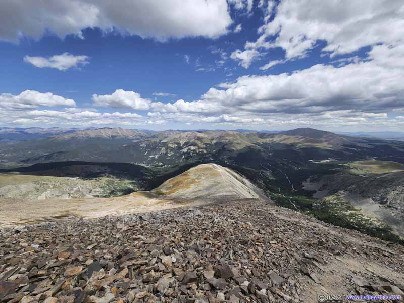
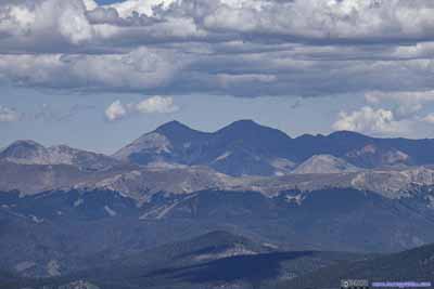
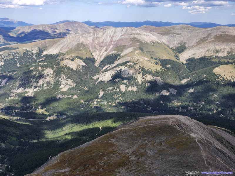
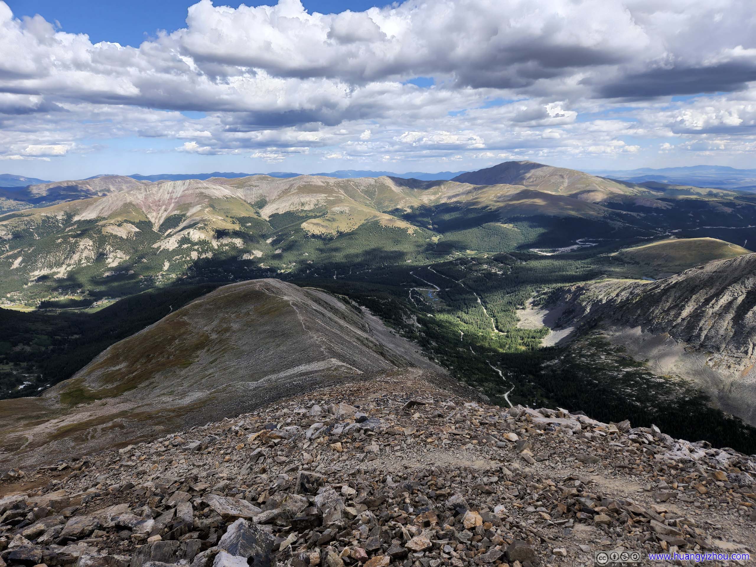
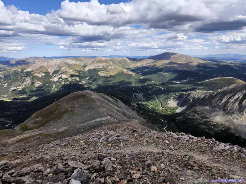
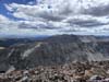
In particular, much of the scenery on our way up was gentle rolling hills to the immediate east, dotted with cottages and lit in sunshine. The jagged ridgeline of Tenmile Range and the gloomy mountains behind it, only visible from the summit, felt like an unapproachable realm away against the light.
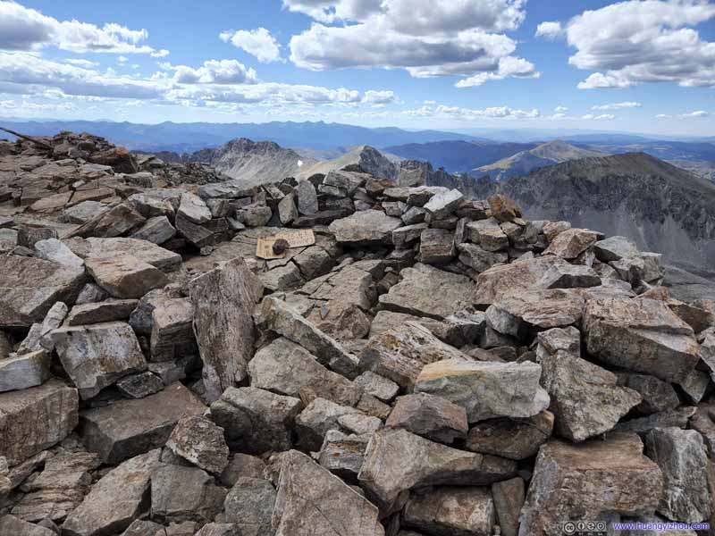
Summit of Quandary Peak A ring of rocks marking the spot.
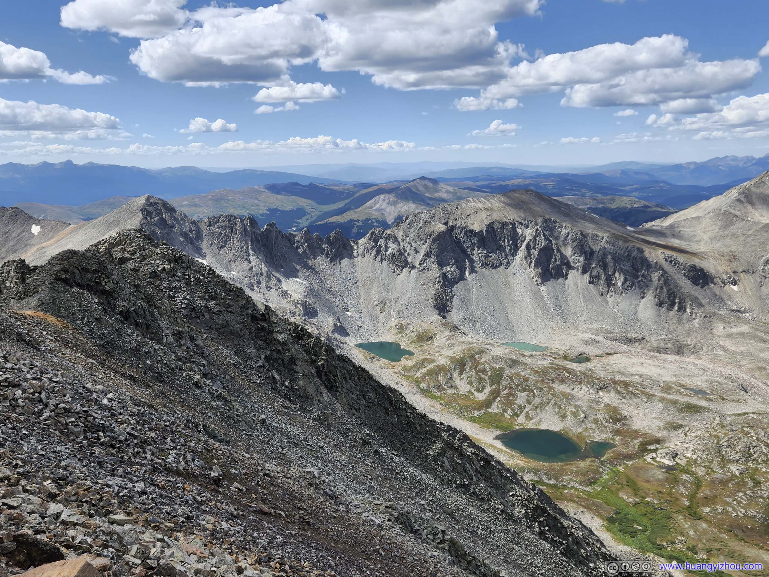
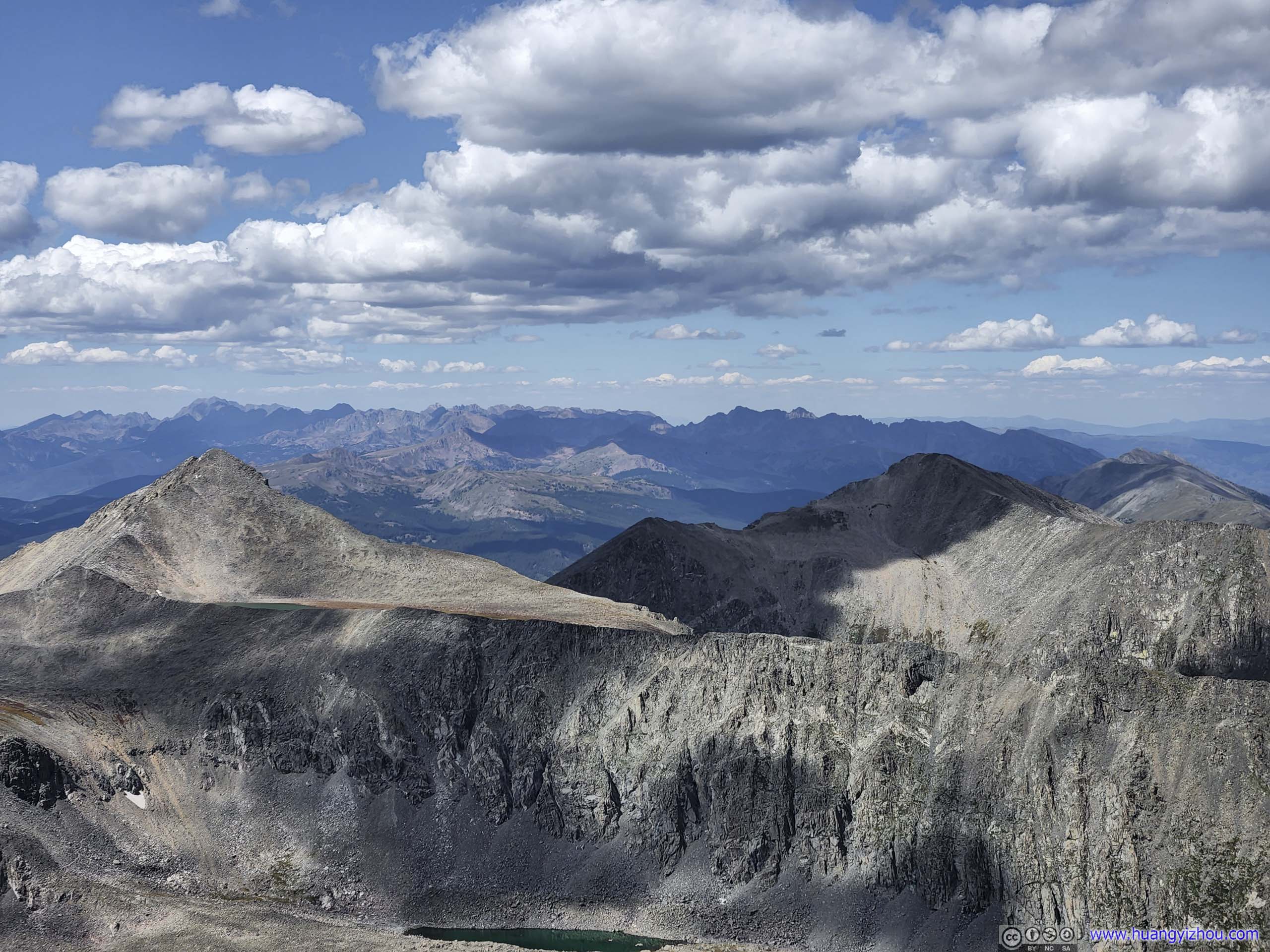
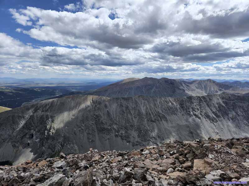
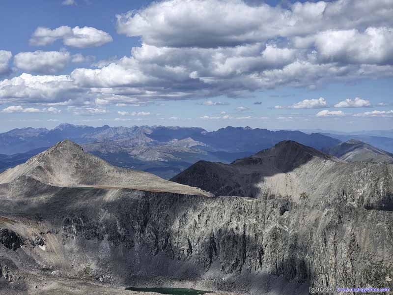
Mountains to the South
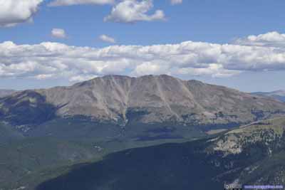
North Star Mountain (4086m) in the front, in the background, Mt Bross (4322m), Mt Lincoln (4357m), Mt Cameron (4335m) and Mt Democrat (4315m), constituting the DeCaLiBron loop which we were to hike the next day.
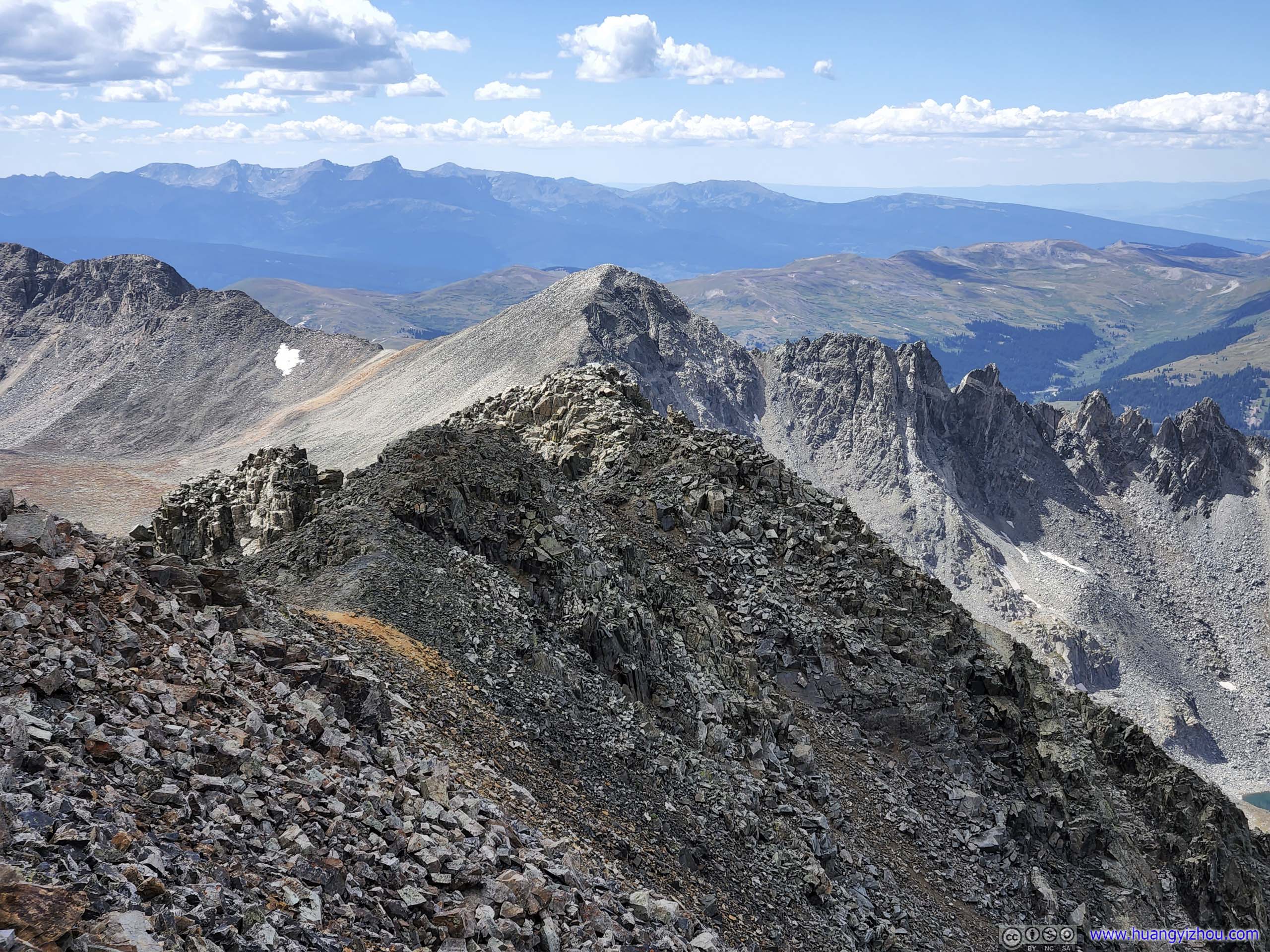
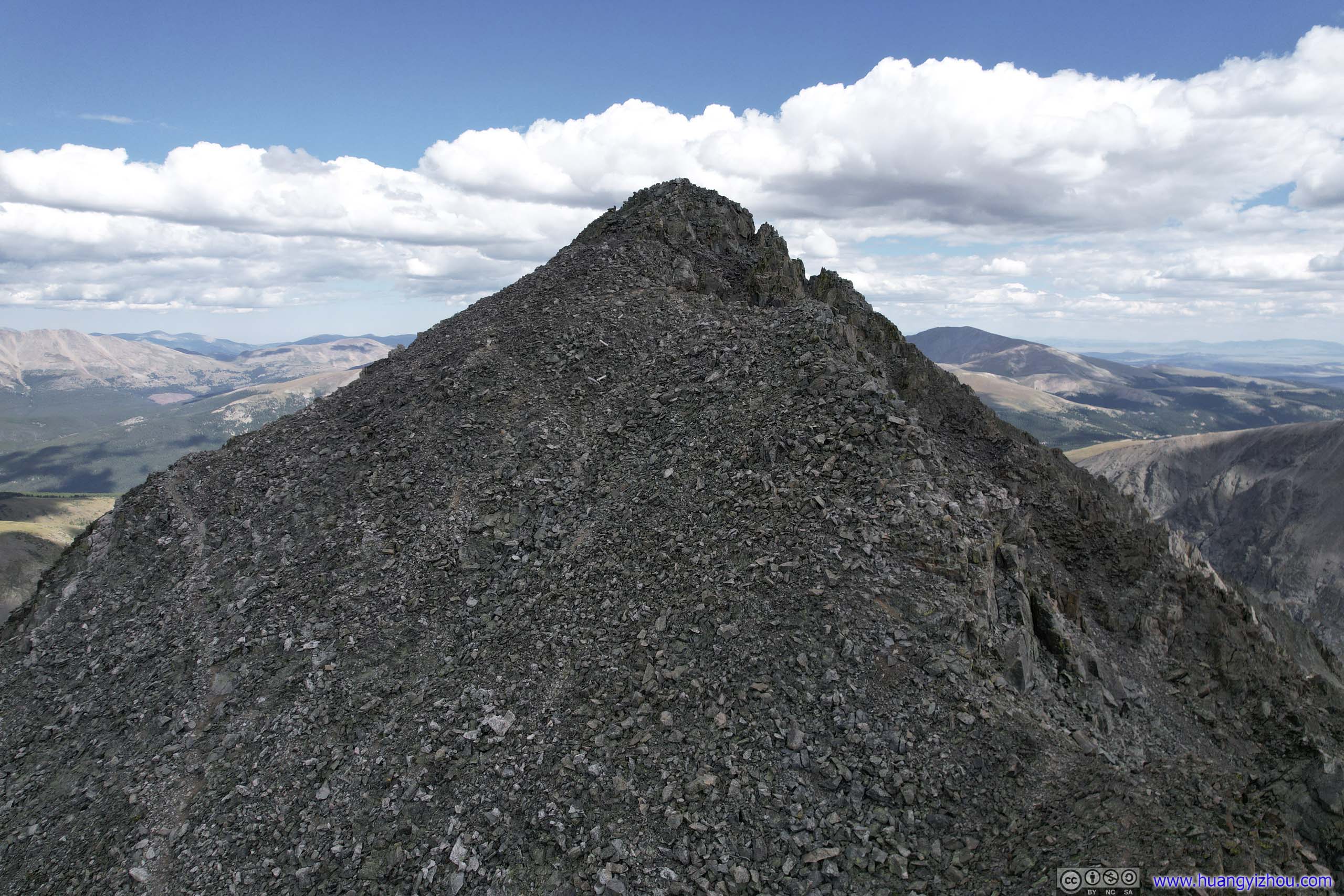
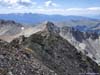
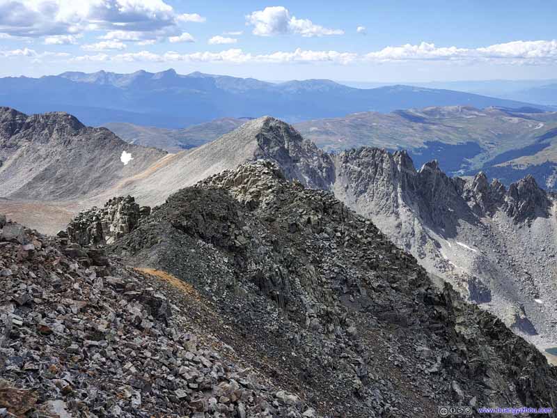
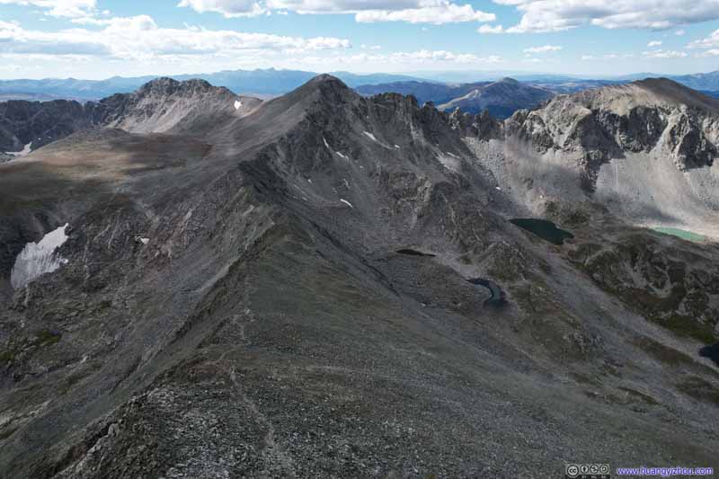
Western Ridge of Quandary Peak Rated YDS class 3, a much less popular way to summit Quandary Peak.
Rugged Mountains
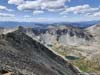
This section is not the Continental Divide, but contained Pacific Peak and Atlantic Peak. I guessed they named the mountains first and realized the continental divide went a different way later.
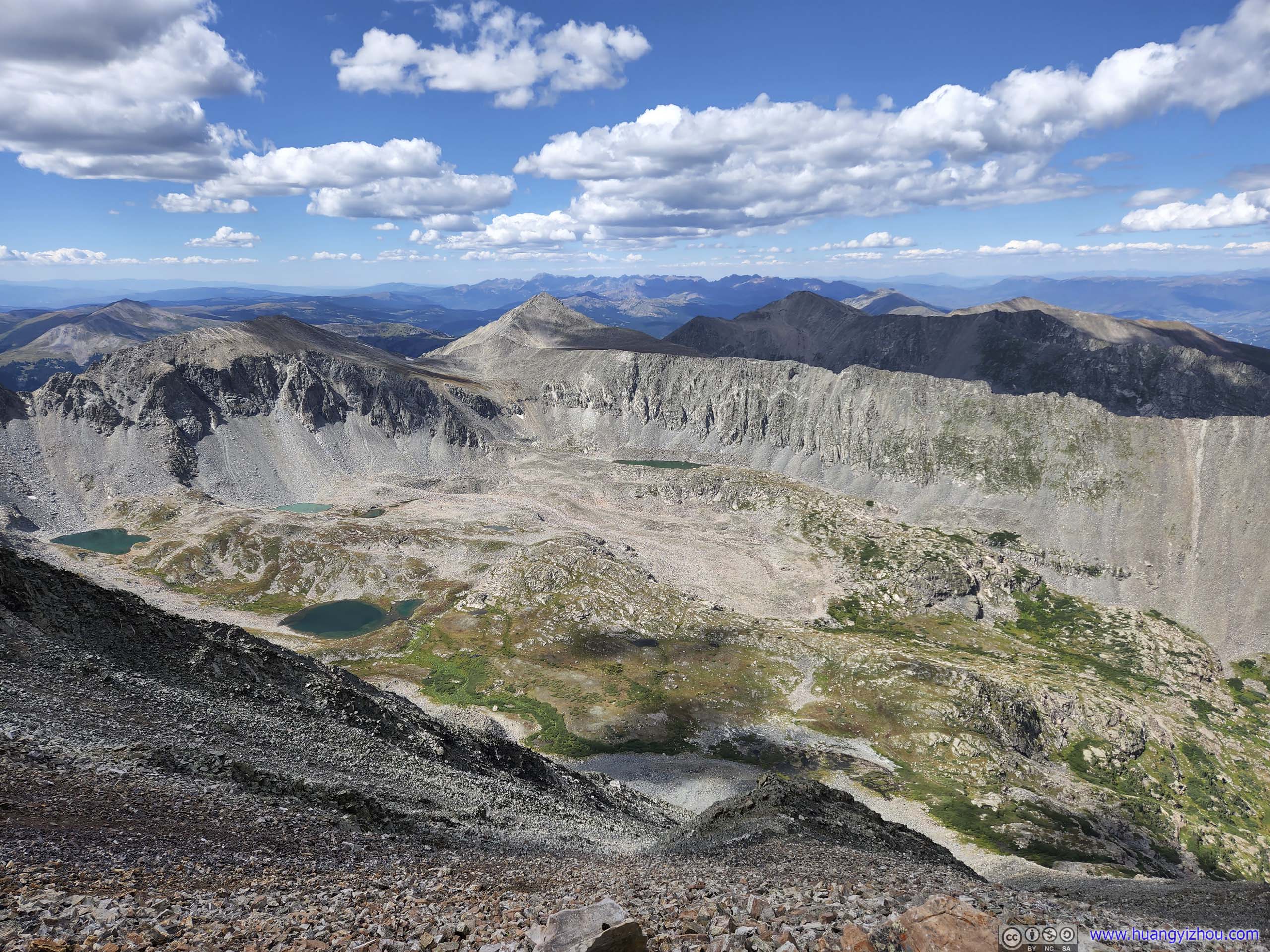
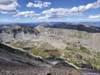
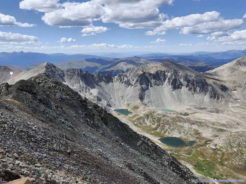
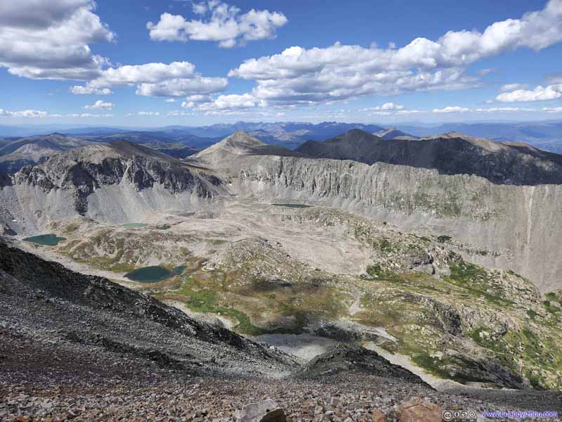
McCullough Gulch Flanked by two mountain ridges and dotted with a few alpine lakes.
Distant Mountains Of Eagle Nest Wilderness.
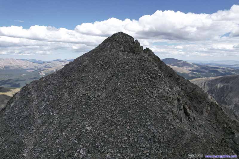
Quandary Peak Captured from my drone. This photo of Quandary’s west ridge looked rather imposing.
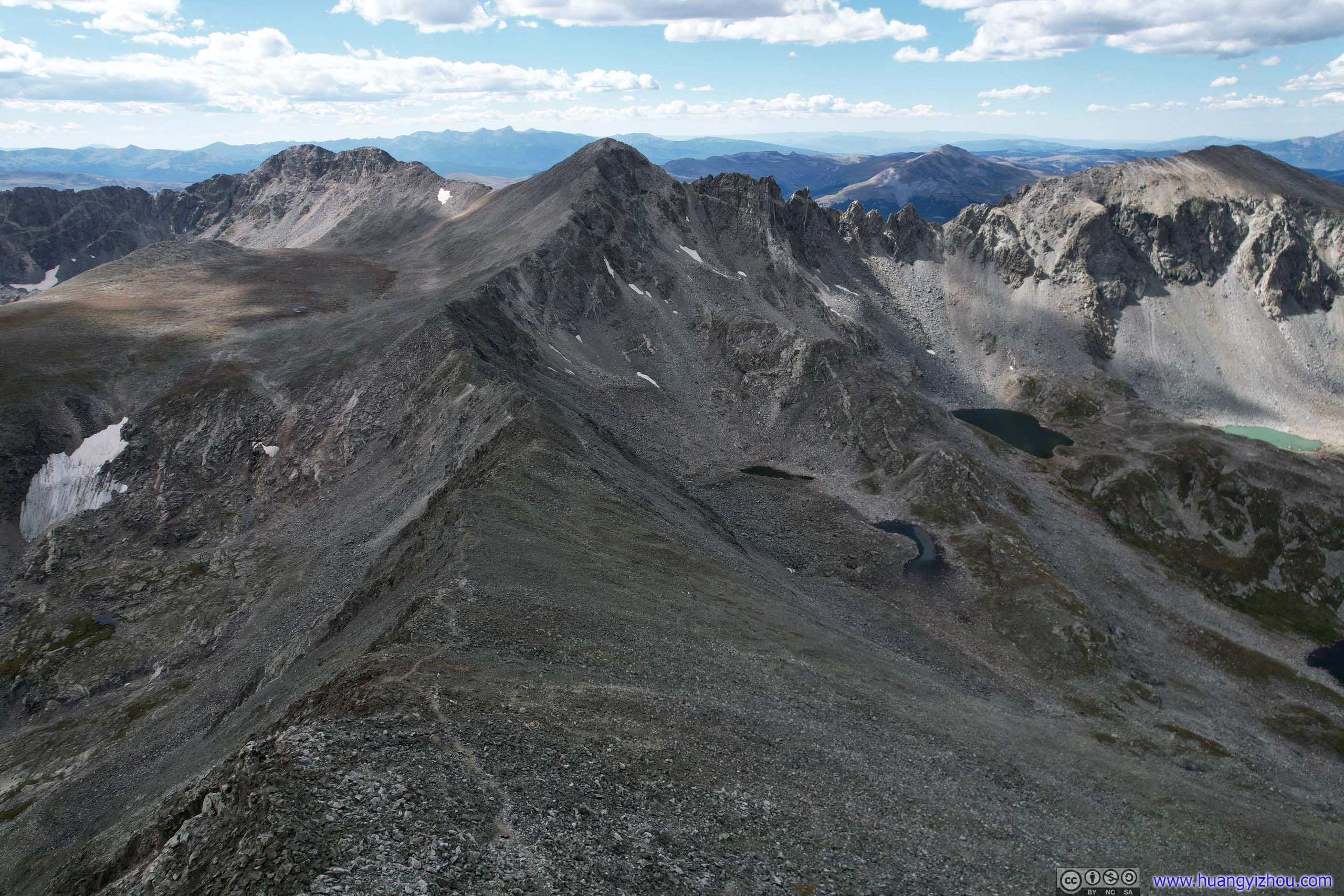
Mountains to the West A fainted trail leading to the west ridge of Quandary Peak, as captured from my drone.
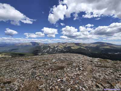
Views around Quandary Peak Taken from my drone over the summit (top), drone near the summit (middle) and my cell phone on the summit.
It's 3:40pm by the time we started heading down the mountain. Aided by gravity, we went faster on the way down, but my friend's body (particularly knees) still required constant breaks. And with that, we only made it back at 6:30pm, concluding the day.
END