Day 4 of 2022 Colorado Trip, Mount Sherman from Iowa Gulch
Fourth day of our 2022 Colorado trip. We would be hiking Mount Sherman from Iowa Gulch, a 14er outside the town of Leadville, generally considered to be one of the easiest Colorado 14ers.
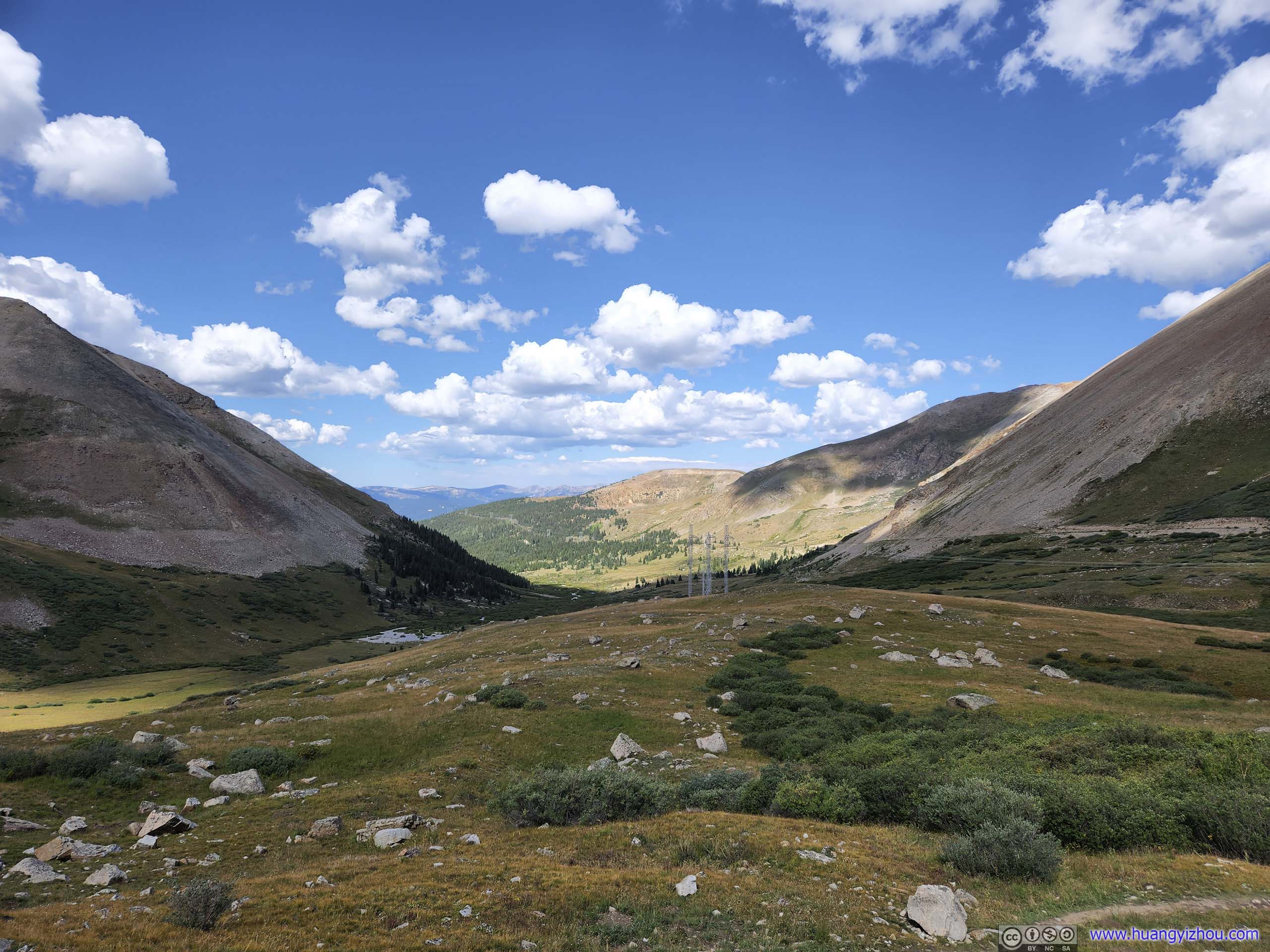
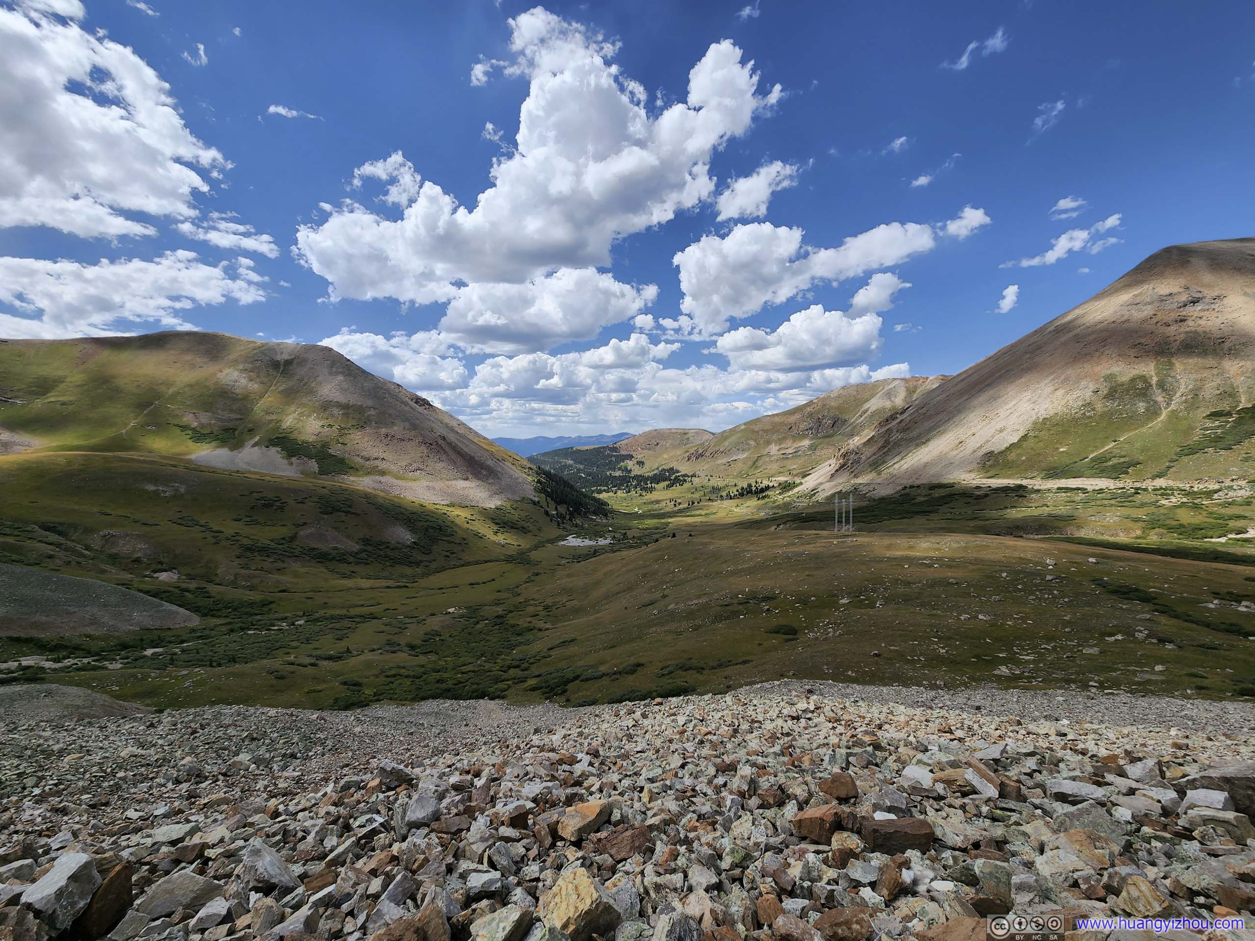
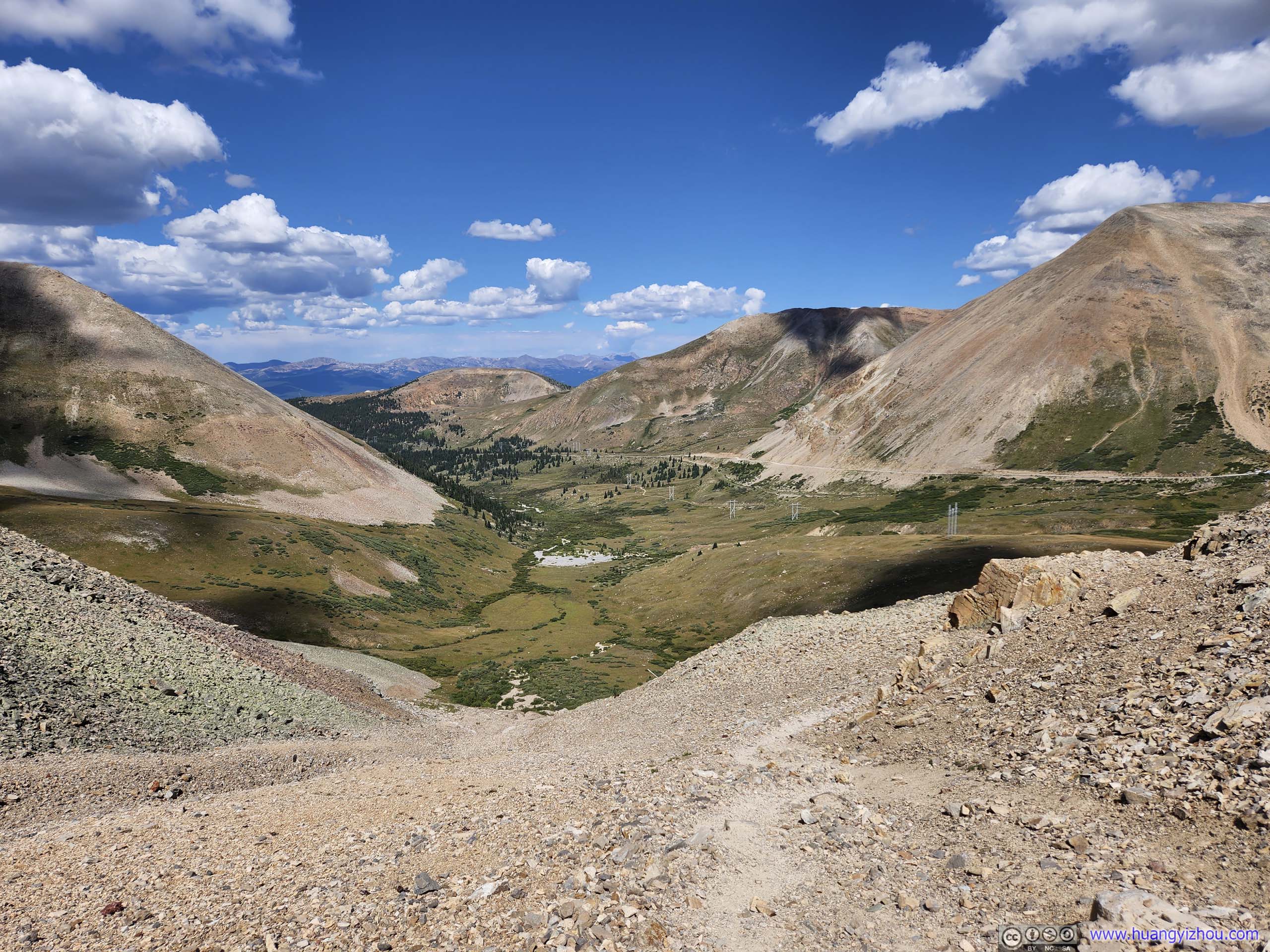
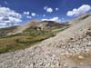
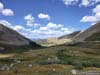
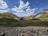
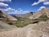
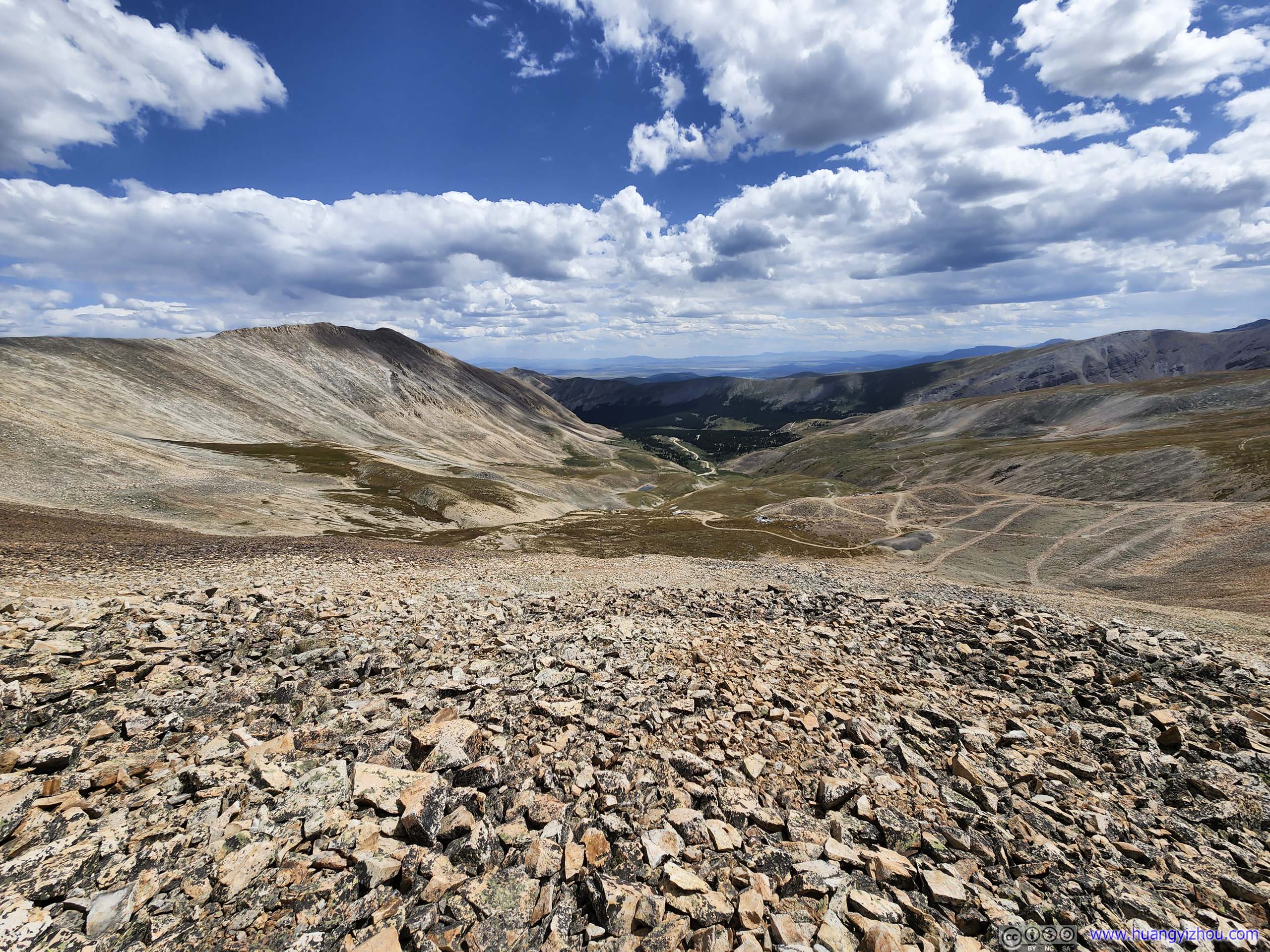
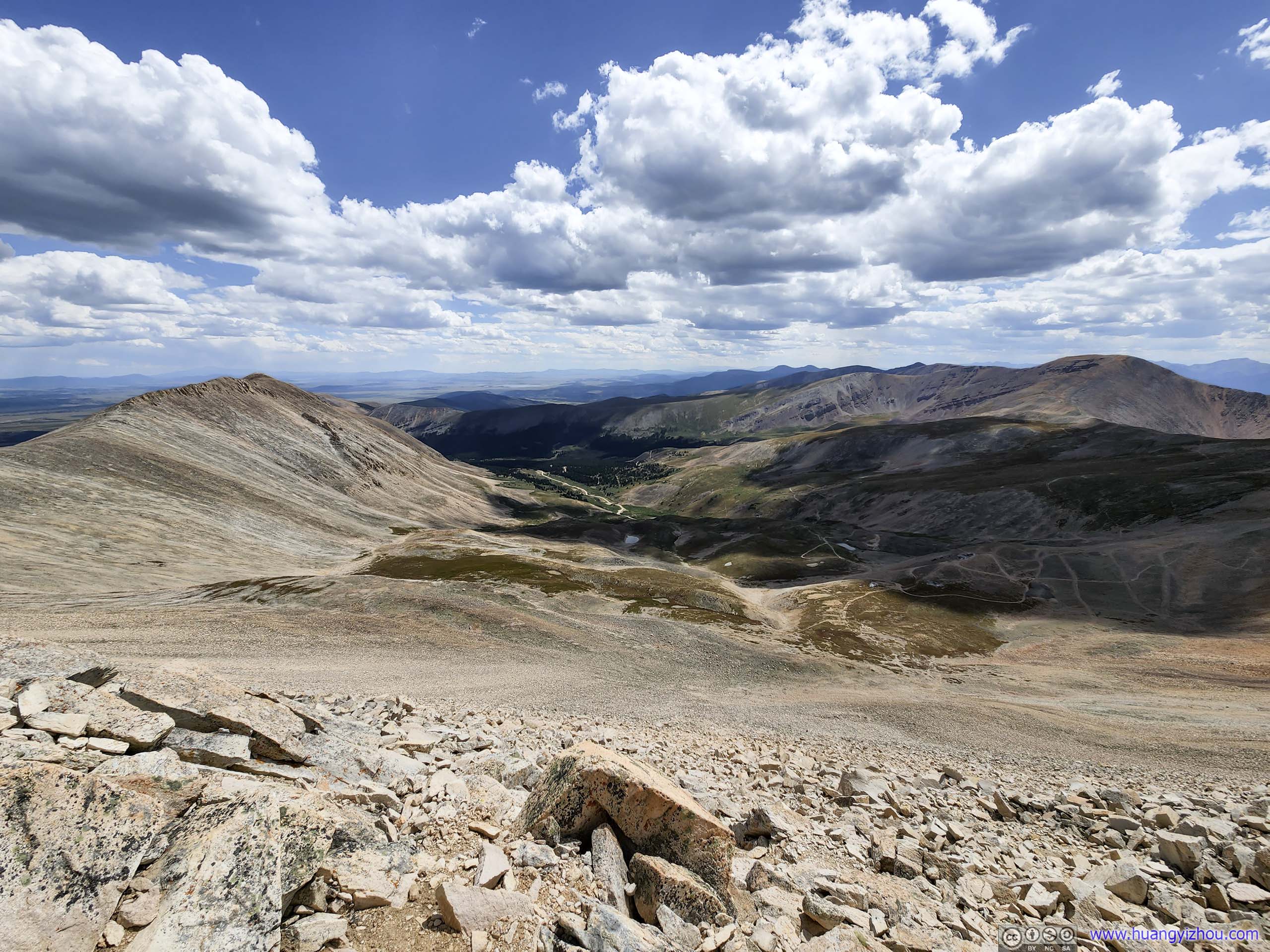
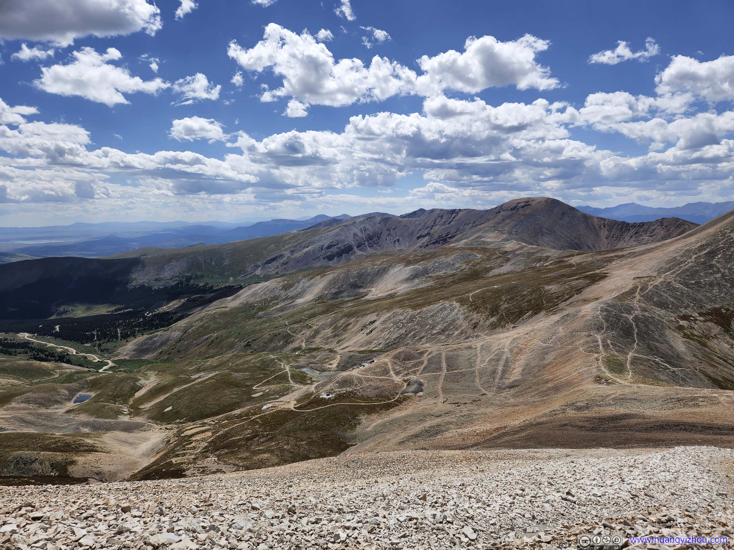
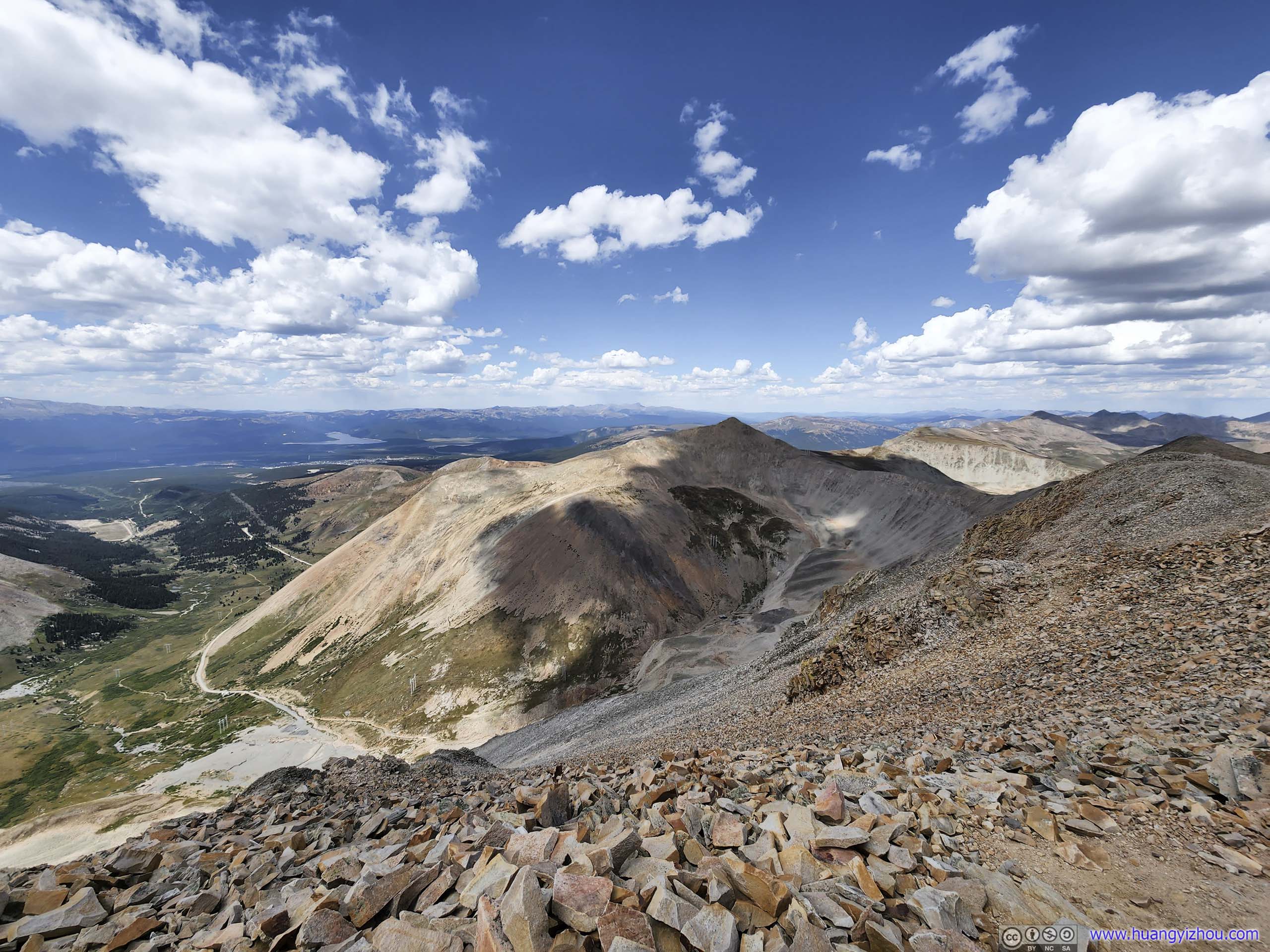
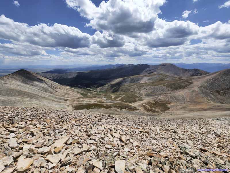
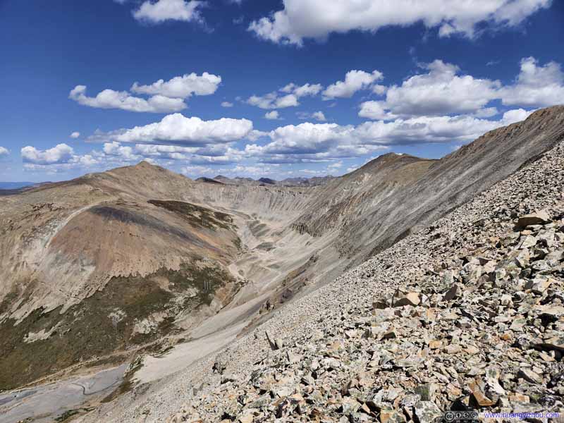
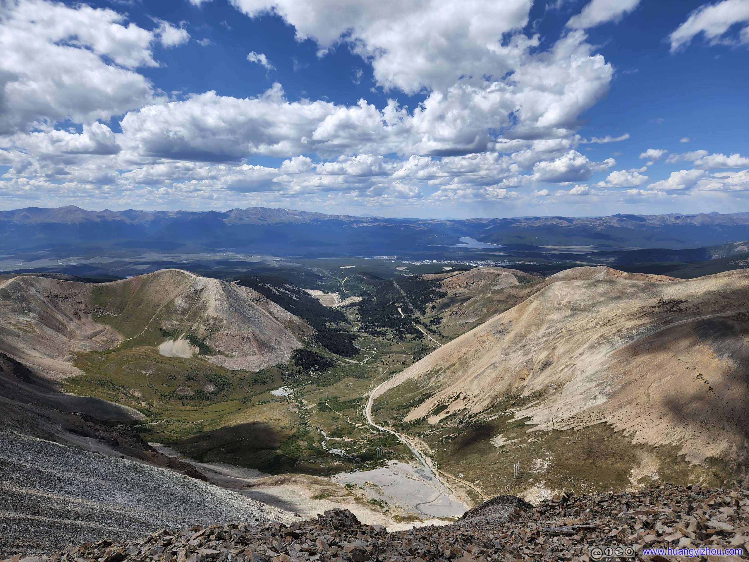
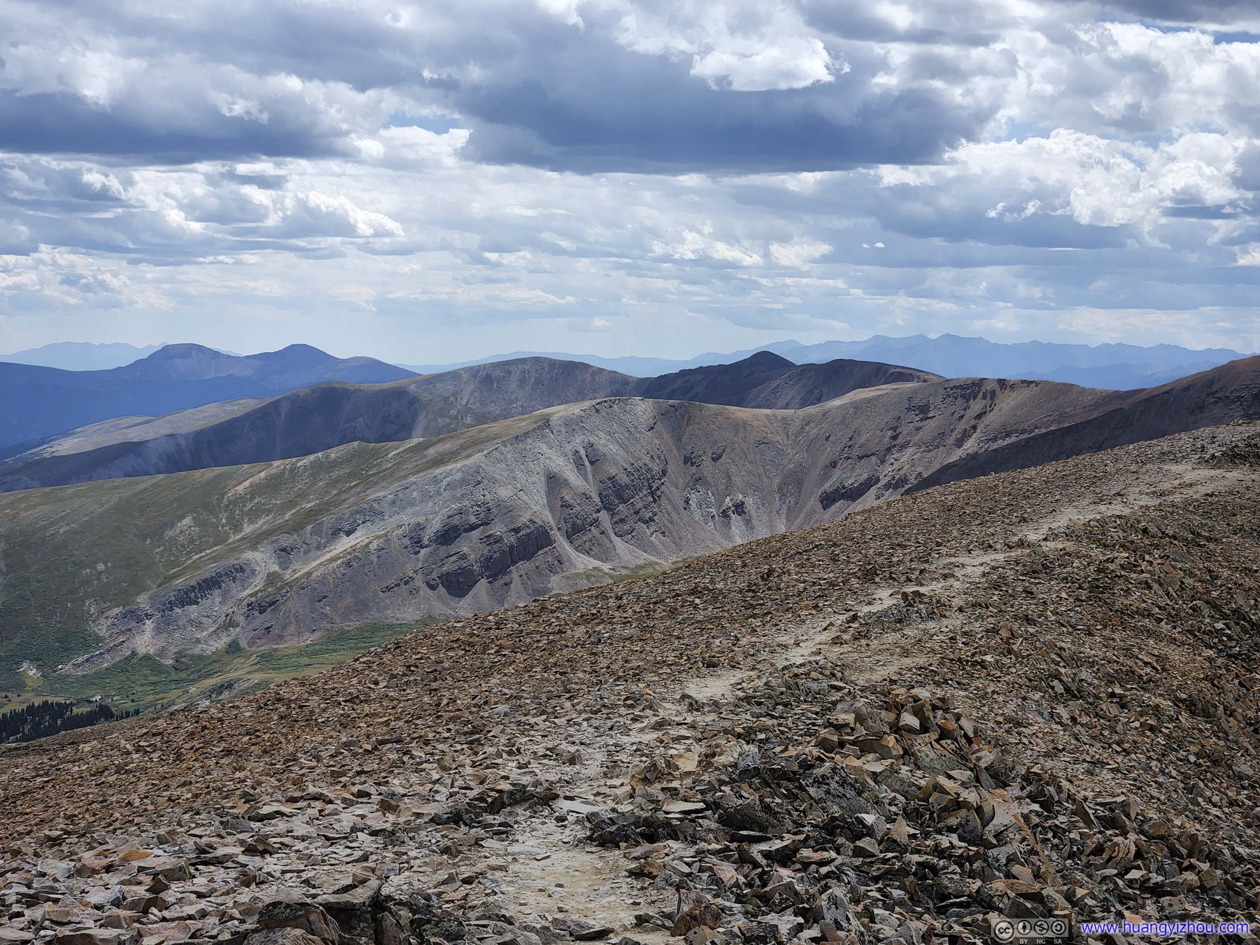
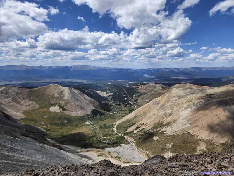
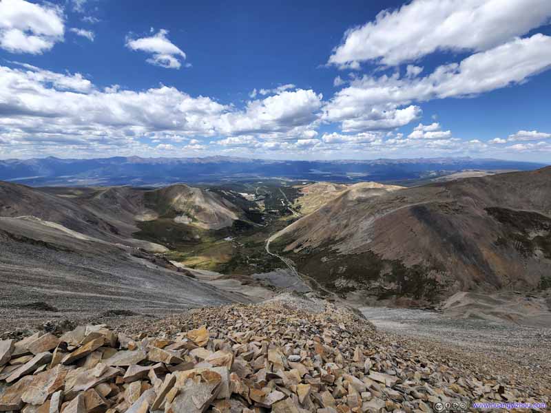
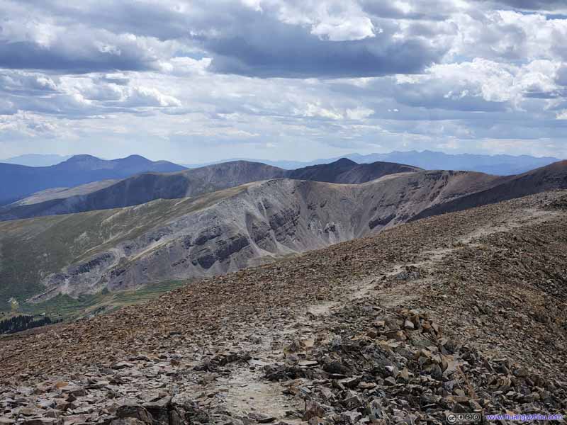
Iowa Gulch from Mount Sherman Summit
This is our last day near the town of Breckenridge, as we would be checking out of the Airbnb room the next morning, heading onto Rocky Mountain National Park.
Originally, I was looking for a solid YDS class 2 mountain with longer distances and more elevation gain as the final acclimatization before Longs Peak, and for that, Mount Shavano seemed like the perfect candidate. It's not too far from our Airbnb (less than 2 hours of driving), it's slightly longer and higher (15km roundtrip, 1350m elevation gain) than Quandary Peak and DeCaLiBron, which we hiked the previous two days. And if we were feeling lucky, Tabeguache Peak was a nice add-on.
Unfortunately, that didn't take place for a variety of reasons: US285 between Fairplay and Antero Junction was closed for construction (hence needing detour), my friend struggled more with the altitude than I anticipated, and there was chances of afternoon storm today. Instead, we decided to focus on a closer and shorter mountain, and with that we picked Mount Sherman.
There were two trailheads for Mount Sherman, the eastern Fourmile Creek trailhead being the standard one (and closer on maps from our lodge south of Breckenridge), and the western Iowa Gulch outside Leadville. Despite its name, Fourmile Creek flew all the way to the town of Hartsel 23 miles away. The final 12 miles of the road to Fourmile Creek Trailhead was unpaved, the end of which would be too rough for a sedan, so instead, we opted for the longer detour towards Iowa Gulch, which only involved 3 miles of unpaved road.
Frankly, I had no idea why “Iowa Gulch” isn't the standard route to Mount Sherman. It's shorter in length, only marginally more in elevation gain, and closer to a major town of Leadville. I guess that's due to the many historic mines on the eastern side of the mountain?
At about 8:35am, my friend and I left our Airbnb lodge outside Breckenridge. We made a stop at the Walmart in Frisco, where my friend stocked up on some critical supplies, among which were, much to my surprise, oxygen canisters. What a way to tackle altitude thickness that's both ingenious and peculiar.
At the same time, I had prepared a coat for today's hike but came to the awful discovery that I left it in the Airbnb room, leaving only a single layer of shirt on my body. However, the dismay didn't last long as I ran into Walmart's selection of hard shell jackets on sale at only 10 dollars. And the jacket turned out to be pretty good (after years of usage).
After that, we continued our way towards Iowa Gulch. Much to our disappointment, Waze guided us onto an unpaved “shortcut” outside Leadville, that actually set us back.
In the end, we arrived at the trailhead at 10:40am. The official parking lot held about 5 cars, but since it's near the end of the road, I assume there's no risk of parking along the road if the lot is full. After some warmup, we started our hike at 10:50am.
Here's GPS tracking:
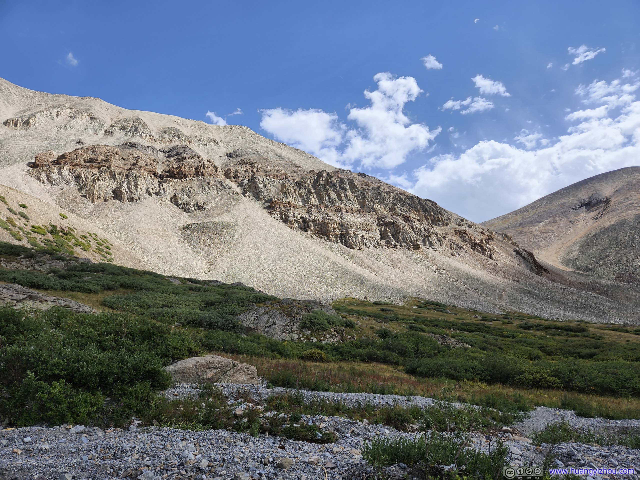
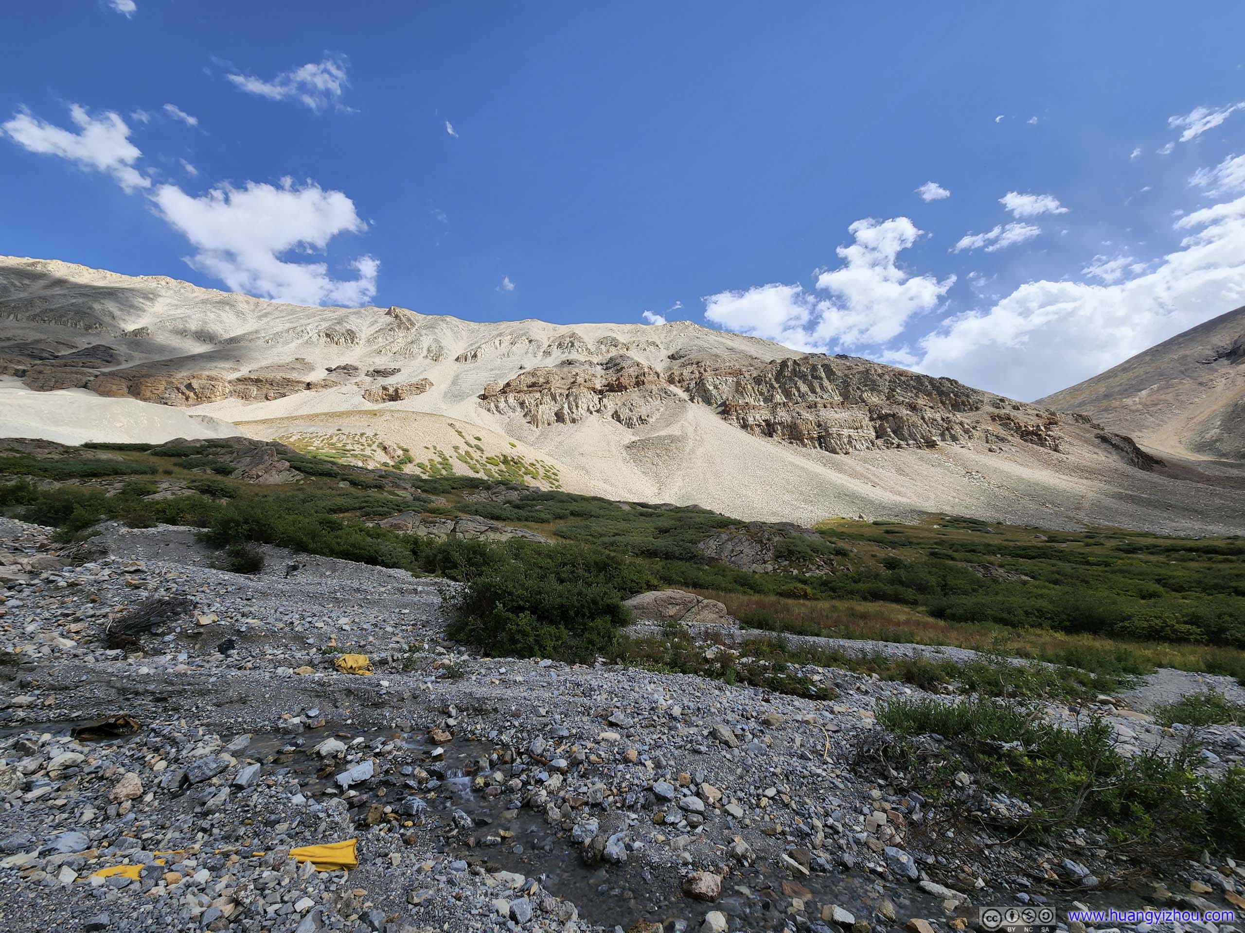
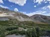
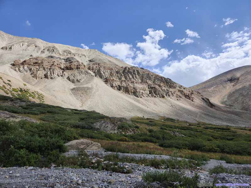
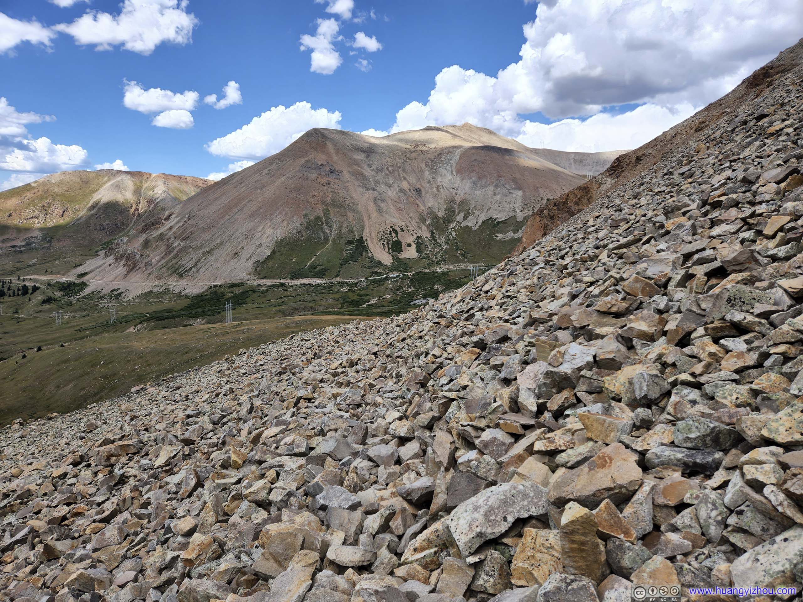
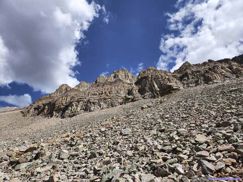
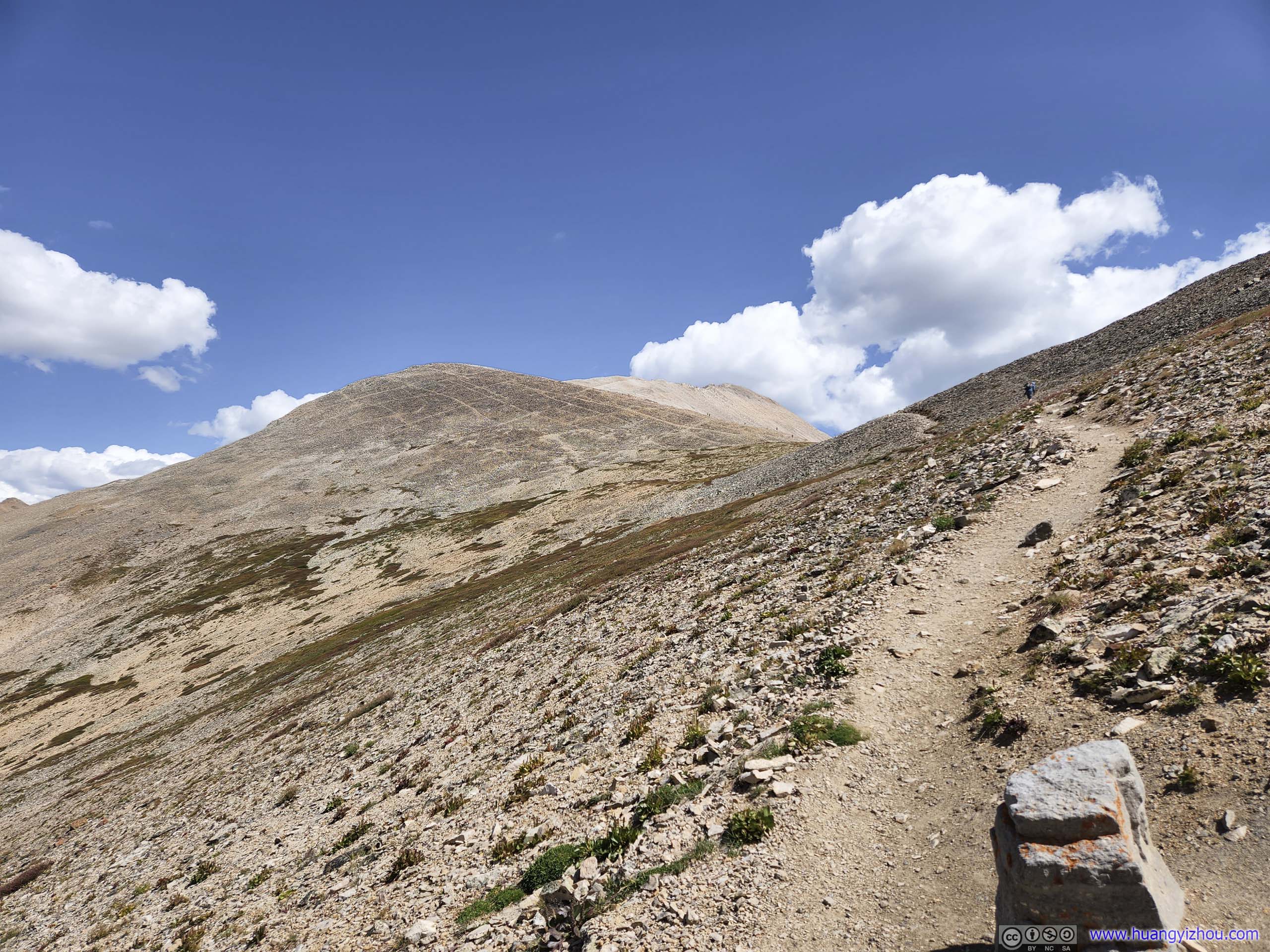
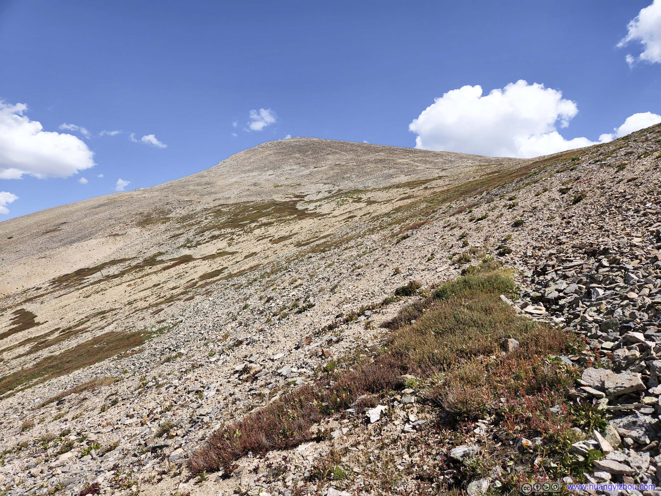
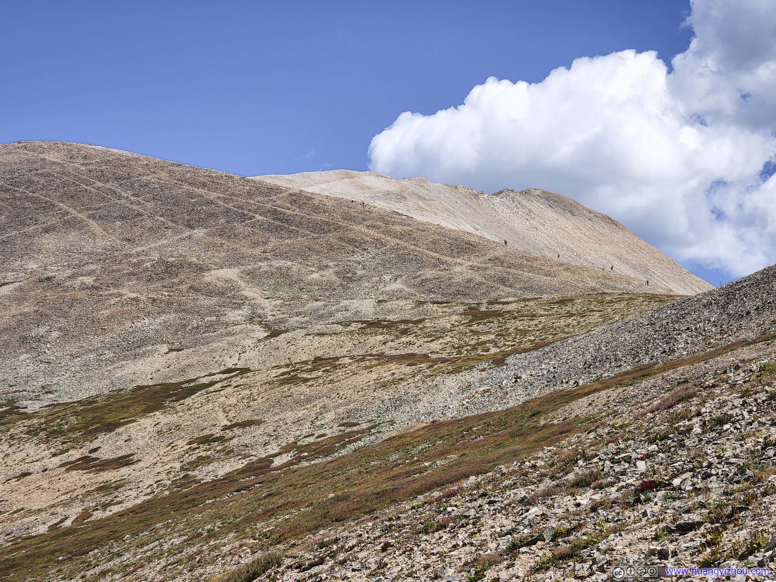
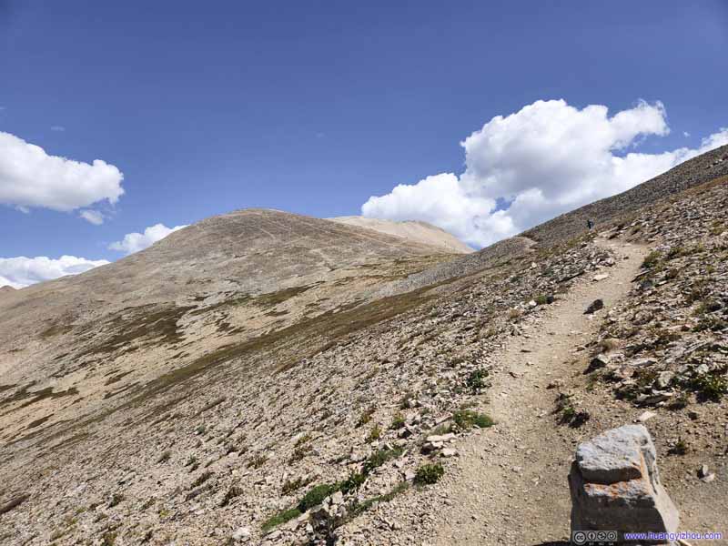
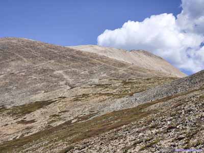
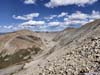
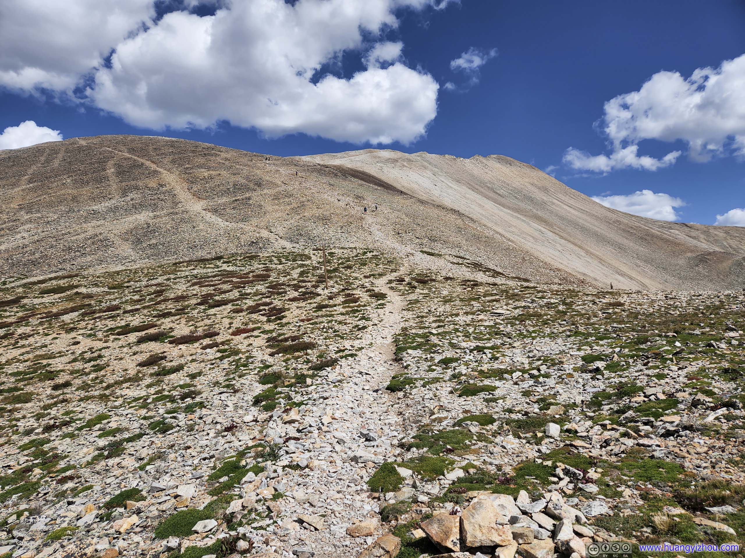
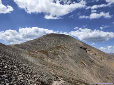
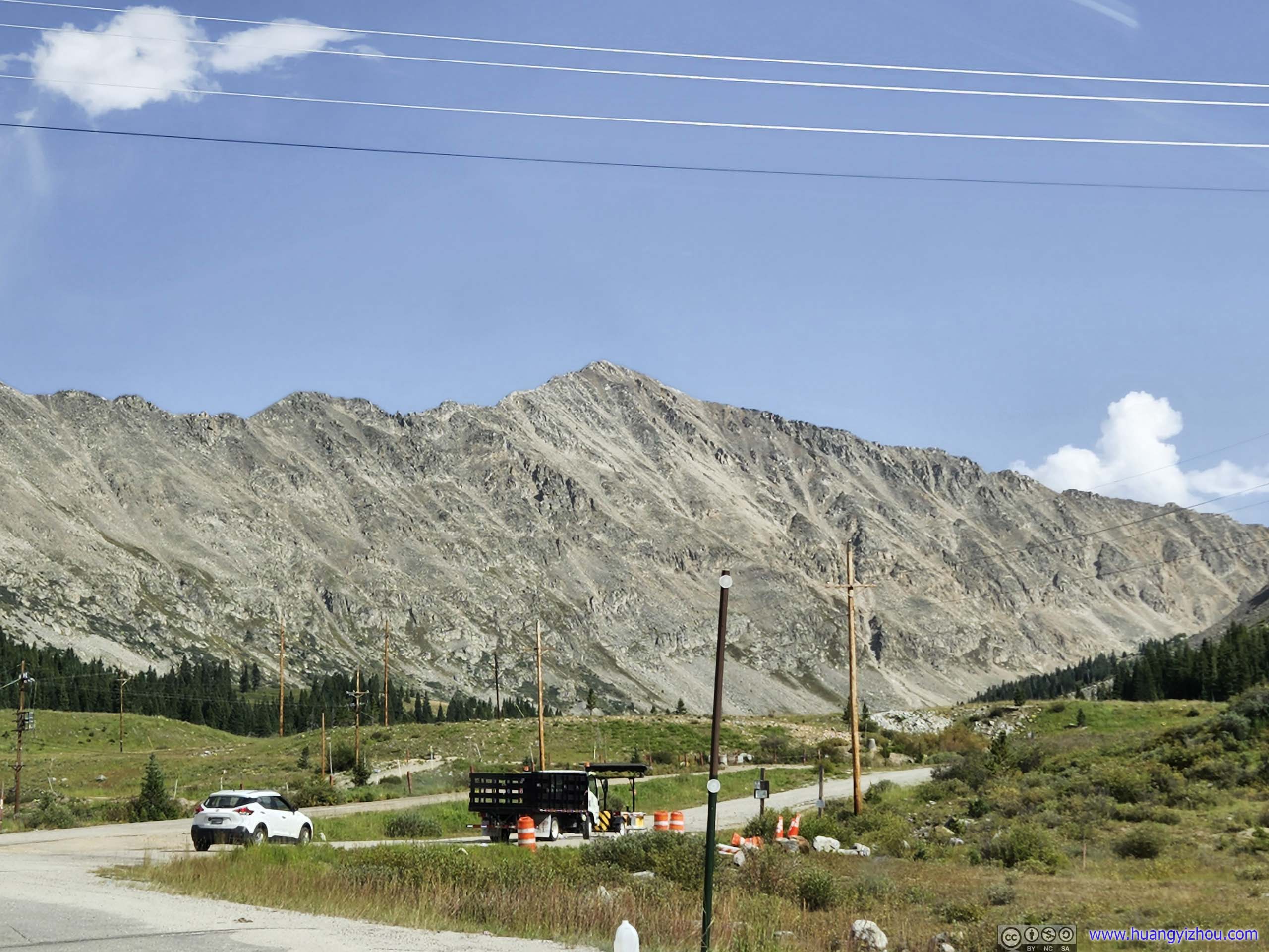
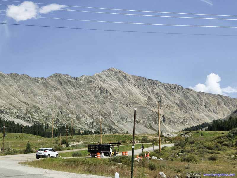
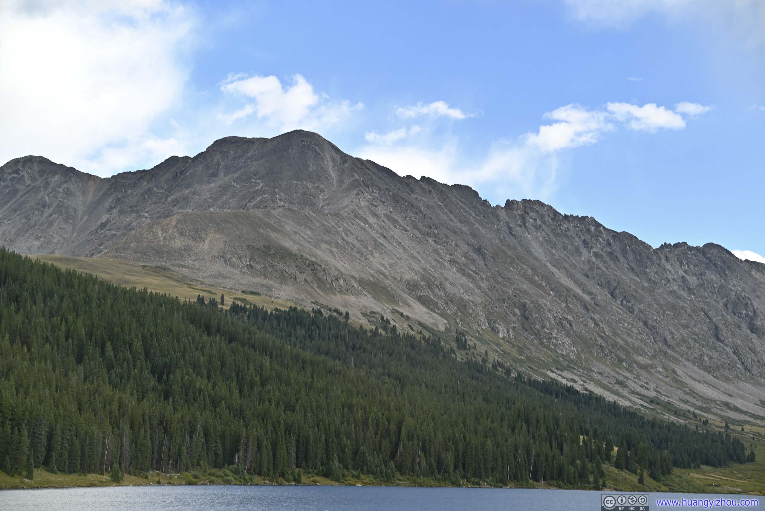
Mount Sherman Its western face with some exposed rocks among the scree field.
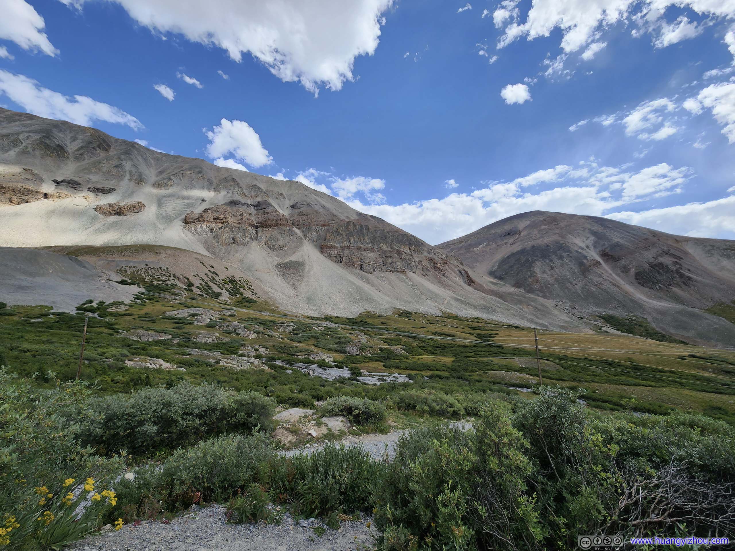
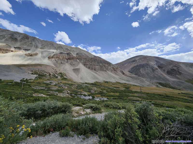
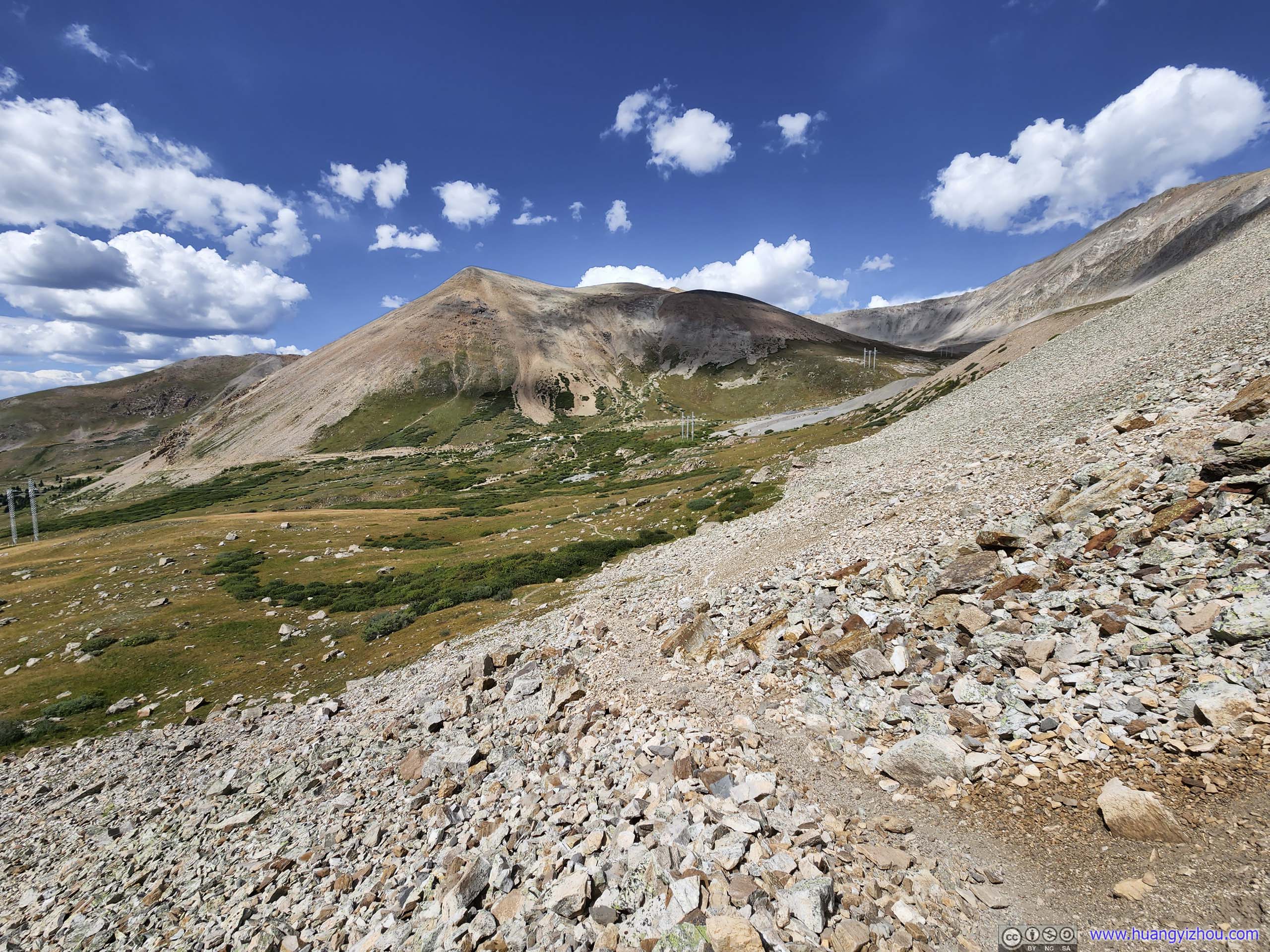
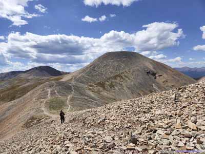
Mount Sherman and Sheridan The trail found an opening between the two mountains and made its way up.
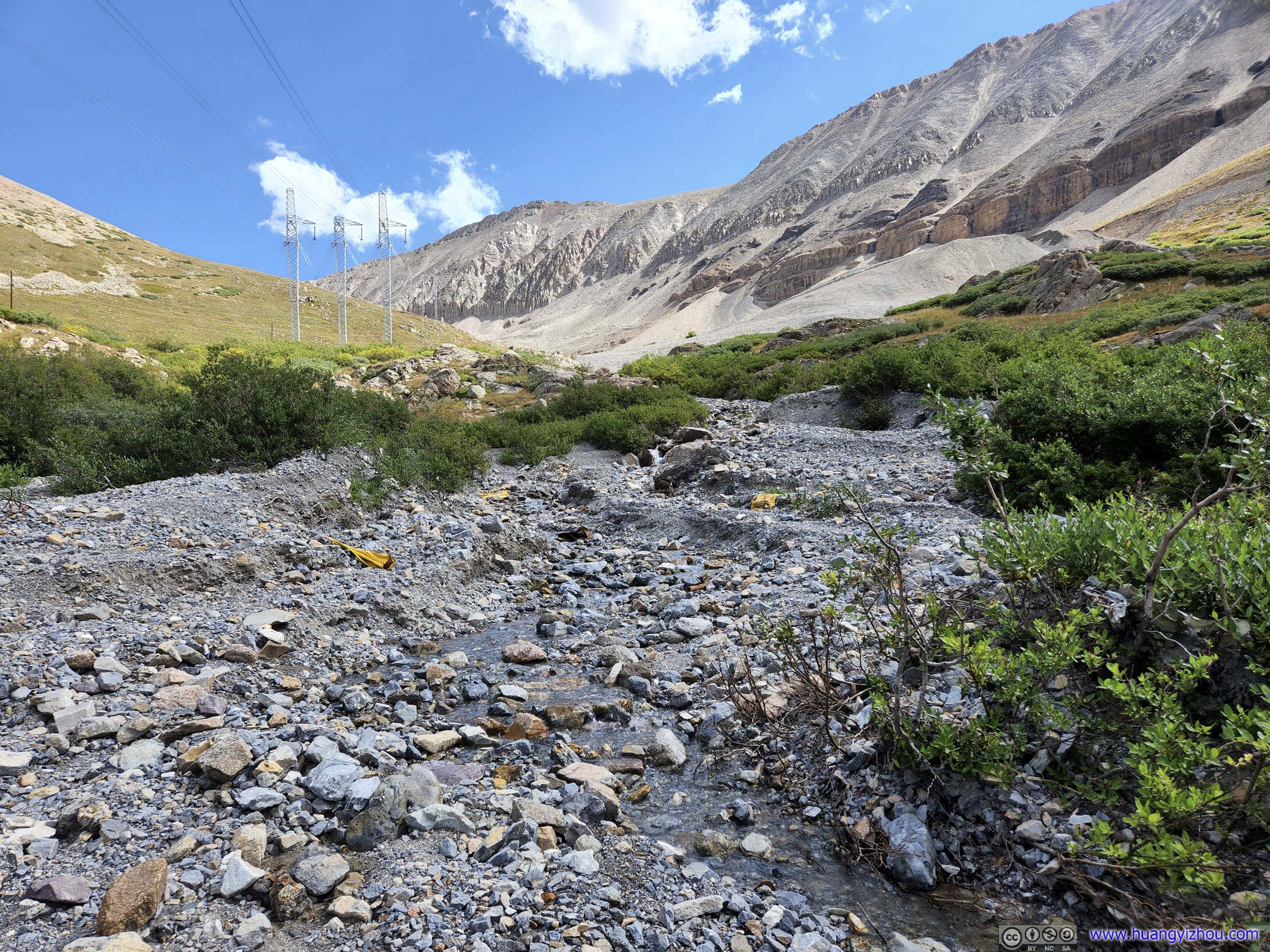
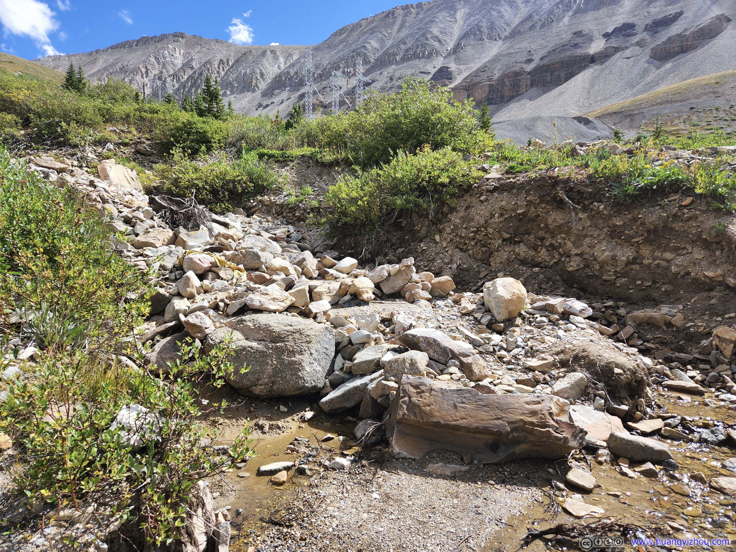
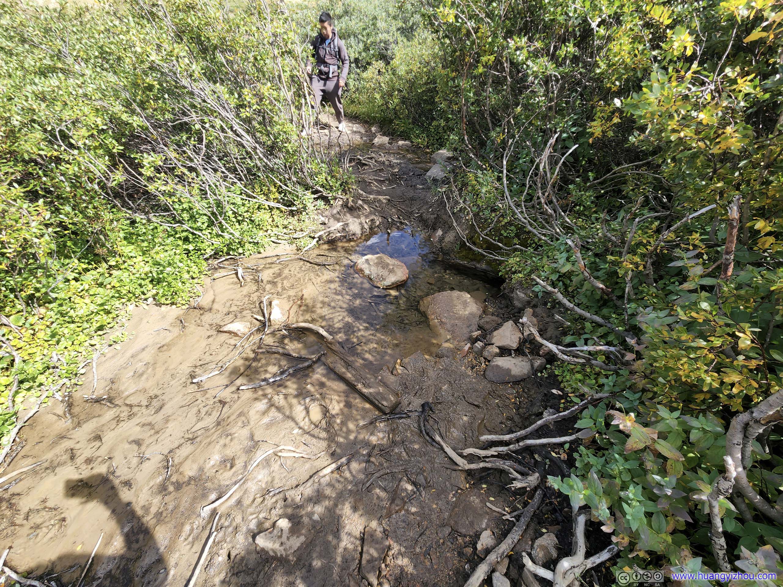
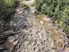
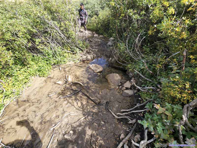
Water Crossing before Mount Sherman
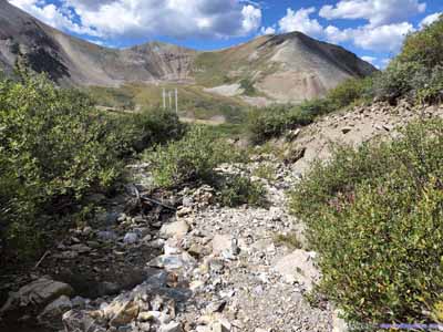
The trail had a few water crossings before starting the ascent. The trickles didn't present any technical challenges.
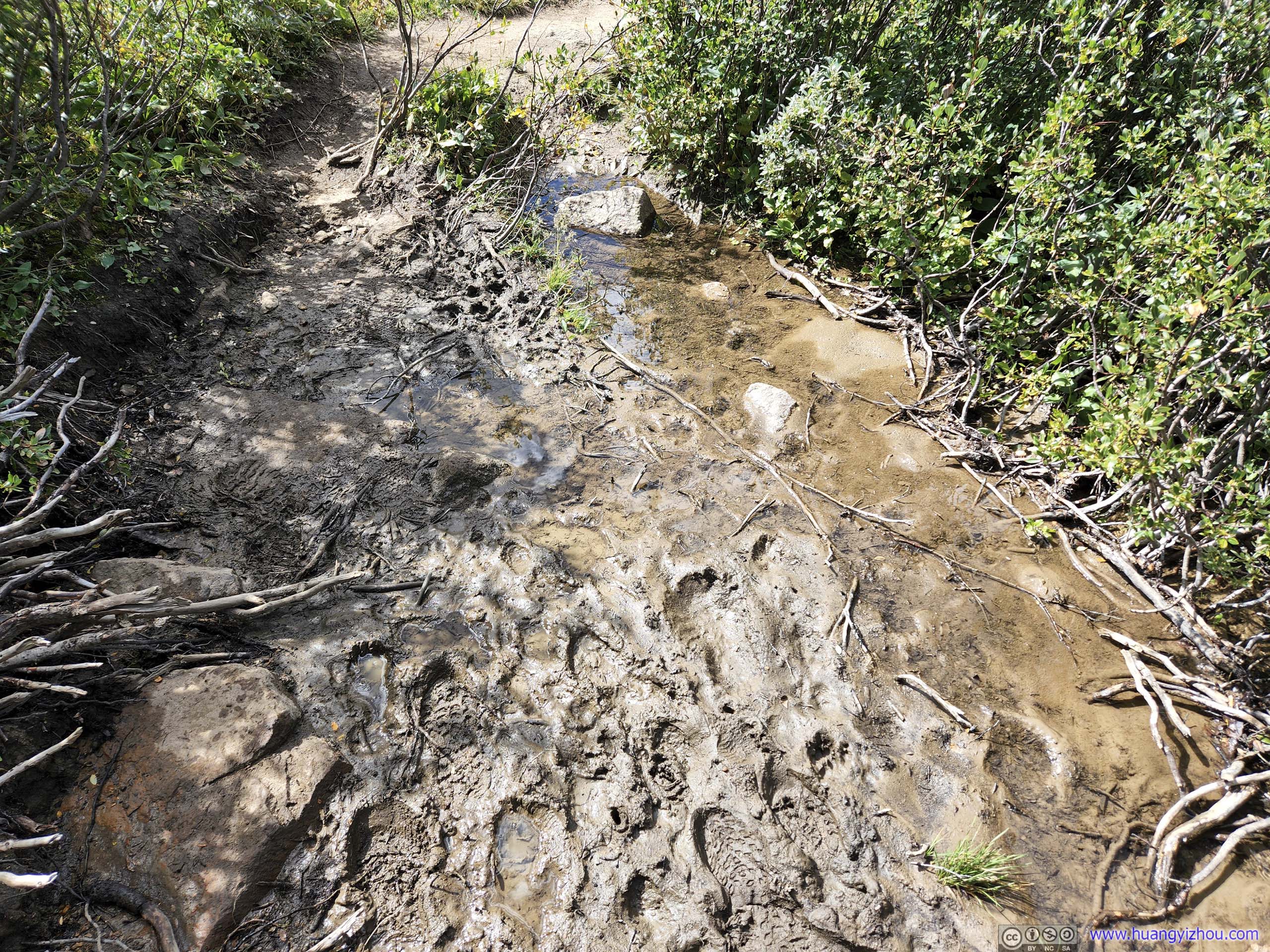
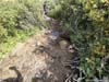
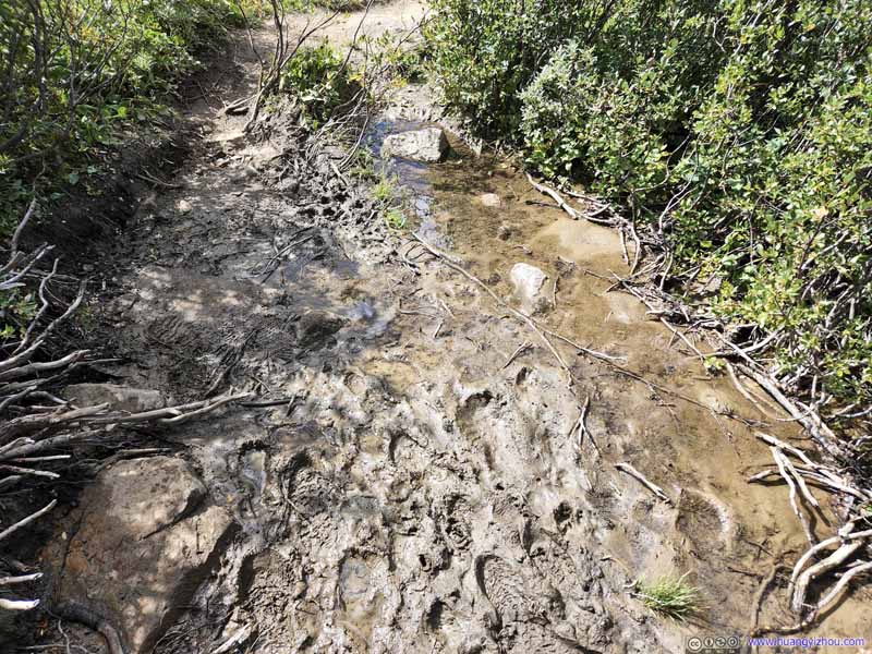
Muddy Trail After the water crossing, there were a few spots where the trail was muddy.
Muddy Trail After the water crossing, there were a few spots where the trail was muddy.
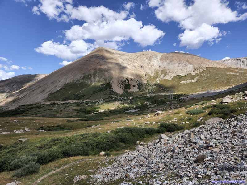
Dyer Mountain
A constant backdrop for this part of the trail. The trailhead was at its feet in the center of this photo.
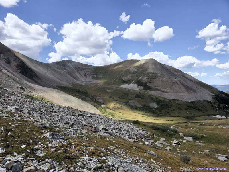
West Sheridan Mountain A constant sight to the west.
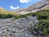
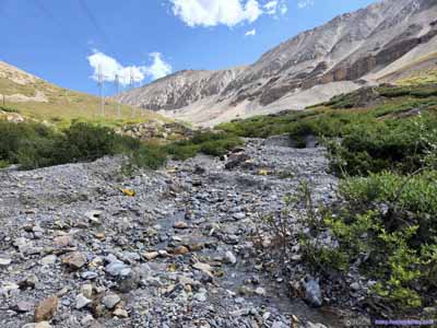
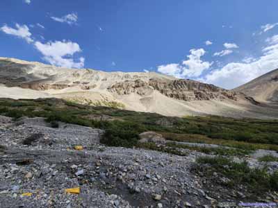
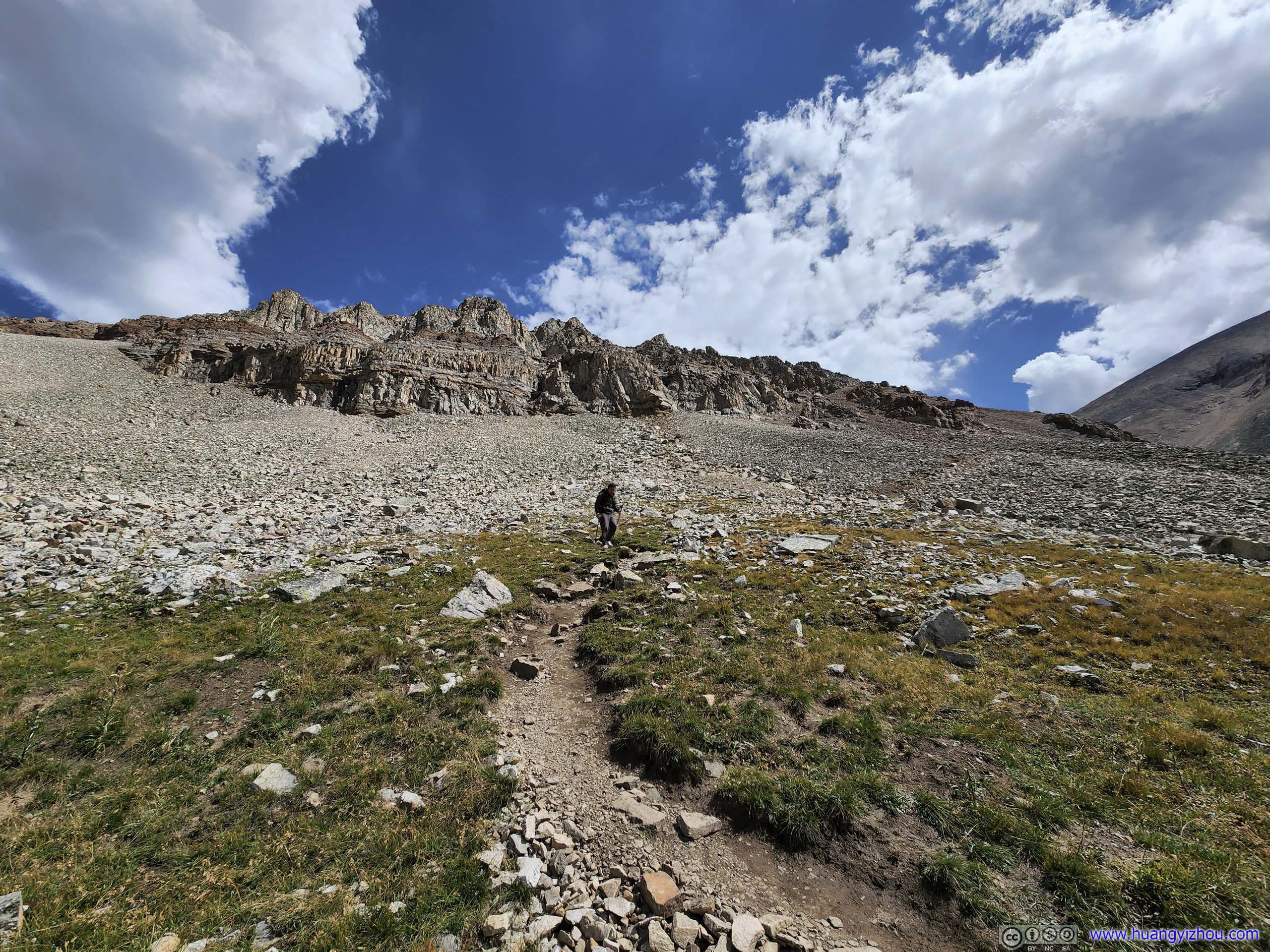
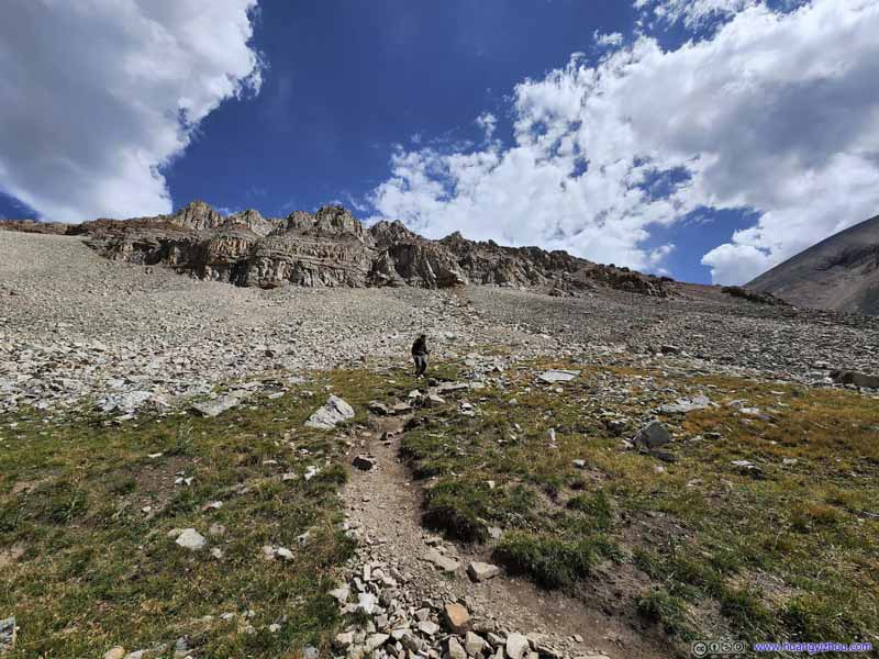
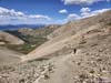
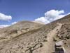
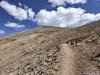
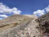
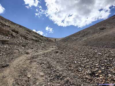
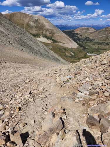
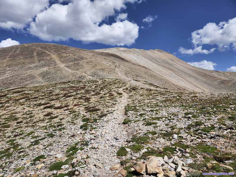
After leaving the trailhead, the trail went on a short descent before crossing some creeks, and wasn't very well marked afterwards (but it didn't hurt getting lost in the bushes as long as one was general heading was right). After that, it went on fields of screes, and proper 14er experience began.
Trail
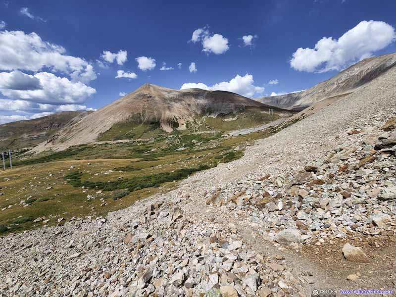
Not long after leaving trailhead, vegetation gave way to fields of scree along the trail. This photo was taken during our descent.
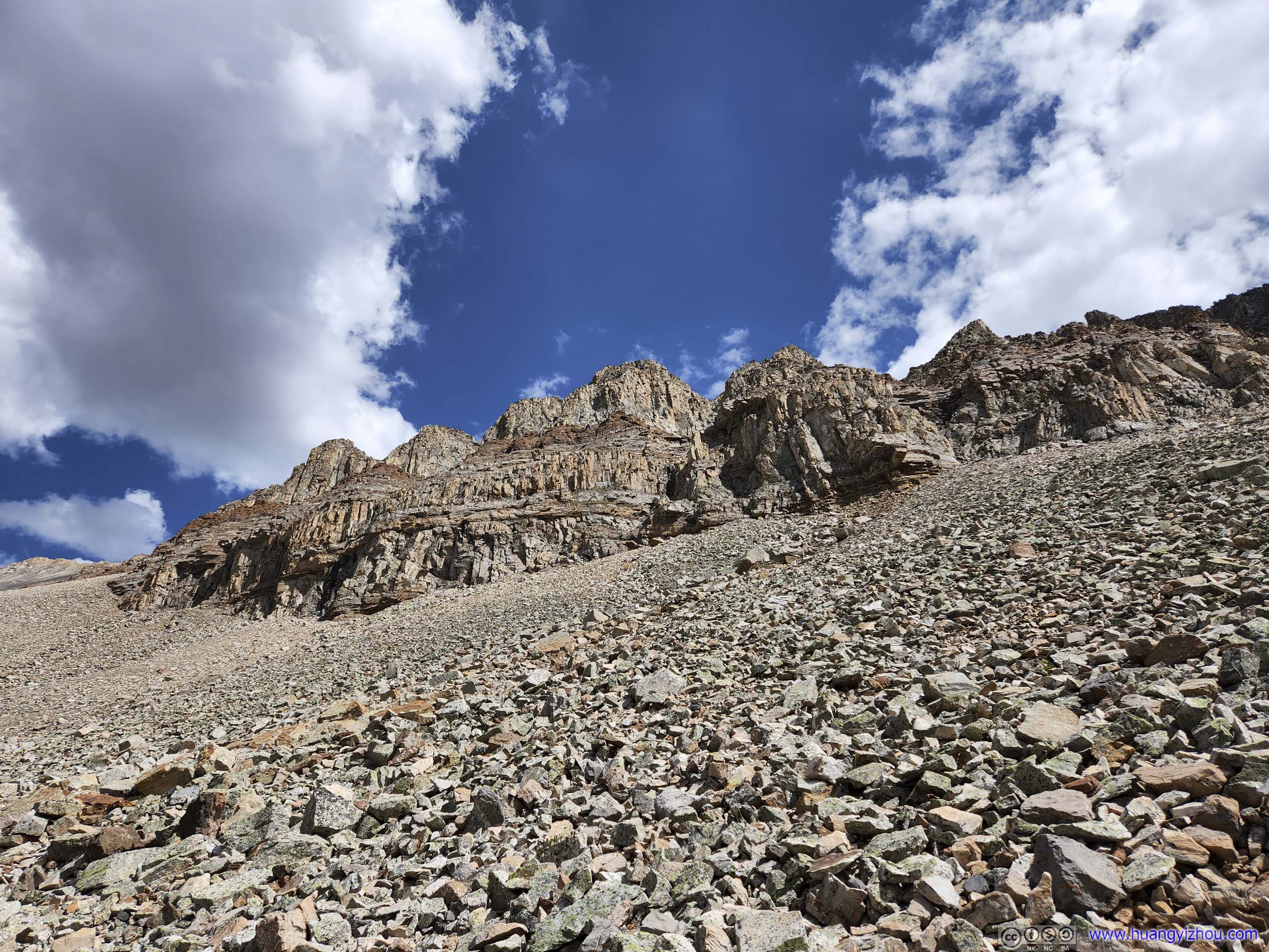
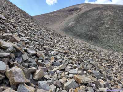
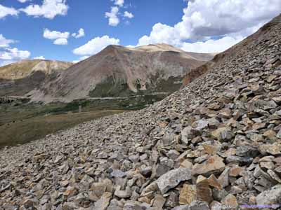
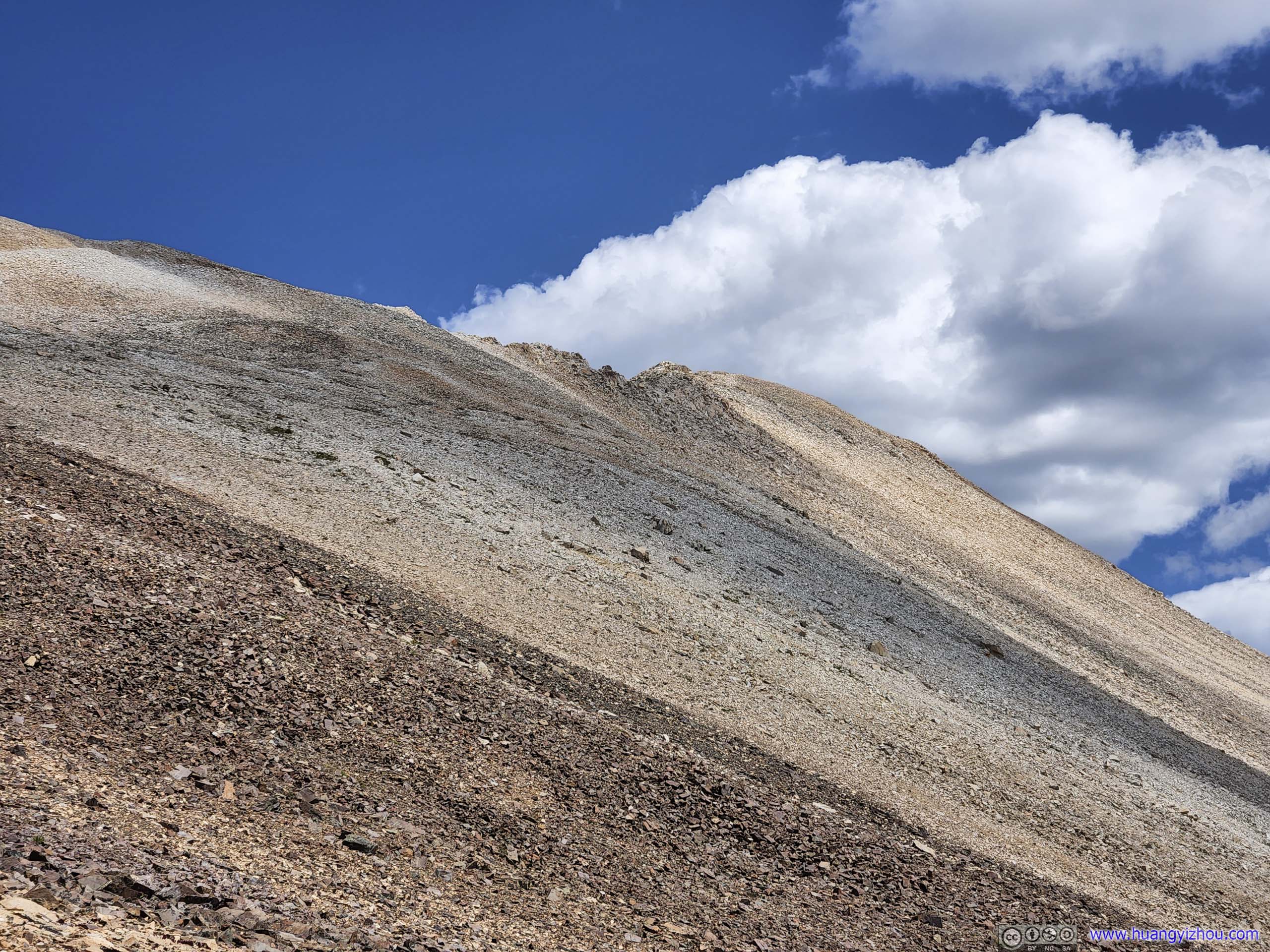
Rock Formations Loose screes and solid boulders along the western face of Mount Sherman.
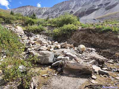
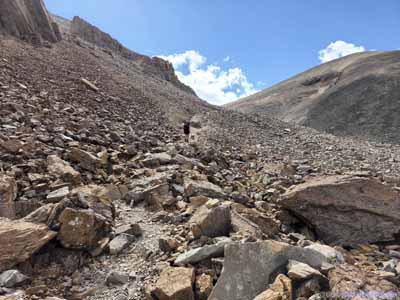
Trail From time to time the trail disappeared into piles of rocks, like this.
Trail
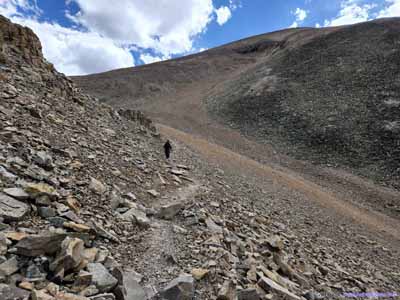
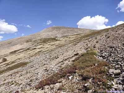
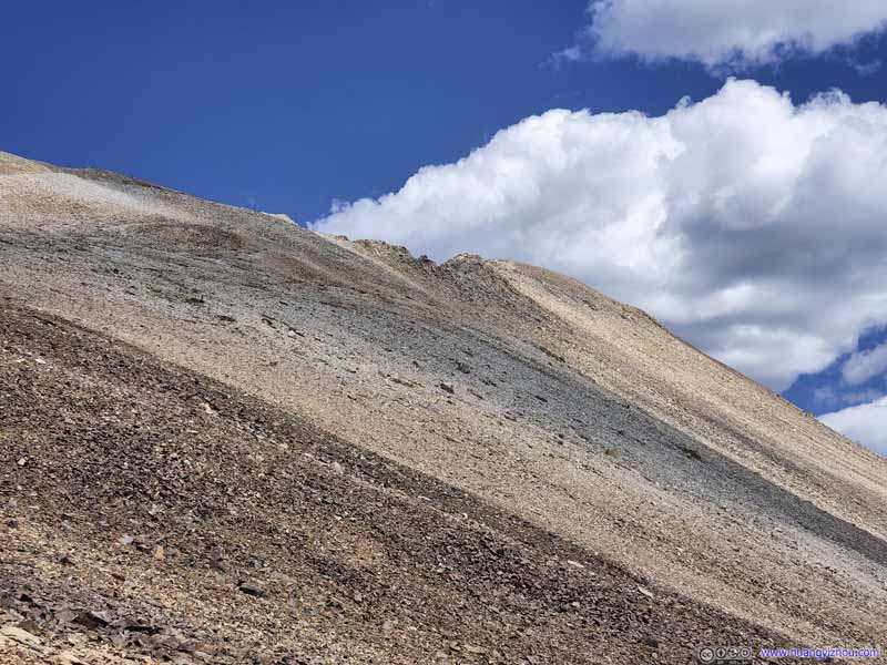
This section of the trail traversed across the steep western slope of Mount Sherman. Dyer Mountain and trailhead in the background.
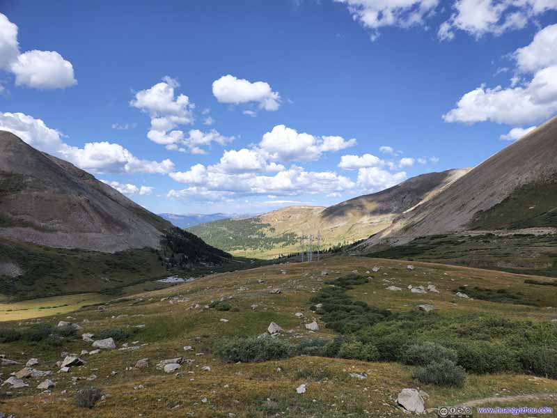
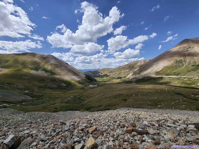
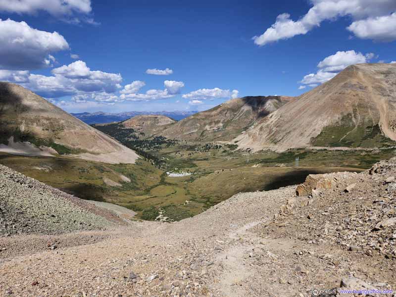
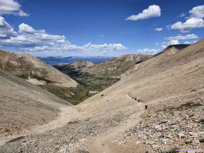
Iowa Gulch A constant sight to the west.
Iowa Gulch A constant sight to the west.
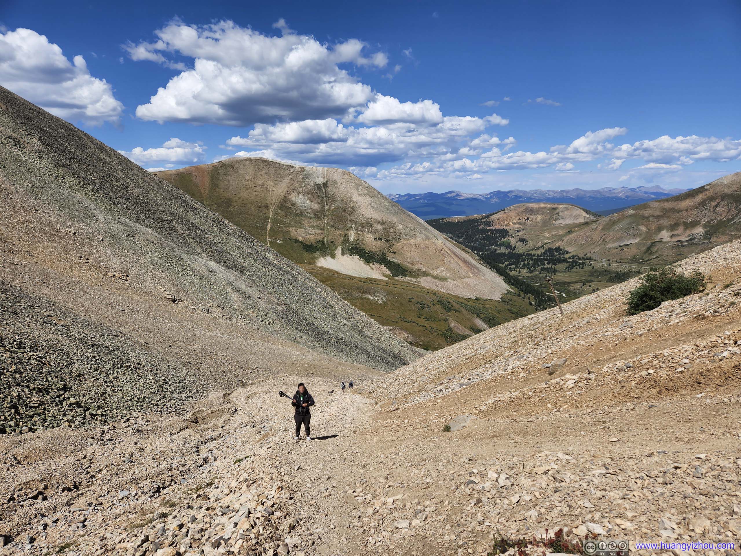
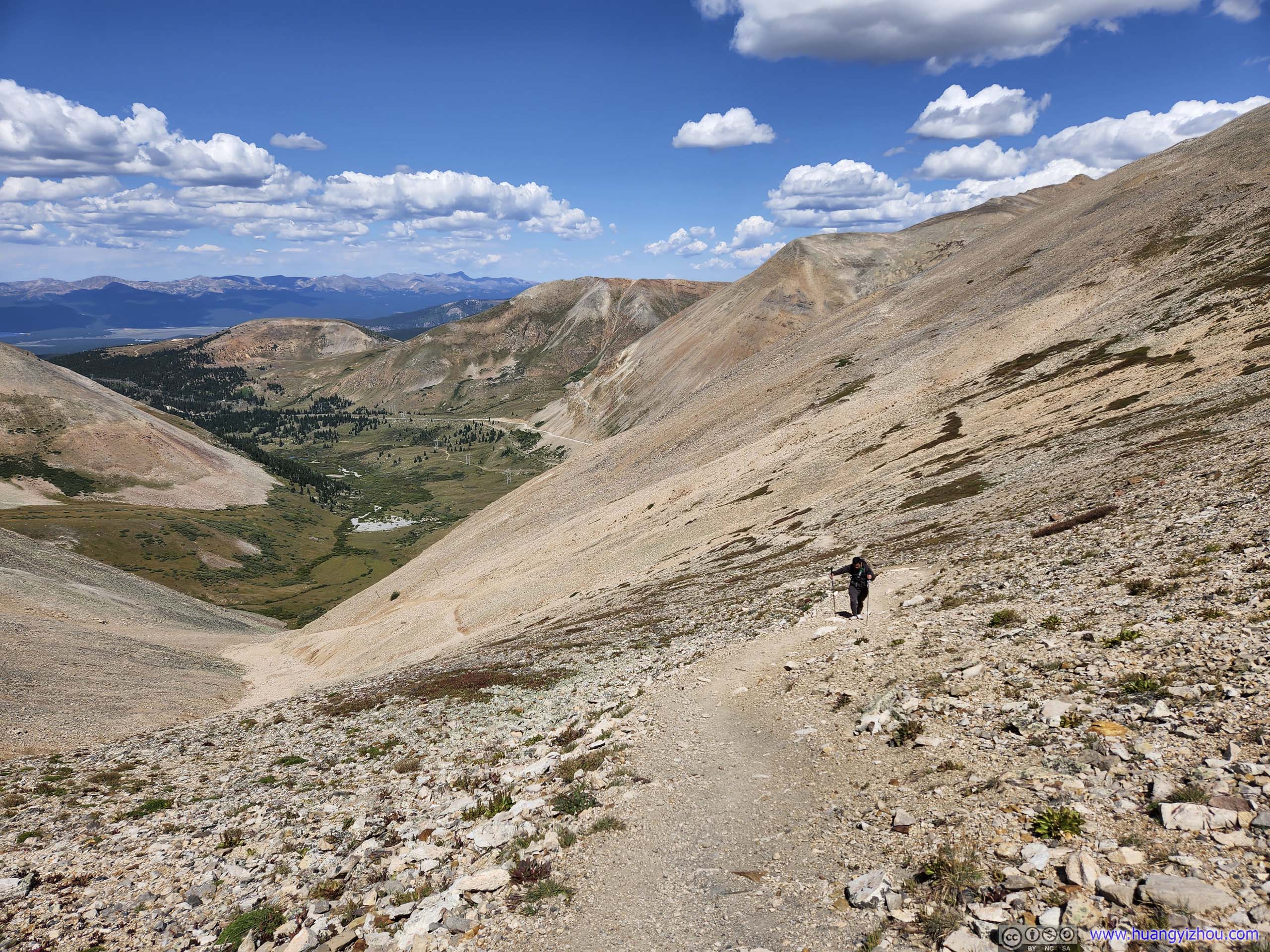
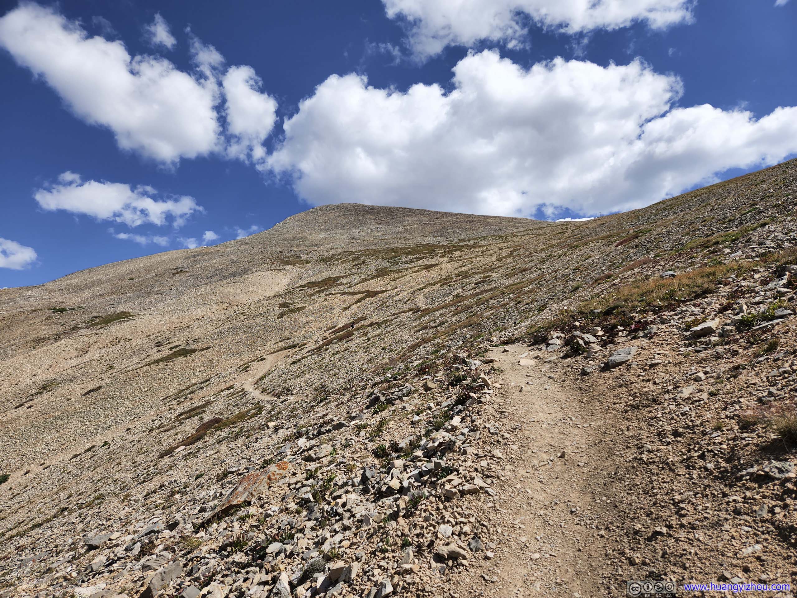
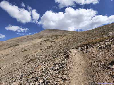
Trail After a left turn, the trail continued to ascend from Iowa Gulch.
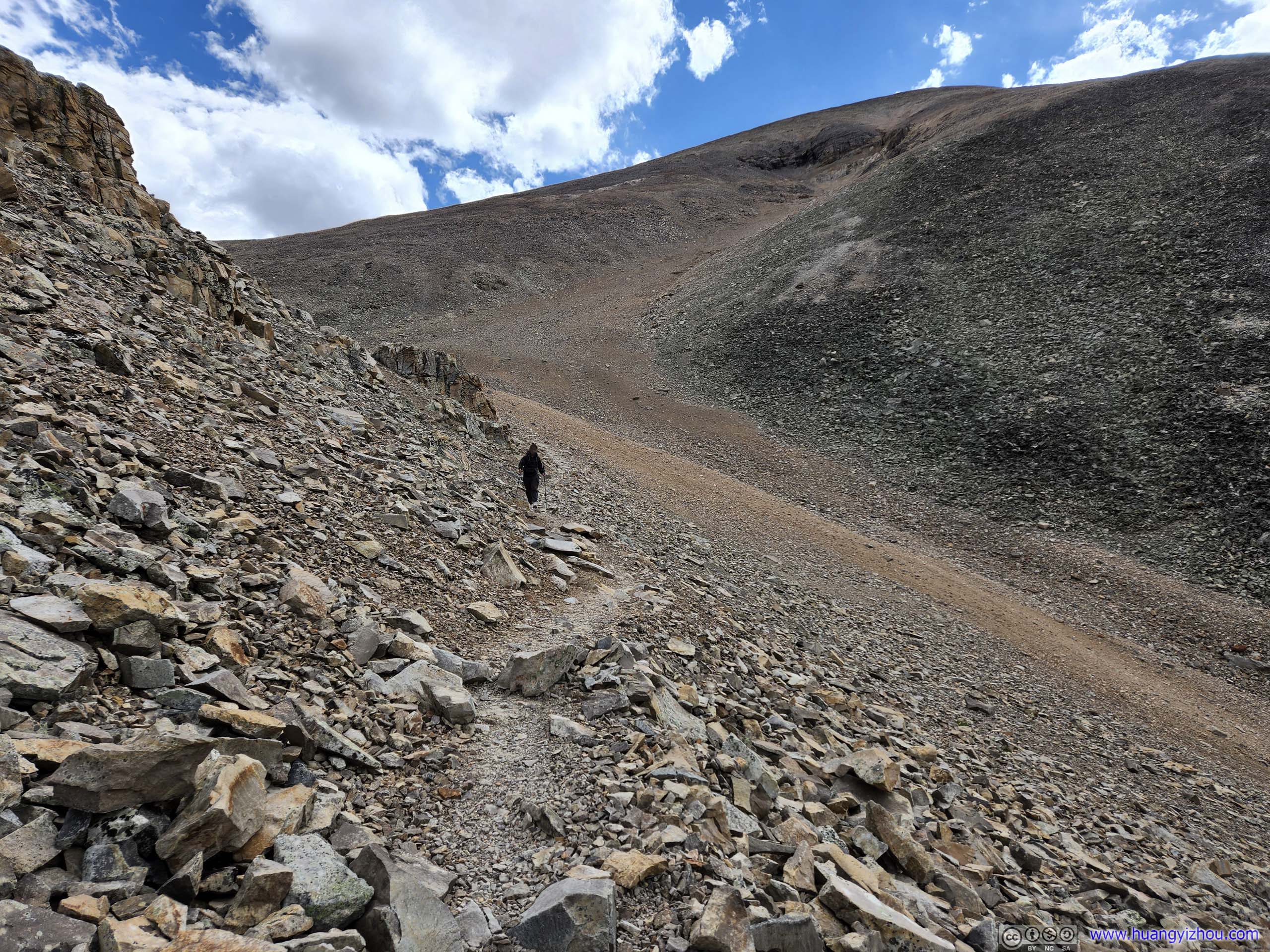
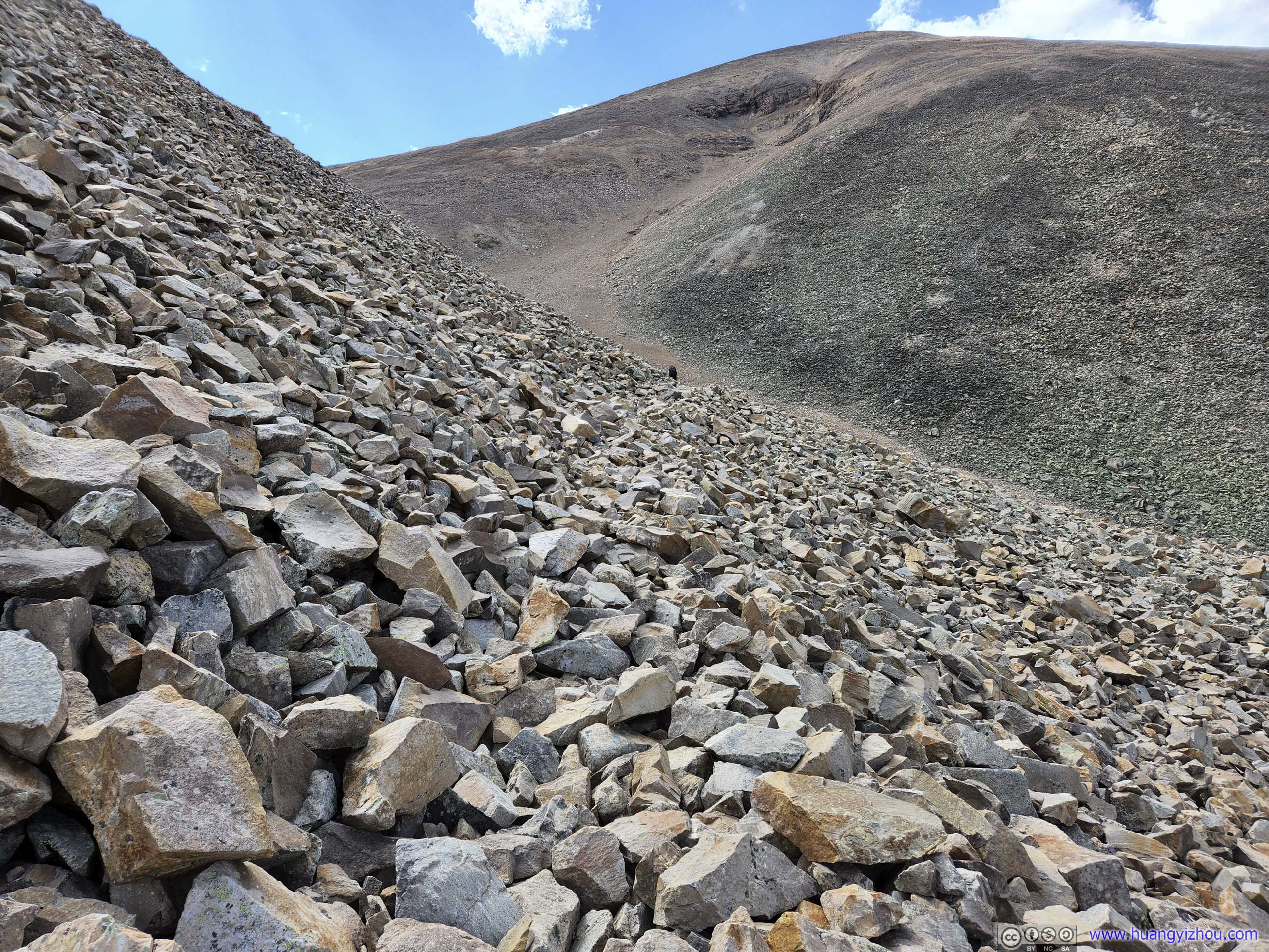
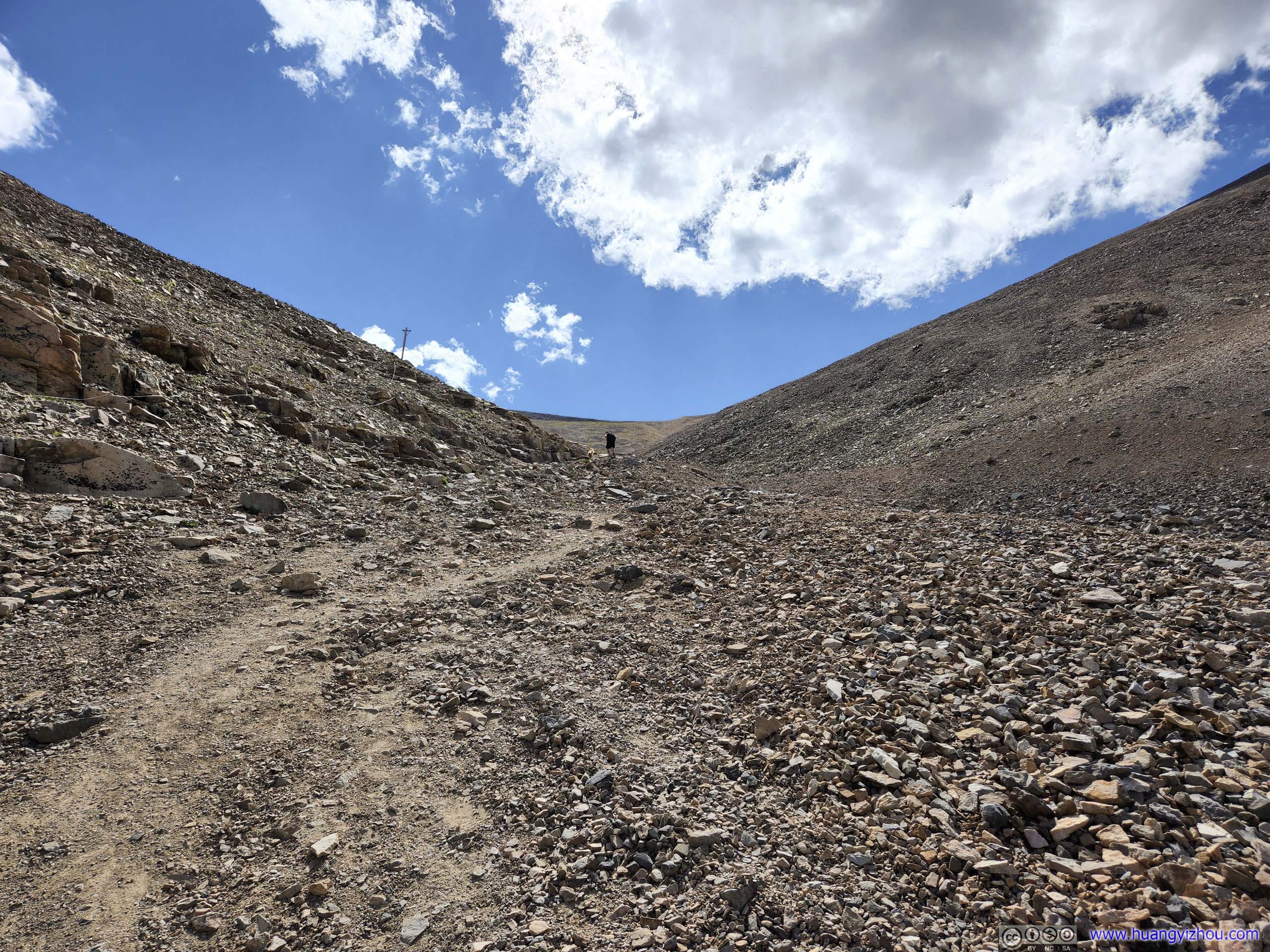
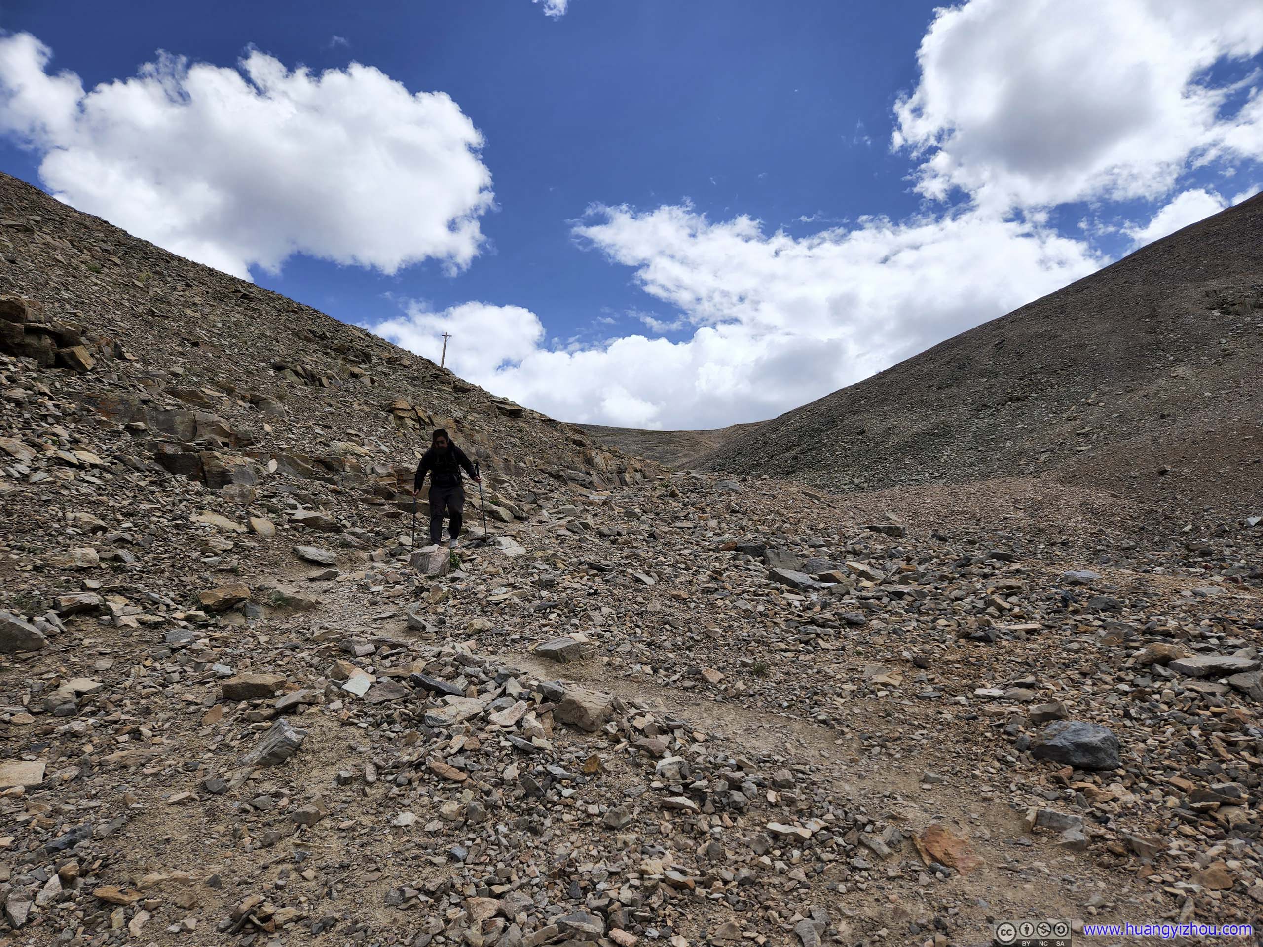
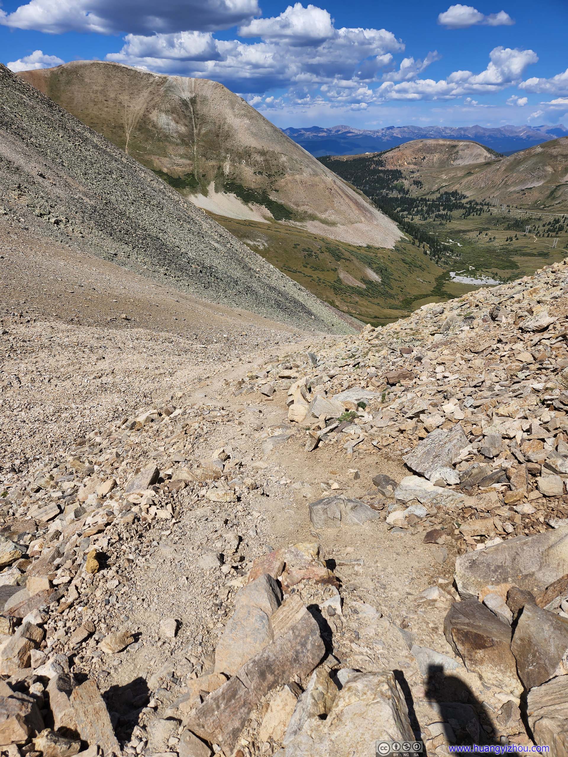
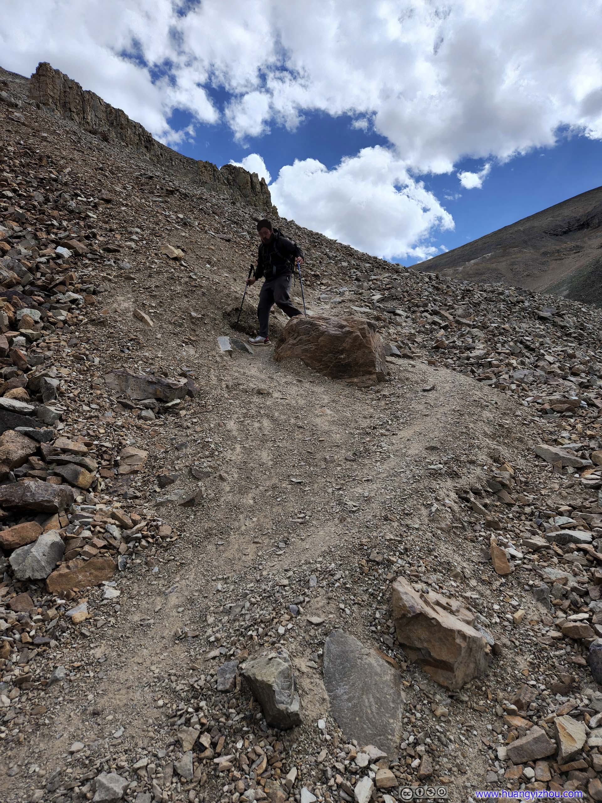
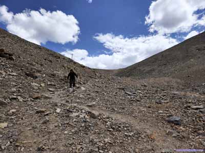
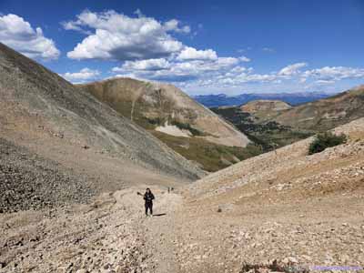
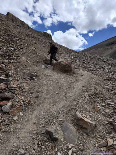
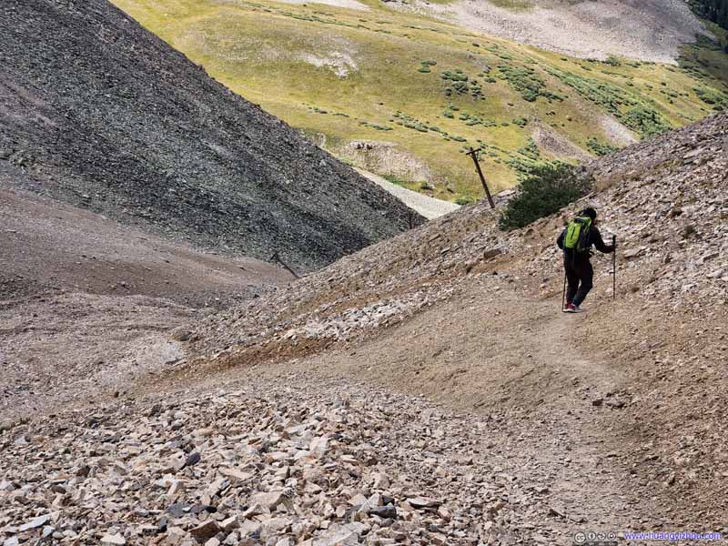
The part of the trail along the gulch, after entering San Isabel National Forest, was the steepest and most technical. That's probably why the trail was rated YDS class 2 (I think the rest of the trail can be rated as class 1). We ran into a fair amount of returning hikers in this section, who gladly offered us encouragement. Just like the previous day at Mount Bross, hiking poles helped a lot with the incline.
Trail Some steep sections.
Trail Some steep sections.
Trail This is likely the steepest part of the trail, where our hiking poles helped a lot.
Trail
Trail to Mount Sherman
The rock in the lower-right corner of this photo was one of the few places where I could take a rest along the way.
Trail to Mount Sherman A few hikers visible climbing onto the ridge to Mount Sherman in the lower right photo.
Trail to Mount Sherman
About an hour after we started, we reached the main ridge of Mosquito Range, where trails from Iowa Gulch and Fourmile Creek converged. That's when fields to the east came into view, of the Fourmile Creek Valley and the scattered mining sites among it.
Fields to the East The eastern trailhead of Fourmile Creek.
Fields to the East
Mountains to the South
In the back, mountains on the southern tip of Mosquito Range. In the front, the side of Mount Sherman dotted with mining roads.
Dyer Mountain
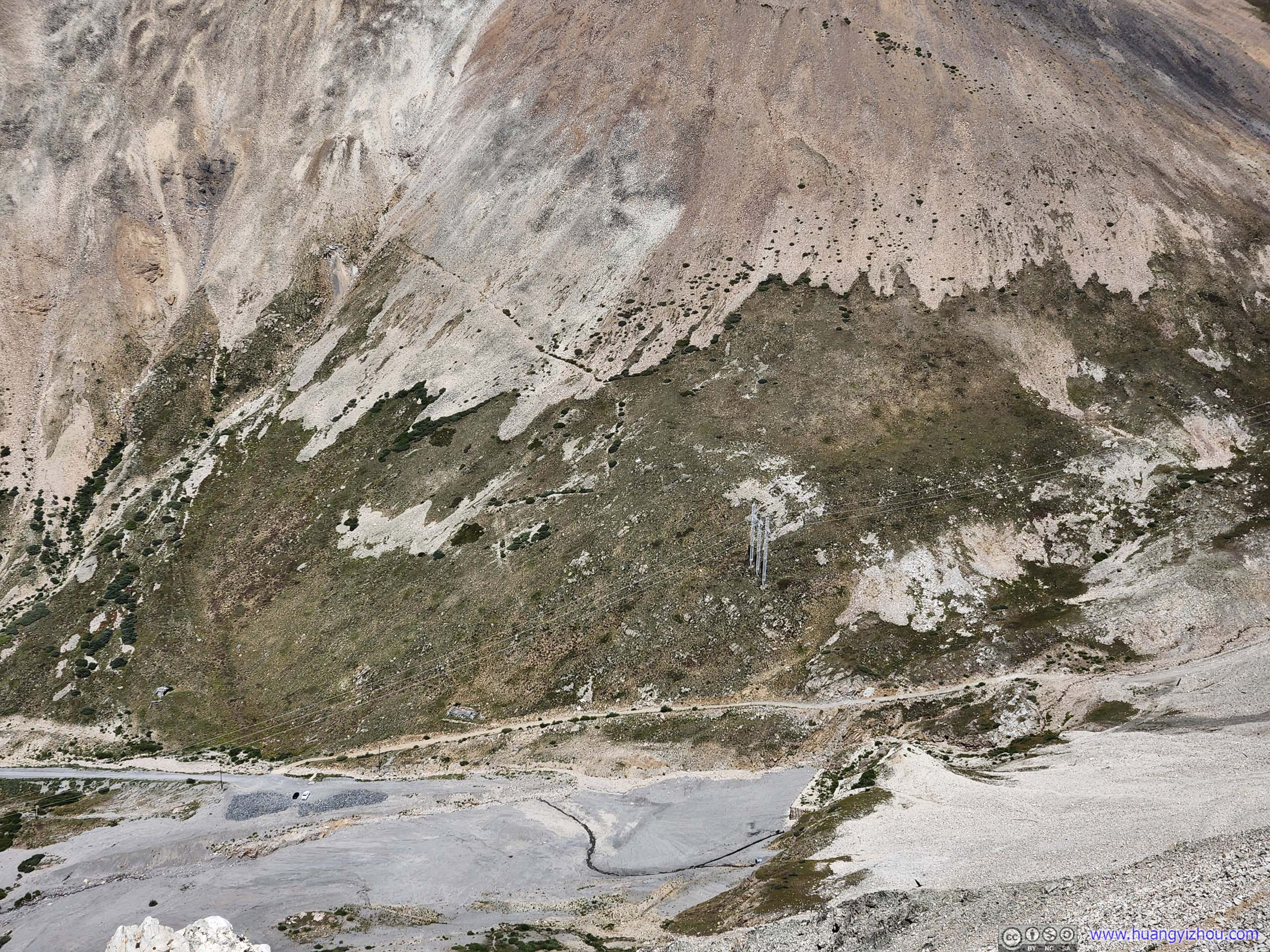
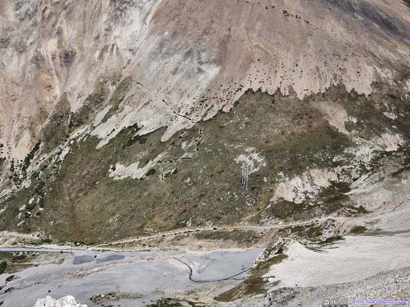
Power Lines
Also visible from the trailhead. I was a bit surprised as such mountainous terrain didn't seem like the place to build powerlines. I guessed they used to serve some mines in the mountains.
Dyer Mountain
Dyer Mountain
Iowa Gulch
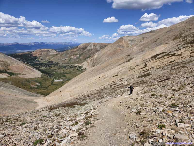
There was still considerable elevation gain for the remaining 1/3 of the trail, but it wasn't as steep as before. The views on both sides certainly made the toil more bearable.
The wind was pretty strong once on the main ridge towards Mount Sherman. I was very grateful for the Walmart jacket, otherwise I was no match for the bitterness and would probably end up catching a cold.
Trail to Mount Sherman
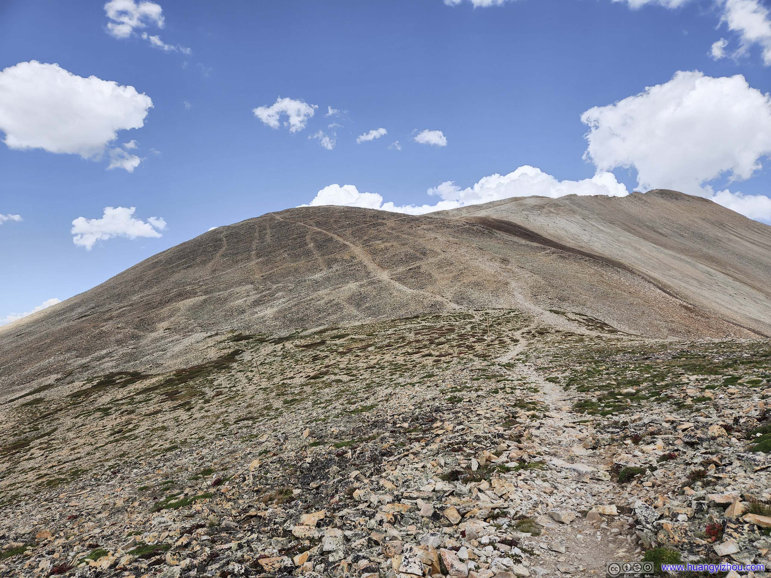
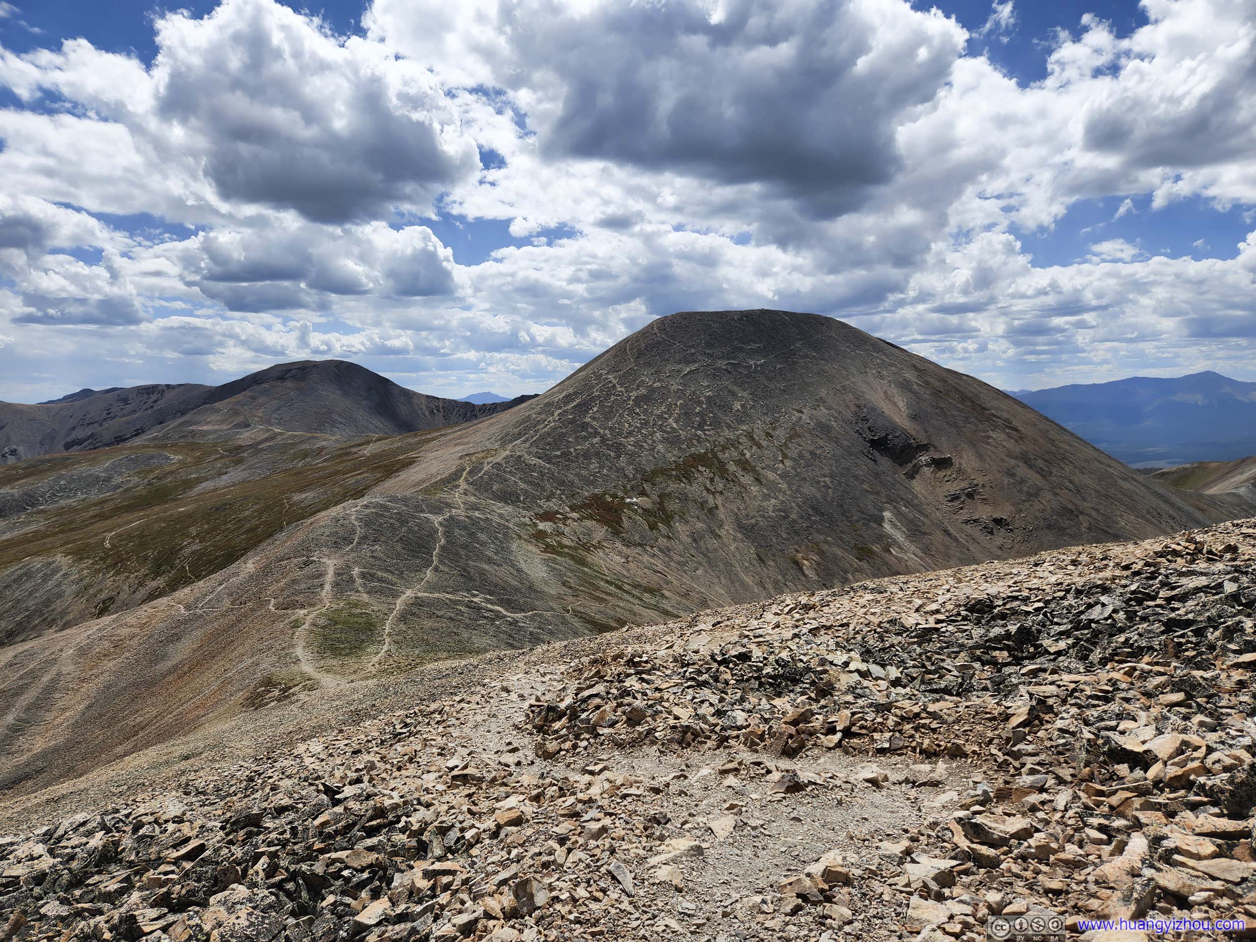
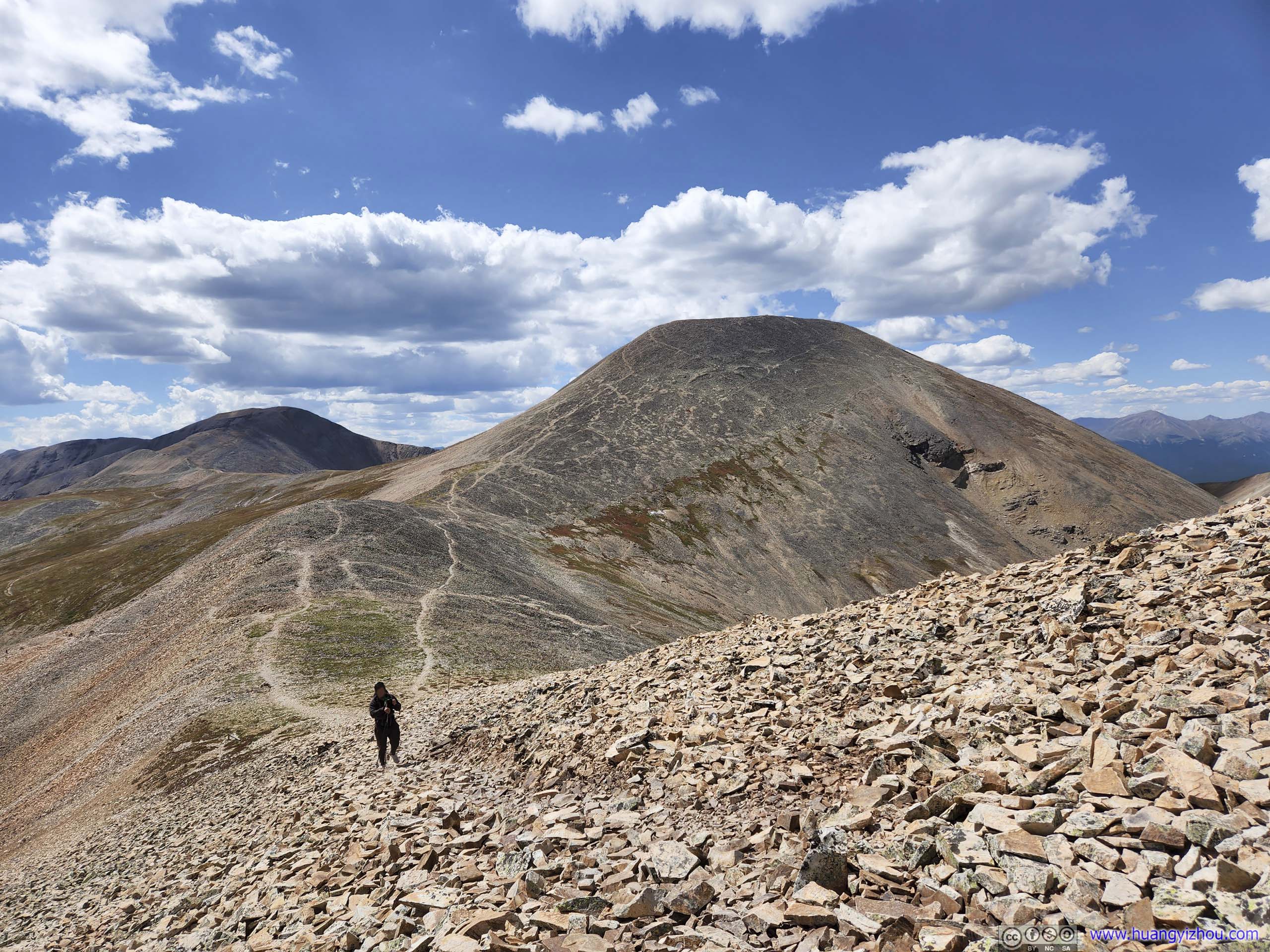
From the saddle point of Mount Sherman and Mount Sheridan where the two trails from Iowa Gulch and Fourmile Creek converged. Mount Sherman was in the back of this photo.
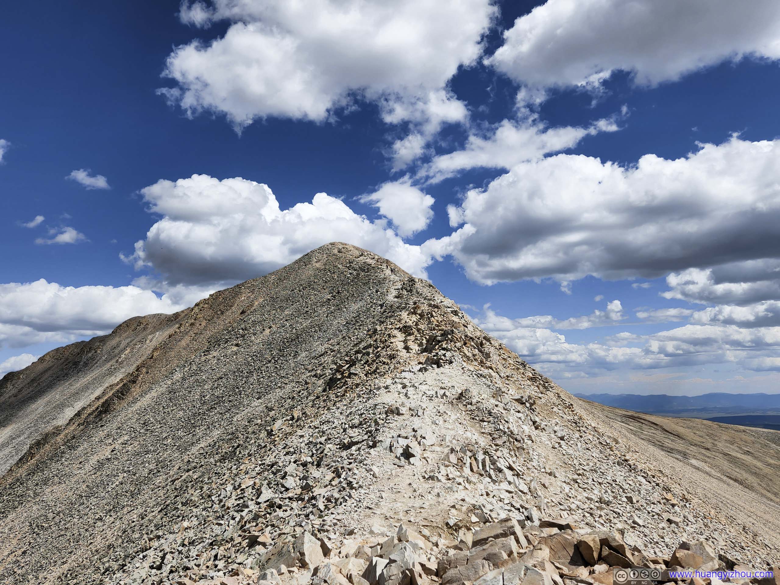
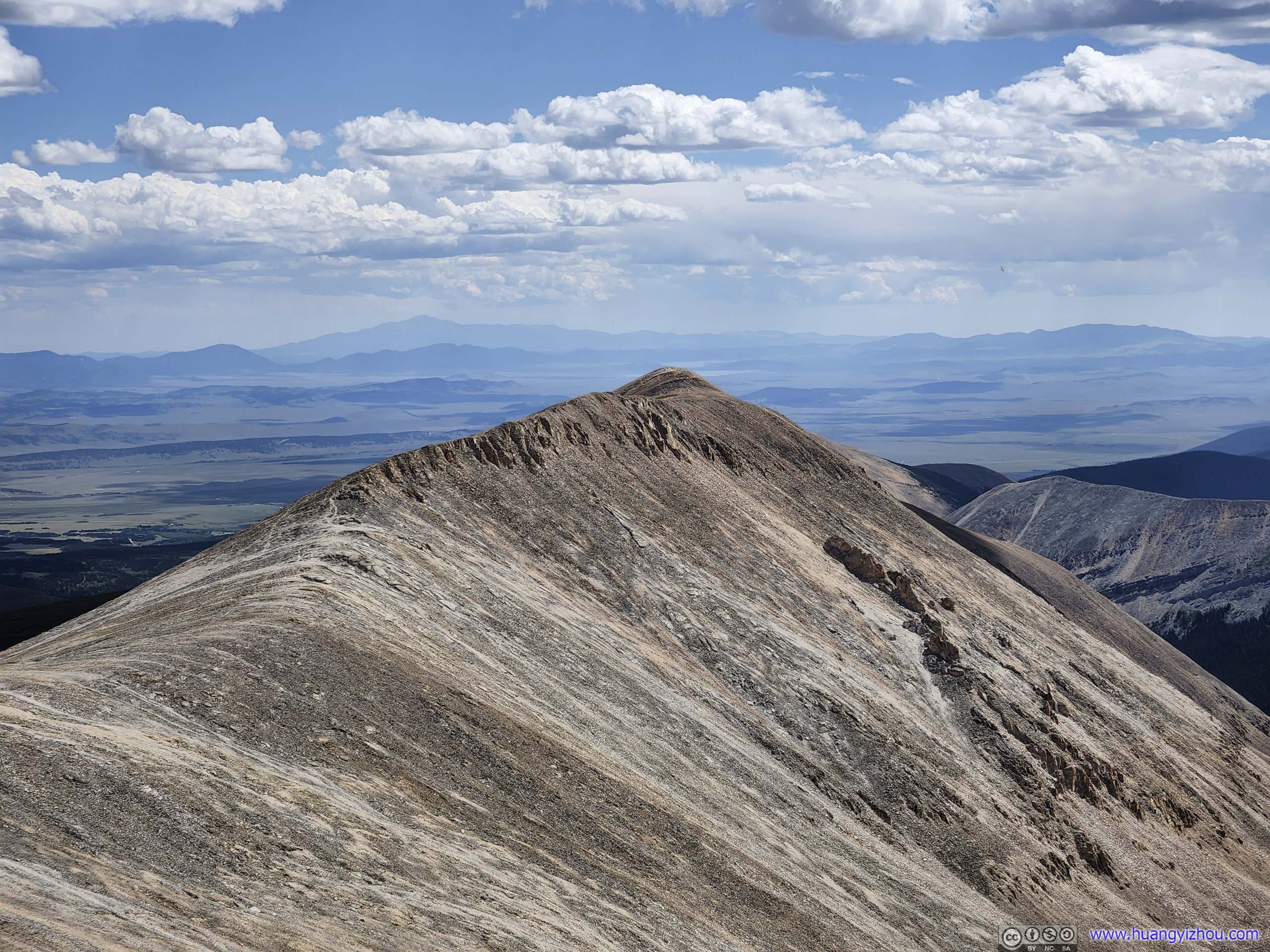
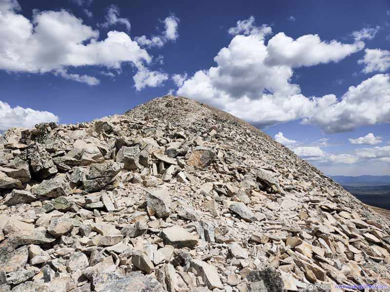
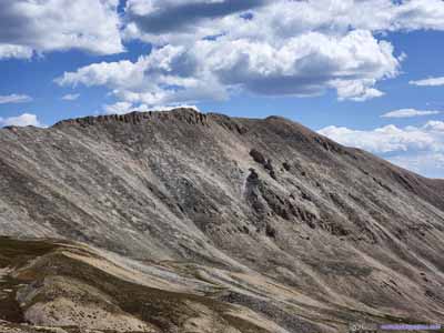
Mount Sherman Its summit as seen from the saddle point.
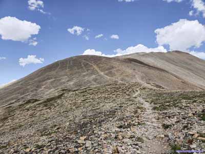
Trail to Mount Sherman
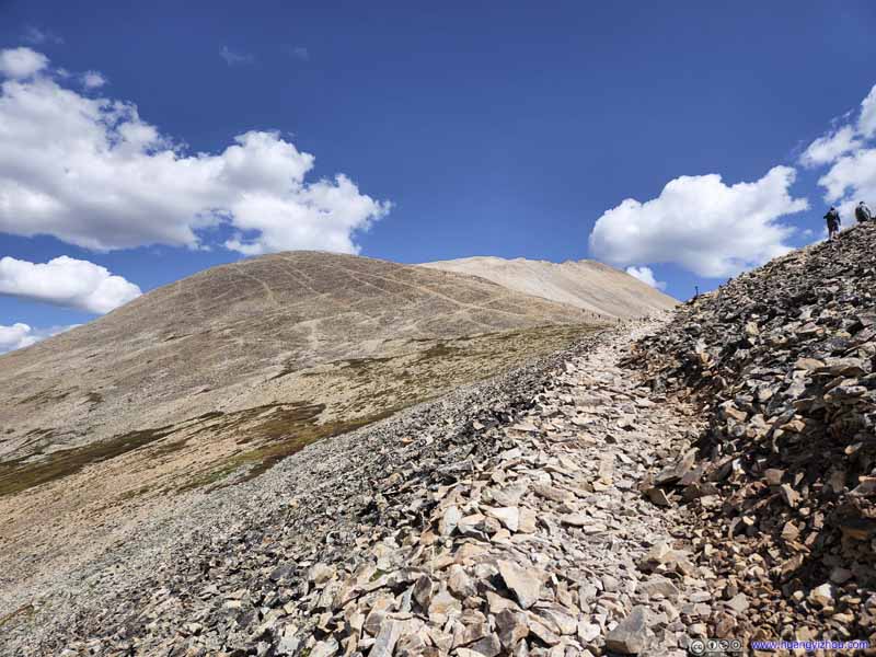
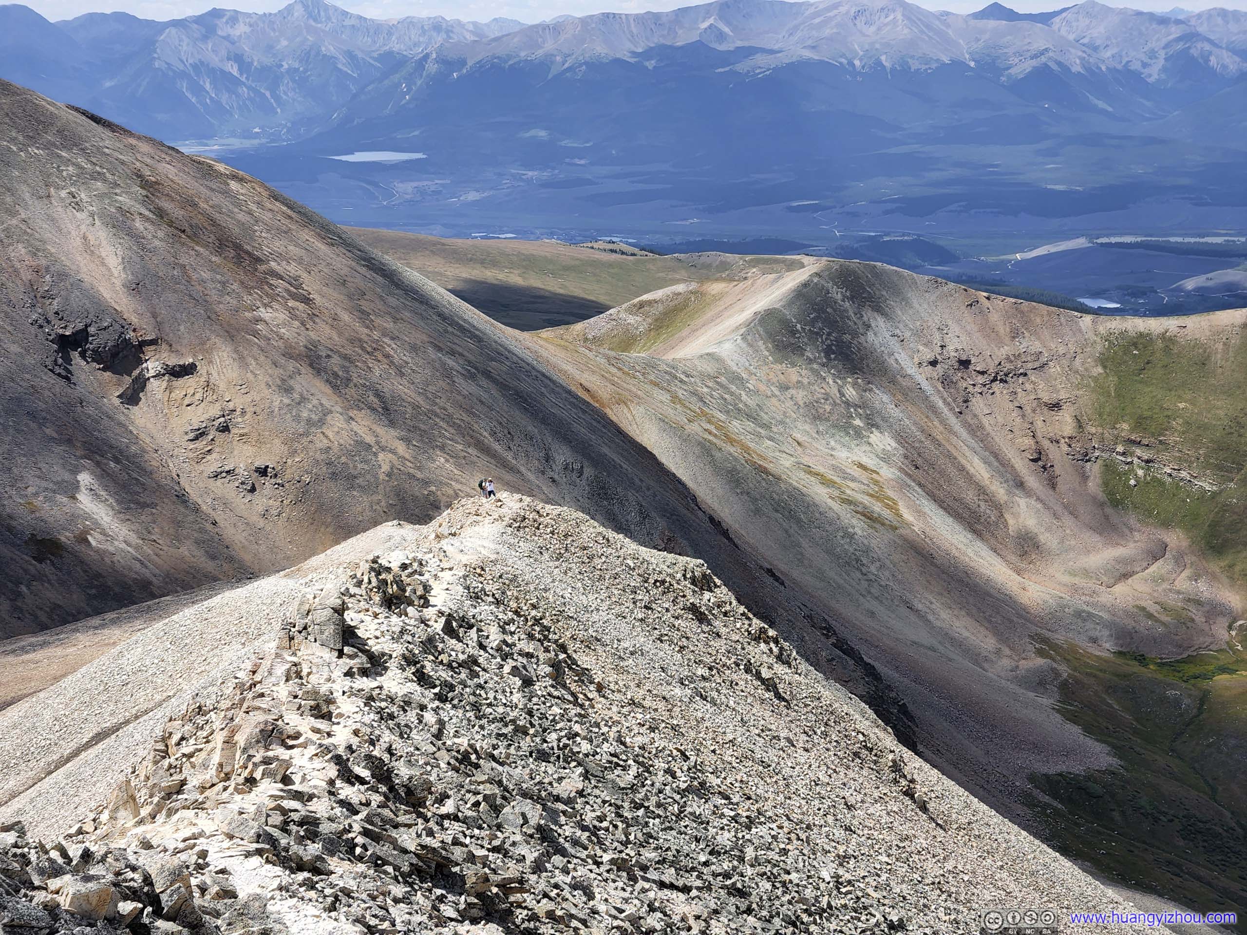
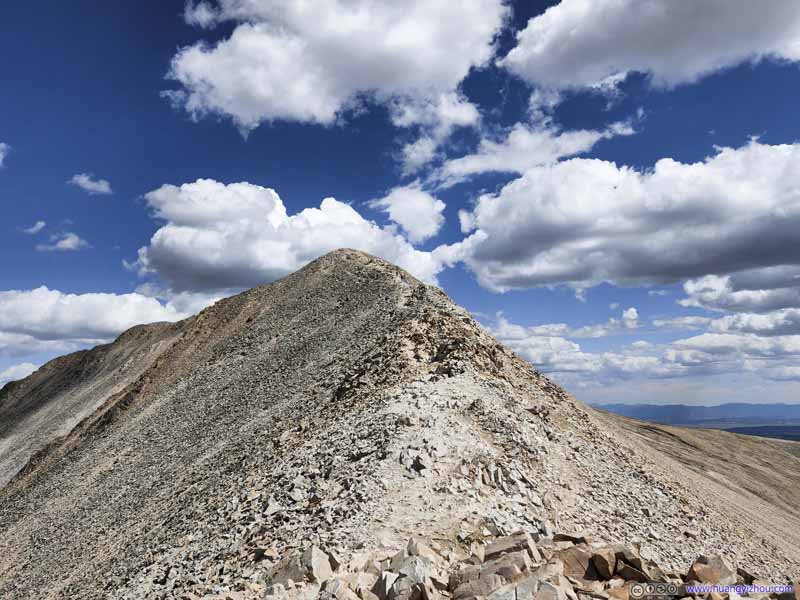
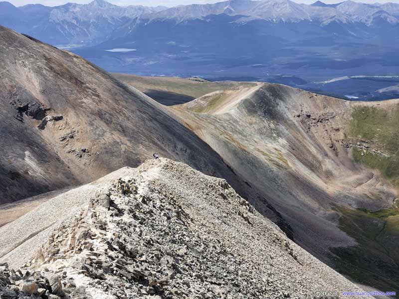
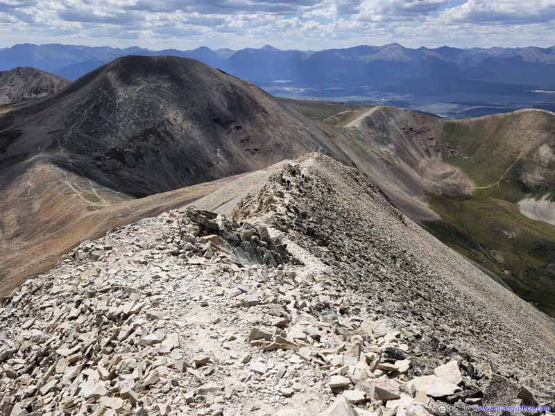
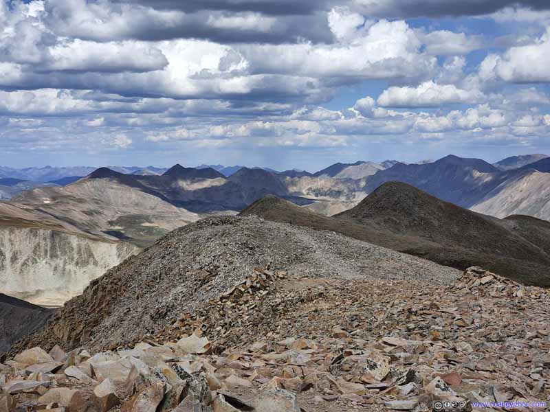
After leaving the saddle point, the ridge was getting sharper and sharper, but remained YDS class 1-2.
Trail to Mount Sherman
After leaving the saddle point, the ridge was getting sharper and sharper, but remained YDS class 1-2.
Trail to Mount Sherman
After leaving the saddle point, the ridge was getting sharper and sharper, but remained YDS class 1-2.
Trail to Mount Sherman
After leaving the saddle point, the ridge was getting sharper and sharper, but remained YDS class 1-2.
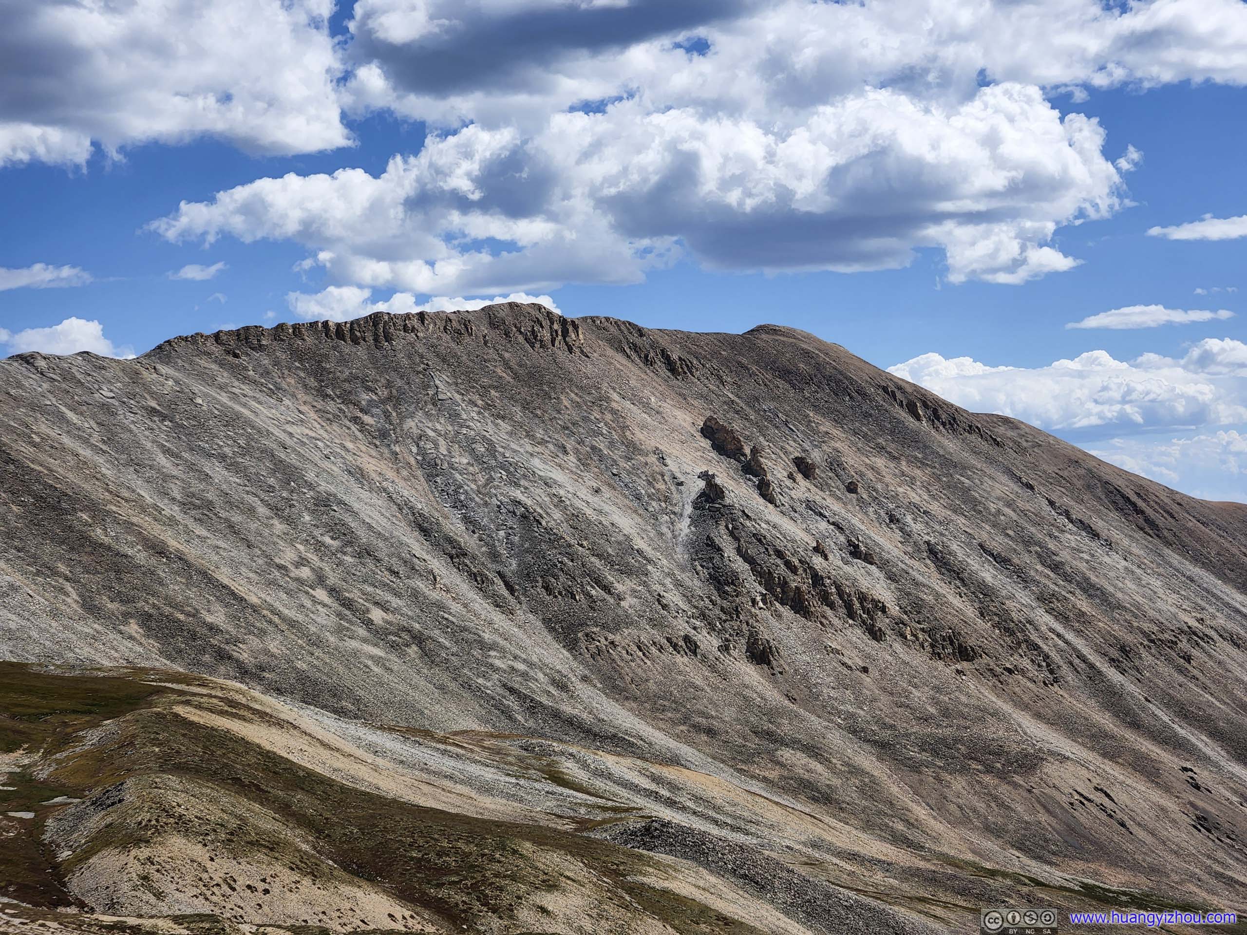
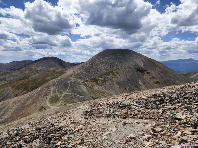
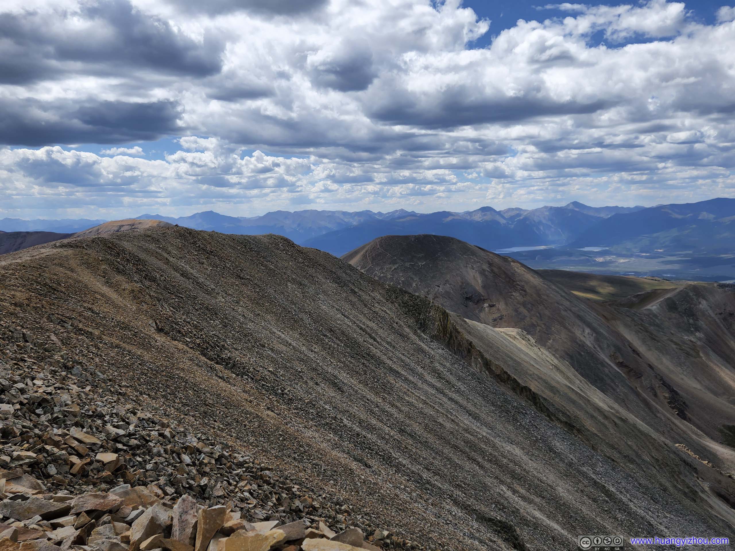
Mount Sheridan A backdrop for the trail leading up to Mount Sherman.
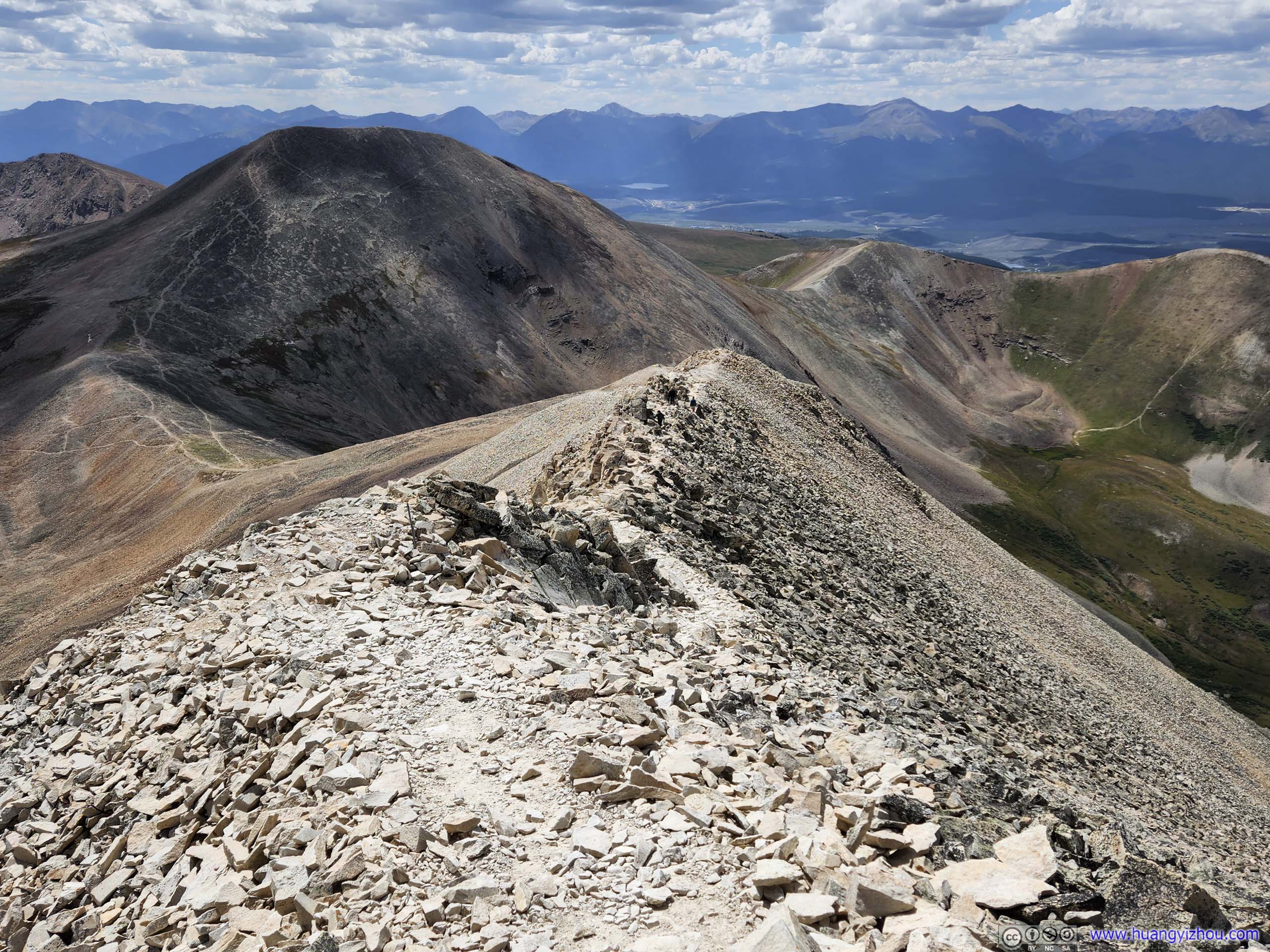
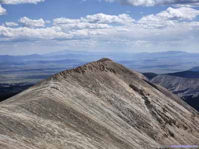
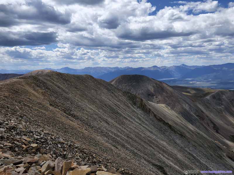
Mount Sheridan (top) and Ridge from Mount Sherman (bottom).
Mount Sheridan was like a little brother of Mount Sherman to the south. I couldn't find the name of the ridge but it sure looked spectacular.
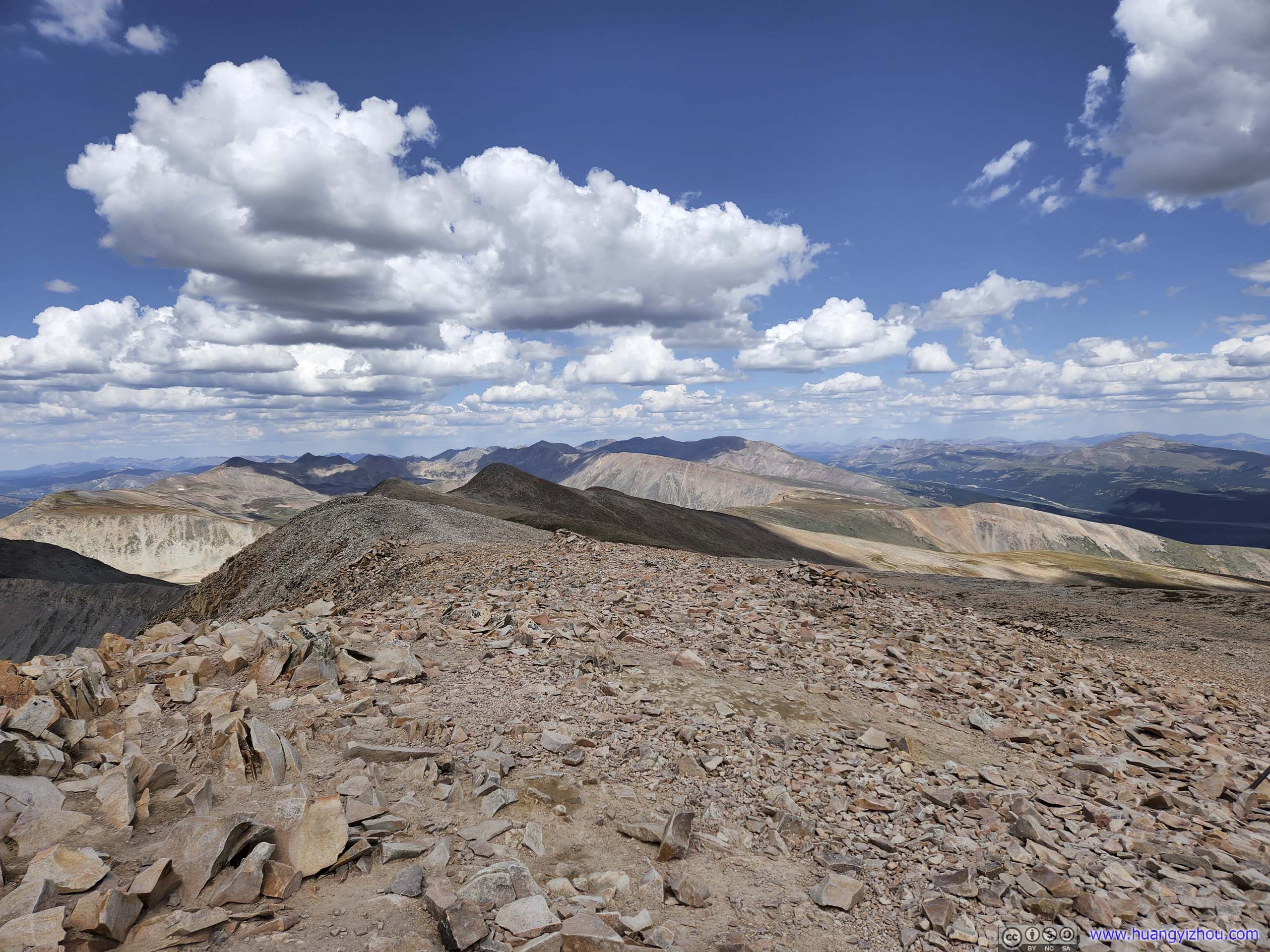
Finally, 2 hours after the start, we reached the summit of Mount Sherman at 12:50pm.
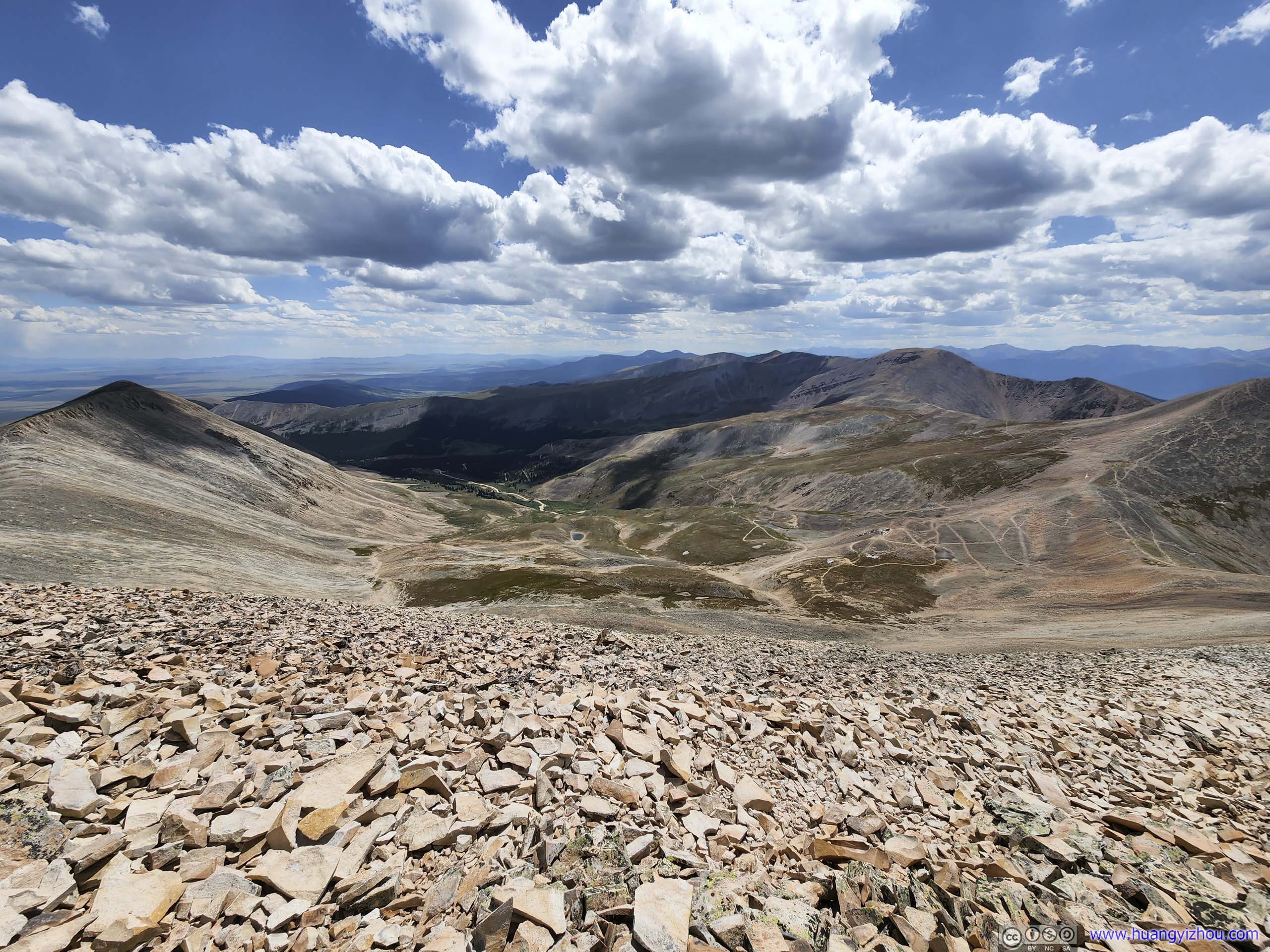
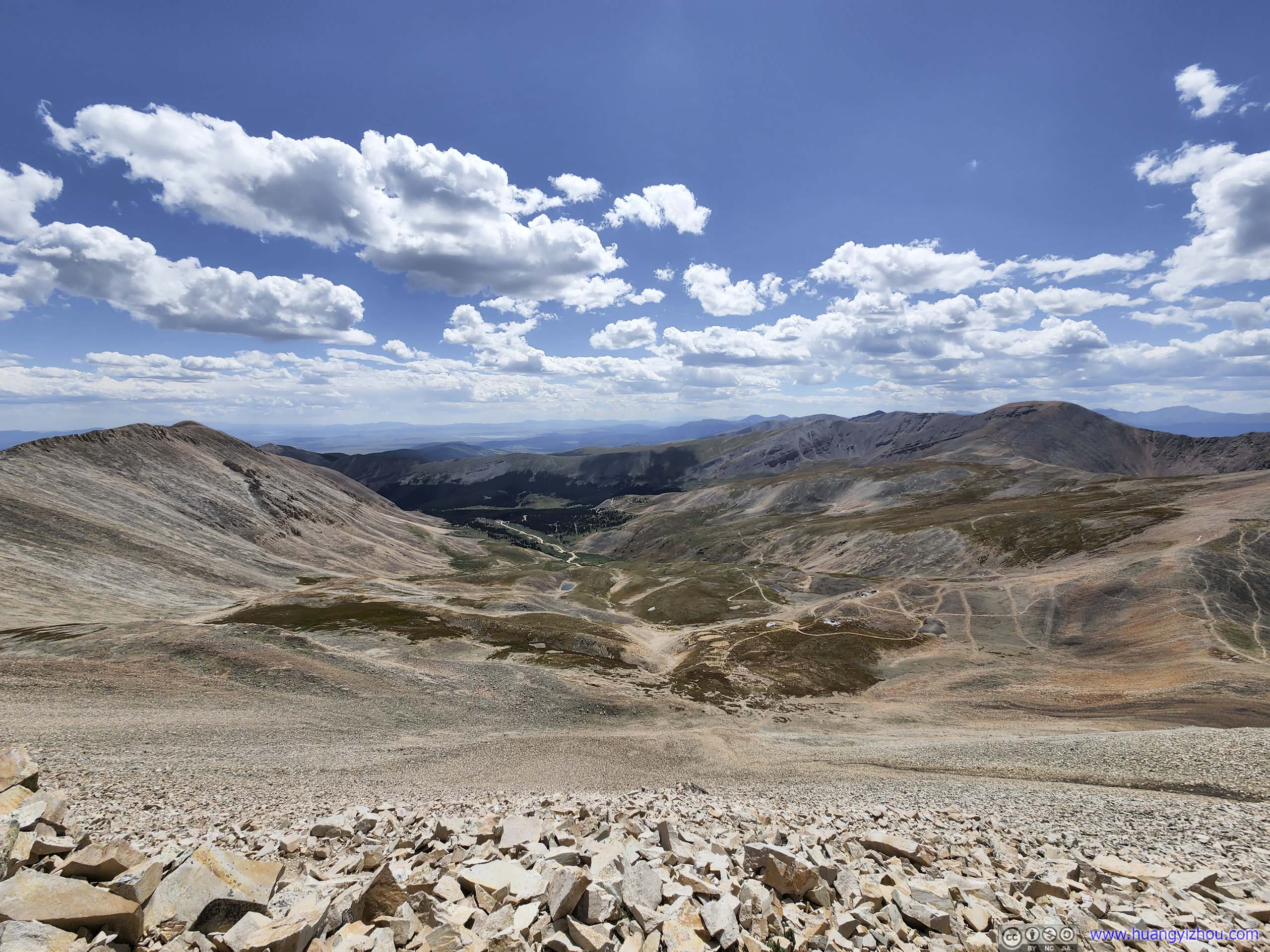
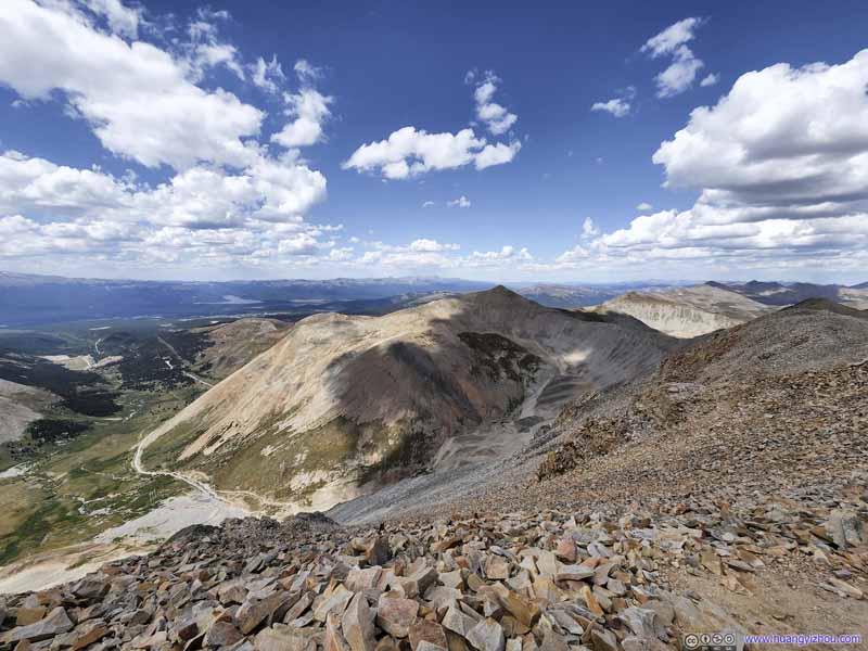
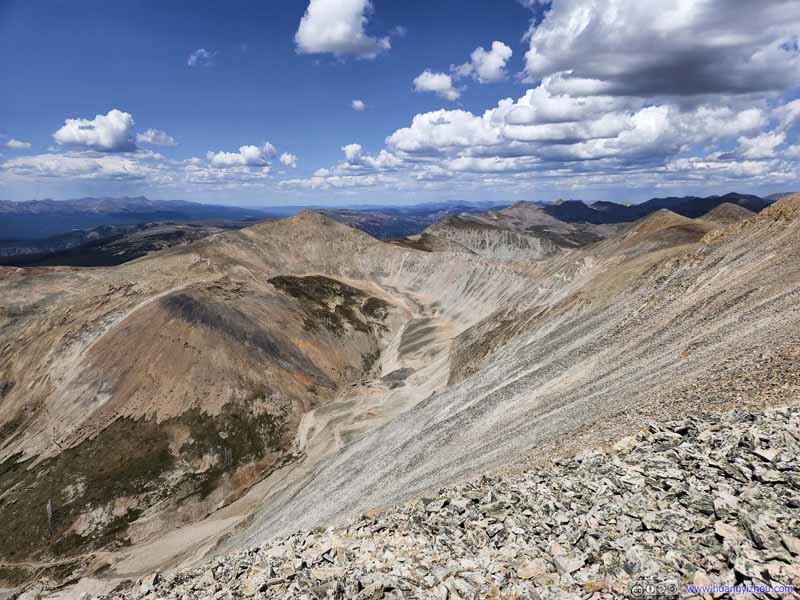
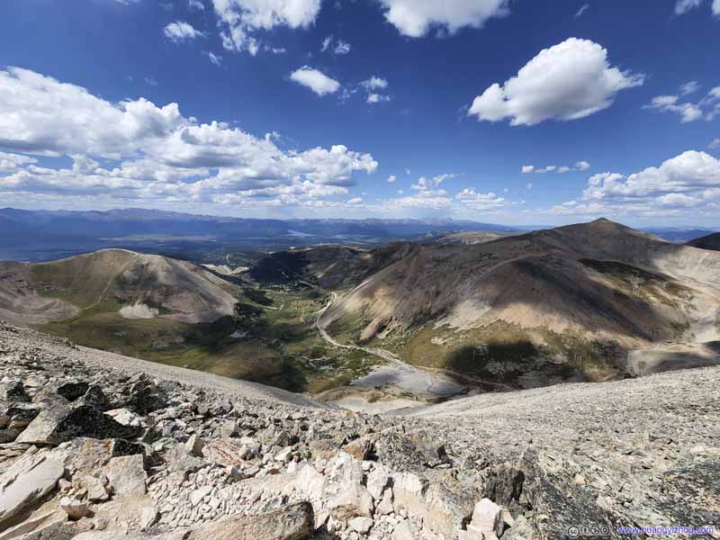
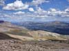
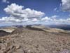
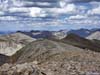
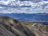
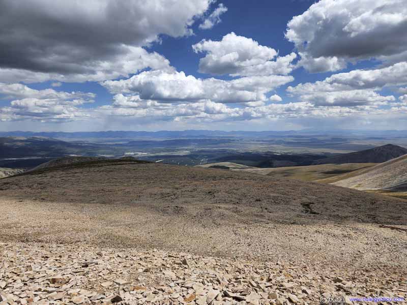
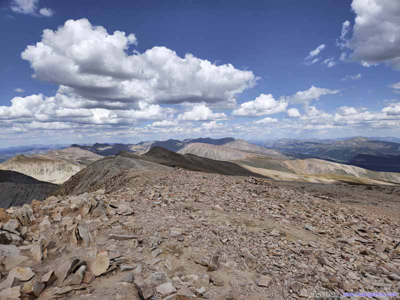
Like many other summits of 14ers, the summit was marked by a ring of rocks. The steep western face of Mount Sherman meant we were given front-row views of Iowa Gulch, town of Leadville, against the spectacular backdrop of Sawatch Range mountains. The eastern face of Mount Sherman was almost flat, and we were partly used to the views from the previous few days, so that's less exciting. But it provided shelter from the wind, and offered enough space for the many hikers to spread out.
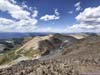
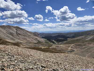
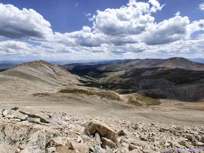
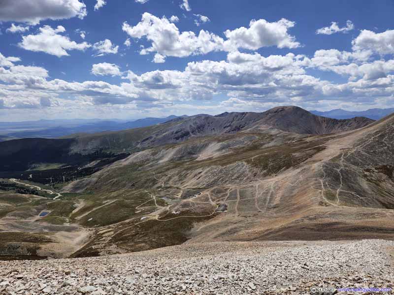
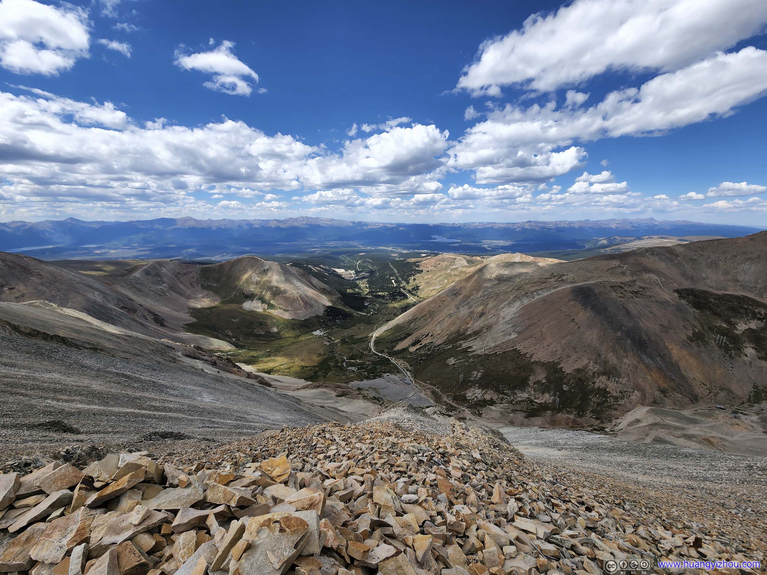
Iowa Gulch A spectacular view from the summit towards the west.
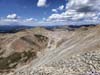
Iowa Gulch A spectacular view from the summit towards the west.
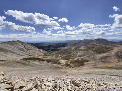
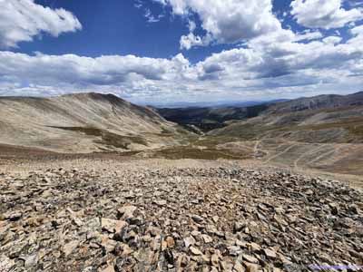
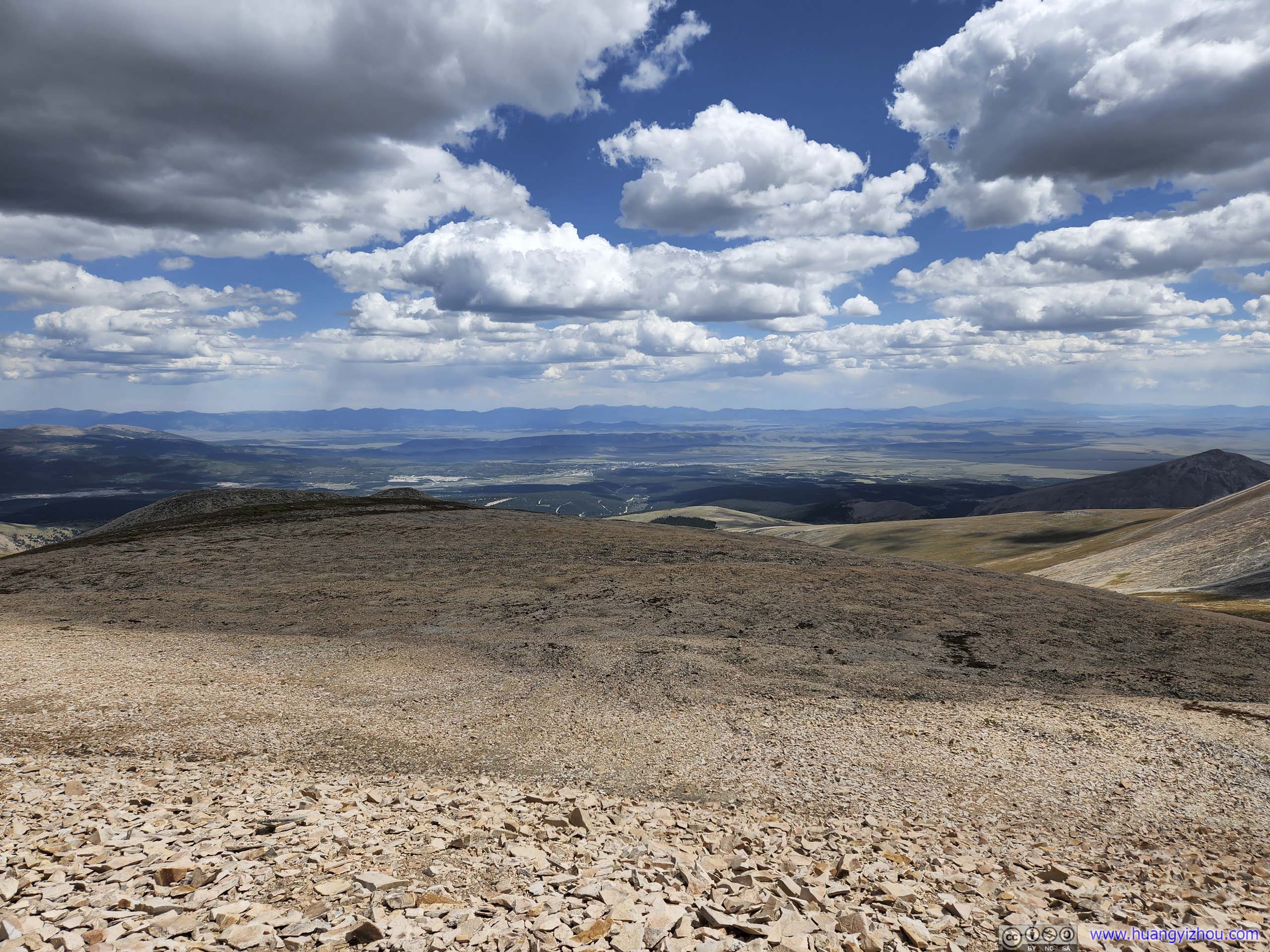
Fields to the East Vast openness, in a relative sense.
Mountains to the Northeast Front Range mountains. Torreys and Grays Peaks were a constant sight these days.
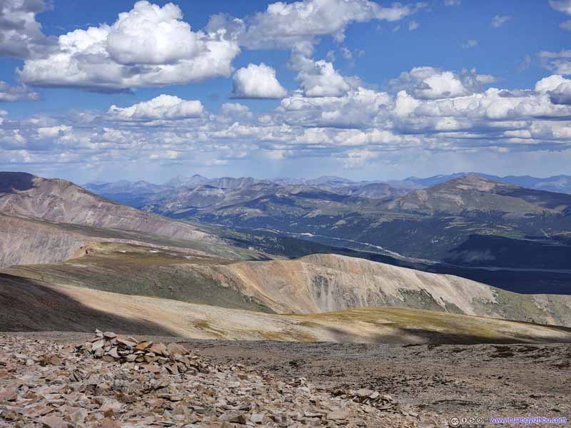
Mountains to the North
Gemini Peak in the foreground, Mountains of DeCaLiBron Loop and Quandary Peak, which we summited the previous two days, in the background towards the right.
Mountains to the North
Gemini Peak in the foreground, Mount Democrat and Quandary Peak, which we summited the previous two days, in the background towards the right.
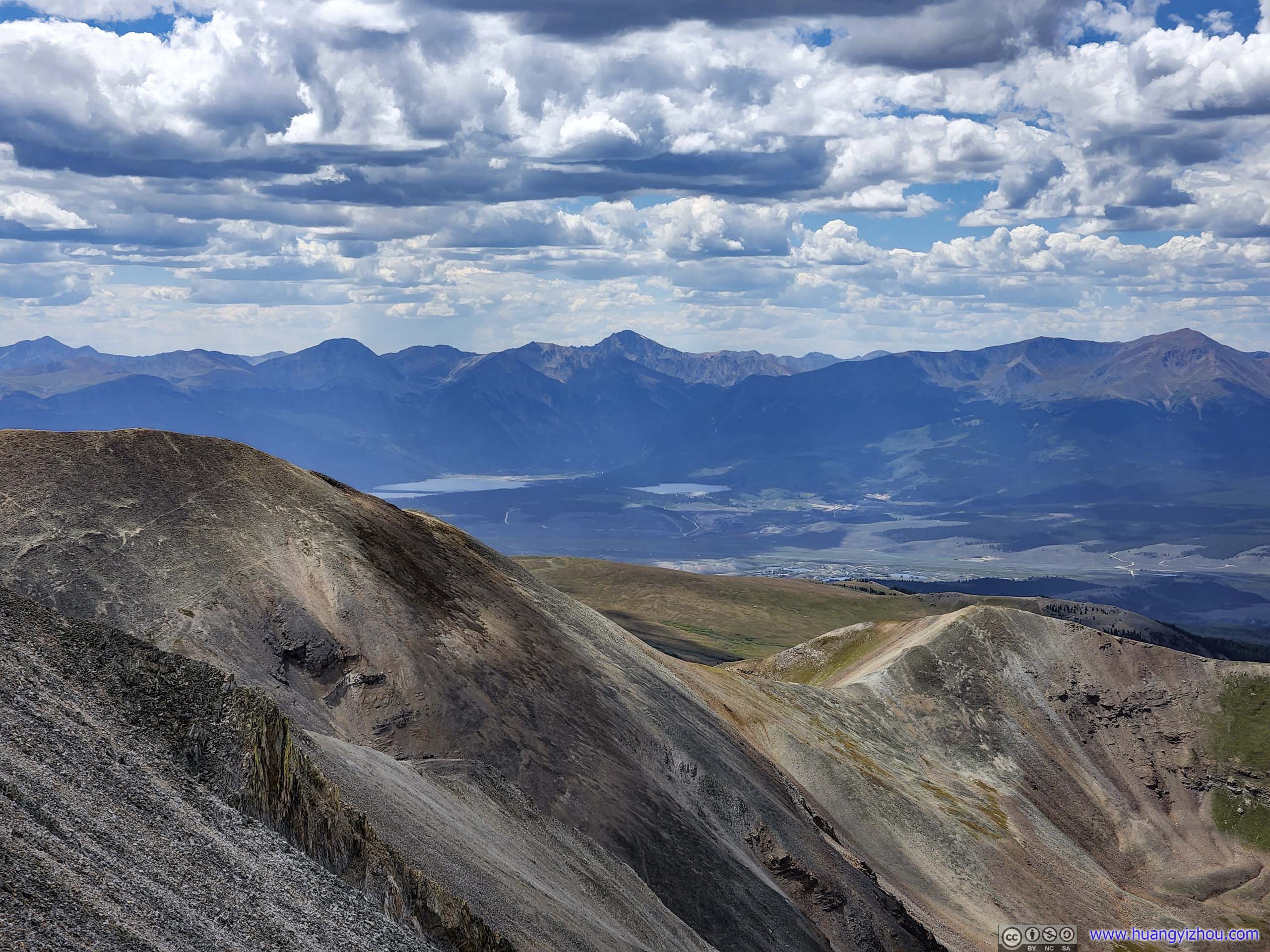
Mountains to the Southwest
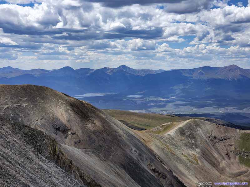
La Plata Peak (4372m) in the center, Twin Lakes at its feet. Mount Elbert (4401m) as Colorado's highest mountain to the right edge of the frame.
Mount Sheridan To the south, a little brother of Mount Sherman. Their names were pretty similar.
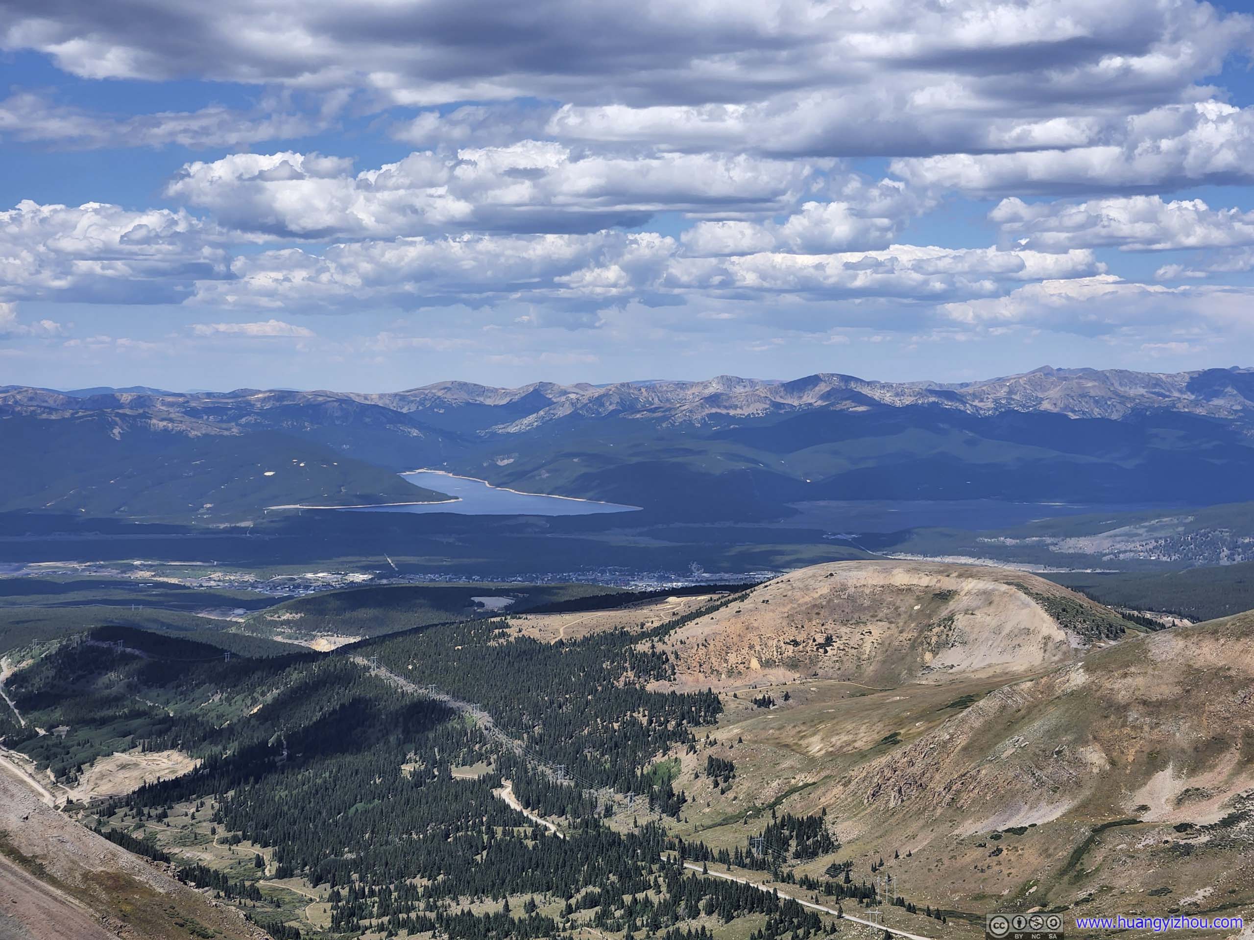
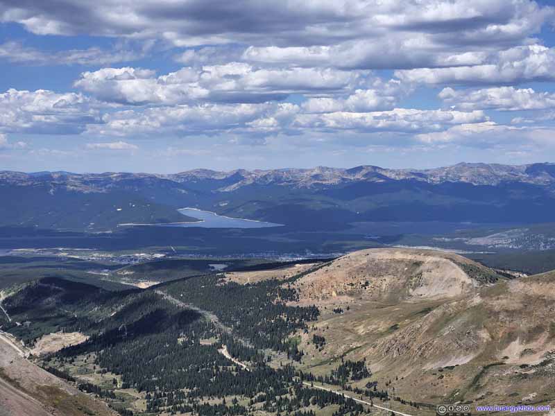
Turquoise Lake Beyond the town of Leadville.
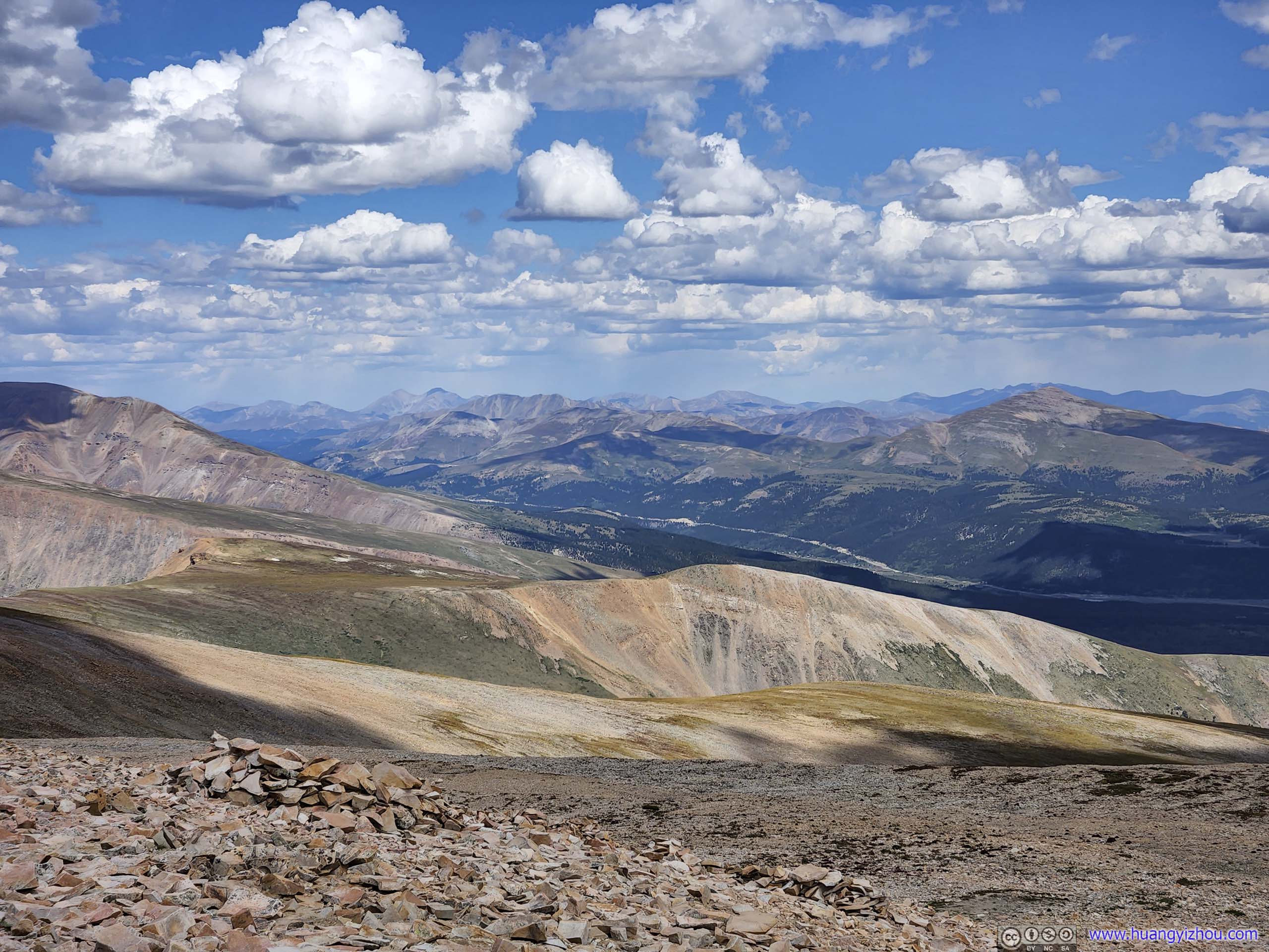
Mountains to the South Southern tip of Mosquito Range.
View from Mount Sherman Towards the west (top) and east (bottom).
We stayed for about 35 minutes at the summit of Mount Sherman, before making our way down at 1:25pm. The descent was uneventful, and we made it back to the car just before 3pm.
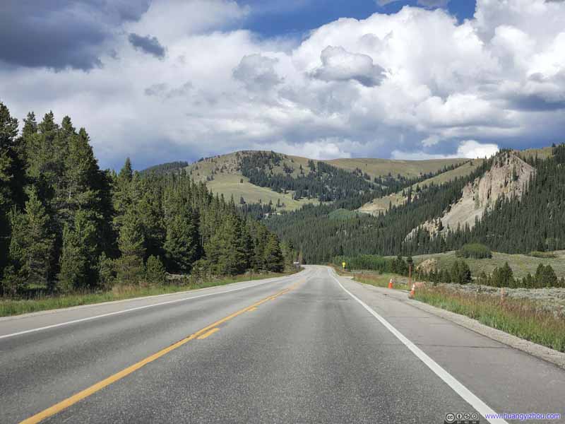
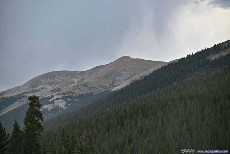
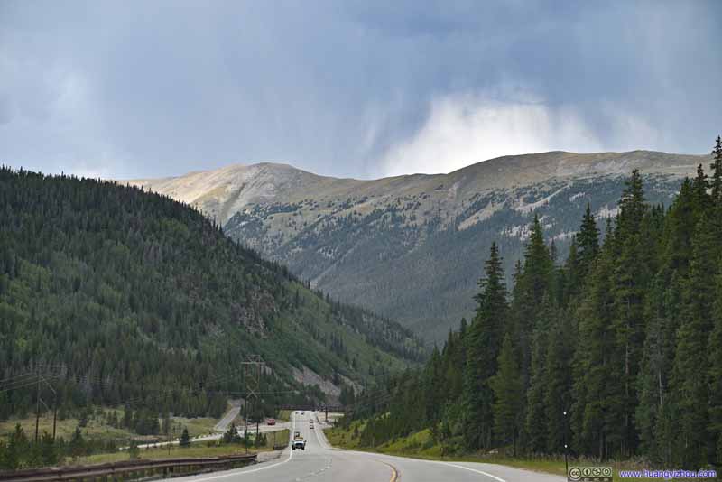
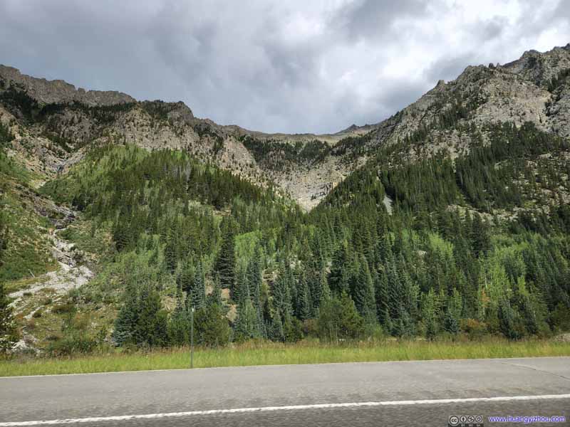
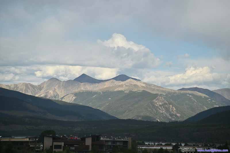
After that, we made our way back to our Airbnb outside Breckenridge. On the way back, I managed to pick up some notable peaks of Tenmile-Mosquito Range.
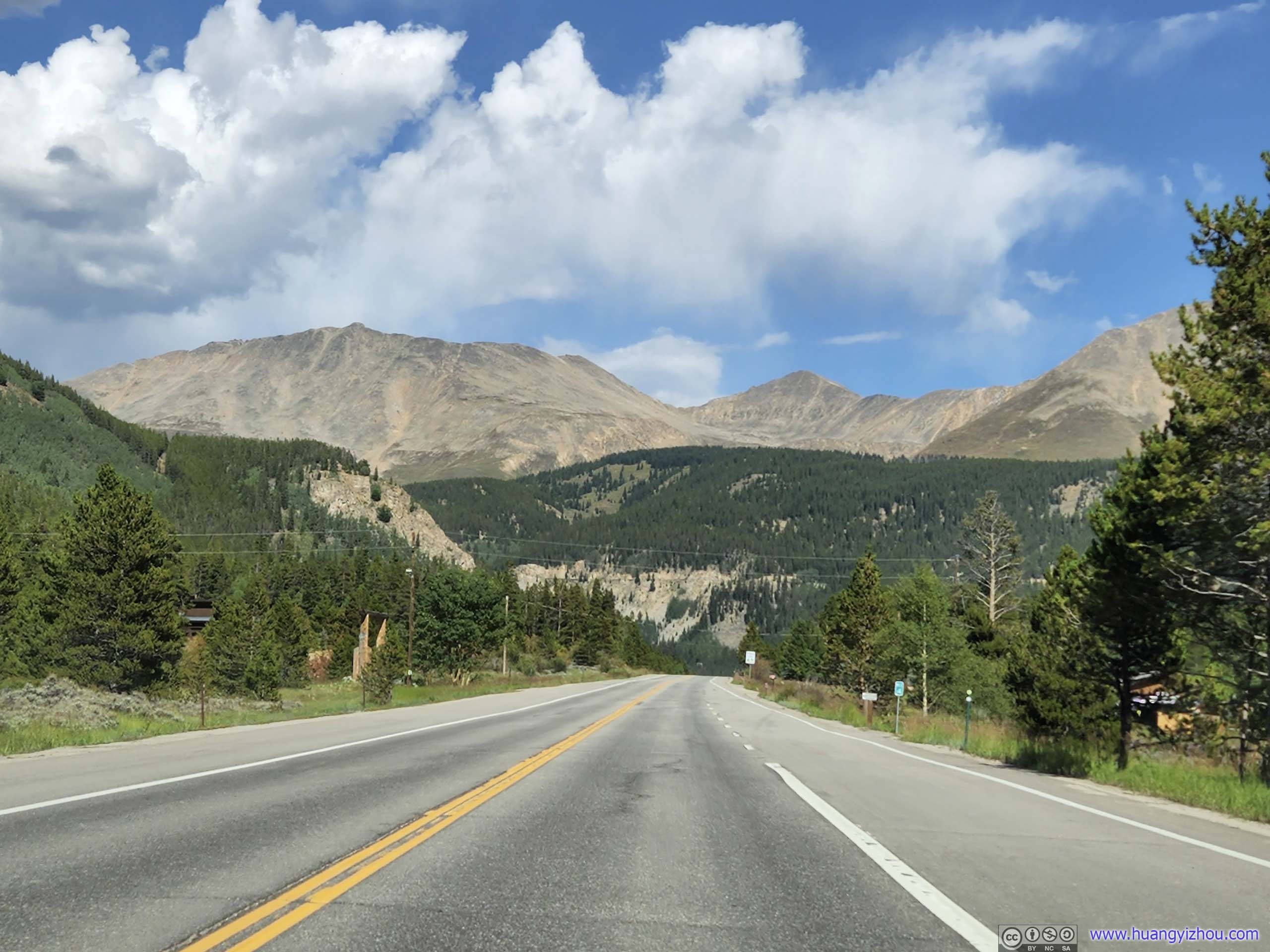
Mount Arkansas and Mount Tweto
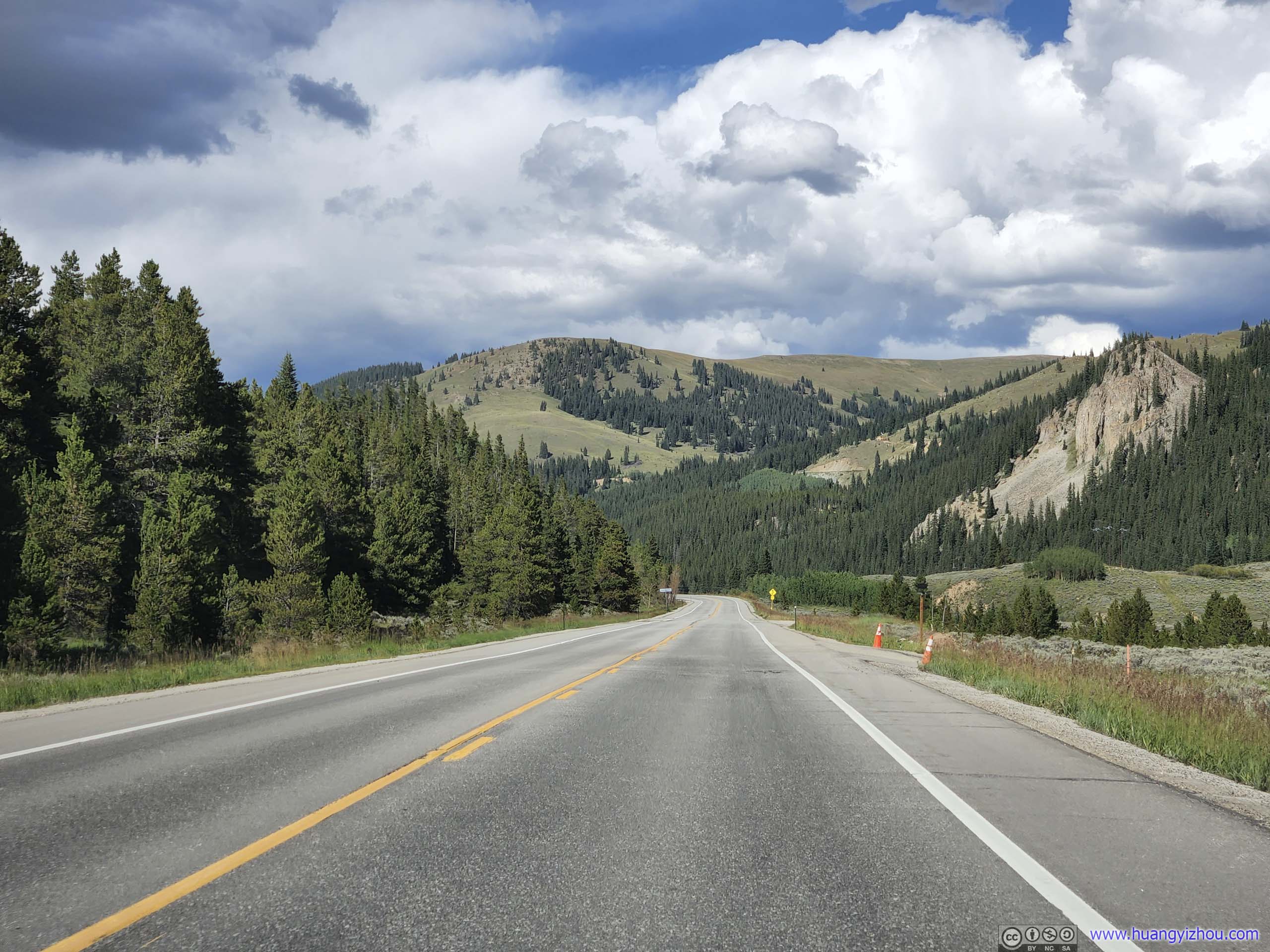
Country Road
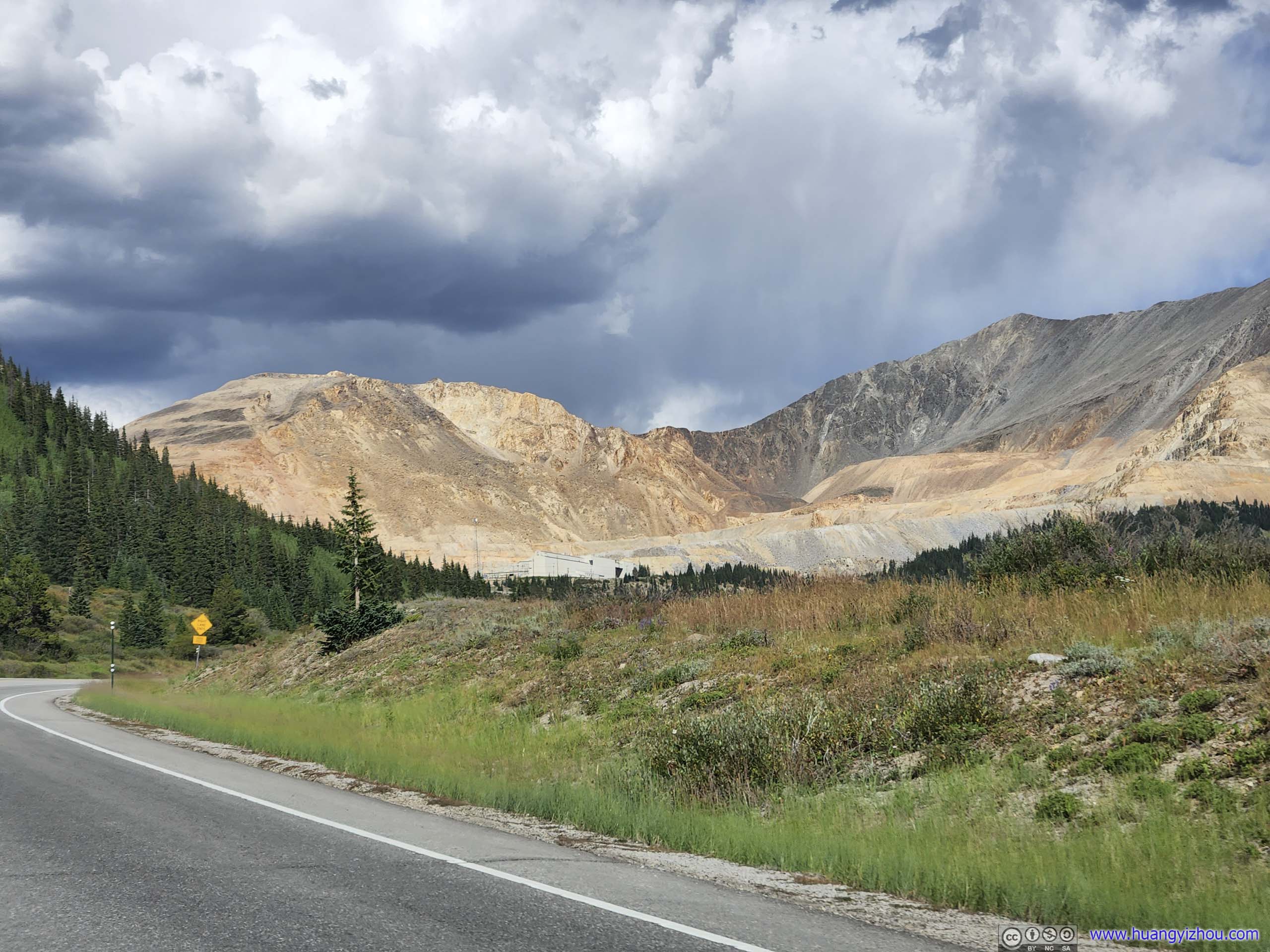
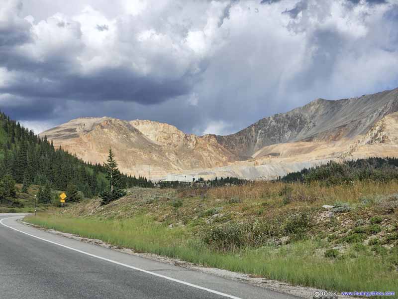
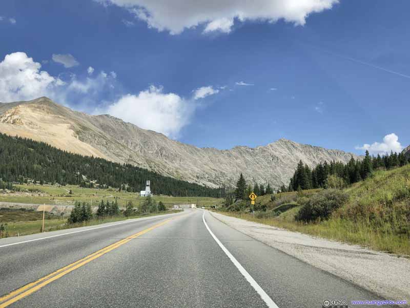
Bartlett Mountain and Clinton Peak At the foot of which was Climax Mine, a major molybdenum mine still in operation.
Bartlett Mountain and Clinton Peak
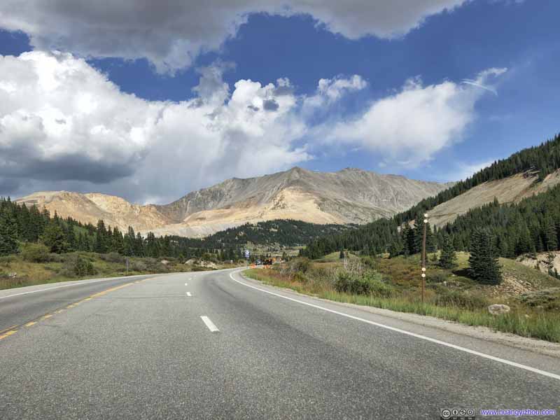
Mosquito Range Mountains
Mount Democrat Which we summited the previous day.
On our way back, we ran into some patchy storm around 4pm, just as the weather forecast predicted. Finally, we can breathe a sigh of relief that we made it off the mountains before the storm hit.
Mountain Of Tenmile Range. The peak on the left was Fletcher Mountain, just to the west of Quandary Peak.
Peak 8 Of Tenmile Range, just west of the town of Breckenridge.
Mountains of Tenmile Range Likely Peak 4 and 5.
Mountains of Tenmile Range Right along I70.
Distant Mountains
Captured just as we were exiting I70. Torreys and Grays Peaks, two soaring 14ers, in the background under the clouds. In front of them to the left, Grizzly Peak, which we summited 3 days ago, appeared in the sun.