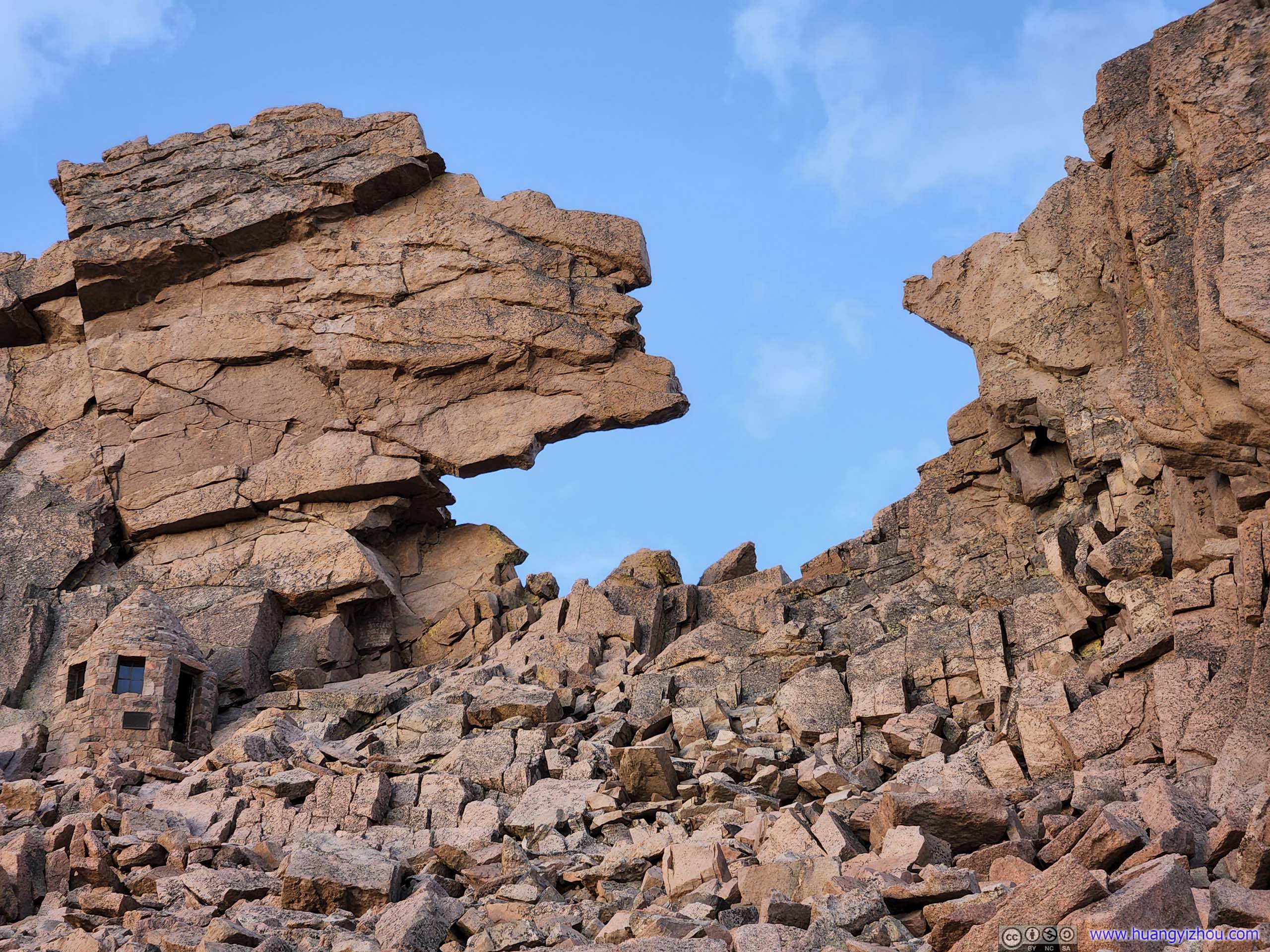
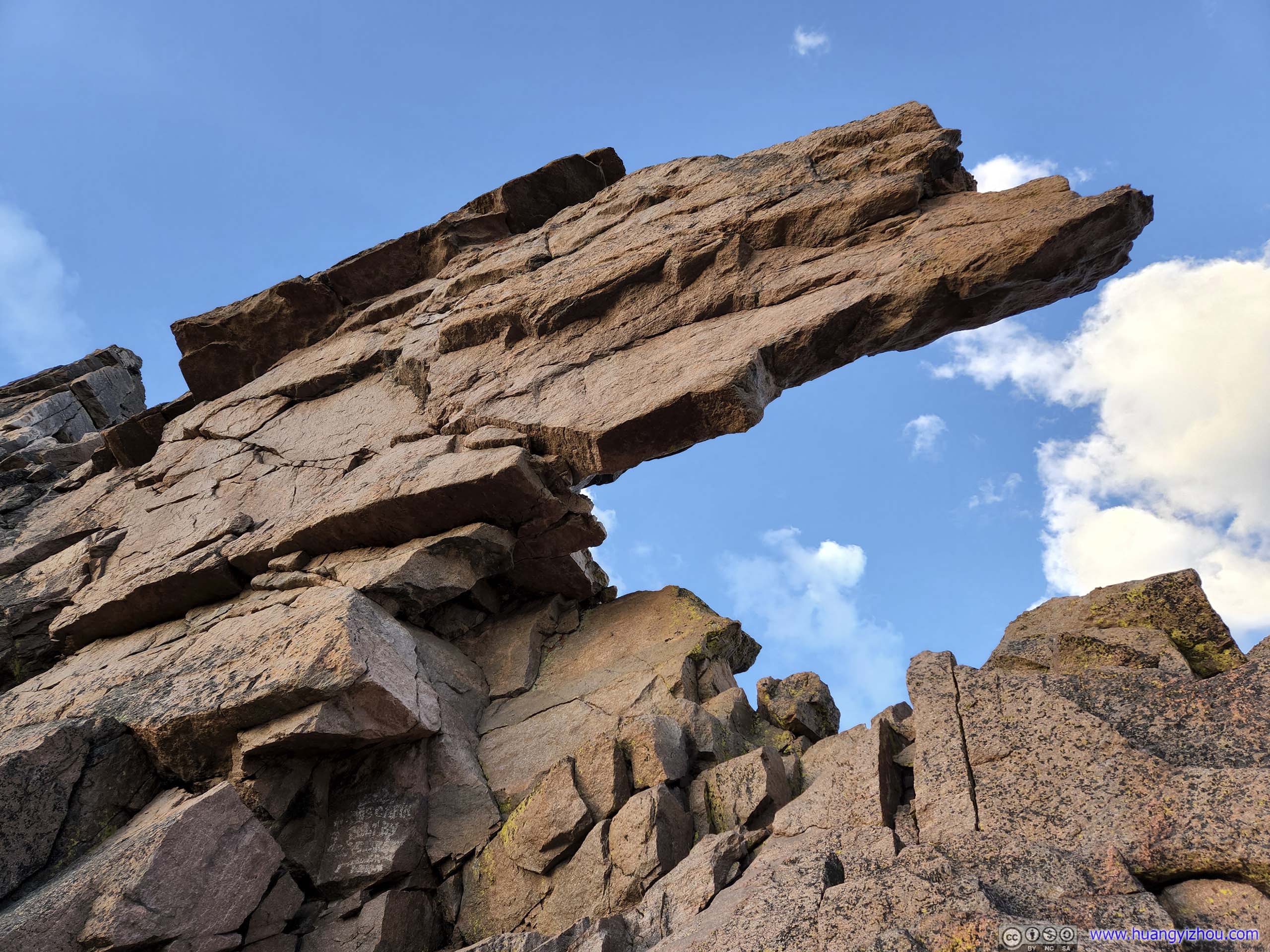
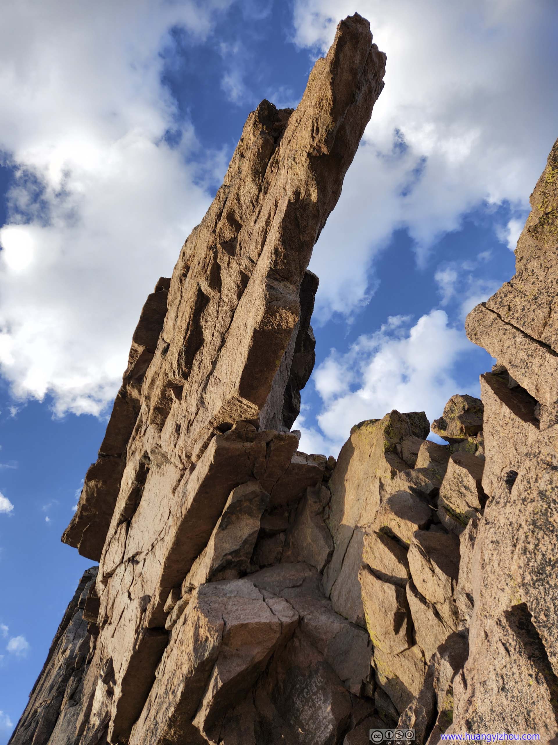
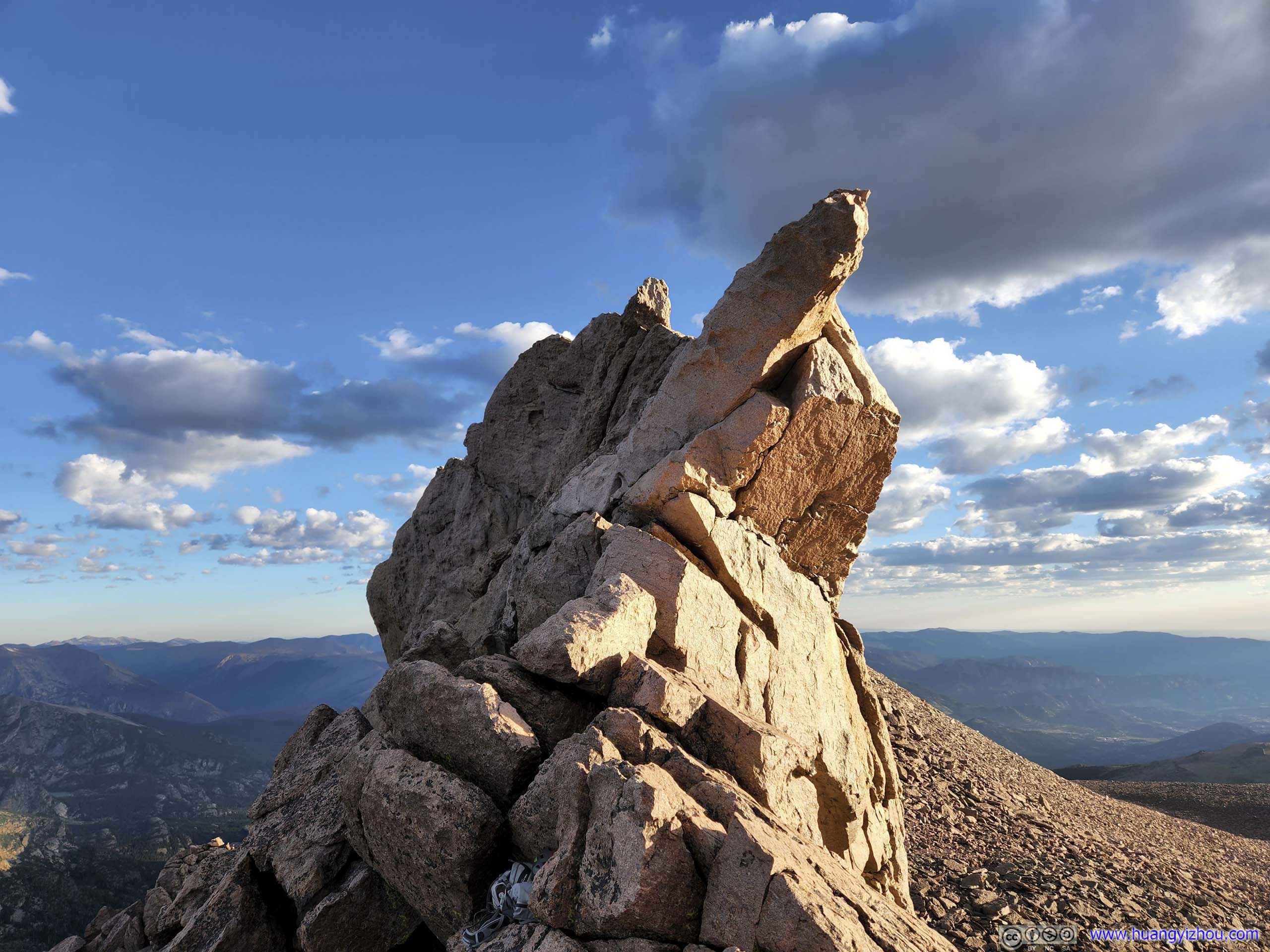
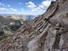
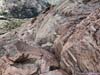
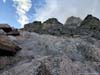
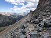
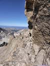
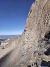
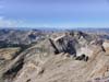
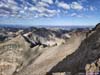
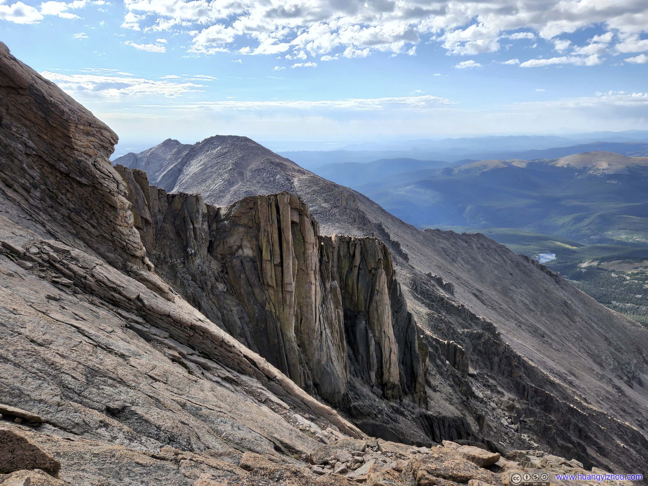
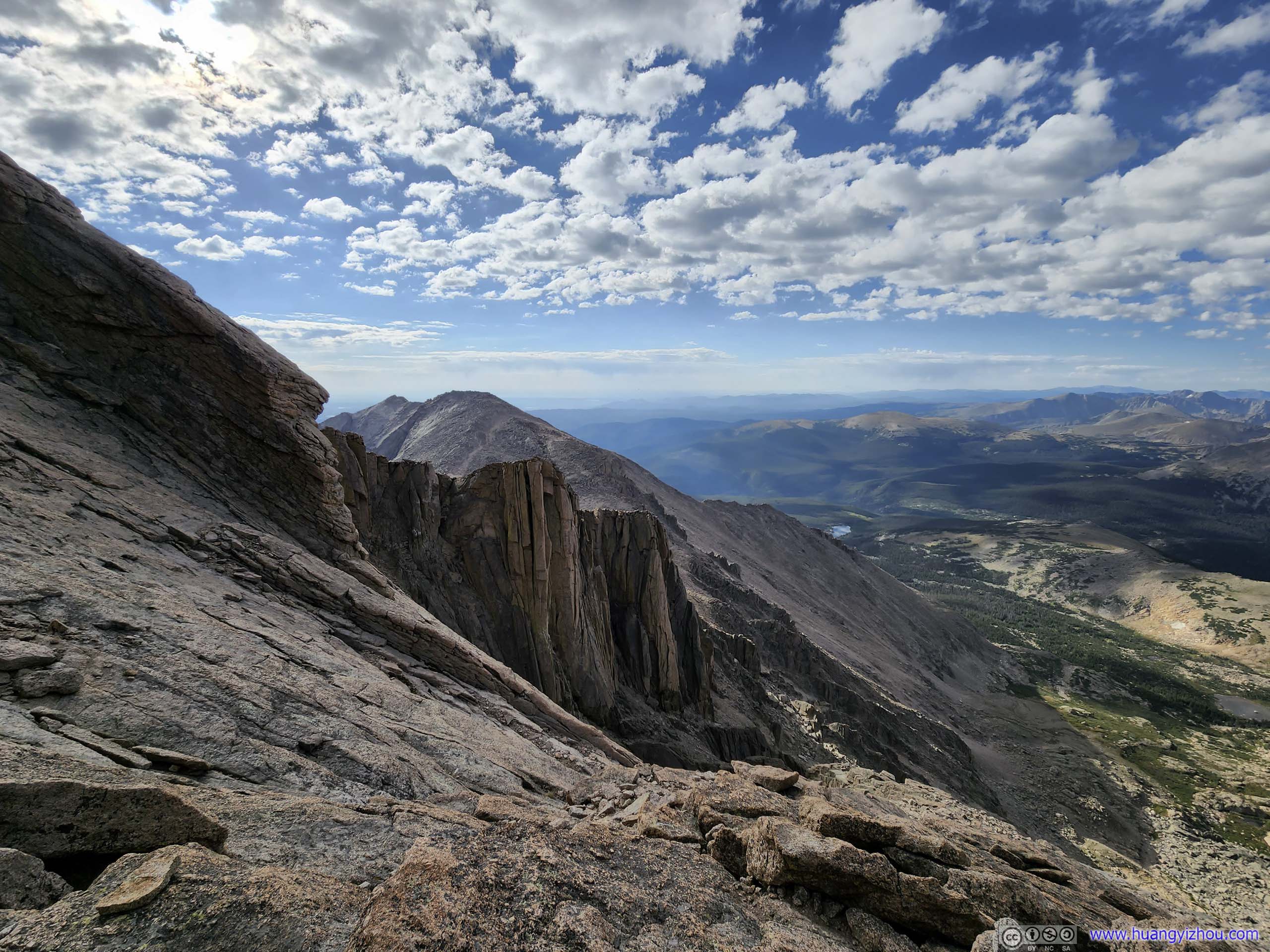
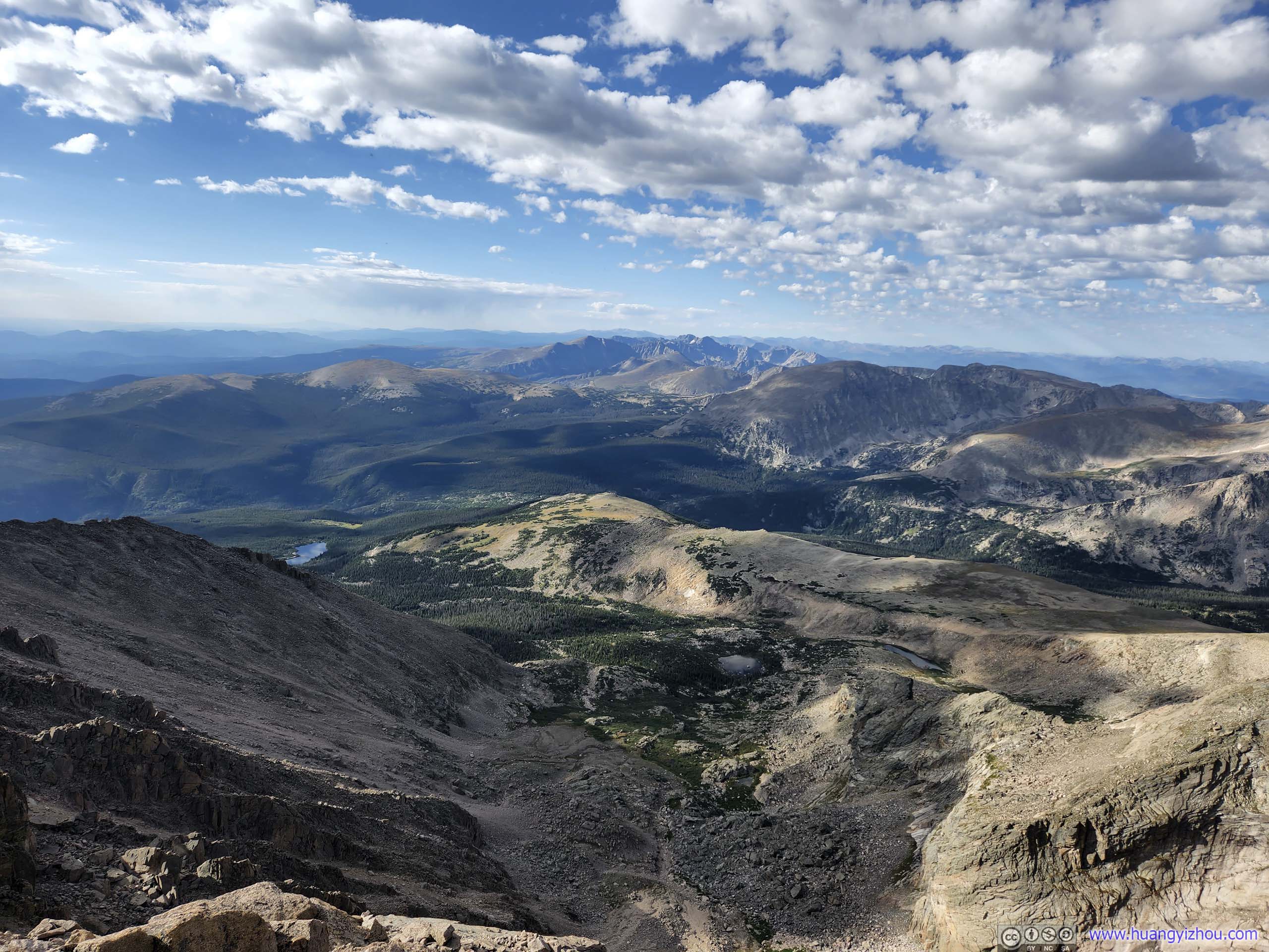
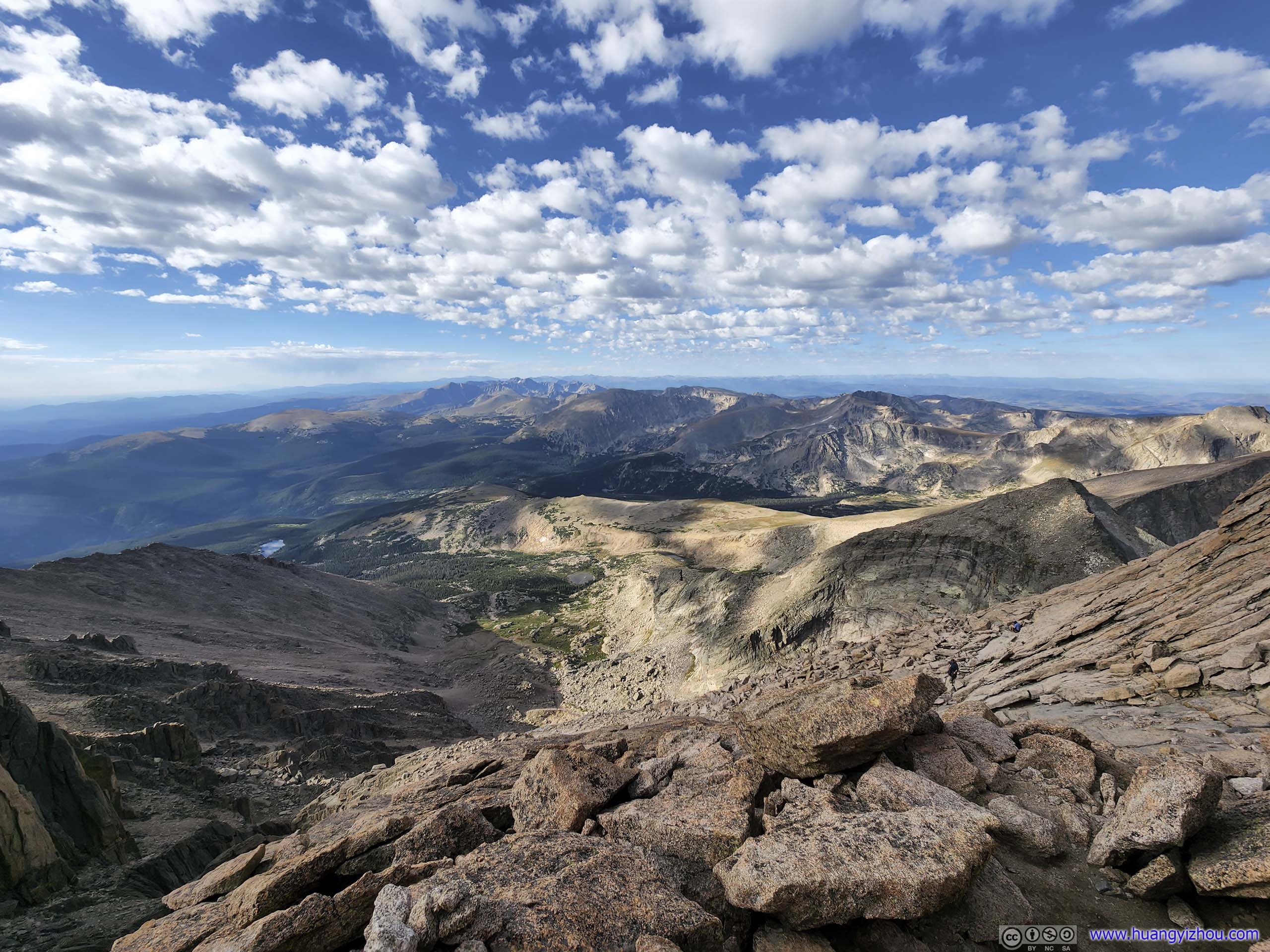
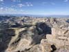
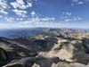
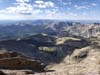
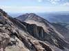
Day 6 of 2022 Colorado Trip, Longs Peak, Crest of Rocky Mountain National Park
Sixth and probably the most exciting day of our 2022 Colorado trip. We would be climbing Longs Peak via Keyhole route, a stunning YDS class 3 14er in Rocky Mountain National Park for intrepid adventurers.
Longs Peak
It's almost like a yearly tradition that I climbed one YDS class 3 mountain per year for the last two years. Now I would extend that by one more year by climbing Longs Peak. At an elevation of 4346m/14259ft, it's the highest mountain in Rocky Mountain National Park.
A few notes on why I picked Longs Peak. It's easily accessible from the Denver metropolitan area, has a paved parking lot, and from my previous experience, trails in a national park were always well maintained. (It turned out there were a few pit toilets along this trail.) The extensive amount of paint markings along the "Keyhole" route means there's no route-finding. And its Diamond face is an iconic alpine wall, a splendor of its own.
This being our first time climbing Longs Peak, we picked its standard "Keyhole" route. At 22km roundtrip with 1500m elevation gain, it would certainly live up to the name of "Longs".
My friend and I reserved two days on our trip for climbing Longs Peak, Sept 2 and 3. Our plan was to make the climb on the day with better weather conditions. It turned out that by noon, Sept 1, the weather forecast indicated similar chances of precipitation for these two days, so we committed on Sept 2, on that it's a Friday with potentially fewer crowds.
But with the possibility of rain in the forecast, we wanted to get up and down the mountain early before potential storms hit in the afternoon. (Unfortunately, not too early as we would like to have natural light for the scrambling sections after Keyhole.) With that, we left our hotel before 2am, and reached the trailhead around 2:30am. The parking lot was only about half full by the time we arrived.
After some warmup, we started the journey at 2:50am. Unwillingly, this was my first alpine start.
Here's GPS tracking:
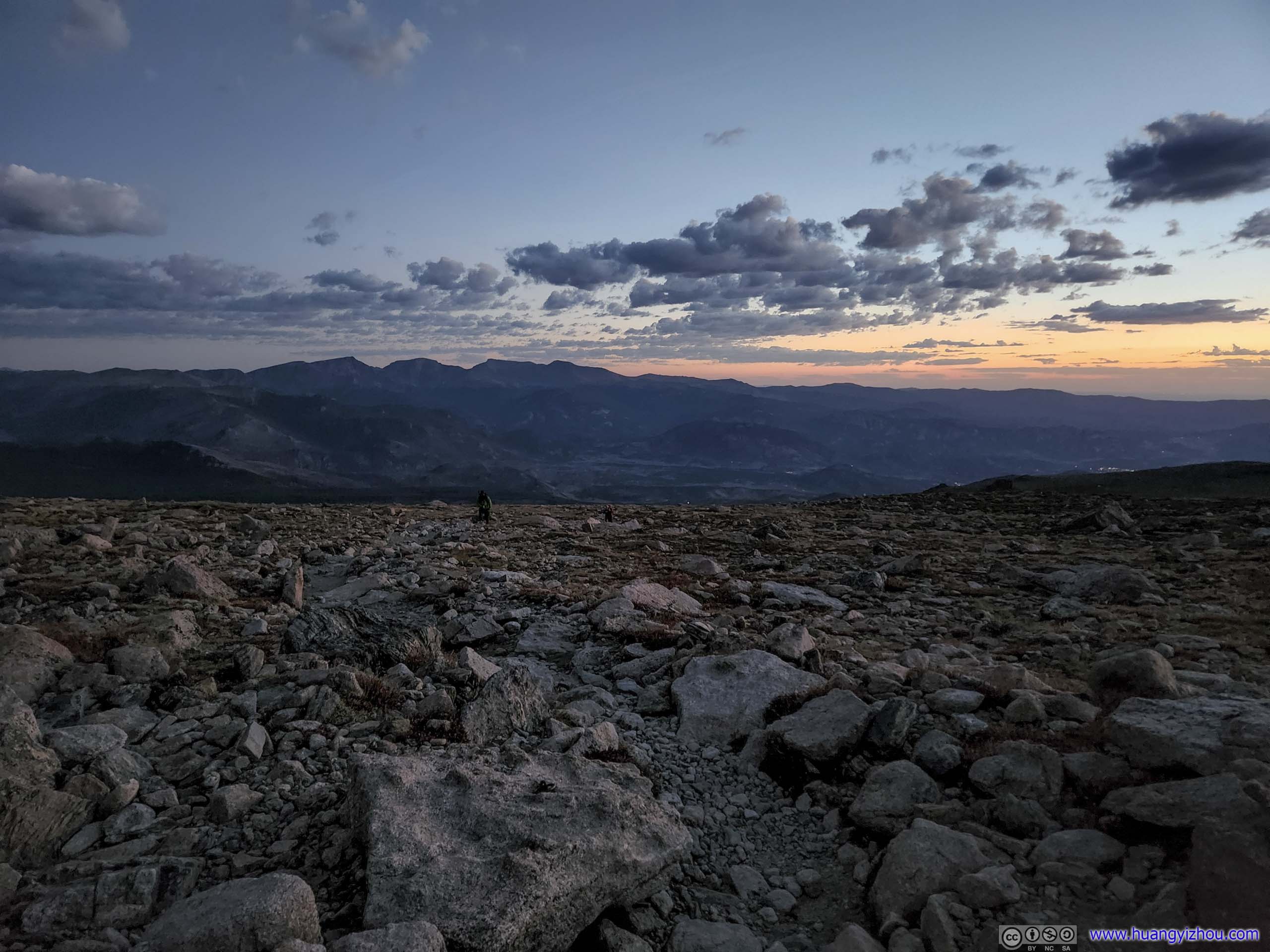
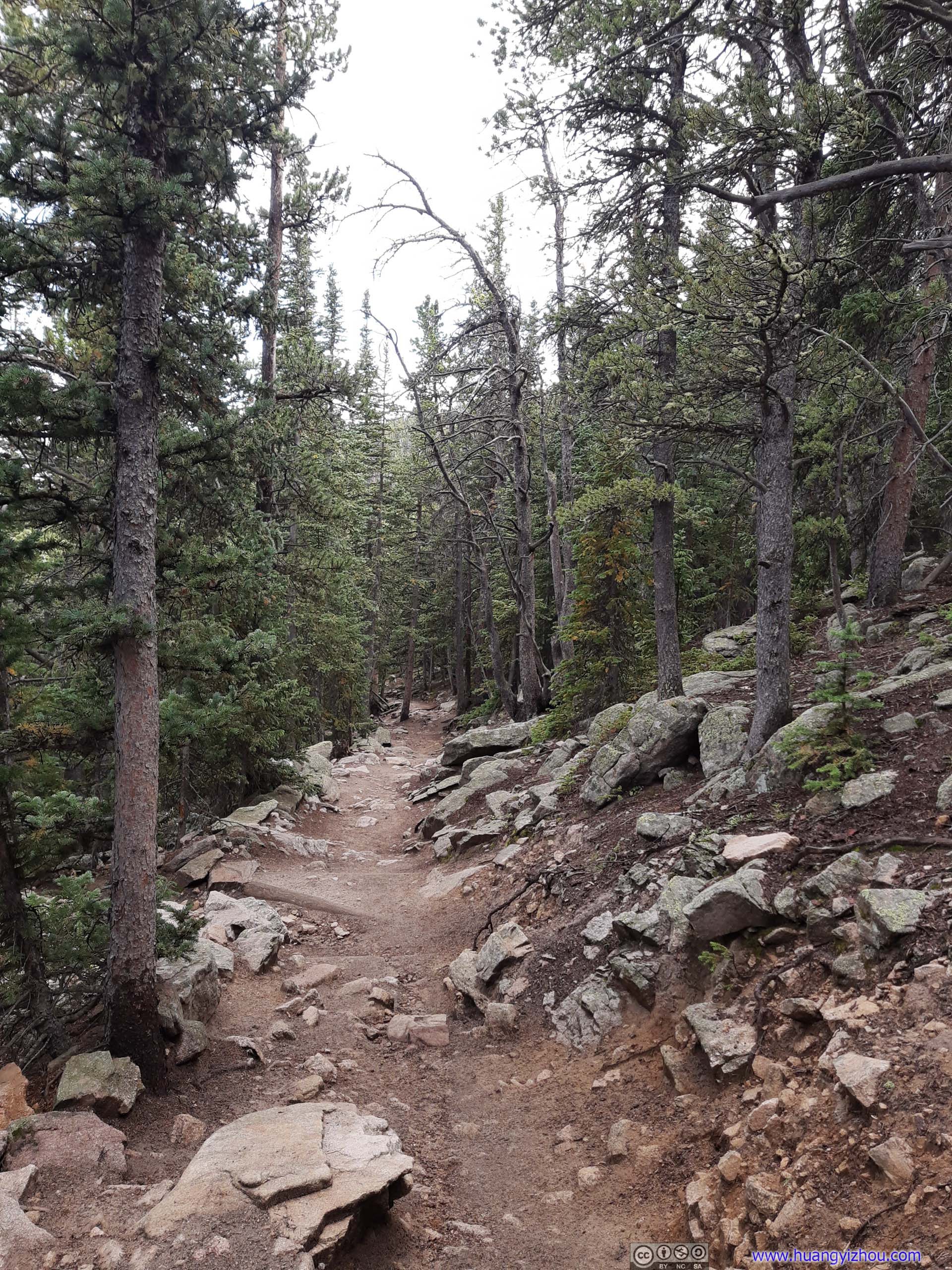
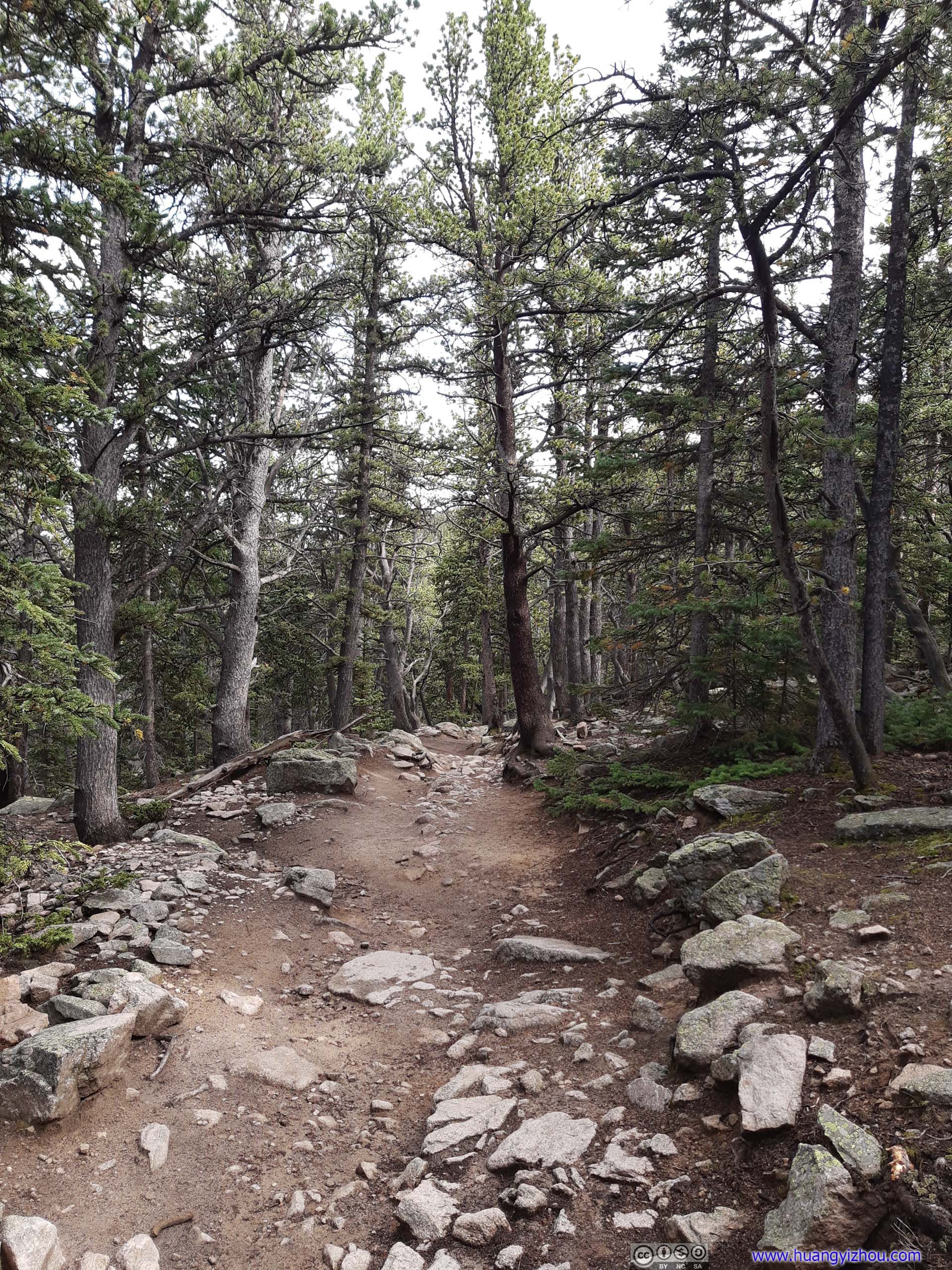
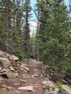
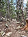
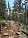
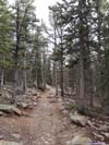
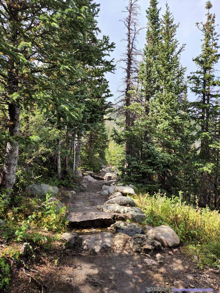
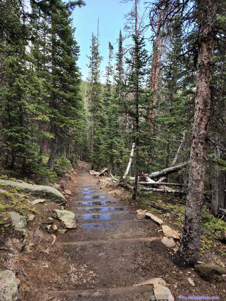
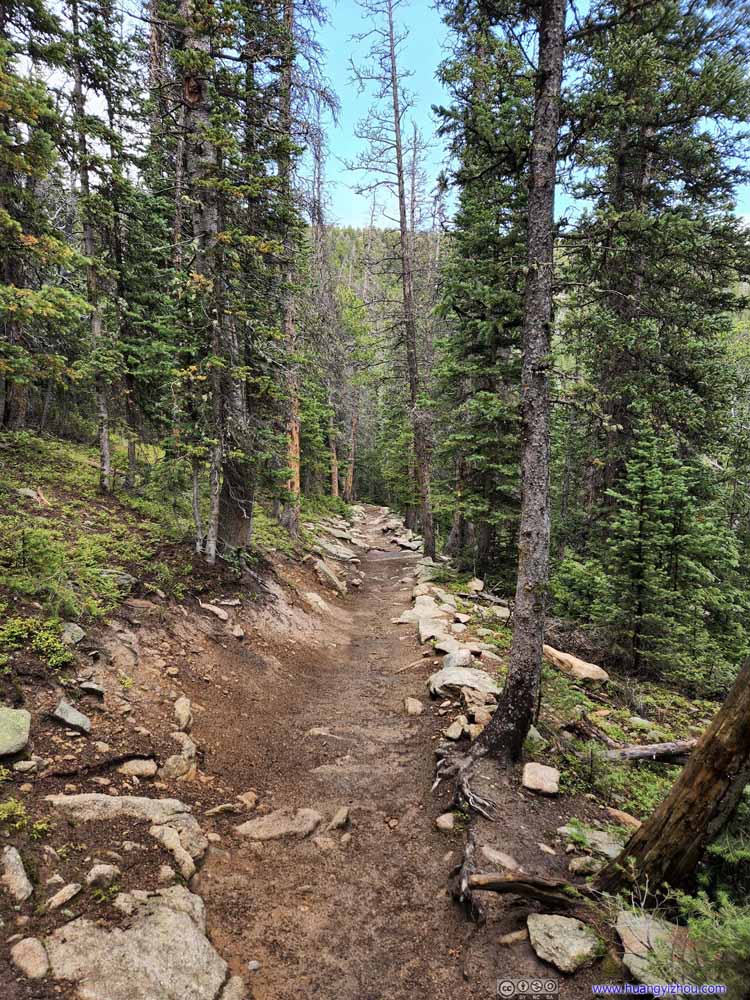
The trail started out in the woods, which wasn't remarkable. It took us about an hour to get above the tree line, after which the few distant headlights up and down the trail were some much needed reassurance.
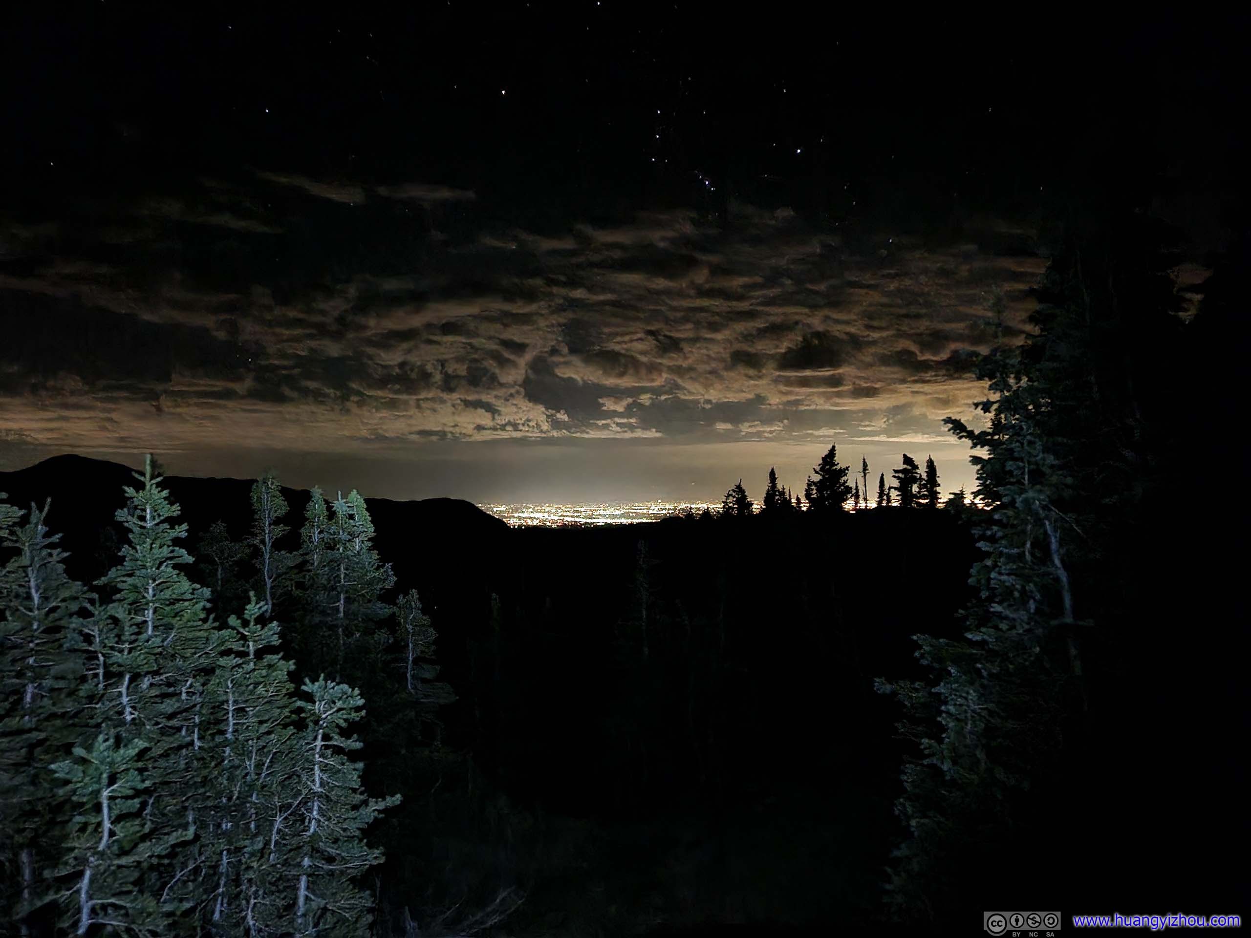
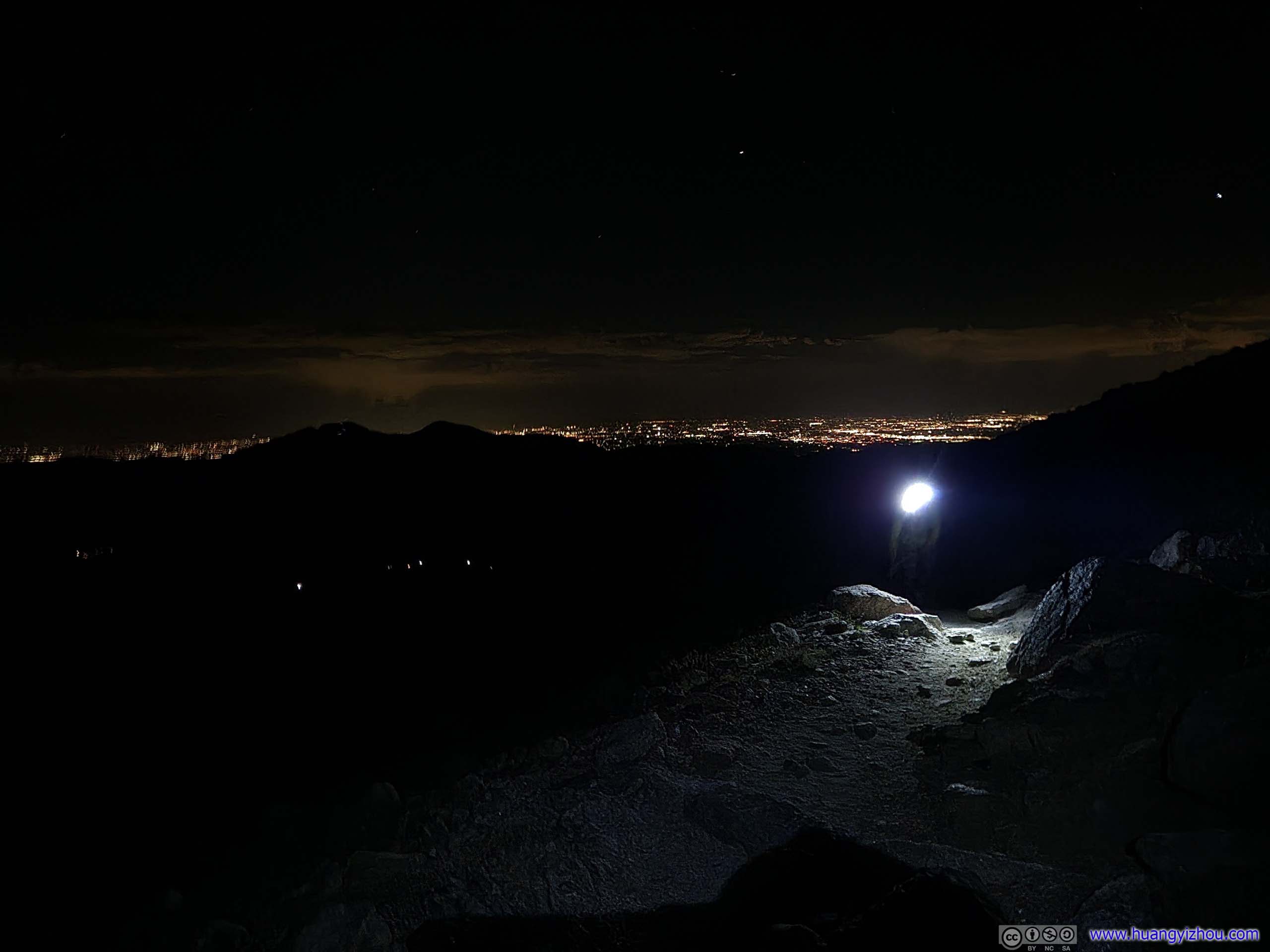
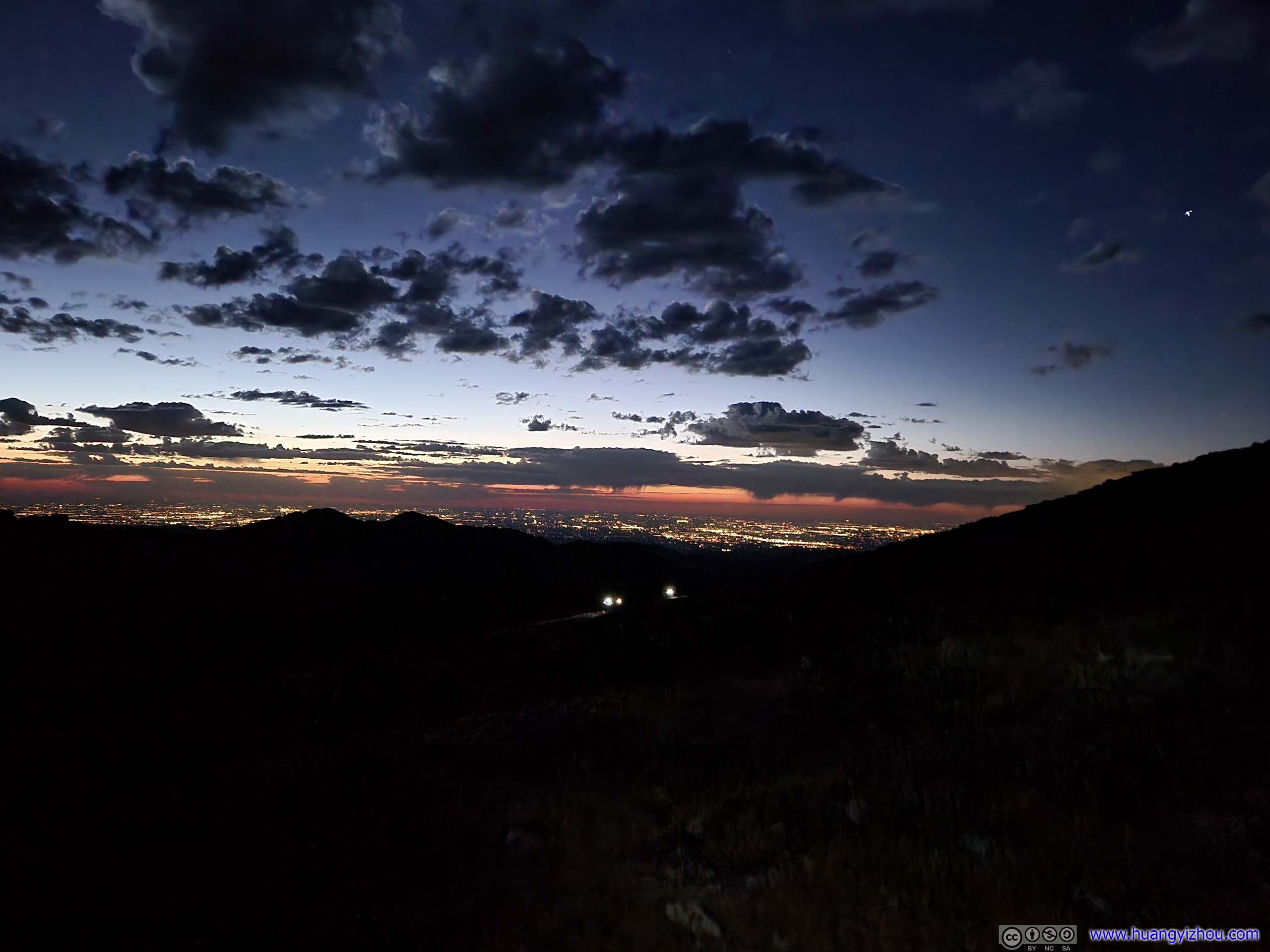
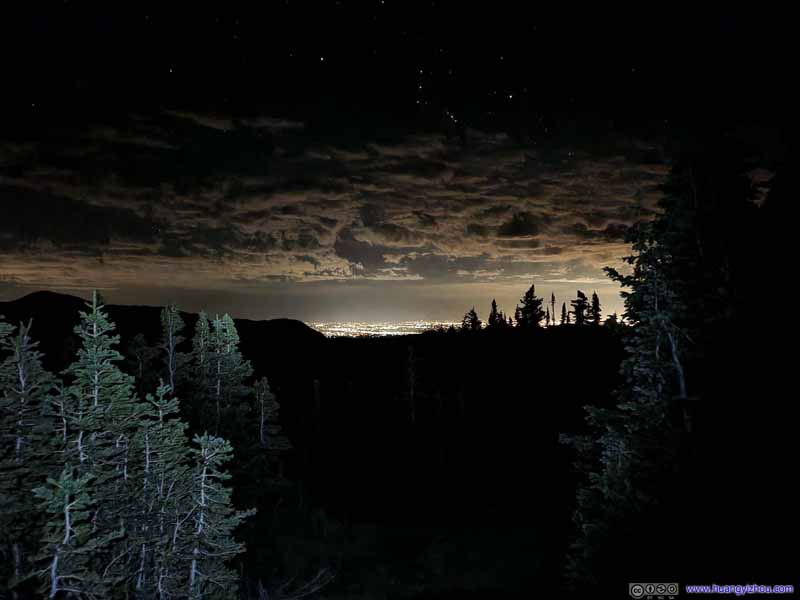
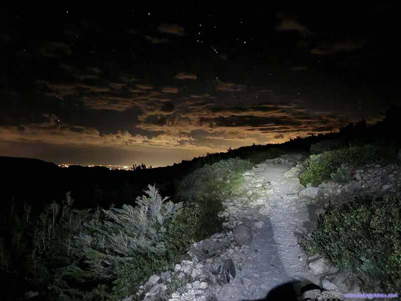
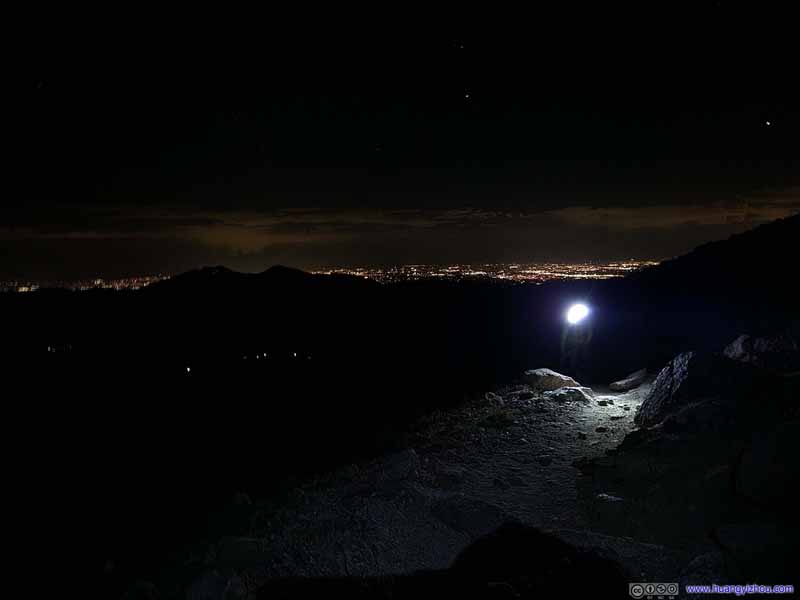
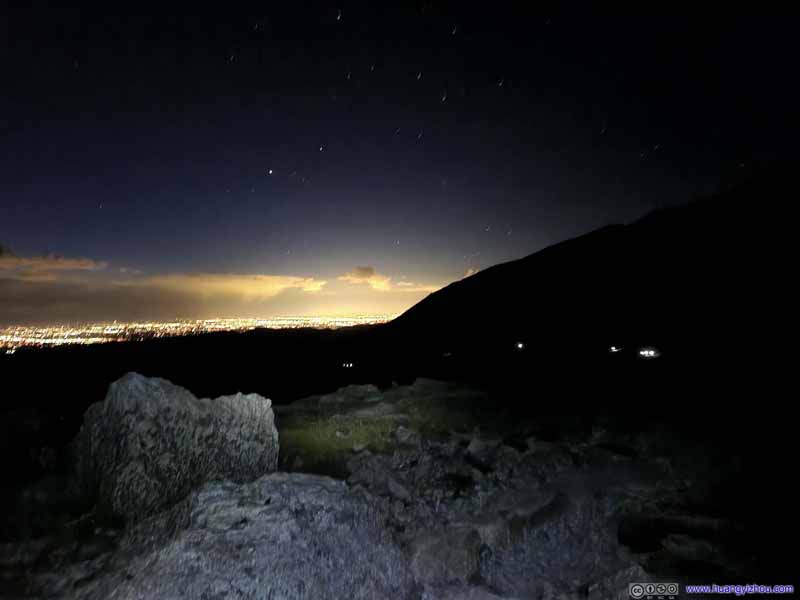
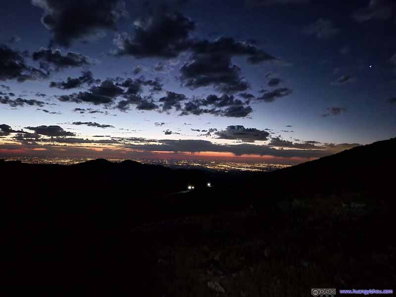
Distant City Lights
Distant City Lights
Distant City Lights
Distant City Lights
Distant City Lights
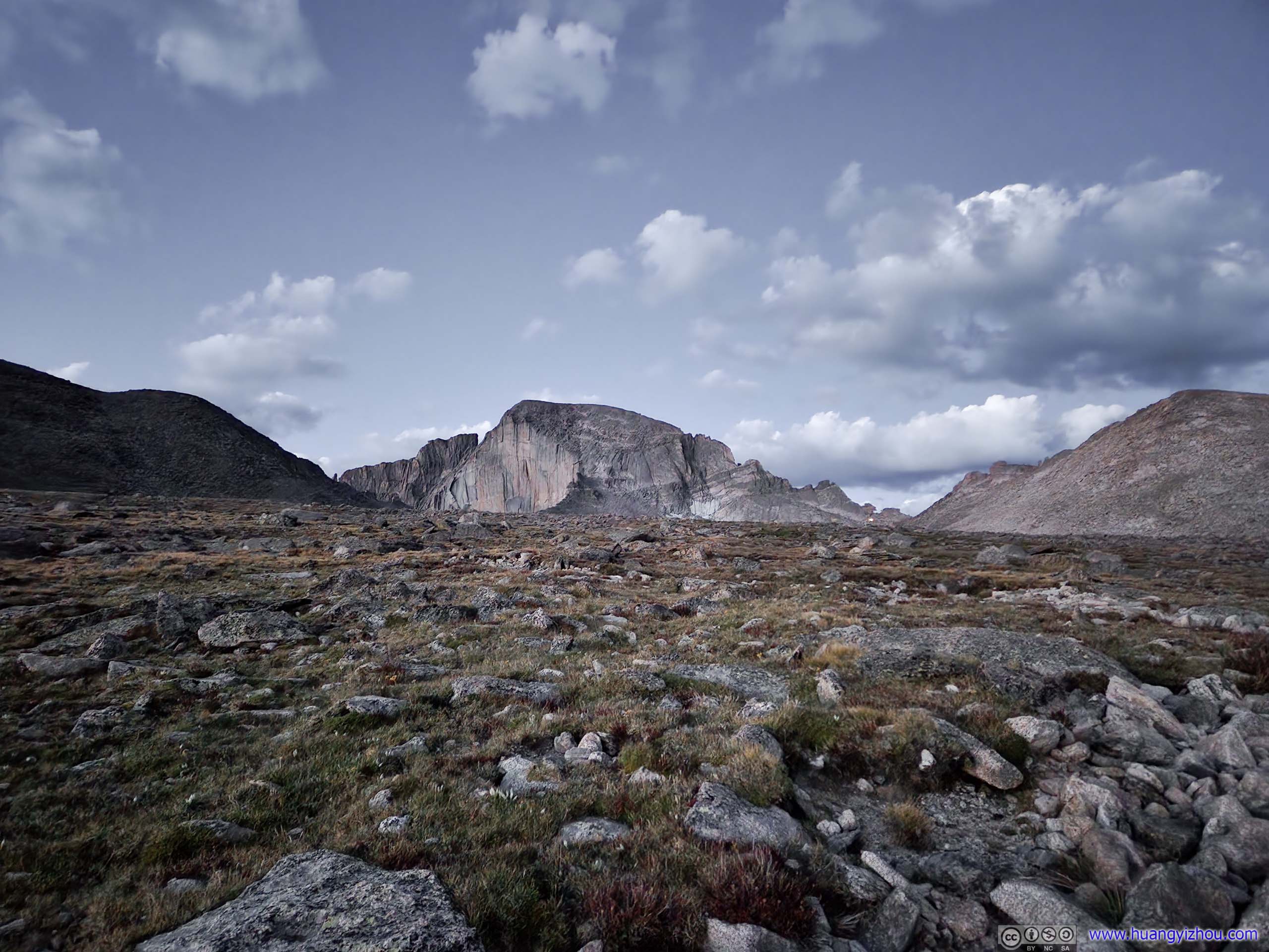
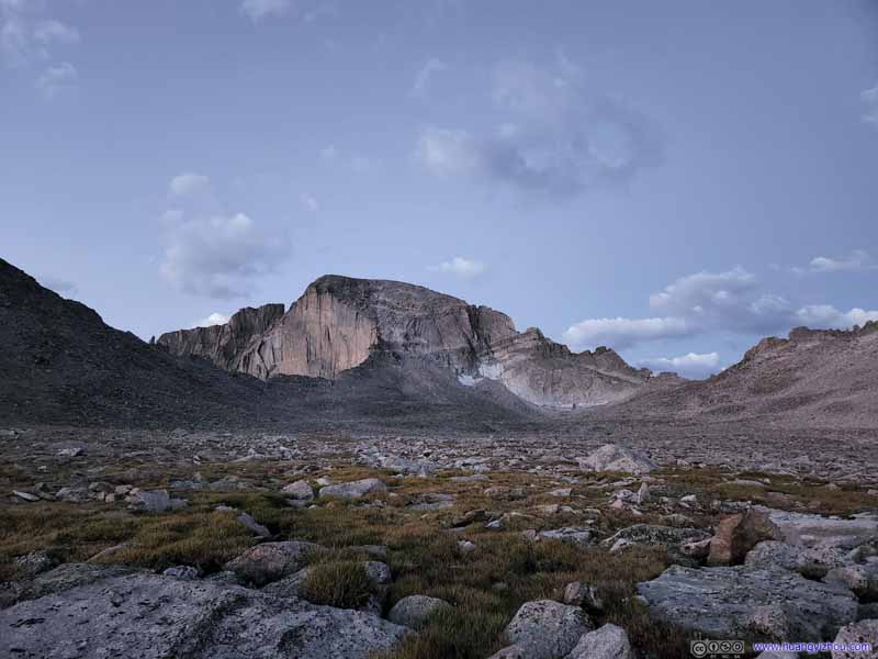
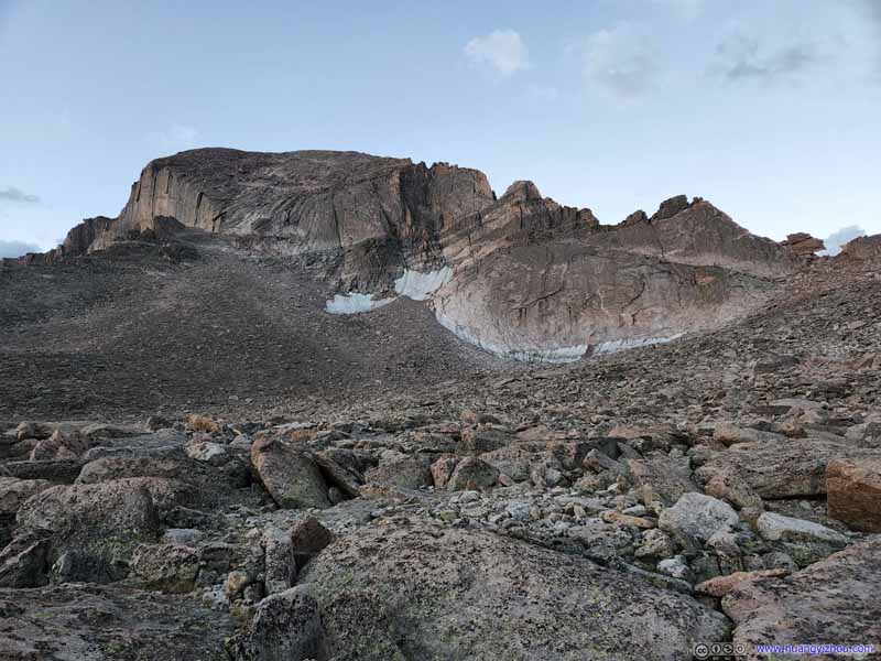
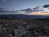
We passed Granite Pass at 5:25am, after which there were a few switchbacks before reaching Boulder Field. It's the start of nautical twilight, when the faint but distinctive contour of Long's iconic west face emerged behind Mount Lady Washington, a monumental presence greeting the day's contenders. I still recalled the awe when I caught that sight, the stirring emotions like a sailor catching the vaguest sight of land after long time at sea.
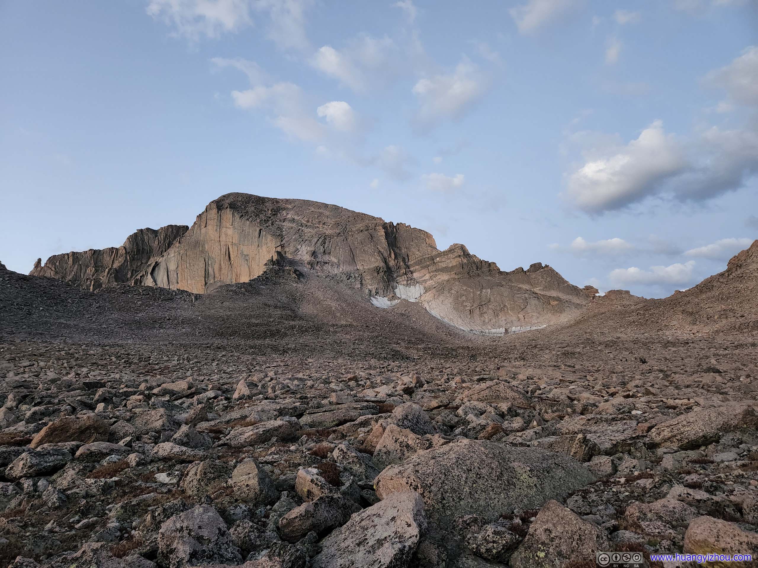
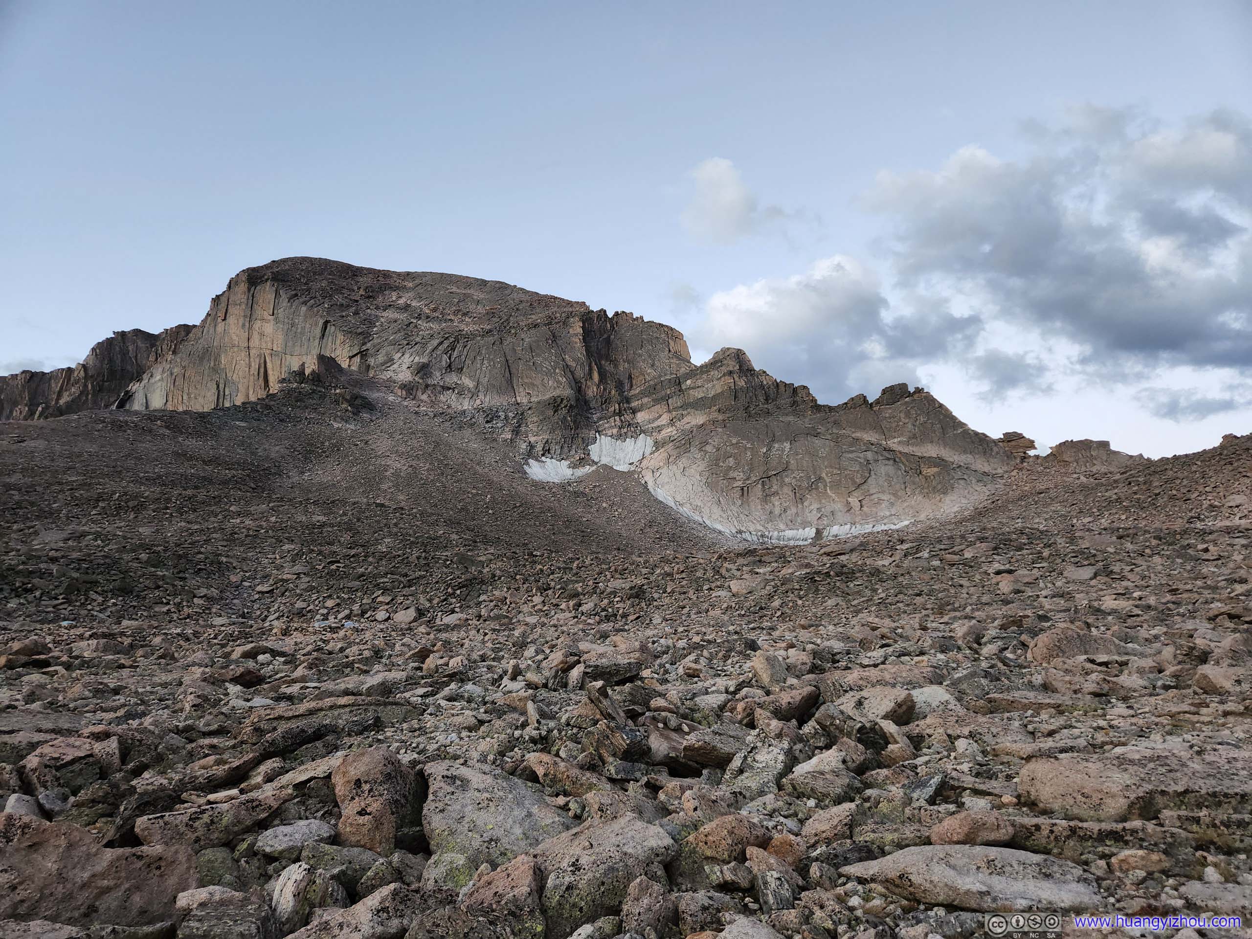
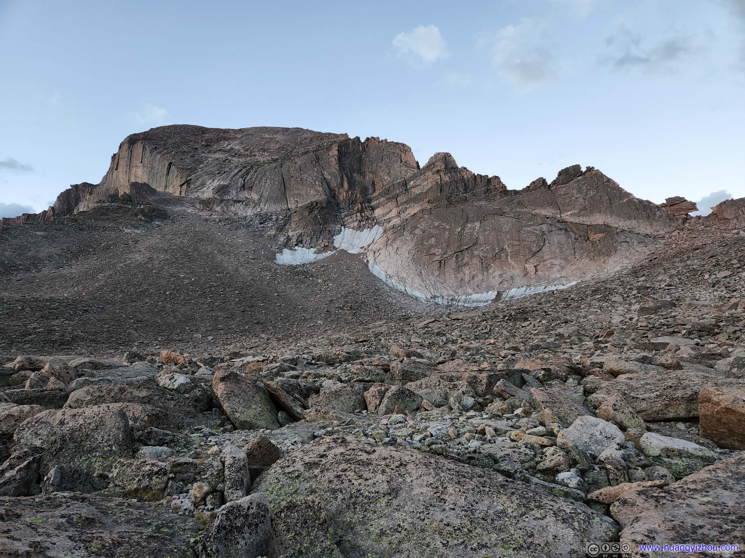
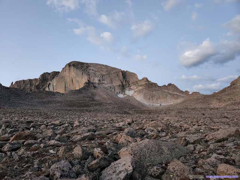
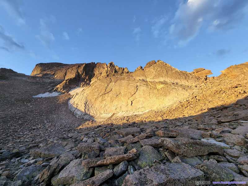
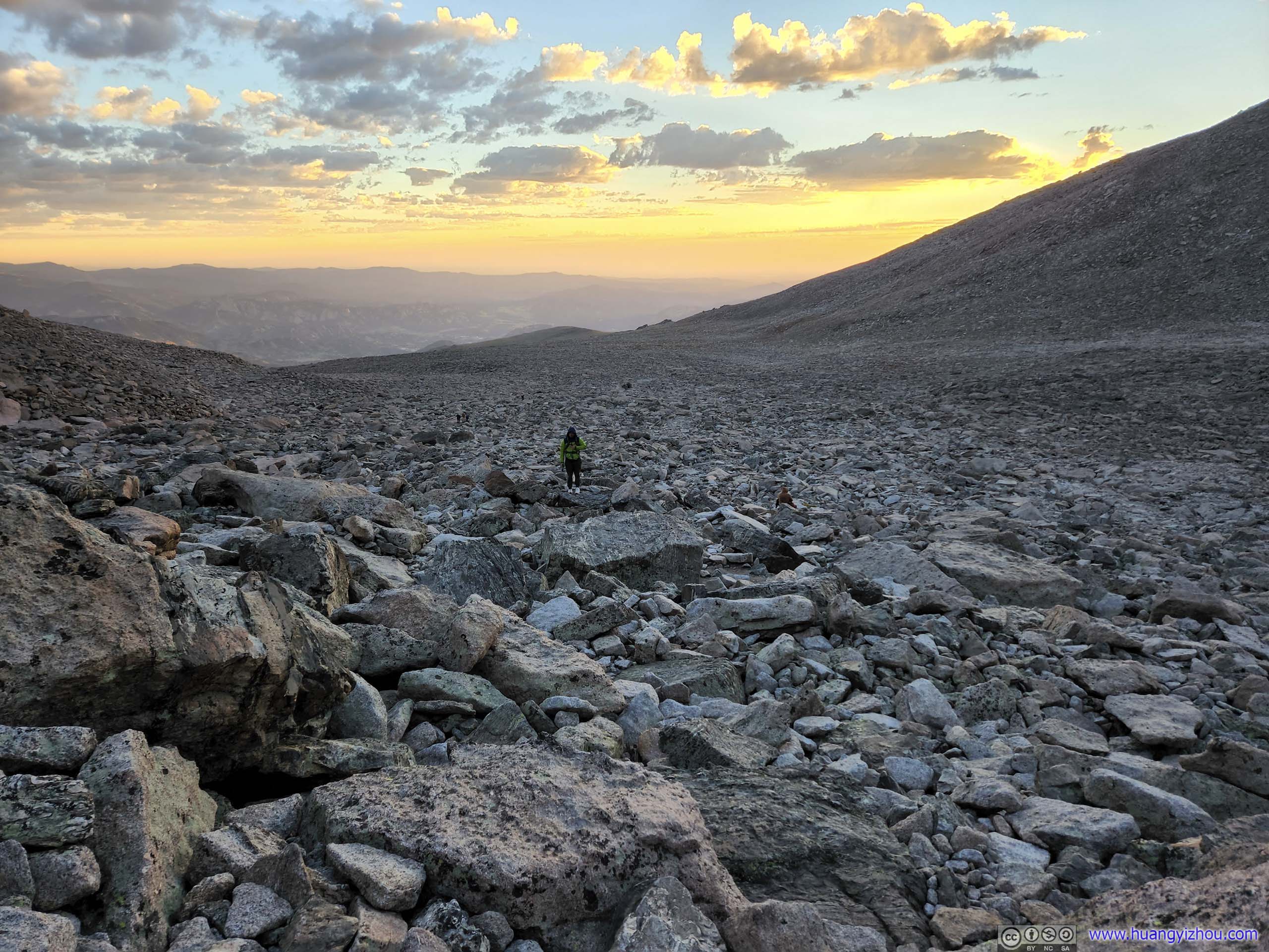
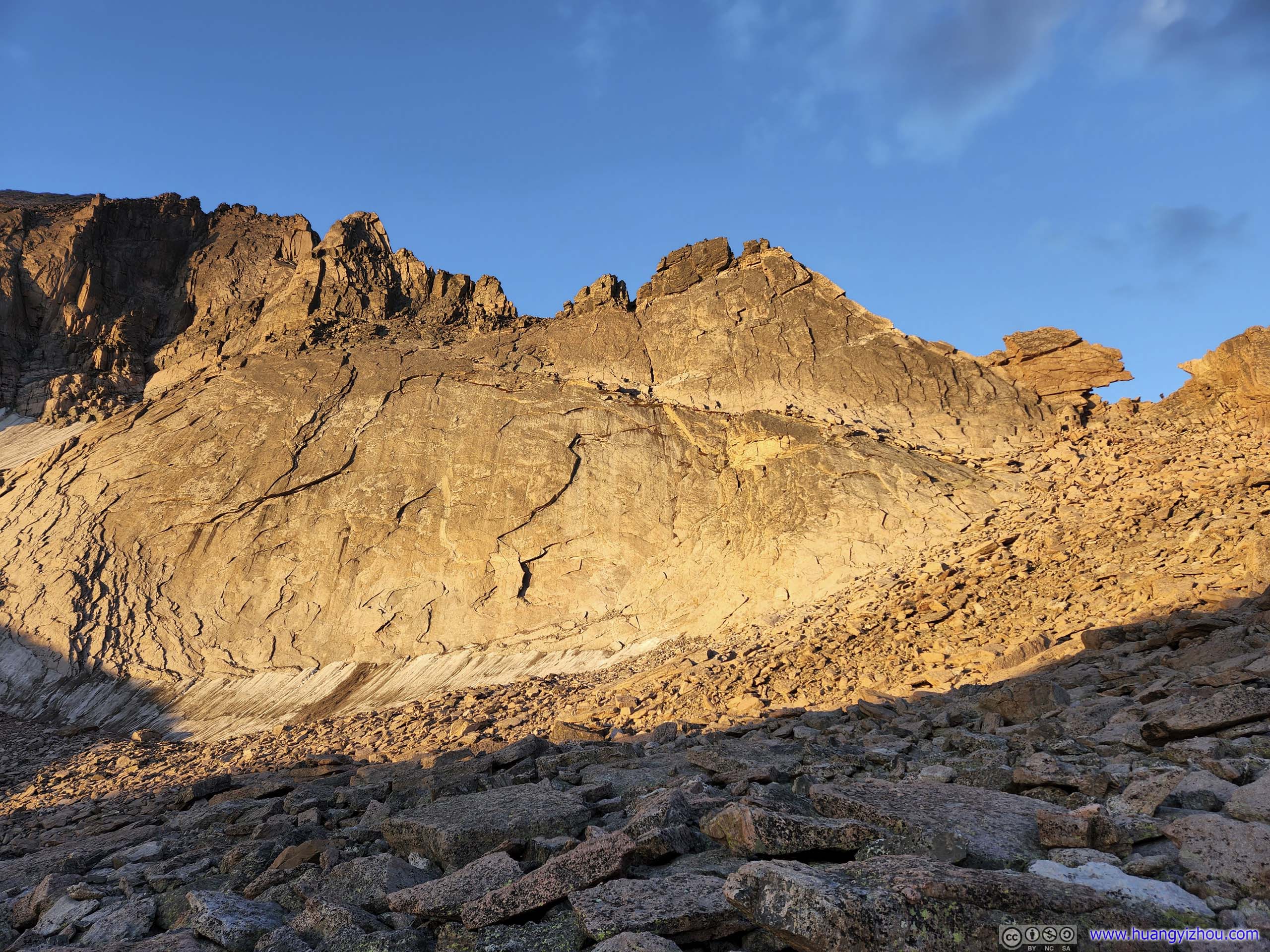
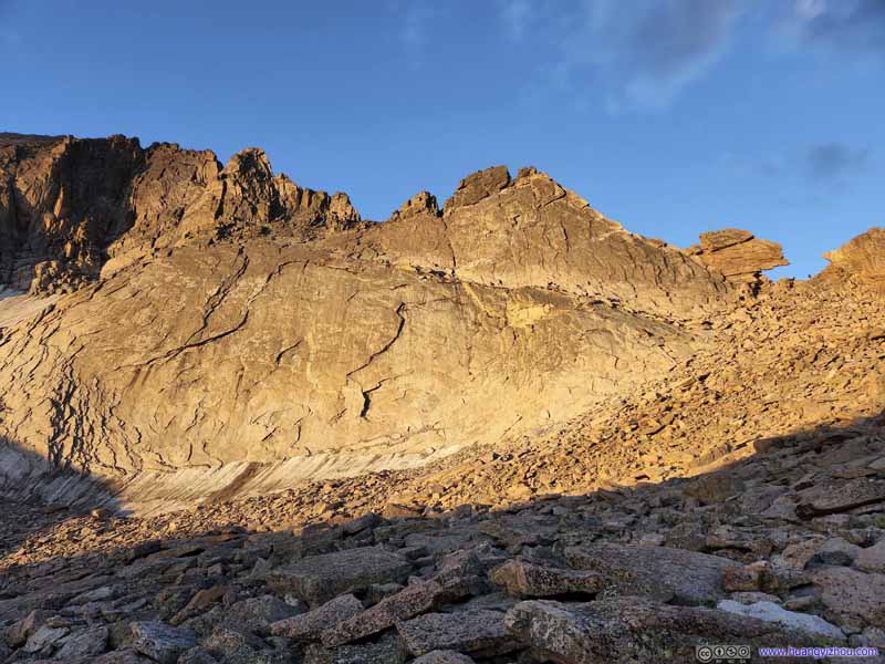
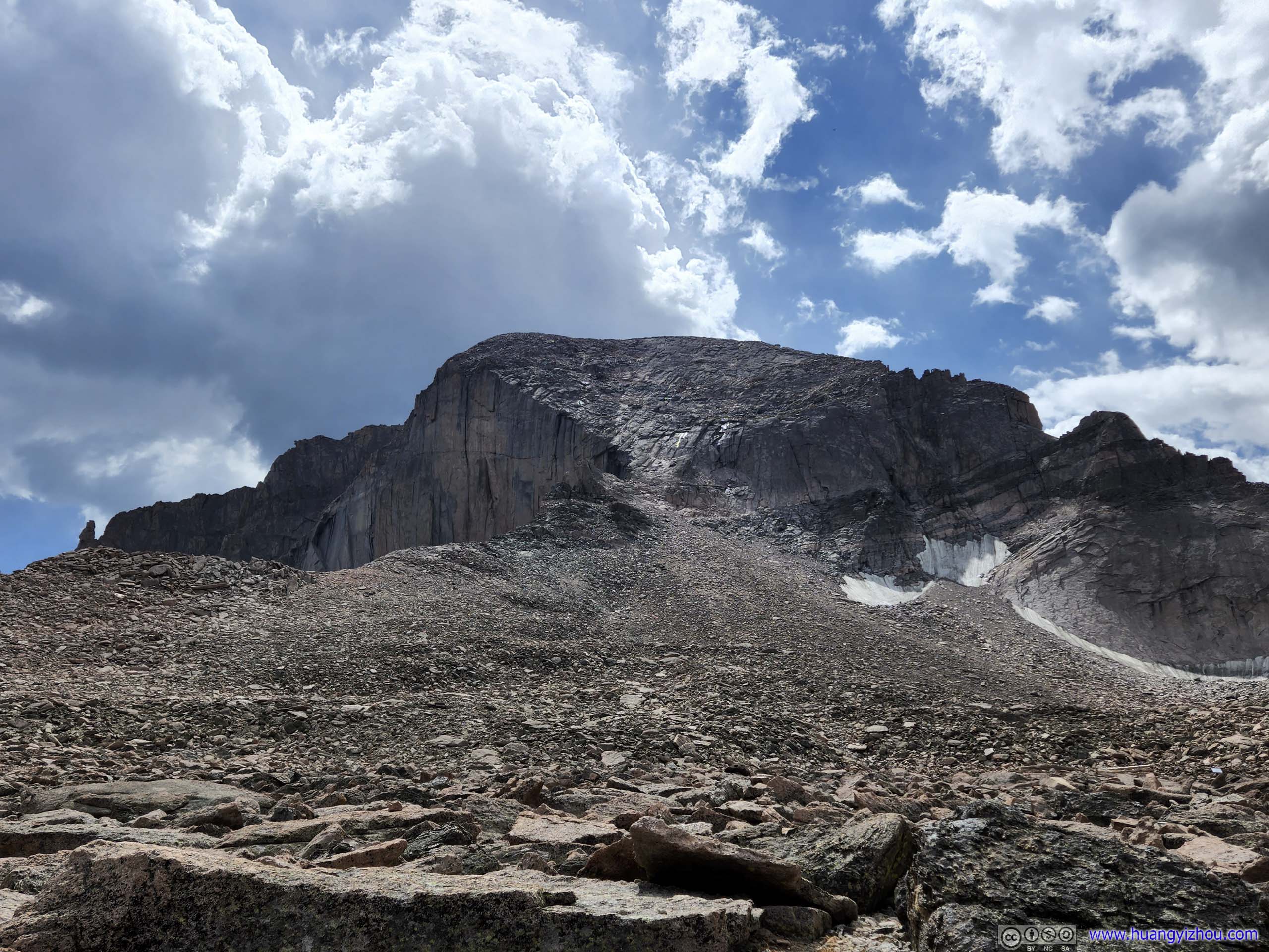
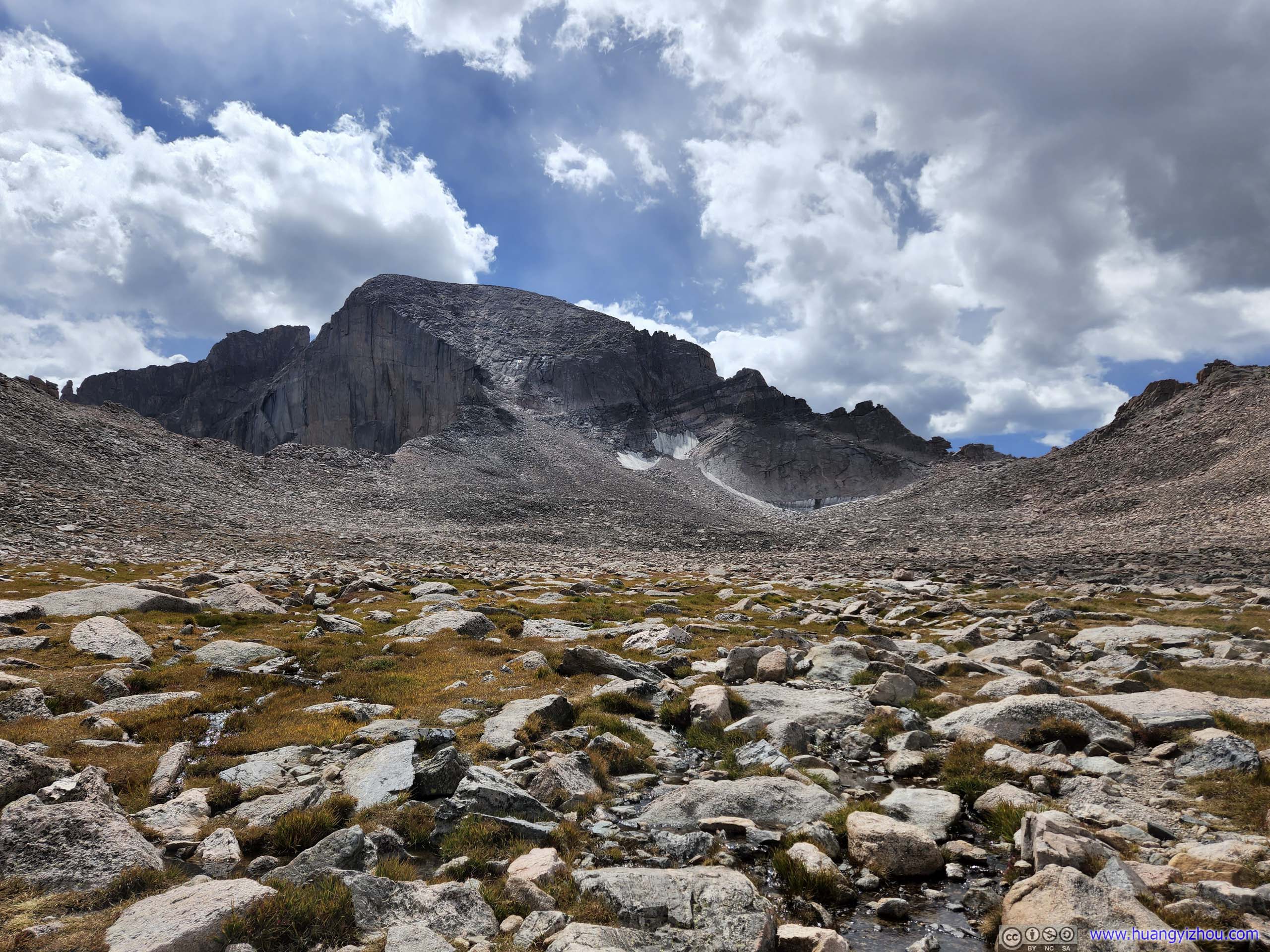
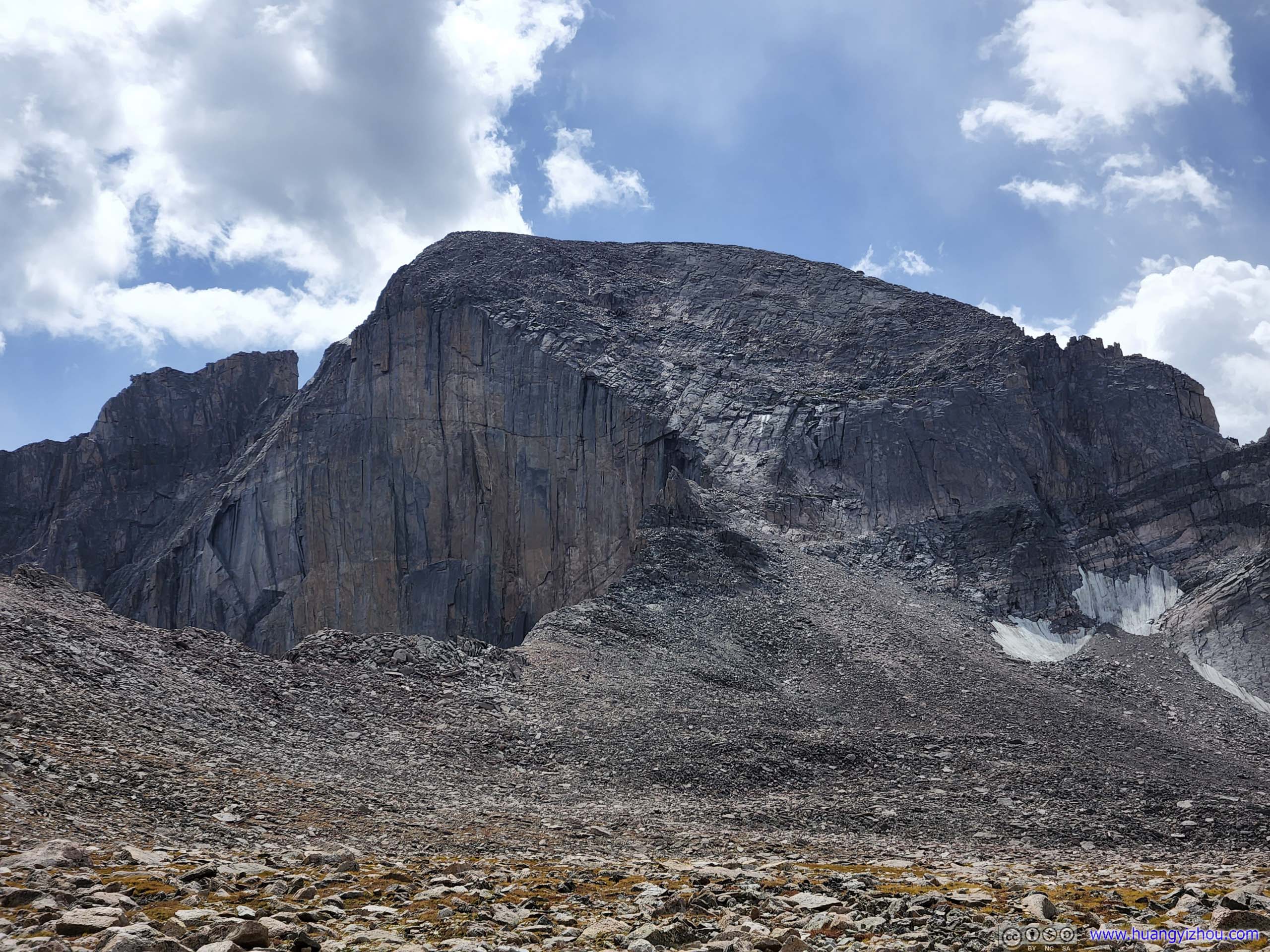
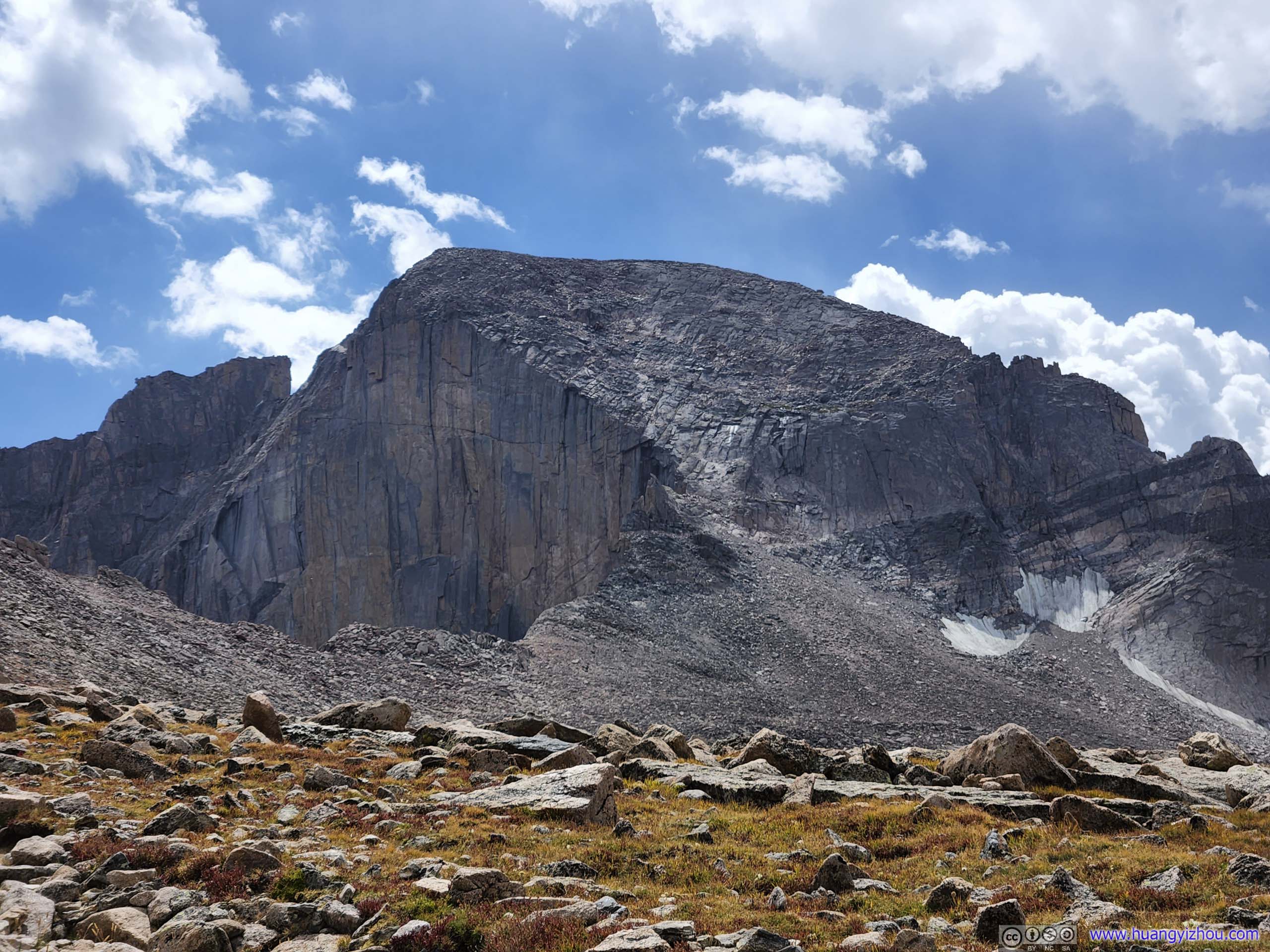
After the switchbacks as we got closer to Boulder Field, the trail disappeared into rocks that were ever growing in size. One could never get bored with the enchanting views of Long's Diamond Face ahead as it gradually glowed under the day's first sunlight.
Longs Peak
Longs Peak
Longs Peak
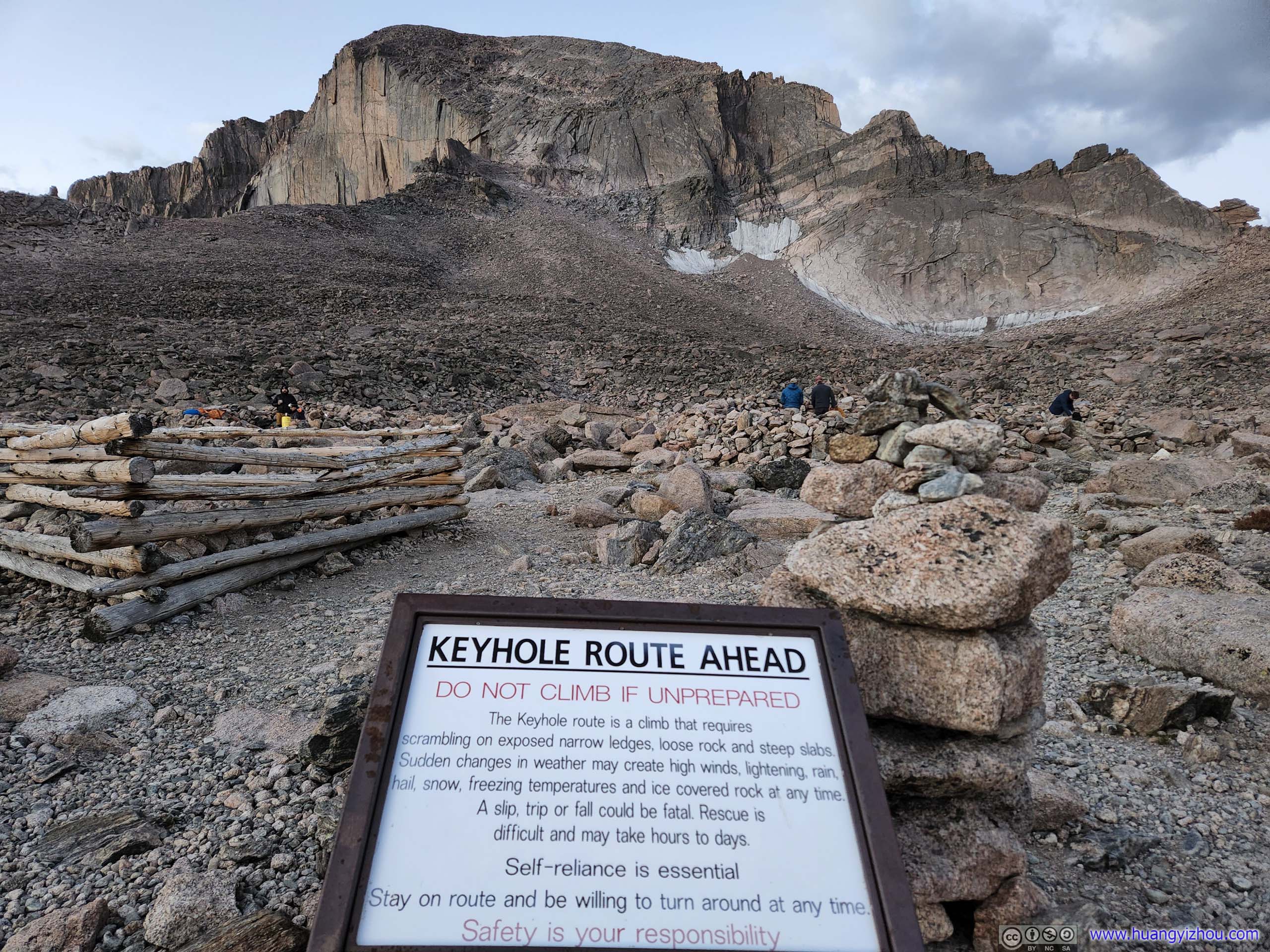
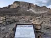
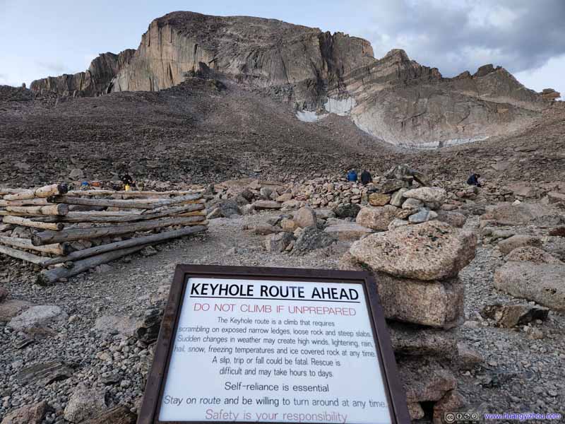
Warning Sign at Boulder Field
Longs Peak
Keyhole along Path to Longs Peak
Longs Peak
Longs Peak
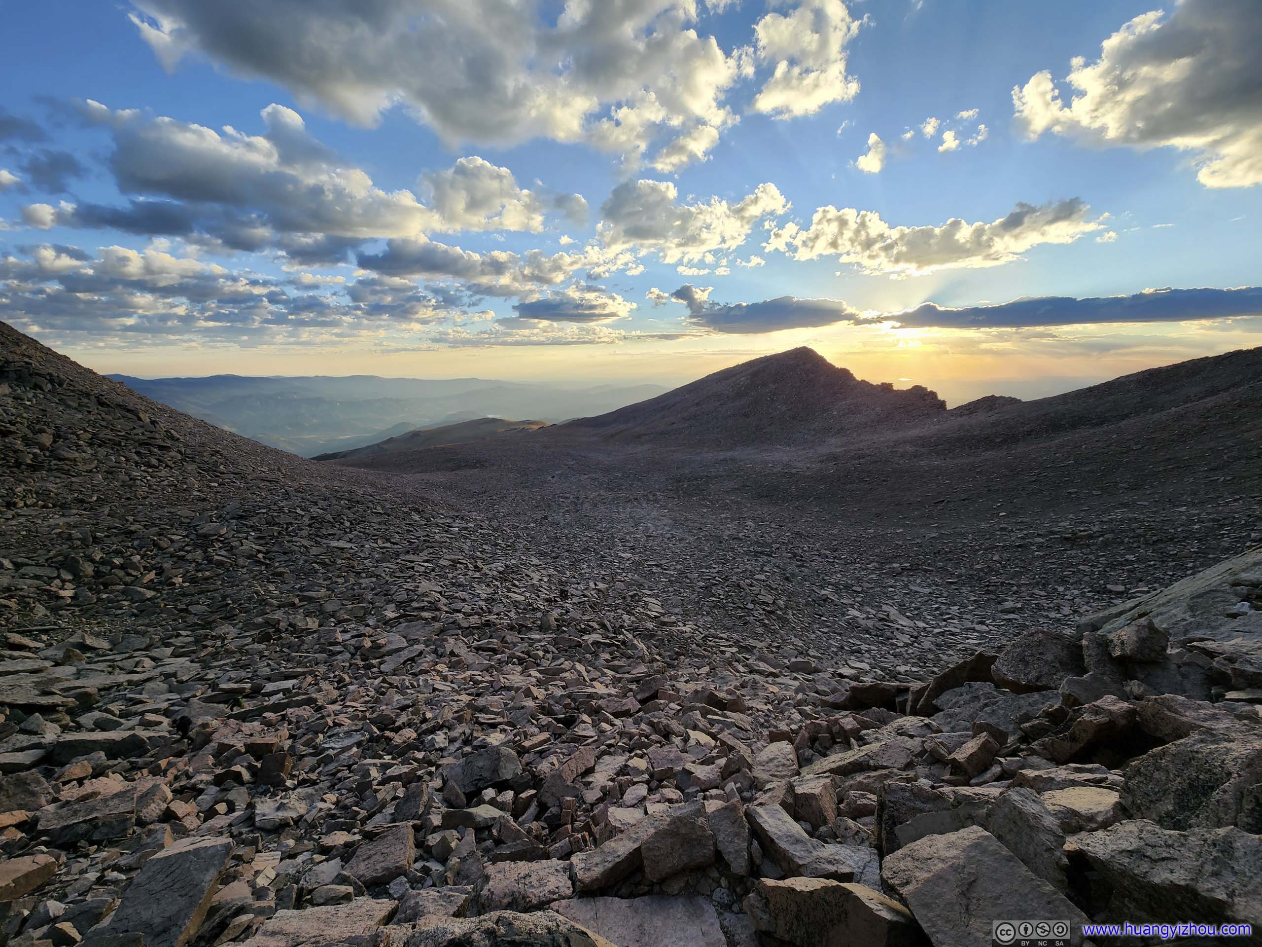
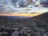
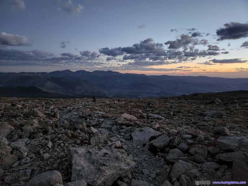
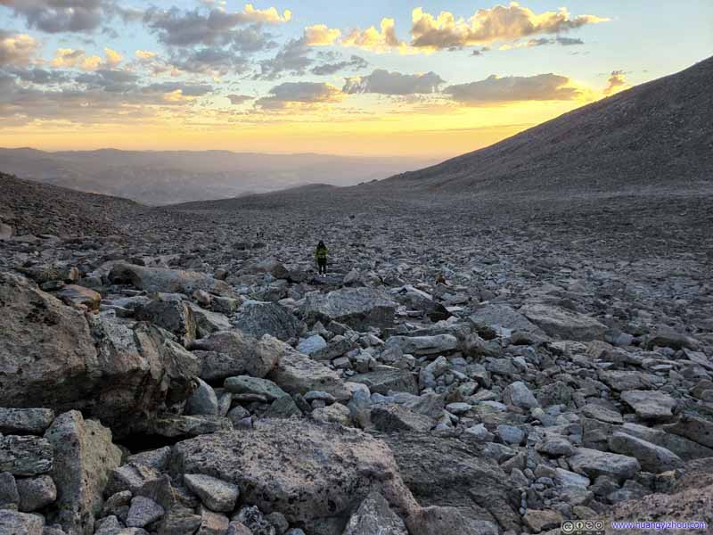
We reached Boulder Field at 6:20am, 9 minutes before the official sunrise. That meant we timed our departure and pace pretty well (or maybe we could leave just a bit earlier), as we would have good lighting for the scrambling sections to come. We joined a few groups of overnight campers in putting down some stash for the scrambling ahead. There were two "developed" bathrooms at Boulder Field (the other location with such facilities being the junction of Longs Peak and Chasm Lake trails, 5.1km from trailhead).
Twilight
Rising Sun behind Mount Lady Washington
Rising Sun behind Mount Lady Washington
Boulderfield on way to Keyhole
Keyhole Reflecting Rising Sun
Rising Sun behind Mount Lady Washington
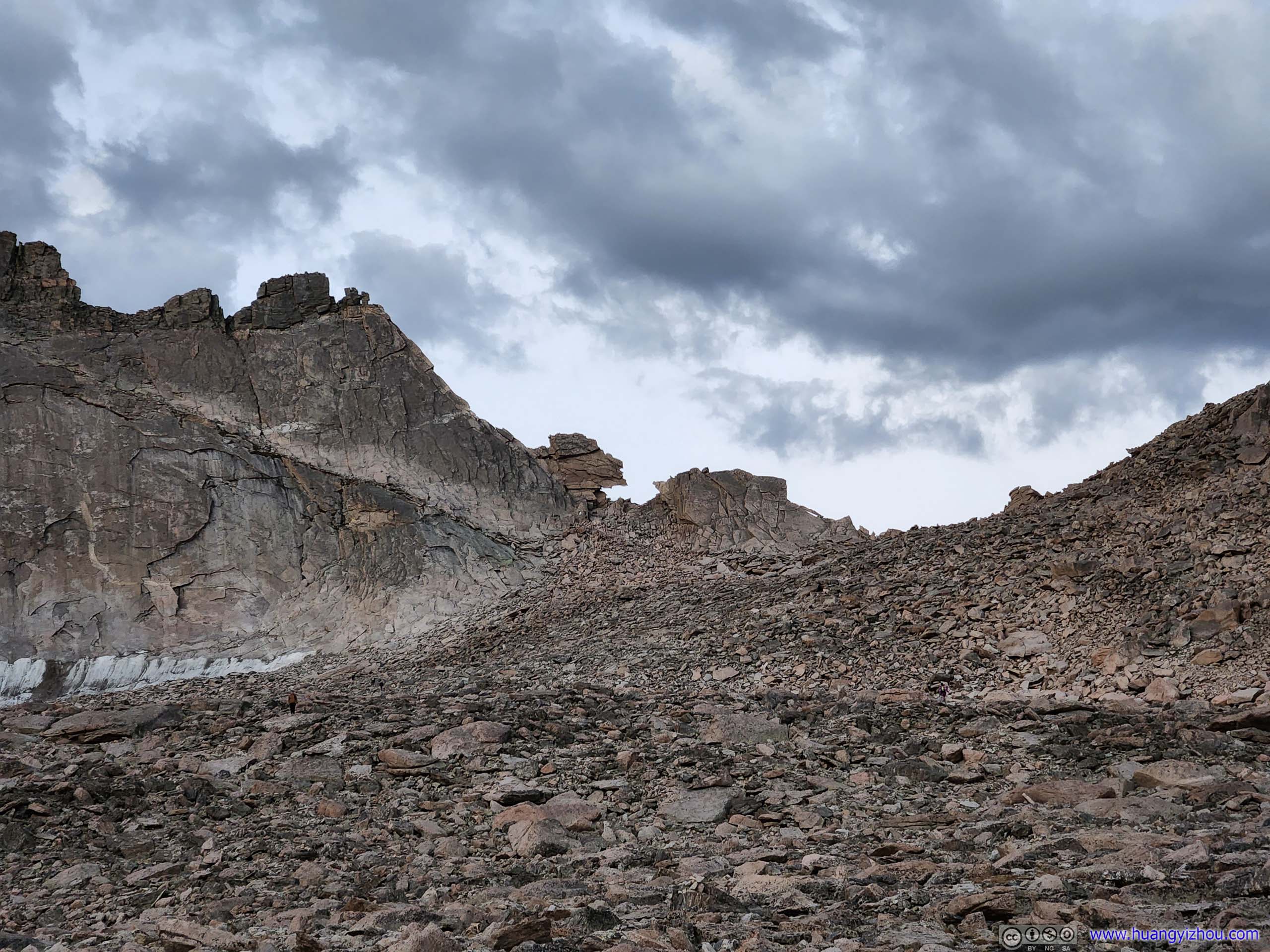
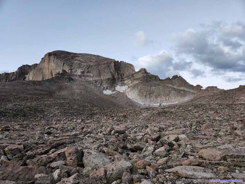
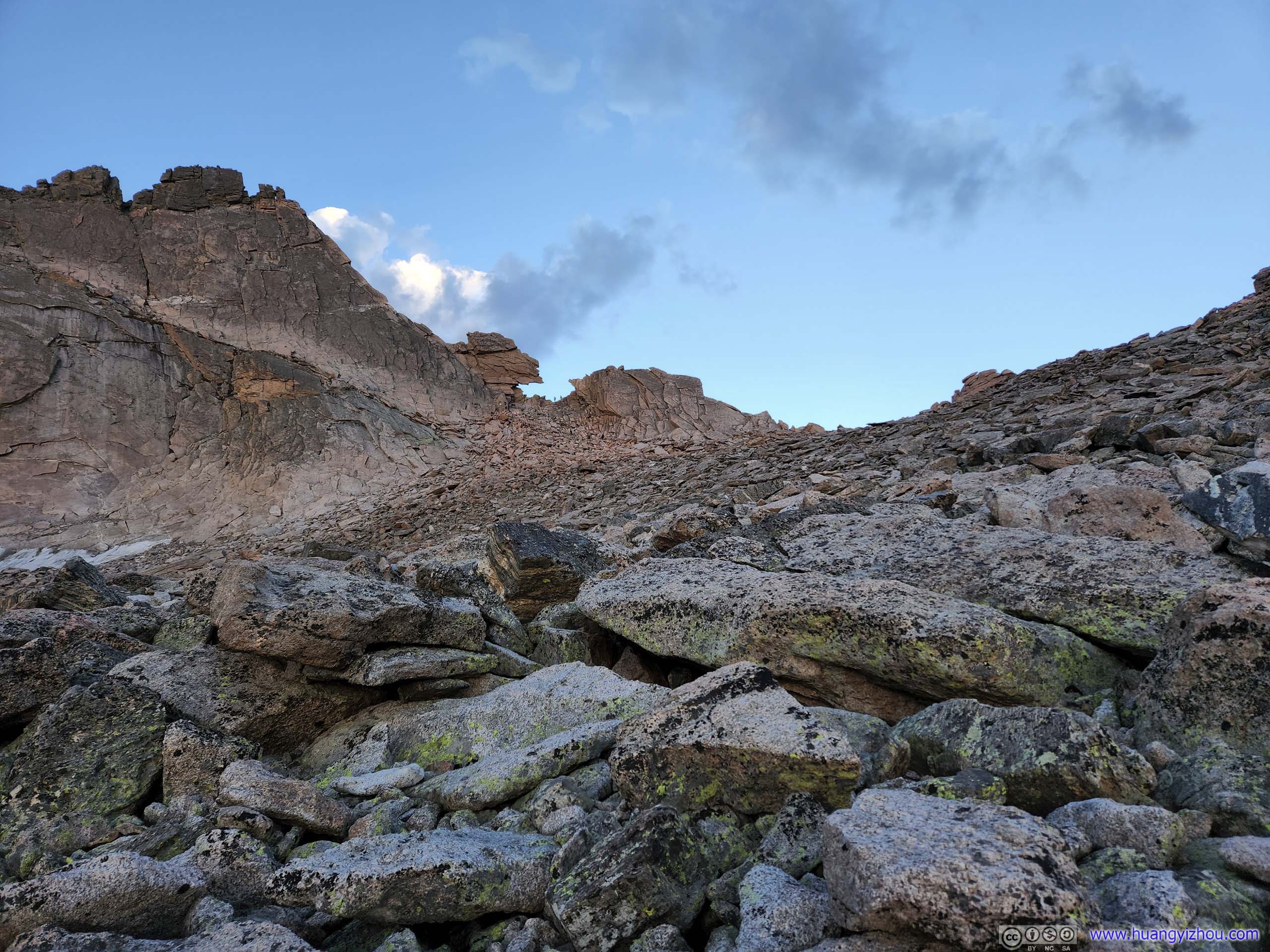
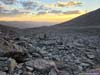
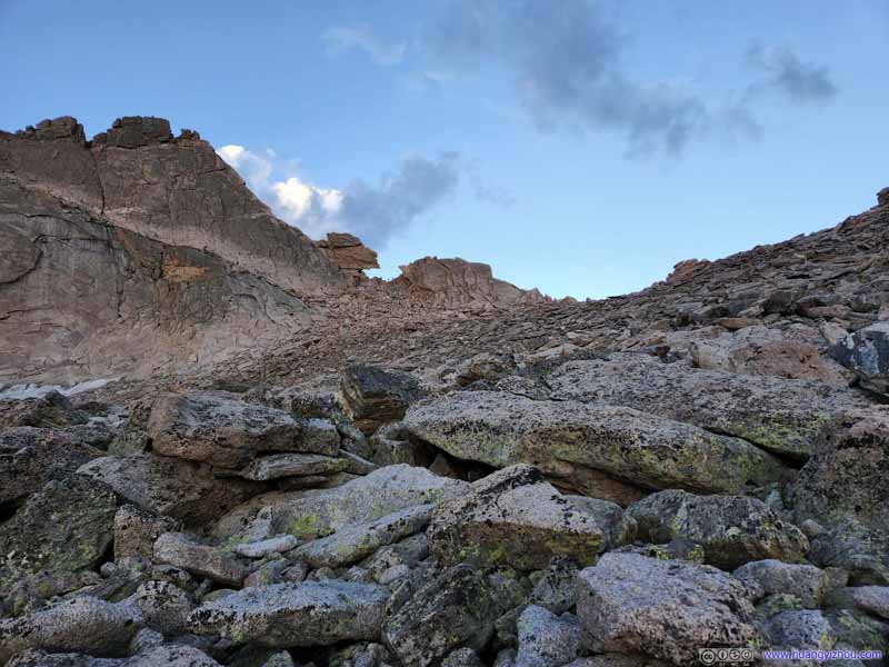
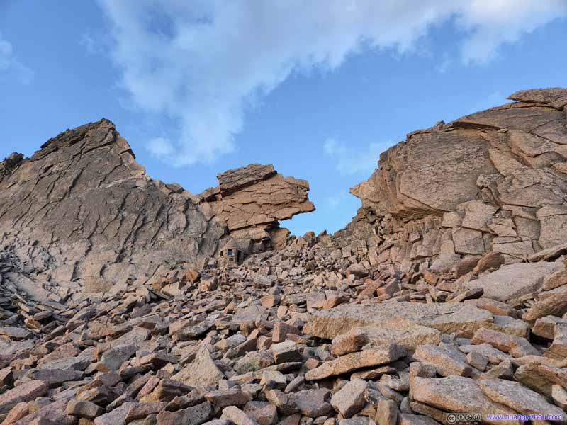
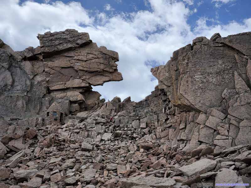
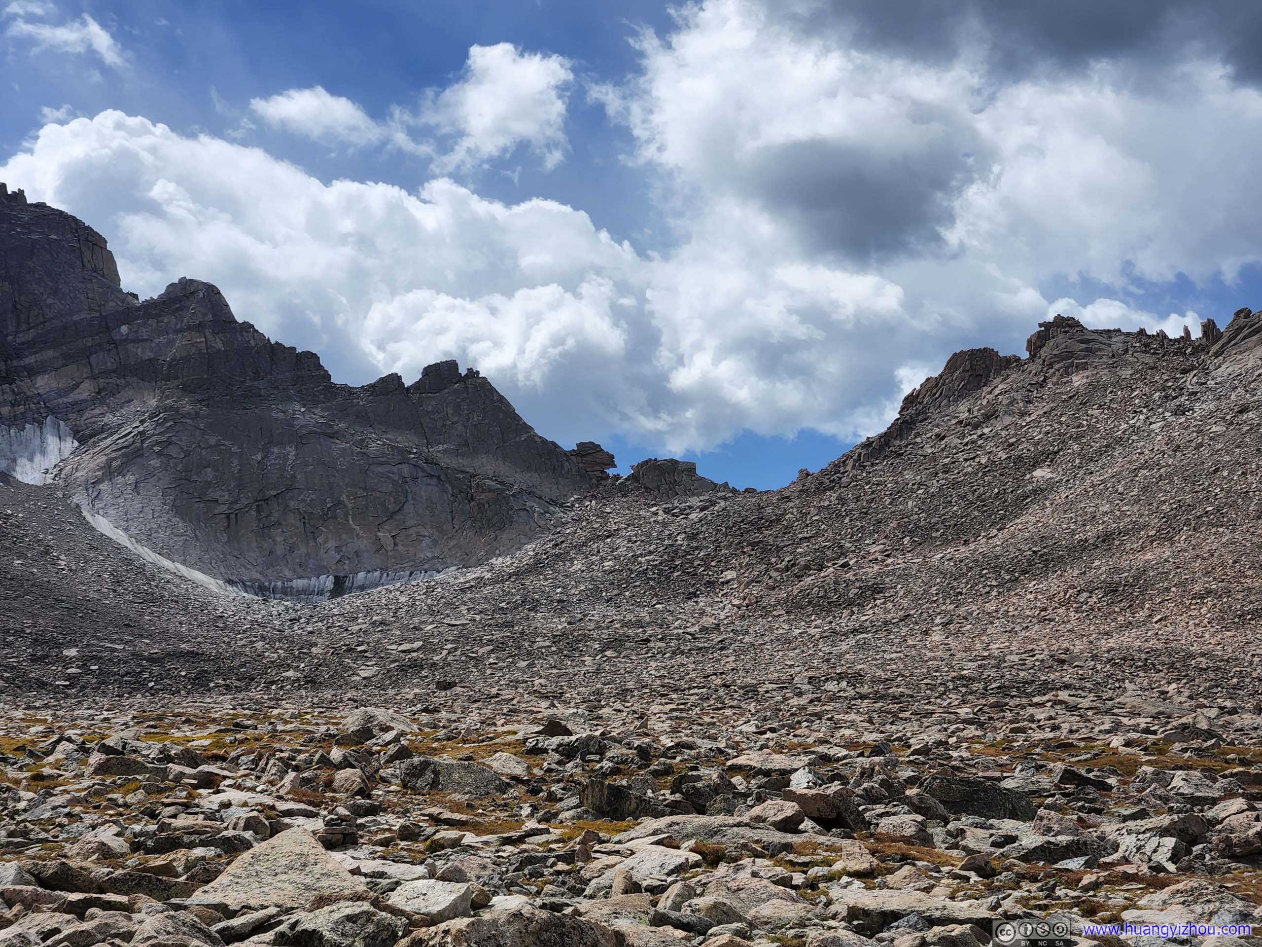
Leaving Boulder Field, it's a scramble to the "Keyhole", a small opening in the rocks leading to the western side of Longs Peak. Despite its name, I would have a hard time associating the shape of rocks to an actual key hole, or it must be a weirdly shaped key at least. The field of talus leading up to the "Keyhole" was typical YDS class 2 terrain, yet heading up and taken carefully, I managed this section with minimum use of hands.
Field of Boulders leading to Keyhole
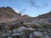
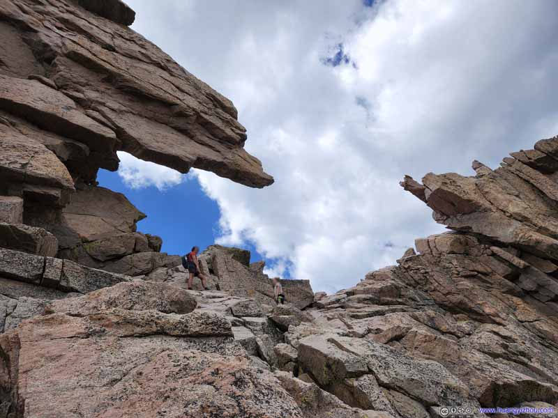
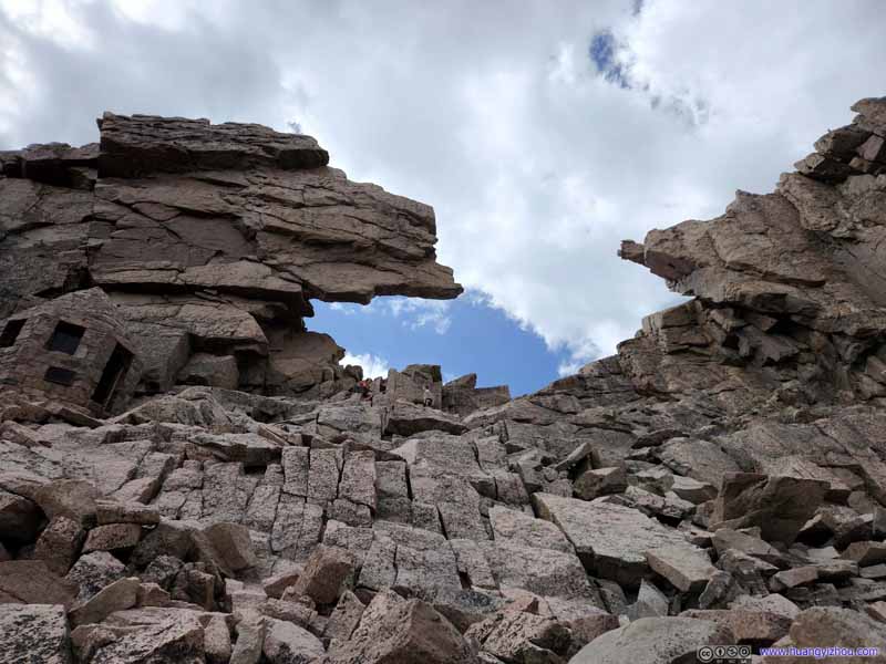
Keyhole
Southern Rocks of Keyhole
Southern Rocks of Keyhole The slab of rock wasn't very thick from this angle. It would be nasty if it was to fall down.
Northern Rocks of Keyhole
Keyhole
Keyhole
Keyhole
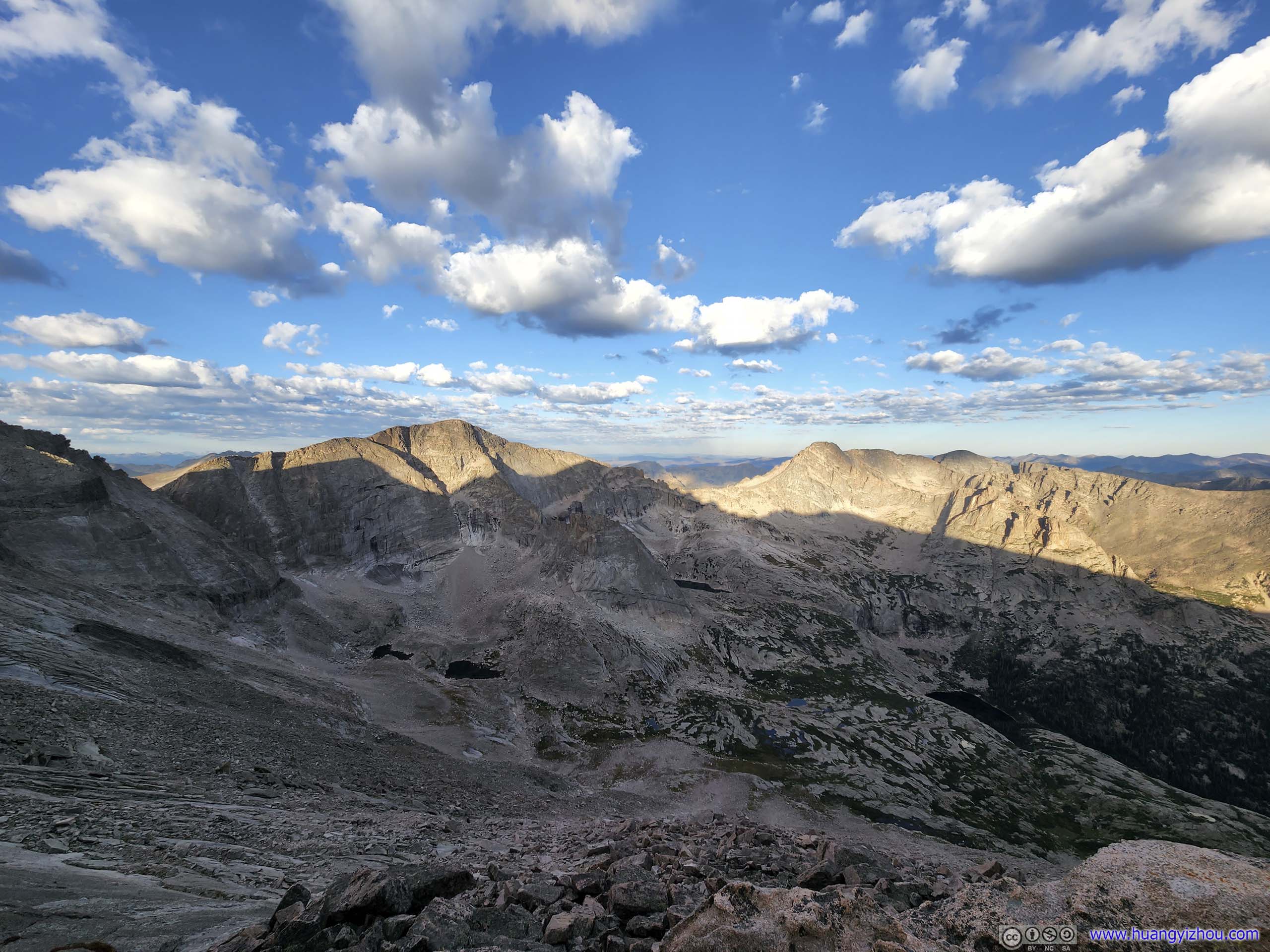
After the "Keyhole", mountains to the west popped into view. For the first time along the trip, one would enjoy the view of some comparable mountains. It's also where the scrambling sections started, which were generally divided into 4 sections, "Ledges", "Trough", "Narrows", "Homestretch".
I used my helmet-mounted GoPro to record most of the scrambling sections after "Keyhole", that compiled into the following video:
Or if one doesn't like the ads on YouTube, below is the same video hosted on my server.
1 hour, 31 minutes and 12 seconds, 1080p30fps, H265 only, compressed to 2Mbps for a total file size of 1.36GB.
0:47 The Ledges
18:53 The Trough
44:31 The Narrows
51:47 The Homestretch
1:02:24 Reaching Summit
Descent
1:03:15 The Homestretch
1:21:20 The Narrows
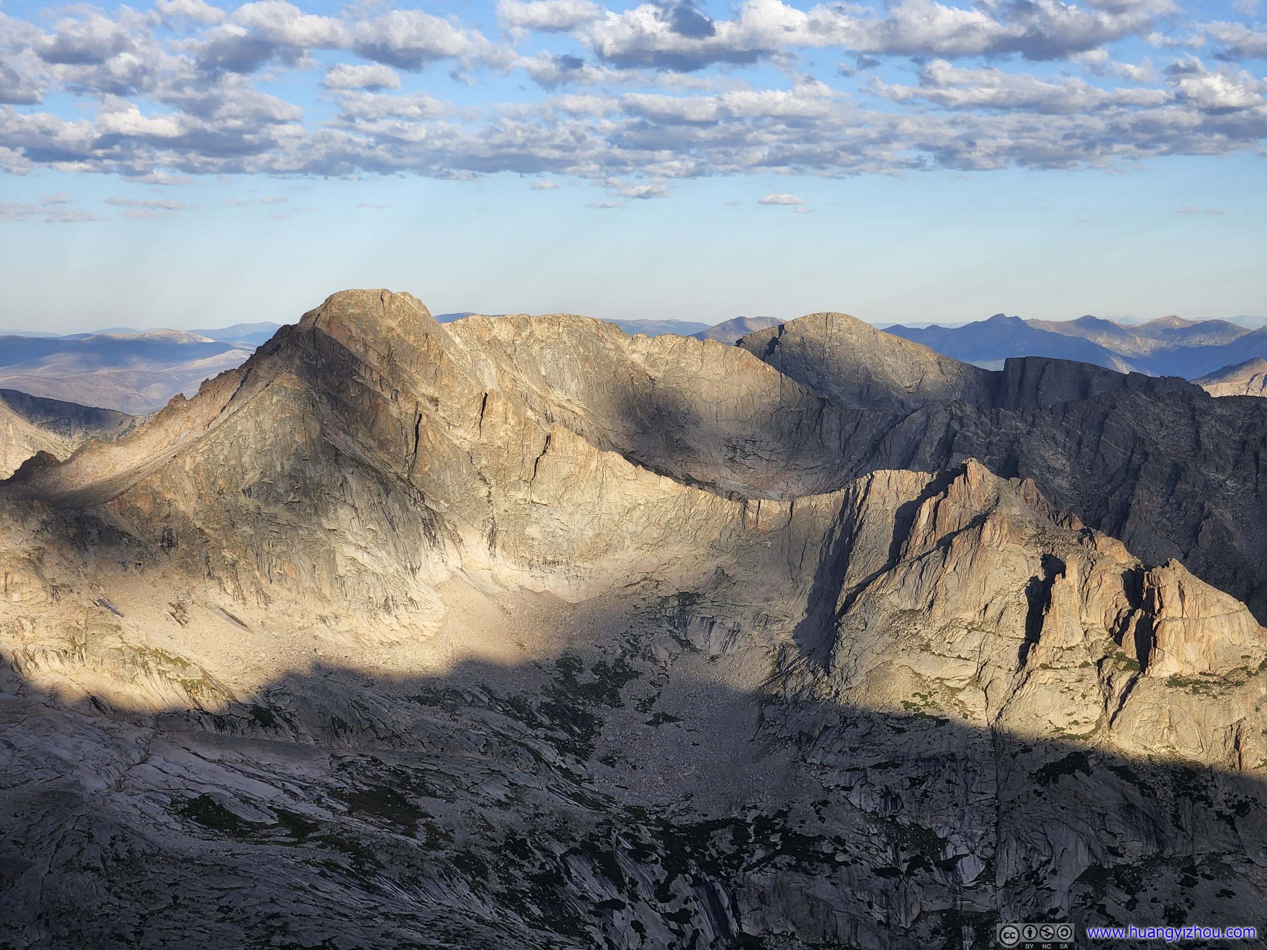
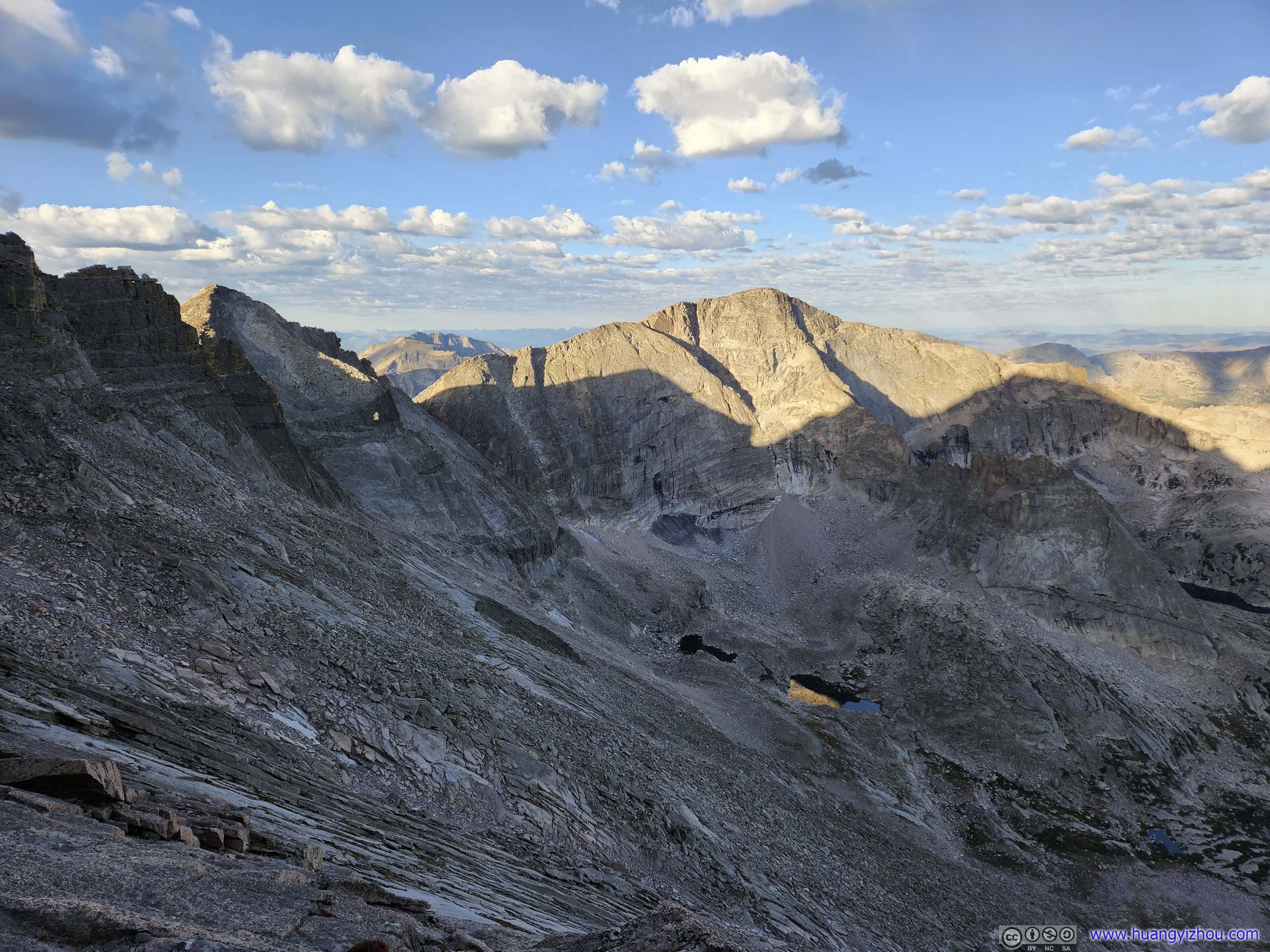
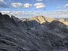
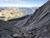
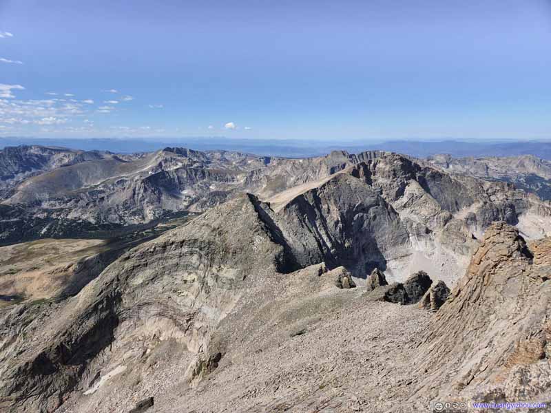
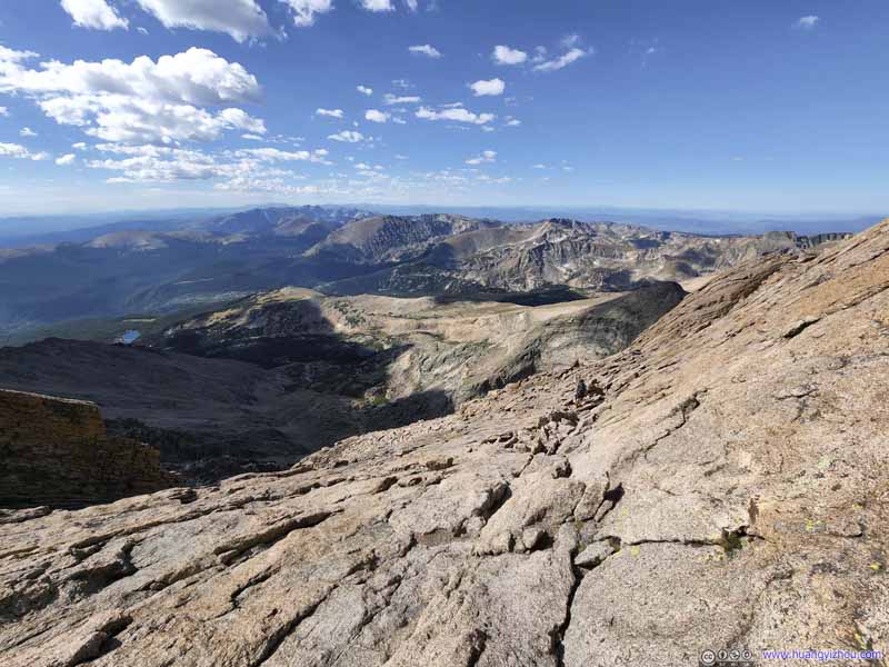
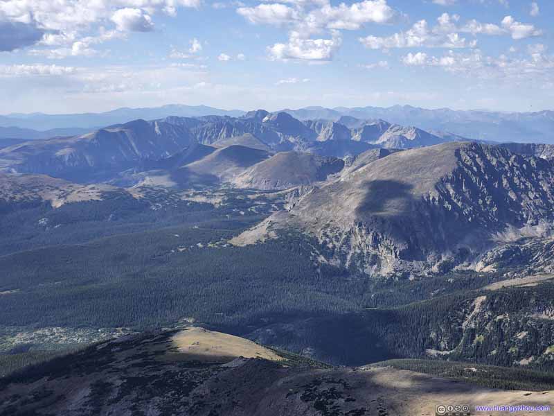
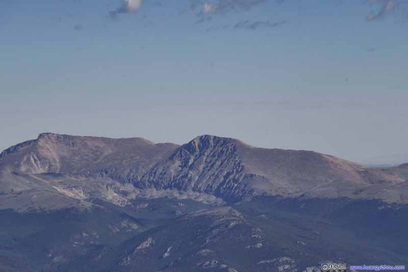
Mountains to the West The rising sun just reached the top of these mountain ranges of Continental Divide.
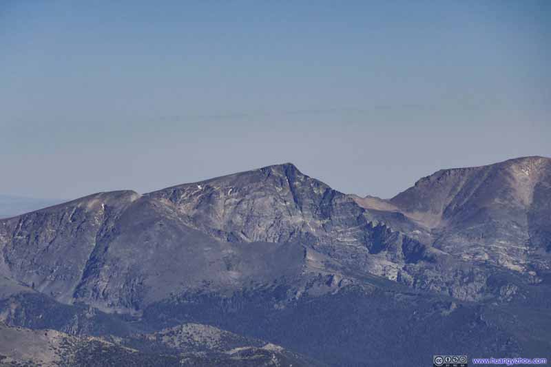
Mountains to the West The Arrowhead, McHenrys Peak, Taylor Peak, their textured rock faces in the rising sun.
Mountains to the West Zoom out view of the previous photo.
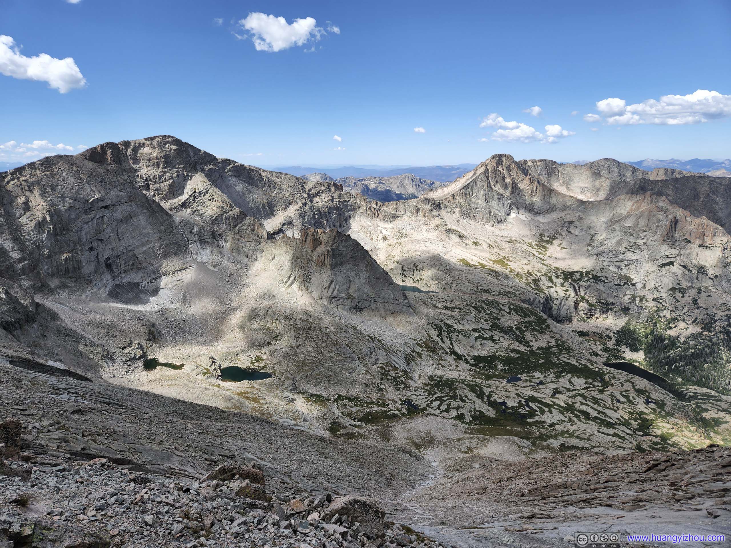
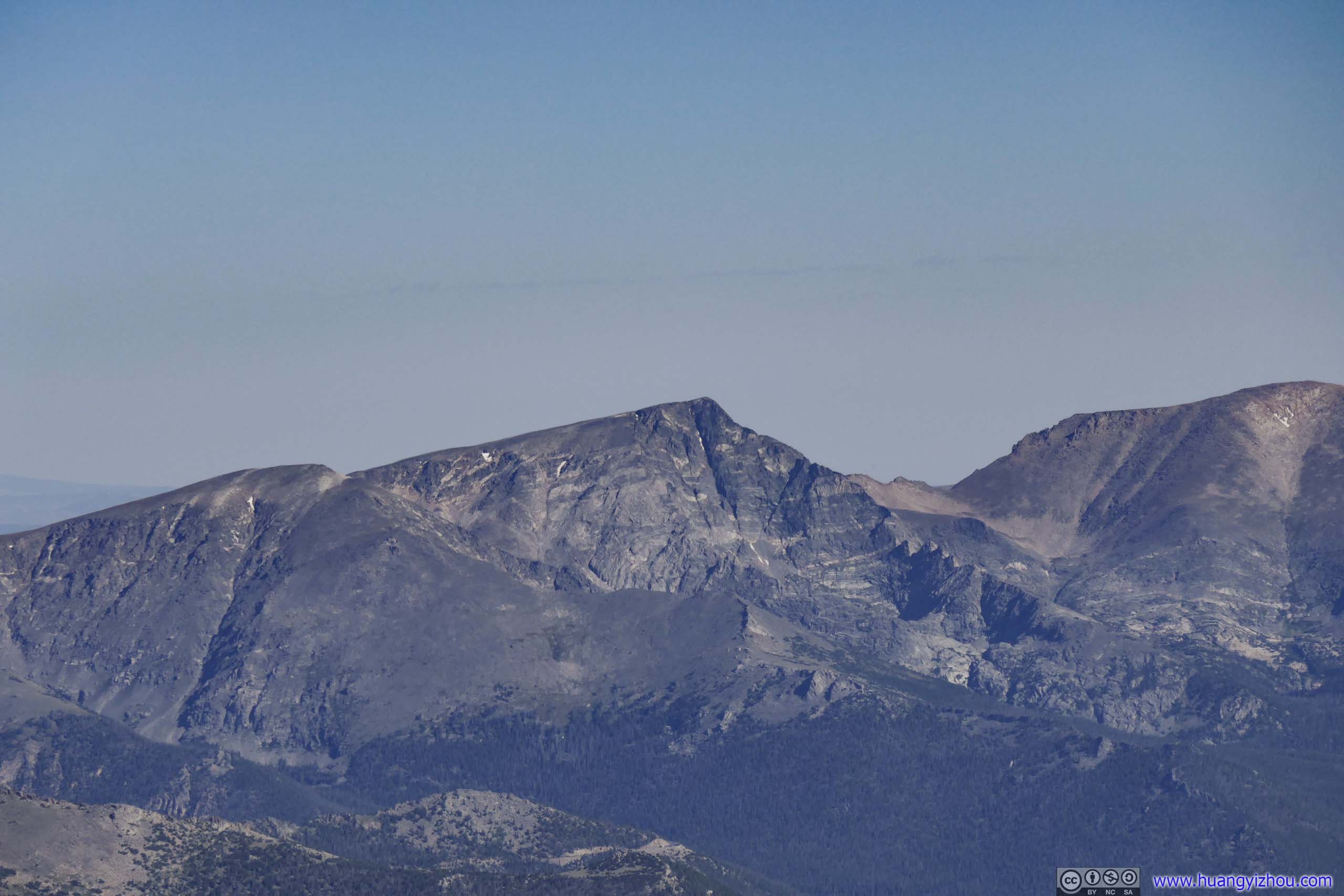
Mountains to the Southwest Chiefs Head Peak in the sun.
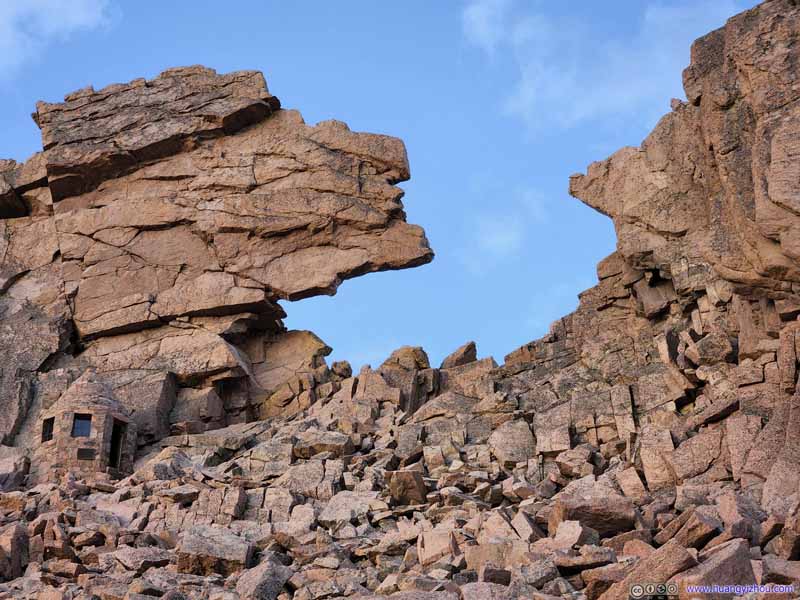
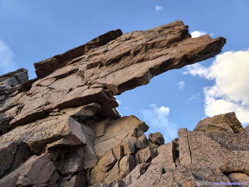
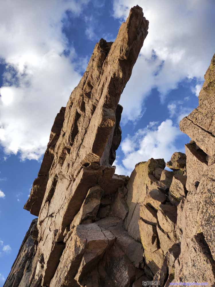
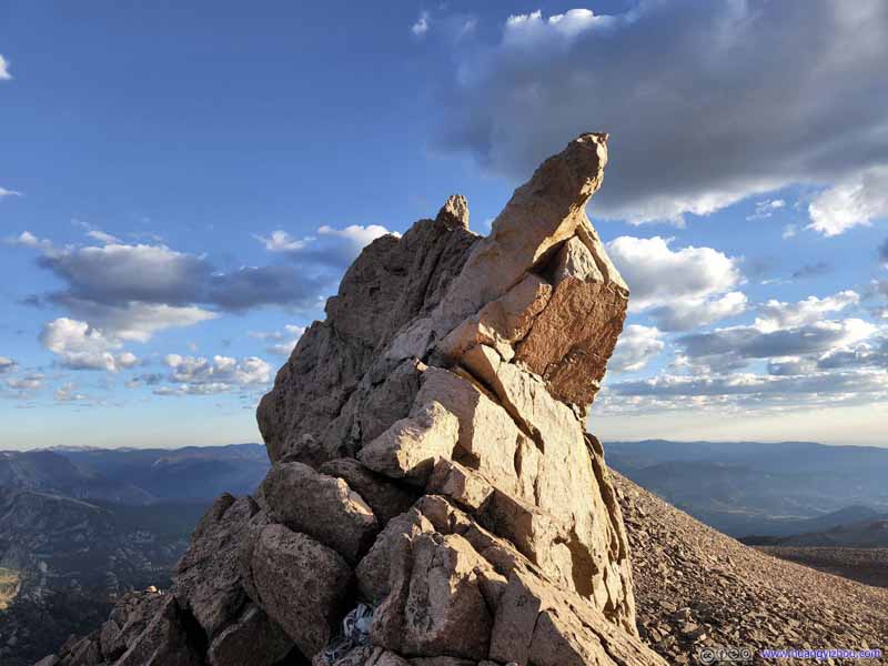
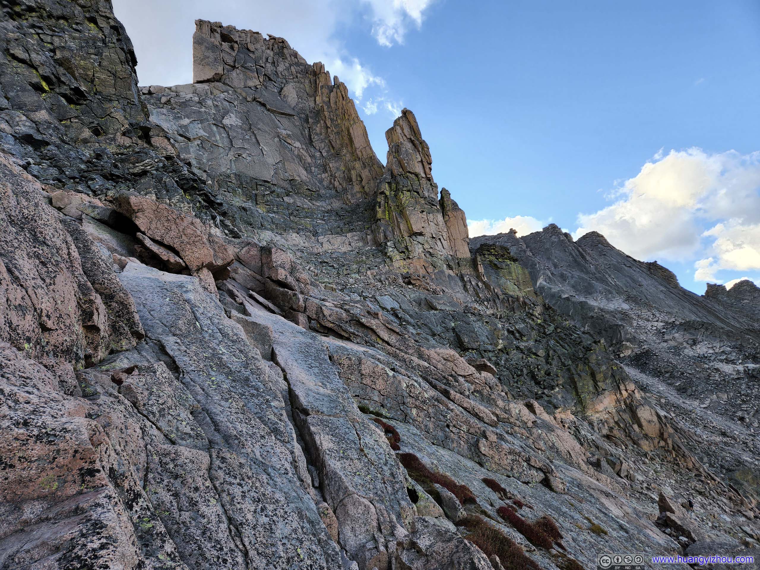
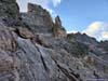
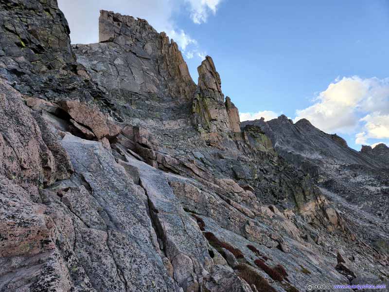
The Ledges Some rocky spires along the way.
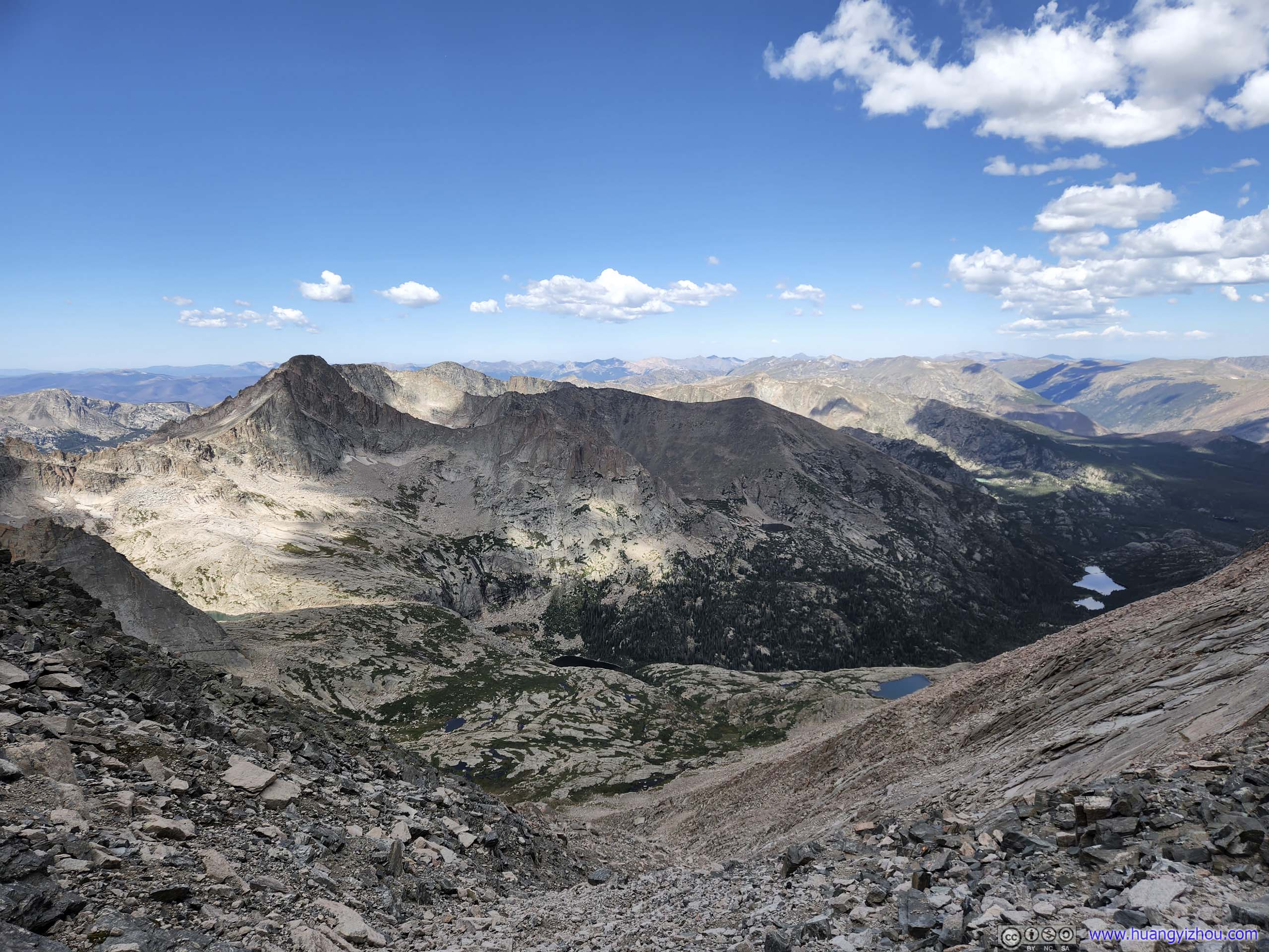
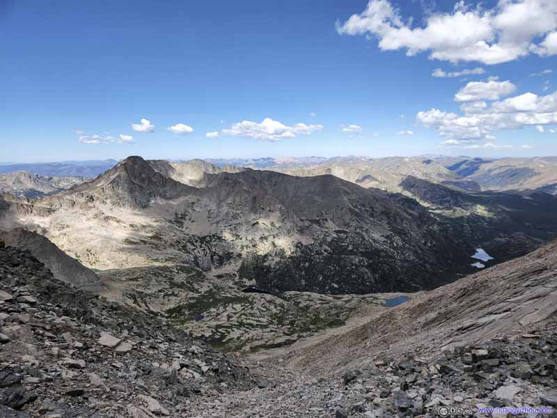
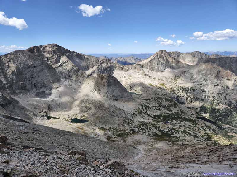
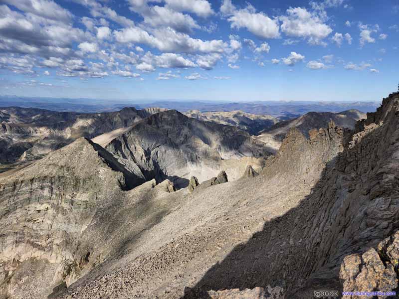
Mountains to the West Taken during our descent around noon, where the interplay of light and shadows was softer.
Mountains to the Southwest Taken during our descent around noon, where the interplay of light and shadows was softer.
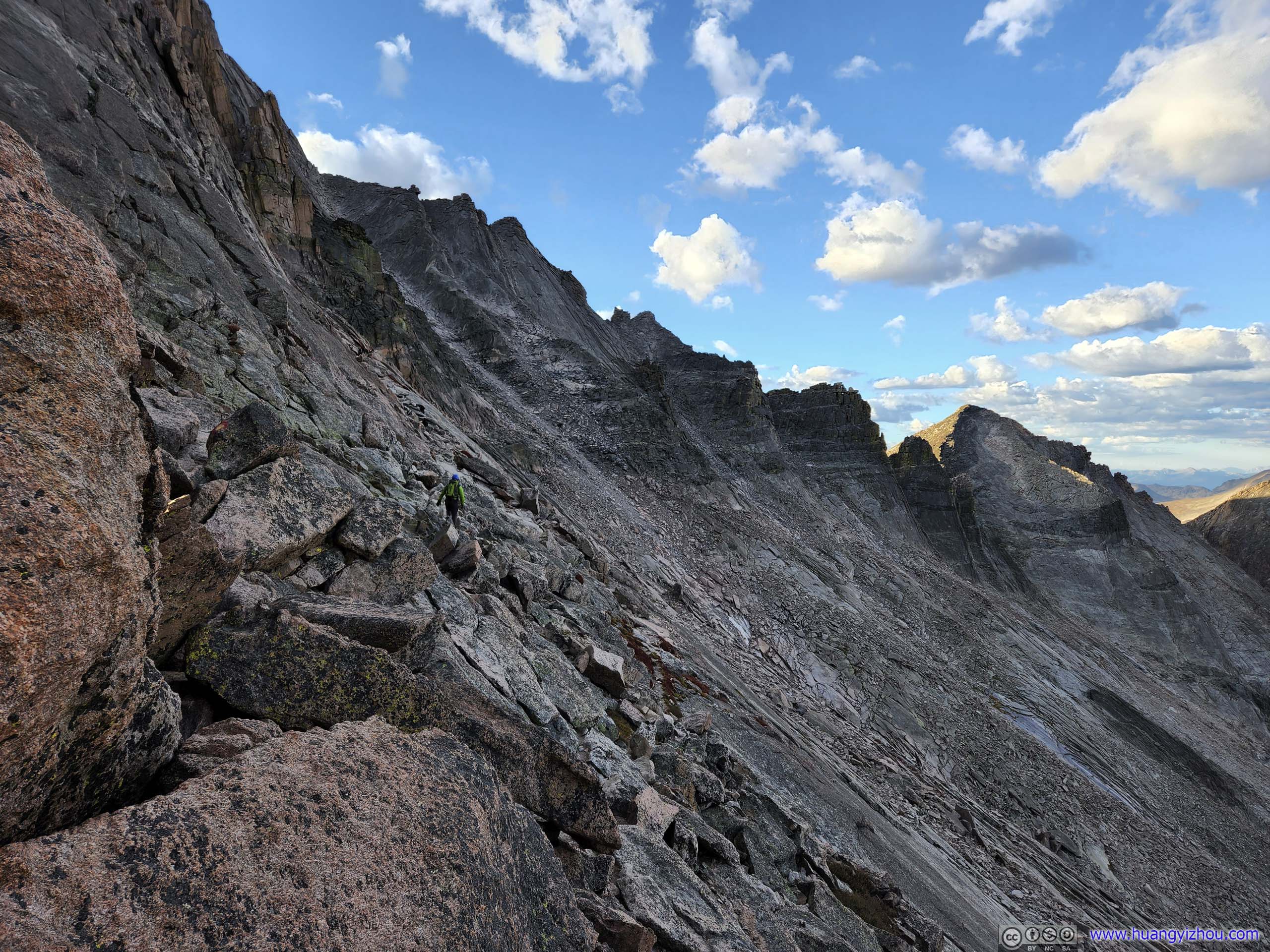
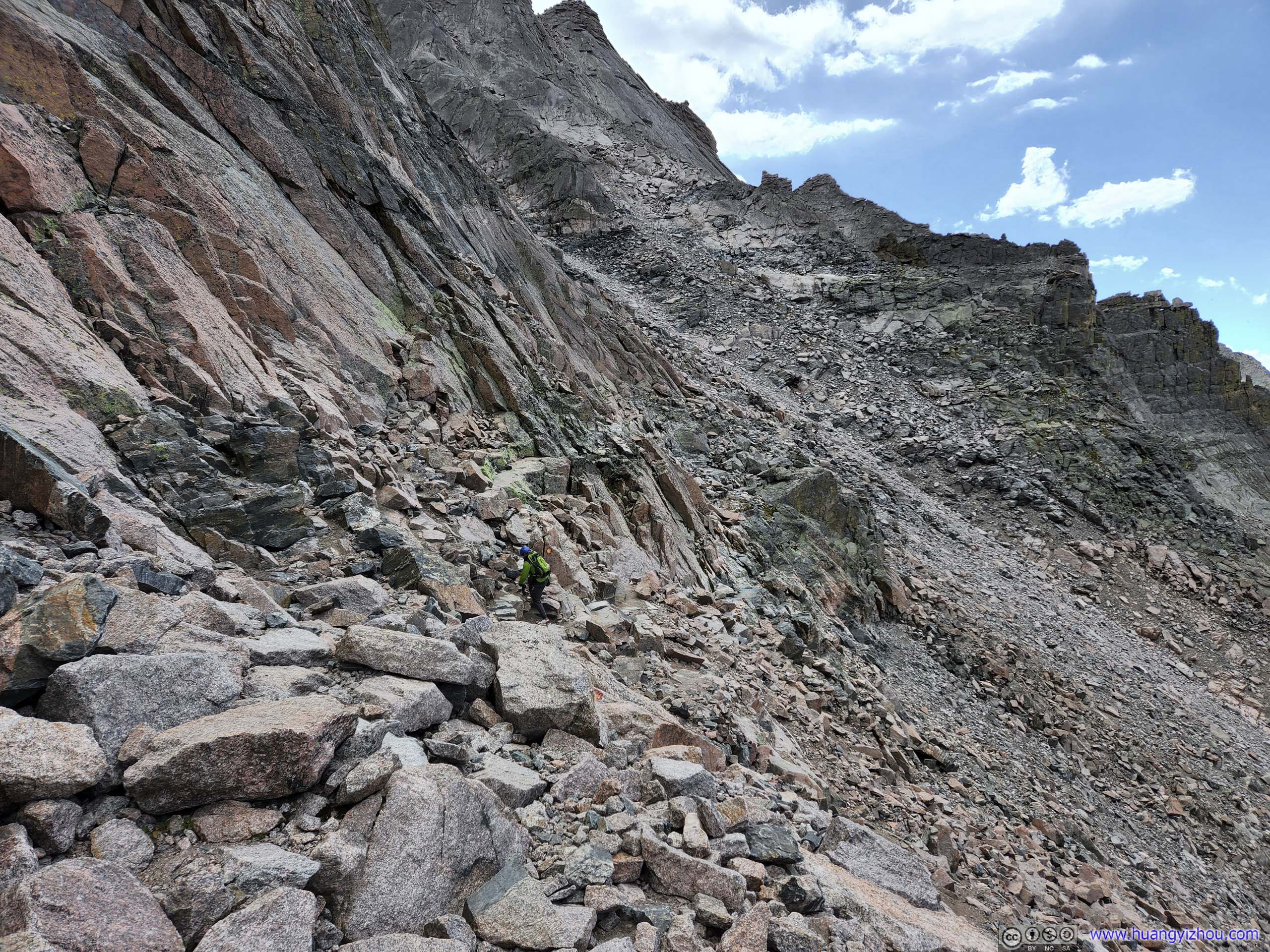
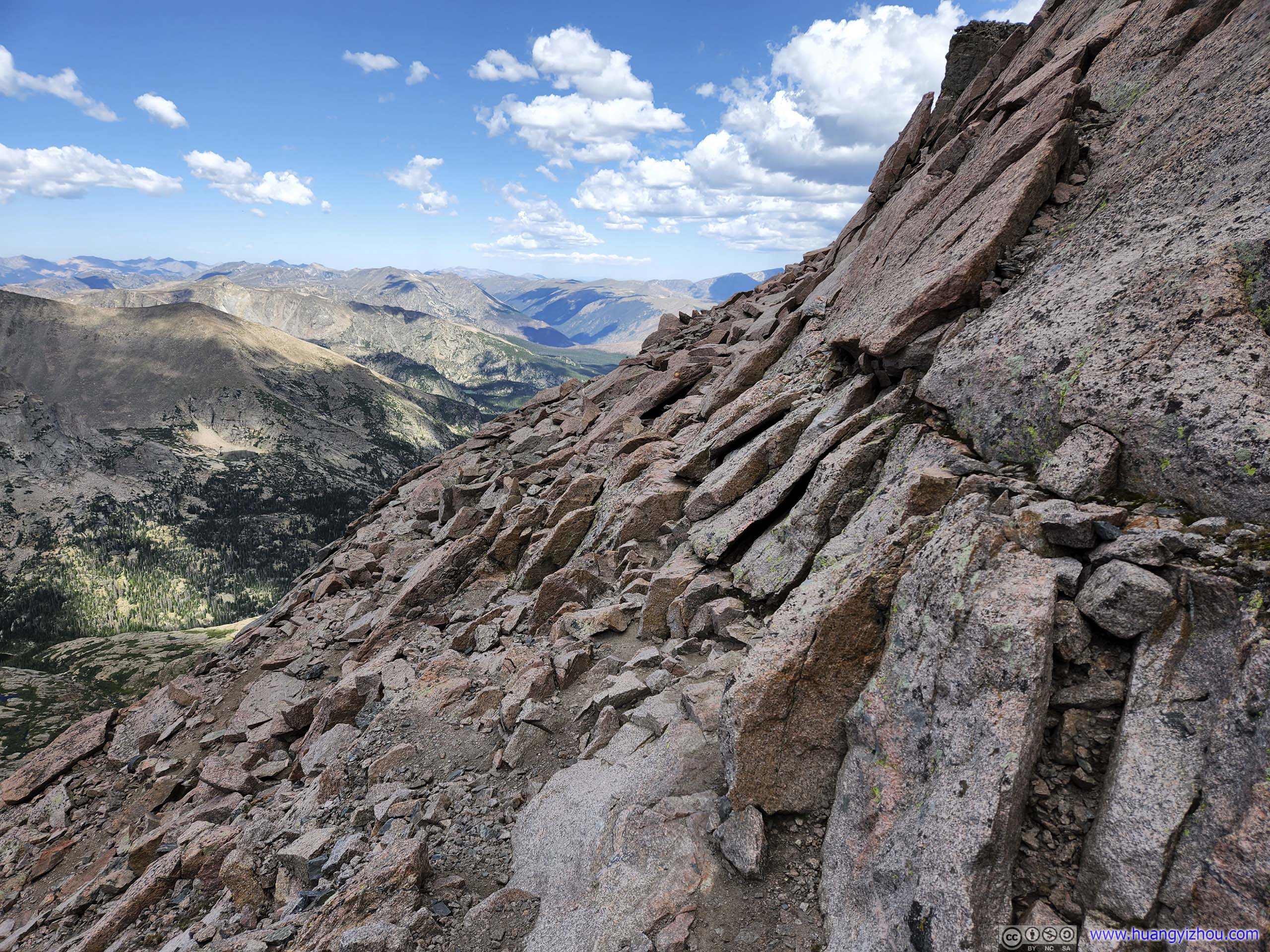
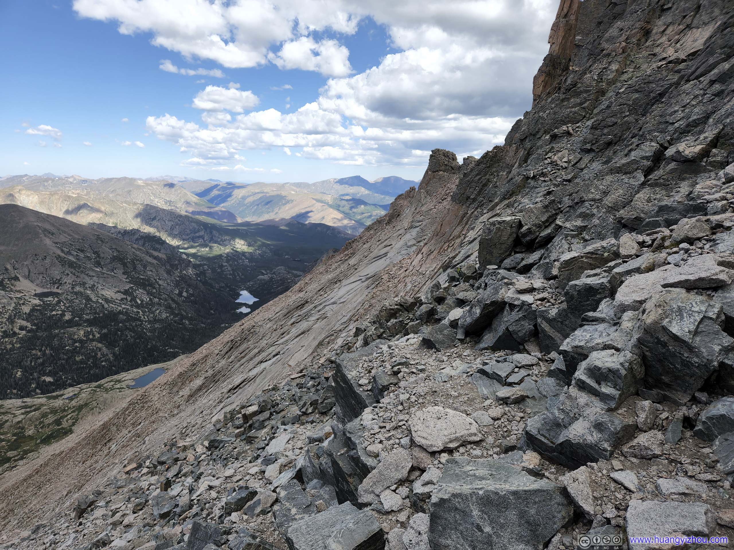
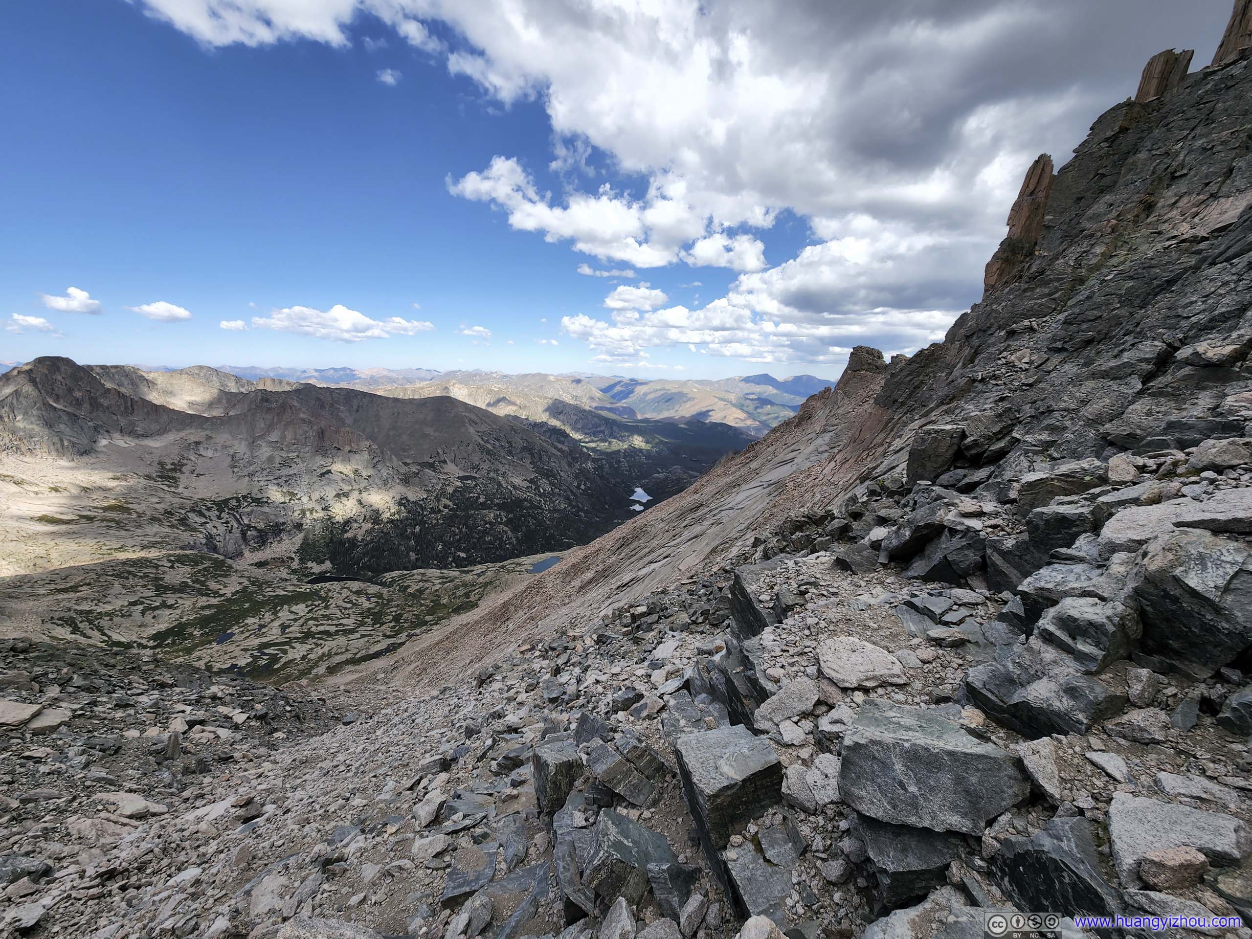
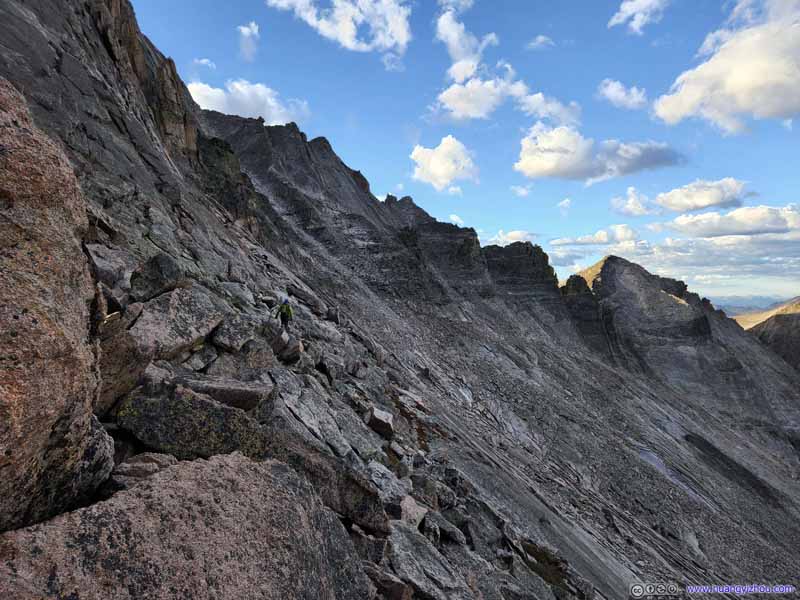
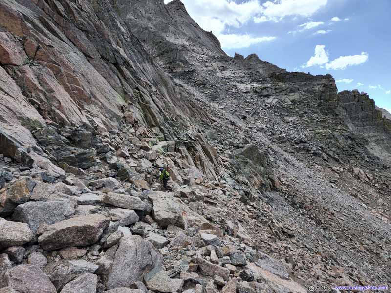
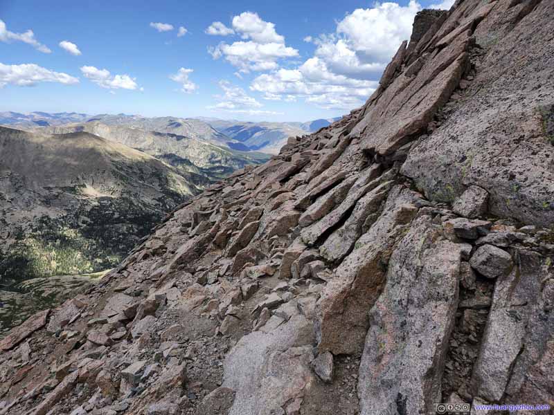
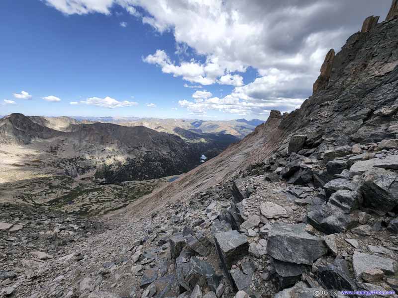
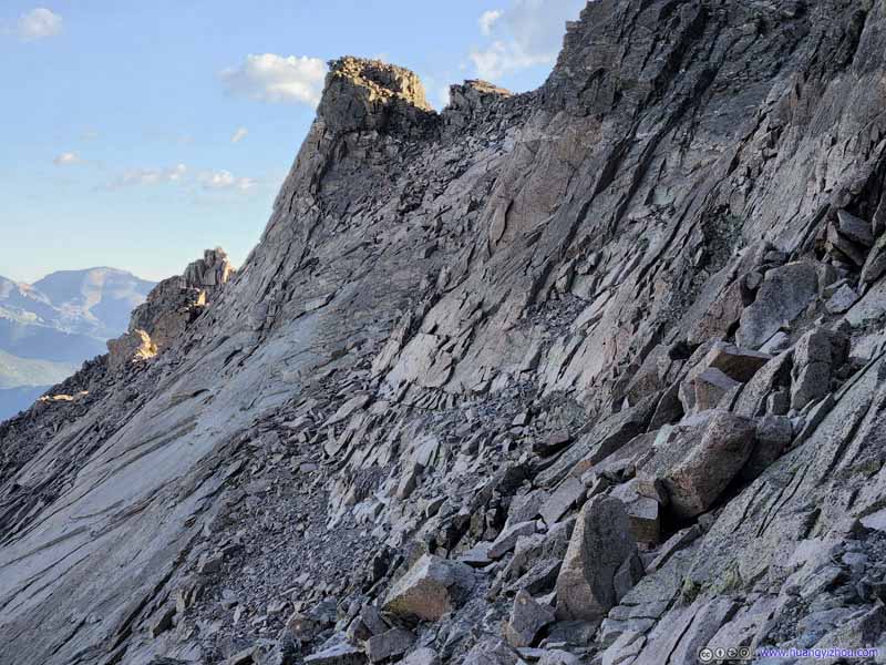
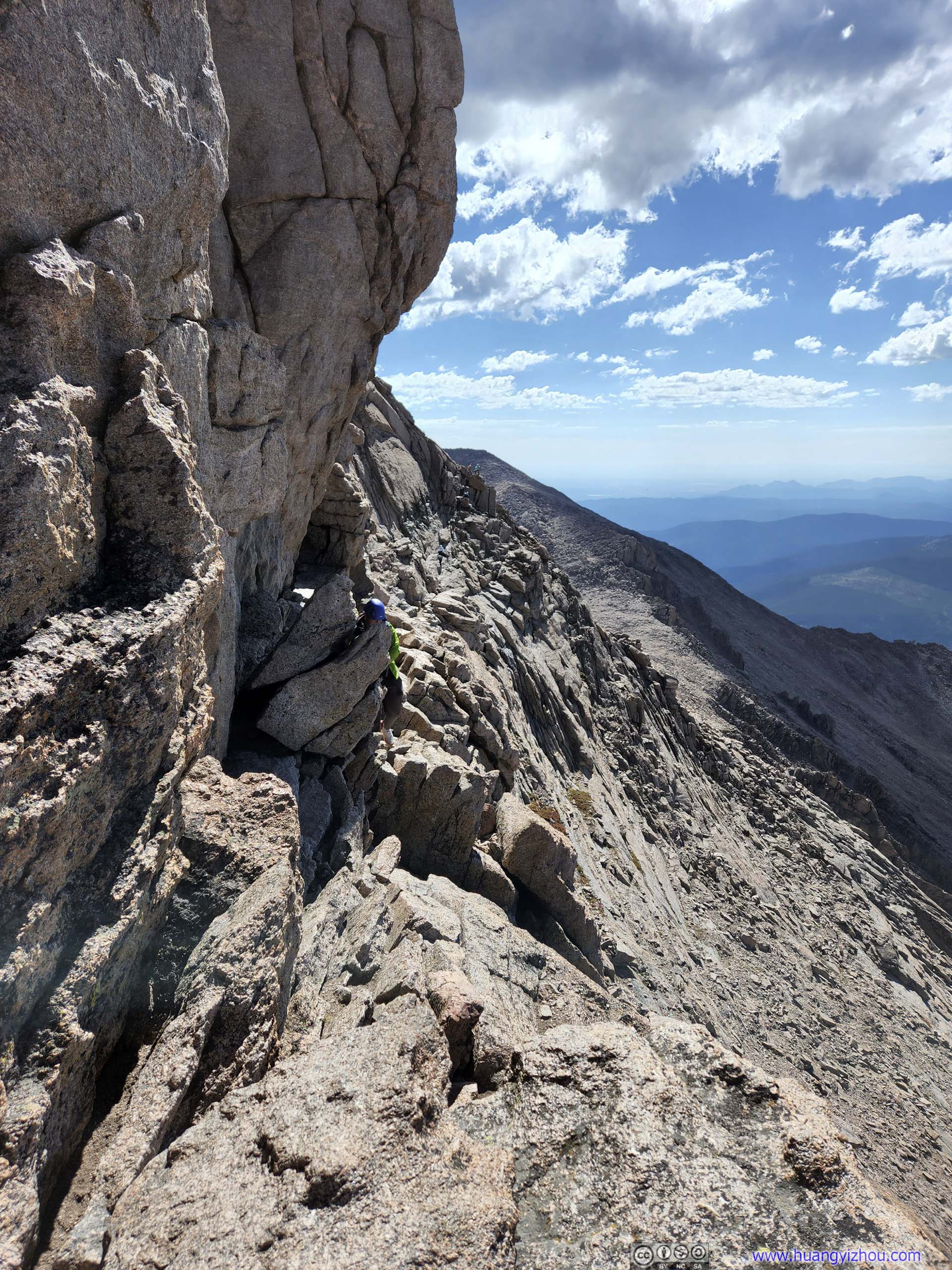
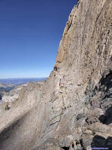
The first of the scrambling sections was "Ledges", where the trail traversed the western face of Longs Peak for about 600m, with a good mix of uphill and downhill. I would say most of the "Ledges" were YDS class 2, but there were one or two YDS class 3 moves. Exposure was very moderate during the "Ledges". All the route-finding after the "Keyhole" was during the "Ledges", but with an extensive amount of paints marking the route, it shouldn't be difficult.
The Ledges Typical trail conditions along the Ledges.
The Ledges Typical trail conditions along the Ledges.
The Ledges Typical trail conditions along the Ledges.
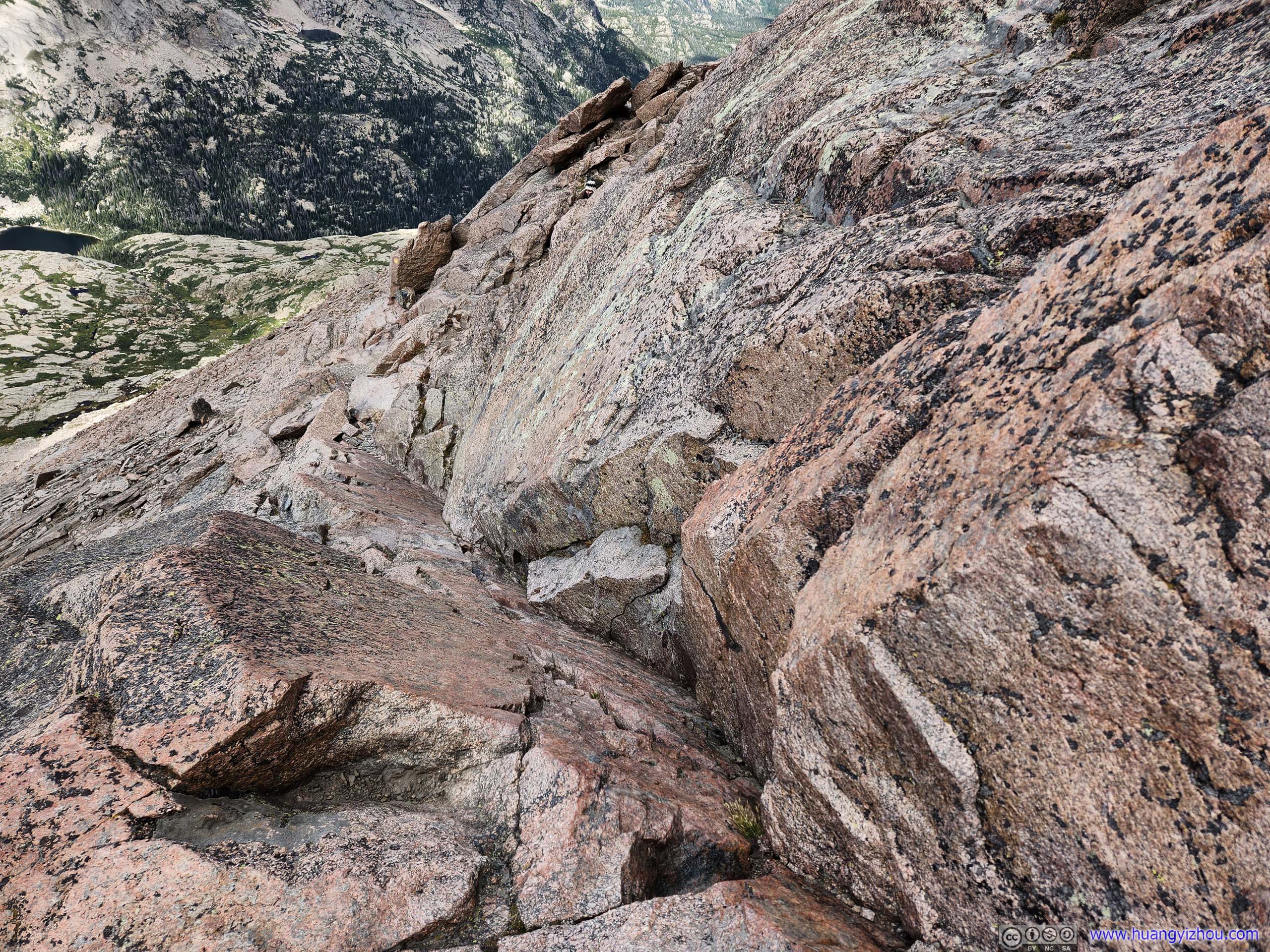
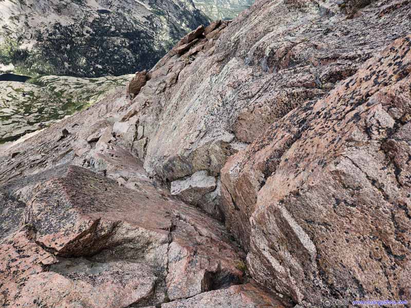
Technical Move along The Ledges
Looking down at this technical move, about halfway into the Ledges. The rocks were slippery from constant use, but the cracks and slits around it still provided ample handholds, and it's certainly not very steep.
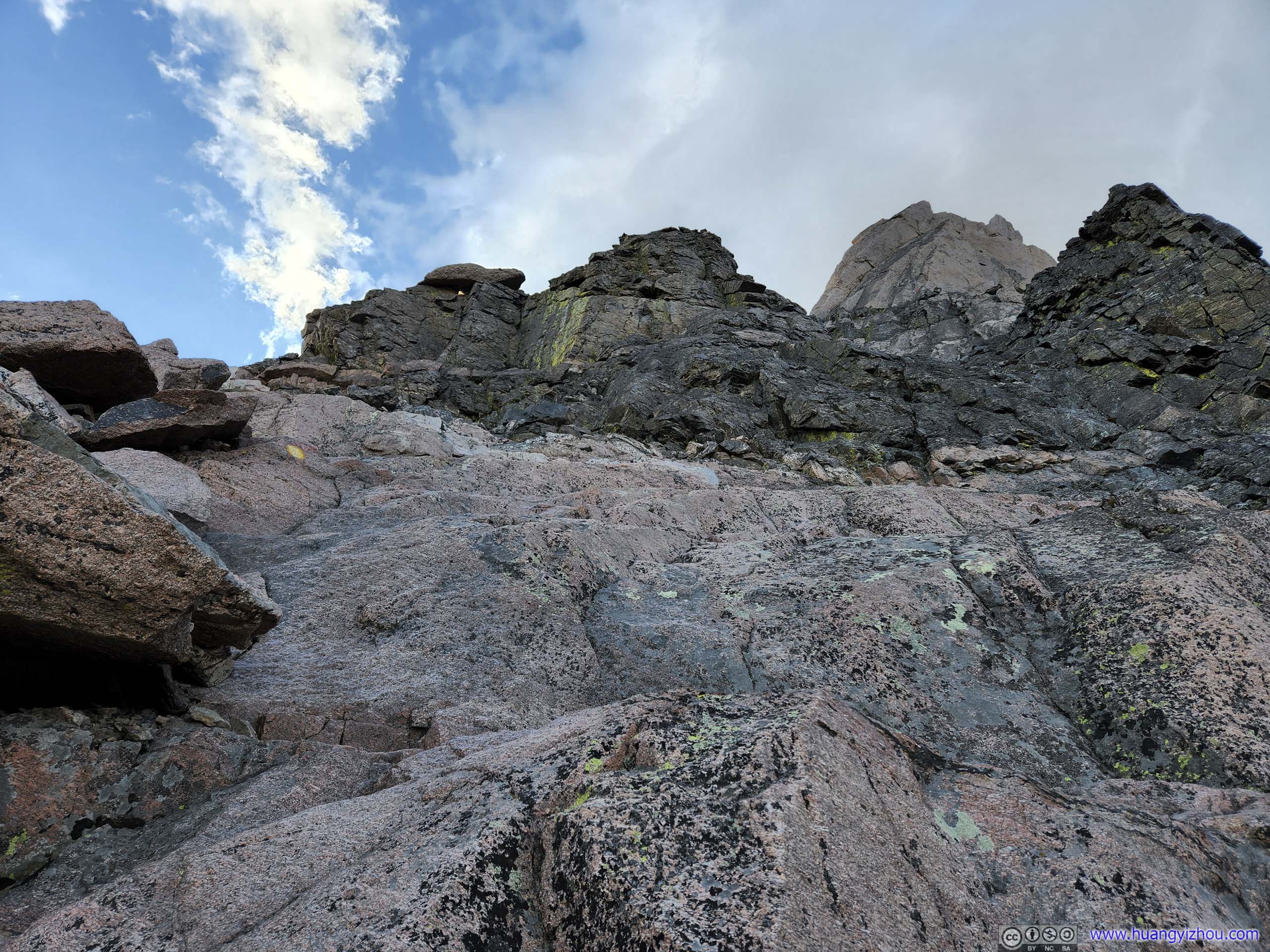
The Ledges
Just after the previous technical move, the path took a hard-to-find left turn towards the east, climbing up these rocks. This took us a few moments to identify.
The Ledges Looking back from the end of the Ledges. Taken around noon during descent.
The Ledges Looking back from the end of the Ledges. Taken around noon during descent.
The Ledges Looking back from the end of the Ledges.
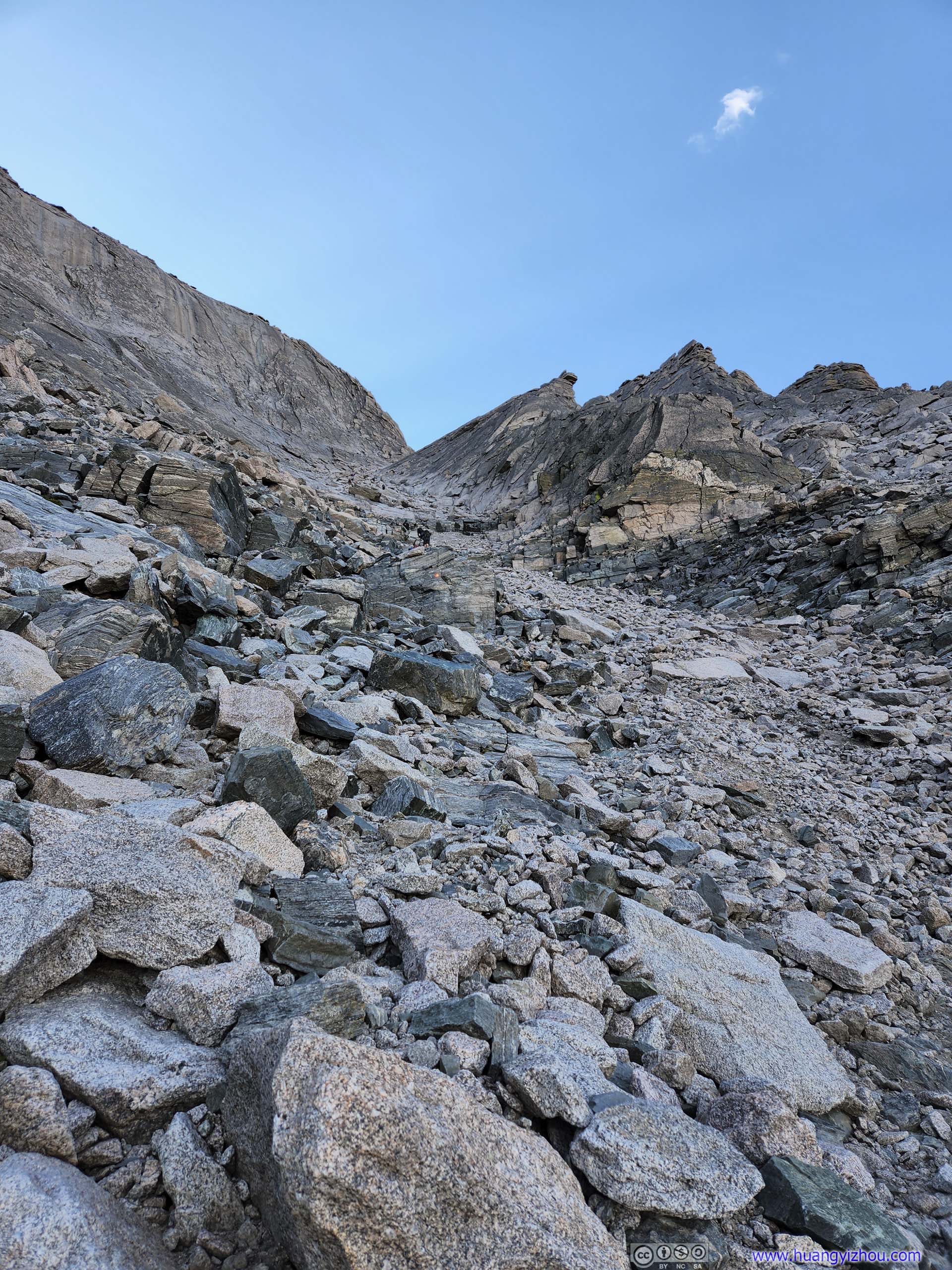
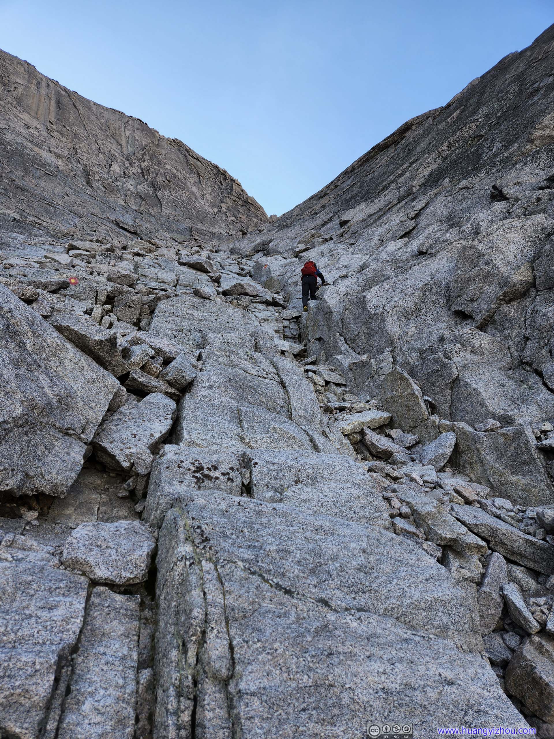
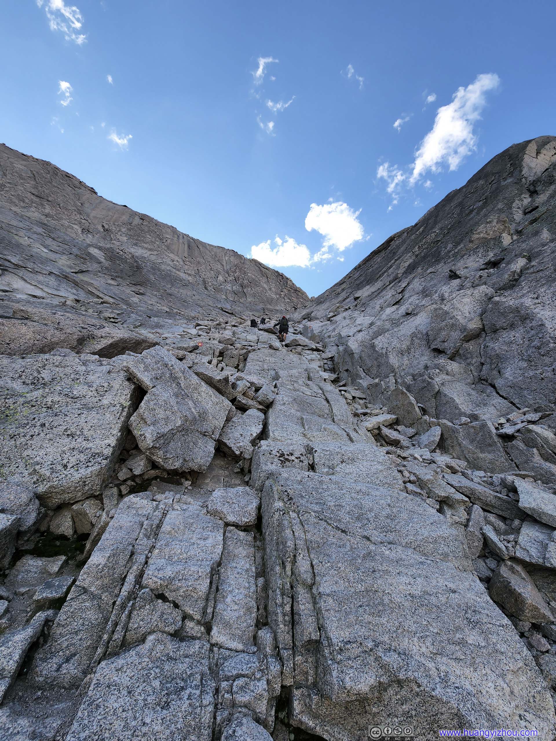
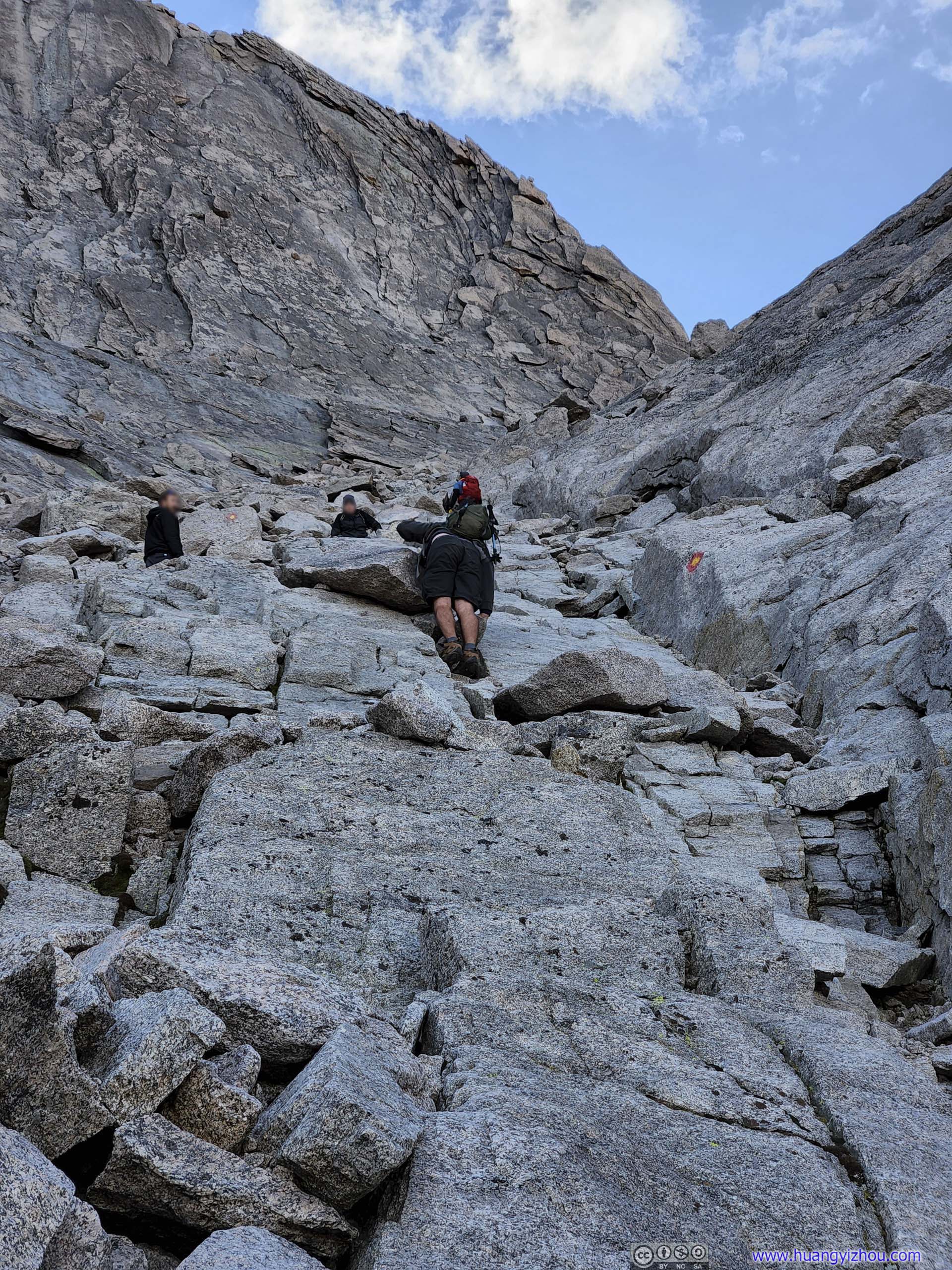
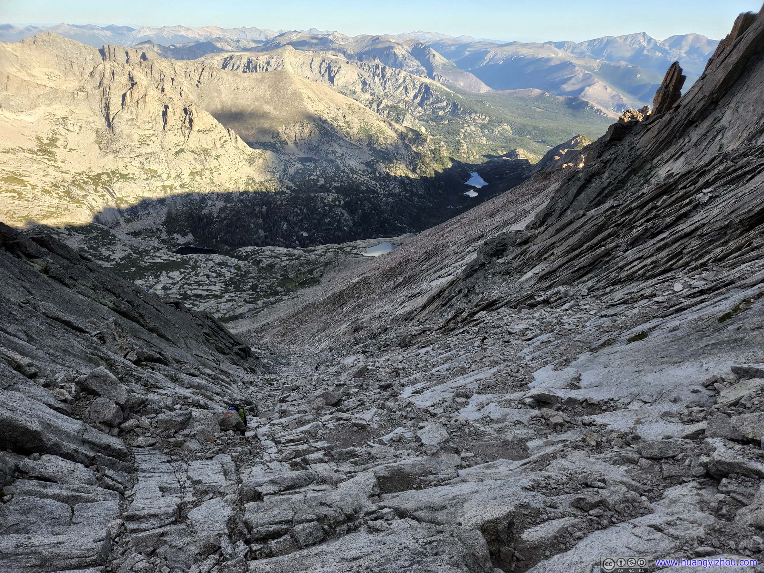
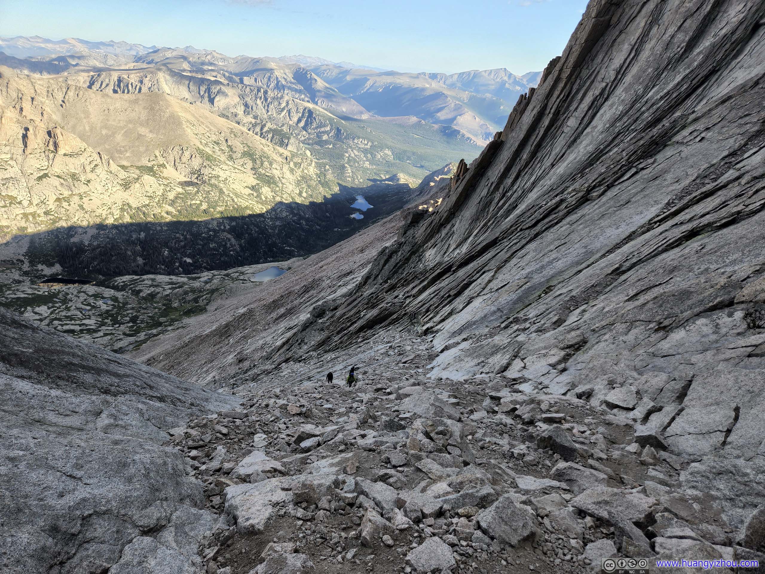
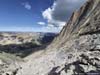
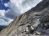
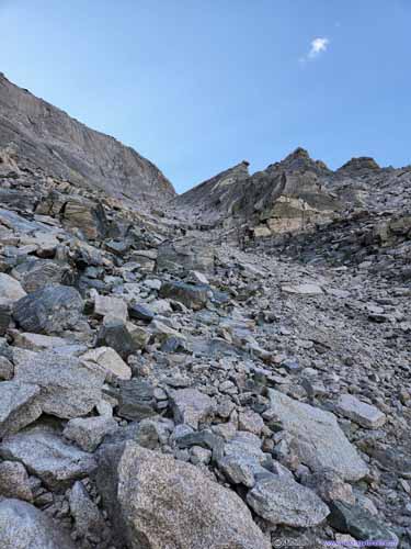
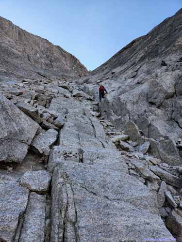
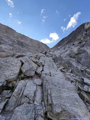
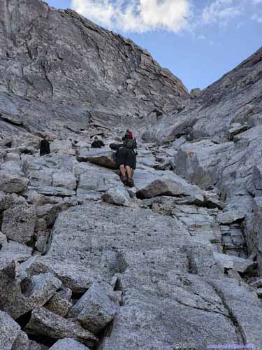
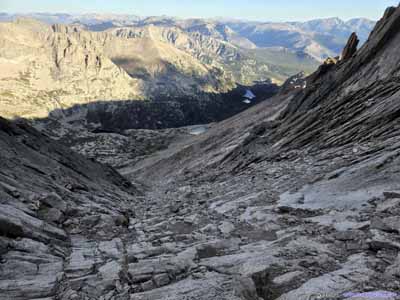
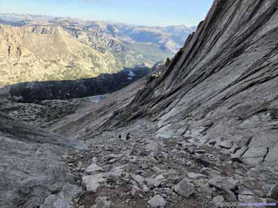
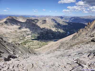
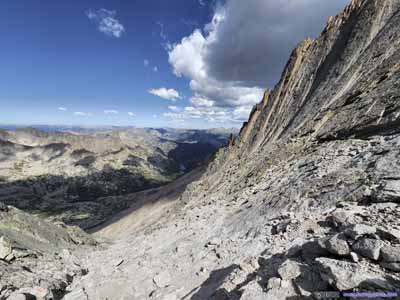
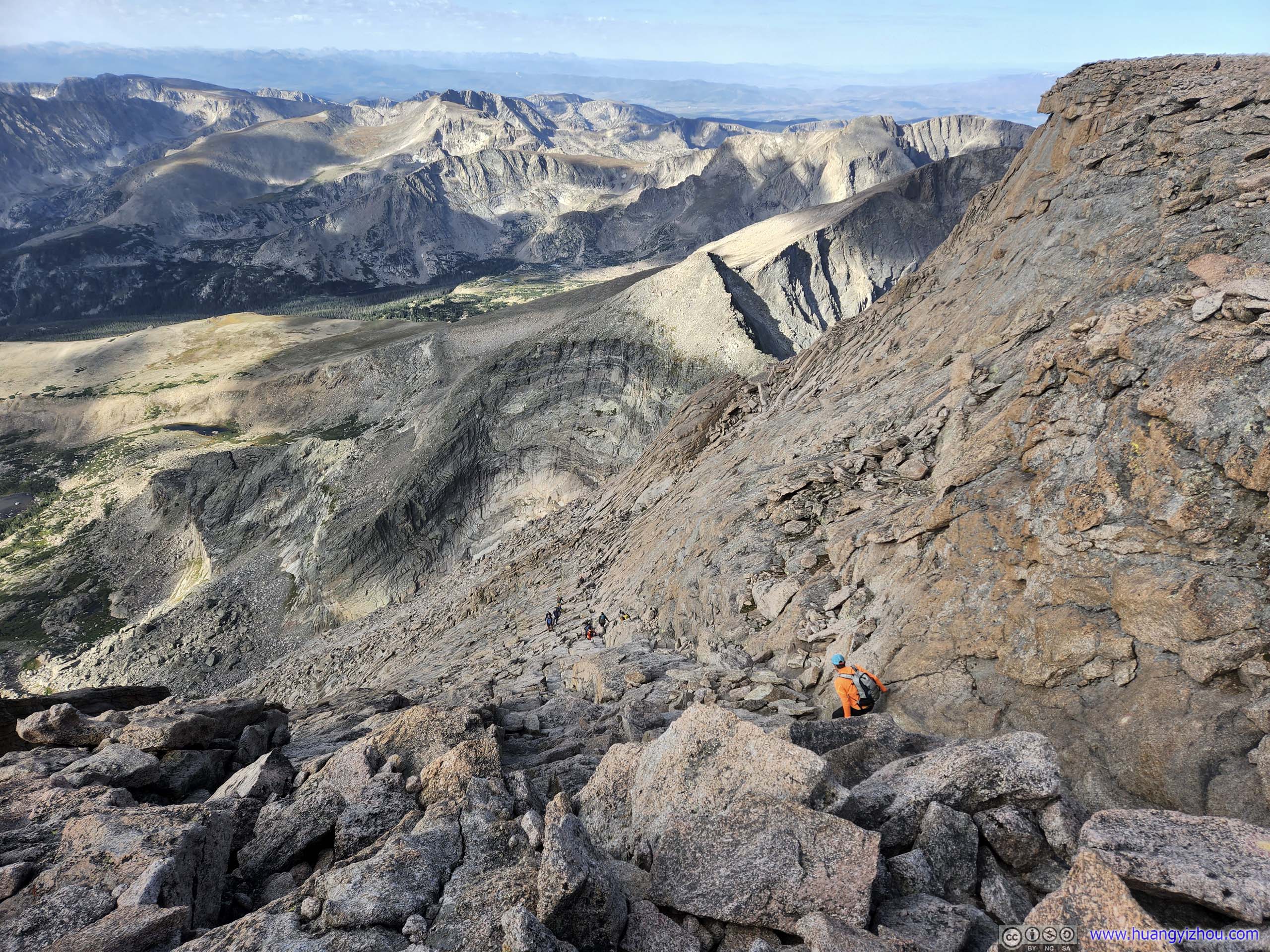
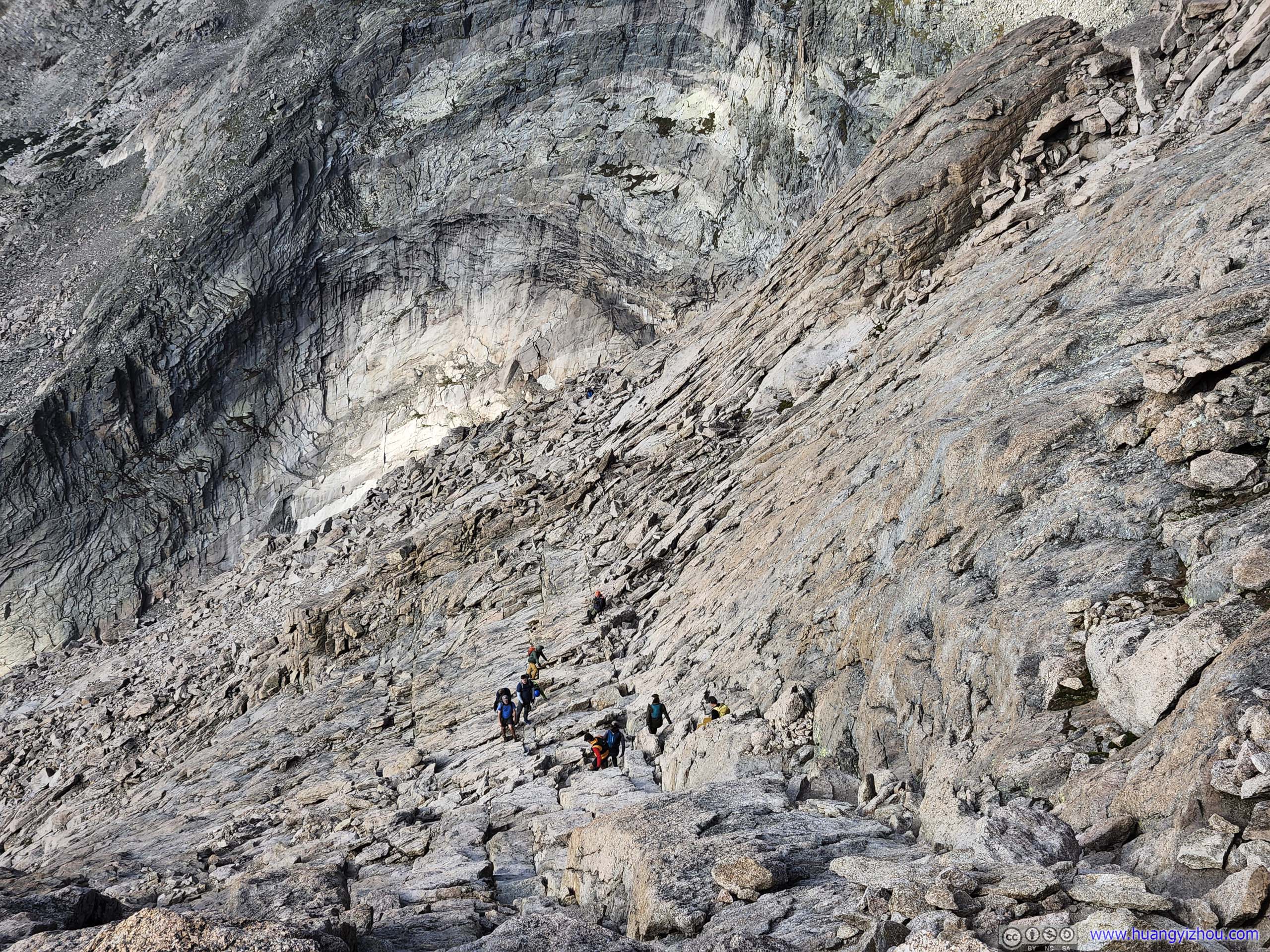
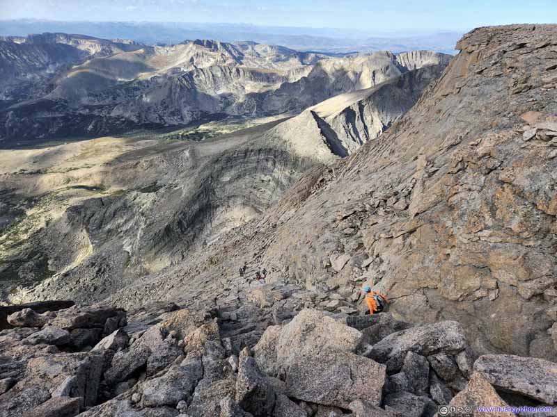
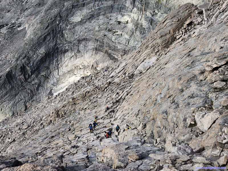
After that it's the "Trough". It probably got this name for being a long and narrow stretch of hillside, only that it's tilted at an angle. To summarize from my personal experience, it's long and tedious. The "Trough" had a good mix of YDS class 2 and (easy) class 3 moves, but in comparison the 180m of elevation gain on a steep slope was a more formidable task with thin air at 4100m elevation. I would compare that to climbing stairs, except that the stairs were made of rocks of irregular shape and sometimes, one had to find an easier way around some larger boulders.
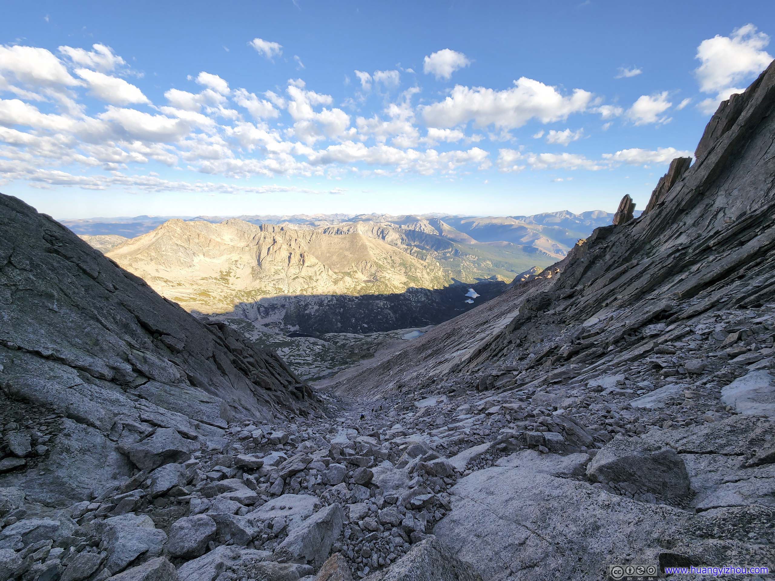
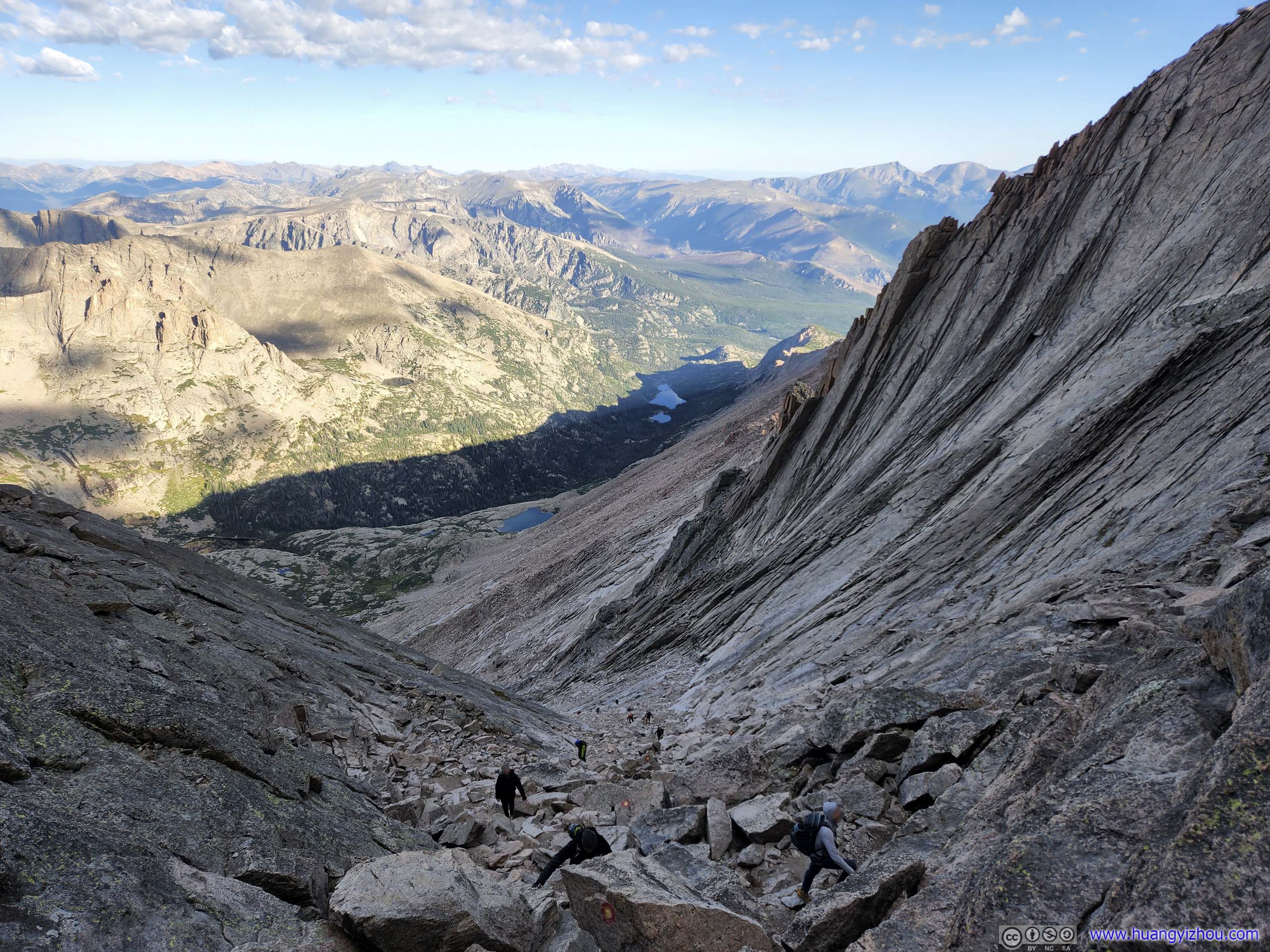
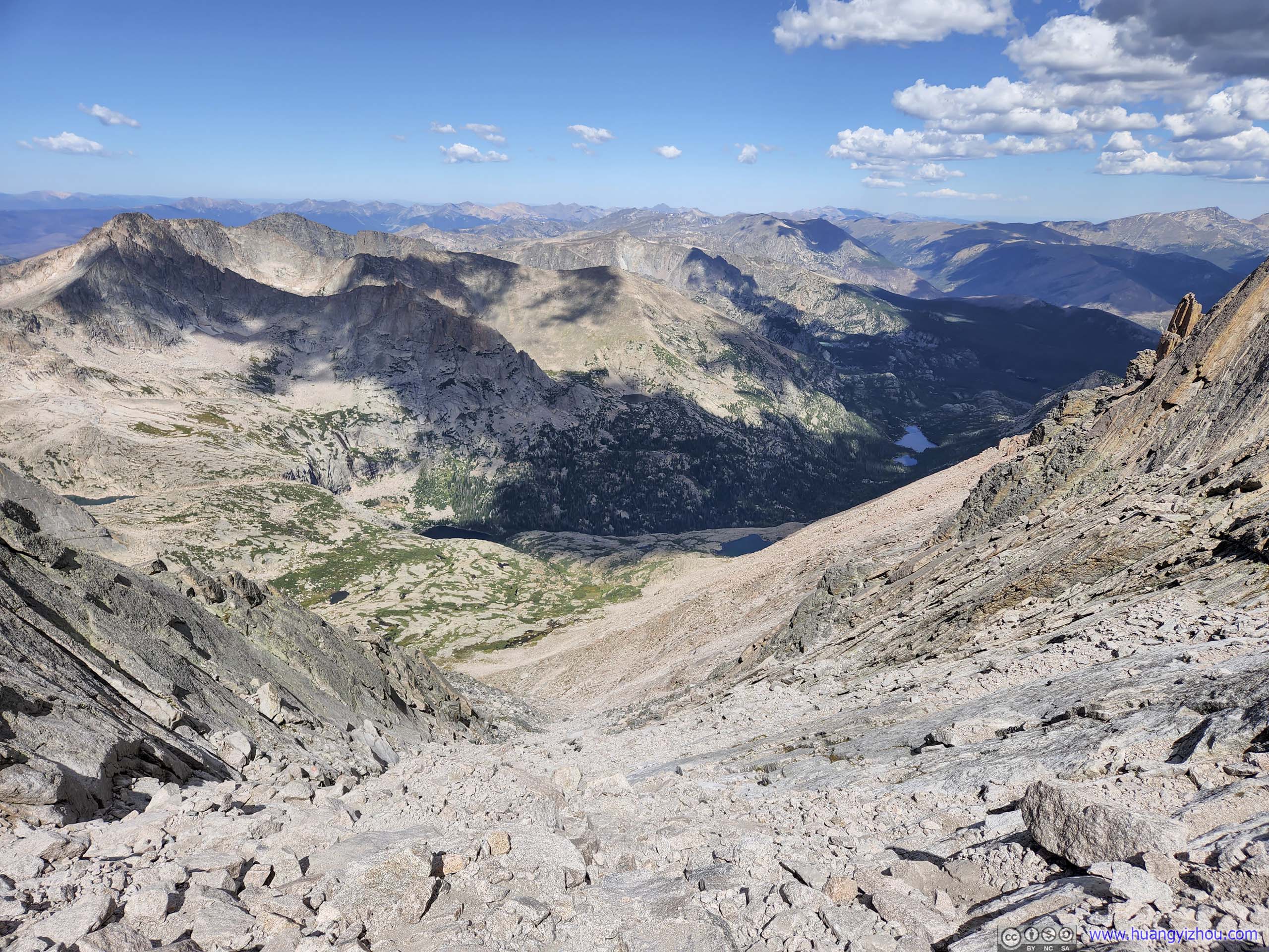
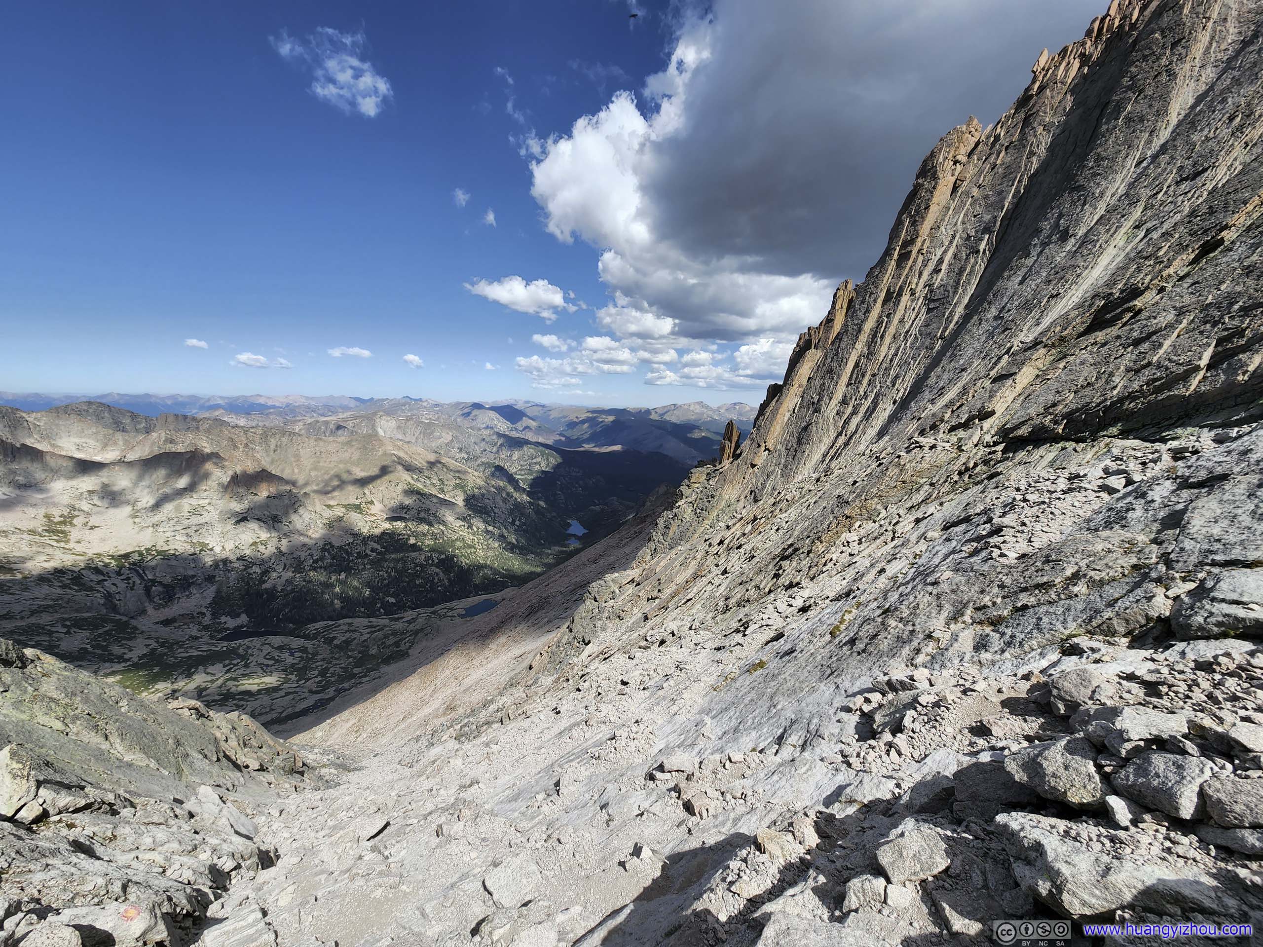
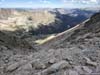
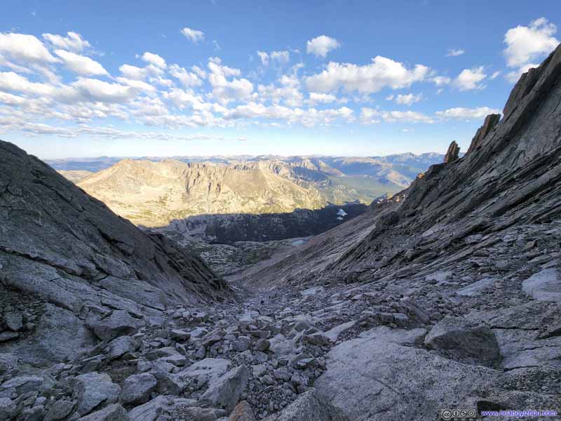
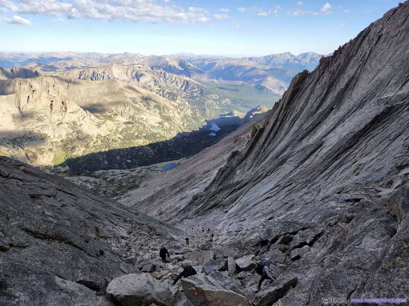
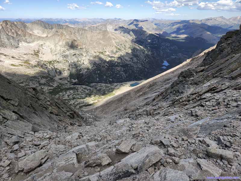
On a good side, the view looking down the "Trough", especially towards its top, was classic of the Keyhole route.
During this section, I made two longer rests waiting for my friend to catch up. And since the "Trough" was on the southwestern face of Longs Peak, away from the sun, the rocks were cold and I could feel that when I put the gloves back on, having placed them on the rocks during my rests.
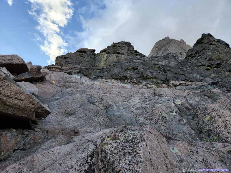
The Trough
The Trough From the bottom of the Trough looking up.
The Trough About a third of the way into the Trough, with wide (left) and tele (right) lens.
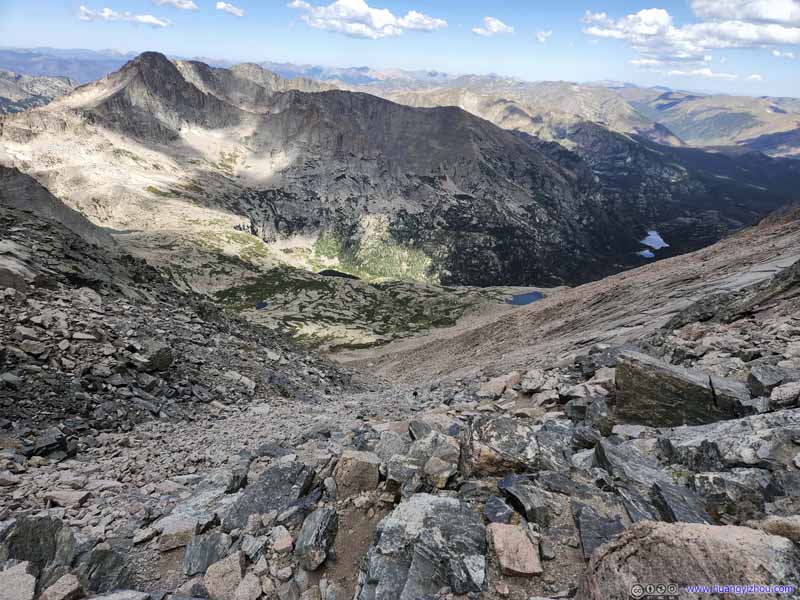
The Trough Looking down from the top of The Trough.
The Trough With early morning (top) and mid-day lighting (bottom).
Rocks next to The Trough Looking impressive.
The Trough Taken around noon during our descent when the lights were softer.
The Trough Taken around noon during our descent when the lights were softer.
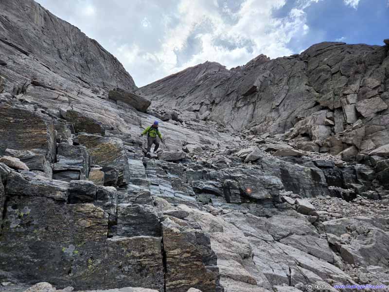
The Trough My friend descending from The Trough.
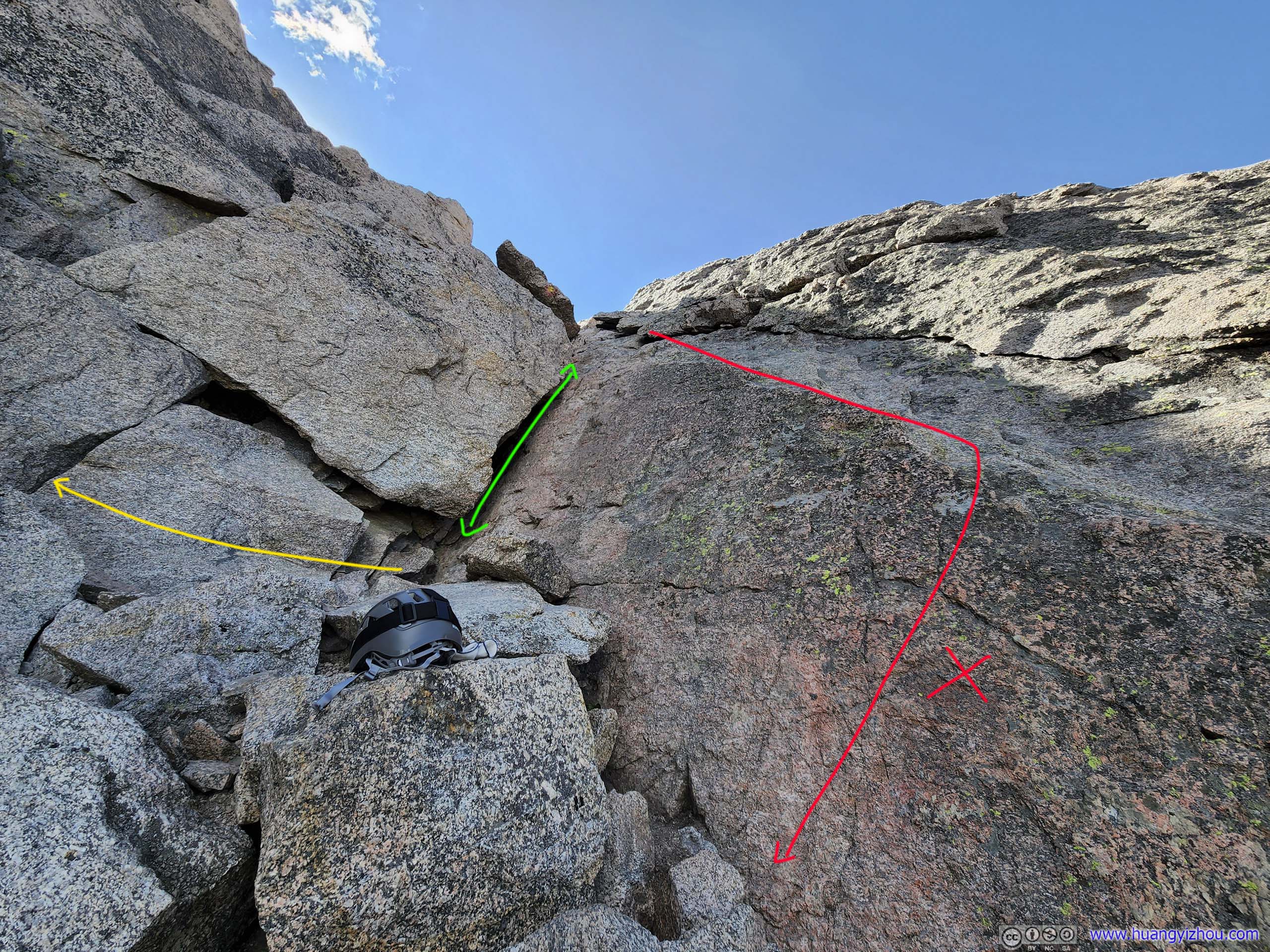
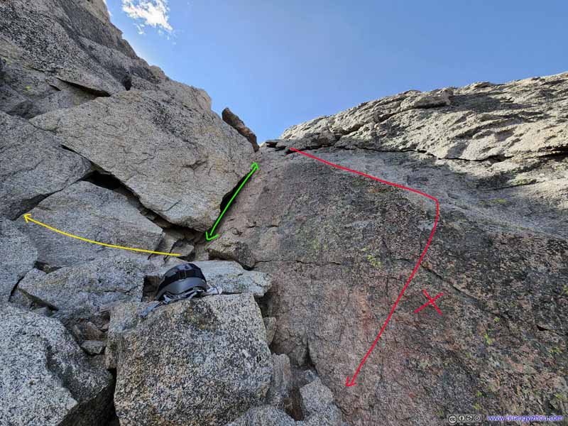
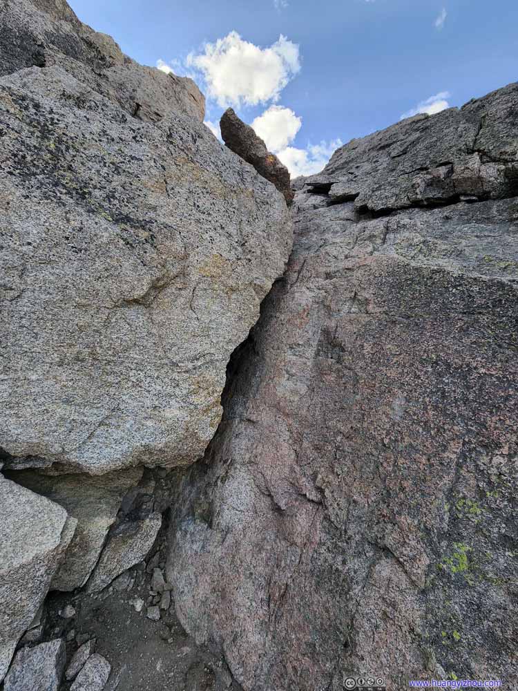
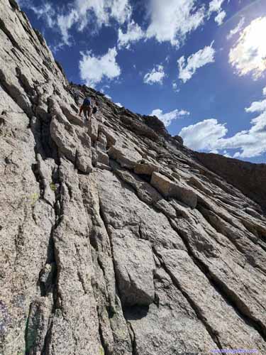
At the top of the "Trough" was, in my opinion, the most technical move of the entire Keyhole Route, where one had to pull himself/herself up and down a narrow and tilted slit (photo below). I would rate this on the harder side of YDS class 3 to class 4. The move didn't come with any exposure so it's largely manageable.
Crux
Crux of Keyhole Route. The recommended way should be using the narrow slit (green) up and down. Footholds were hard to find, especially on the way up, but with some scramble it is surmountable. Towards the left (yellow) there may (or may not) be another way around this crux. During my descent I decided to use the slanted ledge on the right (red), which turned out to be a lot harder.
Crux A closer look at the slit.
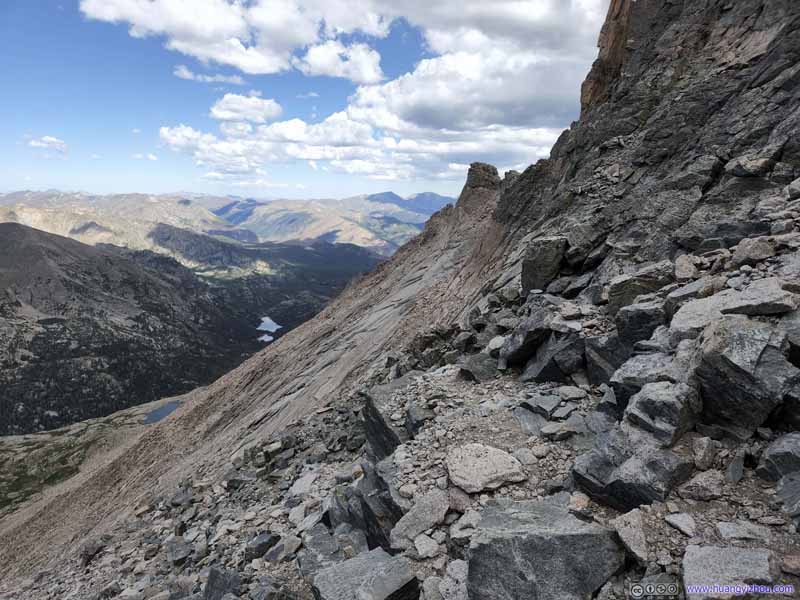
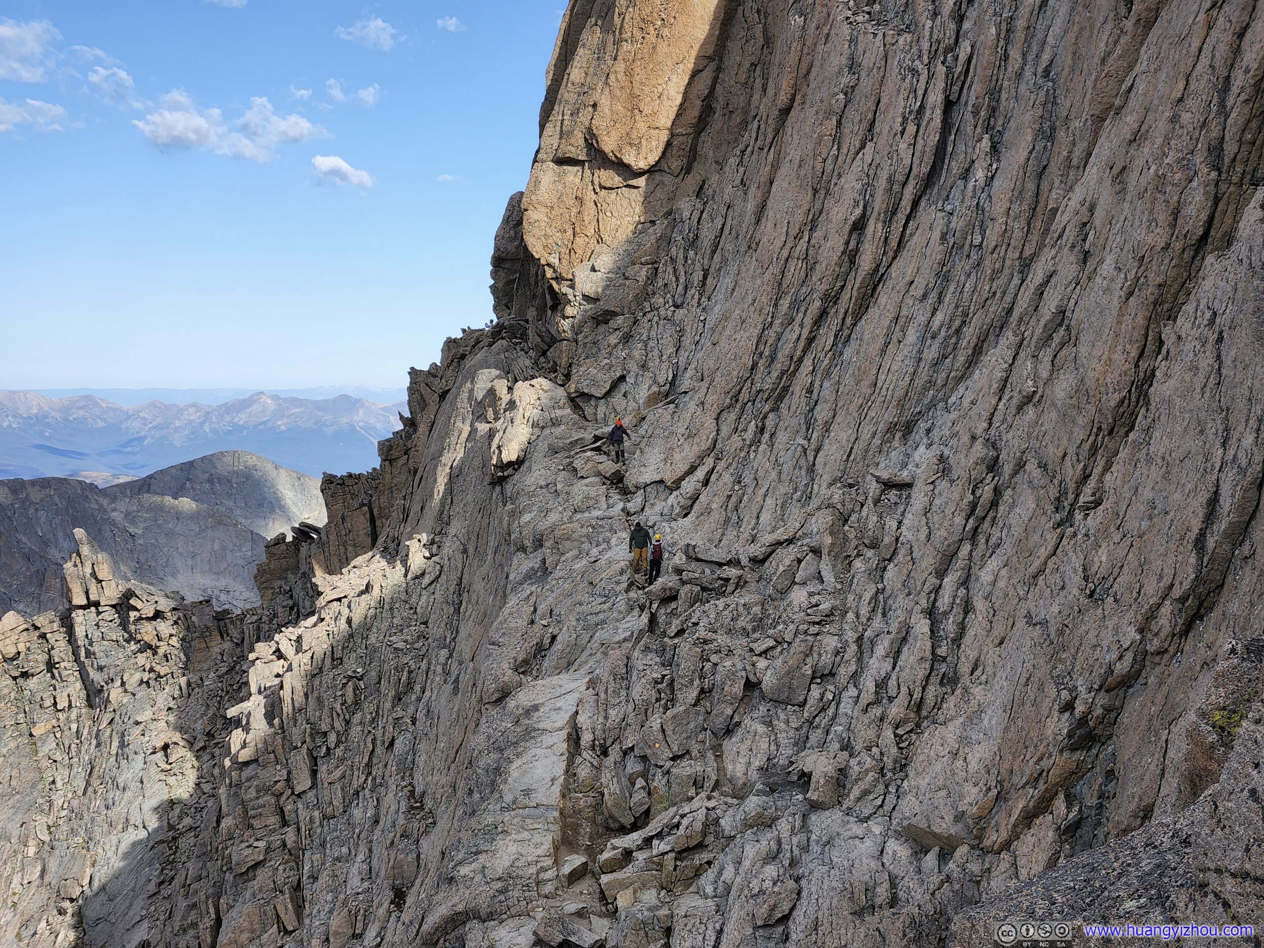
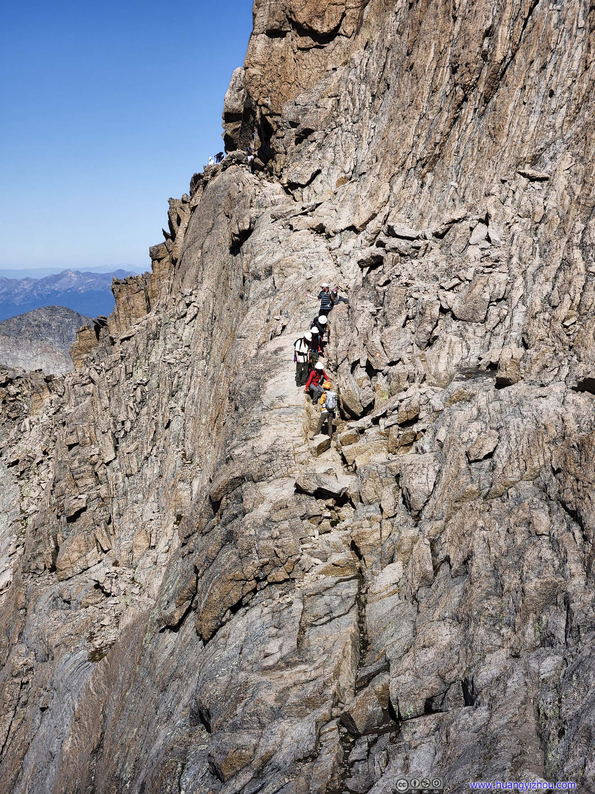
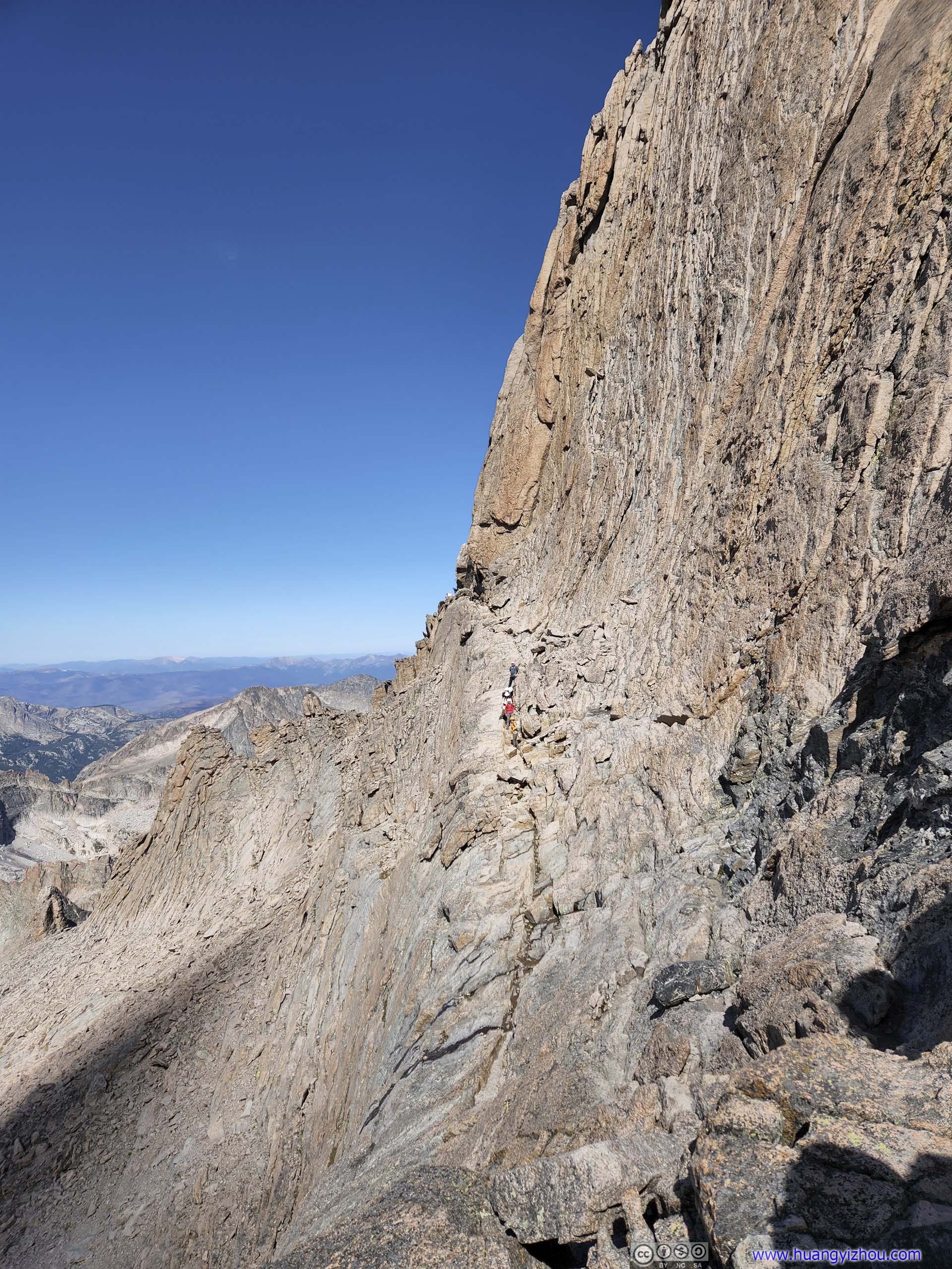
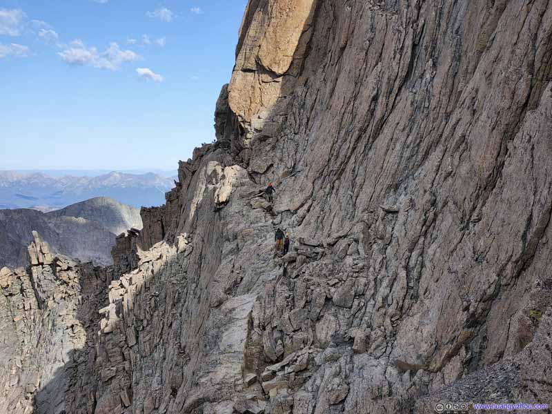
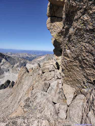
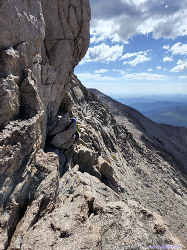
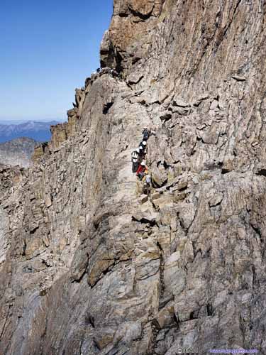
After the "Trough" it's the "Narrows", where the photos start to look sketchy. As its name suggested, it came with significant exposure. Yet from my experience, it's always no narrower than 1 meter / 3 feet wherever there's exposure, and that's quite wide. By leaning towards the uphill side and watching where to set foot, the "Narrows" could be both safe and fun. In the end, it's the shortest of the 4 named sections, at about 150m long and with no significant elevation change.
The Narrows
The Narrows Near the start of the Narrows, some rocks one have to navigate around.
The Narrows Overview (right) and zoom-in (left) view of some ascending climbers at The Narrows.
Mountains to the West
Pagoda Mountain in the center, and the ridge leading to it was called Keyboard of the Winds for its many outstanding spires.
Mountains to the West "Keyboard of the Winds" from a different angle.
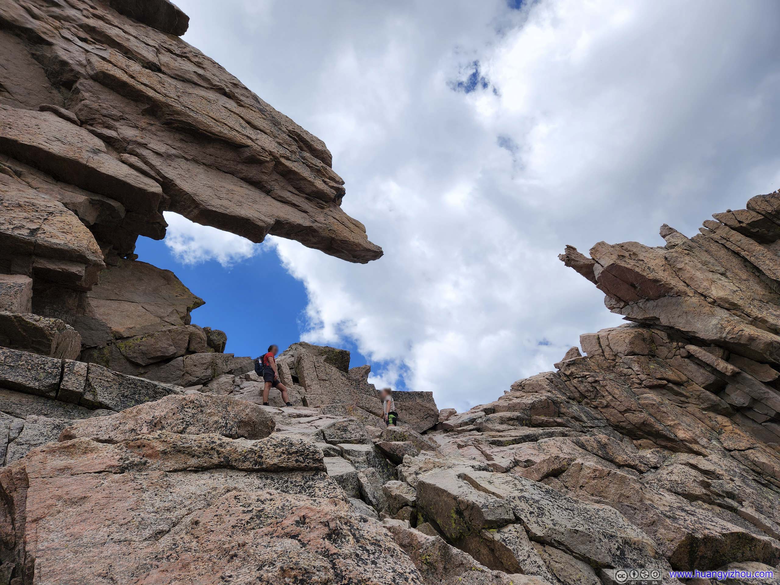
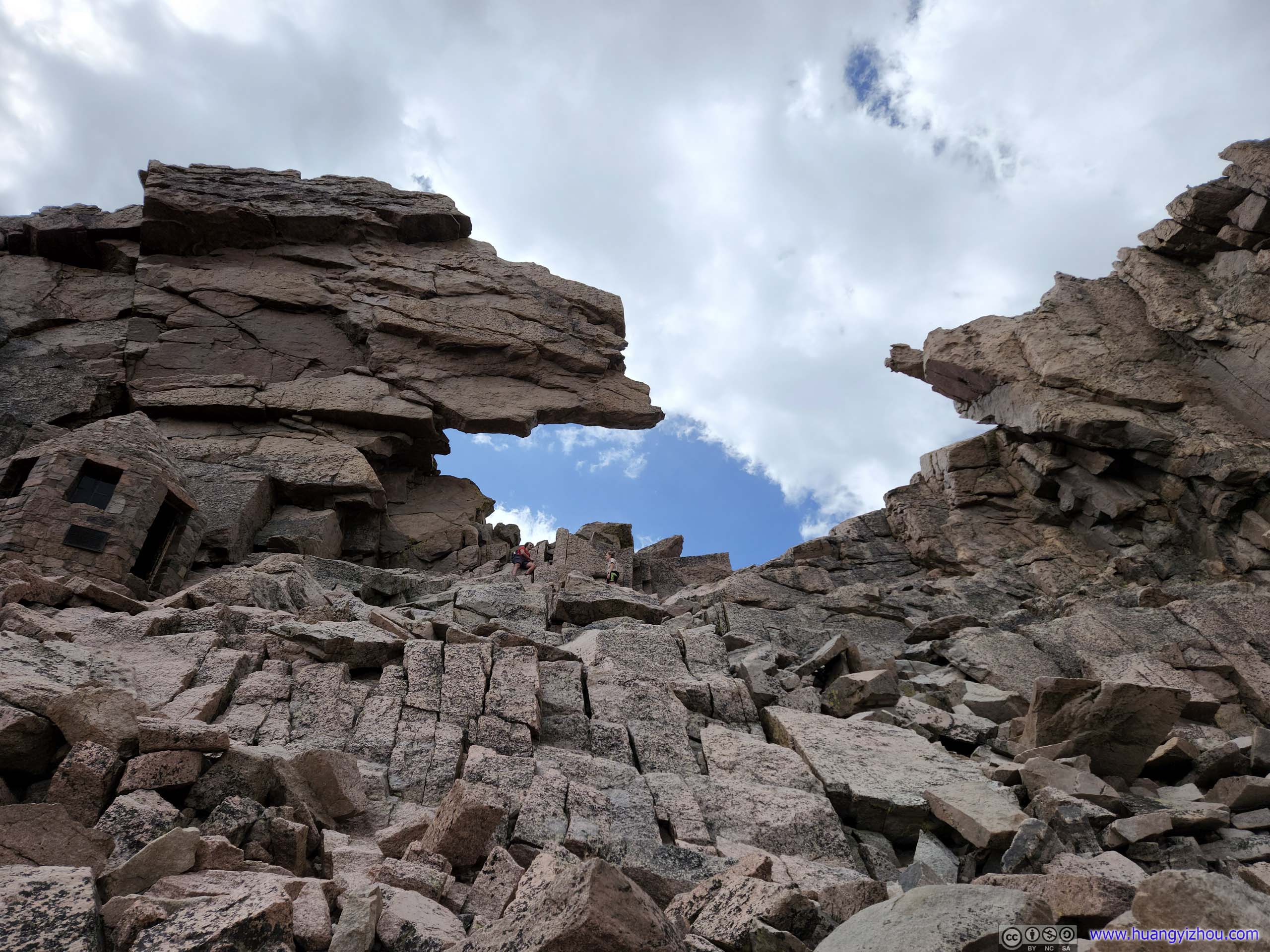
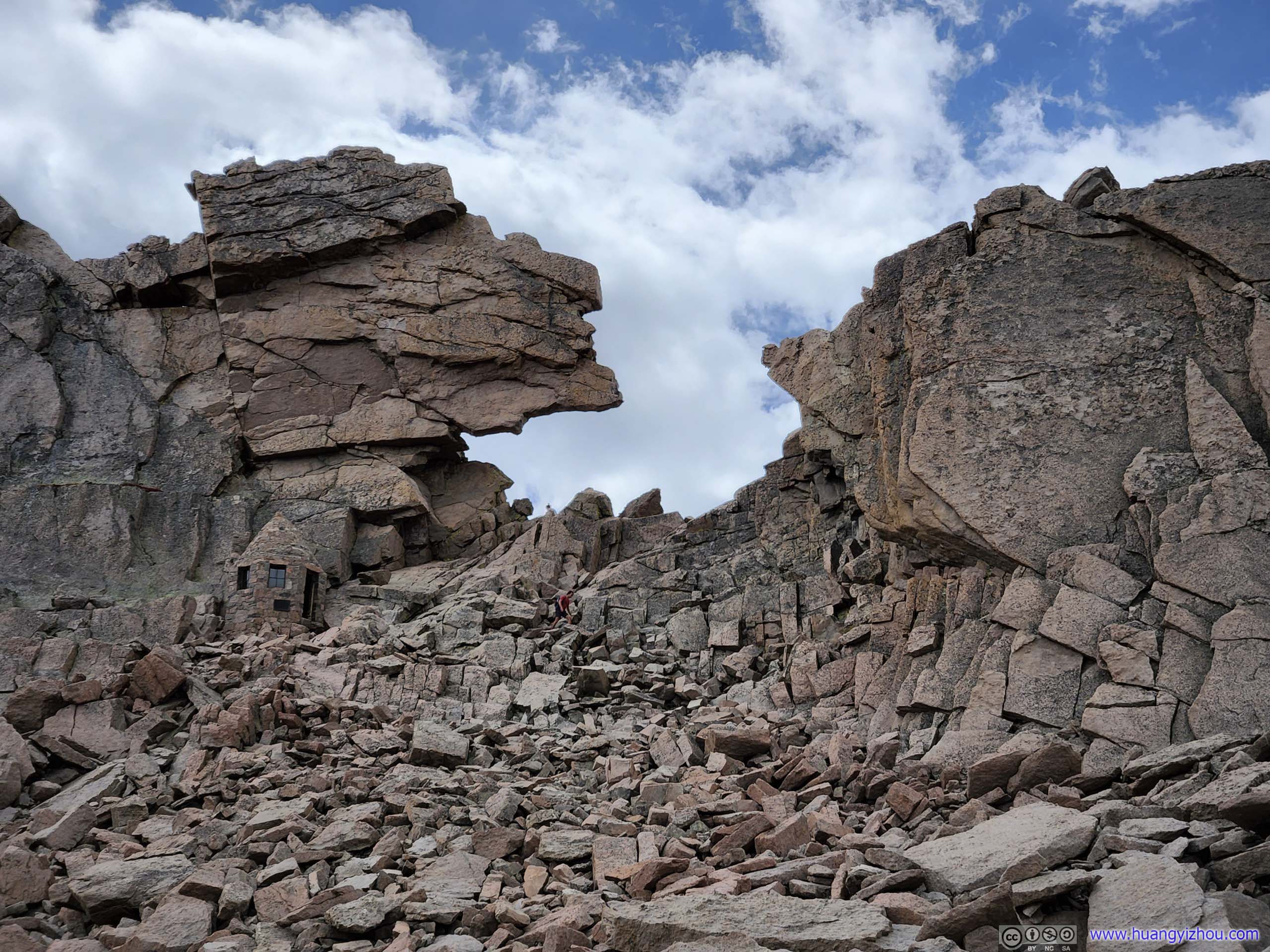
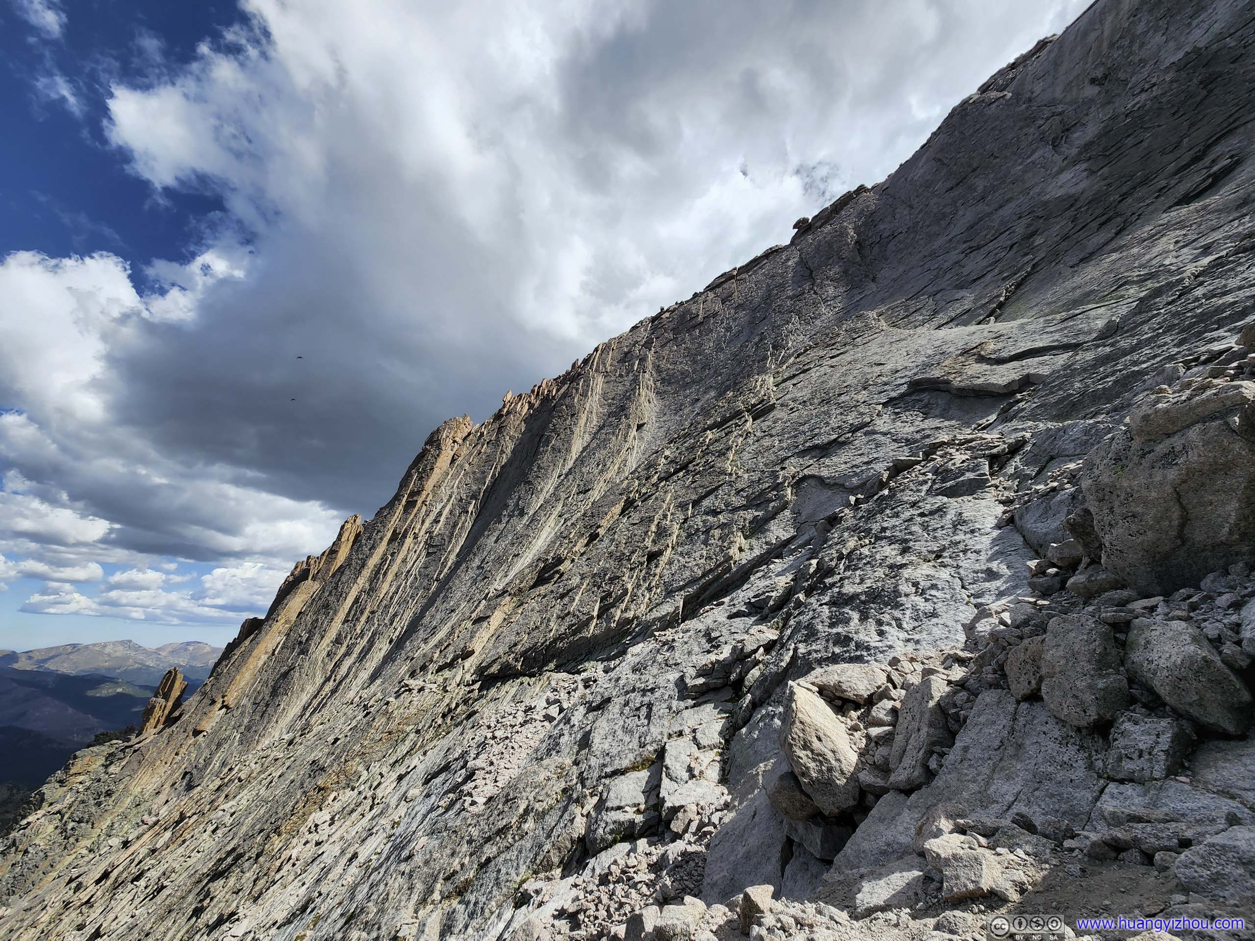
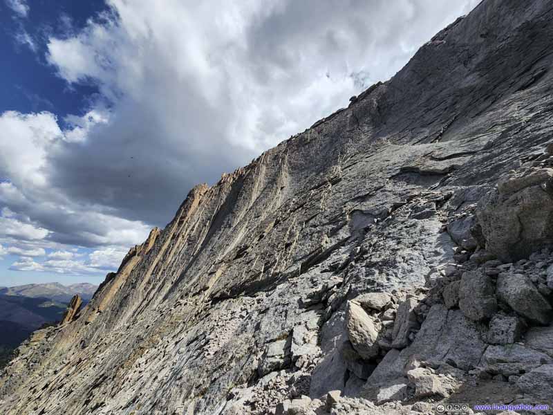
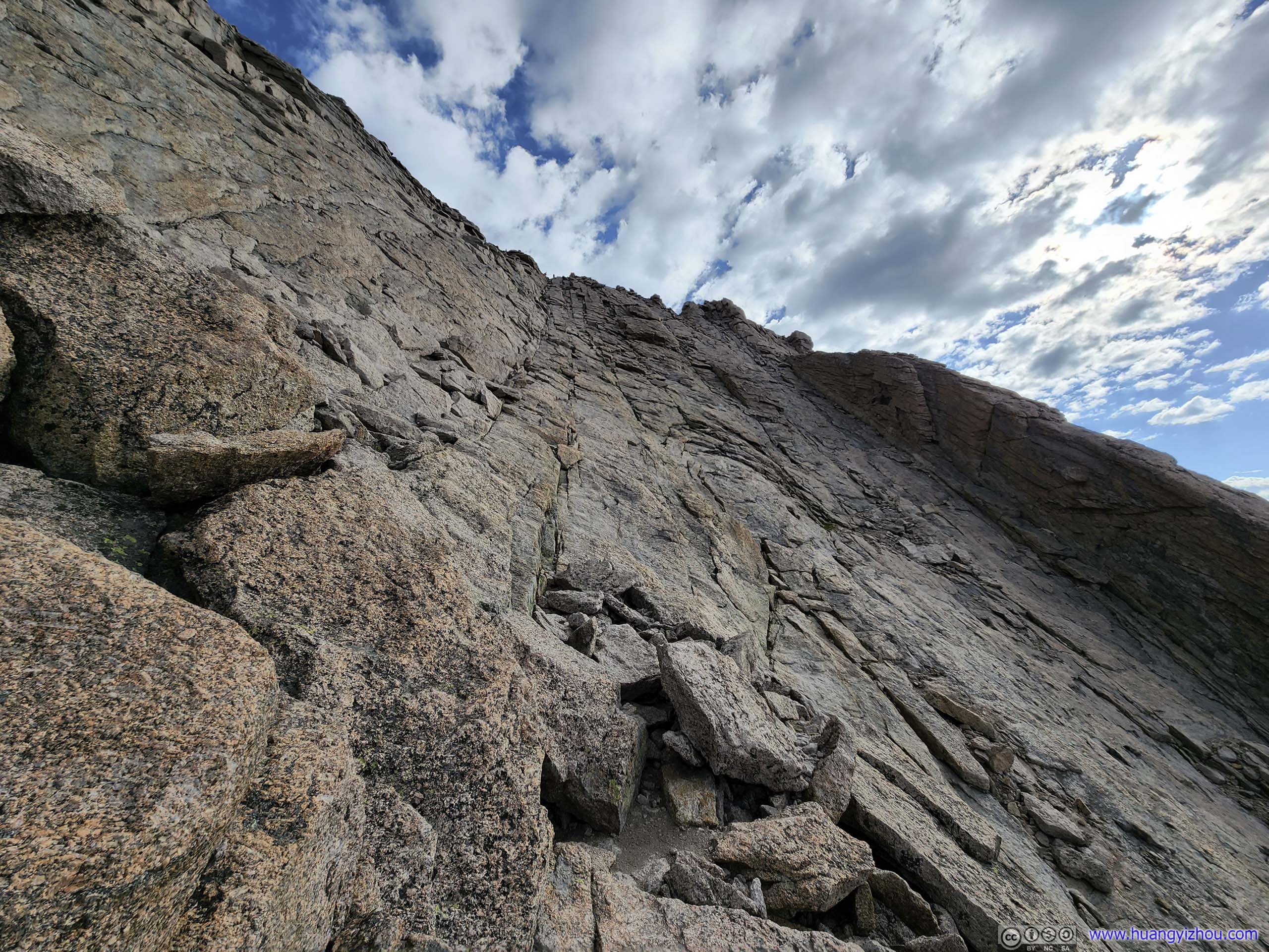
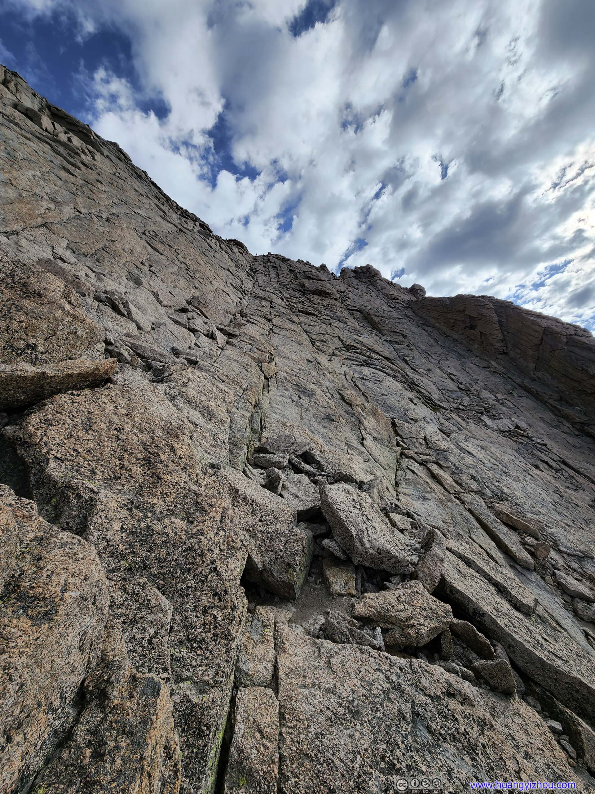
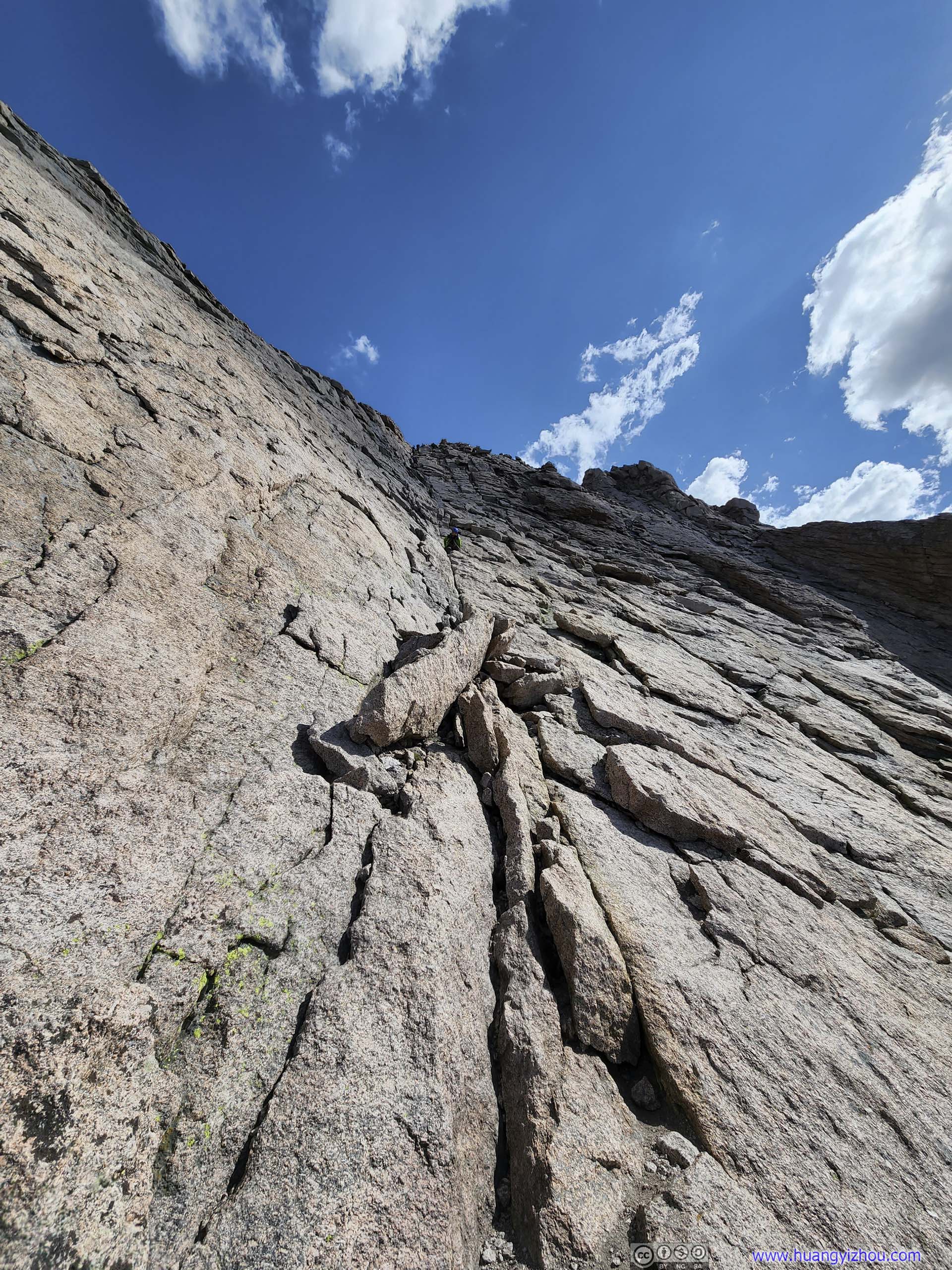
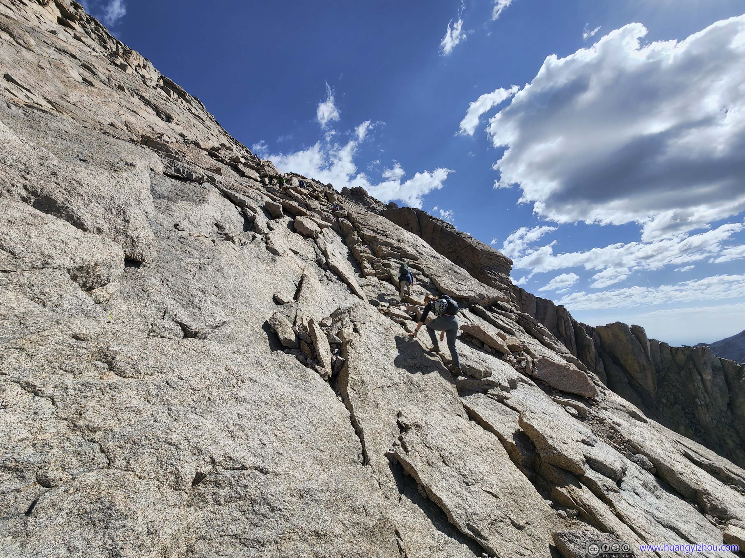
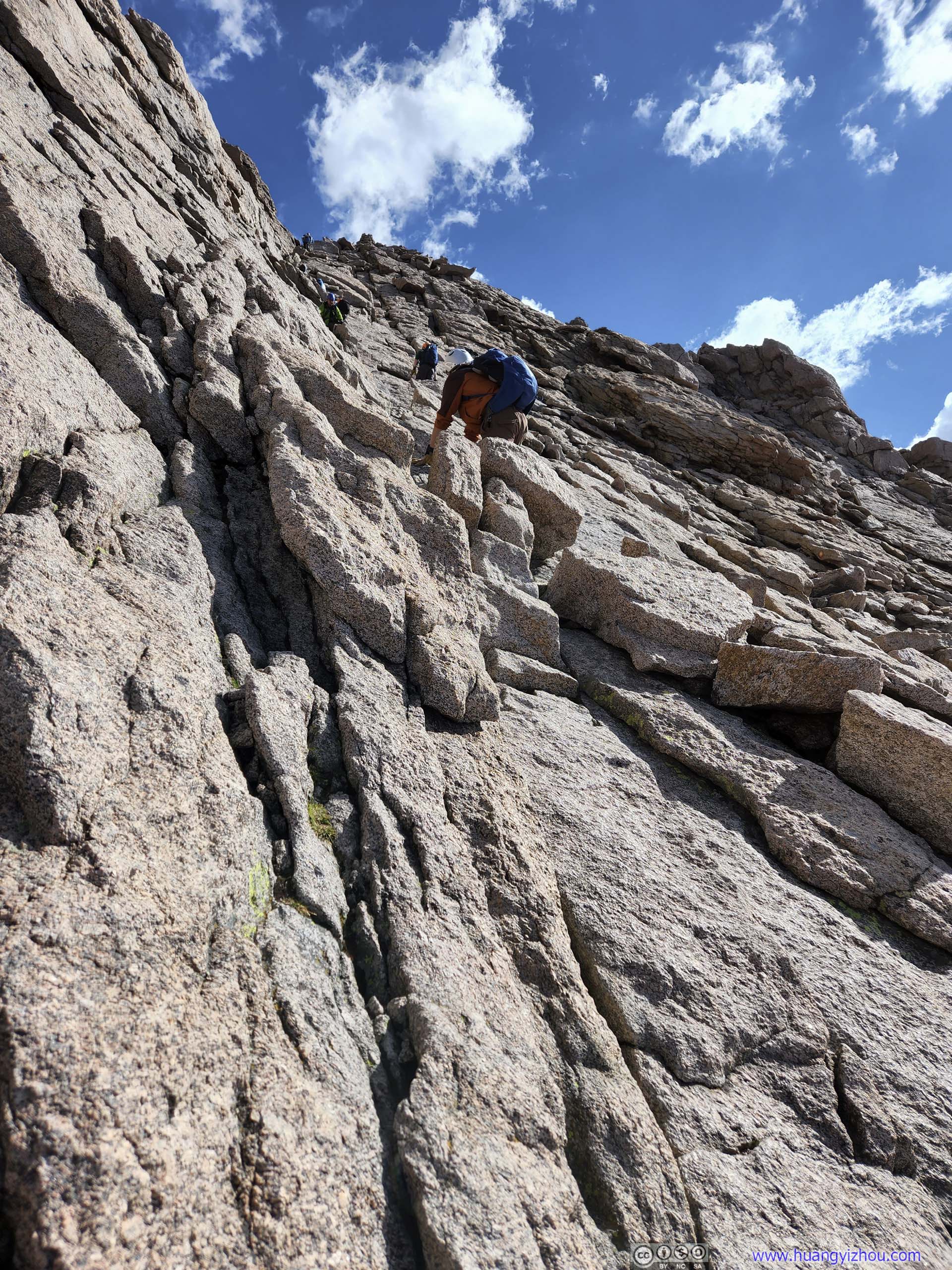
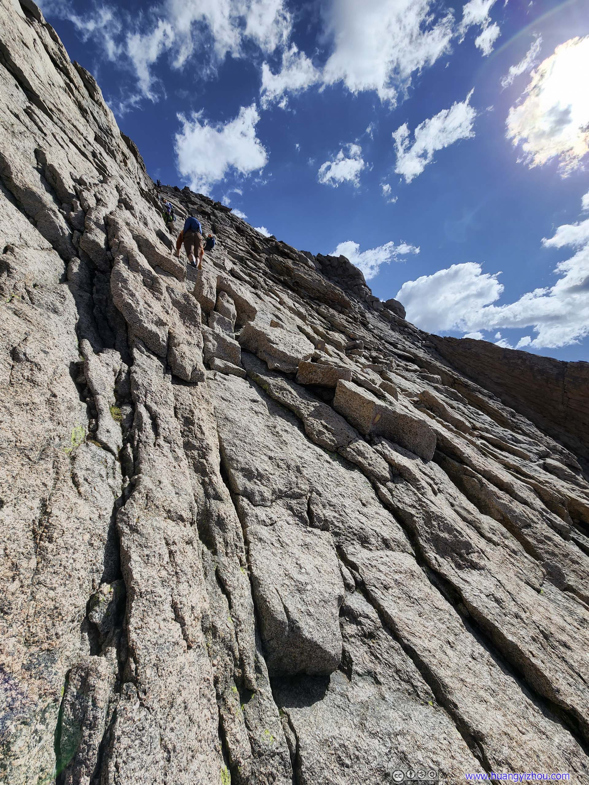
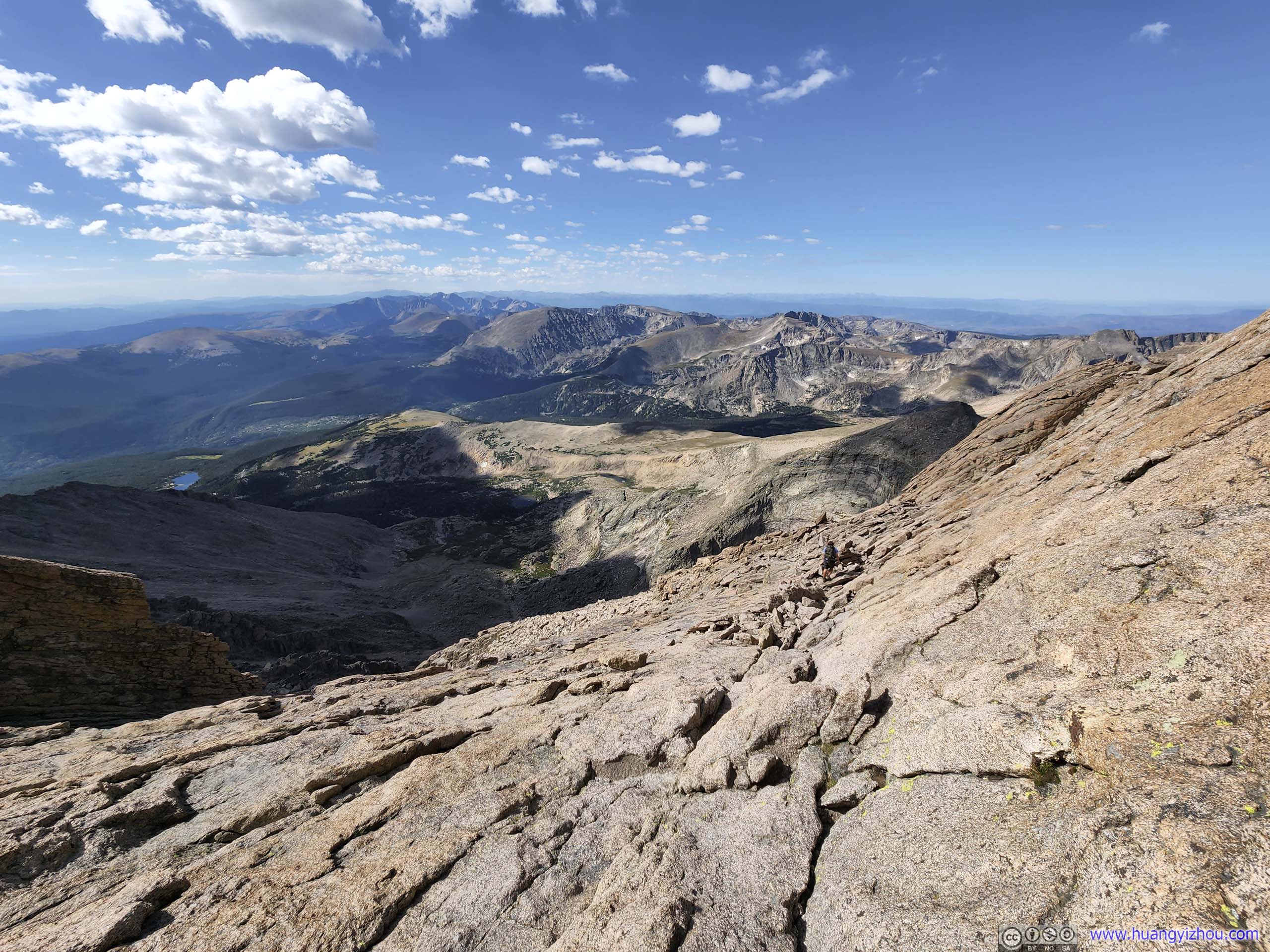
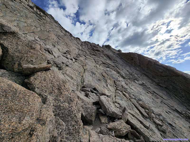
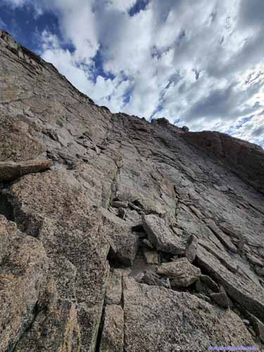
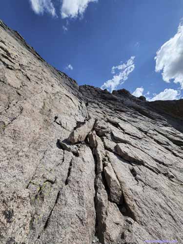
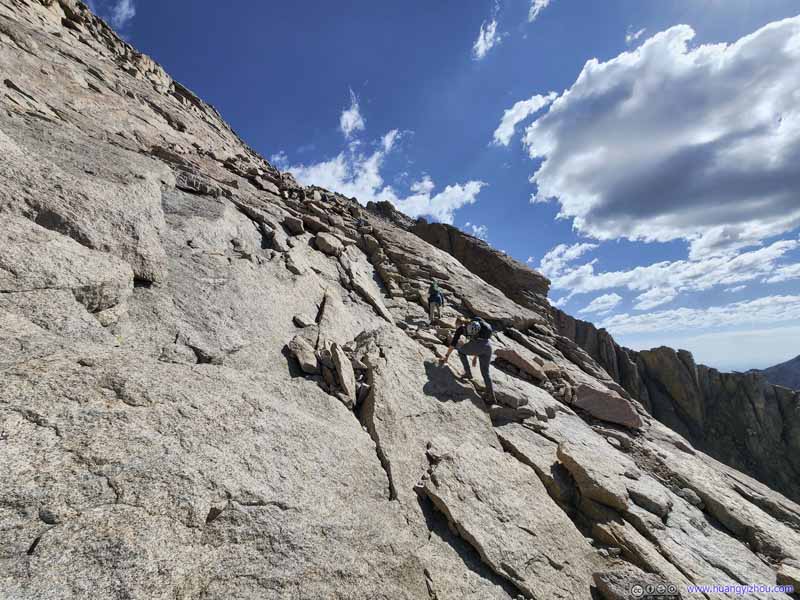
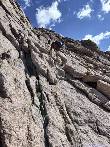
After the "Narrows" it's the "Homestretch", the final 200m before the summit of Longs Peak, with about 100m elevation gain. Its constant slope and relatively smooth rock surfaces produced stunning or frightening photos (below), made more drastic with how my wide-angle lens captured a few overhanging clouds with the absence of climbers, as if it led to heaven.
Despite the looks, the "Homestretch" wasn't unmanageably steep, and small cracks were plenty to serve as footholds and handholds, so it's still rated as YDS class 3. However, the exposure shouldn't be ignored as a slip here could mean a fatal tumble down the mountain.
The Homestretch
The Homestretch
Taken during my ascent (left) and descent (right). Ultra-wide angle lens were really great for The Homestretch.
The Homestretch Taken during my descent, at the bottom end of The Homestretch.
The Homestretch Taken during my descent.
The Homestretch Taken from the summit.
The Homestretch Taken from the summit.
The Homestretch
Where I took a break during the descent, appreciating the scenery and waiting for my friend. The Homestretch didn't look that bad from this angle.
It's along the southeastern face of Longs Peak, so for the first time after leaving "Keyhole", I felt the invigorating warmth of the sun, as if the summit was hailing my endeavor. So I went on a dash towards the summit. There were moments when I ran out of breath from the thin air, and moments when I appreciated the wonders of the human body as I quickly picked myself up and carried on.
And finally, with a pumping heart and short of breath, I made it to the summit of Longs Peak at 9am.
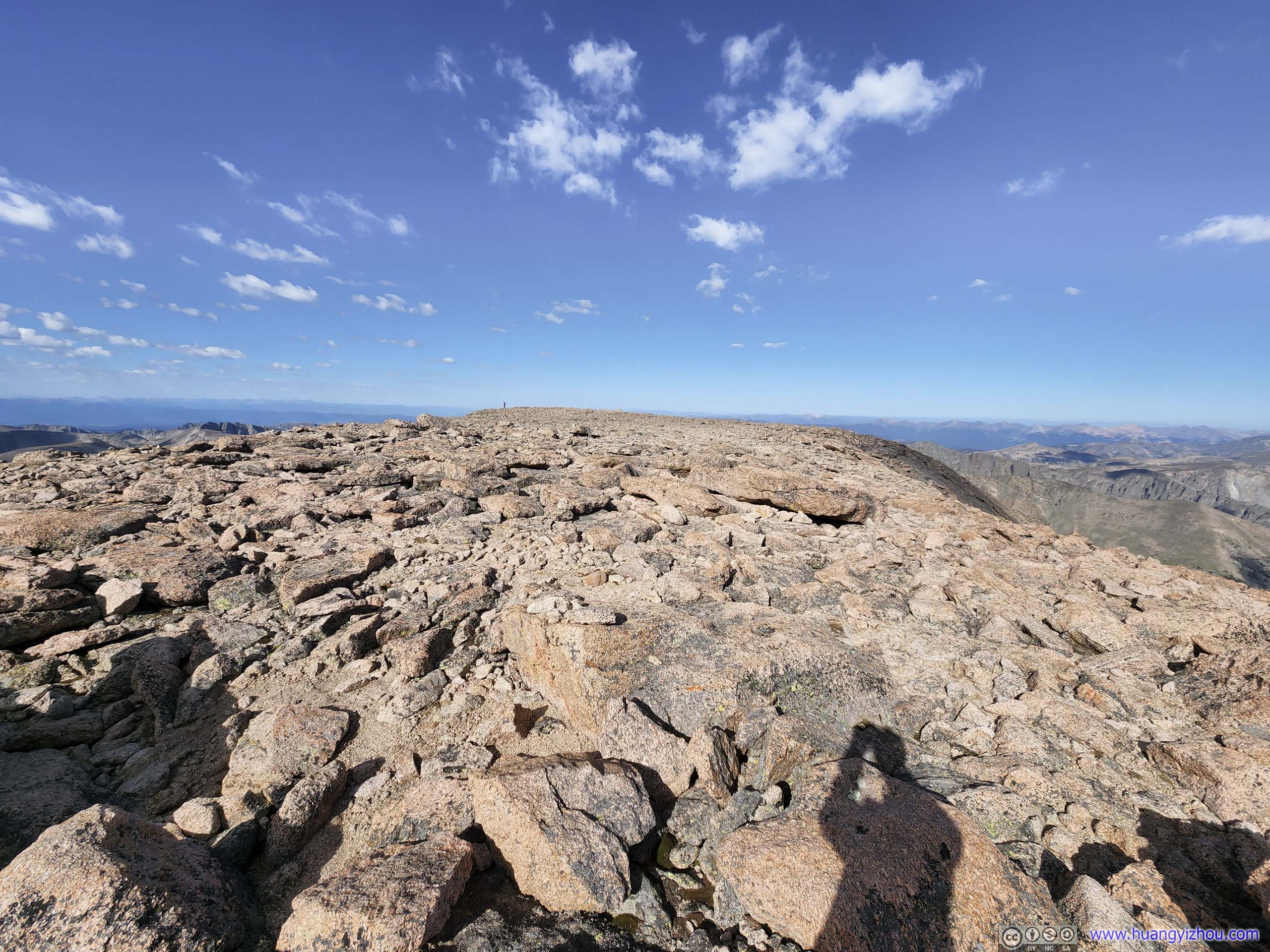
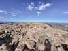
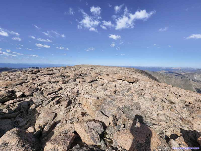
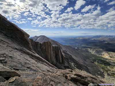
Unlike conventional peaks, the summit of Longs Peak was actually very flat, more like a butte or mesa. A good fit for its status as Colorado's most popular class 3 14er as climbers can spread out. It also meant one had to walk around a bit to appreciate the views.
Summit of Longs Peak Longs Peak's summit was actually very flat, like a football field of evenly distributed rocks.
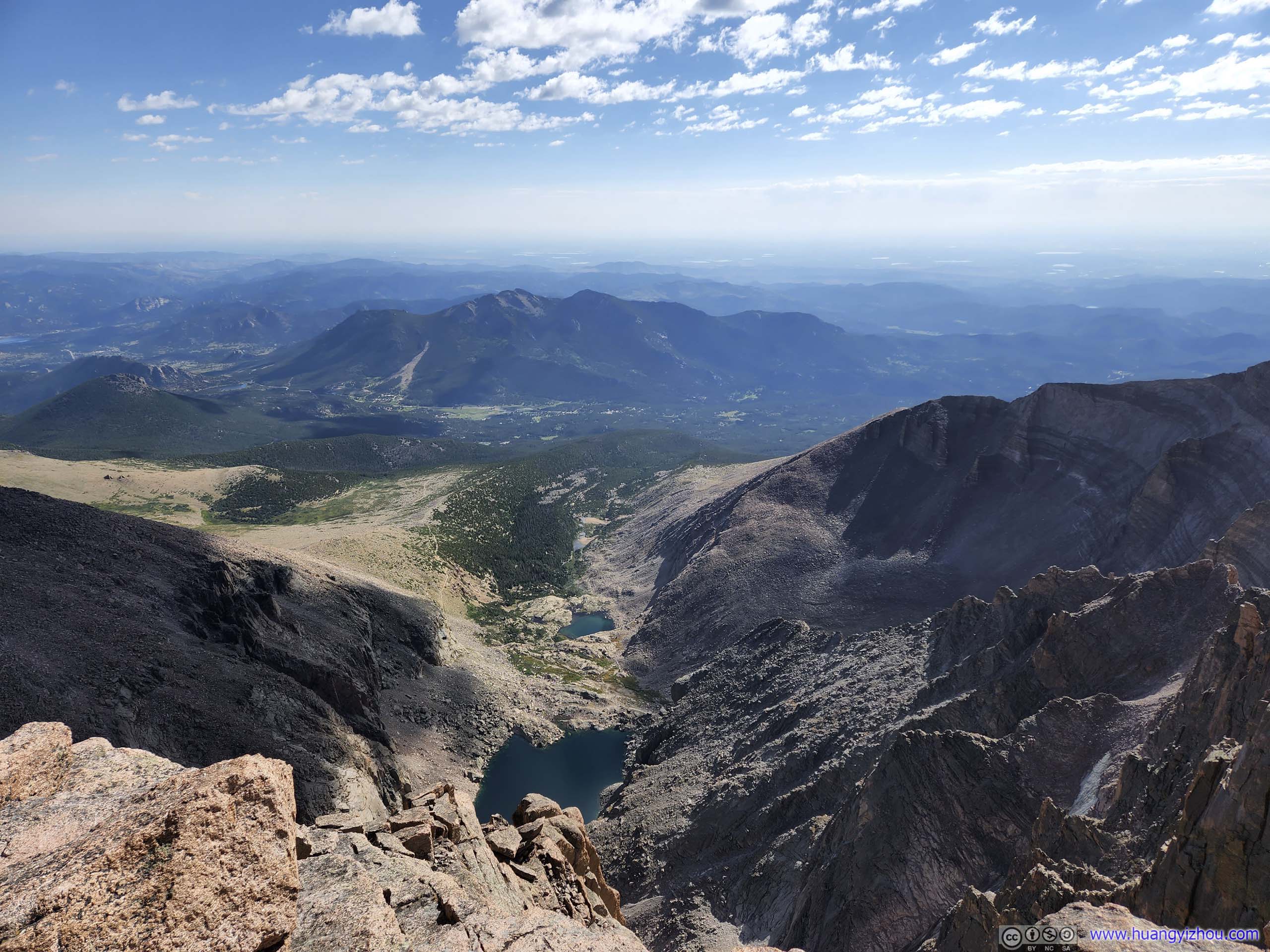
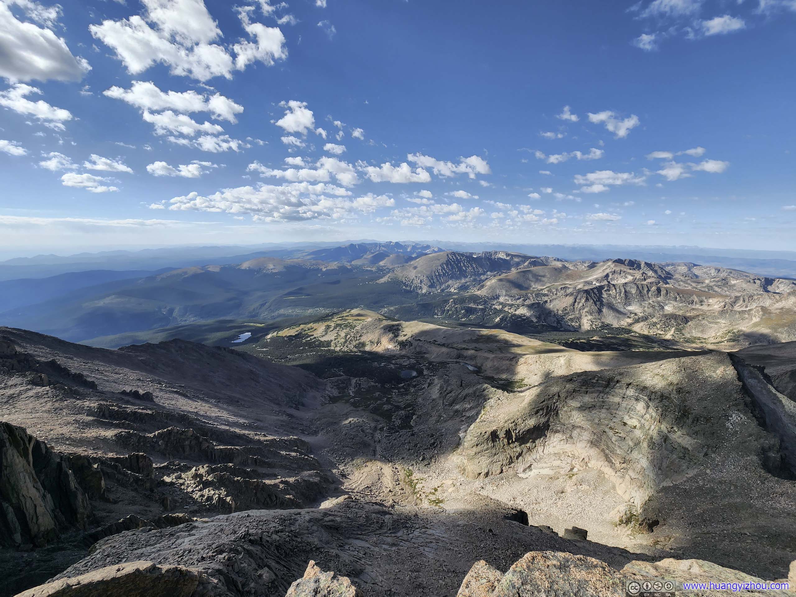
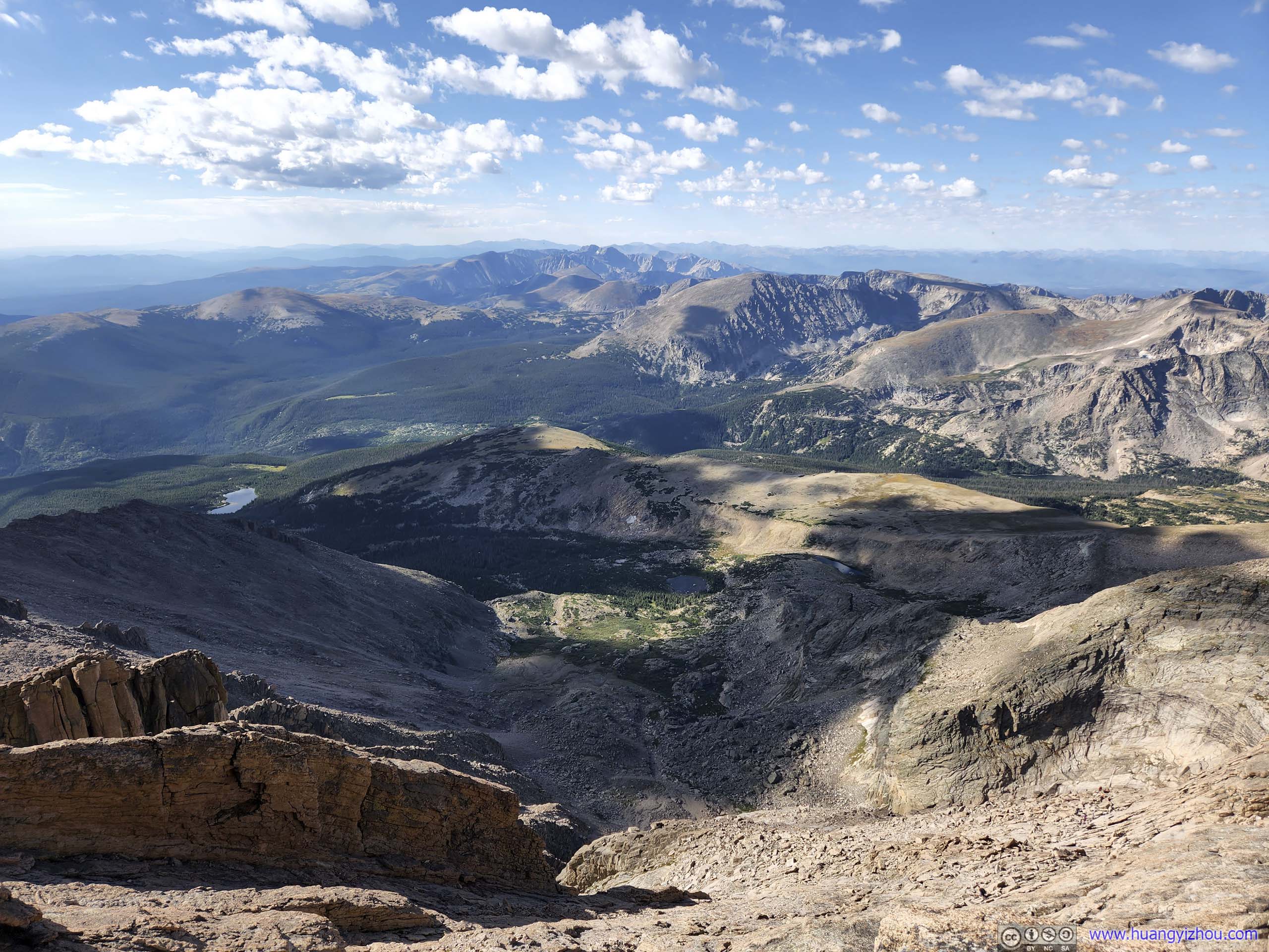
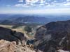
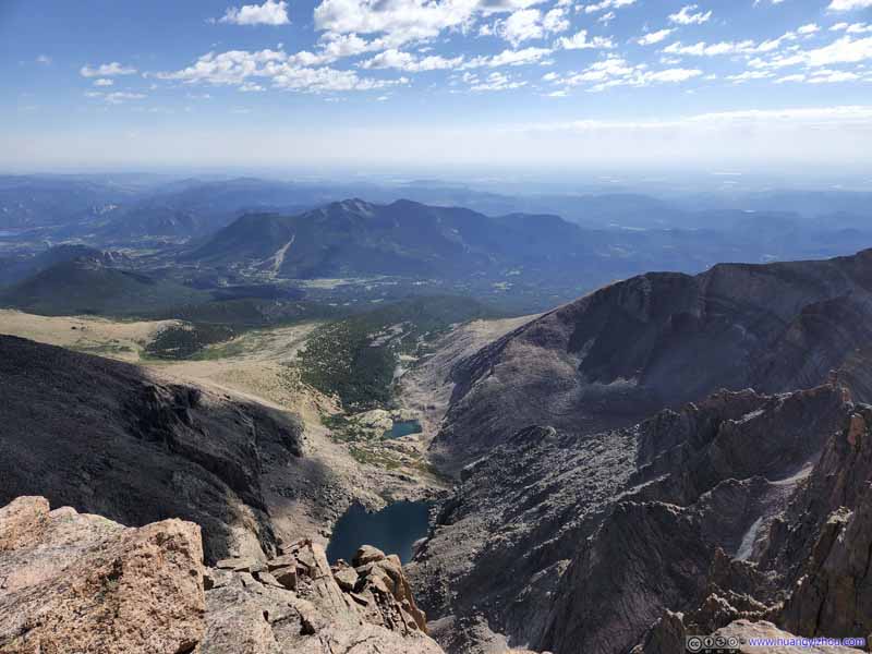
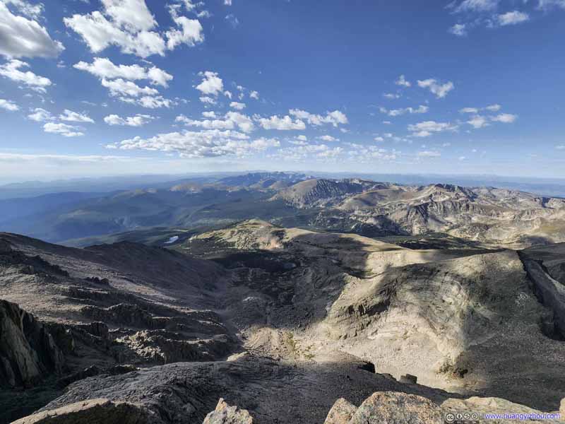
Chasm Lake and Peacock Pool Towards the east, where we came from.
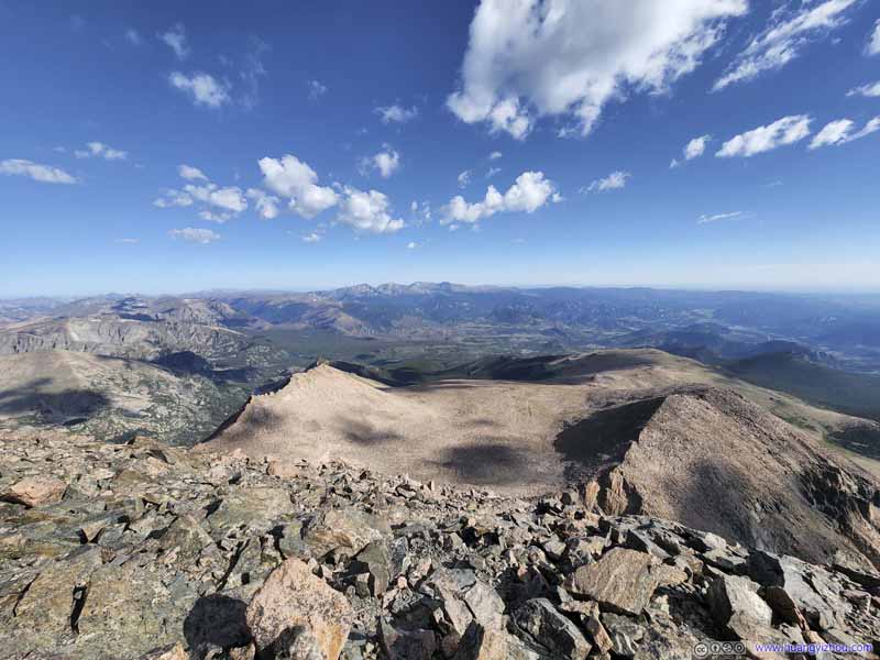
Mountains to the North Town of Estes Peak and mountains beyond it.
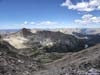
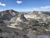
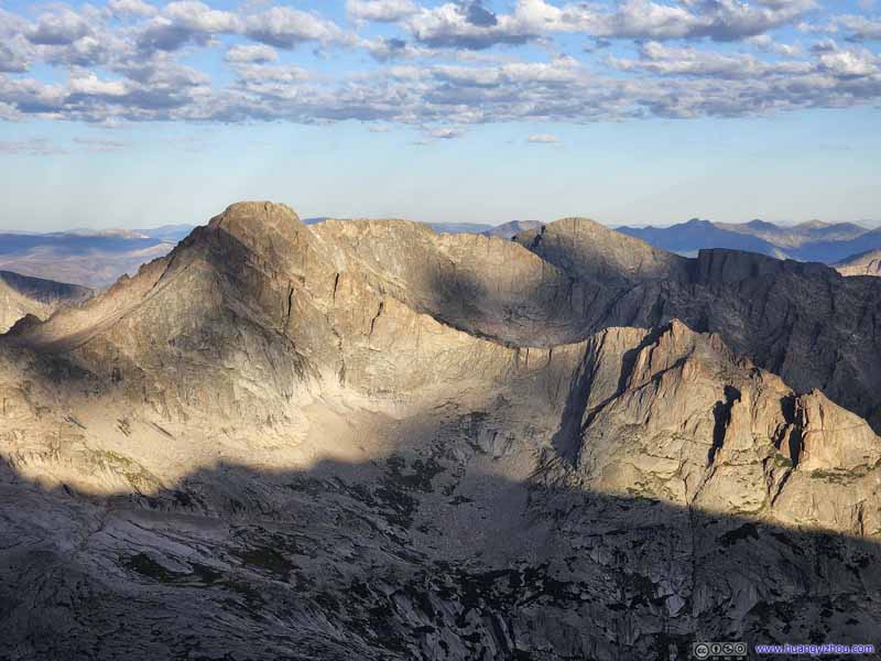
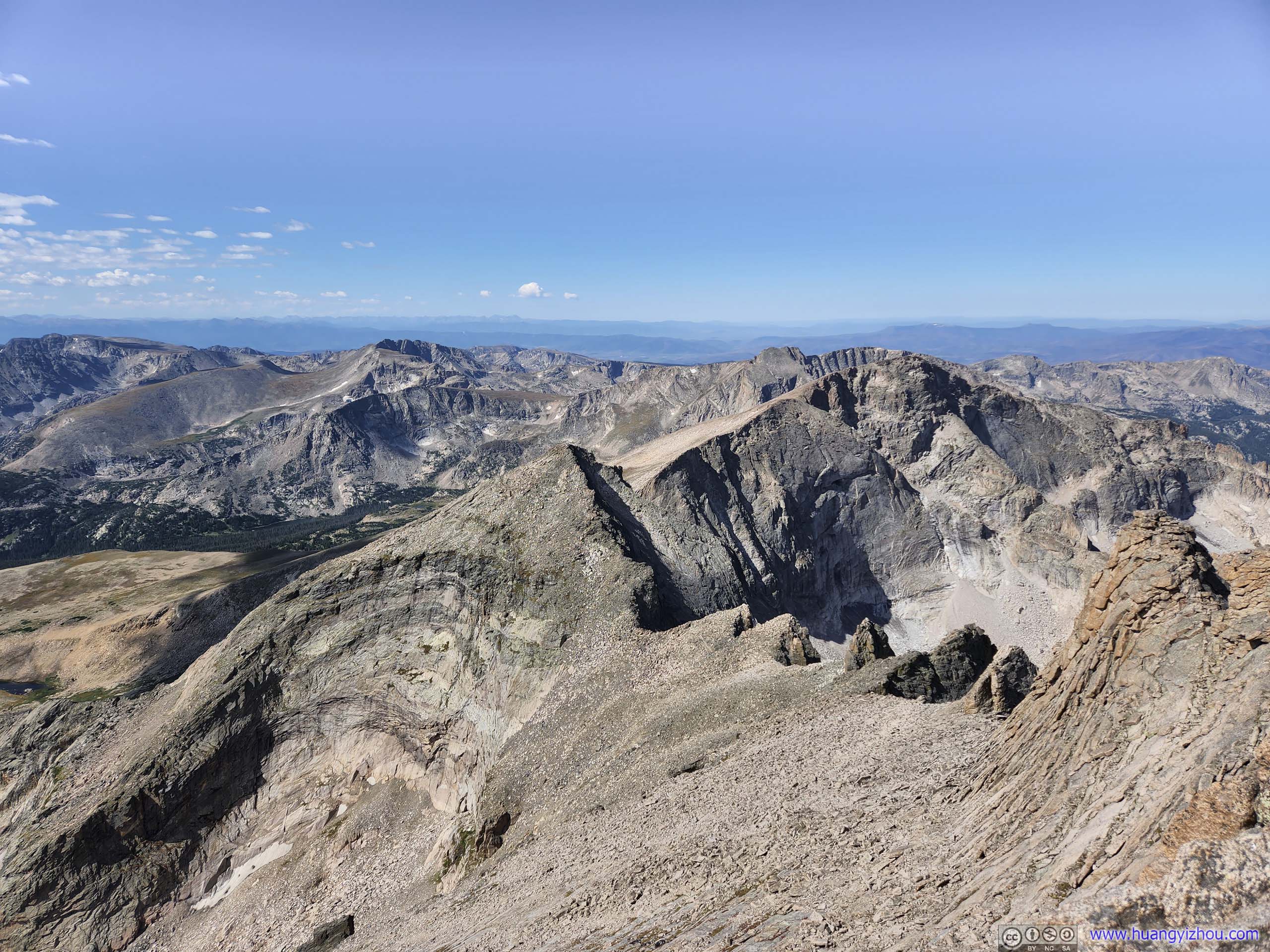
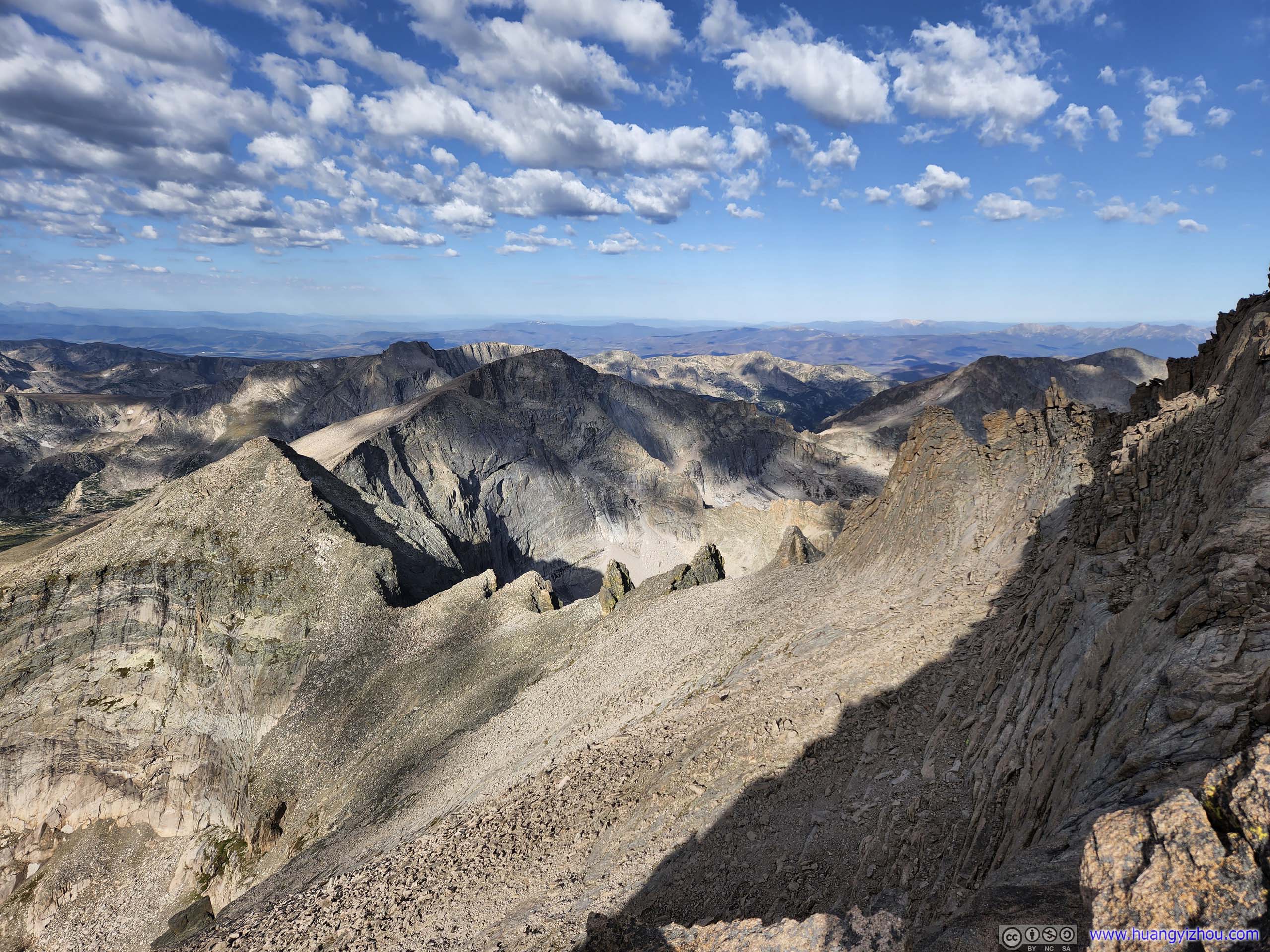
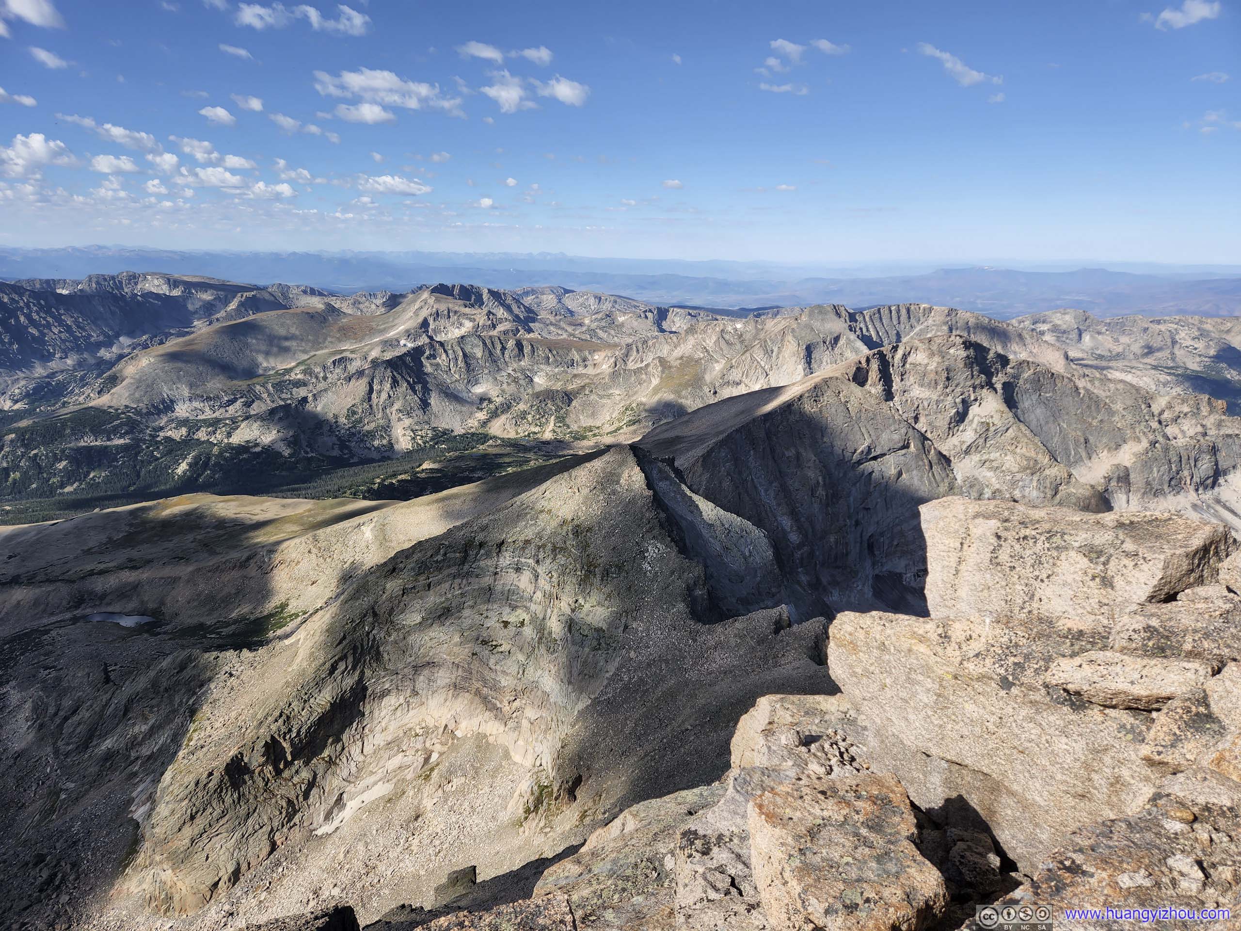
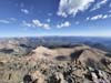
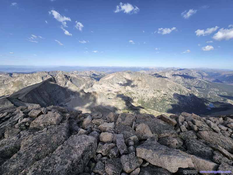
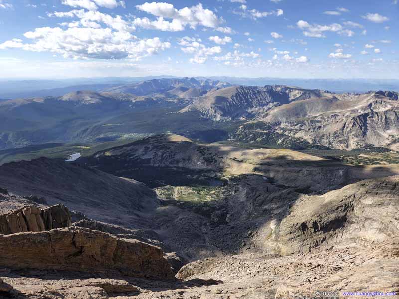
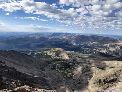
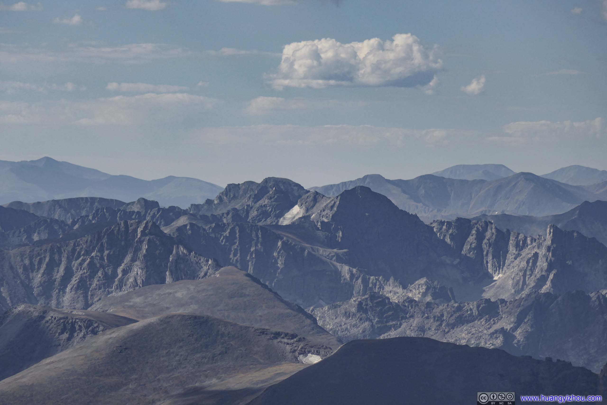
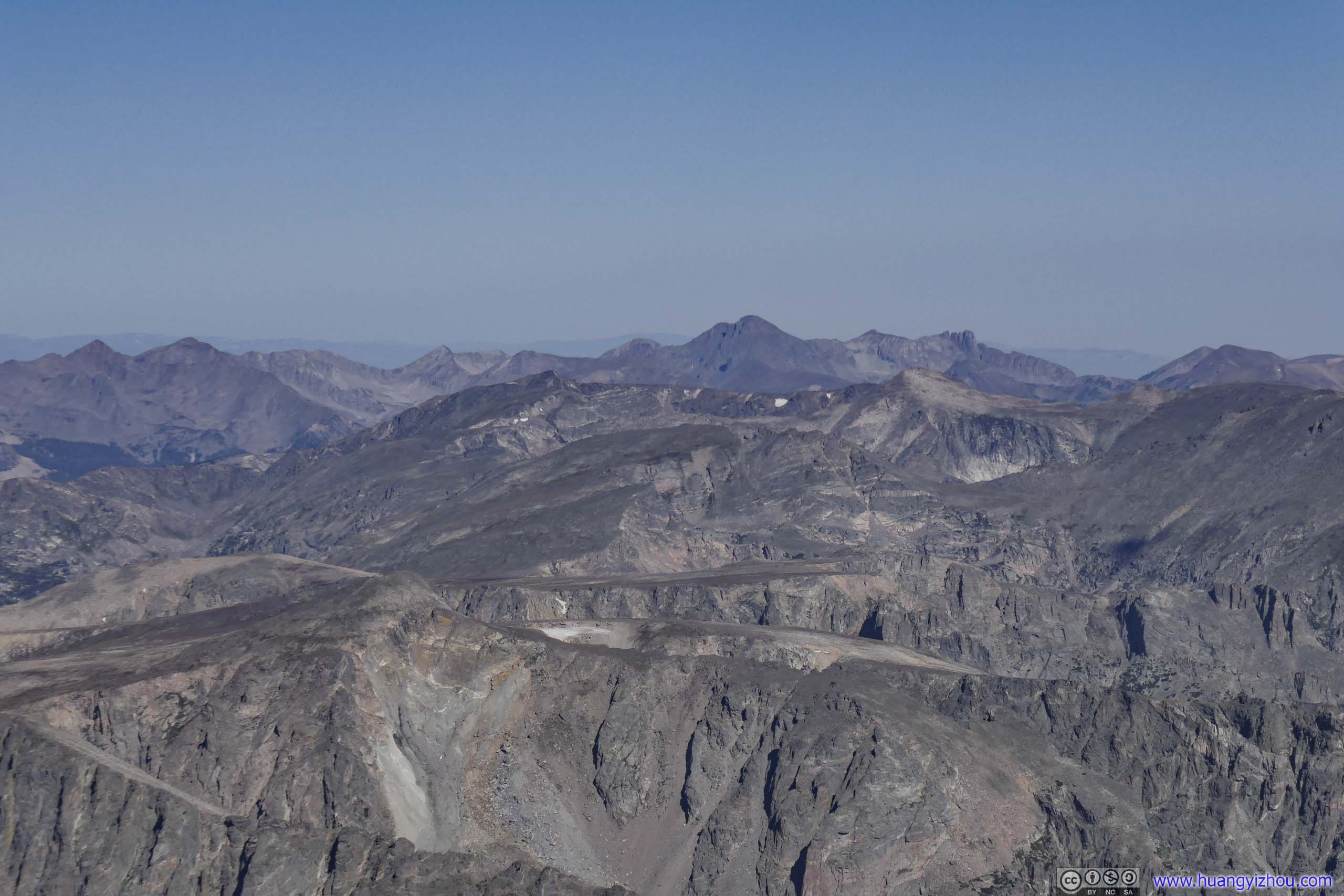
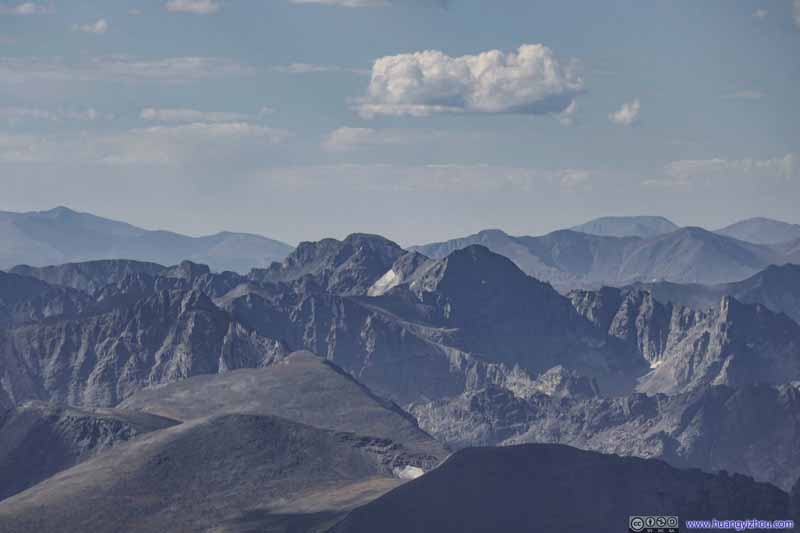
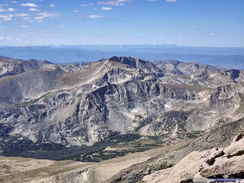
Mountains to the West The core of Rocky Mountain National Park.
Mountains to the West The core of Rocky Mountain National Park.
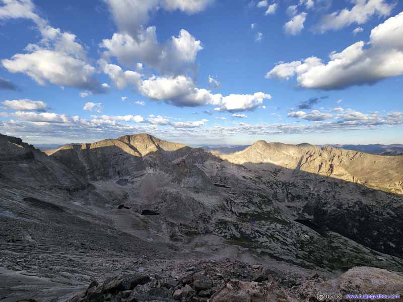
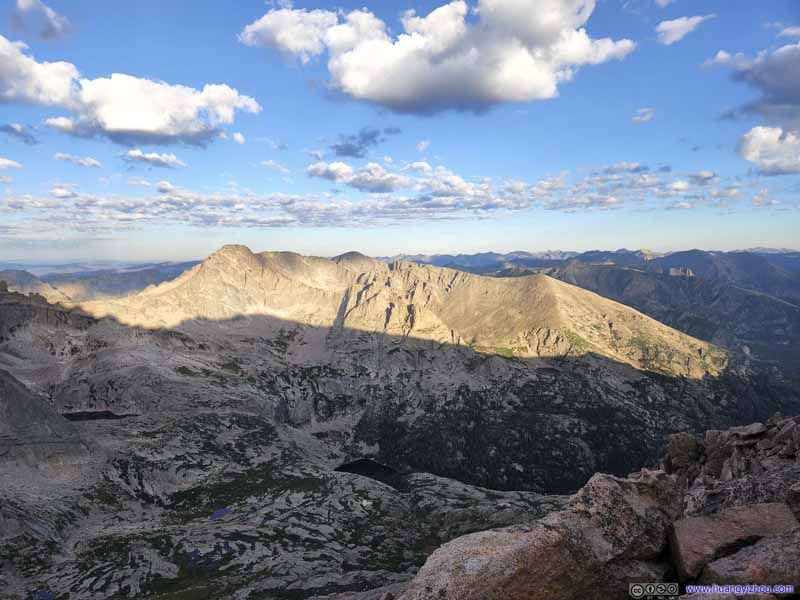
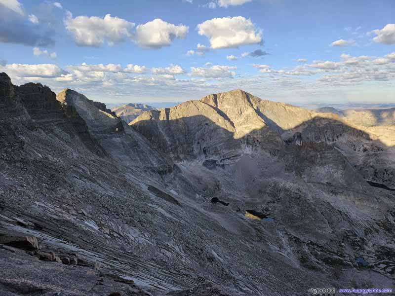
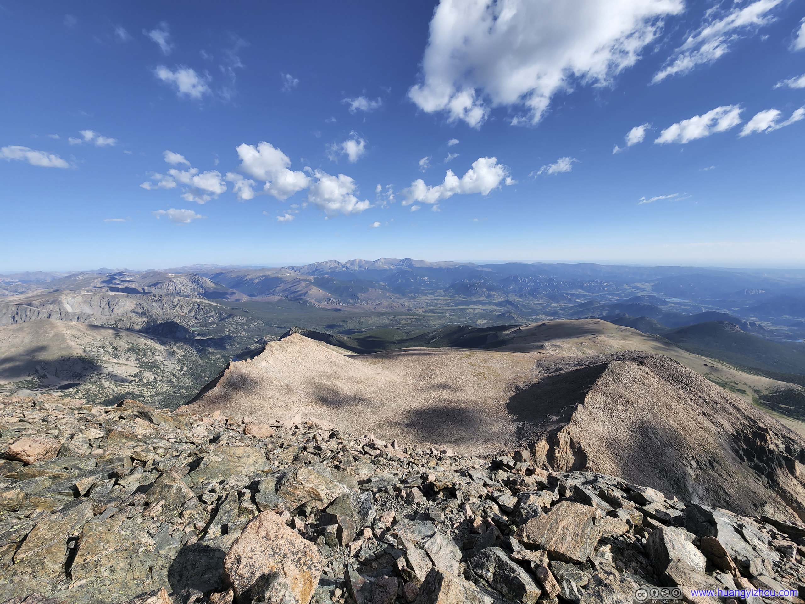
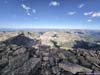
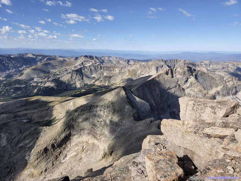
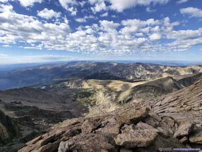
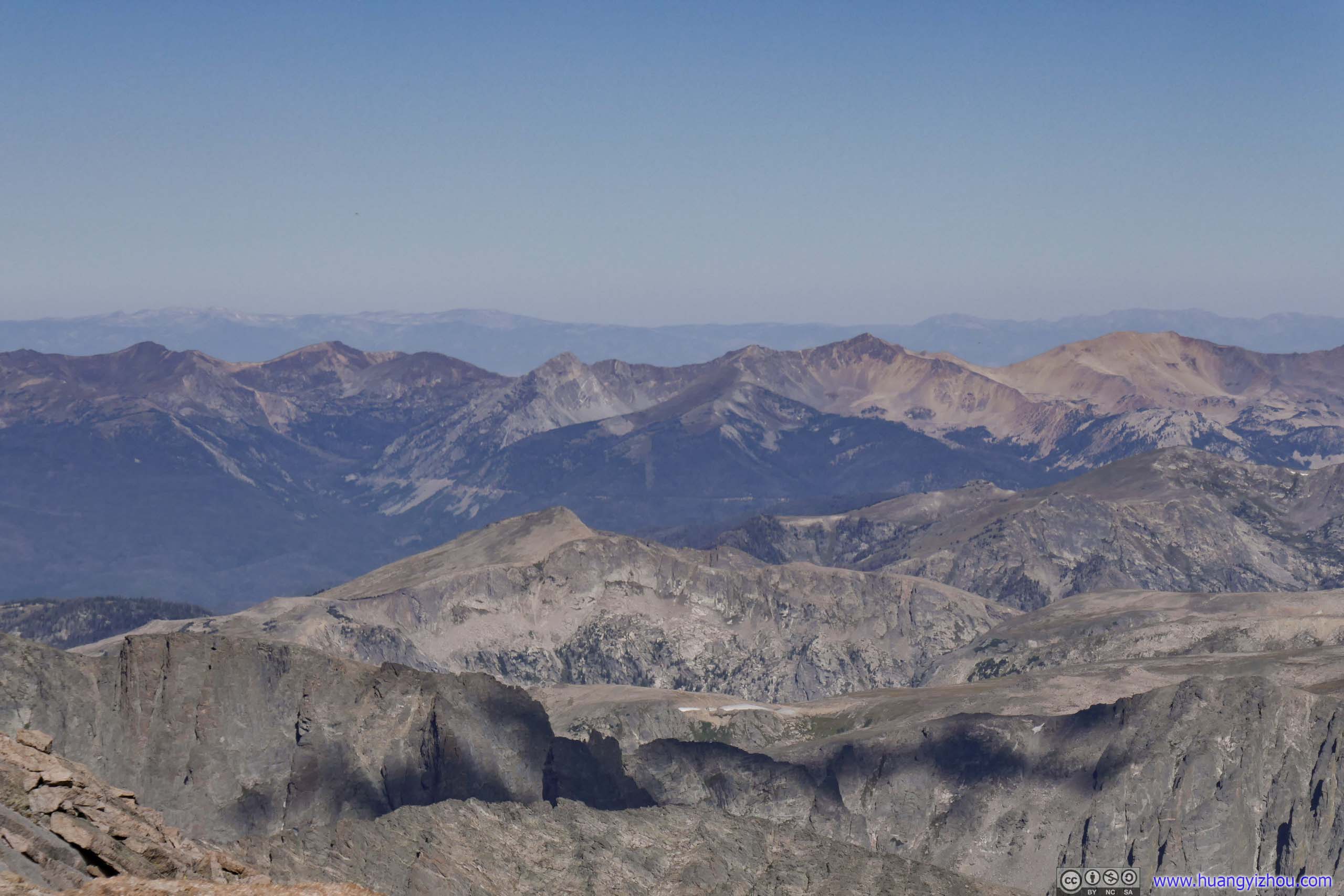
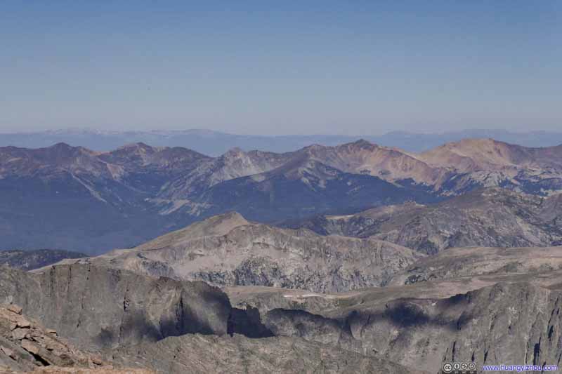
Mountains to the Southwest The southern part of Rocky Mountain National Park.
Mountains to the Southwest The southern part of Rocky Mountain National Park.
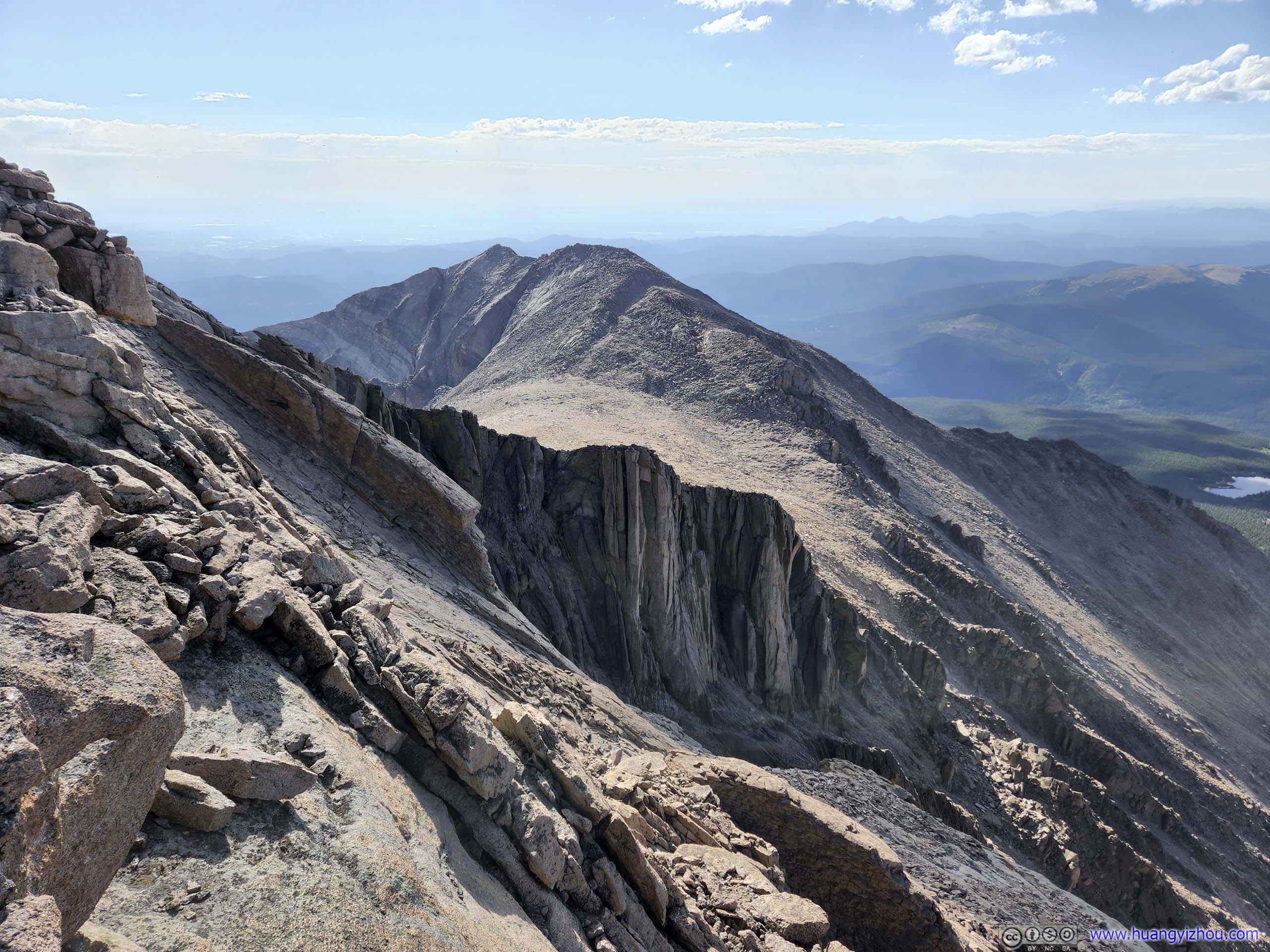
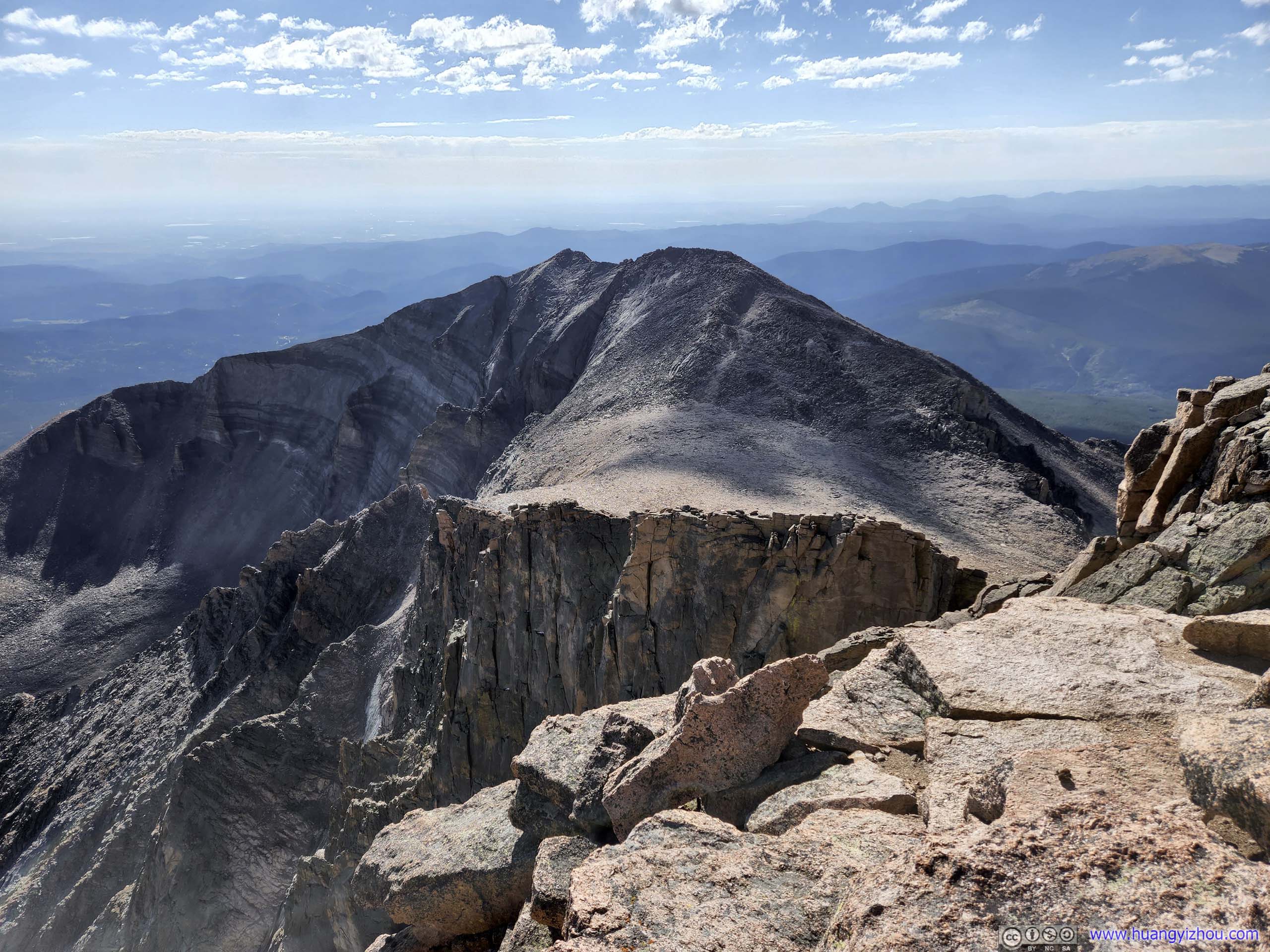
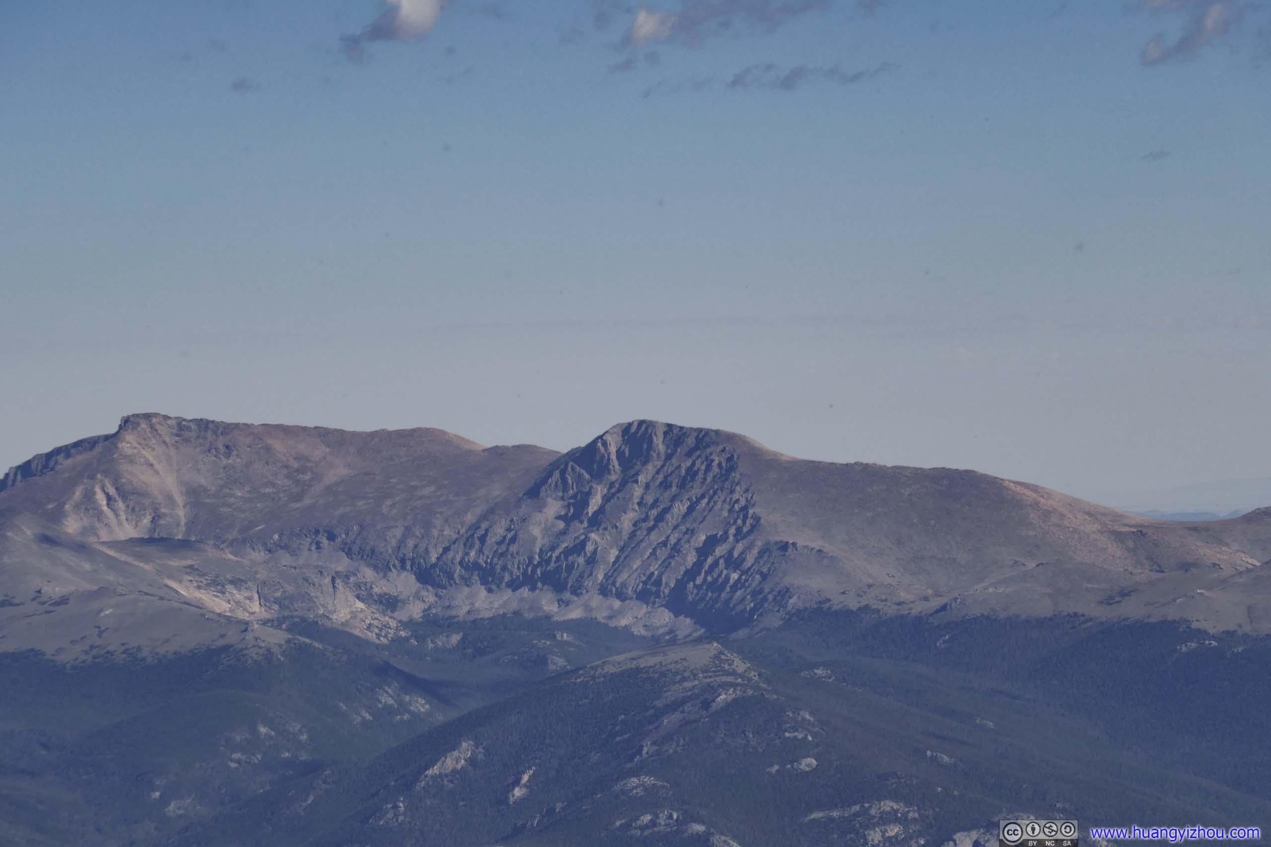
Mount Meeker The only major mountain to the southeast of Longs Peak. The Homestretch in the foreground.
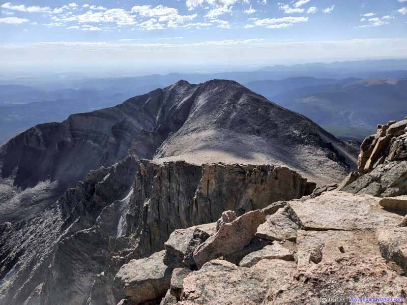
Mount Meeker From a different angle, showing the northern face of Mount Meeker.
Mount Meeker (top) and Mountains to the Southwest (bottom) Similar sights, as captured from the Homestretch.
Mountains to the Southwest Indian Peak Wilderness
Apache Peak and North Arapaho Peak
Two prominent peaks in the distant Indian peak Wilderness.
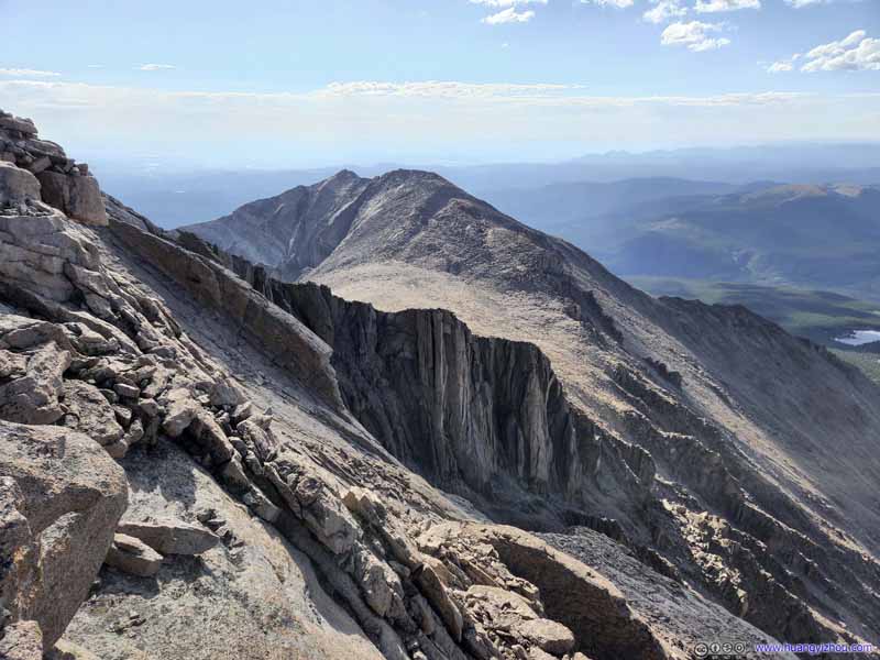
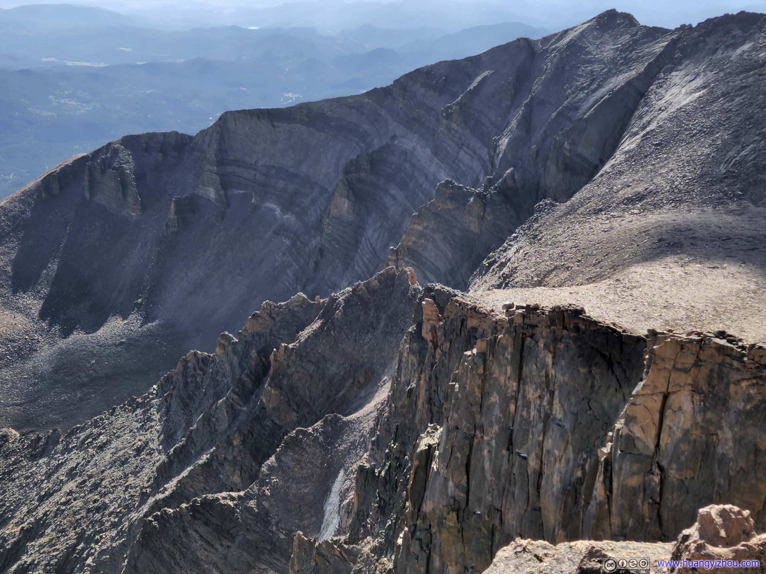
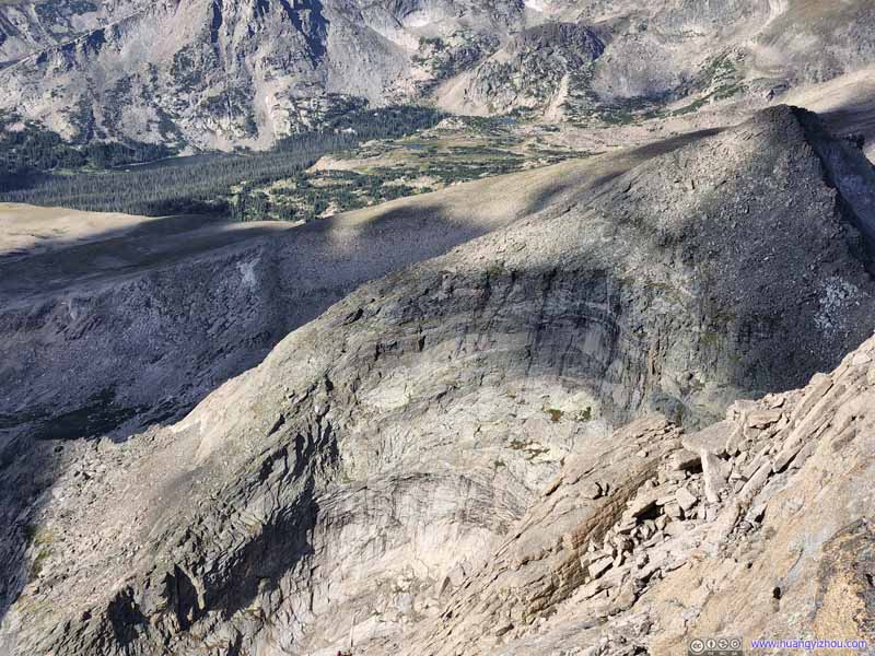
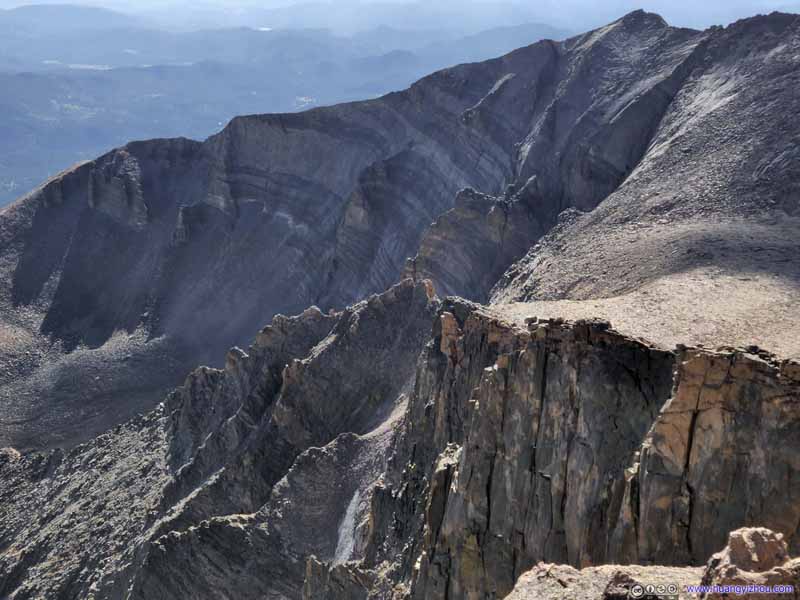
Southeastern face of Mount Pagoda
A crescent shape cliff, a constant backdrop of the homestretch, with clearly visible different layers of rocks.
Mountains to the Northwest
To the boundary of Rocky Mountain National Park and Apache National Forest.
Mountains to the Northwest
To the boundary of Rocky Mountain National Park and Never Summer Wilderness. Mt Richthofen in the background center.
Hagues Peak and Mummy Mountain
The side of Mummy Mountain to the right looked rather interesting.
Ypsilon Mountain
Next to the previous set of mountains.
Northern Face of Mount Meeker Just like Mount Pagoda, a series of attractive crescent-shaped cliffs.
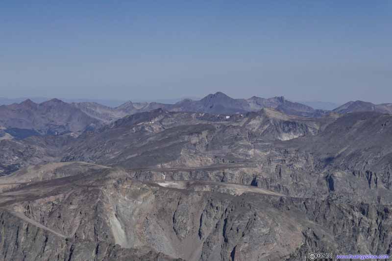
Mountains to the West
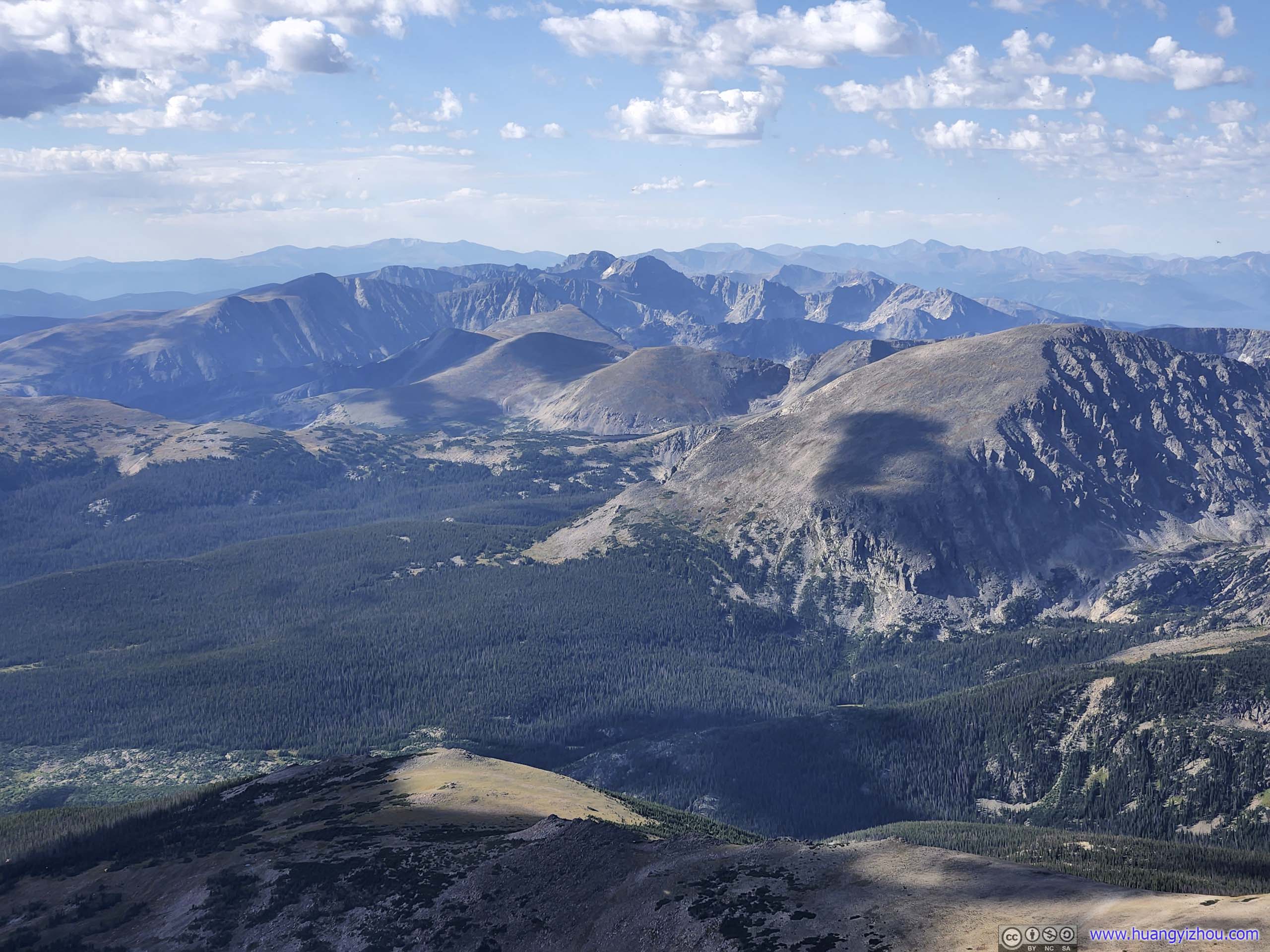
Southern part of Rocky Mountain National Park, mountains of Continental Divide. Isolation Peak in the center of this photo.
View from Longs Peak towards the Northeast (top) and Southwest (bottom)
My friend and I took some snacks, views, and a good rest on the summit of Longs Peak, before we started heading down at 10am.
With the steep sections at the "Trough" and "Homestretch" (and my friend's issue with altitude), our descent was actually slower than ascent. In the end, we only made it to the Keyhole at 12:10pm.
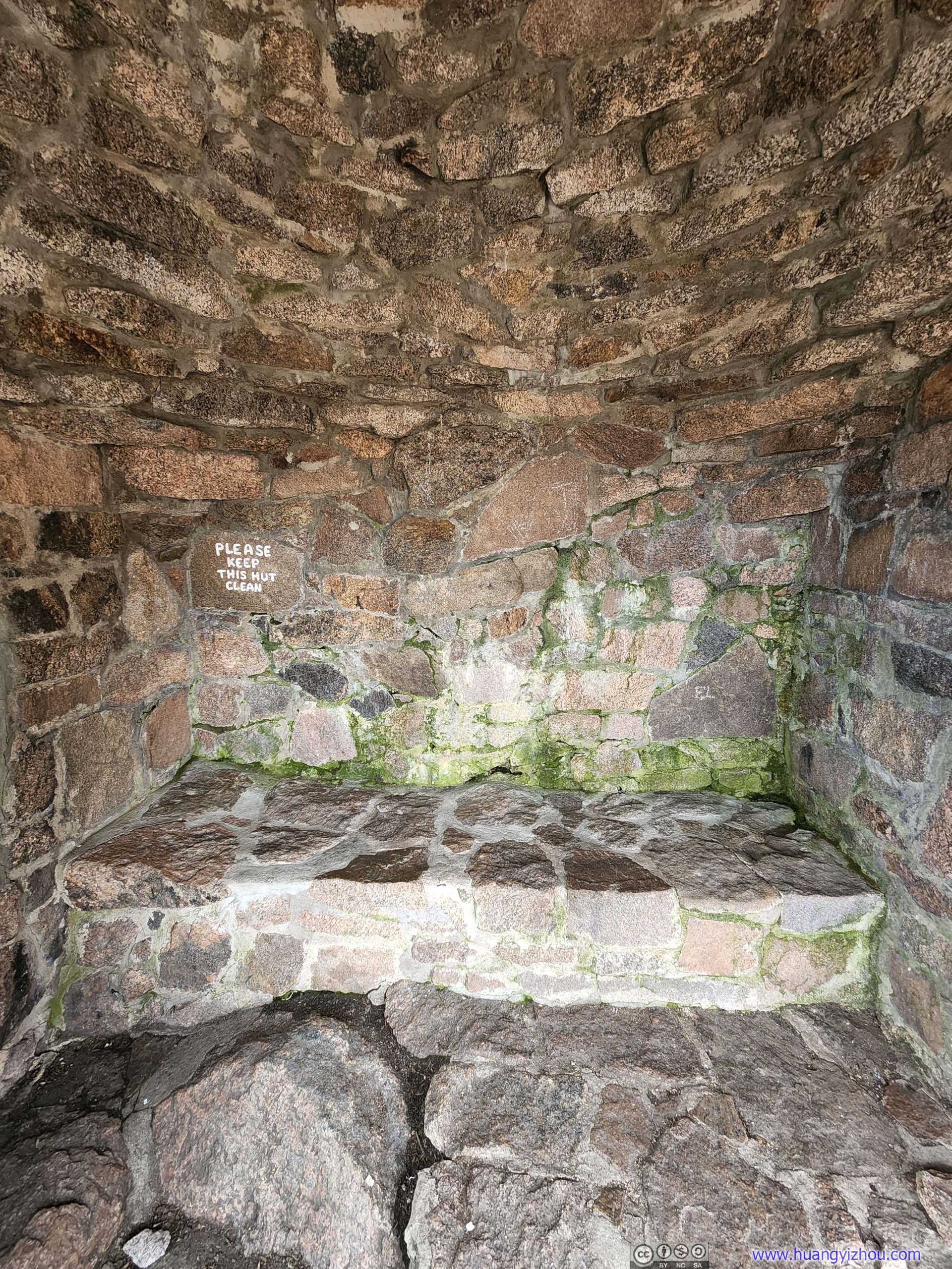
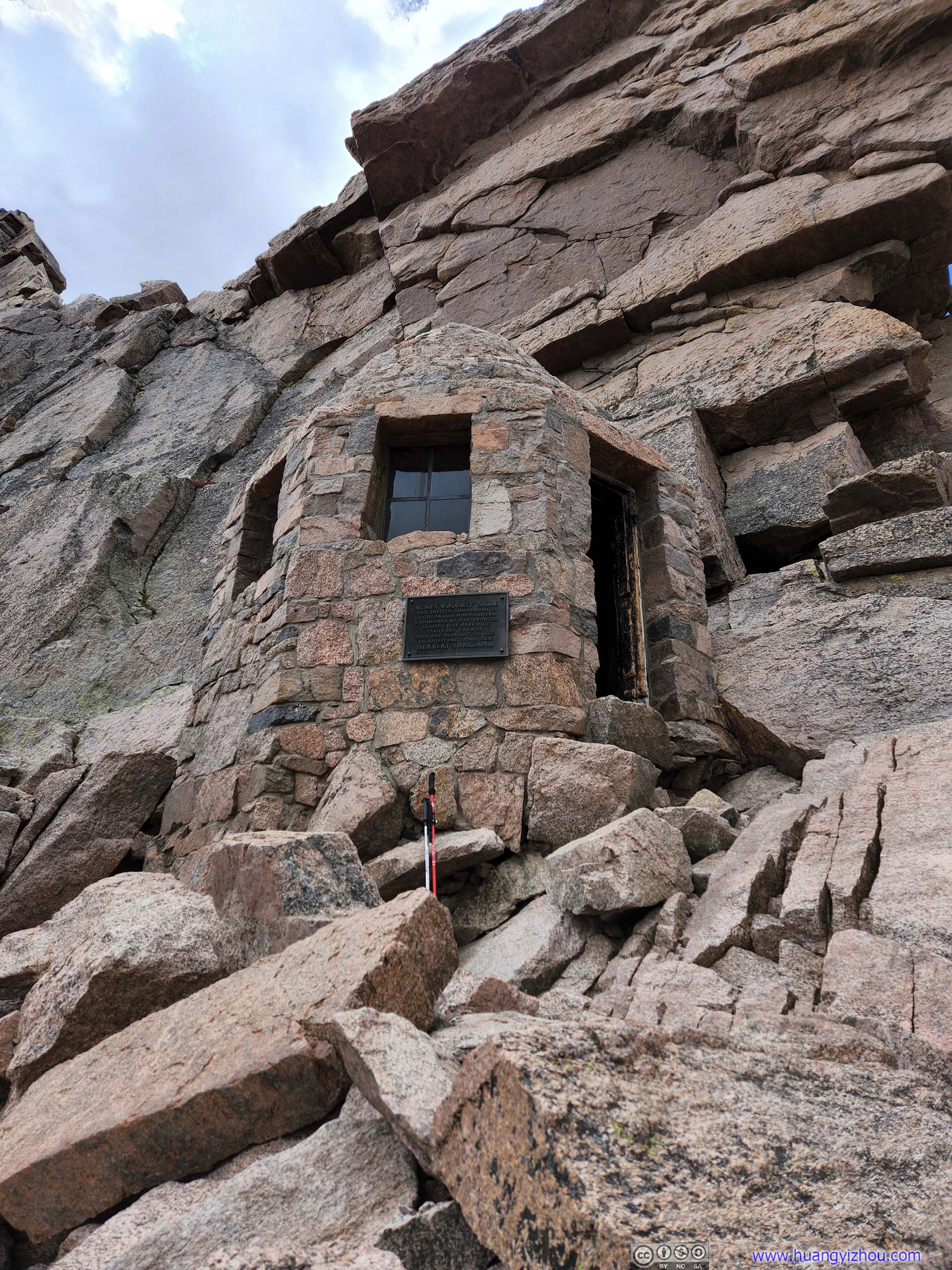
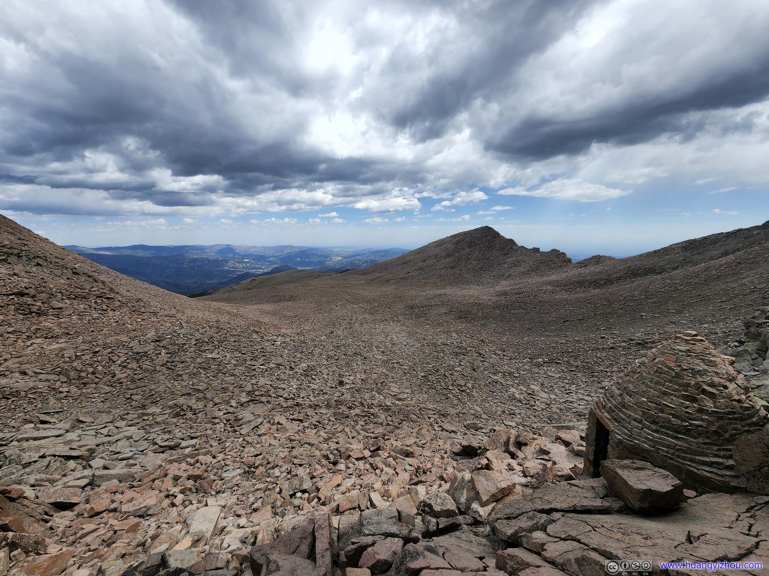
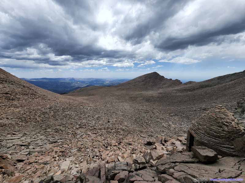
Agnes Vaille Shelter A shelter at Keyhole for those caught in the storm. We checked it out during our descent.
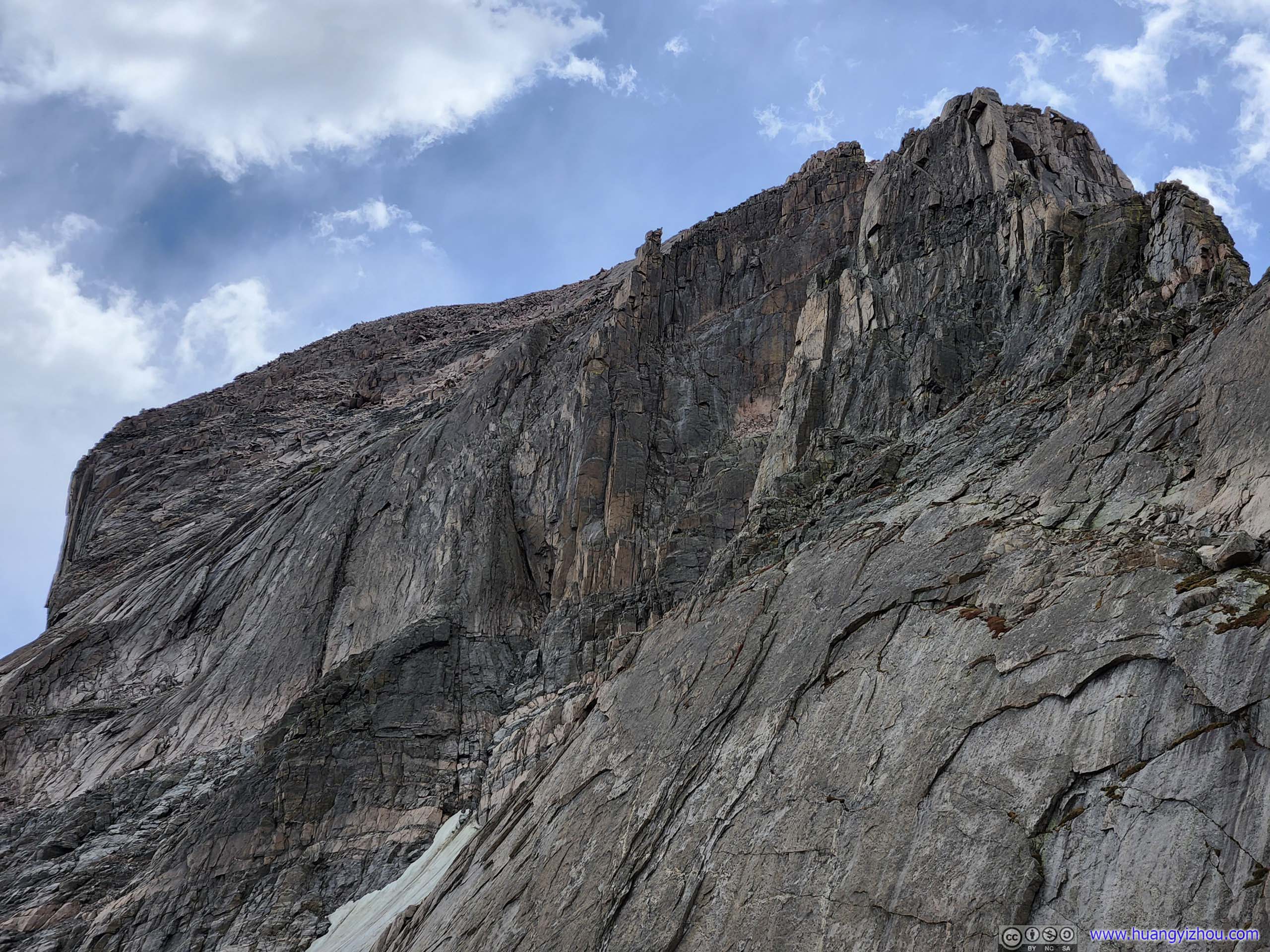
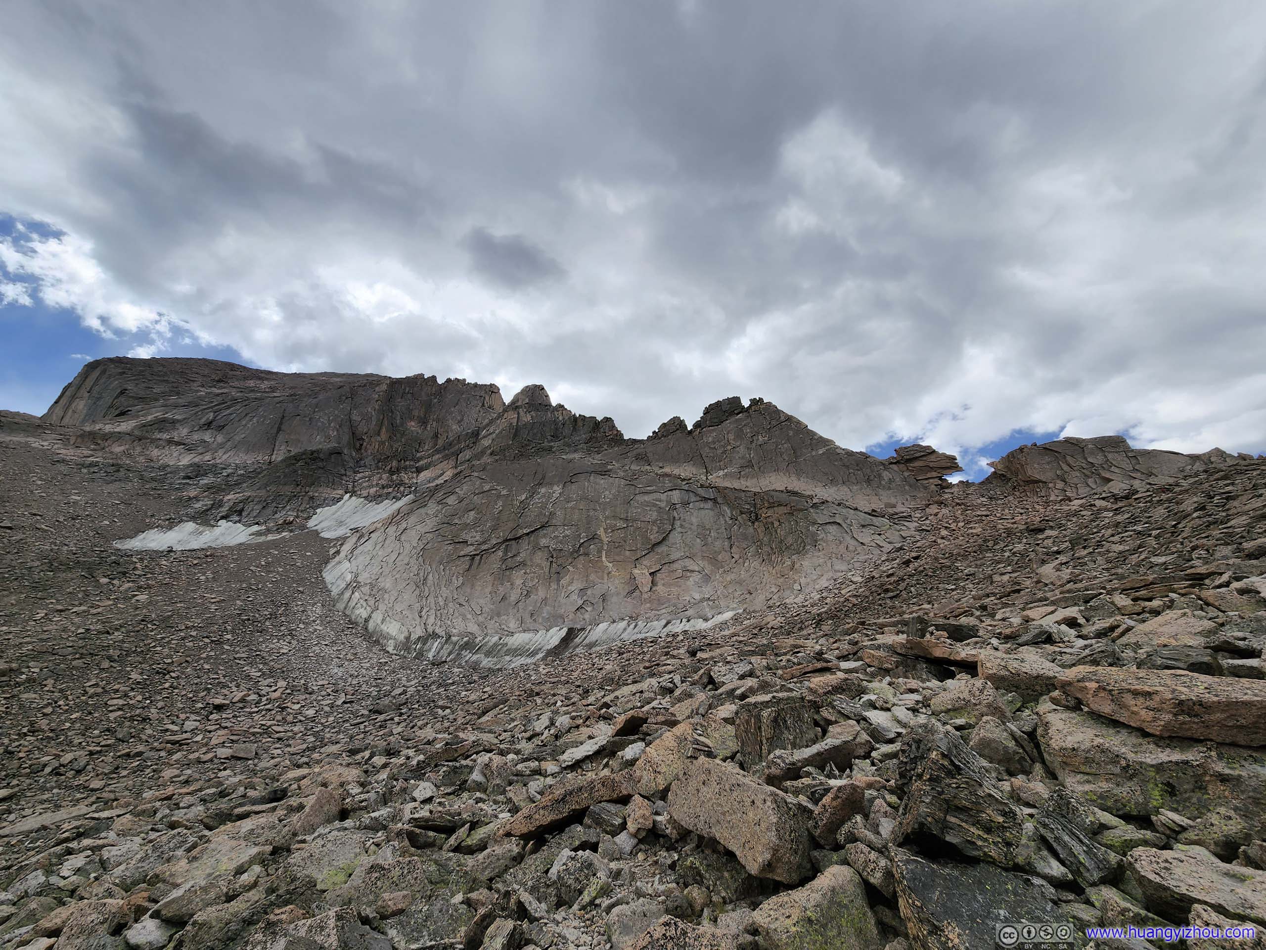
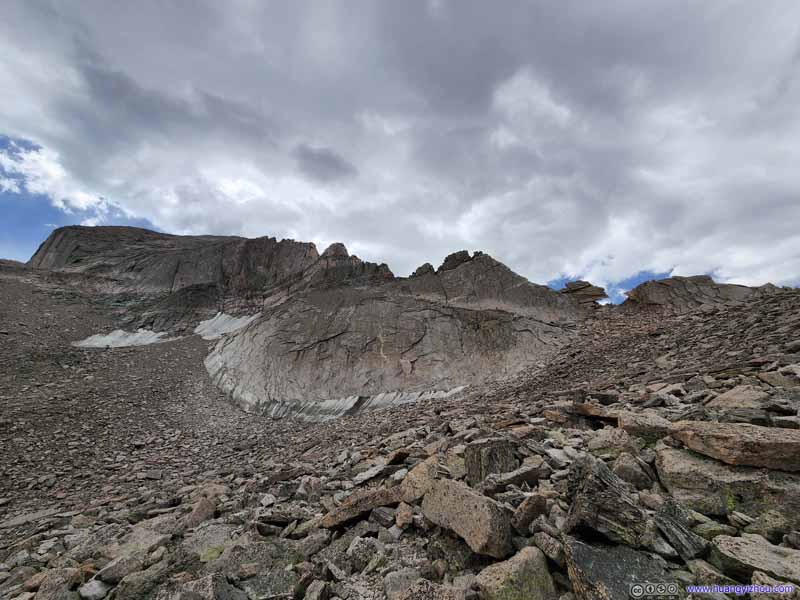
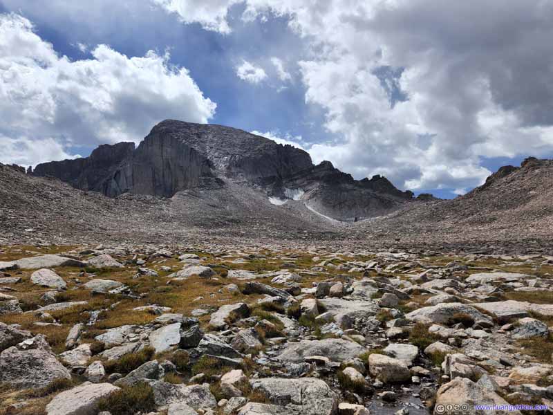
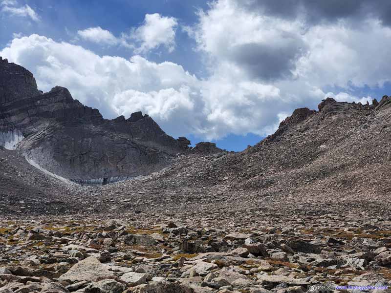
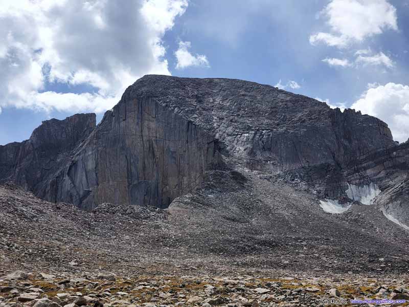
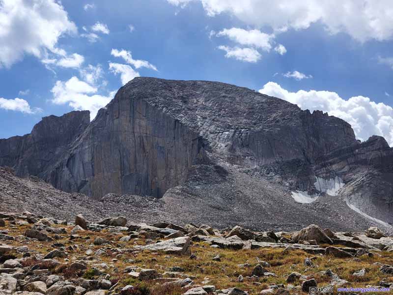
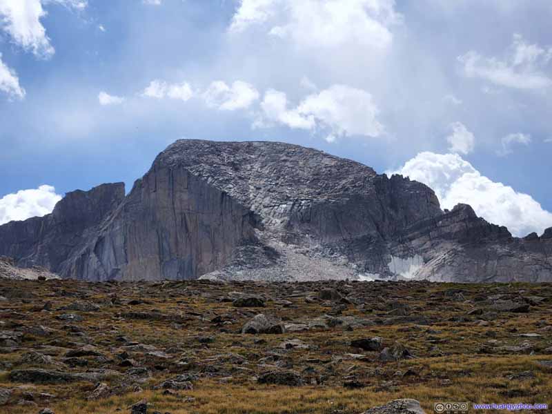
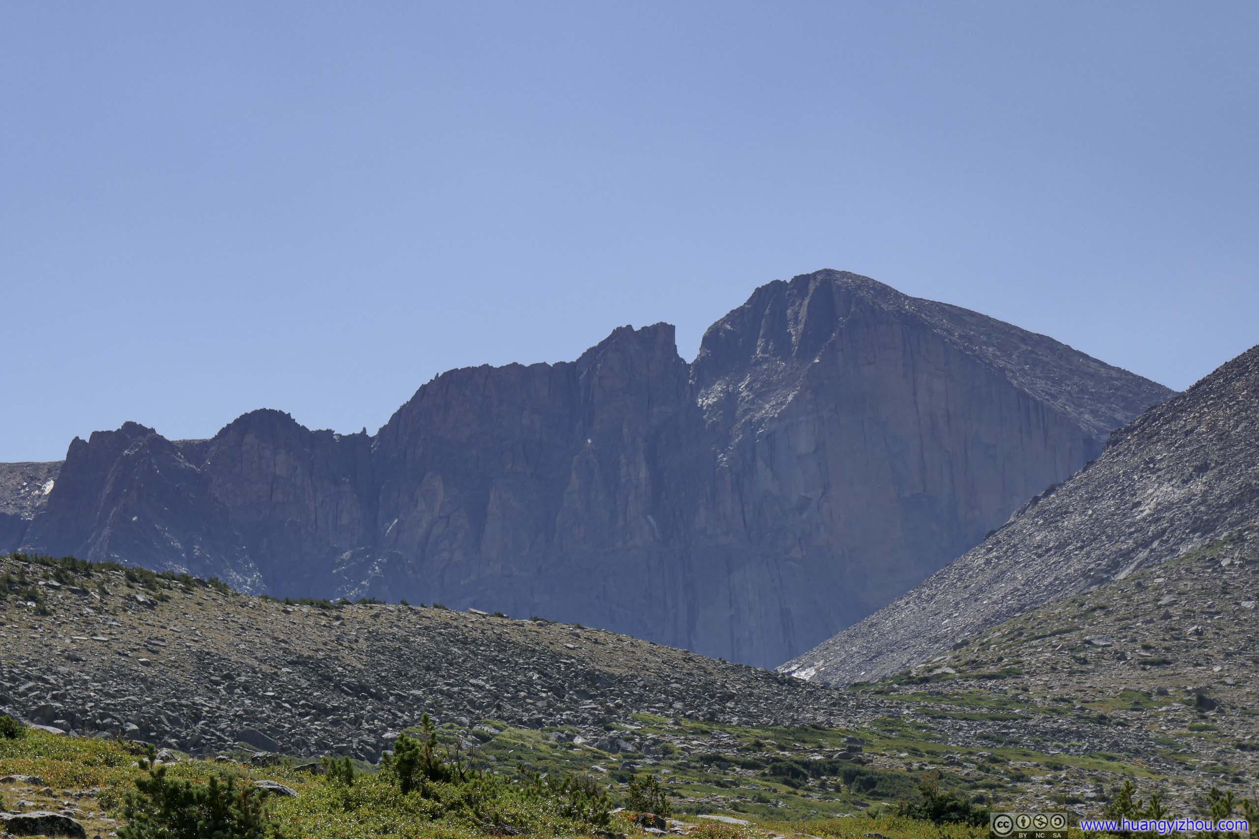
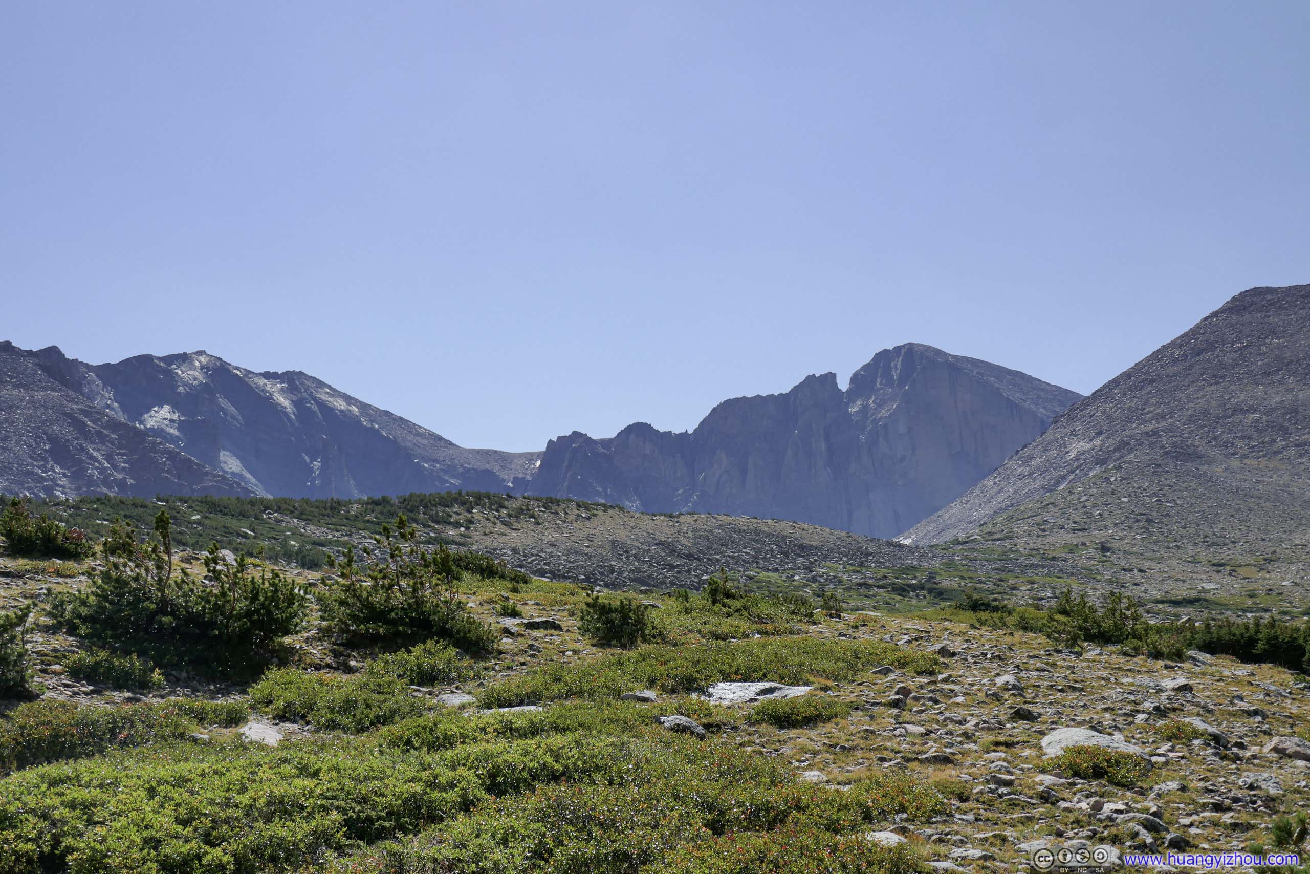
After a short rest, we left the Keyhole at 12:25pm. As we headed back, the Diamond Face of Longs looked more gloomy against the afternoon sun.
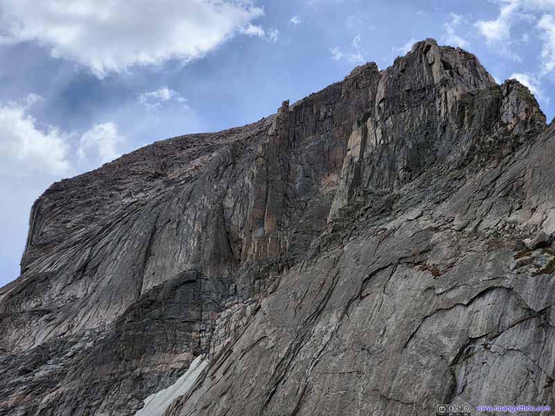
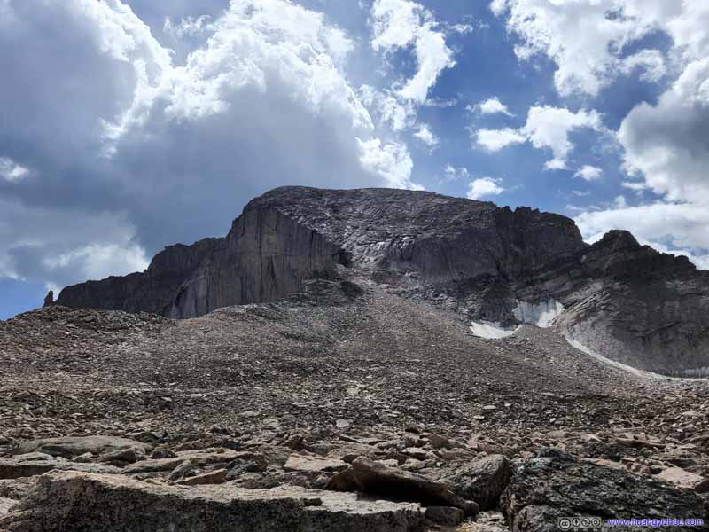
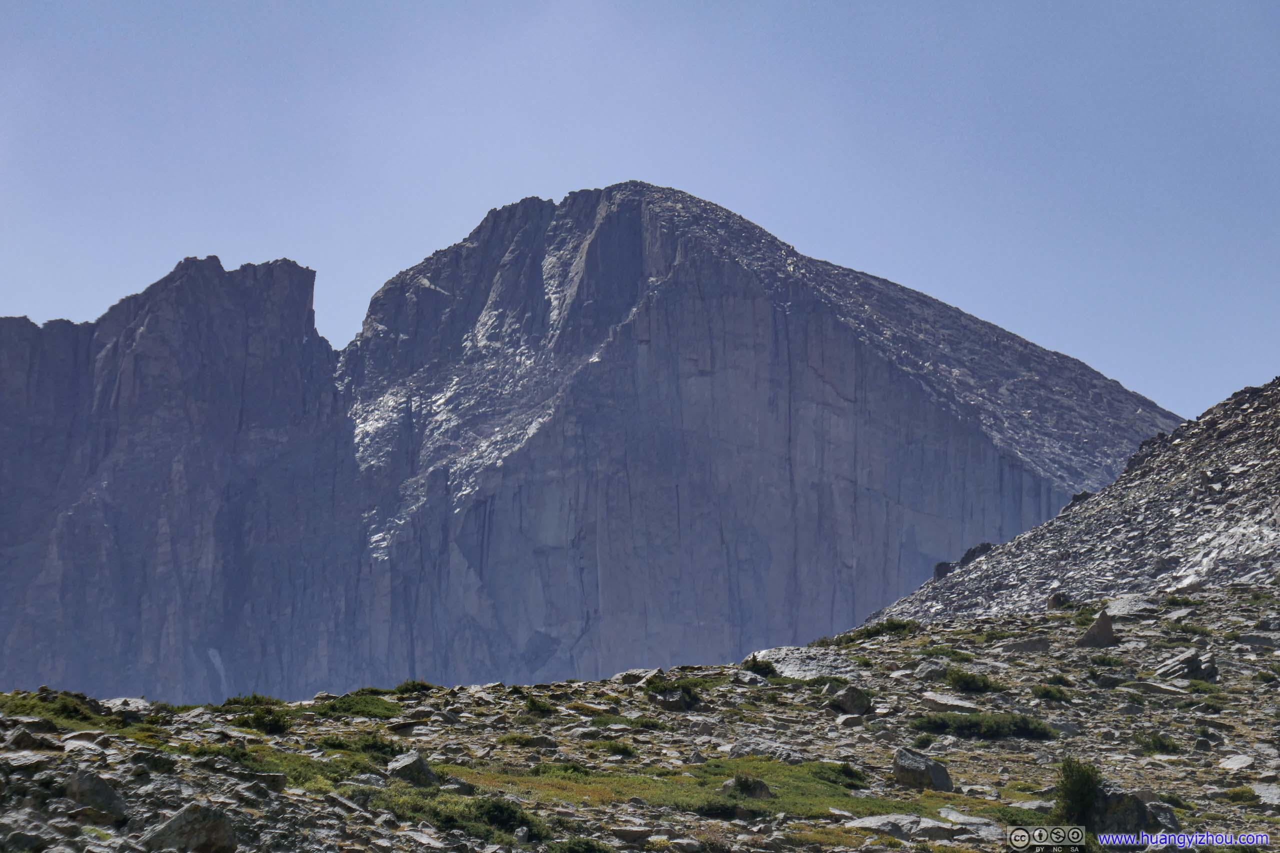
Longs Peak The northern face of Longs Peak, a very steep incline with these textured rocks.
Longs Peak
Longs Peak
Longs Peak
Longs Peak
Keyhole from Boulder Field
Longs Peak
Longs Peak
Longs Peak
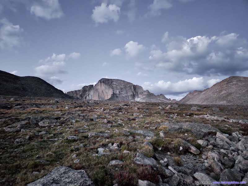
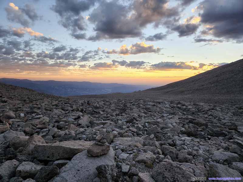
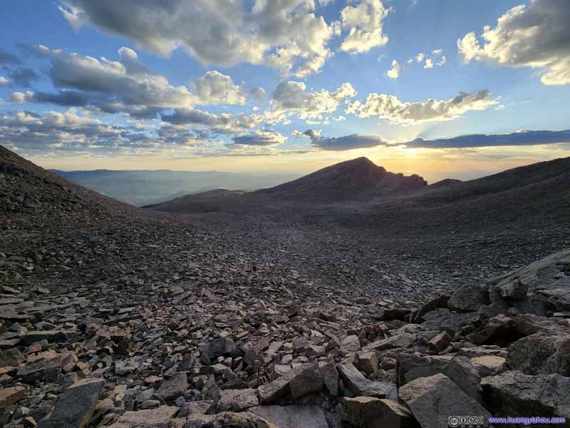
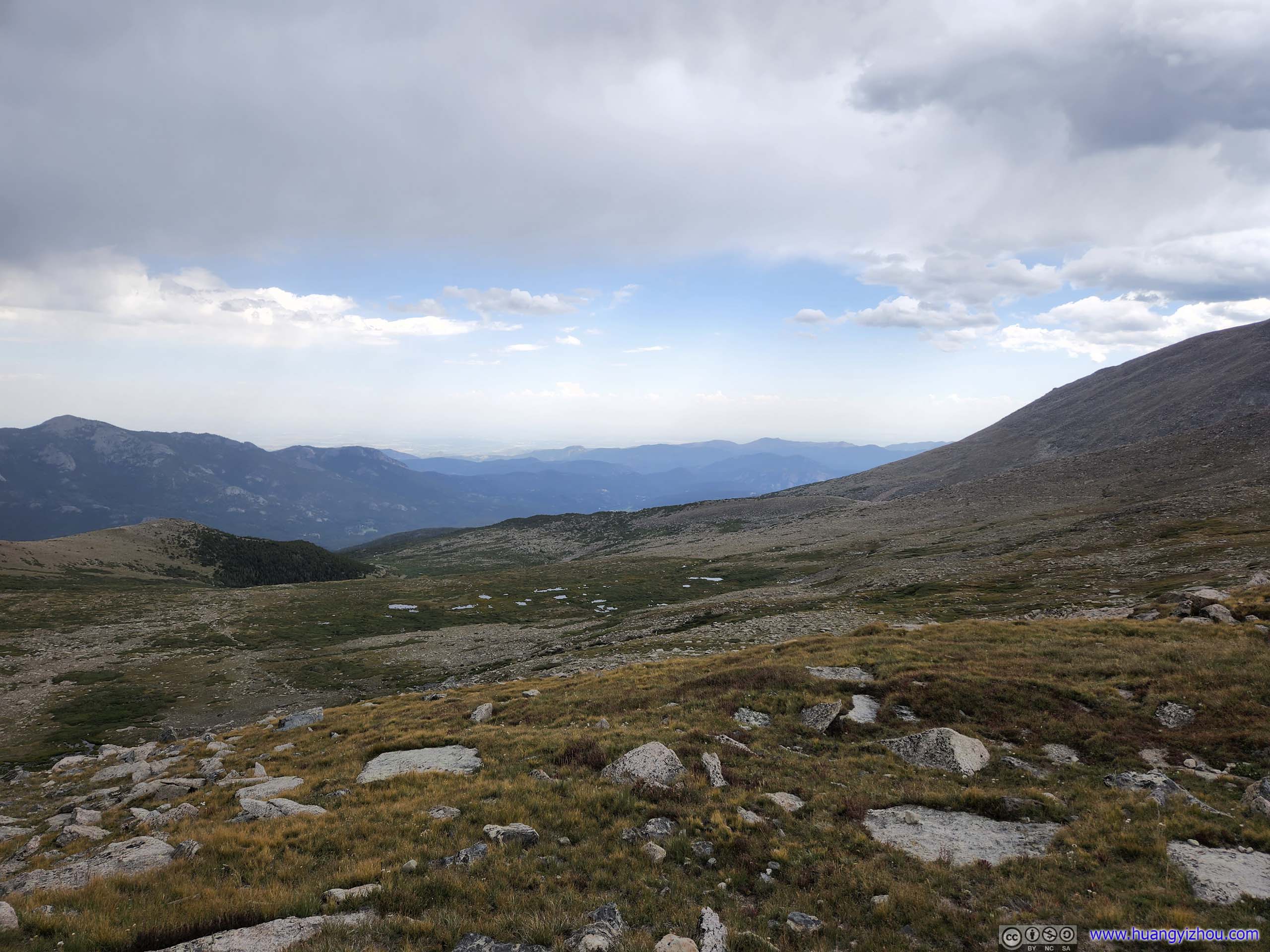
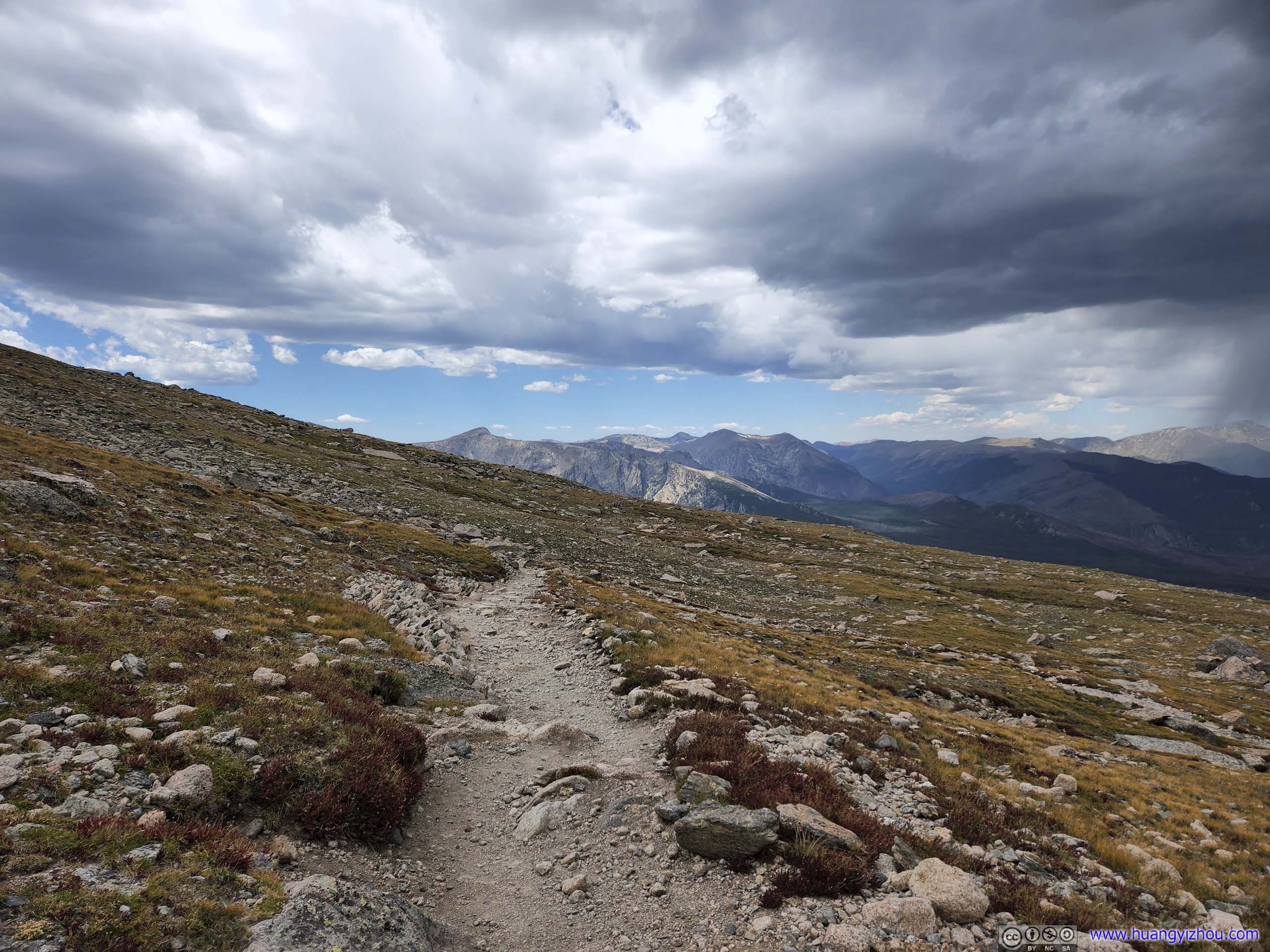
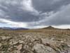
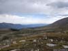
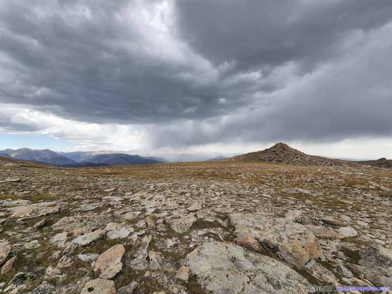
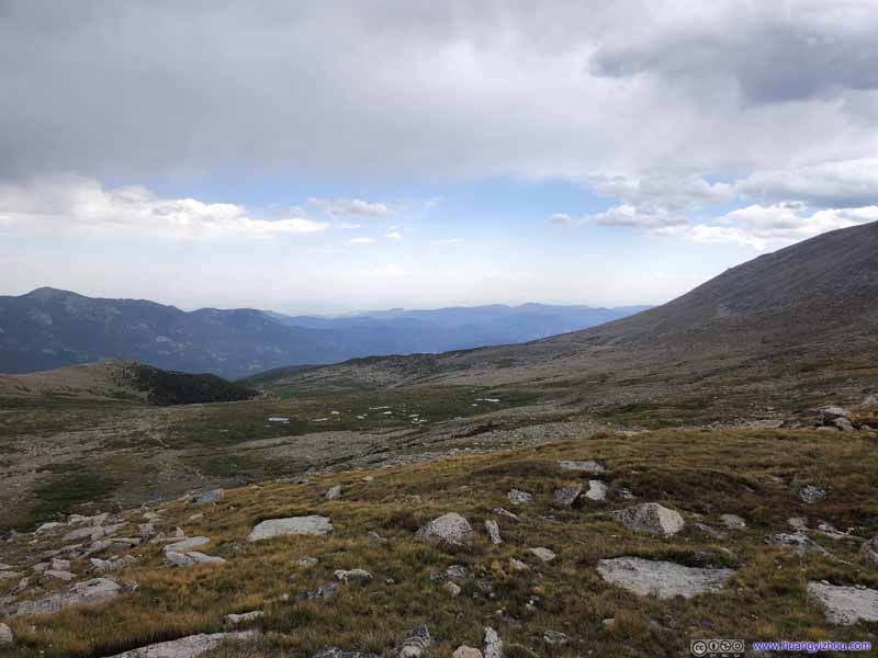
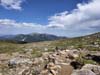
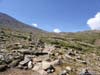
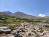
Since it's dark during our ascent, on our way down we took a few moments to appreciate the wilderness scenes of alpine tundra along the trail. Autumn colors made an early arrival at this altitude, the brownish grass were putting on their last colors of the year before being buried by snow.
That's when I had the feeling that the few switchbacks before the Boulderfield weren't really that necessary as the trail didn't feel that steep. Many people seemed to agree with me, cutting a few trails into the tundra. Nonetheless, being warned by the posts, we stayed on the trail.
Boulderfield and Mount Lady Washington from Keyhole Agnes Vaille Shelter in the lower-right.
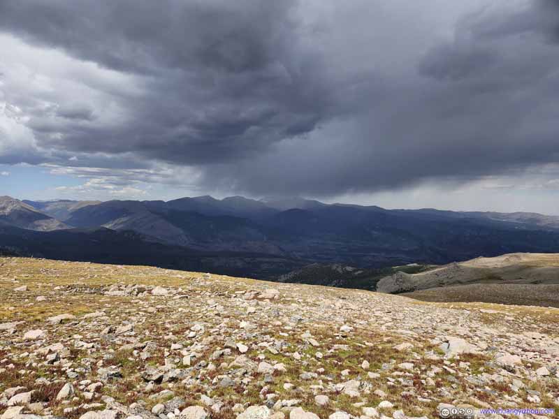
Fields Some gloomy clouds to the north.
Fields The pile of rocks were at Granite Pass, intersection of a trail to Bear Lake.
Fields Alpine tundra transitioning into fields of talus.
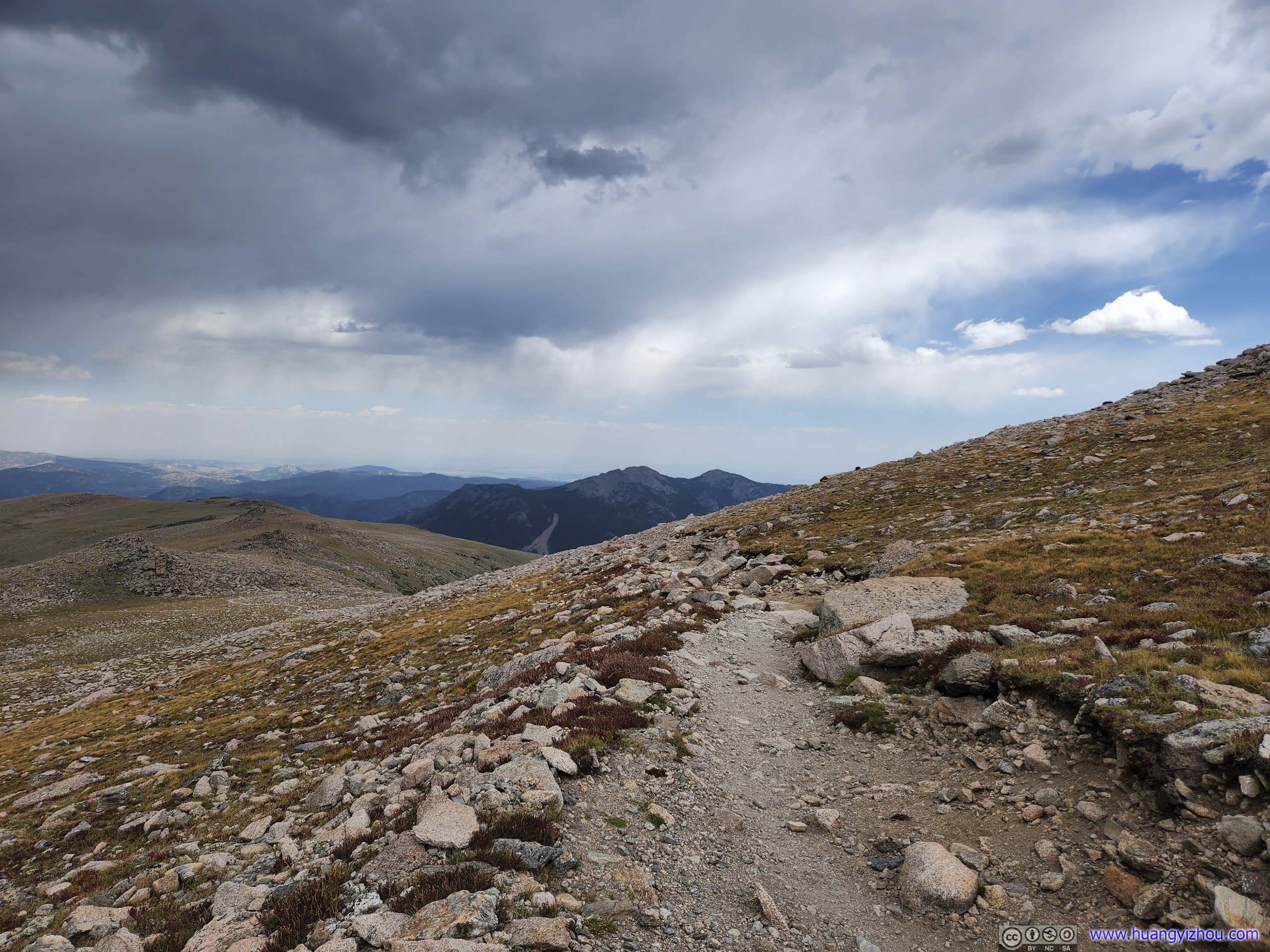
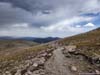
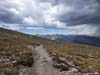
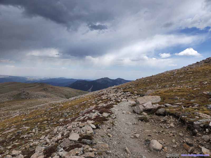
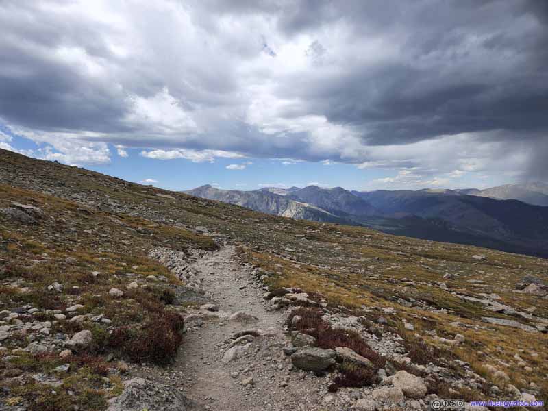
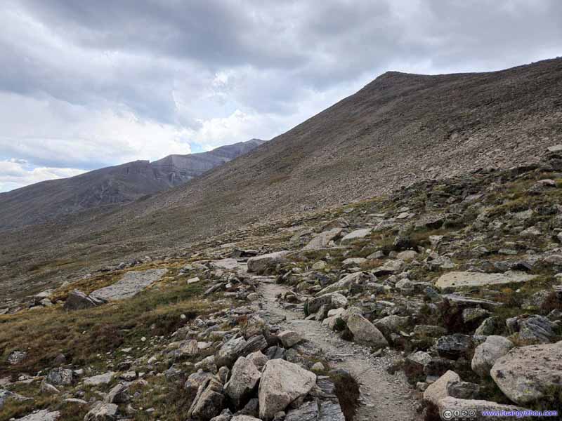
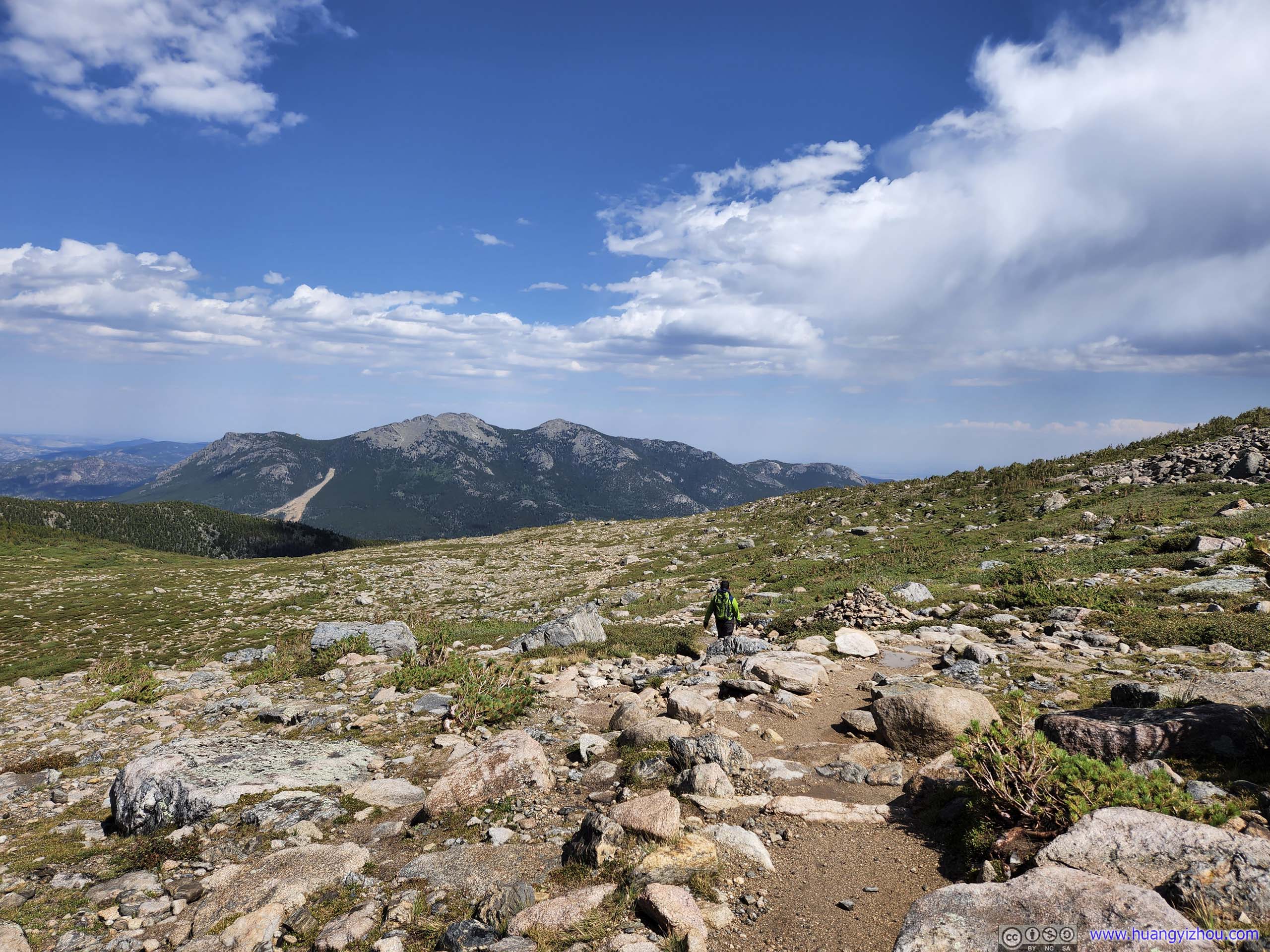
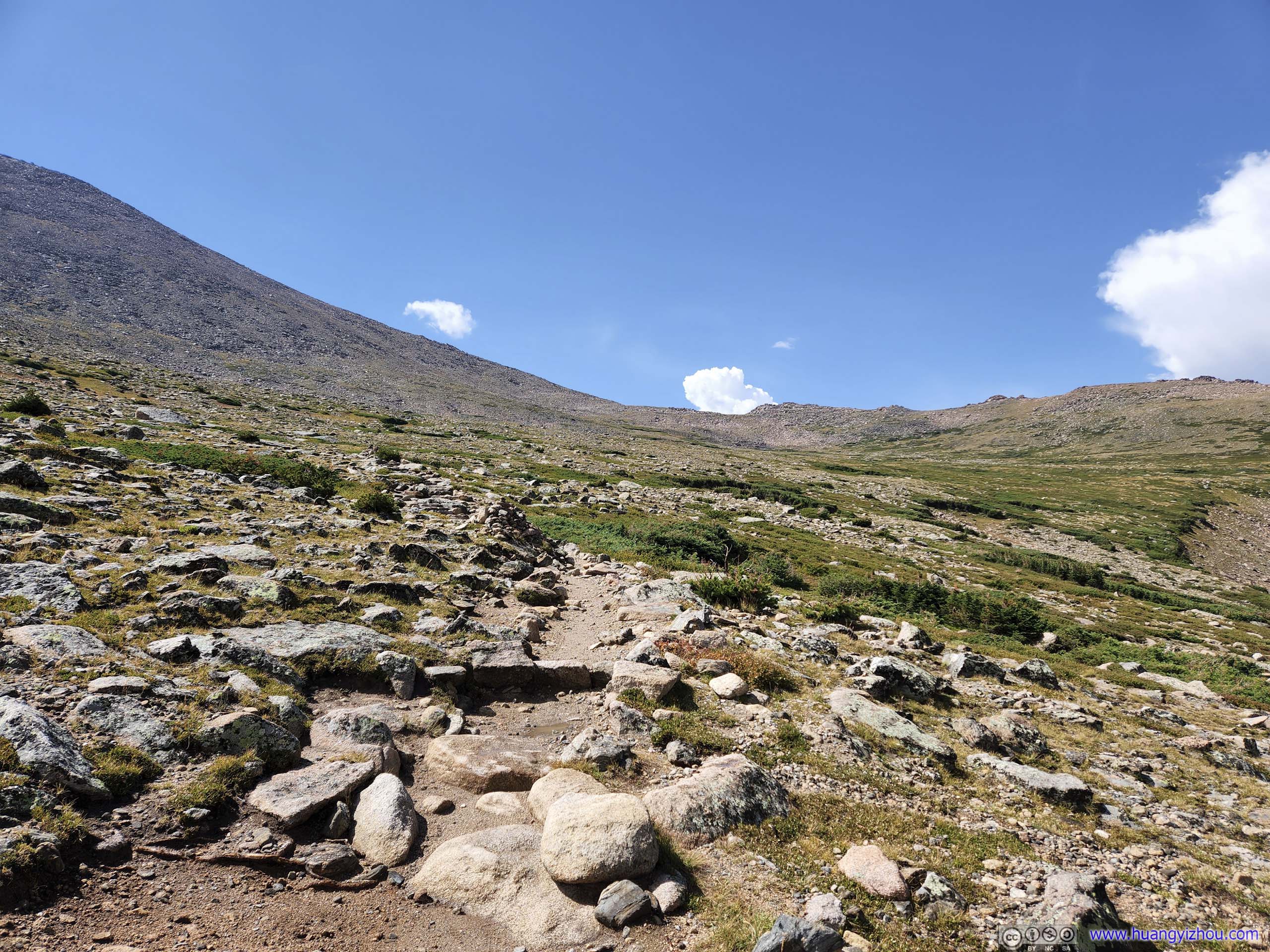
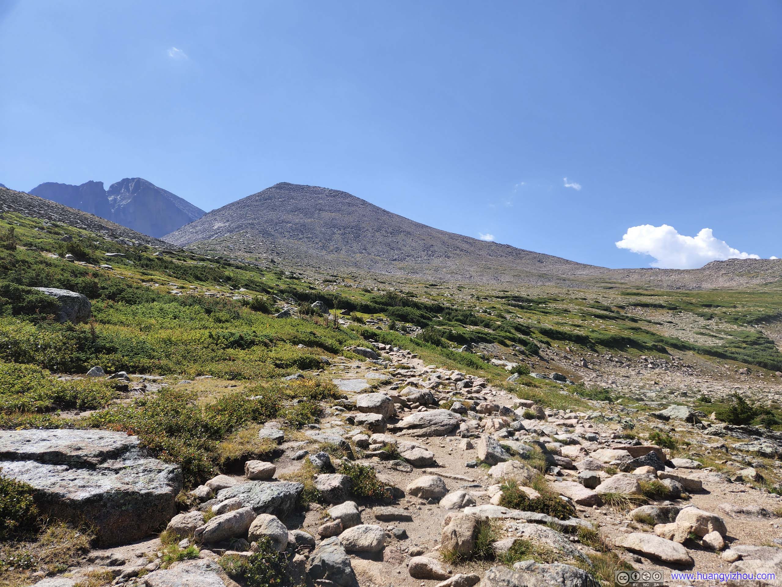
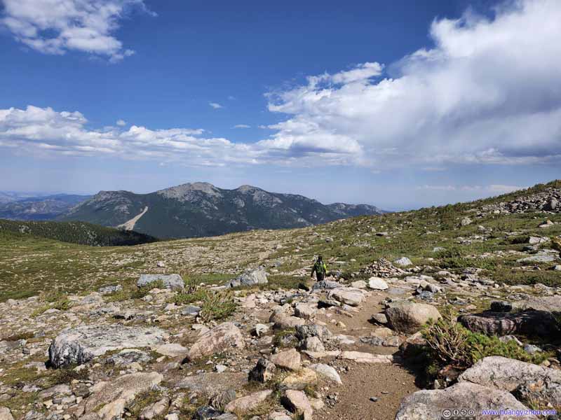
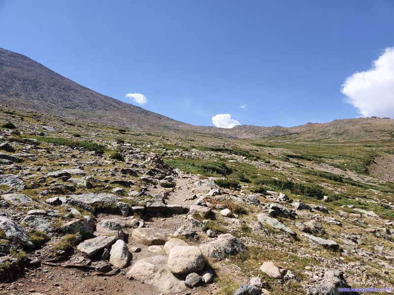
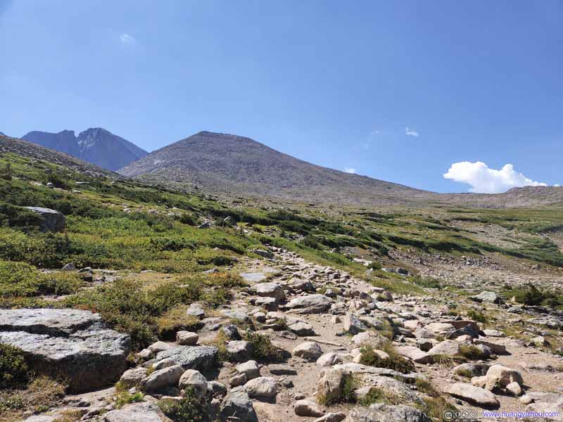
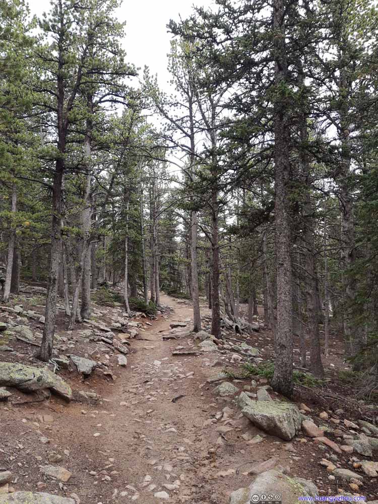
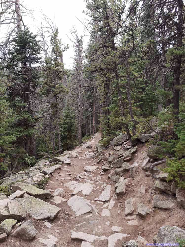
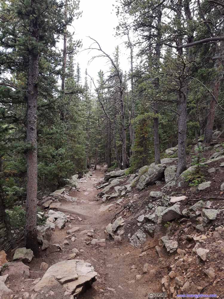
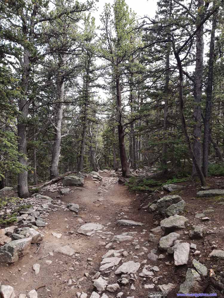
Trail Typical conditions above the tree line.
Trail Typical conditions above the tree line.
Trail Typical conditions above the tree line.
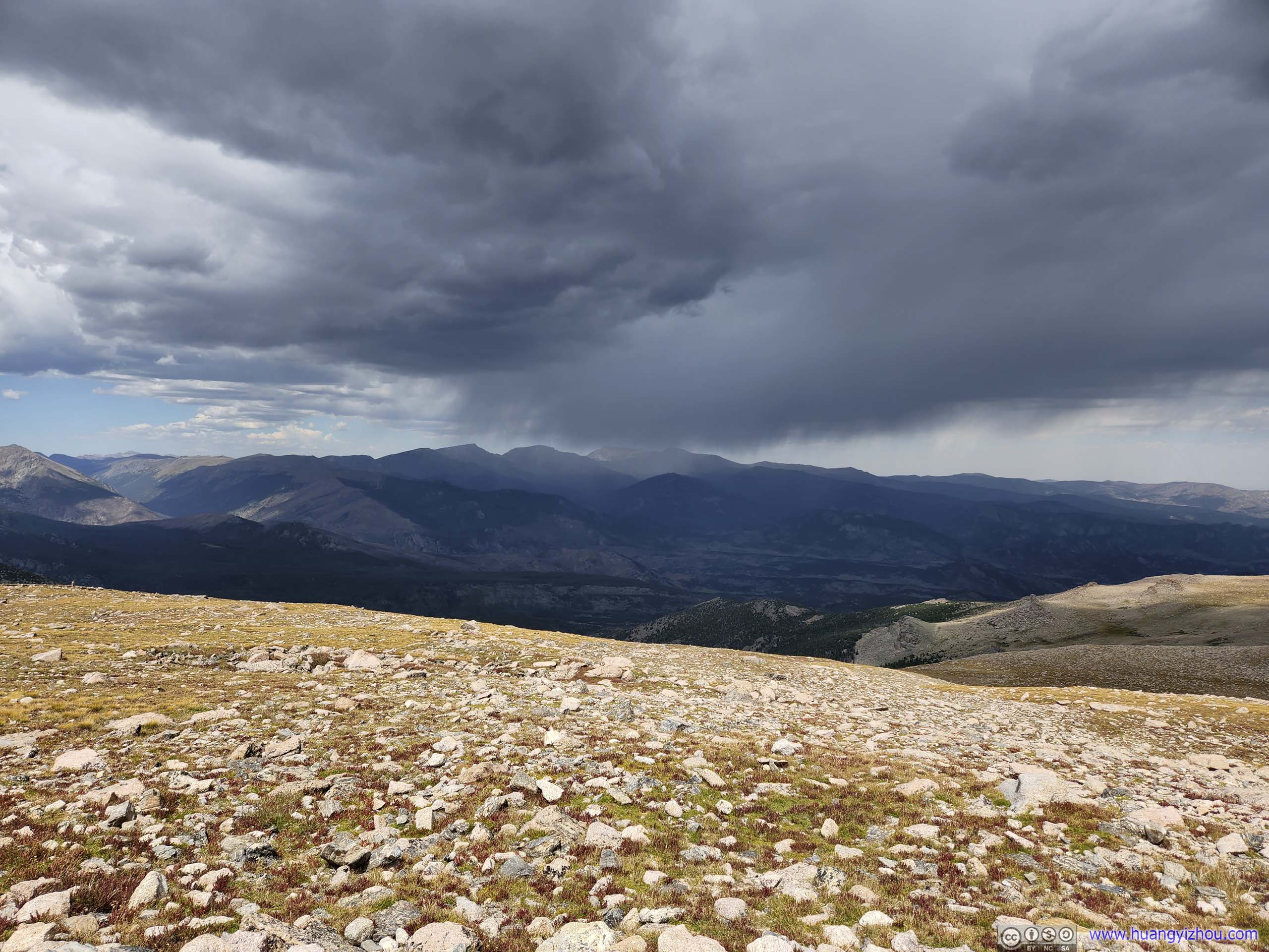
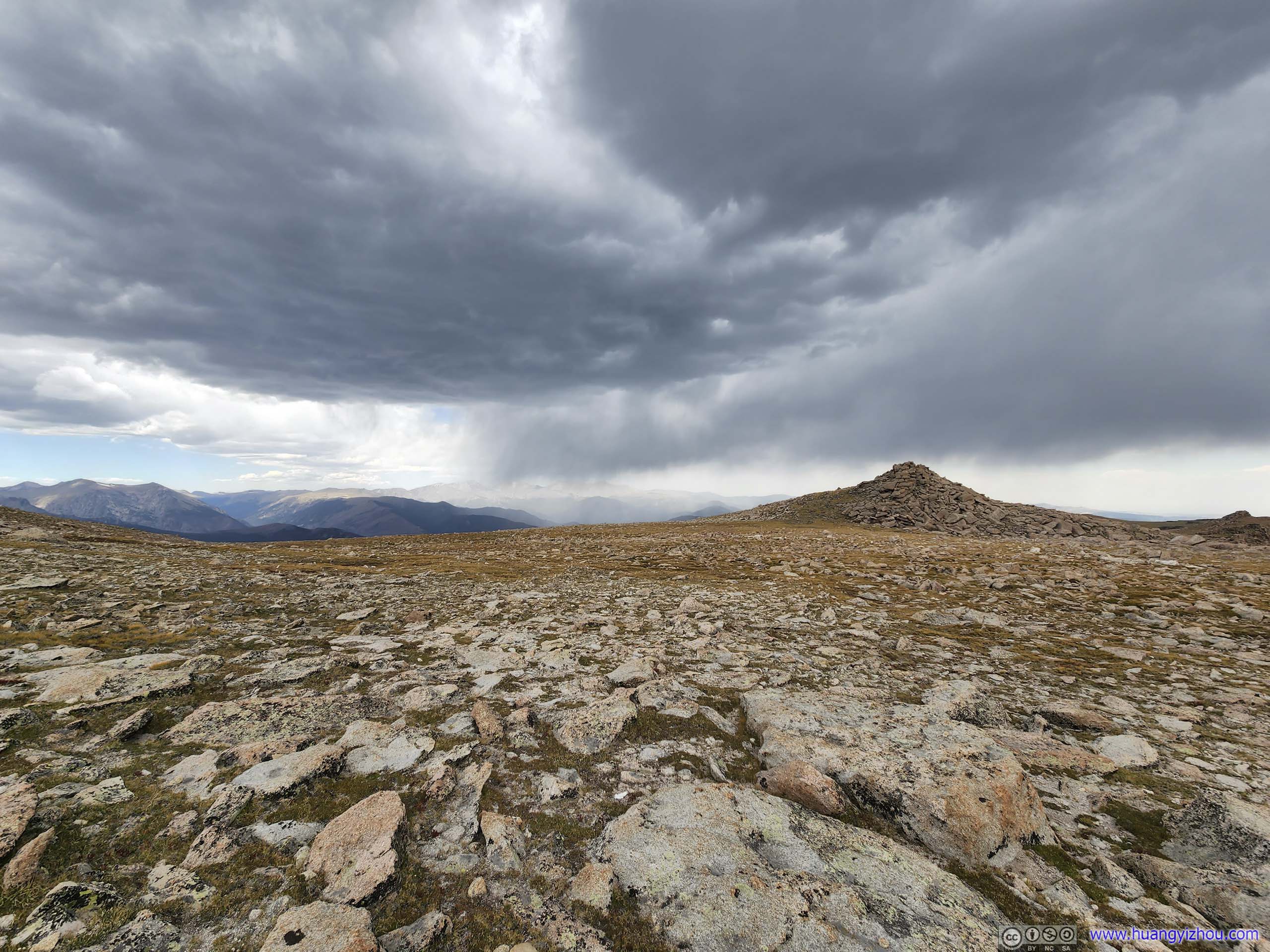
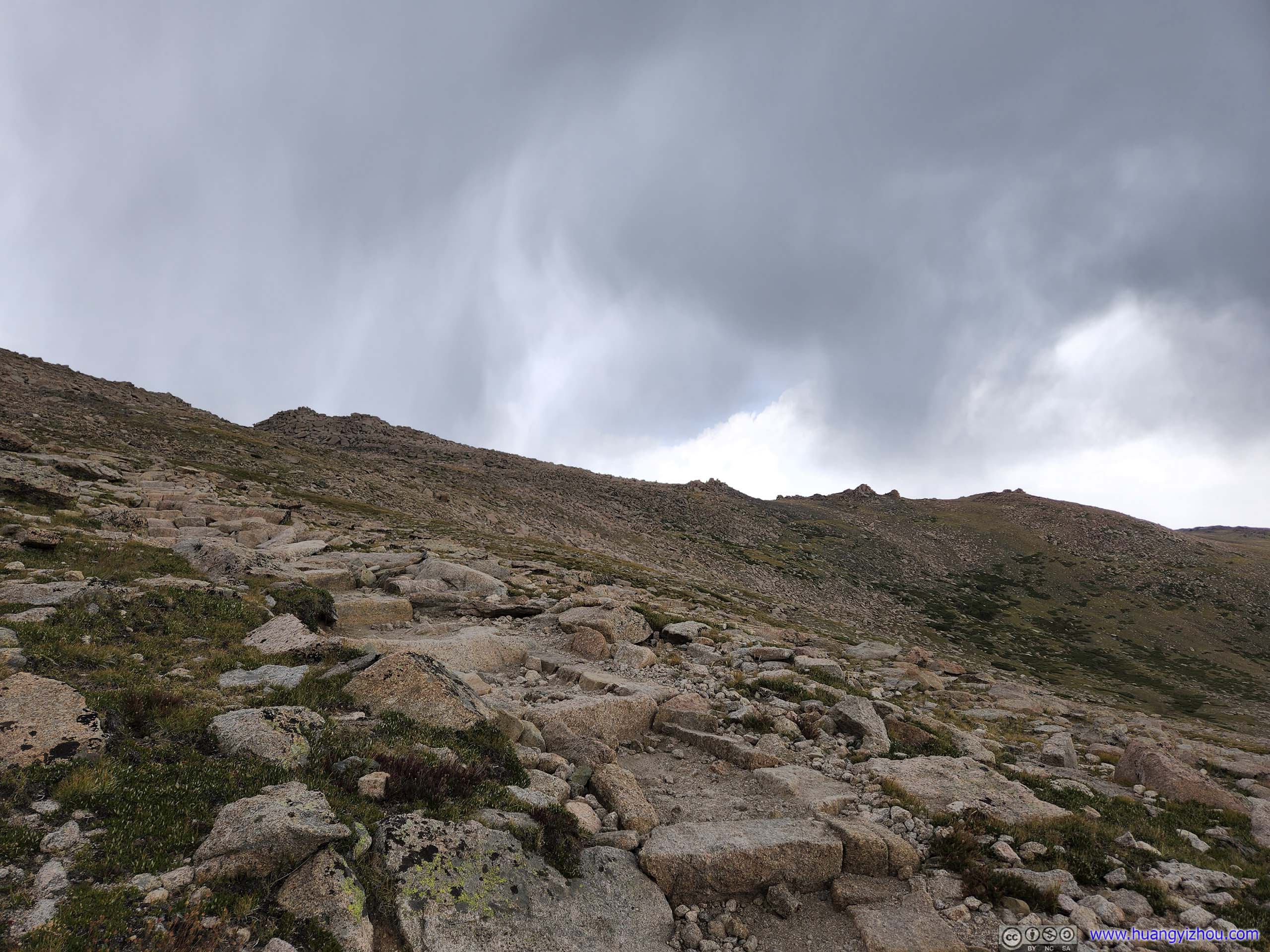
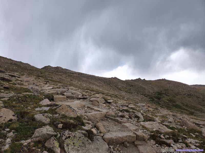
Trail The clouds were looking rather tumultuous at this moment.
After passing Granite Pass, the skies started to turn gloomy, and we heard a few distant thunders behind us. Judging by wind direction on the ground, we thought the storm was getting away from us and thus not very worried. It turned out that somehow the wind direction was different in the sky, and the storm was coming towards us. In the end, the storm hit us so suddenly that I didn't even have time to put on a rain cover. For the next 5 minutes, we found ourselves battered by hail, and deafened by a few lightning strikes near us.
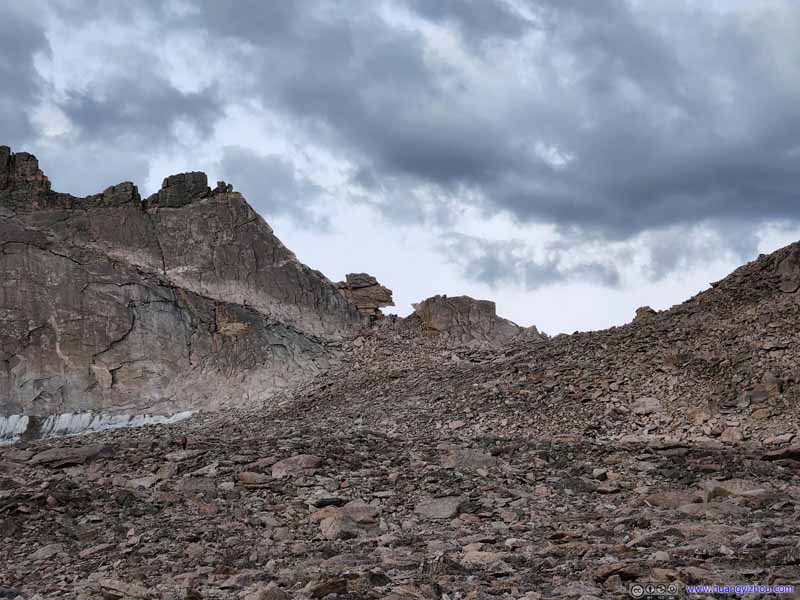
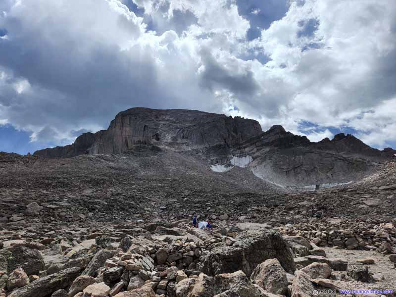
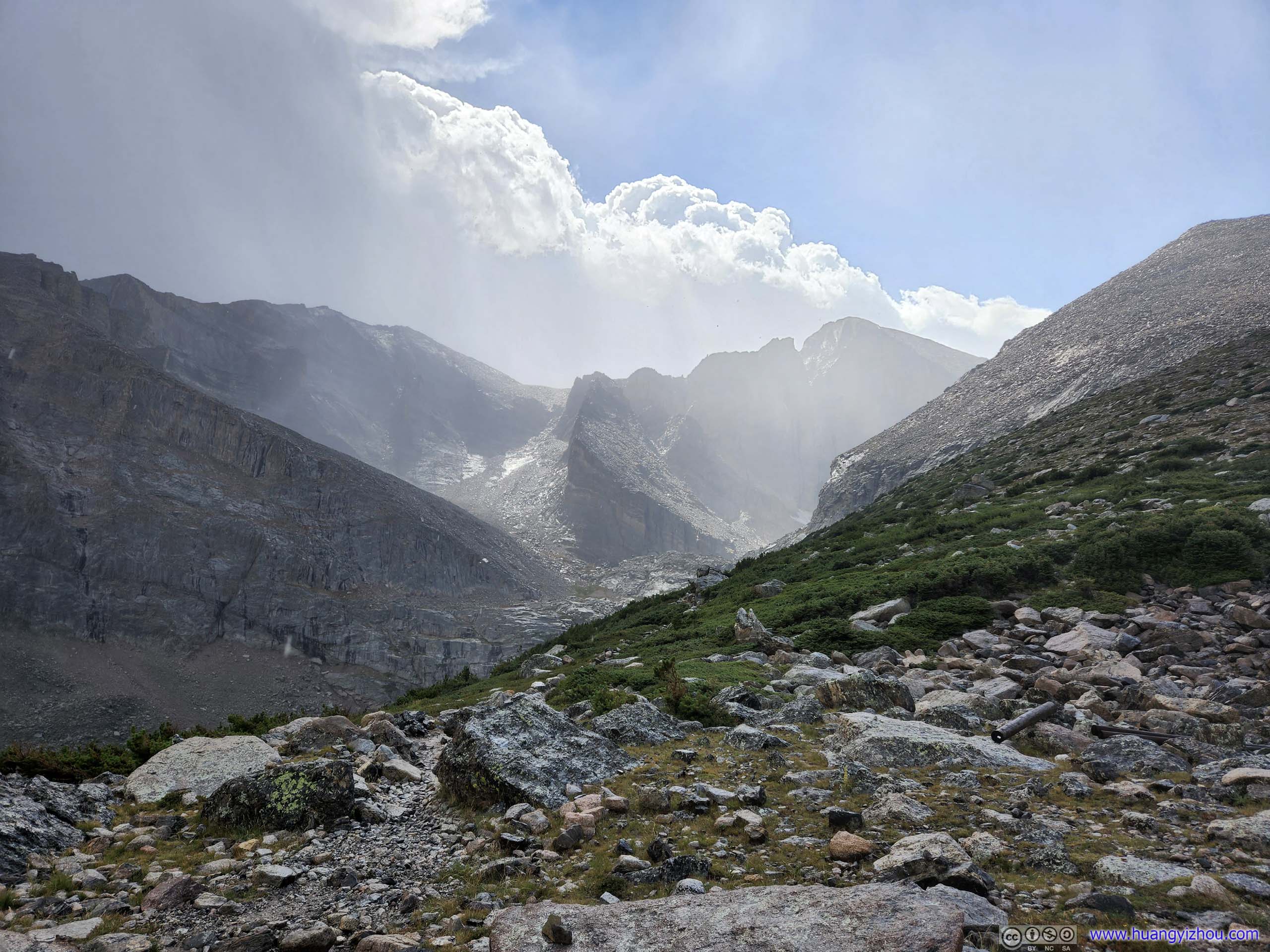
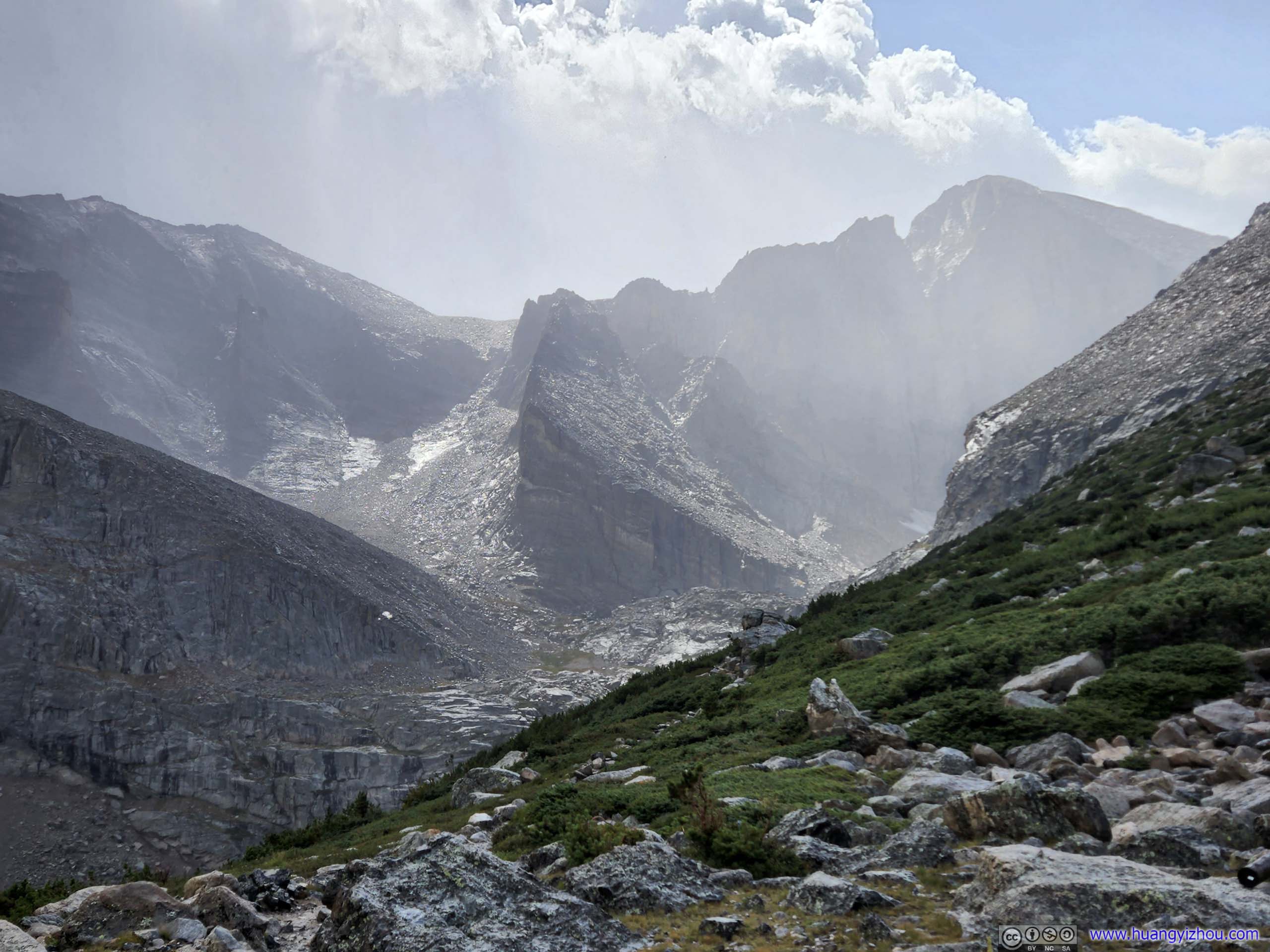
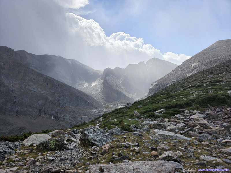
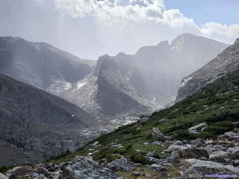
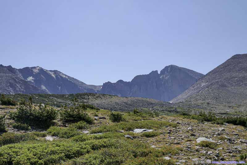
Luckily, we escaped the storm intact, which passed us just as we reached the intersection of Chasm Lake trail, where Longs Peak's rocky contour looked rather enchanting behind a thin veil of vapor.
Longs Peak Looking mystically enchanting with the remnants of the storm still in the air.
Longs Peak Looking mystically enchanting with the remnants of the storm still in the air.
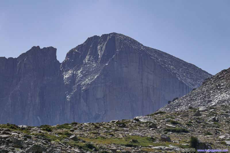
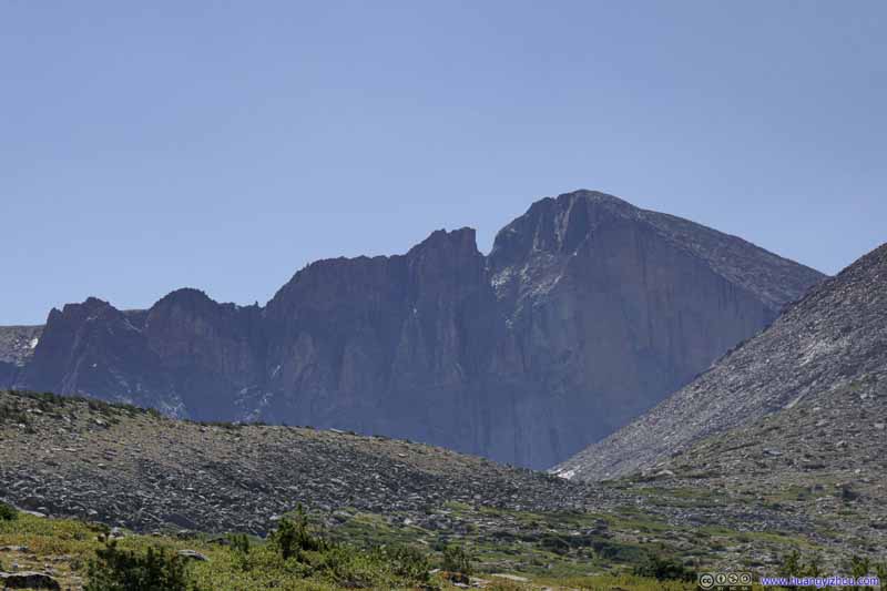
Longs Peak Further down the trail, the magnificent diamond face of Longs Peak was visible above the tree line.
Longs Peak Further down the trail, the magnificent diamond face of Longs Peak was visible above the tree line.
Longs Peak and Mount Meeker Further down the trail, the magnificent diamond face of Longs Peak was visible above the tree line.
After that, we continued our way down. The transient storm didn't bring much precipitation, which quickly dried up in the afternoon sun, so the trails largely stayed dry. Below were the typical trail conditions above the tree line.
Trail
Trail
Trail
Trail
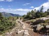
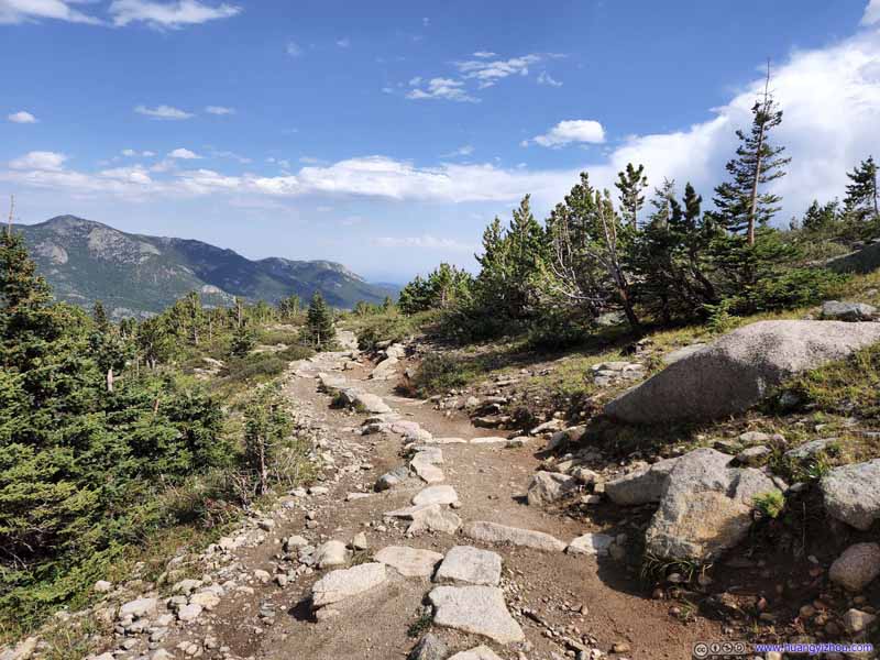
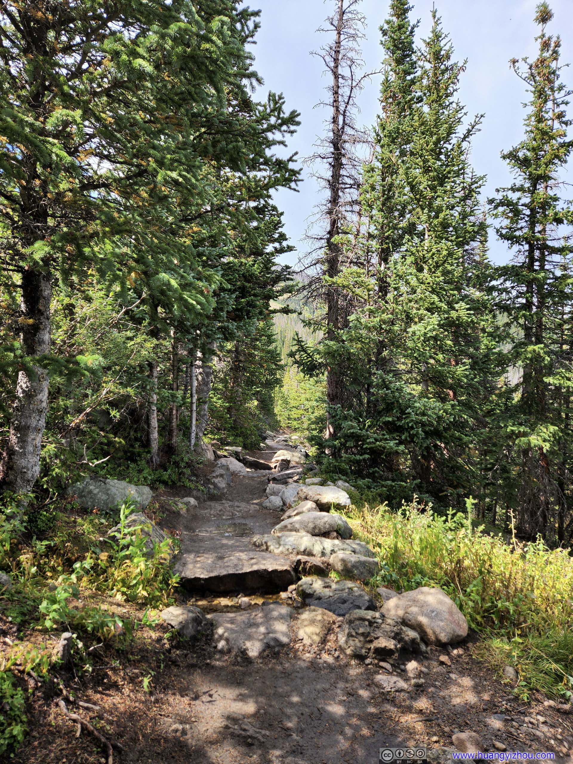
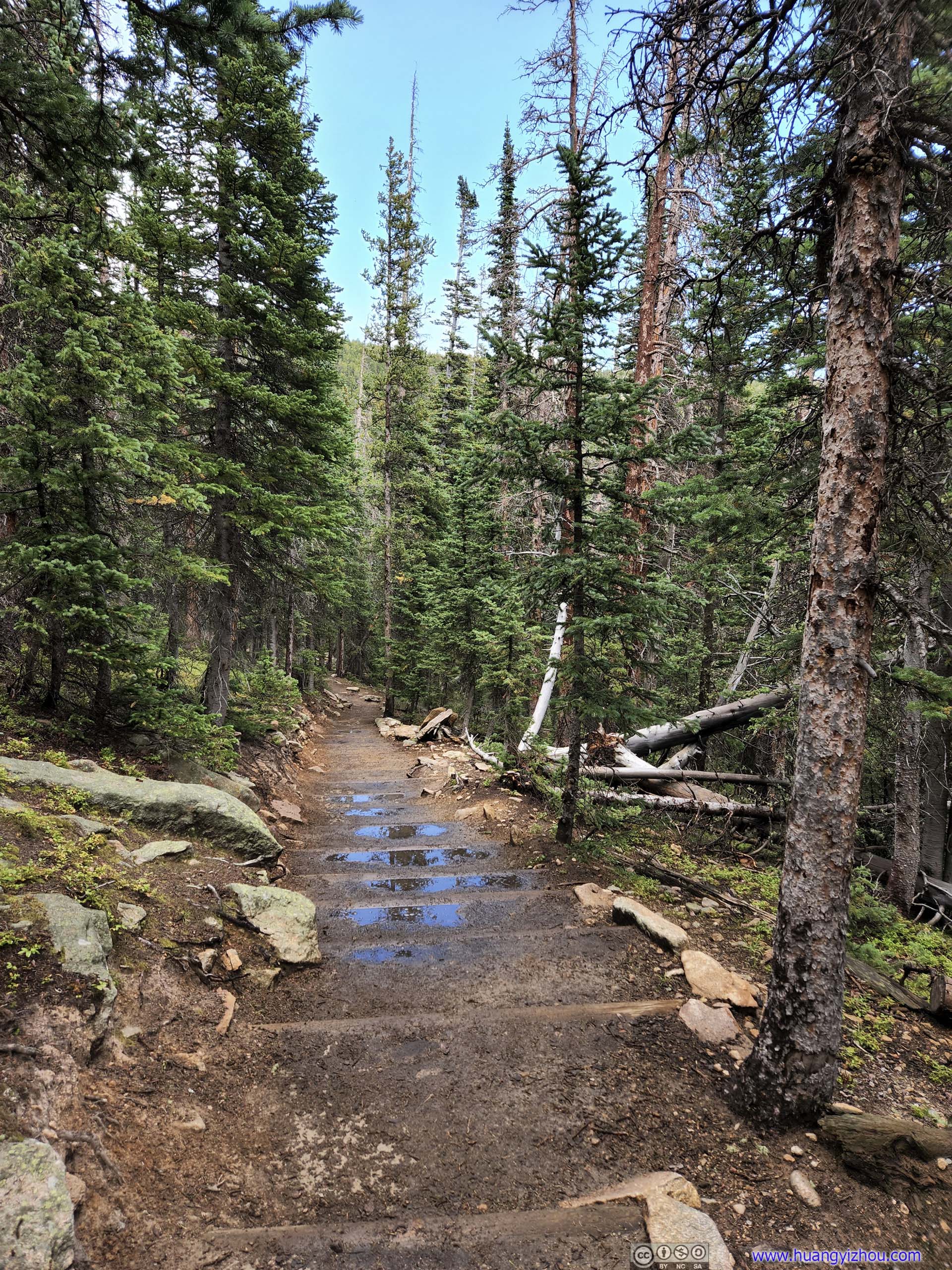
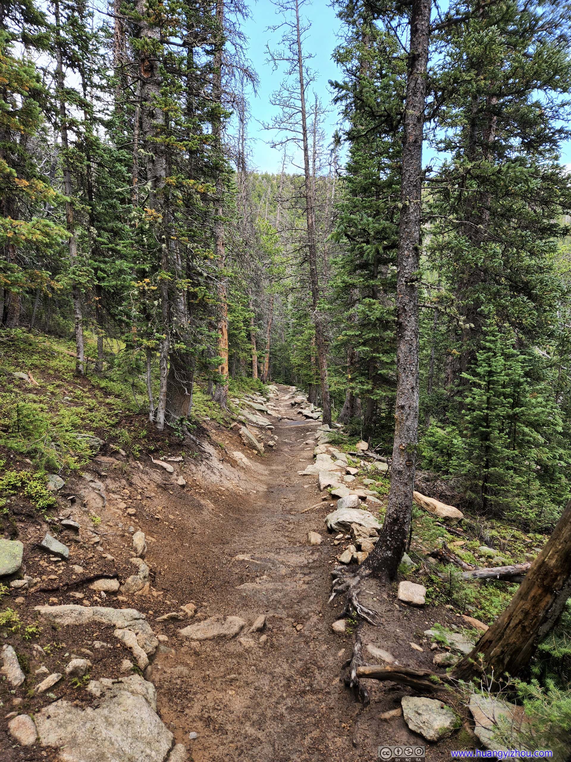
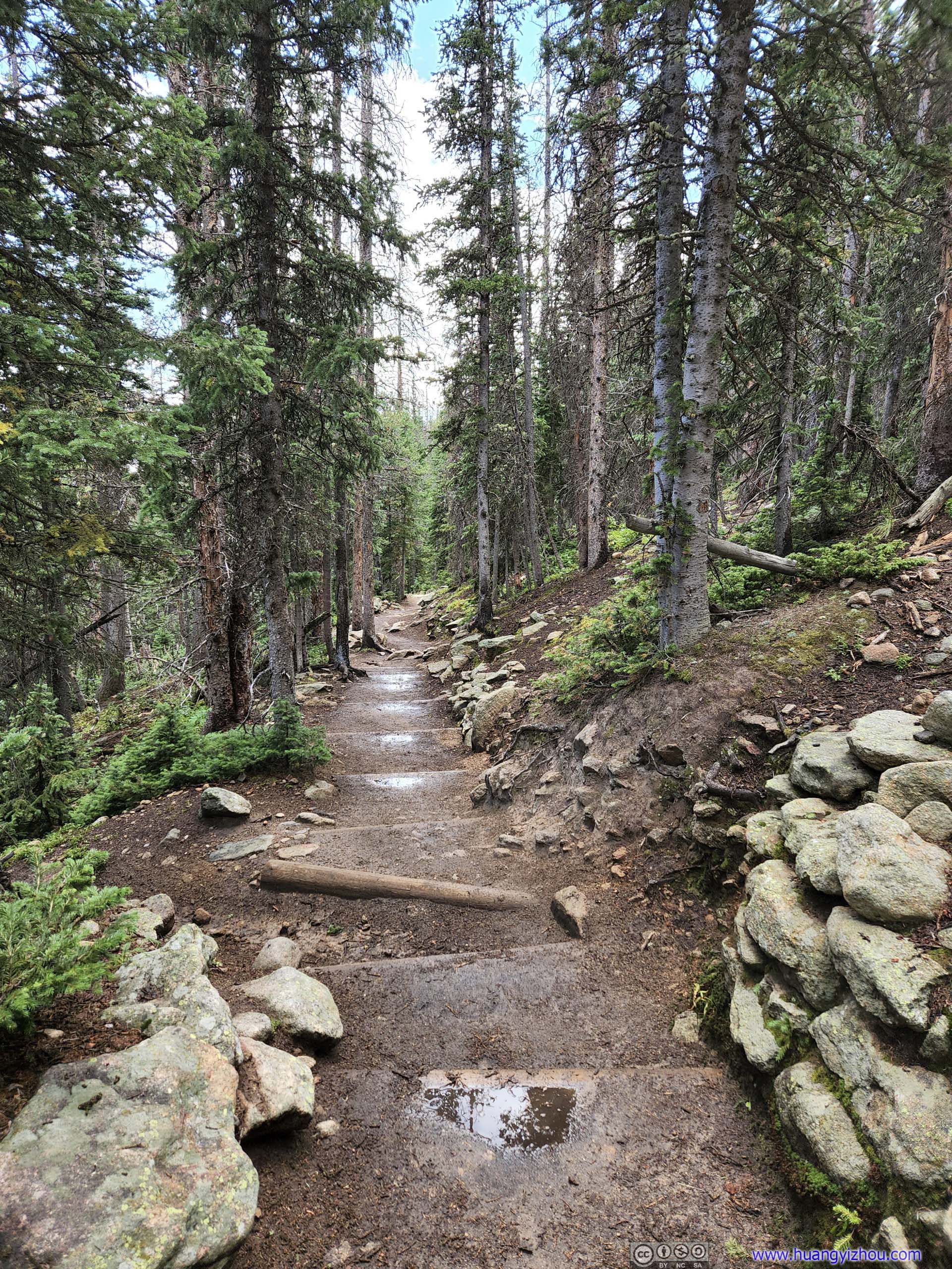
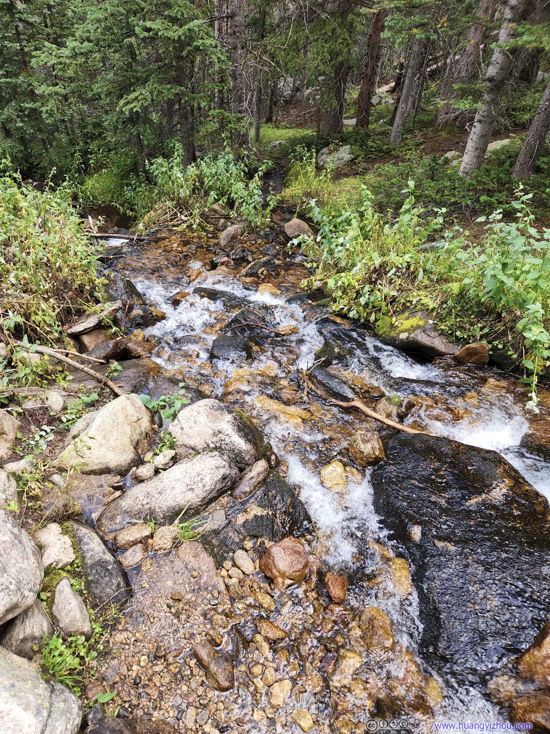
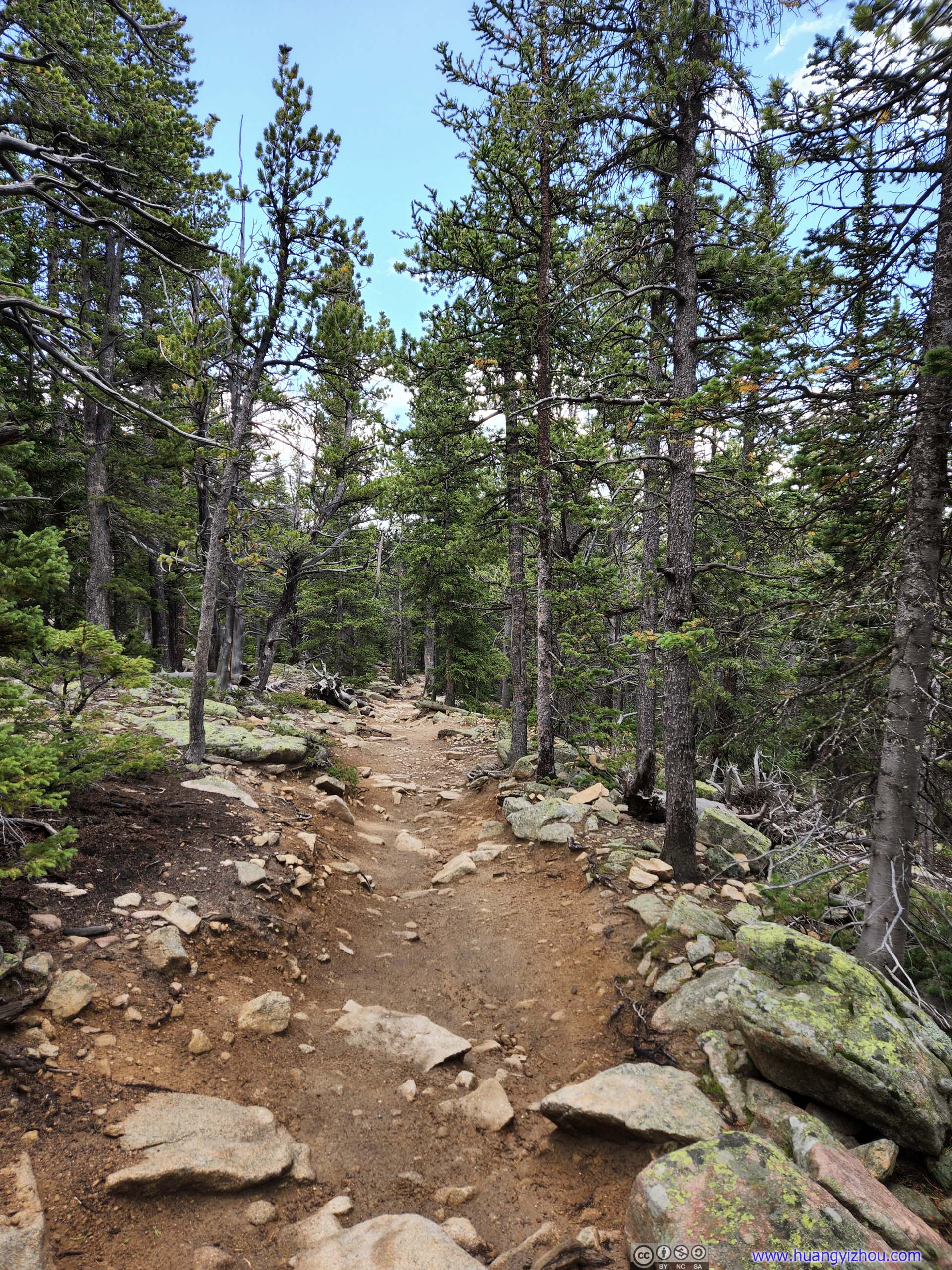
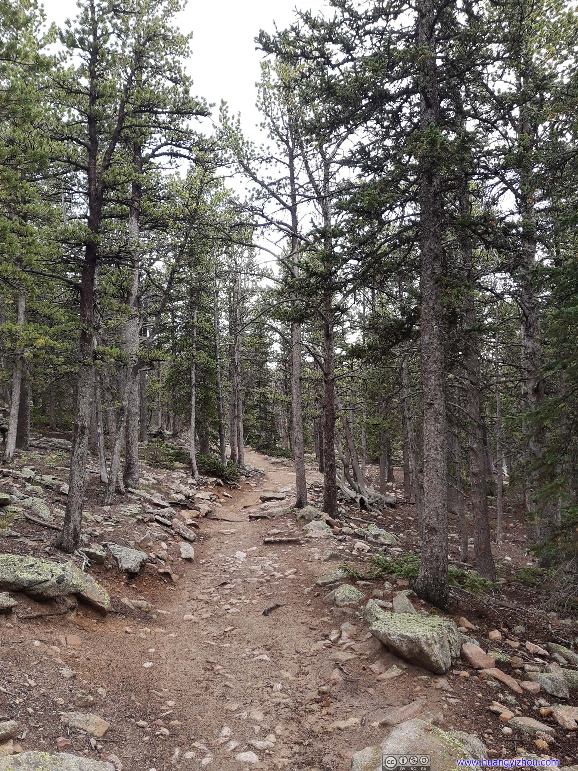
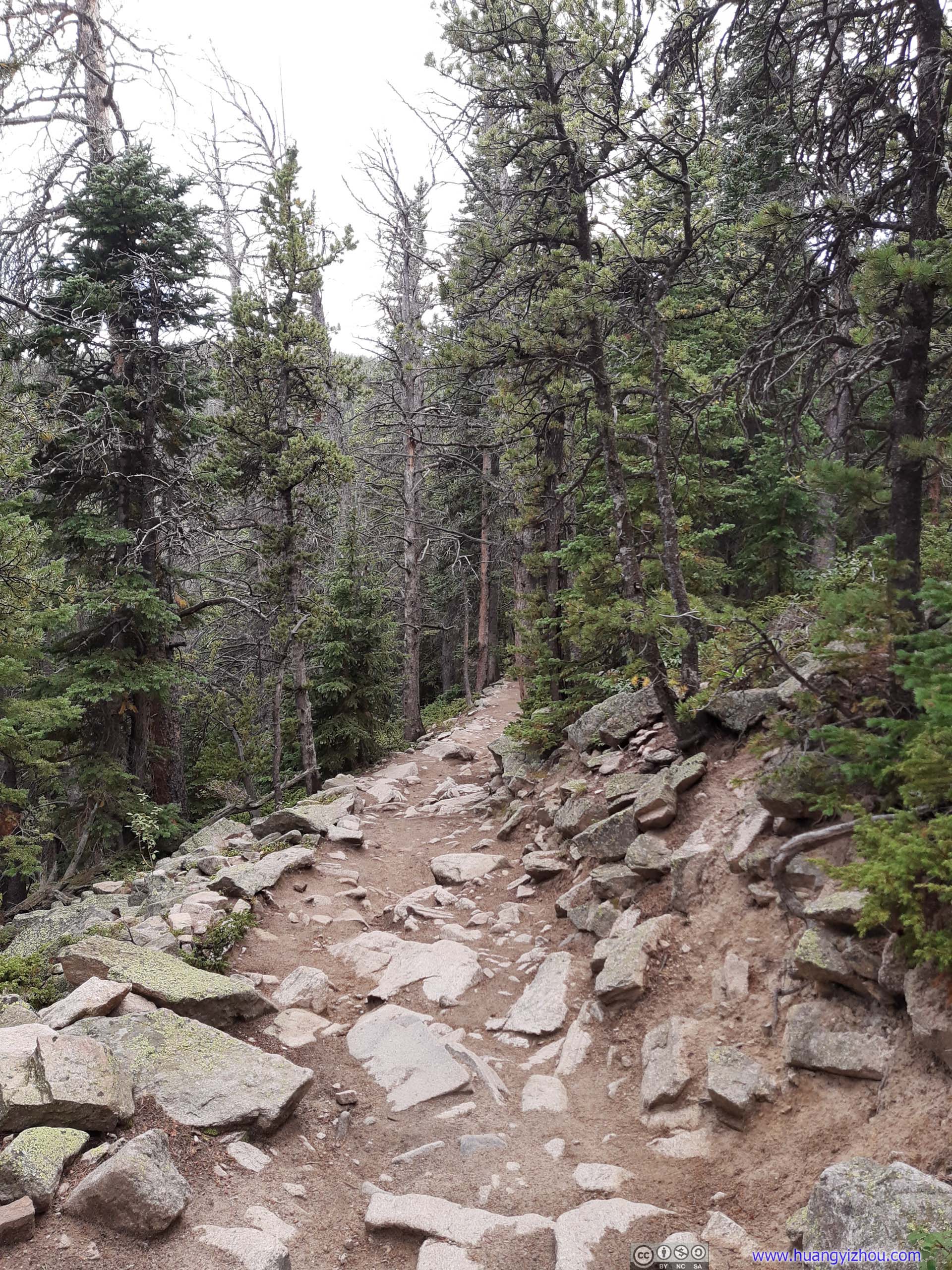
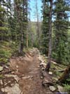
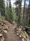
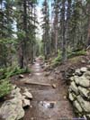
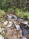
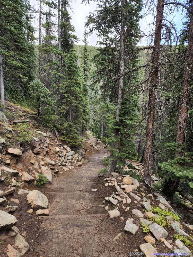
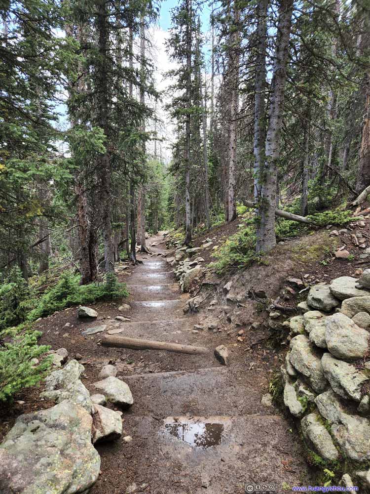
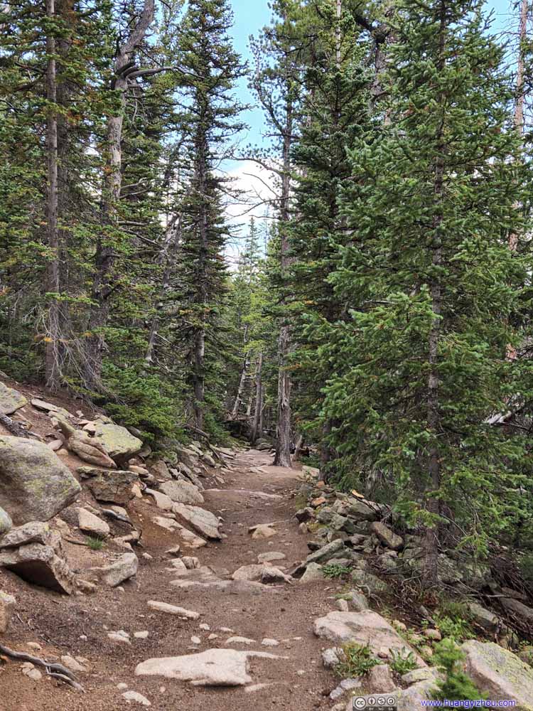
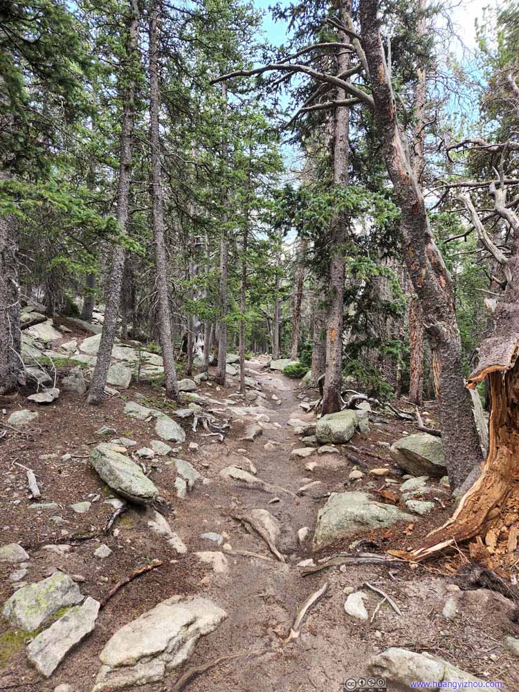
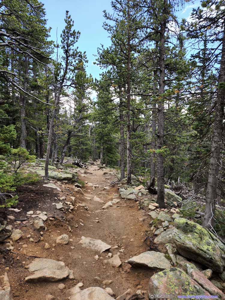
We got back to the tree line at around 2:45pm, after which it should be a comfortable stroll back to the trailhead, amid the soothing colors of a pine forest, and the relaxing sound of a creek running down the hill. But at the same time, I started to feel the physical and emotional toll of a long trek today, and expected the trailhead to be just around the corner ahead.
Trail
Trail
Trail
Trail
Trail
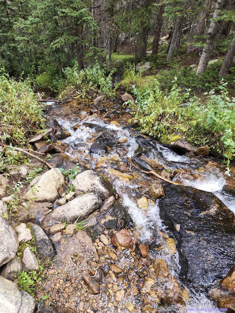
Creek Alpine Brook. The trail mostly followed it below the tree line.
Trail
Trail
Trail
Trail
Trail
Trail
Trail
Those expectations lasted for a not-so-enjoyable hour, and we finally got back to the trailhead at 3:45pm, bringing this epic 13-hour hike to an end (although I did slow down many times to wait for my friend).
For a conclusion, I felt Longs Peak was unique among the alpine peaks in Colorado. It's made of a few simple geometric facets, not as seasoned compared to the jagged contours of other peaks with similar ratings. It's this simplicity that yielded the wall of its Diamond Face, one of the most iconic alpine walls in the country. In addition there were the spaciously flat summit, and the smooth "Homestretch" before it. It's the highest peak in the vicinity, but I felt it had a personality of not necessarily being prominent, but more straightforward.
I wasn't a big fan of alpine start, but either due to limited parking spaces or the weather, we had to start from the trailhead a few hours before sunrise. I didn't think parking spaces would end up as an issue. Judging by the amount of hikers we went into during our descent, we could have left a few hours later and still have parking spaces, at least on a Friday. The parking lot did fill up later that day as a few cars were parked along the access road, they were more likely people taking shorter hikes such as Chasm Lake.
In comparison, the weather was a big variable. Weather forecast indicated about 20% probability of rain for this and the next day. We ended up in a thunderstorm on our descent, but for our next day around Bear Lake, it never rained. Overall, I felt the mountains in Colorado were more prone to thunderstorms, compared with the ones further west, that somewhat took away their magnificence in my mind.
Finally, I prepared for this trip as if there would be no cellular service along the trail. In the end, I had service for pretty much the entire trip with Google Fi. Except on the summit, the speed was very limited to support text chats (but nothing more). From a safety standpoint that's really great news.
END