Hiking to Kennedy Peak in Virginia
A trip on a popular hiking trail in Virginia's Fort Valley region that I went with my school's outdoor club.

We made this trip during the second last weekend of October, about peak foliage time in the mountains of Virginia. (I personally prefer more diverse colors earlier in the season, so this felt like the last weekend with decent foliage.) We decided to take Massanutten Mountain Trail to Kennedy Peak, a popular trail in the Fort Valley region of Virginia that concluded at a former fire tower with panoramic views.
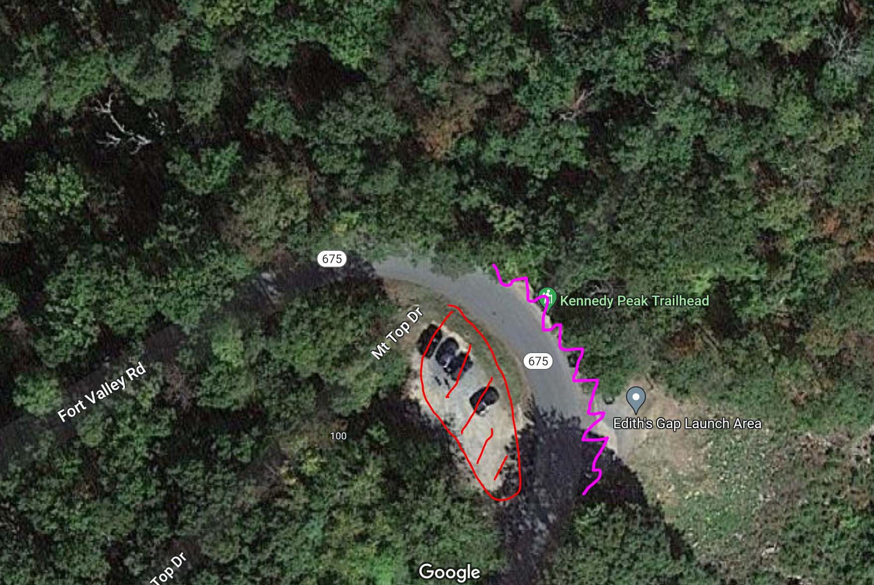
"Kennedy Peak Trailhead" was located at the crest of Fort Valley Road (VA675). The only legal way was to parallel park on the north side of the road (purple area). Towards the south there was a small lot (red area) with "No Parking" signs. Parking in that lot may (or may not) be legal as long as access to "Mt Top Dr" wasn’t blocked. There's no parking elsewhere along the narrow Fort Valley Road and Virginia Police was said to enforce this strictly.
We reached the trailhead at about 10:30am, and there wasn't any space left on the north side of the road. The small lot to the south was empty (by the time we were back, we saw a few cars parked there.), but out of abundance of caution, we decided to park at Stephen's Trailhead down the road. This added 3km of roundtrip distance and 140m of elevation gain to our hike.
So by the time we started our hike it's almost 11am.
Here's GPS tracking:
First, we took the Massanutten Mountain Trail to the original trailhead. This section wasn’t very remarkable, but it’s clean and well-maintained.
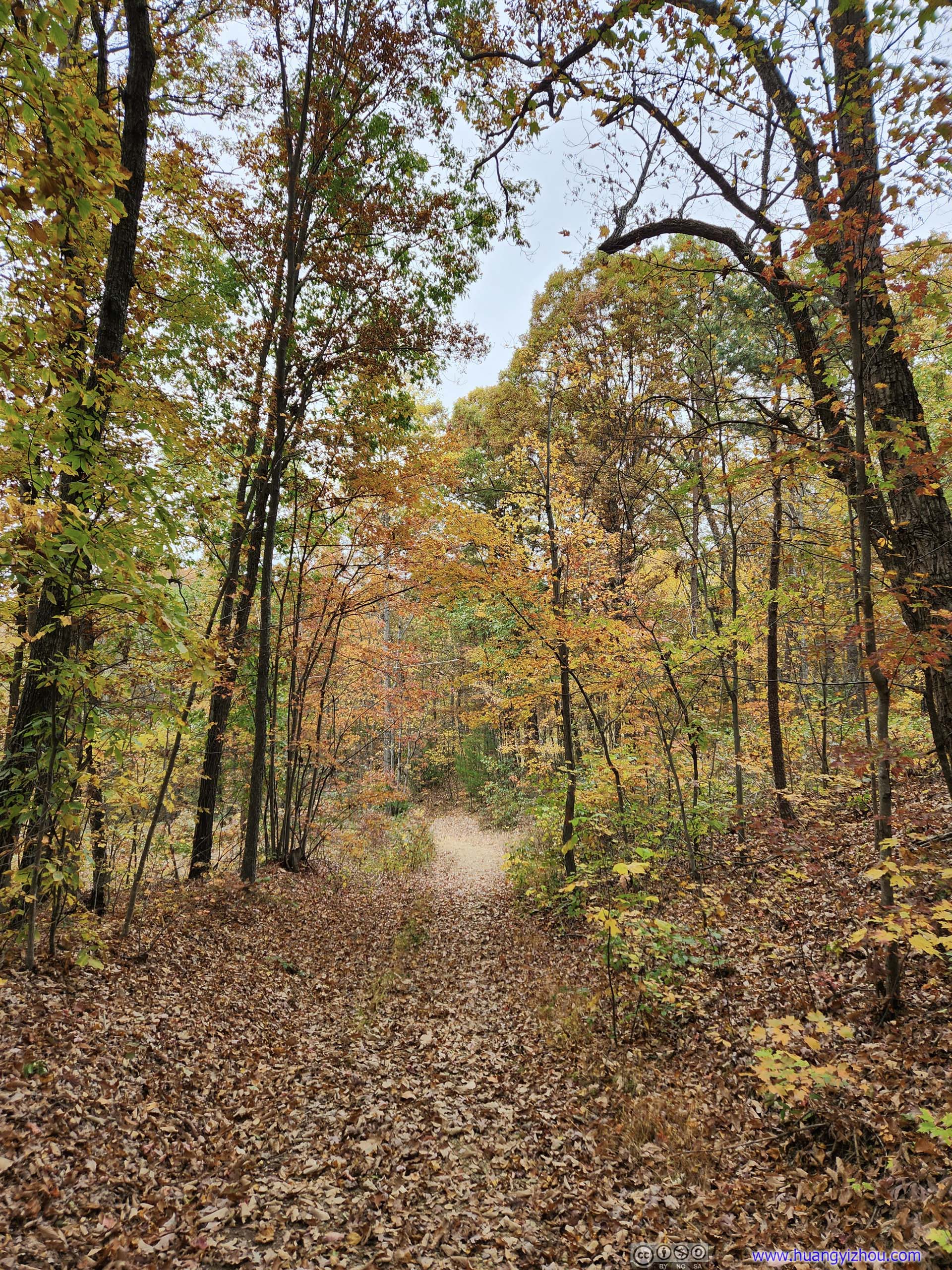
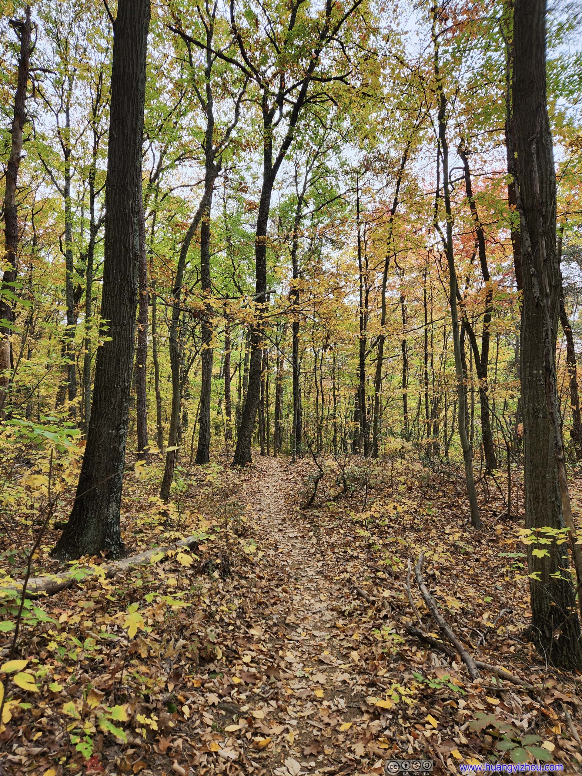
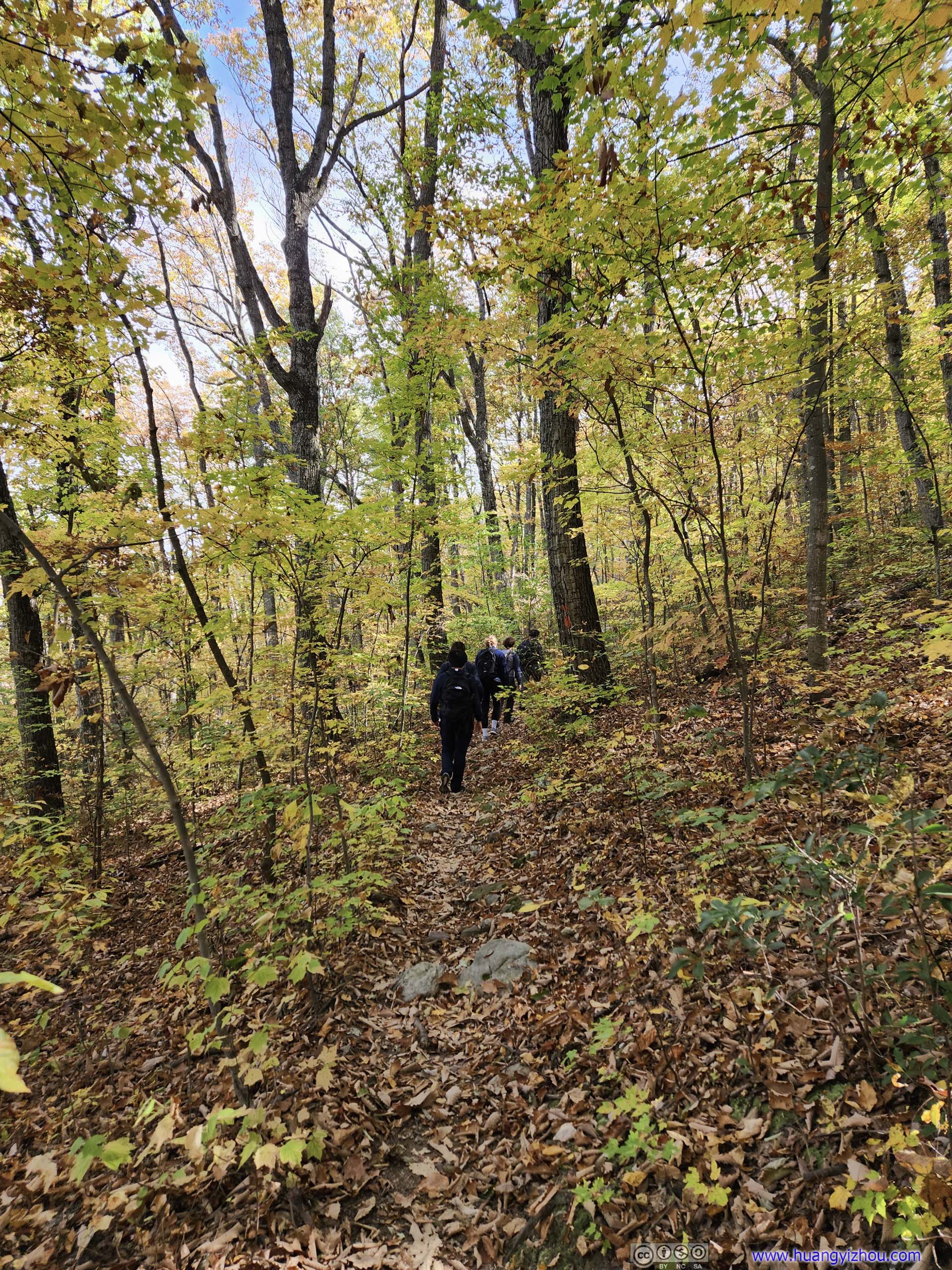
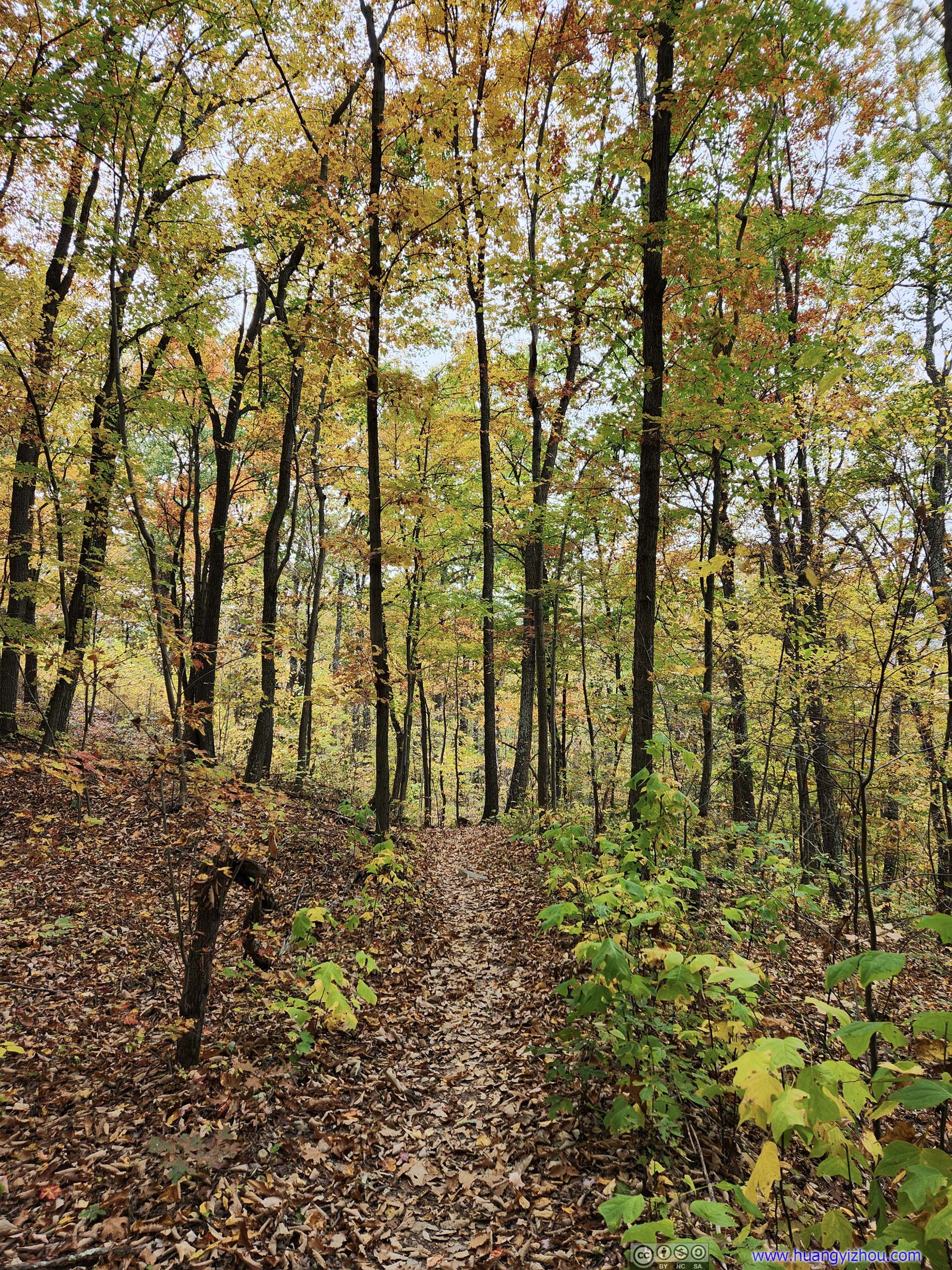
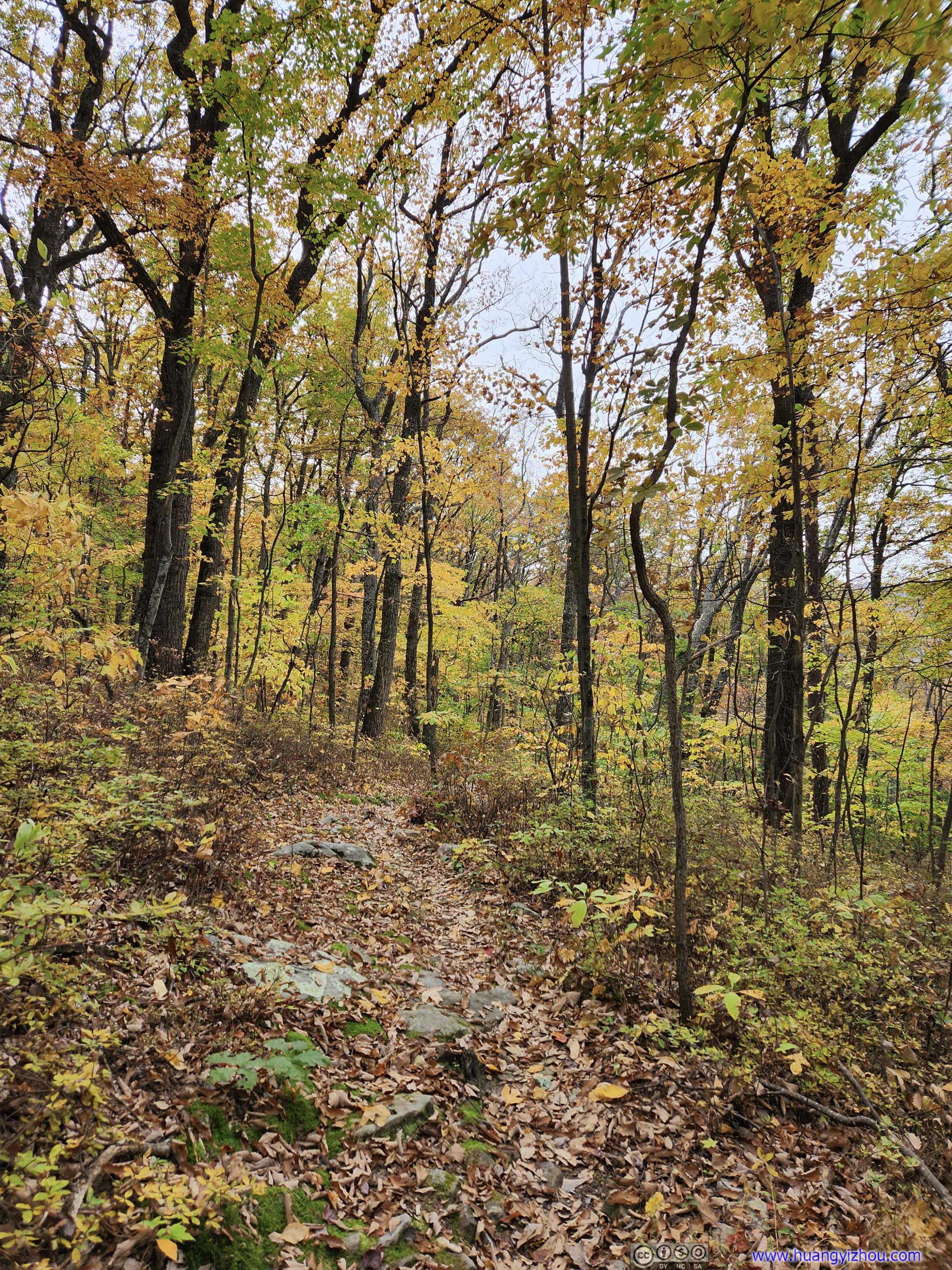
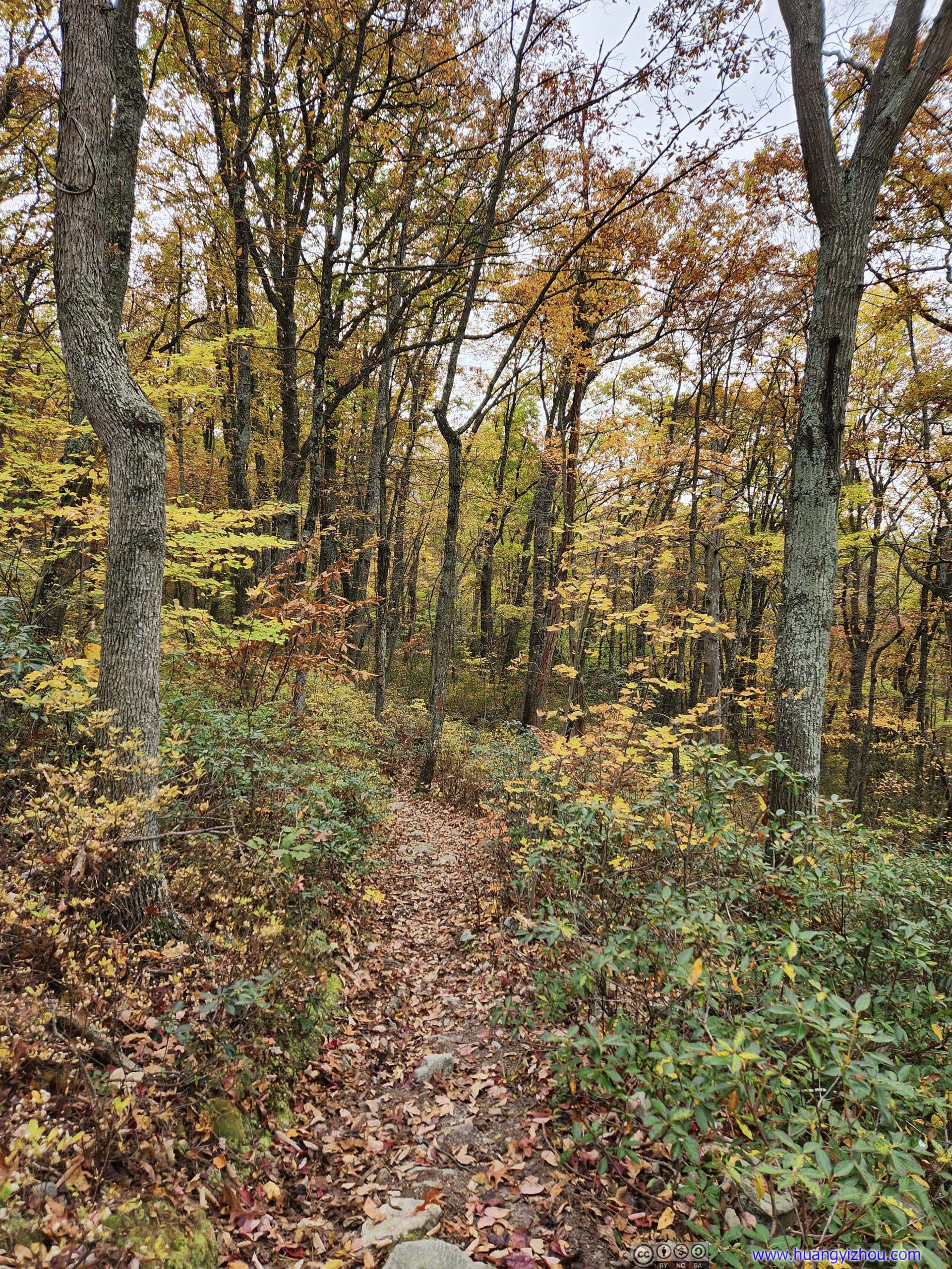
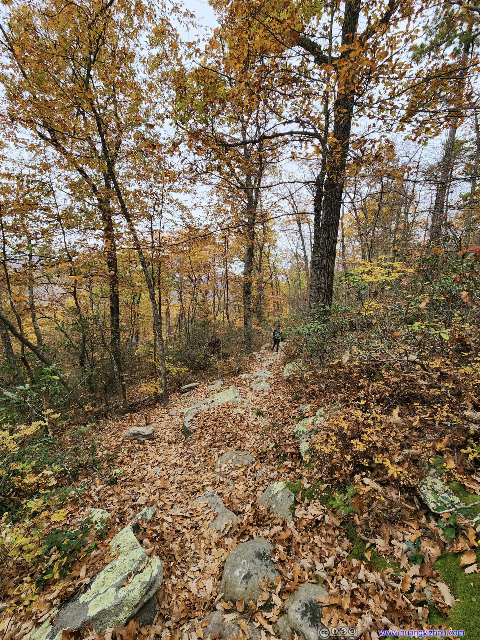
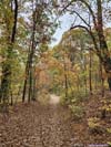
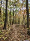
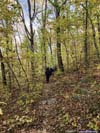
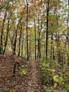
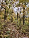
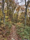
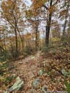
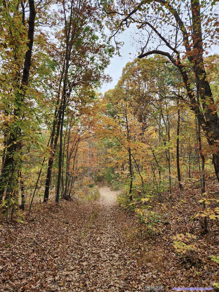
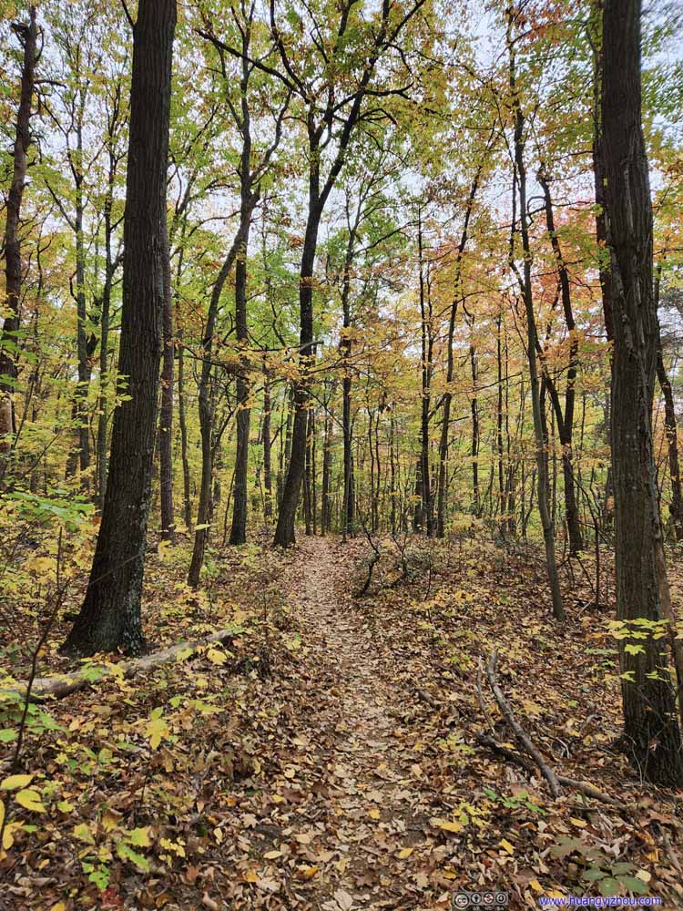
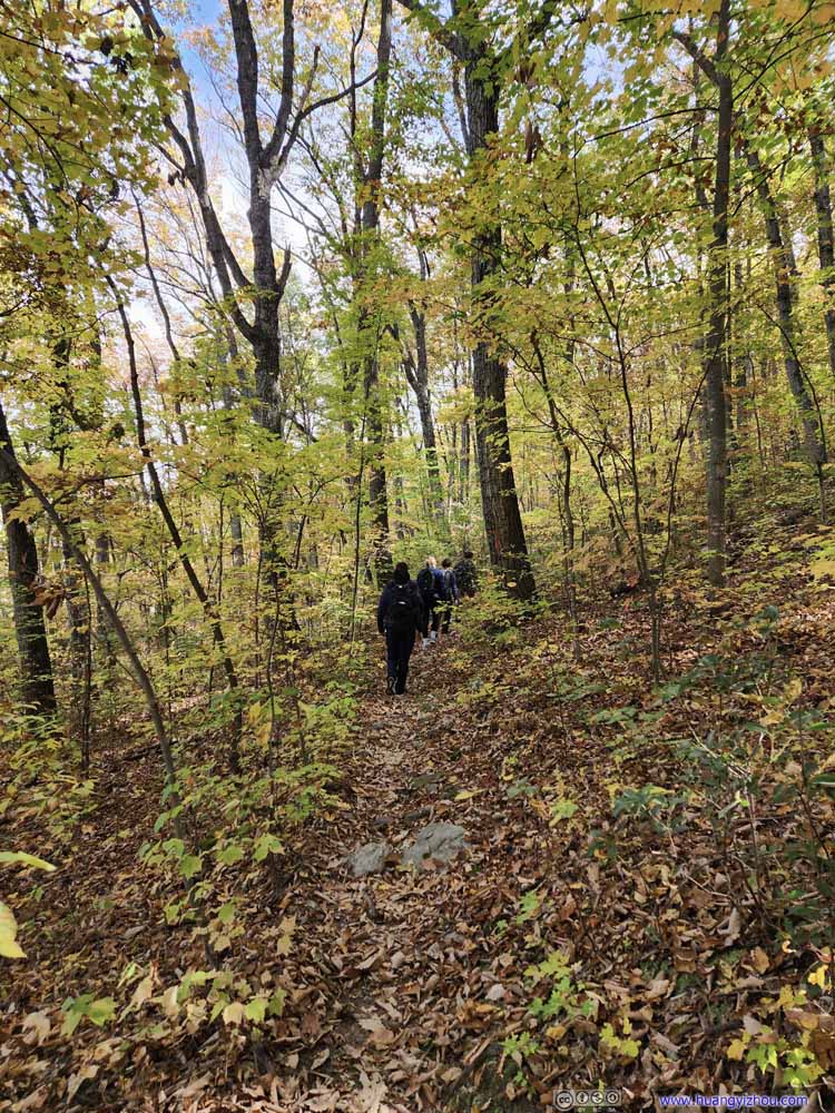
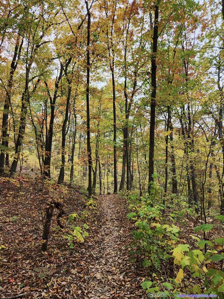
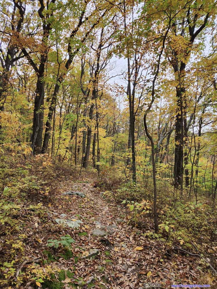
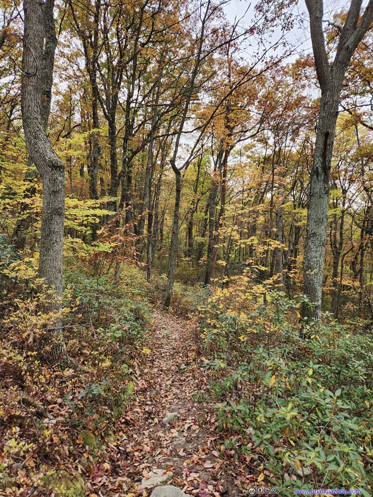
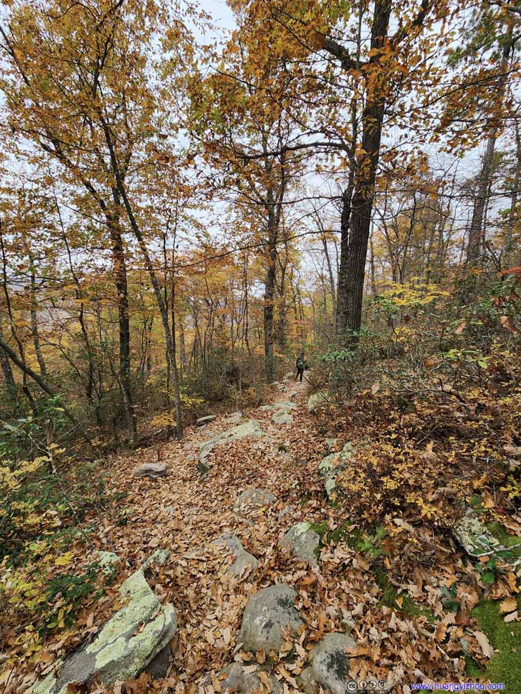
20 minutes later we were on the proper trail towards Kennedy Peak. This section of the trail was noticably wider. Since it followed a mountain ridge for about two-thirds of the distance, it's relatively flat, to the degree that an ATV may be able to drive on it.

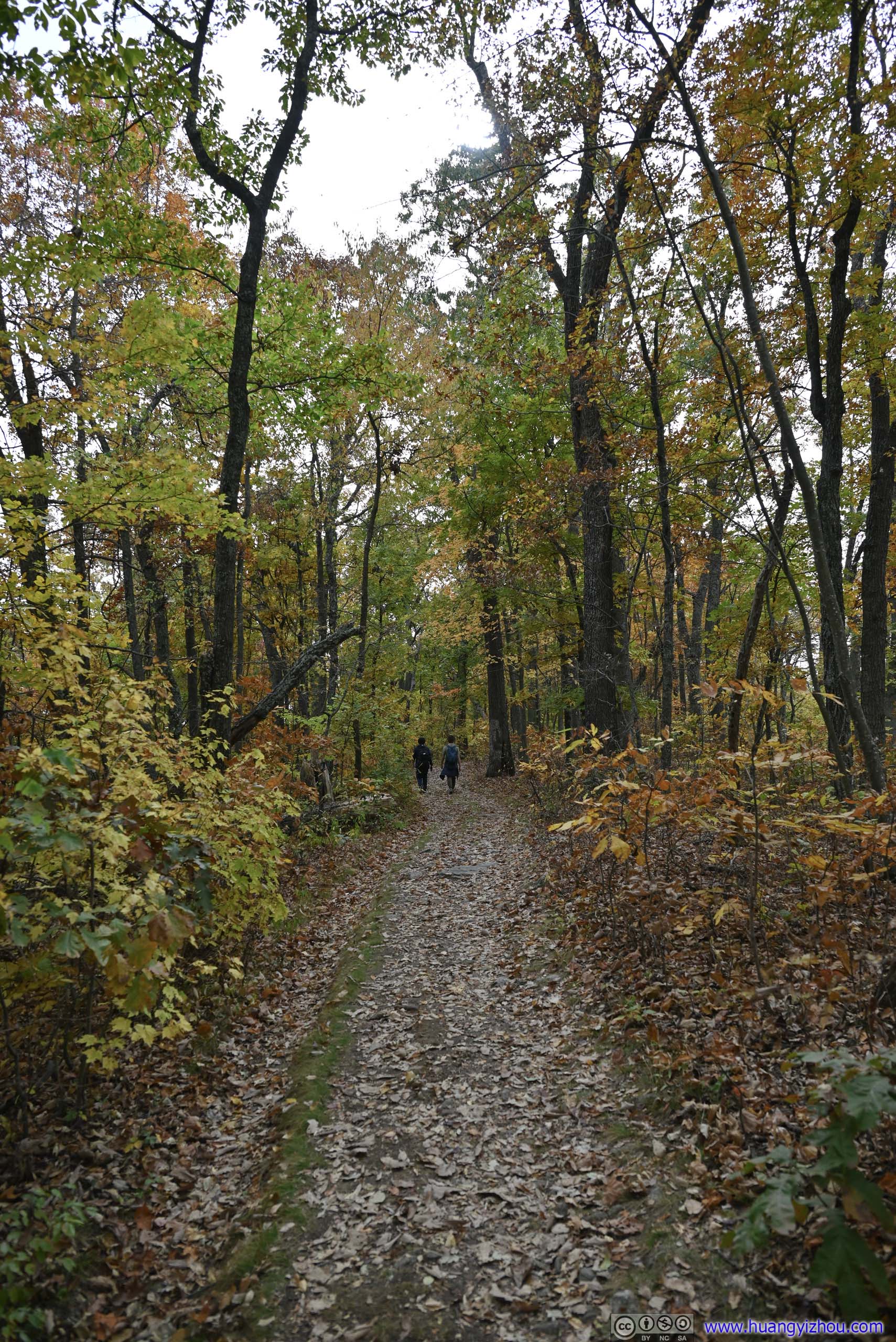


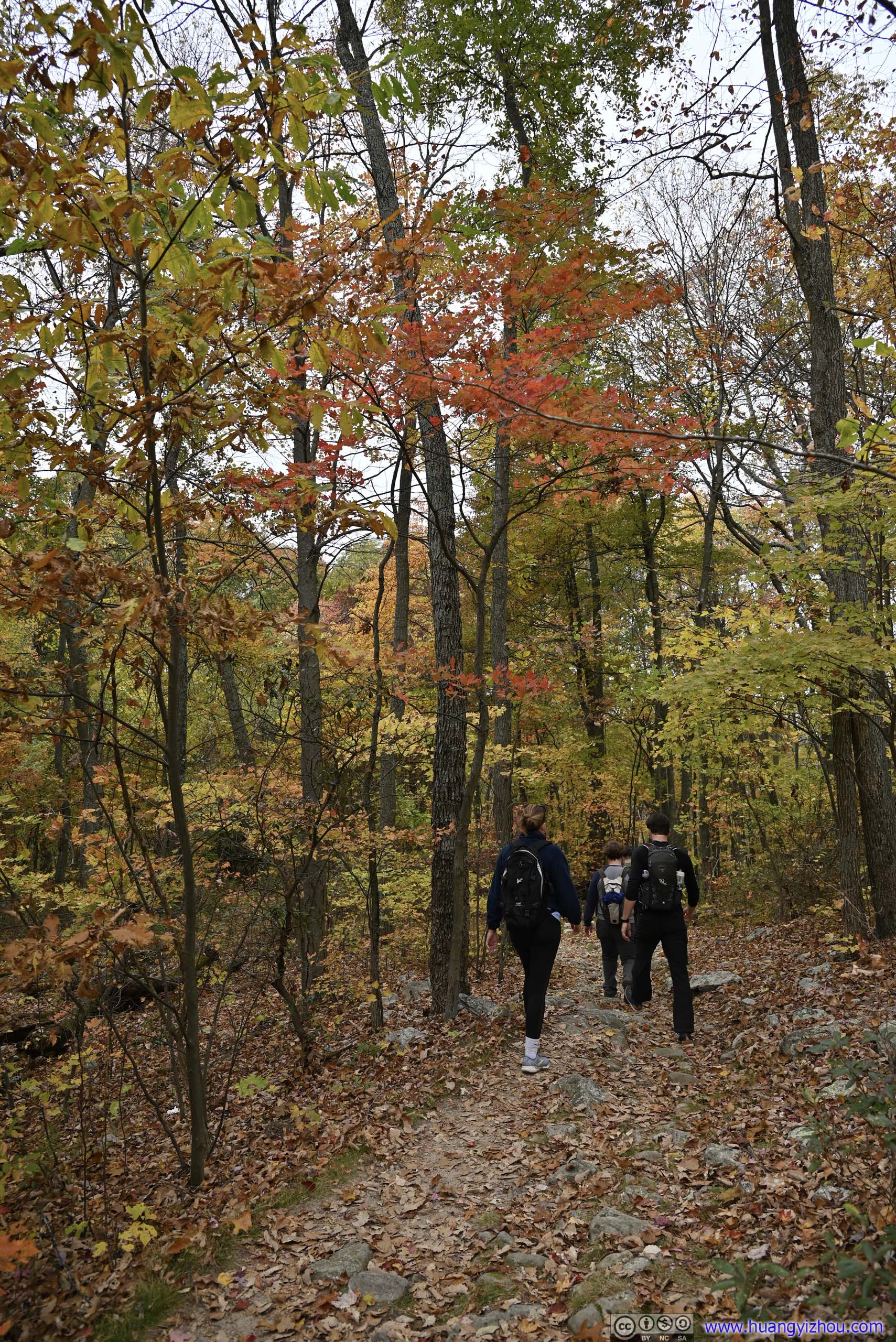
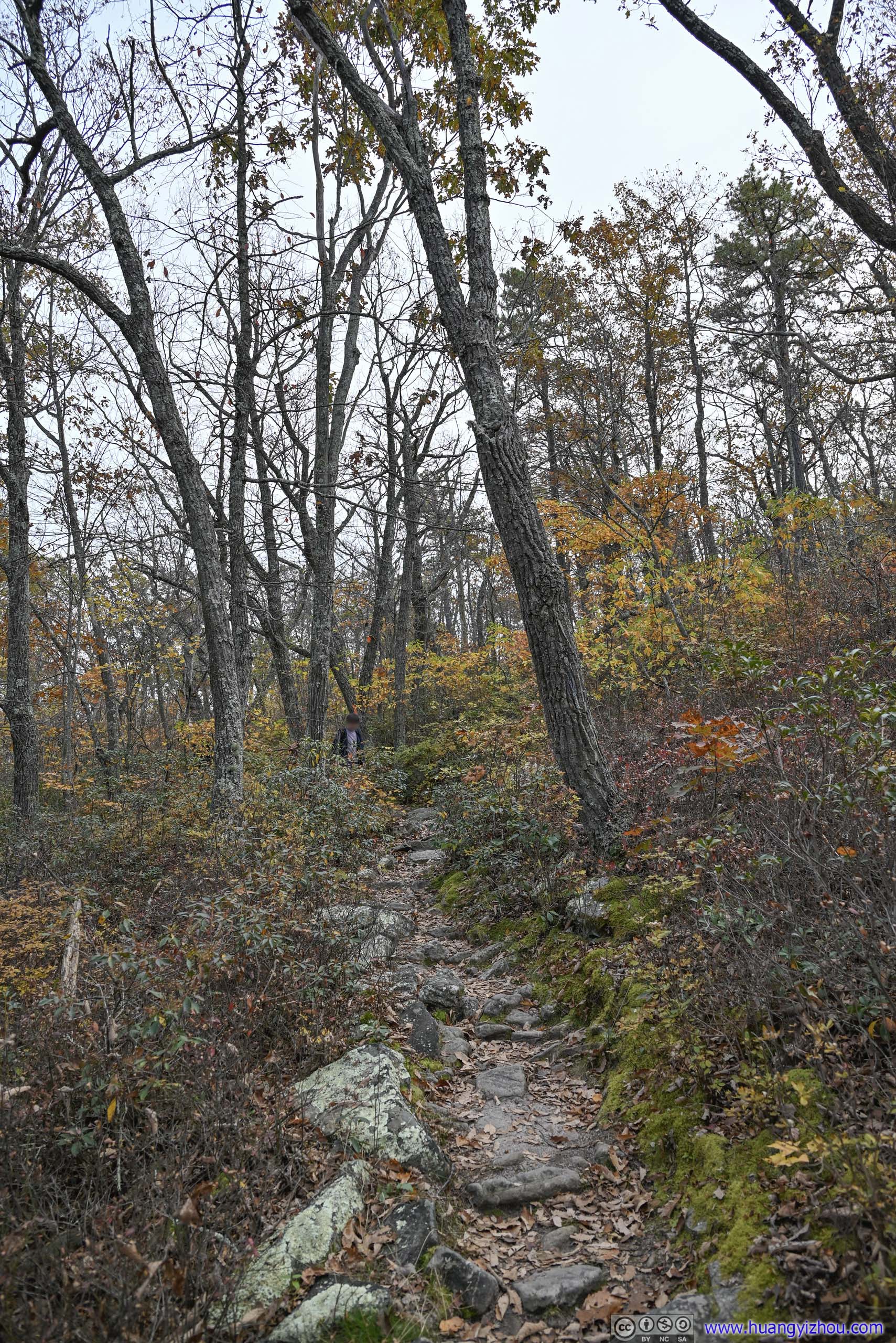
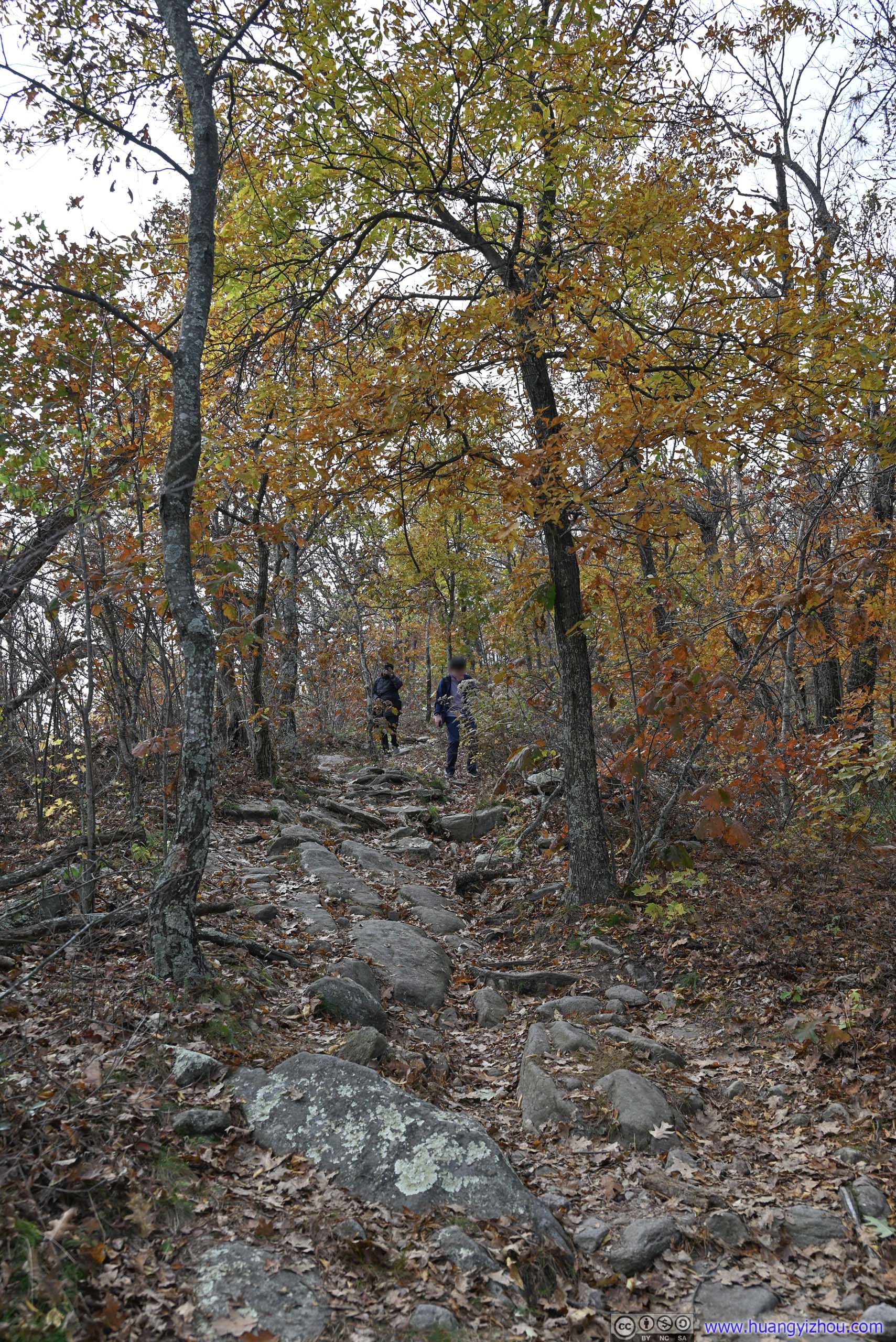
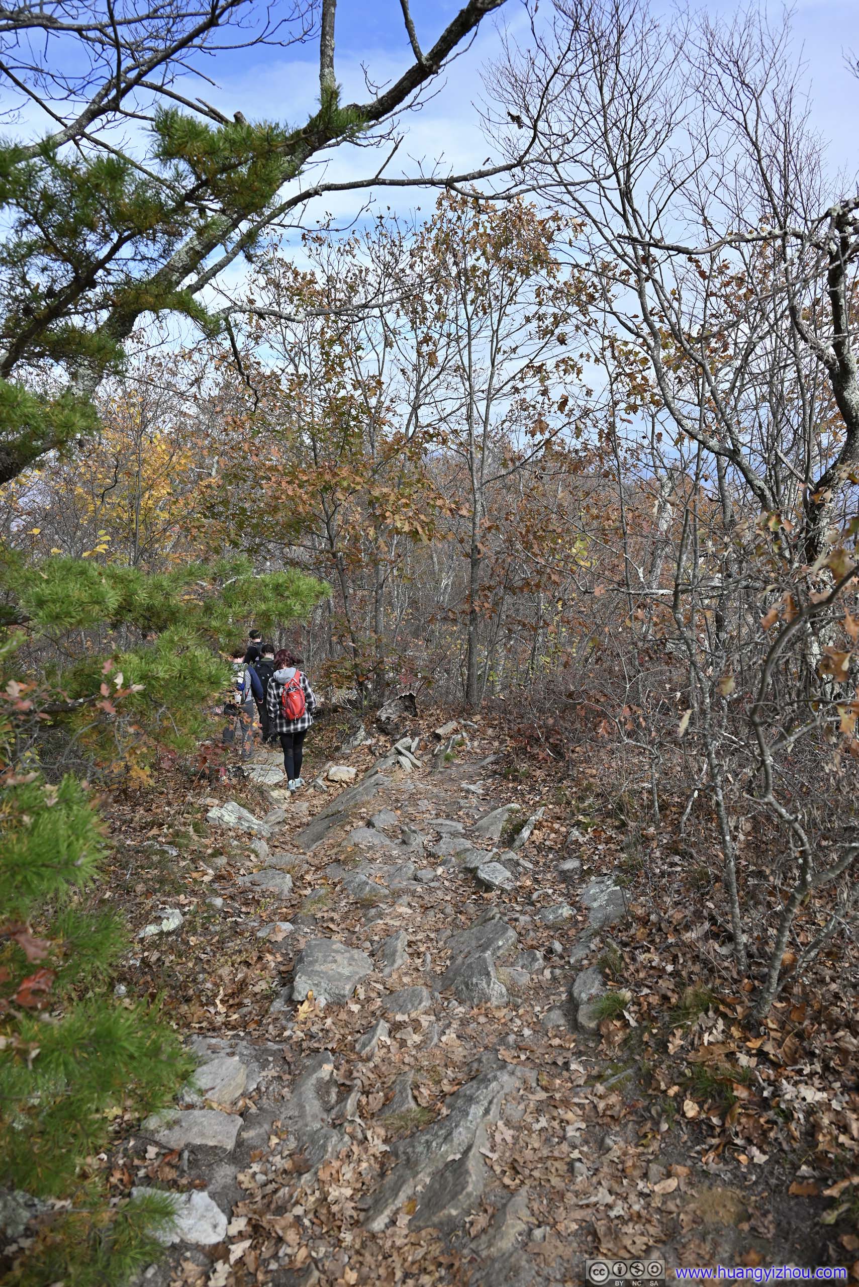
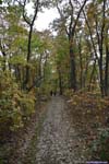
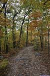
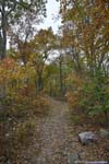
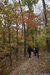
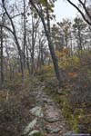
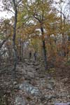
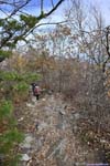
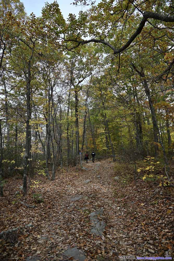
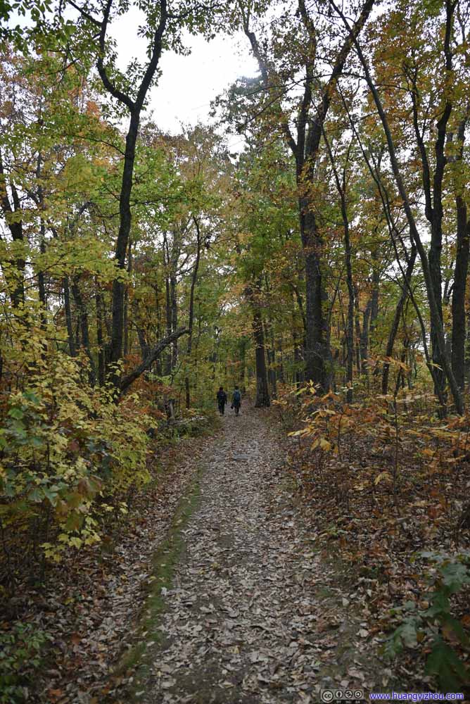
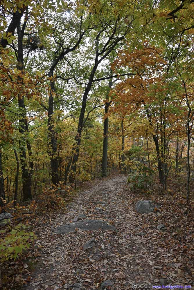
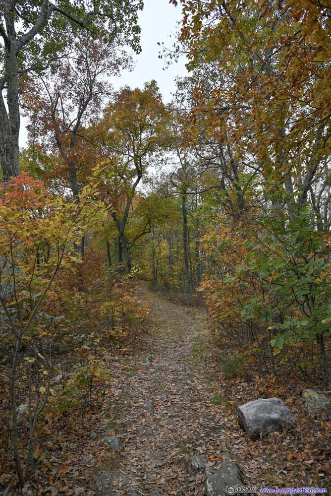
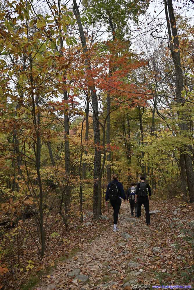
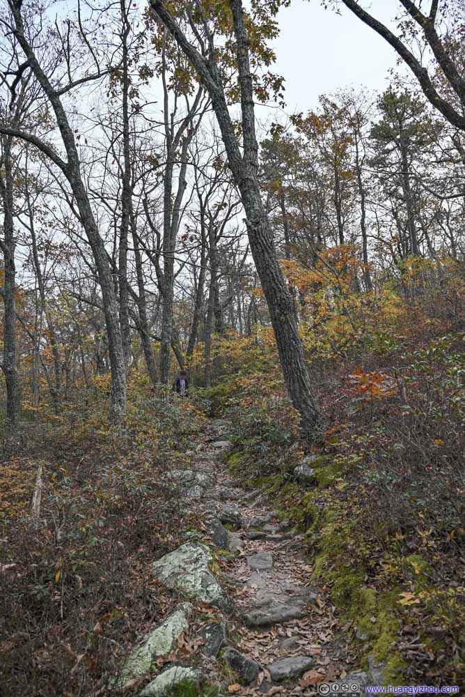
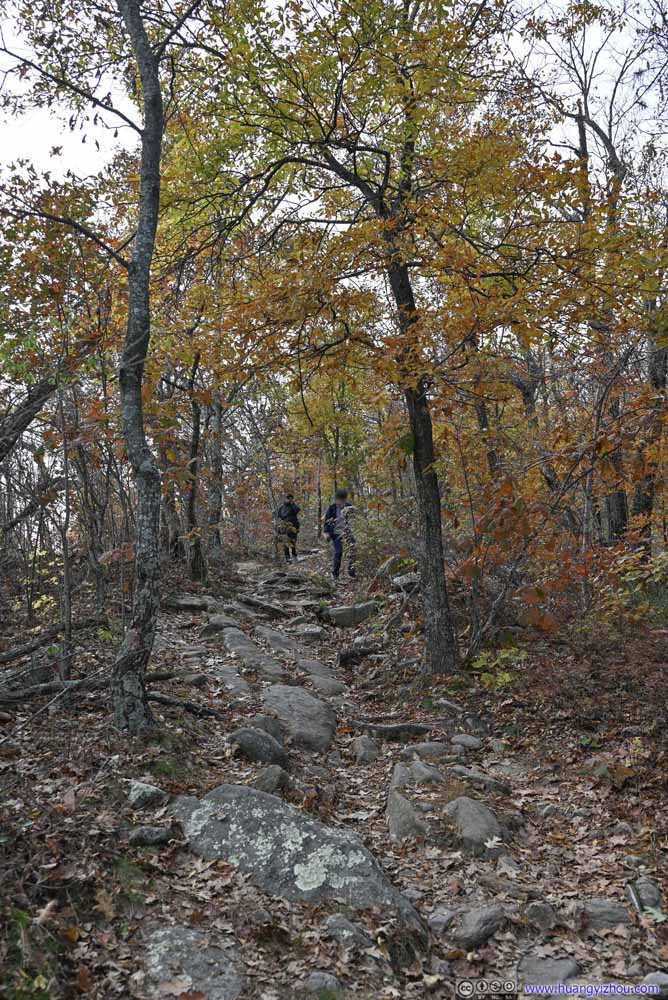
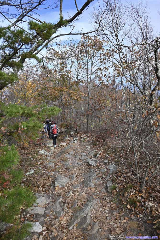
Towards the end, the wide thoroughfare along the ridge turned into a proper trail as it gained elevation towards Kennedy Peak, which we arrived at 12:30pm.
With limited size of parking, we didn't run into a lot of people along the trail, and had the entire fire tower of Kennedy Peak to ourselves. That meant, we took our time to appreciate the views.
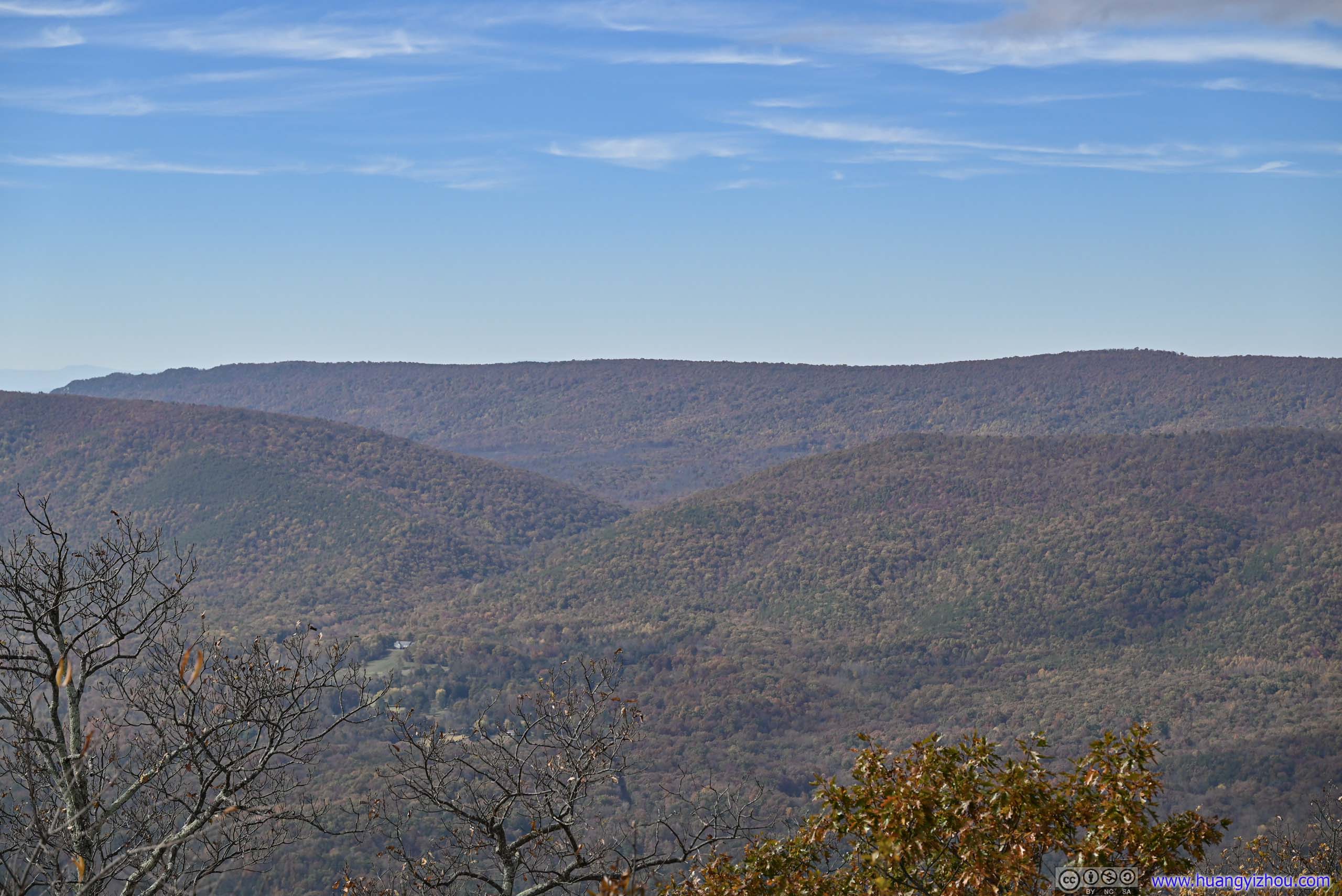
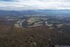
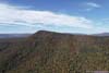
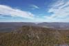
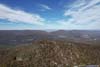
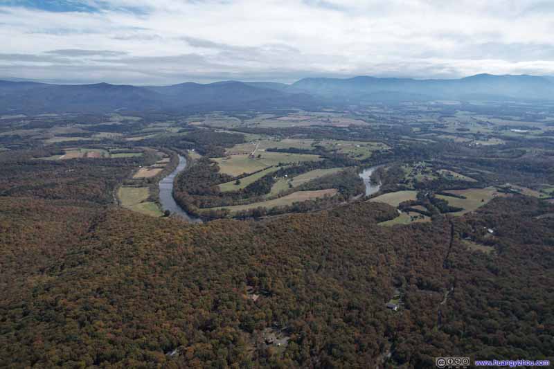
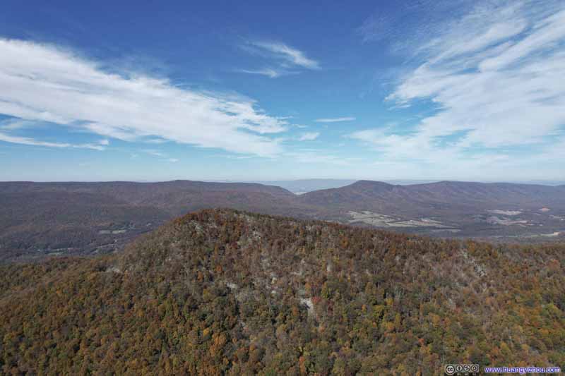
To begin, Kennedy Peak was probably the best place to view the winding Shenandoah River, as its south fork was making a few meanders right in front of us. It's actually better than Shenandoah National Park as the turnouts along Skyline Drive were farther from the river. To the south and southwest, more mountains in the Fort Valley region were visible. It's a pity that views to the north and northwest were largely obstructed, otherwise it would be a truly panoramic view.


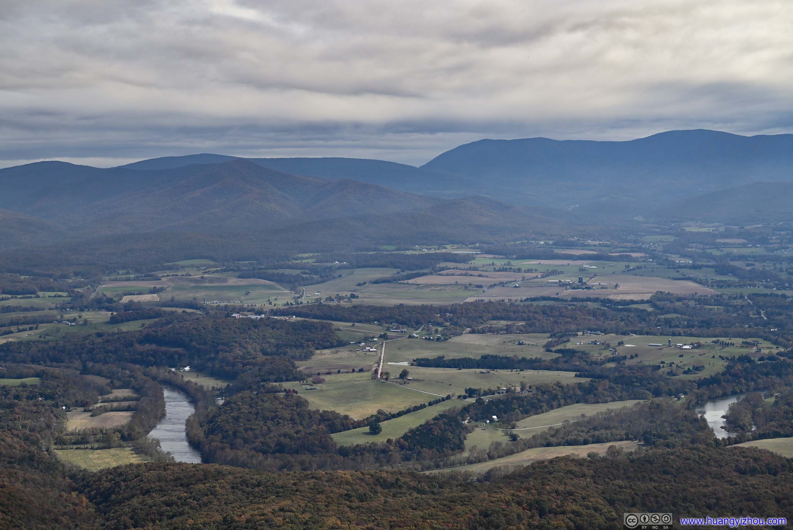
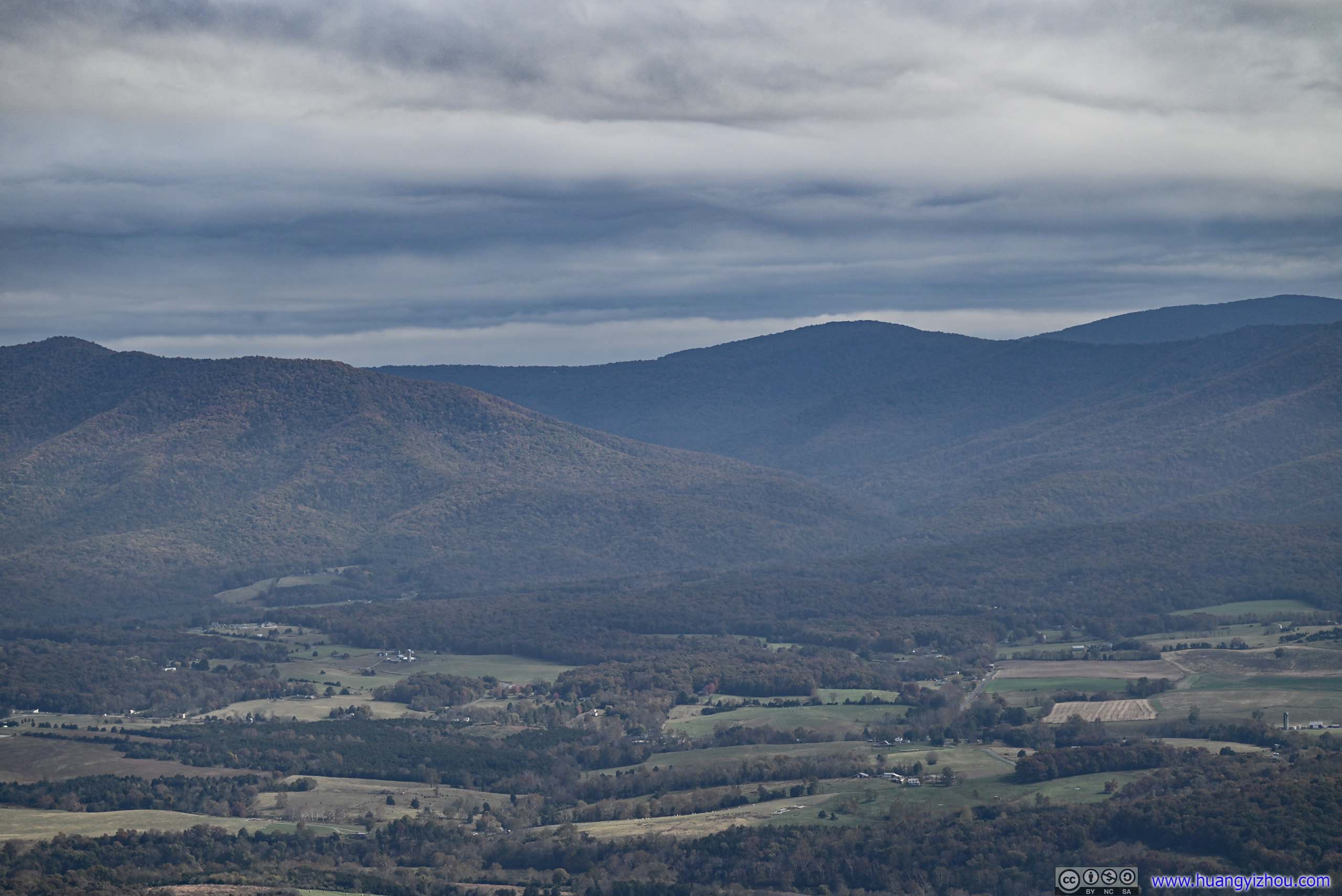
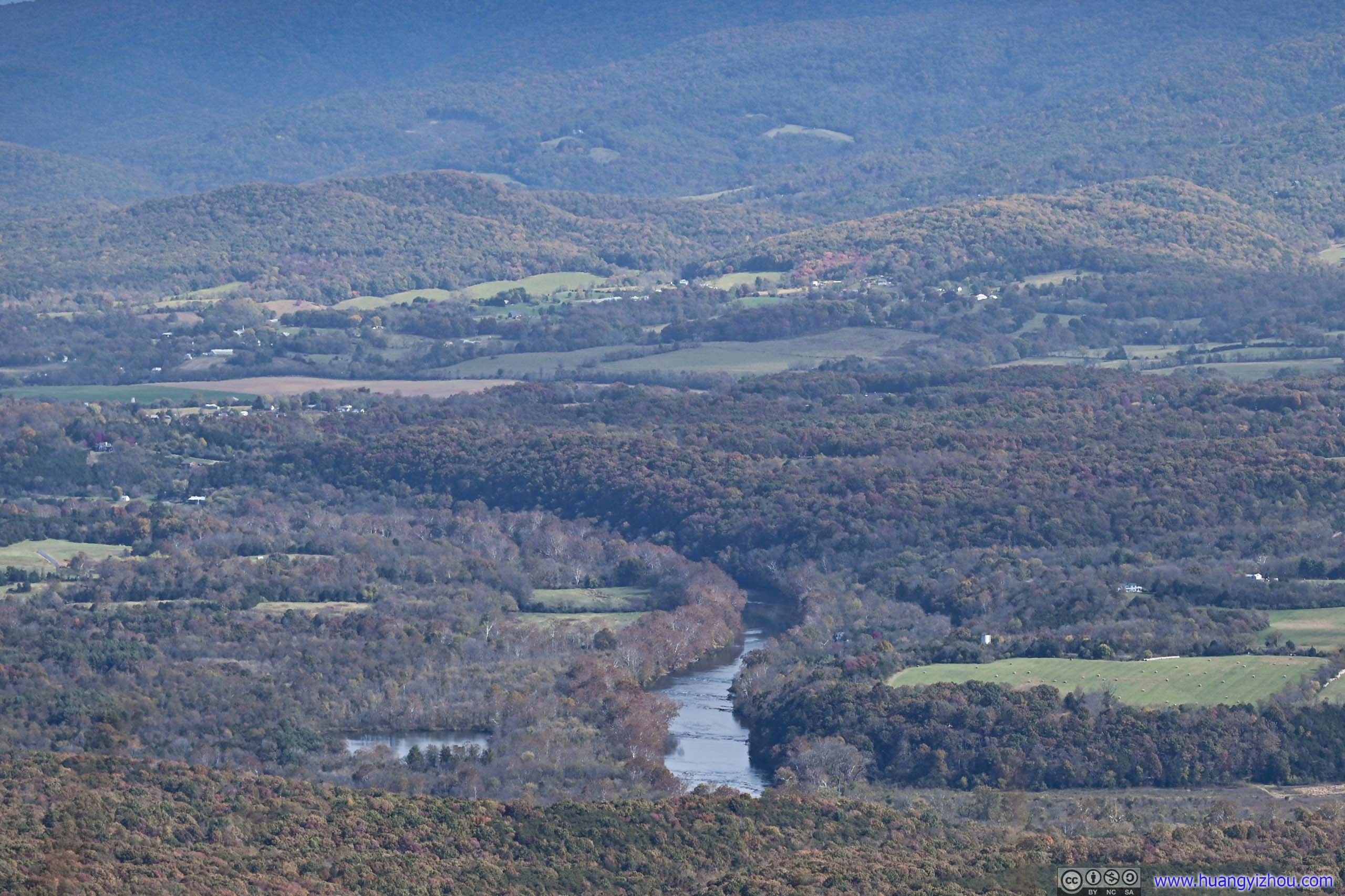

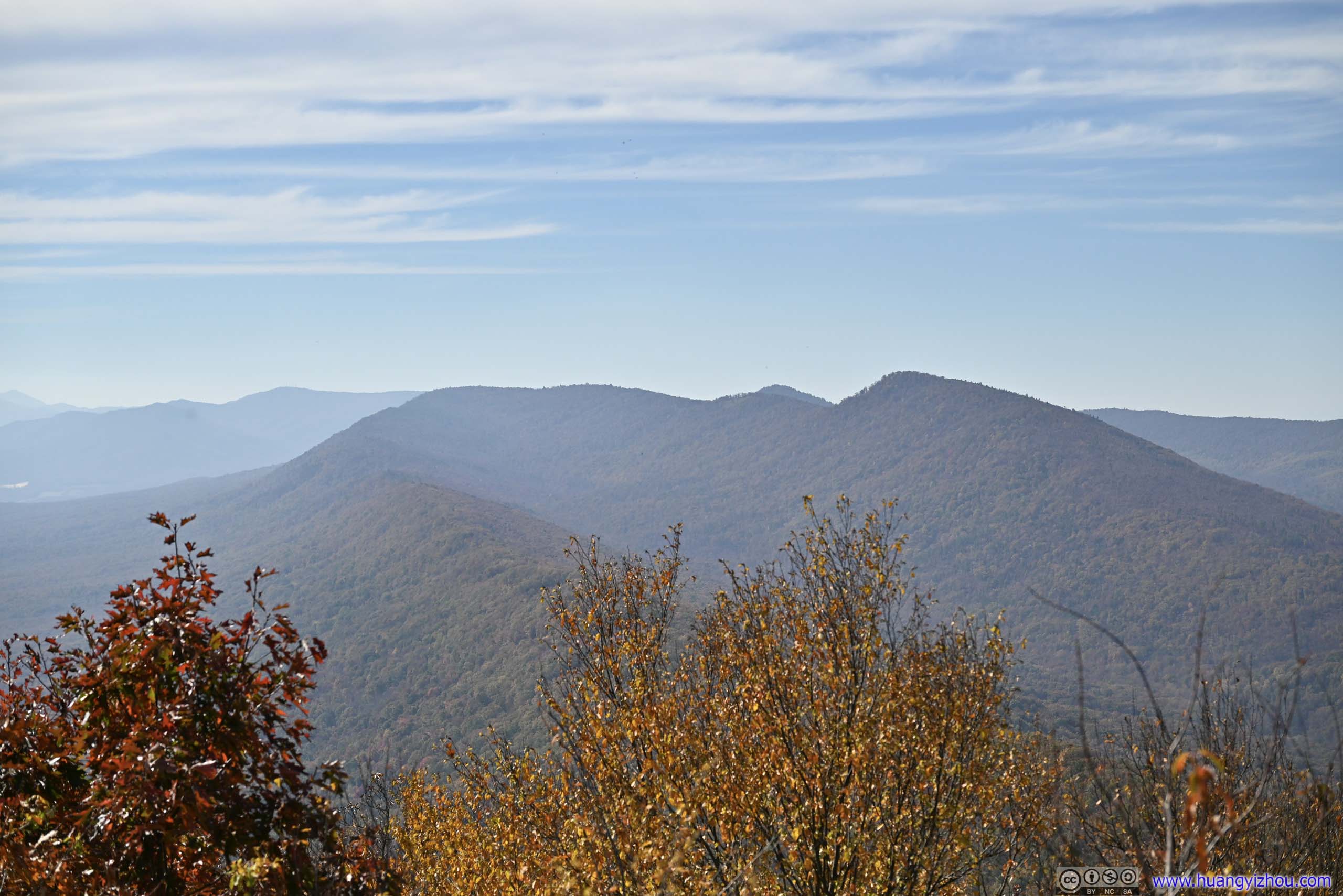
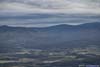
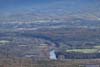
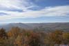
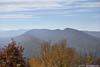
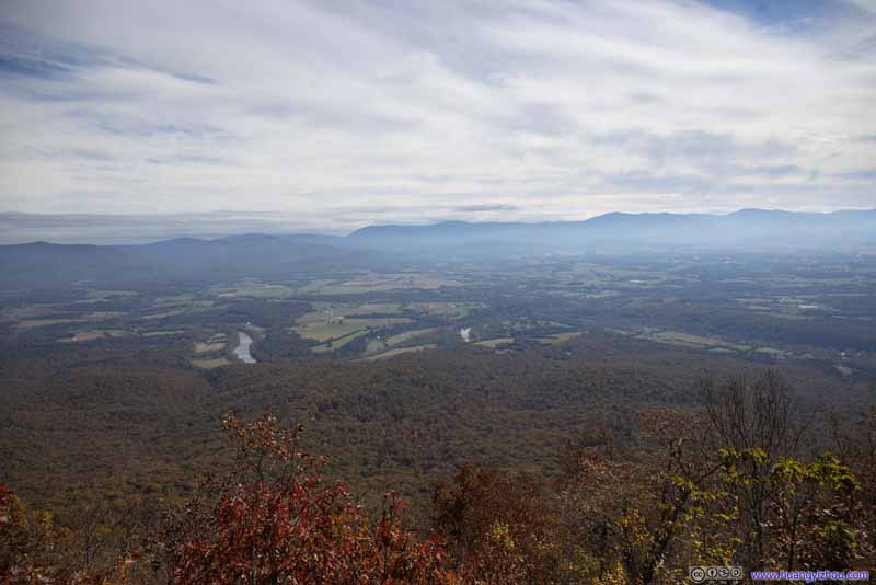
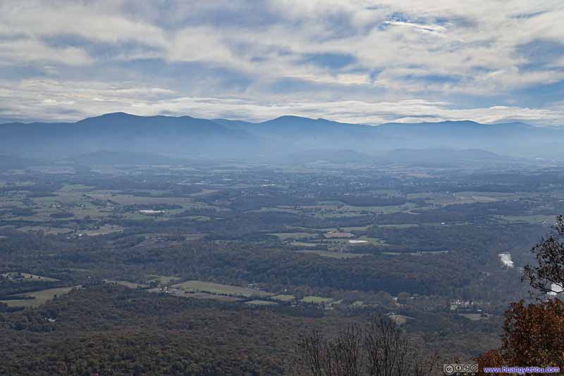
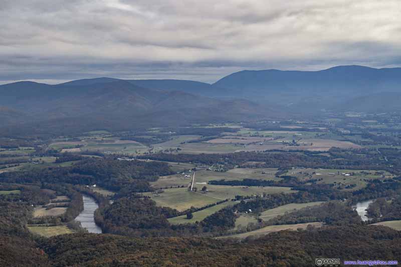
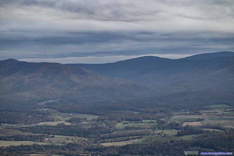
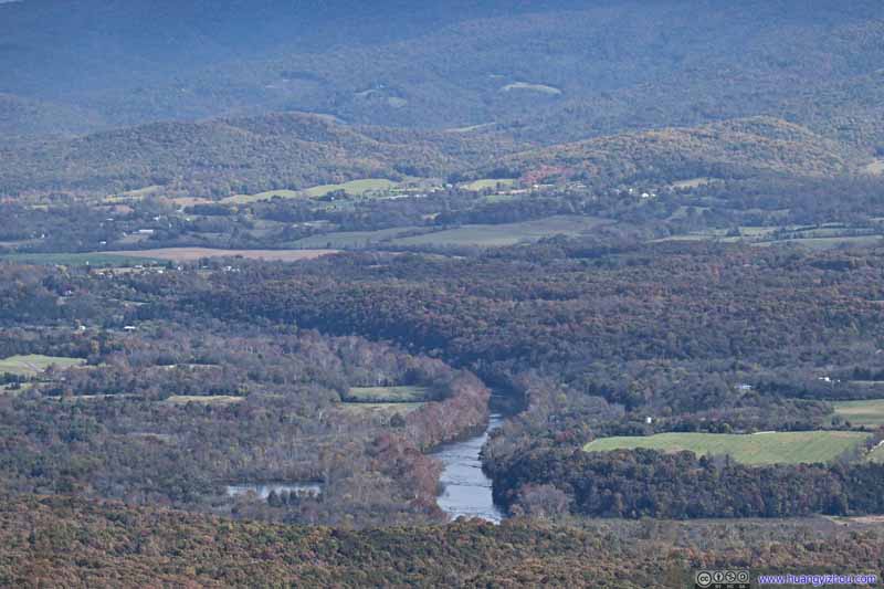
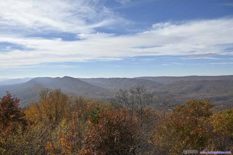
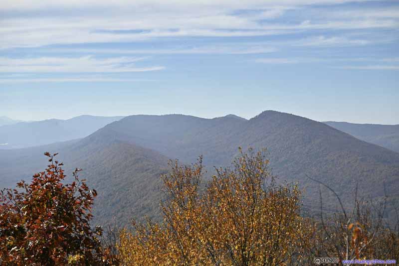
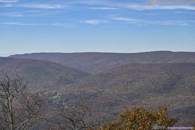

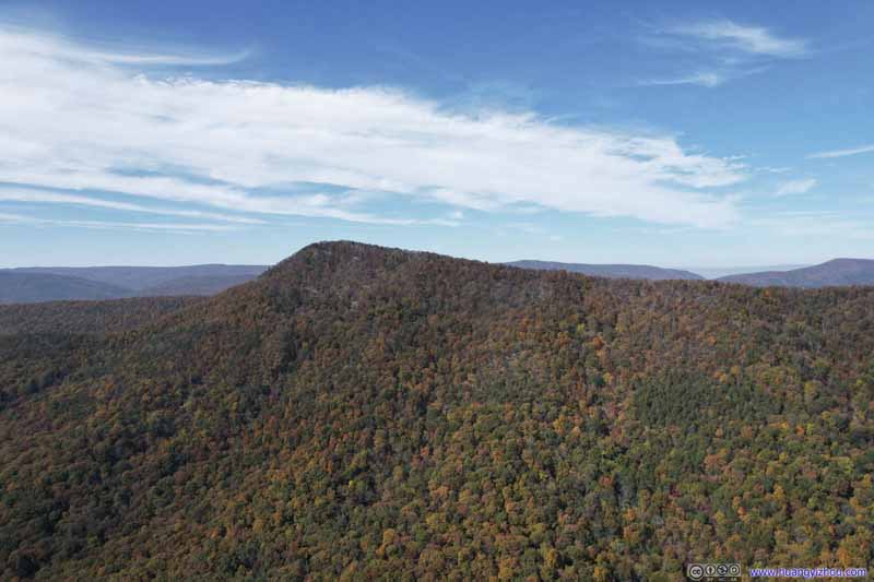
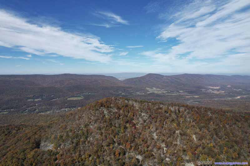
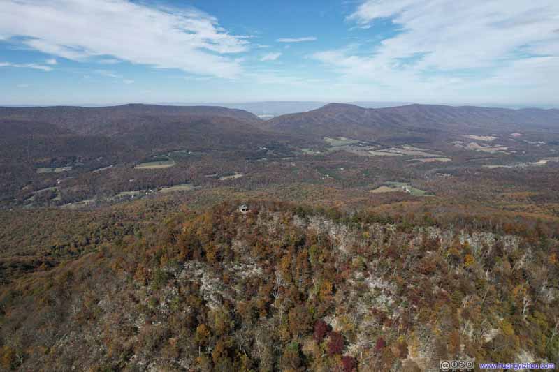
And while we were taking rests and enjoying snacks, I launched my drone for an aerial tour of Shenandoah Valley in front of us.
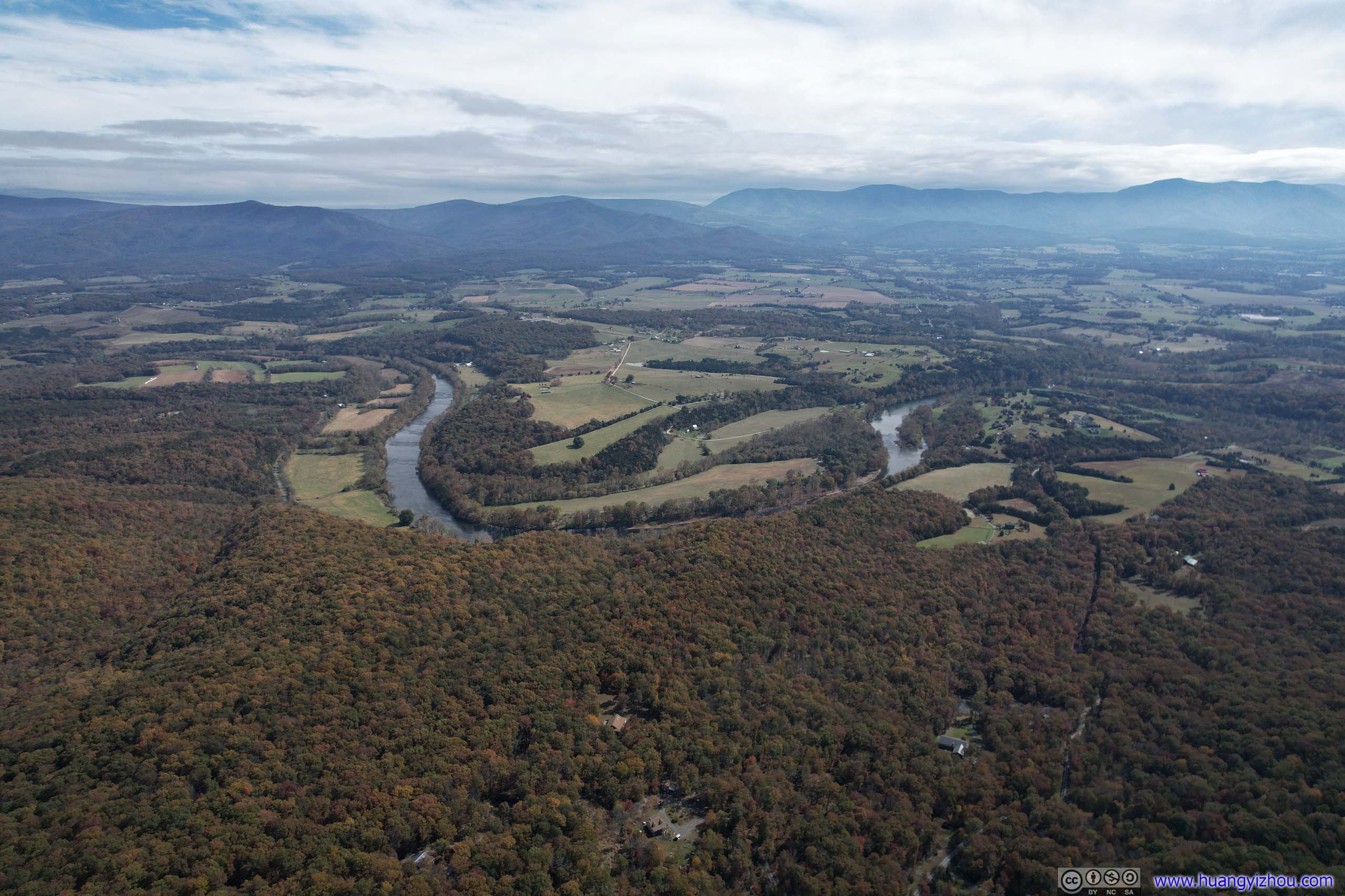


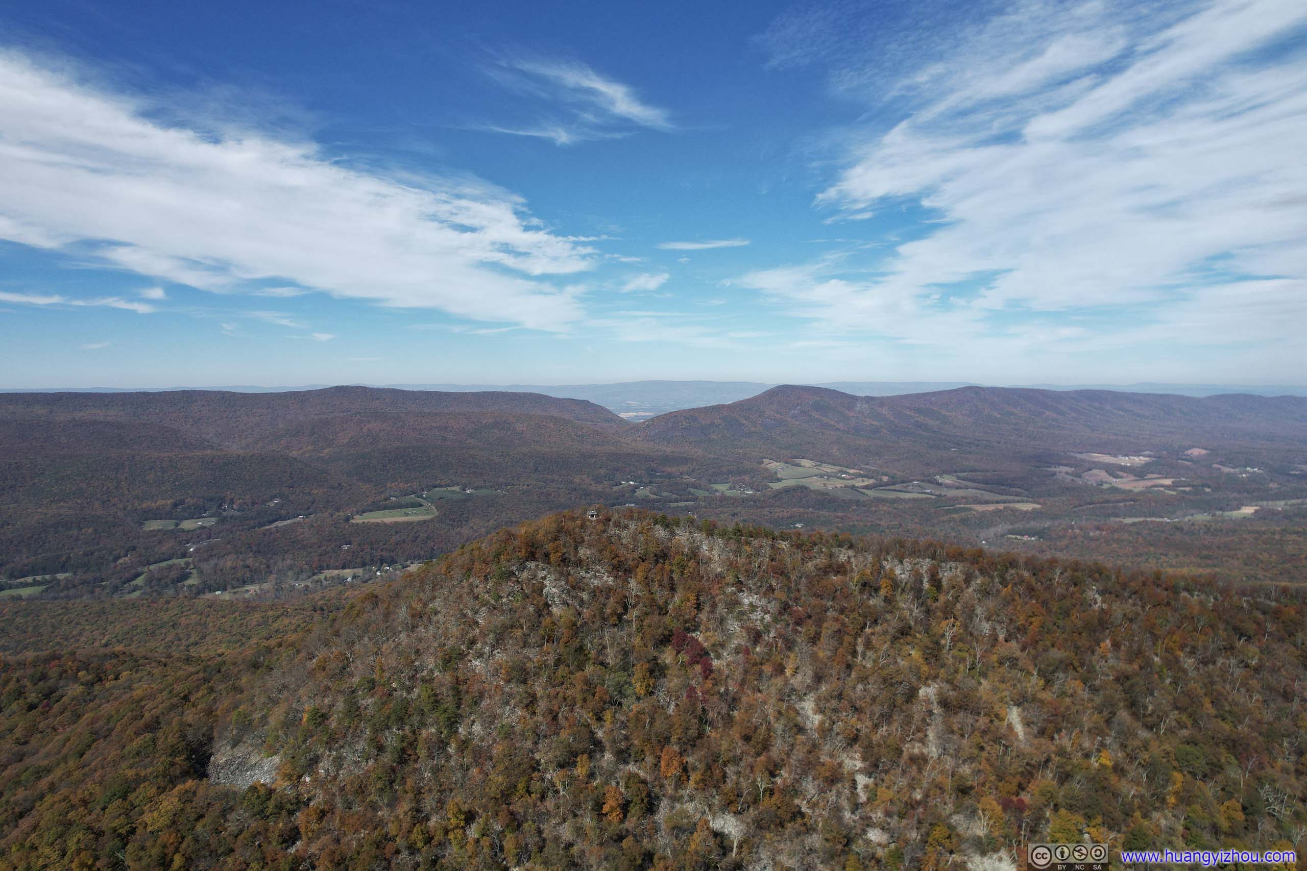
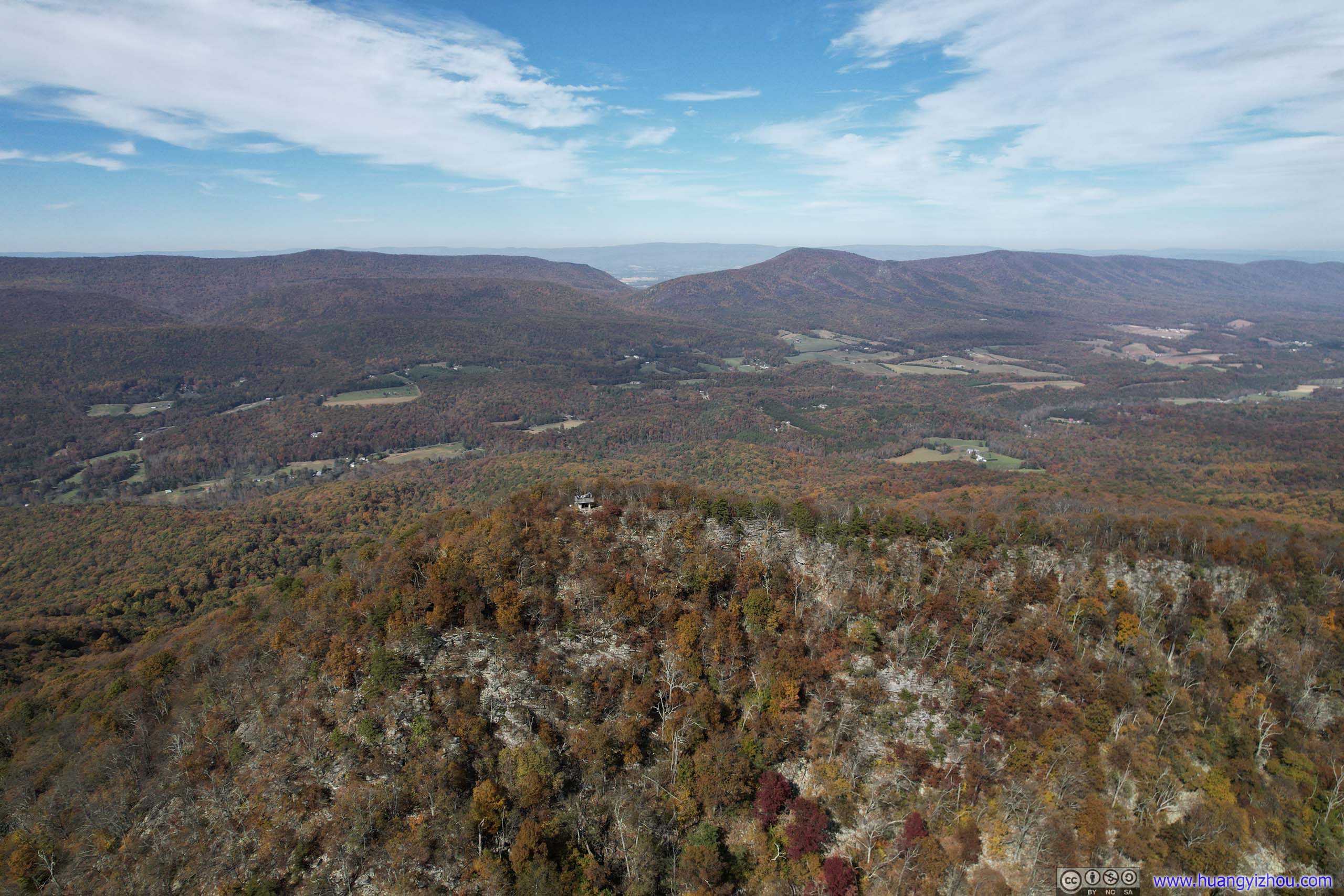

And here's a video:
In the end, we stayed at Kennedy Peak for about 50 minutes, before we started our way back.
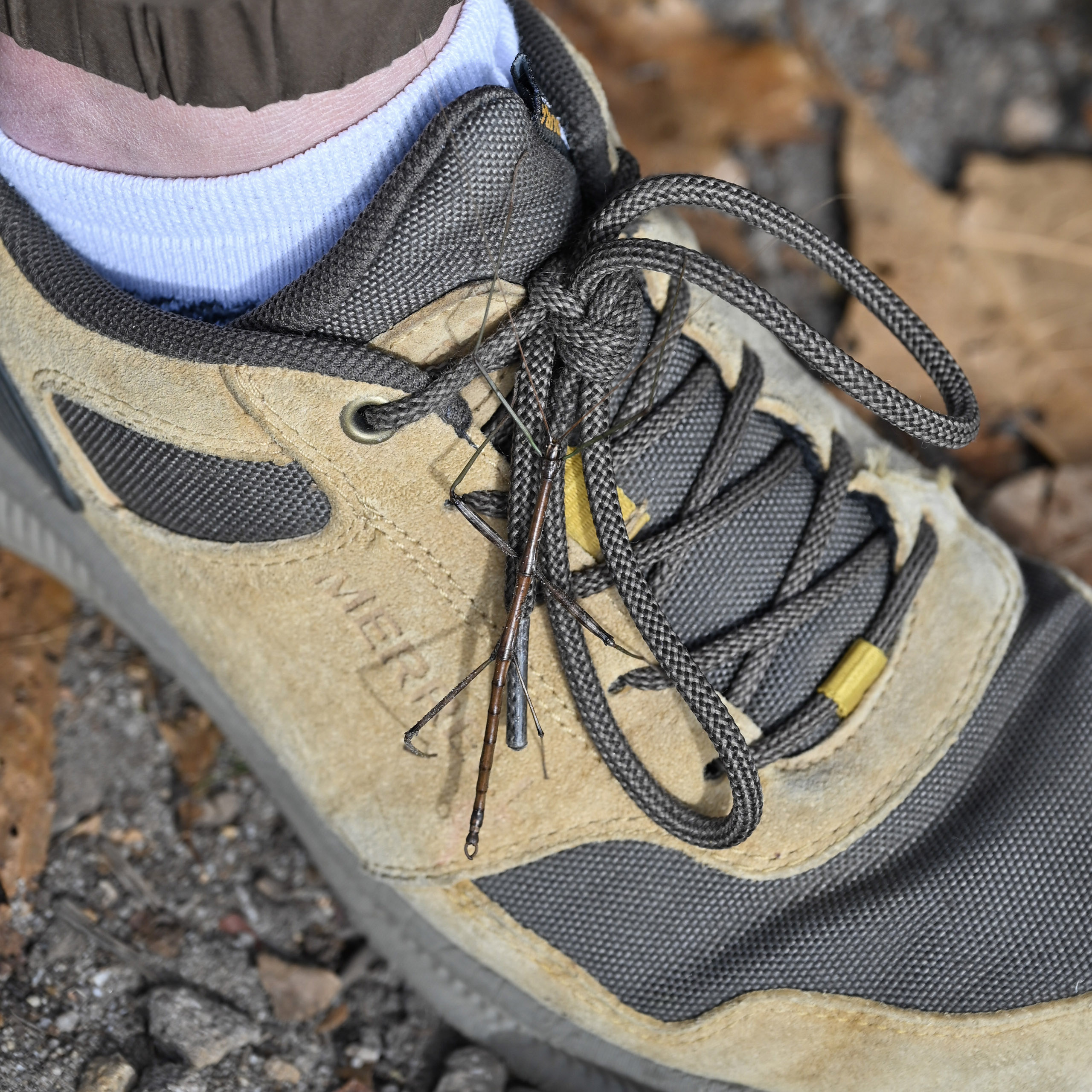
One that got onto one of my friend’s shoes.
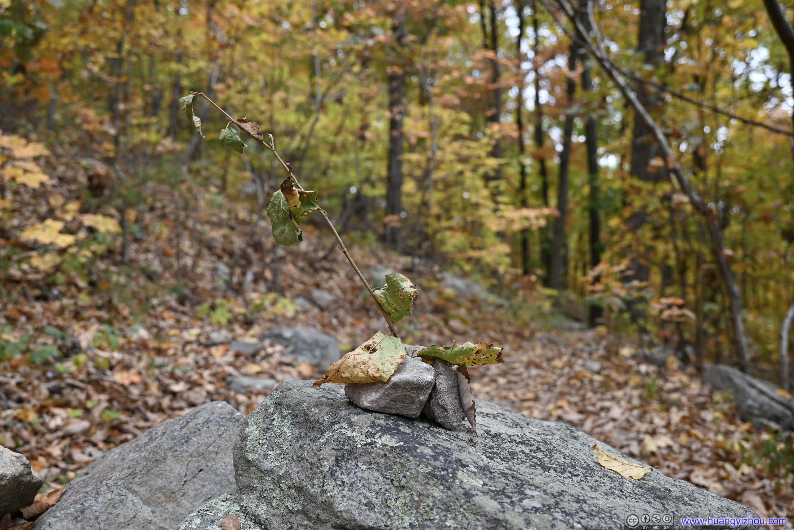
The way back wasn't very remarkable, just that the colors of foliage were as awesome. In the end, we were back at Stephen's Trailhead around 3pm, concluding this trip.
END