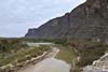
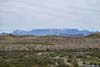
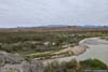
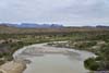
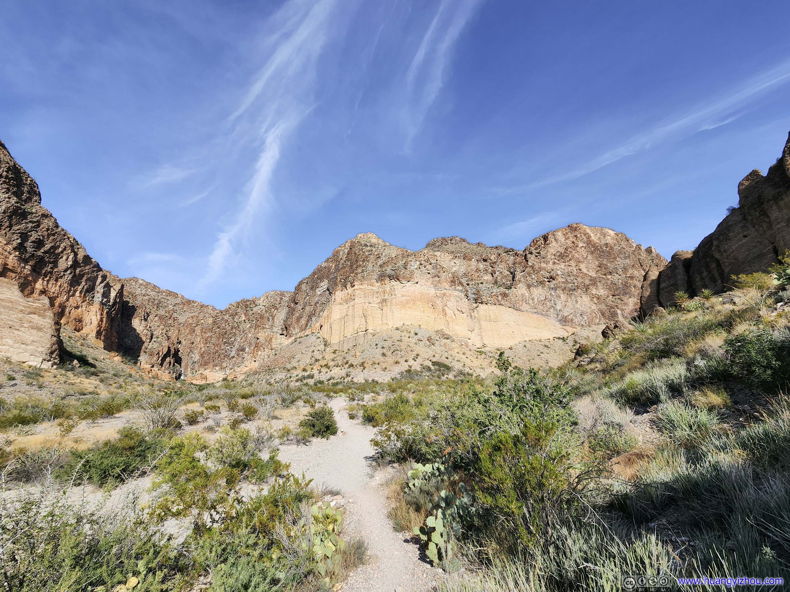
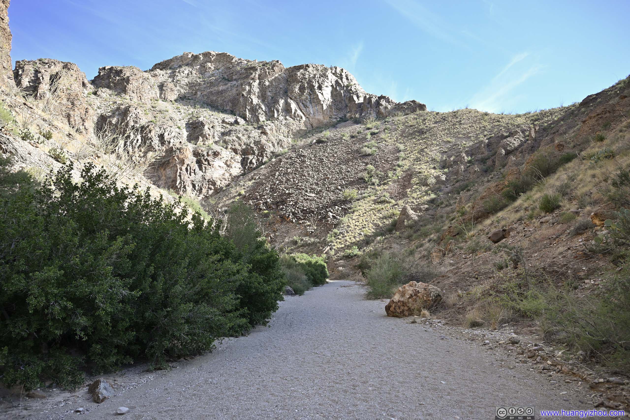
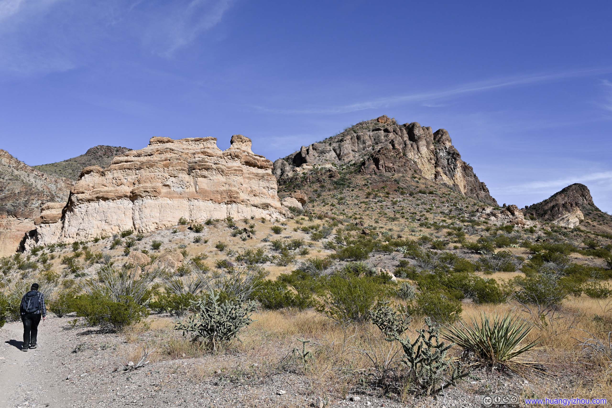
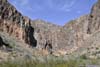
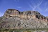
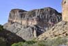
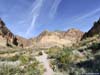
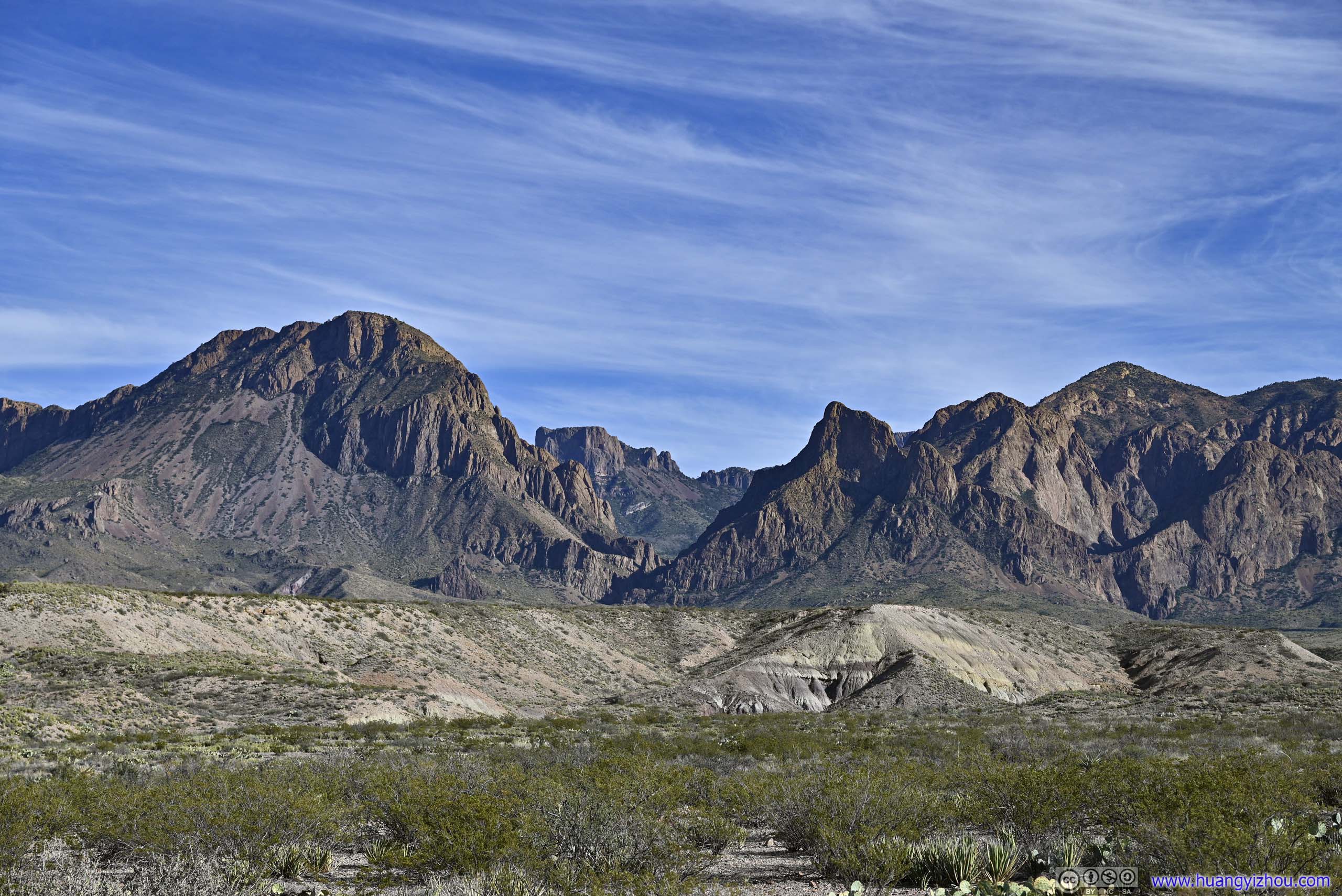
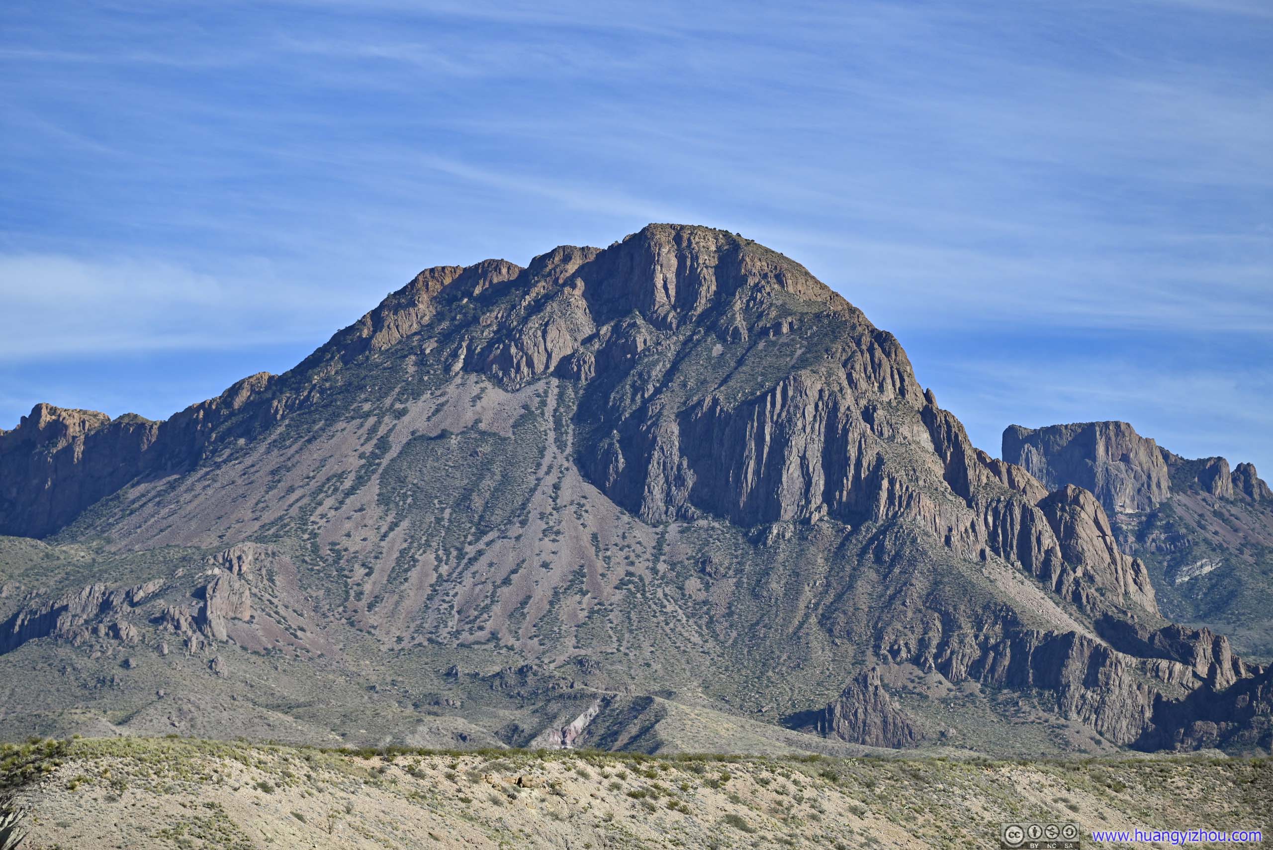
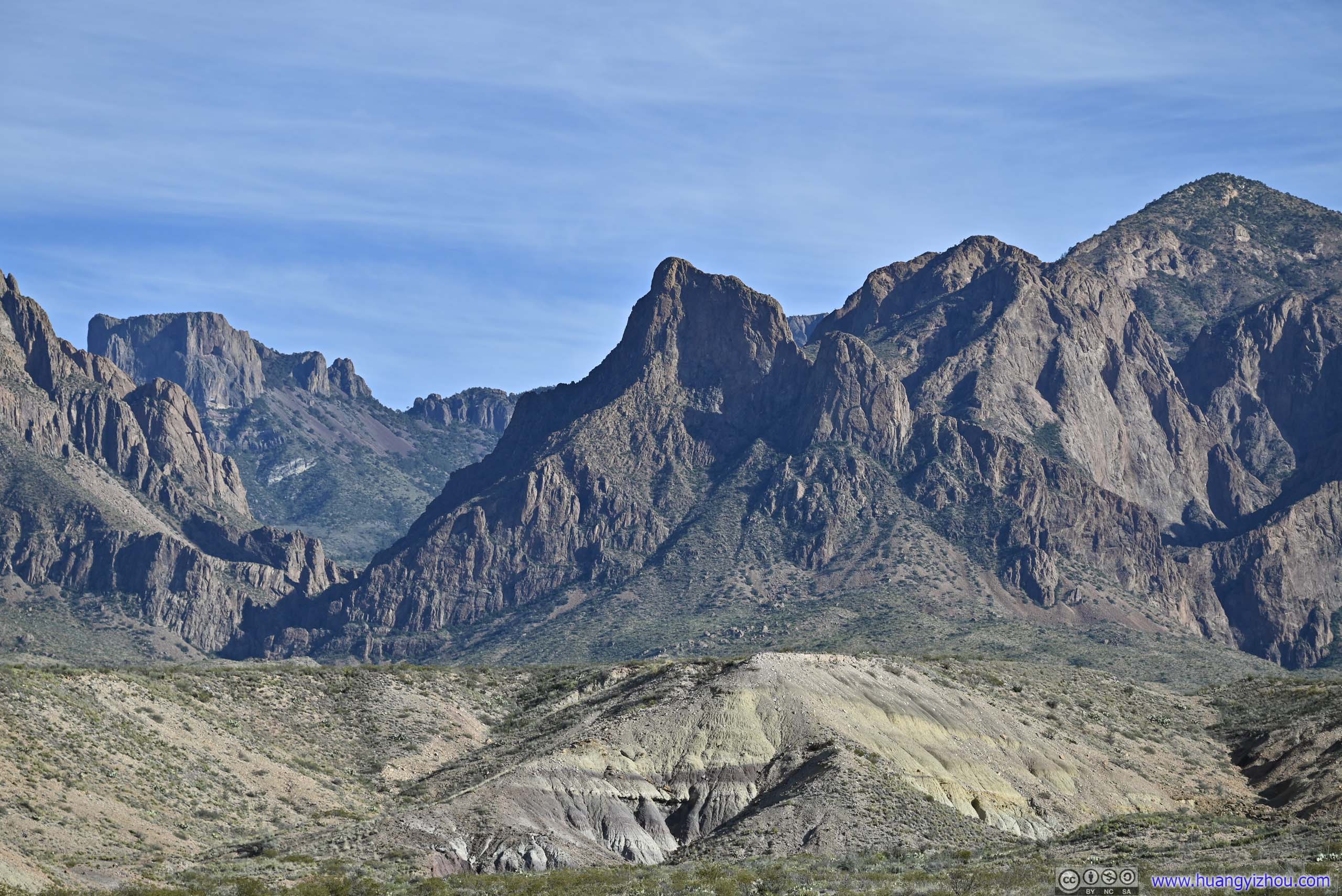
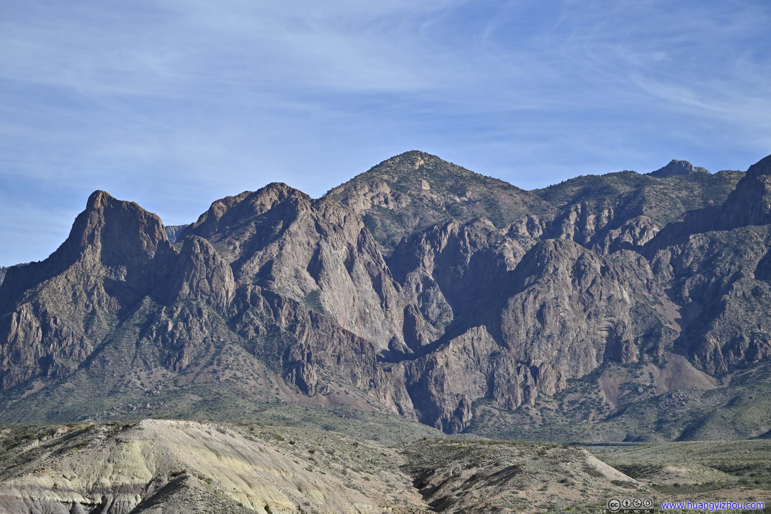
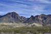
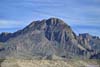
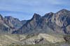
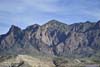
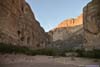
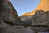
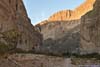
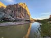
Day 2 of 2022 Big Bend National Park Trip, Scenic Drive and Canyons
Second day of my 2022 Thanksgiving trip to Big Bend National Park as I would be visiting the typical tourist places in the park, that's Ross Maxwell Scenic Drive and Boquillas Canyon.
Santa Elena Canyon
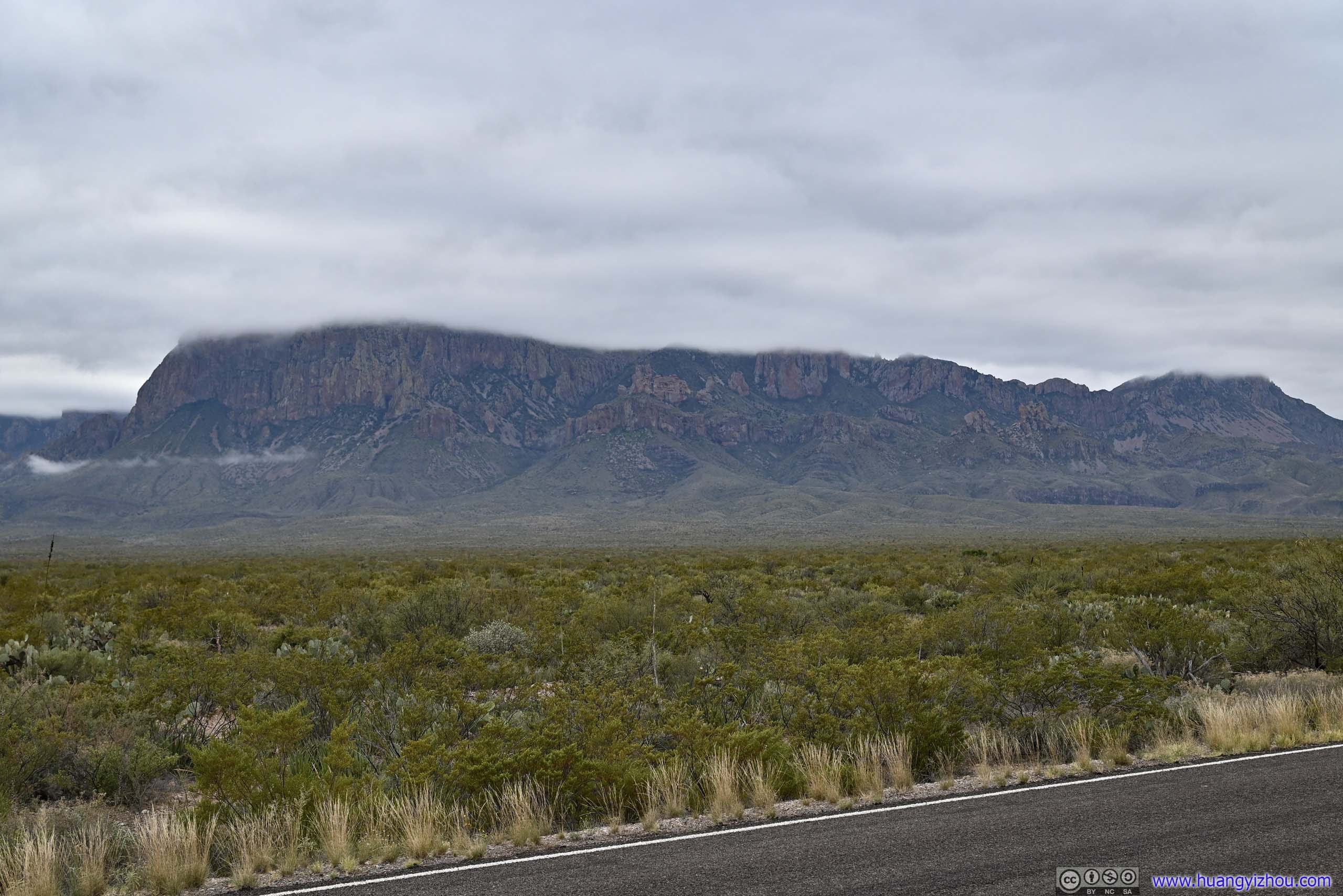
Last night the Chisos Mountains were largely covered in clouds. The weather forecast indicated the clouds would disperse during the day, but I woke up still under overcast skies. So my plans today were to visit the parts of the park in lower elevation, that being Ross Maxwell Scenic Drive and Boquillas Canyon, which would involve a few short hikes.
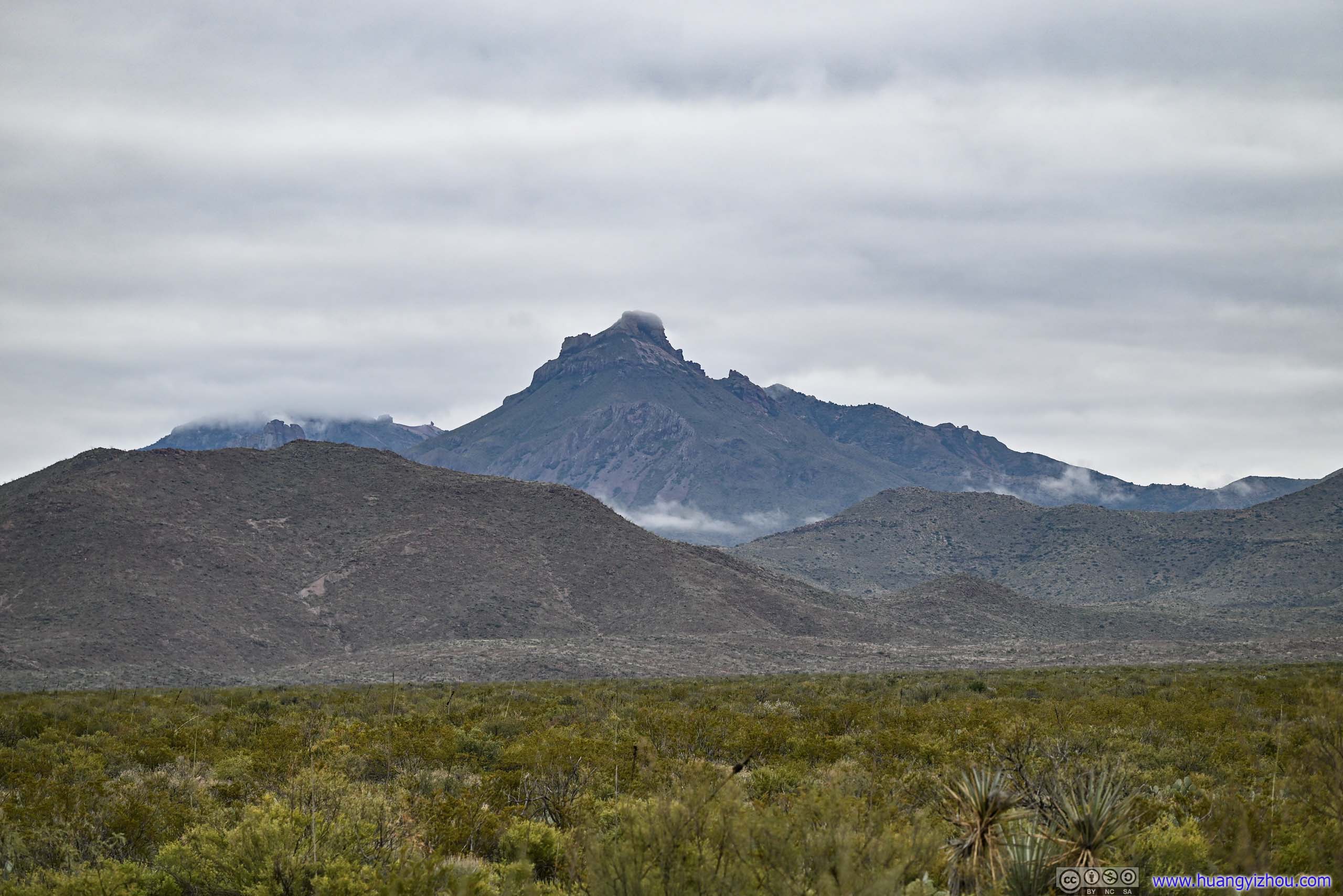
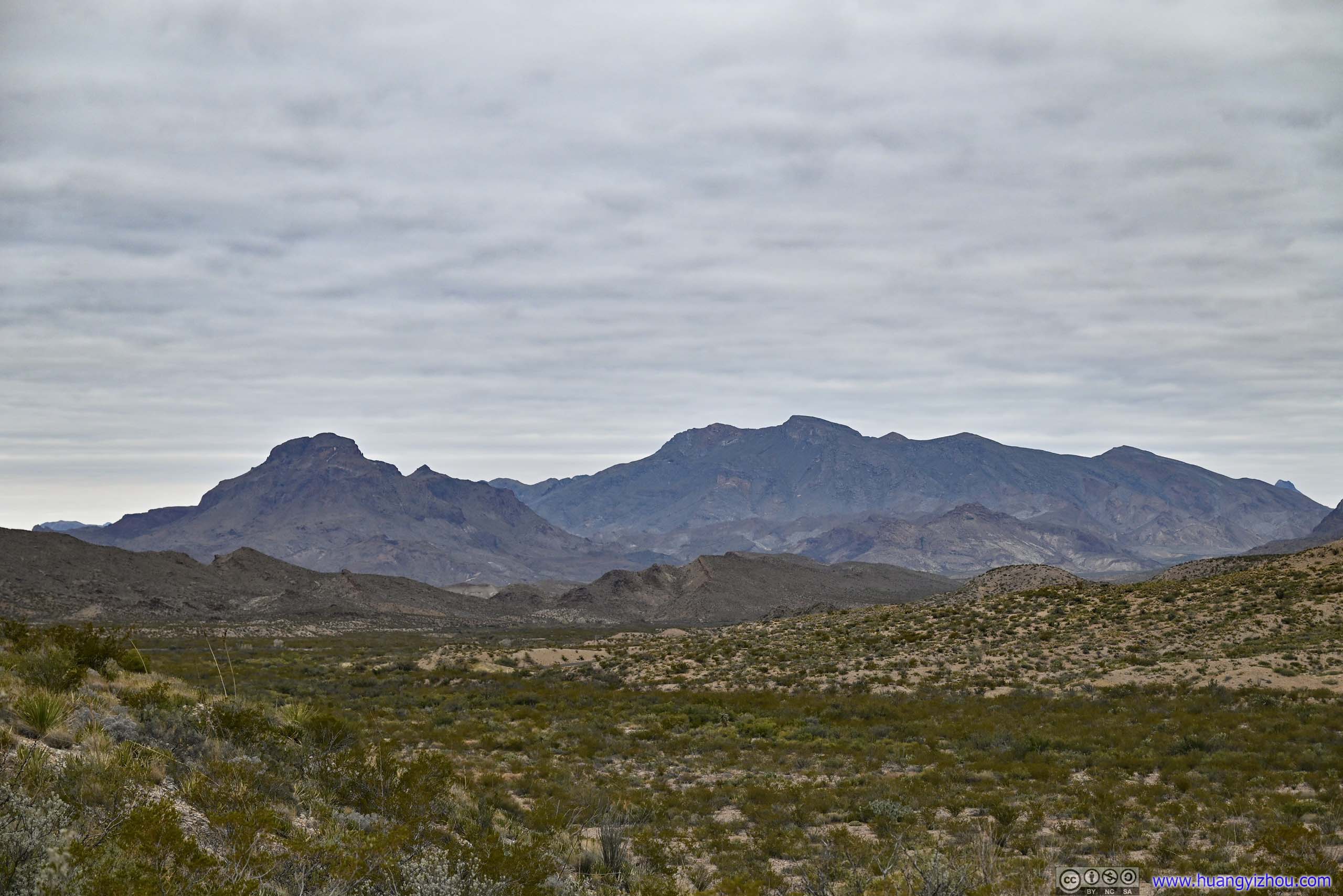
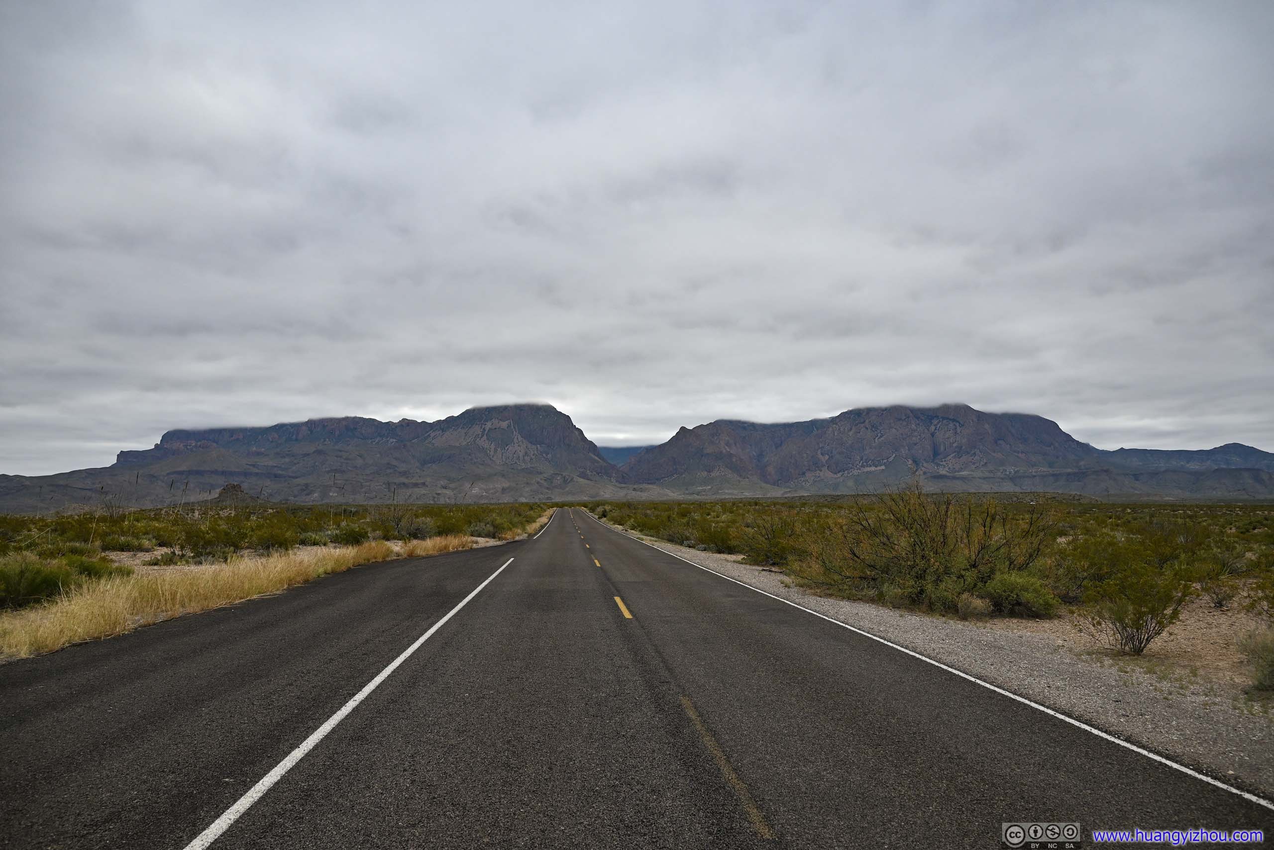
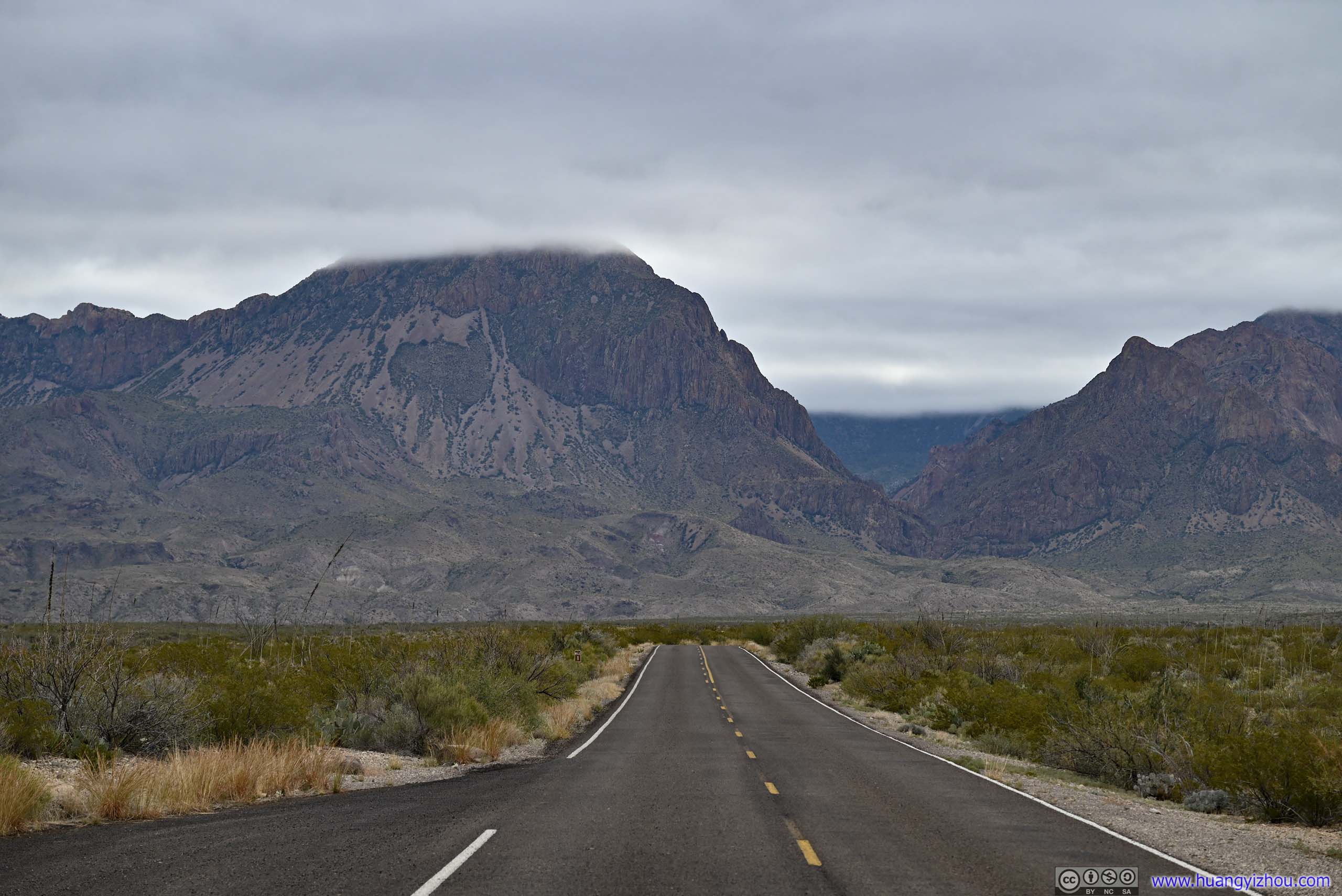
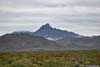
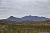
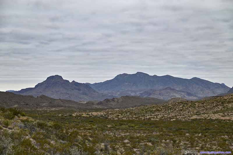
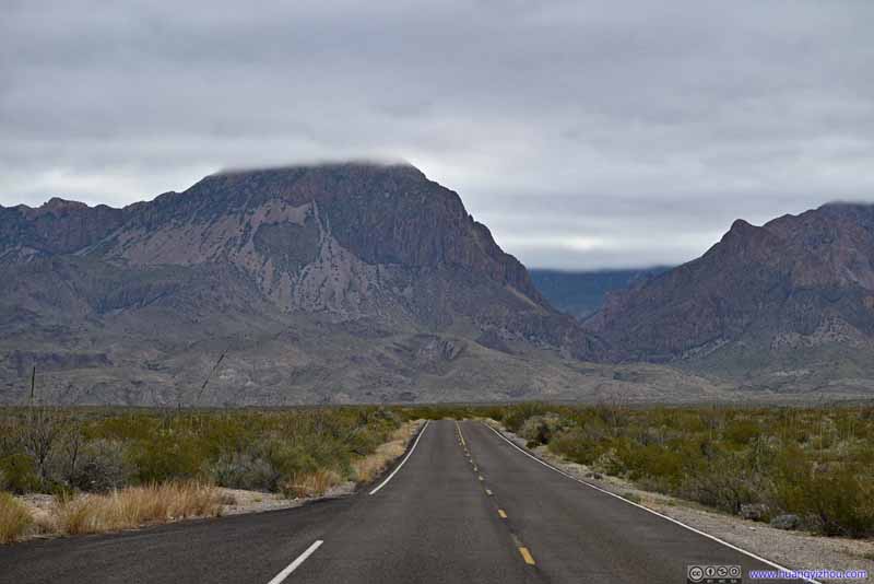
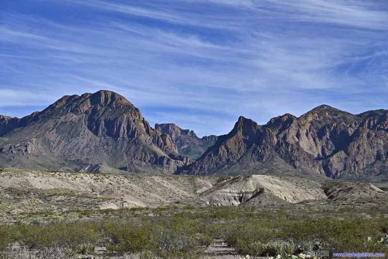
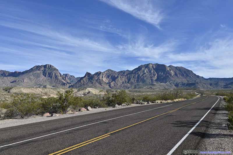
I headed out of the campground at 9:30am. After leaving Chisos Basin, I stopped at a few roadside turnouts to grab a few photos of the mountains in their soft colors under gloomy clouds.
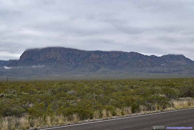
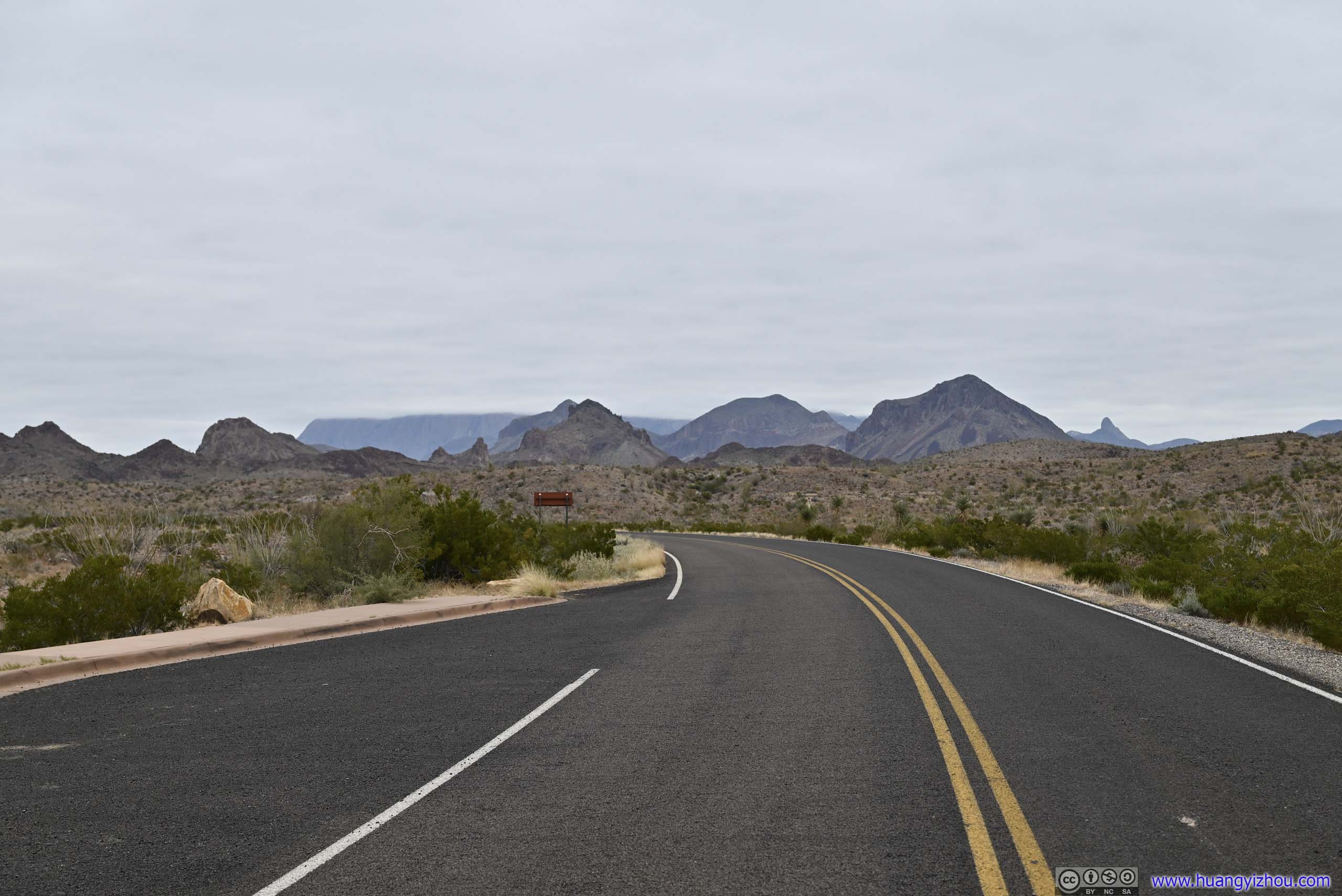
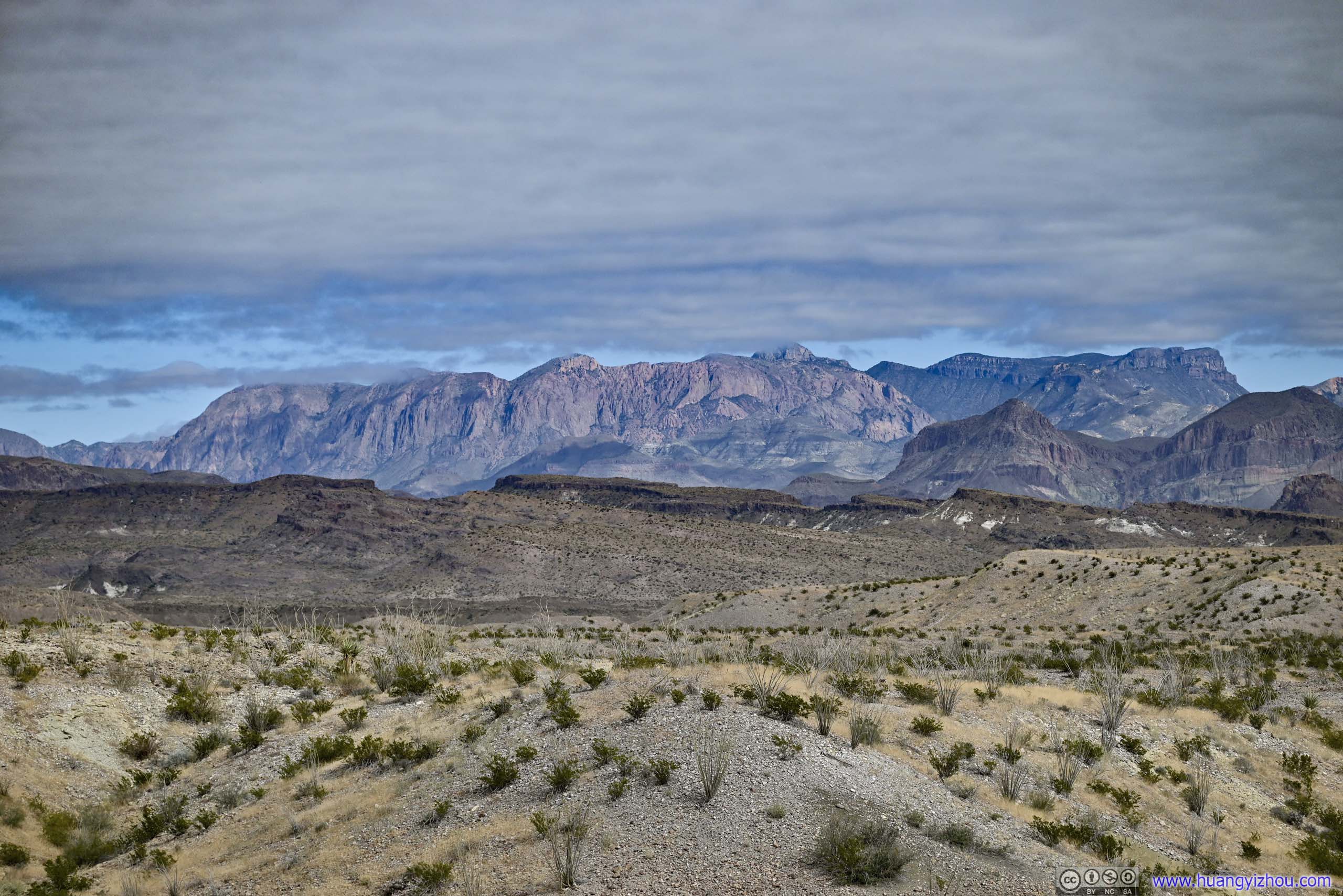
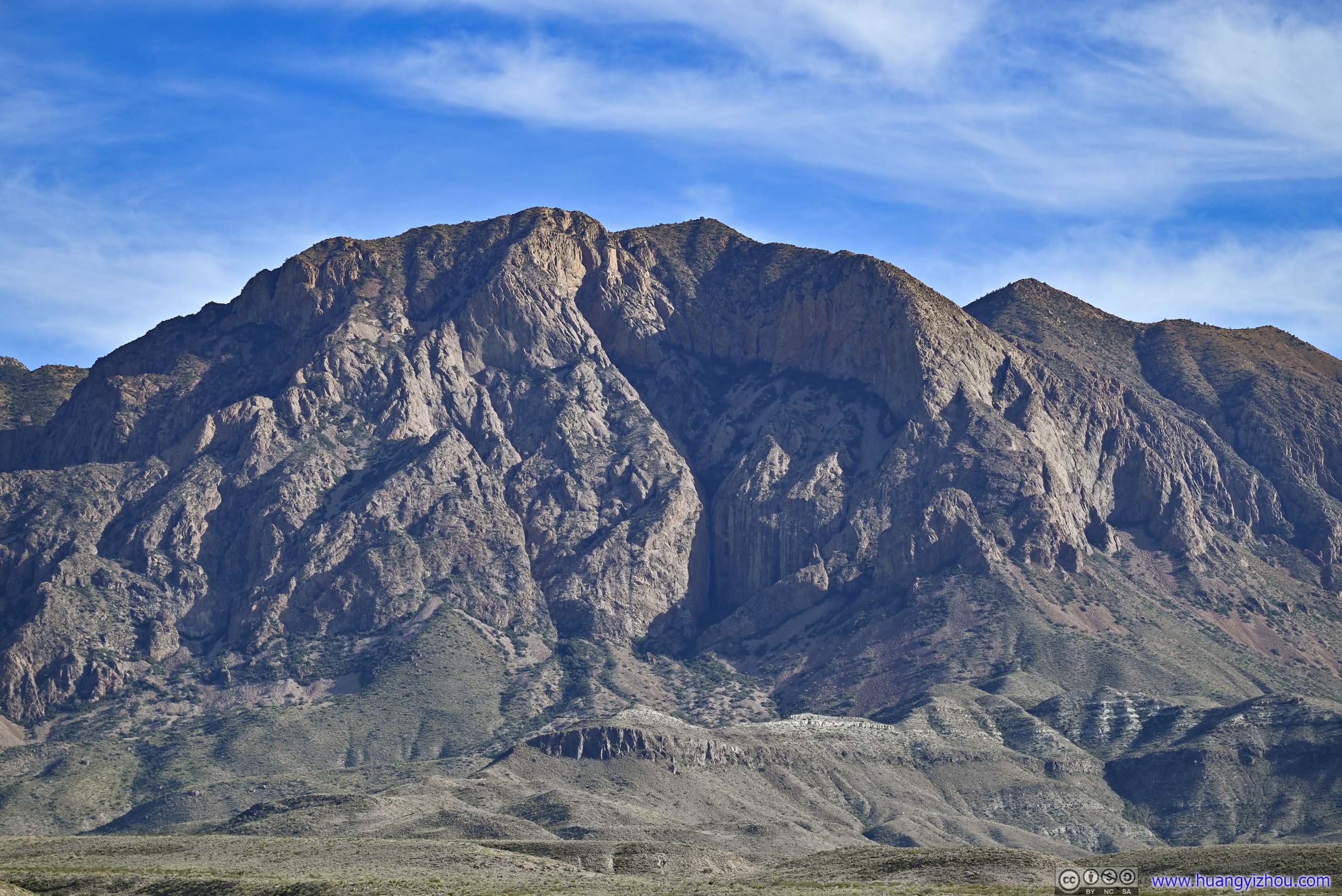
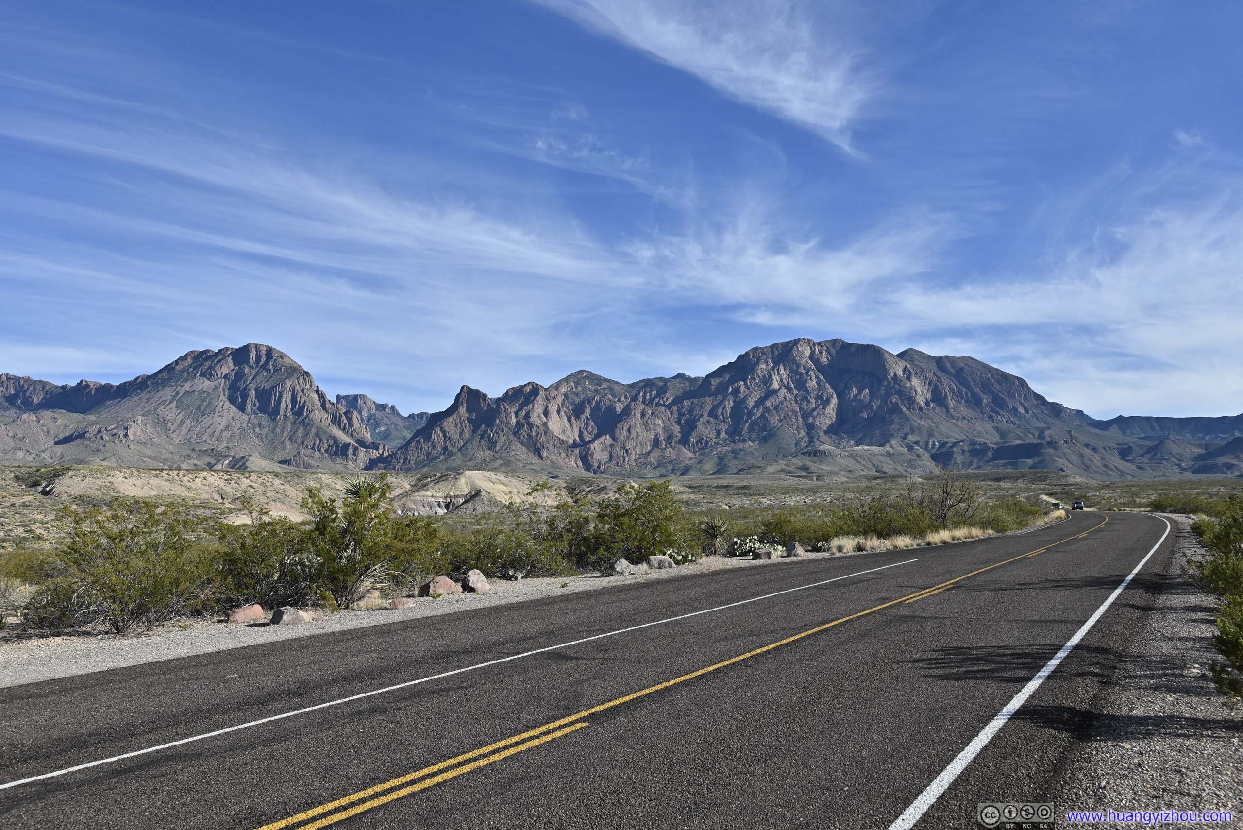
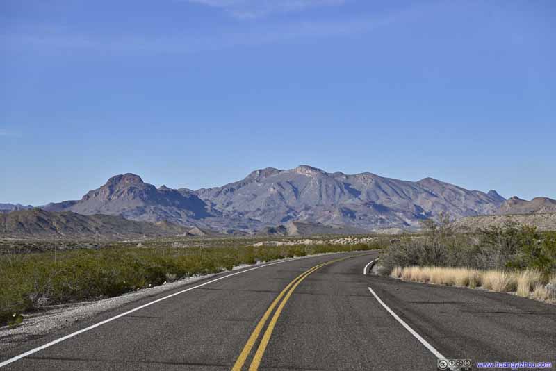
Chisos Mountains in Clouds
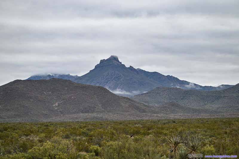
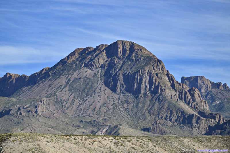
Panther Peak in Clouds Looking magnificent.
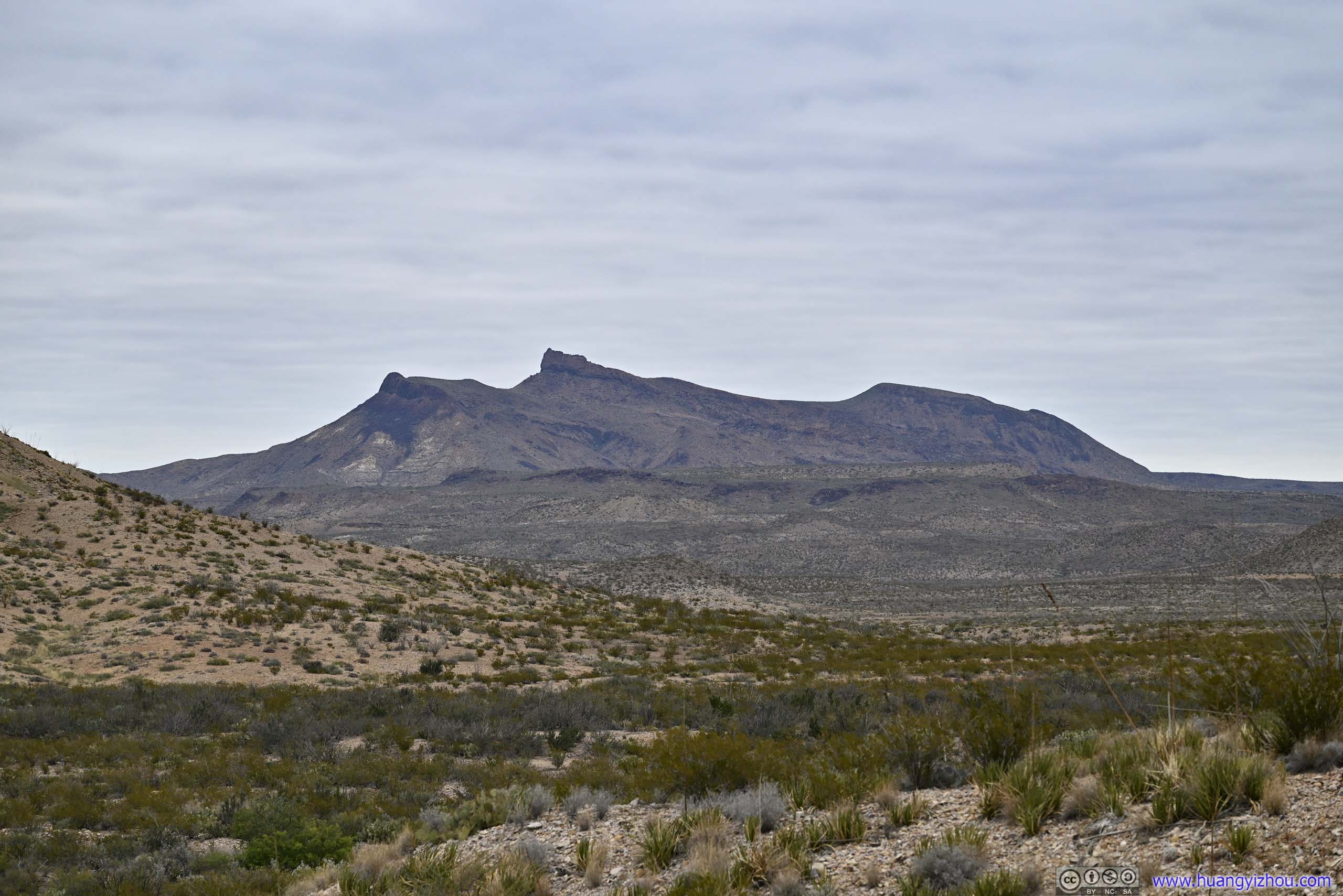
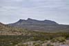
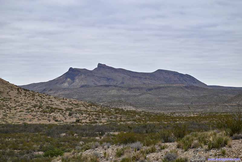
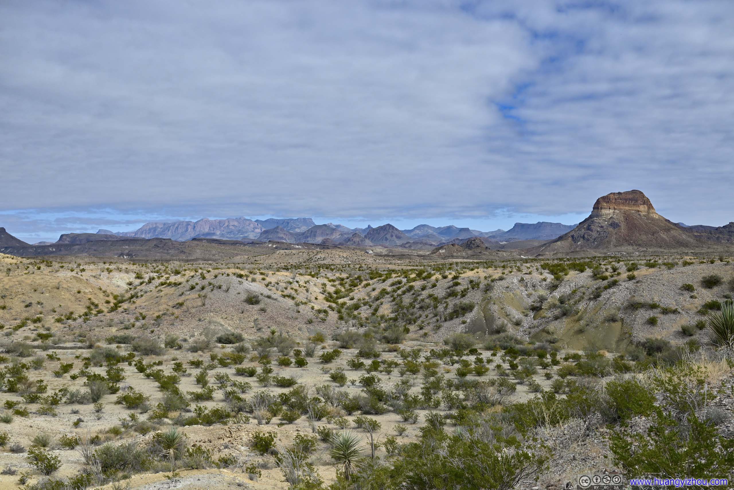
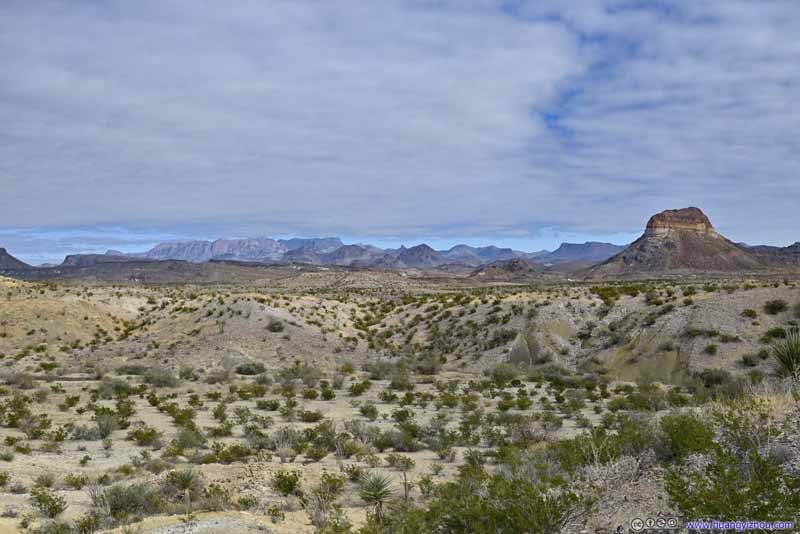
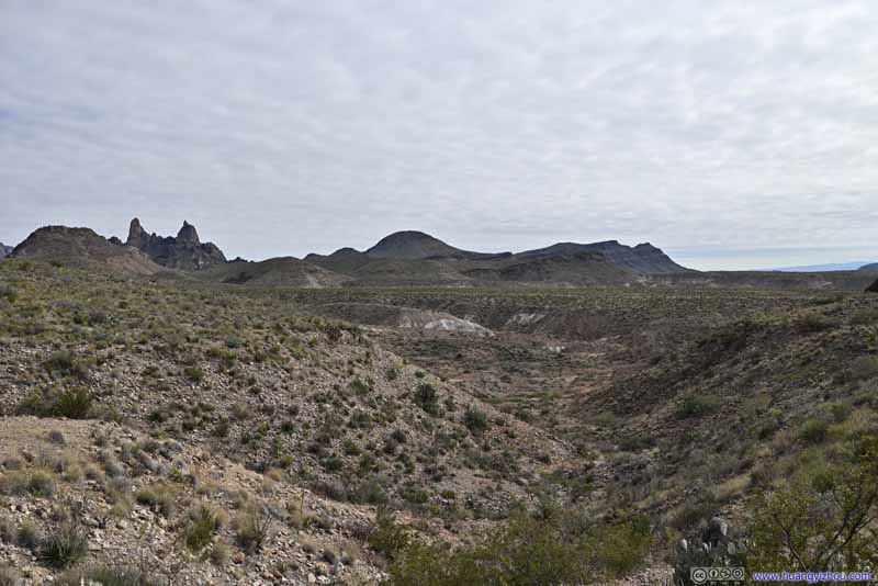
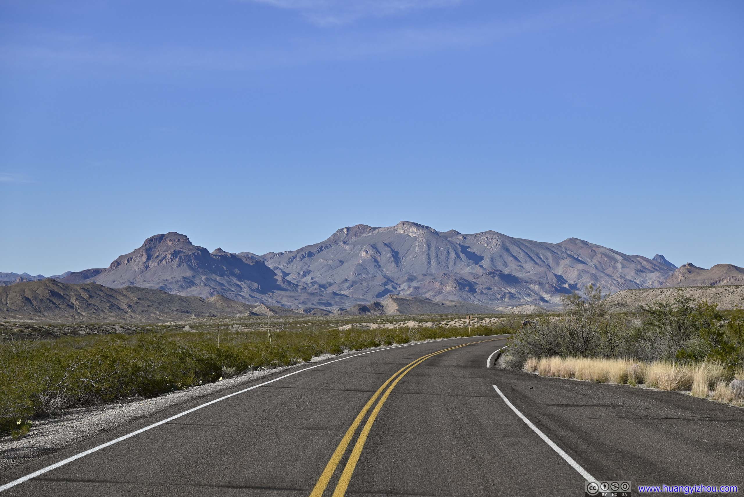
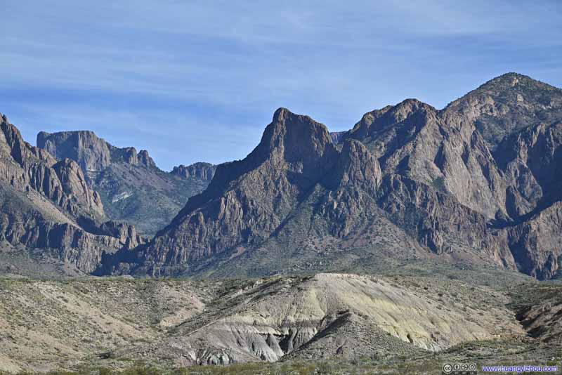
Croton Peak Looking better from this angle along Ross Maxwell Scenic Drive.
Christmas Mountain A cluster of mountains outside the park to the north.
Chisos Mountains "The Window" as an obvious opening of the mountains.
Chisos Mountains "The Window" as an obvious opening of the mountains.
Ross Maxwell Scenic Drive
Named after the park's first superintendent, this is a 30-mile road leading to Santa Elena Canyon, the postcard destination of the park.
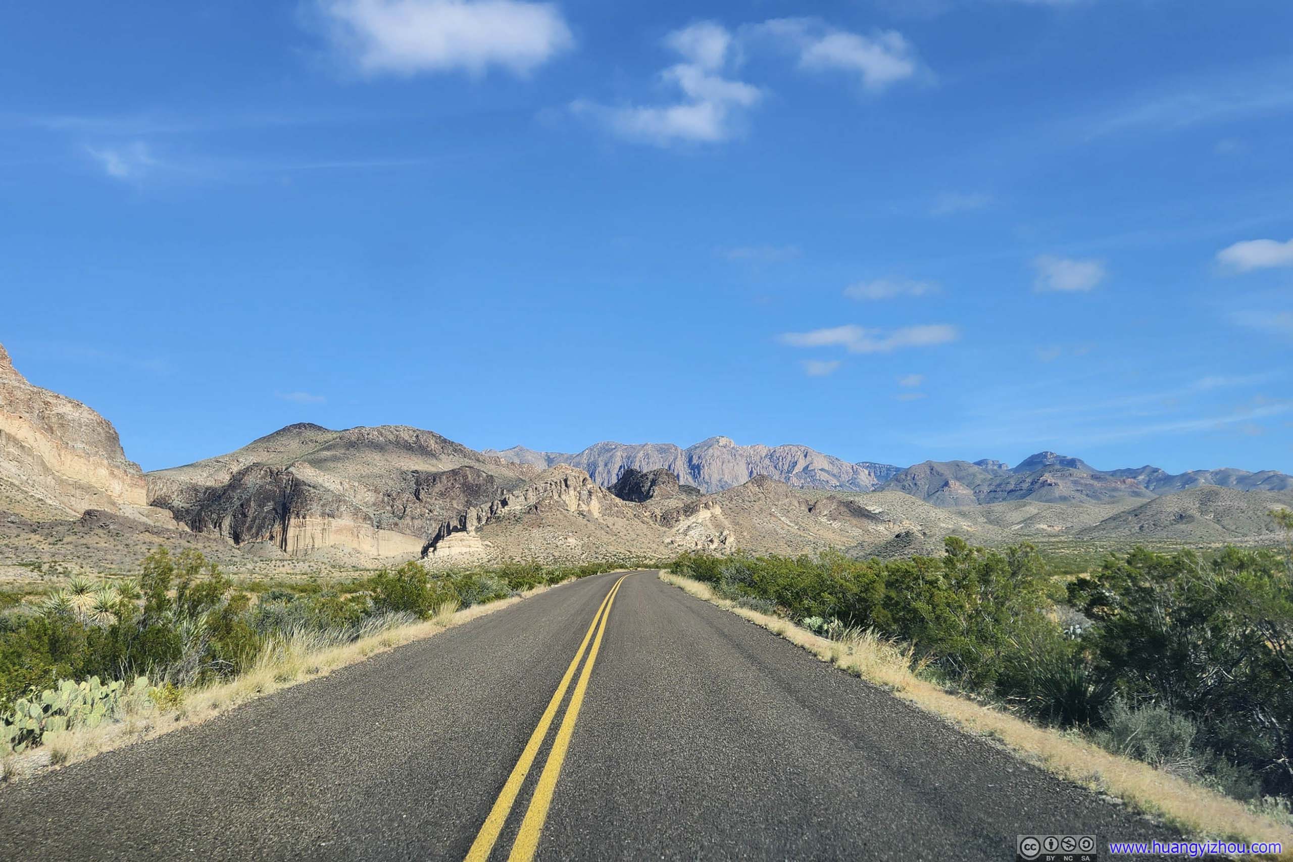
I used a dash-mounted GoPro to capture portions of my drive in the park for the day, including most if not all the westbound drive along Ross Maxwell Scenic Drive.
0:00 Starting at a roadside turnout along Ross Maxwell Scenic Drive. Chisos Mountains were covered in clouds in the morning.
3:07 Tuff Canyon
4:45 Parking for Sublett House
5:17 Santa Elena Canyon Overlook
5:34 Santa Elena Canyon parking area. Rather crowded during peak season.
Leaving Santa Elena Canyon in the afternoon, the clouds slowly faded away to a clear blue sky.
7:18 Checking out Castolon Store, which wasn't very interesting, so I cut it out.
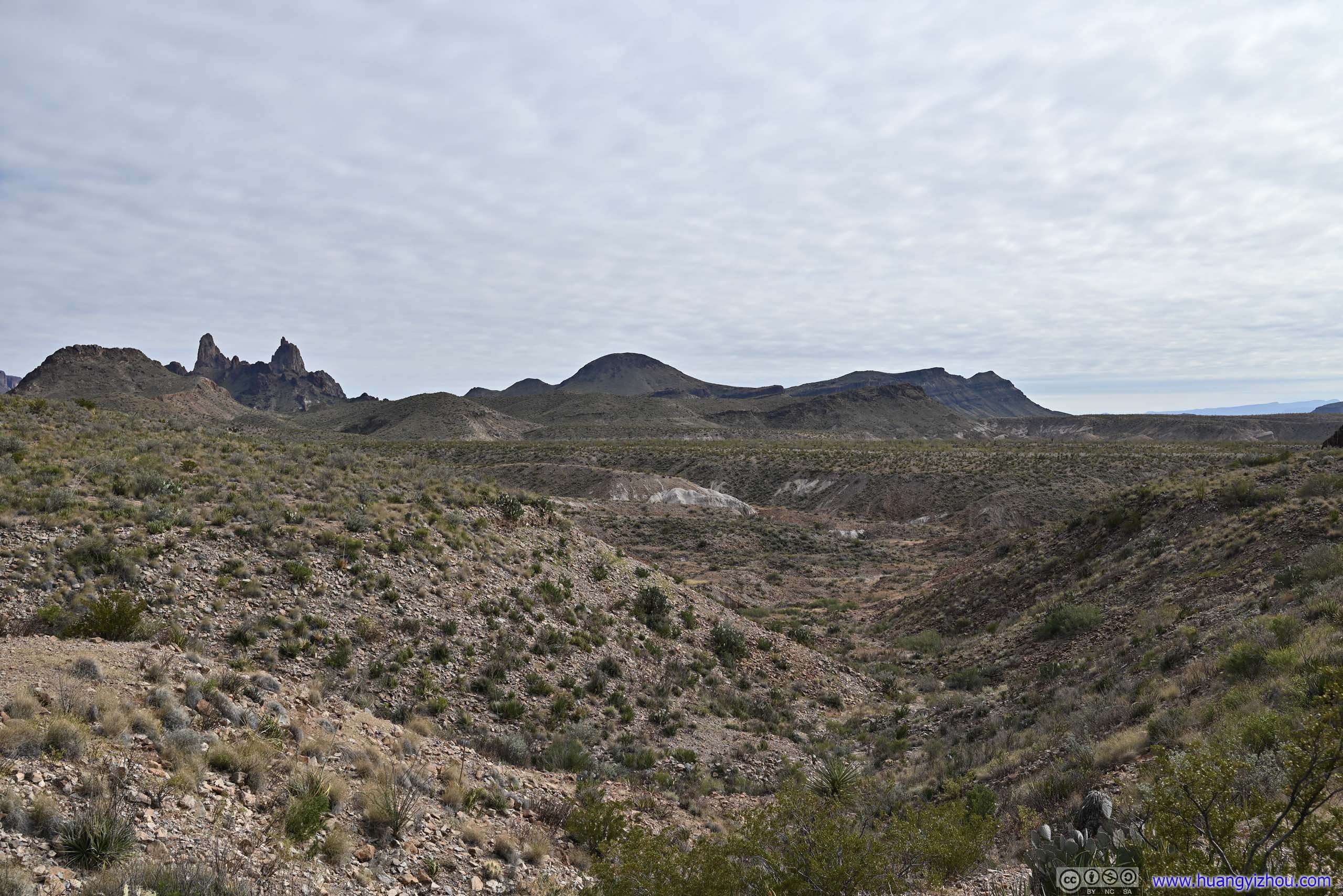
8:43 Mule Ears Overlook, I once again pulled into the last parking spot.
9:35 Passing the spur to Burro Mesa Pouroff.
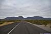
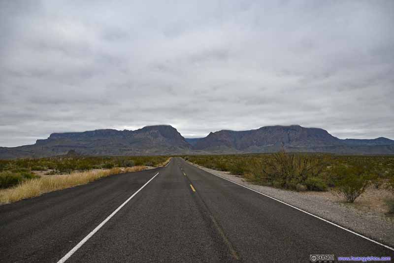
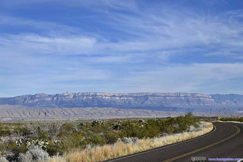
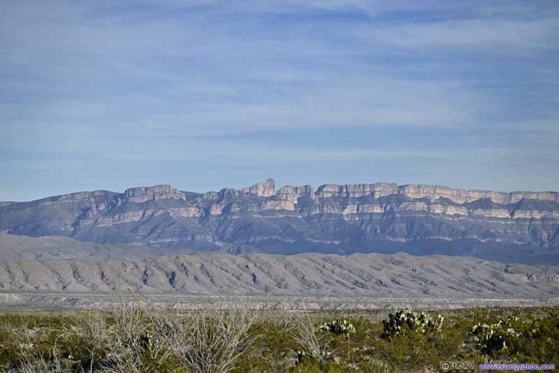
The video then jumps to Panther Junction, heading towards Boquillas Canyon, with the distinctive cliffs of Sierra del Carmen Mountains as a constant sight down the horizon.
The video ends at Boquillas Canyon Overlook.
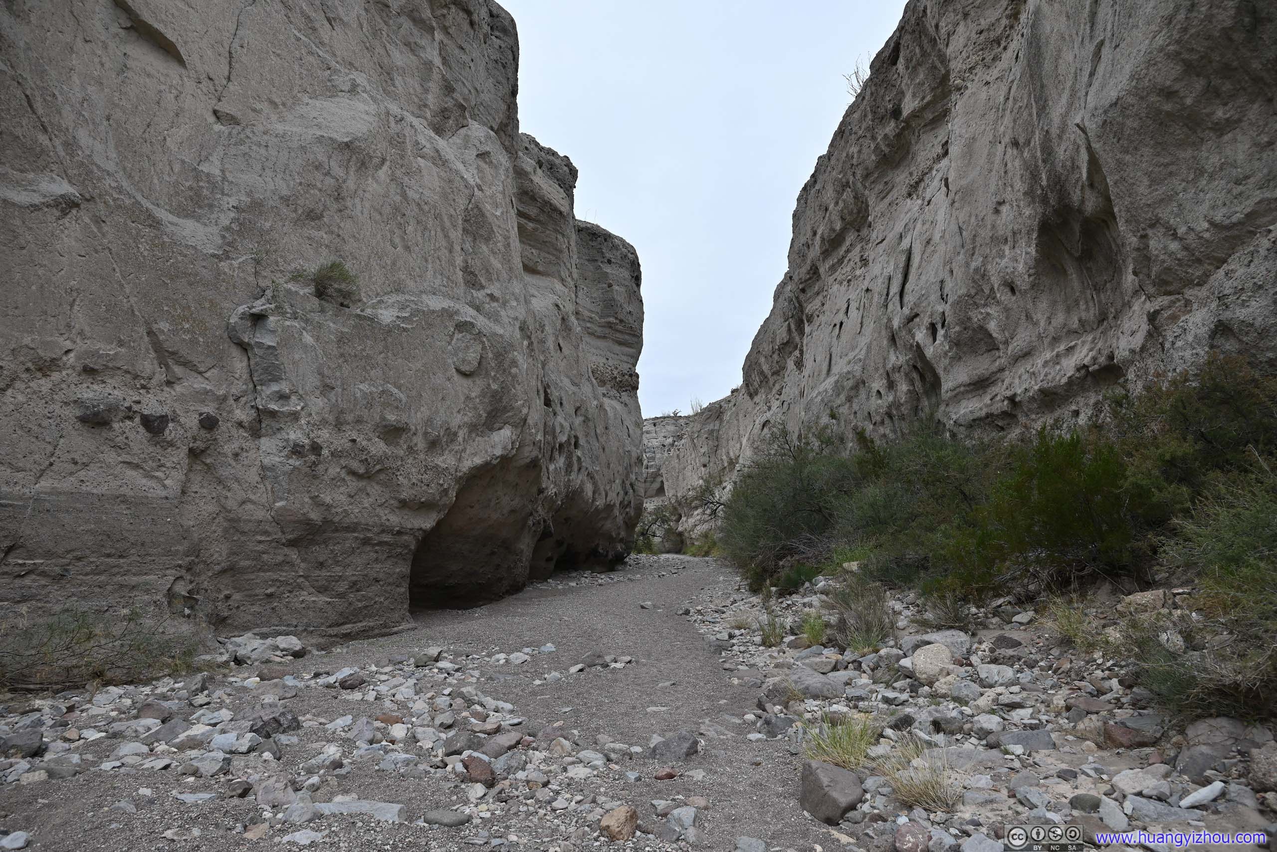
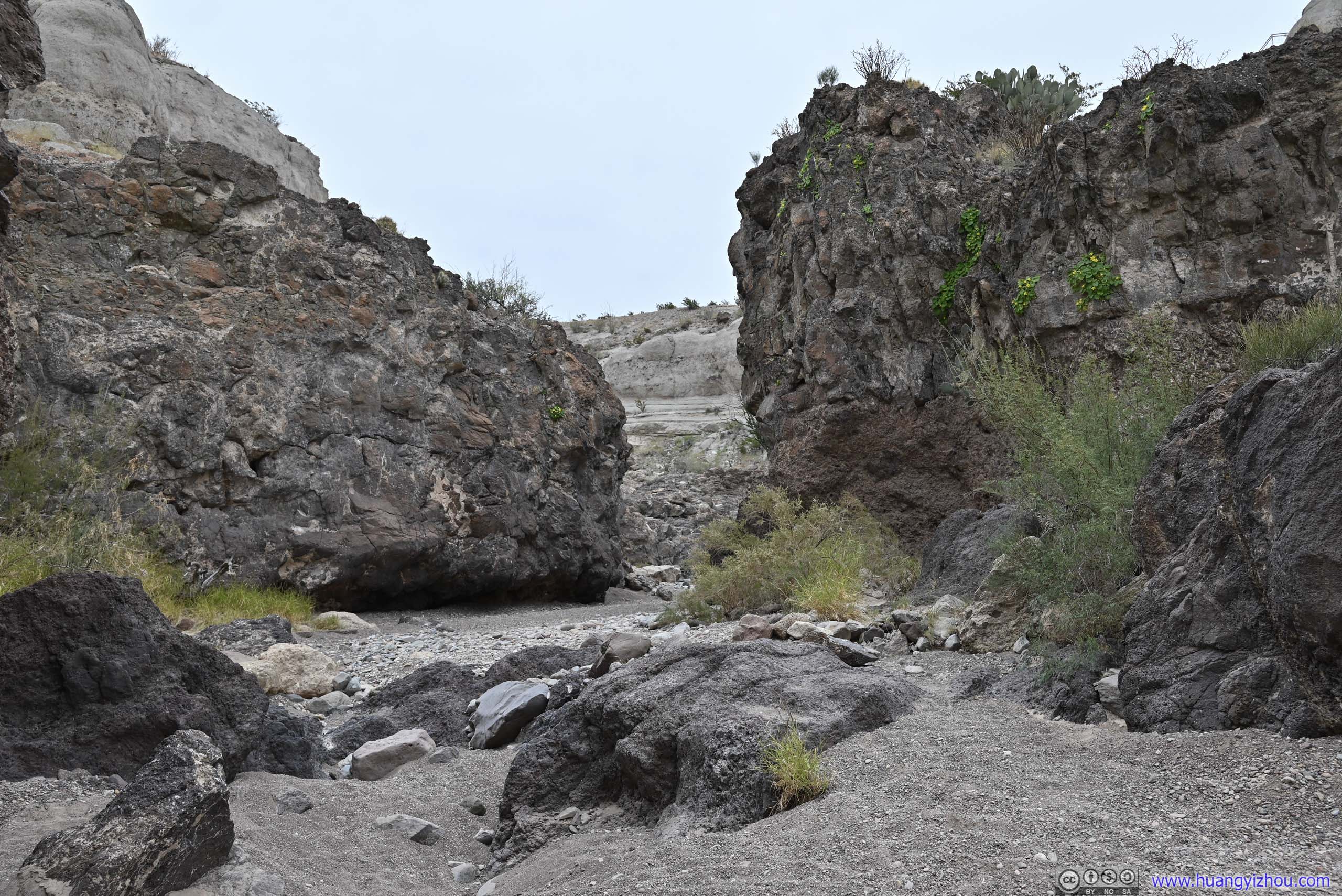
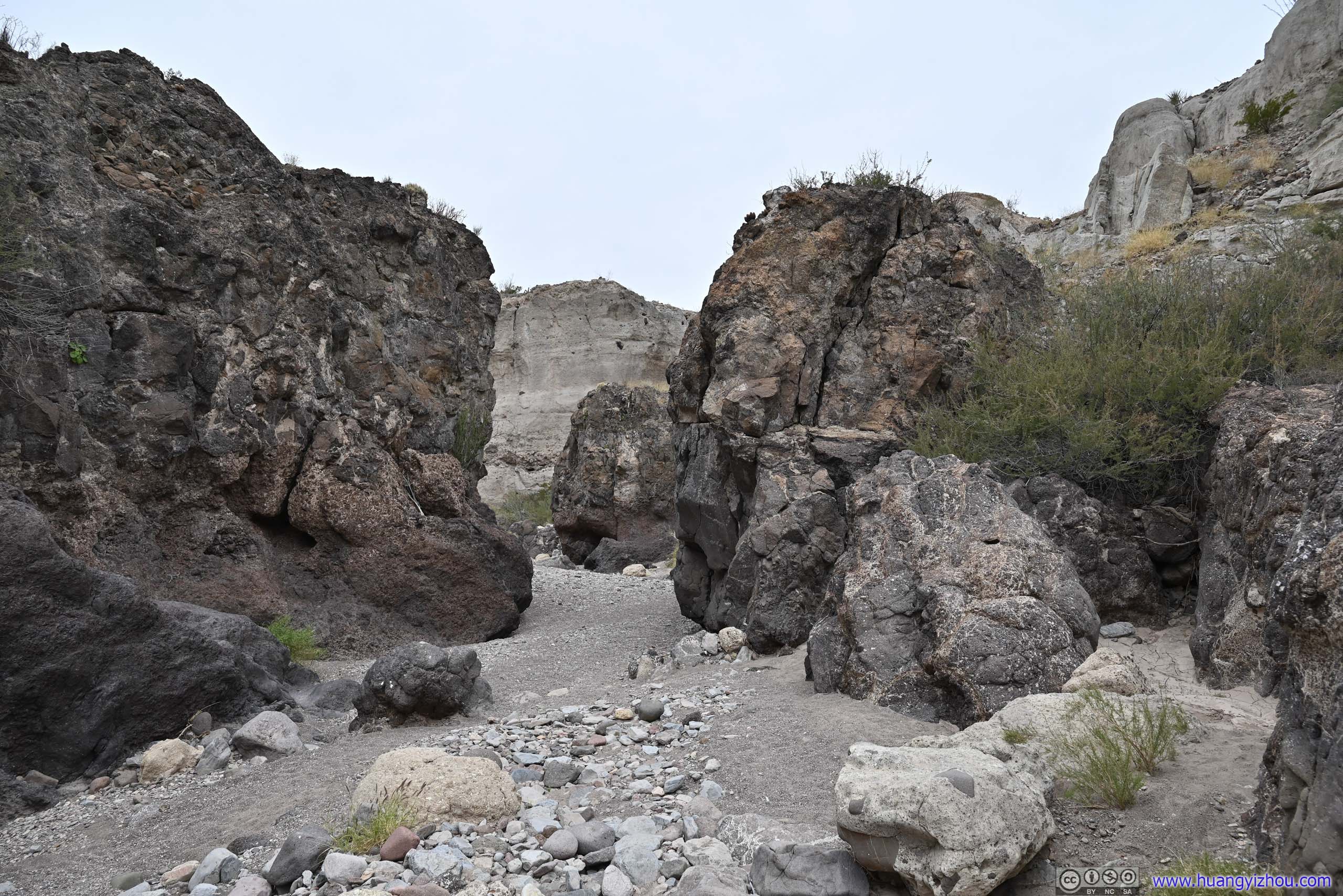
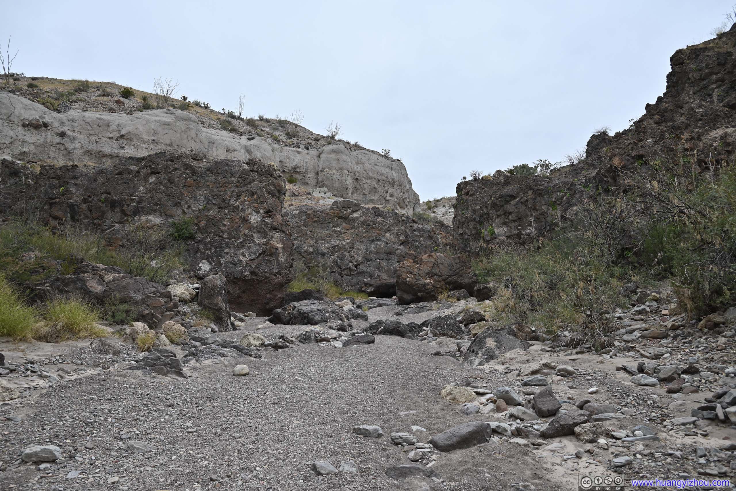
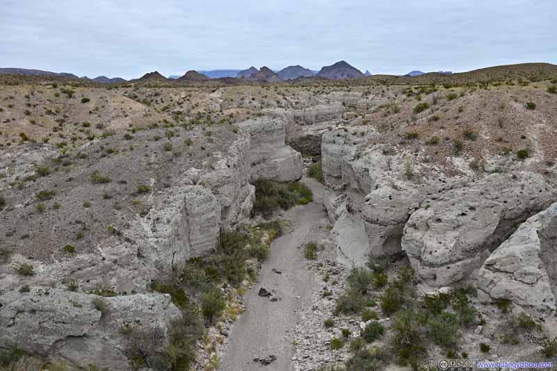
Tuff Canyon
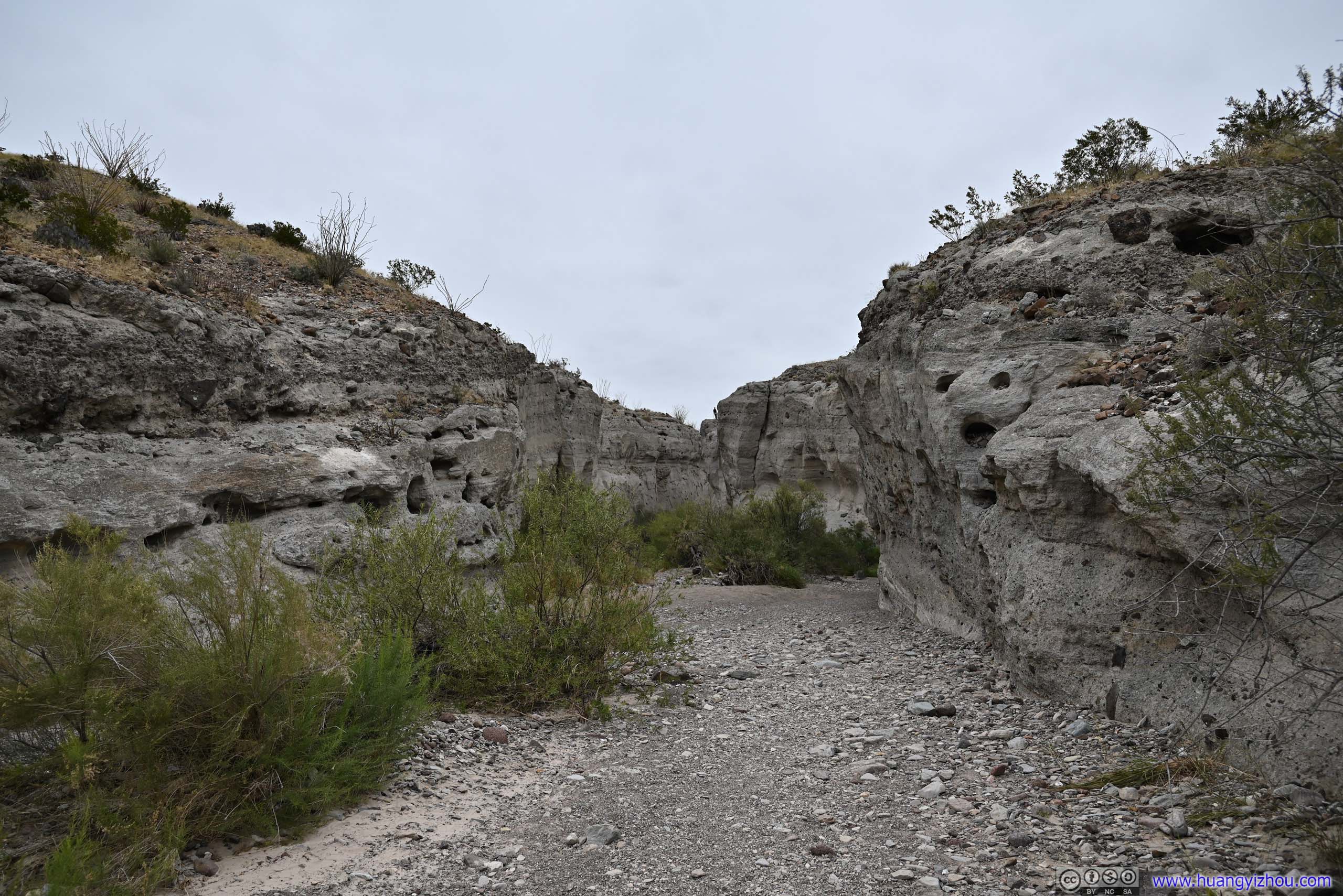
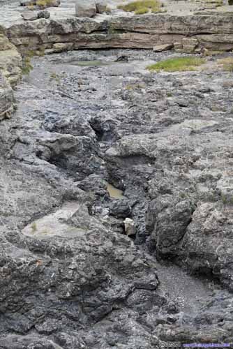
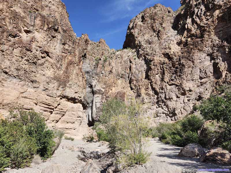
A canyon whose walls were formed of cohesive volcanic deposit (tuff) that's resistant to erosion, standing testimony to the region's volcanic past.
There's a short trail, about 1.5km roundtrip, leading down to the canyon.
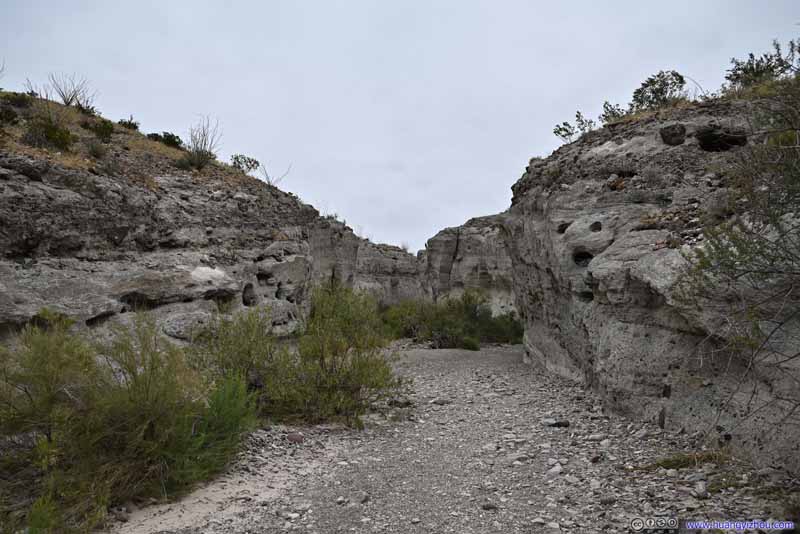
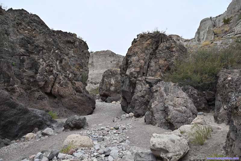
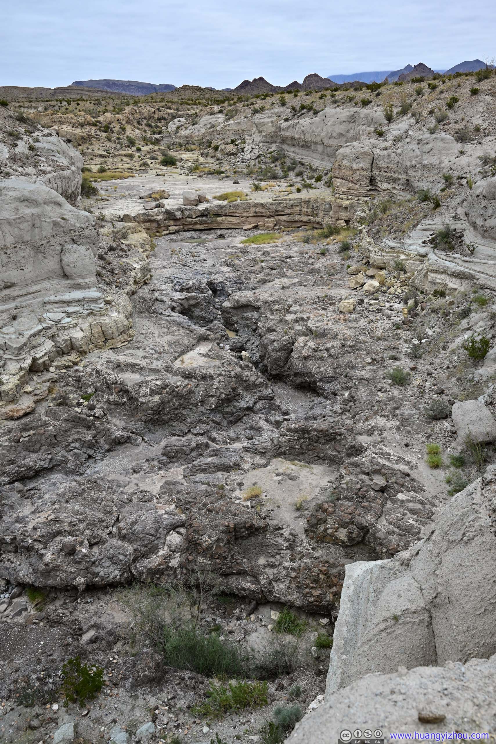
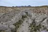
Tuff Canyon Near its western entrance where the rocks weren't that high.
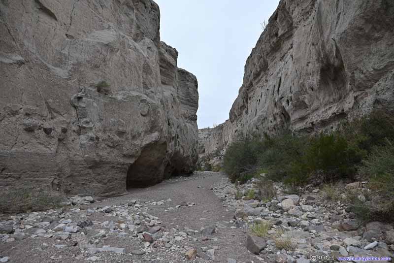
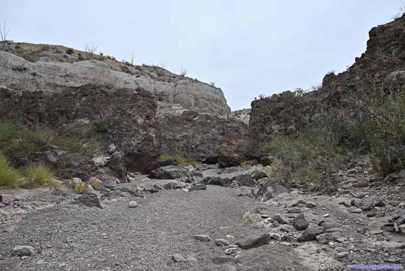
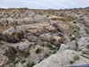
Tuff Canyon These rocks felt like a proper canyon.
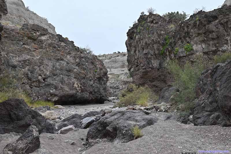
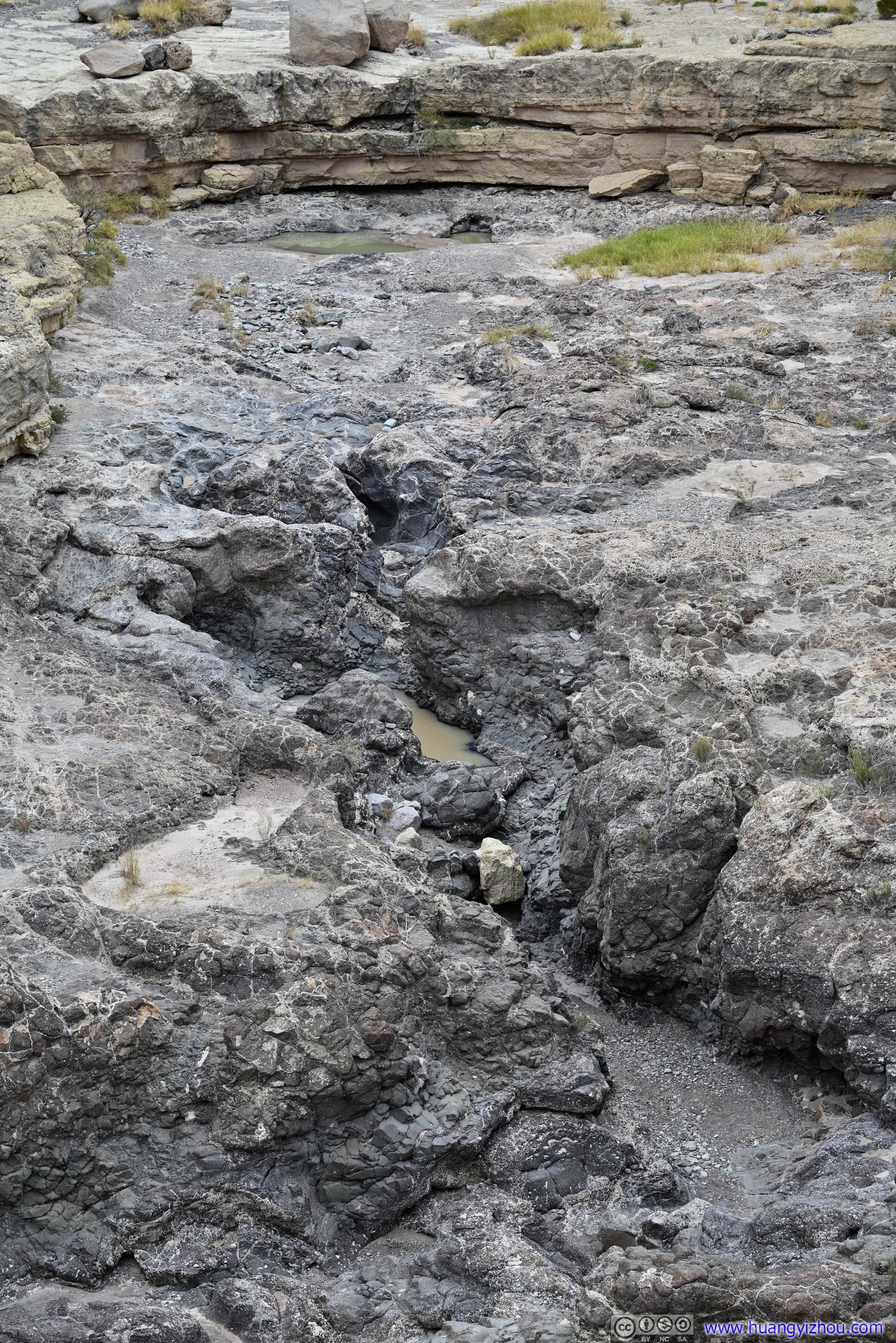
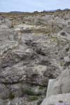
Tuff Canyon Heading deeper into Tuff Canyon where the rocks were darker in color, resembling volcanic deposits.
Tuff Canyon Heading deeper into Tuff Canyon where the rocks were darker in color, resembling volcanic deposits.
Tuff Canyon Heading deeper into Tuff Canyon where the rocks were darker in color, resembling volcanic deposits.
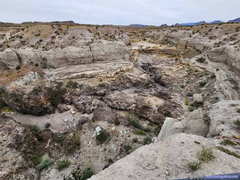
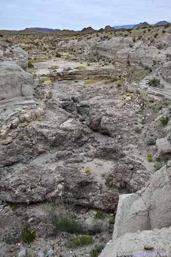
It certainly had a canyon feeling walking down the canyon floor. However, partly because the aspect ratio of Tuff Canyon was never that high, it didn't feel that impressive to me. In addition, there were two overlooks along the canyon cliff, both a short distance (200m) from the parking lot, that in my opinion offered views as good if not even better.
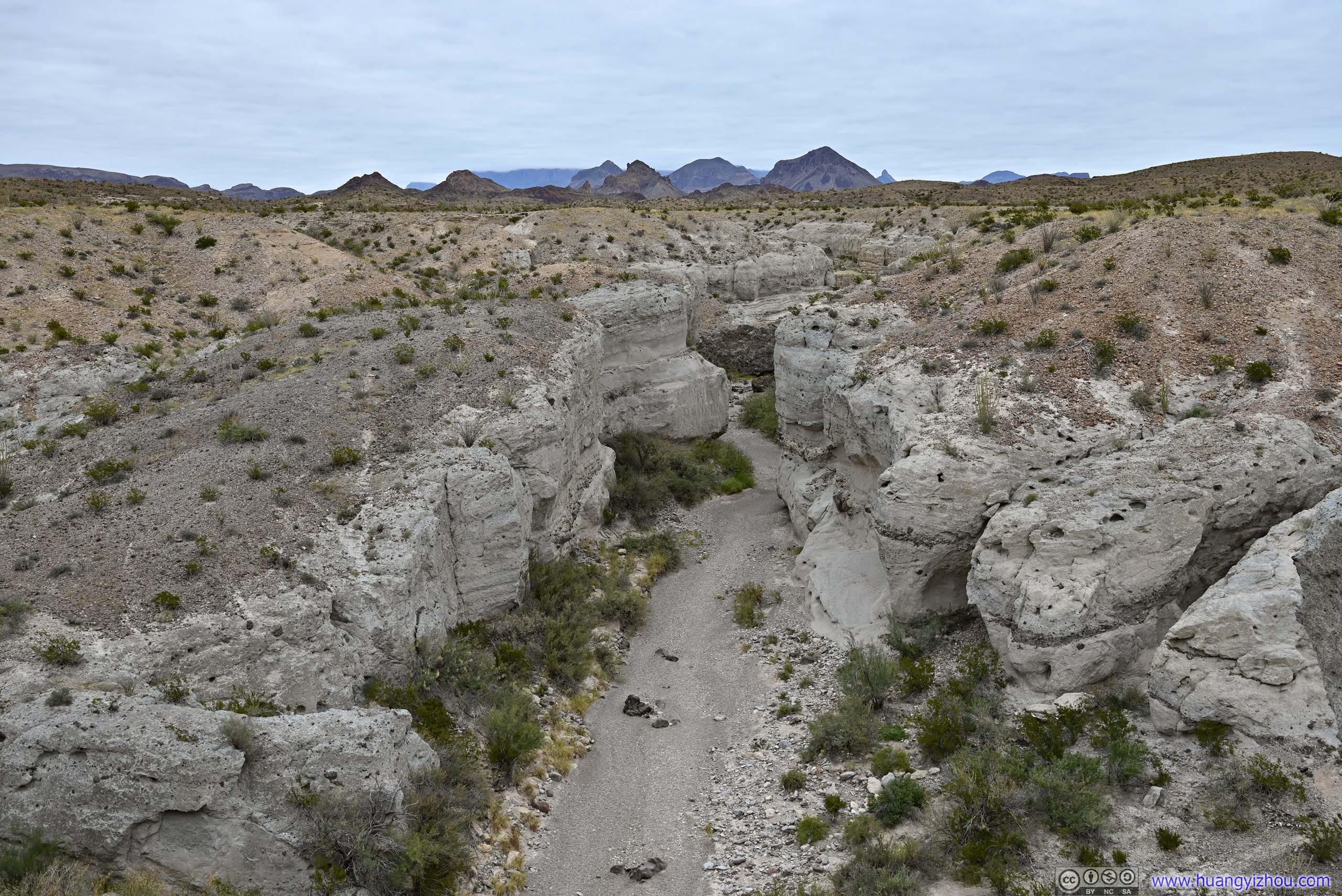
Overlooking Tuff Canyon From the western overlook.
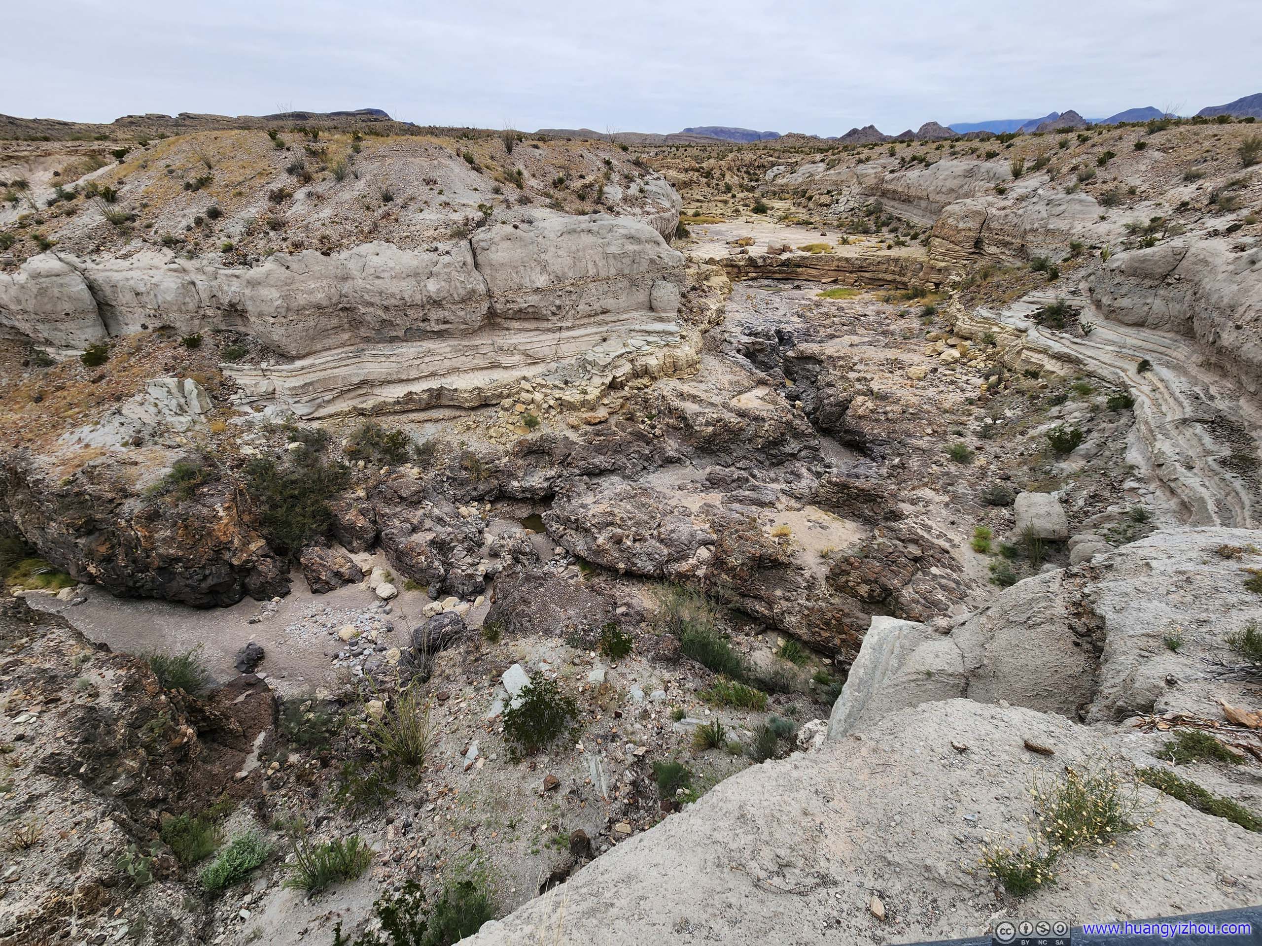
Overlooking Tuff Canyon From the eastern overlook.
Overlooking Tuff Canyon From the eastern overlook.
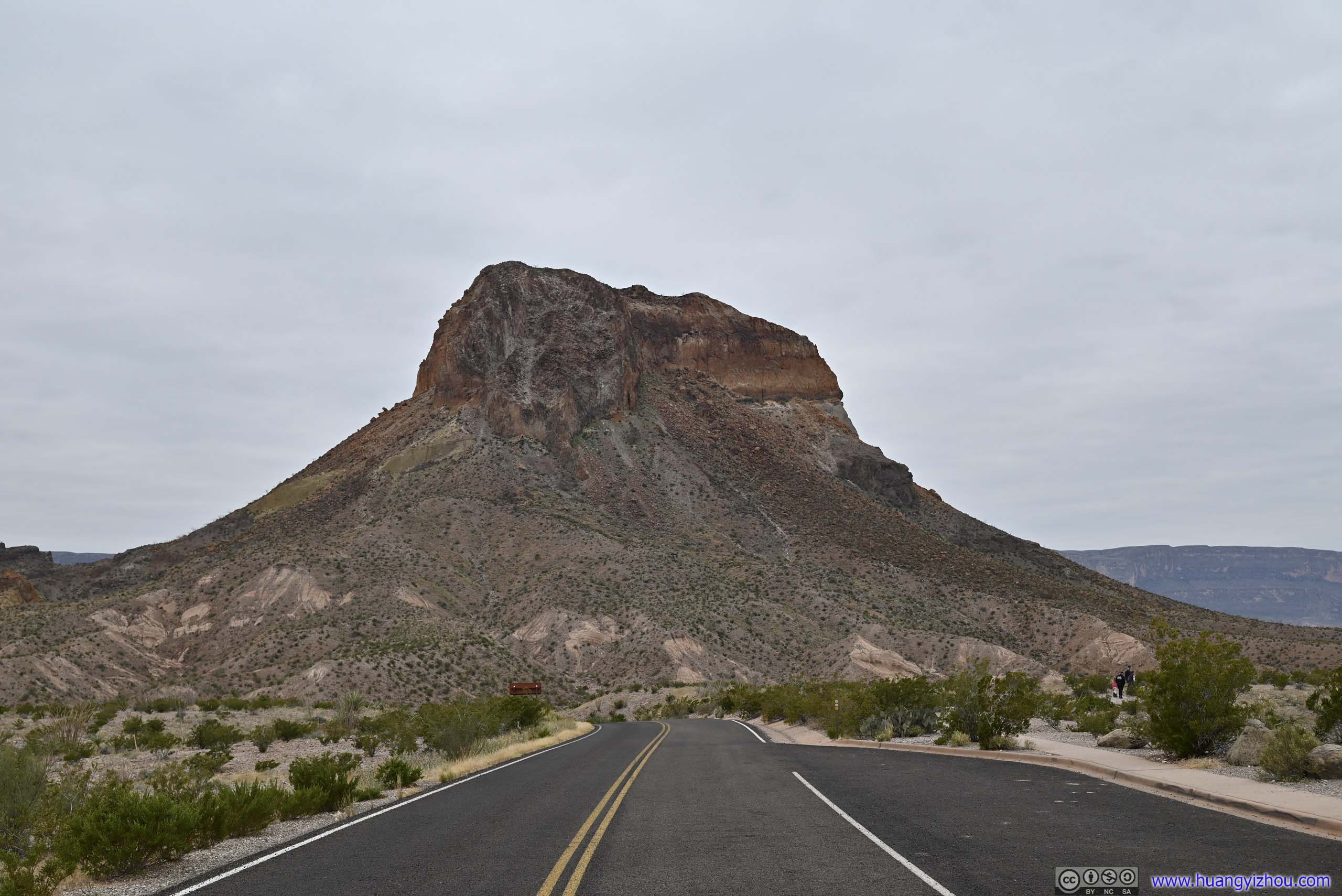
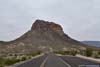
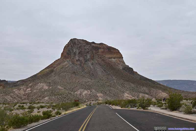
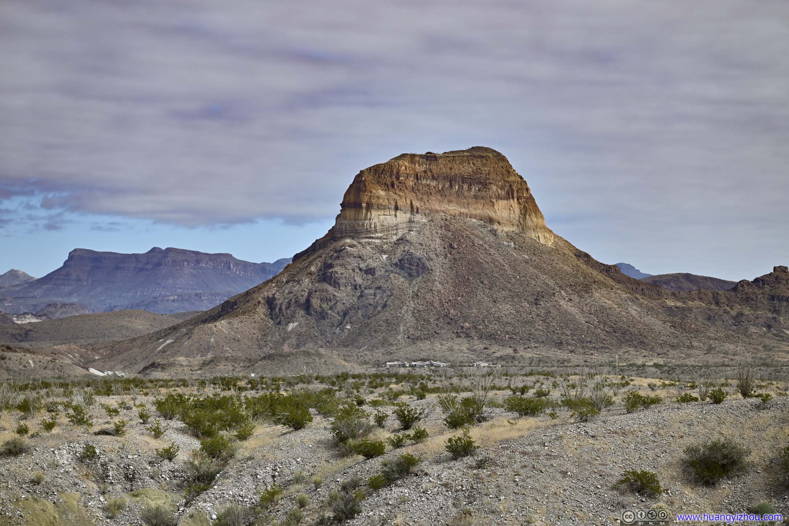
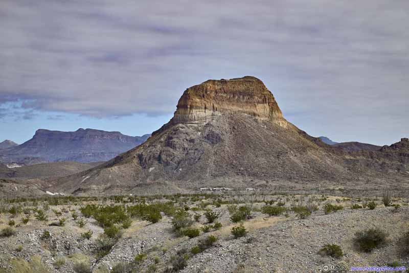
Cerro Castellan A volcanic vent with different layers of rock.
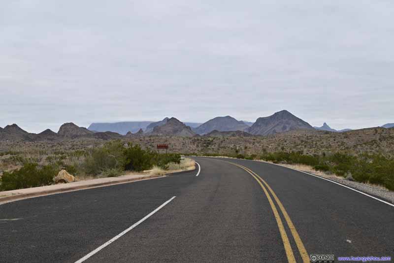
Park Road Sprinkled hills before distant Chisos Mountains in the clouds.
Sublett House
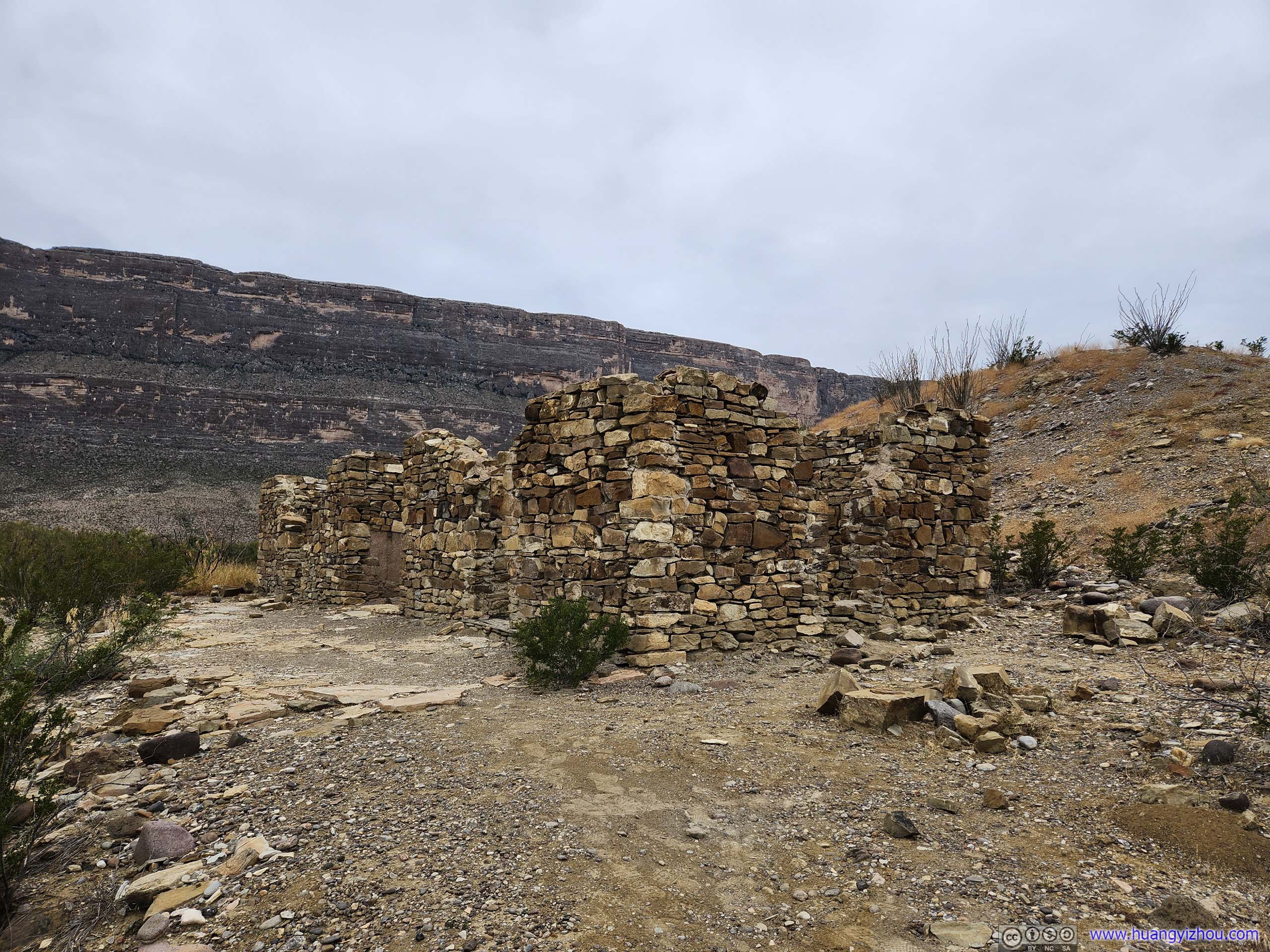
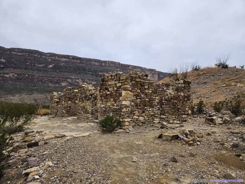
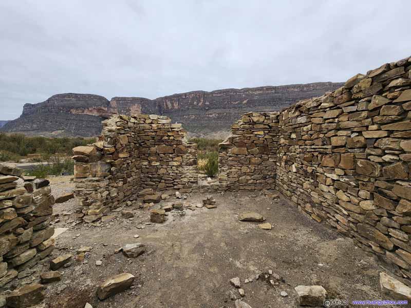
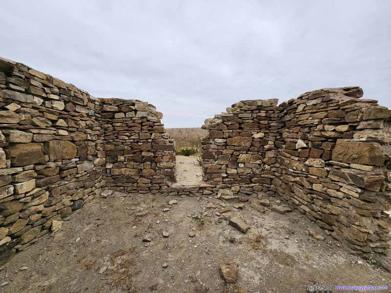
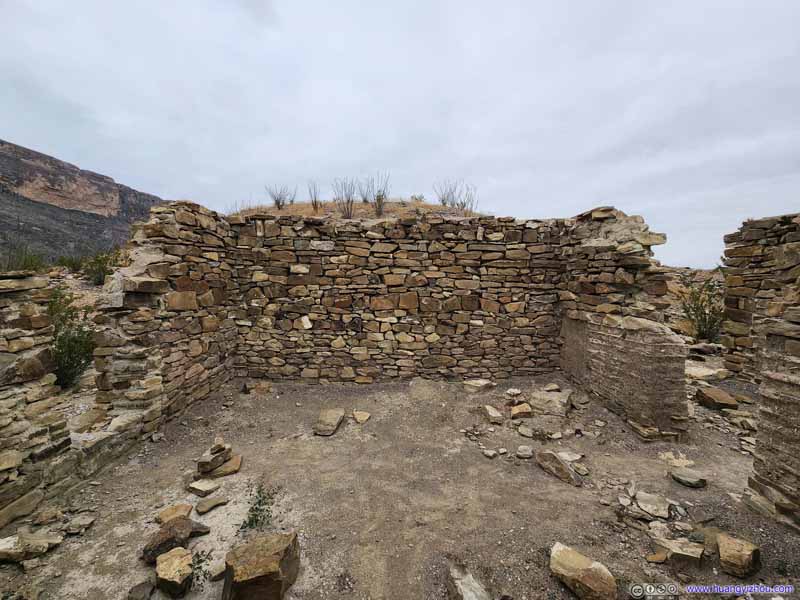
Another stop along Ross Maxwell Scenic Drive, of what used to be a farmhouse owned by James and Melissa Sublett, known for introducing mechanized farming into the Big Bend region.
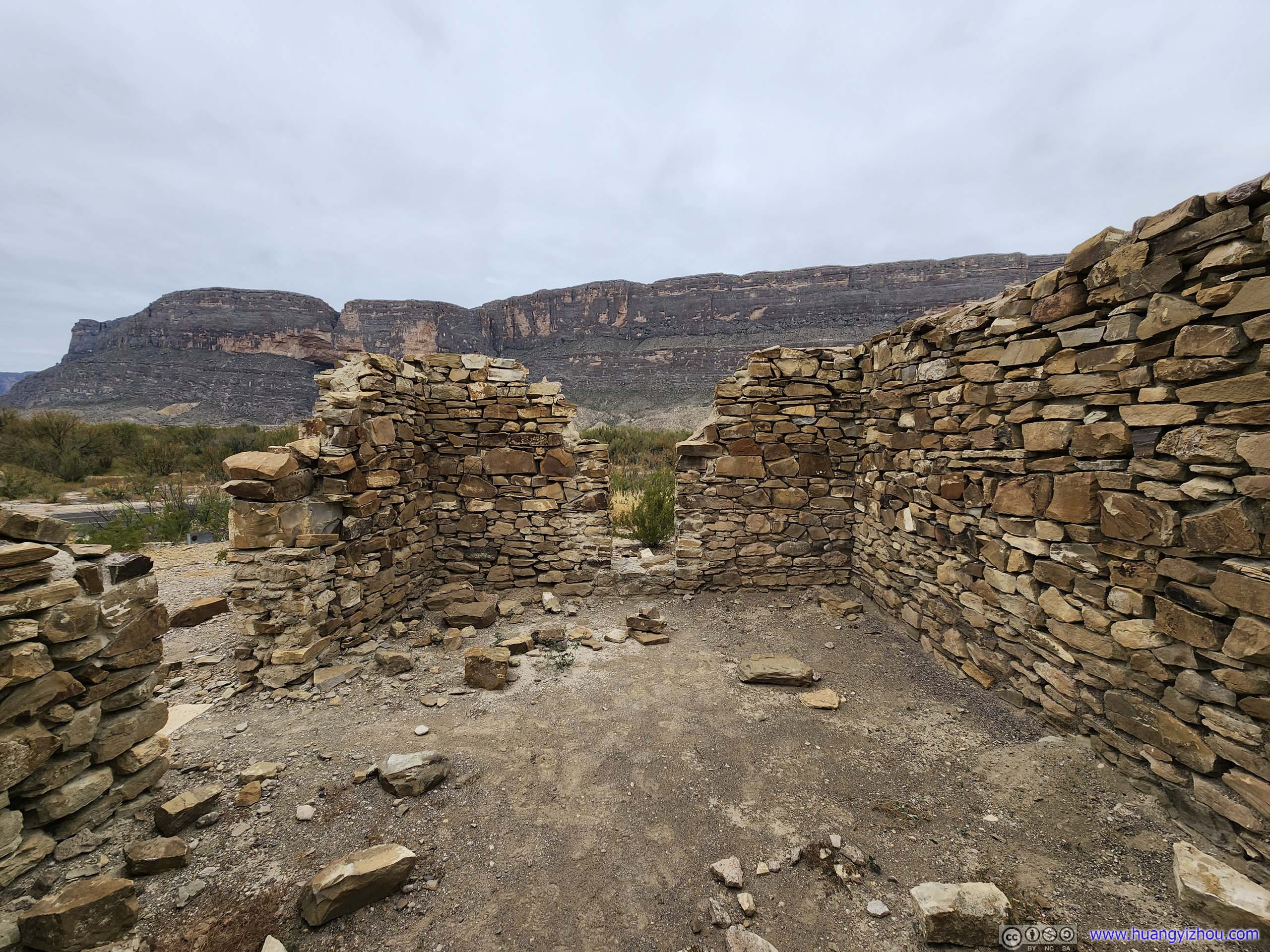
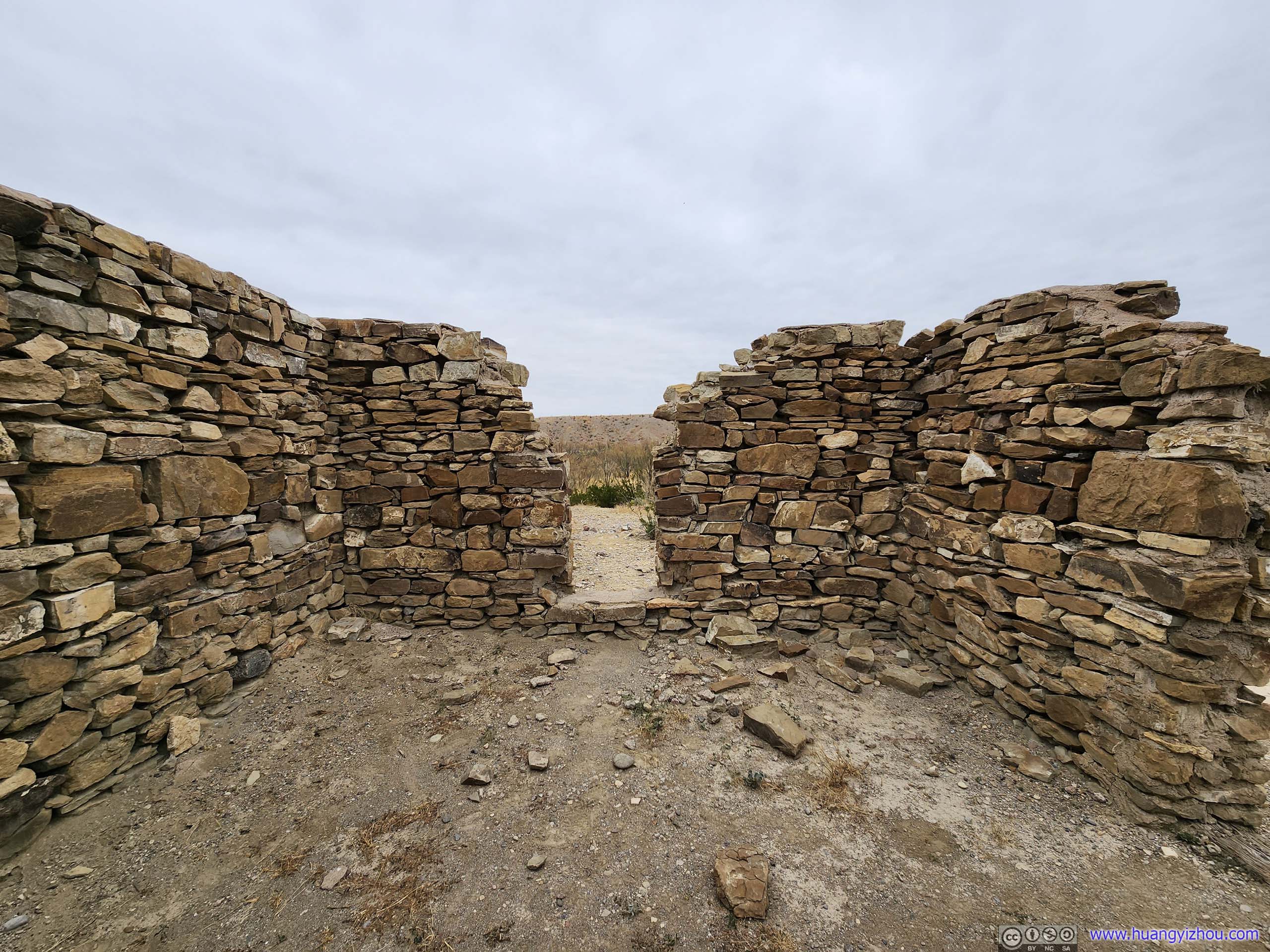
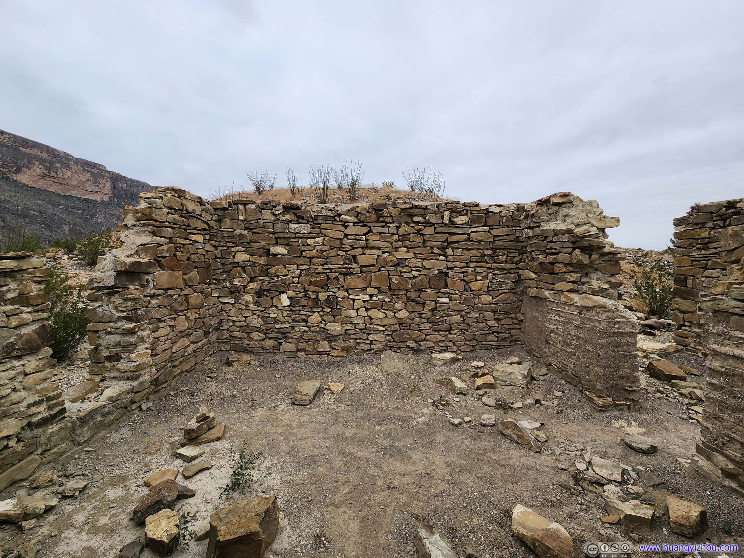
The ruins of this farmhouse was located right next to the roadside parking, which I paid a brief visit to. In addition, the 1.3km out-and-back "Dorgan-Sublett Trail" would lead to the ruins of another farmhouse owned by Albert W. Dorgan (eventual son-in-law of James Sublett), which, due to the distance I skipped.
Ruins
Ruins
Ruins
Ruins
Santa Elena Canyon Overlook
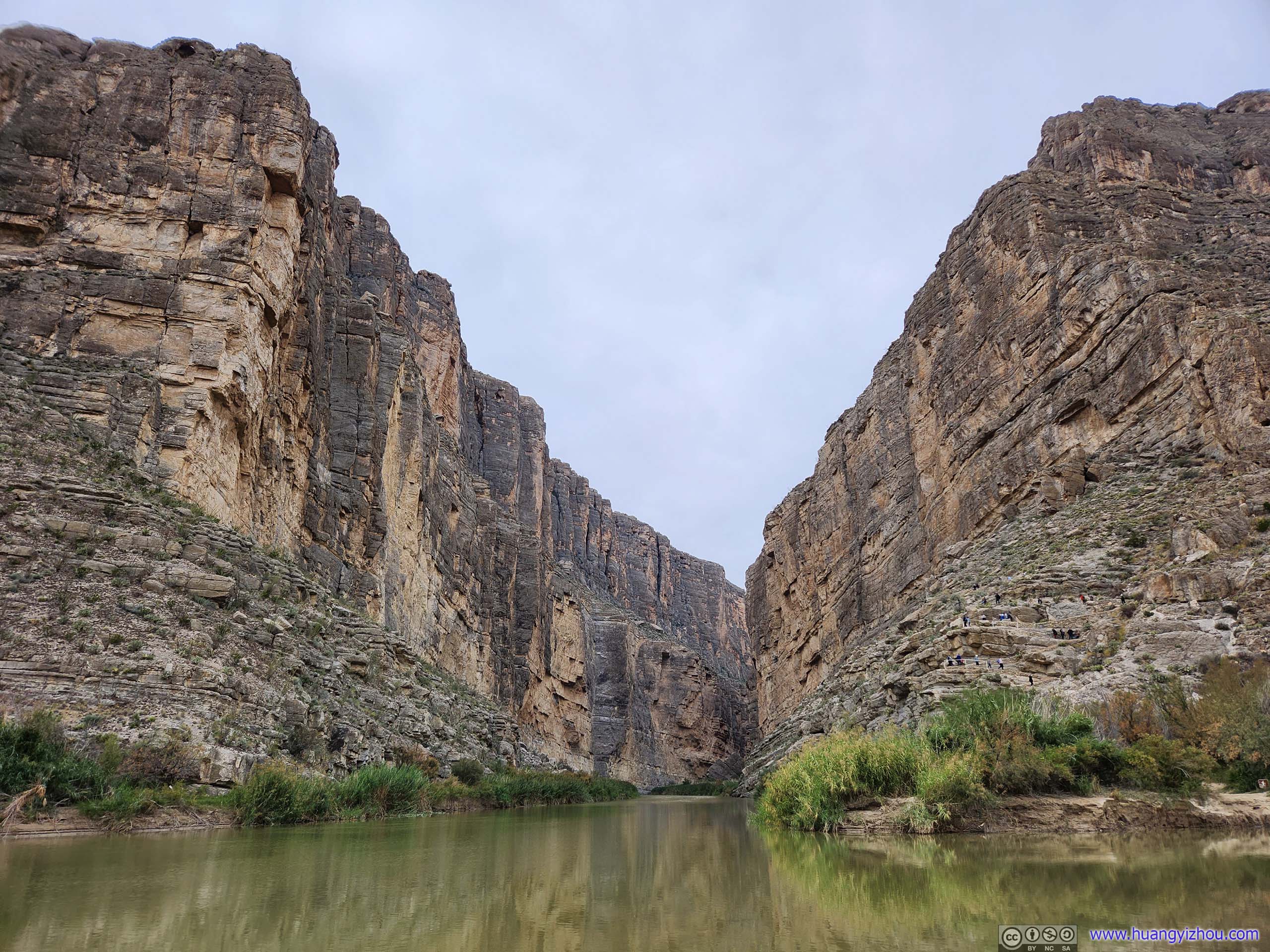
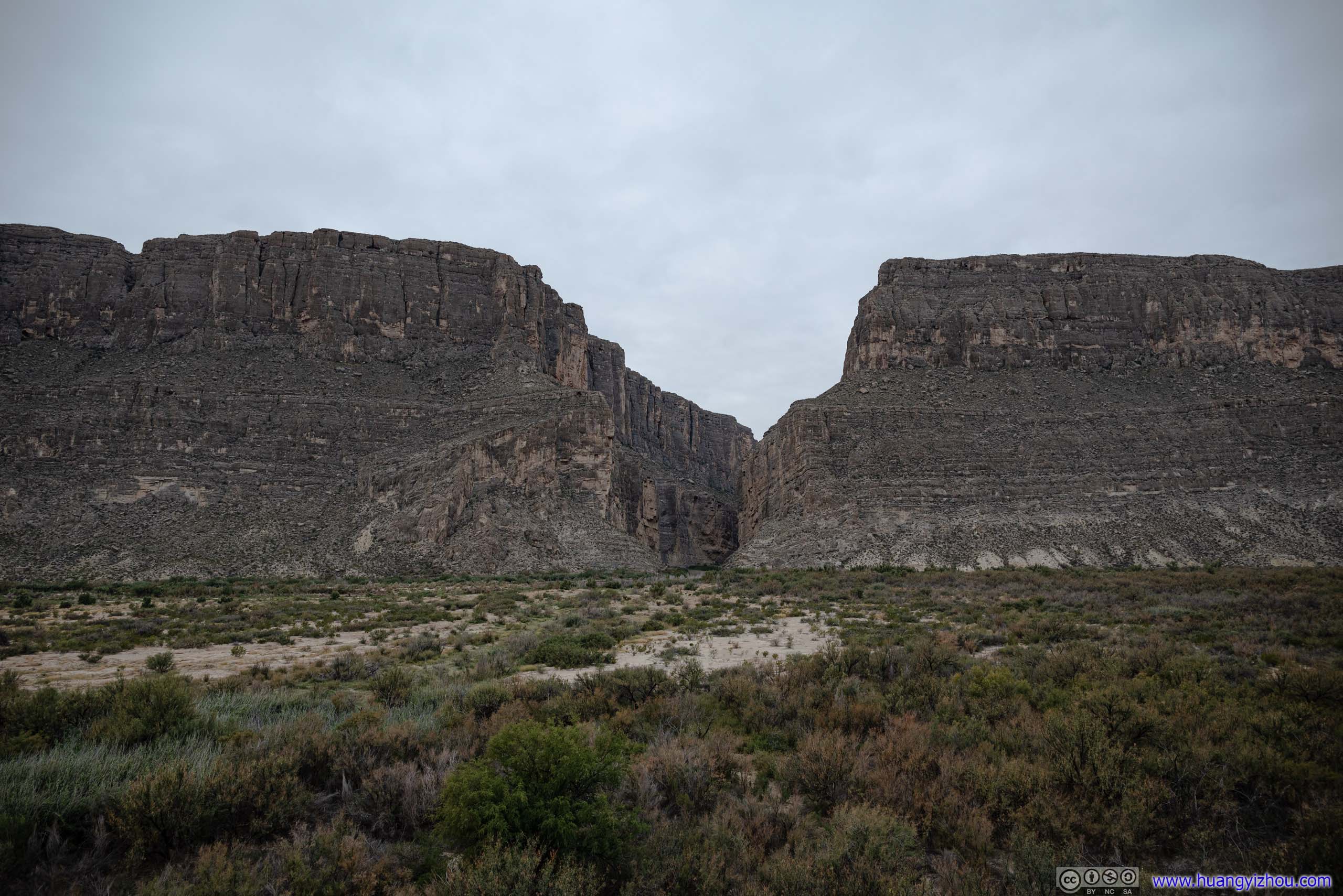
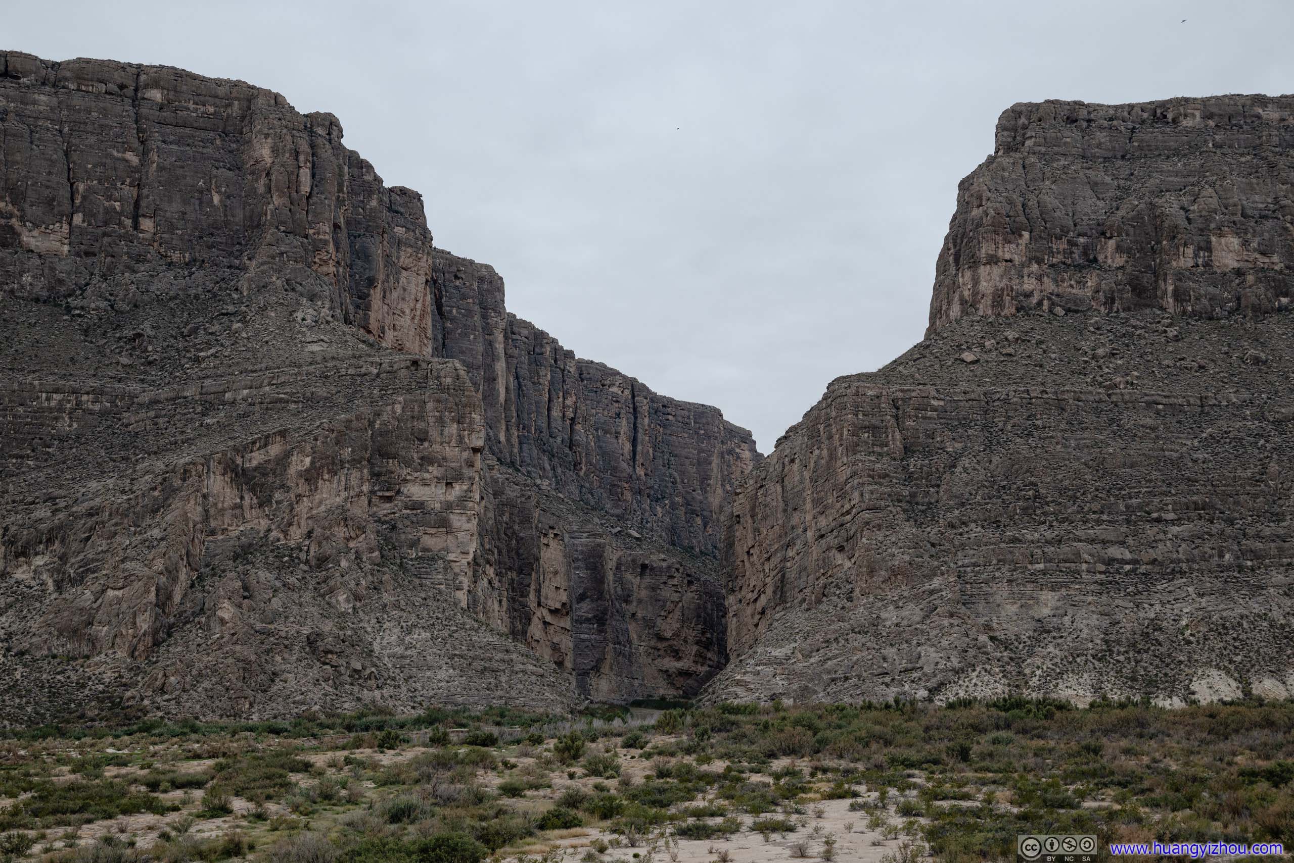
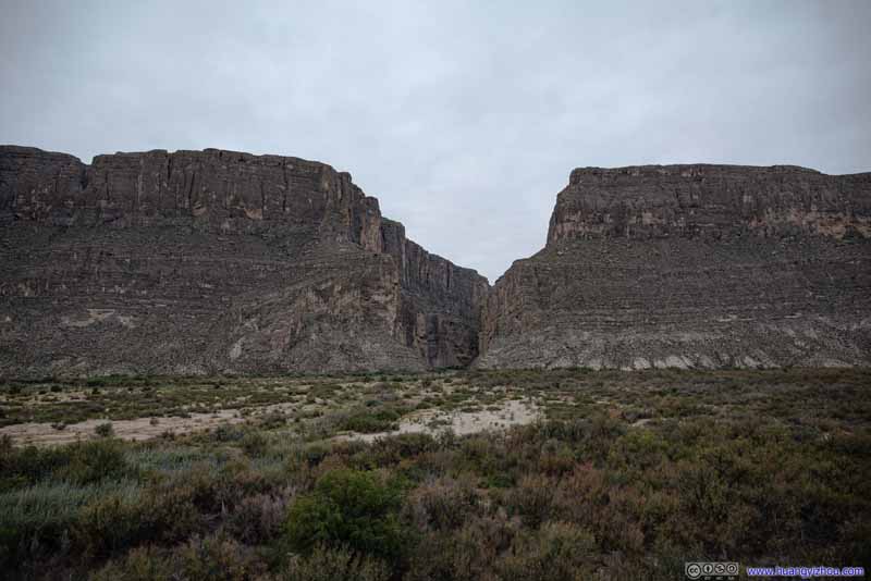
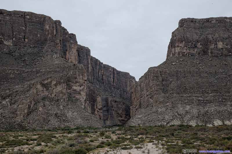
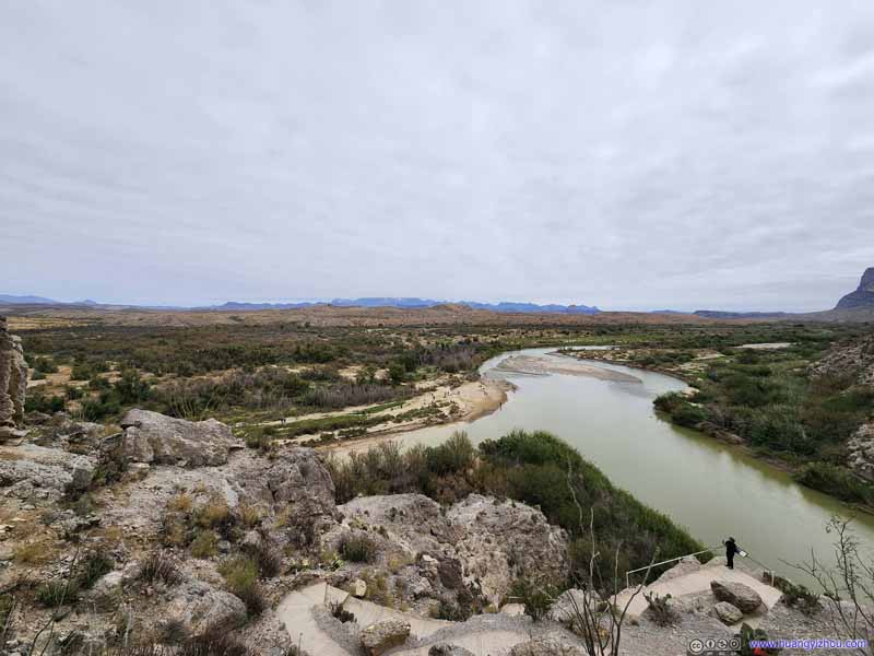
An overlook on the river terrace of Rio Grande, offering a laid-back view of Santa Elena Canyon, which was quite impressive as if the canyon was precision-cut from a continuous cliff, which ended abruptly in front giving its audience a spectacular anatomic view.
Santa Elena Canyon
Santa Elena Canyon
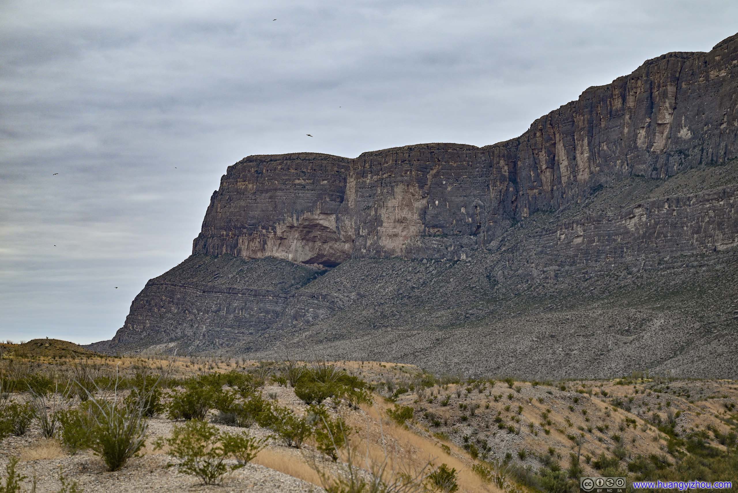
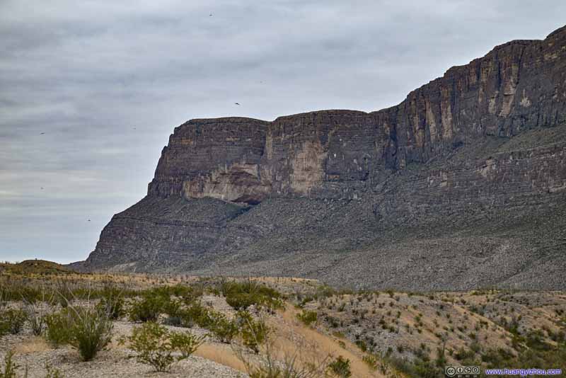
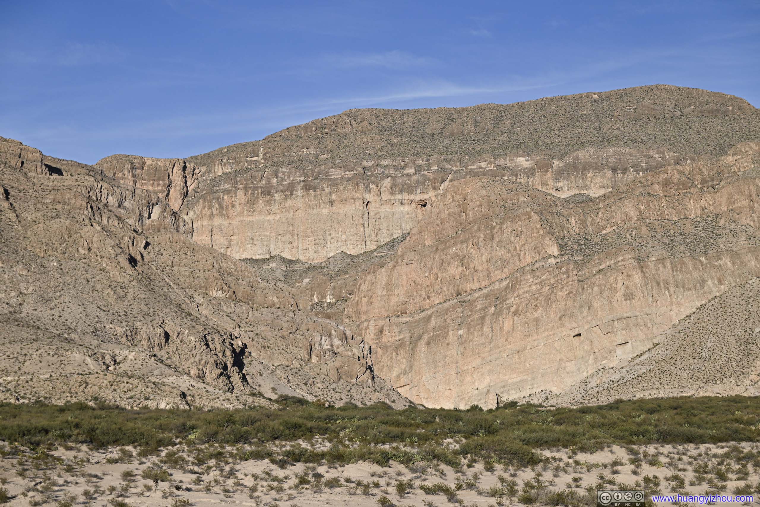
Cliffs to the South There seemed like an alcove in the middle.
With such nice views in front, I took a rest and had some snacks here to prepare myself for the hike into Santa Elena Canyon.
Santa Elena Canyon
Santa Elena Canyon
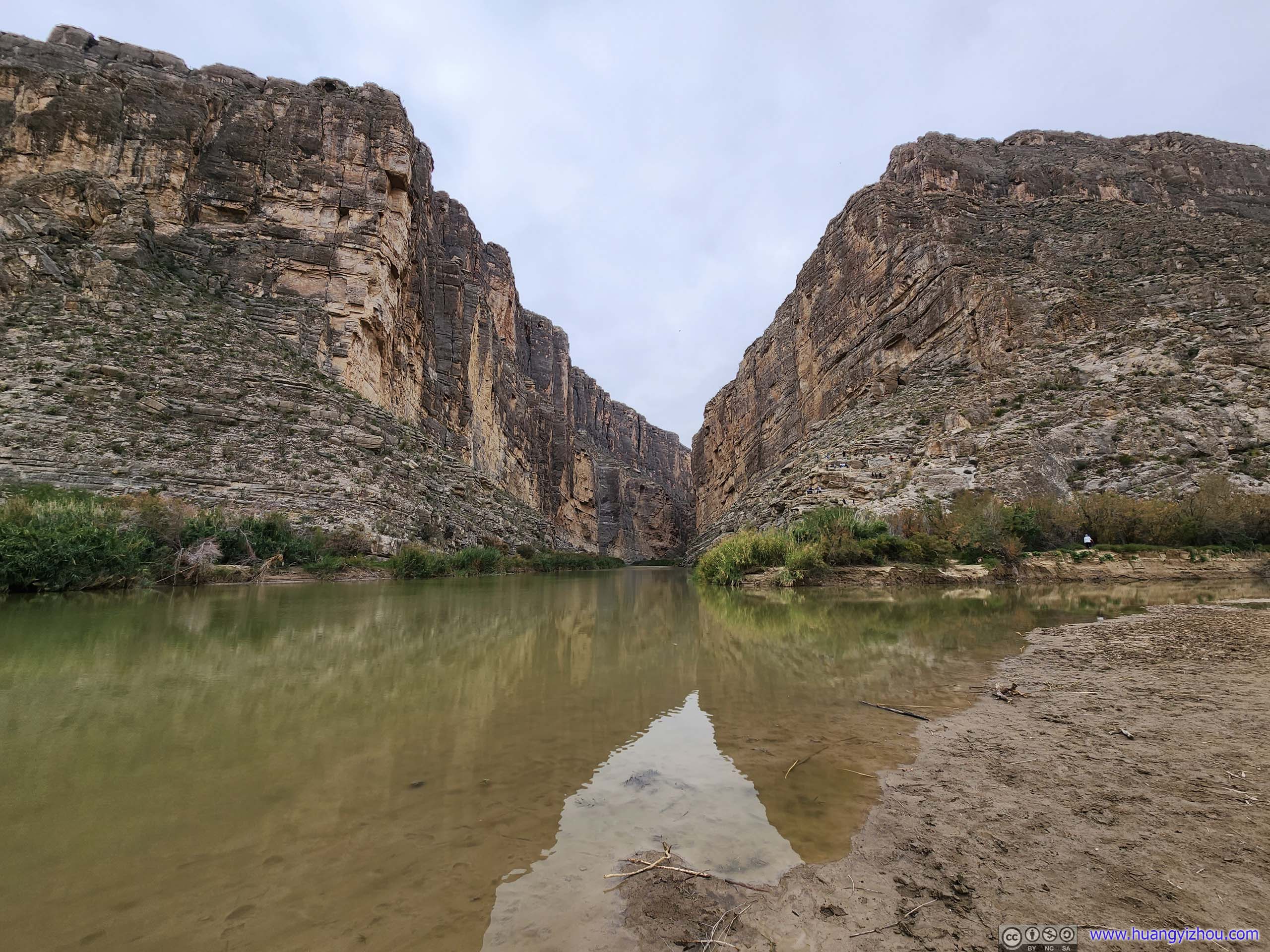
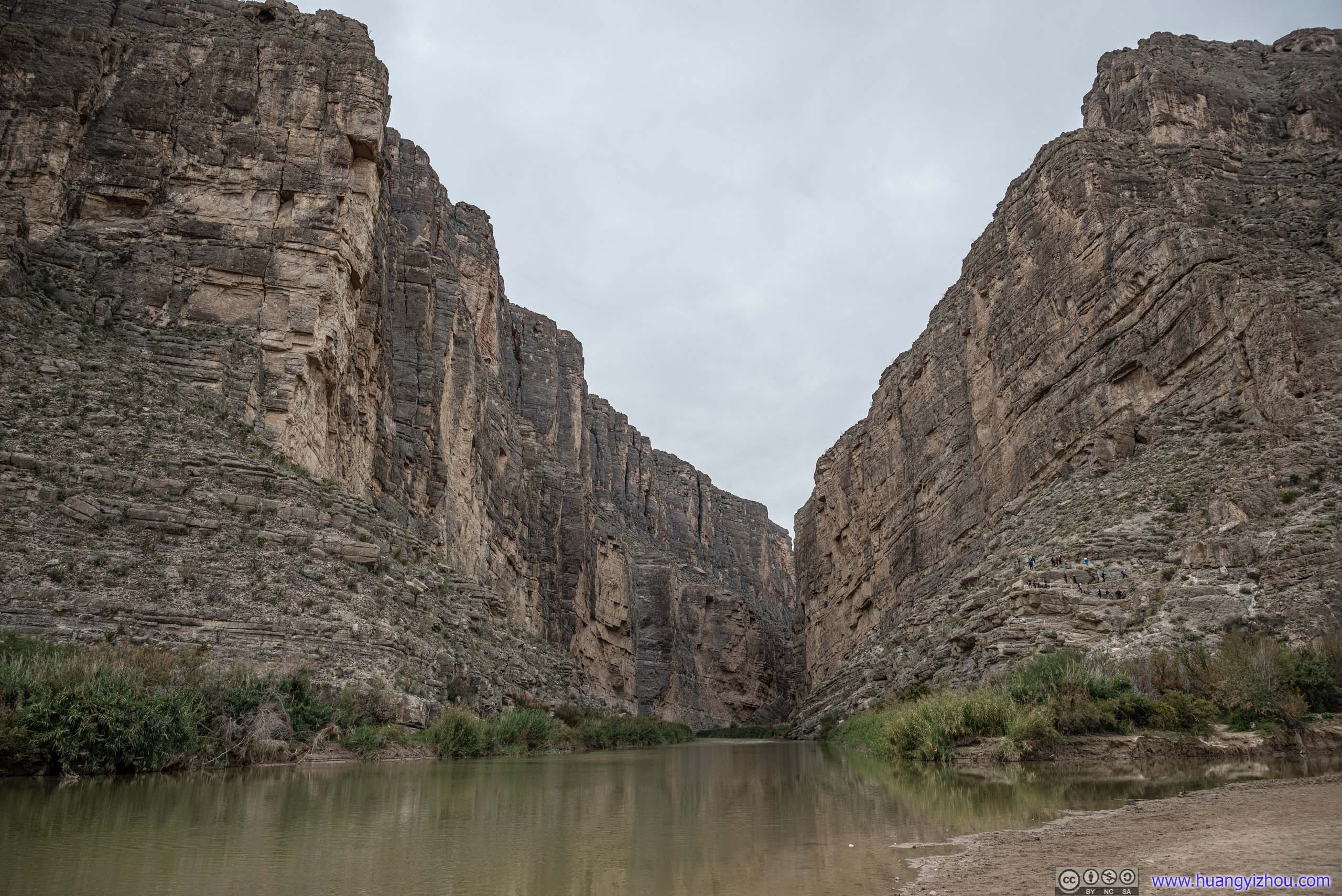
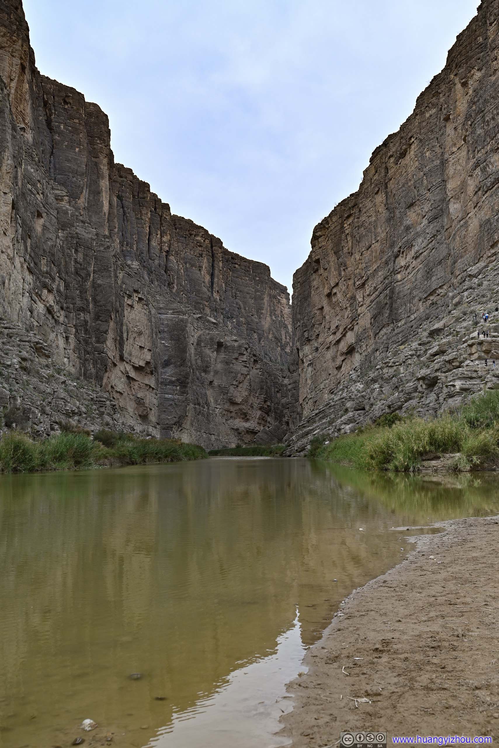
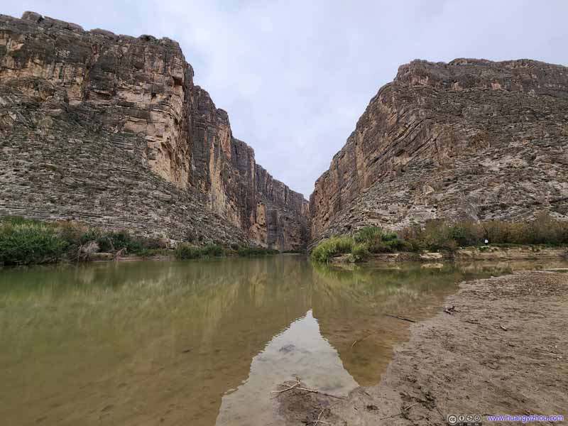
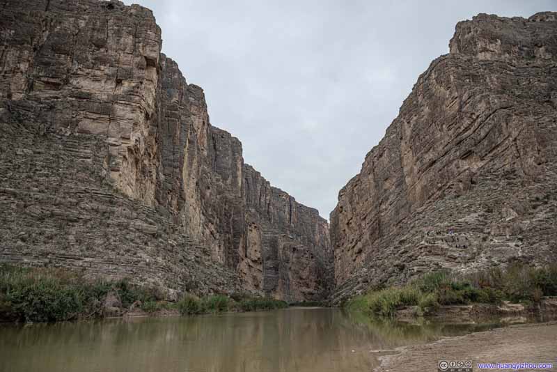
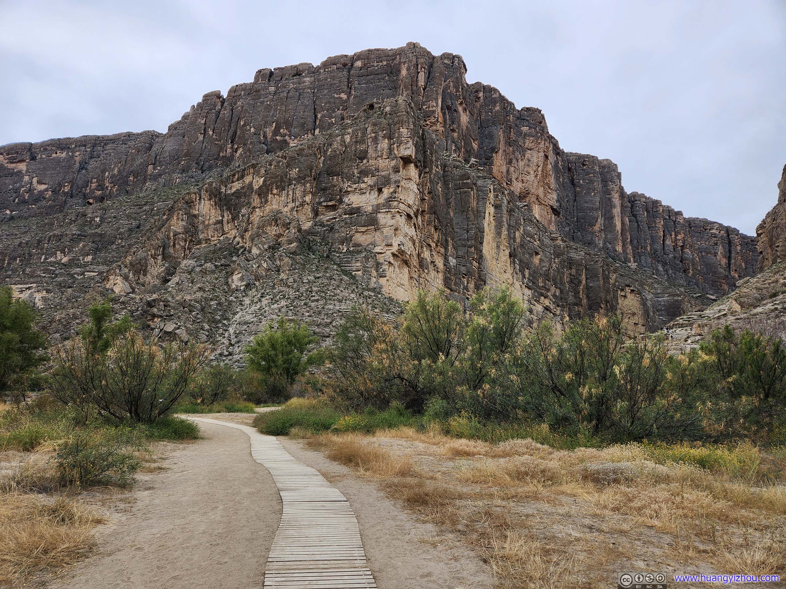
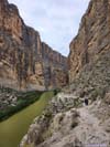
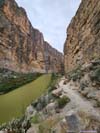
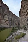
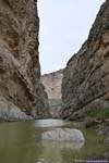
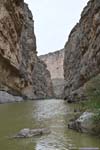
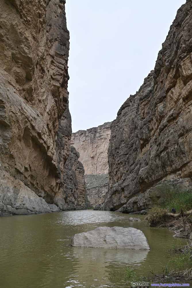
Finally, the star of the day, Santa Elena Canyon.
The parking lot at the trailhead seemed too small to accommodate its popularity. As a result, a park ranger was managing traffic while many cars resorted to roadside parallel parking. I was lucky as my arrival coincided with some others leaving.
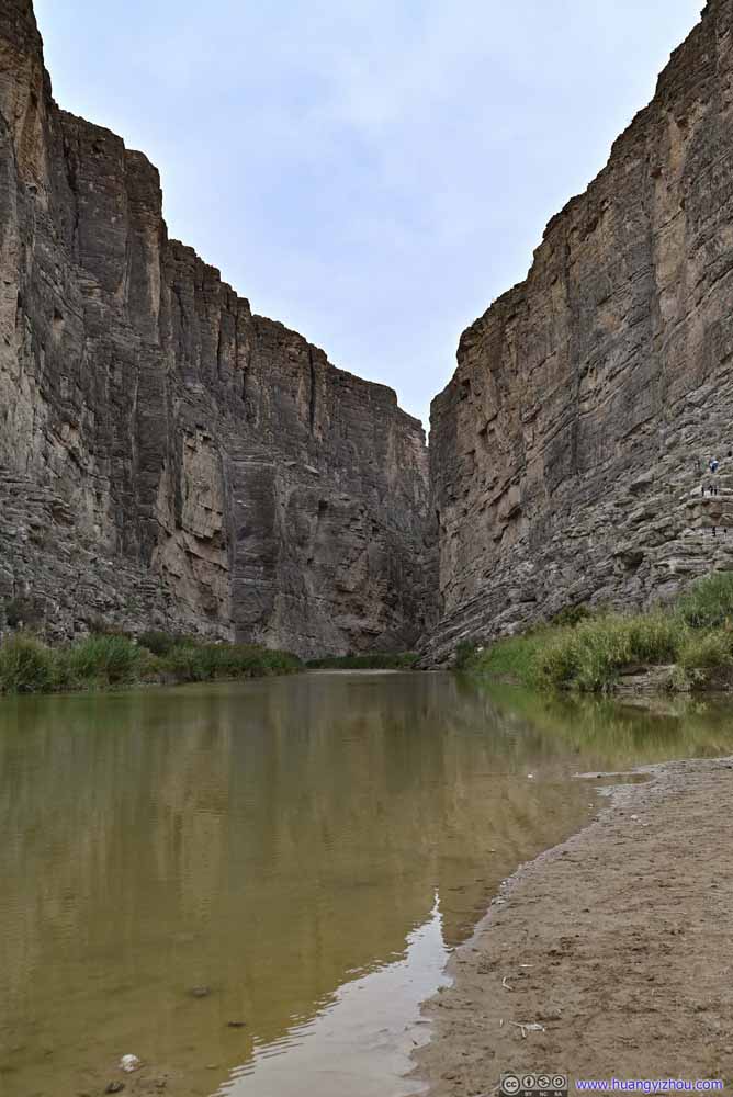
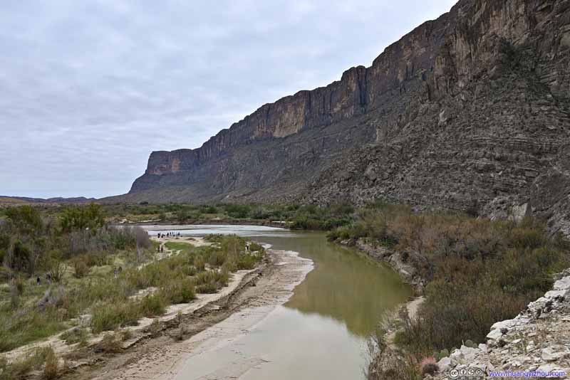
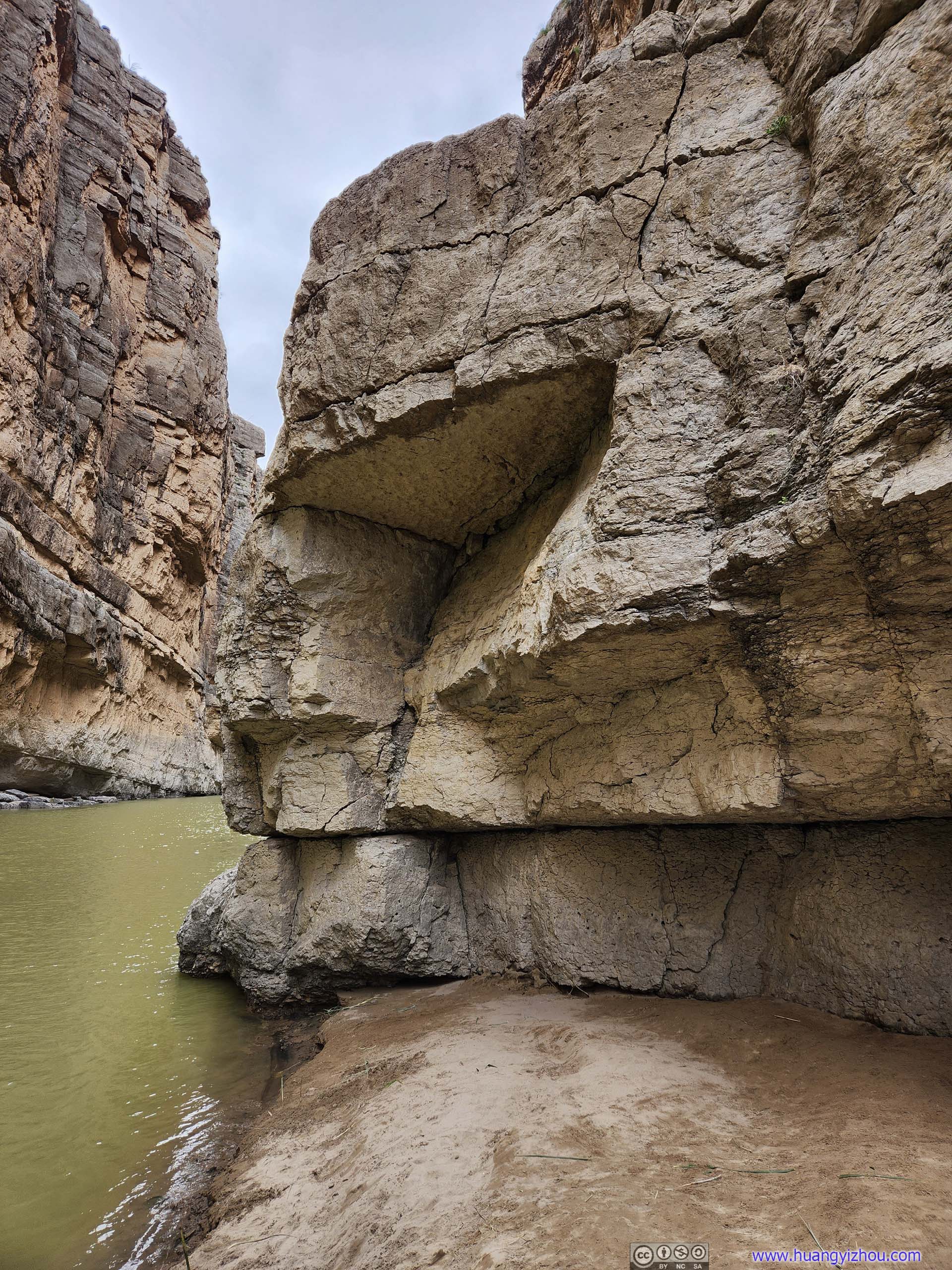
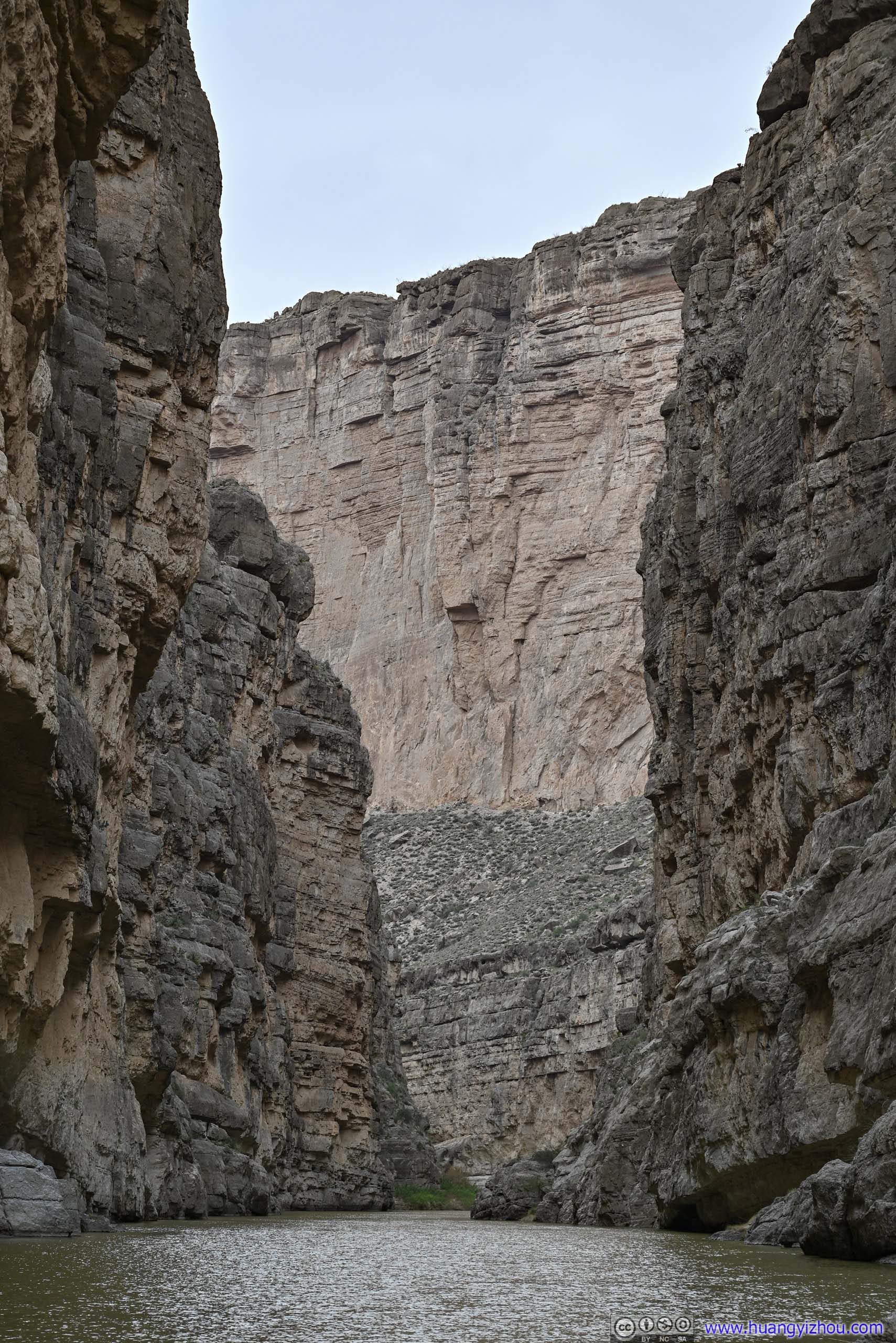
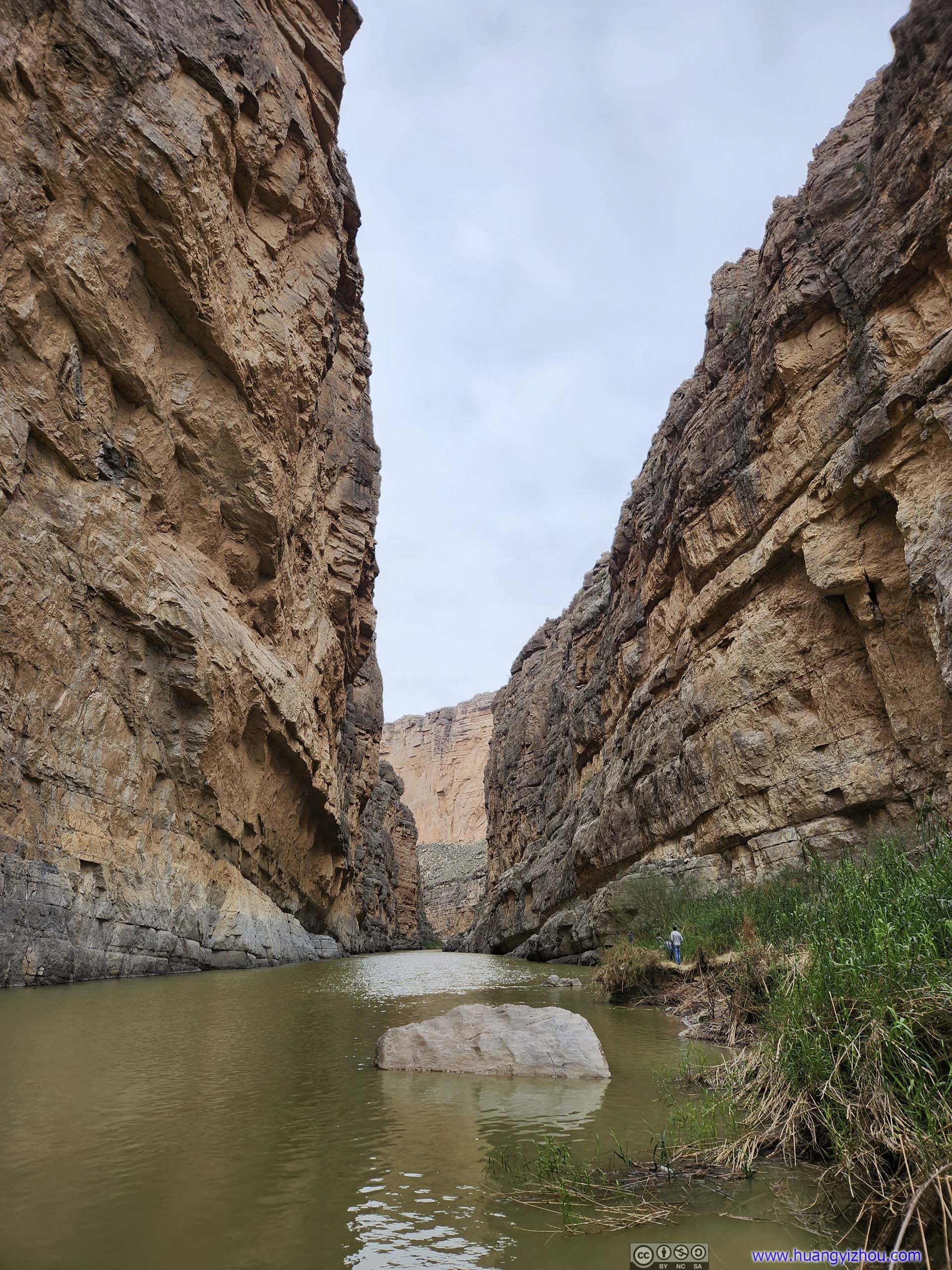
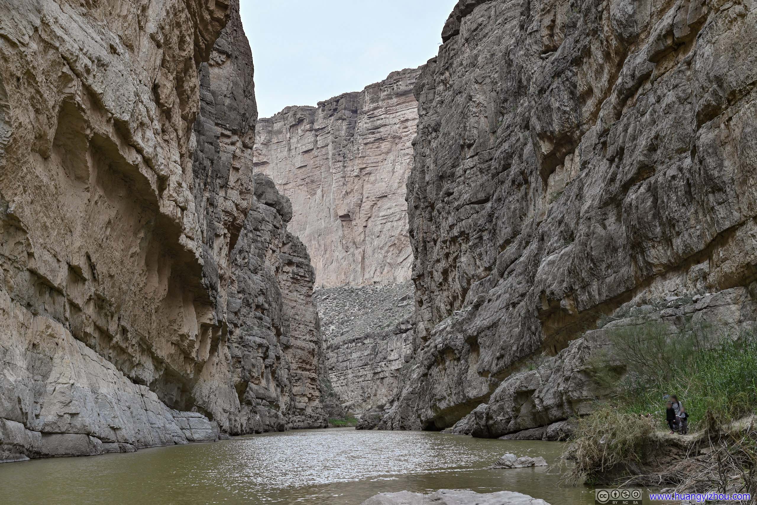
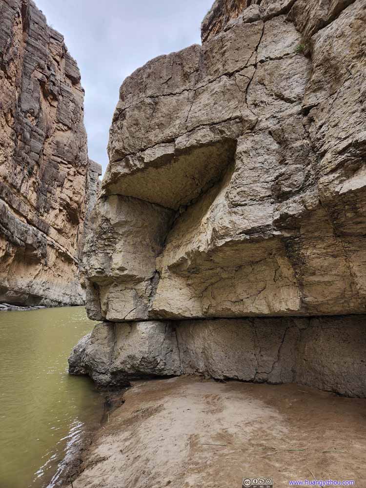
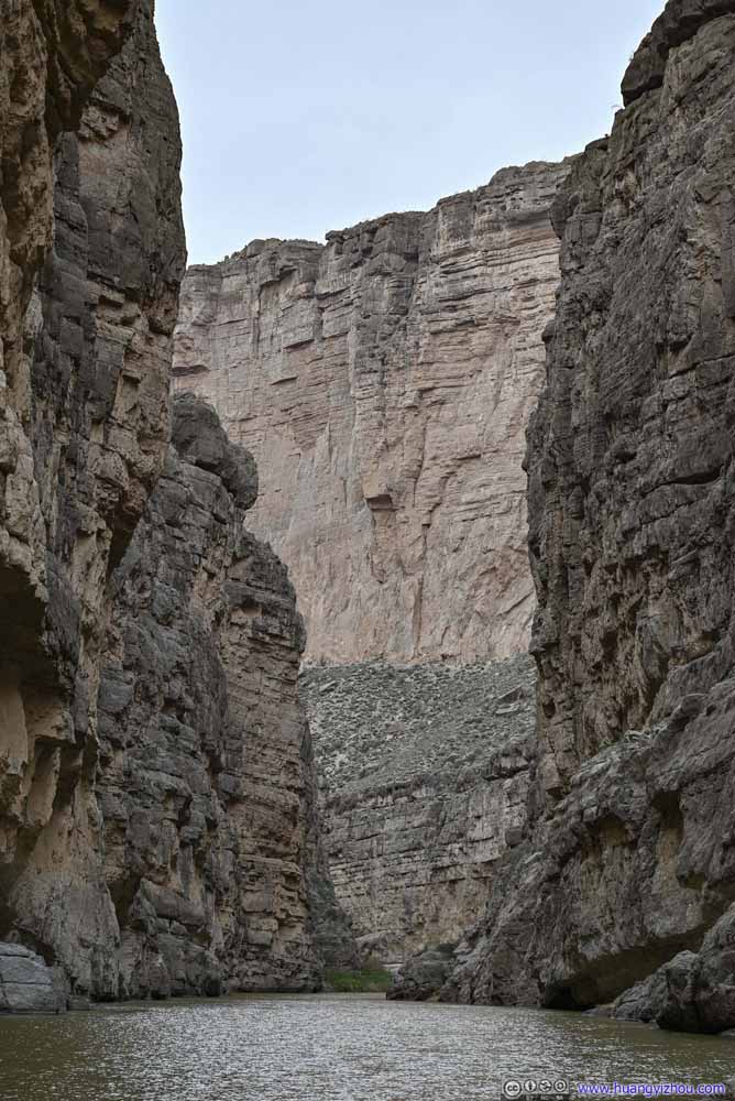
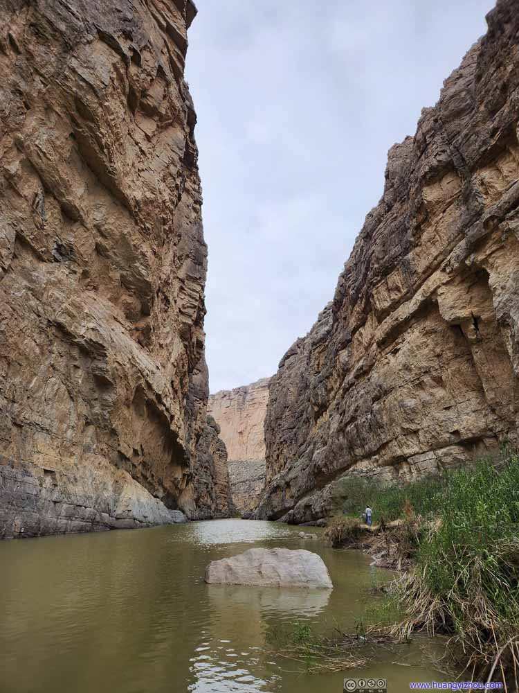
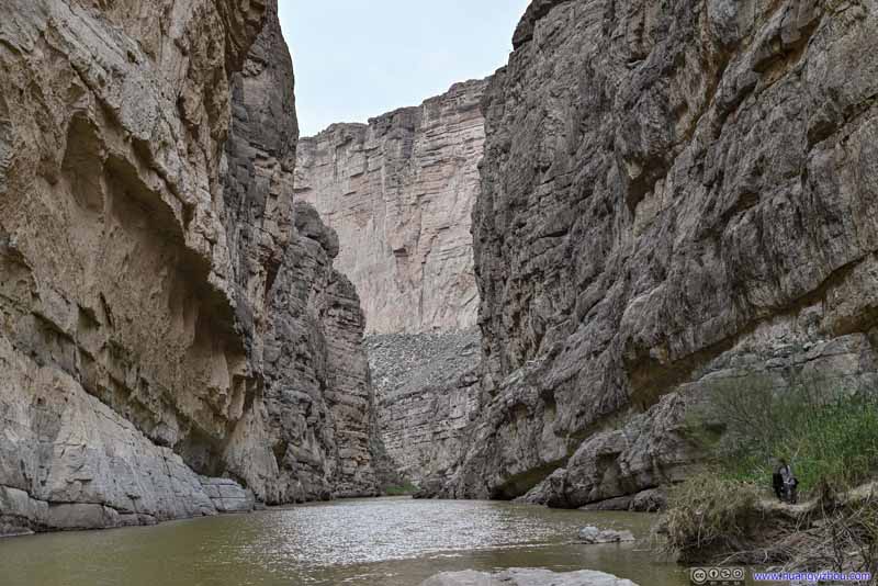
A short distance into the trail, one would reach the shores of Rio Grande, at the mouth of Santa Elena Canyon. A close-up view of the towering magnificence of the canyon.
Santa Elena Canyon
Santa Elena Canyon
Santa Elena Canyon
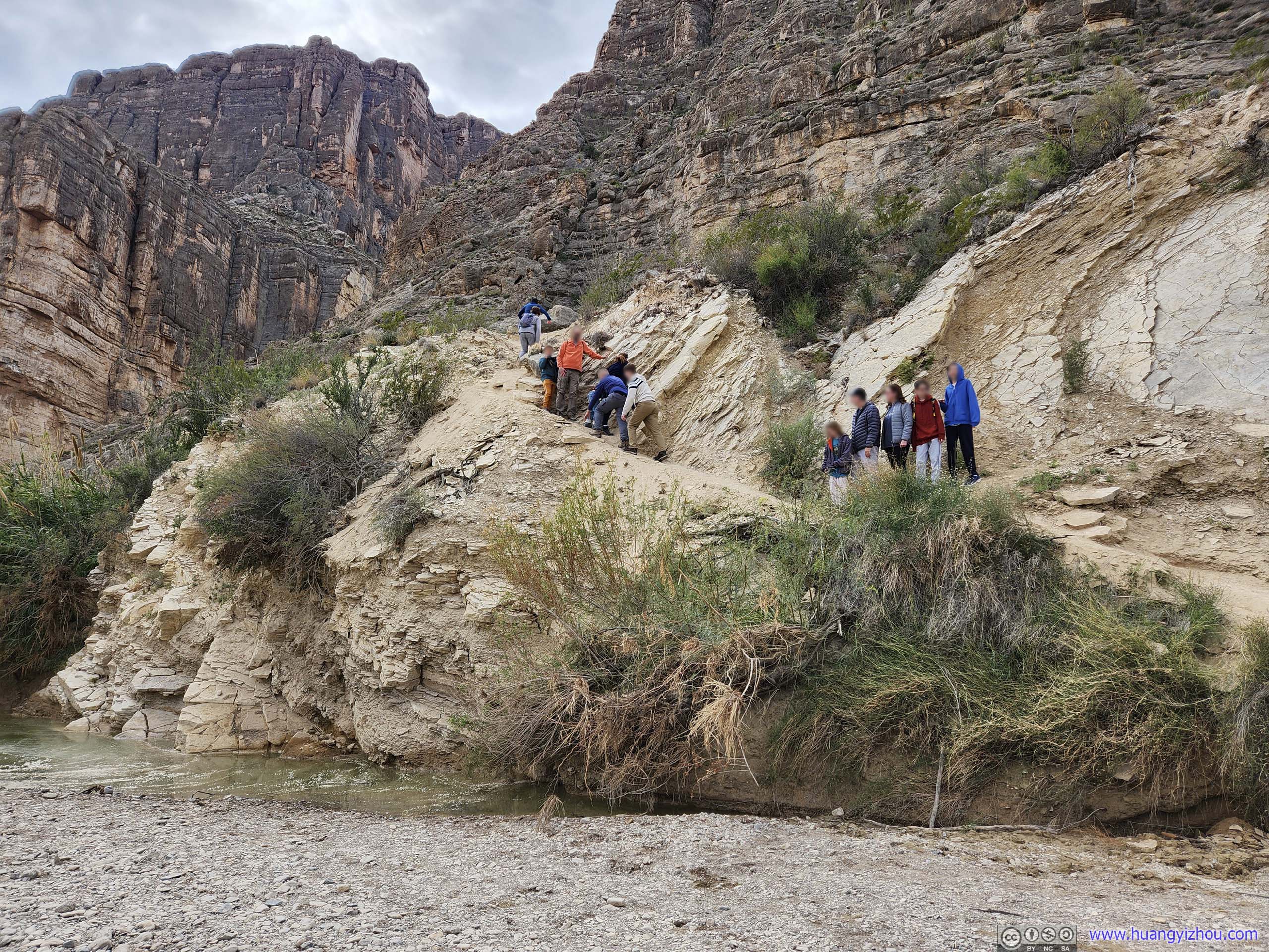
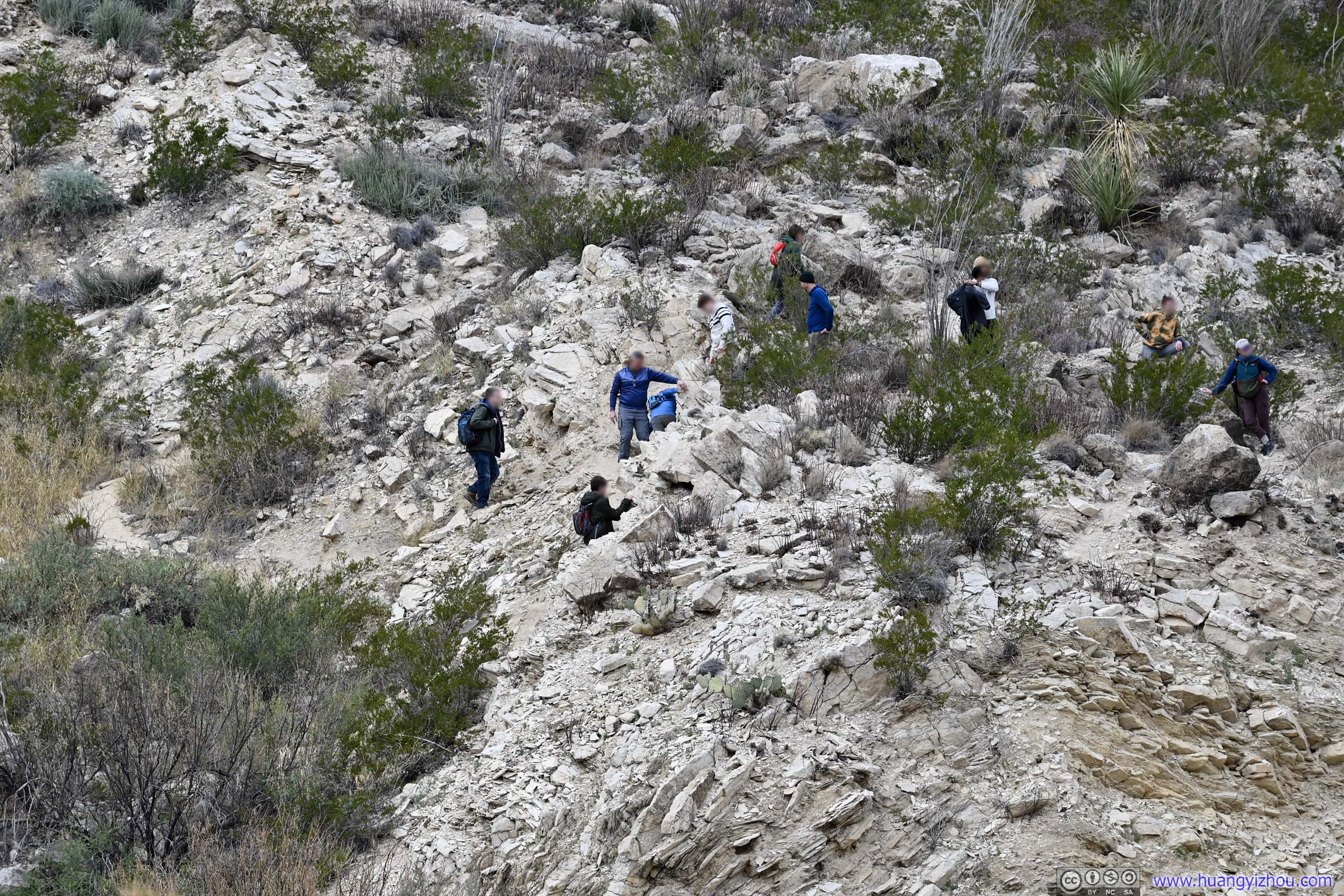
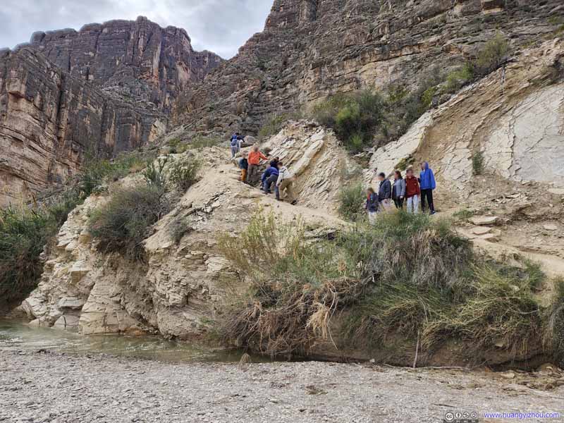
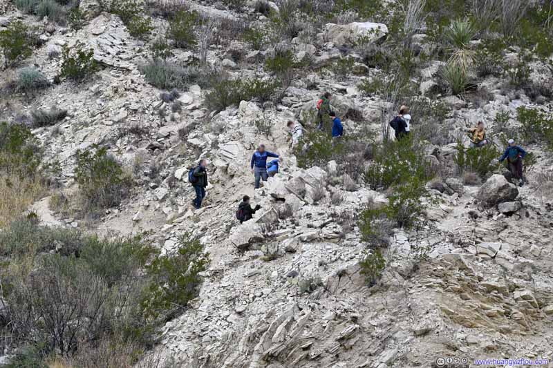
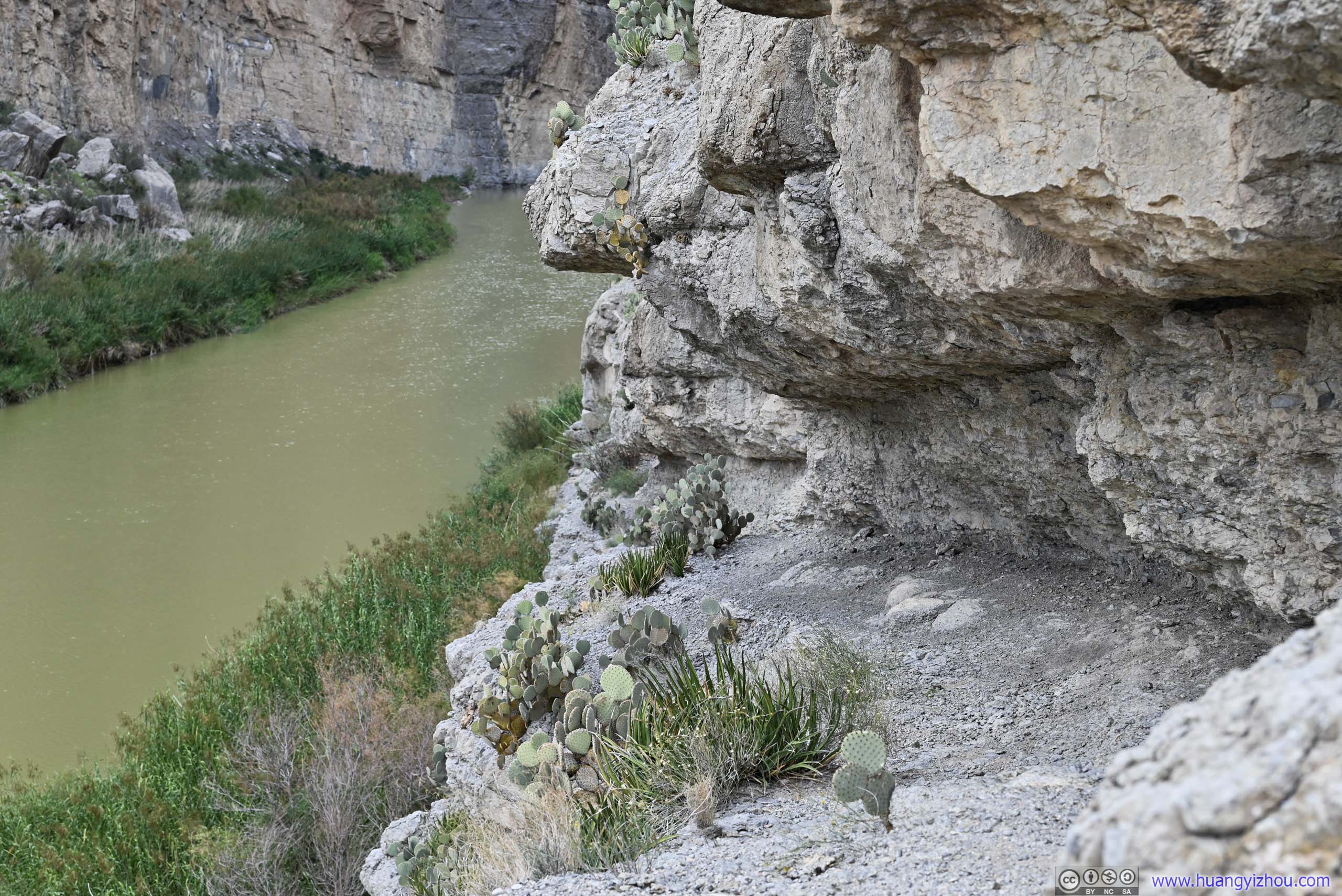
The official trail headed directly into Santa Elena Canyon. However, during my visit, water levels were high for Terlingua Creek, and most people (if not all) didn't want to get wet crossing Terlingua Creek directly. As a result, we took a detour north and crossed Terlingua Creek where it's narrow and shallow, after which we hiked through some "dangerous cliff areas" as described by NPS, which they didn't recommend. In my opinion those areas never exceeded YDS class 2, and I managed them without using my hands, so I'm totally fine with them.
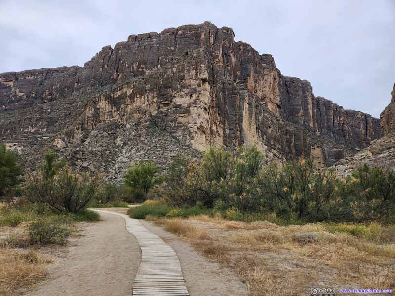
Trail The good trail conditions didn't last for long.
Trail to Santa Elena Canyon
To enter Santa Elena Canyon, one had to cross Terlingua Creek (the shallow body of water in the foreground) at its narrowest. After that portions of the trail were steep.
Trail to Santa Elena Canyon Some steep sections, at or below YDS Class 2, along the trail to Santa Elena Canyon.
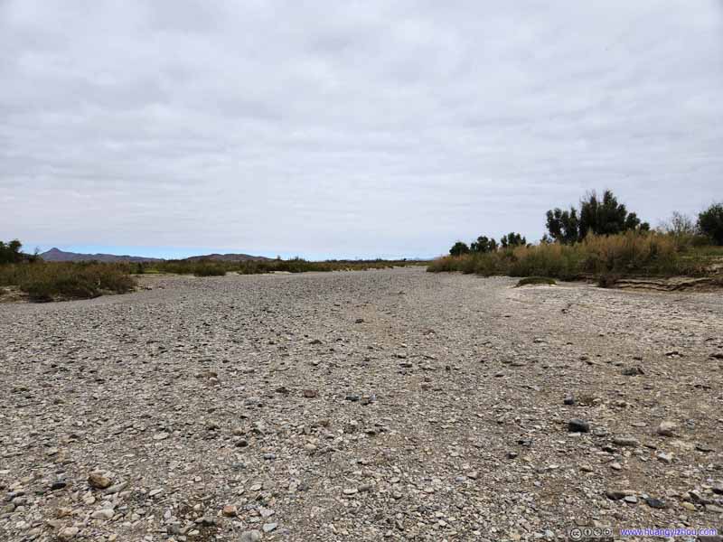
River Bed of Terlingua Creek
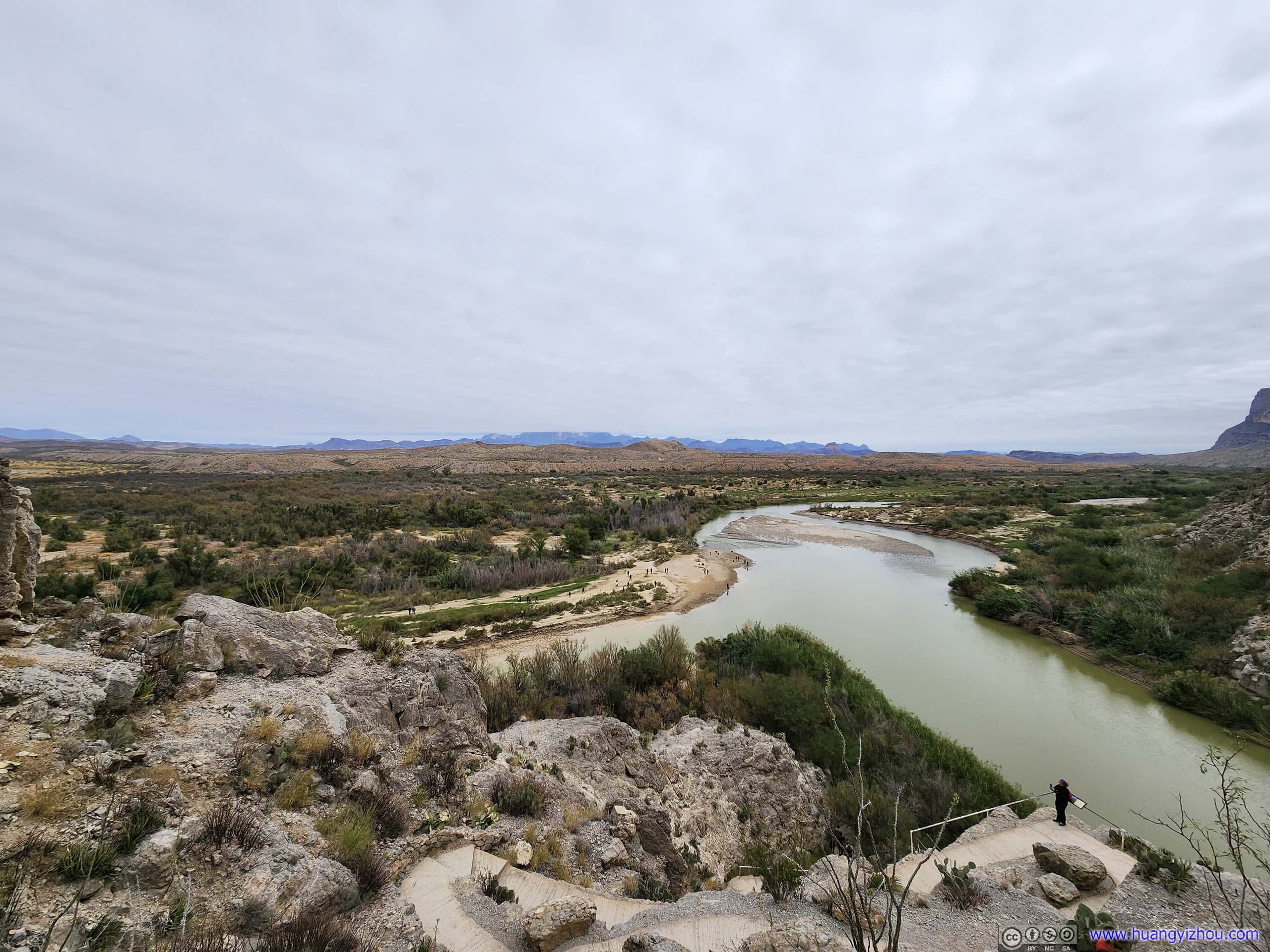
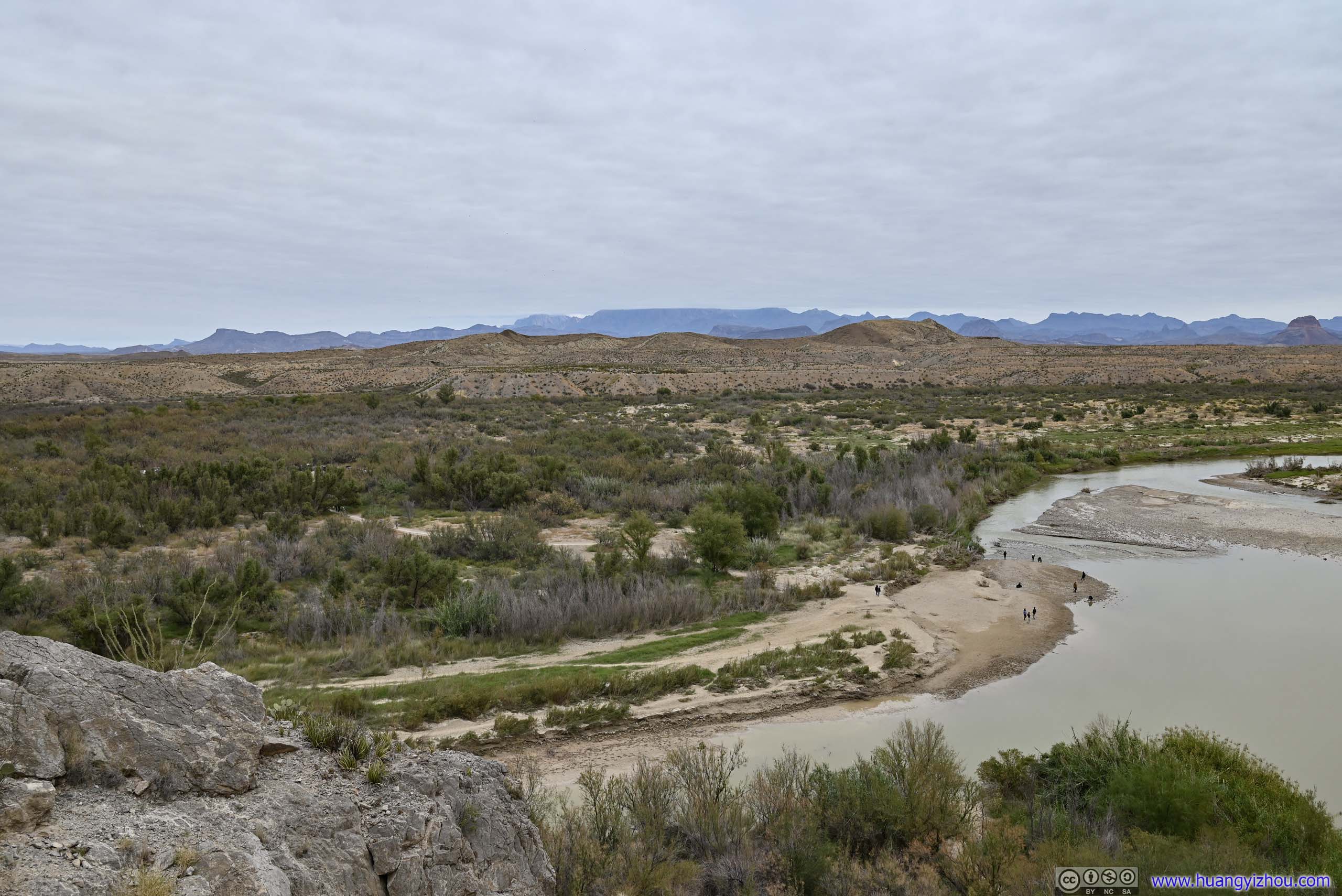
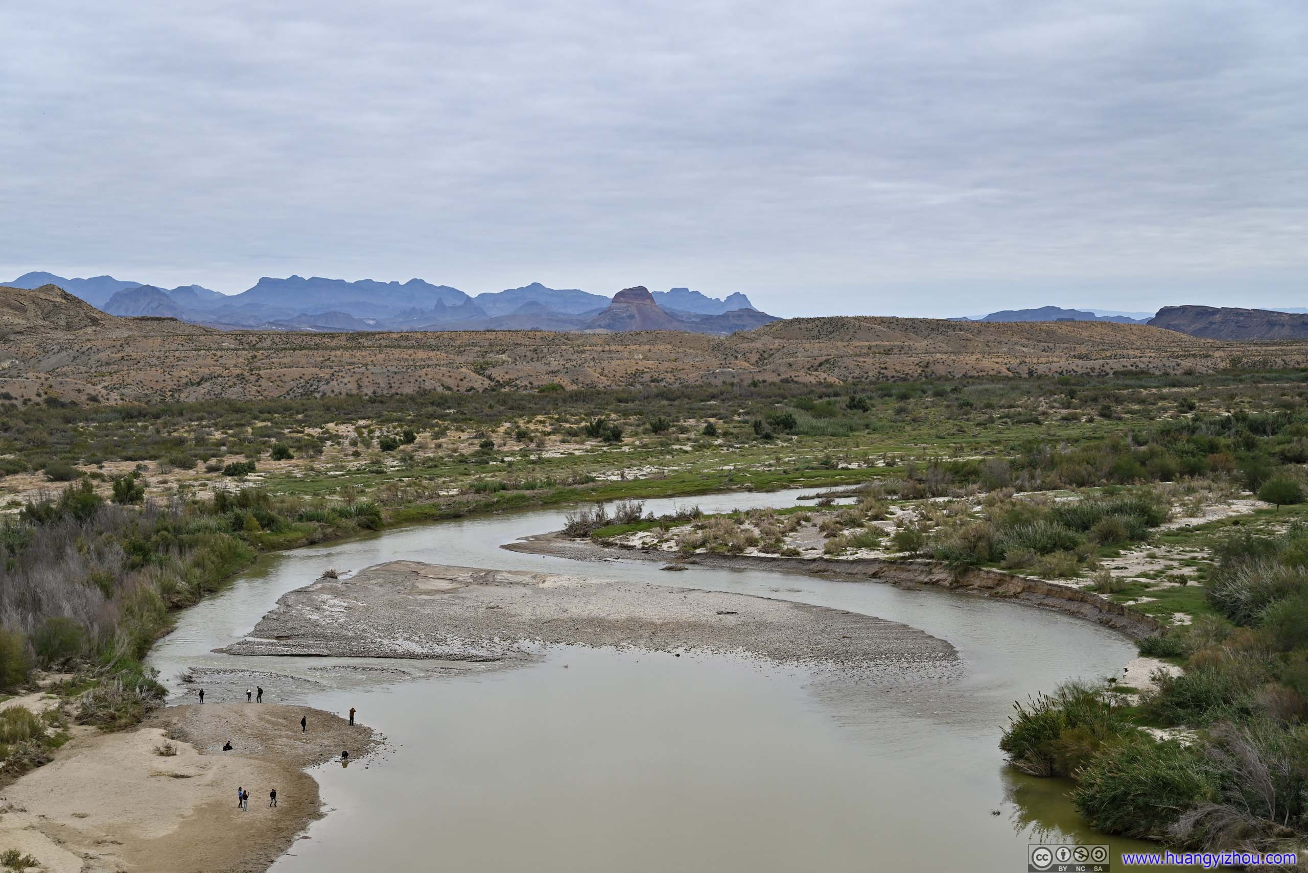
After that and some stairs up, one would reach a small overlook at the canyon's mouth near the confluence of Terlingua Creek and Rio Grande, where I appreciated the views of extensive fields to the east.
Rio Grande and Distant Fields At the mouth of Santa Elena Canyon there were some overlooks to appreciate the views.
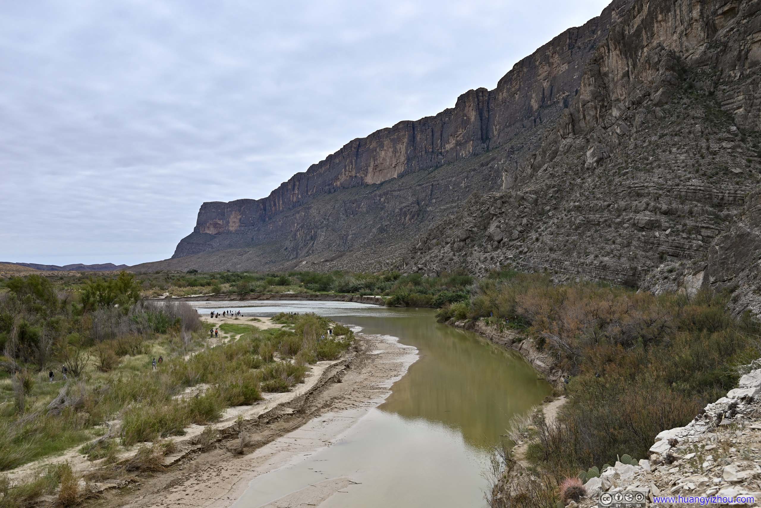
Cliffs along Rio Grande
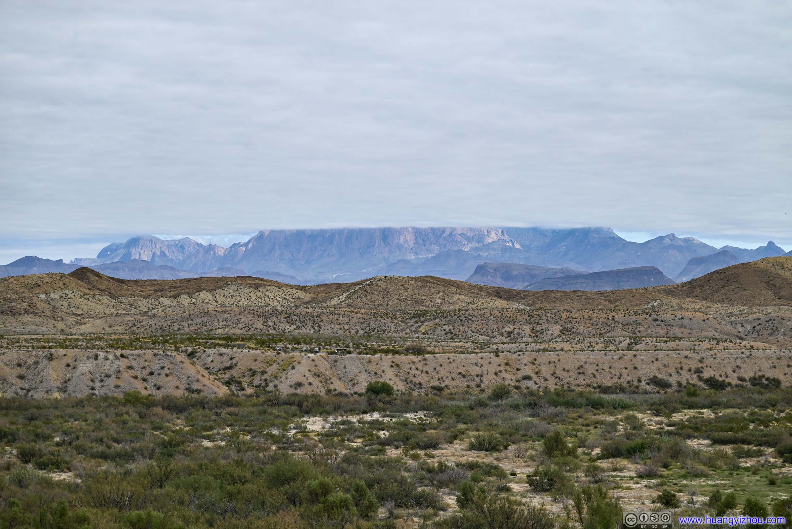
Distant Chisos Mountains in Clouds
The clouds were receding as parts of the mountains were illuminated in sunshine. Santa Elena Canyon Overlook, where I was at previously, is in the foreground left.
Fields
Fields downstream of Rio Grande Cerro Castellan is the prominent hill in the center.
Path along Rocks
Like the rock formations of Santa Elena Canyon, this path is tilted downwards to the west. The actual trail is above those rocks.
After that, I followed the established trail into Santa Elena Canyon.
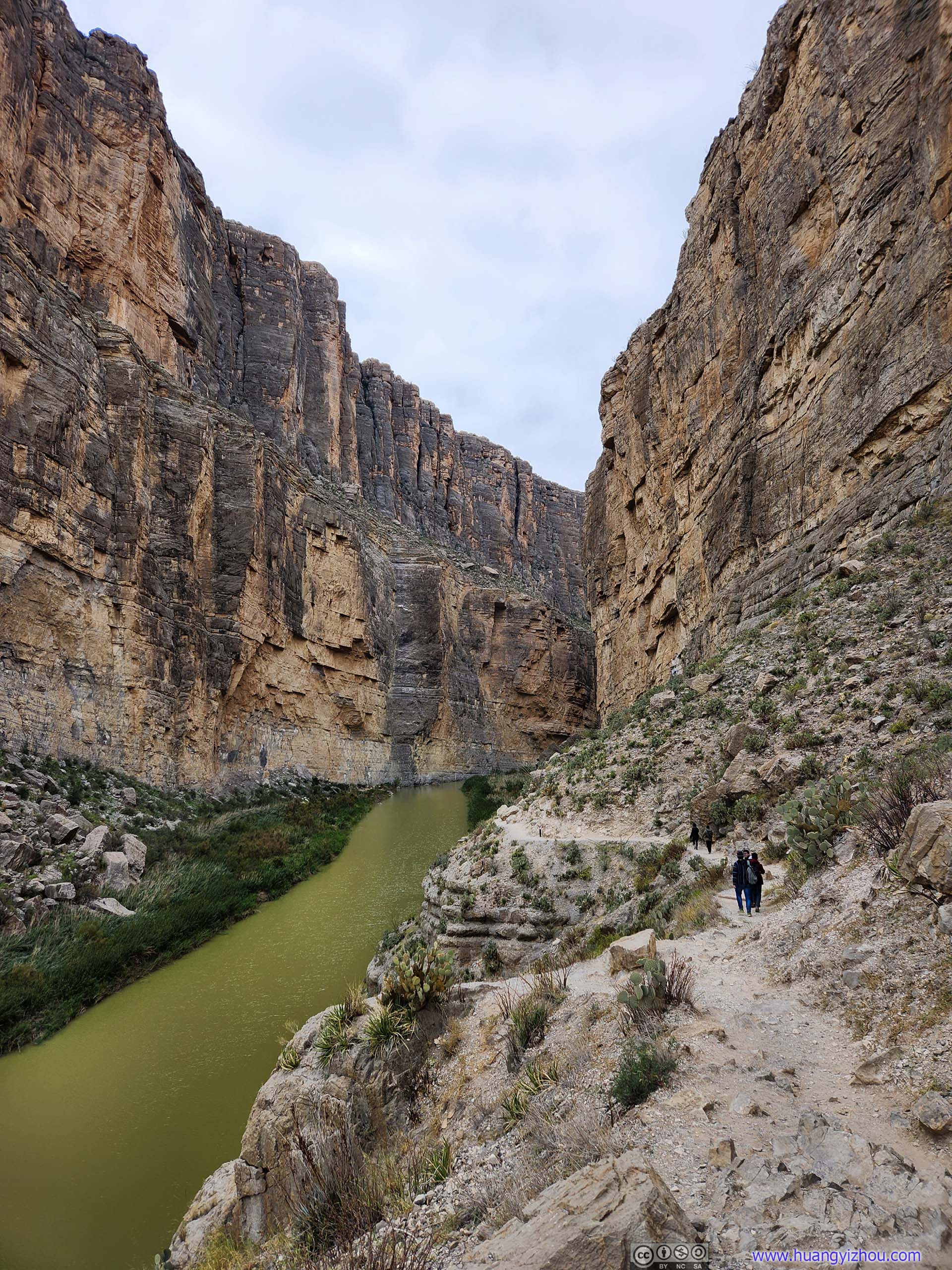
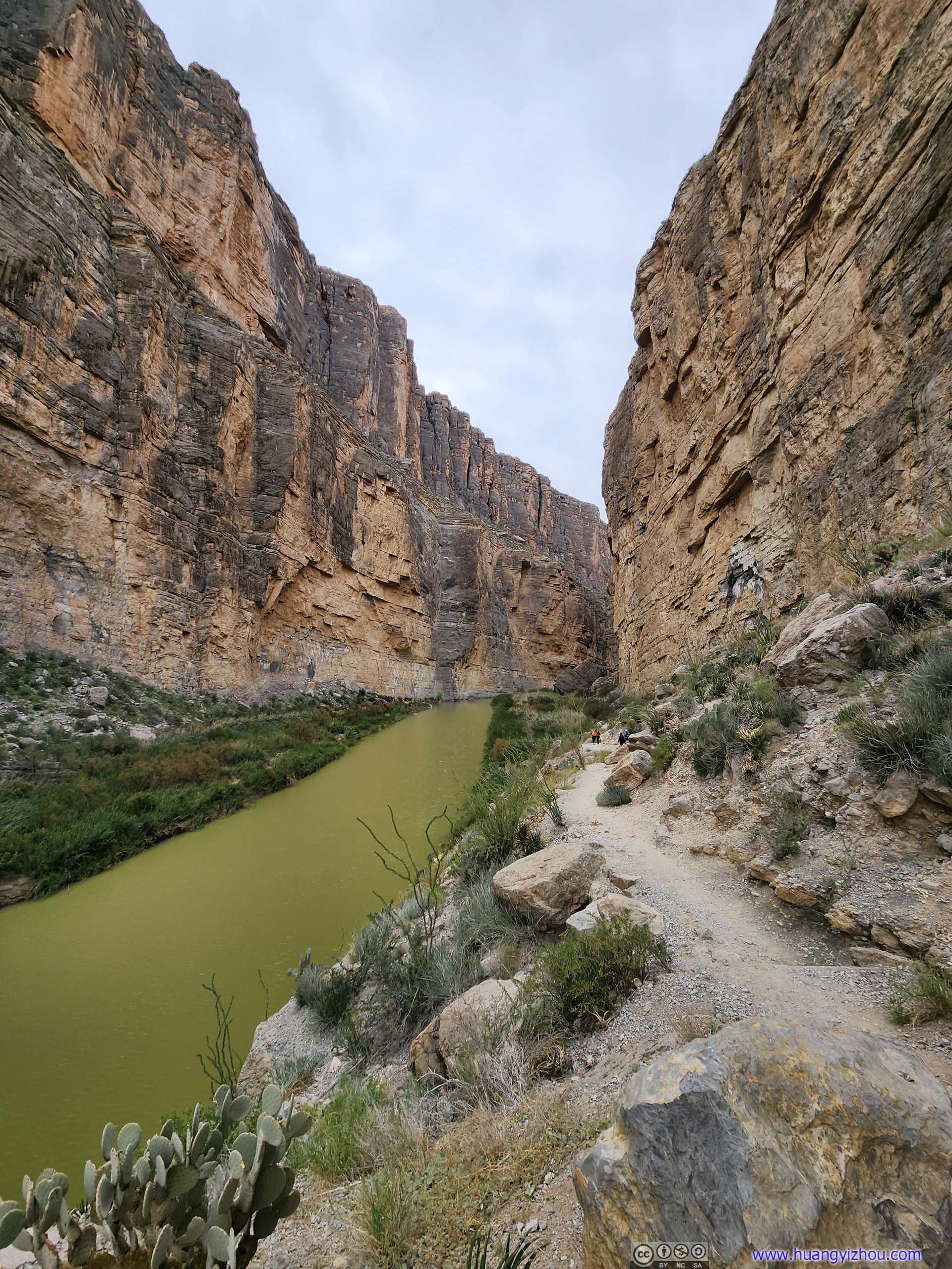
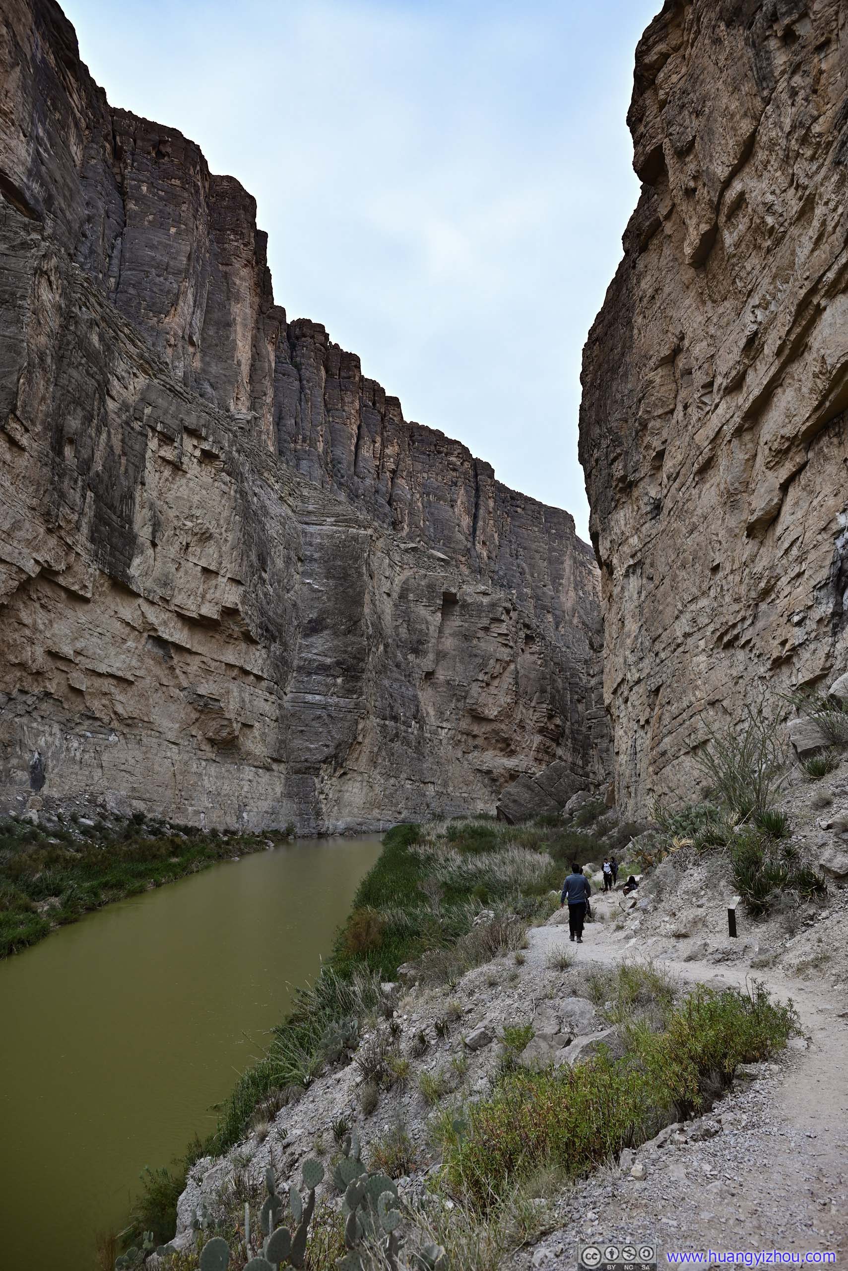
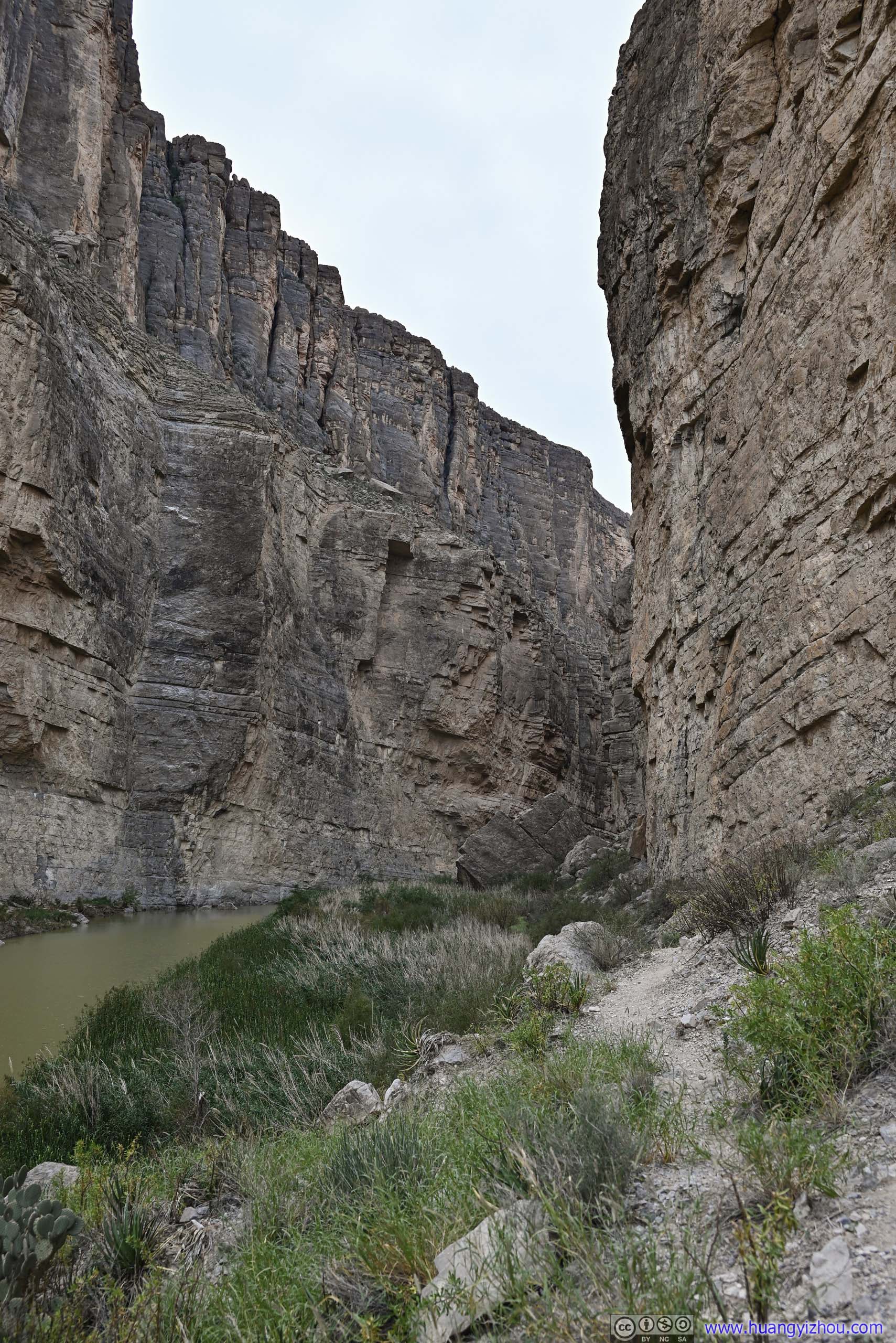
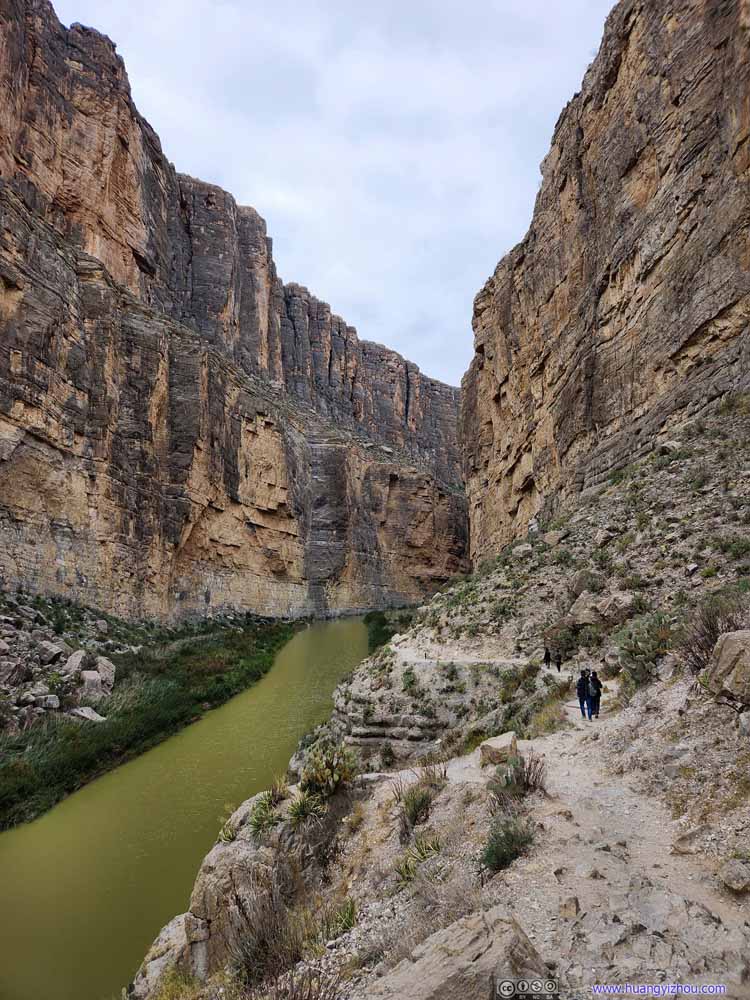
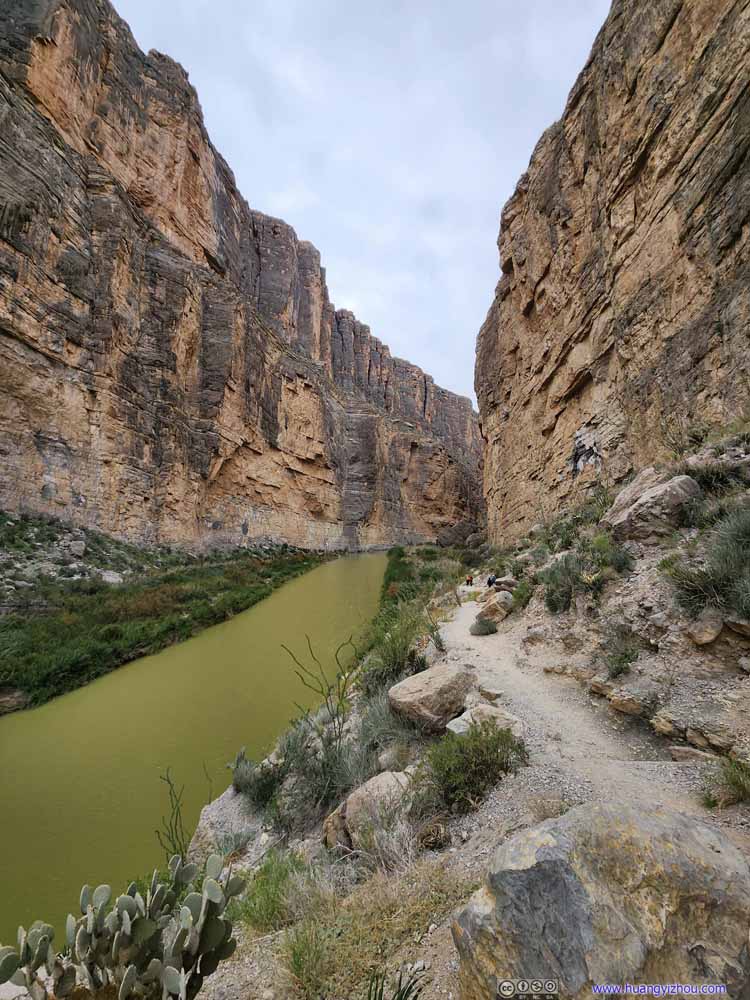
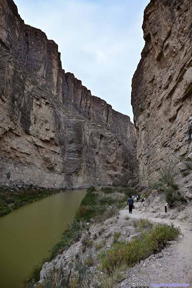
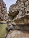
The cliffs of Santa Elena Canyons were formed by geological activities, and the rock layers tilted down towards the west, which was very obvious once inside the canyon.
Trail into Santa Elena Canyon
Trail into Santa Elena Canyon
Trail into Santa Elena Canyon
Trail into Santa Elena Canyon
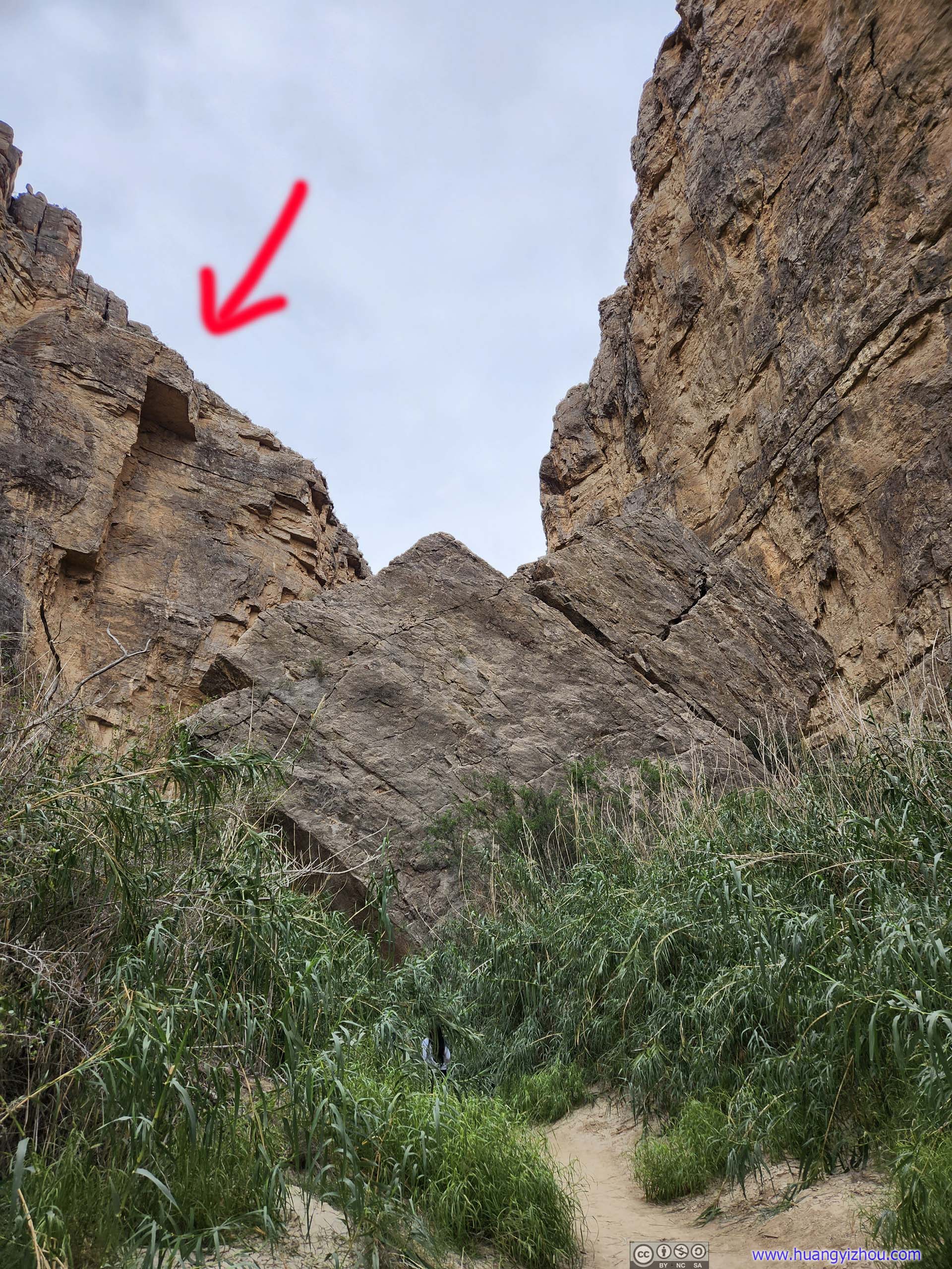
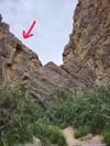
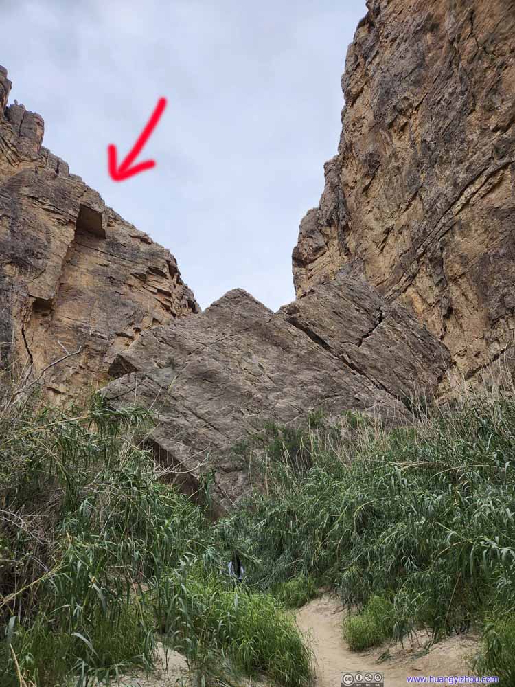
Fallen Rock My guess was that it fell from the rock indicated by the red arrow.
The walls of Santa Elena Canyon were perfect sound reflectors, as I could tell from the annoying exciting scream of kids.
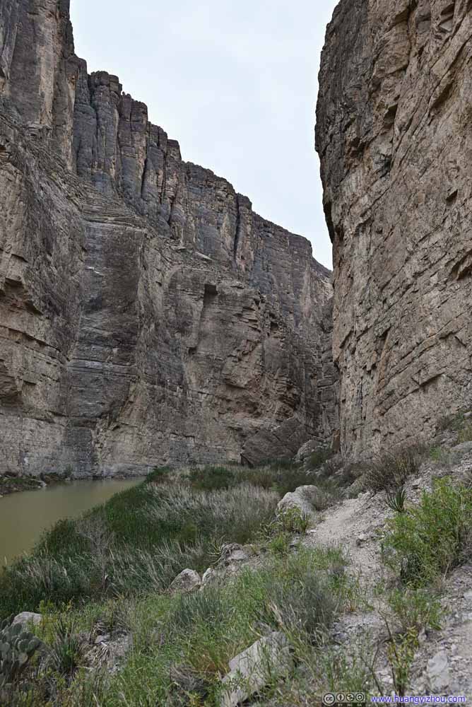
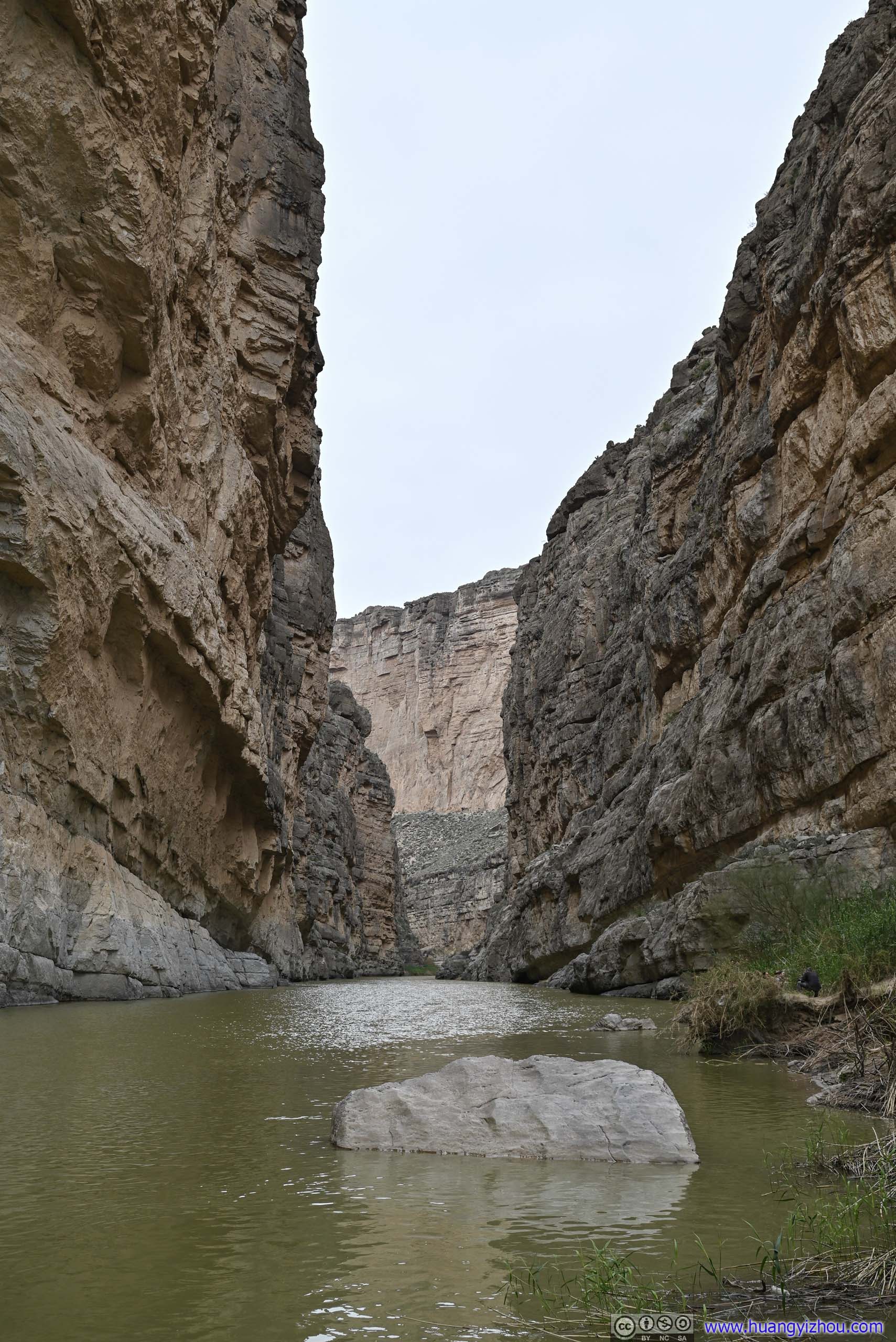
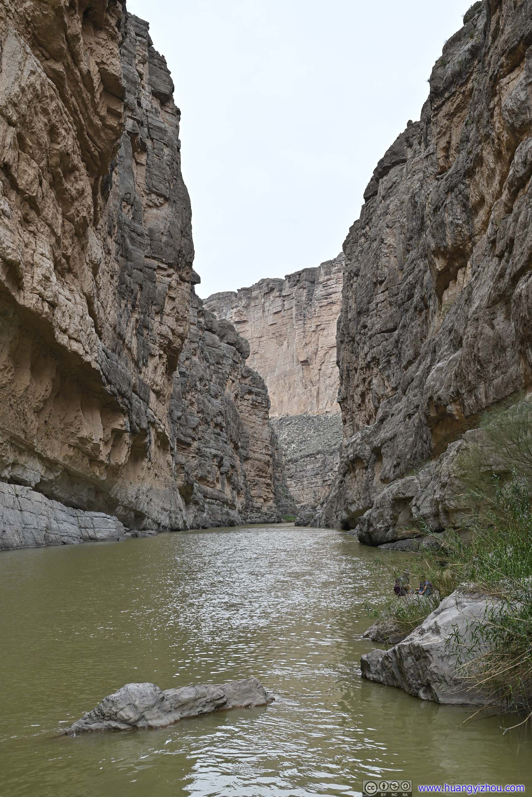
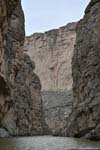
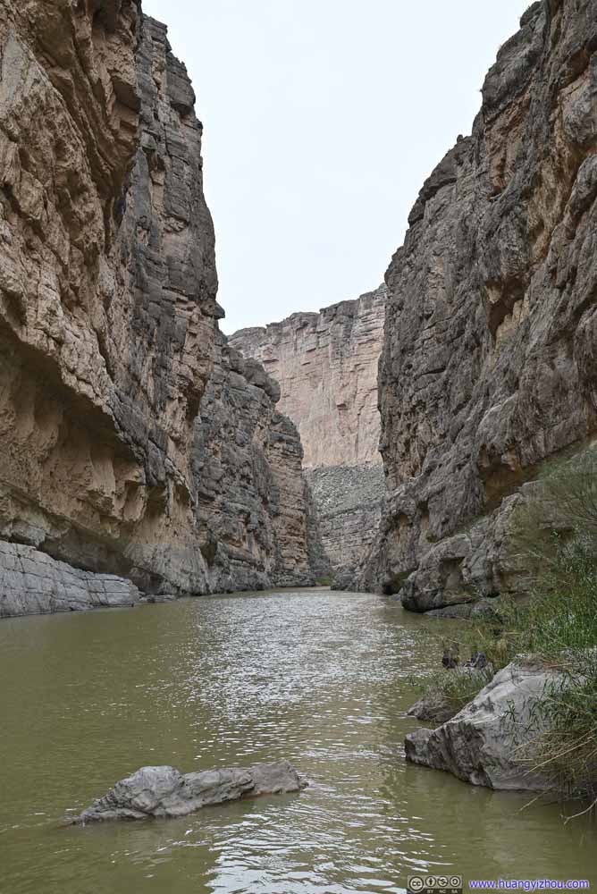
It didn't take long before the trail disappeared between Rio Grande and the steep canyon walls. Near the trail's end, I picked a place to admire the canyon's sense of grandeur and scale that's unmatched by what I had seen before.
Santa Elena Canyon
Santa Elena Canyon
End of Trail
Santa Elena Canyon
Santa Elena Canyon
Santa Elena Canyon
Somehow, the different layers of rocks made this a very impressive shot to me, like an apocalyptic flood or a Japanese Tokusatsu monster could pop up around the corner of canyon in any minute.
Santa Elena Canyon was a popular place in Big Bend National Park, and it could get crowded. As I result, I didn't stay long in the canyon.
As a side note, since GPS didn't work that well in tall and narrow canyons like this, from time to time my phone thought I was in Mexico (which was just across Rio Grande) and adjusted itself to Mexican time zone.😒
By the time I got back to my car, it's 1:30pm, when I started the drive back along Ross Maxwell Scenic Drive. The thick clouds from morning were slowly lifting up to blue skies.
Roadside Turnouts
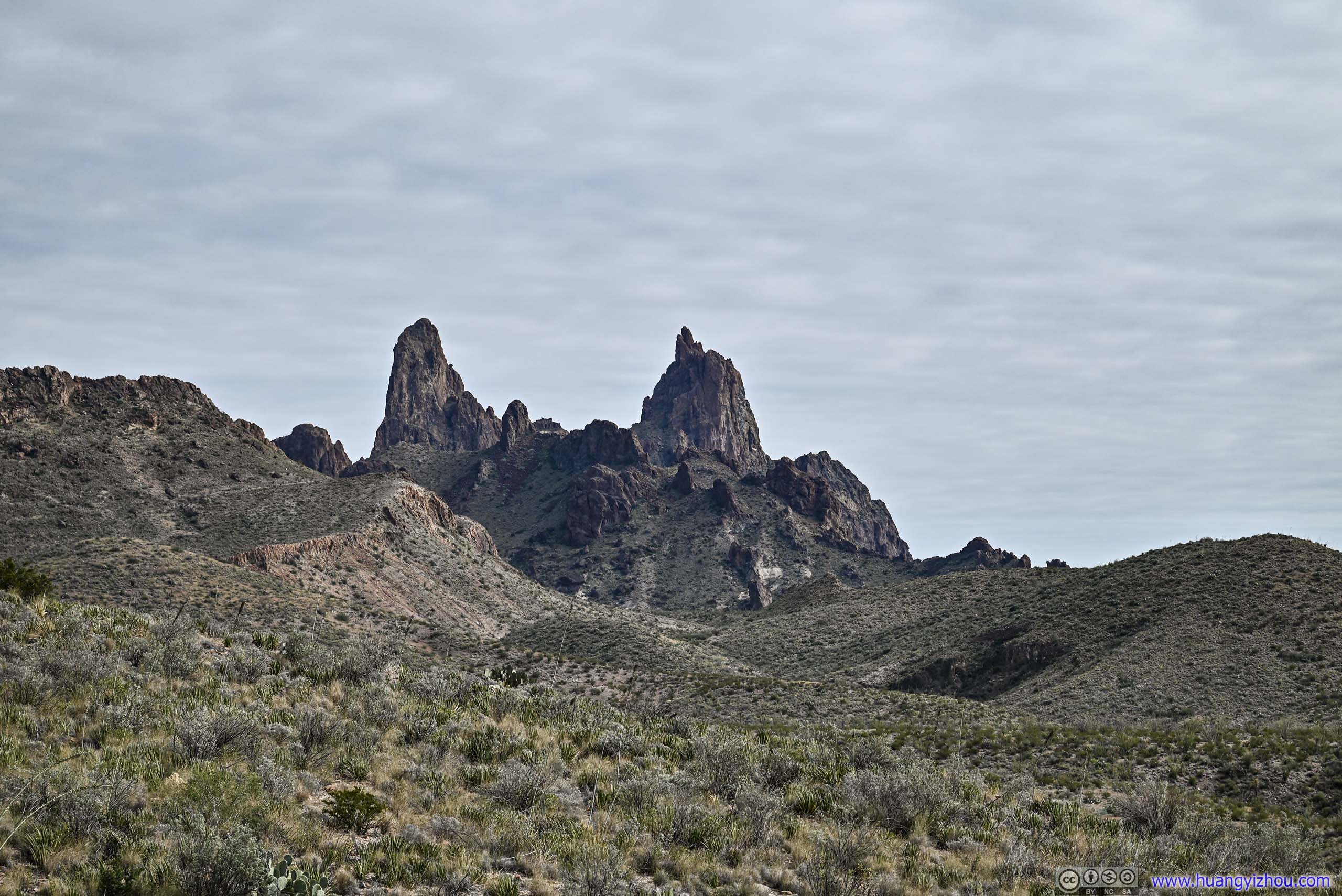
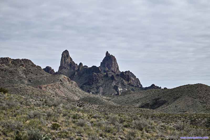
Along the way, I stopped at a few overlooks, like Desert Mountain Overlook, Mule Ears Overlook, the latter offered views of some distant hills that resembled the shape of a pair of mule ears.
Fields
Cerro Castellan
It looked more impressive from this angle, compared with earlier today from Tuff Canyon. Some NPS residences at its foot.
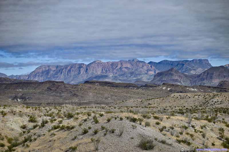
Distant Chisos Mountains Now emerging from the clouds.
Mule Ears
Distant Mule Ears
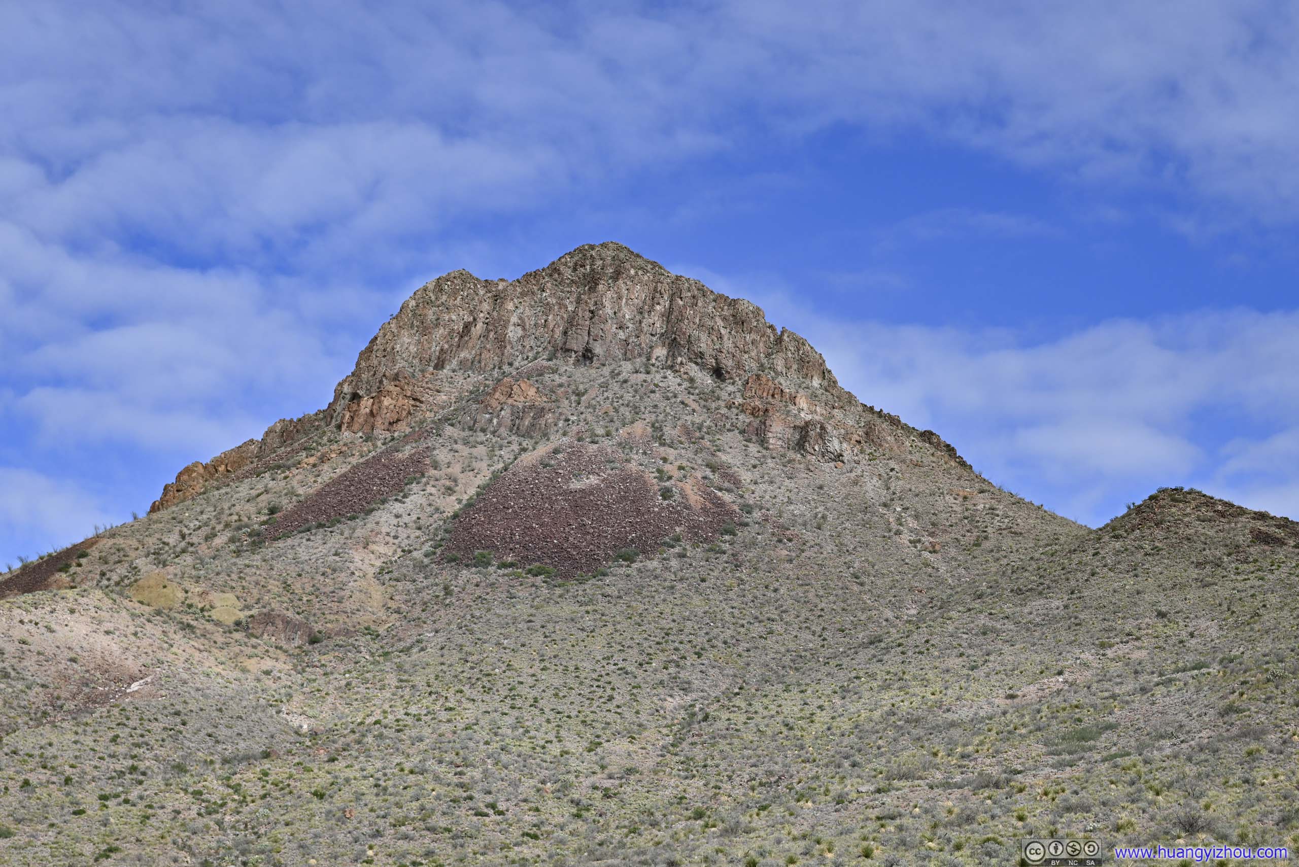
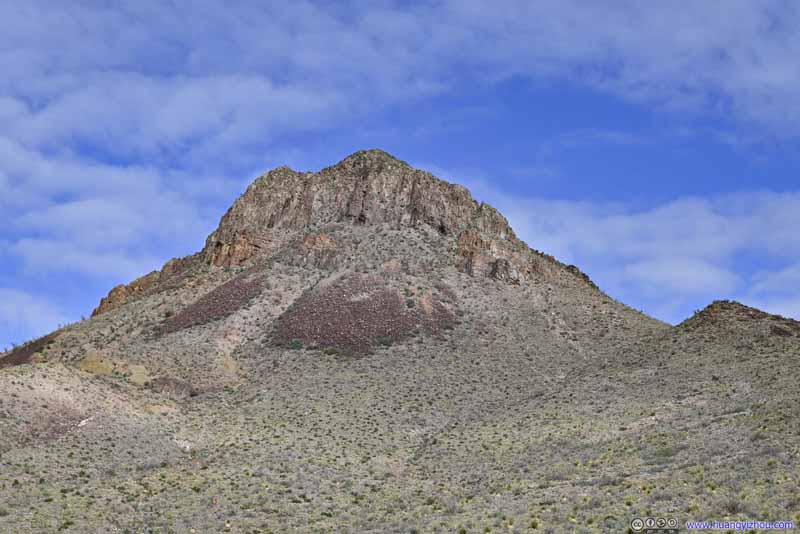
Trap Mountain The one next to Mule Ears Overlook.
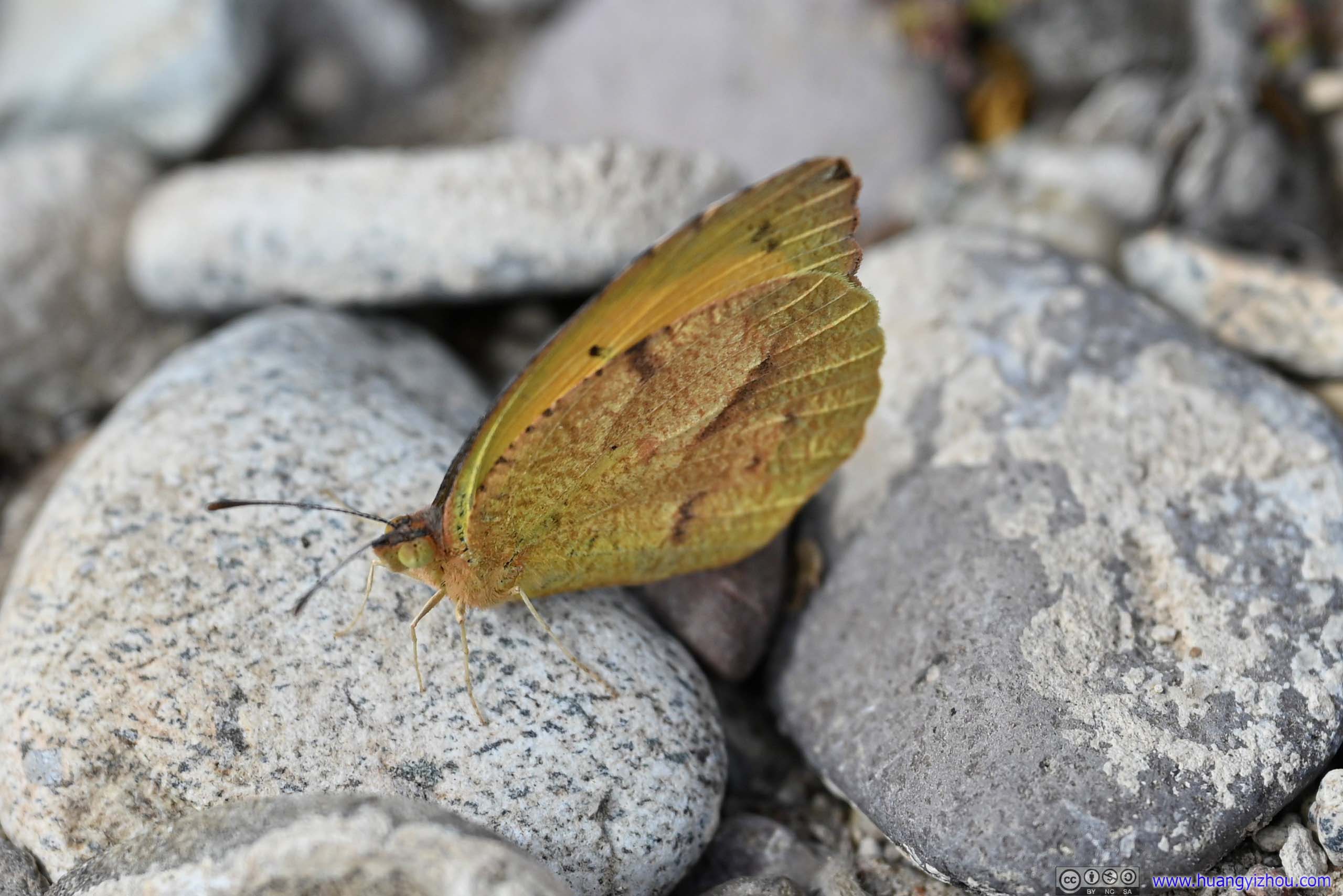
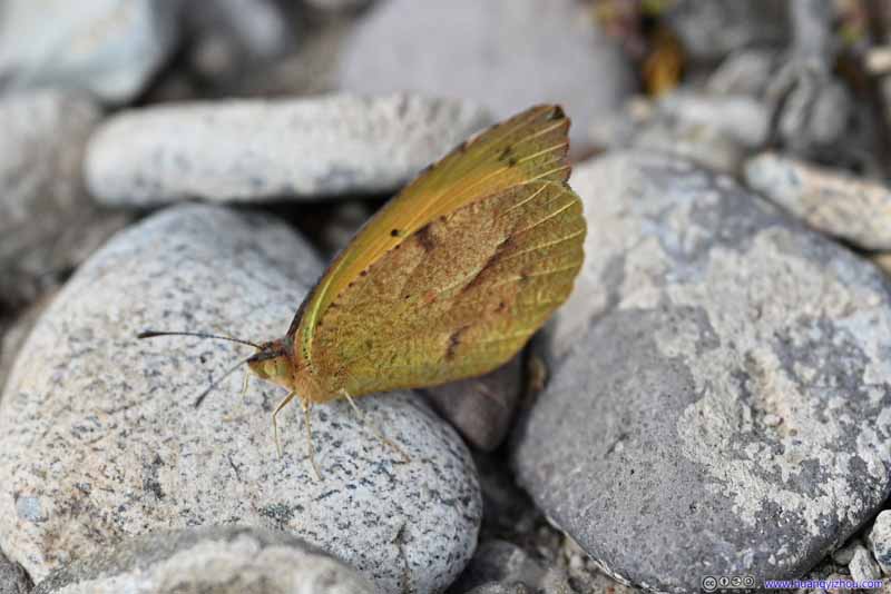
Moth One that wasn’t alerted by my presence.
Distant Chisos Mountains
Lower Burro Mesa Pouroff Trail
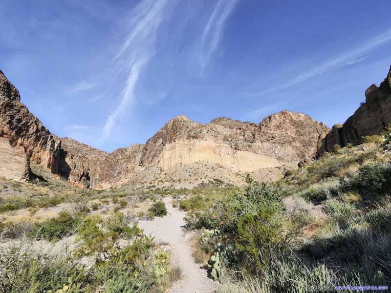
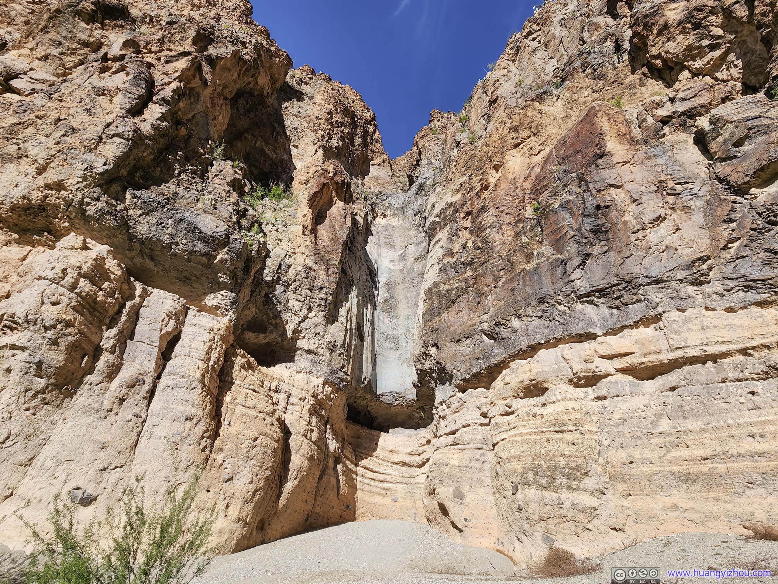
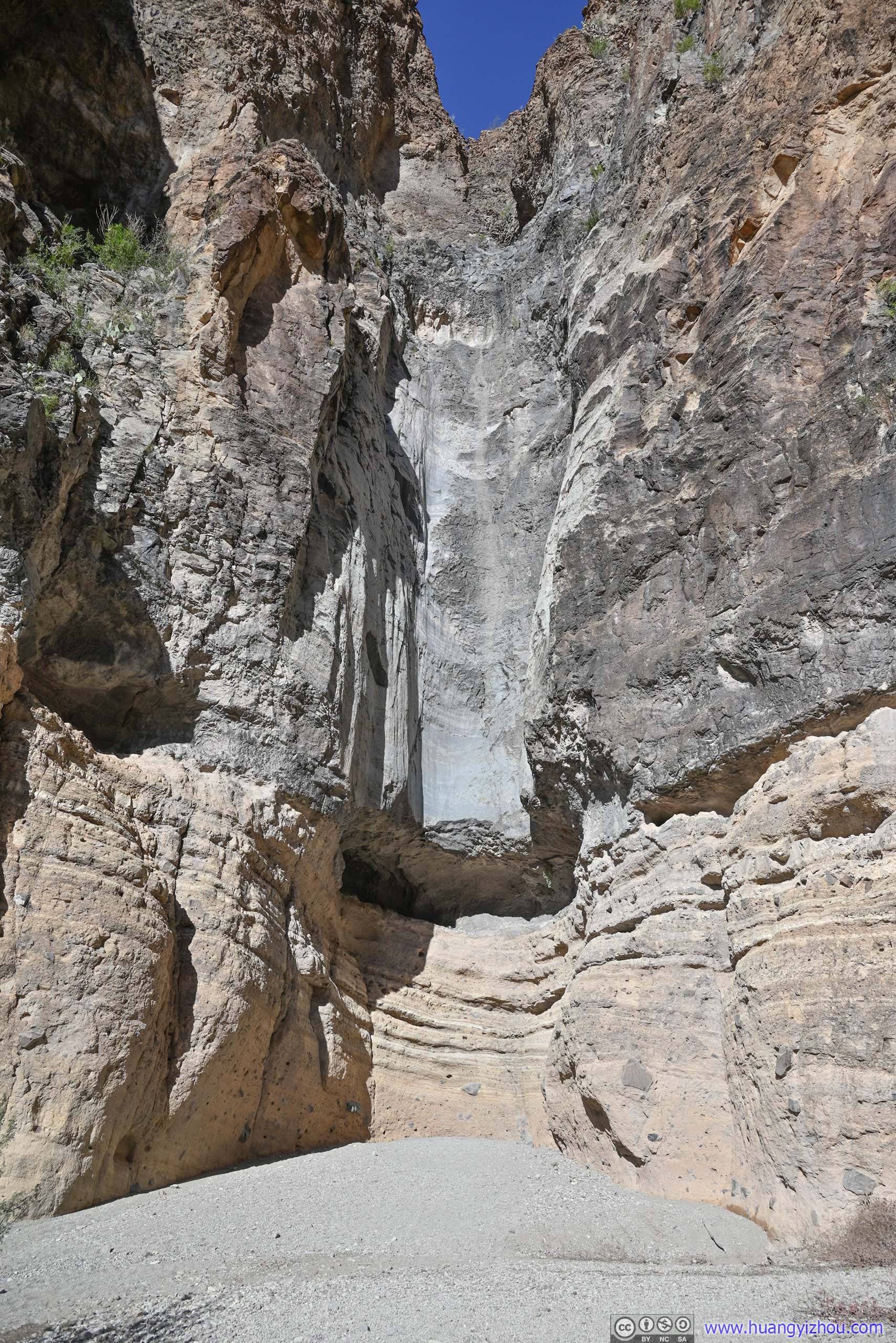
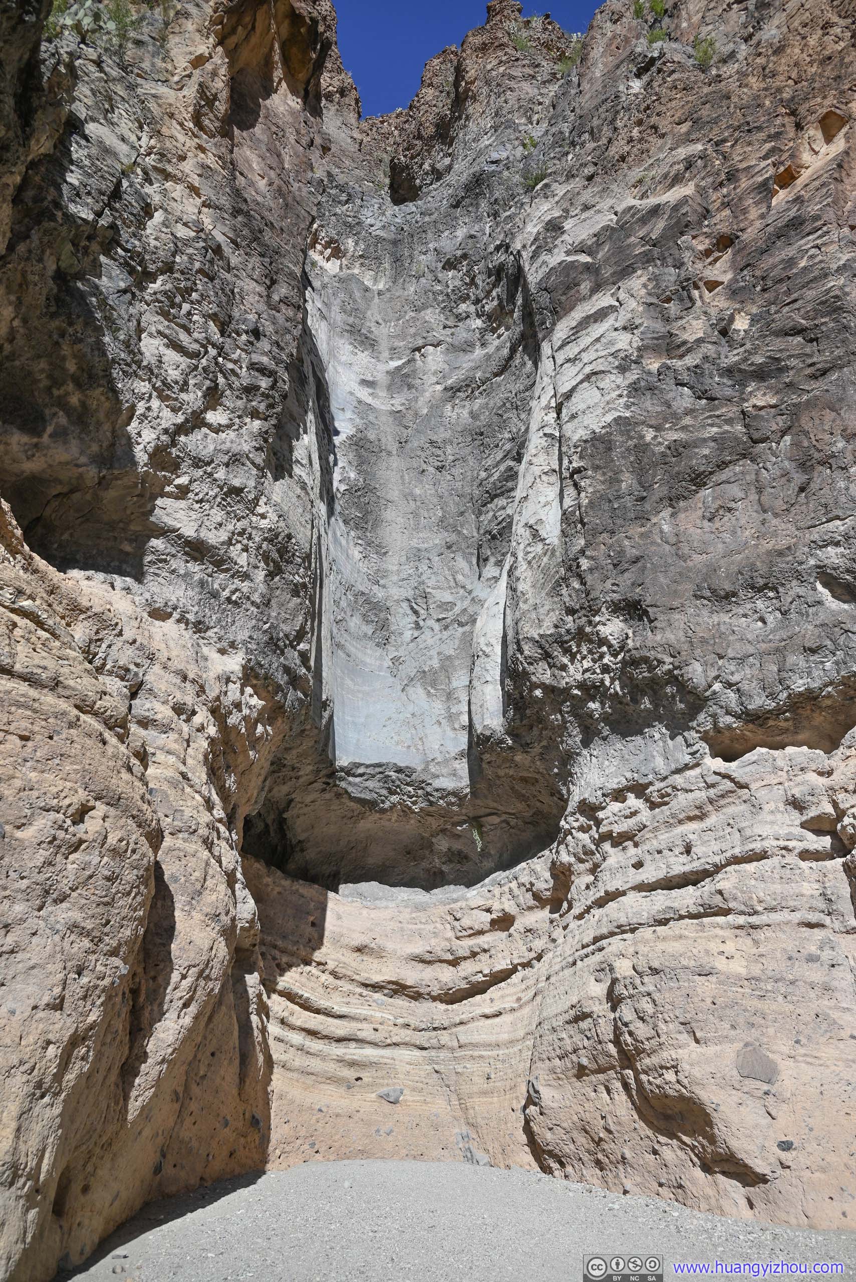
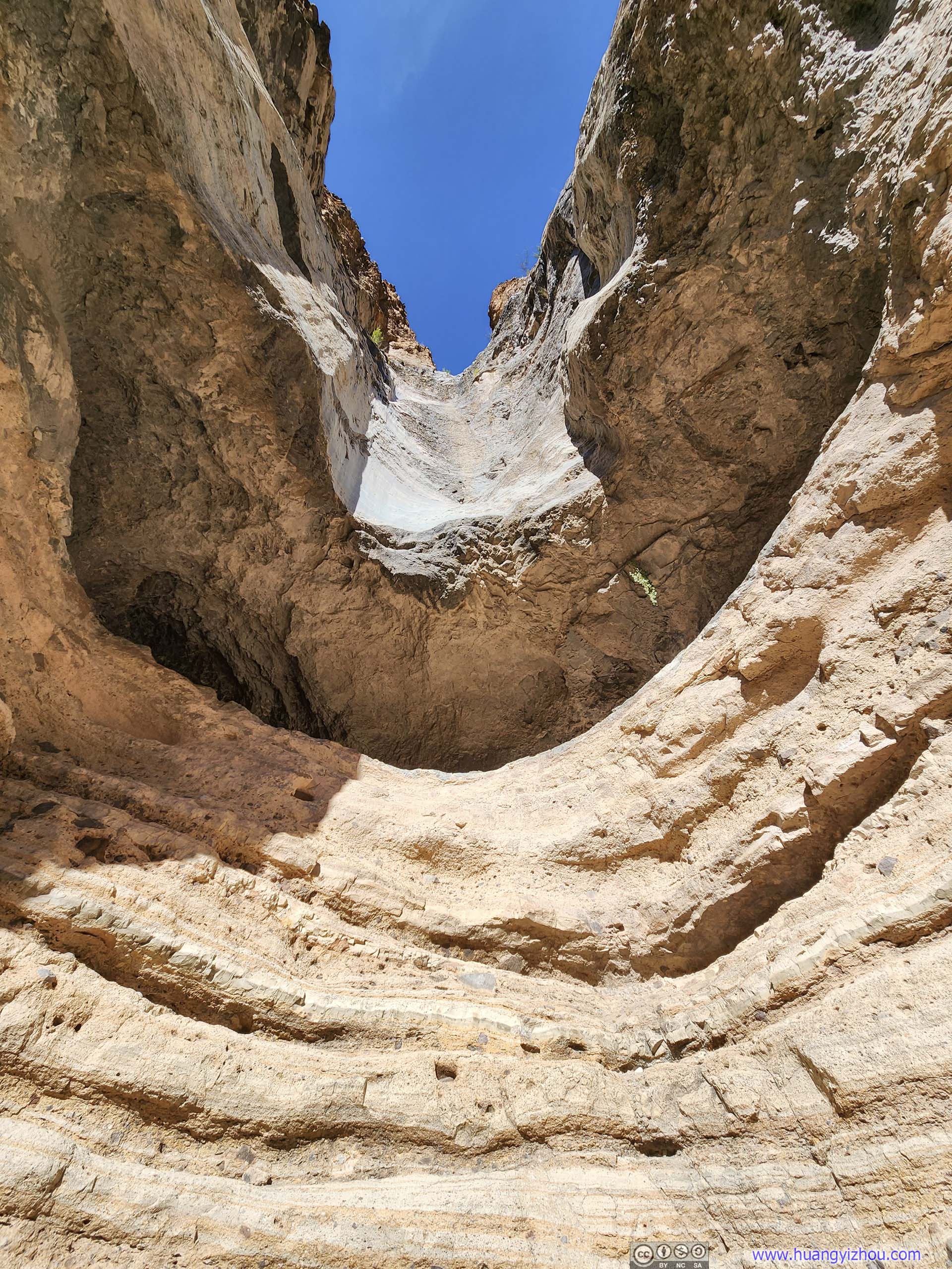
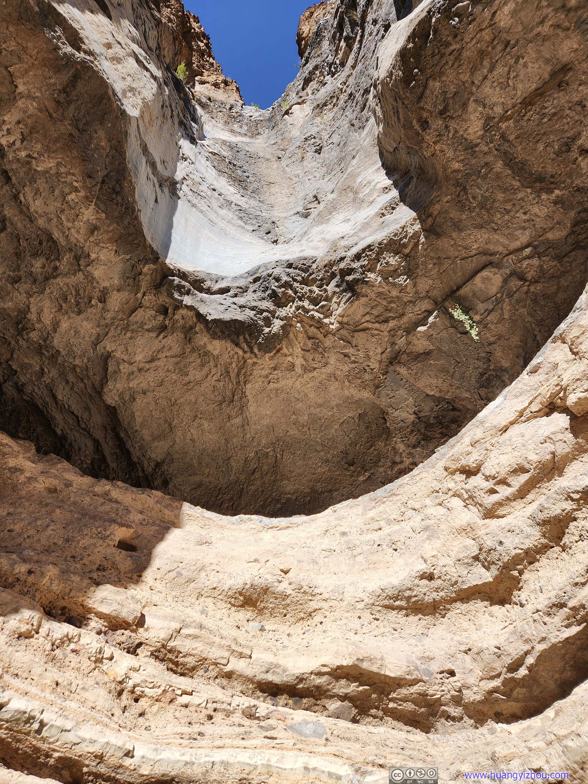
This was an easy 1.6-km out-and-back trail following a gravel wash to a pouroff, which was like a cylinder chute where water flew through.
By the time I started the hike, it's 2:30pm and sunny, so rocks looked brighter and more textured. It also meant it's a lot hotter.😓
Also, part of trail was on fine sand, for which I had to be careful to keep them out of my shoes (fortunately that wasn't too hard).
Canyon
Canyon
Another canyon to the north, named "Burro Mesa Pouroff" on Google Earth but it's not the one the trail led to. It's created by similar water erosions.
Burro Mesa
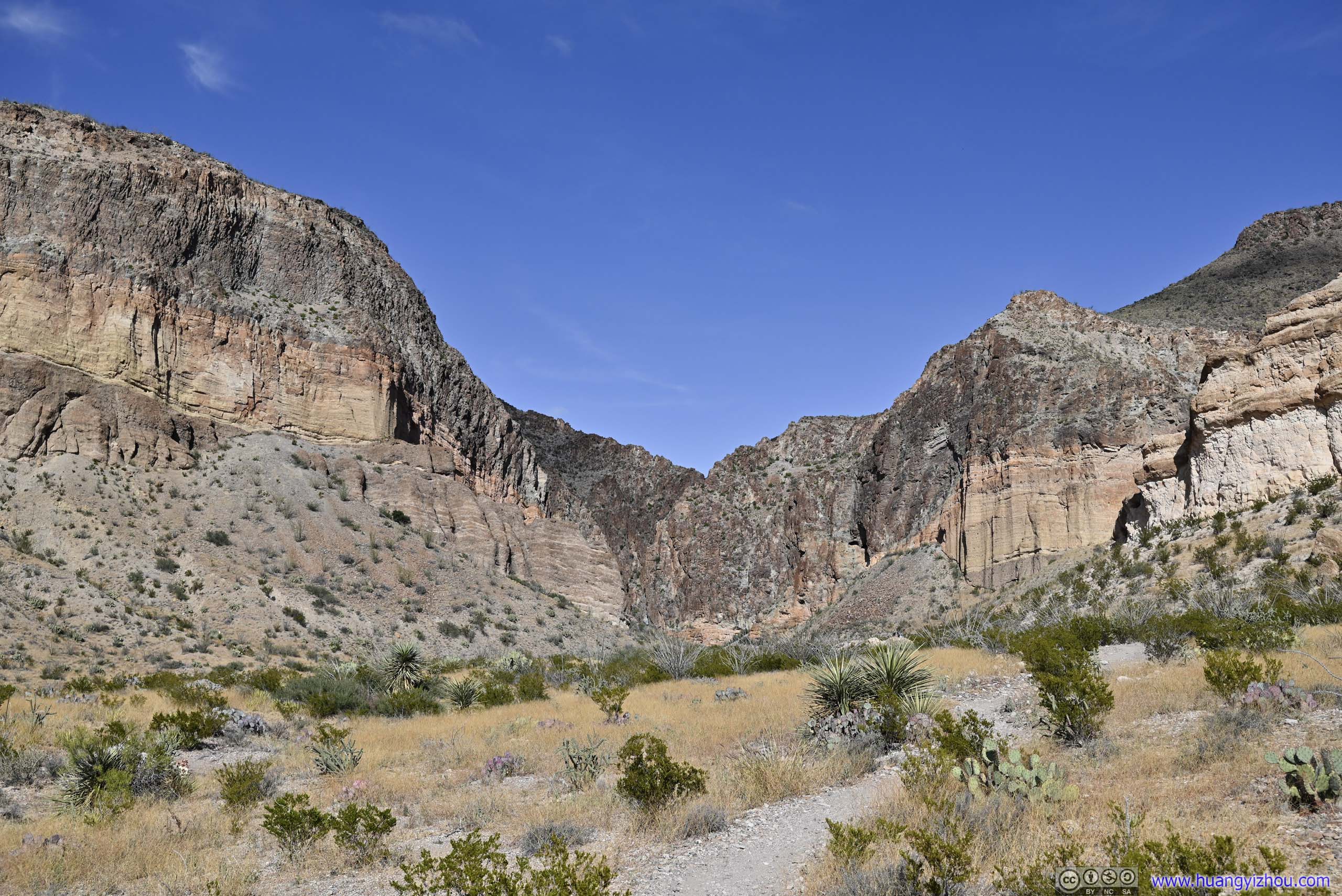
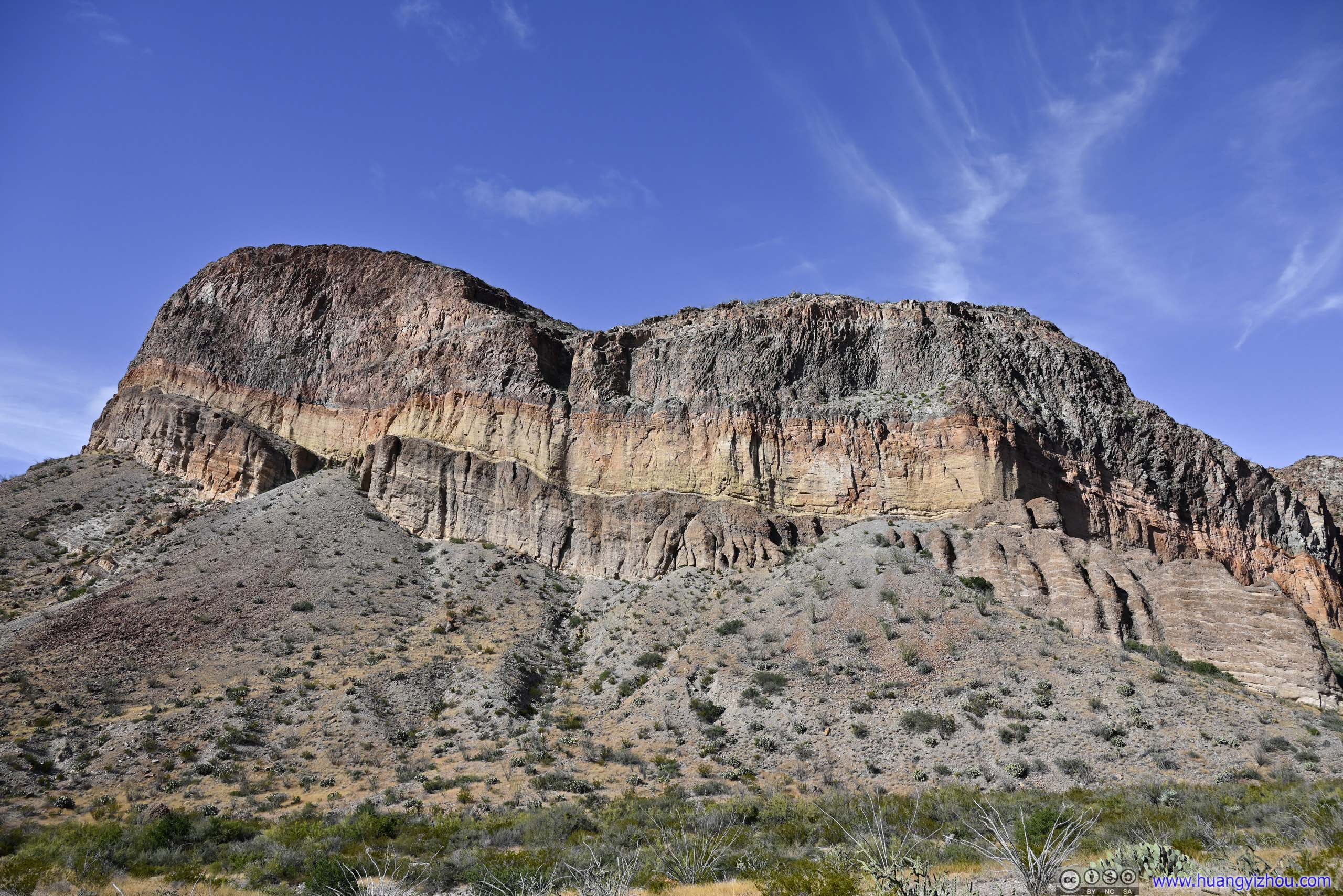
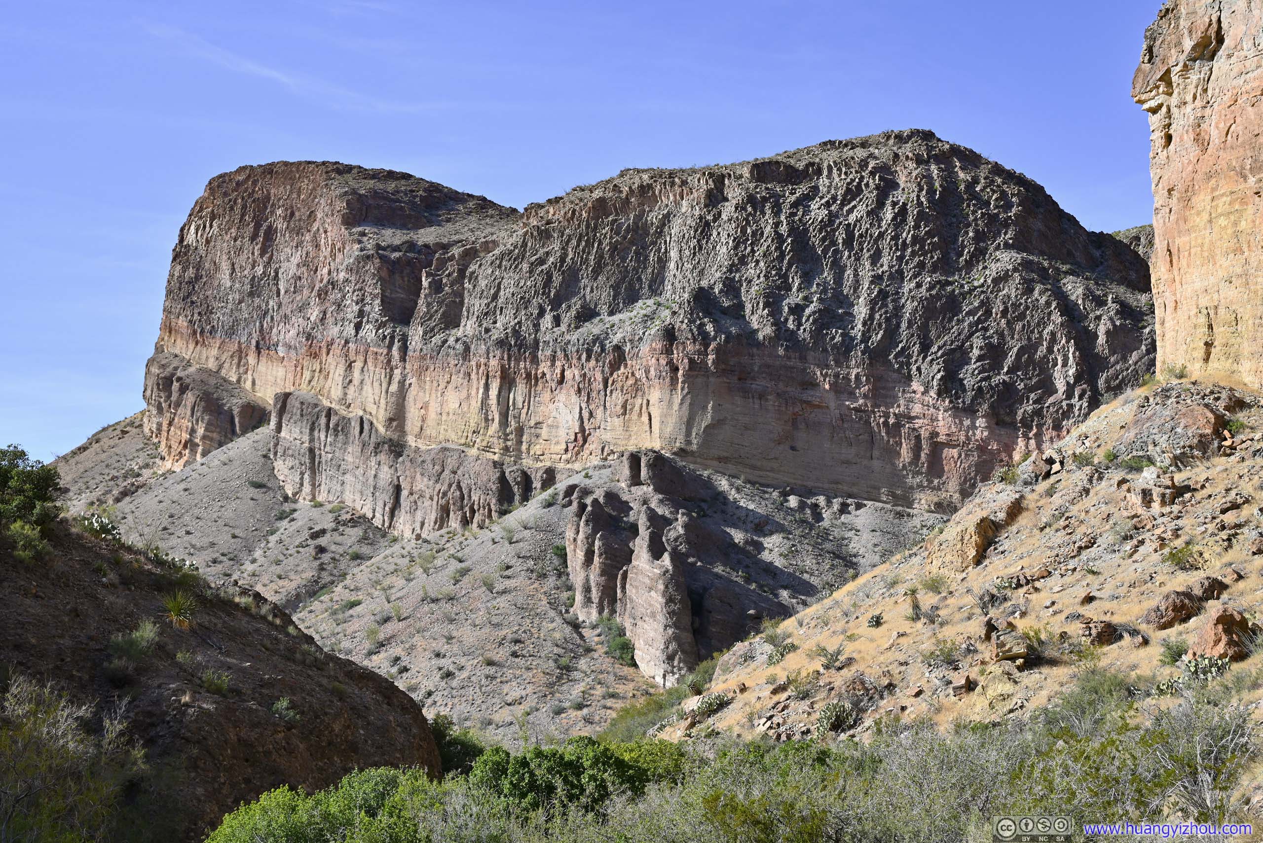
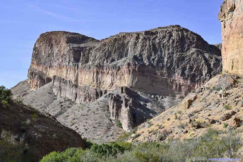
The yellow and orange bands were volcanic ash-flow tuffs, giving evidence to the region’s volcanic past.
Burro Mesa
The yellow and orange bands were volcanic ash-flow tuffs, giving evidence to the region’s volcanic past.
Canyon
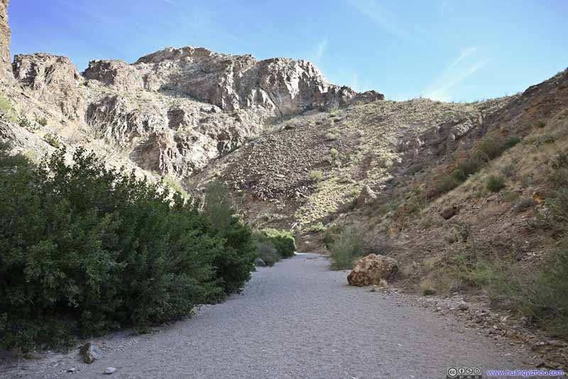
Trail Typical conditions. These gravels were large enough so that they wouldn’t get into my shoes easily.
Boulders
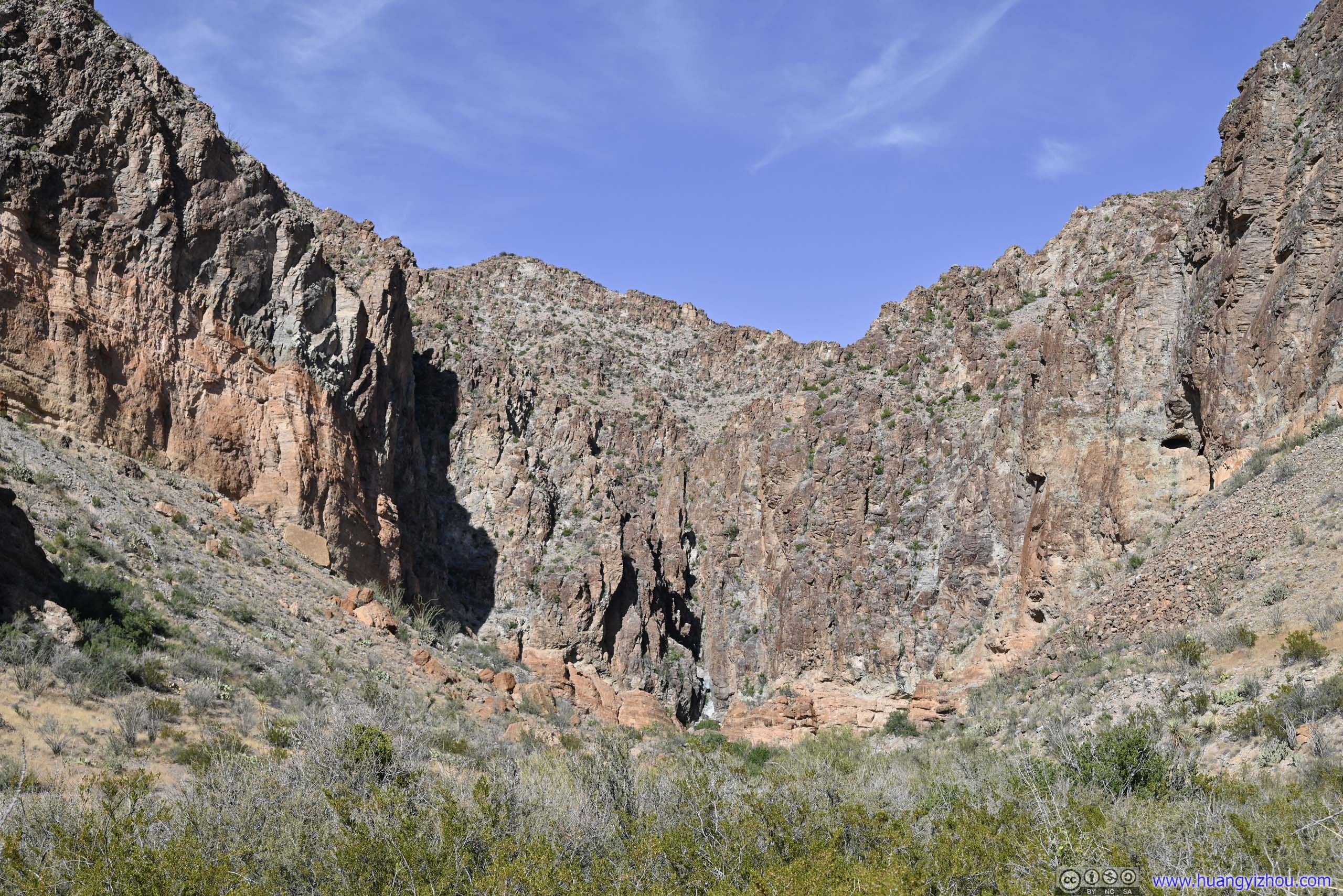
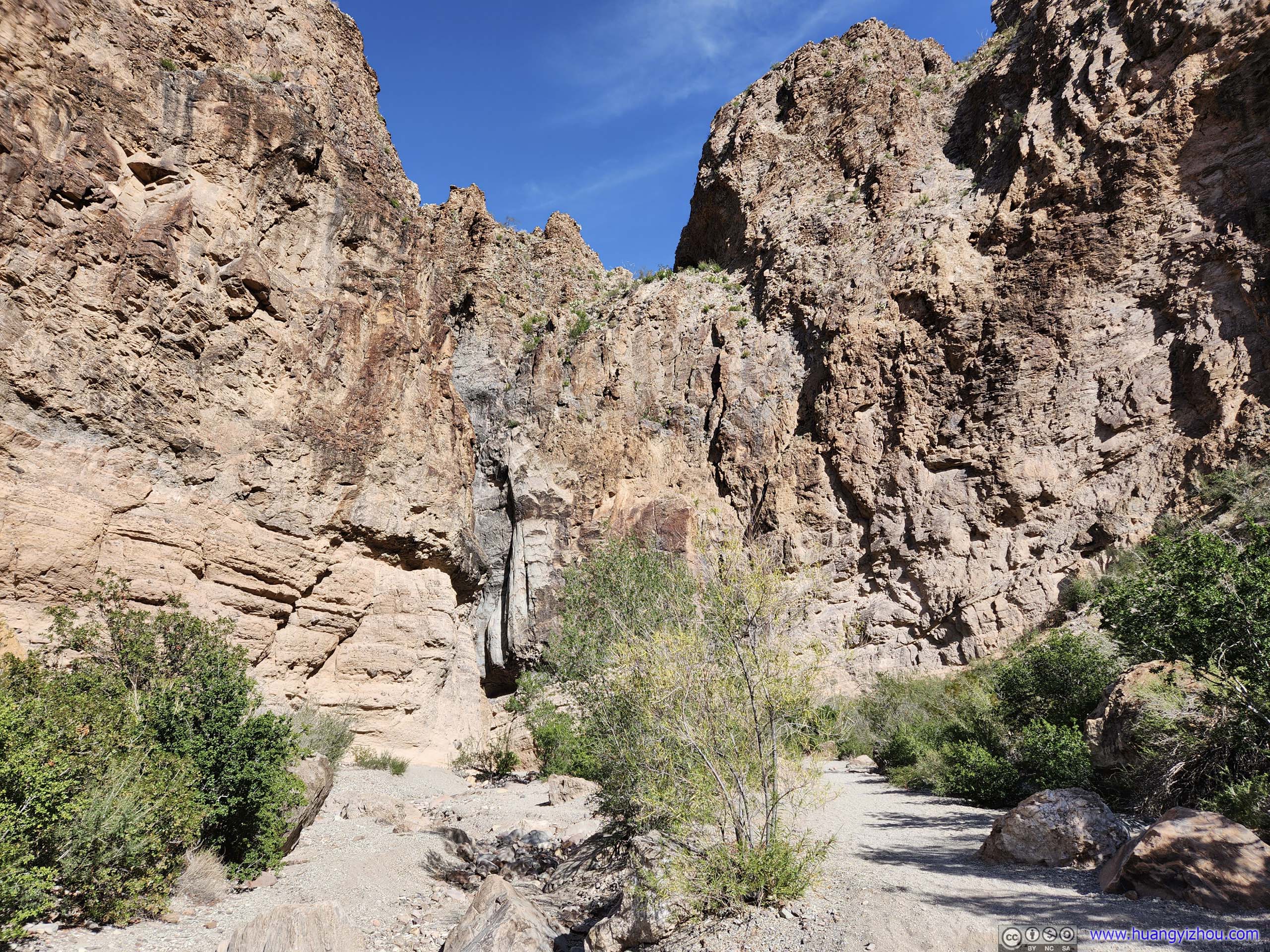
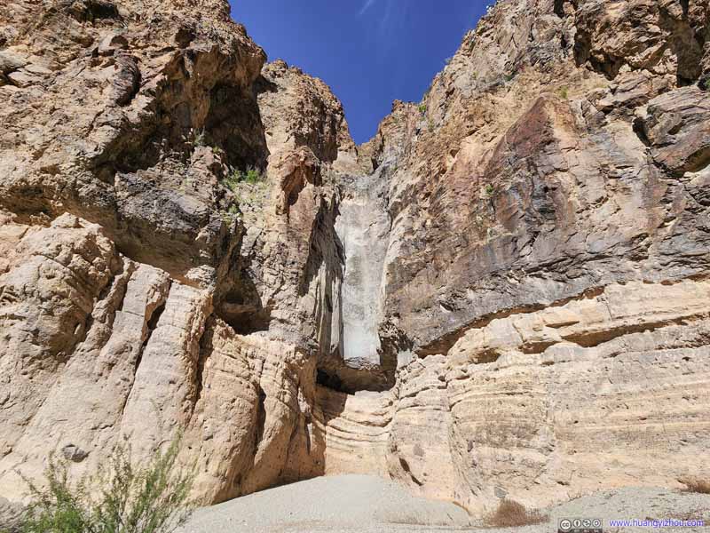
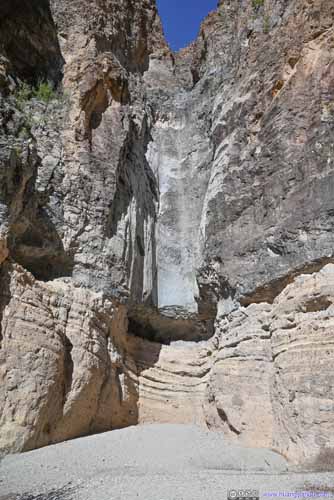
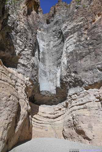
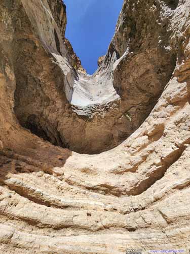
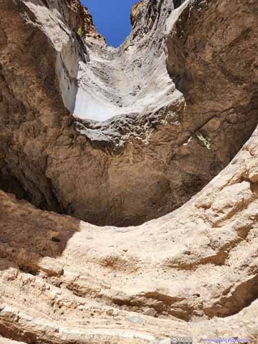
The actual "pouroff" wasn't that impressive. I could see its (half)-cylinder shape which was unique, and the many rock layers that it covered, but that's basically it. It's worth noting that the upper rim of this "pouroff" could also be accessed by a different trail. Unless one wanted to go rock climbing the two trails weren't connected, but I did hear and later see hikers on the upper trail just ~10m away. The lower trail offered better views of the "pouroff".
Burro Mesa Pouroff Looks like a vertical cylinder chute to me.
Burro Mesa Pouroff
Burro Mesa Pouroff Looking up from a closer angle.
Burro Mesa Pouroff This is "Burro Mesa Pouroff" after stepping back a few steps, not that impressive.
Sotol Vista Overlook
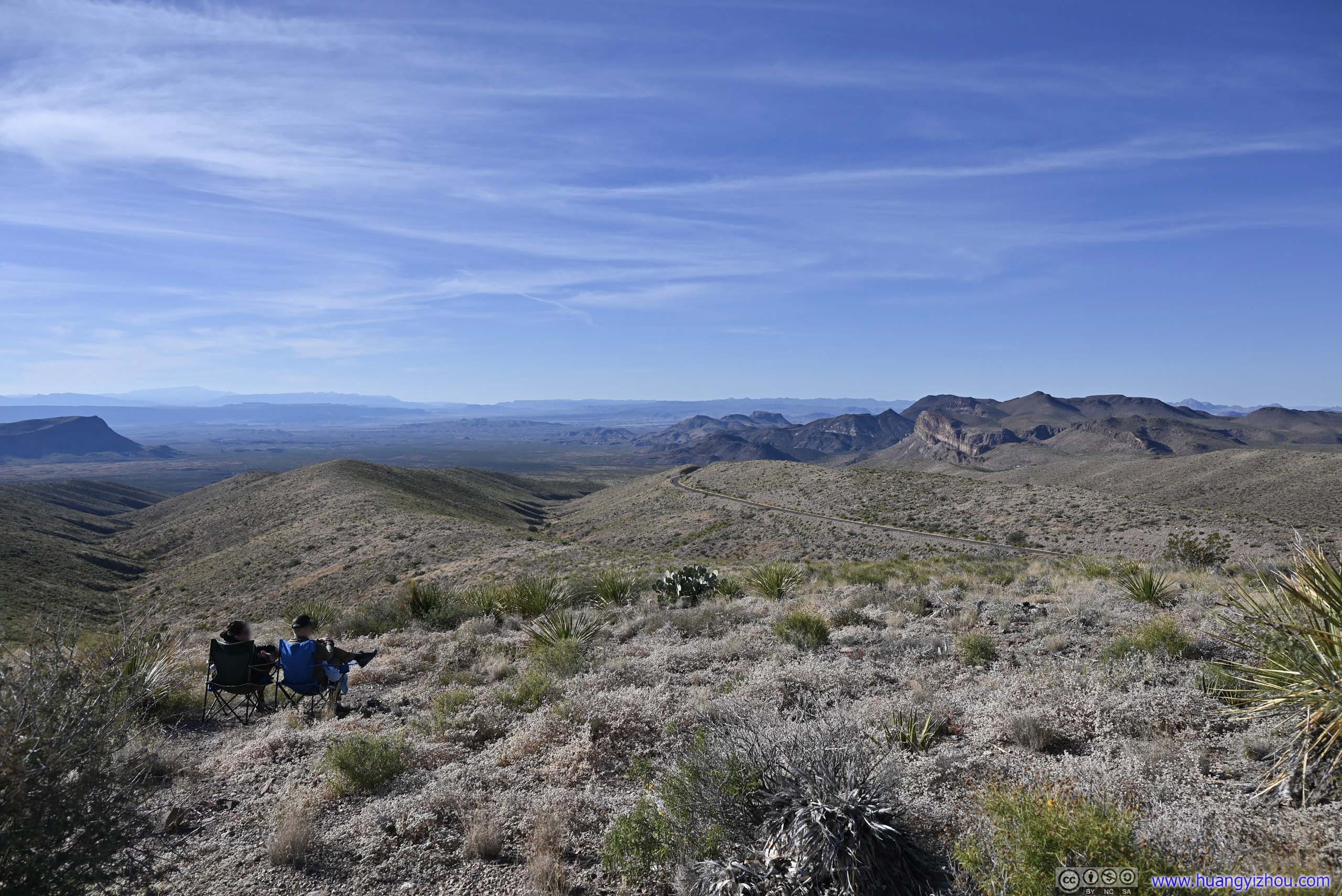
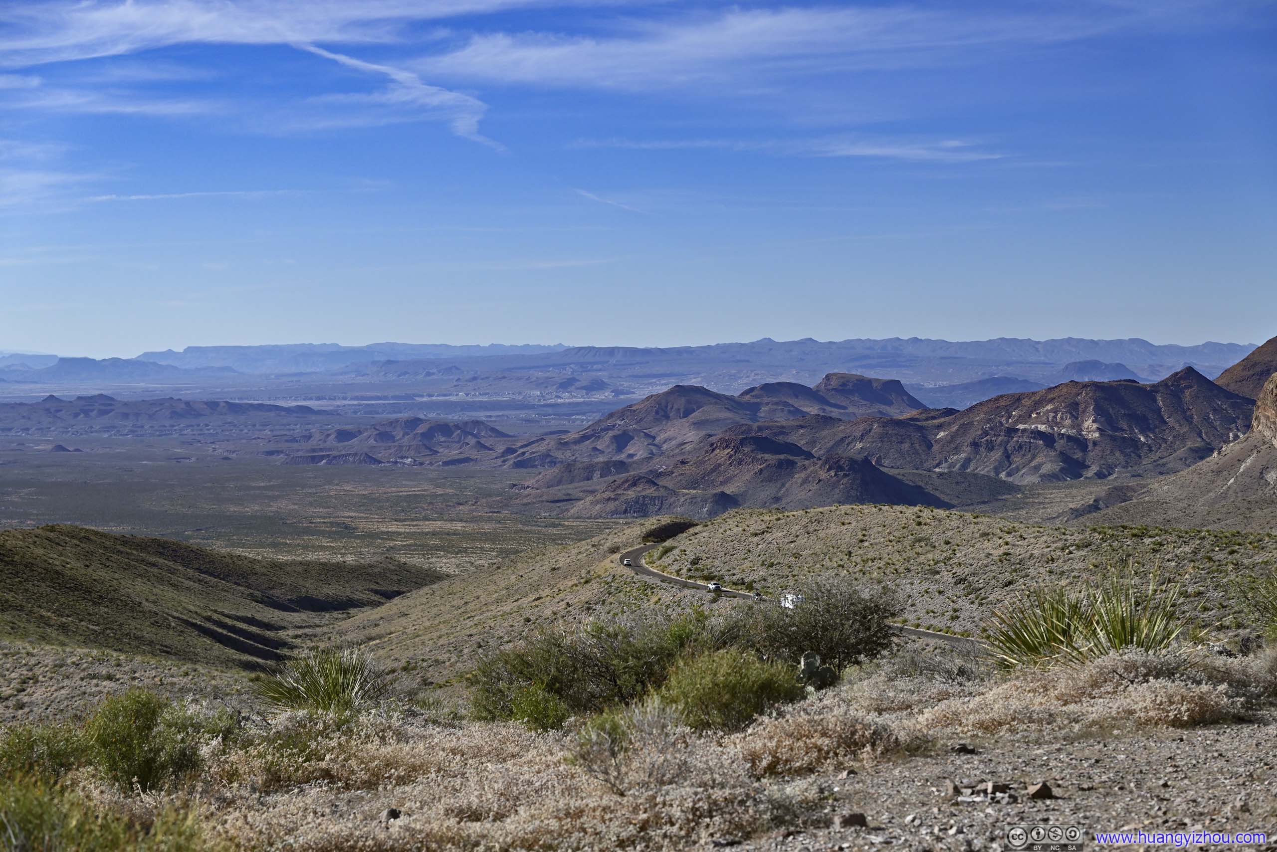
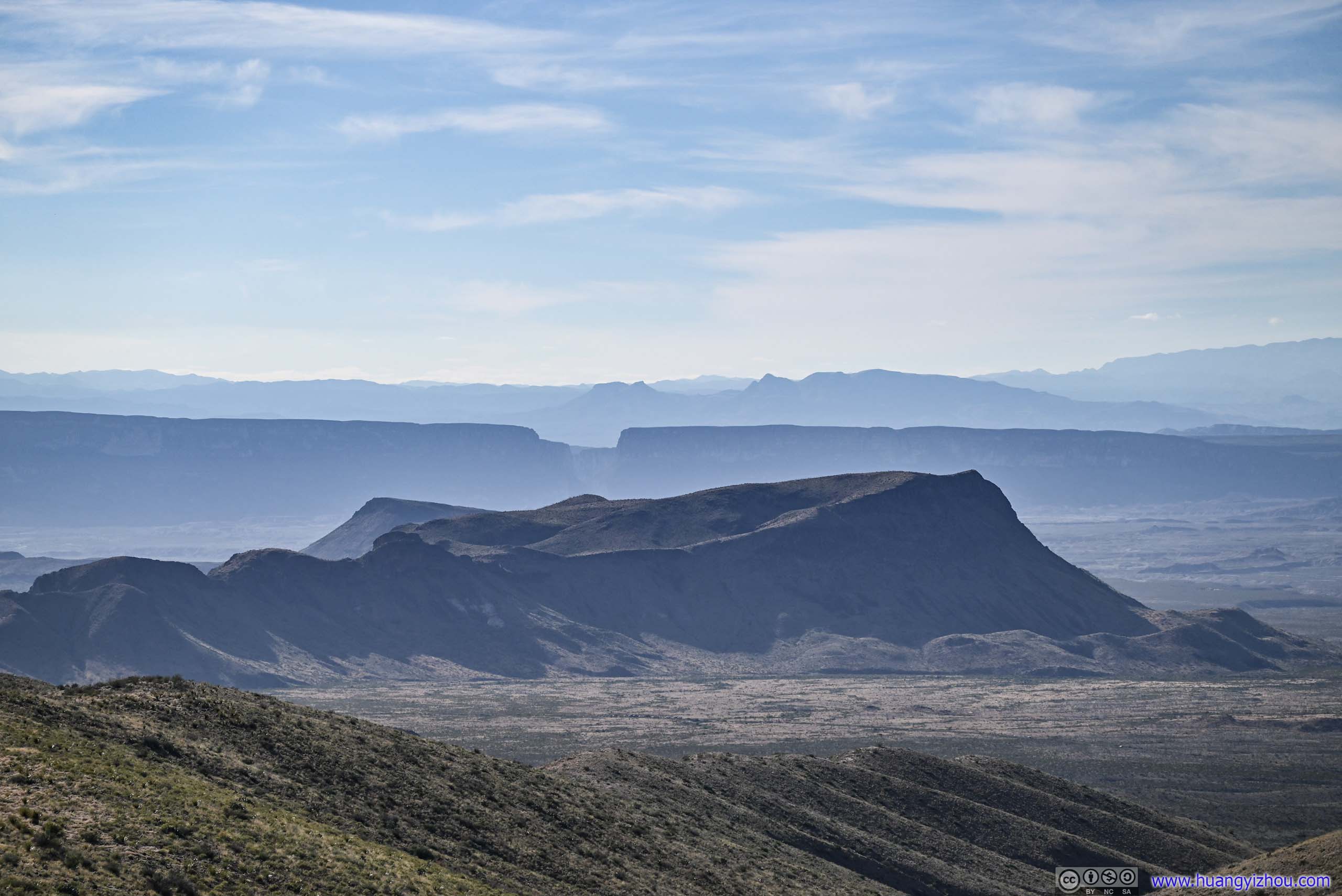
A major overlook along Ross Maxwell Scenic Drive, named for the spear-like plants that surrounded the overlook and offering great views from Chisos Mountains to Santa Elena Canyon and everything in between.
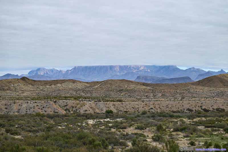
Chisos Mountains
Chisos Mountains
Christmas Mountain A cluster of mountains outside the park to the north.
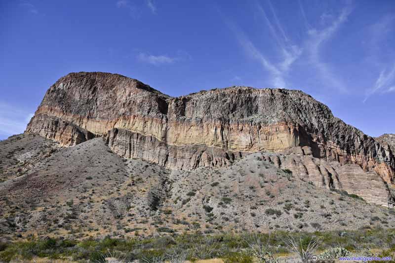
Burro Mesa With its distinctive volcanic bands.
Fields to the West
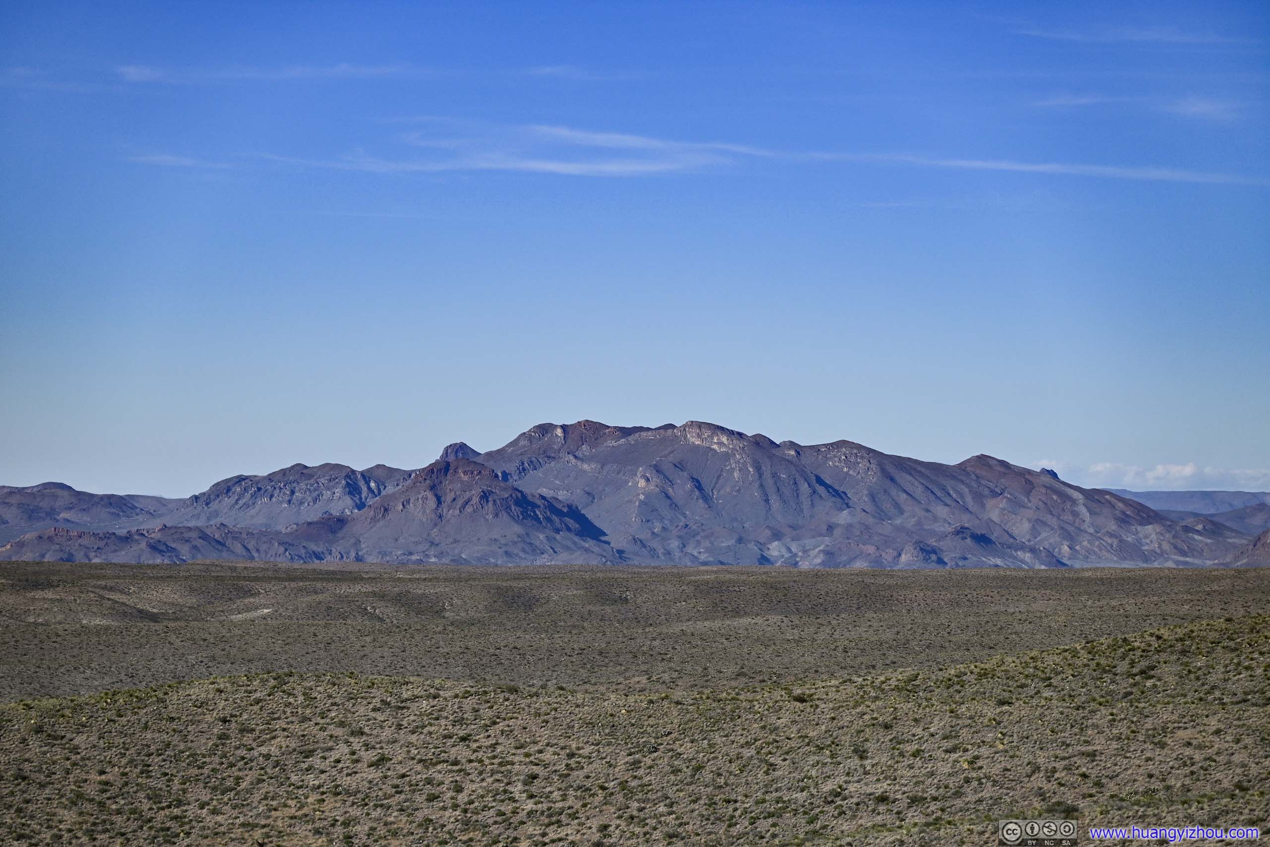
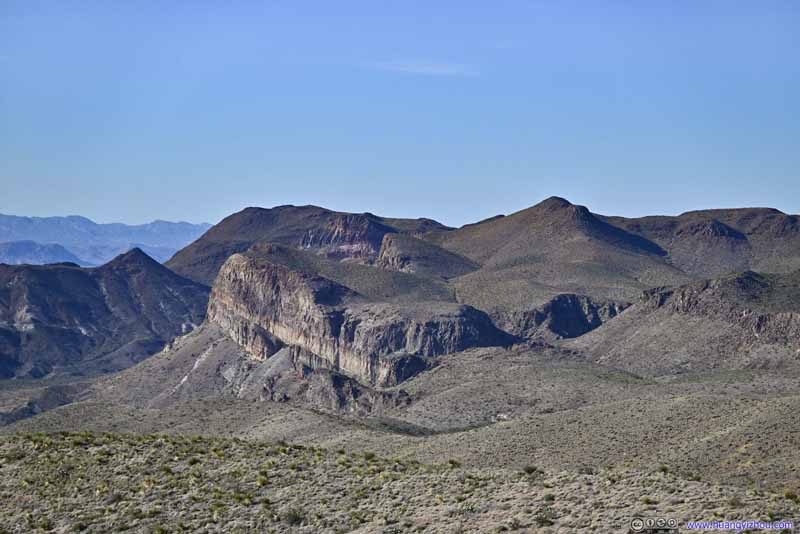
Mountains to the Northwest
Distant Santa Elena Canyon Against the sun and not very visible. Kit Mountain in the foreground.
Rock Formations along Blue Creek Trail
Mountains to the Southeast
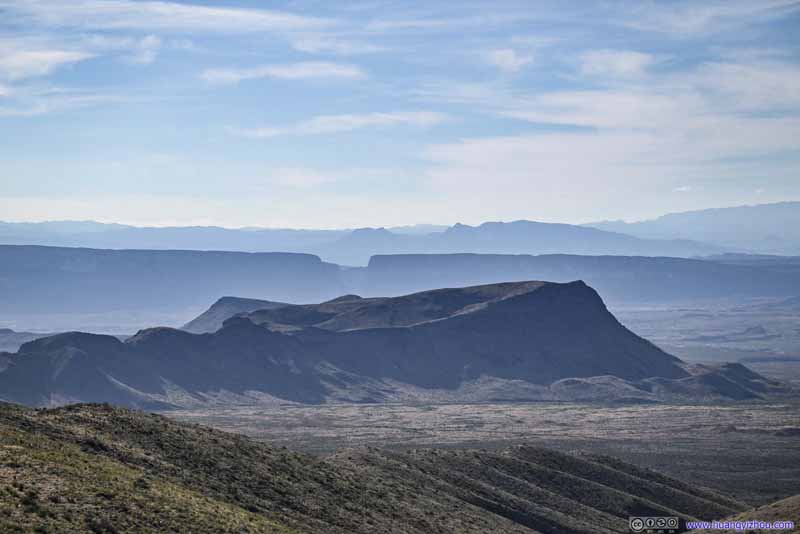
Mountains to the Southwest Trap Mountain and Goat Mountain.
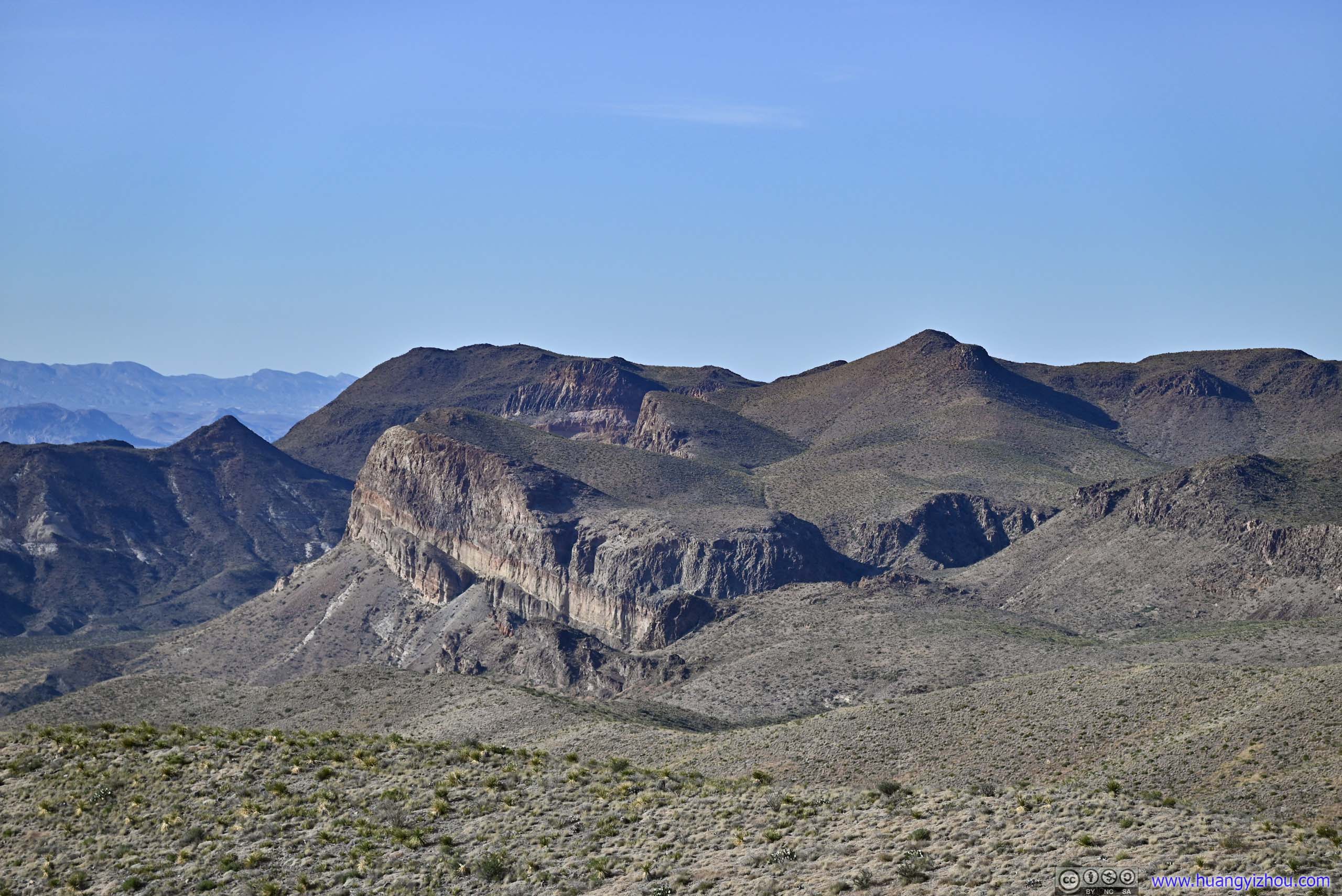
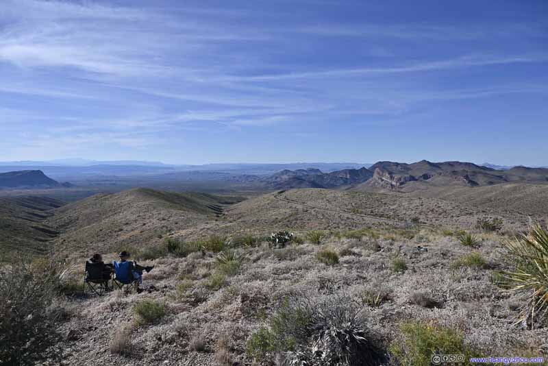
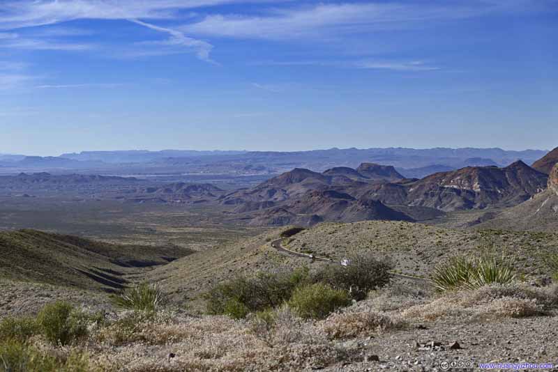
The overlook was windy but offered great views, especially to the east as Chisos Mountains emerged in spectacular fashion from clouds. To the west, maybe not so much as it's against the sunlight.
View from Sotol Vista Overlook
Roadside Turnout
Before leaving Ross Maxwell Scenic Drive, I made a final stop at a roadside turnout facing Chisos Mountains, since the sun was out and I could appreciate the views.
Chisos Mountains
The Window
An opening between Vernon Bailey Peak on the left and Carter Peak on the right, leading to Chisos Basin in the background.
Vernon Bailey Peak
Carter Peak
Ward Mountain A rocky part of Ward Mountain, with what looks like another Window in the foreground.
Ward Mountain
Christmas Mountain A cluster of mountains outside the park to the north.
Chisos Mountains
Originally, I planned to hike either Lost Mountain or The Window trail for the latter half of the day. However, by the time I left Ross Maxwell Scenic Drive, it's almost 4pm, so I decided to head to the eastern part of the park, near Boquillas del Carmen, which didn't involve as much hiking.
A disappointing note, the bathrooms at Panther Junction Visitor Center were closed.
Boquillas del Carmen Area
Boquillas Canyon Overlook
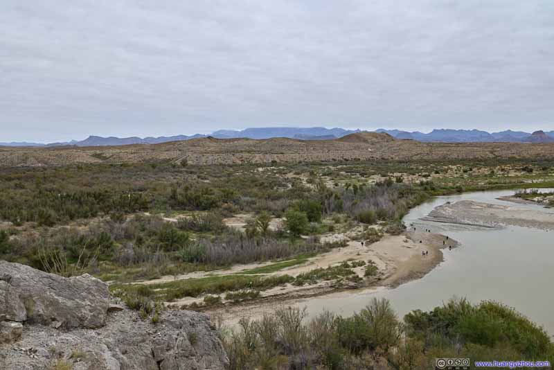
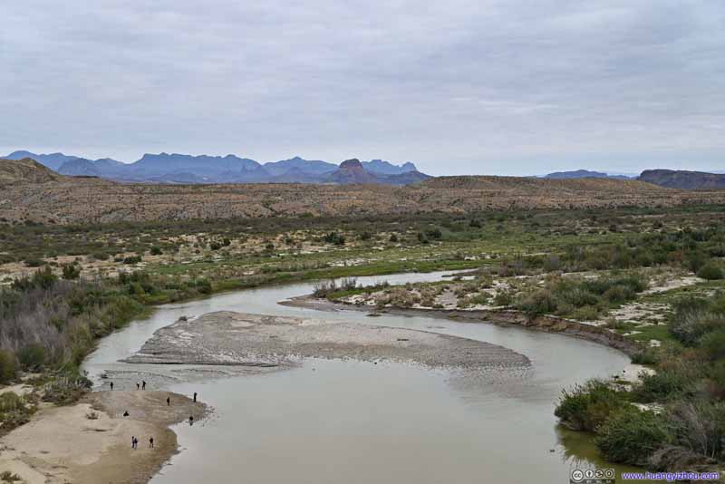
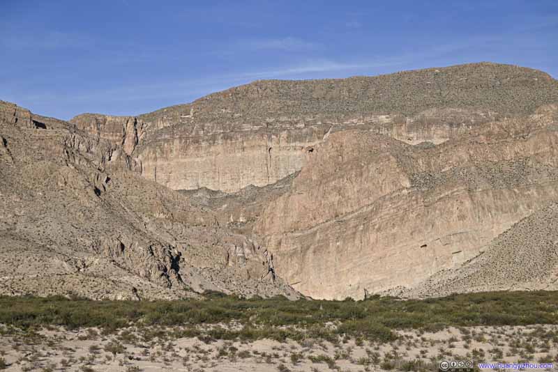
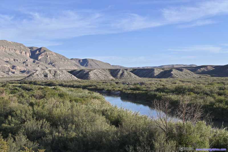
About an hour later after leaving Sotol Overlook, I reached Boquillas Canyon Overlook, with views of Rio Grande and the mouth of Boquillas Canyon. This overlook wasn't directly facing the mouth of Boquillas Canyon, so the views weren't that spectacular compared to Santa Elena Canyon.
Boquillas Canyon
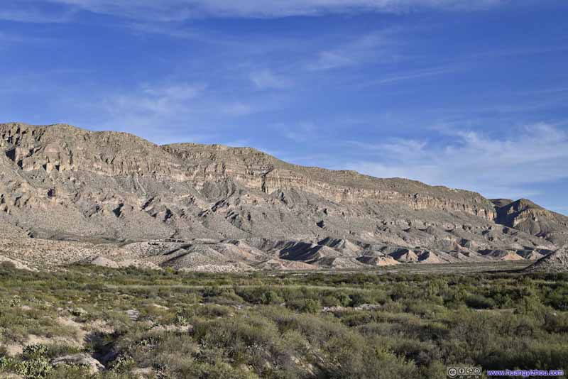
Mountain Ranges
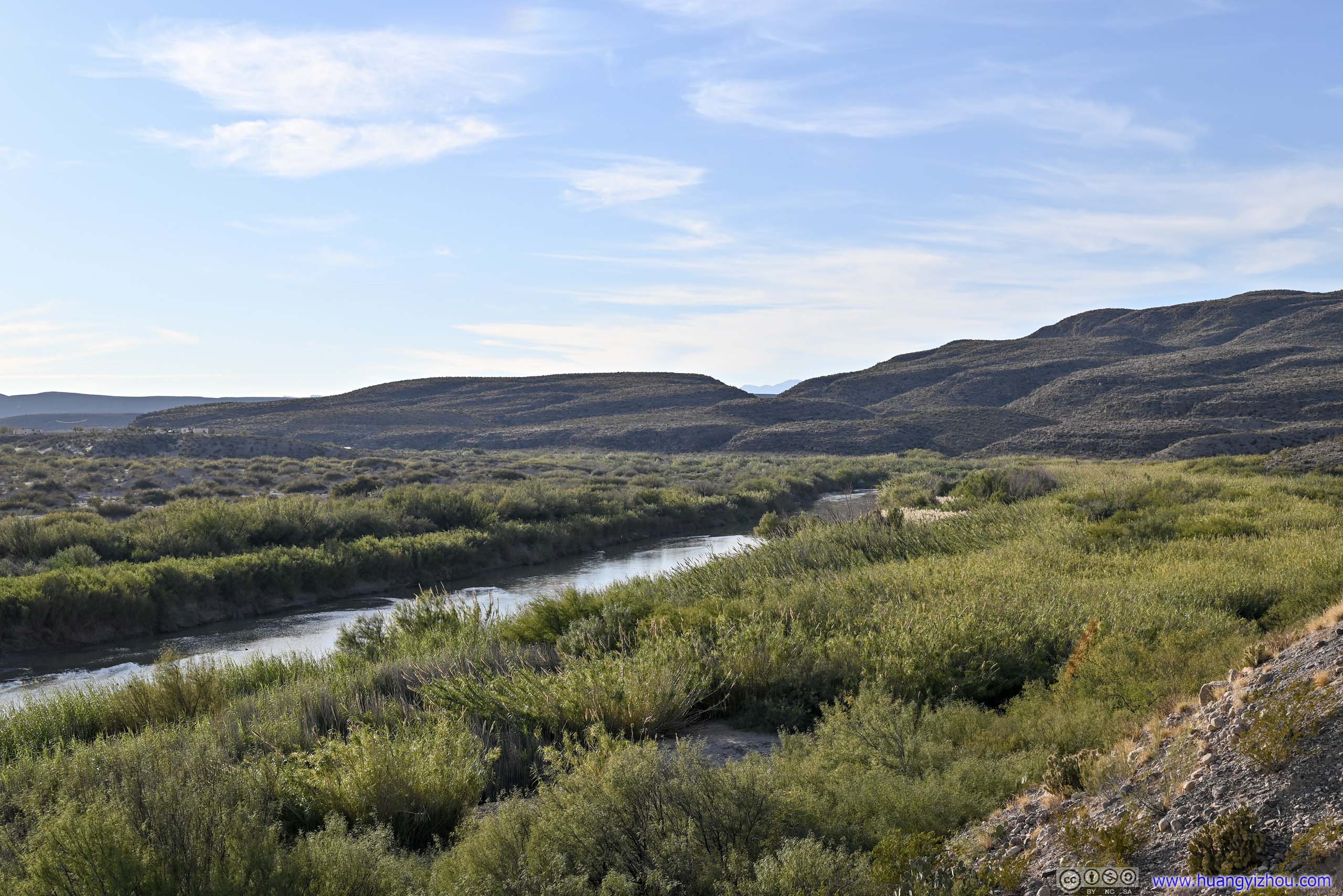
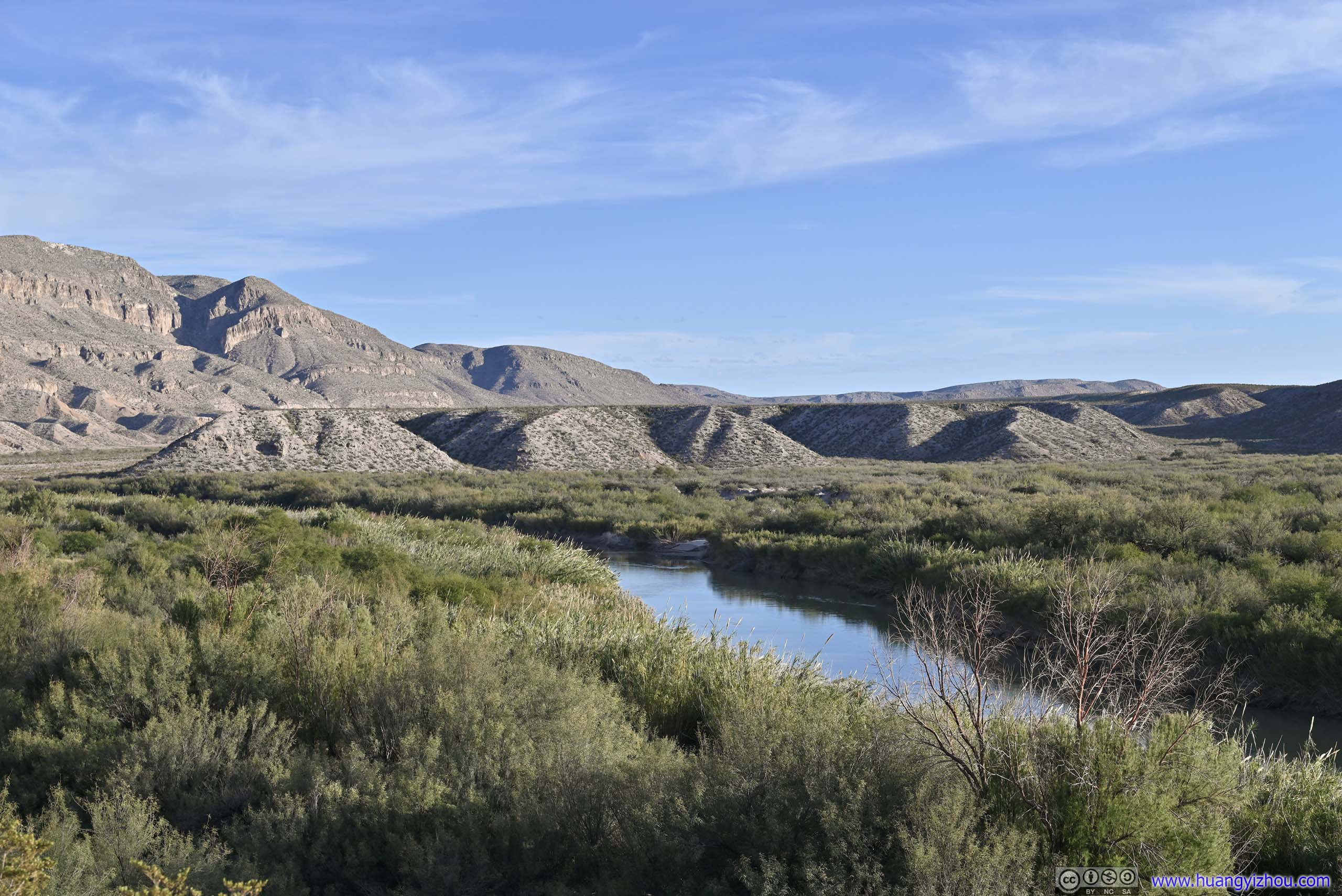
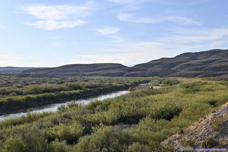
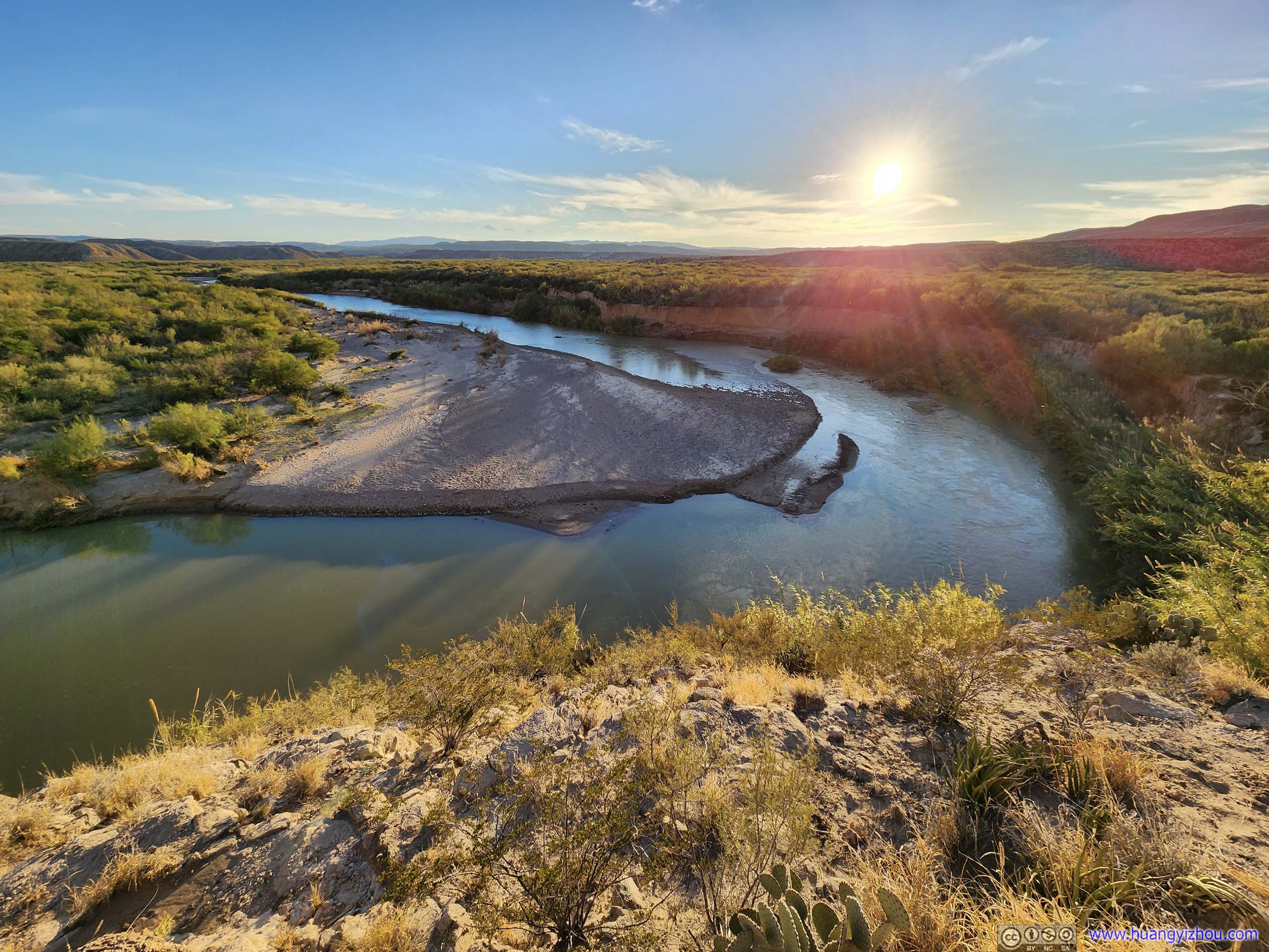
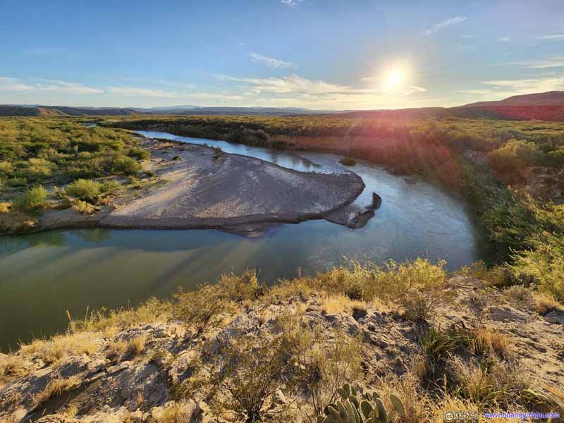
Overlooking Rio Grande
Overlooking Rio Grande
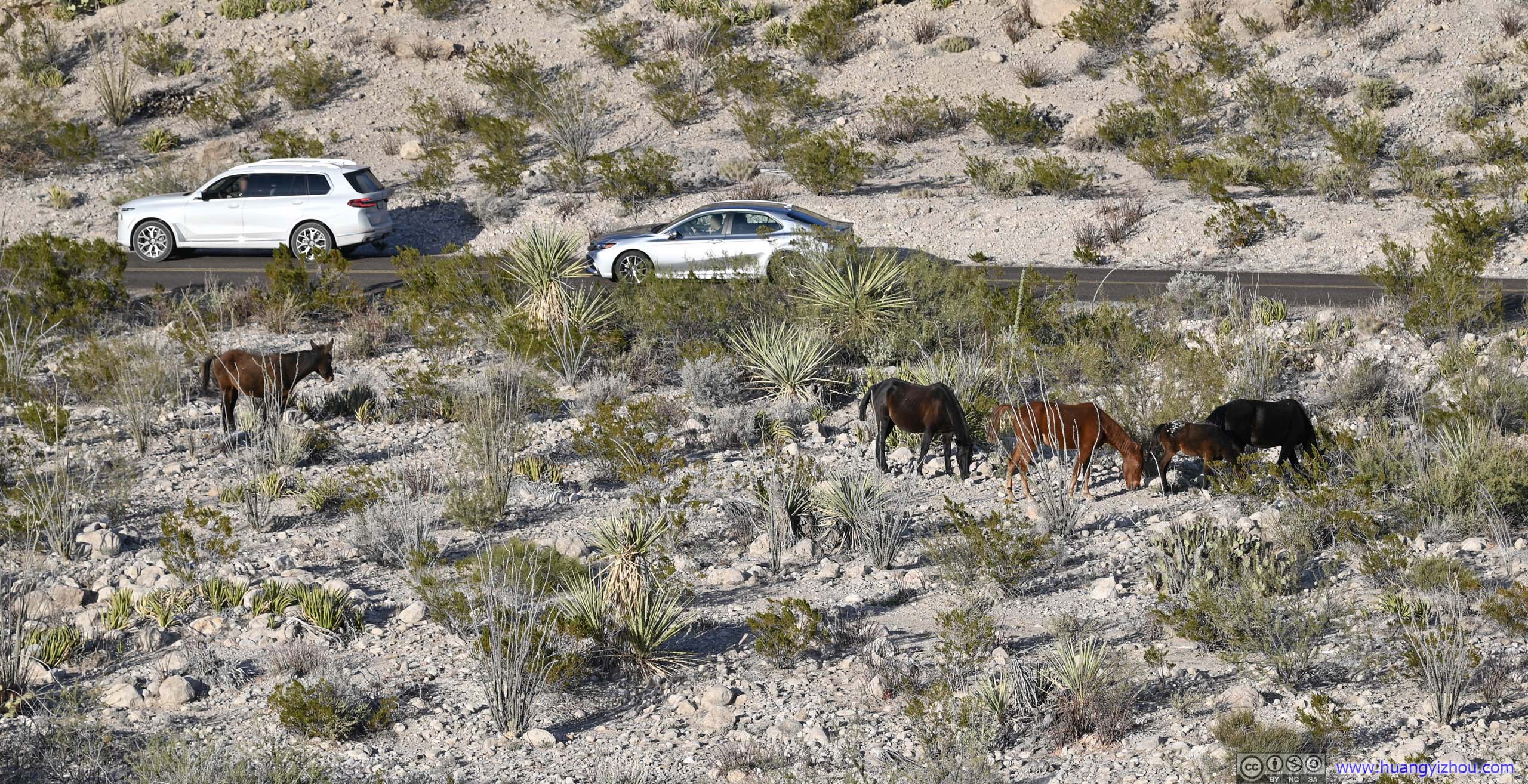
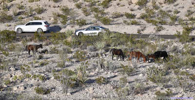
Horses in Field
On my way to Boquillas Canyon Overlook I spotted these horses in the field. At first I thought they were wild horses, not so sure after I ran into some tagged cows along Boquillas Canyon Trail.
Boquillas Canyon
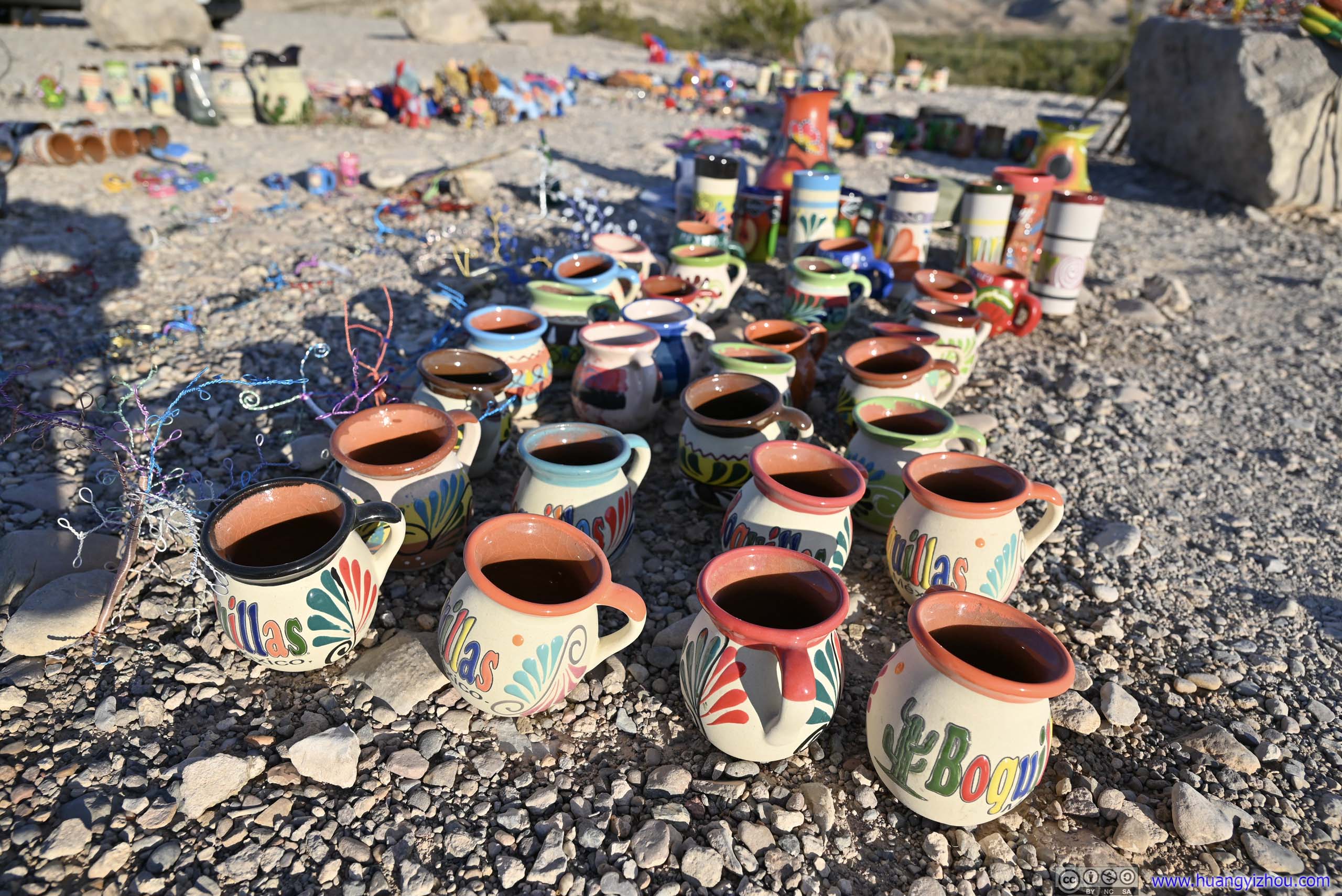
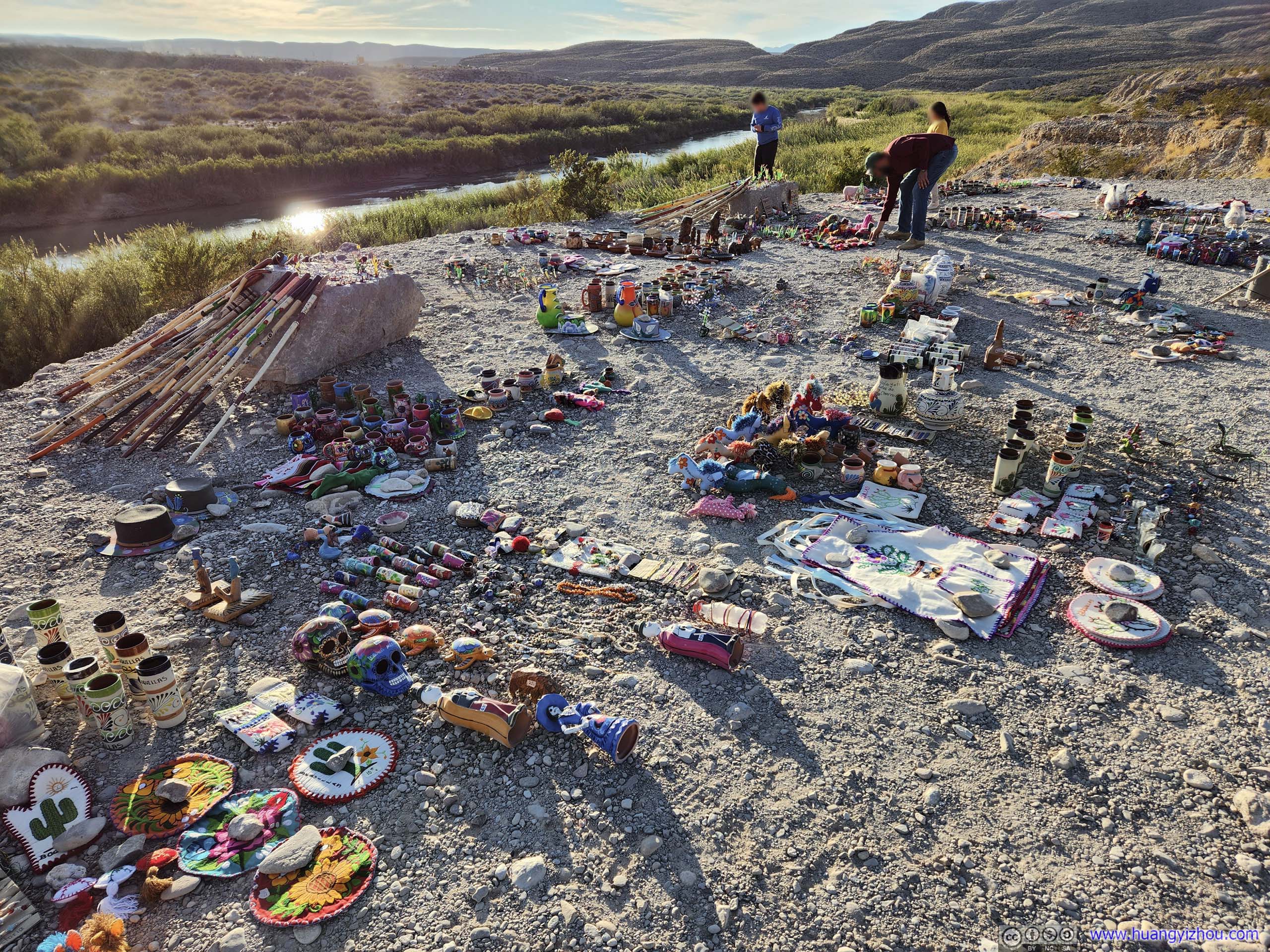
Probably due to its proximity to the Mexican village of Boquillas del Carmen, some Mexican craftspeople would smuggle transport their handicrafts into the States and have them on sale with an honor system, with quite a considerable exhibit here at Boquillas Canyon Overlook.
Handicraft on Sale
From what I heard online, some craftspeople across Rio Grande in Mexico would create handicrafts and then have them on sale here in United States. Since they don’t have the proper documents to enter the states, the just run an honor system by directing people to put cash into a sealed can, and collect the money once in a while whenever US border control isn’t watching.
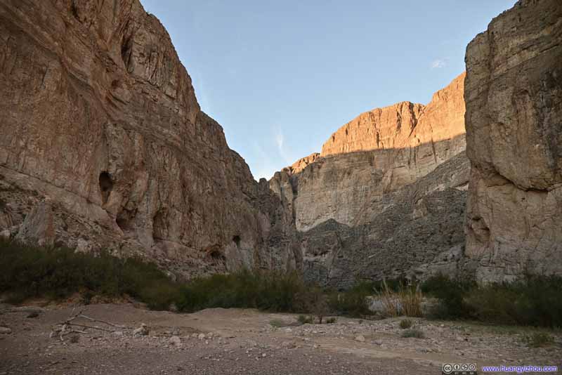
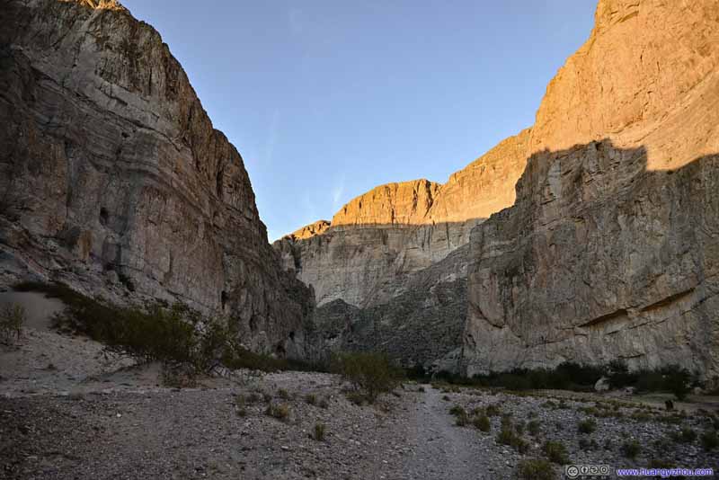
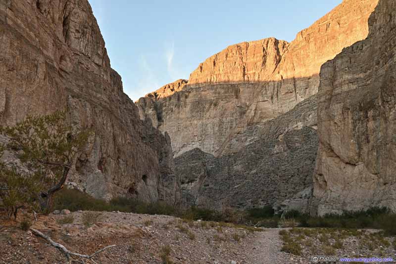
Boquillas Canyon
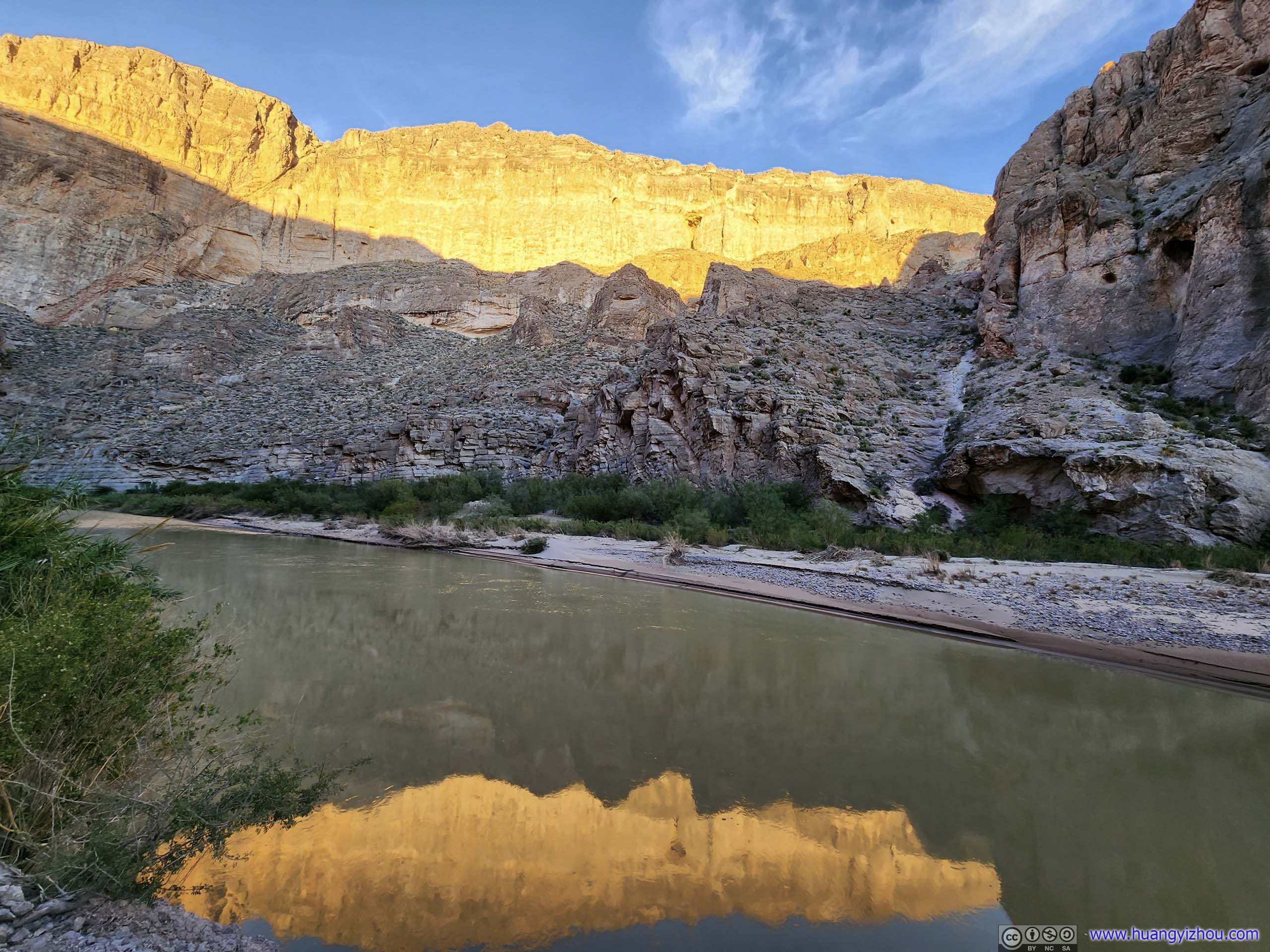
After that, I drove down to the trailhead of Boquillas Canyon, and started my hike into the Canyon. It's only 40 minutes from sunset, but the trail into Boquillas Canyon was also shorter than that of Santa Elena Canyon.
Overlooking Rio Grande
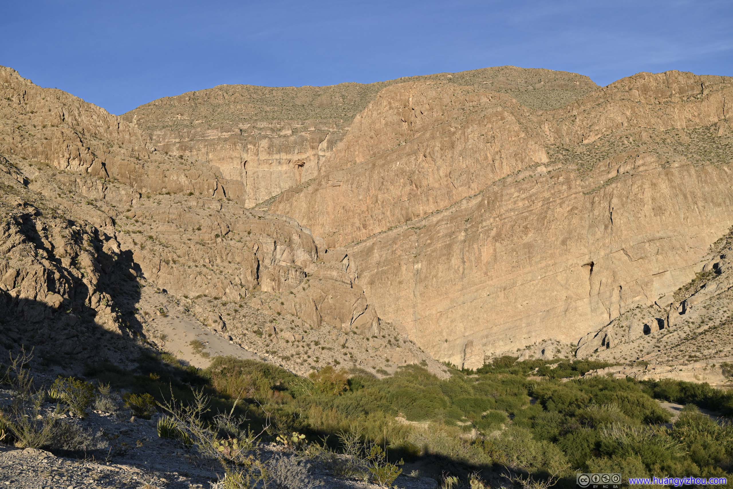
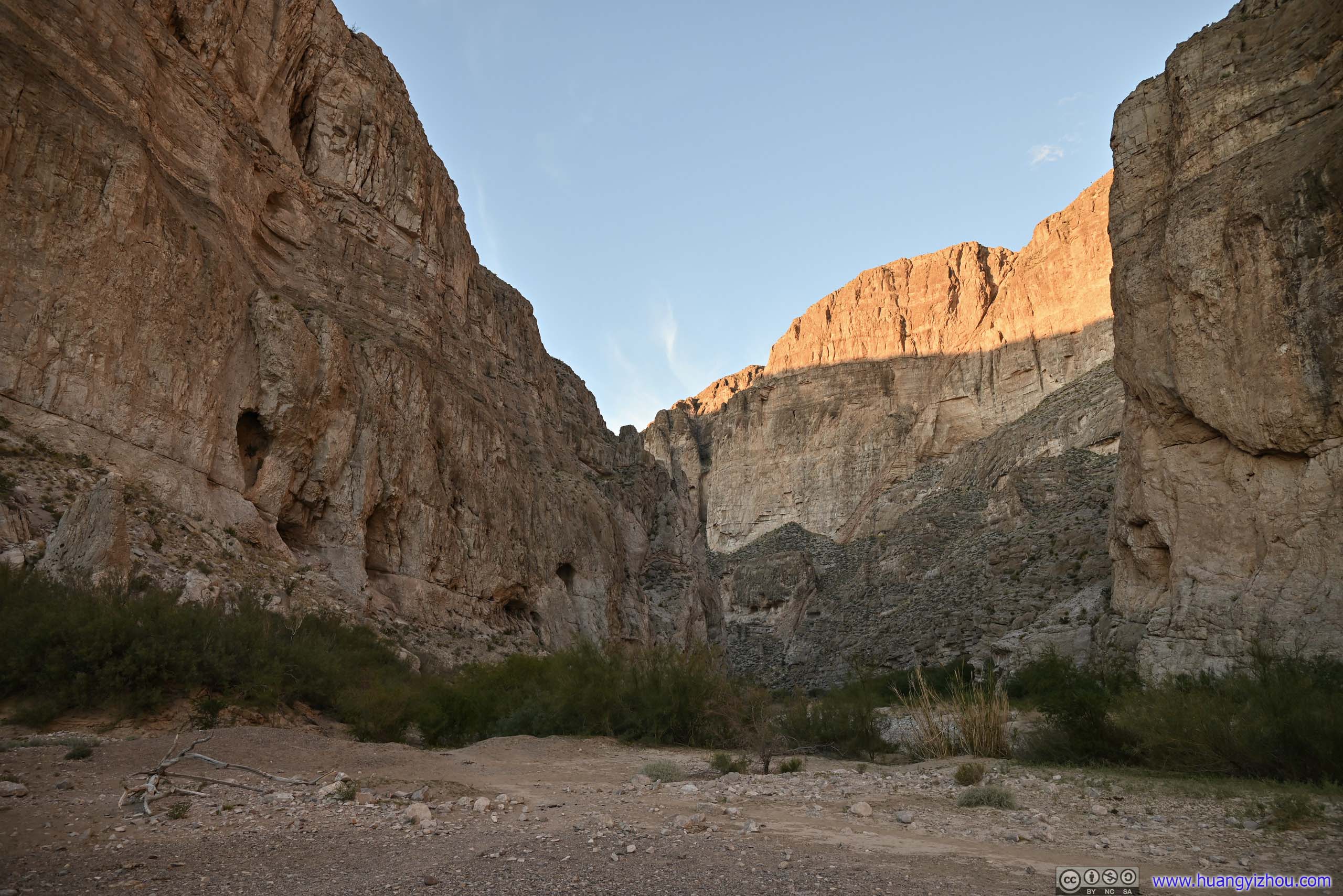
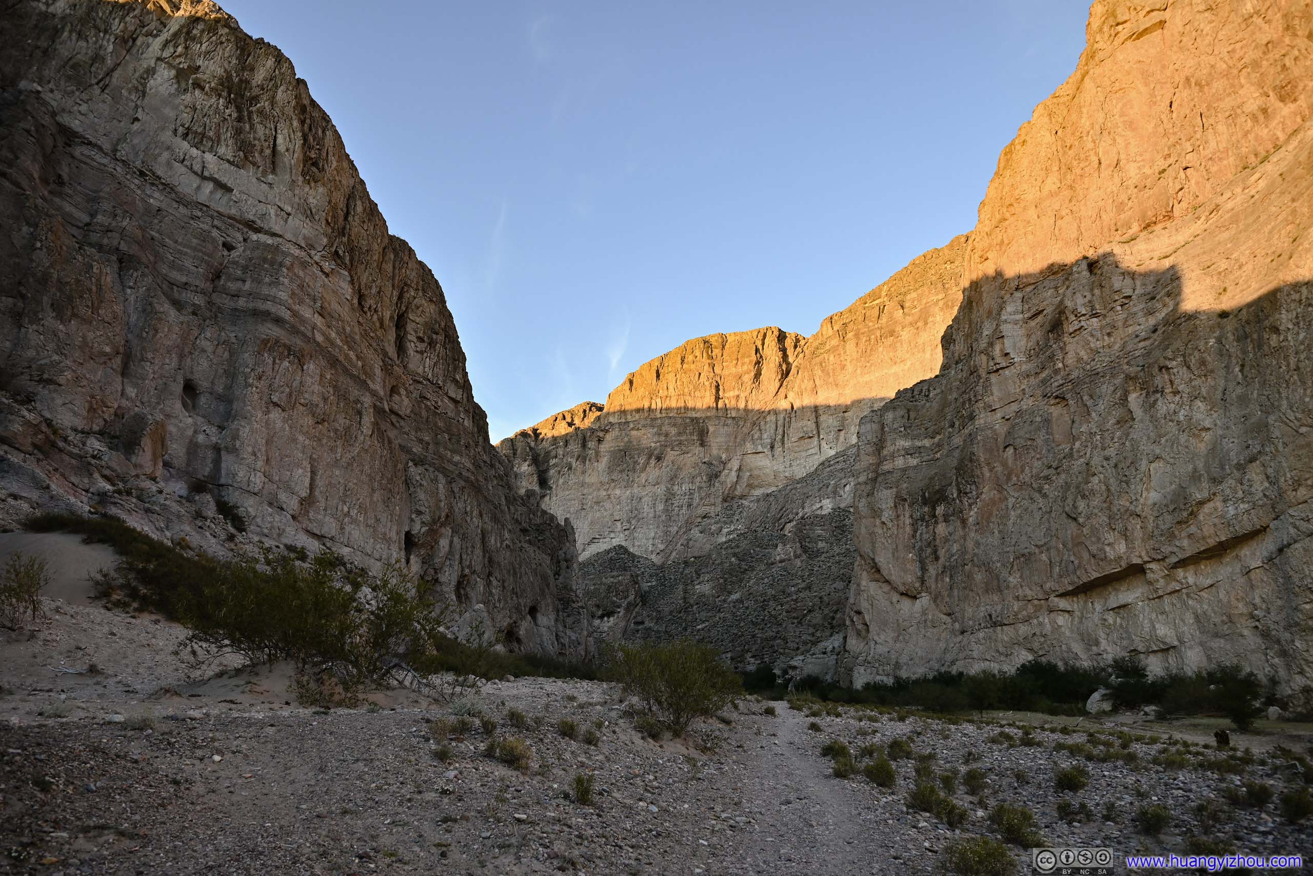
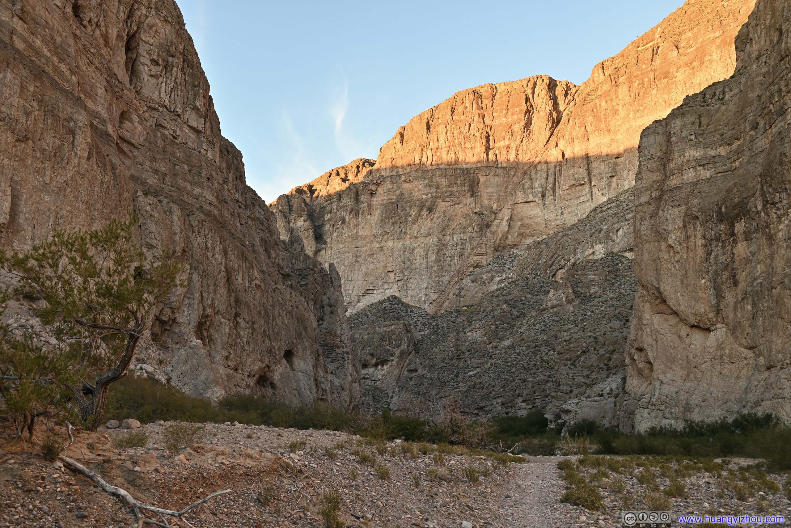
Boquillas Canyon Not long after leaving trailhead, it’s still bright as day.
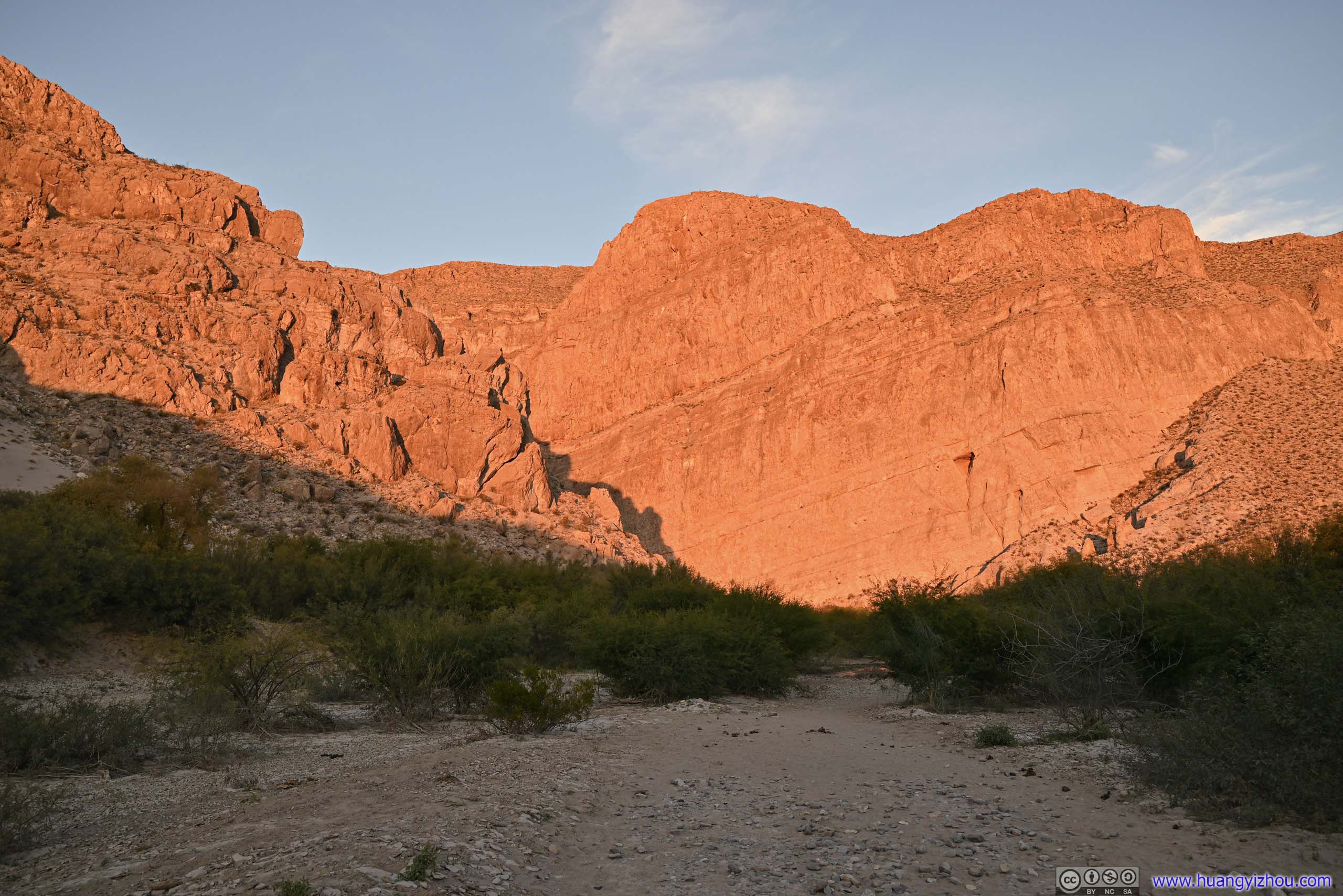
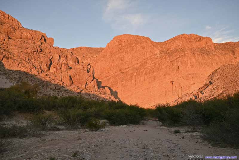
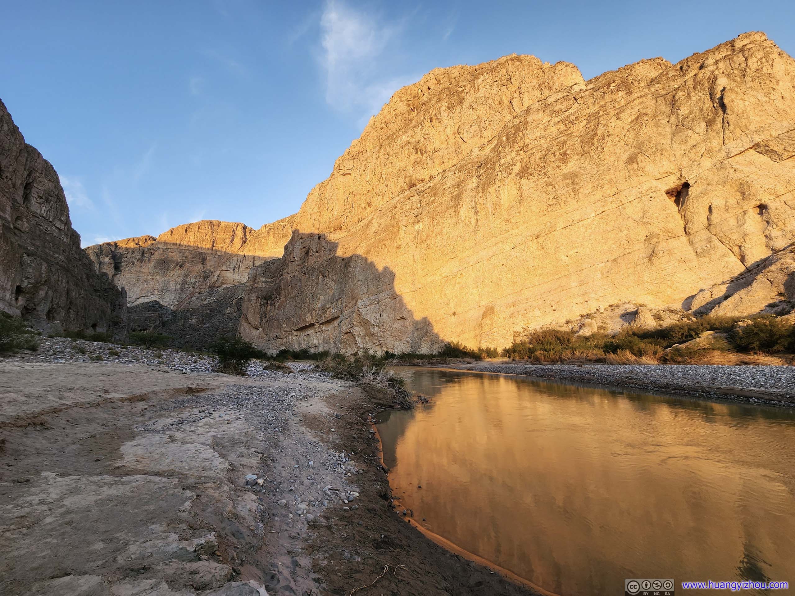
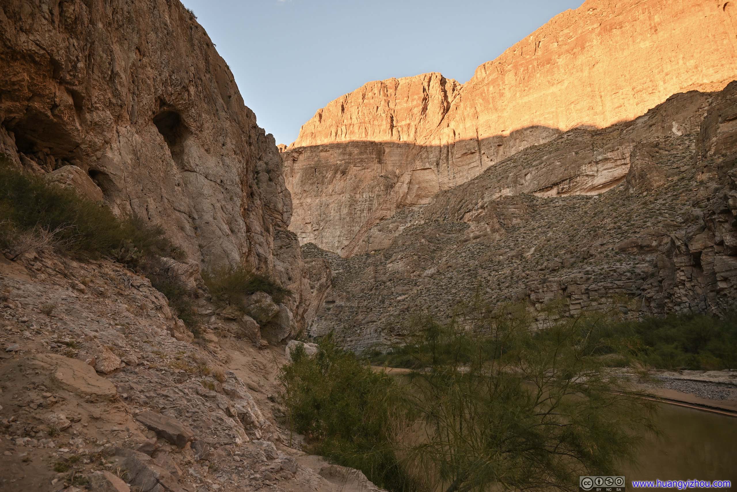
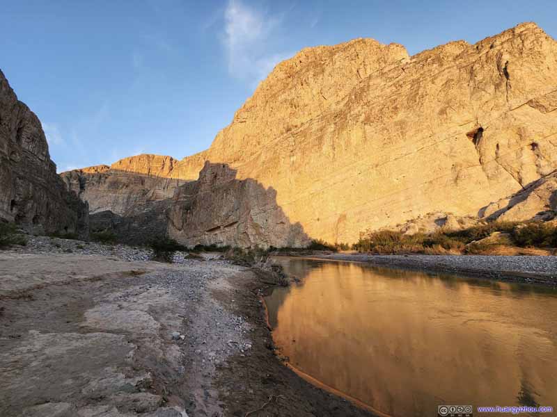
Rocks Illuminated by Sunset By the time I was heading back, the setting sun painted the walls red.
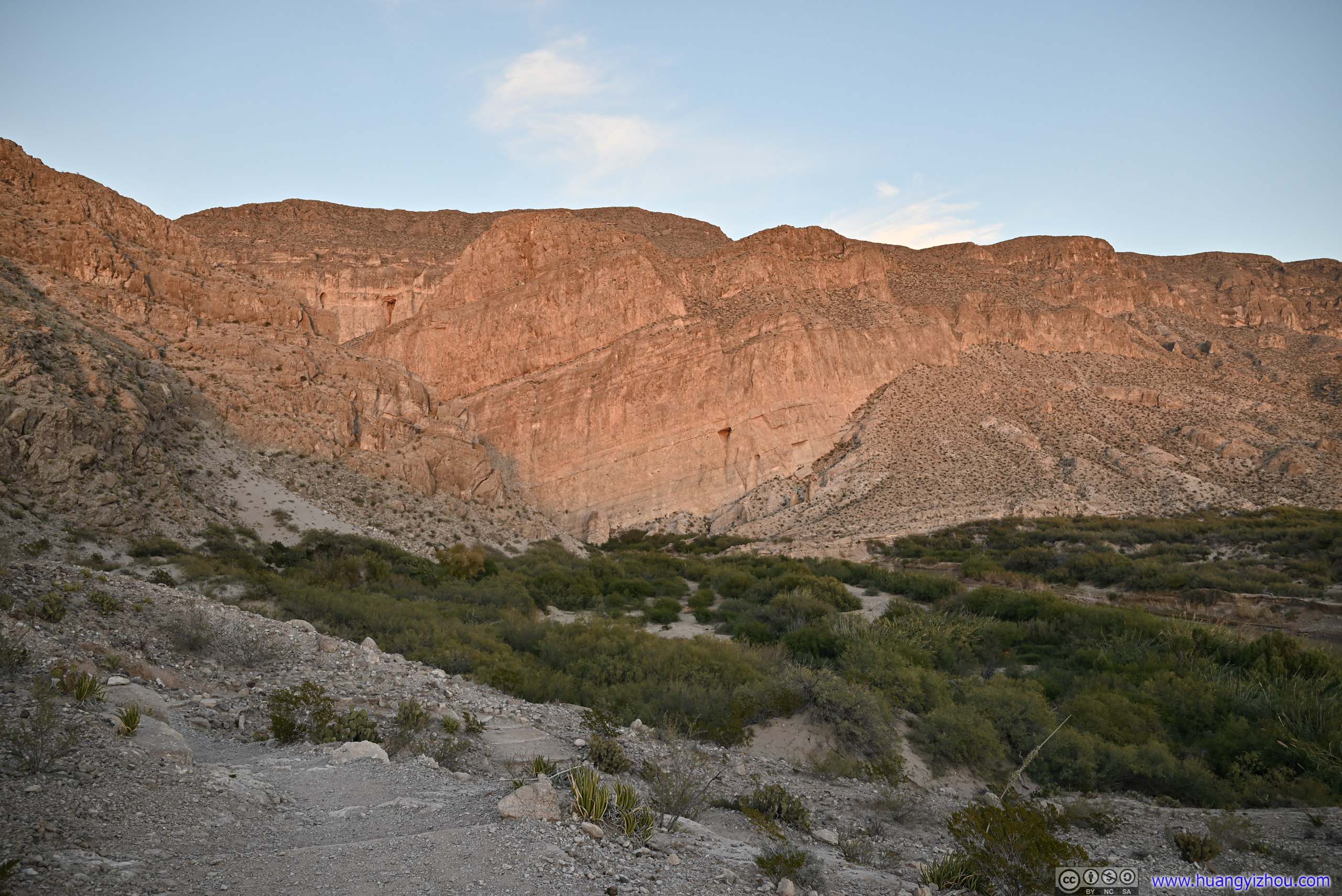
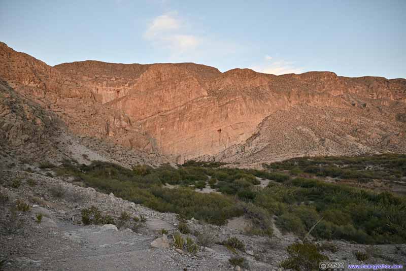
Boquillas Canyon A few minutes later, the sun was gone, leaving the soft twilight colors on the walls.
Mountain Ranges
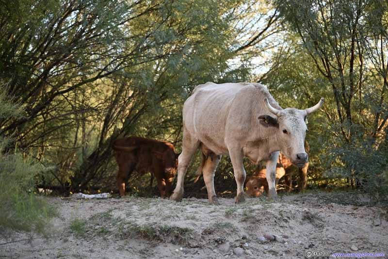
It seemed to me that the area around Boquillas Canyon abounded with domestic animals like horses and cows, possibly raised by Mexicans across the river. As a result, the trail had more animal droppings on it than I’d liked.
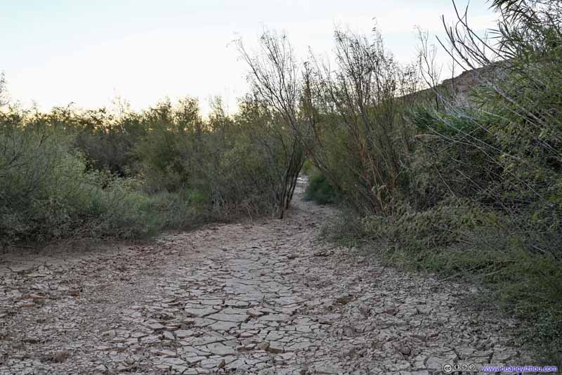
Trail
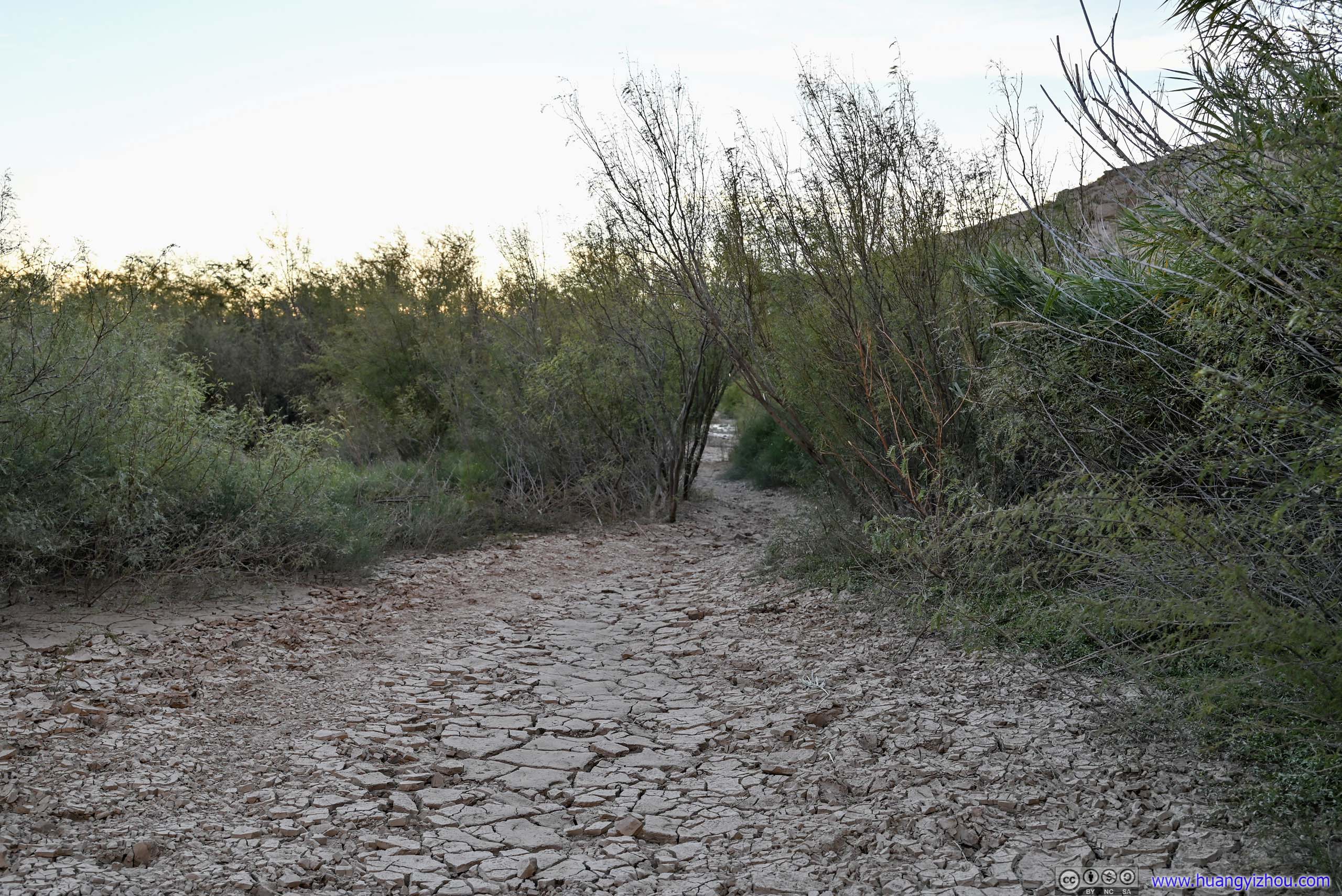
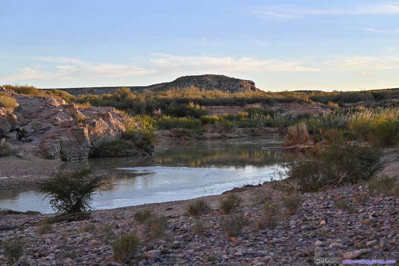
A considerable portion of the trail was on such floodplain, which felt quite different from other terrains that I’d hiked on.
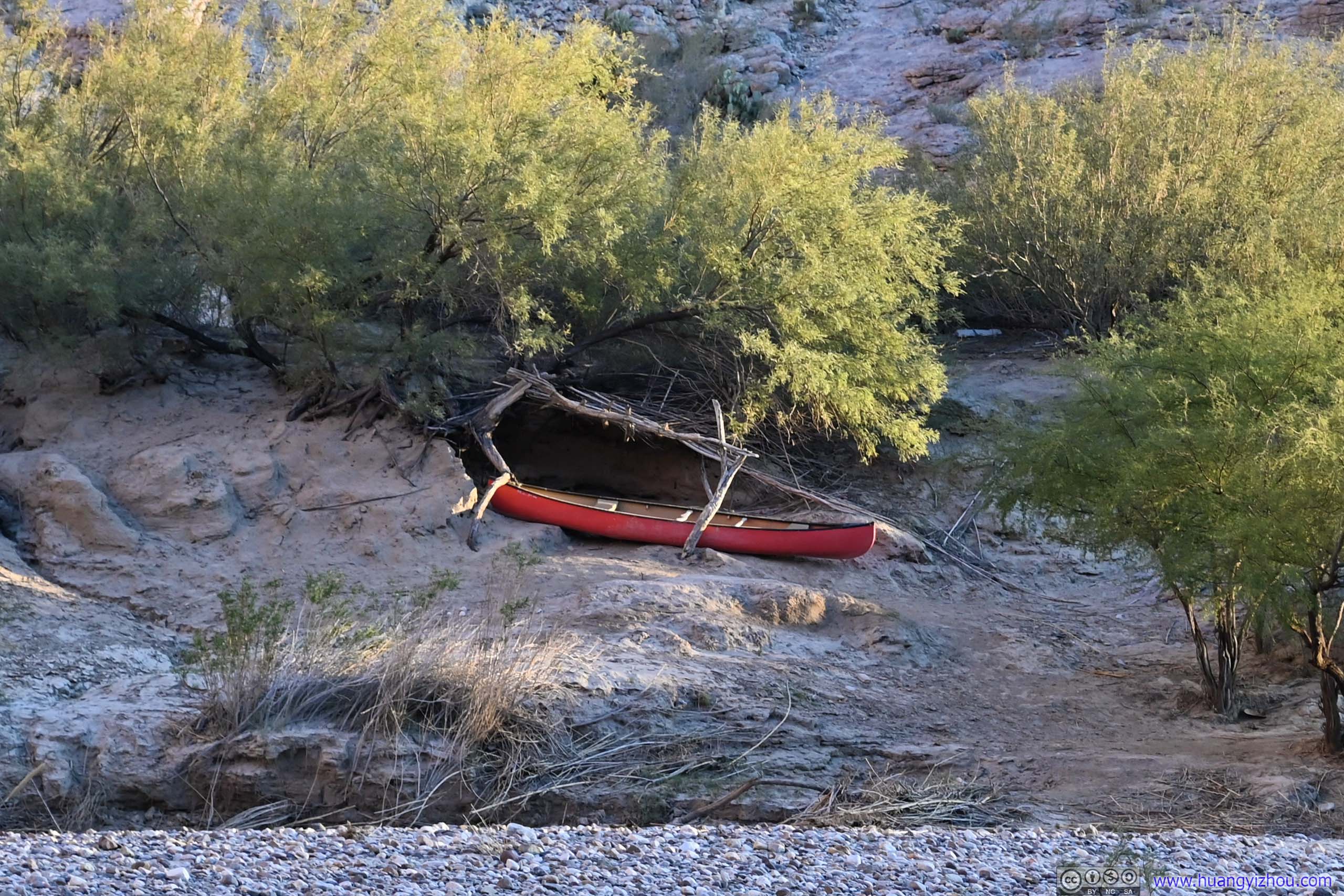
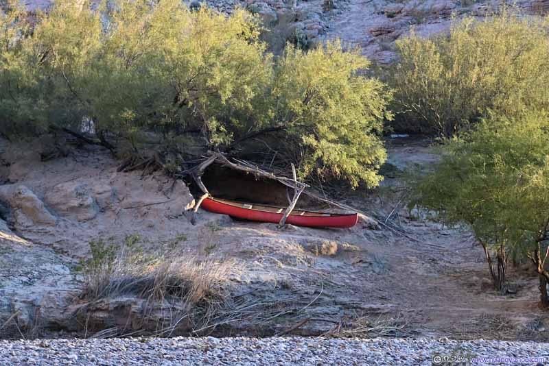
Kayak across Rio Grande Maybe used by the Mexican craftspeople to cross Rio Grande for their handicraft smuggle business.
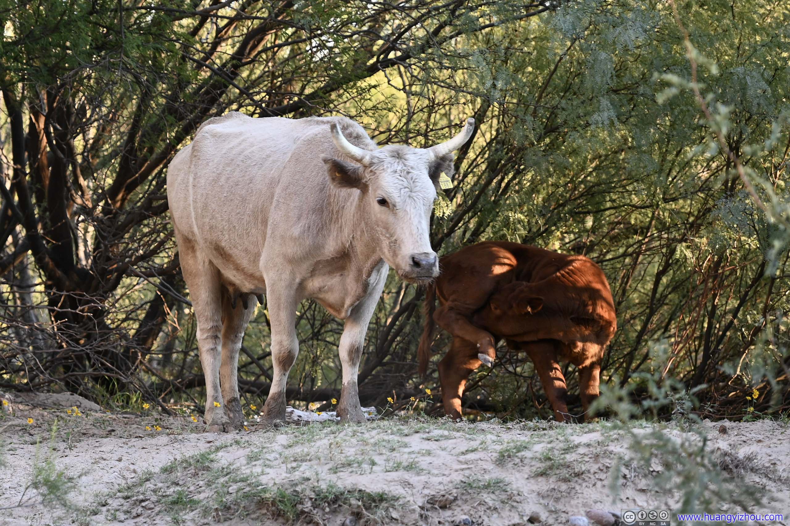
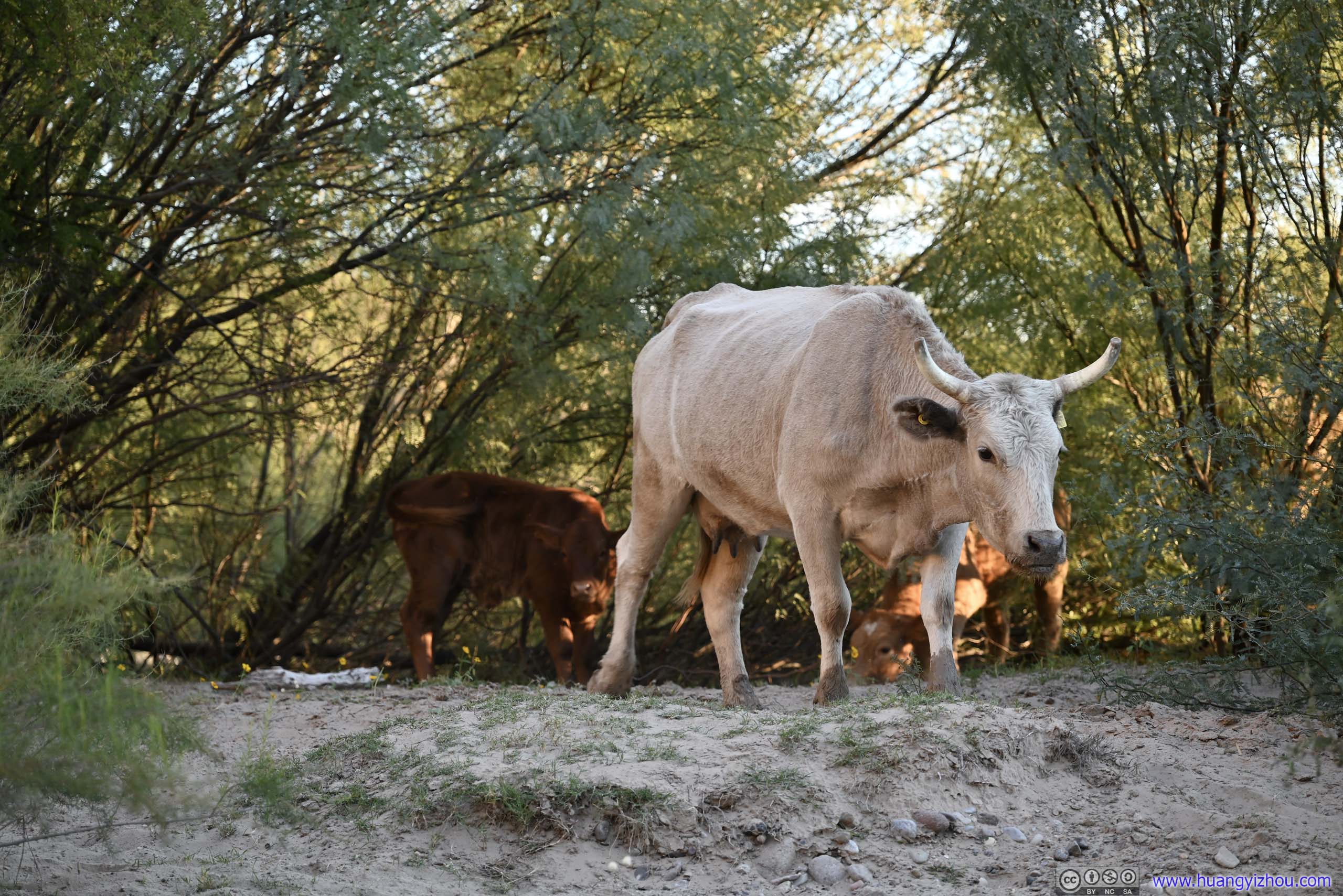
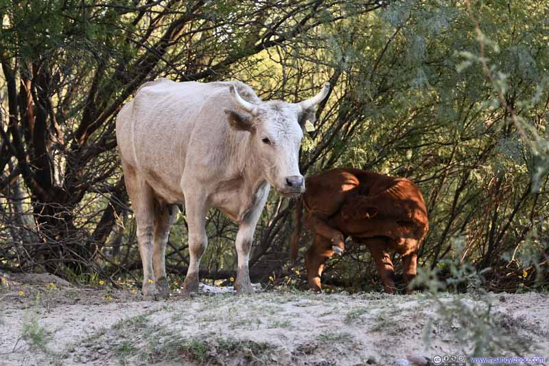
Cows At first I thought these were wild cows, until I saw the tags on their ears.
Cows At first I thought these were wild cows, until I saw the tags on their ears.
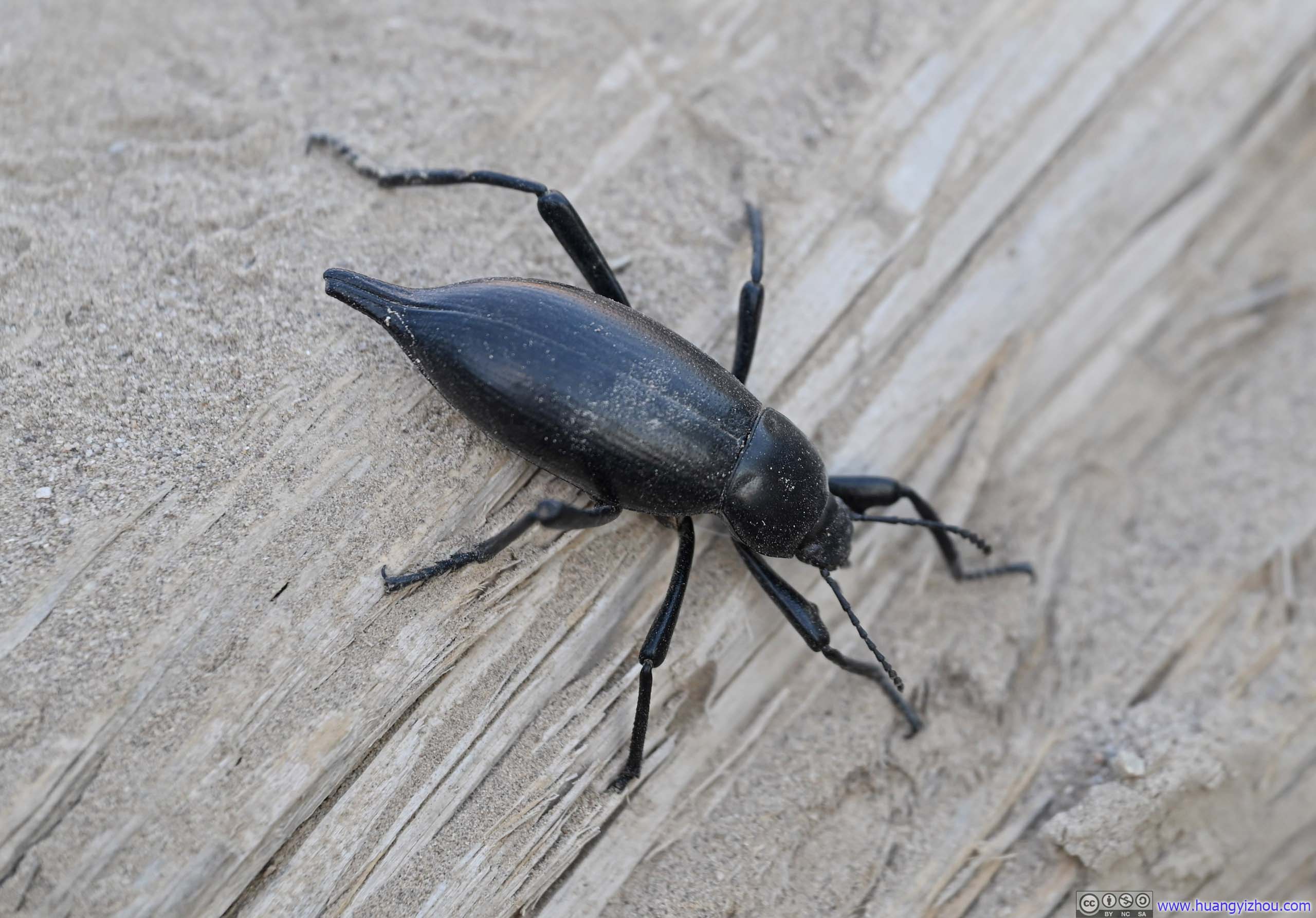
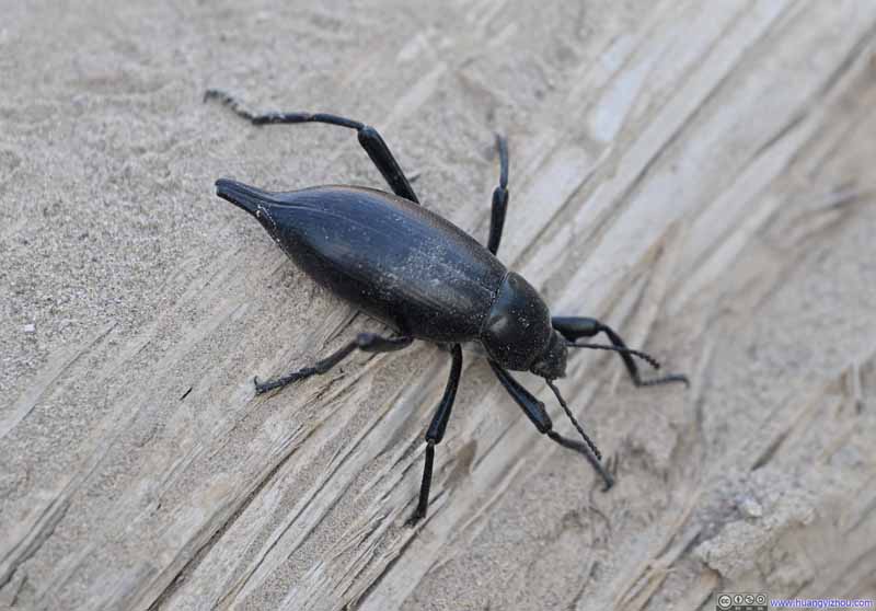
Insect
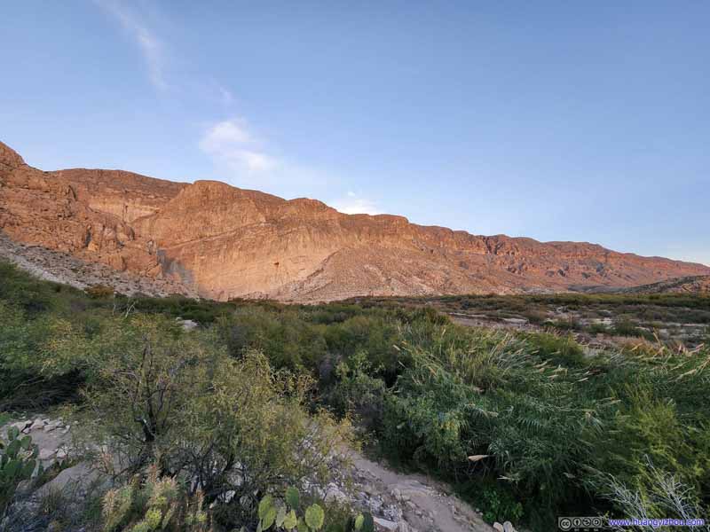
As for the canyon itself, it’s wider and thus not as spectacular as Santa Elena Canyon. (It’s also quieter without the kids testing the sound reflection of the canyon walls.) It’s late in the day so the sun wasn’t hitting the canyon walls at the ideal angle. I was sure the canyon scene would look more spectacular deeper inside, but after I ran out of trail between the canyon wall and Rio Grande, I started to head back.
Rio Grande Entering Boquillas Canyon
Rio Grande
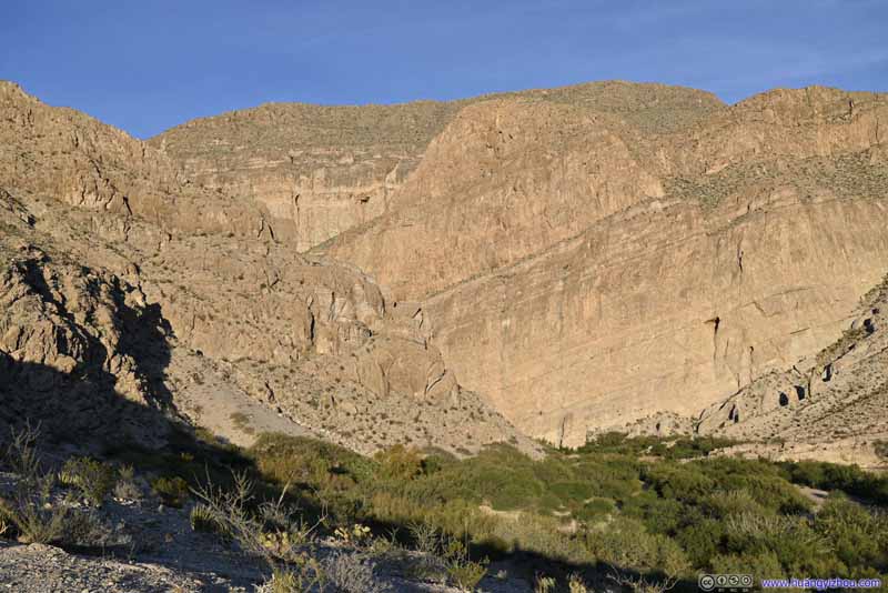
Boquillas Canyon
Boquillas Canyon
Boquillas Canyon
Rio Grande
Rio Grande
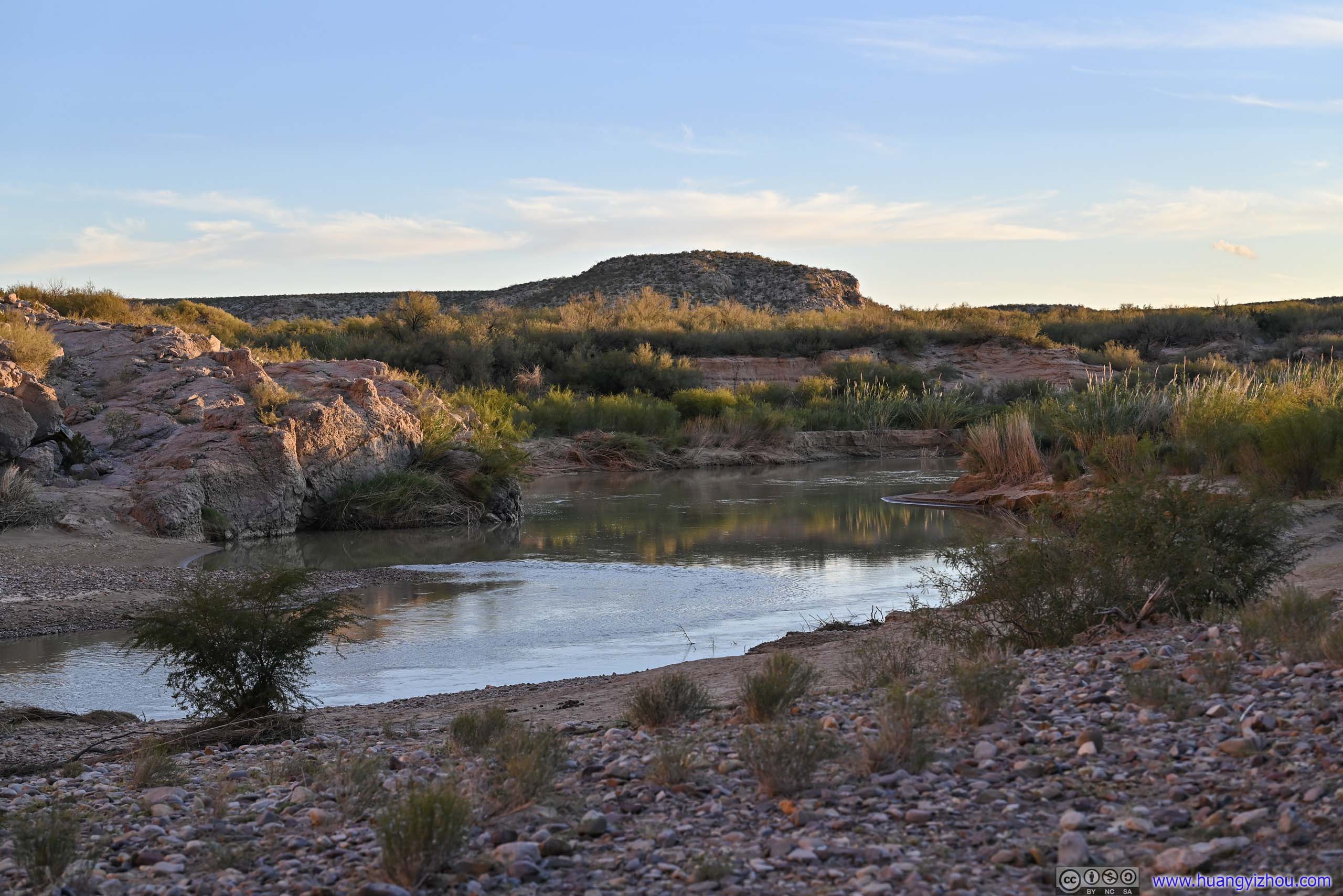
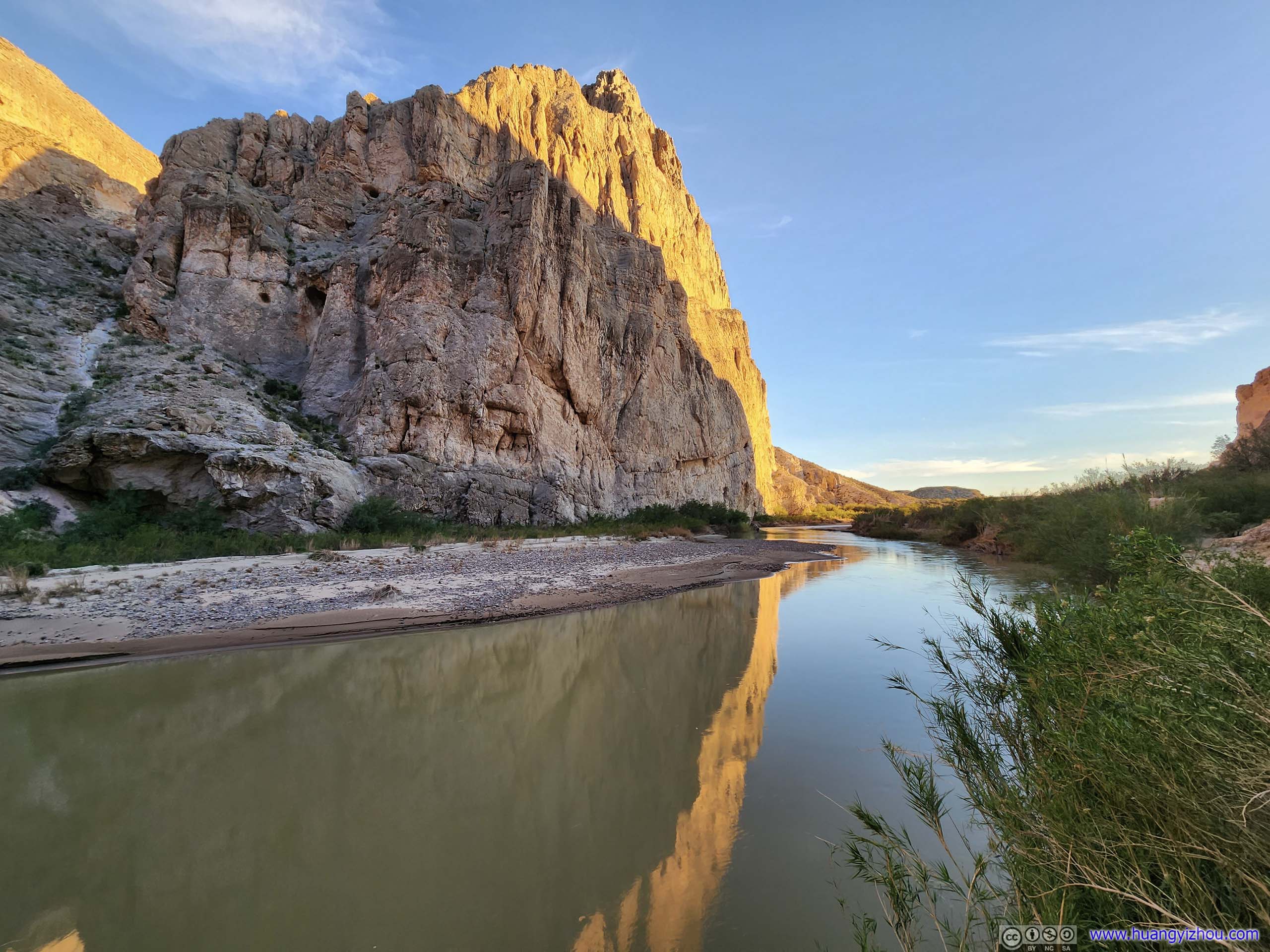
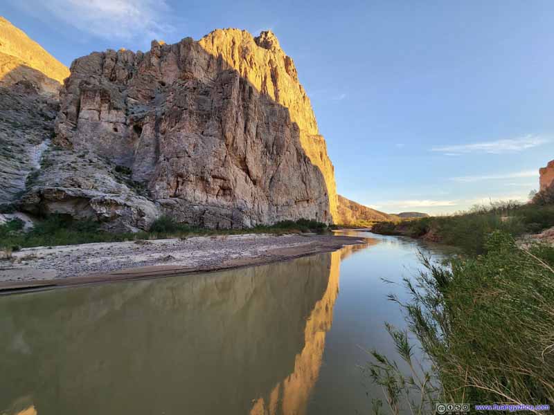
Rio Grande in Boquillas Canyon
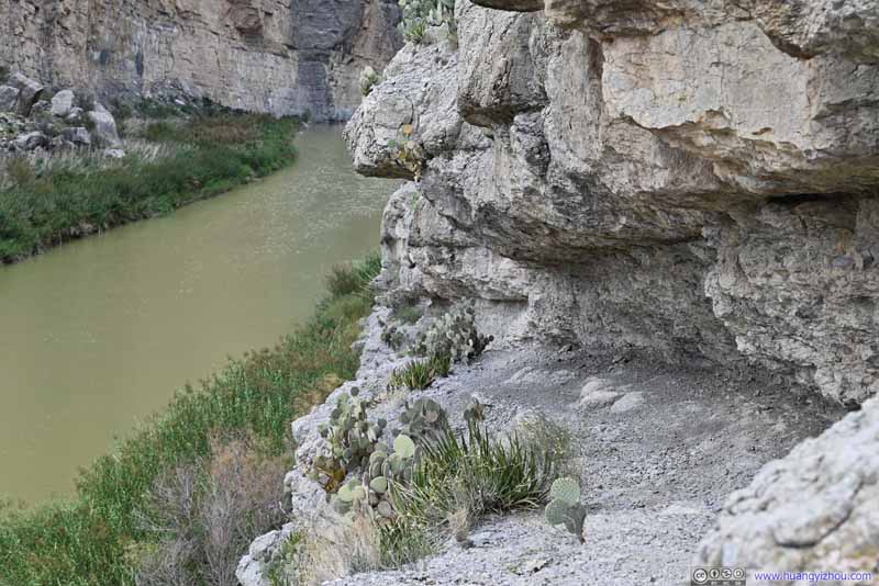
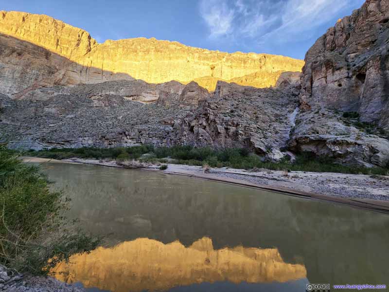
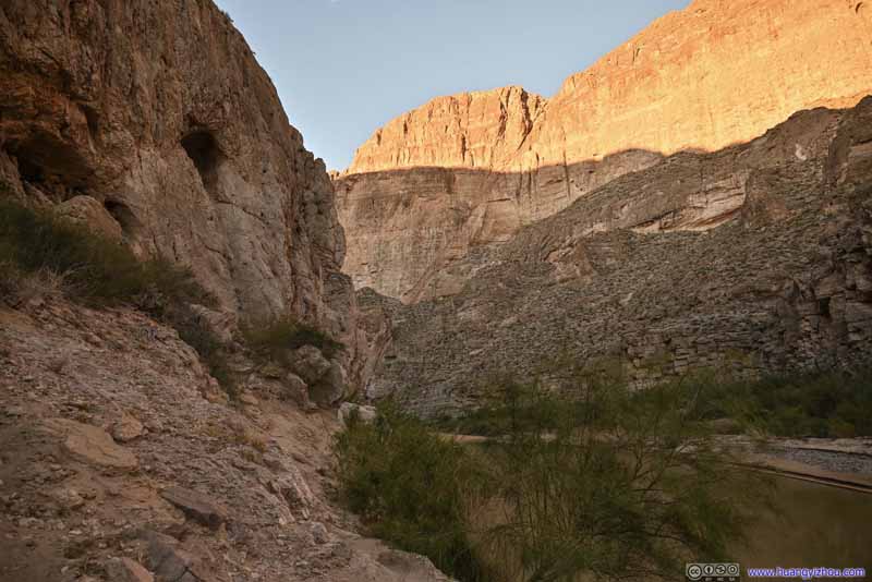
Just like earlier today in Santa Elena Canyon, the trail followed the bank of Rio Grande until it disappeared where the canyon walls reached Rio Grande vertically.
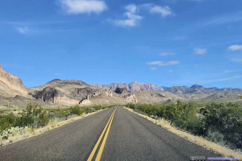
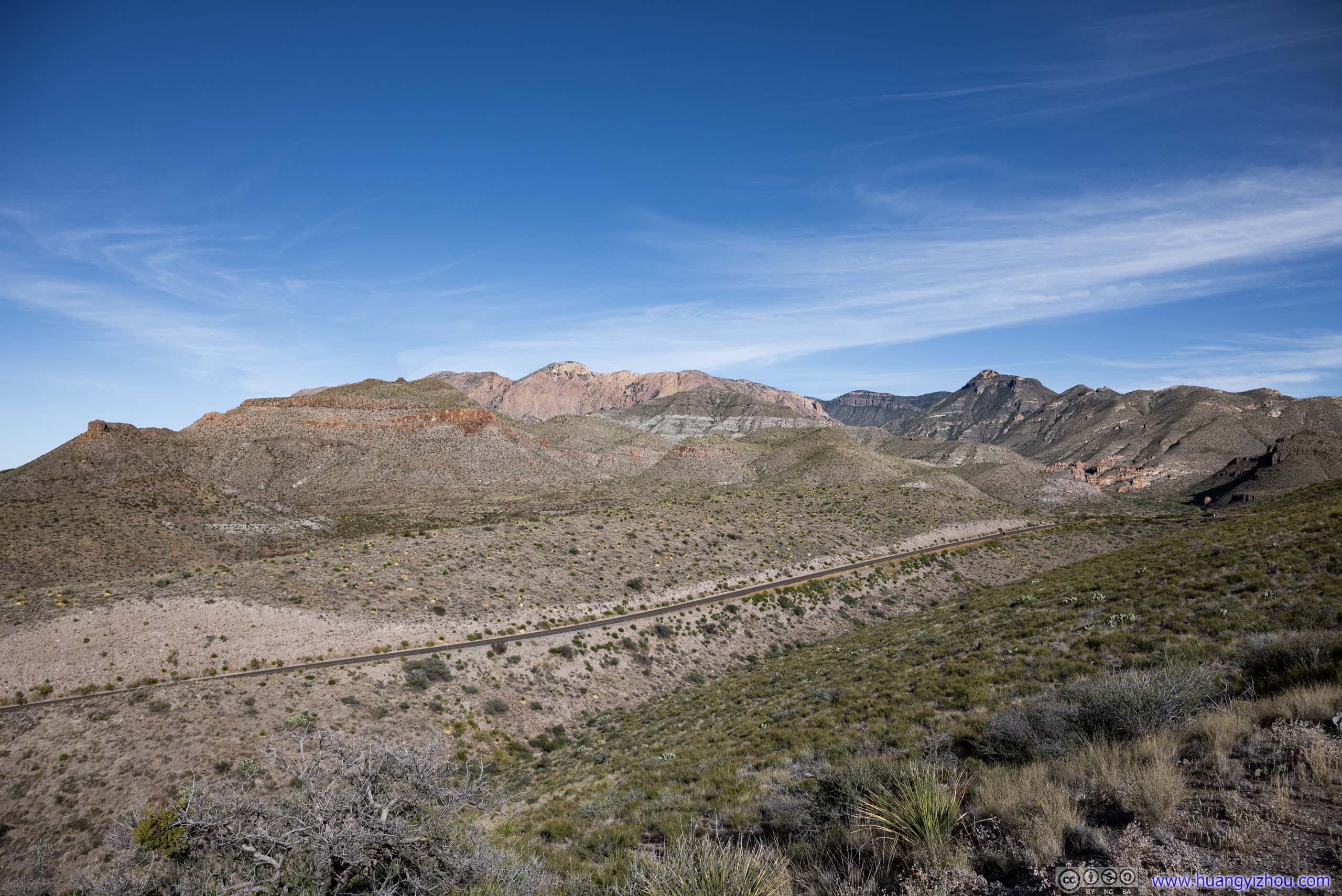
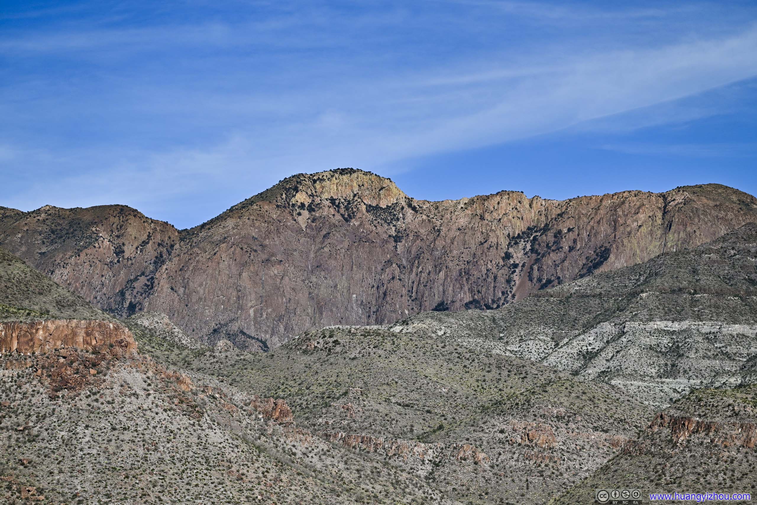
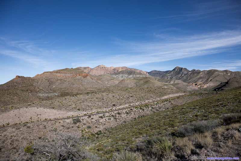
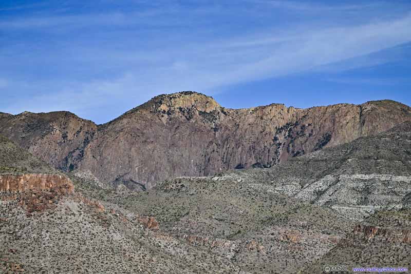
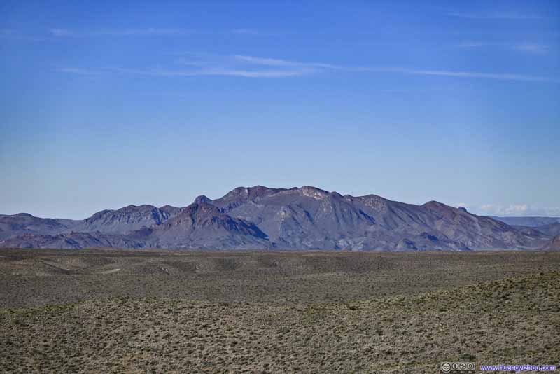
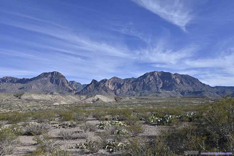
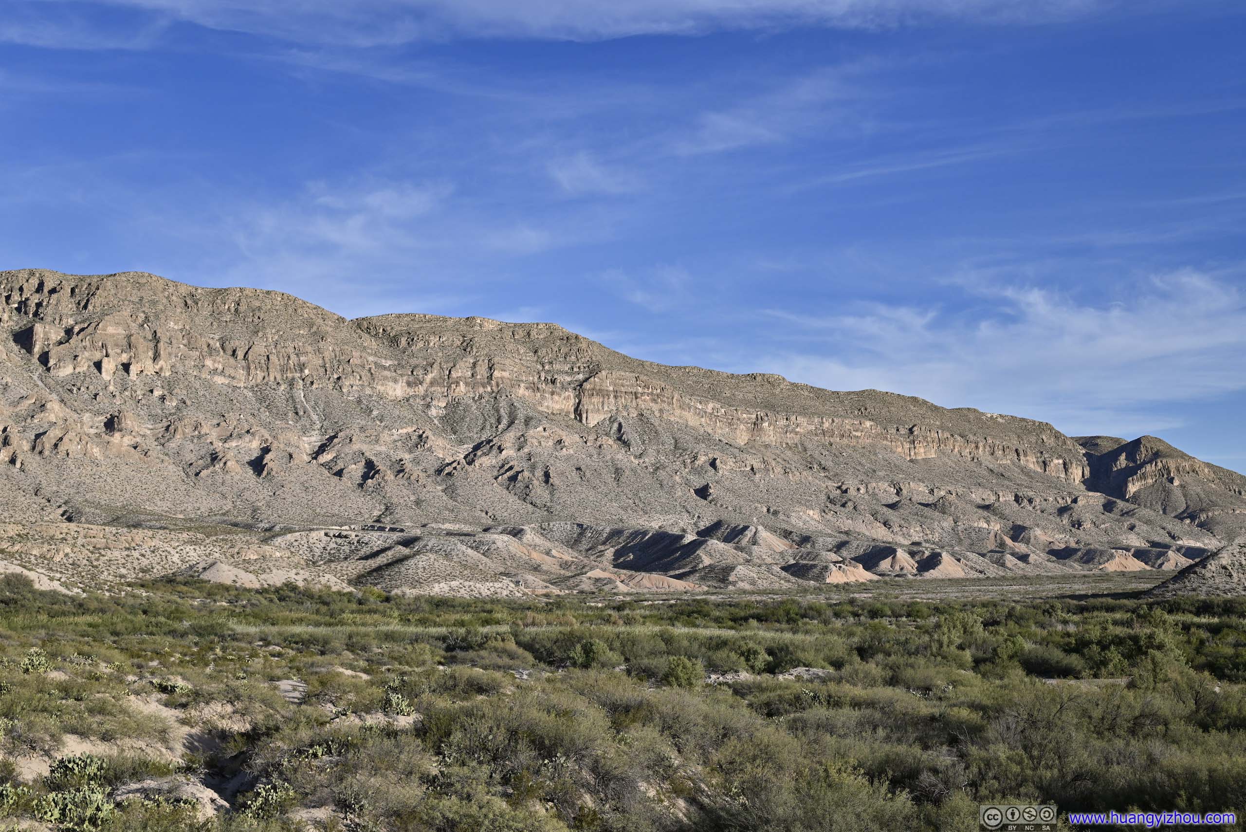
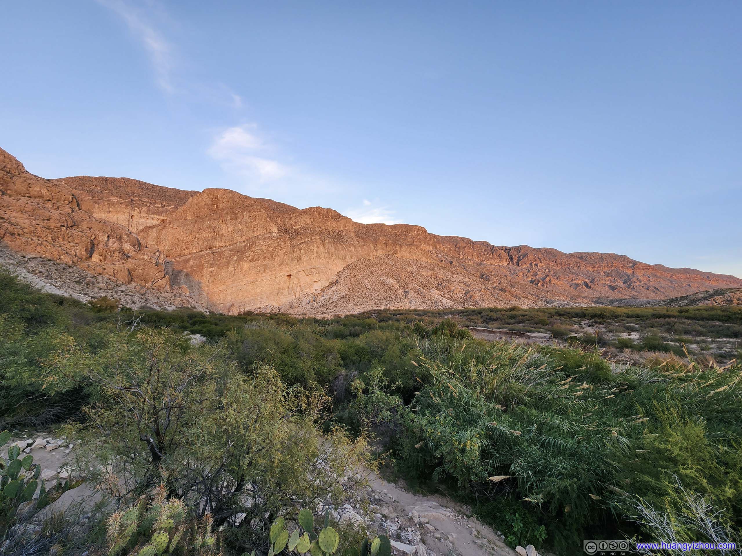
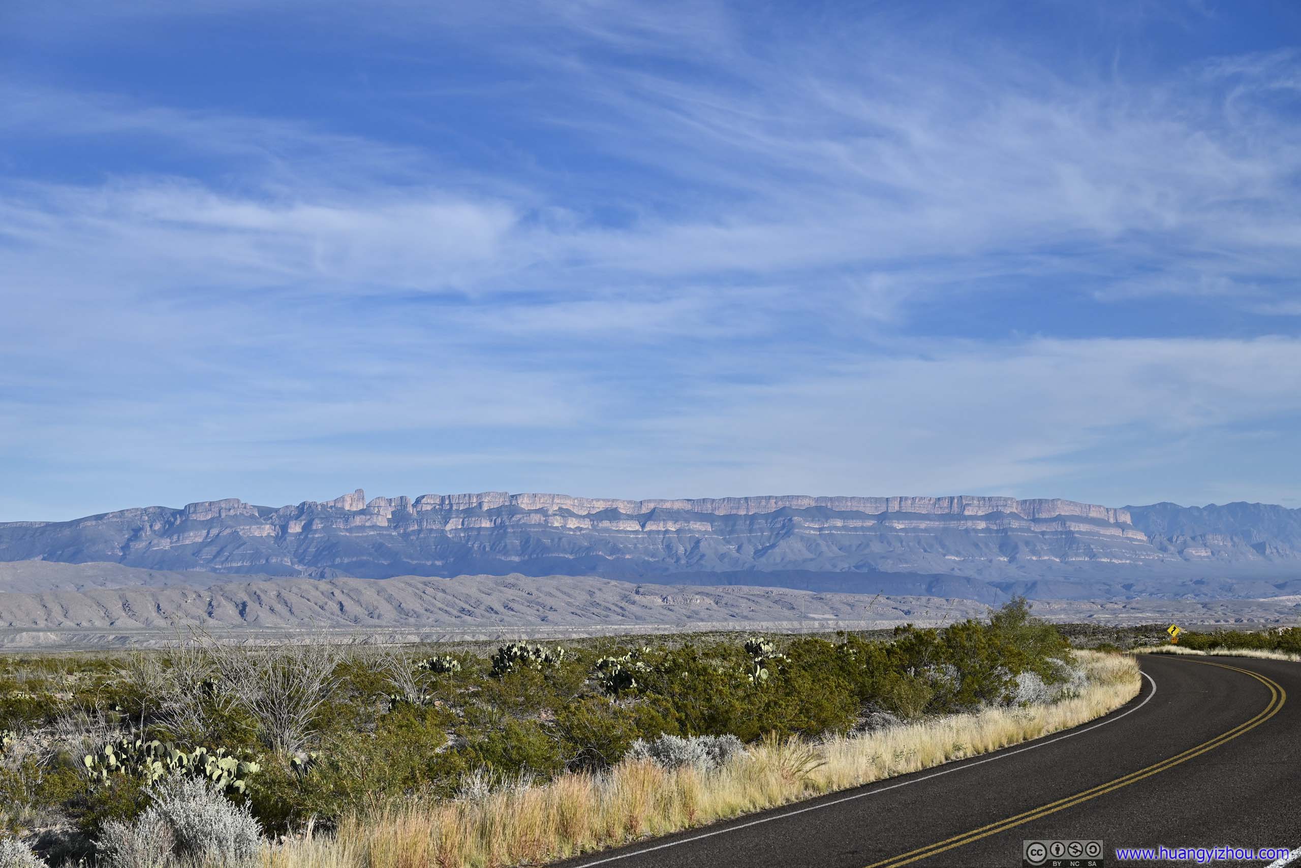
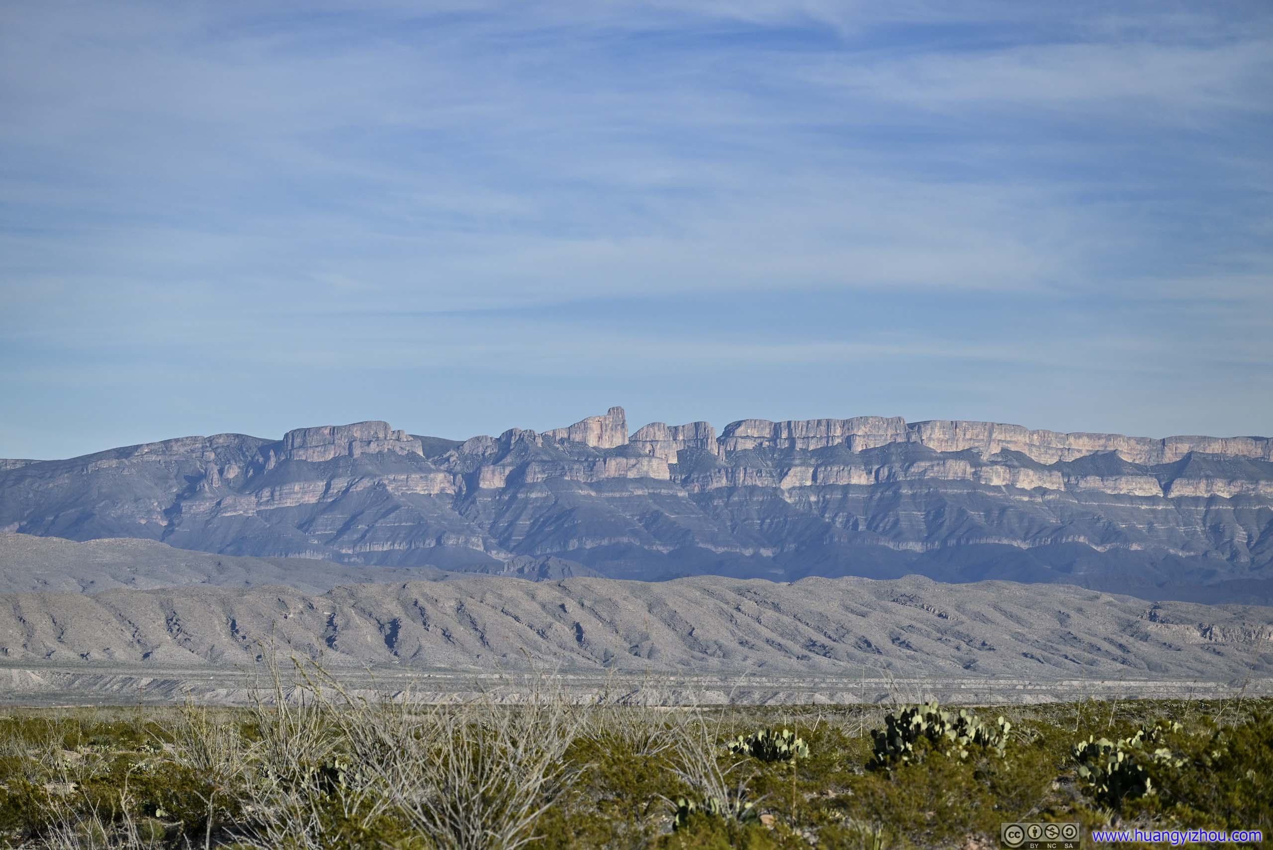
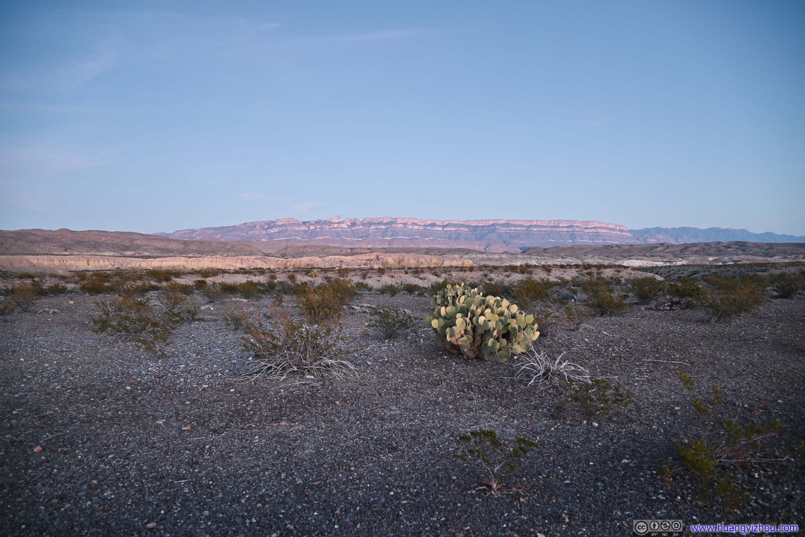
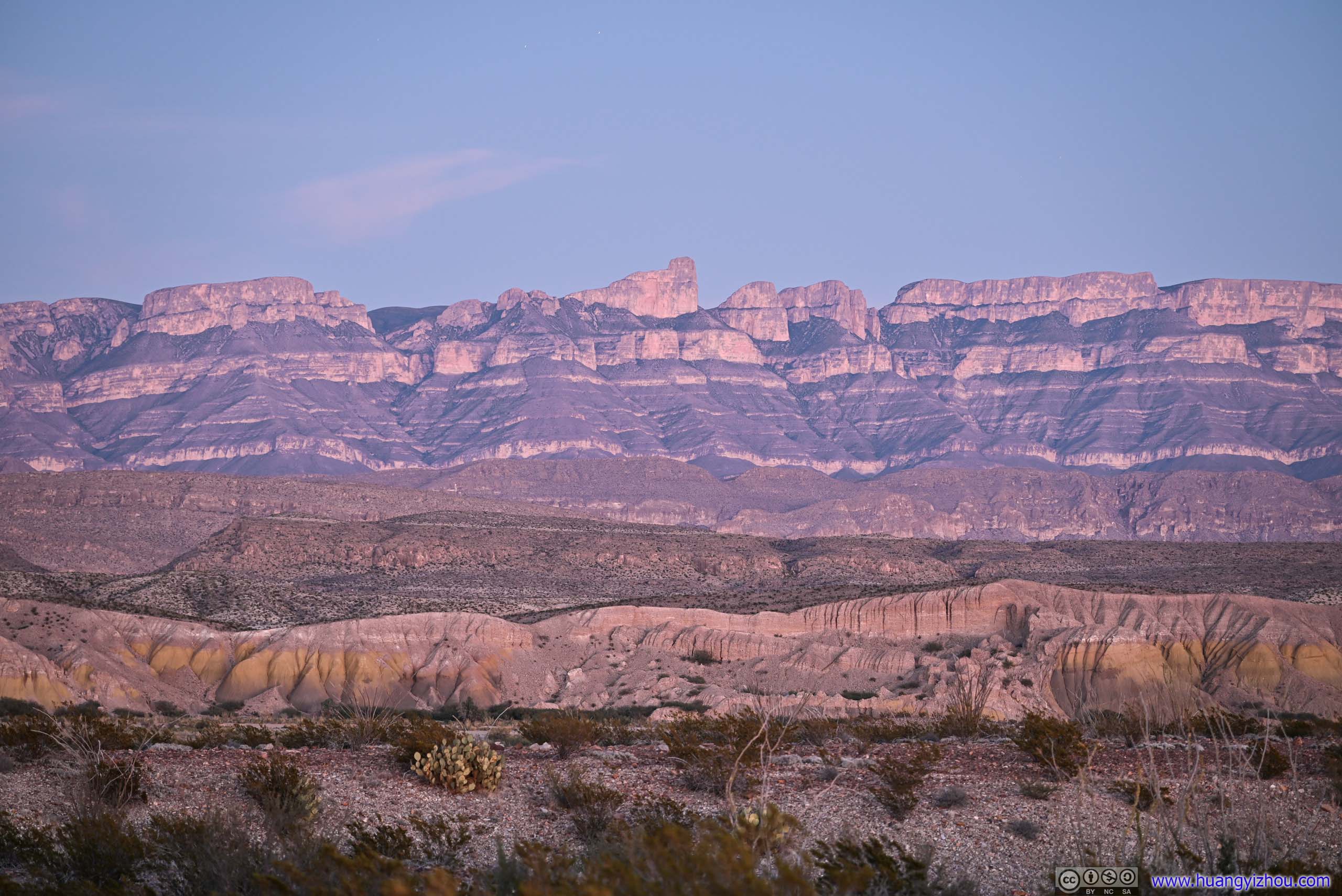
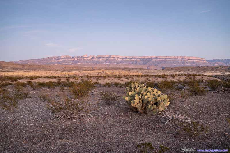
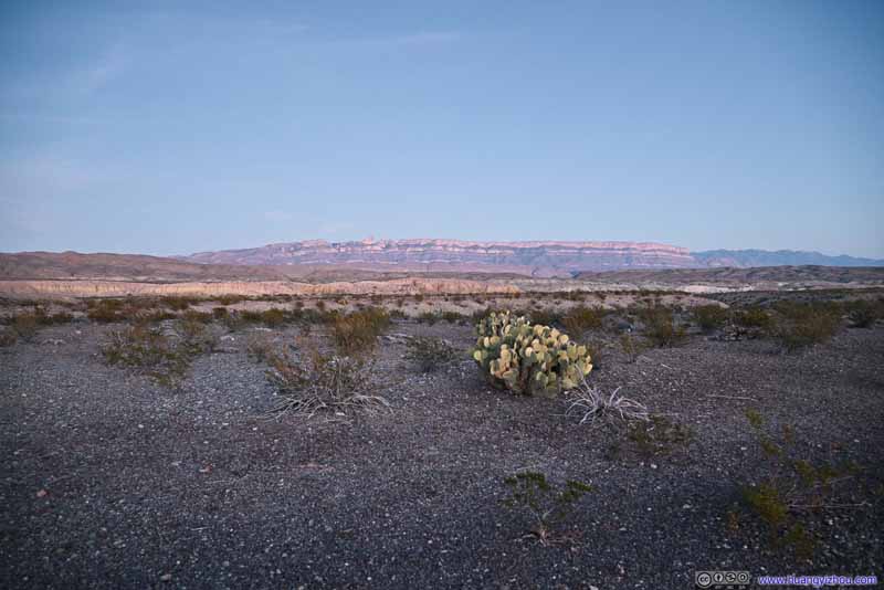
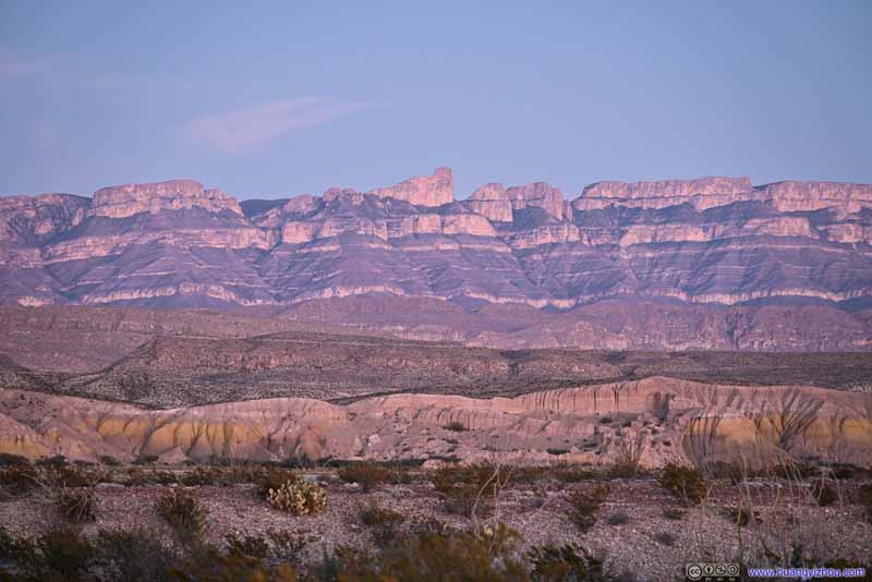
The previous day while I was driving into Big Bend National Park, I was spellbound by some towering ranges of cliffs down the horizon. It turned out that they were Sierra del Carmen Mountains in Mexico. Today while I was driving towards Boquillas Canyon, their unobstructed magnificence was in full display as the skies cleared and the sun shined. So, on my way both to and from Boquillas Canyon, I found a roadside turnout and took a few photos of them, either in bright daylight or the mesmerizing twilight colors.
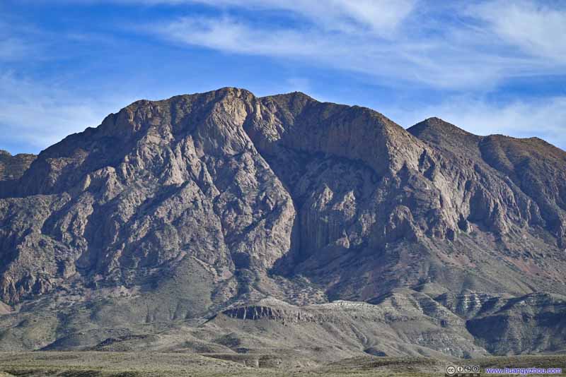
Sierra del Carmen Mountains
Sierra del Carmen Mountains
Sierra del Carmen Mountains
Sierra del Carmen Mountains
Sierra del Carmen Mountains The most unique rock formation of Sierra del Carmen Mountains.
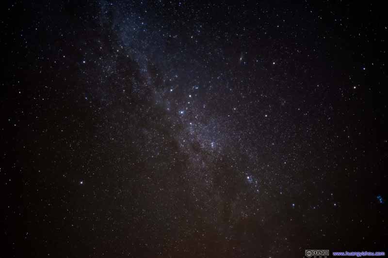
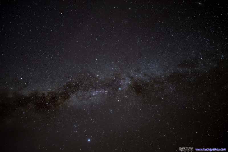
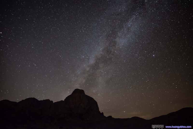
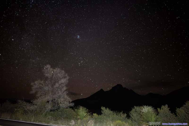
Night Skies
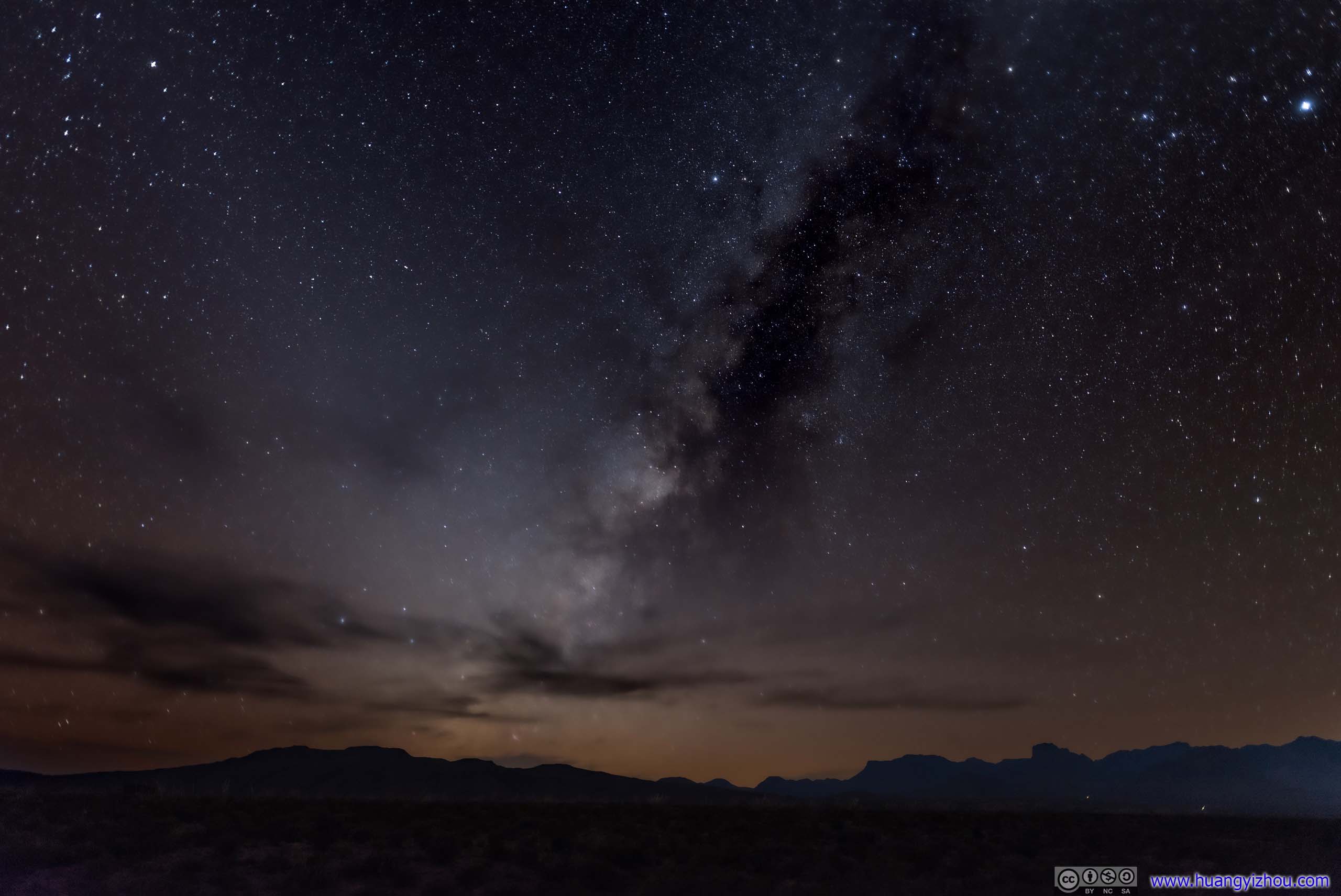
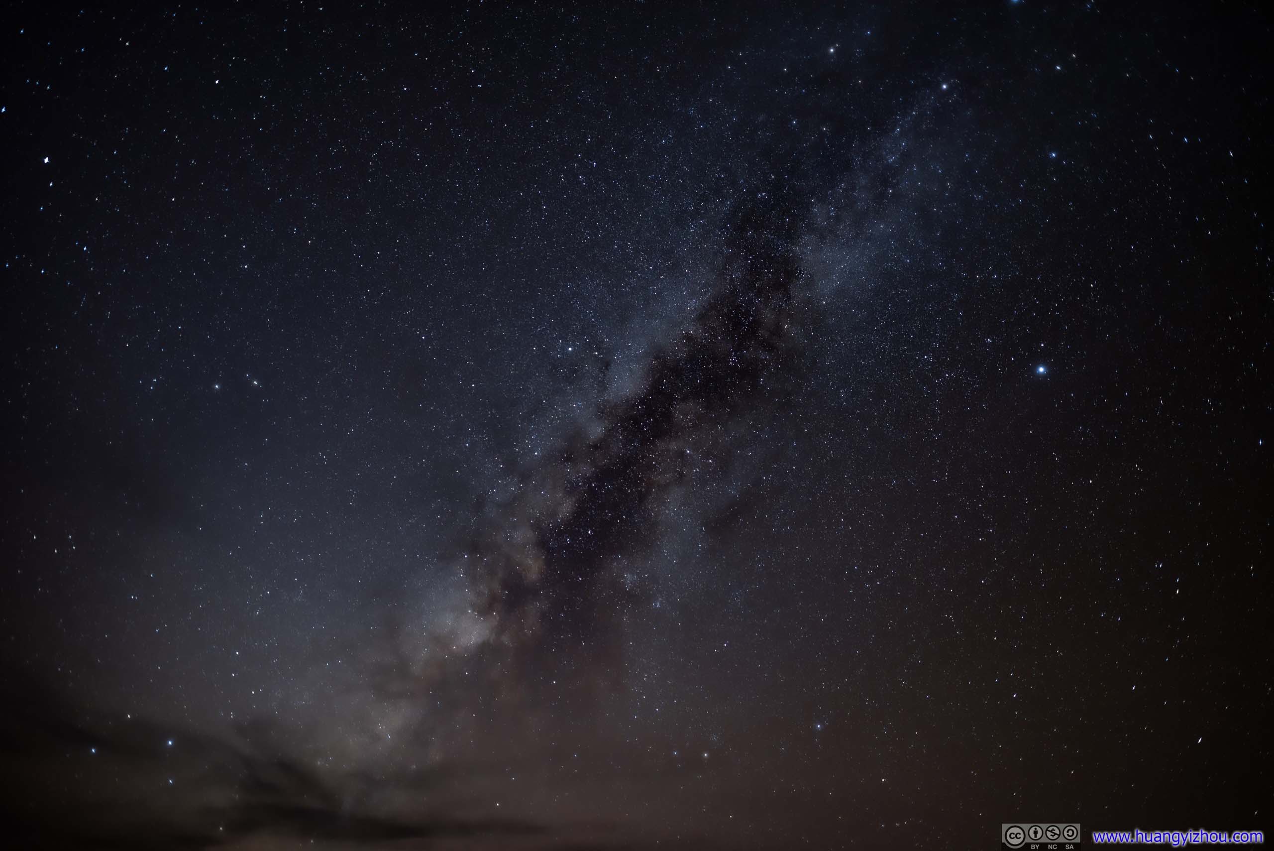
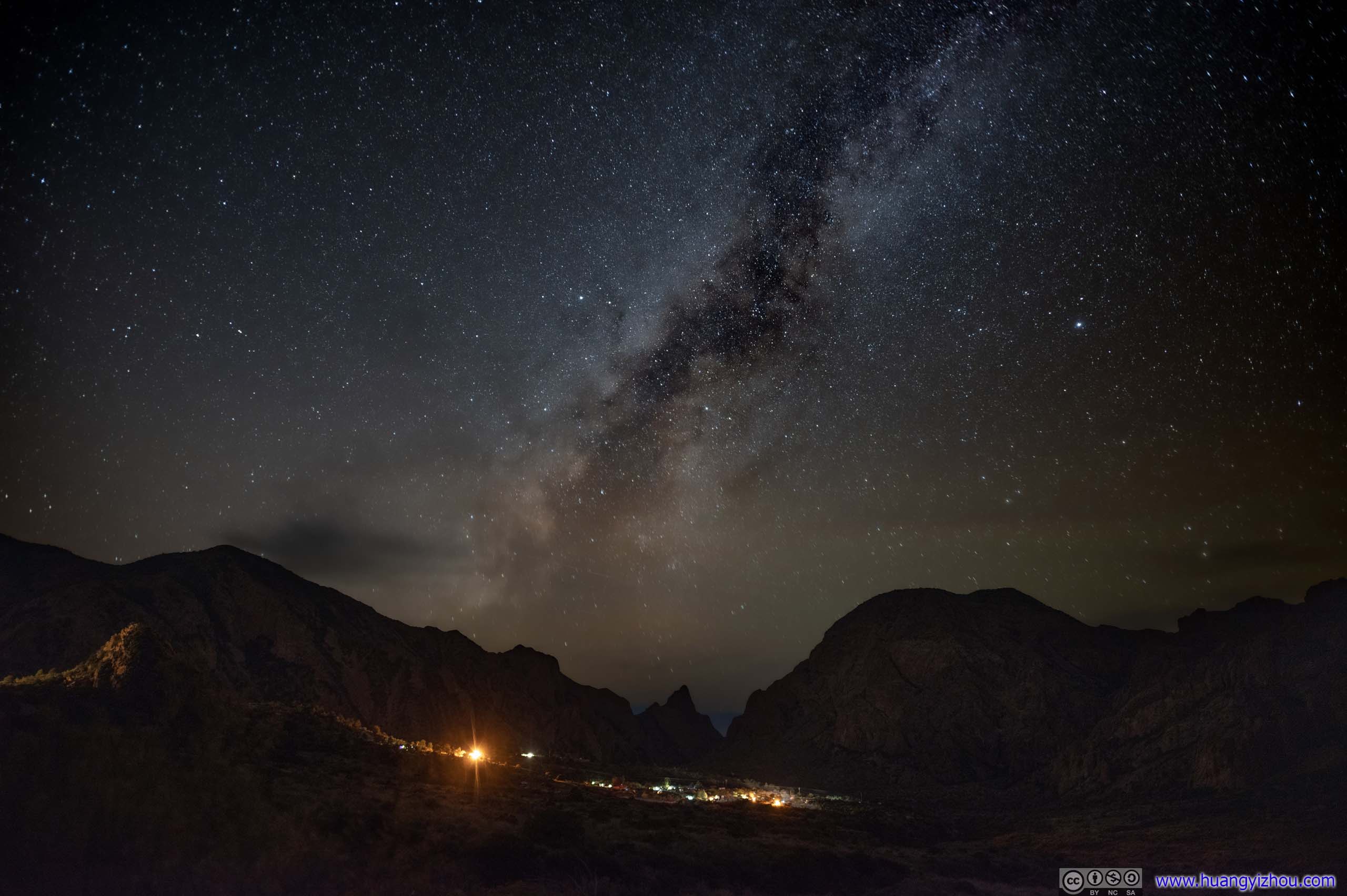
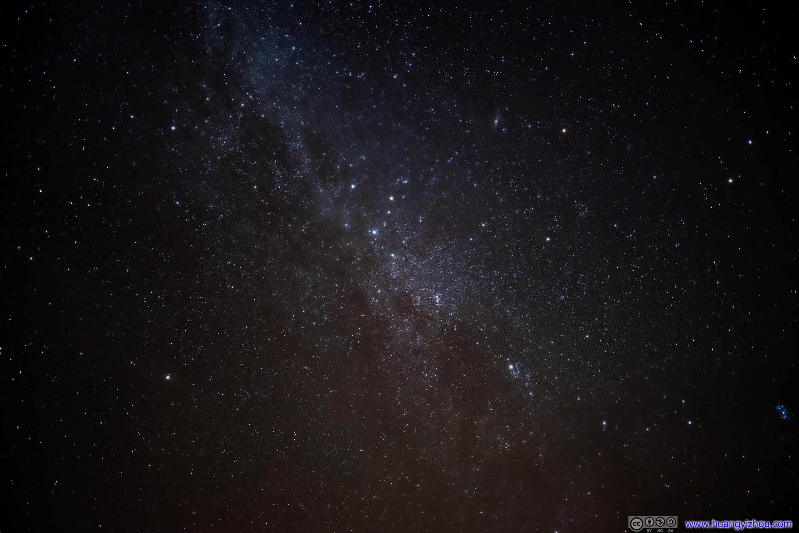
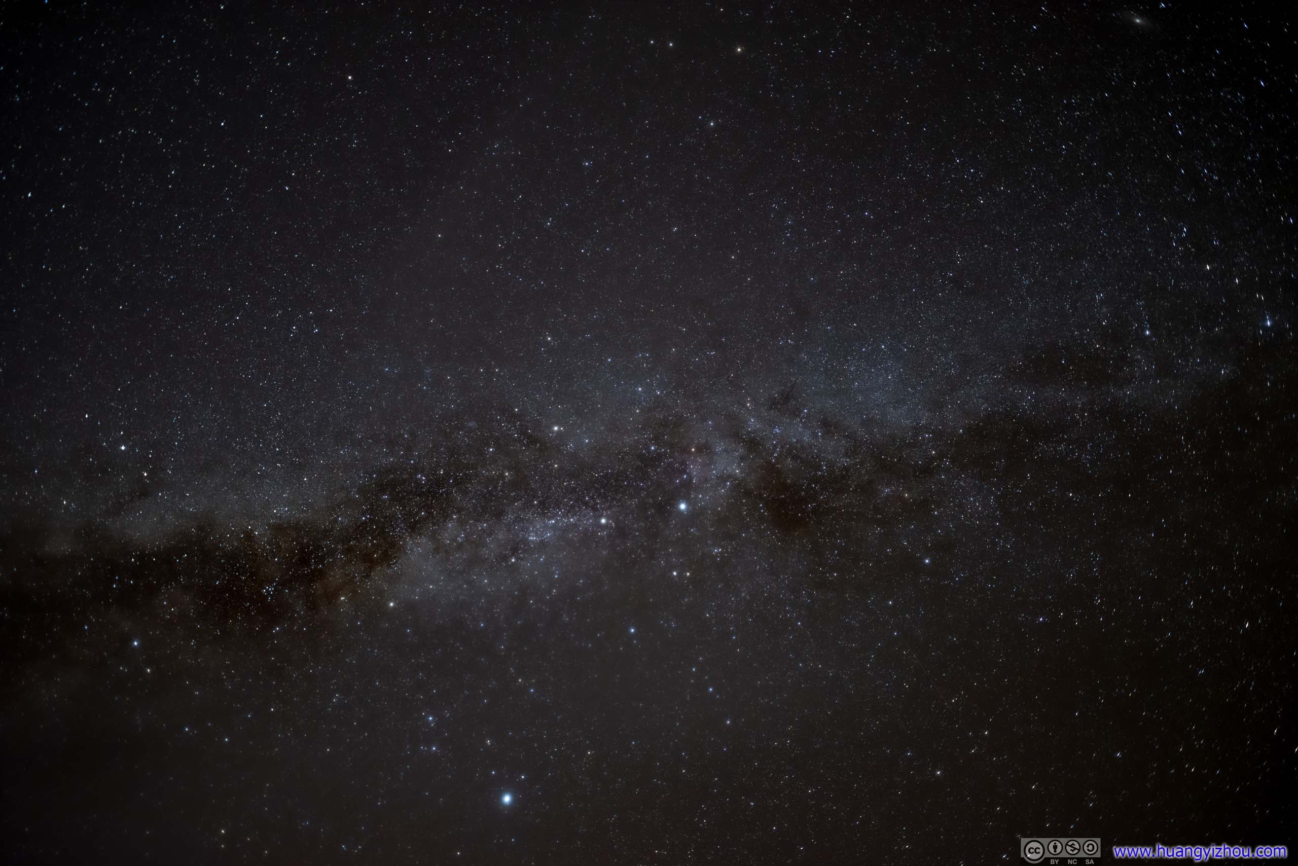
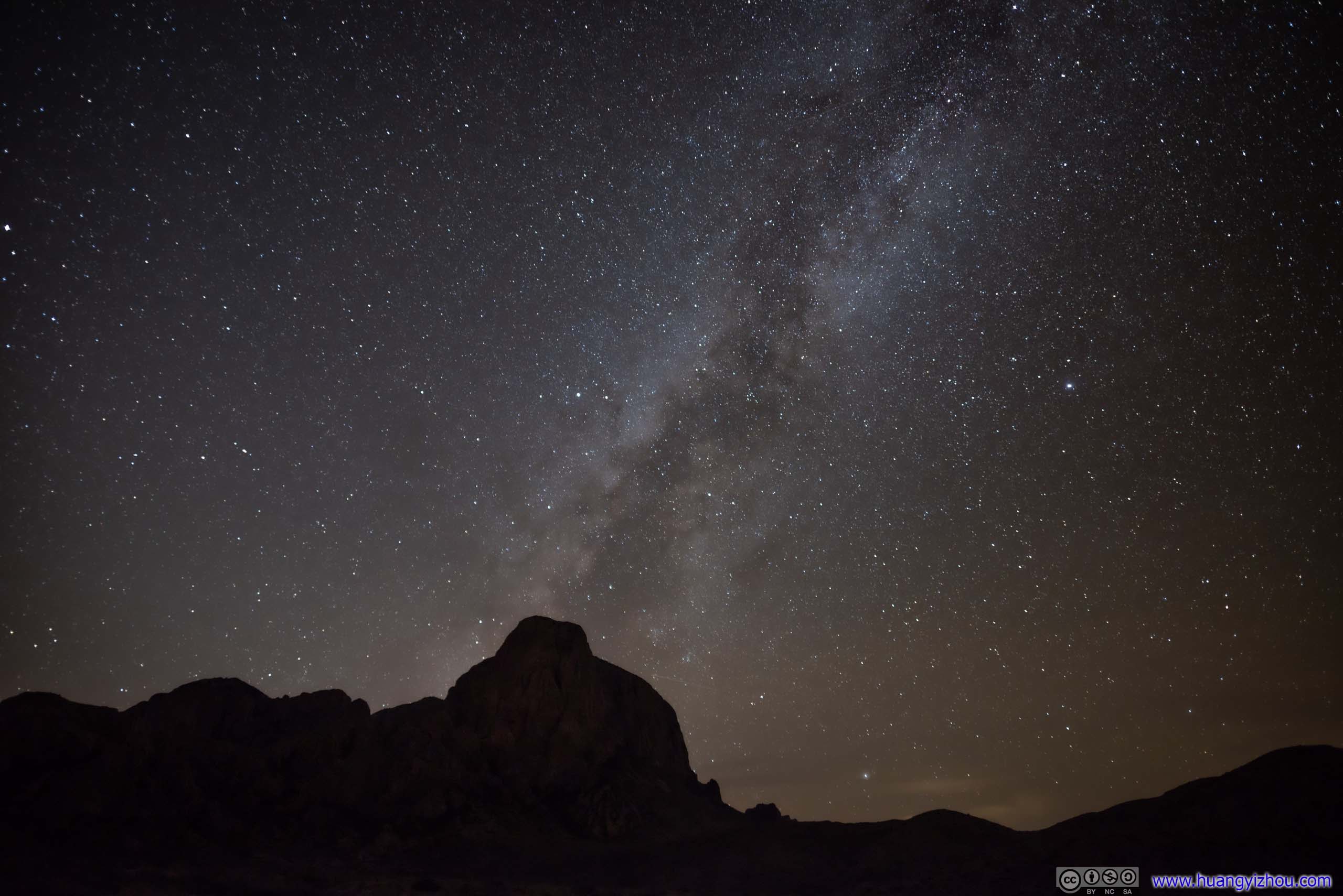
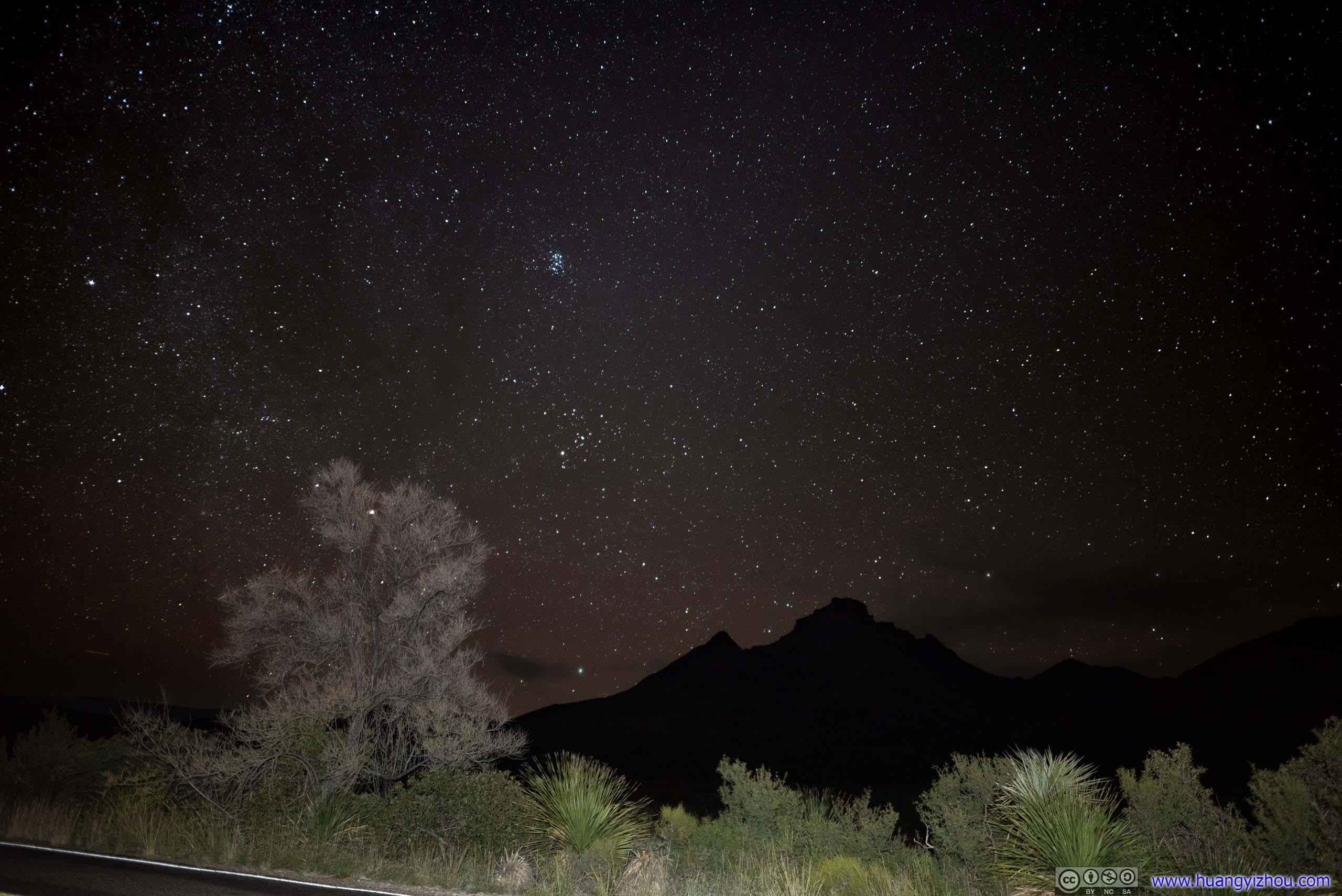
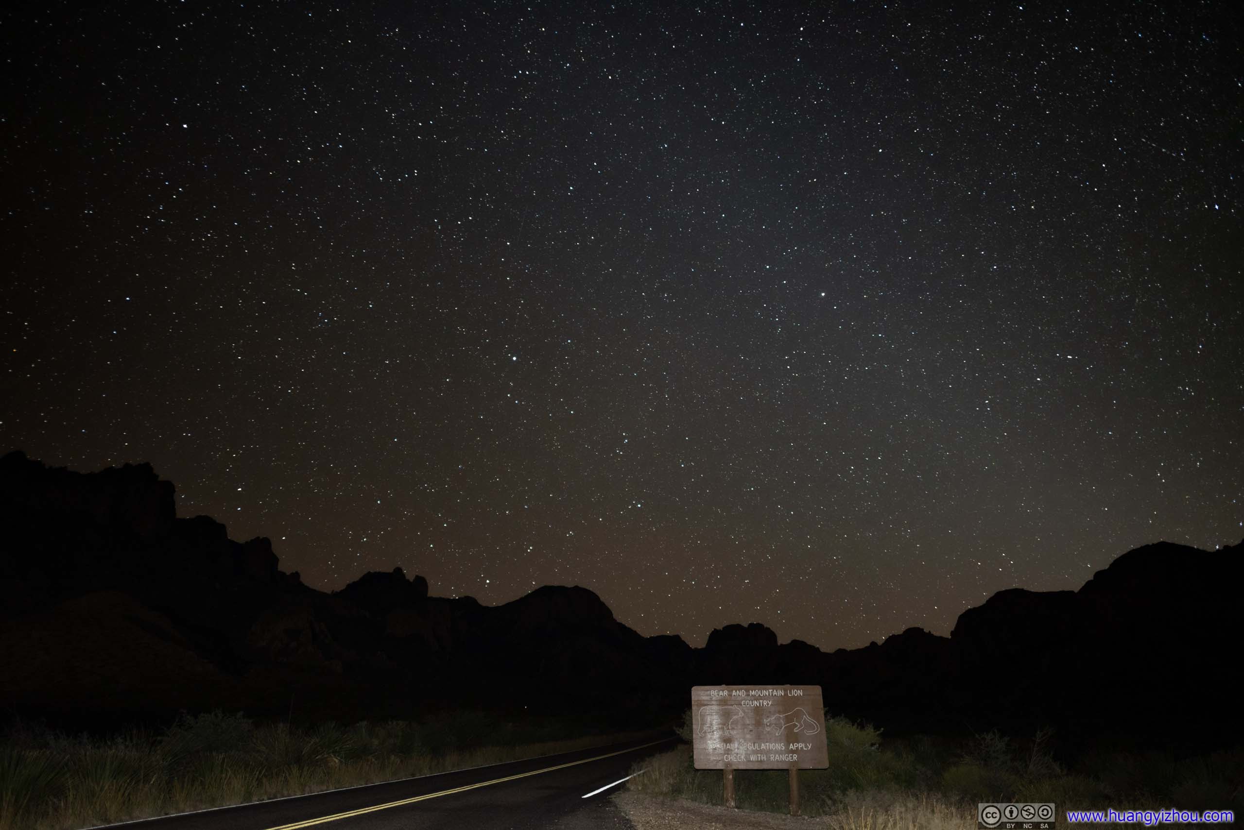
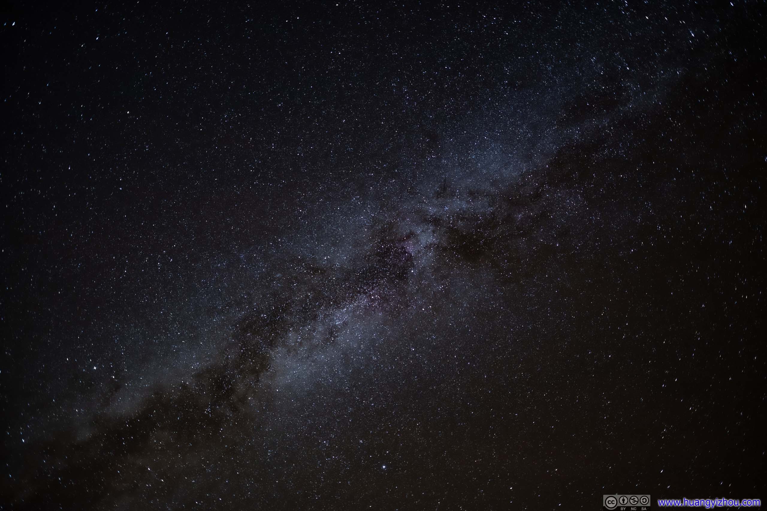
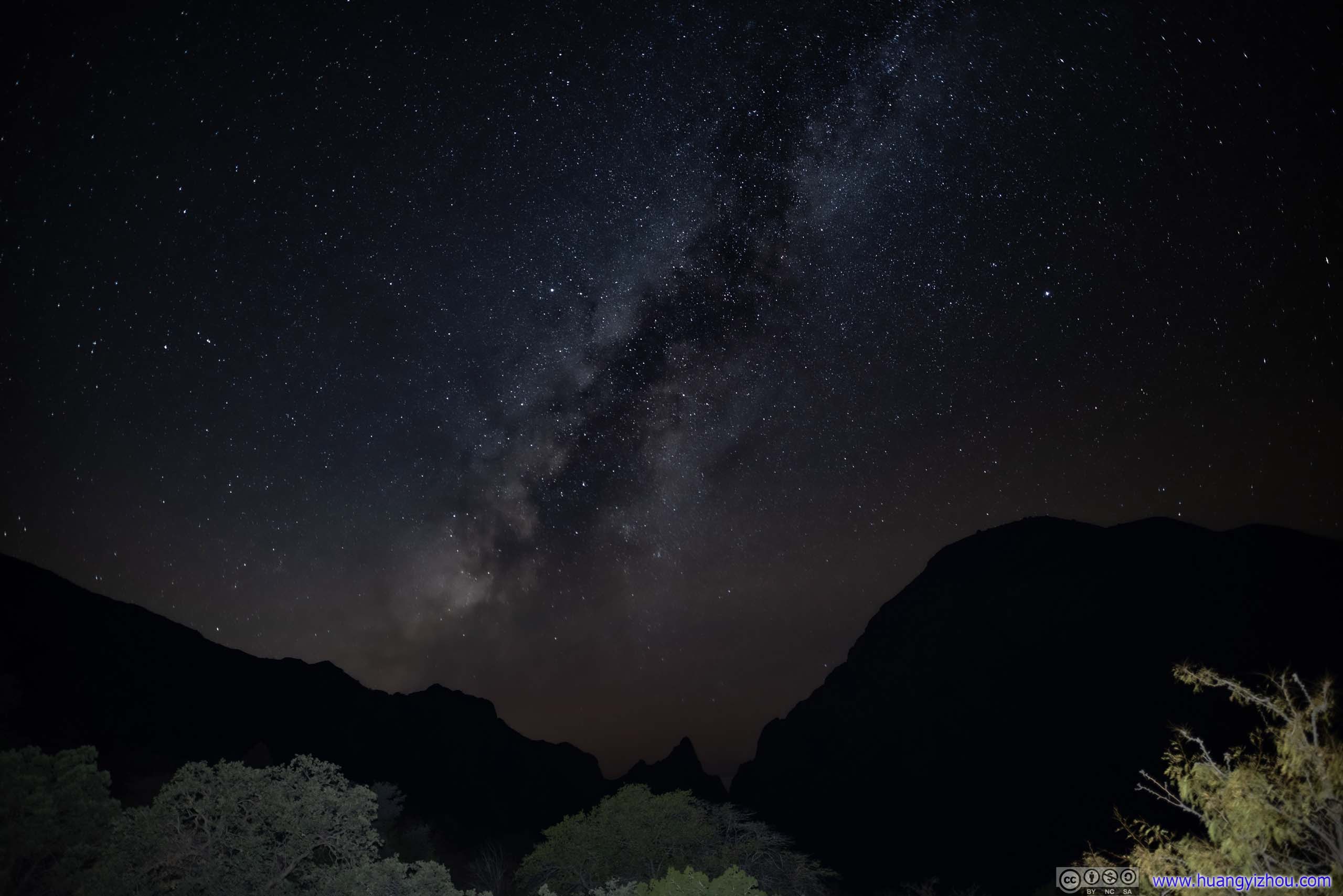
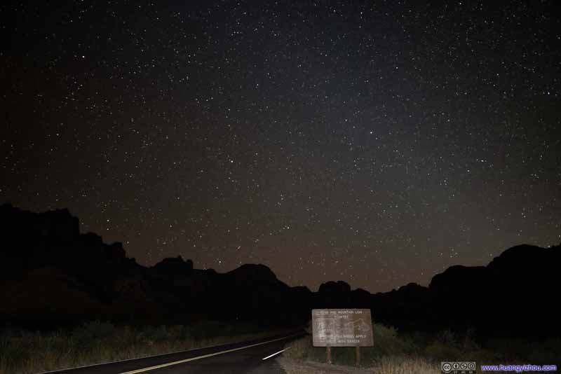
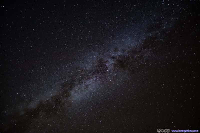
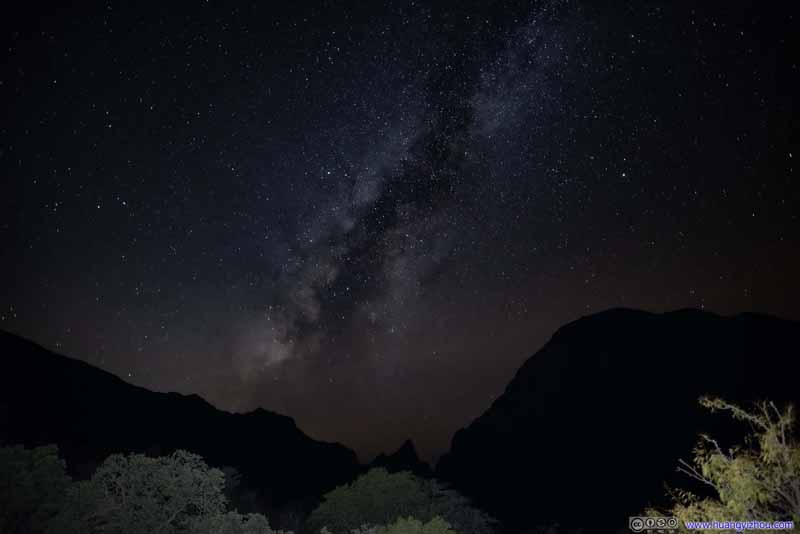
Big Bend National Park had one of the darkest skies in the states. I got back to the trailhead at sunset, after which it's a 45-minute drive from Boquillas Canyon to my campground in Chisos Basin. I decided to take the drive slowly, and waited until it's dark to go stargazing.
There were still some faint traces of clouds so the photos were hardly perfect, but nonetheless still spectacular.
Starry SkyStarry Sky over Chisos Basin Campground
The three pictures above were my most favorite. Below was a slideshow of the few others that I took tonight (together with two from the next day, which I took next to my campsite).
Starry Sky
Starry Sky
Starry Sky
Starry Sky at Chisos Mountain Entrance
Starry Sky at Chisos Mountain Entrance
Starry Sky
Starry Sky
And with that, I got back to the campground at 9pm, concluding the day.
END