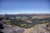
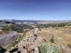
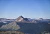
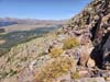
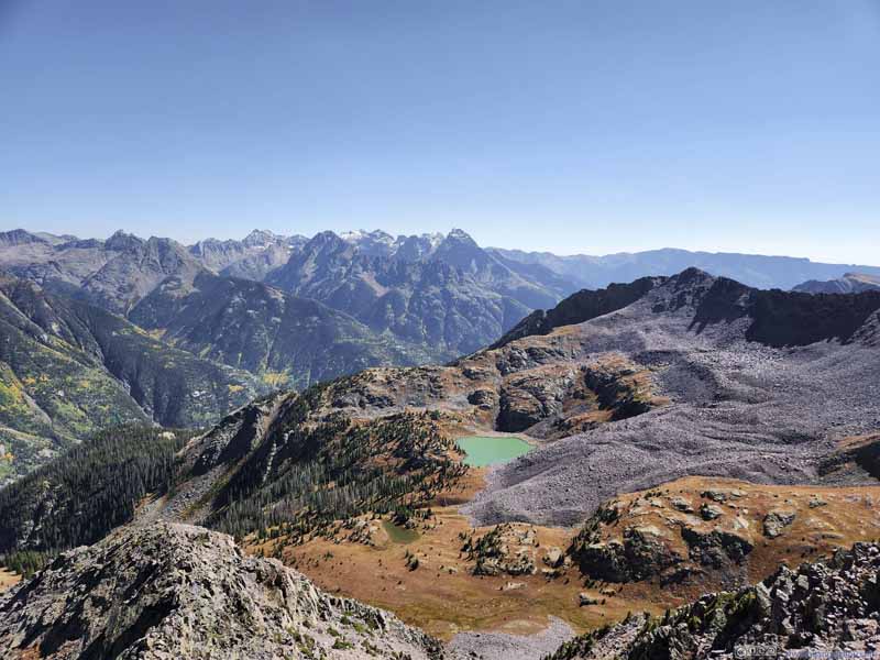
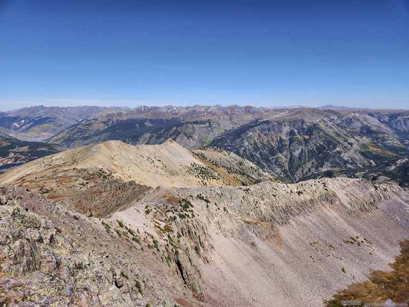
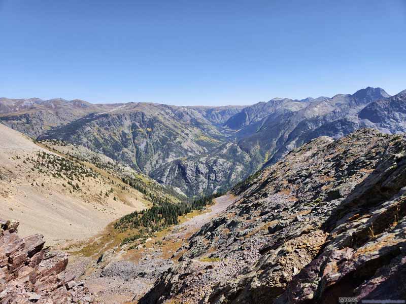
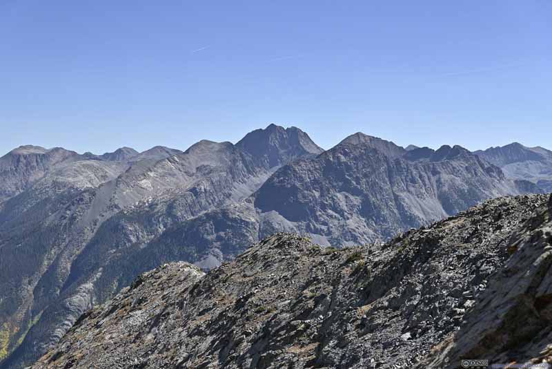
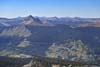
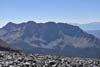
Day 11 of Autumn 2023 Trip to Mountain States, Snowdon Peak of Colorado
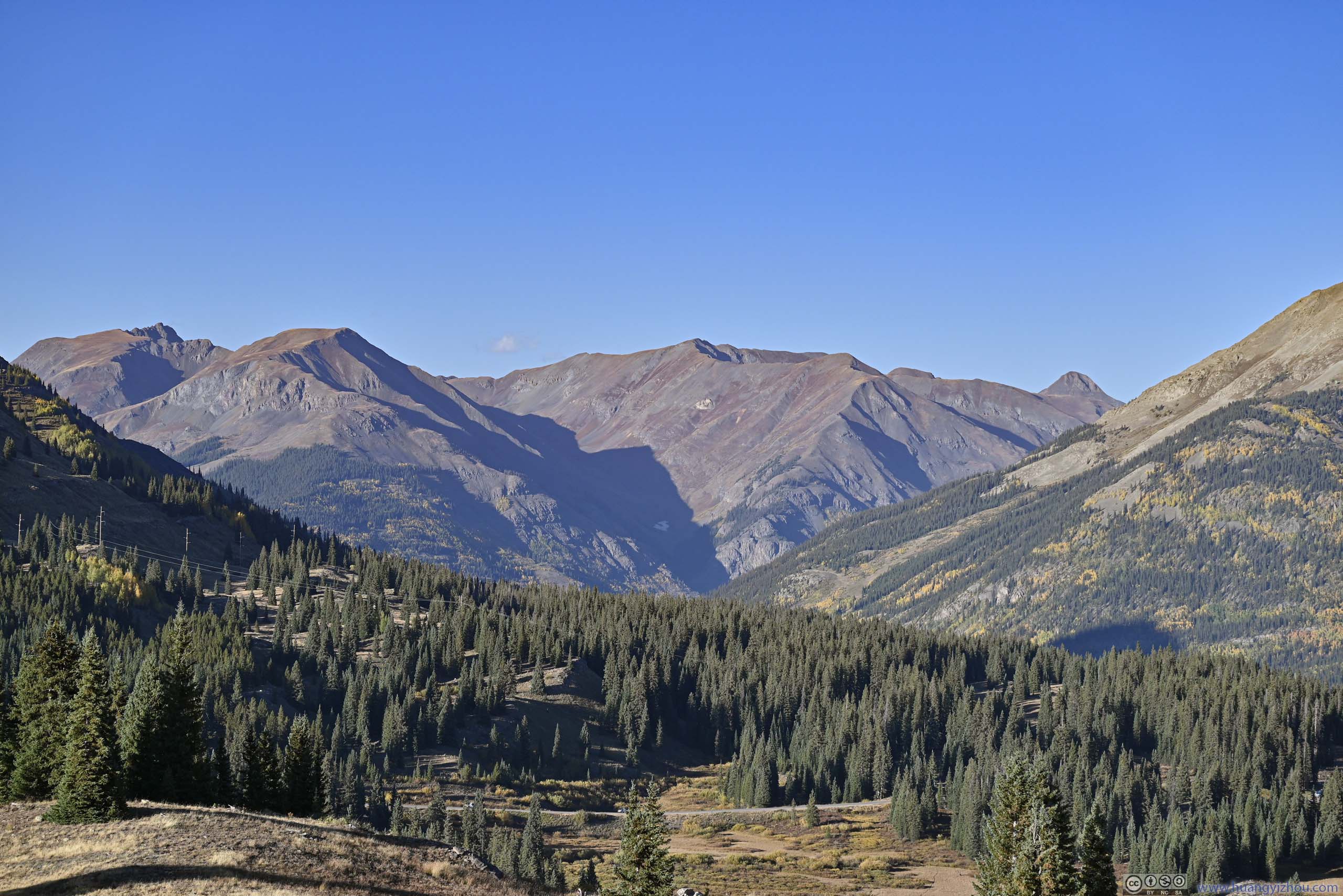
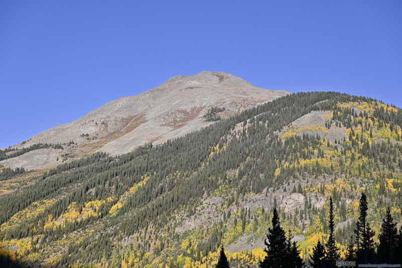
The twelfth day of my autumn 2023 trip to the mountain states. Today I climbed Red Mountain 3, and enjoyed the most vivid colors of San Juan Mountains from its summit.
Snowdon Peak
Planning
I knew end of September was probably too late for Colorado’s highest mountains (the 14er’s), so I didn’t plan this trip focusing on conquering high mountains. But since I was visiting San Juan Mountains around peak foliage time, I nonetheless thought it’s appropriate for me to set aside a few days to explore the mountains.
In the vicinity of Silverton, the most popular trails were "Ice Lake" and "Columbine Lake", both leading to alpine lakes. Having done "Gunnison Route" the previous day, I was feeling bold and looking for something more adventurous, i.e. mountain peaks, for which I found Red Mountains, Snowdon Peak and Engineer Mountain, all of which had relatively easy access from developed road. Weather forecast indicated strong wind for the next day, so I planned the non-technical "Red Mountain 3" on the next day. For this day, my research indicated "Engineer Mountain" was YDS class 3 while "Snowdon Peak" was class 2-3, so I picked the relatively easier "Snowdon Peak". After Silverton my next stop was Durango, so this arrangement resulted in more driving distance, but I gladly took it for safety.
With good weather in the forecast today, I didn't bother waking up early, and reached the trailhead just past 10am.
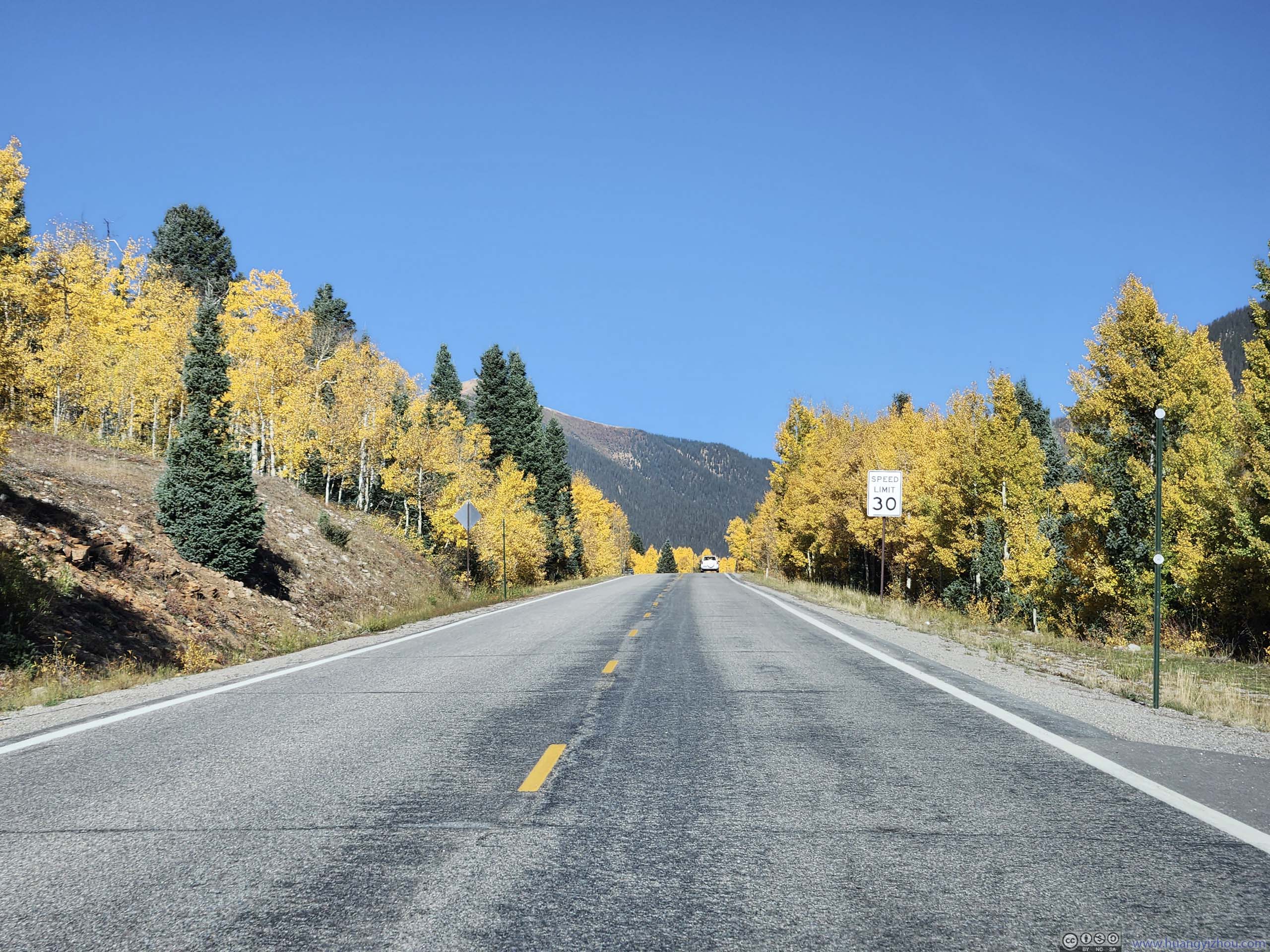
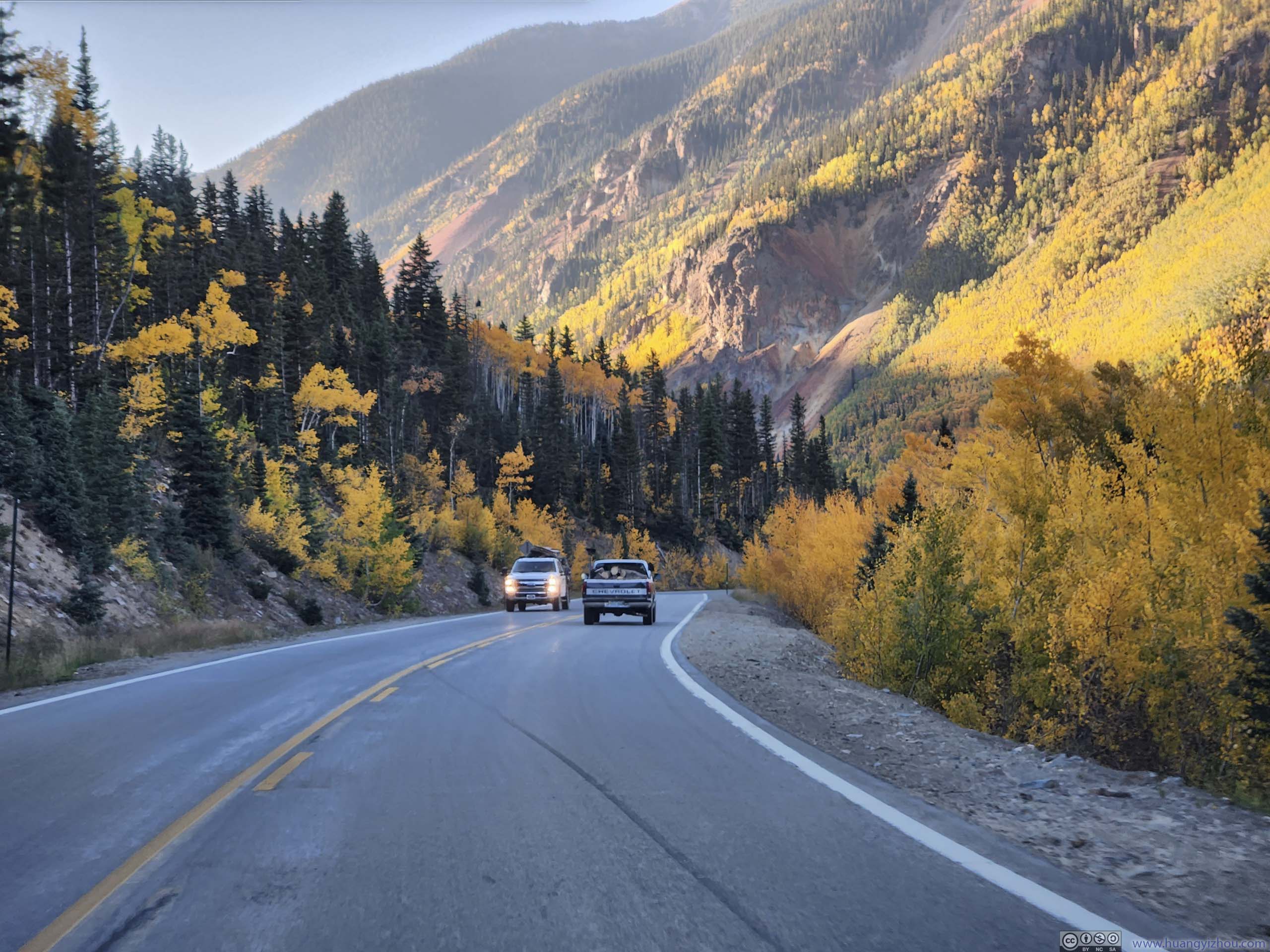
Foliage along Road
Snowdon Peak Trip
This mountain was named after Snowdon, the highest peak in Wales. From the developed trailhead of Andrews Lake, its standard route (northeast ridge) was 9.8km out-and-back with 728m of elevation gain, the last bit of which required scrambling and route-finding.
Here's GPS tracking:
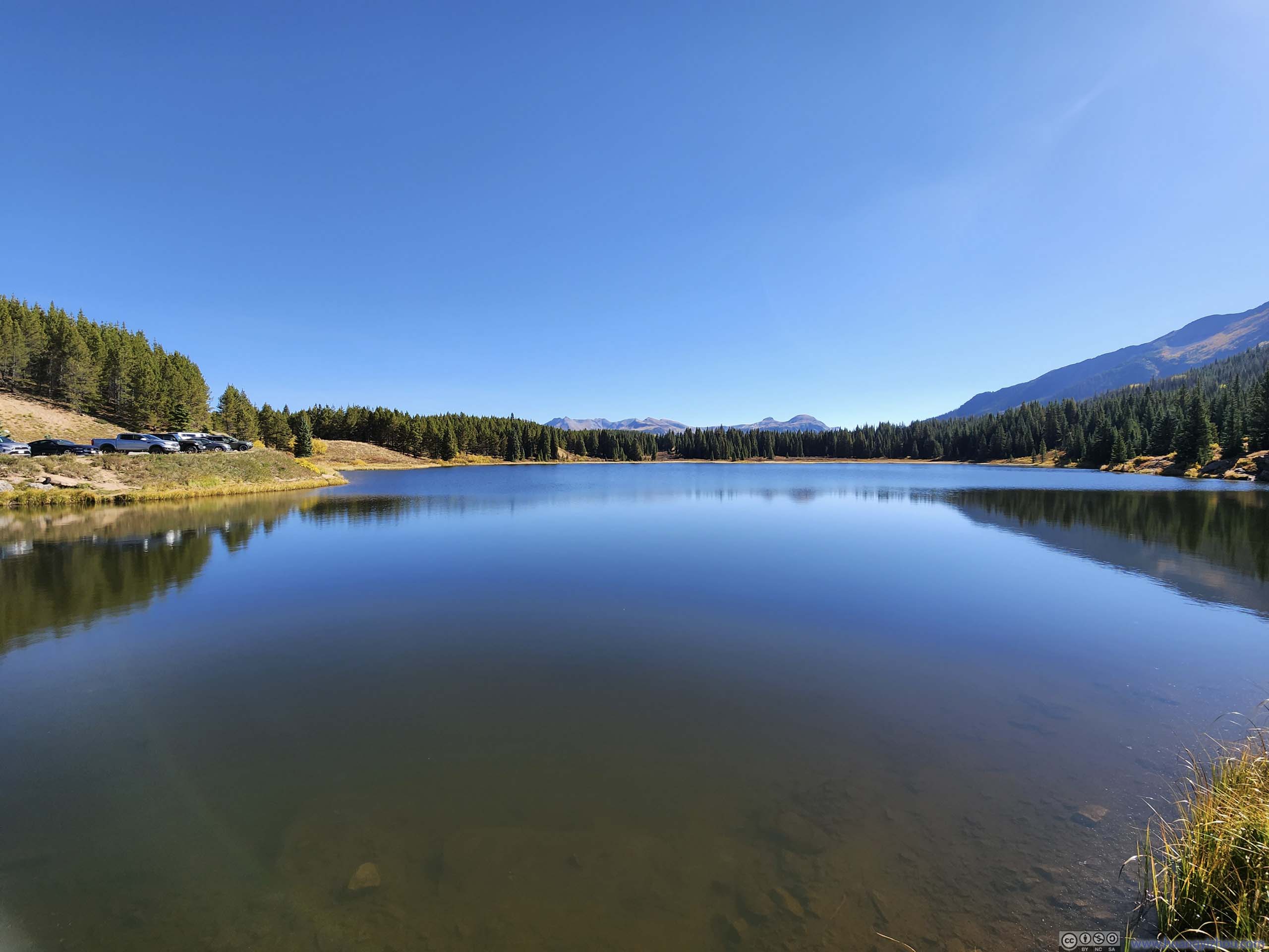
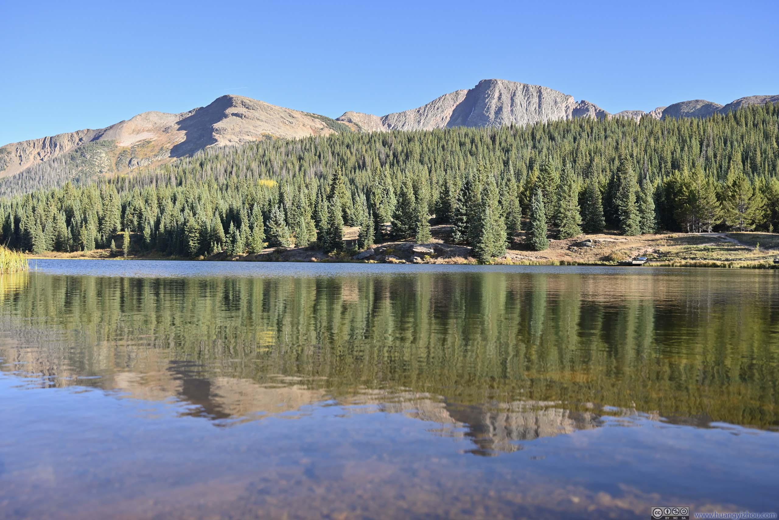
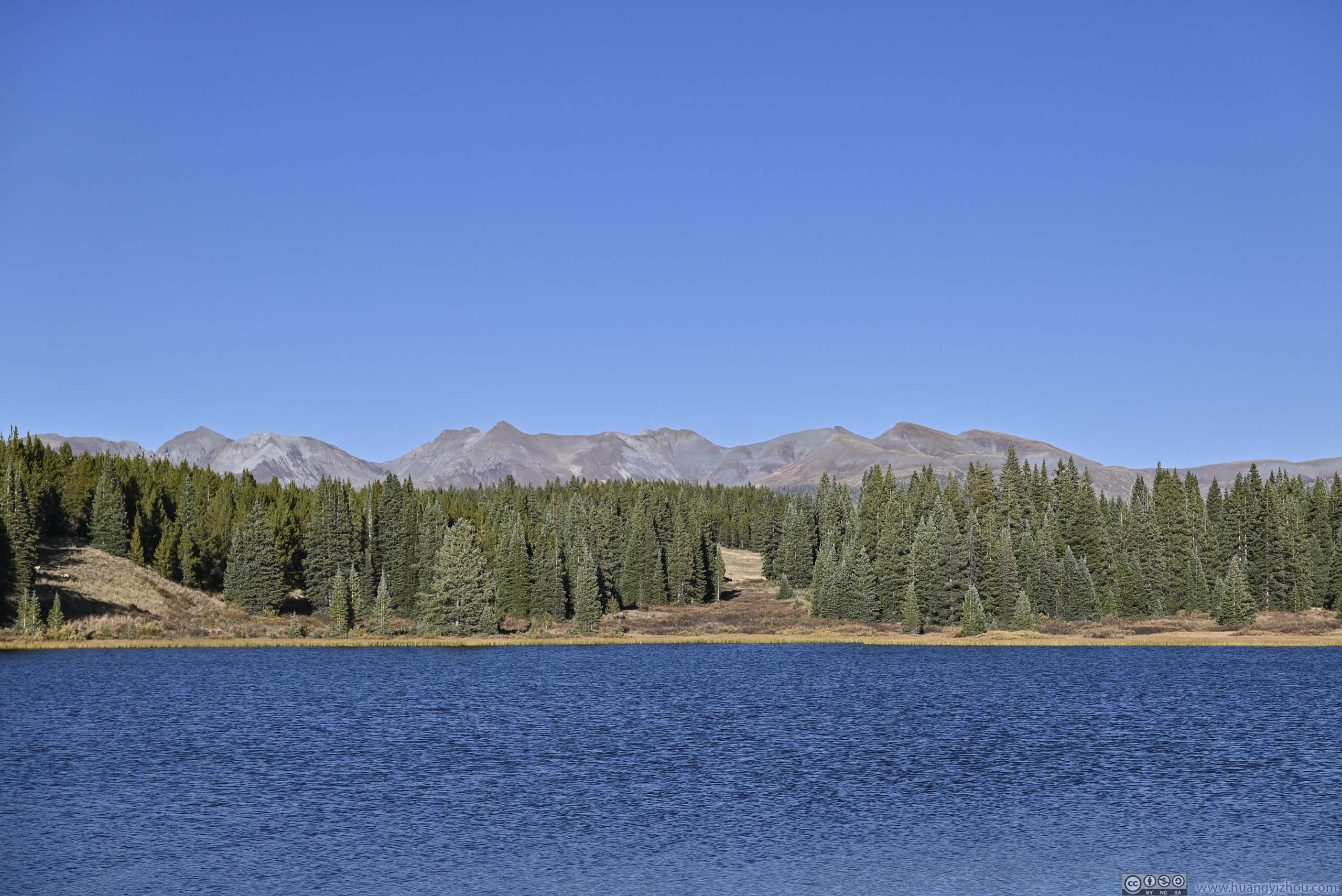
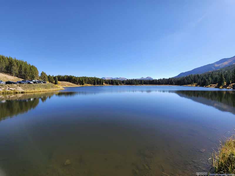
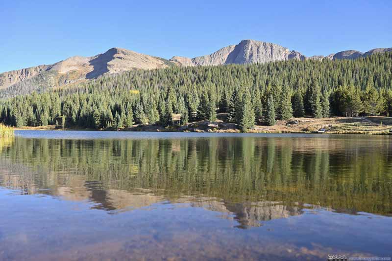
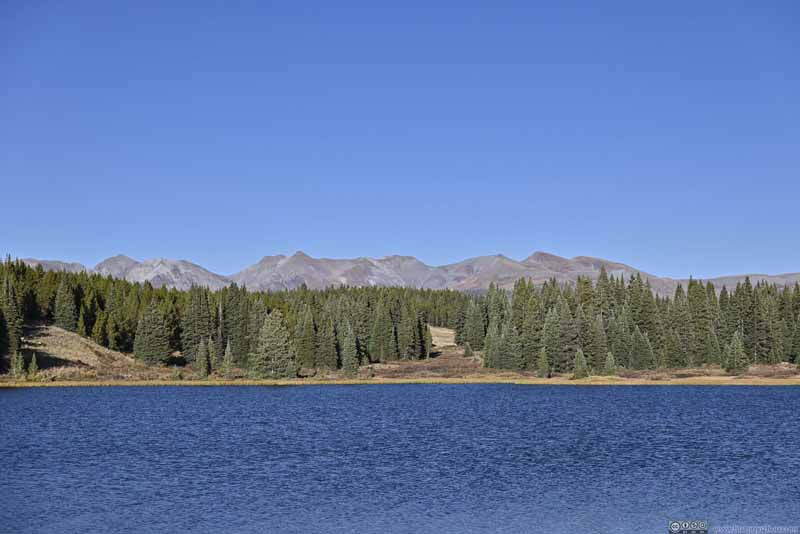
Andrews Lake
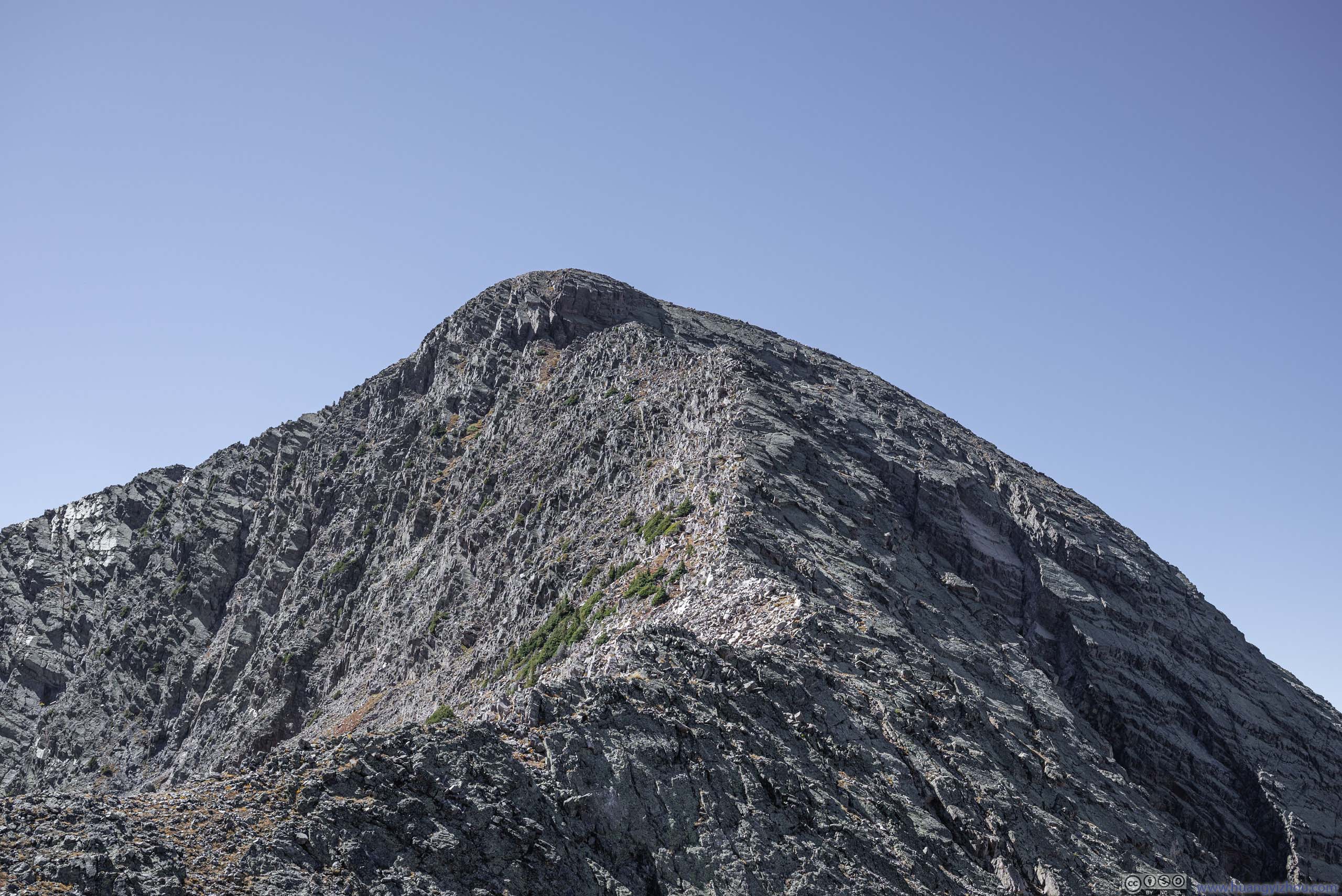
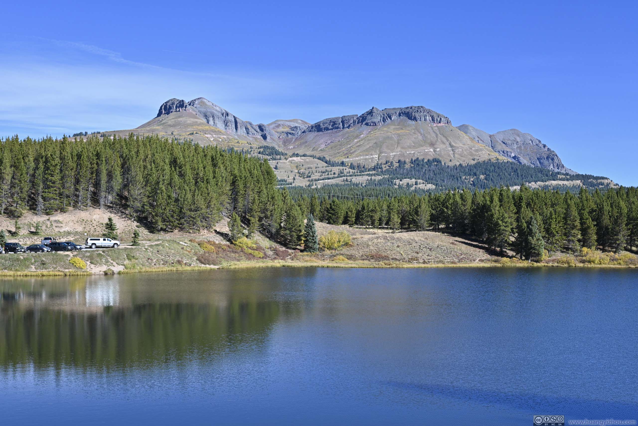
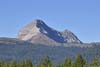
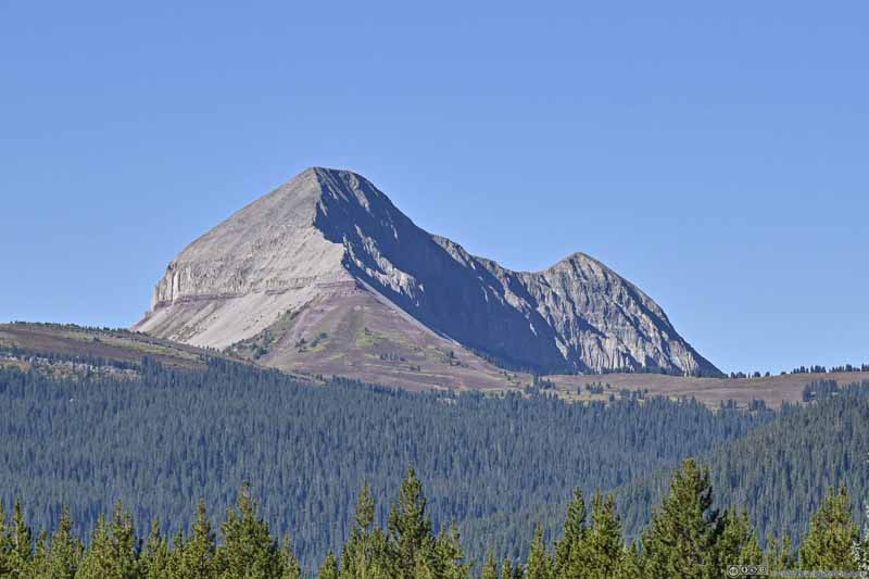
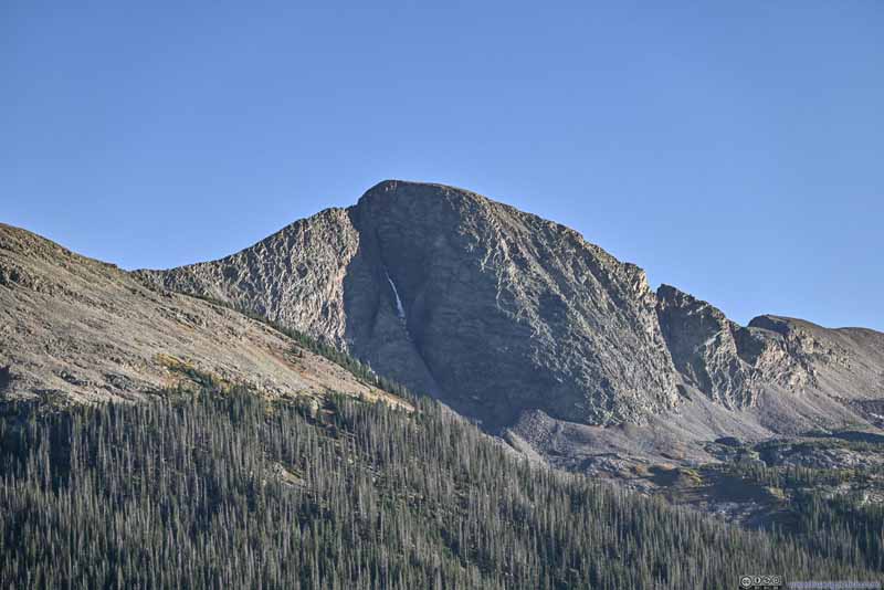
Snowdon Peak from Andrews Lake
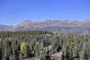
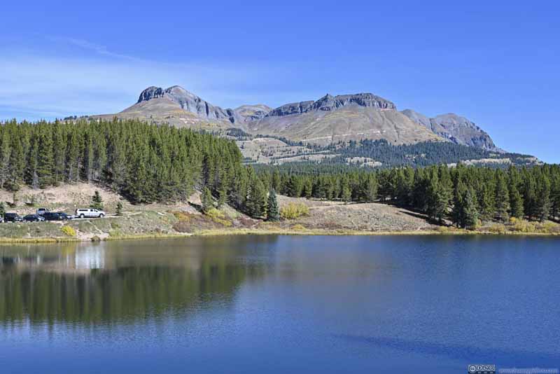
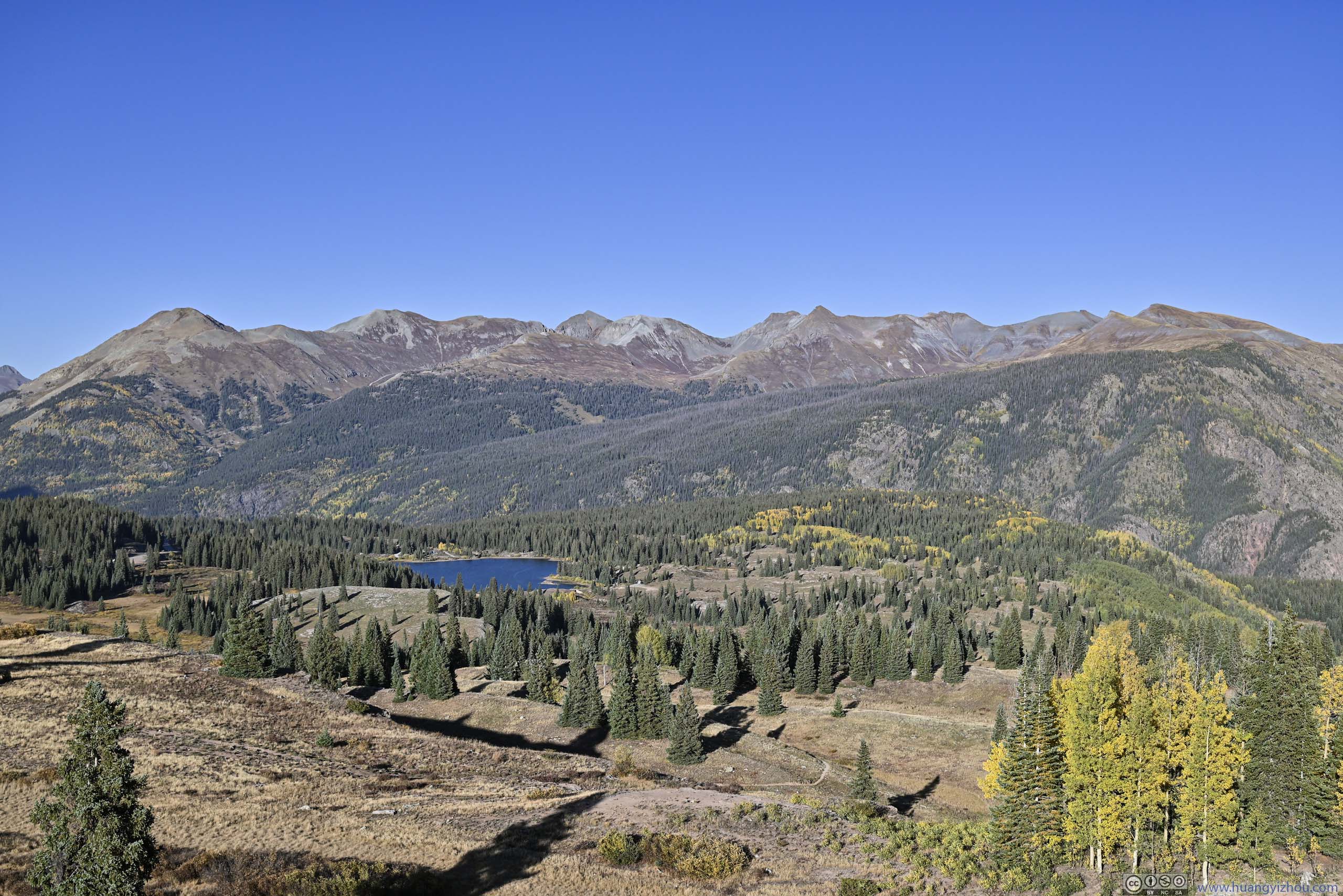
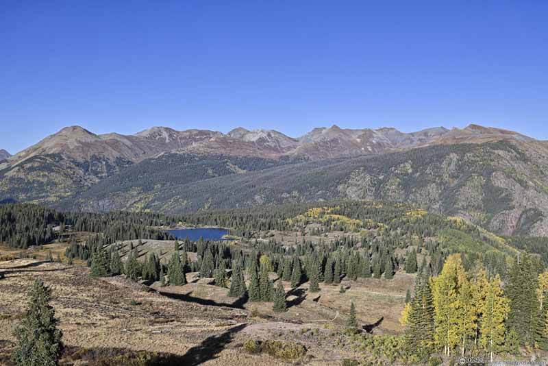
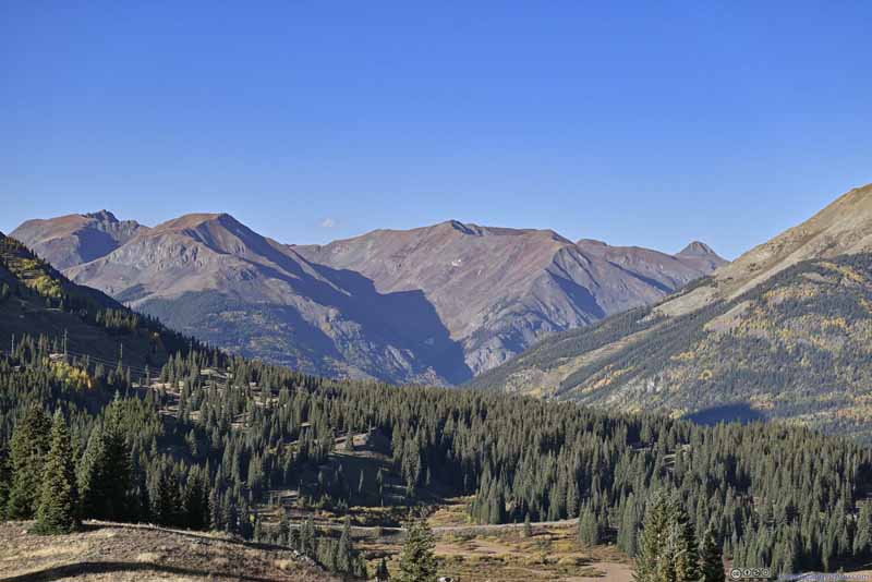
Mountains beyond Andrews Lake
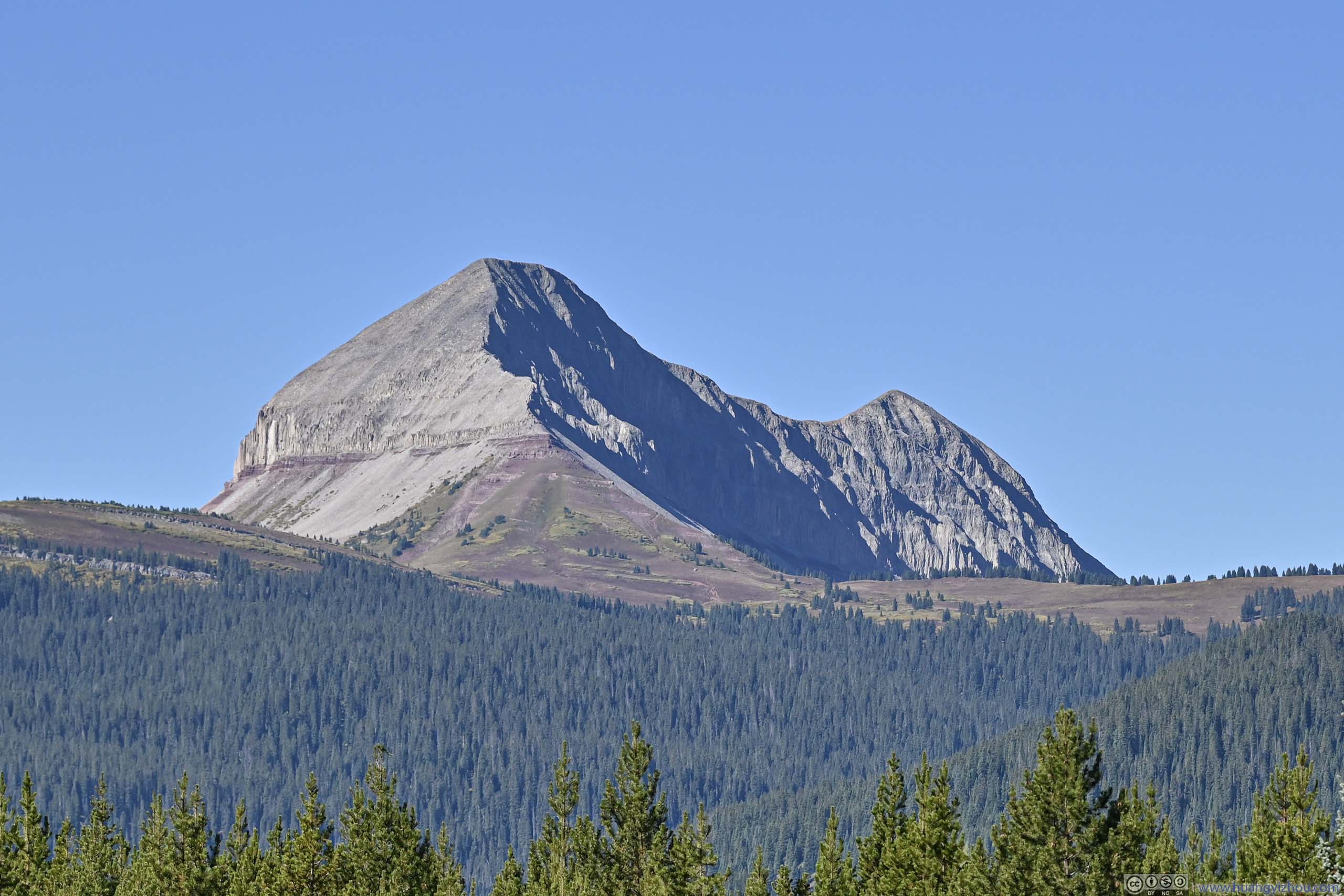
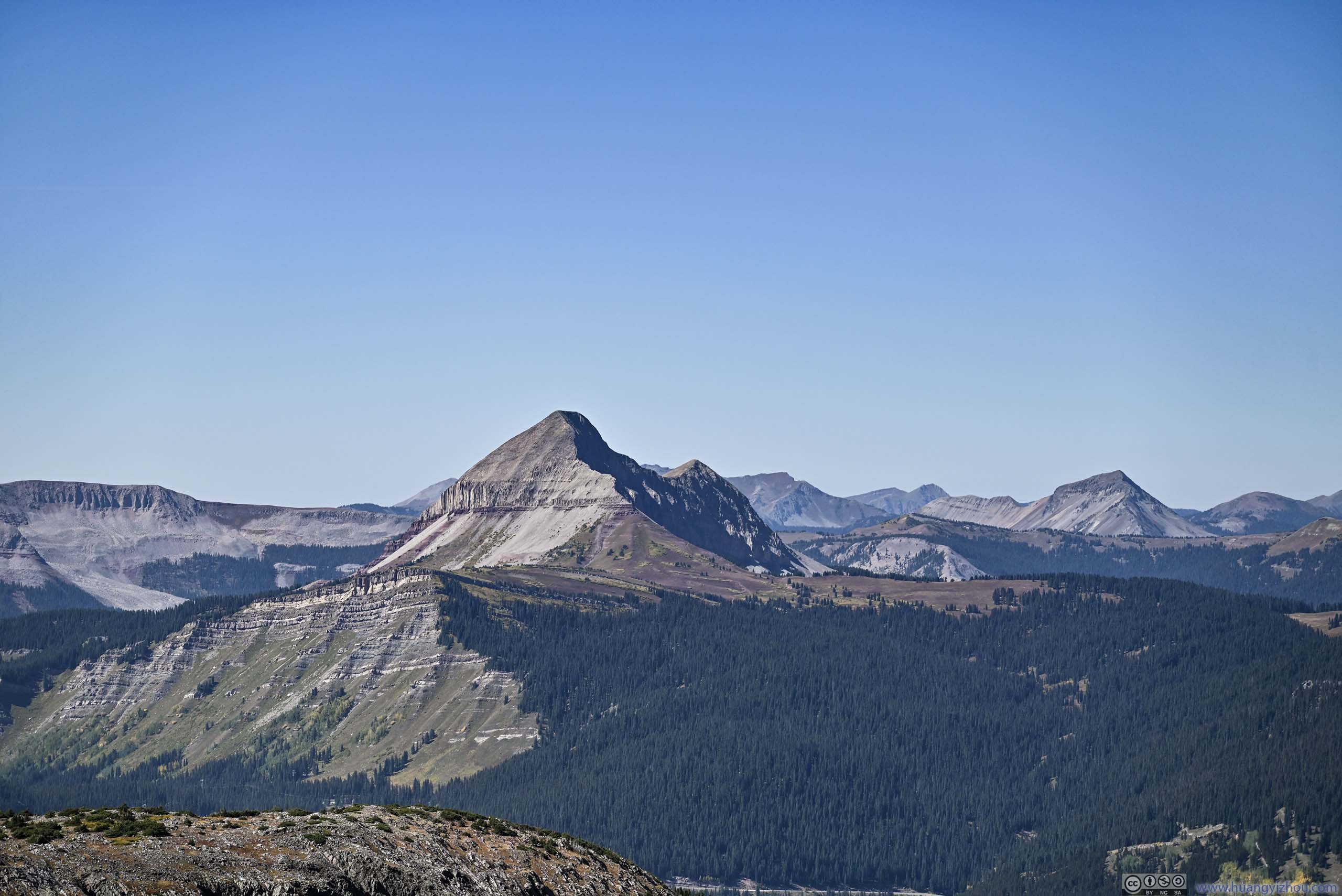
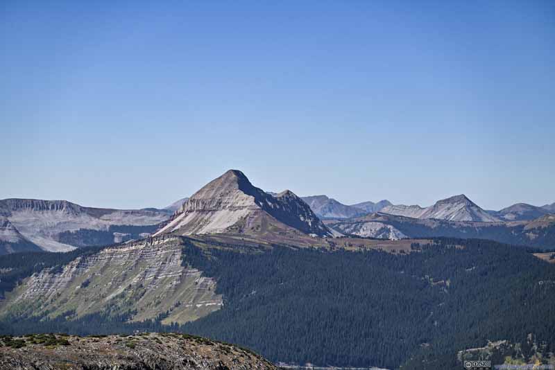
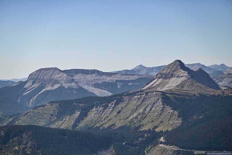
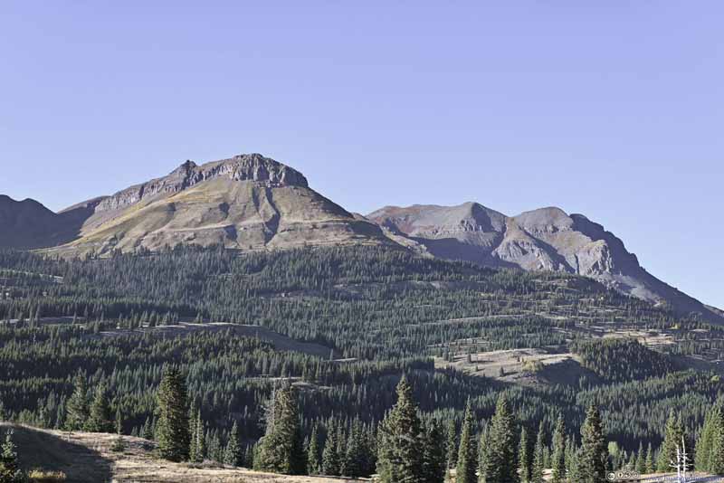
Engineer Mountain
Kendall Mountain The ones bordering Silverton to the south.
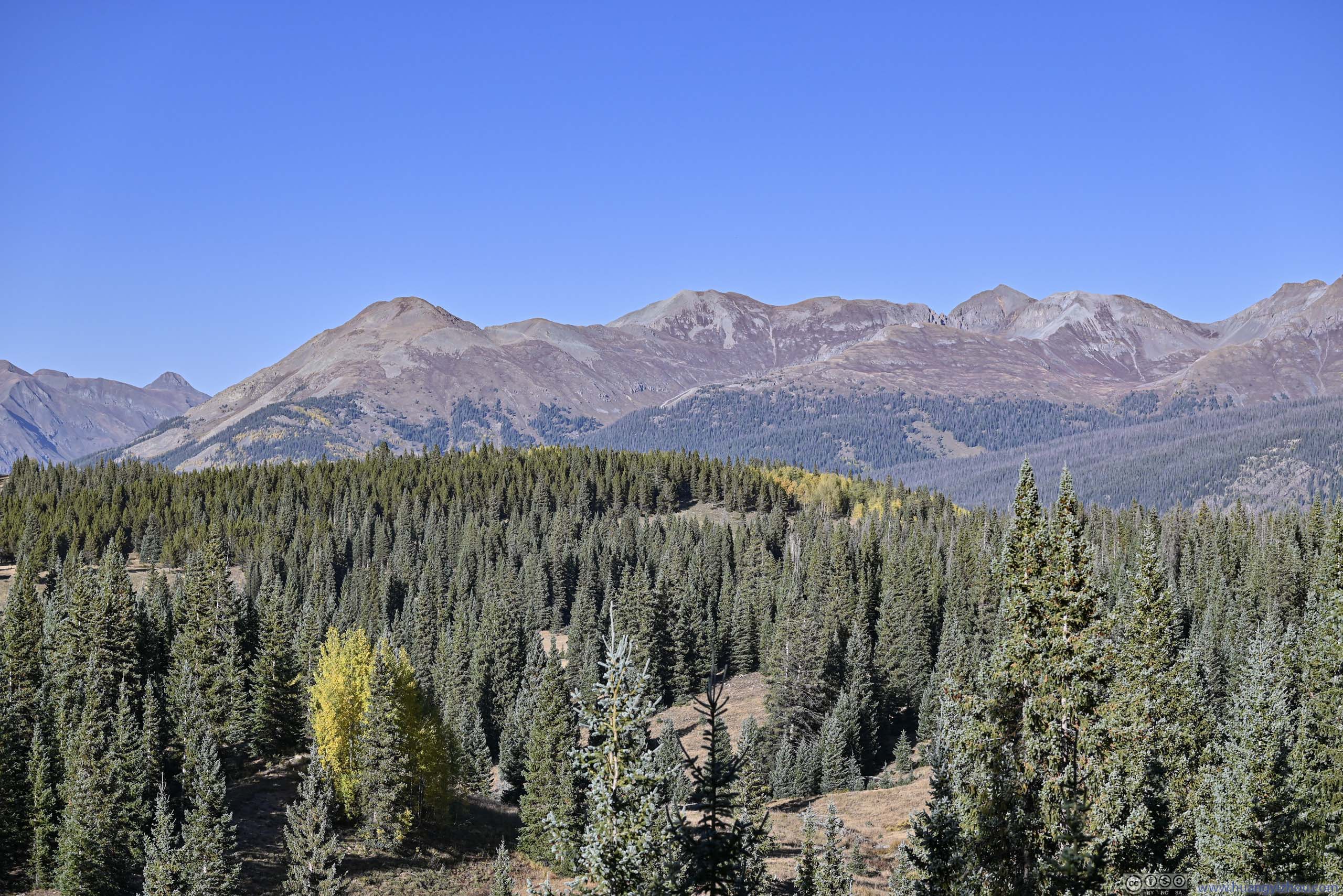
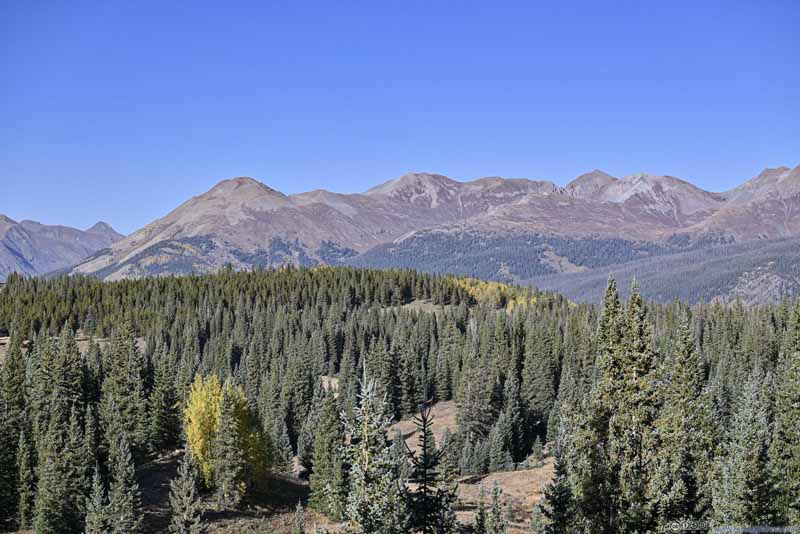
Mountains to the East beyond Andrews Lake
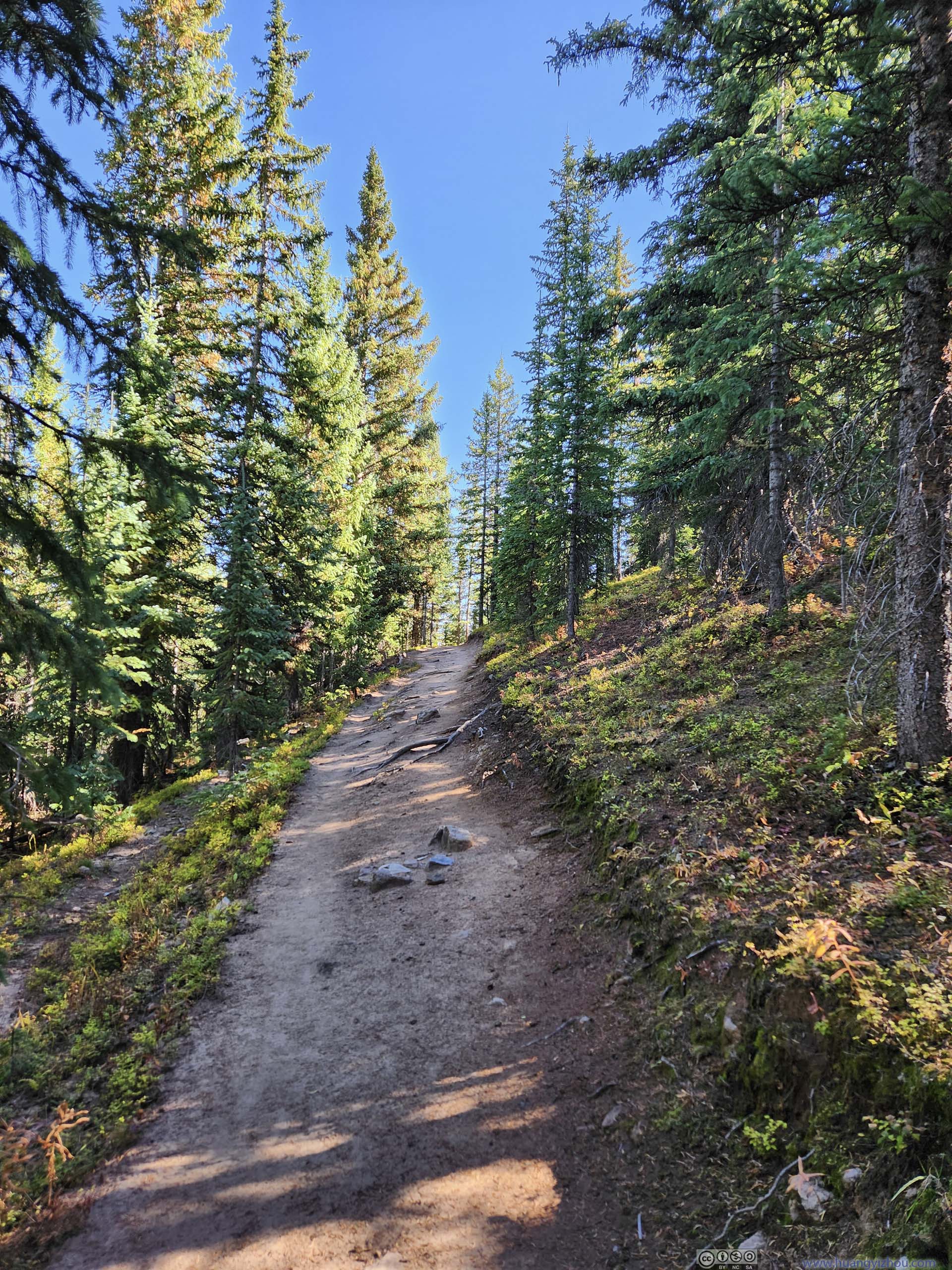
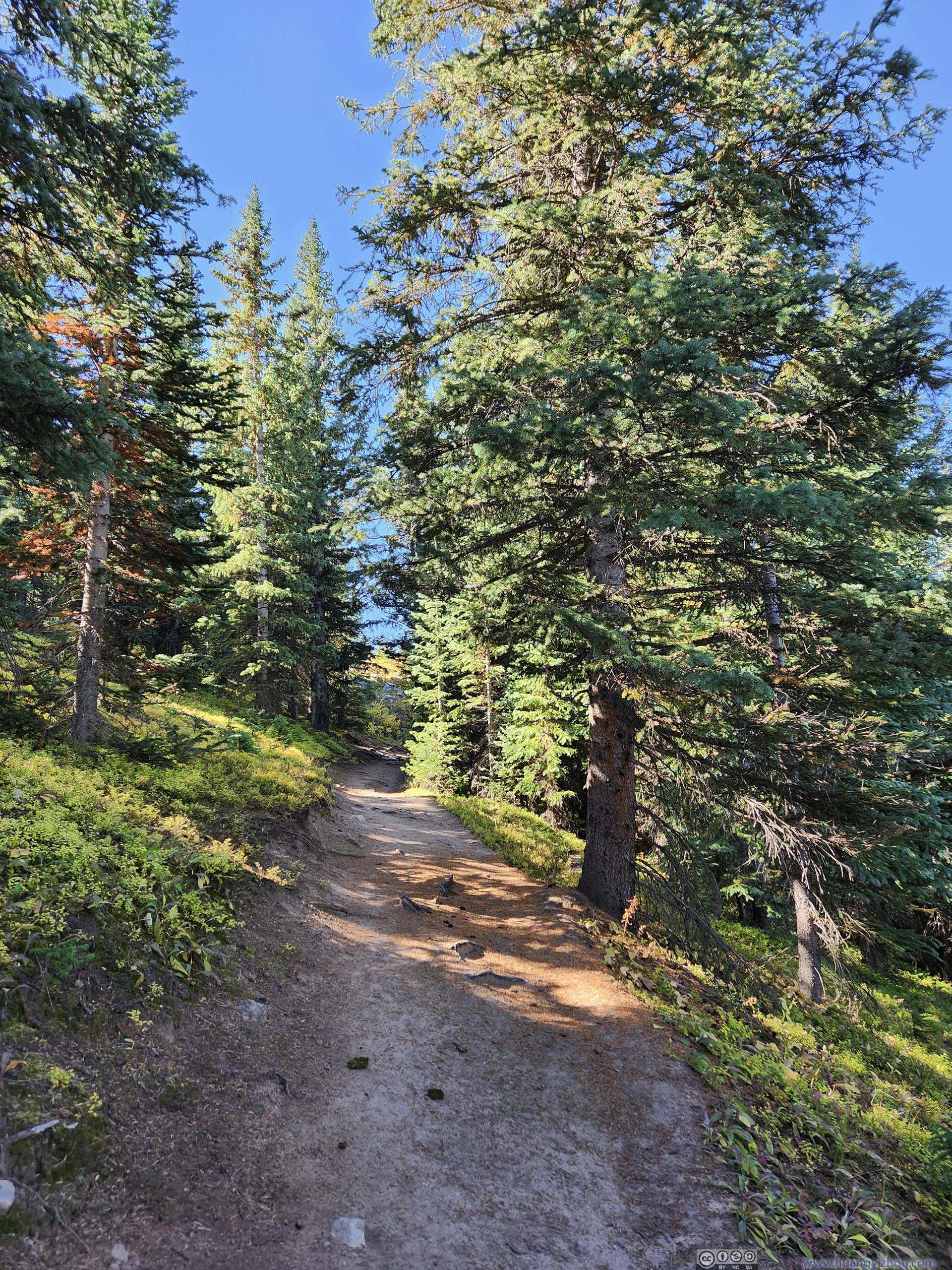
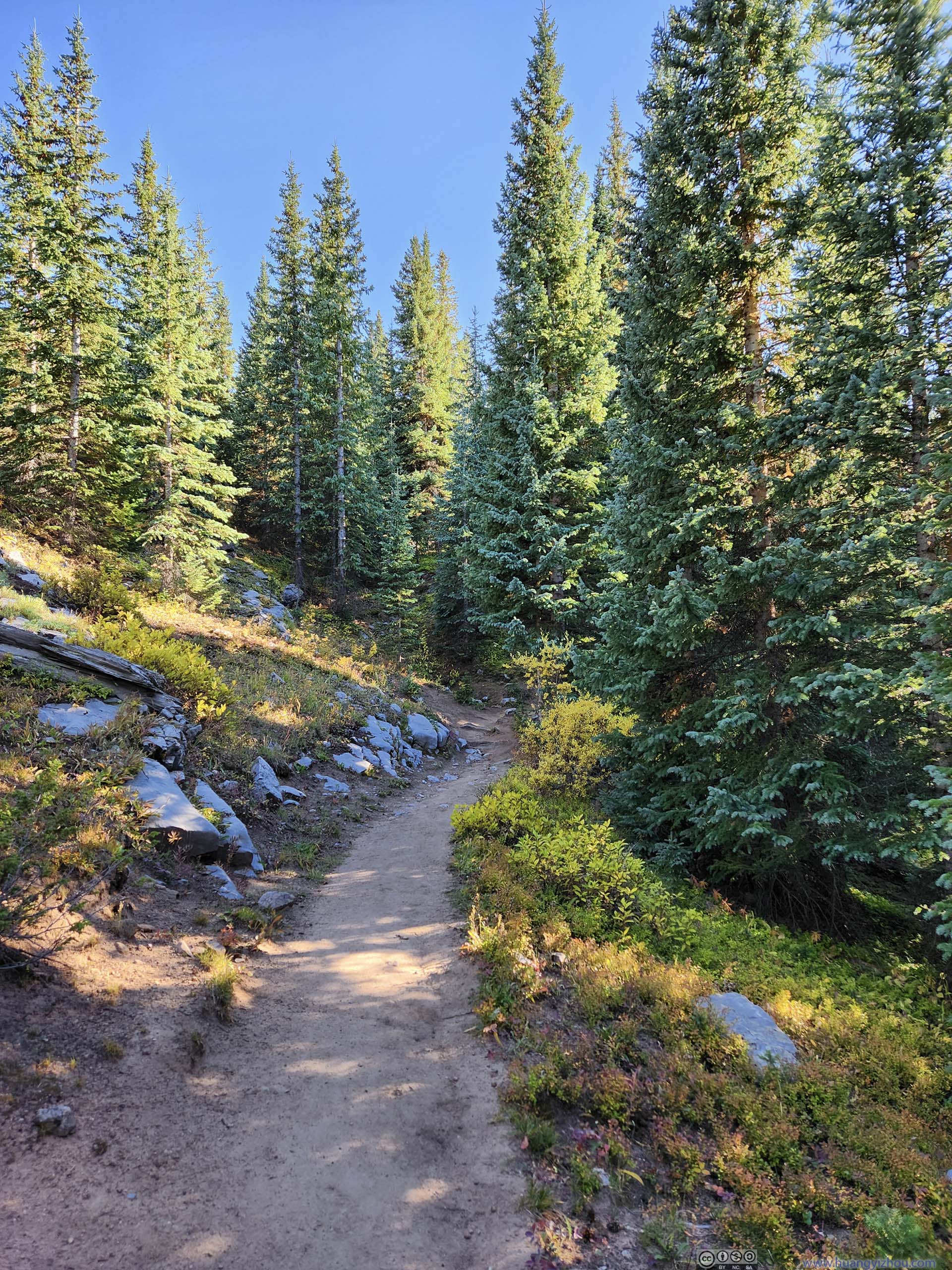
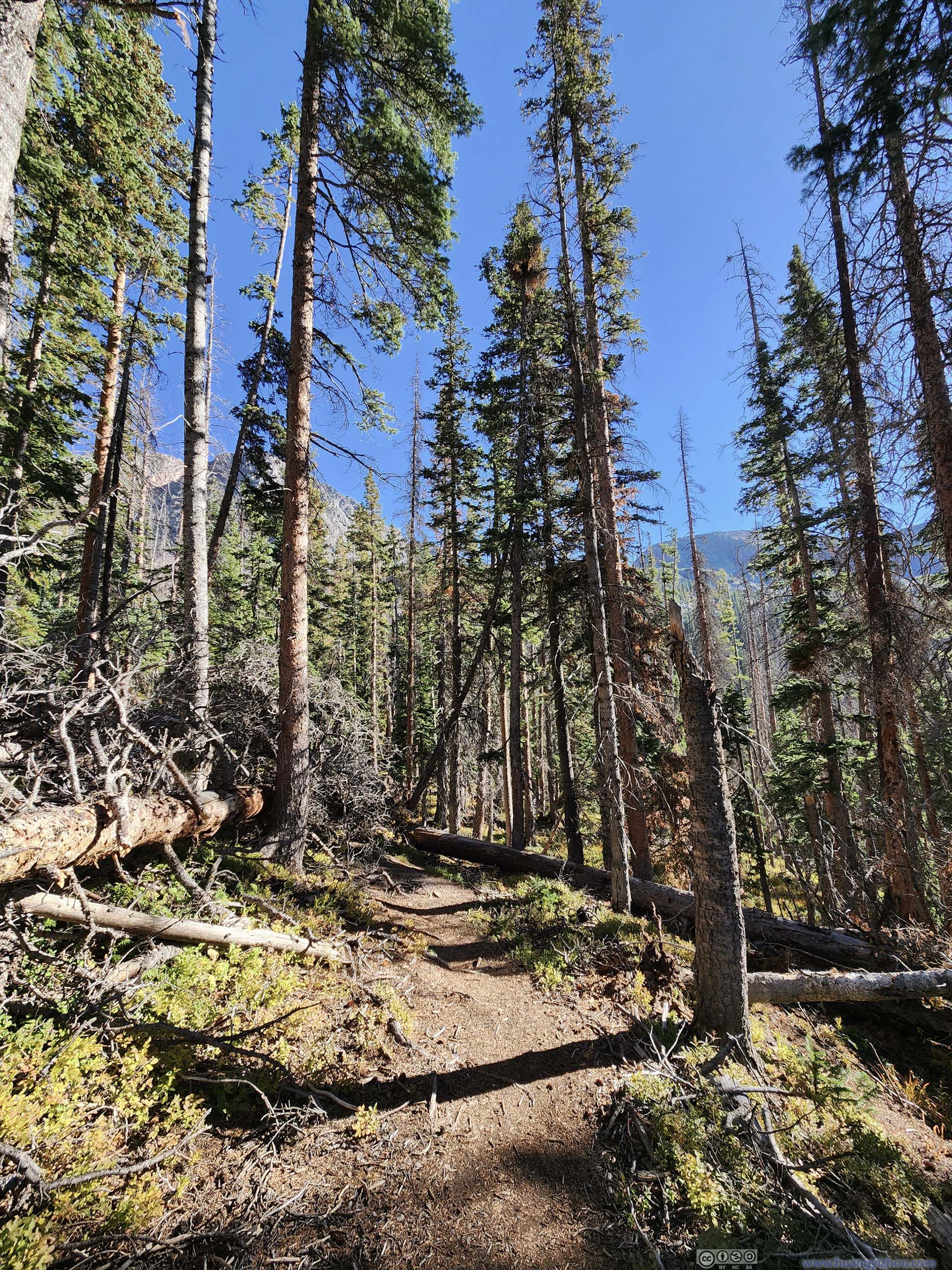
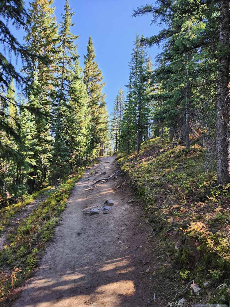
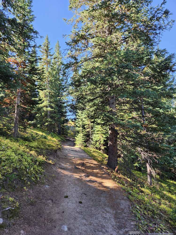
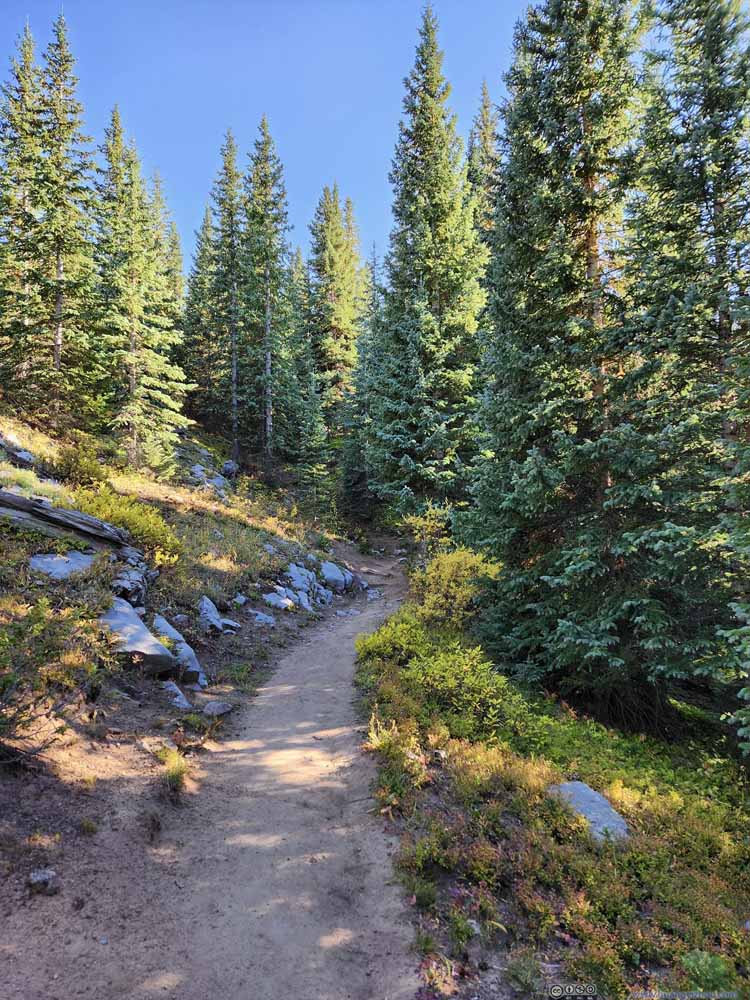
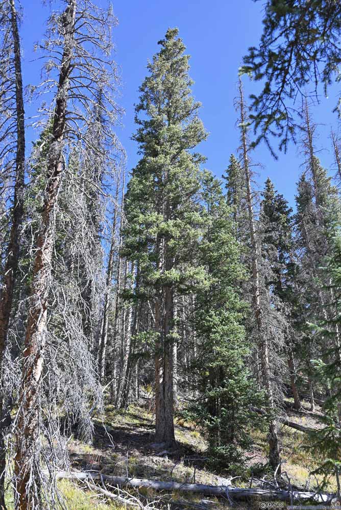
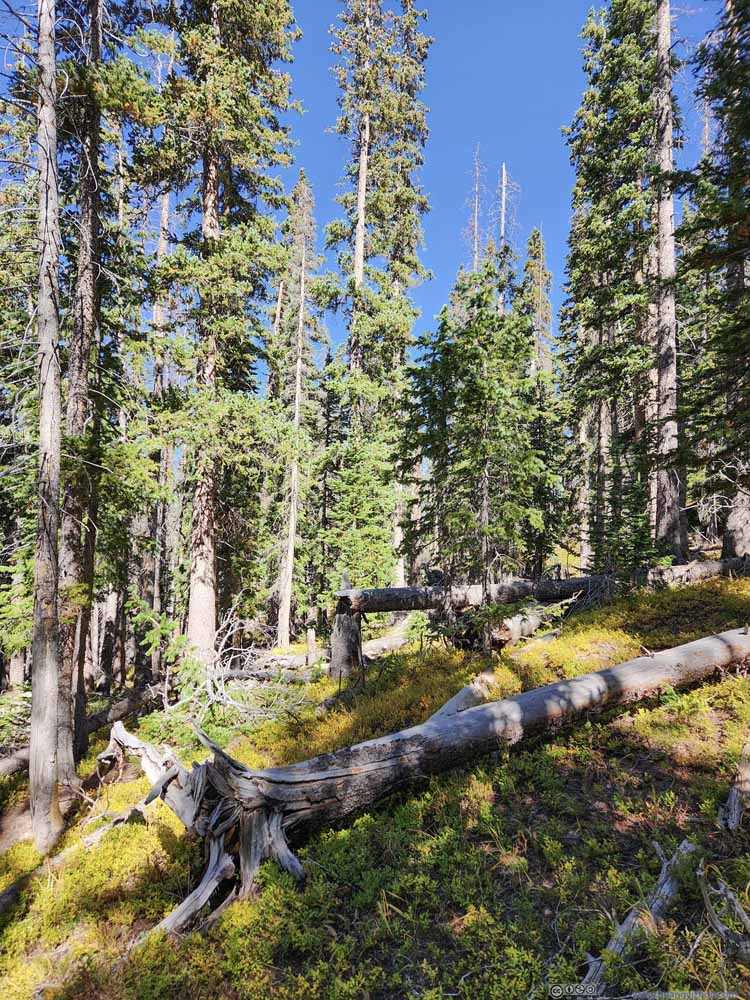
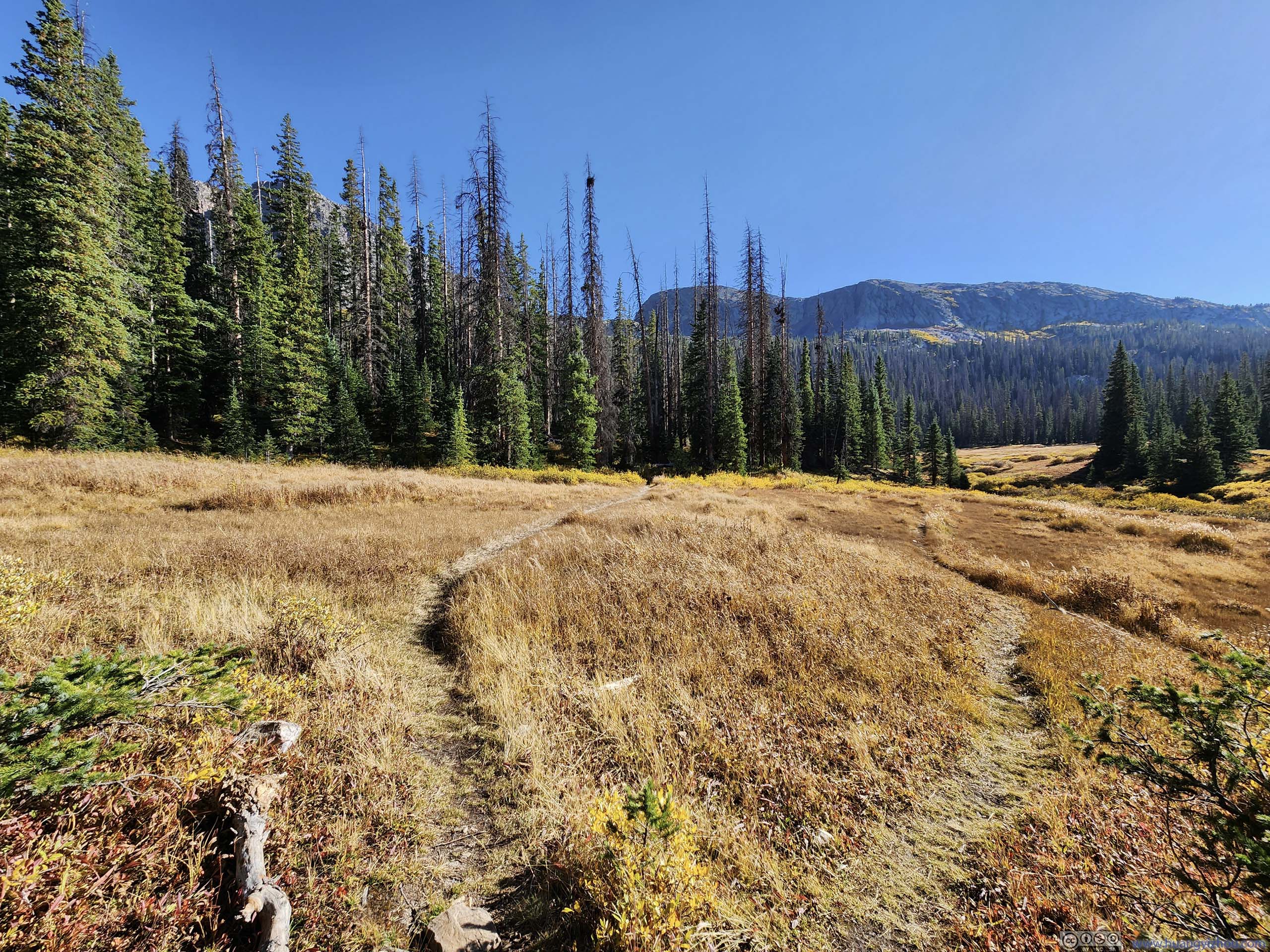
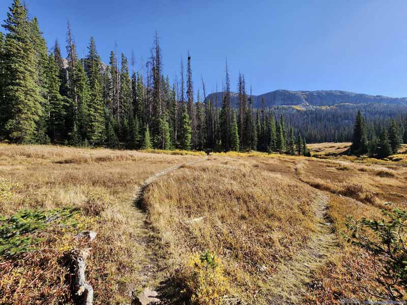
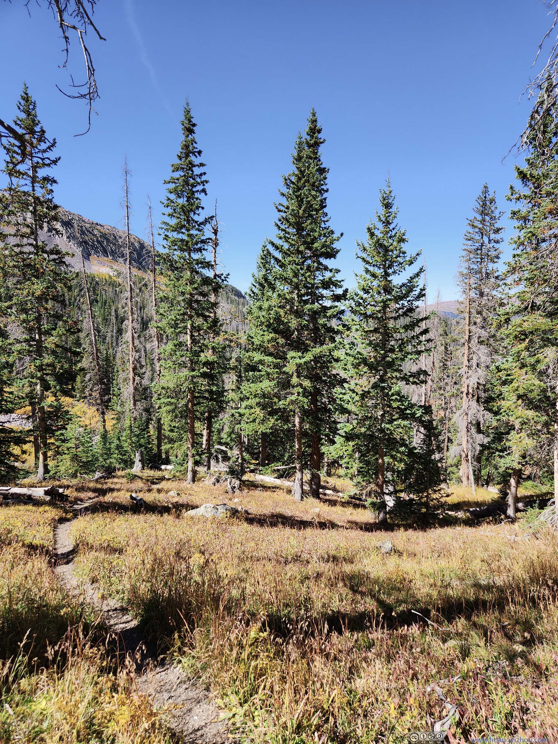
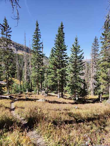
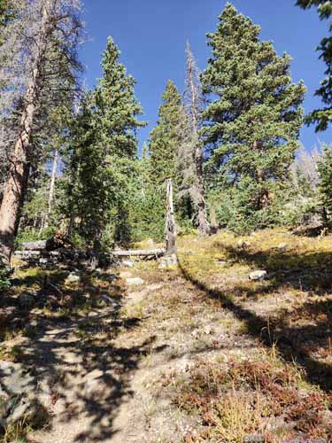
The trail started out as a casual stroll through the woods. (Pine trees, so there's no foliage.) 1.7km in, it departed from the (more established) Crater Lake Trail and headed east. It's also when the forests grew sparser among a meadow scene.
Trail
Trail
Trail
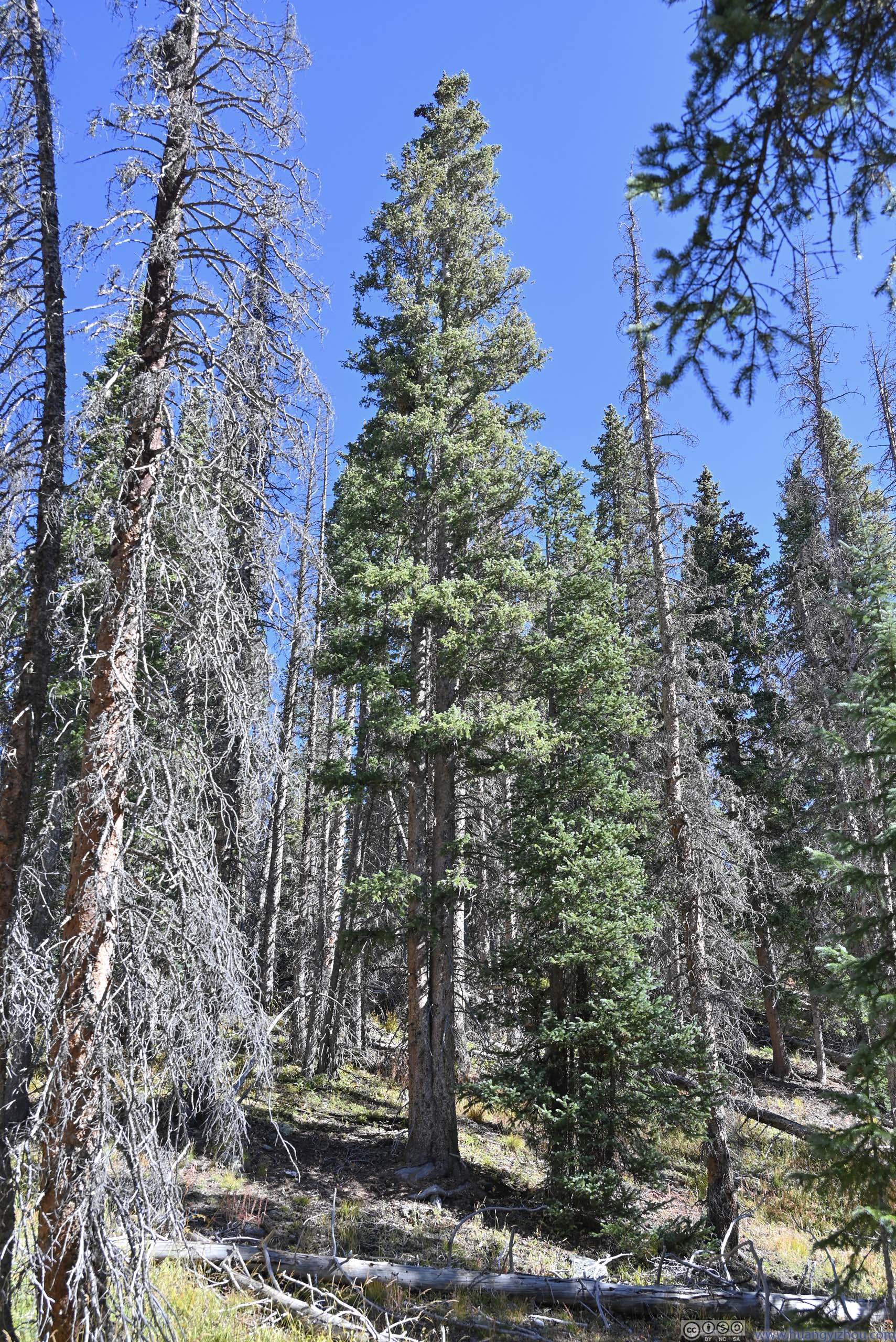
Trees One that seemed to be split into two.
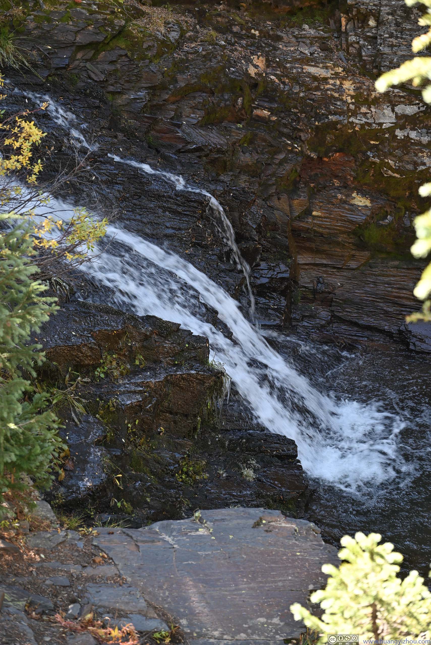
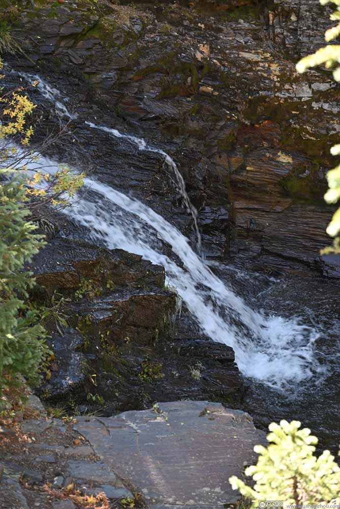
Waterfall
Trail
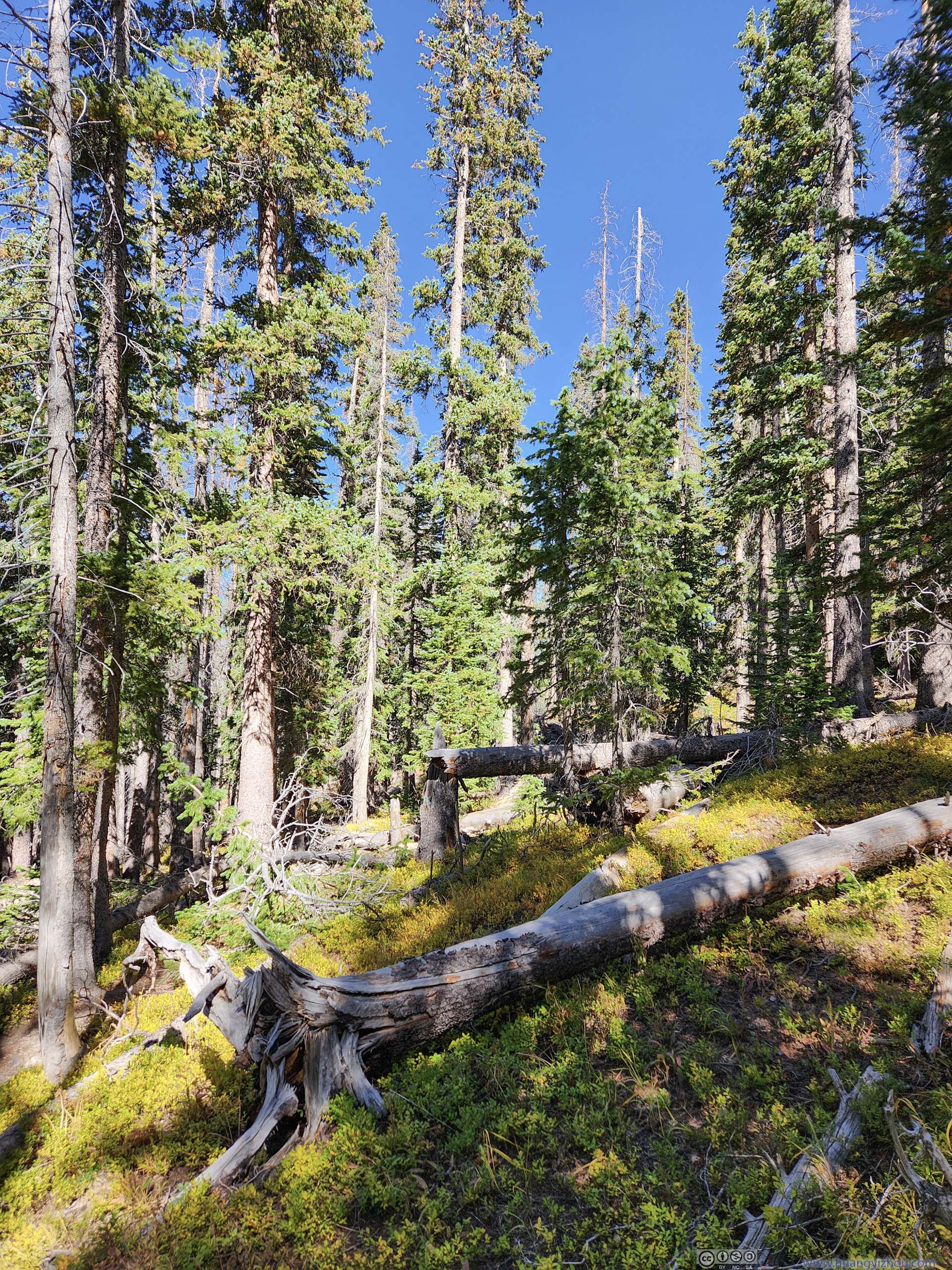
Forest
Trail
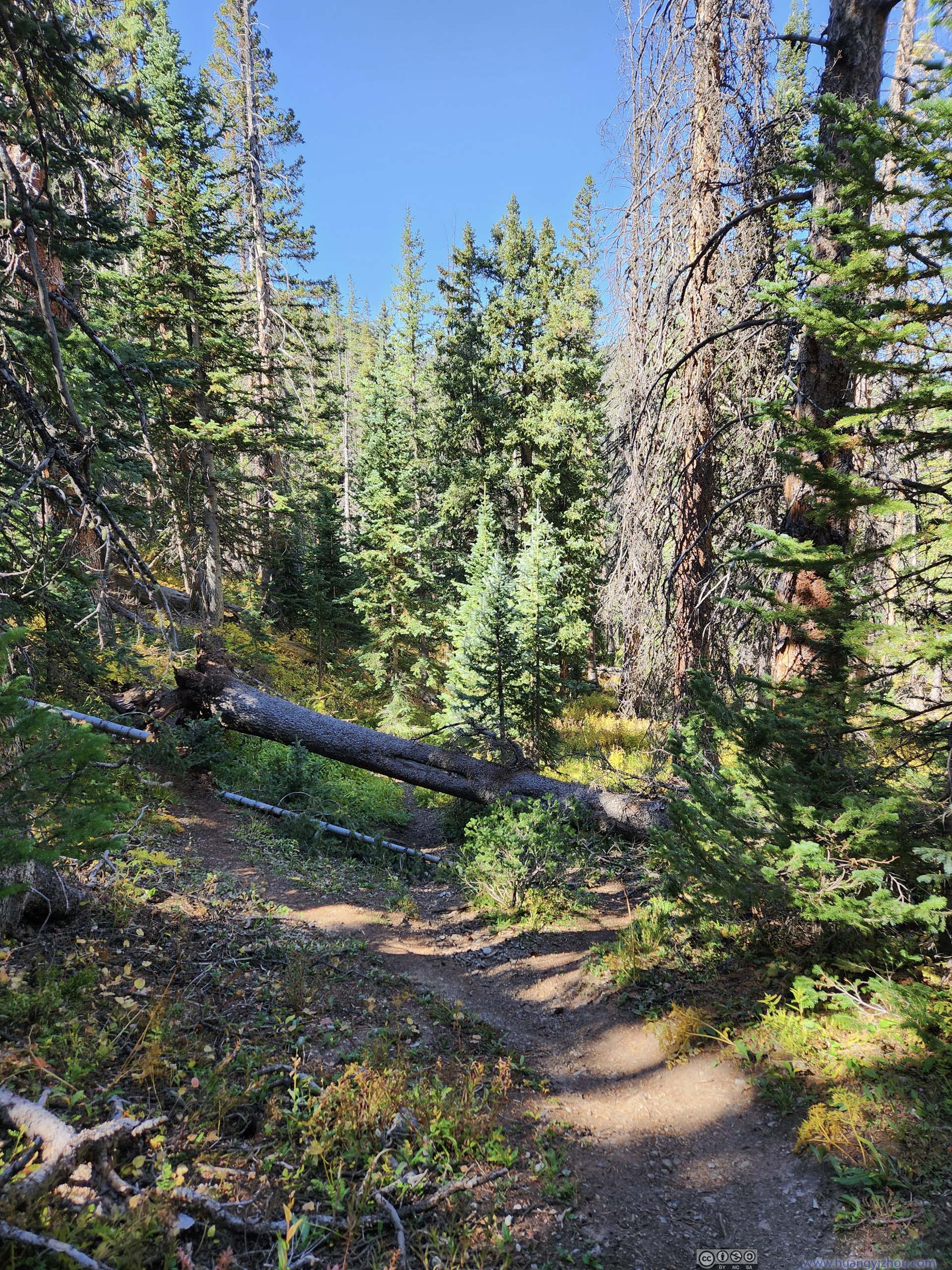
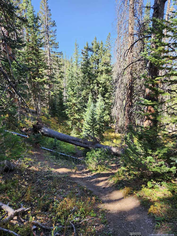
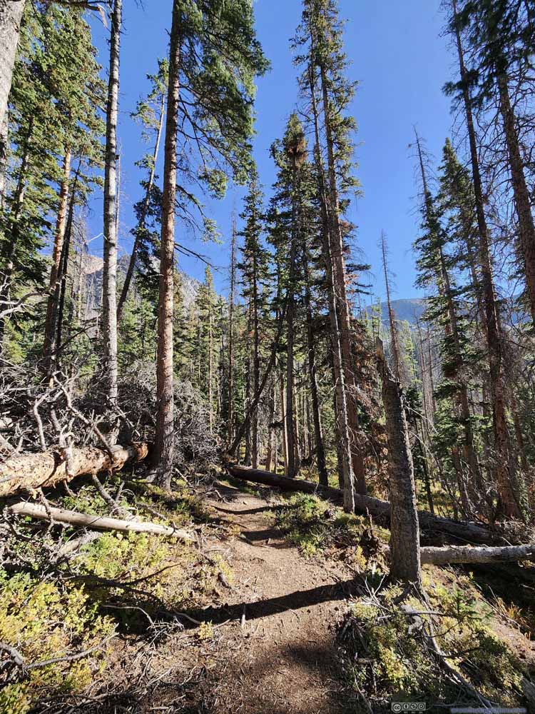
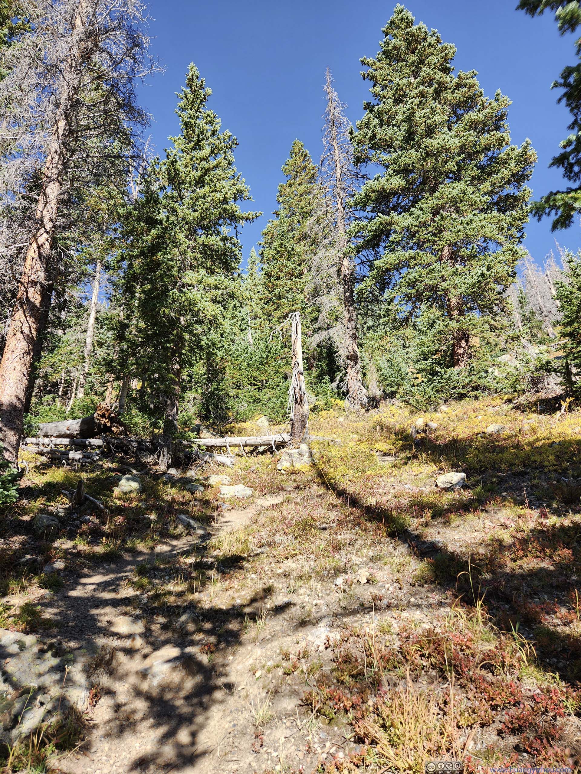
A minor complaint was that, after the fork of trails, there were many fallen trees blocking the trail, requiring some effort to scale over.
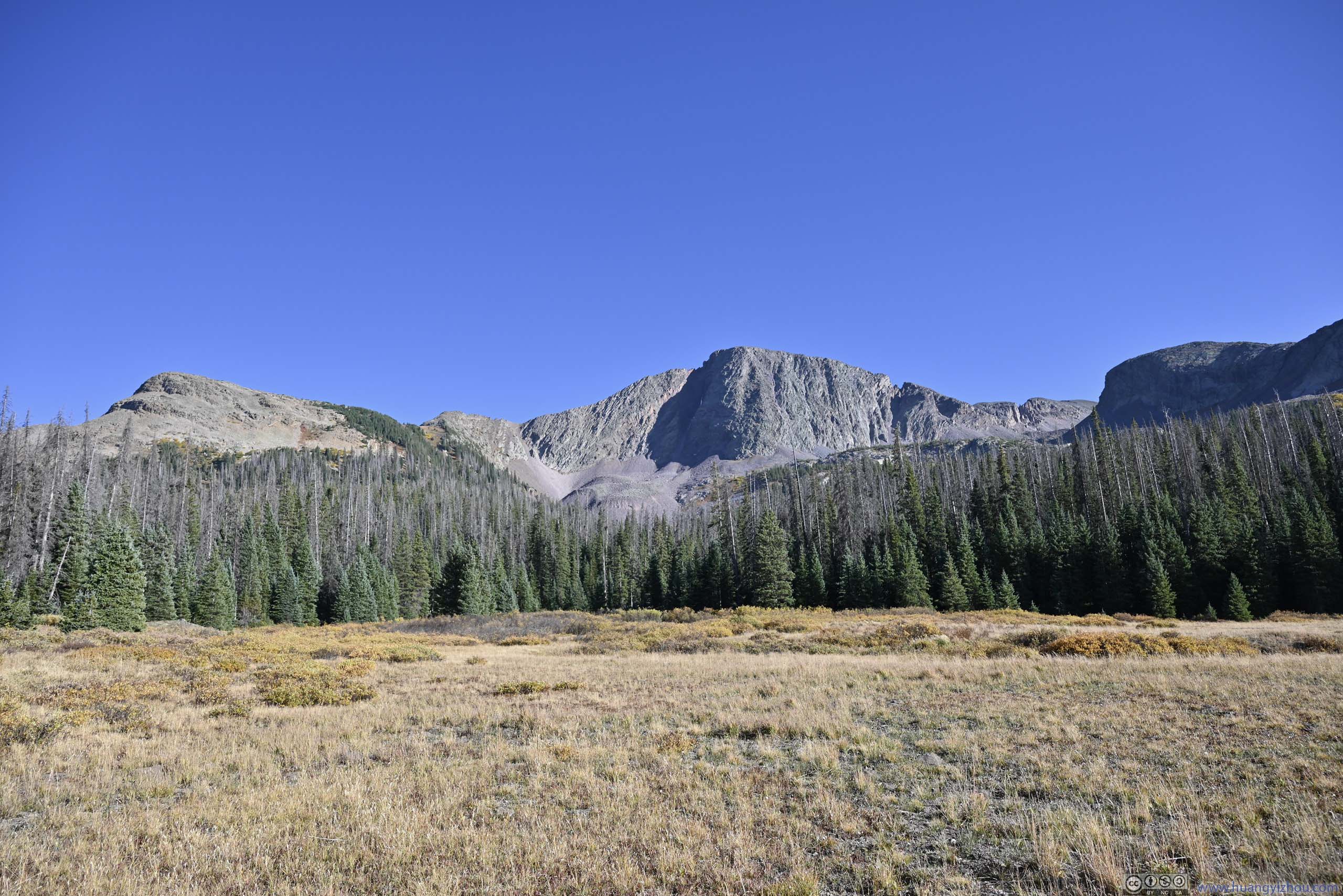
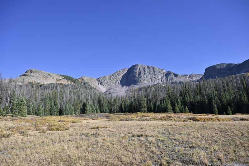
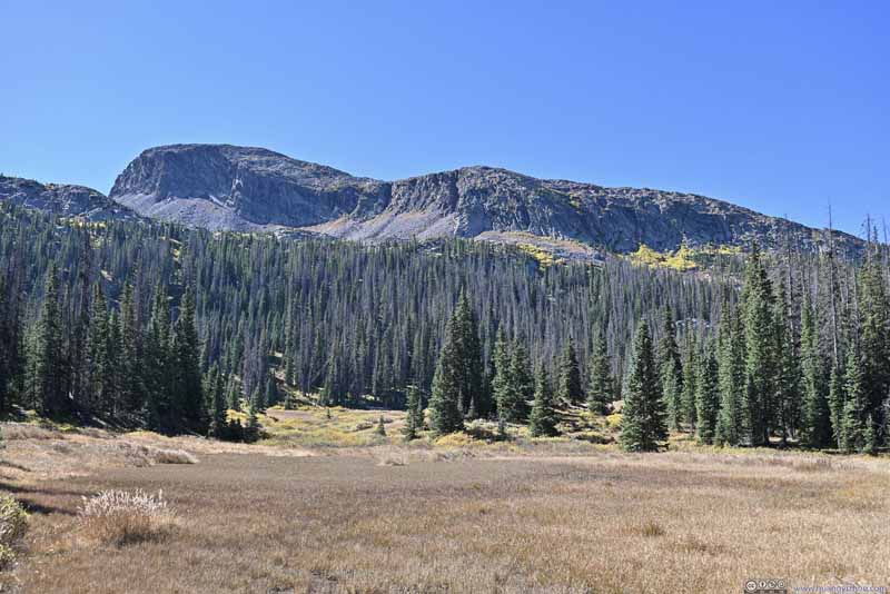
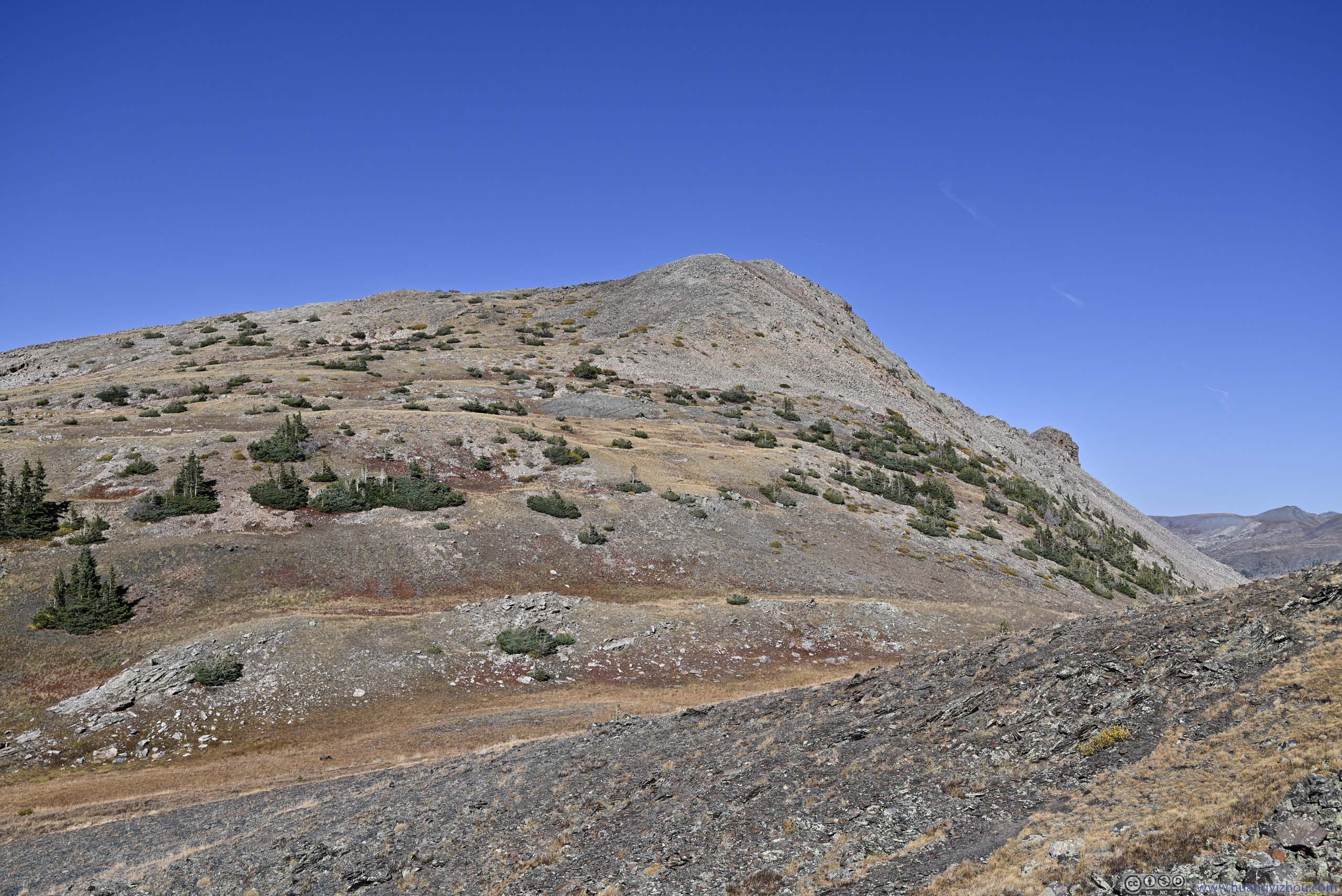
Snowdon Peak behind Meadow
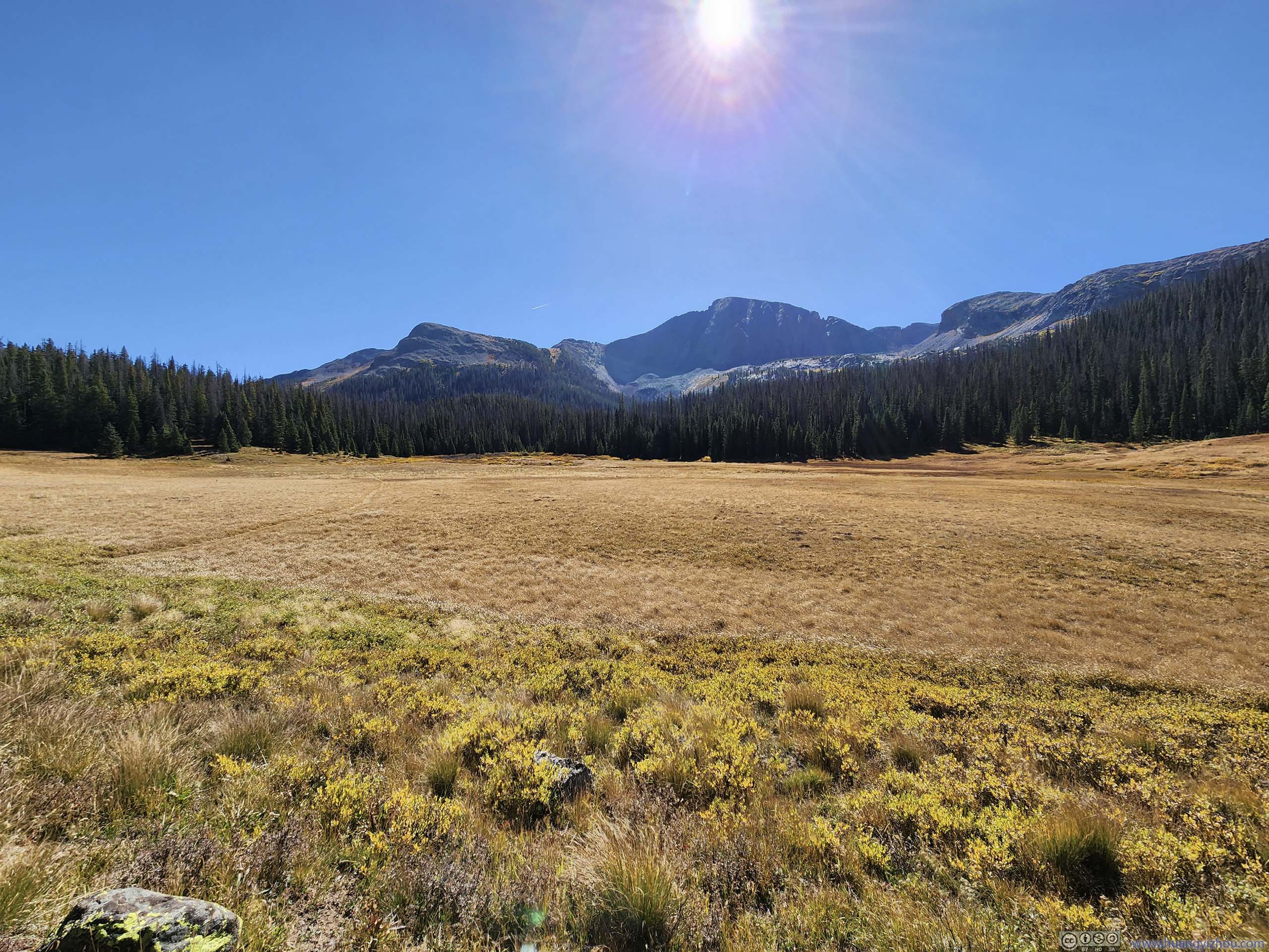
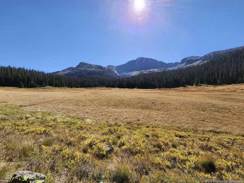
Trail through Meadow towards Snowdon Peak
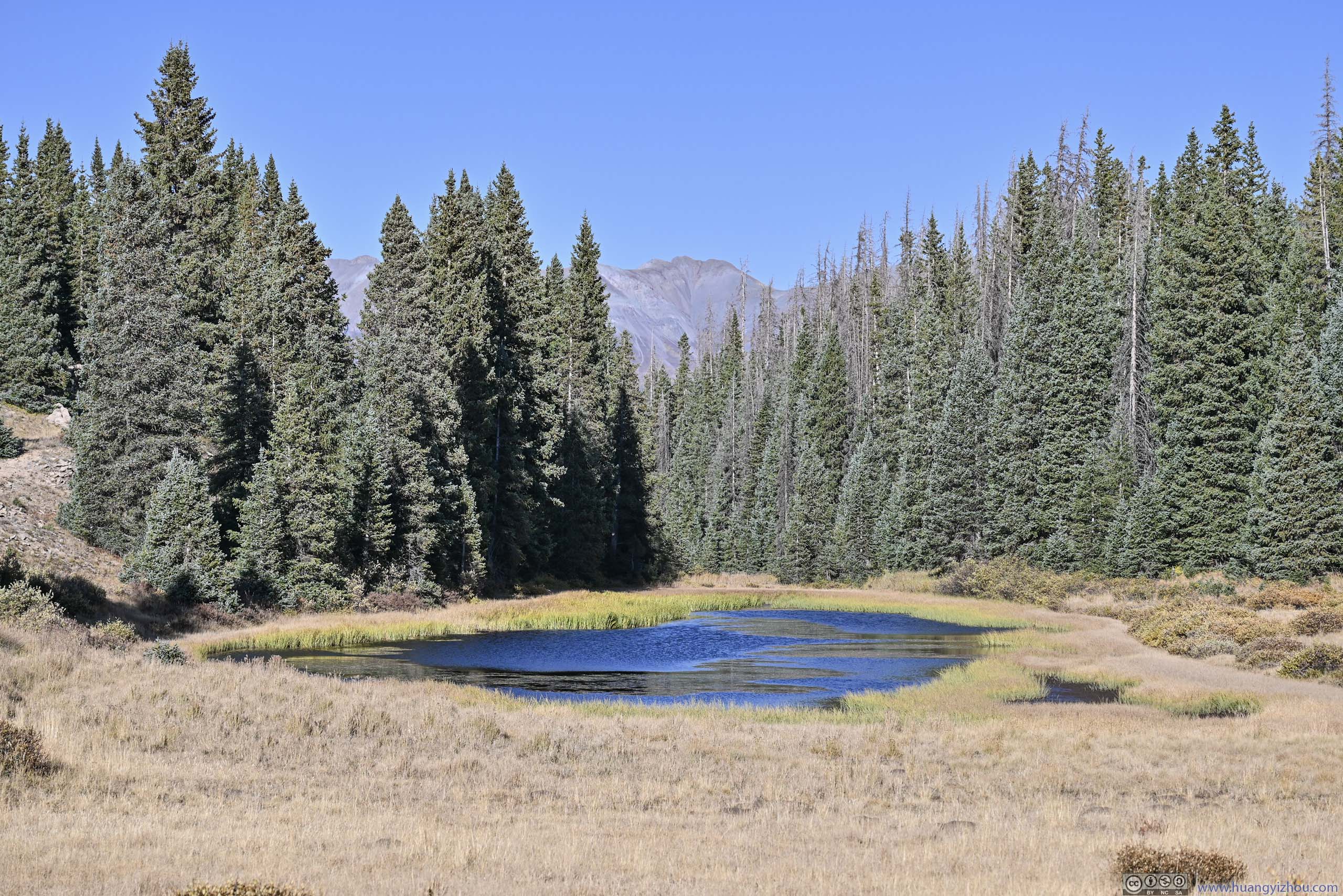
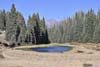
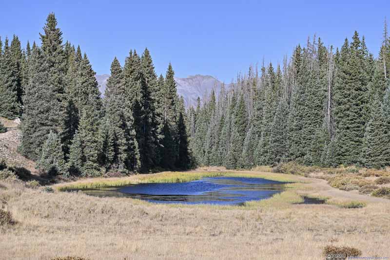
Pond
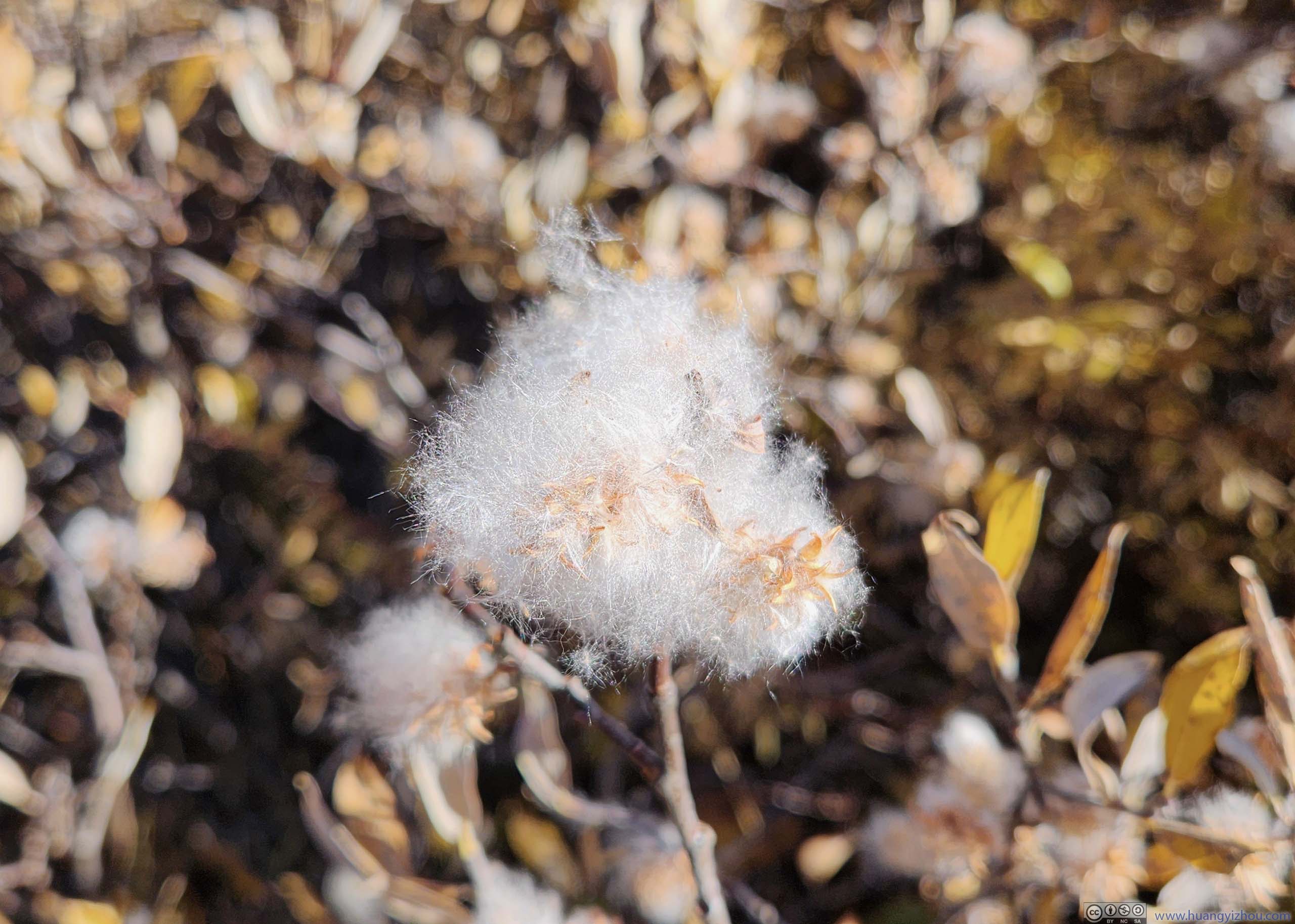
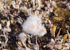
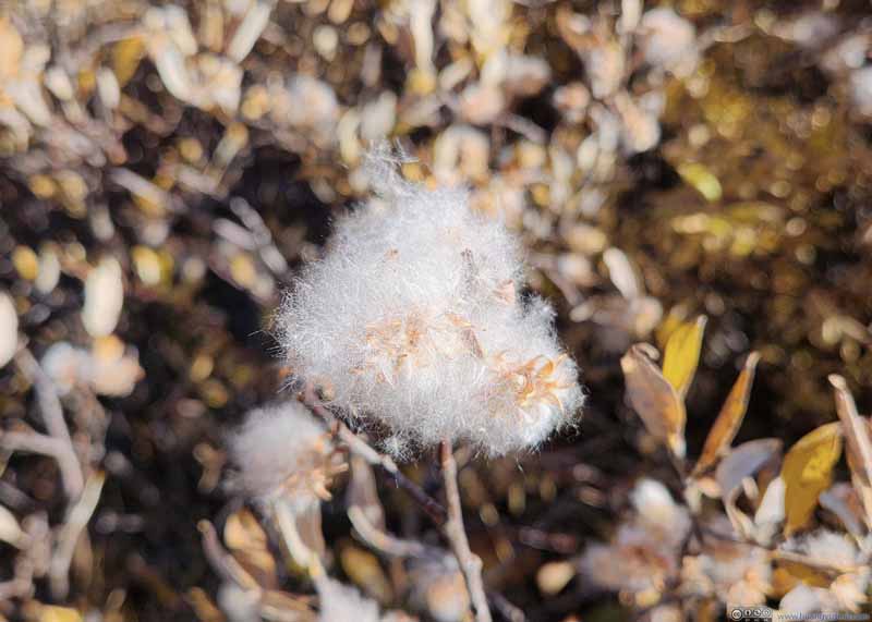
Plant Felt like cotton to me.
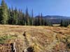
Trail through Meadows
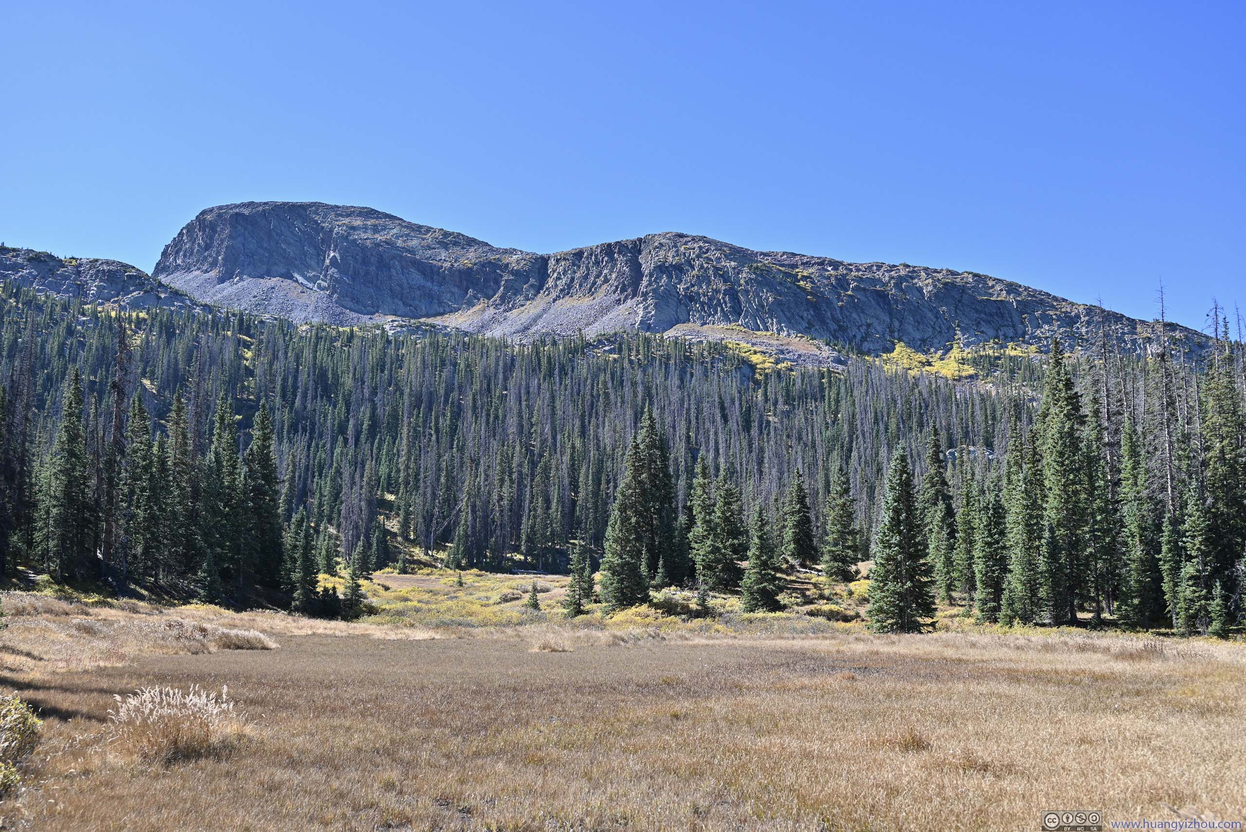
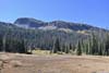
Mountains A plateau to the south.
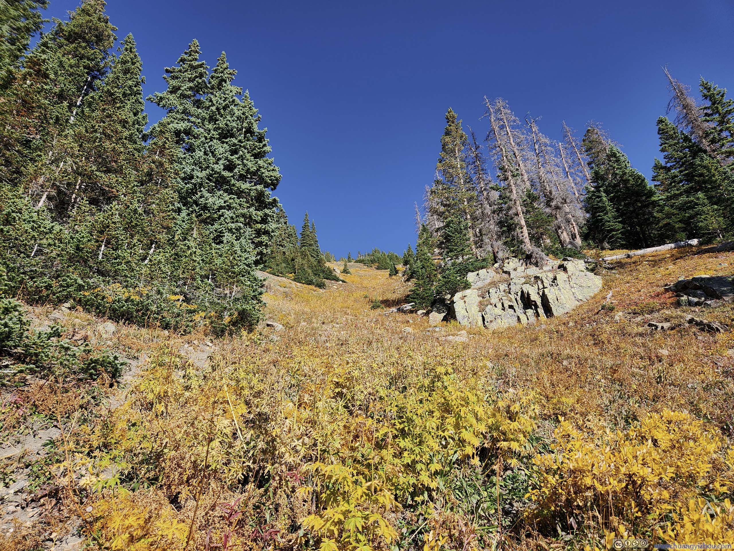
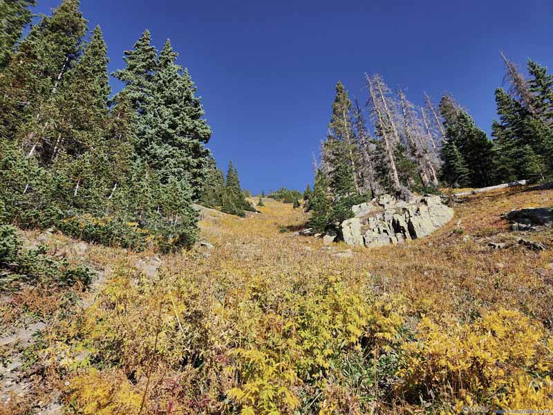
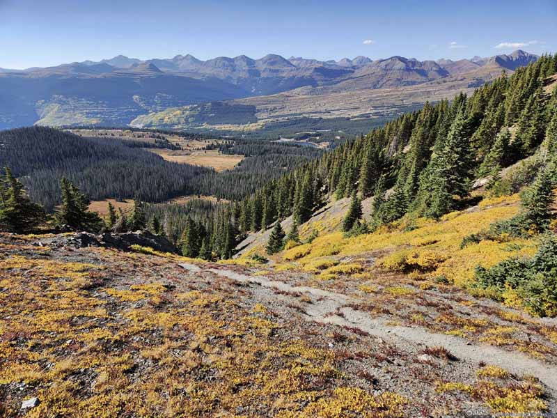
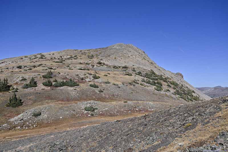
3.5km into the hike, the trail completely emerged from the trees as it started a steep ascent (p2 below) towards the saddle point between "Needles One Peak N1" and Snowdon Peak. I didn't prepare hiking poles for this trip so this slope put me through some struggles.
Trail
Steep Trail
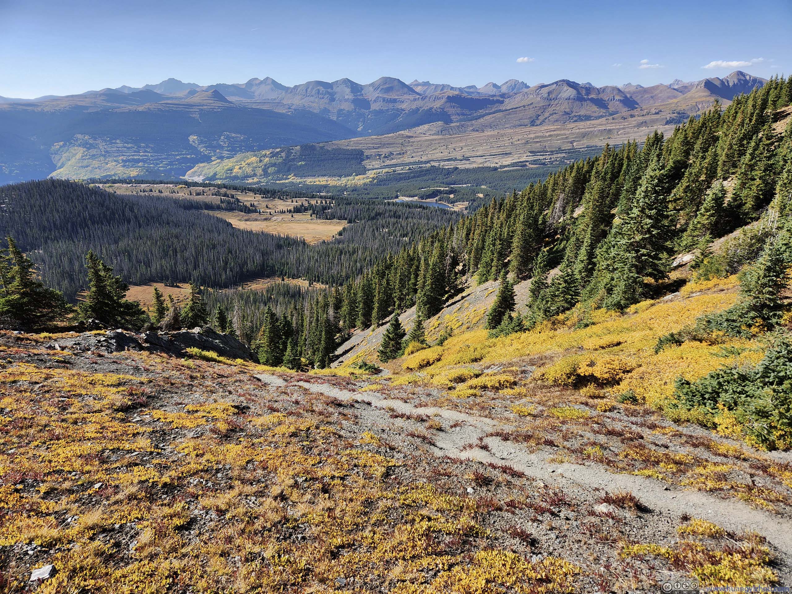
Steep Trail with Backdrop of Mountains
Trail with Backdrop of Mountains
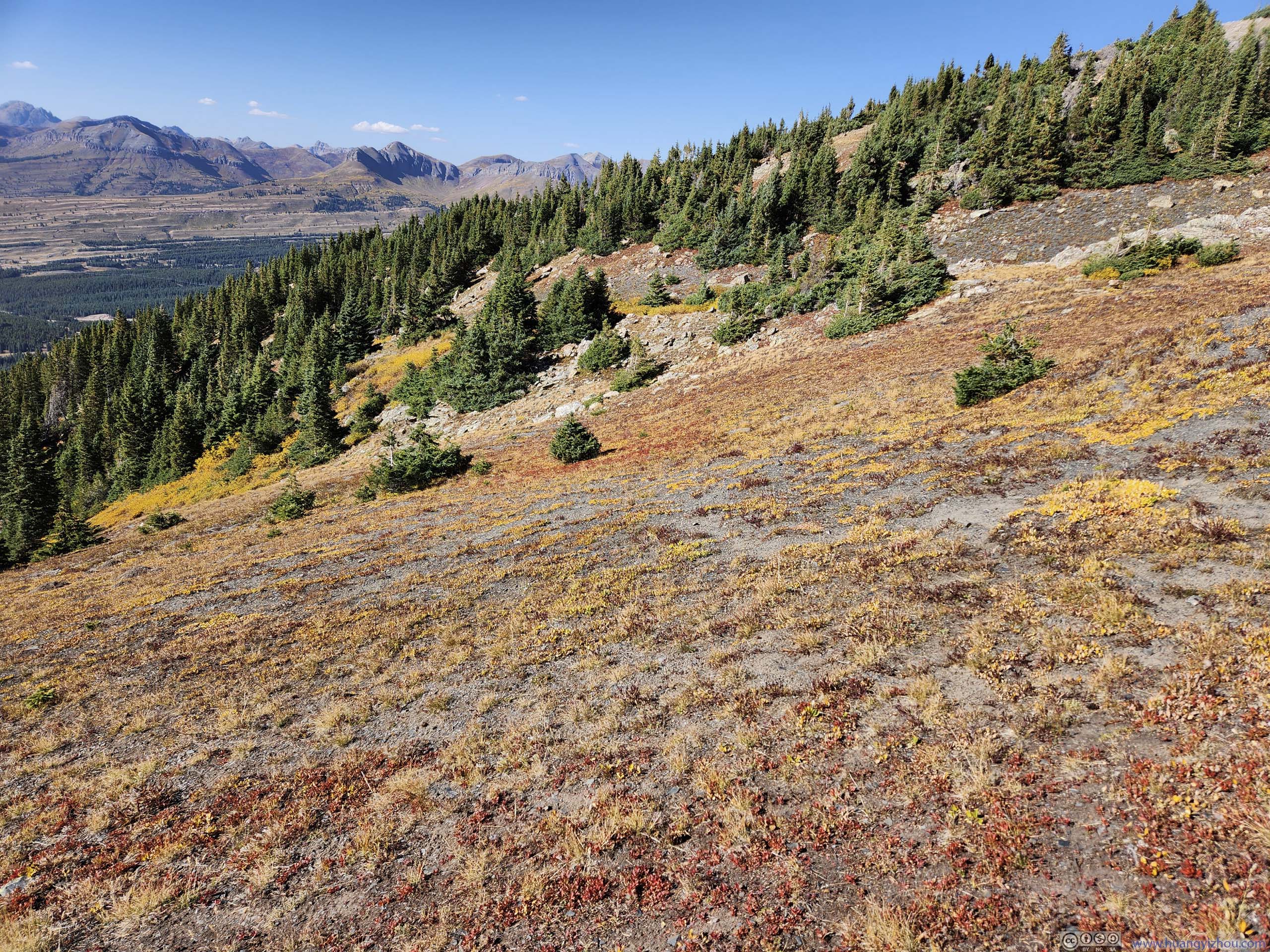
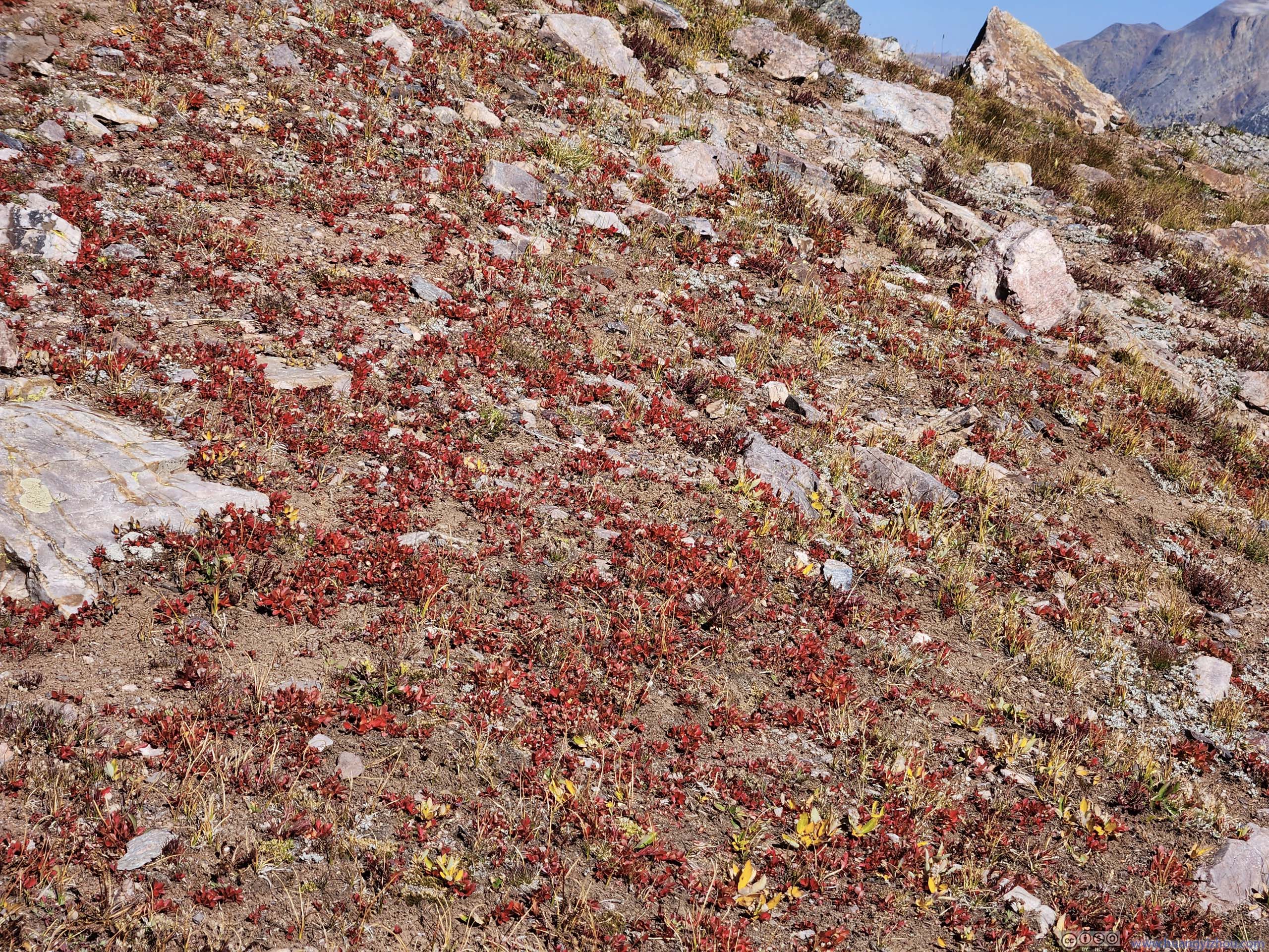
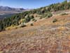
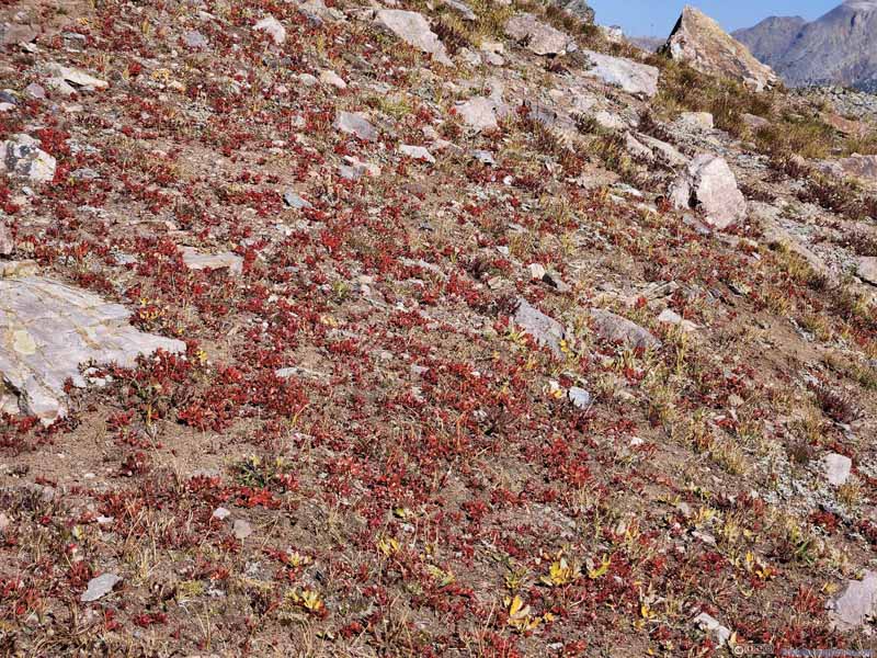
Field of Grass in Red
Field of Grass in Red
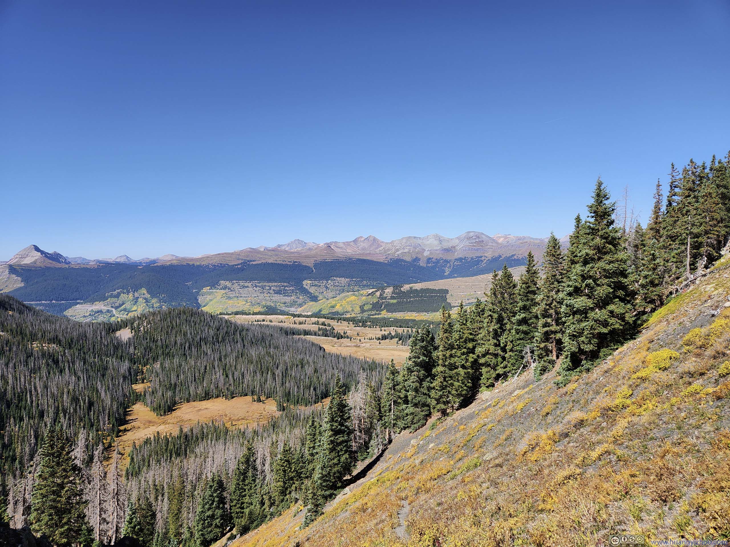
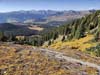
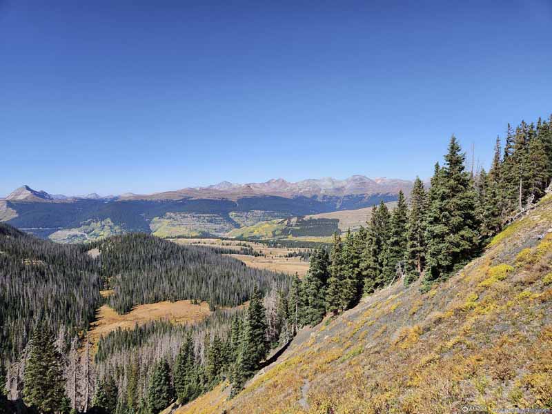
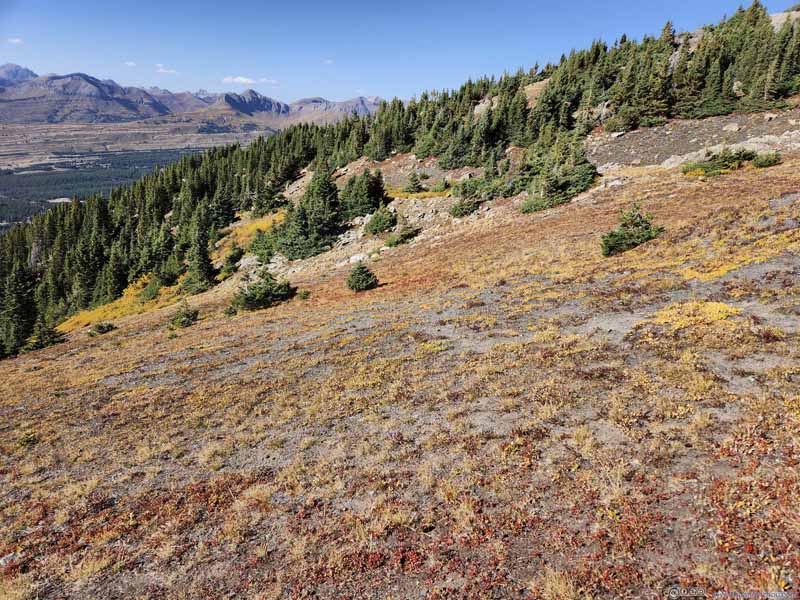
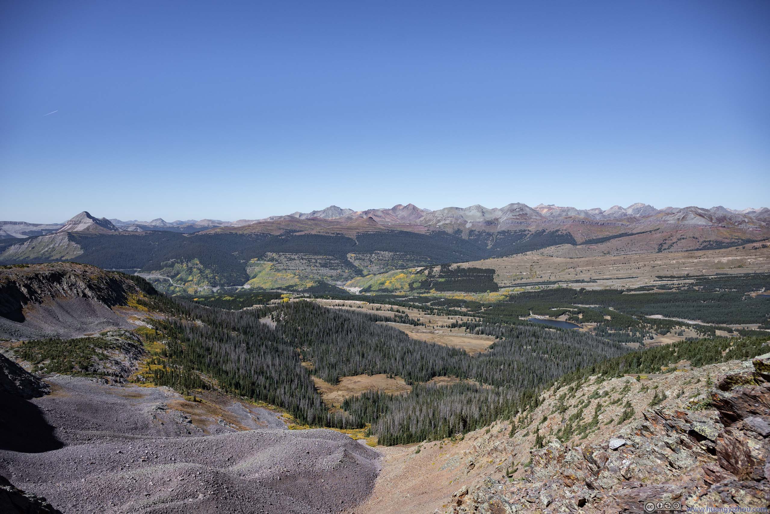
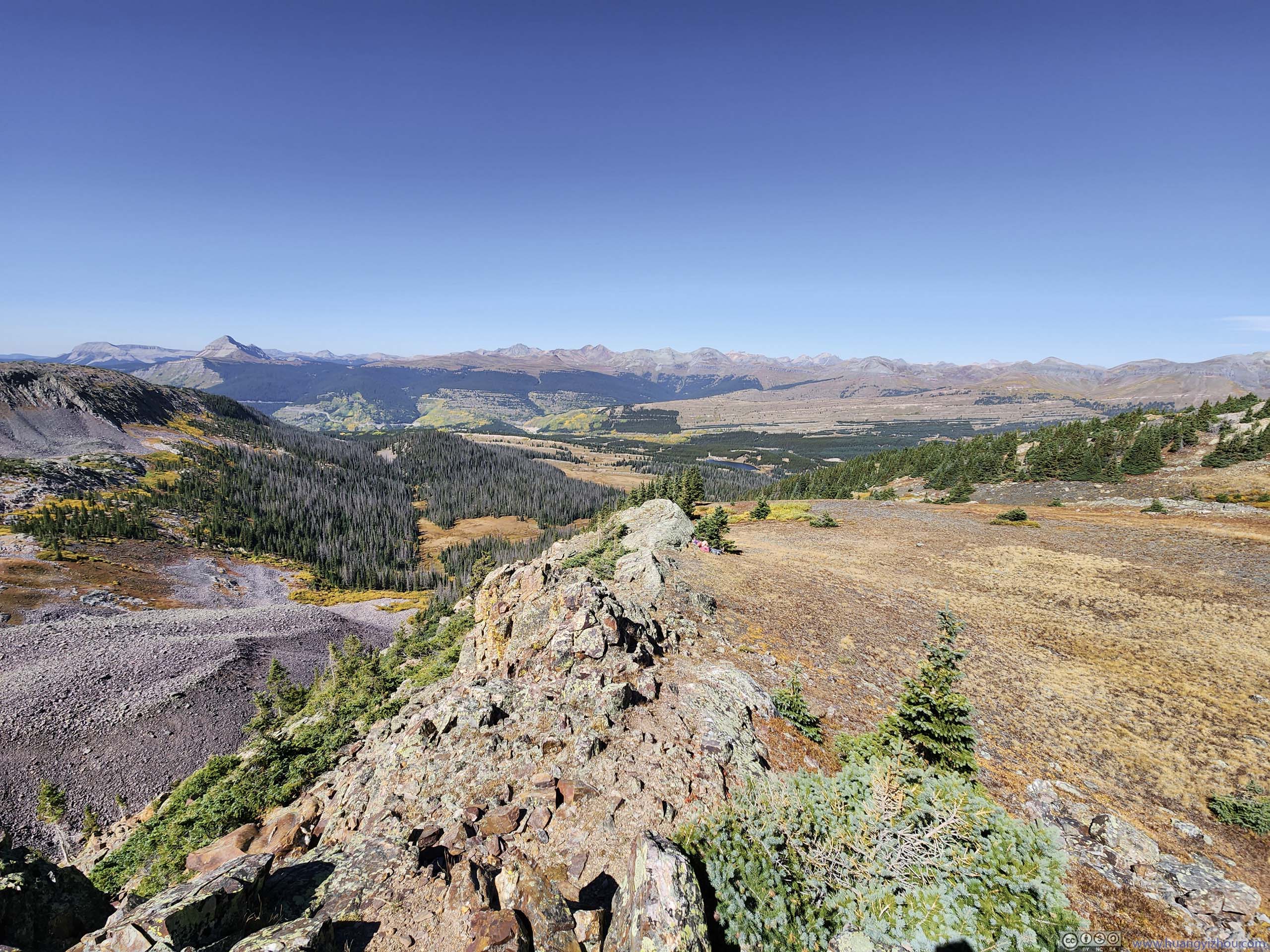
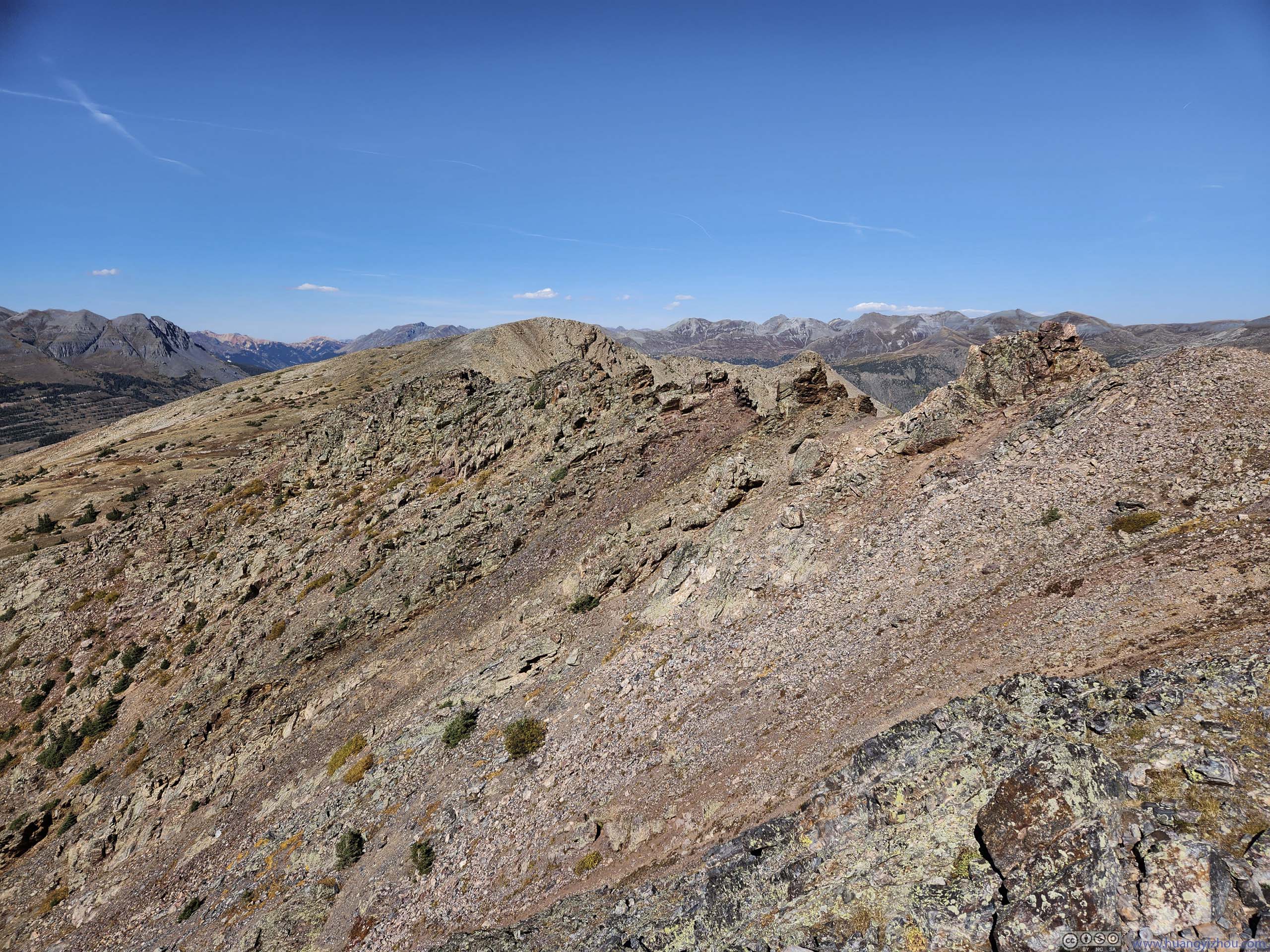
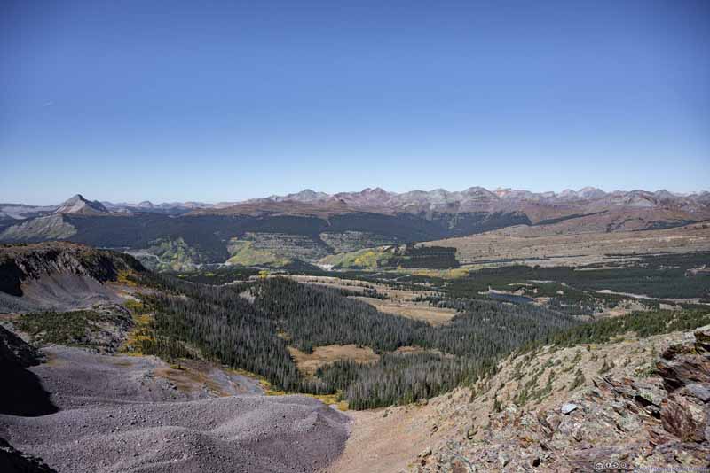
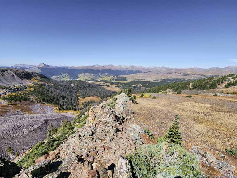
After that the trail disappeared into a rocky ridge leading southeast. There were occasionally class 1-2 scrambling moves along this ridge (p4-5 below). The gradient was very gentle along this ridge, and it offered great views of surrounding mountains (p1-3 below) should I want to seek reprieve from the physical efforts.
Mountains
Mountains
Engineer Mountain
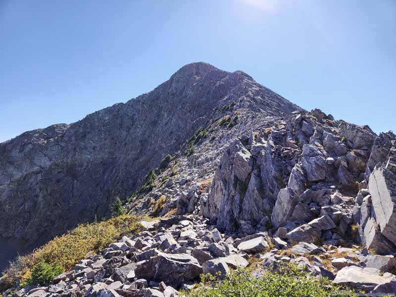
Path to Snowdon Peak
Path to Snowdon Peak
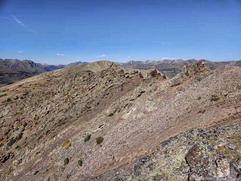
Ridgeline The one that I just hiked through.
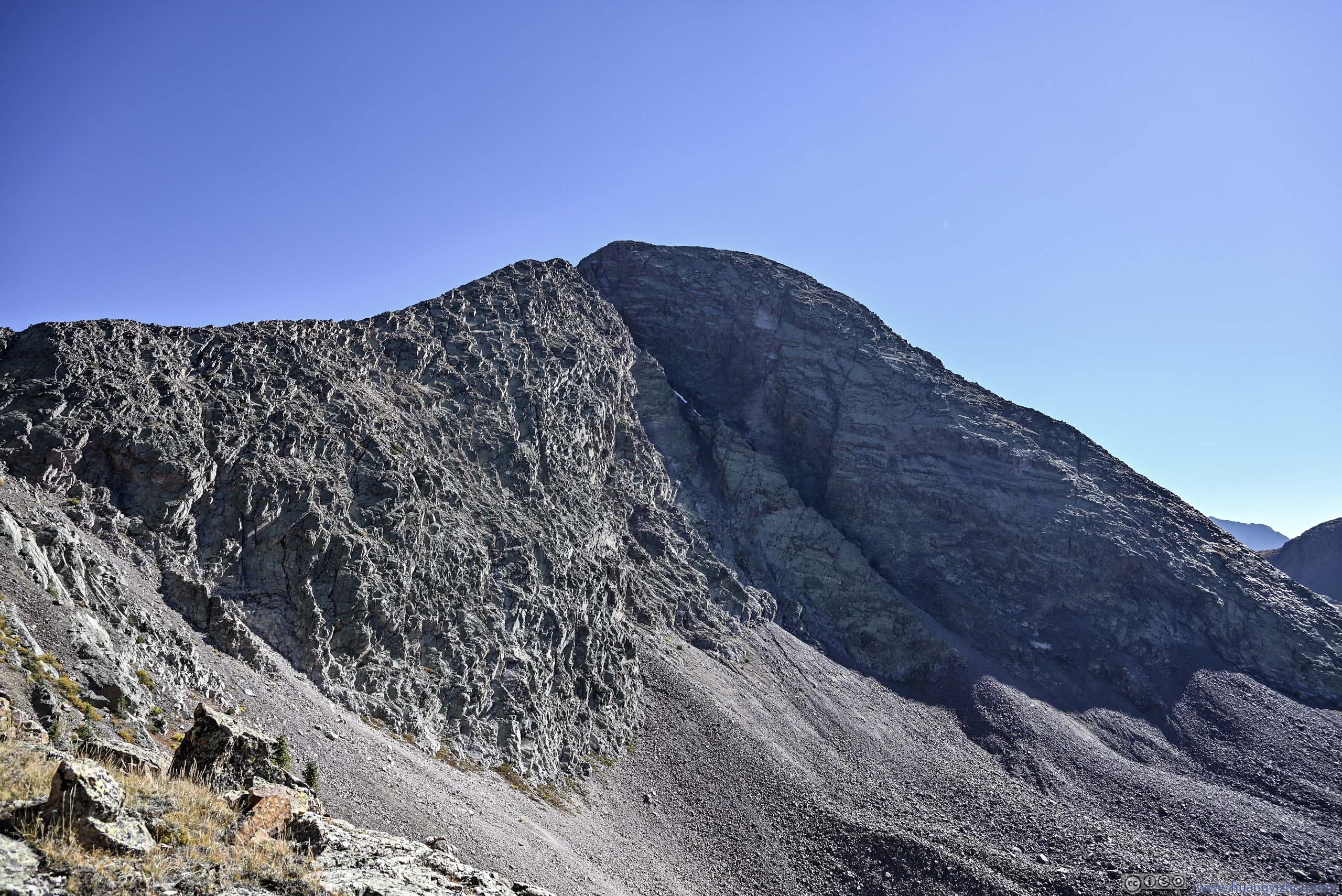
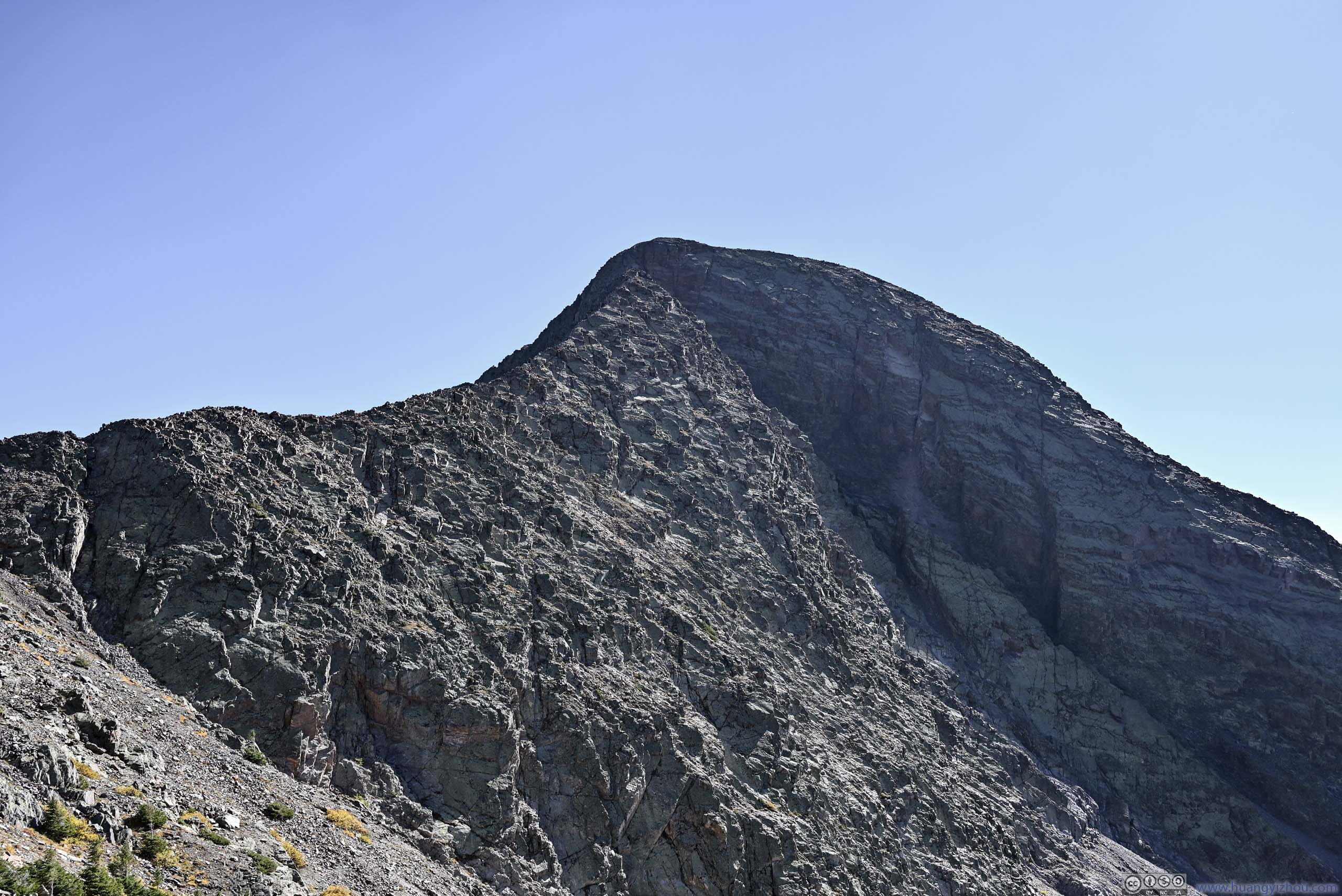
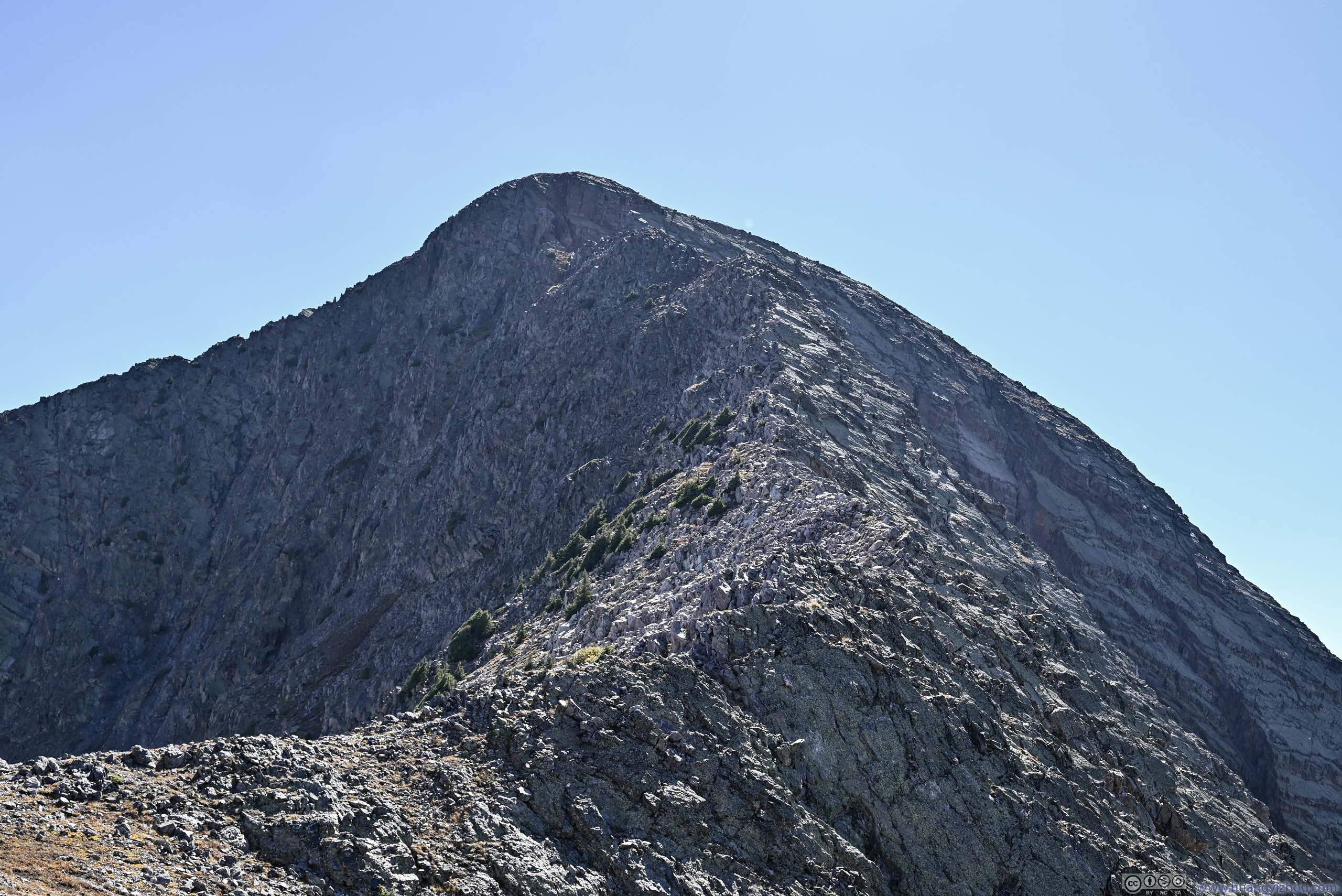
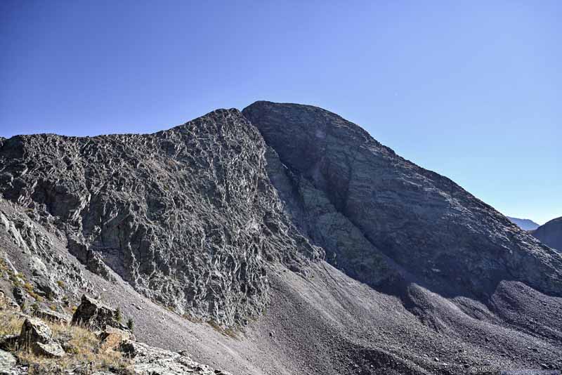
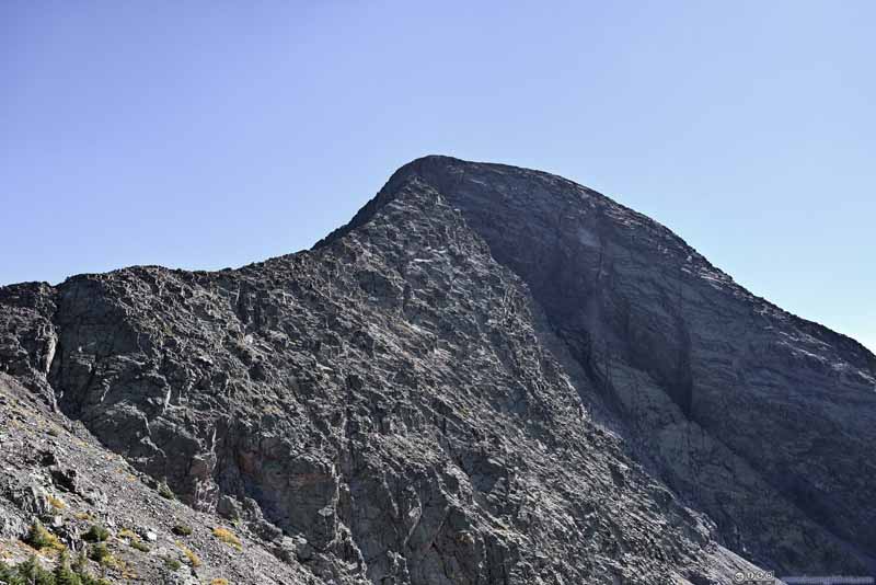
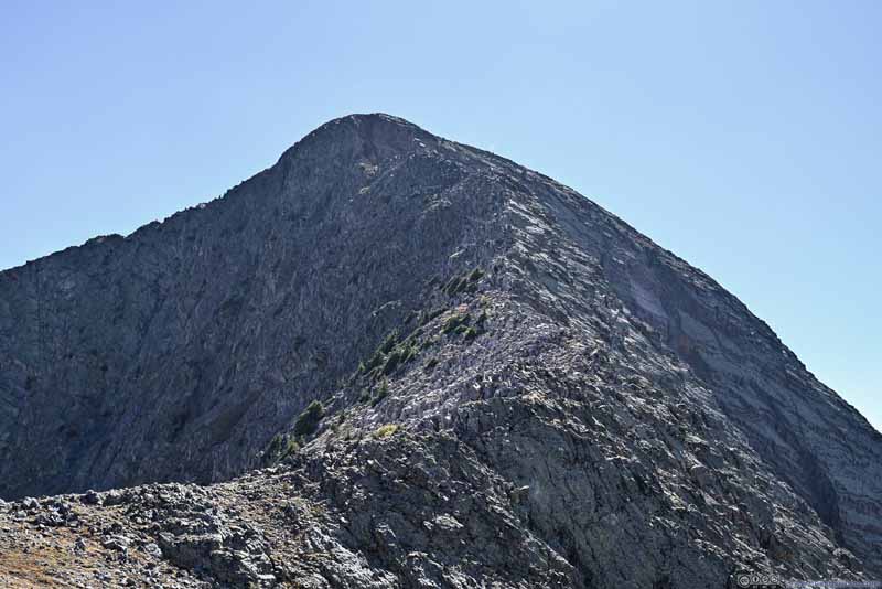
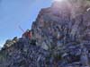
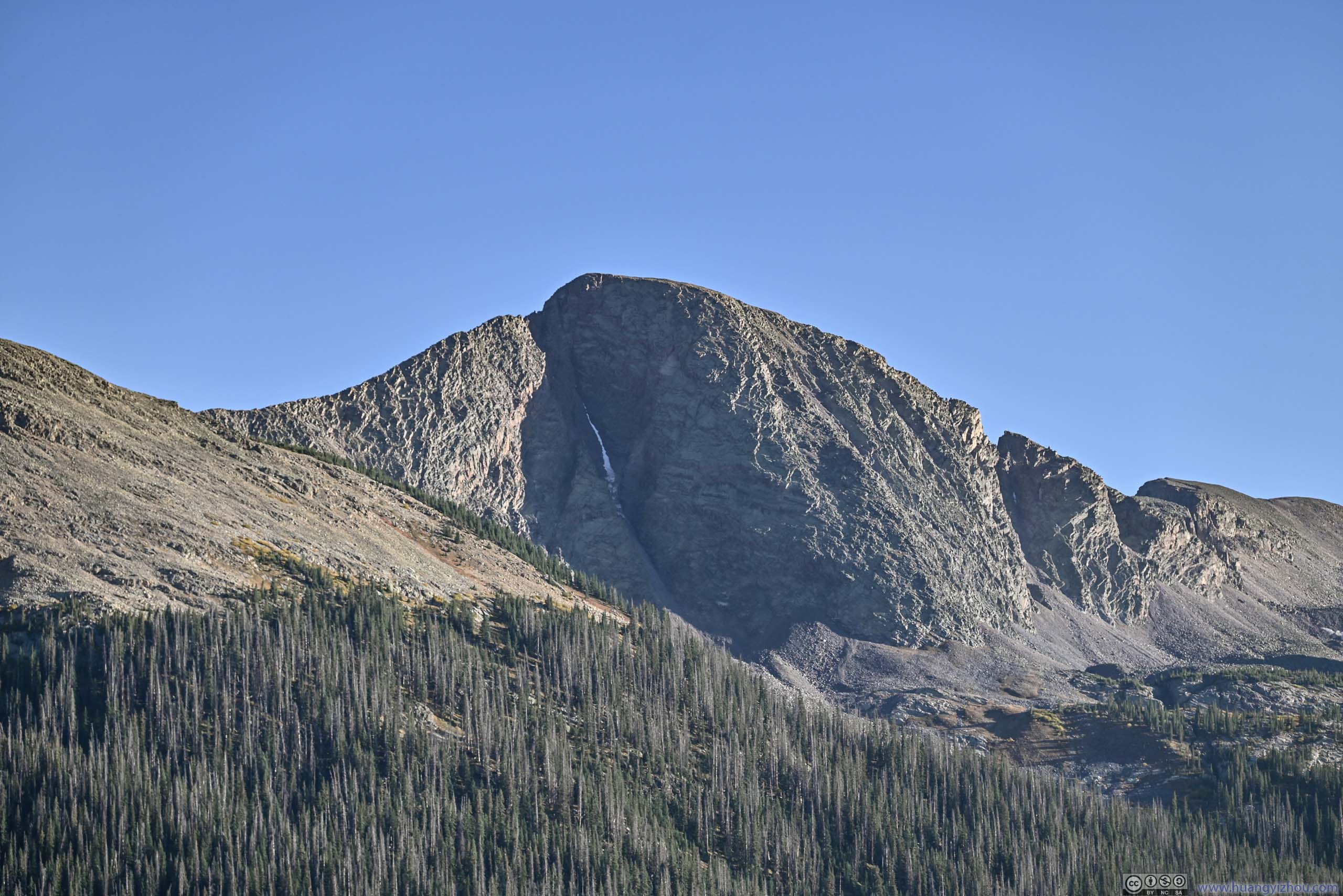
Along this section, my destination was constantly in view. Just that its orientation meant its sight was often against the sun for most of the day, limiting the contrast of its rocks.
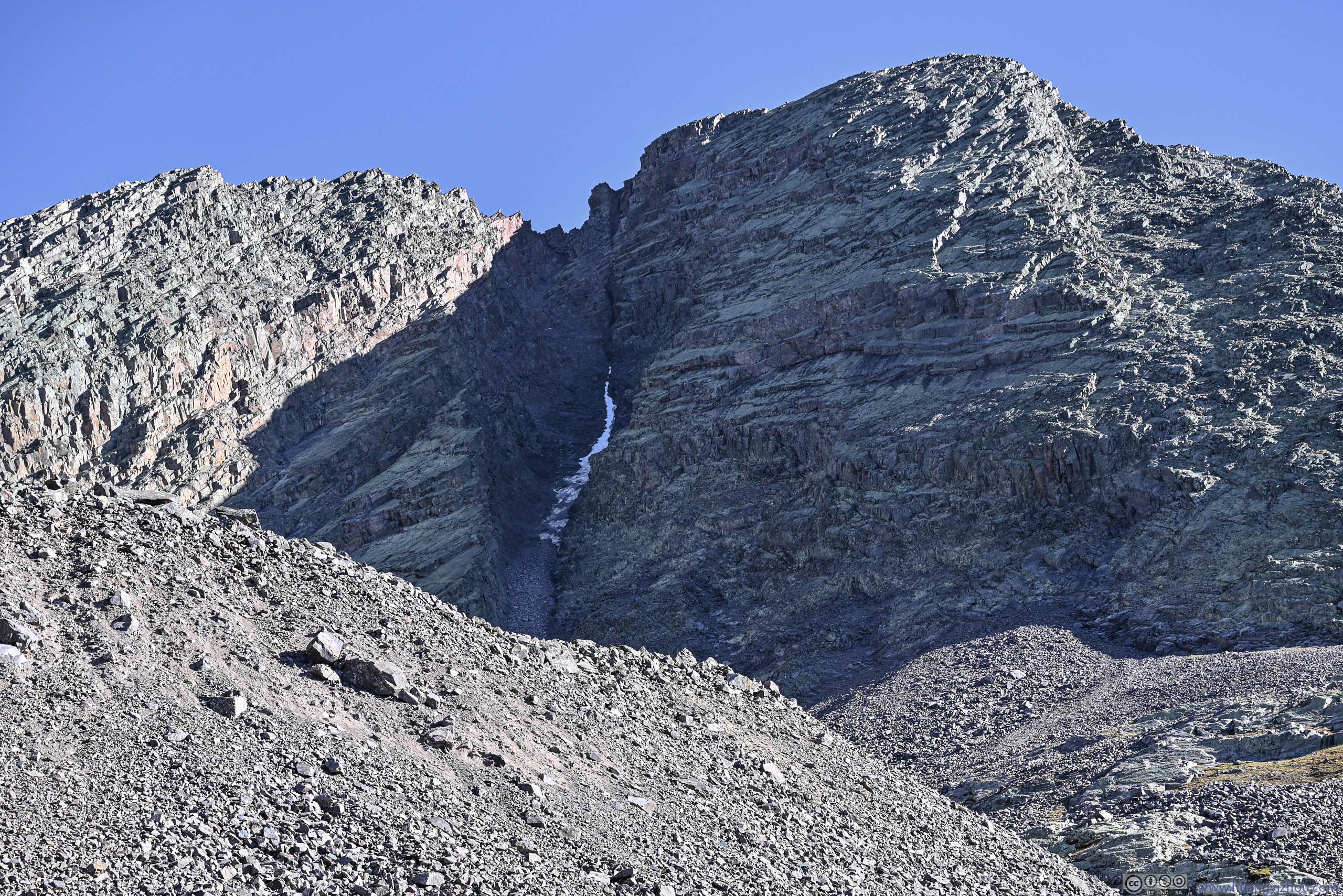
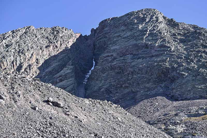
Snowdon Peak Still some snow left in the Naked Lady Couloir this late in the season.
Snowdon Peak
Snowdon Peak
Snowdon Peak
Snowdon Peak
Hill to the North
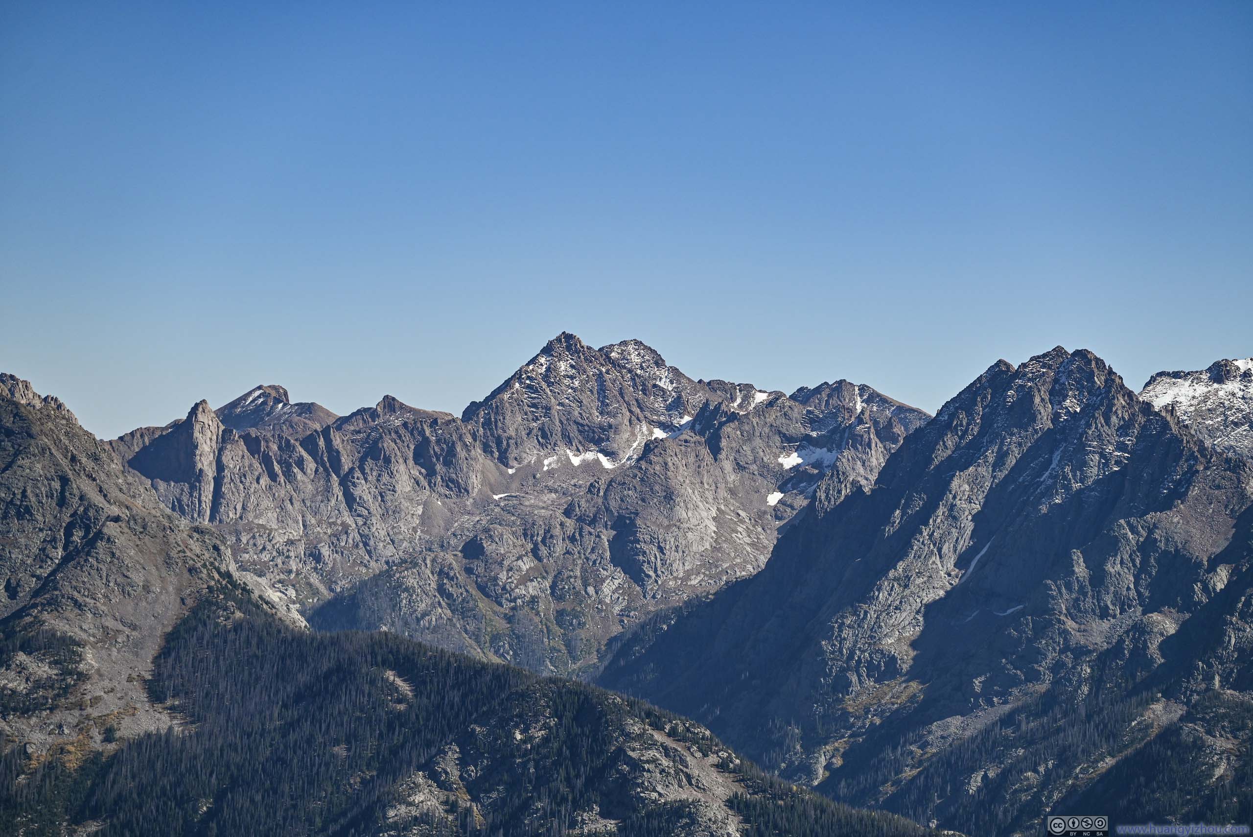
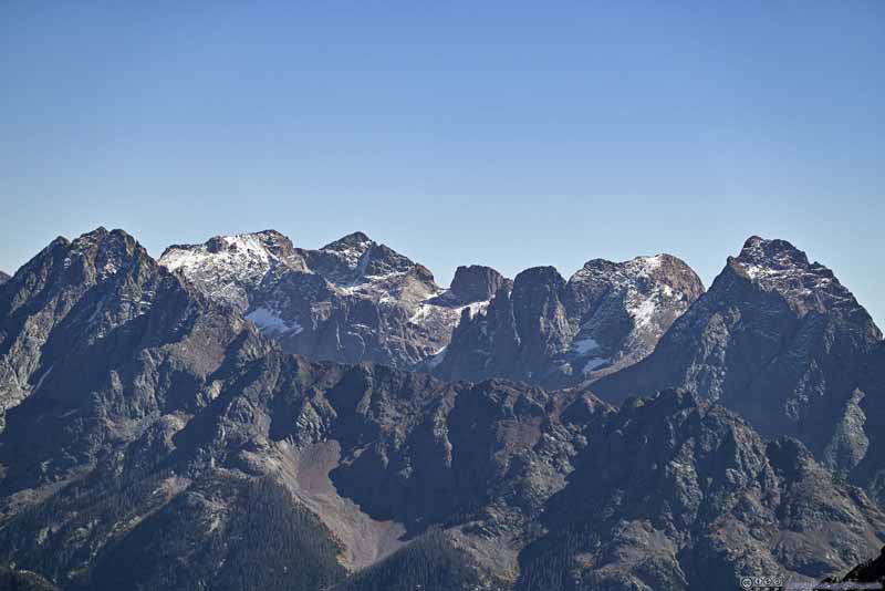
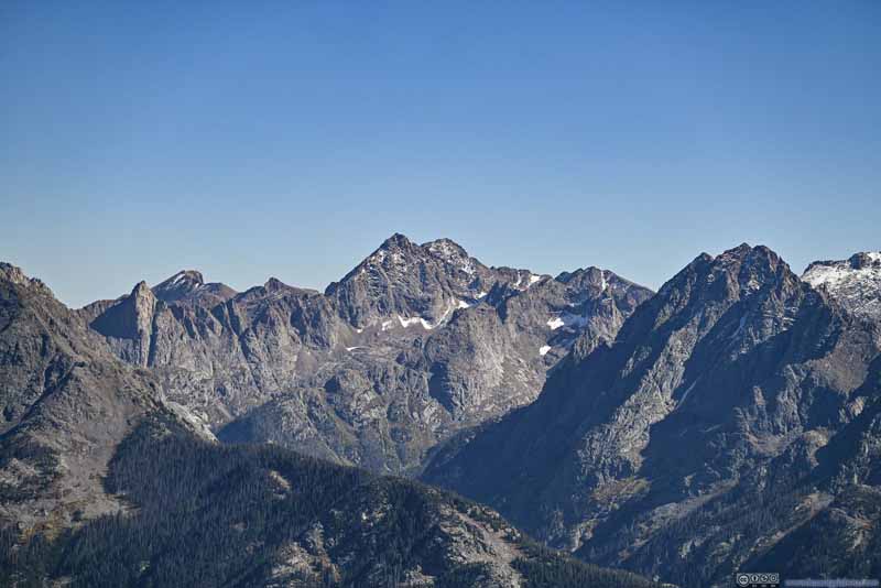
After the ridge, mountains further to the east and southeast popped into view. They were the Grenadier Range and Needle Mountains, featuring the highest density of peaks (on OpenStreetMap) among San Juan Mountains (if not among the entire Colorado).
Needle Mountains
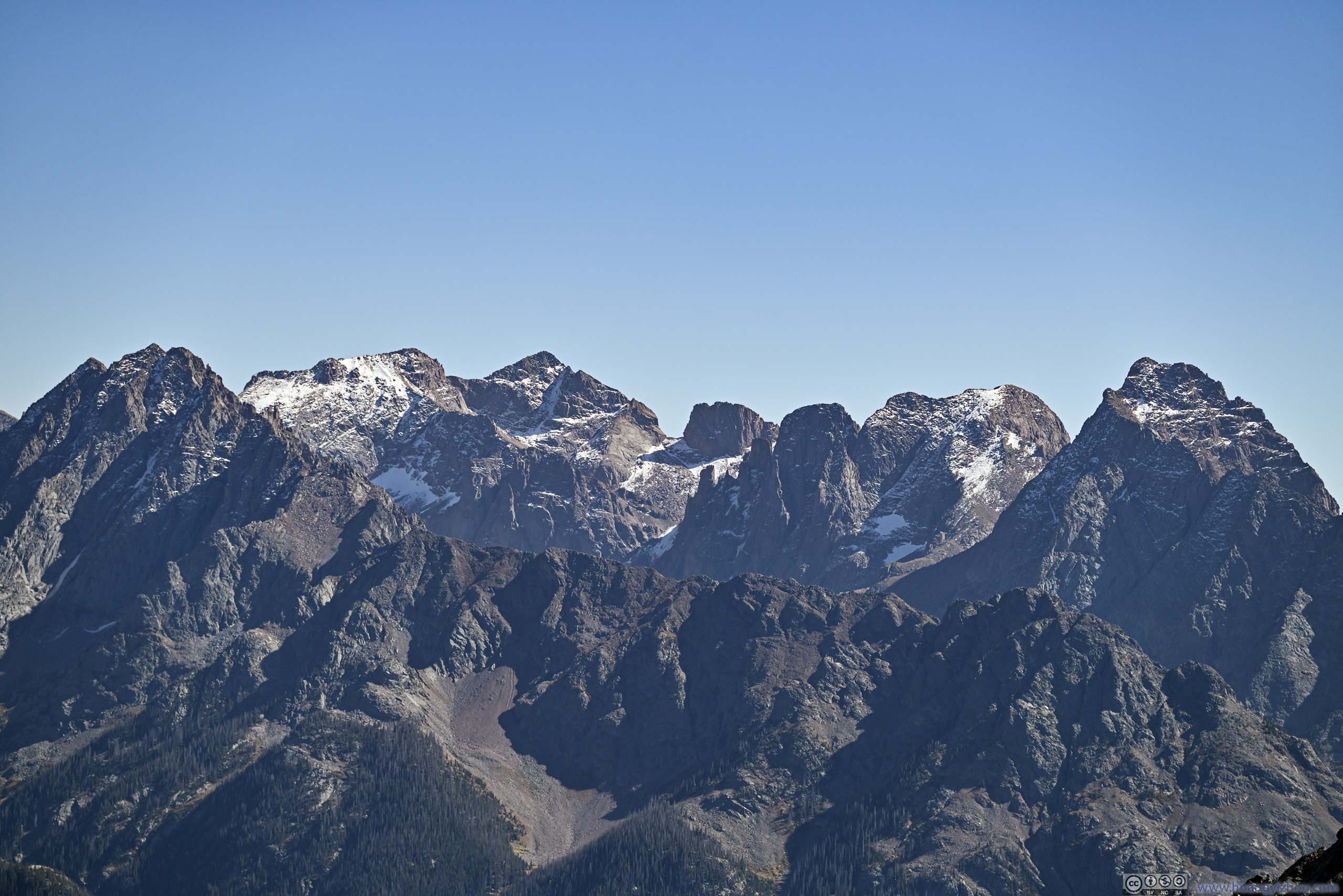
From left to right: Needle Mountains Peak 13, North Eolus, Mount Eolus, Needle Mountains Peak 15, Turret Peak, Pigeon Peak. The two Eolus's are 14er's.
Sunlight Peak and Windom Peak Two 14er's.
Needle Mountains beyond Alpine Landscape
Mountains to the Northeast
Mountains to the East
Grenadier Range Mountains
Then it's the final, most technical and most thrilling part, following Snowdon's Northeast ridge to its summit.
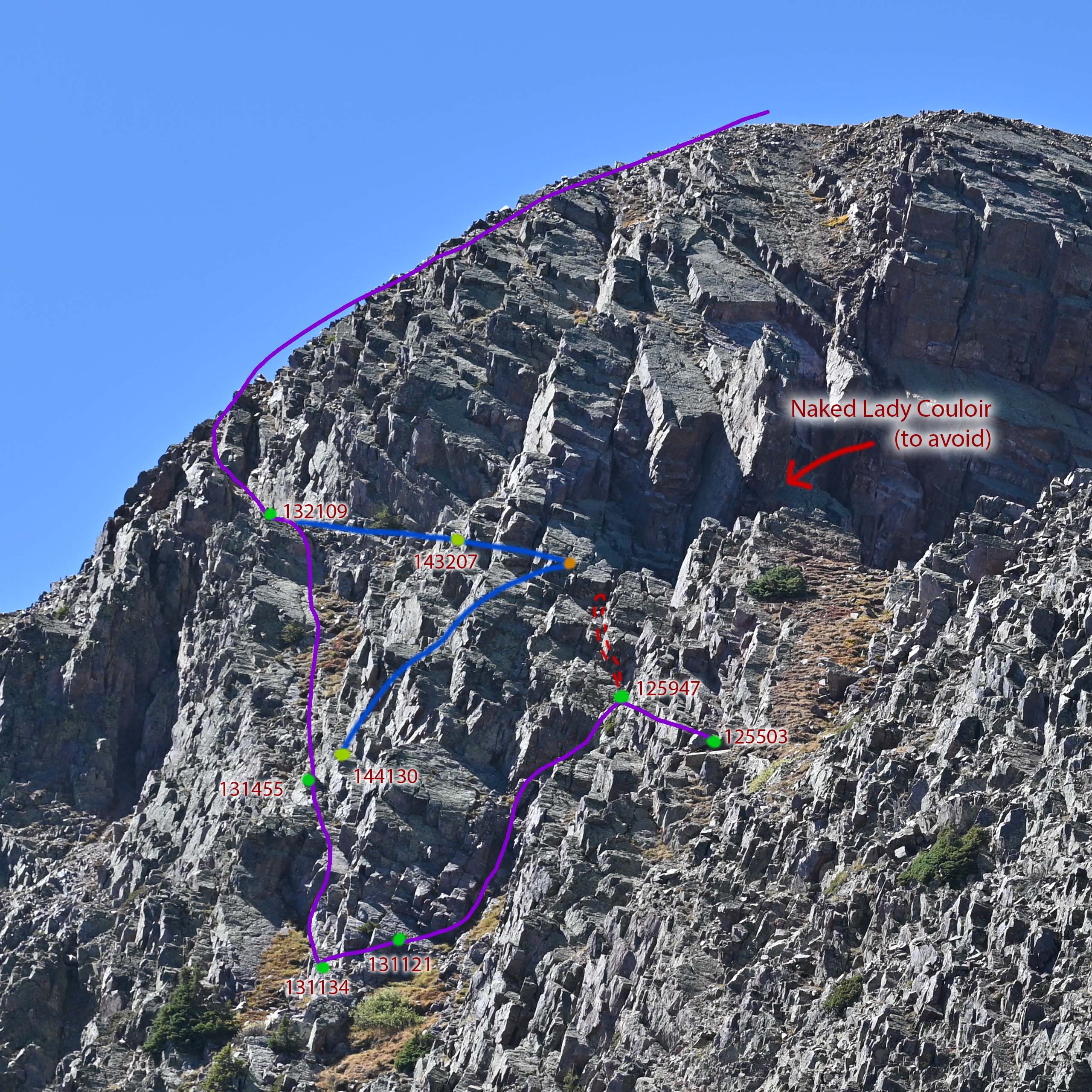
Before embarking on this homestretch, I used my camera at its longest focal length to take the following photo of the rocks near Snowdon's summit. During the climb, I used my cell phone to take photos of my surroundings to mark the conditions of the path. By comparing and identifying the rock formations, I somehow managed to pinpoint my exact locations during my climb on the following photo! (This came as a surprise even to me.)
Route for Snowdon Peak's Northeast Ridge
The purple line for ascent, the blue line for descent. The points correspond to the location where I took cell phone photos, with timestamps next to them.
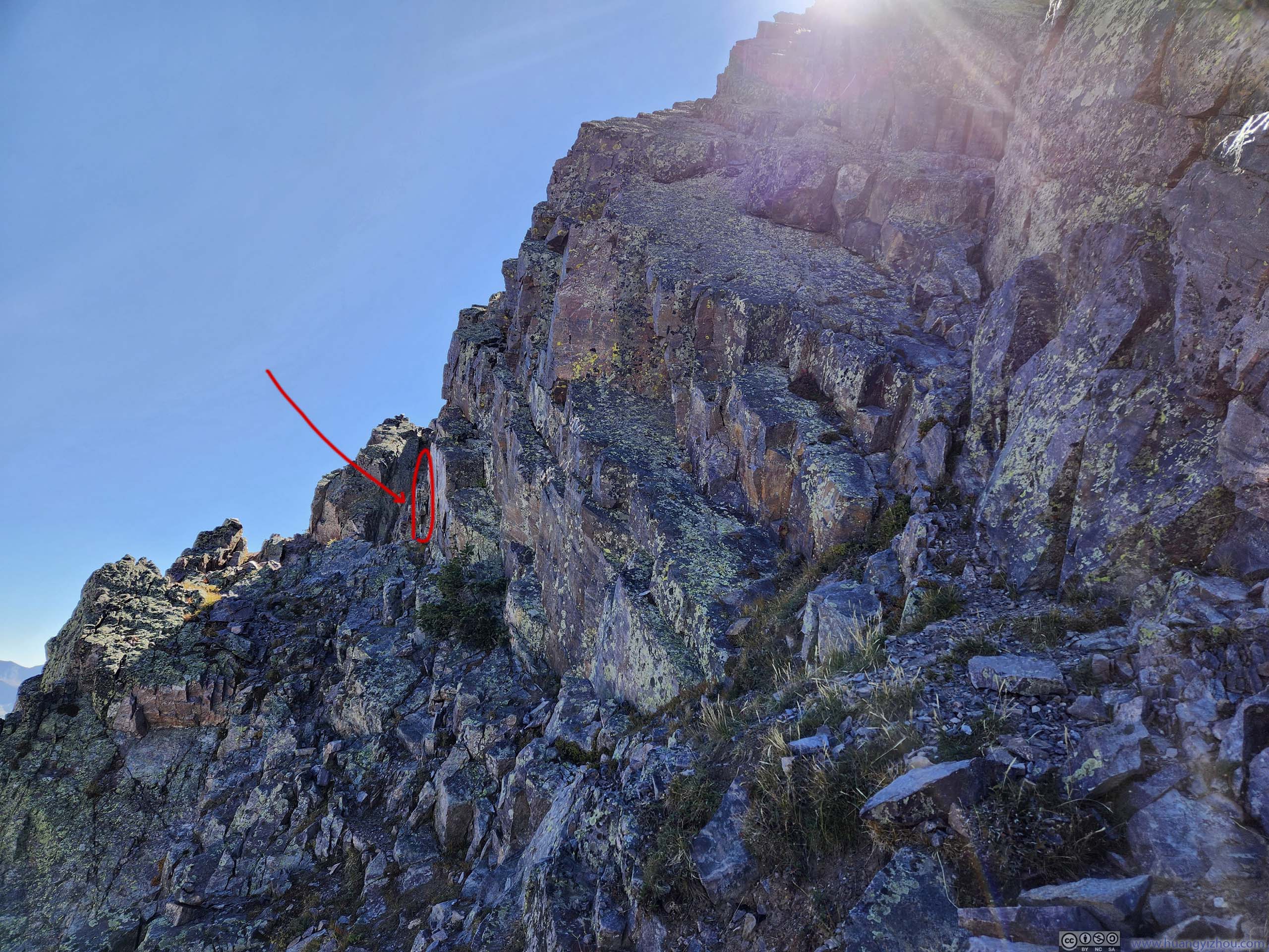
While mountaineering routes following ridges most of the time, in the case of Snowdon Peak, a couloir (red arrow in the photo above) created a gap along the ridge. Thus its standard route was to bypass the couloir to the east (left in the photo above).
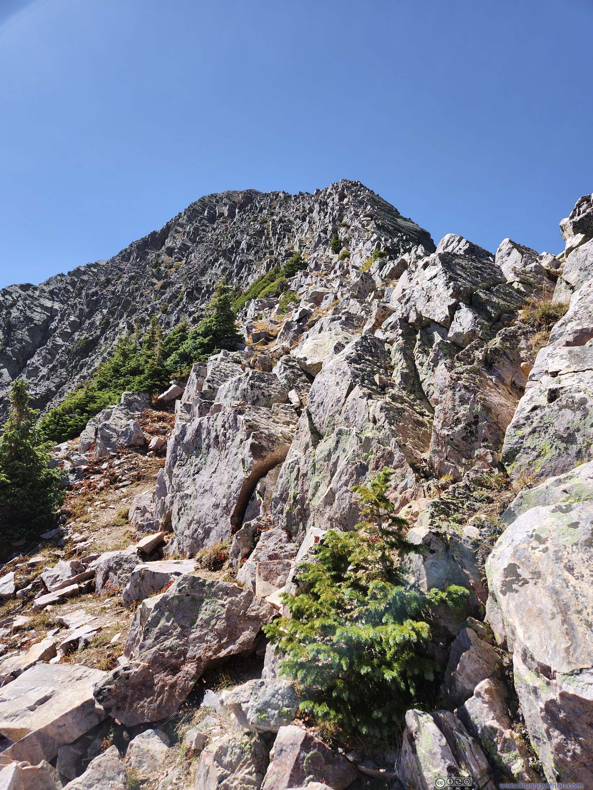
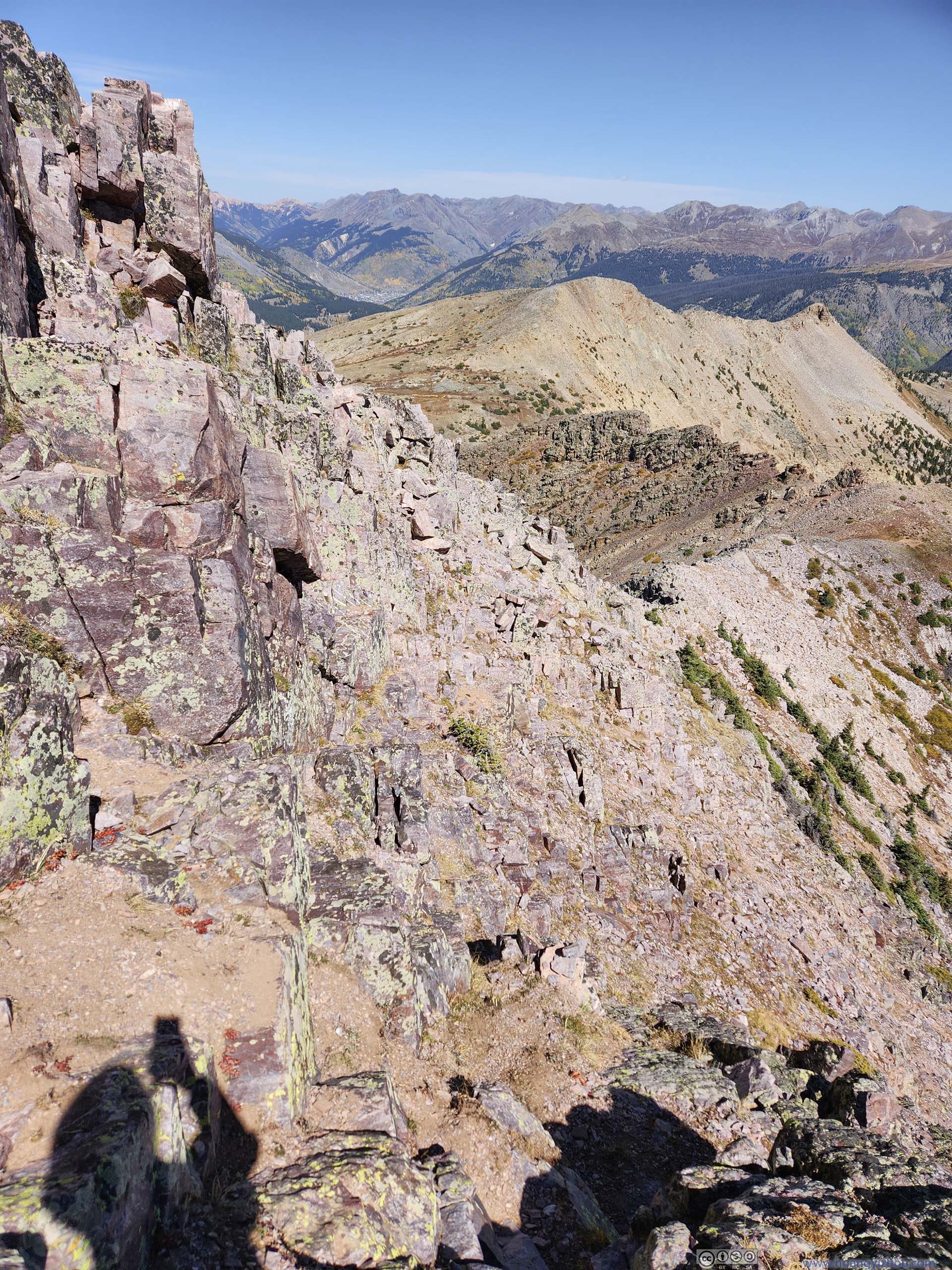
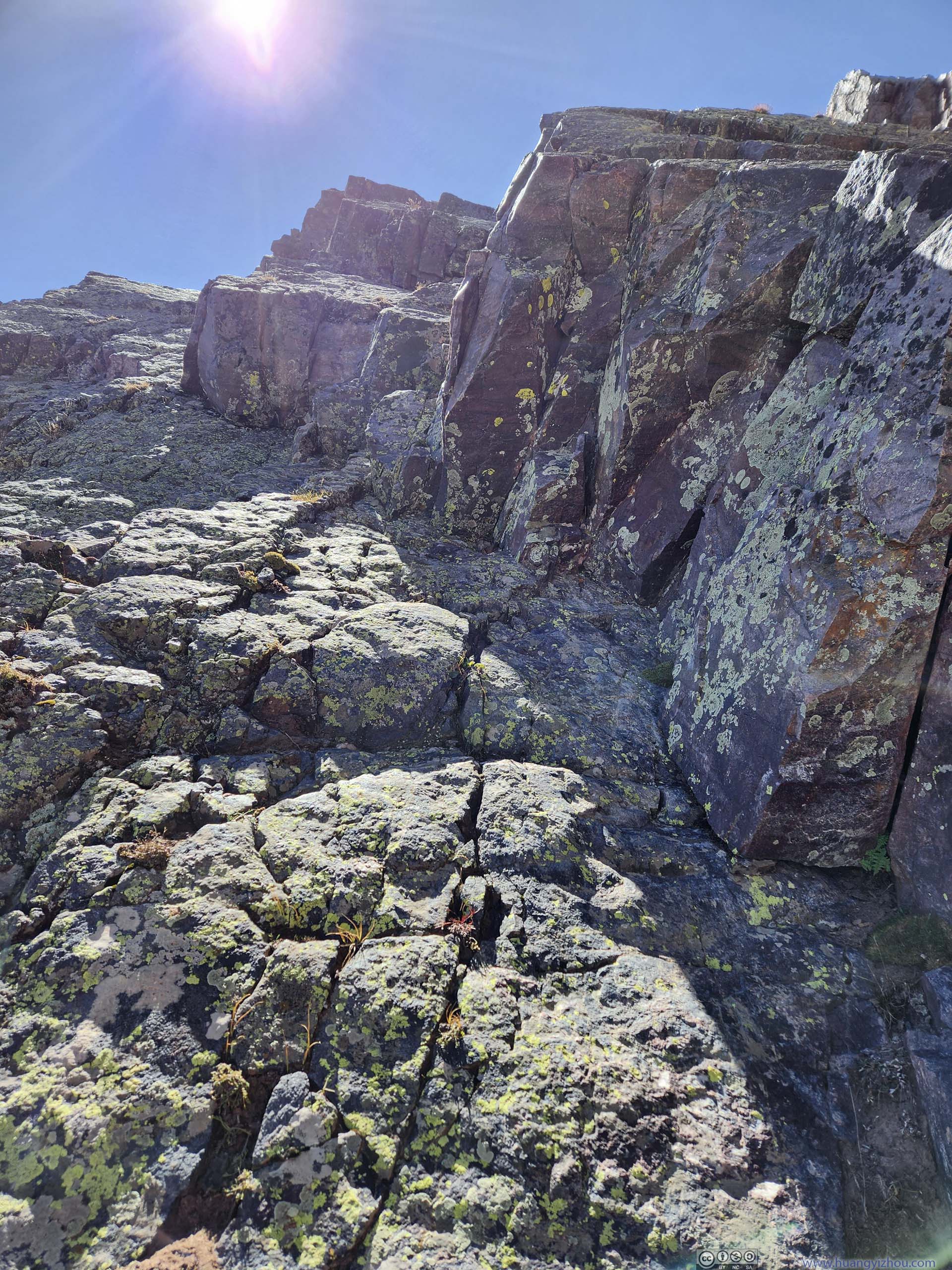
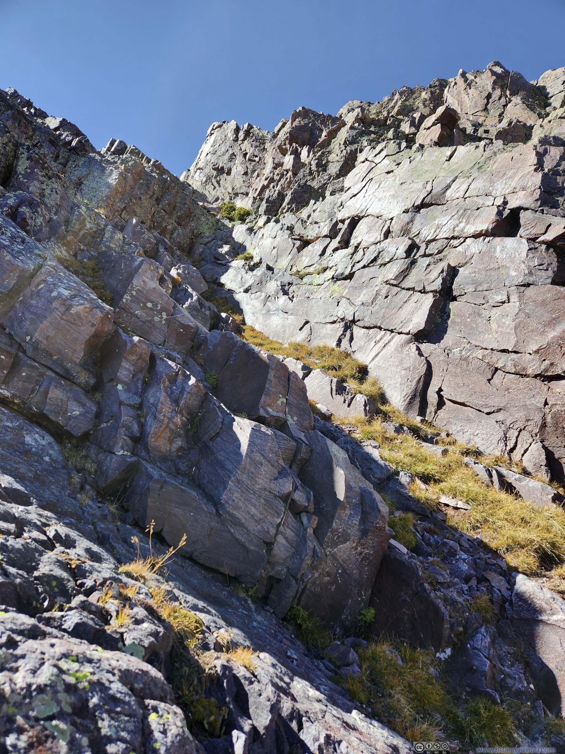
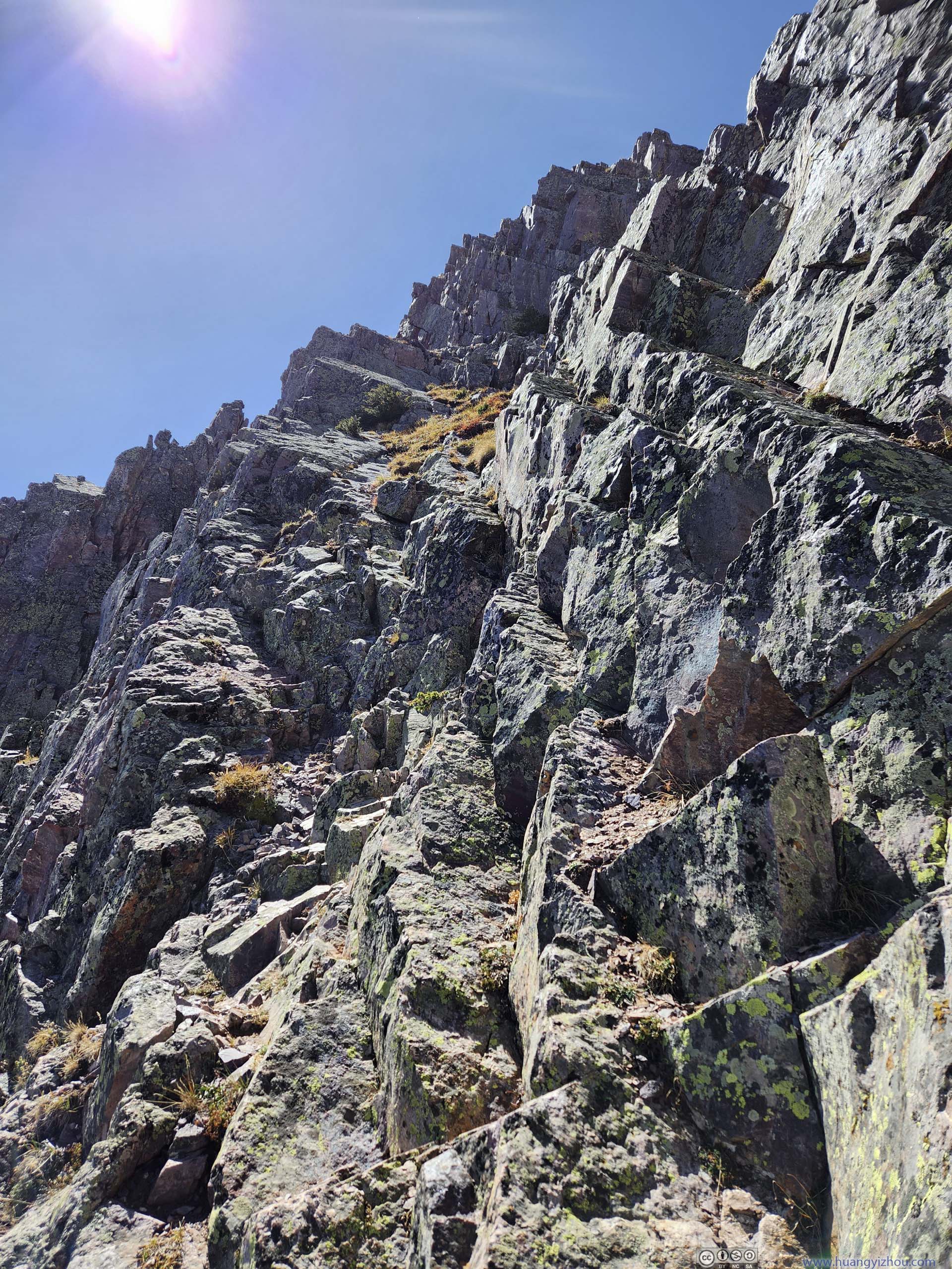
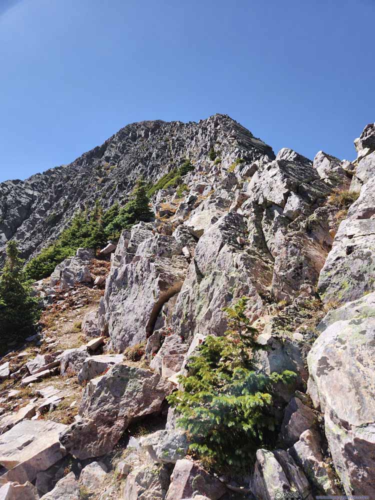
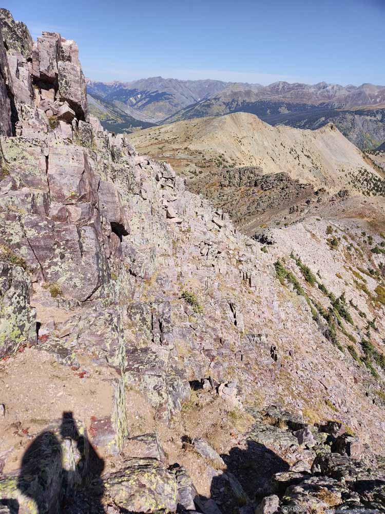
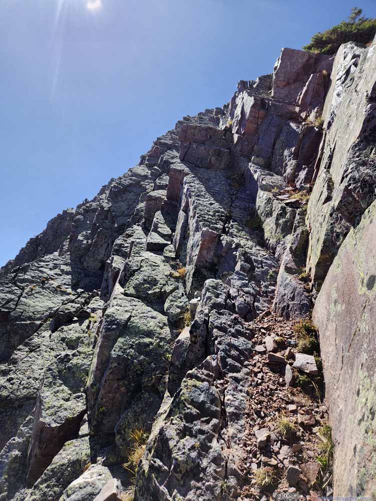
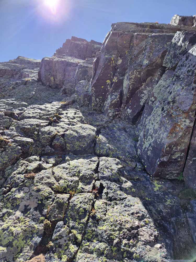
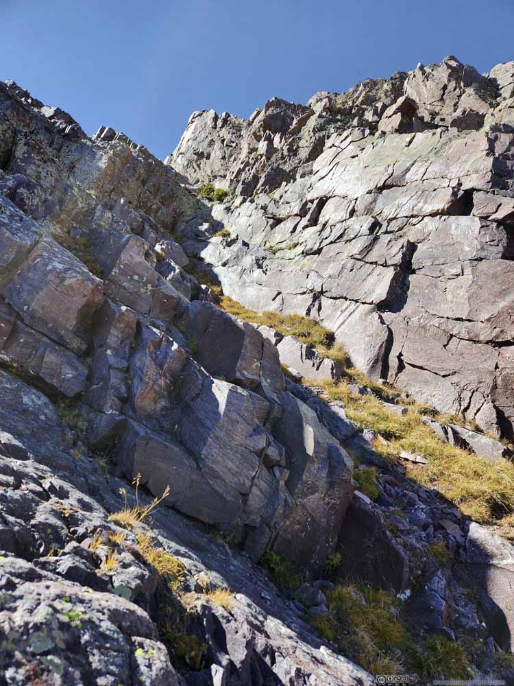
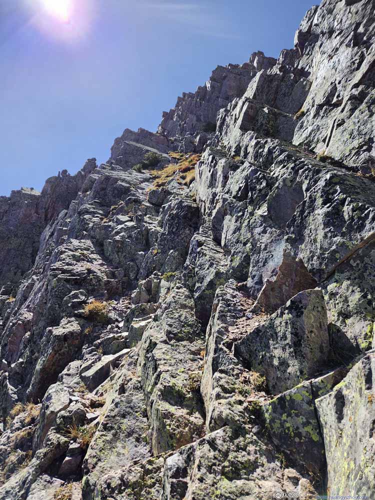
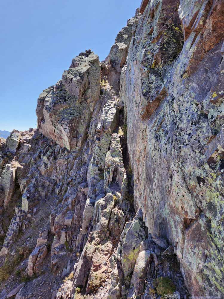
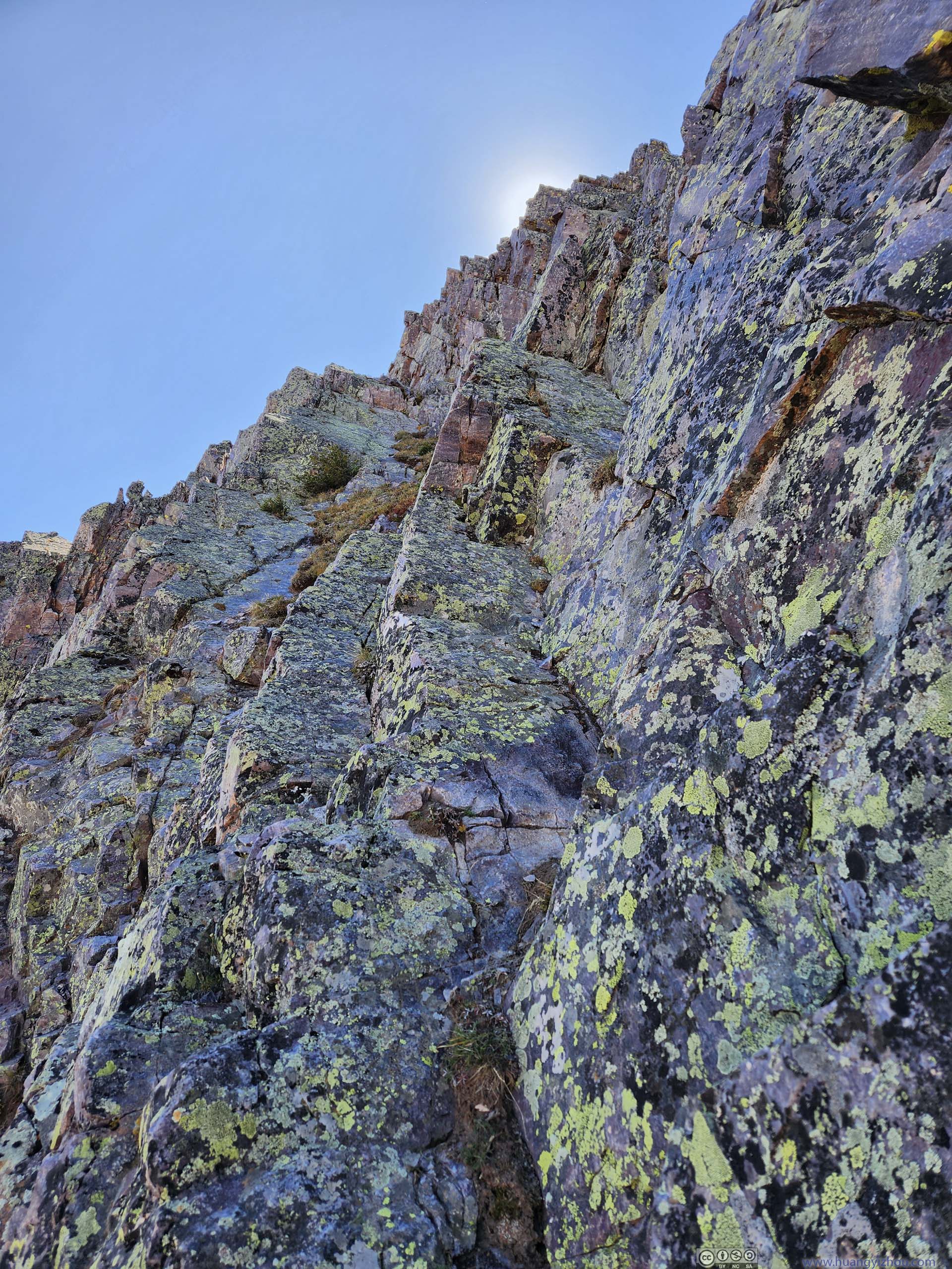
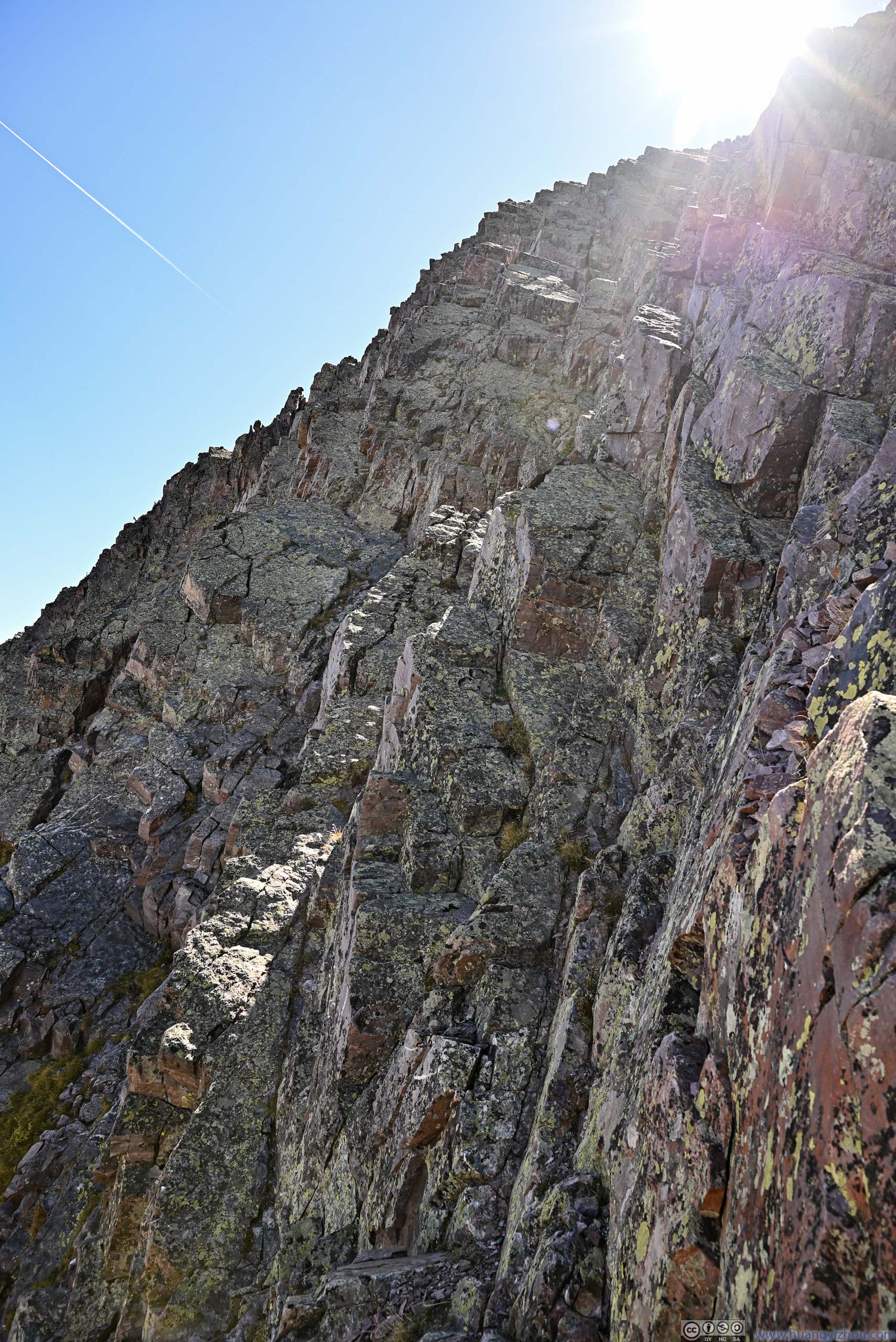
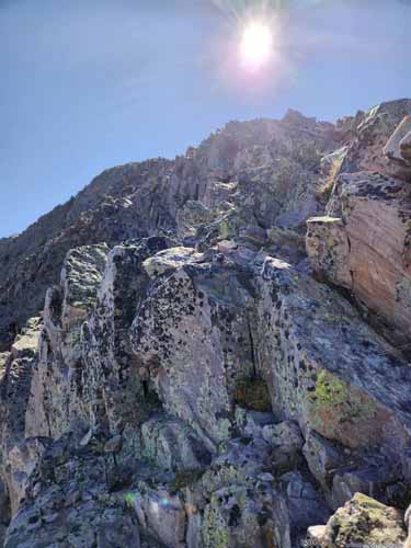
After following the ridge for a while, I felt the gradient was getting steeper, so I thought I should start to deviate from the ridge (125503). A few minutes later, I found myself at the bottom of a very steep slope (125947). I tried going a few more steps up (red dashed line in the photo above) but it only seemed to get more intimidating. I didn't want to keep going up, only to find the steep gap of Naked Lady Couloir in front of me (in which case I had to manage the more technical descent back, but luckily, based on the photo above, I wouldn't), so I traced my steps back. After spending a few minutes gathering myself up, I realized I couldn't head west/right (towards the couloir), so my only option was finding another route further east/left. Since the rocks immediately to my left were sort of exposed, I had to descend down a mini gully (131121), after which I successfully found a new route nearby (131134) with a marked cairn.
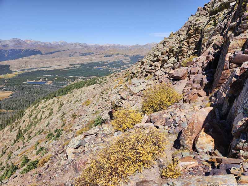
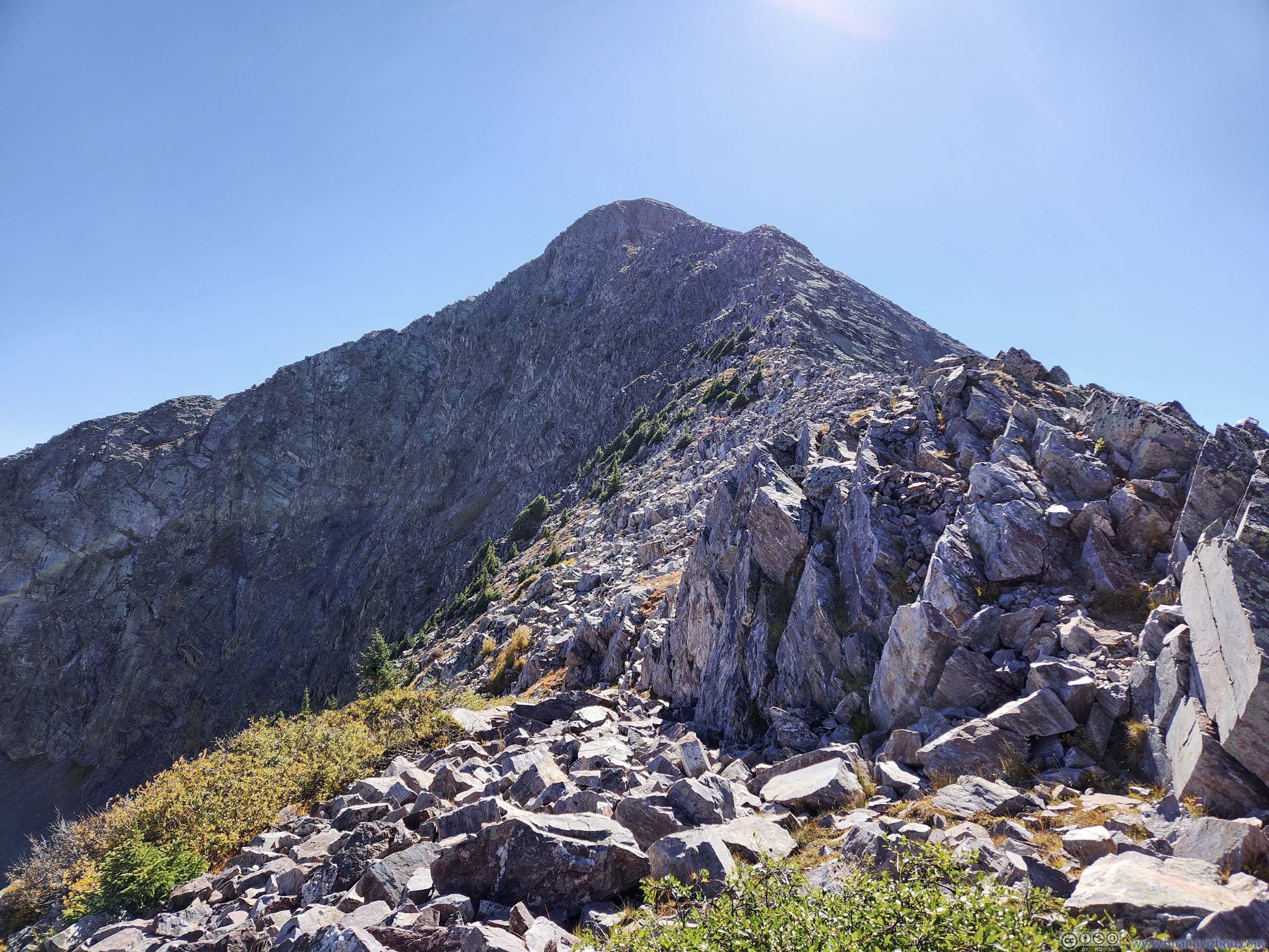
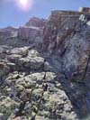
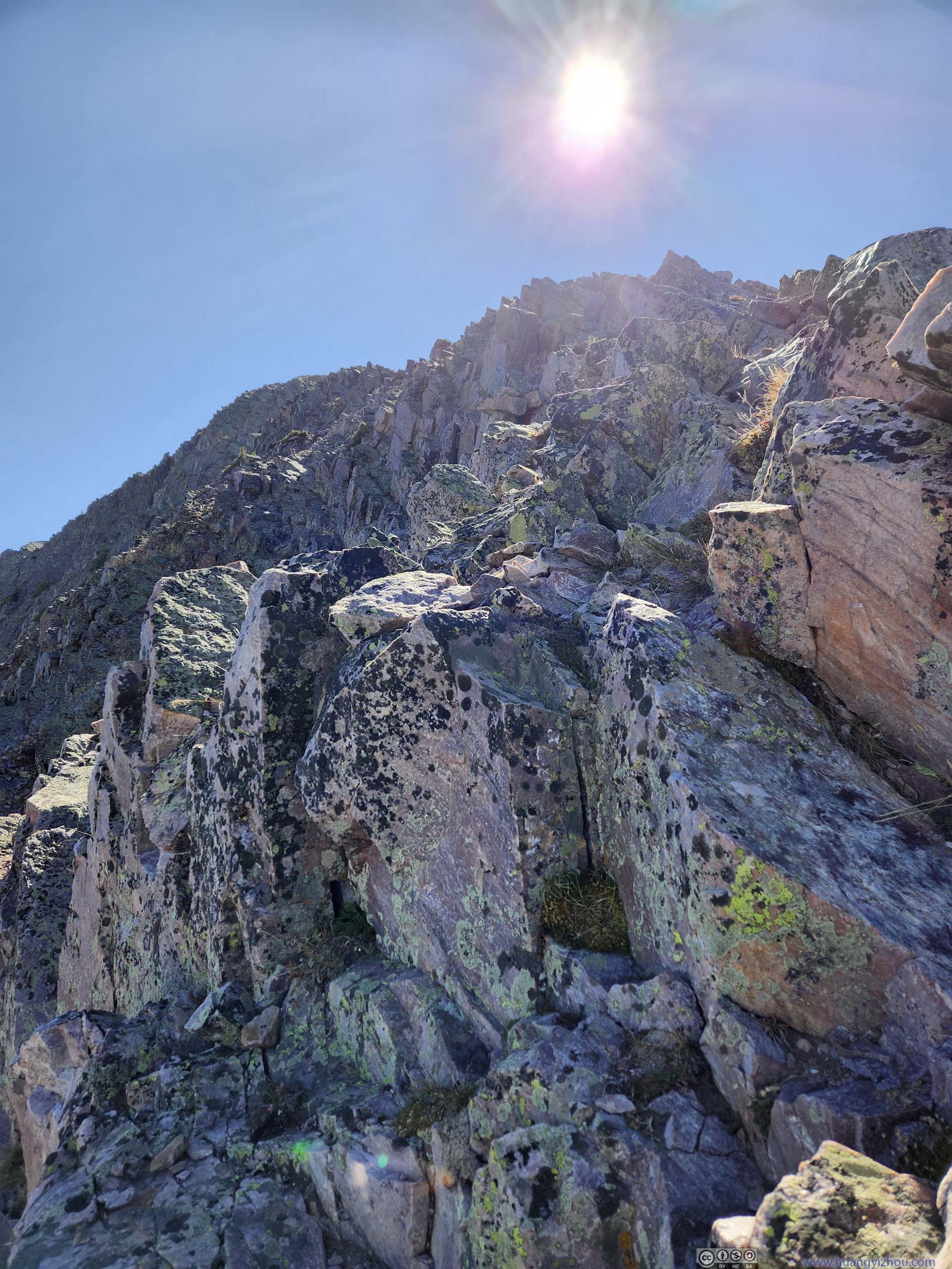
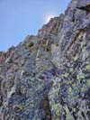
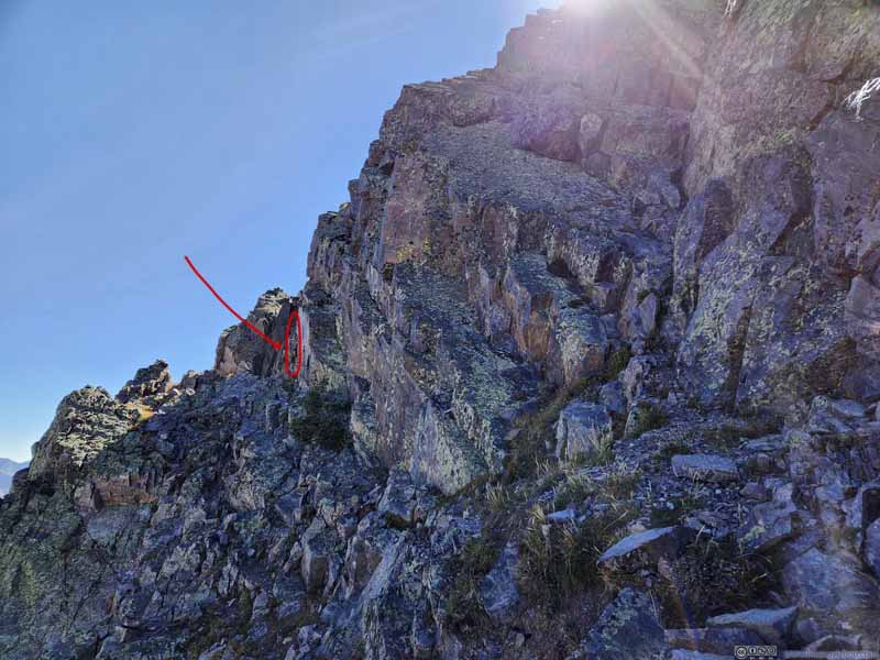
Path to Snowdon Peak Thing started out as relatively easy class 2 scrambling.
Path to Snowdon Peak Thing started out as relatively easy class 2 scrambling.
Path to Snowdon Peak Corresponding to "125503" on map.
Rock Formation
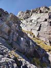
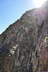
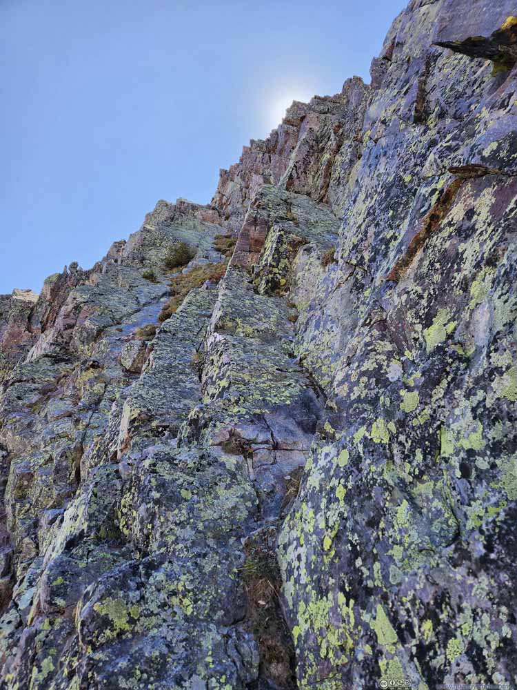
Corresponding to "125947" on map. I tried scrambling up these rocks, but they seemed steep and I had a feeling that the steep drop of "Naked Lady Couloir" would be in front of them, so I retreated.
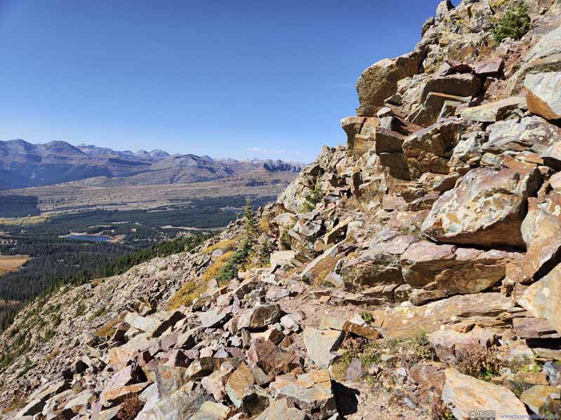
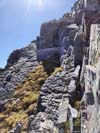
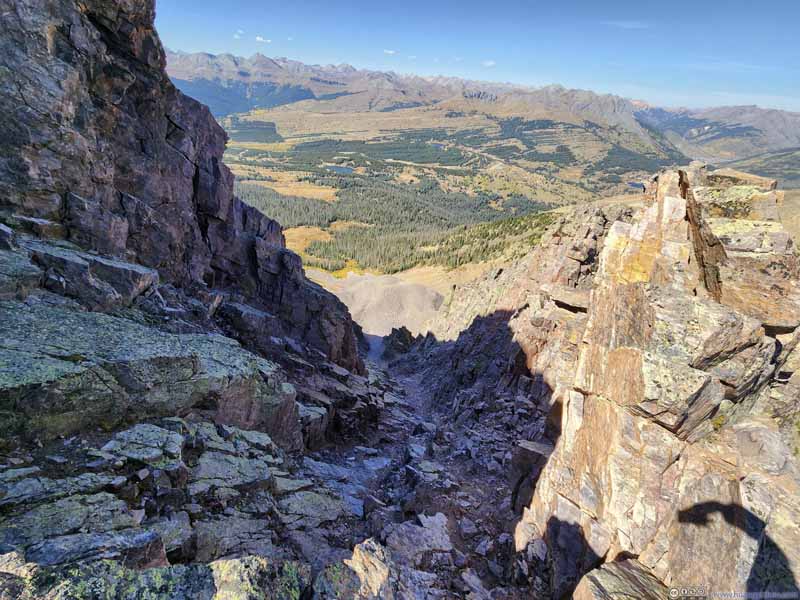
Path to Snowdon Peak Corresponding to "131121" on map. I descended down this gully looking for a new route.
Path to Snowdon Peak
Corresponding to "131134" on map. The sight of a cairn confirmed my belief that this was the right route upwards.
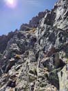
Path to Snowdon Peak Corresponding to "131455" on map. I continued on the previous gully.
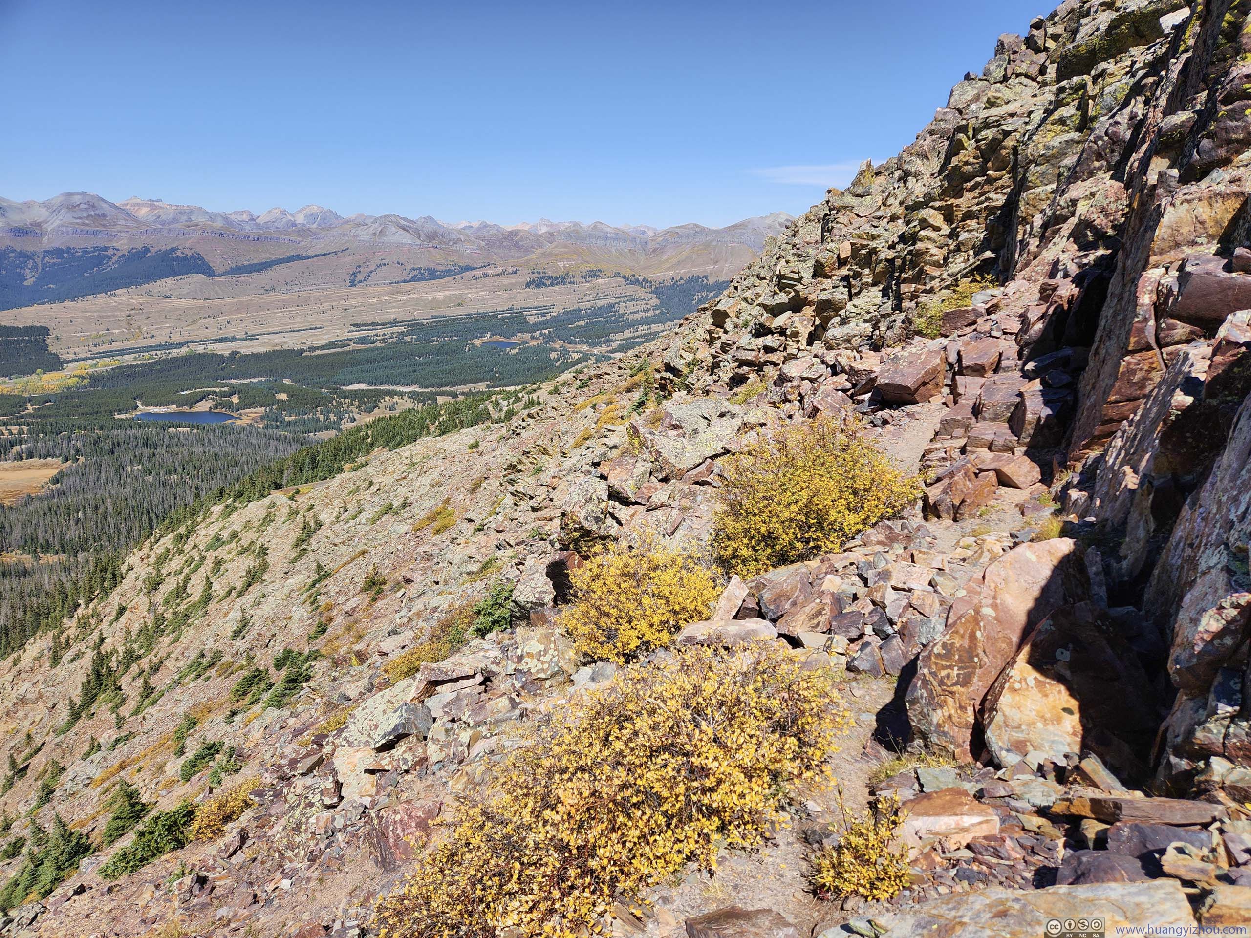
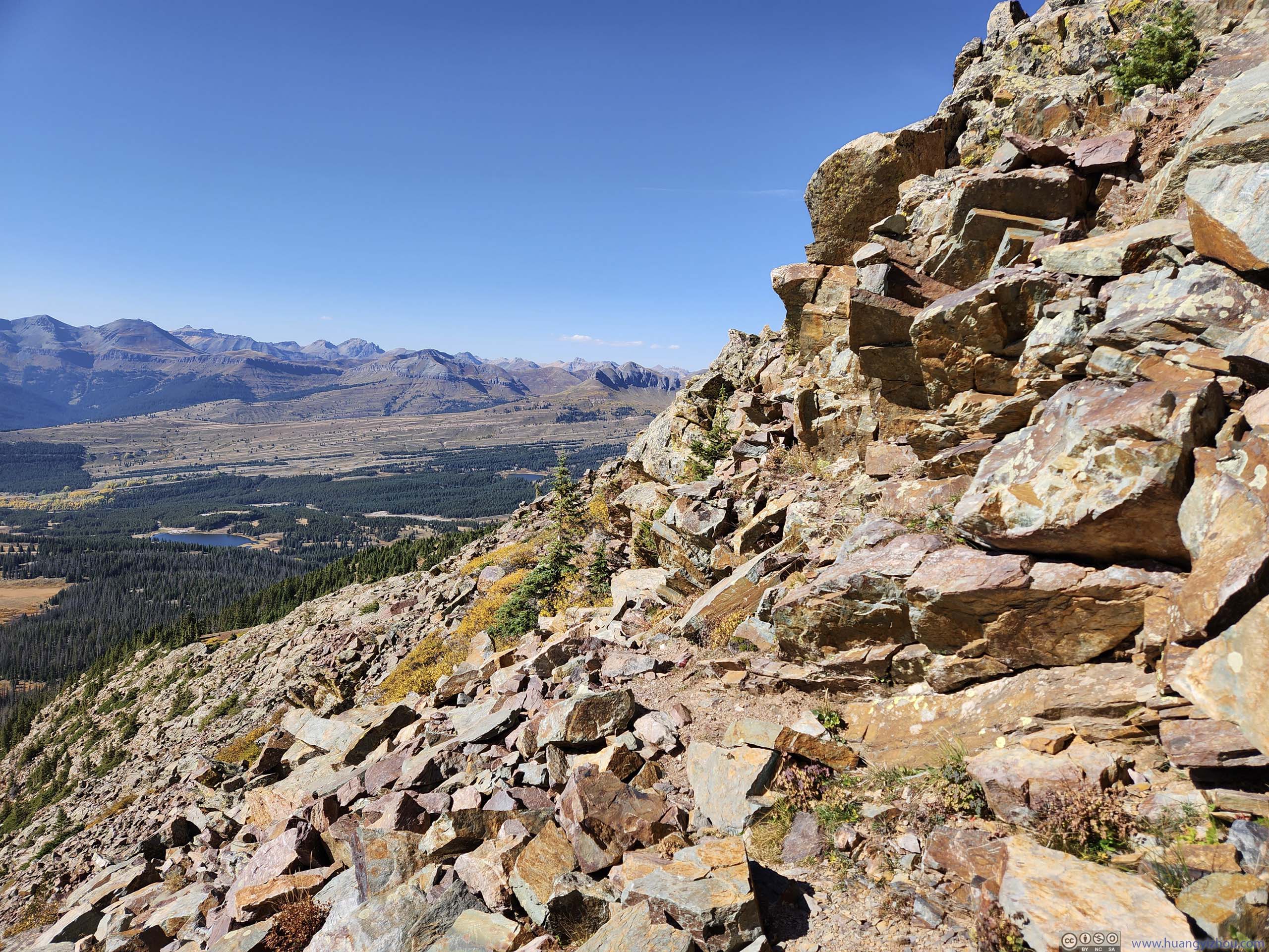
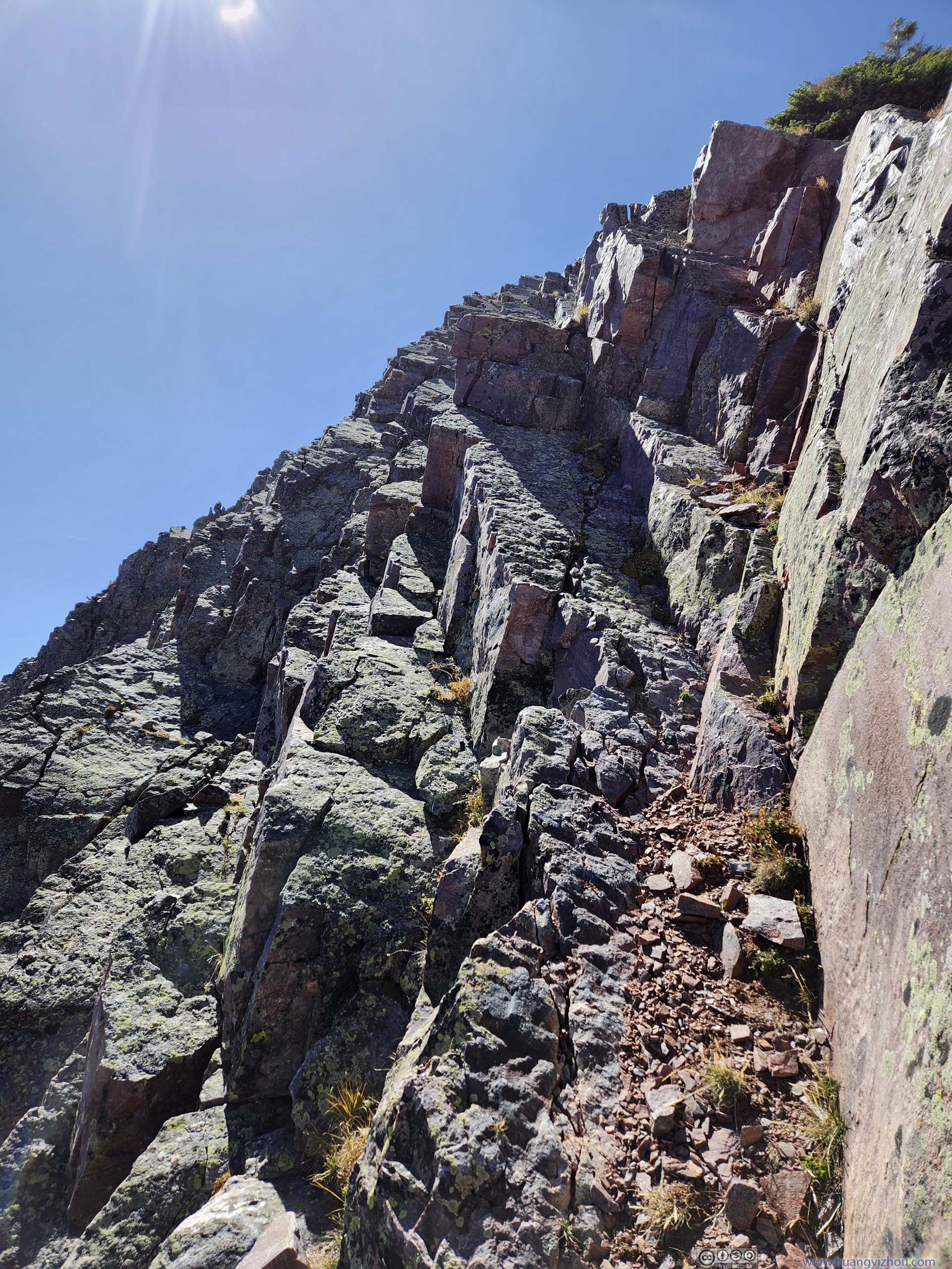
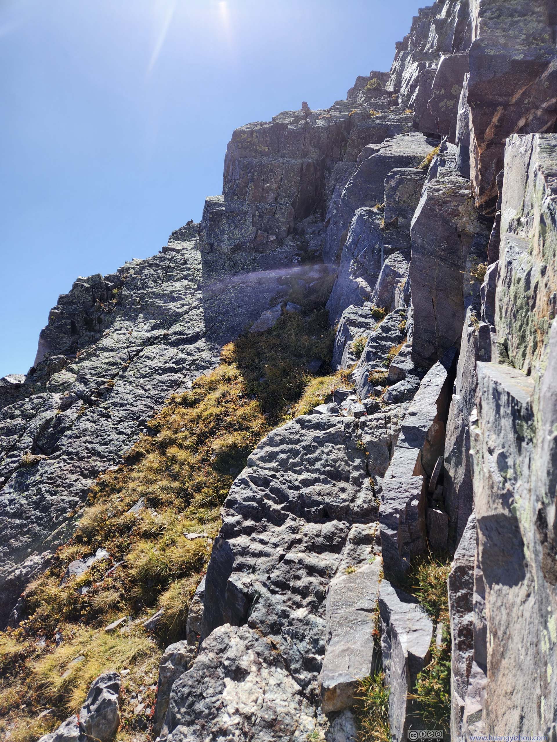
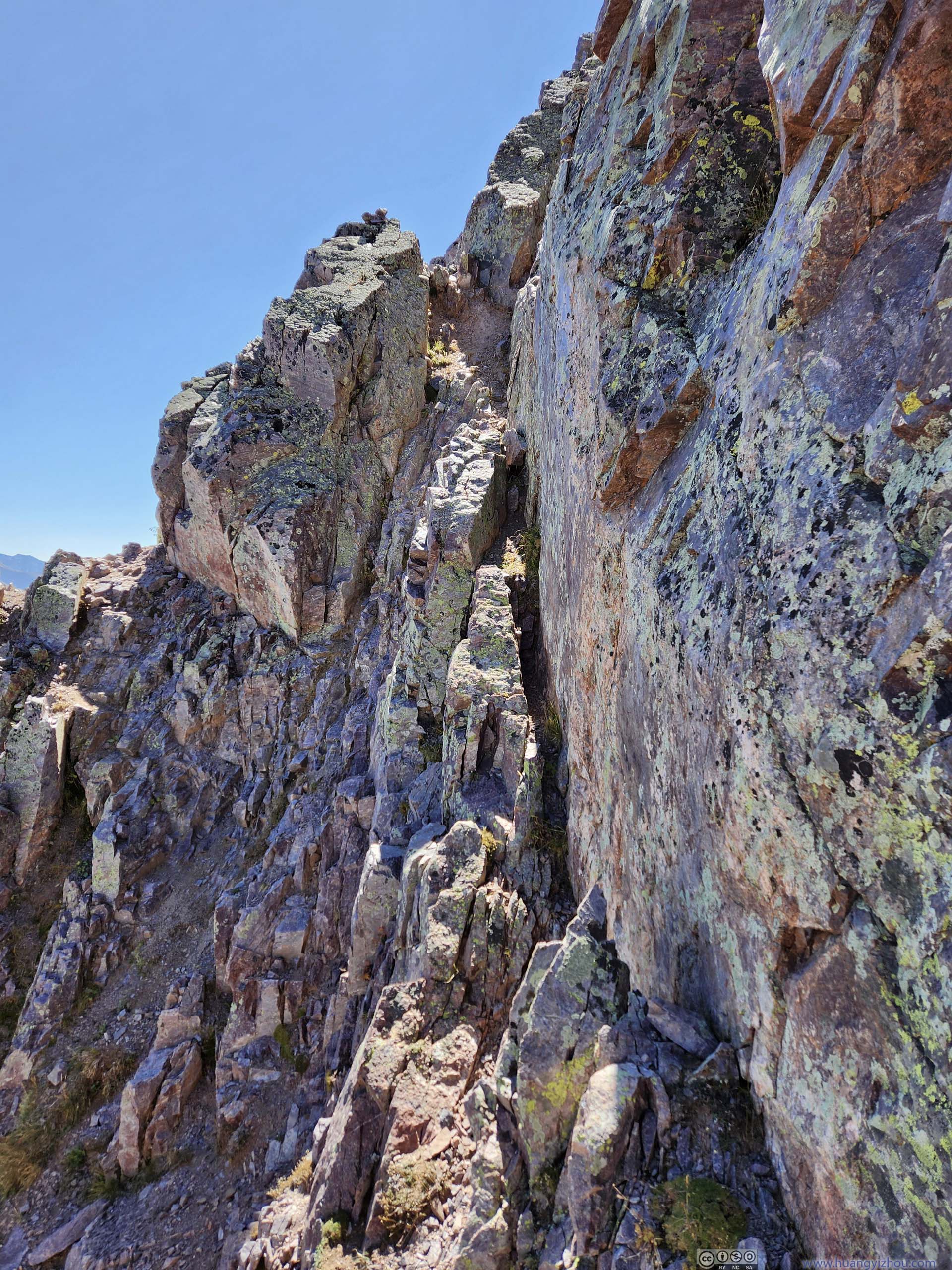
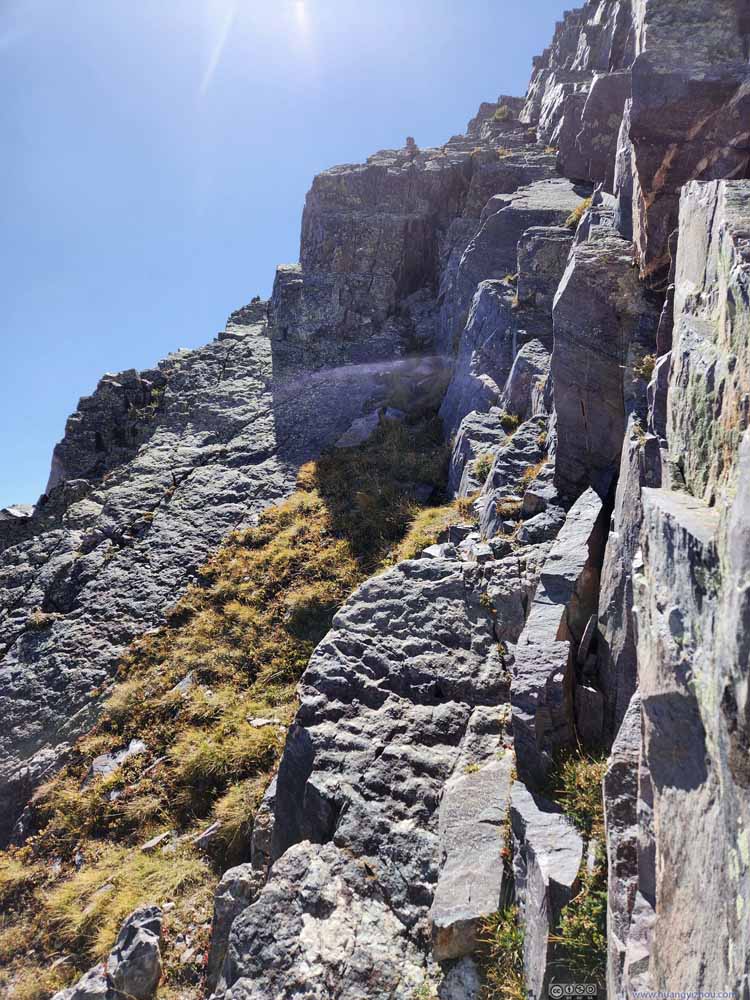
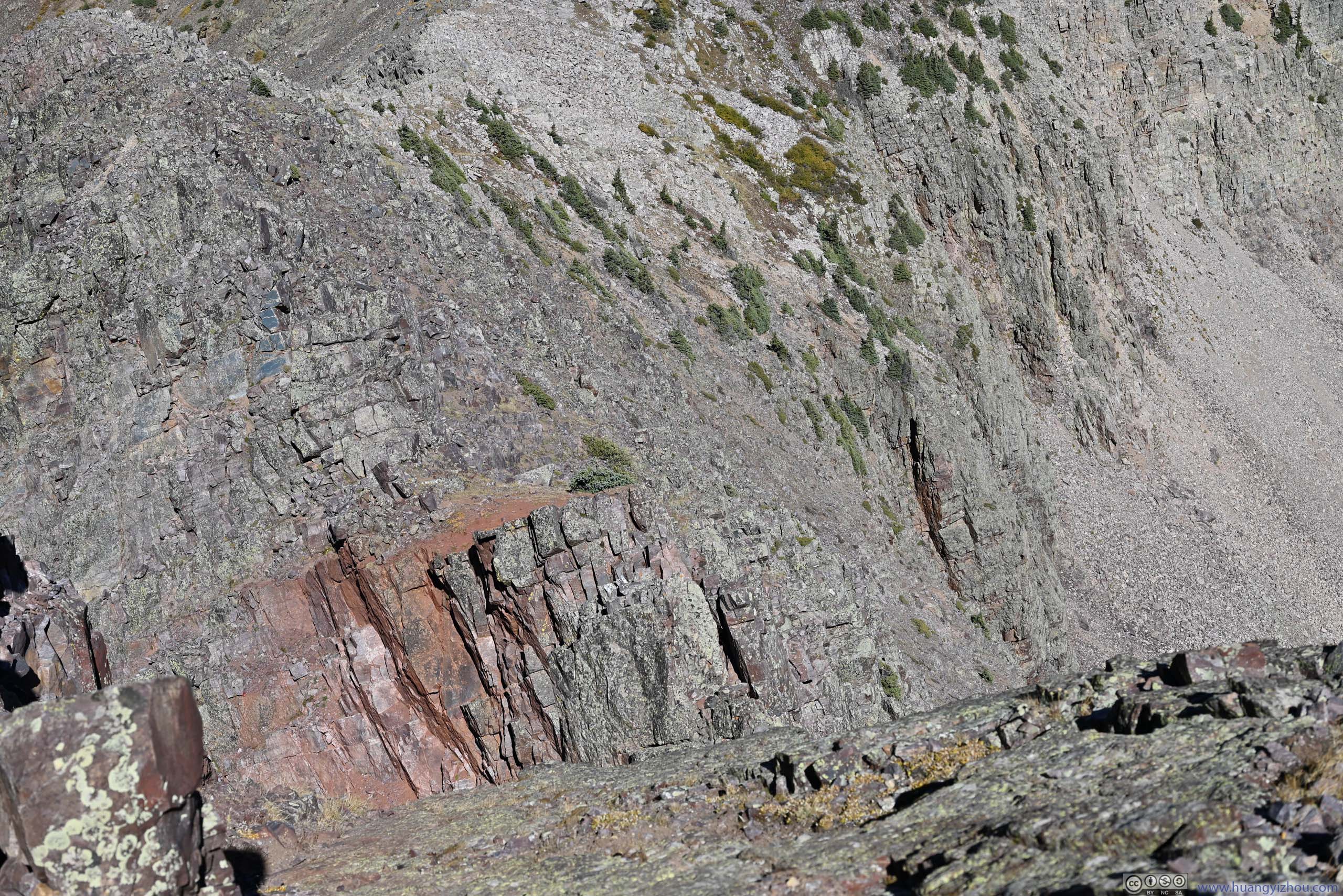
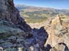
Narrow Ledge Corresponding to "132109" on map. Some exposure here, not too bad.
The crux of the route is likely the narrow ledge next to a steep wall (132109), but it's certainly manageable. After that, the remainder part to the summit was straightforward.
Summit of Snowdon
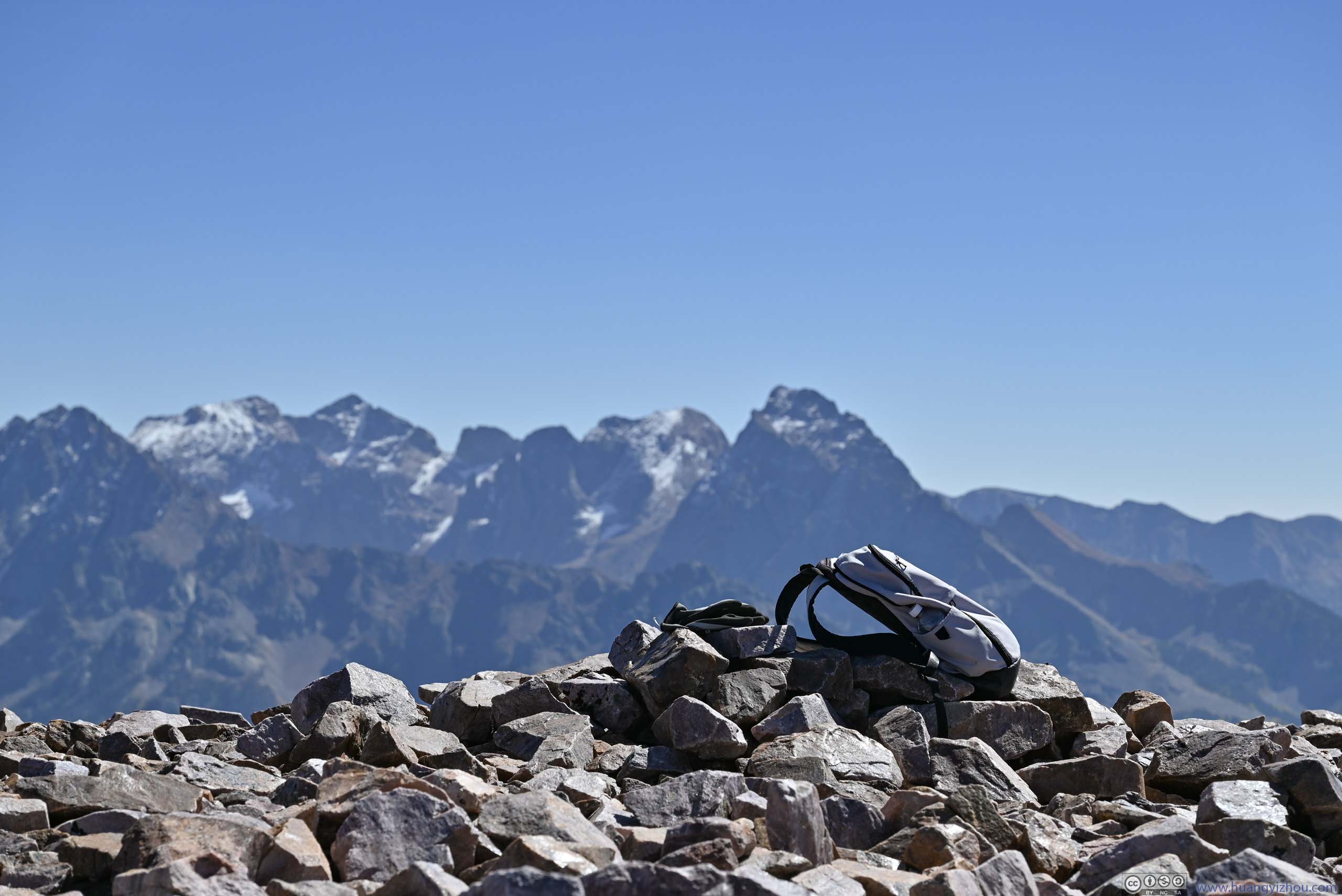
In the end, I made it to Snowdon's Summit at around 1:30pm, just over 3 hours since departing trailhead. Snowdon's summit was relatively flat and open, with unobstructed views around. Essentially, most of the San Juan Mountains were visible.
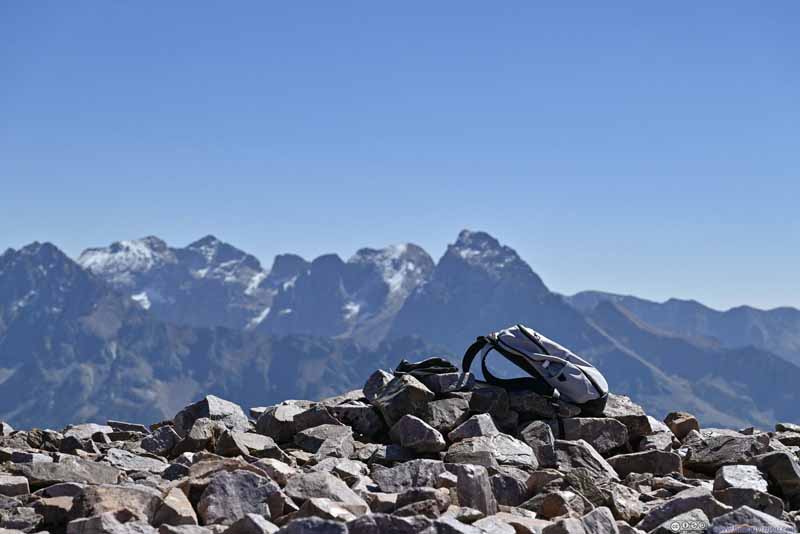
Needle Mountains from Snowdon Peak Summit I put my backpack on a pile of rocks to mark the highest elevation point of this trip.
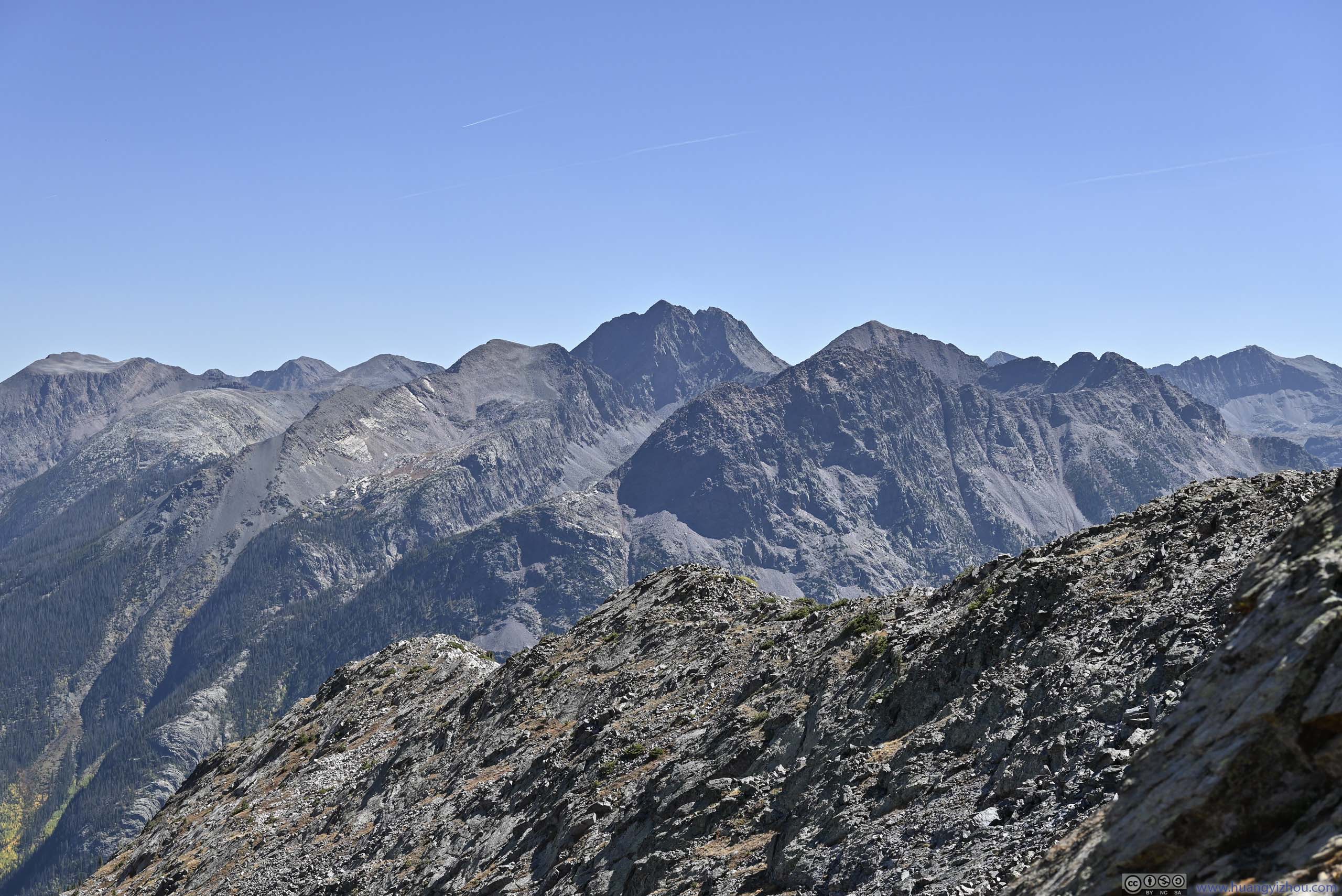
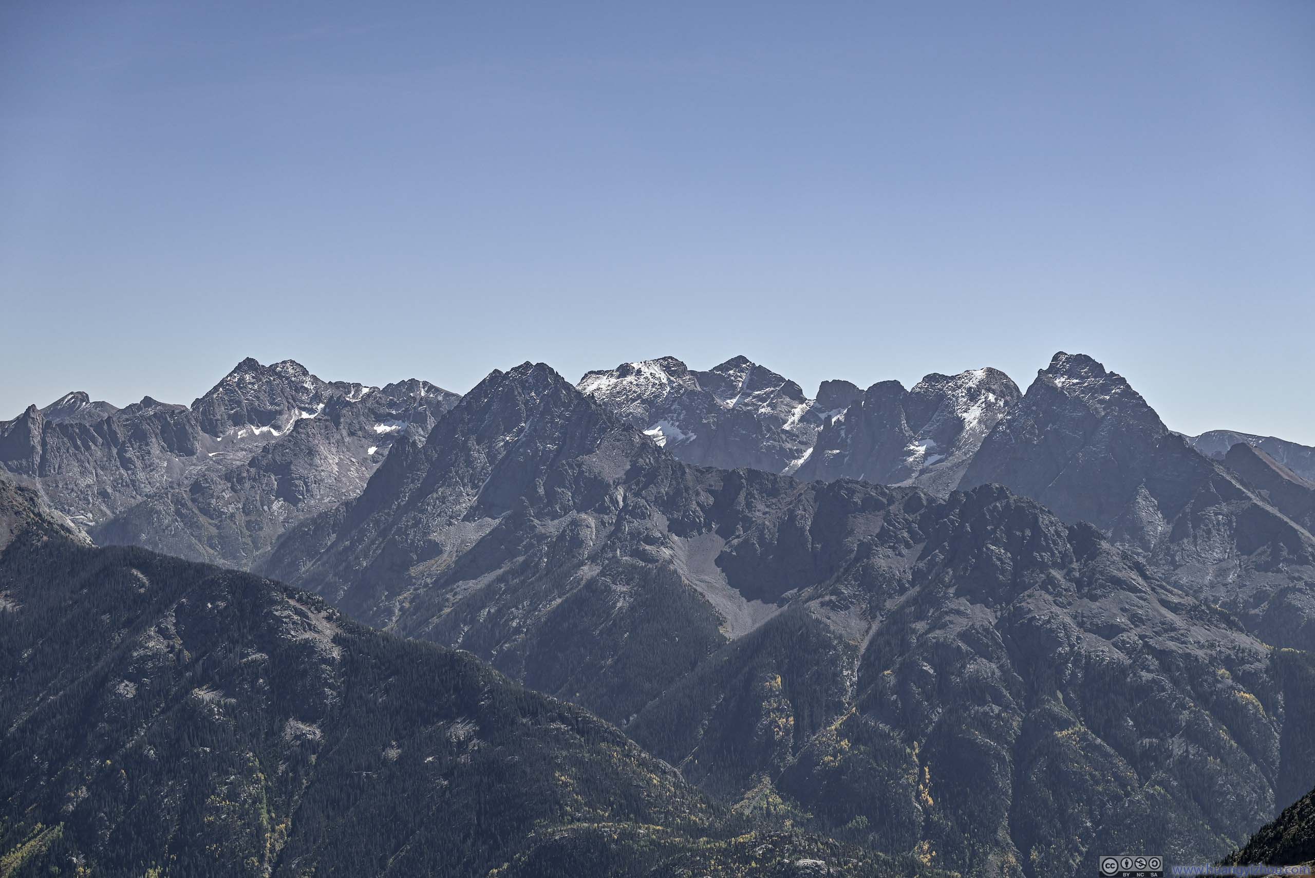
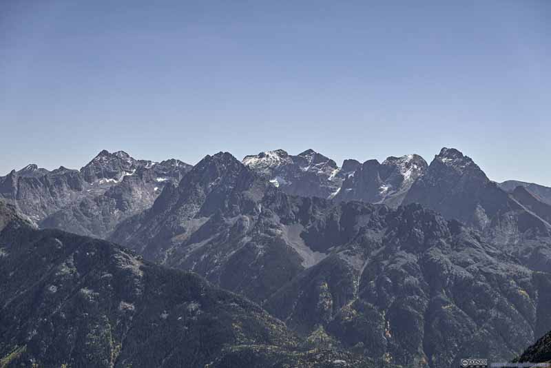
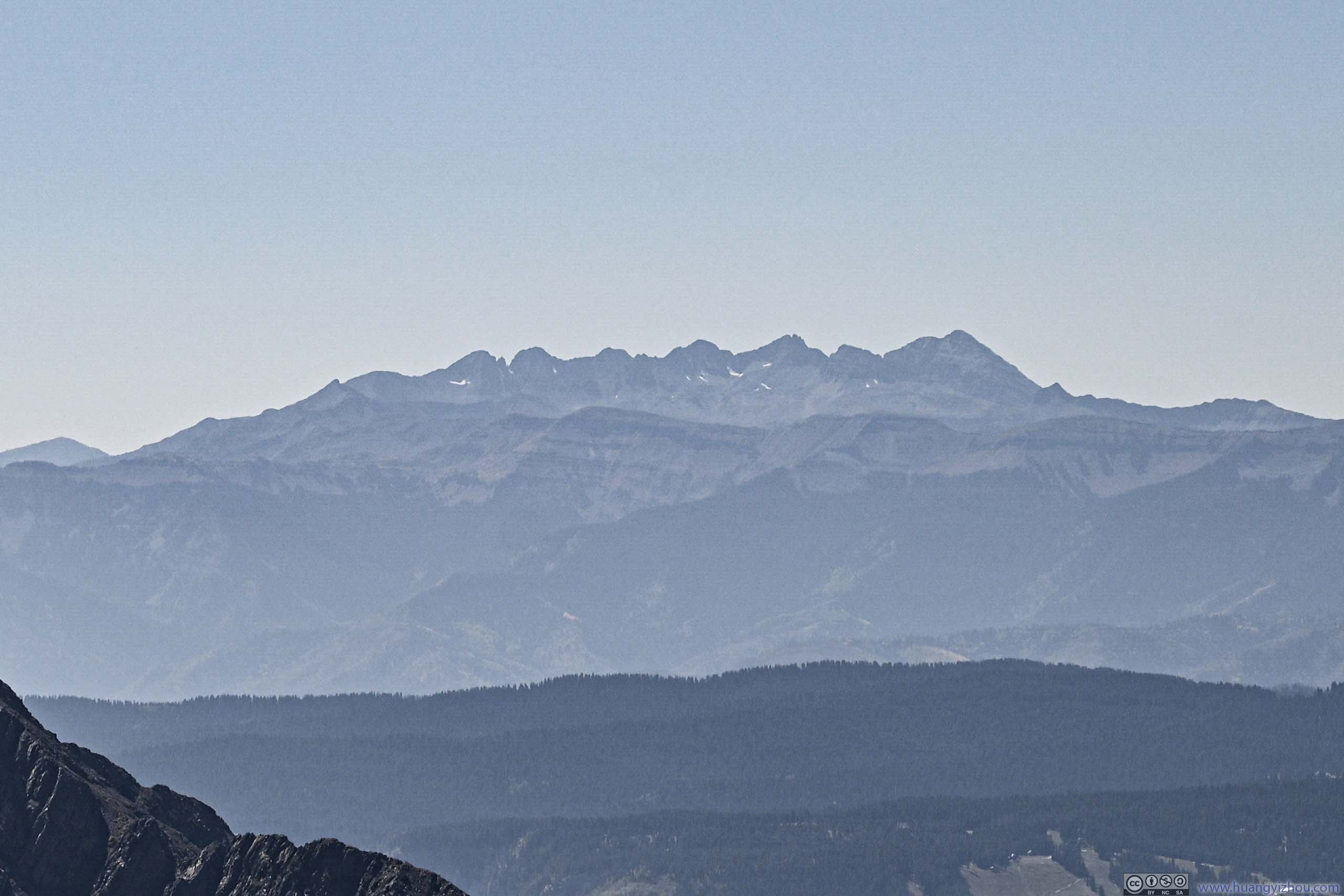
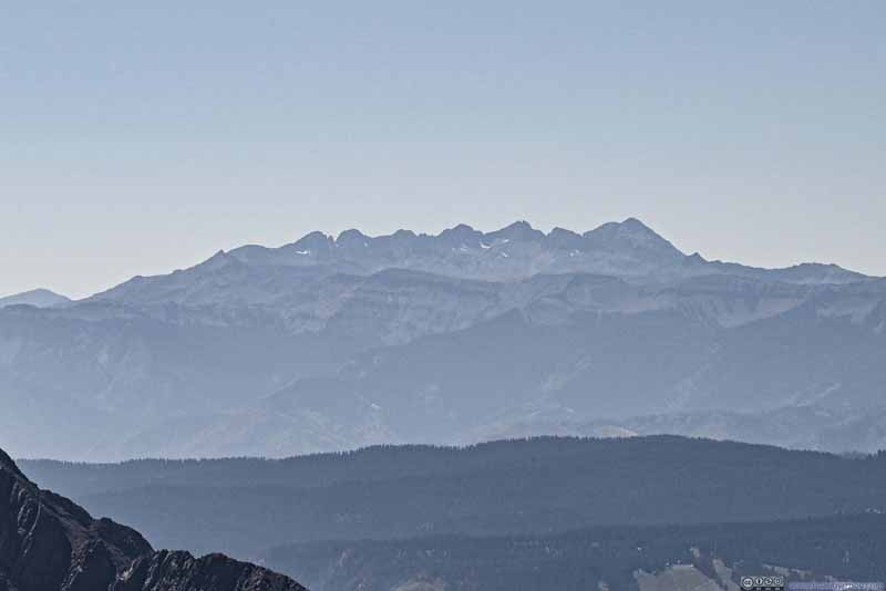
Needle Mountains The only sights of snow from Snowdon Peak, 4 14er's in this photo.
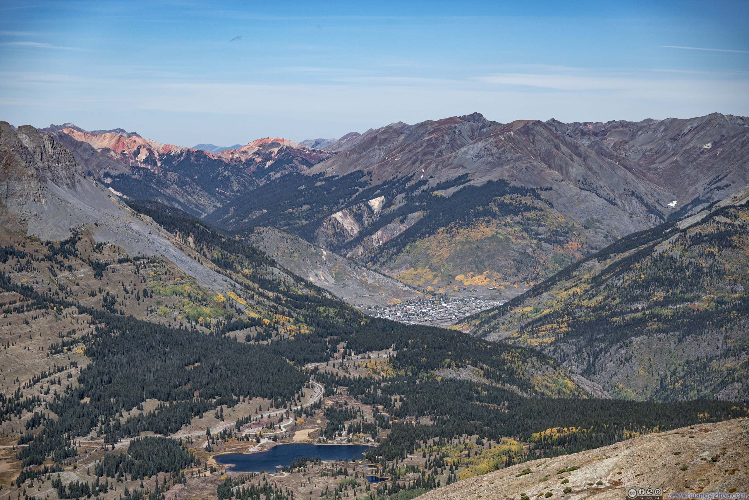
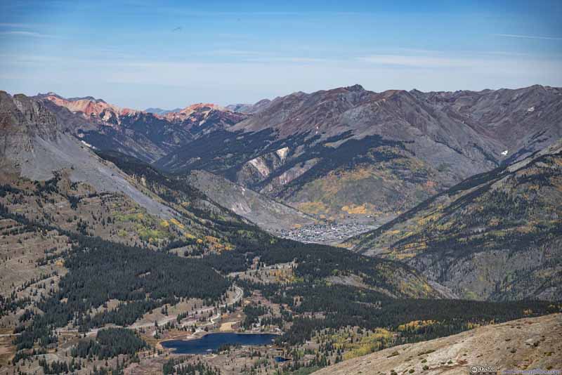
Town of Silverton Surrounded by Mountains
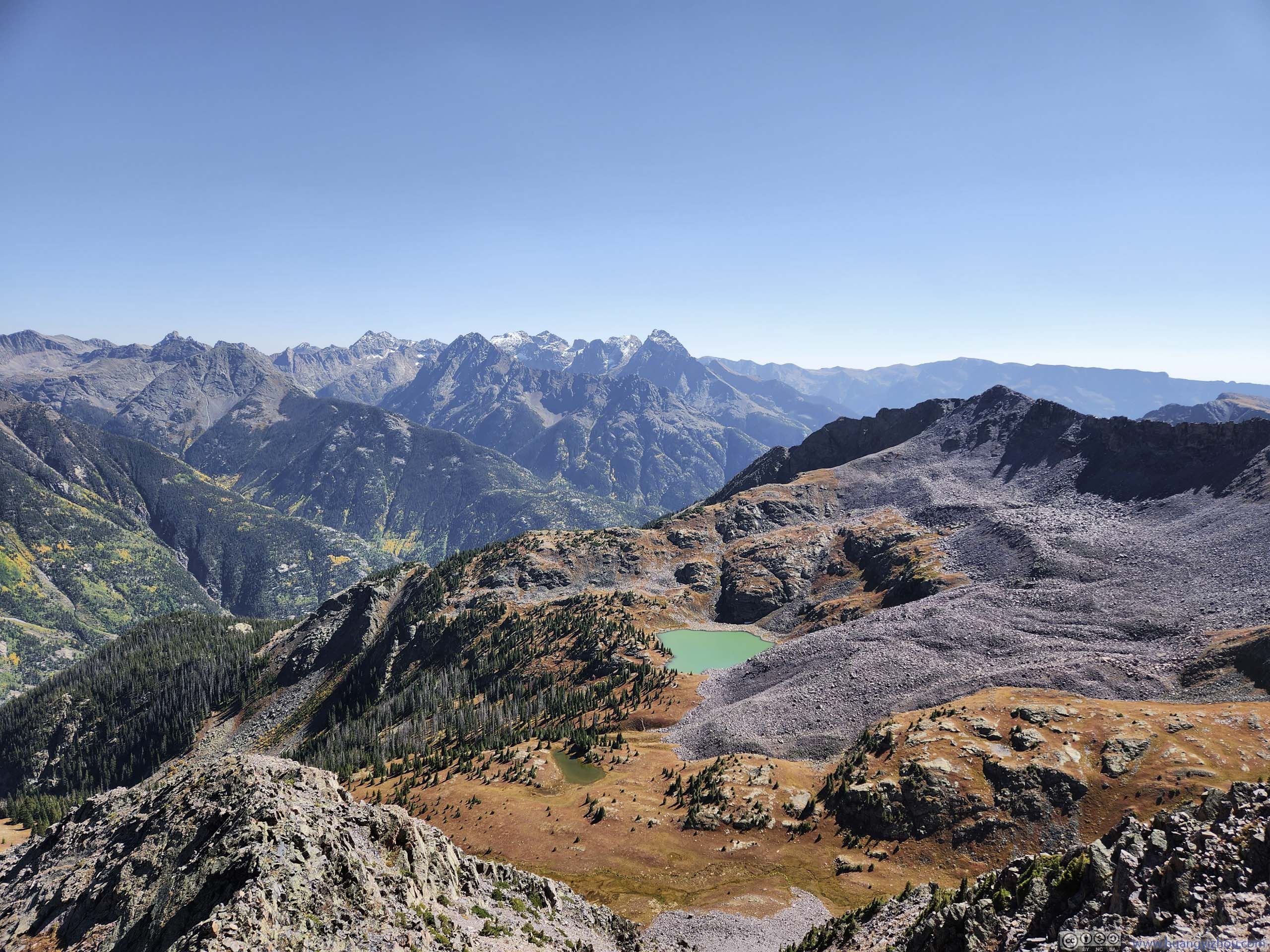
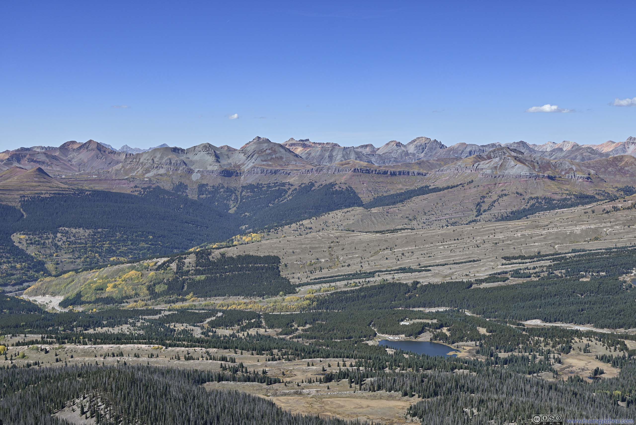
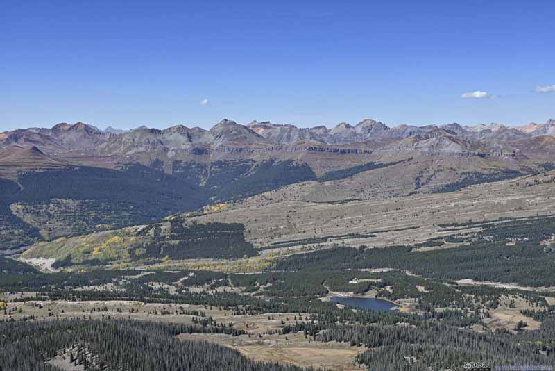
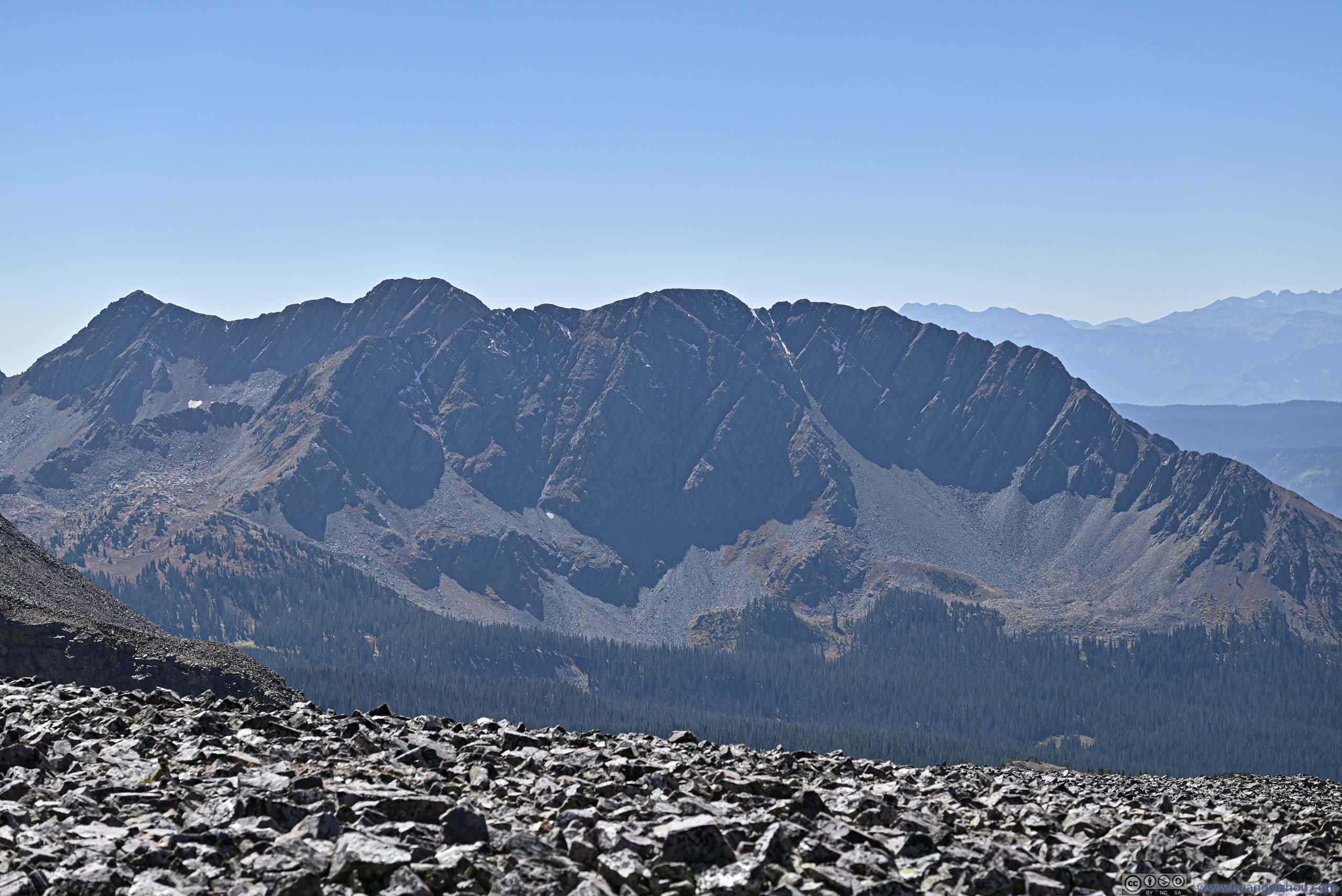
Mountains to the West
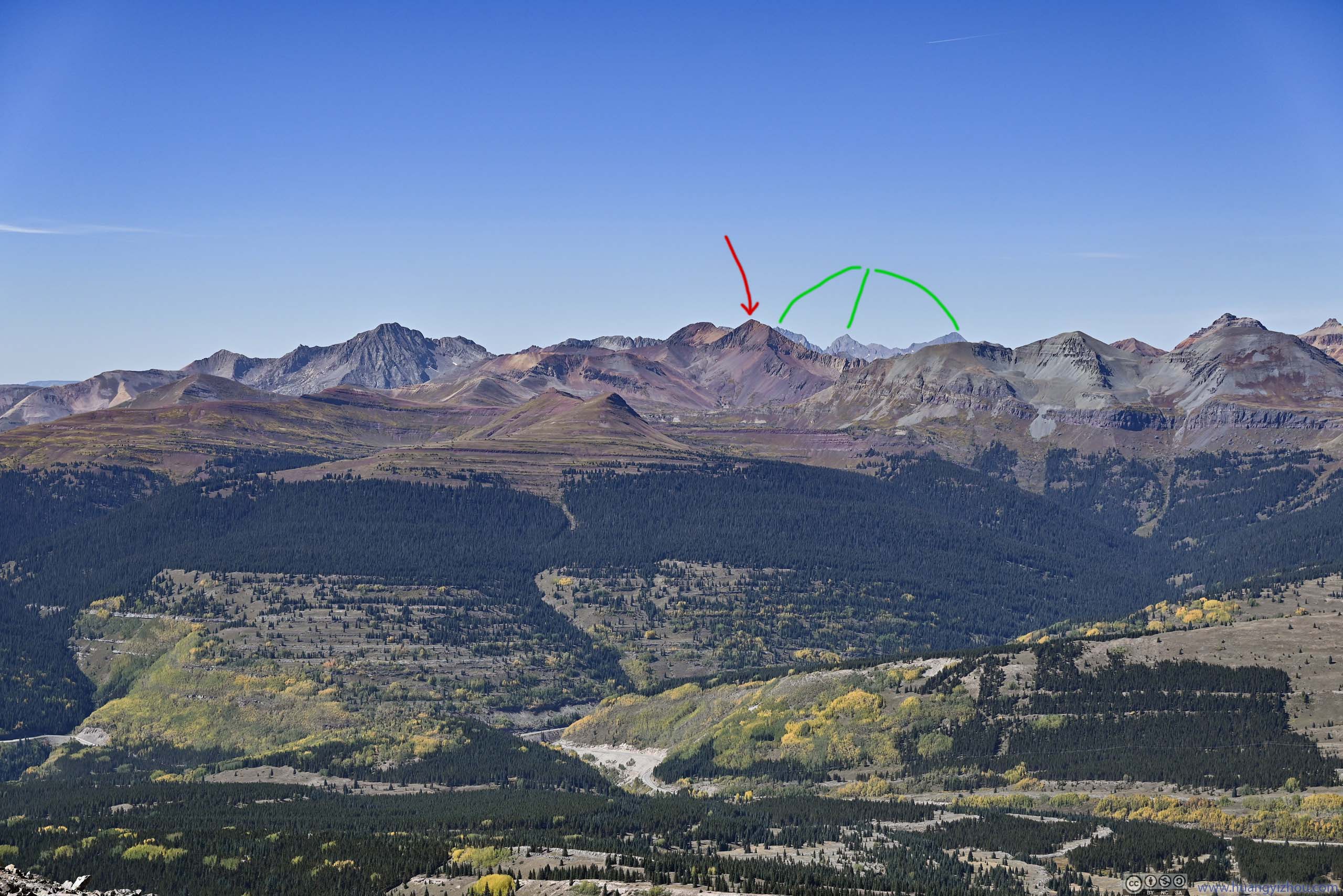
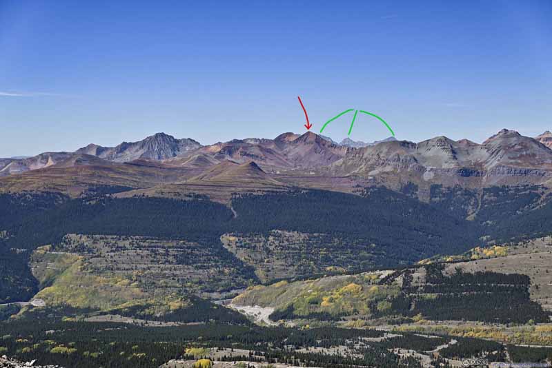
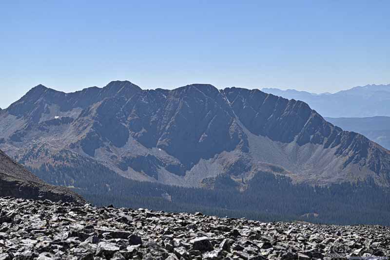
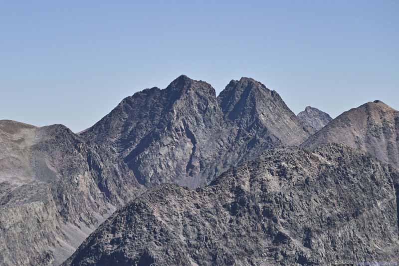
Beyond the enchanting red colors of Rolling Mountain (red arrow), are much to my surprise, peaks in the Lizard Head Wilderness. The three marked by green lines were Mount Wilson, Gladstone Peak and Wilson Peak.
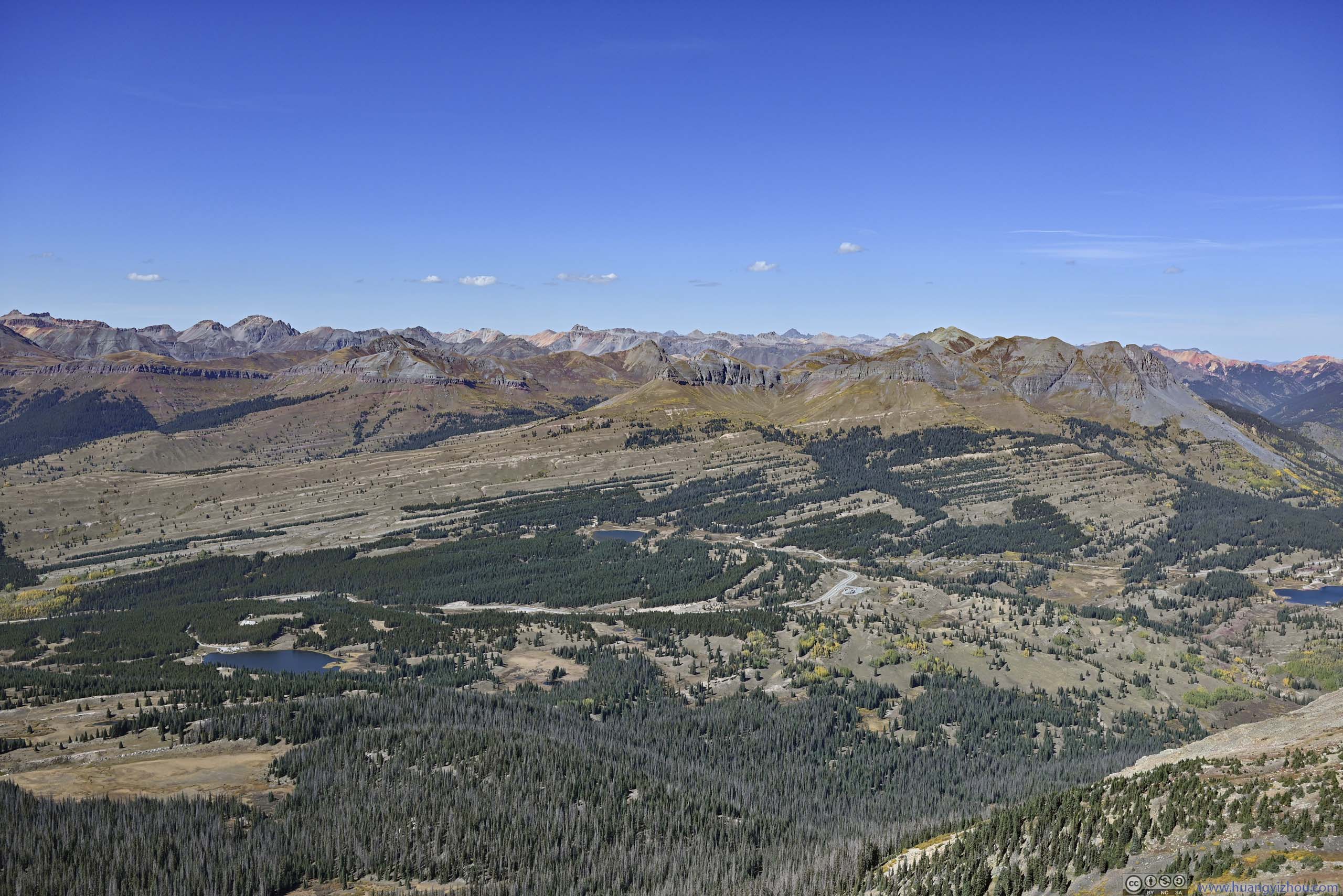
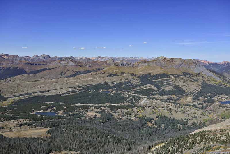
Mountains to the Northwest
Mountains to the North Sneffels Range lining the background.
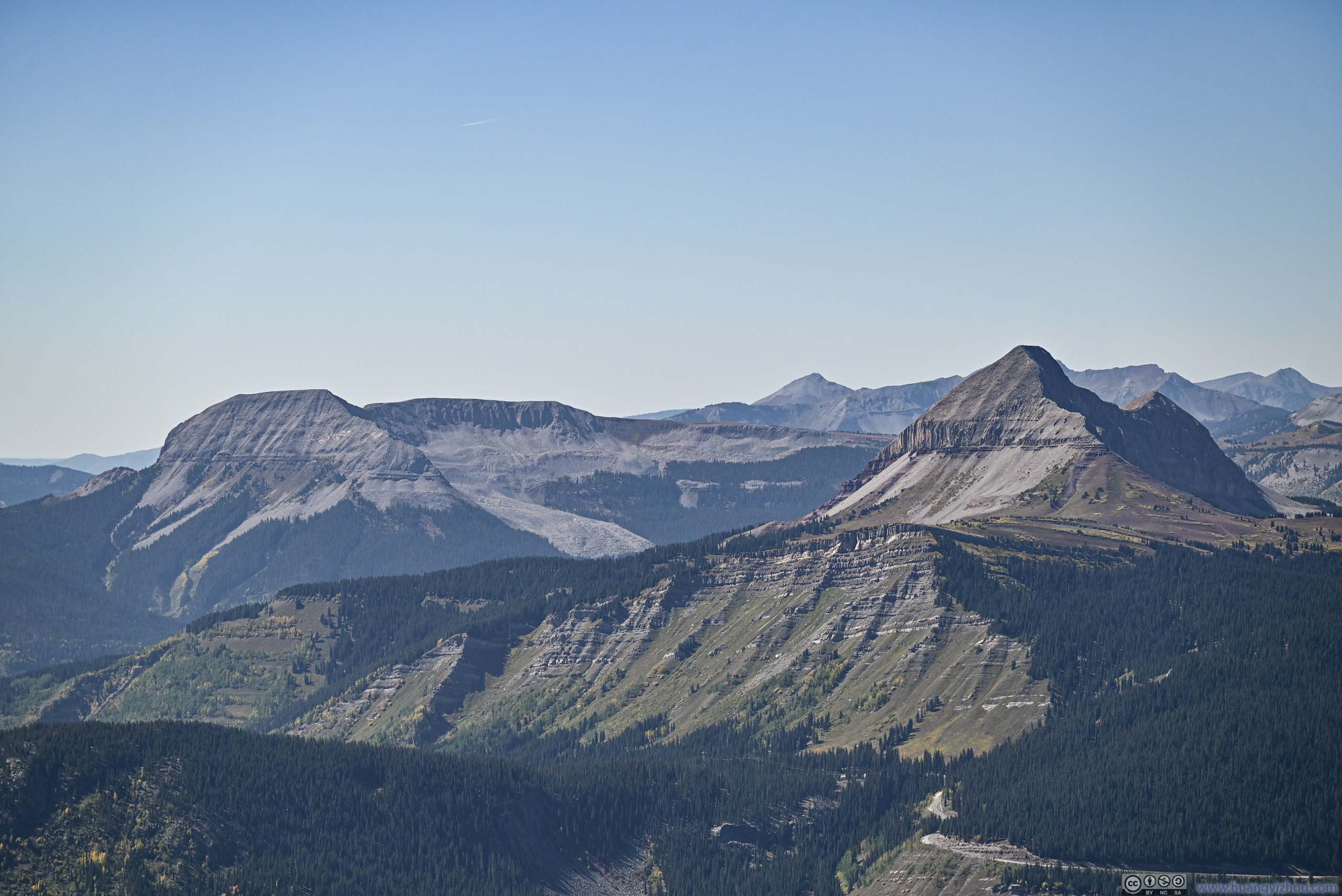
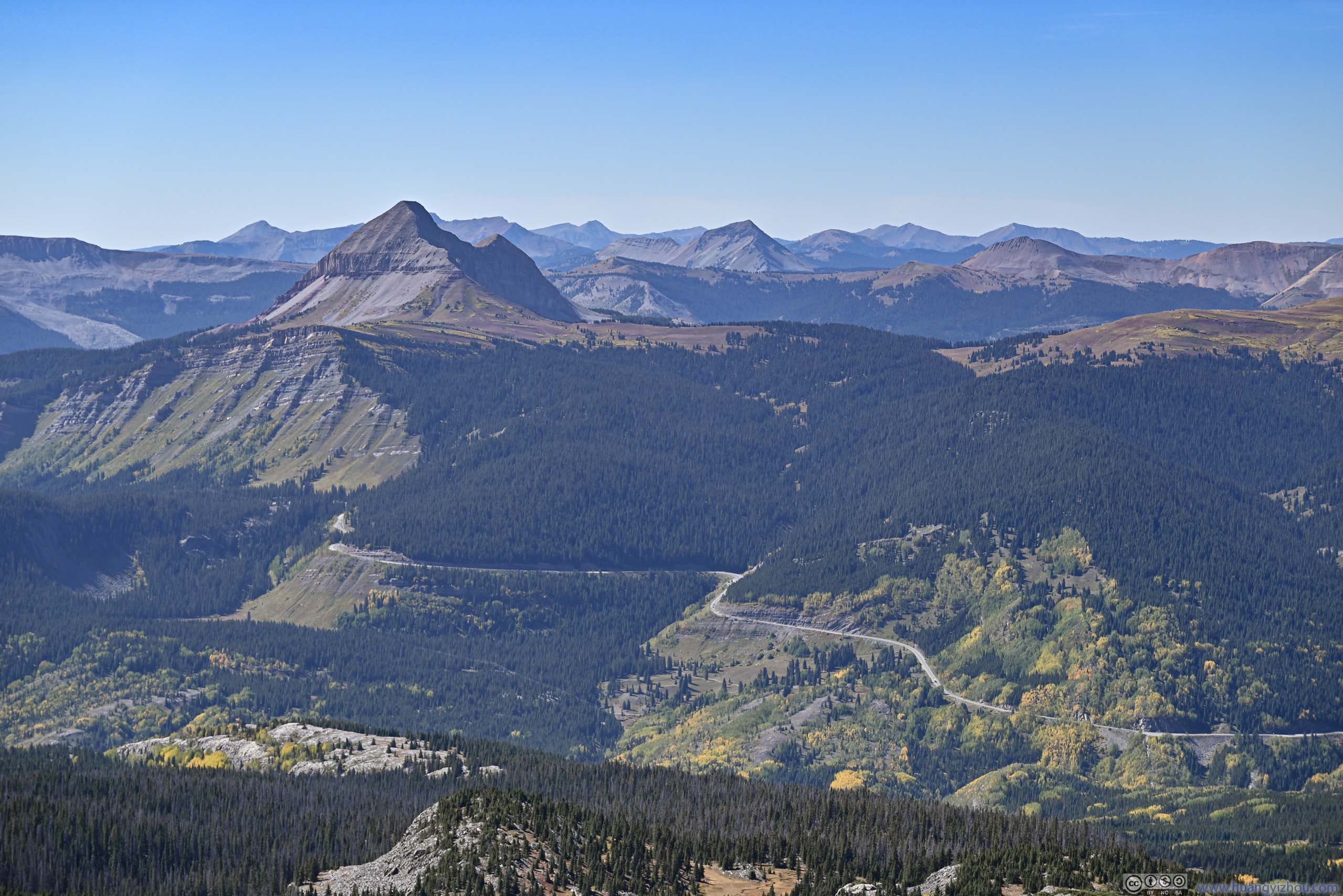
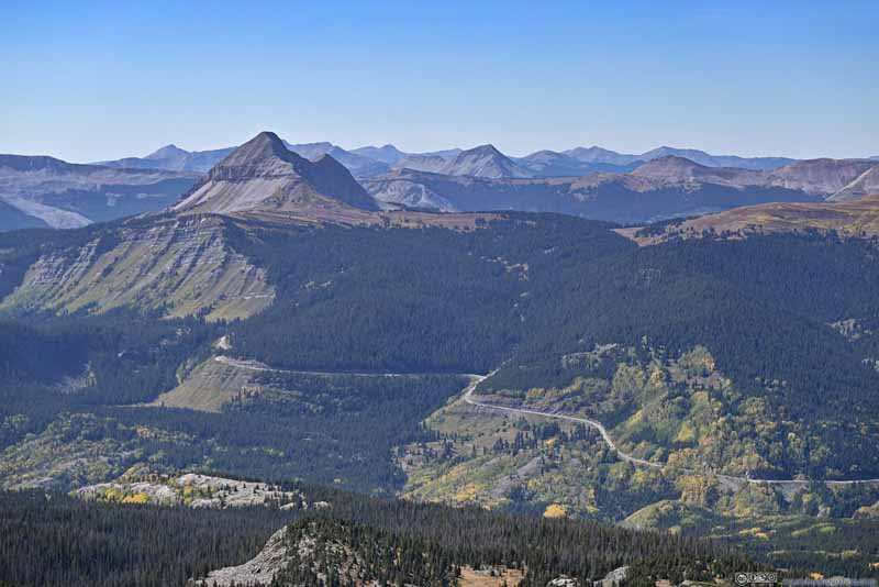
Grayrock Peak and Engineer Mountain
Winding Million Dollar Highway
Twilight Peak Didn't look that impressive from this angle.
Distant La Plata Mountains
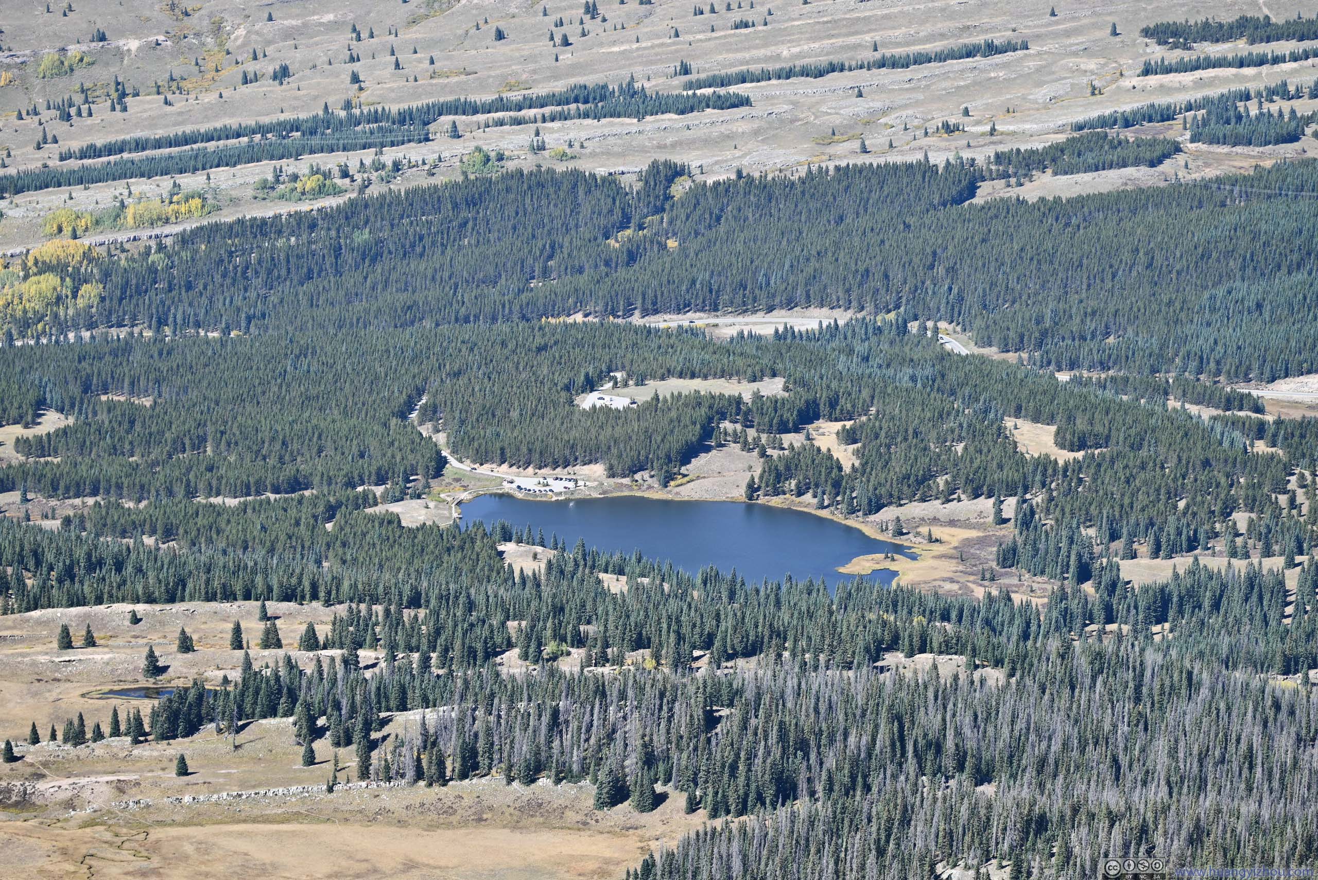
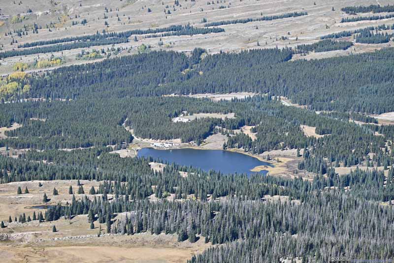
Andrews Lake The trailhead of this hike.
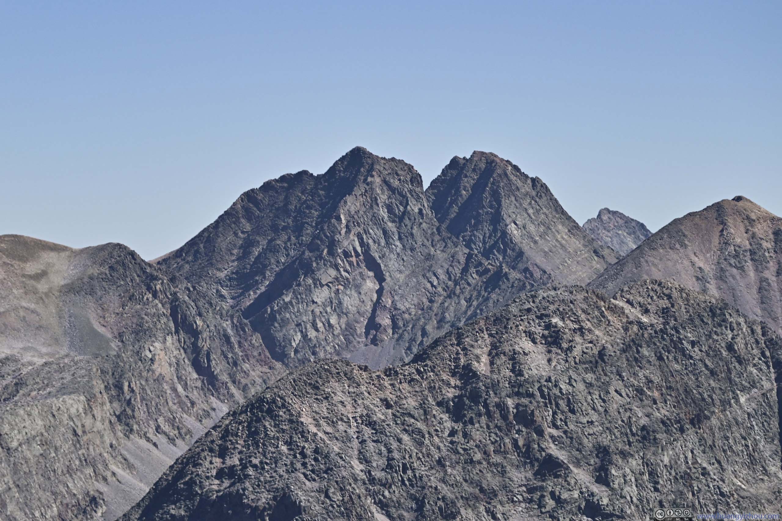
Arrow Peak and Vestal Peak Two prominent peaks of the Grenadier Range.
Top of Naked Lady Couloir
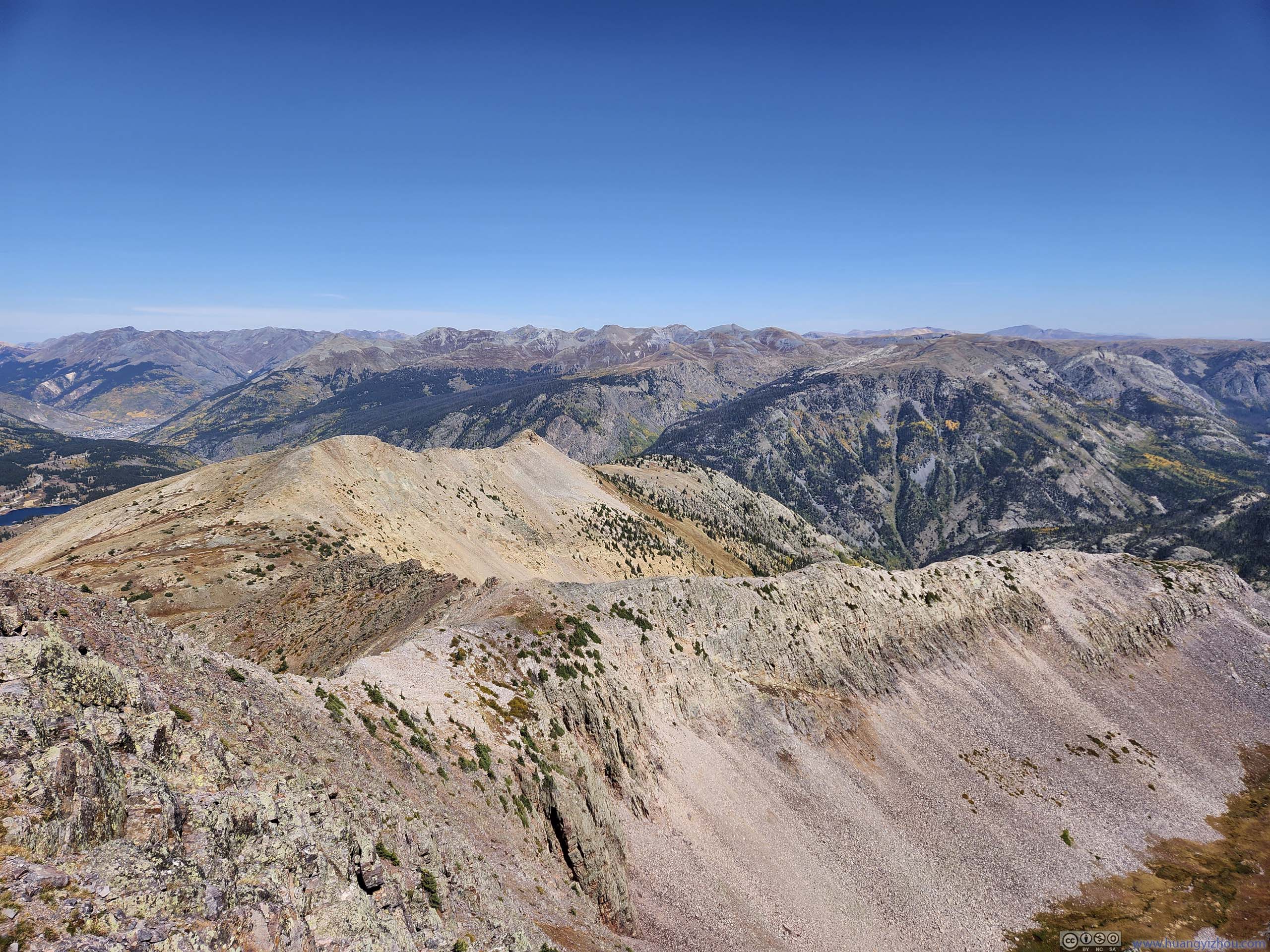
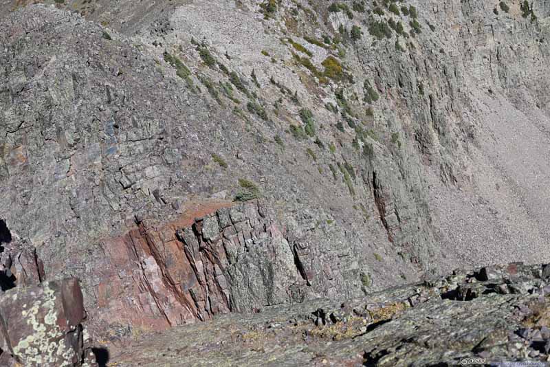
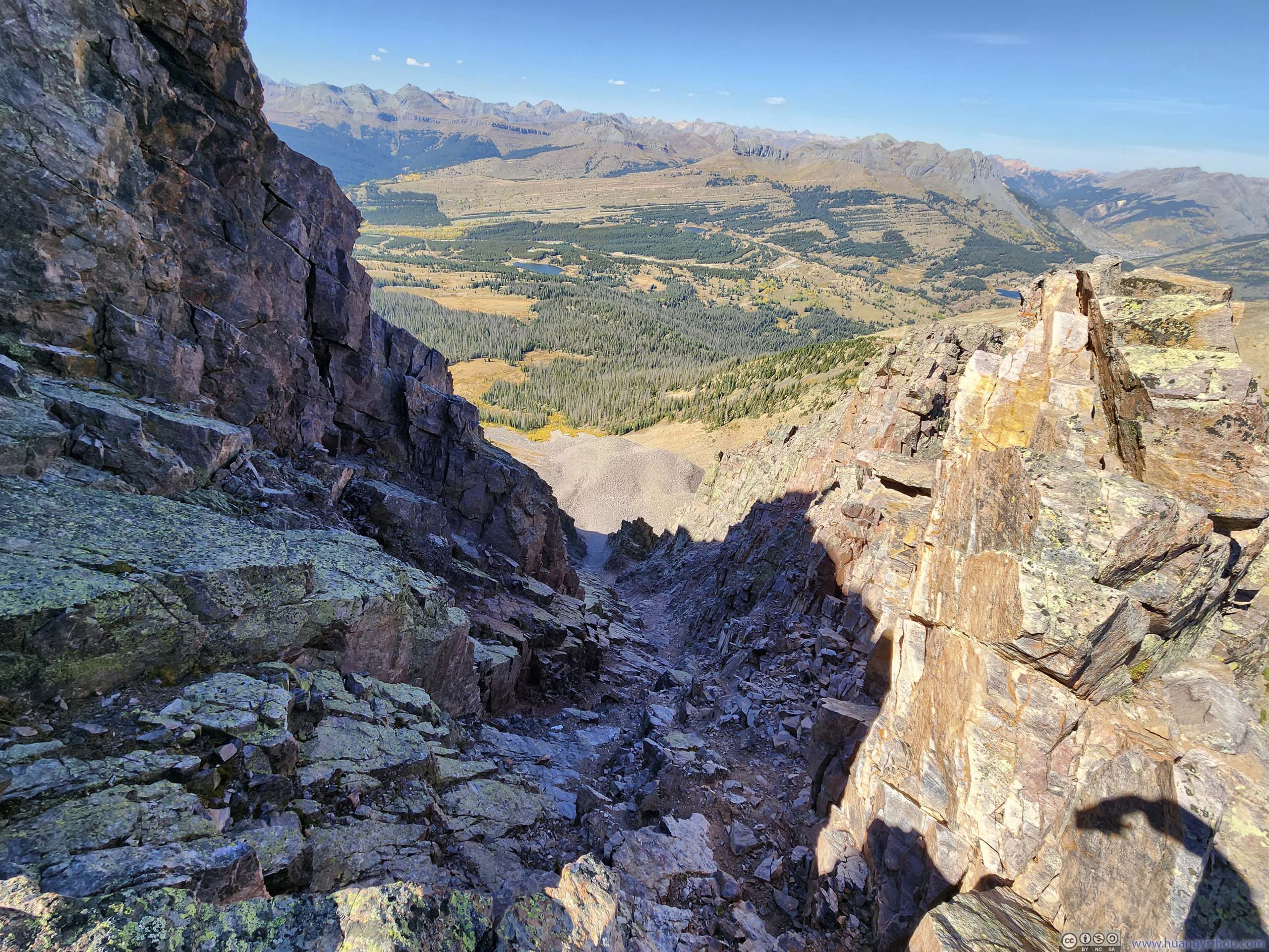
It’s a bit hard to appreciate the shape of the couloir from this angle. This couloir represented a break in the northeast ridge of Snowdon Peak, which I had to avoid on my way up and down.
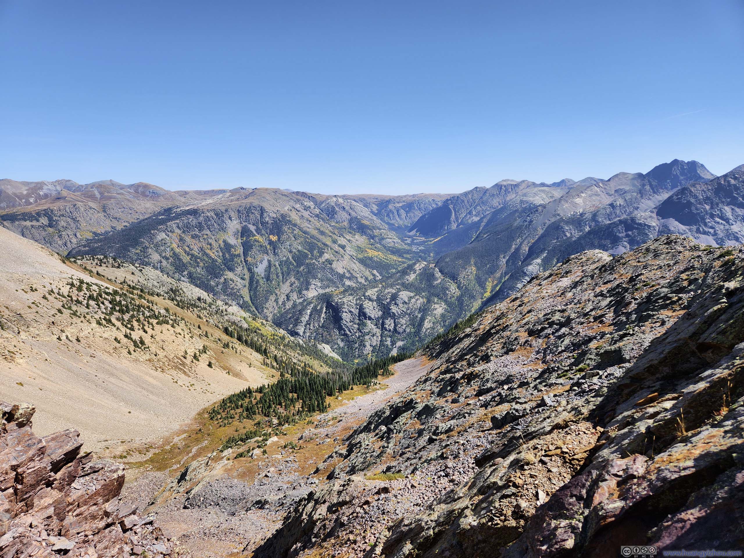
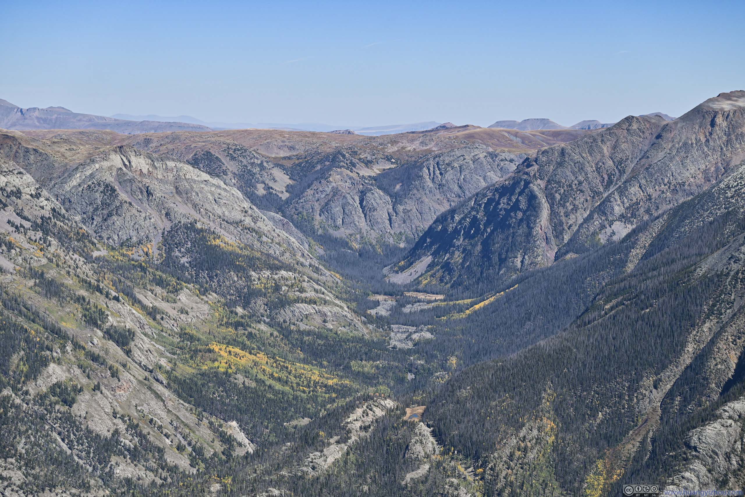
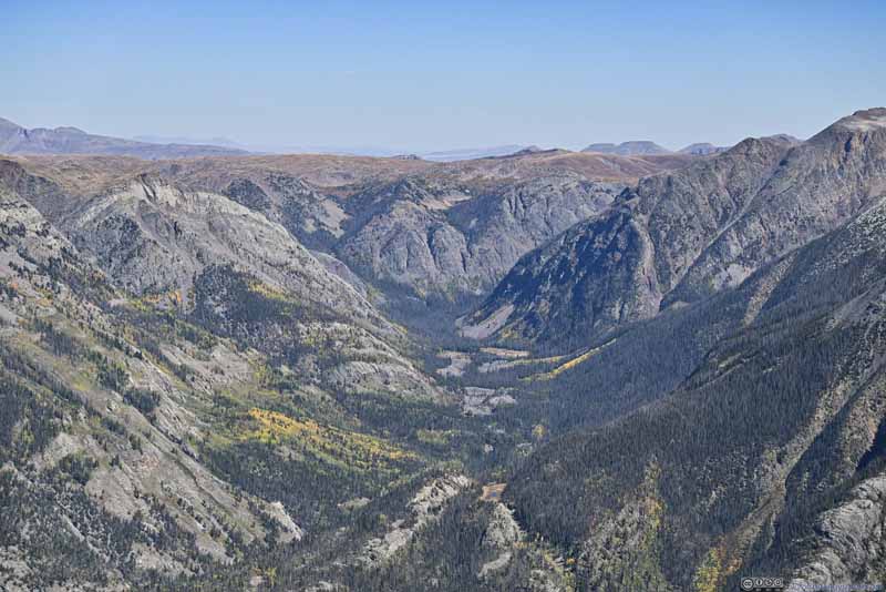
Elk Creek Valley
The relative lack of wind and the presence of cellular coverage (!) meant I spent 50 enjoyable minutes on the summit, before heading back down at around 2:20pm.
View from Snowdon Peak Summit To the north/east (top) and to the north/west (bottom).
During my descent, I decided to take a detour to check out the top of Naked Lady Couloir (blue line in route map above, p2 below), since its presence created so much trouble to me. Luckily, I wasn't lost this time.
Path to Snowdon Peak
Corresponding to "143207" on map. The red arrow points to the narrow ledge as the last technical bit during ascent.
Naked Lady Couloir
Path to Snowdon Peak
Corresponding to "144130" on map. After the detour to check out Naked Lady Couloir, I was back to the standard route.
Path to Snowdon Peak
In the end, I made it back to the trailhead at 5:20pm.
Brief Review of Snowdon
This was a very accessible mountain with a paved trailhead along US550. Its roundtrip distance under 10km meant it fitted as a day hike (and some change). I saw online that categorized it as "class 2-3" but in my opinion it should be a solid "class 3". It's a very manageable trip but nonetheless required some route-finding skills to stay on the best/easiest route. Its relatively lack of popularity meant there wasn't a lot of information online, so it required proper preparation. Throughout the day I ran into another couple that made it to the ridge/overlook, but I believed I was the only one summitting for the day.
Remainder of the Day
Below is a timelapse video from my windshield-mounted GoPro, recording my entire drive from Silverton to Andrews Lake Trailhead and back.
0:00 Leaving Silverton
1:43 Molas Pass. Snowdon Peak right ahead.
1:56 Andrews Lake Trailhead. The video continues after my hike.
2:12 Passing Molas Pass again on my way back. This was the second of three mountain passes between Ridgeway and Durango, it probably had the best views among the three, especially with the afternoon sun lighting up mountains to the east.
3:07 Deadwood Gulch (not much to see there)
After that, I was hoping to find a roadside turnout overlooking the town of Silverton. The one at 3:27 should be ideal, but instead I headed towards “Silverton Overlook” on Google Maps, which is where this video ends.
On my way back I made a stop at Molas Pass. This was the middle of the three mountain passes between Ridgway and Durango. The afternoon sun beautifully lit up the distant mountains in Weminuche Wilderness.
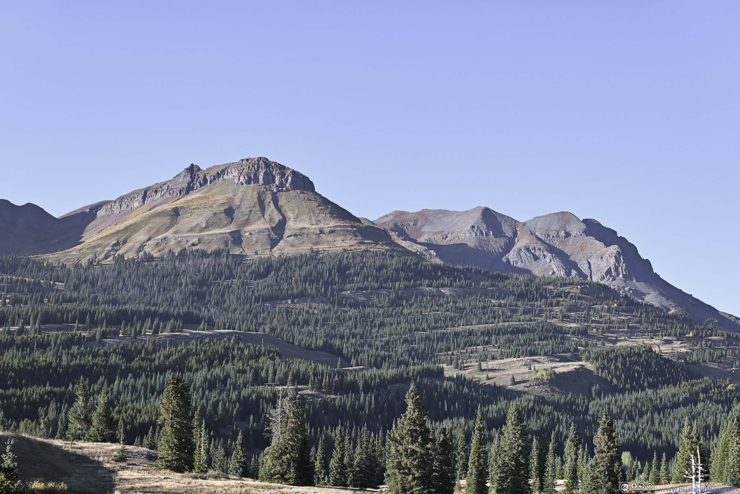
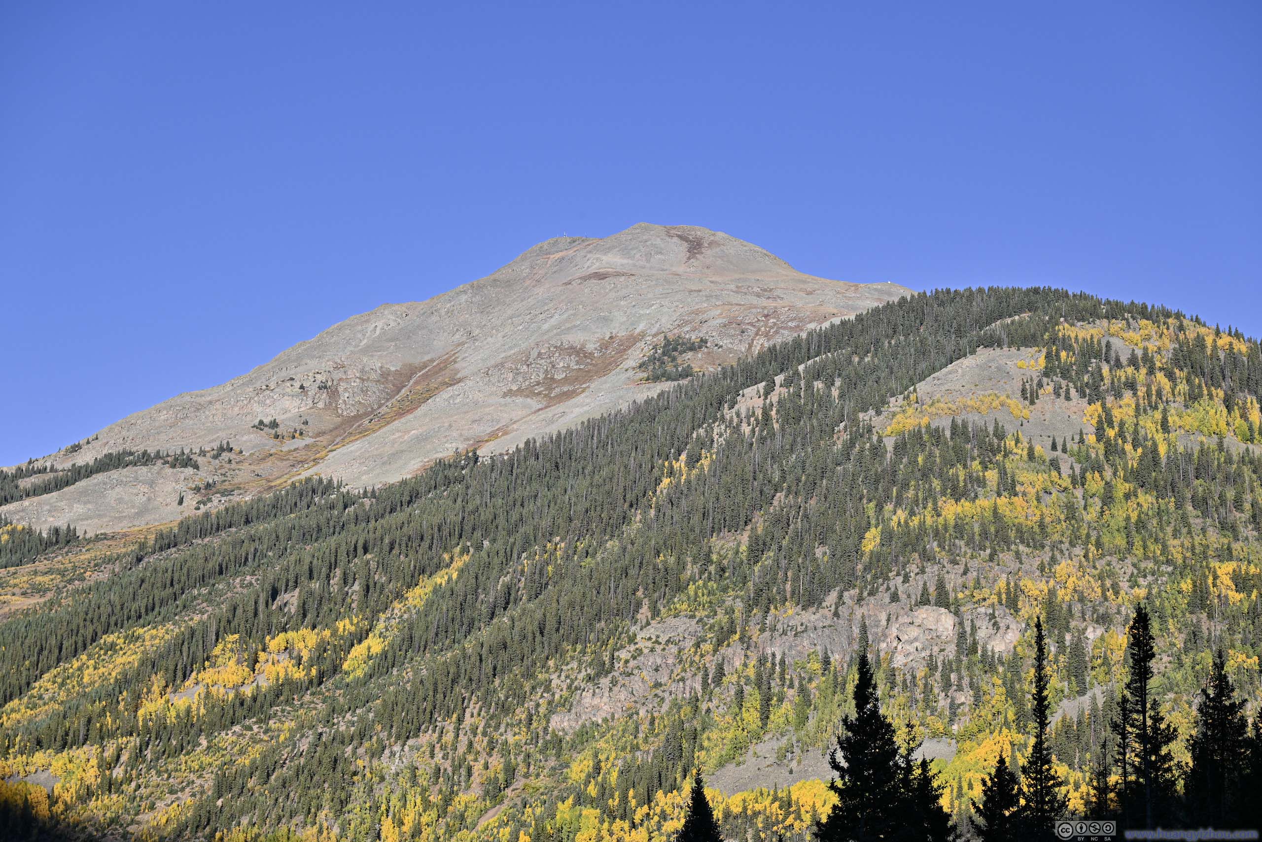
Snowdon Peak from Molas Pass
Mountains in Weminuche Wilderness
Mountains to the North Turks Head and Grand Turk.
Storm King Mountain beyond Silverton
Mountains from Molas Pass
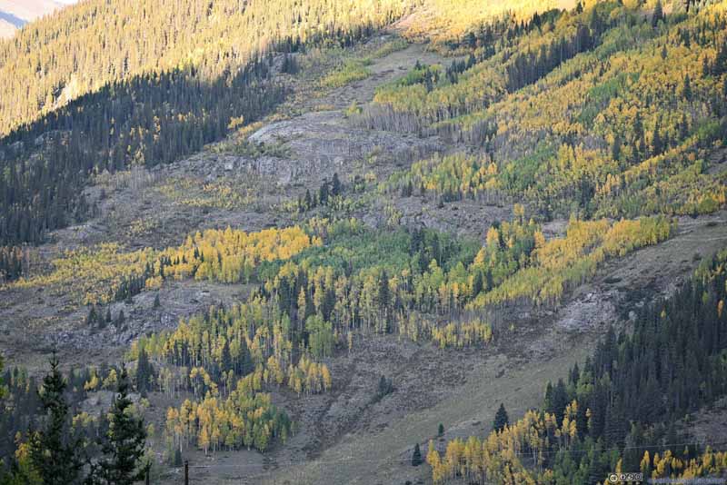
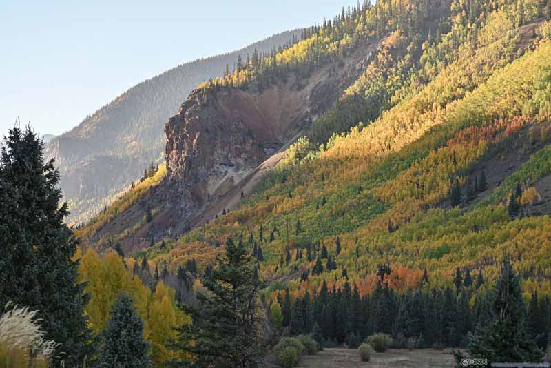
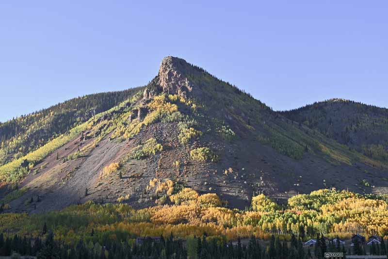
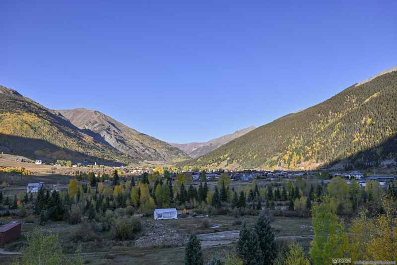
Then I made a few more stops along US550 on my way back, this time focusing on the foliage on the mountains that surrounded Silverton.
Kendall Mountain
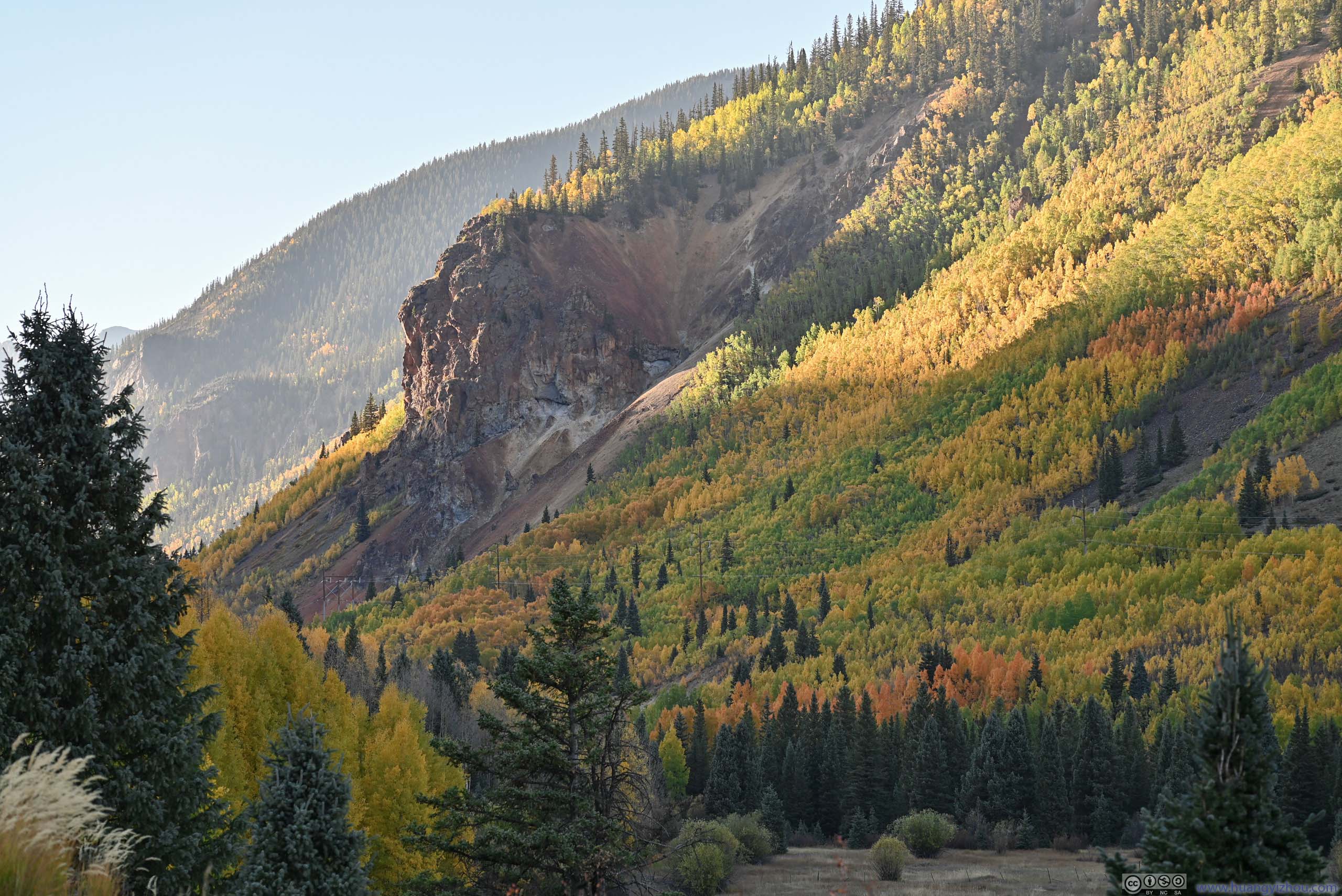
Foliage on Kendall Mountain
Valley in Foliage
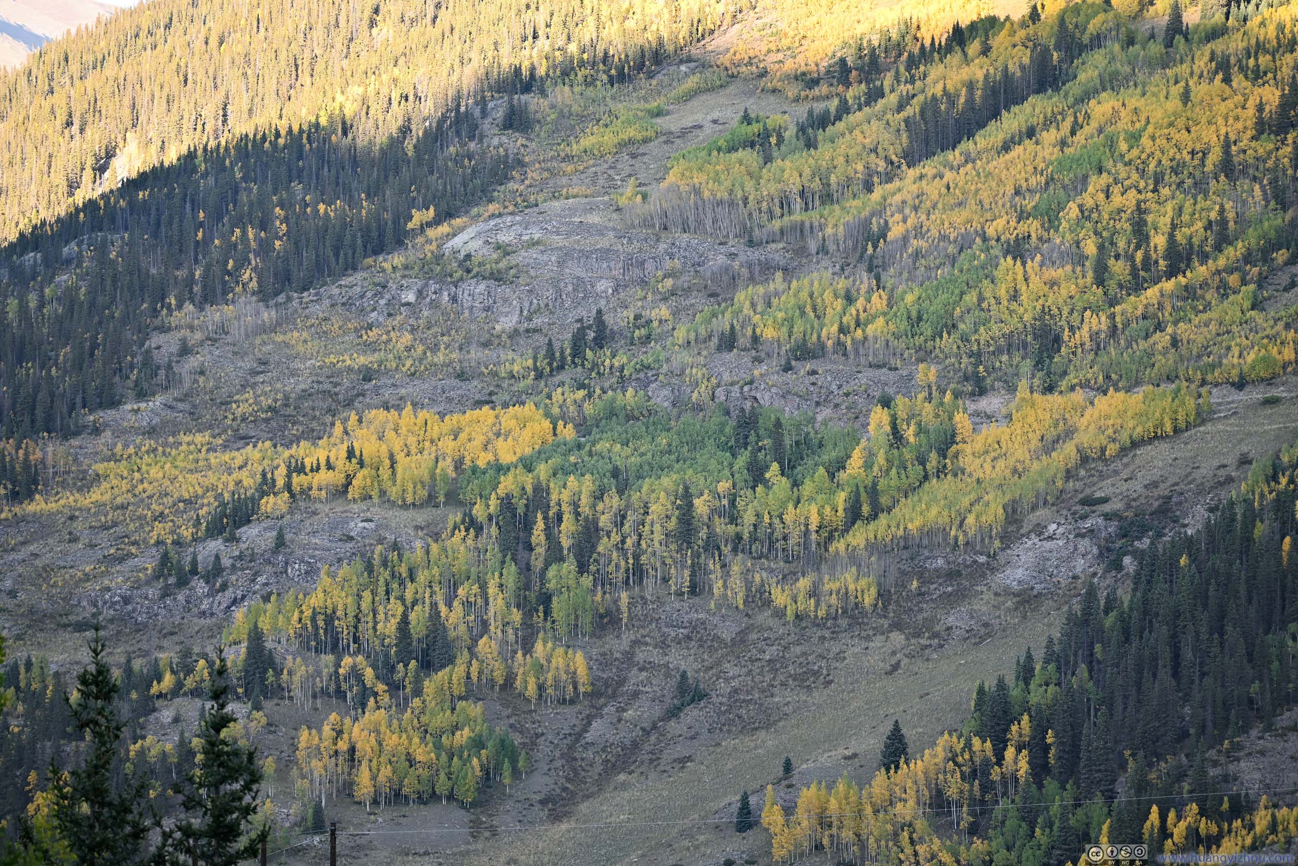
Hill
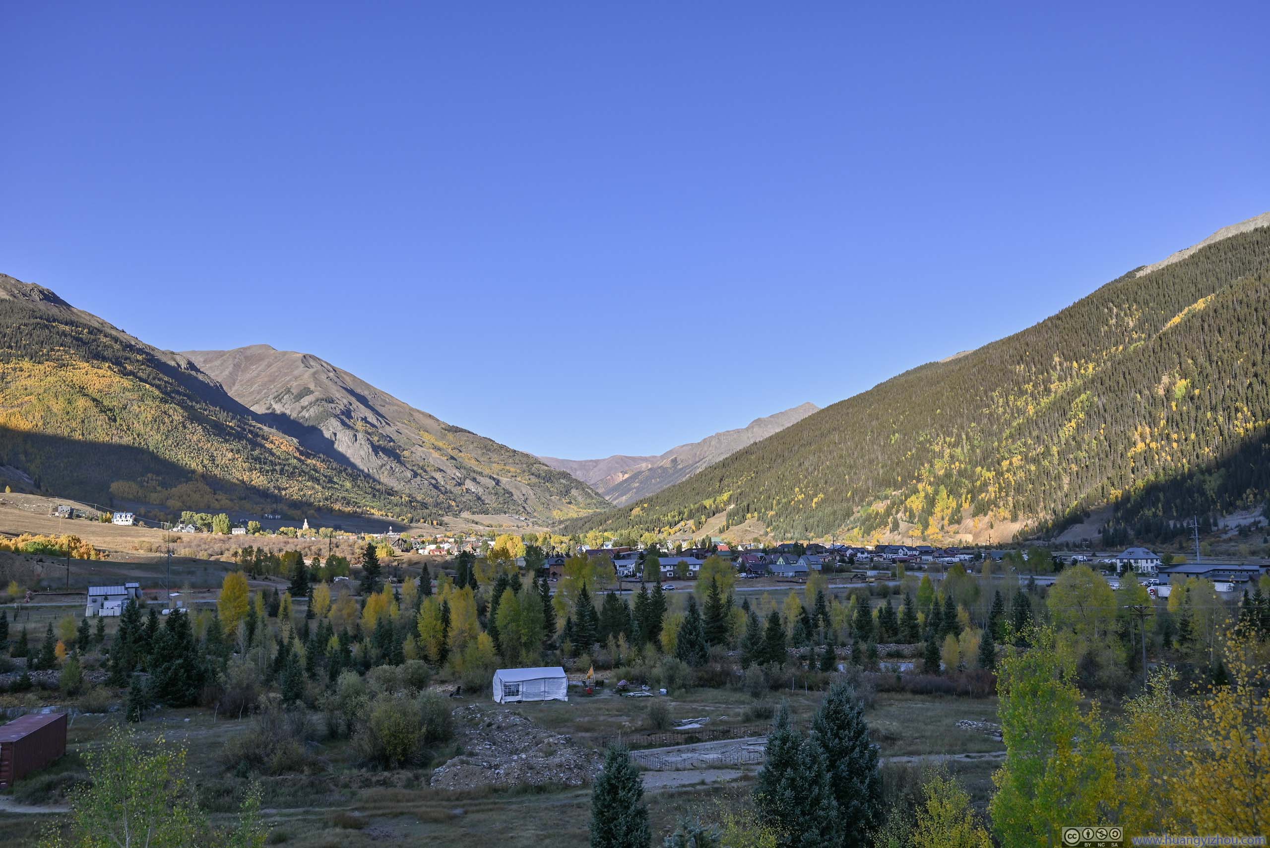
Overlooking Silverton
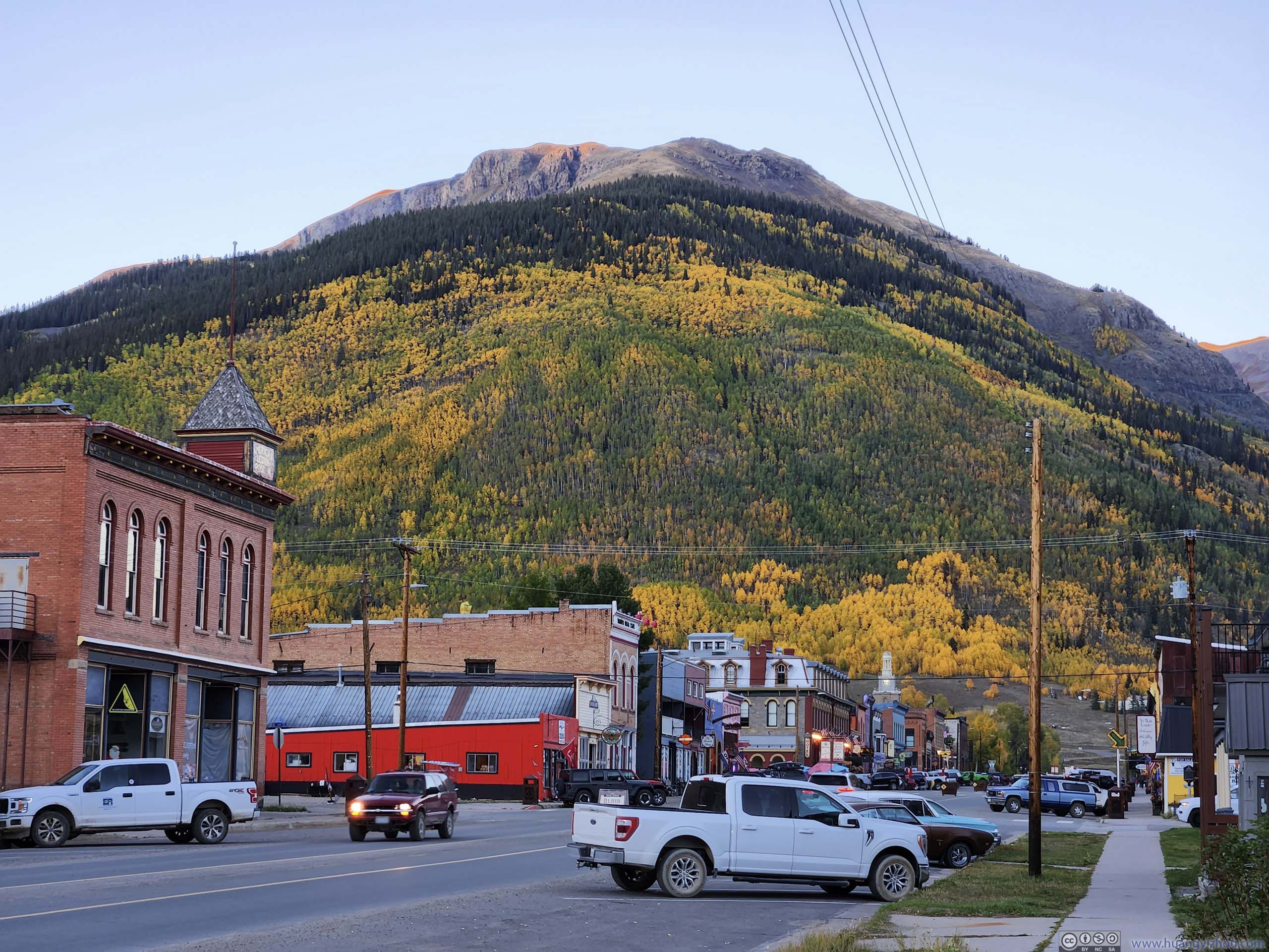
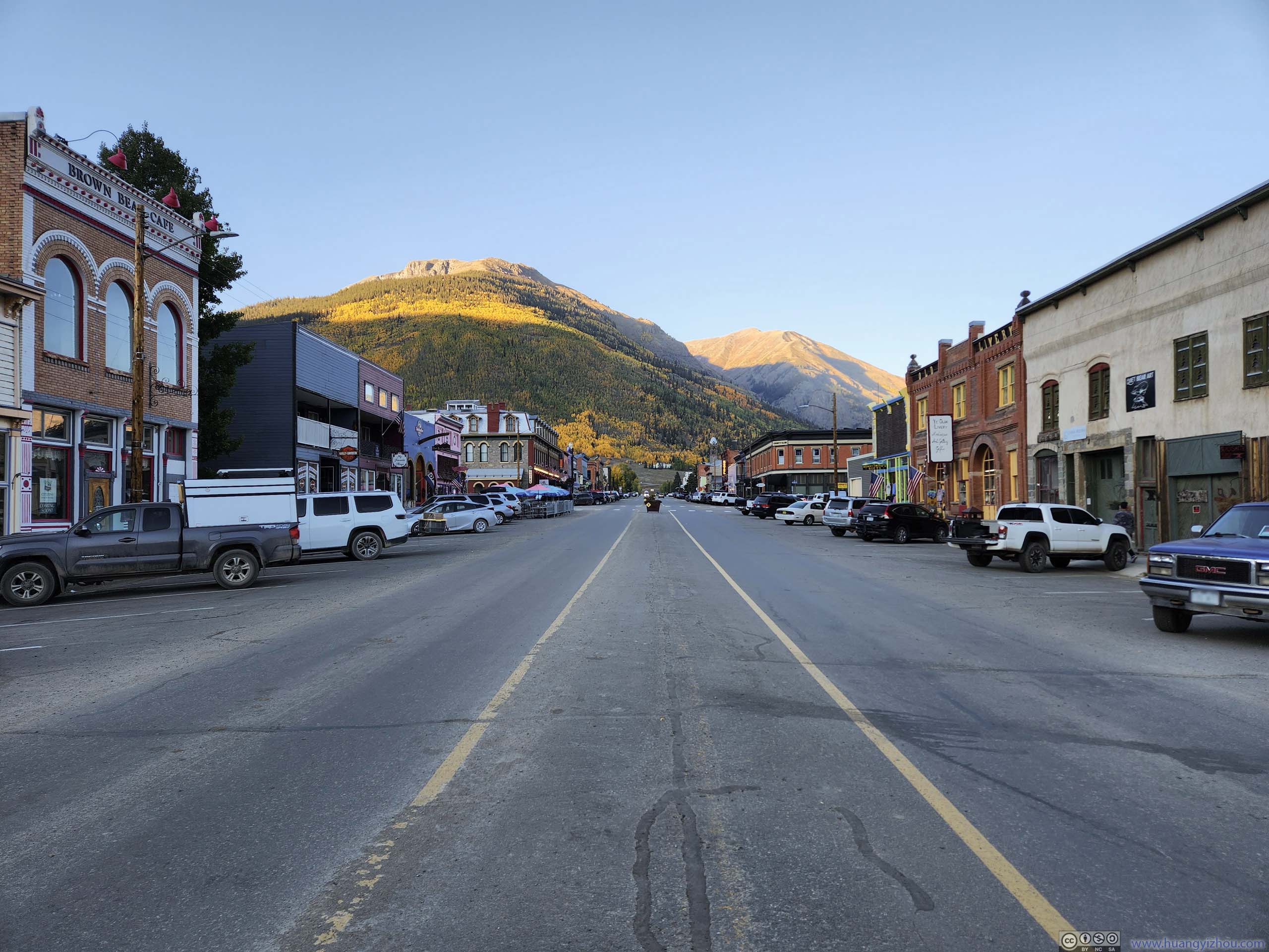
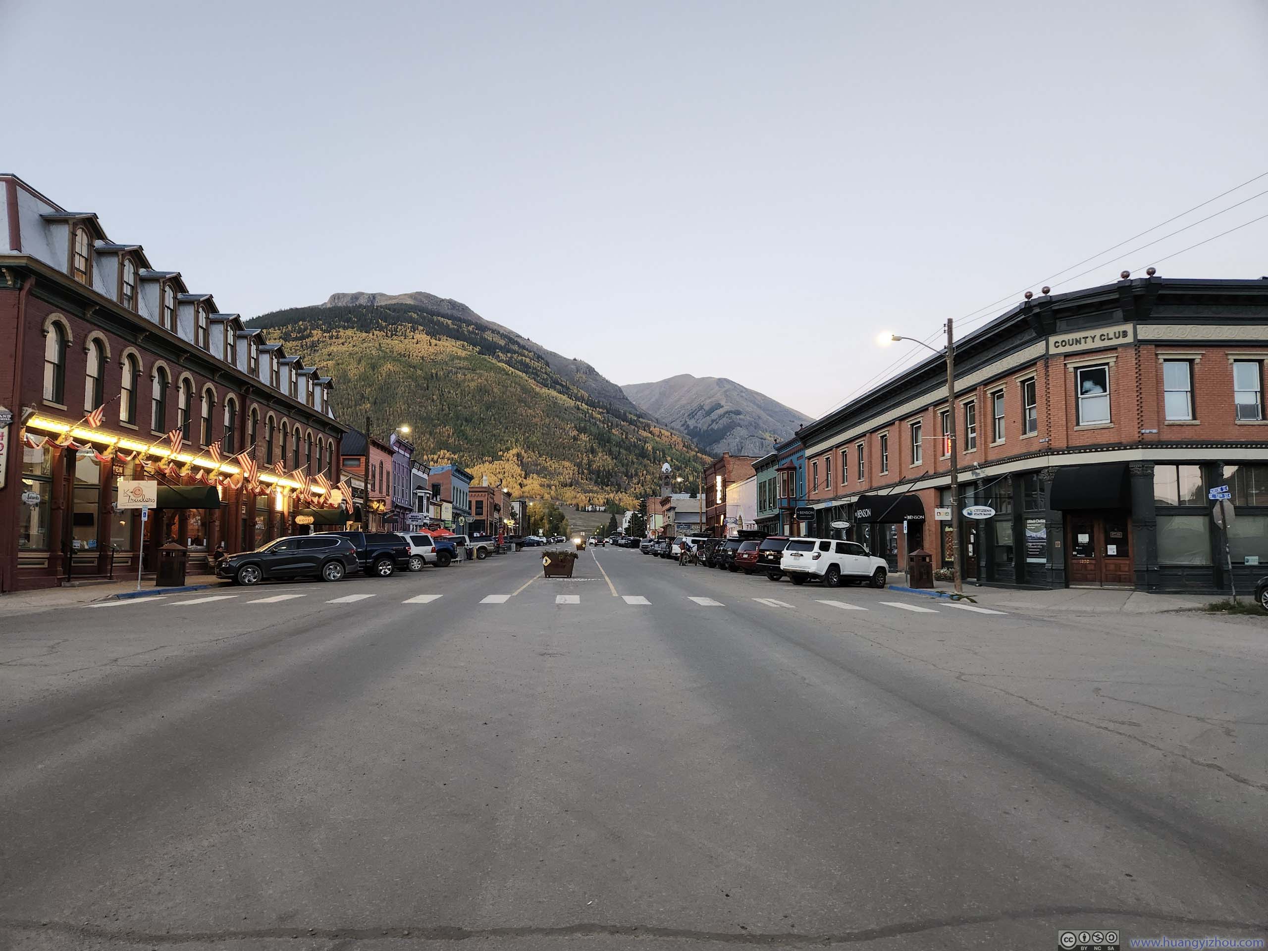
Finally, I was back at Silverton just past 6pm. There was still some time before sunset, so I gave the town a quick walking tour (as it could get really cold after dark).
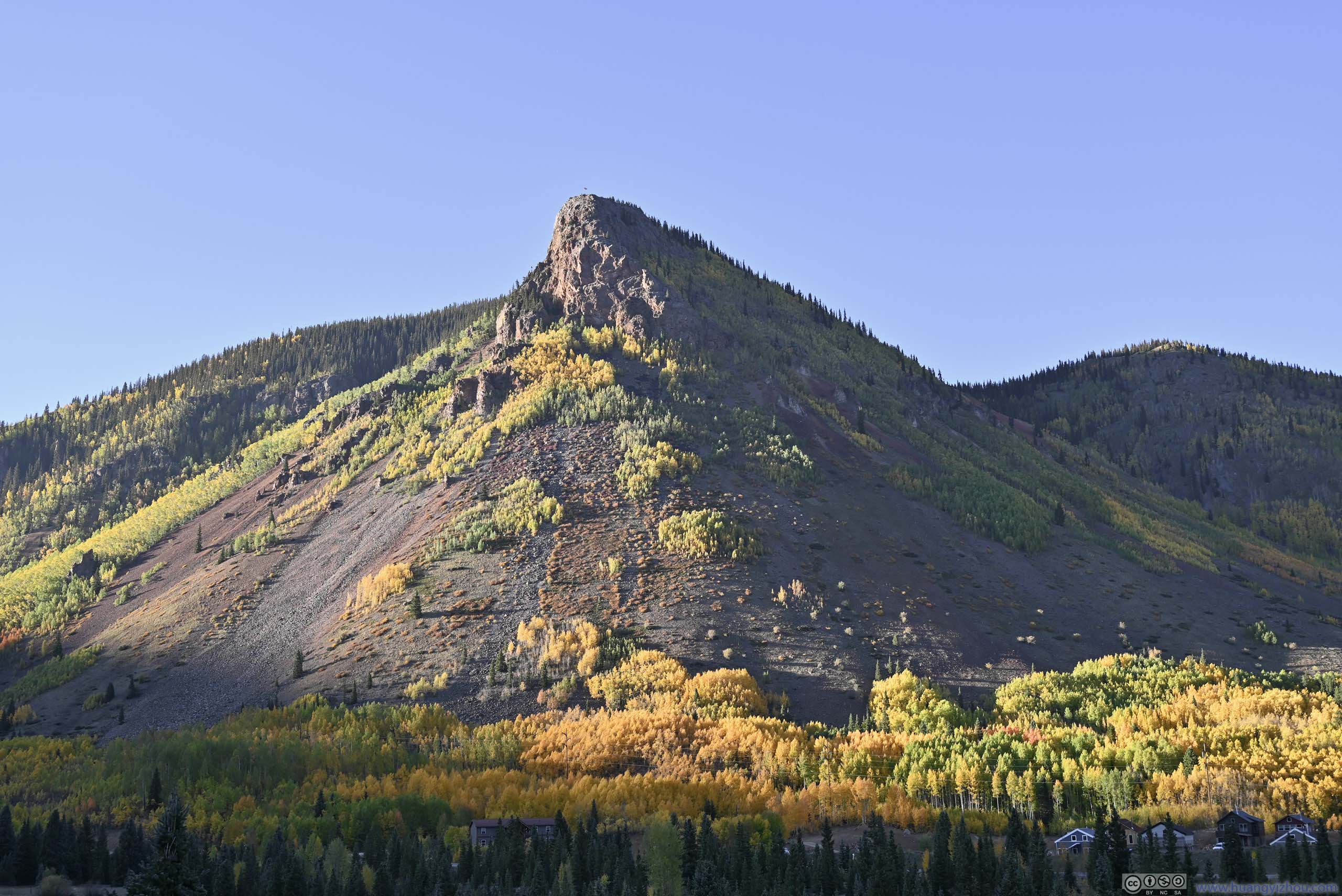
Mountain Bordering Silverton
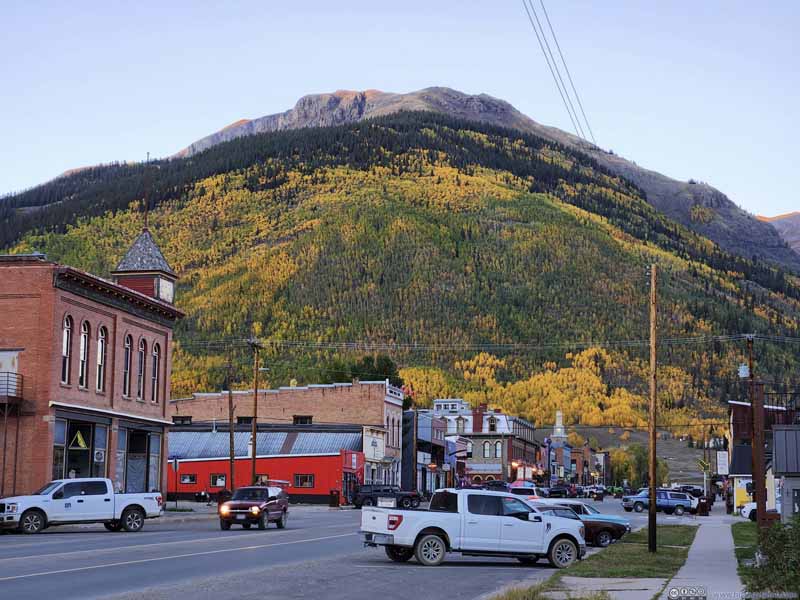
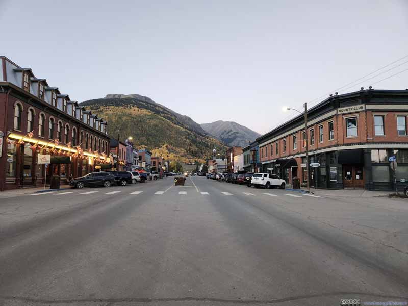
Street in Silverton
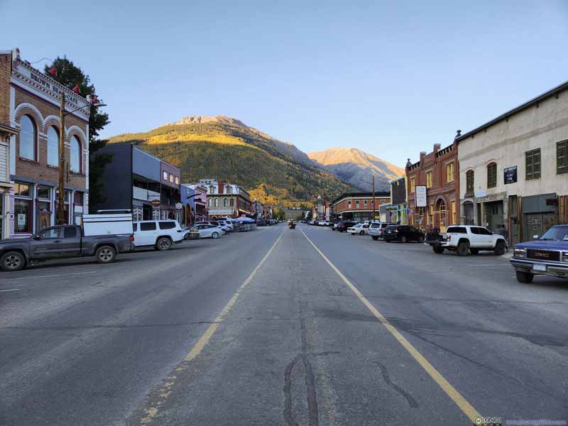
Street in Silverton
Dinner A pizza large enough that it was also my breakfast the next morning.