Day 5 of 2024 Thanksgiving Trip to Las Vegas, Valley of Fire
The fifth day of my 2024 Thanksgiving trip to Las Vegas. Today, I visited Valley of Fire State Park, a short drive from Las Vegas featuring enchanting formations of Aztec Sandstone.
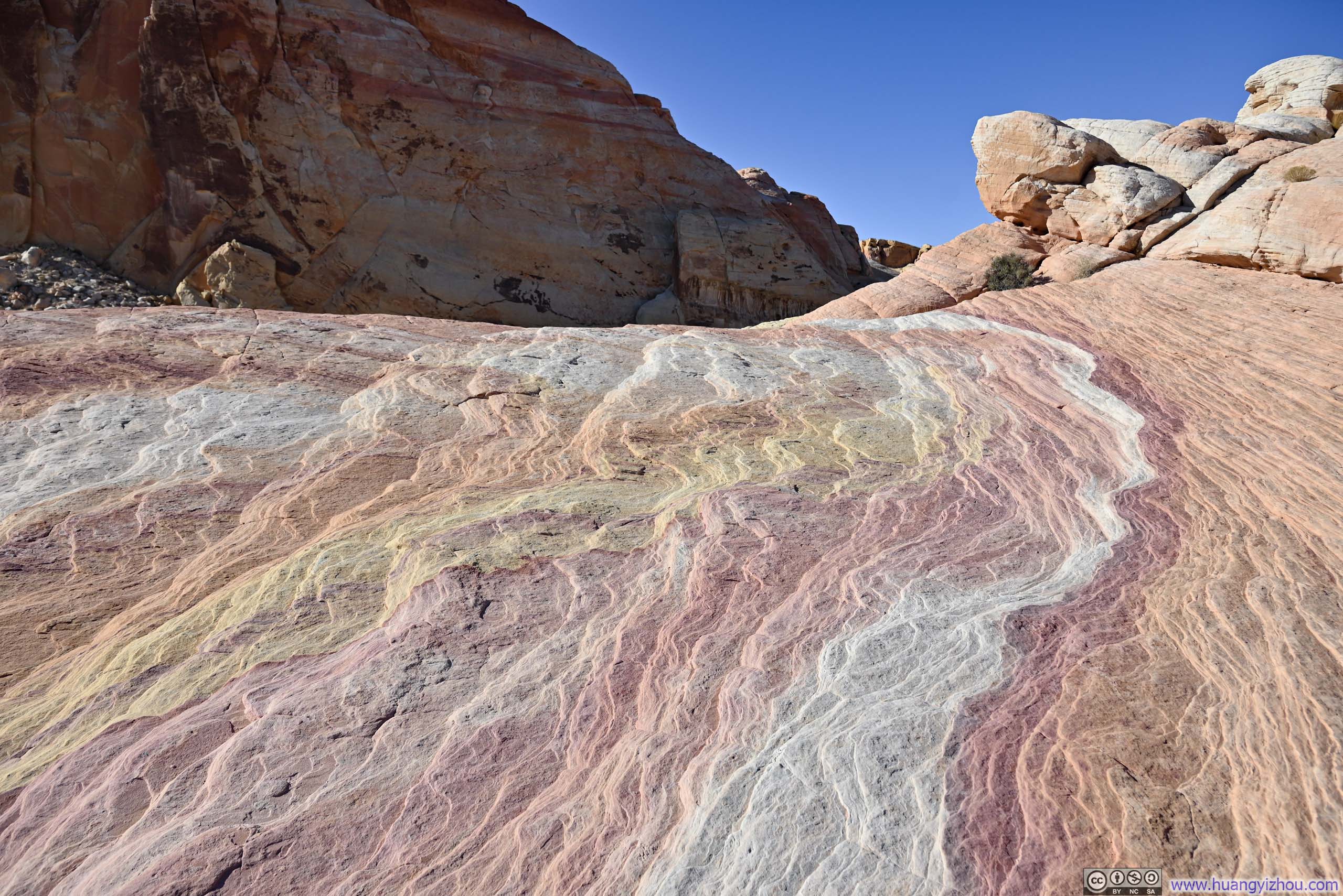
Valley of Fire was a bit like Red Rock Canyon that I visited in 2023. It too featured fiery-colored sandstone, located farther away from Las Vegas but more expansive, with more intense interplay of shapes and colors from its rocks. It turned out to be perfect destination for a day trip from Las Vegas.
It took me less than an hour to reach Valley of Fire's entrance station from my Airbnb in Las Vegas via I15. I must say, however, that once I turned off I15, the speed limits along Valley of Fire Highway were ridiculously low. Probably because it was Thanksgiving Day with lots of people heading out, there was a 10-minute wait to enter the park via its West Entrance.
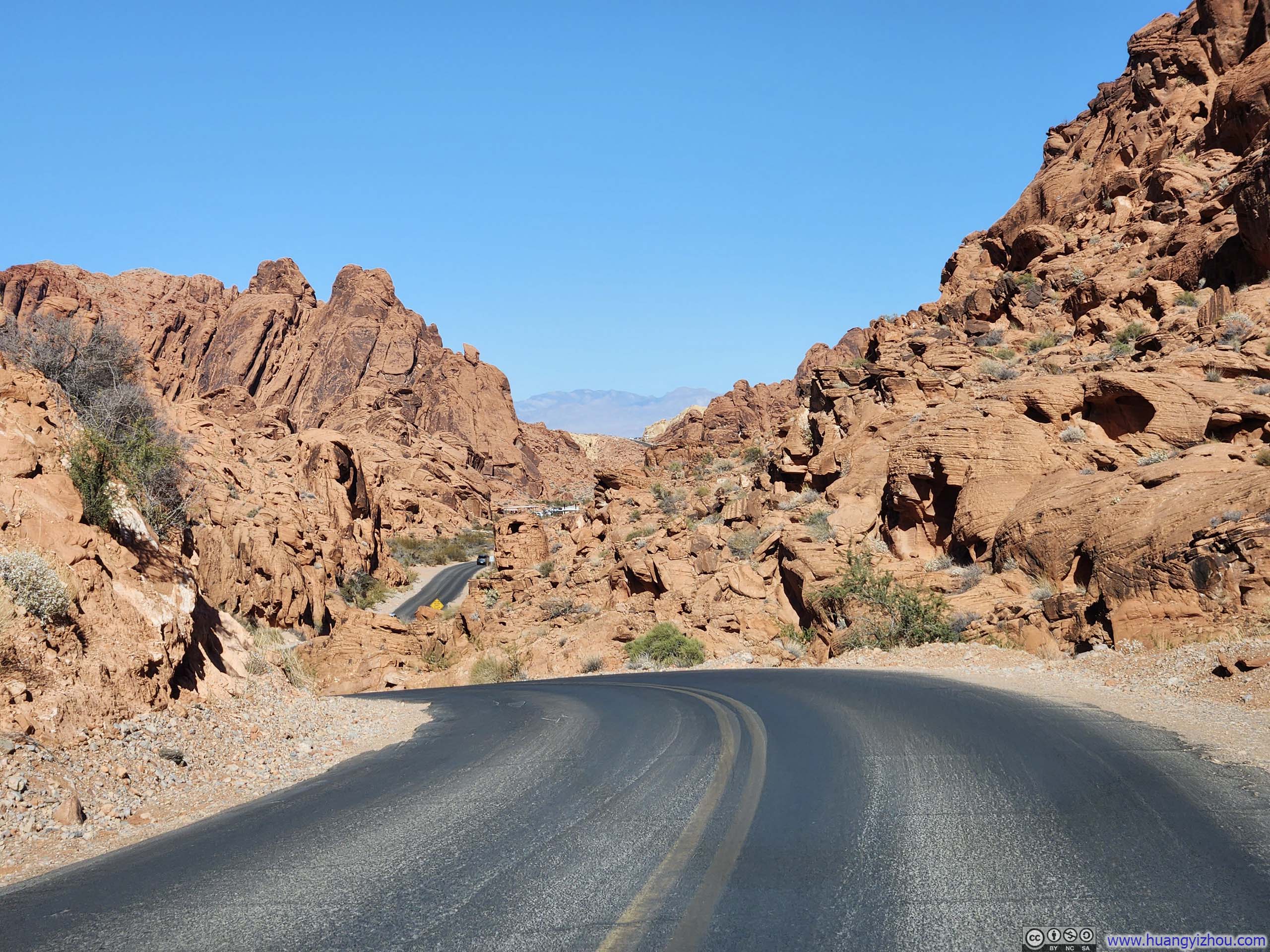
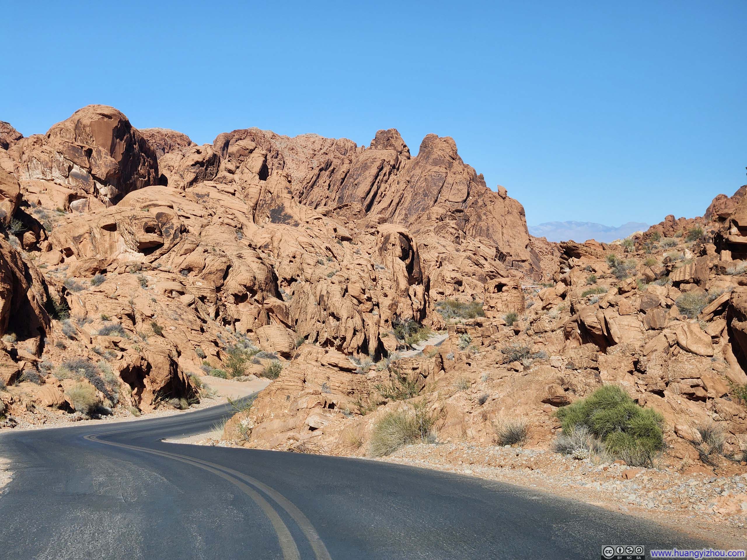
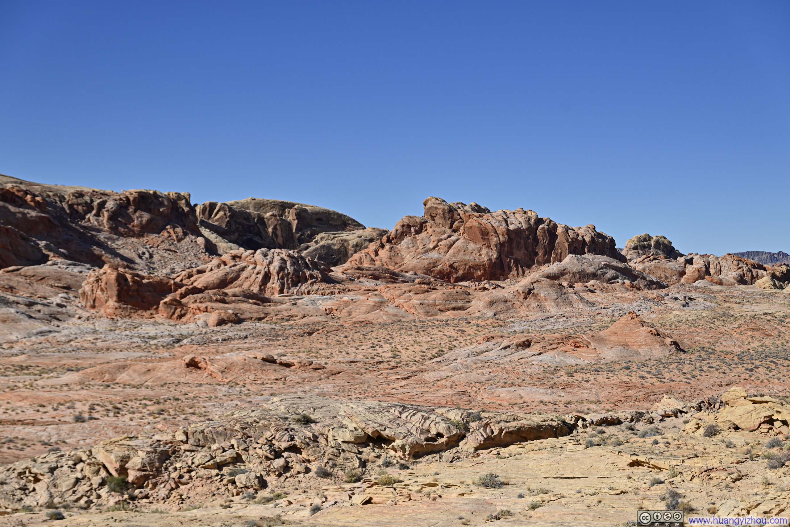
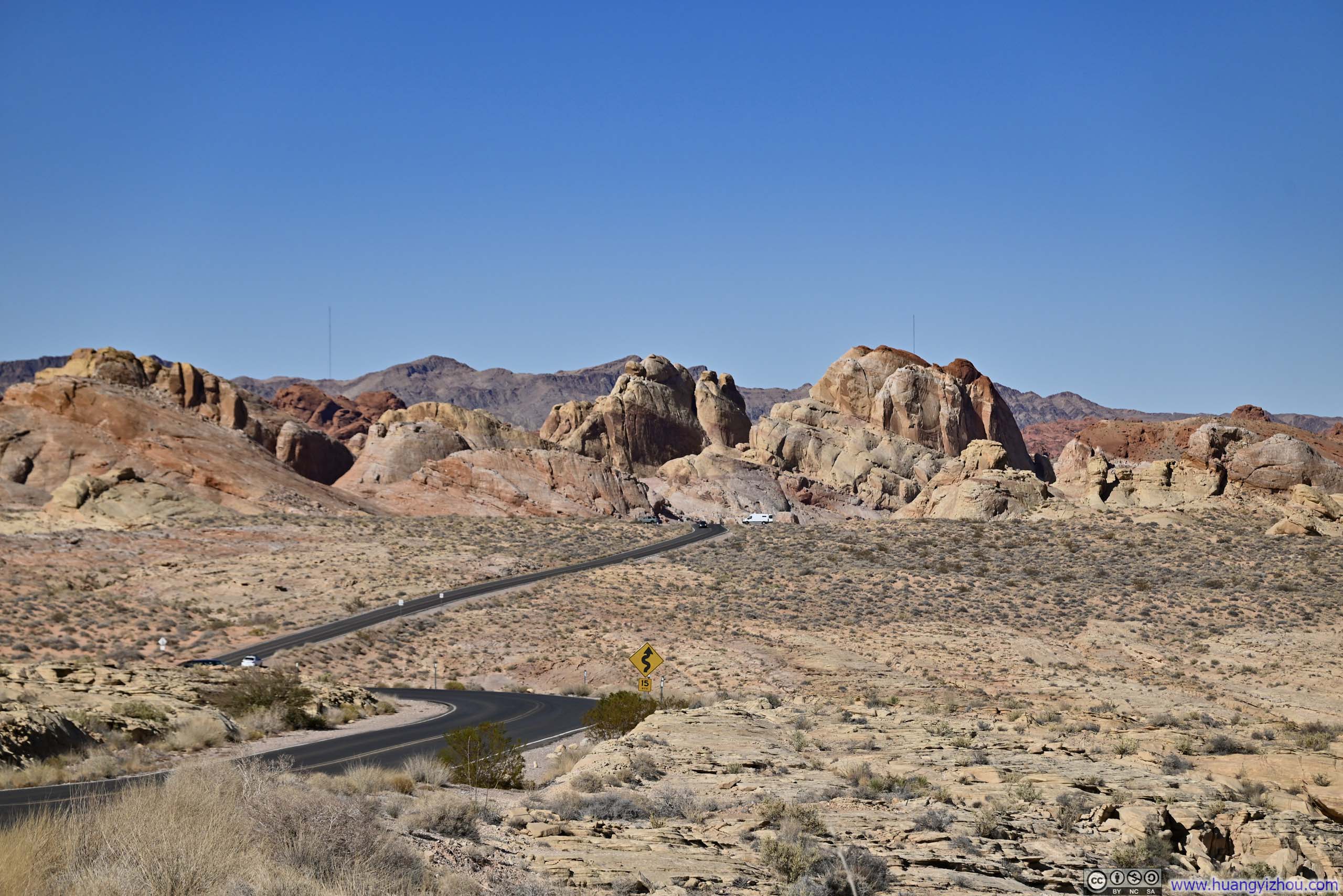
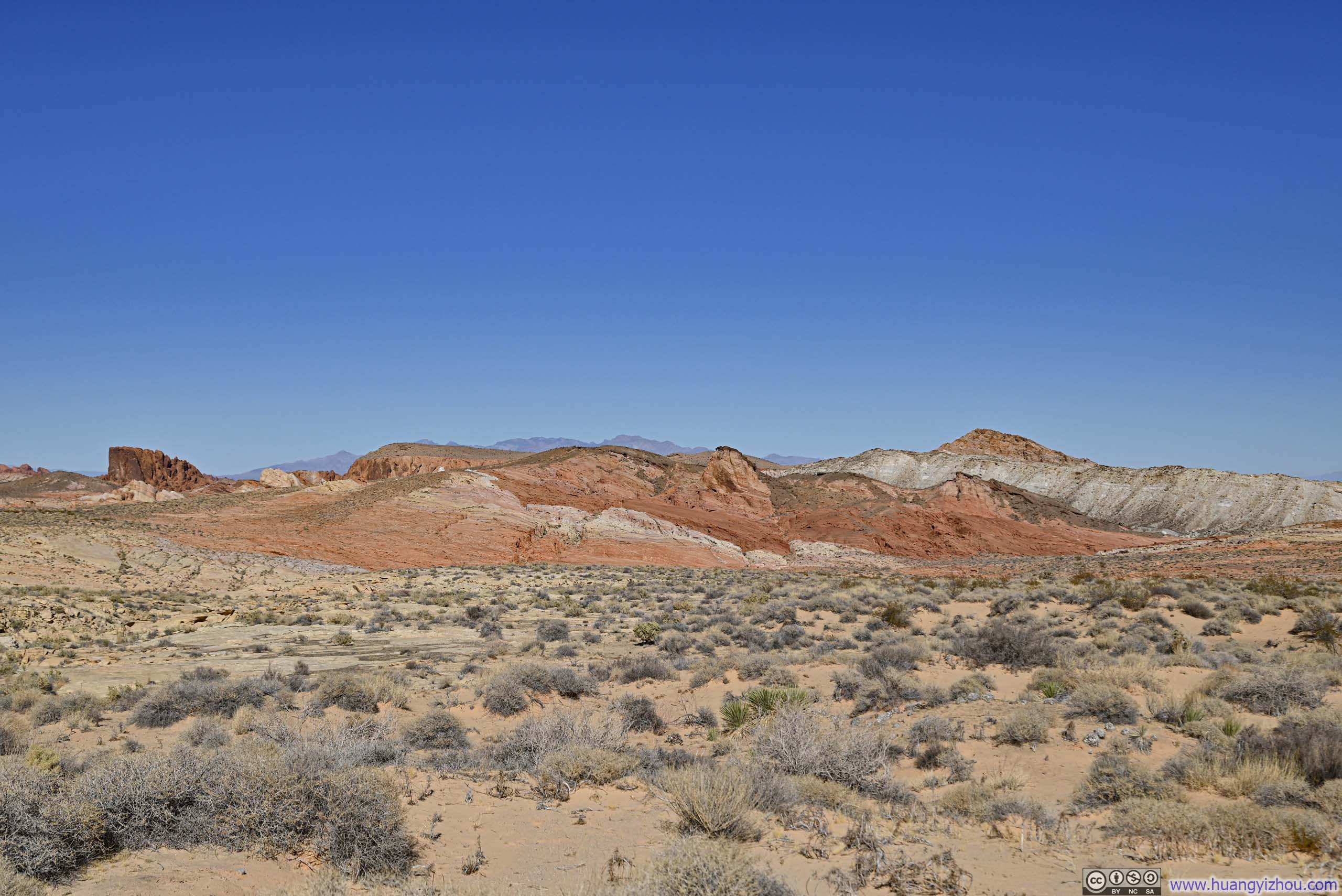
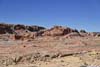
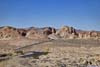
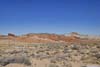
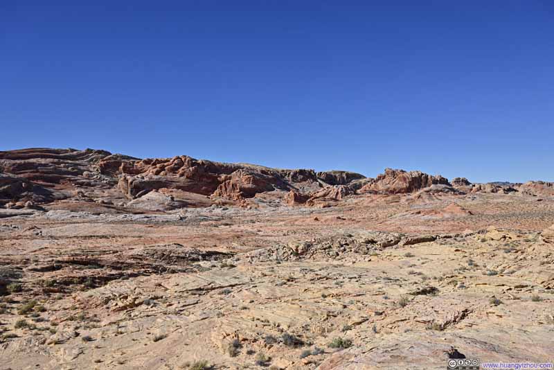
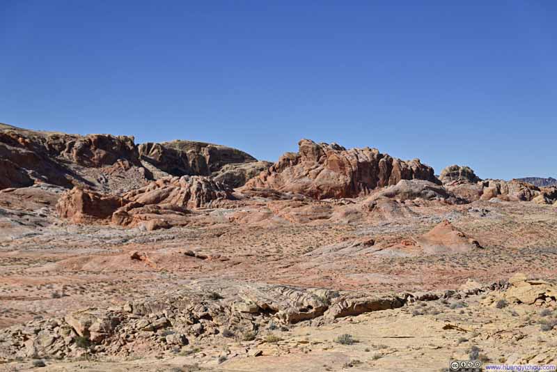
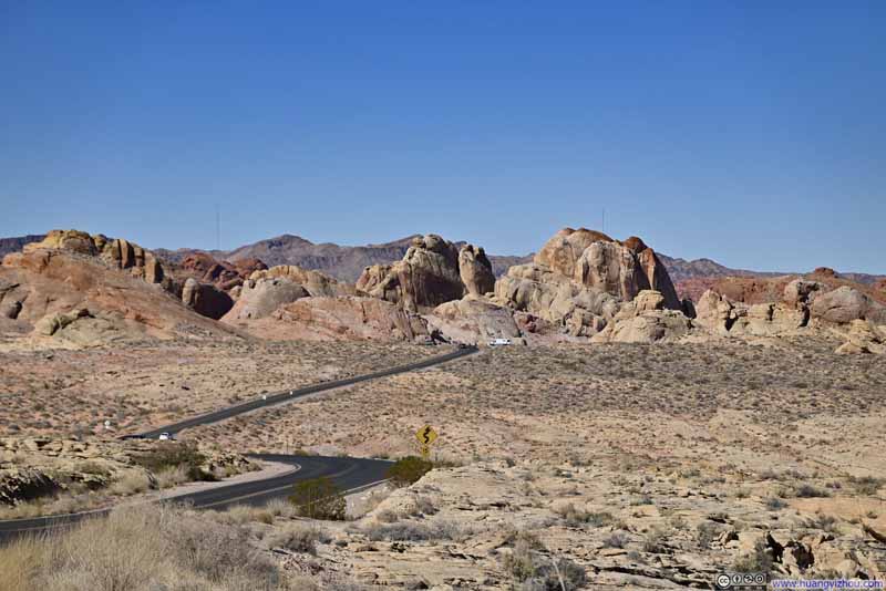
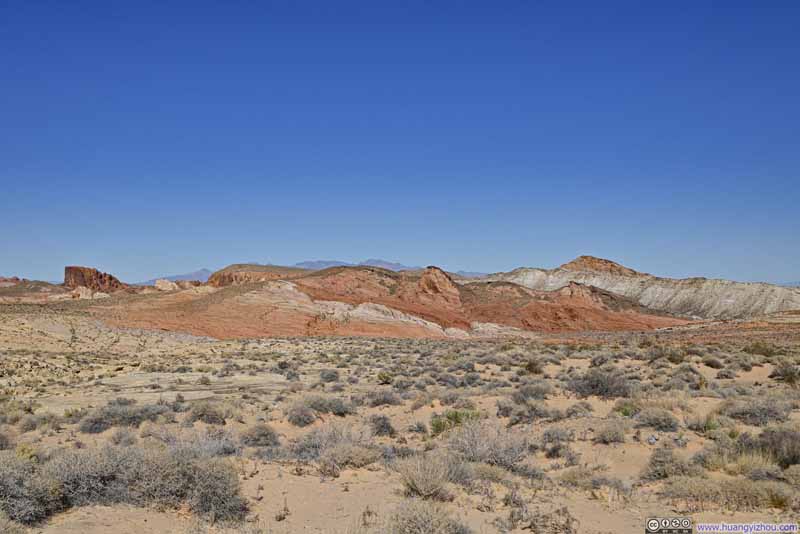
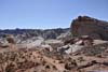
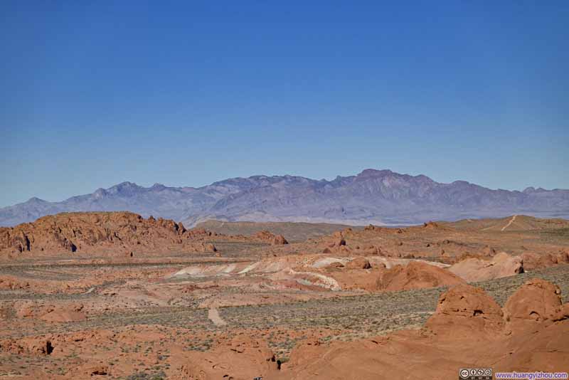
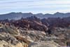
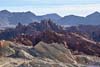
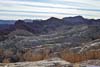
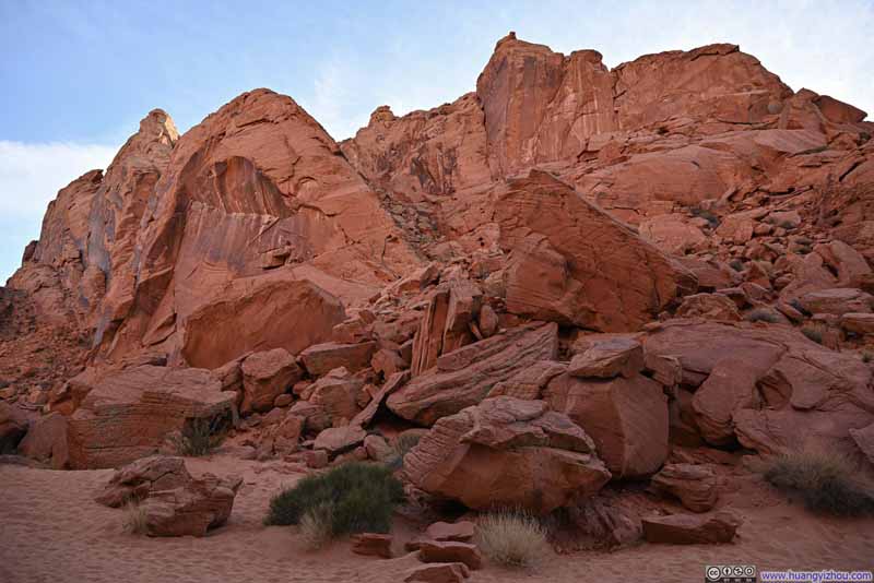
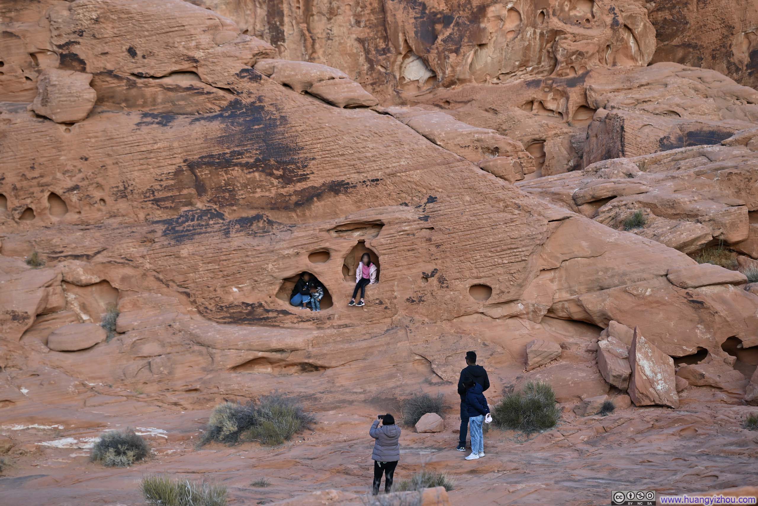
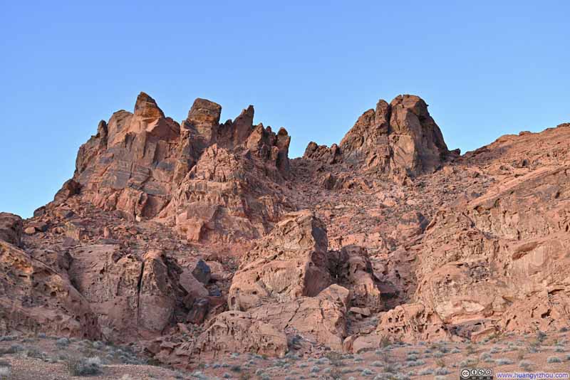
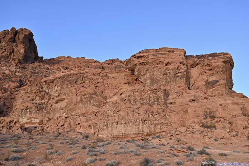
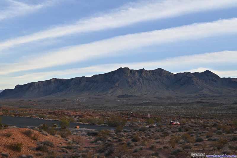
The most popular part of the park was at the top of the inverted "T". Along the way I passed several overflow parking lots and decided to stop at one of them, where as a preview, I caught a glimpse of the intricate labyrinth of red rocks that awaited me.
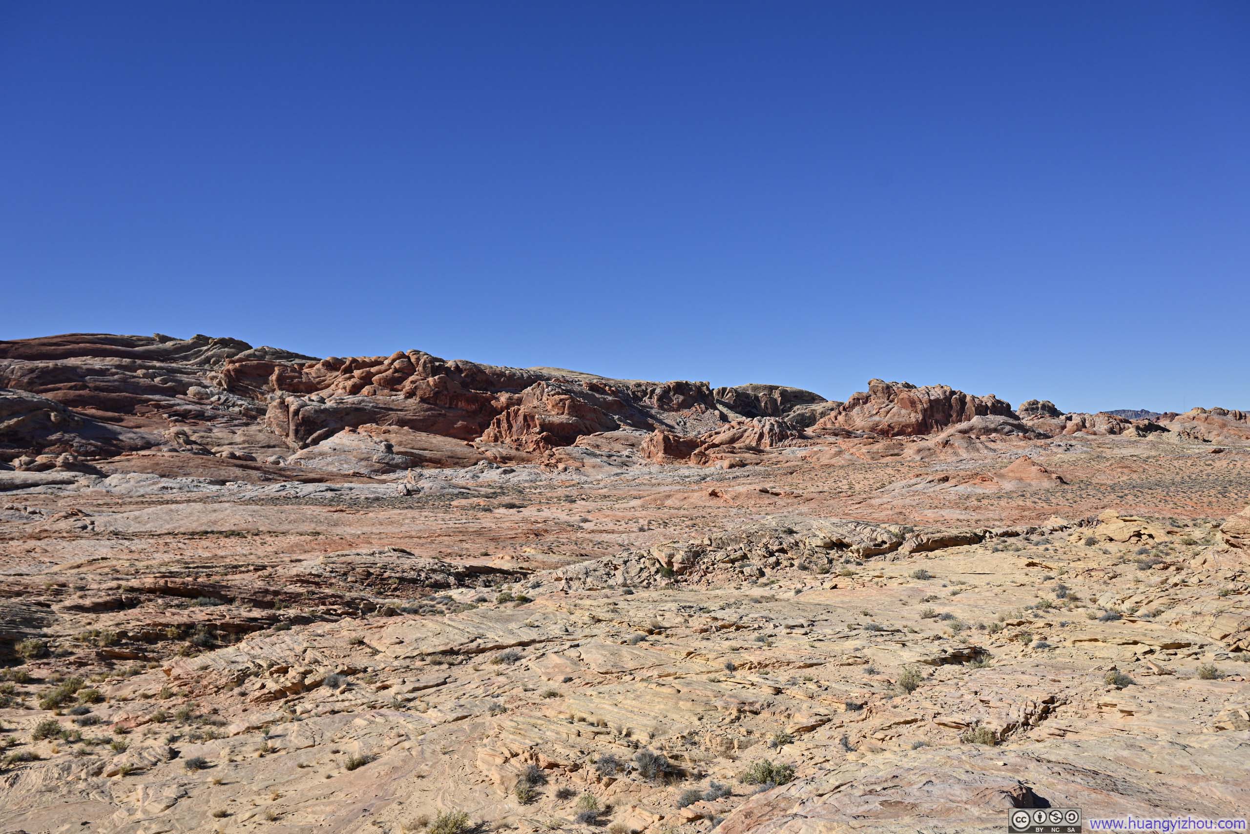
Fire Wave and White Domes Trail
This trail was arguably the most popular in the park, seamlessly combining two iconic loops: the Fire Wave and Seven Wonders Loop with the White Domes Trail. As a result, one could start from either Fire Wave Trailhead or White Domes Trailhead. Parking at both locations was limited. I was fortunate enough to secure a spot at the Fire Wave Trailhead just moments after another car departed.
Starting off, I headed south along Seven Wonders Trail. Much like my previous days in Death Valley, I wanted this adventure to feel spontaneous and unplanned. So I only memorized the general layout of the trail and chose not to look up the exact locations or details of the "Seven Wonders". Adding to the unpredictability, the area near the Fire Wave Trailhead featured a network of crisscrossing trails. I simply picked a random trail going in the right direction, and as a result missed Fire Cave and Thunderstorm Arch, which were two rock arches.
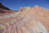
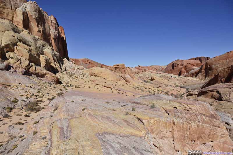
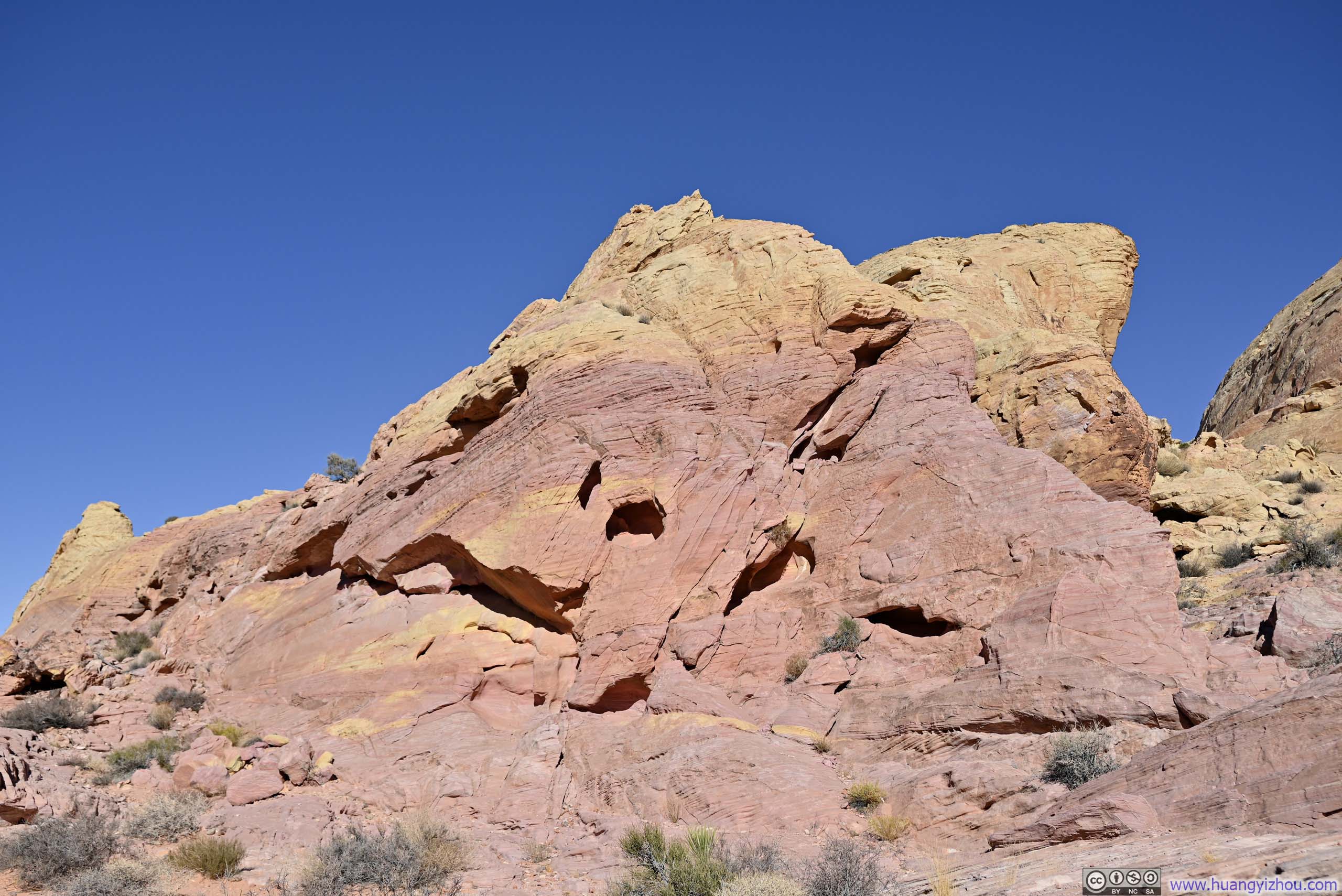
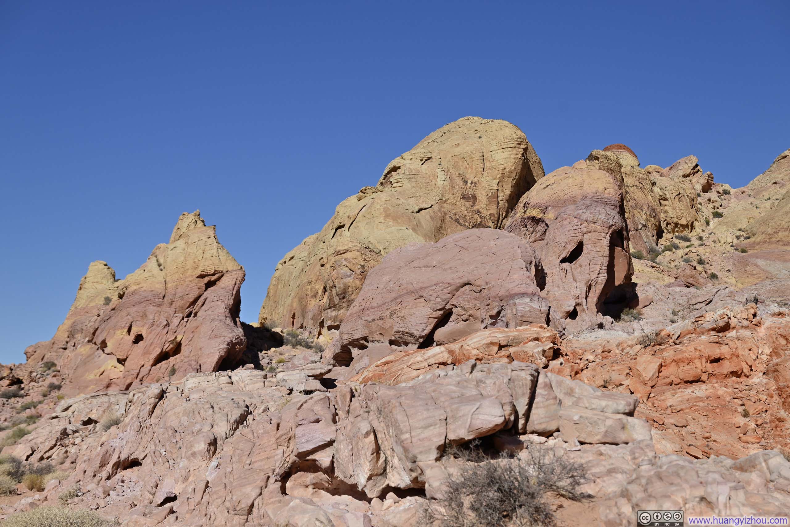
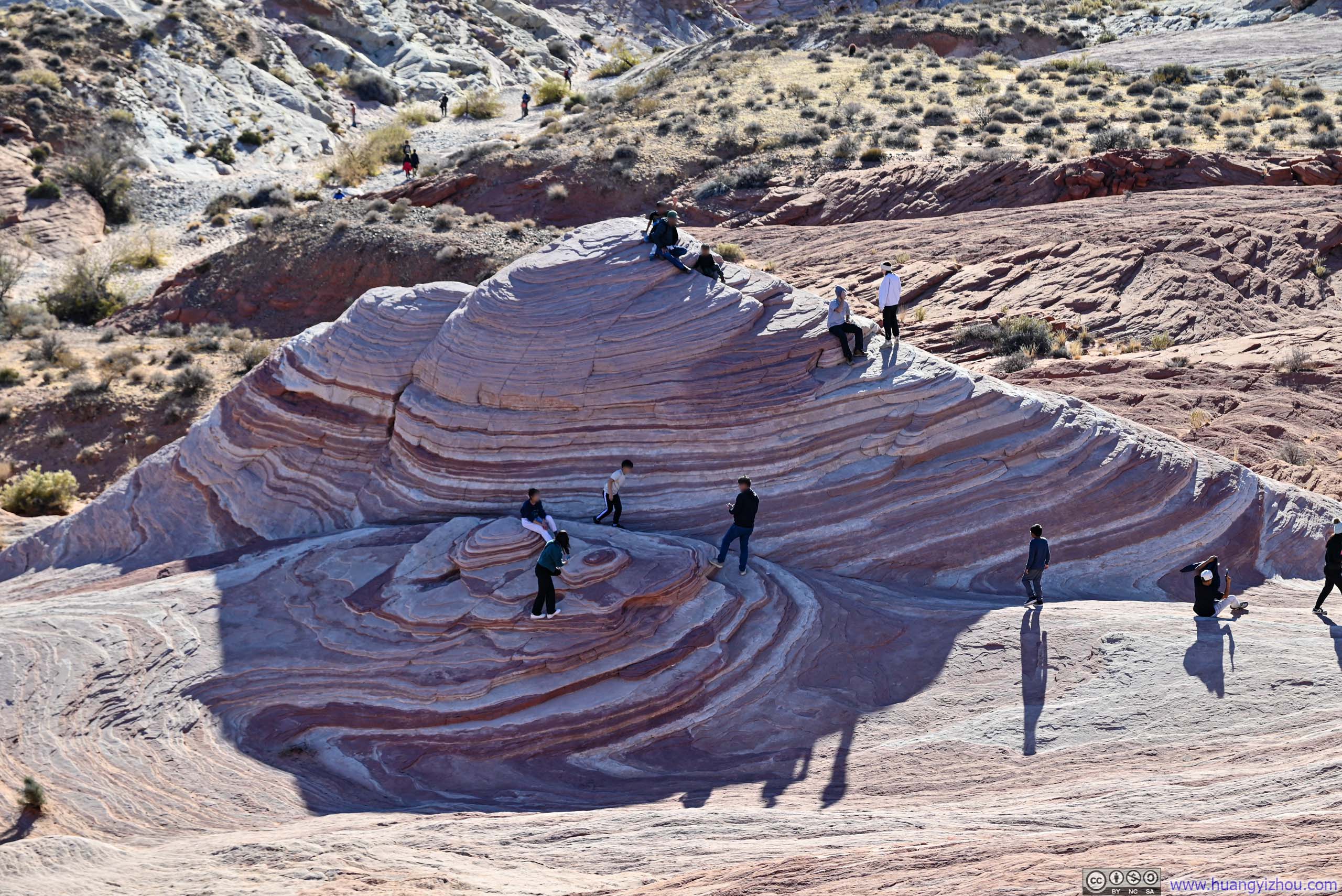
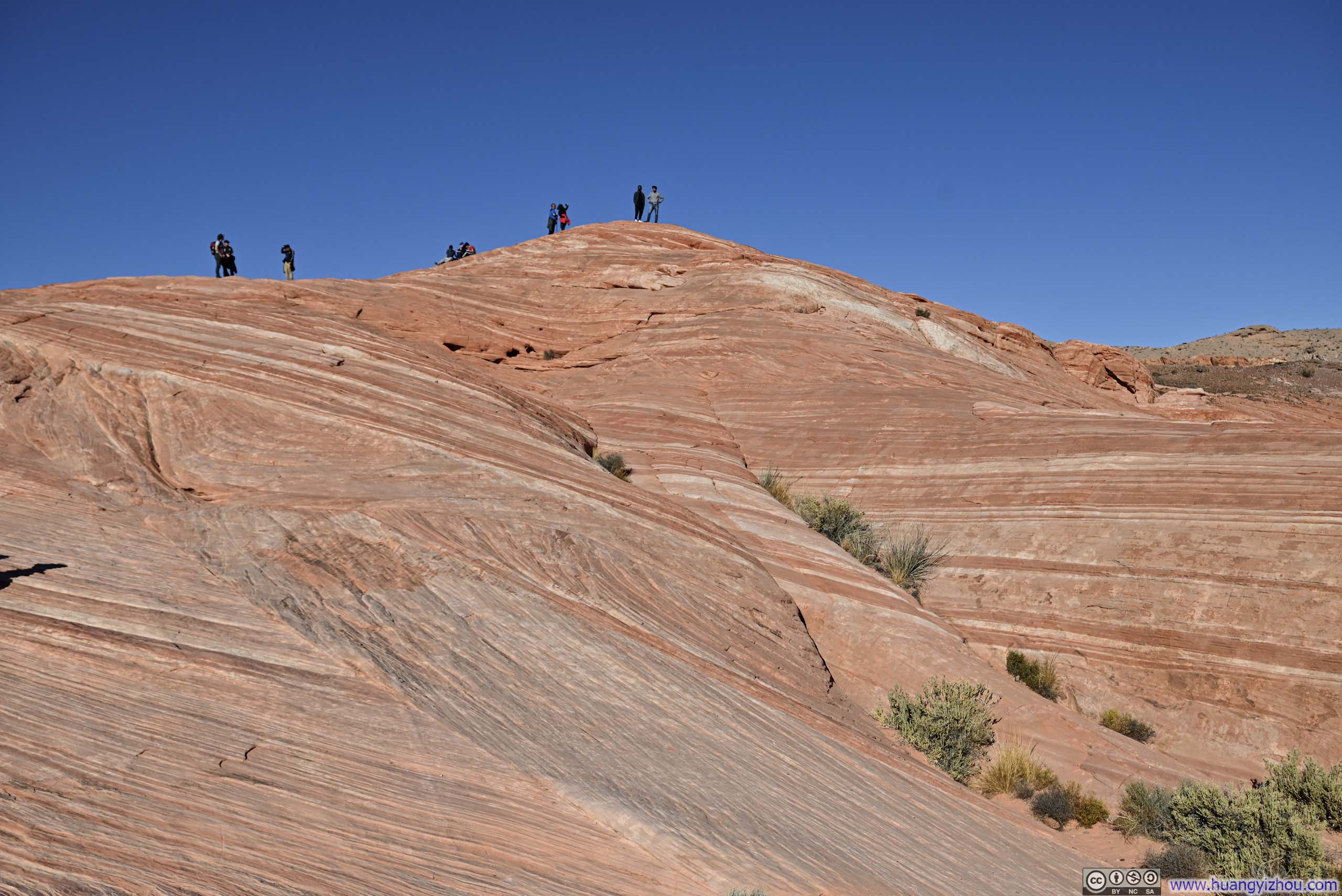
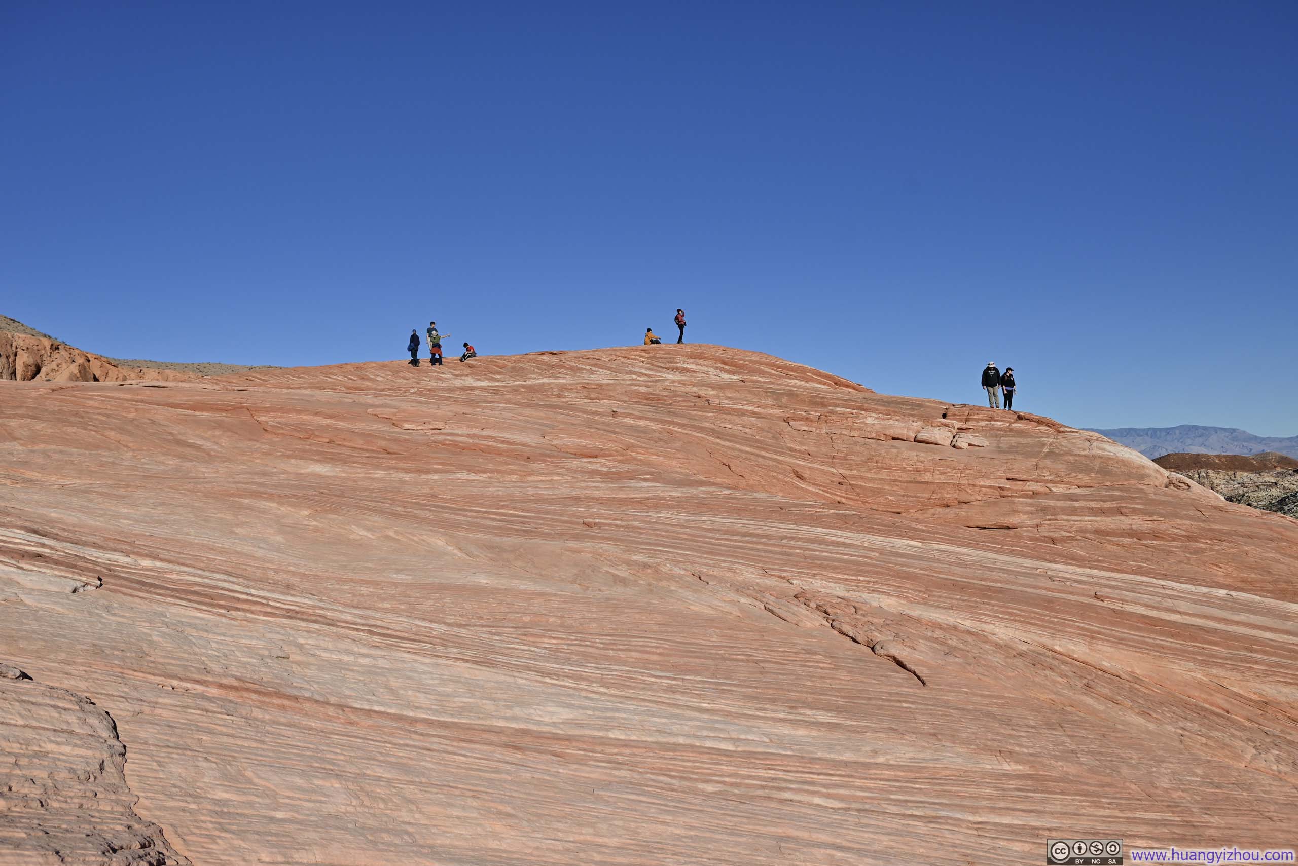
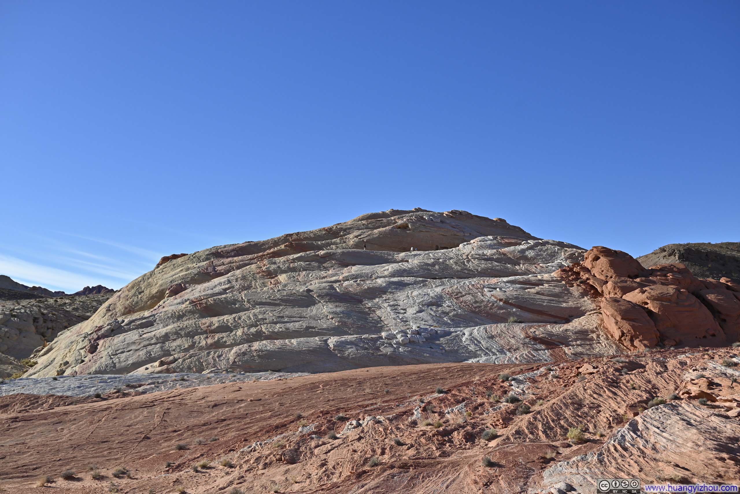
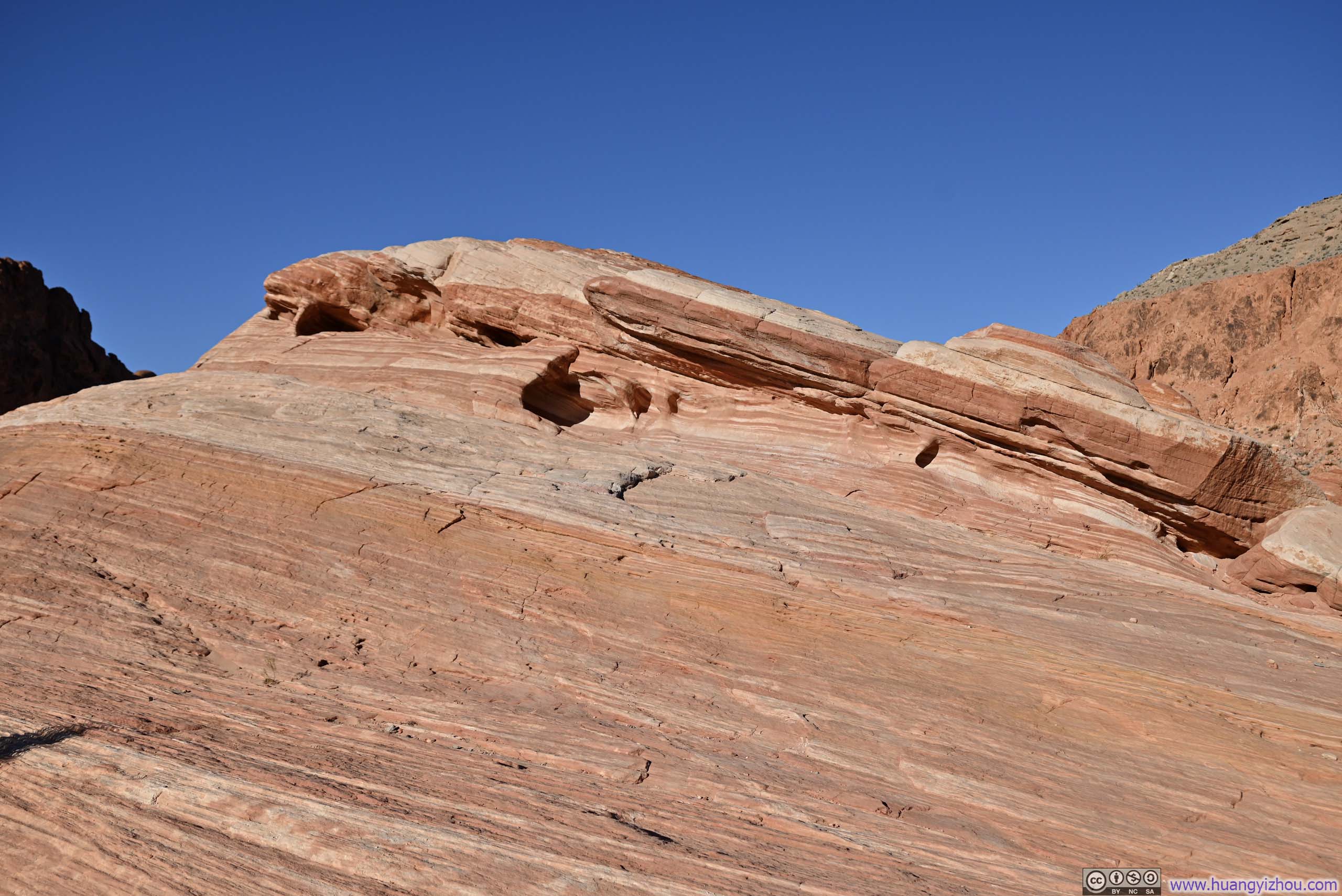
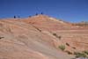
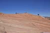
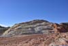
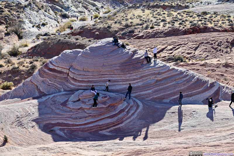
But fortune smiled upon me, as I did not miss Crazy Hill, which was unquestionably the highlight of my day (p3-4 below). This remarkable formation featured extraordinary bands of white, yellow, orange, and pink flowing side by side like a river across the undulating rock surface. The wavy textures created an impression of a painter's palette casually tossed across the landscape. Since it wasn't on my radar, it's quite a pleasurable discovery.
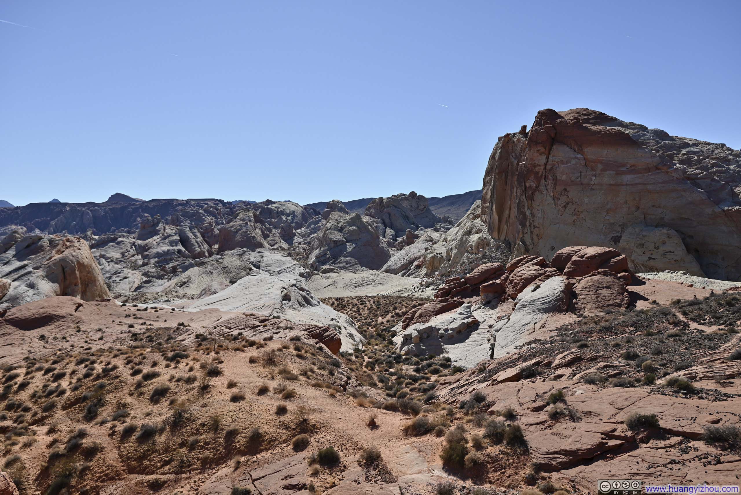
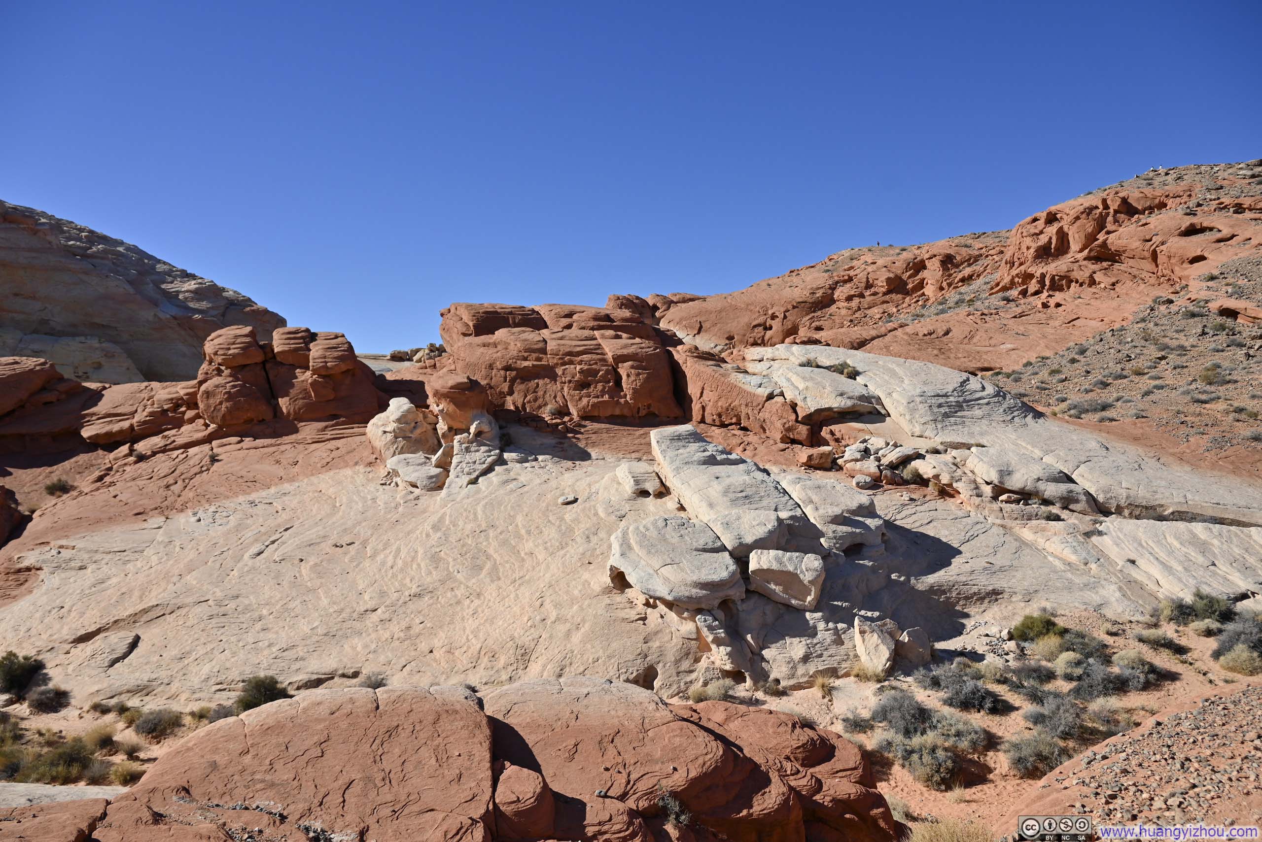
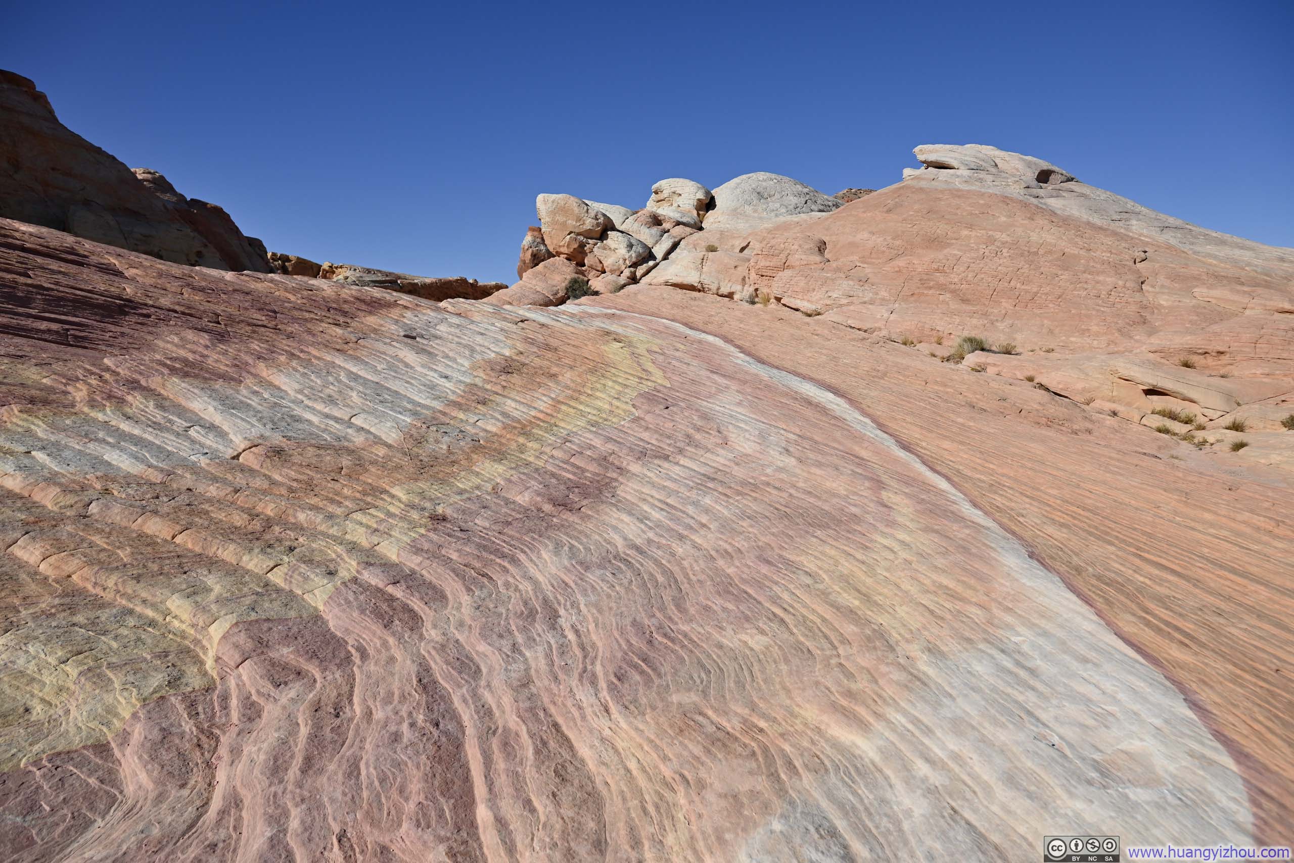
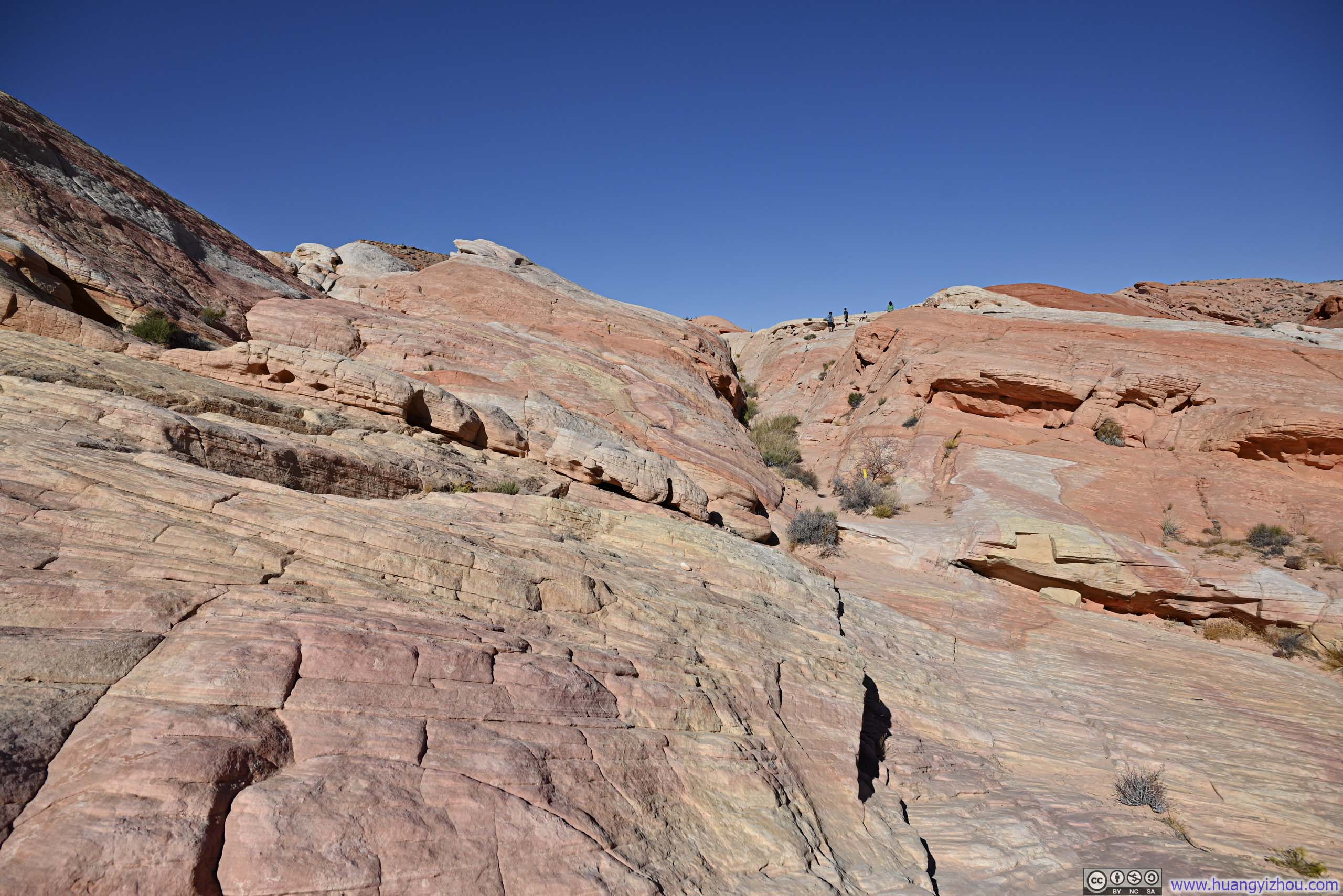
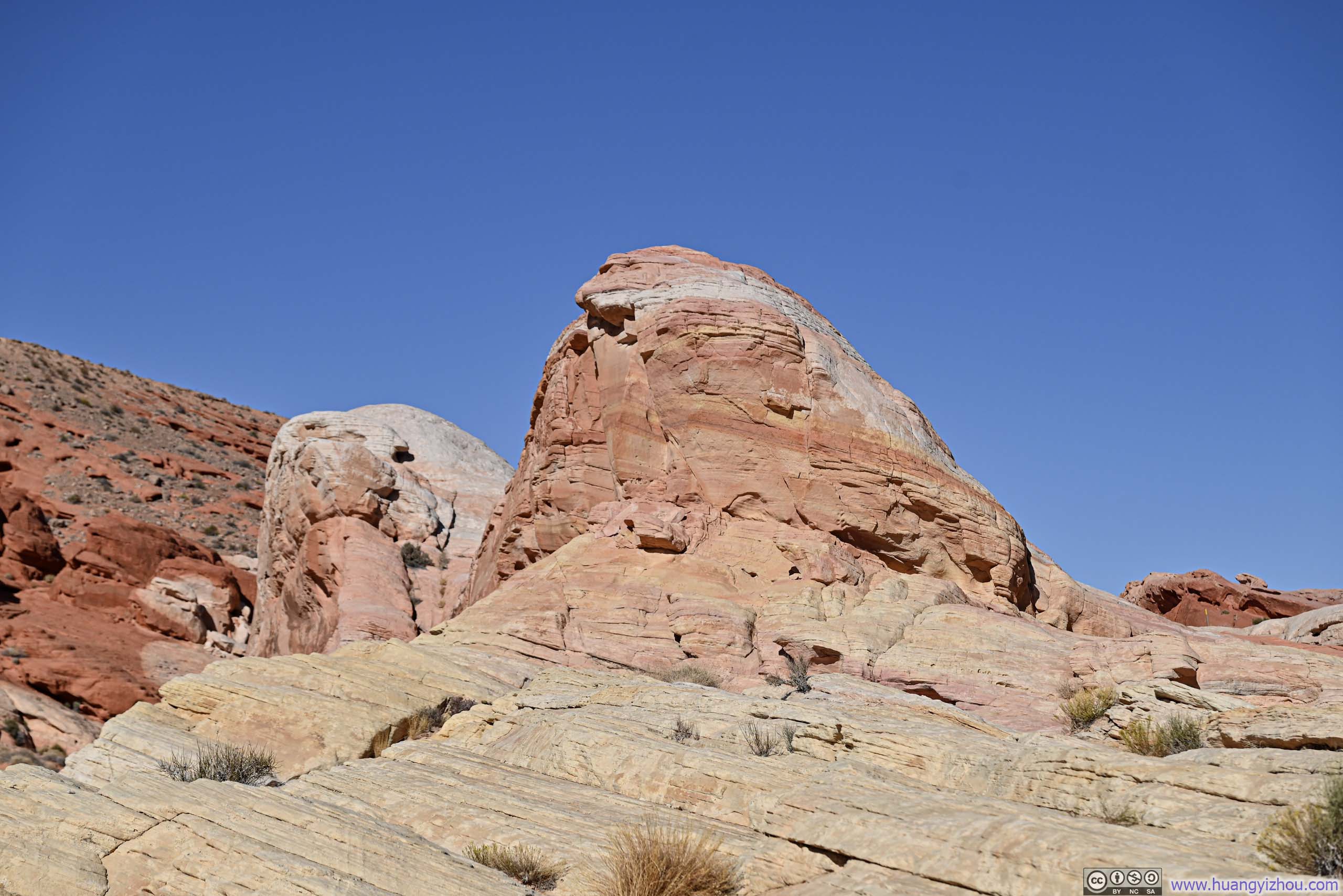
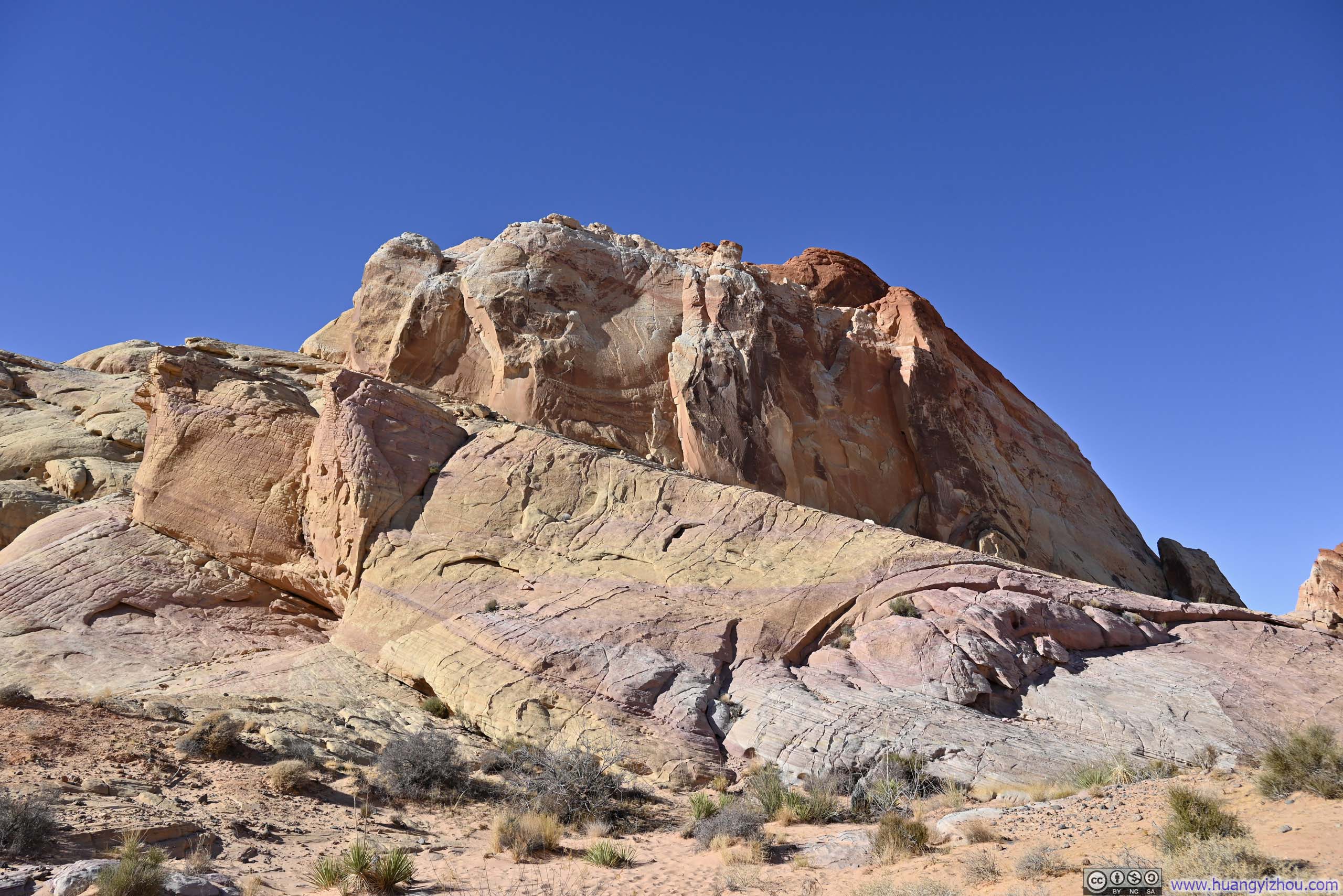
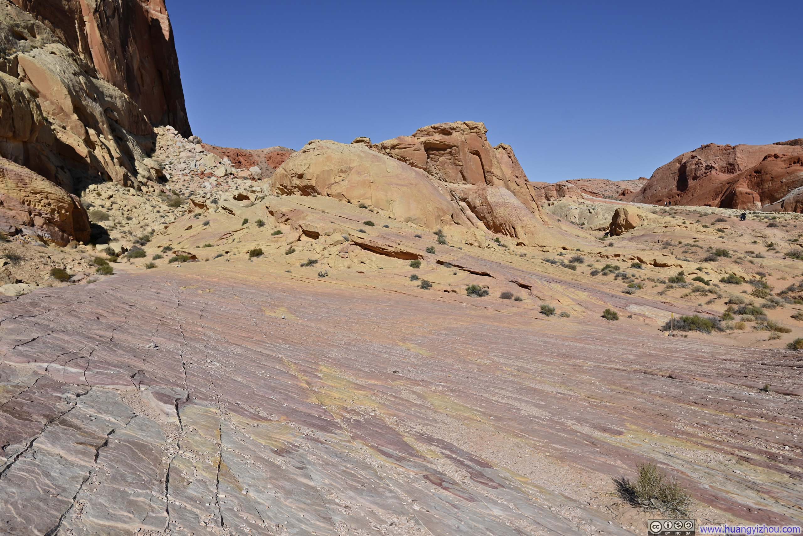
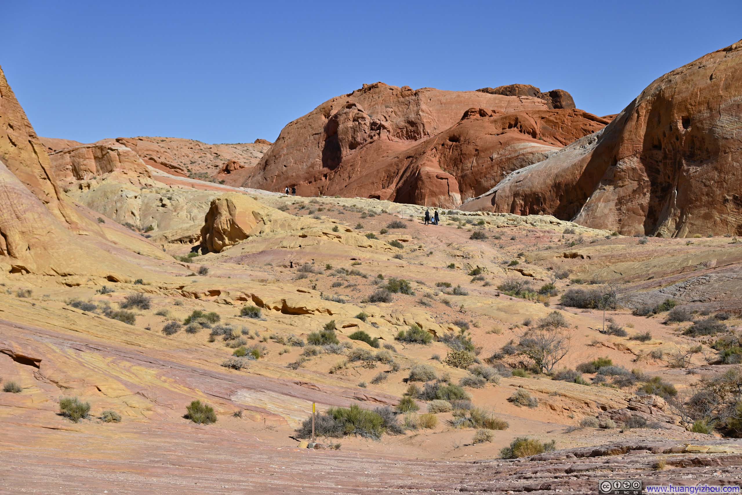
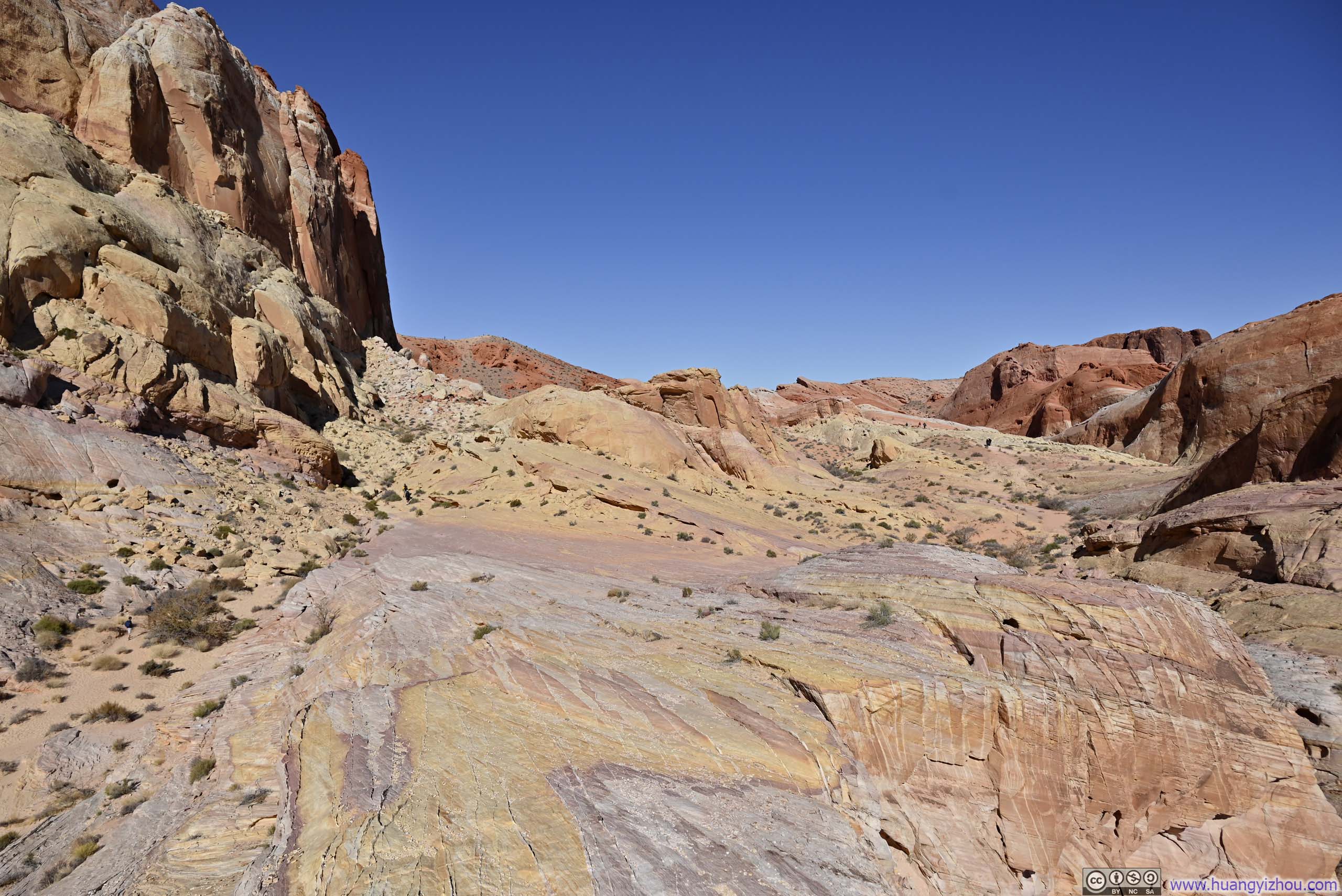
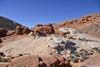
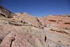

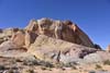
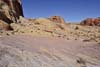
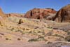
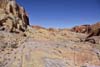
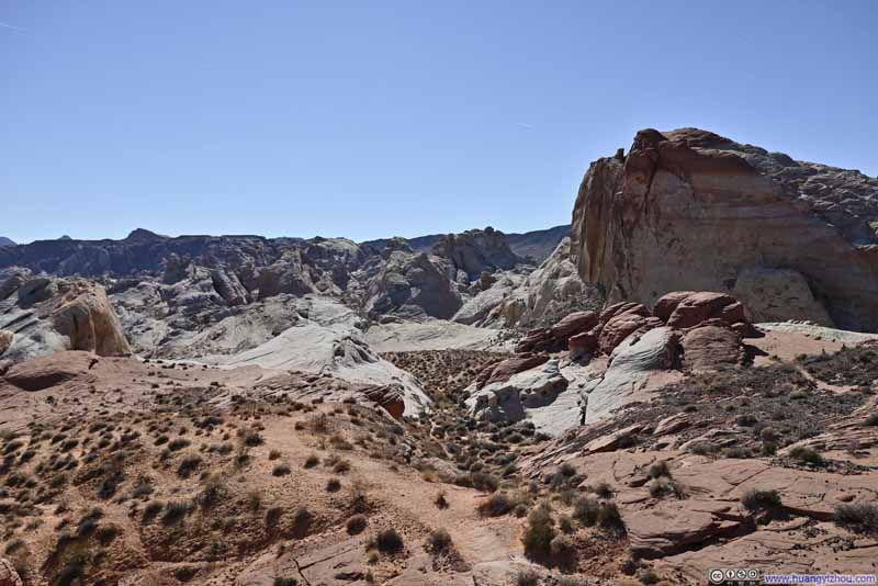
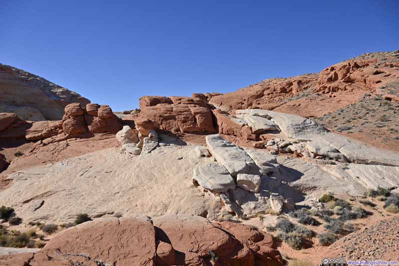
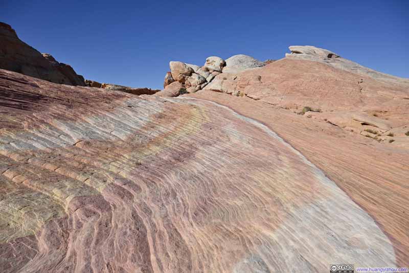
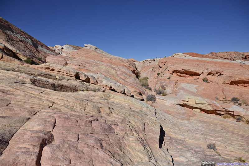
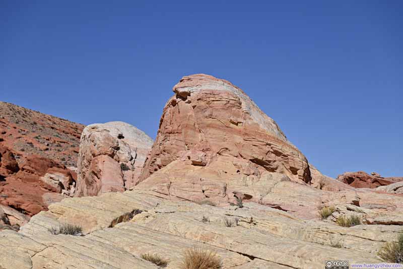
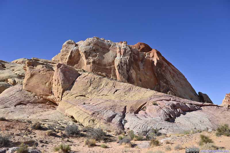
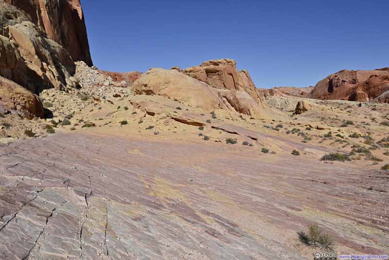
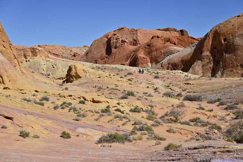
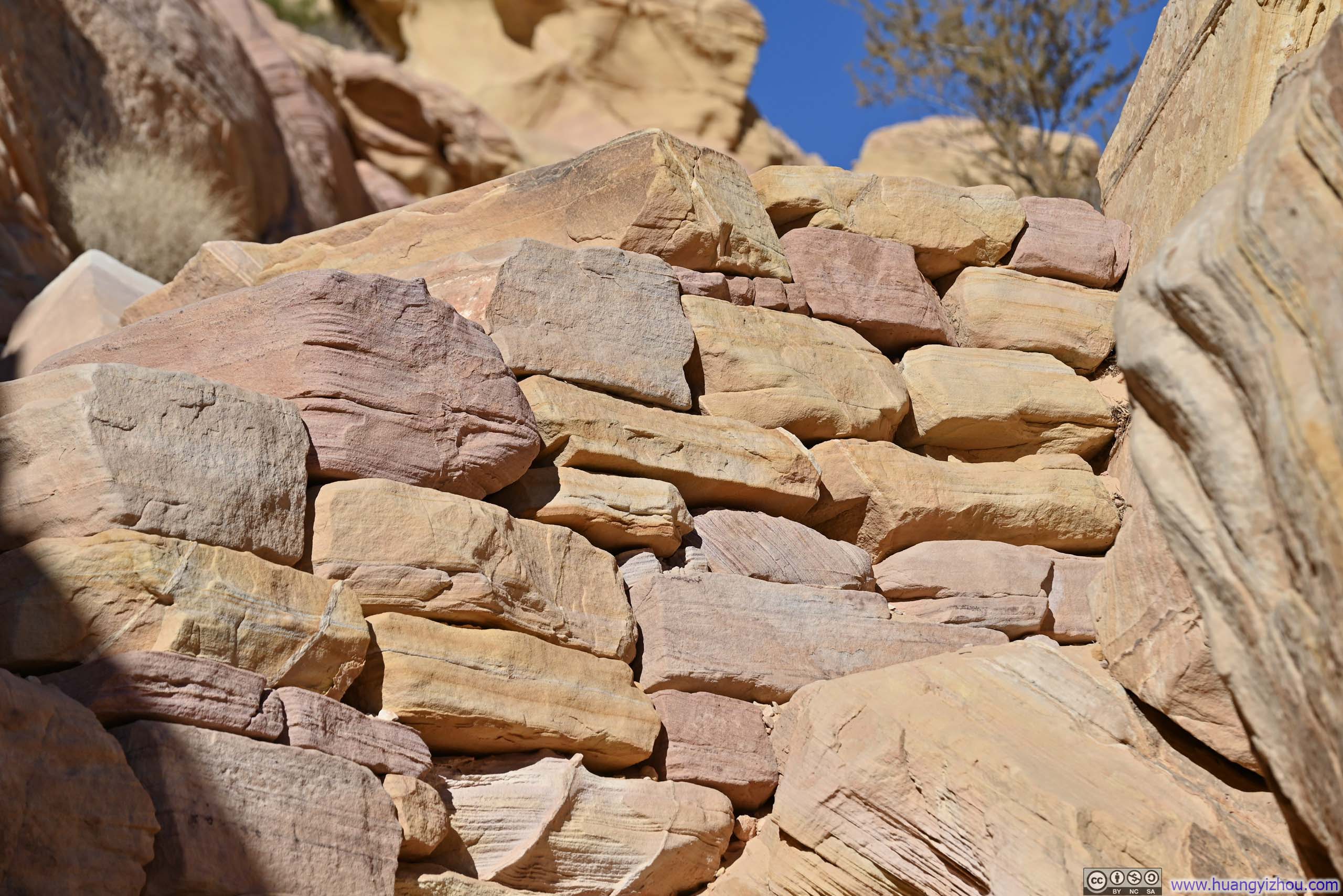
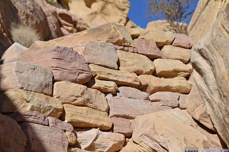
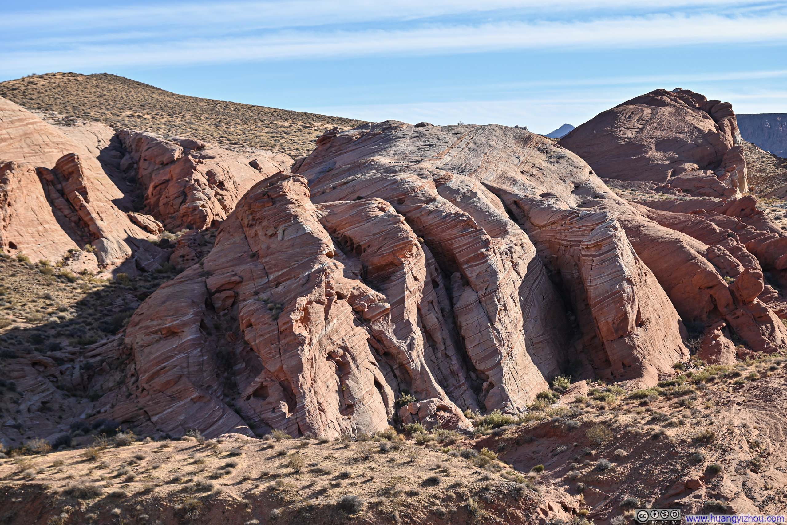
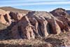
Onto the White Domes part of the loop, the hike to its parking lot wasn't as dramatic, still colors abounded even in the most mundane bricks (p3 below).
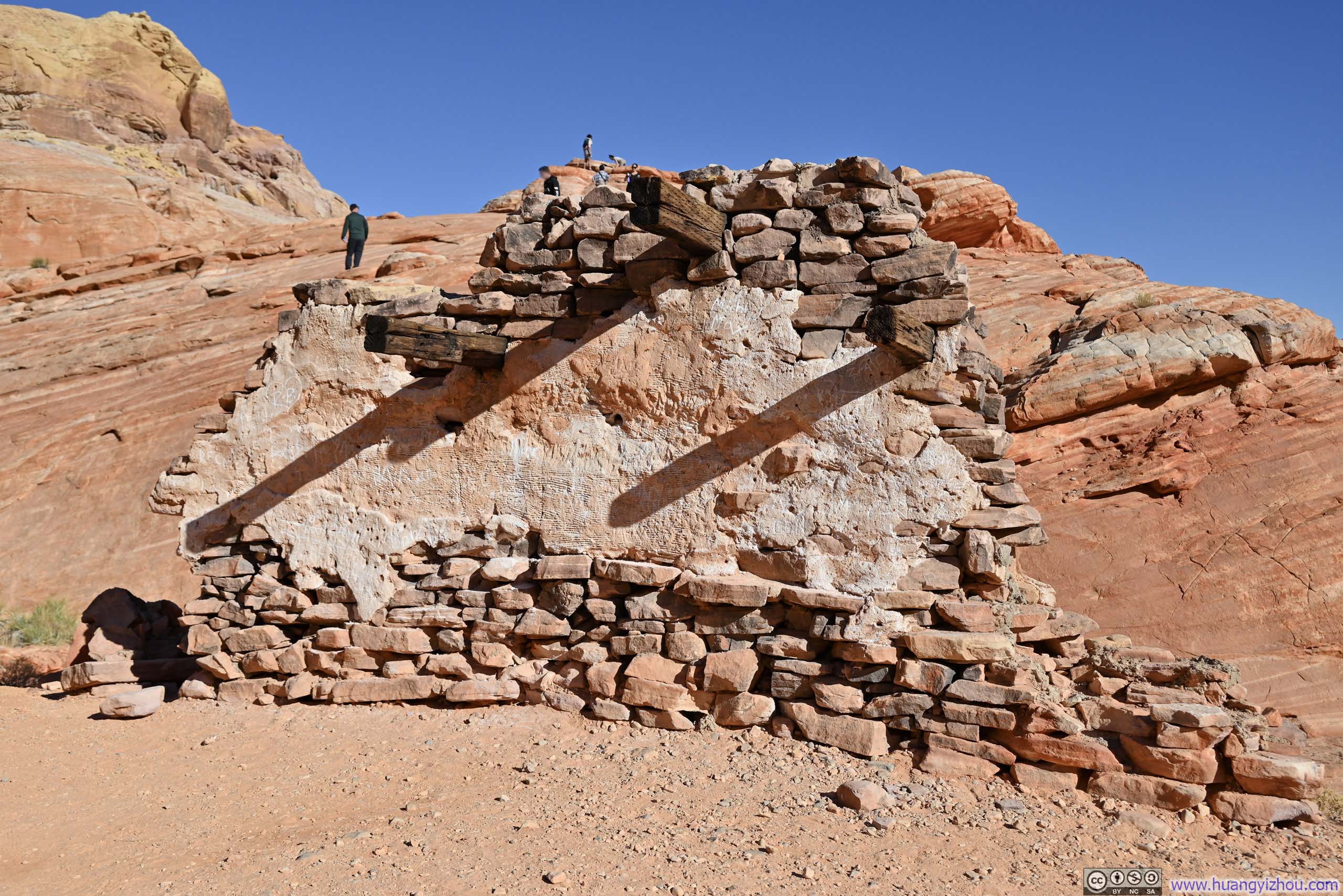
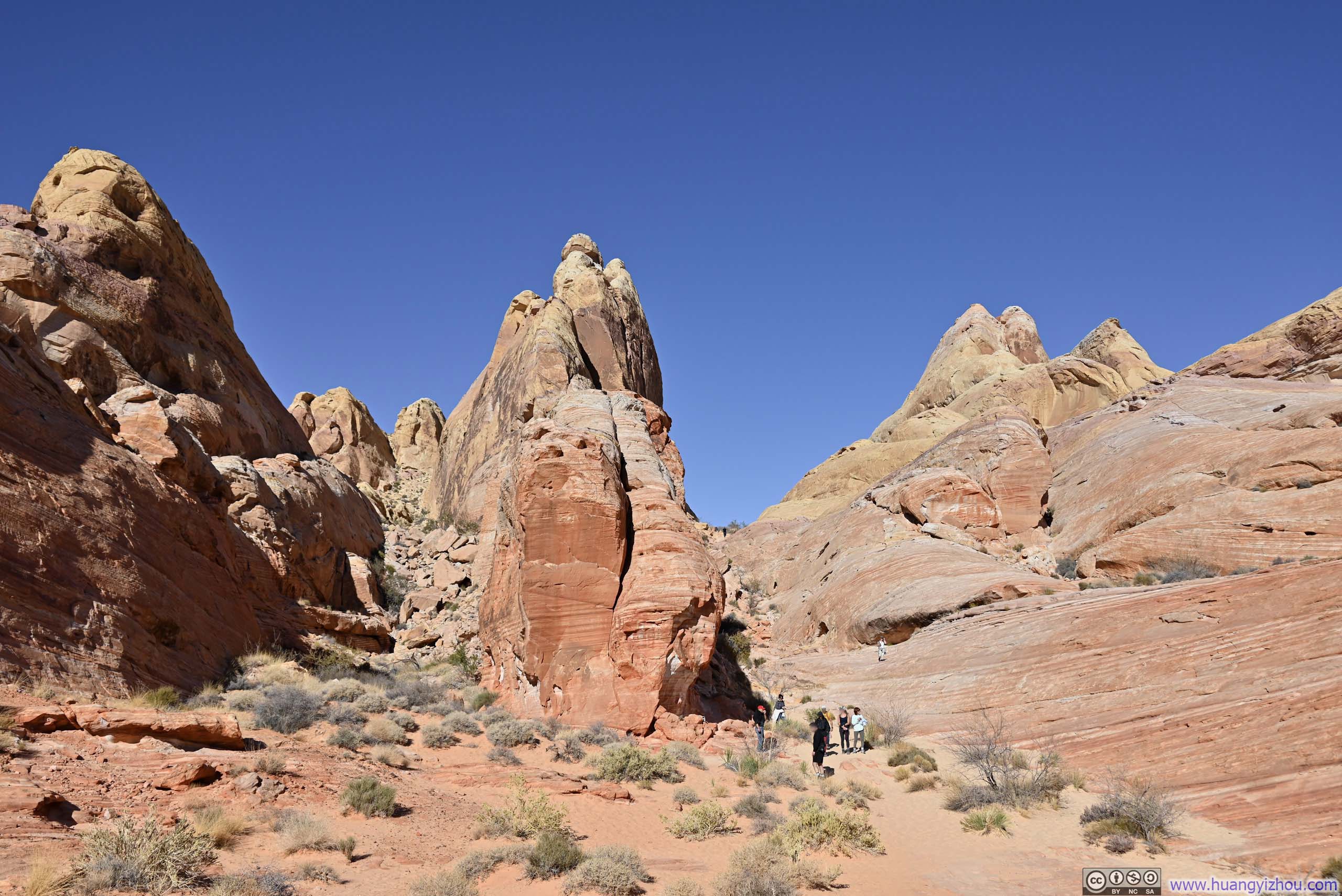
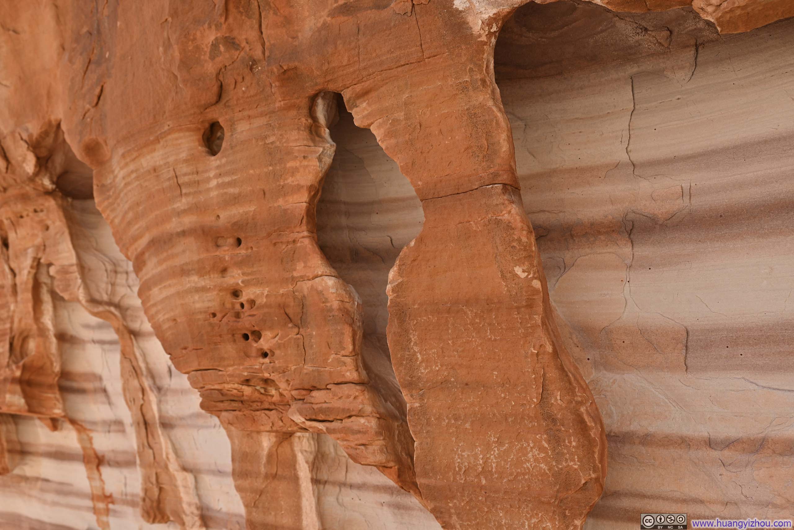
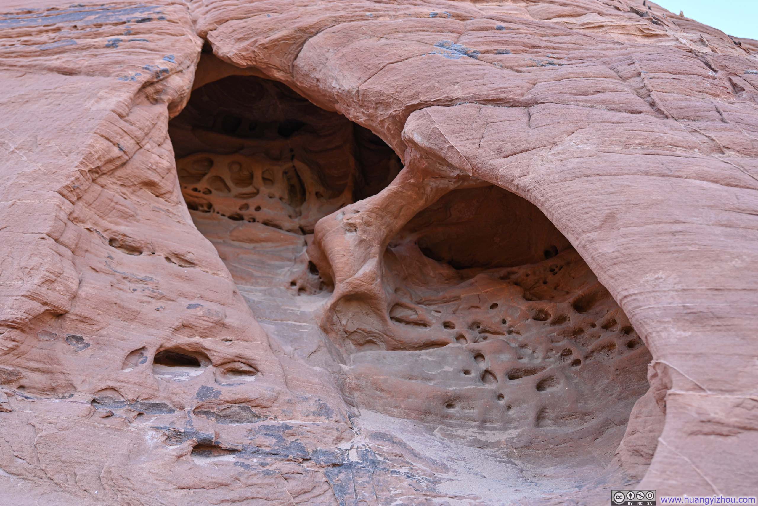


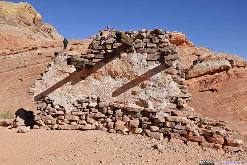
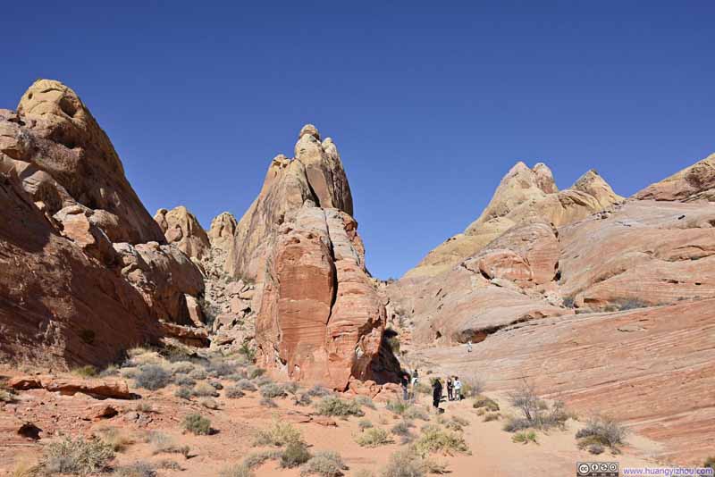
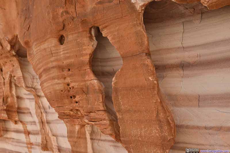
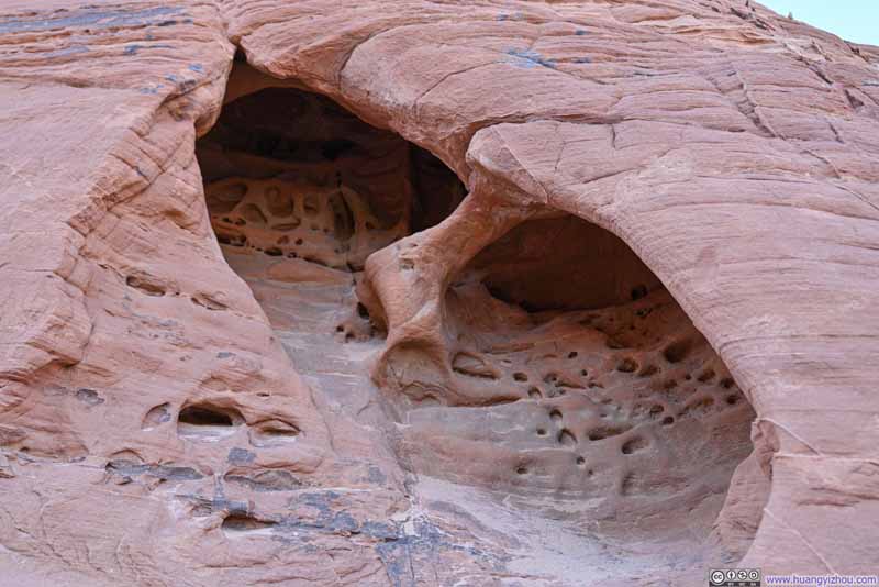
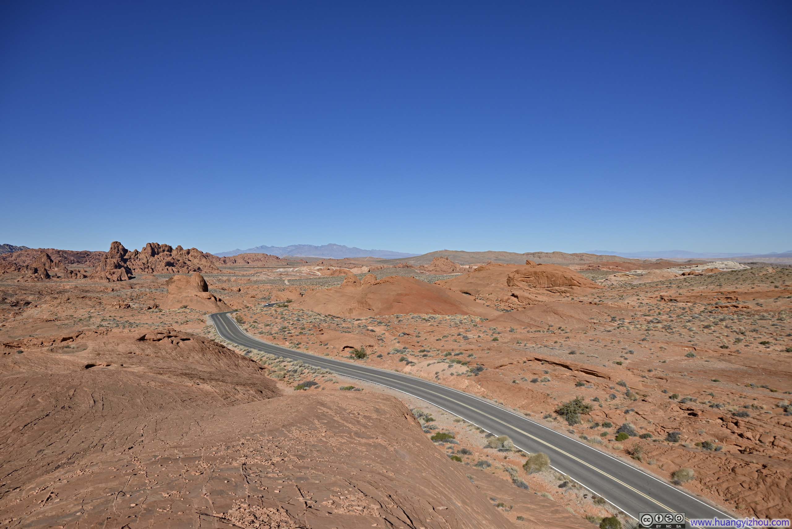
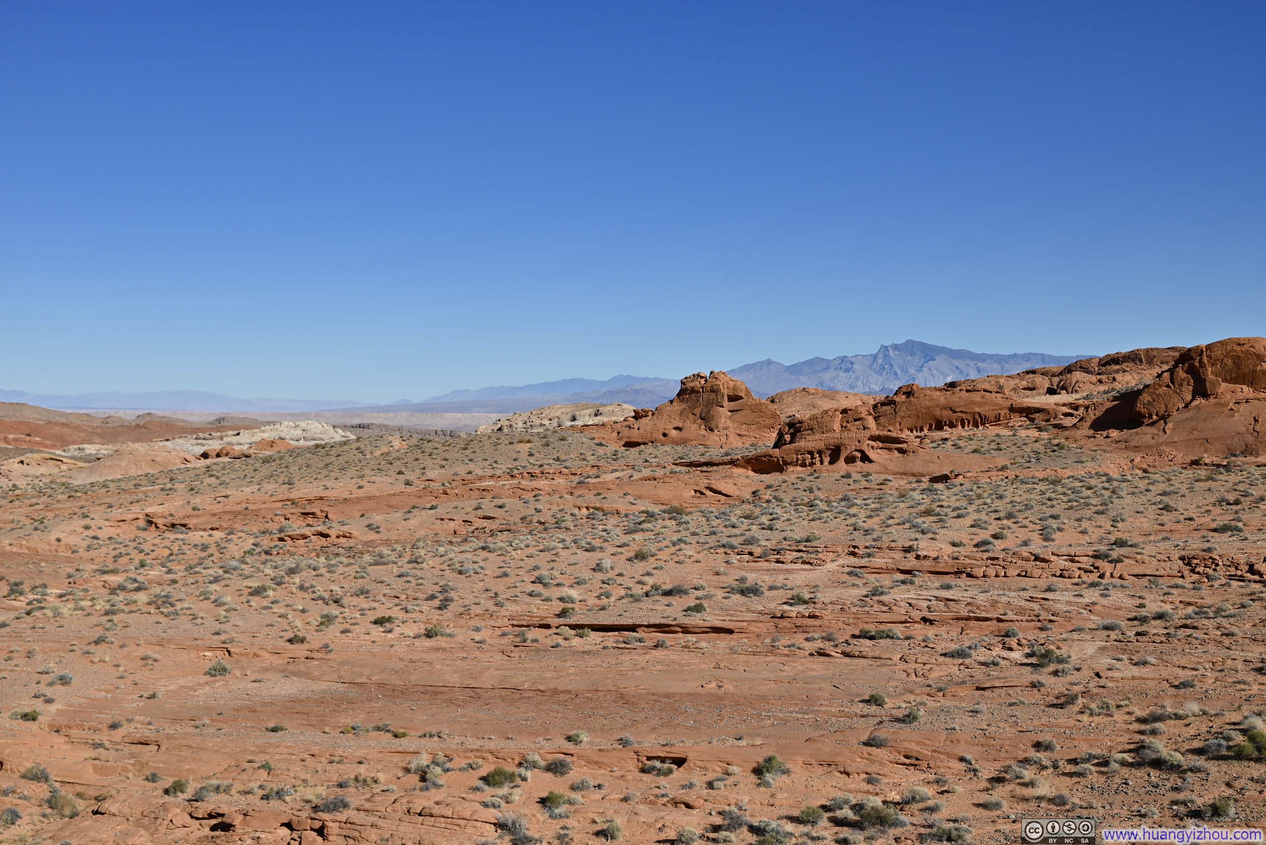
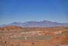
Upon reaching White Domes Trailhead, I decided to scale up a small hill before continuing my hike. The vantage point up the hill offered sweeping views to the north, of expansive fields decorated with clusters of red rocks.
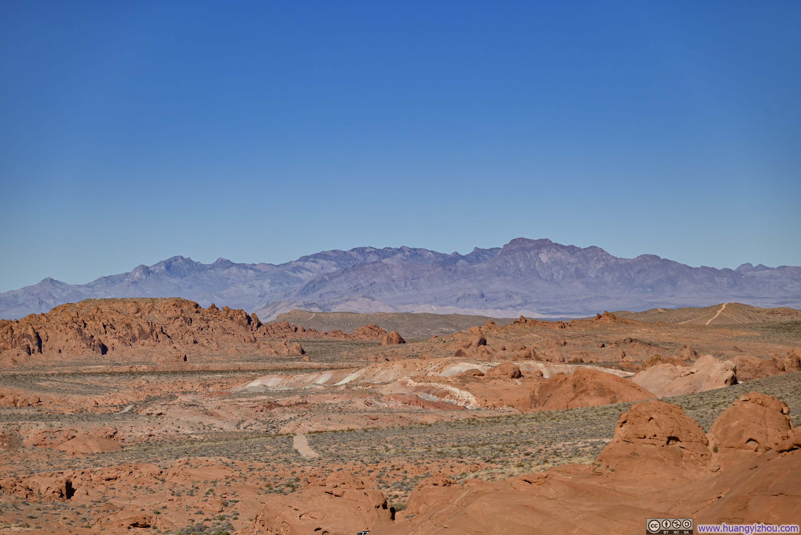
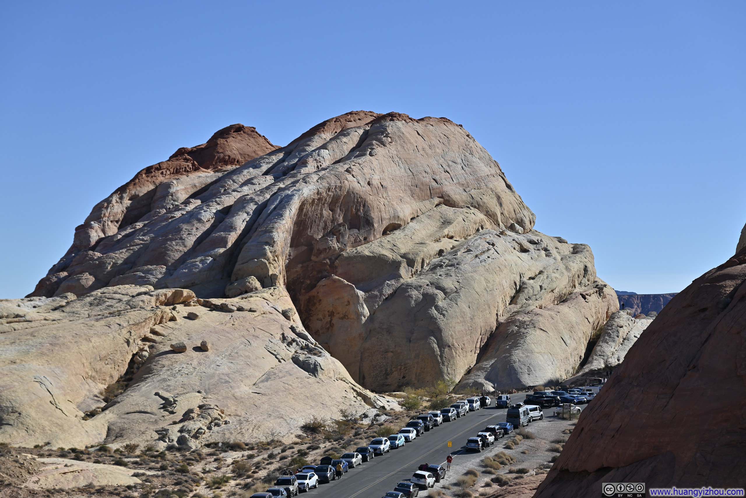
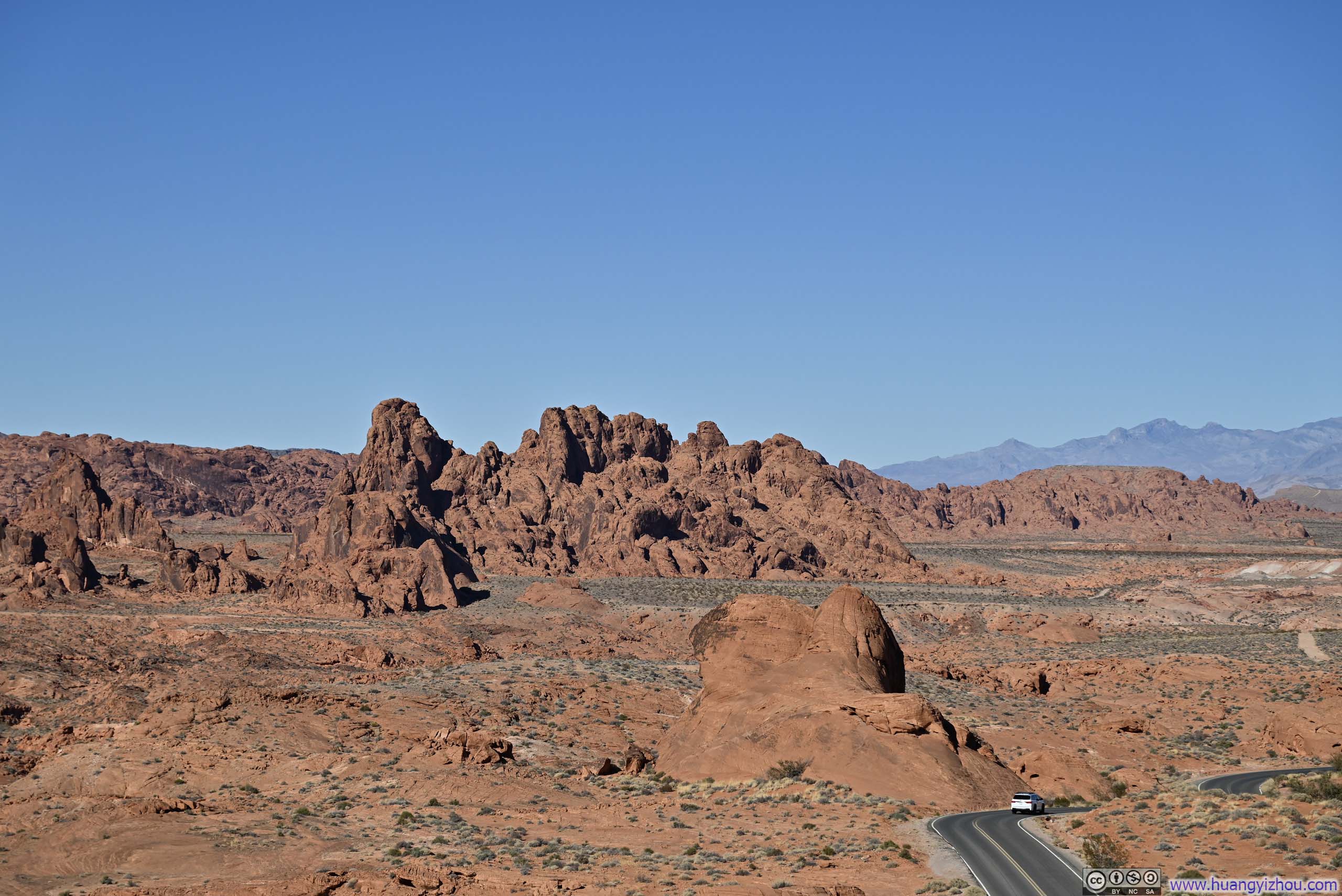
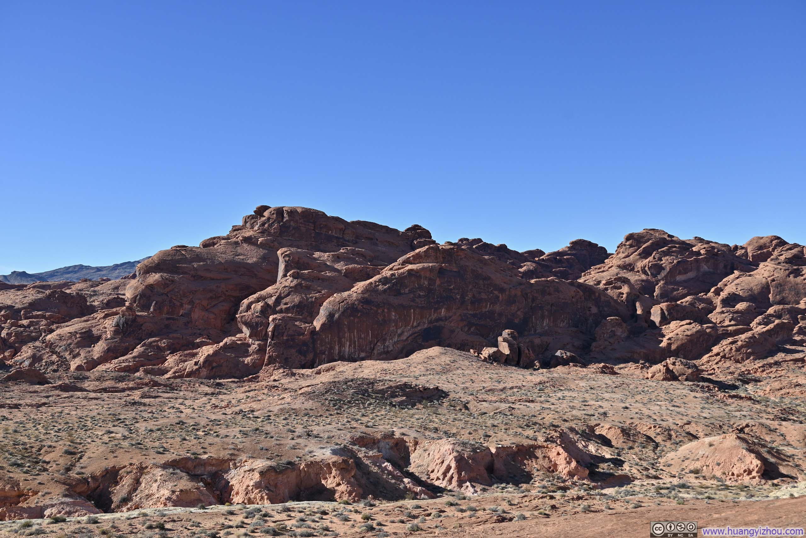
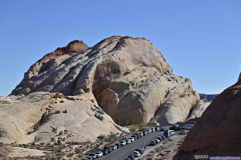

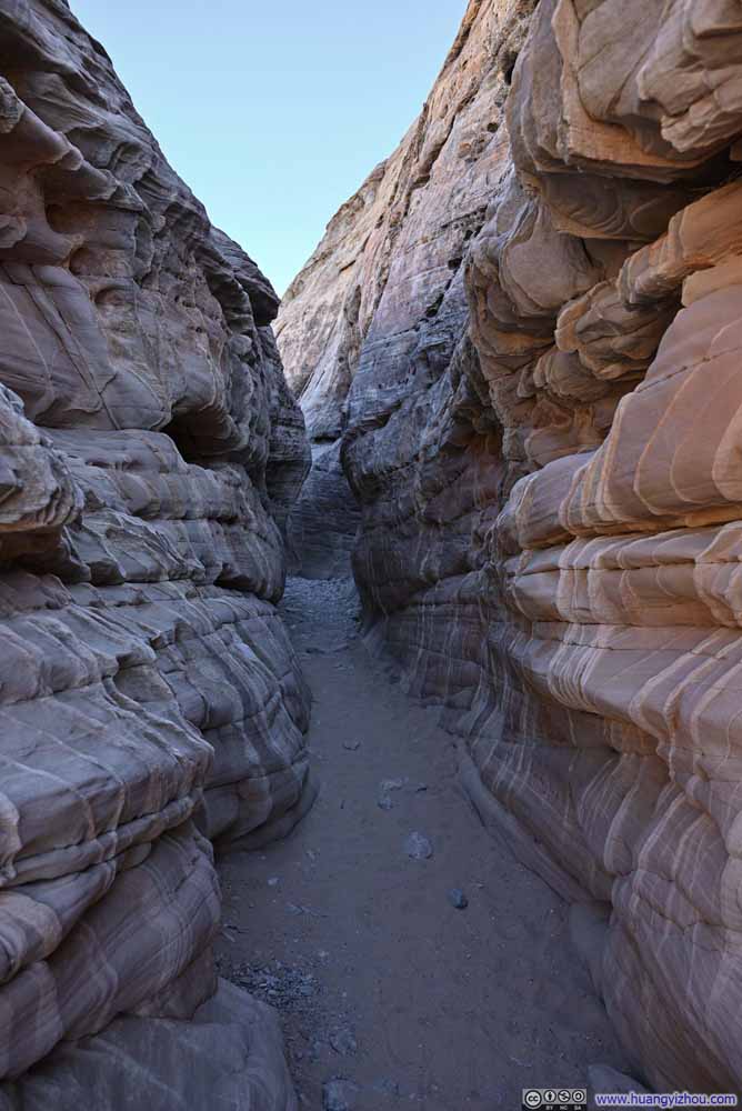
Then it's White Domes Slot Canyon, the narrowest and tallest slot canyon I entered during this trip.
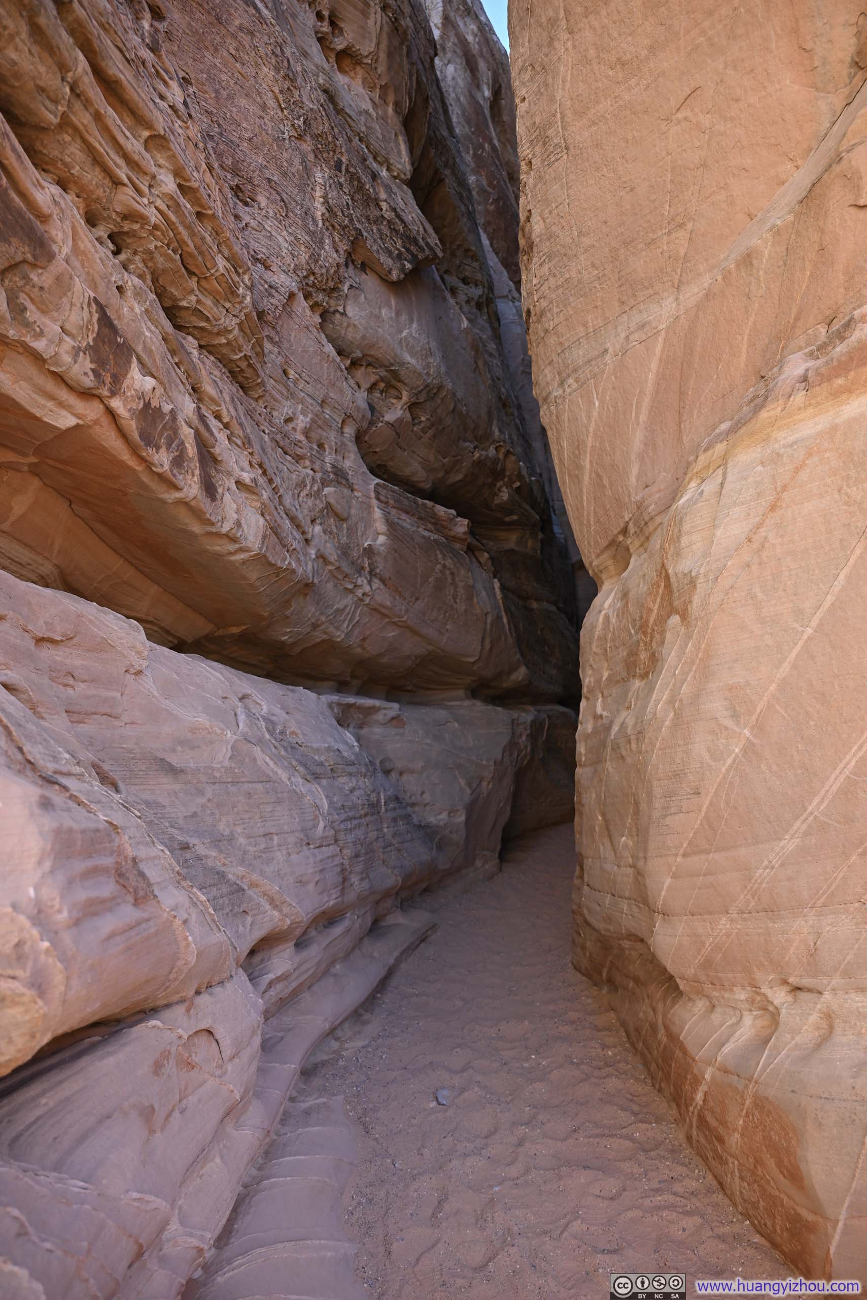
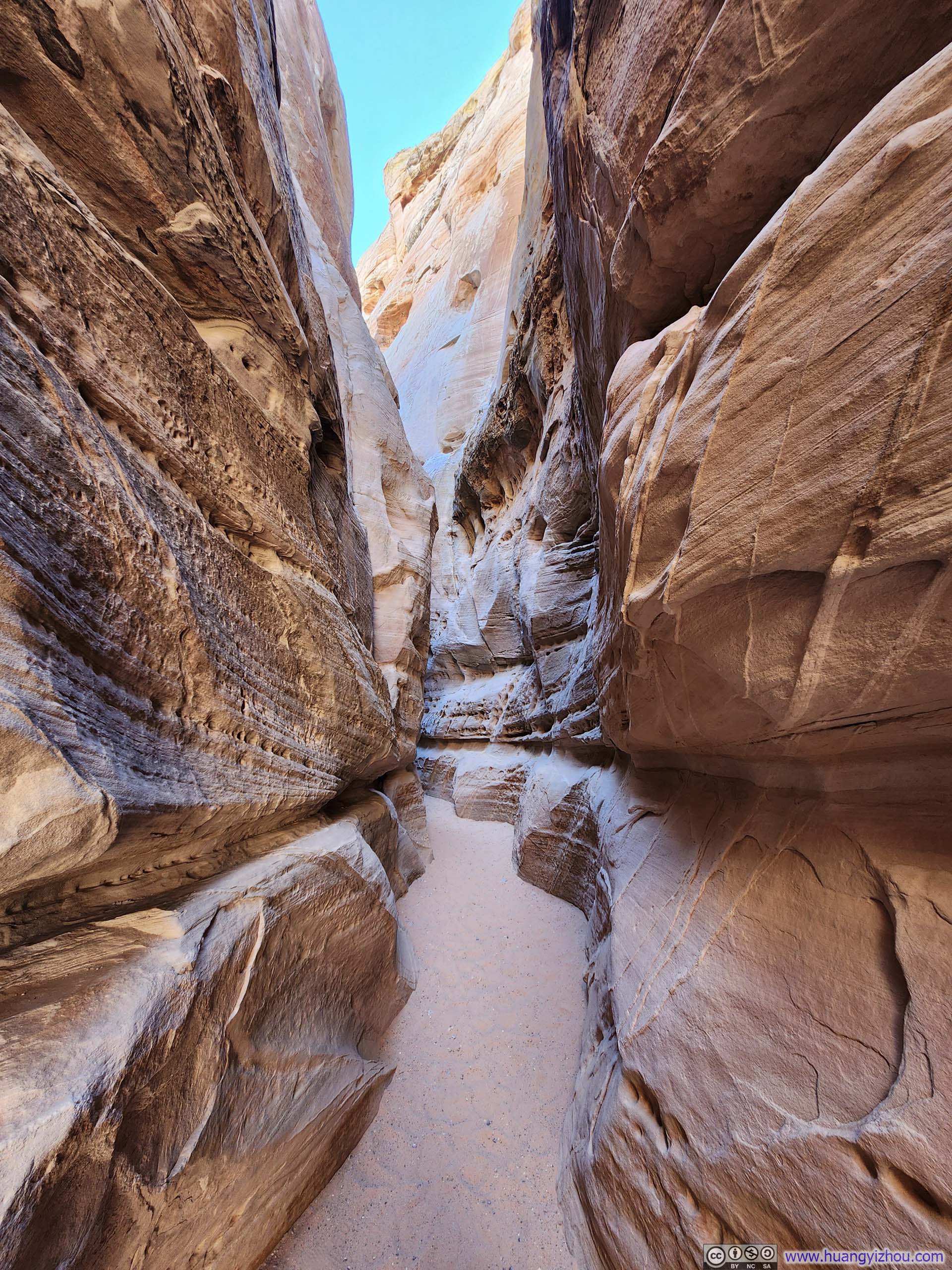
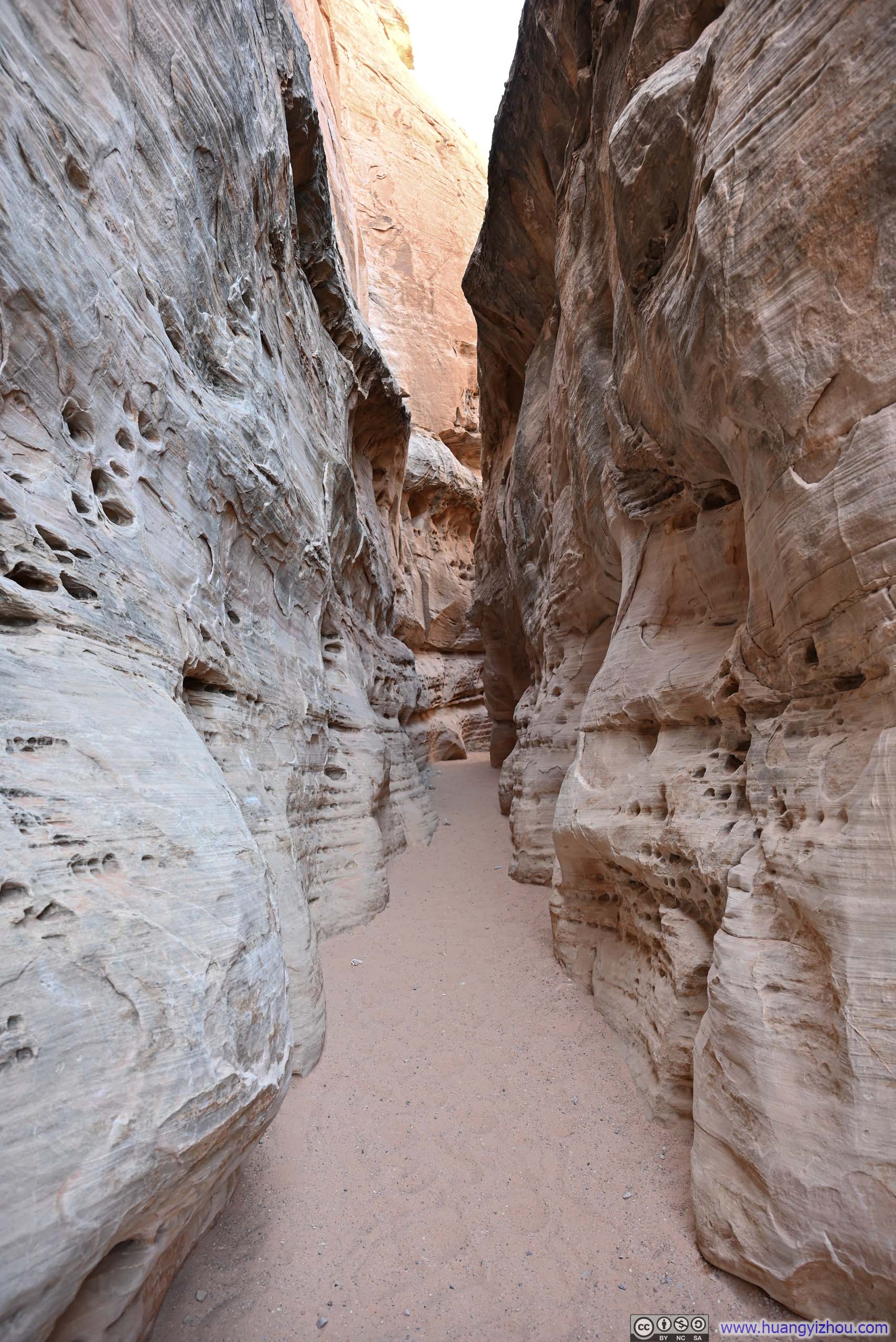
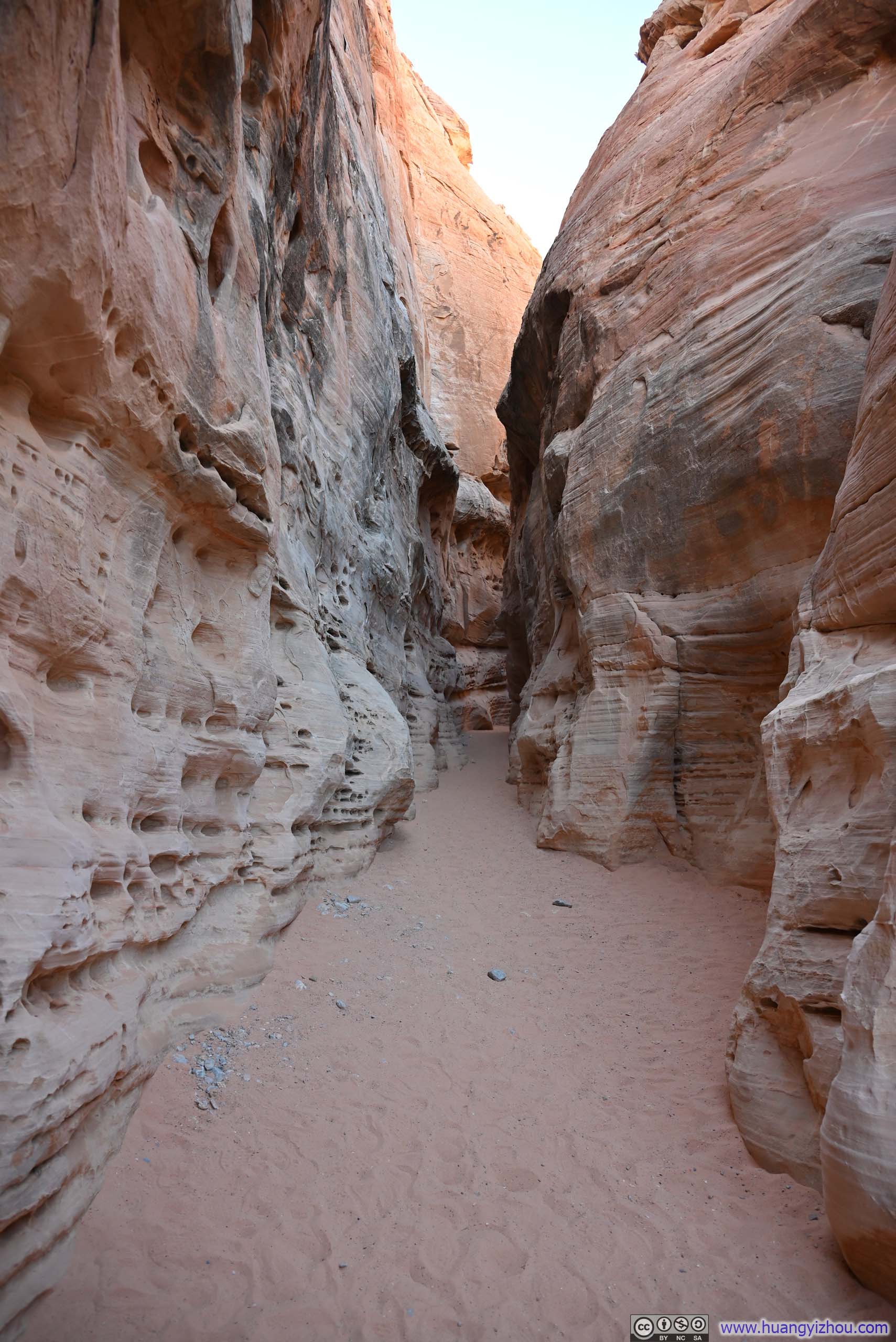
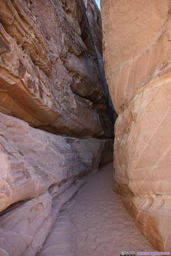
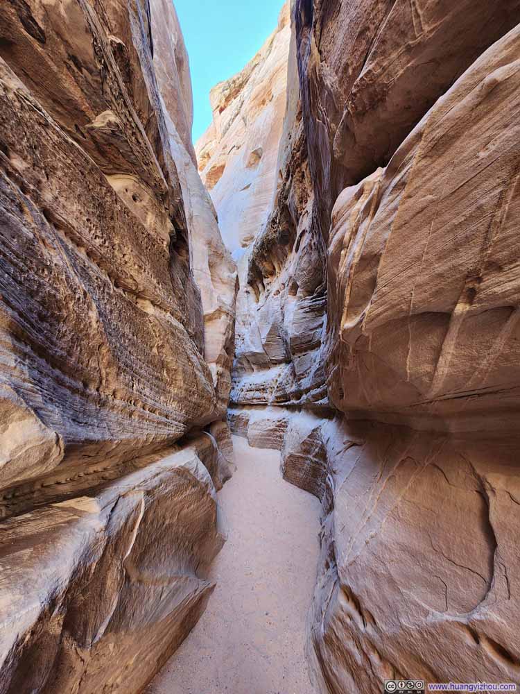
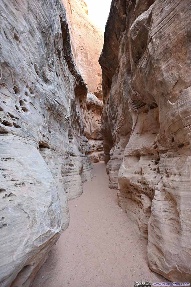
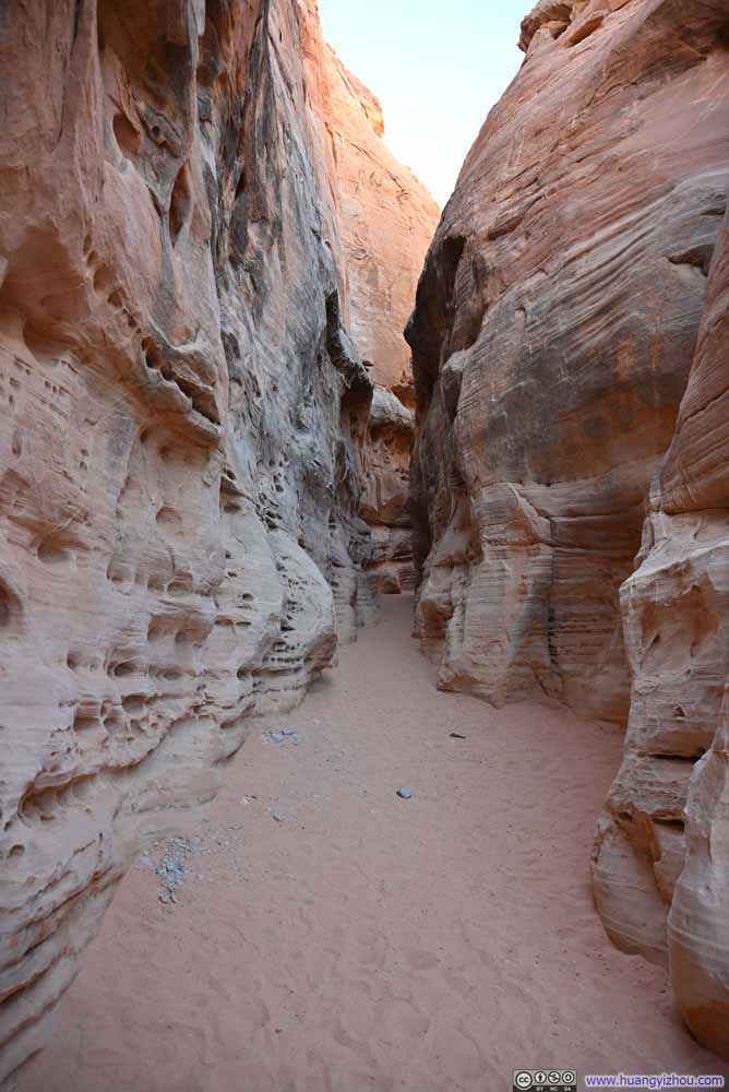
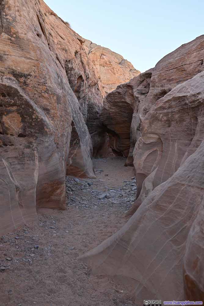
Coming out of White Domes Slot Canyon, I soon entered Kaolin Slot Canyon. This was the connecting passage between the two loops of the trail and the only segment I traversed twice during this hike. It lacked the imposing height of White Domes Slot Canyon (hence occasionally referred to as "Kaolin Wash"), it's still interesting enough that retracing my steps through it felt like a pleasure rather than a redundancy.
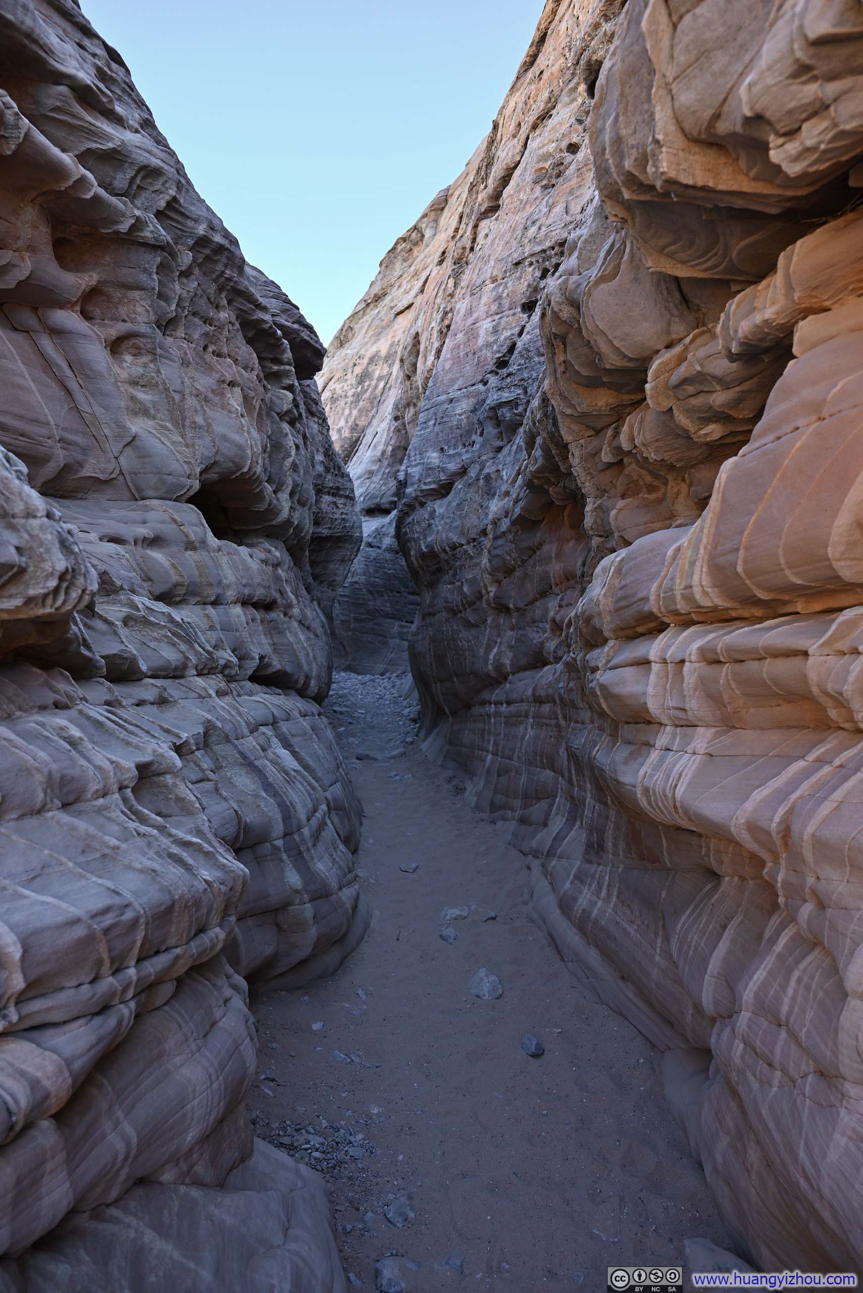
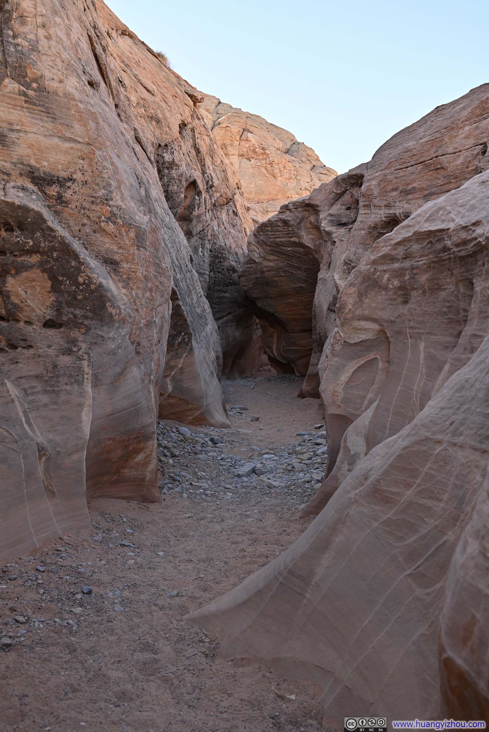
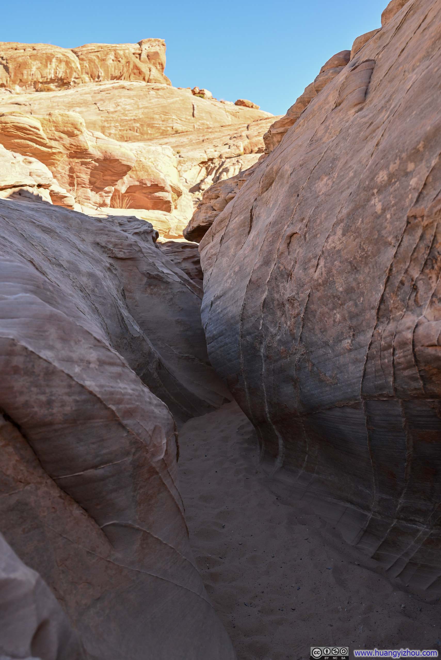
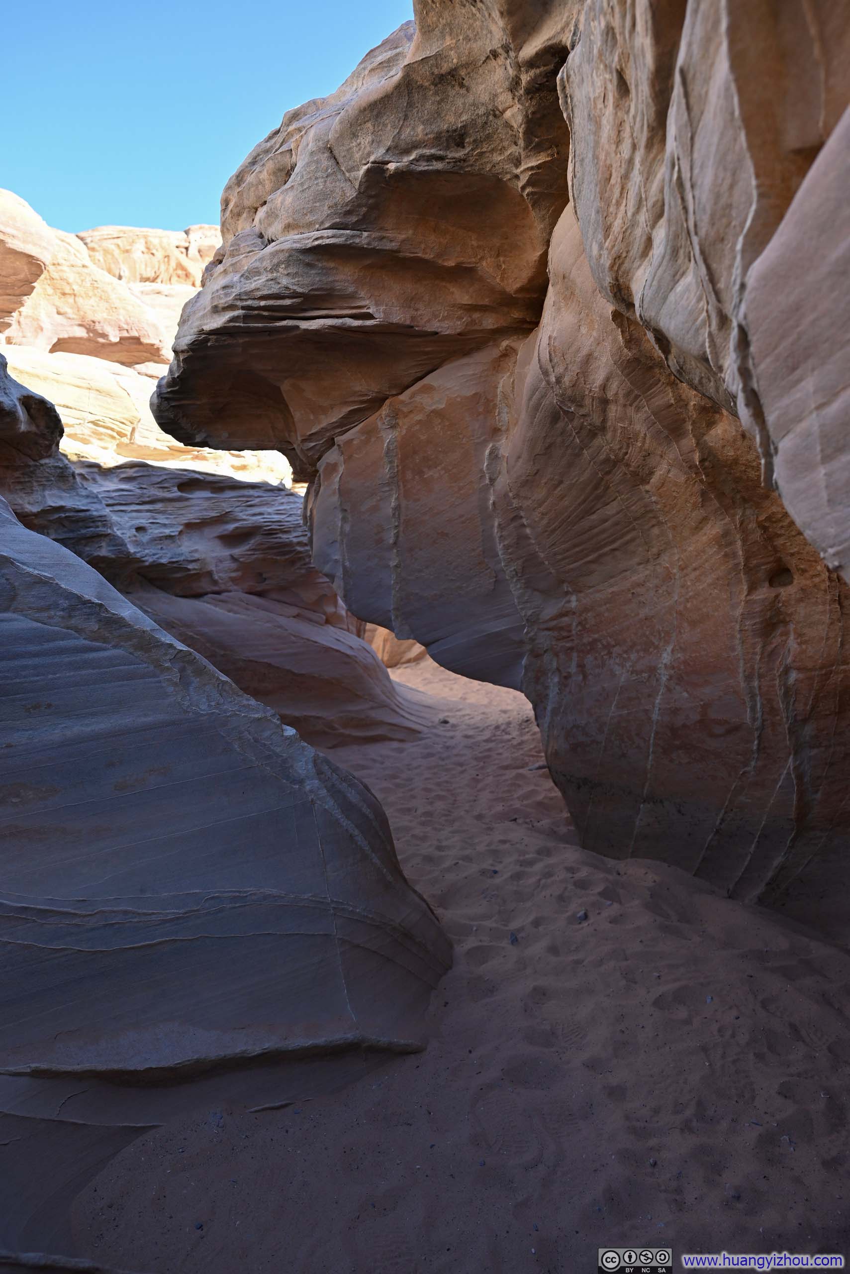
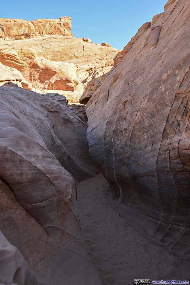
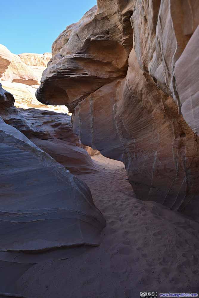
Leaving Kaolin Slot Canyon, the trail crossed a road and reached Pink Canyon, which was also part of the seven wonders. While pictures of Pink Canyon looked absolutely stunning on the internet, in reality I didn't find it that visually appealing. Perhaps its vivid colors were paled by the bright mid-day sun, or possibly its most picturesque section was slightly off-trail. In any case, I continued my hike without lingering.
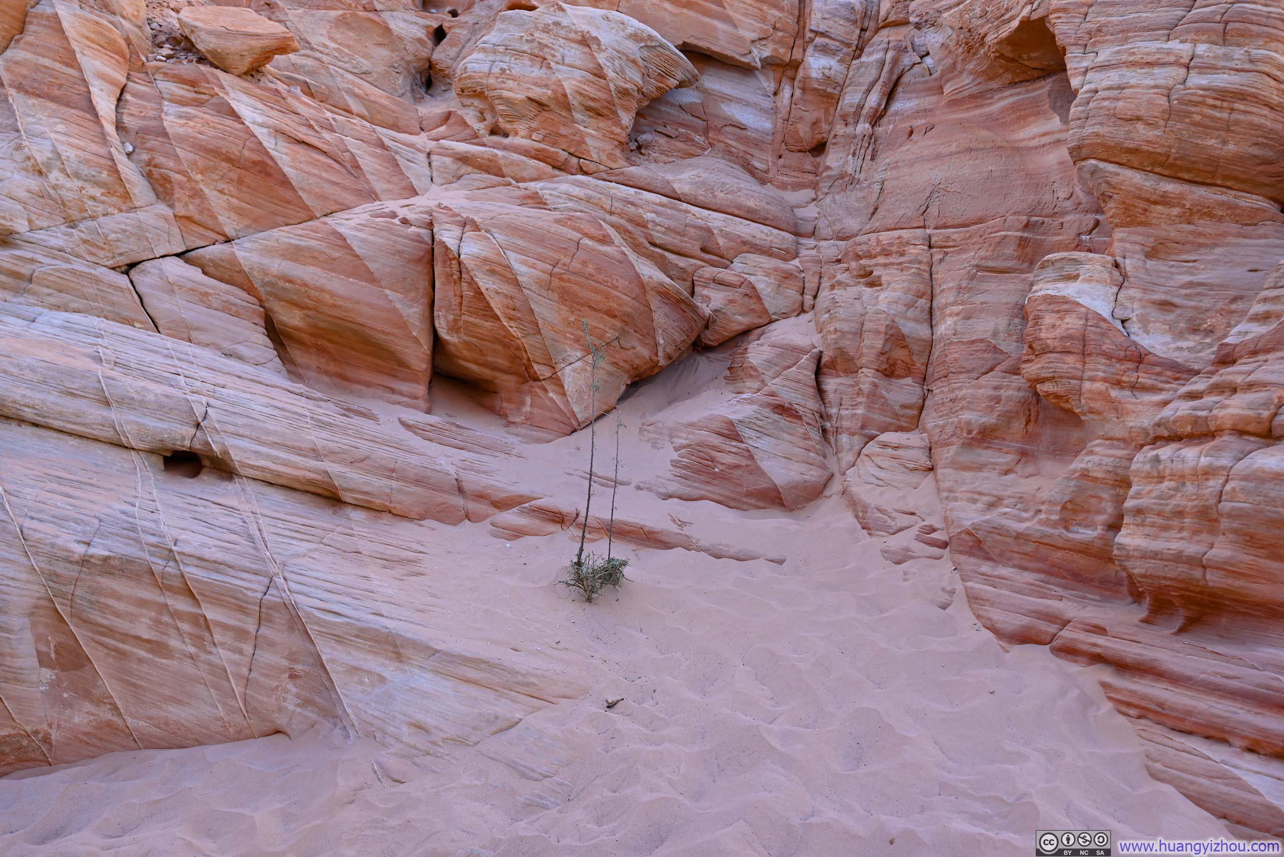
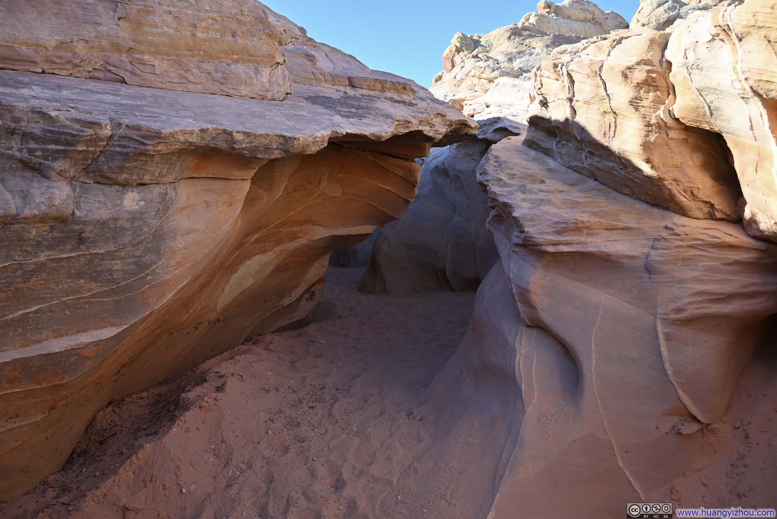
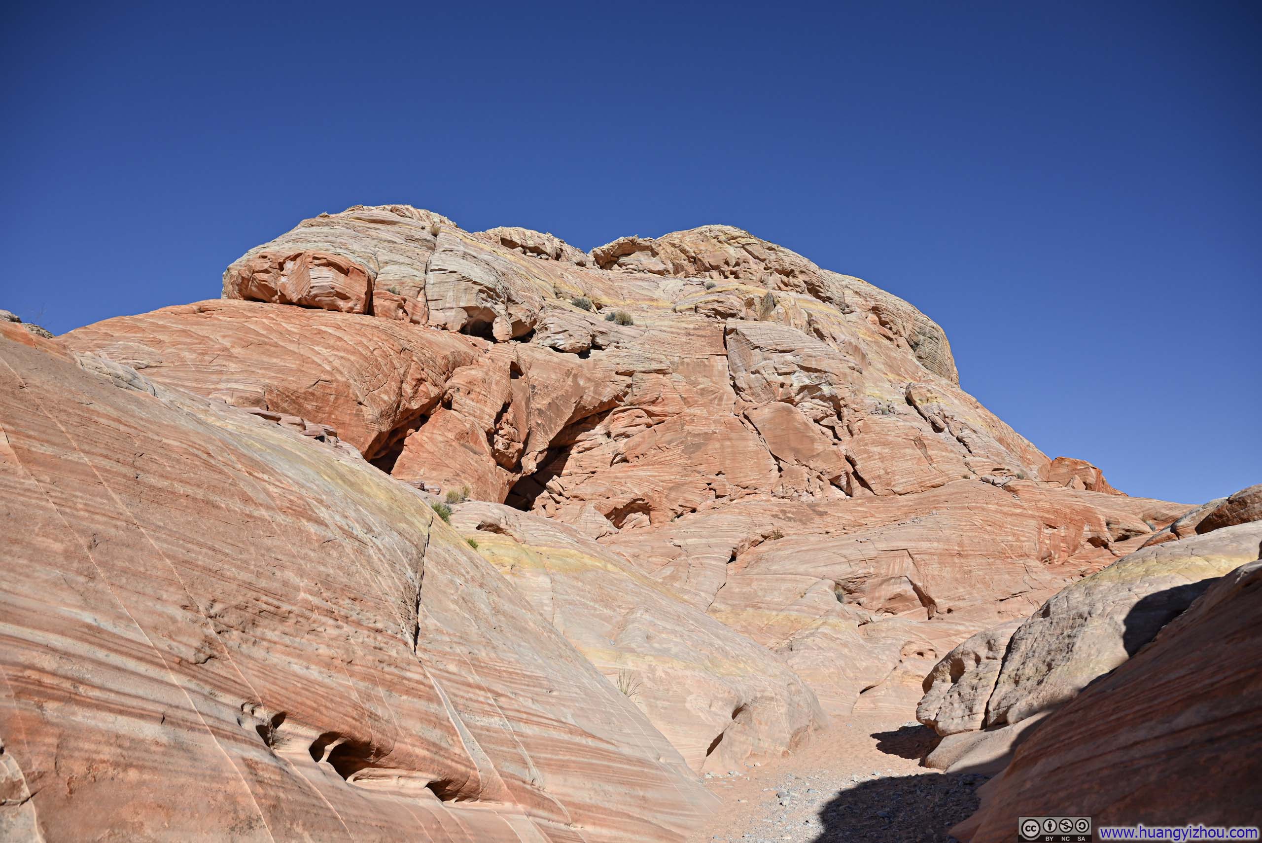
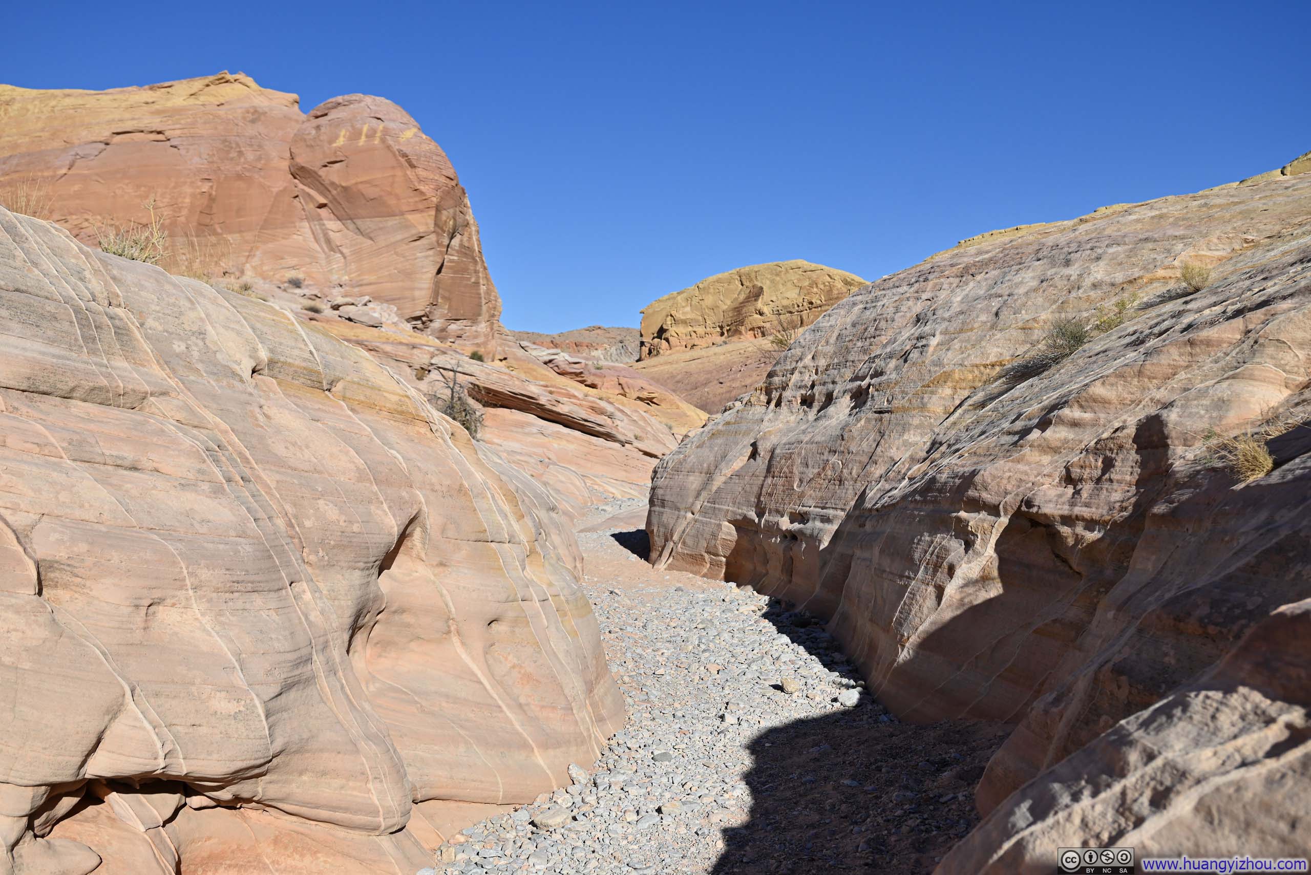
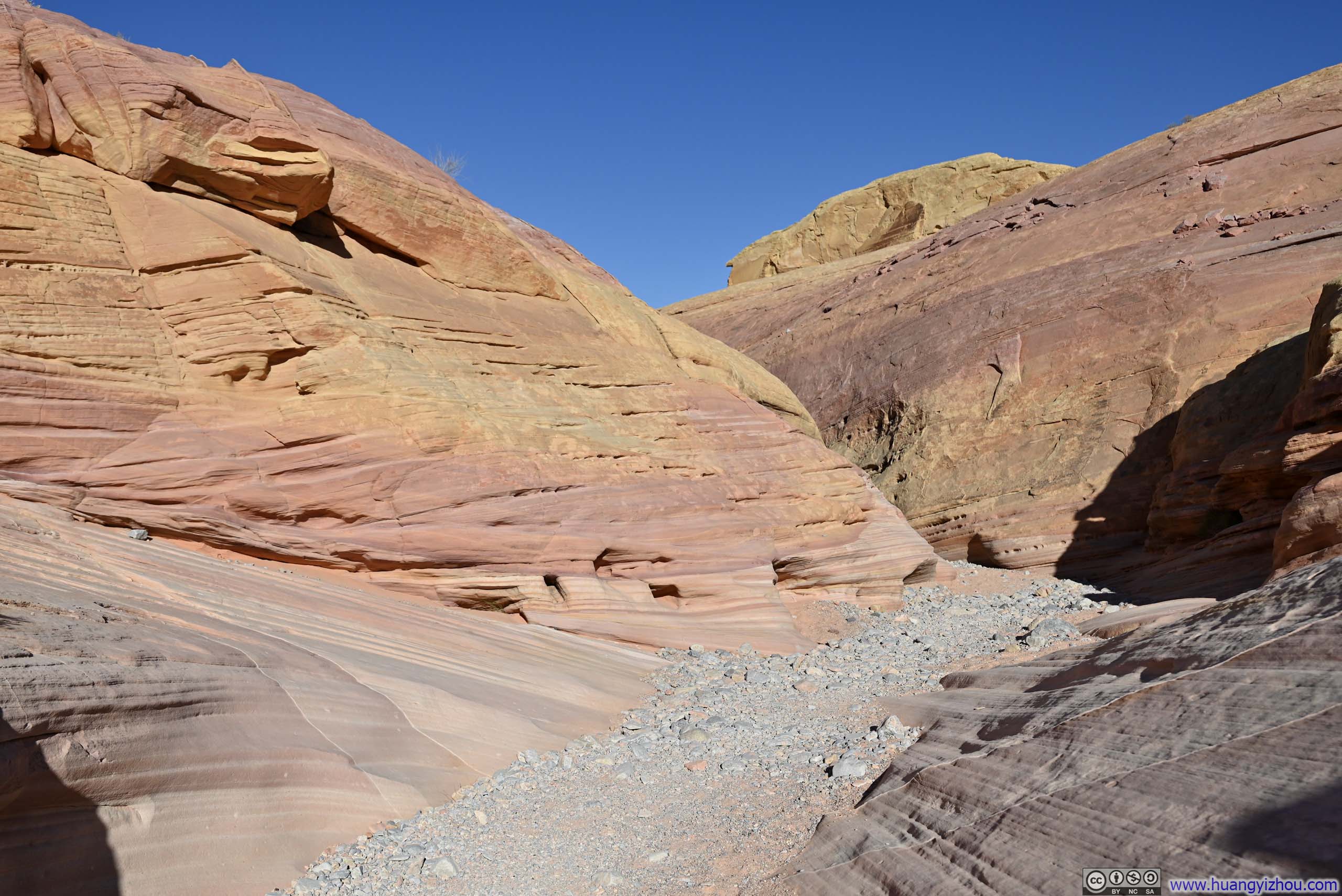
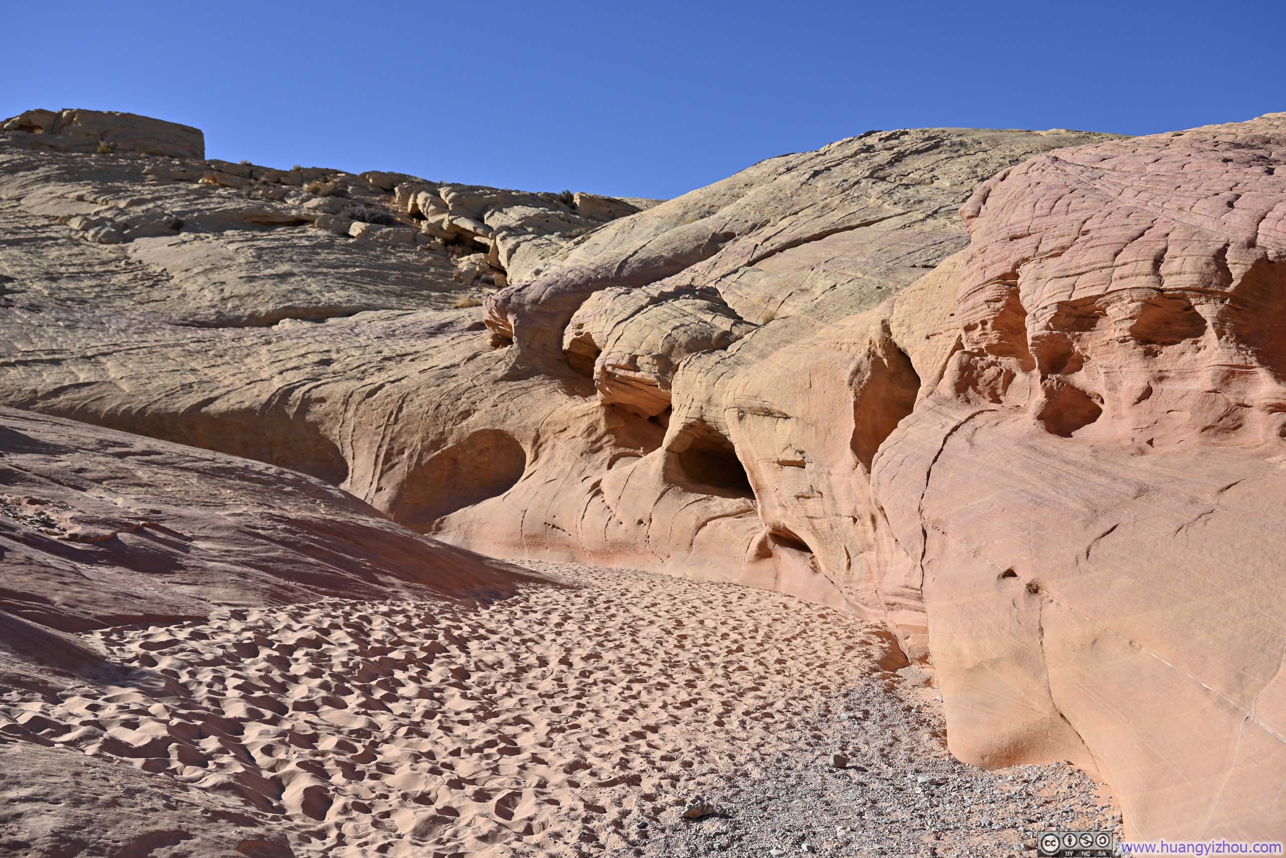
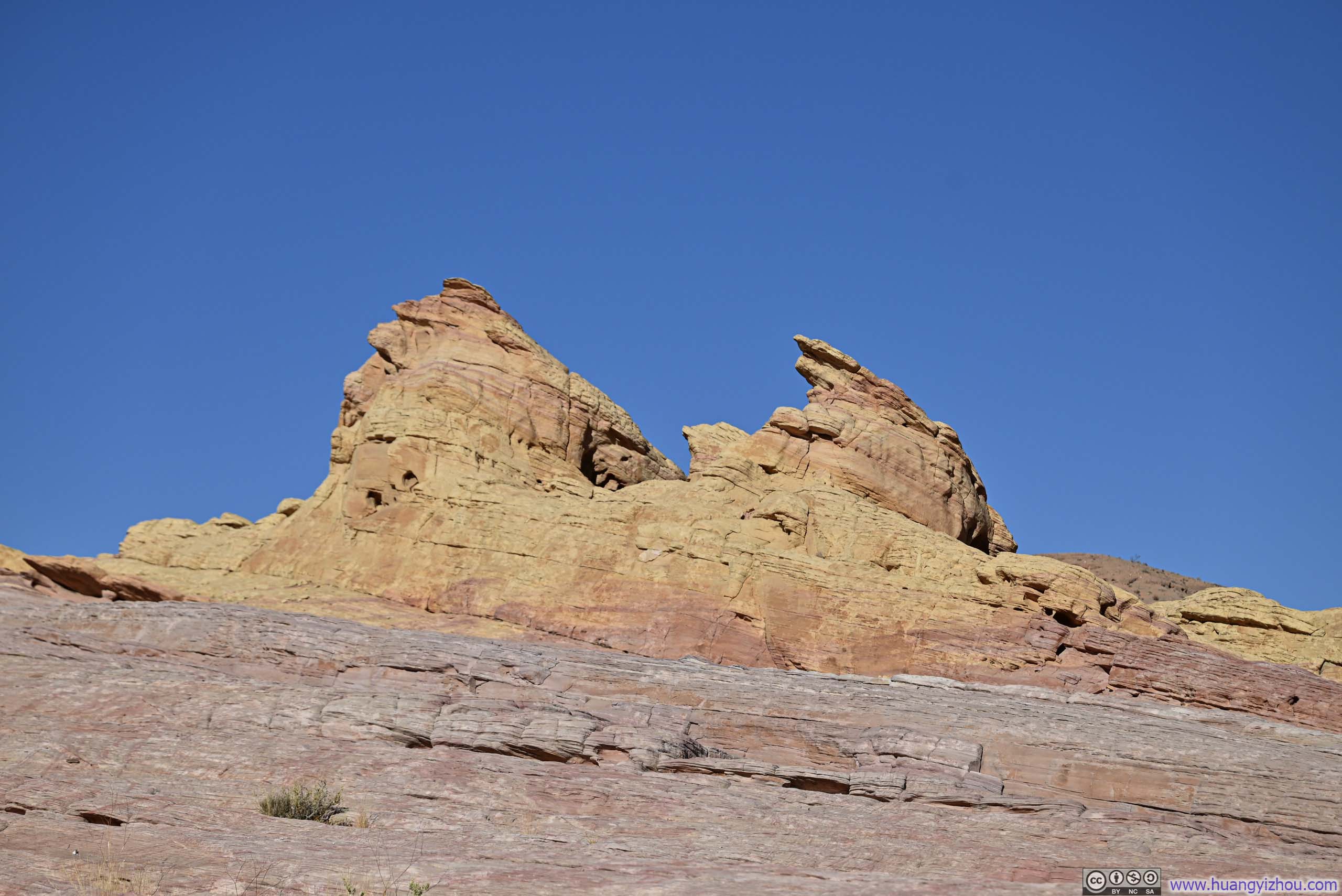
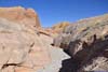
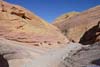
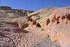
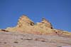
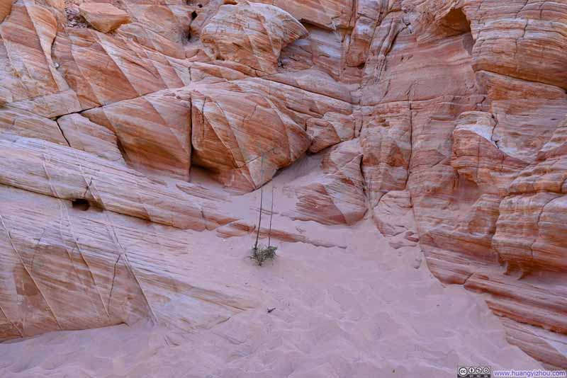
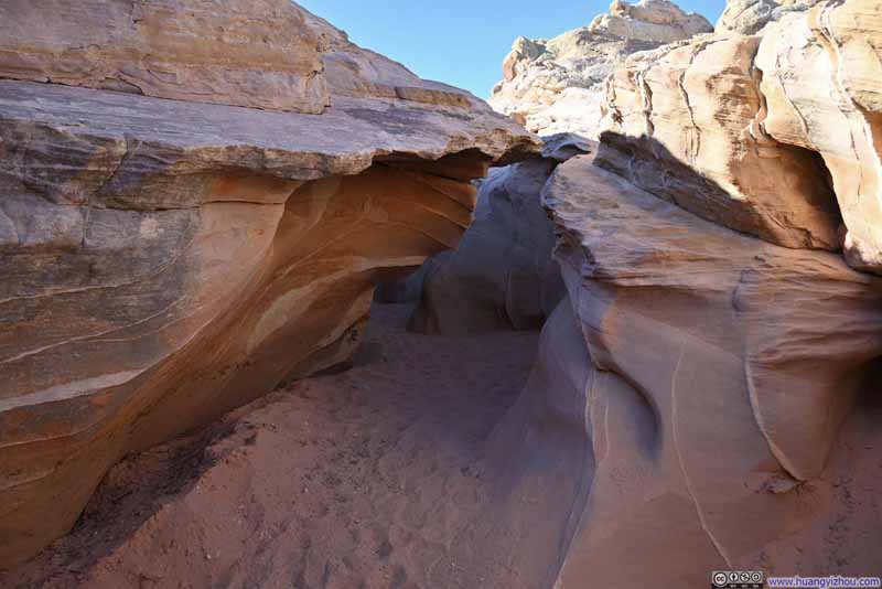
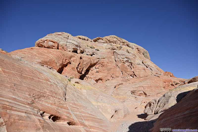
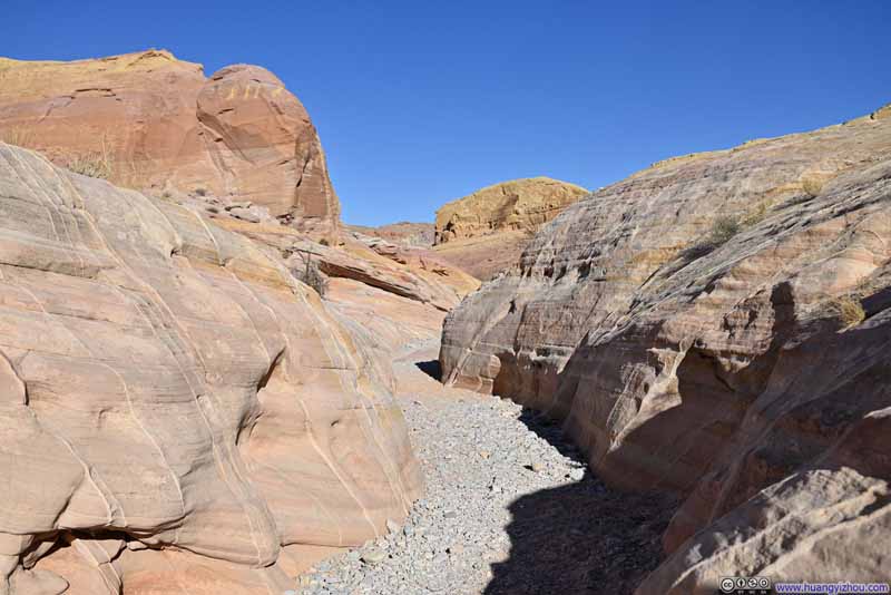
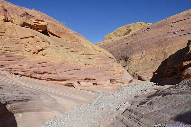
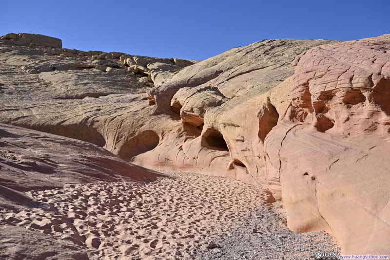
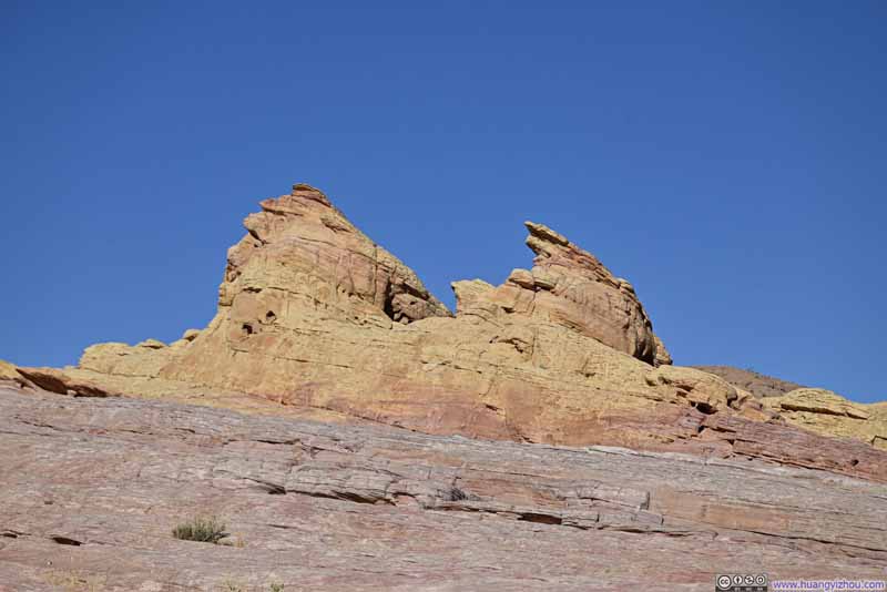
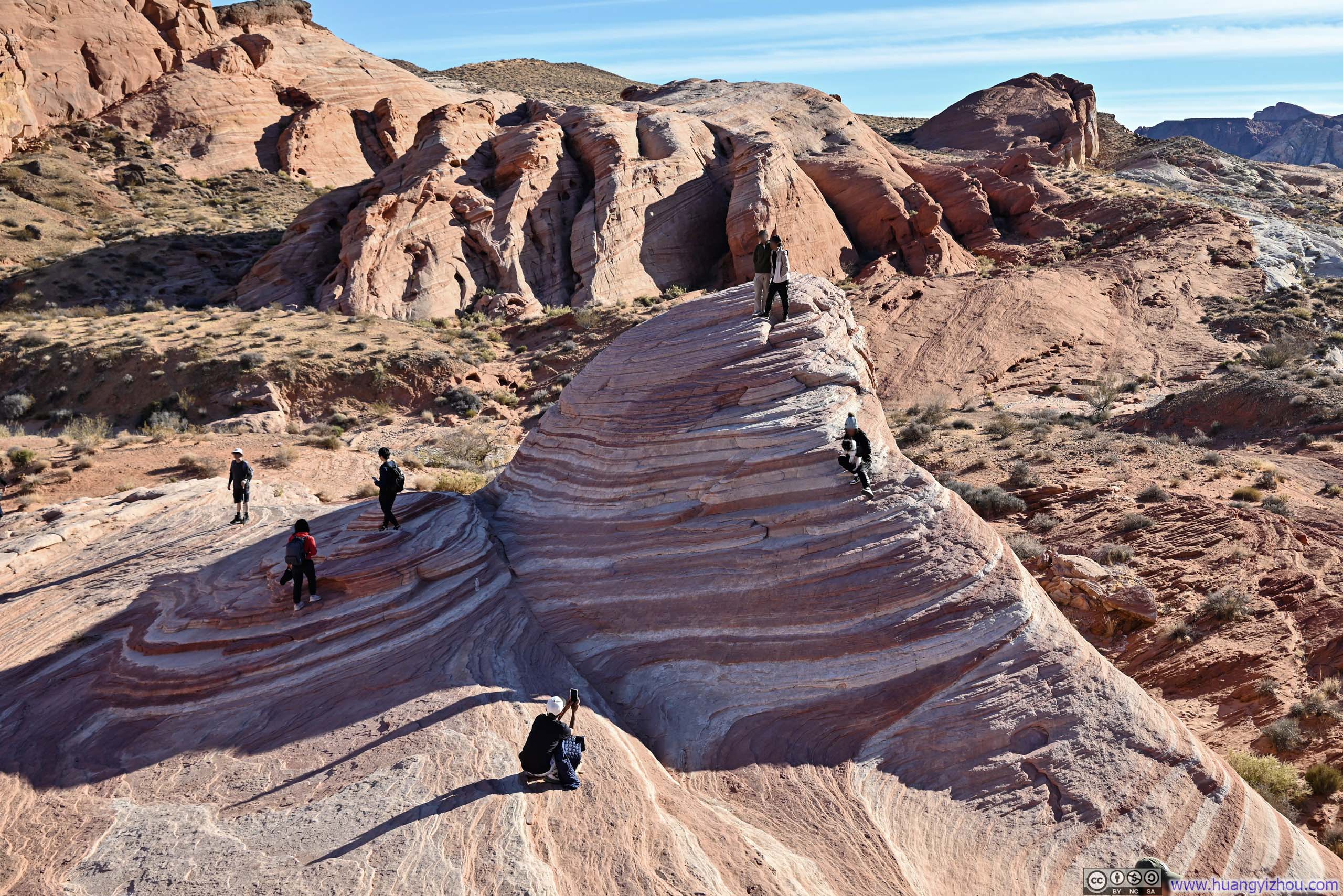
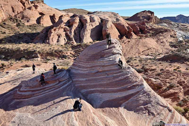
Next, it's Fire Wave, a stunning sandstone formation renowned for its elegant swirls of red, orange, and white striping that created the illusion of flames captured in stone. This proved to be the most popular of the seven wonders, with crowds posing for photos throughout the area. It's like a miniature (and permit-free) version of The Wave in Arizona.
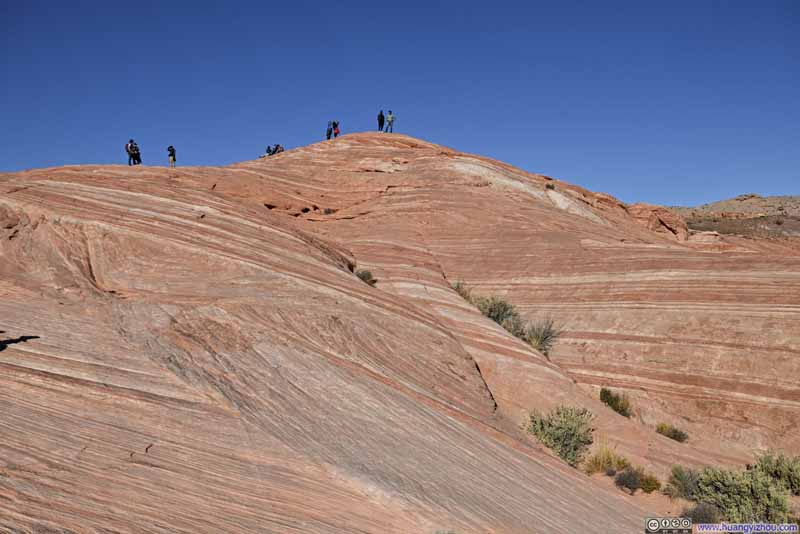
Given the angle of the sunlight during my visit, Fire Wave perhaps didn't showcase its most dramatic appearance. However, the surrounding landscape offered extensive sandstone formations displaying similar striped patterns, some of which appeared even more striking than Fire Wave itself with the particular condition of light that day. I took a short rest here to appreciate these remarkable geological features.
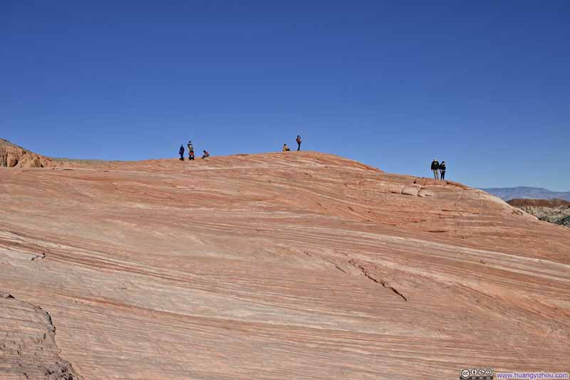
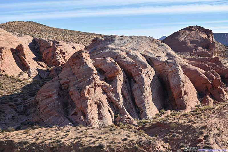
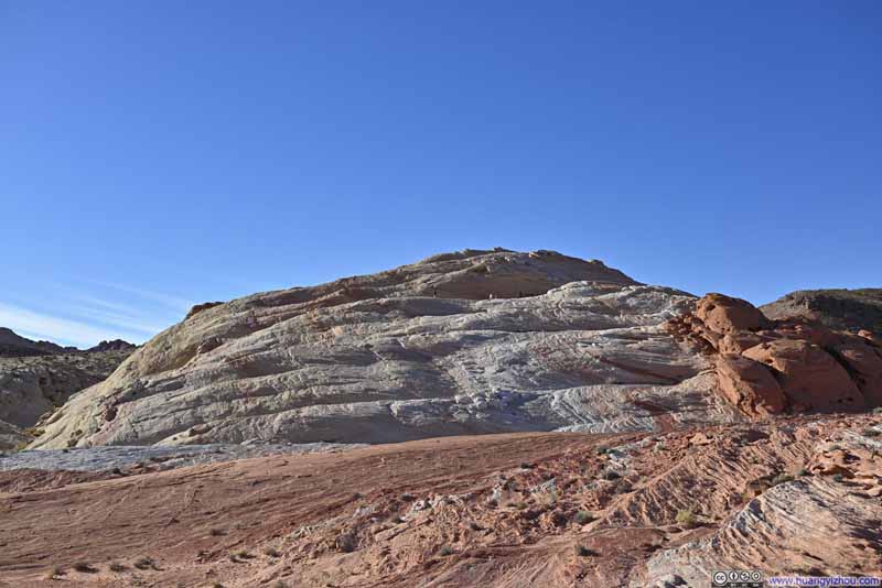
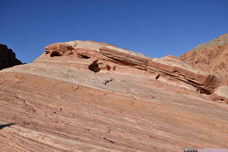
After that, the walk from Fire Wave back to the parking lot wasn't as remarkable. In the end, I finished the loop in 2 hours.
Fire Canyon Overlook
On my way back, I made a stop at Fire Canyon Overlook. On Google Maps, this place was also called "Star Trek Pilgrimage Site", for it's near the place where Star Trek character Captain Kirk was filmed to be killed and buried. I wasn't Star Trek fan, so to me this was a vista offering magnificent views of layers of red rock formations stretching southward across the landscape.
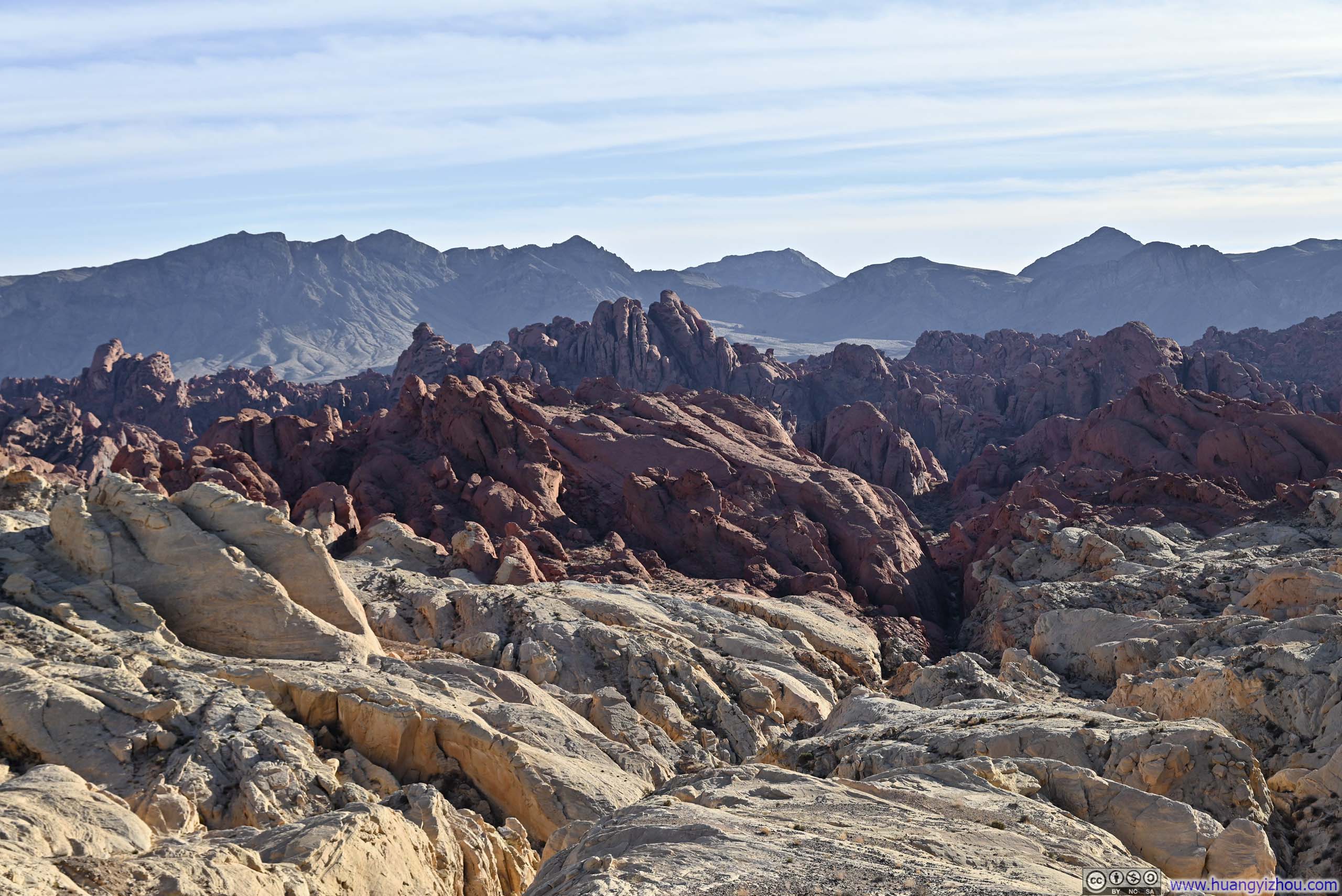
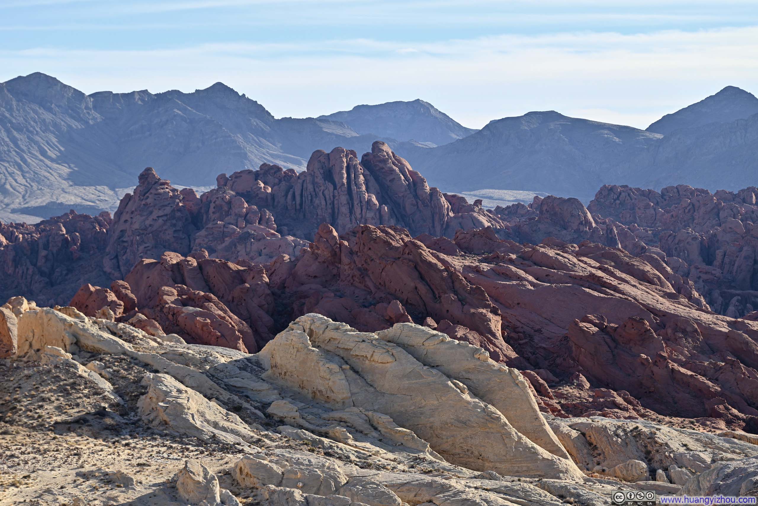
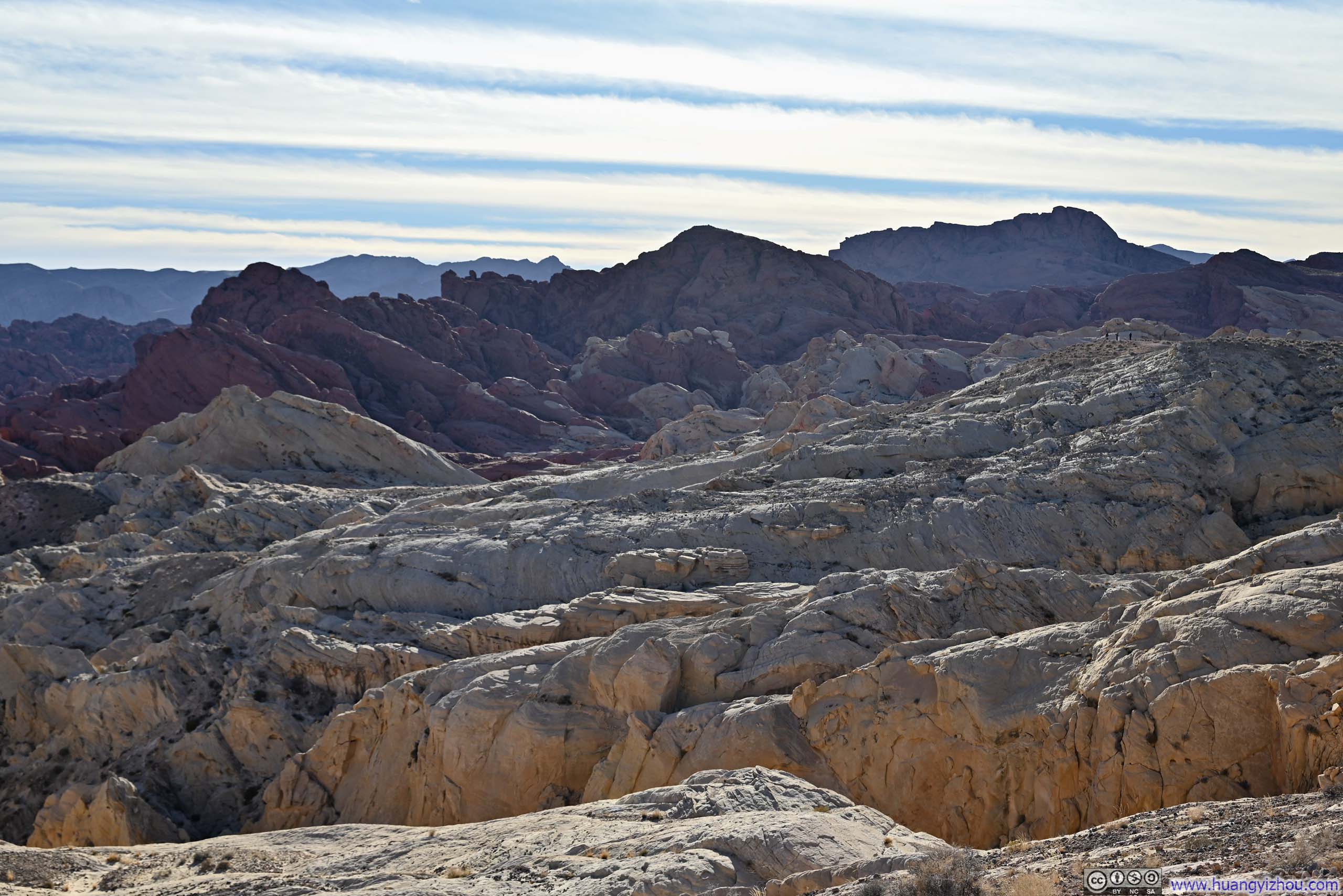
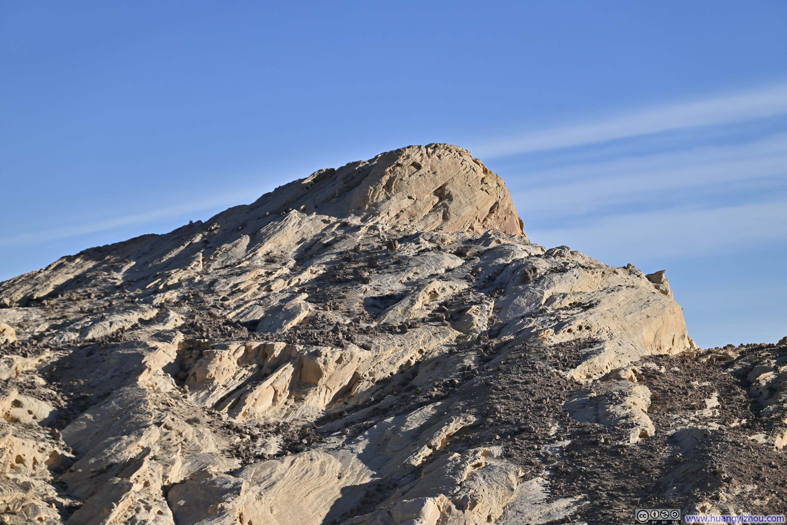

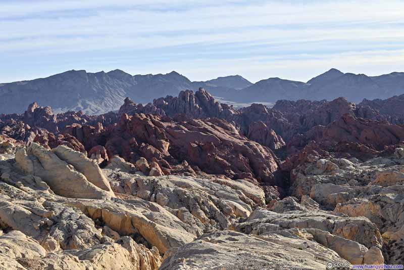
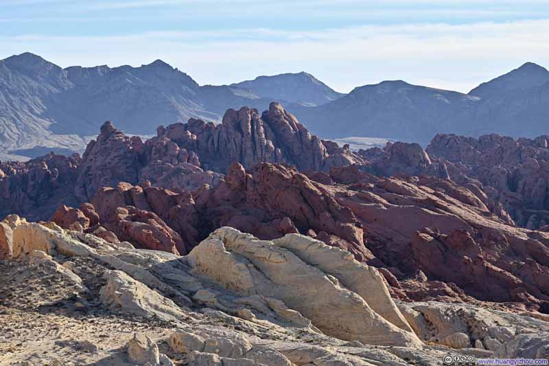
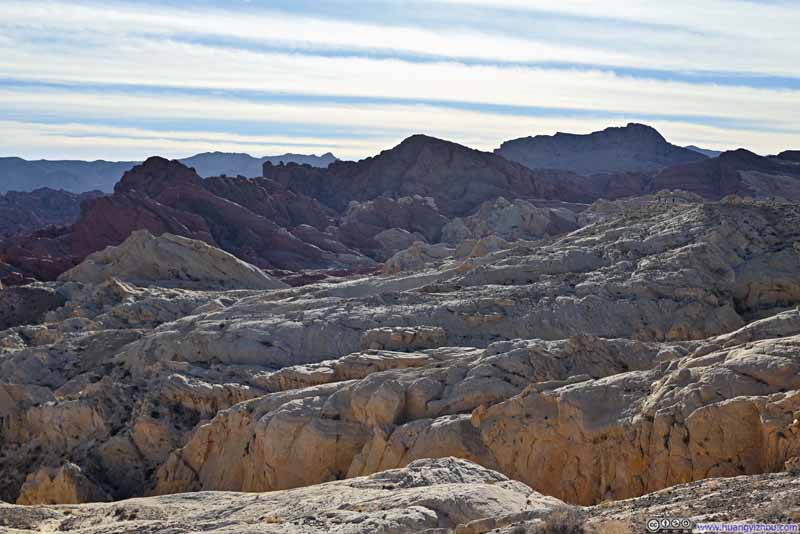
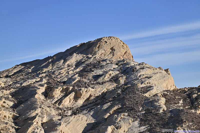
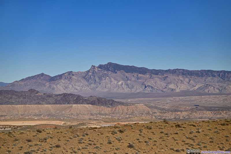
Further south, a few trails entered the extensive Fire Canyon seen from this overlook. Among them, I checked out Rainbow Vista Trail.
Rainbow Vista Trail
This was a short 1.6km (1mi) out-and-back trail, starting out in an open field and then entering a canyon, before concluding at an overlook.
To be honest, I didn't find hiking in the Valley of Fire particularly enjoyable. Many of the trails were composed of sand, and I didn't like sand sneaking into my shoes. This was especially true for the open field at the beginning of the trail, which, to me, felt a bit underwhelming.
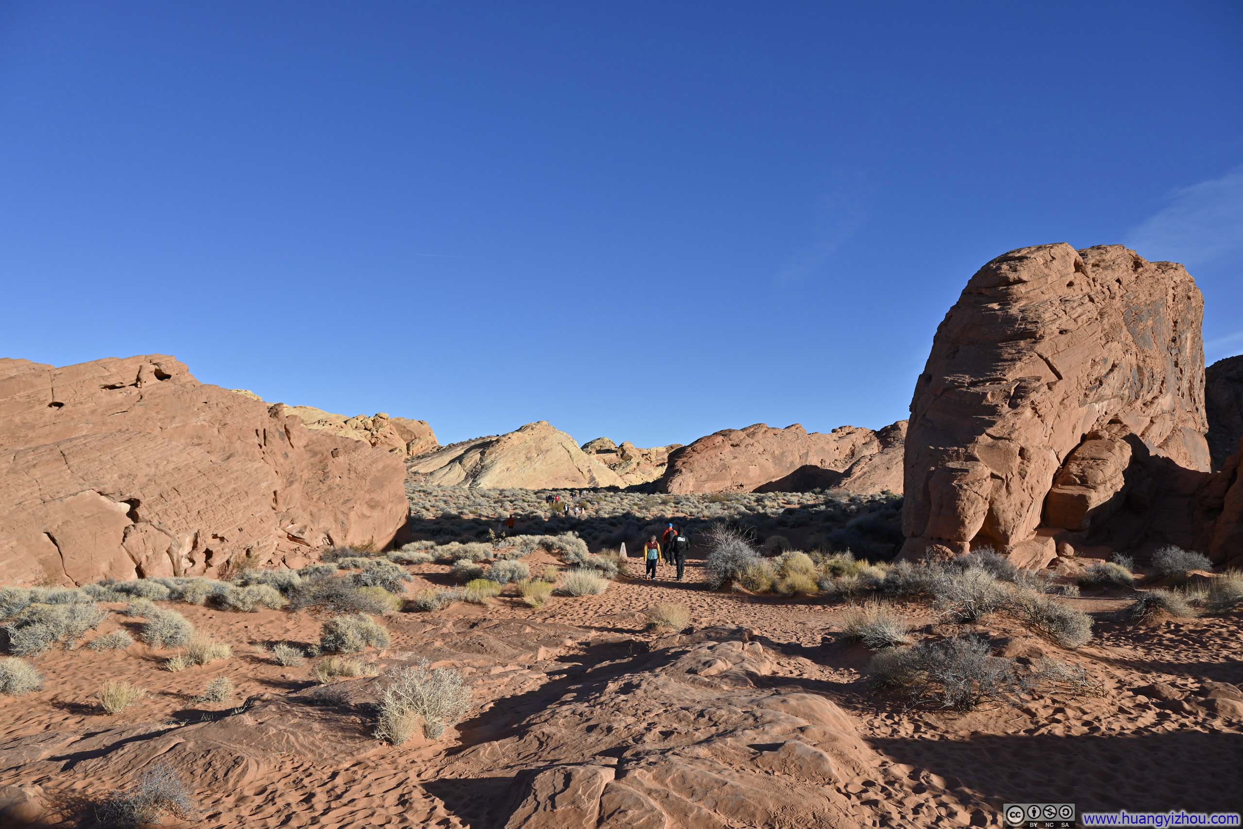
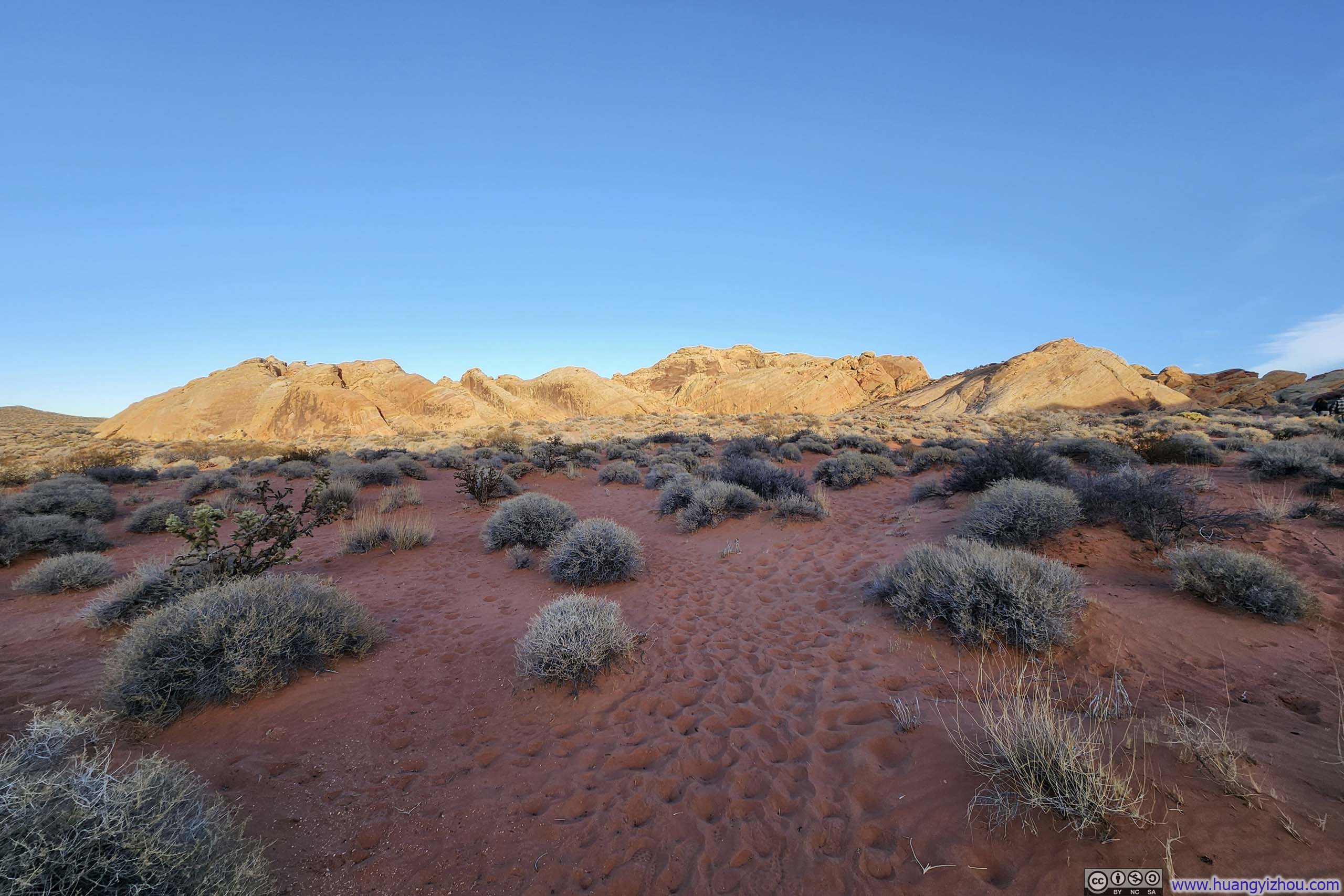
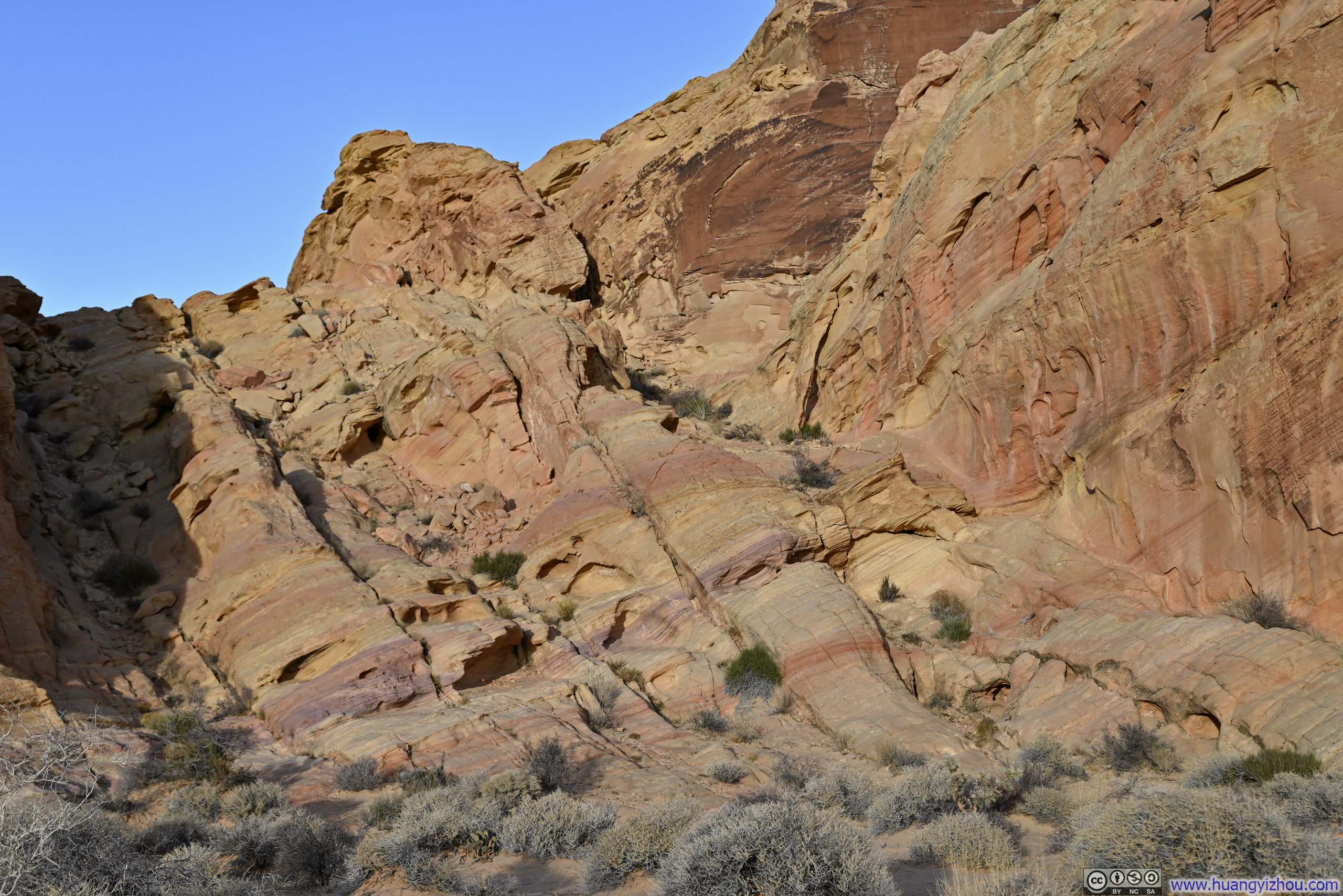
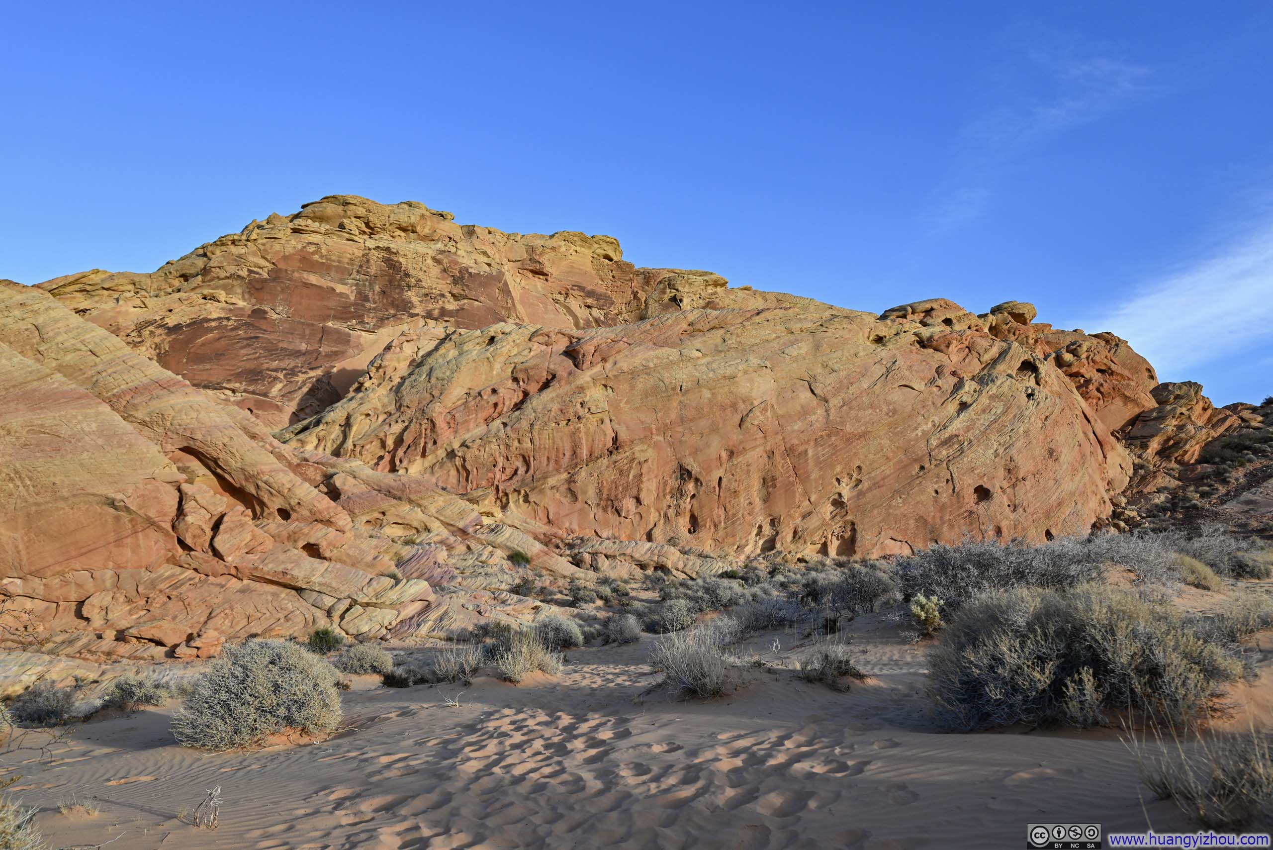
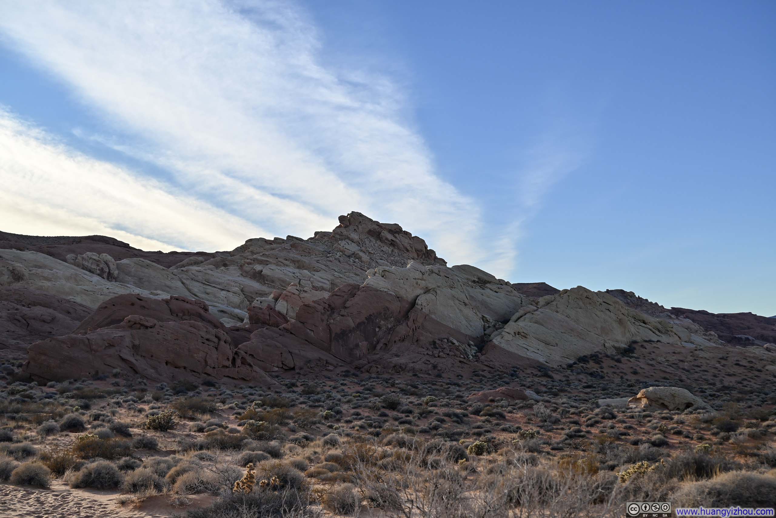
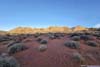
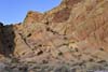
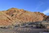
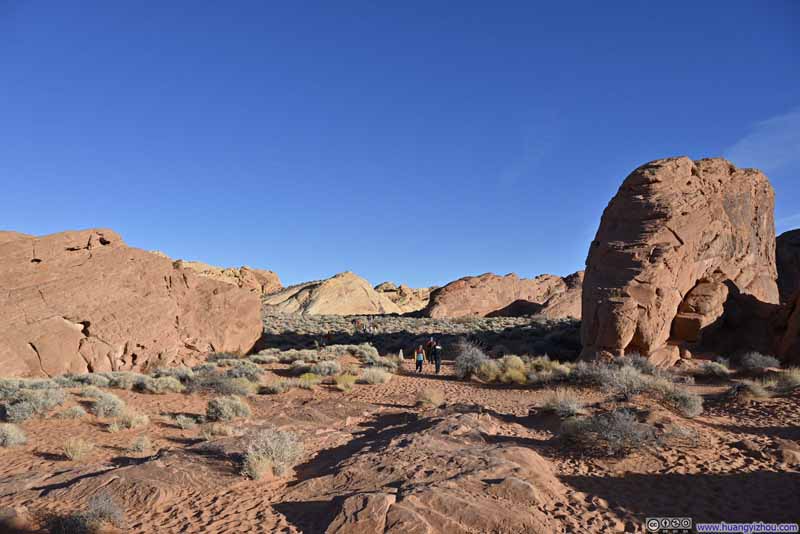
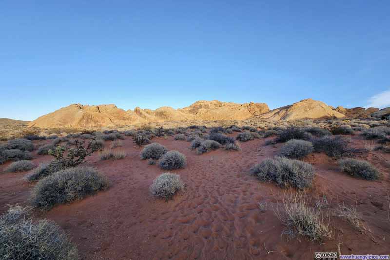
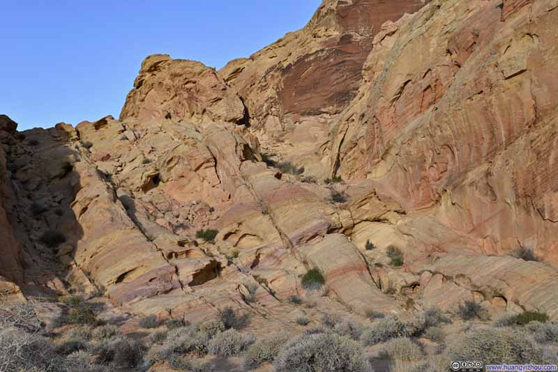
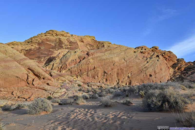
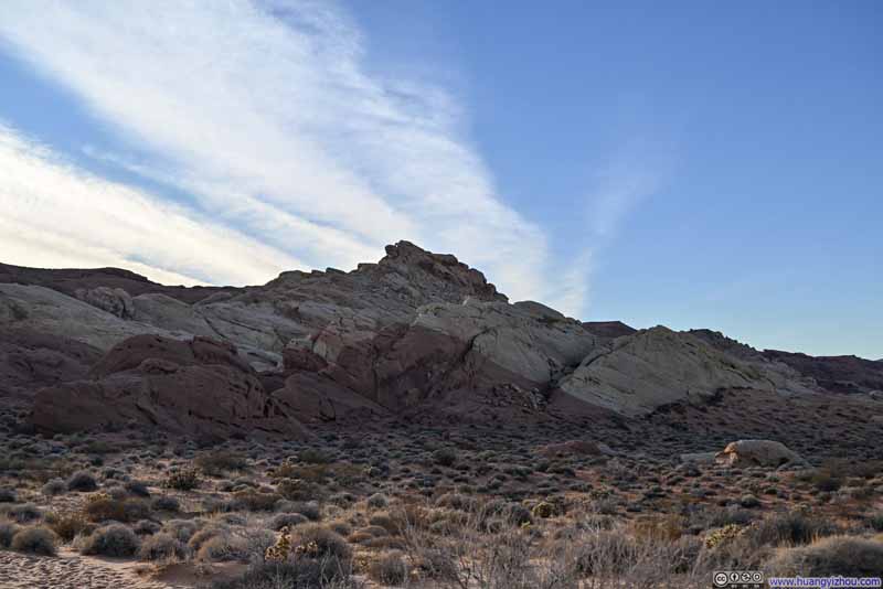
However, the experience took a refreshing turn once I entered the canyon. I found myself tightly surrounded by the marvelous sights of towering red rock formations.
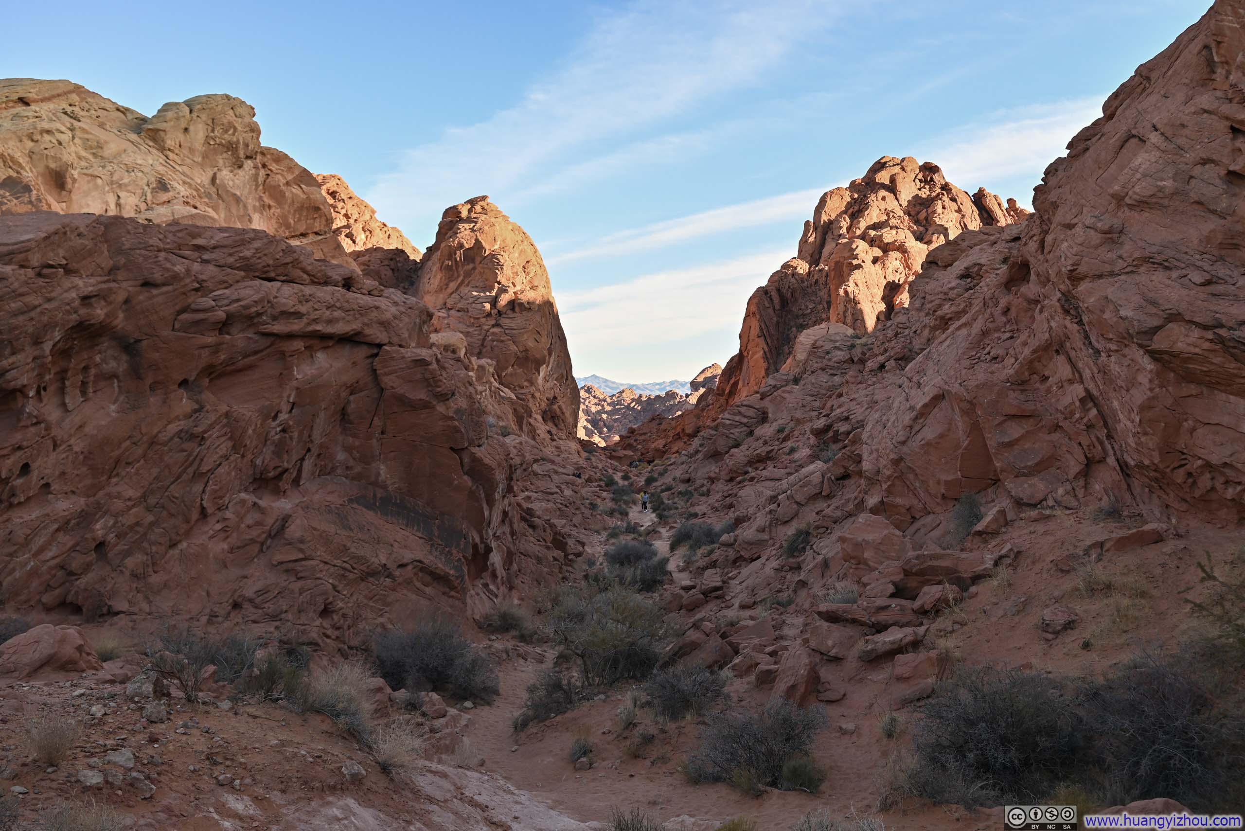
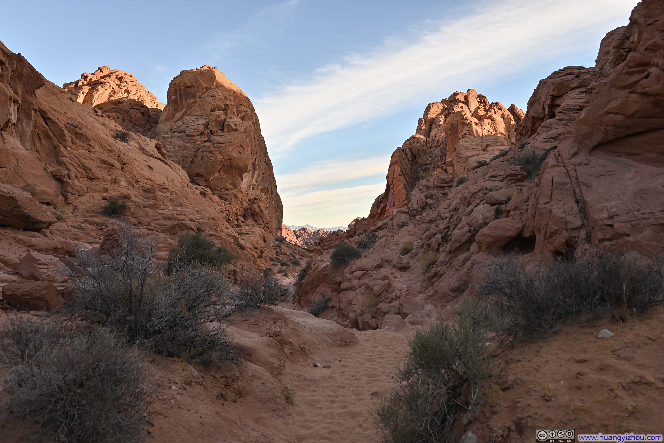
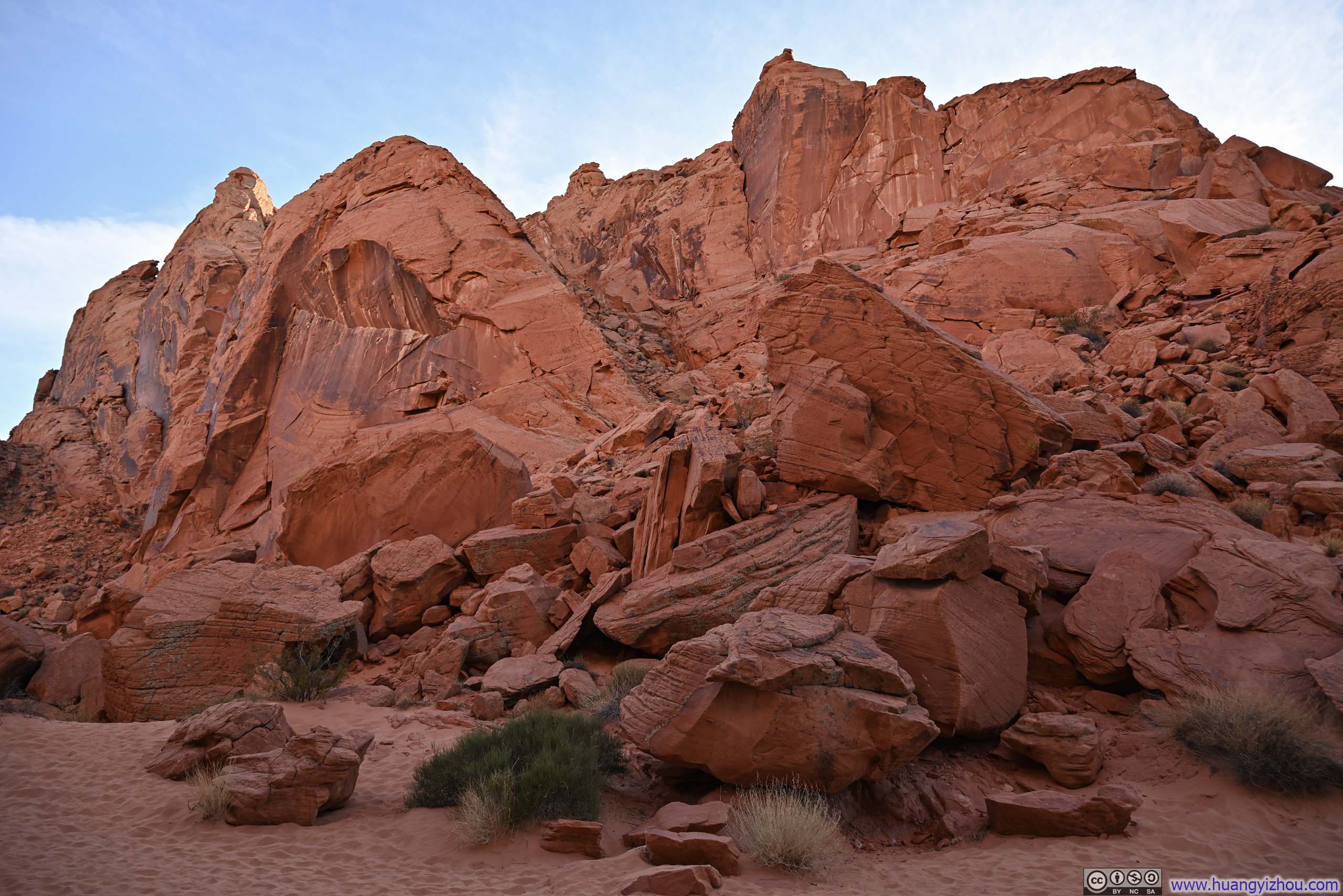
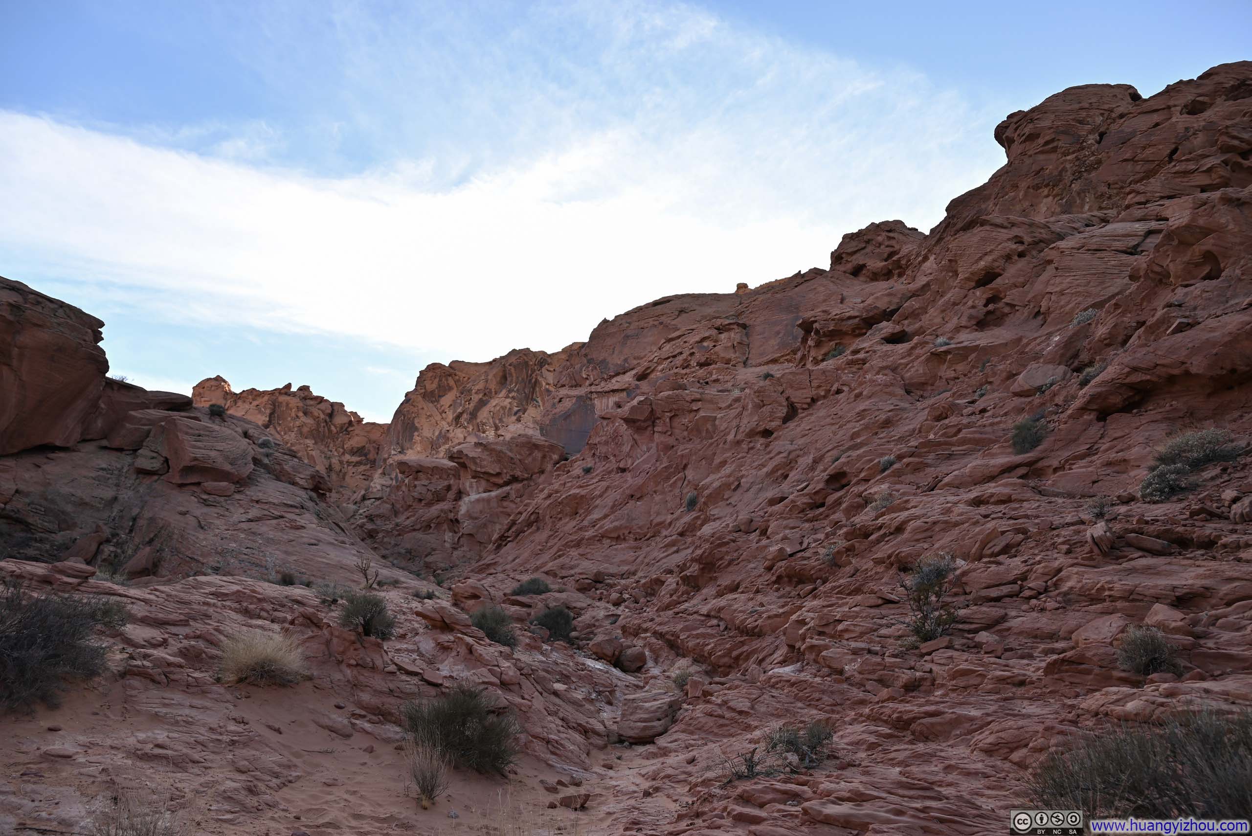
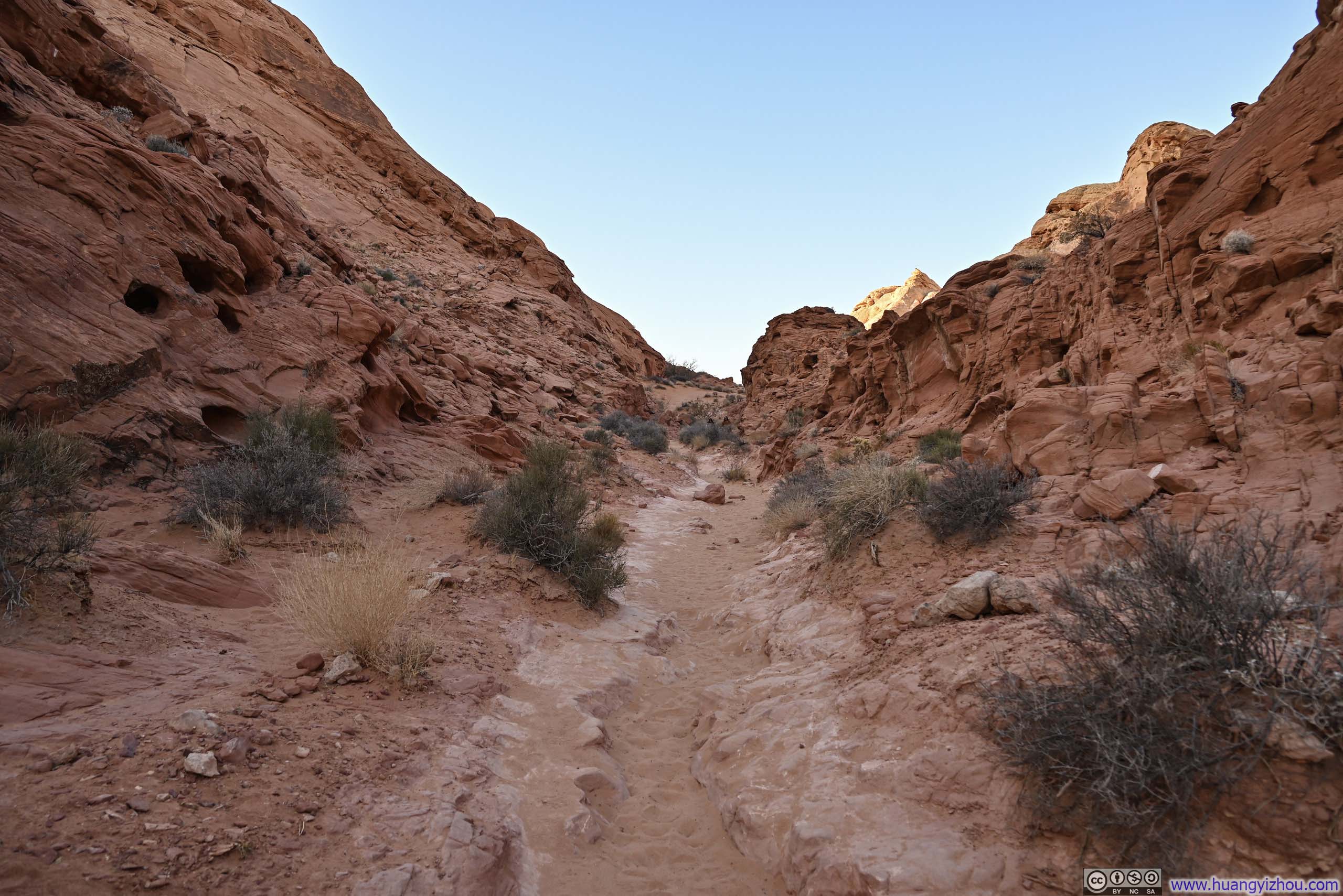

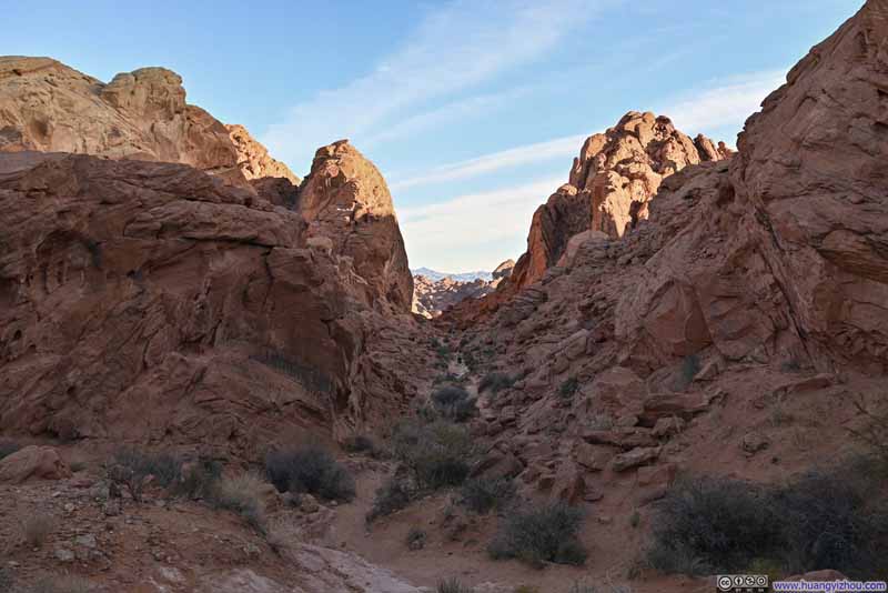
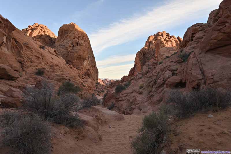
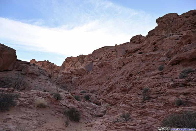
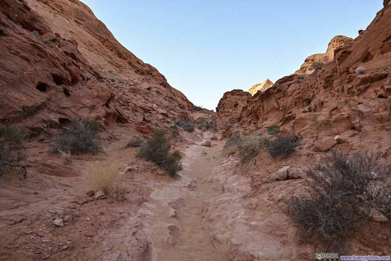
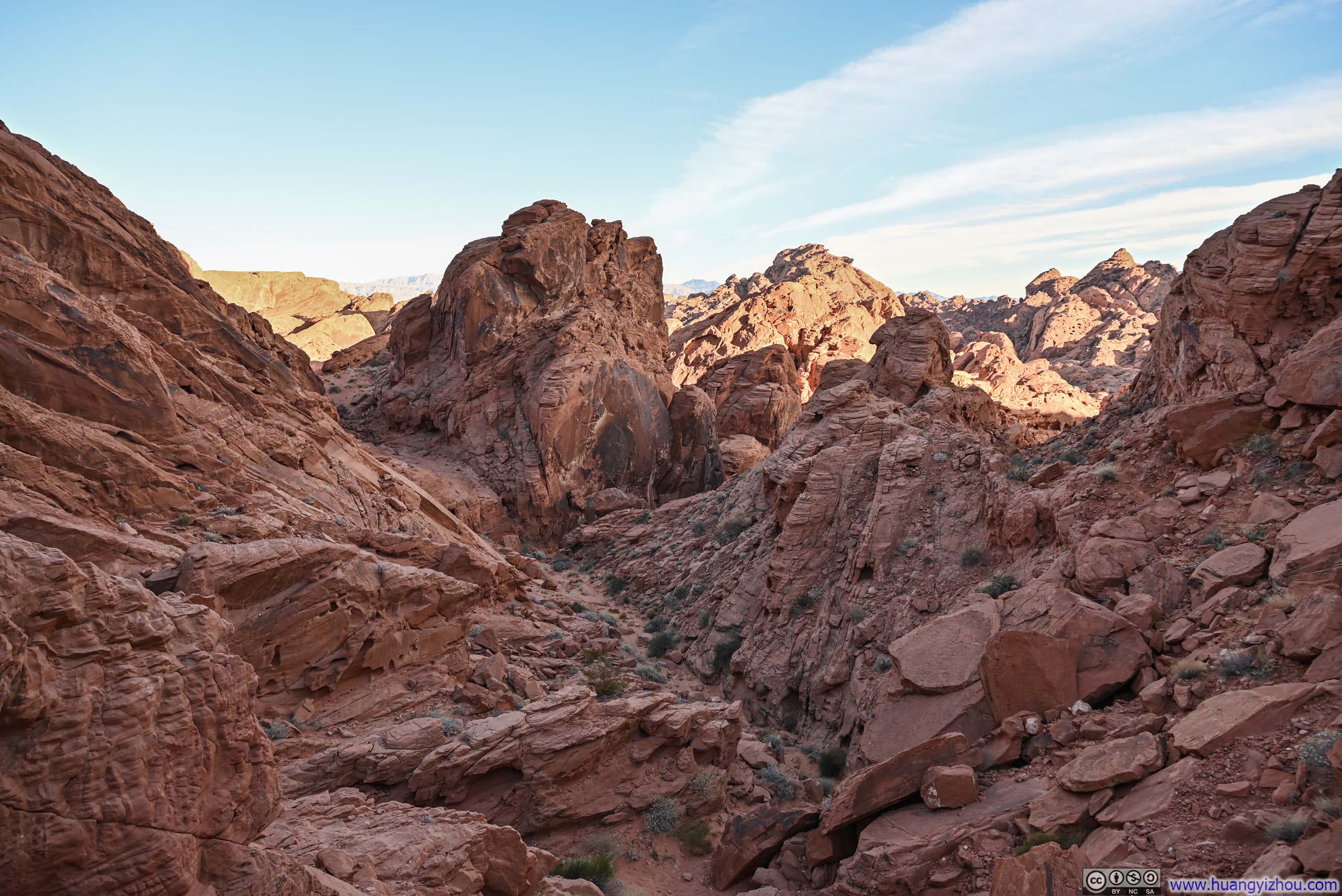
Then it's the vista at the end. While the Fire Canyon Overlook earlier had offered a sweeping perspective of the area, this view felt more like a close-up, zoomed-in snapshot. Admittedly, the angle of the view was limited, and the rocks here lacked the vibrant array of colors that had dazzled along the Seven Wonders Trail, so I didn't find the vista that impressive.
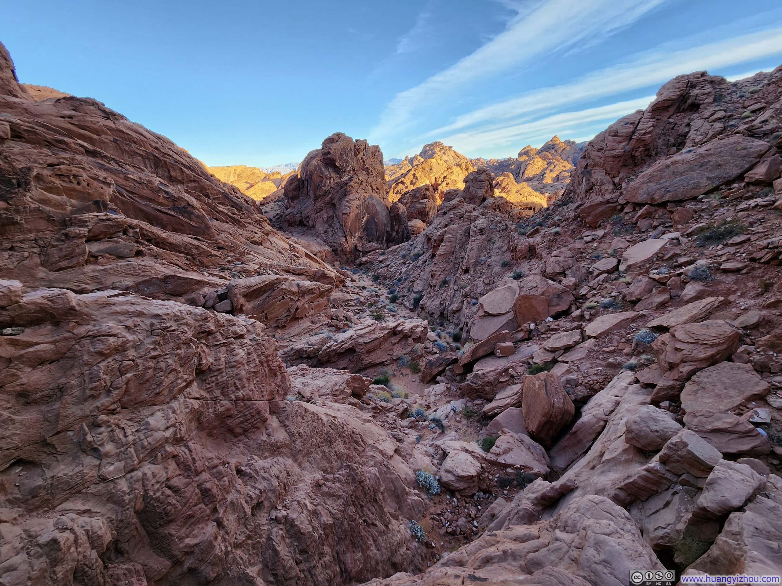
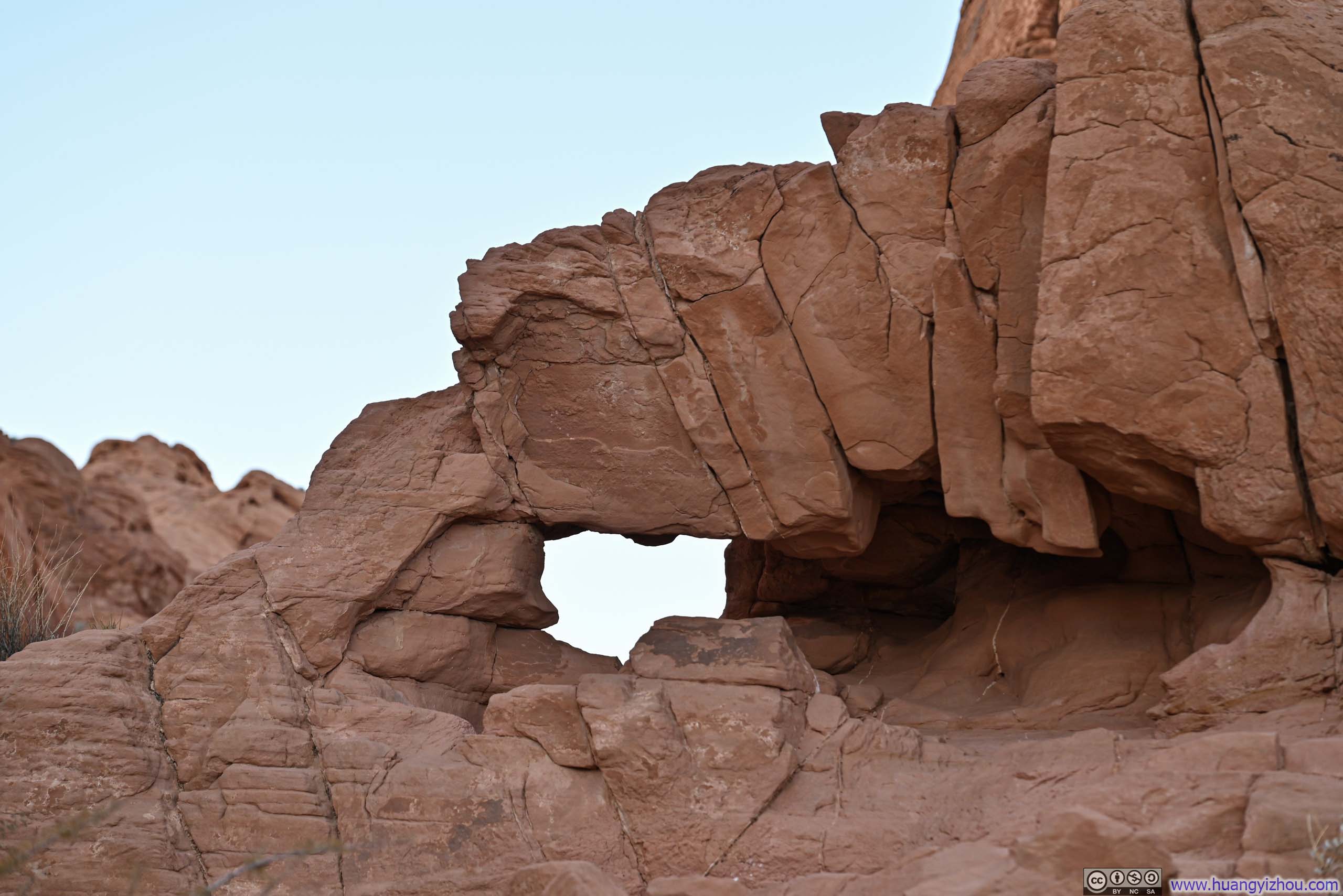

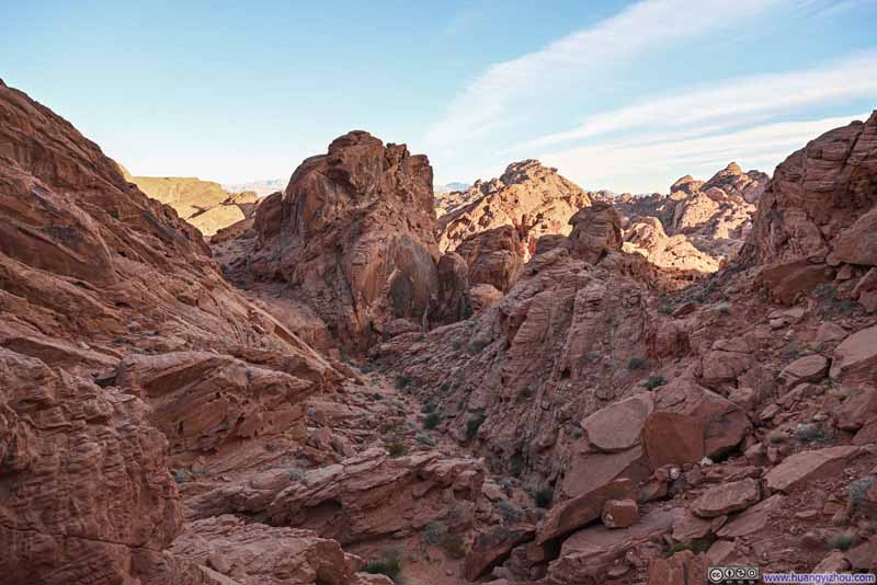
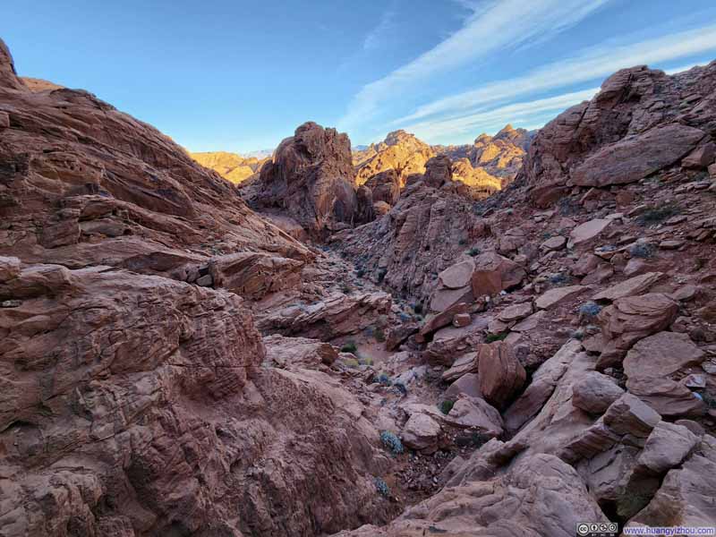
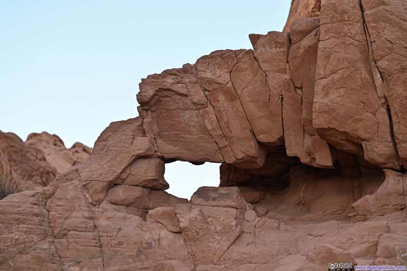
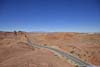
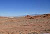
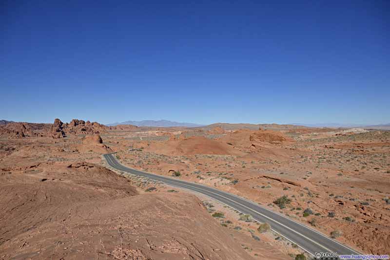
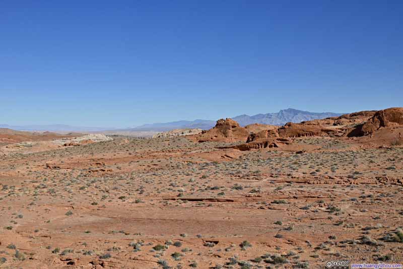
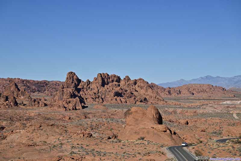
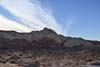
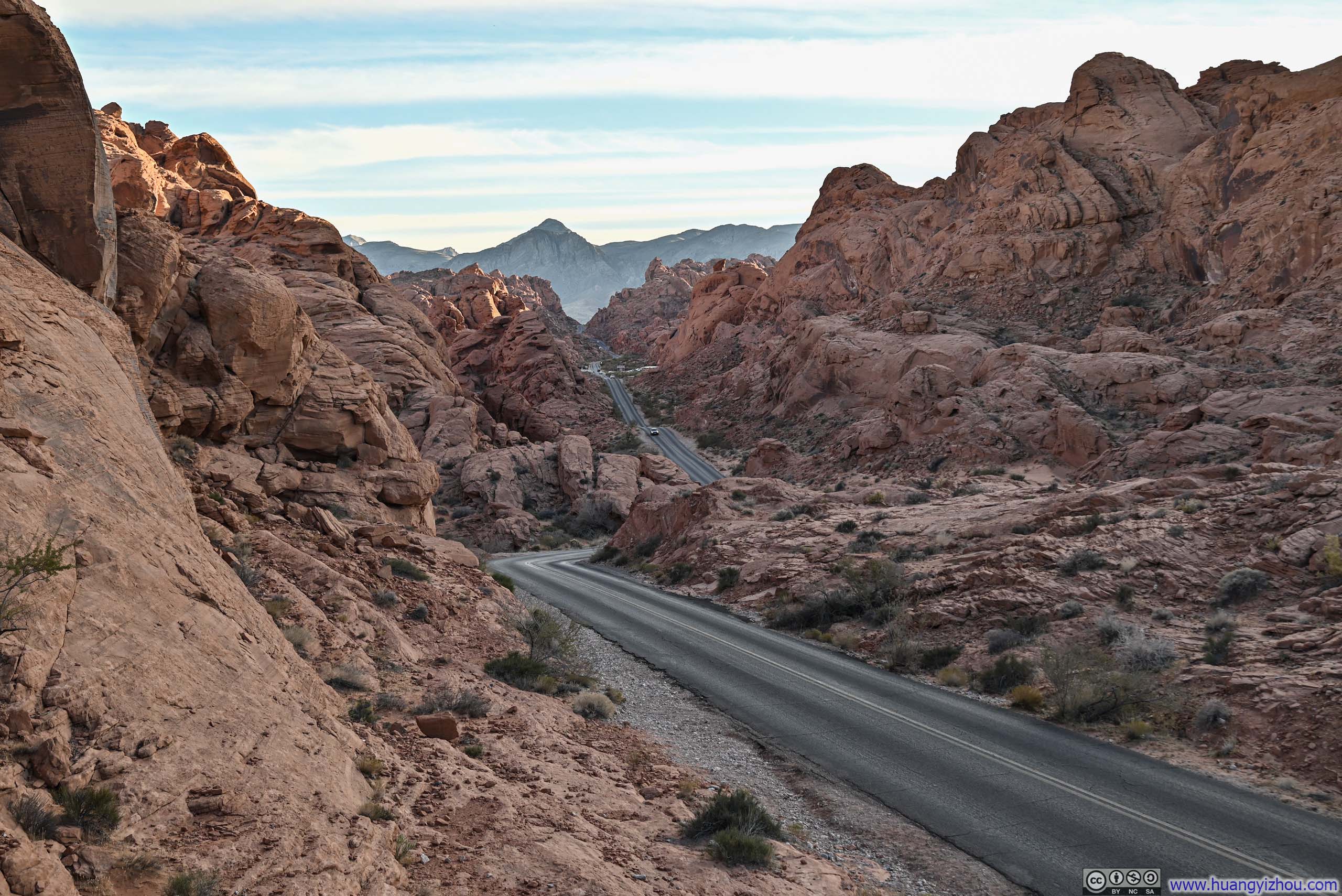
Upon returning to the parking lot, I noticed that a few small buttes nearby offered surprisingly impressive views. From one vantage point, I admired the road cutting dramatically through the valley (the vertical stem of the inverted "T"); from another, the expansive fields of red rocks stretching far beyond the valley. These unexpected perspectives added a pleasant finale to the hike to Rainbow Vista.
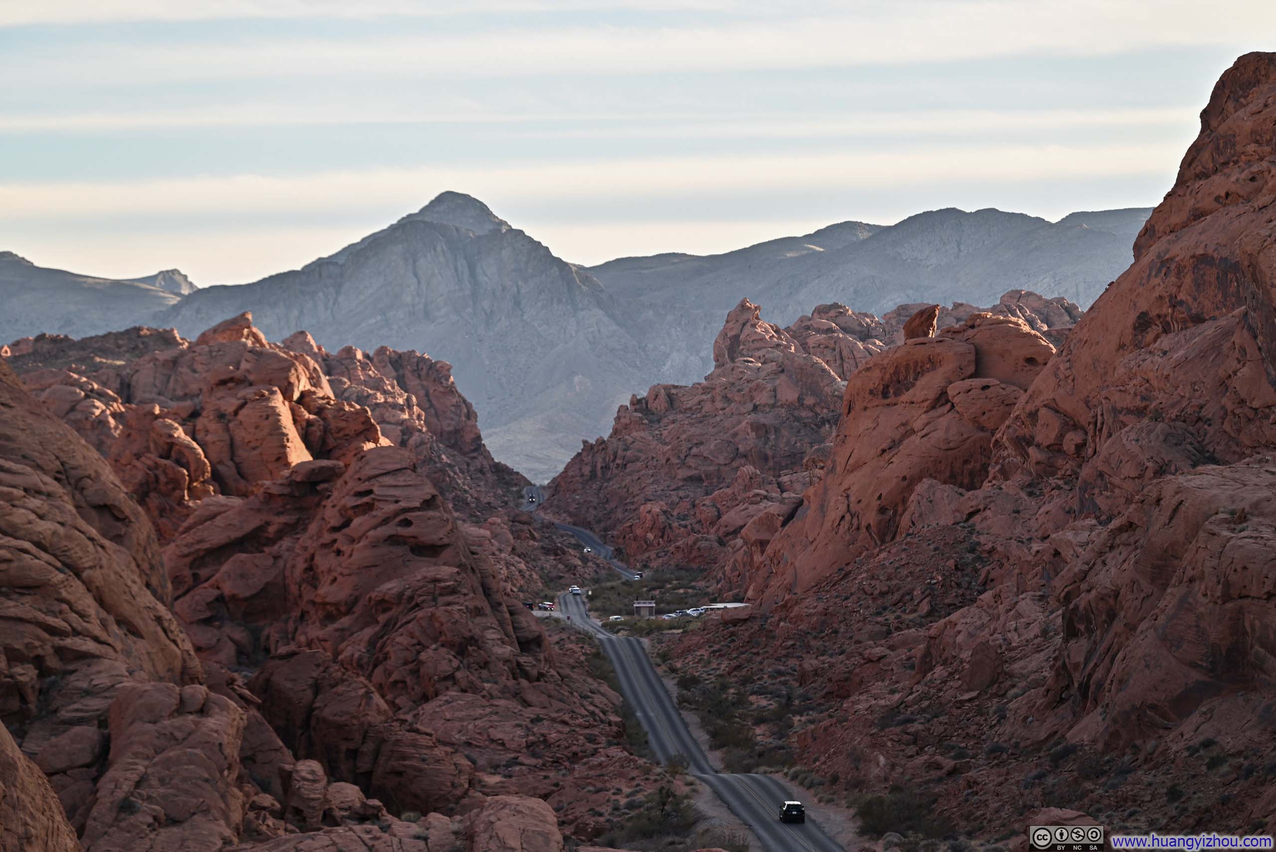
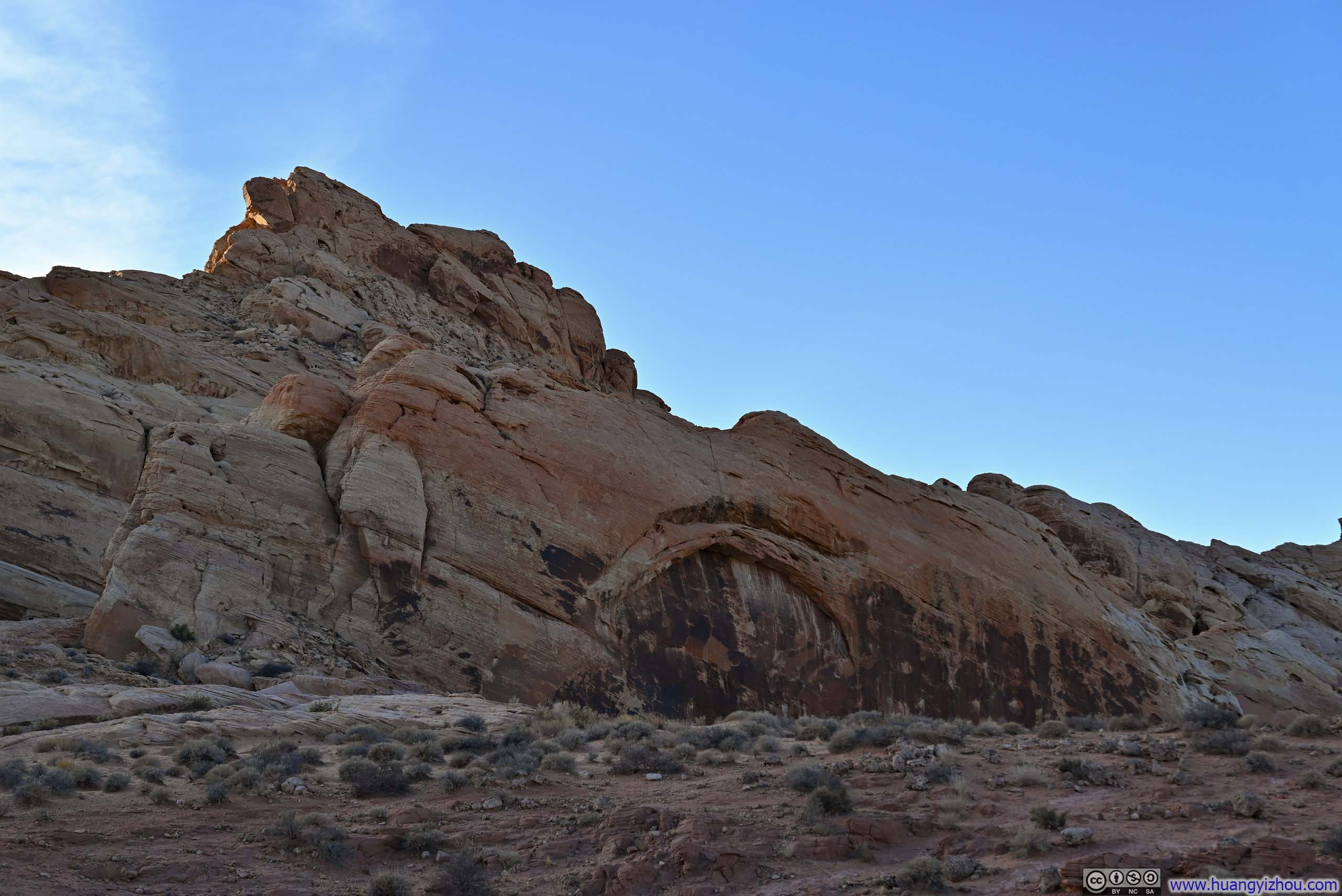
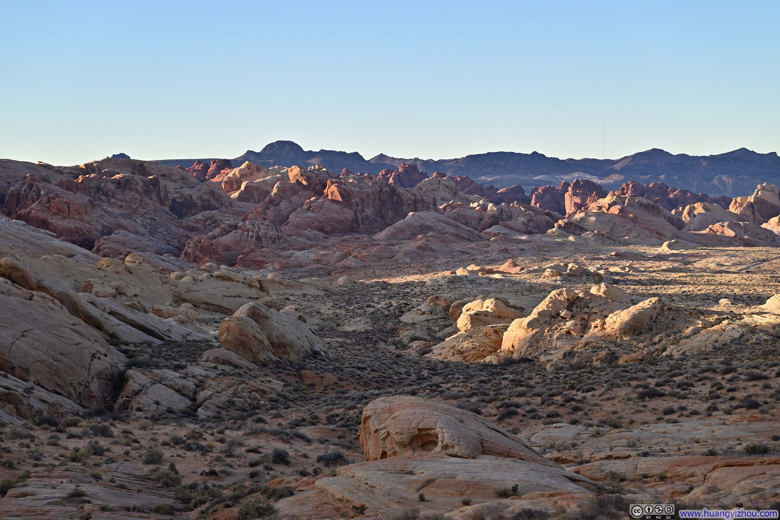
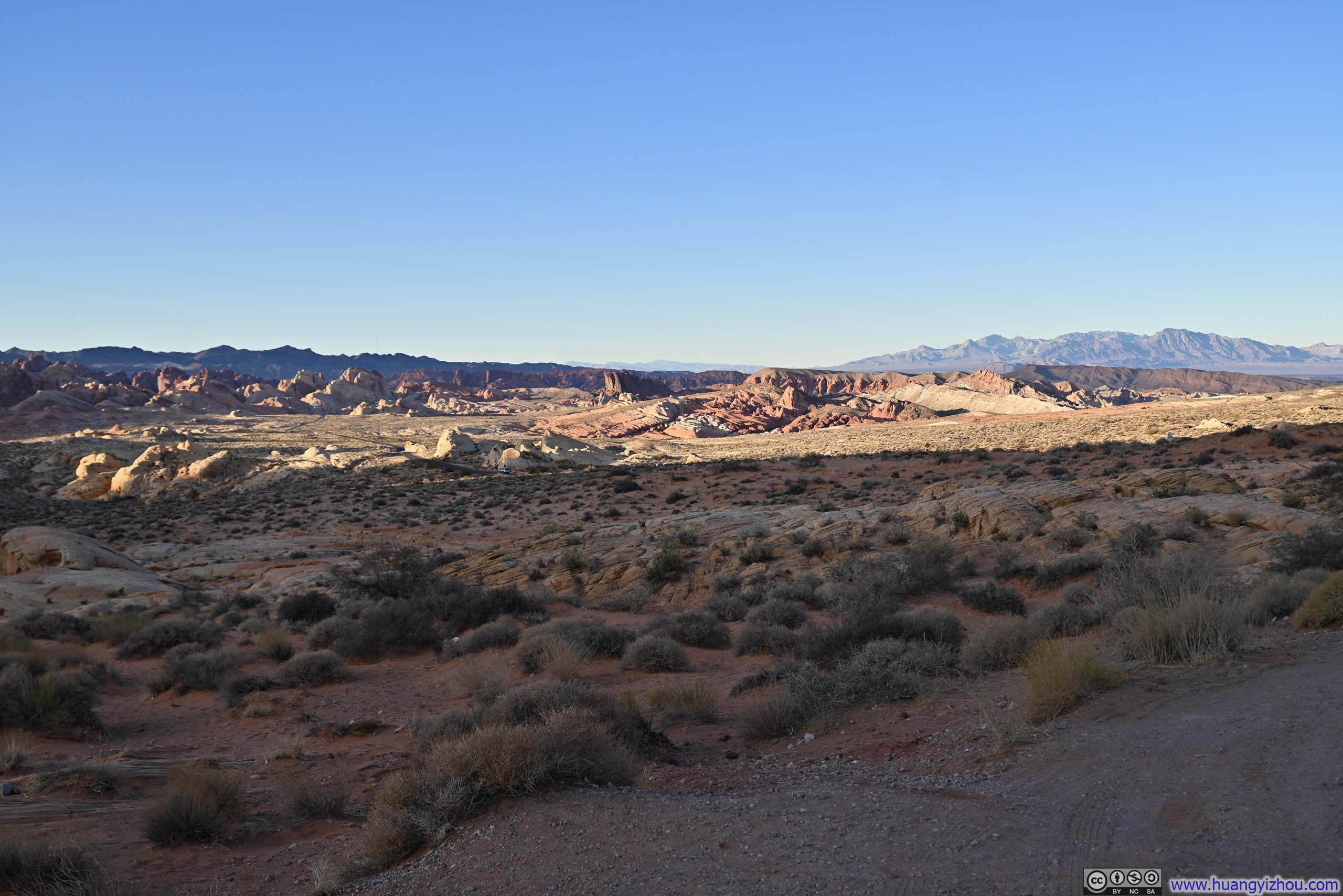
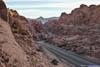

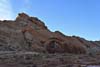
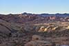
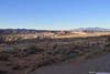
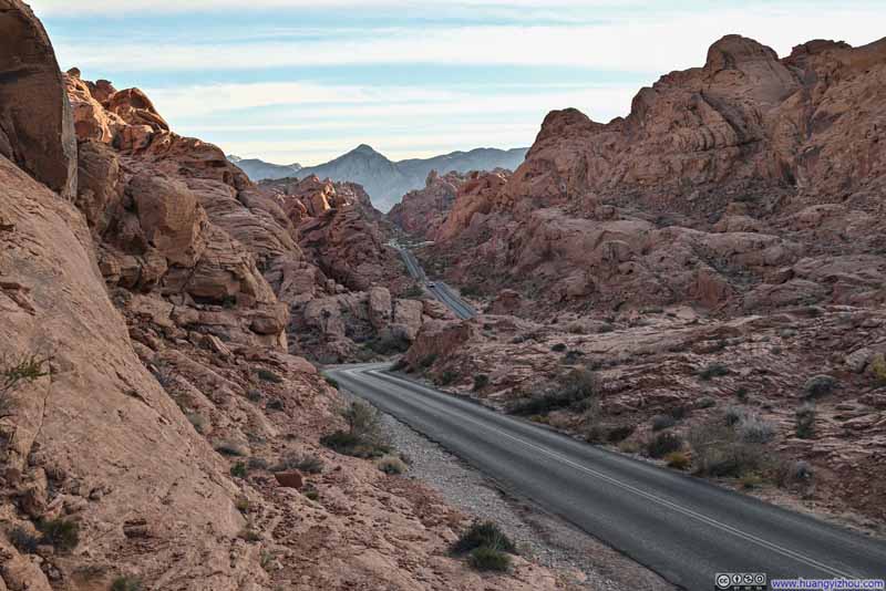
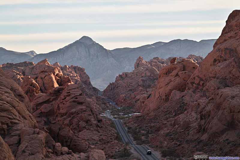
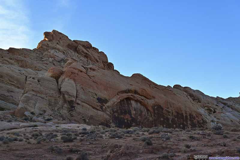
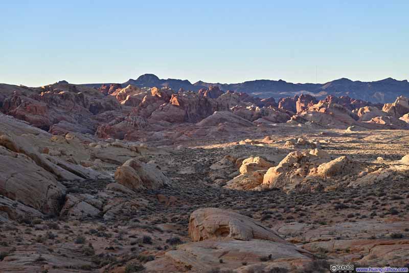
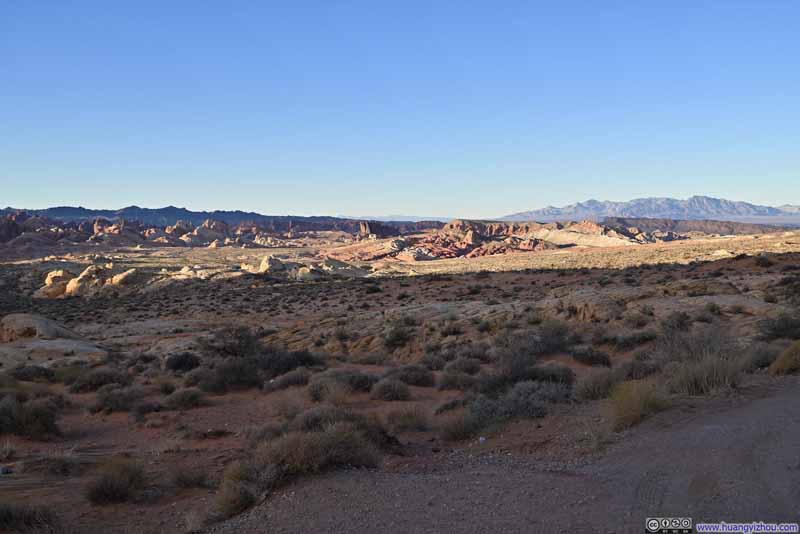
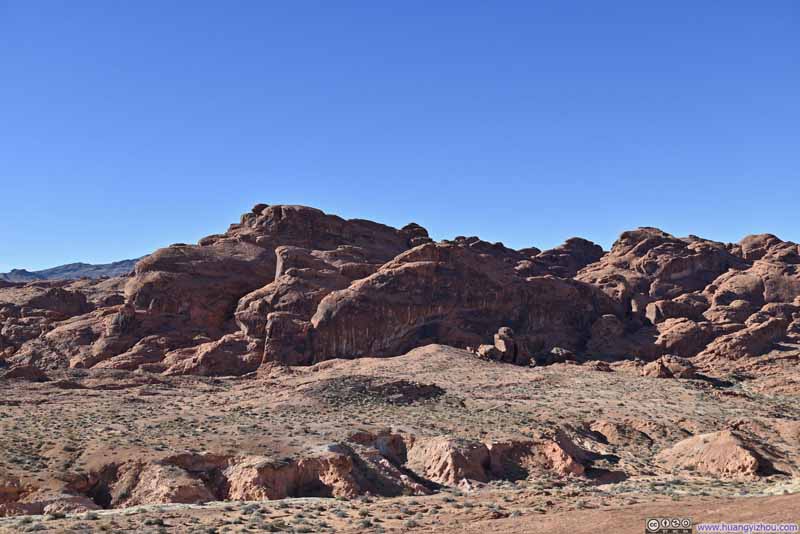
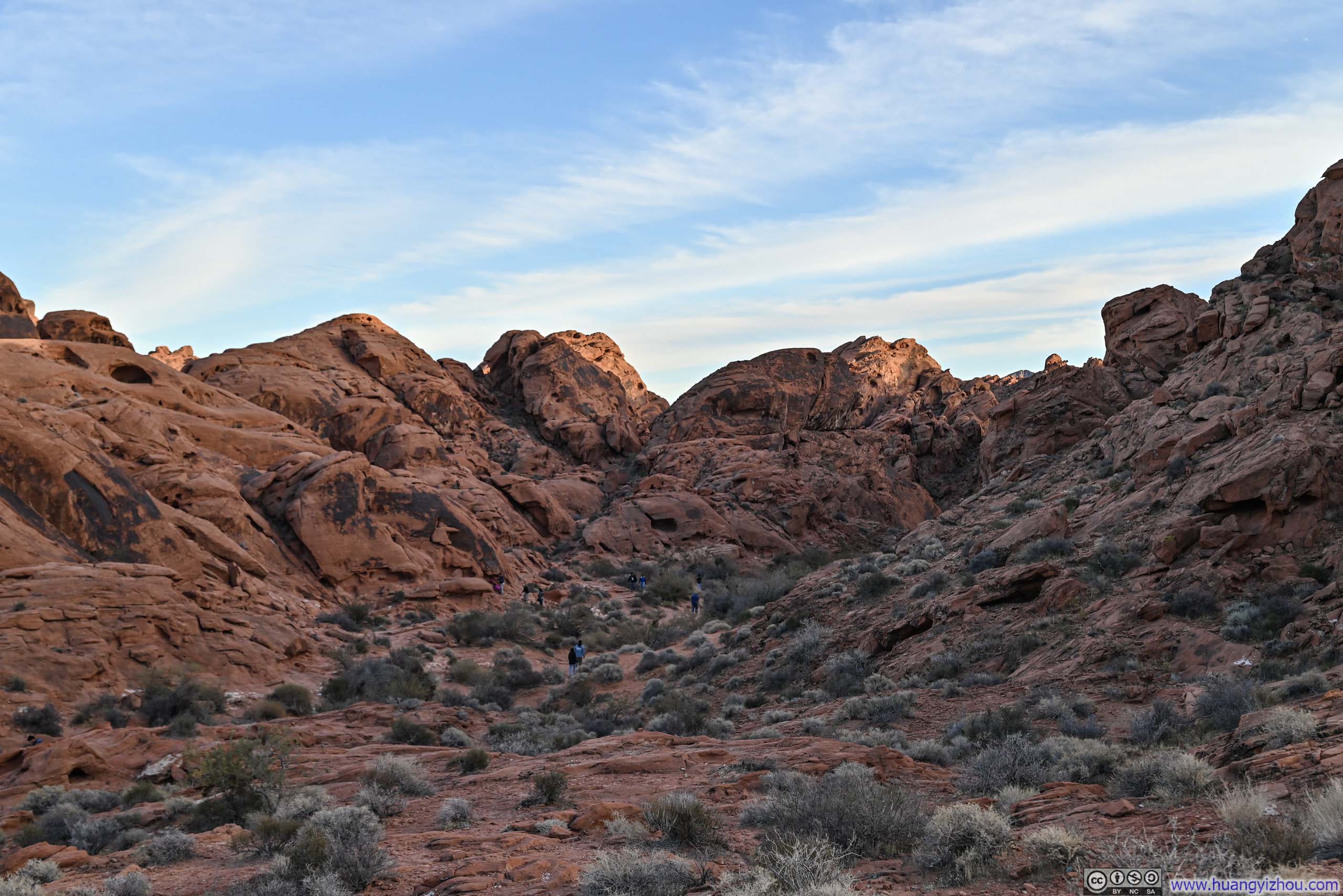
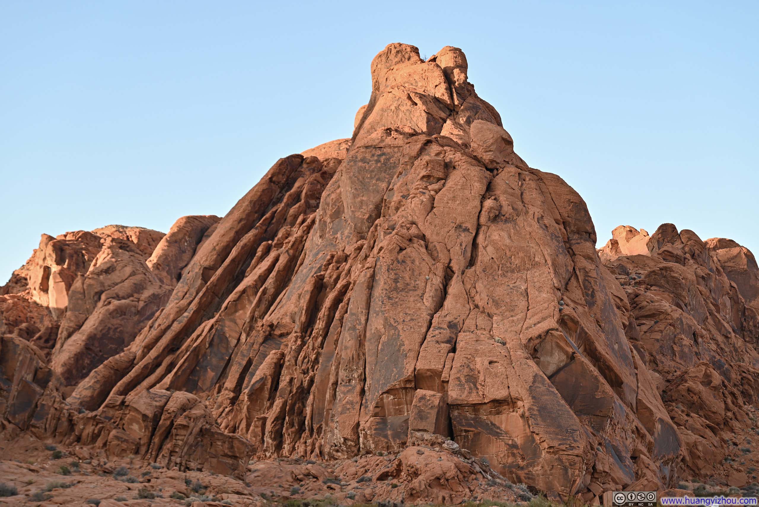
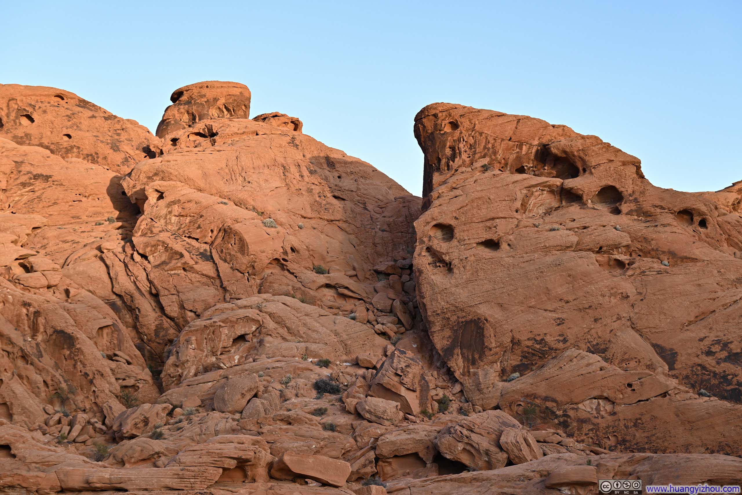
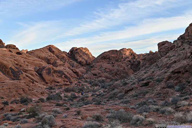
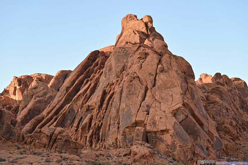
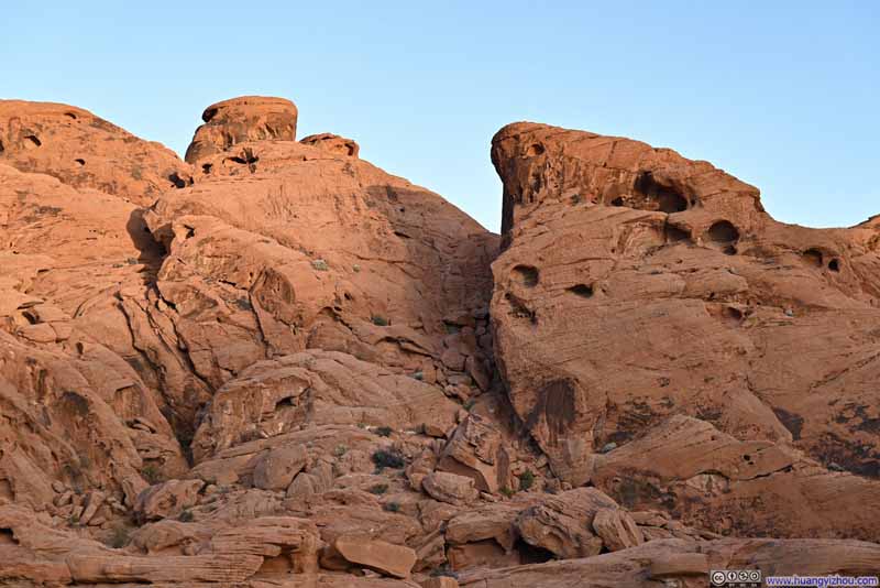
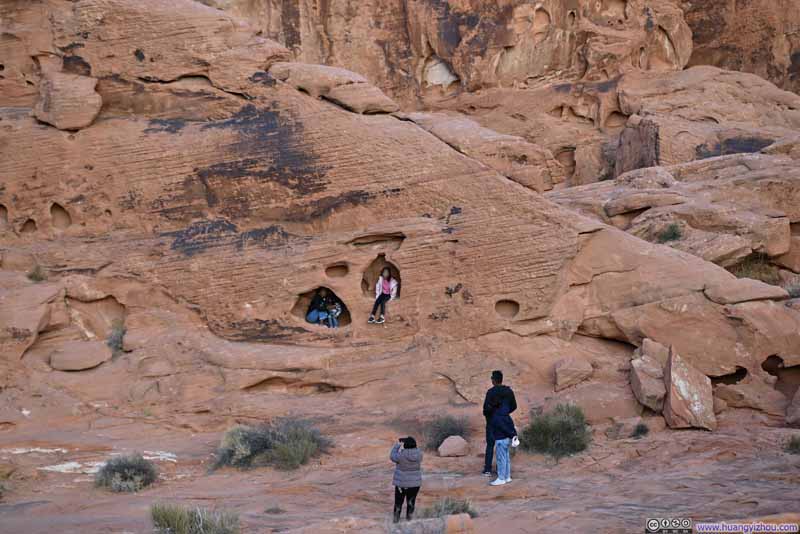
Originally, I allowed myself the option to hike to Mouse's Tank, another short hike nearby. But given the experience of my hike to Rainbow Vista, and the waning daylight, I decided to skip it, instead contented myself with a few photos of the various rock formations visible from its trailhead.

Balanced Rock
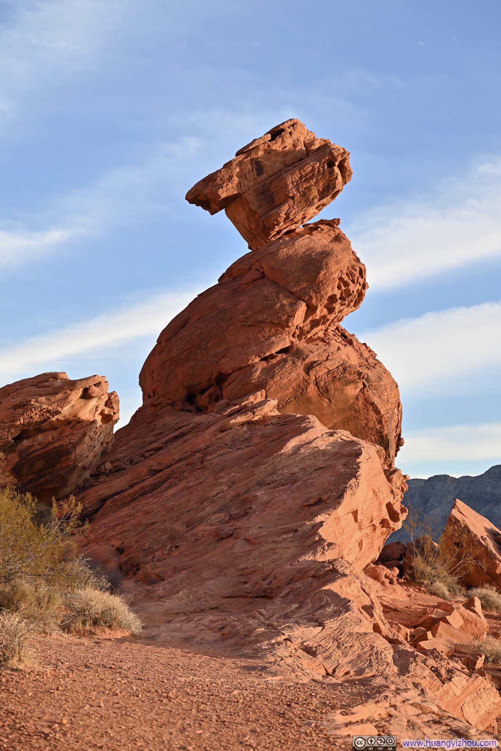
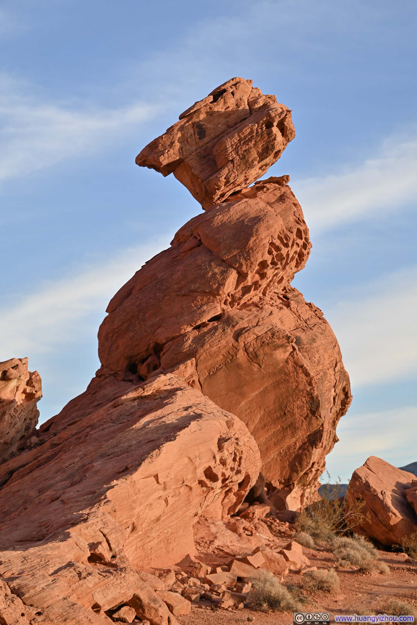
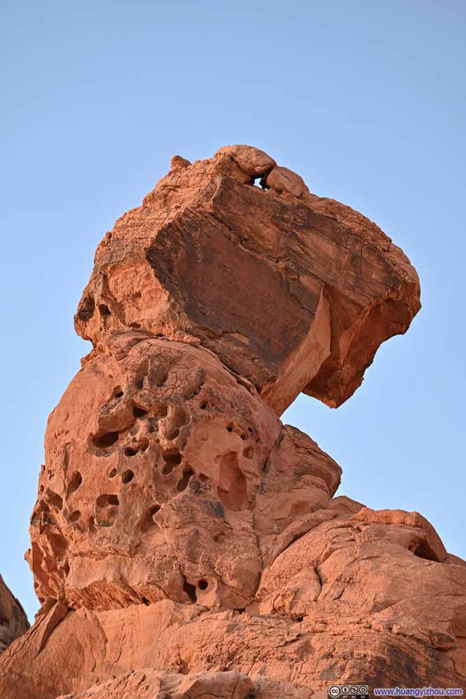
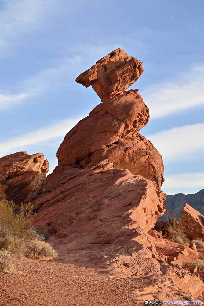
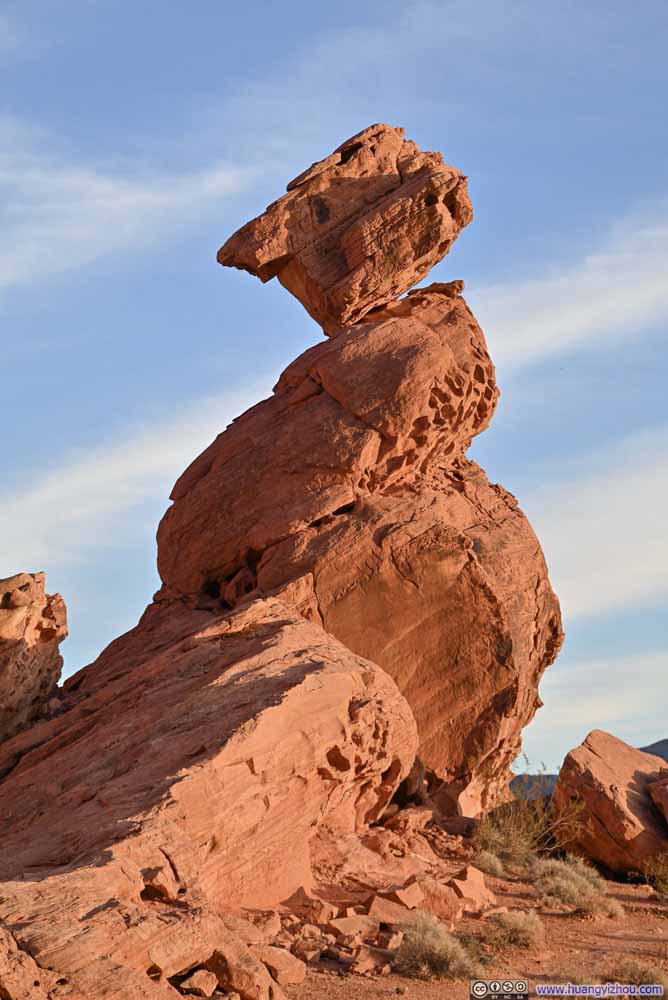
After that, I arrived at the (closed) visitor center, which was built against the backdrop of a giant wall of red rocks. There, I checked out Balanced Rock which was just a short walk away.
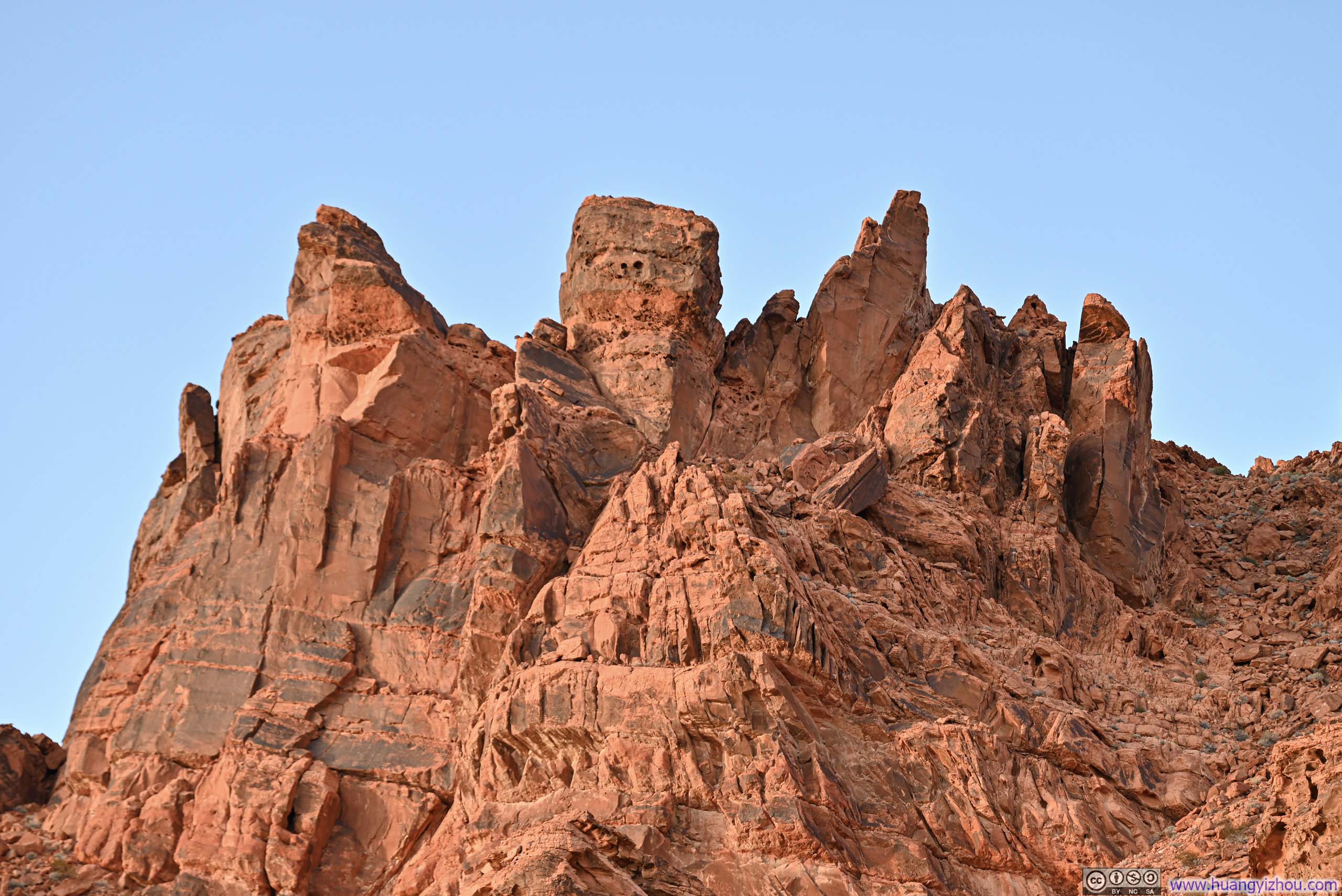
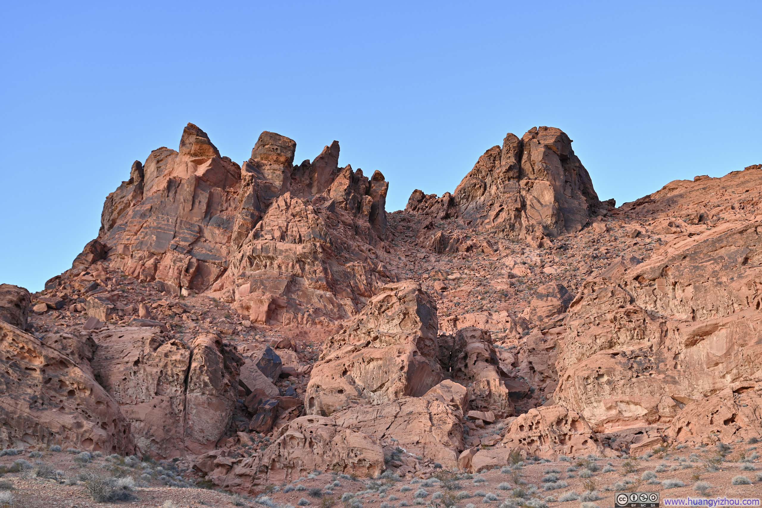
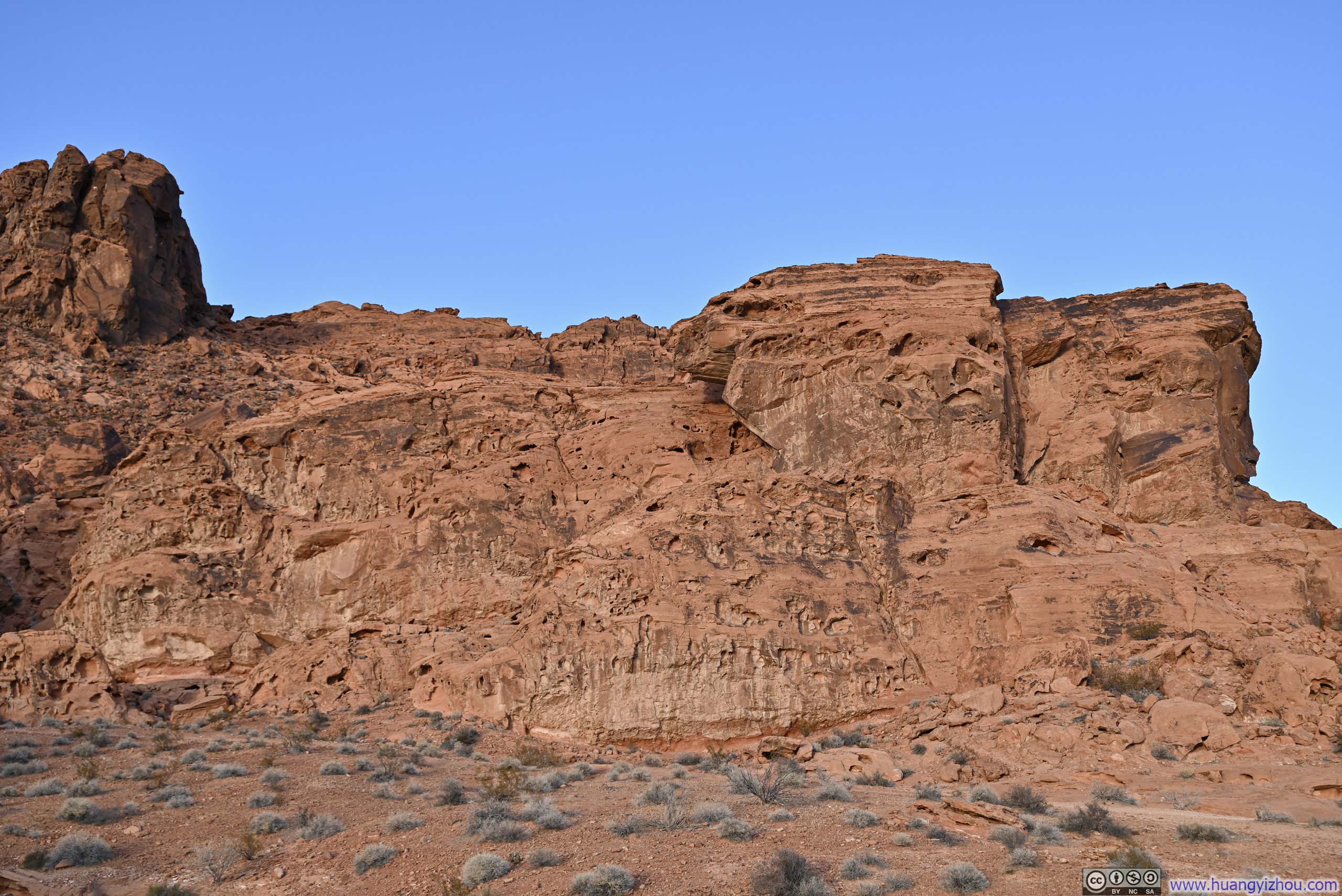
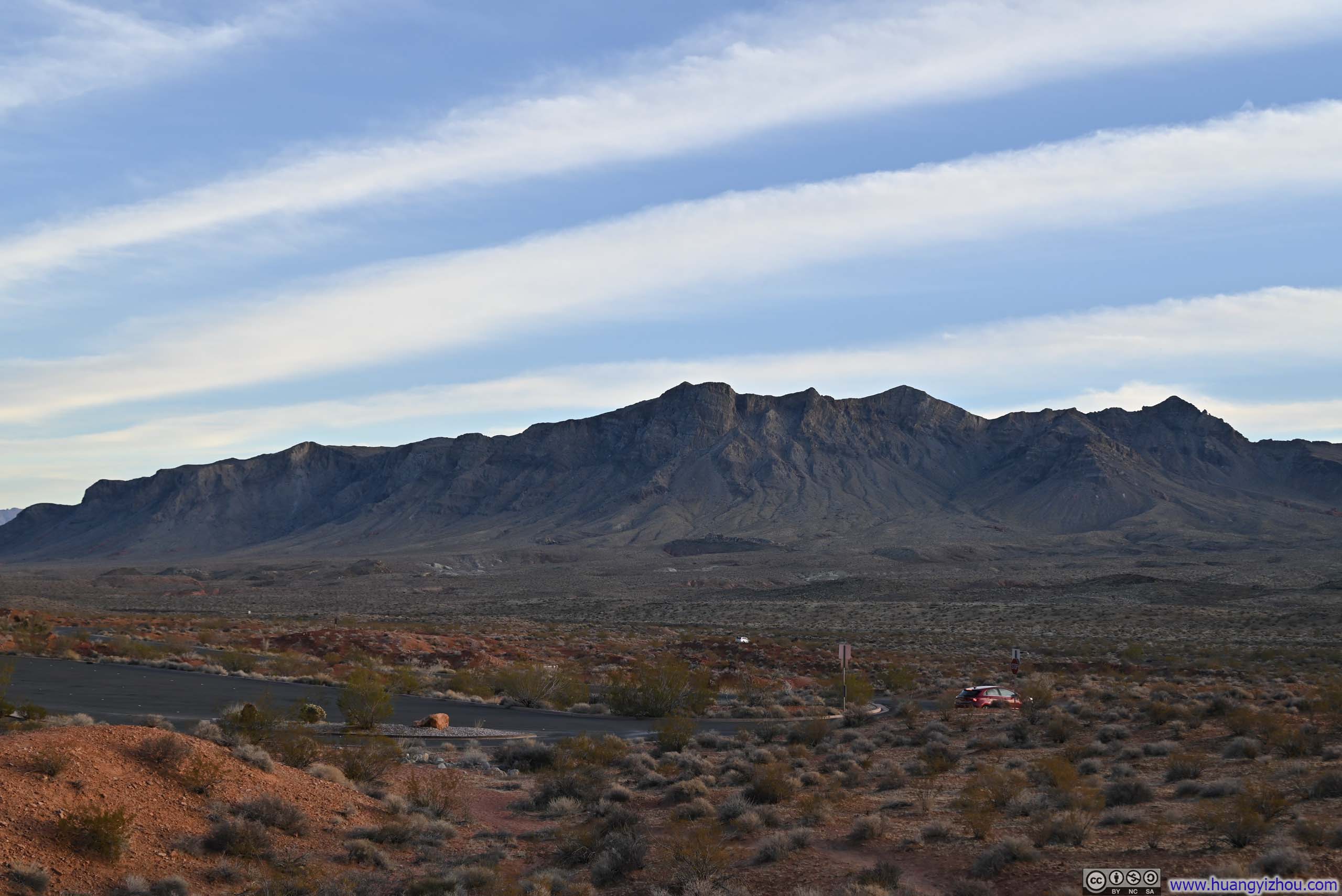
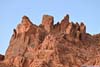
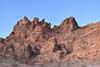
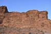

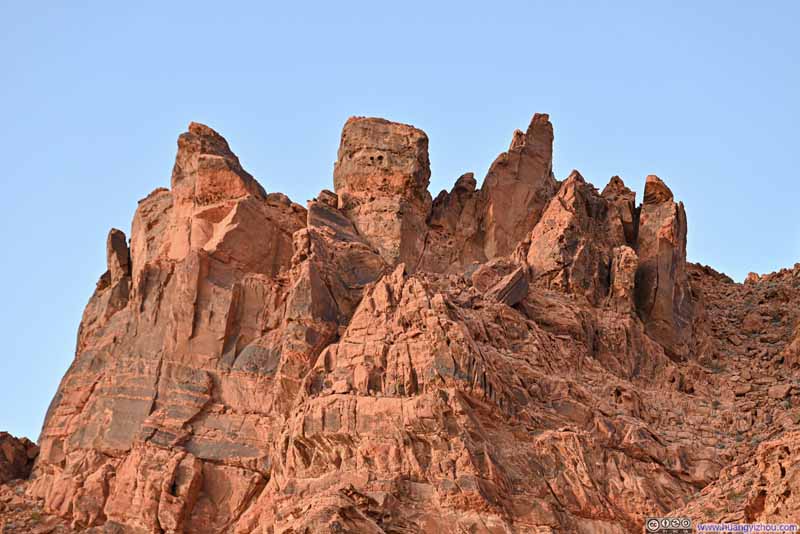
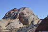
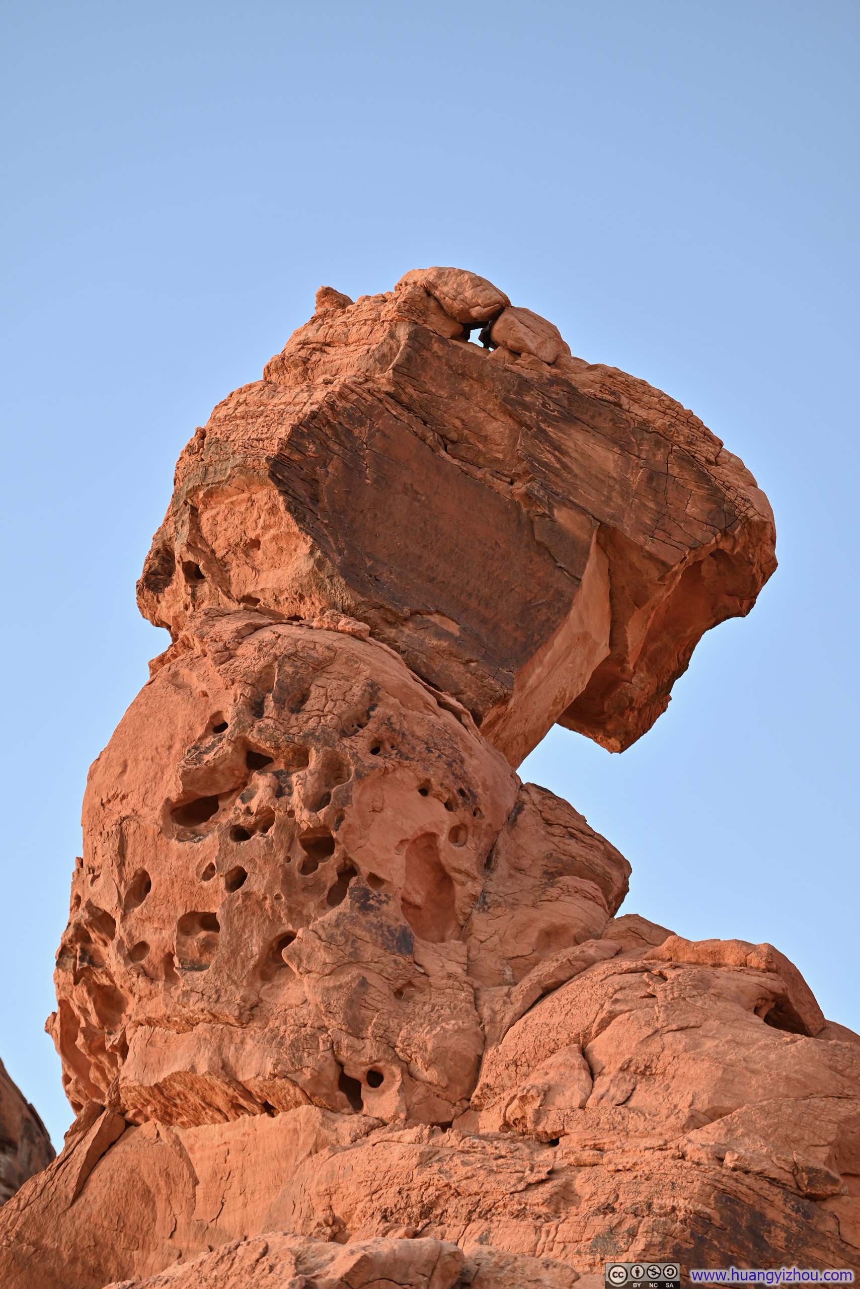
To truly appreciate the intricacy of Balanced Rock, one should walk west past it. From the end of the trail, it appeared that the top of Balanced Rock was seemingly only connected to its base via a very small patch of contact (p2-3 below).

Elephant Rock
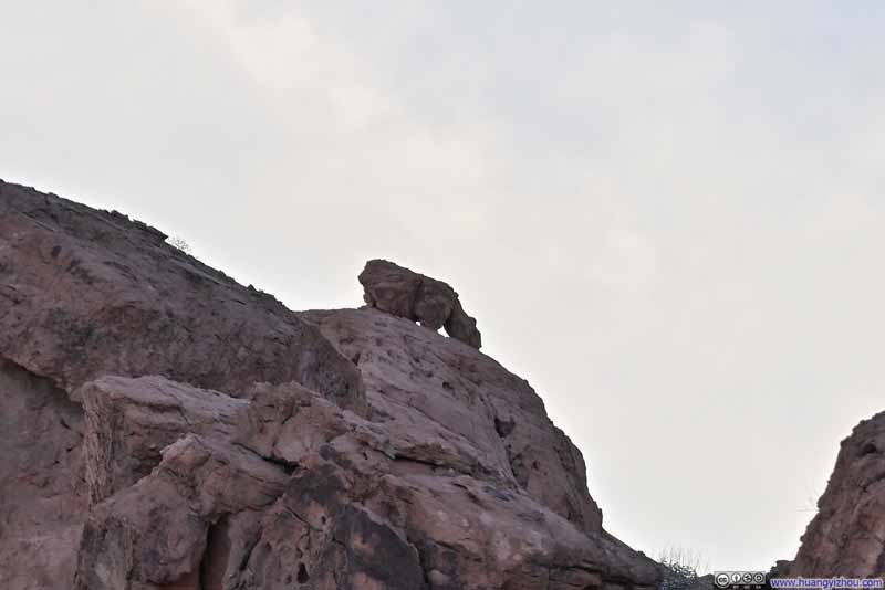
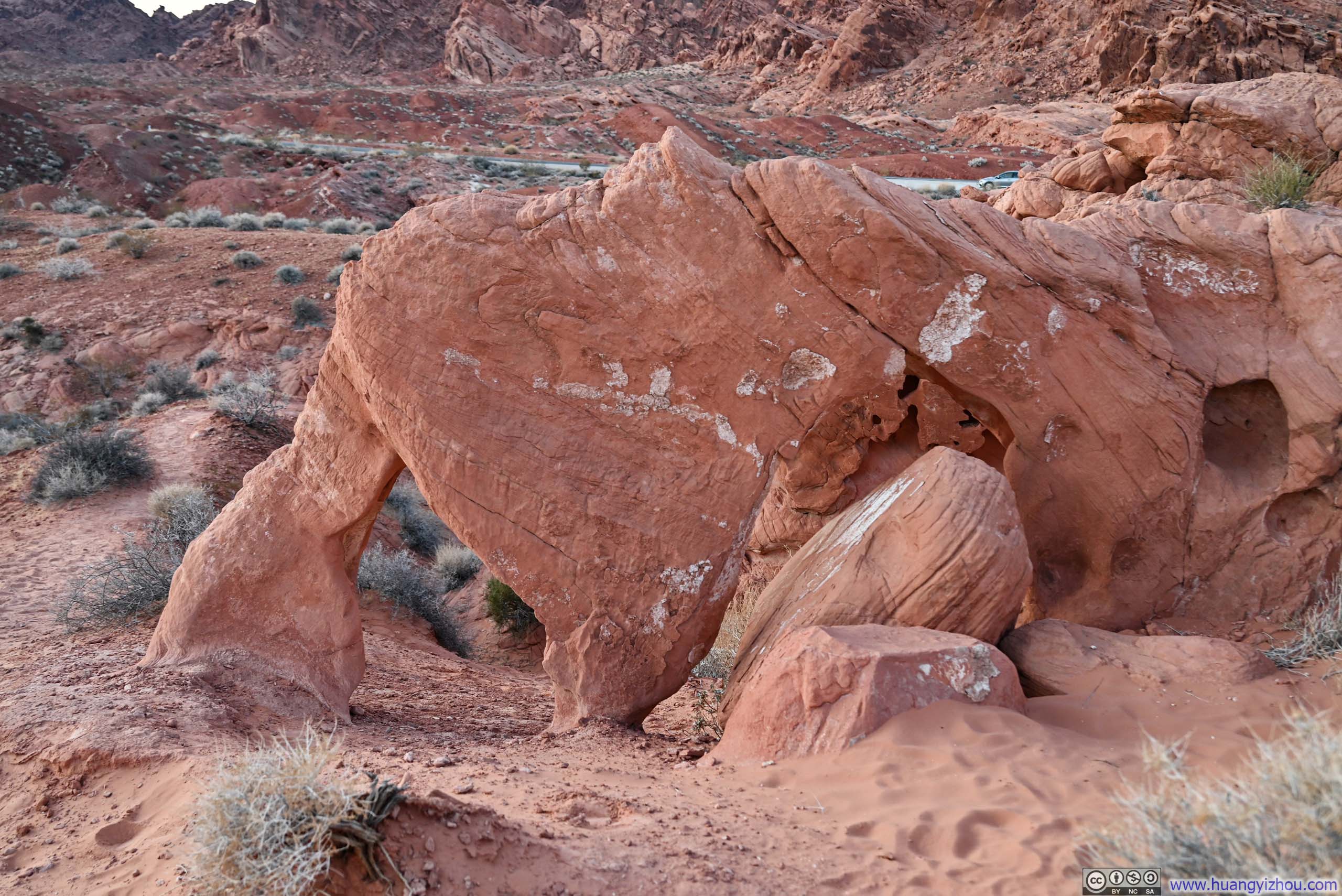
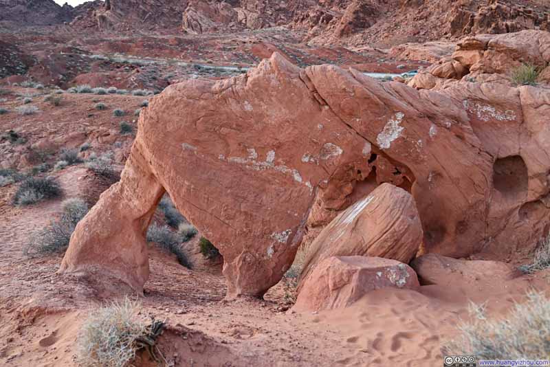
I then made my way to Elephant Rock, which was next to the park's eastern entrance. True to its name, this natural arch elegantly resembled an elephant's trunk.
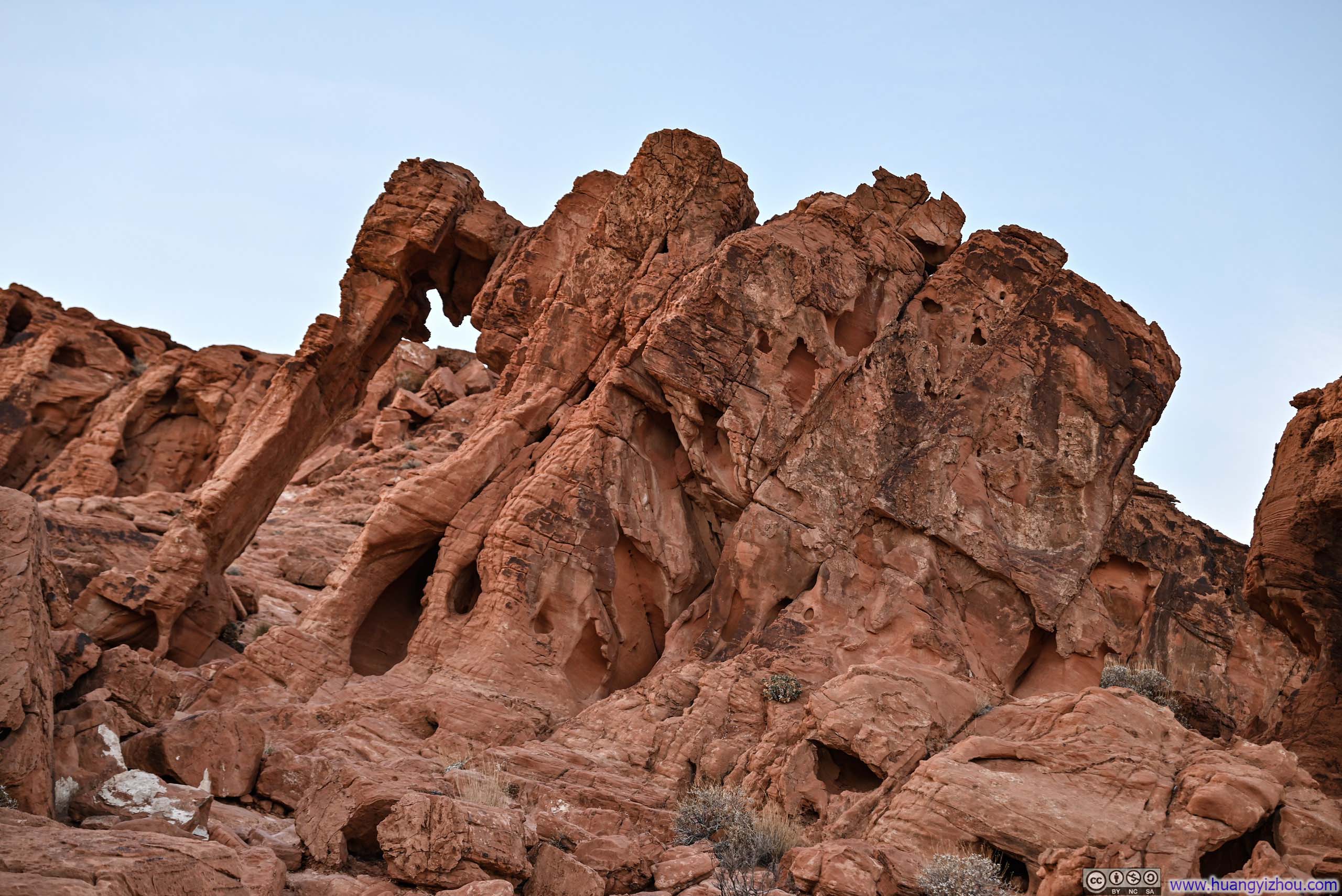
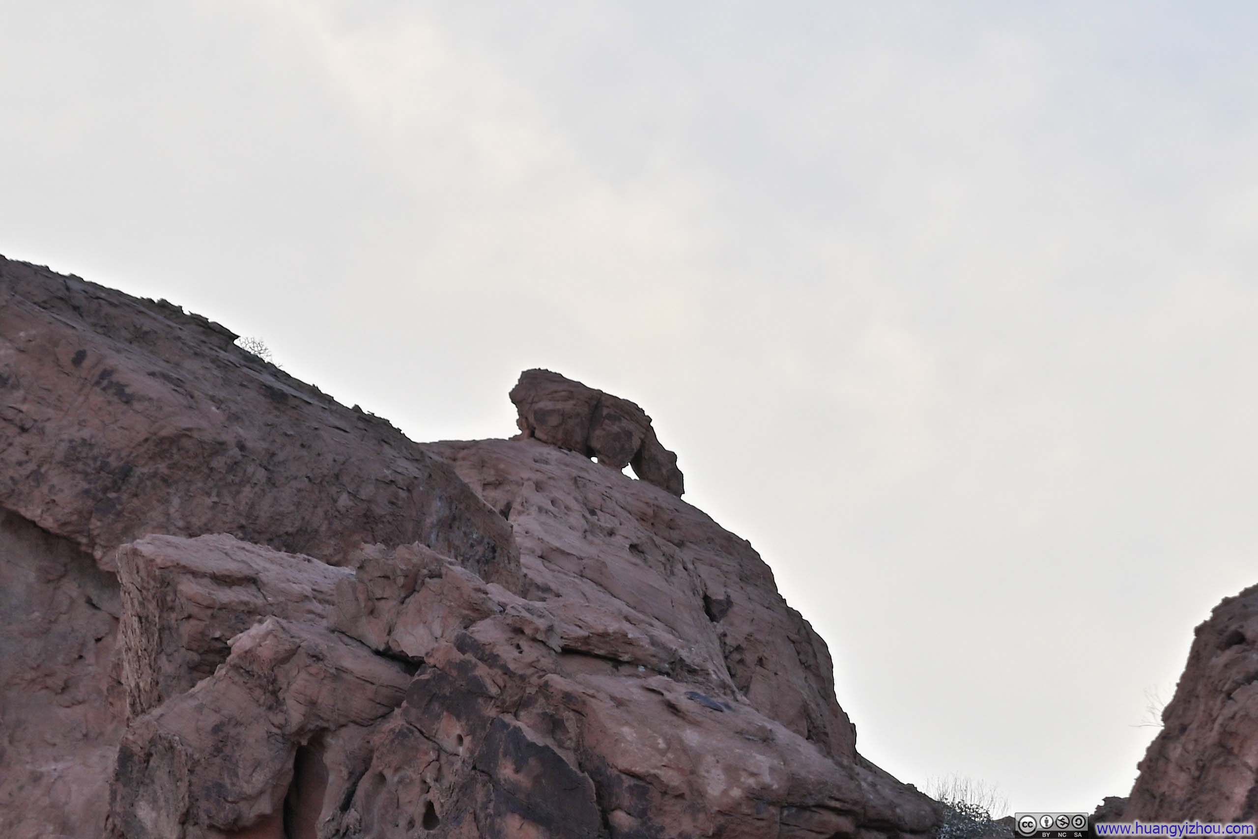
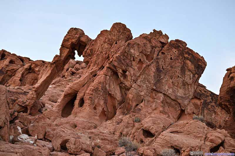
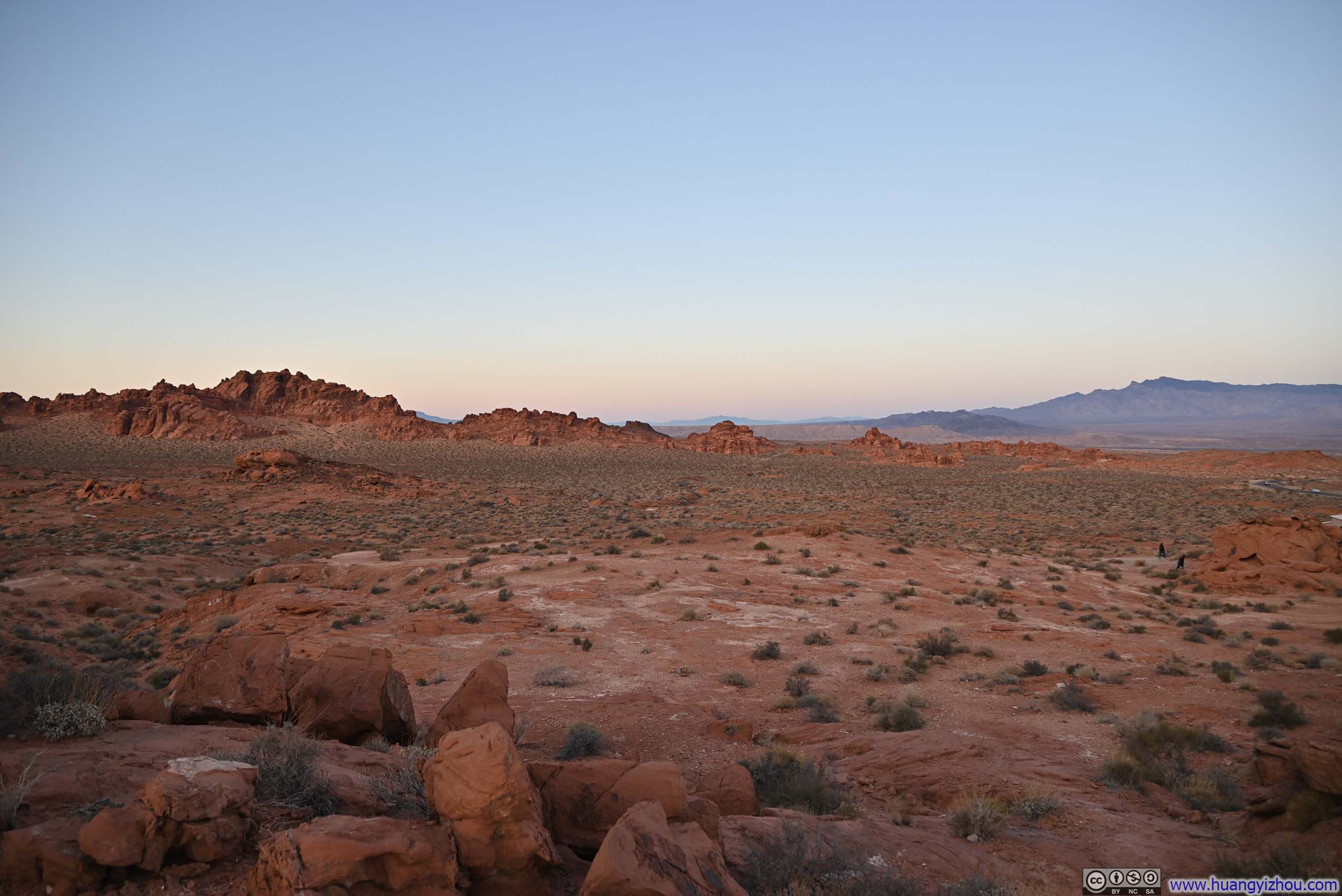
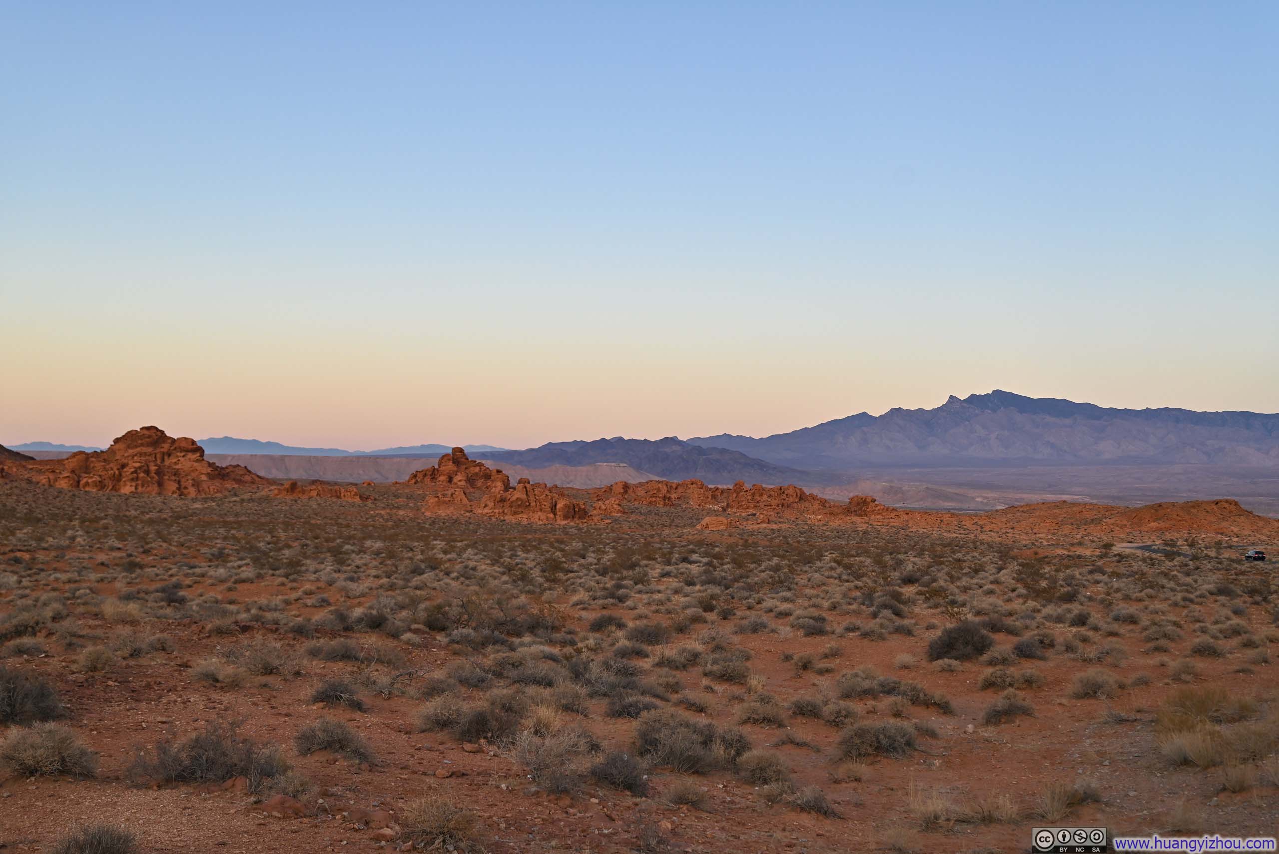
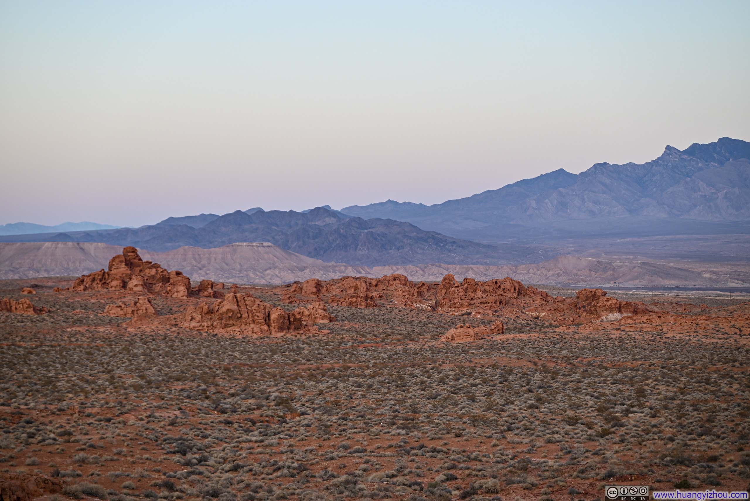
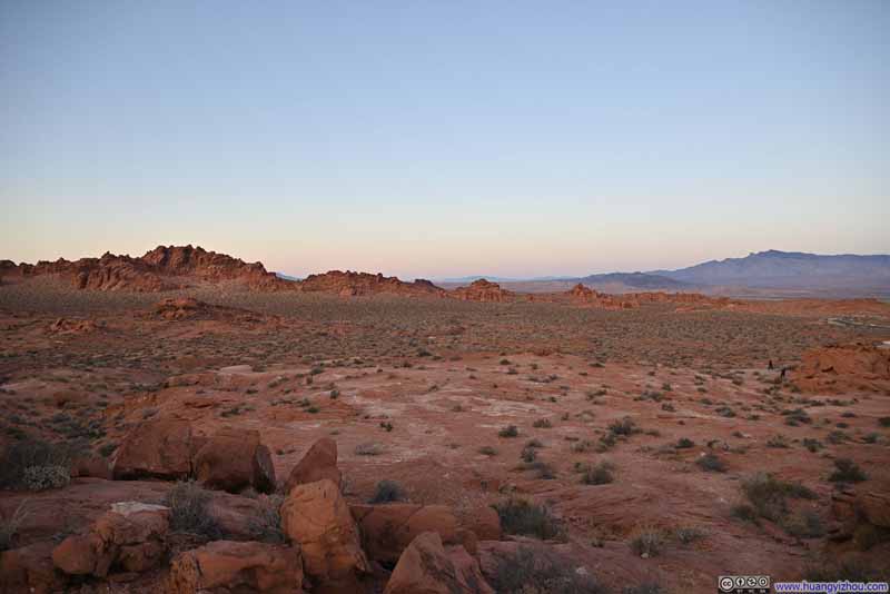
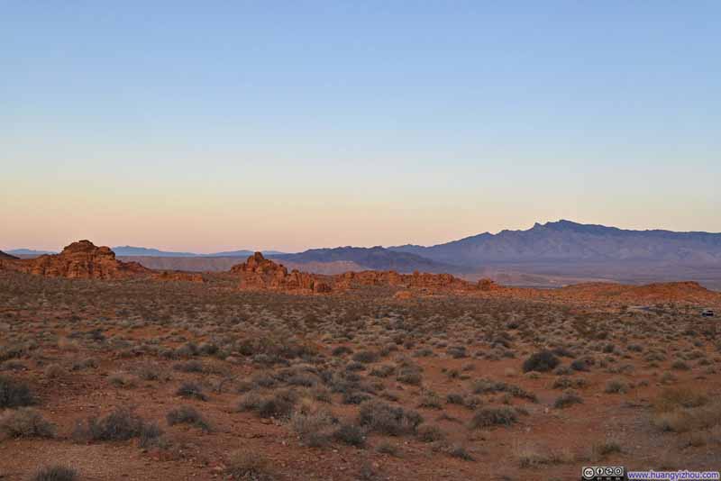
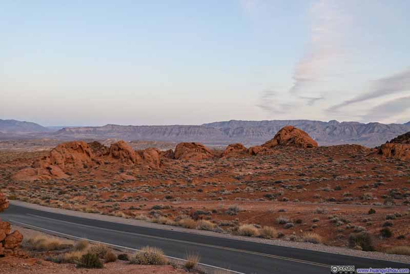
The actual Elephant Rock was a short walk from the parking lot, but I found myself lingering in the parking area, captivated by the panorama before me. Sprawling fields adorned with striking red sandstone formations stretched into the distance, their rich vermilion hues enhanced by the soft, golden light of twilight, creating a truly enchanting tableau that invited quiet contemplation.
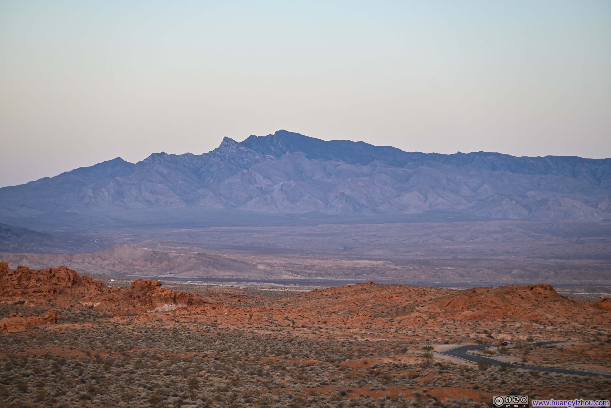
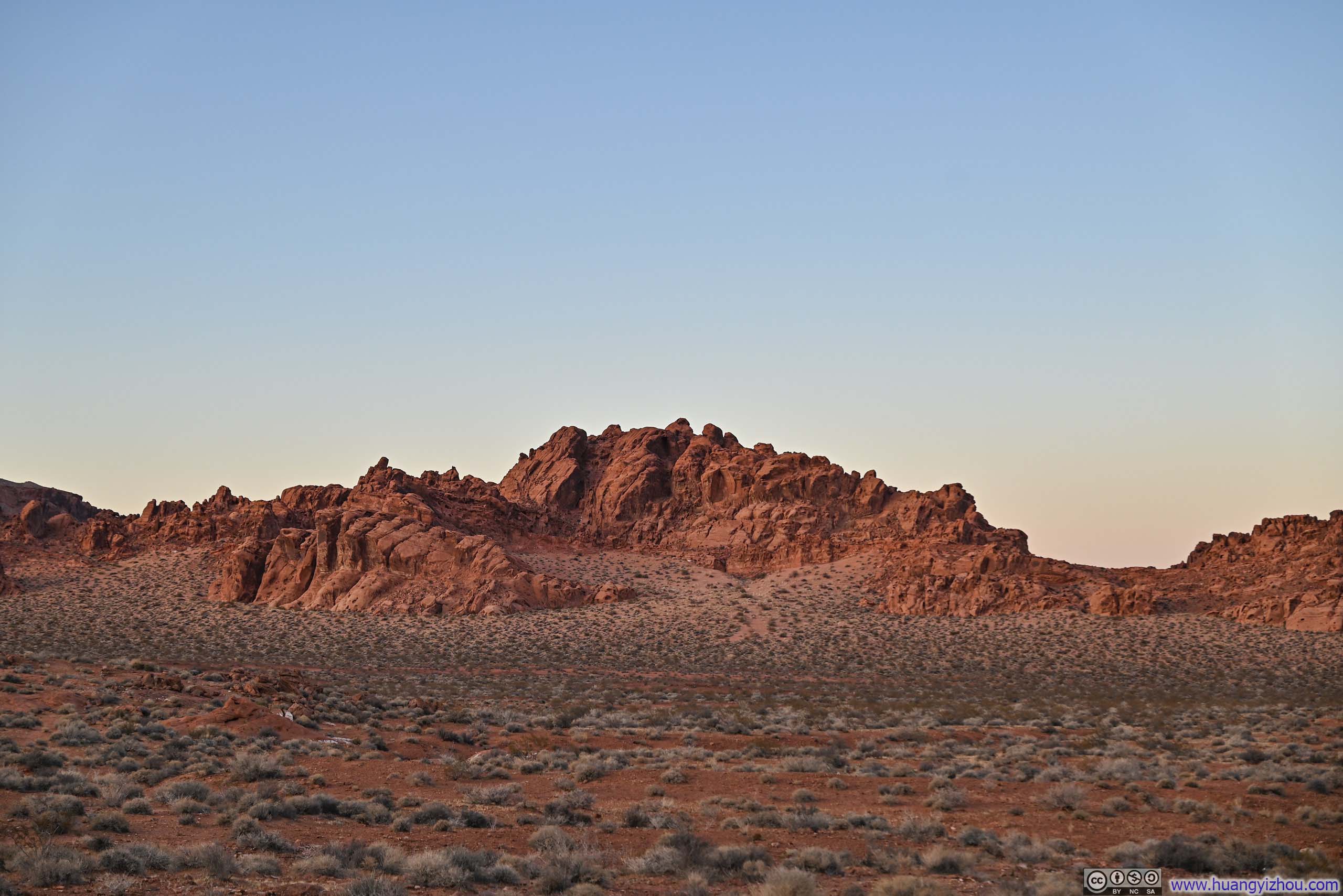
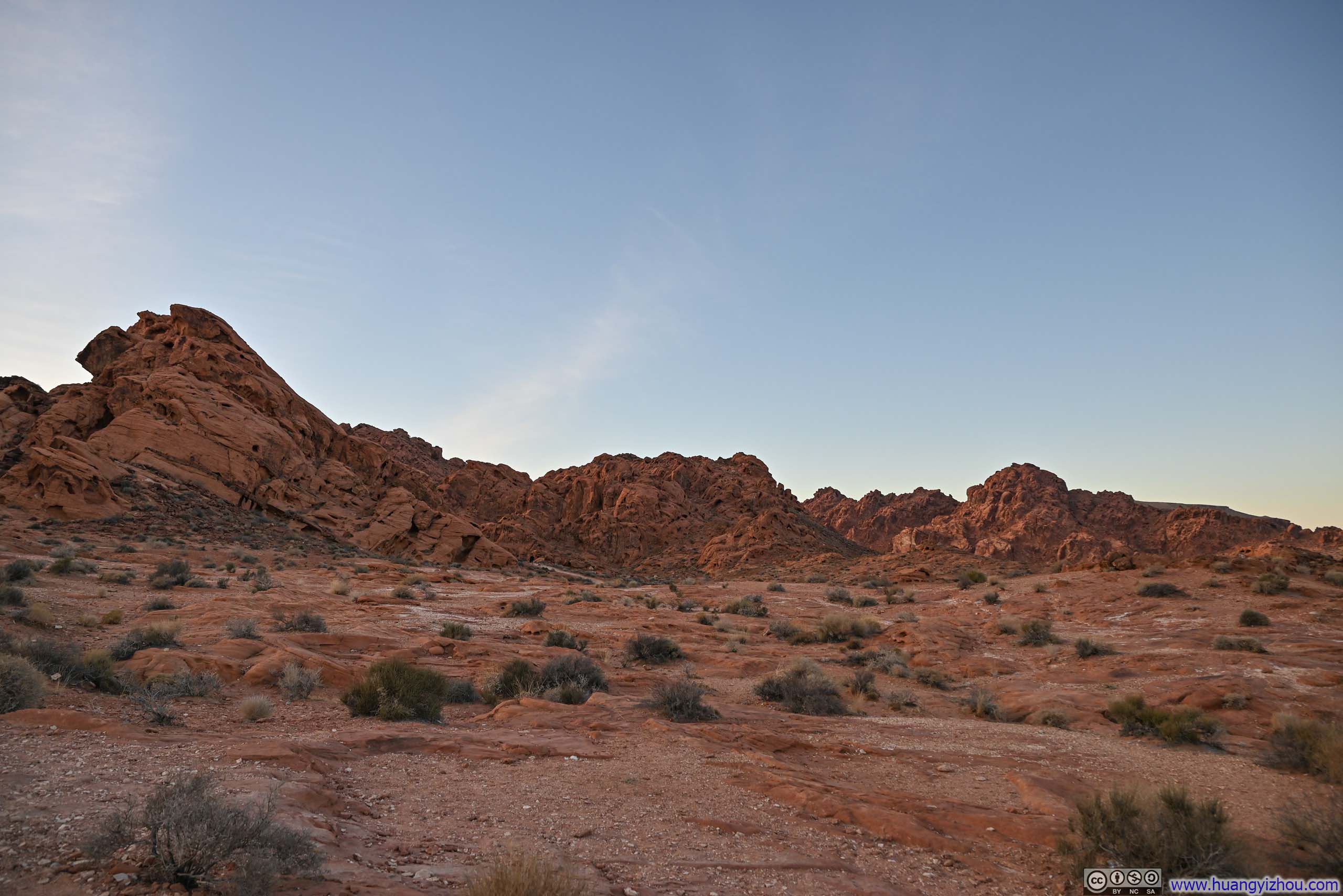
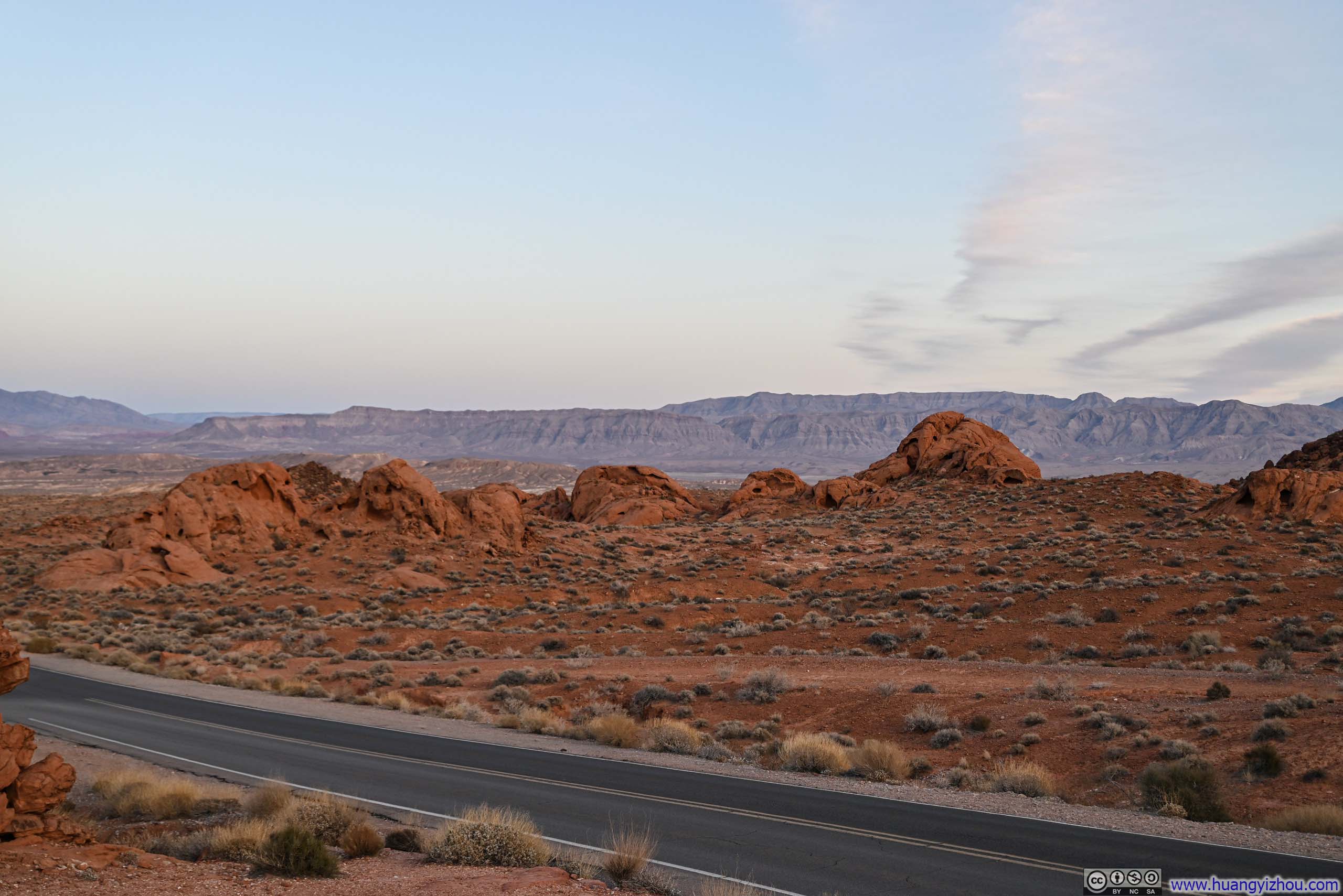





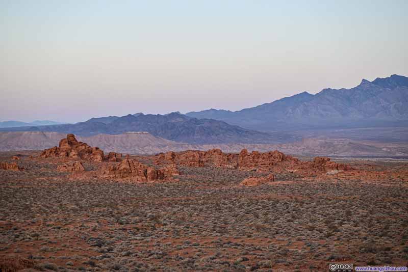
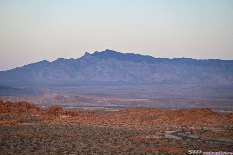
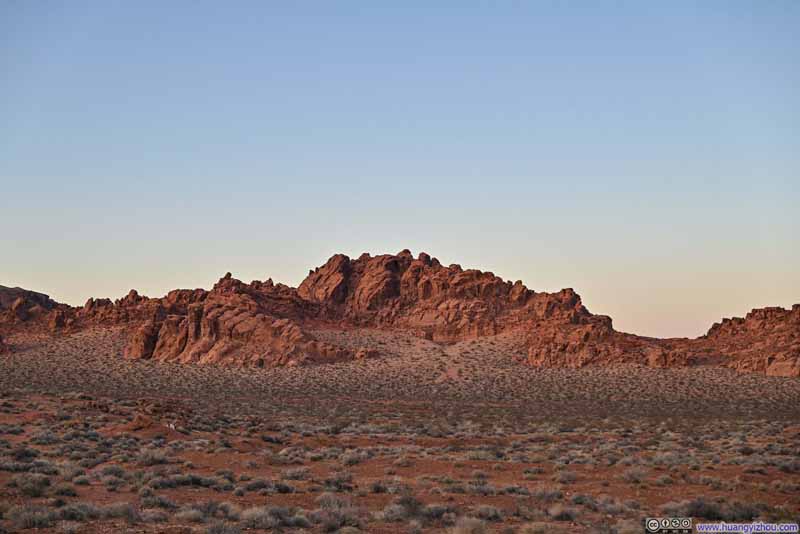
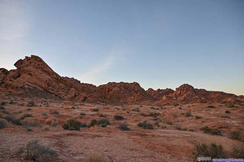
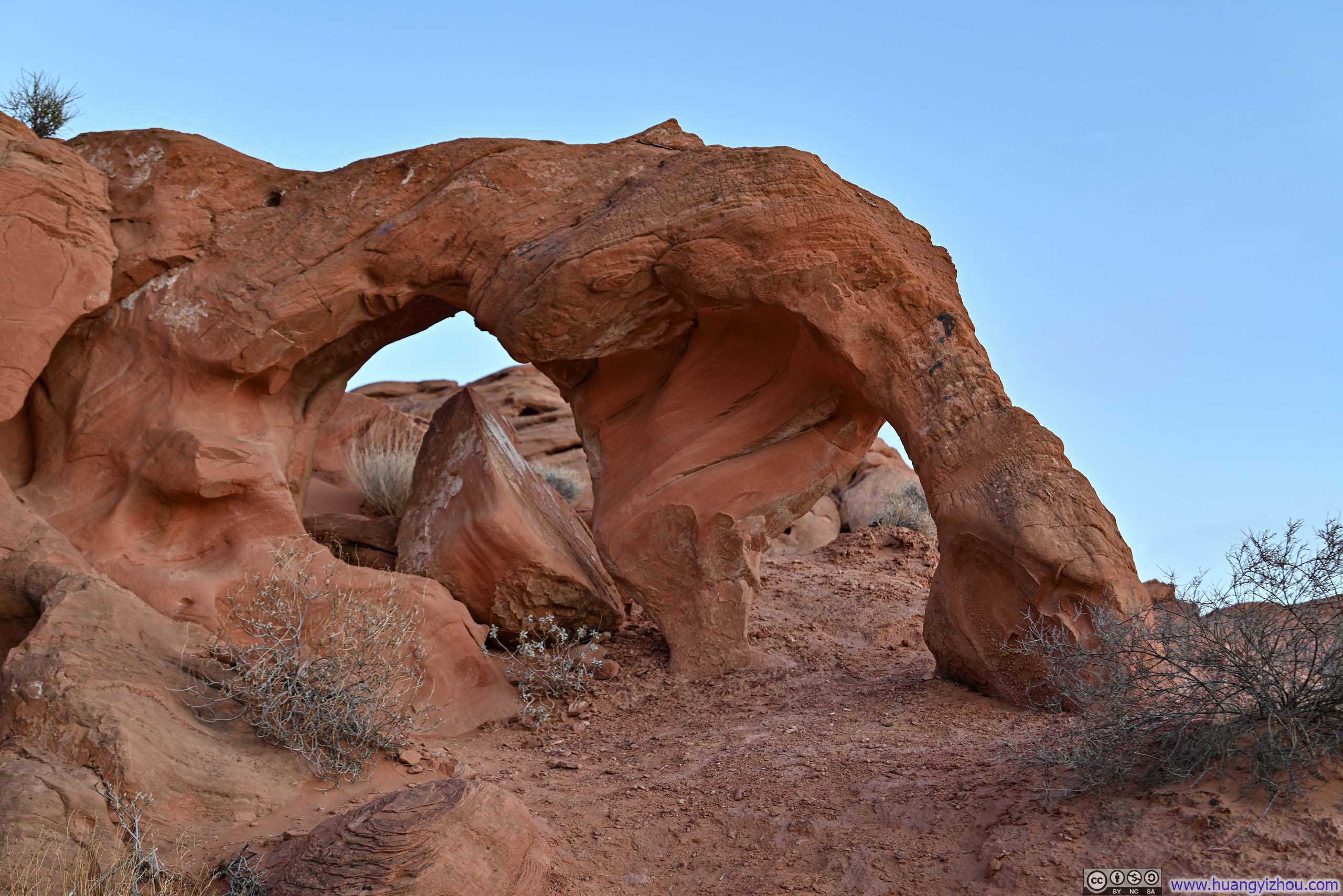
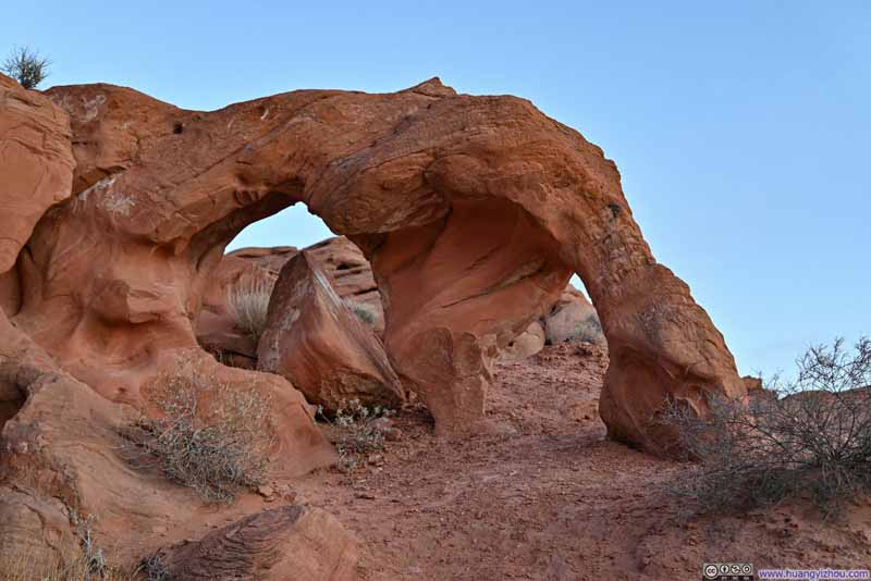
I also took the opportunity to explore the nearby Arrowhead Arch. Frankly, there wasn't sufficient signage in the area that I wasn't 100% sure which was the actual Arrowhead Arch.
Beehive Rock
I ended the day with a visit to Beehive Rock, a fascinating formation near the park's western entrance. These rocks, marked by intricate geologic cross-bedding, have been sculpted by erosion into shapes reminiscent of beehives (though I struggled to see the resemblance).
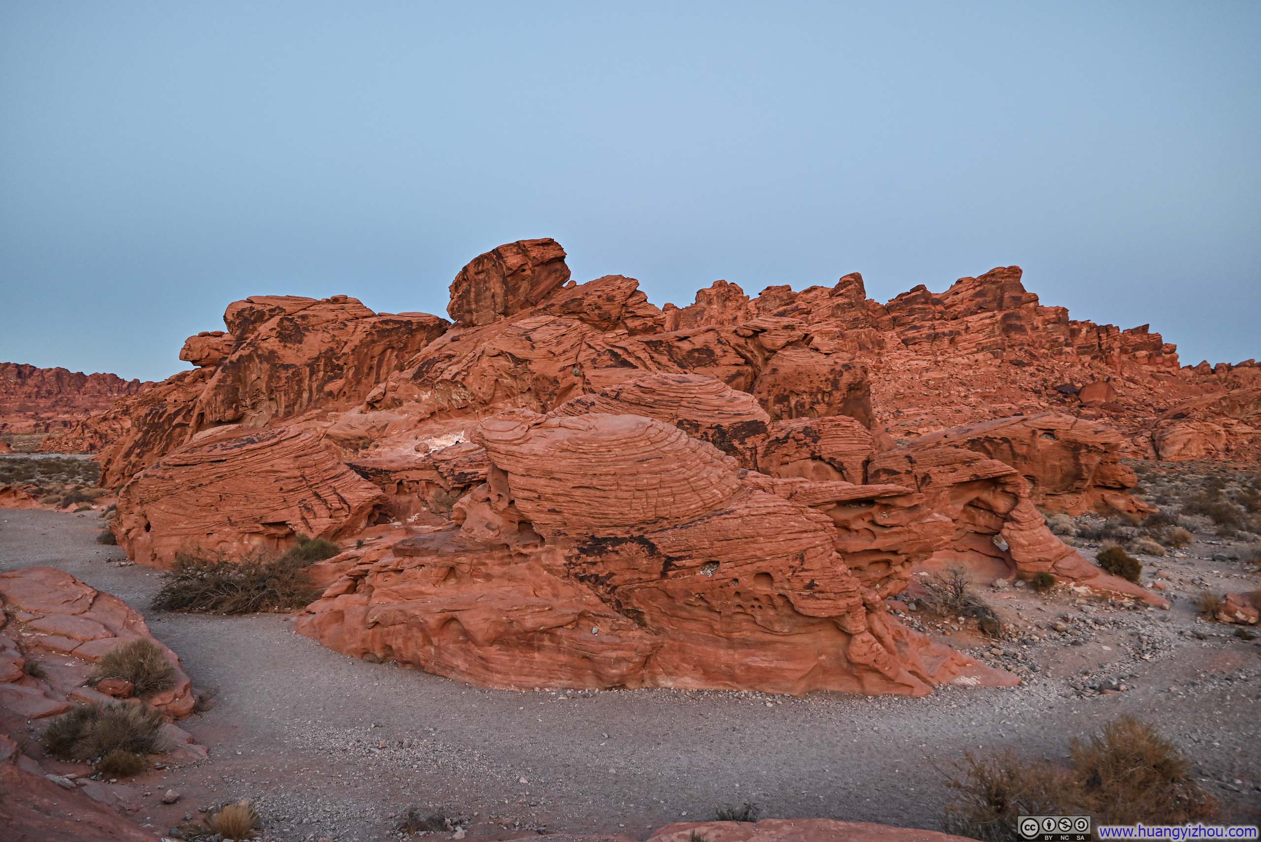
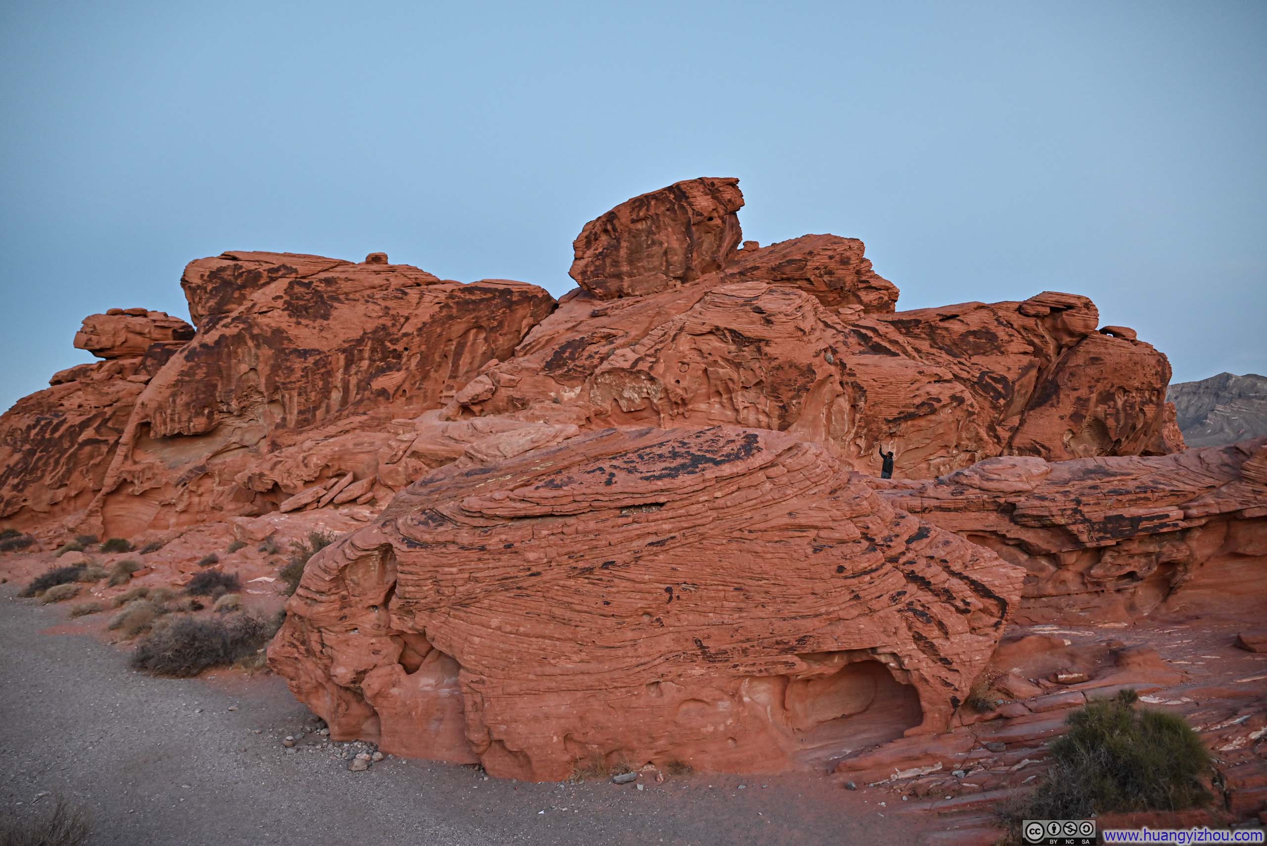
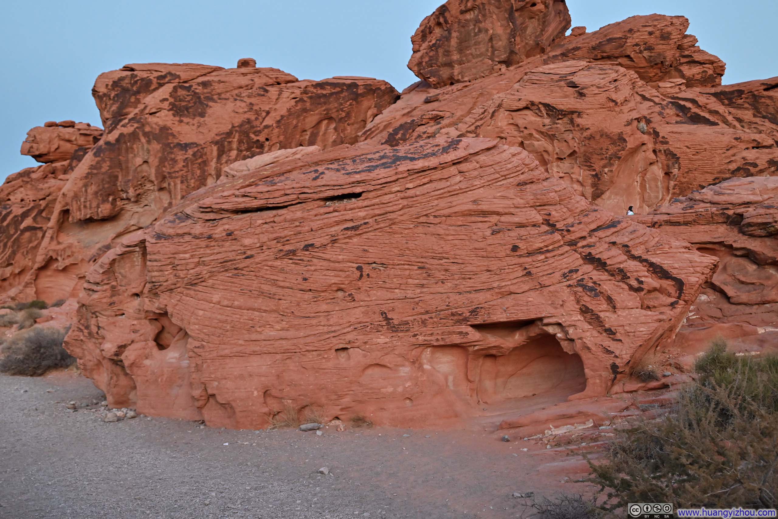
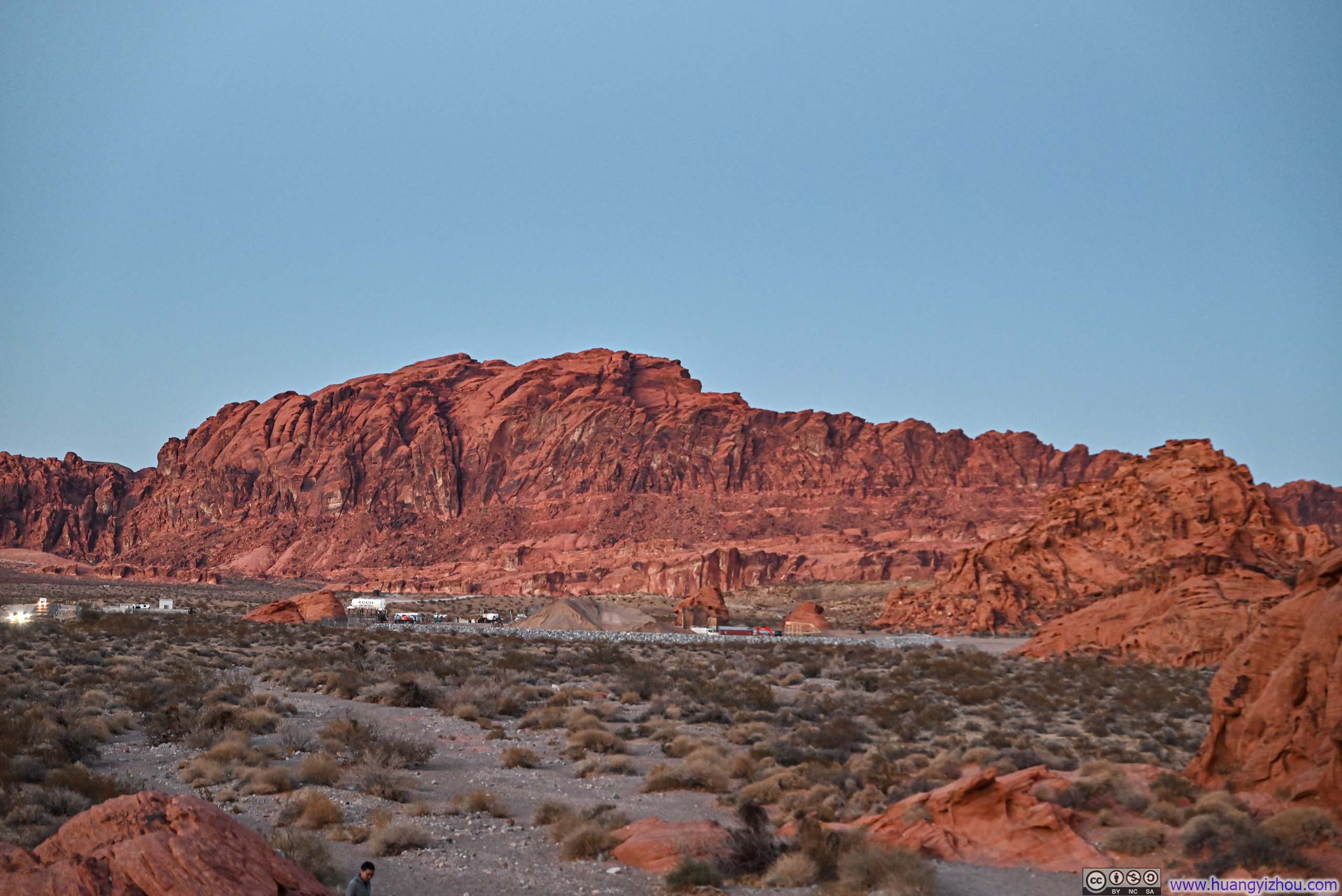

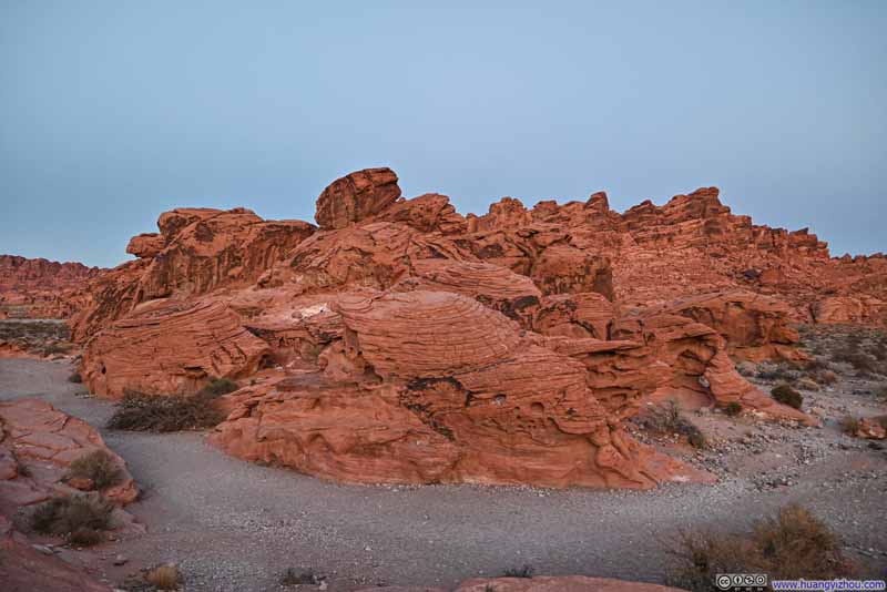
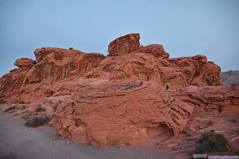
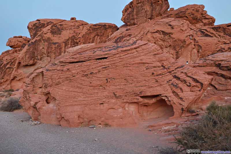
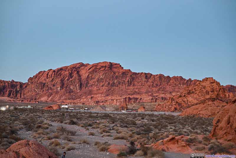
By the time I reached Beehive Rock, it was already past sunset and darkness was settling over the landscape. So after taking a few photos, I went on my way back to Las Vegas, concluding the day.
END