Day 3 of 2025 Independence Day Trip to Alaska, McHugh Peak
The third day of my 2025 Independence Day trip to Alaska. Anticipating a more strenuous hike tomorrow, I picked a relatively easy hike of McHugh peak to get myself back in rhythm.
Given the weather forecast for the next few days, I had largely settled on attempting East Twin Peaks—the crown jewel of this Alaska trip—tomorrow, July 2nd. So for today, I opted for a more leisurely hike to McHugh Peak: a manageable 9km out-and-back with 700m of elevation gain (5.6 miles and 2300 feet).
Two days ago I hiked Flattop-Flaketop Loop, which followed a ridge along the eastern edge of Rabbit Valley. Today's route would trace a ridge to the west of the same valley, offering familiar scenery but from a fresh perspective.
The trailhead for this hike was located at the end of Honey Bear Ln, the final 3km (1.8mi) of road was unpaved. The most challenging part of this hike was likely parking, as the trailhead only had space for about 5 cars. (Online reports suggested overflow parking might be found further down the road.) Anticipating that the clouds would gradually lift throughout the day, I left my Anchorage Airbnb relatively late, arriving at the trailhead at 11:30am. Luckily, I found the last available spot.
After some warmup, I started my hike at 11:40am. Here's GPS tracking:
Shortly beyond the trailhead, the trail emerged from the tree line, revealing sweeping views of Rabbit Valley and the mountain range beyond. These were the very peaks I had explored two days earlier, and their sight stirred a pleasant sense of familiarity.
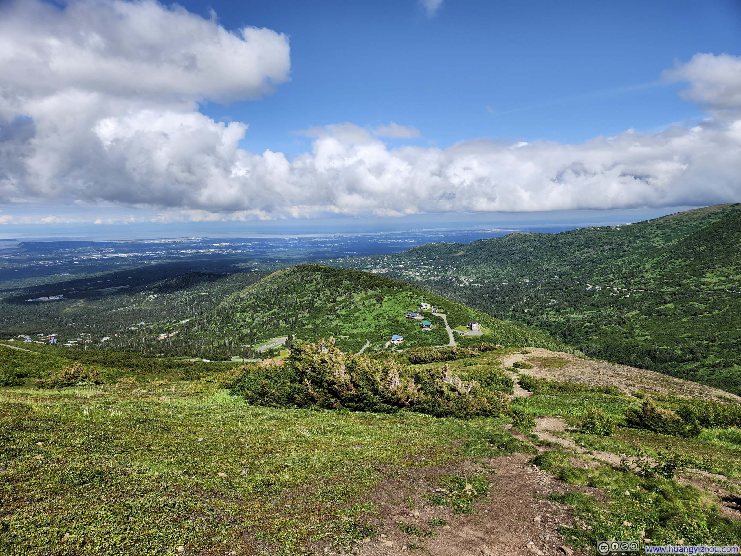
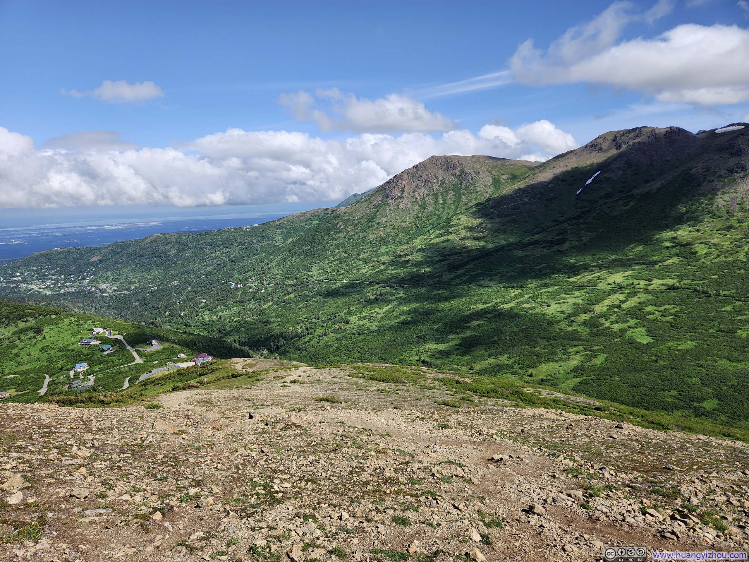
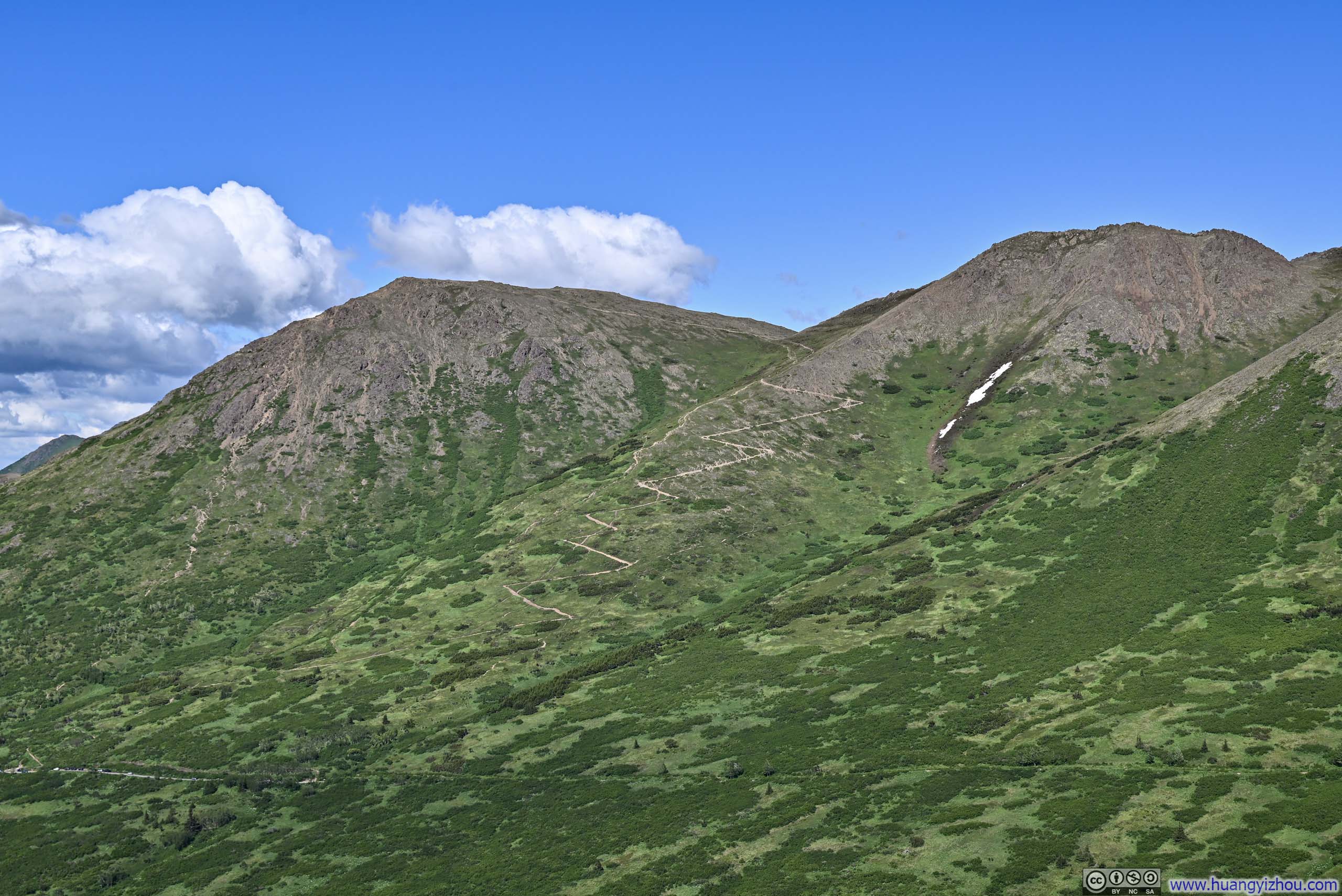
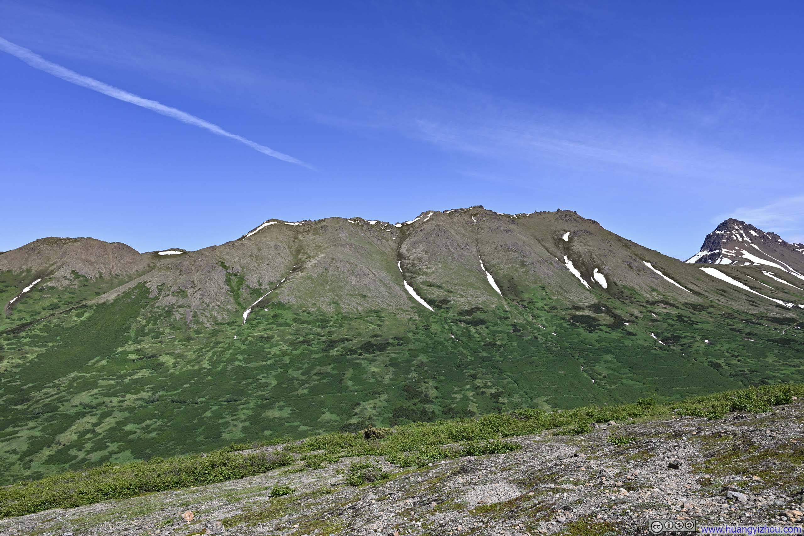
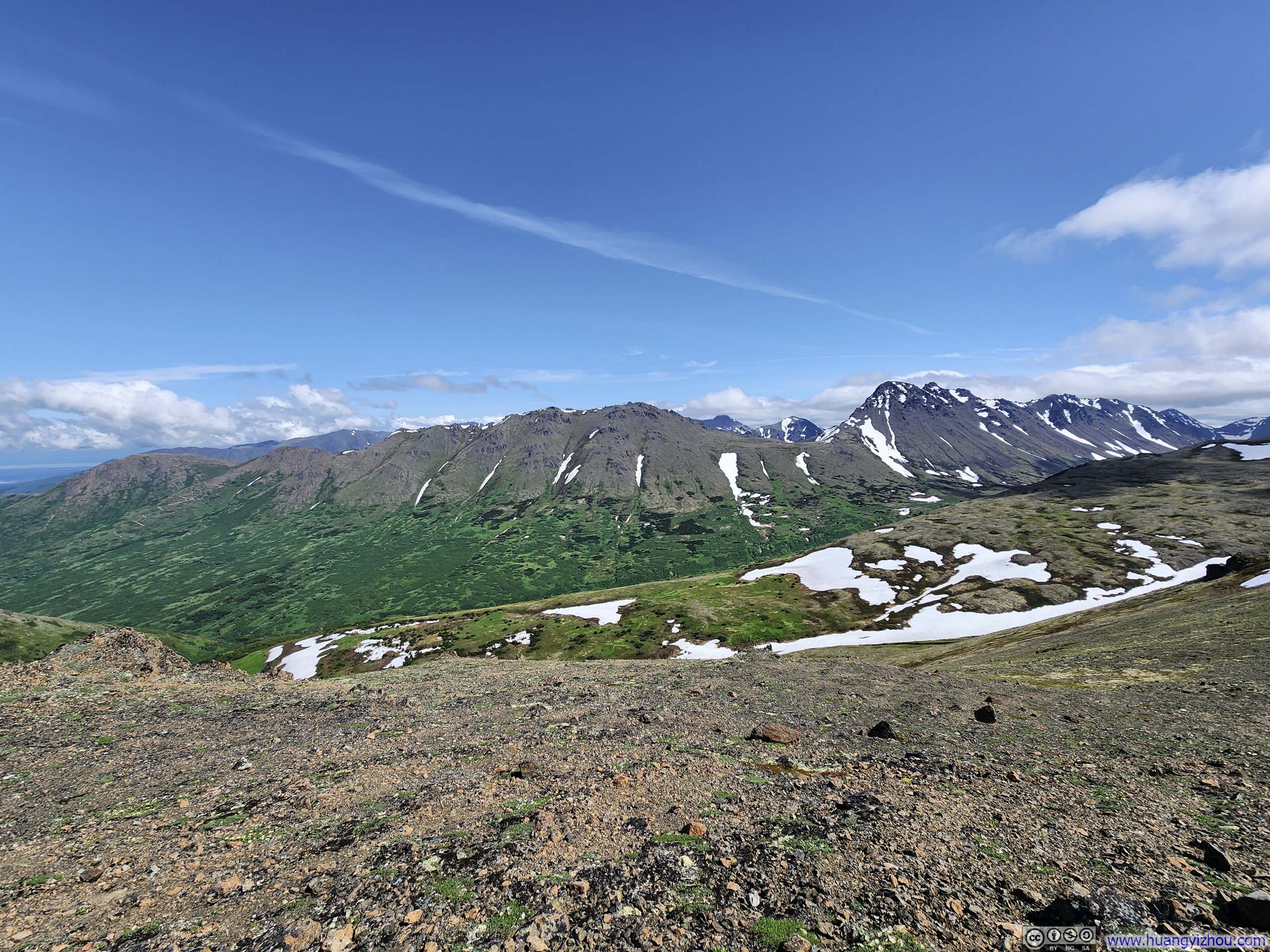
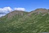
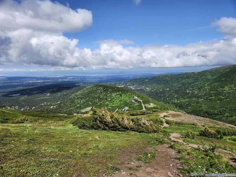
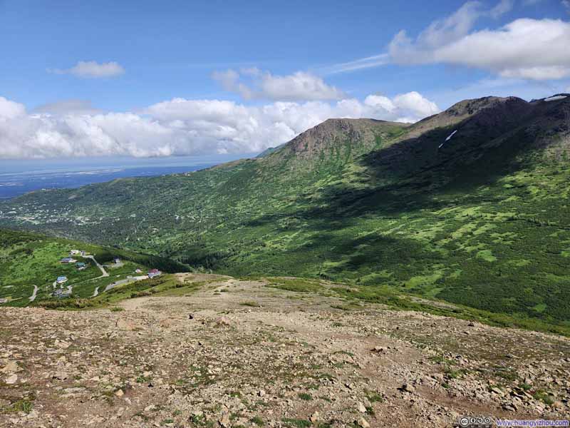
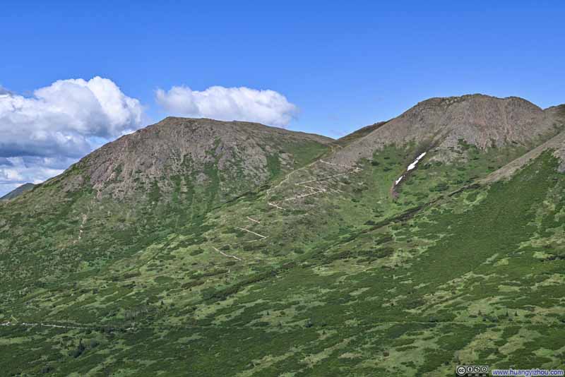
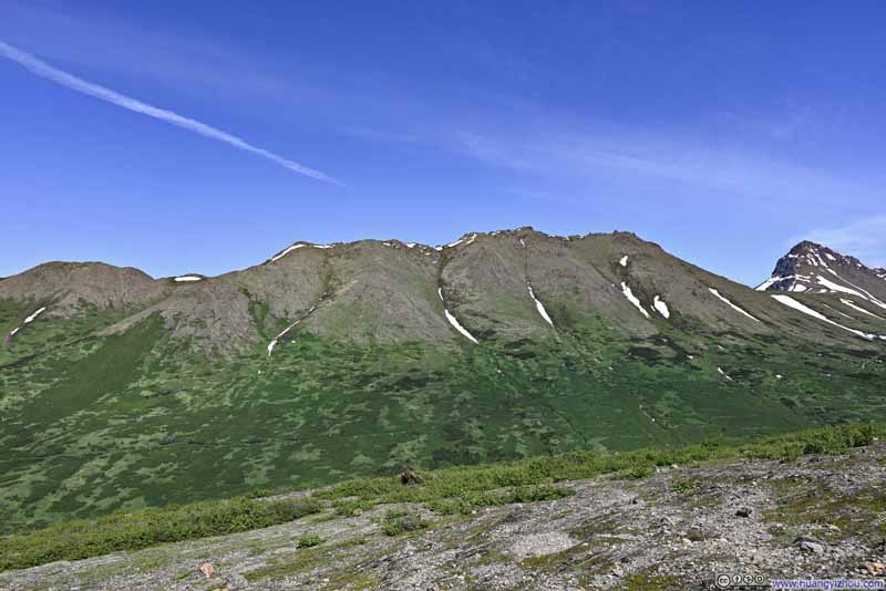
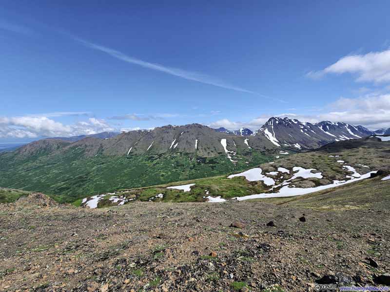
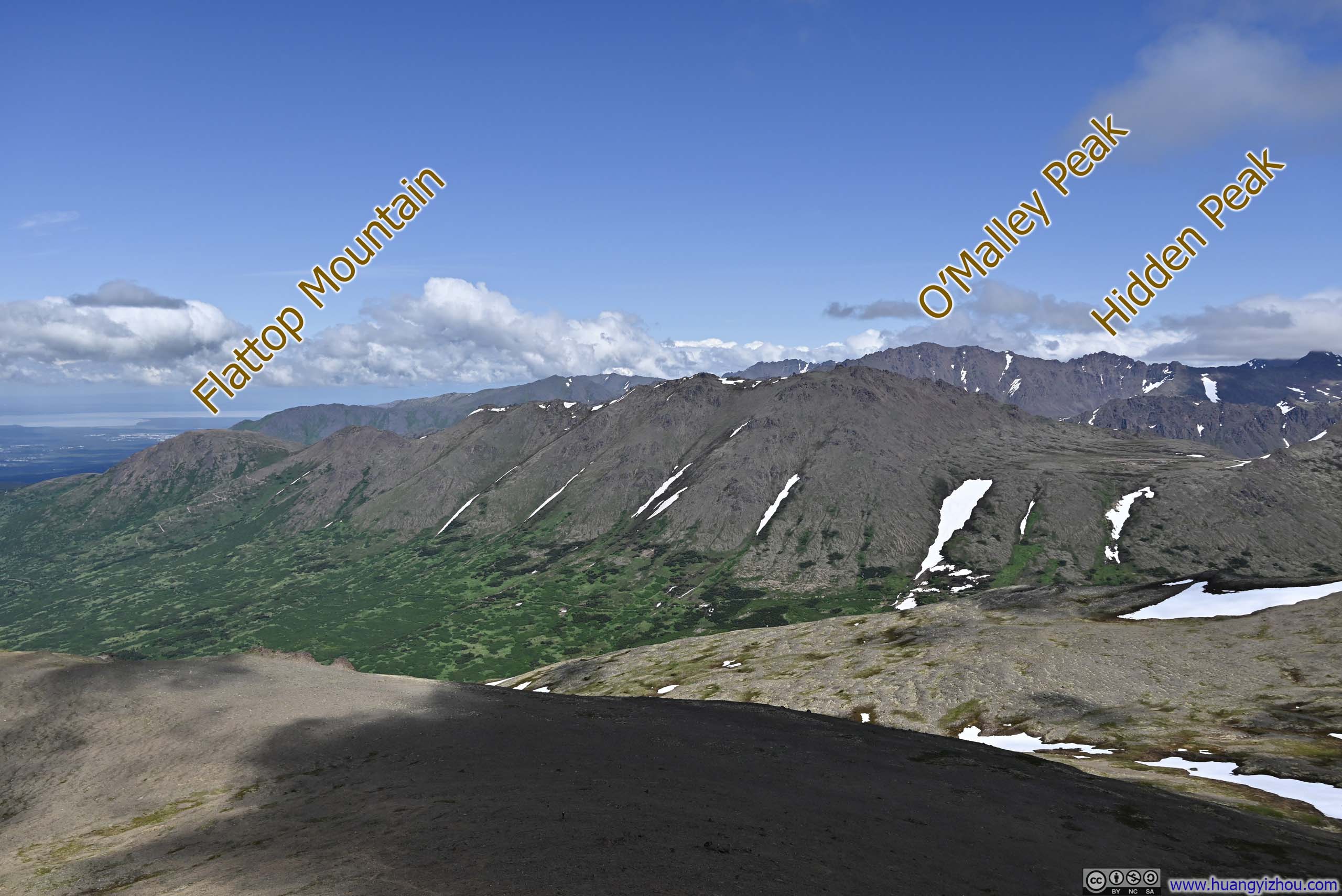
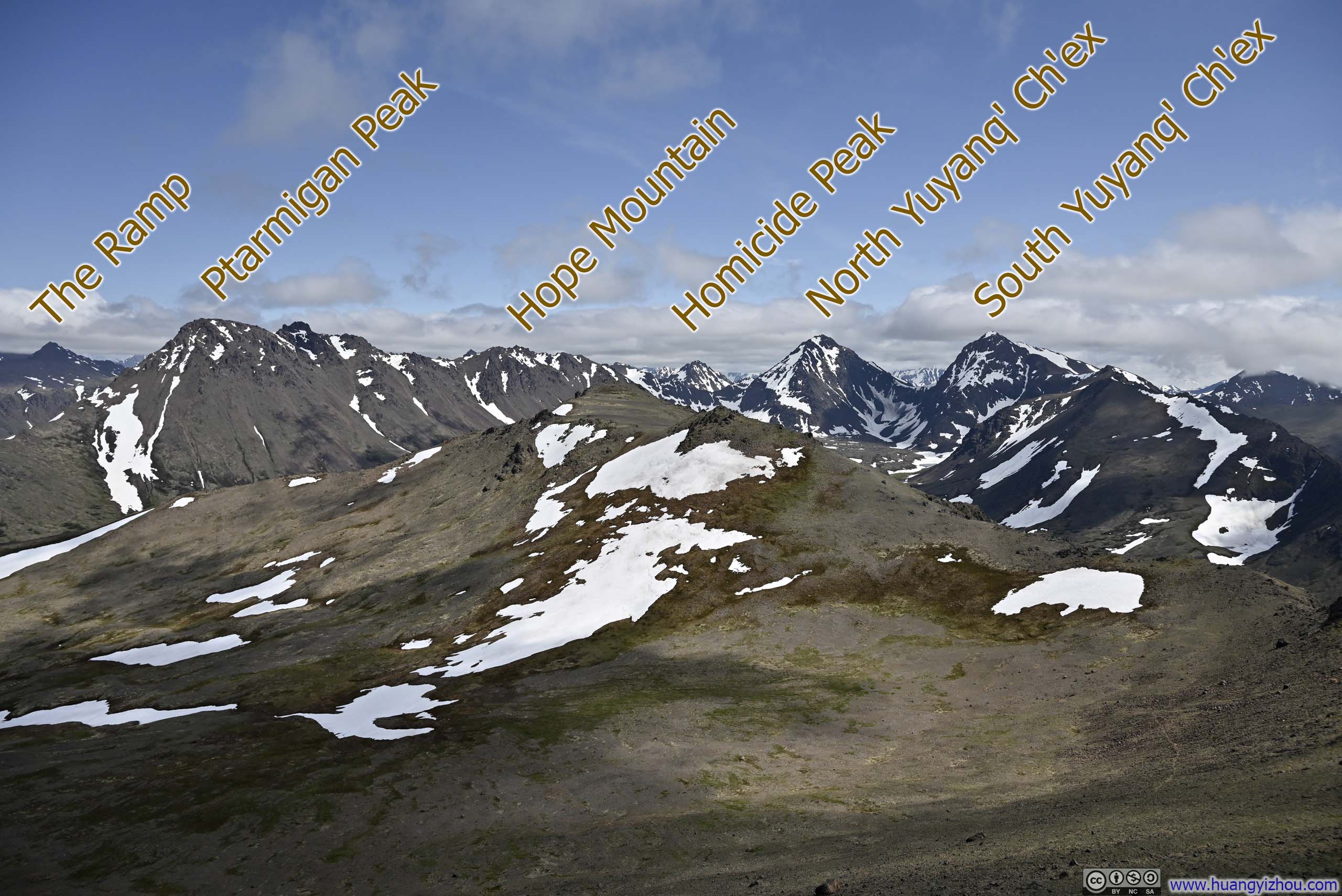
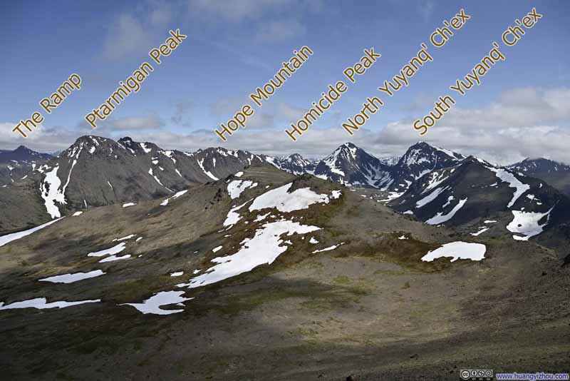
The trail started out with a very steep ascent towards a small hill called "Grandview", climbing 300m in 1.2km of horizontal distance. Upon reaching Grandview, mountains at the end of Rabbit Valley revealed themselves in splendid panorama, including my destination of McHugh Peak. (Though I must confess, McHugh Peak appeared rather humble when set against the magnificent pyramids of Ptarmigan Peak and Yuyanq' Ch'ex.)
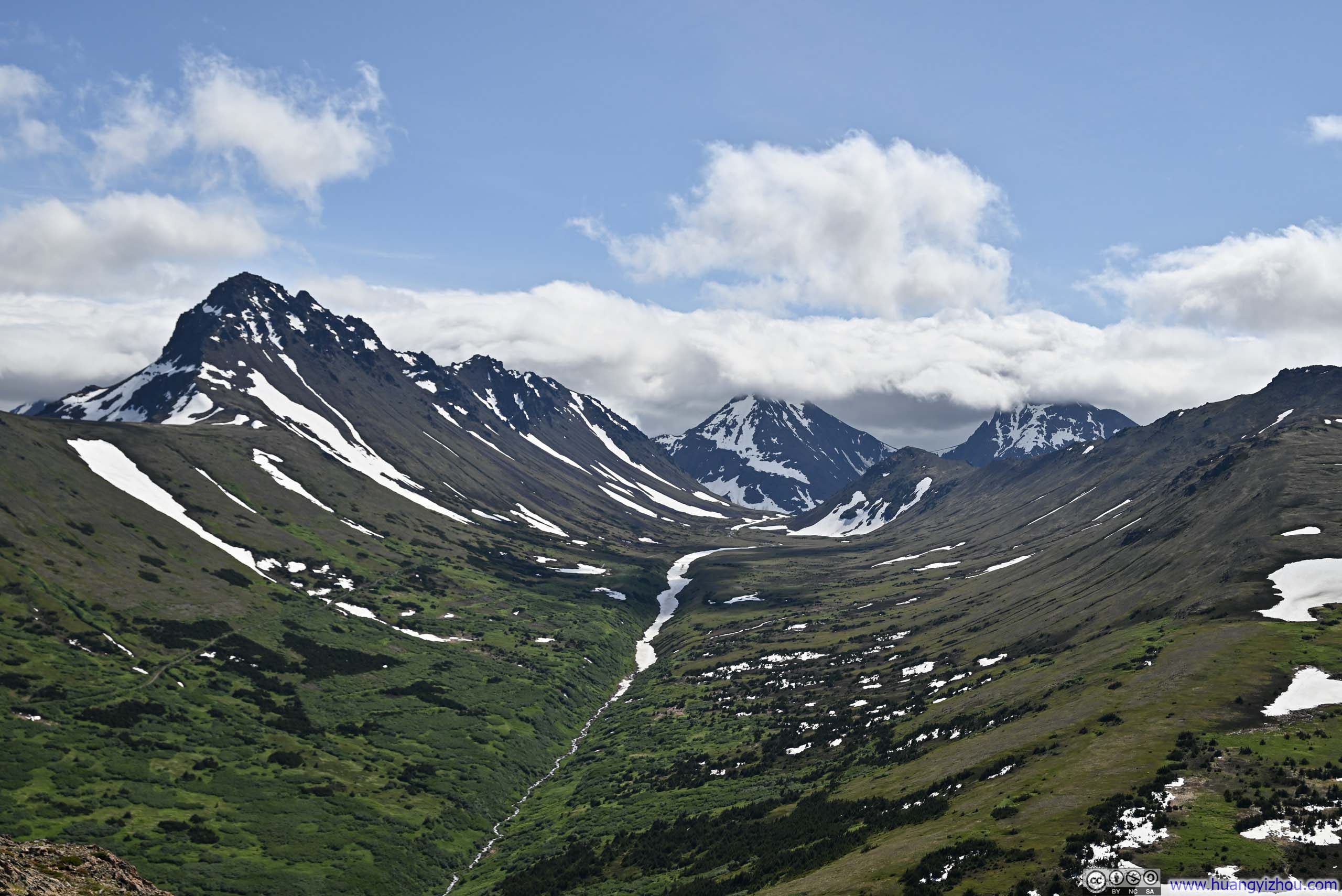
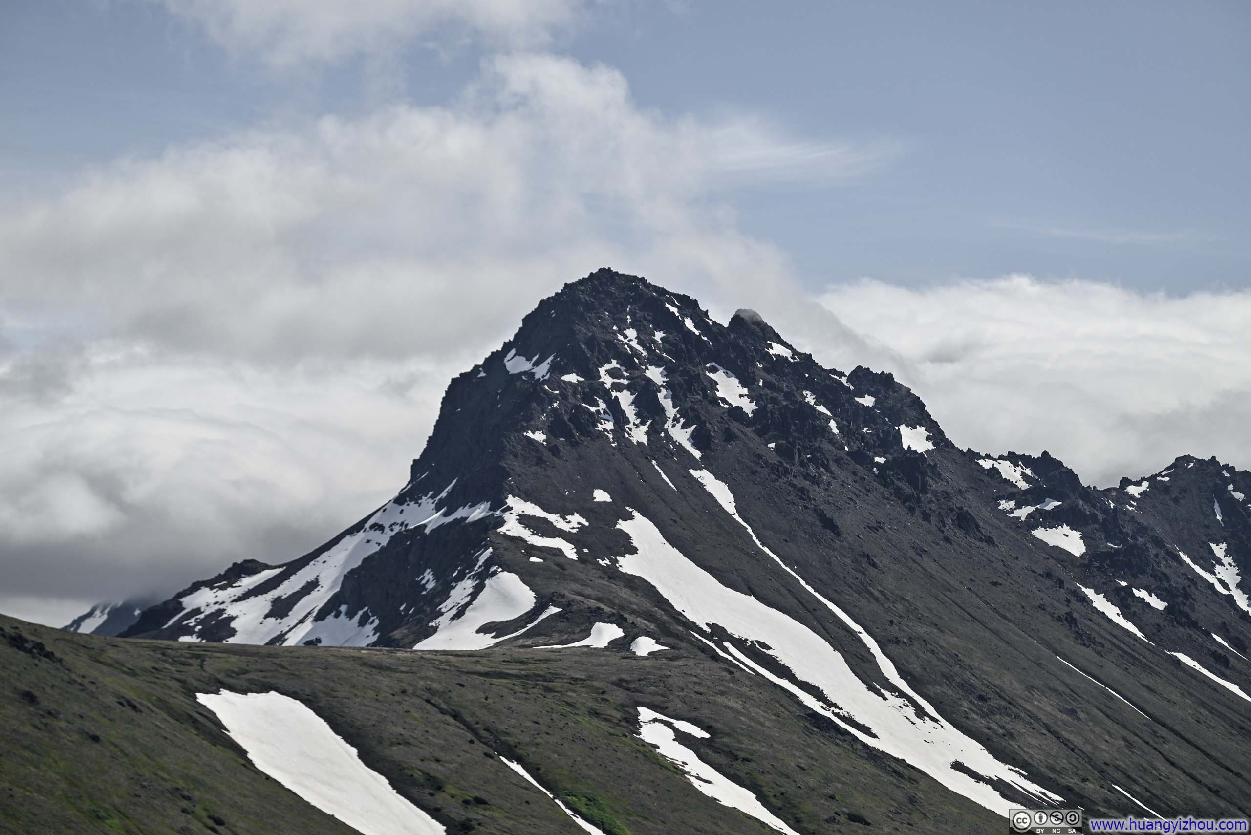
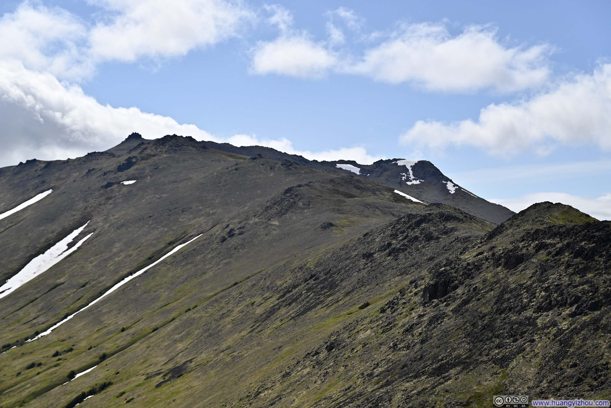
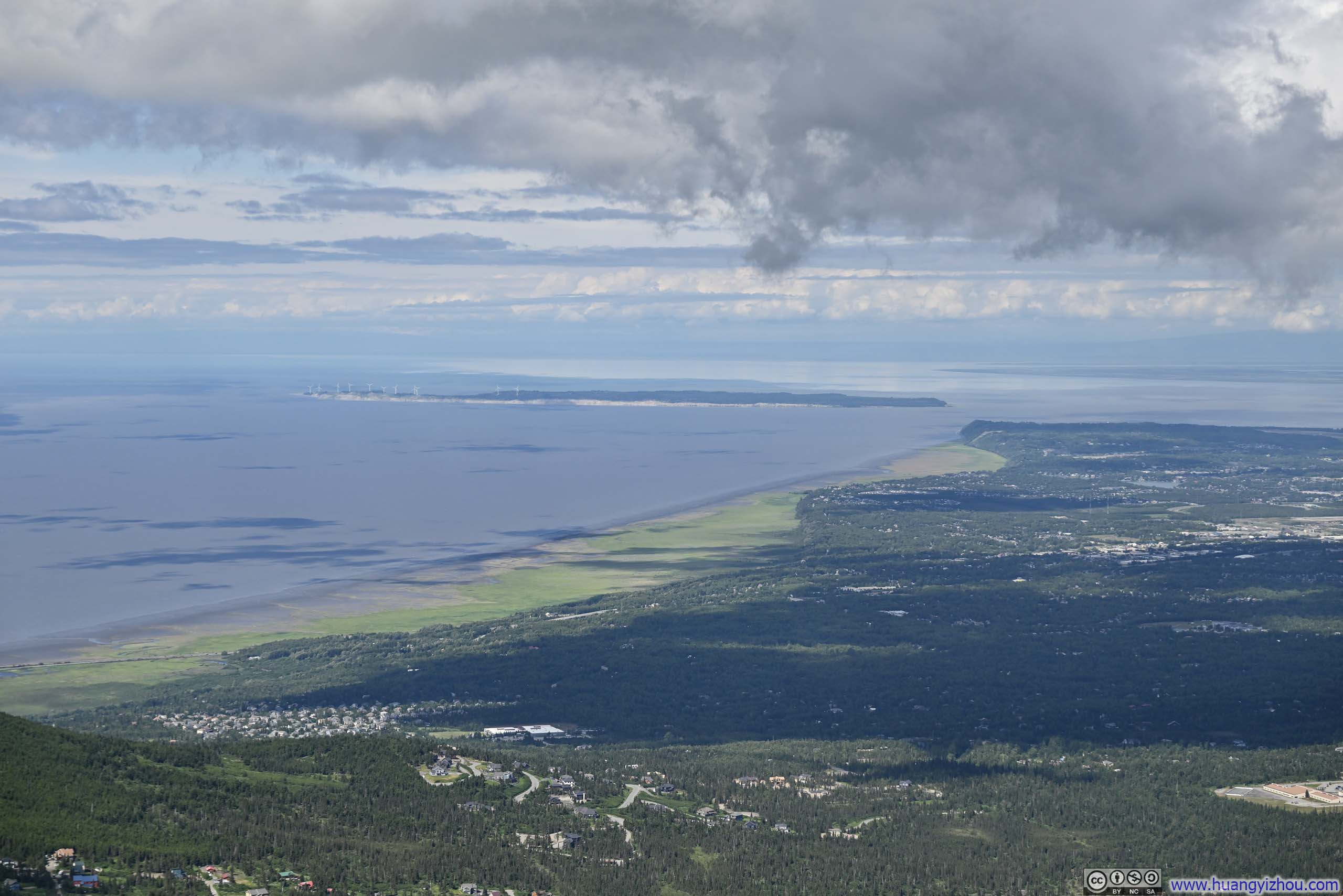
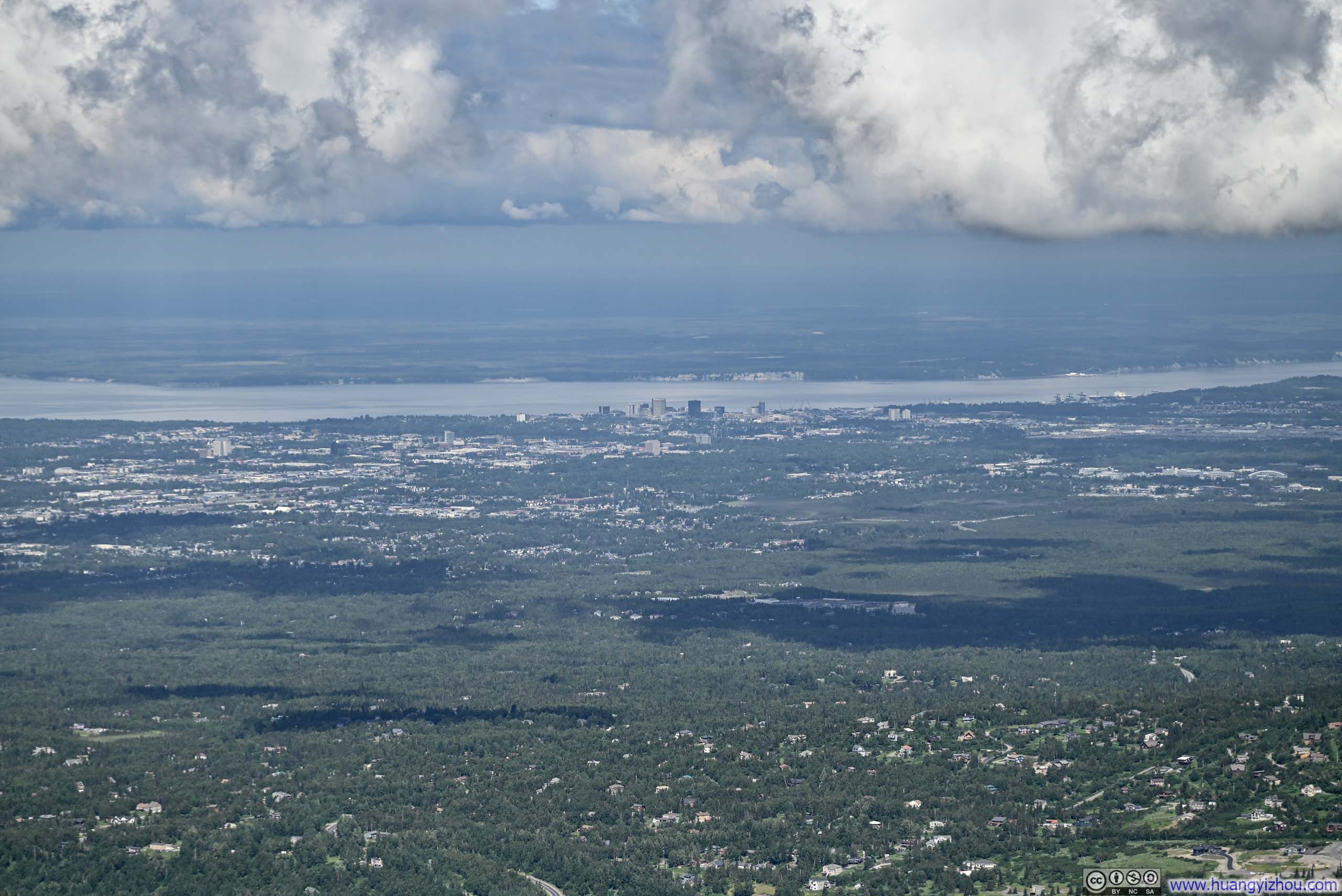
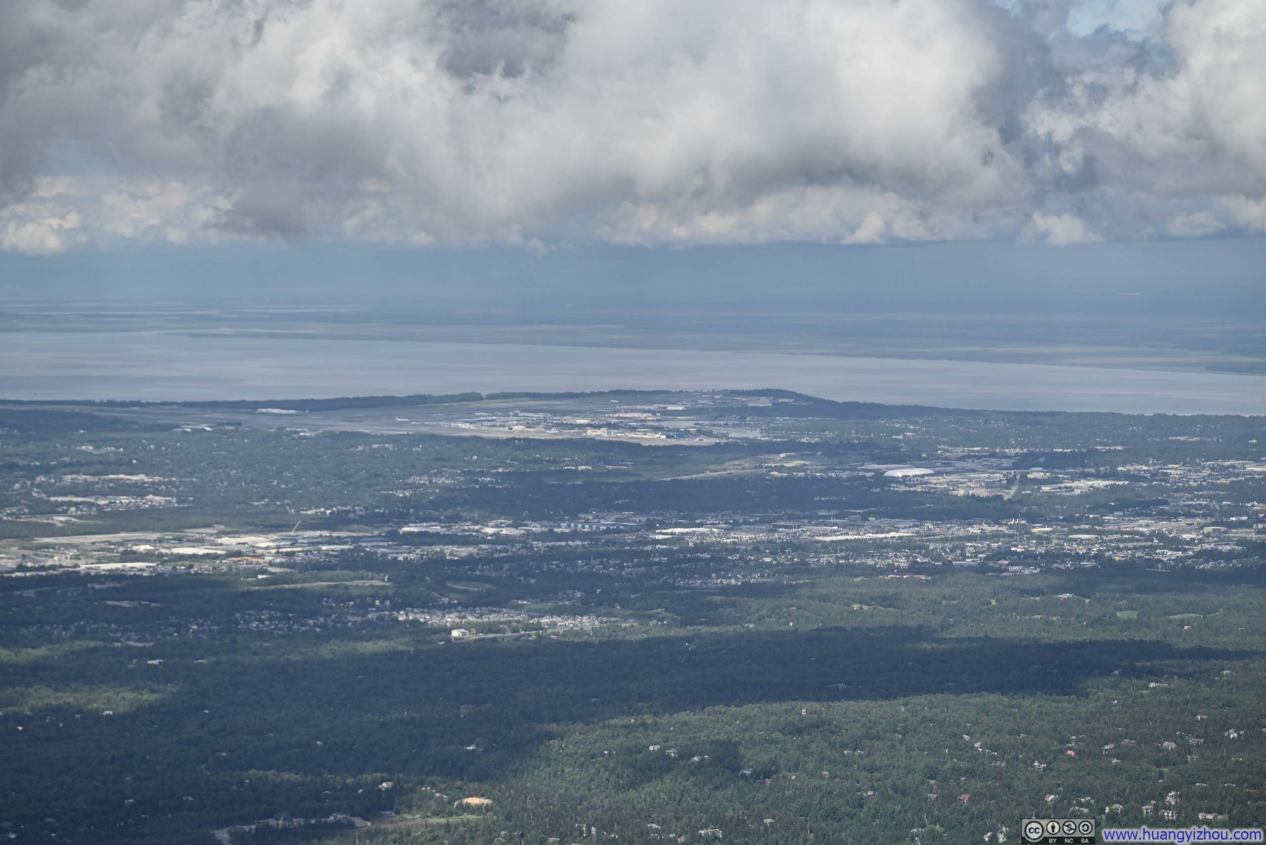
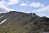
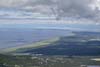
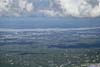
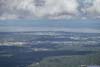
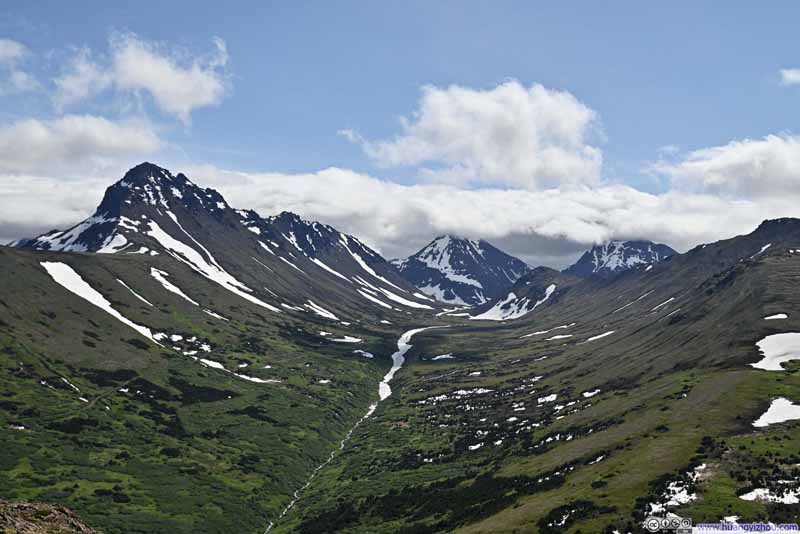
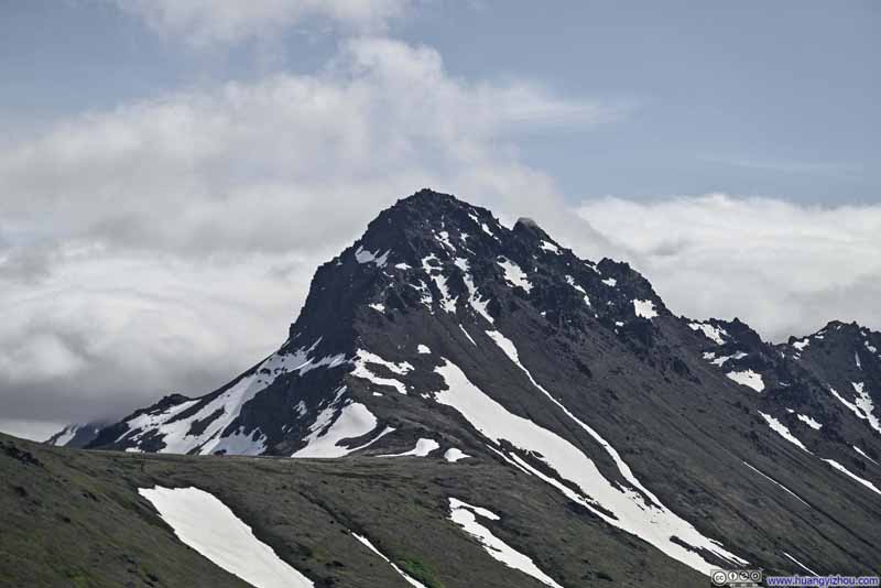
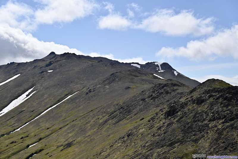
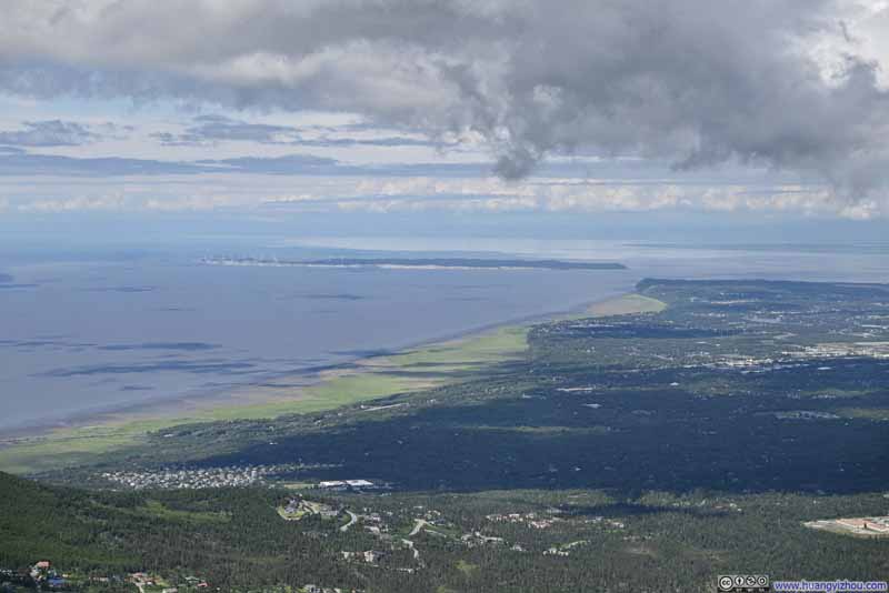
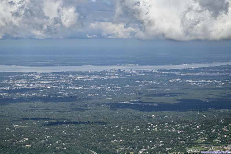
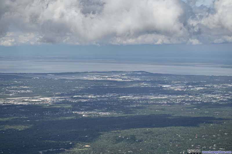
While pausing at Grandview during my ascent (slideshow above), the distant mountains stood against a heavy curtain of clouds. When I passed this same vantage point hours later on my descent (slideshow below), the cloud cover had grown noticeably thinner, revealing more of the pleasing blue sky.
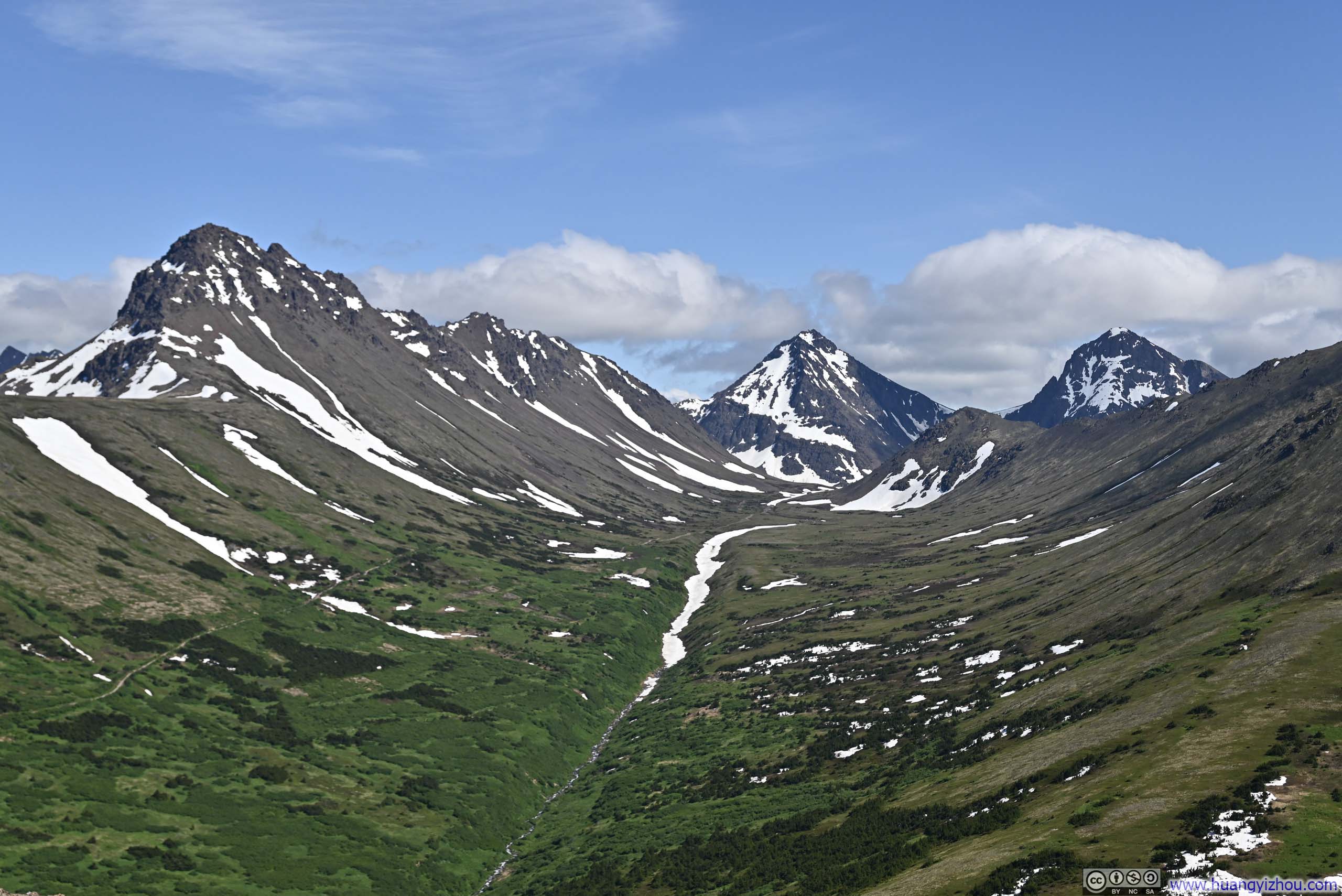
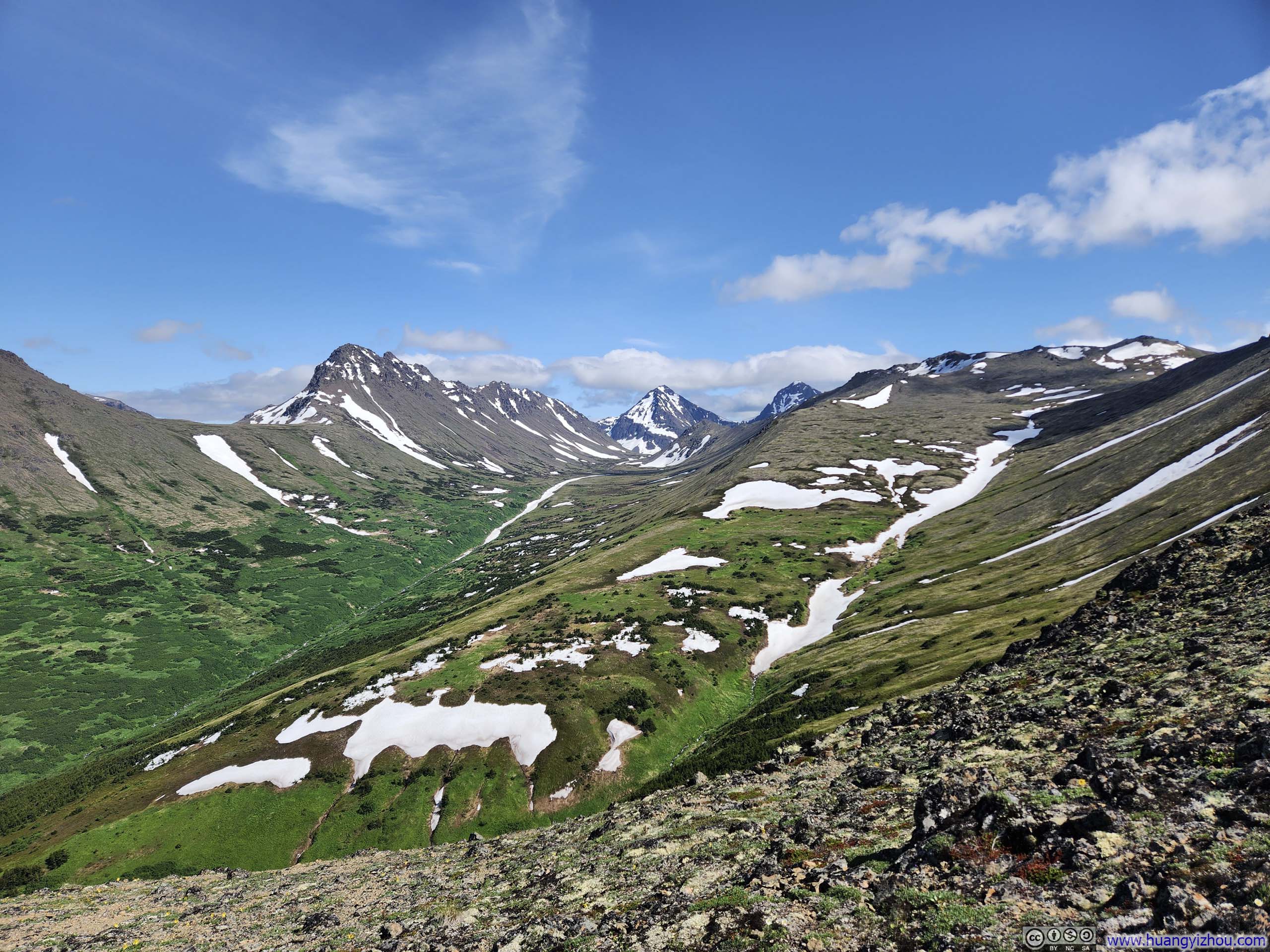
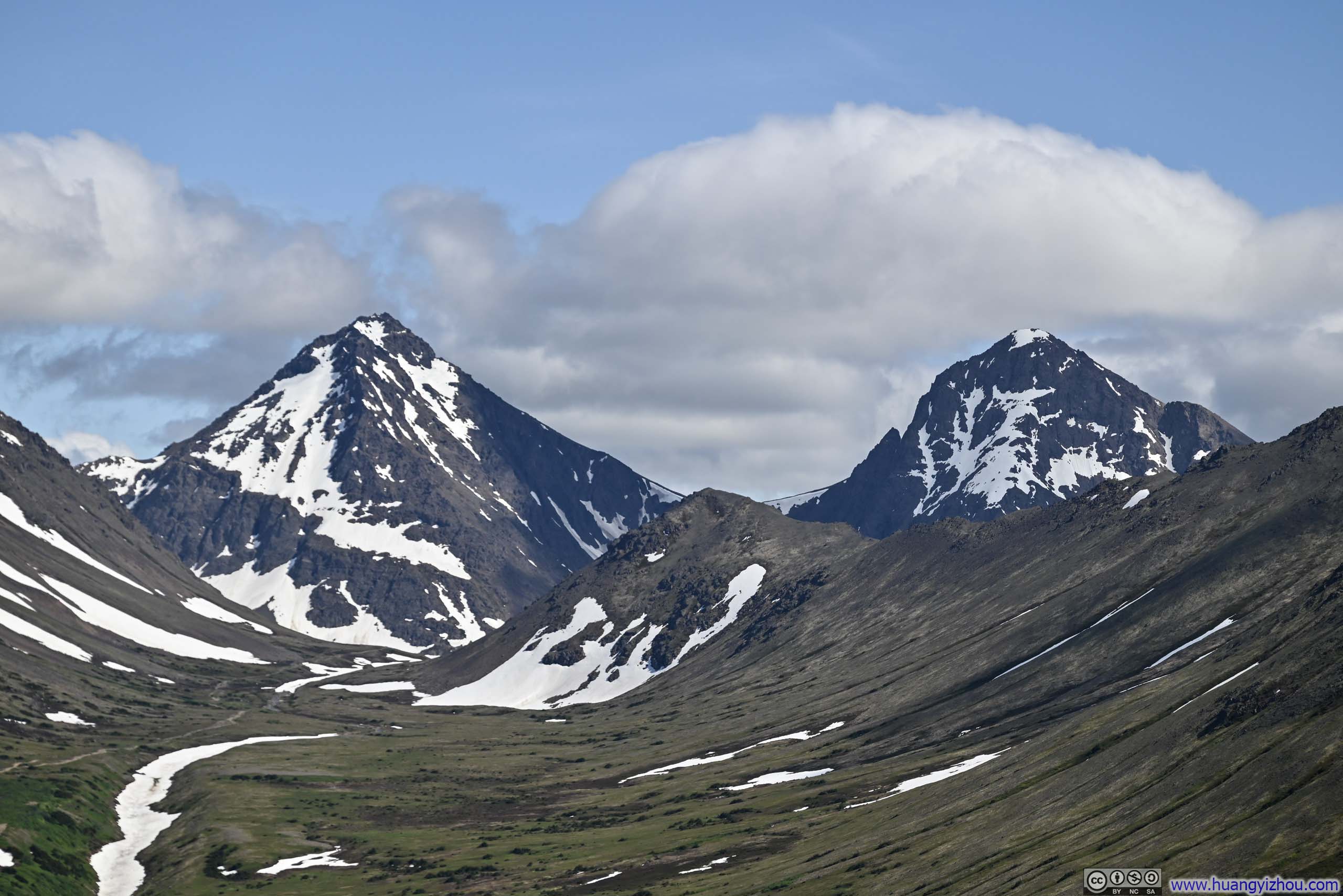
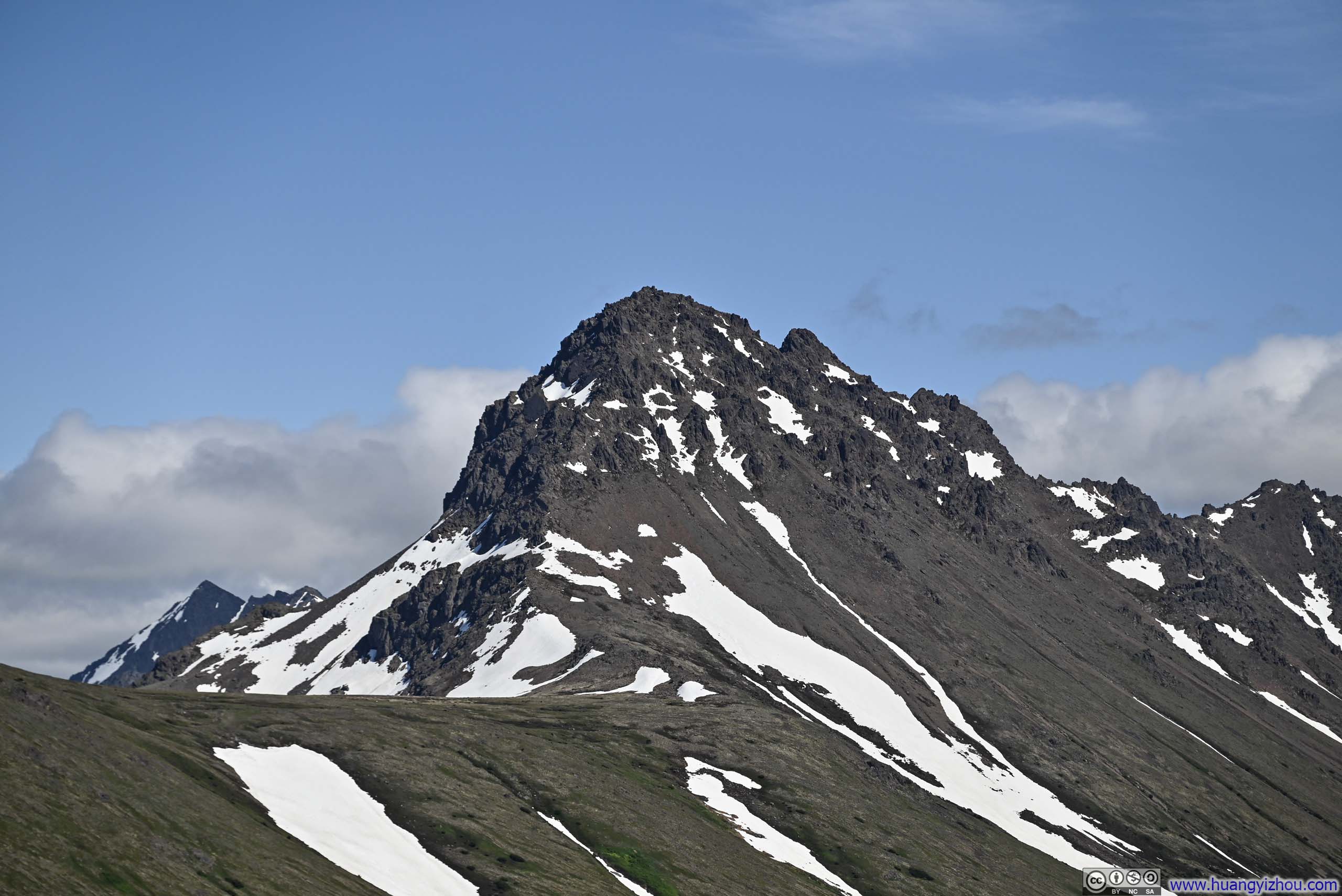
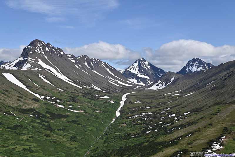
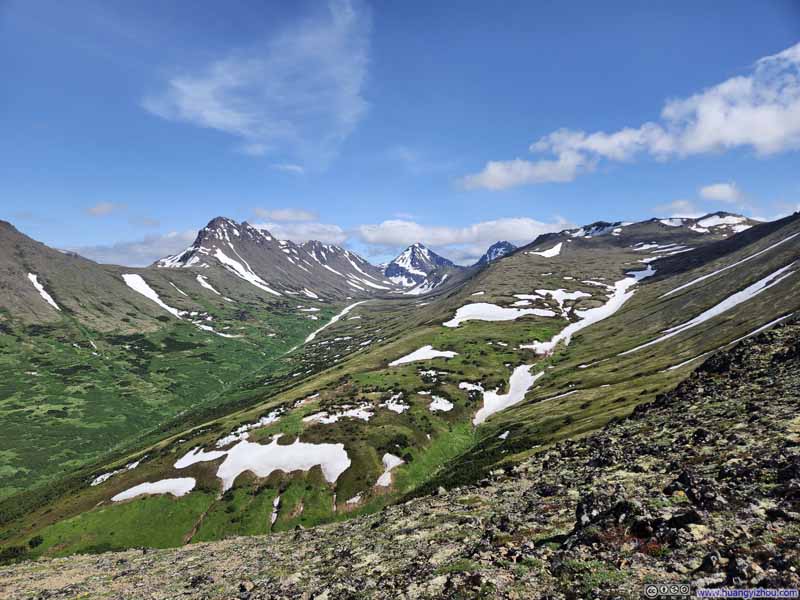
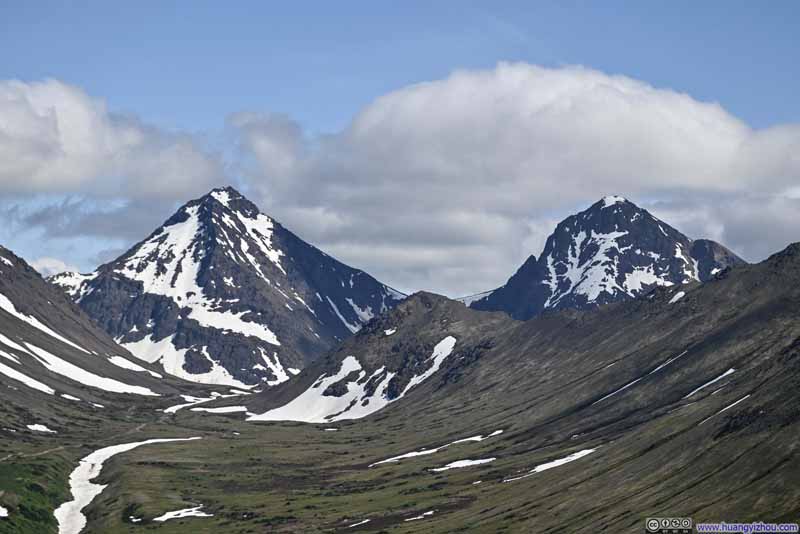
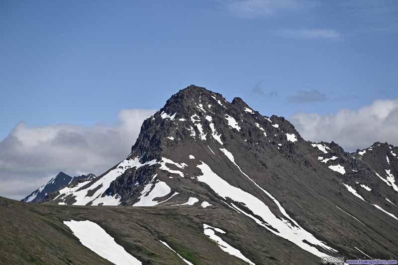
I took a brief 10-minute rest at Grandview, to recover from the steep climb earlier, before pressing onward toward McHugh Peak. The trail after that was mostly gentle rolling hills, a pleasant succession of modest ups and downs punctuated only occasionally by brief, steeper sections. It was a very windy day, as the winds were channeled through Turnagain Arm. Though these same gusts seemed to sweep away the cloud cover, graciously unveiling the spectacular vistas beyond.
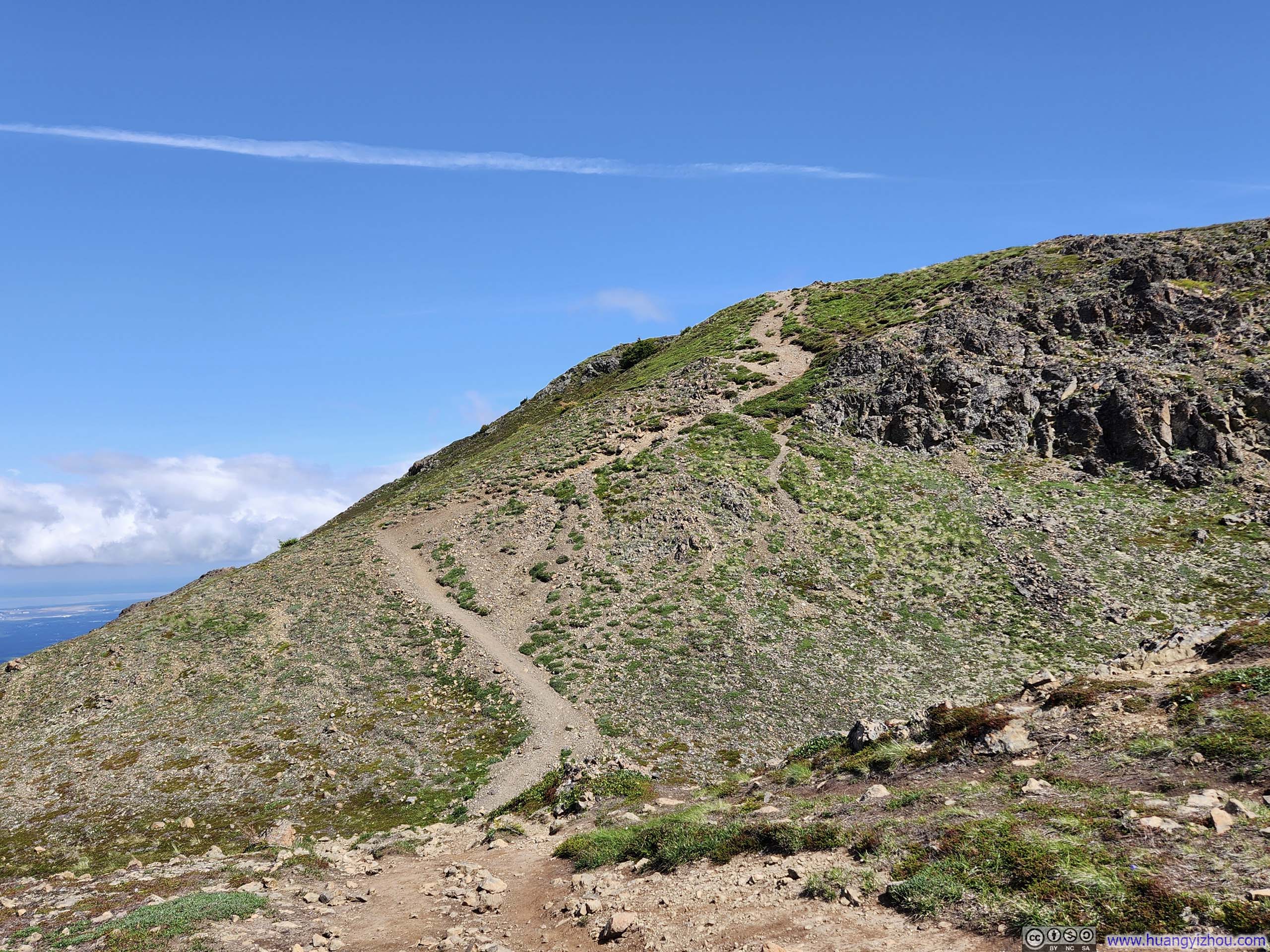
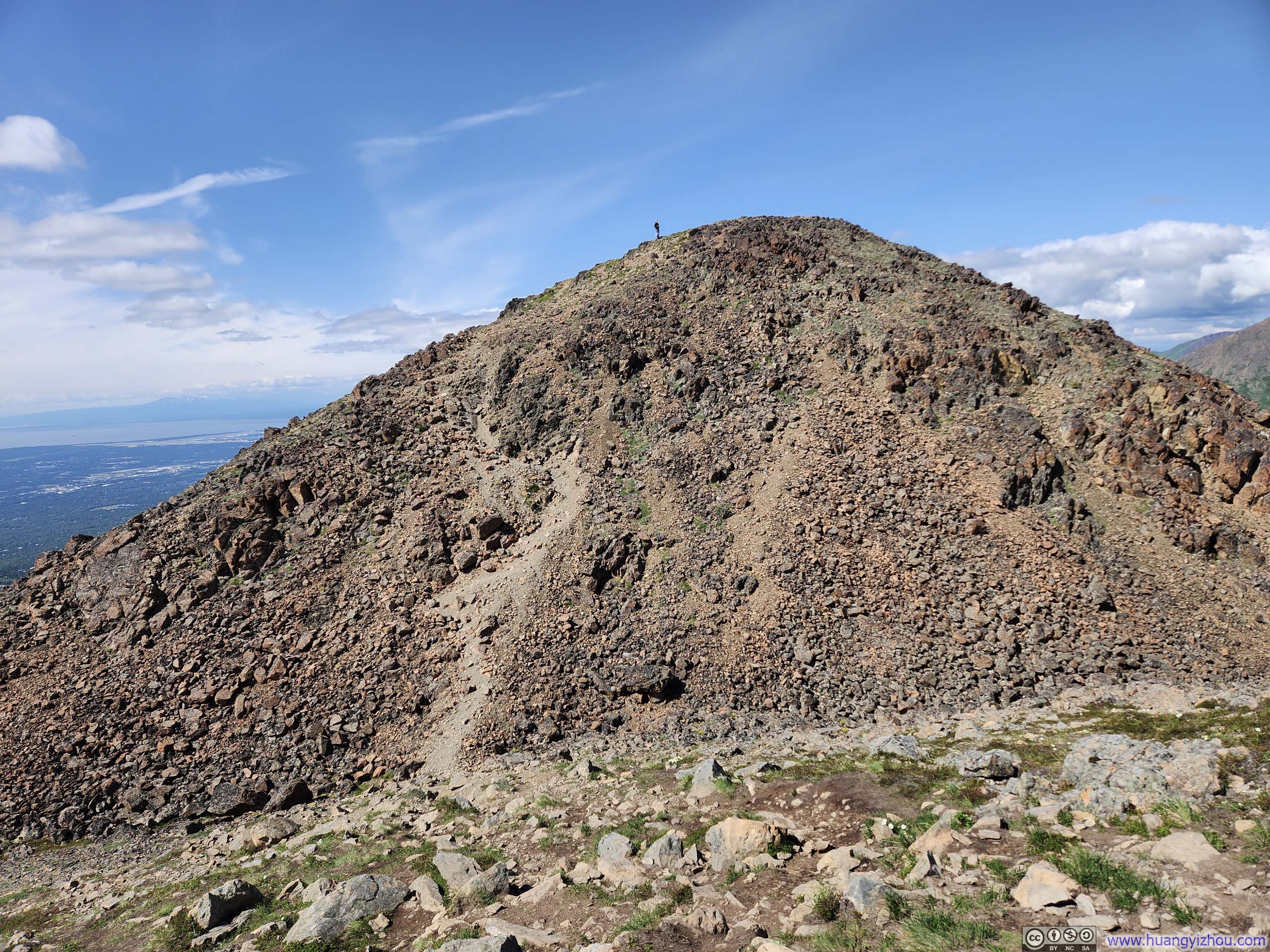
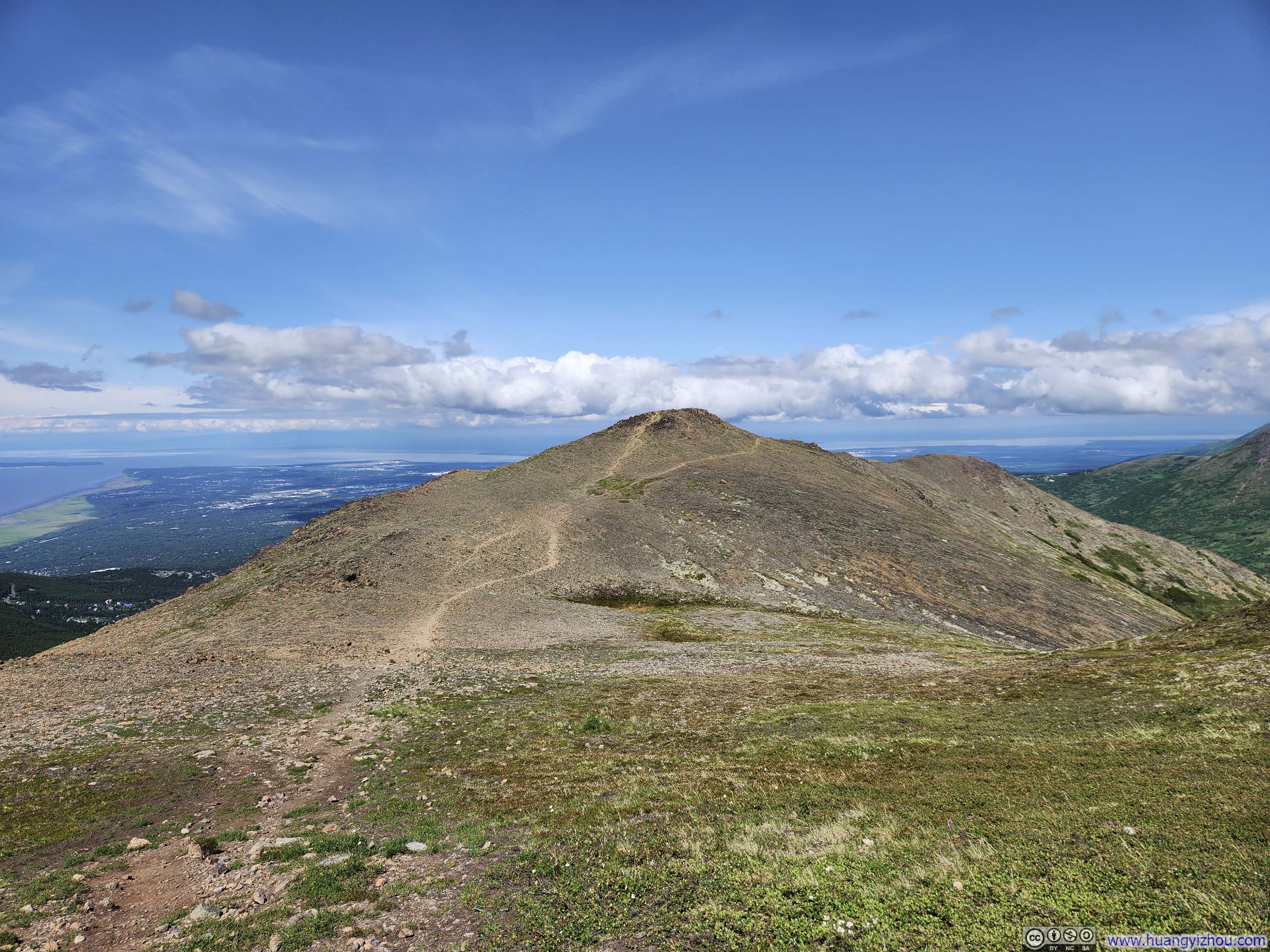
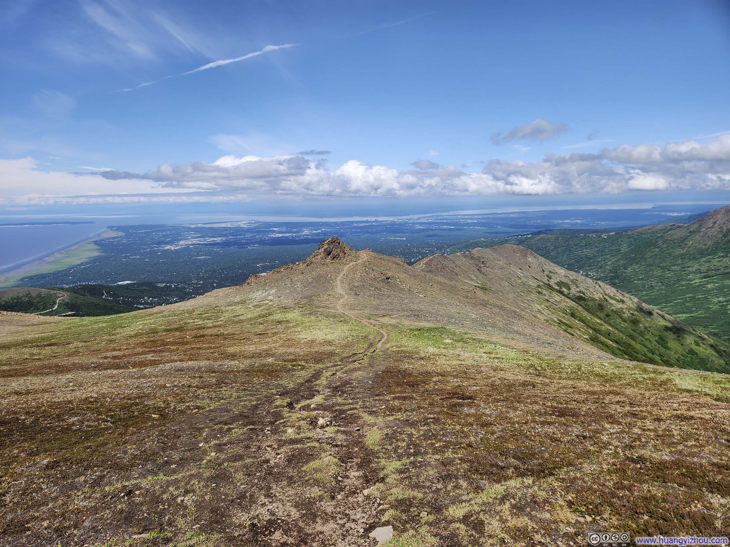
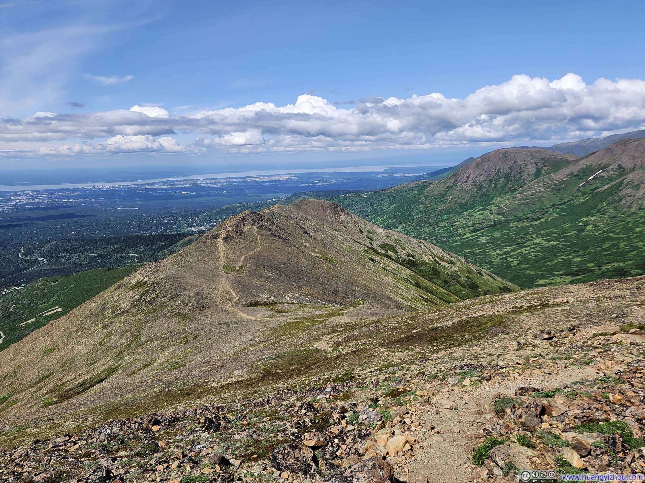
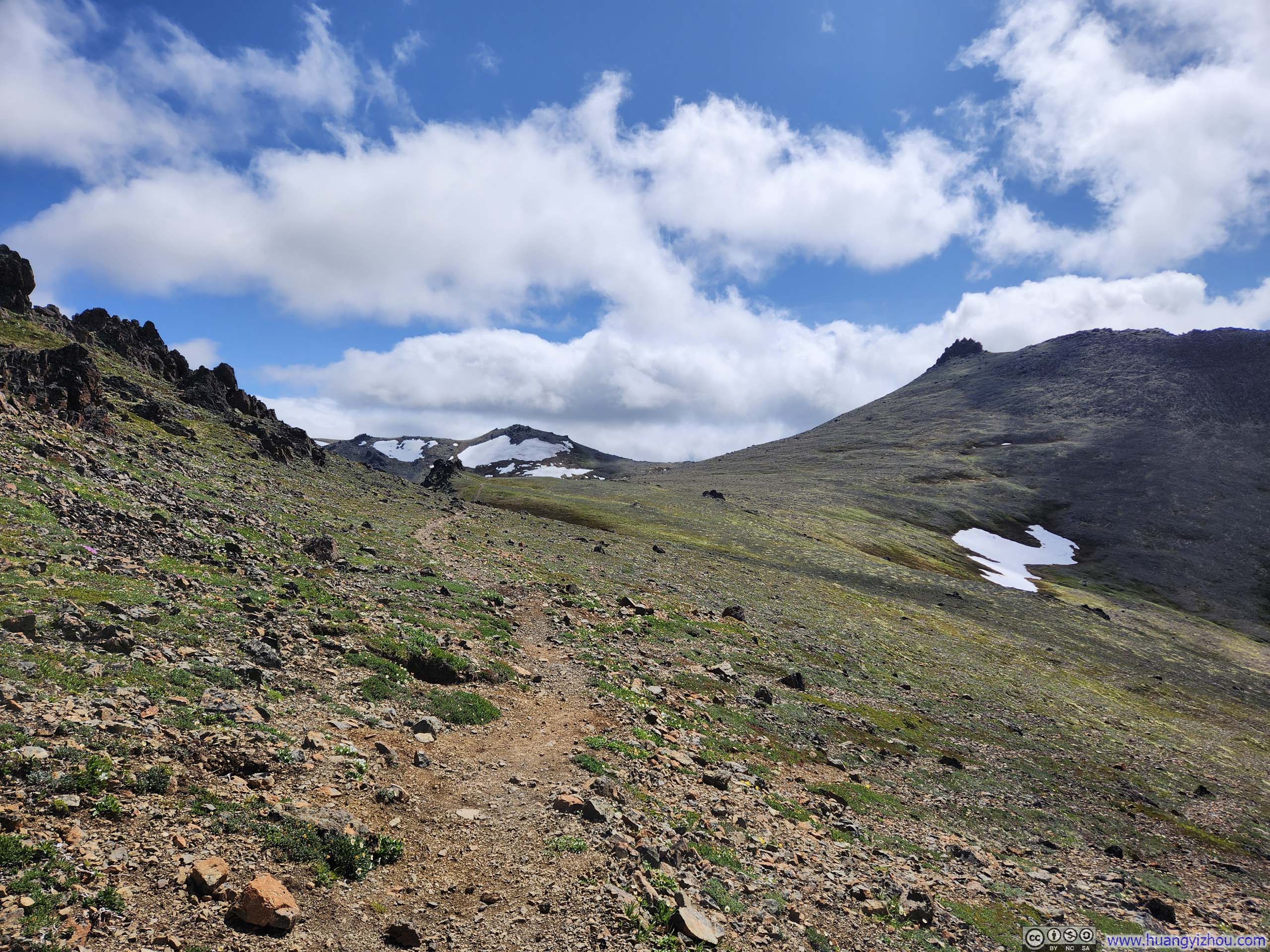
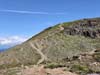
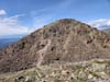
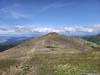
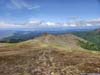
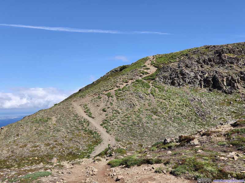
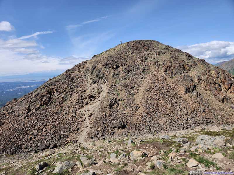
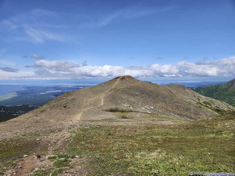
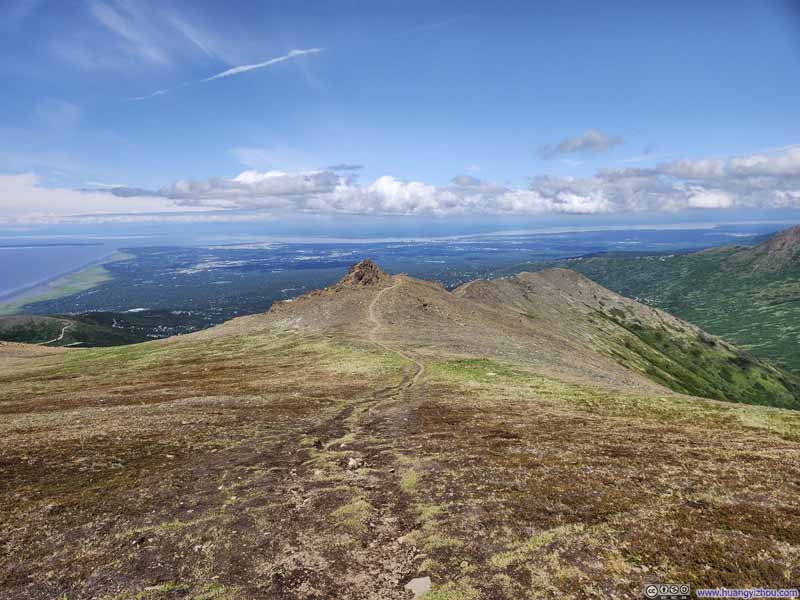
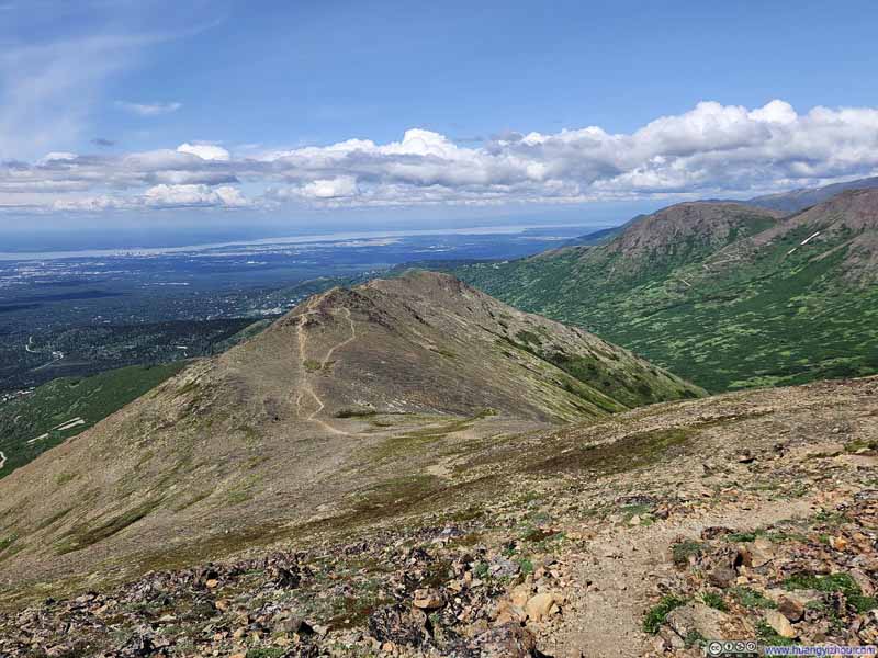
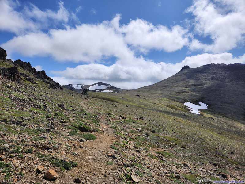
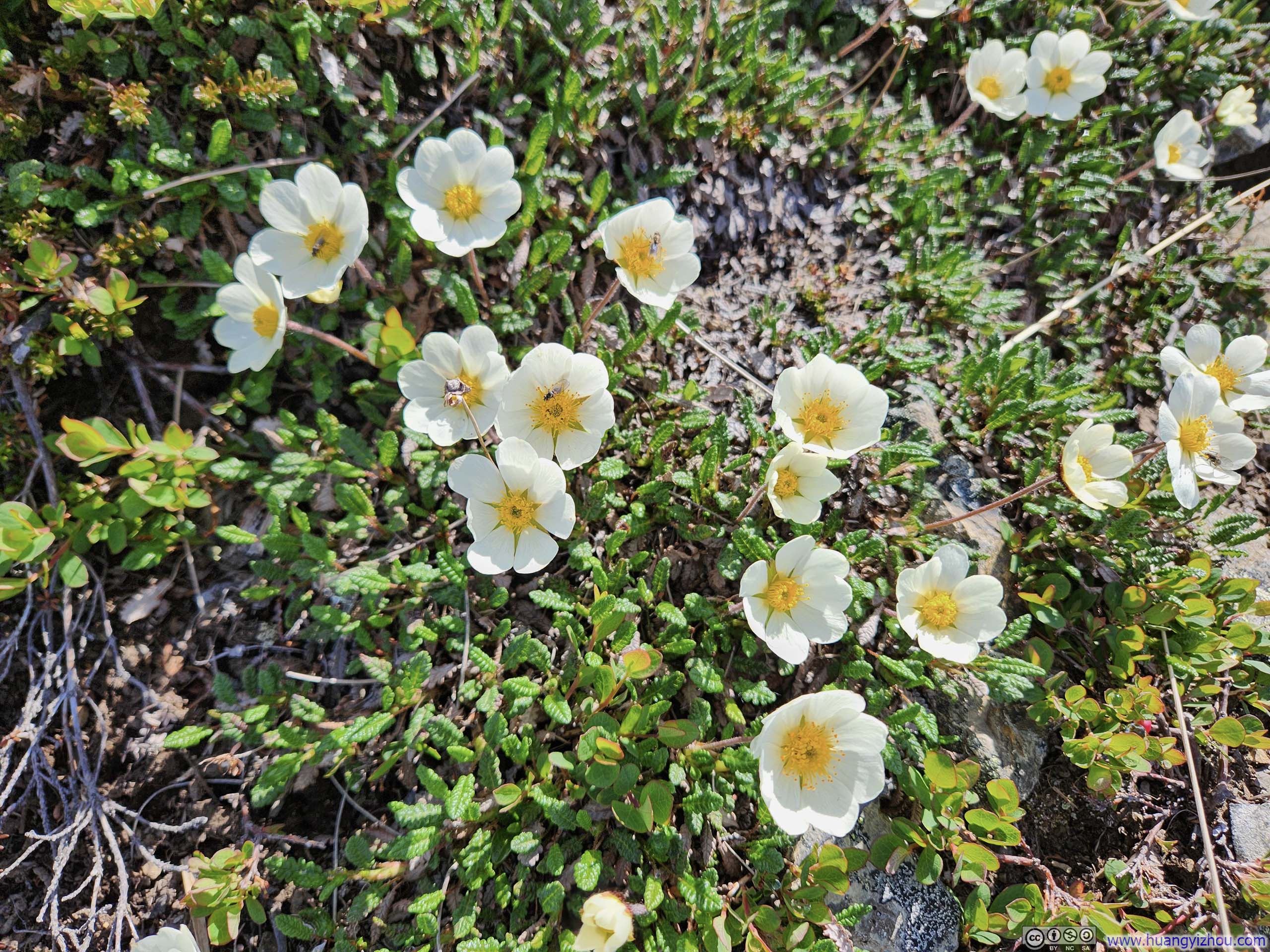
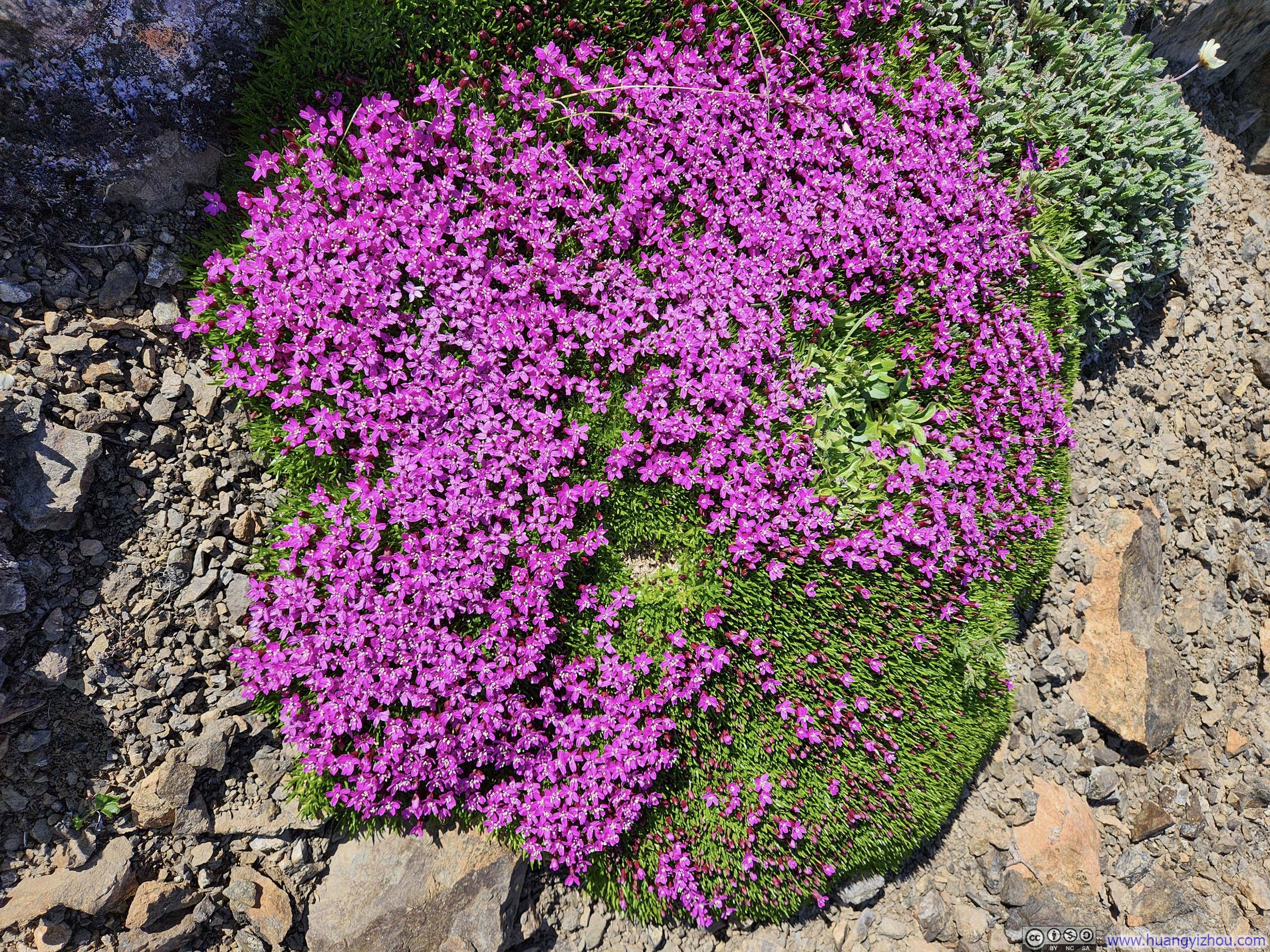
In the expansive field that preceded the final ascent to McHugh Peak, I somehow lost the trail amid the field of tundra grass (the trail was much easier to follow heading down from McHugh Peak). Consequently, I veered westward from the mapped route, harboring hopes of finding respite from the relentless wind, to no avail. The final ascent was also steep, climbing 100m in 320m of horizontal distance.
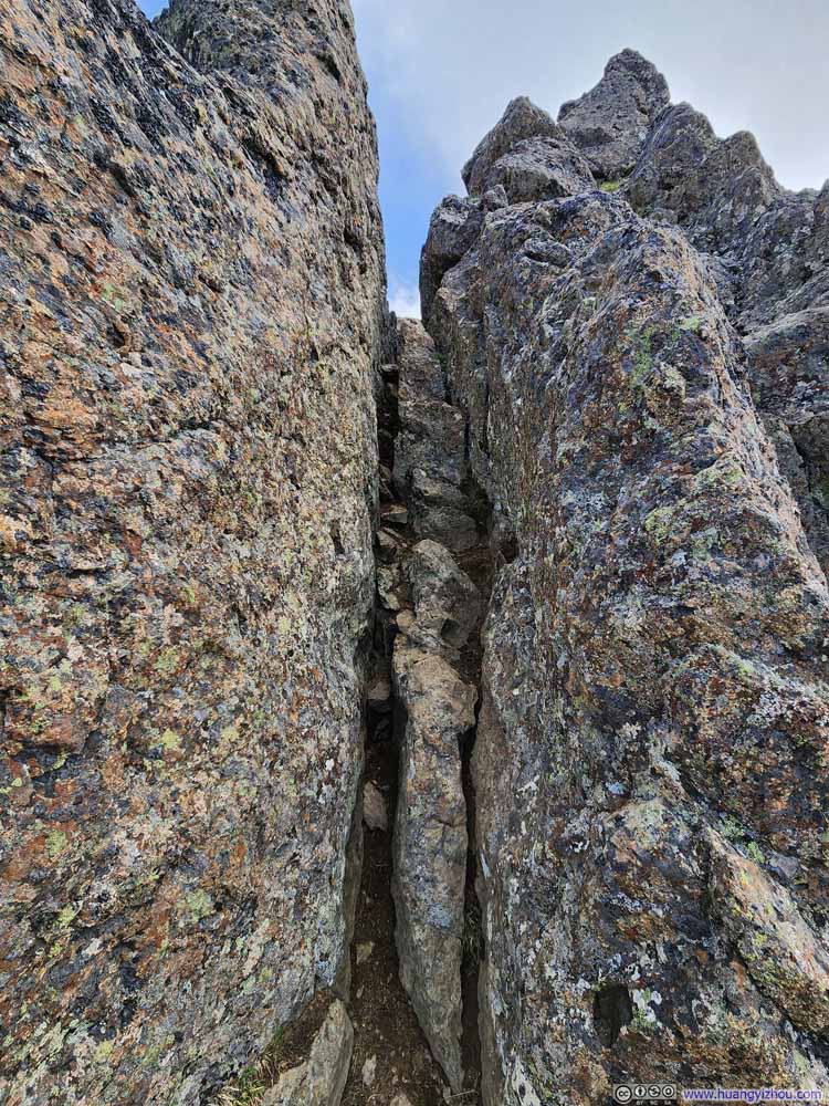
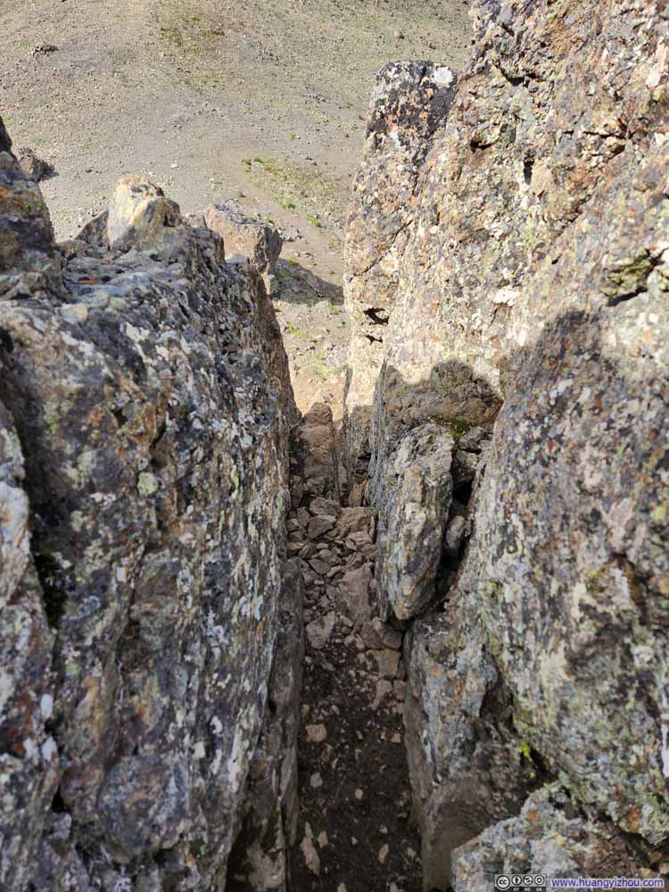
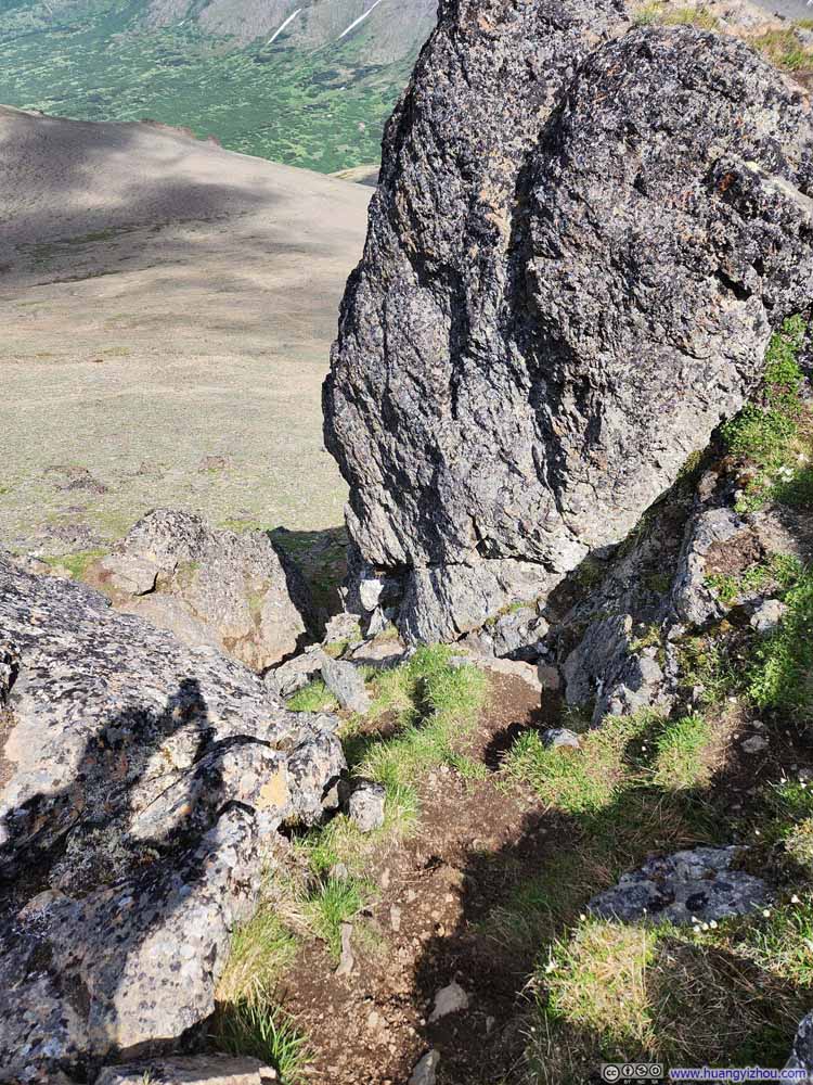
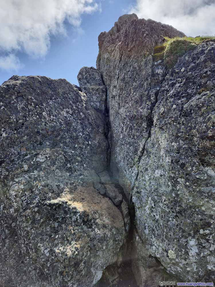
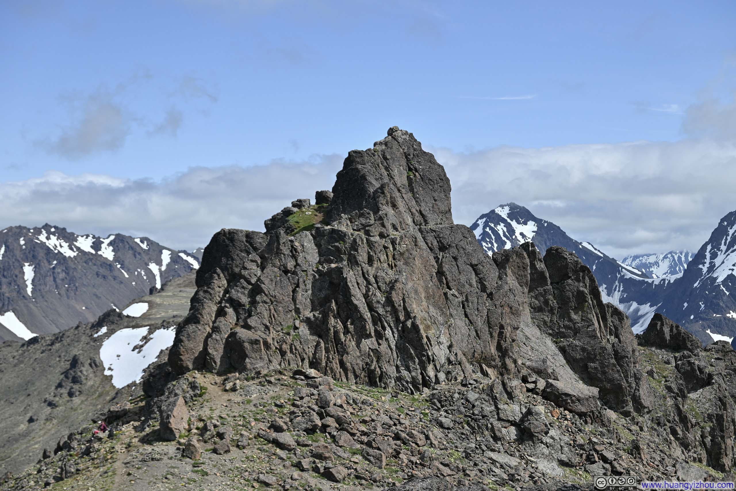
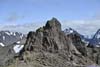
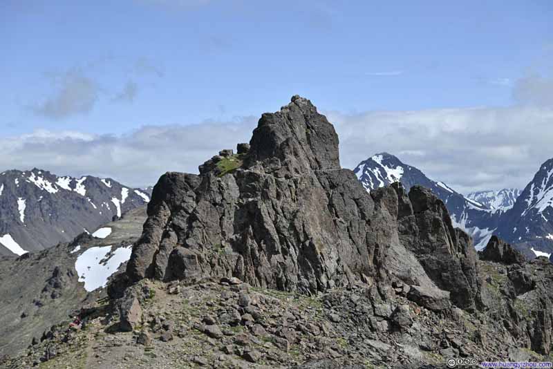
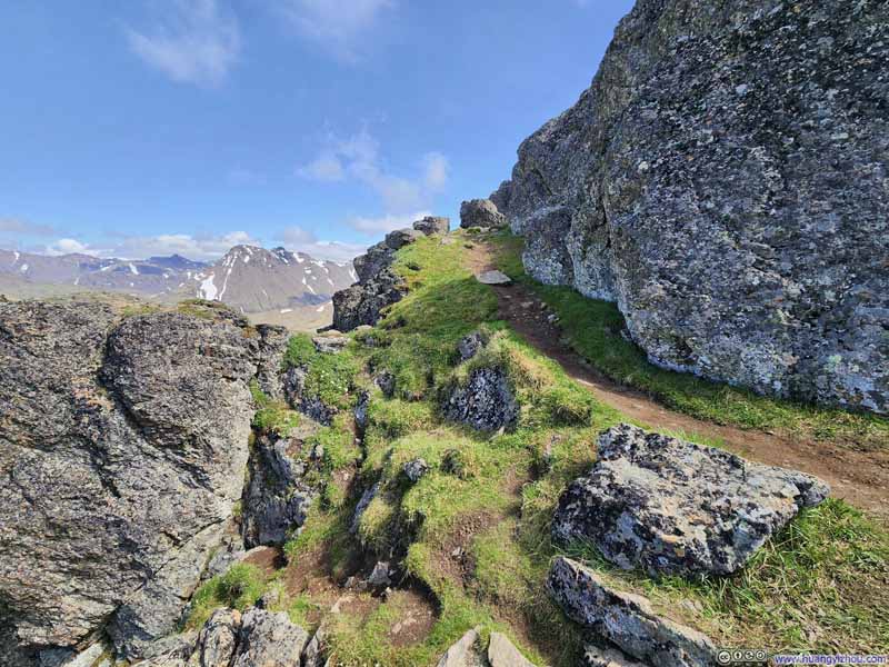
Finally, it's the summit block of McHugh Peak, a cluster of imposing boulders that collectively was slightly smaller than a basketball court, with seemingly no easy way up to get onto them. Since the views atop these monoliths weren't necessarily superior to the ones below, some people opted not to climb them.
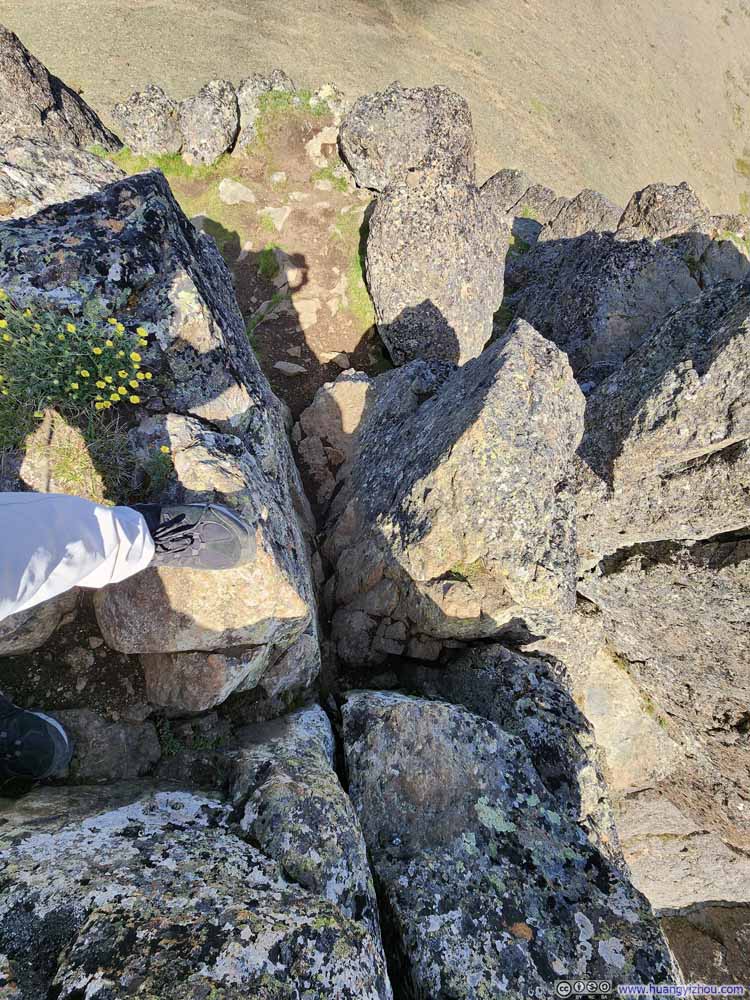
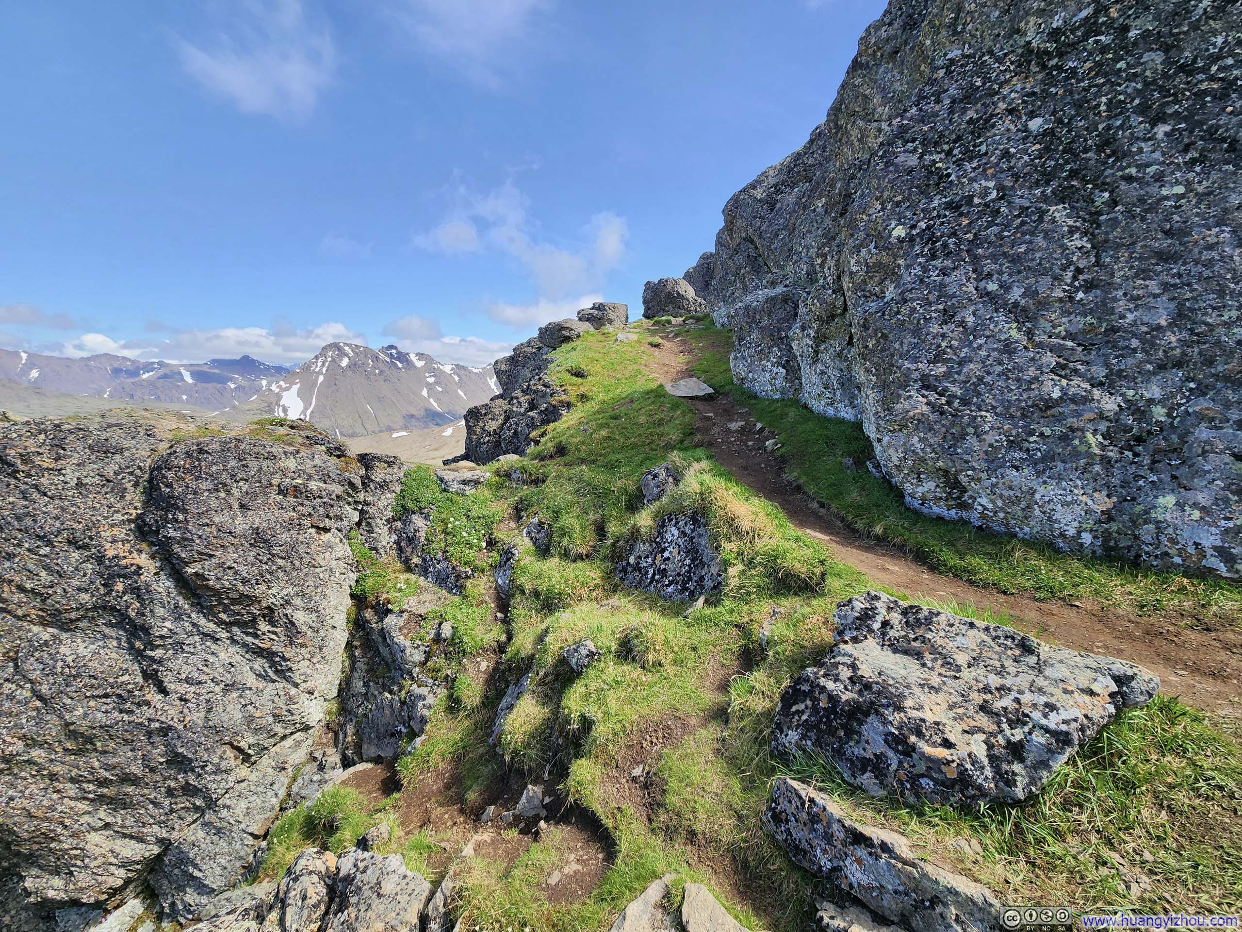
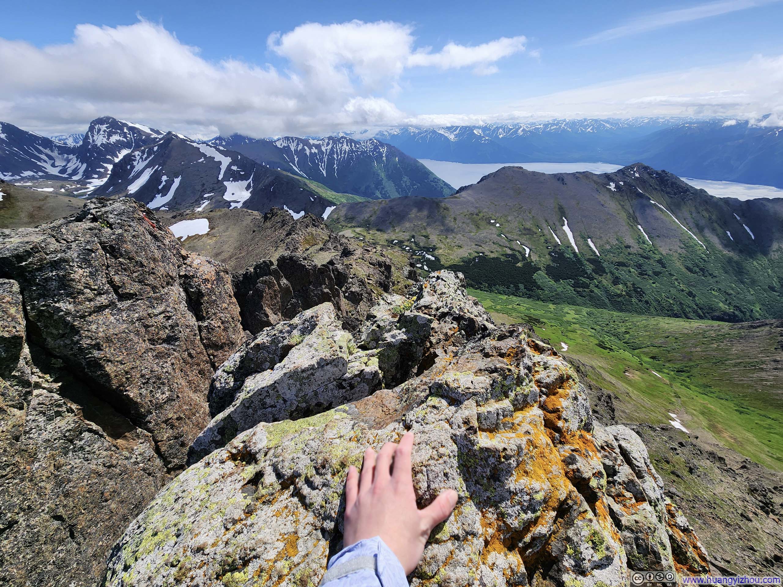
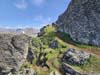
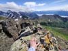
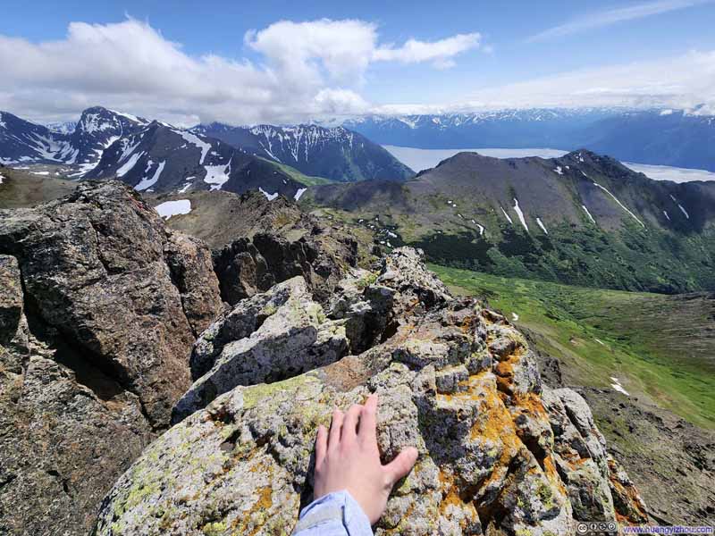
From the west, I identified a narrow gap between two rock walls (p1-2 below), through which I managed to get onto the summit block. Once on the summit block, I saw what appeared to be a more accommodating route from the northern aspect (p3 below). The actual summit still required two additional YDS class 3 maneuvers from the summit block (p4-5 below).
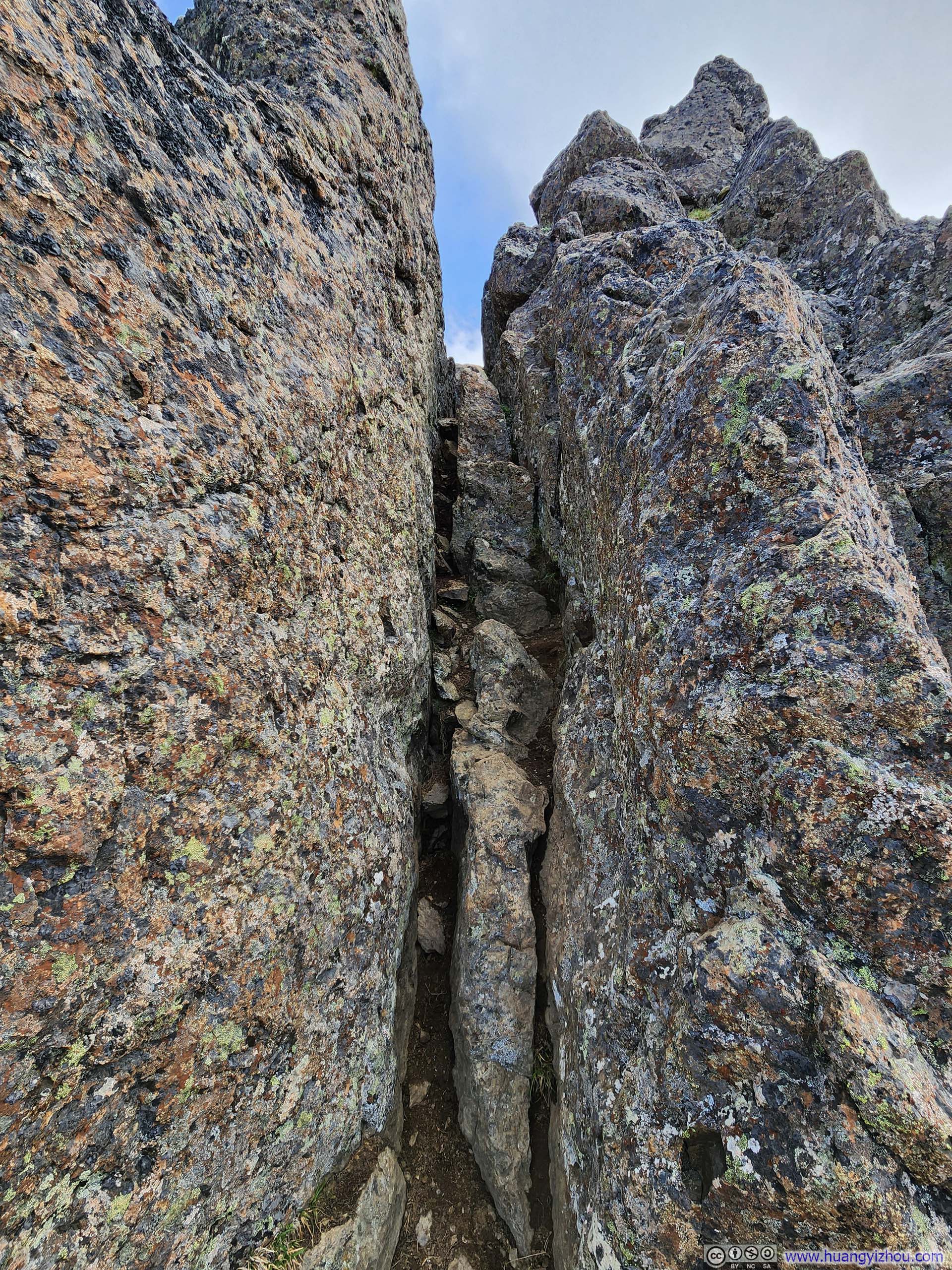
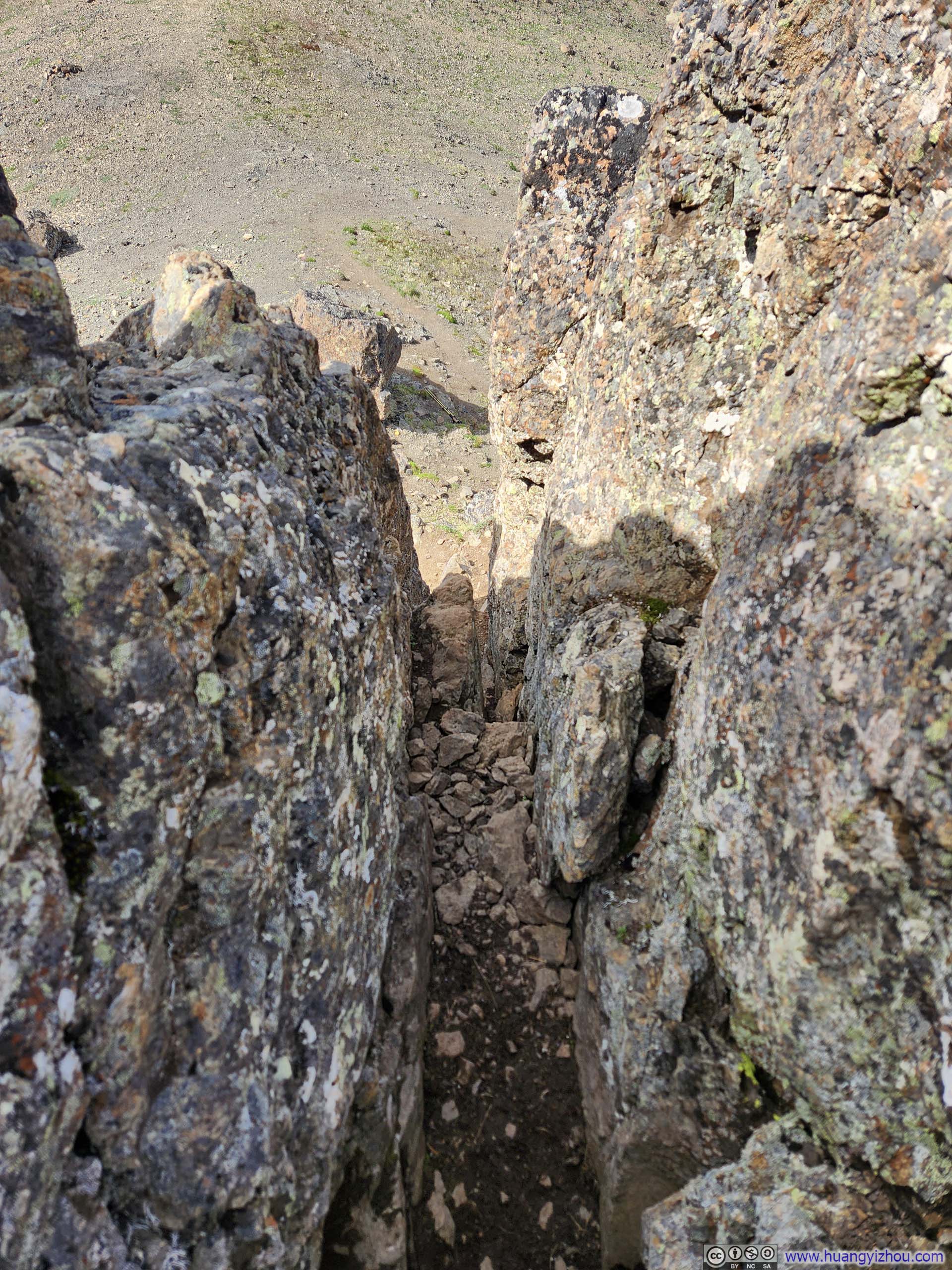
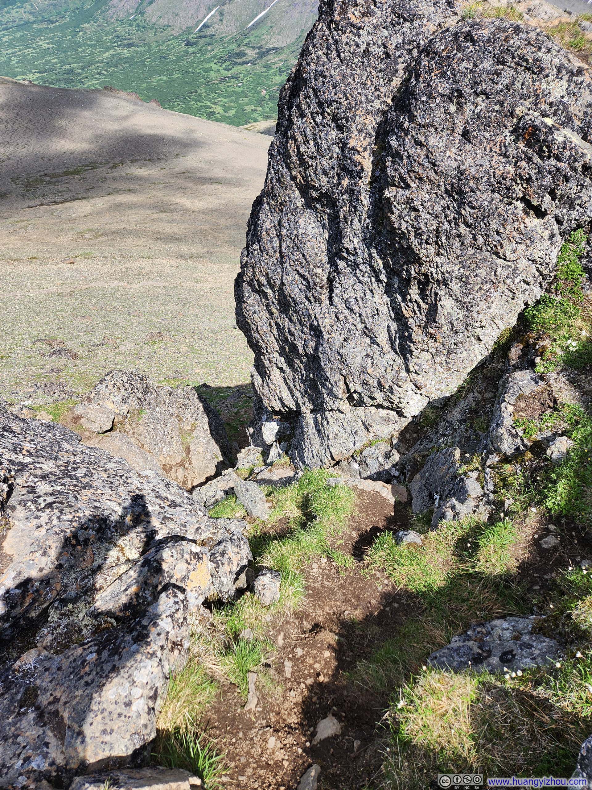
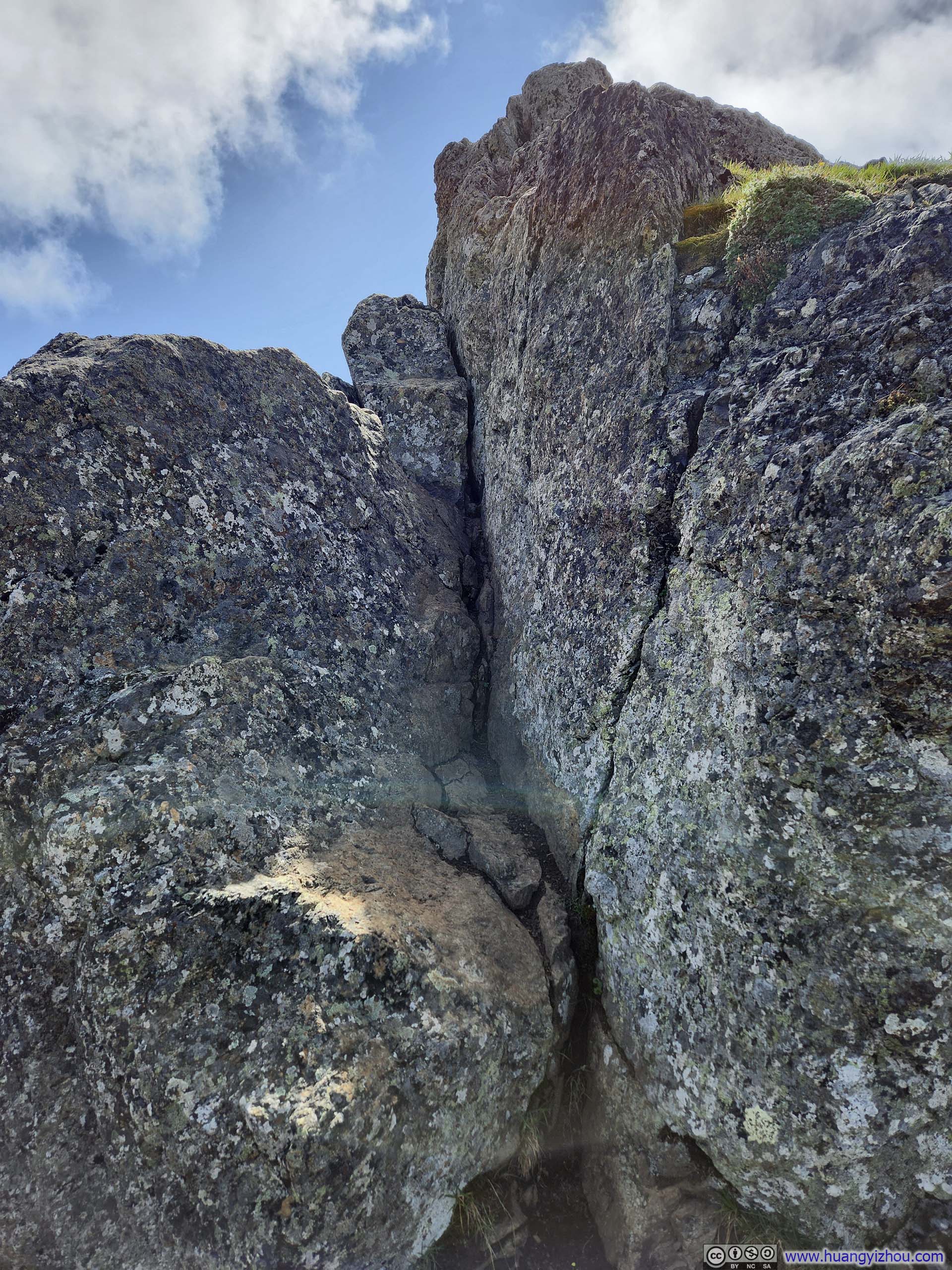
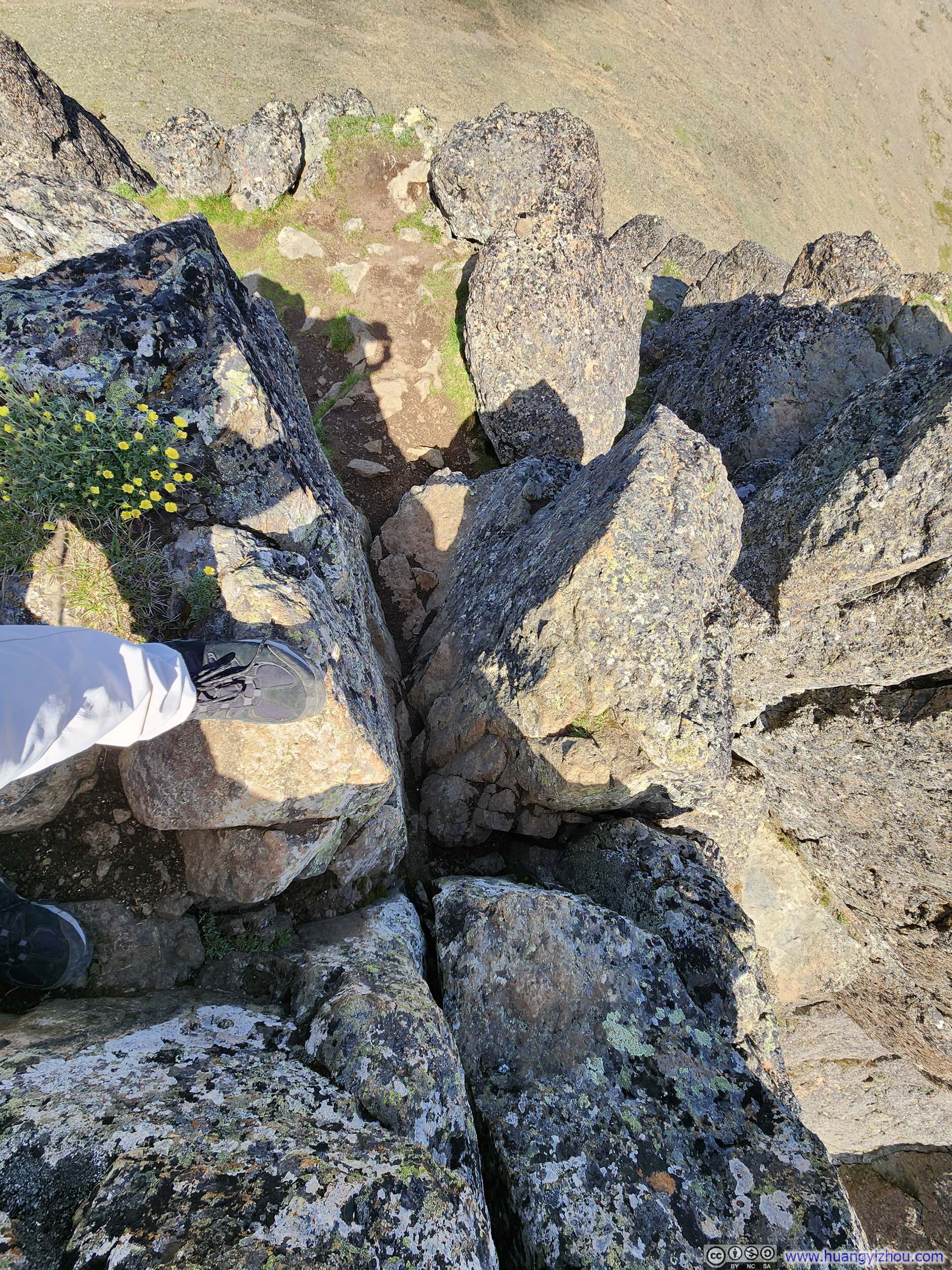
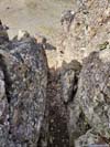
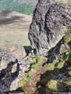
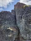
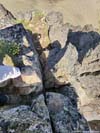
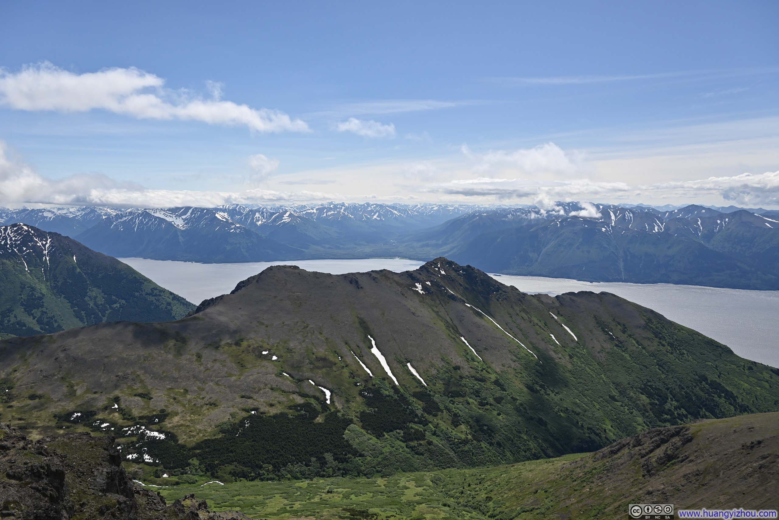
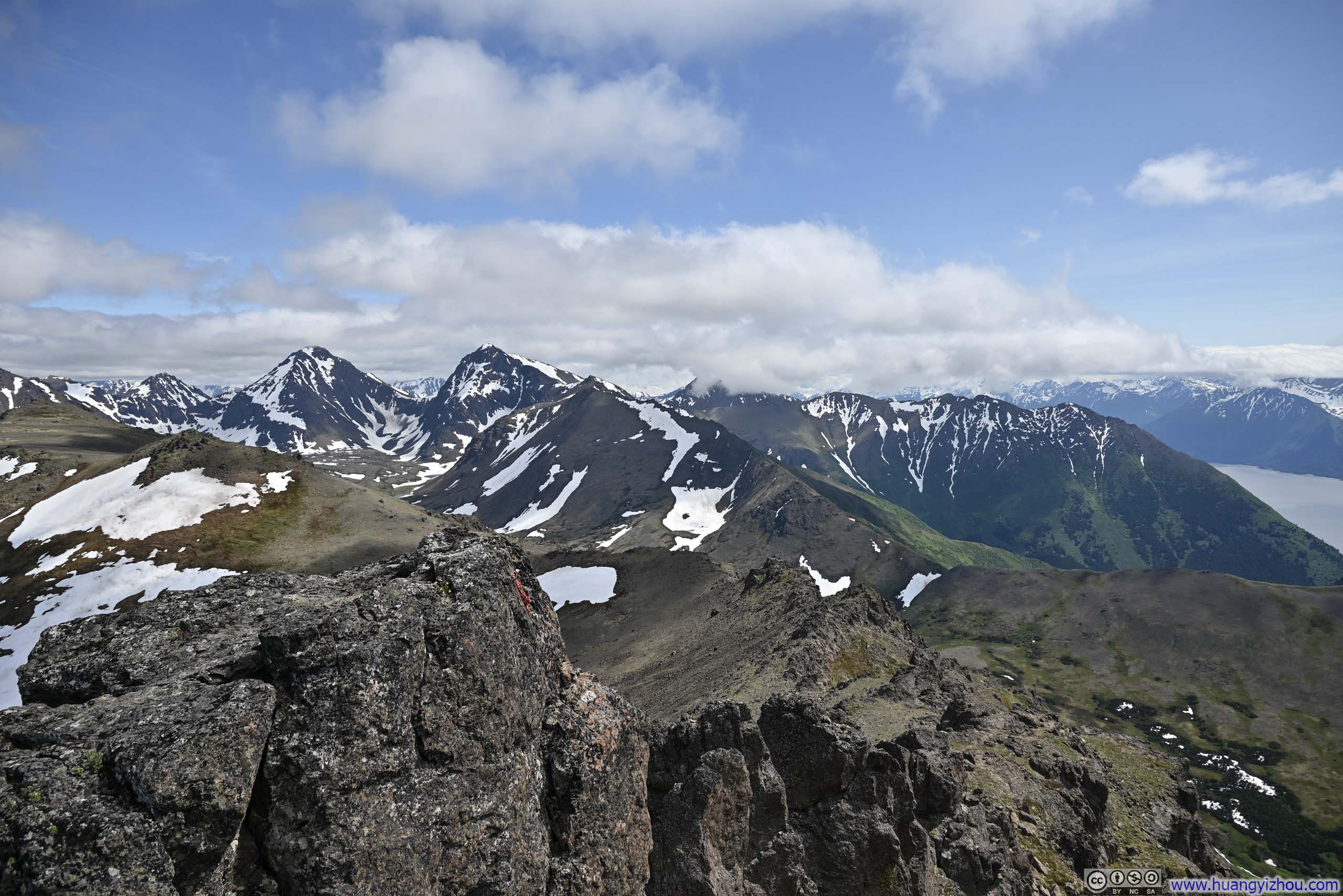
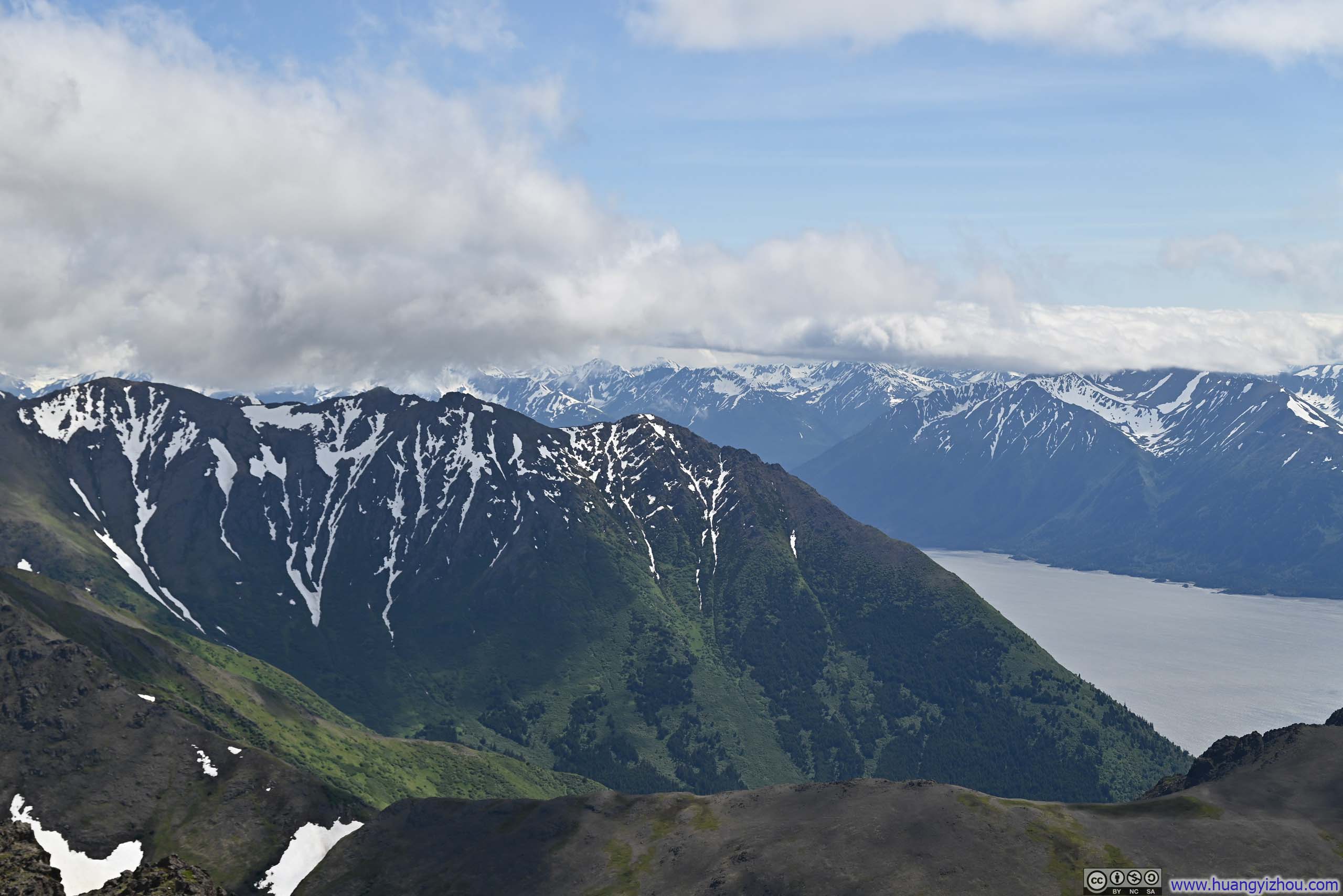
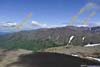
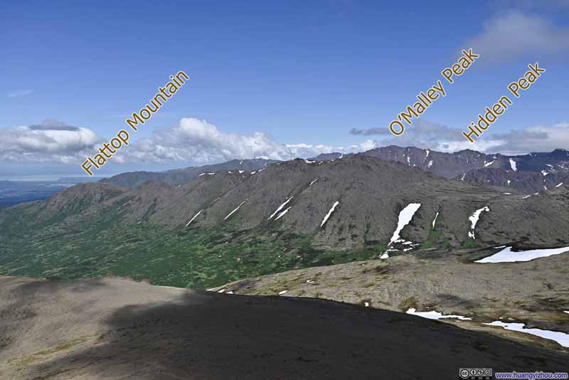
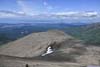
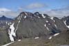
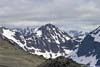
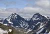
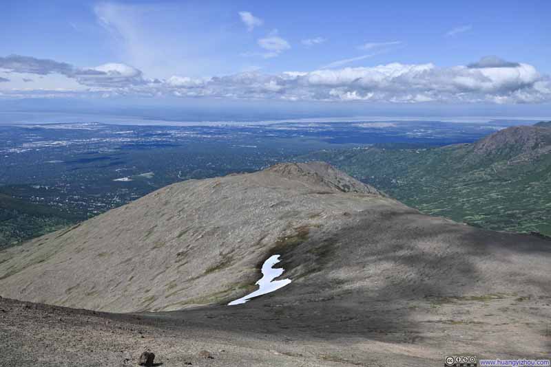
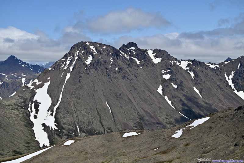
The areas around McHugh Peak's summit offered me my first glimpses of Turnagain Arm of the day, together with the snow-crested mountains that lined its shores. Unfortunately, the peaks across Turnagain Arm remained largely shrouded in clouds, so the most captivating vistas from McHugh were likely those stretching eastward—toward Ptarmigan Peak and the Yuyanq' Ch'ex mountains, and the ranges beyond them deeper into Chugach State Park. On this aspect, the views from McHugh Peak were probably not that different from the ones from Grandview earlier.
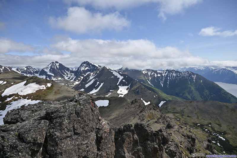
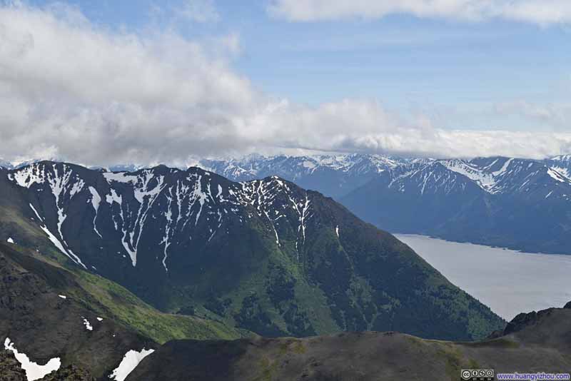
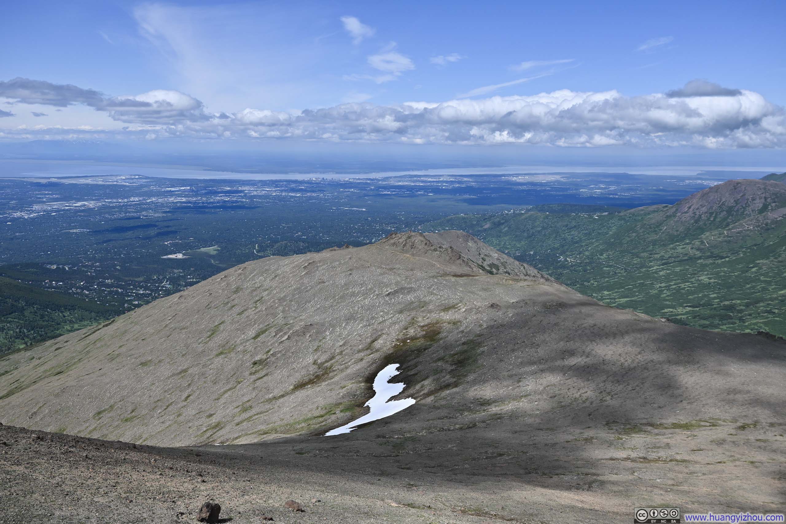
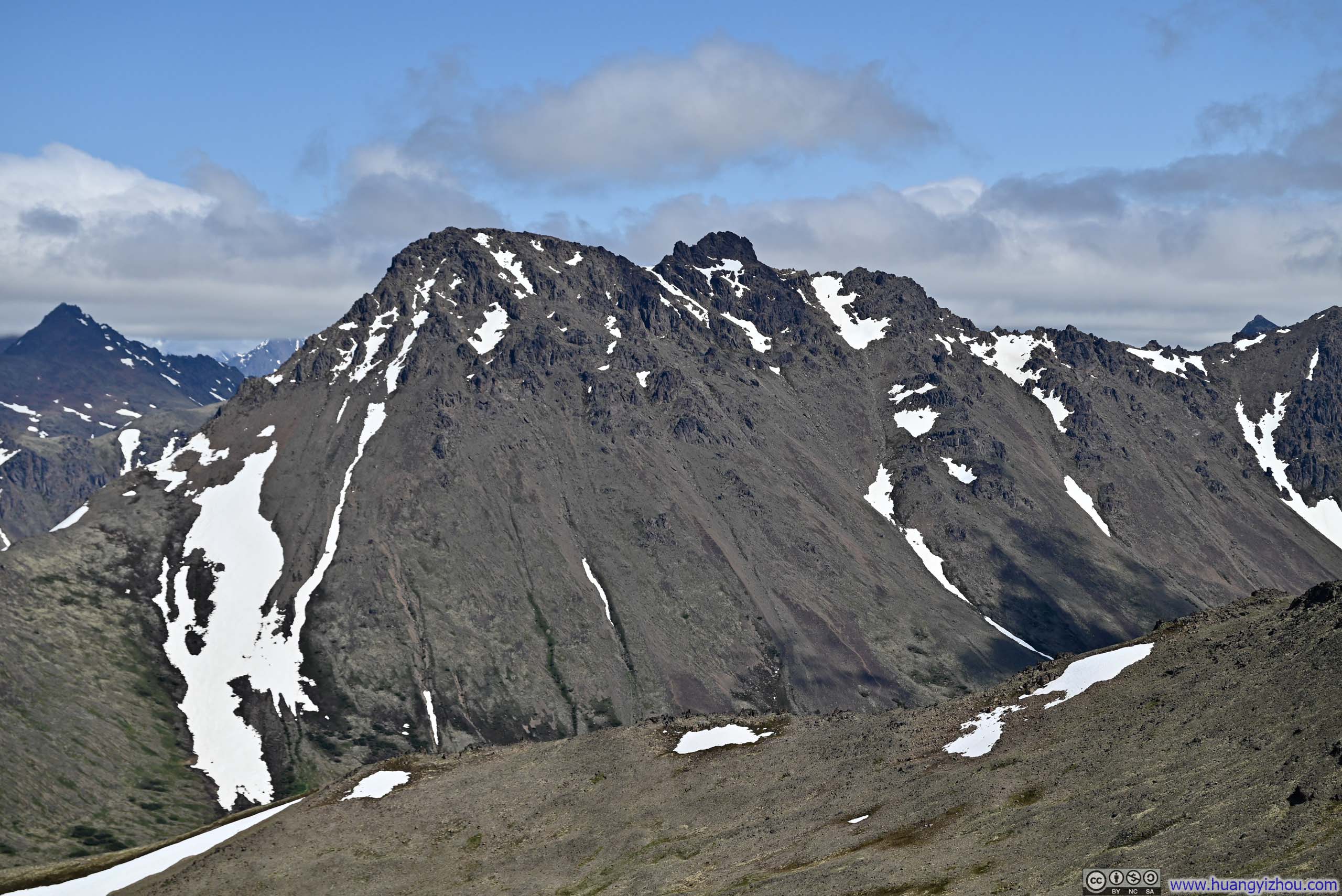
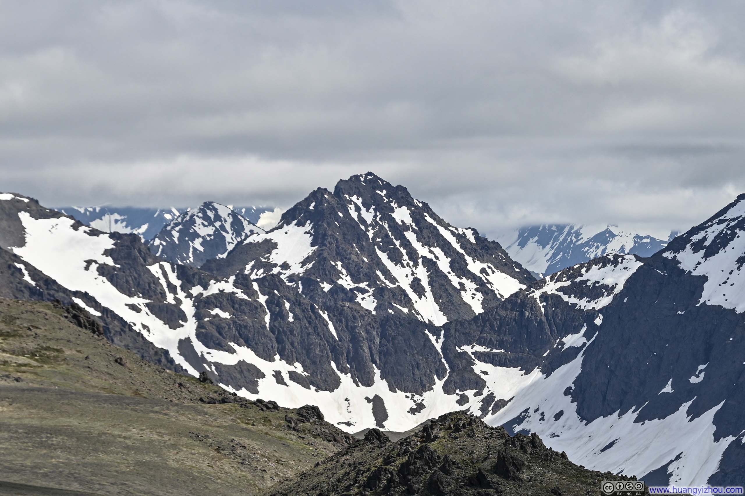
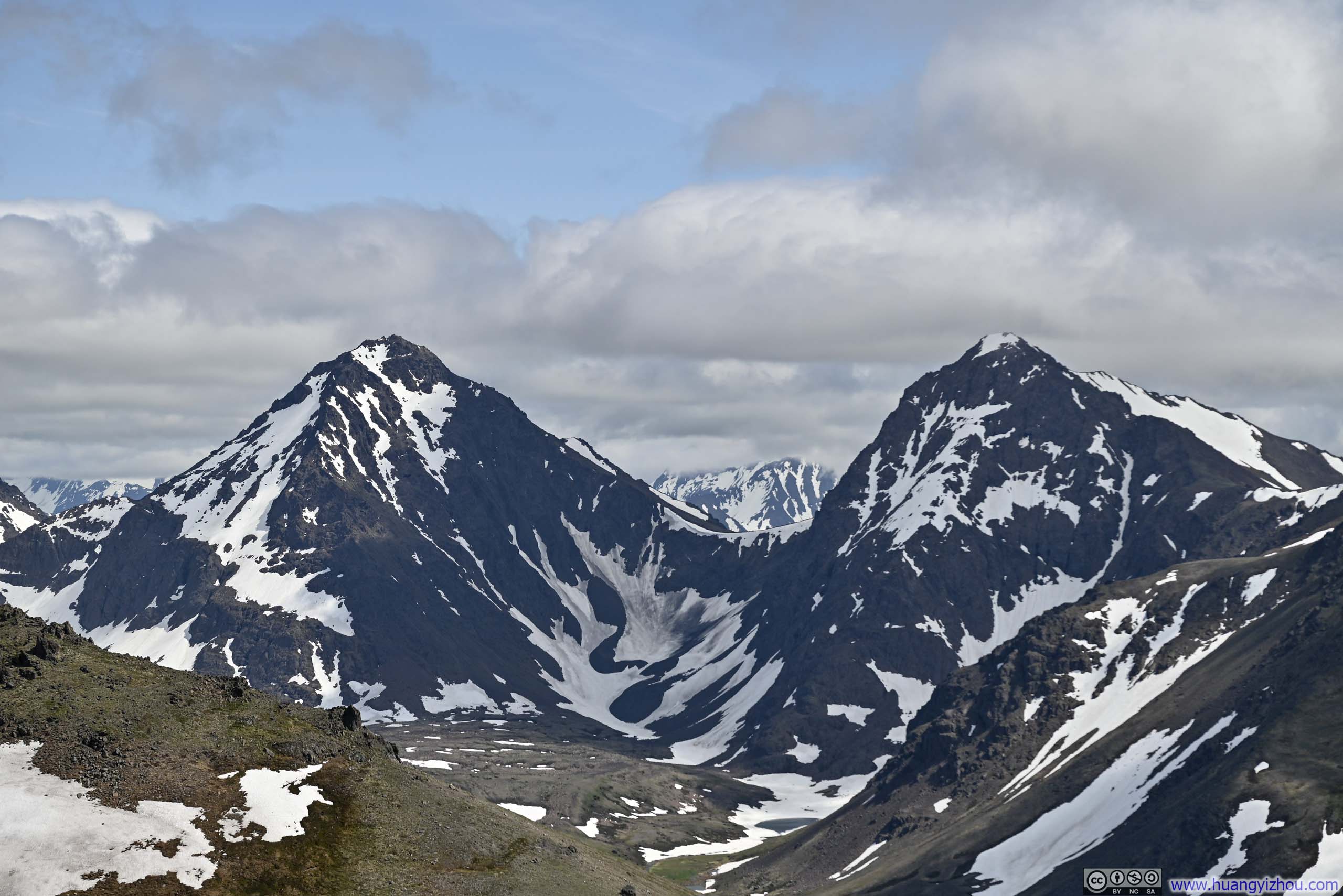
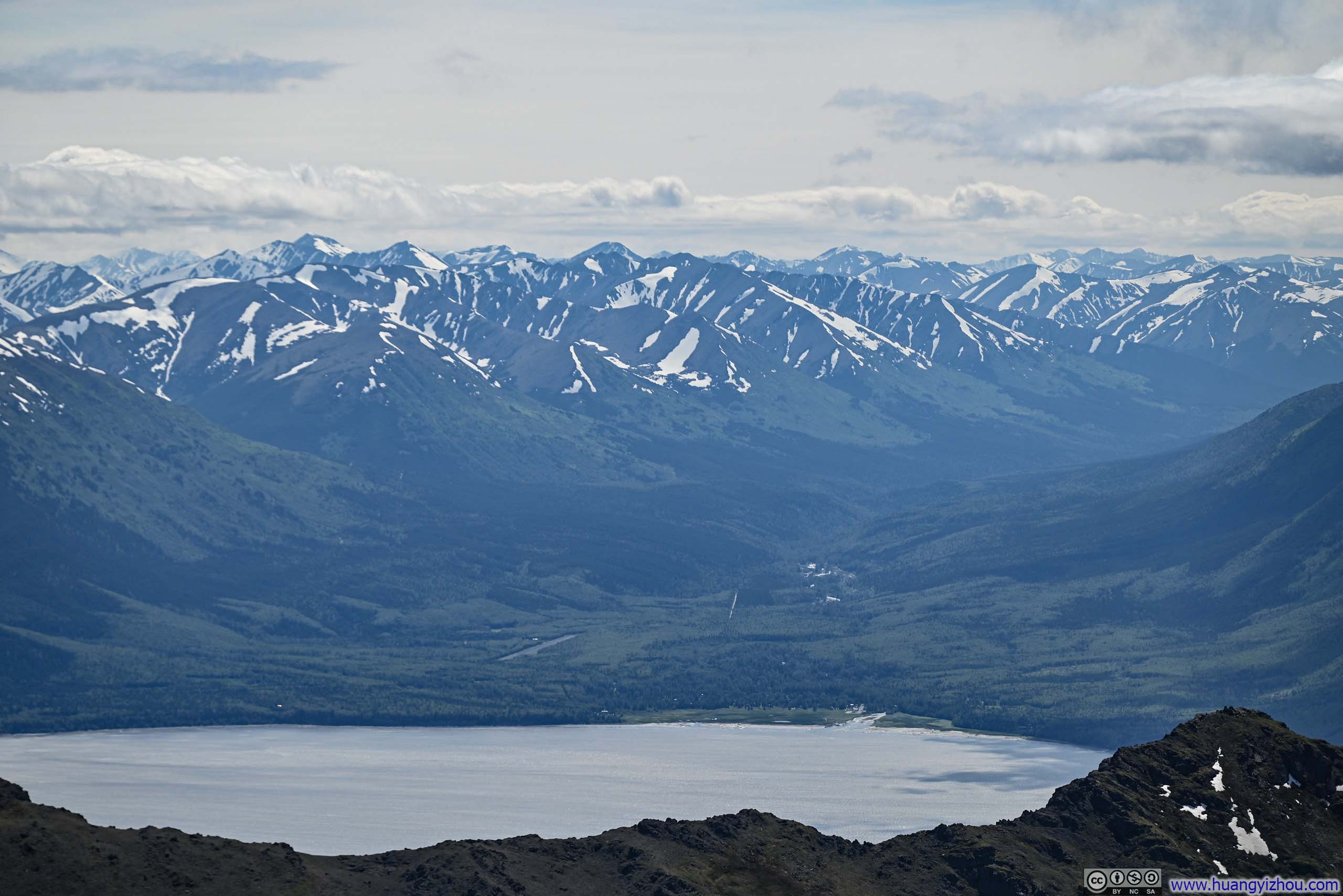
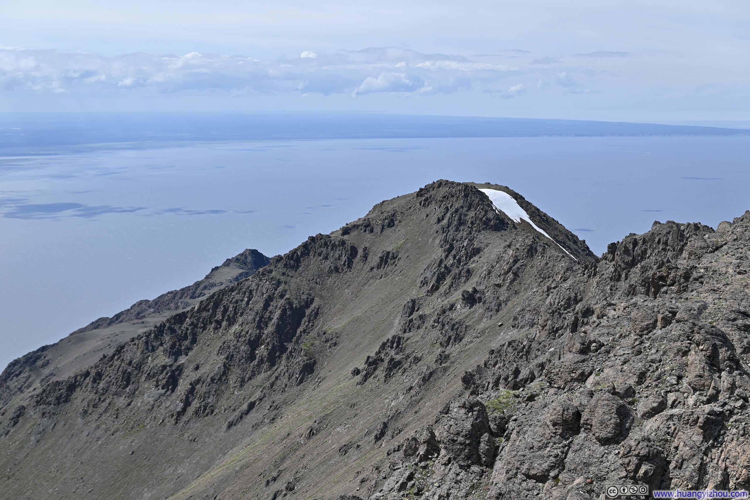
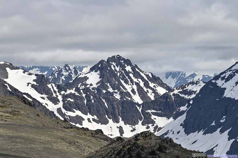
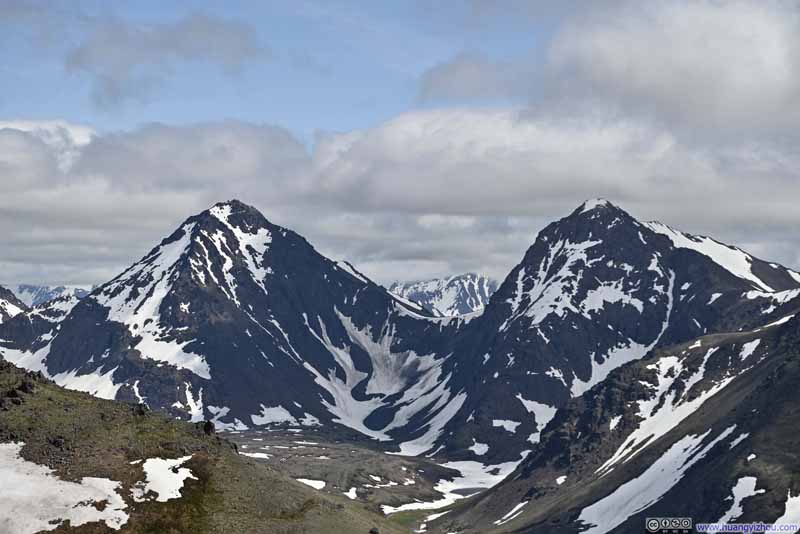
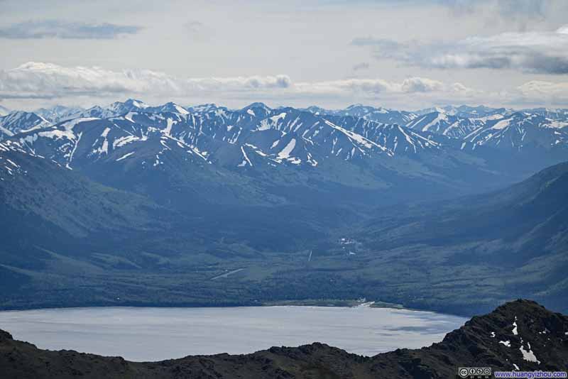
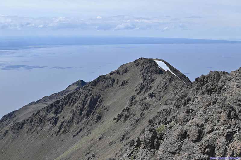
And here's a video from the summit of McHugh Peak:
17 seconds, 2160p60fps, 20Mbps/42MB for H265 and H264.
Between finding my way up the summit block of McHugh Peak, enjoying the views and snacks, I spent about an hour at McHugh Peak before heading back down. In the end, I got back to the trailhead at around 4:40pm, concluding the hike in 5 hours.
END