Day 1 of 2025 Labor Day Trip to California, Sawtooth Peak
The first day of my 2025 Labor Day trip to California. I climbed Sawtooth Peak, an imposing and picturesque peak in Sequoia National Park.
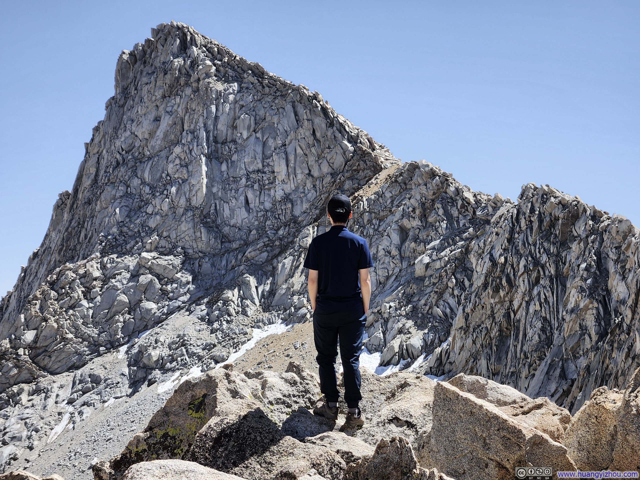
Sawtooth Peak stood as one of Sequoia National Park's most singularly distinctive summits, revealing dramatically different characters depending on one's perspective: its western face appeared inconspicuous, its eastern aspect unexceptional, yet when viewed from the north via Sawtooth Pass, its sharp summit emerged as a triumphant crescendo—the culminating note after a wild traverse through an agitato fantasia of ridgeline that captivated me at first sight online. Fortunately, Sequoia's proximity to Yosemite meant I could readily attempt this climb before tackling Half Dome later in the week.
While planning this trip, I had allocated two days for Sequoia National Park. Ideally, I would explore the park's more popular attractions, such as Moro Rock, Grant Forest, on Sunday August 31st, treating it as a warm-up for my attempt at Sawtooth Peak the following day, Monday, September 1st. Unfortunately, a weather system over Dallas severely disrupted my flights to California, and I only landed in Fresno on the morning of the 31st. Compounding matters, my checked bags were sent to the wrong airport, forcing me to spend time later that day buying clothes and supplies. This left me with only a single day for Sequoia National Park.
It was Labor Day weekend, and I was joined by a friend from the San Francisco Bay Area who had been equally drawn to Sawtooth Peak's commanding presence, who insisted suggested that despite our lack of proper acclimatization, we should still attempt the peak with our one remaining day in the park.
So on the morning of September 1, with me dressed entirely in Walmart clothes, we set out for Mineral King, where the trailhead for Sawtooth Peak was.
Mineral King was a very remote area of Sequoia National Park, the 24.5-mile access road from Highway 198 consumed us an hour and 45 minutes. The route was mostly paved but in deplorable condition, marred by countless lateral corrugations. (I suspected these undulations were the work of tree roots burrowing beneath the pavement, gradually warping the surface above.)
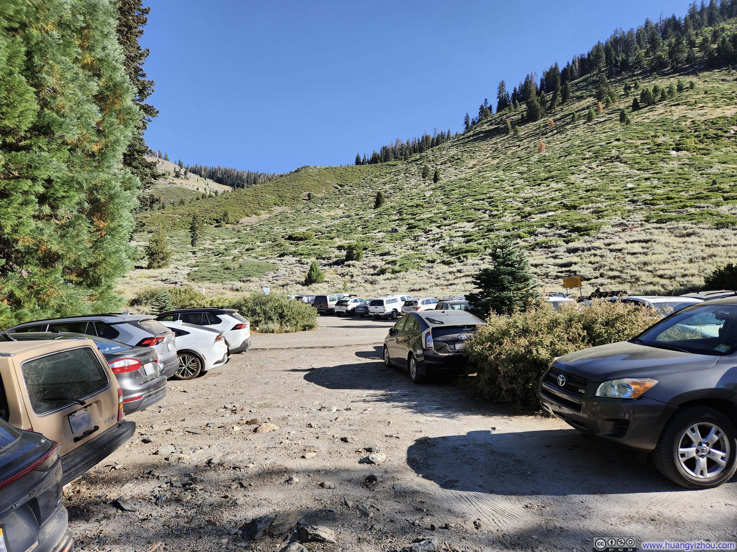
Very full by the time of our arrival.
After some warmup, we started our hike just past 9am. Here's GPS tracking:
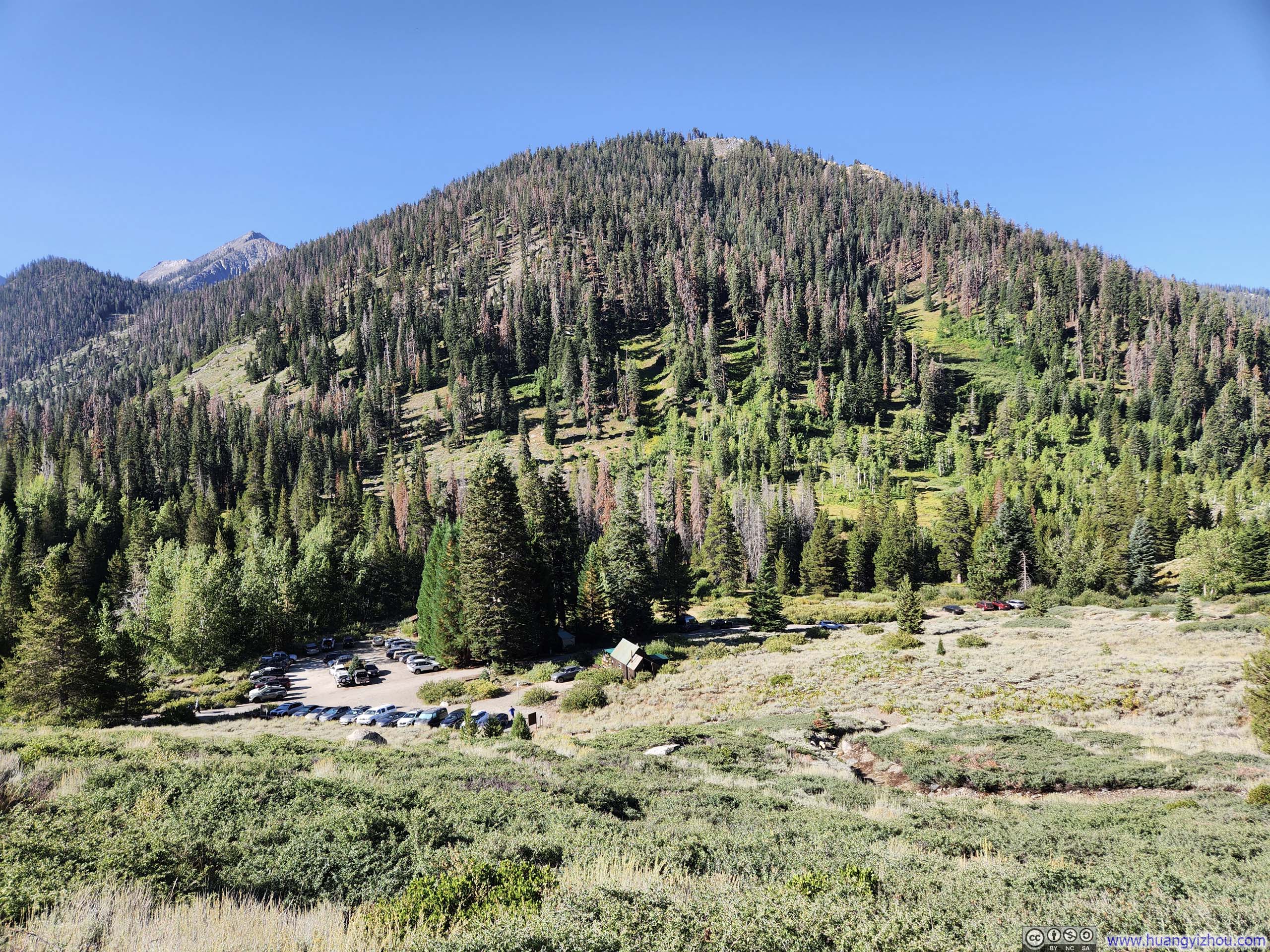
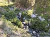
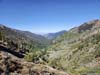
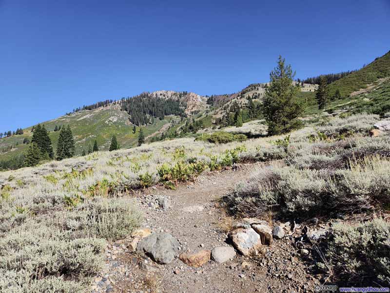
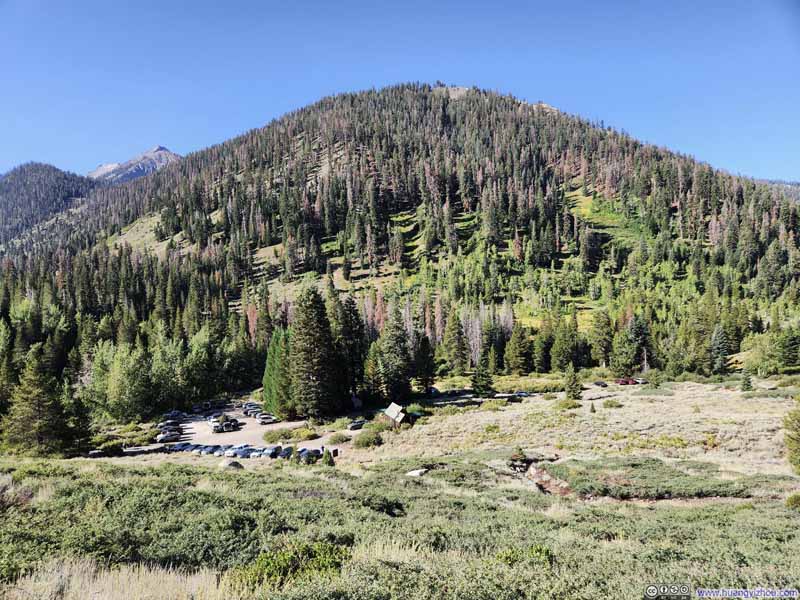
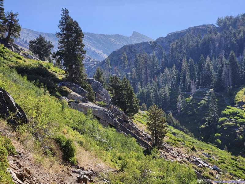
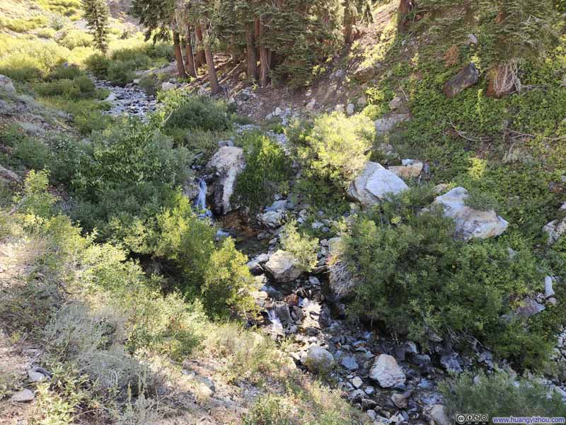
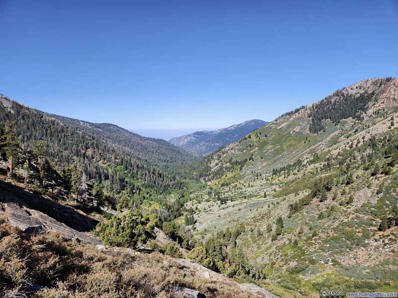
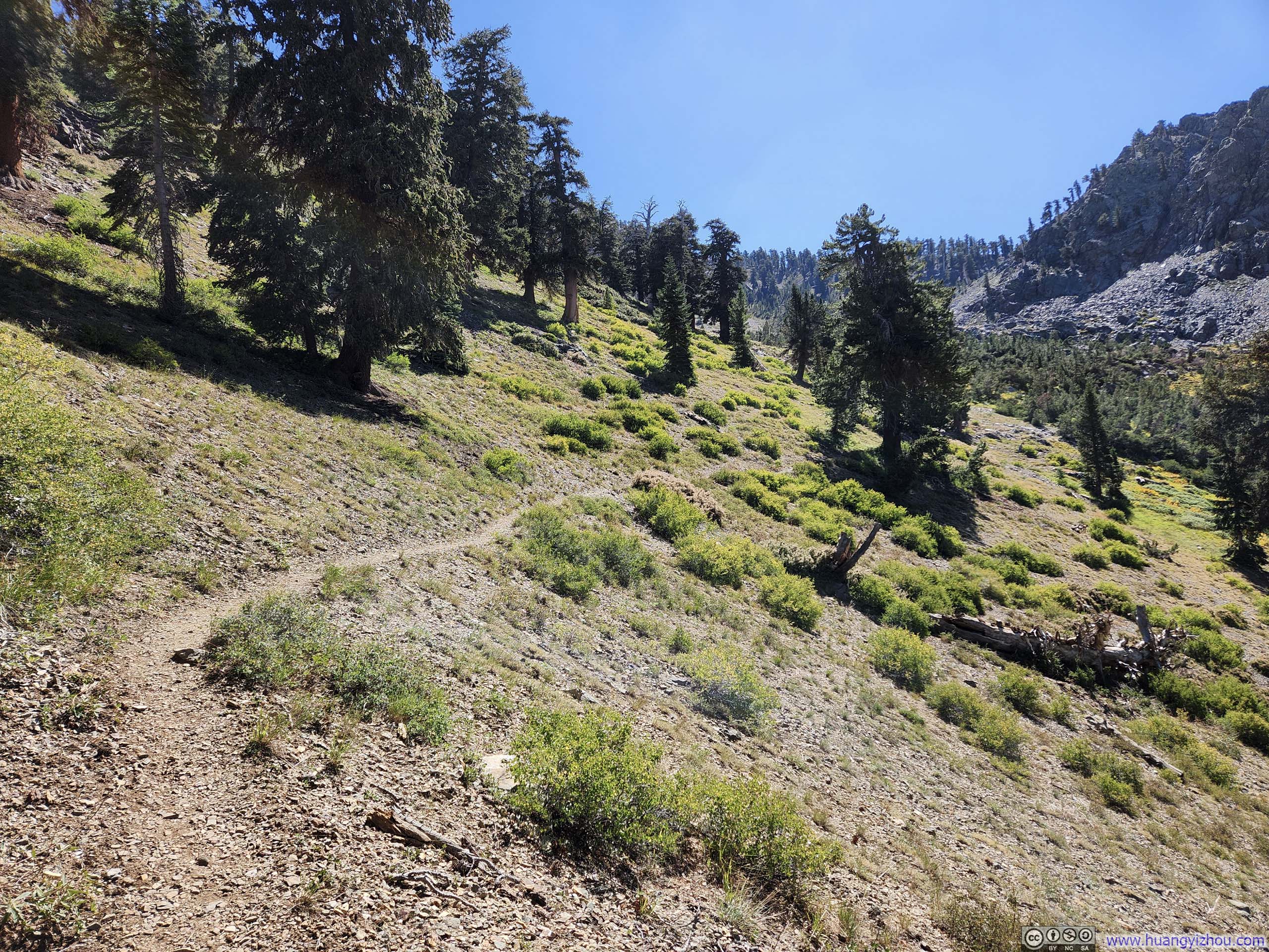
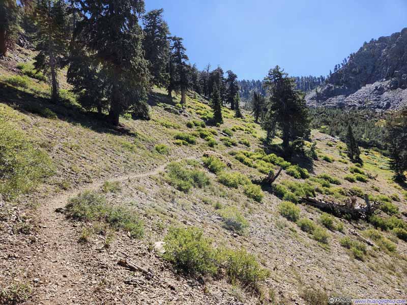
The first 7.3km (4.5mi) of trail to (Lower) Monarch Lake offered a leisurely walk through predominantly low-lying scrub. At several points along the way, the path opened onto sweeping views of the parking lot below and the East Fork Kaweah River valley, from which the long and bumpy Mineral King Road came from. The trail was in good condition throughout this section, and we reached (Lower) Monarch Lake after a comfortable 2.4-hour trek, where we paused briefly for a short rest.
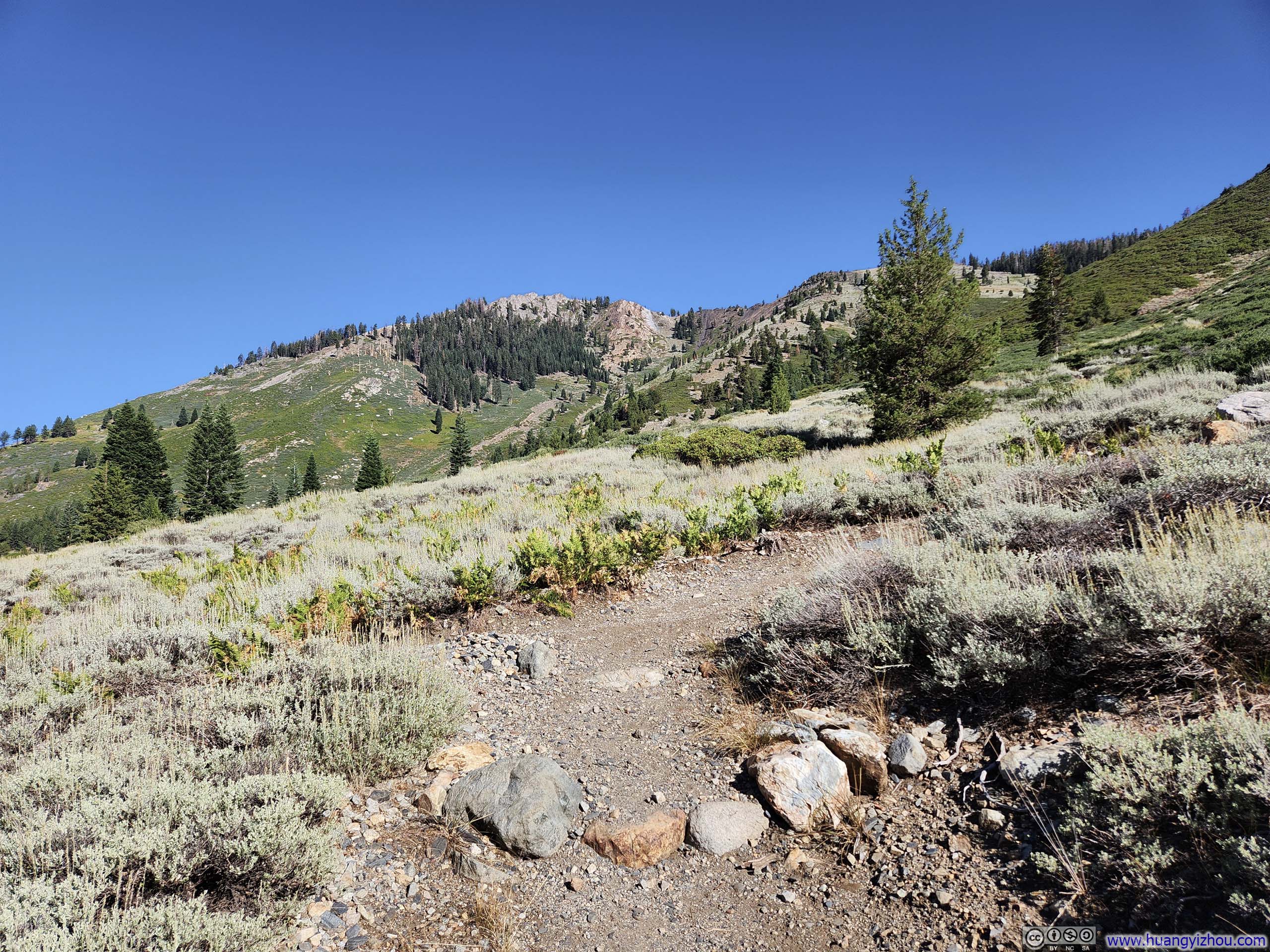
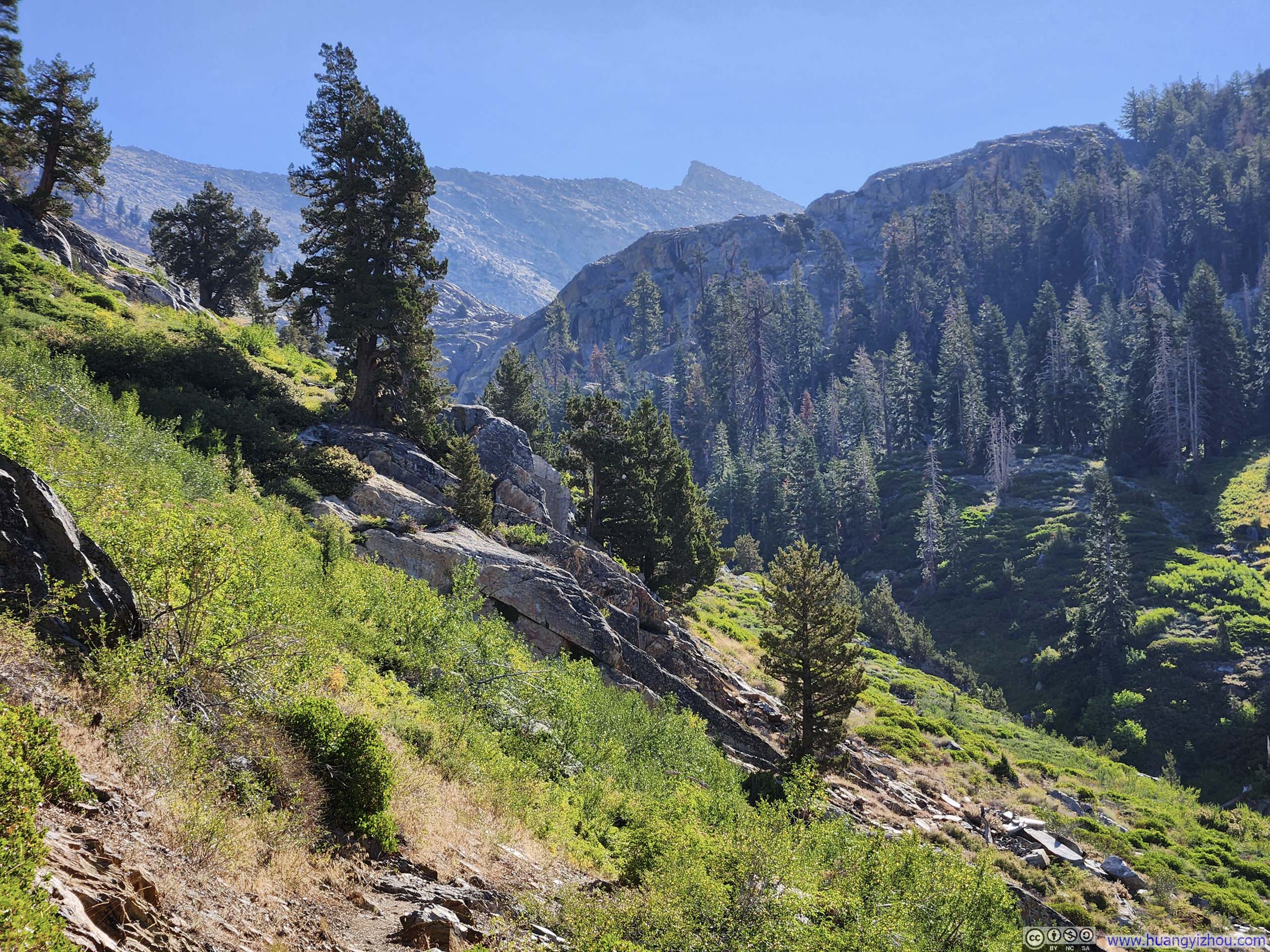
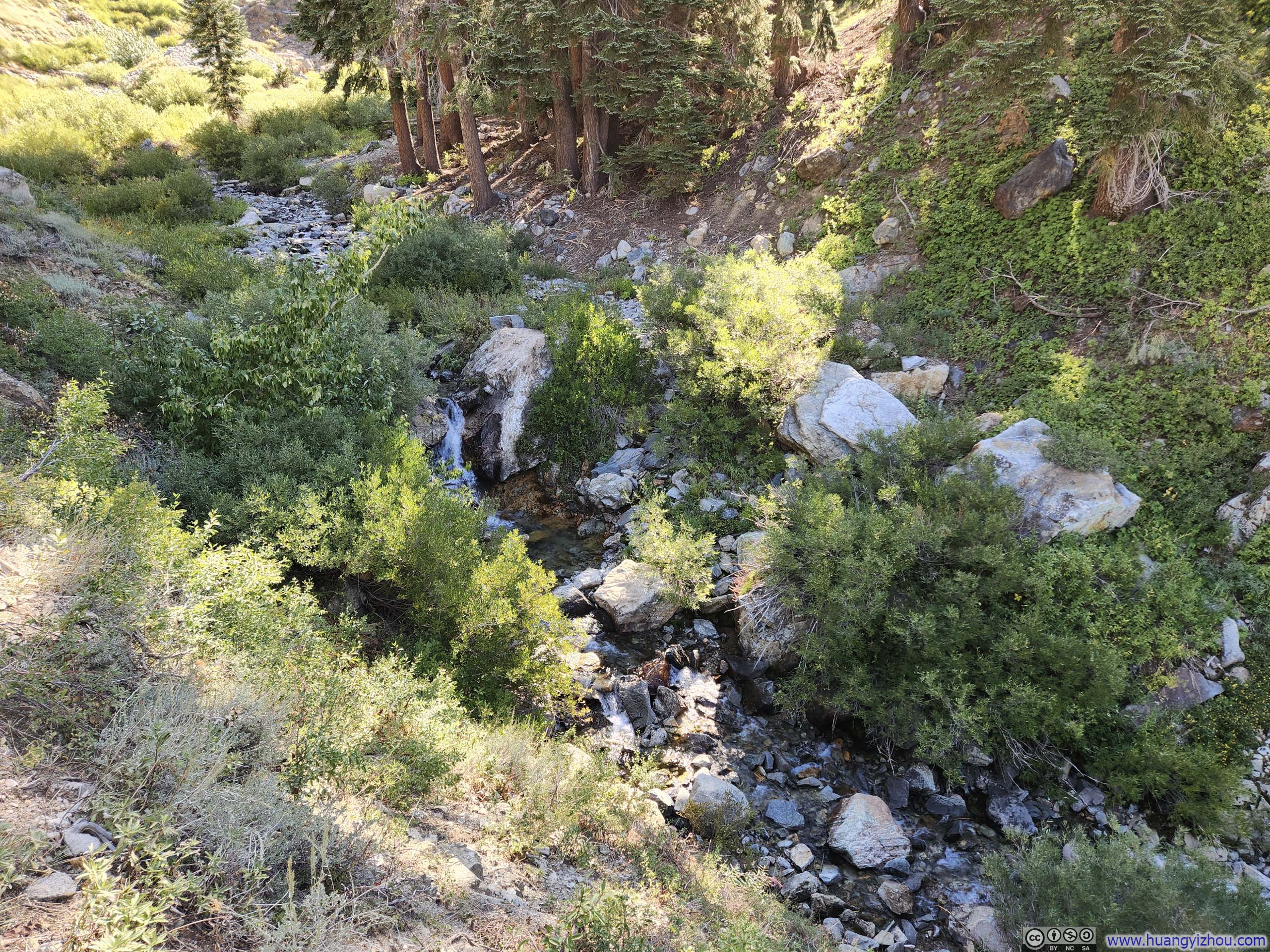
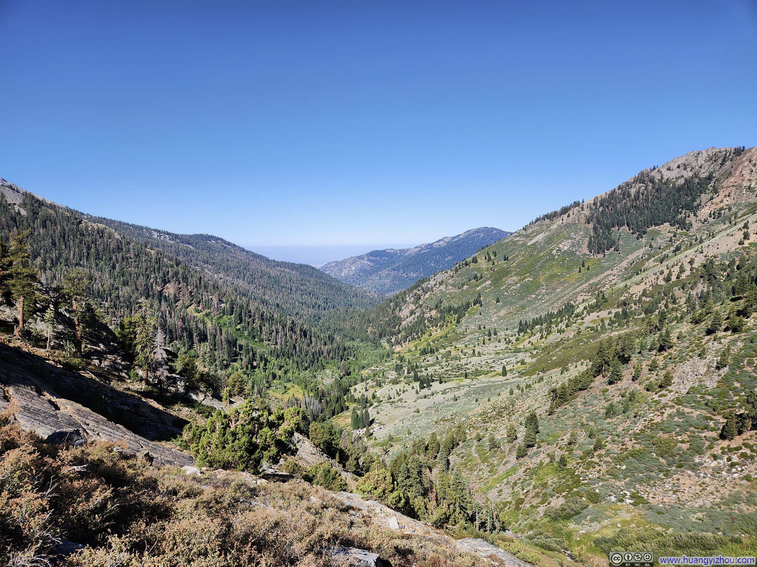
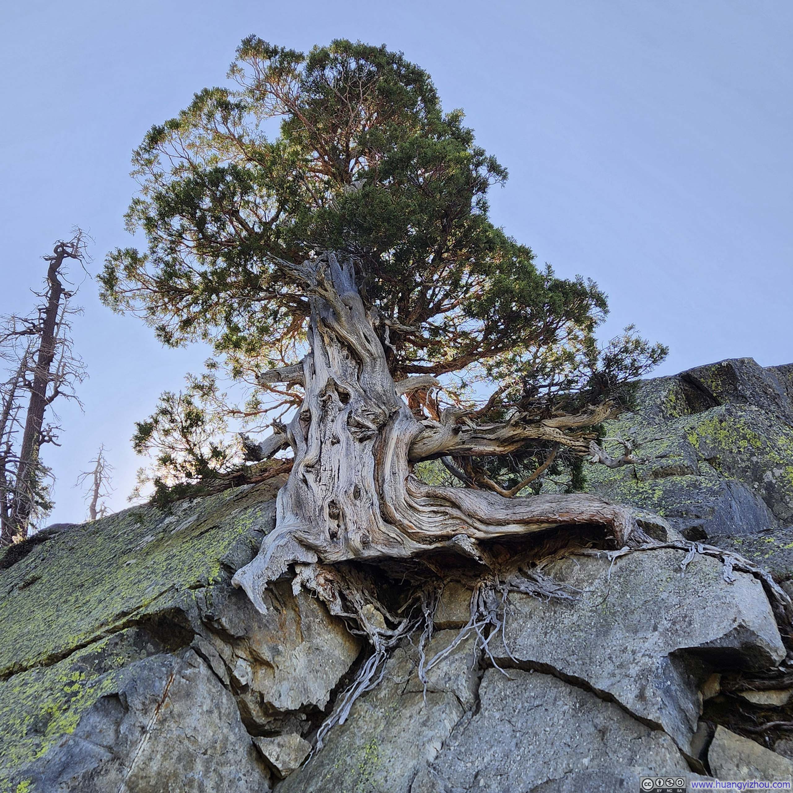
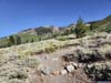
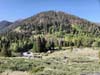
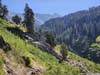
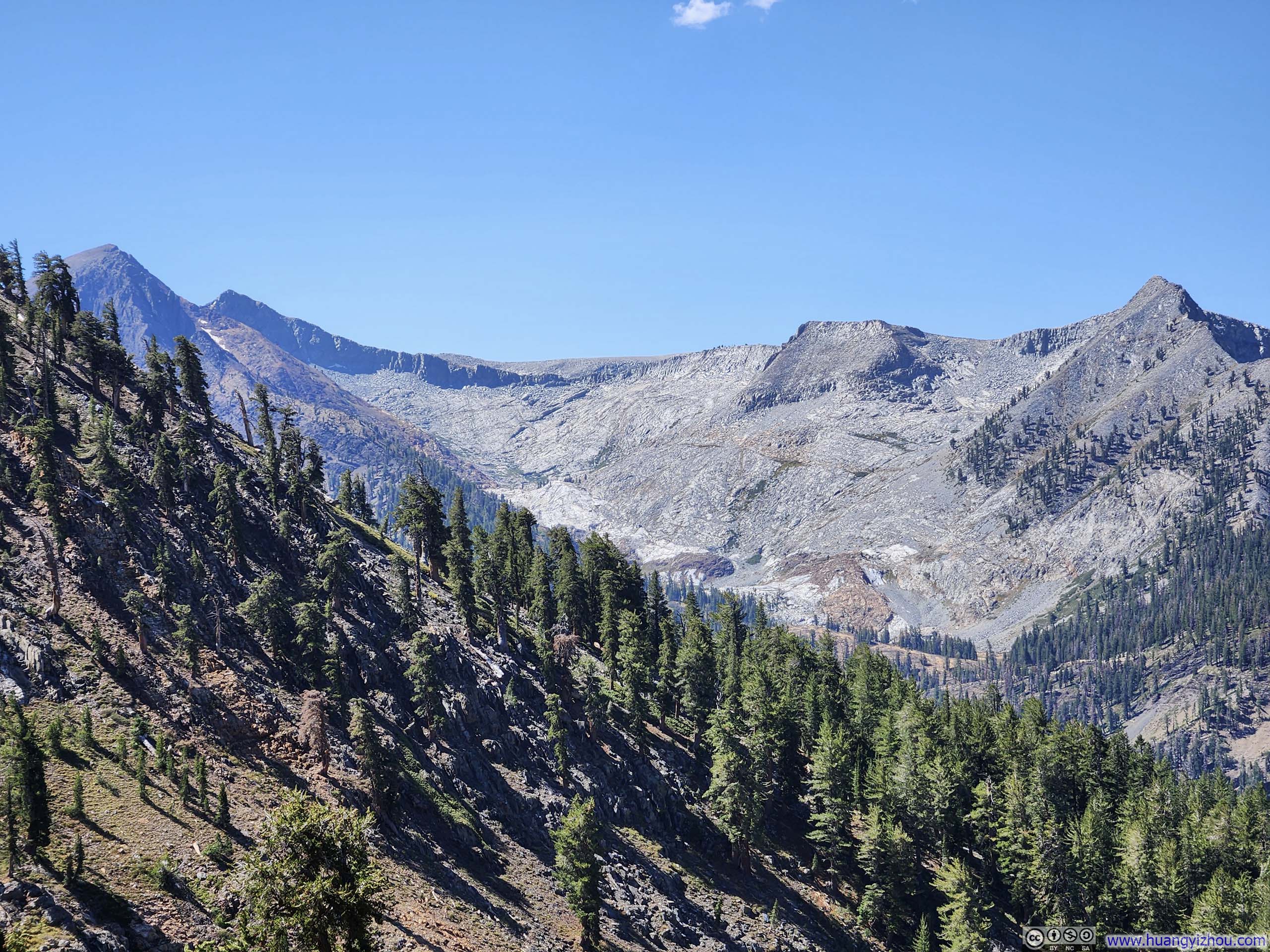
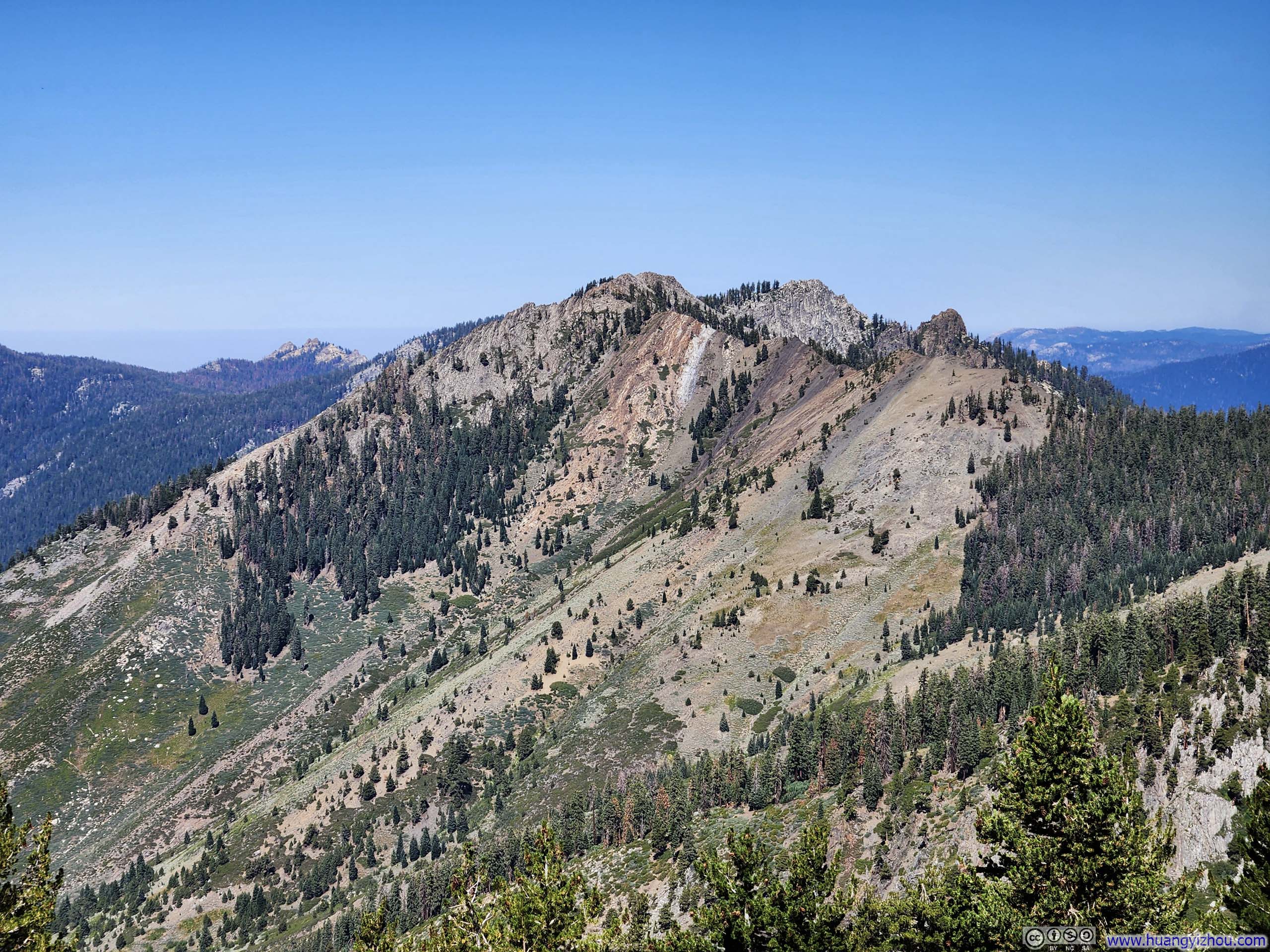
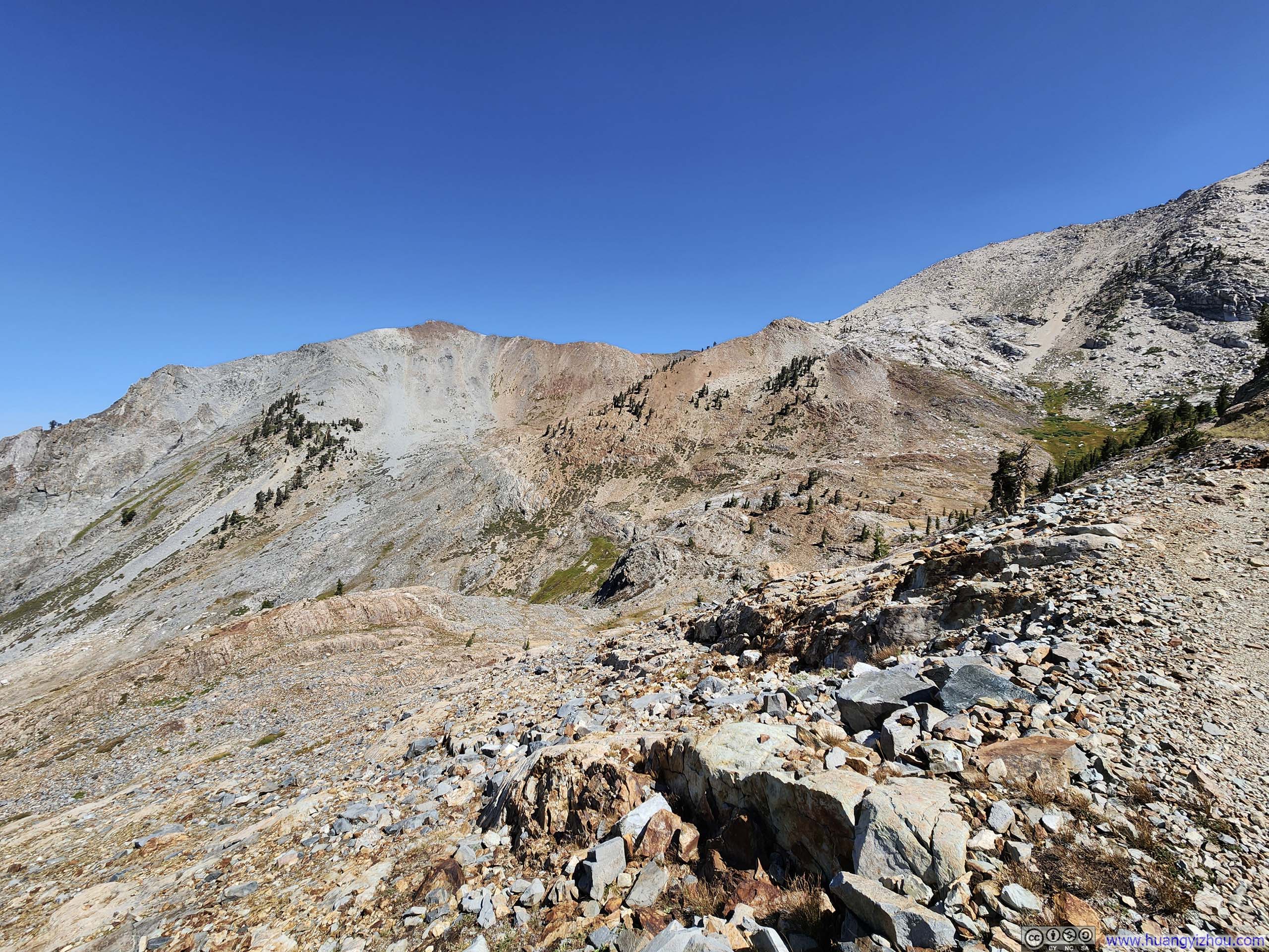
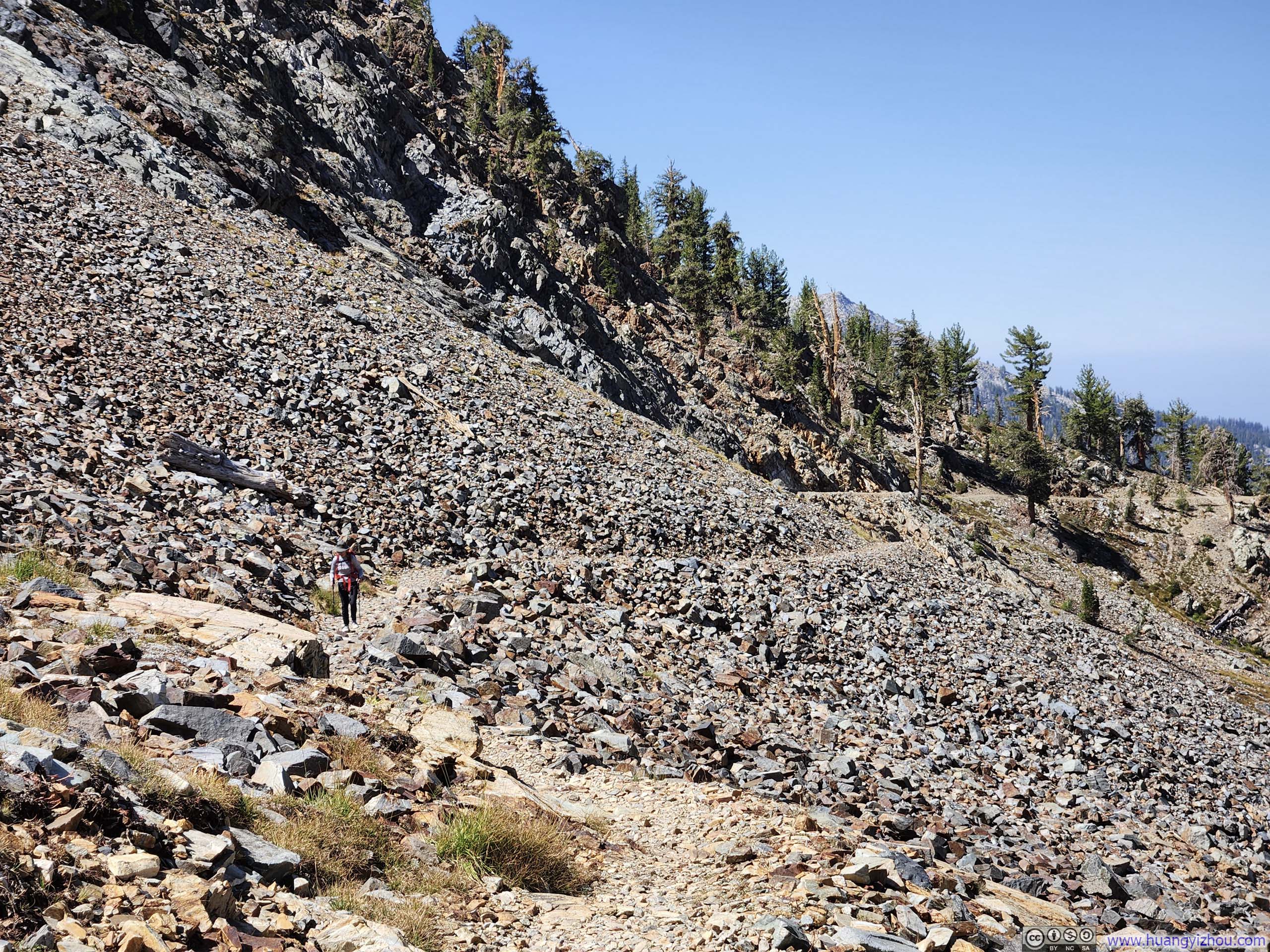
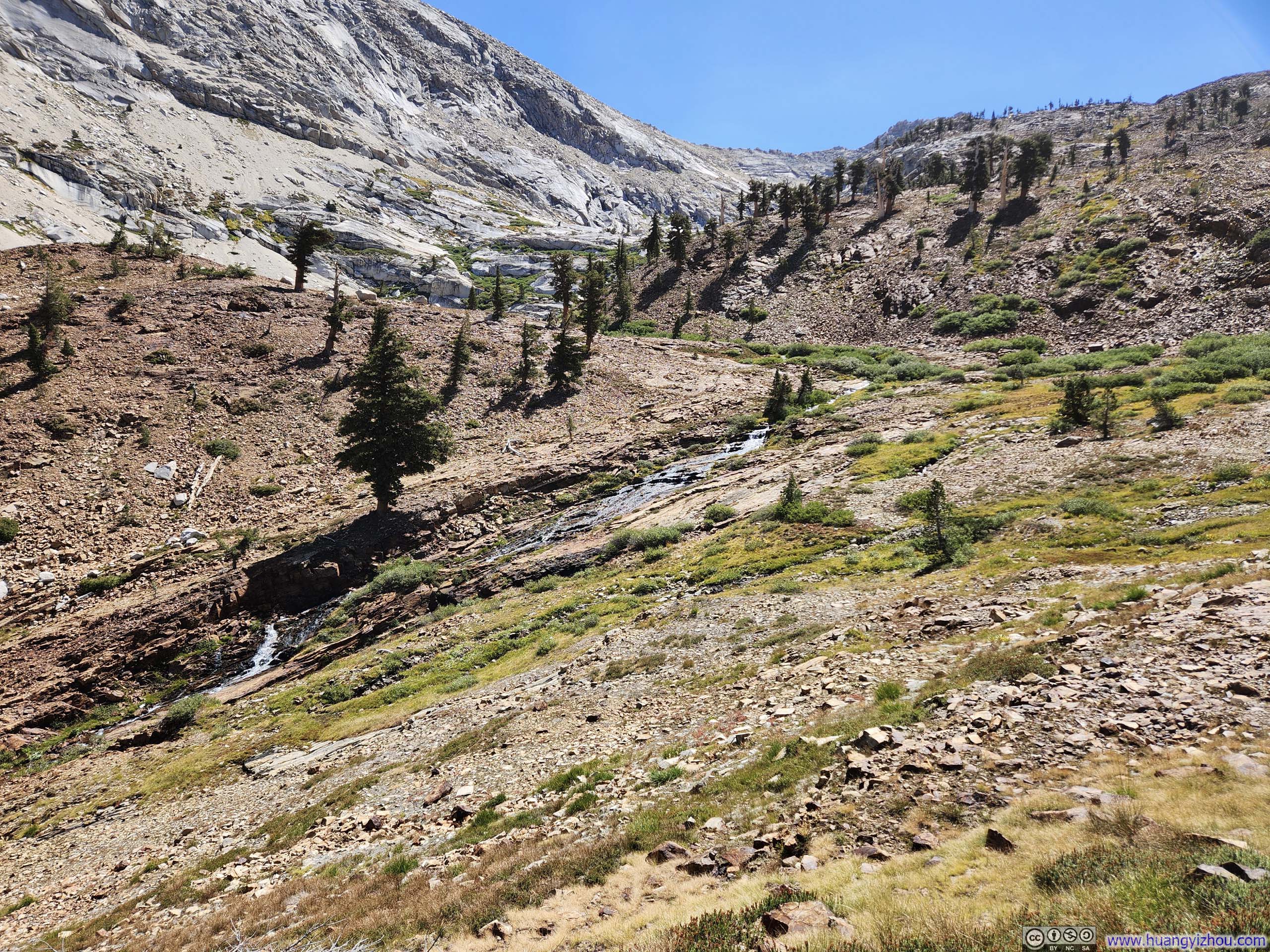
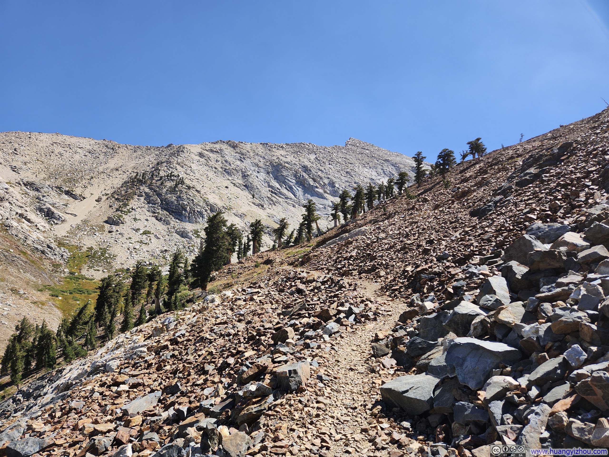
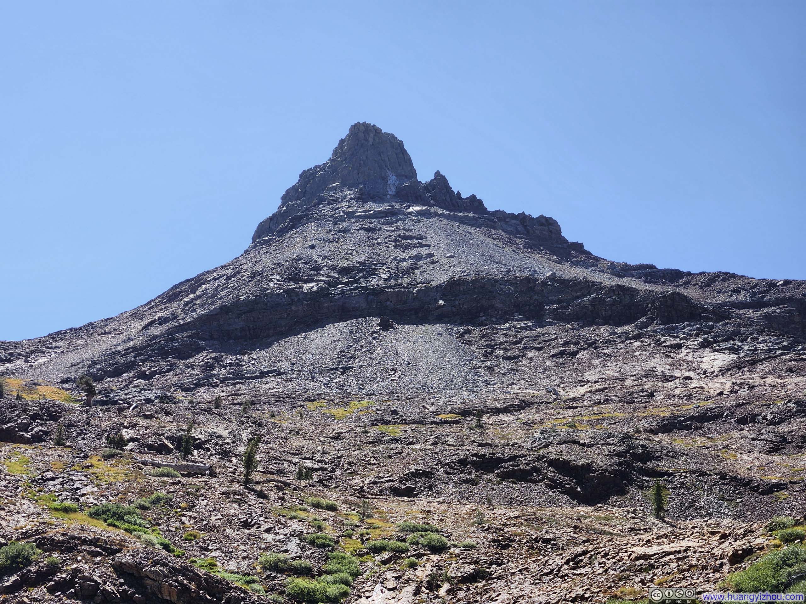
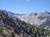
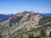
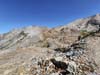
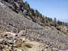
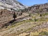
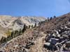
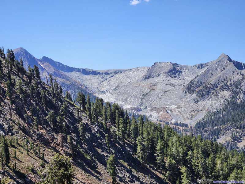
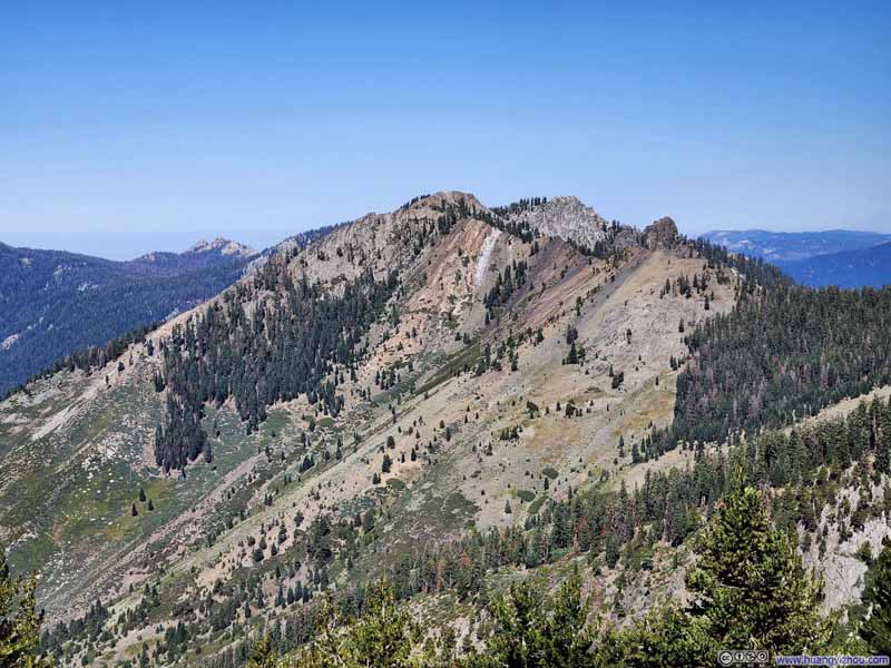
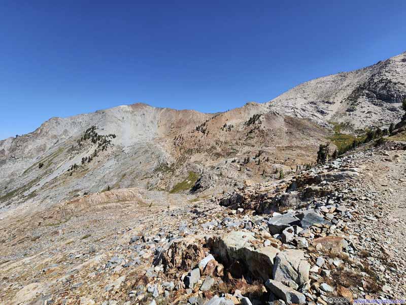
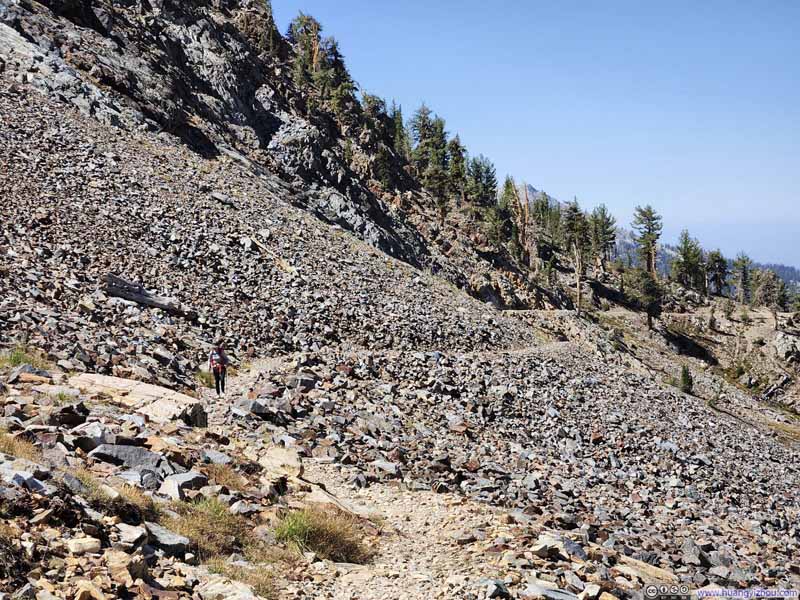
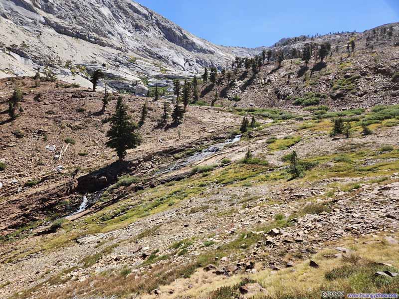
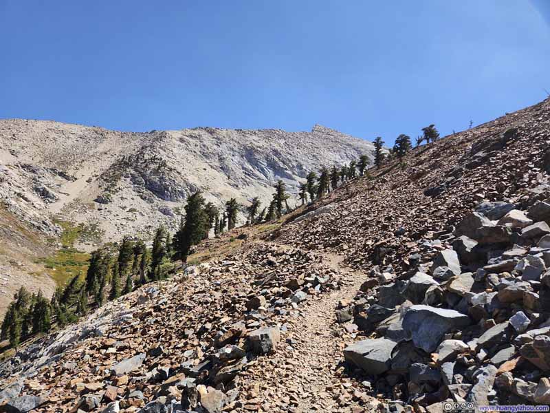
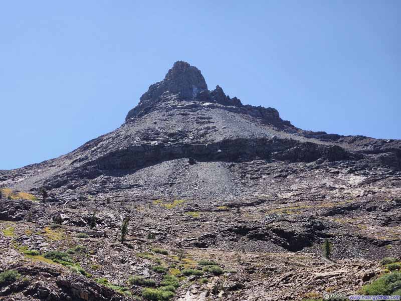
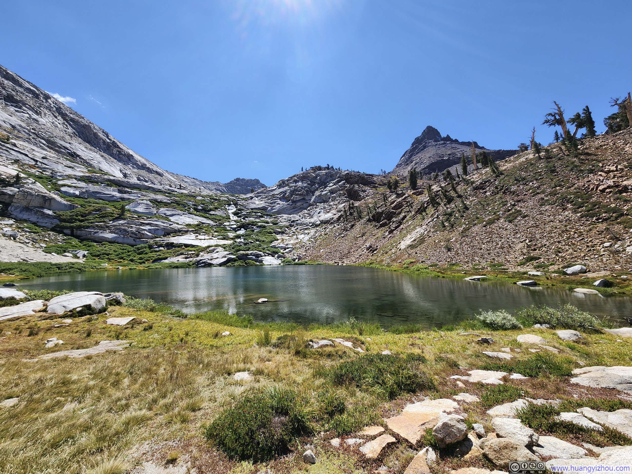
Upon leaving Monarch Lake, the trail soon vanished into a vast field of scree—an unstable expanse that demanded considerable effort, as each step forward was often accompanied by a half-step slide backward. Faint traces of a path could occasionally be discerned among the loose stones, but more often than not, we found ourselves picking our way upward along whatever route offered the least resistance. Two "paths" existed on the map between Monarch Lake and Sawtooth Pass; we largely followed the longer one, as its gentler gradient made for a far easier ascent. The unstable footing combined with the elevation took quite a toll on my friend, who took about an hour and 40 minutes to reach Sawtooth Pass from the lake below.
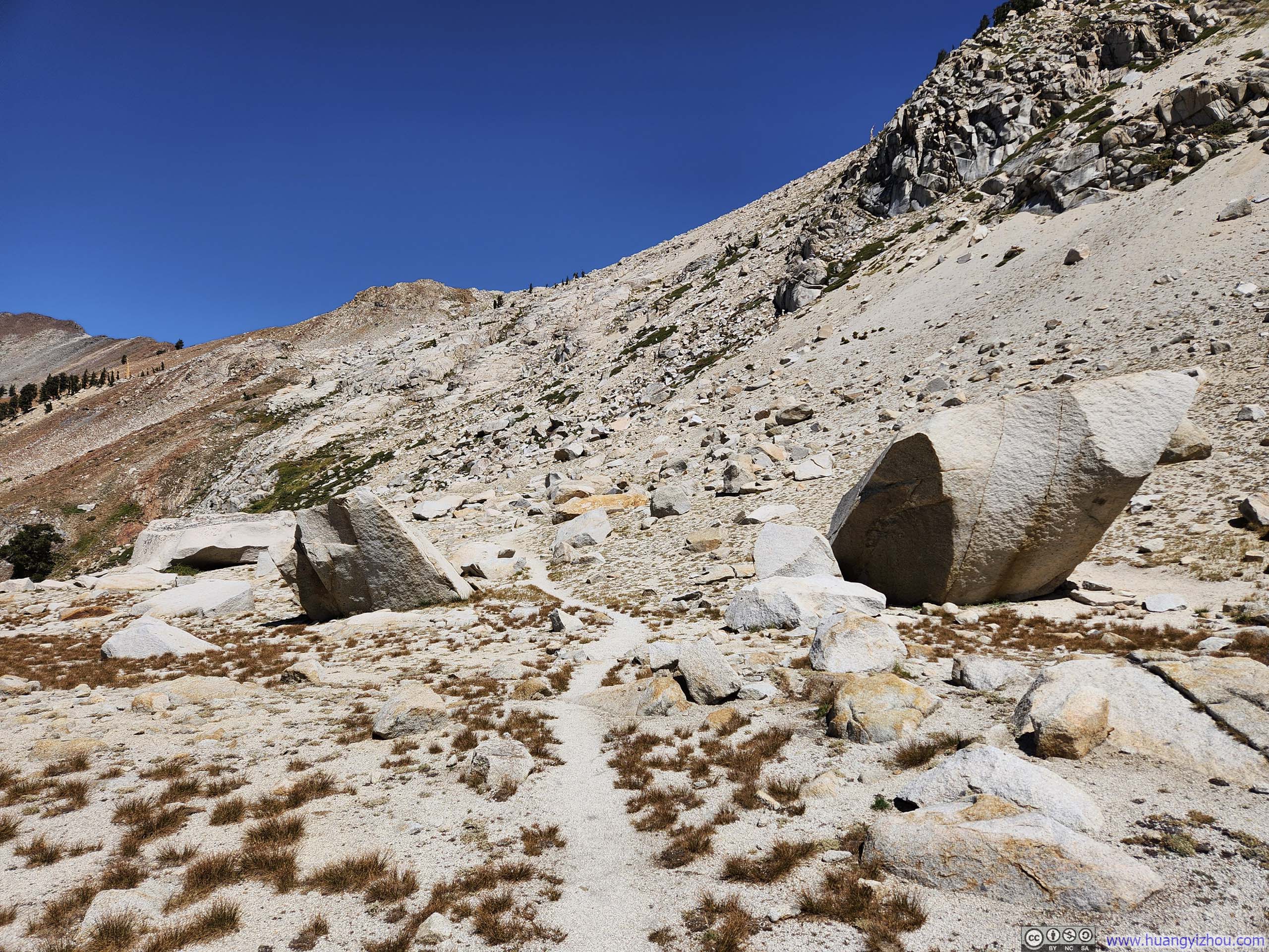
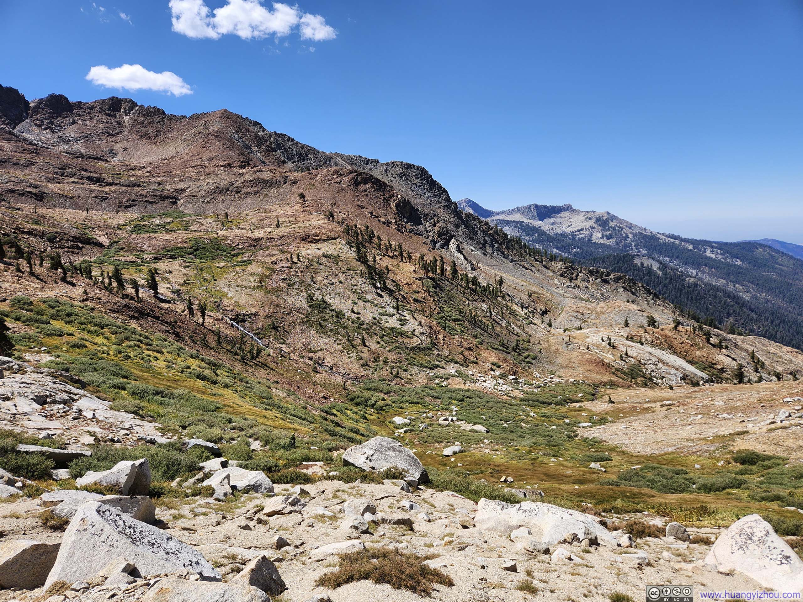
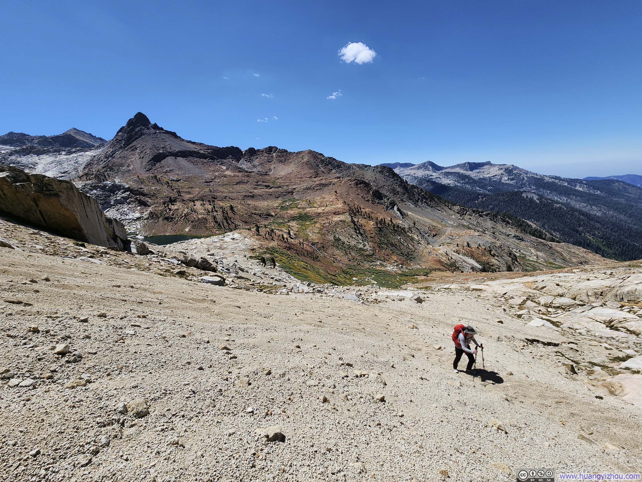
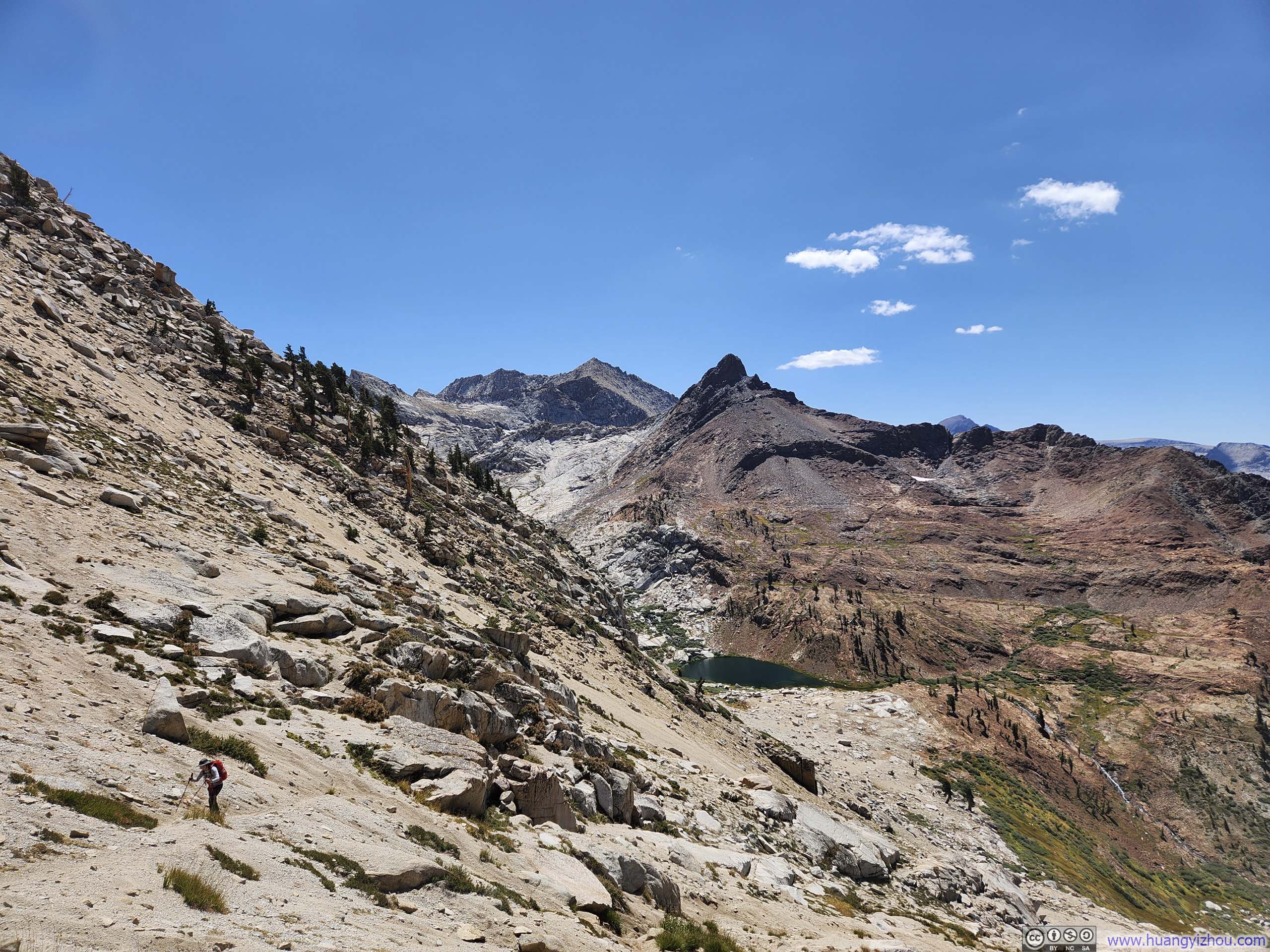
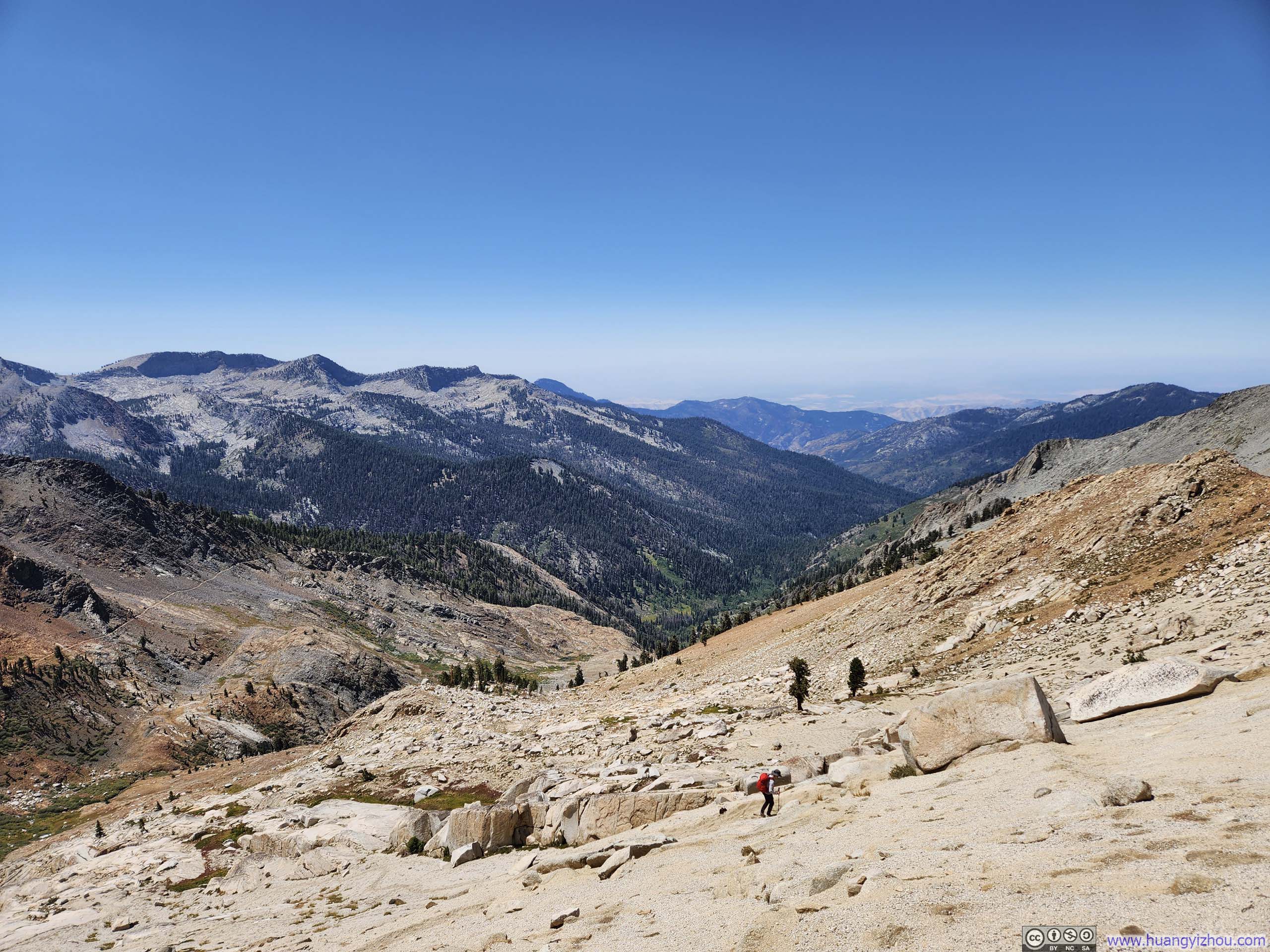
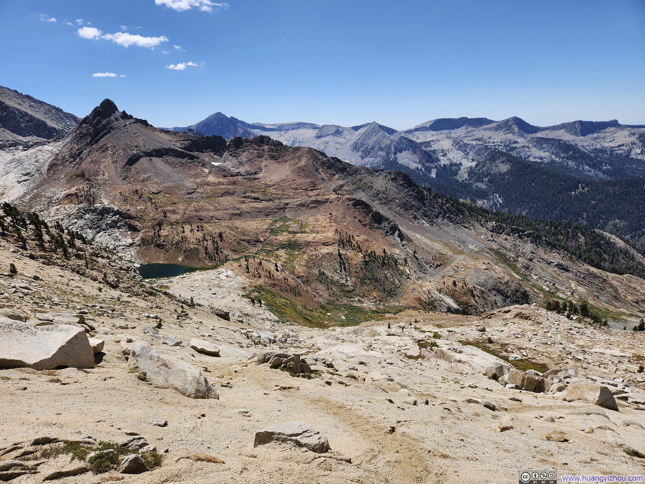
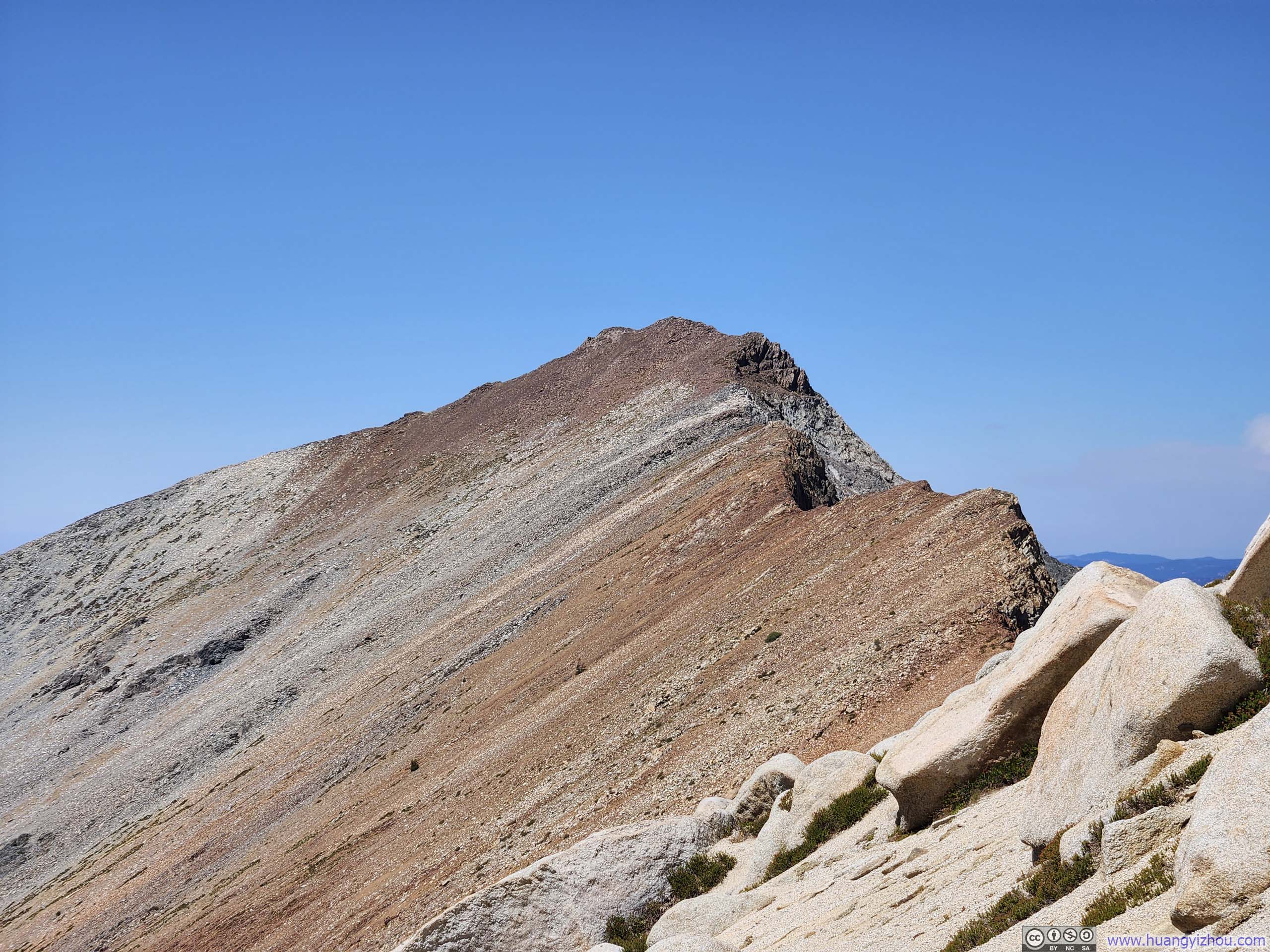
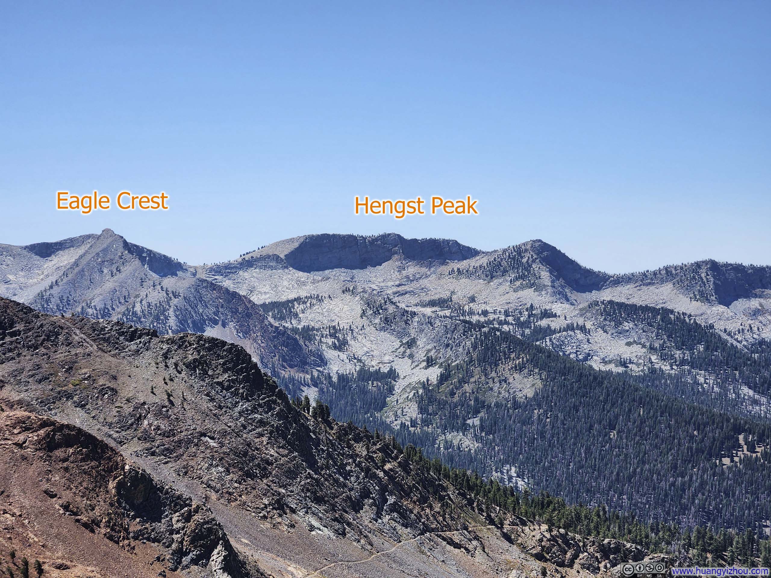
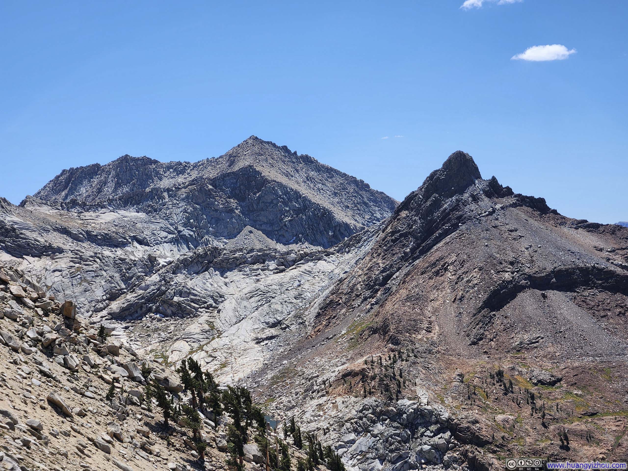
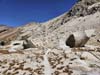
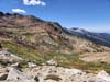
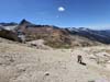
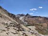
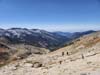
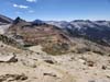
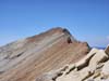
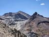
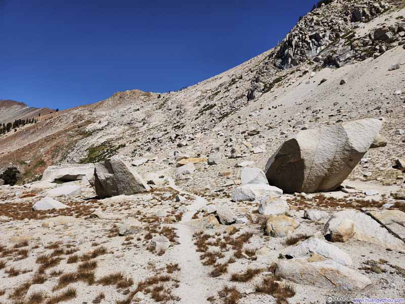
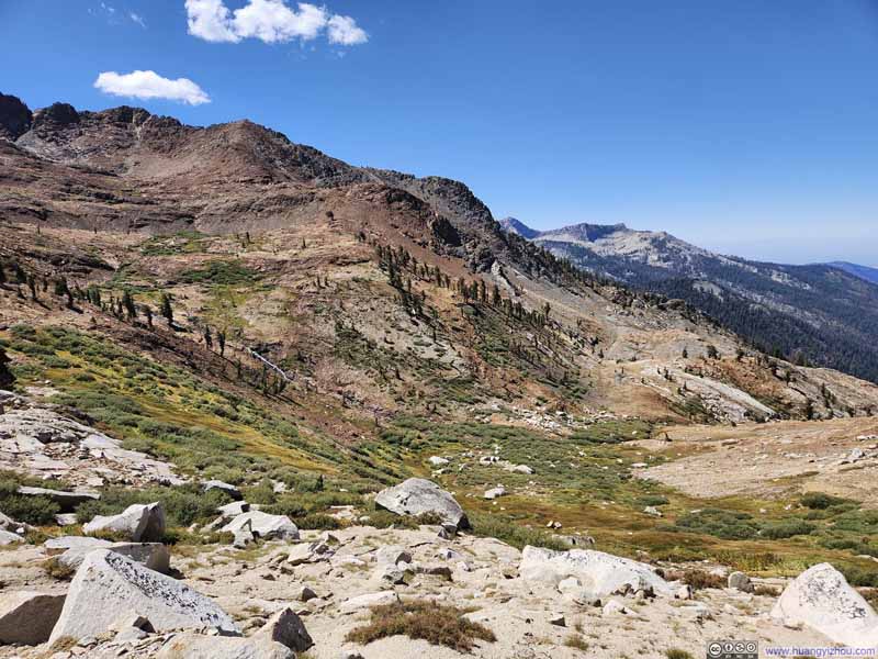
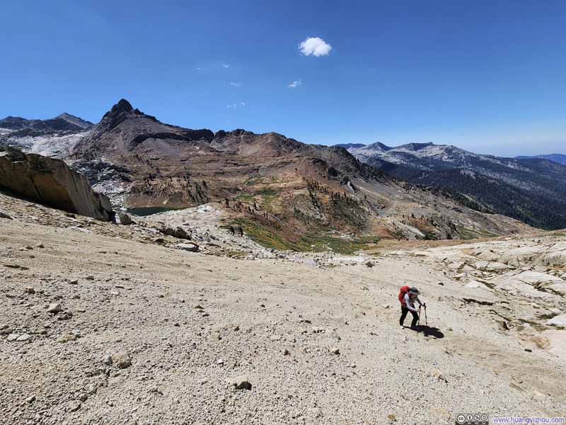
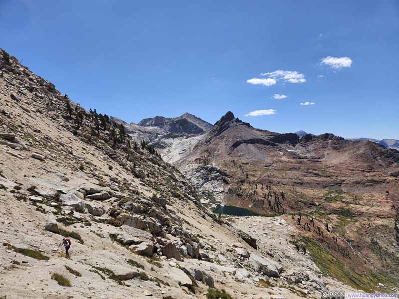
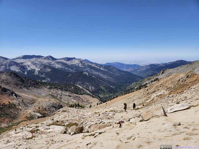
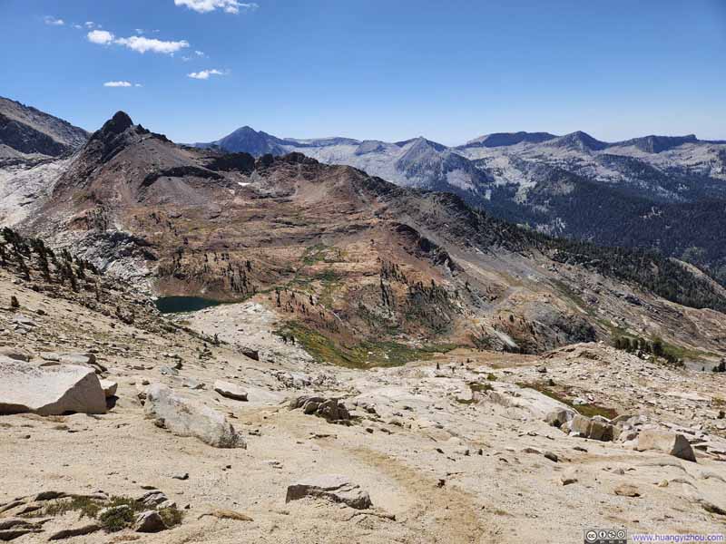
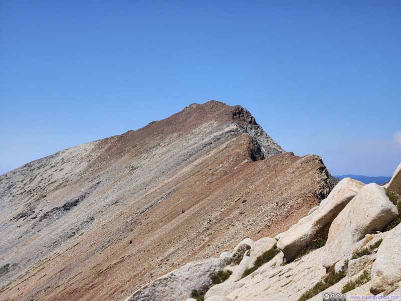
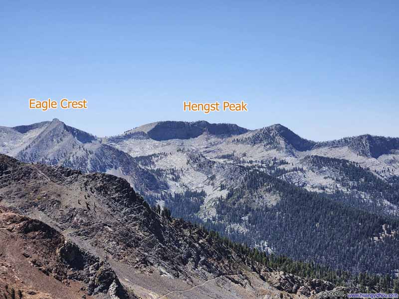
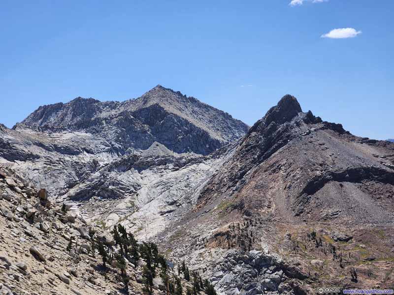
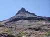
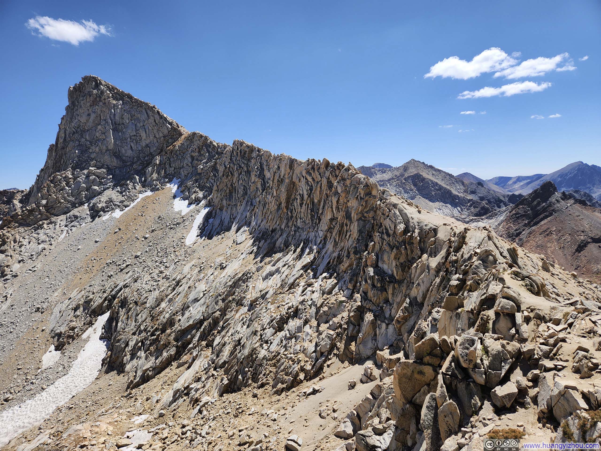
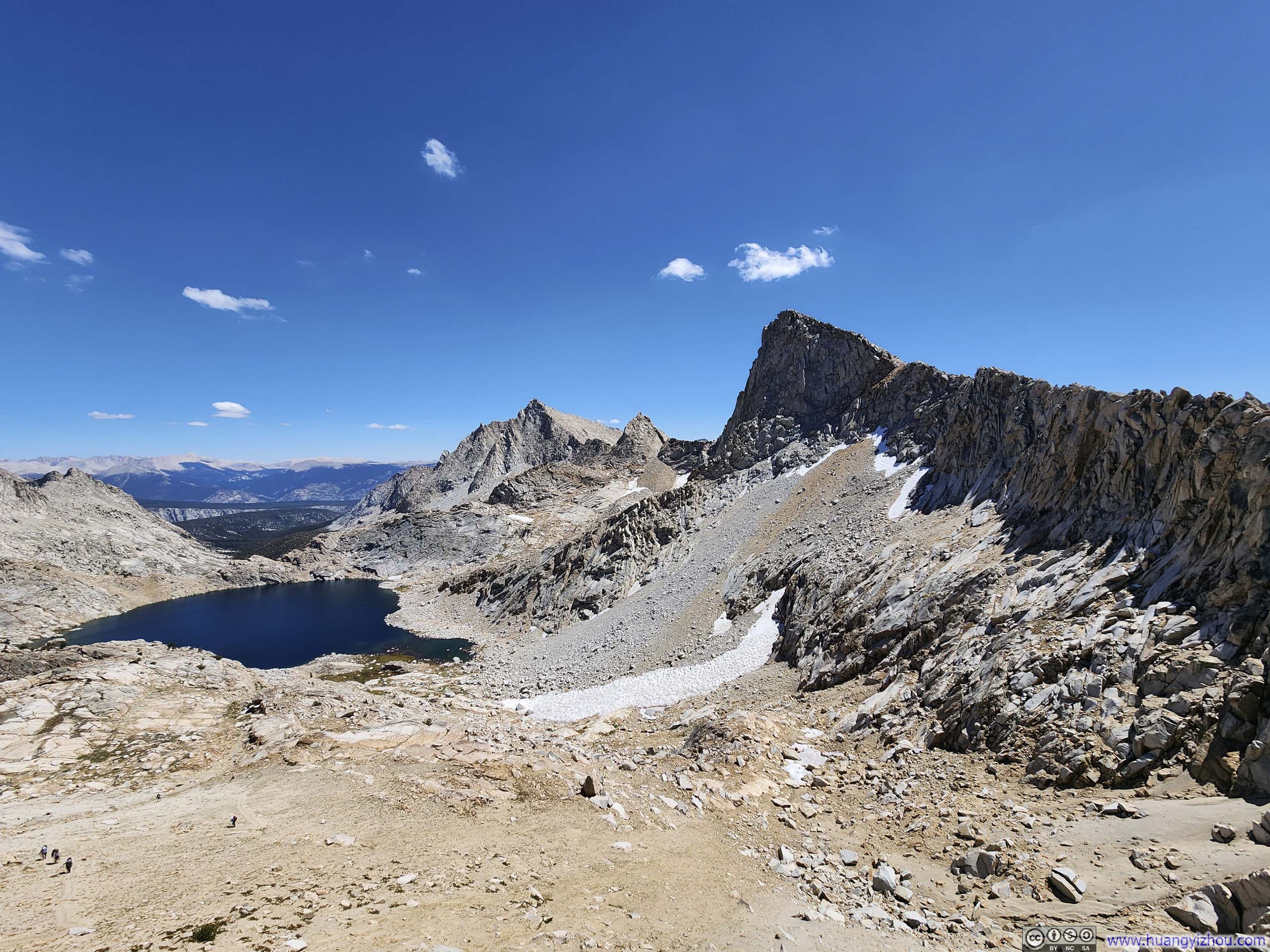
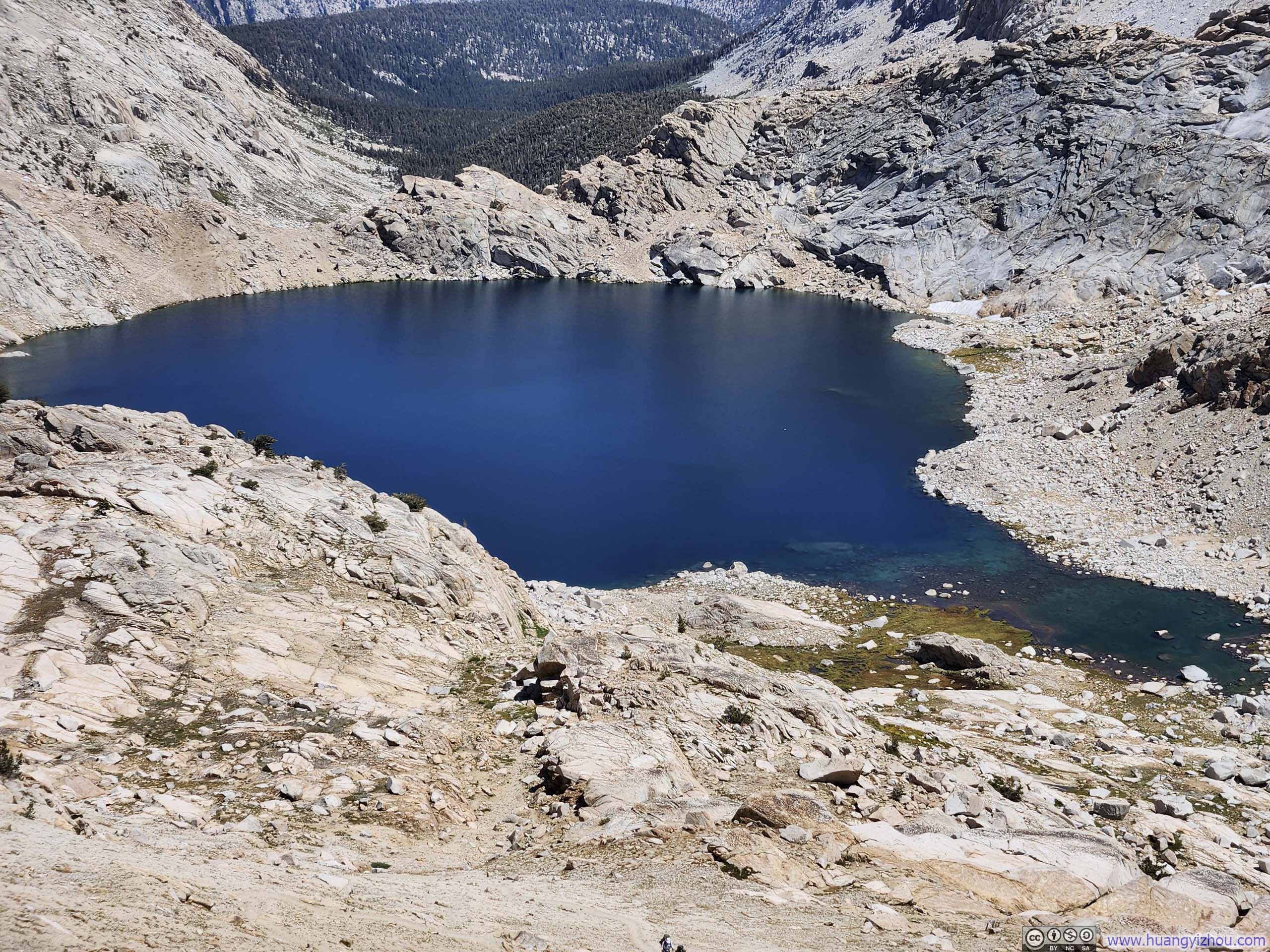
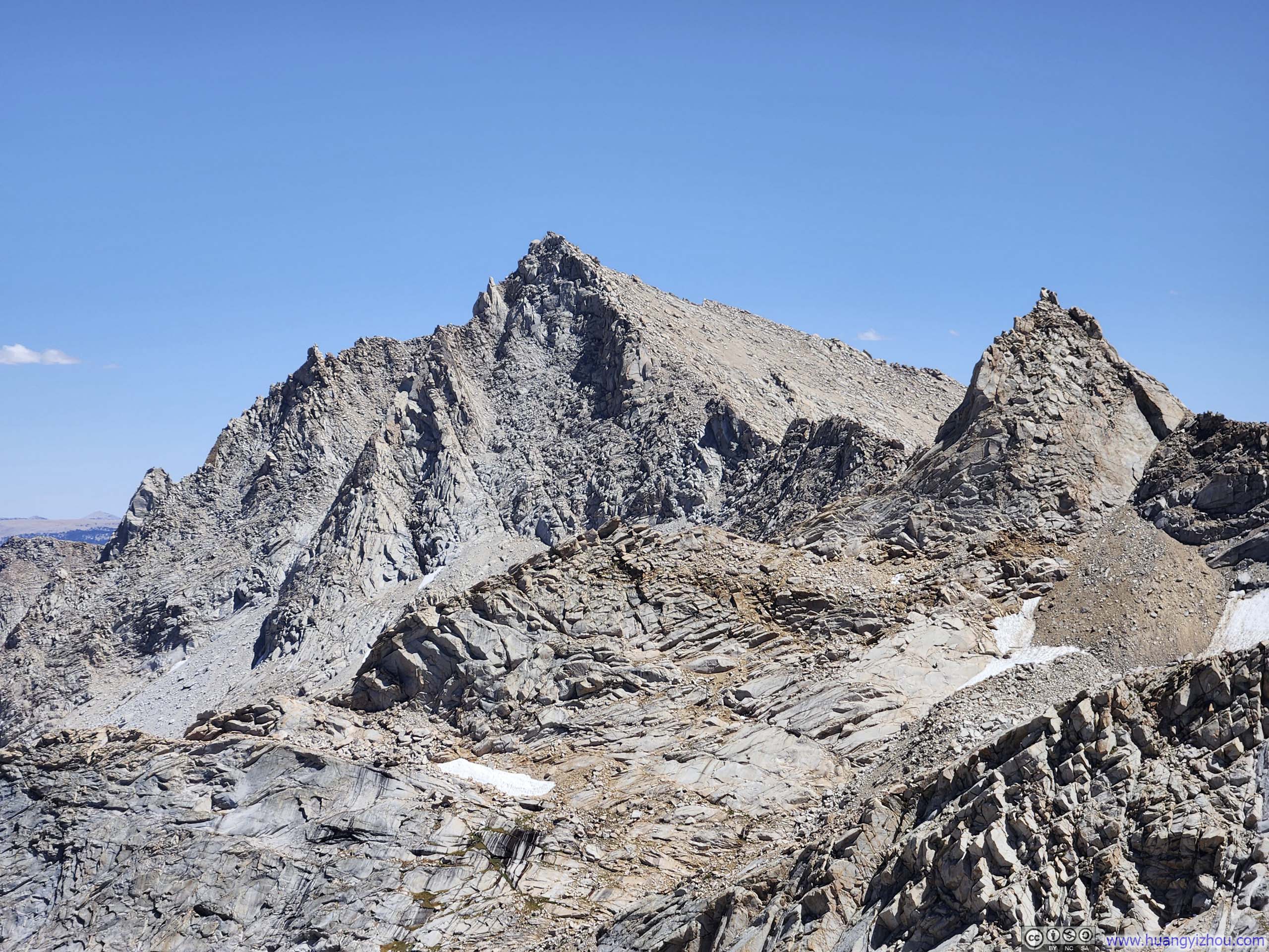
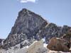
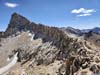
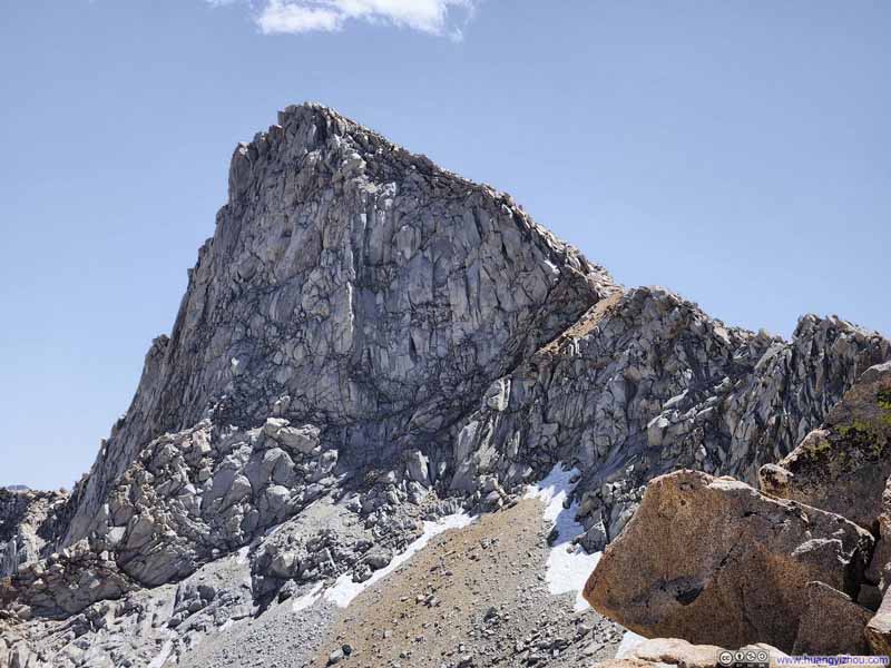
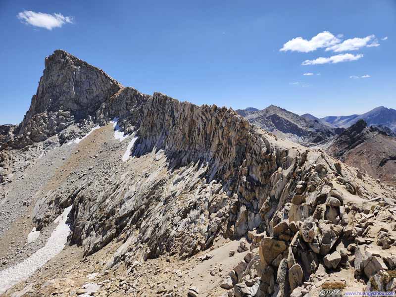
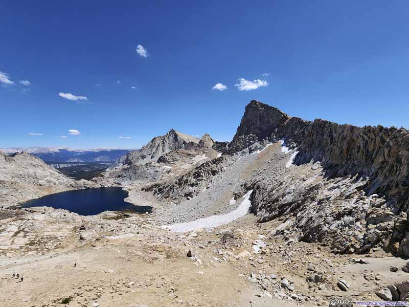
Finally, Sawtooth Pass greeted me with the imposing silhouette of Sawtooth Peak, together with the serrated ridgeline ascending towards the summit-a magnificent sight now rendered authentic and breathtaking in person.
The pass bustled with hikers, most heading east into the deeper reaches of the Sierra Nevada. We appeared to be the only party that afternoon bound for Sawtooth Peak itself. After a brief rest, we continued on our way.
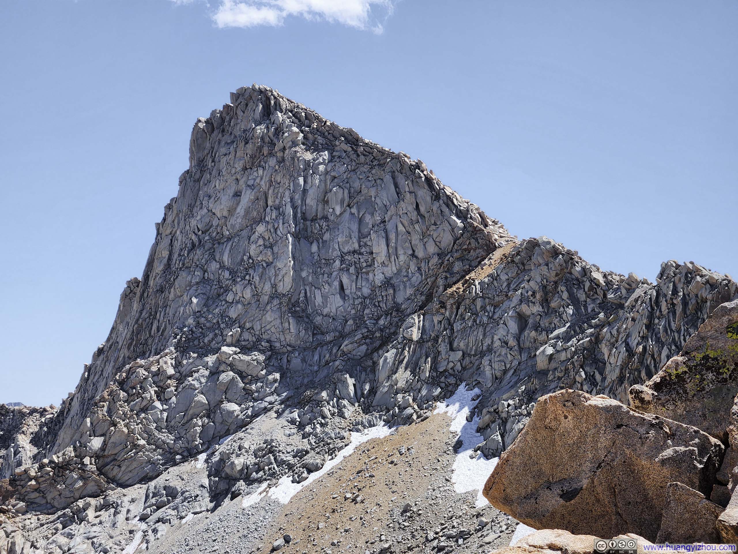
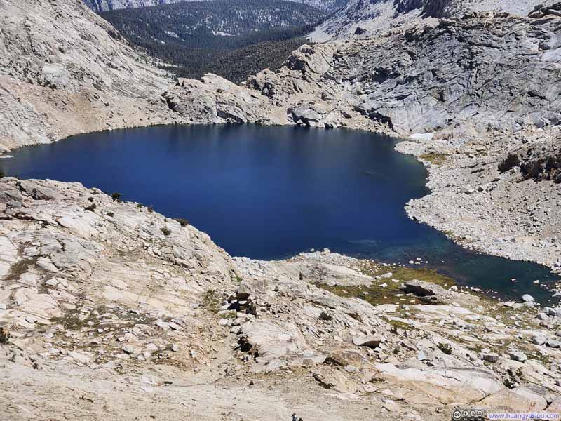
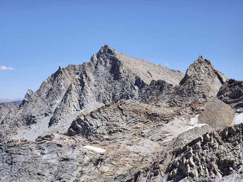
Here's a video that I took at Sawtooth Pass:
13 seconds, 2160p60fps, H265 only, 20Mbps/35MB file size.
Departing Sawtooth Pass, we were caught somewhat off guard by the absence of any obvious trail toward Sawtooth Peak—we hadn't downloaded an offline map beforehand. A few cairns dotted the route, though I didn't find them super helpful. Initially, I attempted to follow the ridgeline, but it soon grew too exposed, forcing me to veer slightly away. The optimal degree of deviation was uncertain to me. I discovered that, generally, straying farther from the ridge meant encountering more scree than boulders: while some boulders proved difficult to scale, those that could be scaled offered more stable passage than the loose scree.
The route was officially rated YDS class 2, but I nonetheless executed one or two moves that were class 3. Perhaps our time constraints prevented us from scouting easier alternatives—a luxury denied without offline maps. Luckily, I felt that the terrain allowed for some variations in routing, sparing us from anything overly technical.
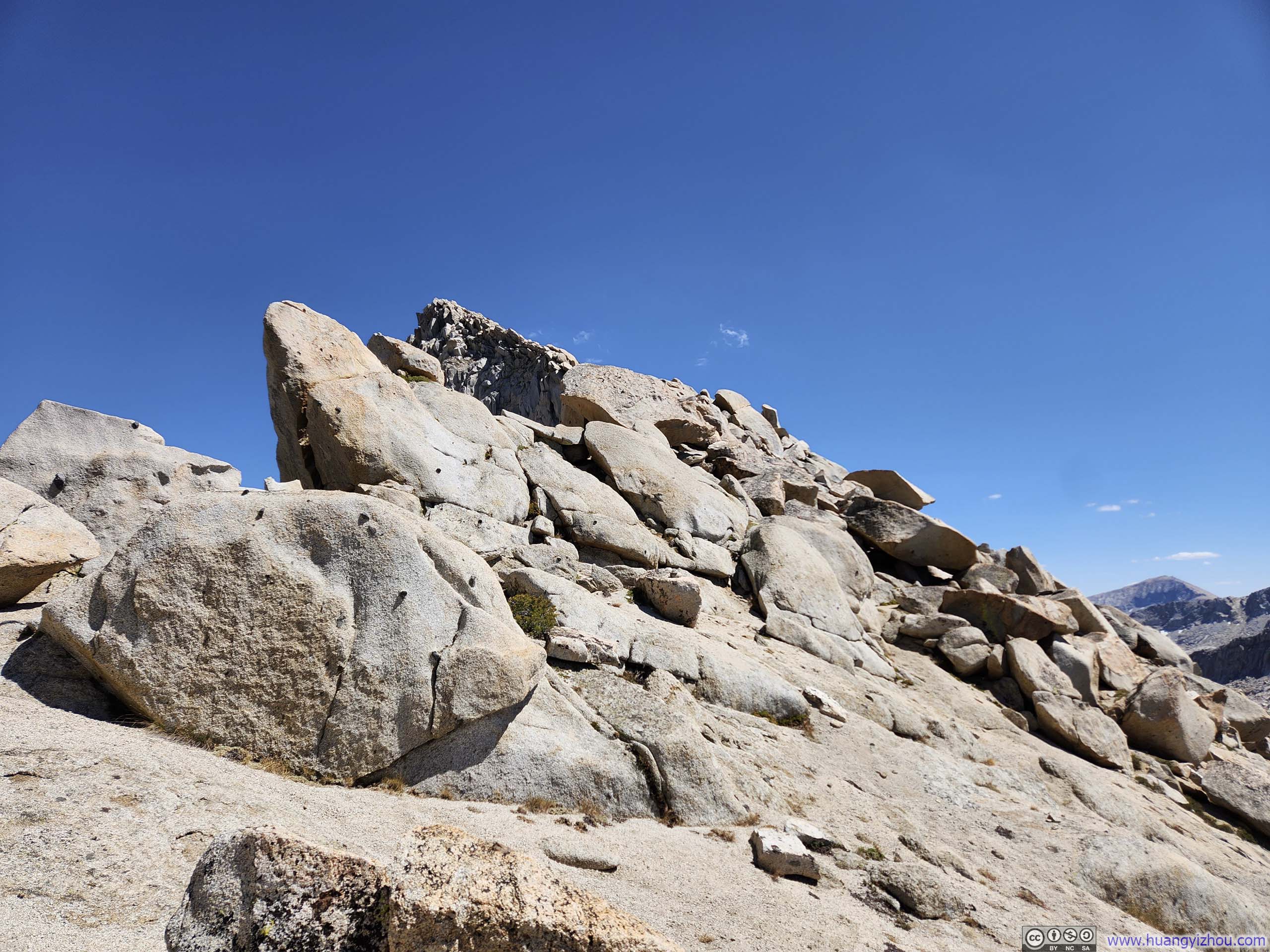
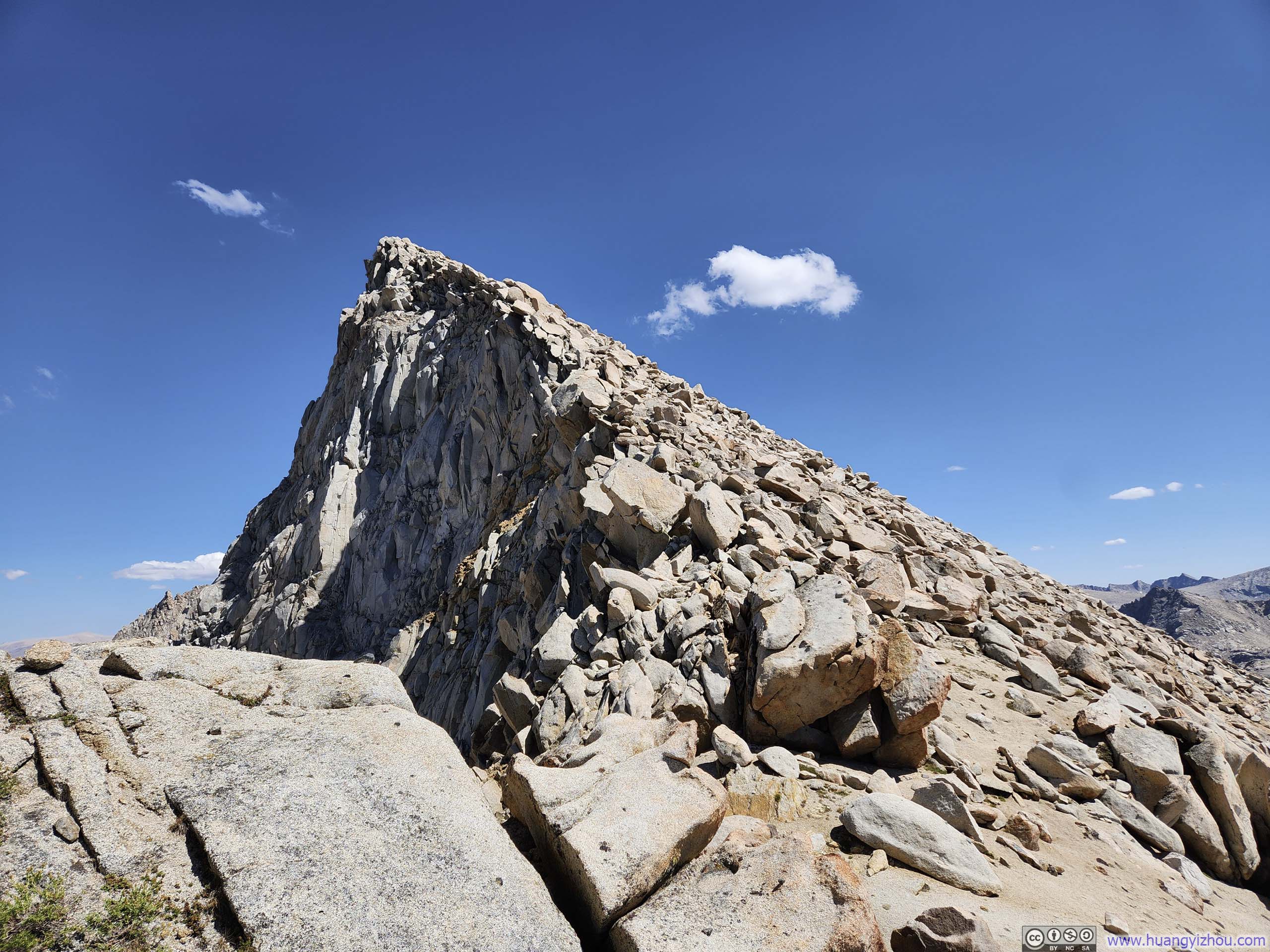
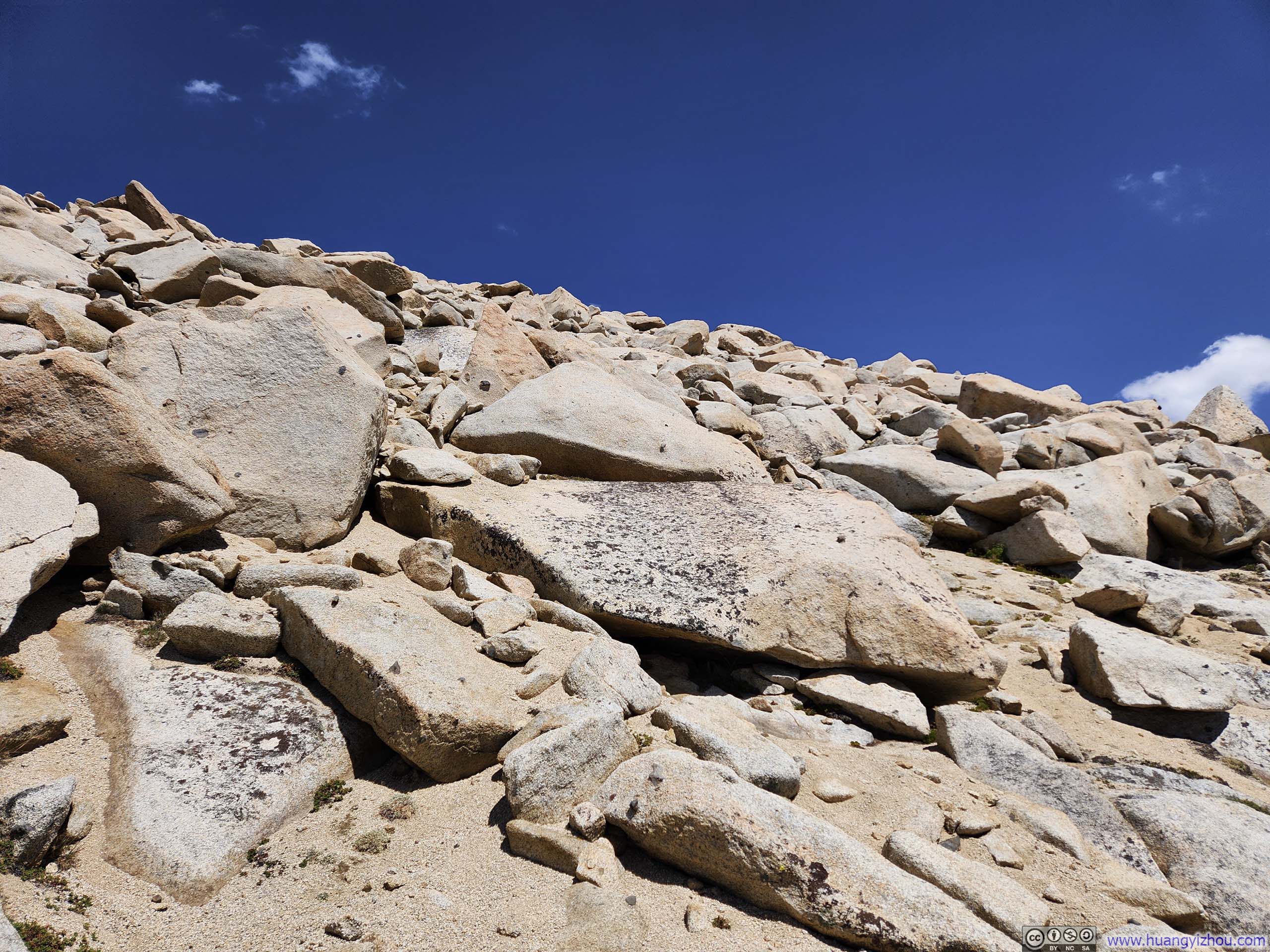
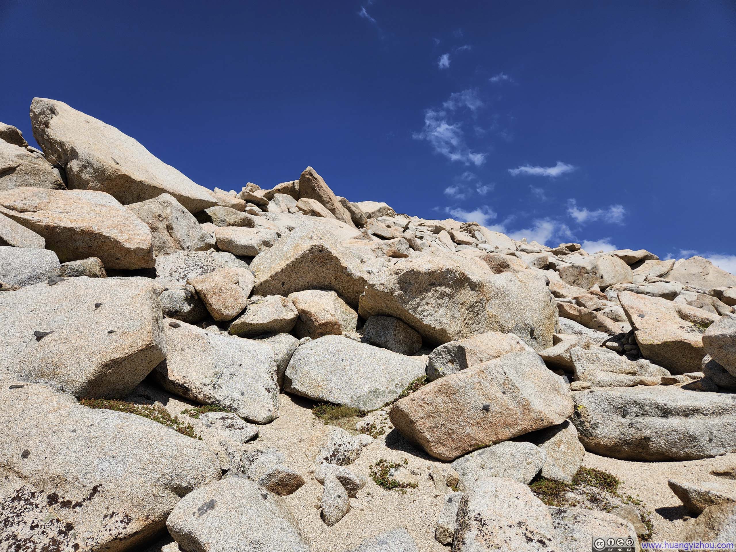
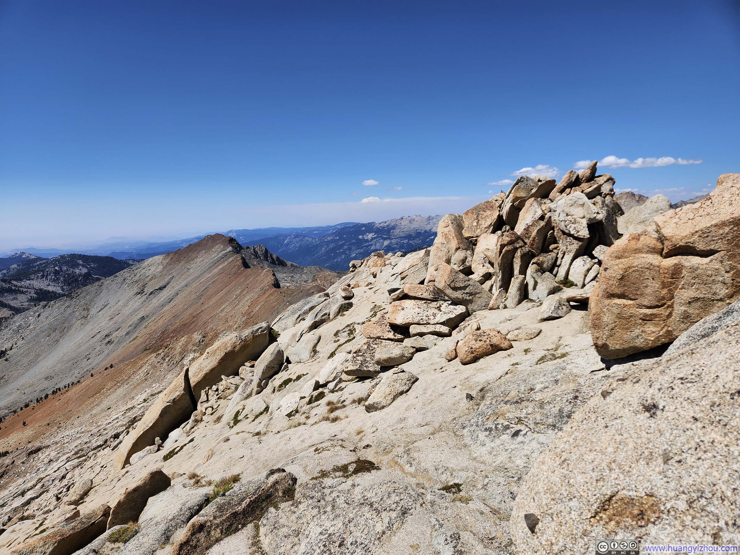
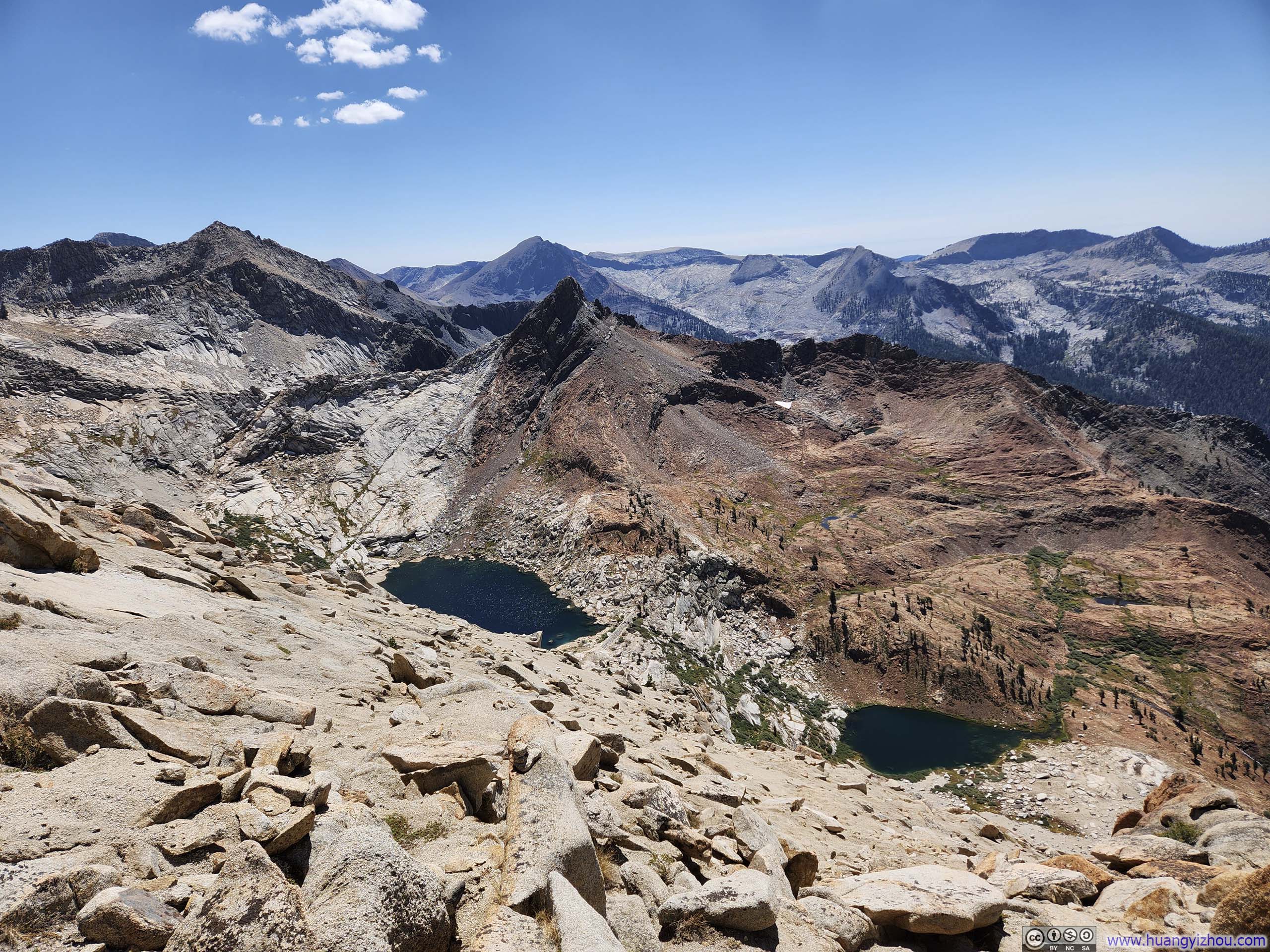
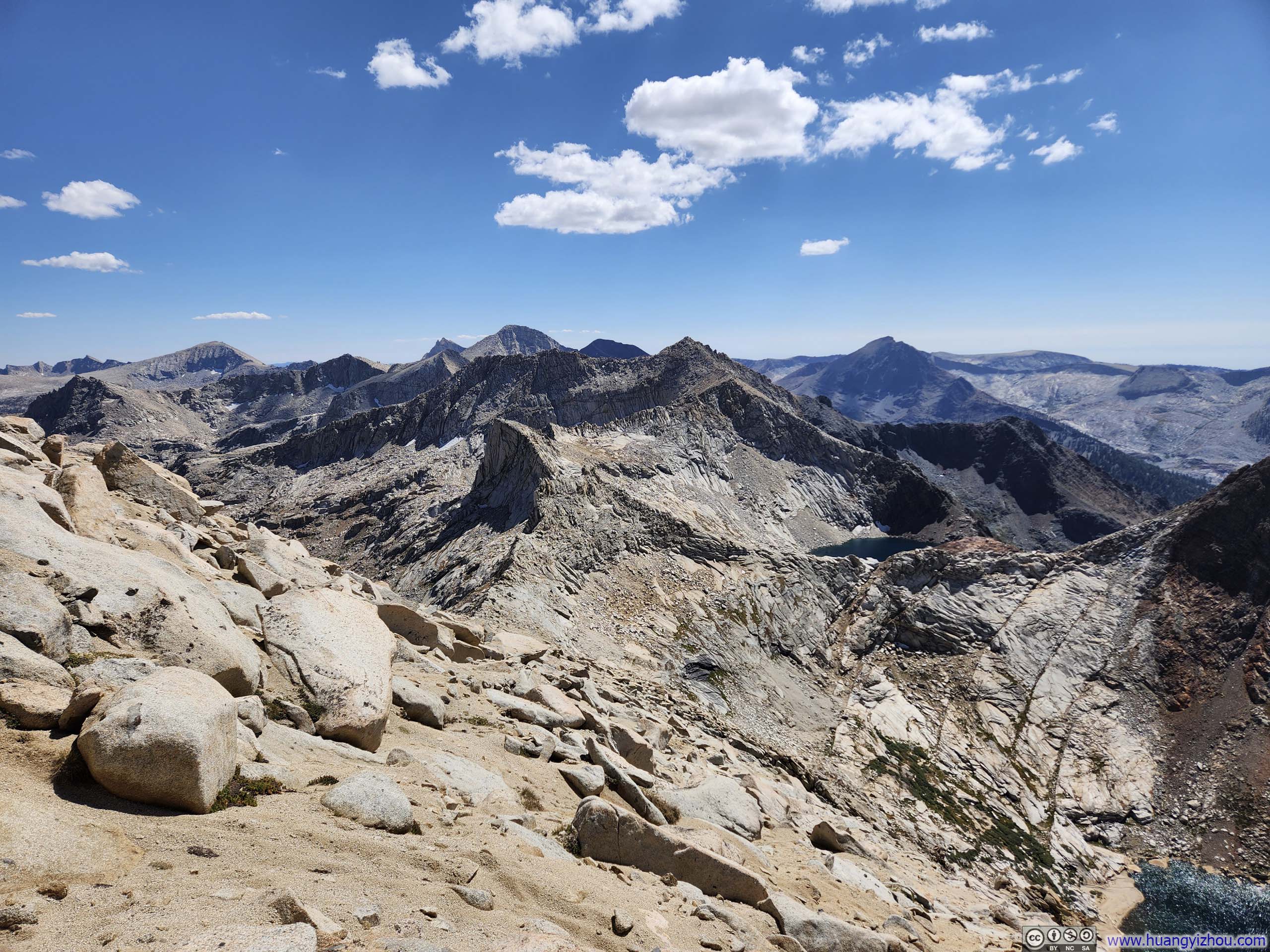
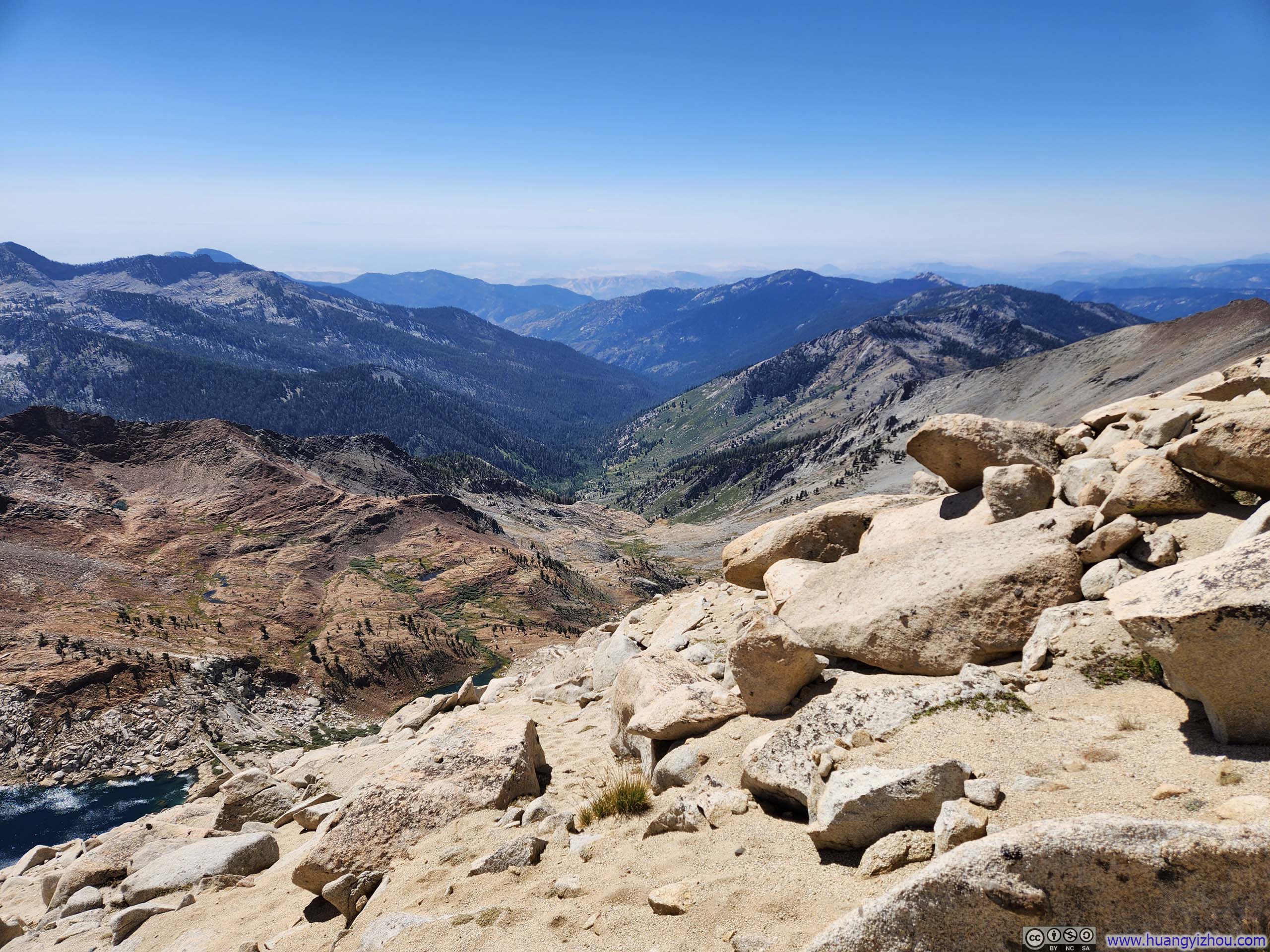
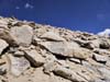
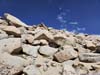
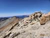
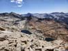
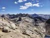
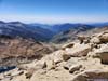
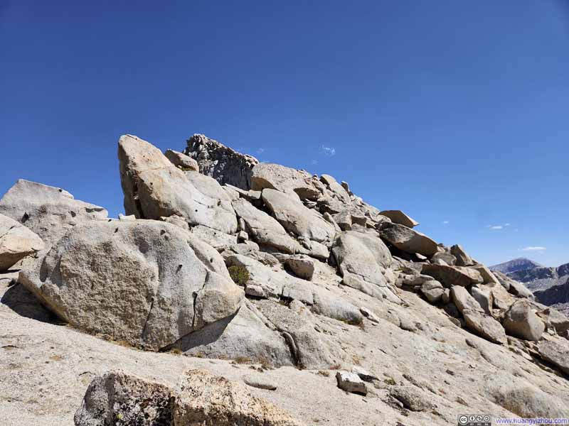
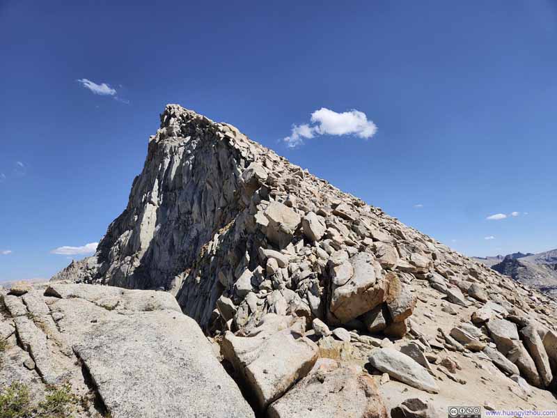
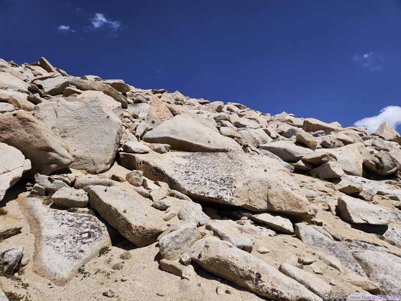
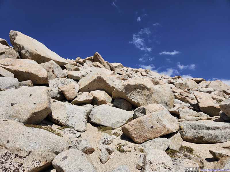
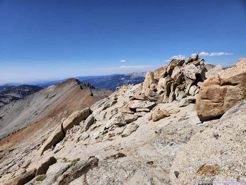
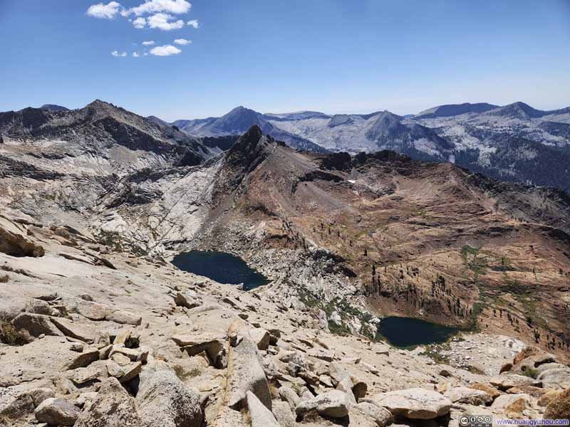
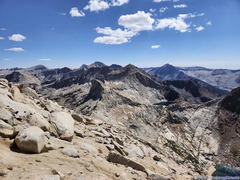
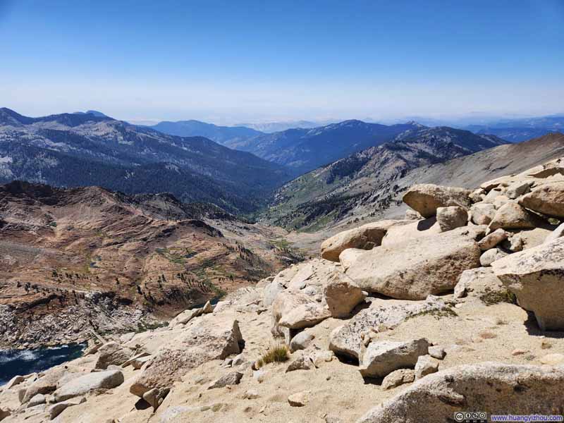
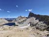
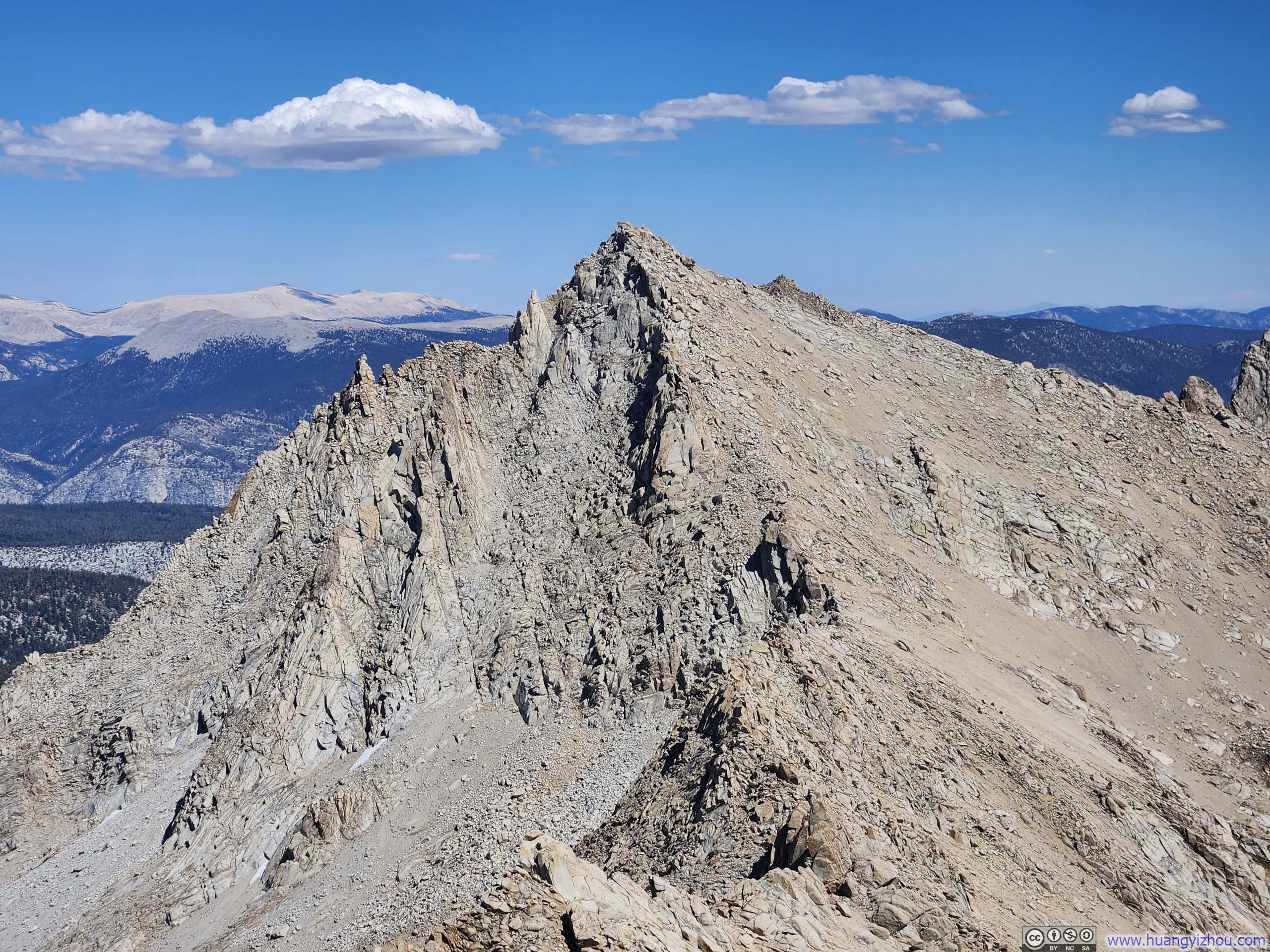
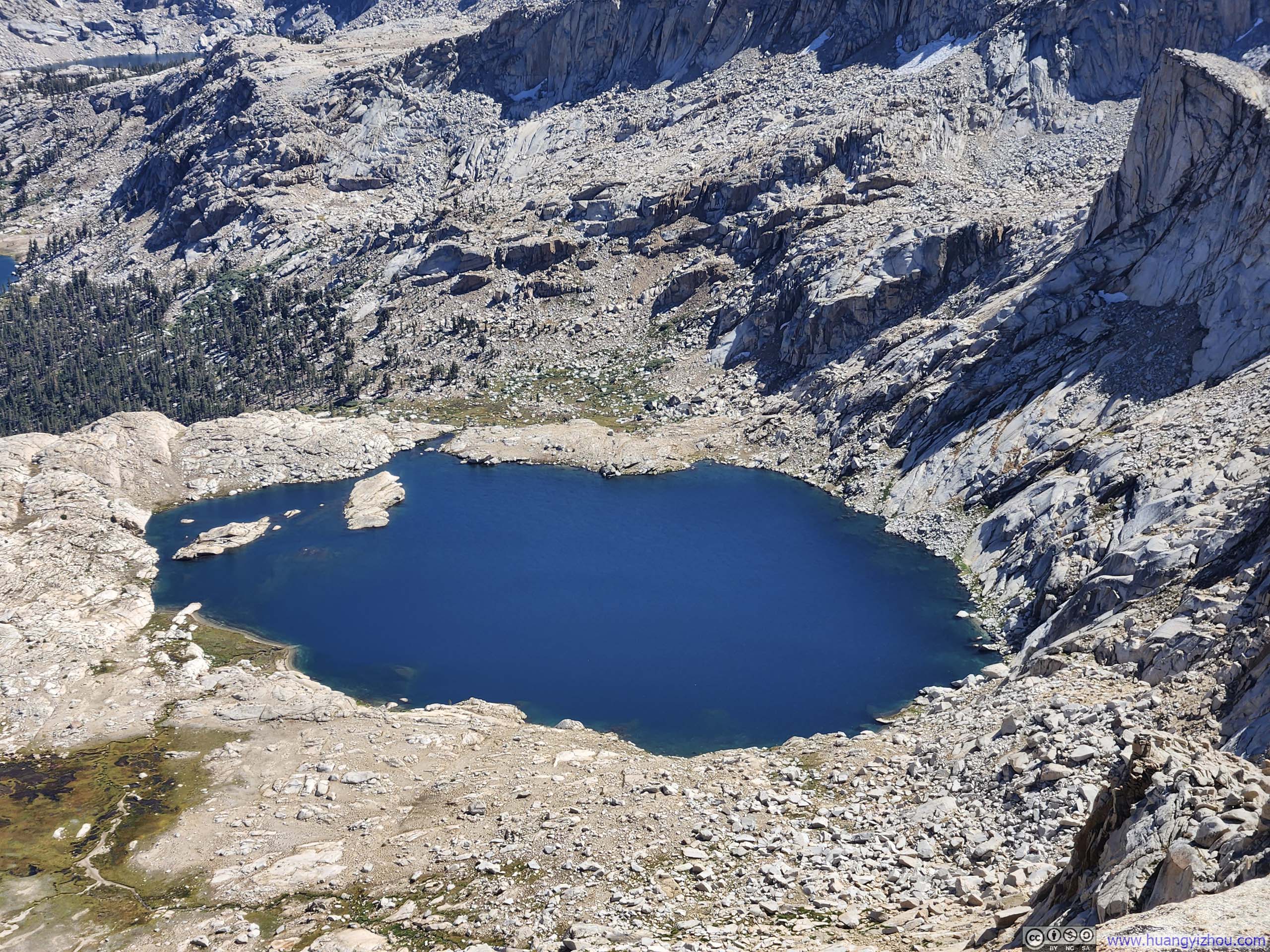
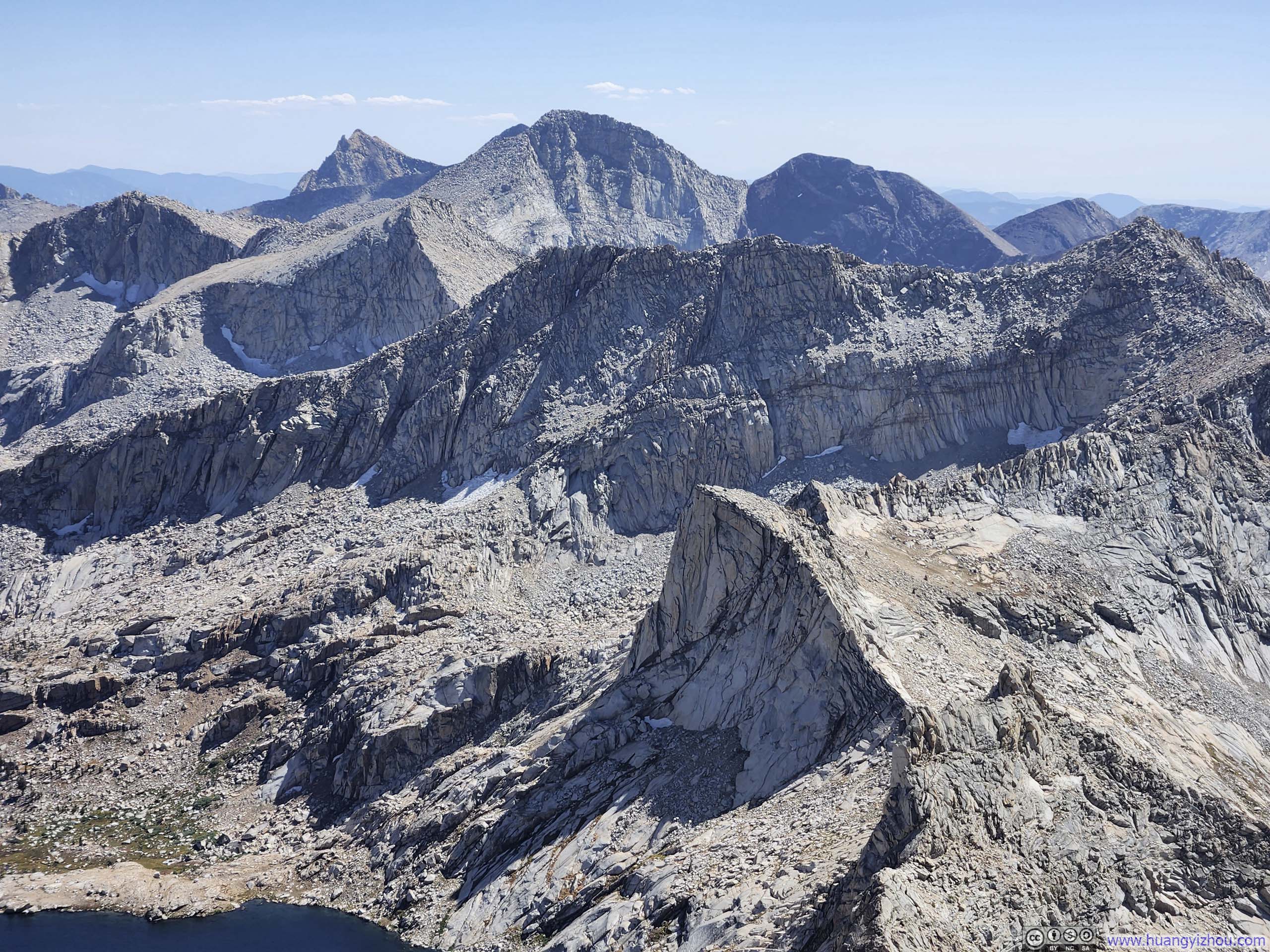
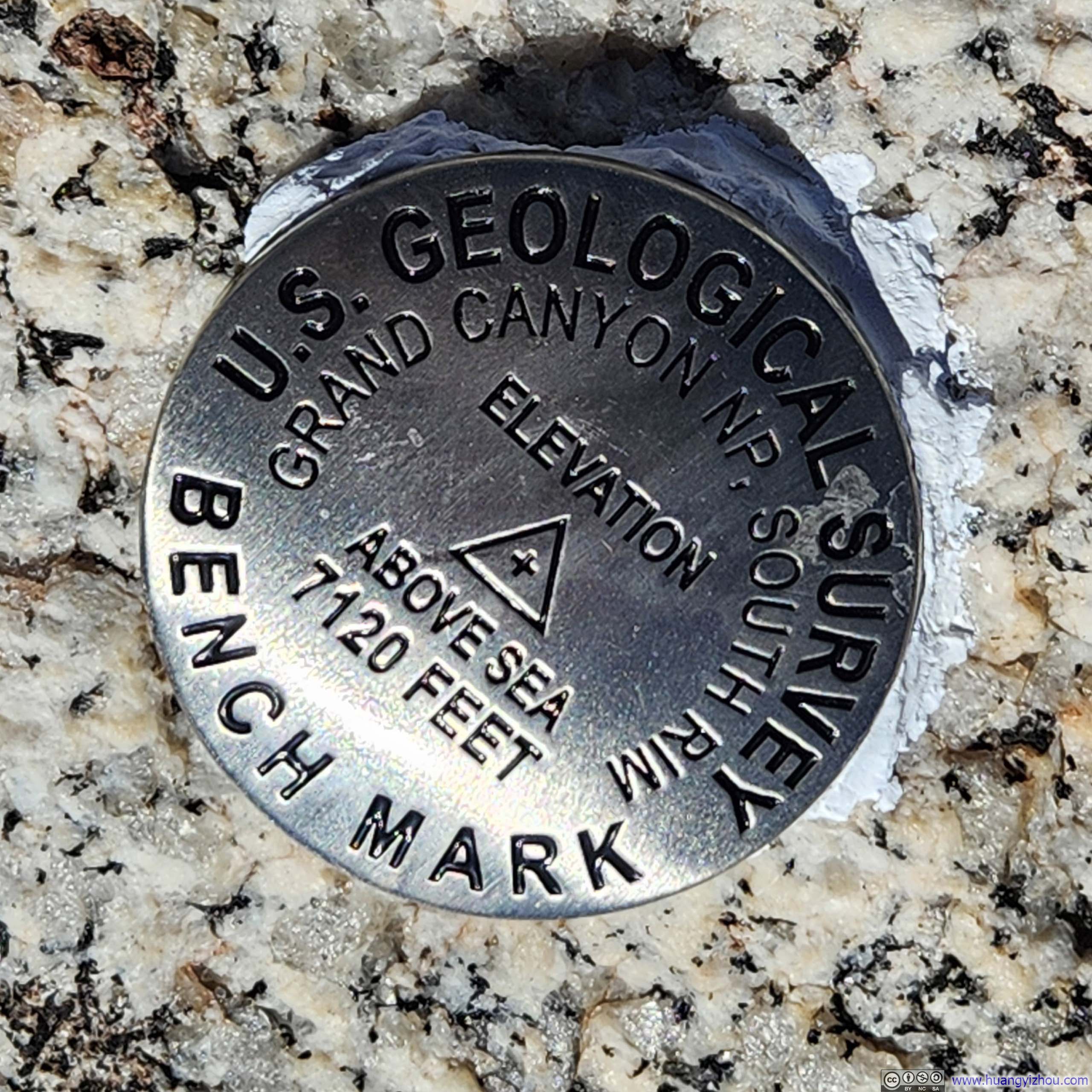
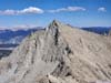
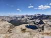
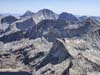
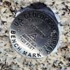
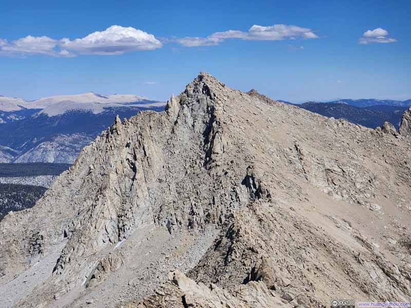
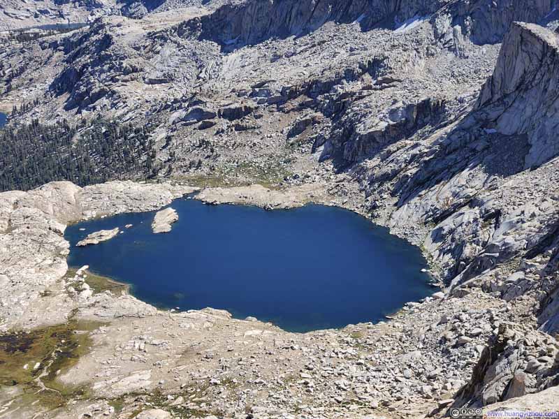
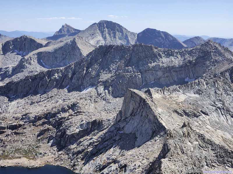
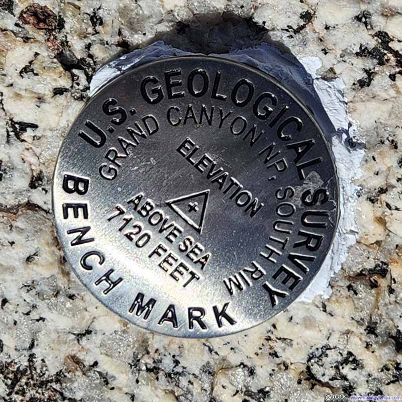
In the end, it took me an hour and 10 minutes to reach Sawtooth Peak from Sawtooth Pass (a bit longer than I had hoped). The (small platform off, see slideshow below) summit offered magnificent panoramic views, the most striking of which lay to the north: the serrated ridgeline from Sawtooth Pass, and the equally jagged Kaweah Peaks that dominated the horizon.
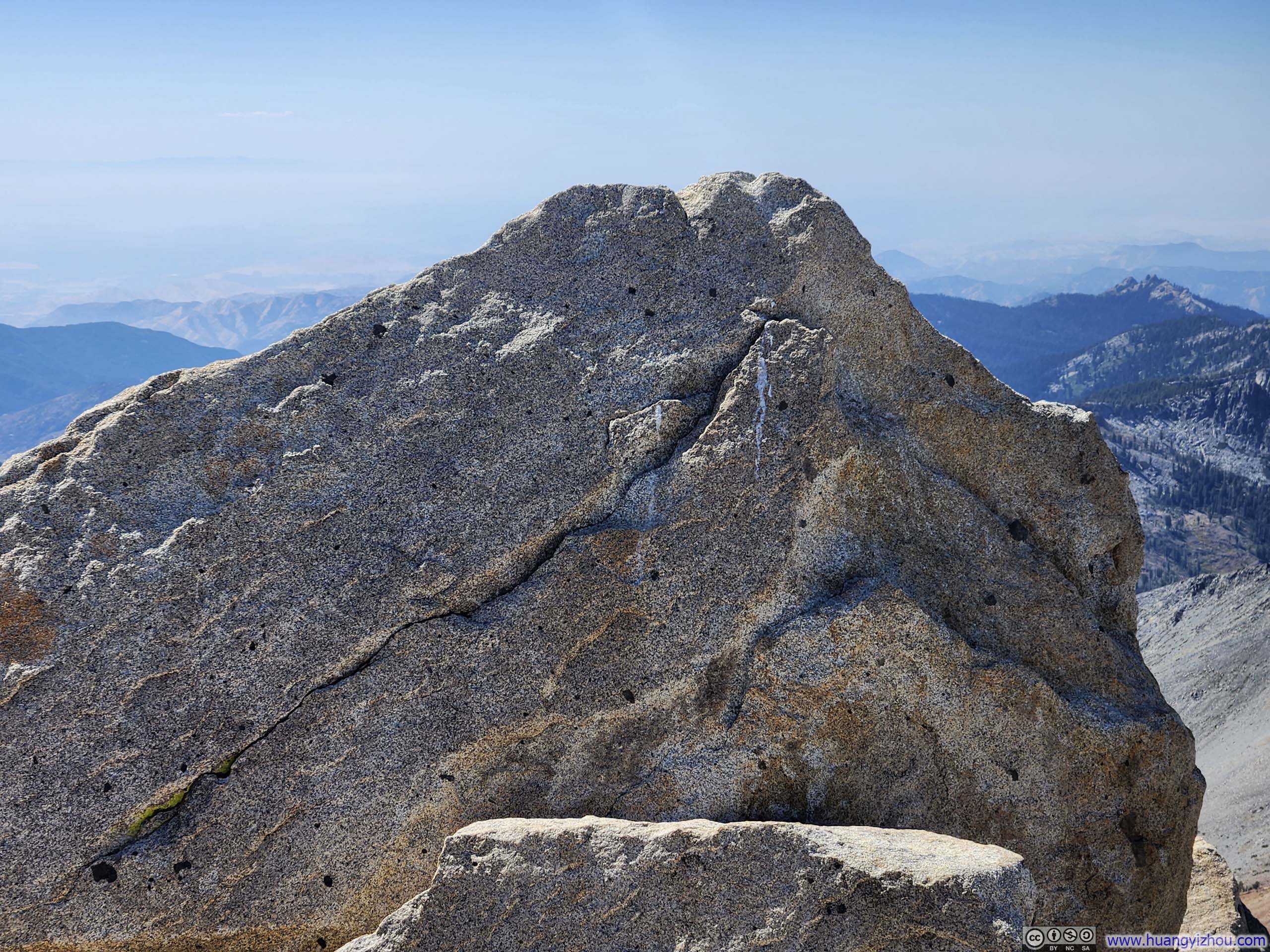
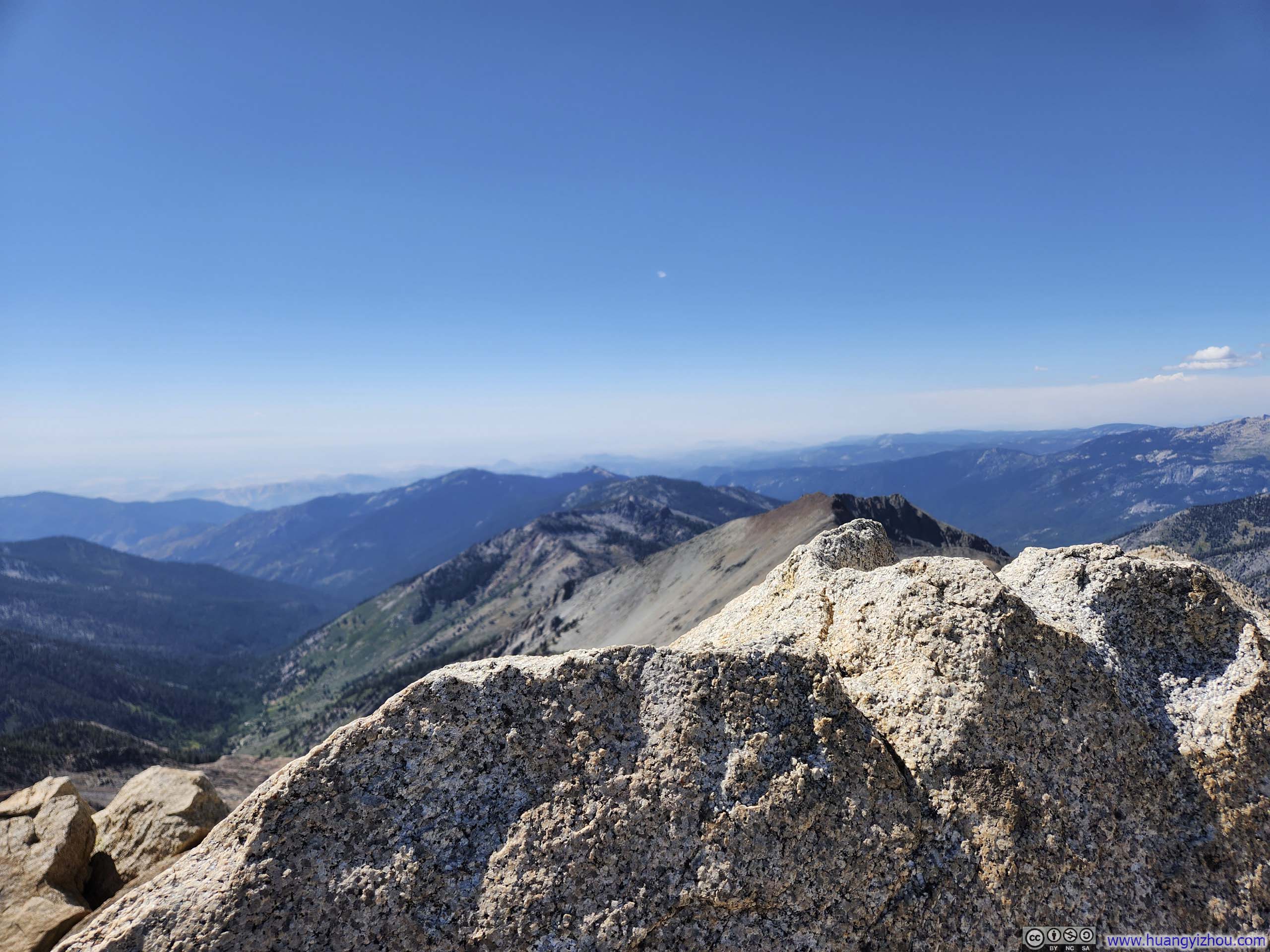
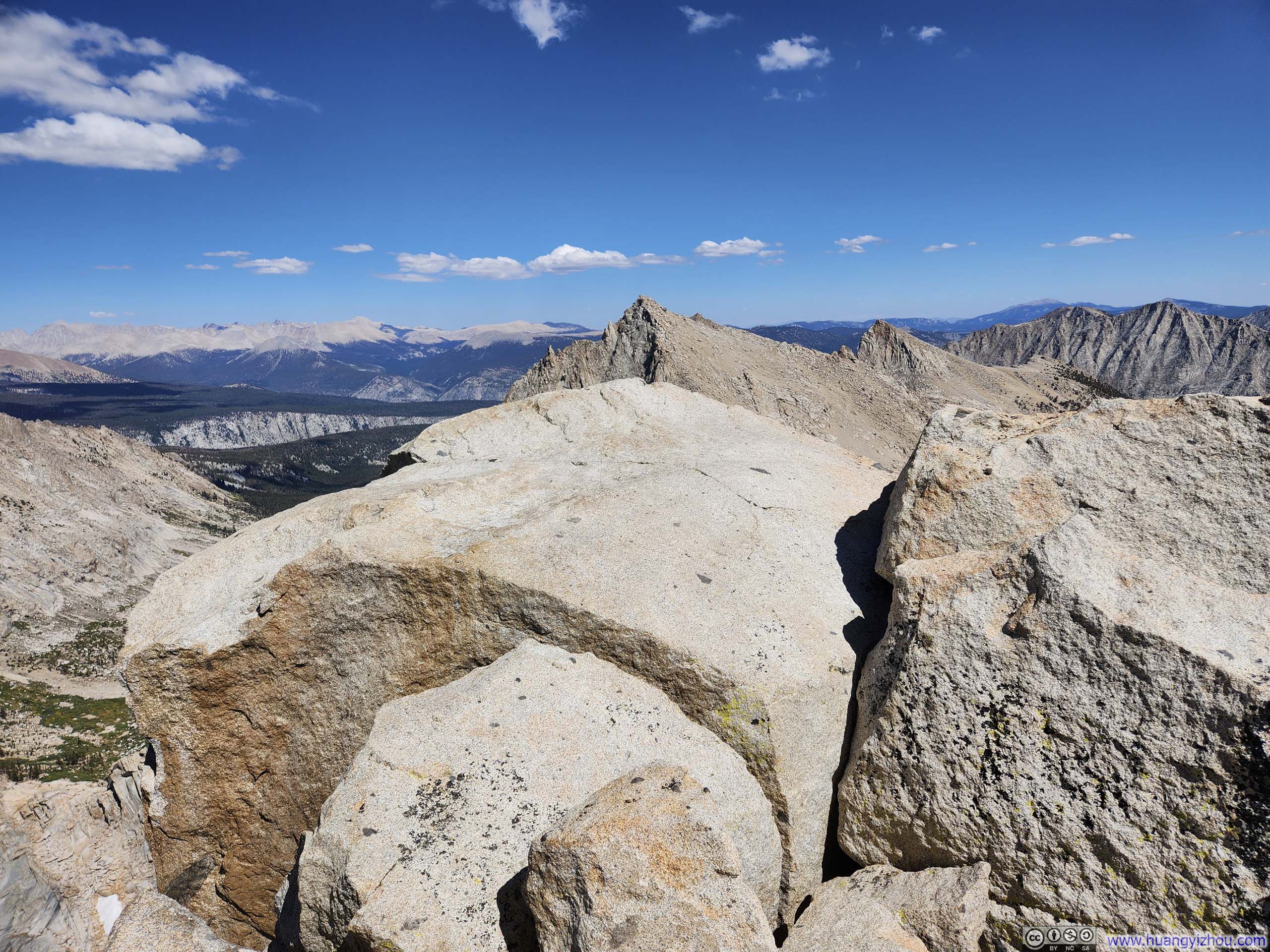
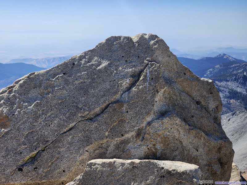
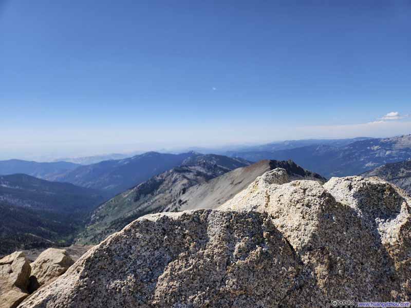
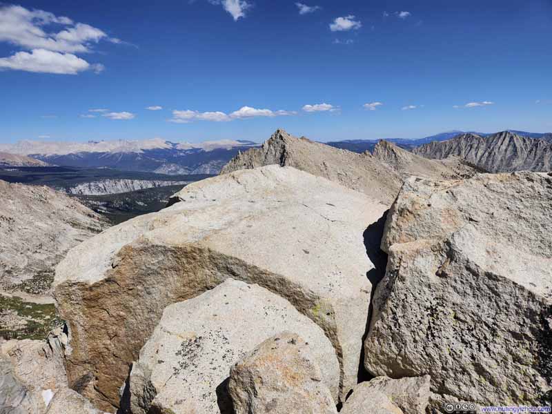
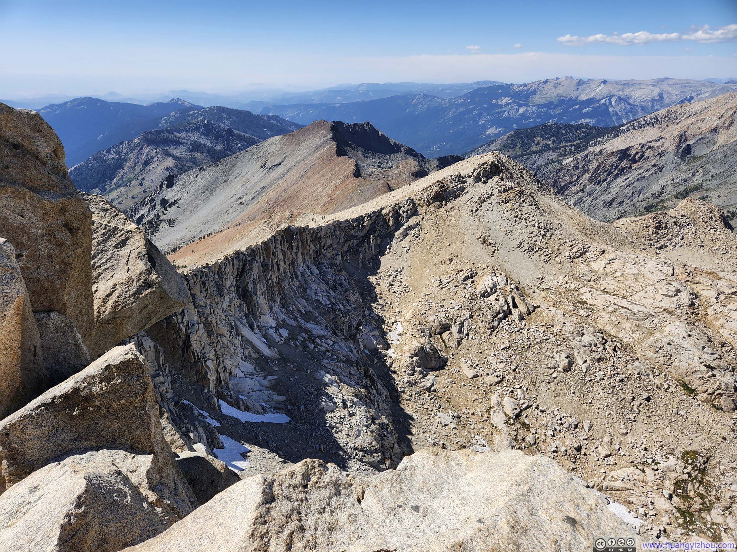
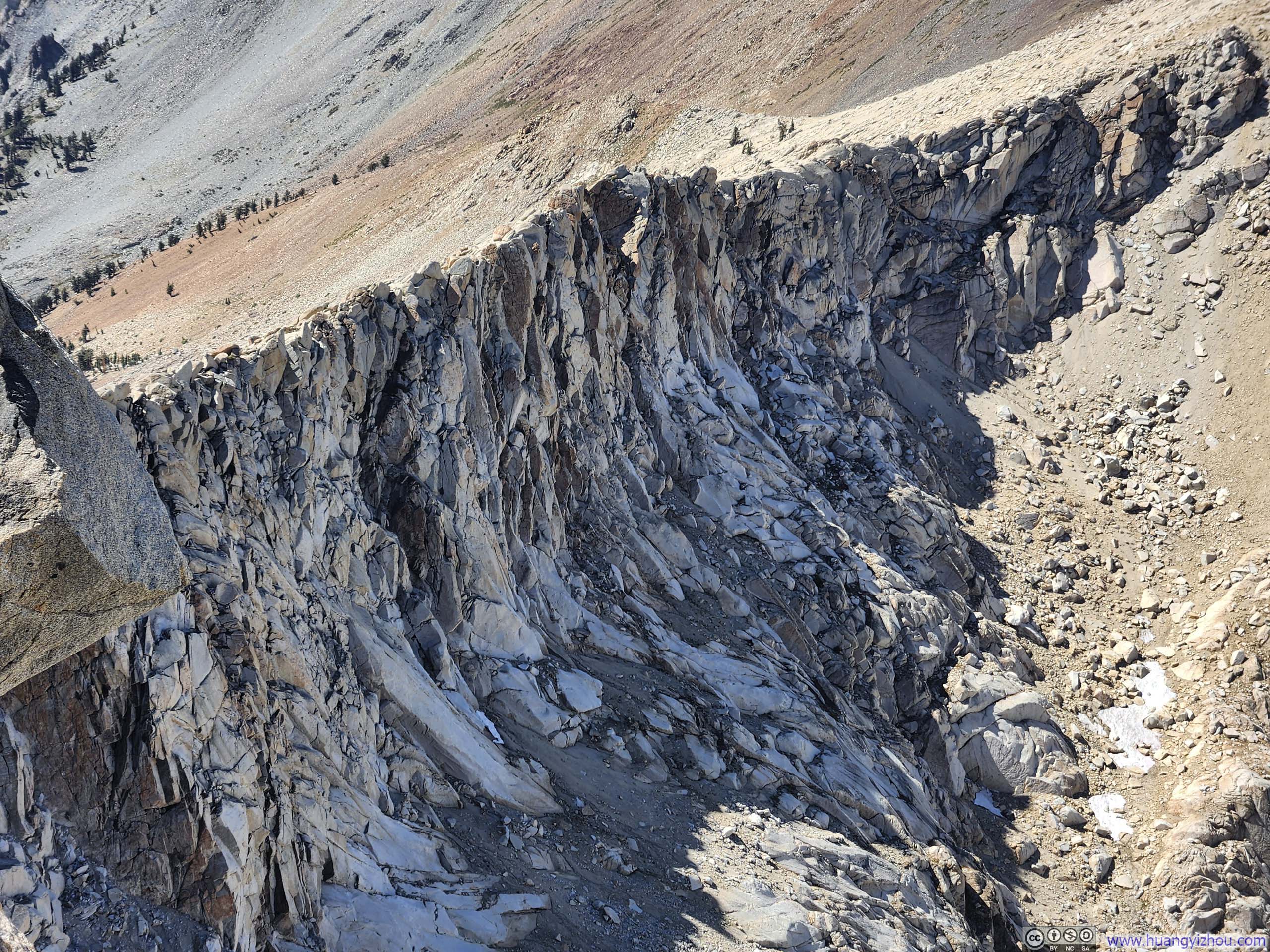
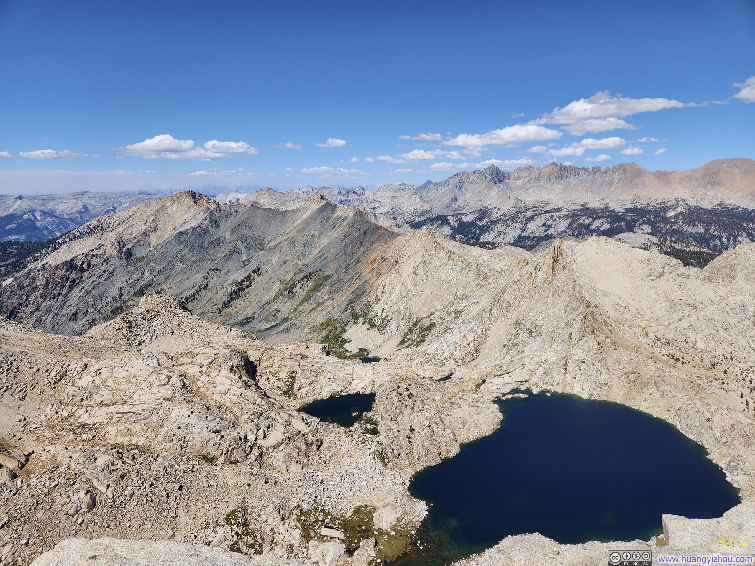
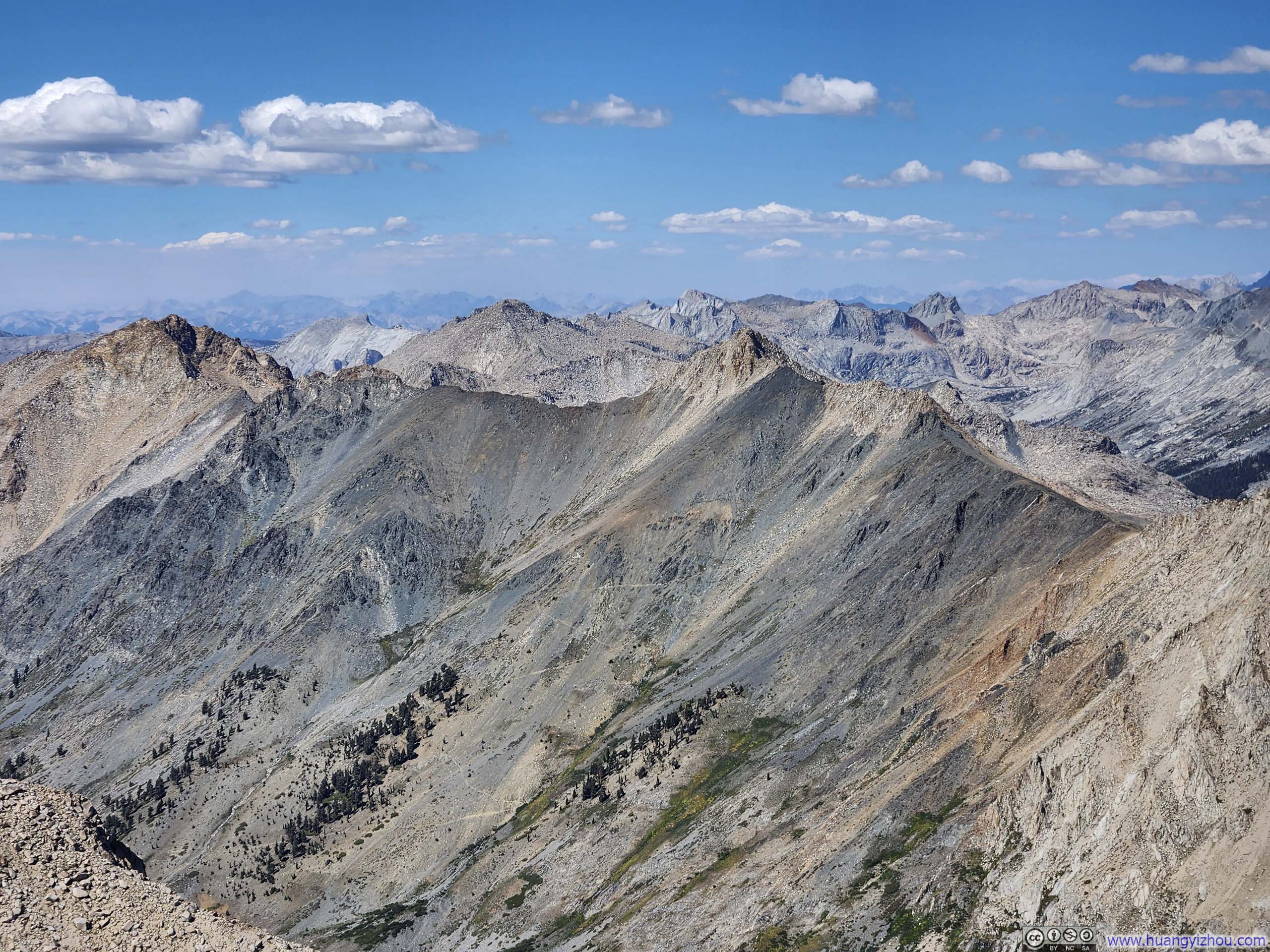
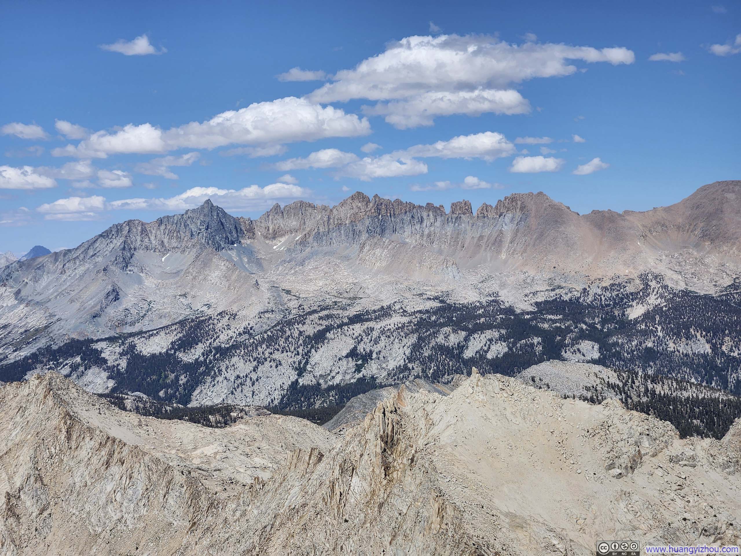
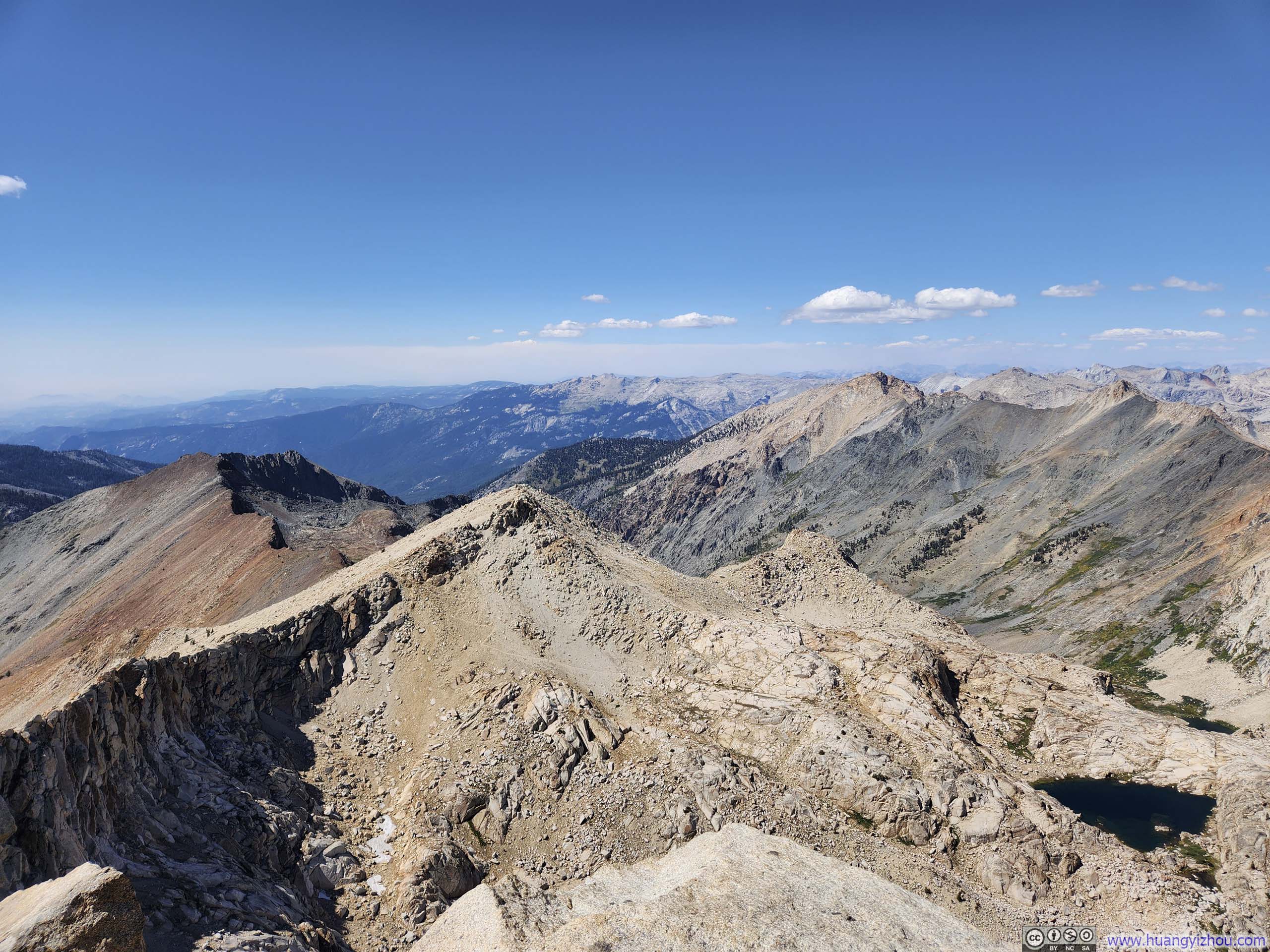
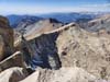
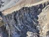
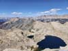
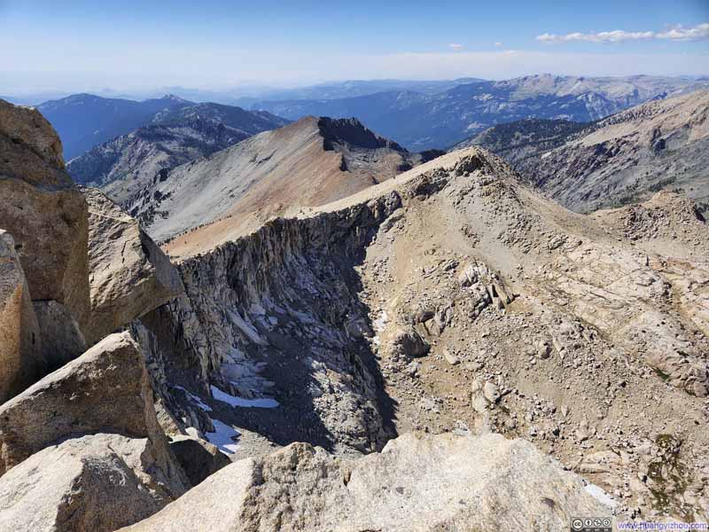
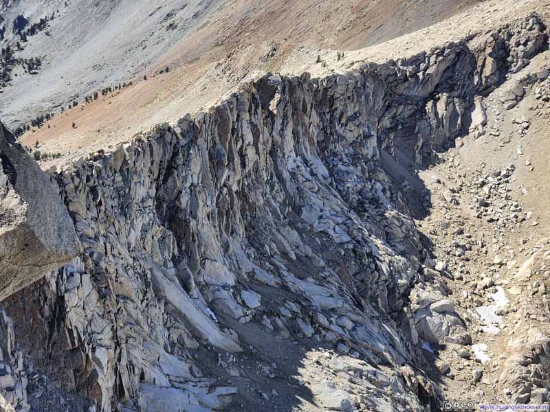
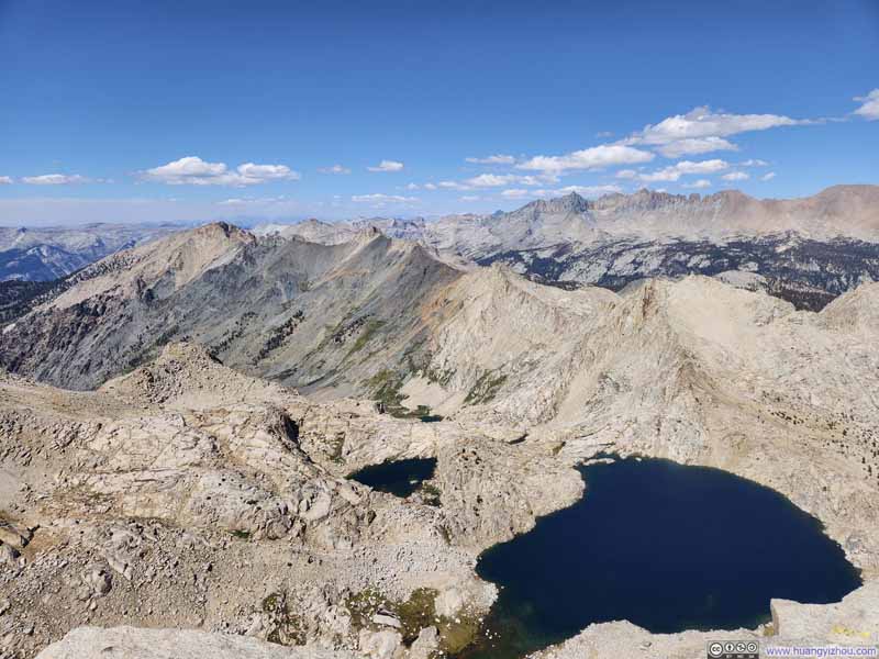
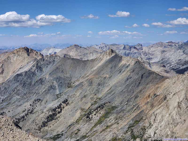
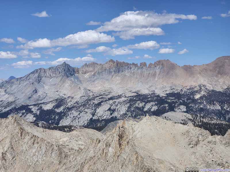
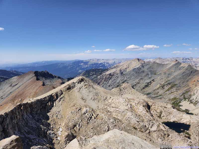
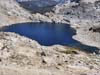
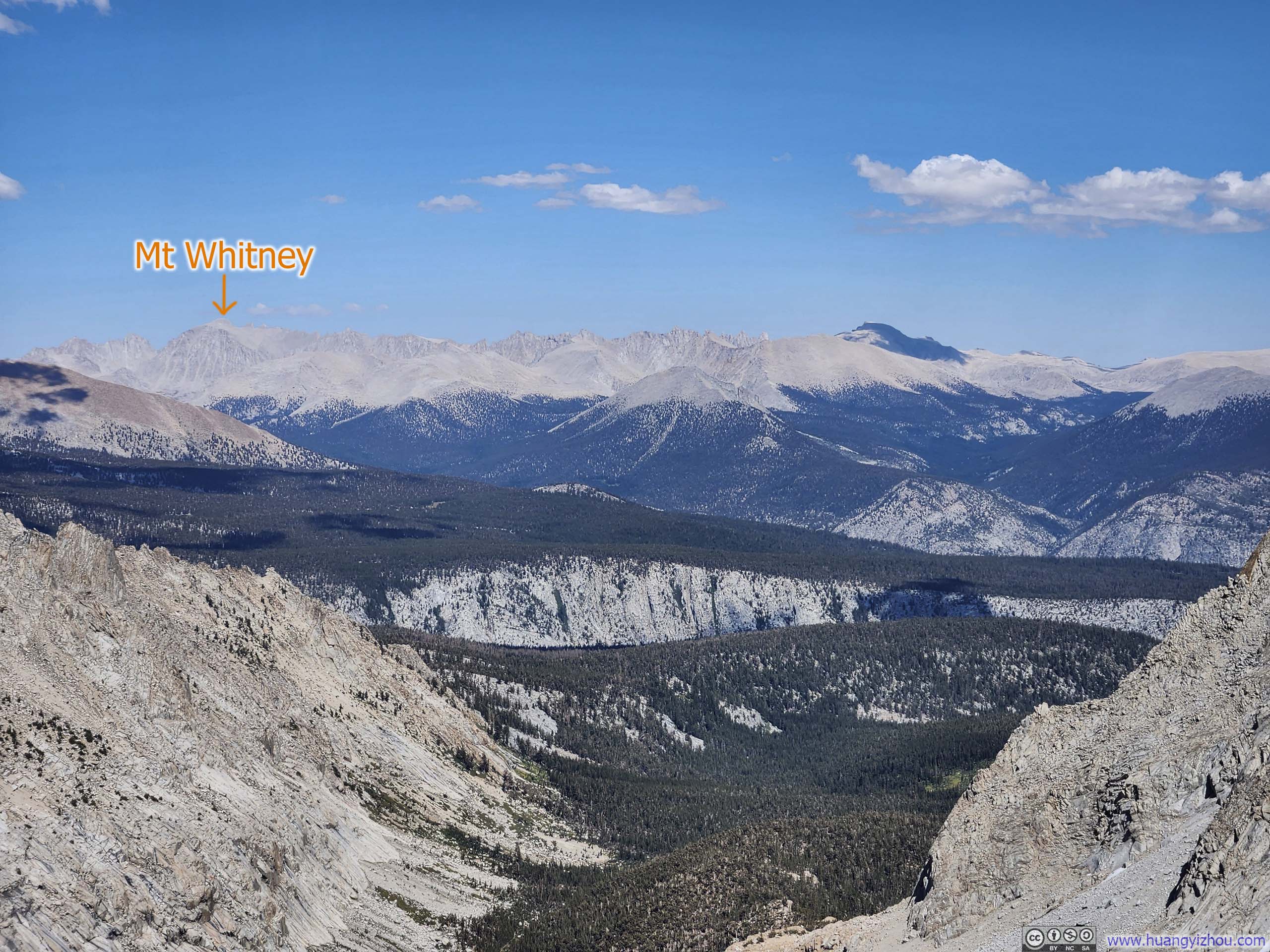
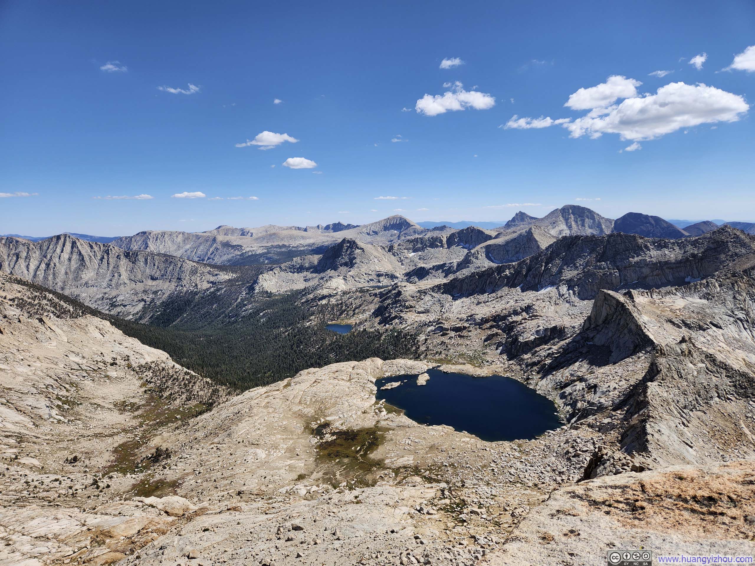
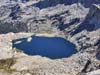
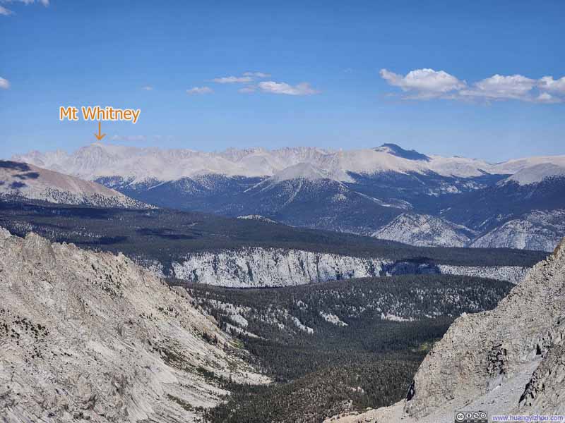
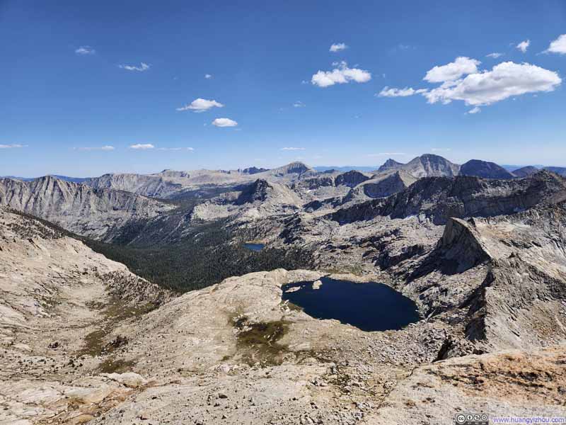
I had been treated to a preview of many nearby mountains during the previous day's flight to Fresno, delightfully, that included Mt. Whitney, the highest peak in the lower 48, which stood with surprising humility on the eastern horizon. My friend was equally captivated by the abundance of alpine lakes scattered throughout the landscape, their presence offering a welcomed variation to the otherwise harsh rocky terrain.

Here's a video around Sawtooth Peak:
13 seconds, 2160p60fps, H265 only, 20Mbps/34MB file size.
We stayed at Sawtooth Peak for about 35 minutes before starting our descent at 3:20pm, a bit short on time since there was only 4 hours of daylight left.
While descending towards Sawtooth Pass, I took a slightly different route that was more to the west, in more scree territory. Emm, I didn't like that.
Fortunately, descending through the scree field between Sawtooth Pass and Monarch Lake was much easier than climbing through it. After reaching Monarch Lake, we quickened our pace considerably compared to the ascent.
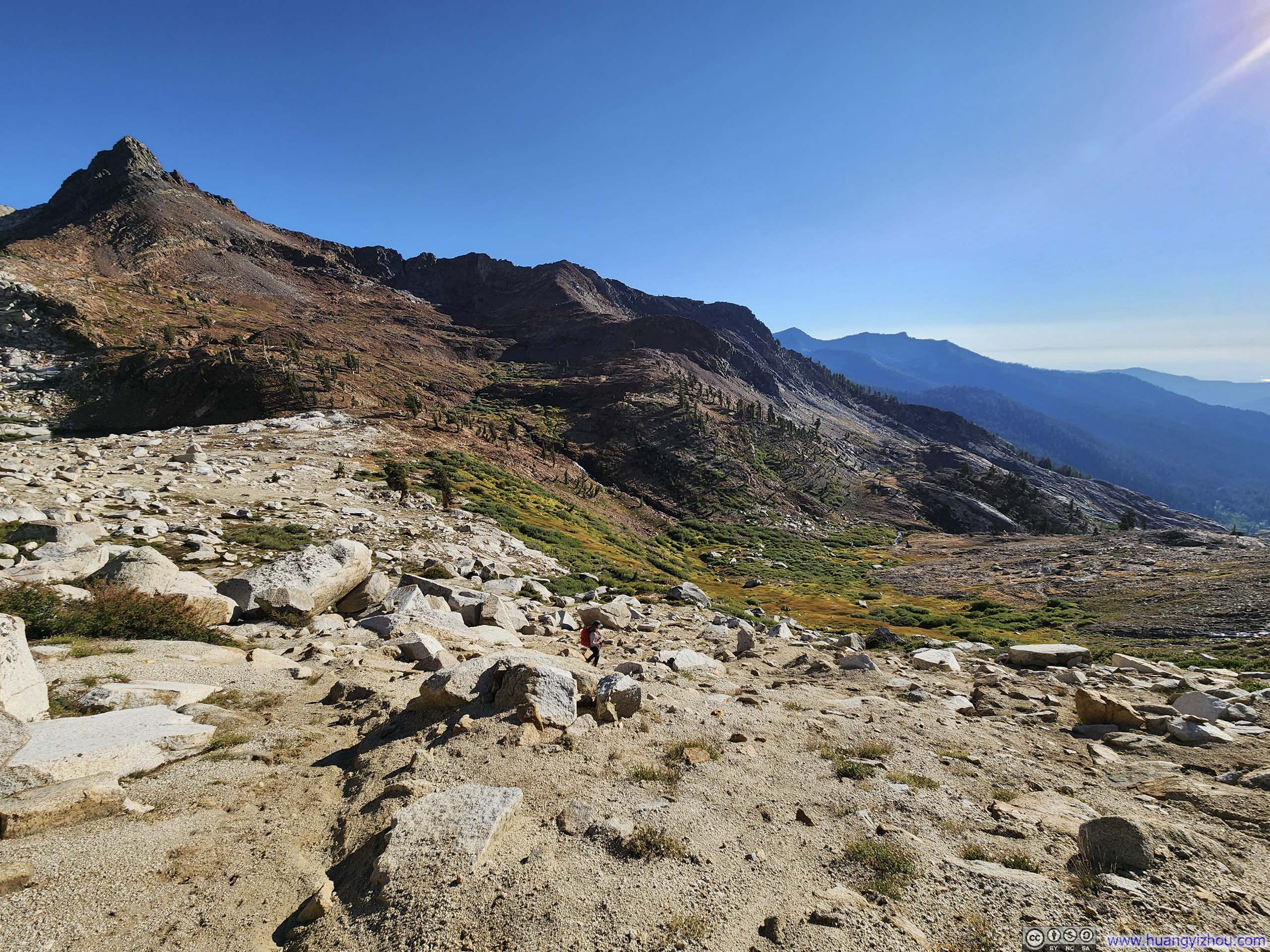
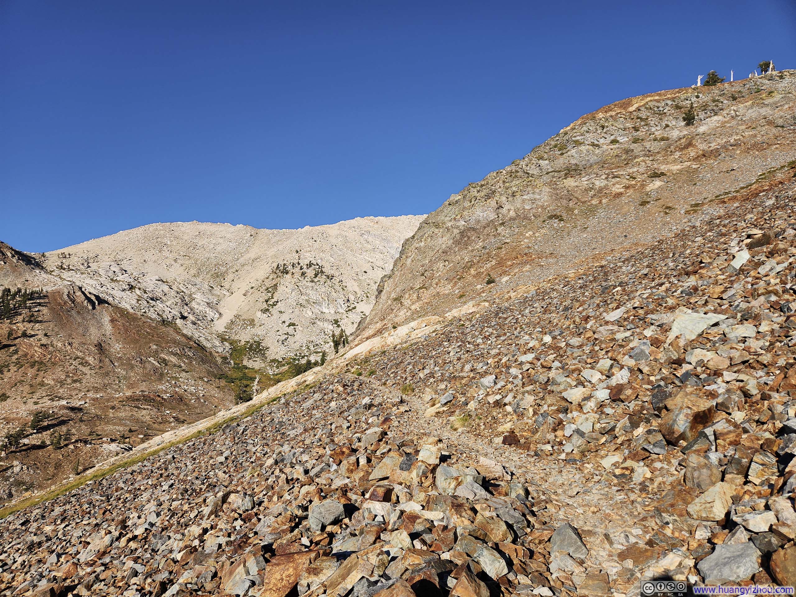
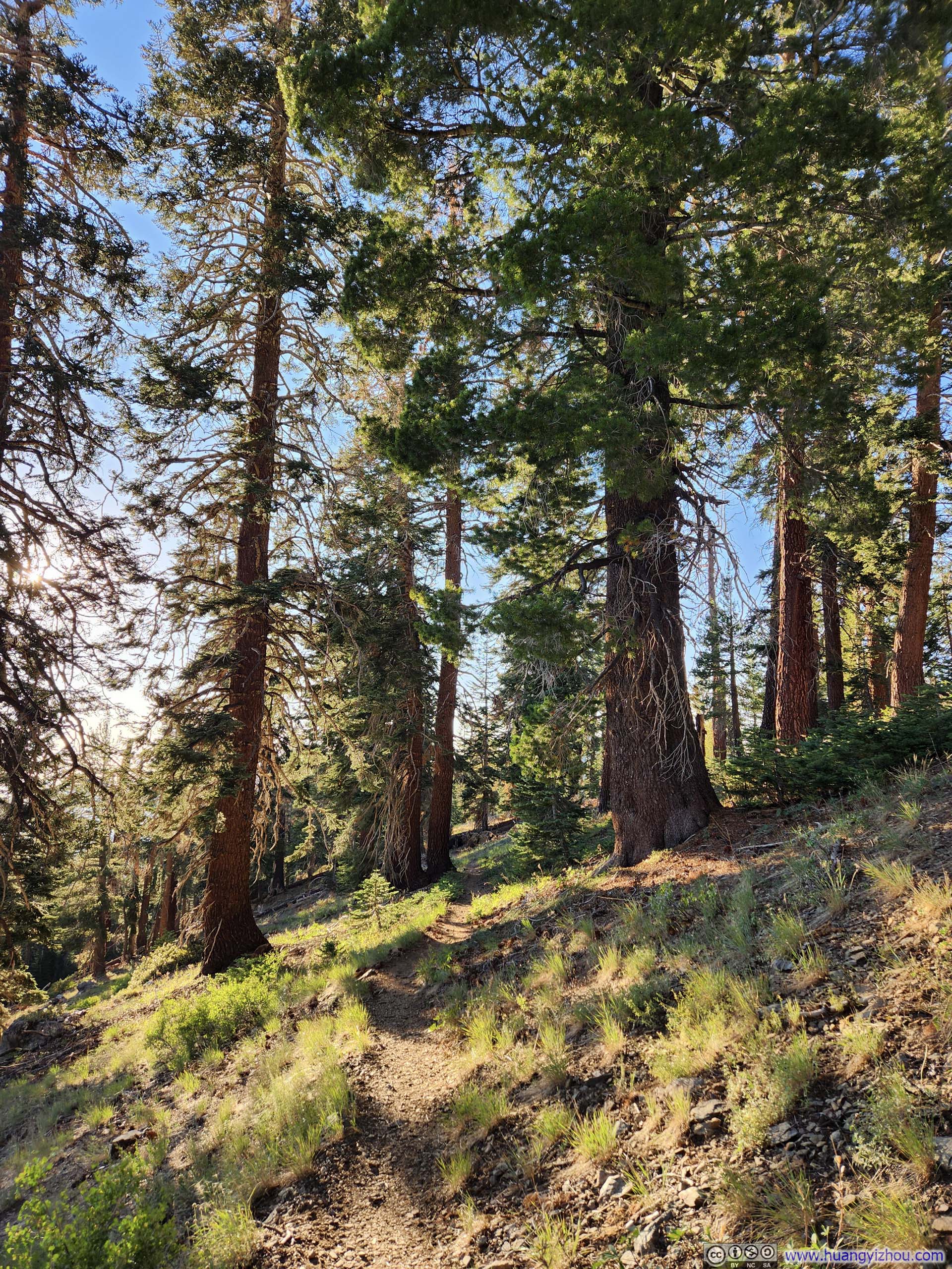
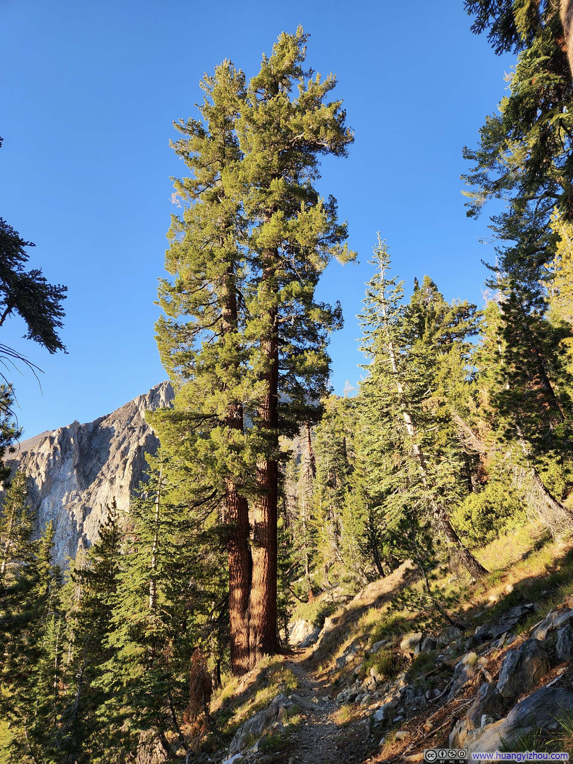
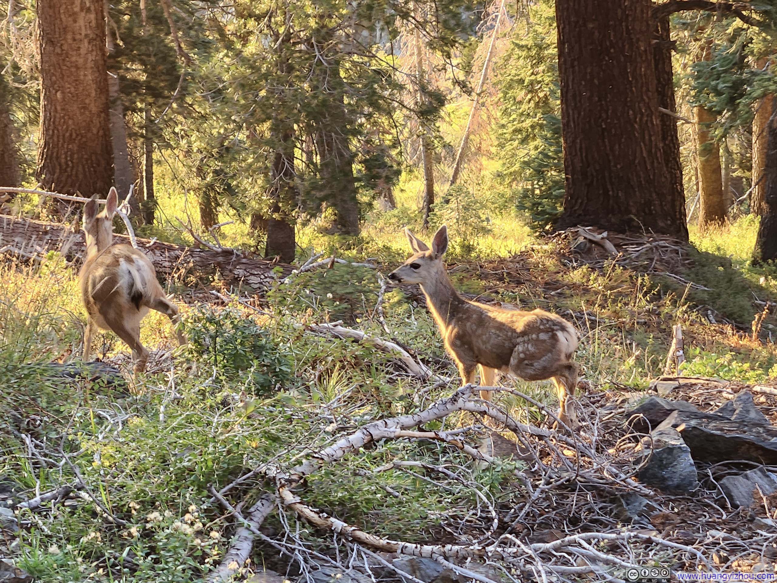
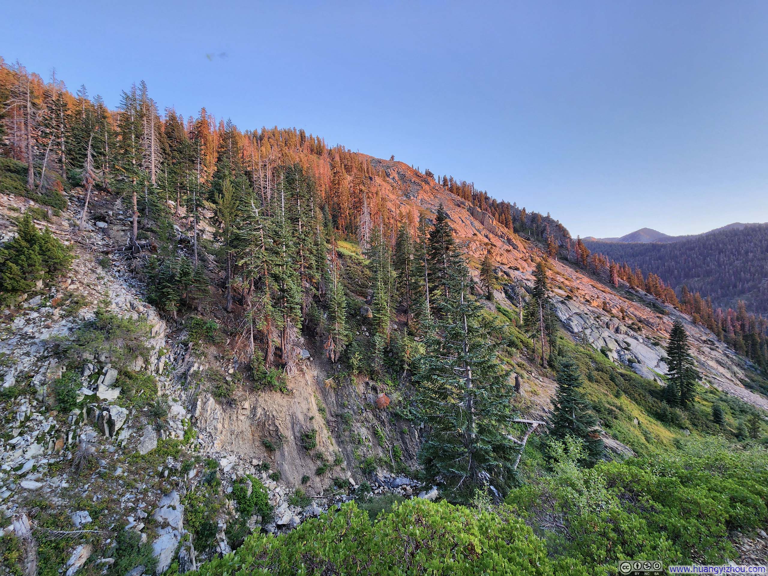
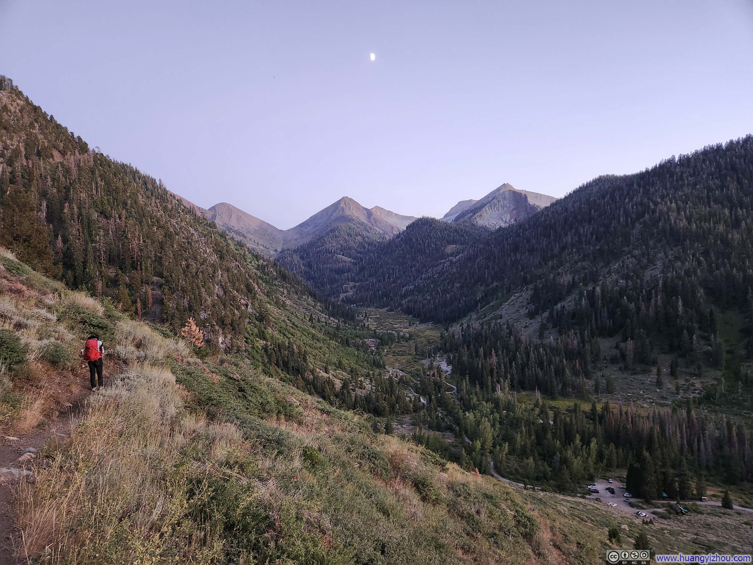
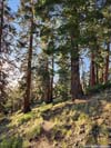
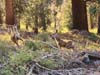
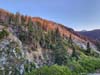
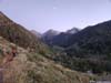
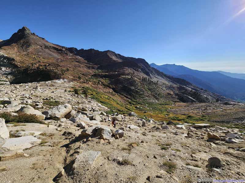
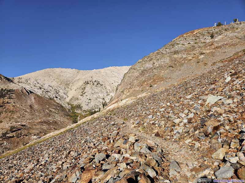
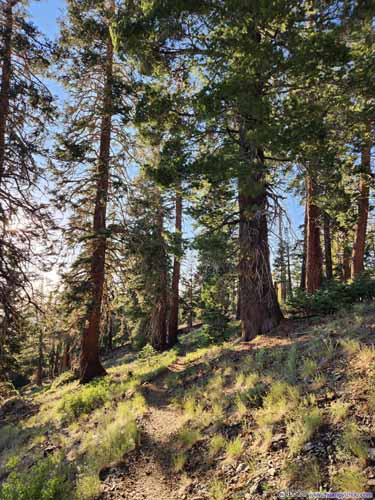
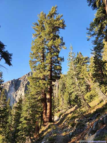
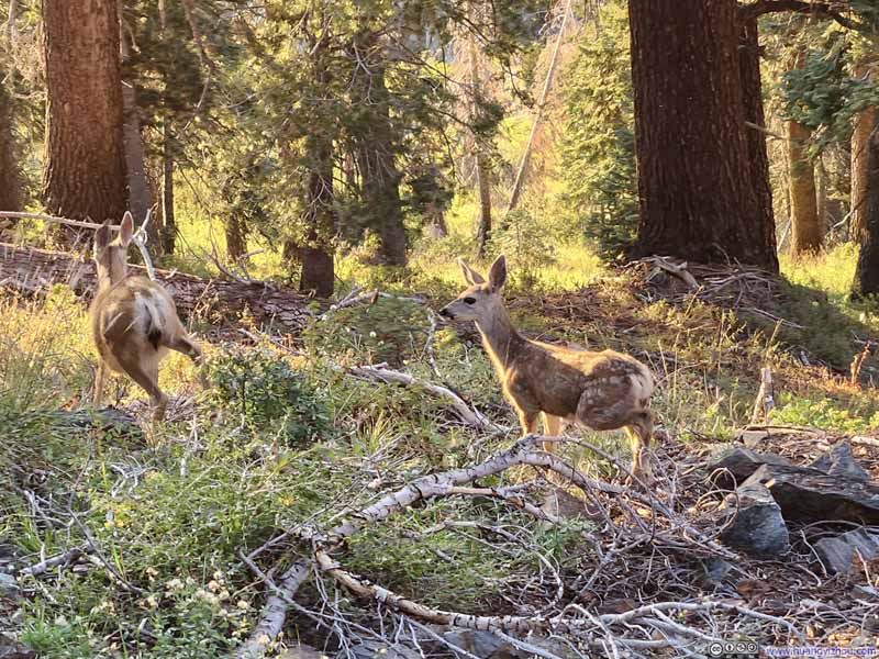
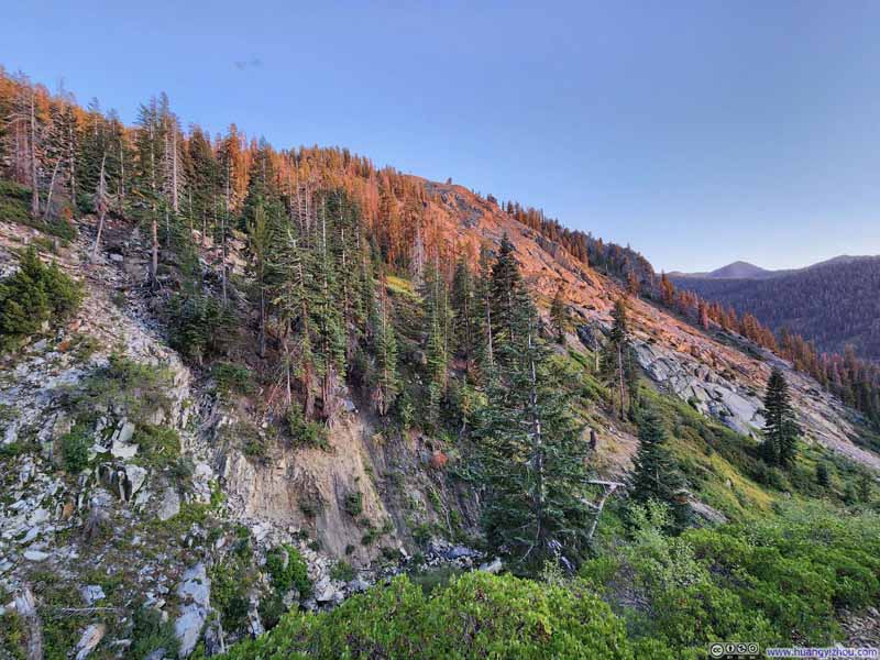
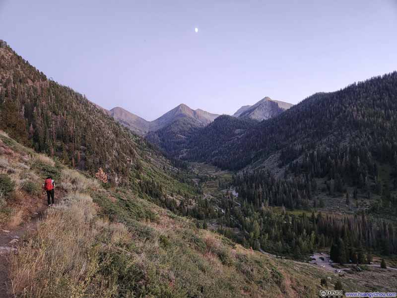
In the end, we got back to the parking lot at 7:55pm just as civil twilight was ending, concluding the entire hike in just under 11 hours.
And it was followed by another not-so-pleasant ride through the bumpy Mineral King Road back.
END