Hiking Mt Mansfield
A post about a September weekend spent in Burlington, Vermont, and my hike to Mt Mansfield, the tallest mountain in the state.
The time was September 2025, and I found myself in a situation eerily reminiscent of the previous year: in possession of a Marriott free night certificate set to expire at the end of October, one that I hadn't gotten the chance to use earlier in the year. Once again, I set about finding a worthy destination for it, ultimately settling on a weekend escape to Burlington, Vermont.
September weekends were very expensive for hotels in Burlington. At first, I was looking to top off my 35k certificate with a few thousand points for a night at a Towneplace Suites Williston. Then, quite coincidentally, I discovered that "AC Hotel Burlington" was scheduled to open mere days before my trip. As part of what appeared to be a new property promotion, it offered the lowest points rate among all Marriott hotels in the region—meaning I could book it without topping up my certificate at all.
Due to some errands earlier in the day on Saturday, September 20, I didn't arrive in Burlington until near sunset. I parked at the College Street Garage, which sat directly adjacent to the hotel. Unfortunately, having failed to consult the map carefully upon exiting the garage, I embarked on an unnecessary detour around the hotel's rear before finally locating the entrance on the southern side.
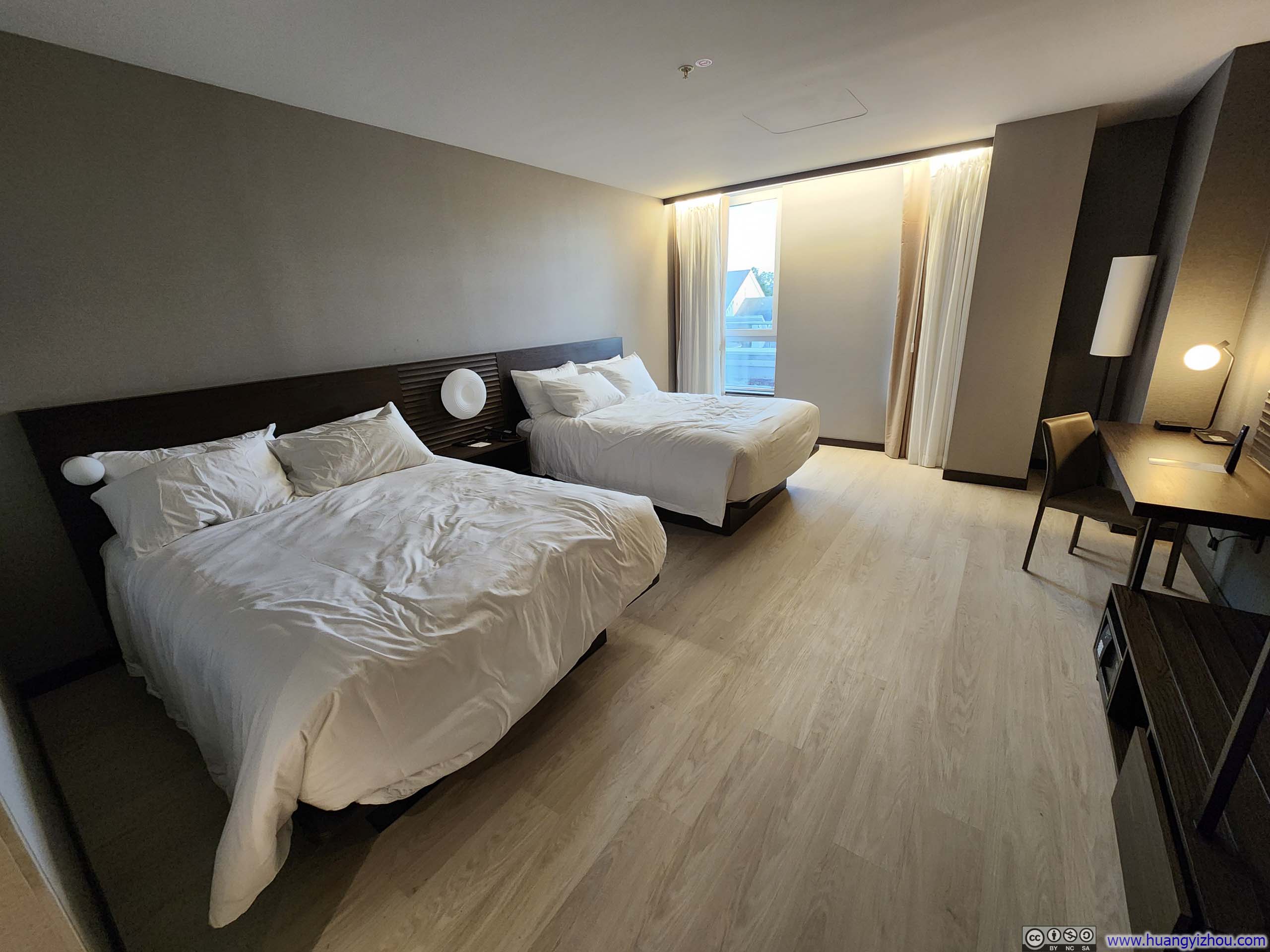
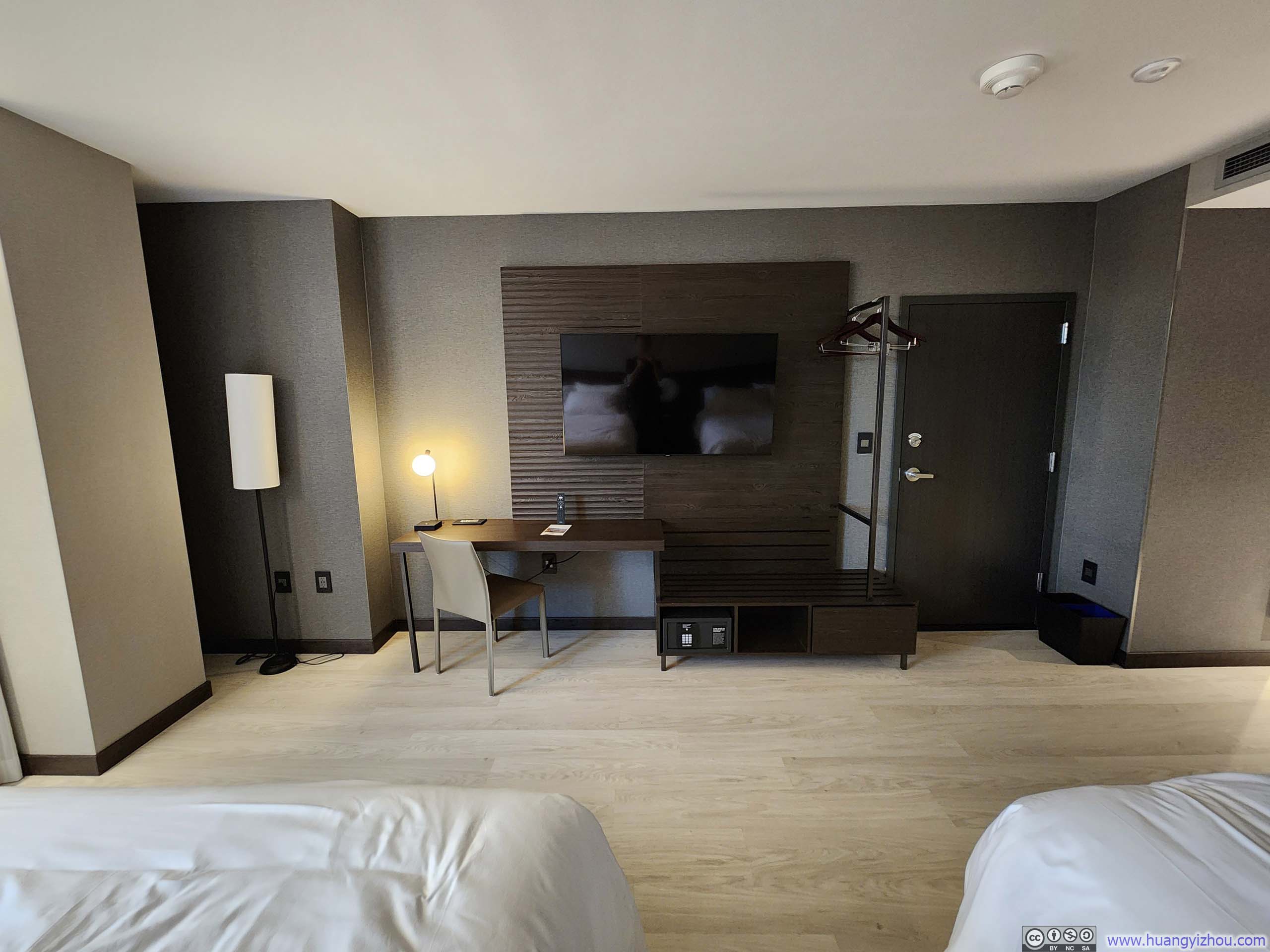
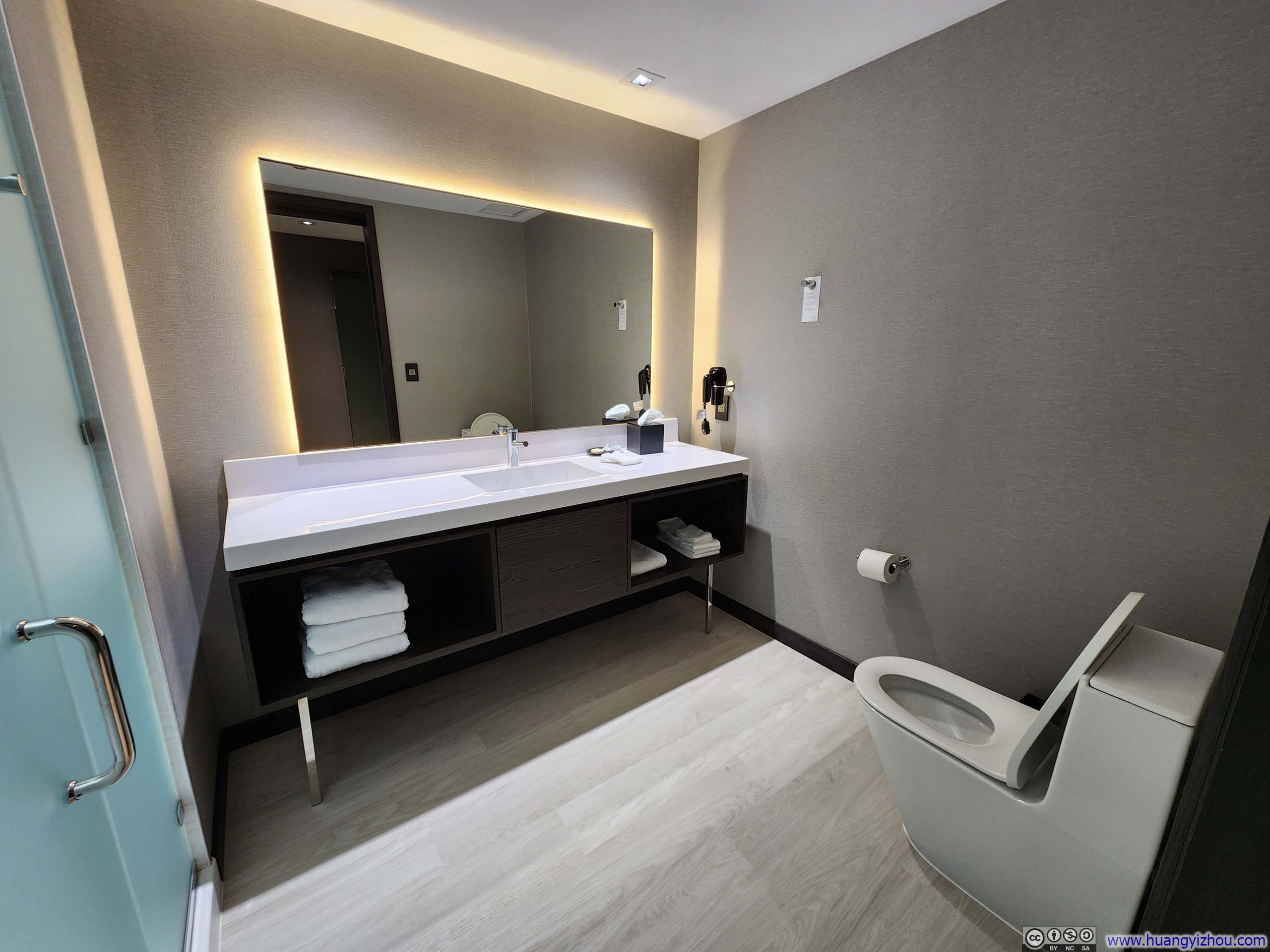
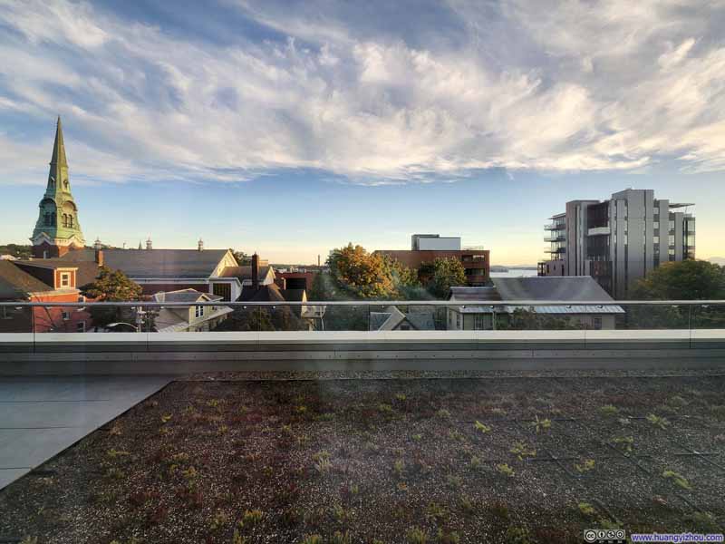
Below is a brief overview of the hotel room, which was refreshingly new and remarkably spacious.
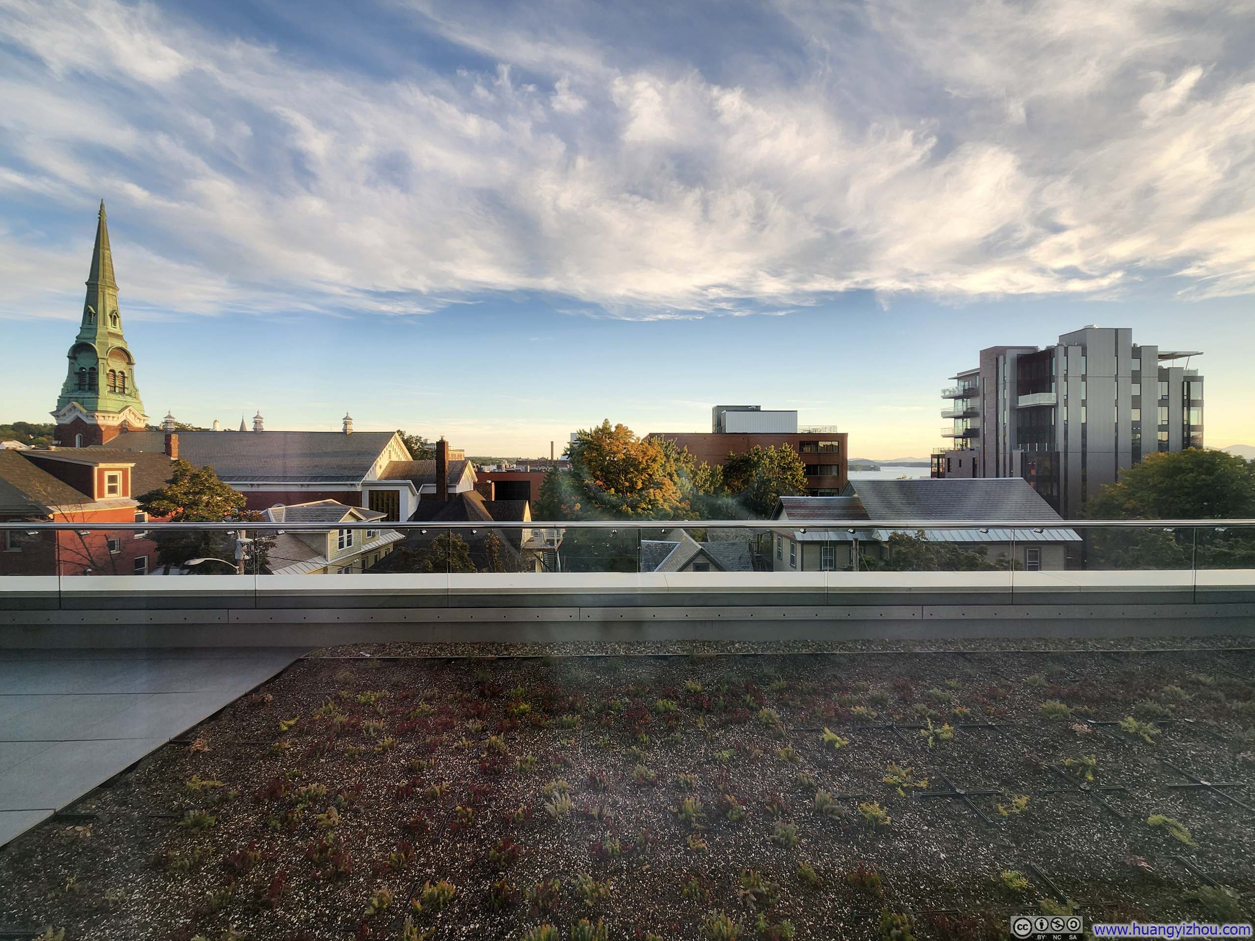




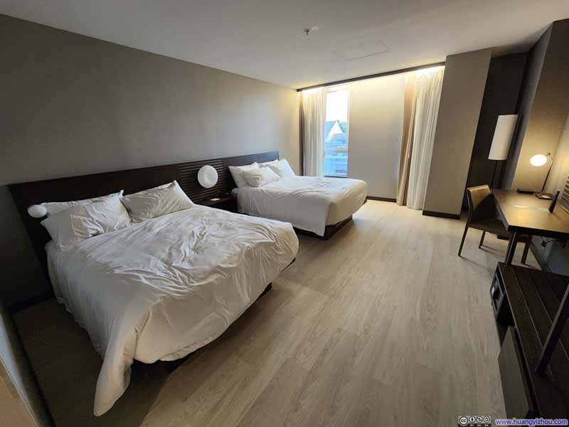
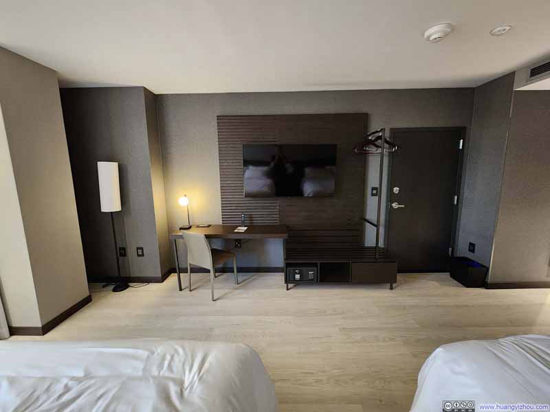
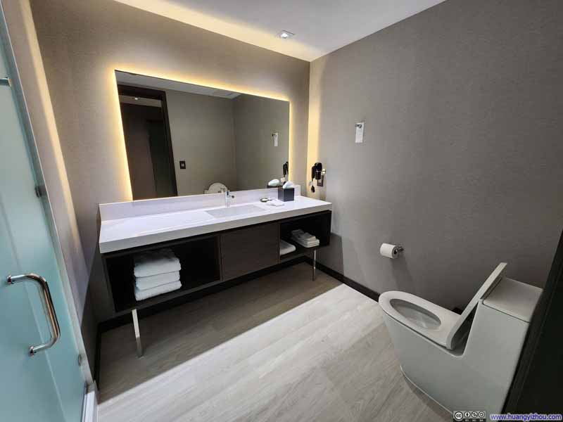
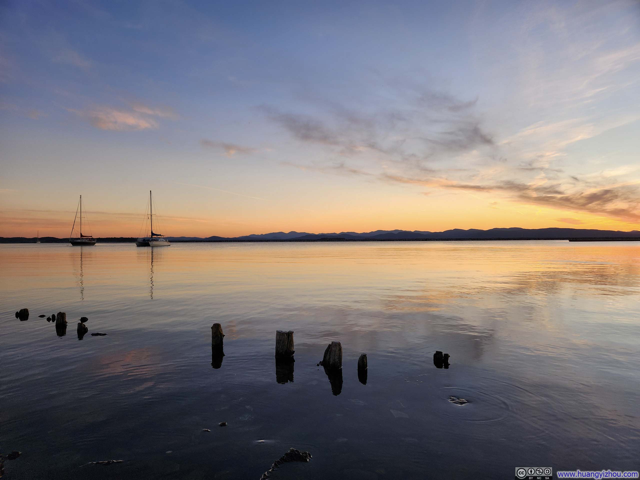
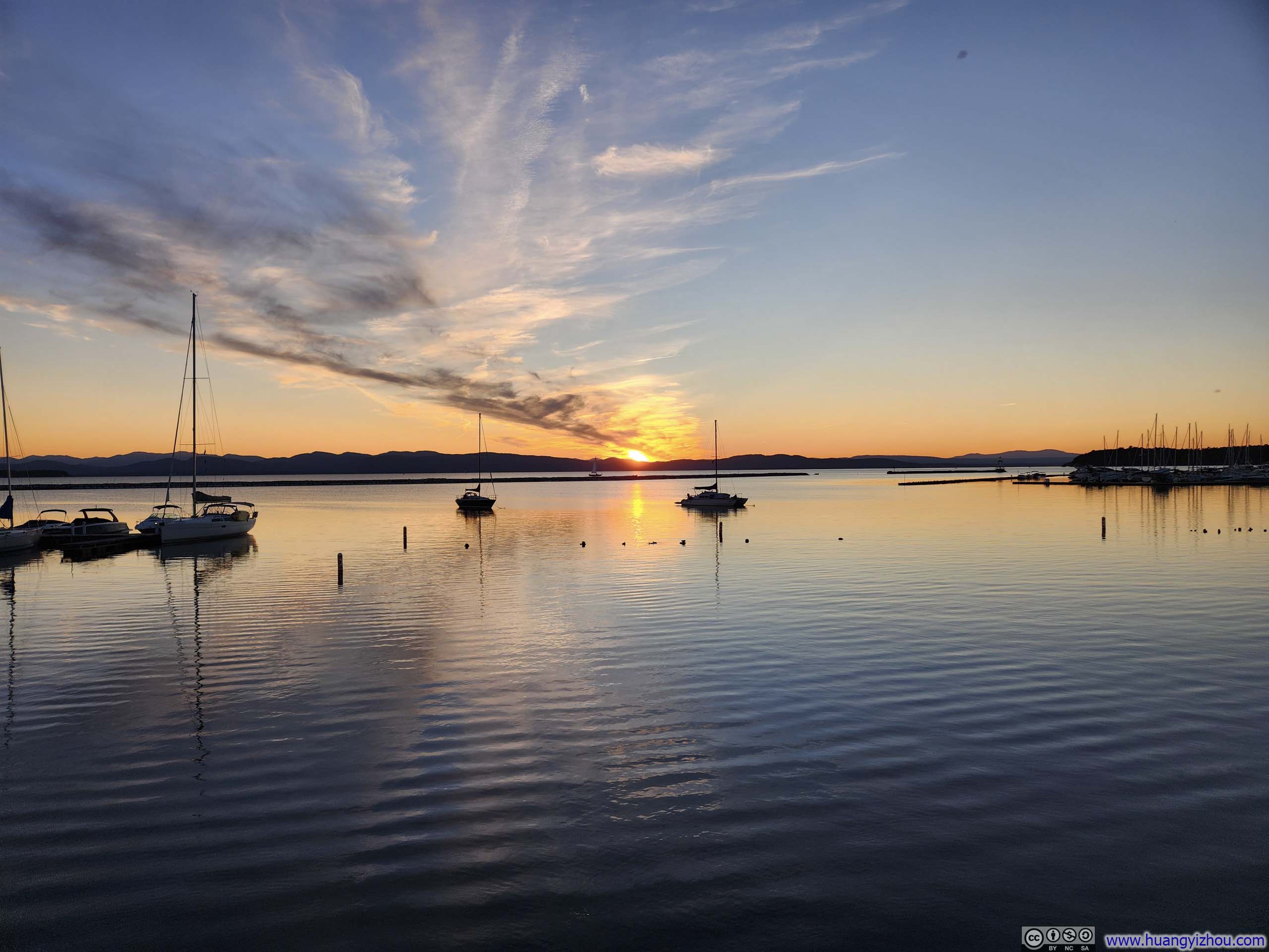
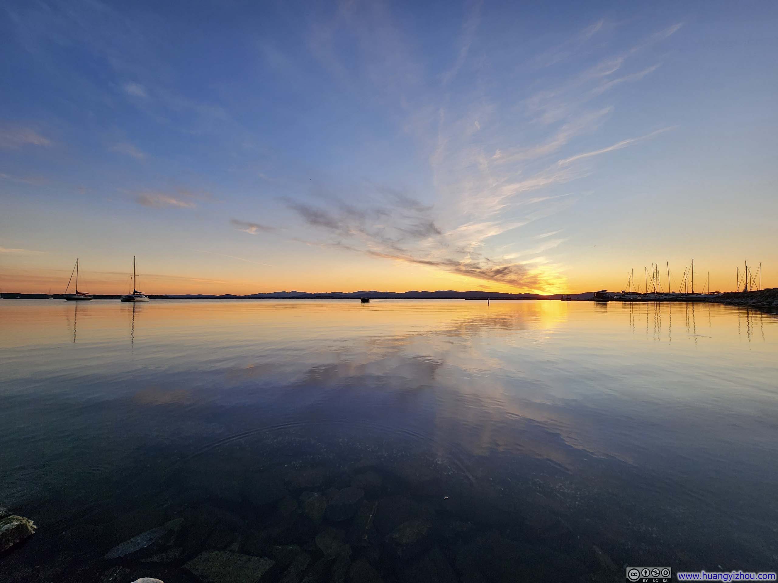
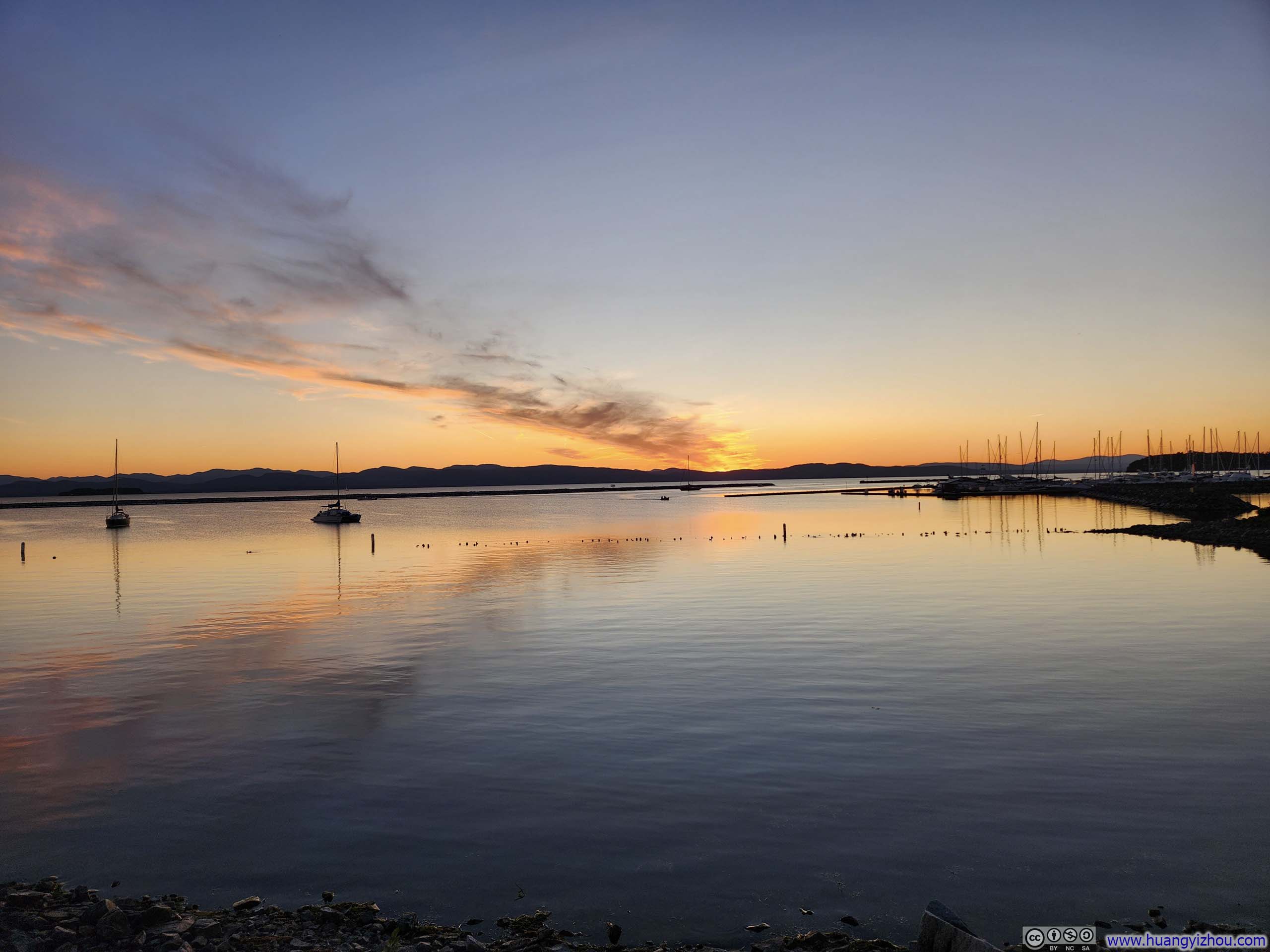
Just a short walk from the hotel room lay Burlington's waterfront, where I watched the sun slowly dip below the Adirondack Mountains, illuminating the horizon in an enchanting streak of gold that was perfectly reflected by the tranquil waters of Lake Champlain. Walking along the boardwalk lined with exquisitely maintained flowers, I couldn't help but appreciate the elegance of my surroundings.
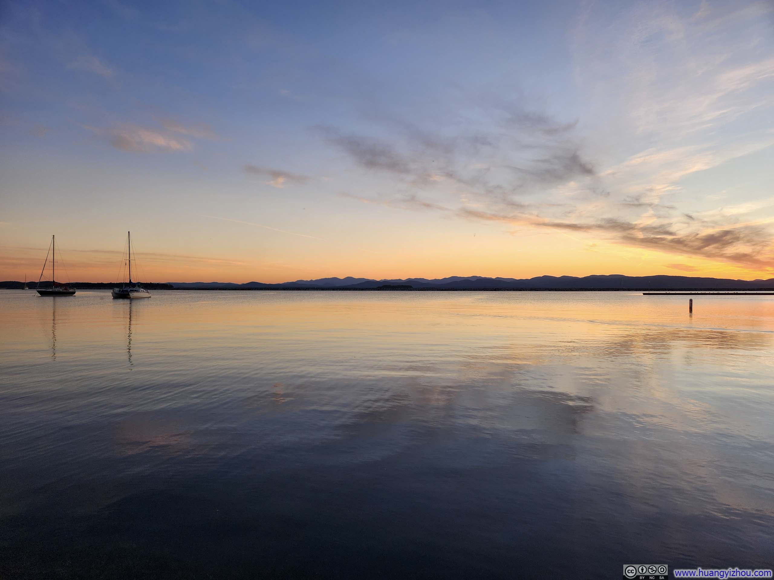
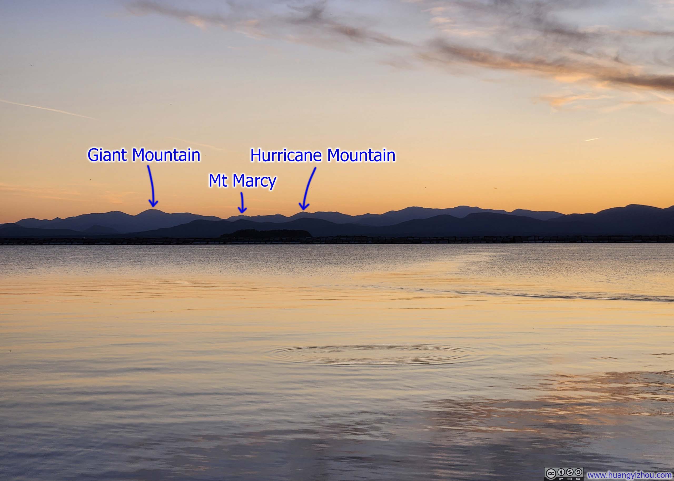
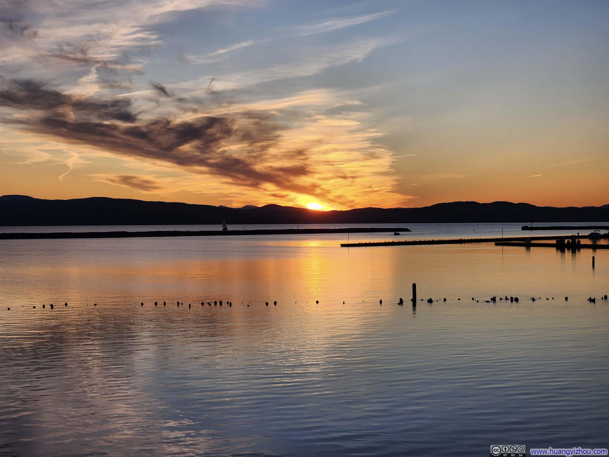




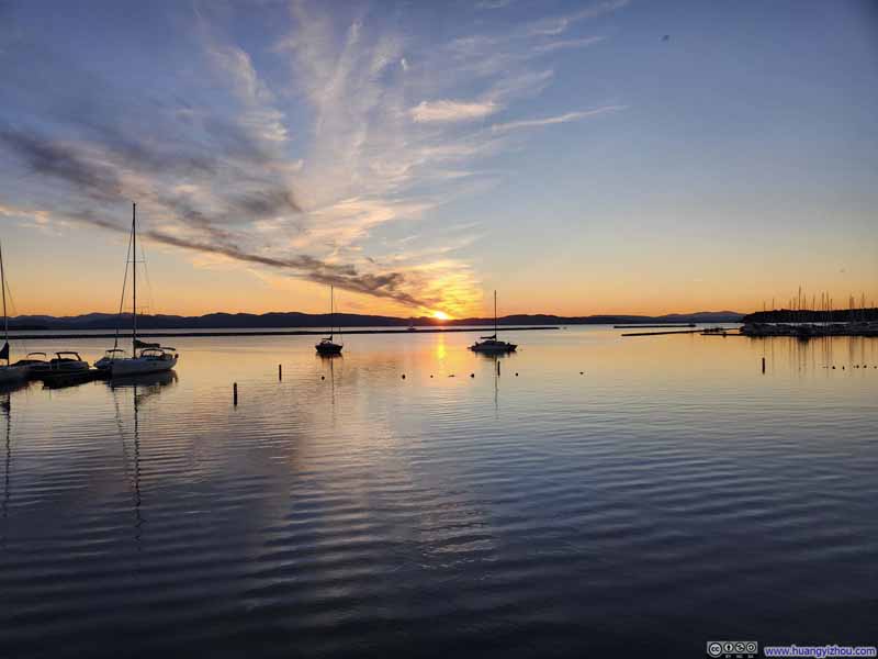
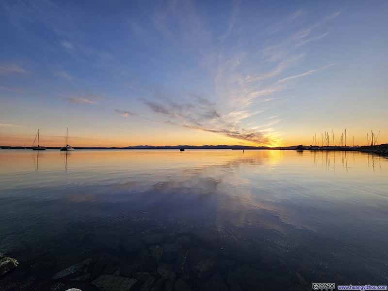
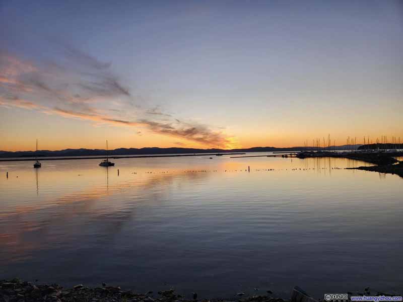
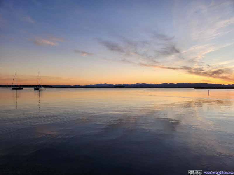
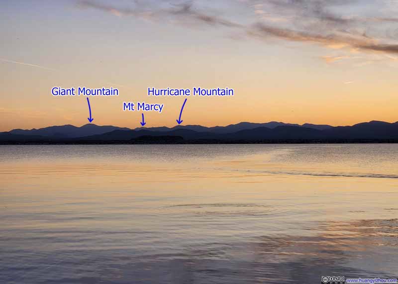
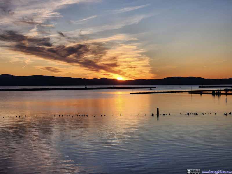
After darkness fell, I retraced my steps from the waterfront back to downtown Burlington, where the sense of historical elegance persisted. The streets bore traces of European charm—an atmosphere that I found very engaging.
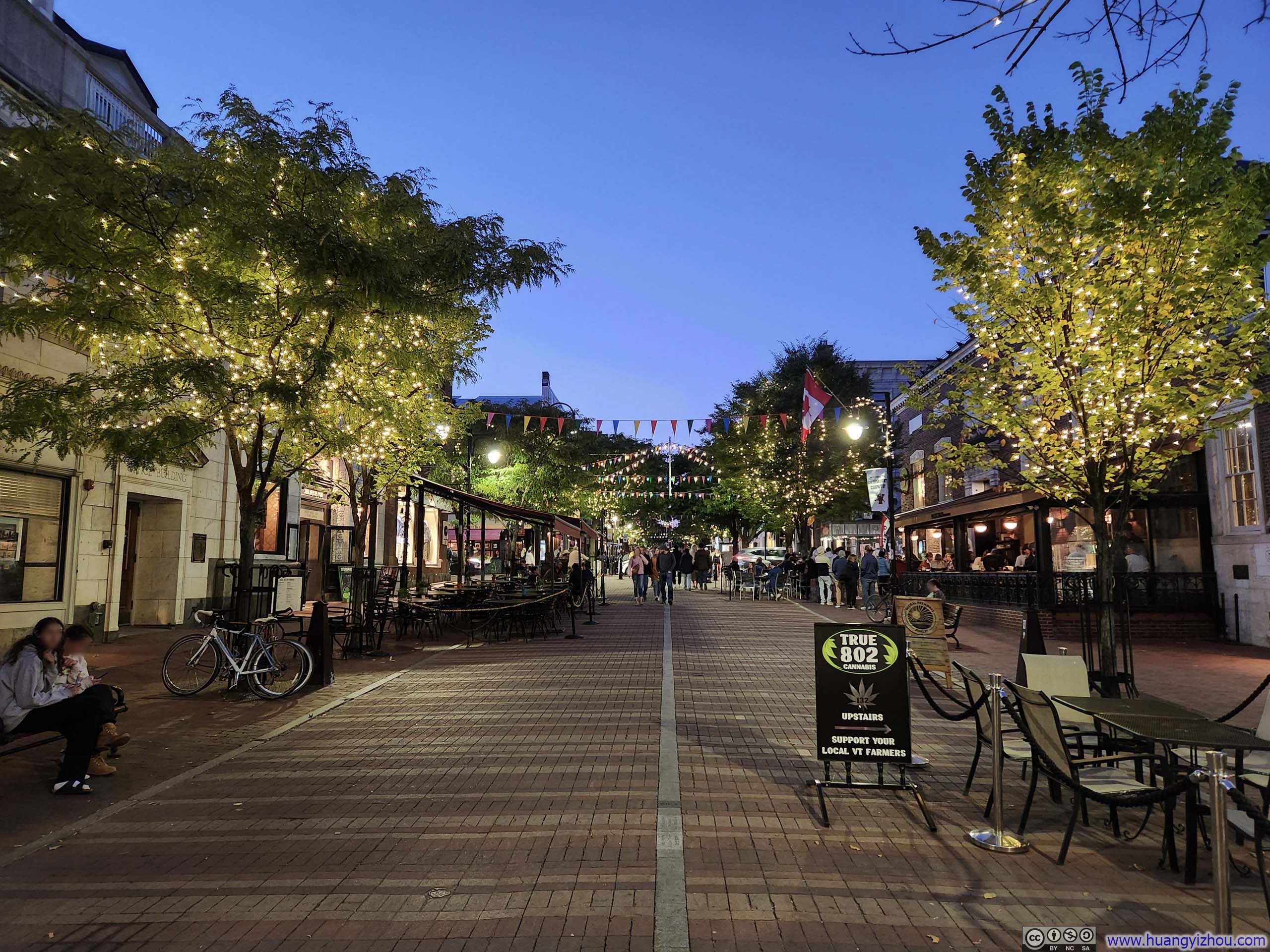
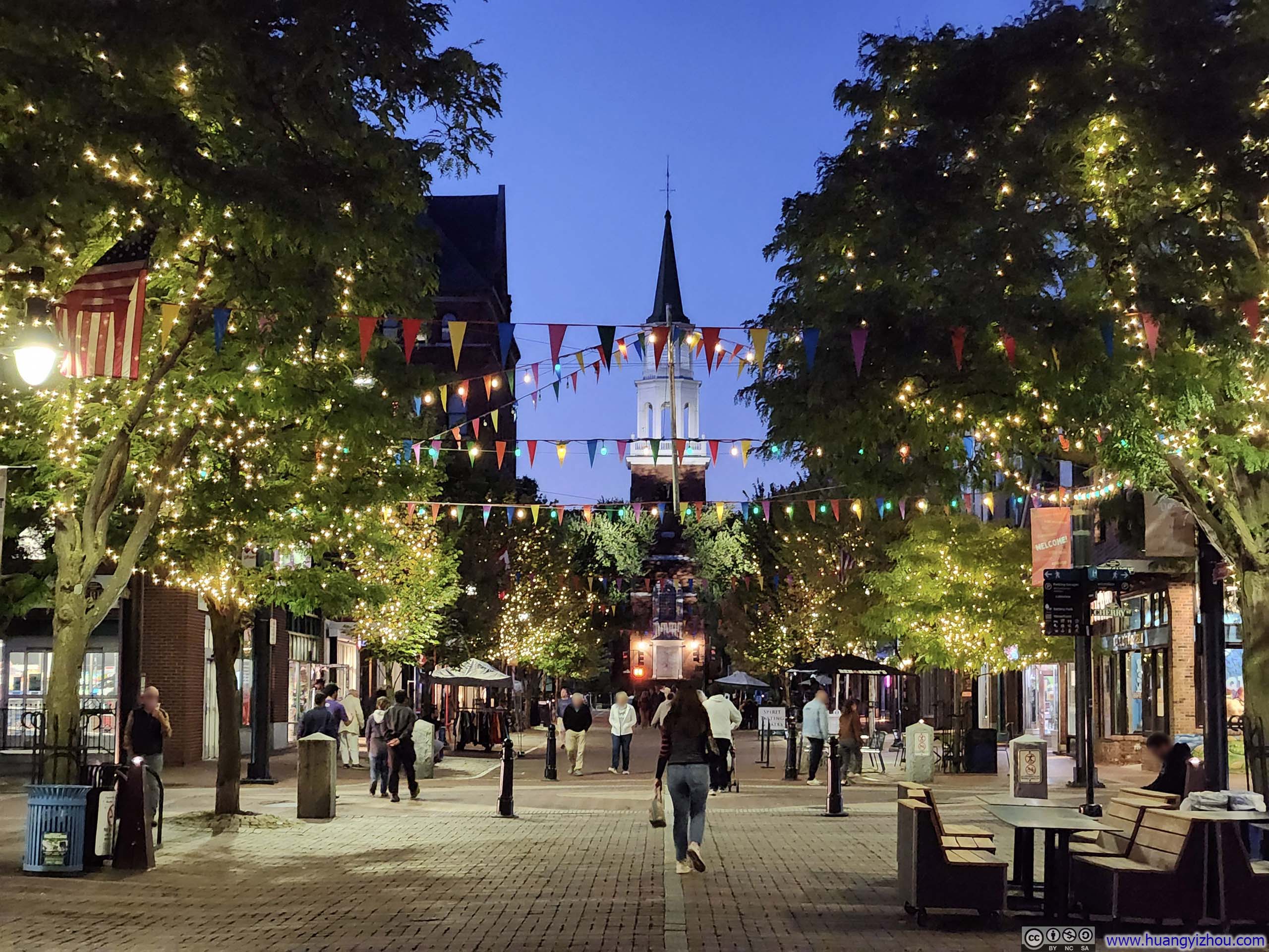
At the end of the street was First Unitarian Universalist Society of Burlington.
Fast forward to the morning of Sunday, September 21, I insisted on finishing watching Formula 1's Baku Grand Prix before leaving the hotel, and a leisurely brunch en route meant I didn't reach Mt. Mansfield's trailhead (in Underhill State Park) until noon.
The park's official parking lots held about 50-60 cars, which were completely full upon my arrival. In addition, the park allowed parallel parking along its access road as overflow parking. Parking fees operated on an honor system.
It was believed that the contours of Mt Mansfield resembled a person's face, and along its summit ridge, subtle variations in elevation corresponded to different facial features—the forehead, nose, upper and lower lips, and chin. Approaching from the west, I struggled to discern these features (though they're said to be best recognized from the east).
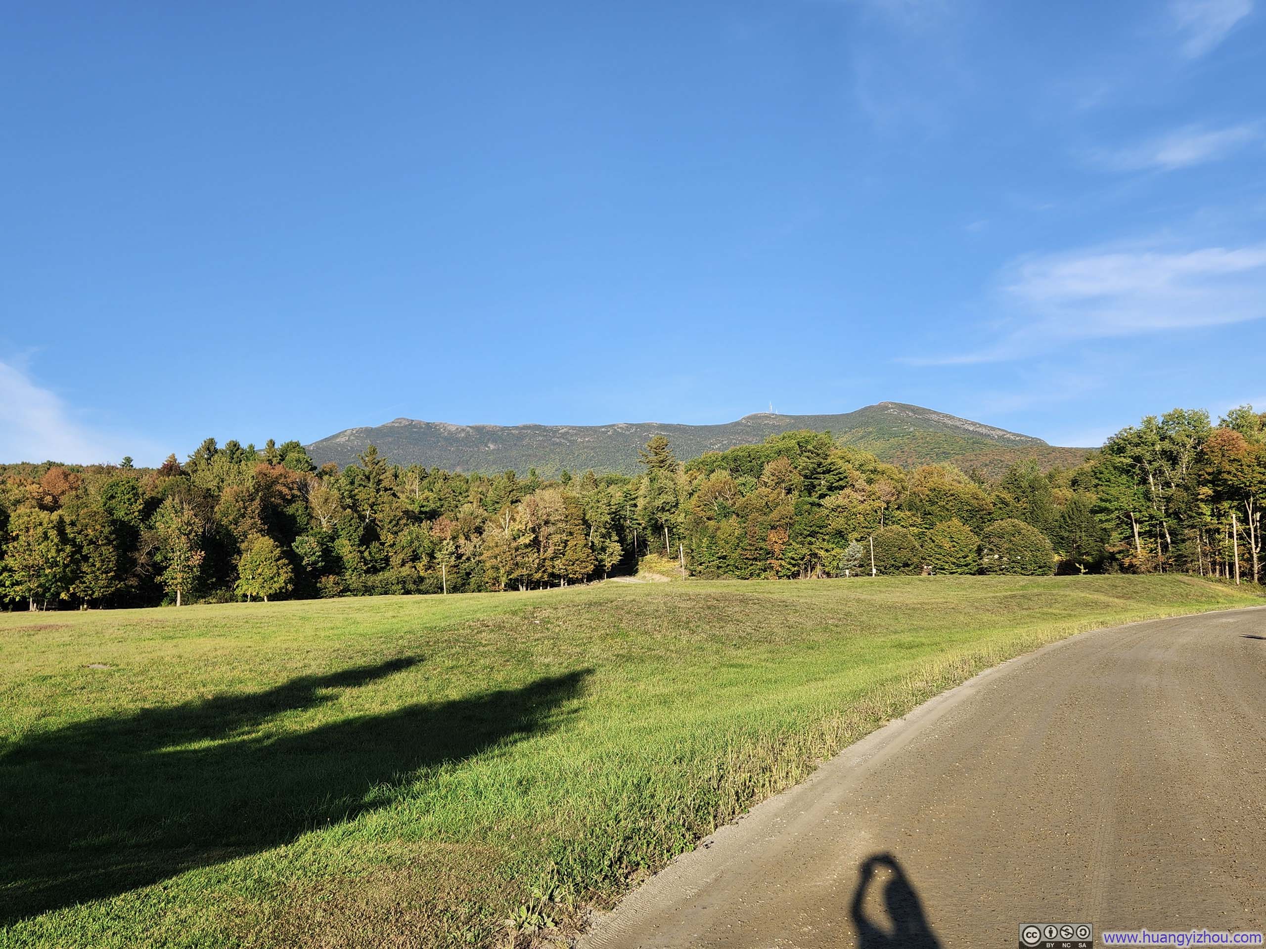
A wealth of trail networks crisscrossed Mt Mansfield and its surroundings. I selected a loop route (AllTrails link), tackling it counterclockwise: ascending to "The Forehead" via Maple Ridge, then descending Mt Mansfield along Sunset Ridge. Maple Ridge struck me as the more technical of the two, making it the wiser choice for the ascent. This direction also allowed me to traverse the summit ridge from south to north, keeping the sunlight at my back and the scenery well-lit in front of me.
Here's GPS tracking of my hike:
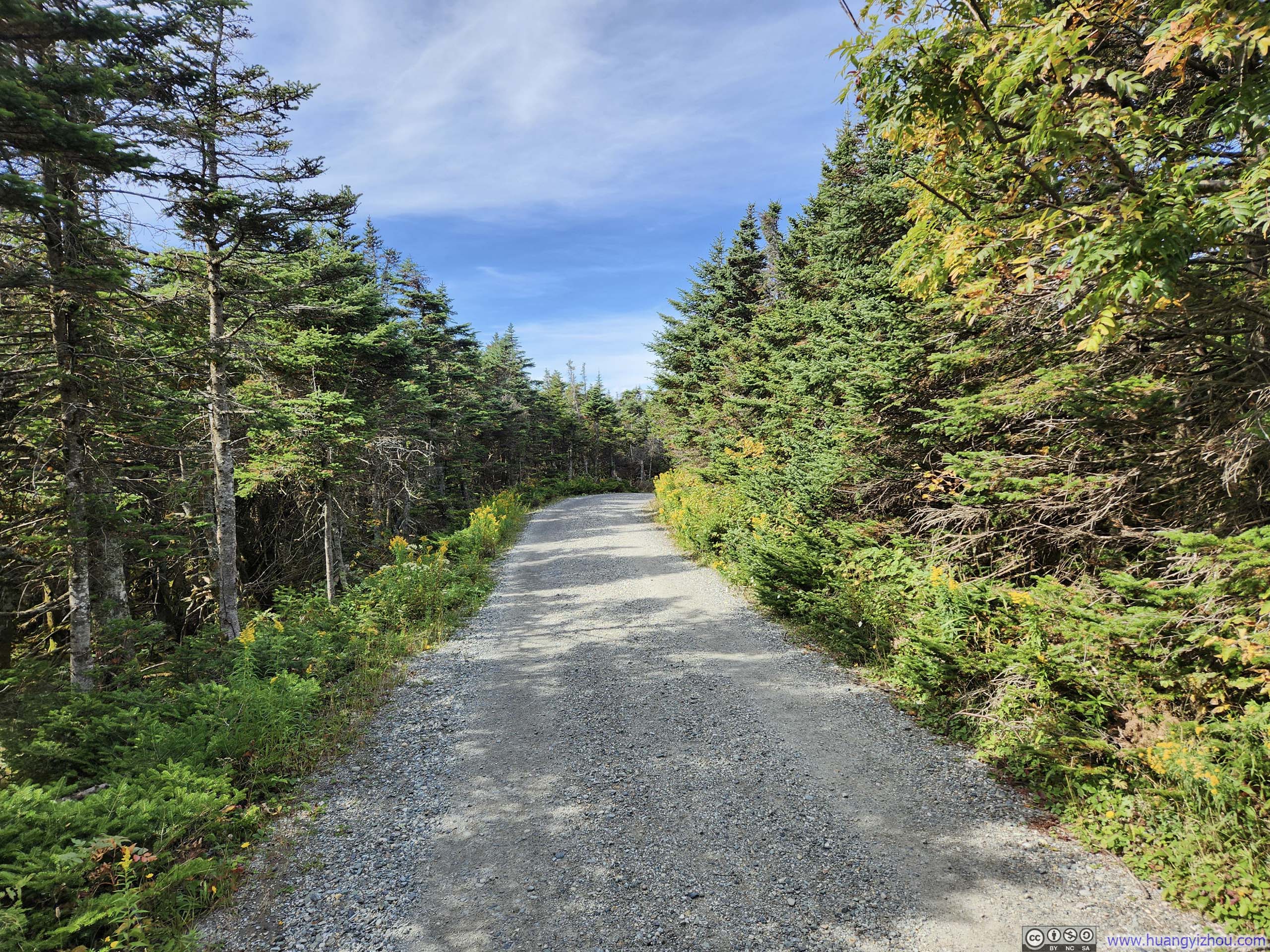
The trail started out interleaving with the gravel CCC Road, until it reached a T-junction where I made the counterclockwise decision and turned right. From that point forward, though still designated as CCC Road, it narrowed considerably—wide enough perhaps for off-road bikes, but little else.
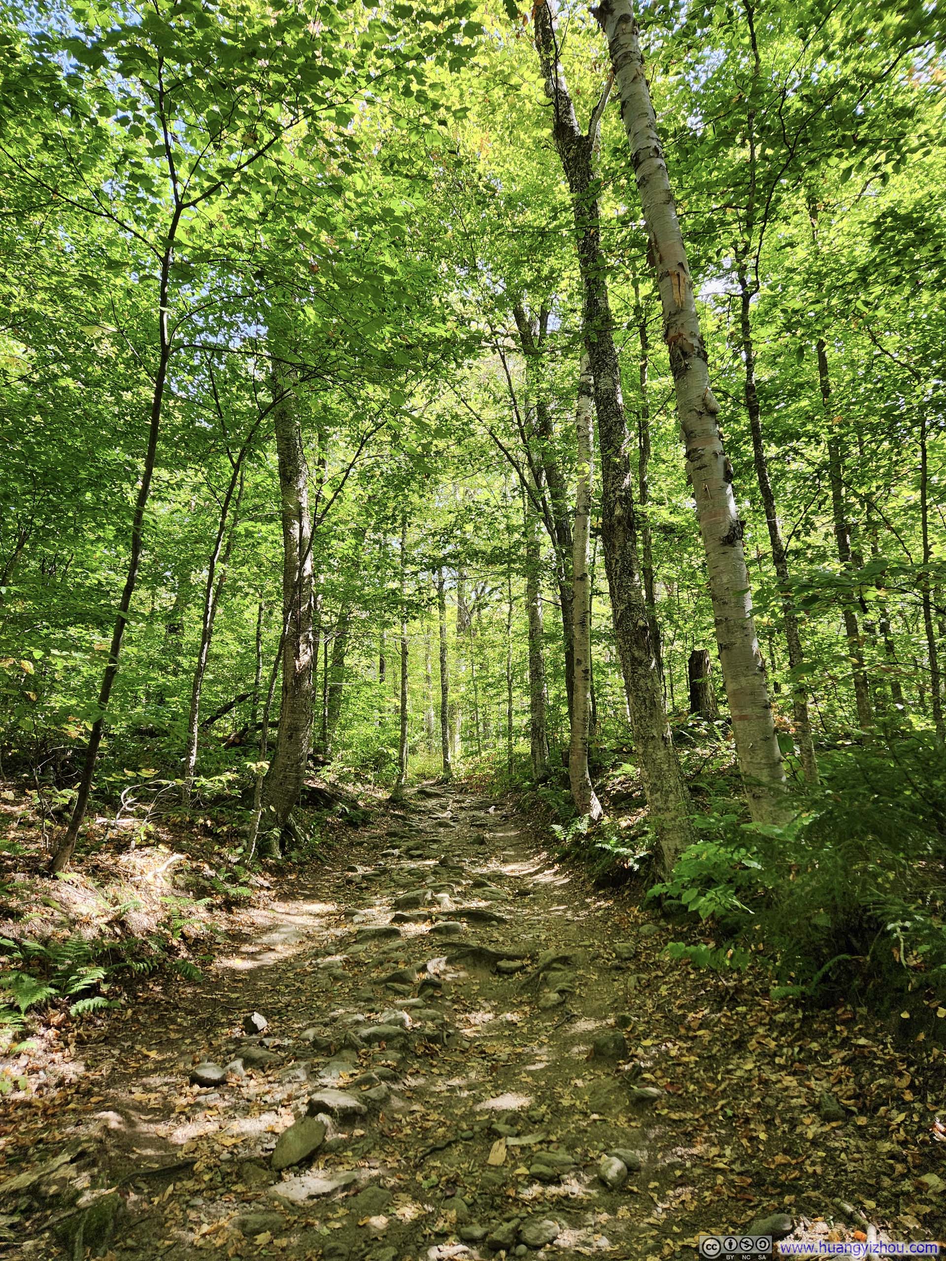
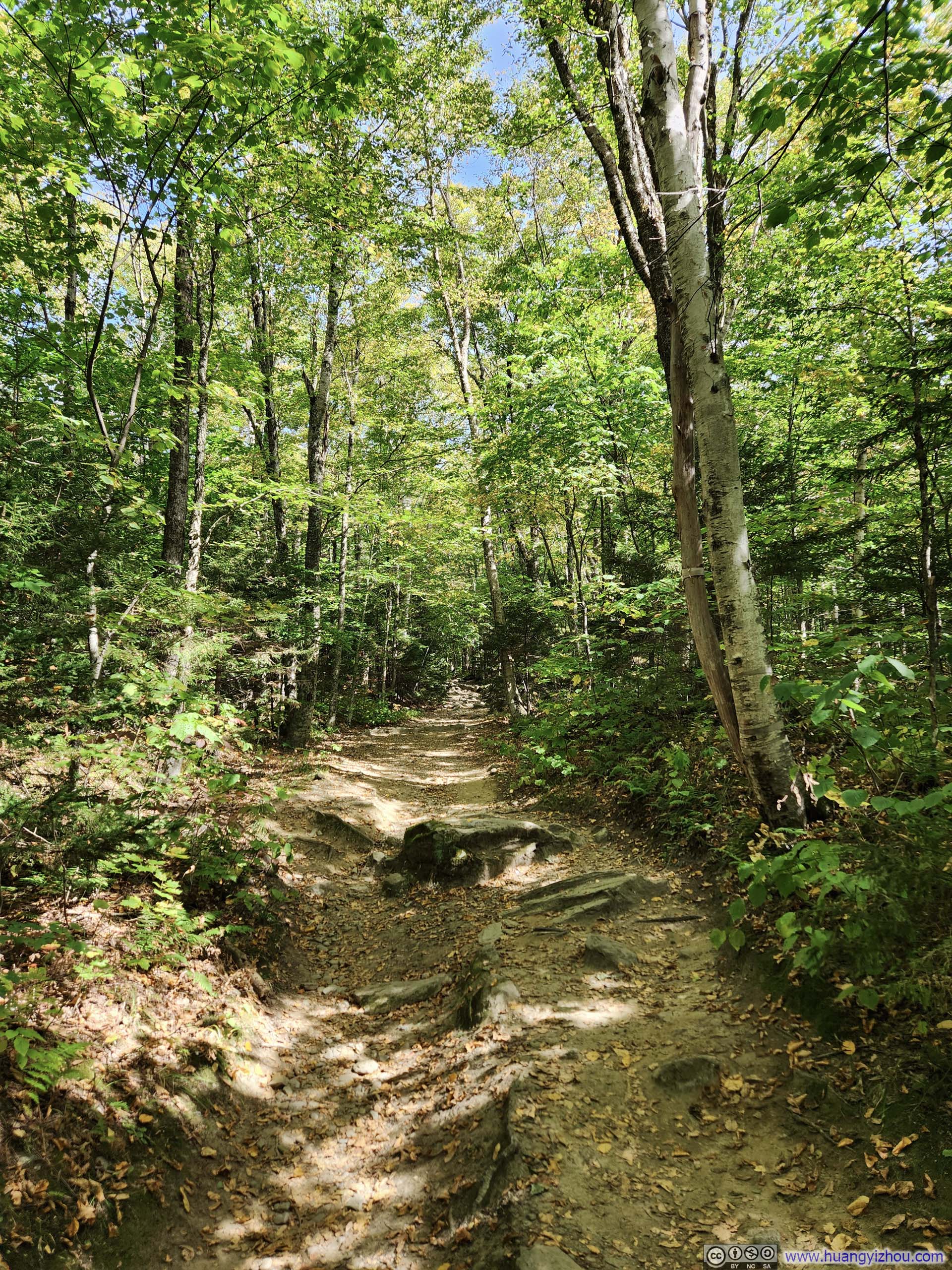
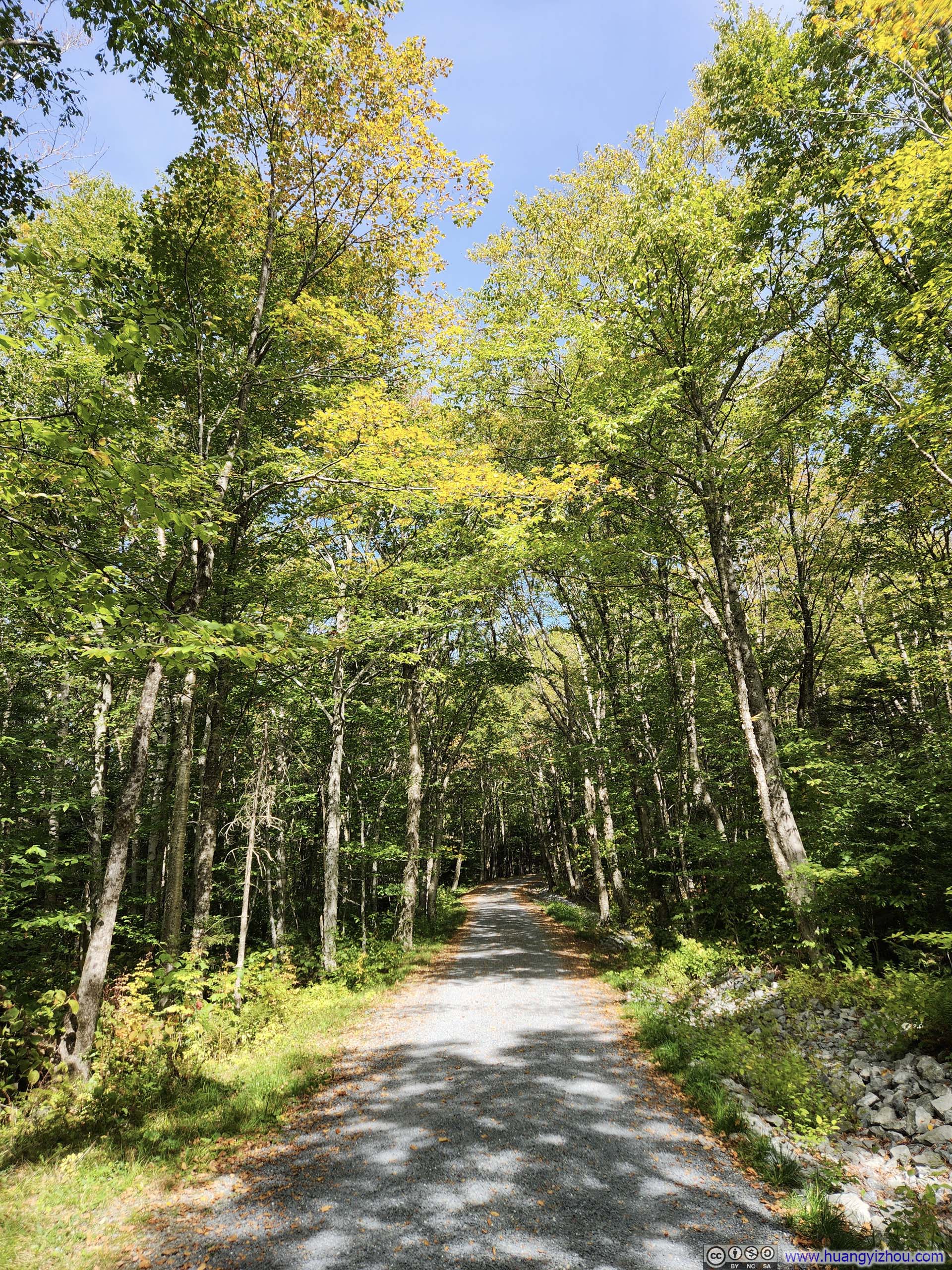
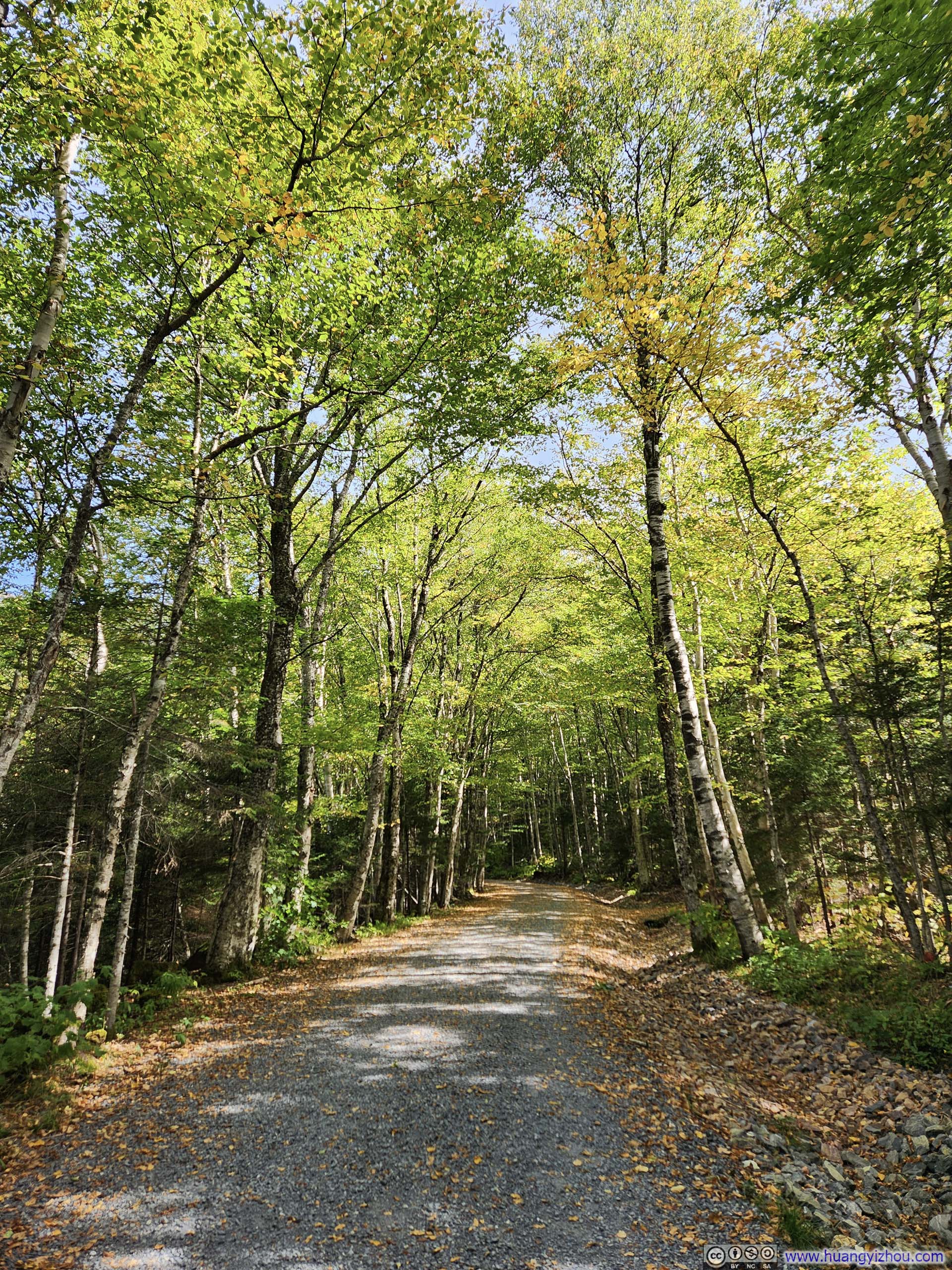
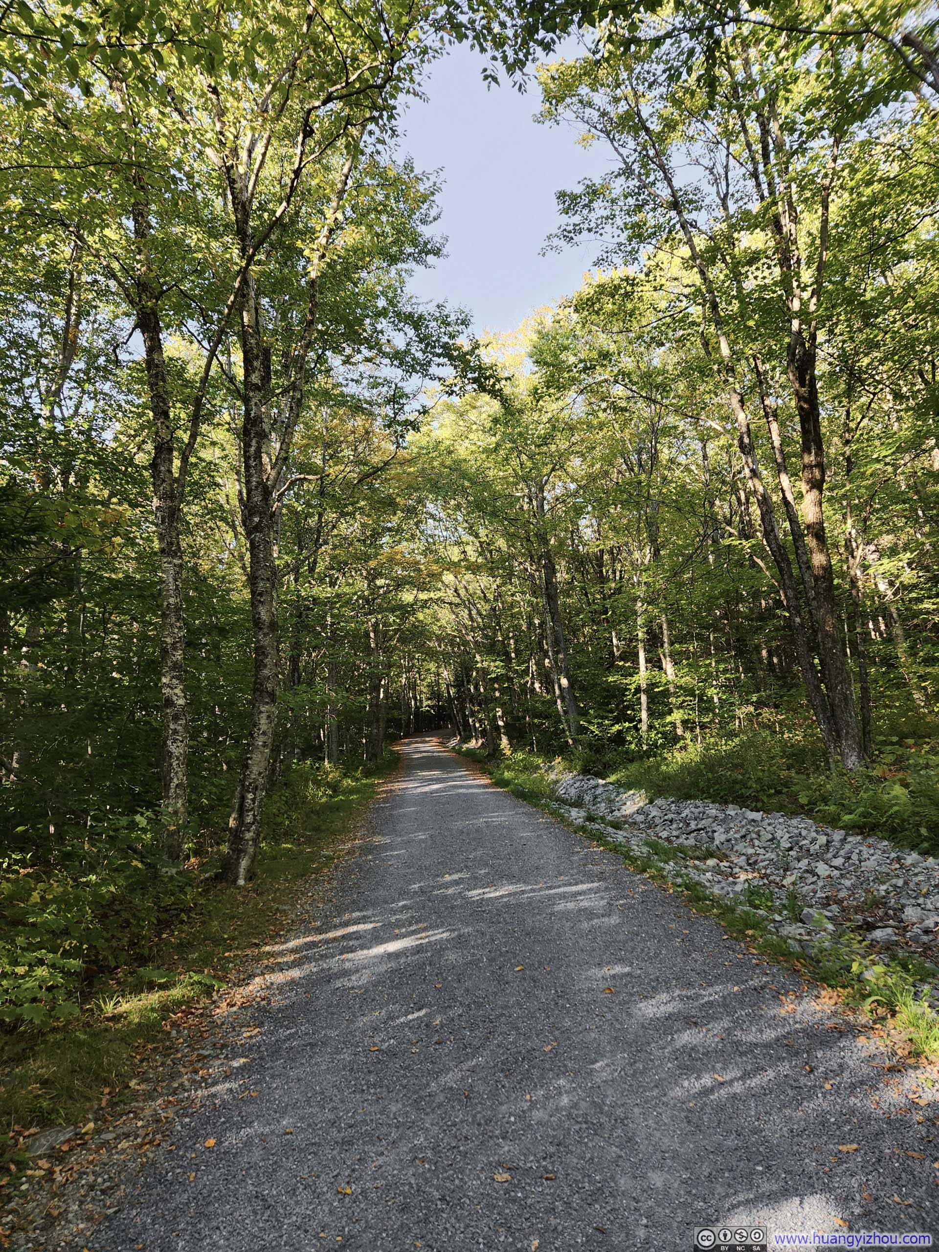
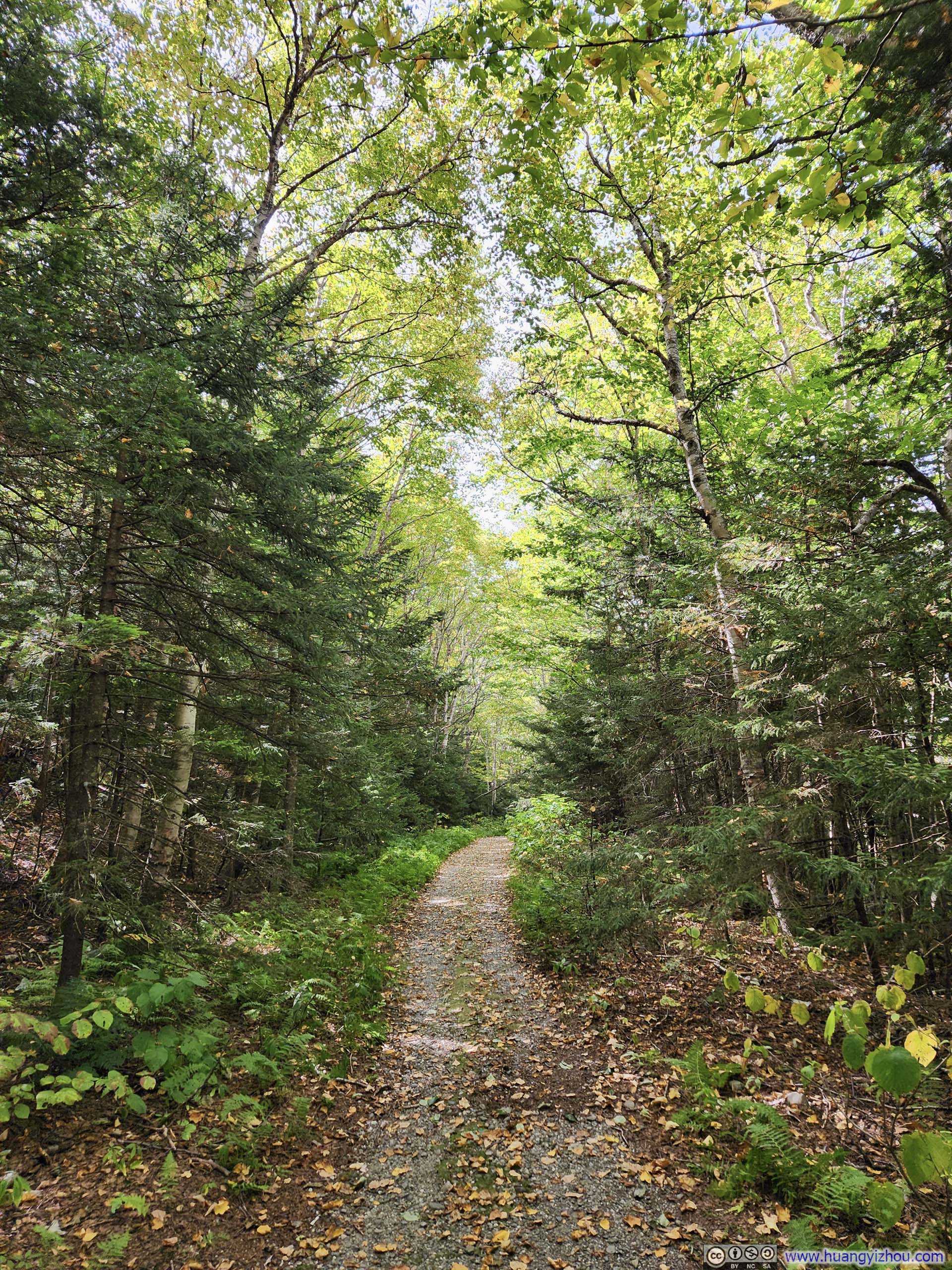
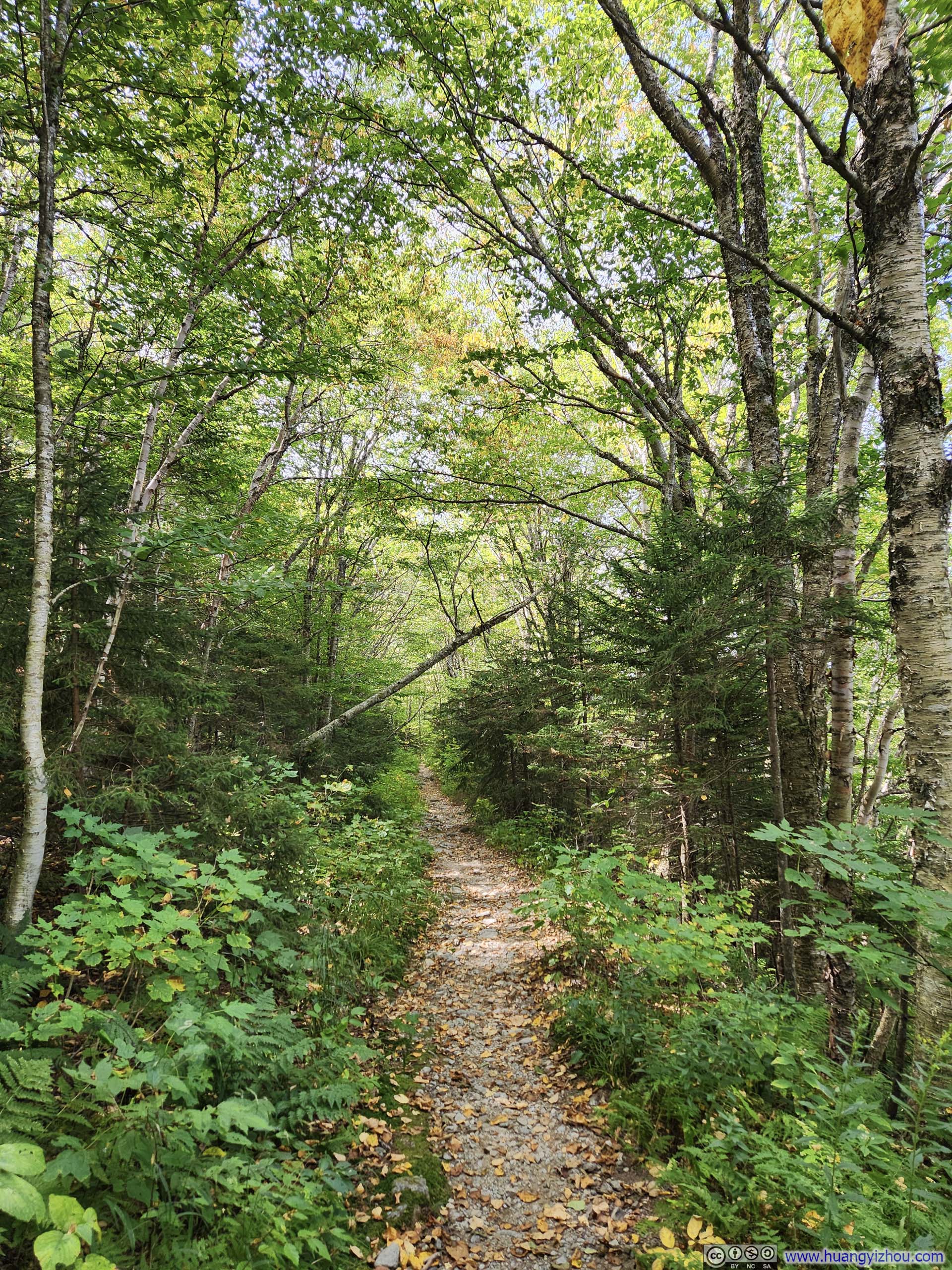
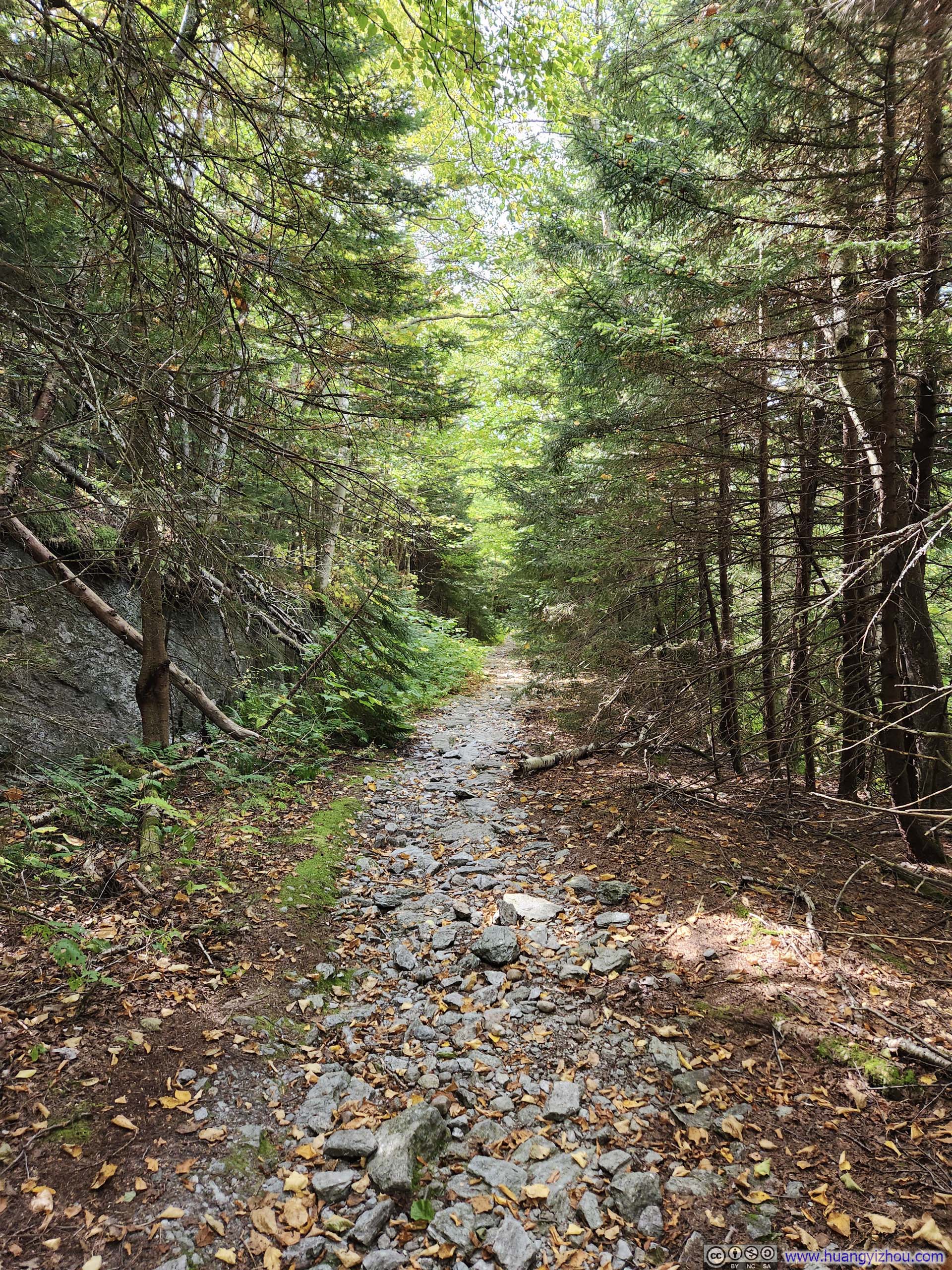
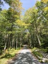
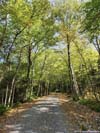
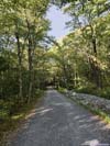
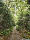
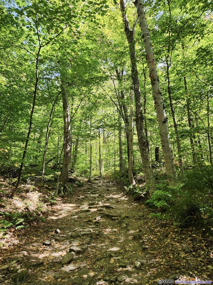
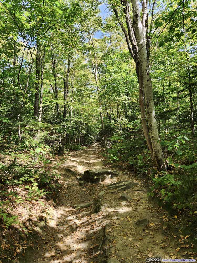
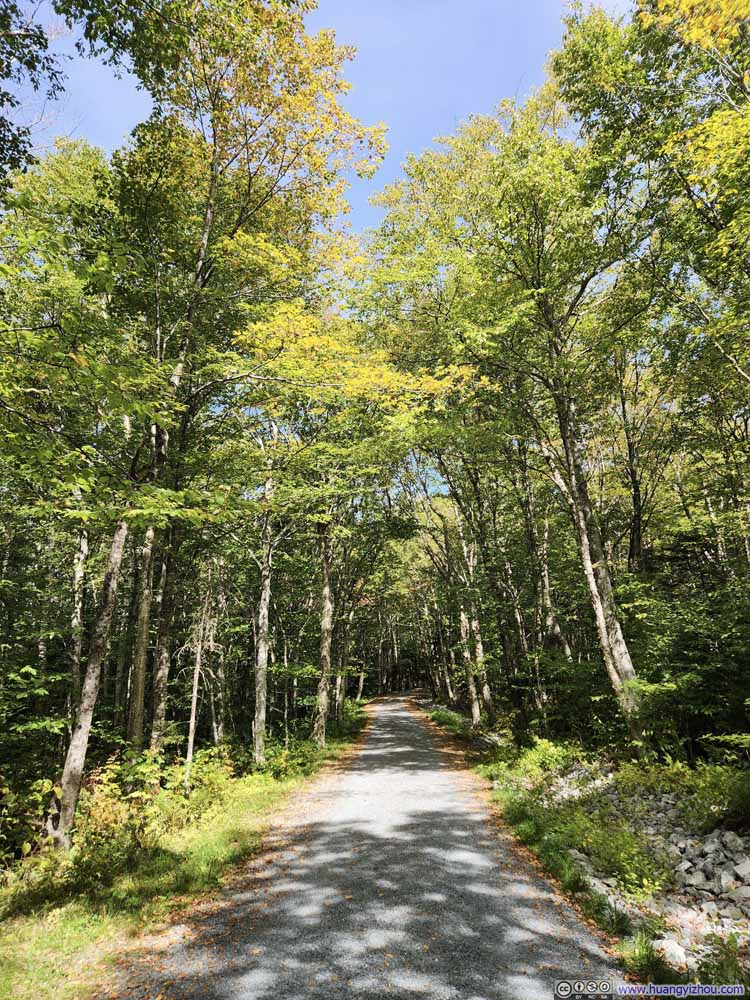
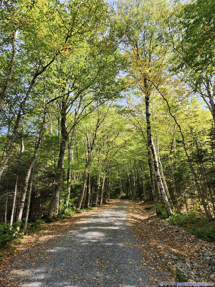
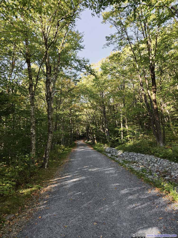
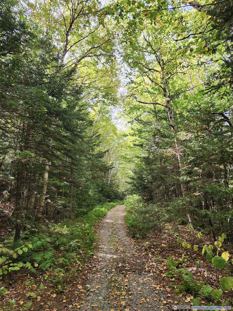
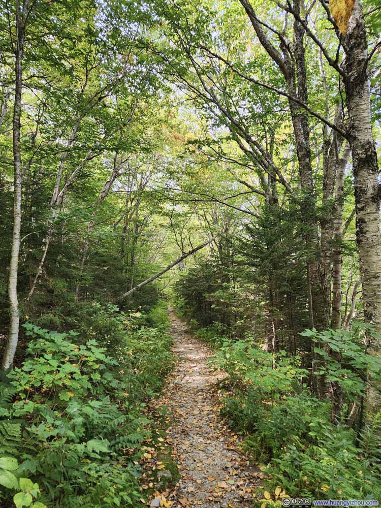
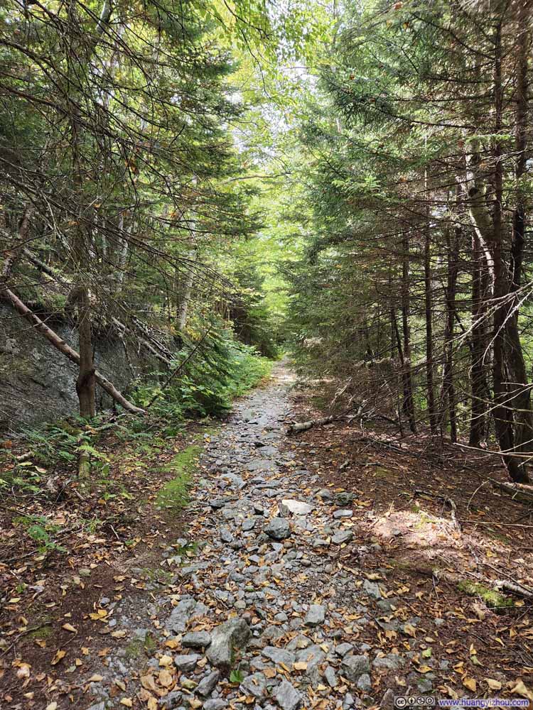
Just under an hour since leaving the trailhead, I reached the intersection with Tear Drop Trail. Since which point, Maple Ridge Trail started gaining elevation rapidly.
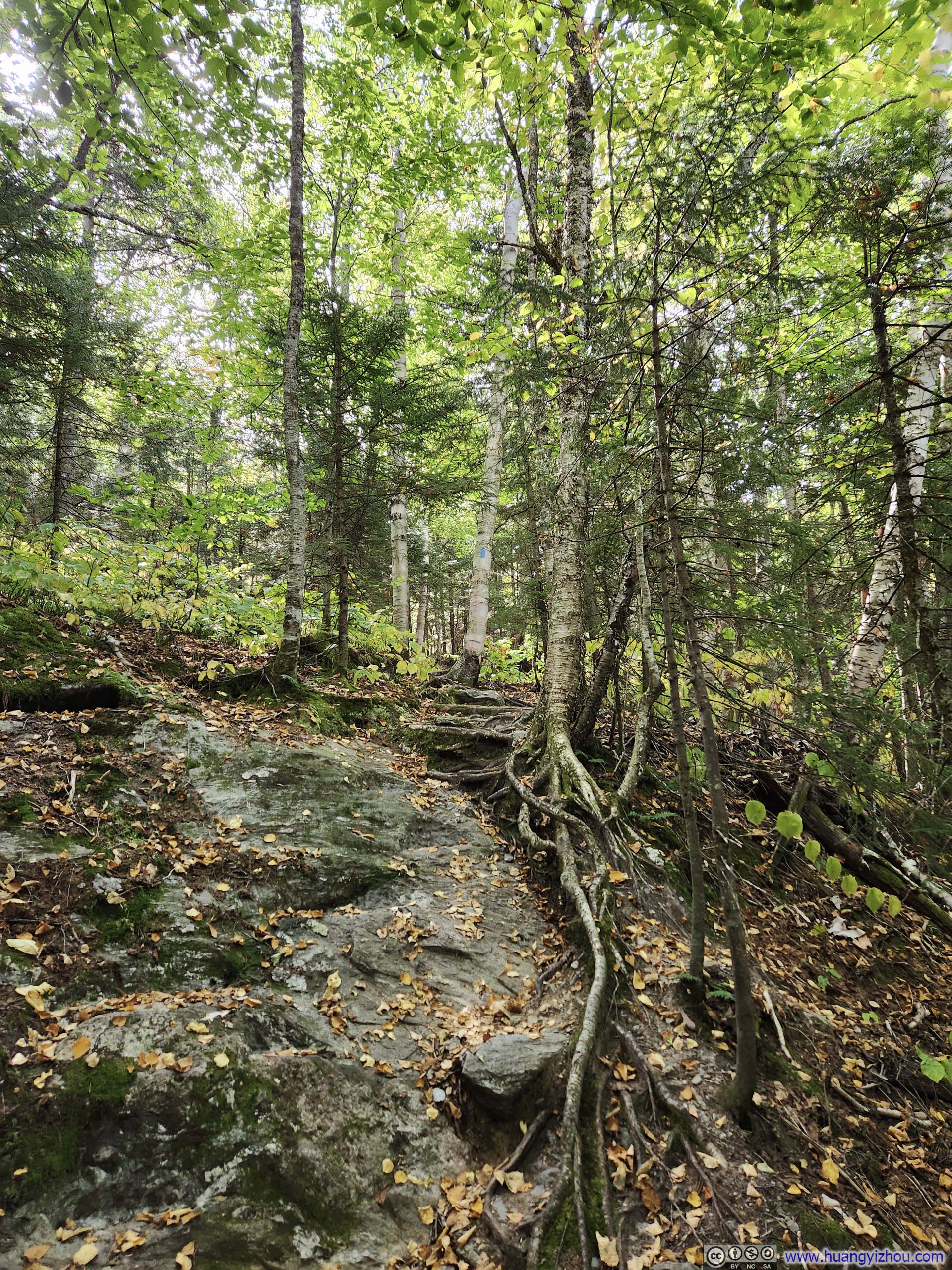
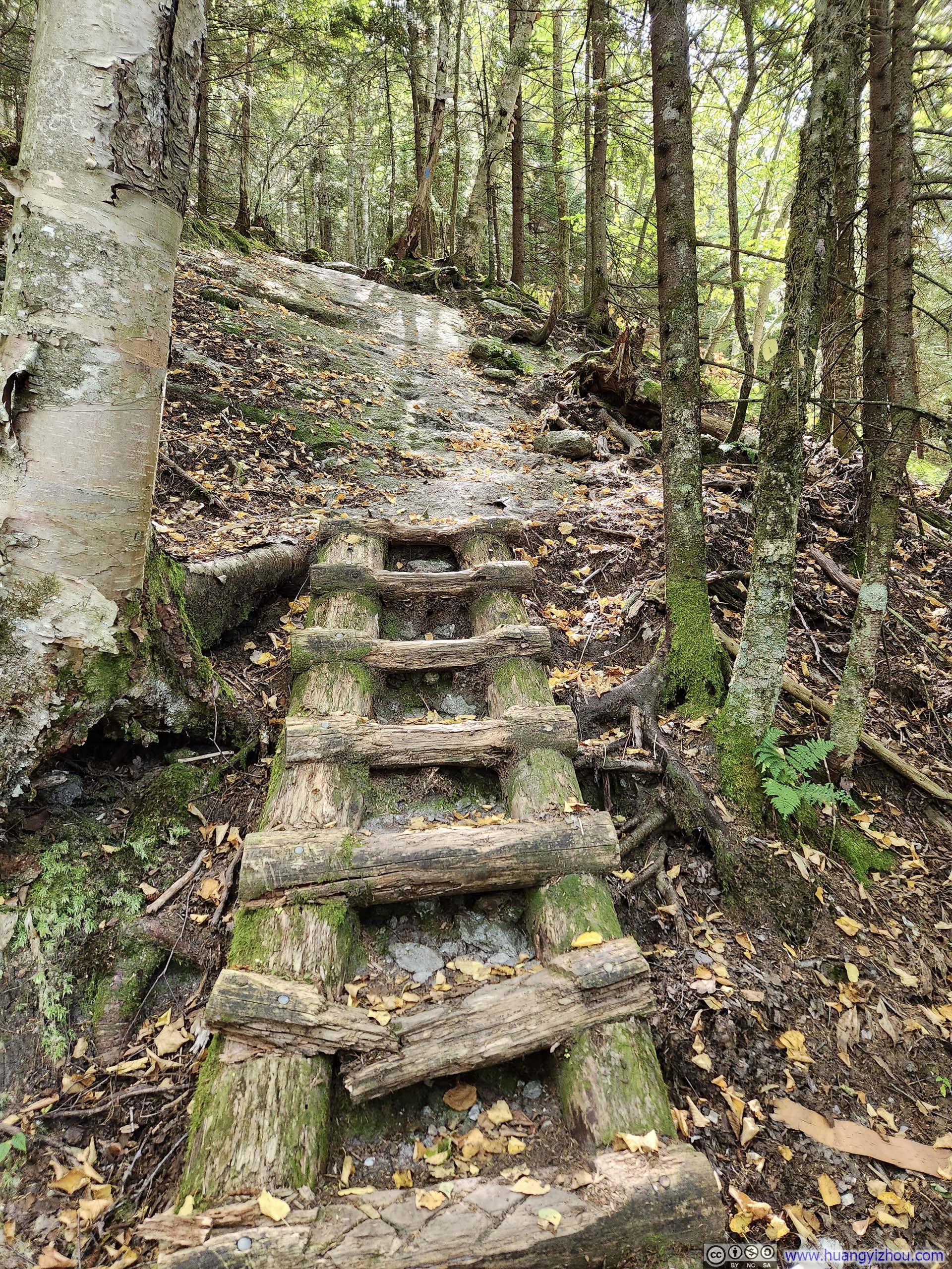
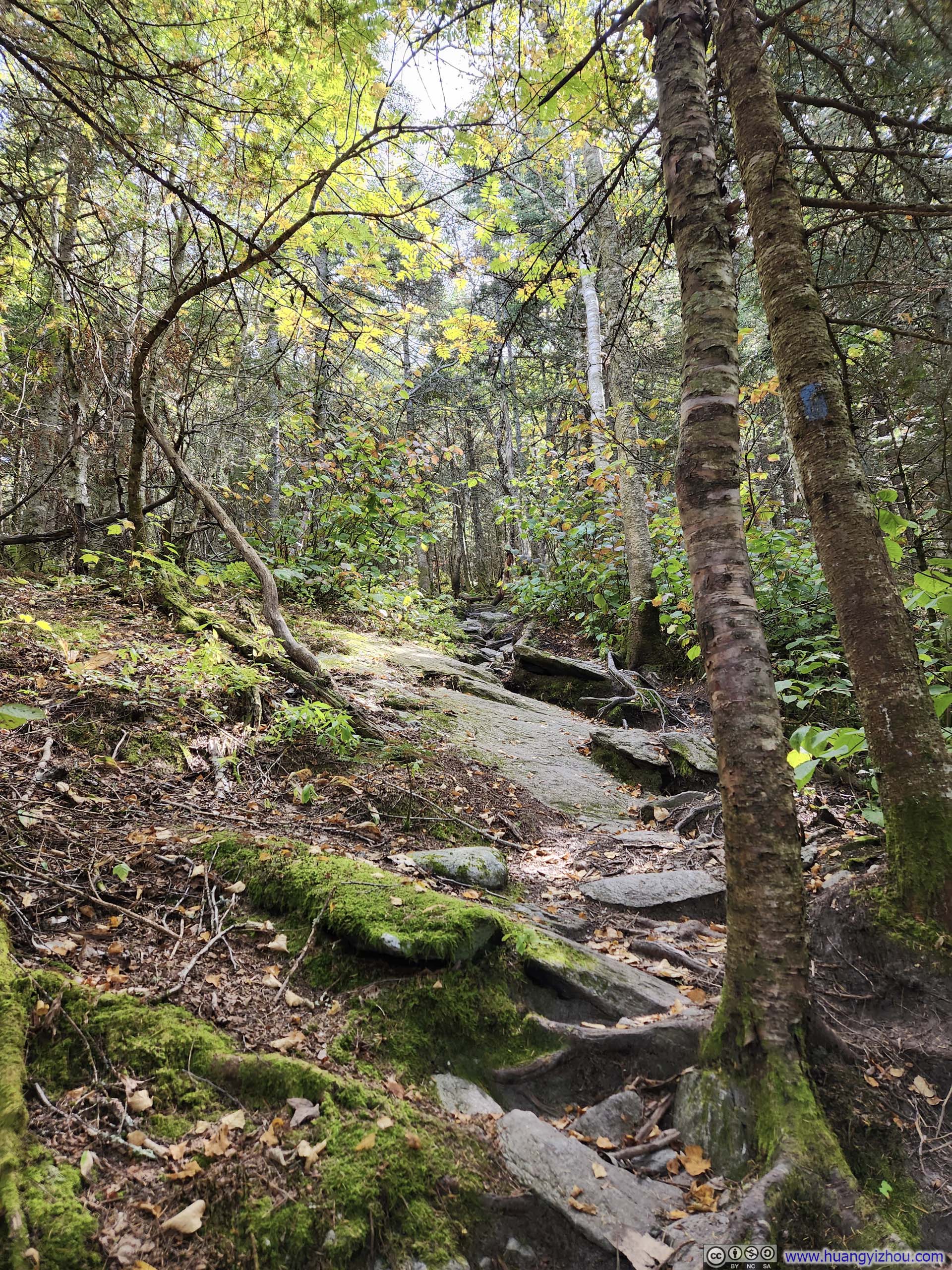
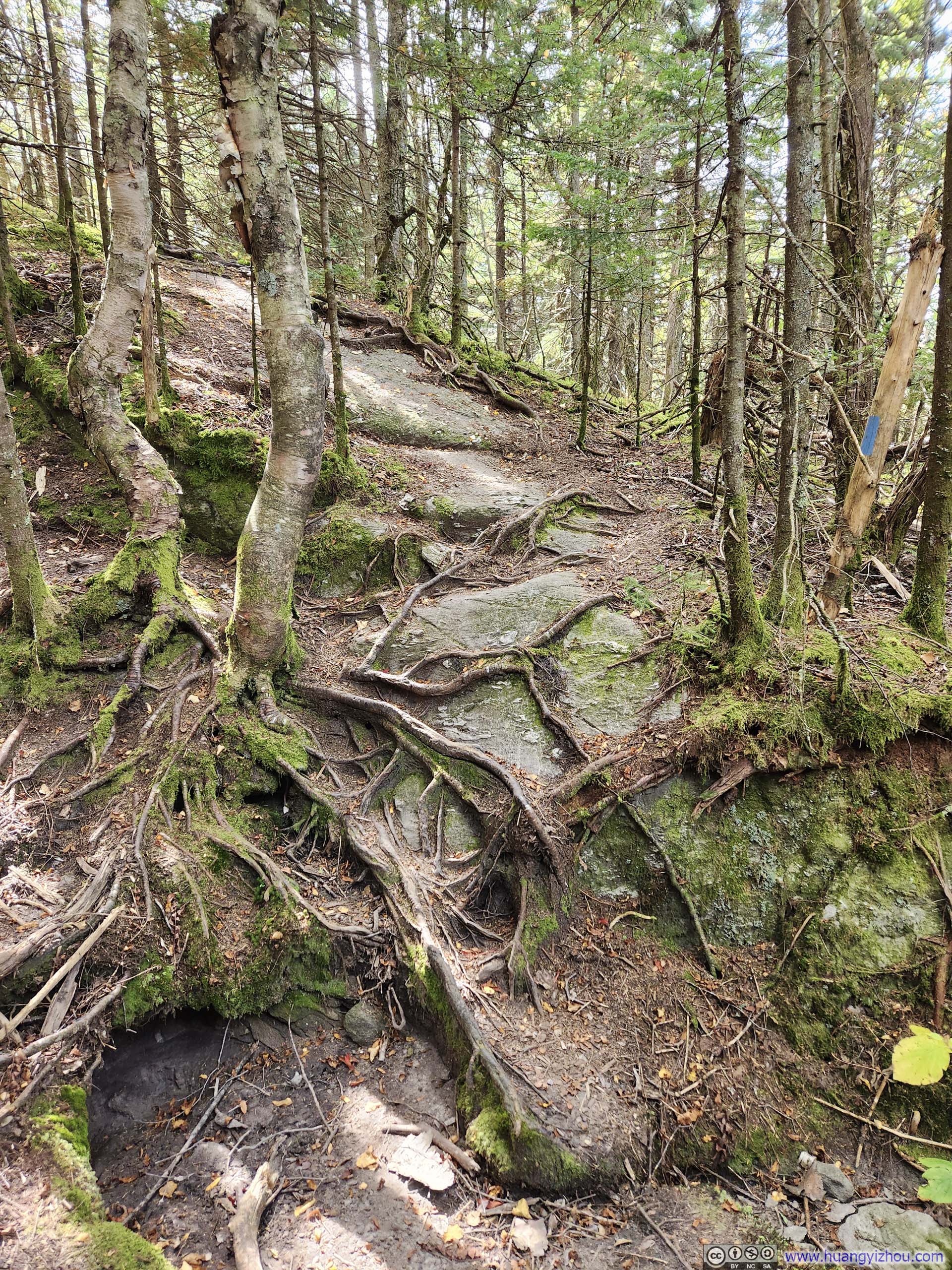
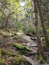
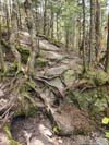
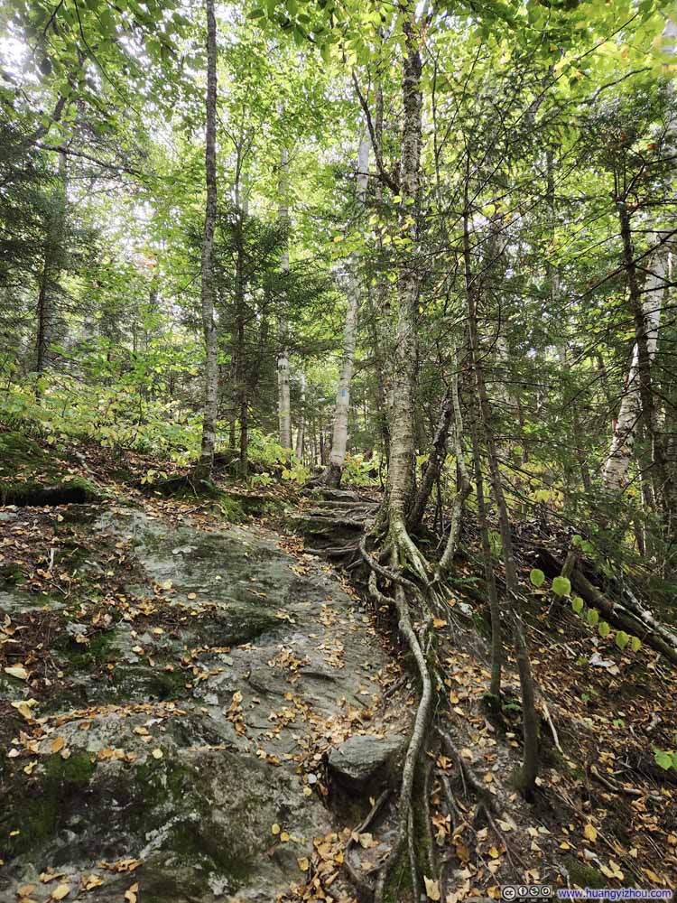
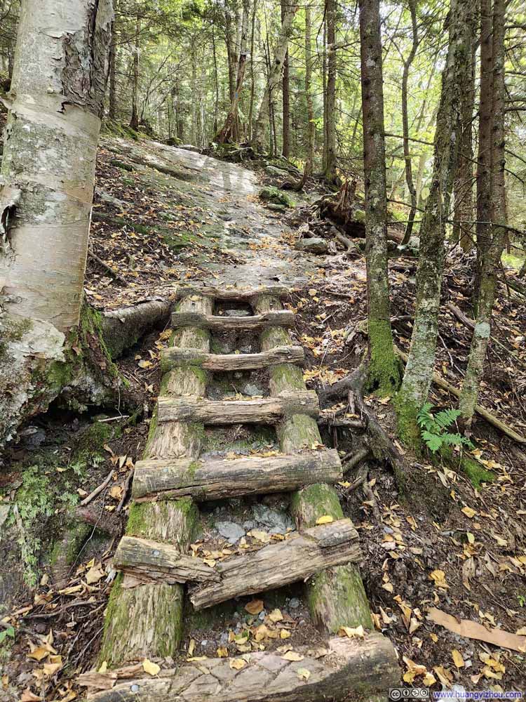
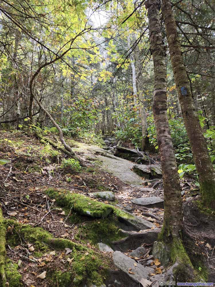
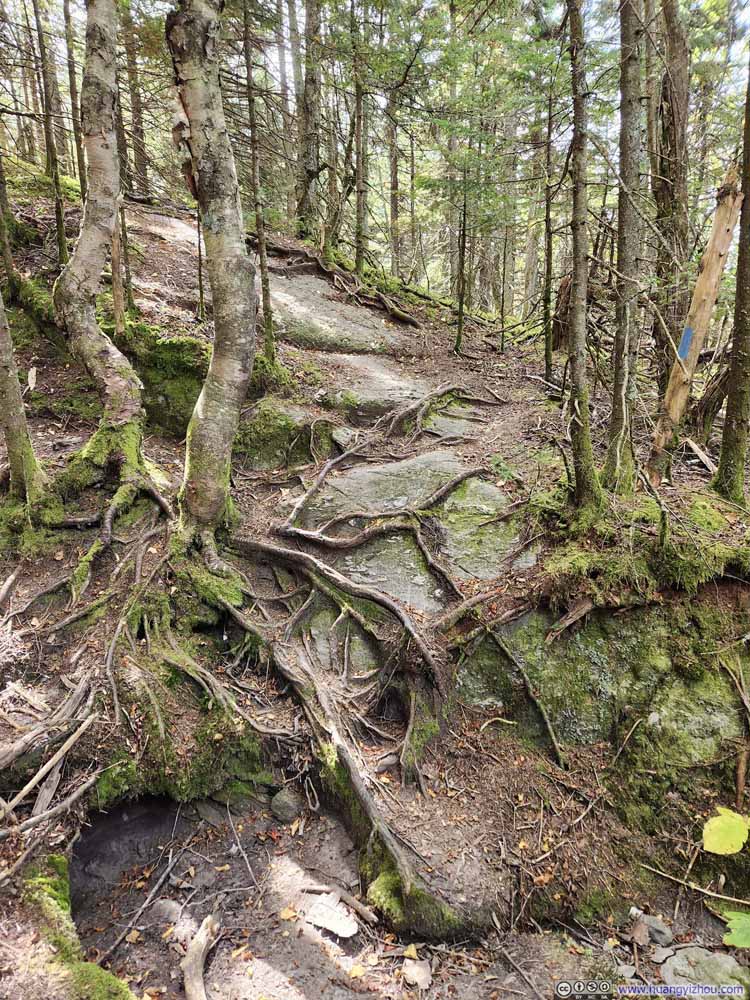
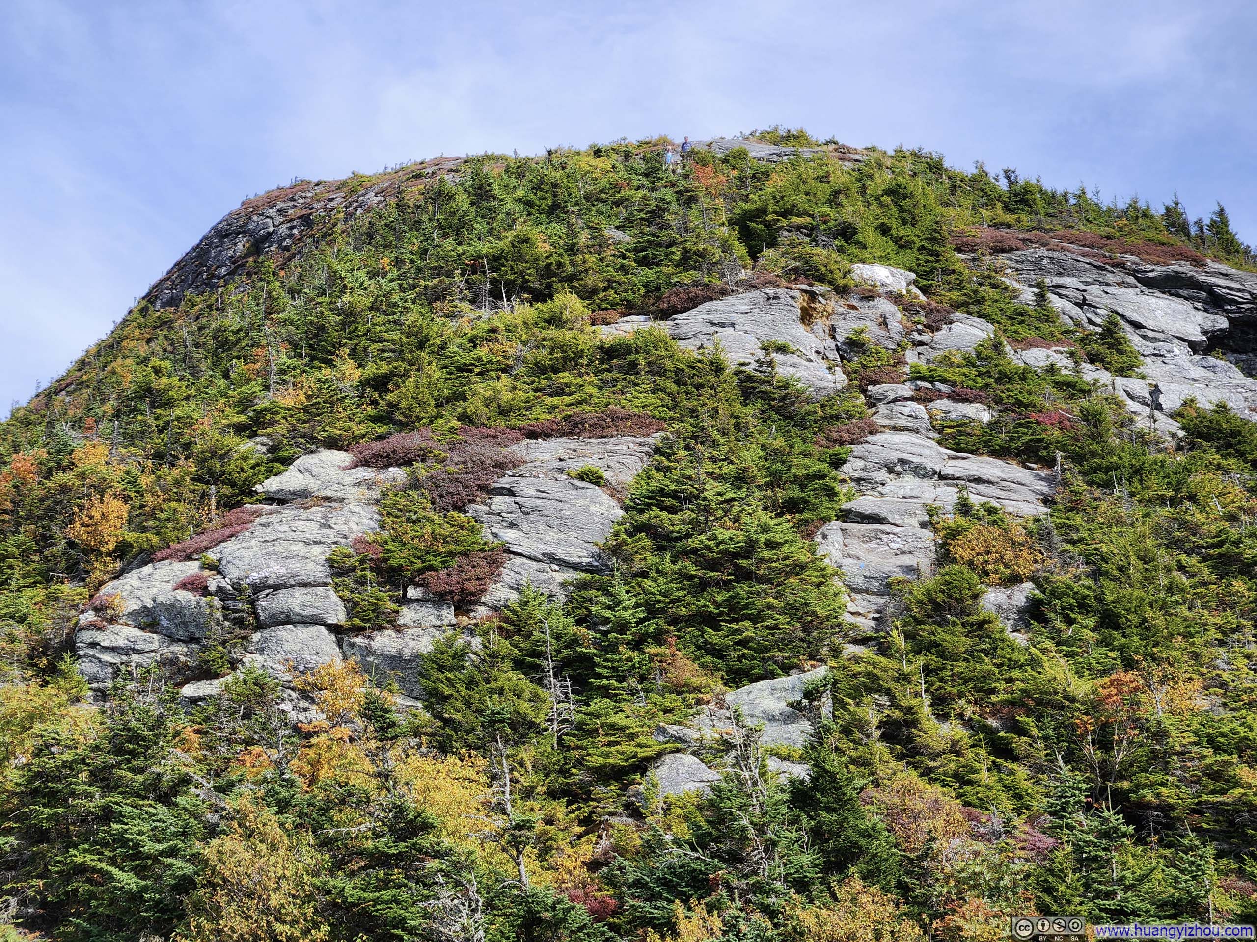
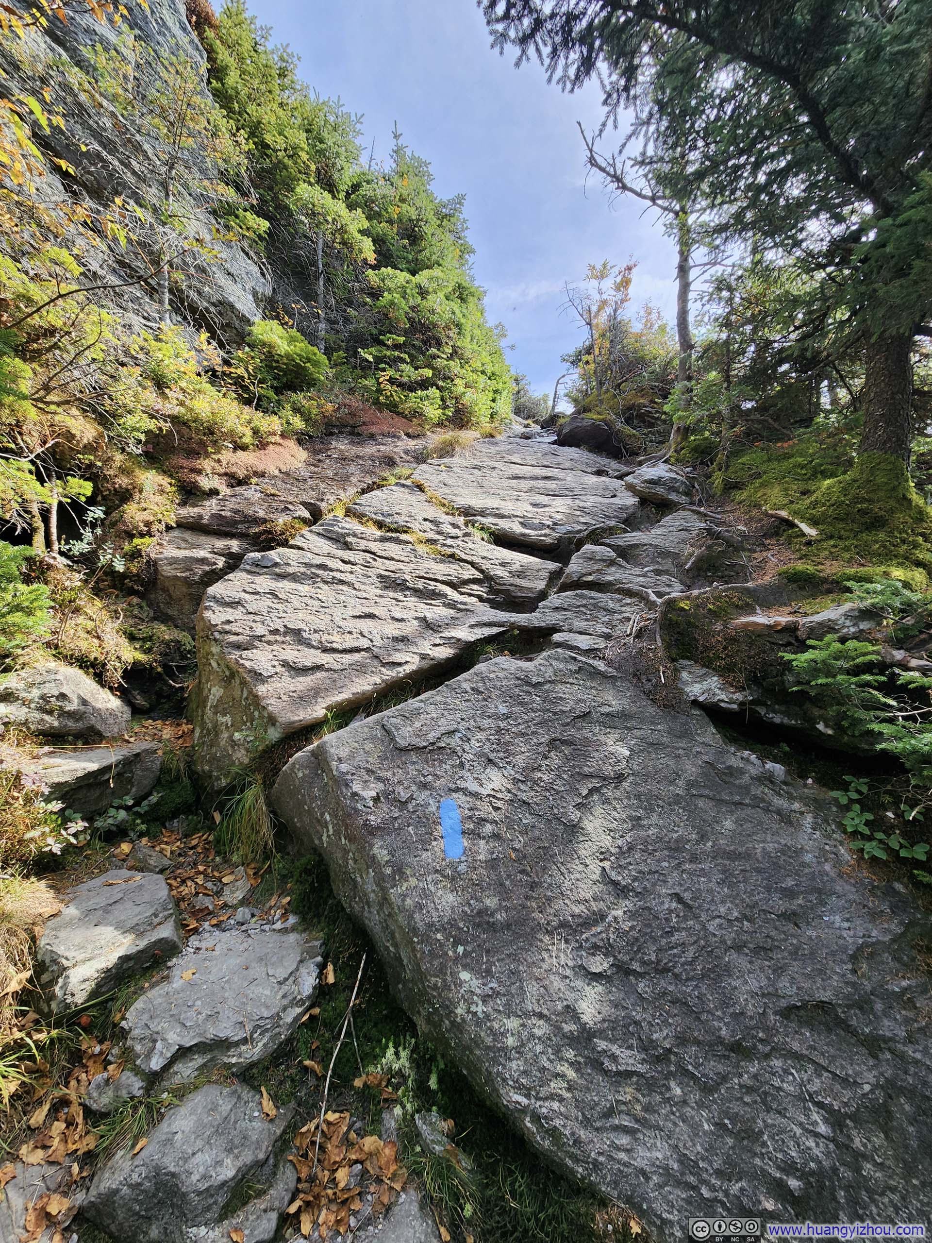
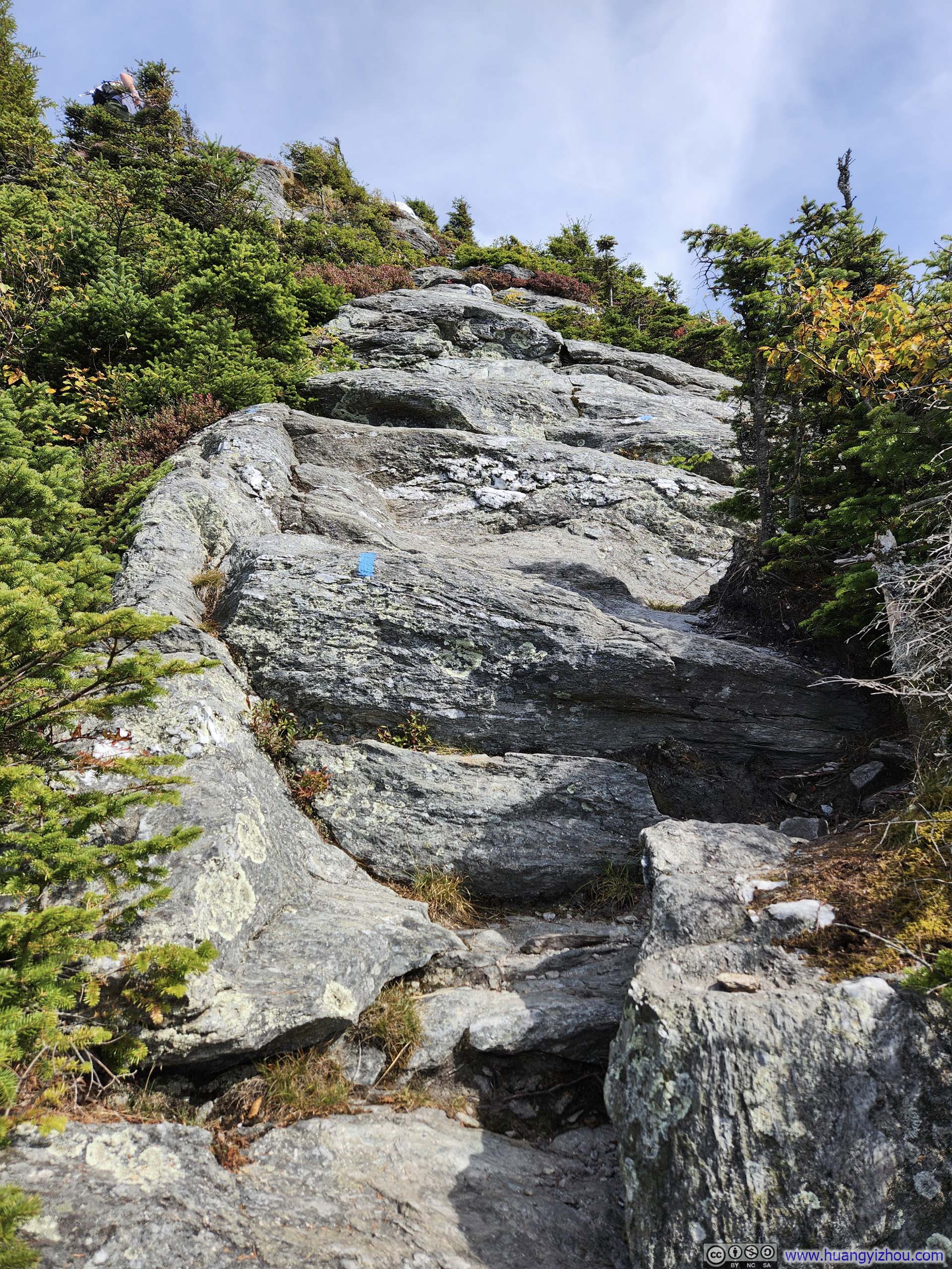
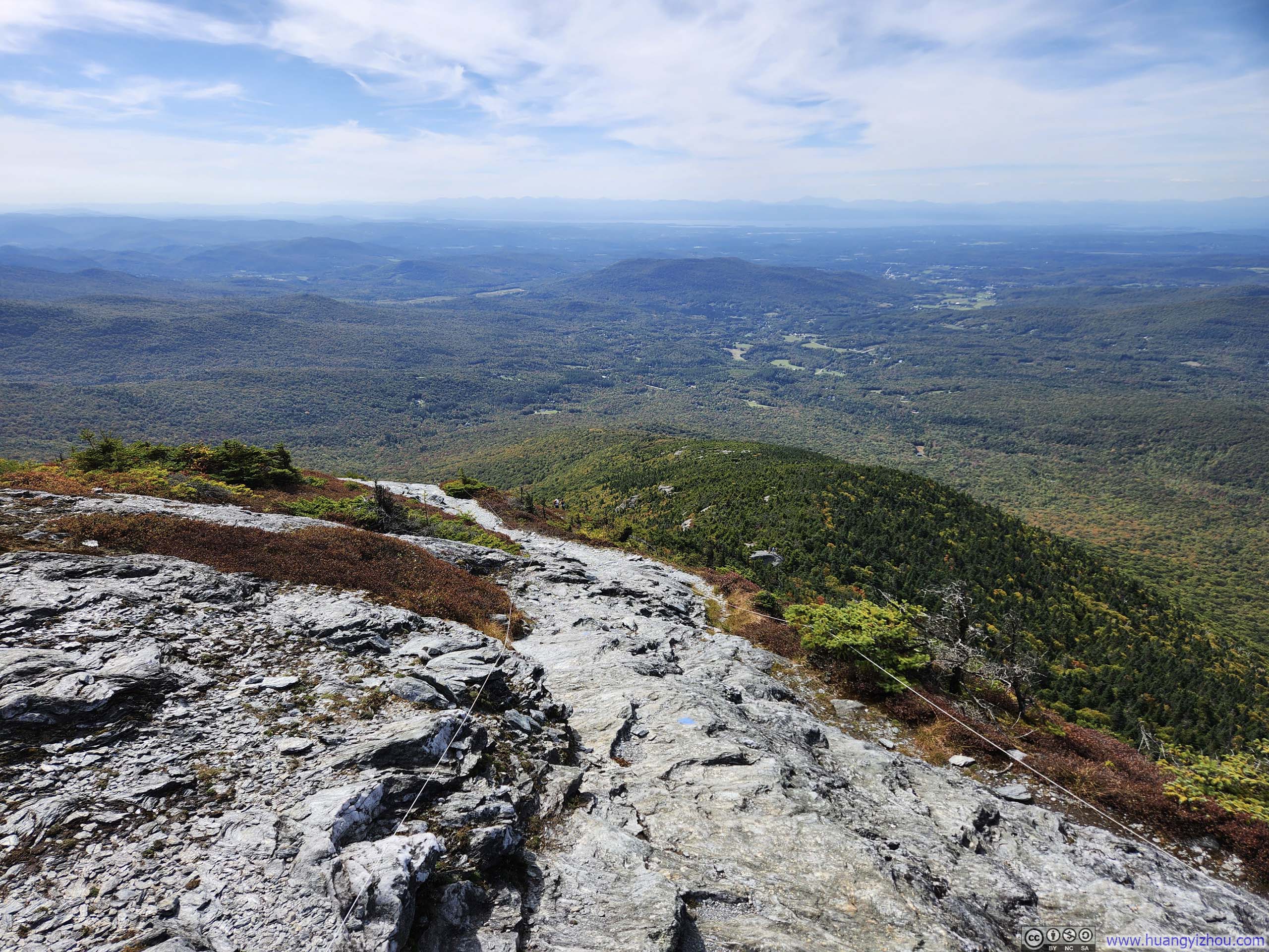
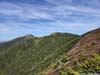
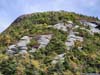
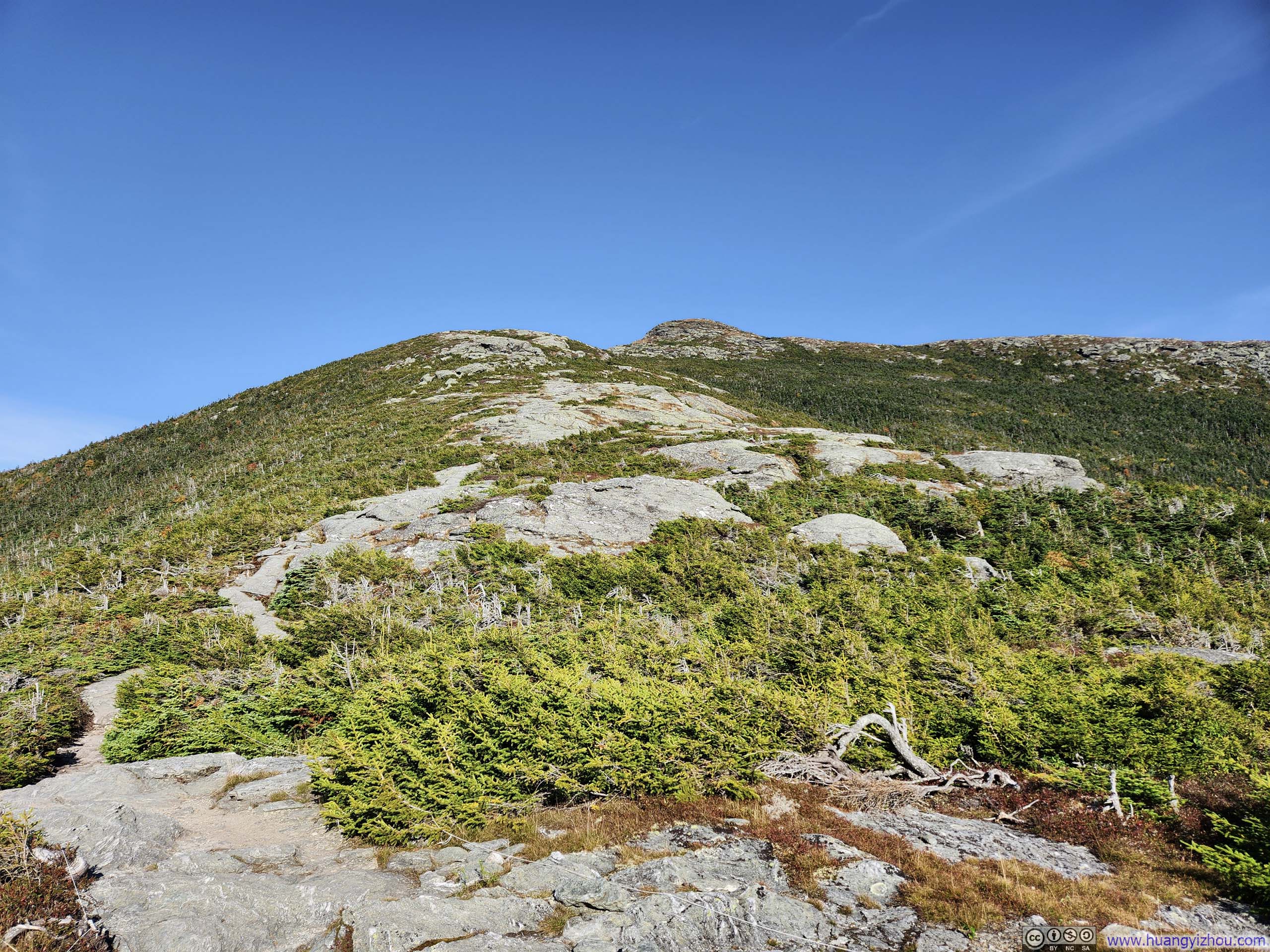
Once on Maple Ridge Trail, the vegetation along it grew short and sparse in rapid succession, and the trail surface quickly gave way to exposed bedrock. Soon, views of rolling hills to the south and expansive fields to the west popped into view.
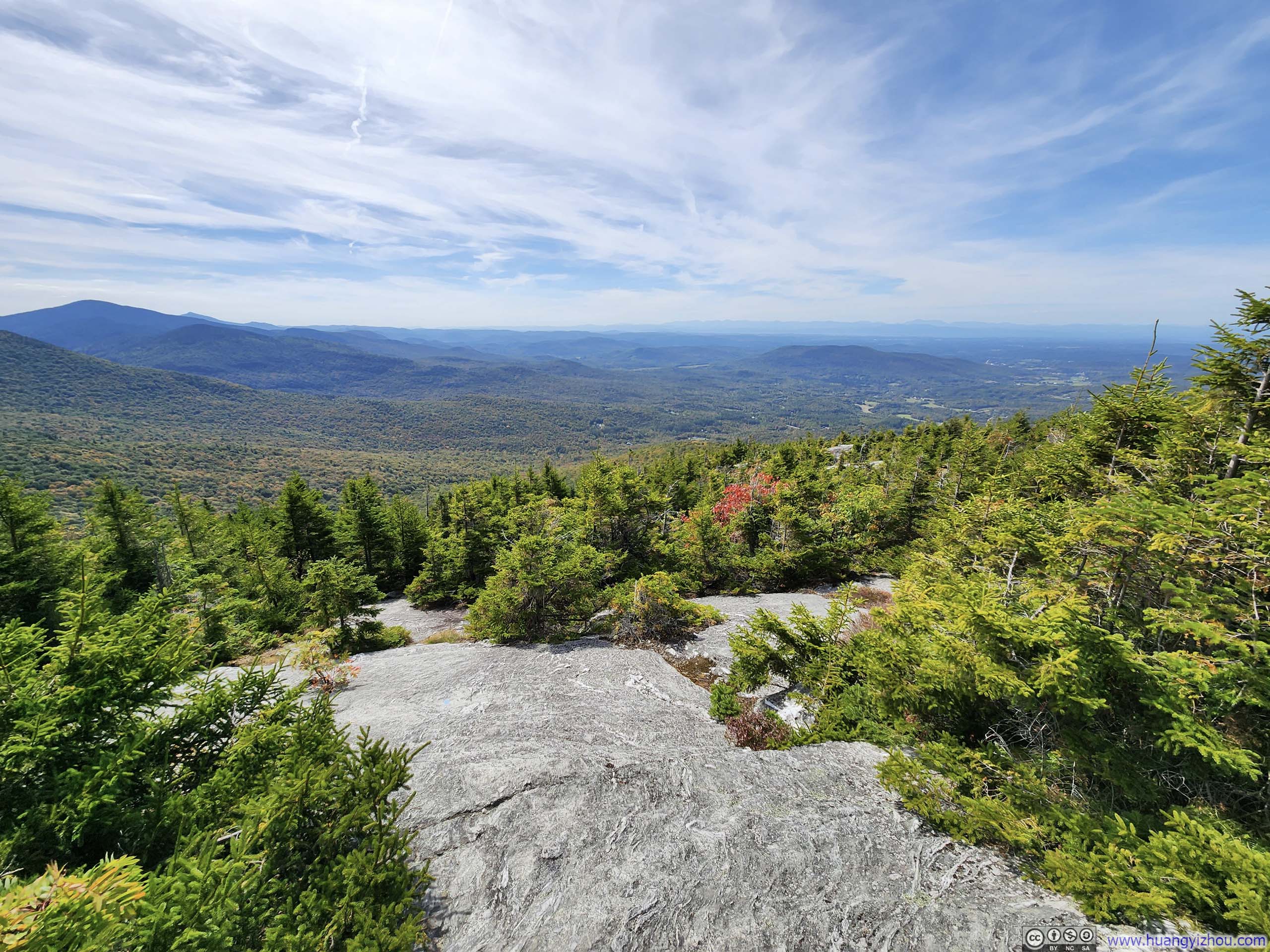
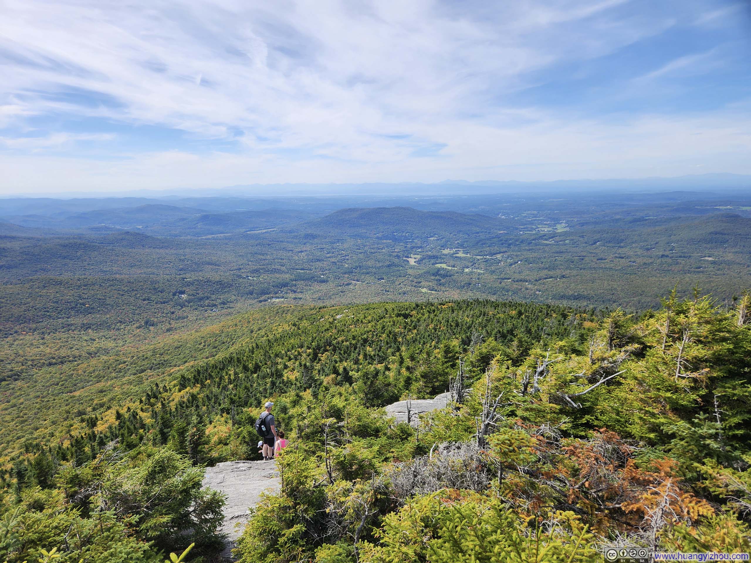
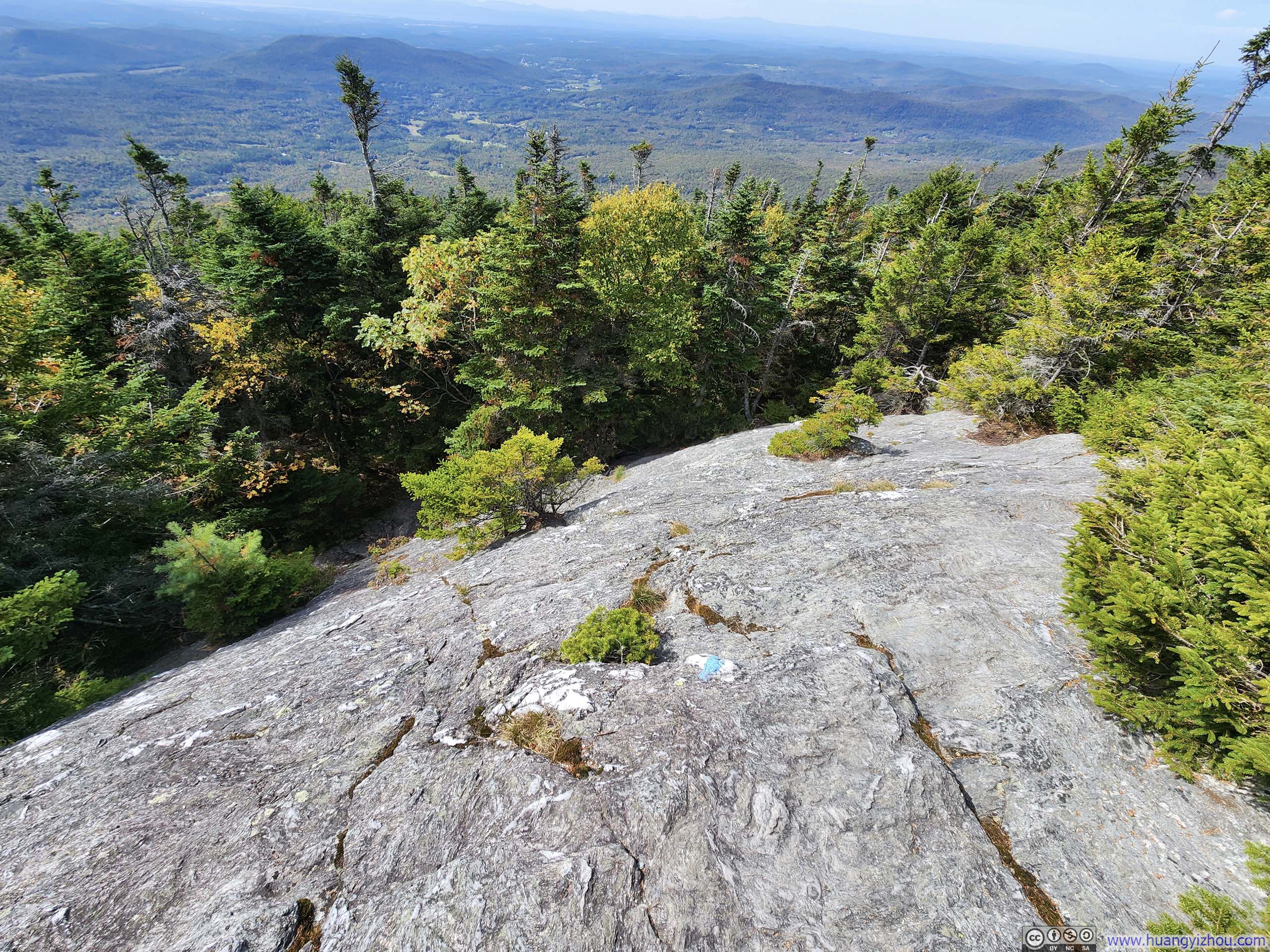
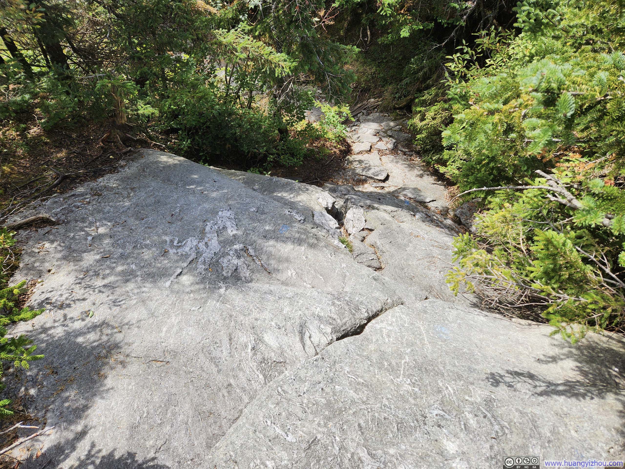
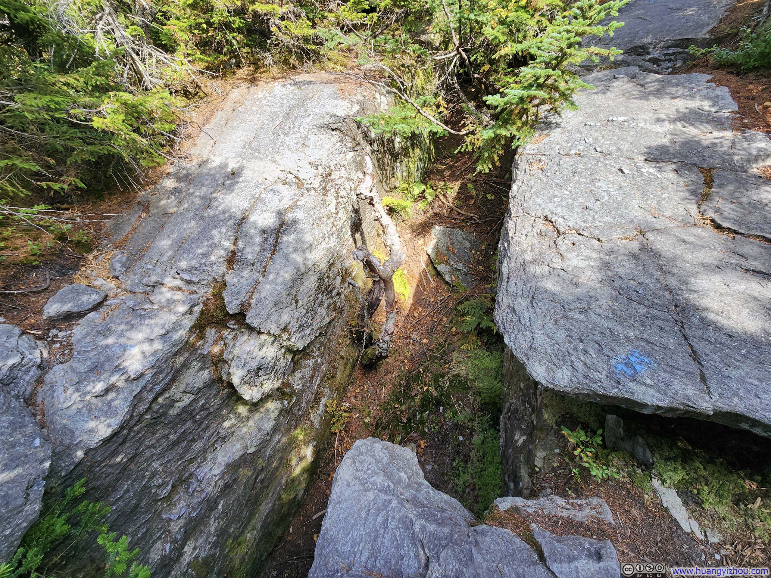
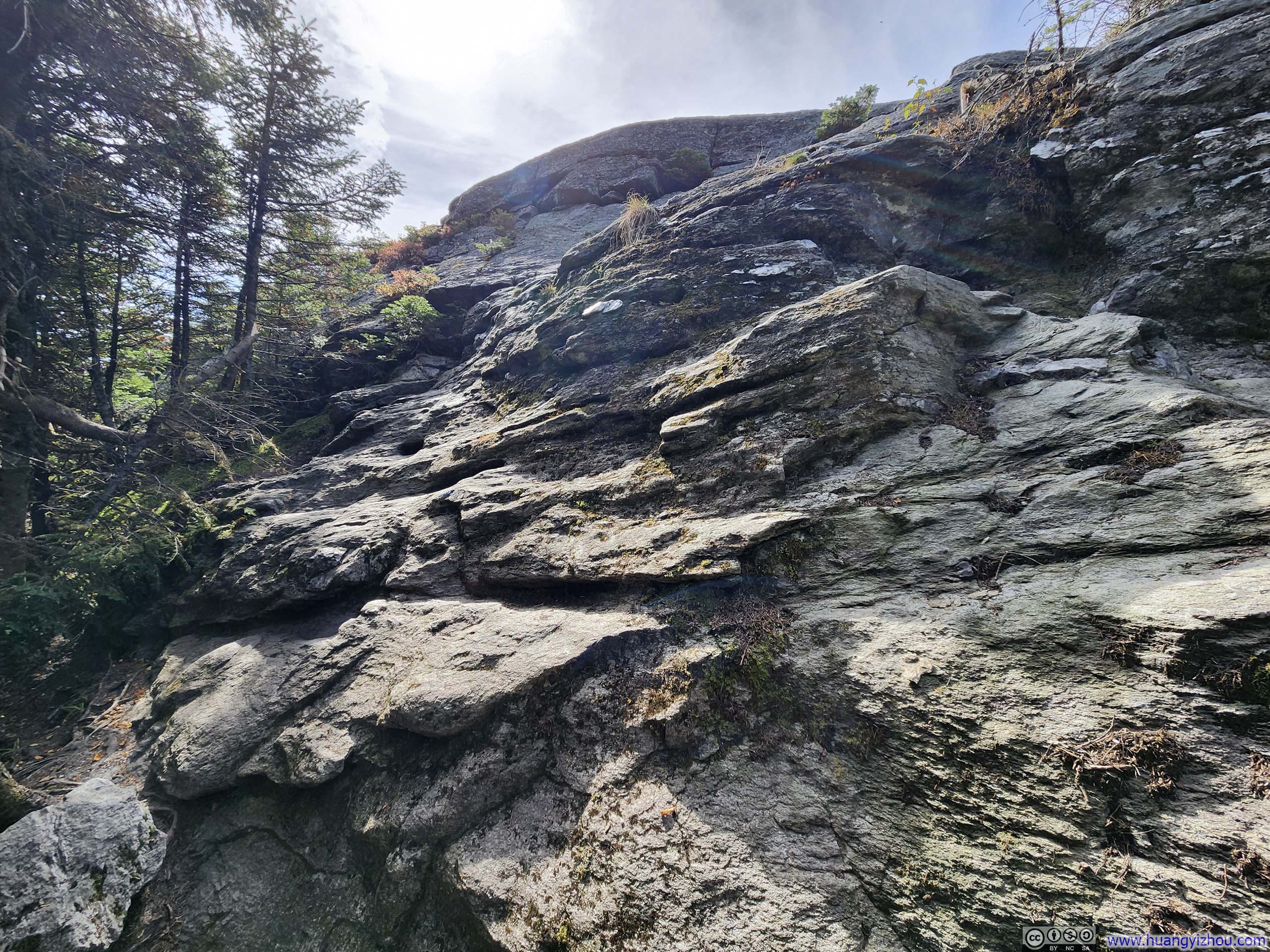
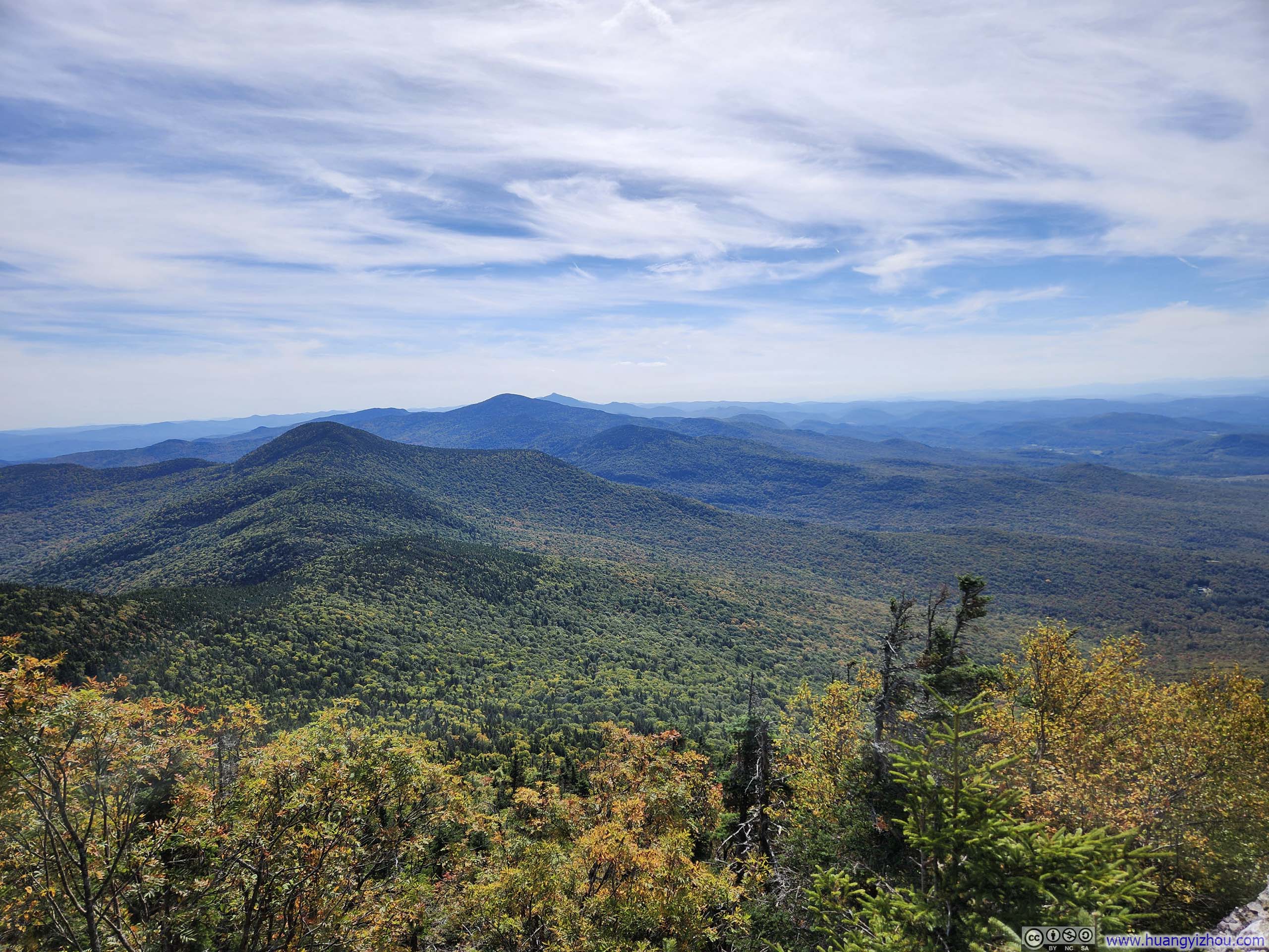
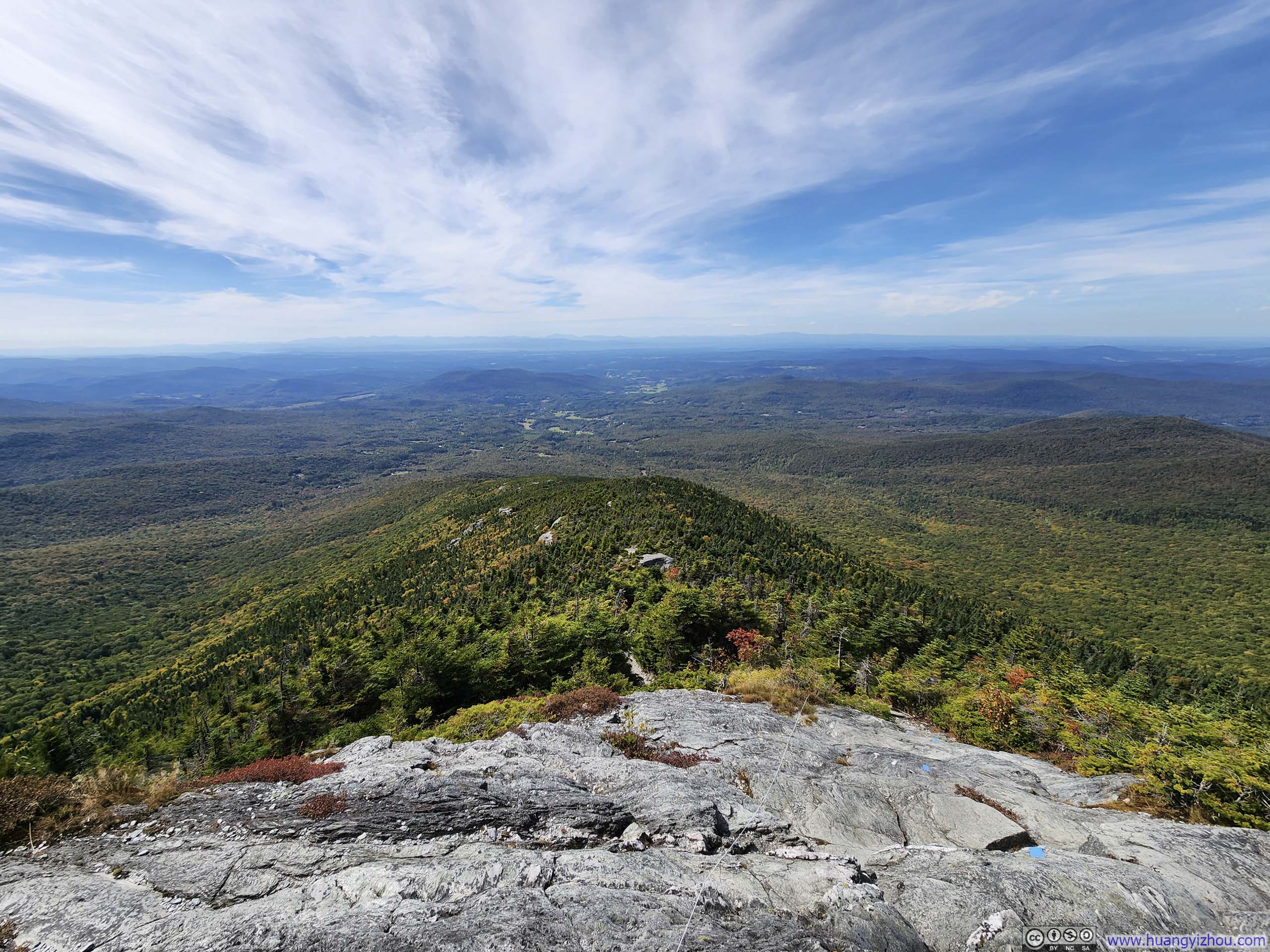
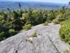
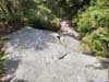
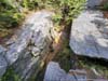
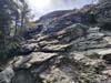
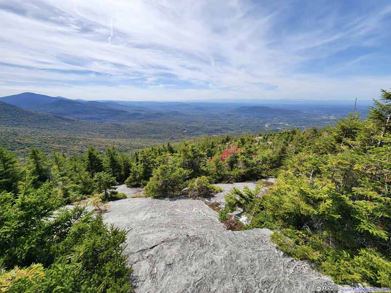
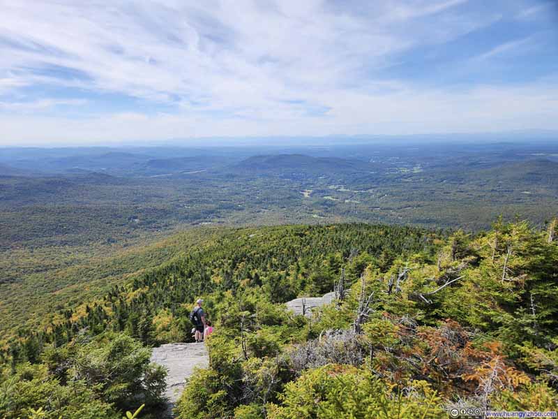
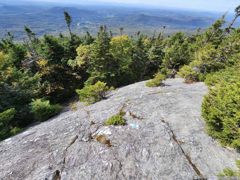
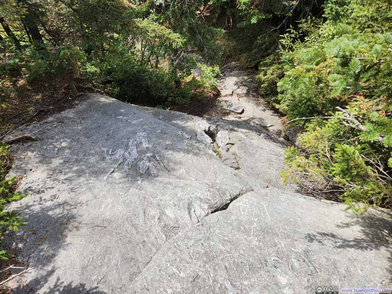
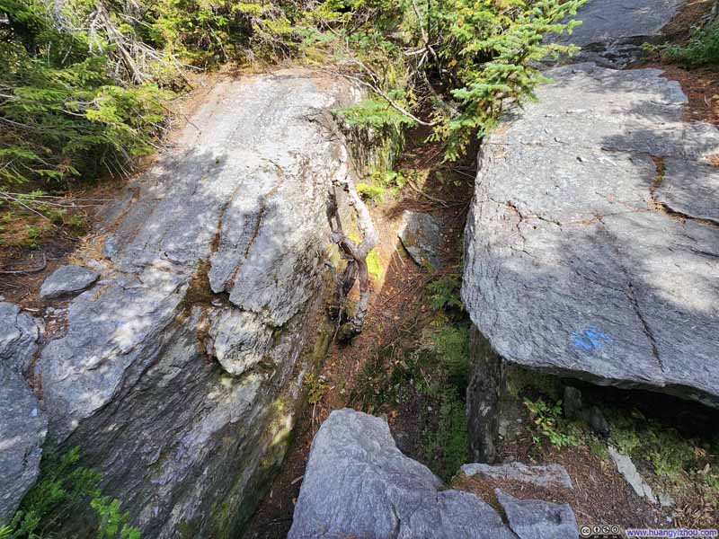
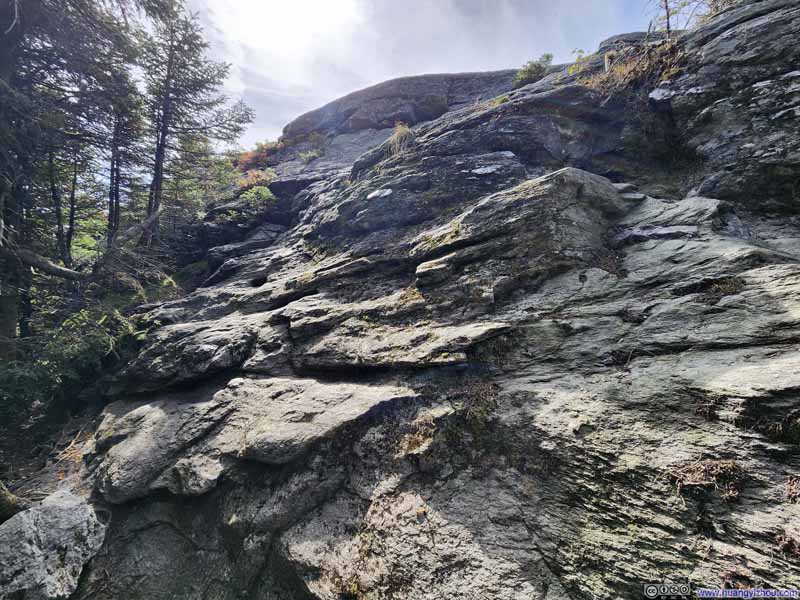
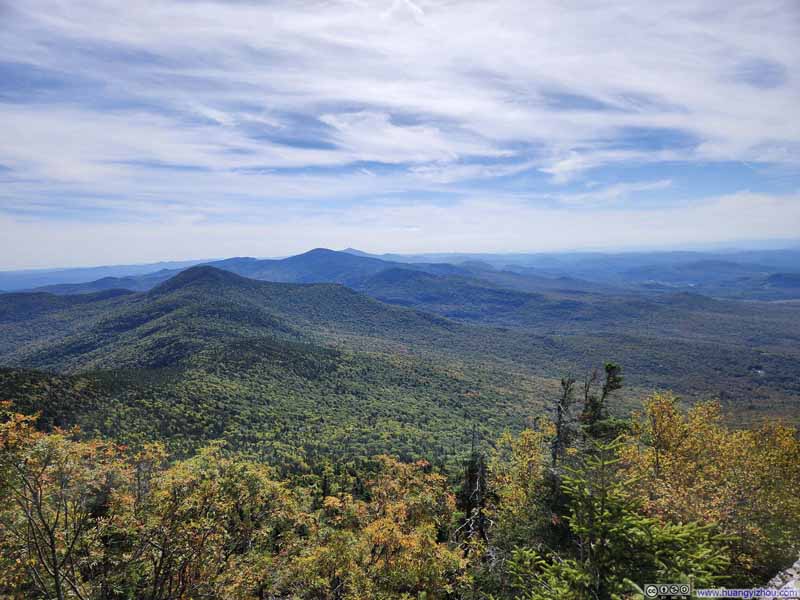
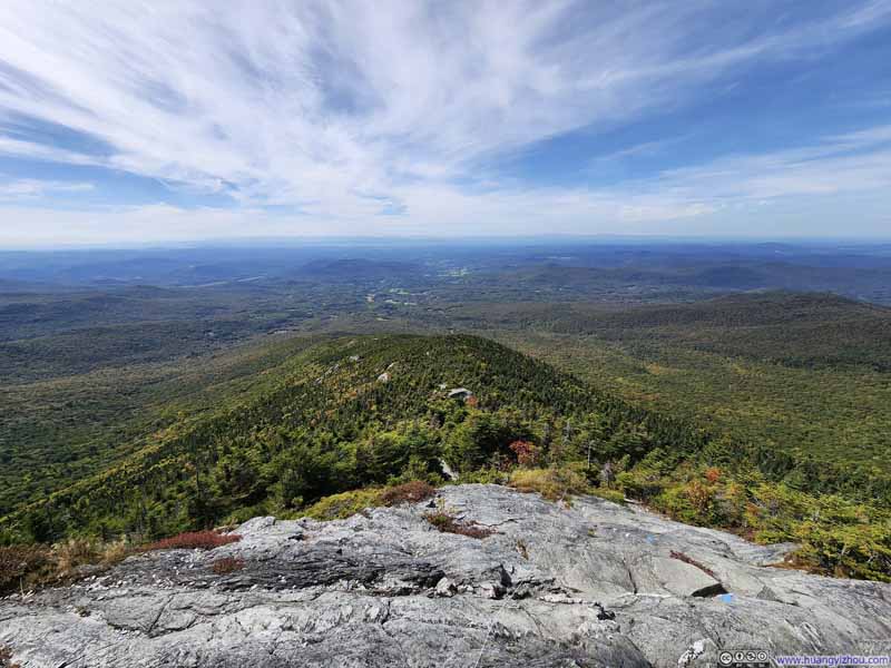
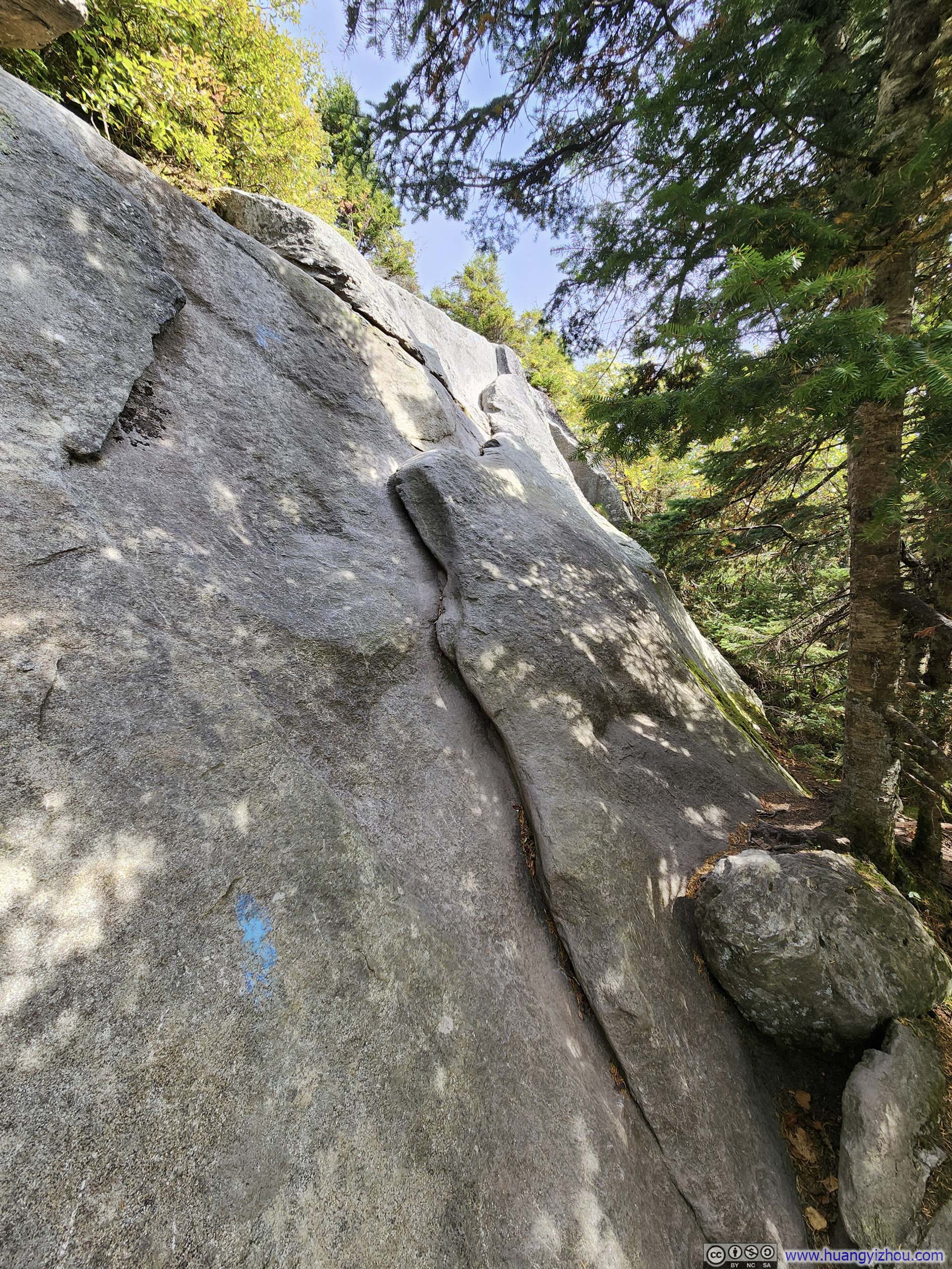
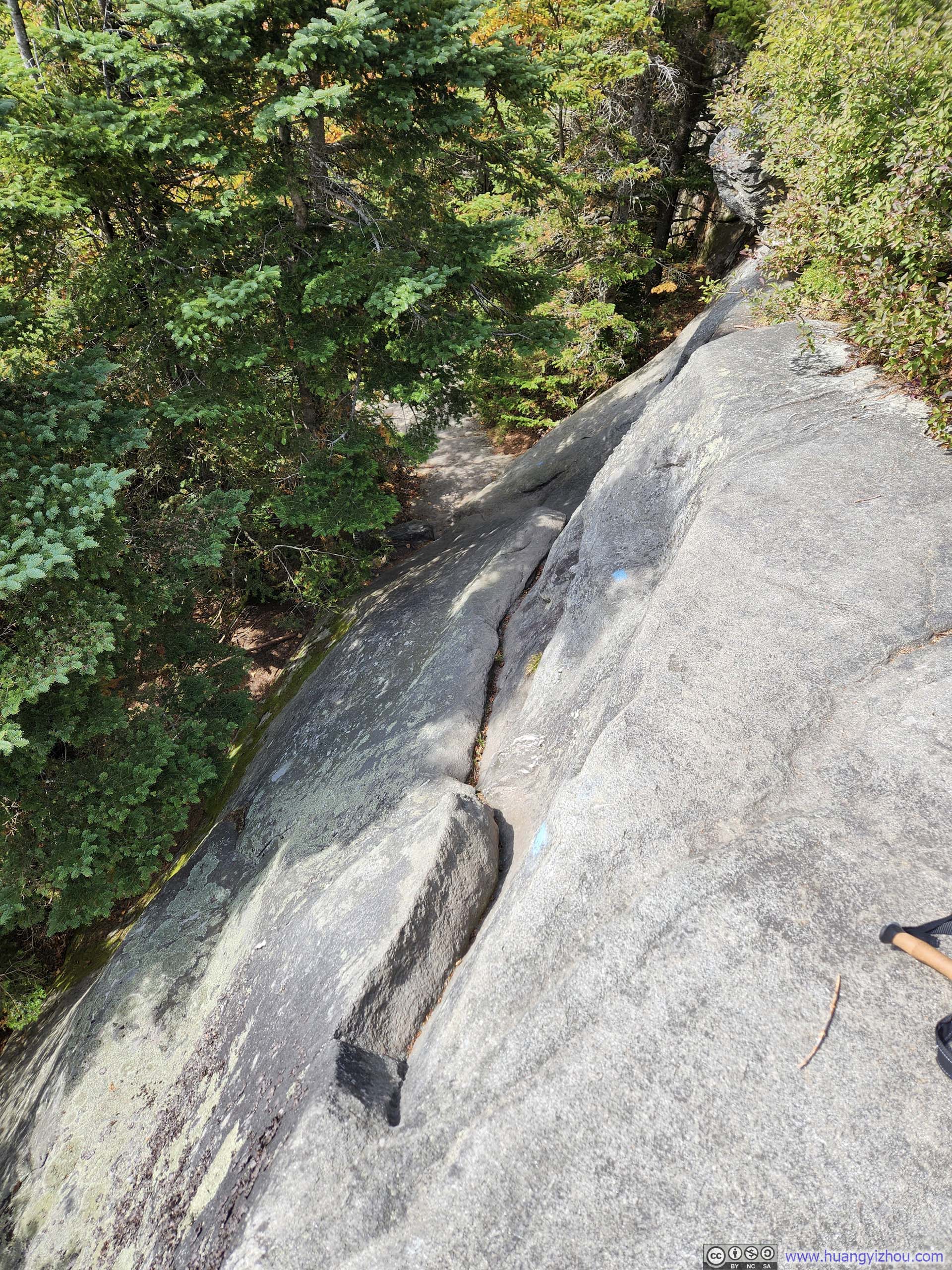
"The Forehead" was 400m (1300ft) higher than the start of the climb (intersection with Tear Drop Trail), which took me just over an hour to reach. I found myself quite enjoying the process of scaling over the varied rock formations along the way. "The Forehead" was the first named feature of Mt Mansfield's summit ridge, but its views failed to captivate me (partly because they echoed too closely what I'd already seen ascending the Maple Ridge Trail), so I pressed on without lingering.
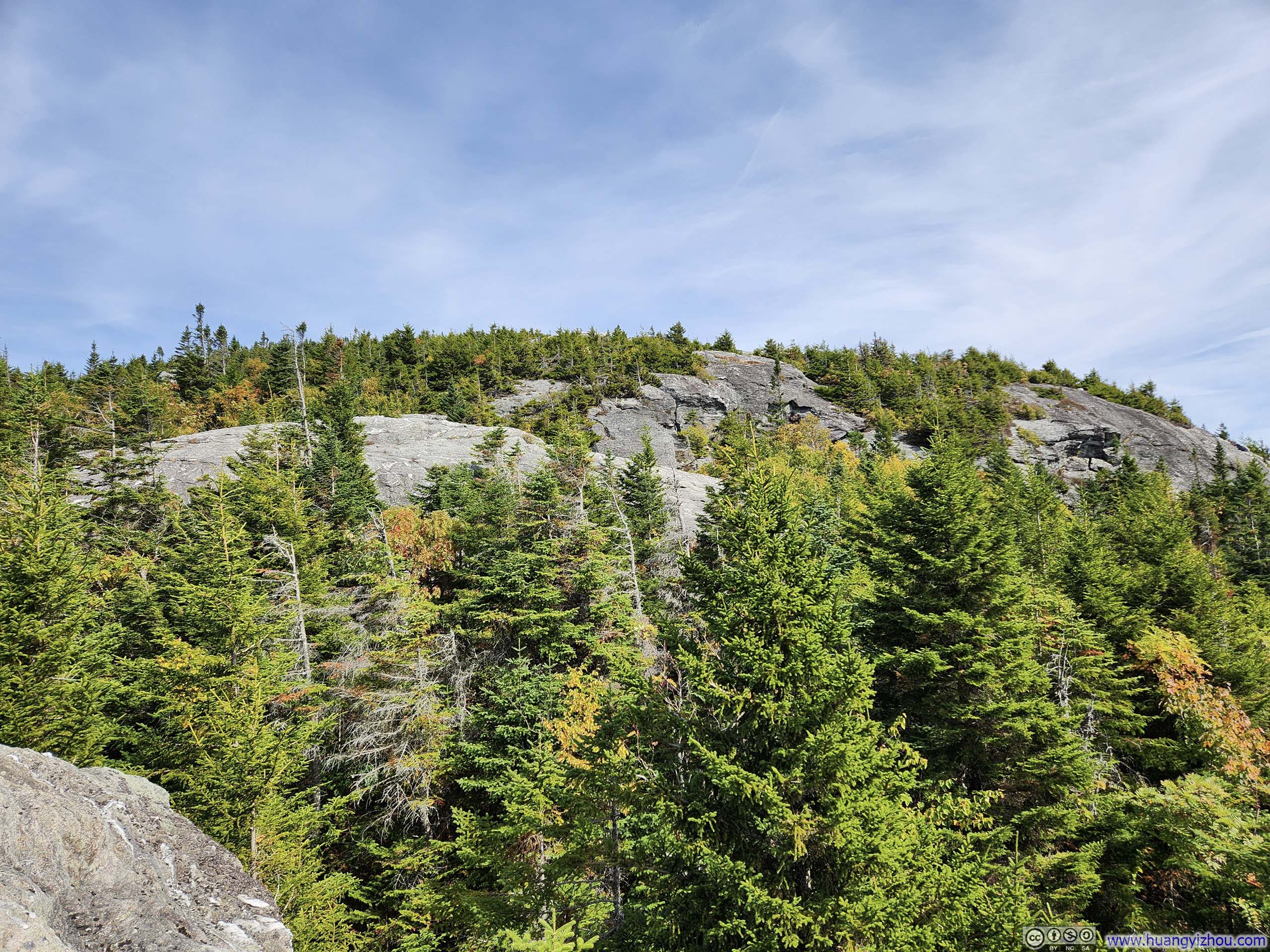
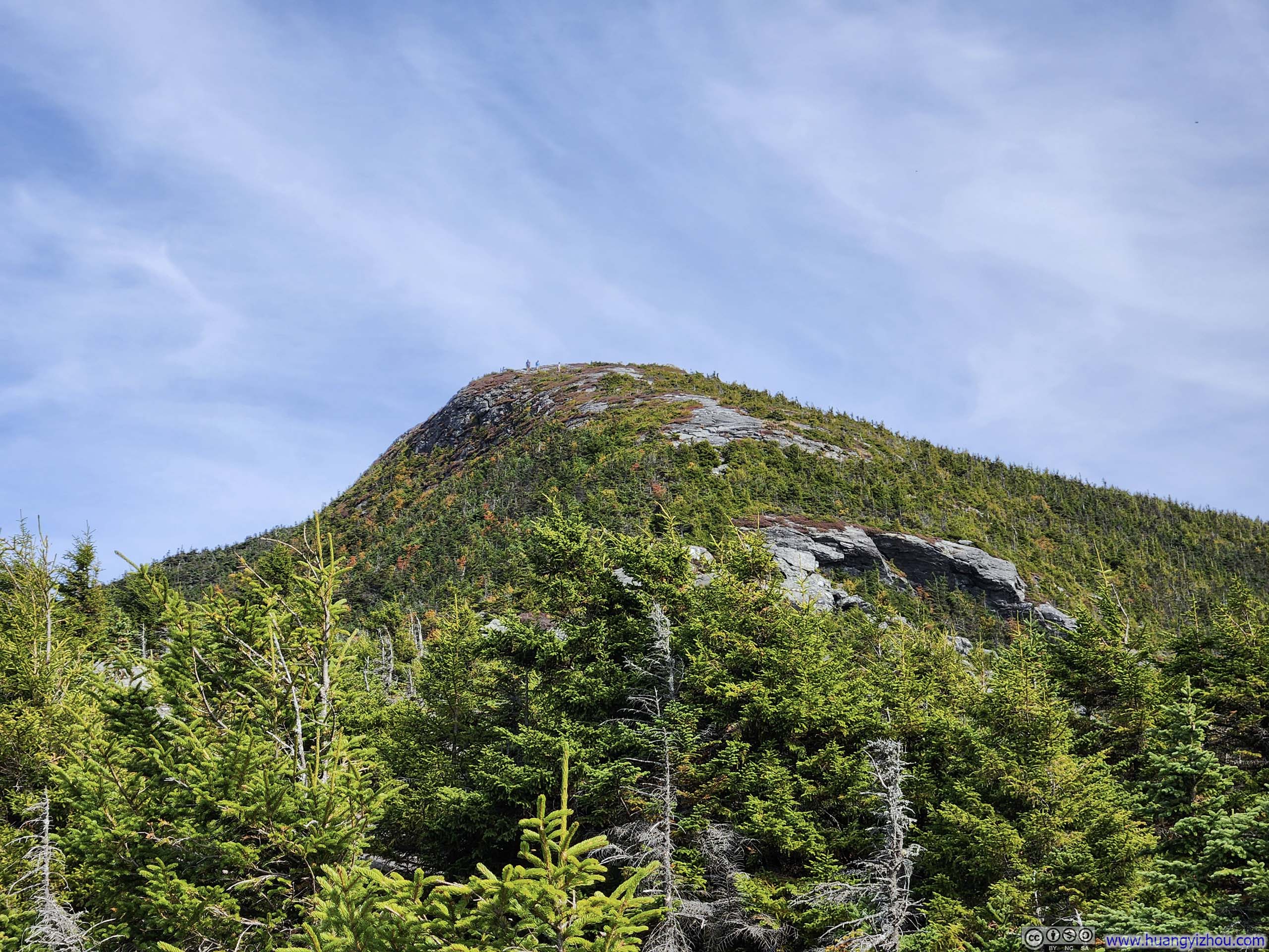
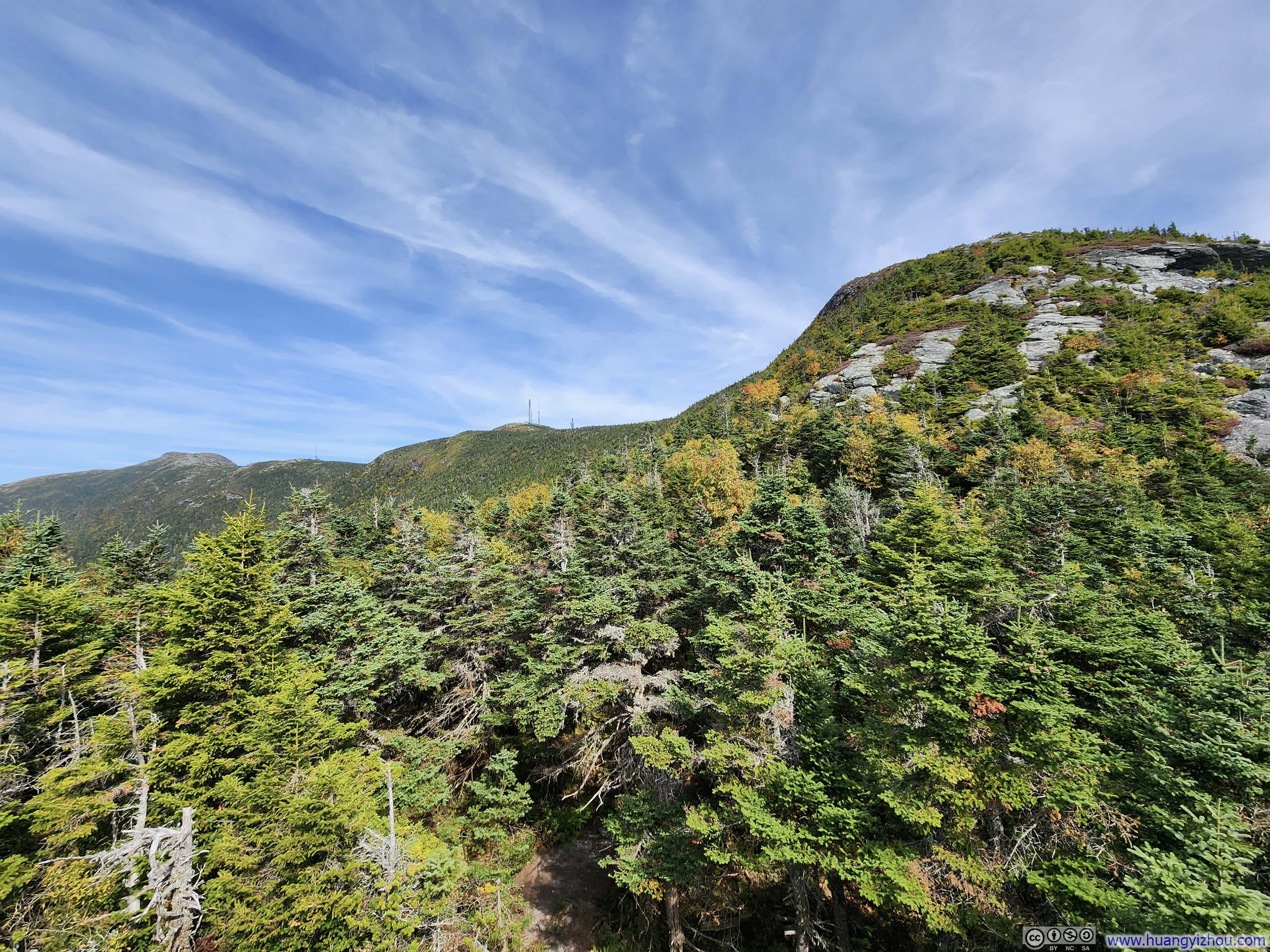
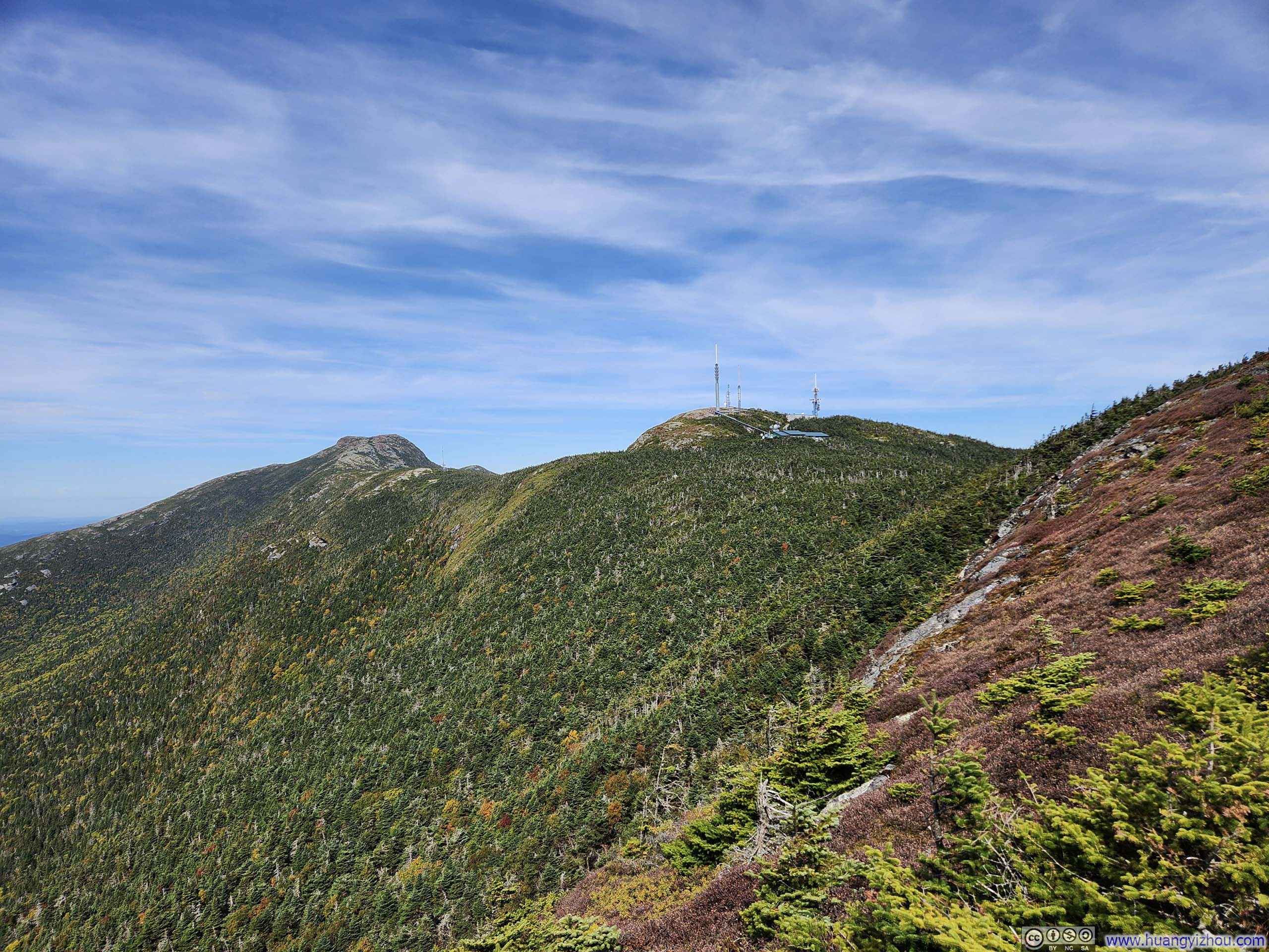
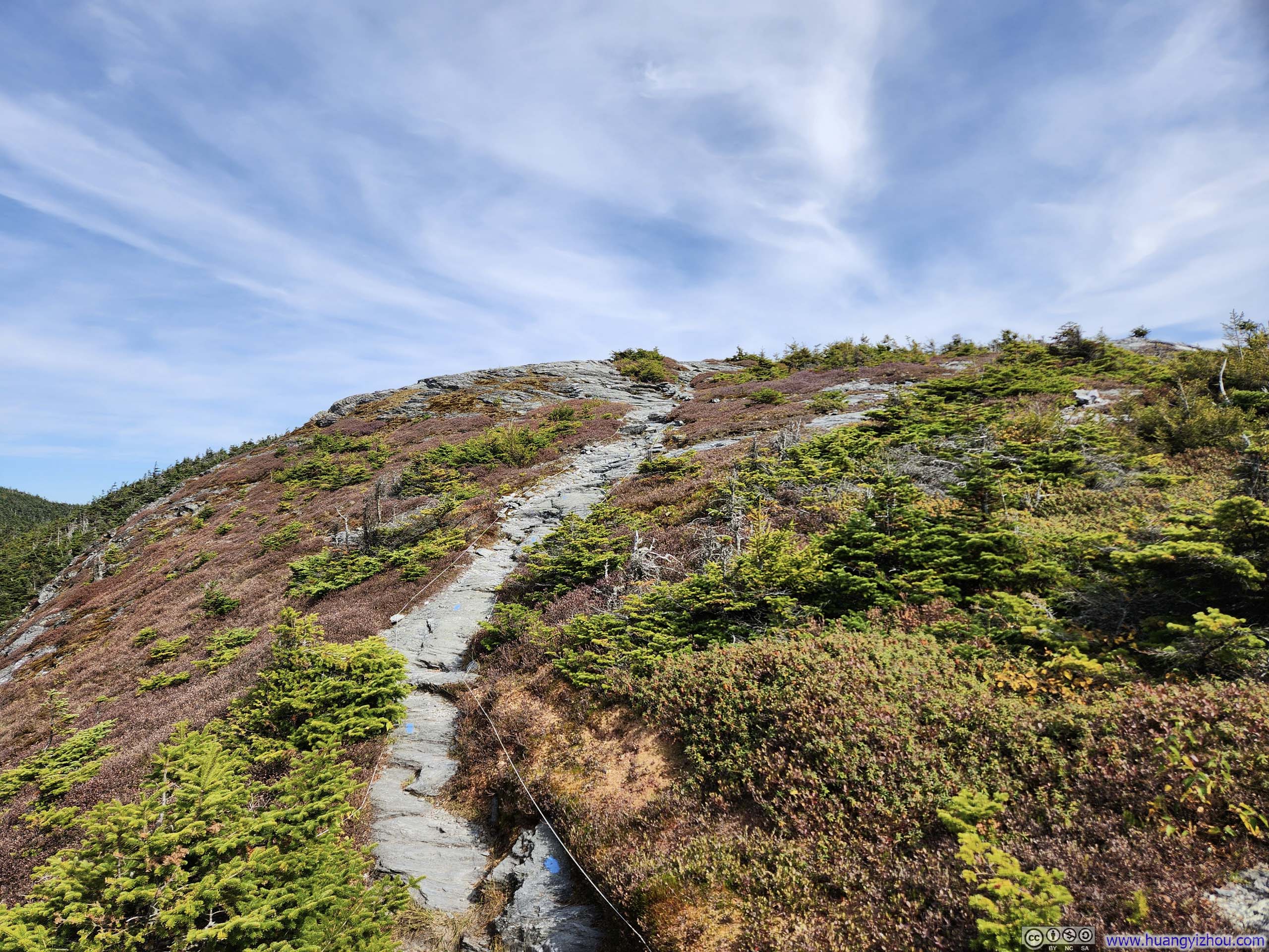
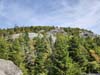
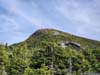
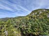
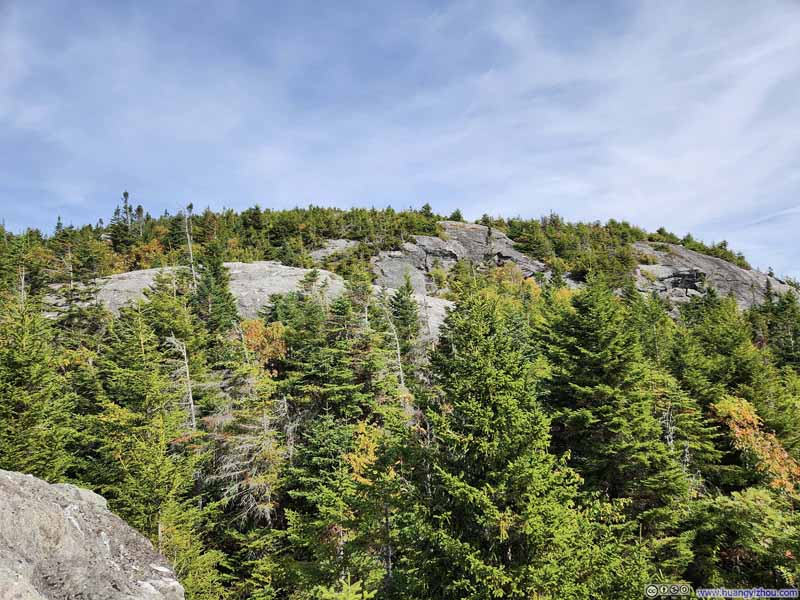
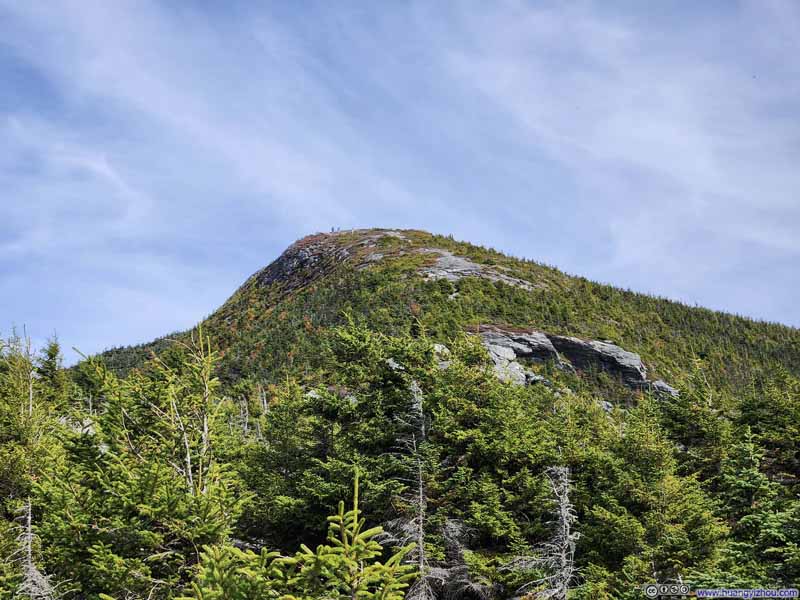
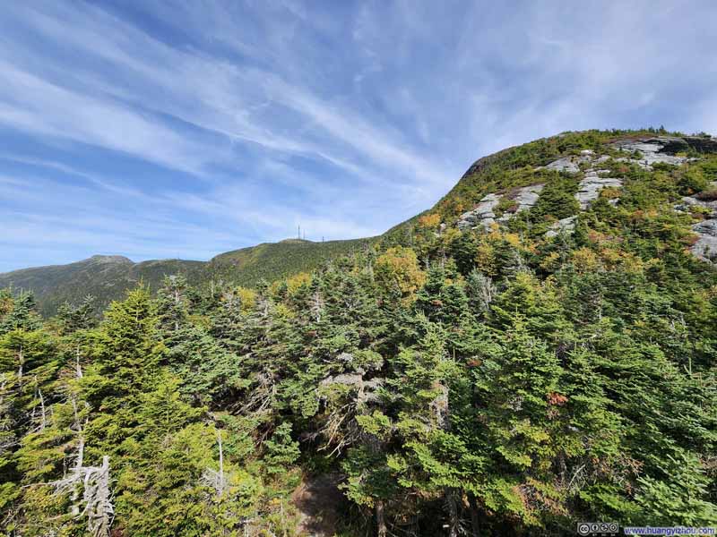
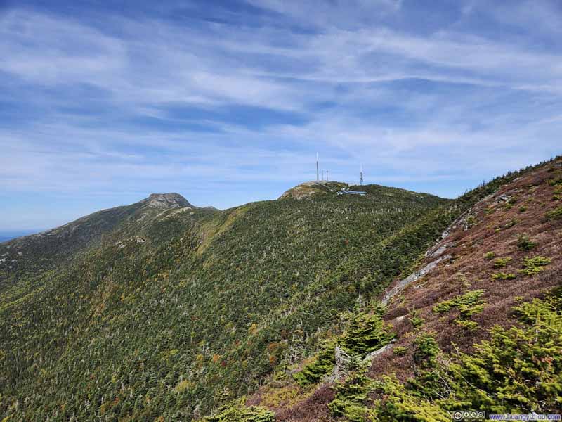
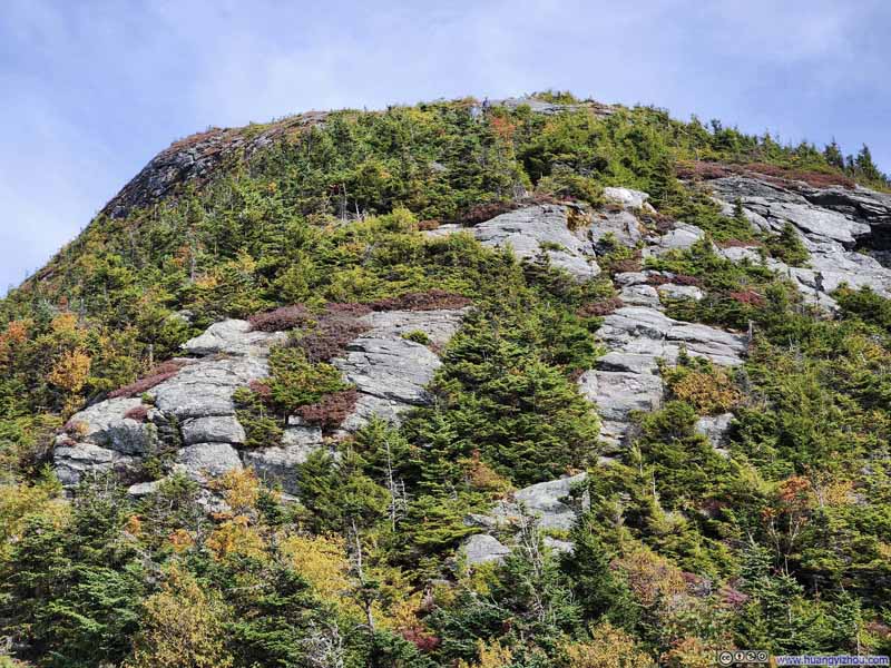
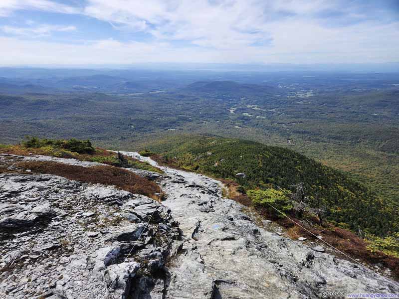
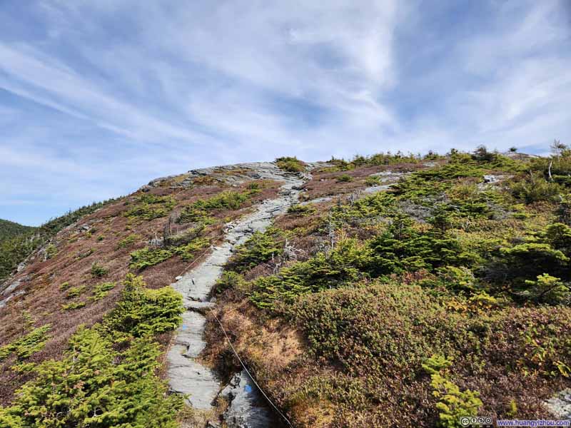
"The Nose" of Mt Mansfield was the site of a few TV antennas and not open to the public. Continuing on, there was a small exhibit room at "Mt Mansfield Peak Visitor Center", next to the parking lot at the end of the Toll Road, that offered insights into the mountain's distinctive facial contours.
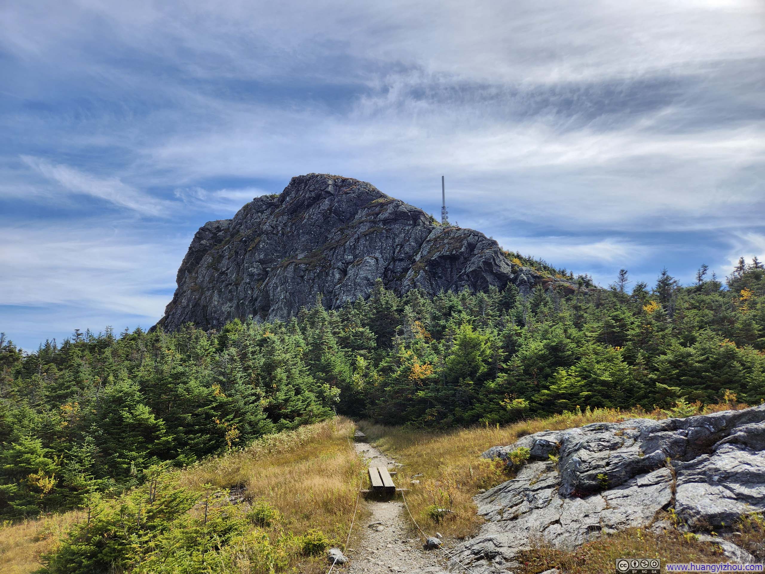
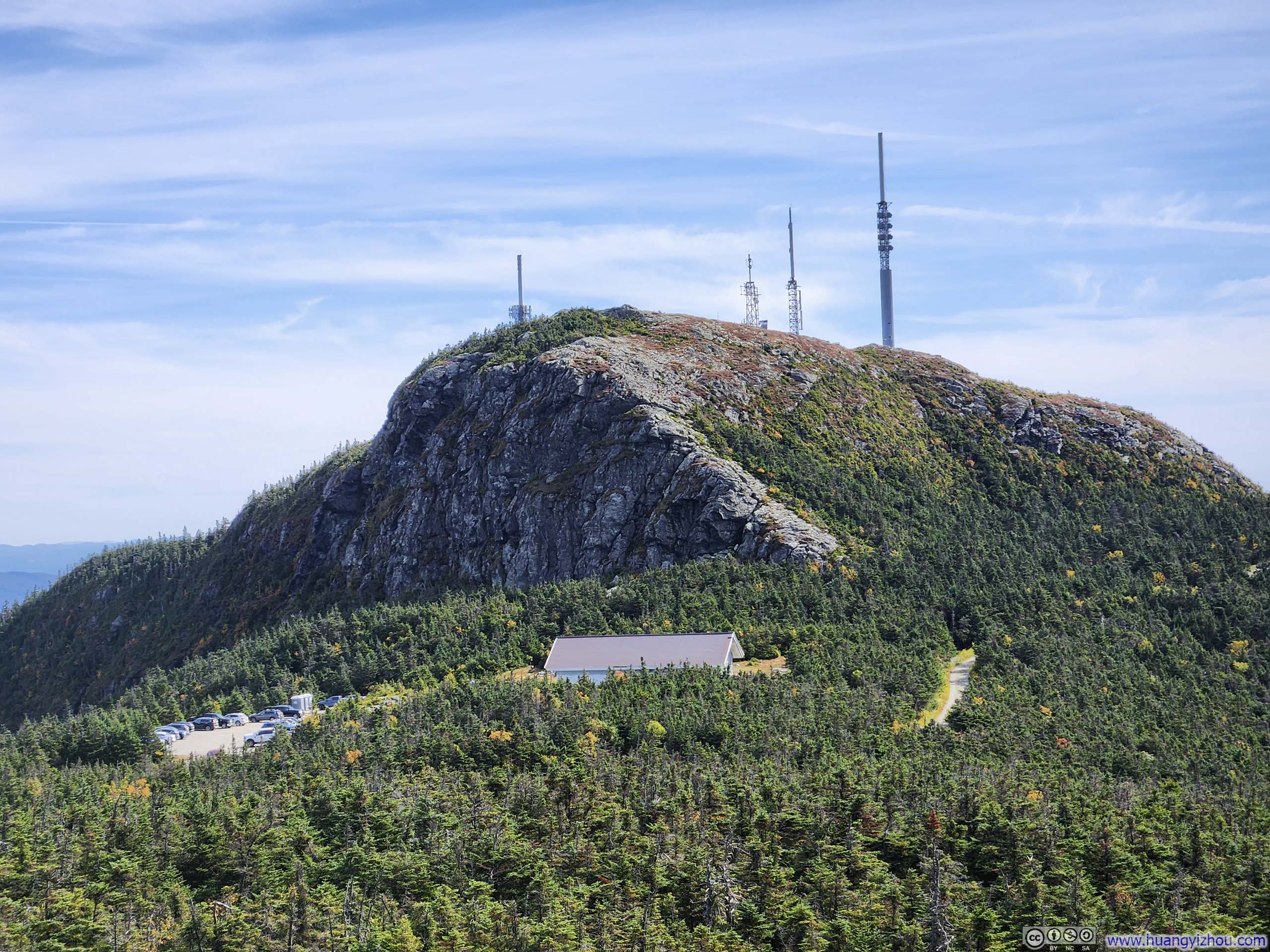

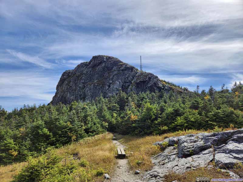
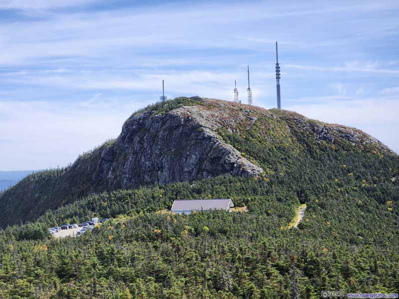
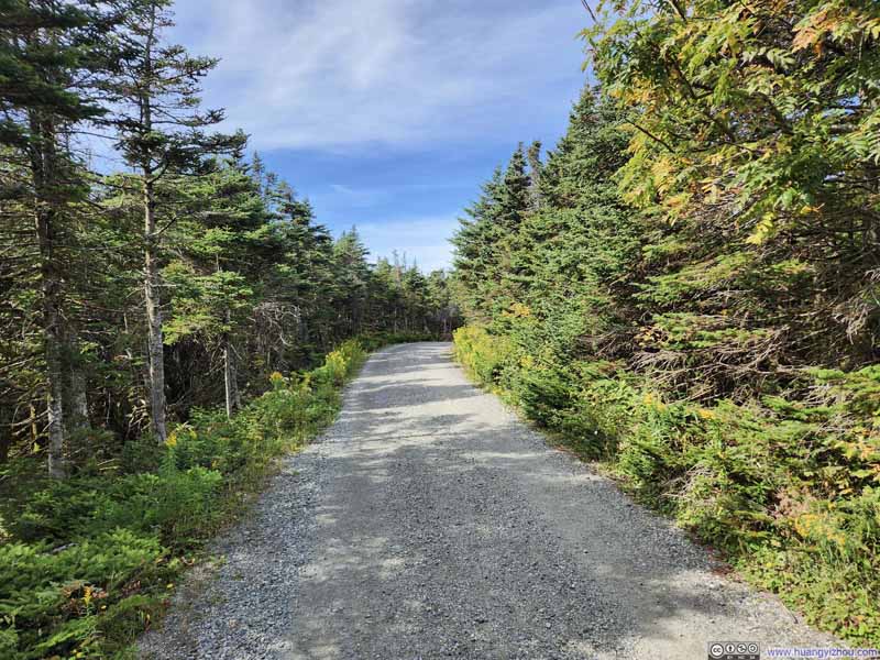
After that, I followed Mt. Mansfield's summit ridge further north, where vegetation grew noticeably sparse as I progressed, unveiling ever-widening views of the surrounding landscape. To protect the fragile alpine tundra, there were strings all over the place reminding people to stay on trail.
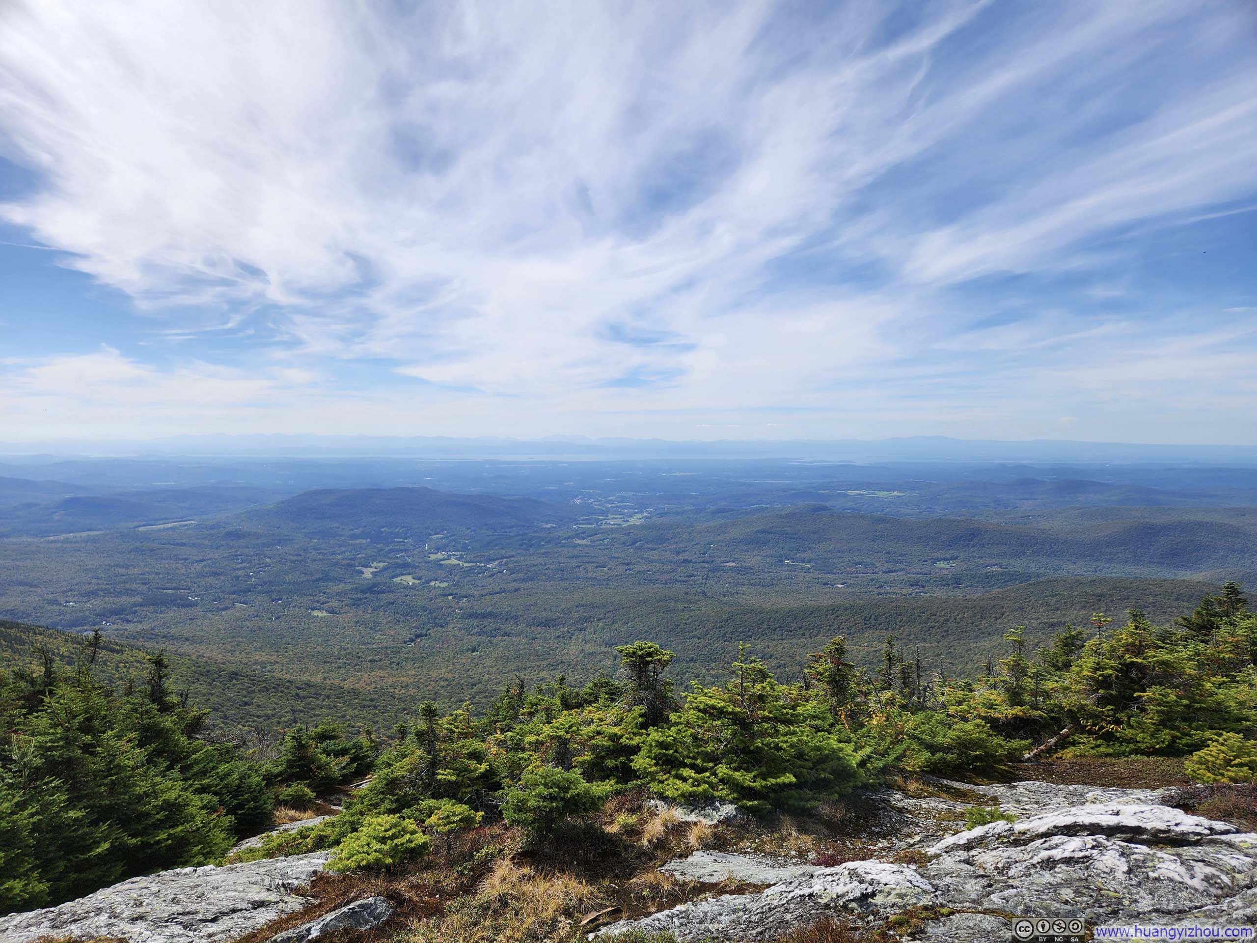
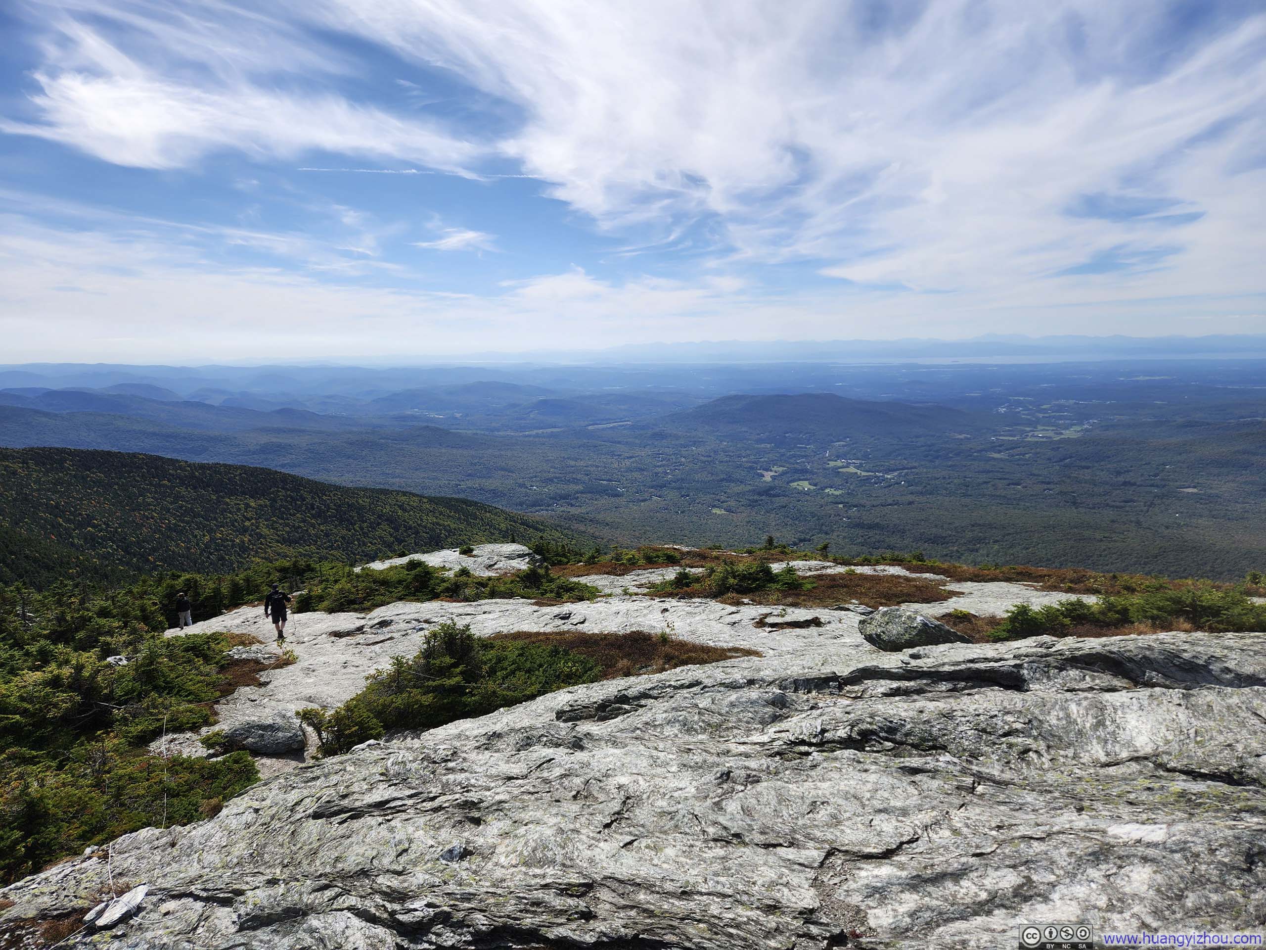
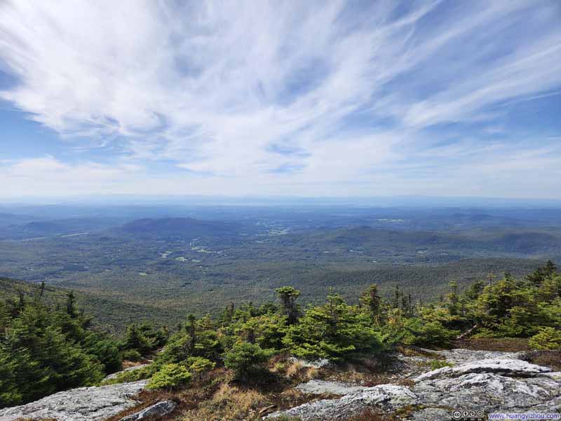
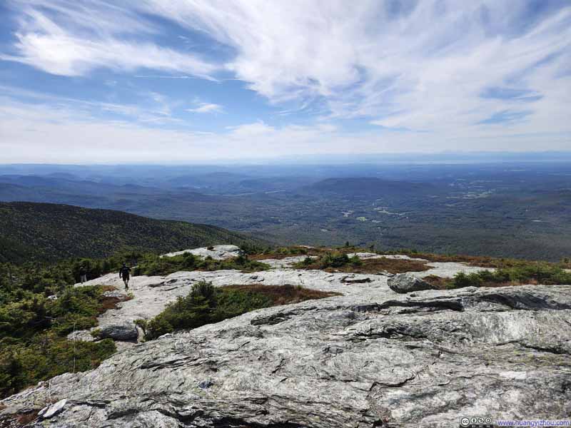
The trail was somewhat rocky after passing "Lower Lip", but not nearly as technical as earlier along Maple Ridge Trail.
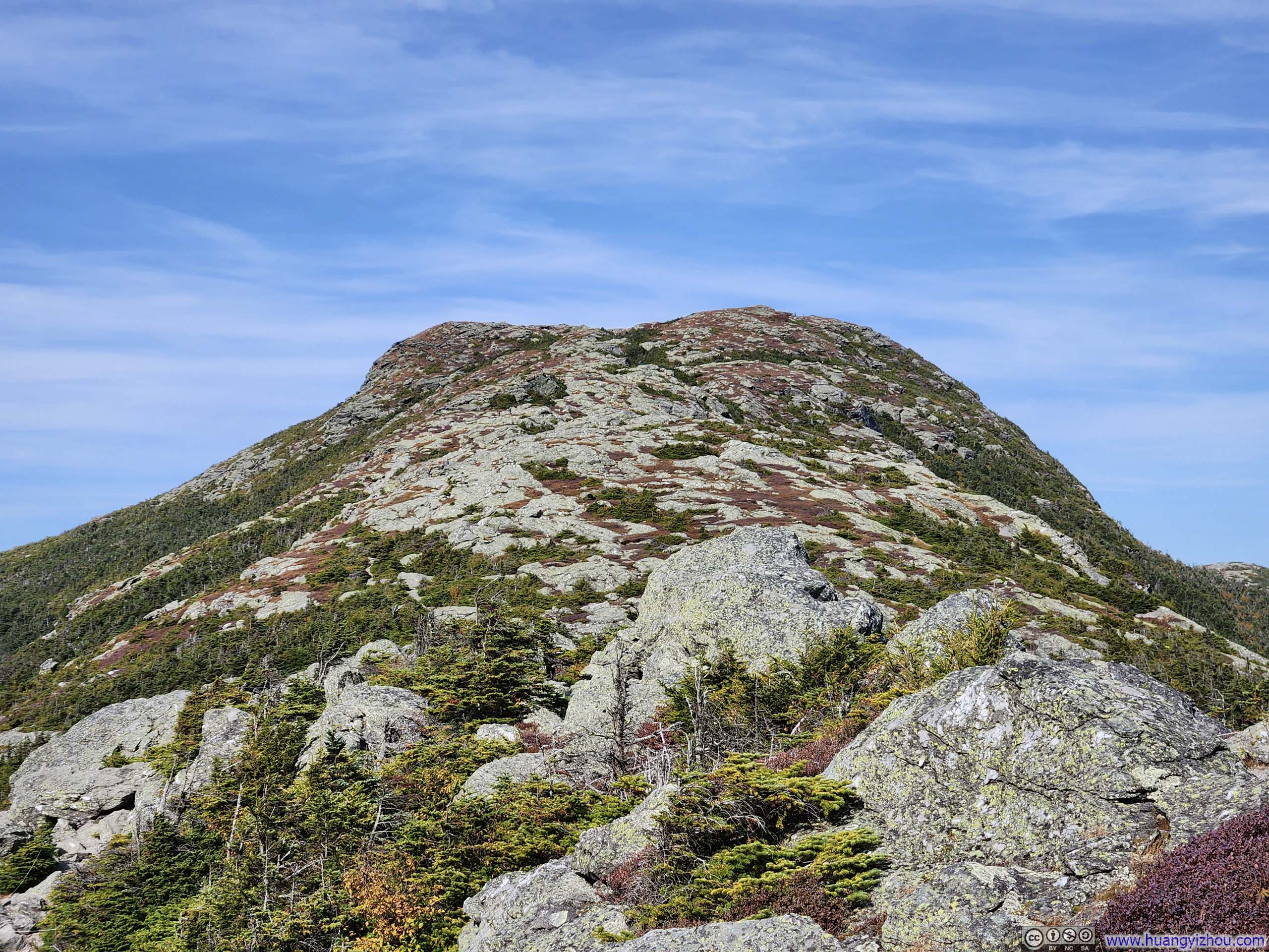
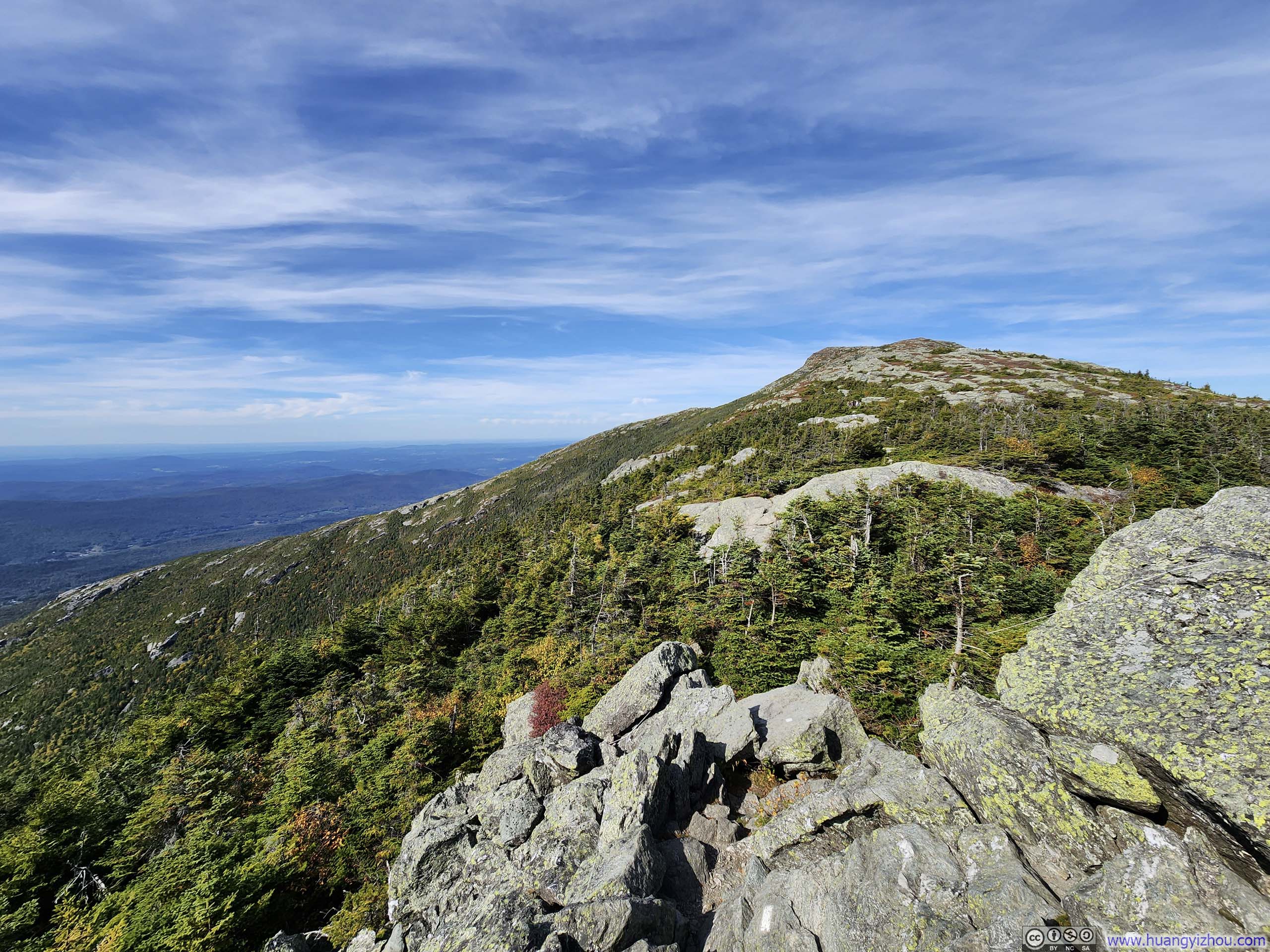
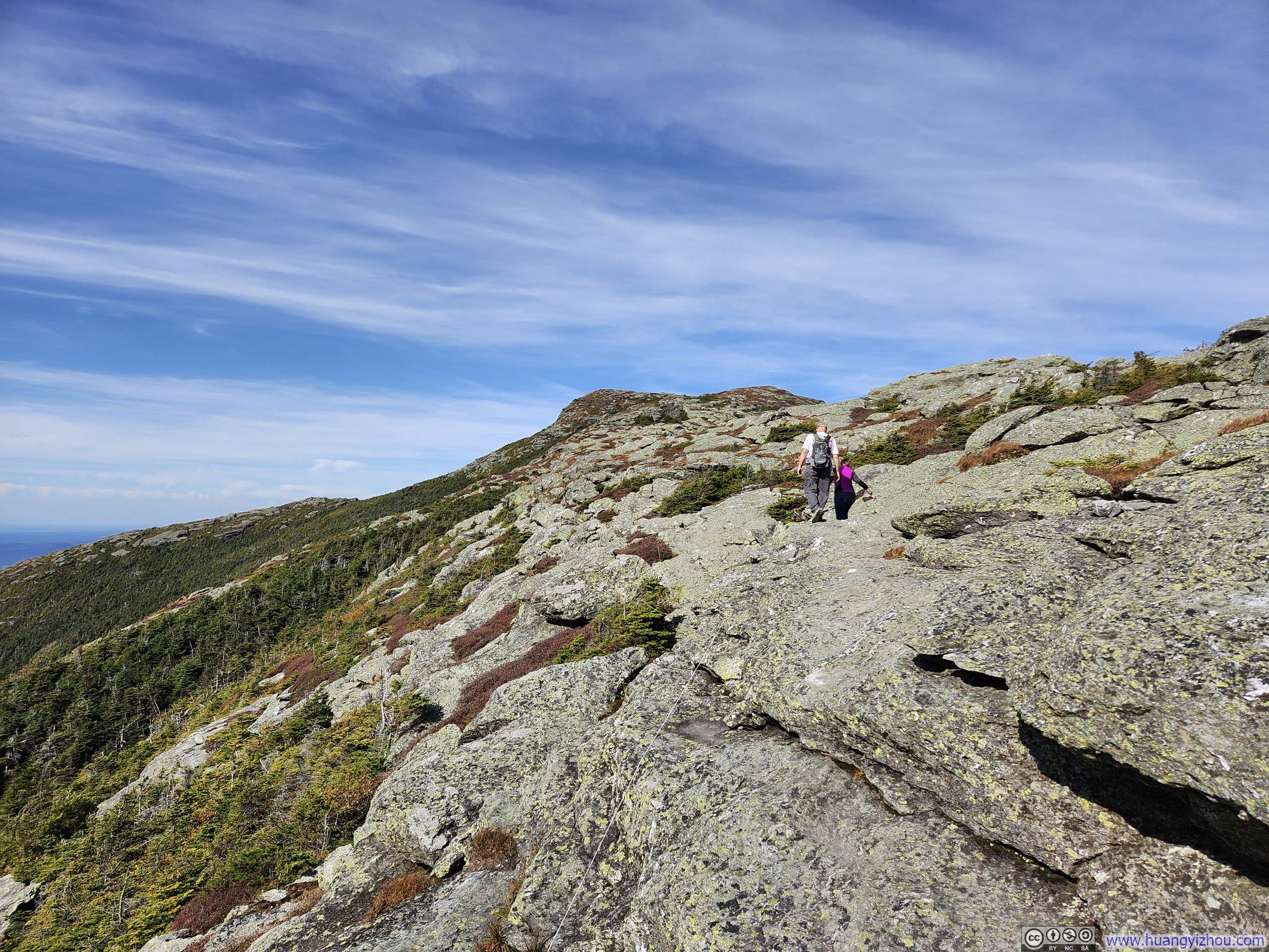
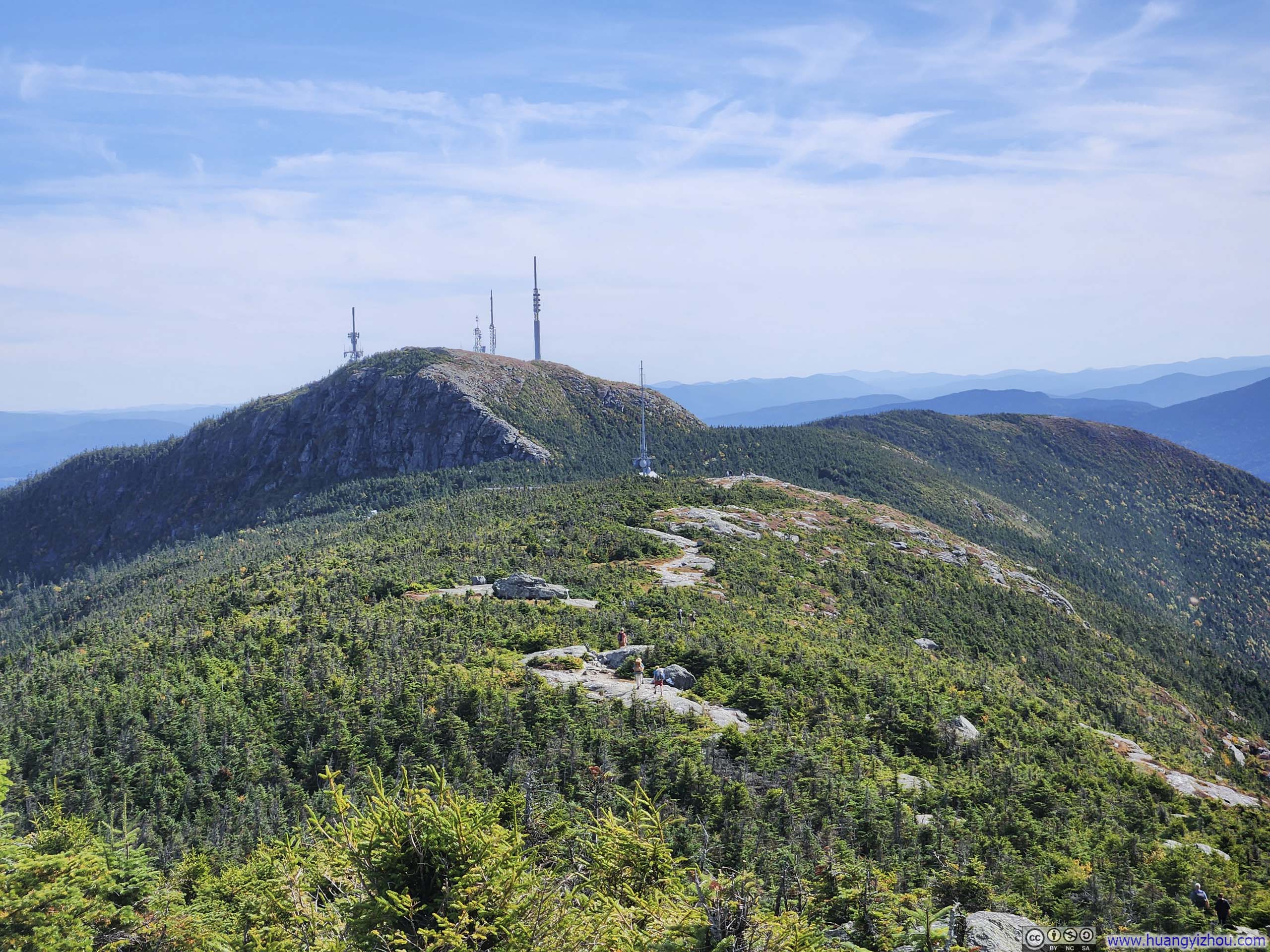
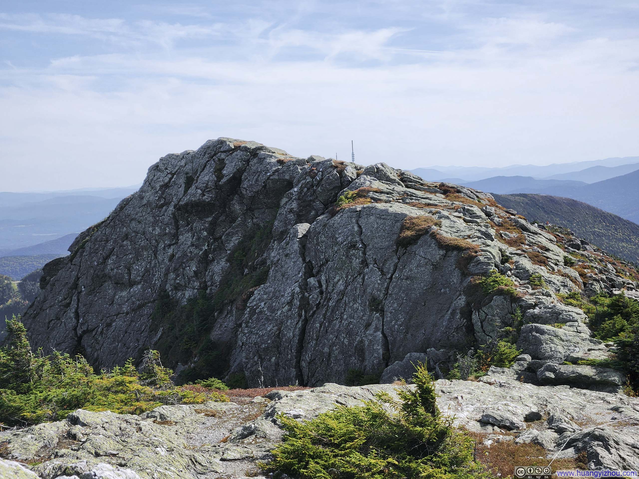
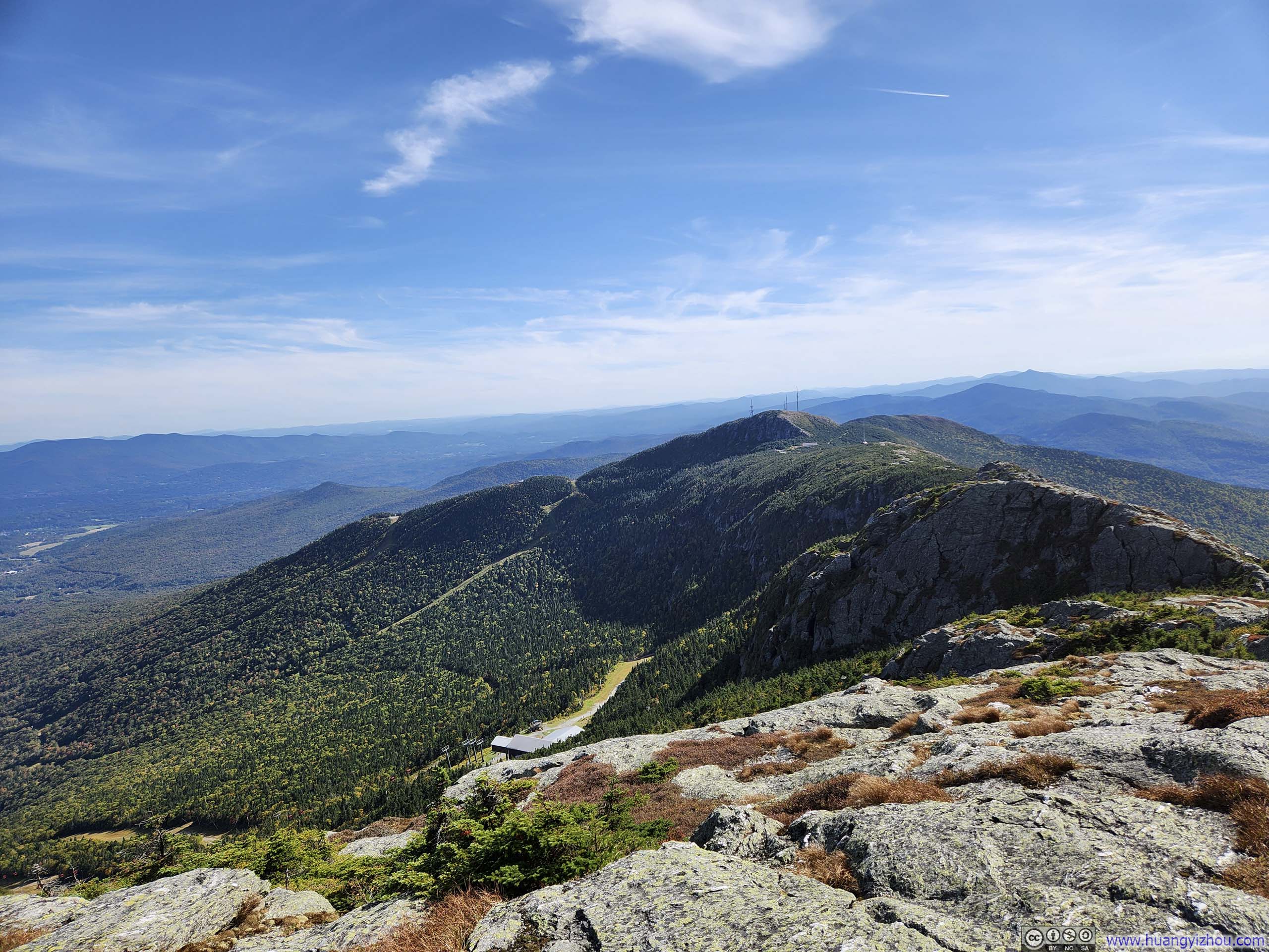
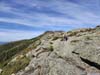
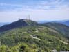
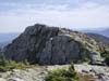
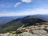
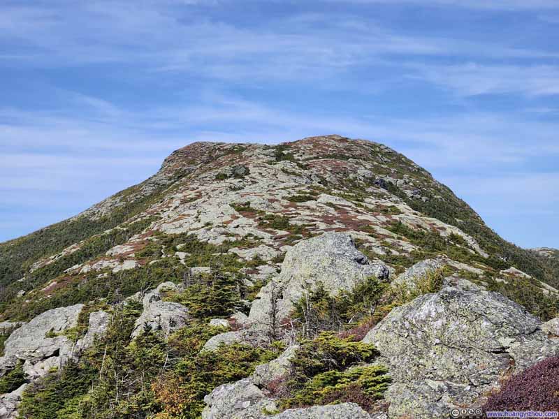
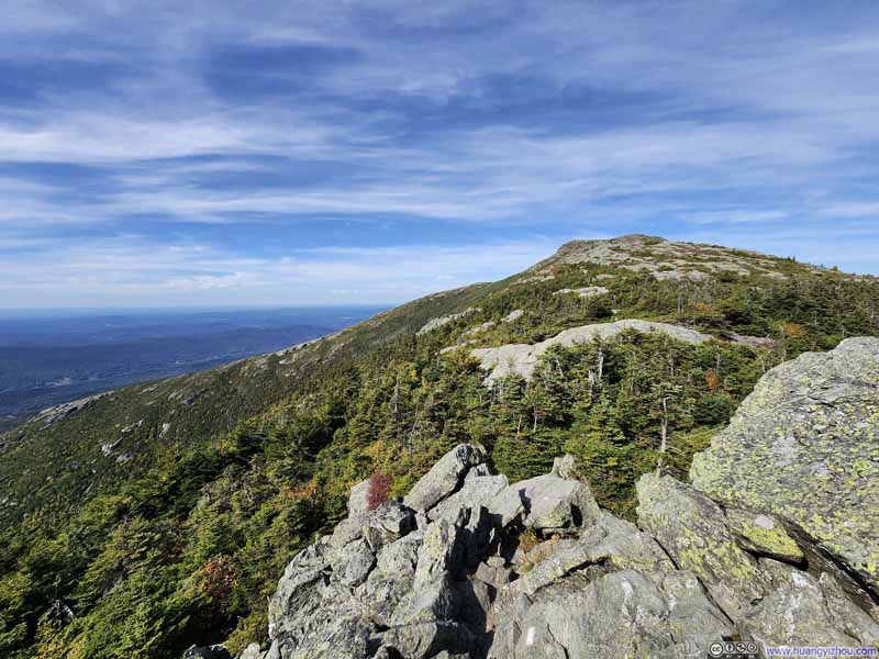
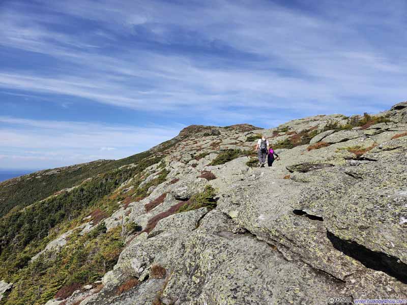
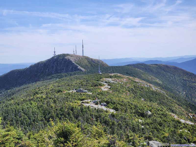
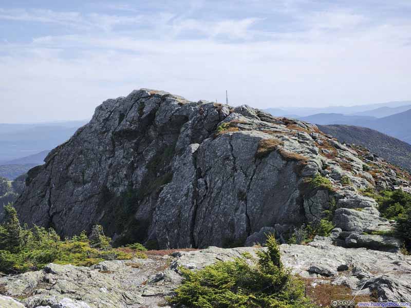
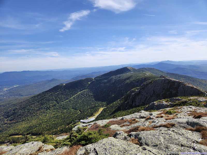
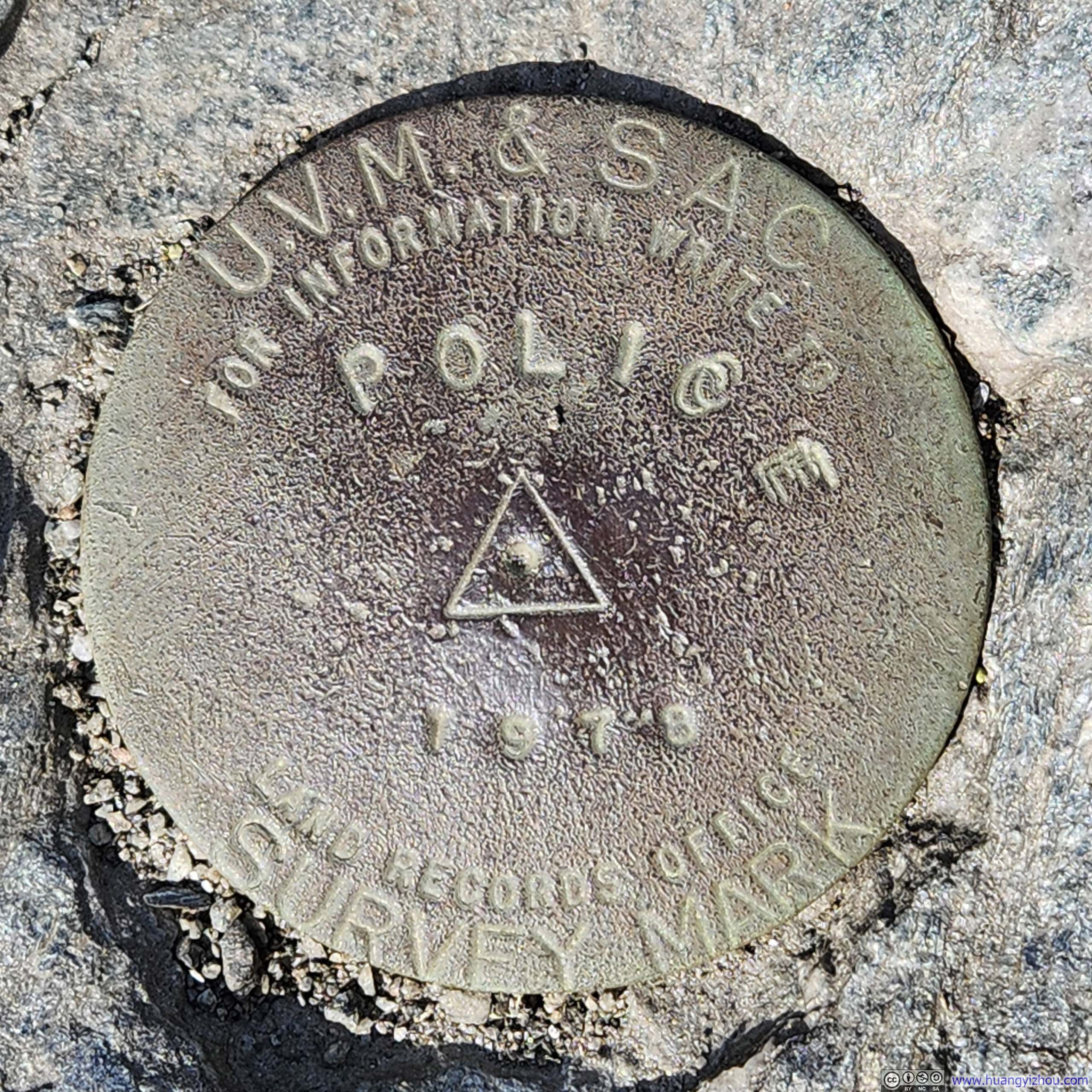
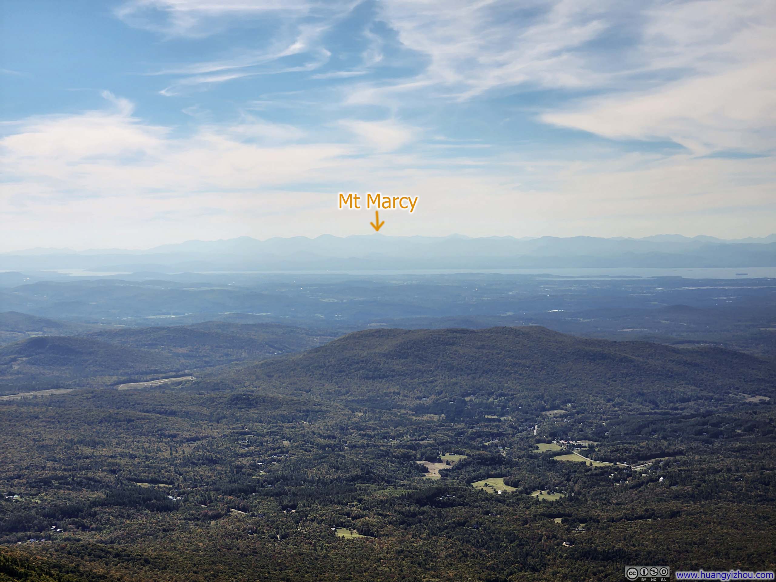
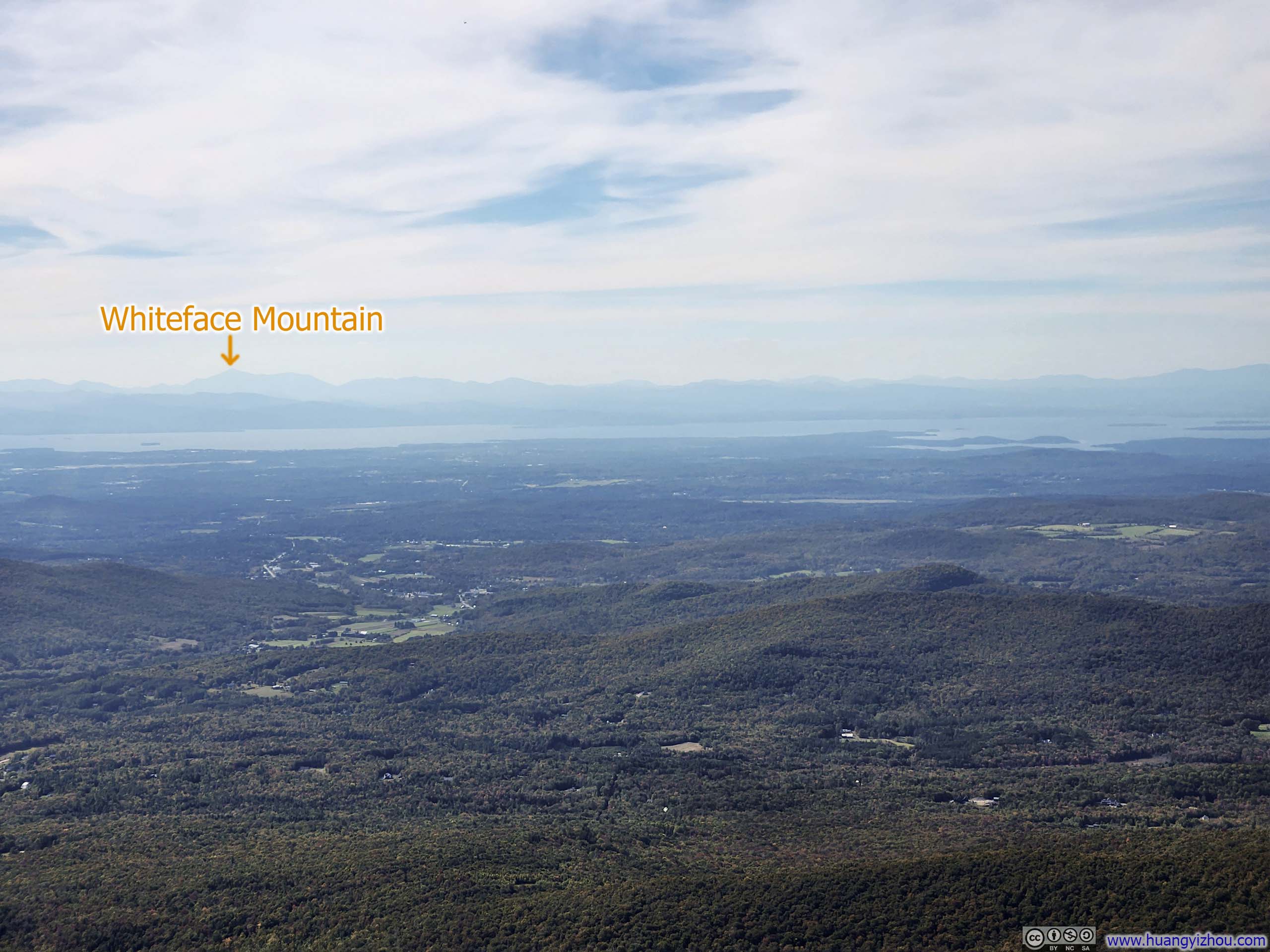
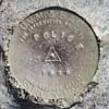
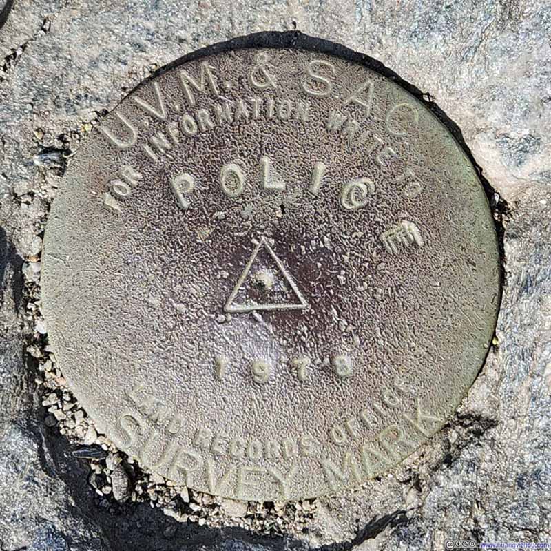
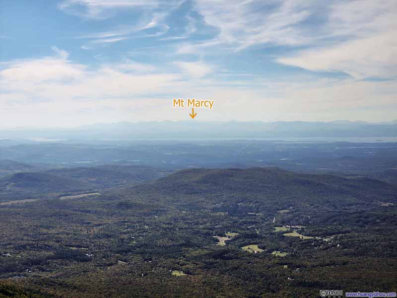
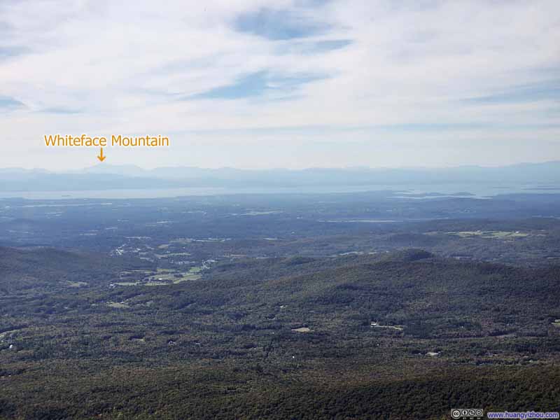
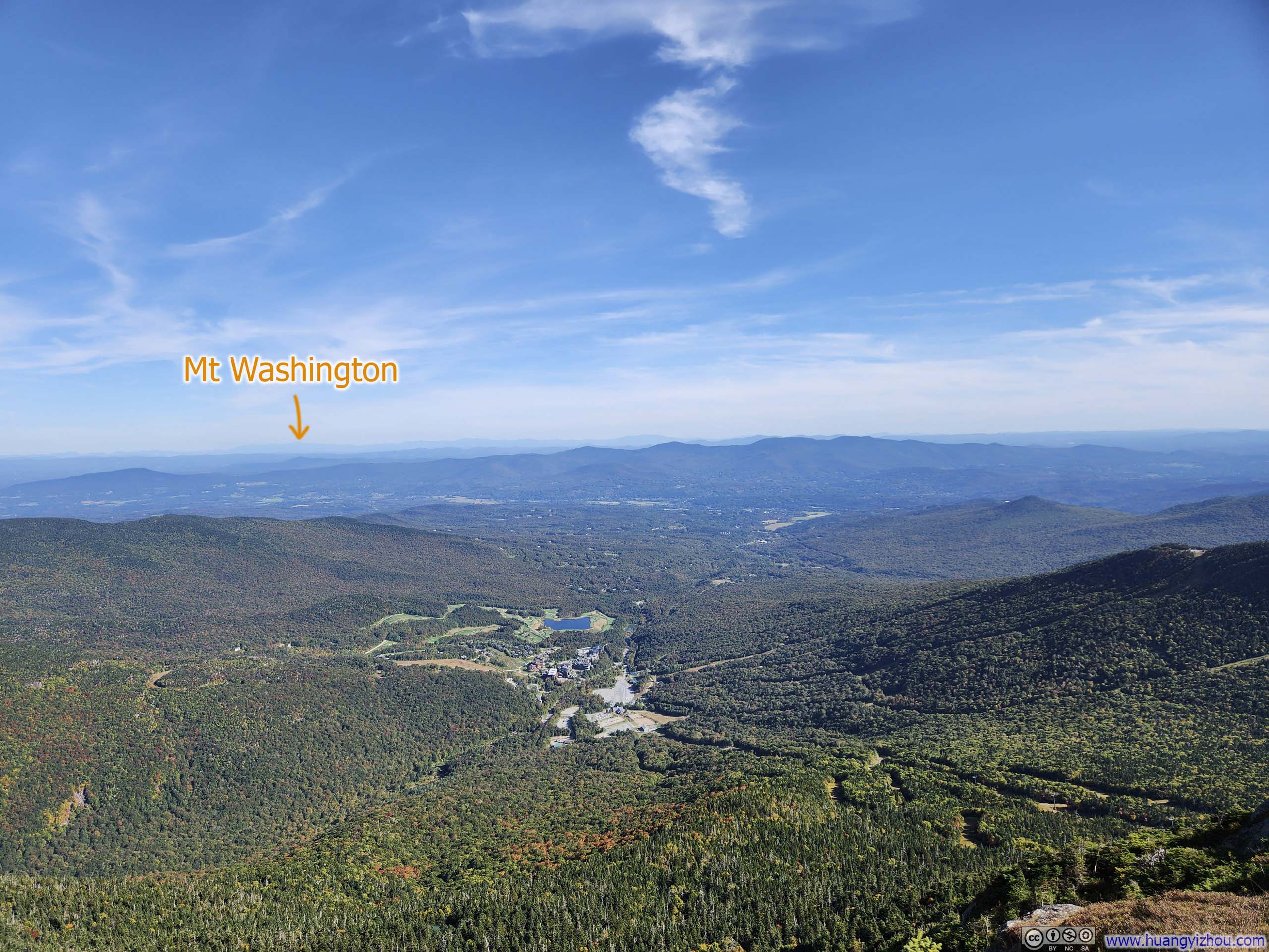
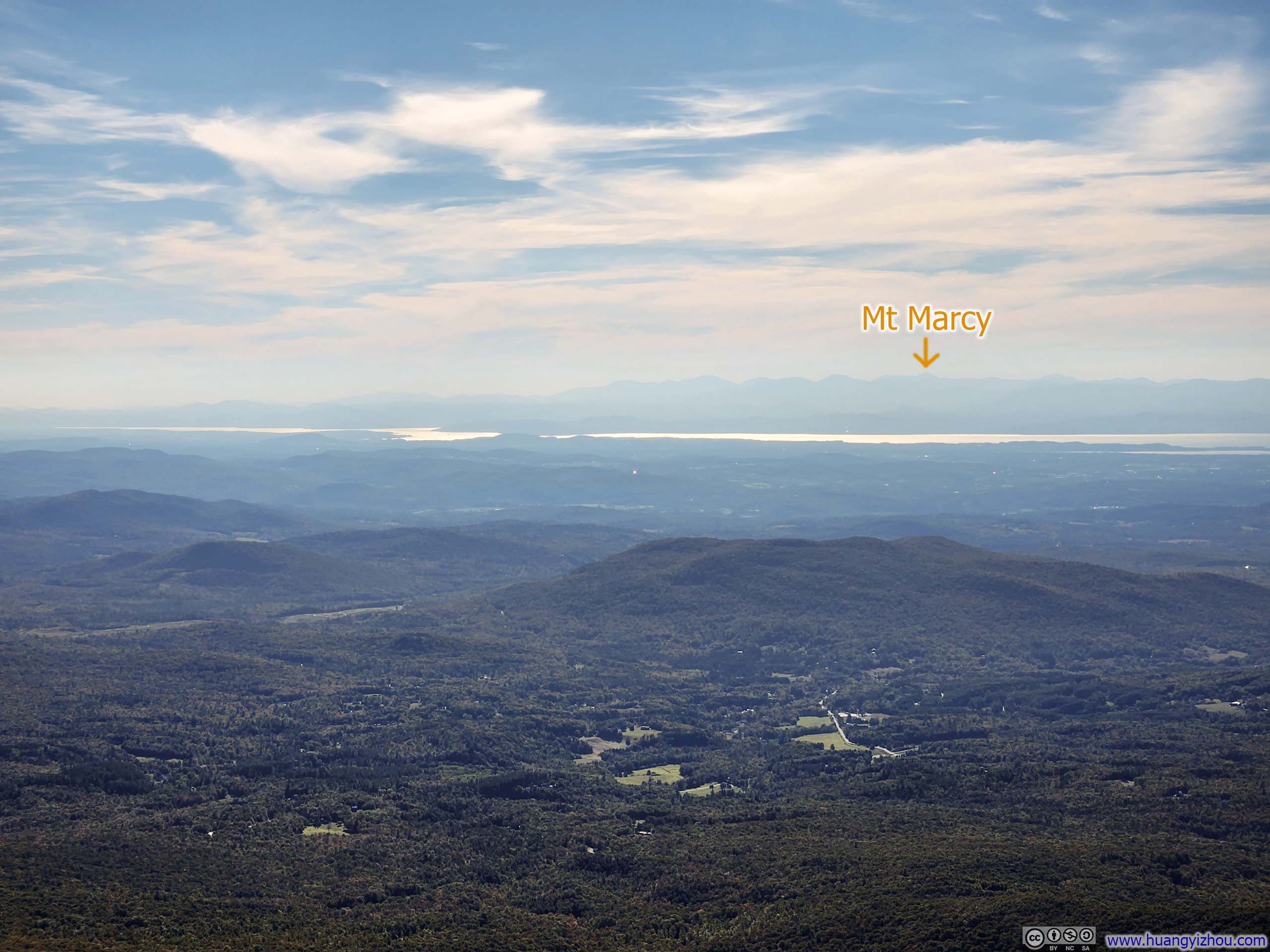
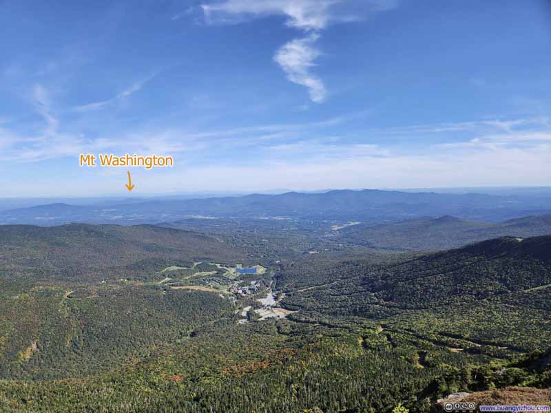
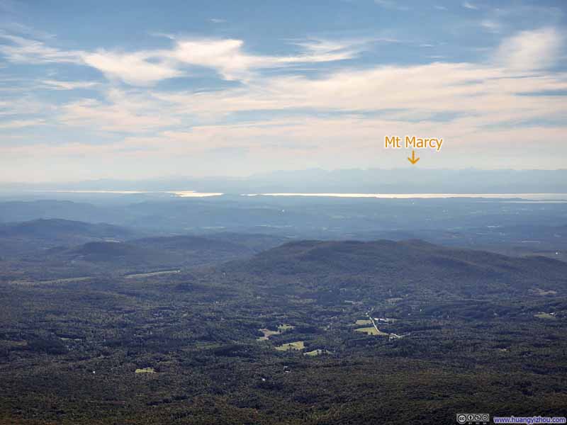
Finally, just over an hour after leaving "The Forehead", I reached "The Chin", the highest point of Mt Mansfield and the state of Vermont. This proved to be the finest vantage point along the mountain's summit ridge. In particular, I could identify Mt Washington of New Hampshire to the east, and Mt Marcy of New York to the southwest, two other state high points from a single summit that was also a state high point, a distinction rare anywhere in the United States.
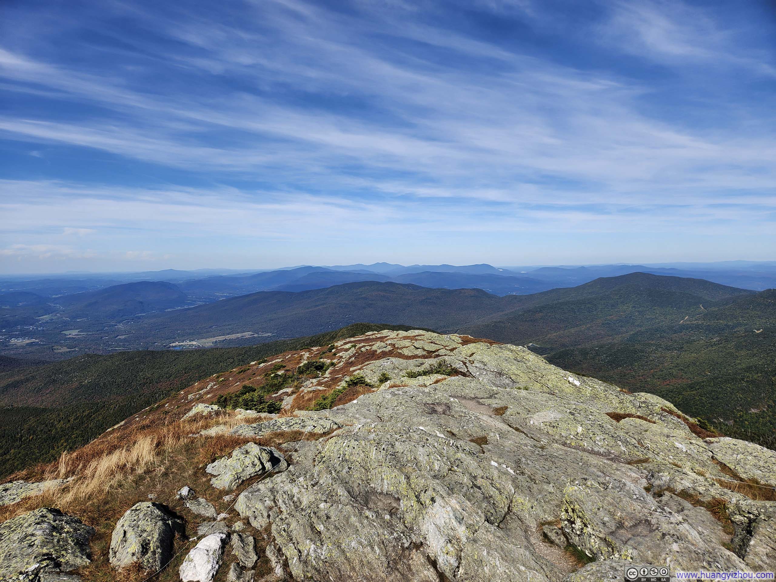
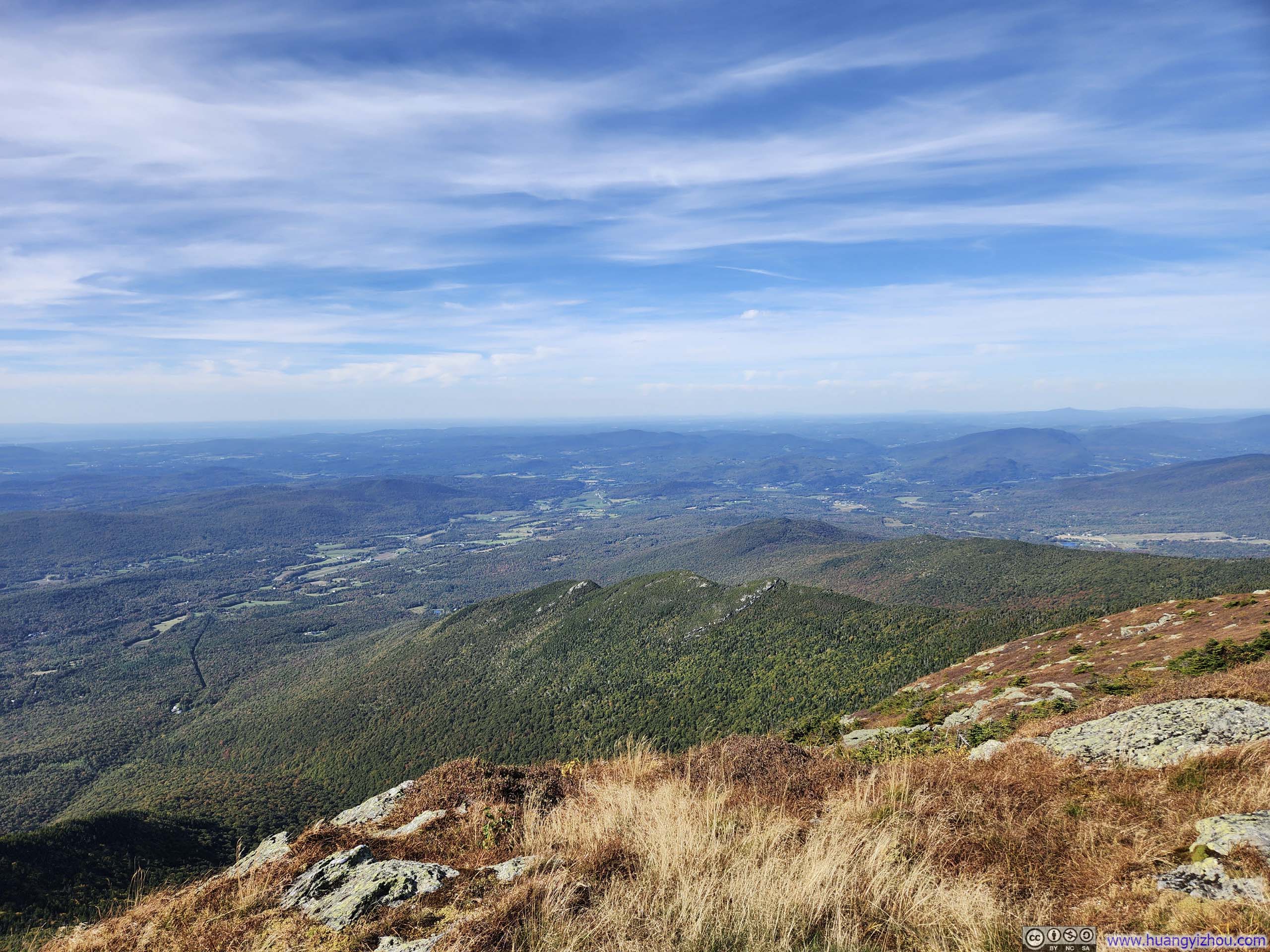
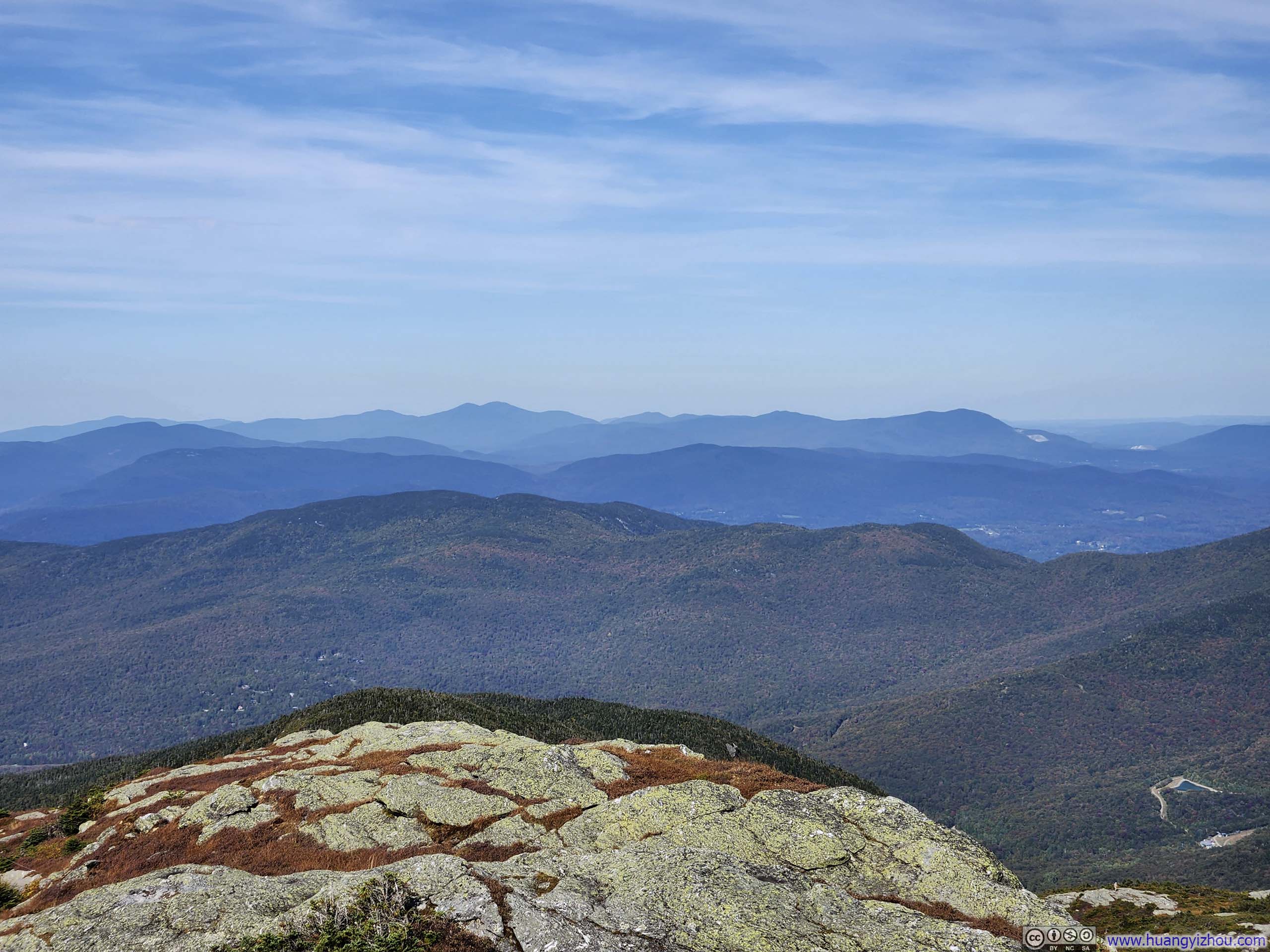
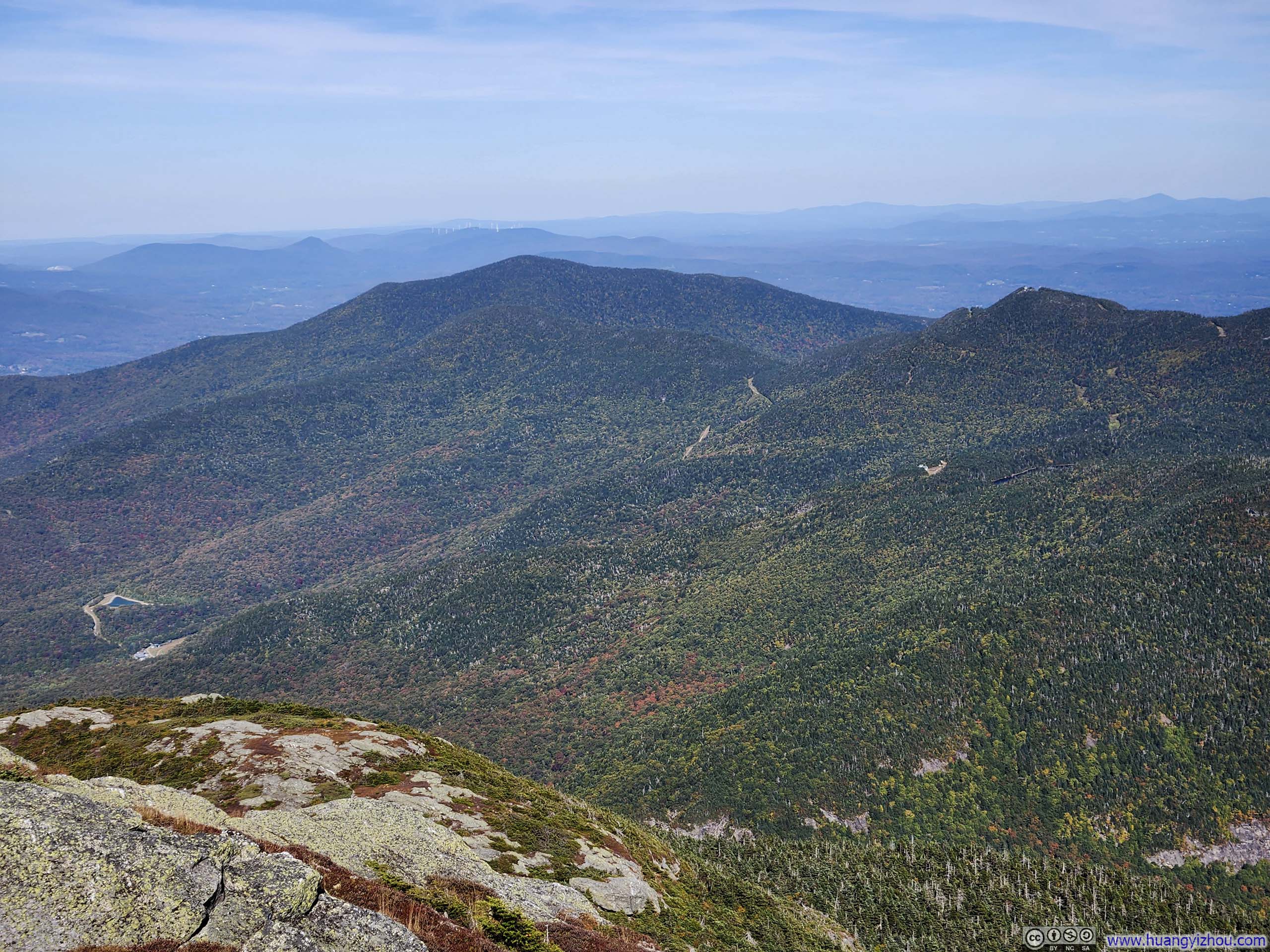
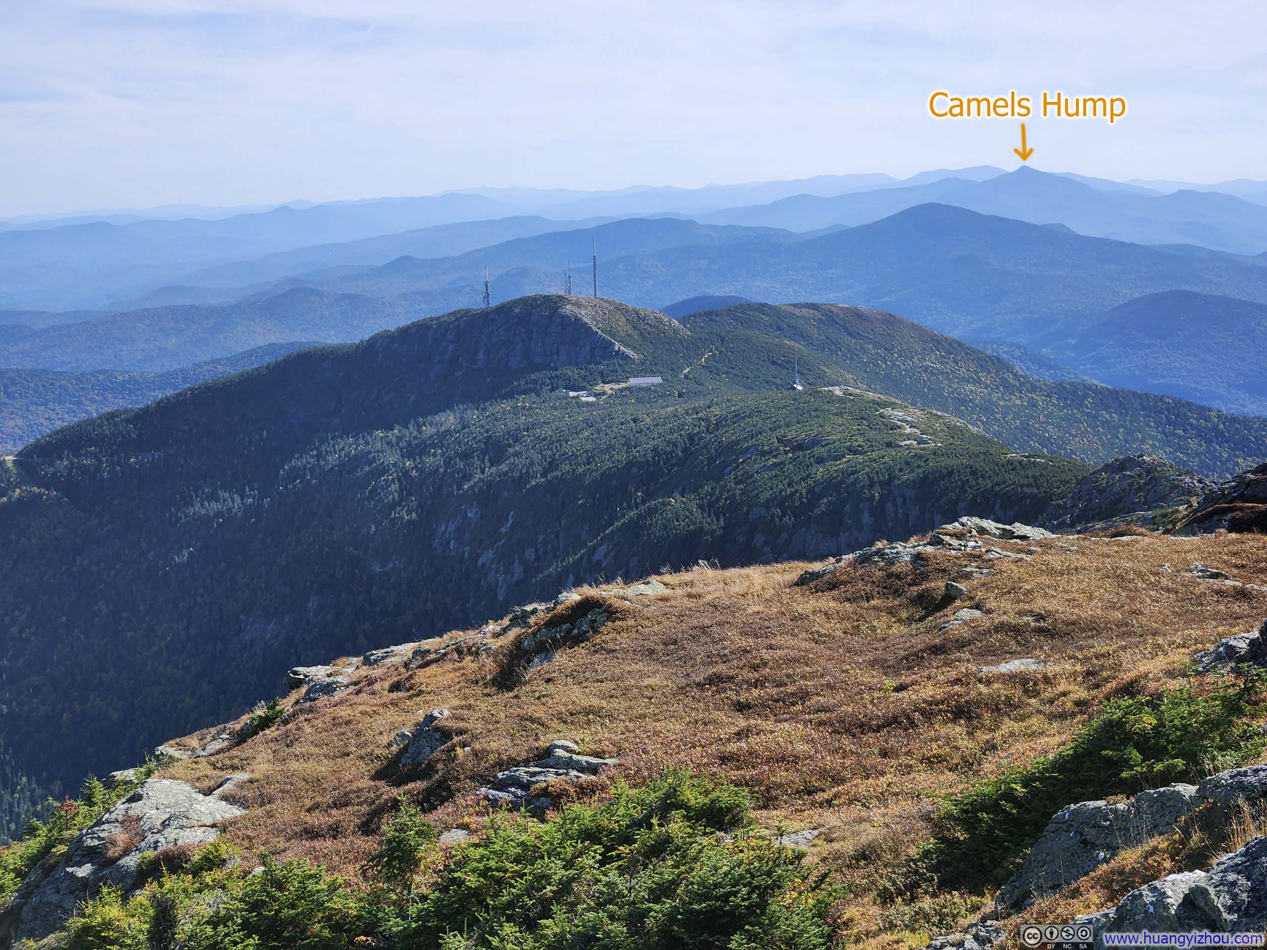
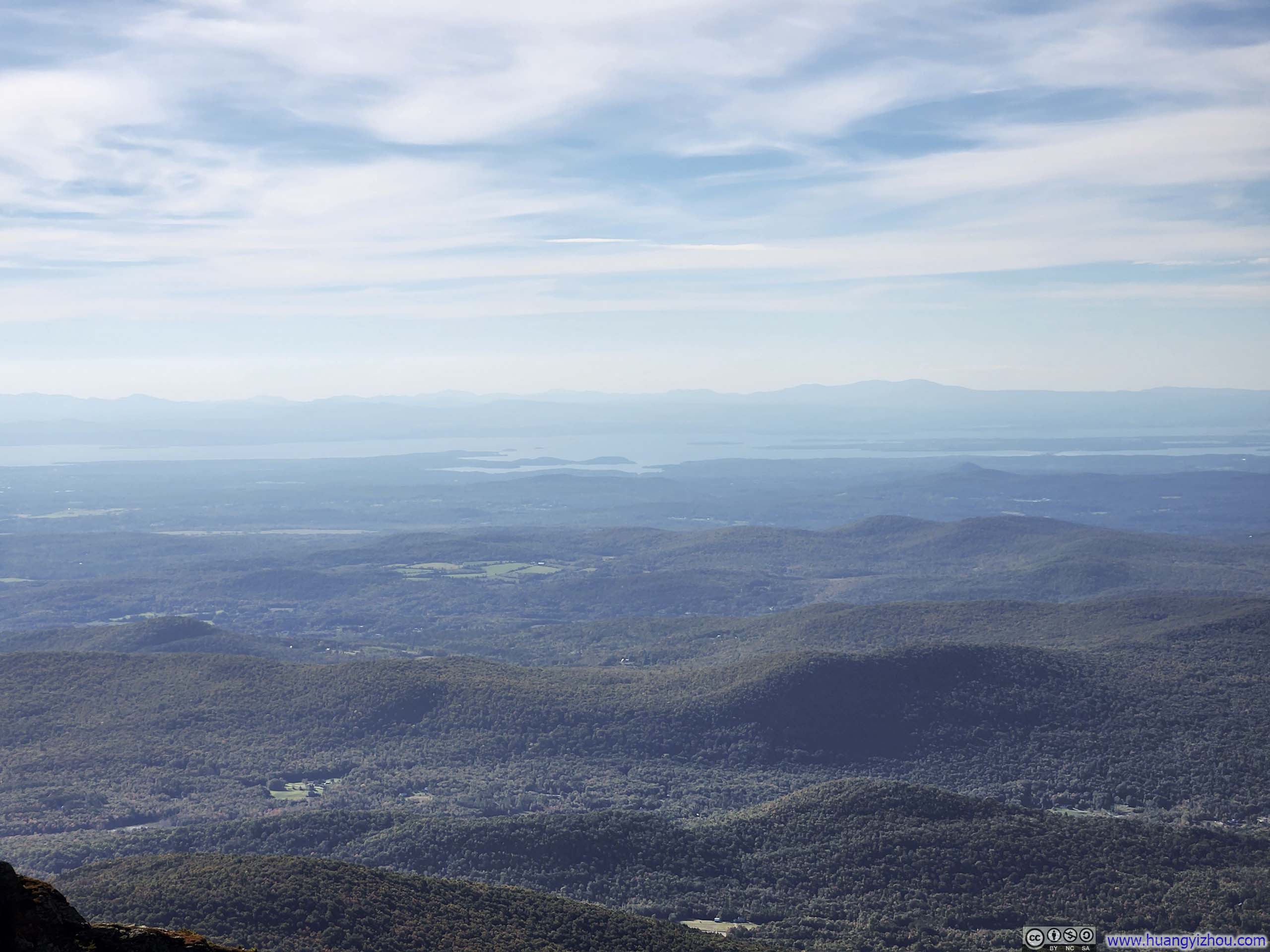
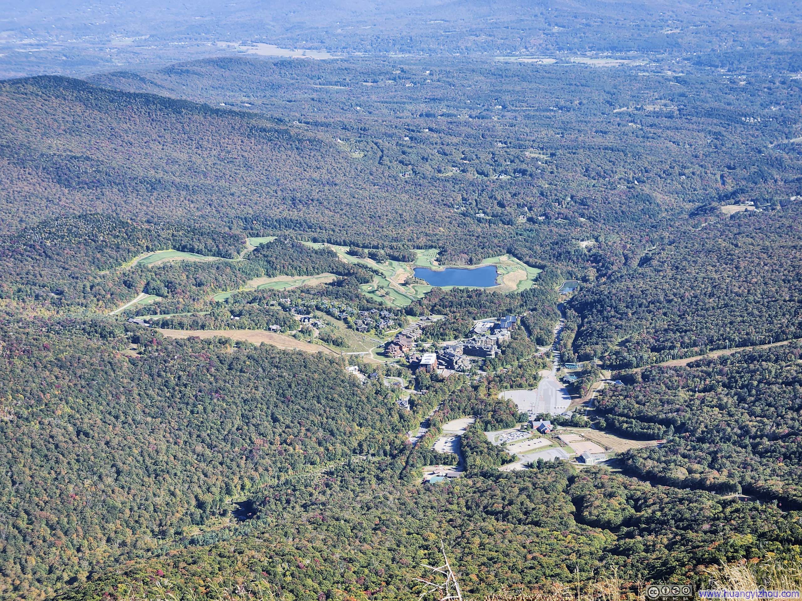
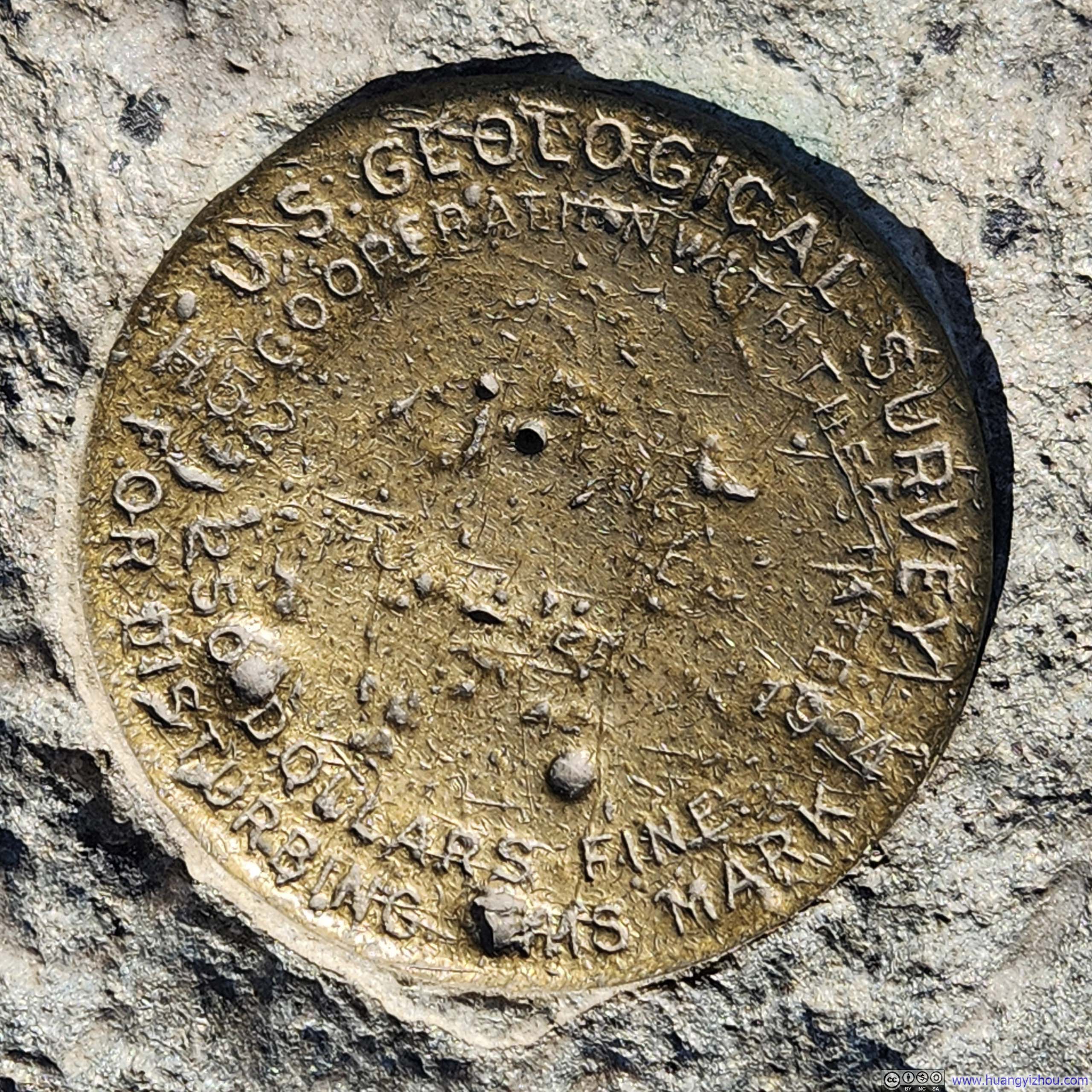
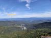
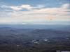
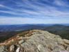
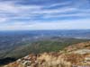
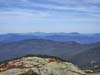
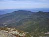
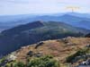
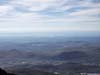
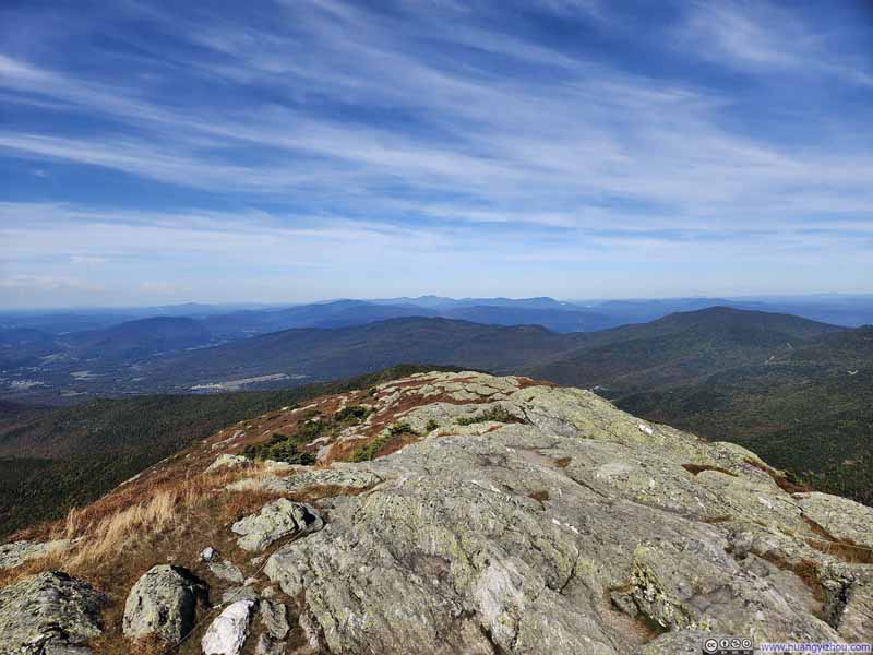
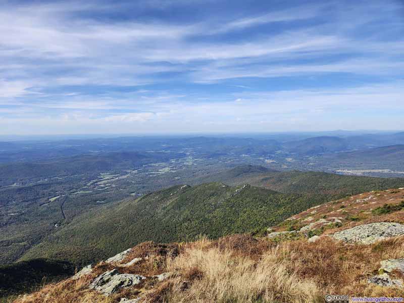
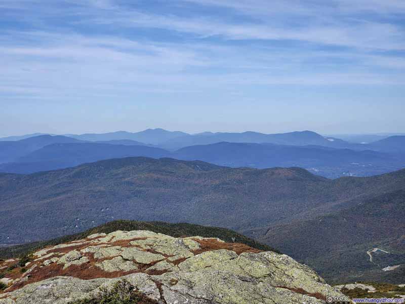
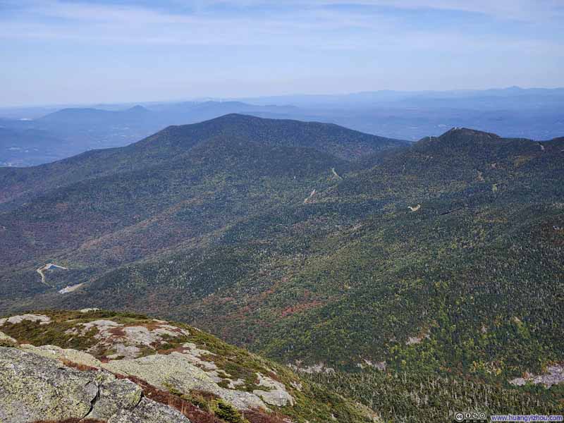
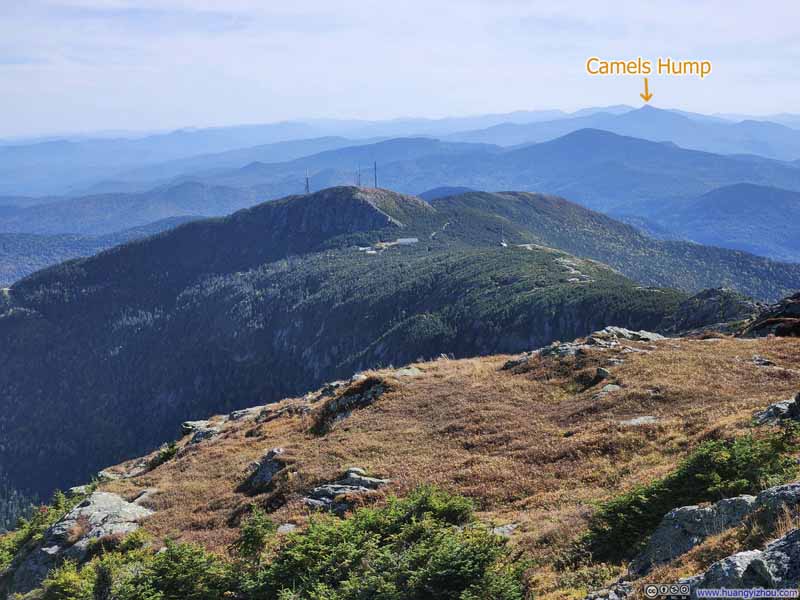
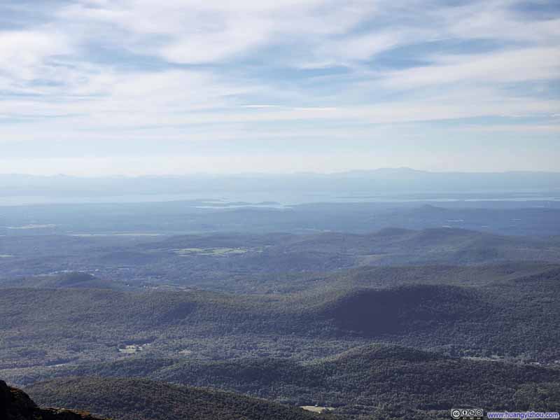
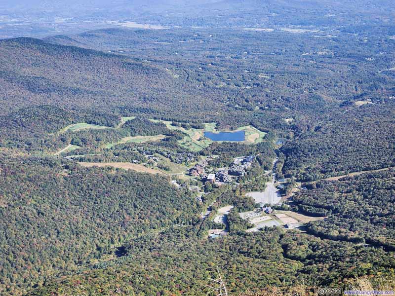
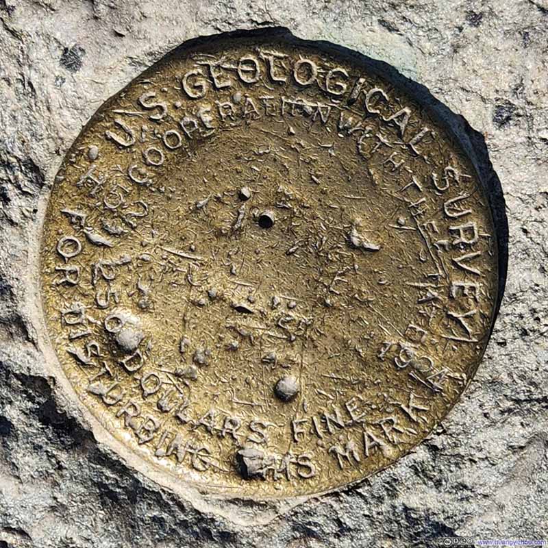
On the other hand, Mt Mansfield's summit was like a small mound that lacked prominence, and apart from the mountains following the Long Trail further north, I had largely absorbed much of the surrounding panorama while walking along the summit ridge, so I just took a 20-minute snack break on top of it before grabbing the following video and starting my descent:
13 seconds, 2160p60fps, H265 only, 20Mbps/37MB file size.
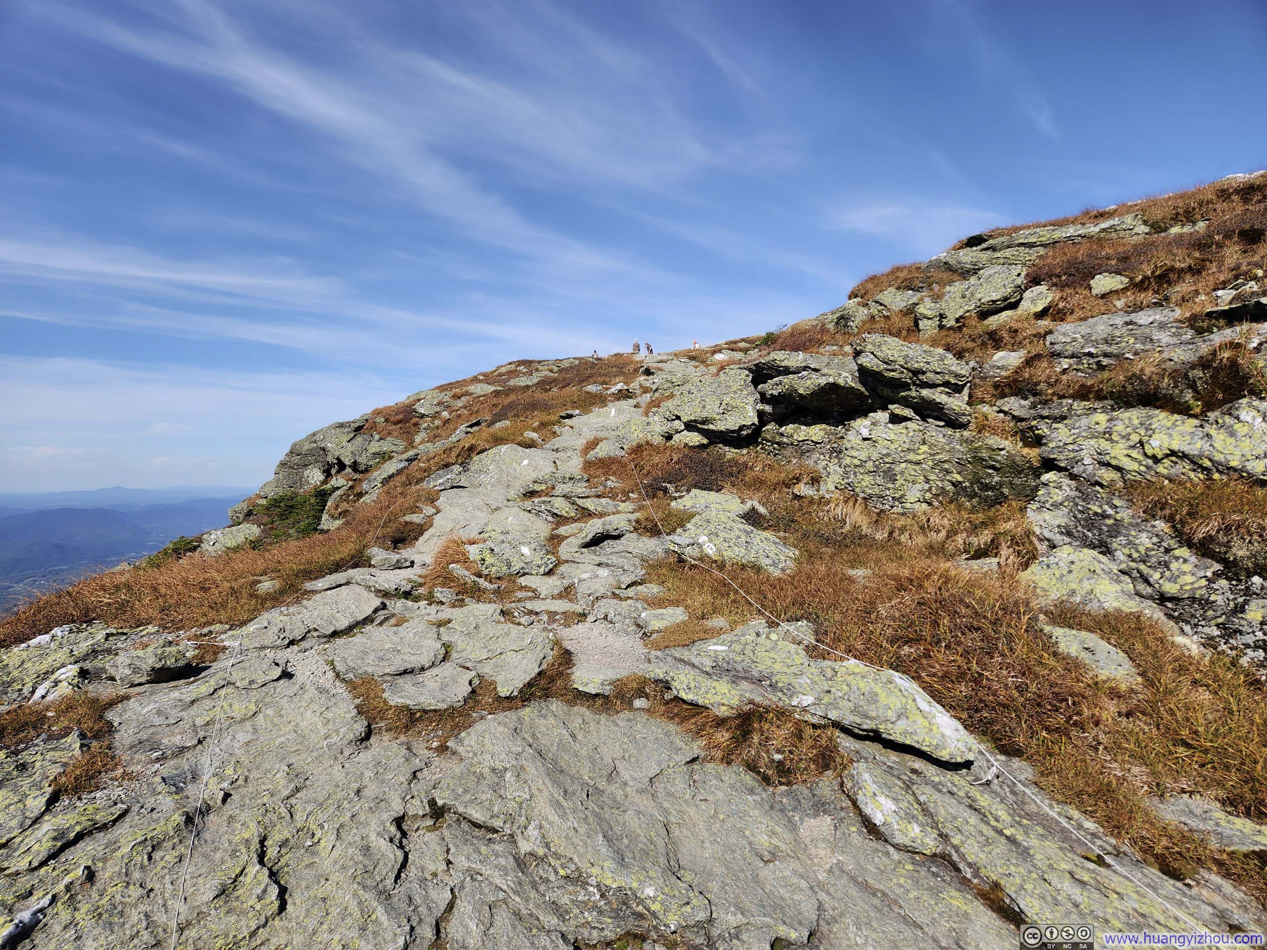
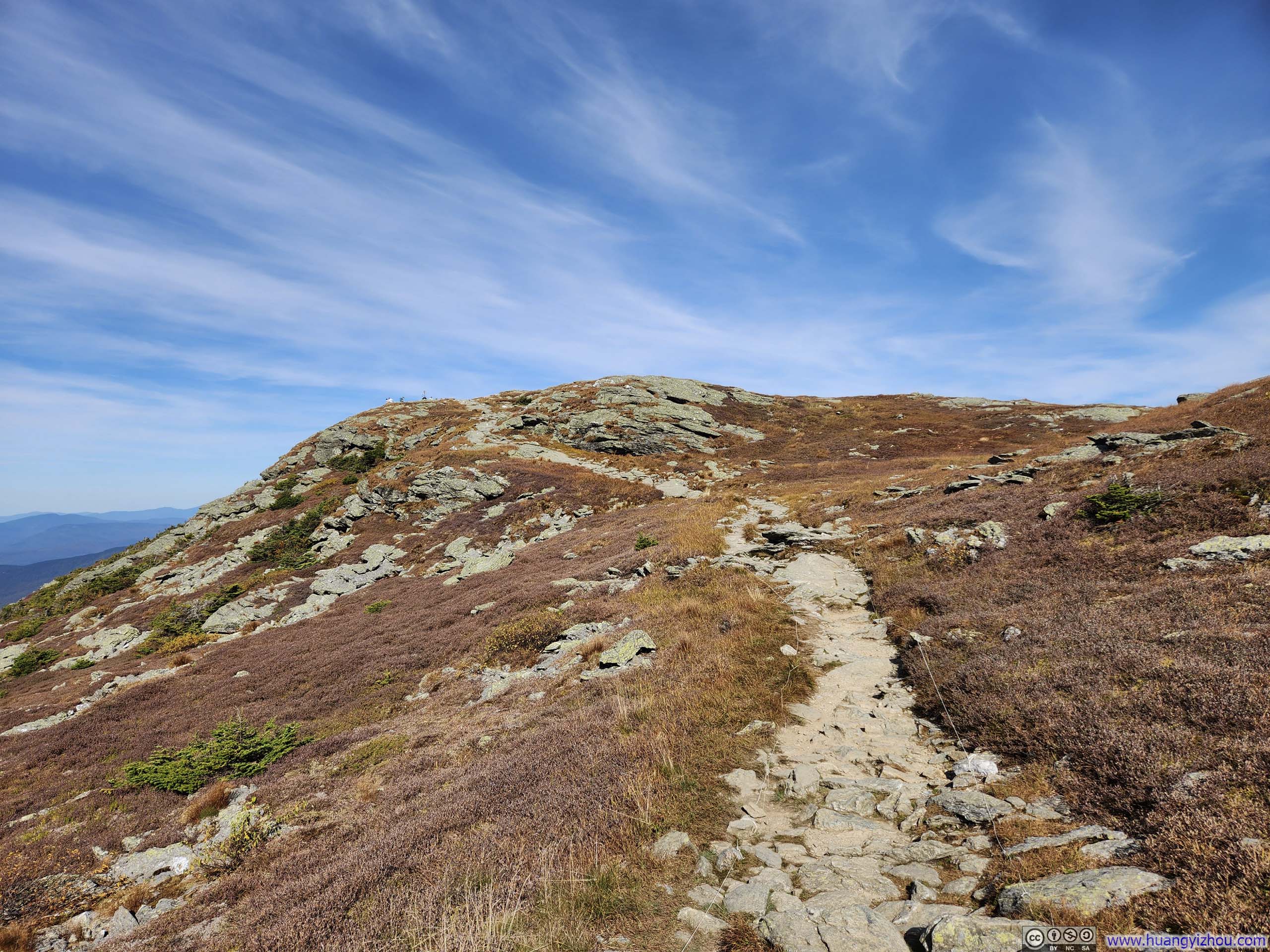
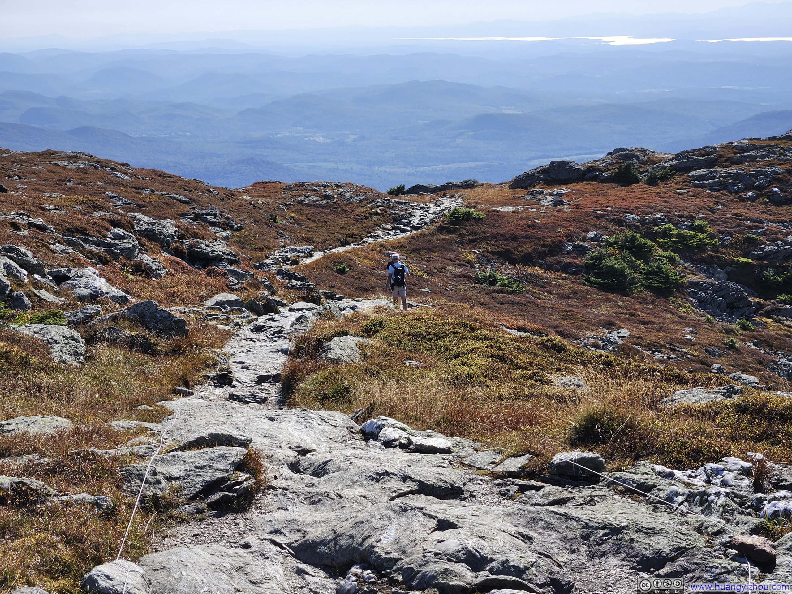
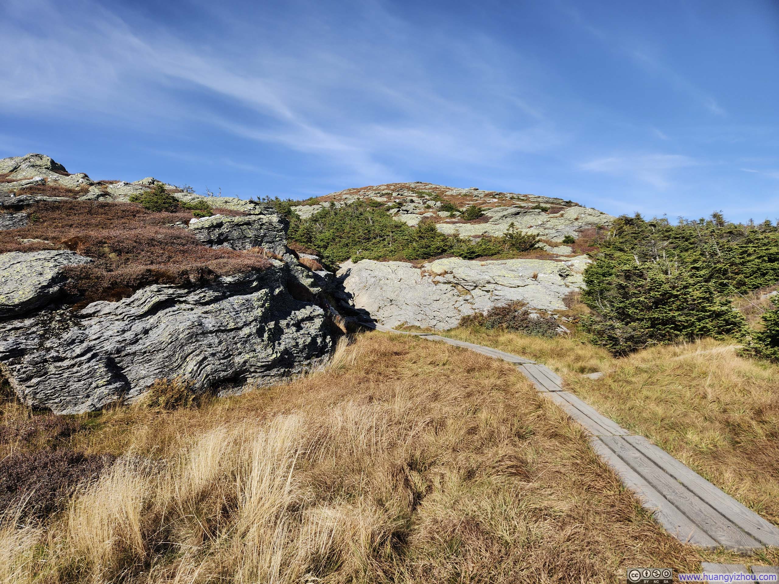
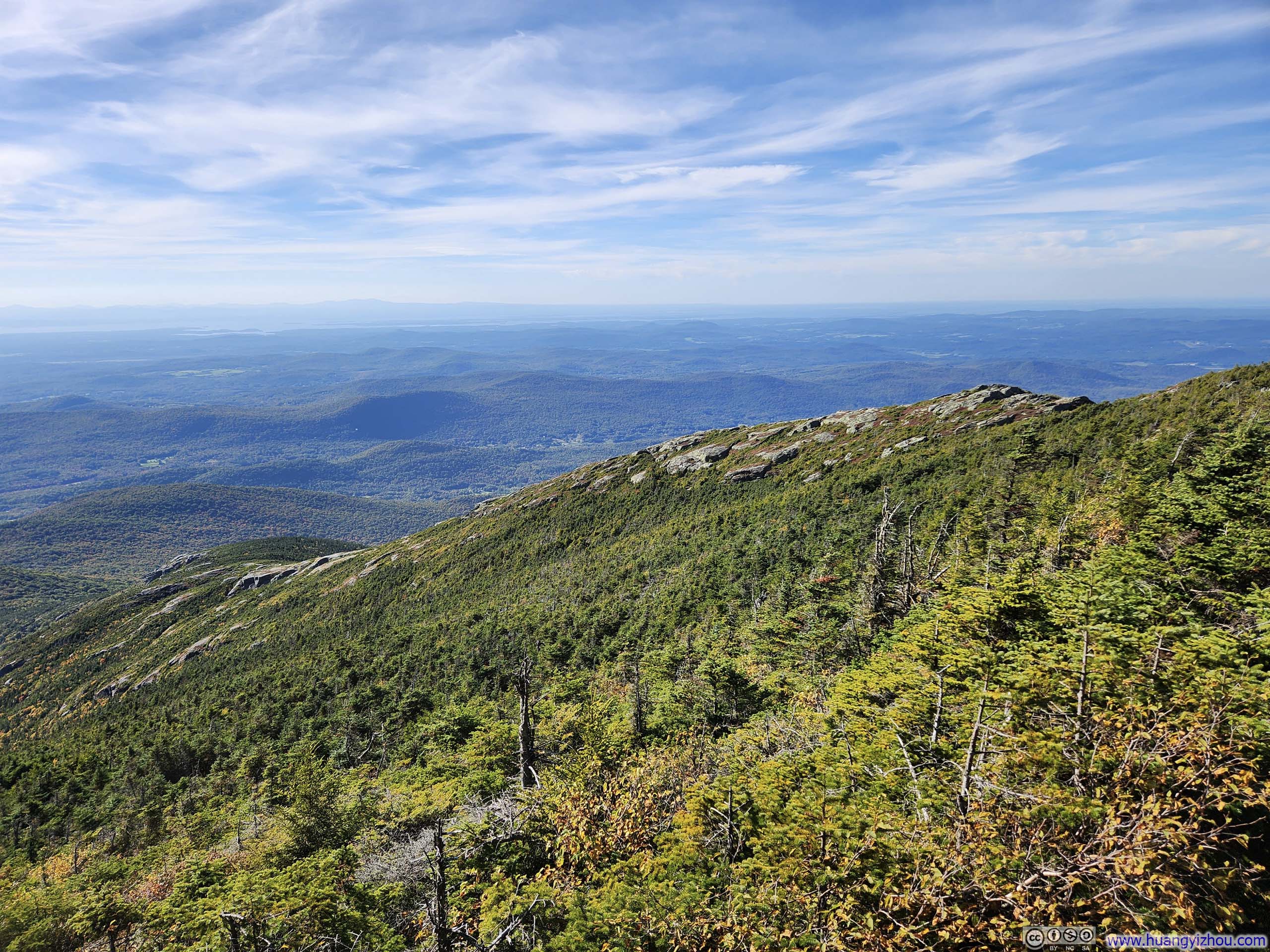
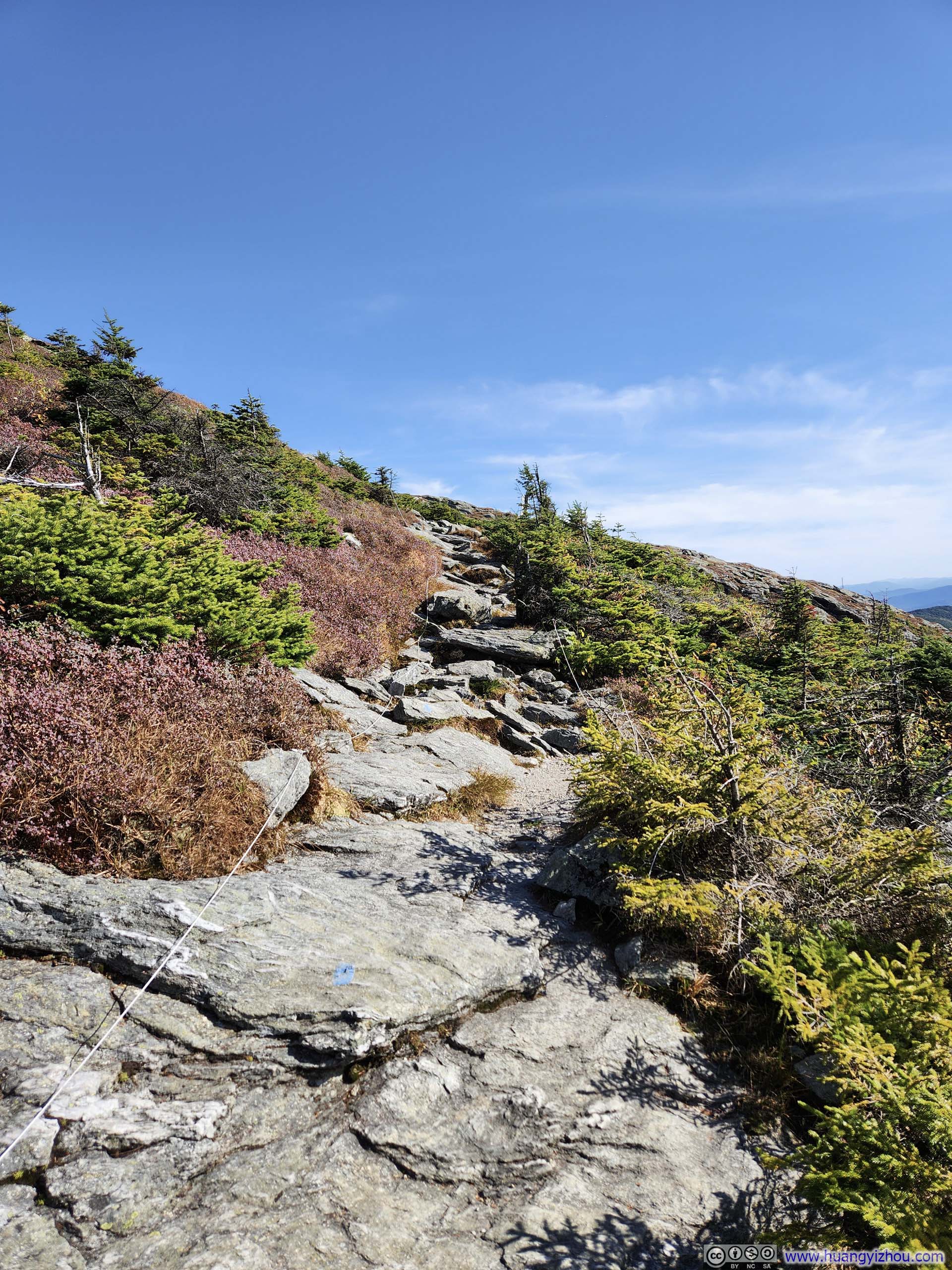
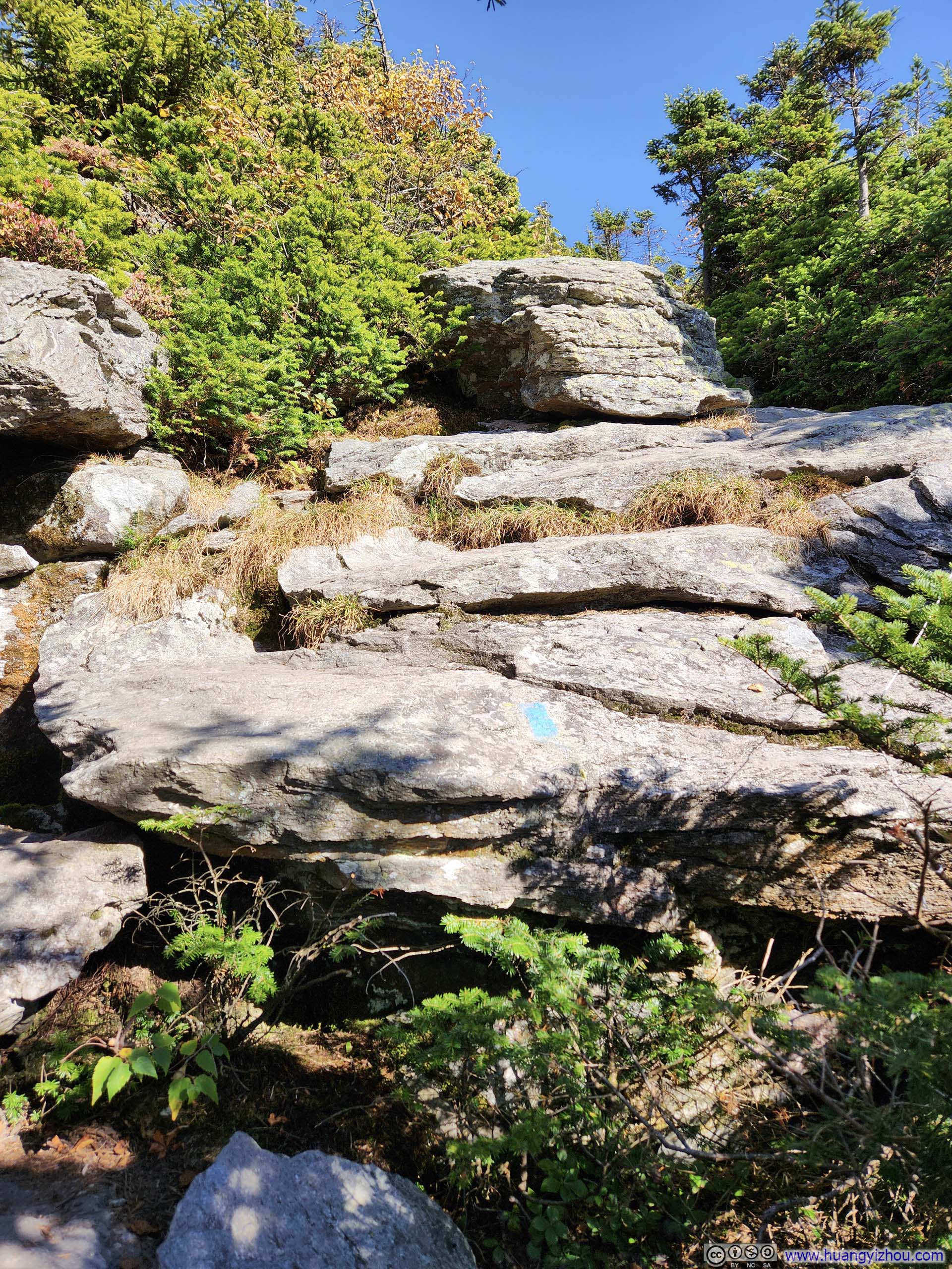
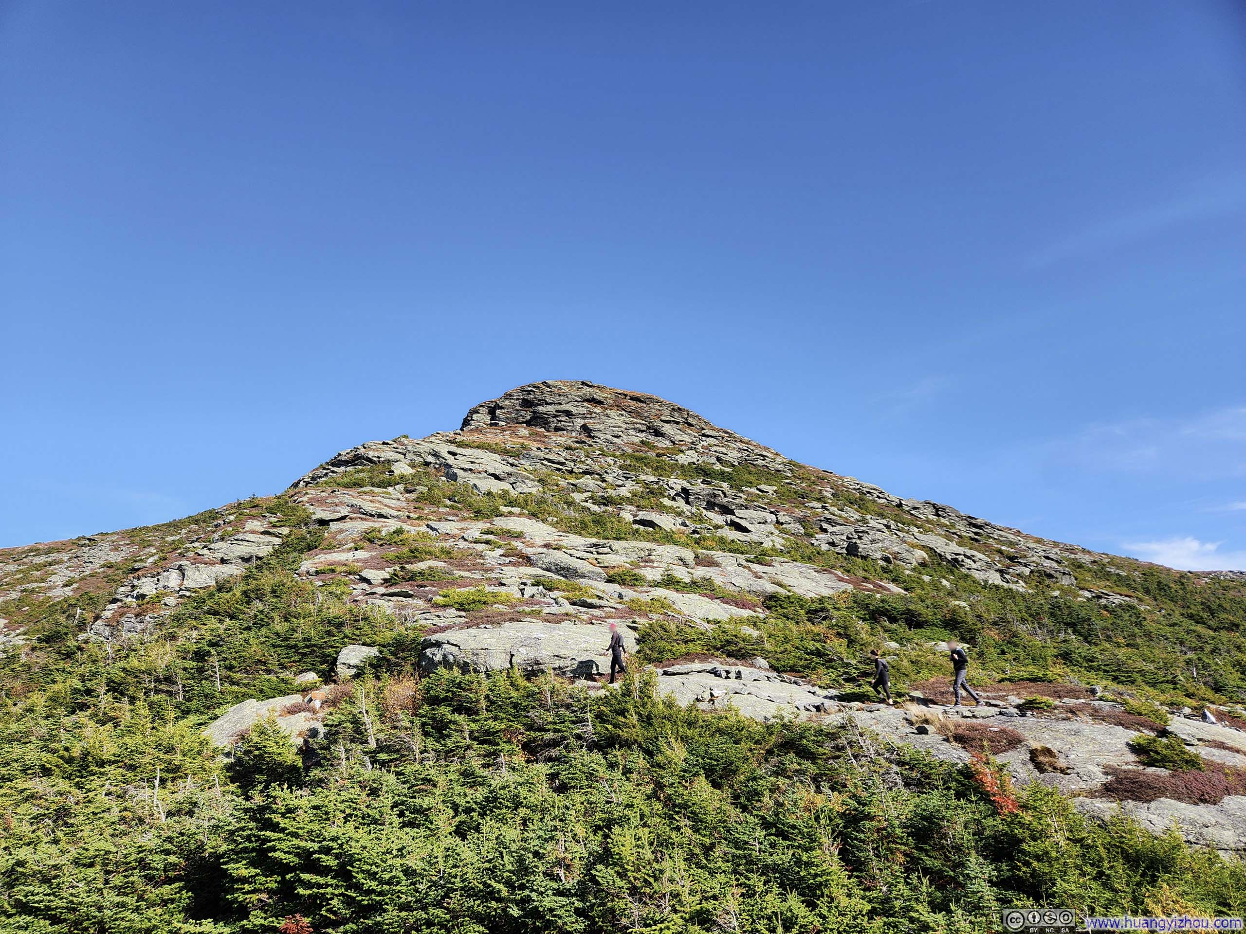
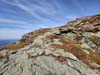
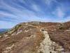
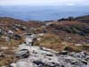
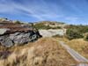
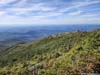
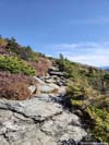
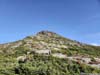
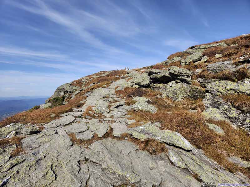
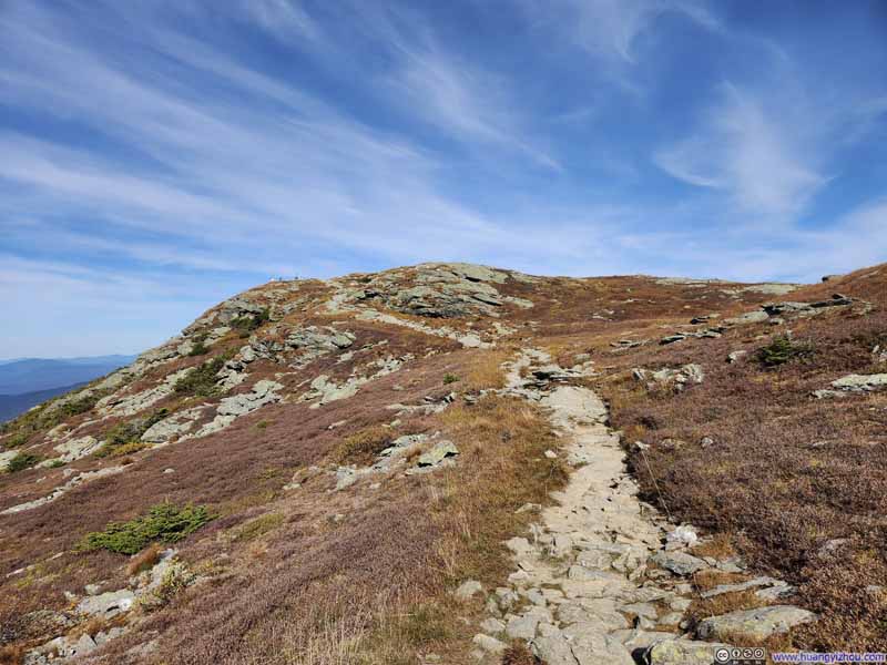
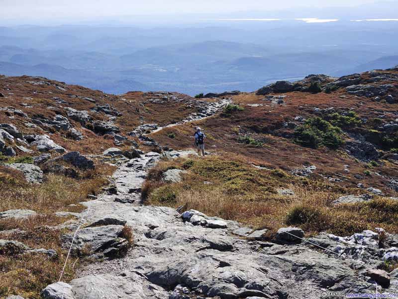
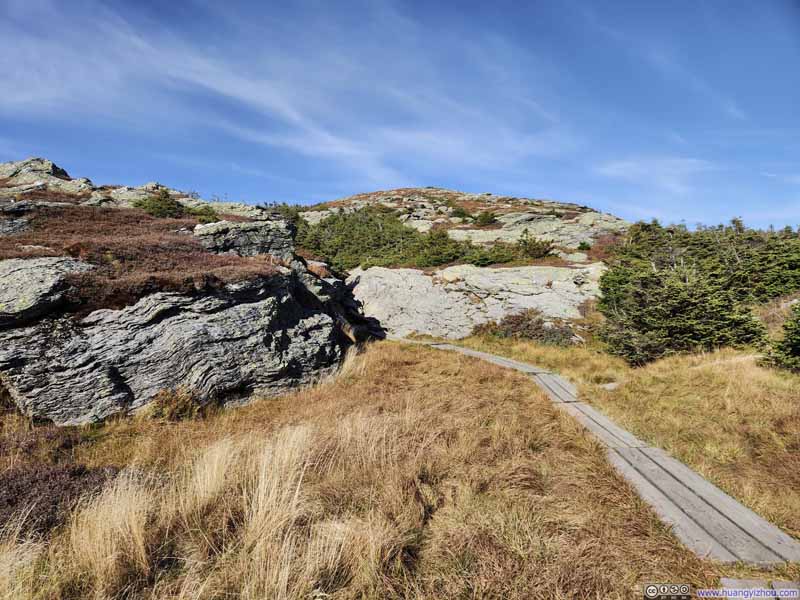
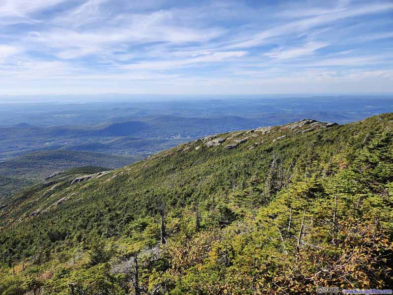
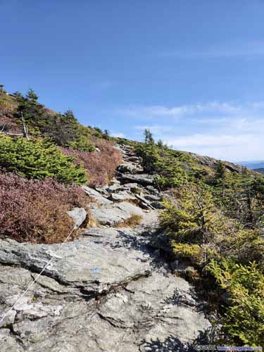
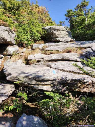
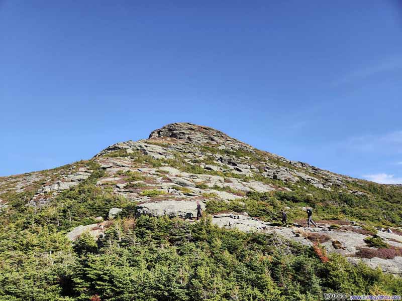
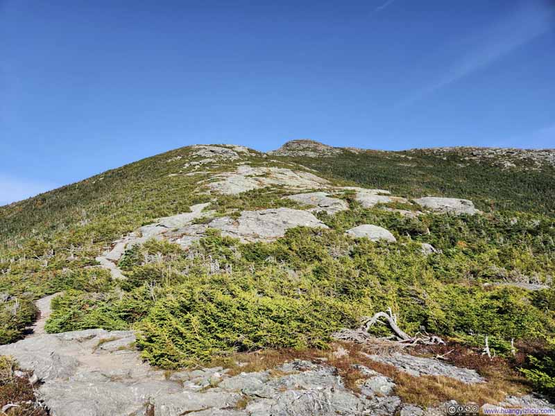
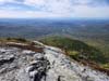
Leaving the tundra field around Mt Mansfield's summit, Sunset Ridge had larger portions made of exposed bedrock than the Maple Ridge which I took during ascent, offering better views of Mt Mansfield's summit ridge behind me as a final encore.
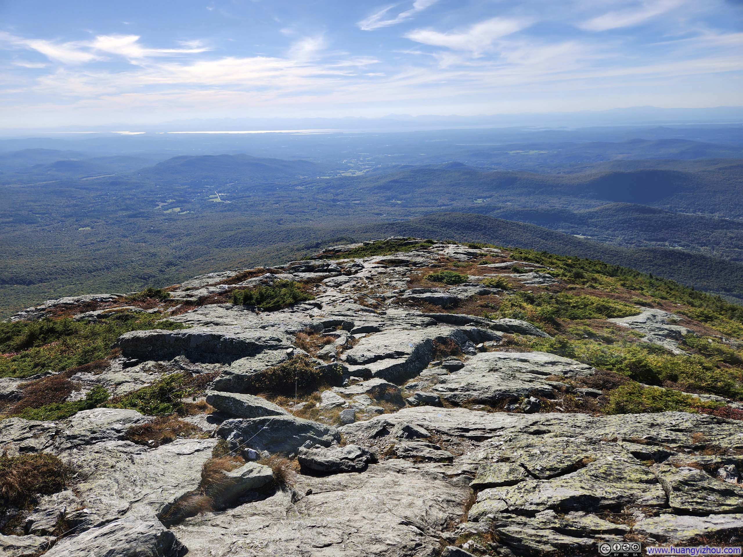
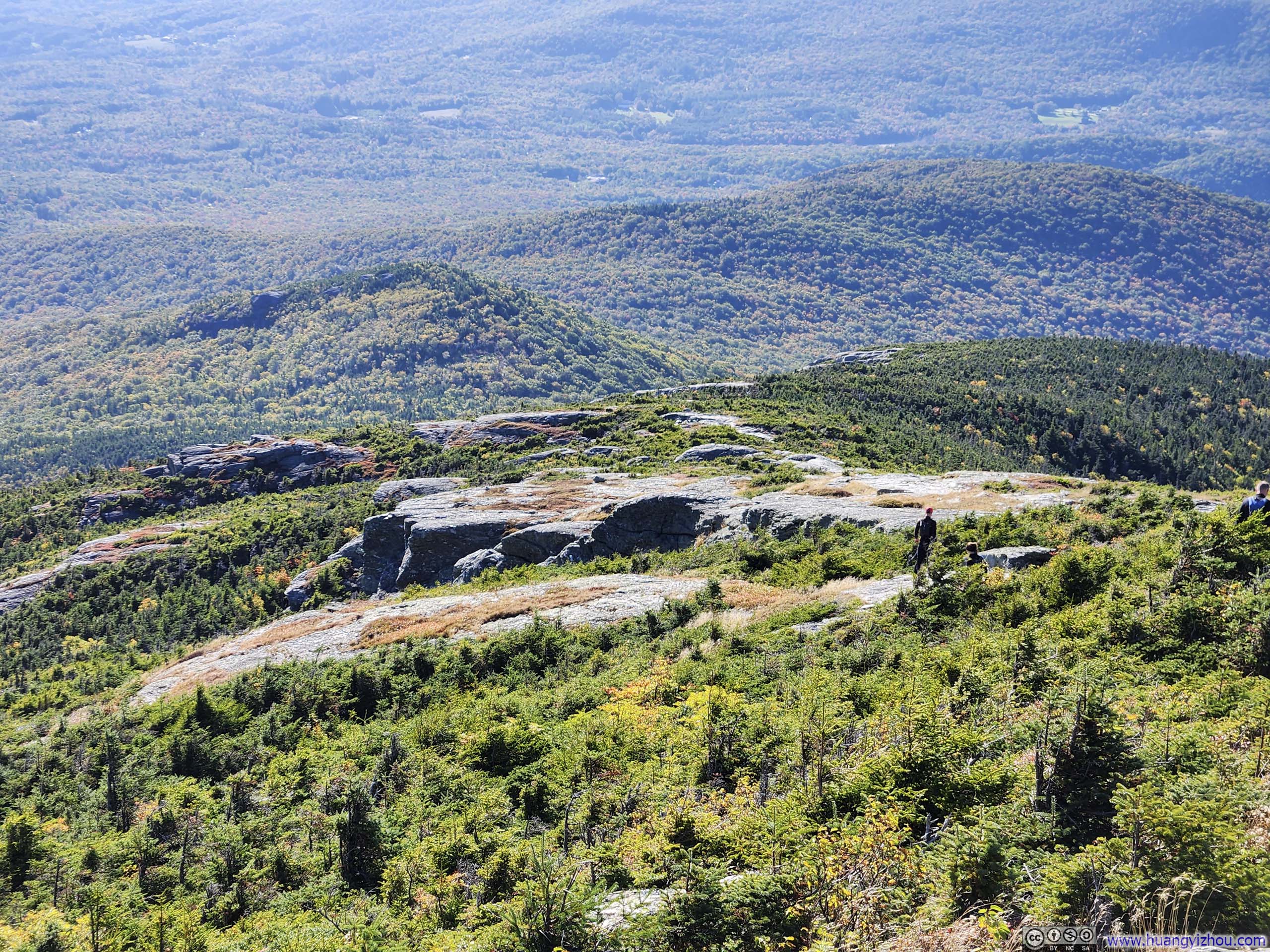
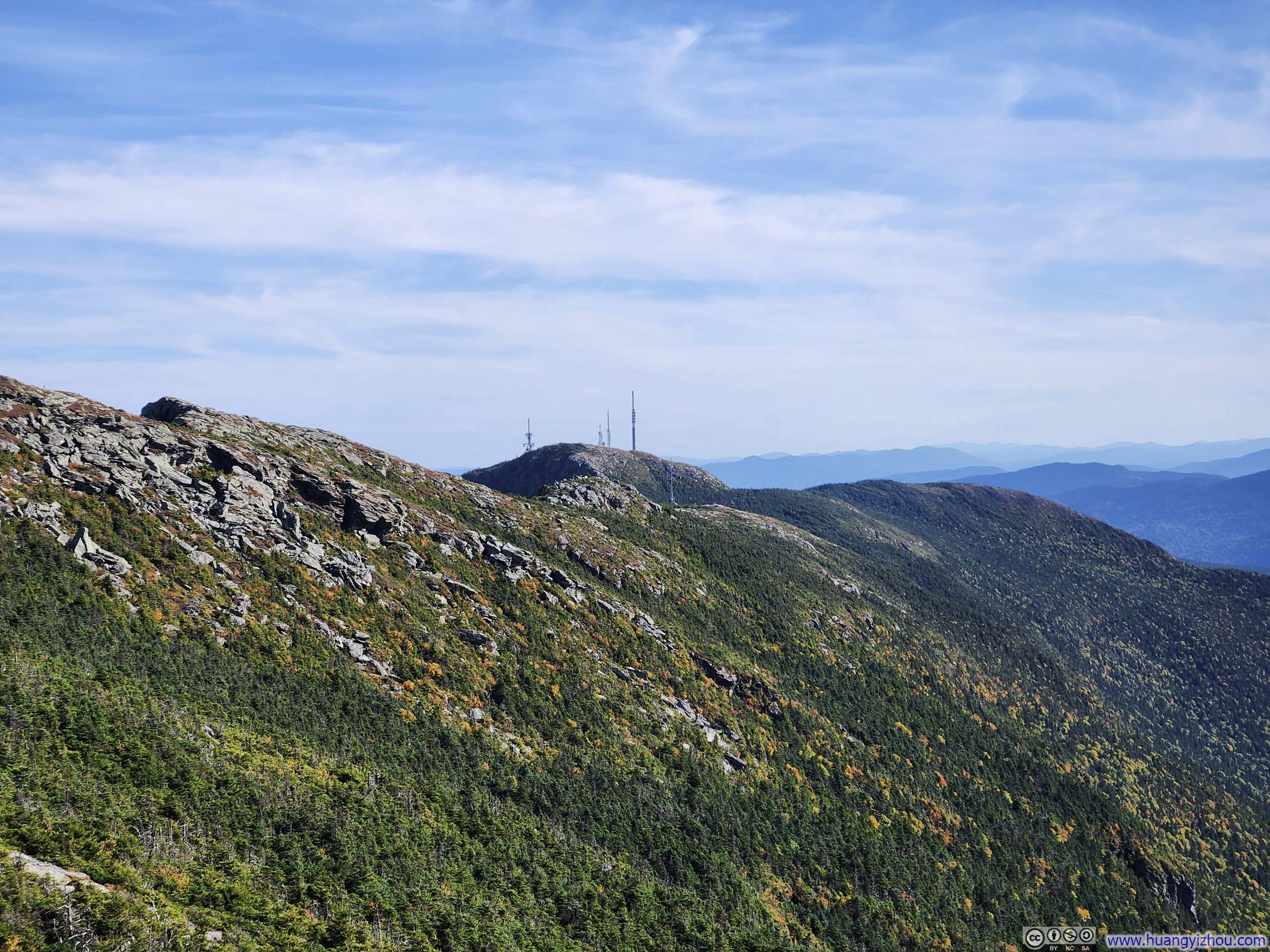
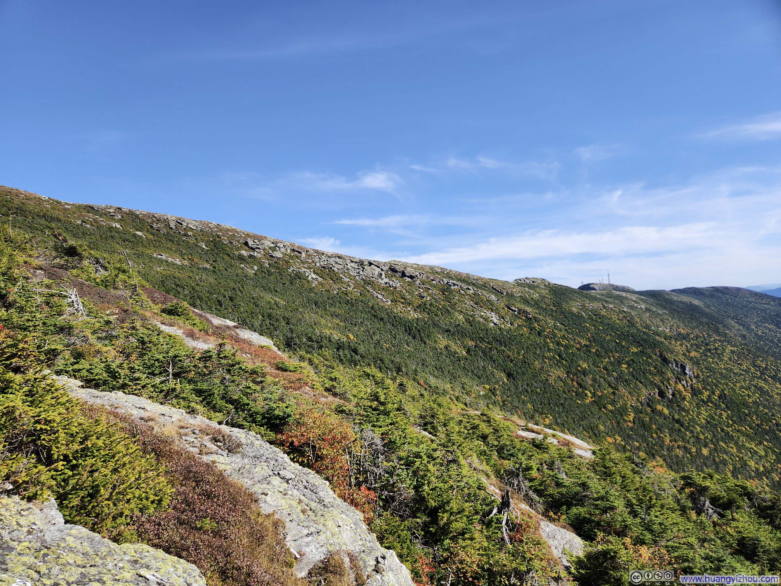
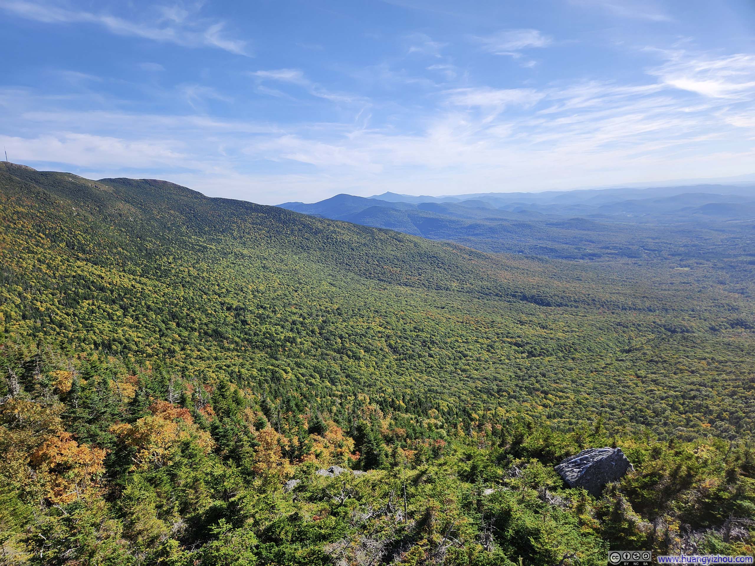
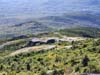
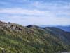
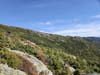
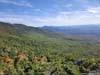
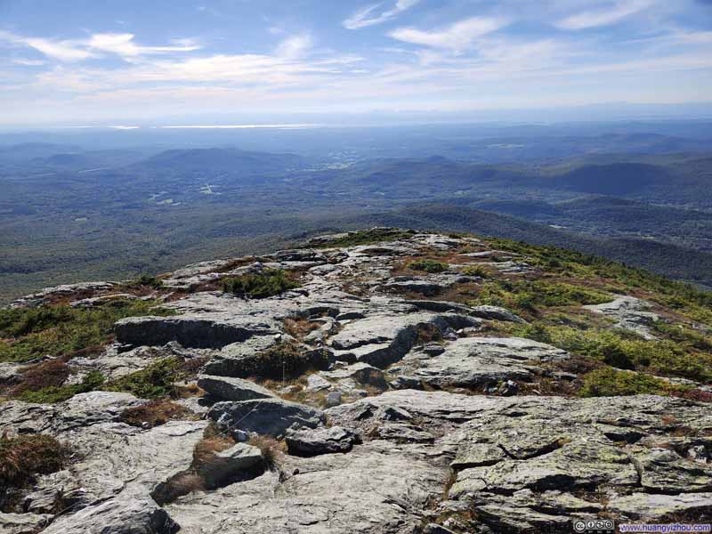
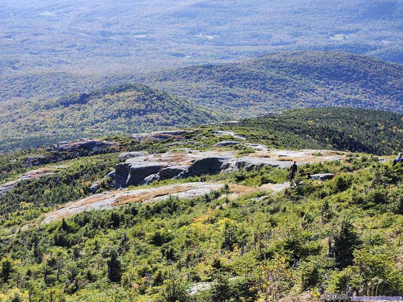
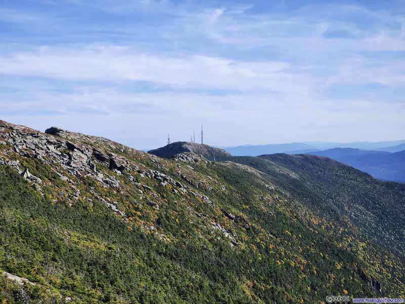
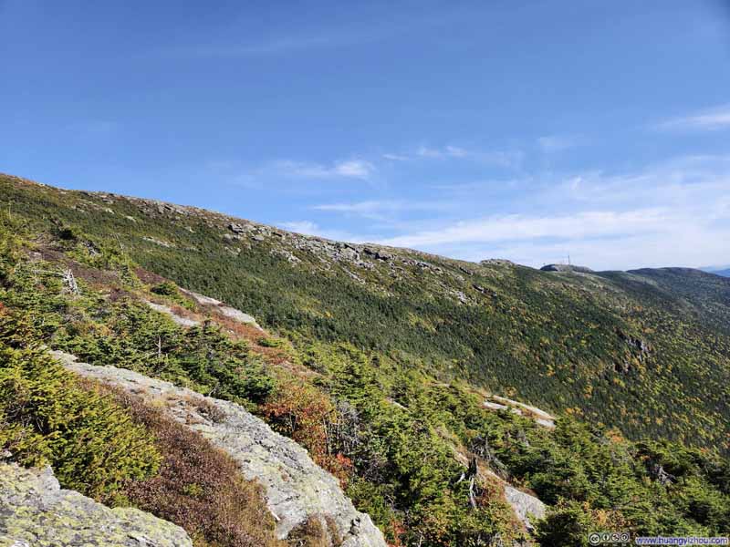
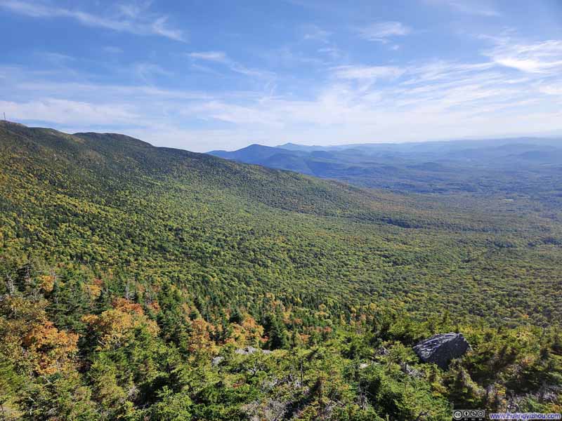
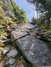
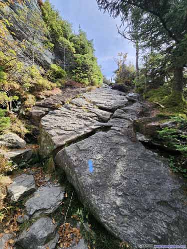
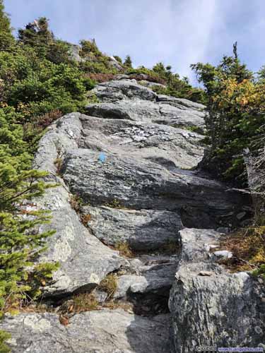
Just like Maple Ridge Trail, Sunset Ridge Trail featured several steep and technical sections, including a rocky ledge (p2 below). Overall, I found them to be less technical, which validated my choice of Sunset Ridge for descent.
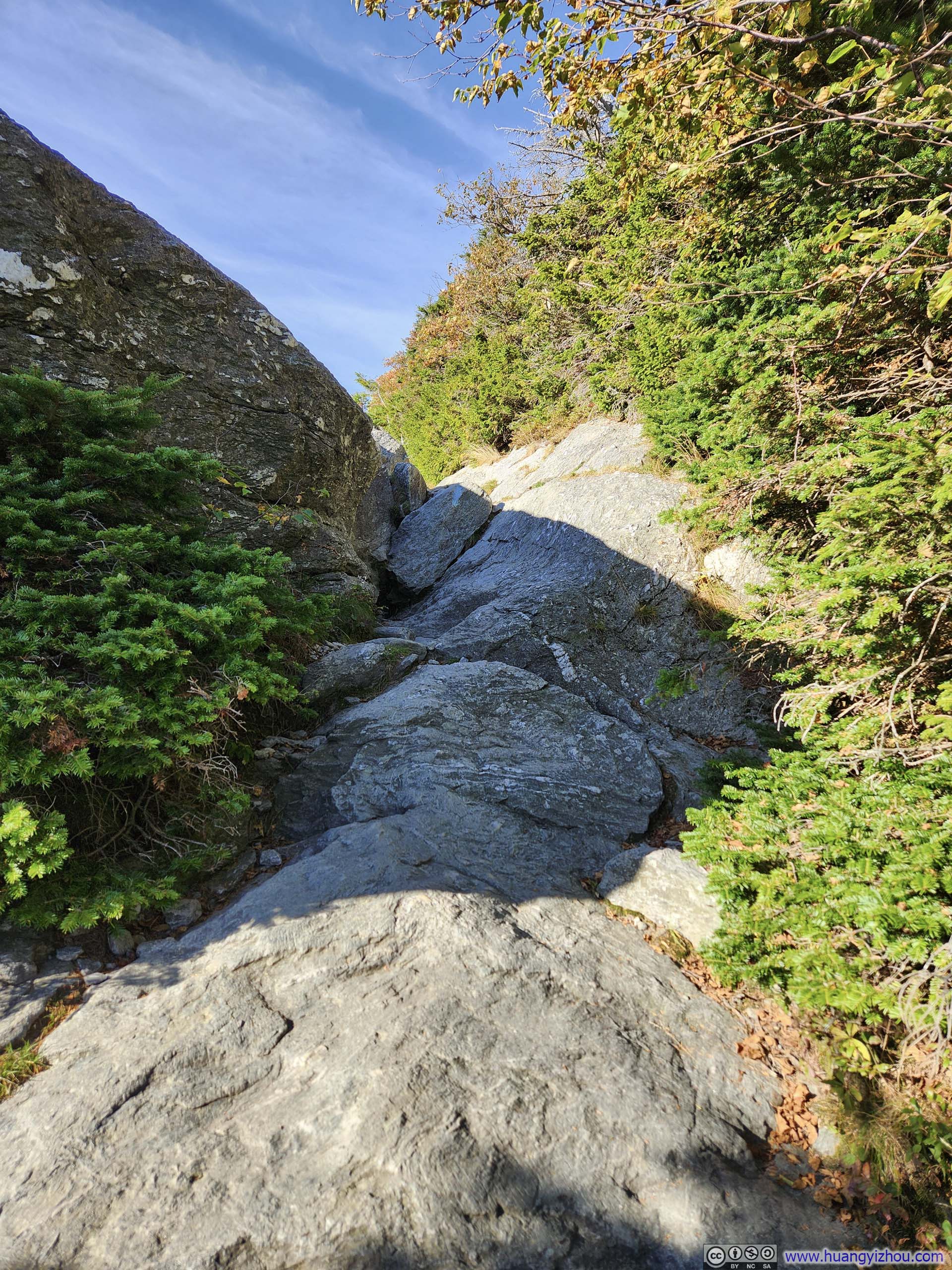
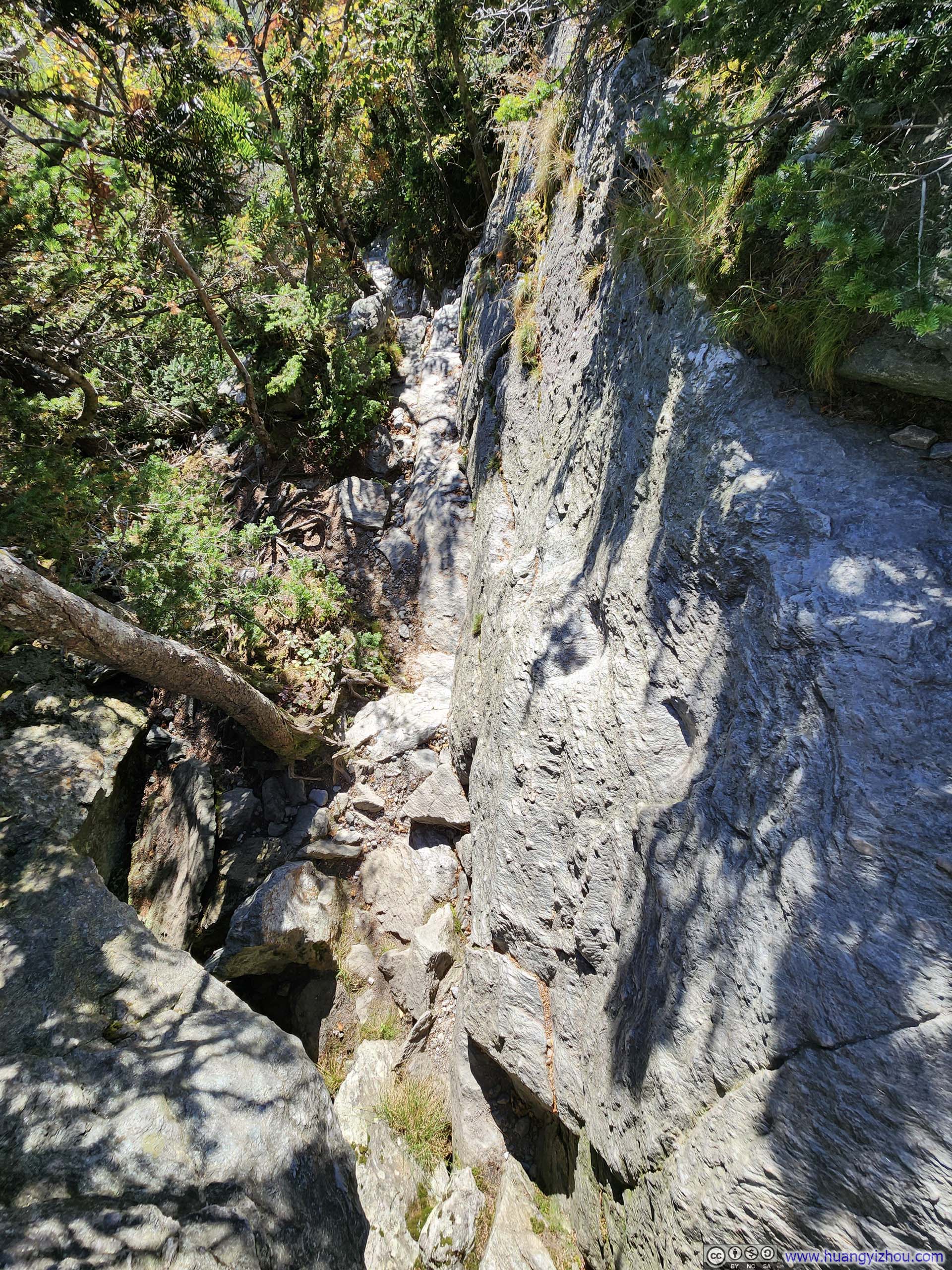
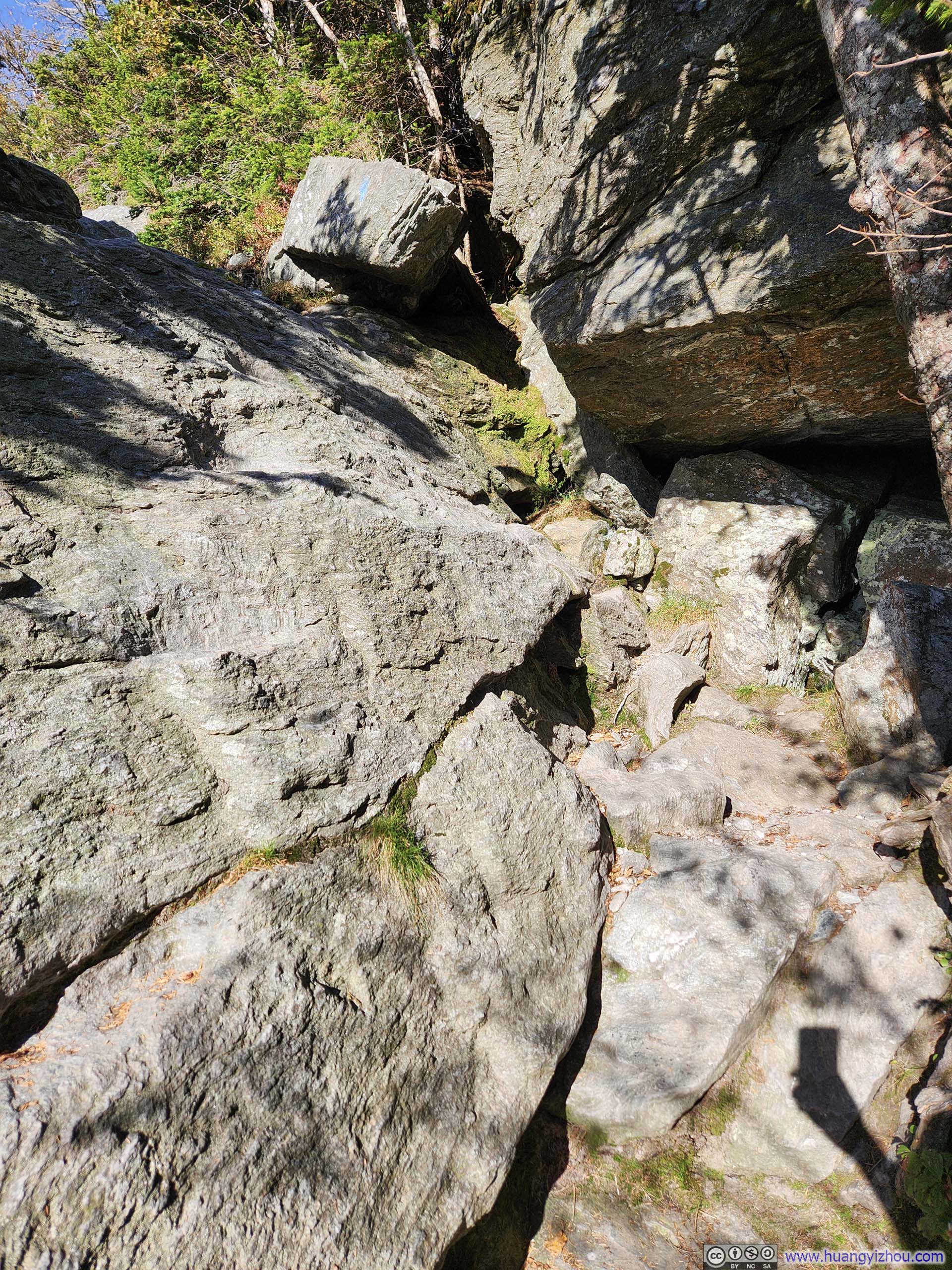
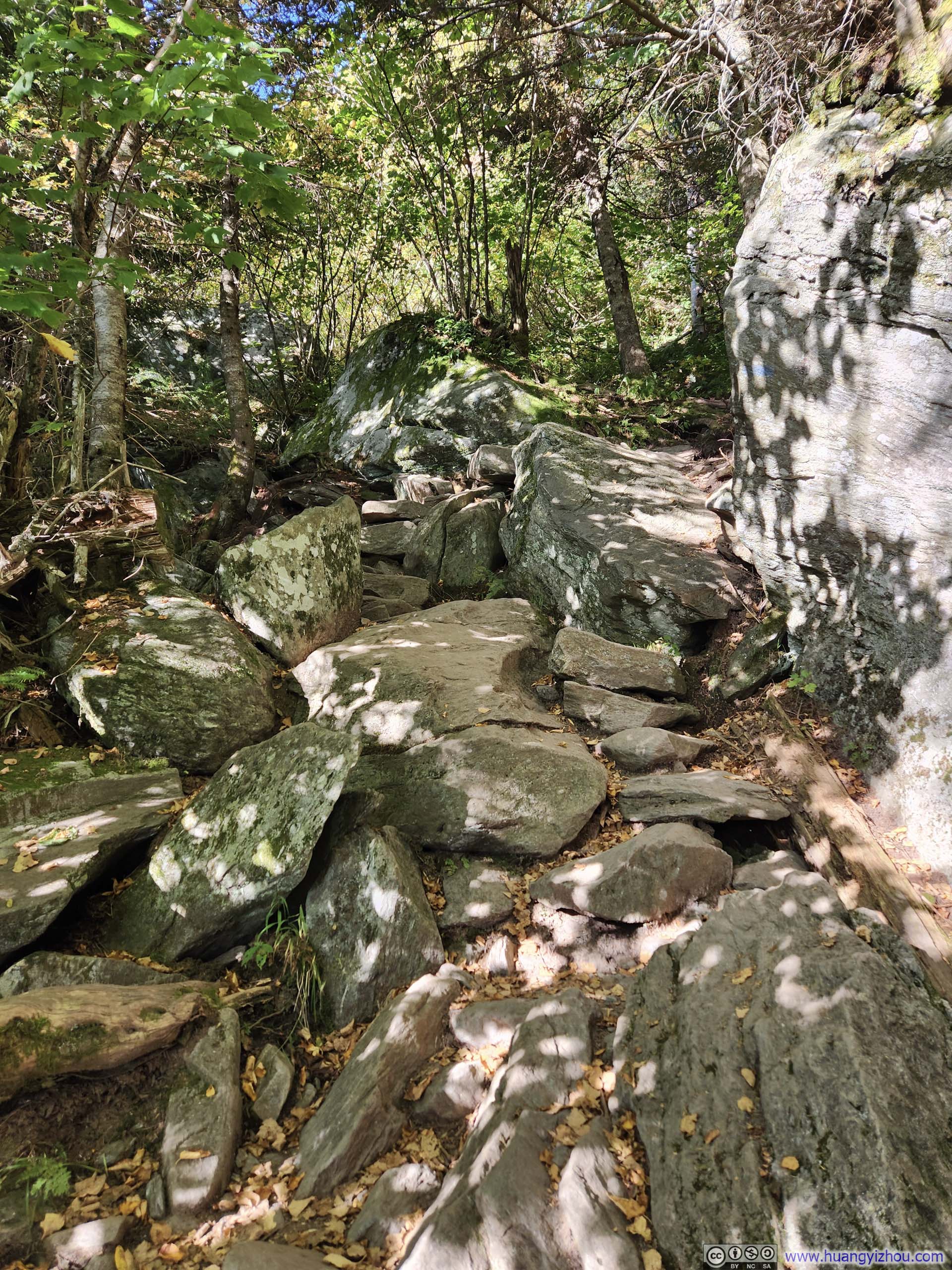
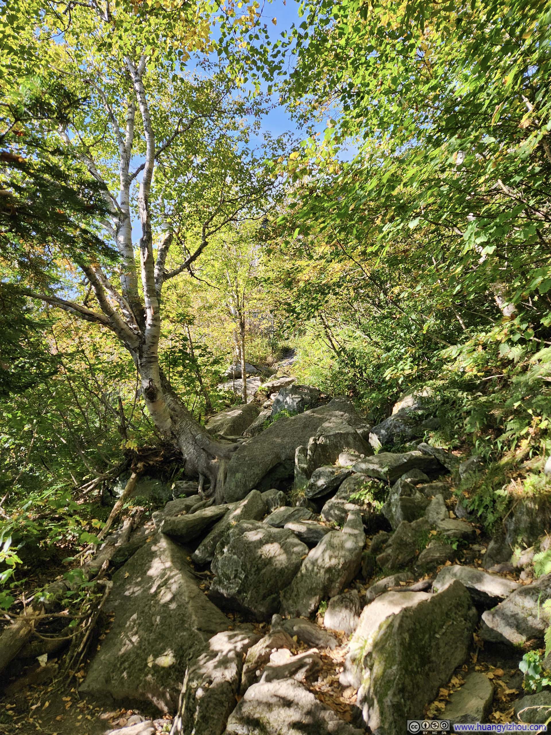
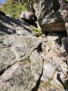
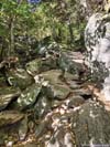
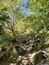
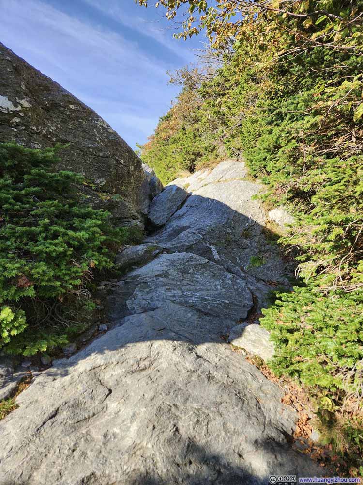
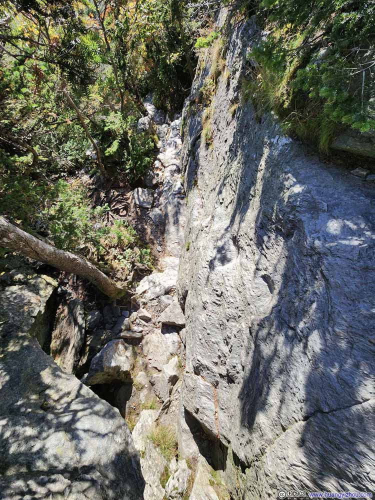
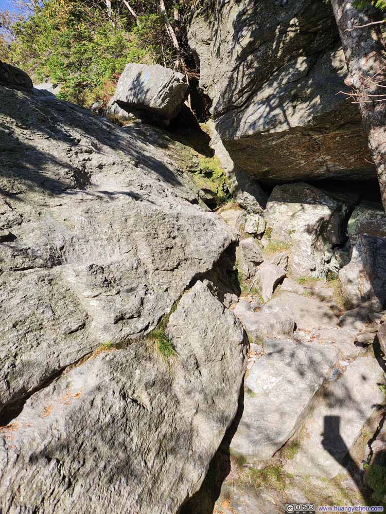
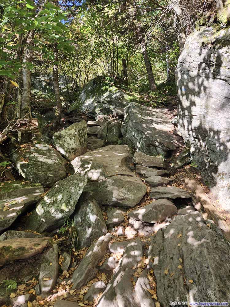
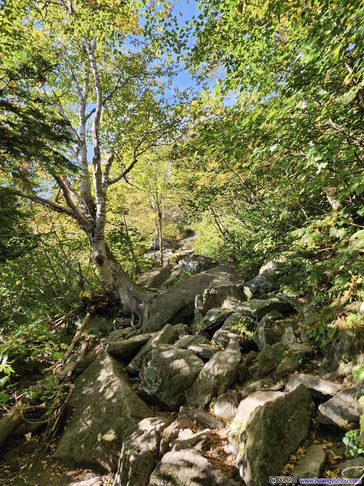
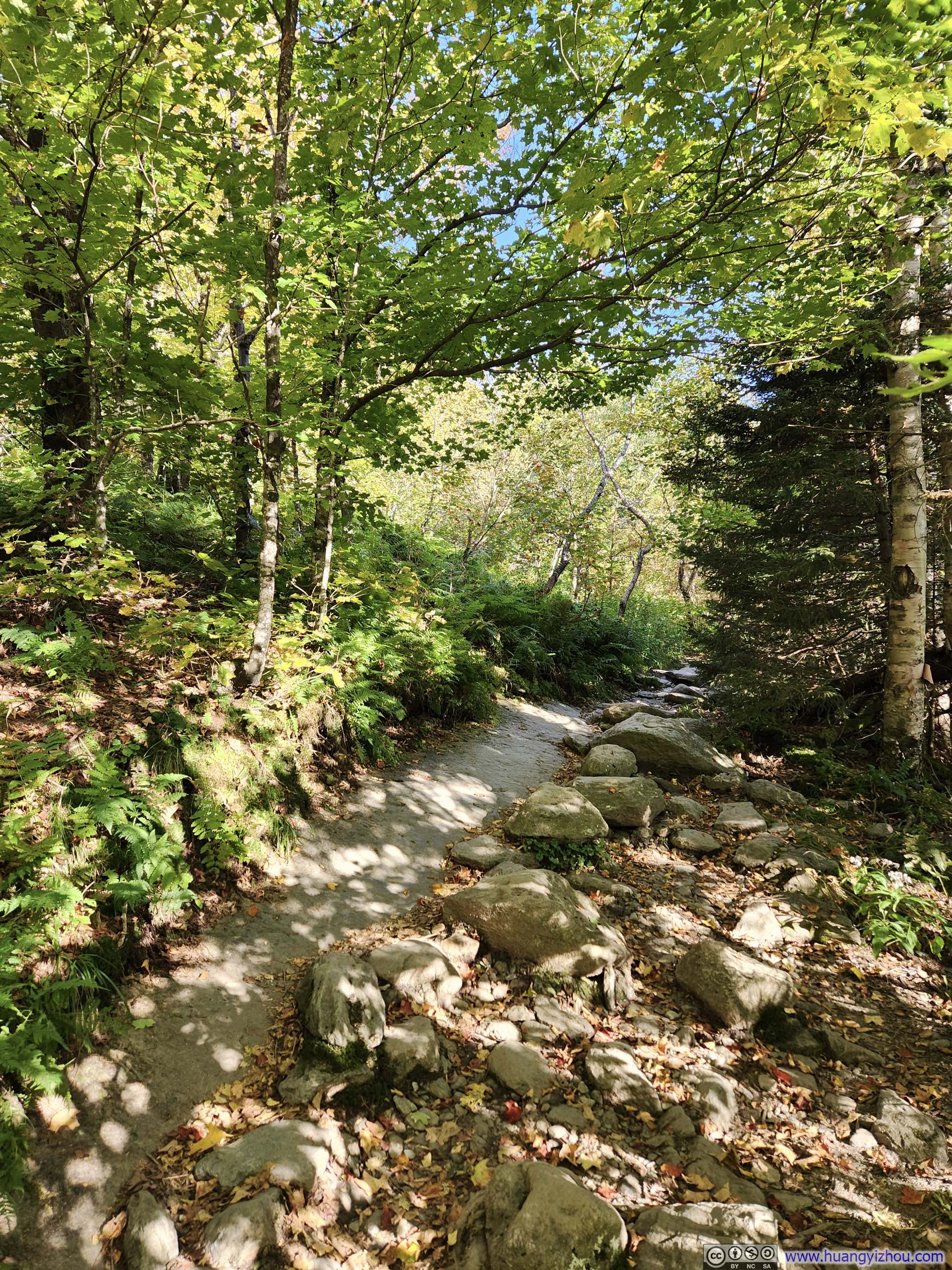
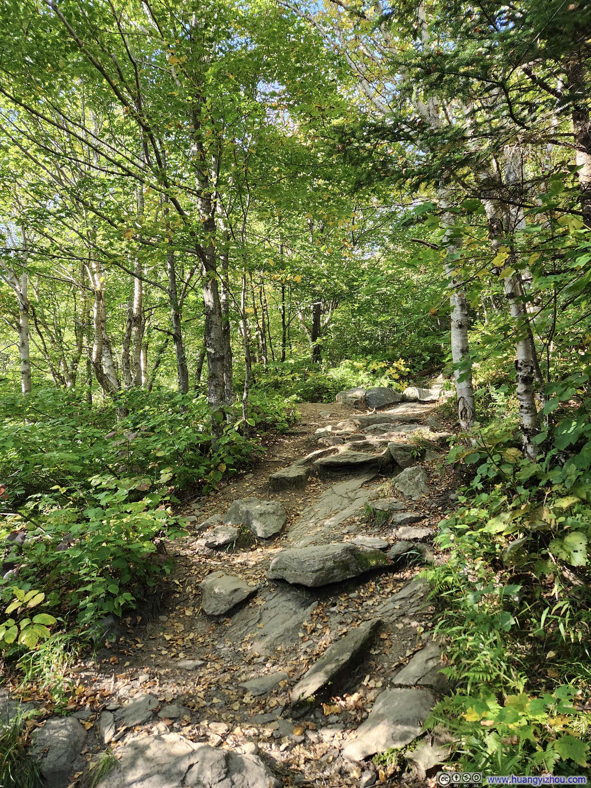
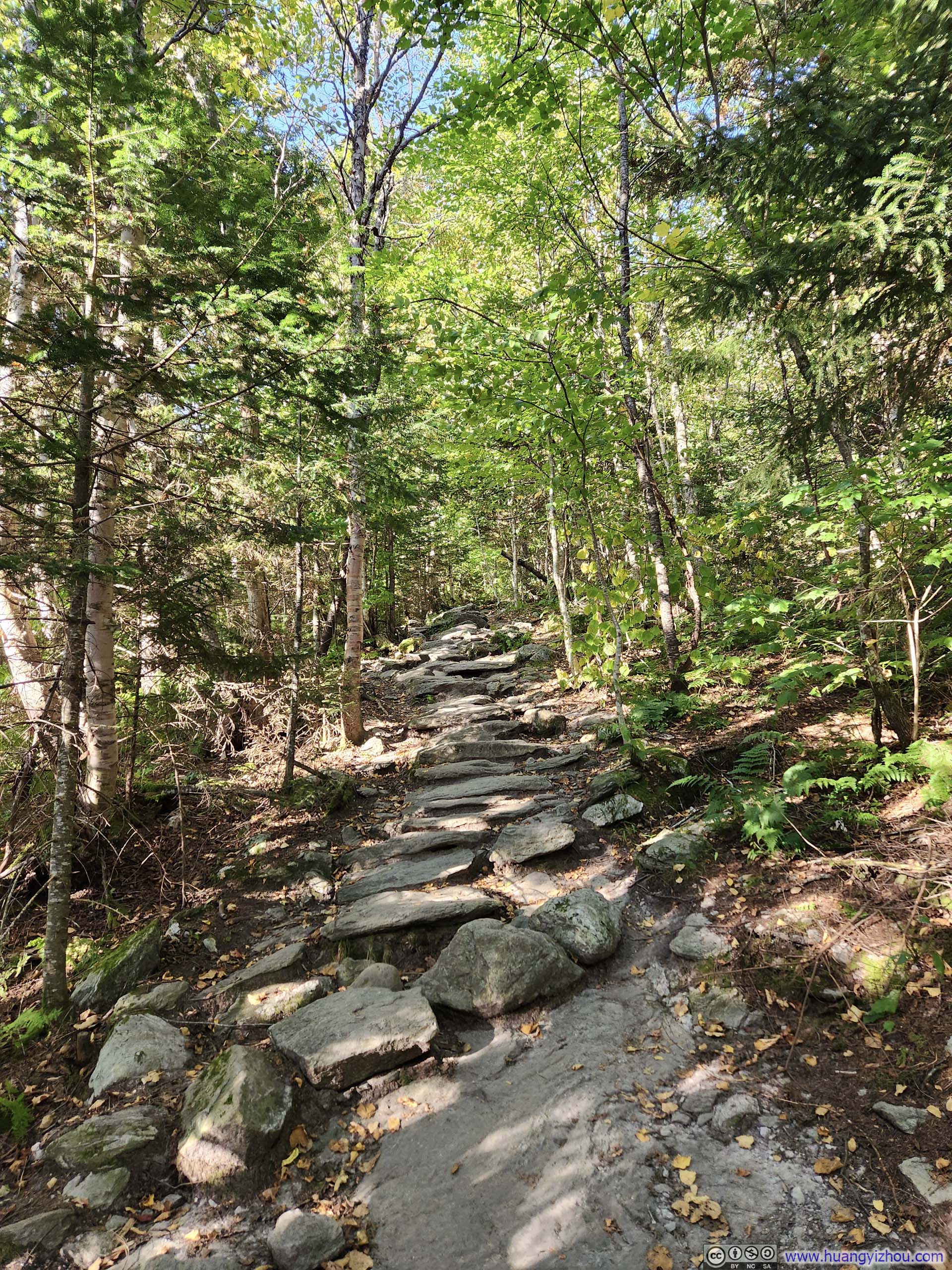
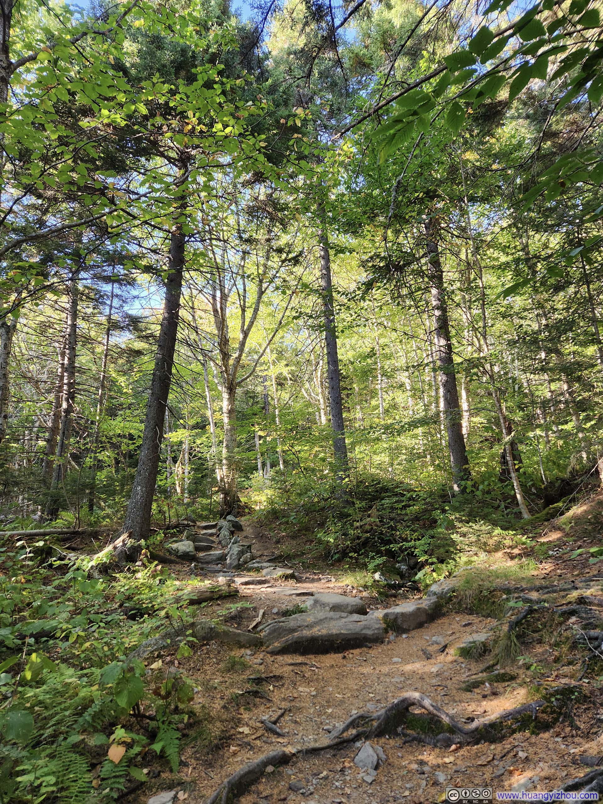
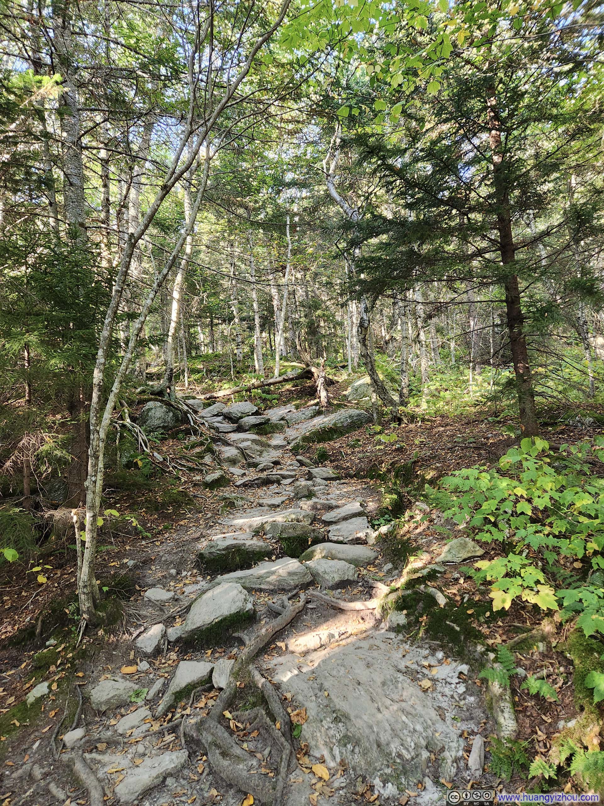
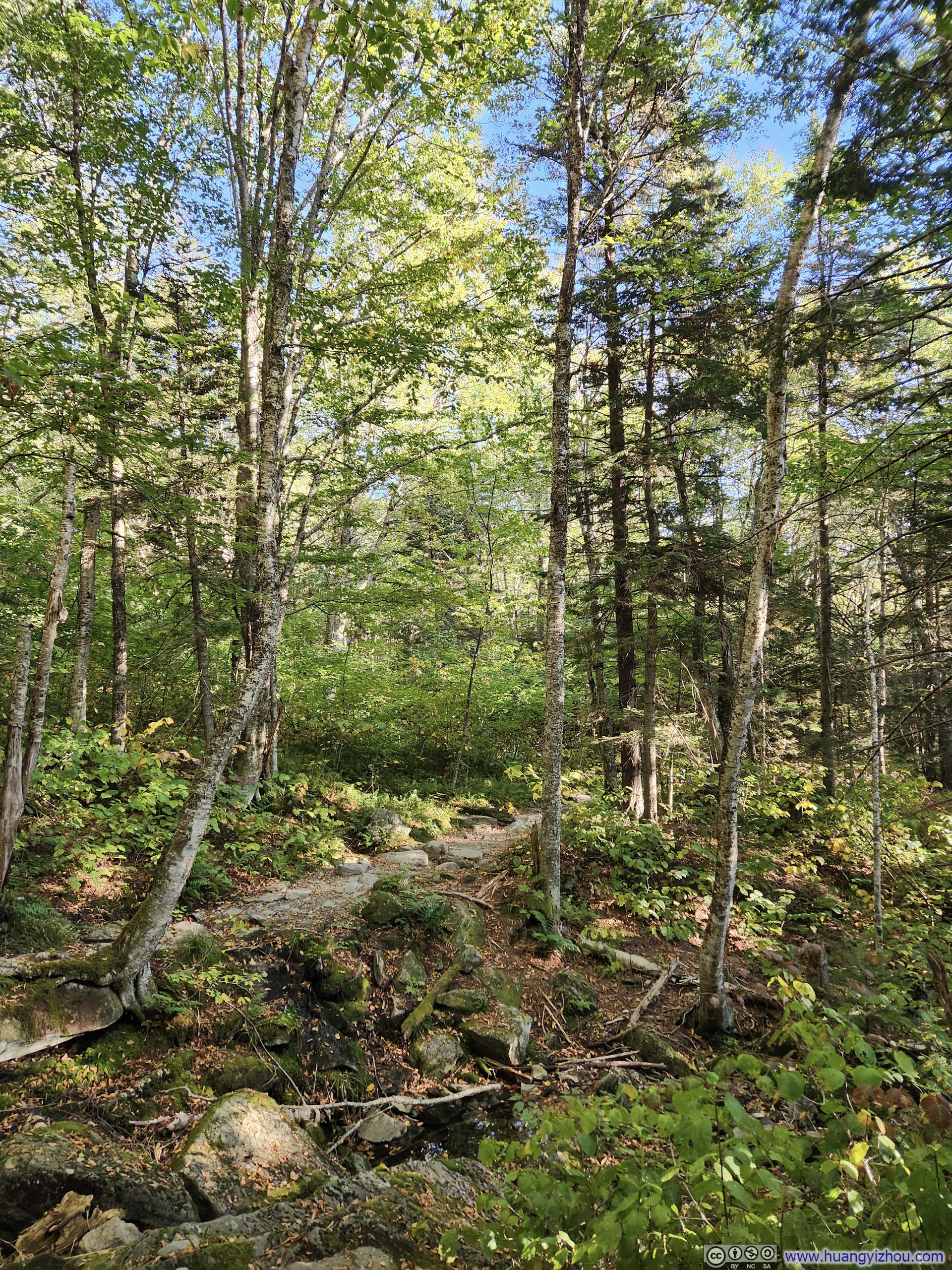
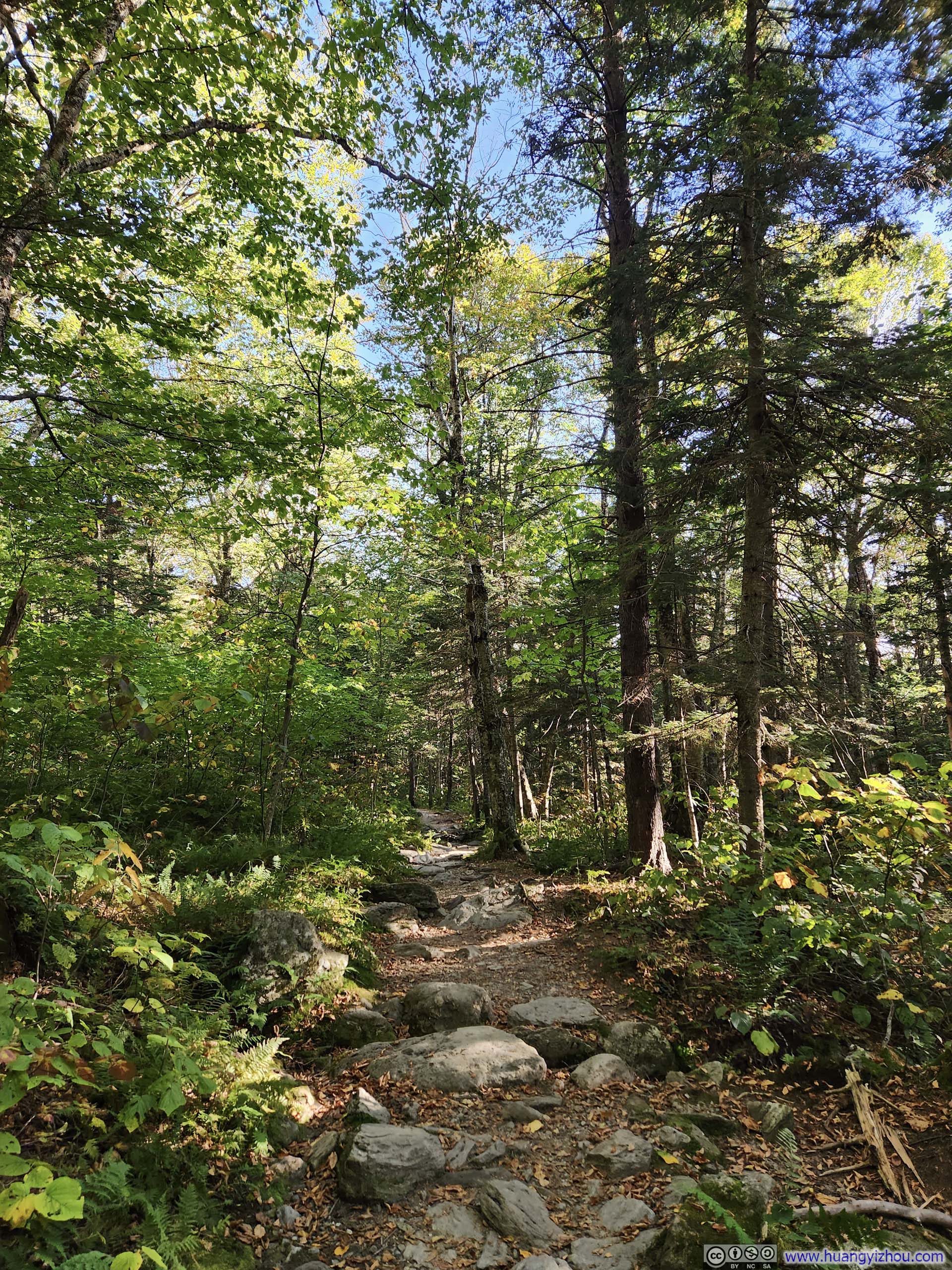
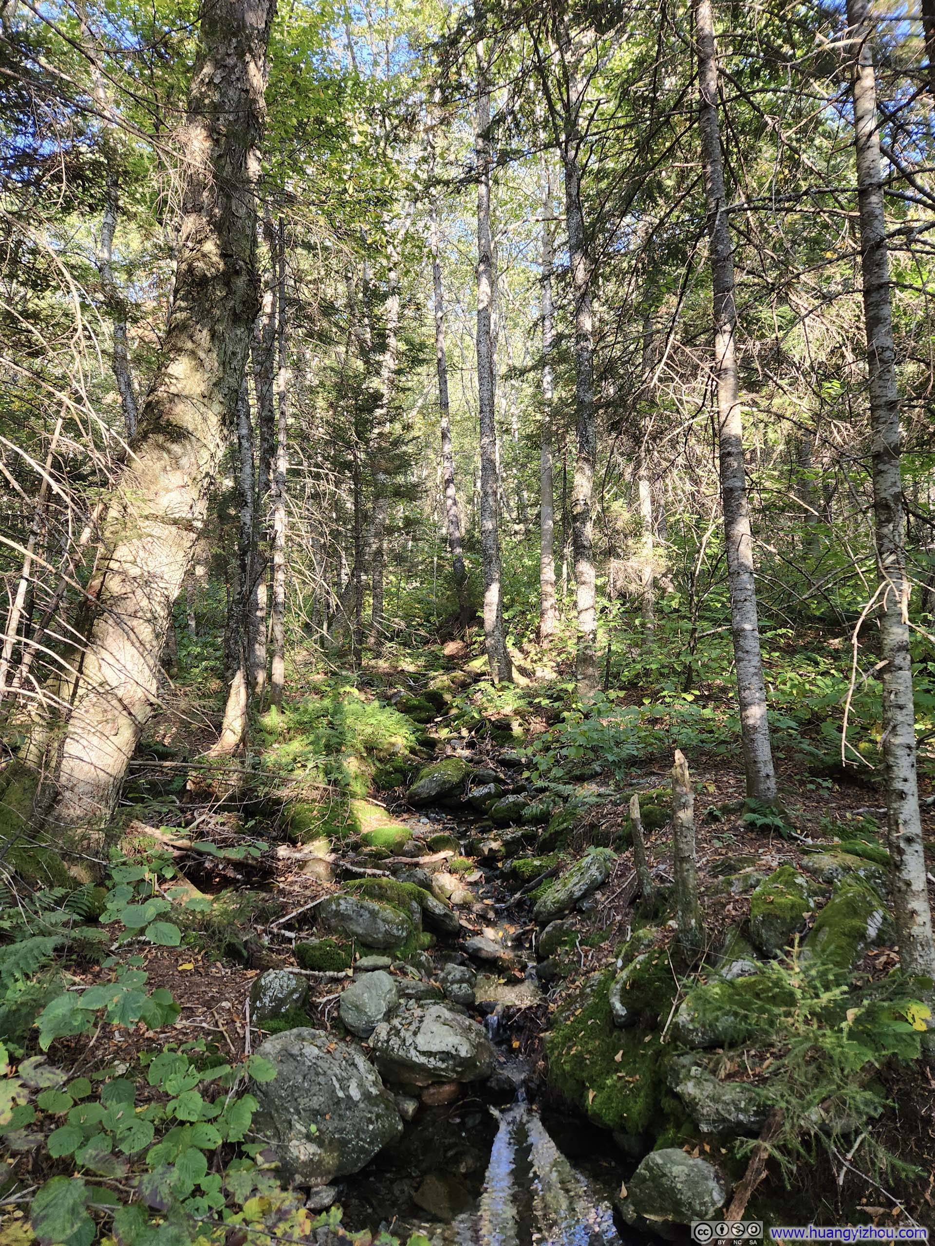
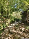
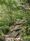
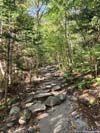
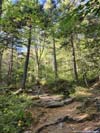
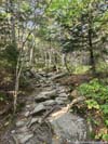
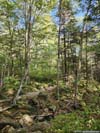
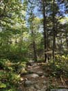
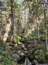
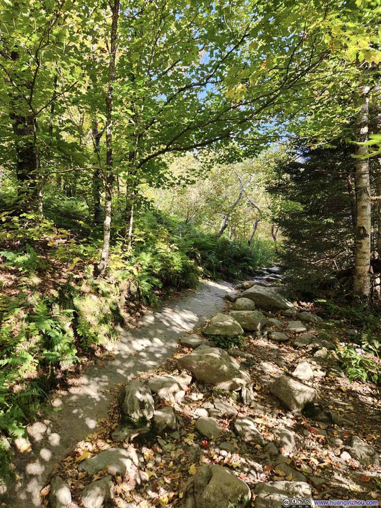
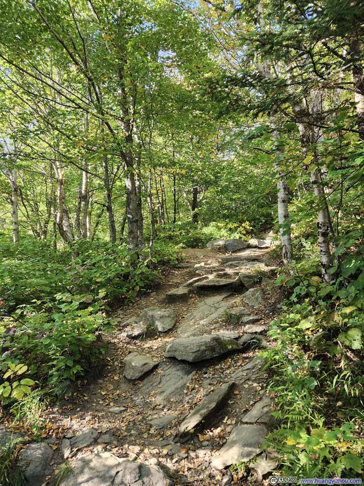
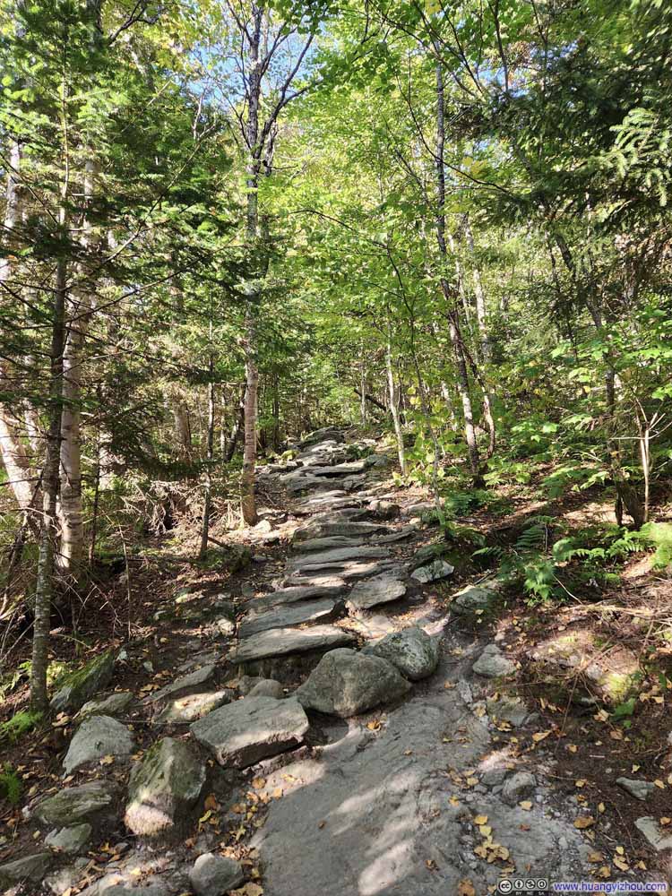
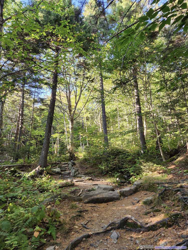
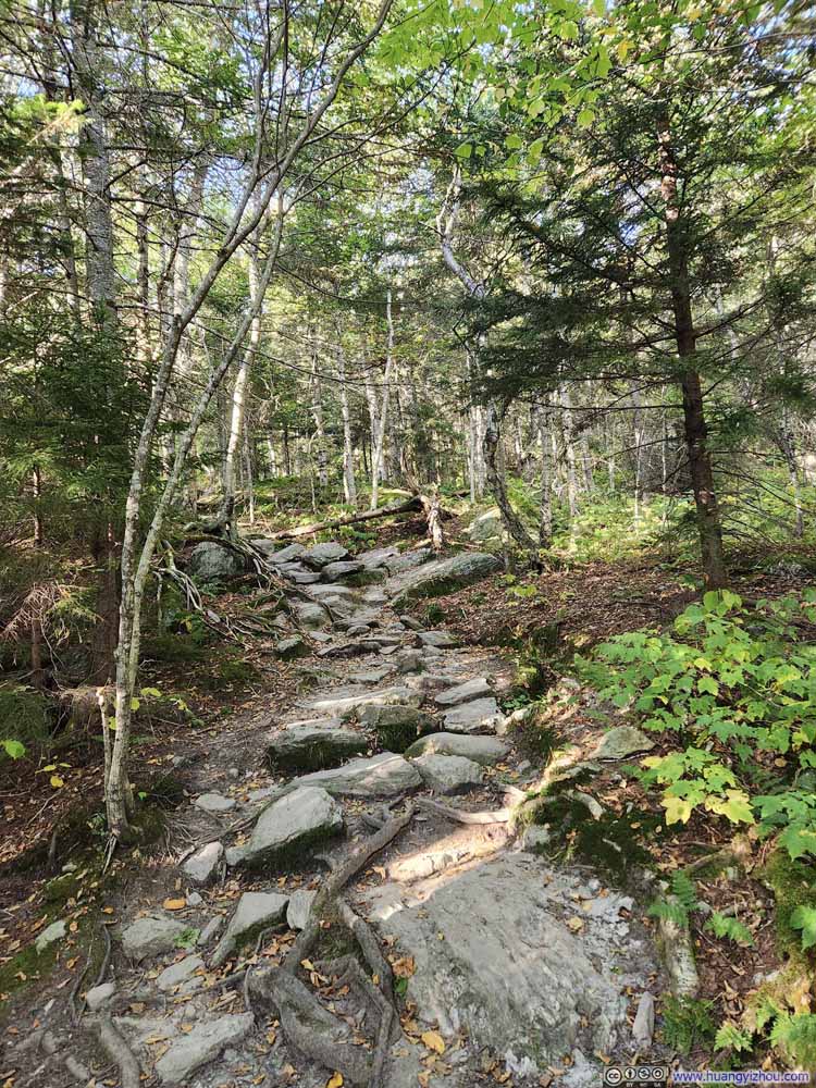
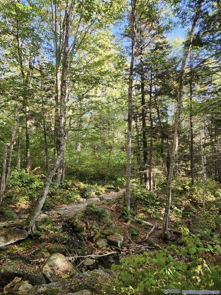
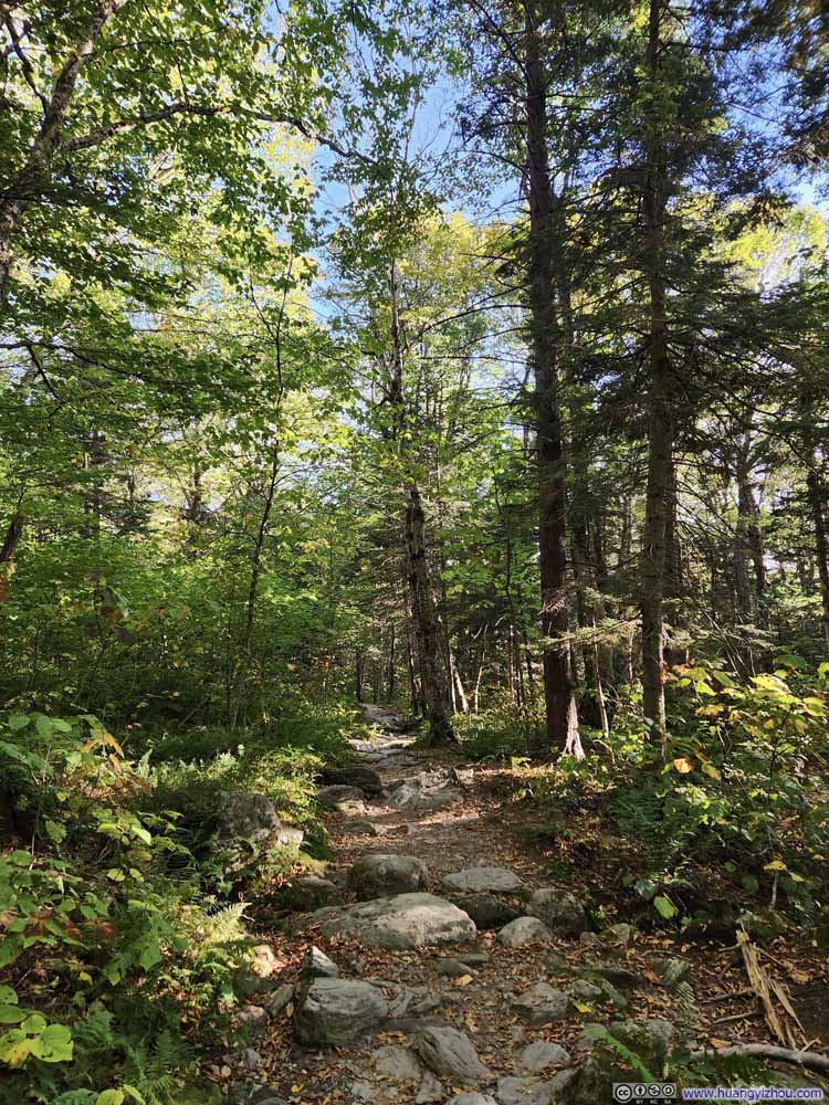
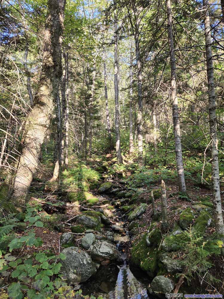
In the end, I got back to the parking lot at 5:30pm, concluding the entire hike in 5.5 hours.
Overall, I found this hike remarkably reminiscent of New Hampshire's Franconia Ridge. Both traverse alpine ridges, a rarity in the Northeast. Both require some scrambling to reach their summits (though Mt. Mansfield's scramble proved more exhilarating). Each offers spectacular yet distinctly different vistas: Mt. Mansfield frames Lake Champlain along the horizon, while Franconia Ridge sits in the heart of the White Mountains, adjacent to Cannon Mountain's imposing granite wall.
END