Day 5 of 2026 Trip to the Rockies, Uncompahgre Peak
After arriving in Lake City the previous night, I had 4 full days to explore the surrounding mountains, and it happened that 4 (groups of) 14ers could be reached from this town: Uncompahgre Peak, Wetterhorn Peak, [Redcloud Peak and Sunshine Peak], and Handis Peak. Among them, I was most interested in the first two, but since Wetterhorn Peak involved technical scrambling, I decided to begin my time in the San Juans with the easier Uncompahgre.
The official trailhead for this hike sat at the end of Nellie Creek Road. From Lake City, the first 8km (5mi) of unpaved road (Engineer Pass Road) was in decent shape and manageable for most vehicles. Beyond that point, Nellie Creek Road became rough and demanded high clearance and/or AWD. I had a Jeep Wrangler for this trip, so clearance wasn't an issue. But the gear lever for shifting from 2H to 4L was so stubborn that I drove up the entire length of Nellie Creek Road in 2H. Unfortunately, on my way down, I encountered an ATV coming uphill, and with only 2WD engaged, I got stuck. Fortunately, the gentlemen on the ATV instructed me to pull the lever "very very hard," which finally got it into 4L. After that, the road was no longer a problem for me.
From the upper trailhead at the end of Nellie Creek Road, the trail to Uncompahgre Peak was a 12.1km out-and-back with 880m of elevation gain (7.5mi, 2880ft). Walking the entire Nellie Creek Road would stretch that to 25.3km with 1,520m of gain (15.7mi, 5000ft). Alternatively, there may (or may not) be an option to park along Nellie Creek Spur Road to cut the additional walking distance roughly in half, as I felt the condition of Nellie Creek Road deteriorated the further up it went.
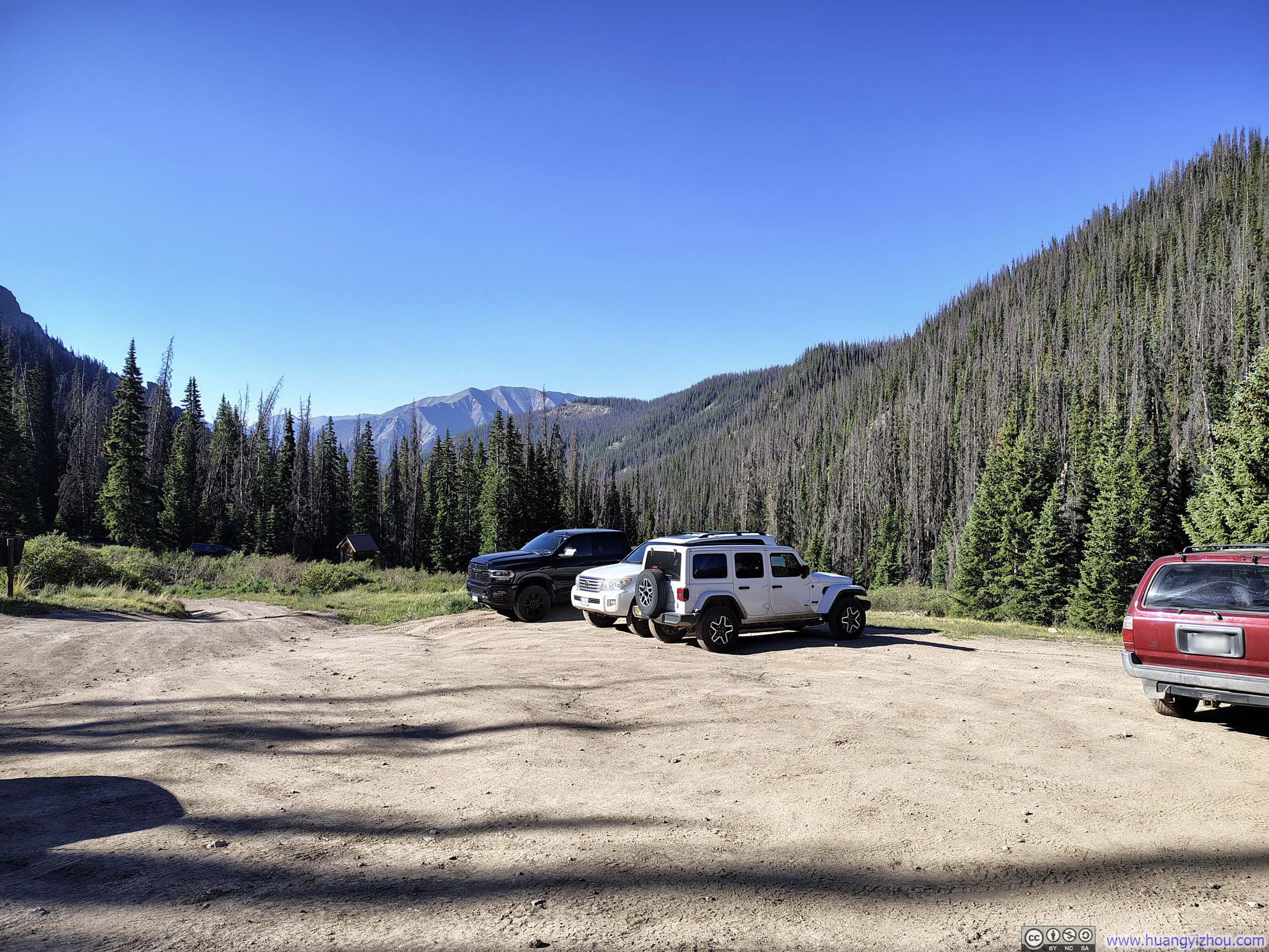
A sample of the cars that made it up here.
So on the morning of June 28, I left Lake City around 7:15am and made it to the trailhead at 8:10am. After some warmup, I started my hike at 8:25am.
Here's GPS tracking:
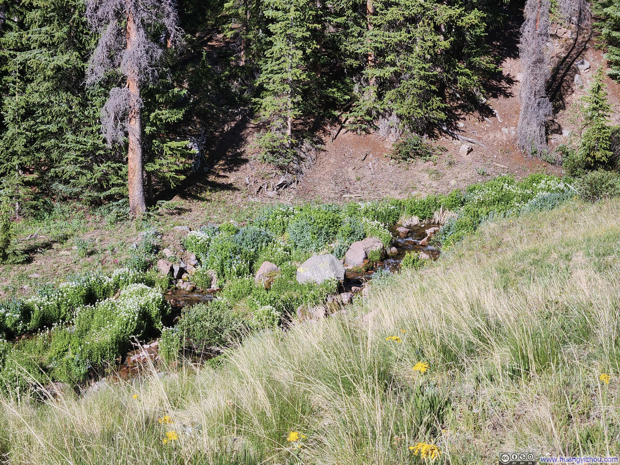
Leaving the trailhead, the trail began as a gentle walk through the woods, accompanied by the soothing murmur of Nellie Creek. It lent me a sensation that the hardest part of climbing Uncompahgre Peak was actually making it to the trailhead.
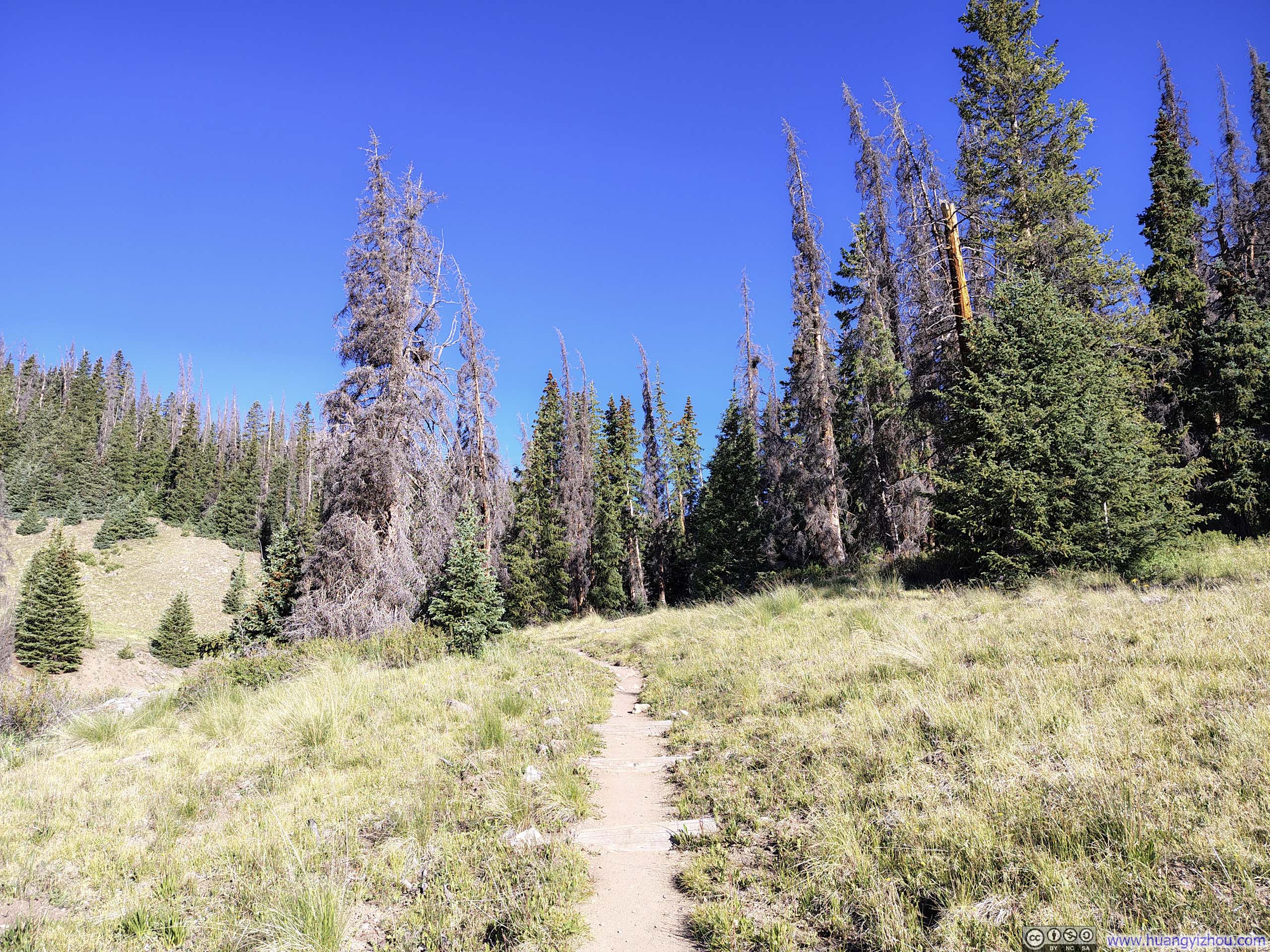
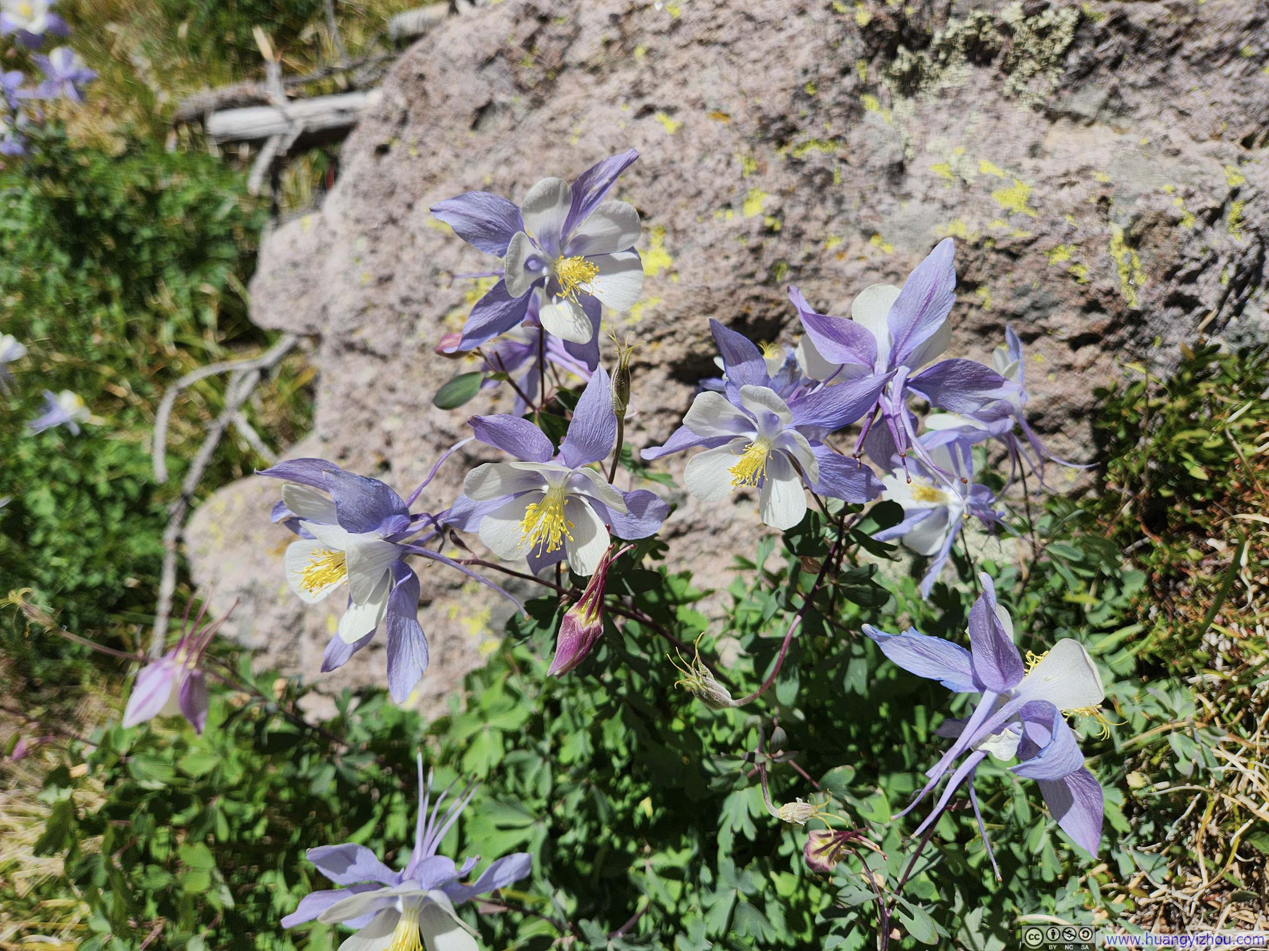
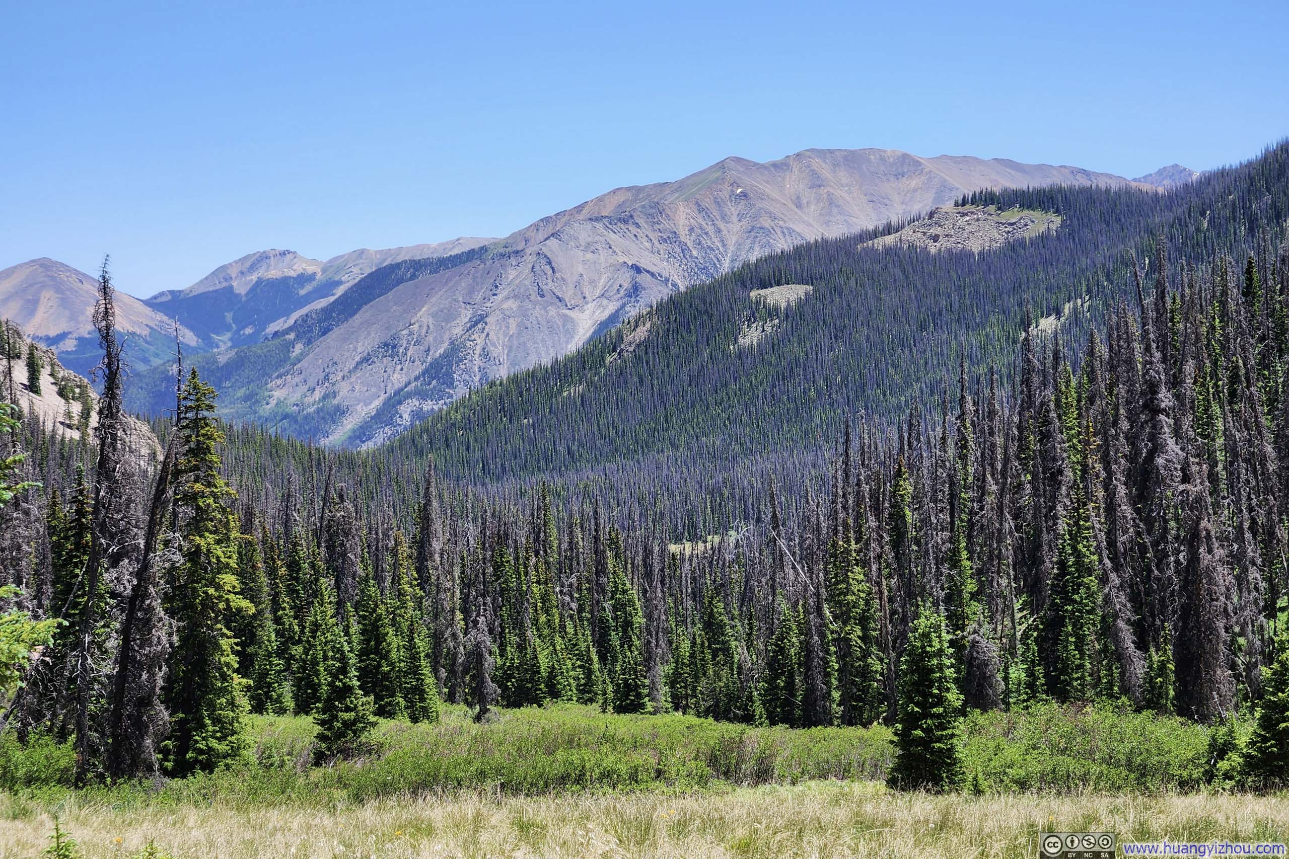
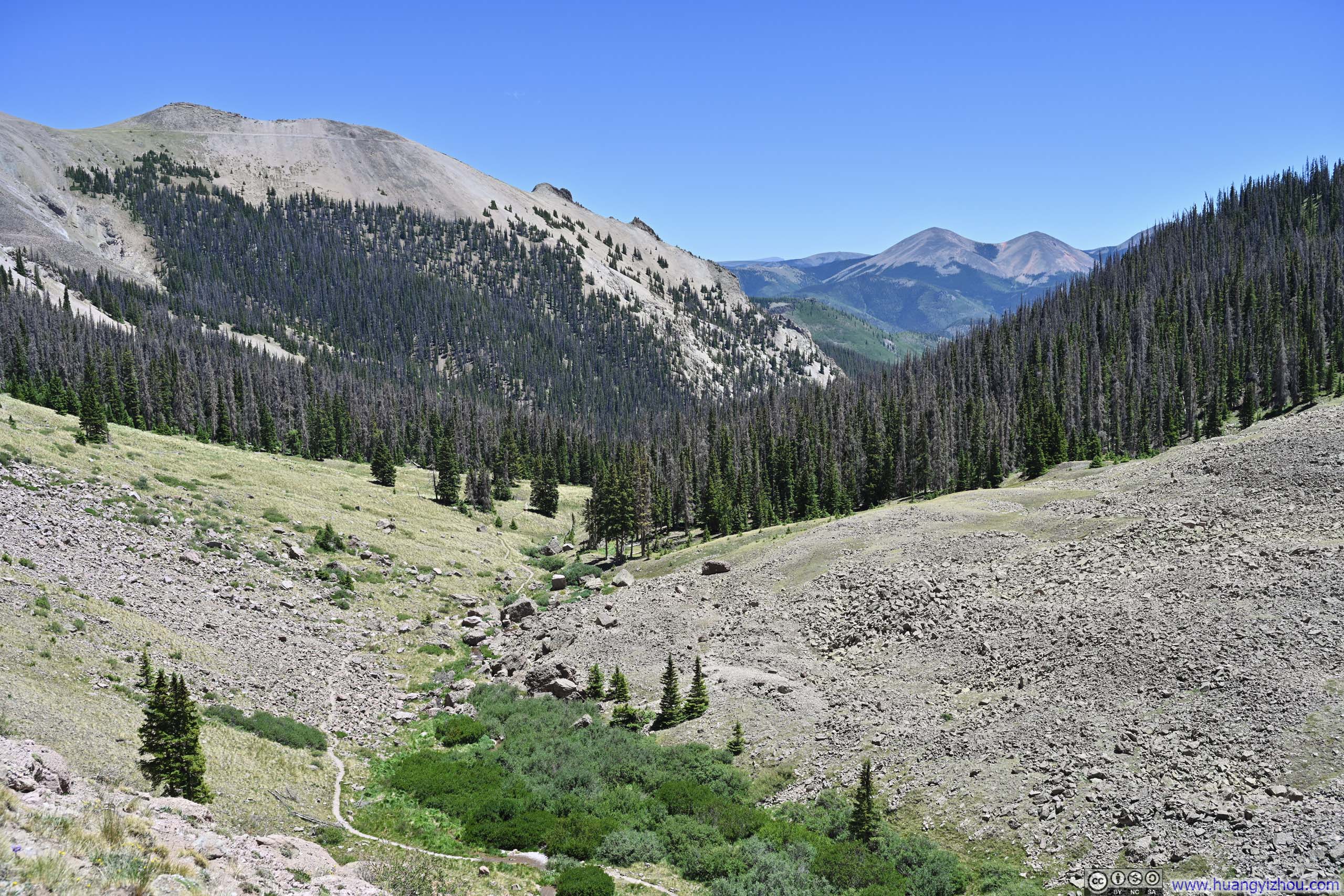
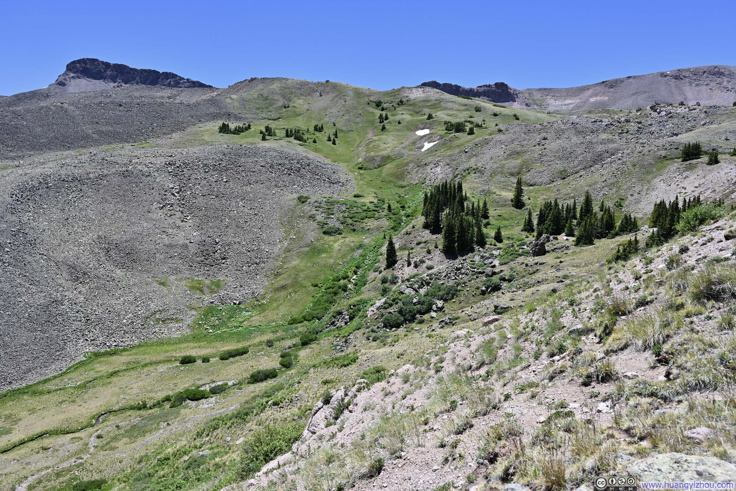
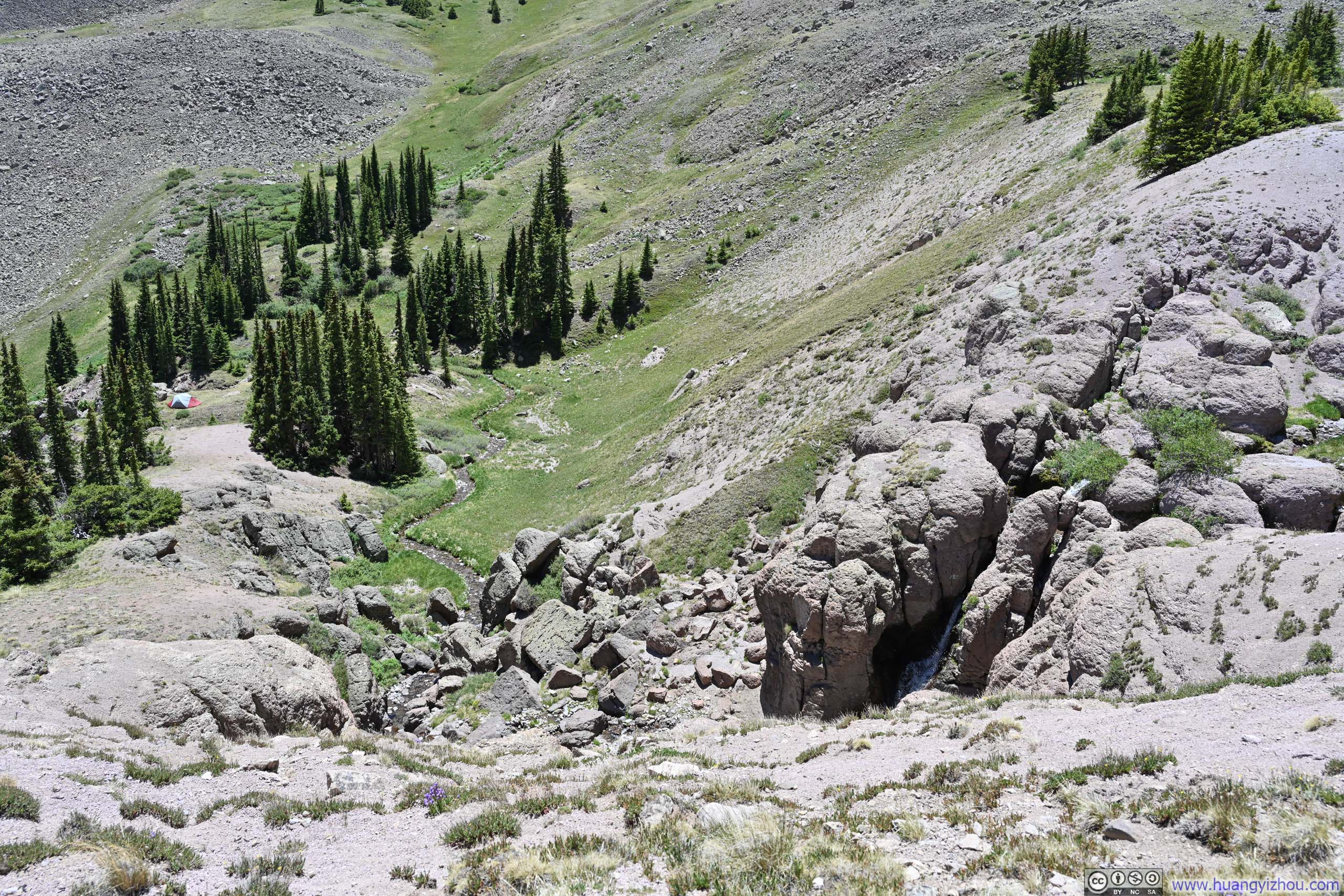
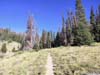
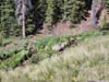
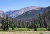
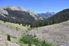
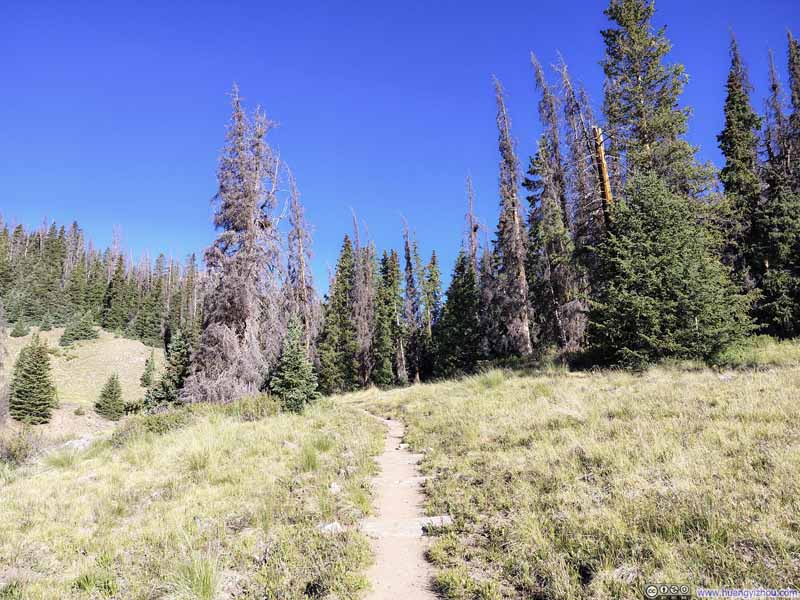
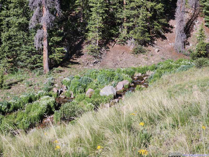
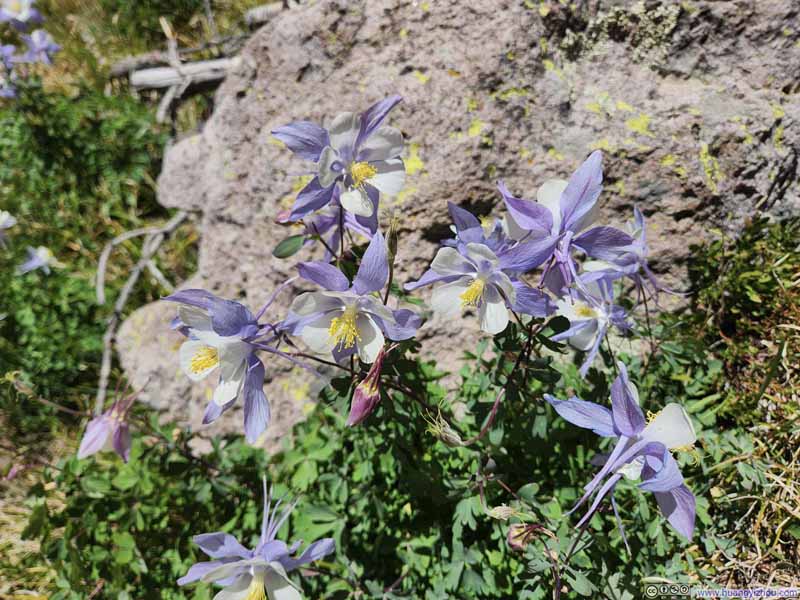
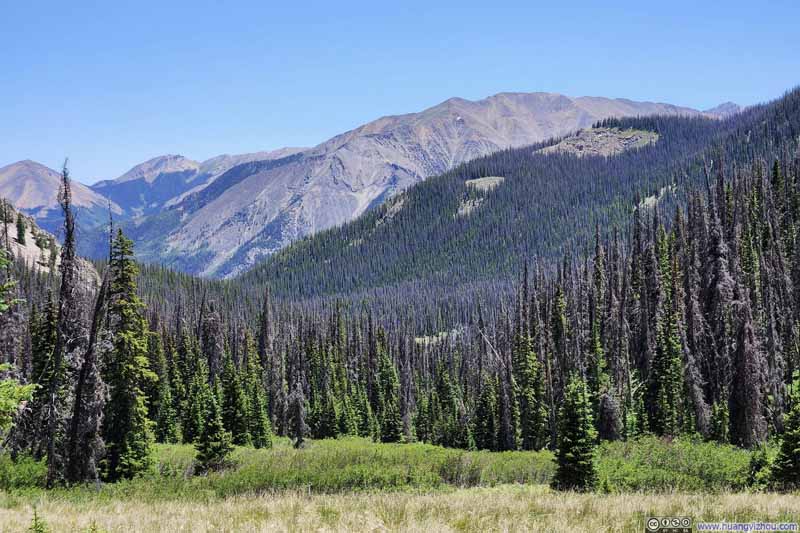
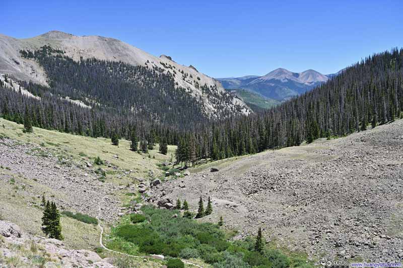
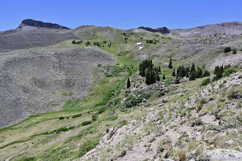
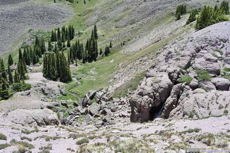
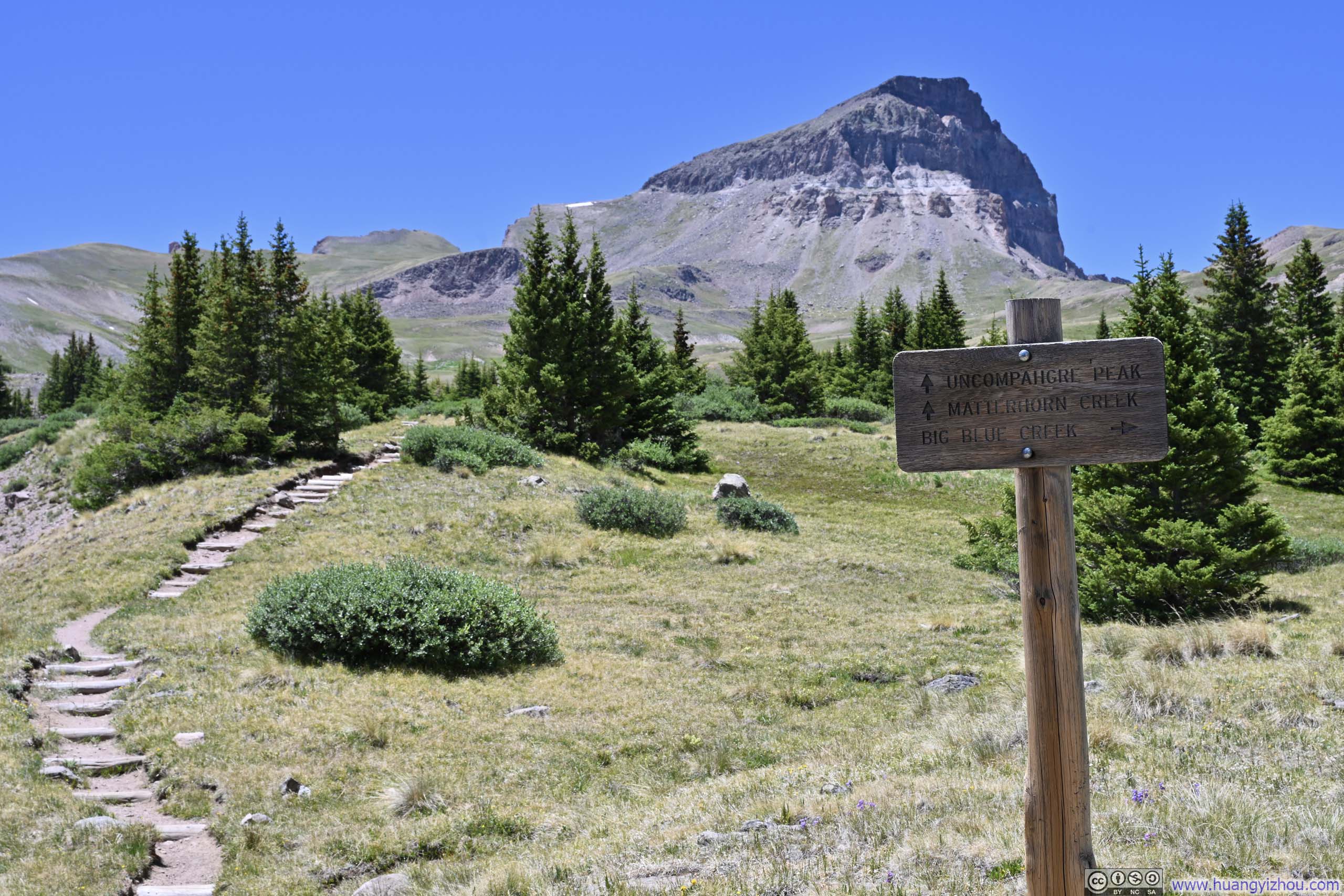
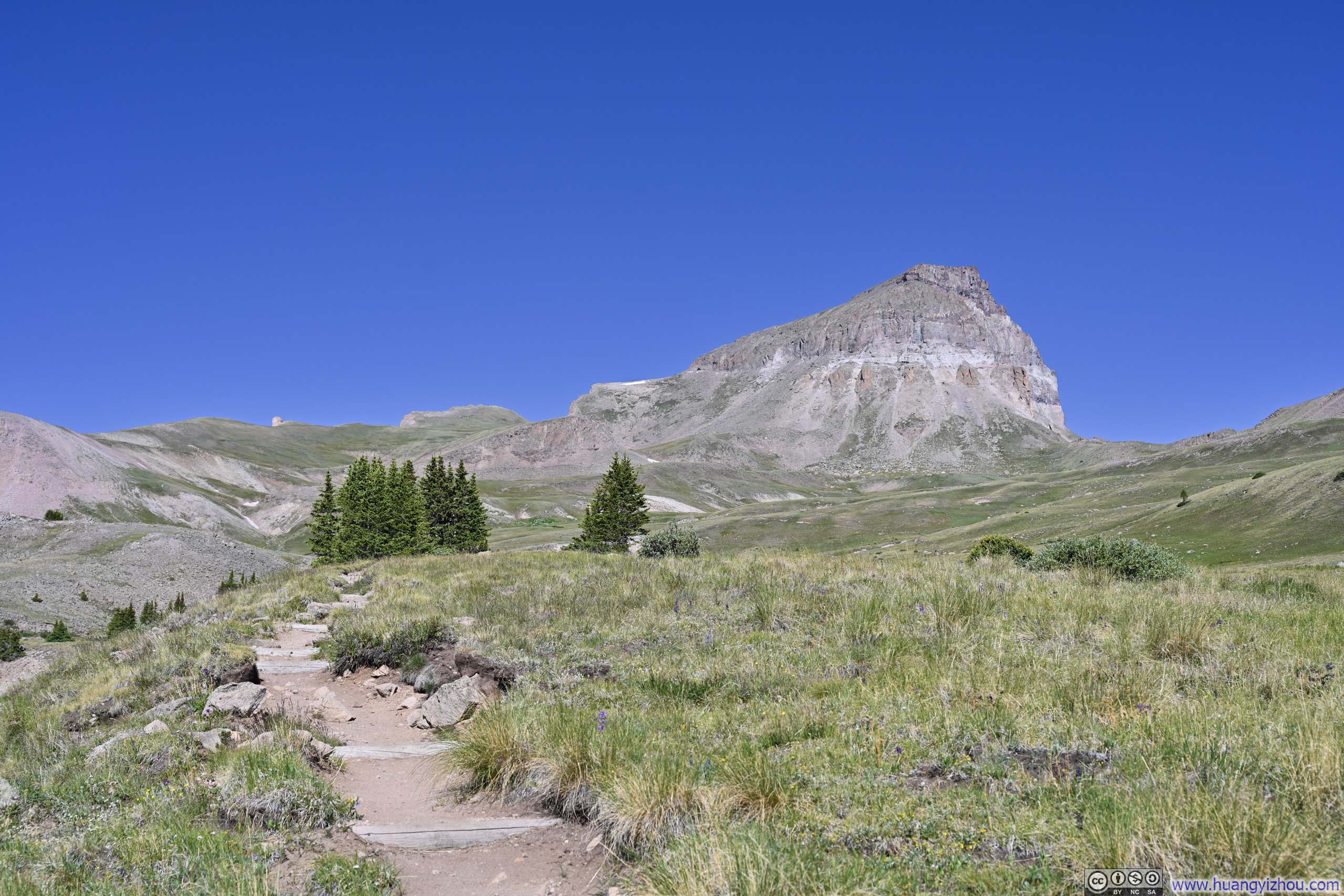
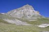
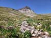
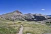
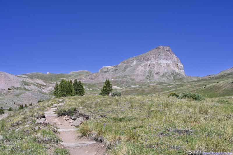
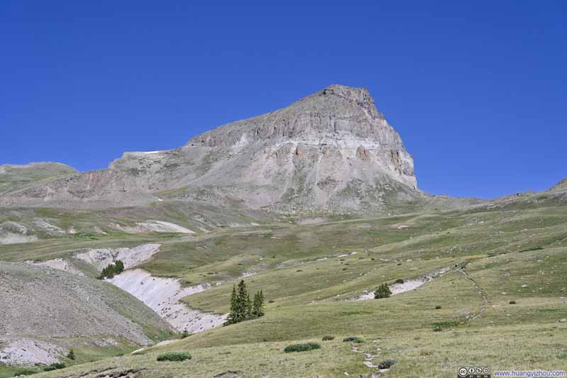
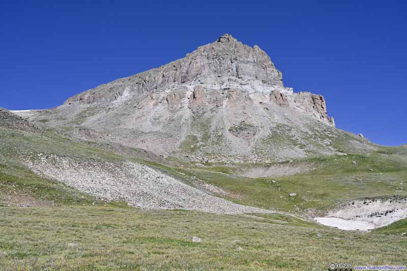
At this elevation, the trees along the trail soon yielded to a vast alpine meadow. It was then that Uncompahgre Peak revealed itself, its distinctive, fortress-like form dominating the horizon. From that moment on, the summit remained a constant presence in my view as I made my way toward it.
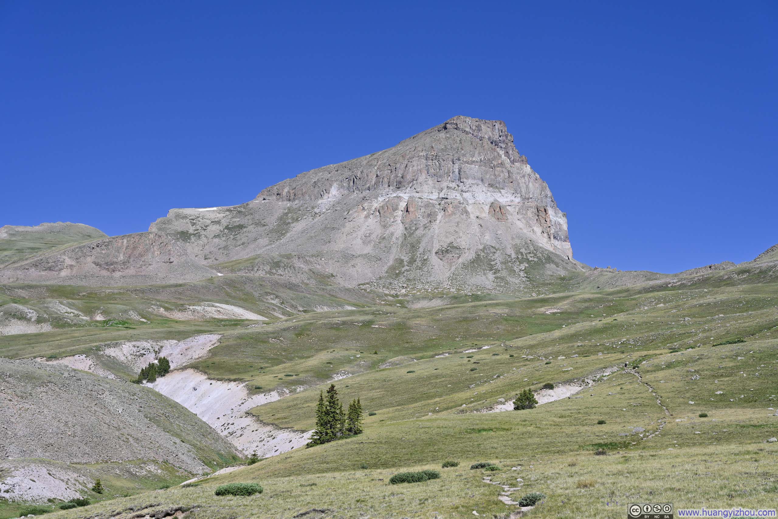
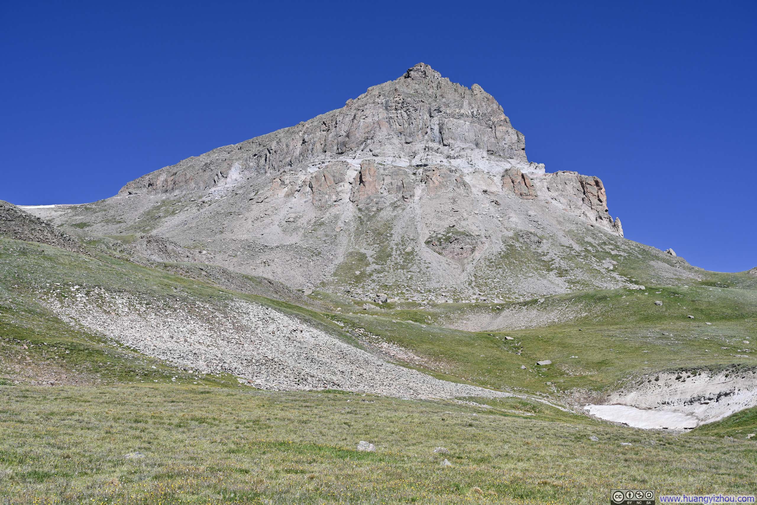
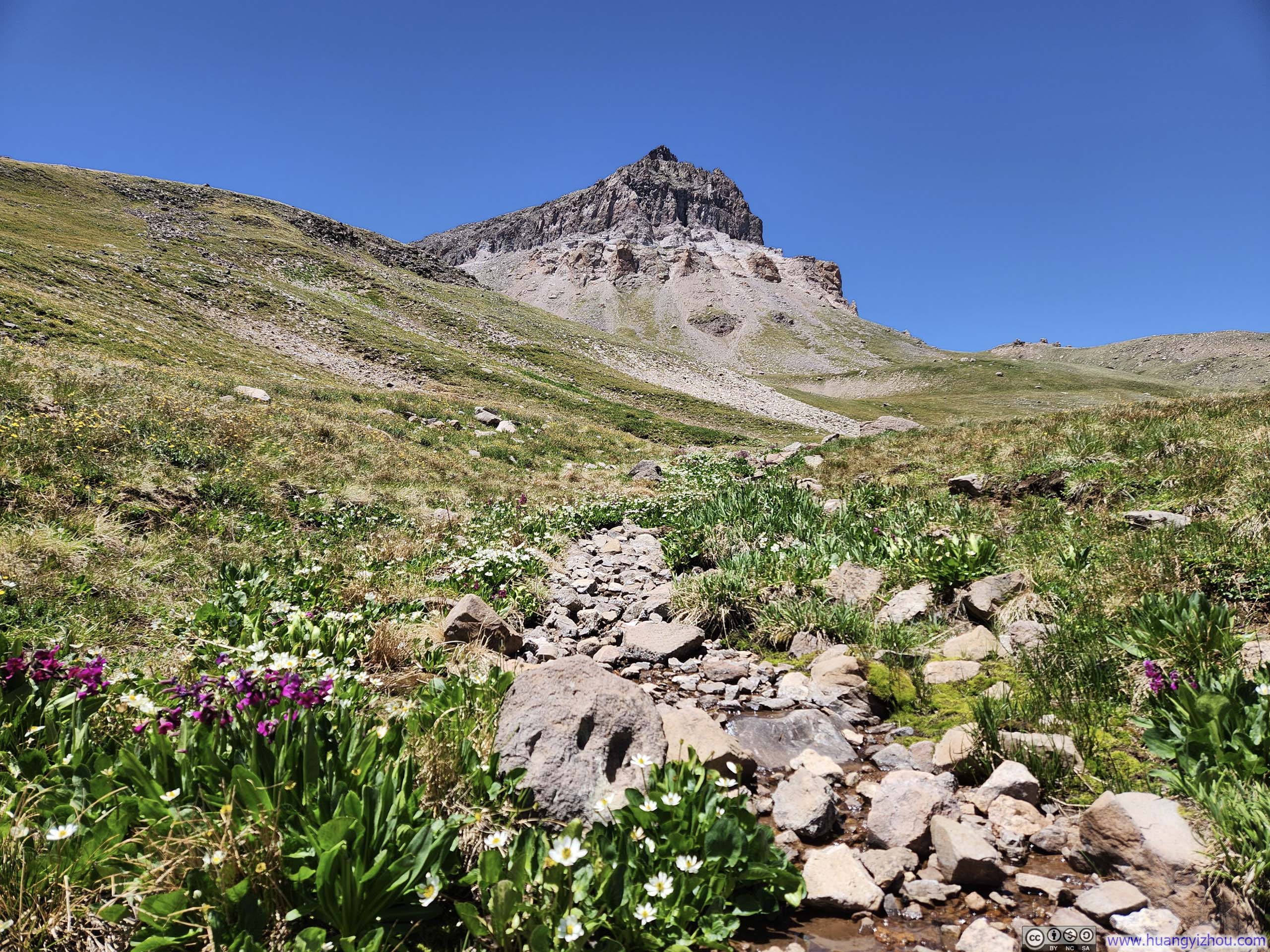
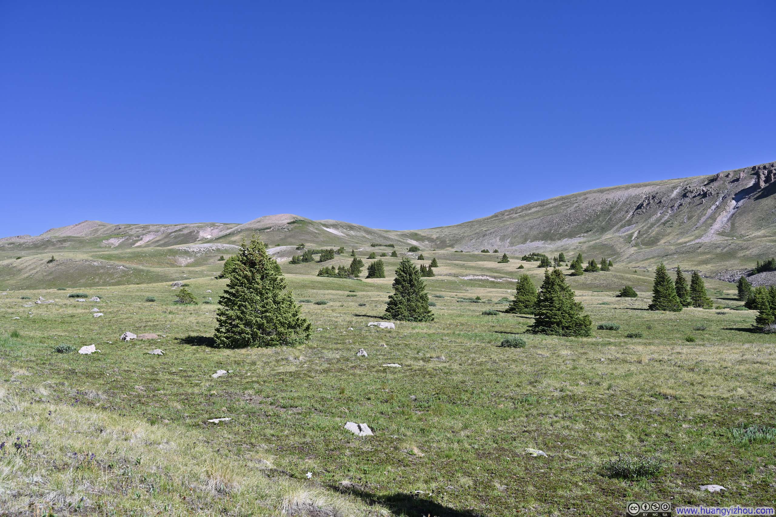
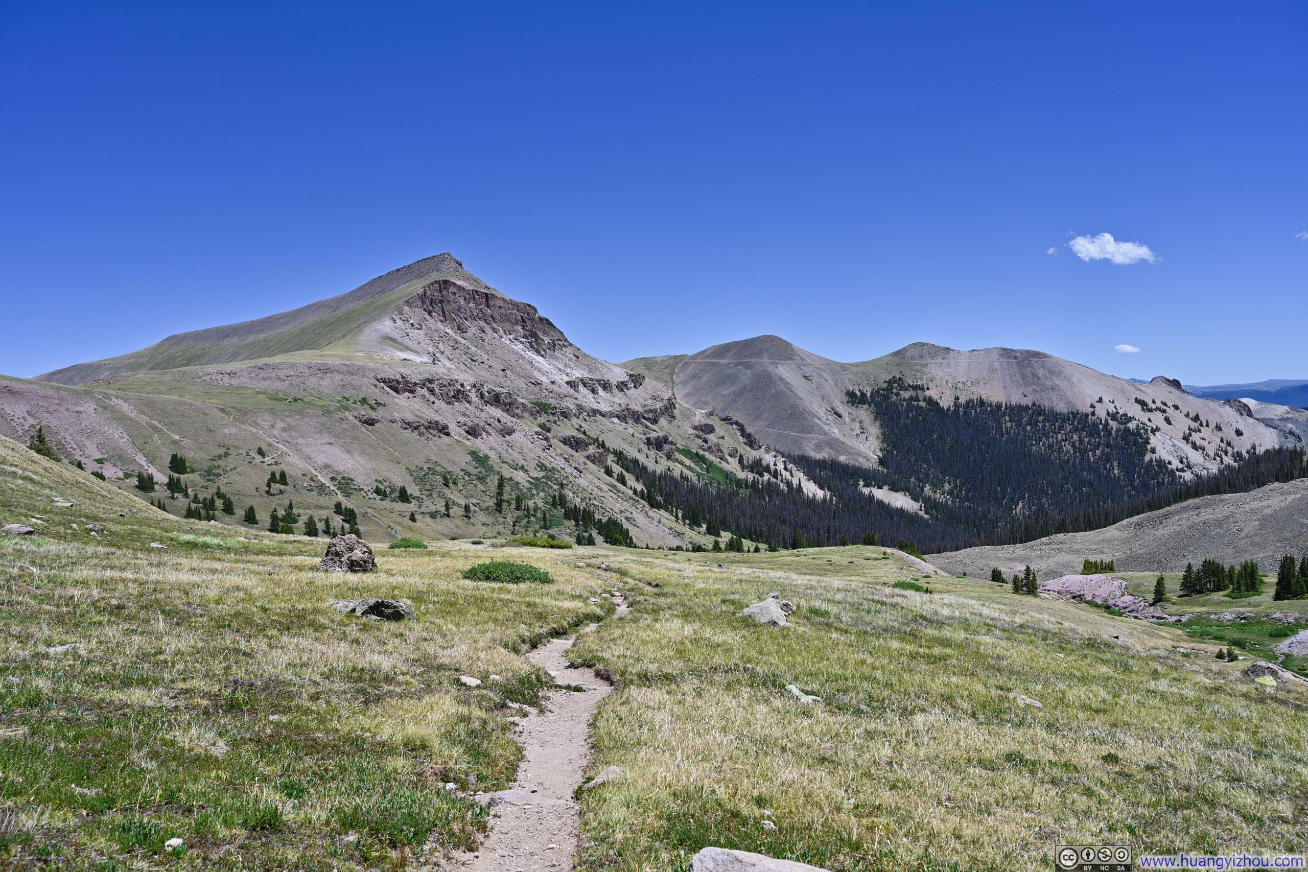
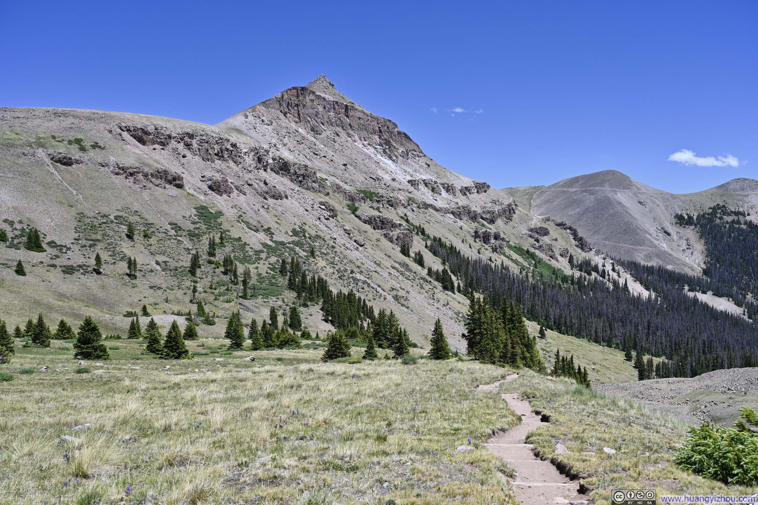
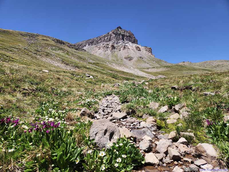
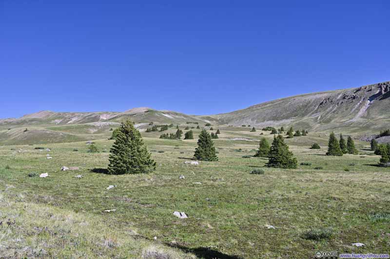
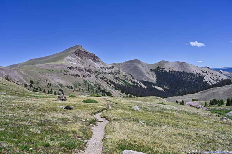
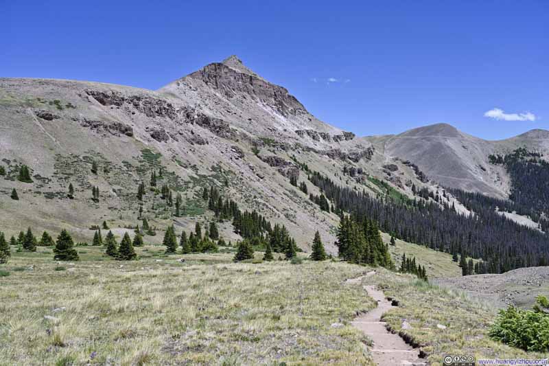
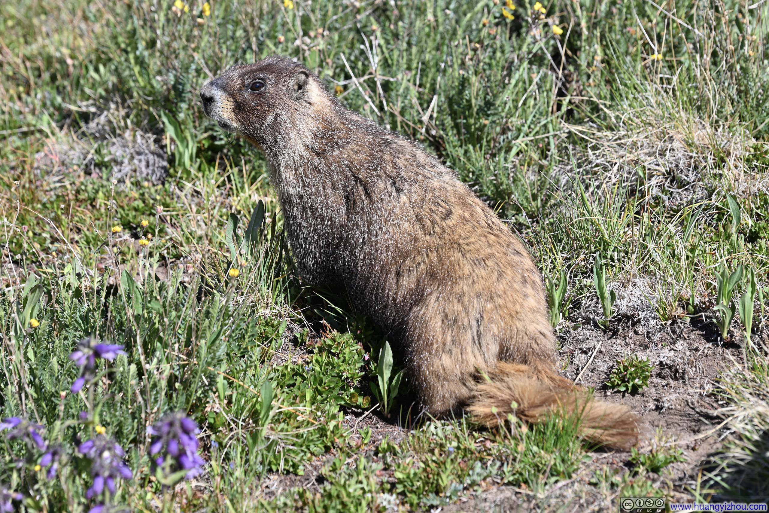
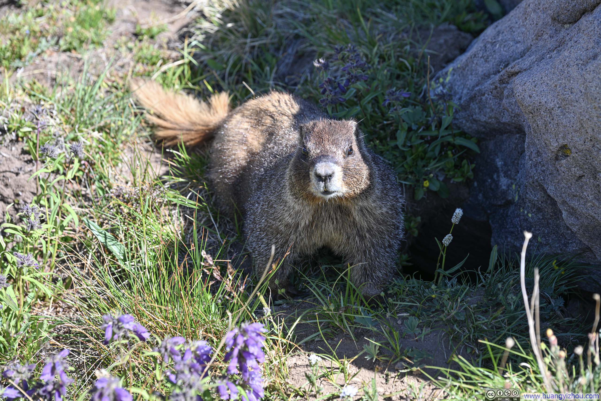
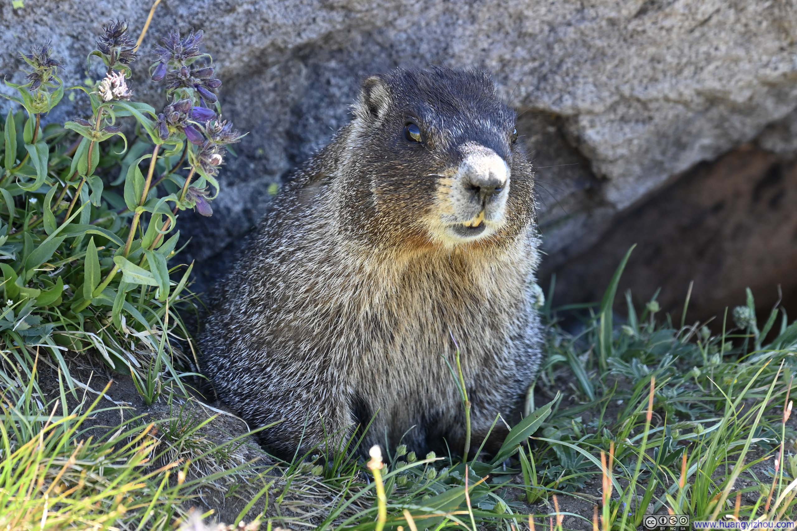
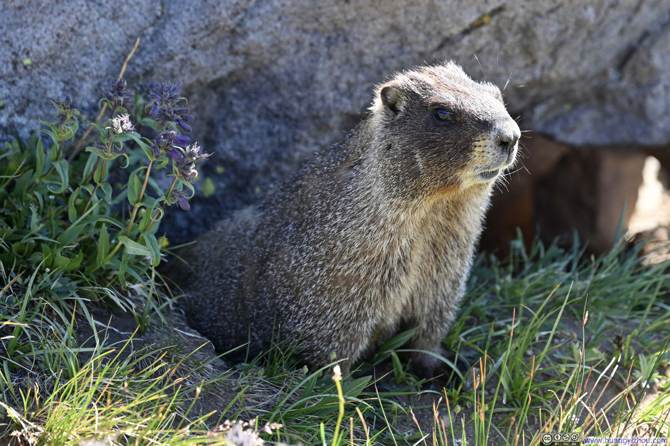
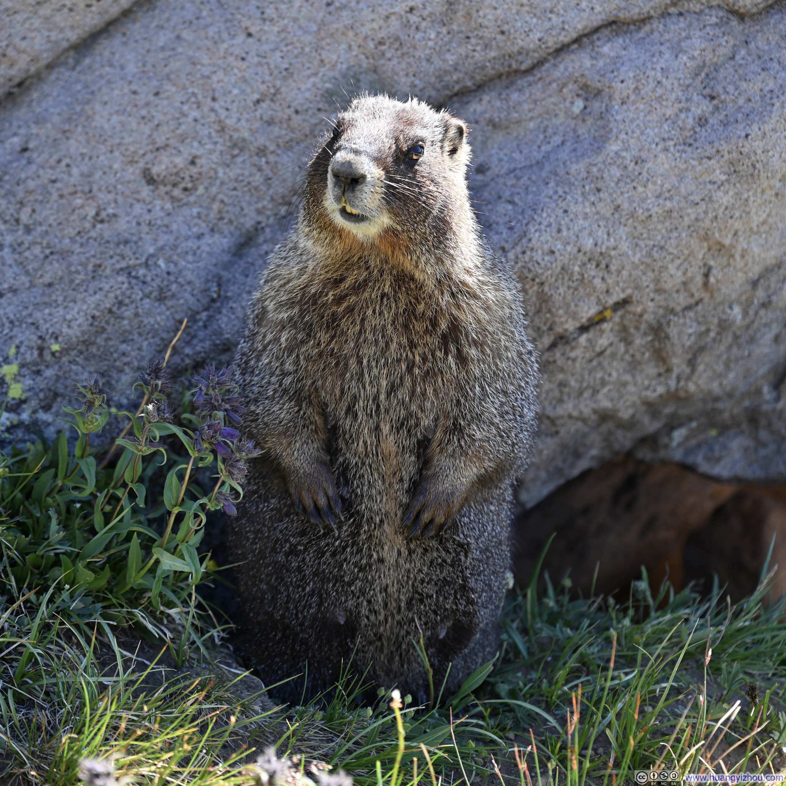
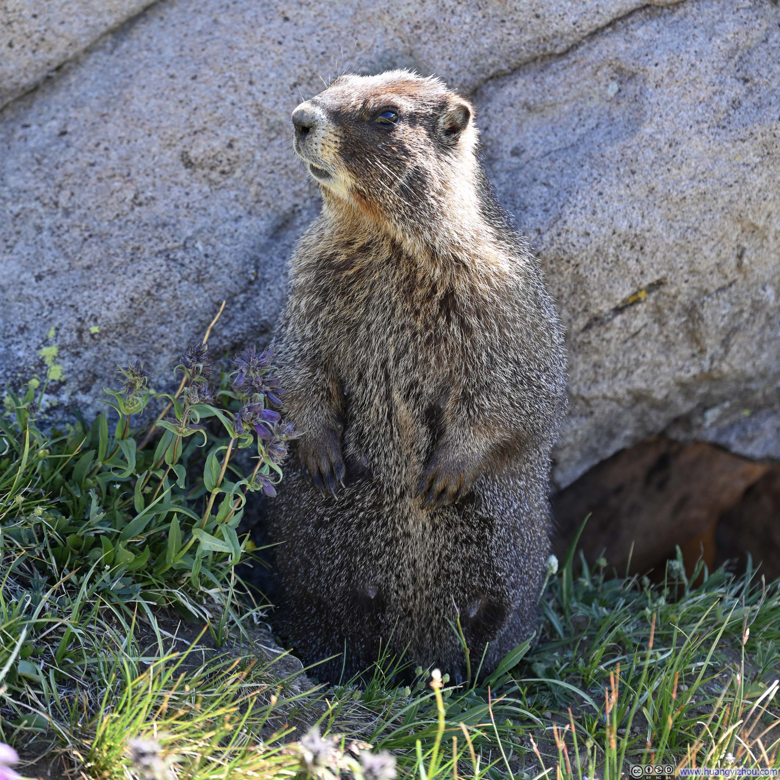
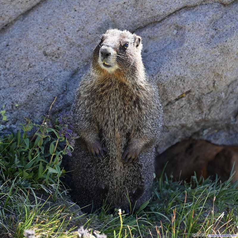
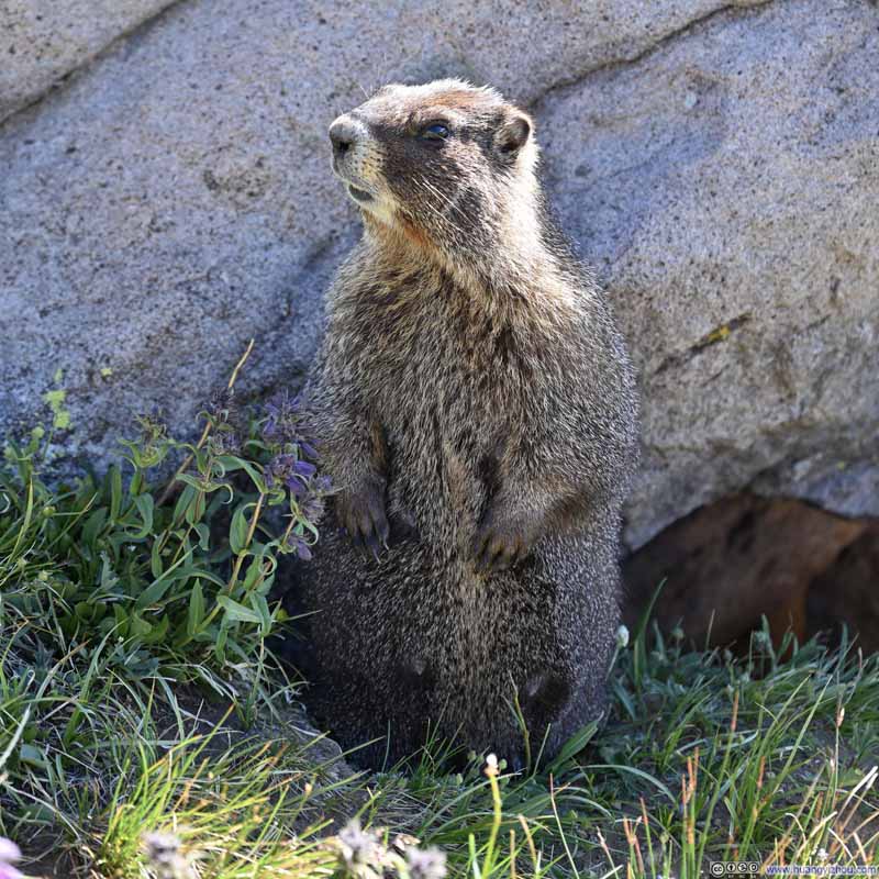
Now, a brief note on the wildlife encountered along the trail. The alpine meadows were teeming with marmots, including one particular individual that proved remarkably unafraid of the camera.
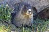
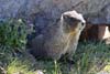
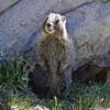
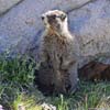
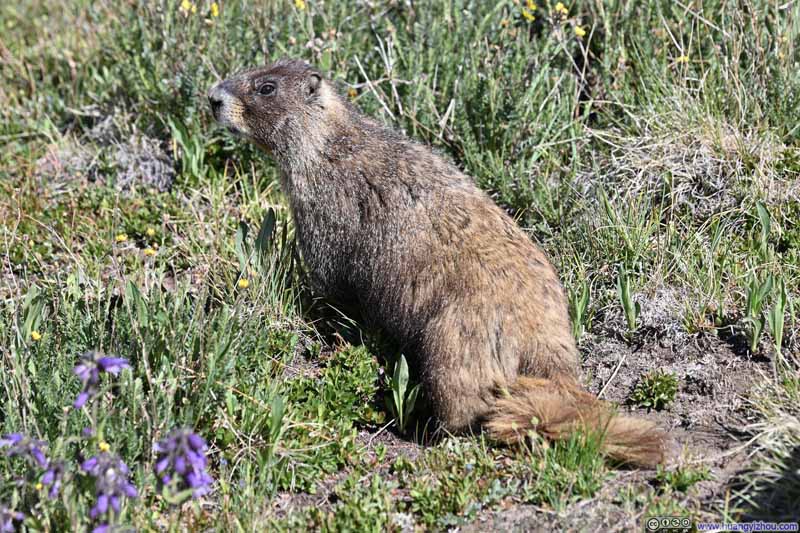
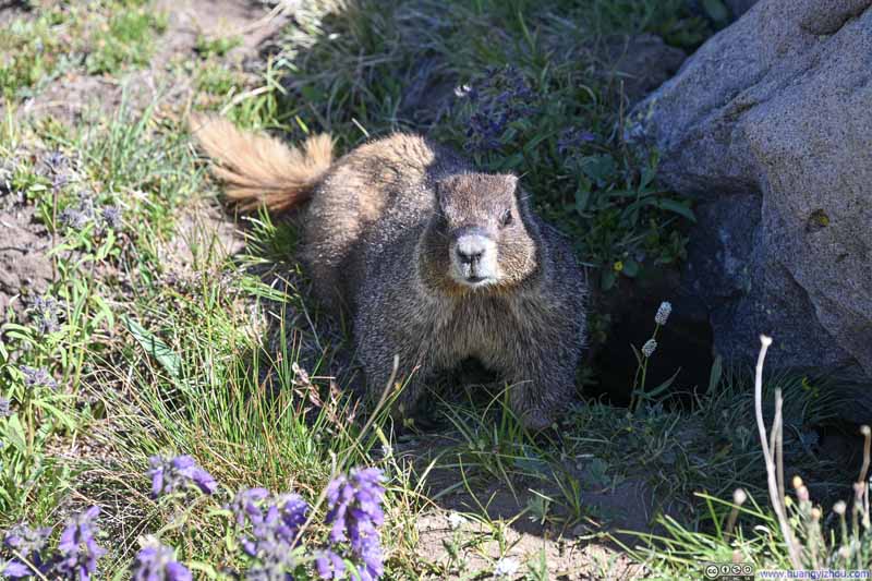
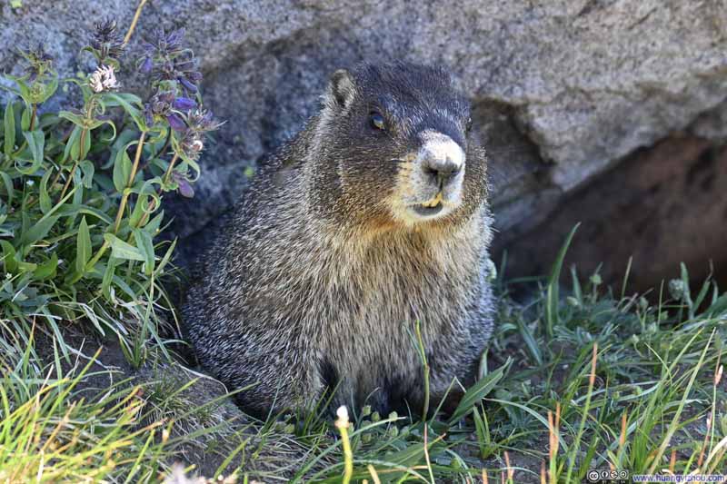
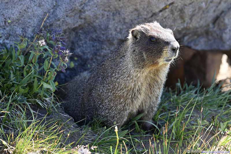
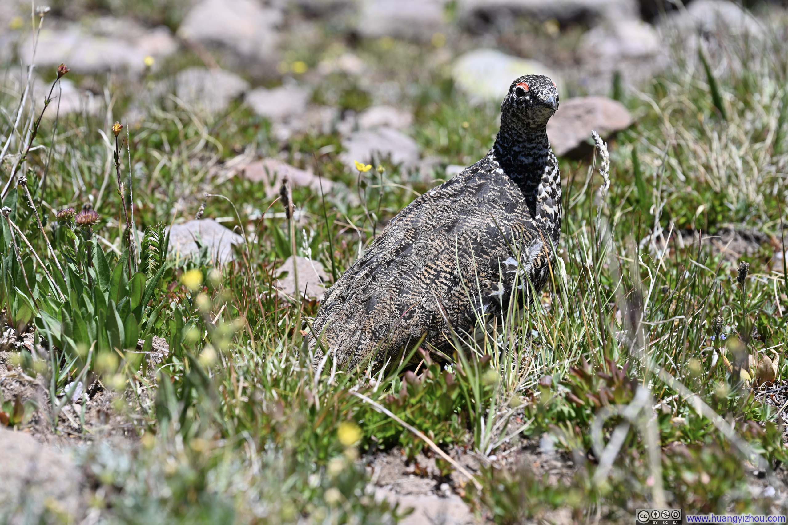
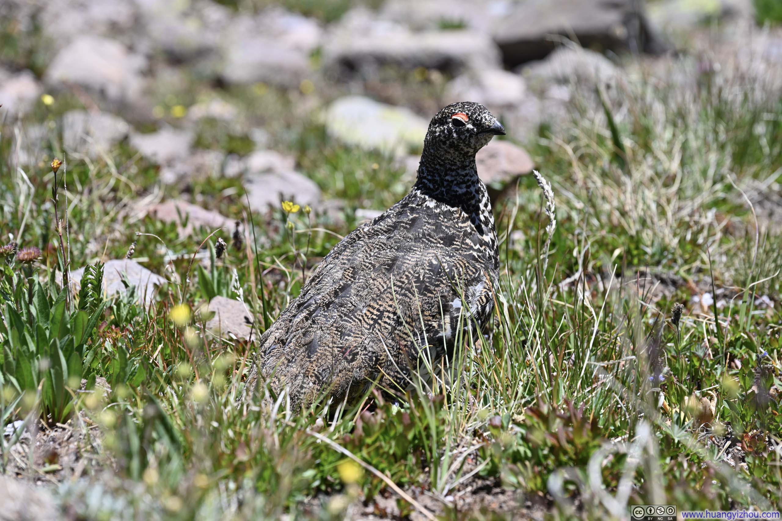
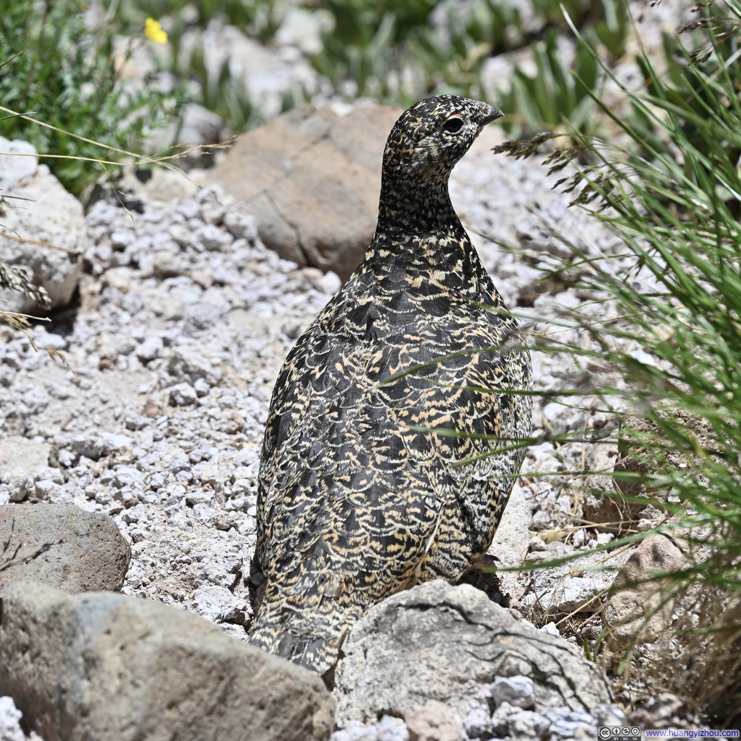
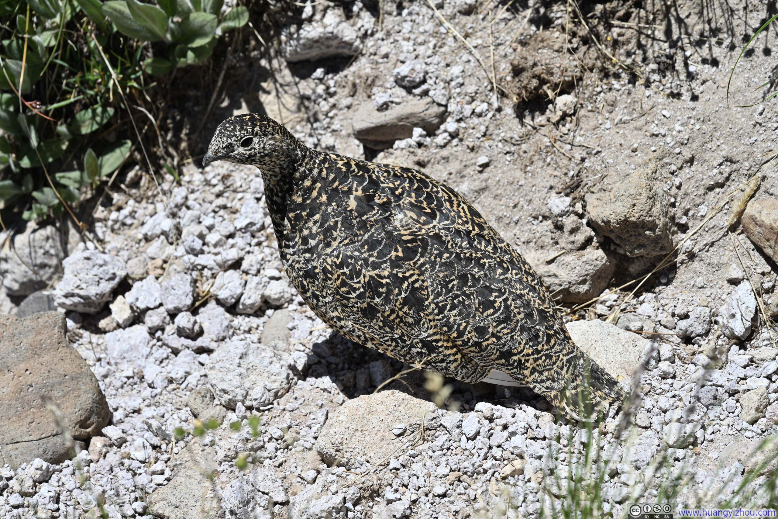
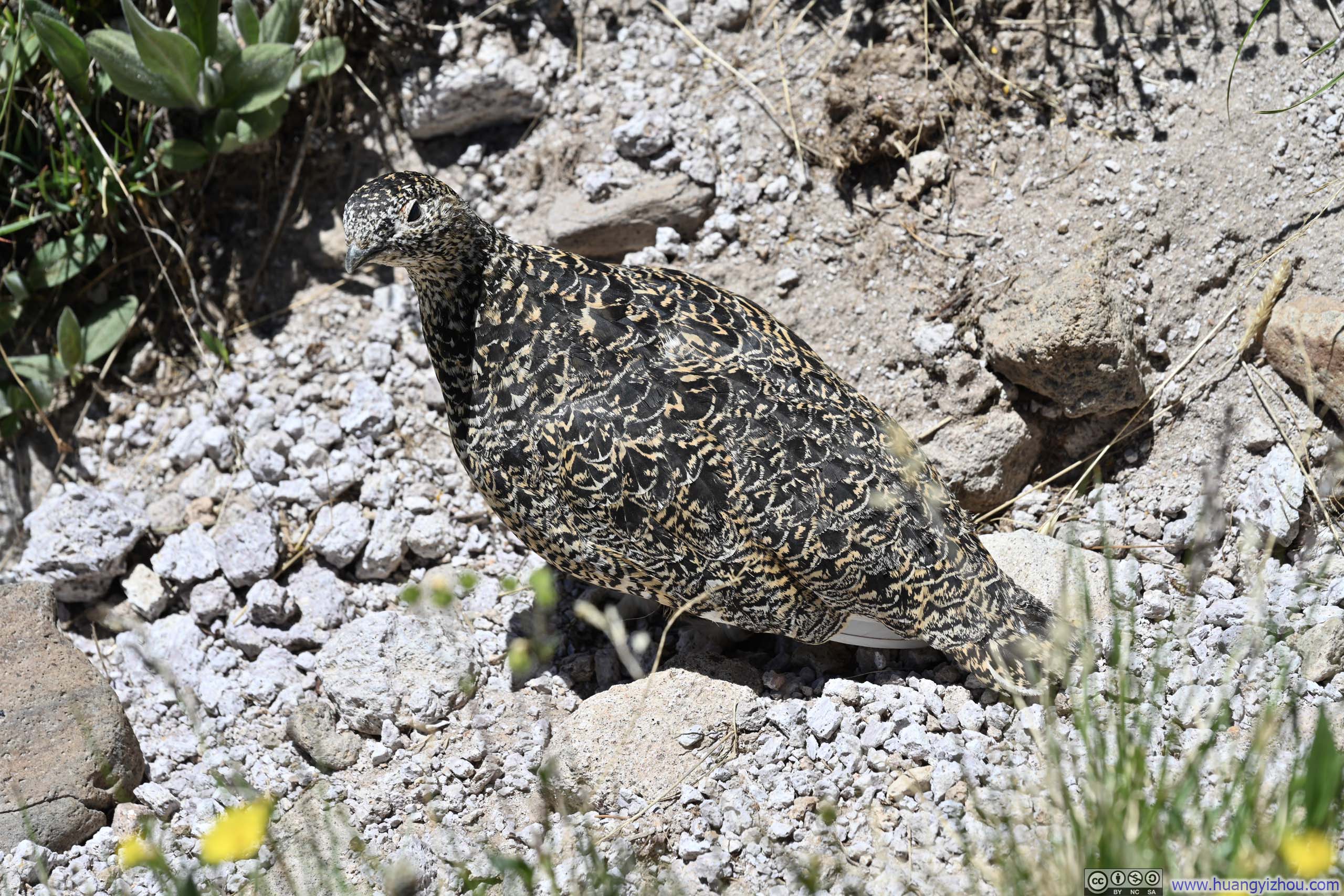
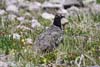
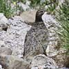
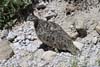
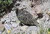
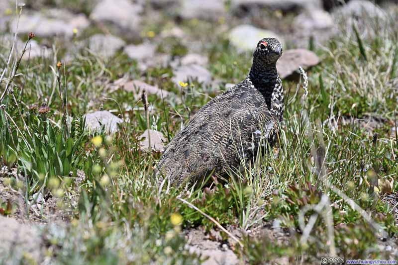
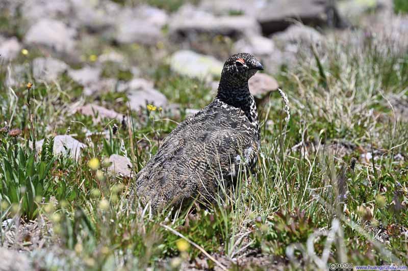
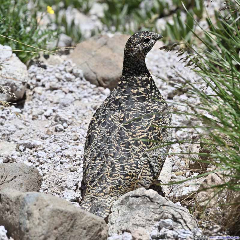
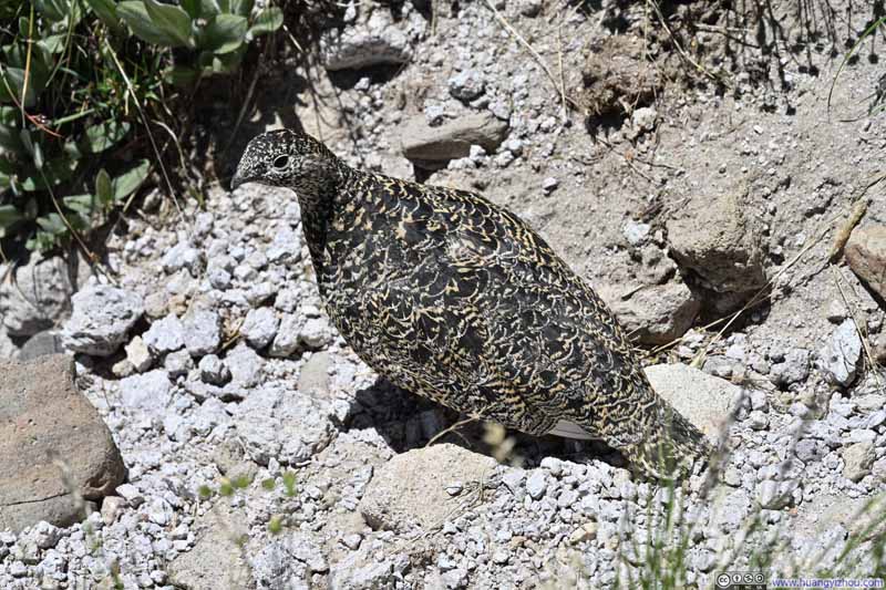
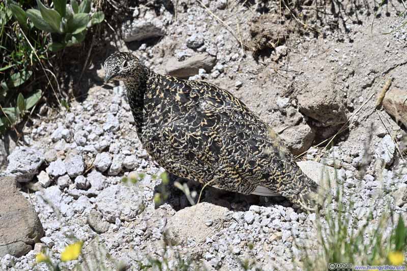
Next, I ran into a cluster of rock ptarmigans on my way down. These birds seemed rather indifferent to flight, making them surprisingly accommodating subjects for photography.
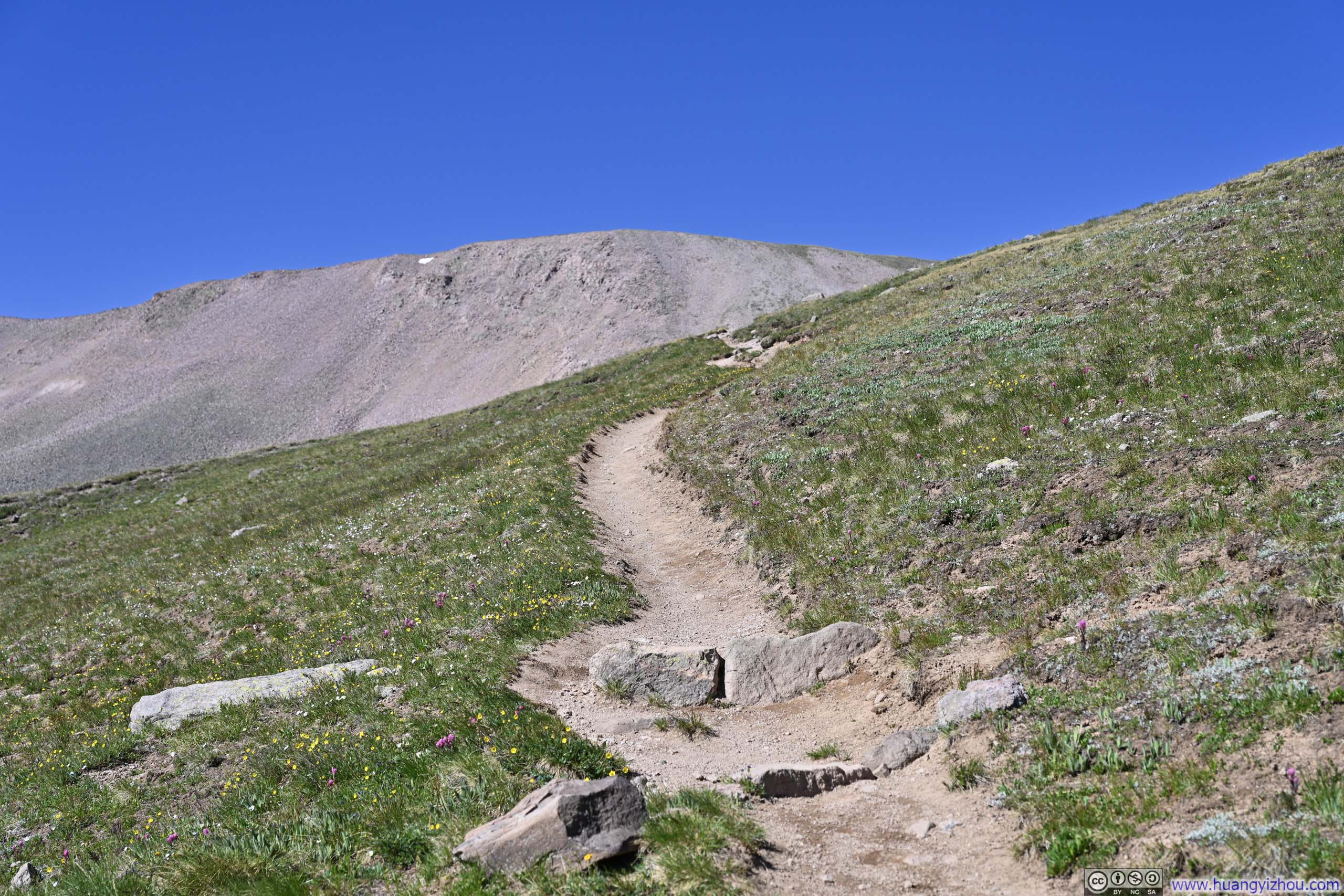
As the trail climbed steadily through alpine meadow, I came to terms with the day's true challenge: the wind. The forecast had seemed perfect at first glance, sunny skies, no rain, but closer inspection had warned of gusts above 80km/h (50mph) at higher elevations. Reality proved accurate. The wind was fierce enough that when it gusted, I had to turn my back to it and stand still, sometimes planting my hiking poles just to steady myself. A truly rigid umbrella might have carried me skyward.
Throughout my hike to Uncompahgre Peak, I listened for each surge in wind noise, precursor to another grueling gust, and braced as it passed, before advancing a few steps, only to repeat this cycle. It was certainly not the most pleasant hiking experience.
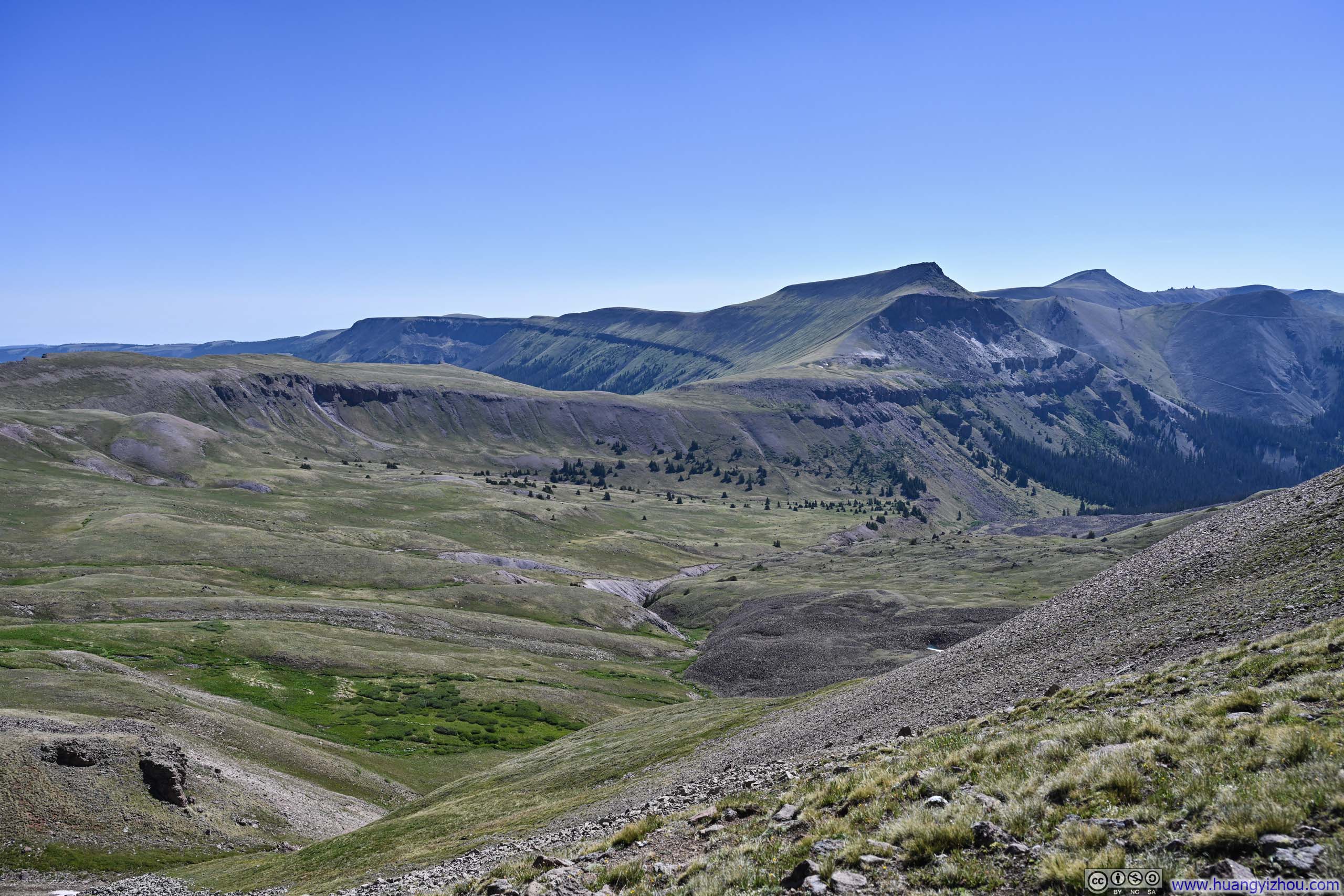
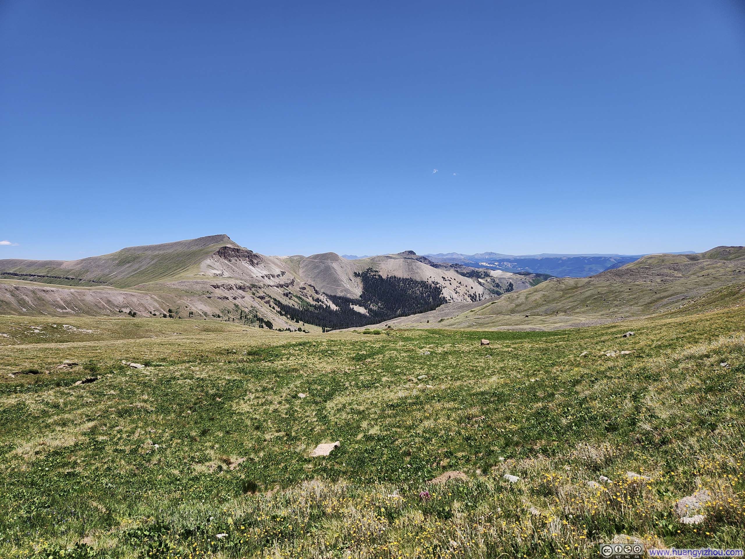
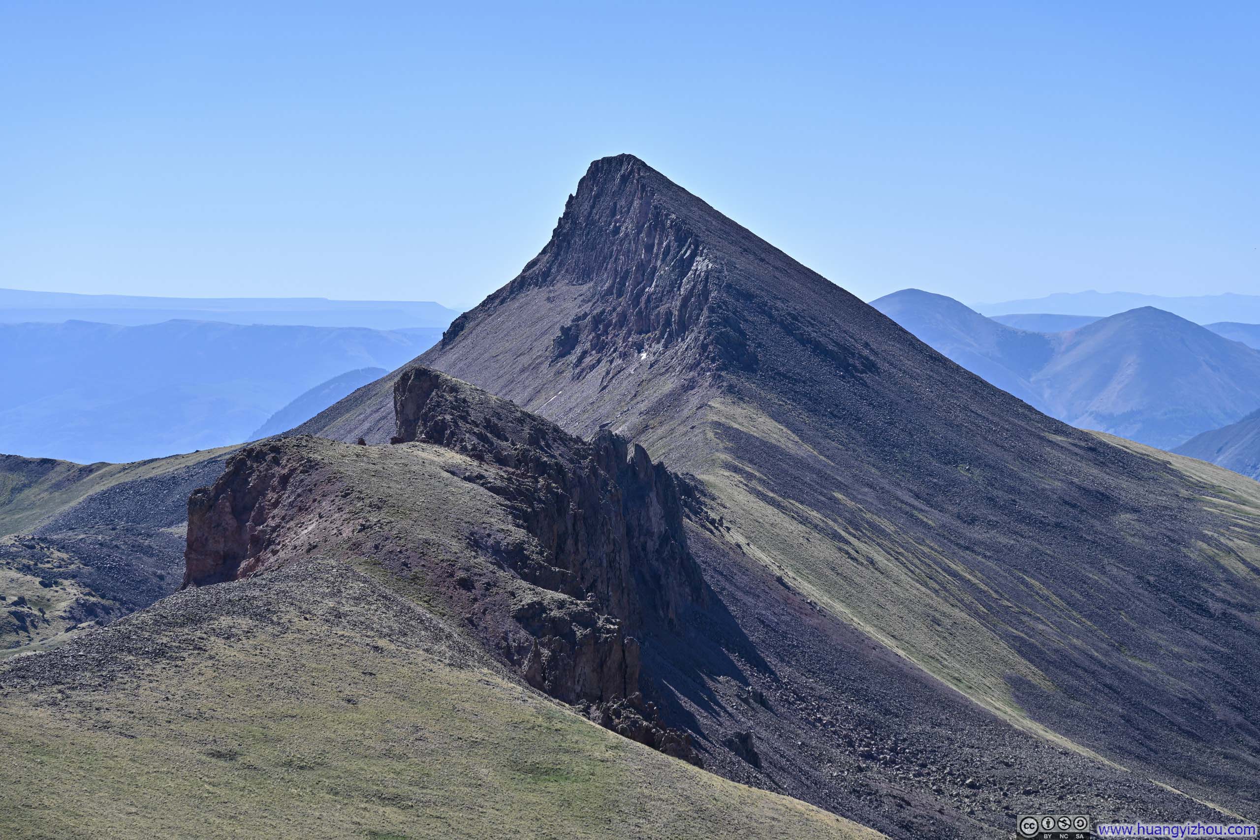
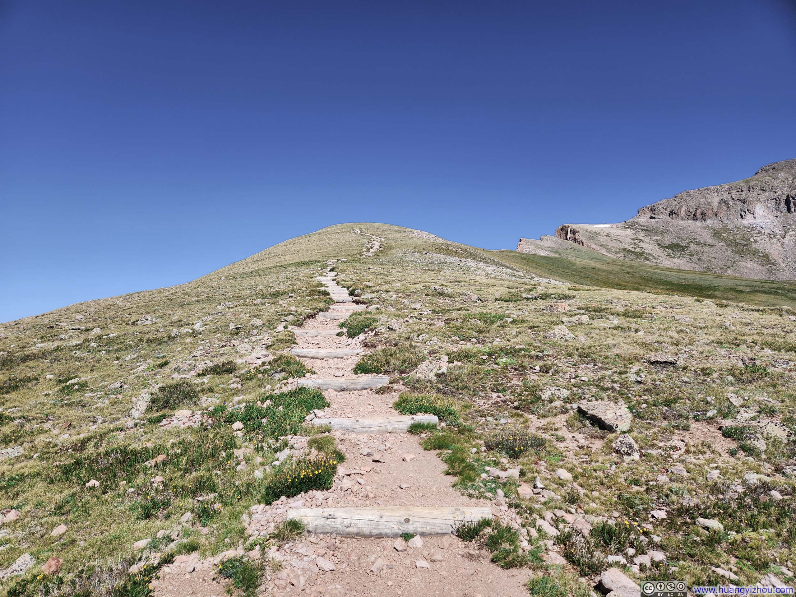
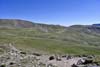
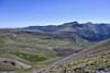
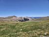
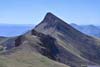
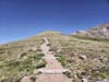
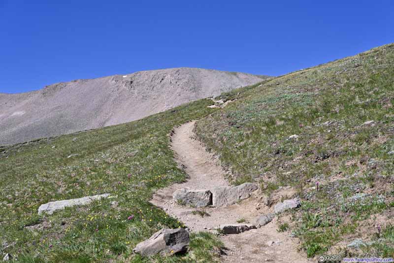

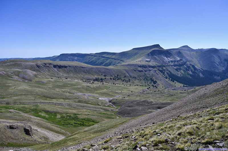
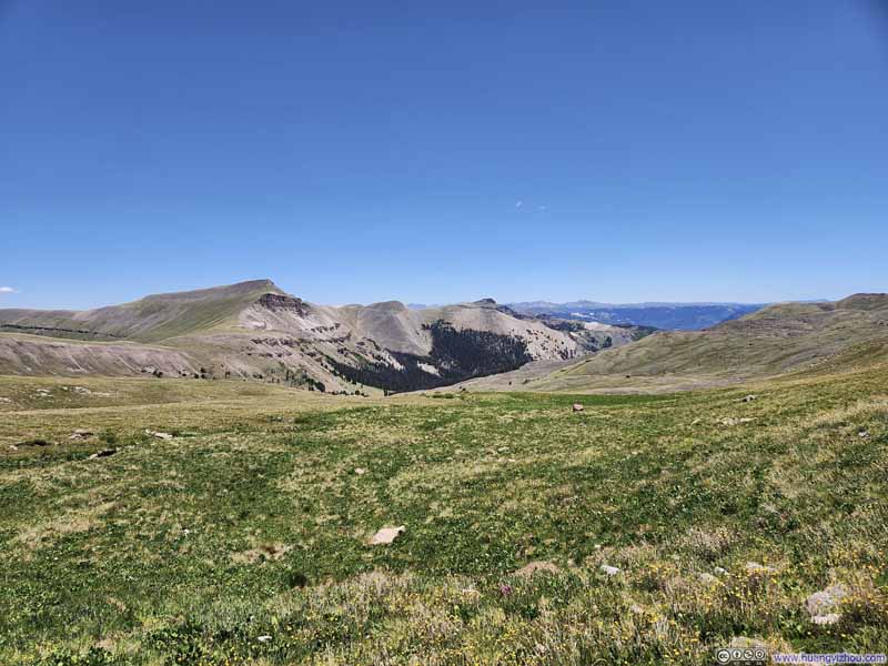
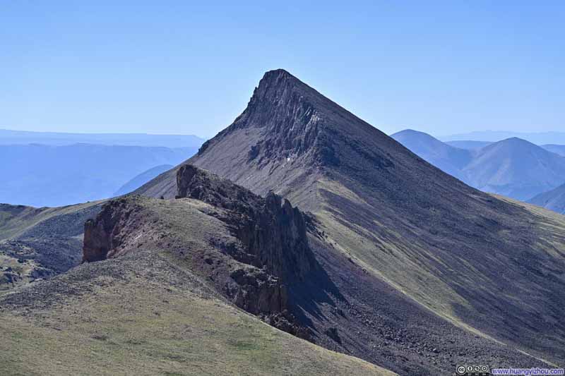
As the trail neared Uncompahgre Peak, it traversed a jagged ridgeline where occasional gaps revealed western vistas, offering enticing previews of the prominent peaks visible from the summit ahead.
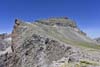
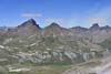
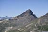
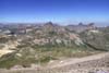
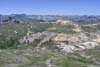
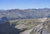
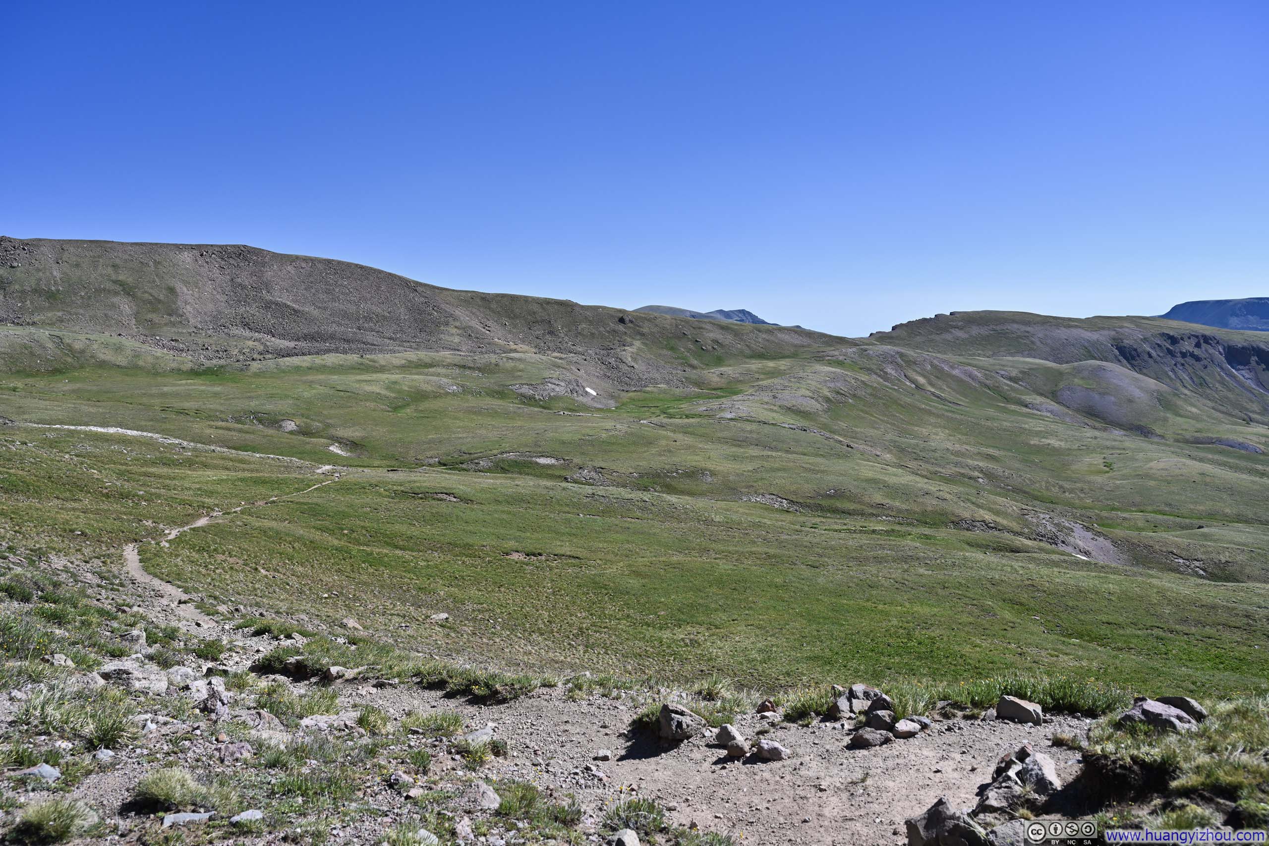
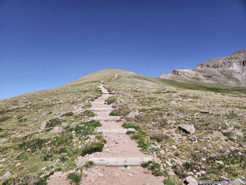
Further up, a few final switchbacks unfolded one last perspective of the alpine meadows through which I had hiked.
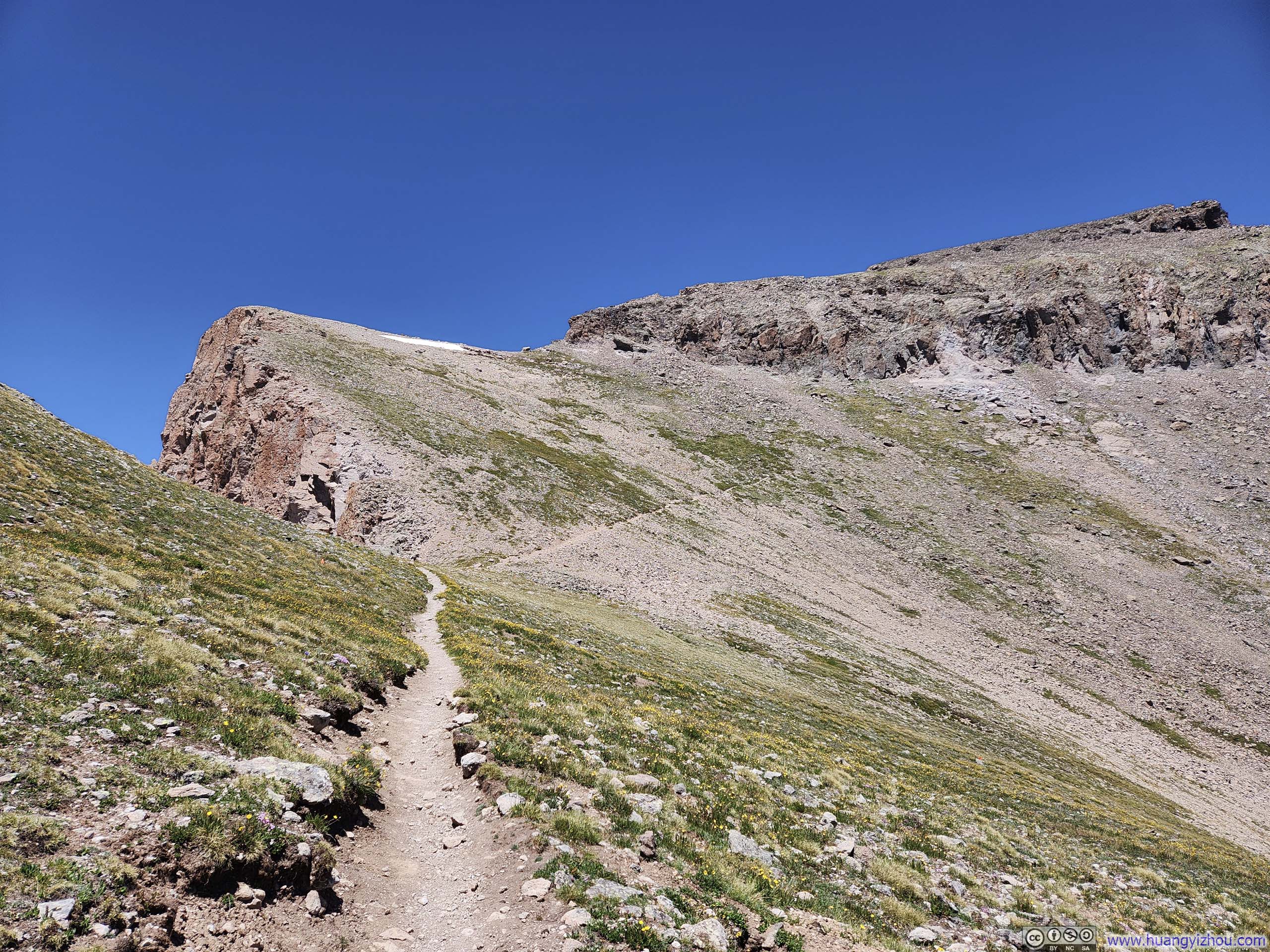
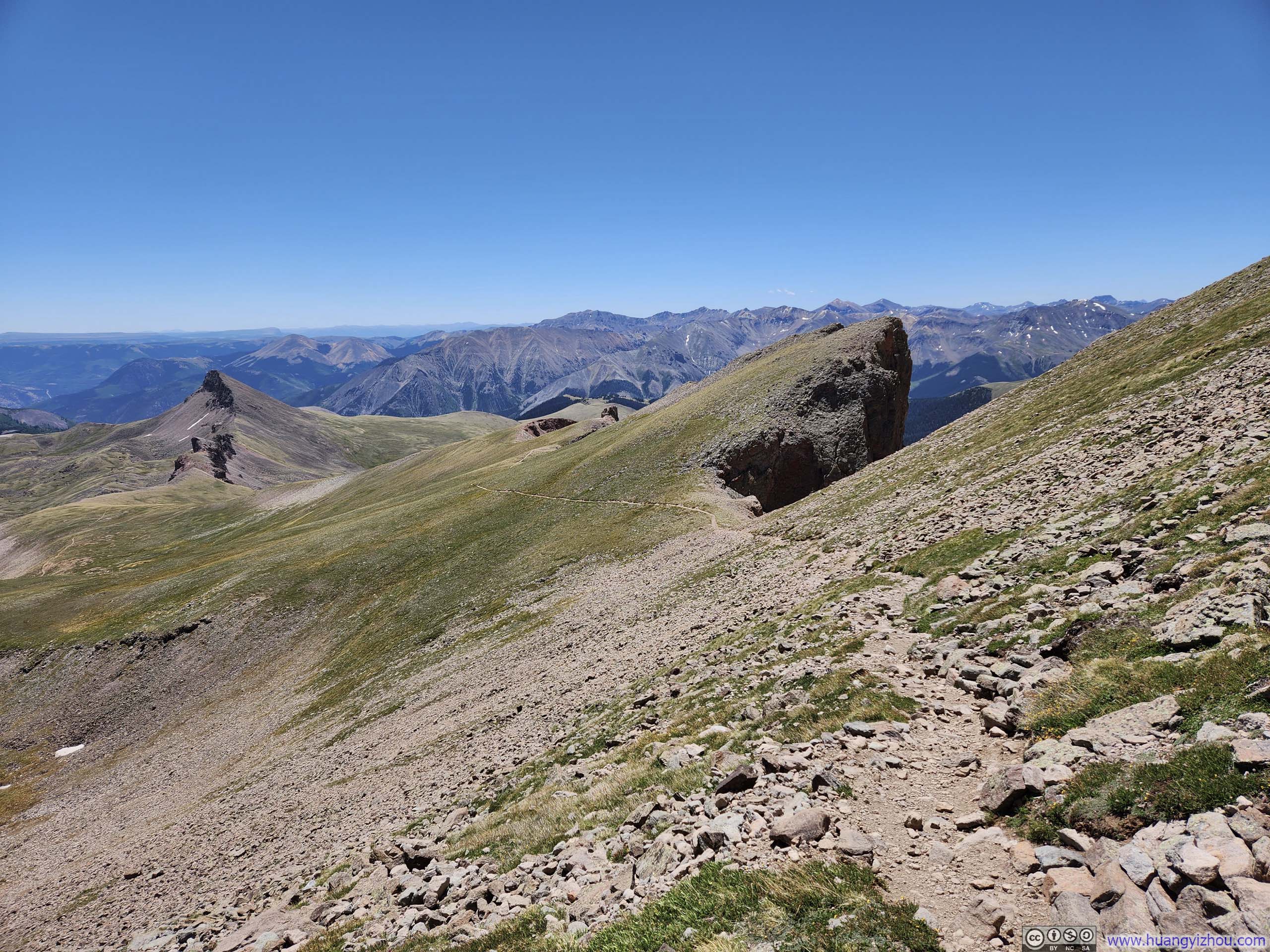
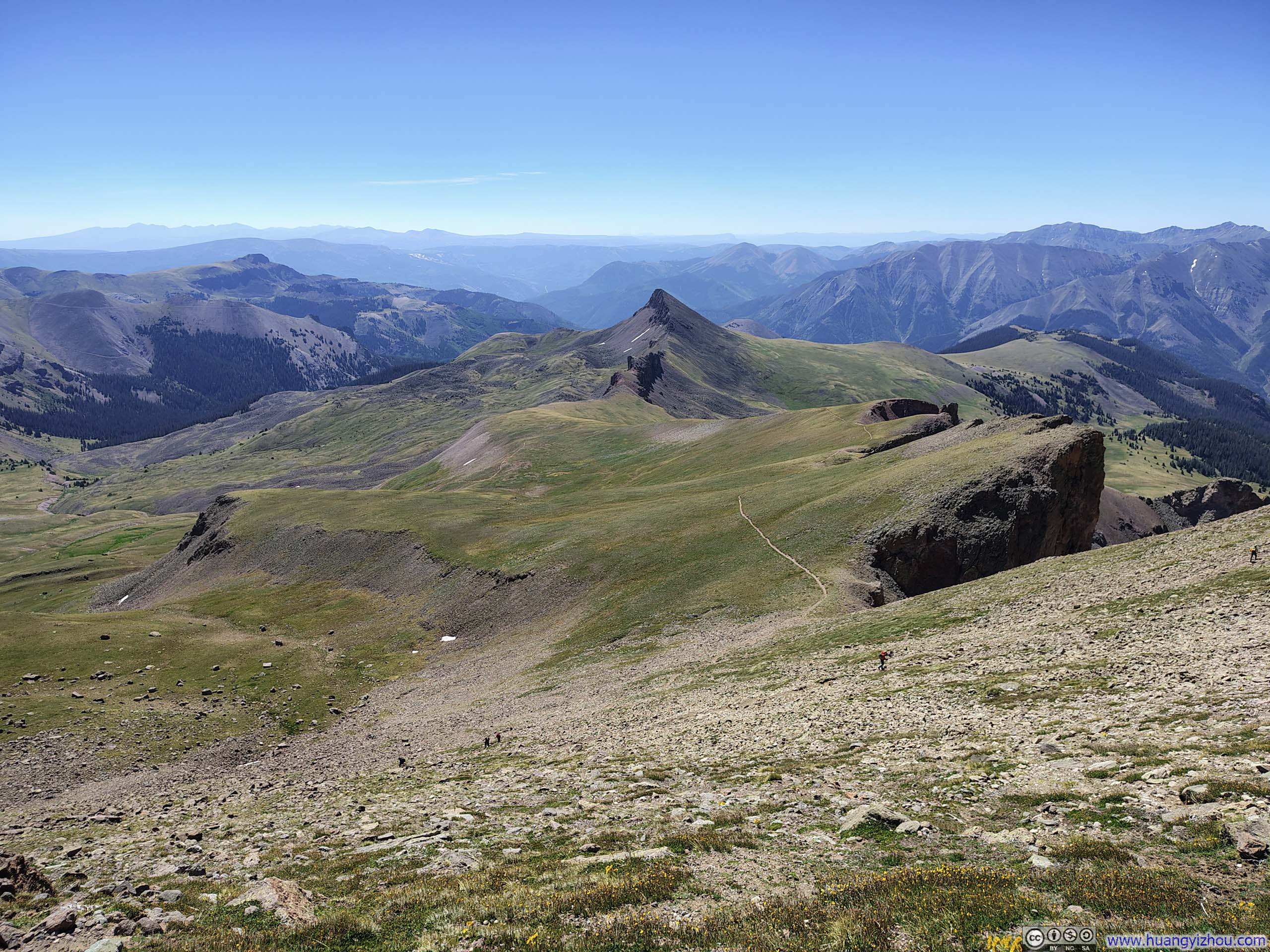
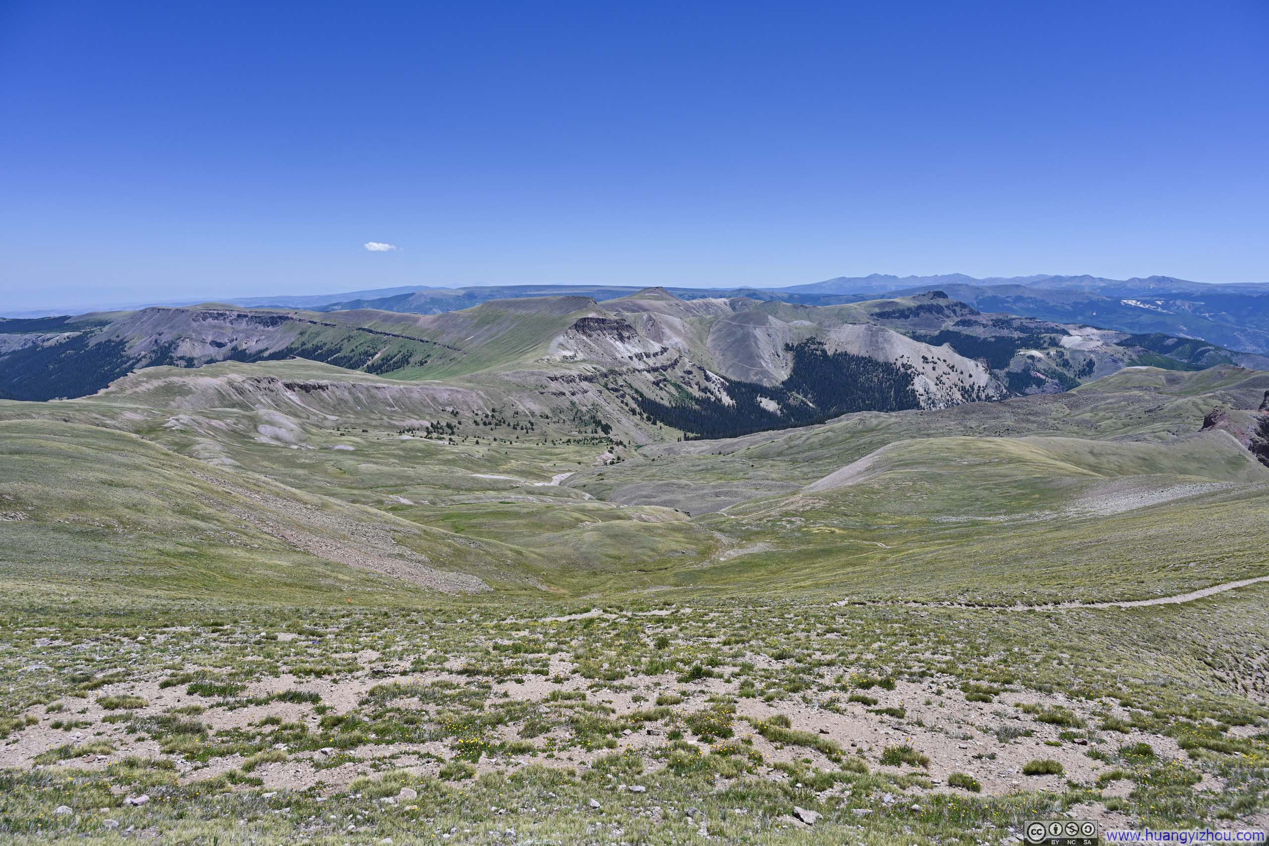
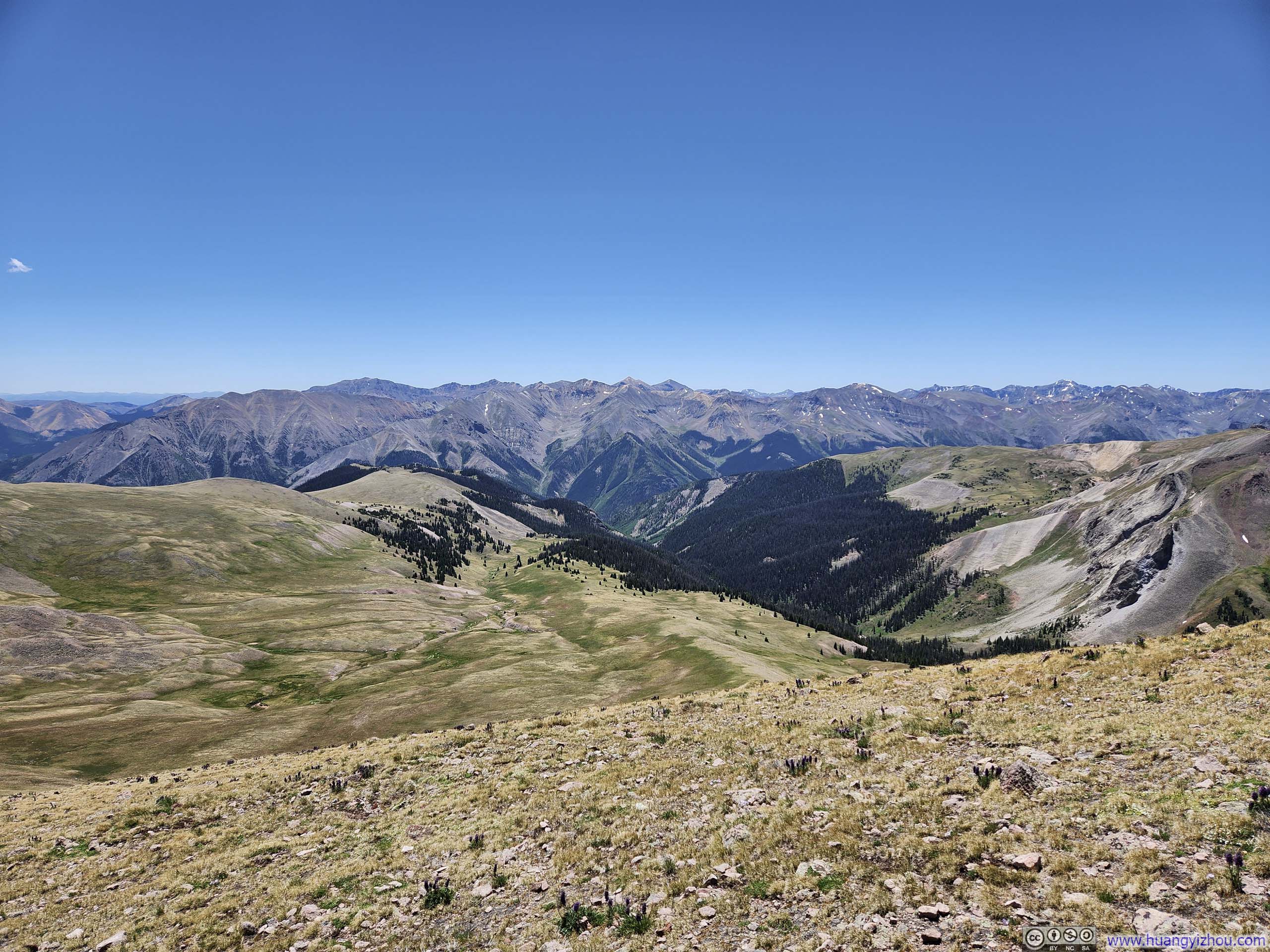
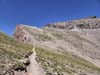
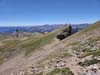
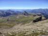
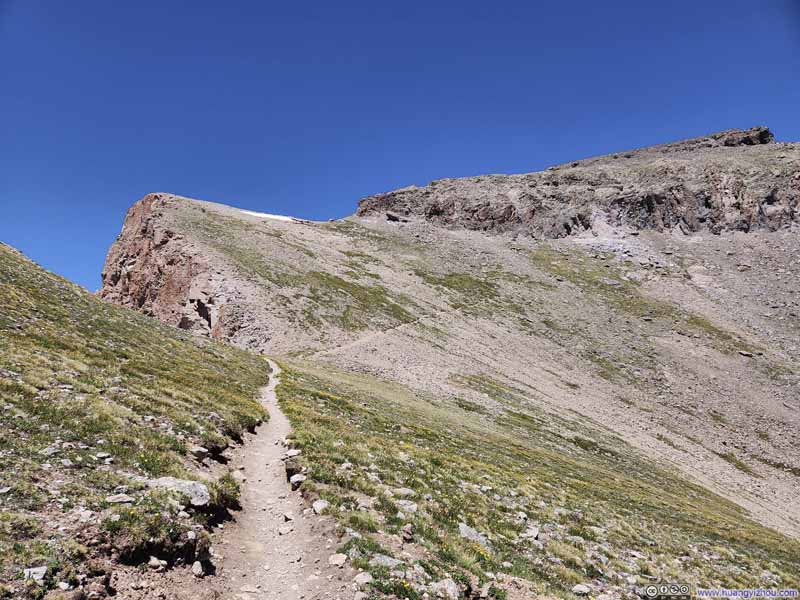
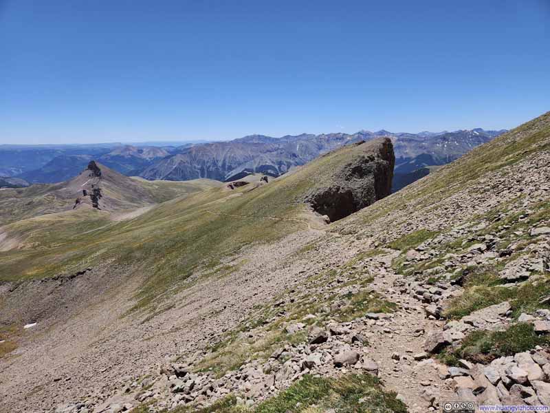
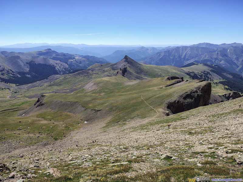
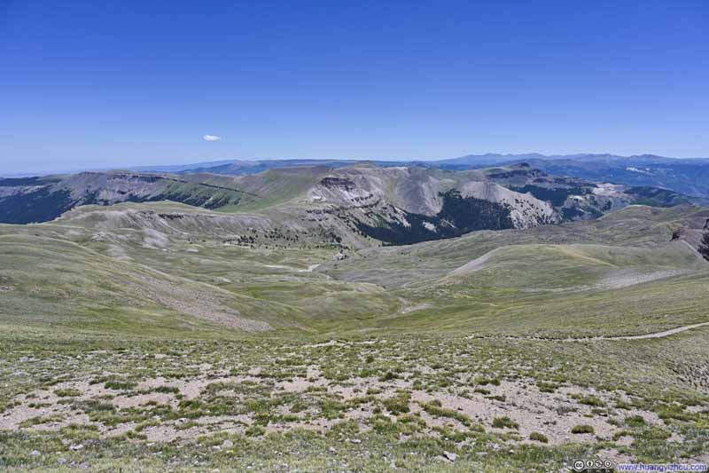
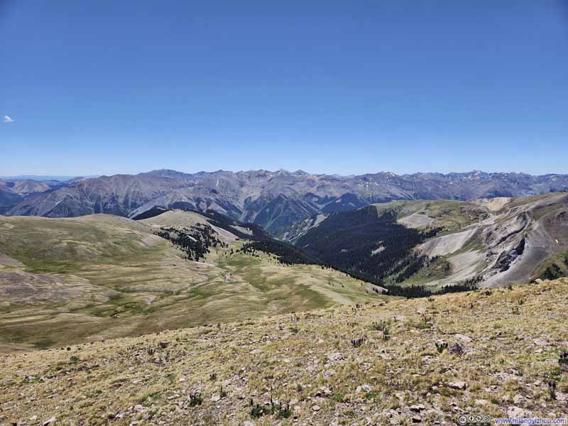
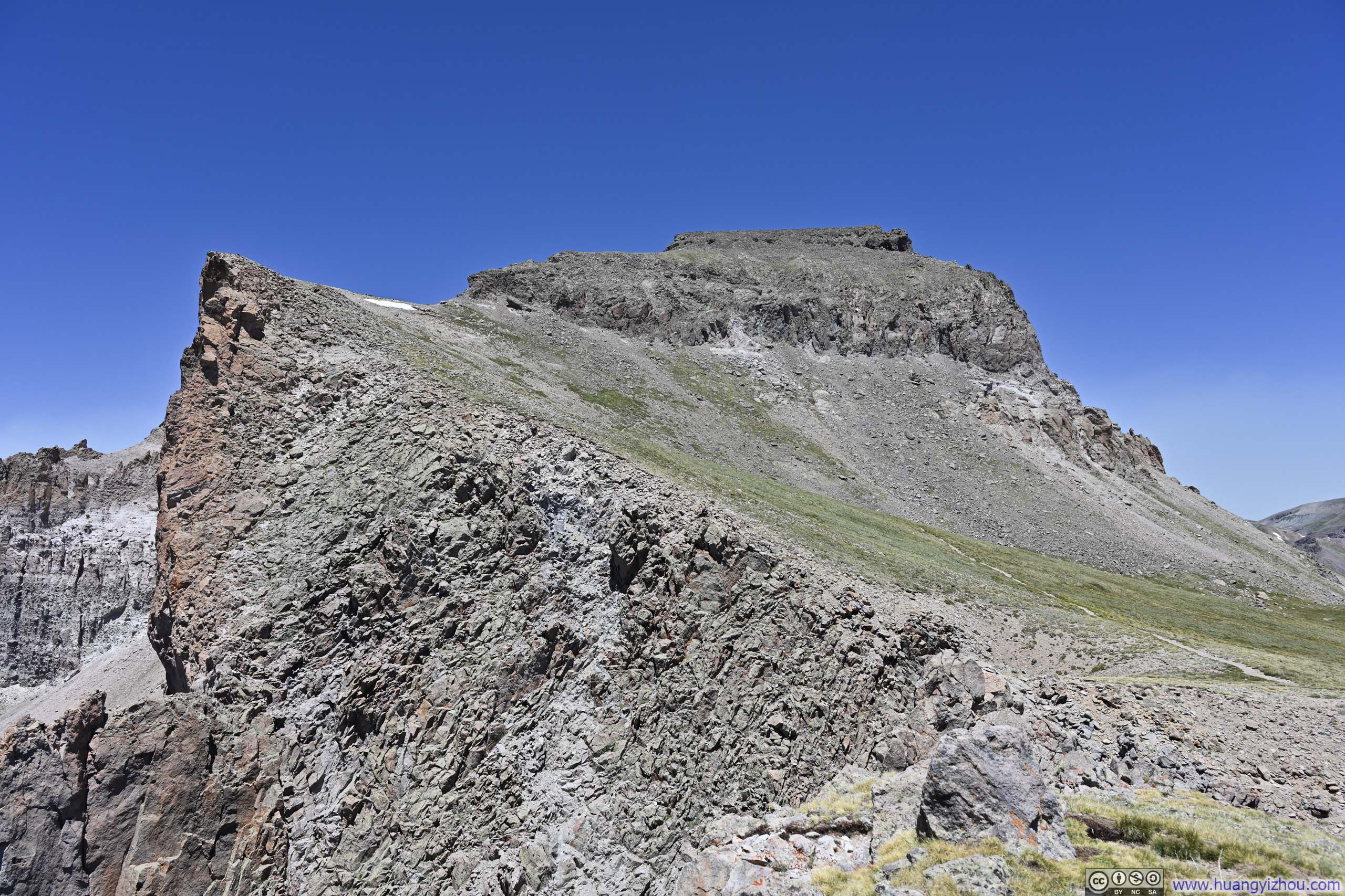
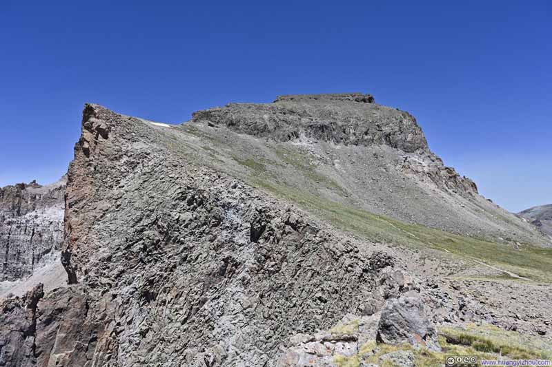
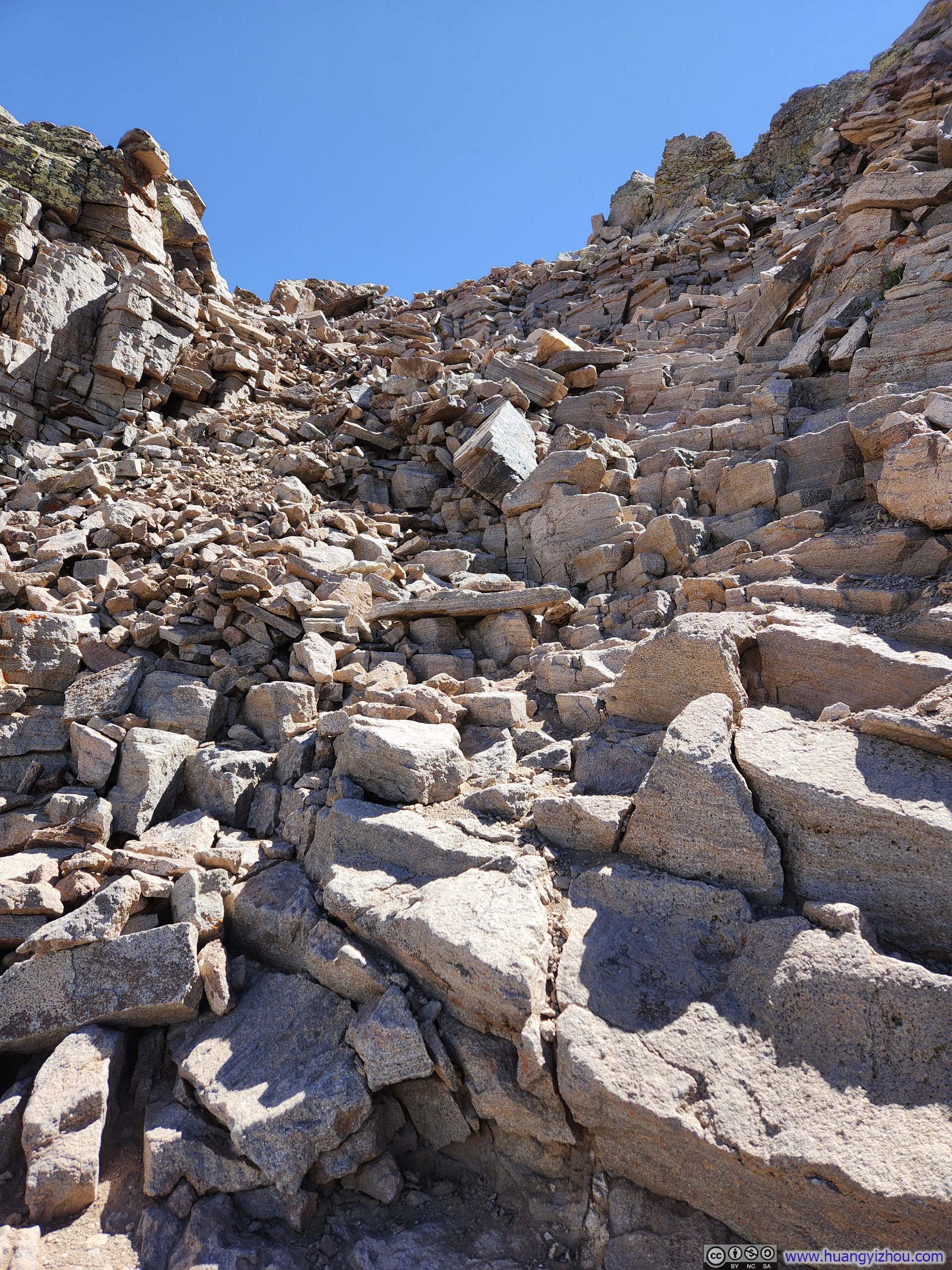
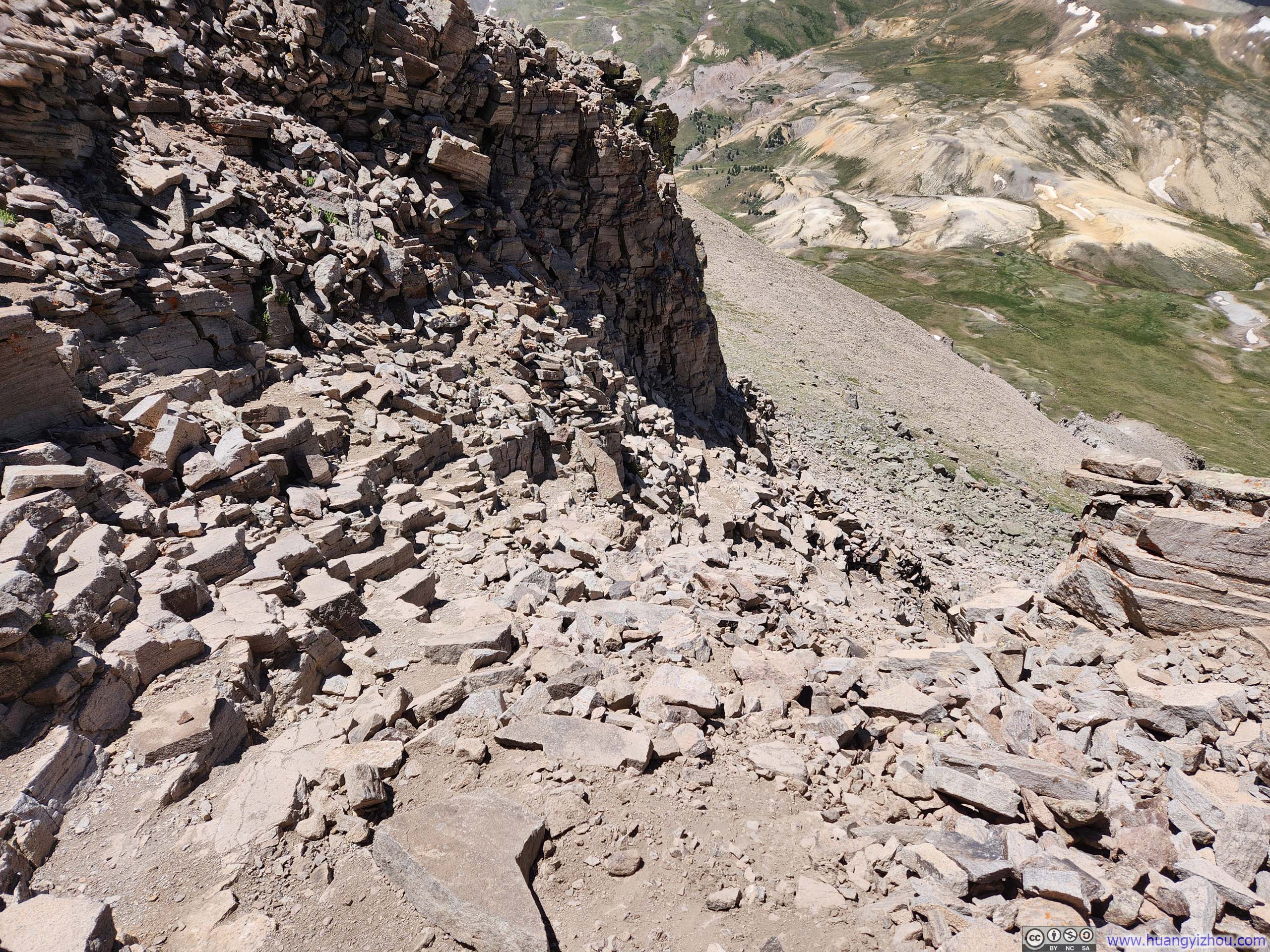
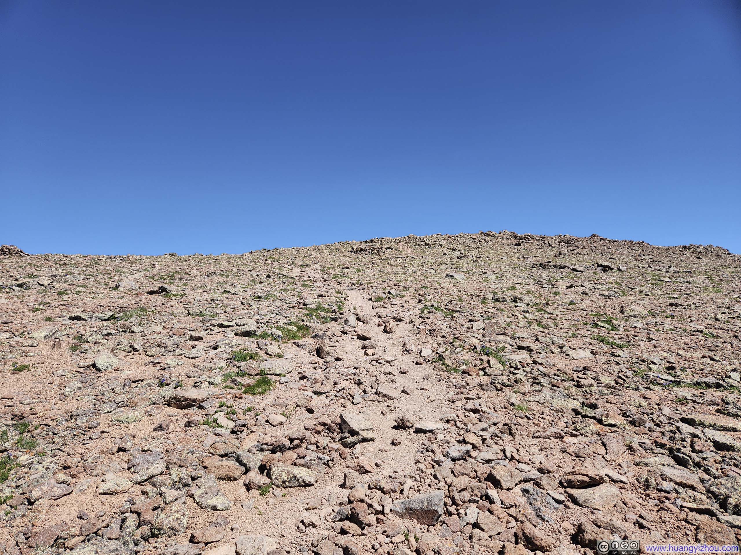
Earlier, I compared Uncompahgre Peak to a fortress, an apt description given its massive presence looming over the surrounding peaks. The northern face of this stronghold proved prohibitively steep, so the trail ascended via the more gradual southern approach. Even so, there was one short and steep section (p1-2 below) as the trail ascended its summit plateau, after which it was a relatively flat and easy walk.
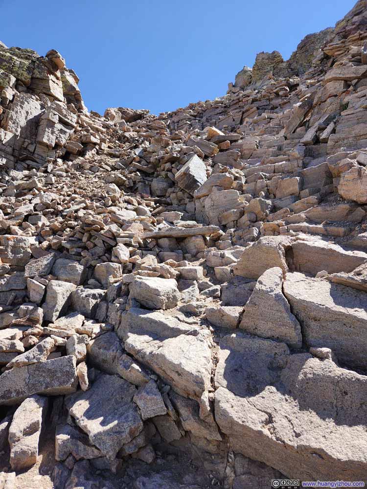
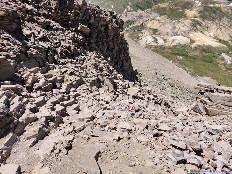
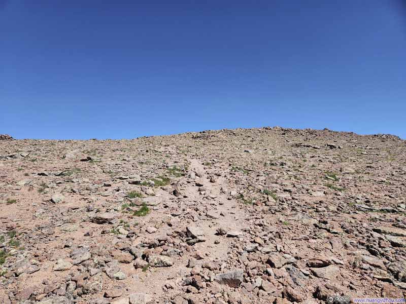
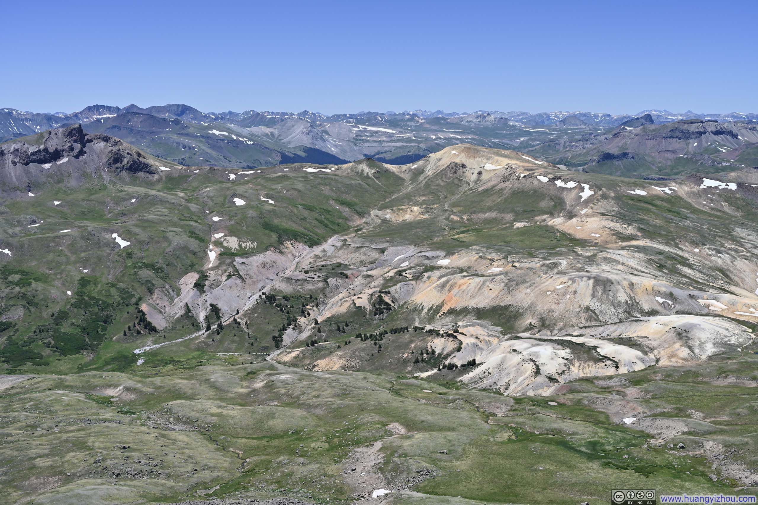
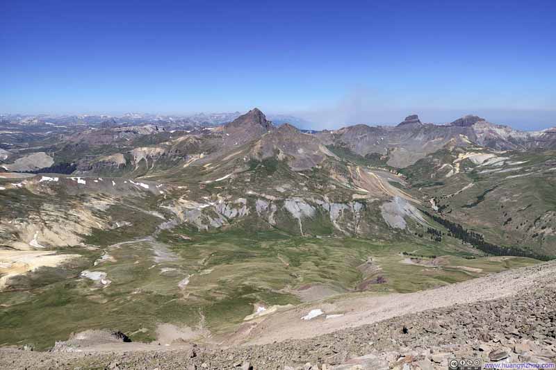
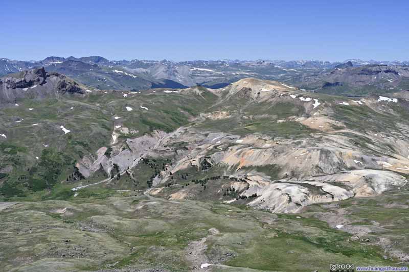
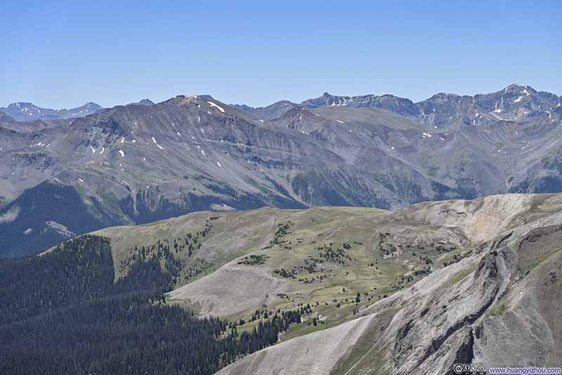
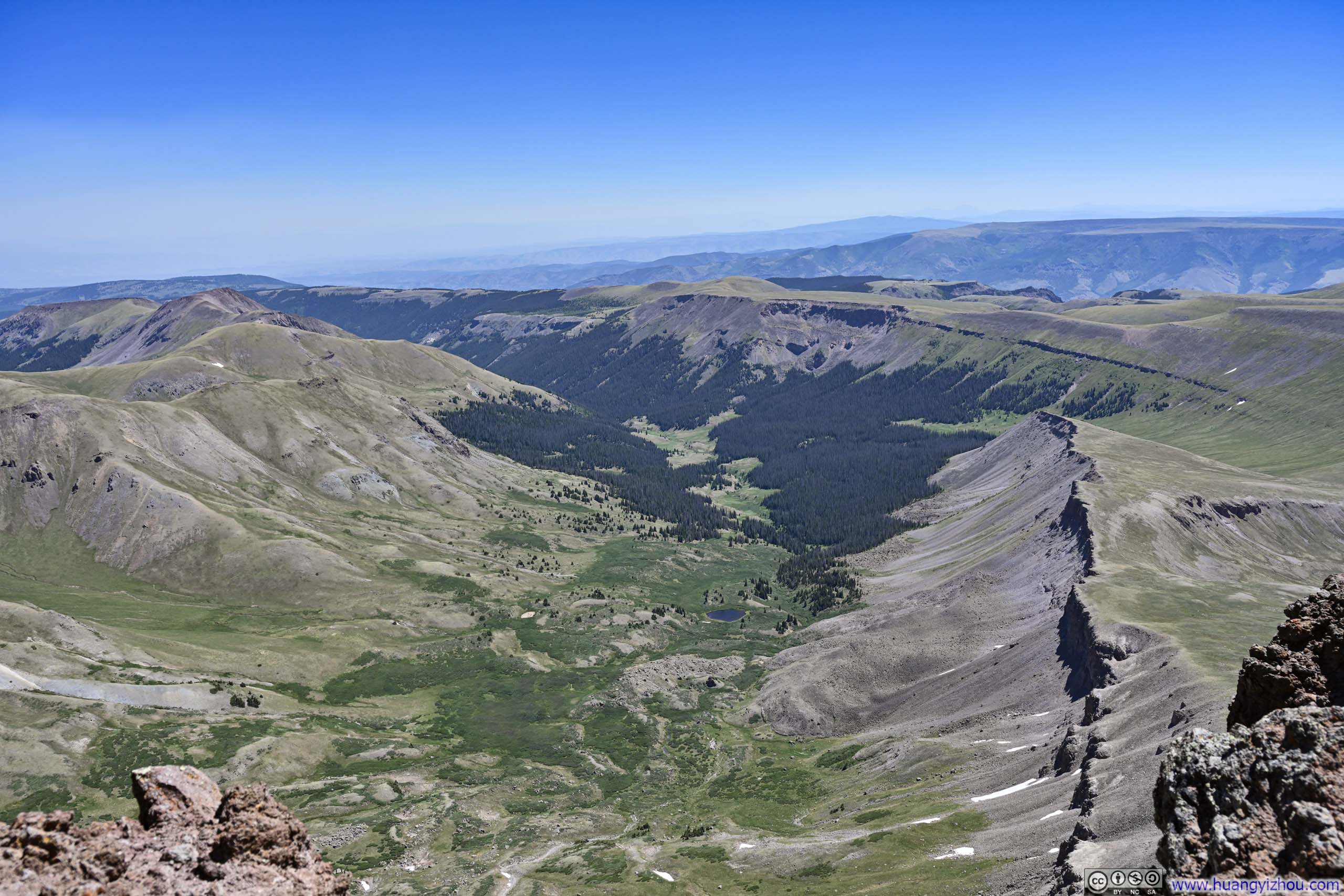
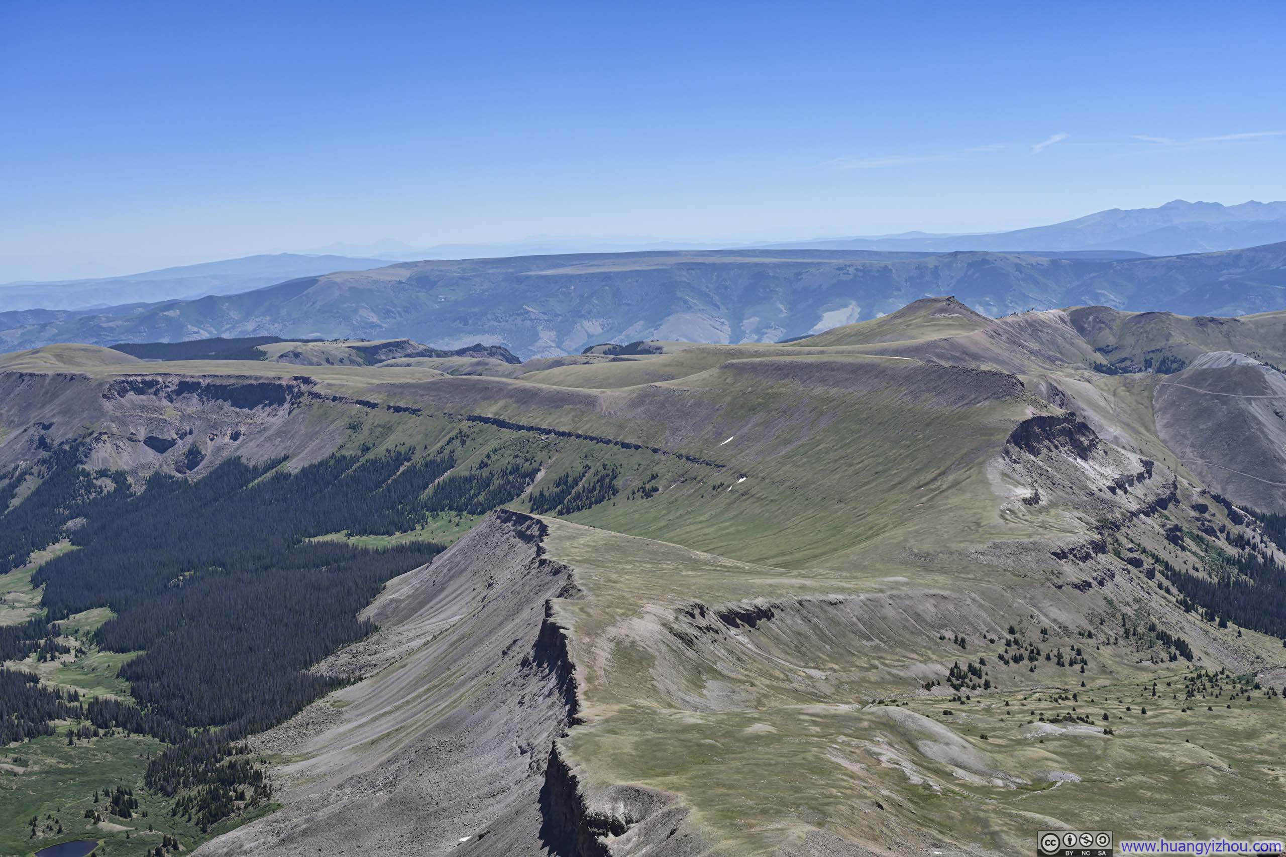
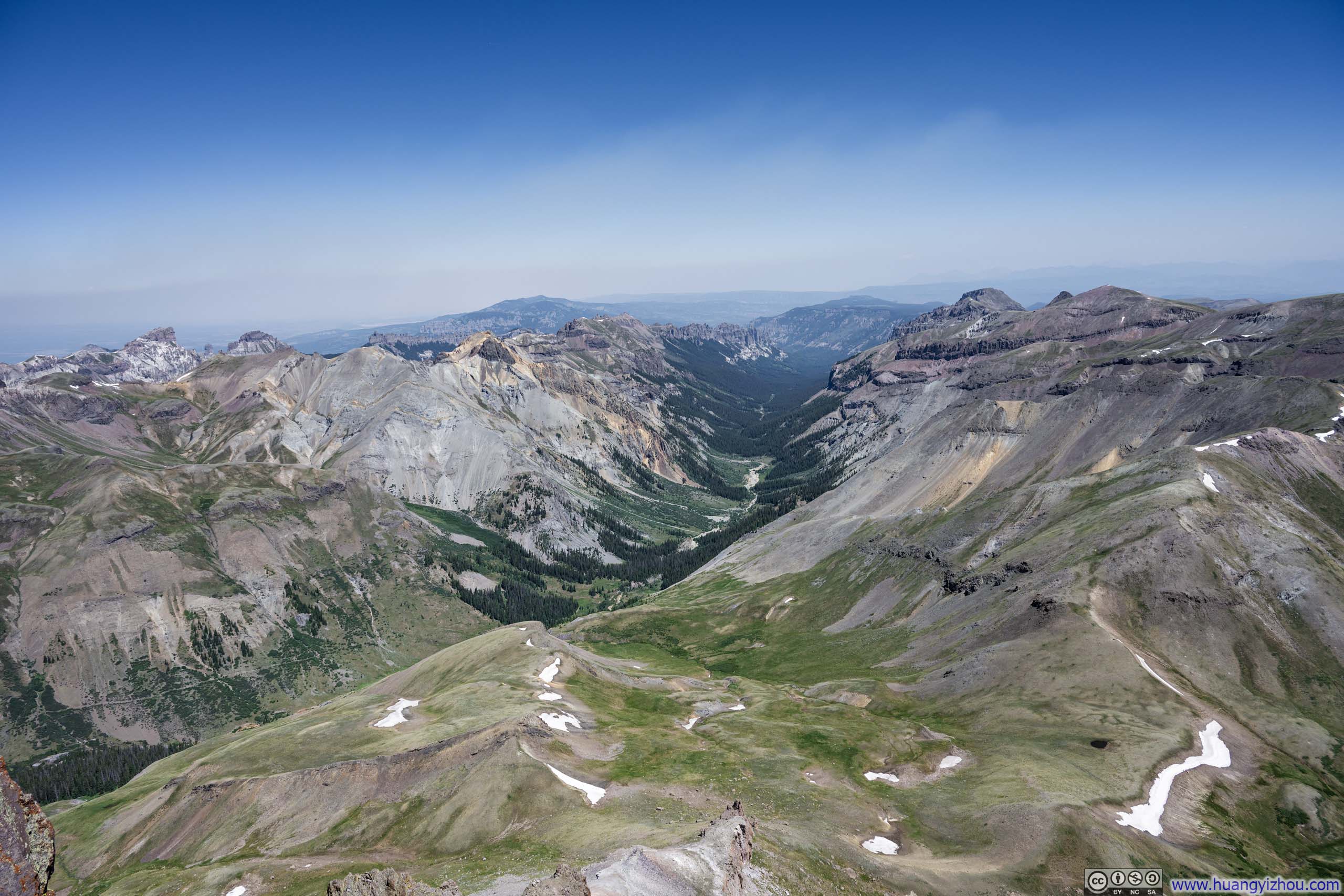
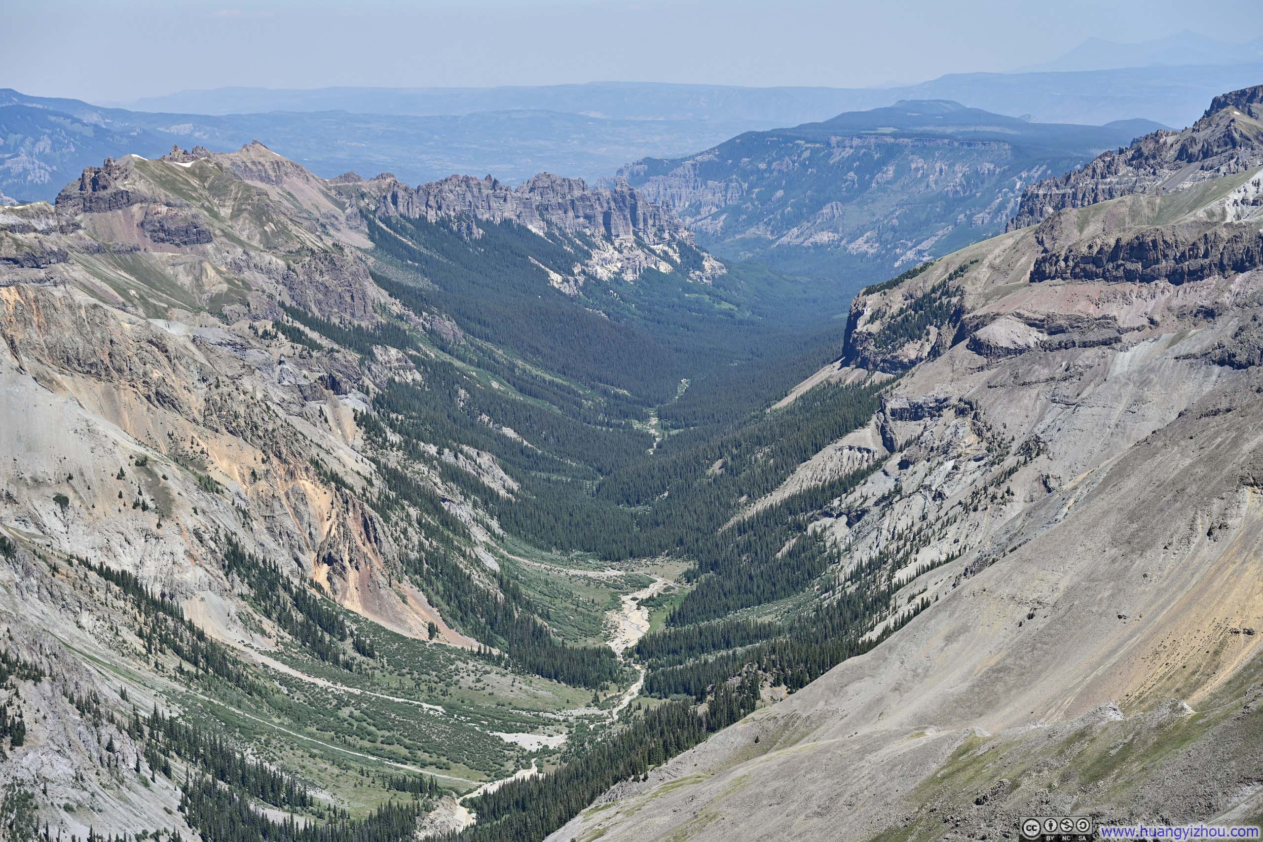
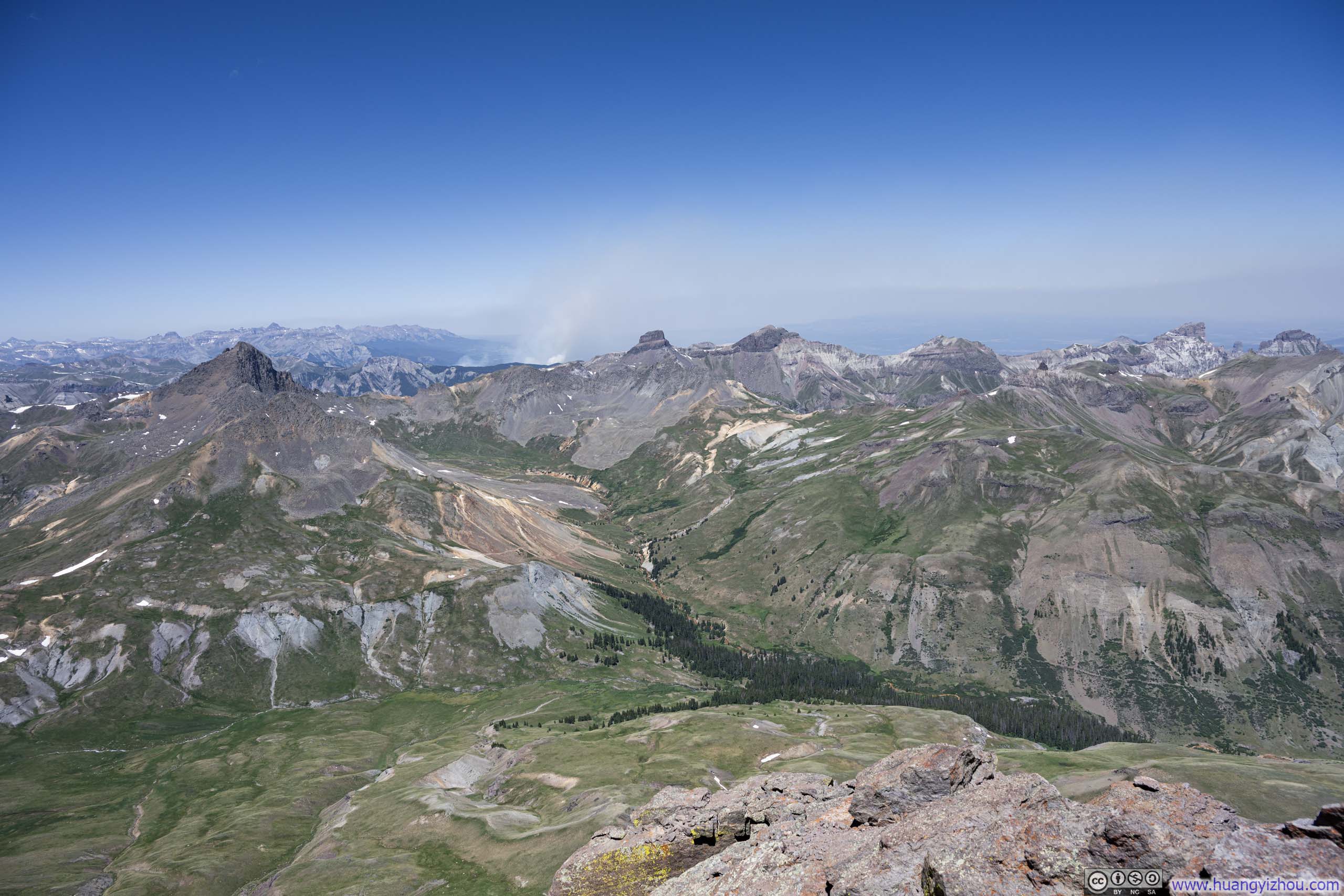
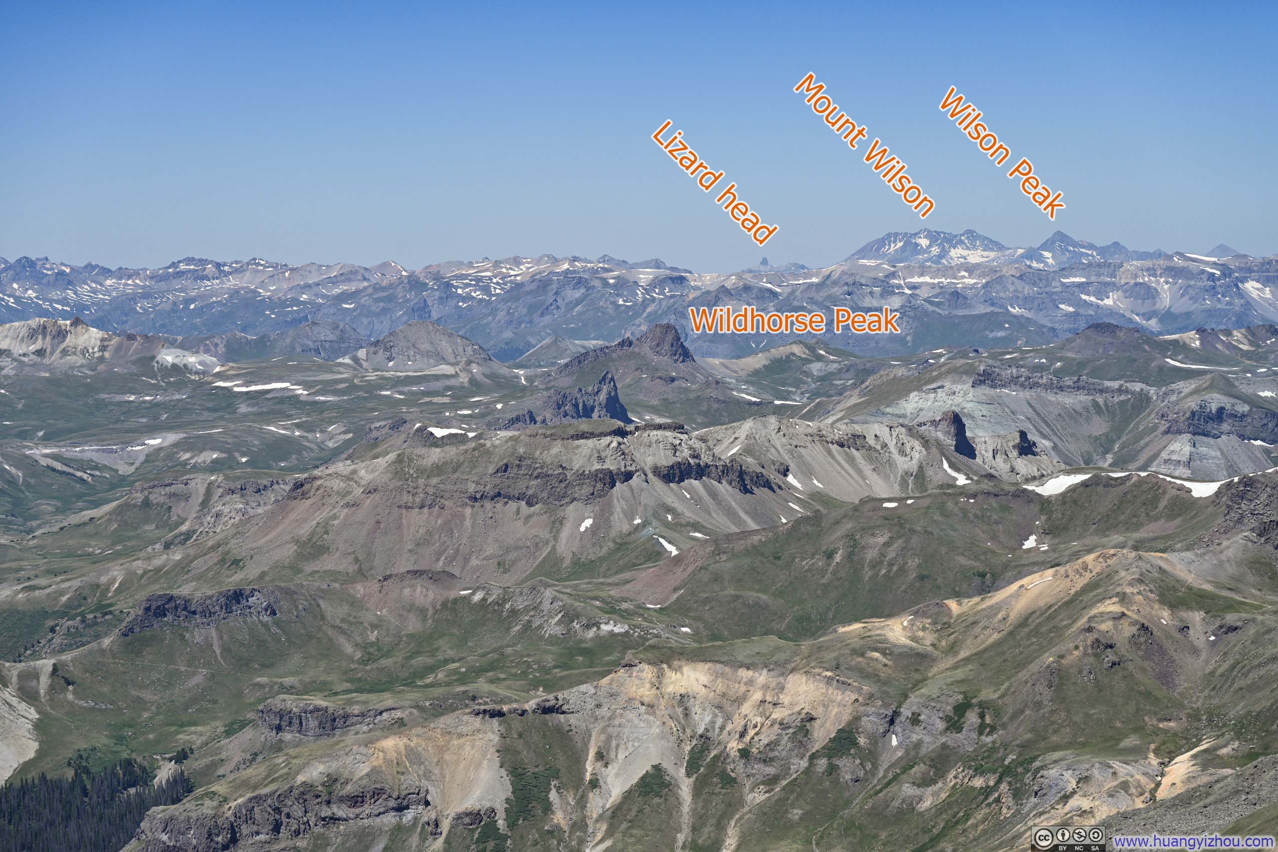
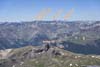
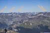
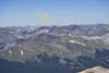
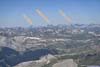
I reached the summit of Uncompahgre Peak at 11am, which was located at the northen end of that fortress, perched above a steep cliff. From this vantage point, the view unfolded in distinct chapters. To the east, Big Blue Creek carved a peaceful valley dotted with alpine lakes and lined with coniferous forests, amid gentle rolling hills in a peaceful, pastoral fashion. To the north, the valley along the East Fork of the Cimarron River appeared narrower and more imposing, signaling a transition to rougher terrain.
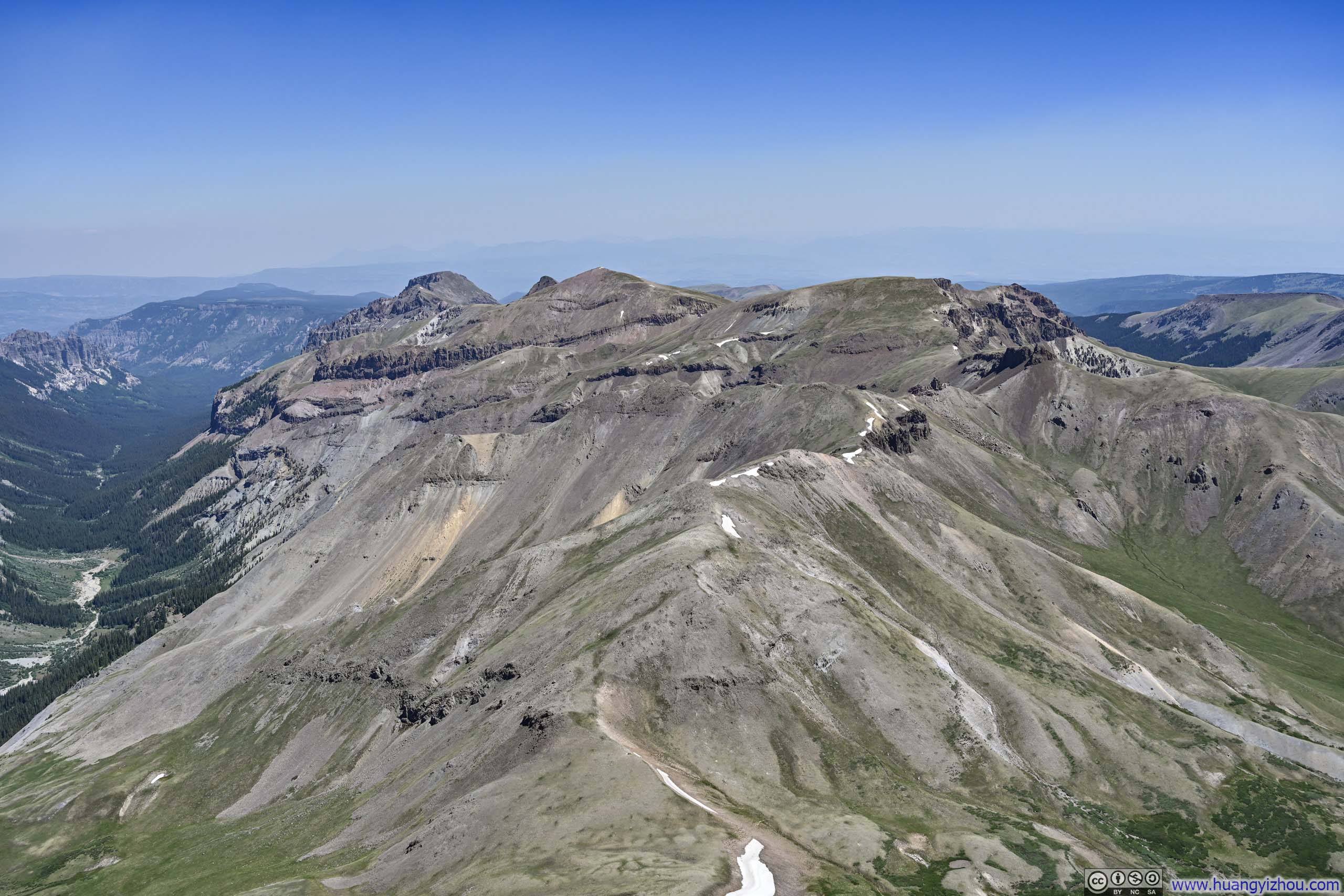
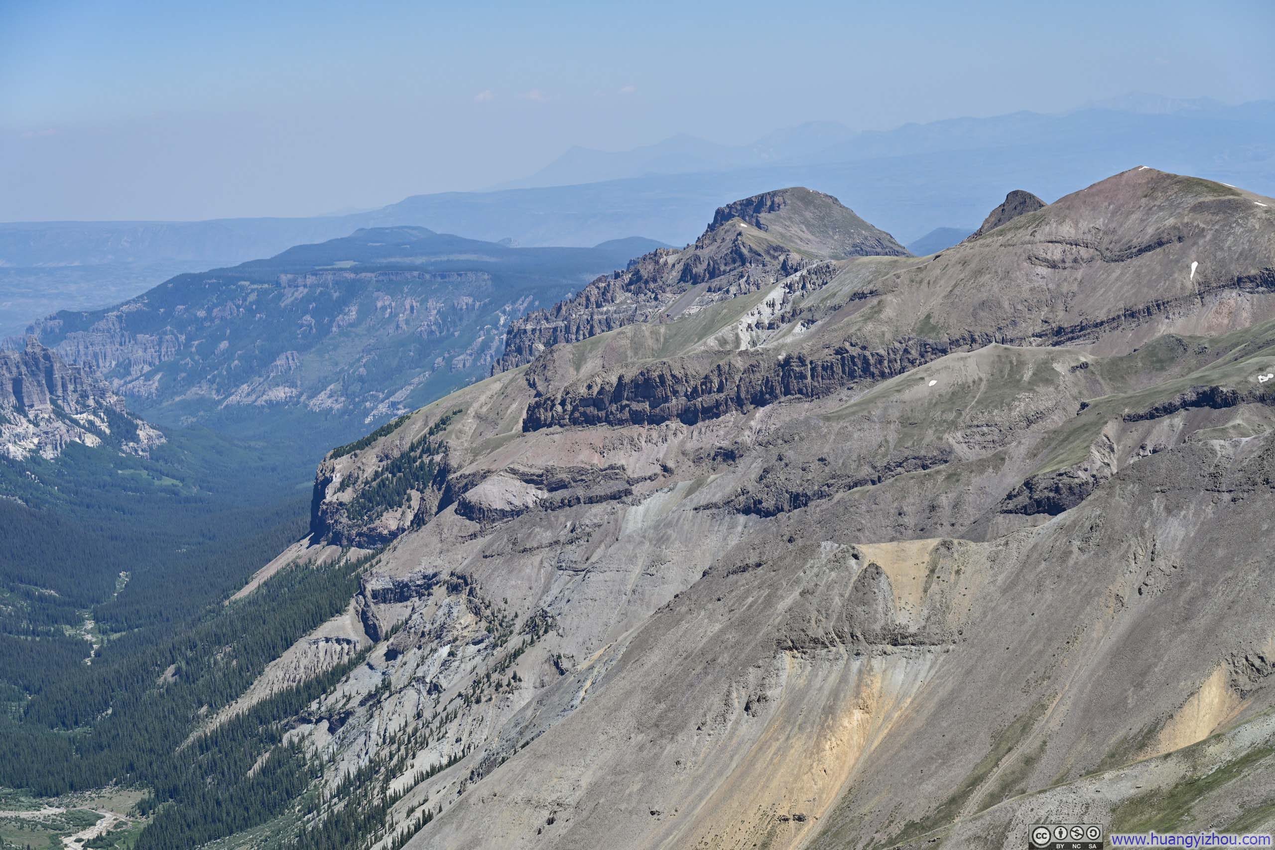
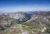
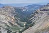
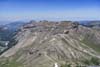
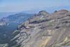
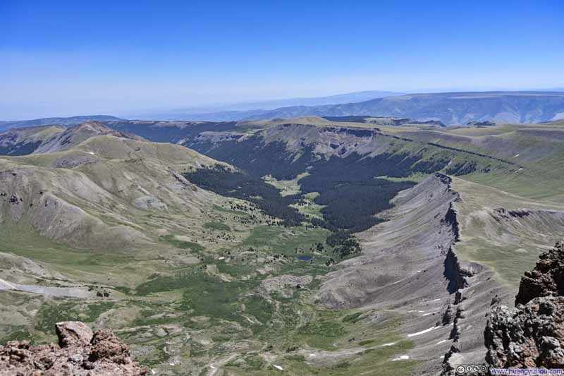
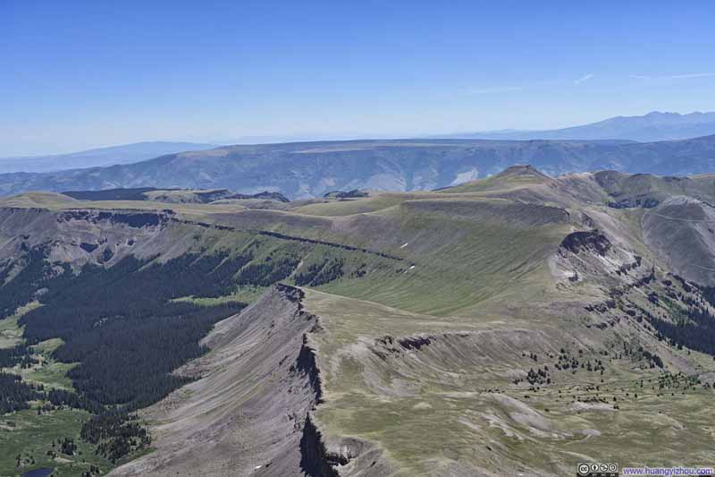
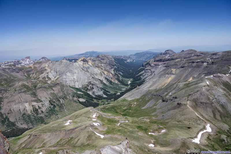
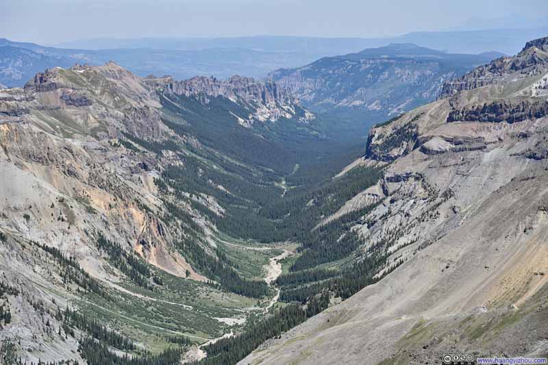
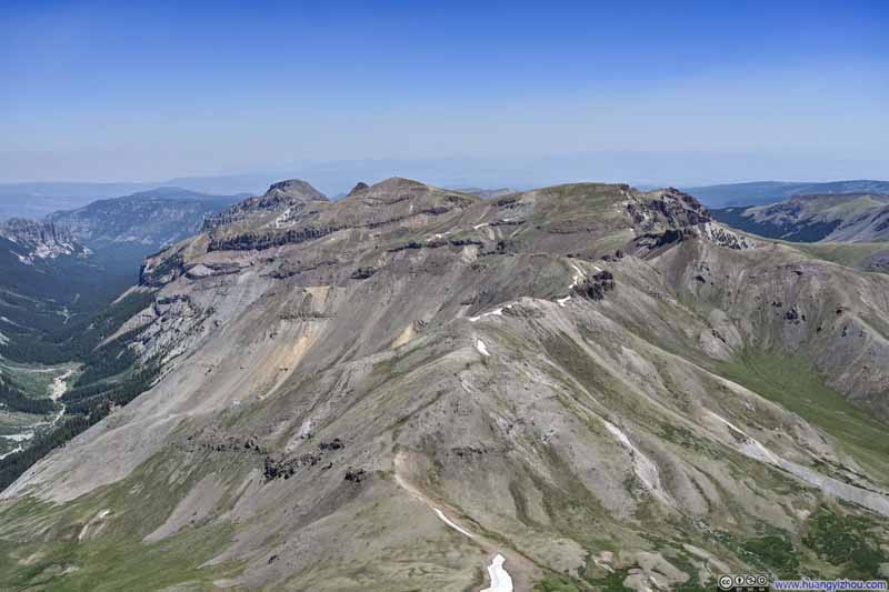
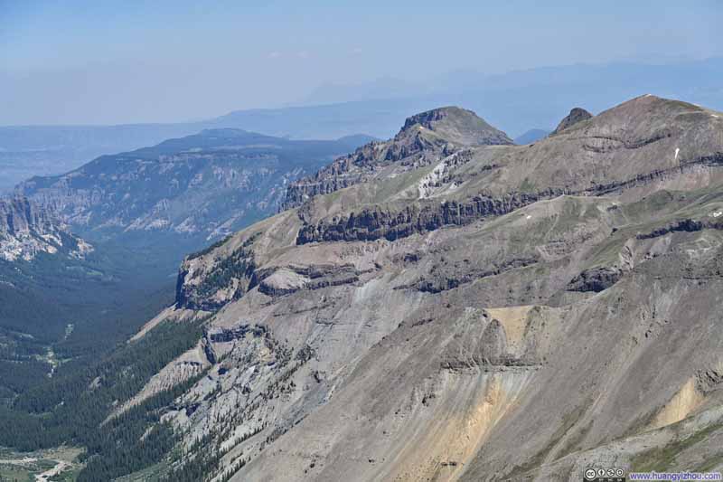
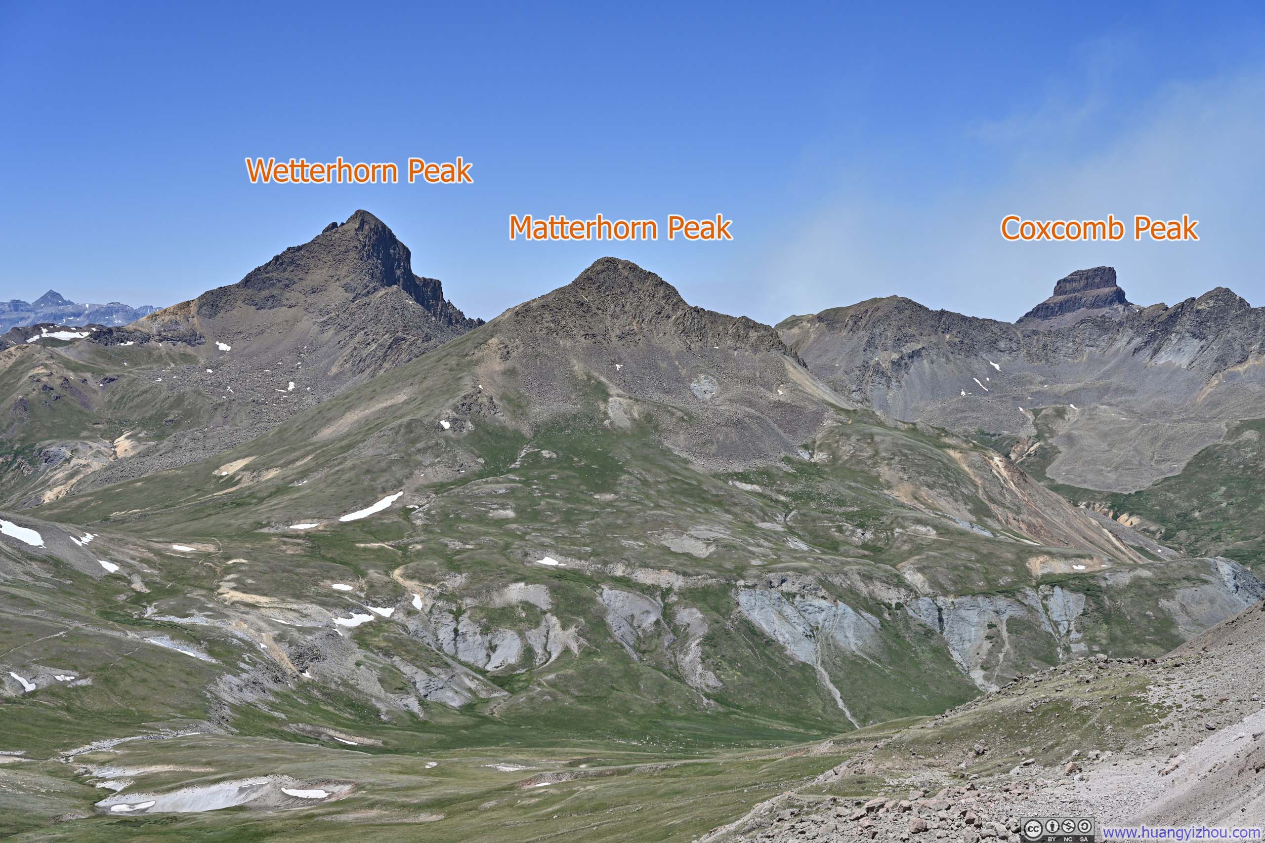
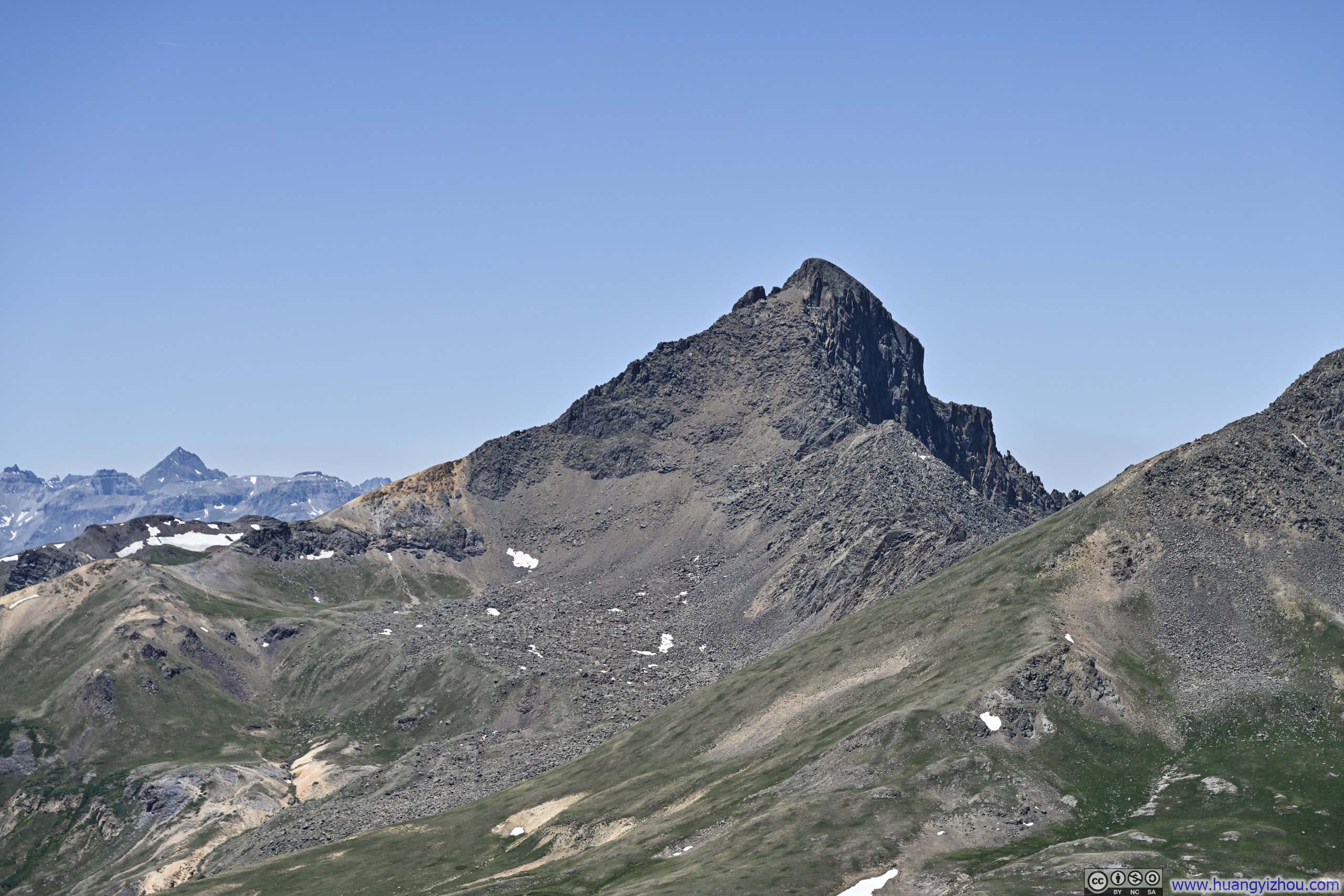
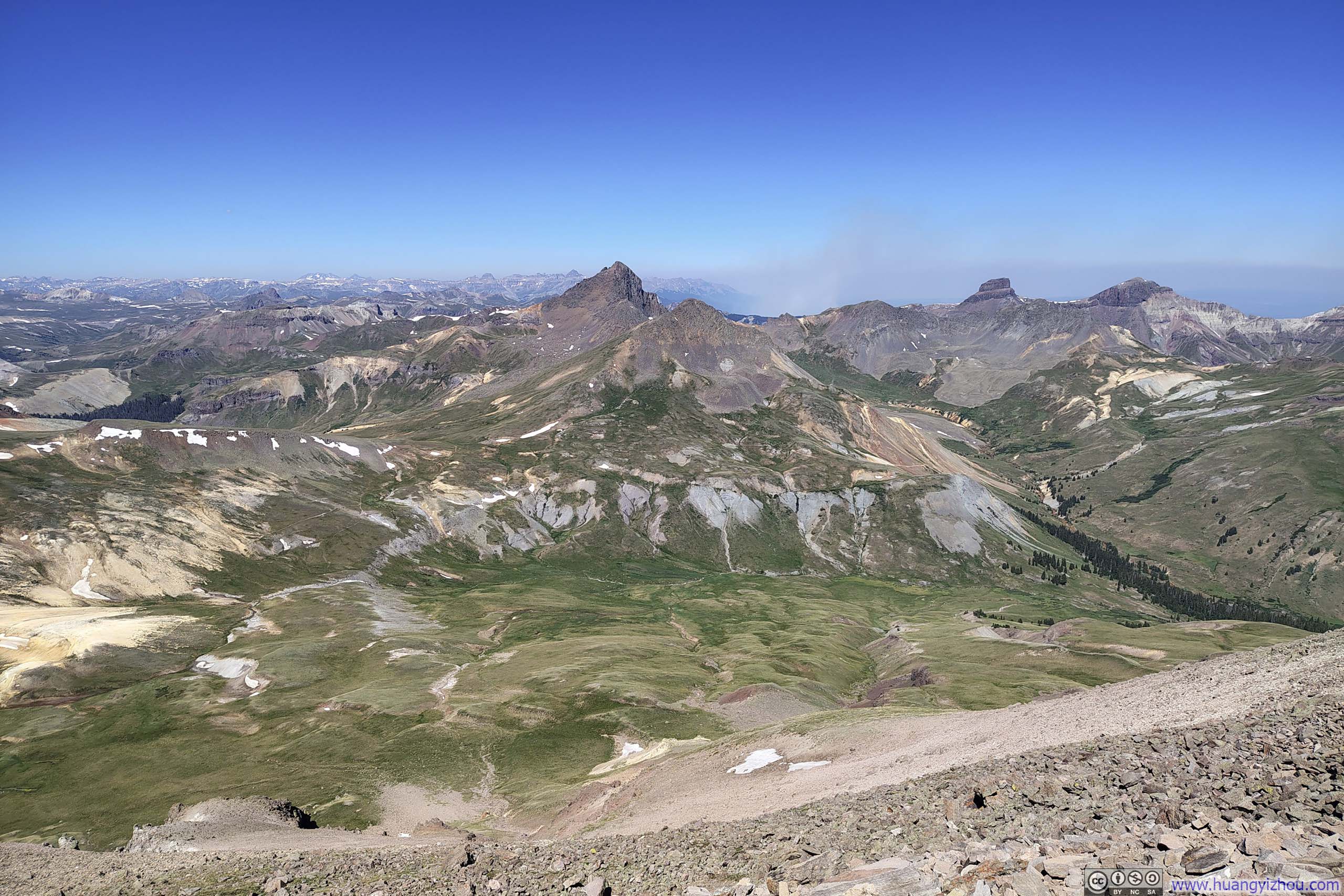
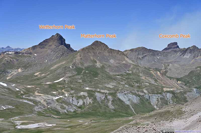
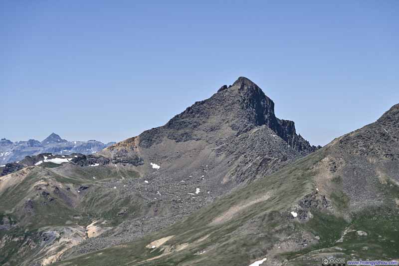
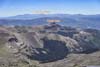
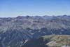
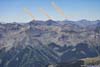
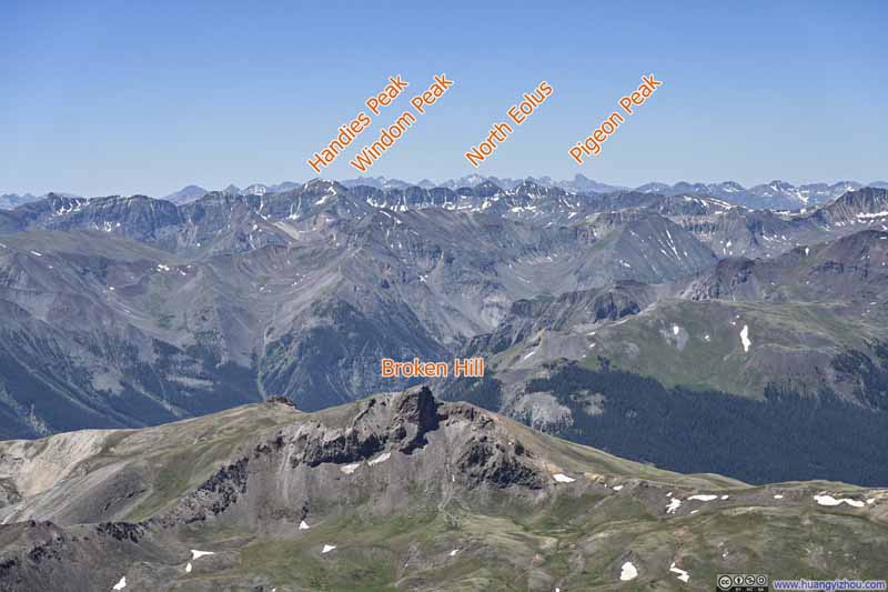
The western horizon offered a parade of prominent peaks, led by Wetterhorn Peak, a neighboring 14er. Following it to the north stood the rugged procession of Coxcomb Peak, Redcliff Mountain, Precipice Peak, and Dunsinane Mountain, each defined by steep cliffs. Patches of white striped the connecting ridgelines, as if mineral veins but embedded in a most inaccessible location. South of Wetterhorn, the valleys appeared less hospitable than those around Big Blue Creek, with scattered shades of orange painted over the landscape, perhaps revealing the region’s mineral wealth.
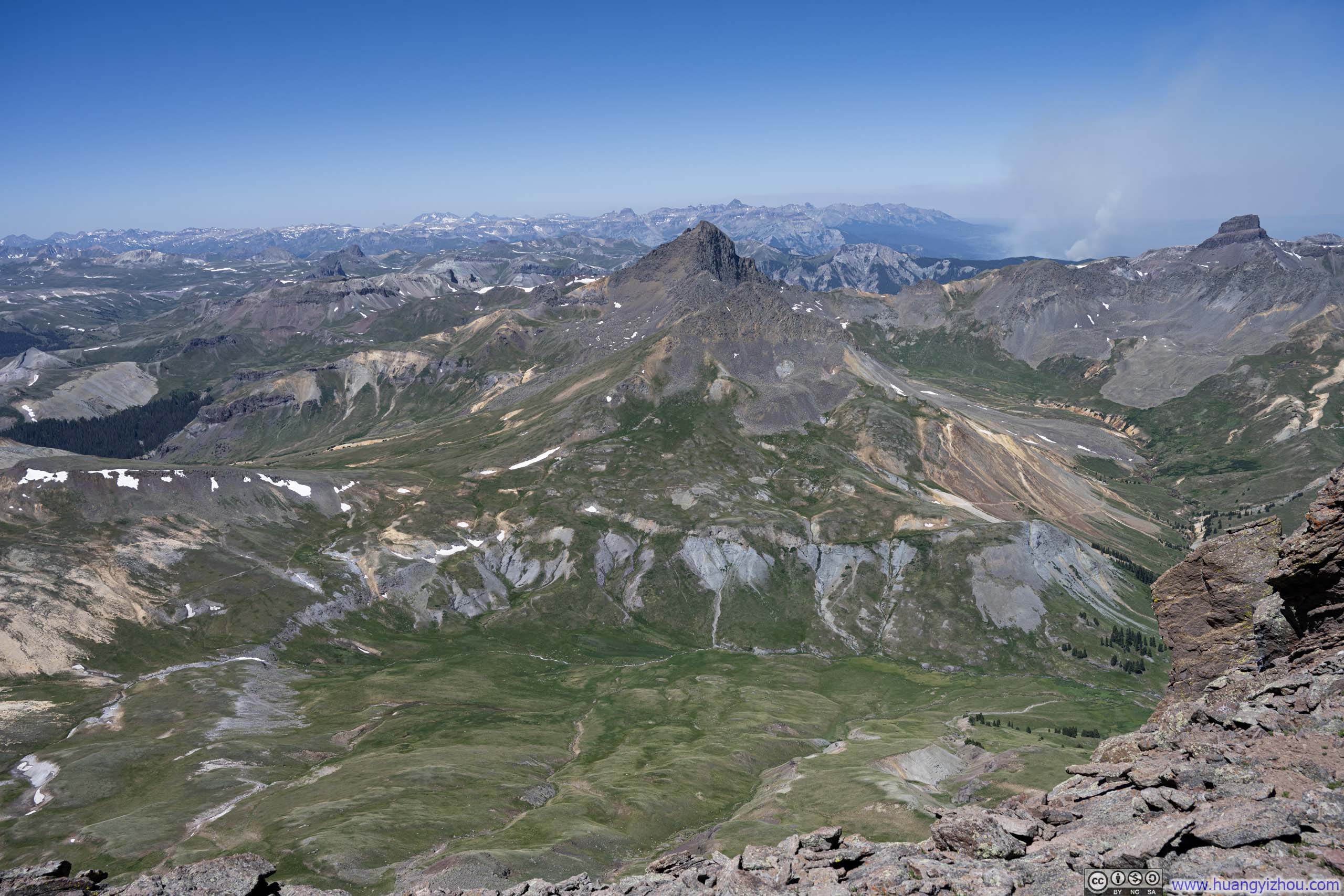
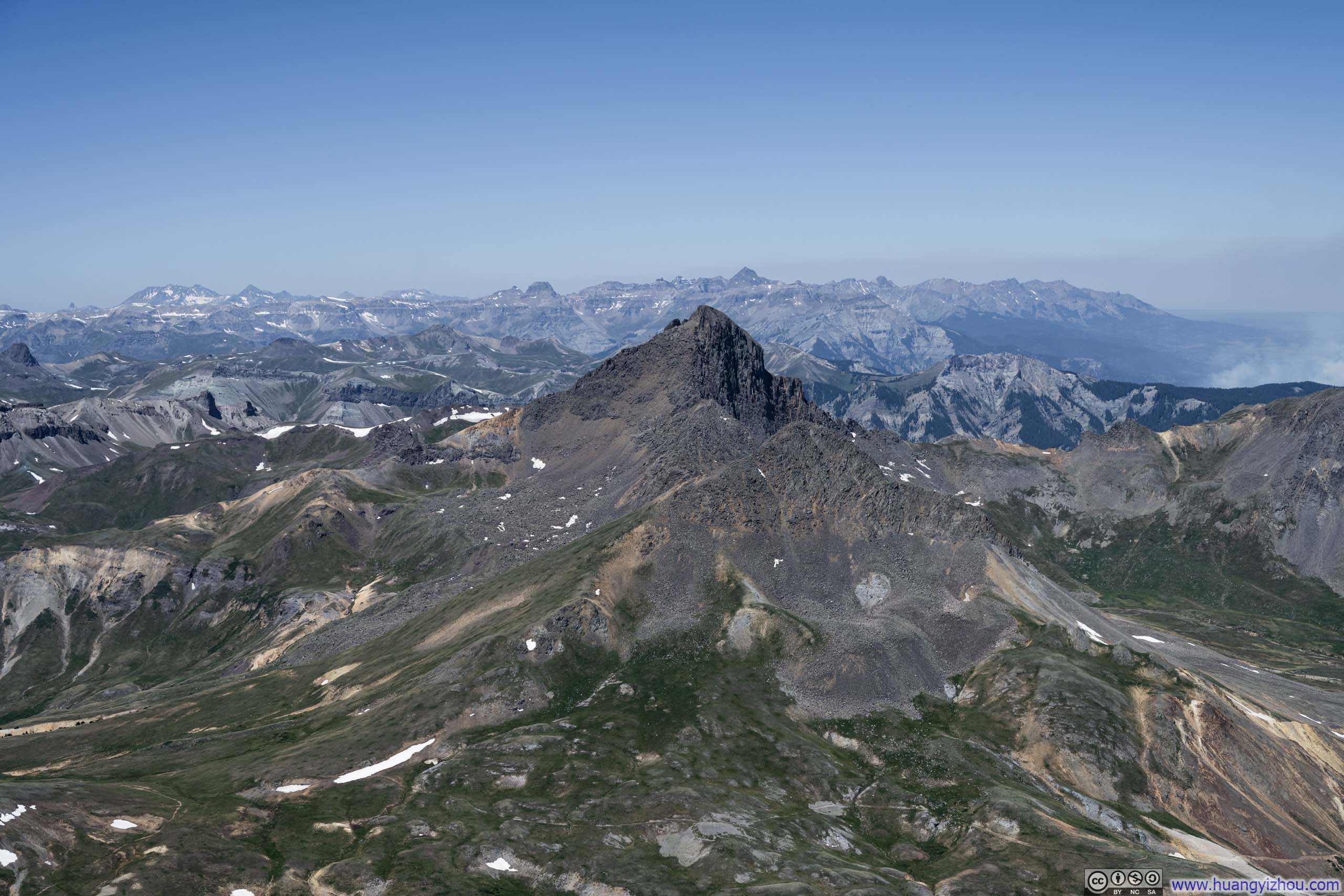
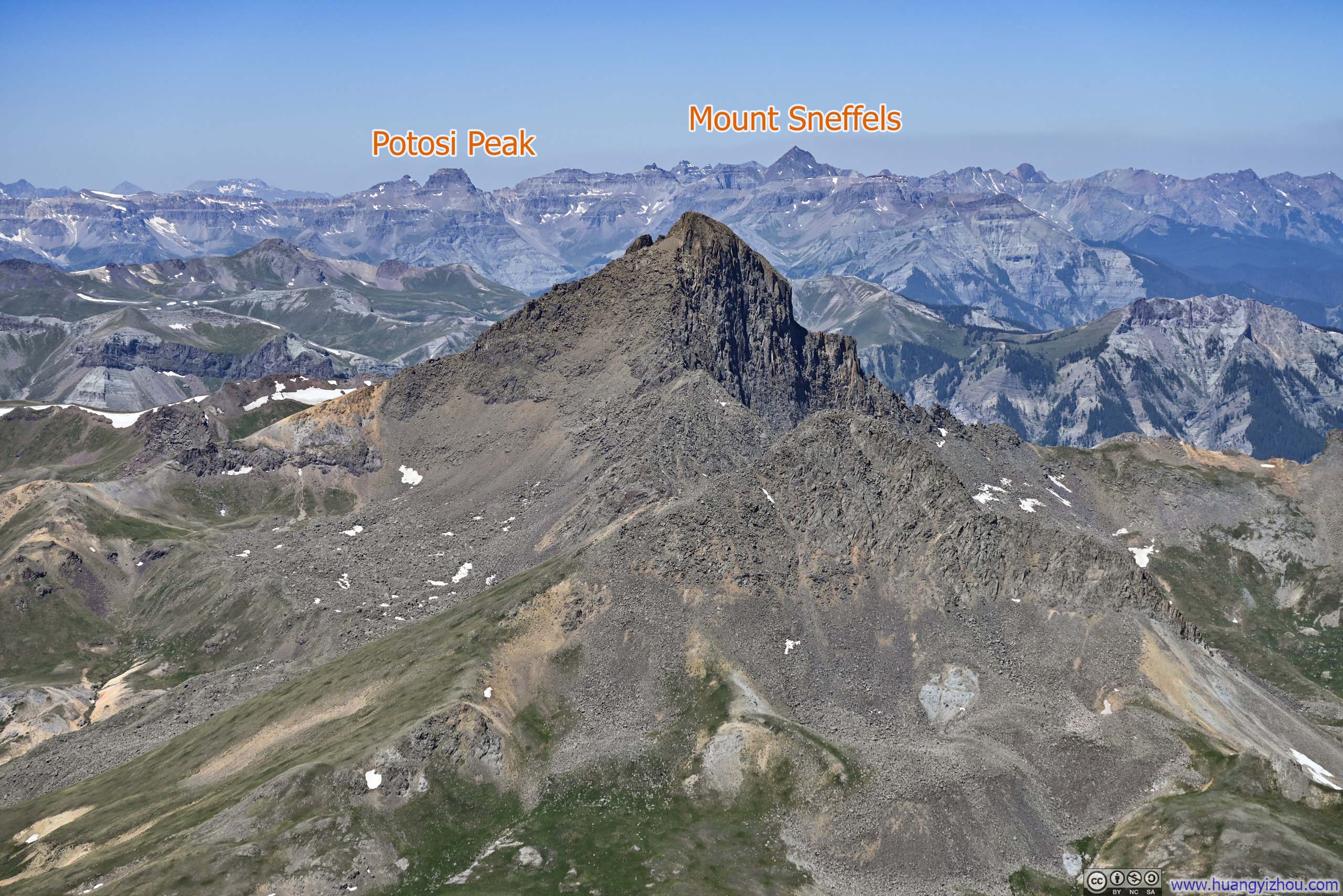
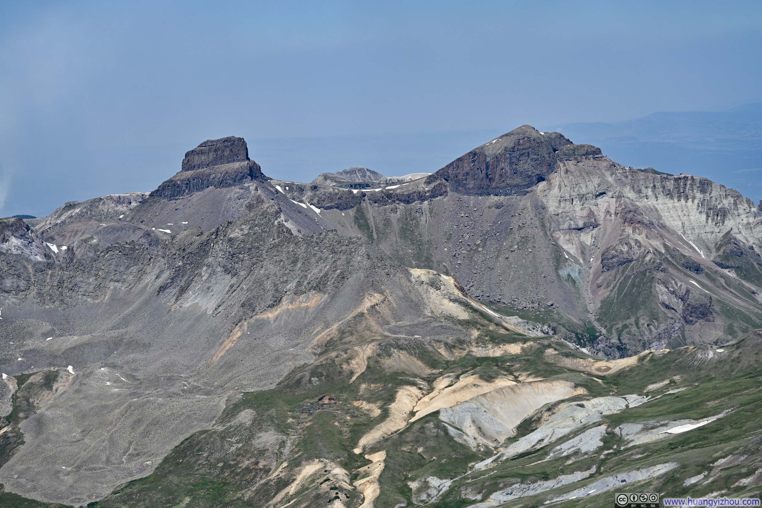
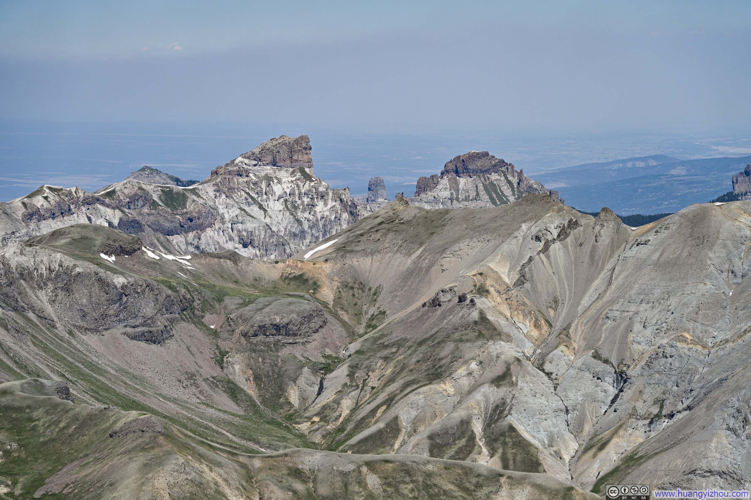
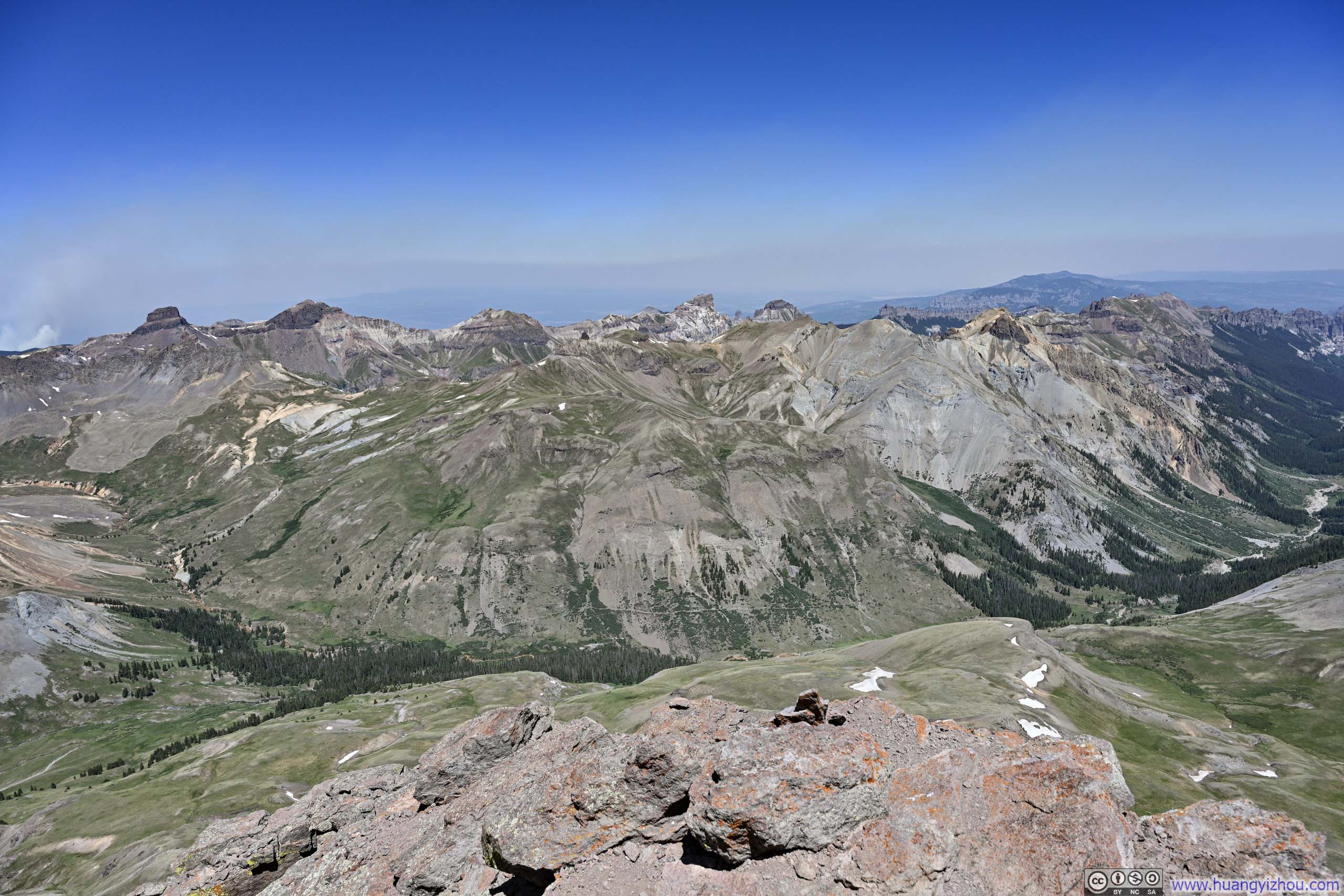
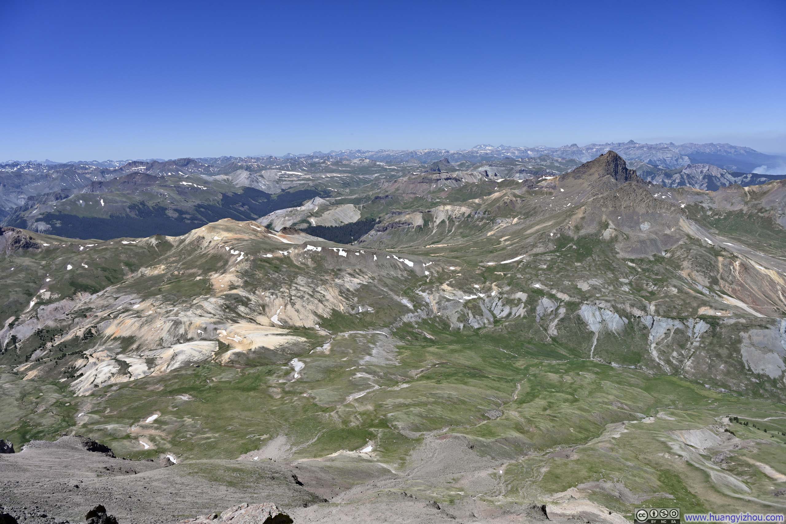
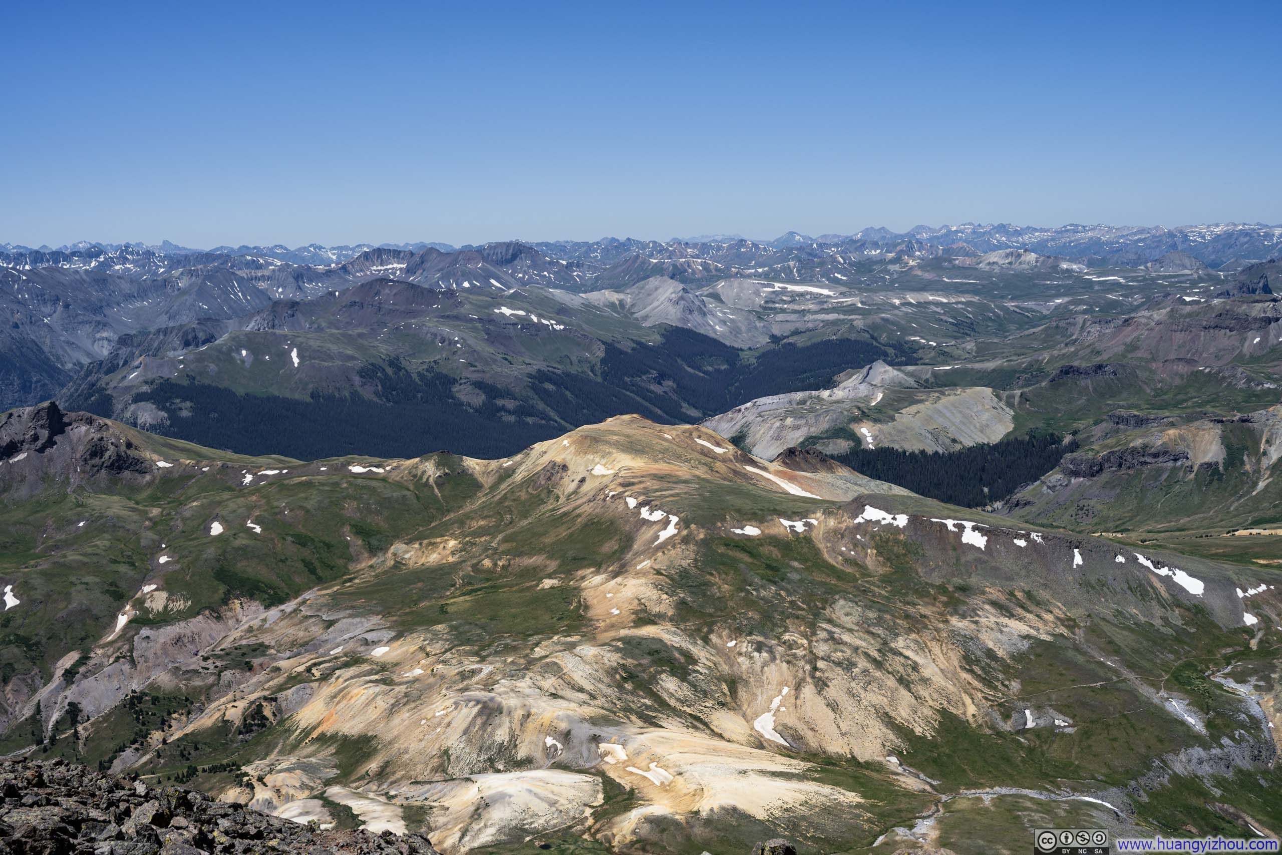
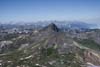
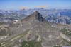
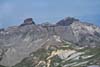
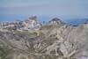
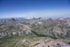
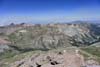
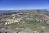
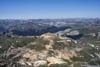
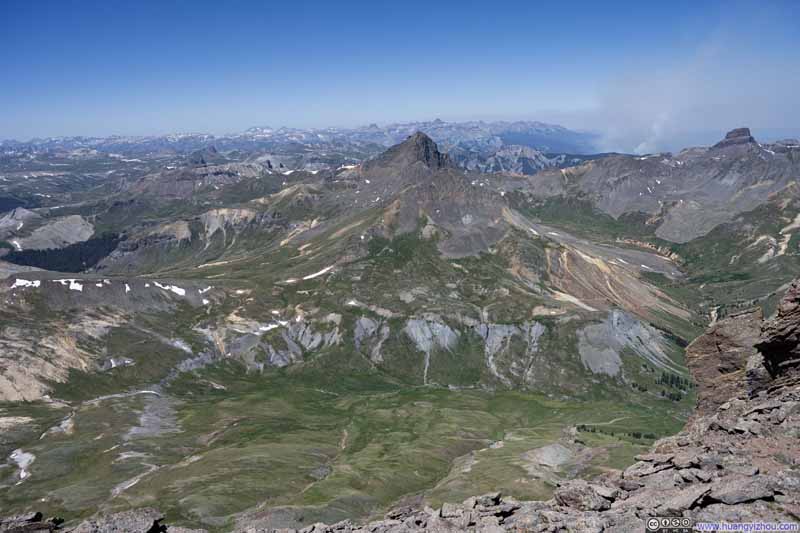
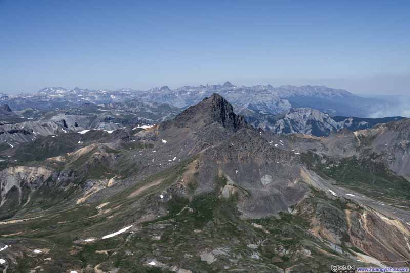
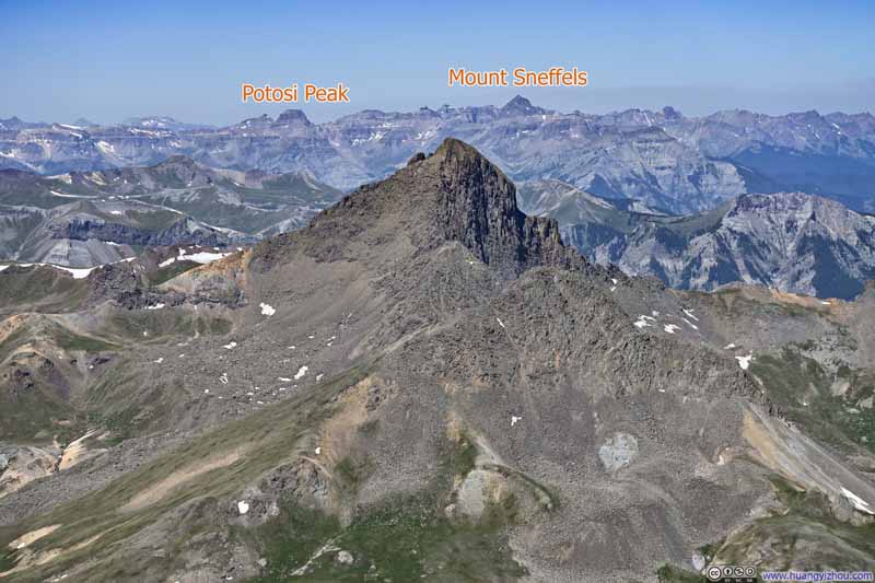
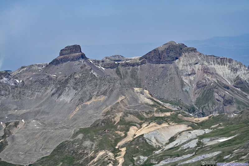
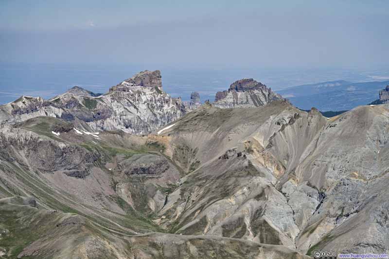
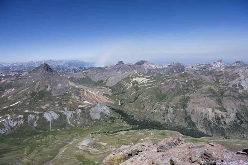
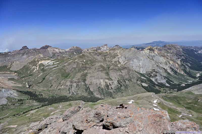
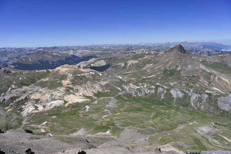
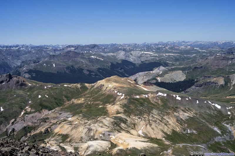
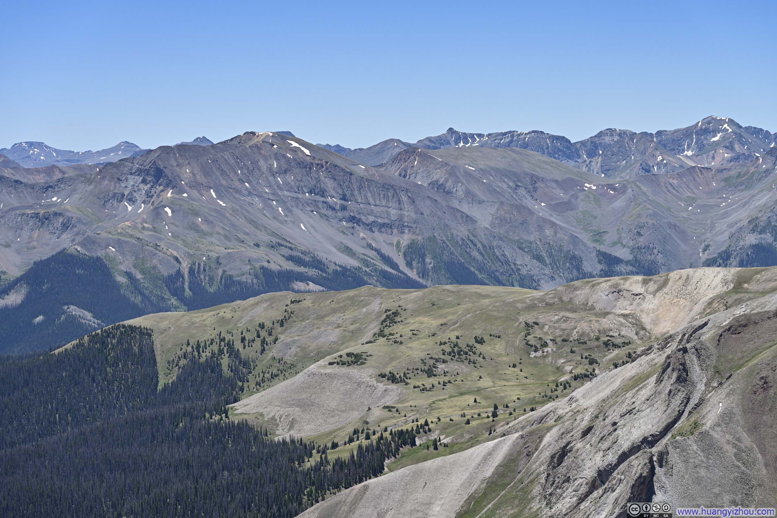
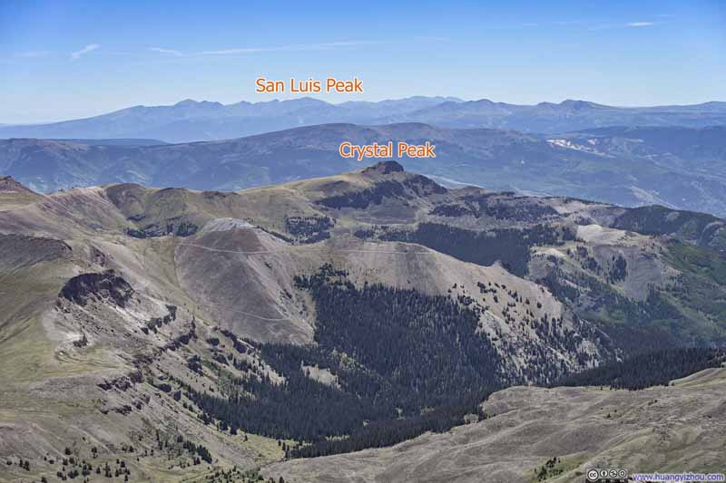
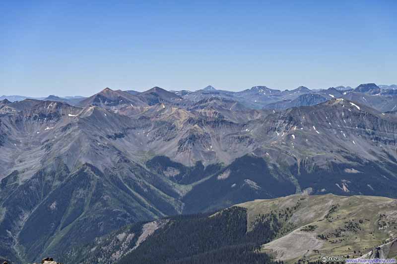
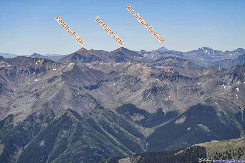
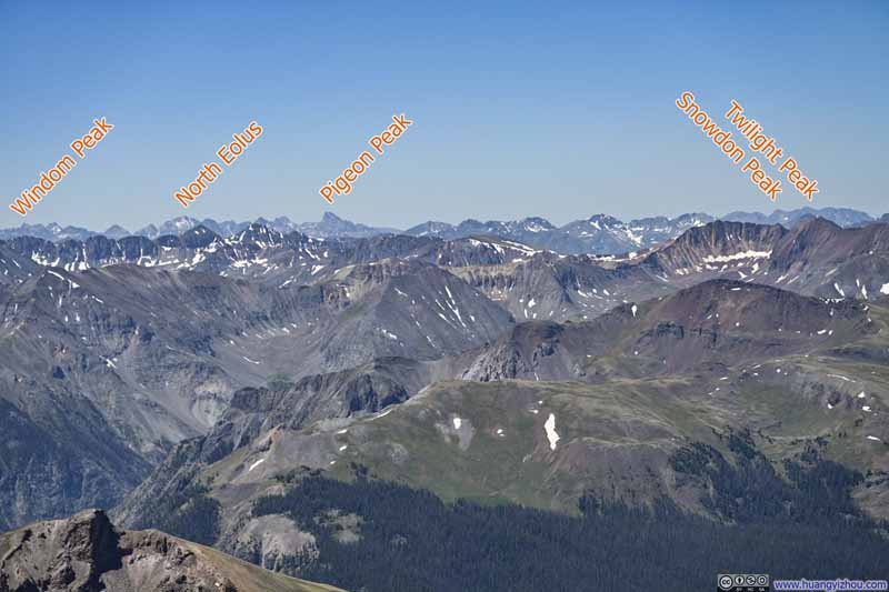
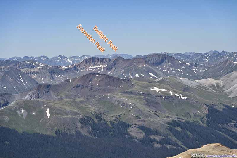
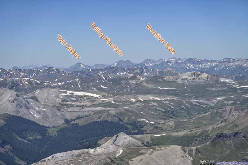
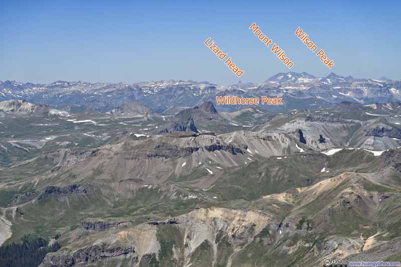
As the highest summit in the San Juan Mountains, Uncompahgre rendered virtually every other 14er in the range visible. I recognized some immediately and identified others with the help of apps, but the most exciting sight was perhaps Snowdon Peak (p5-6 below), which I climbed three years ago.
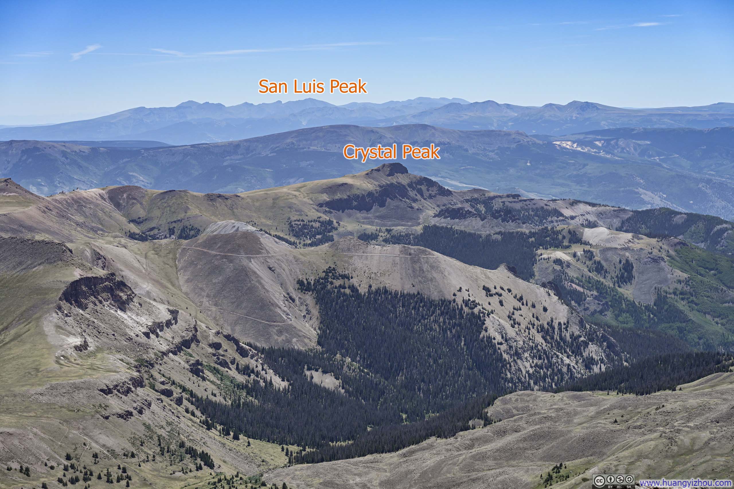
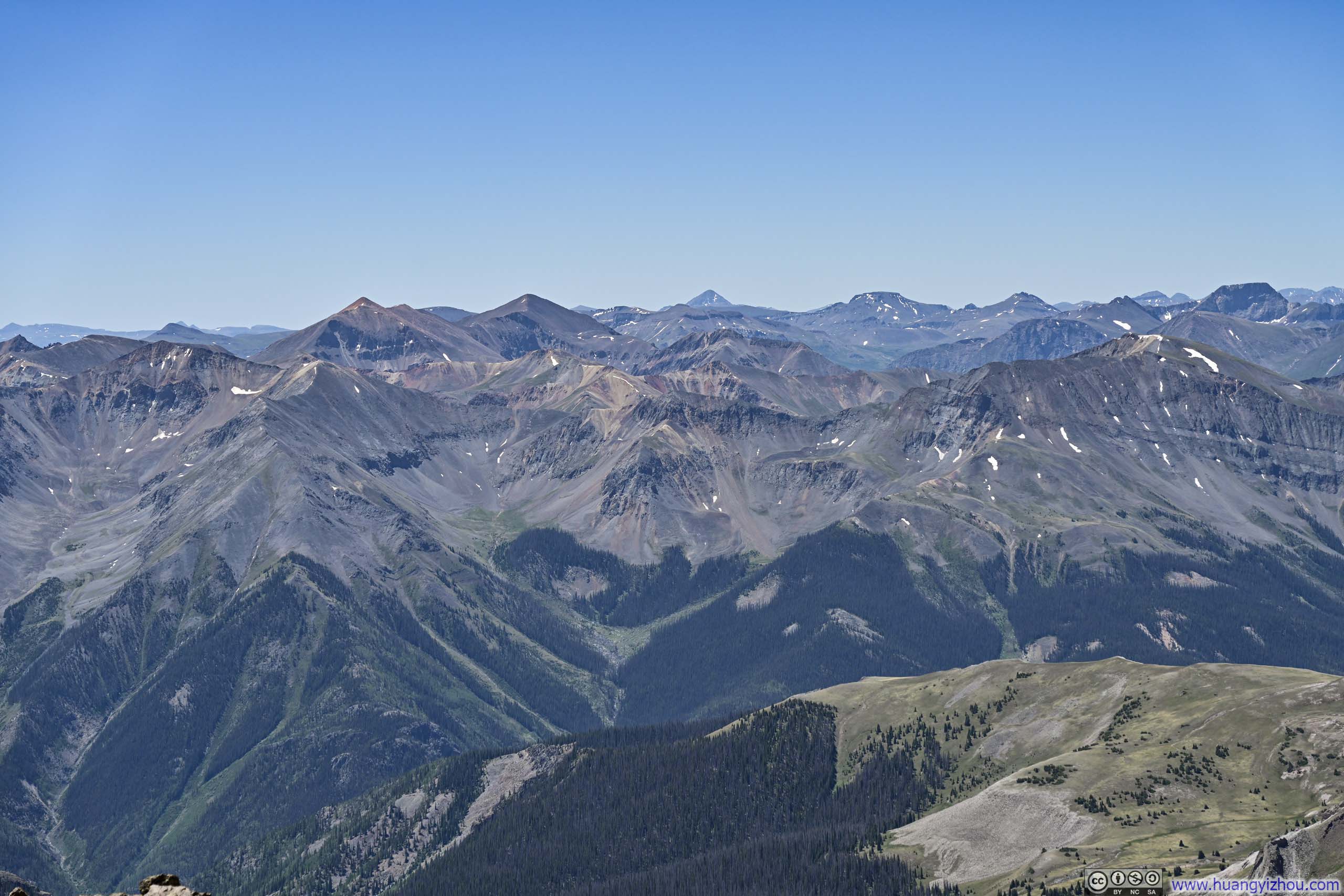
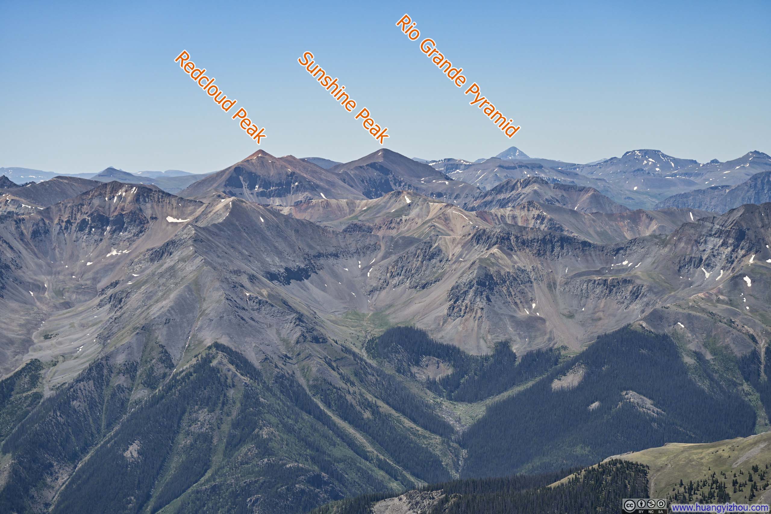
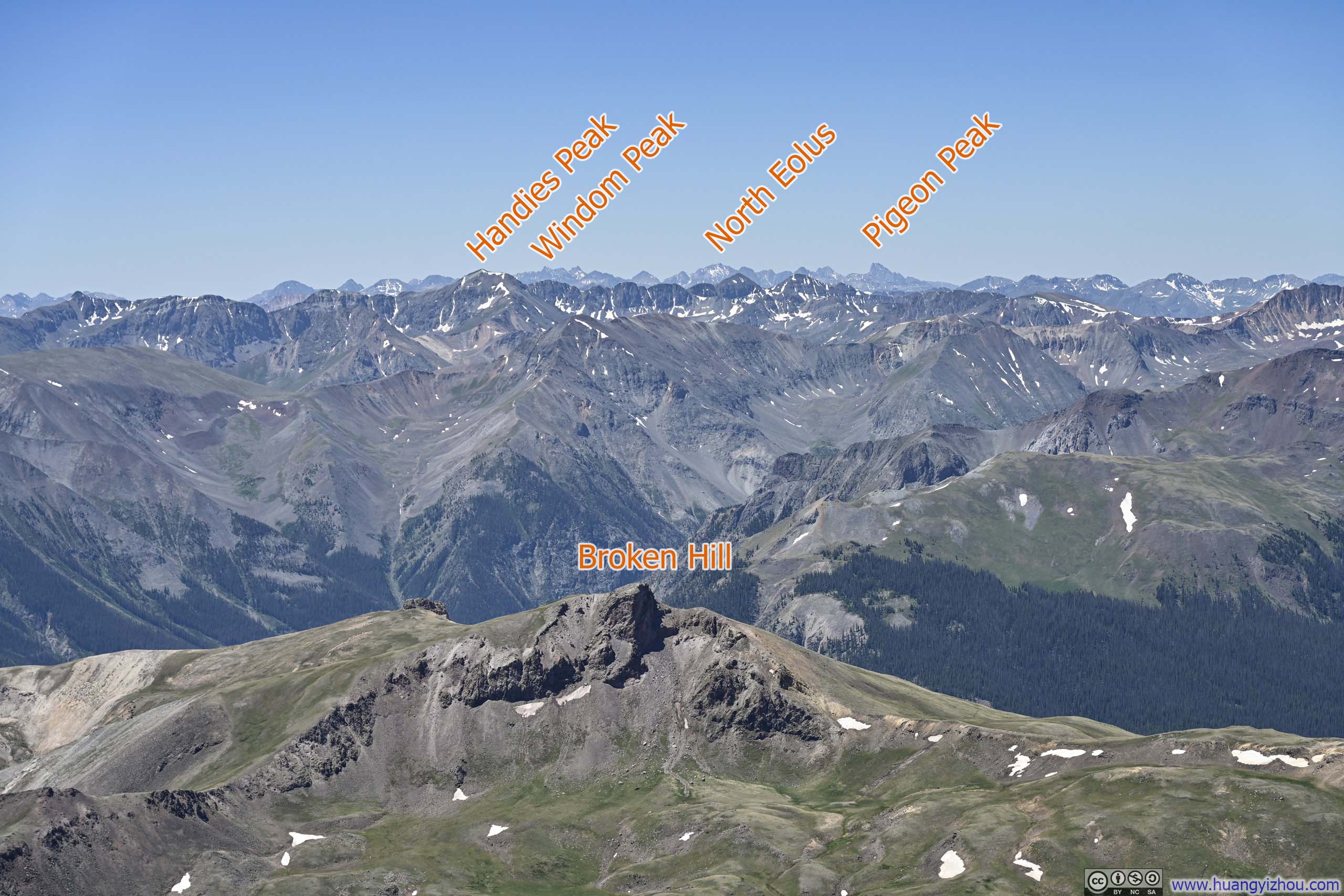
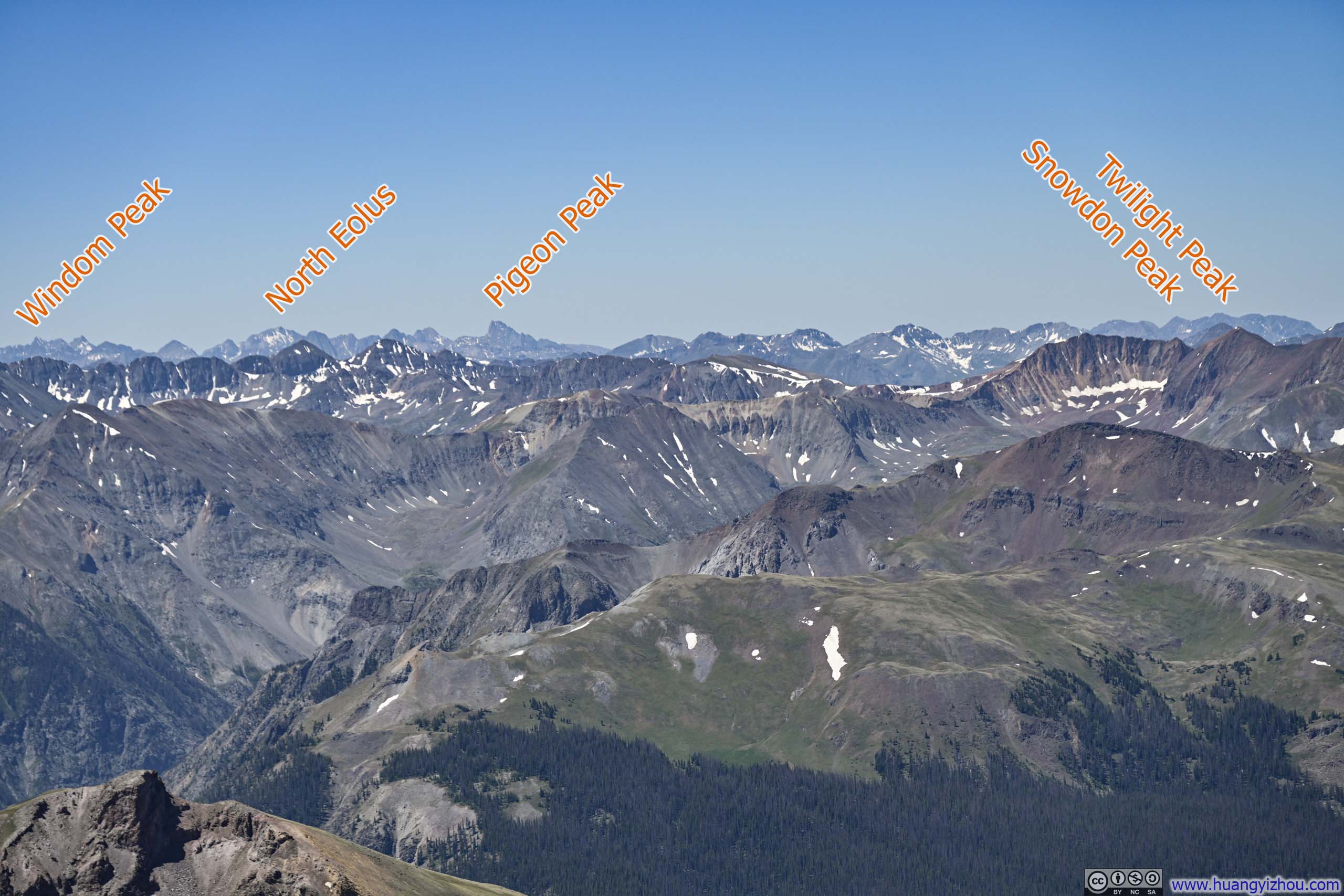
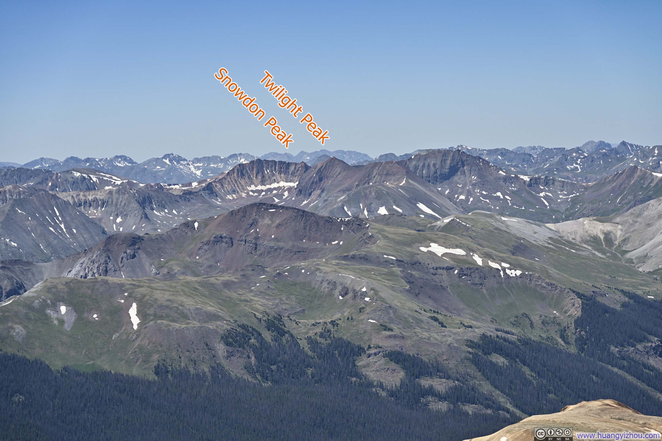
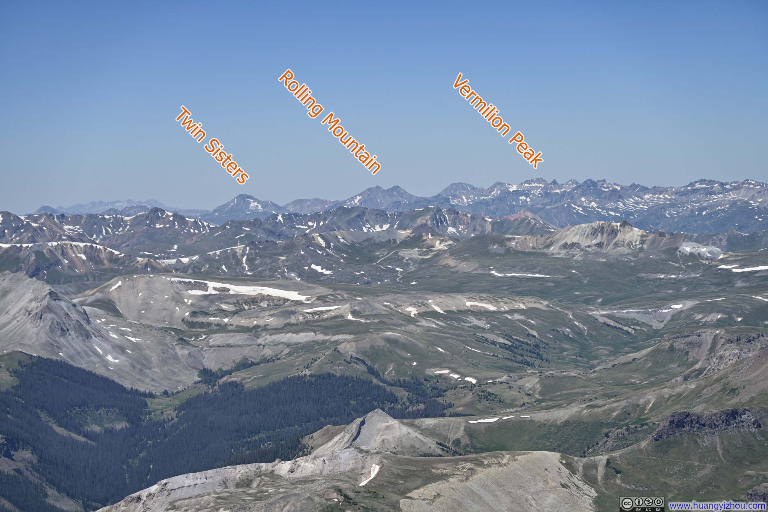
Here's a video from Uncompahgre Peak:
15 seconds, 2160p60, H265 only, 20Mbps/41MB file size.
At an elevation of 4363m (14316ft), Uncompahgre Peak surpassed Mount Lincoln as the highest mountain I had climbed to date. I wished to savor the moment, but the summit offered no shelter from the day’s strong winds, that I frequently had to warm my hands in my pockets just to operate my camera or phone a while later. Despite the elements, I lingered for about 45 minutes, soaking in the views before finally beginning my descent at 11:45am.
I went a bit faster for the descent, and eventually reached the trailhead parking lot at 2pm. After that, I drove back towards Lake City and reached my hotel at 3pm. A bit early to end the day, but with a few consecutive days of hiking ahead, I wouldn't mind a few extra hours of rest.
END