Day 6 of 2026 Trip to the Rockies, Wetterhorn Peak
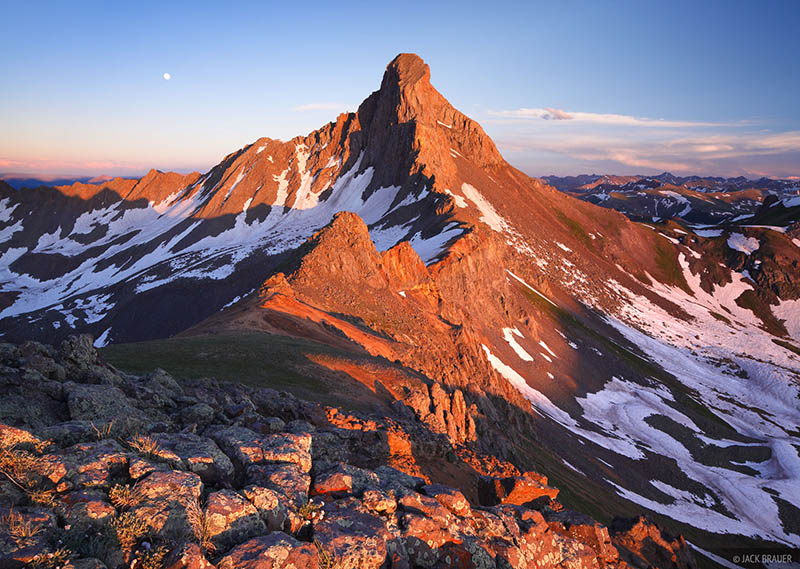
After climbing Uncompahgre Peak the previous day, I had three days left to explore three other (groups of) 14ers from Lake City: Wetterhorn Peak, [Redcloud Peak and Sunshine Peak], and Handis Peak. Since [Redcloud Peak and Sunshine Peak] was the longest route, I reserved it for the last, and between Handis and Wetterhorn, Handis was shorter, so I planned it on the day before [Redcloud Peak and Sunshine Peak], that left me with Wetterhorn Peak for today.
The trailhead for this hike was "Matterhorn Creek Trailhead", located 1.1km (0.7mi) from North Fork Henson Creek Road. While North Fork Henson Creek Road was in okay-ish shape for a typical SUV, the condition of this spur road, especially the initial stretch after leaving the main road, was very poor. I was driving a proper off-road vehicle (Jeep Wrangler), yet about a quarter of the way in, (I believed) I (might) had (very minorly) bottomed out. Not knowing what lay ahead, I decided to park at a wide turn and began my hike from there. I did not then know that the road improved substantially beyond this point, and that with greater care I might well have reached the true trailhead. But unlike the Nellie Creek Road approach to Uncompahgre Peak, this section was short, so I didn’t mind walking it.
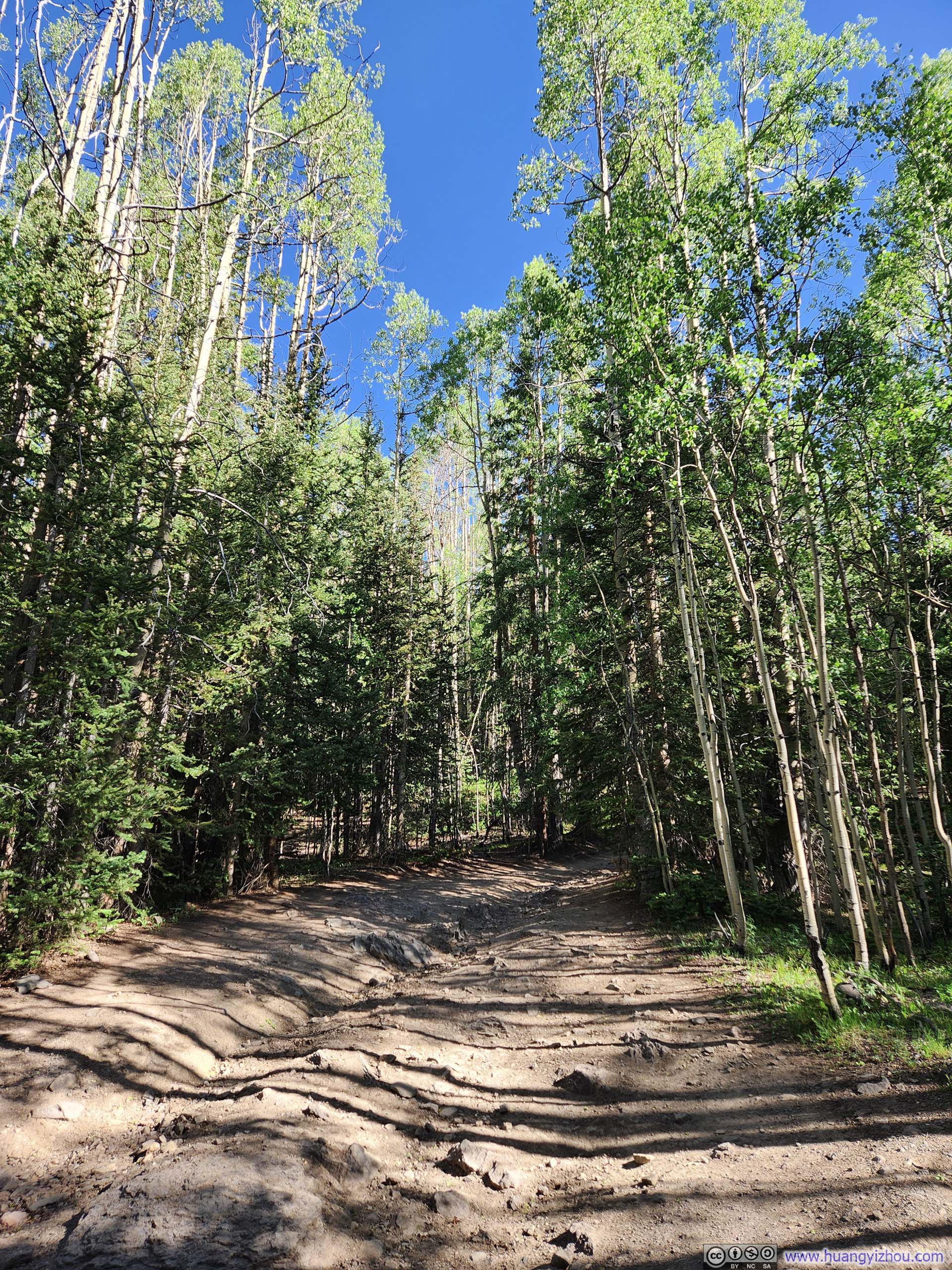
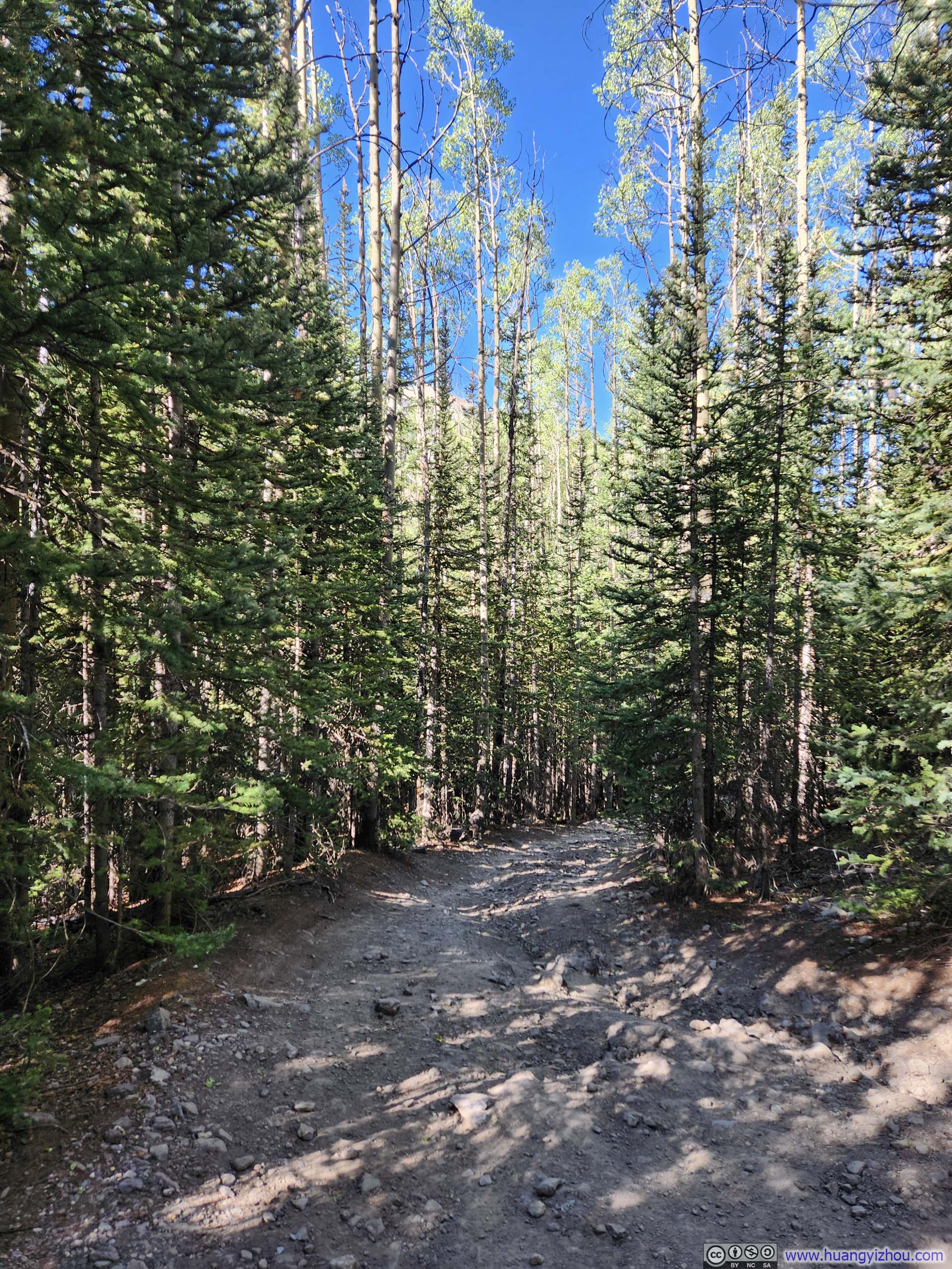
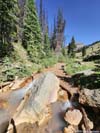
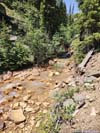
Average, but not the worst condition of the access road.
So with all these settled, I left my car and started my hike at 9:15am. Here's GPS tracking:
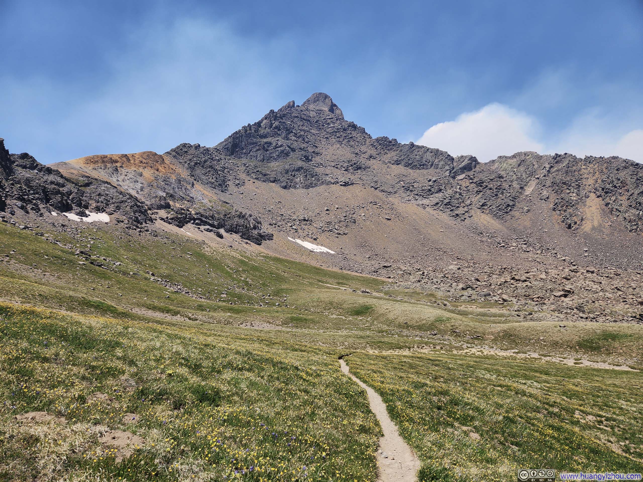
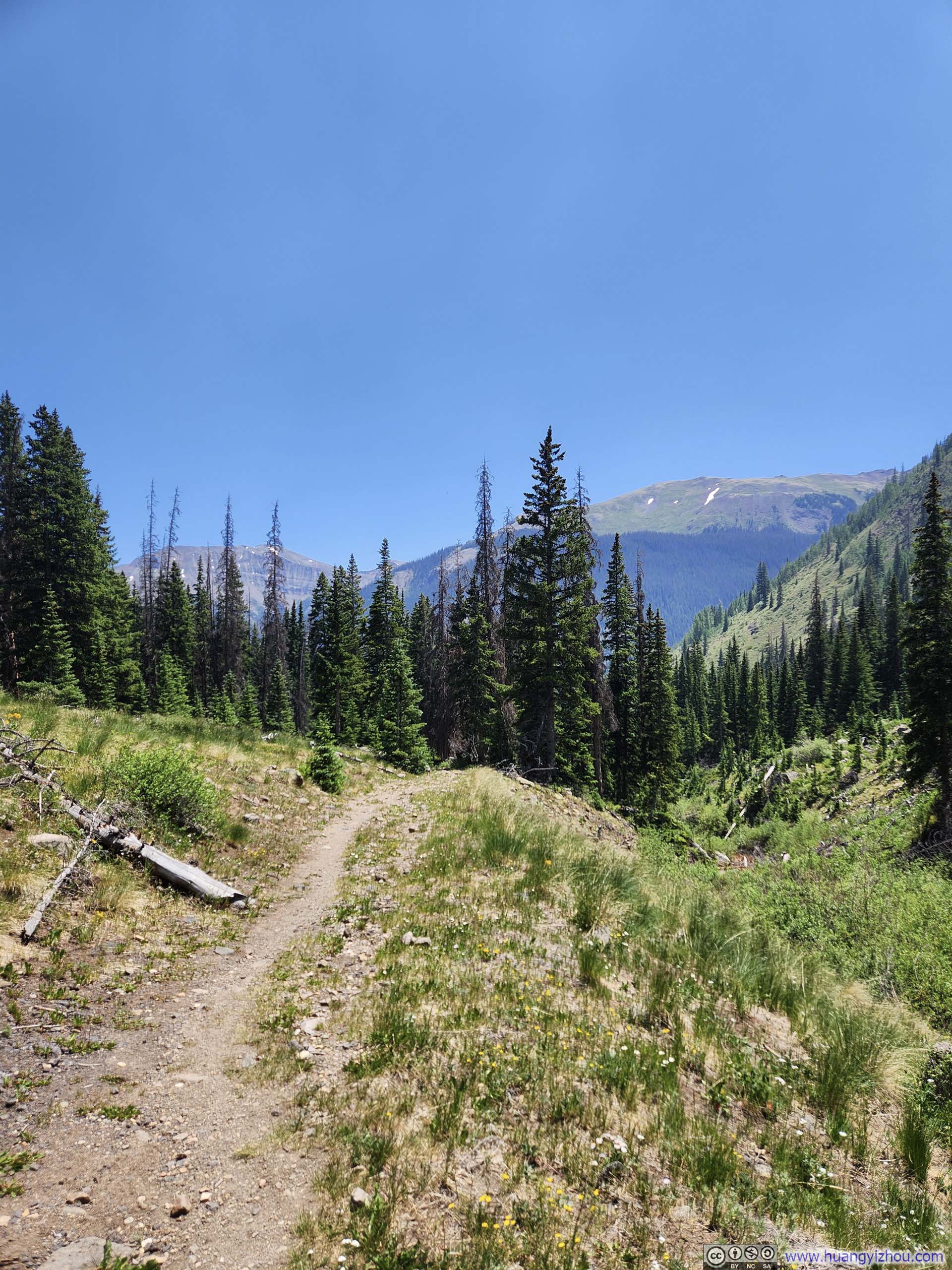
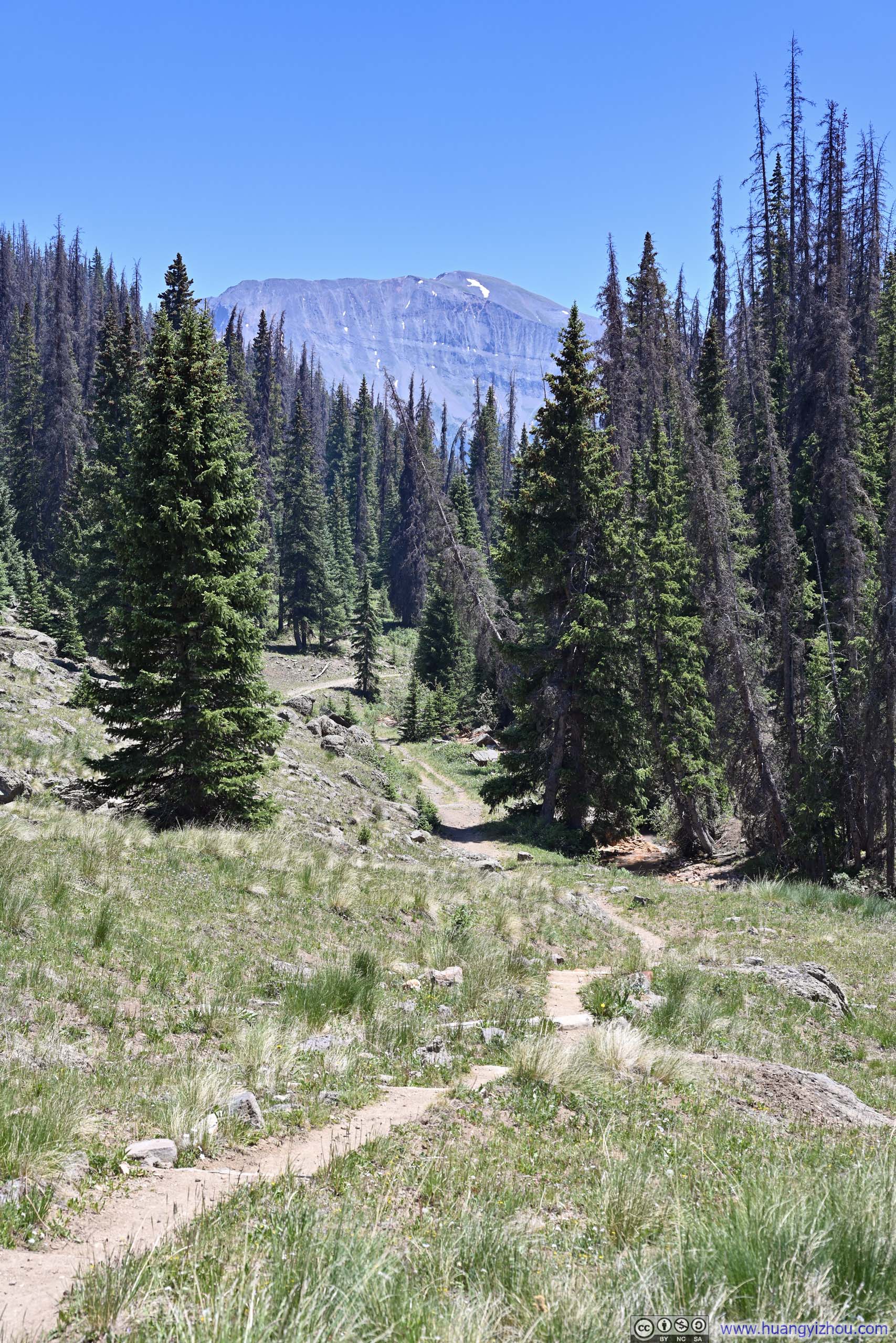
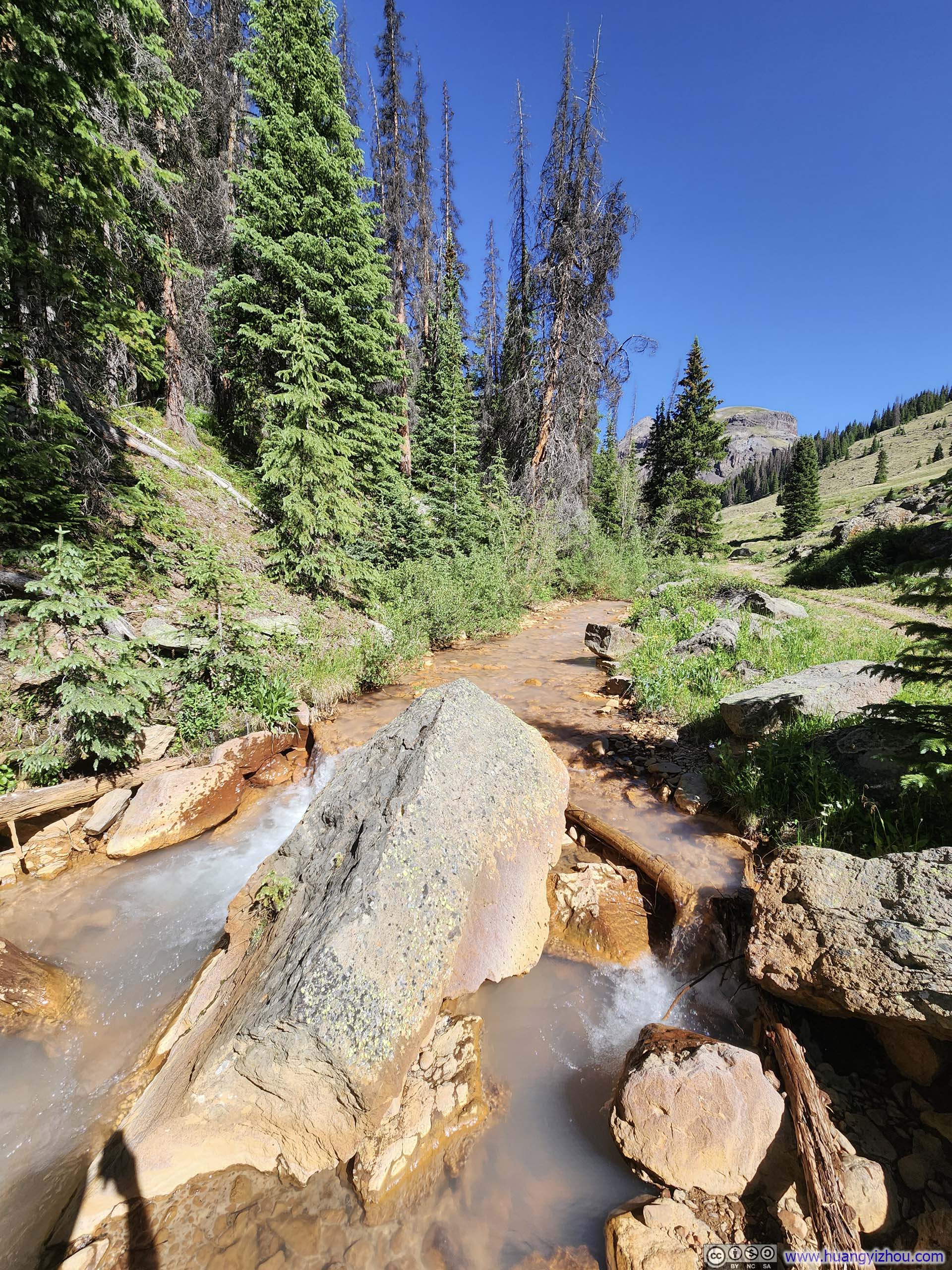
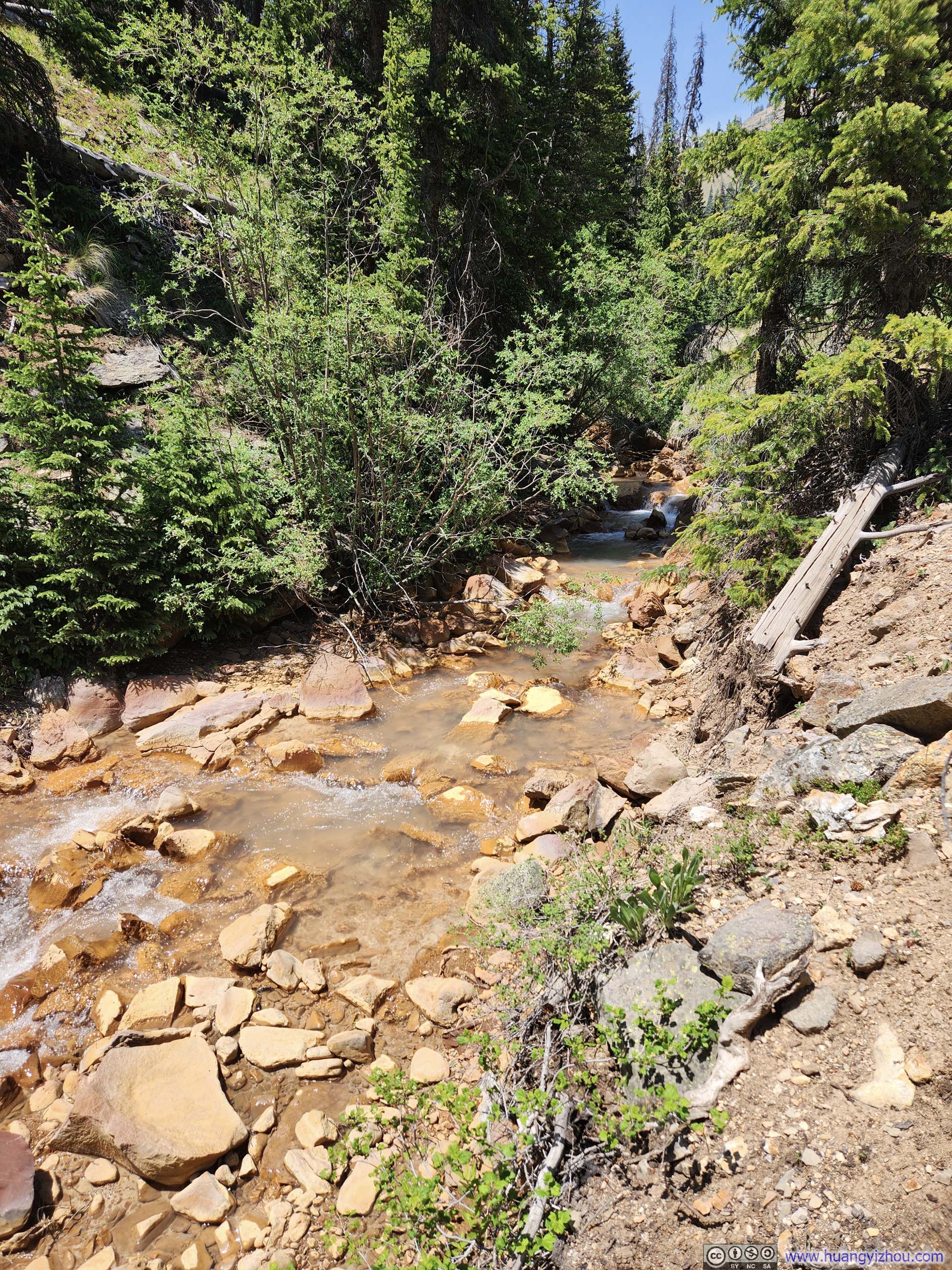
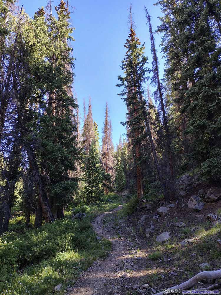
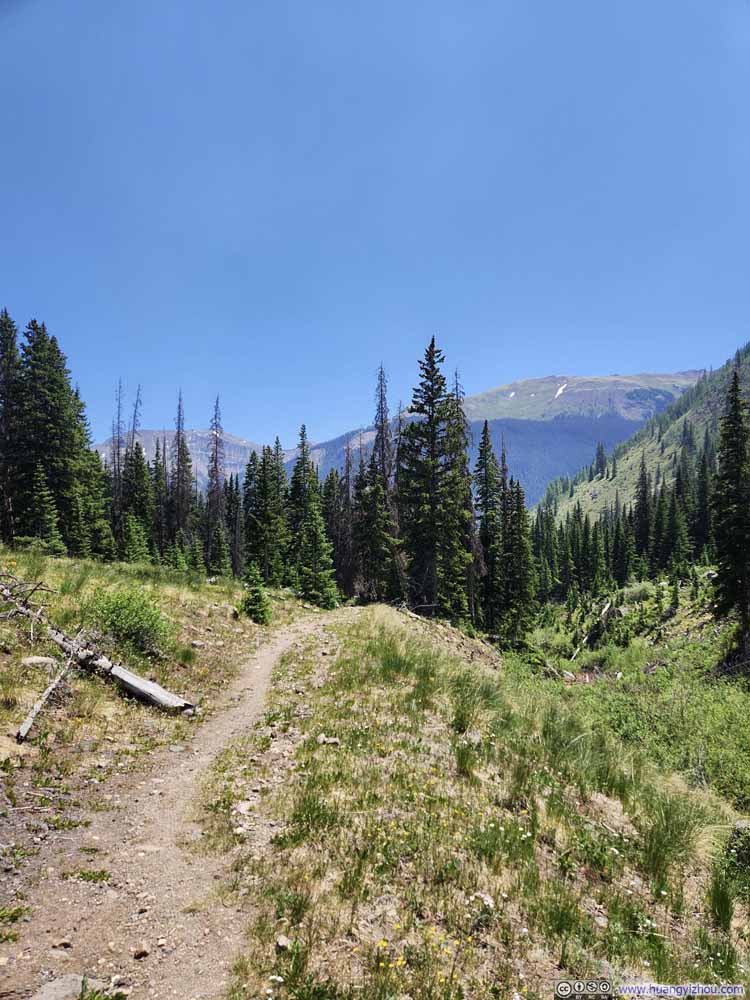
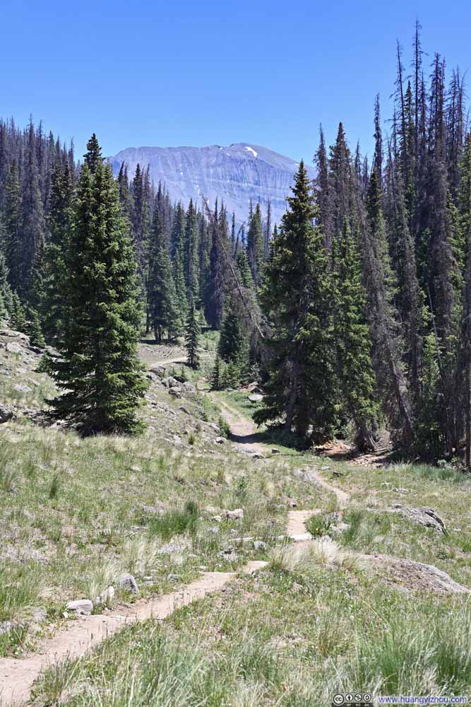
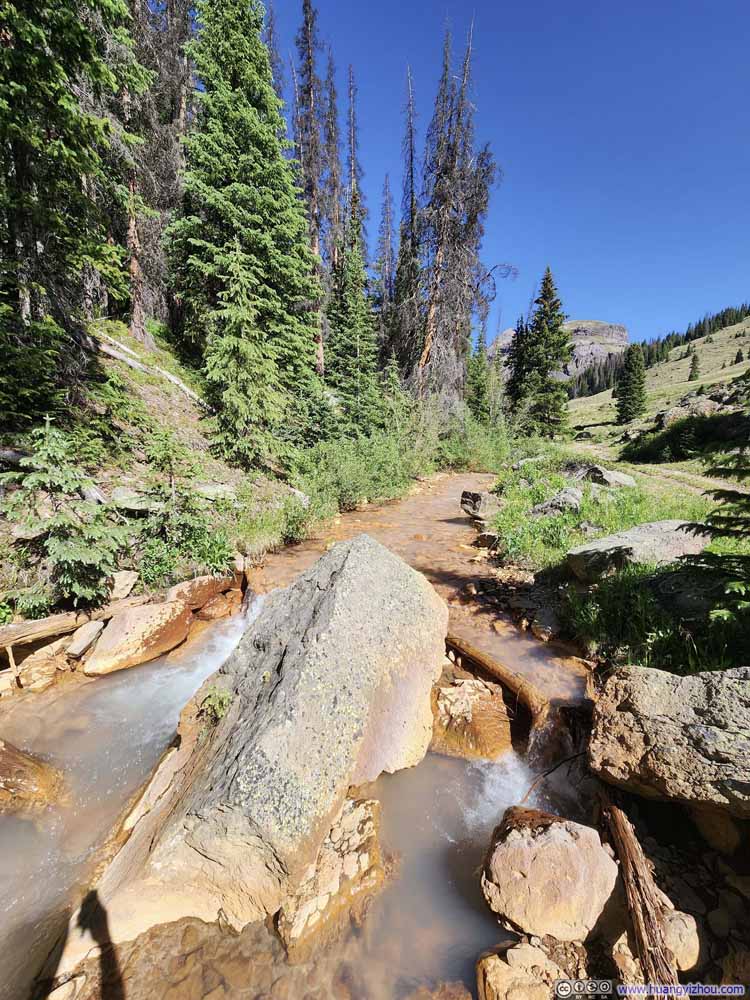
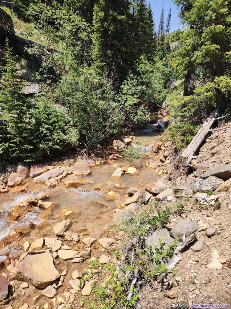
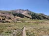
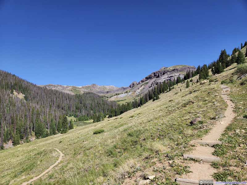
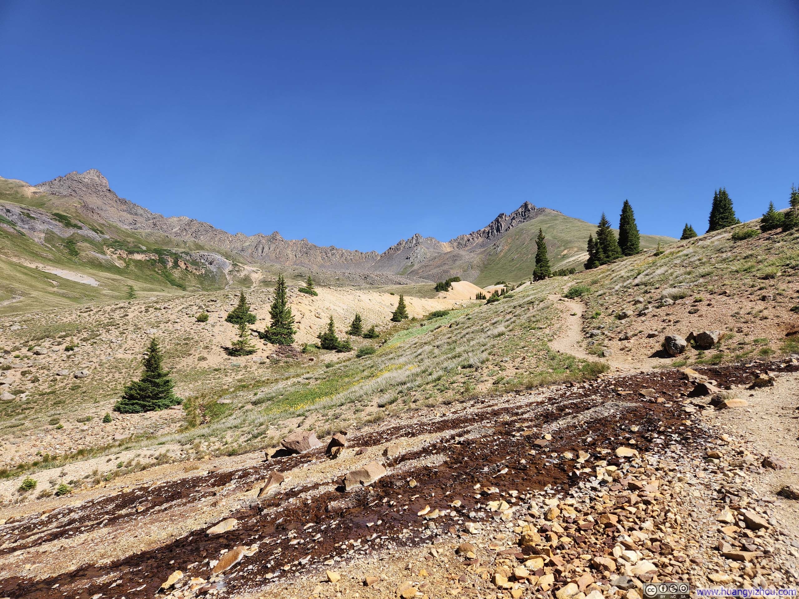
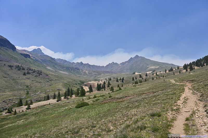
The initial portion of the hike to Wetterhorn Peak closely mirrored the previous day's approach to Uncompahgre Peak. Both trails started in the woods, following alongside a creek (Matterhorn Creek vs Nellie Creek), before emerging onto an alpine prairie with an imposing view of the destination ahead. Yesterday, it had been the castle-like silhouette of Uncompahgre Peak; today, it was the rugged ridgeline connecting Wetterhorn Peak and Matterhorn Peak. If I had to identify a difference, perhaps Matterhorn Creek appeared muddier than Nellie Creek, likely due to minerals mixed into the water.
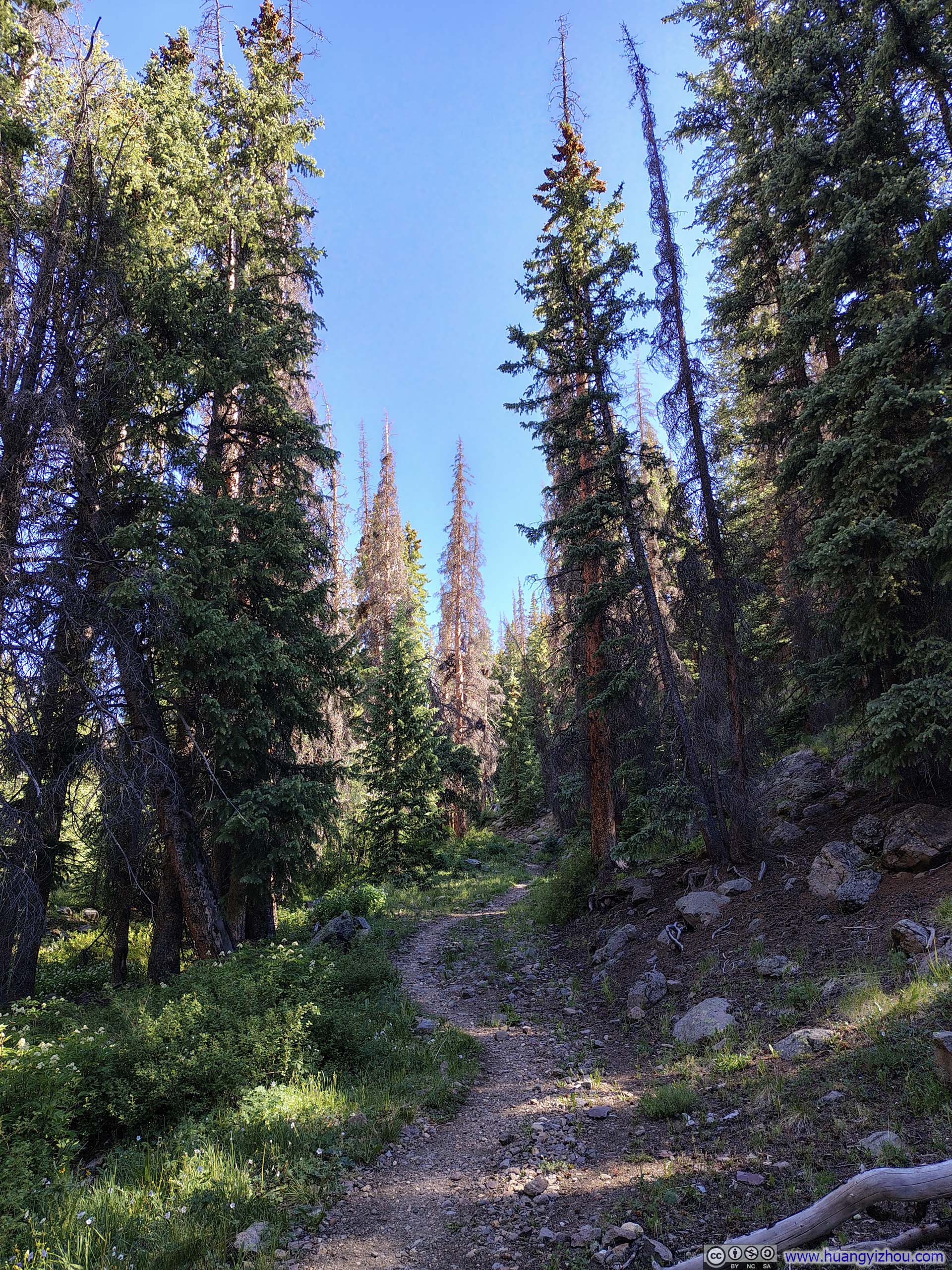
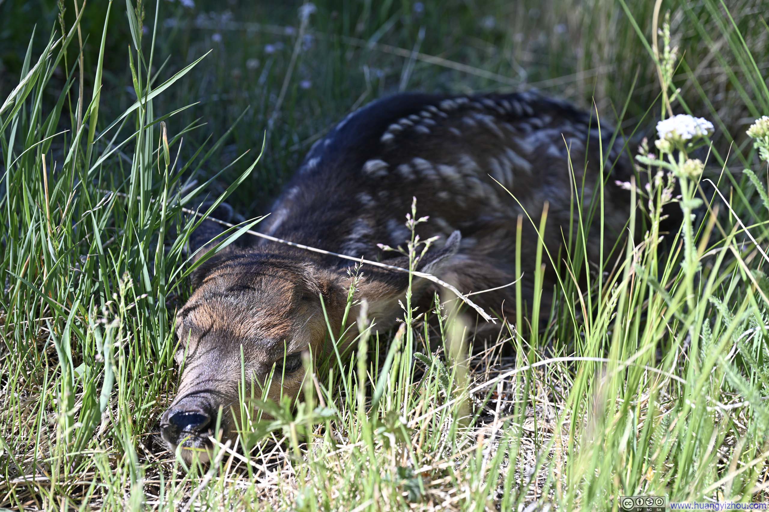
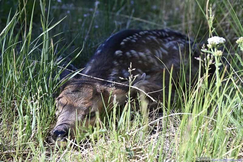
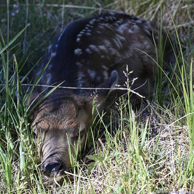
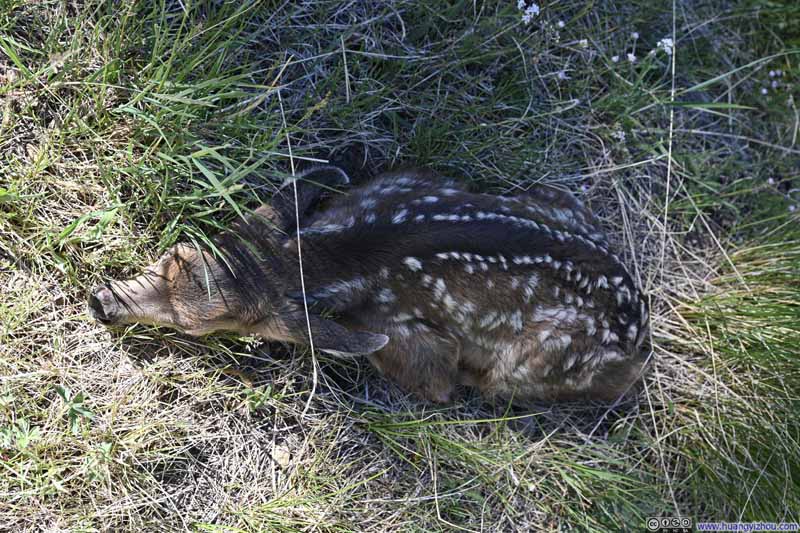
A short while down the trail, I came upon a deer resting just off the path. Curiously, its eyes were open, yet it seemed entirely unperturbed by my arrival.
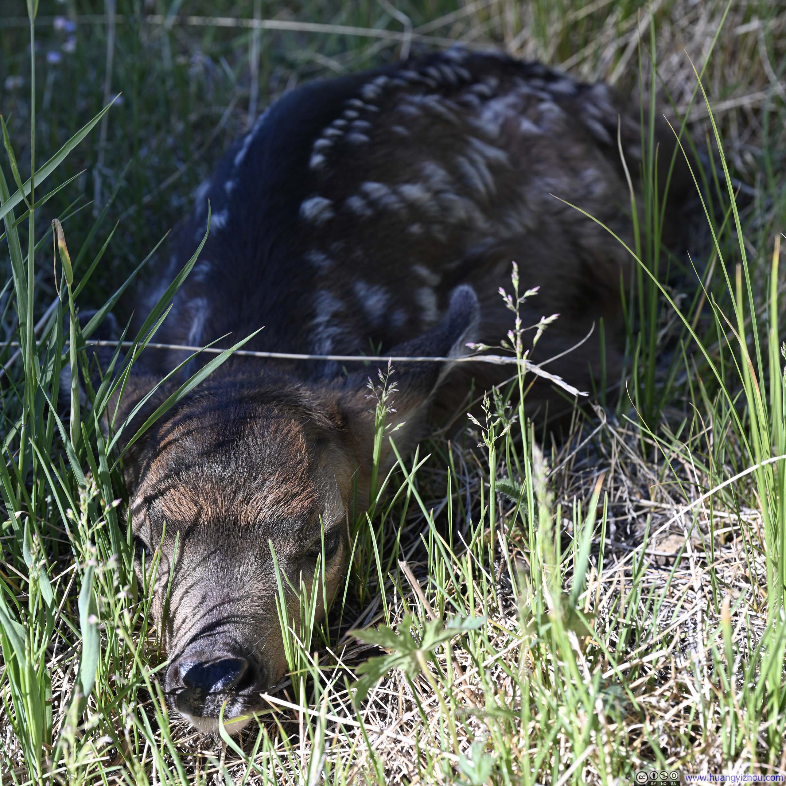
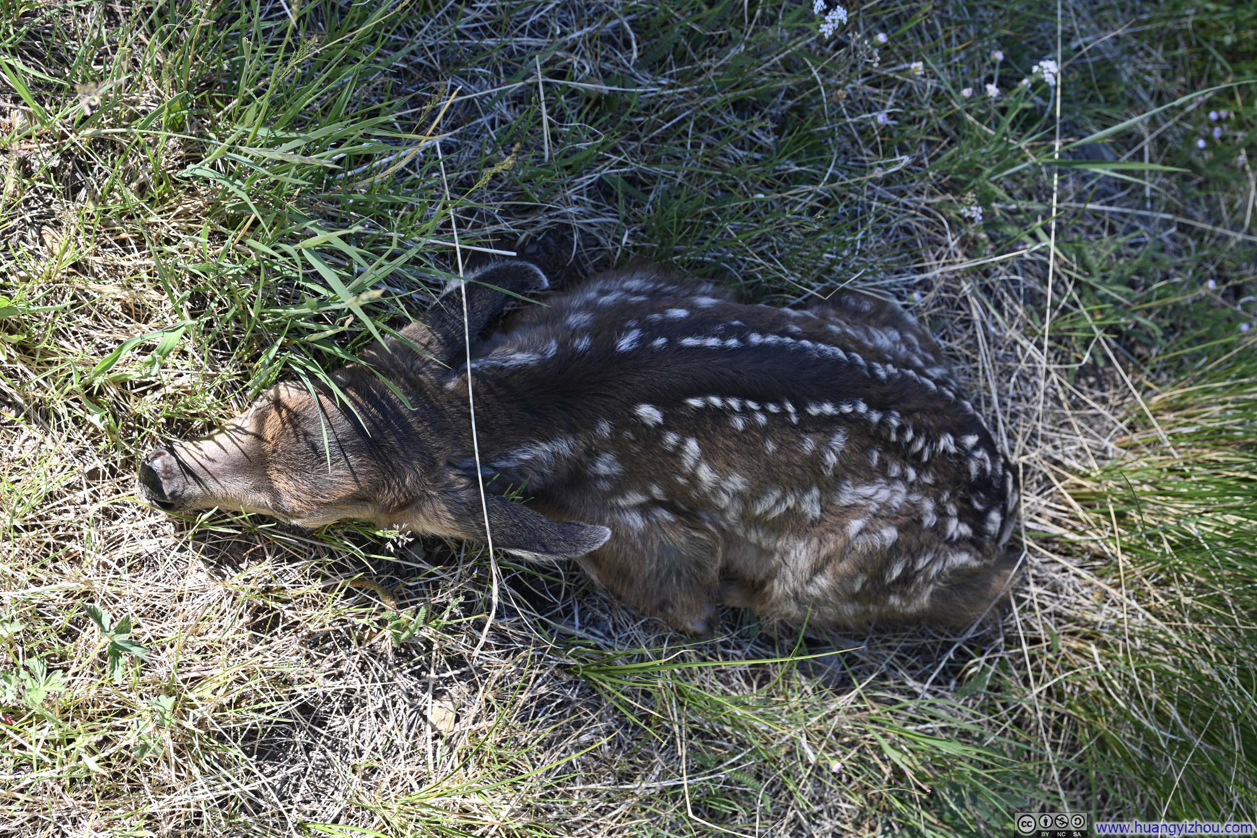
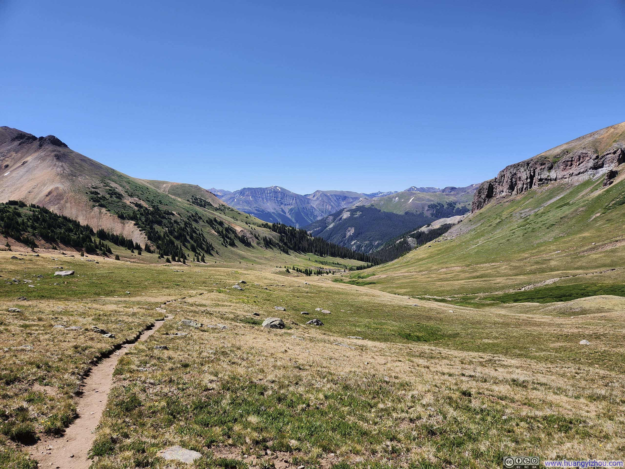
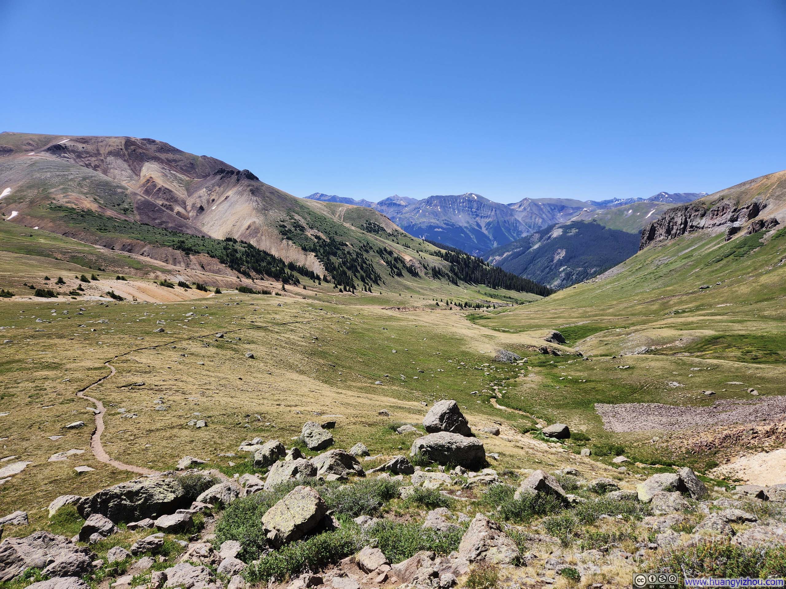
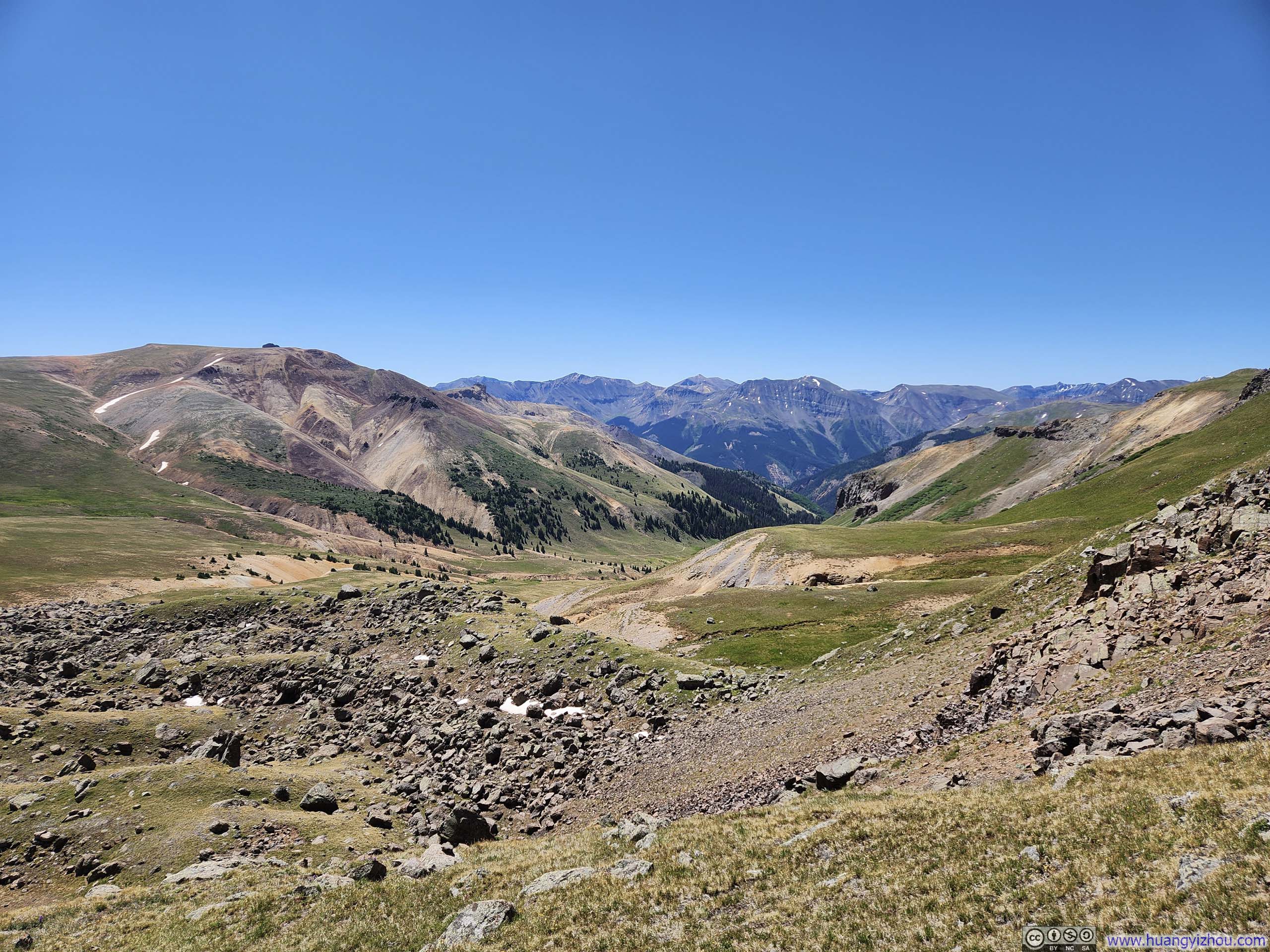
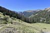
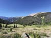
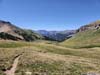
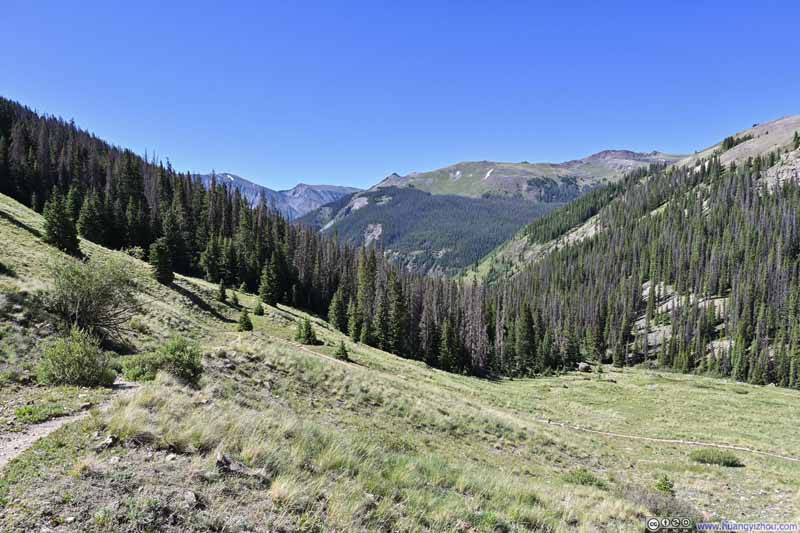
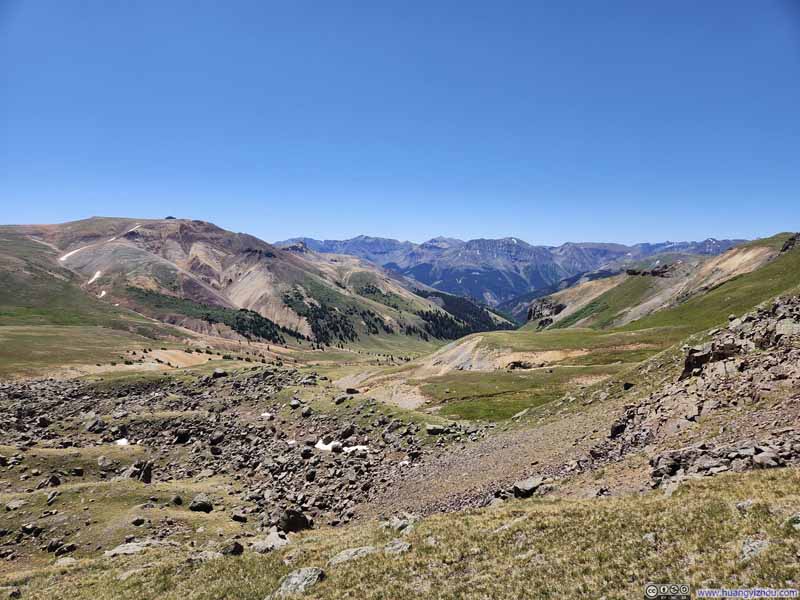
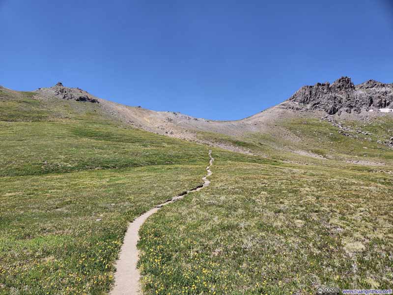
Much like yesterday's trail to Uncompahgre Peak, the path to Wetterhorn Peak soon left the woods and unfolded into a beautiful alpine landscape.
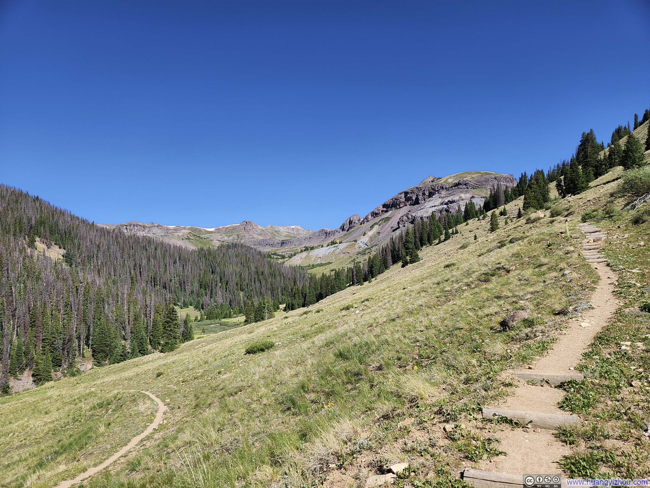
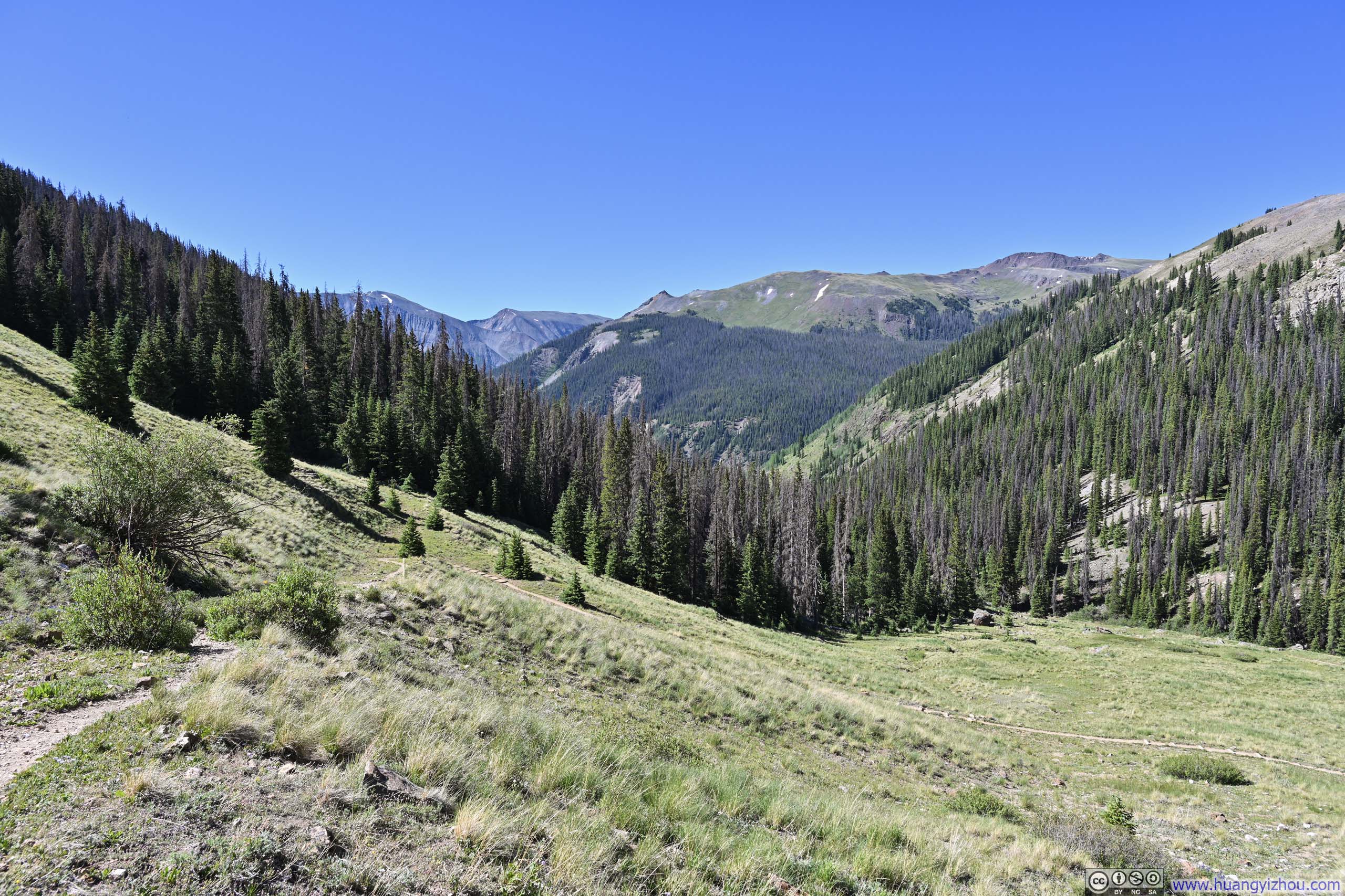
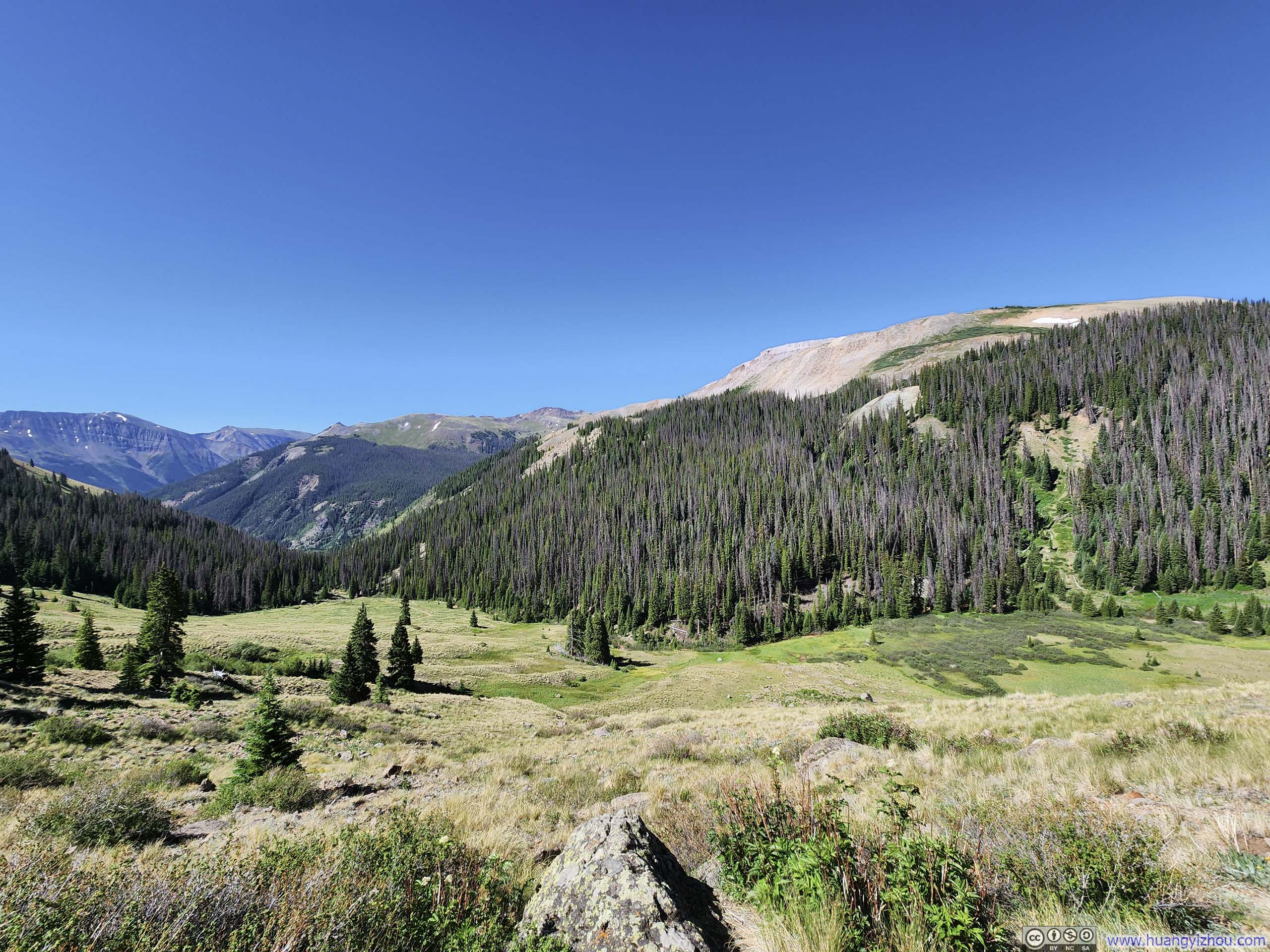
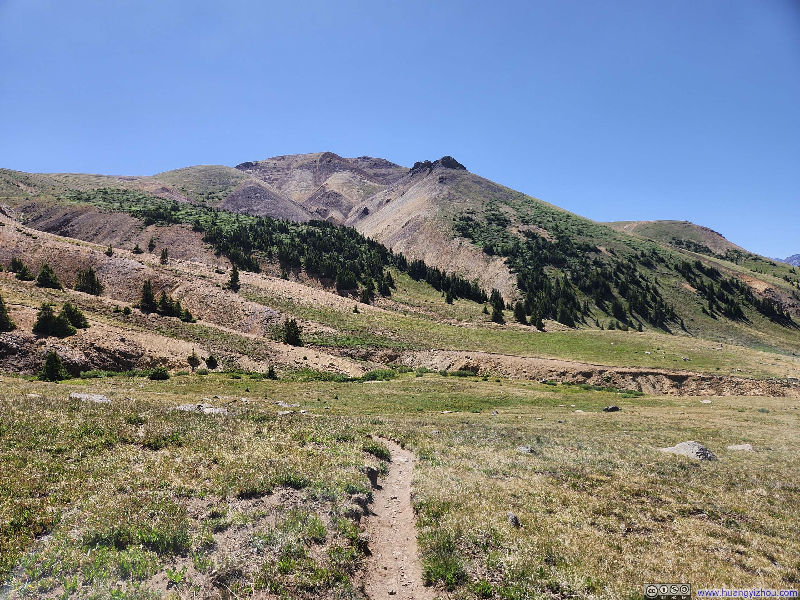
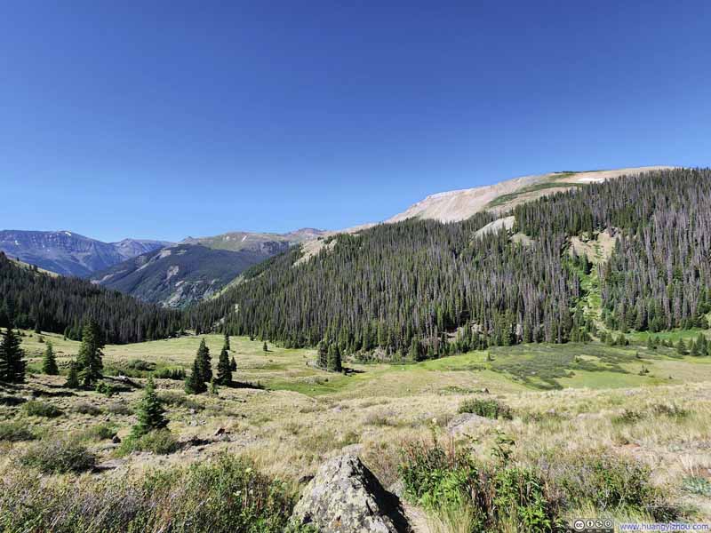
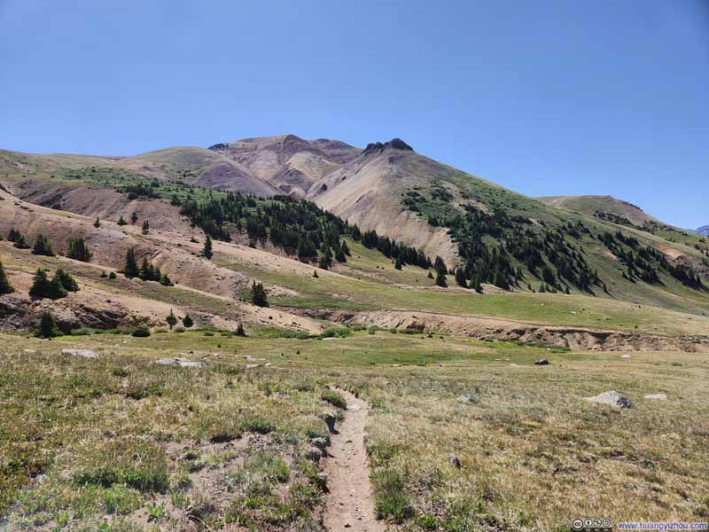
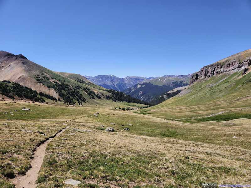
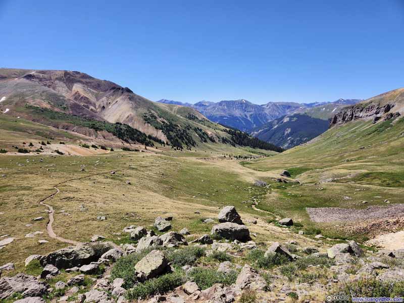
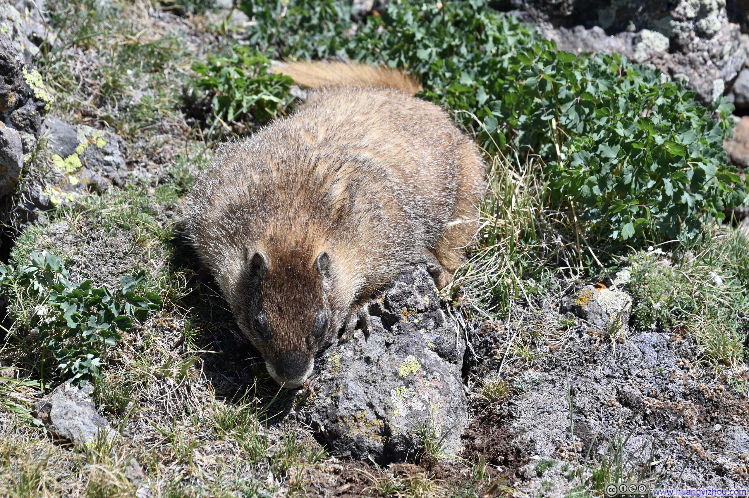
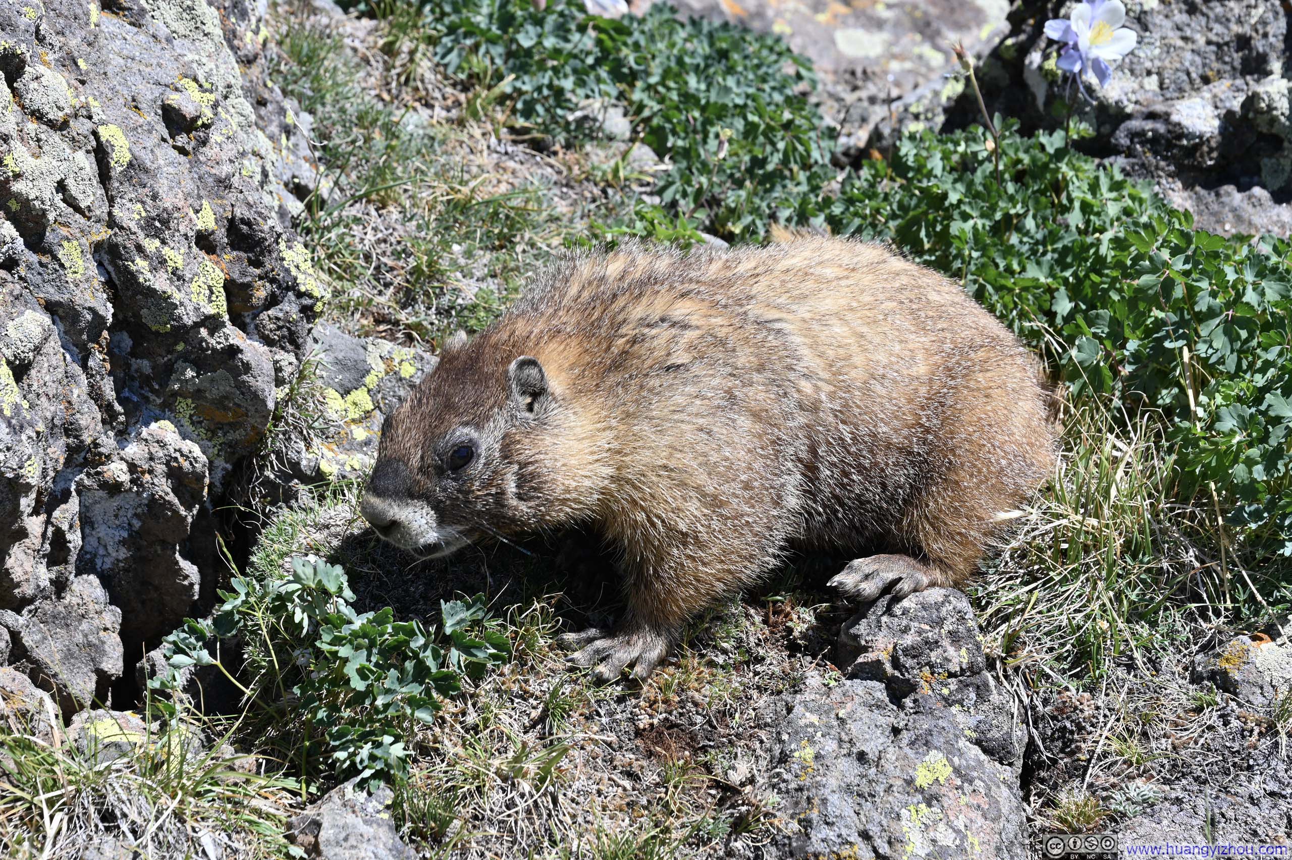
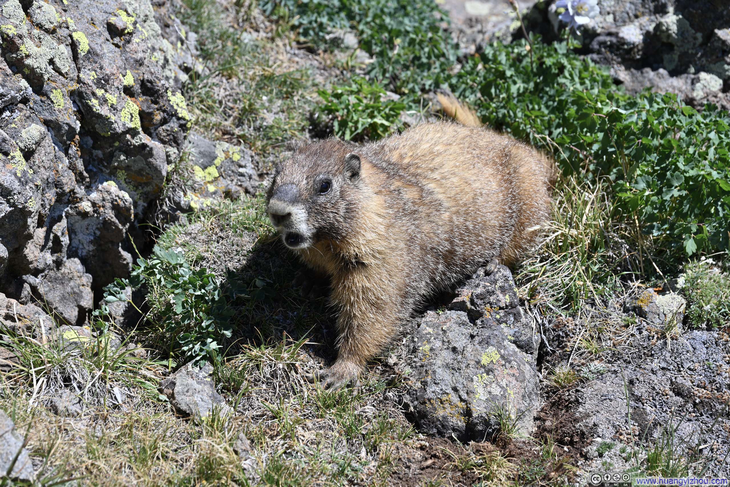
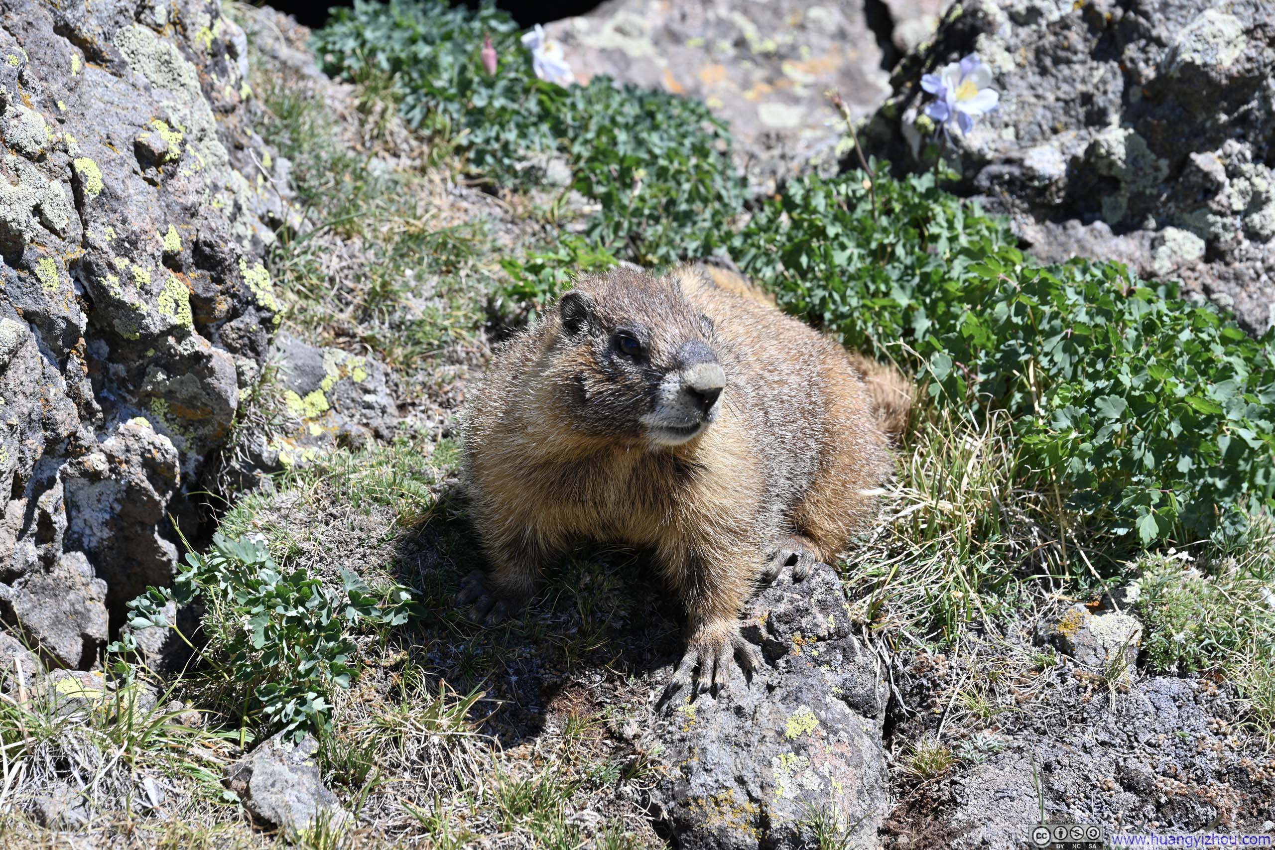
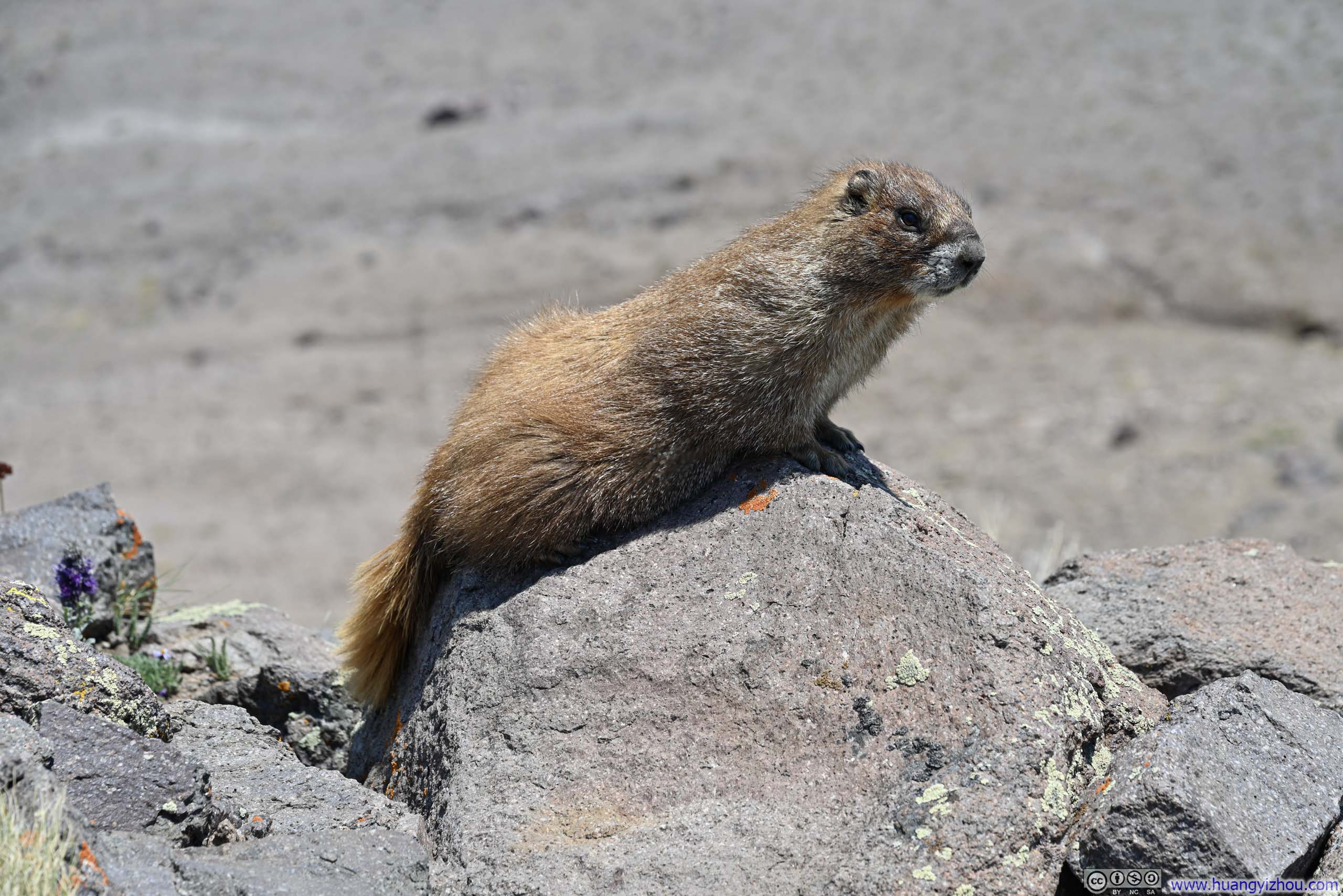
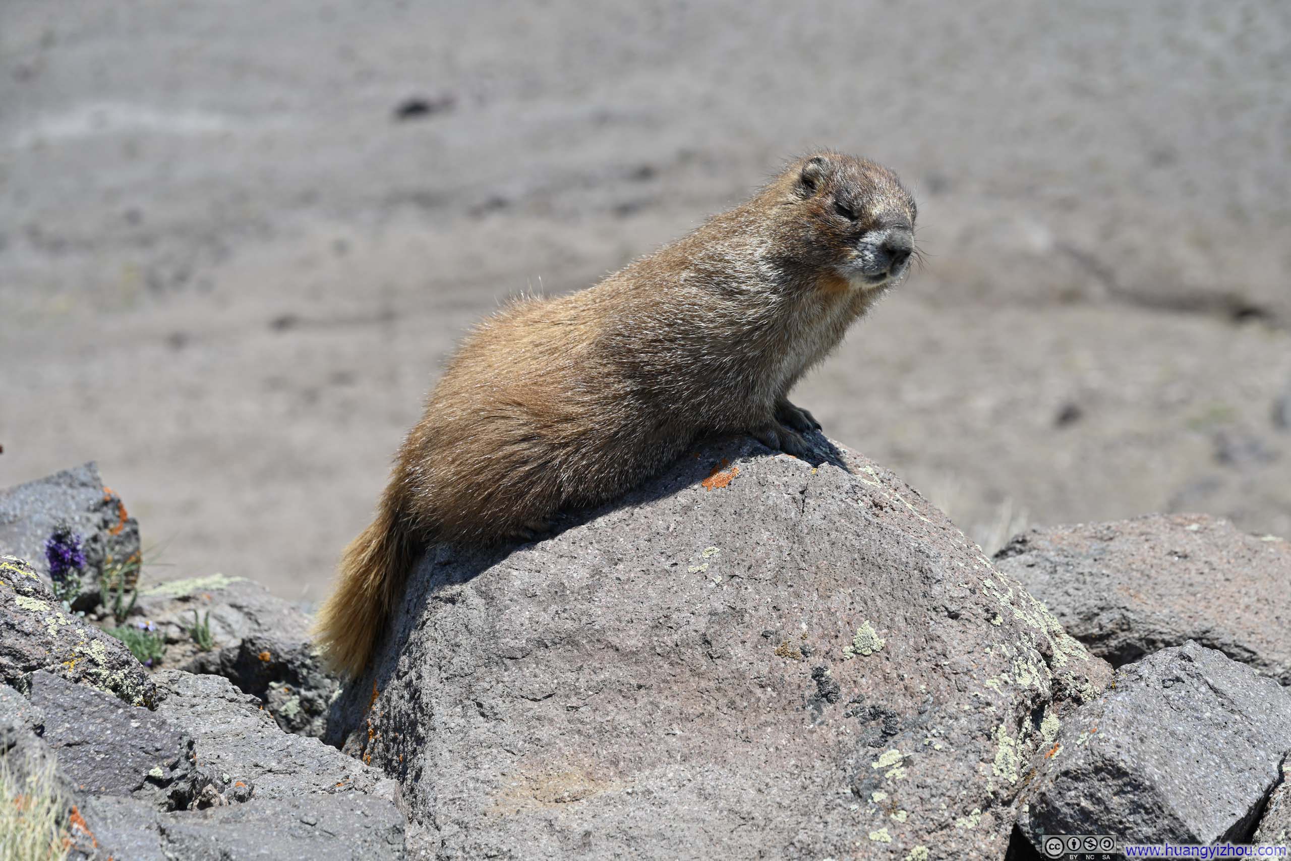
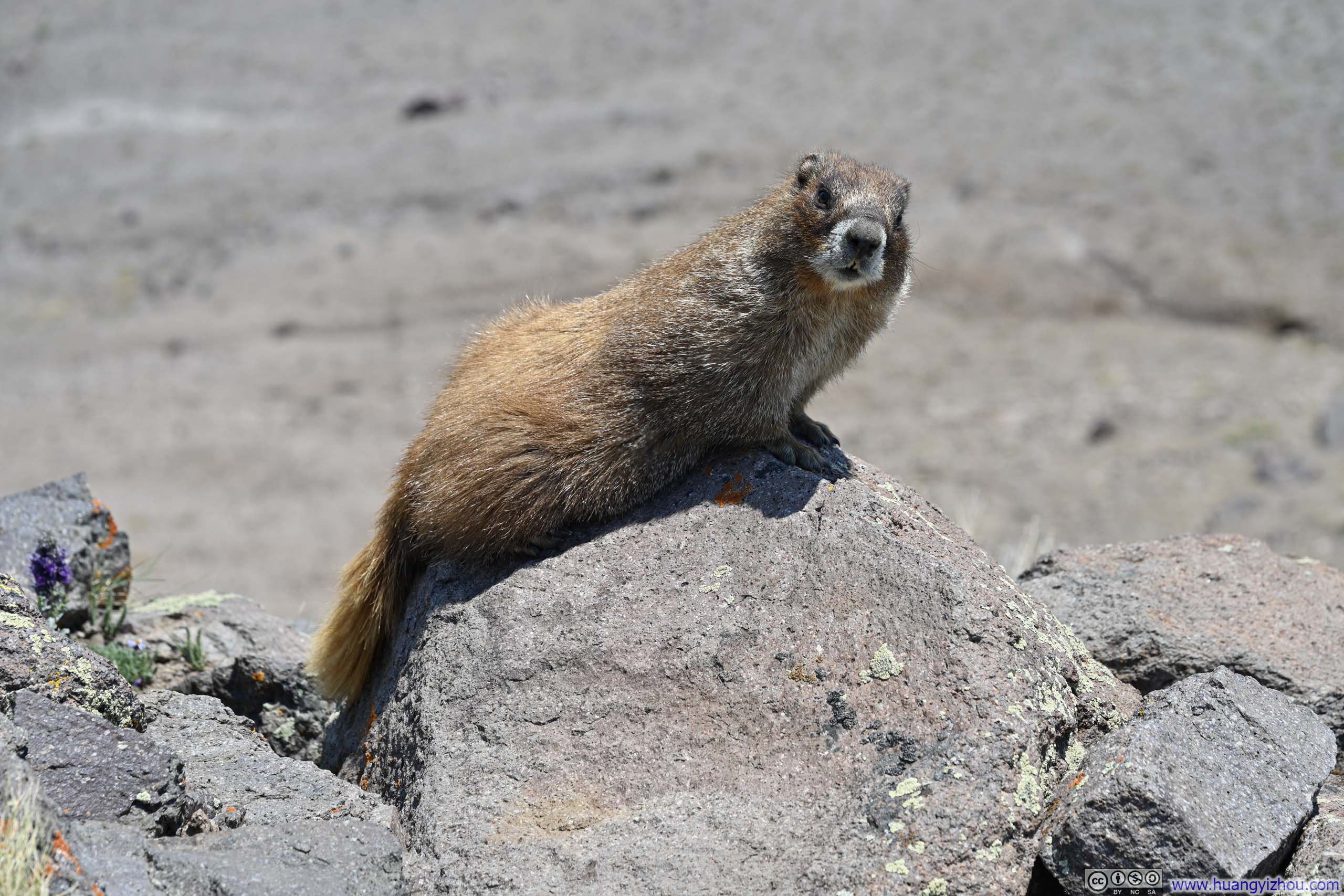
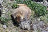
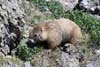
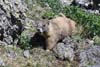
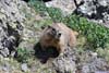
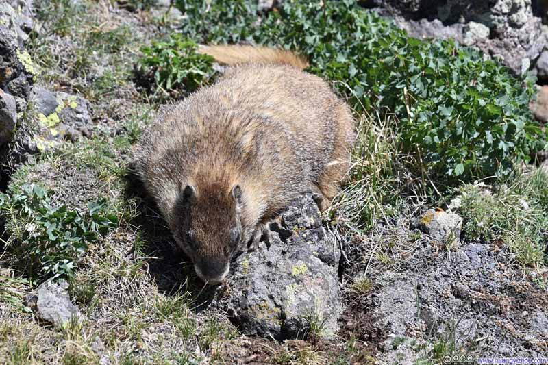
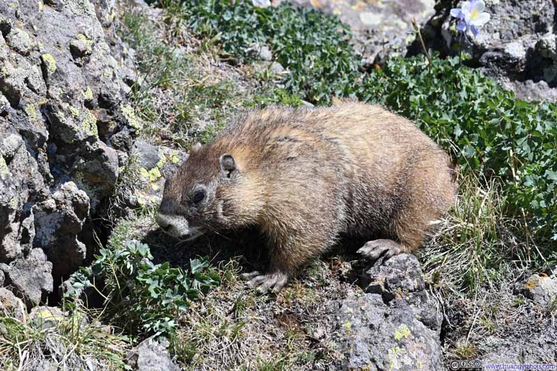
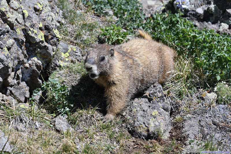
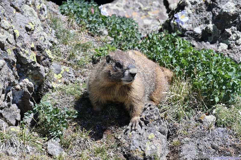
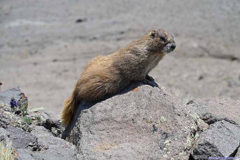
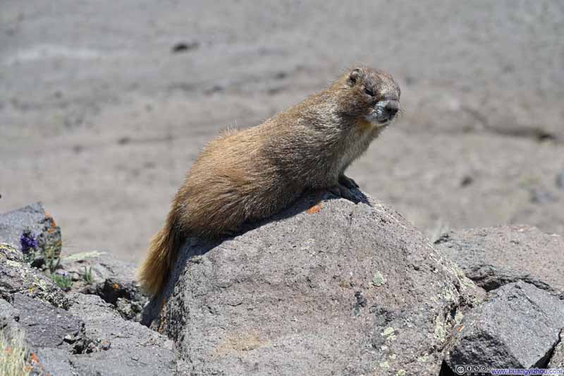
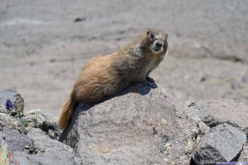
And like yesterday, a few marmots appeared to greet my camera with quite some enthusiasm.
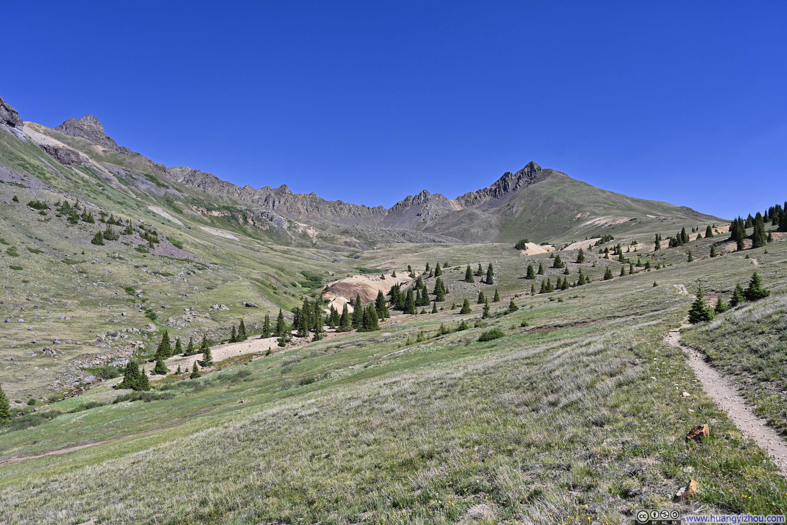
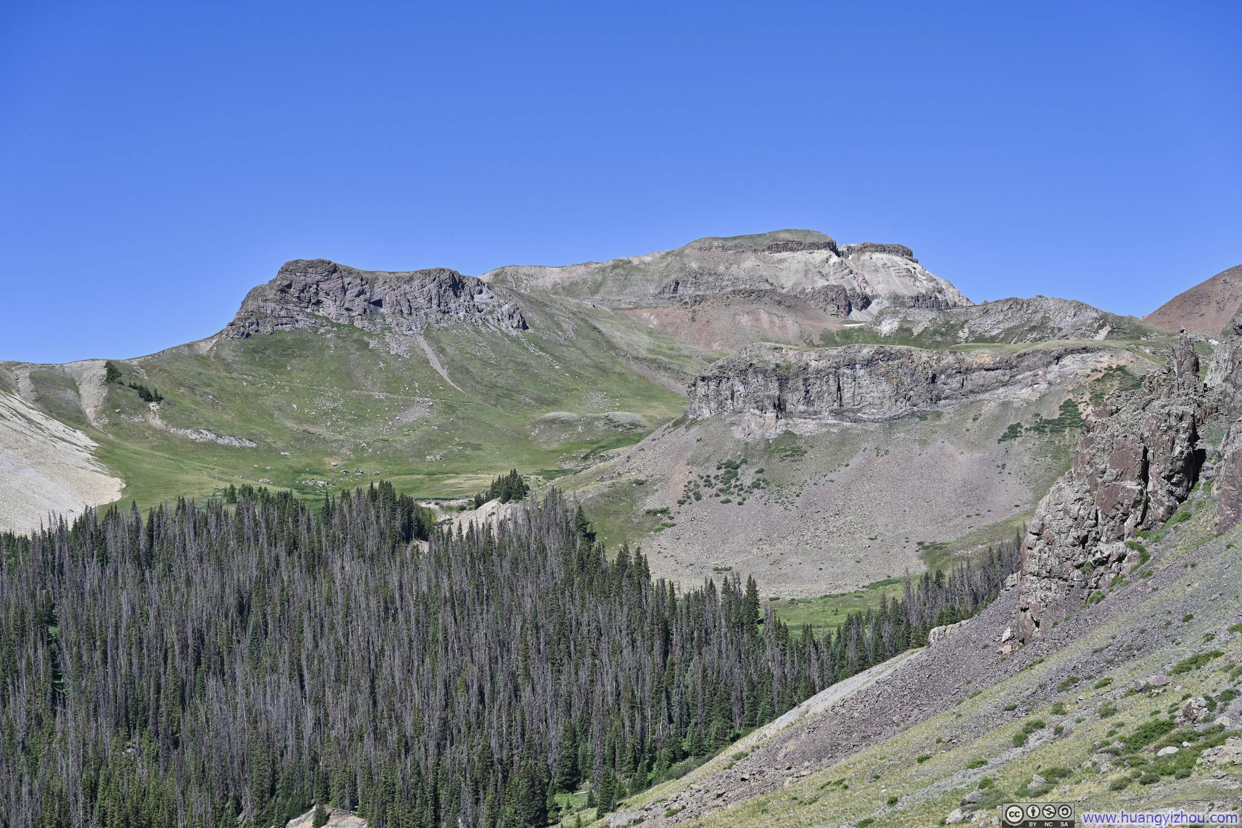
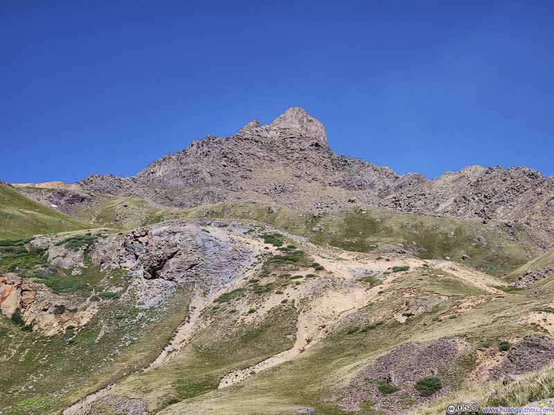
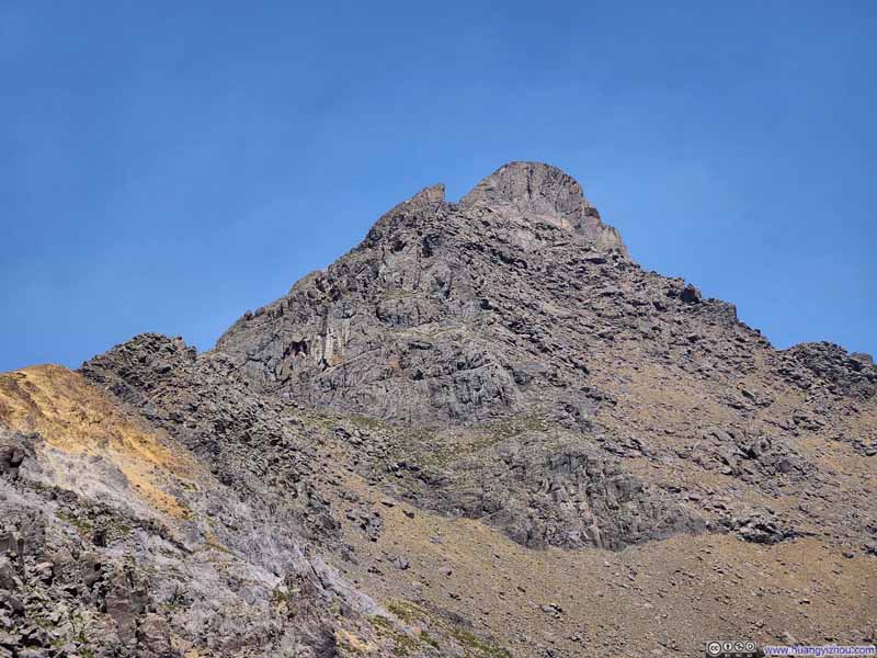
As for the views along the trail, the most striking was undoubtedly the rugged ridgeline linking Wetterhorn and Matterhorn Peaks, two summits named after their Swiss Alpine counterparts and rising like a wall against the horizon. Yet I found myself somewhat puzzled by the comparison: in Switzerland, these two mountains stand decently far apart, whereas here in Colorado they crowd closely together. Moreover, while the Swiss Matterhorn is obviously the taller and more formidable of the pair, here it is Wetterhorn that claims that distinction.
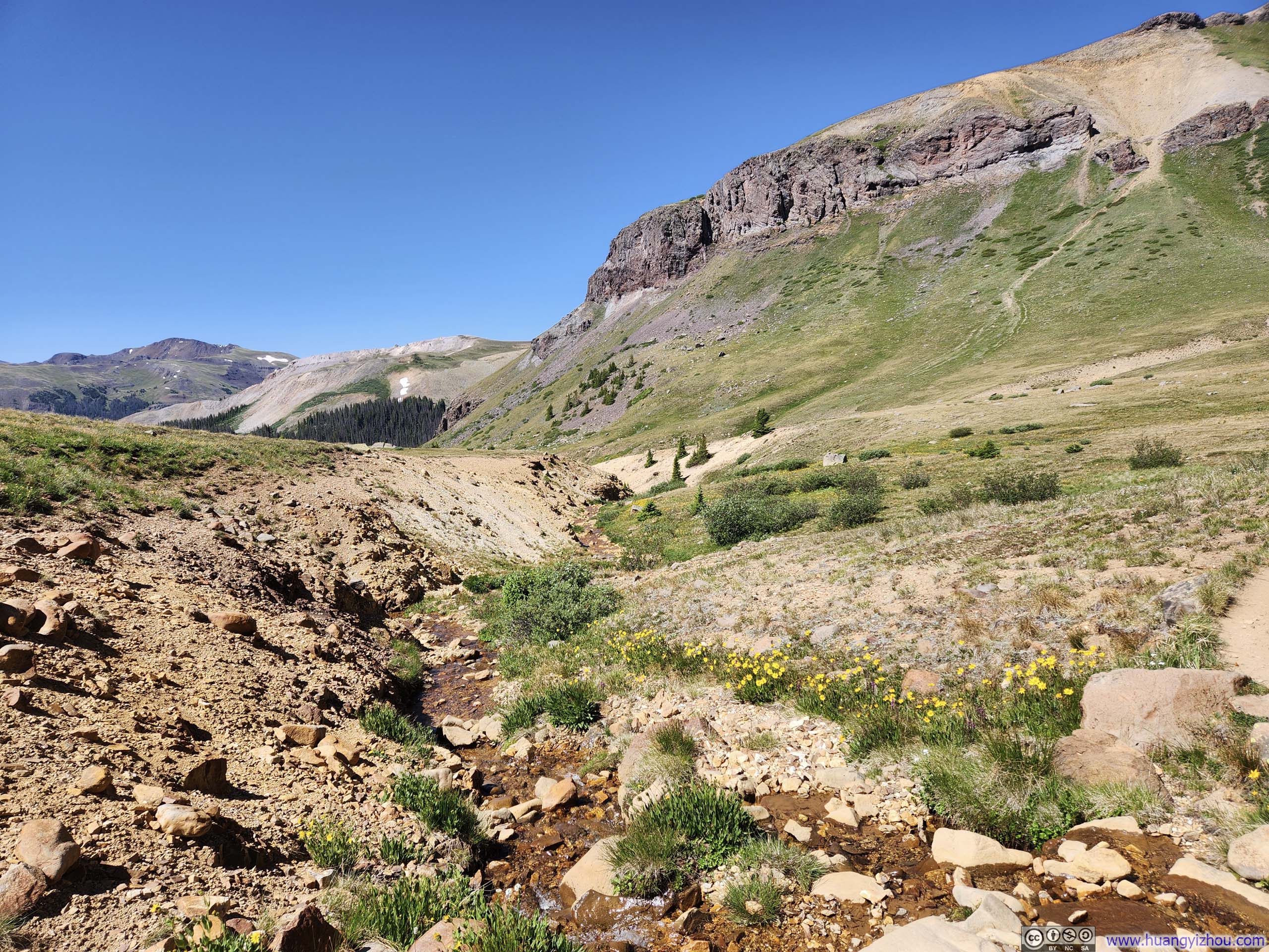
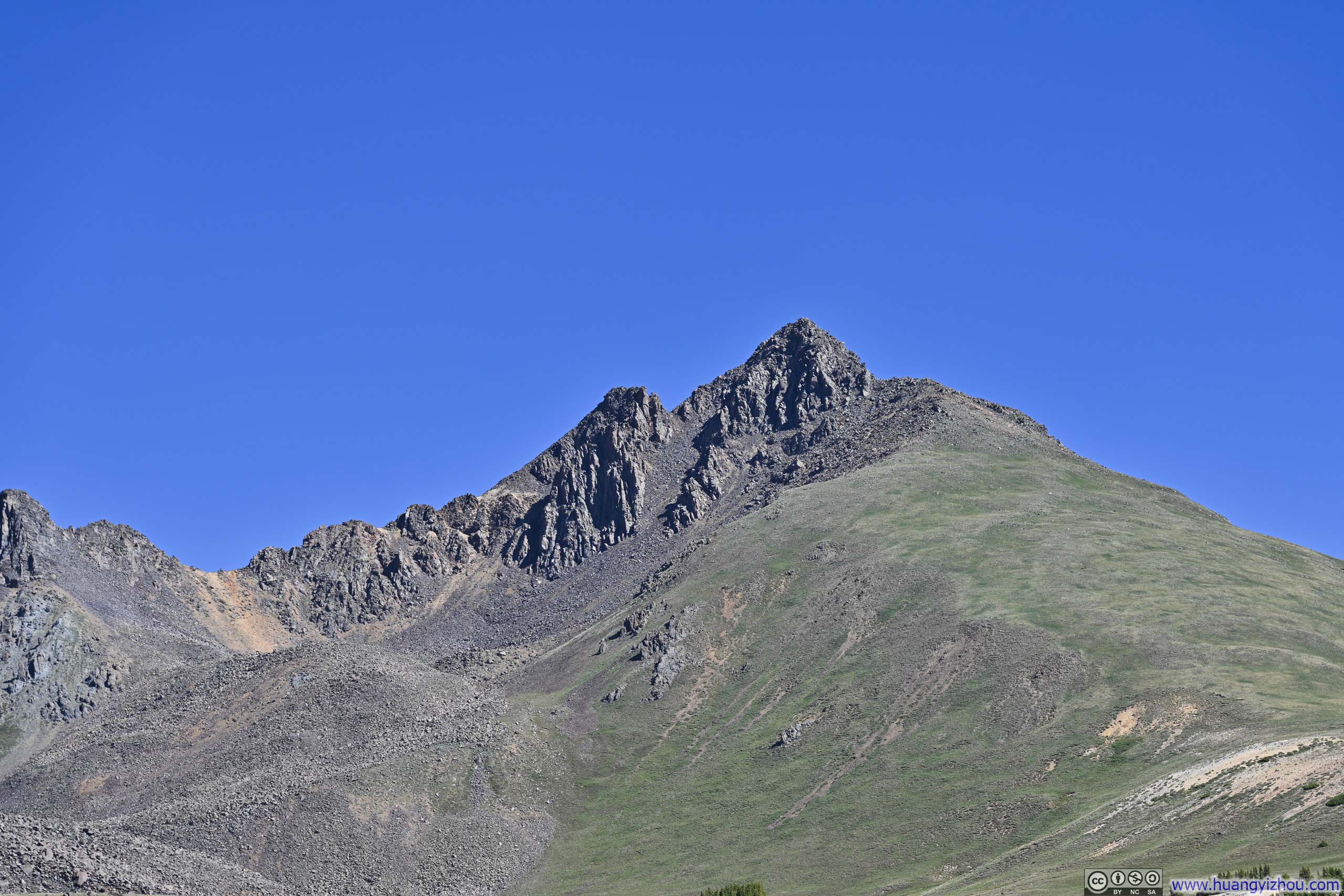
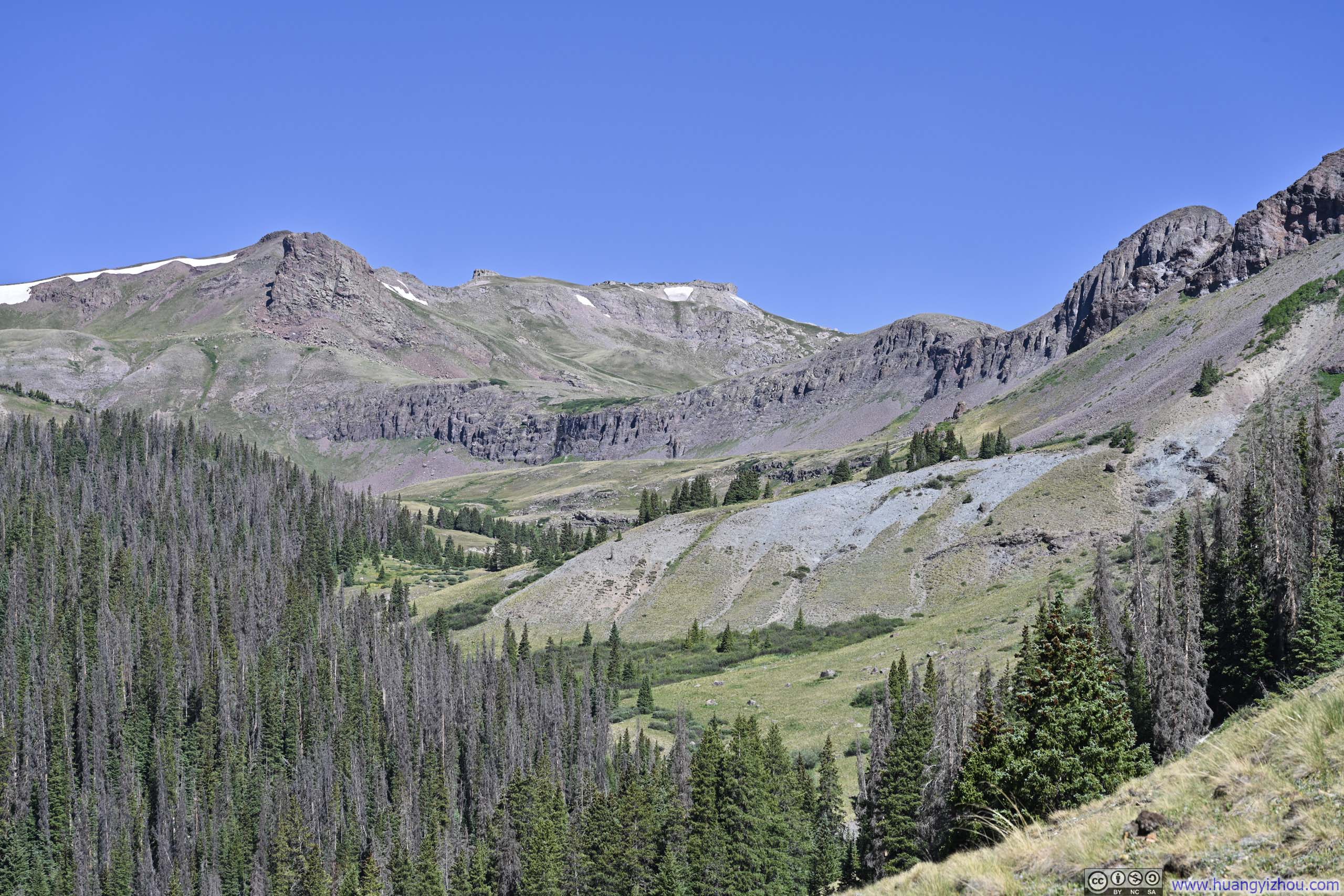
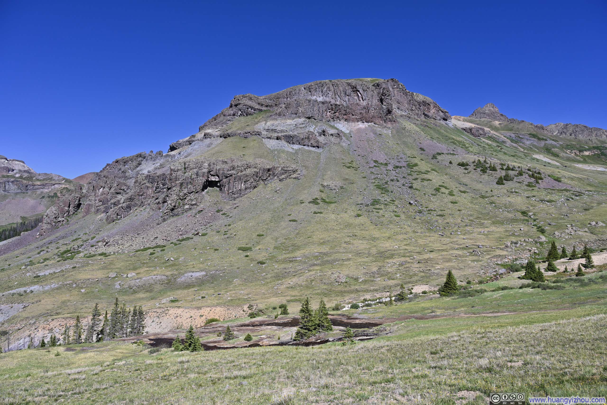
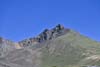
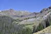
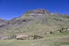
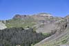
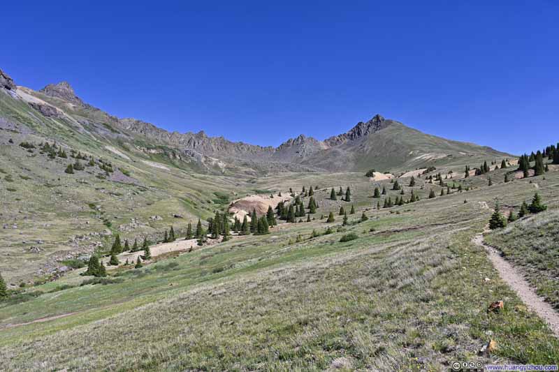
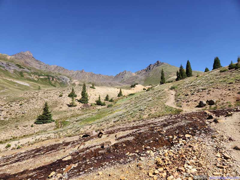
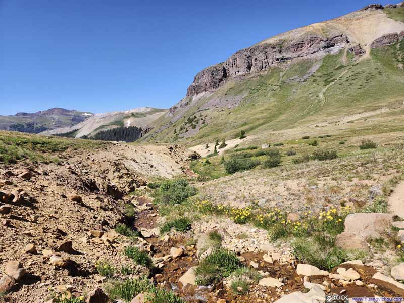
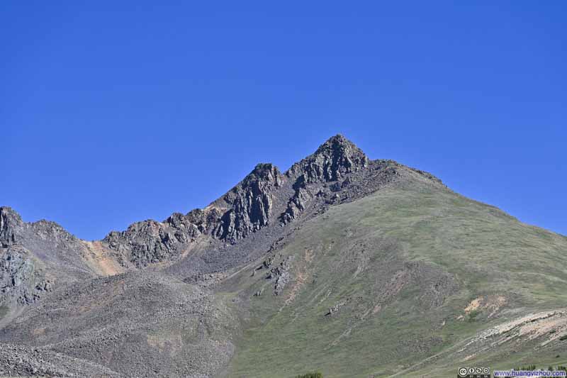
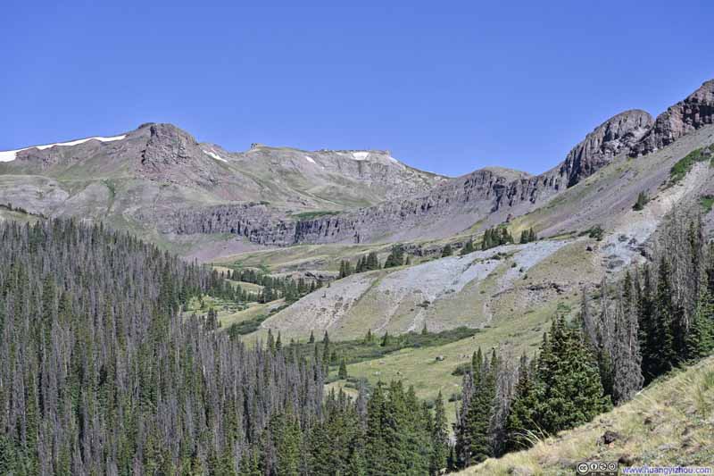
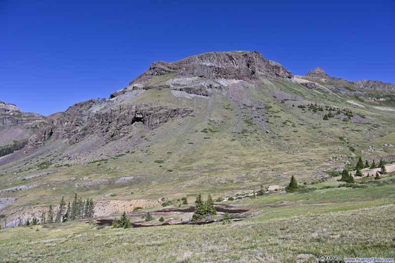
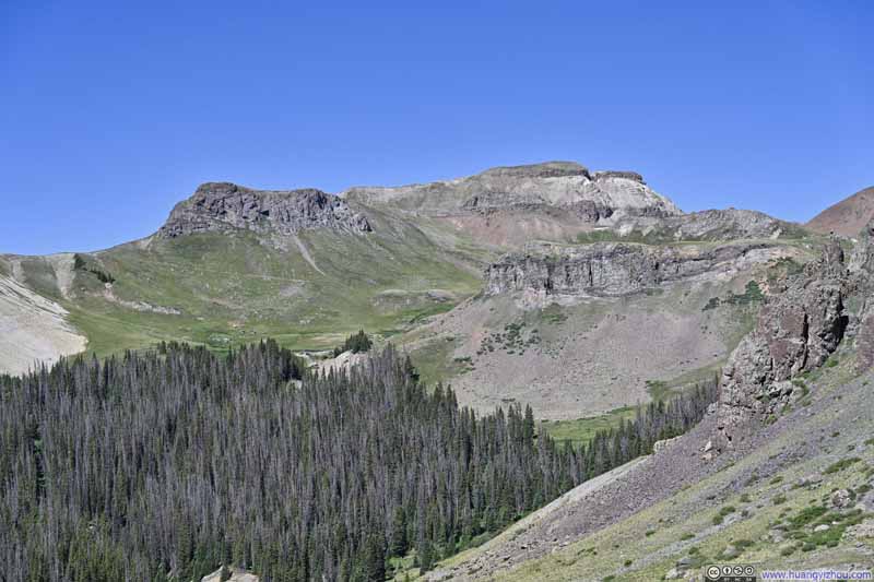
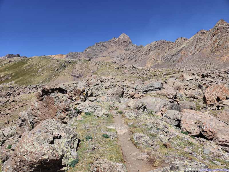
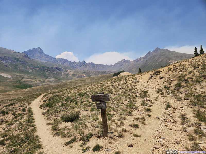
Along the trail to Wetterhorn, there was one short section (p2 below) that was somewhat rocky, nothing technical and more like a very modest preview of the scrambling that awaited at the summit. Otherwise, the route was very straightforward.
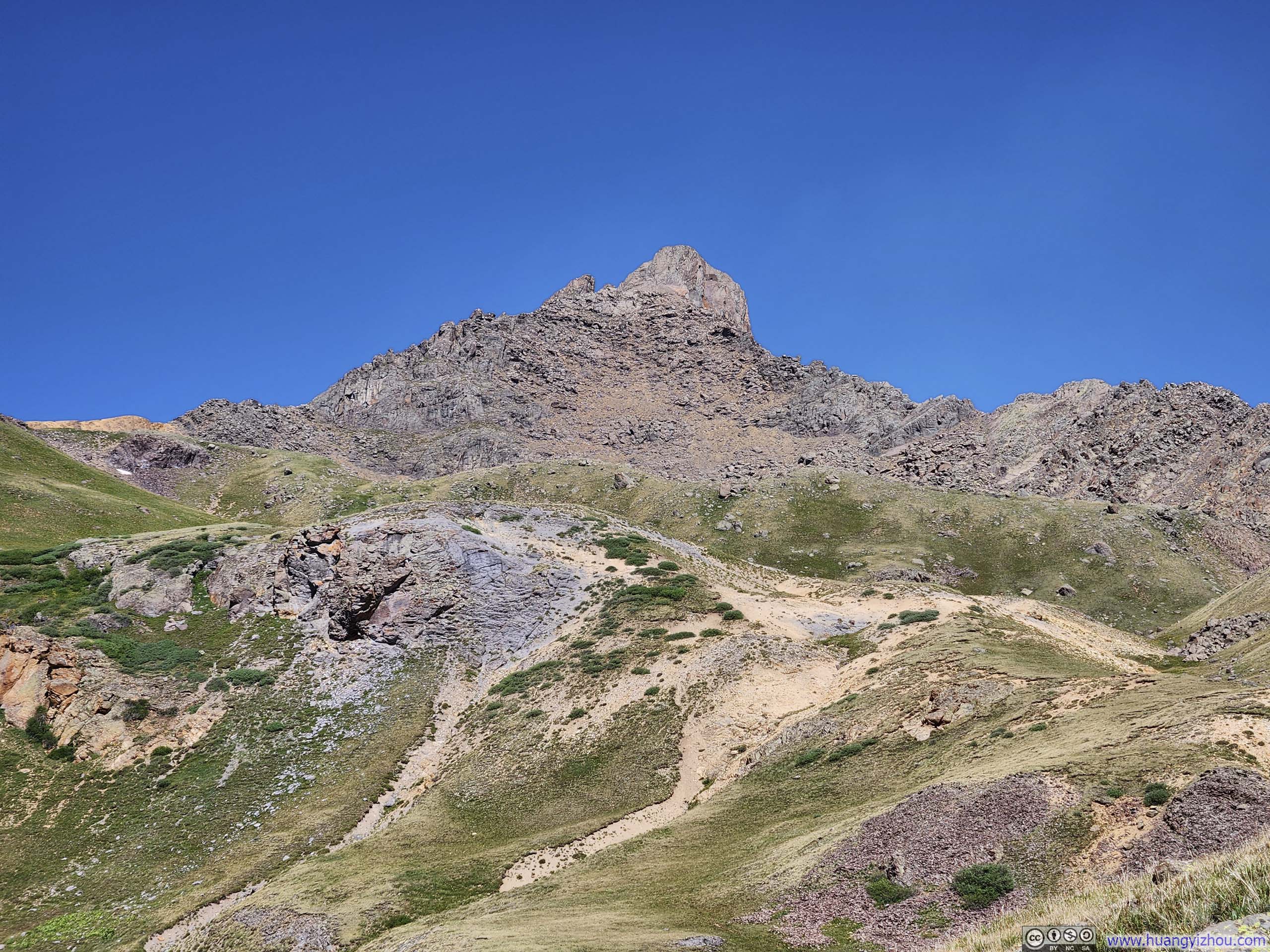
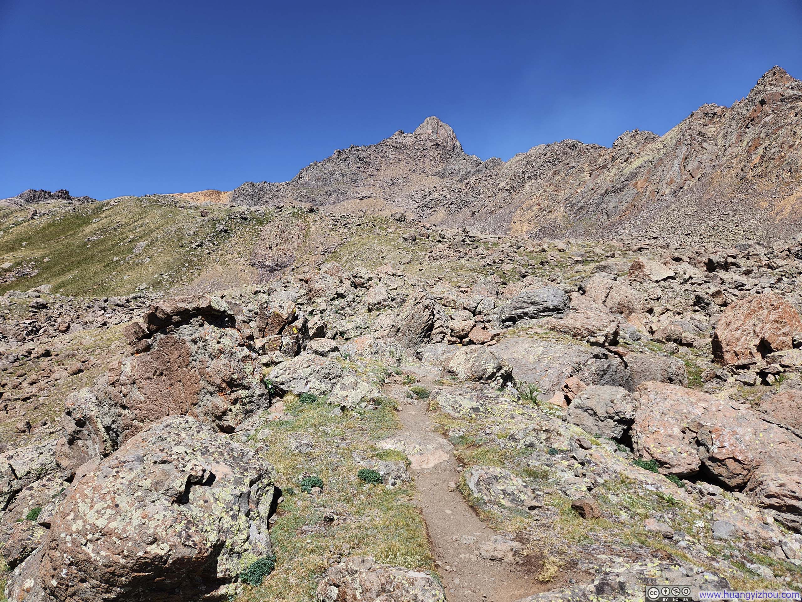
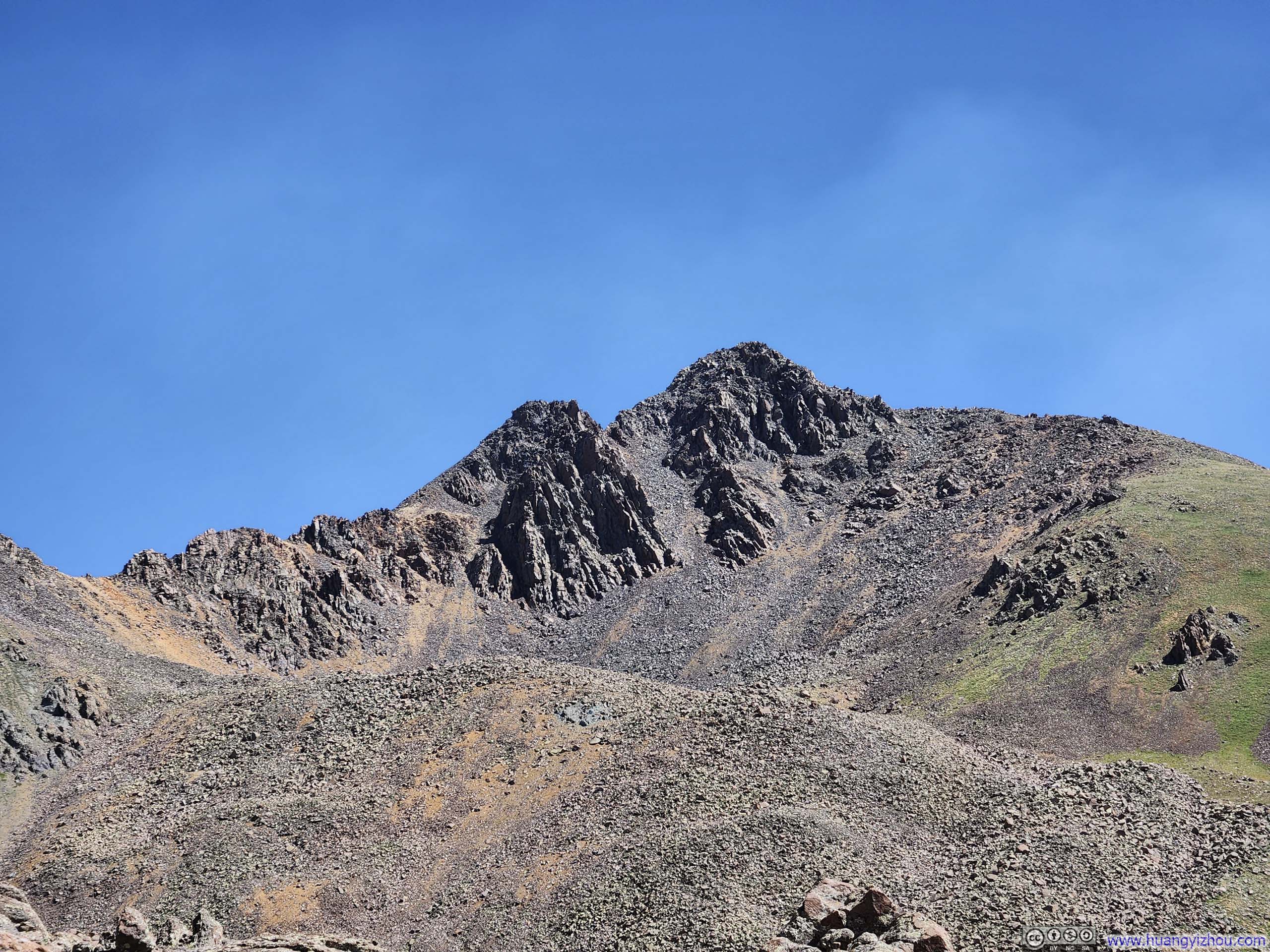
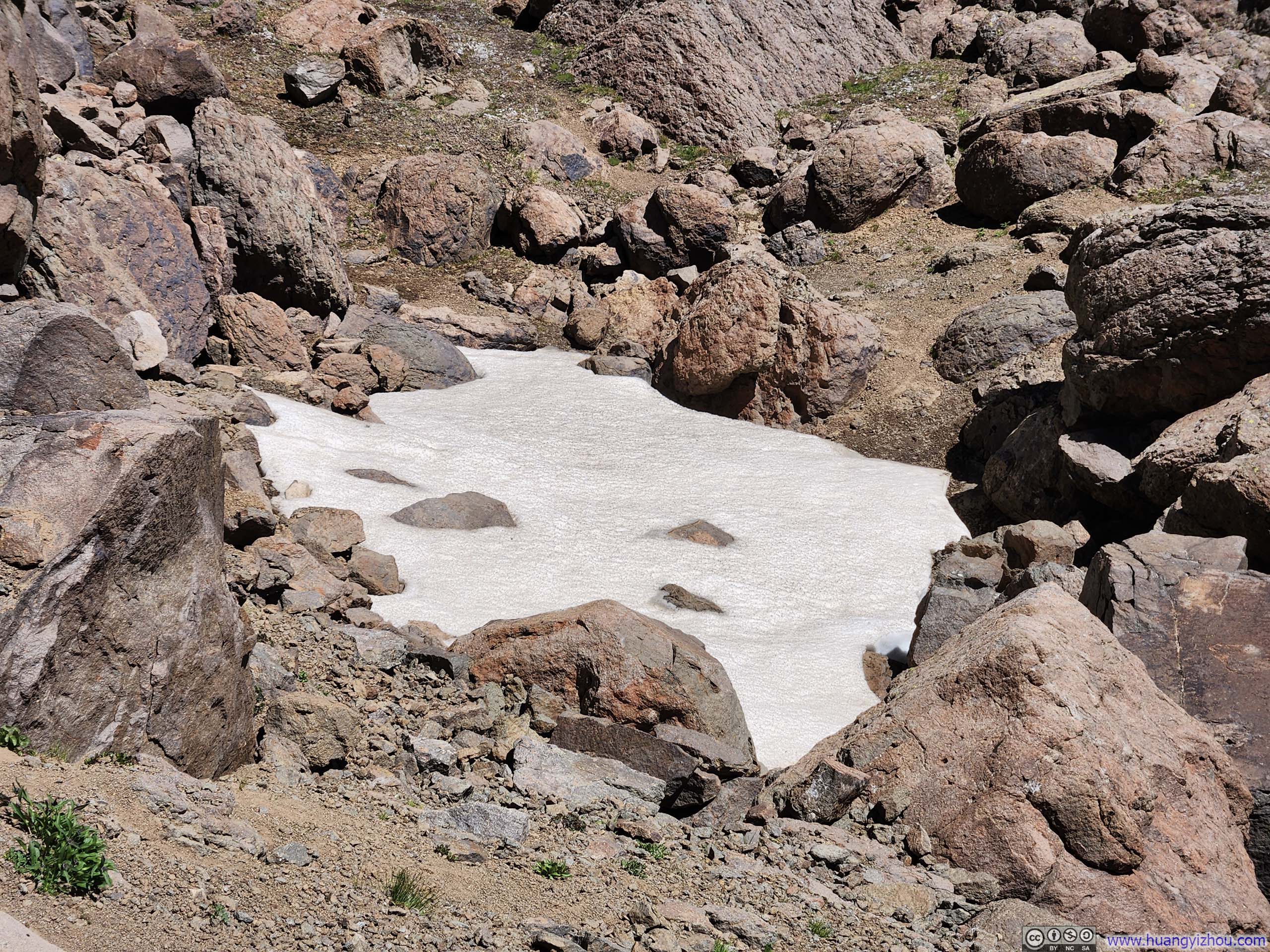
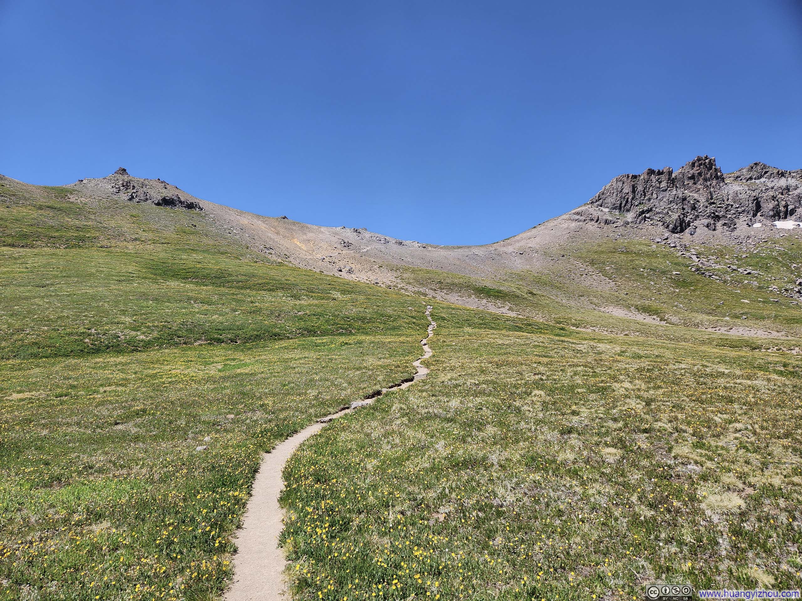
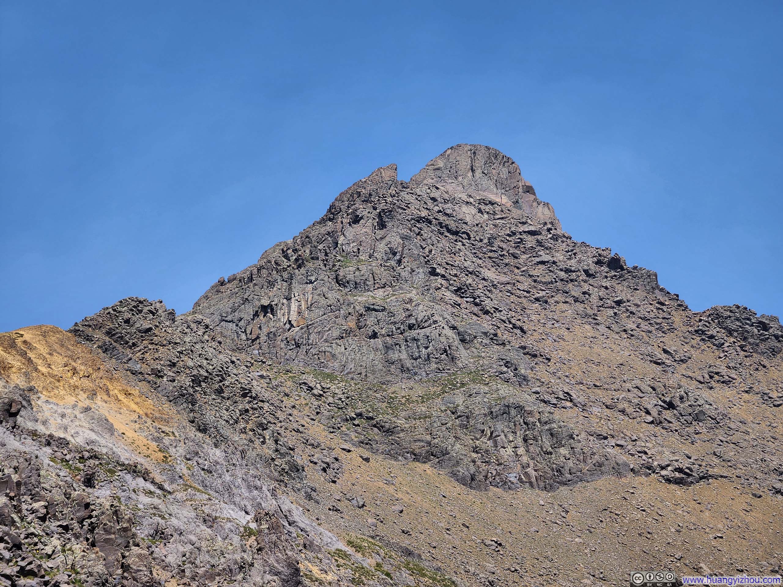
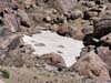
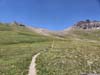
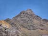
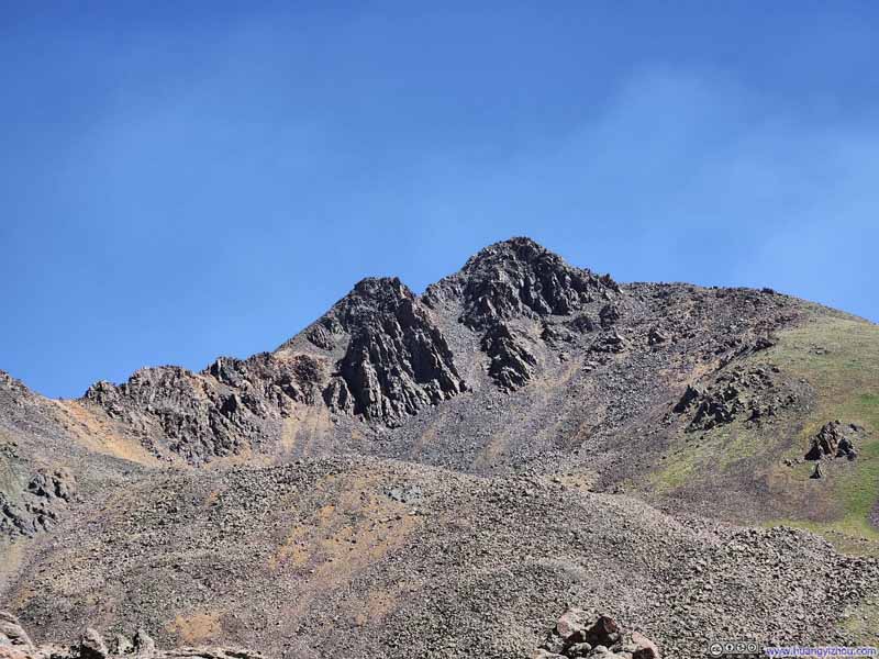
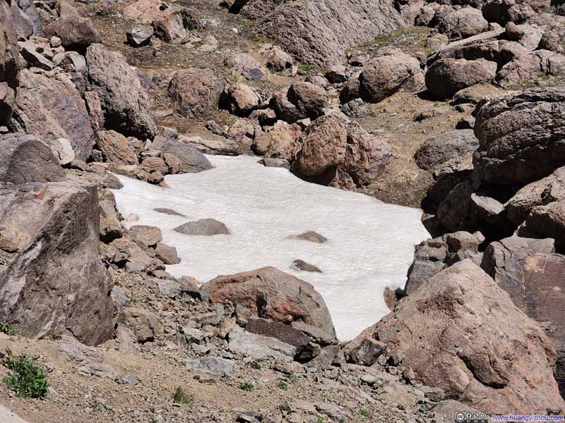
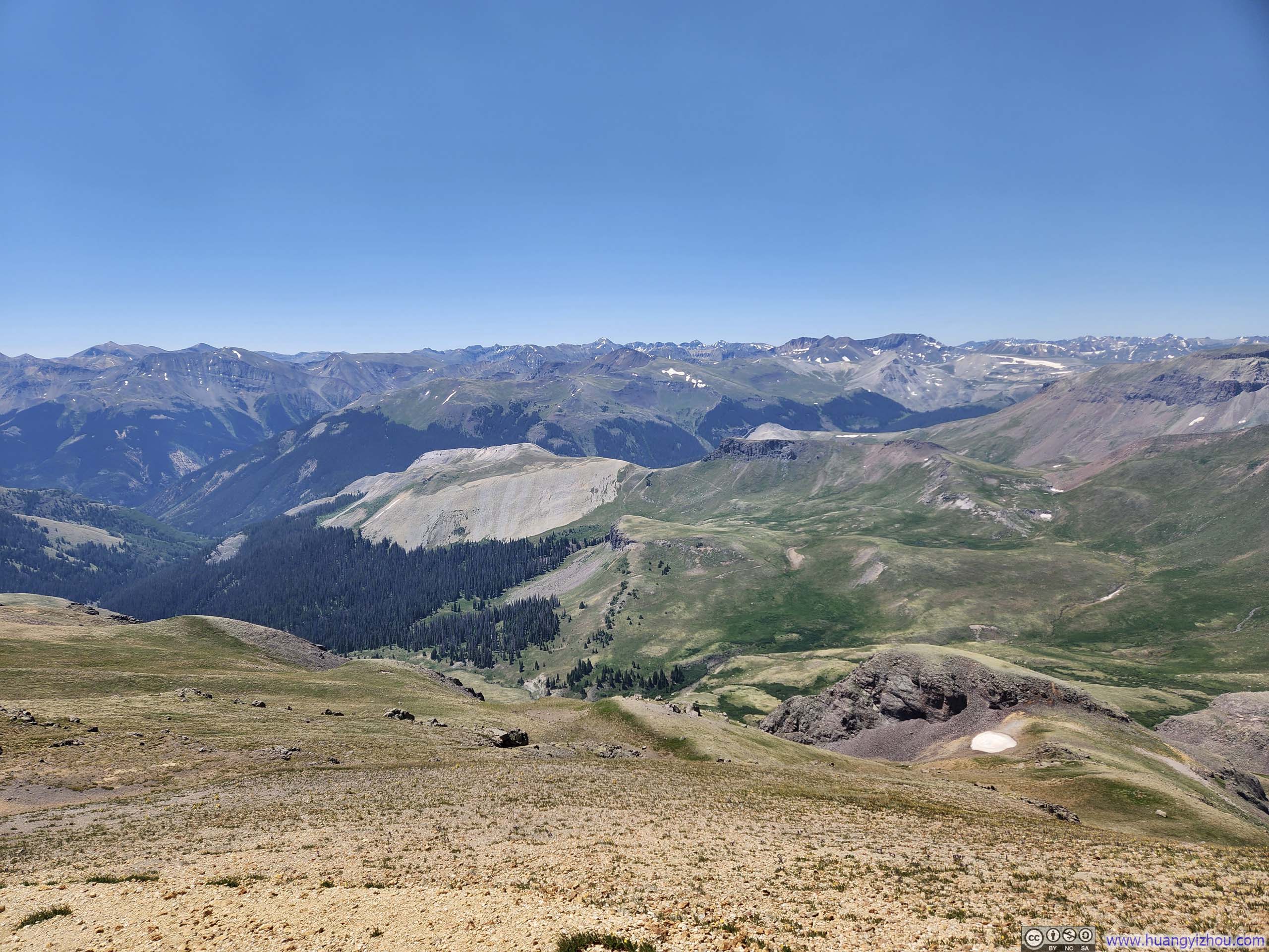
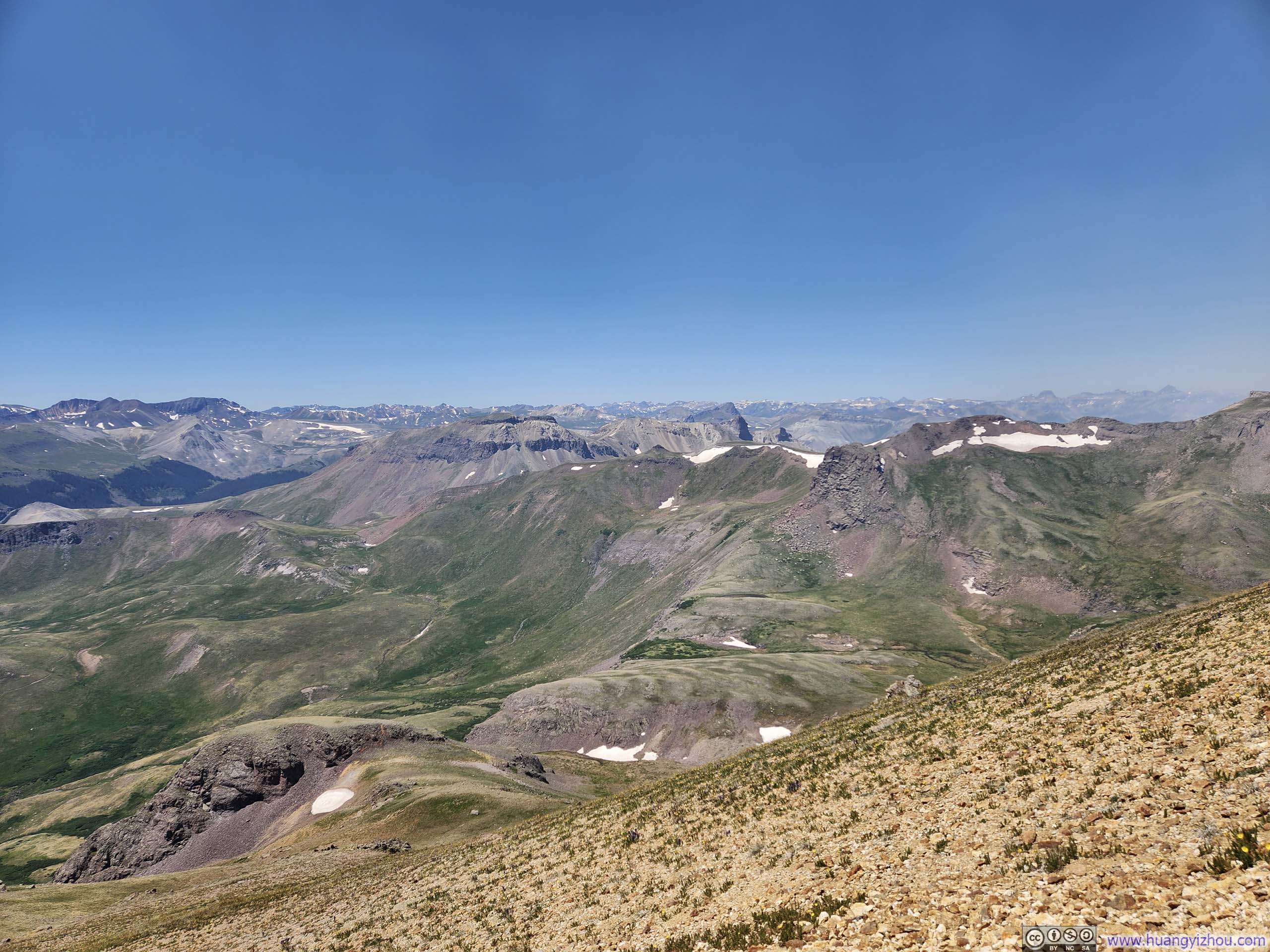
Unfortunately, approaching the homestretch of Wetterhorn Peak, I encountered the biggest spoiler of the day, and just like yesterday, it was the wind.
While yesterday it was the strong wind gusts that had sporadically halted my movement, today it was the direction of the wind. I knew Gold Mountain Fire had started north of Ouray just two days ago, and I could see its smoke from Uncompahgre Peak the previous day, knowing full well that Wetterhorn Peak stood at a distance of less than 14km (8.7mi) from the blaze. Nevertheless, I had trusted the forecast predicting southwest winds, which should have blown the smoke further to the north, leaving my hike to Wetterhorn Peak unaffected. Indeed, for the first two hours on the trail, that was precisely how conditions appeared.
However, fanned by high winds, the Gold Mountain Fire had expanded rapidly over the days. As today progressed, the winds likely shifted subtly westward, sending wildfire smoke directly toward Wetterhorn Peak. This caught me completely off guard as I neared Wetterhorn Peak and noticed occasional ashes falling amid the choking air, far from the ideal alpine experience.
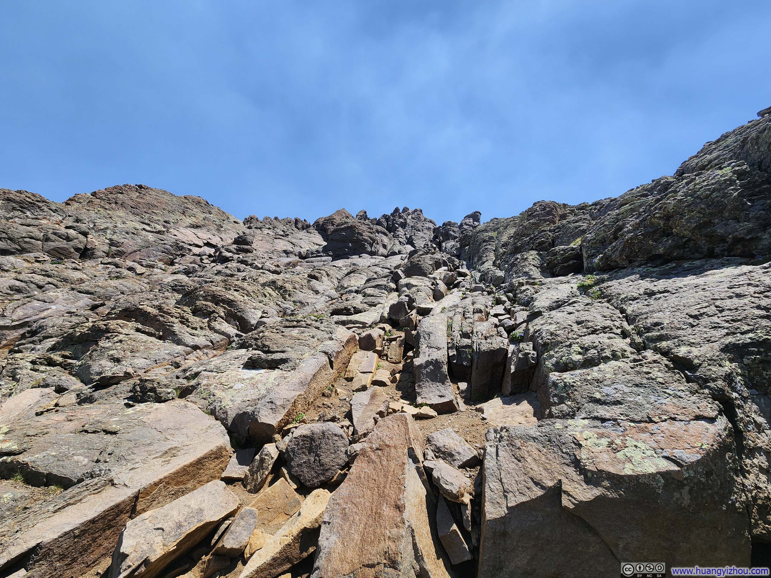
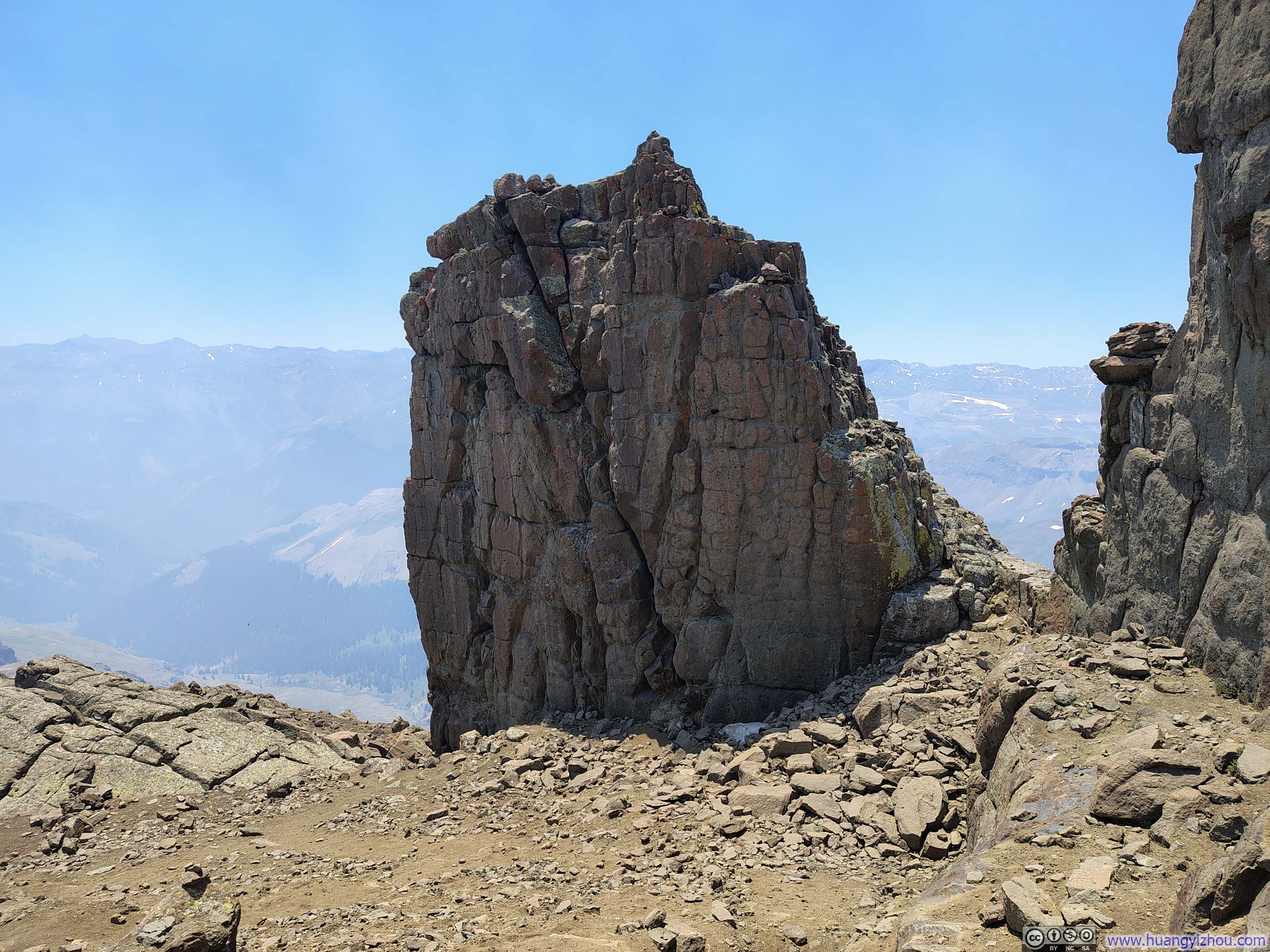
At this point, I was under the impression that I was too close to the summit to give up, so I resolved to continue upward, minimizing pauses as much as possible. The final stretch before Wetterhorn's summit involved YDS Class 3 scrambling; with solid rock conditions and minimal exposure, it should have been an exhilarating experience, had the wildfire smoke not thoroughly stripped away the joy, leaving me solely focused on finishing as soon and efficiently as possible.
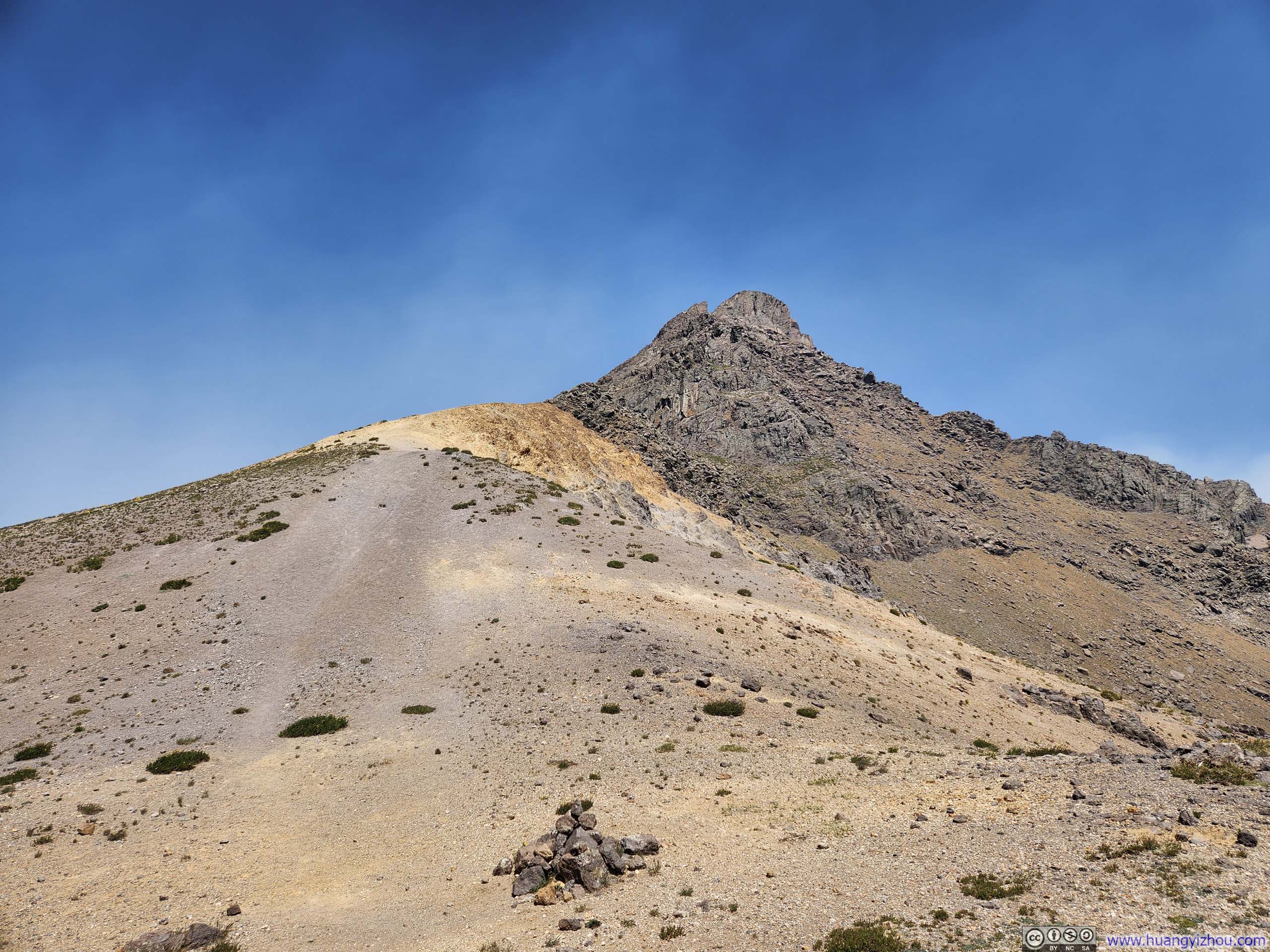
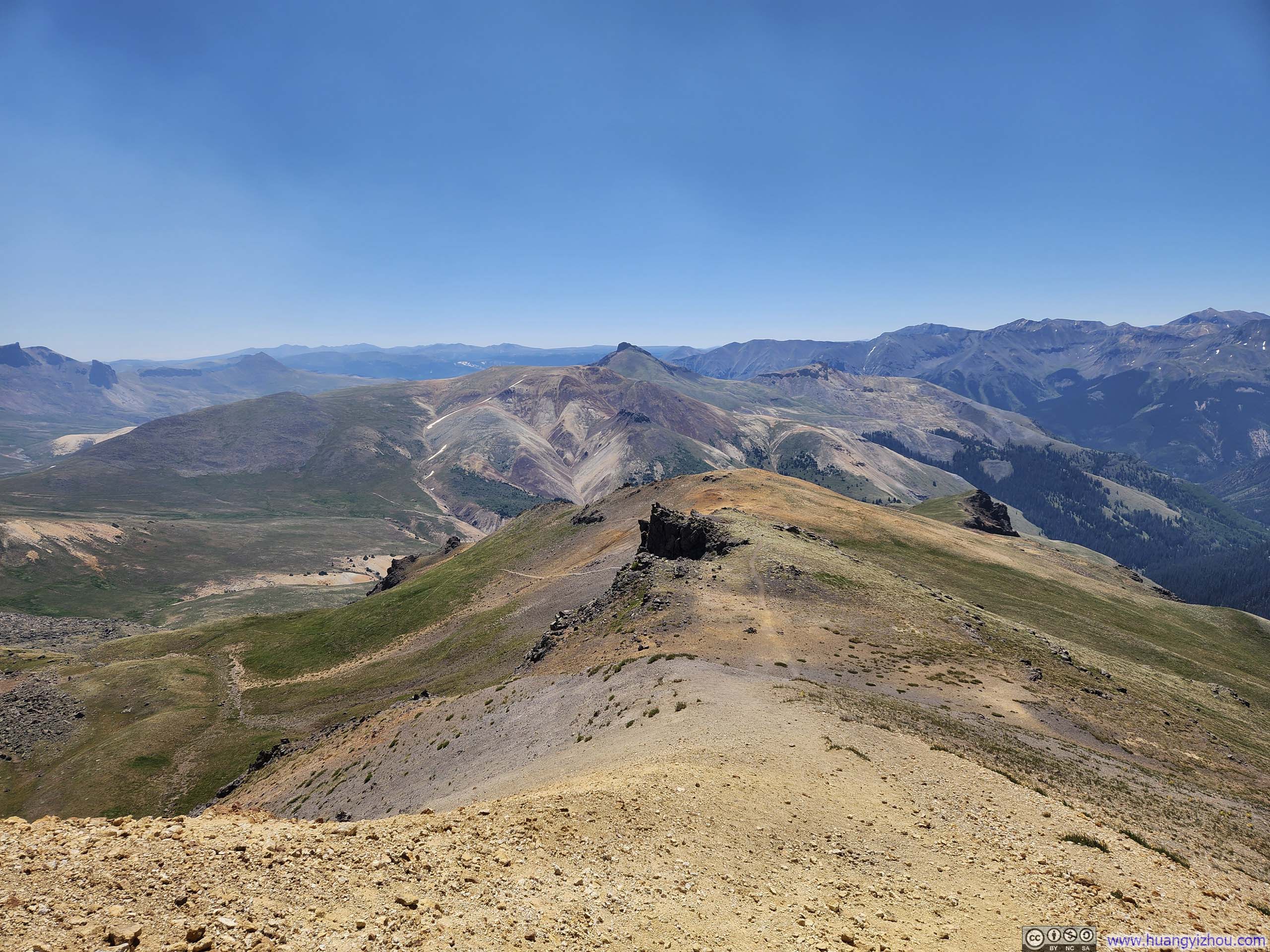
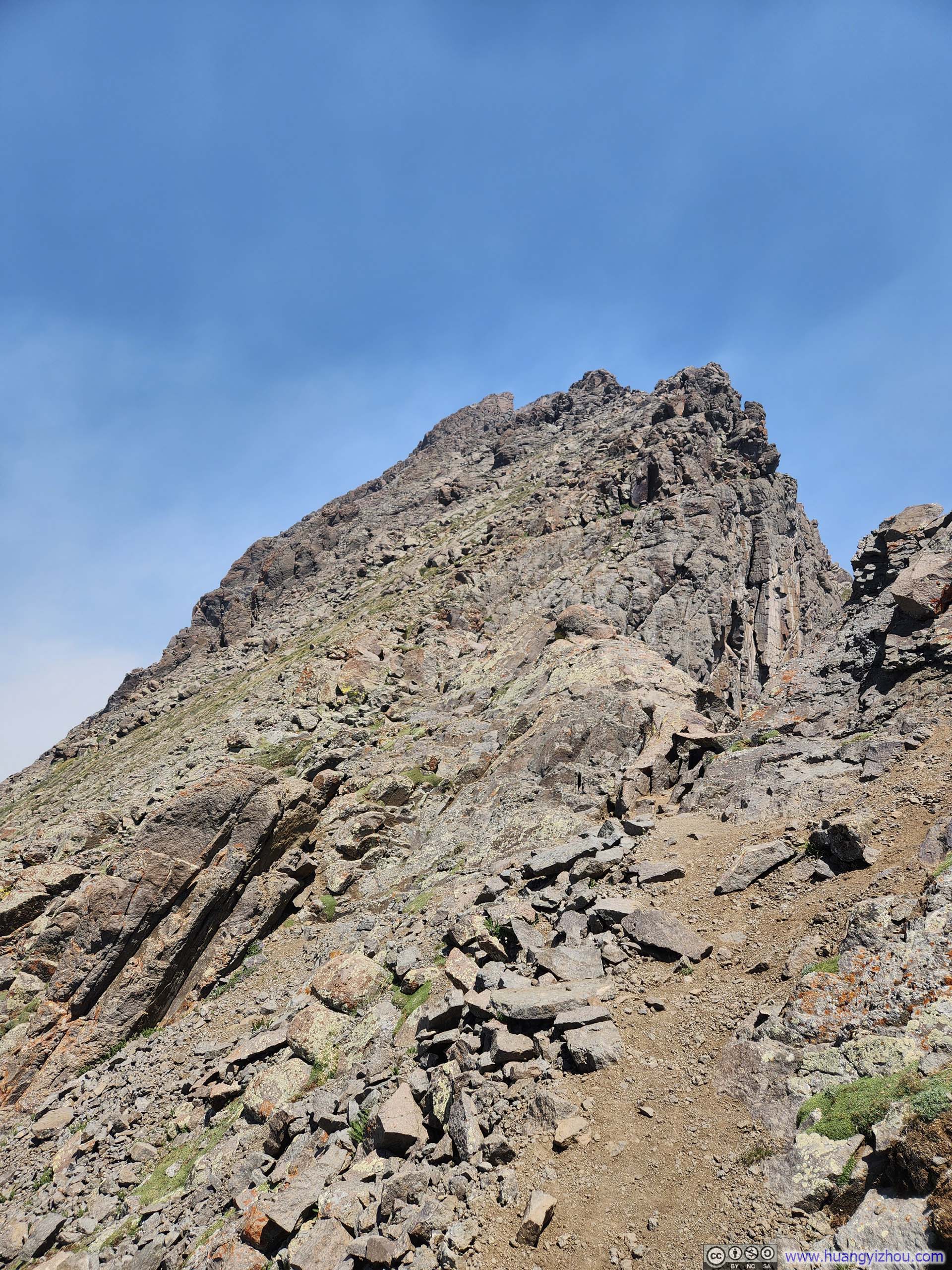
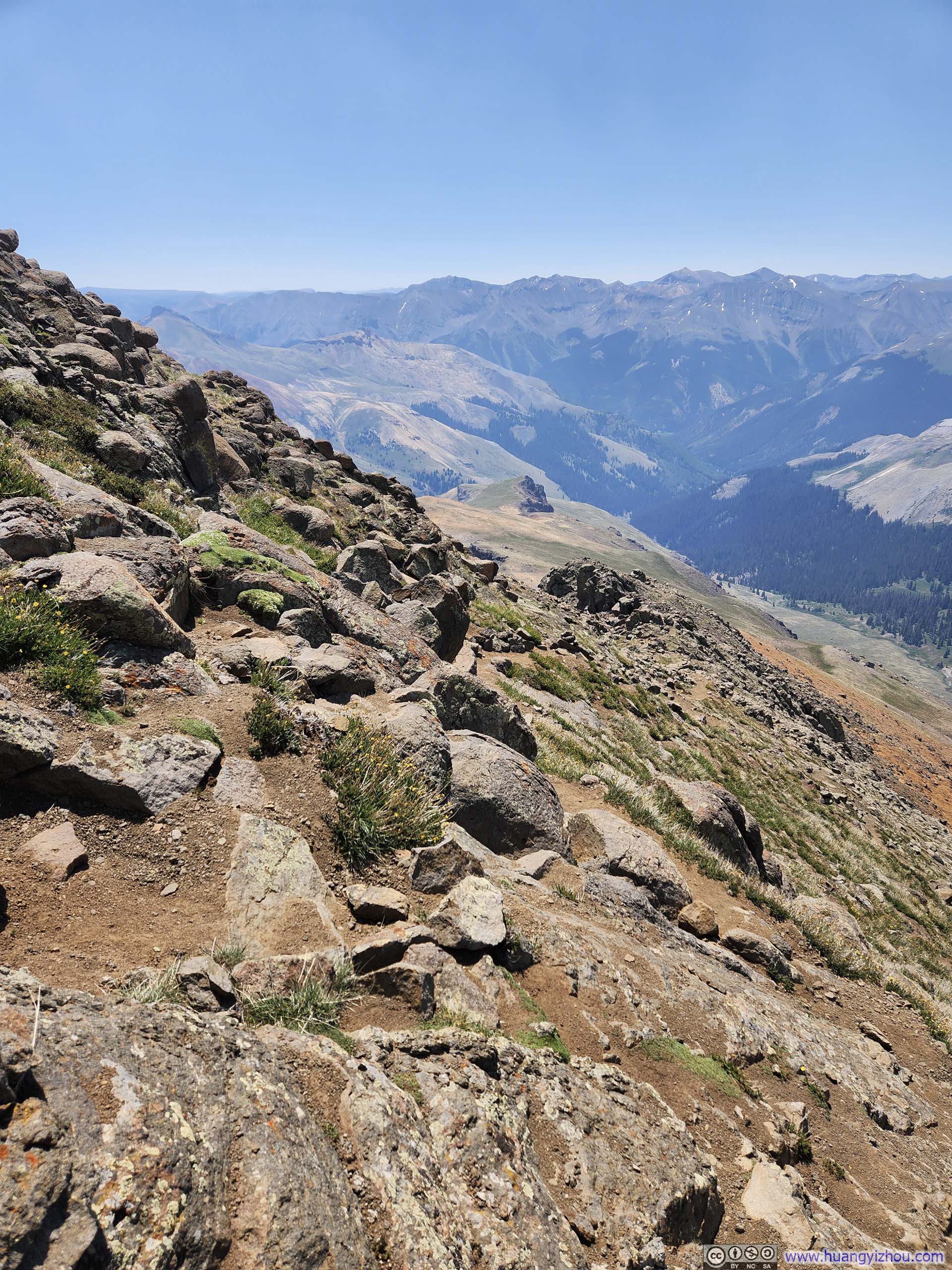
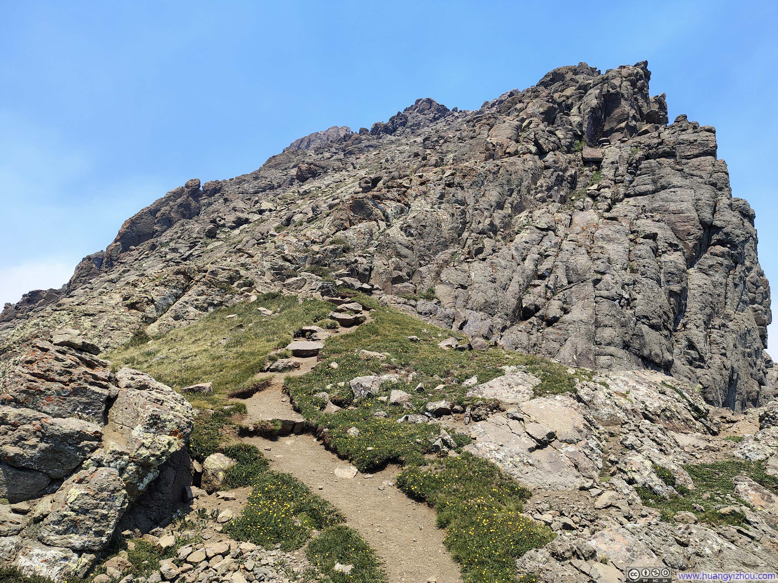
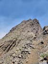
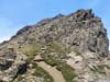
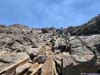
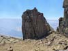
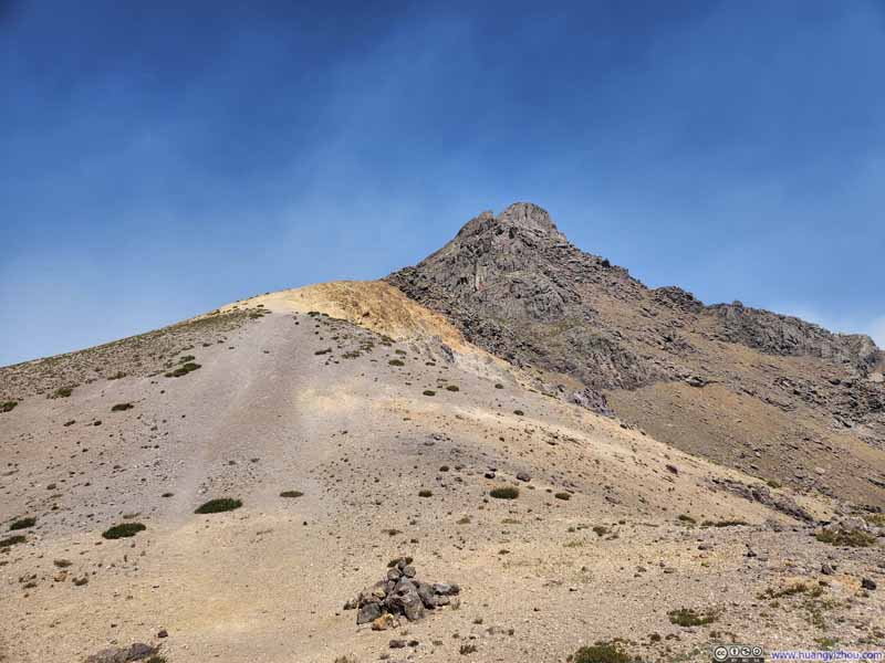
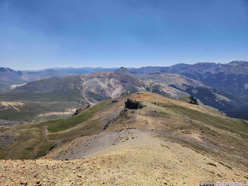
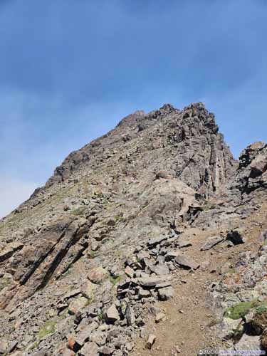
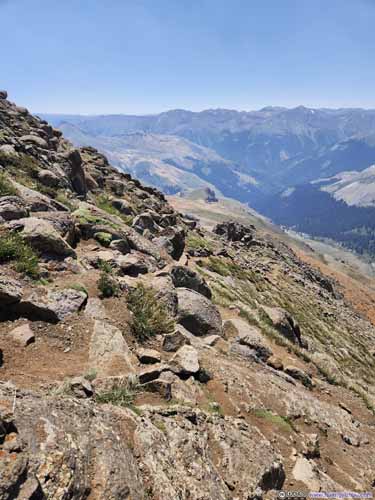
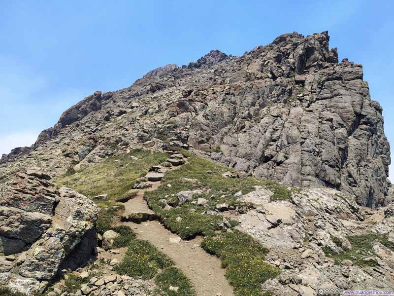
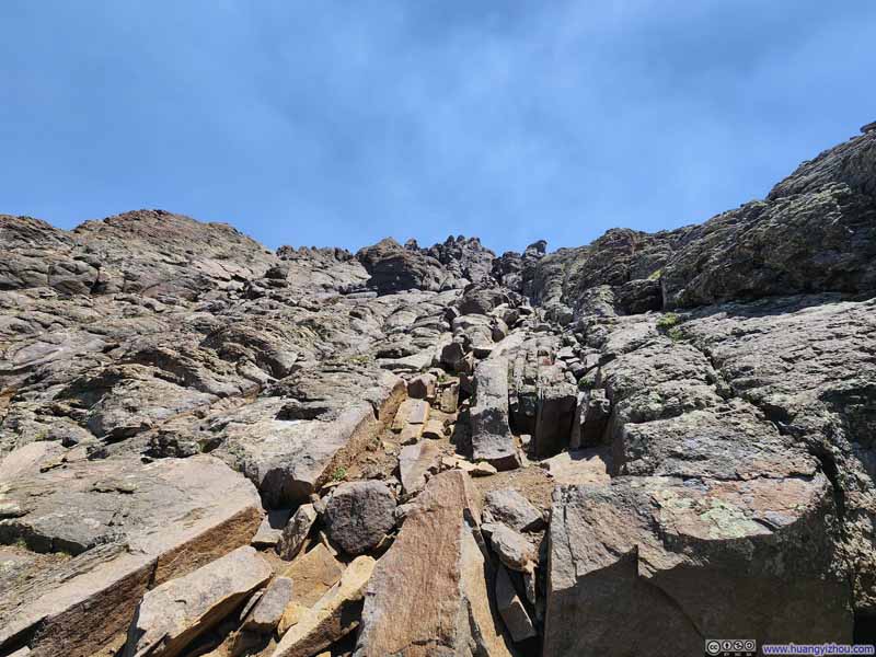
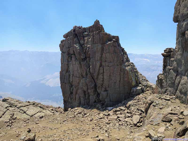
Here's the footage from my helmet-mounted camera capturing the entire scrambling section on Wetterhorn Peak:
As for the route, midway through the scramble was a very distinctive rock formation known as the "Prow" (p6 above, p3 below). Before reaching this landmark, the surface contained some small, loose rocks and scree, requiring minimal route-finding (I eventually took different routes for ascent and descent, at 2:30 and 35:40 in the video above), though exposure remained limited. Beyond the "Prow," the rock surfaces were solid, but relatively more exposed, though it remained entirely manageable and safe.
In the end, I reached the summit of Wetterhorn Peak at 12:10pm . Heavy smoke obscured the views to such a degree that even my best post-processing efforts could scarcely salvage them. Fortunately, as I consoled myself, the views here should be similar to that from the nearby Uncompahgre Peak, which I had climbed the previous day. Disappointed, I began my descent after spending a mere 5 minutes at the top, after capturing only a few photos and the following video:
11 seconds, 2160p60, H265 only, 20Mbps/30MB file size.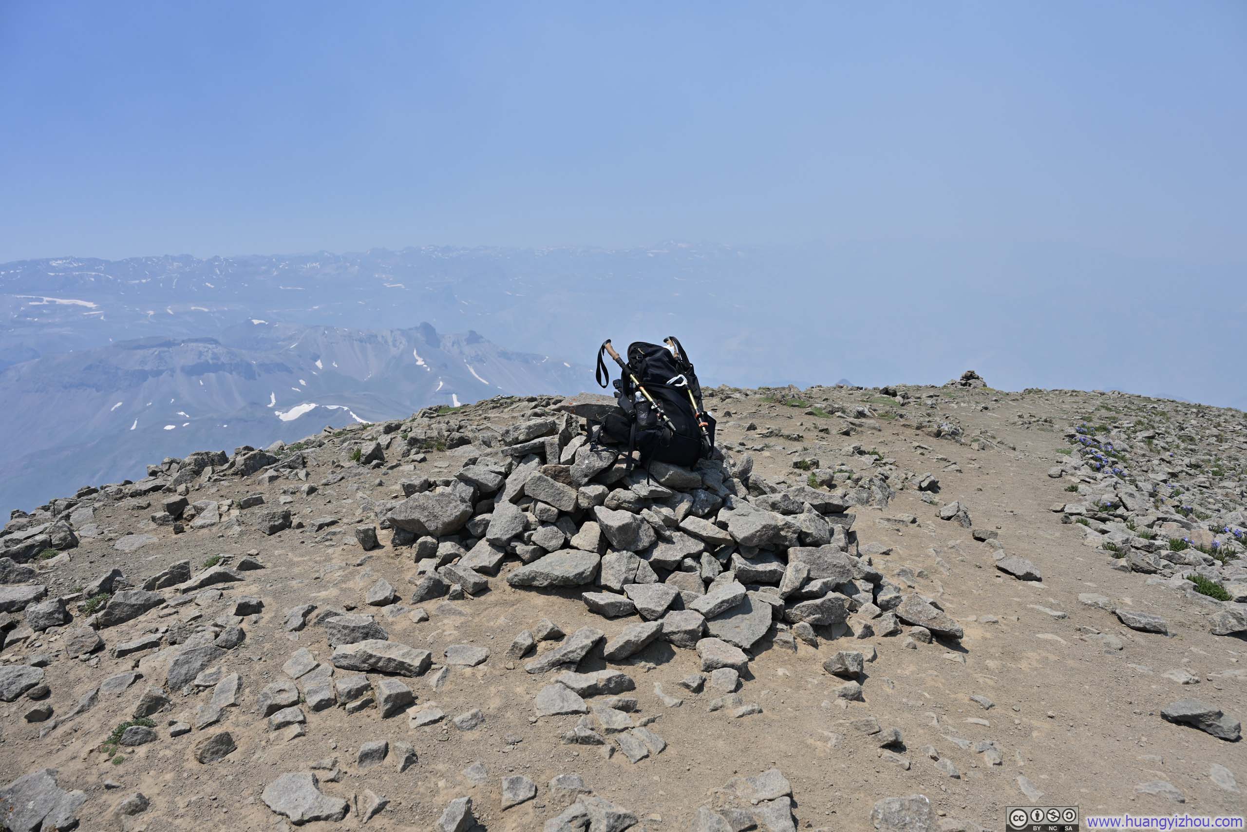
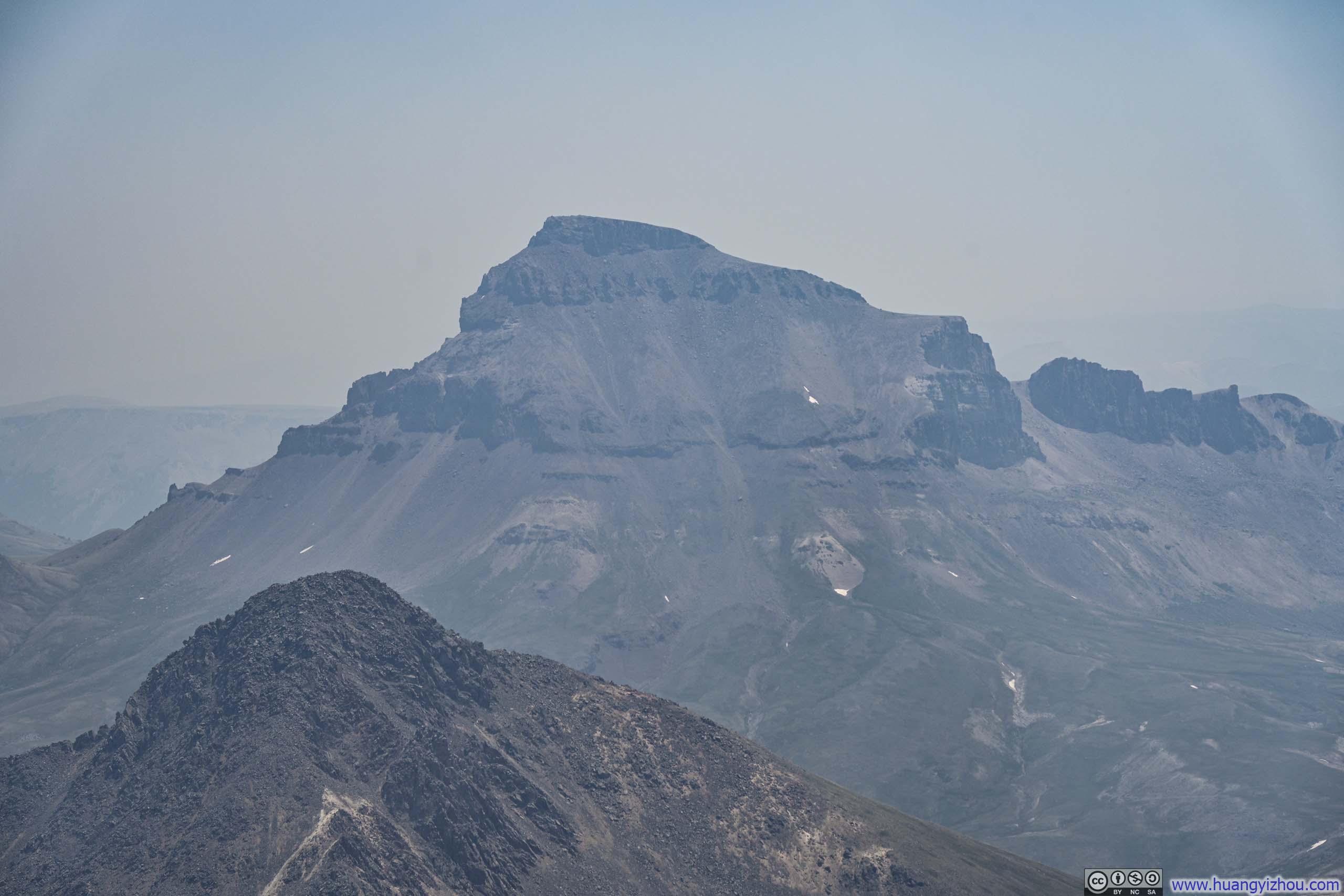
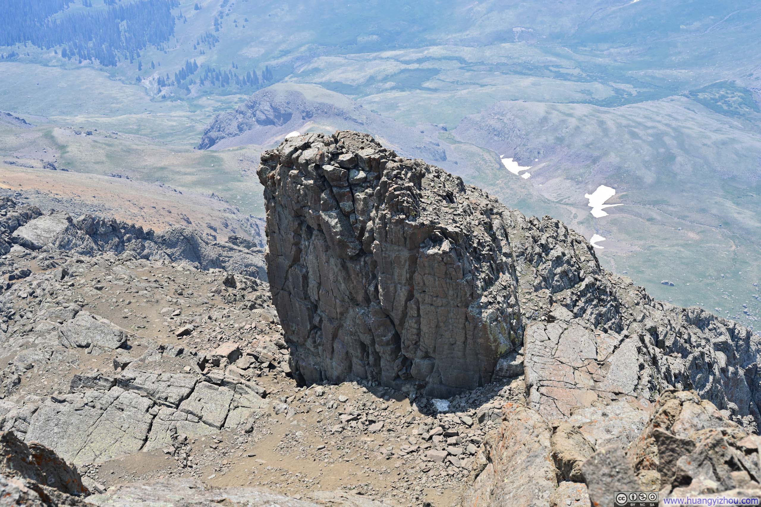
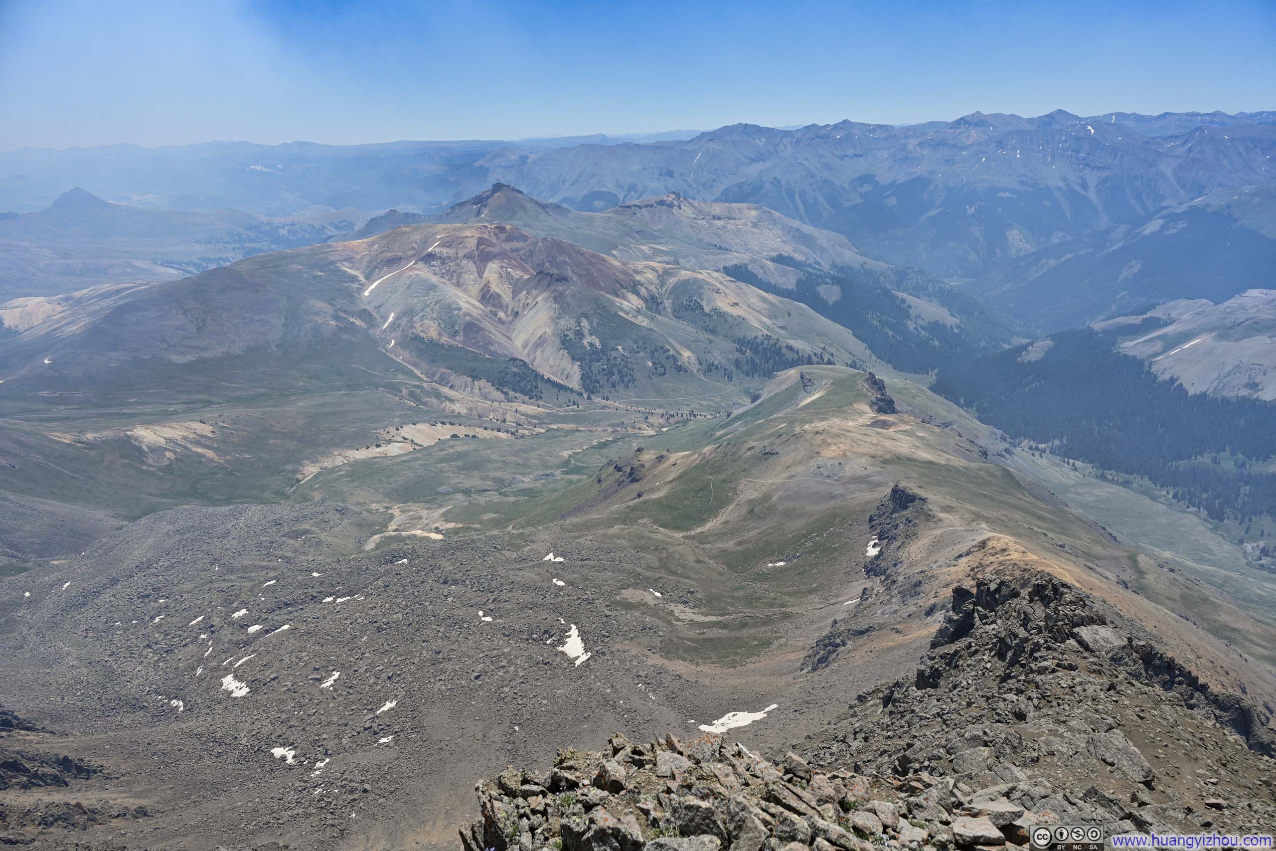

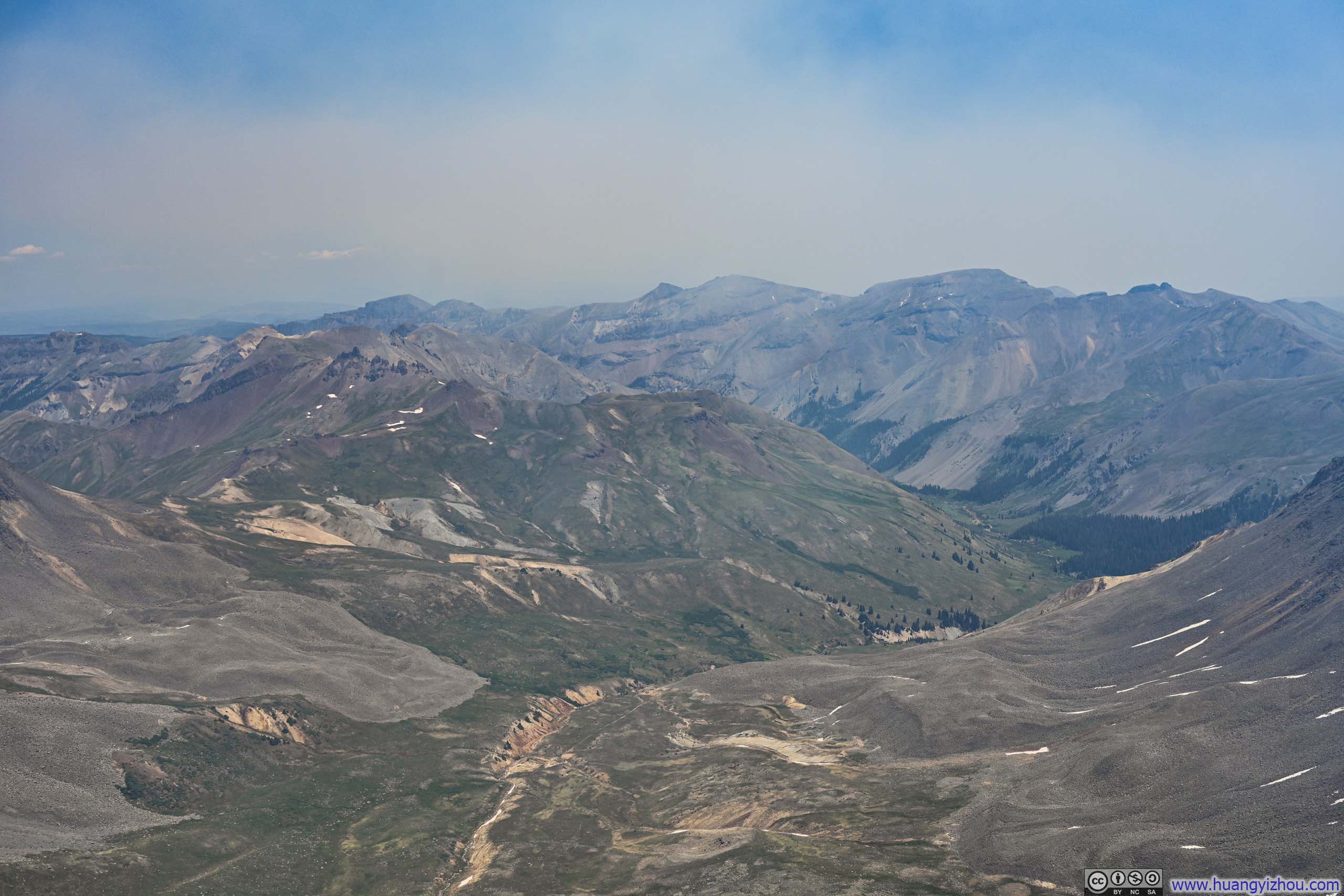
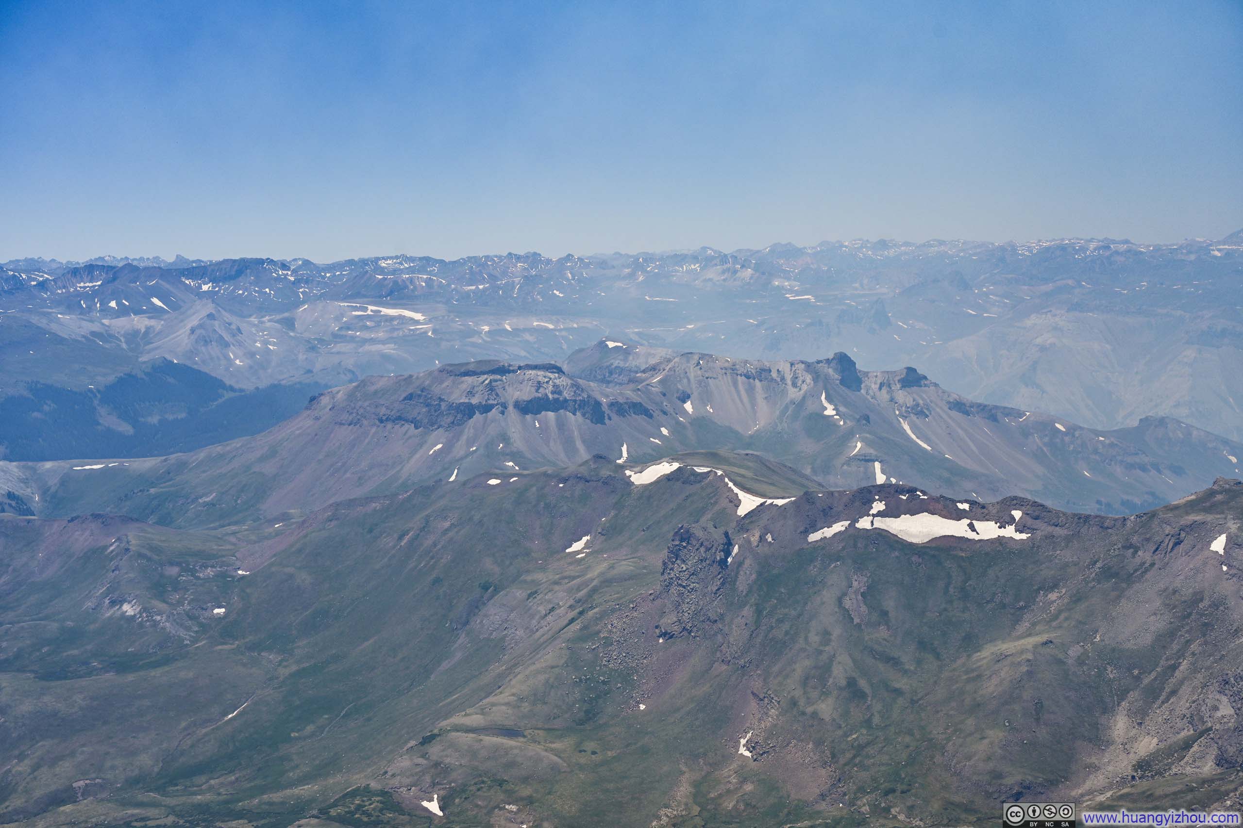
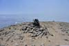
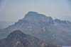
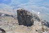
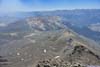
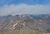
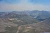
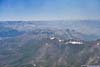
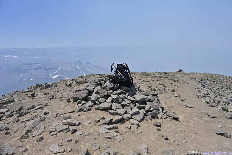
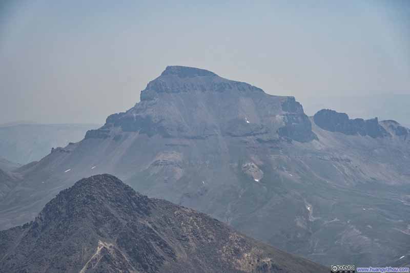
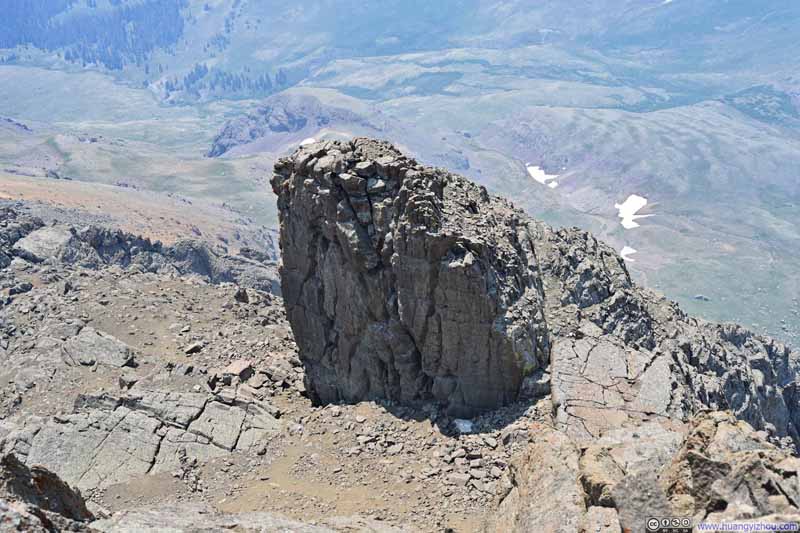
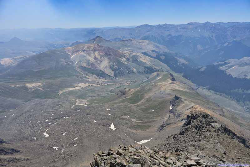
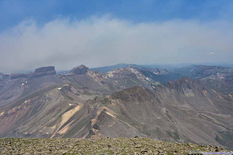
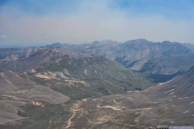
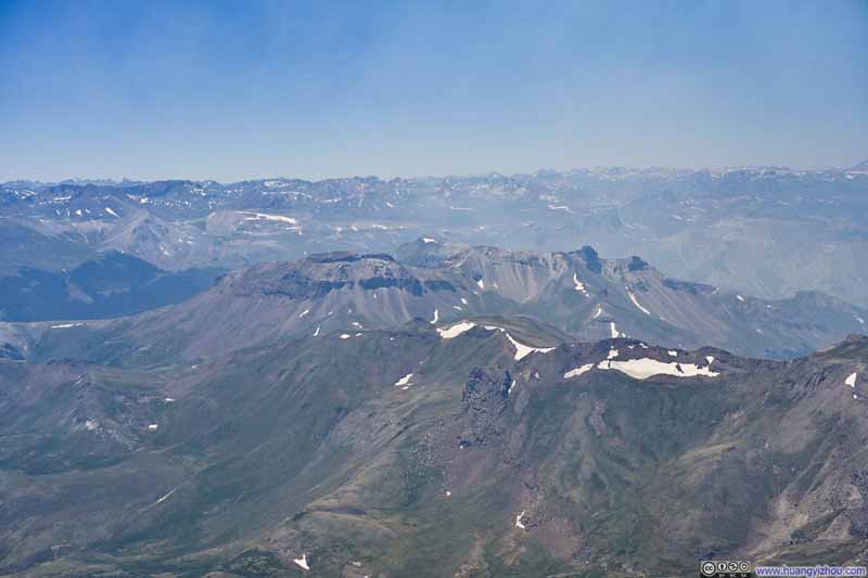
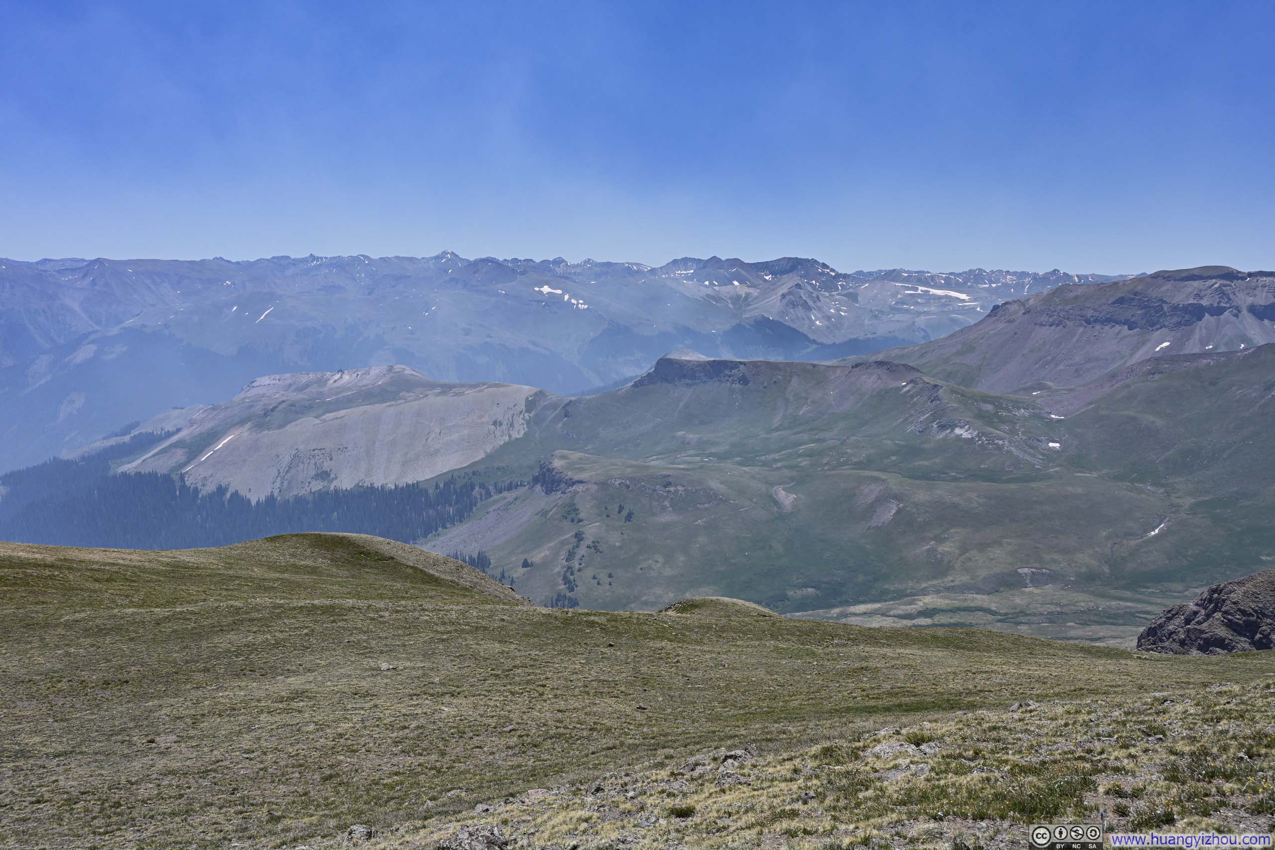
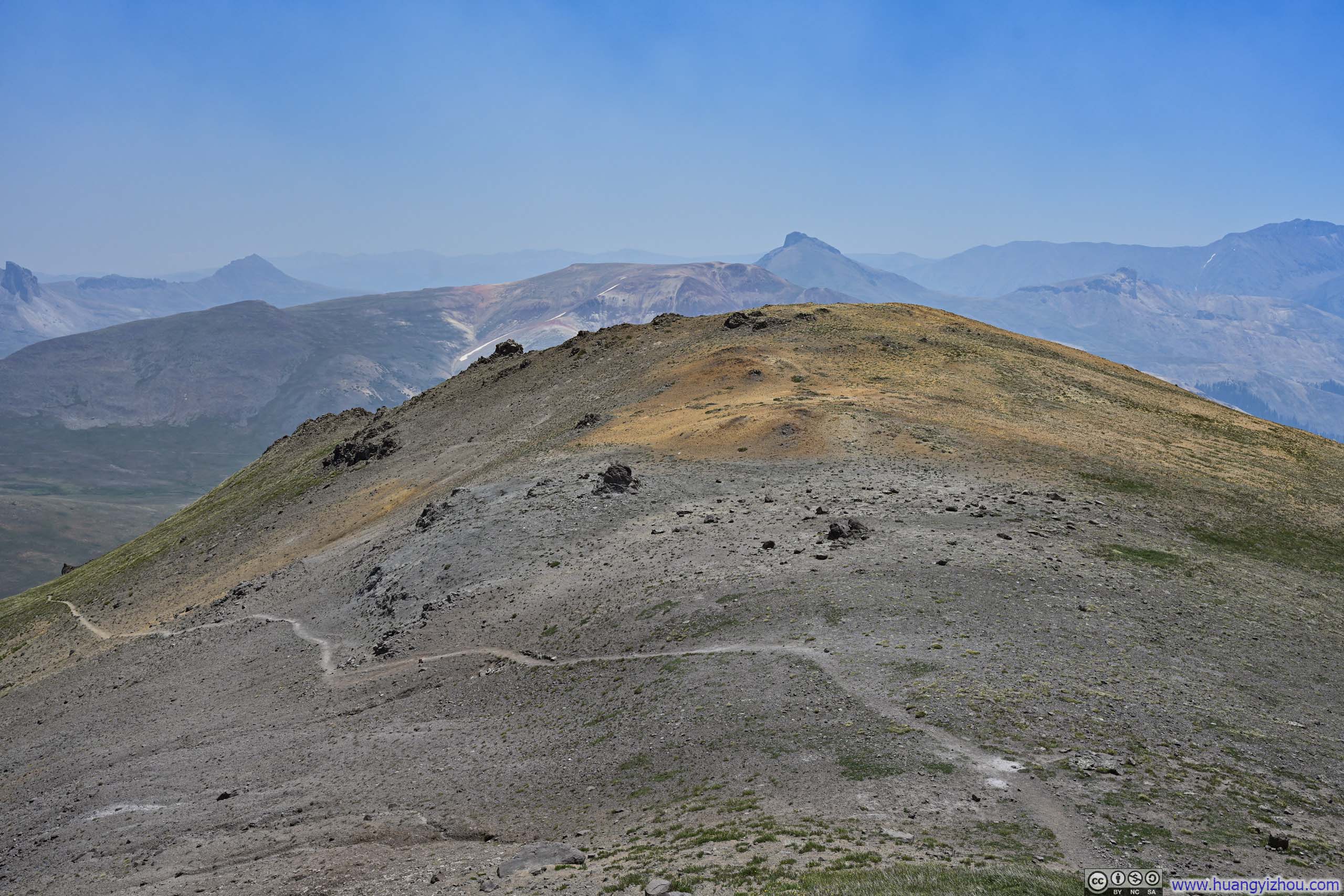
The smoke only seemed to intensify on my descent, marring the scenery at the higher elevations.
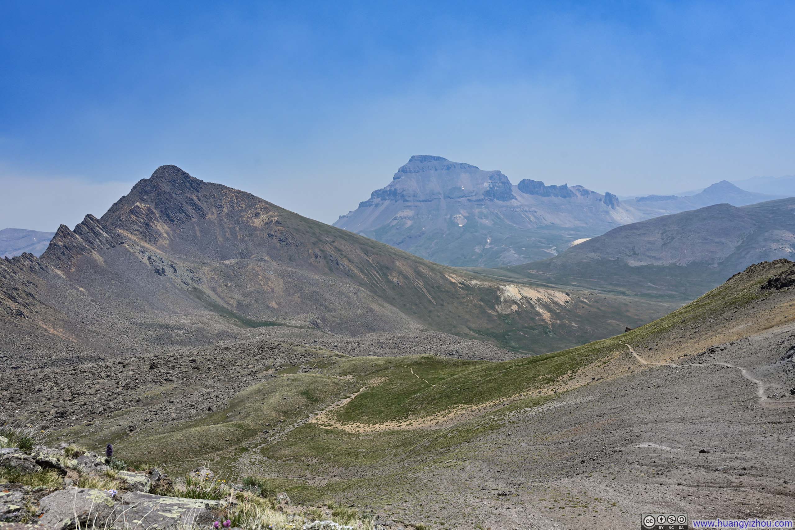
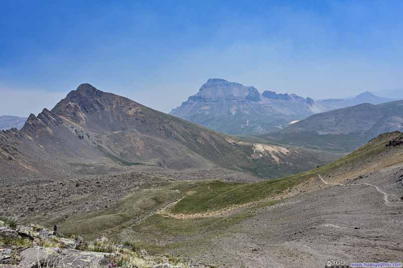
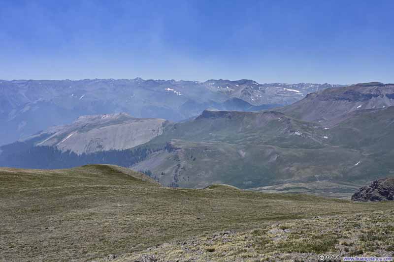
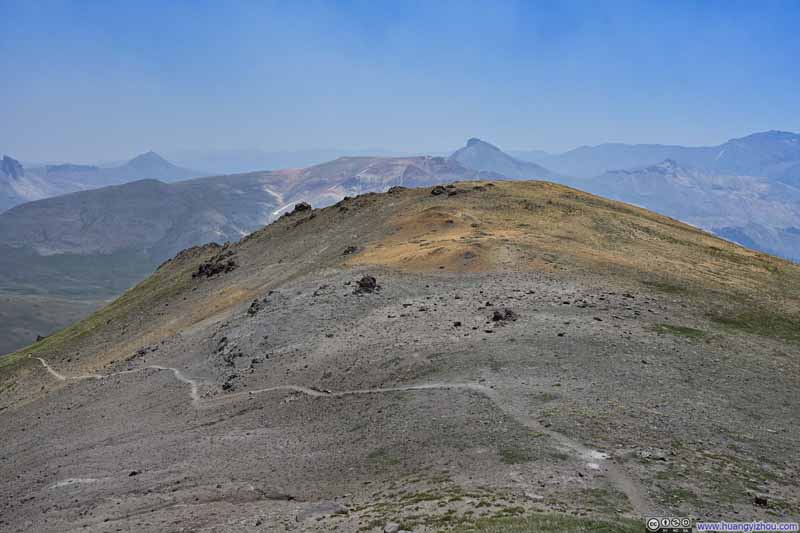
Further towards the trailhead, I finally escaped the smoke's dominion and started breathing fresh air again. Yet the wildfire smoke remained a daunting spectacle, towering over the ridgeline connecting Wetterhorn and Matterhorn as if testing this natural rampart, ready to consume whatever lay beyond. It made for a dramatic, albeit somewhat saddening, backdrop to conclude the journey.
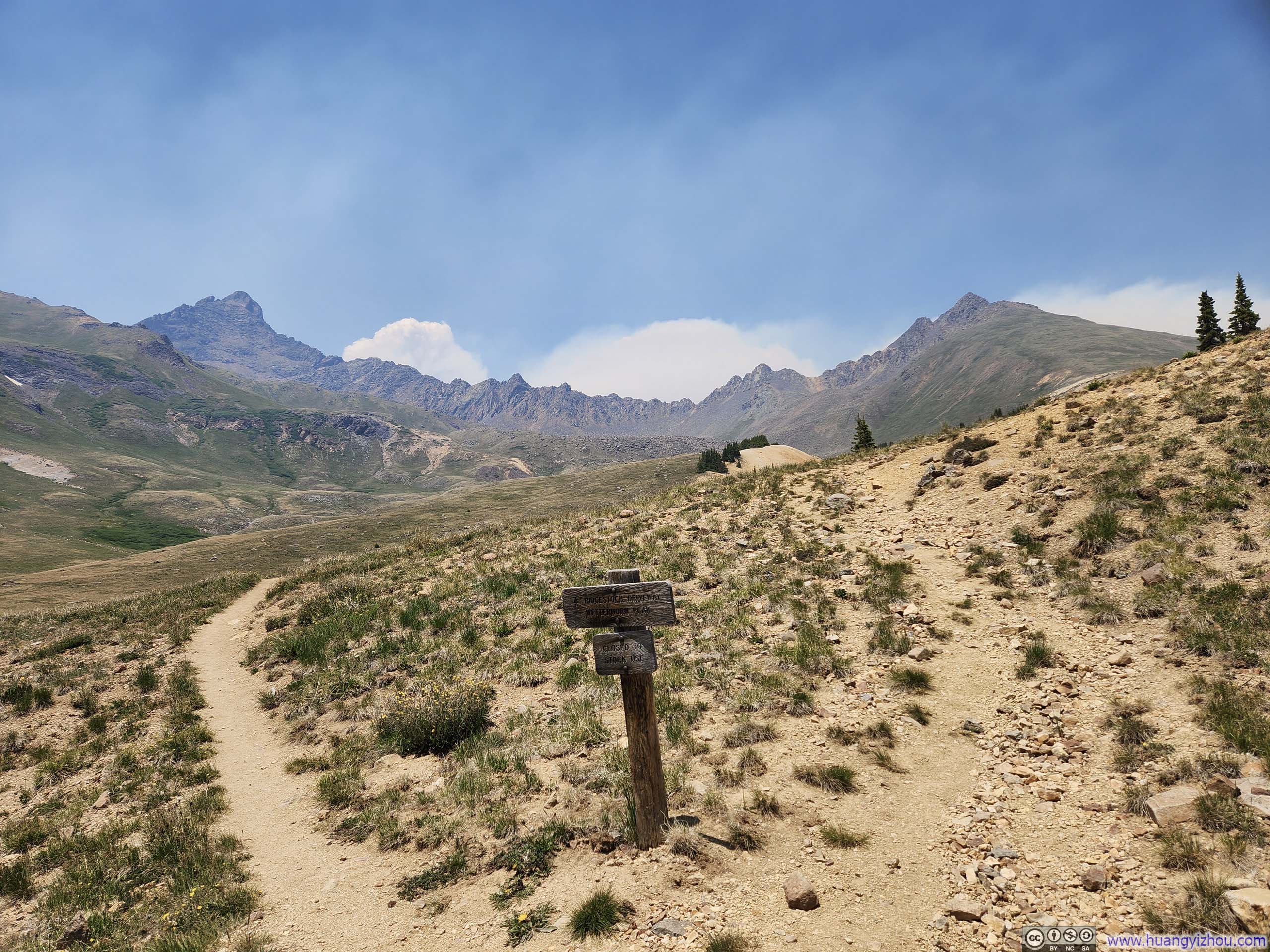
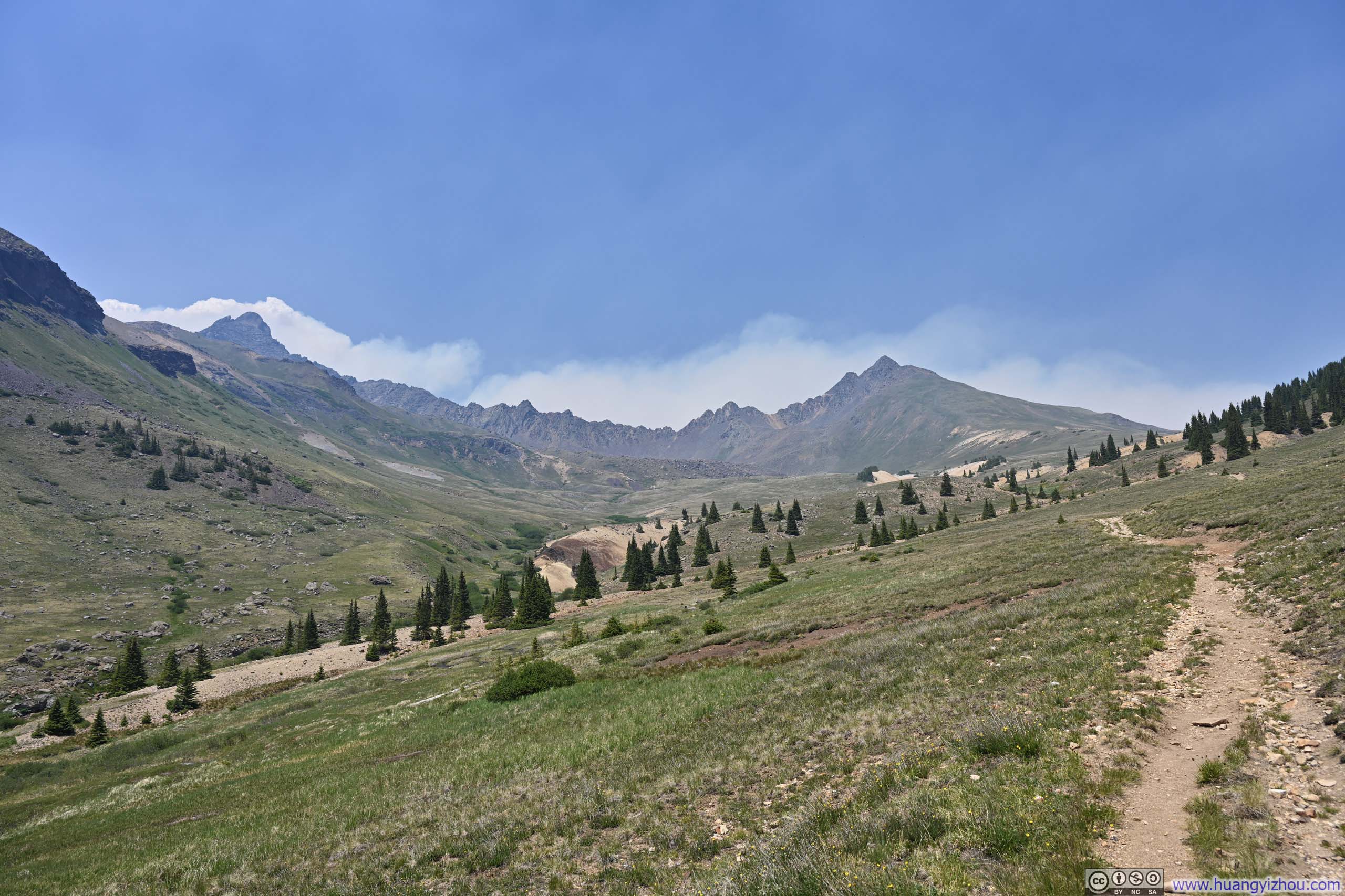
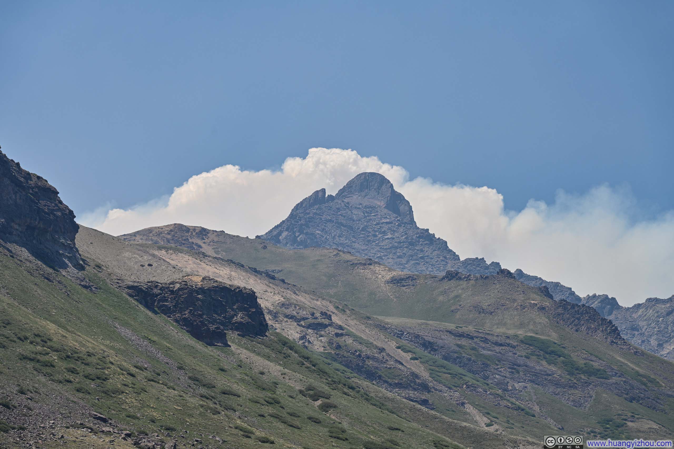
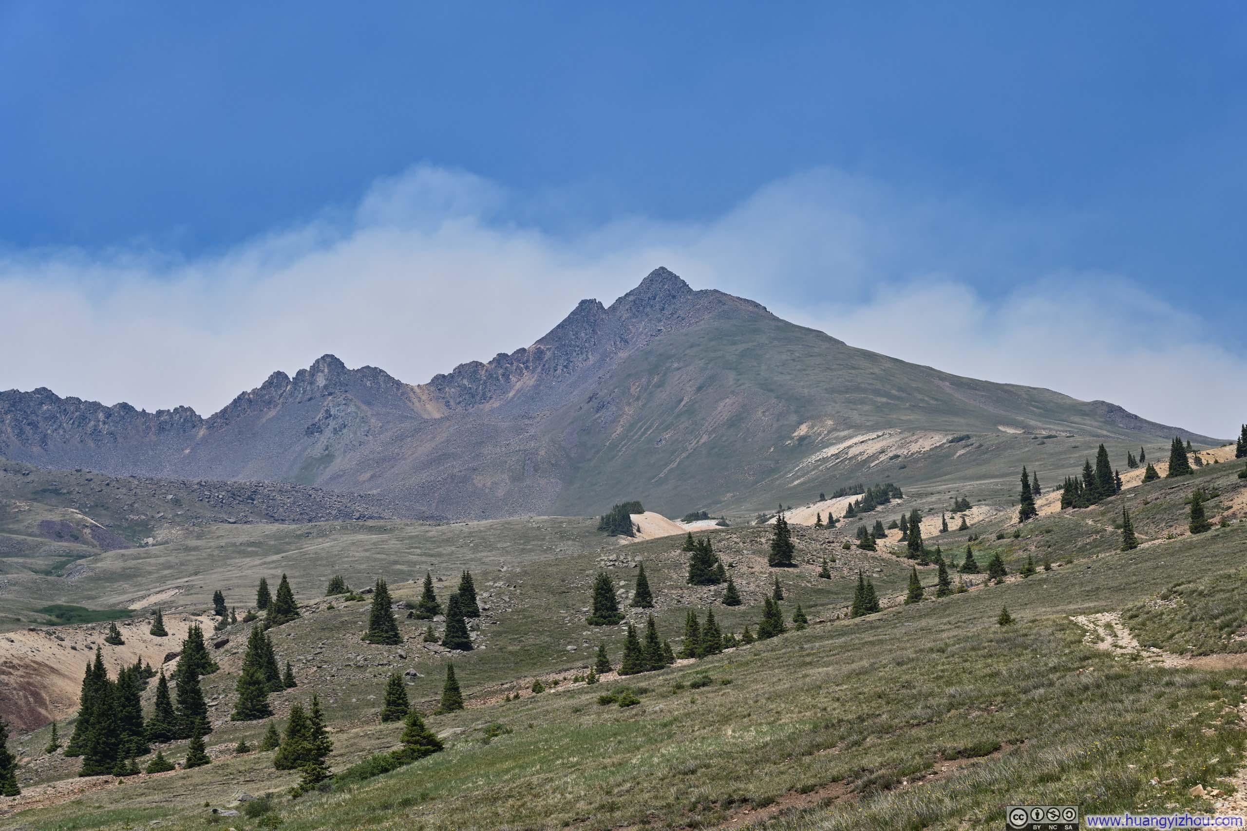
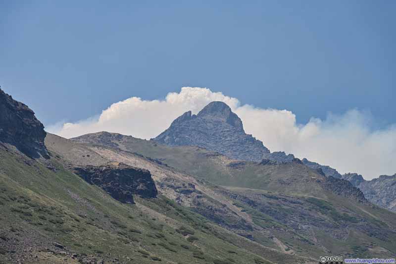
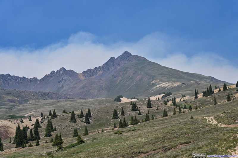
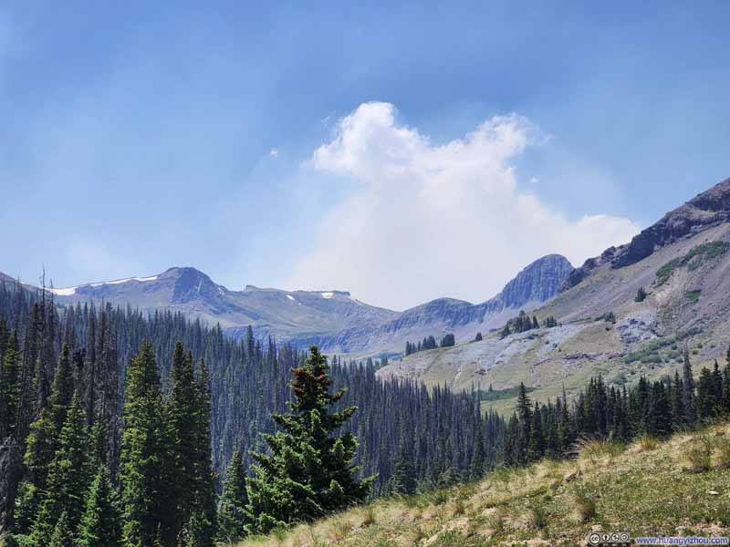
In the end, I got back to my car at 2:36pm. Since it was still early in the day, on my way back to Lake City, I made multiple stops to take in both the scenery and the area's rich mining history.
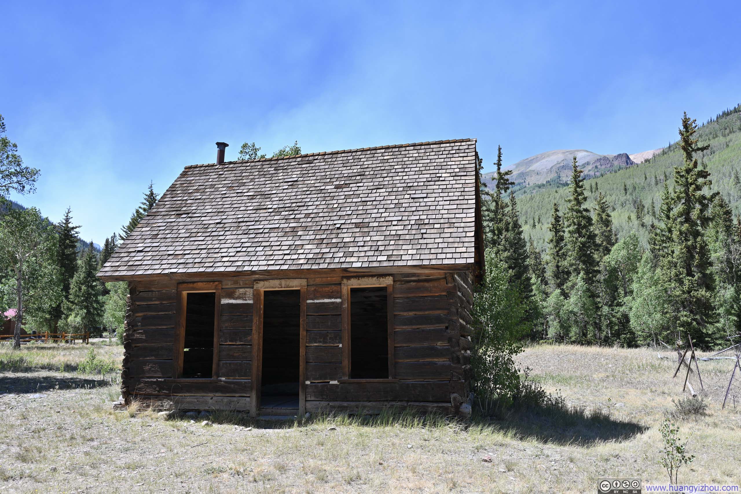
My first stop was the remains of Capitol City, a settlement founded by George Lee to support silver mining nearby. It bore its ambitious name because Lee had hoped it would one day serve as the capital of Colorado. Unfortunately, his ventures became insolvent only a few years after the town's founding, which ultimately led to its demise. Today, a handful of modern alpine villas and historic wooden cabins occupy this otherwise empty stretch of land, scattered remnants of a dream that never quite materialized.
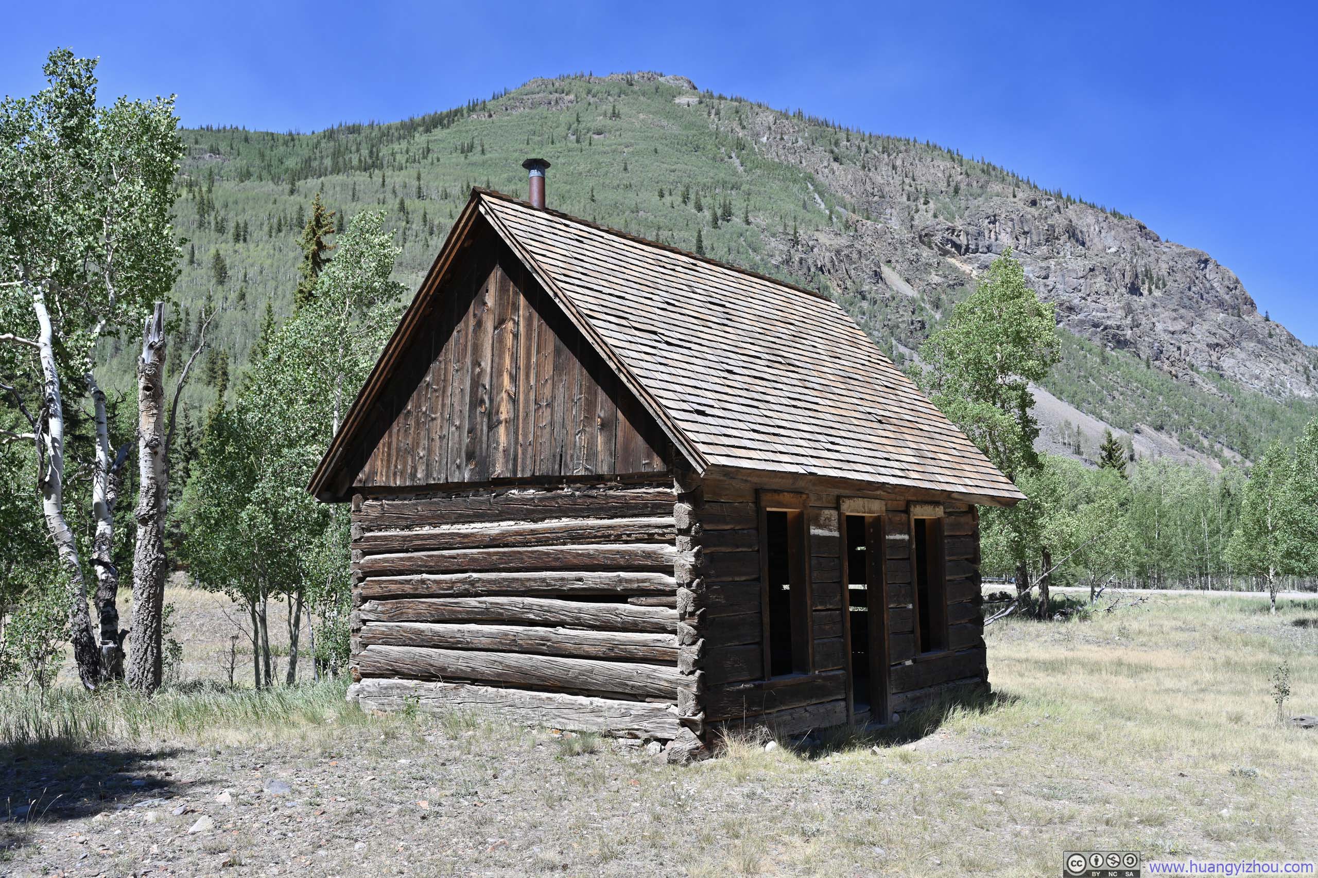
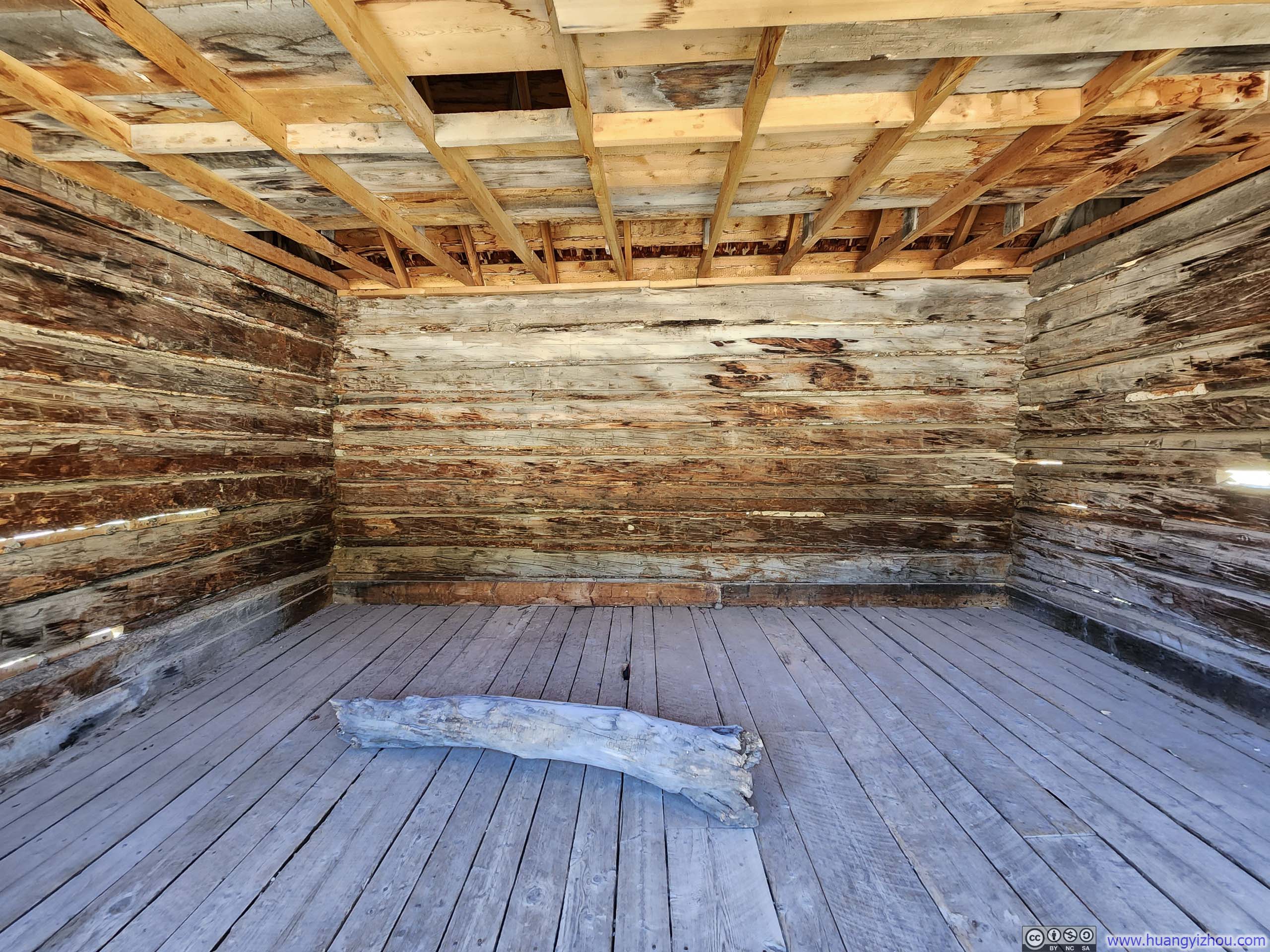
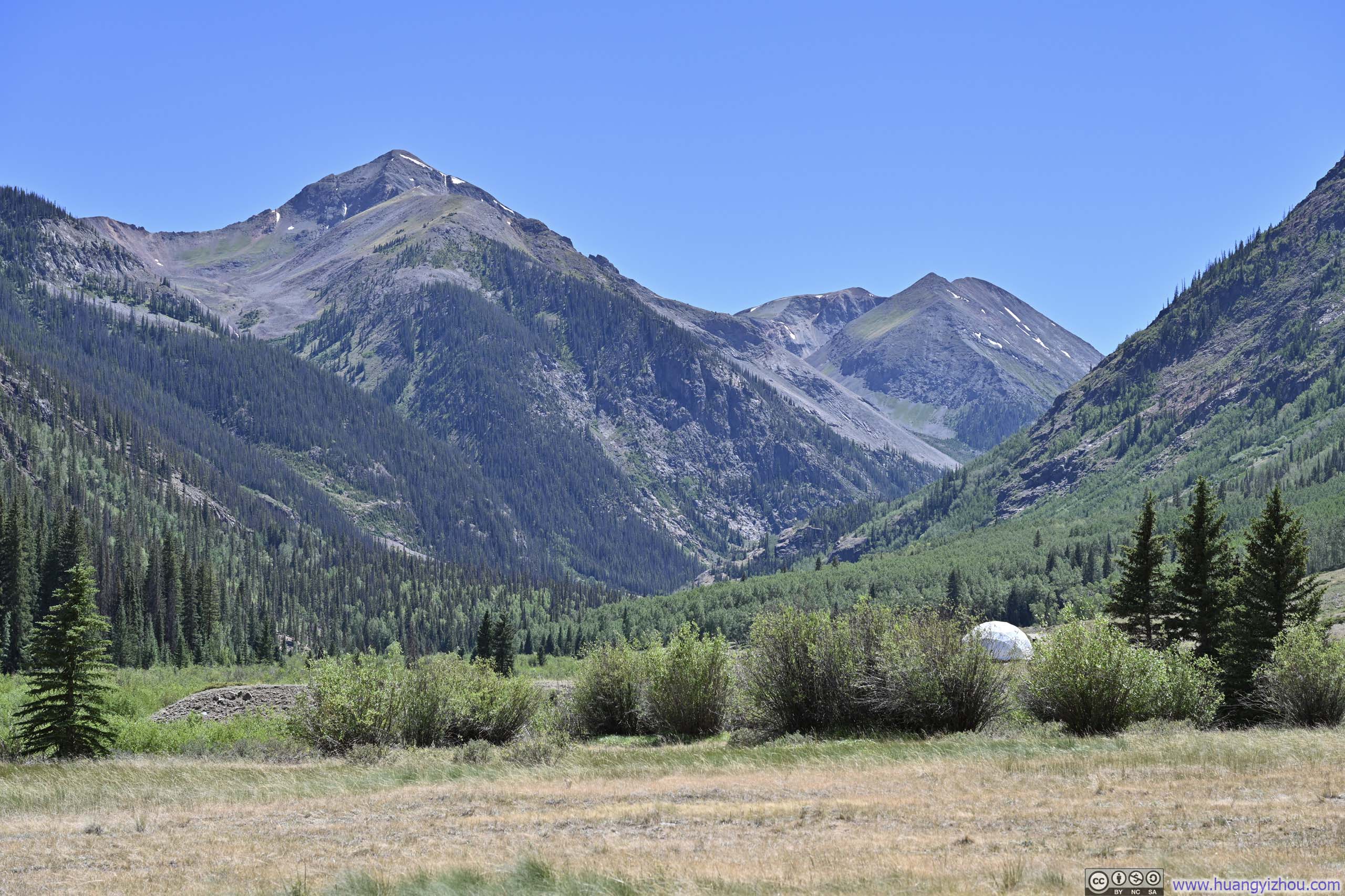
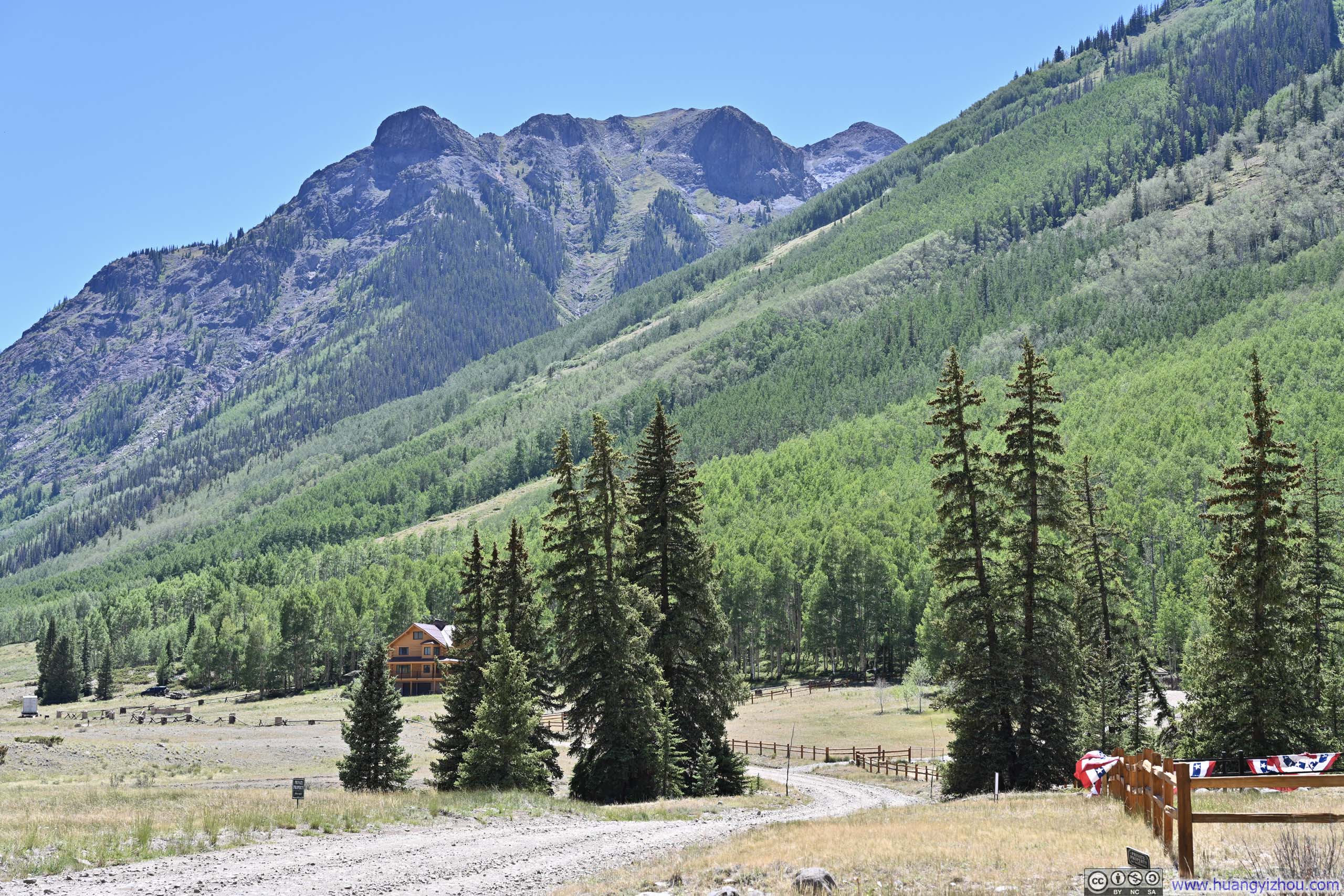
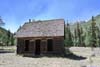
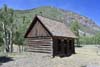
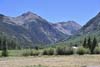
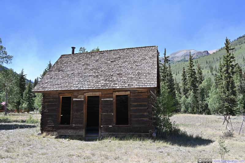
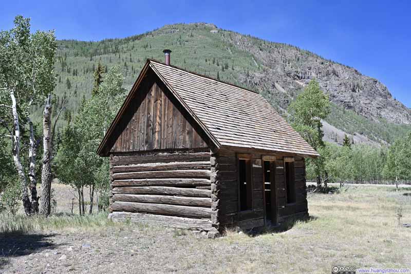
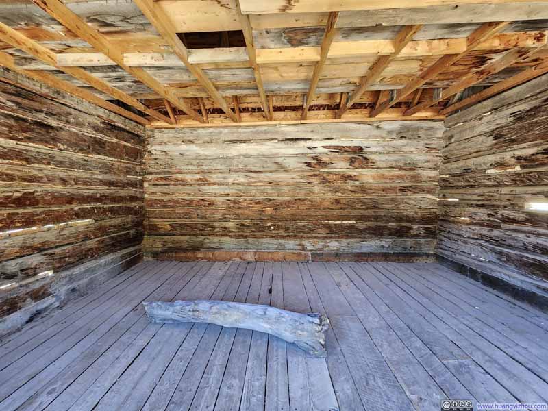
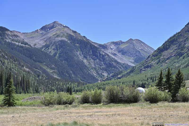
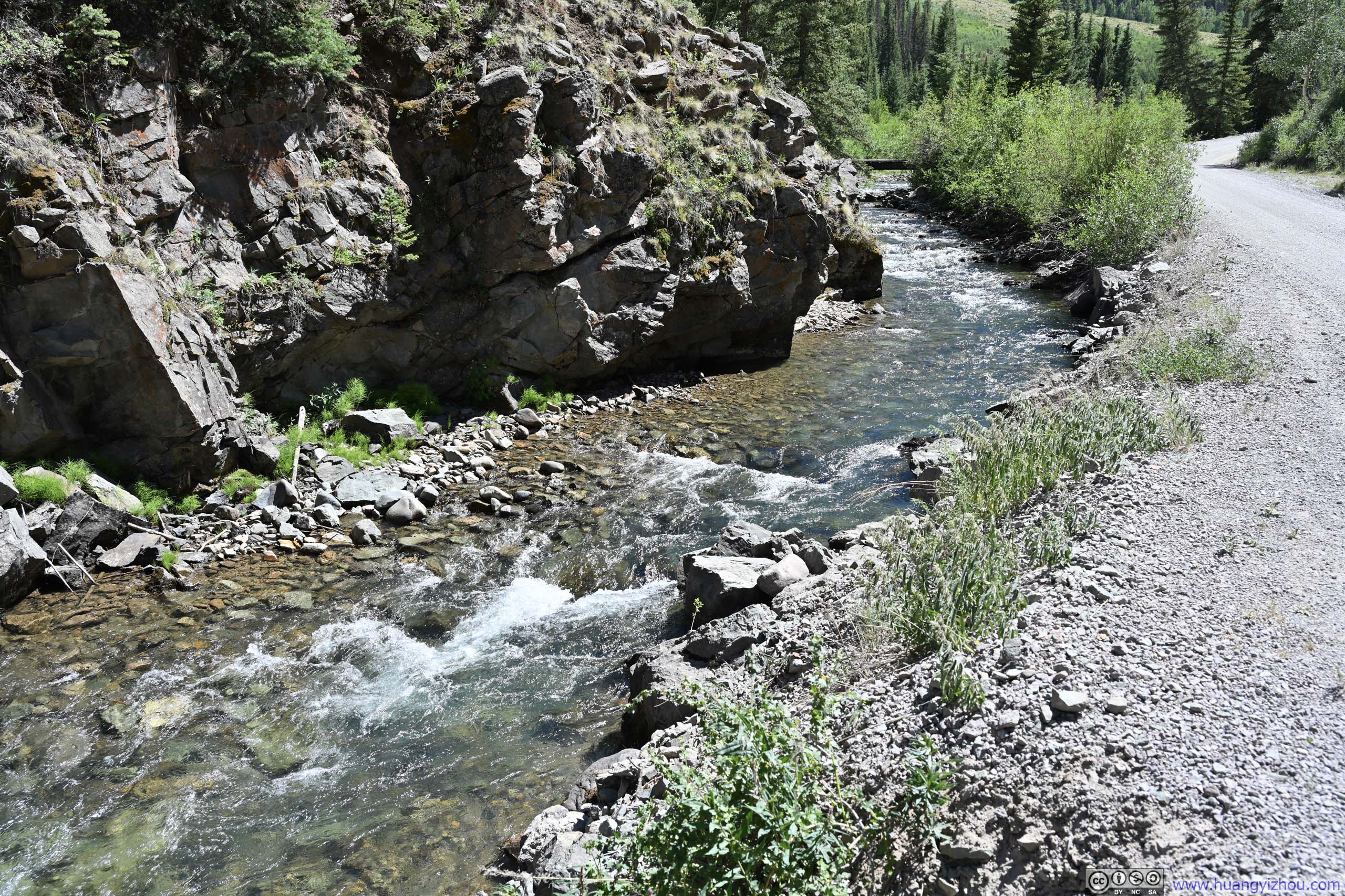
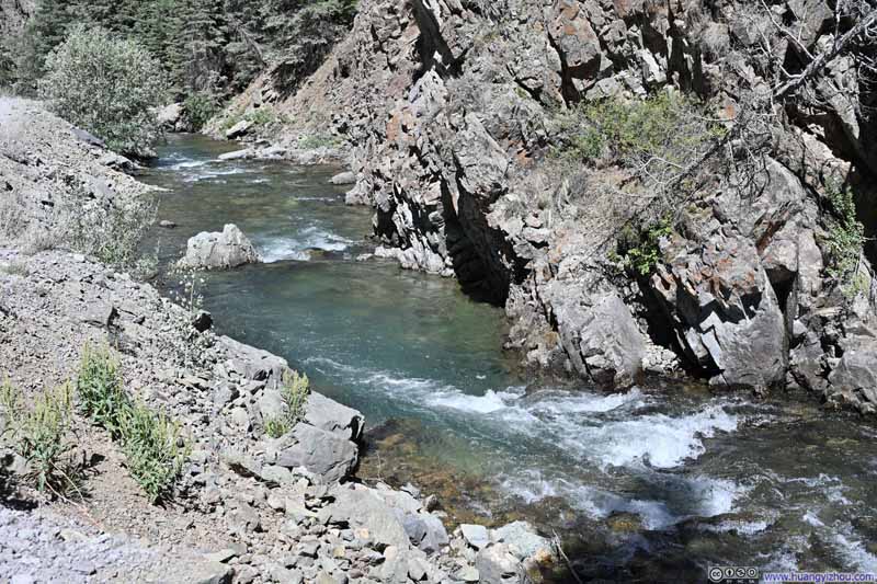
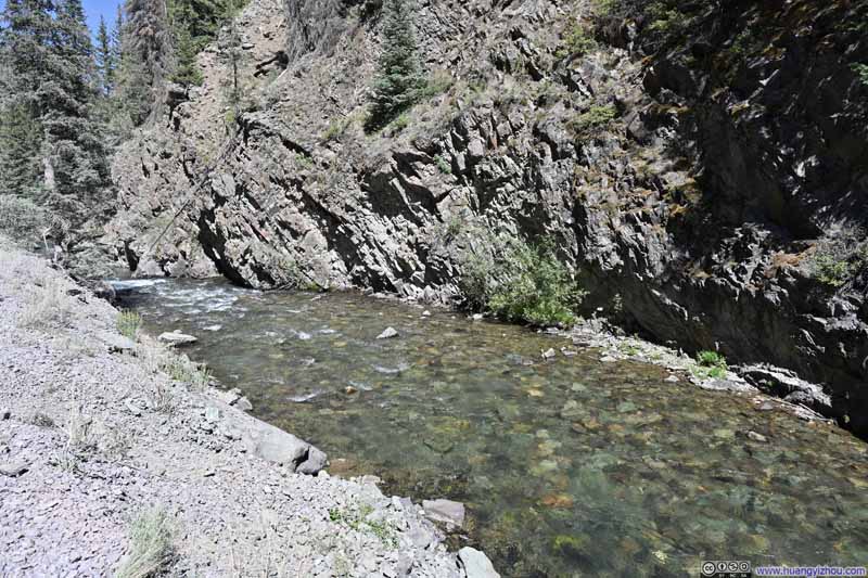
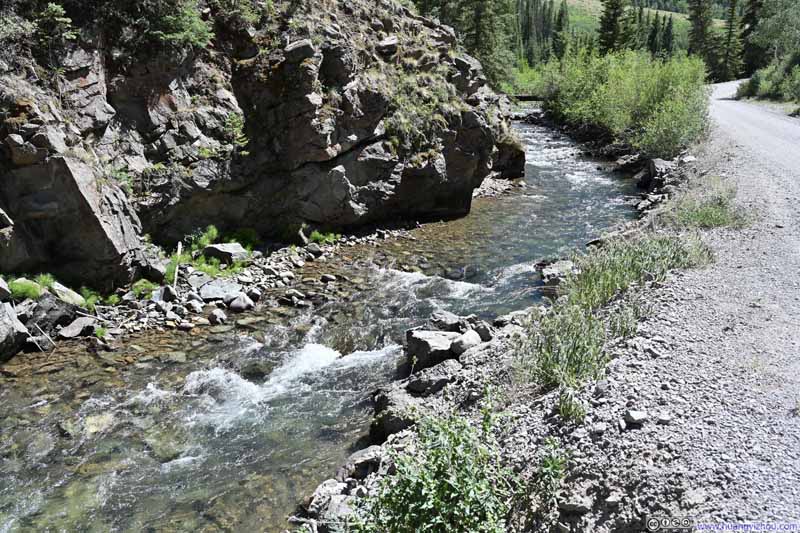
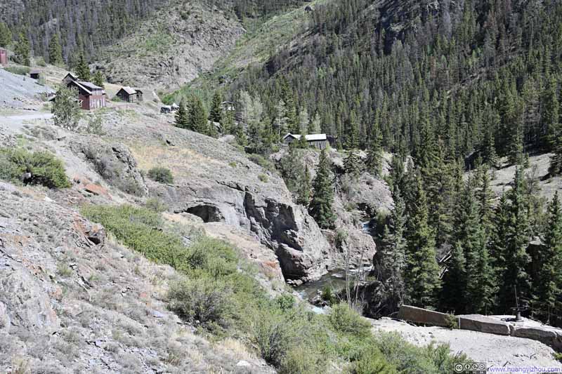
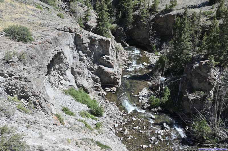
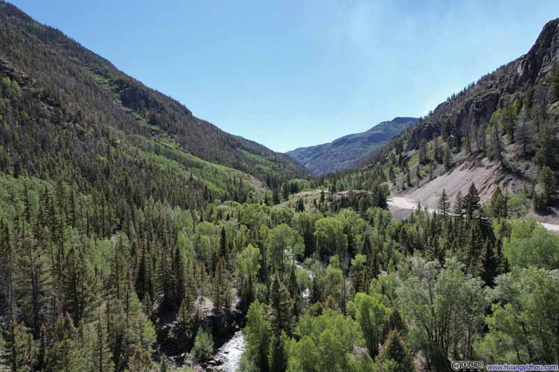
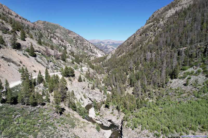
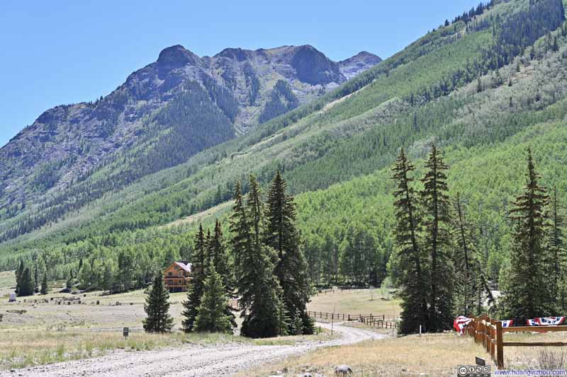 Engineer Pass Road largely traced the course of Henson Creek, which at one point carved its way through a narrow valley.
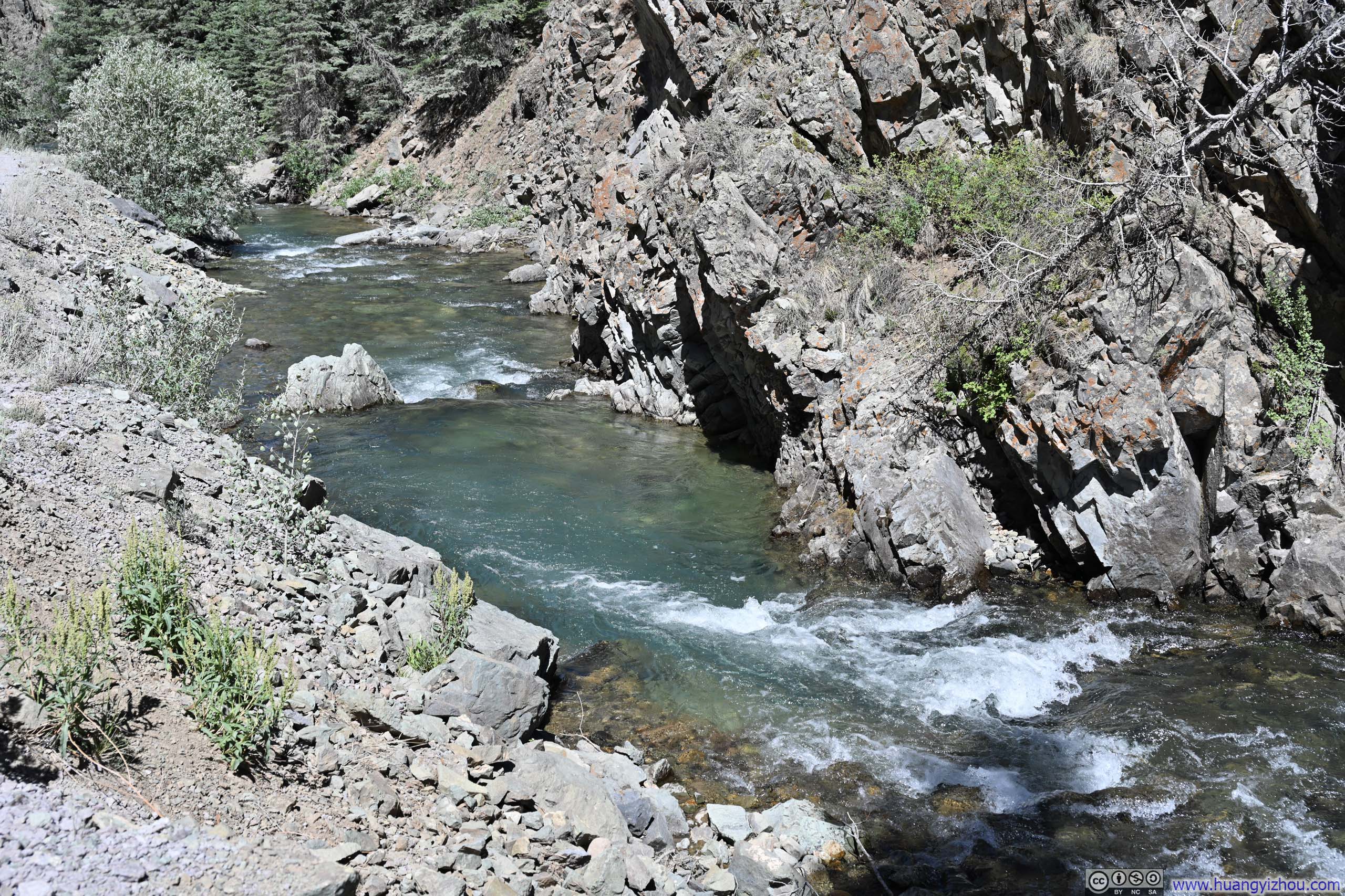
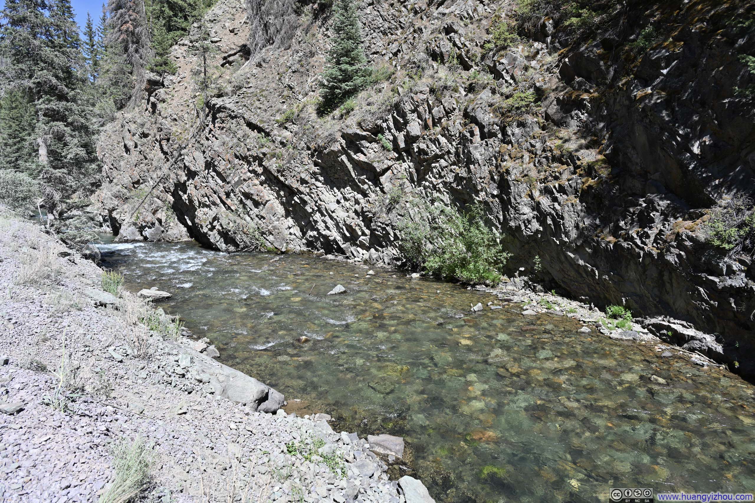
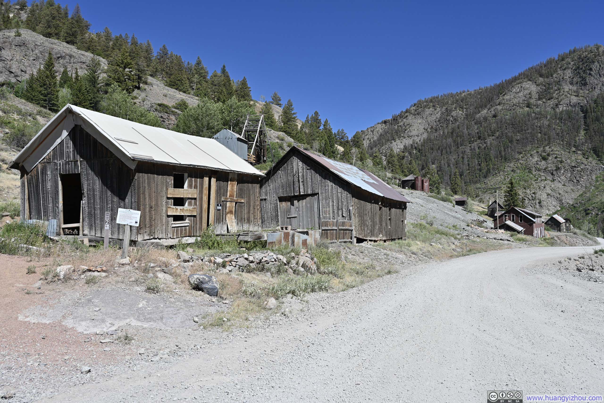
Next, it was the remains of Ute-Ulay Mine, dubbed "the mine that made Lake City" and serving as the tipping point that brought railroad to Lake City in 1889. The discovery dated back to 1871, when prospectors found veins of silver and lead in the area. One of the discoverers was Henry Henson, namesake of Henson Creek. This discovery was made illegally while trespassing on Native American land; however, given the massive economic prospects, the Ute tribe ceded the territory to the United States in 1873, and mining soon took off. (This predated Lee's Capitol City, which sat further up the mountain, leading me to suspect that Capitol City's demise likely owed something to Ute-Ulay having already claimed the prime real estate.) The information boards here spoke of worker riots and the inevitable rises and falls of production. Today, a collection of mining buildings still stands at the site.
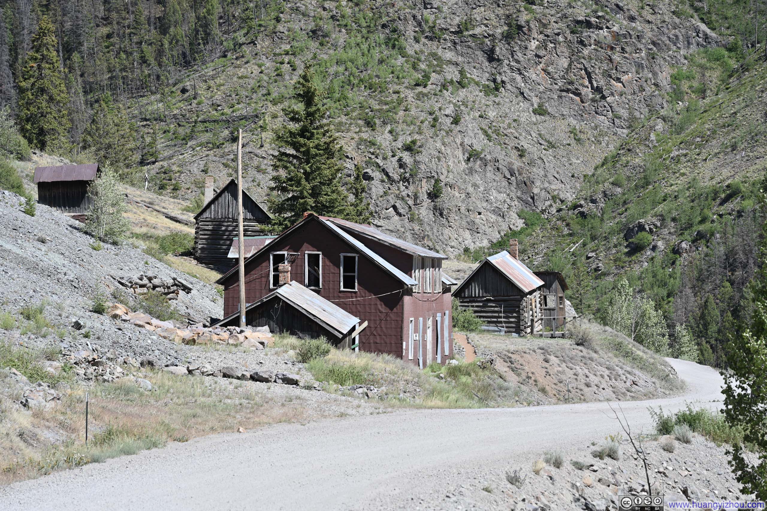
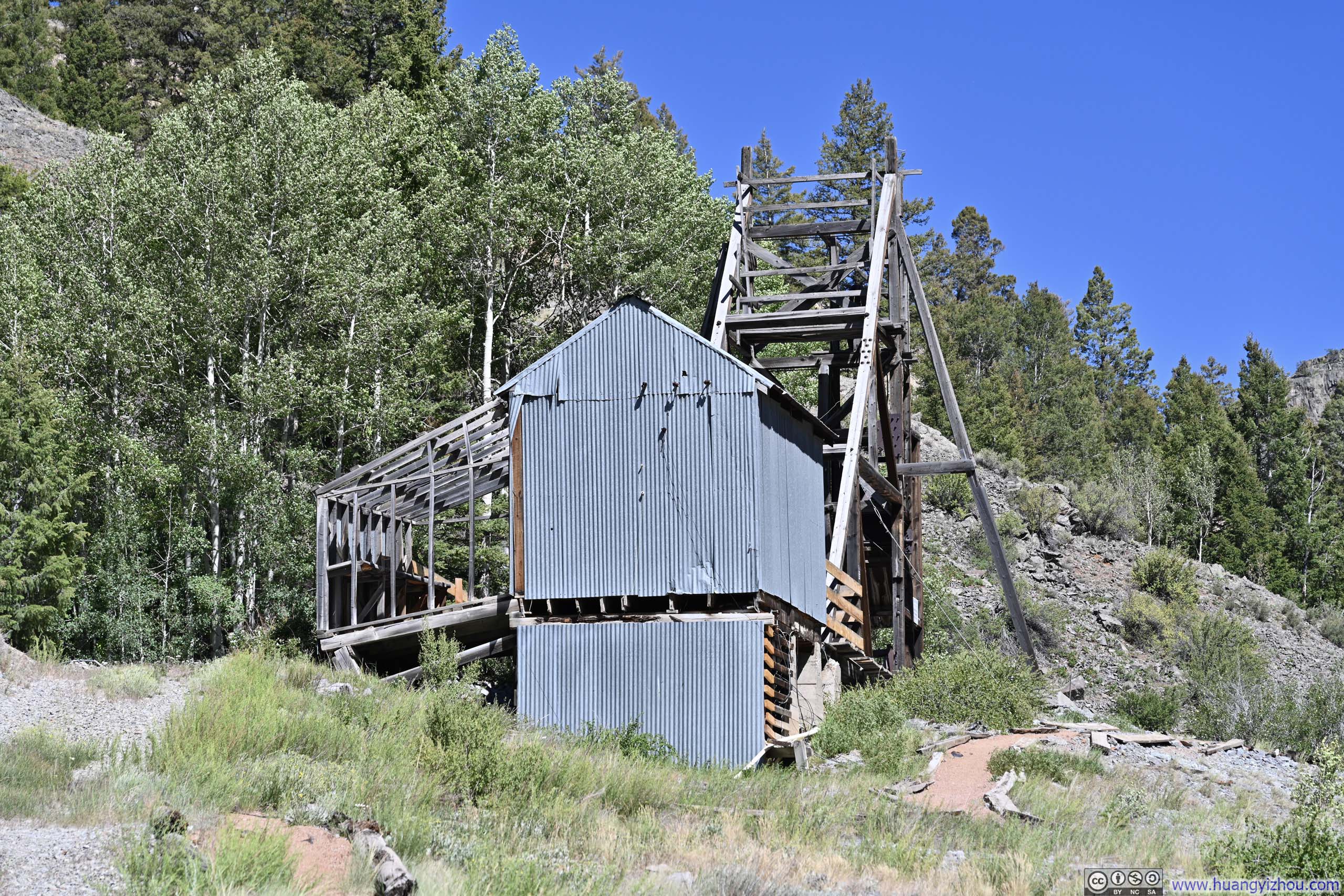
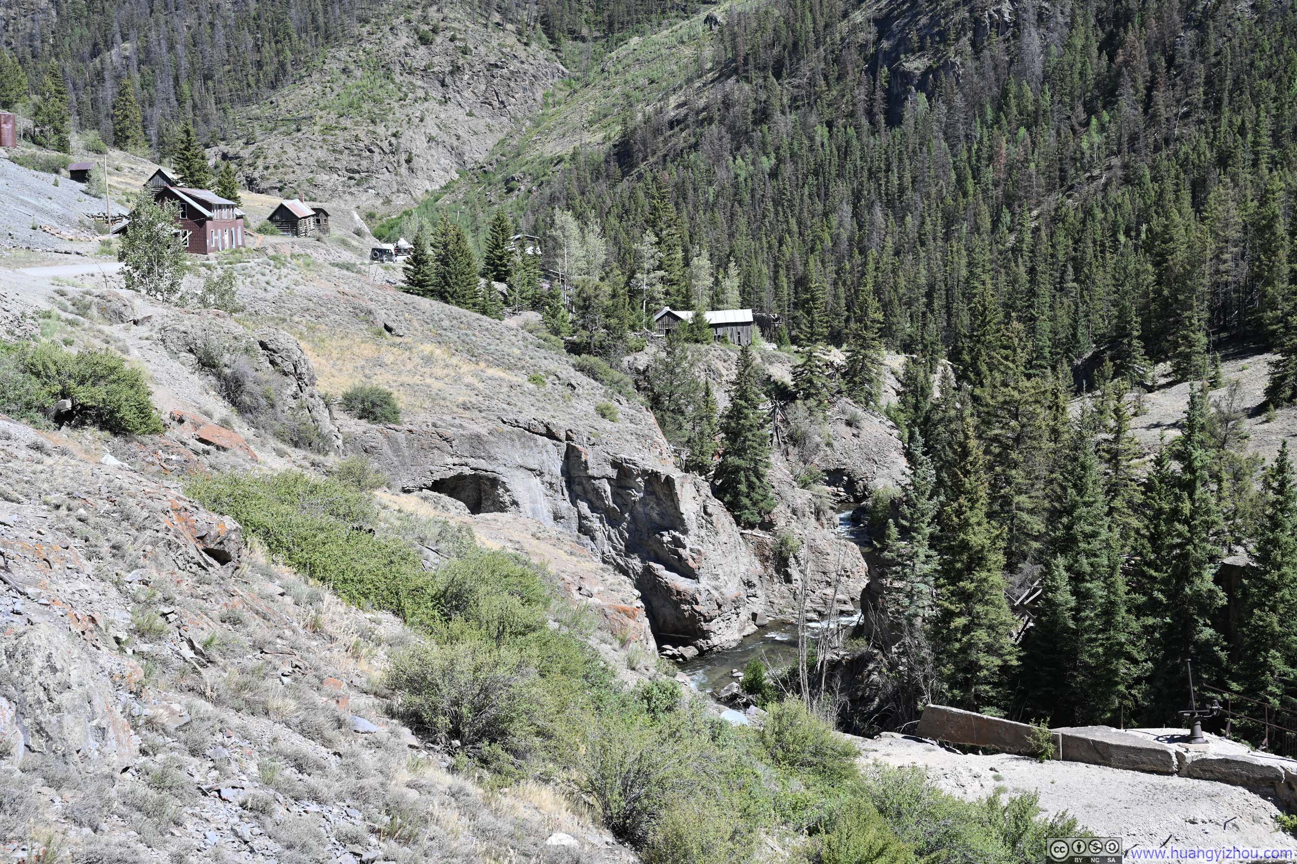
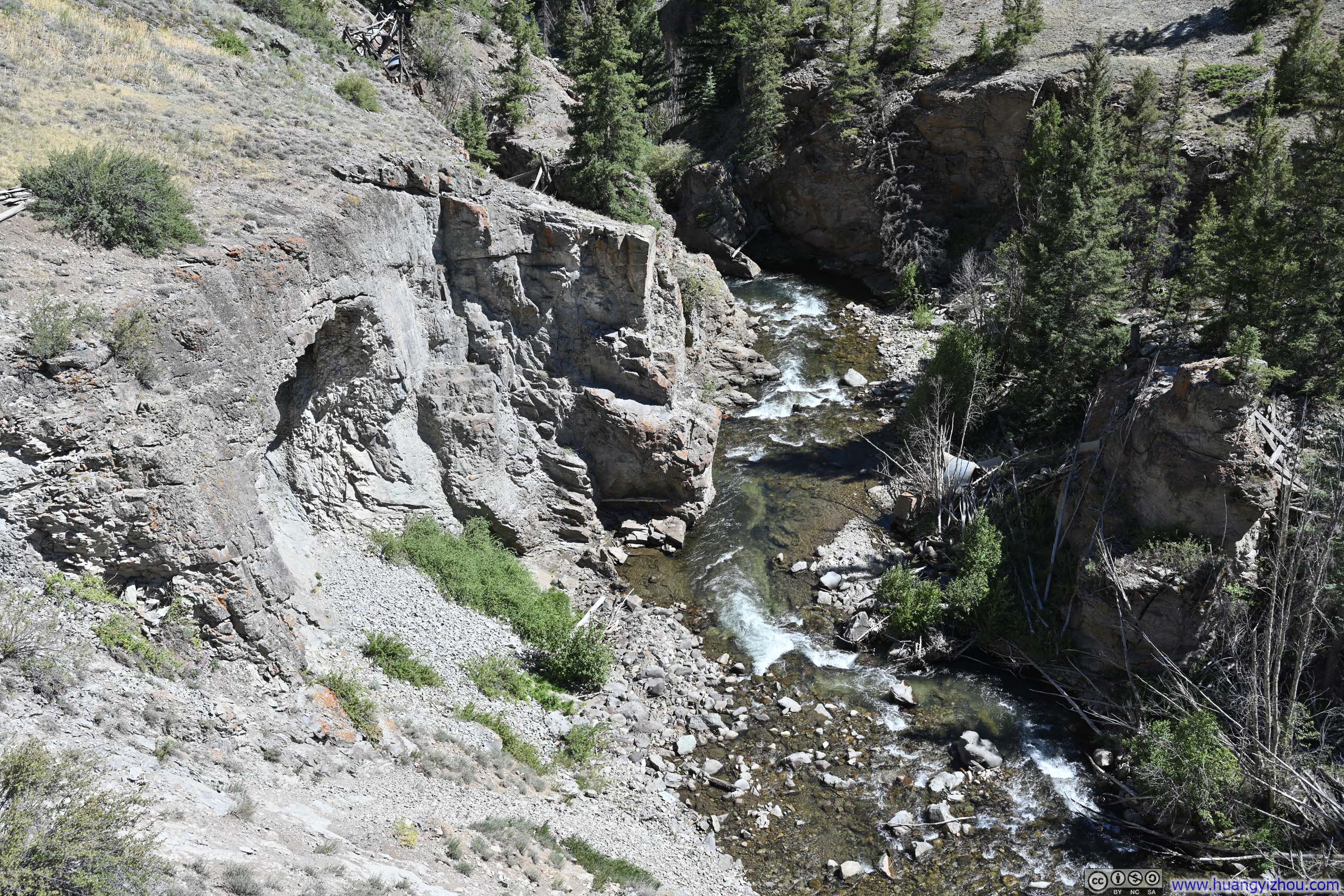
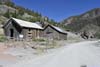
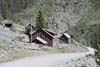
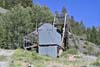
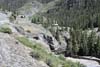
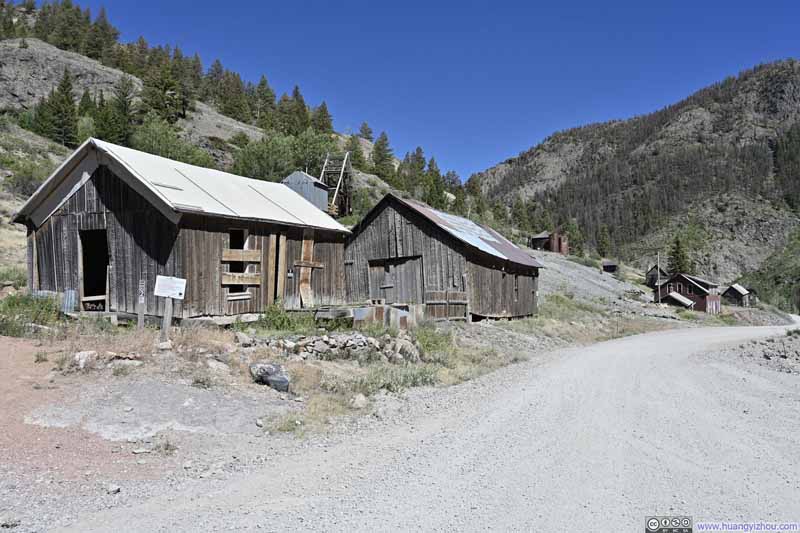
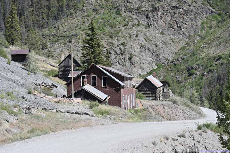
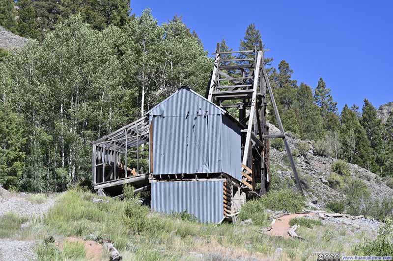
I launched my drone for an aerial tour, as (in my opinion) there appeared to be no public access to the area between Engineer Pass Road and Henson Creek. Most striking of all was the dam along Henson Creek, once the powerhouse for the mine's operations, now breached in the middle where the creek ran free.
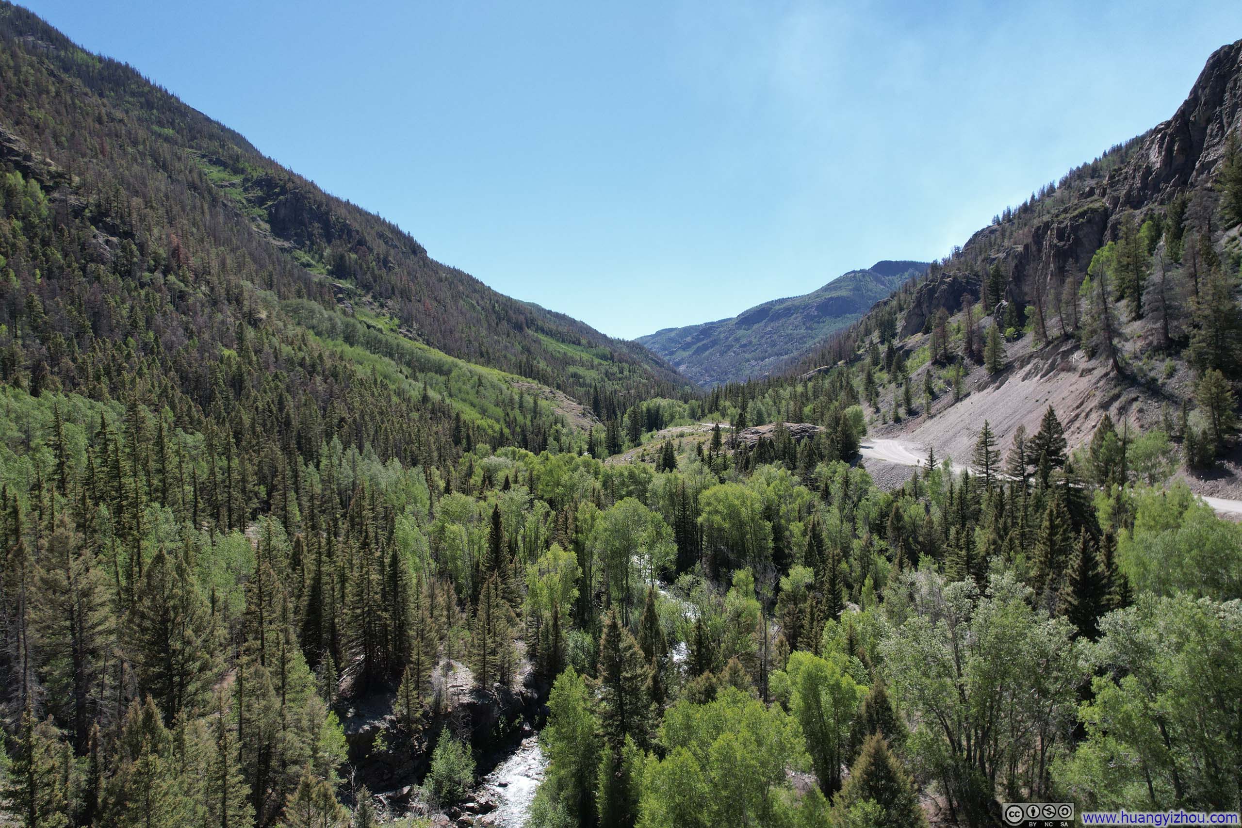
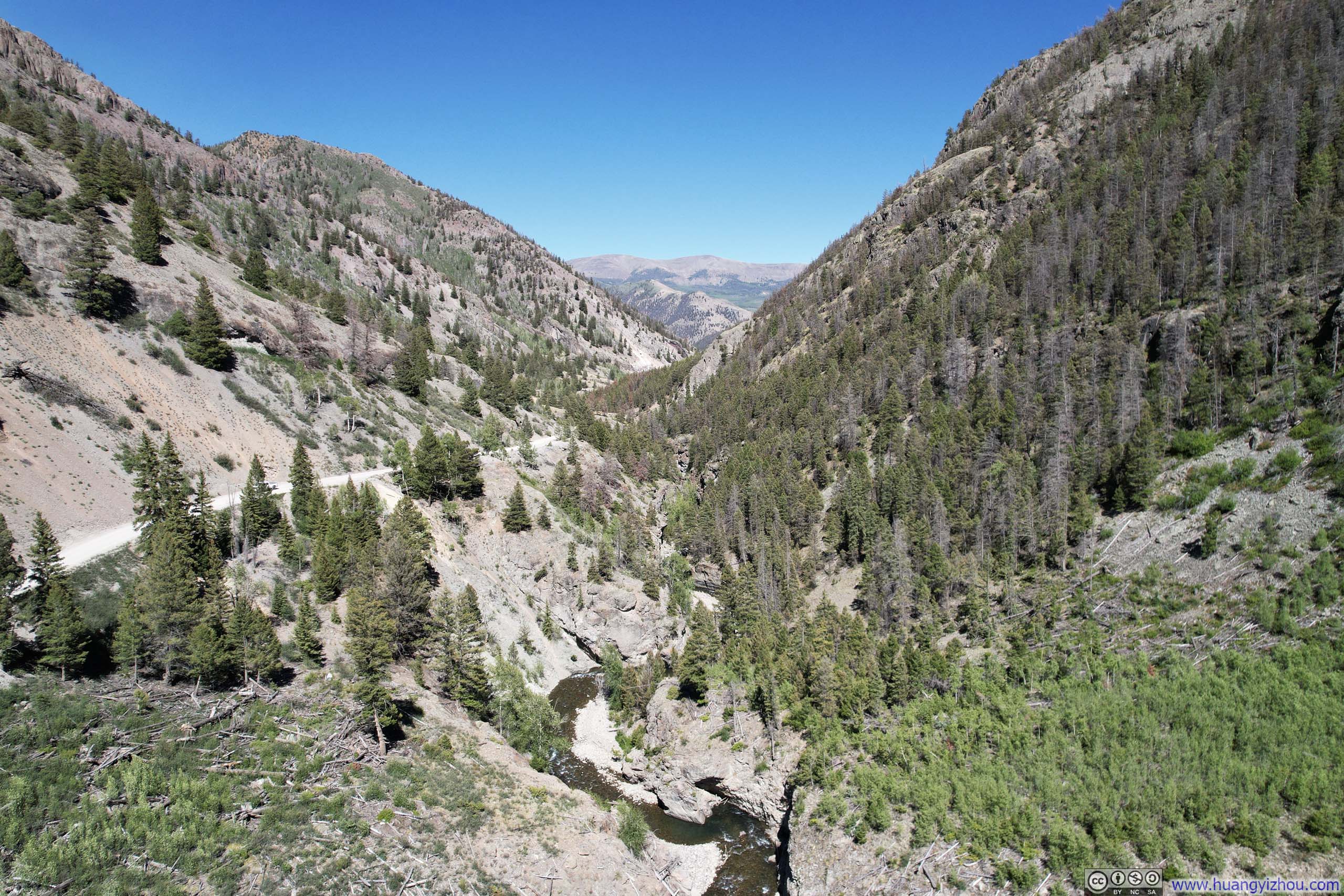
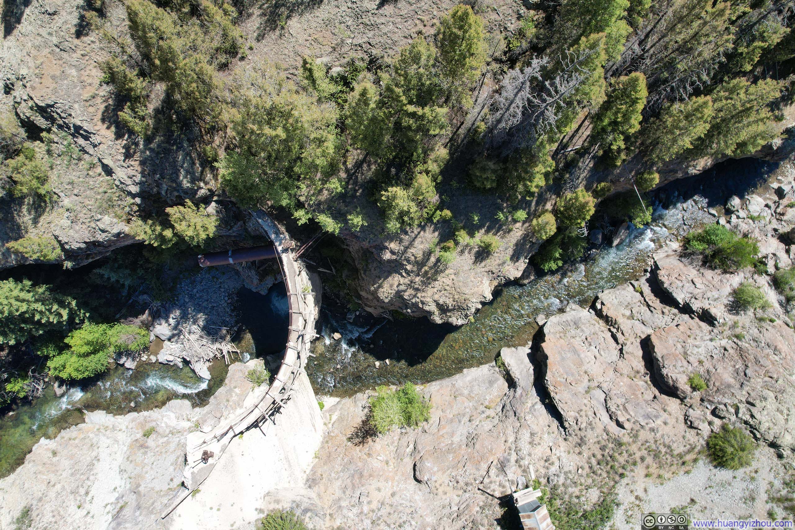
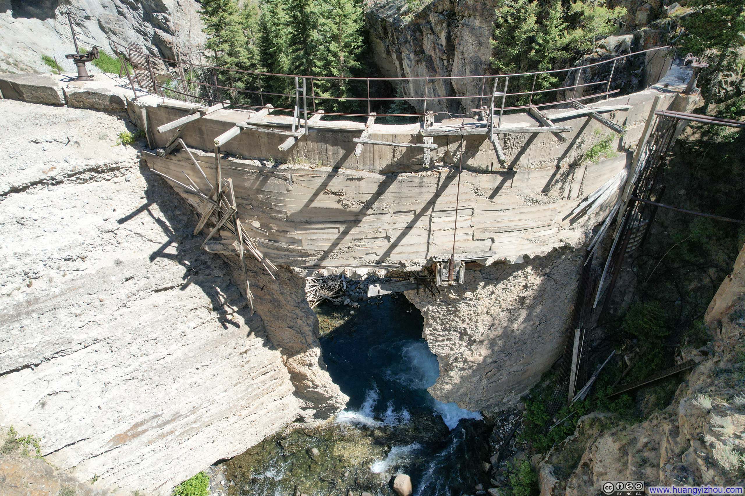
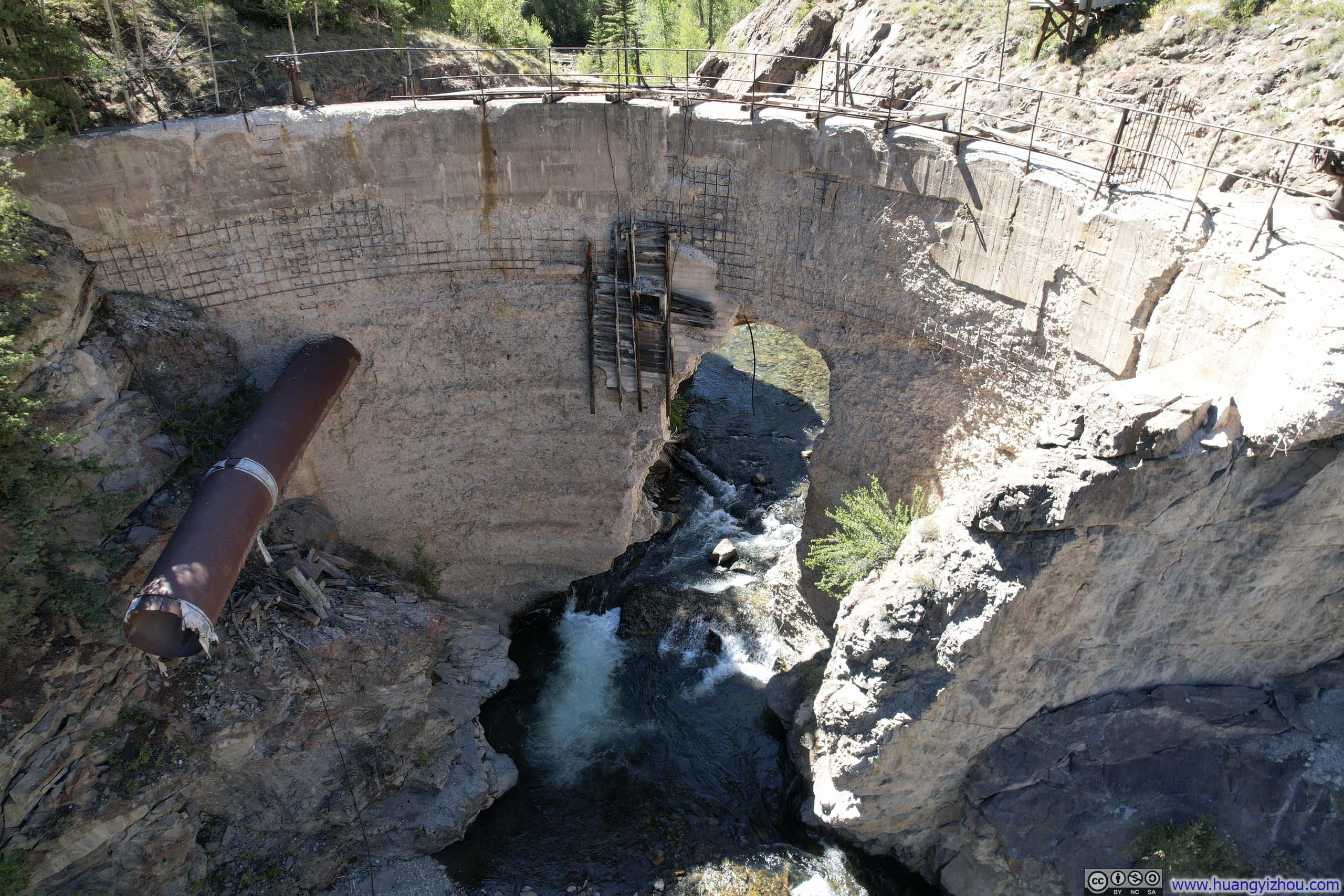
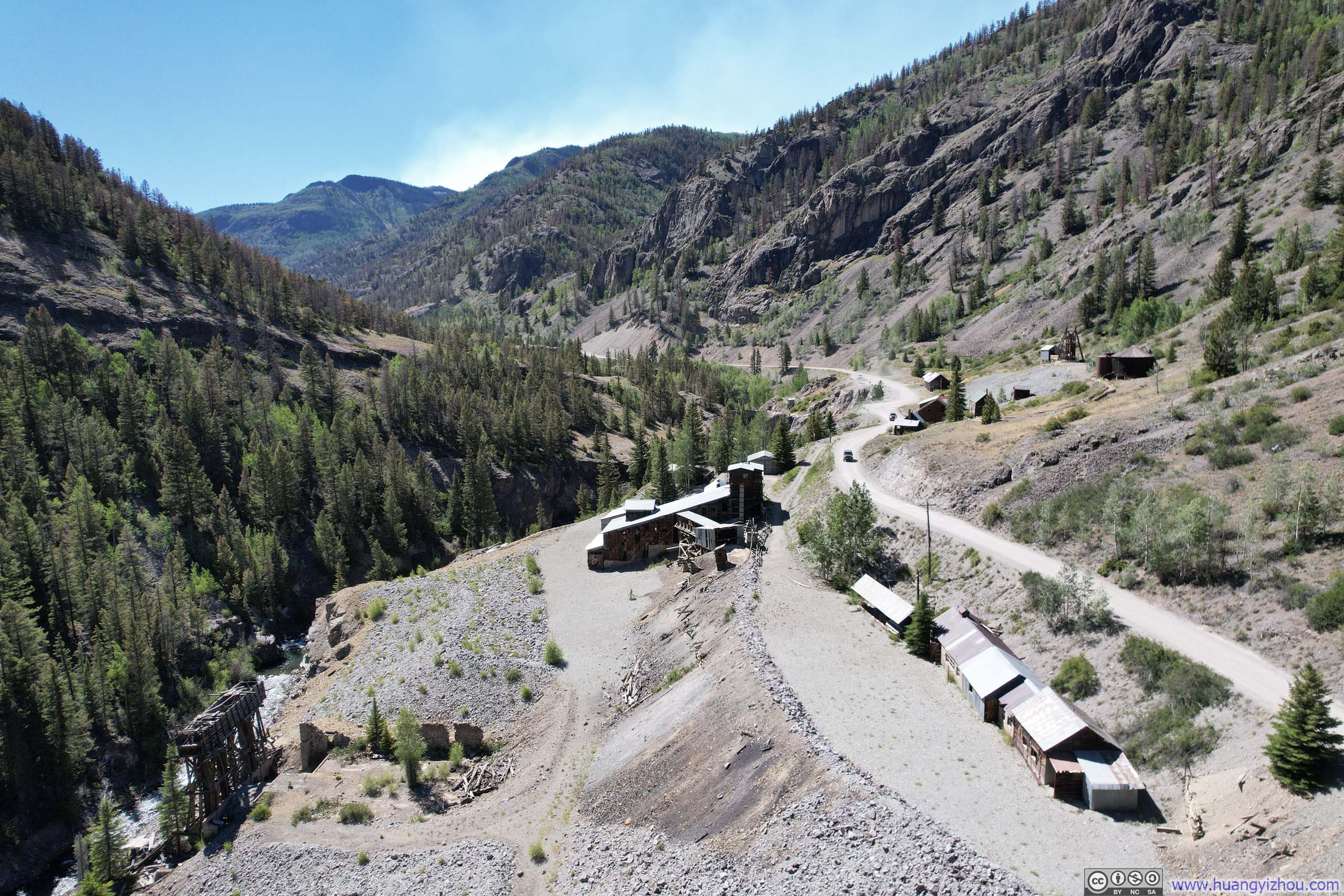
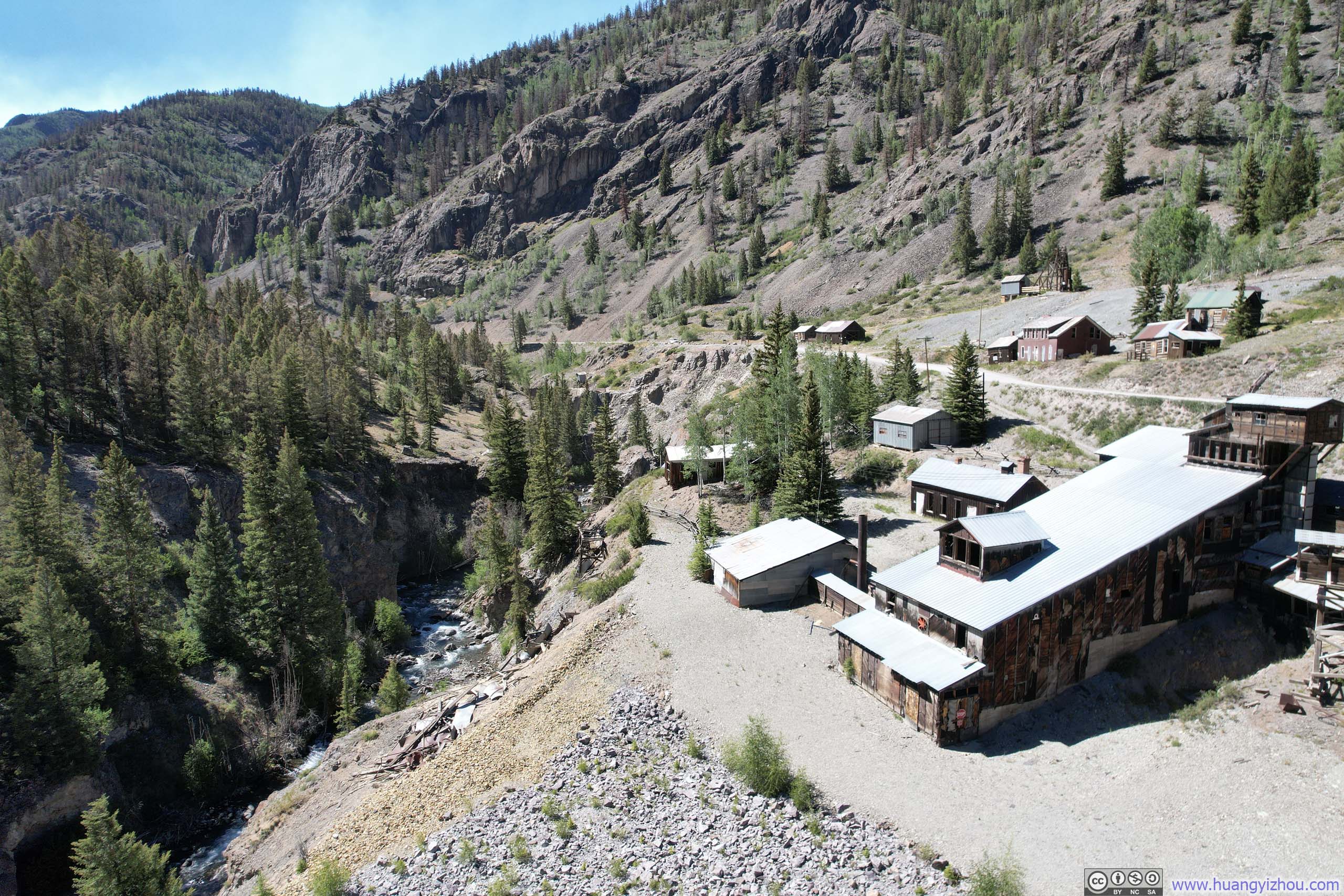
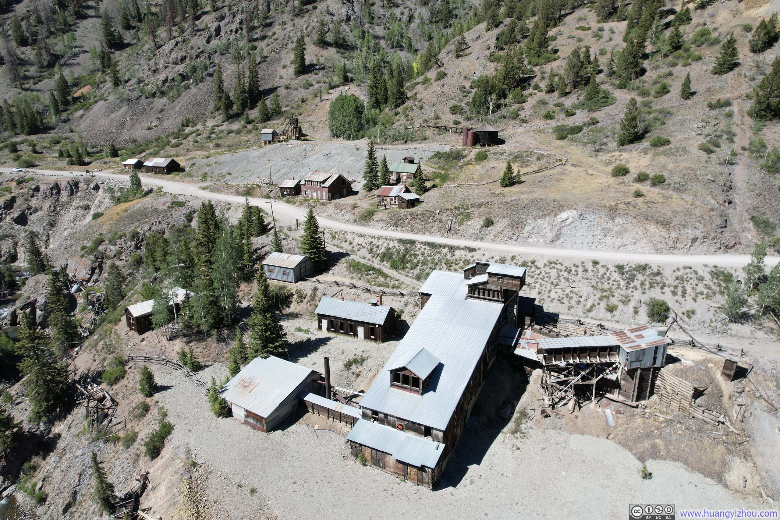
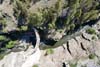
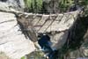
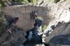
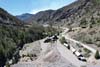
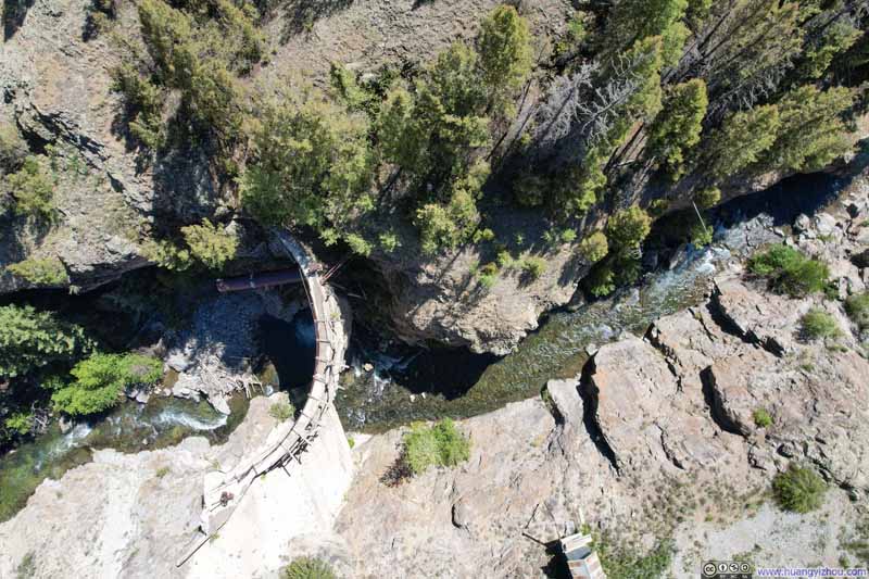
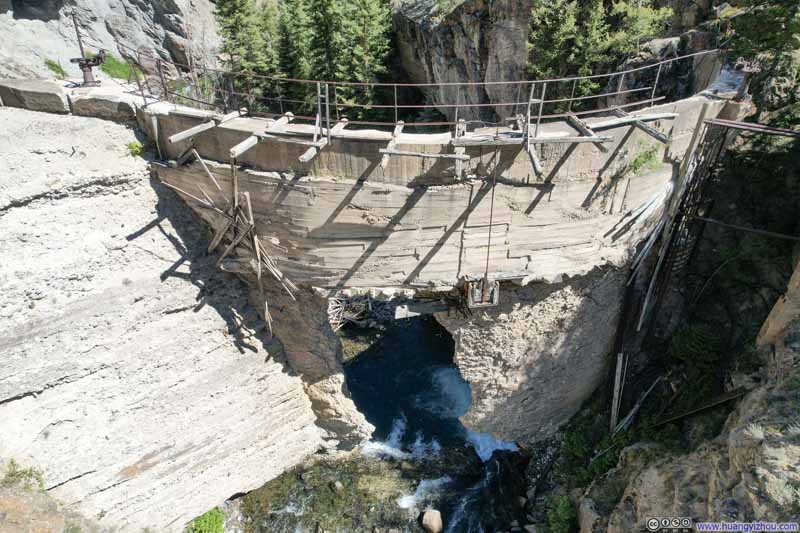
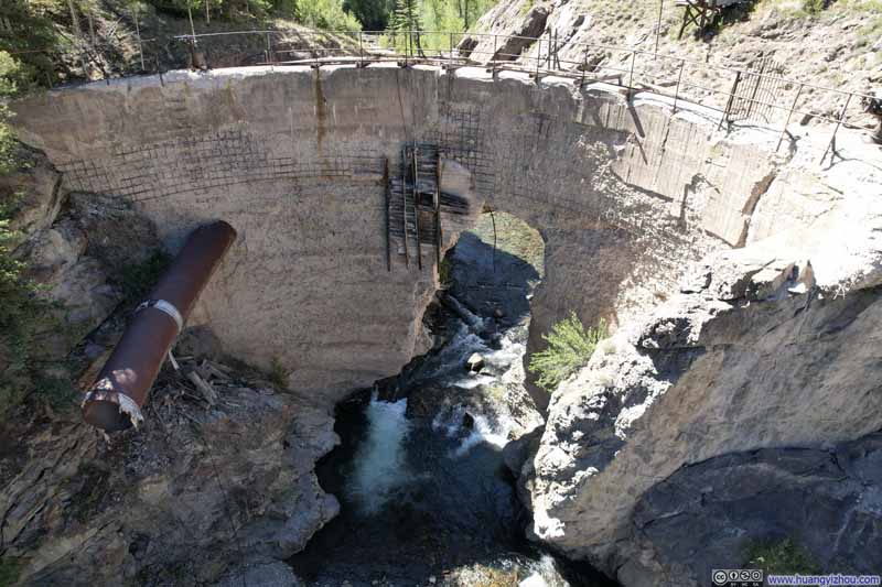
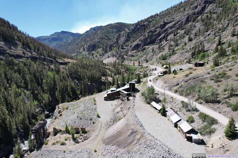
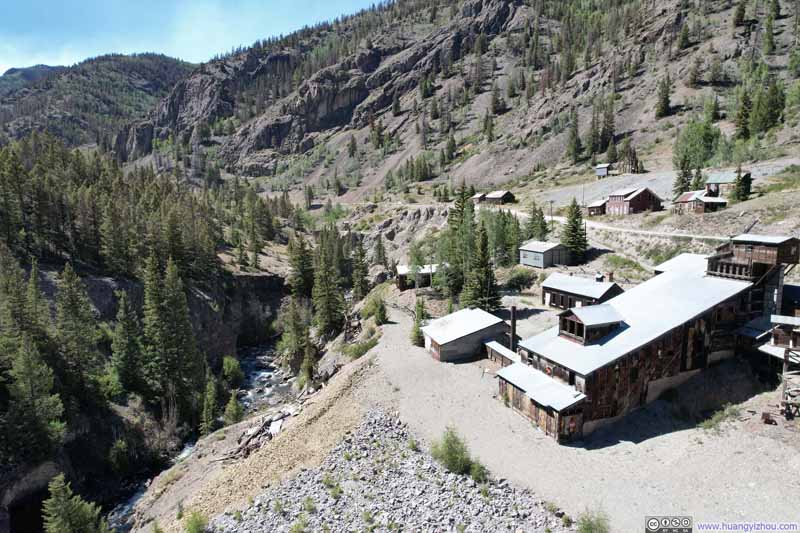
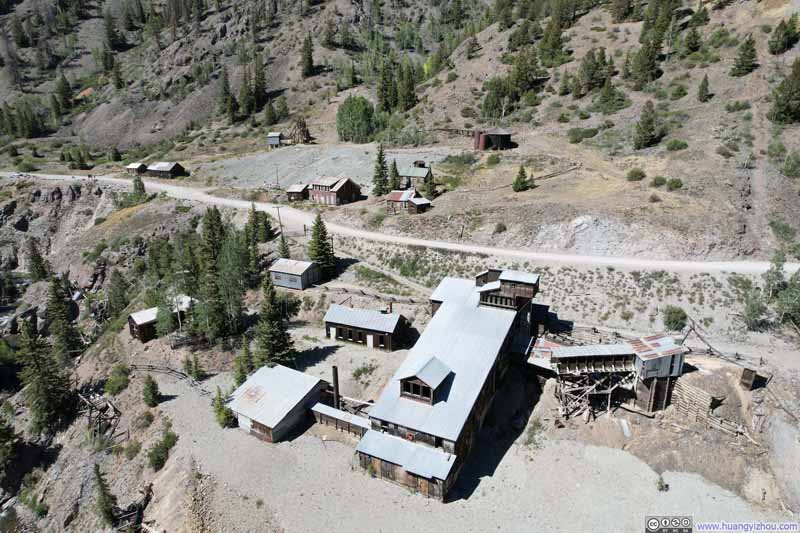
Here's a video from my drone flying along Henson Creek over the mine site:
18 seconds, 2160p60, H265 only, compressed aggressively to 12Mbps for 29MB file size.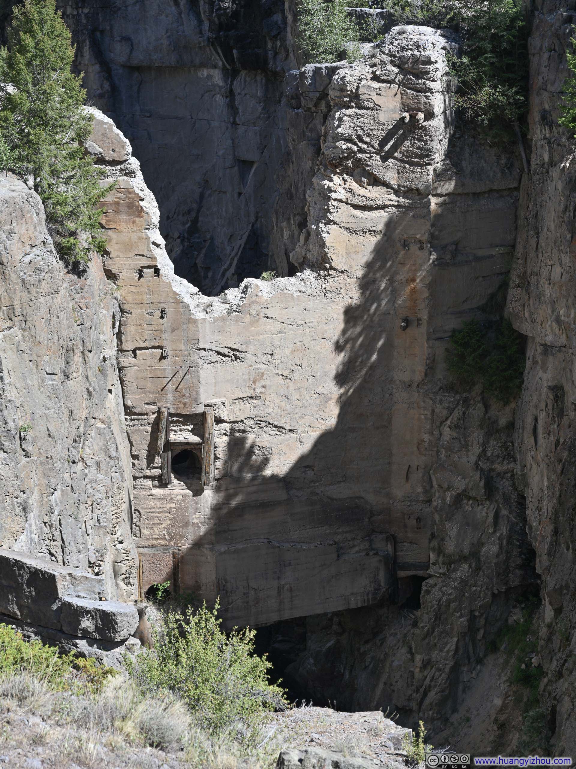
After all this, I reached Lake City shortly after 4pm, and called it an early end of the day.
END