Updated on April 23, 2022
Hiking Maryland Heights in Harpers Ferry Area
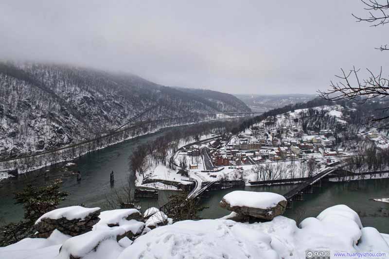
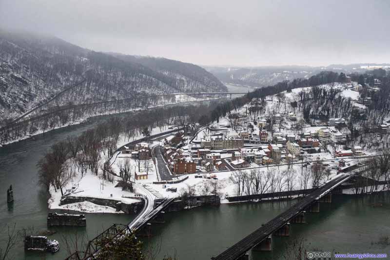
A winter morning when I hiked Maryland Heights, overlooking the historic town of Harpers Ferry, at the confluence of Shenandoah and Potomac River.
Just like three weeks ago, snow had fallen over the mid-Atlantic region. Since I enjoyed my time hiking Loudoun Heights from Harpers Ferry then, I decided to visit the region again. This time, I picked the other of its two famous trails, Maryland Heights.
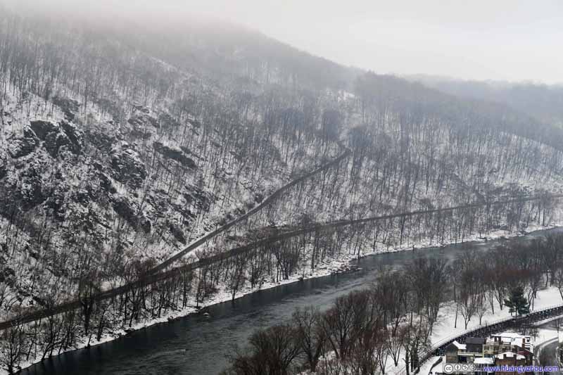
It turned out that with more snow on the ground (because I arrived earlier in the day) and some clouds covering mountain tops, I had greater fun this time.
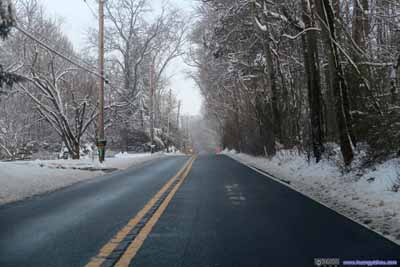
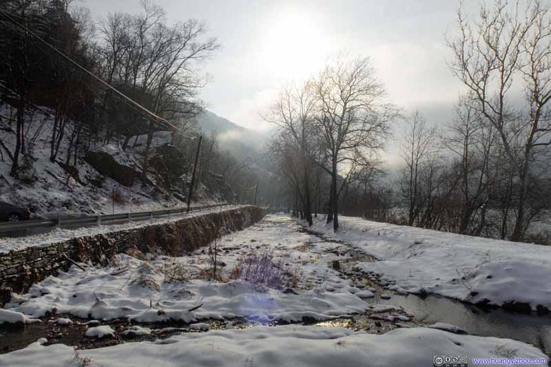
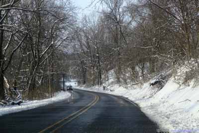 Country RoadFor the first part of my trip, I deliberately stayed off Interstate 495/270 (to avoid morning traffic rush since it’s a weekday), and picked a series of country roads instead. The snowy scenes along these roads were magical.
The workers had cleared off snow for most of Sandy Hook Road (yet its remaining width was still seemingly less than two car’s width), together with one of the two trailhead parking lots. Throughout my hike I believed my car was the only one in the parking lot.
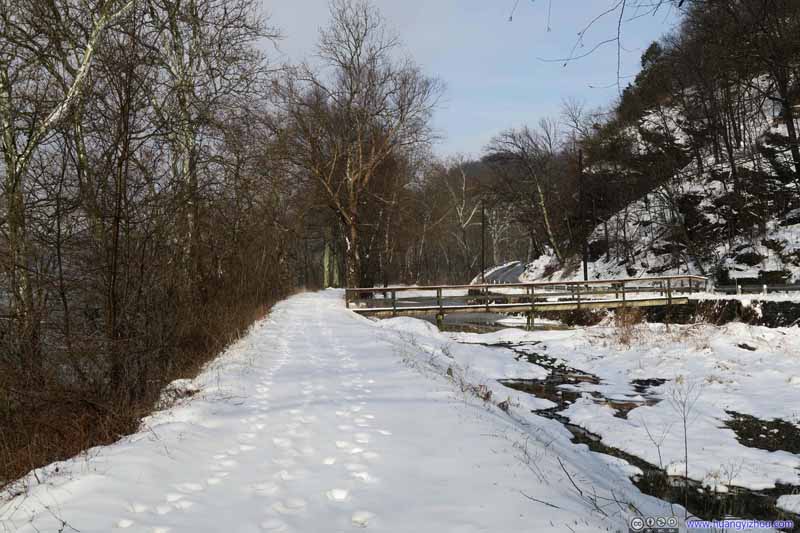
C&O Canal TowpathThere’s a small distance from the roadside parking lot to trailhead, I covered this segment on the Canal towpath. Some footprints from earlier risers.
I started my climb at 9:10 in the morning, of what’s officially part of Harpers Ferry National Historic Park (yes, in theory NPS charged admission for this trail).
And here’s GPS tracking:
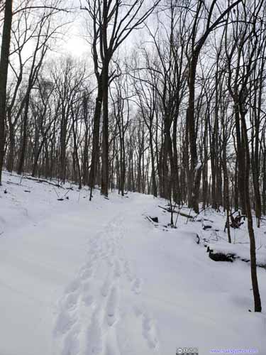
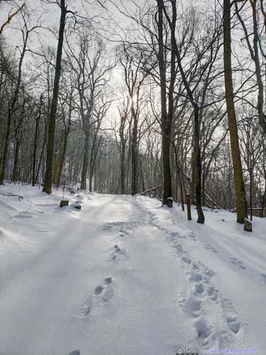
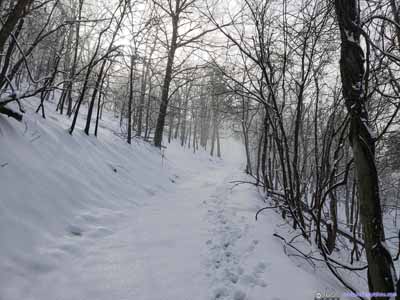
There was just the right amount of snow on these hiking trails, so that one can experience the chill of winter without technical difficulties.
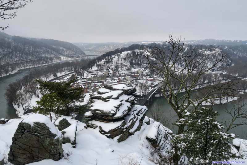
At the fork(s) of trails, I decided to head for Maryland Heights Overlook first, and reached there at 10:05am.
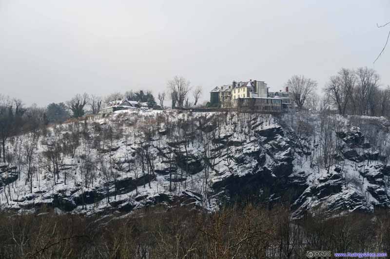
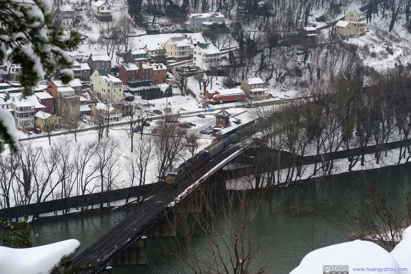
This is Harpers Ferry’s most postcard-perfect spot, whose views were much better than a few weeks back at Loudoun Heights. And since the sun hadn’t emerged from the clouds, the entire town of Harpers Ferry was covered in enchanting white.
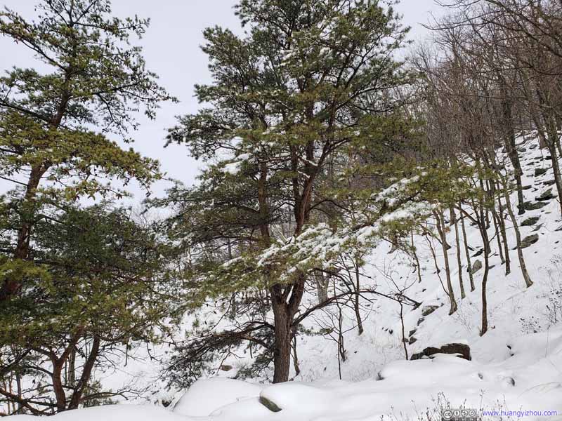
Pine TreesMost of the hill was covered with deciduous trees. These pines trees at Maryland Heights were the only sight of green throughout the day.
I had a memorable time enjoying the sceneries at Maryland Heights, and left for “Stone Fort” at 10:25am.
It’s 2.3km from trailhead to the overlook of Maryland Heights. One could also choose to visit “Stone Fort” with Civil War remnants like me, making a total loop of 8.2km.
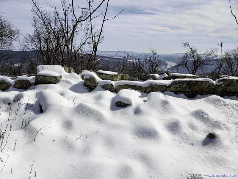
Along the (eastern) Stone Fort Trail, one would first be greeted with a fortification, the moat in the previous photo being part of it. It’s the first earthen battery on the mountain, built in 1862. 30-pound Parrotts were once stationed there.
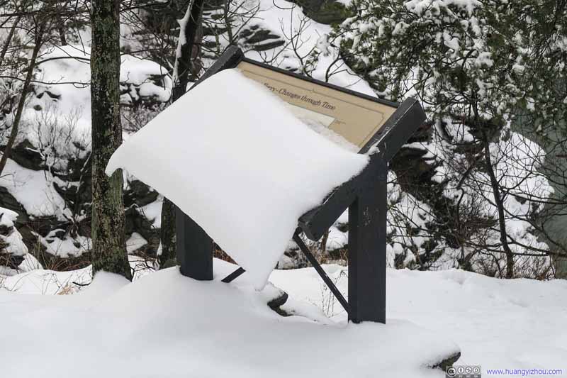
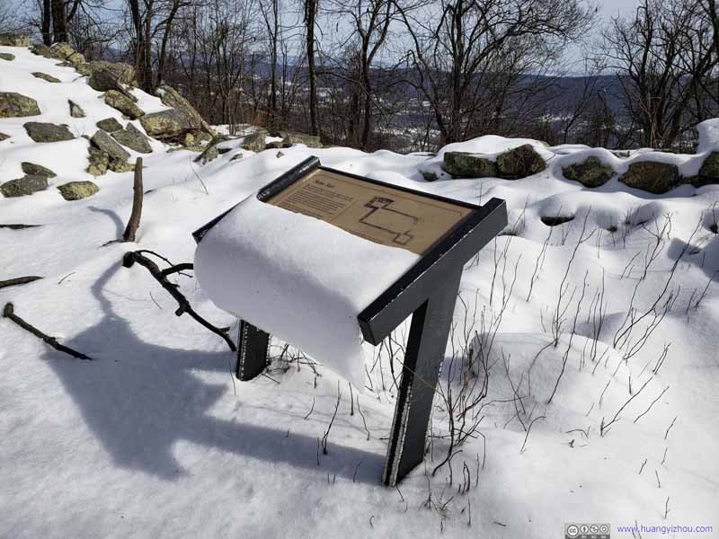
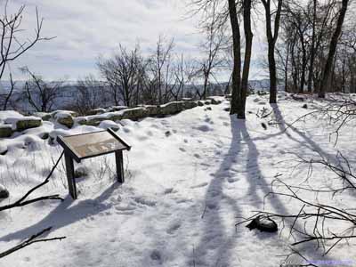
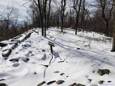
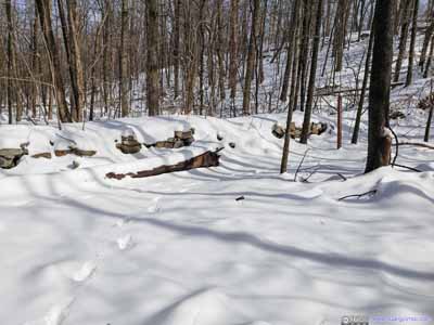
Yet nowadays, if not for an information marker nearby (or probably the previous dry moat), there were few obvious signs left of what’s once a magnificent battery. (Hikers would probably take its huge and flat interior as some sort of campground.)
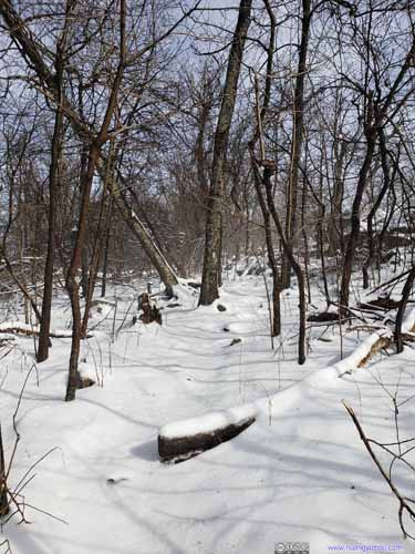
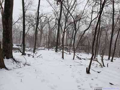
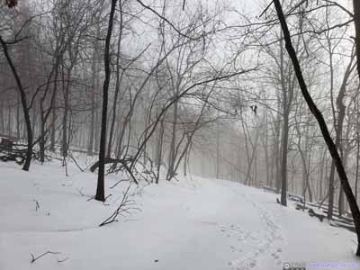
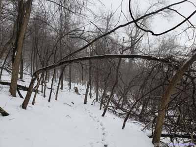
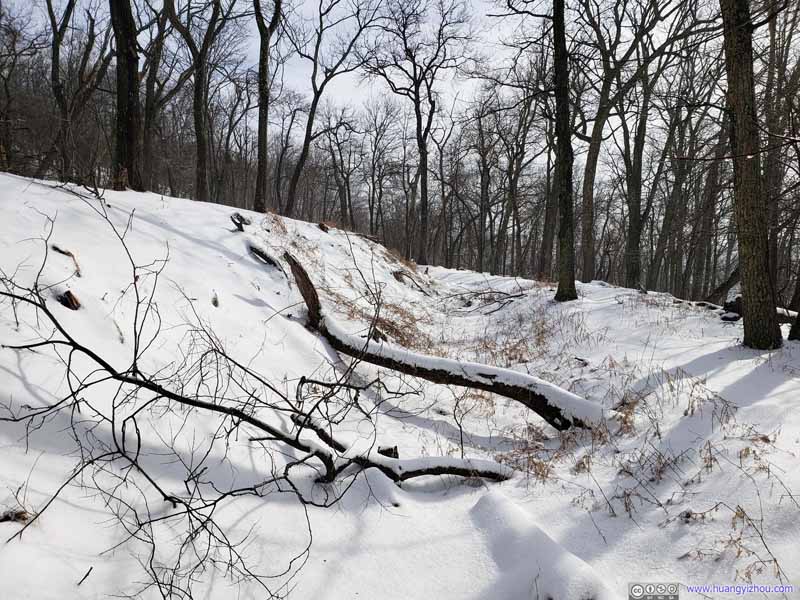
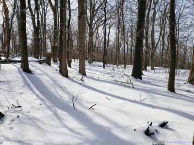
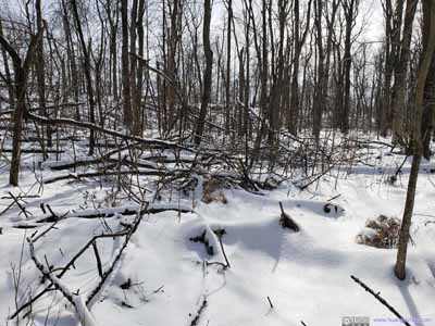
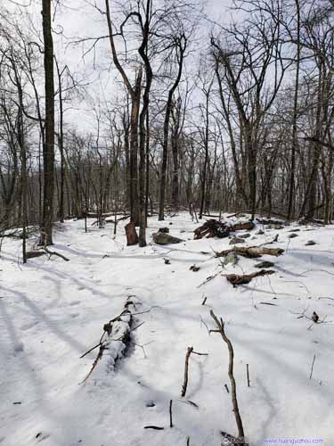 TrailThe eastern part of Stone Fort Trail was mostly through woods like this. The trail was narrow and hard to find in snow at times.
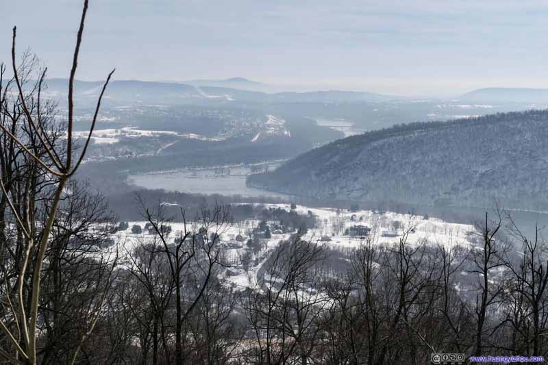
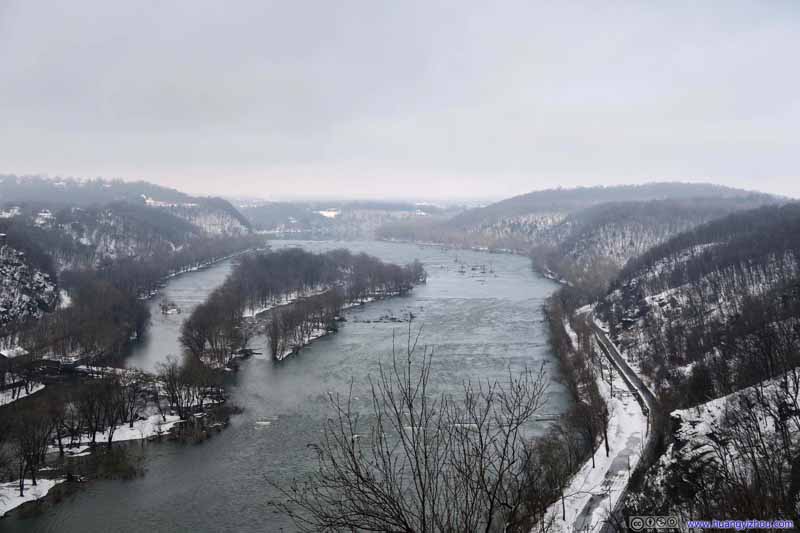
Potomac RiverDownstream of Harpers Ferry. It’s the site where a 100-pounder Parrott rifle was once placed. It’s also where I stopped and enjoyed some snacks.
Finally at 11:35am I arrived at Stone Fort.
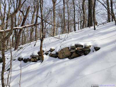
Stone Fort was constructed at Maryland Heights’ highest point, over the winter of 1862-1863, that’s what still remained till this day. Next to Stone Fort there were additional fortifications. Together, they provided Union soldiers with storage and lodging spaces.
Most of the soldiers garrisoned here lived in primitive tents. Condition was hard as this spot was susceptible to wind and rain, and lacking water or sanitation.
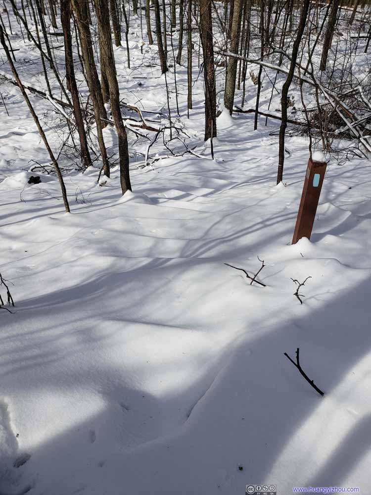
Stairs DownIf not for the post, it’s hard to tell where the stairs/trail were from all this snow cover.
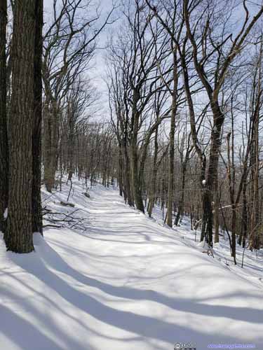
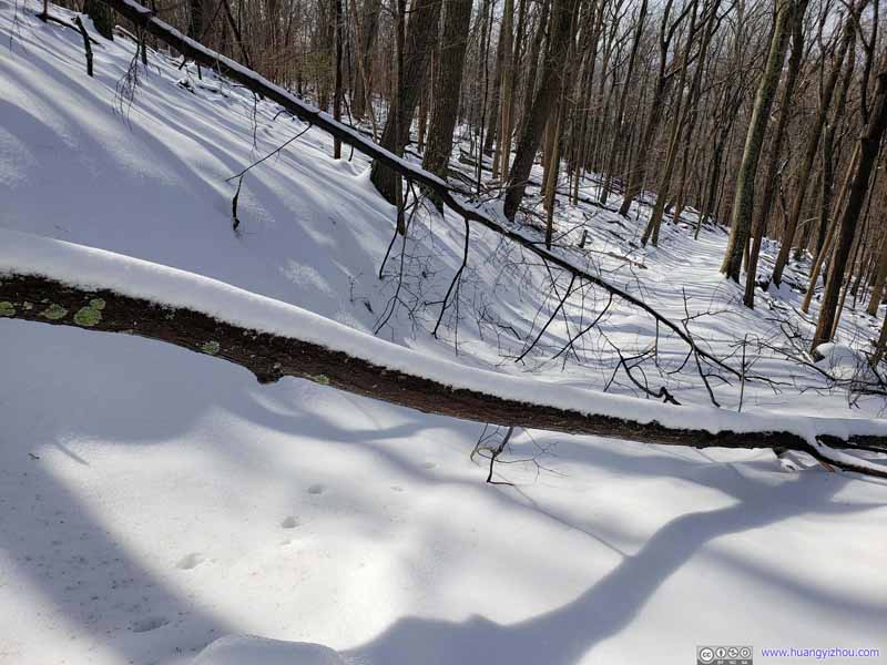
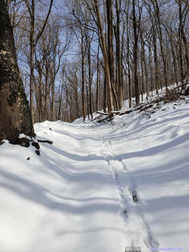 TrailNobody else visited this part of the trail after snowfall (left), so I had some fun time sliding down the hill (right), which was only possible on new snow that’s not too deep. Had my sneakers been skis it would be greater fun.
Then I took the western part of Stone Fort Trail back to parking lot. This part of the trail was wider, thanks to Union soldiers that cut down some of the roadside trees so that they could haul material (most notable of which being the Parrott cannons) up the hill.
It’s also the trail that troops stationed at Maryland Heights took when they were ordered to retreat to Harpers Ferry on September 13, 1862. Forty hours later, the Union surrendered Harpers Ferry.
And it’s great fun (trying to) ski down this trail.
So at 12:30pm, I got back to the trailhead, finishing a morning of gratifying hike.
END
![]() Hiking Maryland Heights in Harpers Ferry Area by Huang's Site is licensed under a Creative Commons Attribution-NonCommercial-ShareAlike 4.0 International License.
Hiking Maryland Heights in Harpers Ferry Area by Huang's Site is licensed under a Creative Commons Attribution-NonCommercial-ShareAlike 4.0 International License.

