Day 4 of July 2024 Trip to Sierra Nevada, Mount Starr

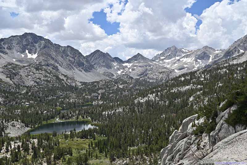
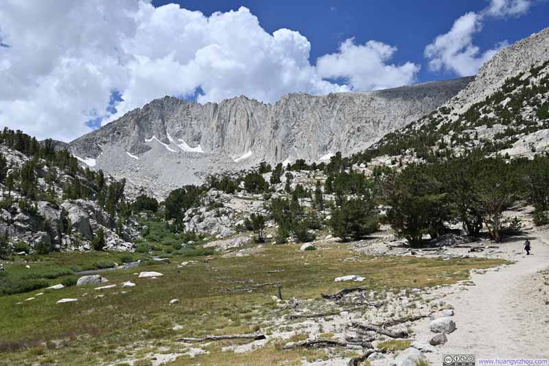
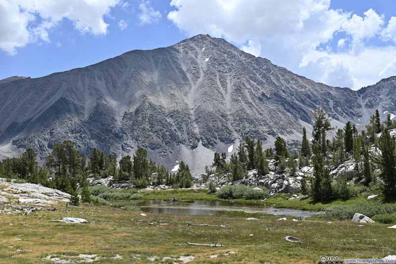
Fourth day of my July 2024 trip to the Sierra Nevada. Given the weather forecast, my friend and I hiked Mount Starr today. Accompanying our hike were the enchanting views of alpine lakes that dotted Little Lakes Valley and the magnificent granite peaks that surrounded them.

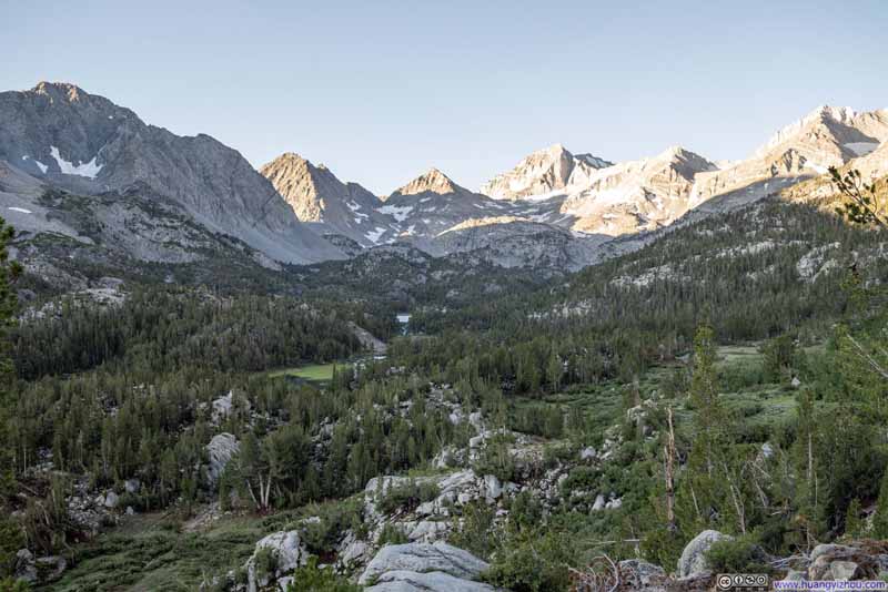
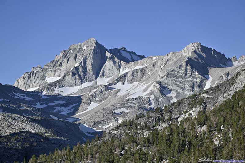
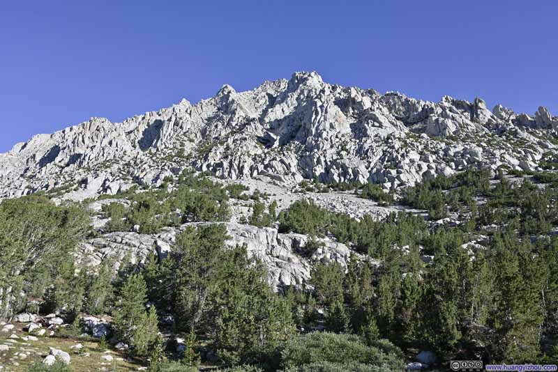
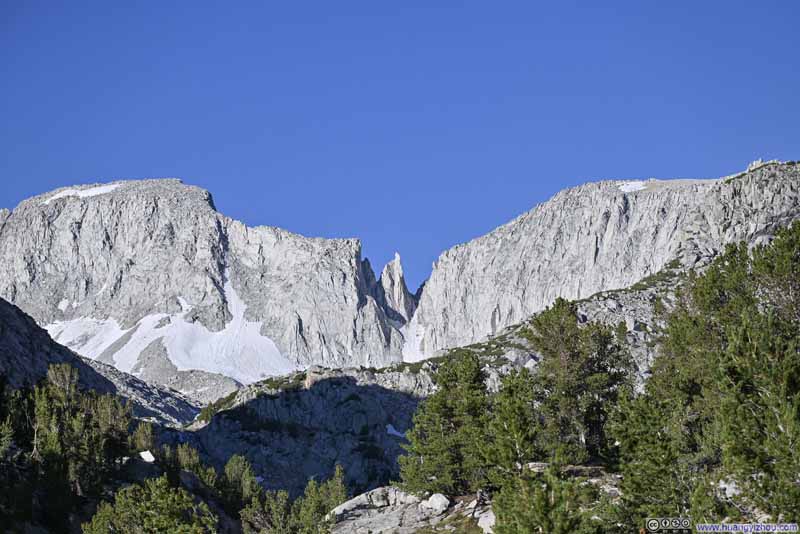
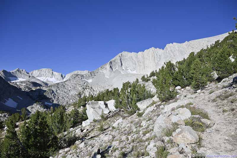
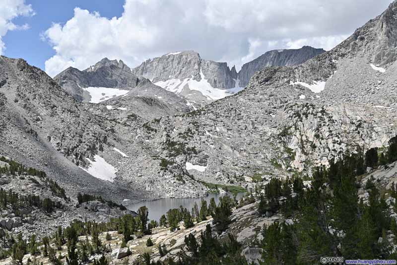
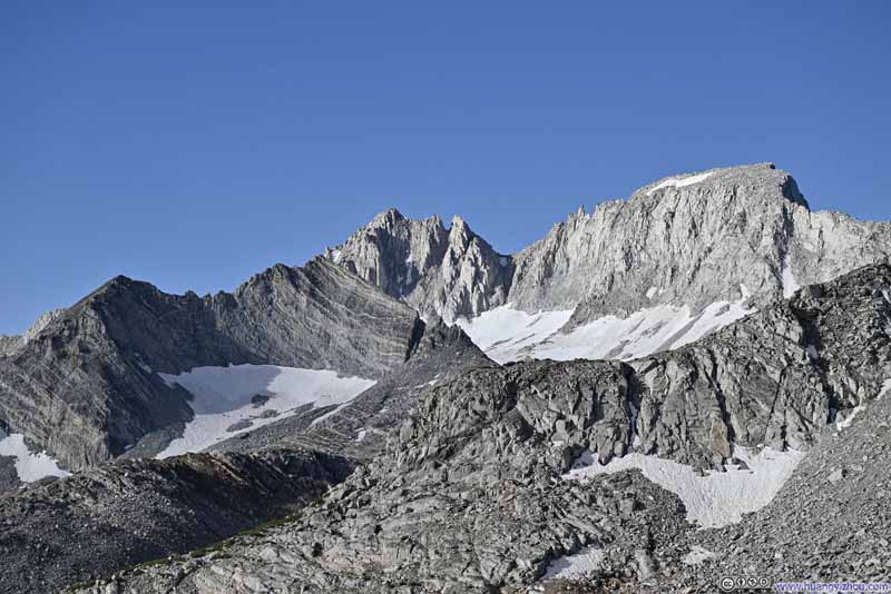
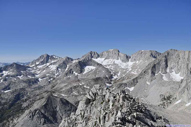
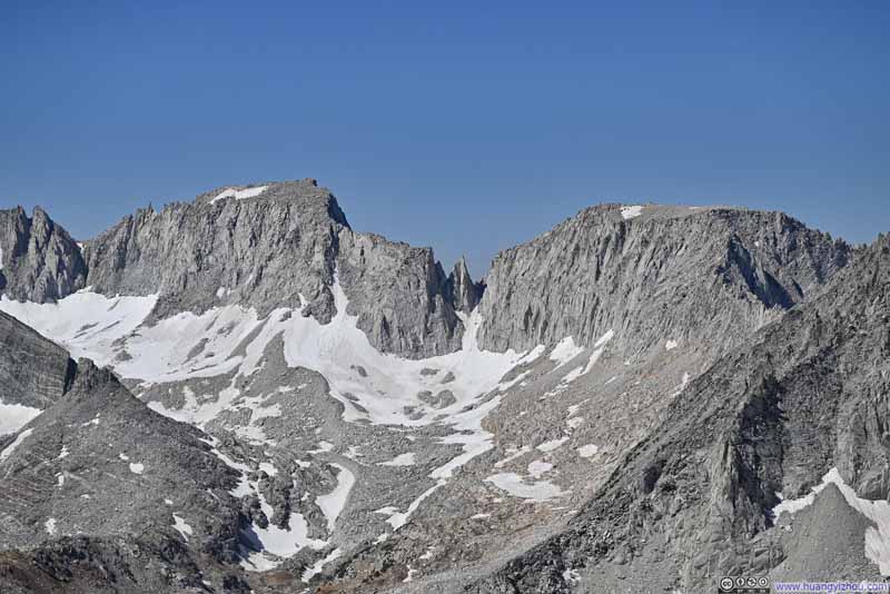
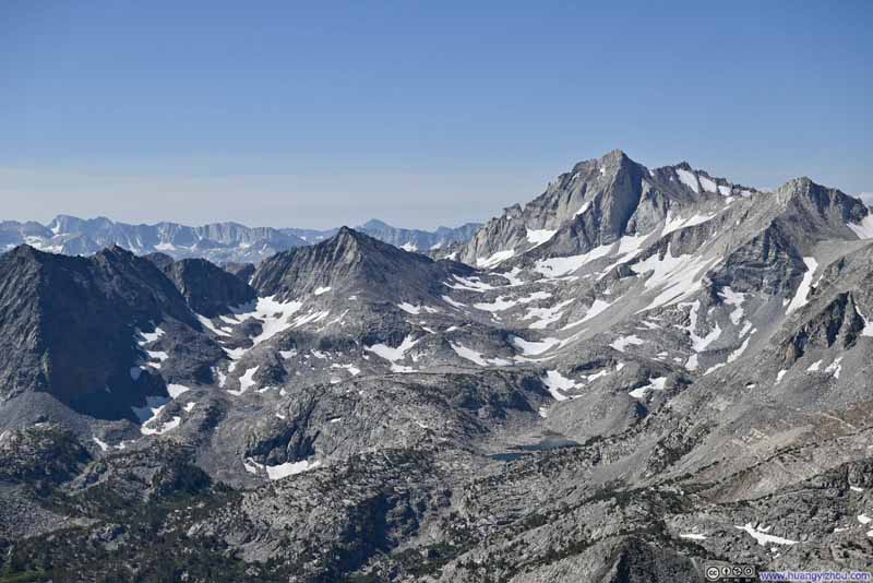
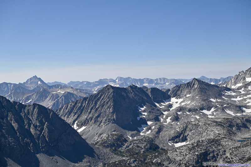
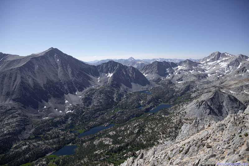
Mountains Surrounding Little Lakes Valley


Mountains Surrounding Little Lakes Valley

After reaching Bishop, California the previous night, we had four whole days to explore the mountains nearby. Unfortunately, while I was under the impression that it never seldomly rained in the summer in Sierra Nevada, the weather forecast for the coming few days didn’t share the same view. Rain was in the forecast in the afternoon for both today and the next day, at about 25% probability. Having been hit hard by alpine storms during my trip to Colorado back in 2022, this time we decided to play it safe and plan our outdoor activities around the rain.
As a result, we decided to check out Mount Starr today. This was a YDS class 2 mountain, whose trail was on the relatively shorter end (about 13km out-and-back, 800m elevation gain, or 8 miles and 2600ft). This meant if we started early, we should be able to get off the mountain before the afternoon storms rolled in. Its summit at about 3900m was one step further in acclimatization to the higher peaks in our plan in the coming days. To top things off, the views were spectacular along the trail and from the summit, a myriad of lakes and peaks that blended to make the best views we had in Eastern Sierra Nevada.

On the morning of July 23, we left Bishop at 5:30am in the morning, just as the first rays of twilight were lighting up the horizon. We reached Mosquito Flat Trailhead just past 6am. The trailhead was in a valley and felt very cold as we stepped out of the car, with many plants covered in frost. After some warmup, we started our hike at 6:18am.
Here’s GPS tracking:

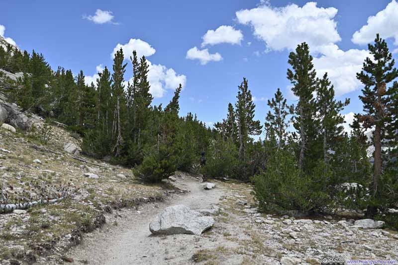
Not long after leaving the trailhead, we emerged into sunshine as the sun rose up and the trail headed up the hill, leaving behind the frosty chill from the trailhead.

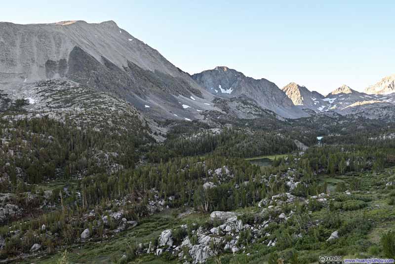
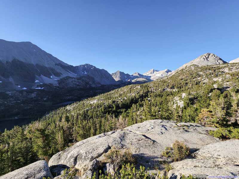
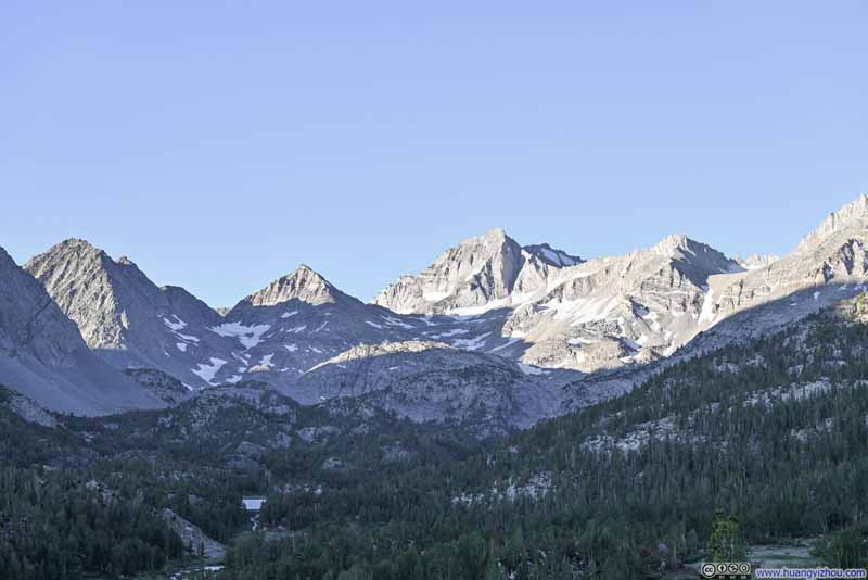
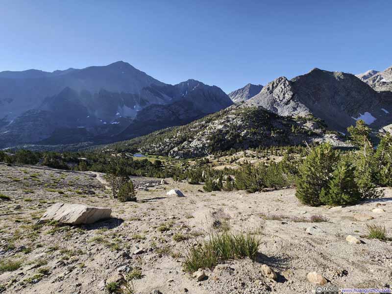
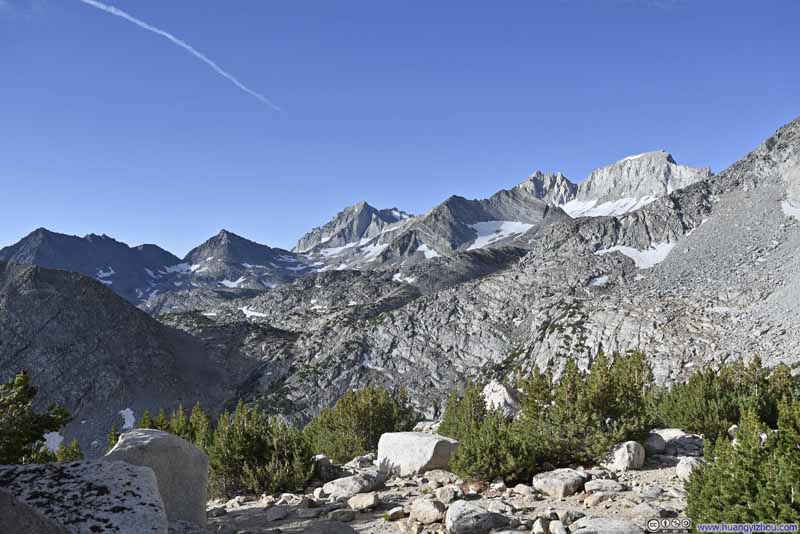
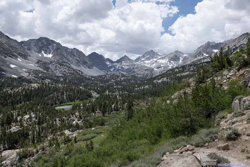
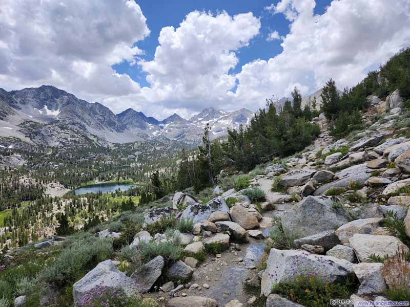
The first half of the trail largely followed Little Lakes Valley. A few spots along the way offered great views of the valley below and the mountains beyond, but with strong contrast between the shade and sunlight, they didn’t make great photos.

  • Mountains beyond Little Lakes Valley
    Mountains beyond Little Lakes Valley
  • Mountains surrounding Little Lakes Valley
    Mountains surrounding Little Lakes Valley
  • Overlook along Trail
    Overlook along Trail
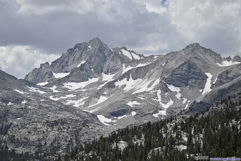
  • Peaks beyond Little Lakes Valley
    Peaks beyond Little Lakes Valley
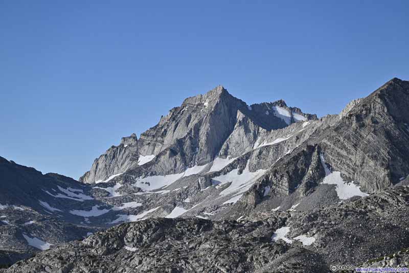
  • Distant Bear Creek Spire
    Distant Bear Creek Spire
  • Eastern Side of Mount Starr
    Eastern Side of Mount Starr
  • Mountains beyond Little Lakes Valley
  • Mountains surrounding Little Lakes Valley
  • Overlook along Trail
  • Peaks beyond Little Lakes Valley
  • Distant Bear Creek Spire
  • Eastern Side of Mount Starr

Click here to display photos of the slideshow
Mountains beyond Little Lakes Valley


Mountains beyond Little Lakes Valley

Mountains surrounding Little Lakes Valley


Mountains surrounding Little Lakes Valley

Overlook along Trail


Overlook along Trail

Peaks beyond Little Lakes Valley


Peaks beyond Little Lakes Valley

Distant Bear Creek Spire


Distant Bear Creek Spire

Eastern Side of Mount Starr


Eastern Side of Mount Starr


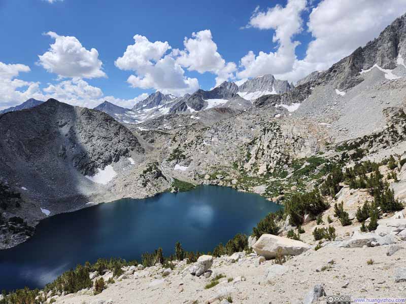
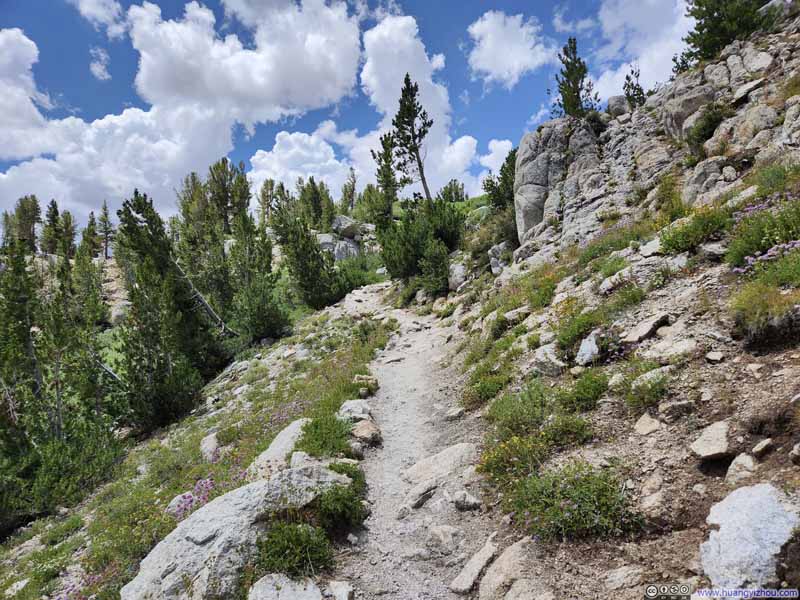
As we went deeper into the hike, the trail turned west away from Little Lakes Valley towards Ruby Lake. Shortly before reaching Ruby Lake, the trail to Mount Starr forked off the trail to Ruby Lake and entered a series of switchbacks. Vegetation became sparse along the switchbacks, allowing unobstructed views overlooking Ruby Lake below and the various surrounding mountains, such as the rocky spire in the background (Petit Griffon between Mount Abbot and Mount Mills) that’s shaped like a monument to behold.

  • Mount Abbot and Mount Mills
    Mount Abbot and Mount Mills
    Petit Griffon is the gendarme in between them.
  • Trail with Mountainous Backdrop
    Trail with Mountainous Backdrop
  • Ruby Lake before Abbot Group Mountains
    Ruby Lake before Abbot Group Mountains
  • Southern Face of Mount Starr
    Southern Face of Mount Starr
  • Mountains to the South
    Mountains to the South
  • Ruby Lake before Abbot Group Mountains
    Ruby Lake before Abbot Group Mountains
  • Ruby Lake before Abbot Group Mountains
    Ruby Lake before Abbot Group Mountains
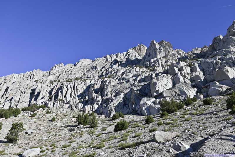
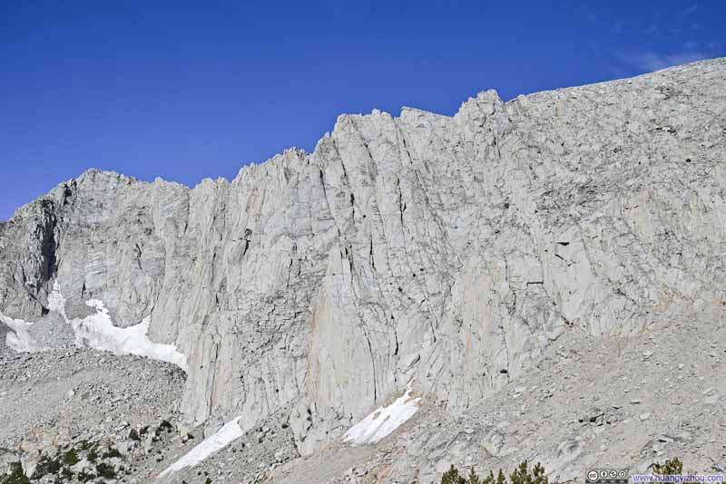
  • Cliffs
    Cliffs
    To the west of the trail, they looked pretty imposing.
  • Mount Abbot and Mount Mills
  • Trail with Mountainous Backdrop
  • Ruby Lake before Abbot Group Mountains
  • Southern Face of Mount Starr
  • Mountains to the South
  • Ruby Lake before Abbot Group Mountains
  • Ruby Lake before Abbot Group Mountains
  • Cliffs

Click here to display photos of the slideshow
Mount Abbot and Mount Mills


Mount Abbot and Mount Mills
Petit Griffon is the gendarme in between them.

Trail with Mountainous Backdrop


Trail with Mountainous Backdrop

Ruby Lake before Abbot Group Mountains


Ruby Lake before Abbot Group Mountains

Southern Face of Mount Starr


Southern Face of Mount Starr

Mountains to the South


Mountains to the South

Ruby Lake before Abbot Group Mountains


Ruby Lake before Abbot Group Mountains

Ruby Lake before Abbot Group Mountains


Ruby Lake before Abbot Group Mountains

Cliffs


Cliffs
To the west of the trail, they looked pretty imposing.


Overlooking Ruby Lake from Trail


Overlooking Ruby Lake from Trail

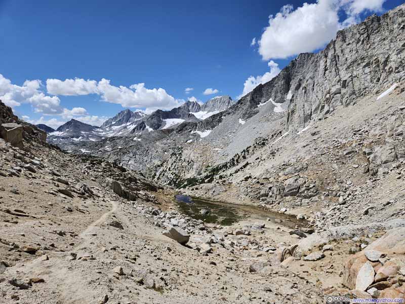
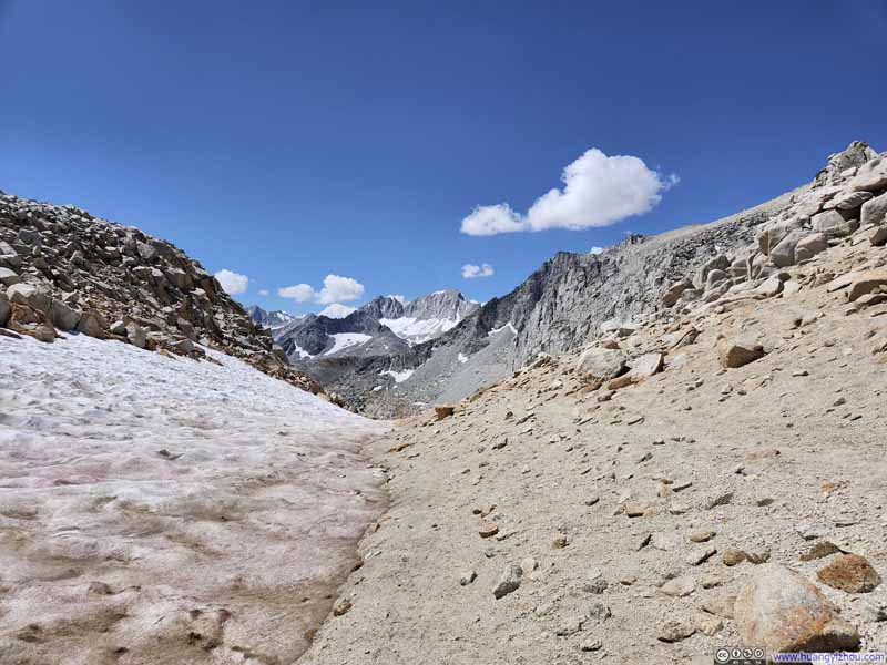
Not long after the top of switchbacks, the trail turned north, entering a valley between Mount Starr to the east and Ruby Peak to the west, that’s where patches of snow replaced what little vegetation that used to line the trail.

  • Abbot Group Mountains
    Abbot Group Mountains
  • Bear Creek Spire
    Bear Creek Spire
  • Mount Dade and Mount Abbot
    Mount Dade and Mount Abbot
  • Trail to Mono Pass
    Trail to Mono Pass
  • Valley
    Valley
    Below the trail to Mono Pass.
  • Trail to Mono Pass
    Trail to Mono Pass
  • Trail from Mono Pass
    Trail from Mono Pass
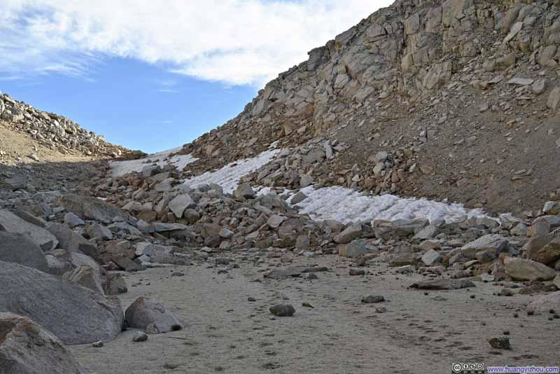
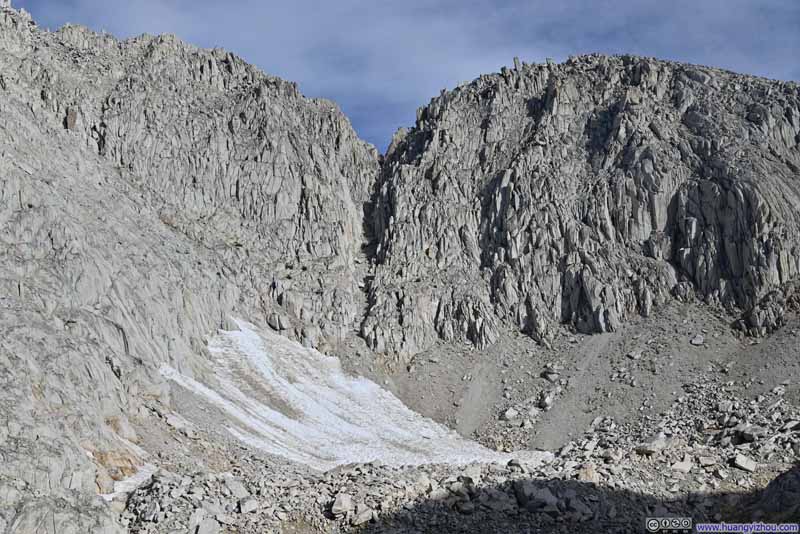
  • Couloir
    Couloir
    On the mountain west of the trail.
  • Abbot Group Mountains
  • Bear Creek Spire
  • Mount Dade and Mount Abbot
  • Trail to Mono Pass
  • Valley
  • Trail to Mono Pass
  • Trail from Mono Pass
  • Couloir

Click here to display photos of the slideshow
Abbot Group Mountains


Abbot Group Mountains

Bear Creek Spire


Bear Creek Spire

Mount Dade and Mount Abbot


Mount Dade and Mount Abbot

Trail to Mono Pass


Trail to Mono Pass

Valley


Valley
Below the trail to Mono Pass.

Trail to Mono Pass


Trail to Mono Pass

Trail from Mono Pass


Trail from Mono Pass

Couloir


Couloir
On the mountain west of the trail.


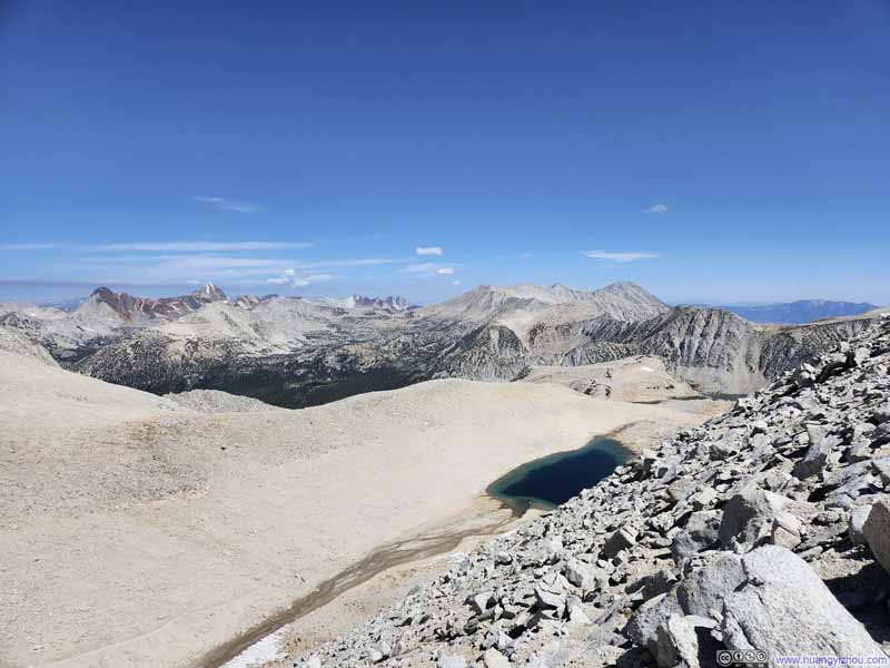
We reached Mono Pass at around 8:20am, about 2 hours after leaving the trailhead. There weren’t any markings at Mono Pass, but it’s an obvious saddle point that’s impossible to miss.
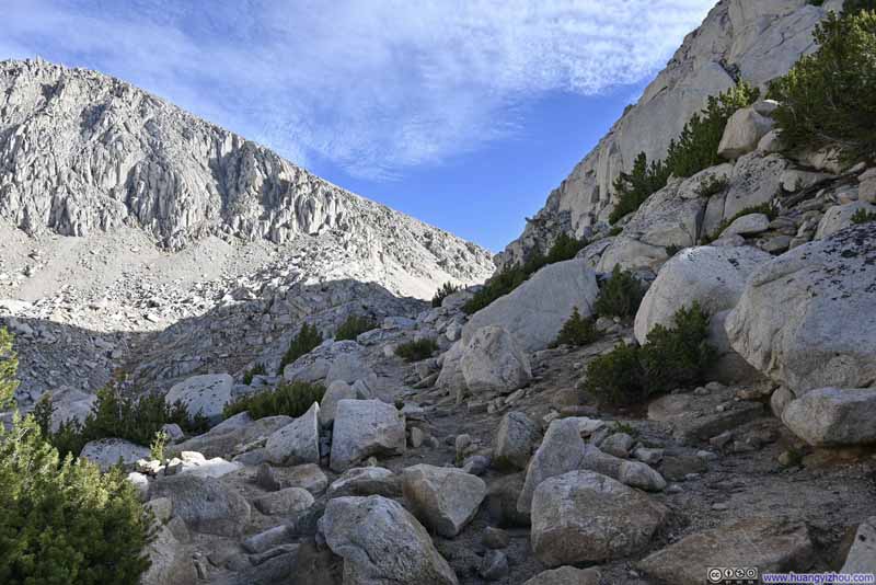
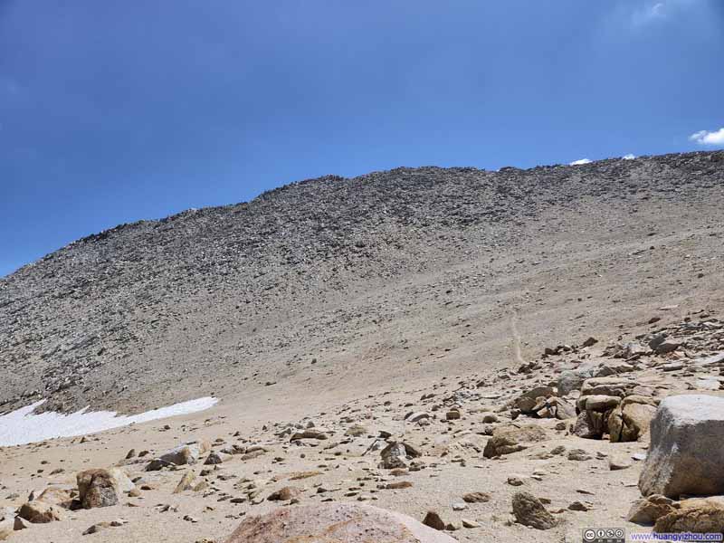
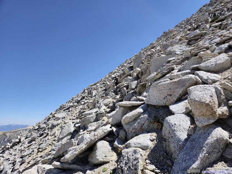
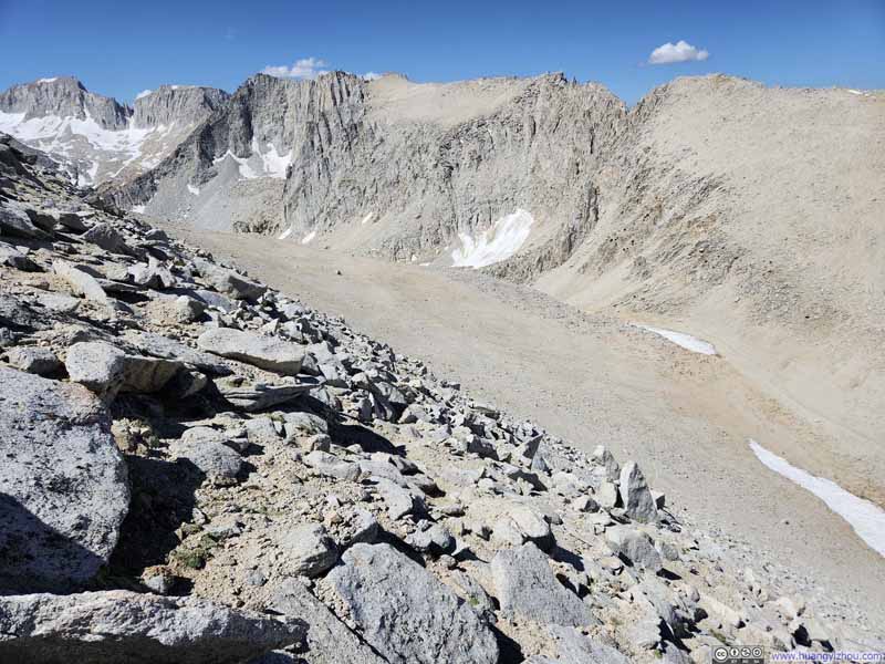
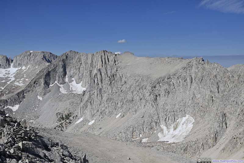
From there, we would climb Mount Starr’s western slope, which wasn’t an easy journey. The slope was steep, made of a mixture of fine gravel and talus. This mixture presented minor traction issues. In addition, while there were faint traces of trail leaving Mono Pass (see p1 below), they were very hard to follow. It didn’t take long before we gave up finding the trail, instead looked for the least resistant path onto the summit. Nonetheless, in my opinion the entire trail never exceeded YDS class 2.

  • Western Side of Mount Starr
    Western Side of Mount Starr
  • Valley
    Valley
  • Western Side of Mount Starr
    Western Side of Mount Starr
    A sense of its gradient.
  • Overlooking Mono Pass
    Overlooking Mono Pass
  • Plants
    Plants
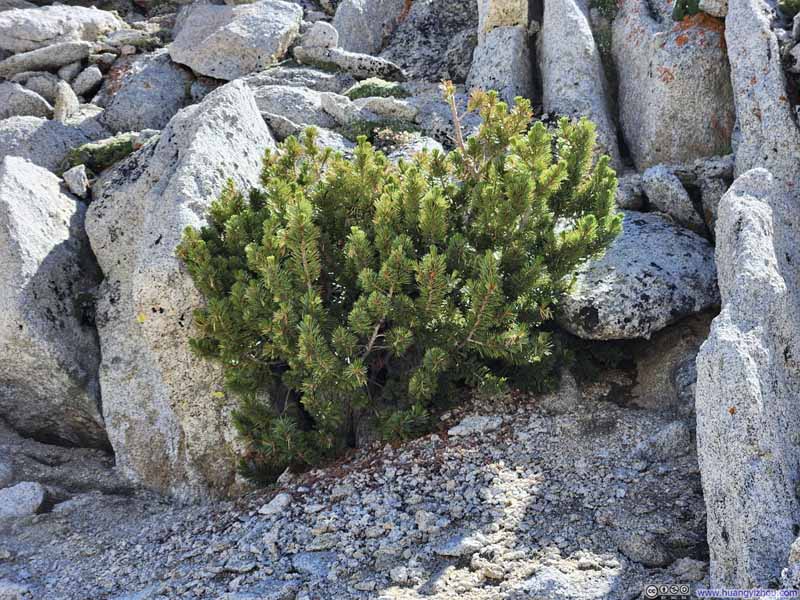
    Seemingly coming out of nowhere from between the rocks.
  • Valley and Mountains
    Valley and Mountains
  • Western Side of Mount Starr
  • Valley
  • Western Side of Mount Starr
  • Overlooking Mono Pass
  • Plants
  • Valley and Mountains

Click here to display photos of the slideshow
Western Side of Mount Starr


Western Side of Mount Starr

Valley


Valley

Western Side of Mount Starr


Western Side of Mount Starr
A sense of its gradient.

Overlooking Mono Pass


Overlooking Mono Pass

Plants


Plants
Seemingly coming out of nowhere from between the rocks.

Valley and Mountains


Valley and Mountains


An hour later after leaving Mono Pass, we were at the top of Mount Starr, joining the cohort of impressively looking Sierra Nevada mountains that surrounded us.

  • Abbot Group Mountains
    Abbot Group Mountains
    A constant and impressive sight throughout the day.
  • Mount Abbot and Mount Mills
    Mount Abbot and Mount Mills
    Petit Griffon is the gendarme in between them.
  • Mountains to the South
    Mountains to the South
    Bear Creek Spire as the prominent peak in the right.
  • Mountains to the South
    Mountains to the South
    Deep into the Sierra Nevada.
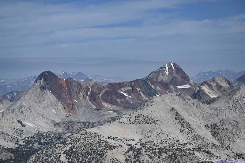
  • Mountains in Vivid Colors
    Mountains in Vivid Colors
    Red and White Mountain (left) and Red Slate Mountain (right).
  • Mountains in Vivid Colors
    Mountains in Vivid Colors
    The colorful ridgeline from Mount Baldwin (left) to Mount Morrison (right).
  • Mountains to the Southwest
    Mountains to the Southwest
    This one was actually unnamed.
  • Mountains to the North
    Mountains to the North
    Coincidentally, the peak in the right background of this frame was also called Mount Morgan.
  • Abbot Group Mountains
  • Mount Abbot and Mount Mills
  • Mountains to the South
  • Mountains to the South
  • Mountains in Vivid Colors
  • Mountains in Vivid Colors
  • Mountains to the Southwest
  • Mountains to the North

Click here to display photos from the summit of Mount Starr.
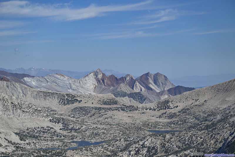
Abbot Group Mountains


Abbot Group Mountains
A constant and impressive sight throughout the day.

Mount Abbot and Mount Mills


Mount Abbot and Mount Mills
Petit Griffon is the gendarme in between them.

Mountains to the South


Mountains to the South
Bear Creek Spire as the prominent peak in the right.

Mountains to the South


Mountains to the South
Deep into the Sierra Nevada.

Mountains in Vivid Colors


Mountains in Vivid Colors
Red and White Mountain (left) and Red Slate Mountain (right).

Mountains in Vivid Colors


Mountains in Vivid Colors
The colorful ridgeline from Mount Baldwin (left) to Mount Morrison (right).
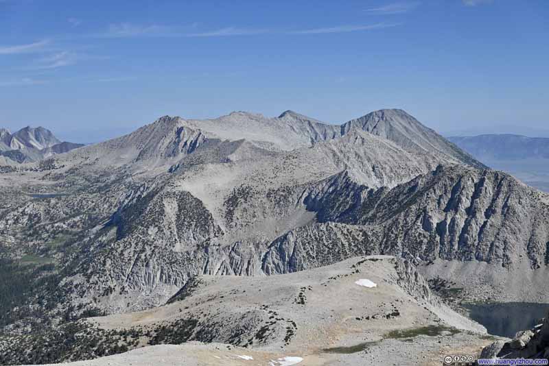
Mountains to the Southwest


Mountains to the Southwest
This one was actually unnamed.

Mountains to the North


Mountains to the North
Coincidentally, the peak in the right background of this frame was also called Mount Morgan.


View from Mount Starr Summit


View from Mount Starr Summit

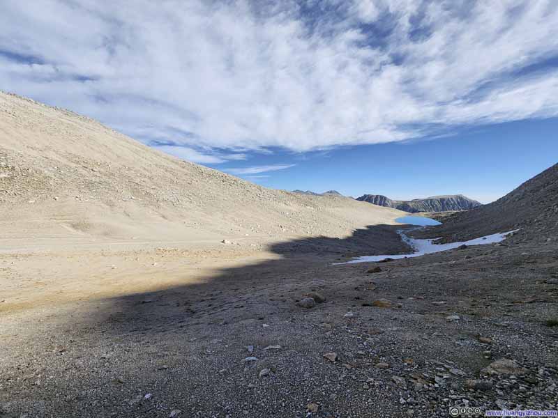
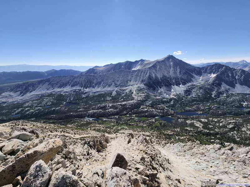
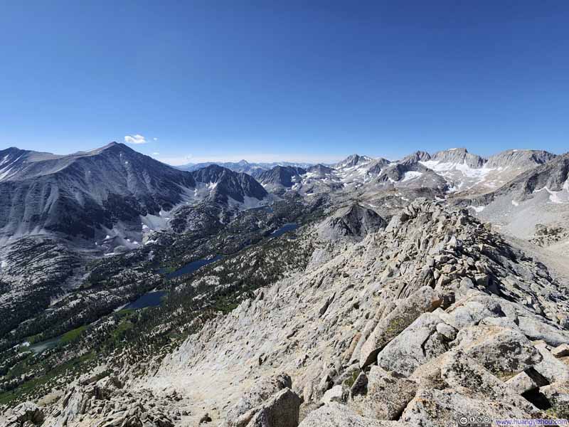
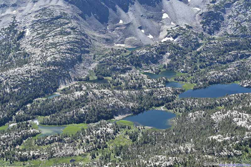
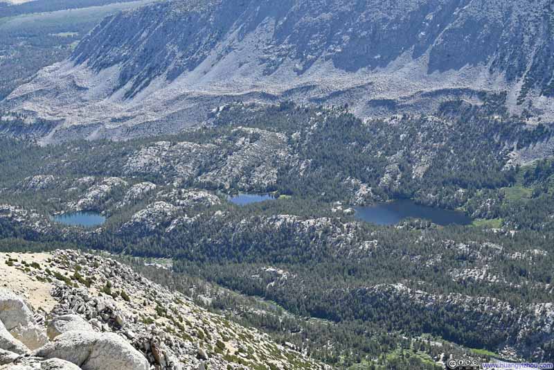
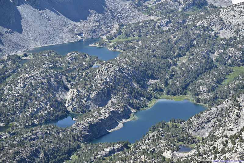
The summit ridge of Mount Starr largely followed north-south direction. The two valleys to its east and west had drastically different landscapes. Little Lakes Valley to the east, where we came from, abounded in water and was lush in vegetation. The (unnamed) valley to the west was barren and (mostly) dry. I guessed that’s how snowmelt from the mountains surrounding Little Lakes Valley breed all its varieties of life.

  • Little Lakes Valley before Mount Morgan
    Little Lakes Valley before Mount Morgan
  • Little Lakes Valley before Sierra Nevada Mountains
    Little Lakes Valley before Sierra Nevada Mountains
  • Lakes in Little Lakes Valley
    Lakes in Little Lakes Valley
  • Lakes in Little Lakes Valley
    Lakes in Little Lakes Valley
  • Lakes in Little Lakes Valley
    Lakes in Little Lakes Valley
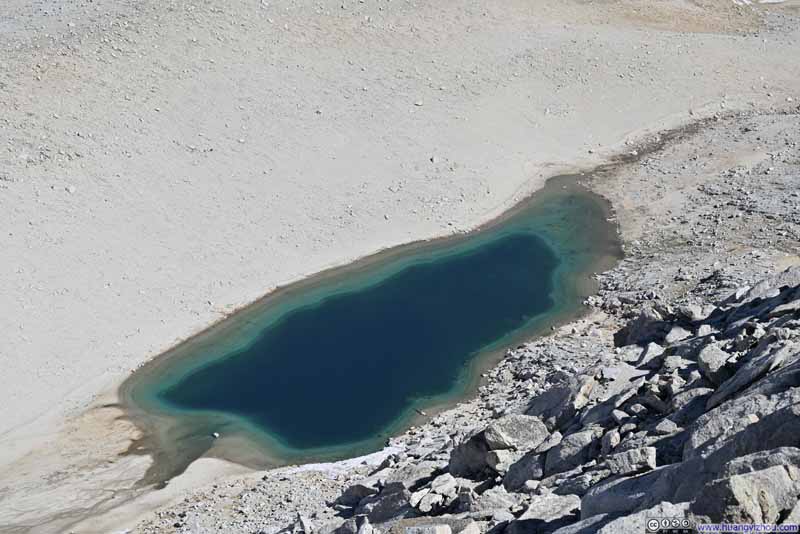
  • Summit Lake
    Summit Lake
    An alpine lake at the foot of Mount Starr.
  • Fellow Hikers
    Fellow Hikers
    They headed up further south along the summit ridge of Mount Starr. Much to my surprise, their dog also managed to climb this mountain.
  • Little Lakes Valley before Mount Morgan
  • Little Lakes Valley before Sierra Nevada Mountains
  • Lakes in Little Lakes Valley
  • Lakes in Little Lakes Valley
  • Lakes in Little Lakes Valley
  • Summit Lake
  • Fellow Hikers

Click here to display photos from the summit of Mount Starr.
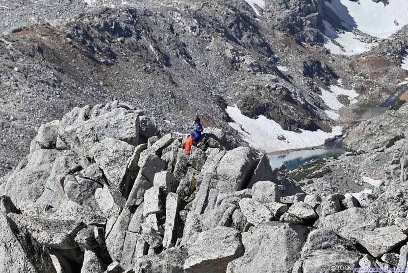
Little Lakes Valley before Mount Morgan


Little Lakes Valley before Mount Morgan

Little Lakes Valley before Sierra Nevada Mountains


Little Lakes Valley before Sierra Nevada Mountains

Lakes in Little Lakes Valley


Lakes in Little Lakes Valley

Summit Lake


Summit Lake
An alpine lake at the foot of Mount Starr.

Fellow Hikers


Fellow Hikers

They headed up further south along the summit ridge of Mount Starr. Much to my surprise, their dog also managed to climb this mountain.


And here’s a video taken from the summit:

24 seconds, 2160p30fps, 10Mbps/32MB for H265, 11Mbps/33MB for H264.

We spent an hour on the summit of Mount Starr enjoying the views and some snacks, during which time we watched a few patches of clouds forming above the mountains deep in Sierra Nevada, as expected by the weather forecast. However, with the clouds few and sparse, we weren’t in that much of a hurry to get off the mountain.
Once started our descent from Mount Starr, it took us 50 minutes to reach Mono Pass, after which it took us 1 hour and 40 minutes to get back to the trailhead.

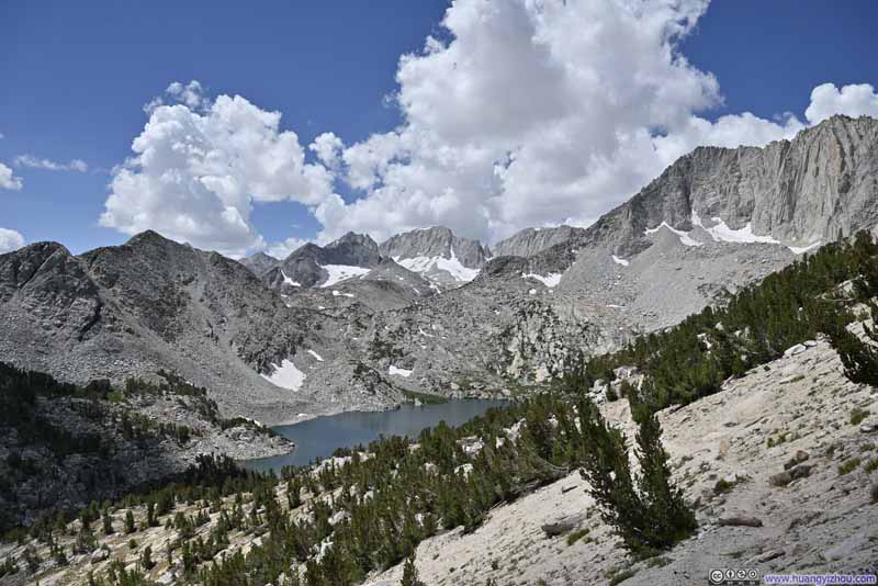
Along the way, the clouds got denser, but luckily it never rained. The distant mountains beyond Little Lakes Valley made stunning photos under soft light through overhanging clouds.

In hindsight, the hike to Mount Starr would be much more enjoyable had we left later. It would be warmer when we started, more clouds to serve as my sunscreen, softer light to make the mountains more visually appealing. But given the weather forecast we choose to err on the side of caution.
  • Little Lakes Valley
    Little Lakes Valley
  • Trail overlooking Little Lakes Valley
    Trail overlooking Little Lakes Valley
  • Mountains beyond Little Lakes Valley
    Mountains beyond Little Lakes Valley
  • Distant Bear Creek Spire
    Distant Bear Creek Spire
  • Ruby Peak
    Ruby Peak
  • Mount Morgan
    Mount Morgan
  • Little Lakes Valley
  • Trail overlooking Little Lakes Valley
  • Mountains beyond Little Lakes Valley
  • Distant Bear Creek Spire
  • Ruby Peak
  • Mount Morgan

Click here to display photos of the slideshow
Little Lakes Valley


Little Lakes Valley

Trail overlooking Little Lakes Valley


Trail overlooking Little Lakes Valley

Mountains beyond Little Lakes Valley


Mountains beyond Little Lakes Valley

Distant Bear Creek Spire


Distant Bear Creek Spire

Ruby Peak


Ruby Peak

Mount Morgan


Mount Morgan


Overlooking Little Lakes Valley


Overlooking Little Lakes Valley

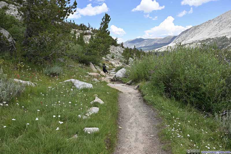
  • Trail
    Trail
  • Trail
    Trail
  • Trail
    Trail
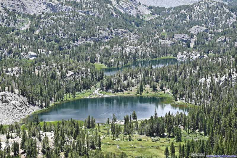
  • Heart Lake and Box Lake
    Heart Lake and Box Lake
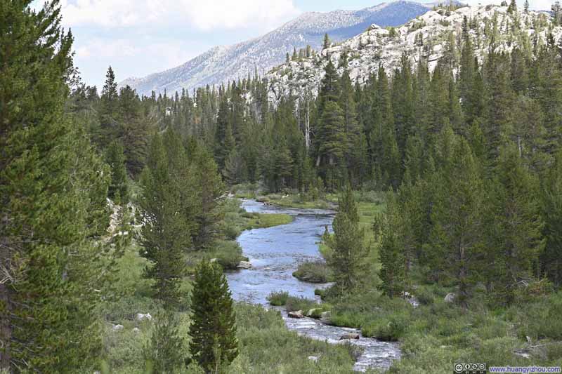
  • Rock Creek
    Rock Creek
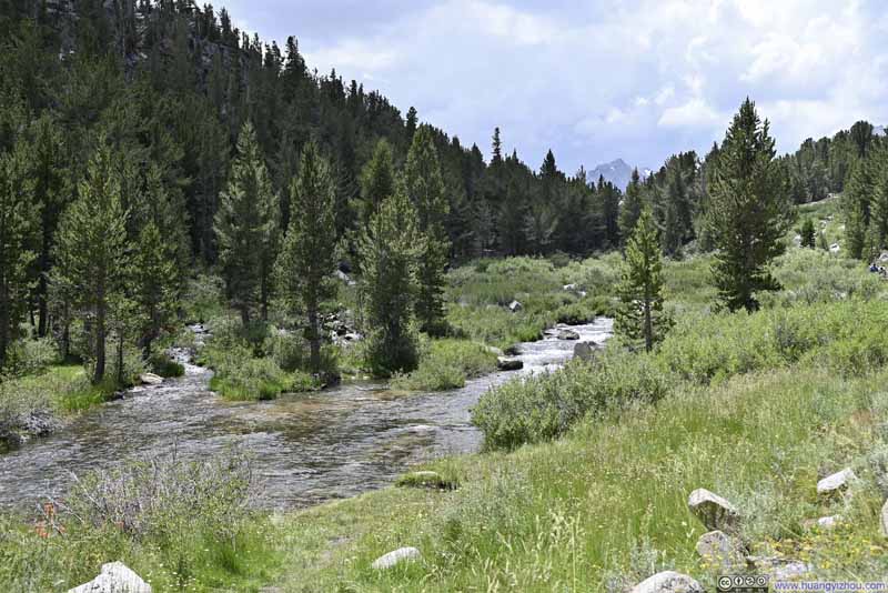
  • Rock Creek
    Rock Creek
  • Trail
  • Trail
  • Trail
  • Heart Lake and Box Lake
  • Rock Creek
  • Rock Creek

Click here to display photos of the slideshow
Trail


Trail
Trail
Trail

Heart Lake and Box Lake


Heart Lake and Box Lake

Rock Creek


Rock Creek
Rock Creek


Finally, we were back at the trailhead at 1pm, after which we drove back to Bishop to conclude the day.
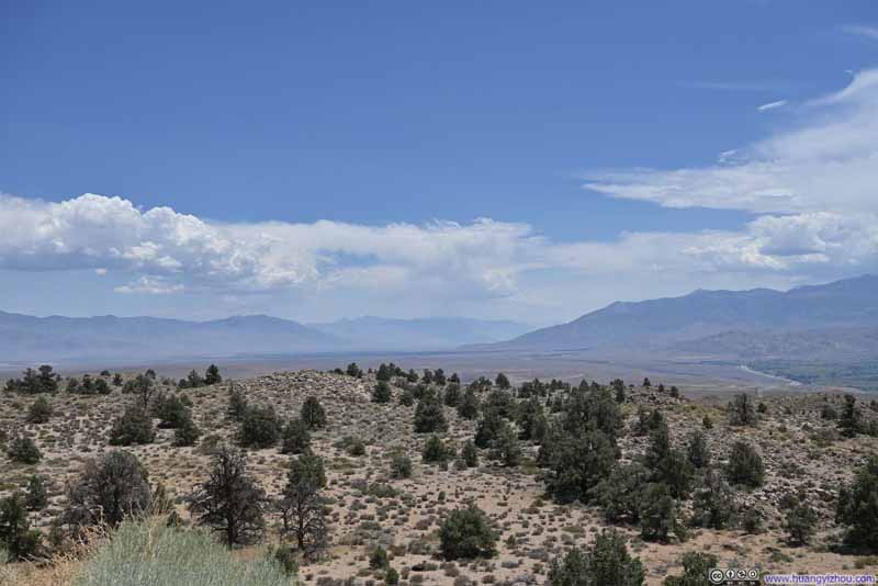
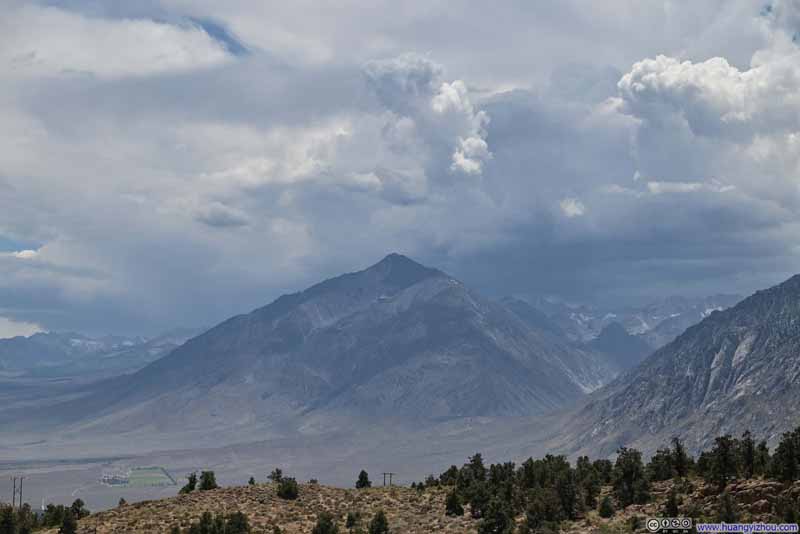
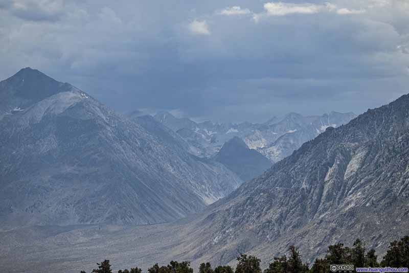
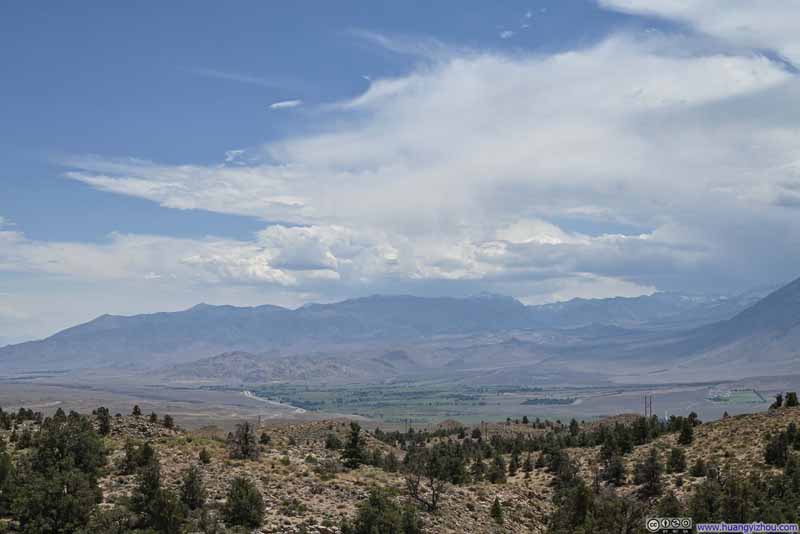
Along the way, US395 passed a scenic overlook (Sherwin Grade Vista Point), where we stopped and took a look. By that time, clouds looked rather tumultuous overhanging Sierra Nevada Mountains to the west. Having already finished our hike without having to worry about being caught in them, it’s just a magnificent sight to behold.

  • Owens Valley
    Owens Valley
  • Mount Tom
    Mount Tom
  • Four Gables Mountains
    Four Gables Mountains
    Looking majestic under the clouds.
  • Sierra Nevada Mountains
    Sierra Nevada Mountains
    Round Valley with its patches of green in the foreground.
  • Town of Bishop before Distant Inyo Mountains
    Town of Bishop before Distant Inyo Mountains
    From this angle, the town with all its vegetation felt like an oasis in a desert.
  • Owens Valley
  • Mount Tom
  • Four Gables Mountains
  • Sierra Nevada Mountains
  • Town of Bishop before Distant Inyo Mountains

Click here to display photos from Sherwin Grade Vista Point.
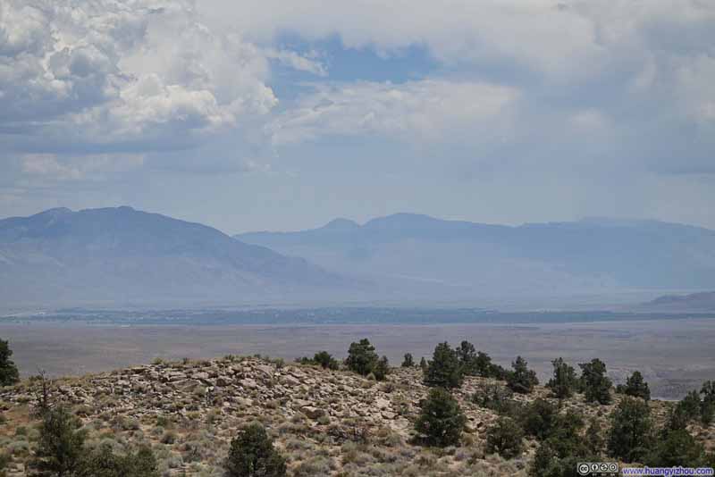
Owens Valley


Owens Valley

Mount Tom


Mount Tom

Four Gables Mountains


Four Gables Mountains
Looking majestic under the clouds.

Sierra Nevada Mountains


Sierra Nevada Mountains
Round Valley with its patches of green in the foreground.

Town of Bishop before Distant Inyo Mountains


Town of Bishop before Distant Inyo Mountains
From this angle, the town with all its vegetation felt like an oasis in a desert.


Owens Valley from Roadside Overlook


Owens Valley from Roadside Overlook

We only got to our hotel in Bishop at 10:30pm last night, and having to leave early this morning, we didn’t get much sleep. So once we were back at the hotel, we went straight back to bed and called it a day.
END

CC BY-NC-SA 4.0 Day 4 of July 2024 Trip to Sierra Nevada, Mount Starr by Huang's Site is licensed under a Creative Commons Attribution-NonCommercial-ShareAlike 4.0 International License.

Leave a Reply

Your email address will not be published. Required fields are marked *