
Updated on April 23, 2022
Day 8 of 2019 Florida Spring Break, Wynwood and East Coast
Eighth day of my spring break Florida road trip. I would be visiting Wynwood Walls of Miami in the morning, and took the scenic Florida Route A1A up the east coast in the afternoon.

Sculpture
The puncture I suffered two days ago on Florida Keys meant I would have limited time to explore the city of Miami. My friends visited Wynwood Walls district the previous day and they thought highly of it, so I would be following their footsteps and pay it a visit this morning. For the afternoon, I planned to drive along Florida’s coastal A1A route as much as I could, and find an Airbnb room for the night when I got tired.
Here’s GPS tracking for the day:
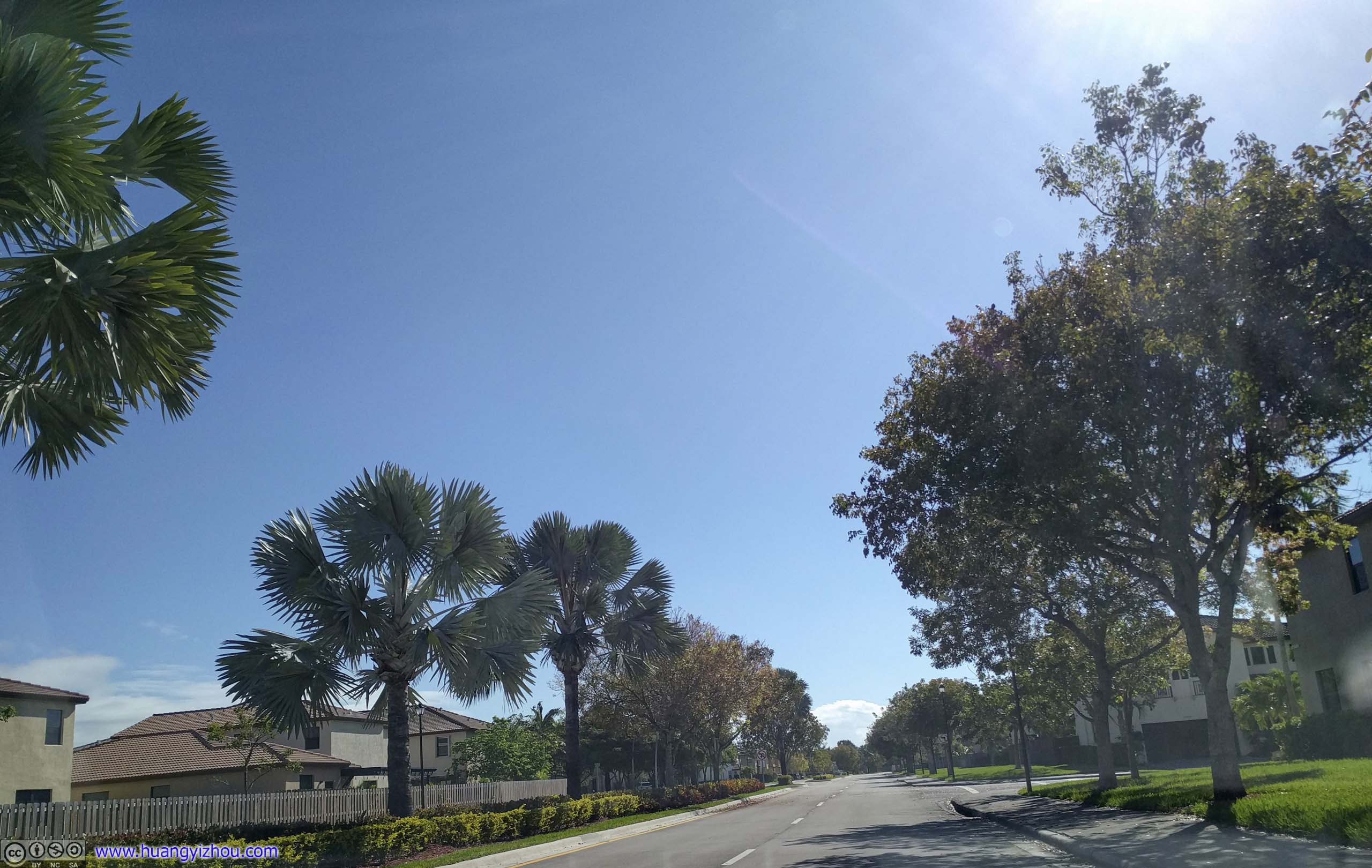
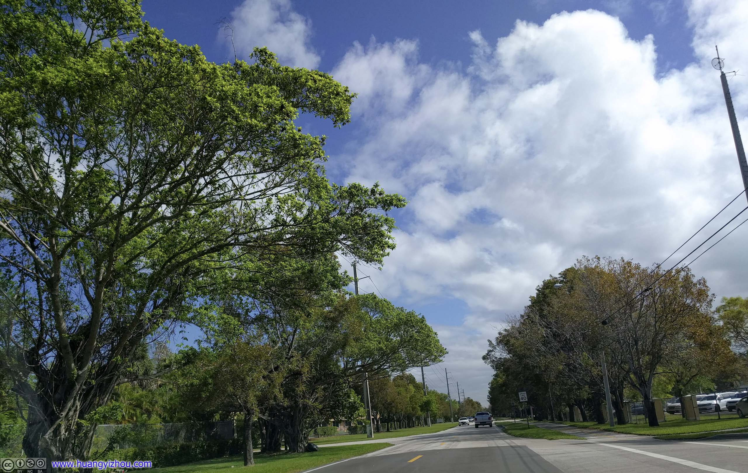
 Residential CommunityWhere our overnight Airbnb was located.
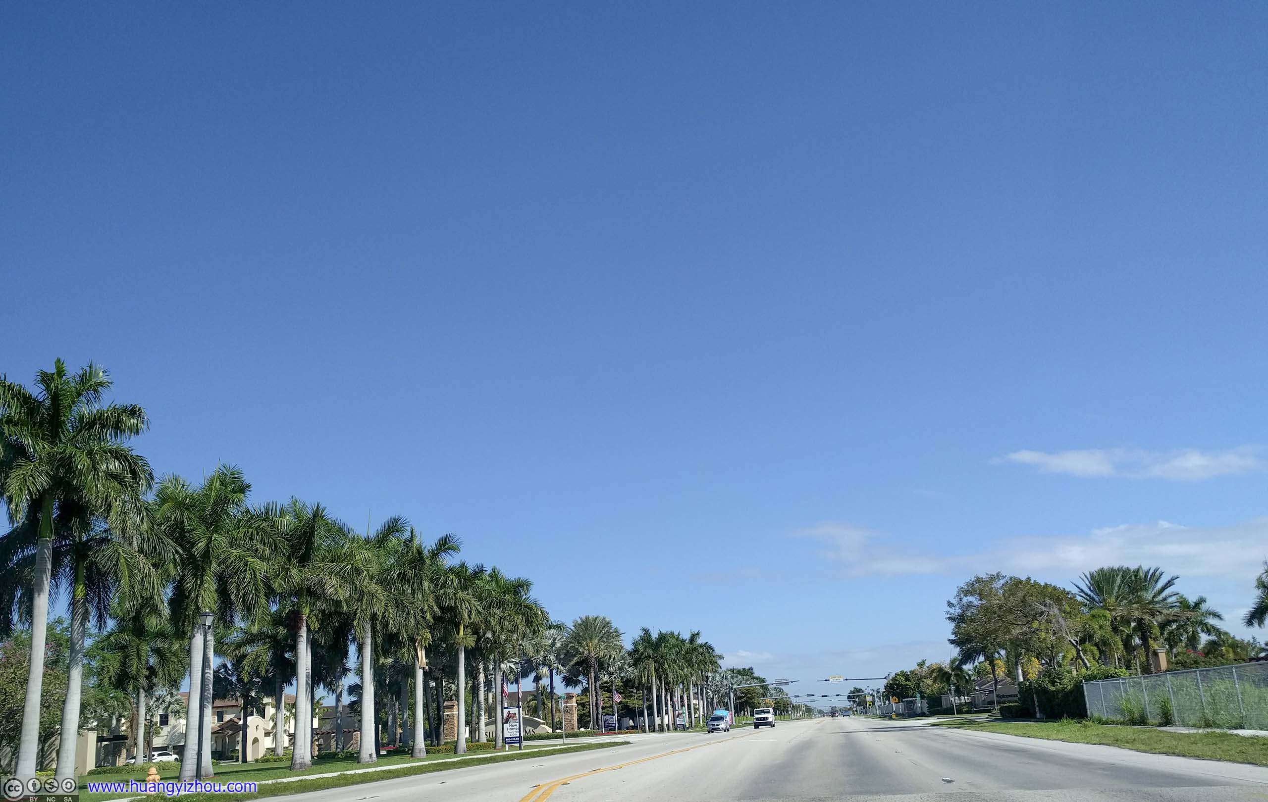
 Avenue


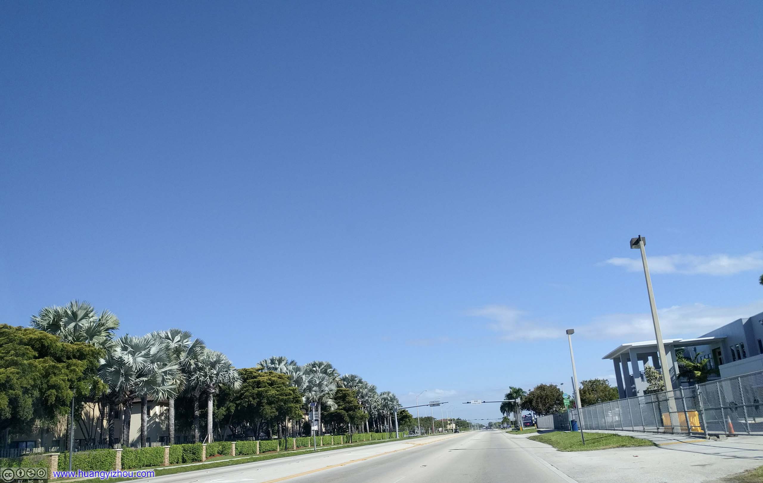
 Street
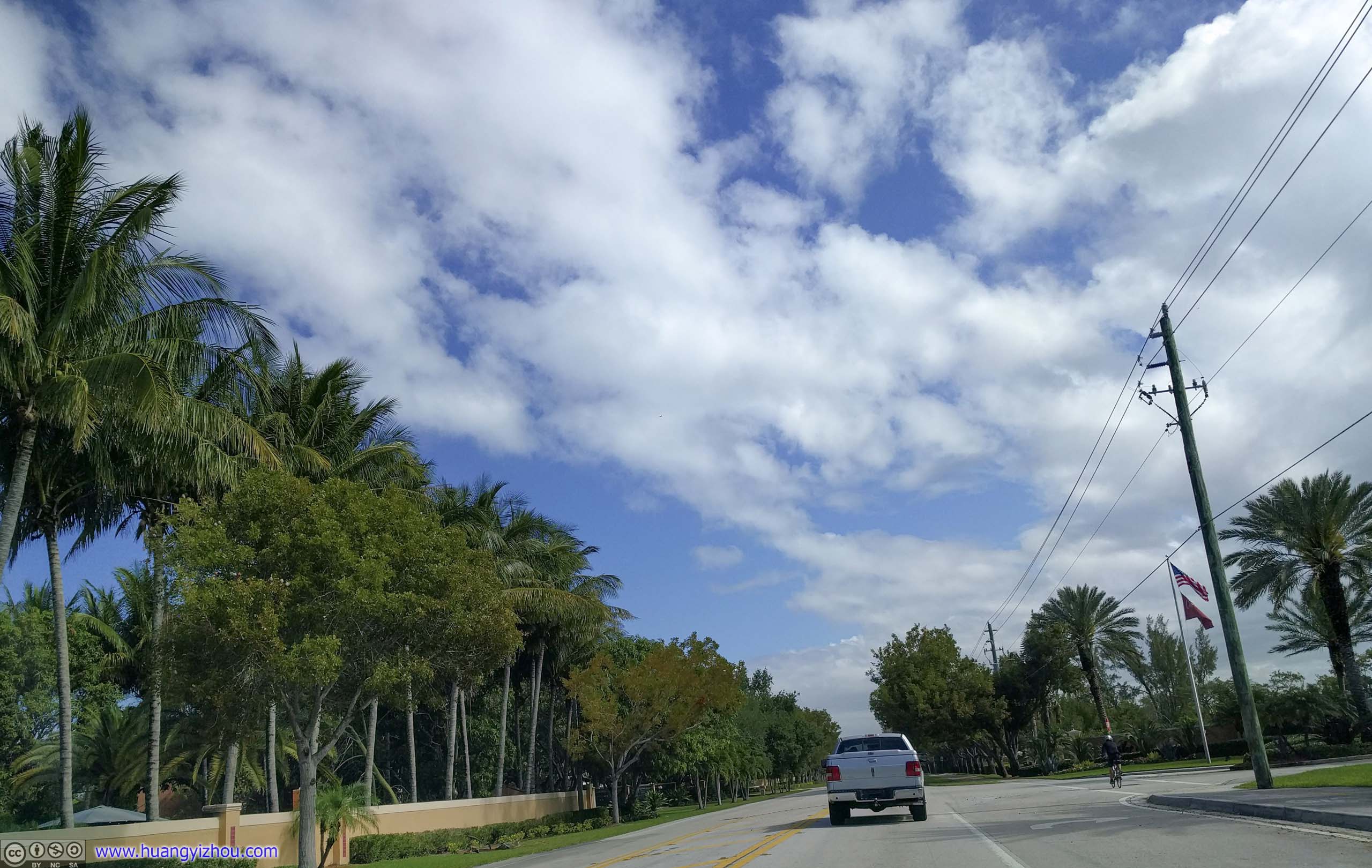
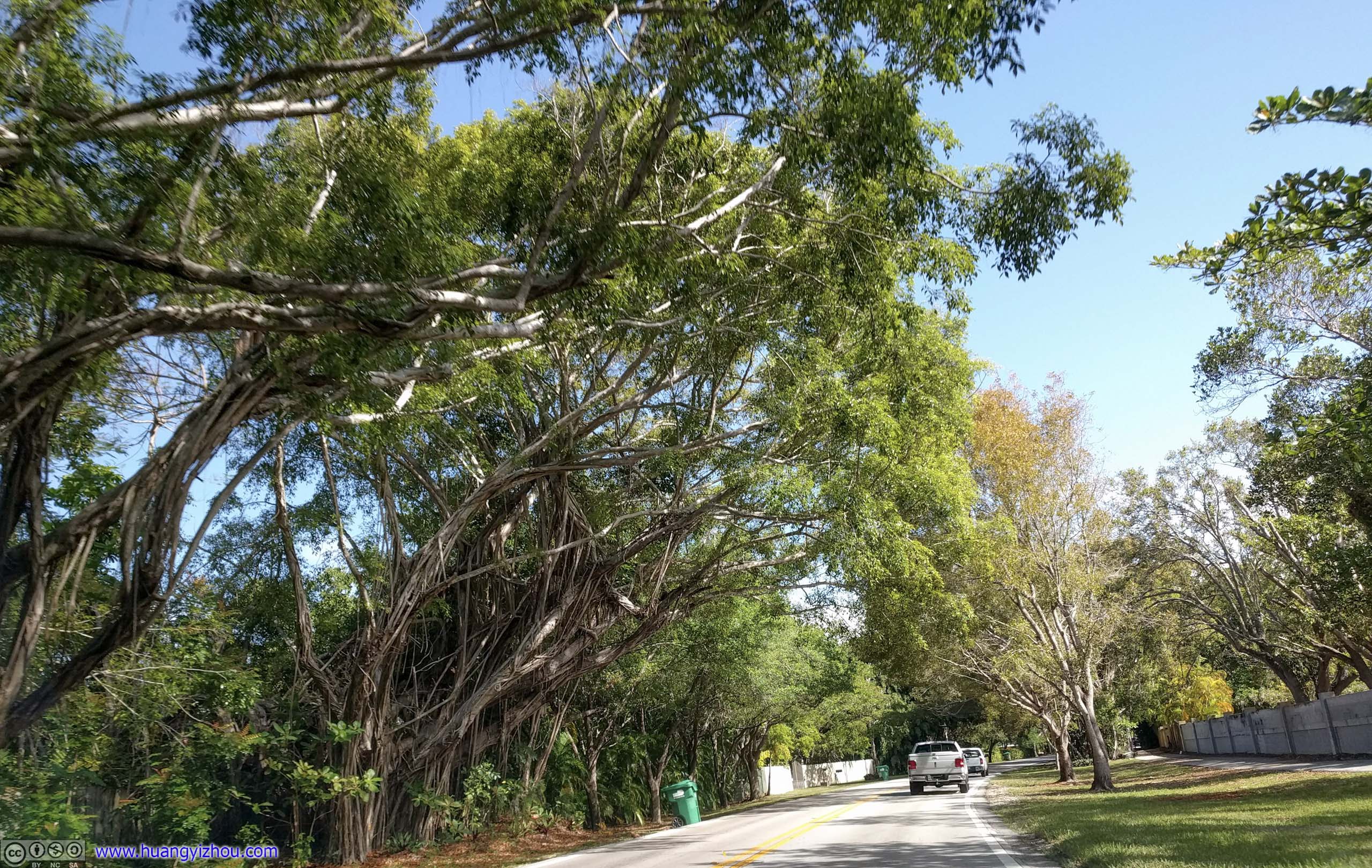
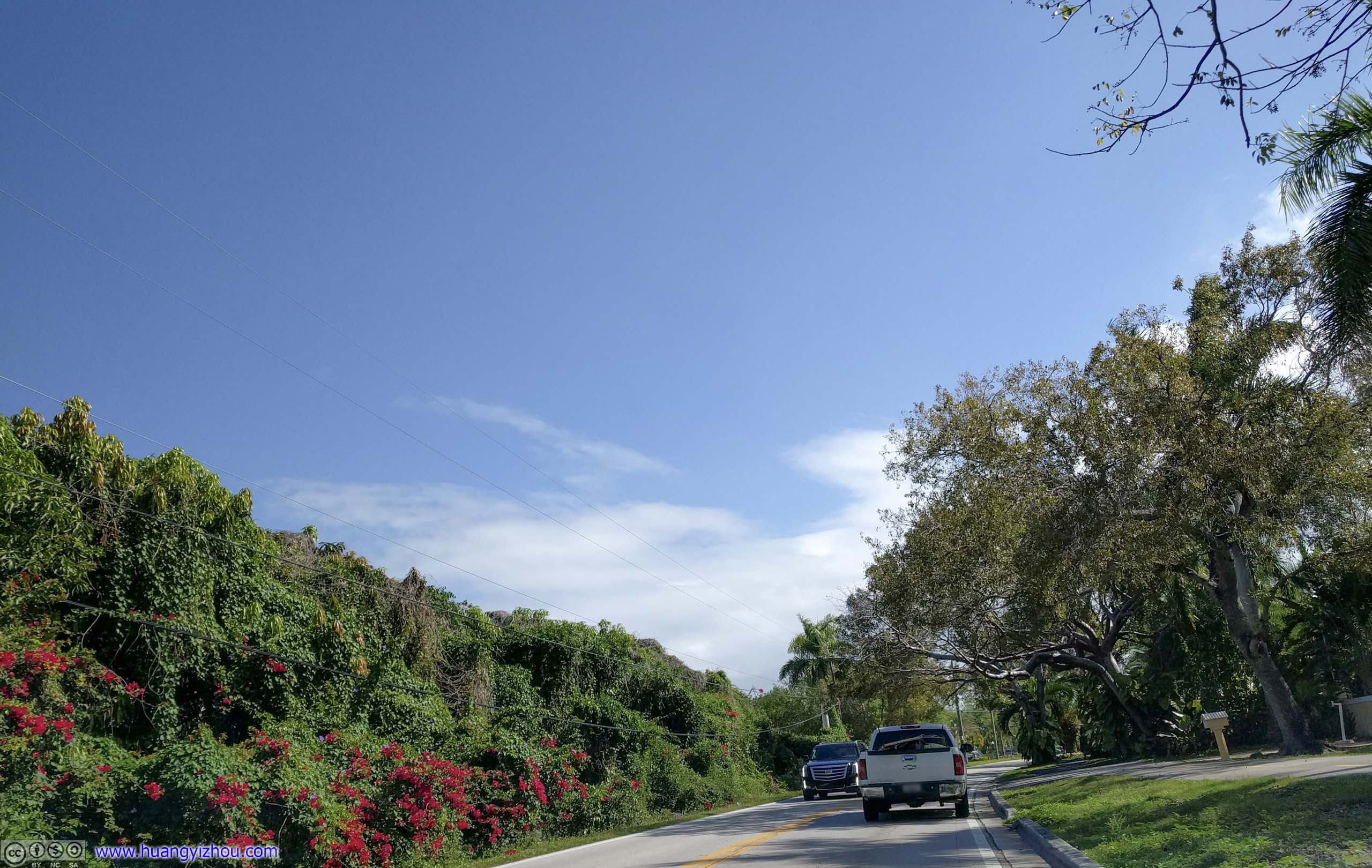
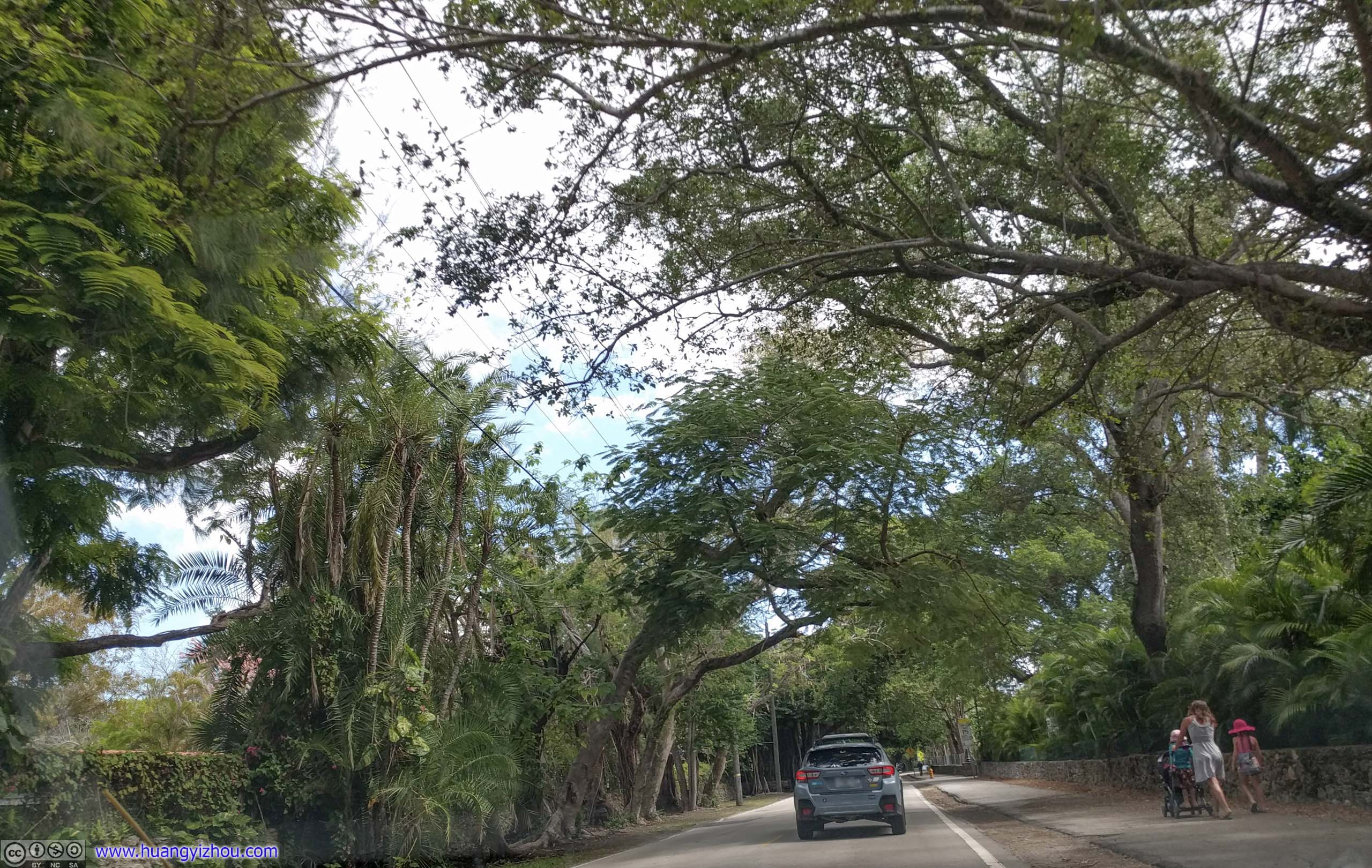
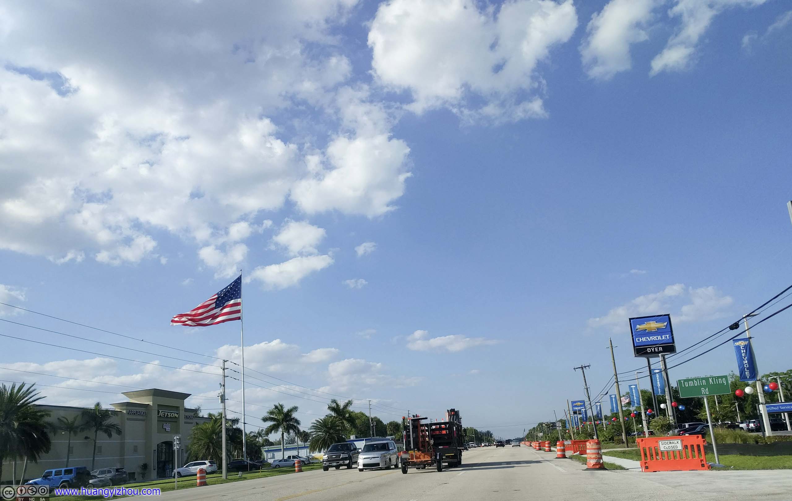
After I left the Airbnb near Homestead, Waze indicated there would be heavy traffic on Route 1 to Miami. So it picked a different route of “Old Cutler Road”. Judging by the quality of vegetations and plants along the road, it came through some wealthy neighborhoods.
Which shouldn’t be too surprising as portions of it runs rather close to sea, the likes of yachts and marinas.
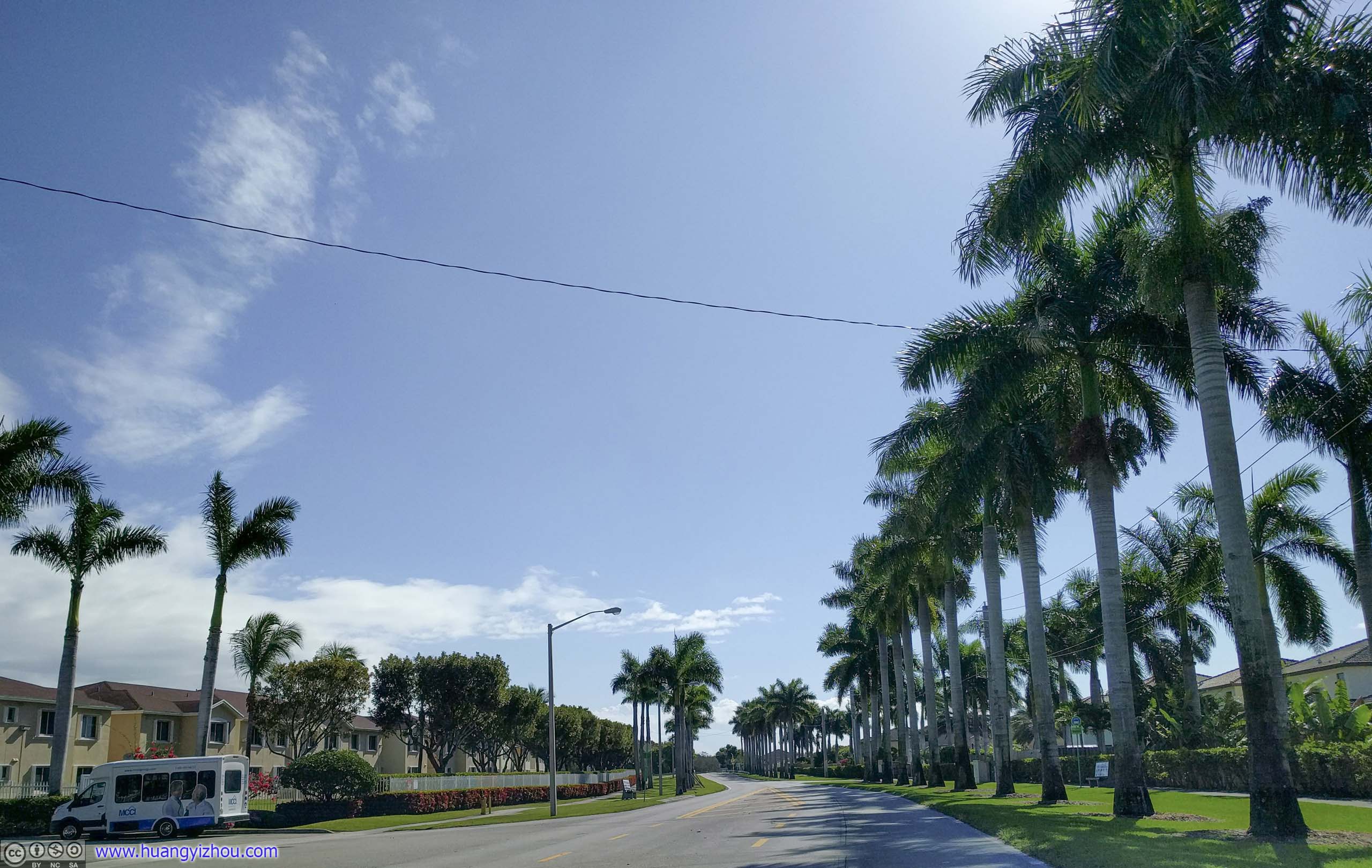
 Street
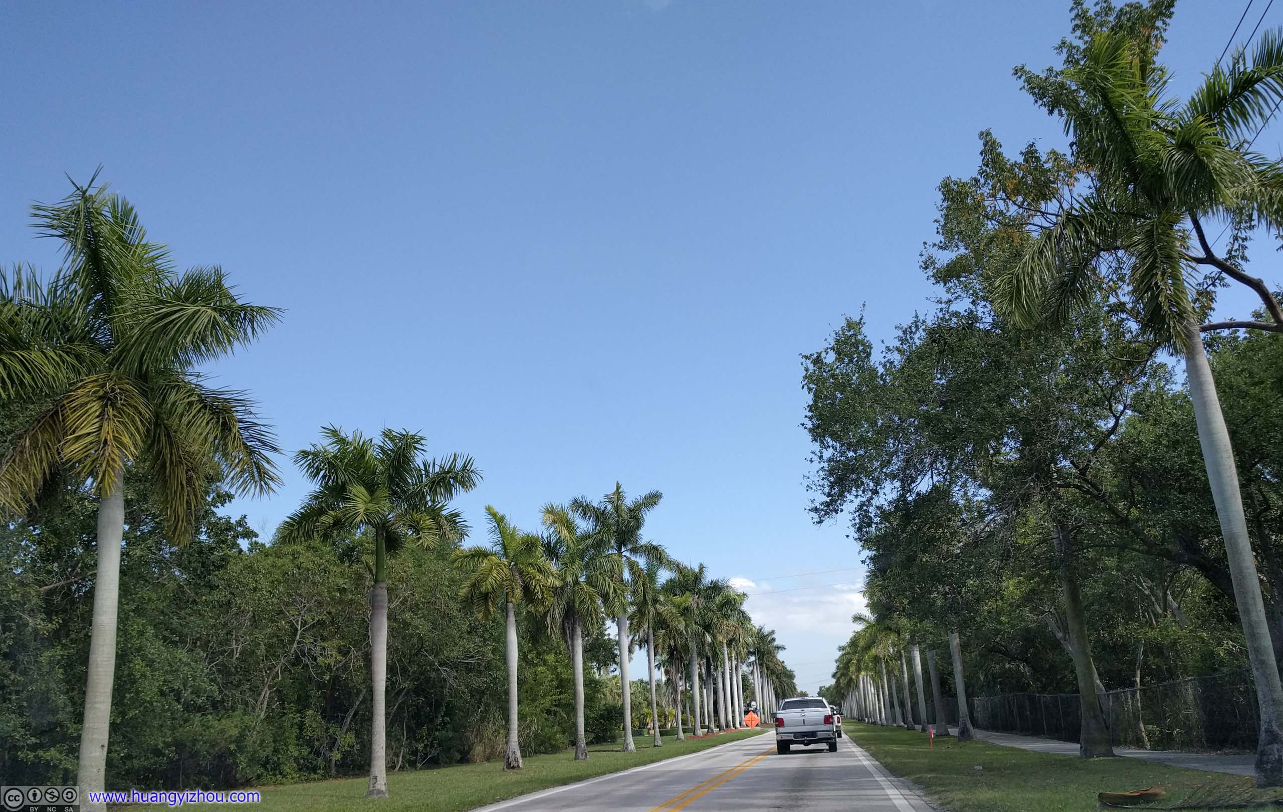
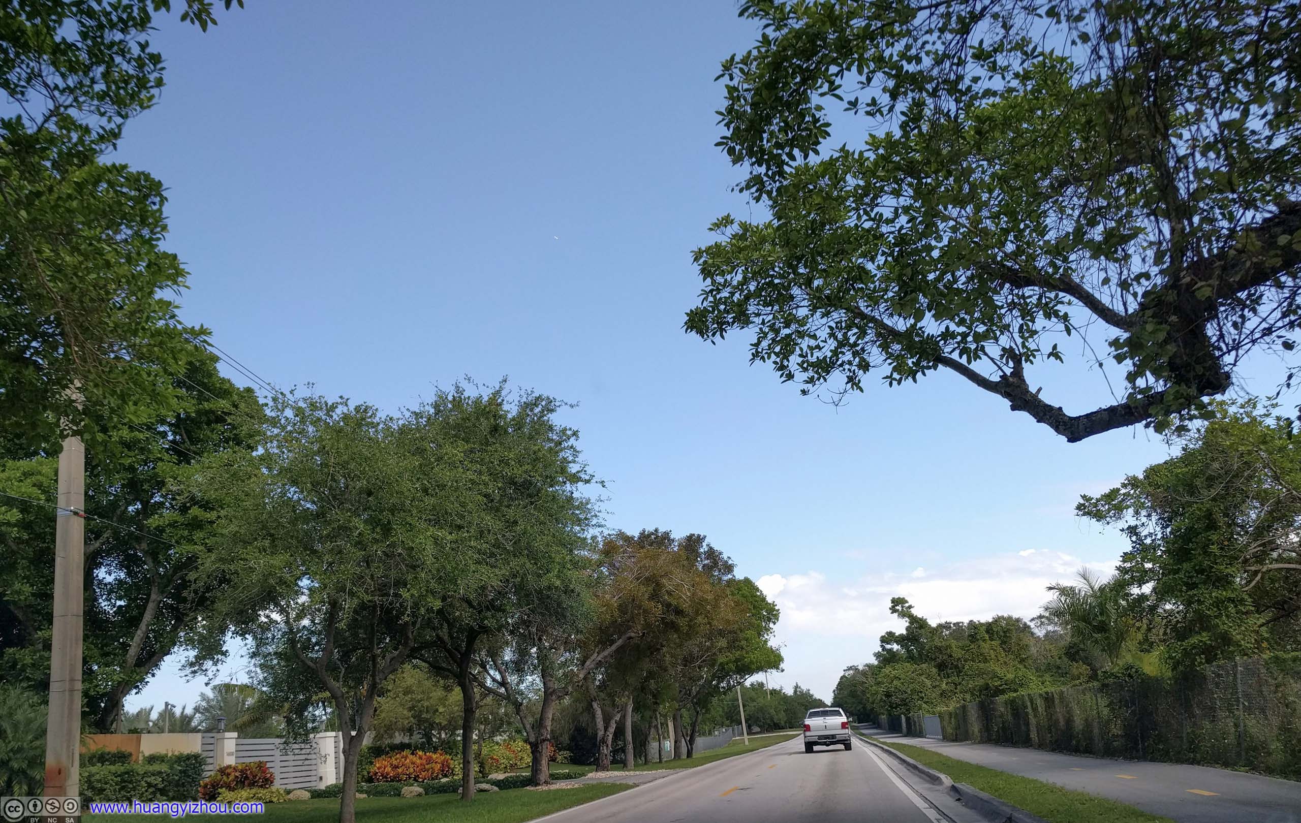
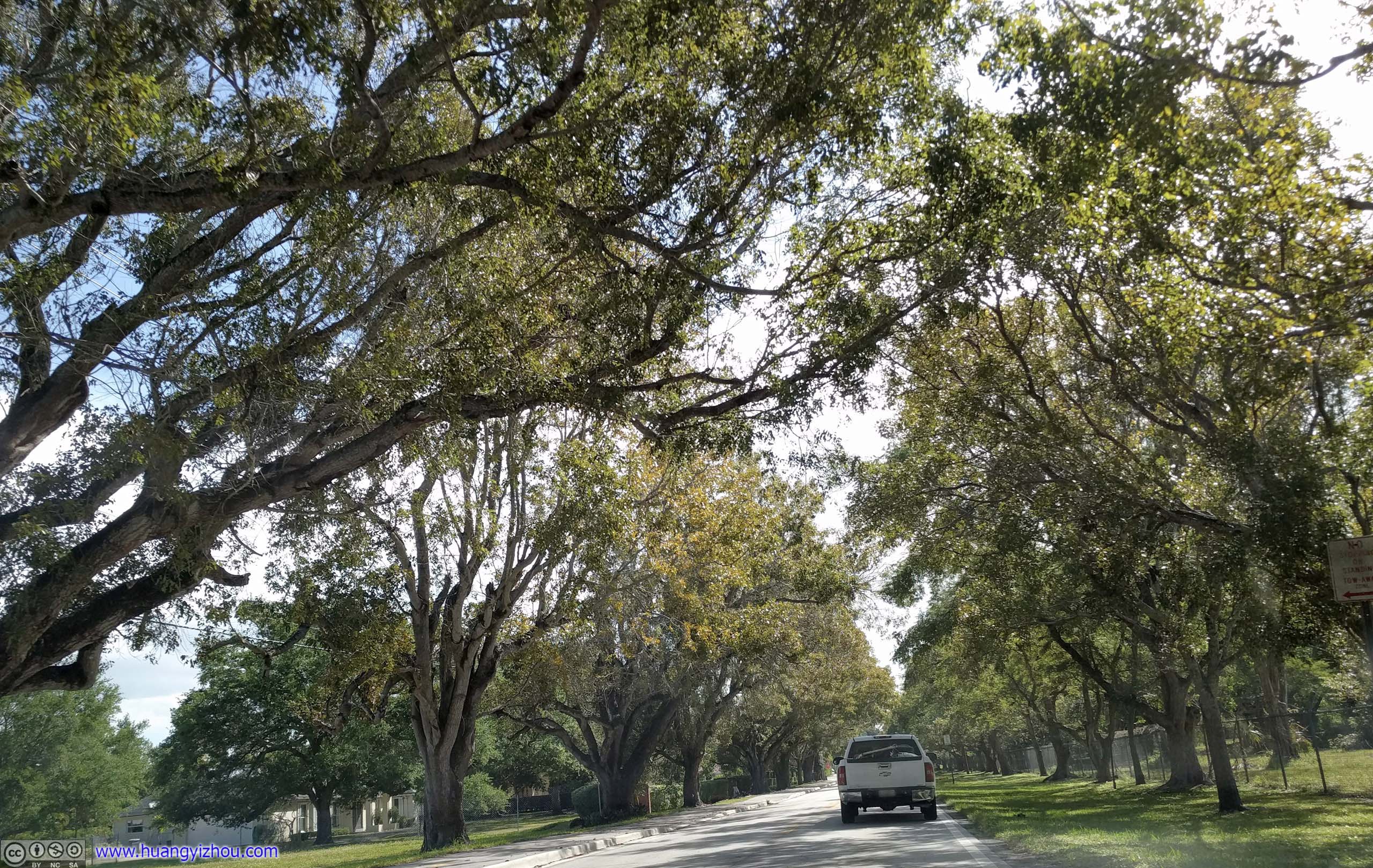
In the absence of traffic lights, I enjoyed my time on this byway, compared with the busy and well-developed Route 1.


 Street


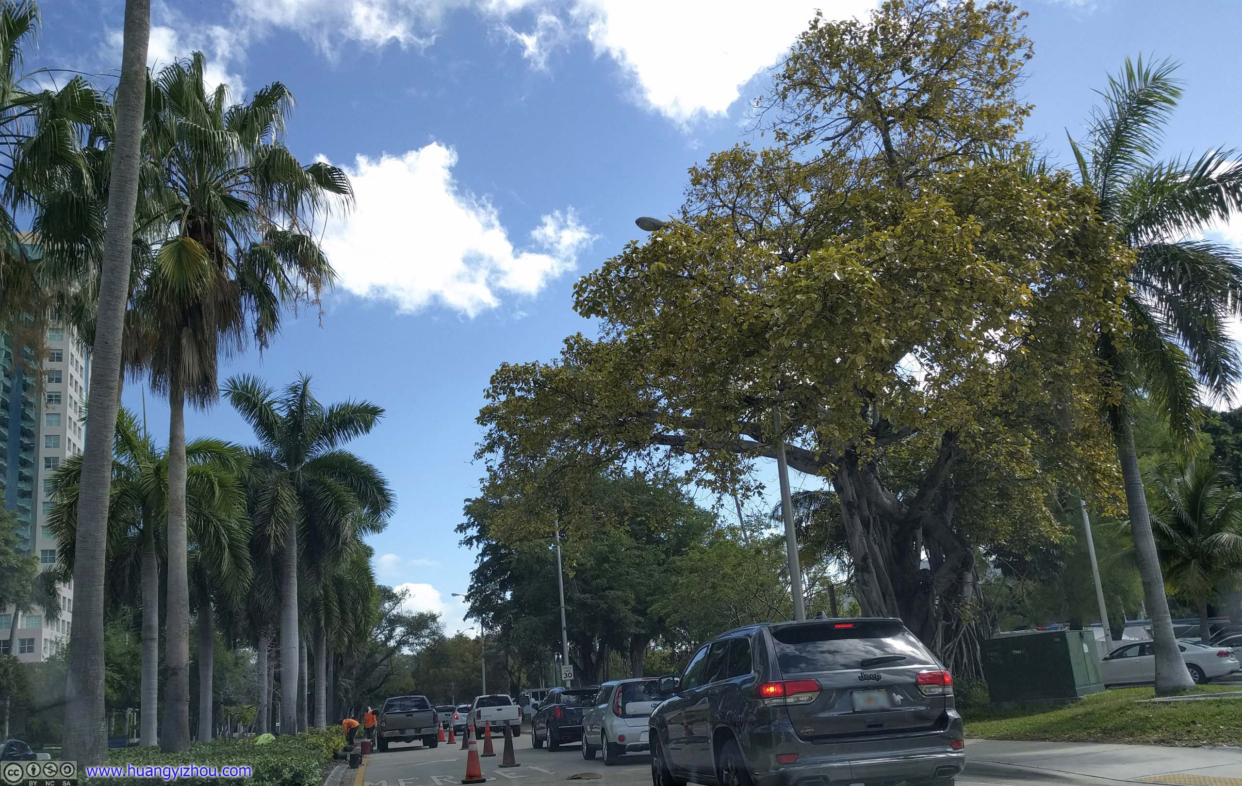
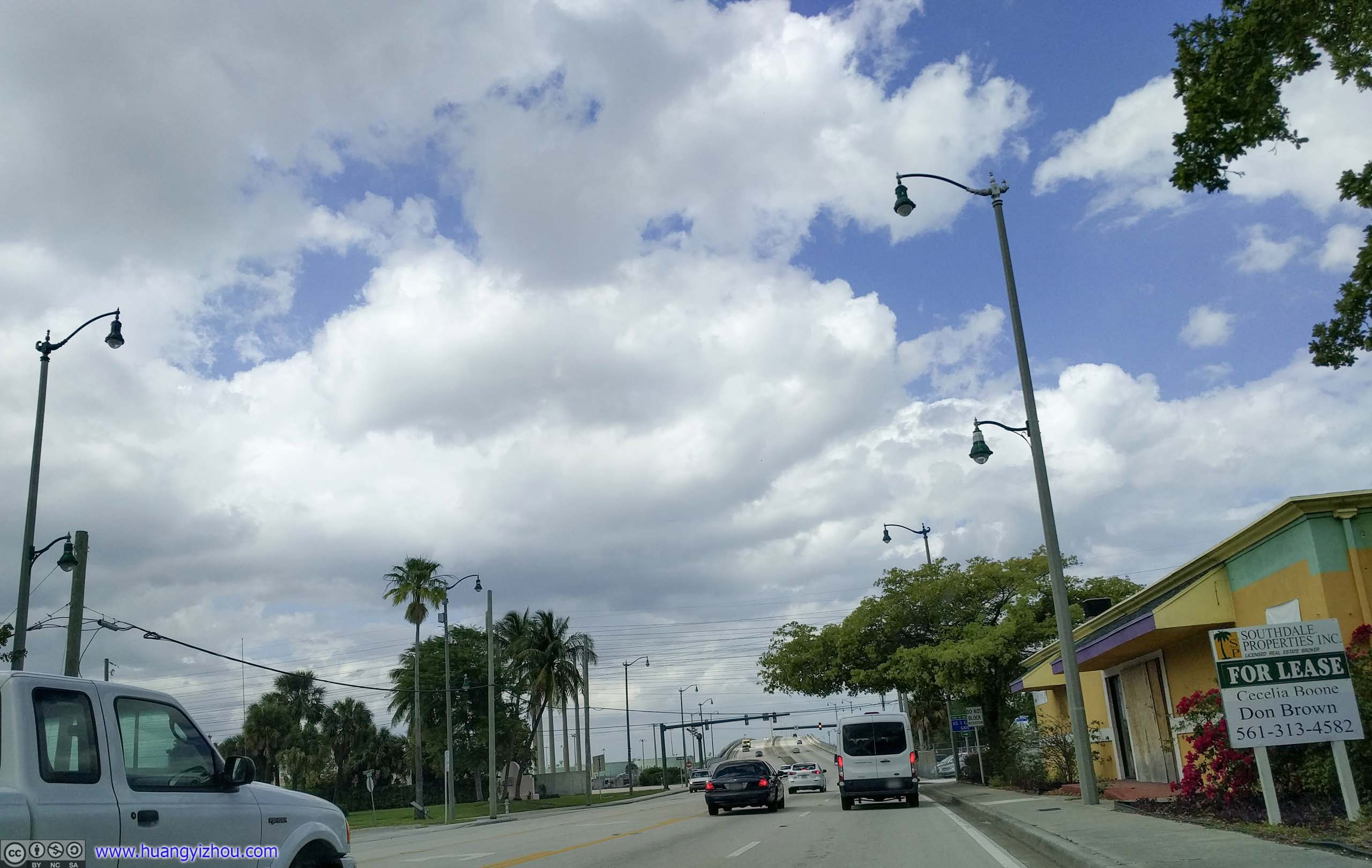
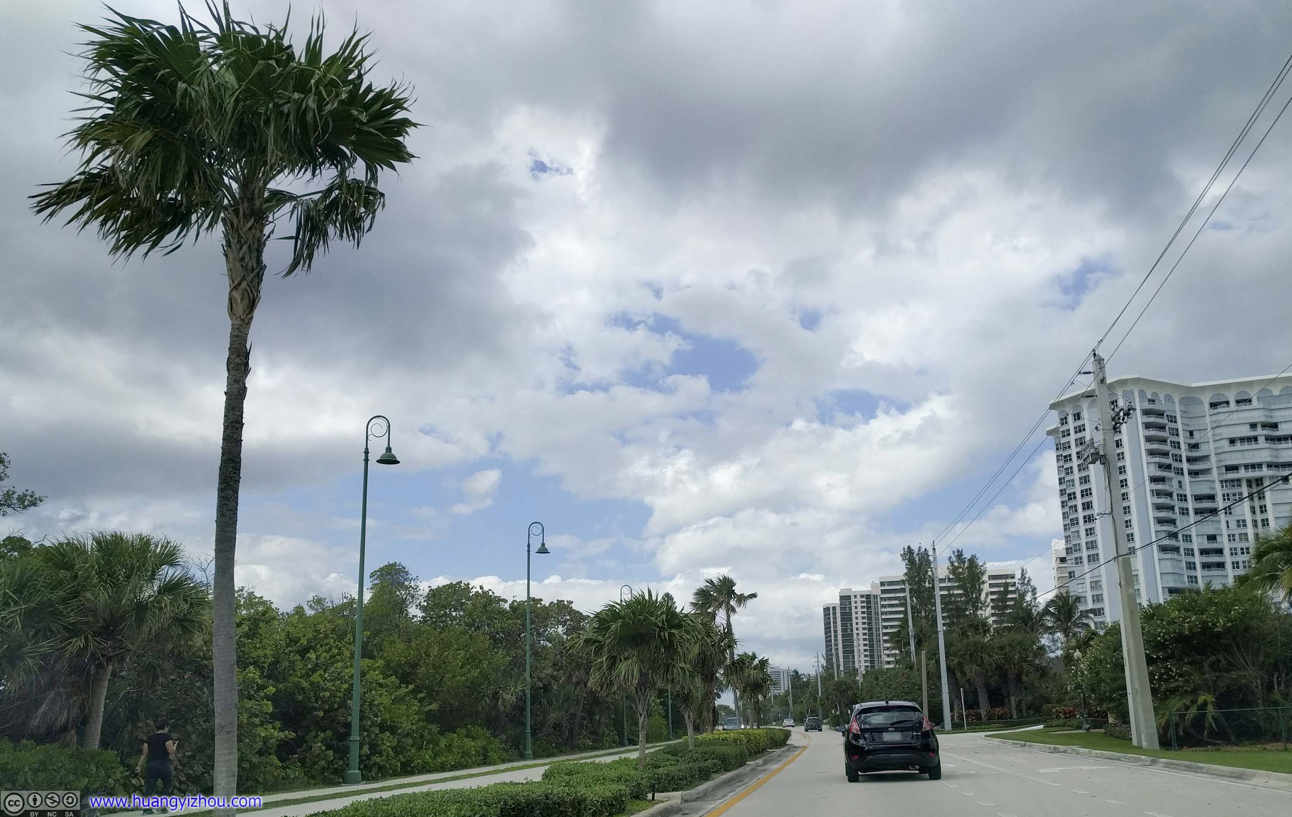
 TrafficPassing Coconut Grove, a more developed district located on the ocean front. Due to an accident on the nearby US Route 1, traffic was pouring into these narrow city streets, creating quite some slowdown.
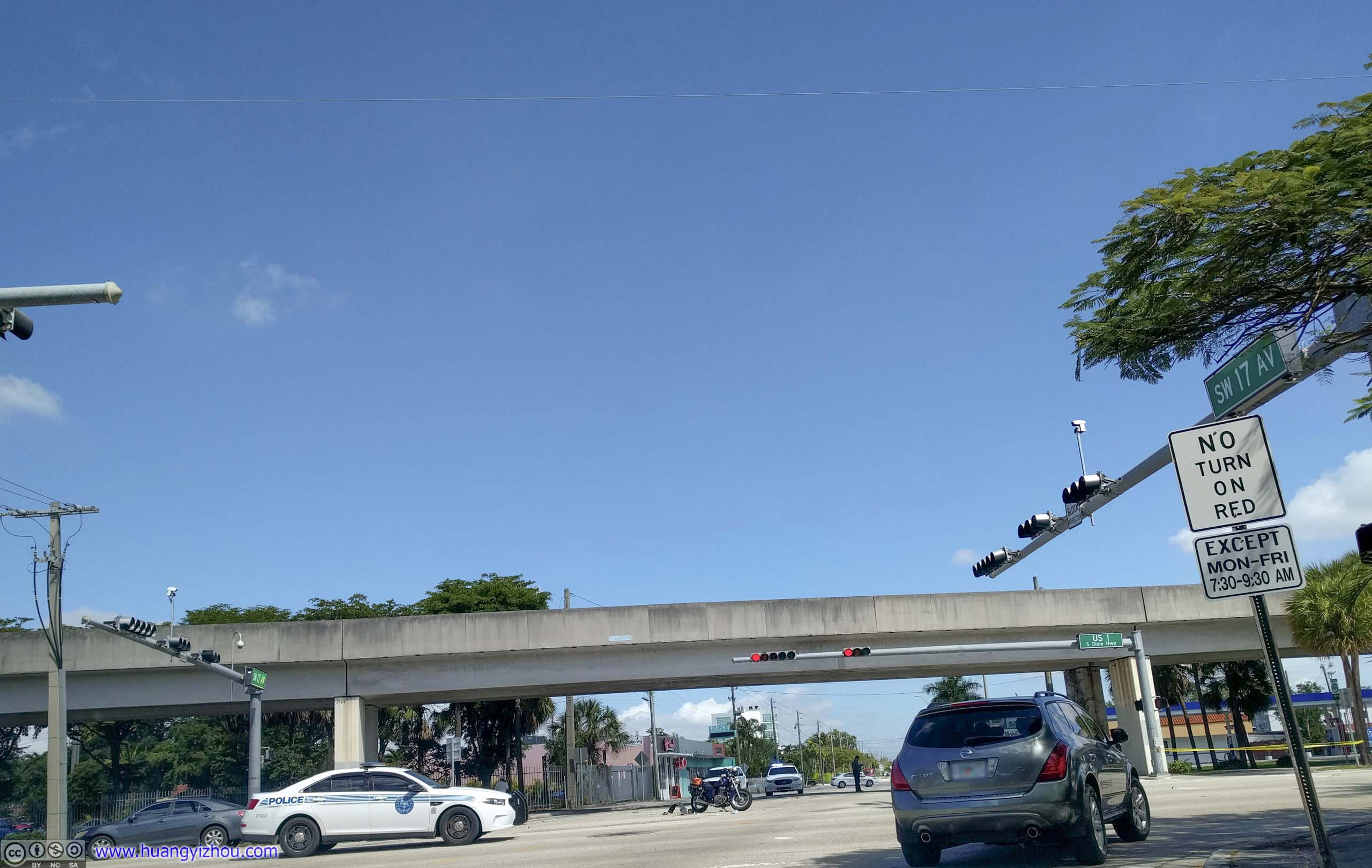
Accident Scene on Route 1
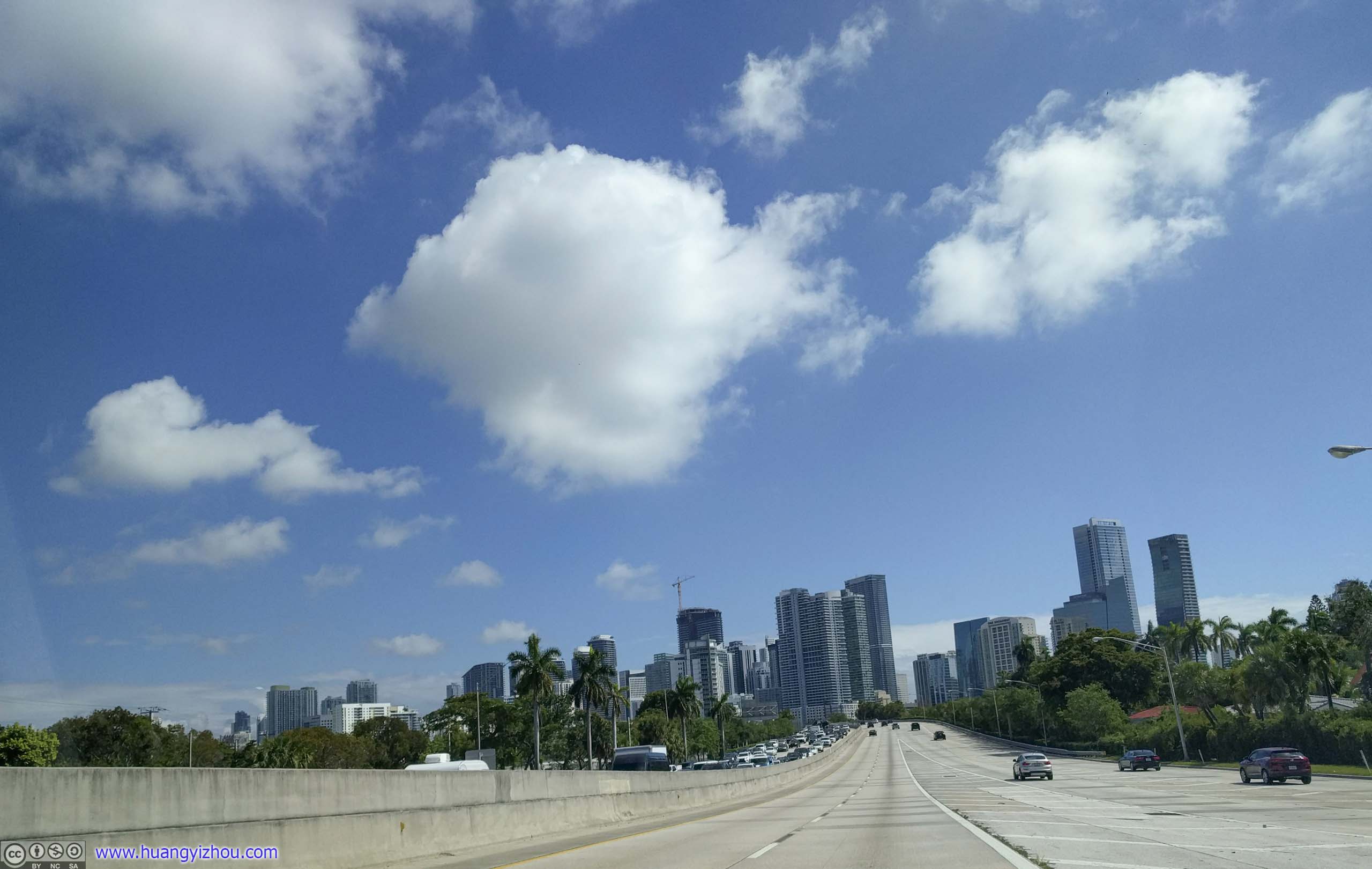
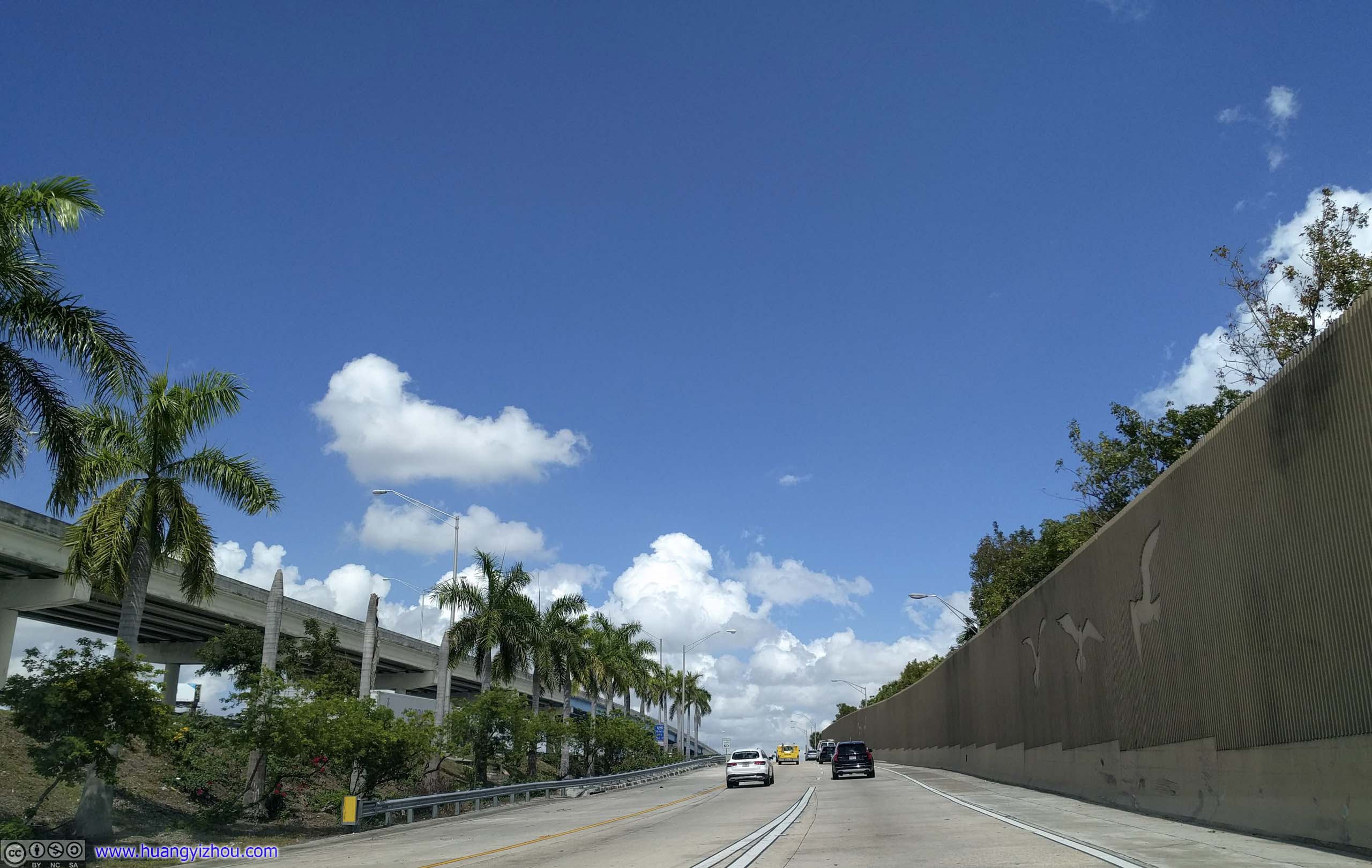
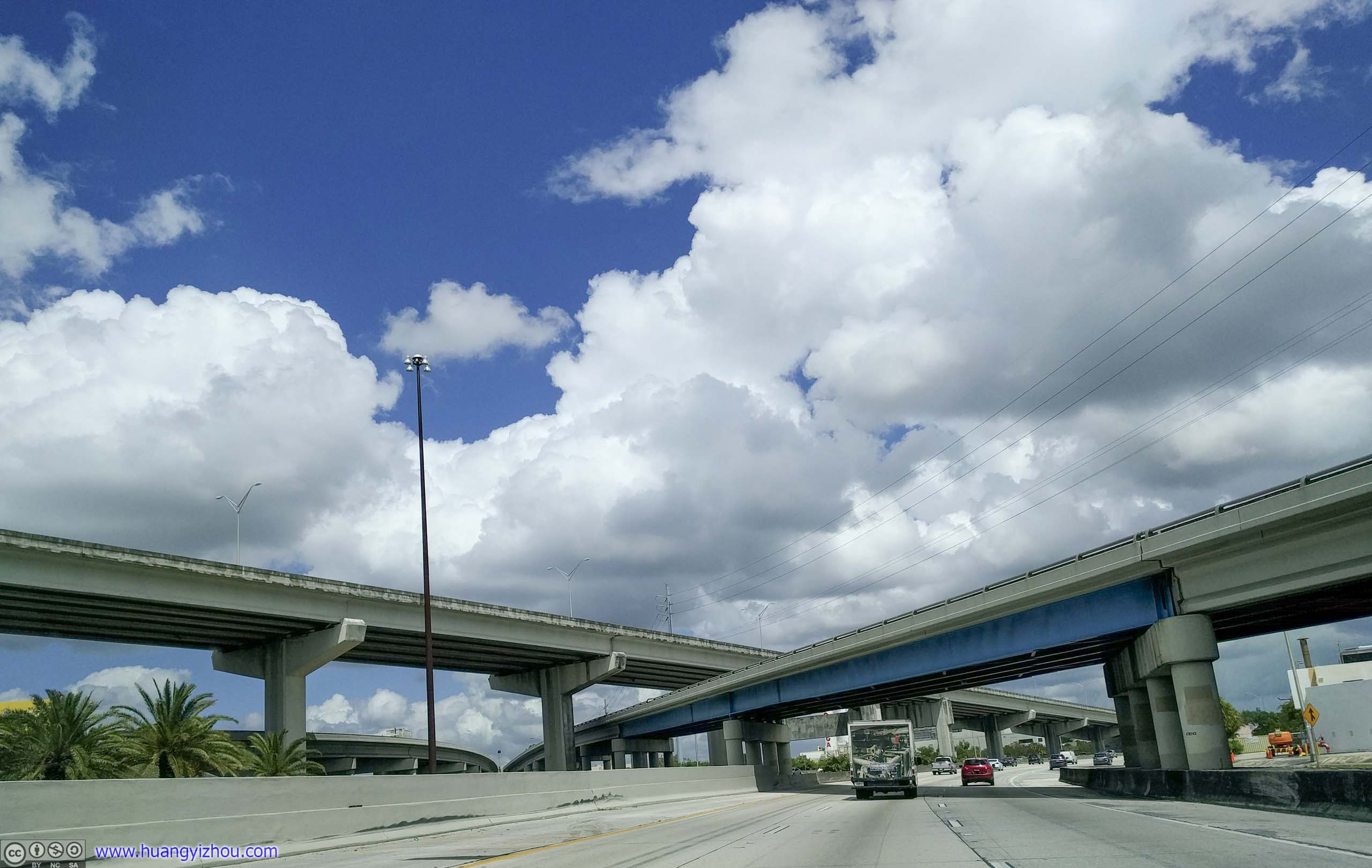
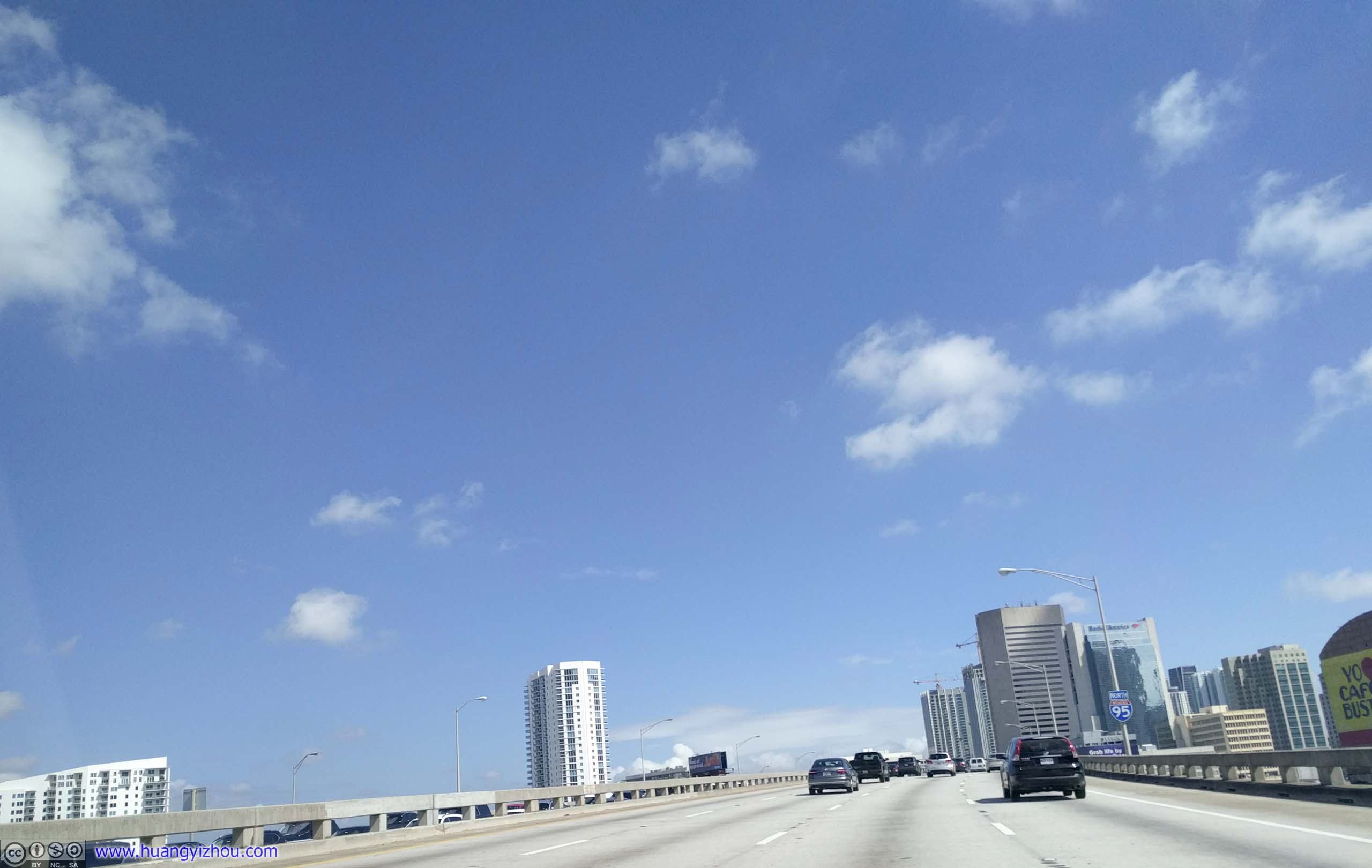 Interstate 95A brief, spirited run against the backdrop of downtown Miami skyscrapers.

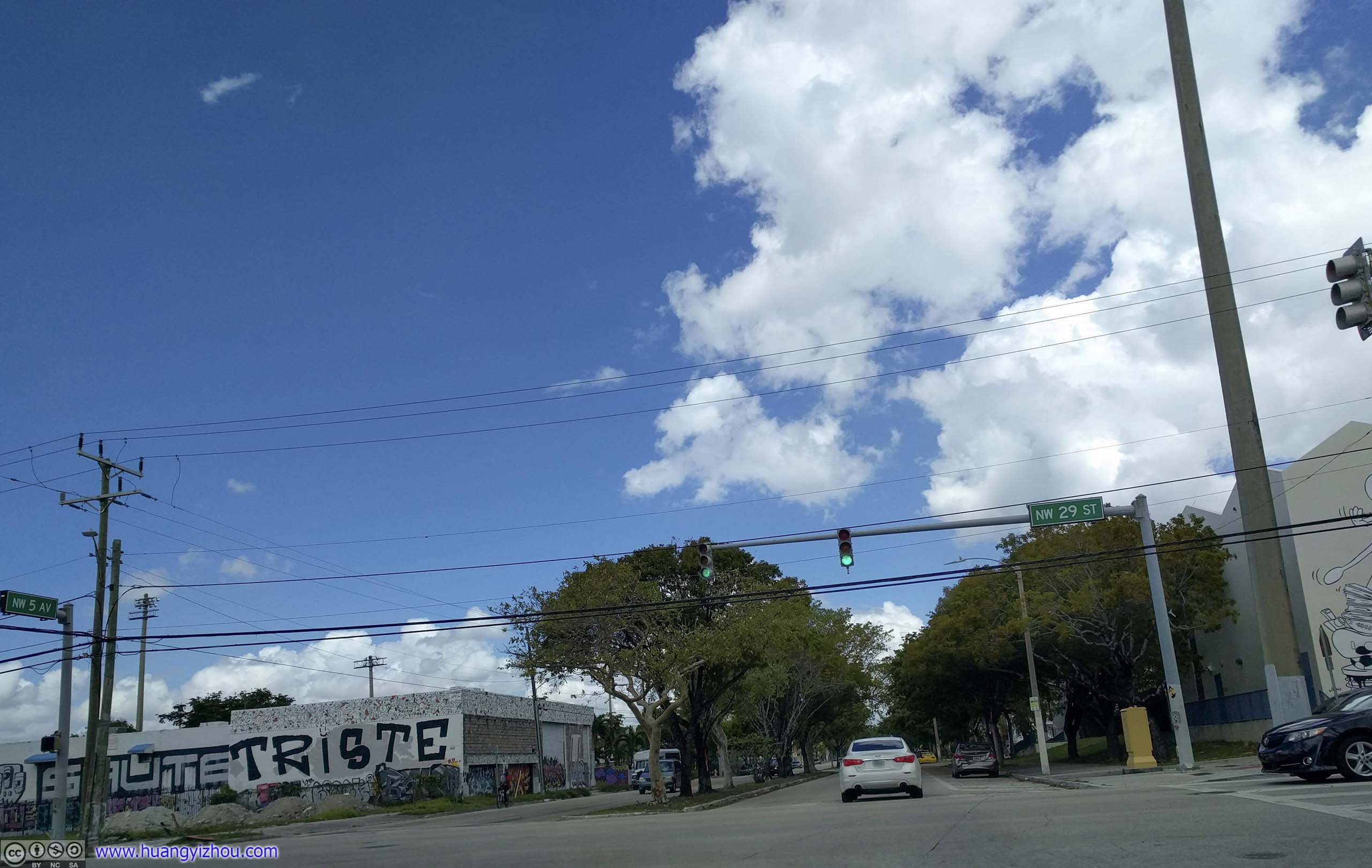
 Streets of Wynwood DistrictJust as I approached the outskirts of Wynwood area, things started to look artistic.
Wynwood Walls
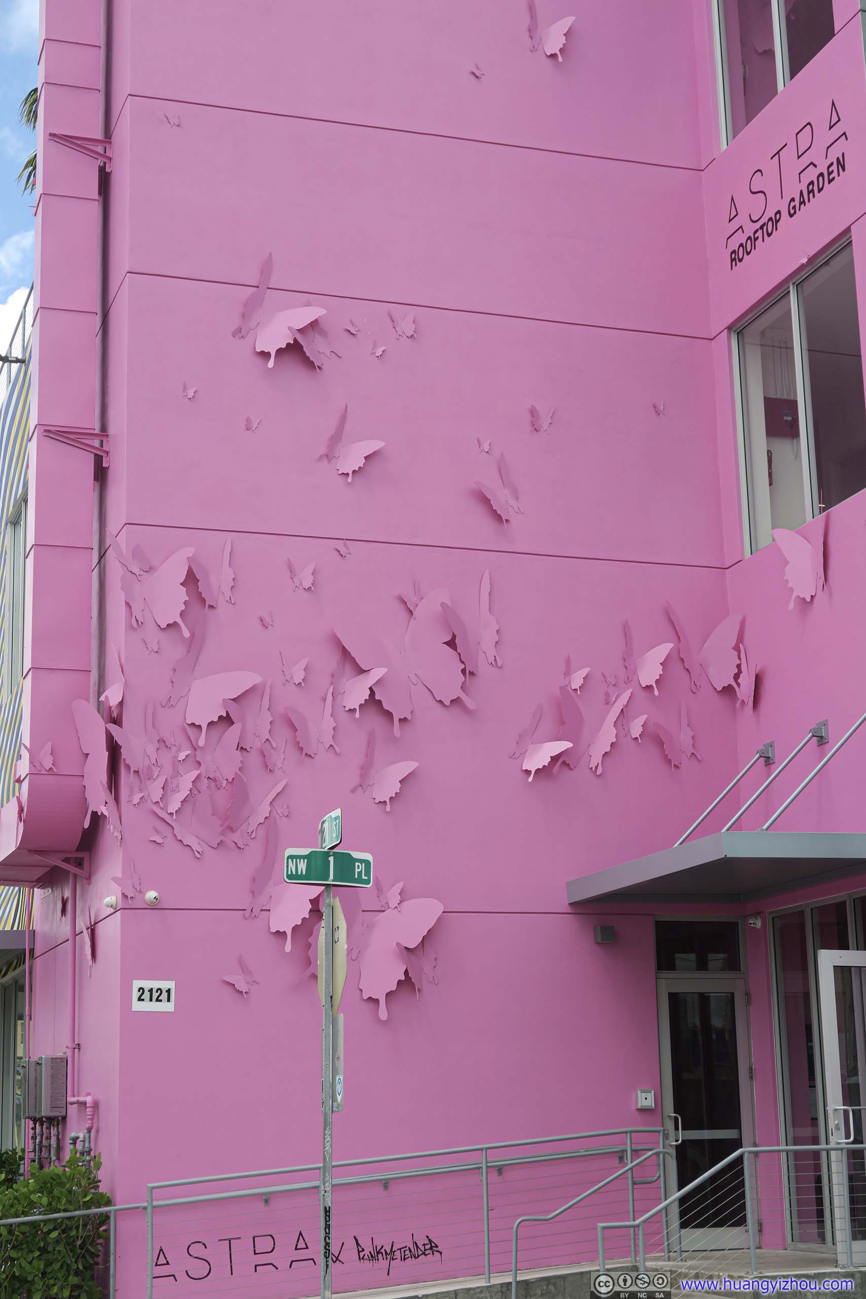
This used to be a rundown industrial district near Miami, signs of industrial relics were still visible today. Until some artists started to paint the factory walls and draw tourist attraction. Nowadays it’s one of the most instagramable places of Miami.
Parking wasn’t a problem here with a multi-story parking garage in its center. Like everything else nearby, this building also needed to be artistic.
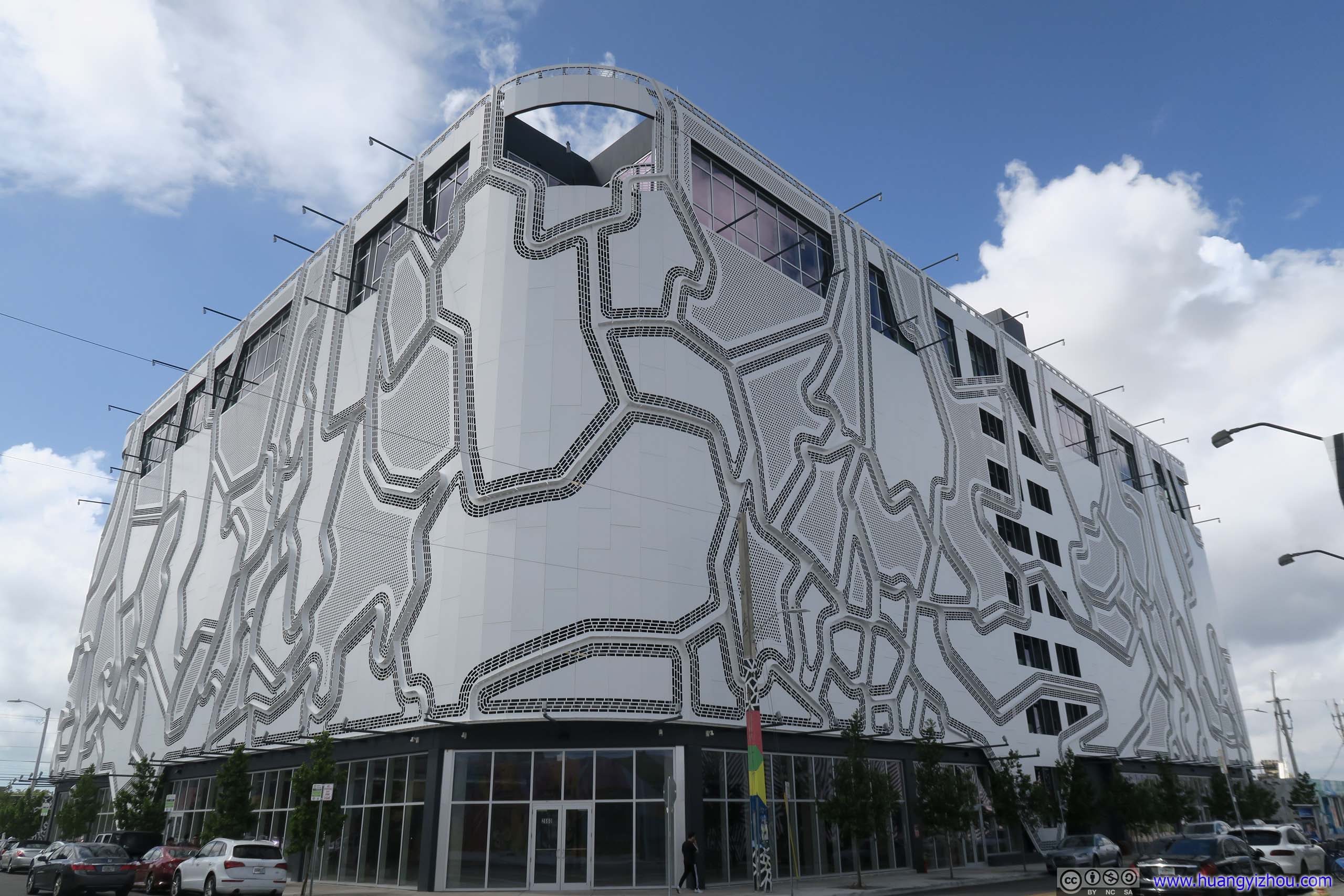
Parking Garage
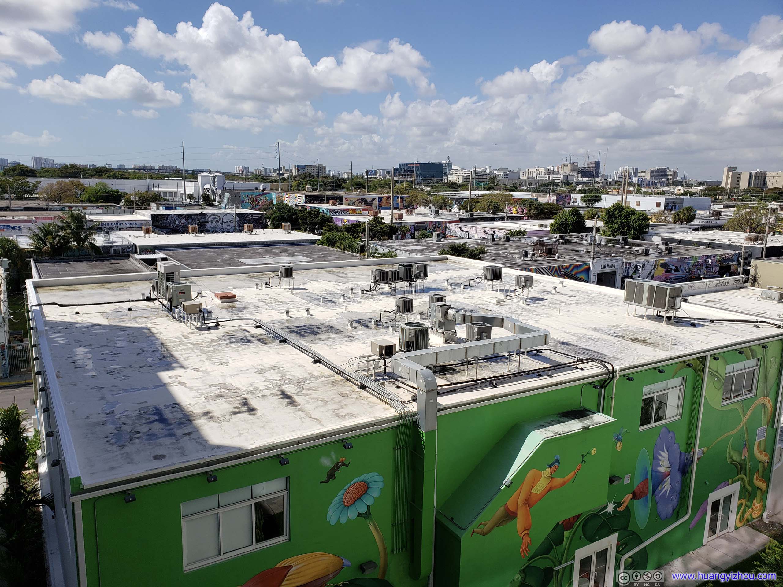
Overlook from Parking Garage
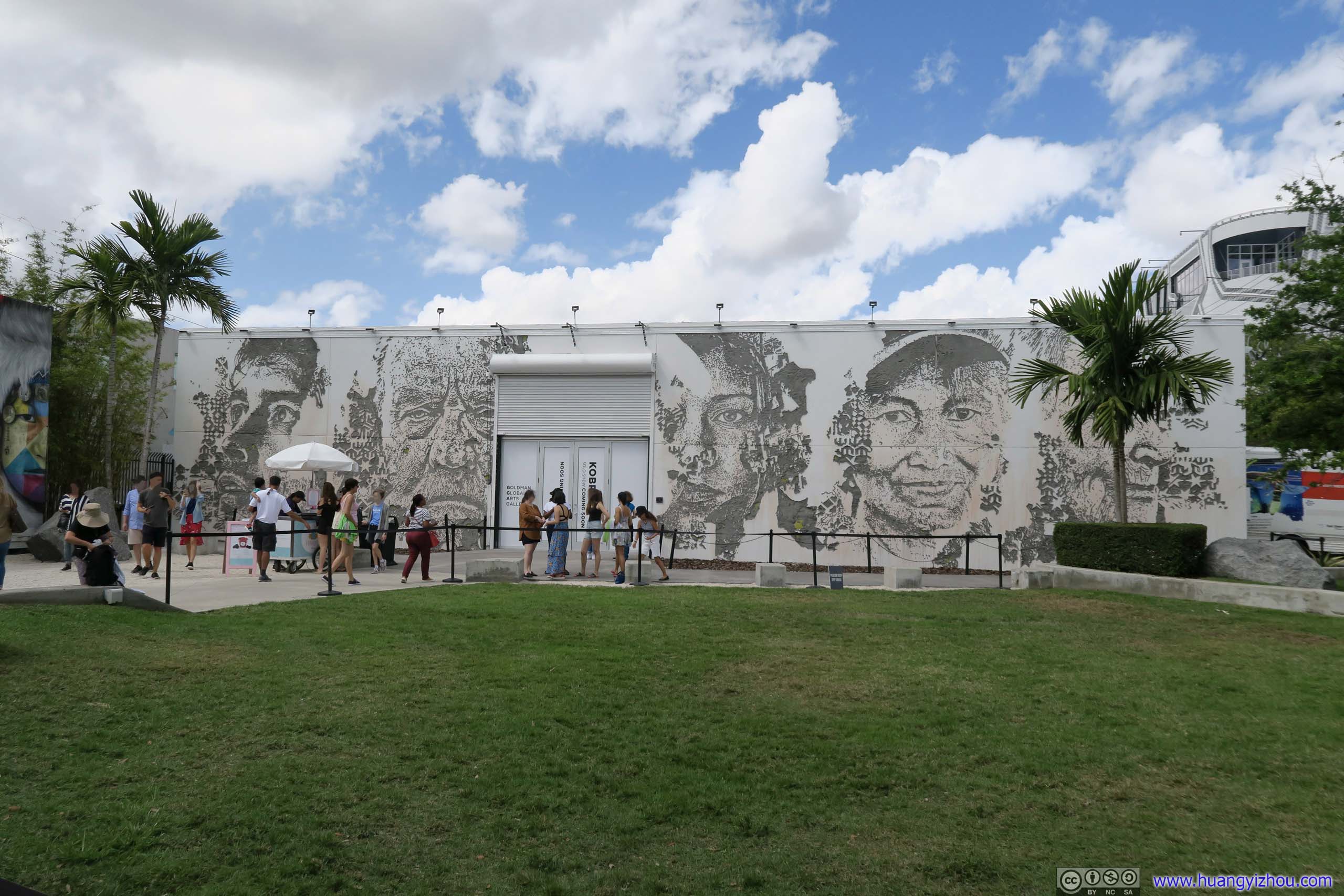
Official Park
Not far from parking garage, there was a small park with many mural displays.
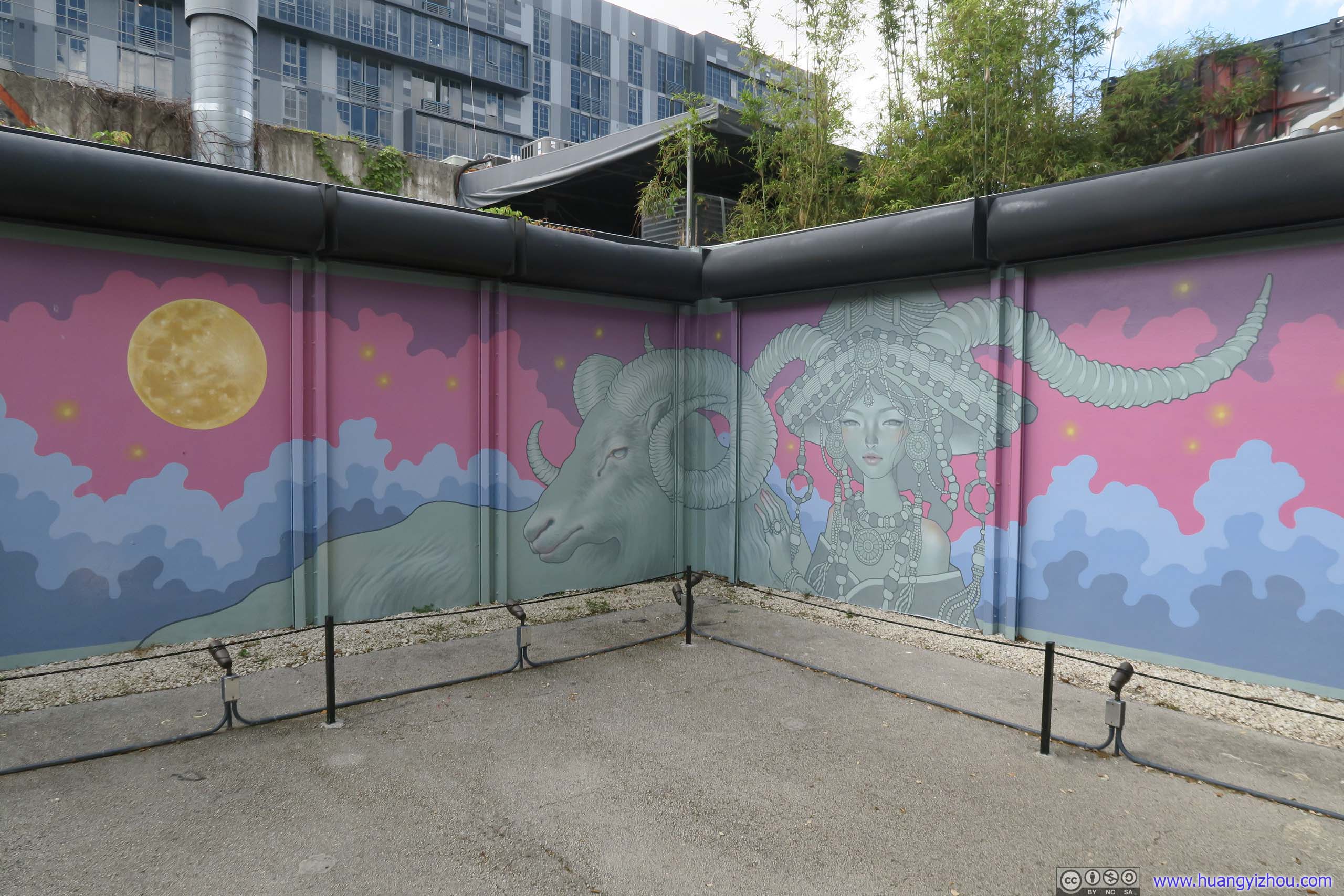
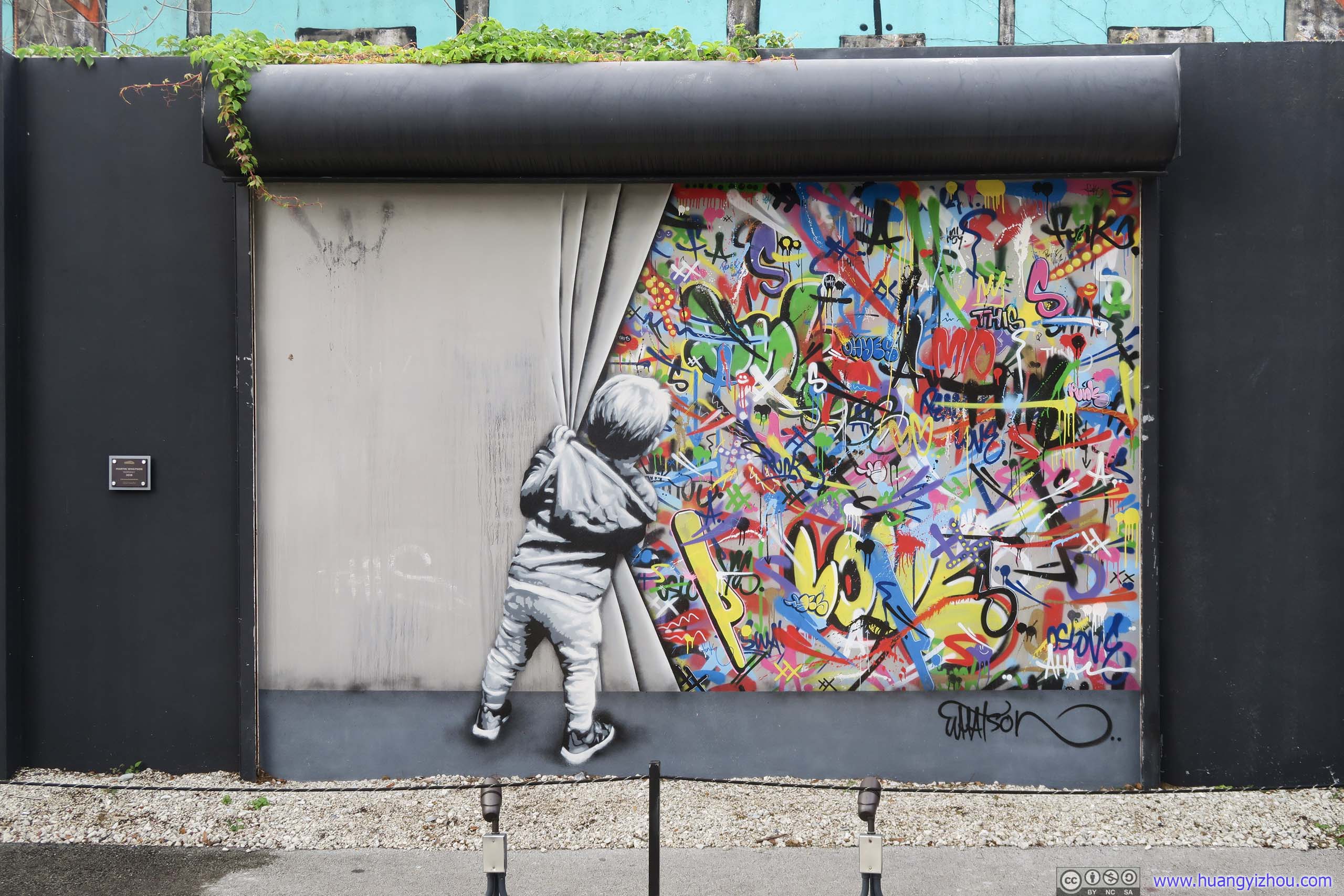
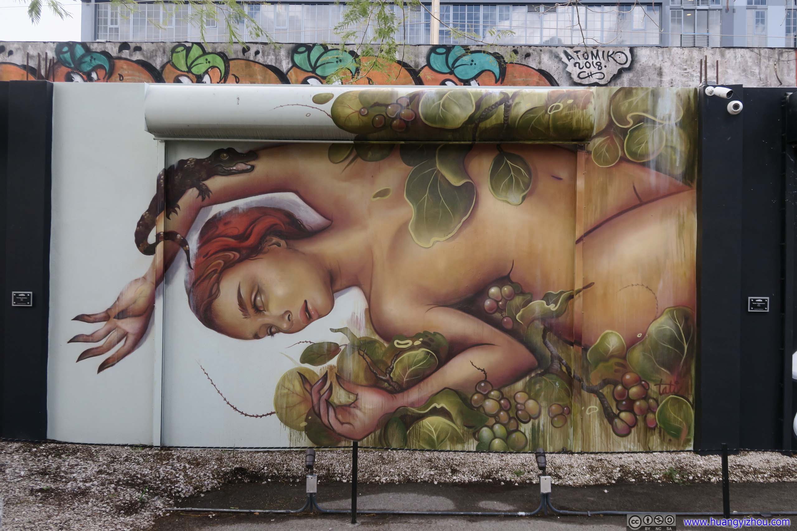
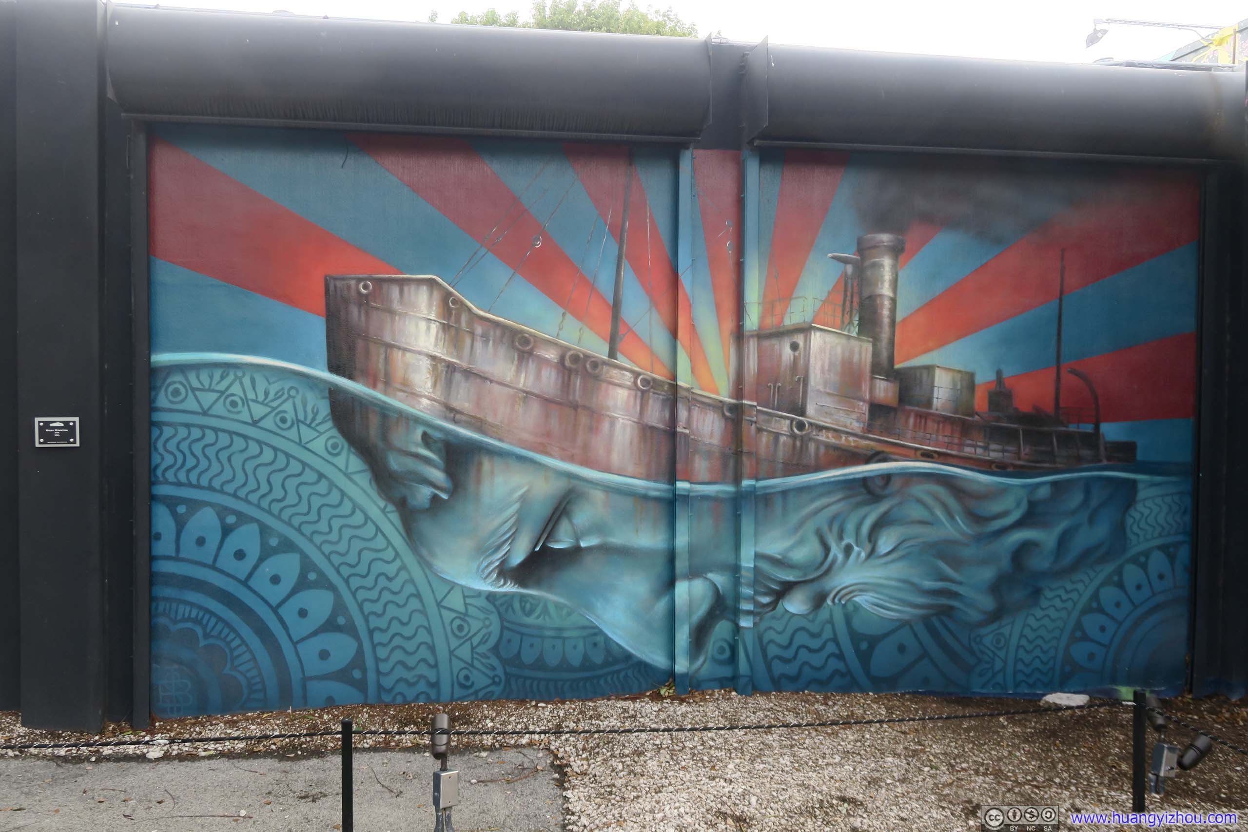
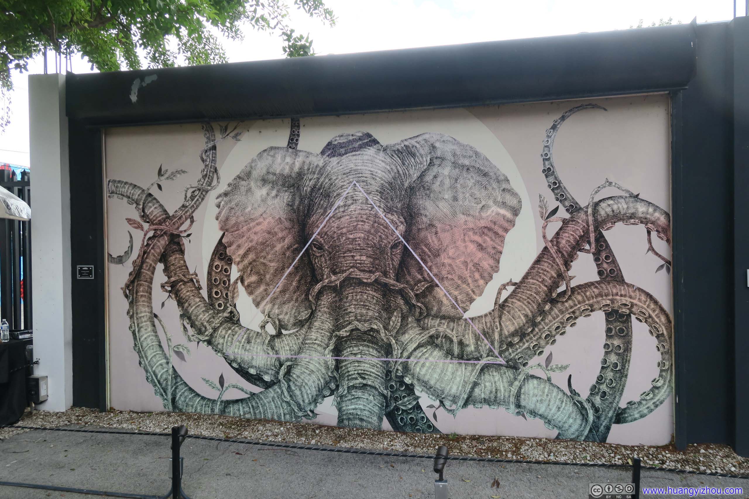
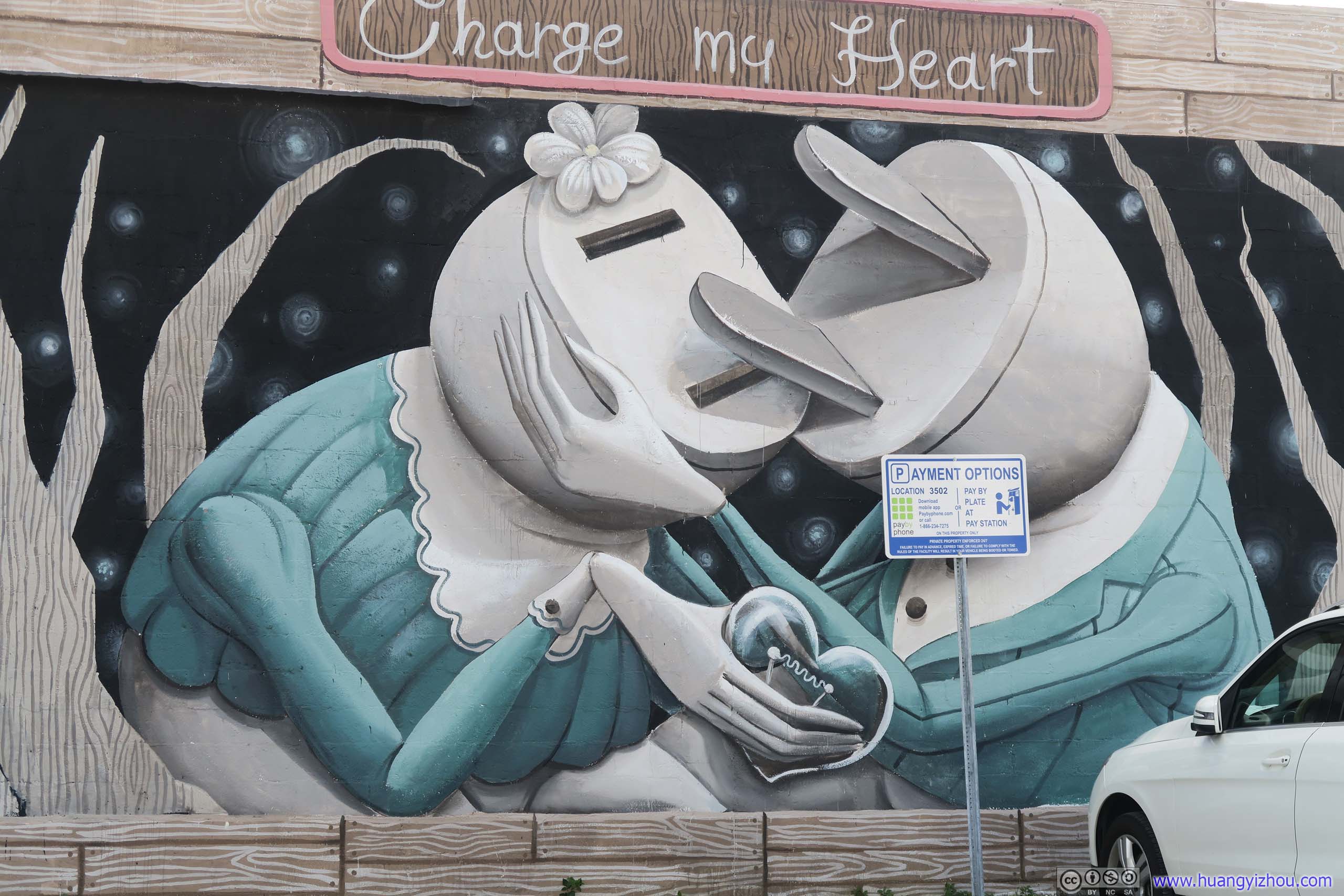
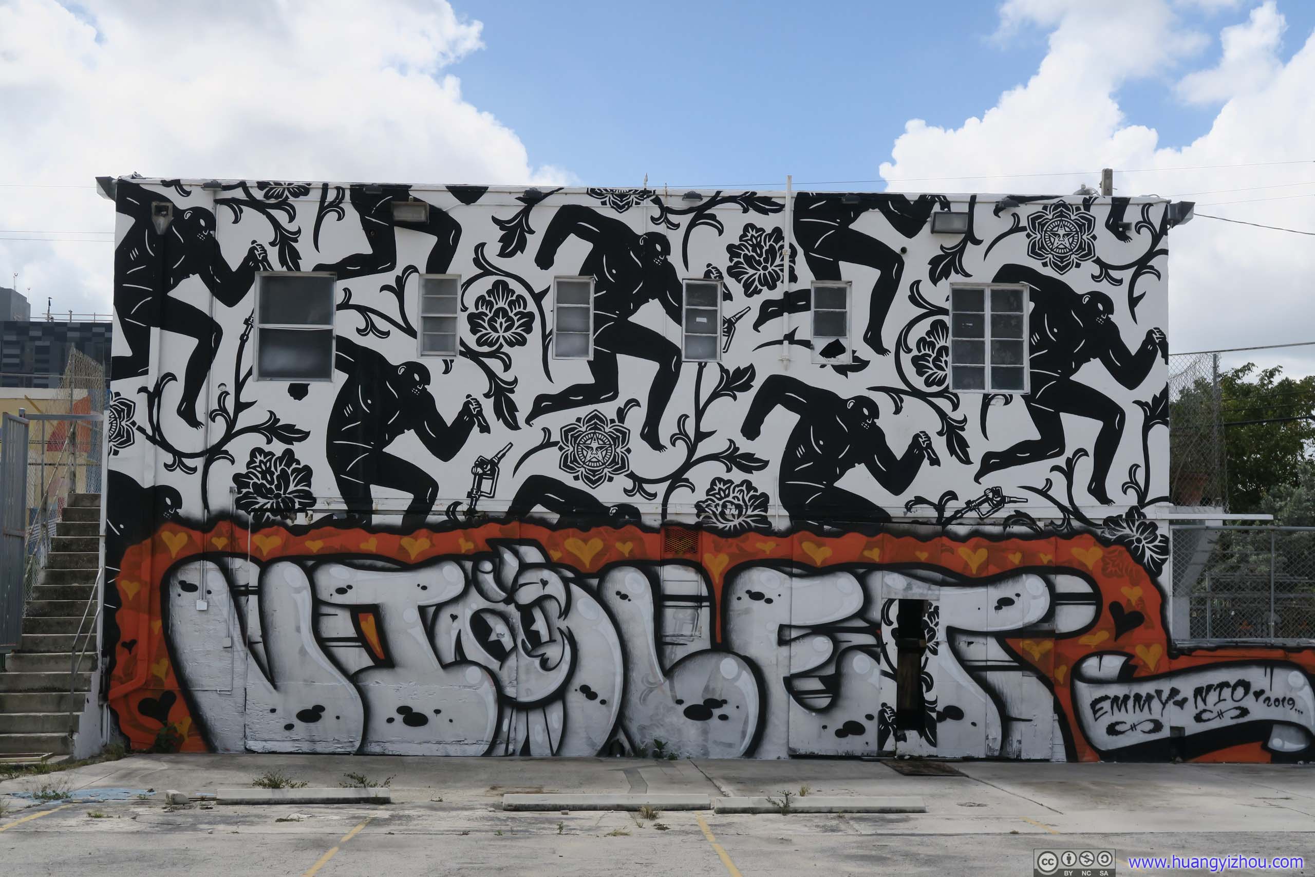
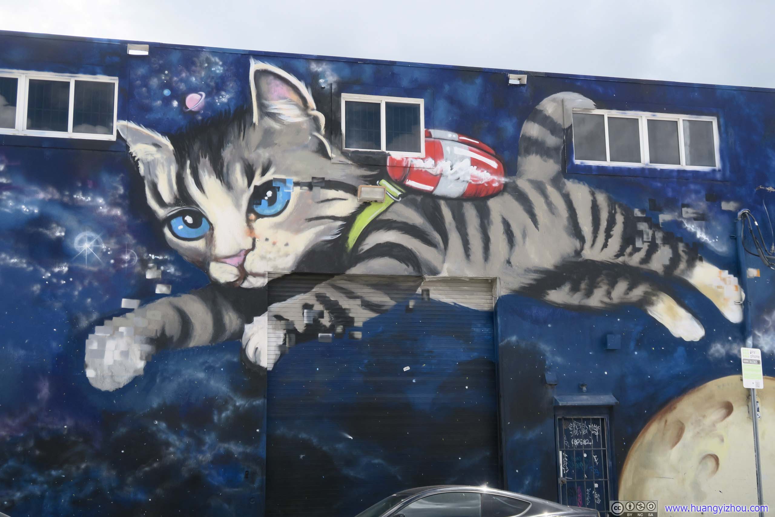
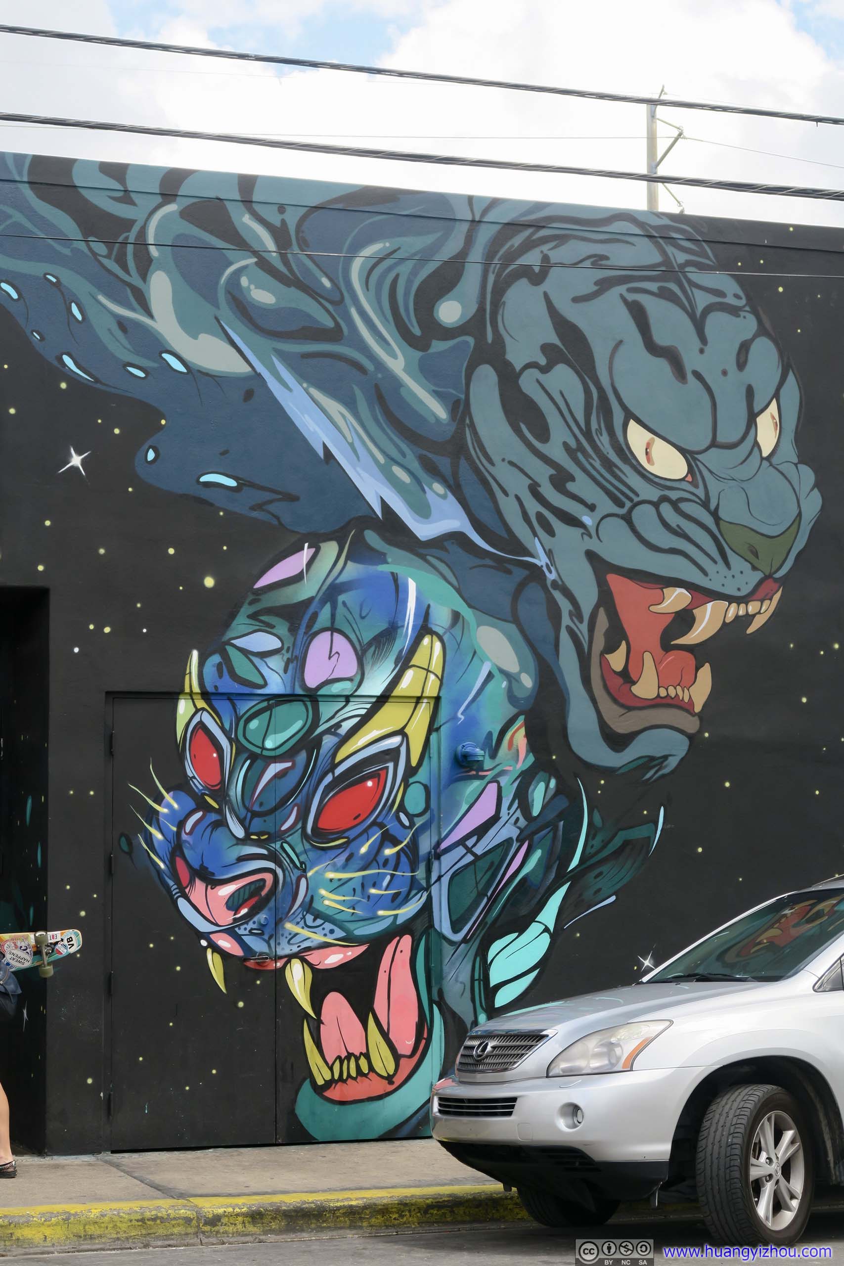
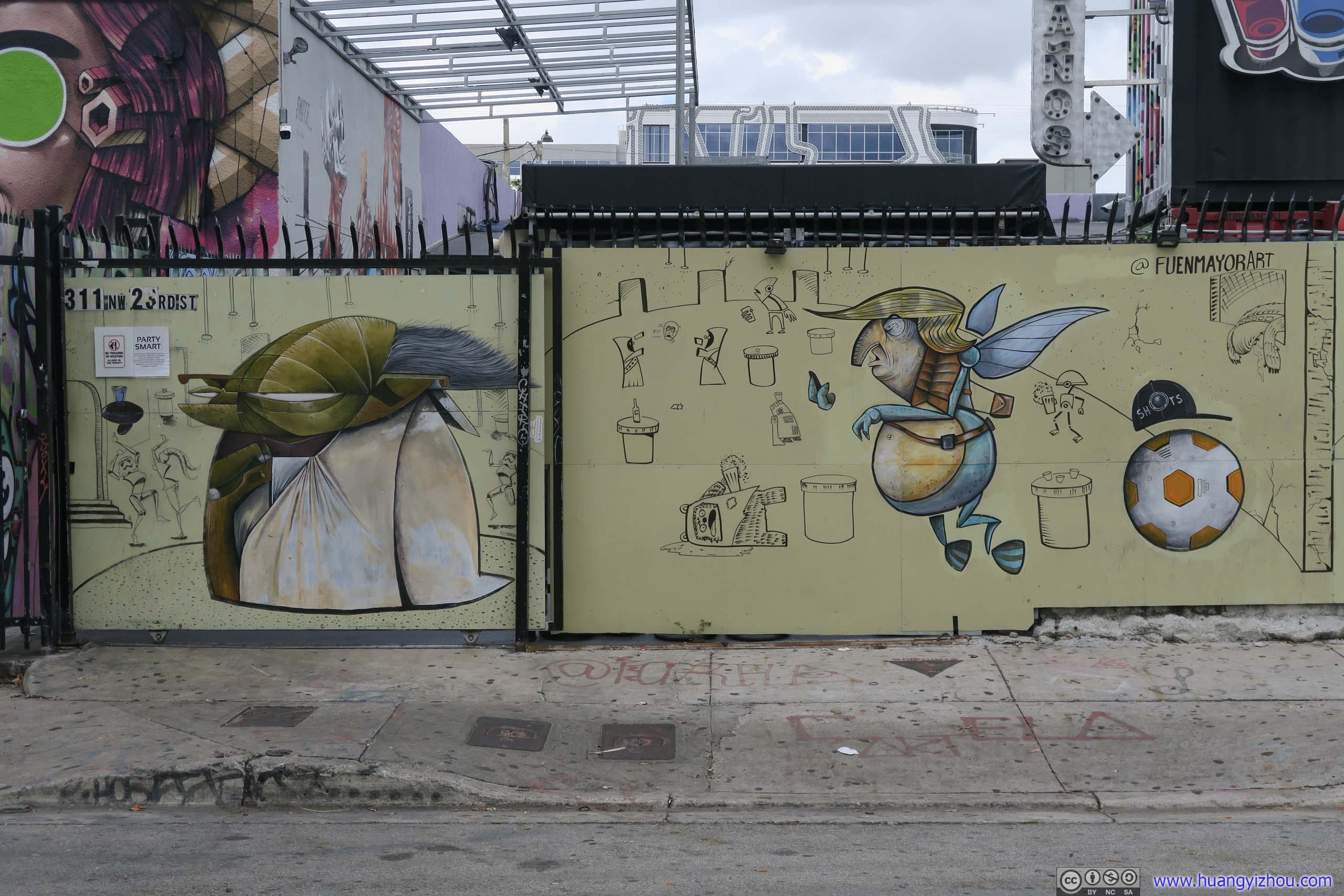
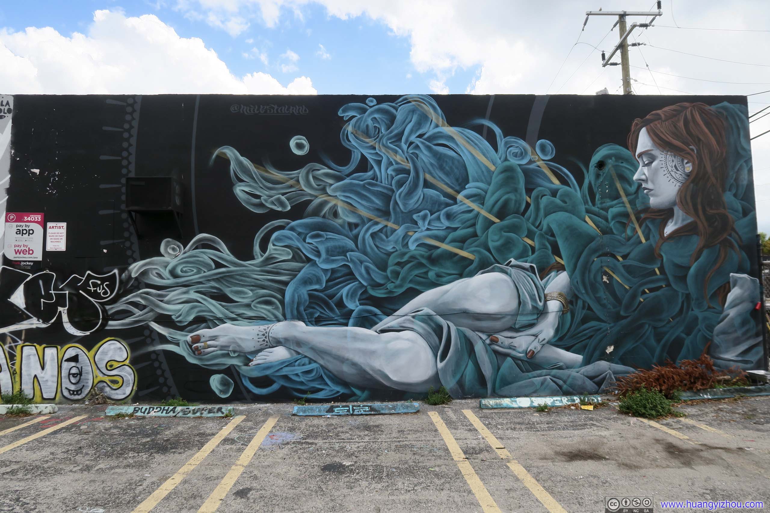
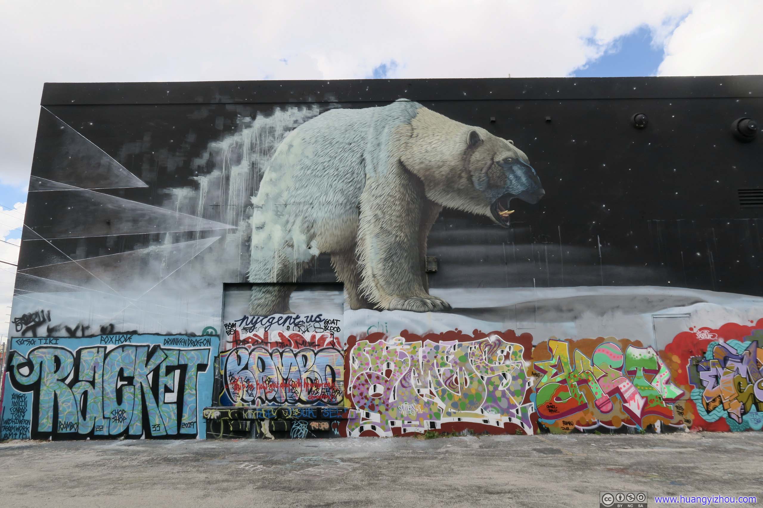
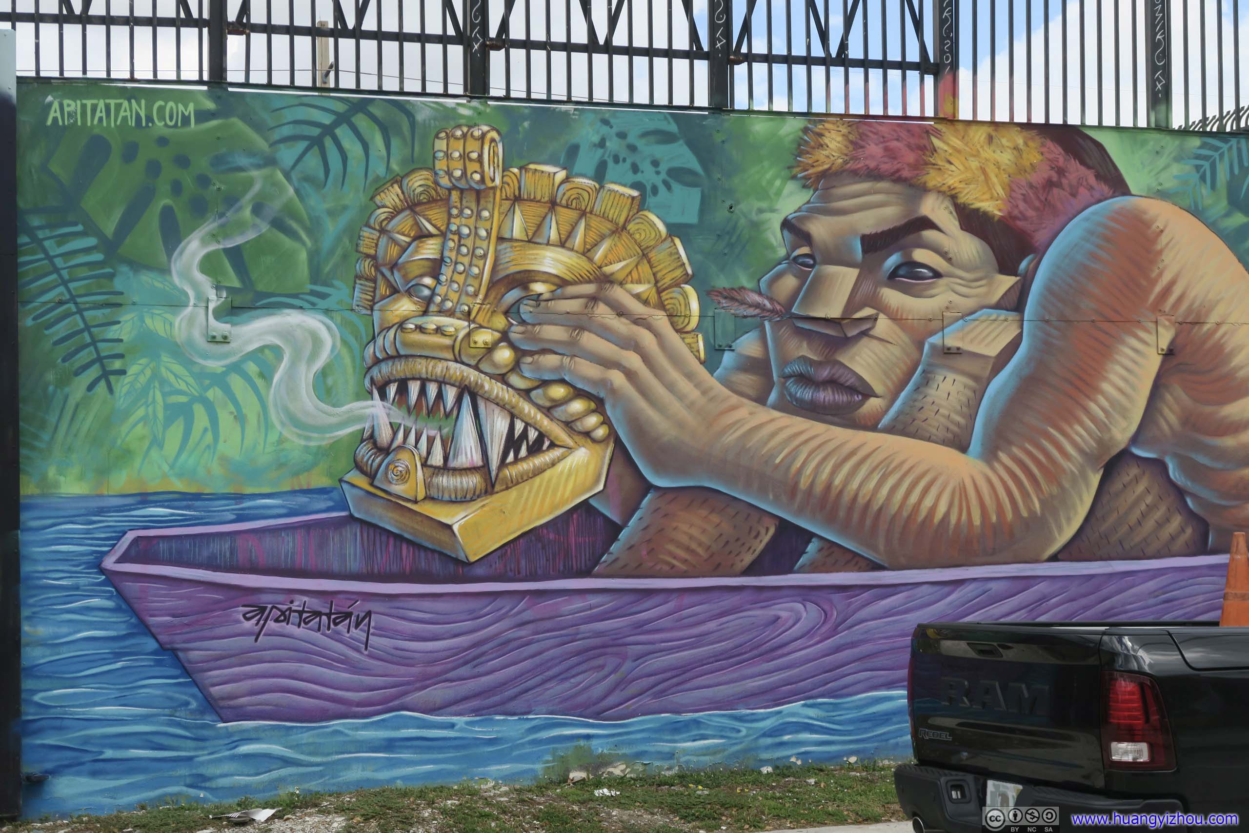
It seemed to me that this was the established/official “Wynwood Walls”. The park was a private gated property, its murals painted by invited artists with lightings and do-not-cross tapes. The park felt like a museum of street arts, with a rotating exhibition.
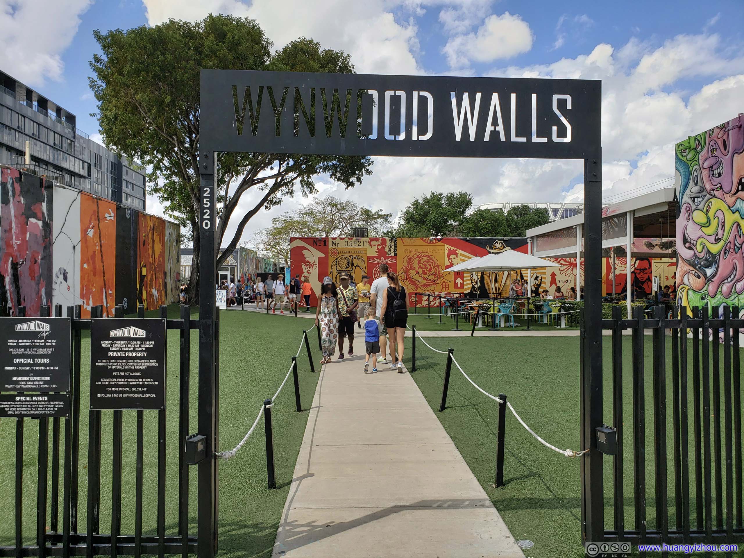
Park Entrance

 Mural
Mural

 Wall Art
 Mural
Mural
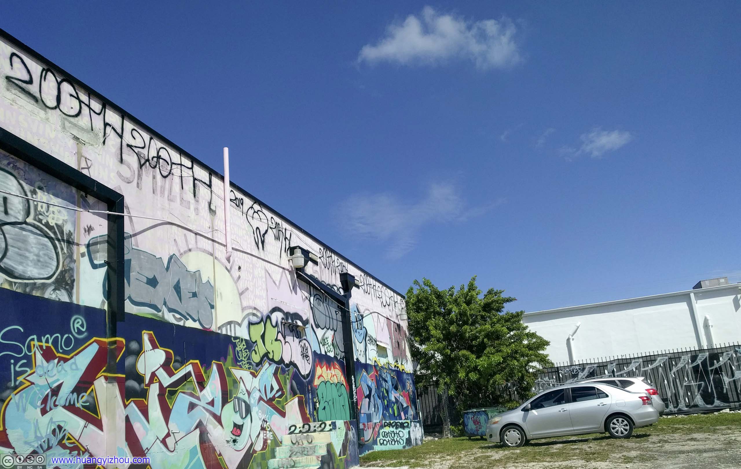
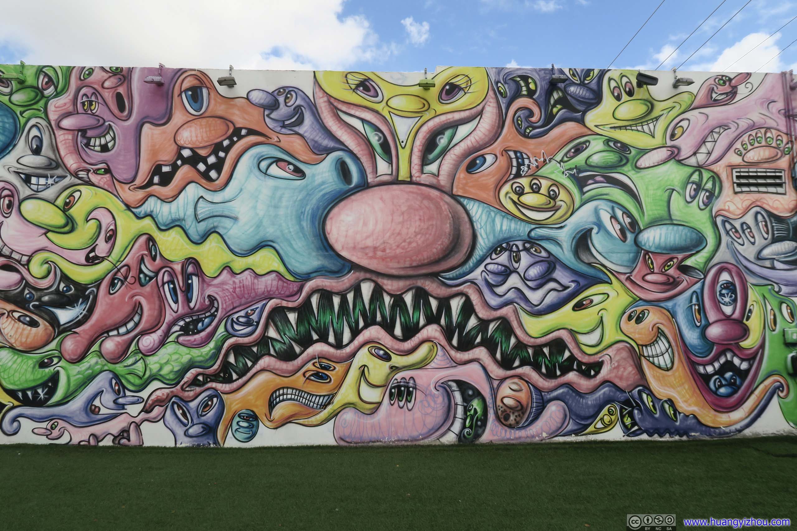
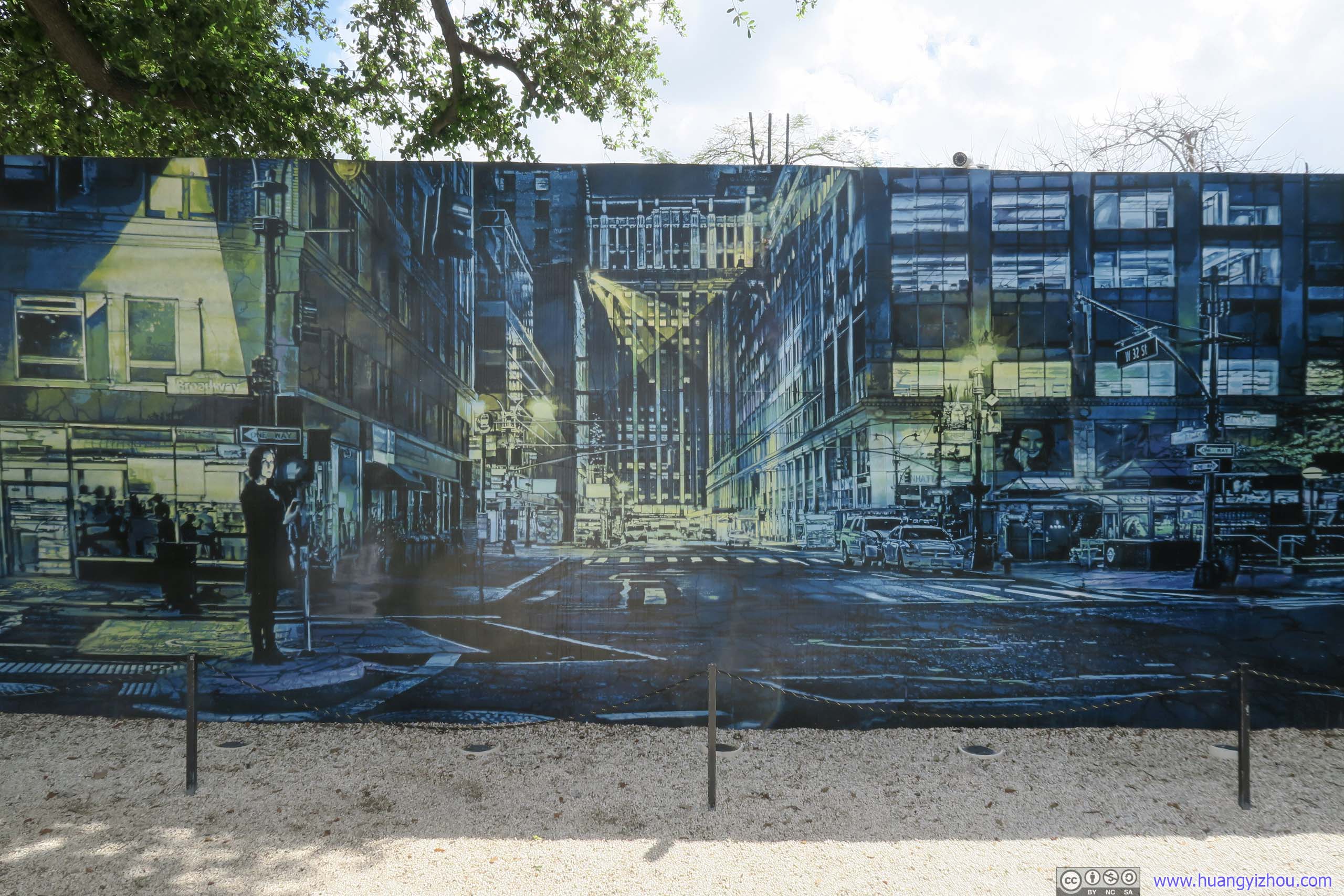
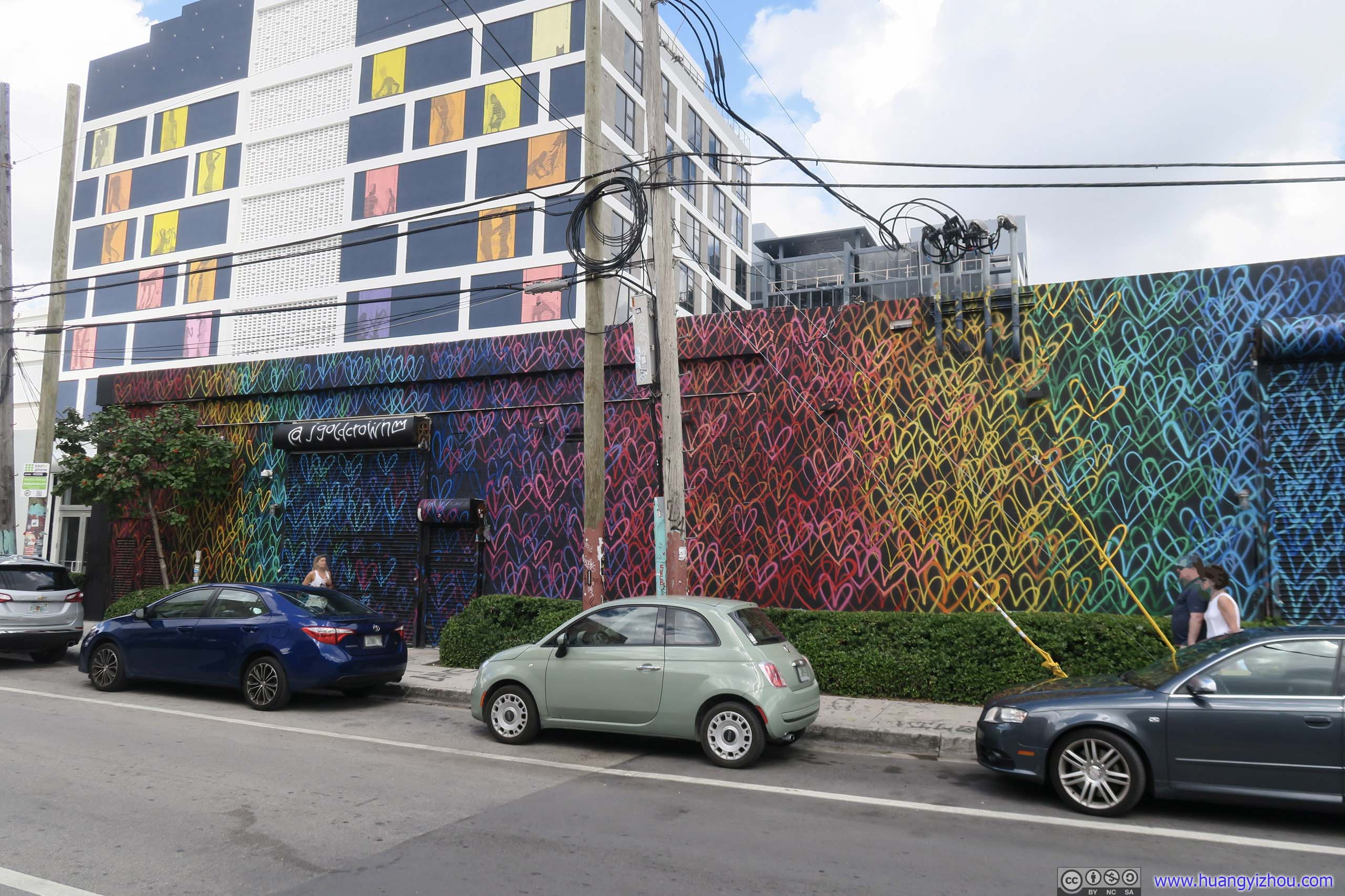
Wynwood District
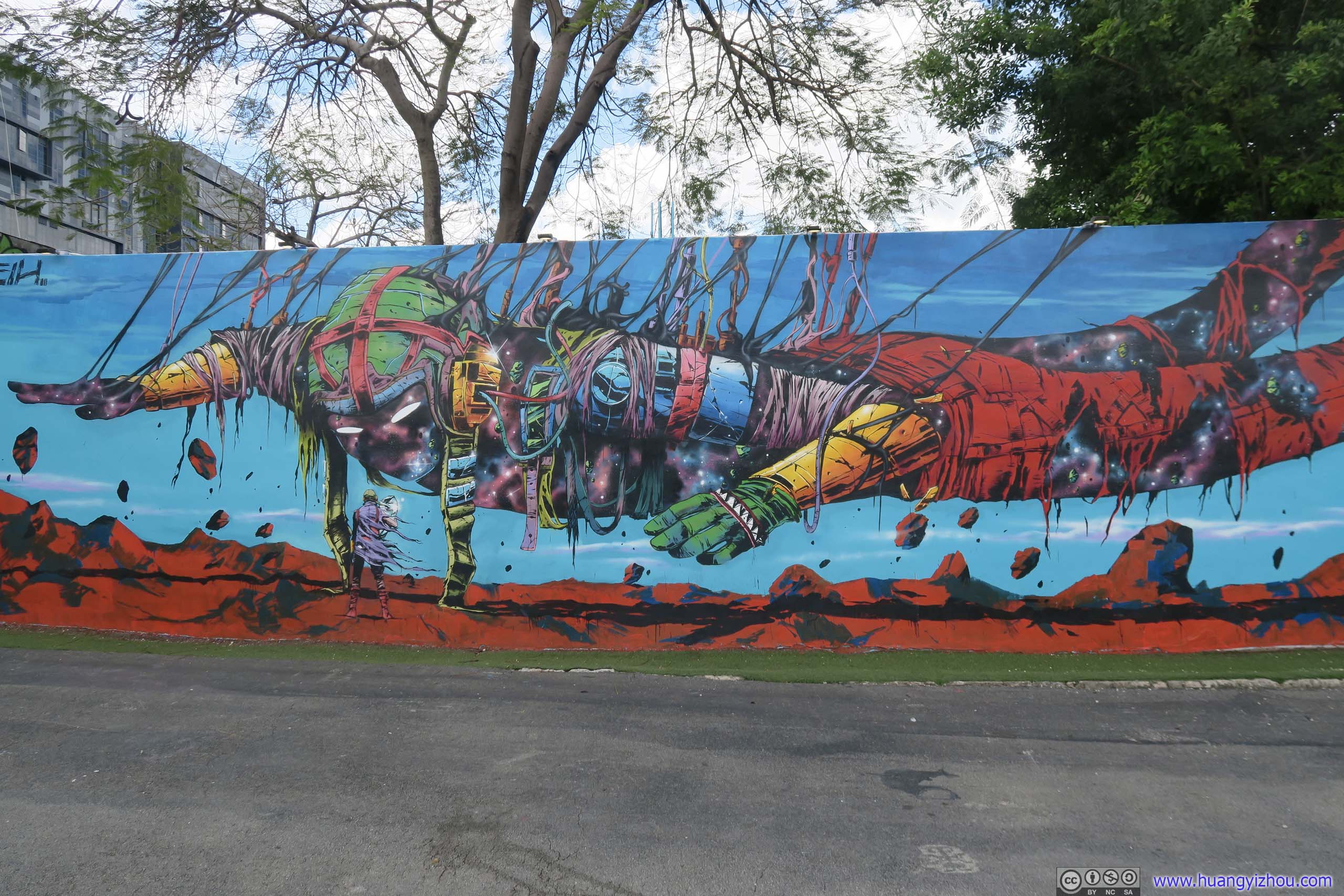
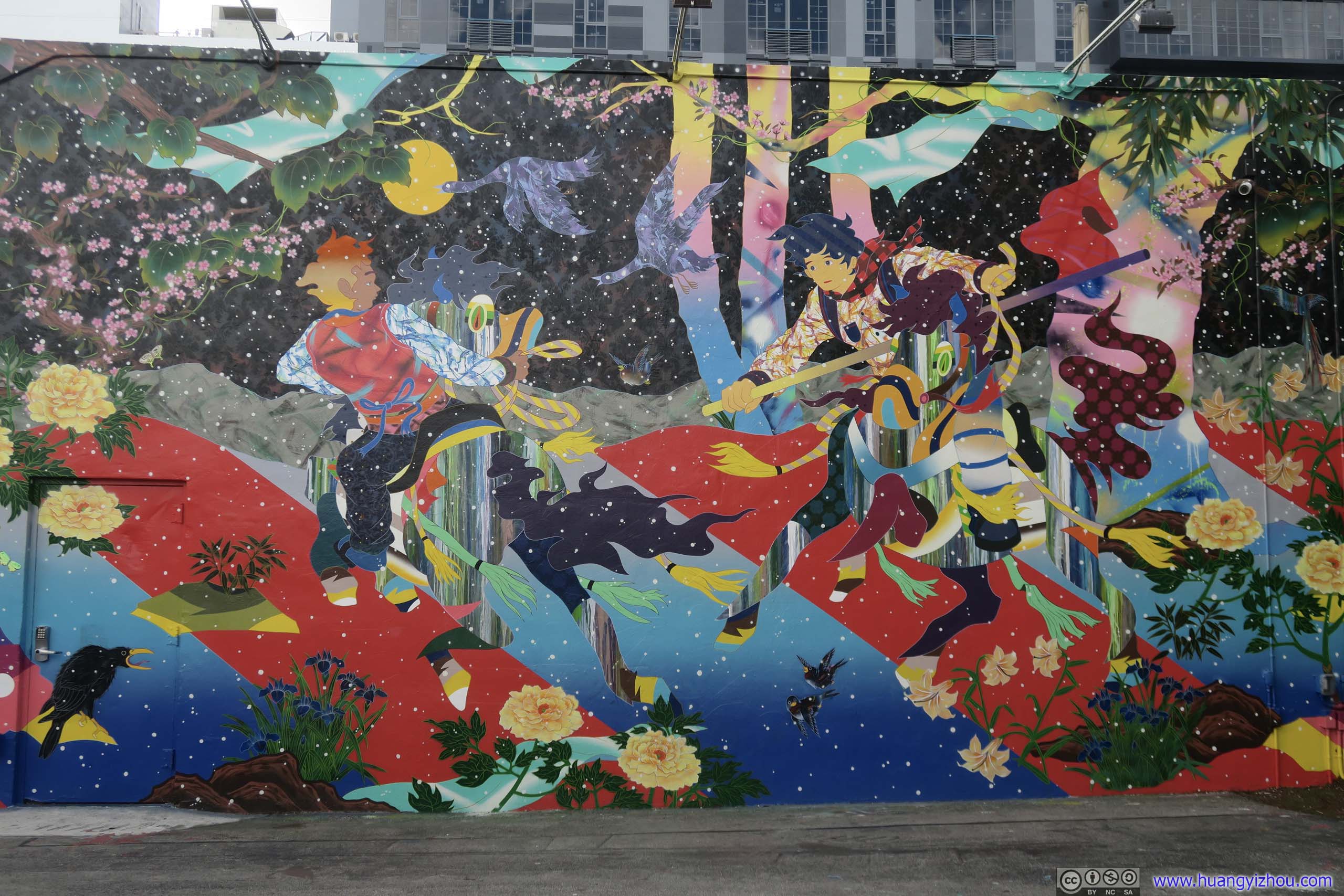
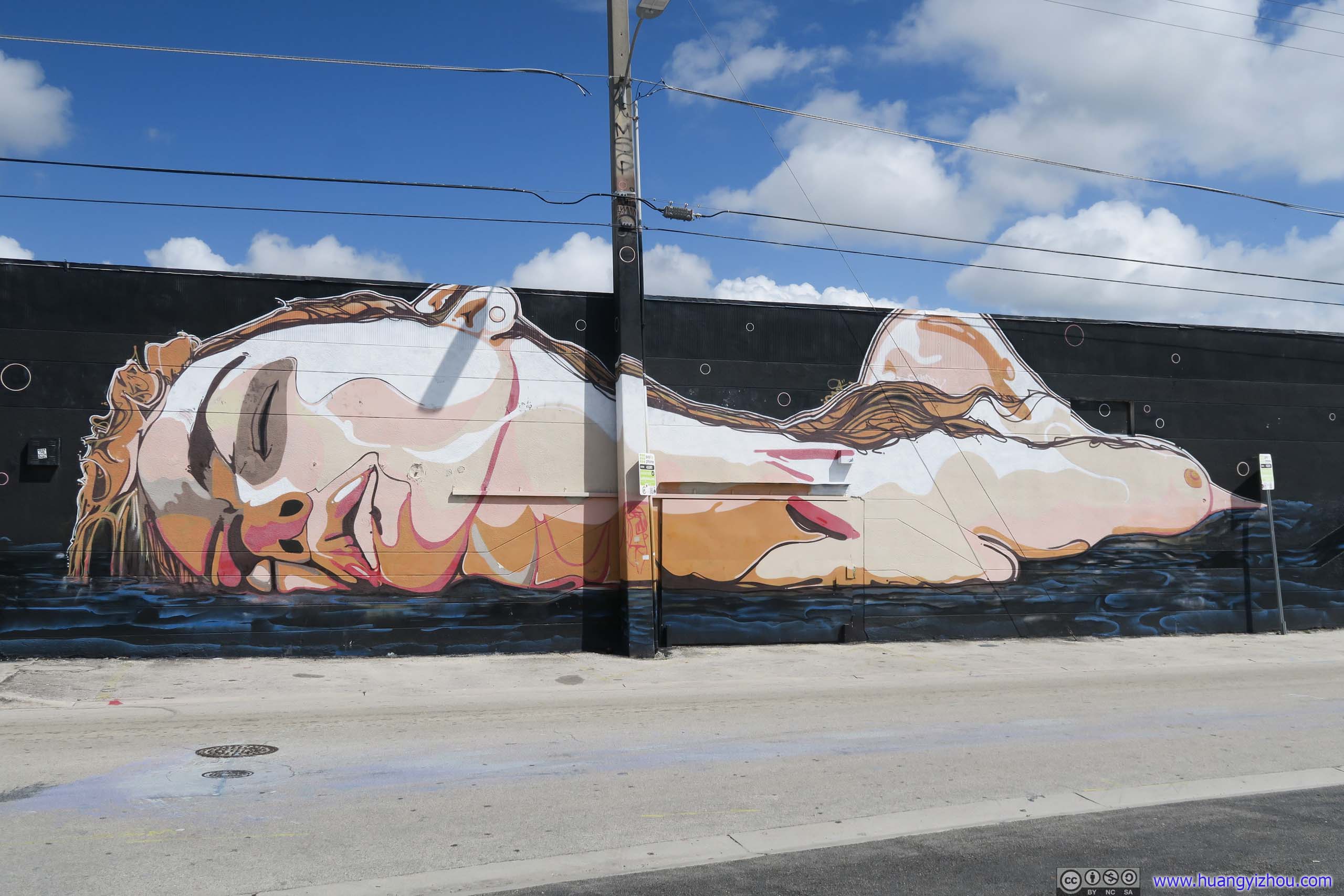
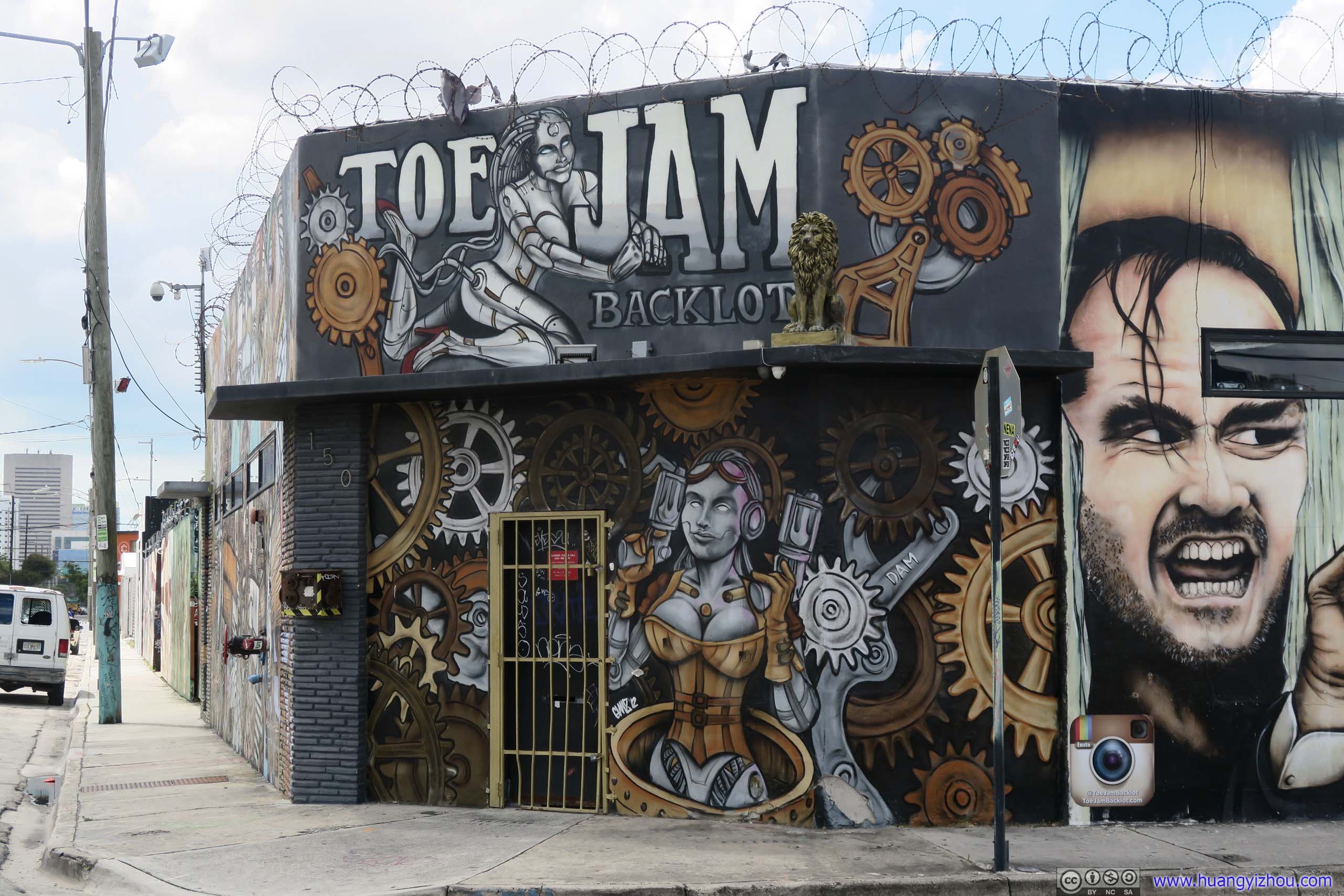
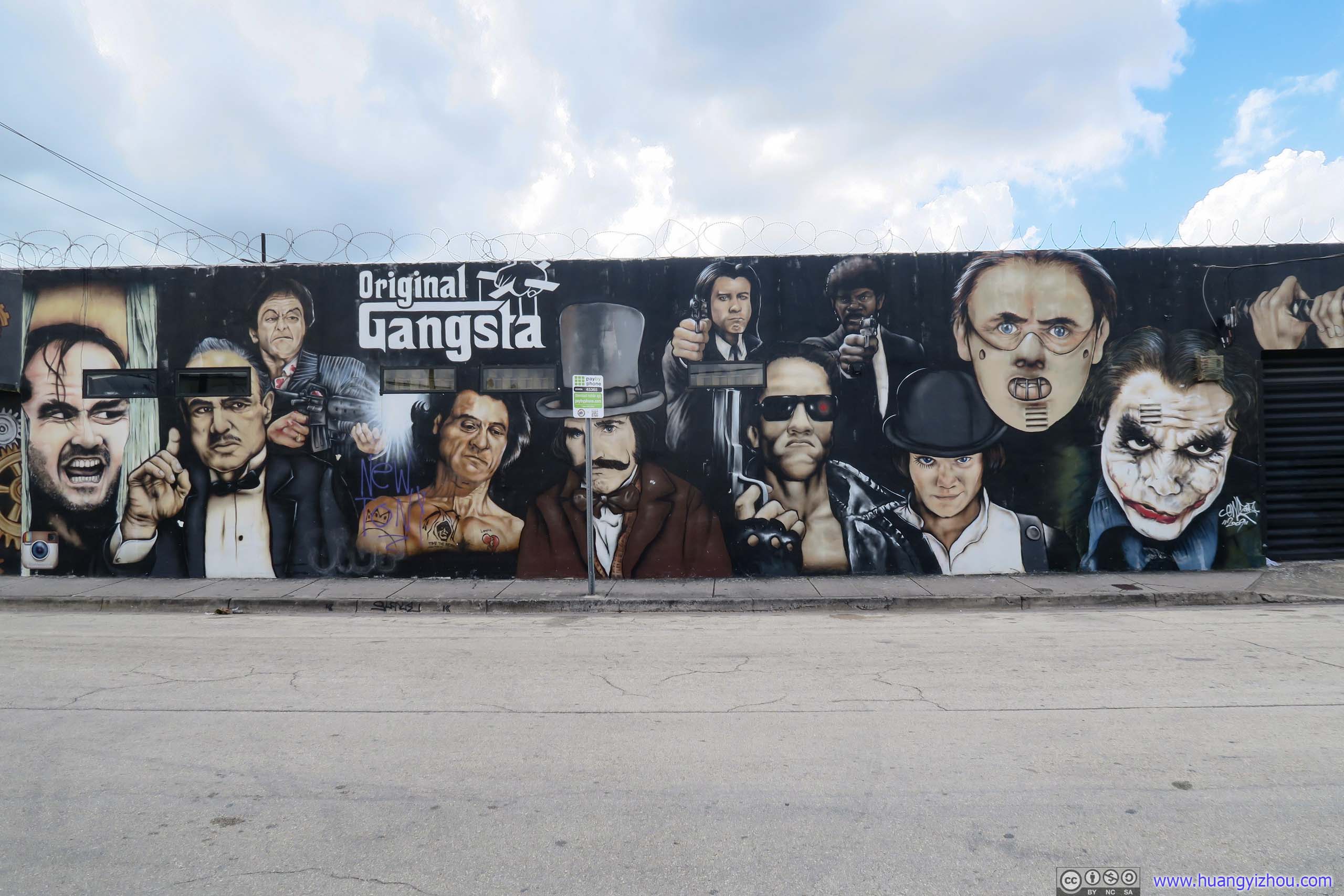
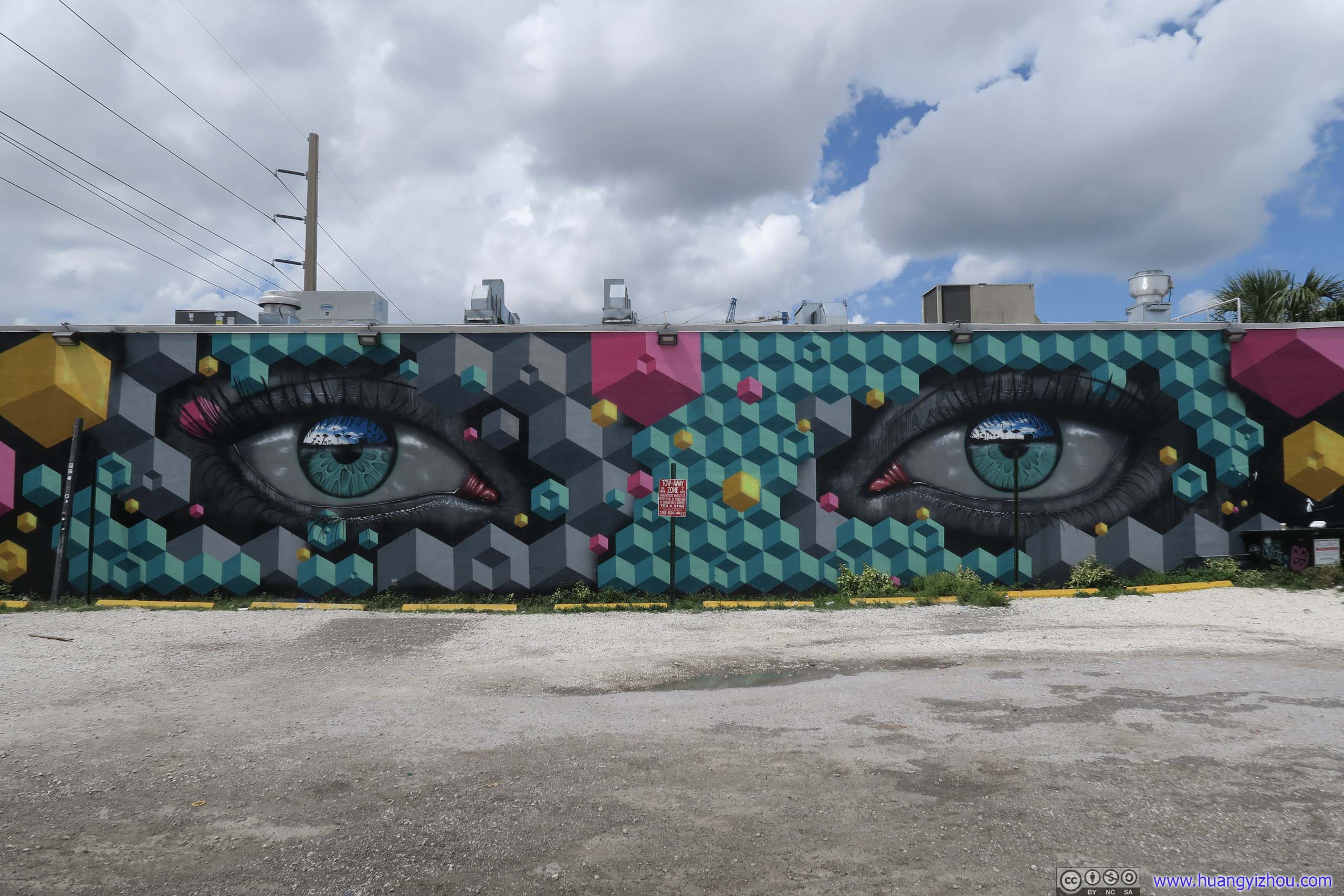
Outside the park, the neighborhood was filled with murals stretching a few blocks. It felt like one left the zoo and was seeing animals in the wild, as the artists had to work with electric posts and building doors to create the perfect wall painting. By saying so, I assume the property owners did consent to have their walls painted.
 Mural
Mural

 Mural
Mural
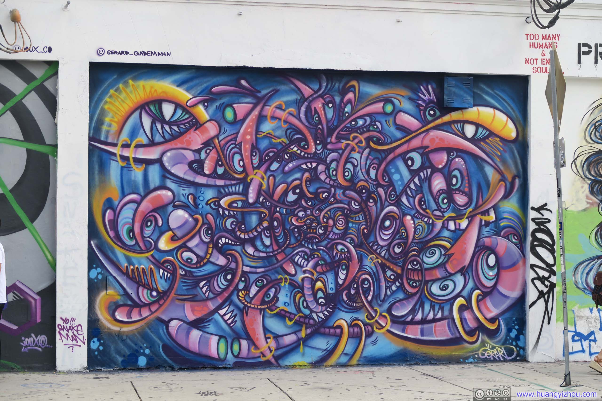

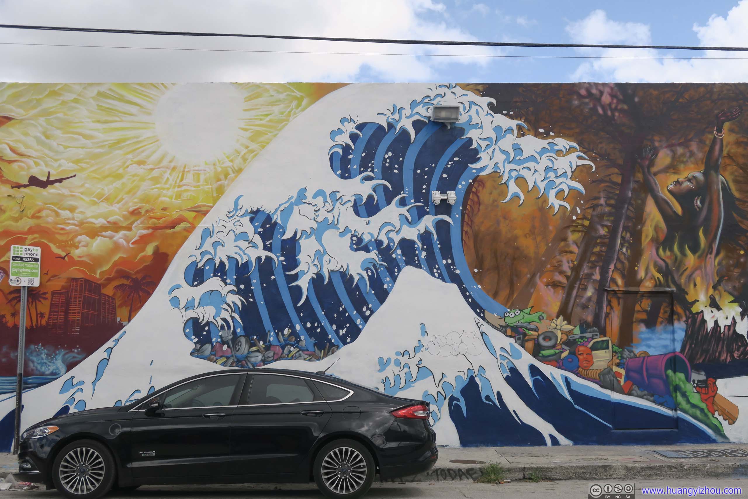
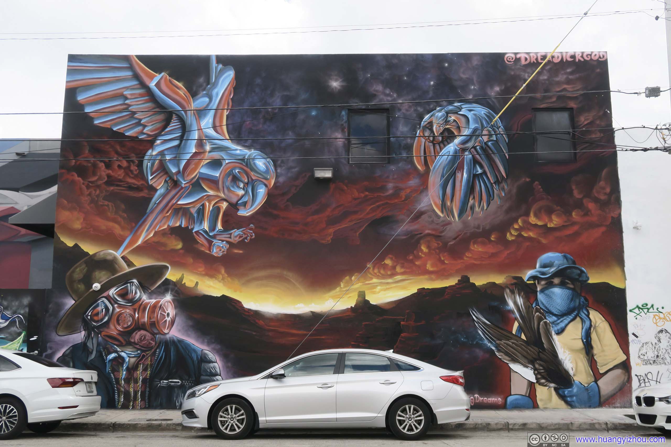 Mural
Mural
3D Wall Art
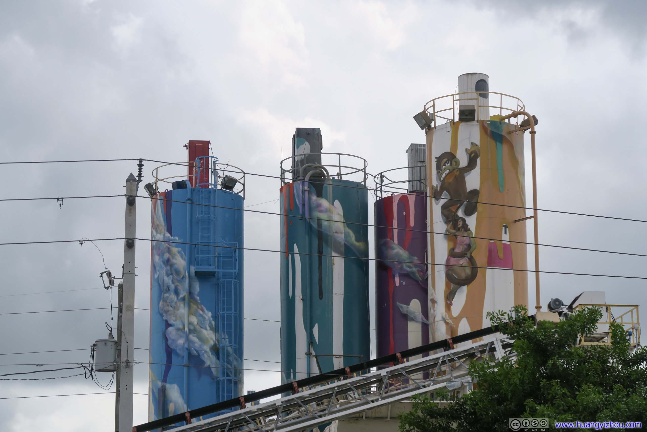
Decorated Factory Towers

 Mural
Mural
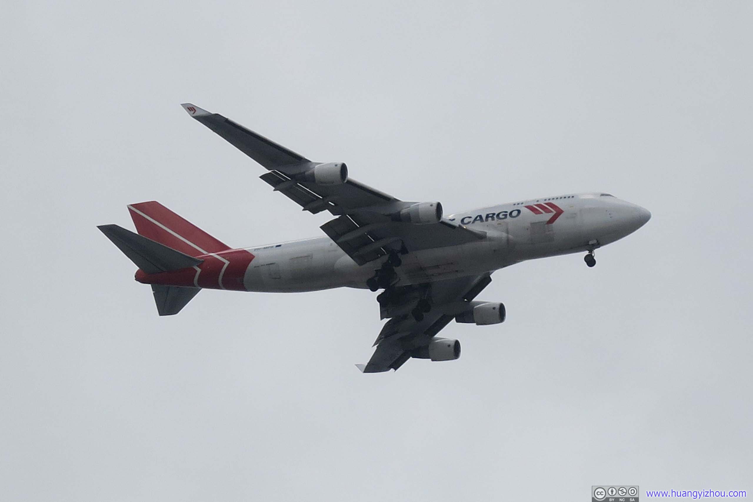
Cargo Plane Landing into Miami AirportWynwood Walls was located right on the extension of Miami airport runways, so planes overhead were a constant sight.
 Streets of Wynwood District
It was a hot sunny day, and I’m more appreciative of oil paintings in museums, so after wandering around Wynwood district for about an hour, I went back on the move.
My plan for the rest of the day was to drive along Florida Route A1A north. In most places, route A1A was the closest highway to Atlantic Ocean, and I was expecting some sceneries since I would be driving on the side closer to ocean. But on maps, A1A also would be passing some heavily developed areas like Fort Lauderdale and Miami, presumably without many views. So for the first leg, I took the interstate highway till Lantana.
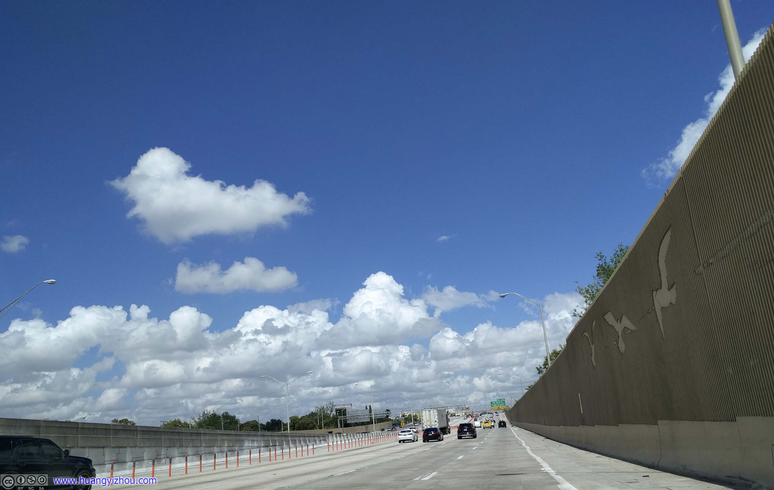
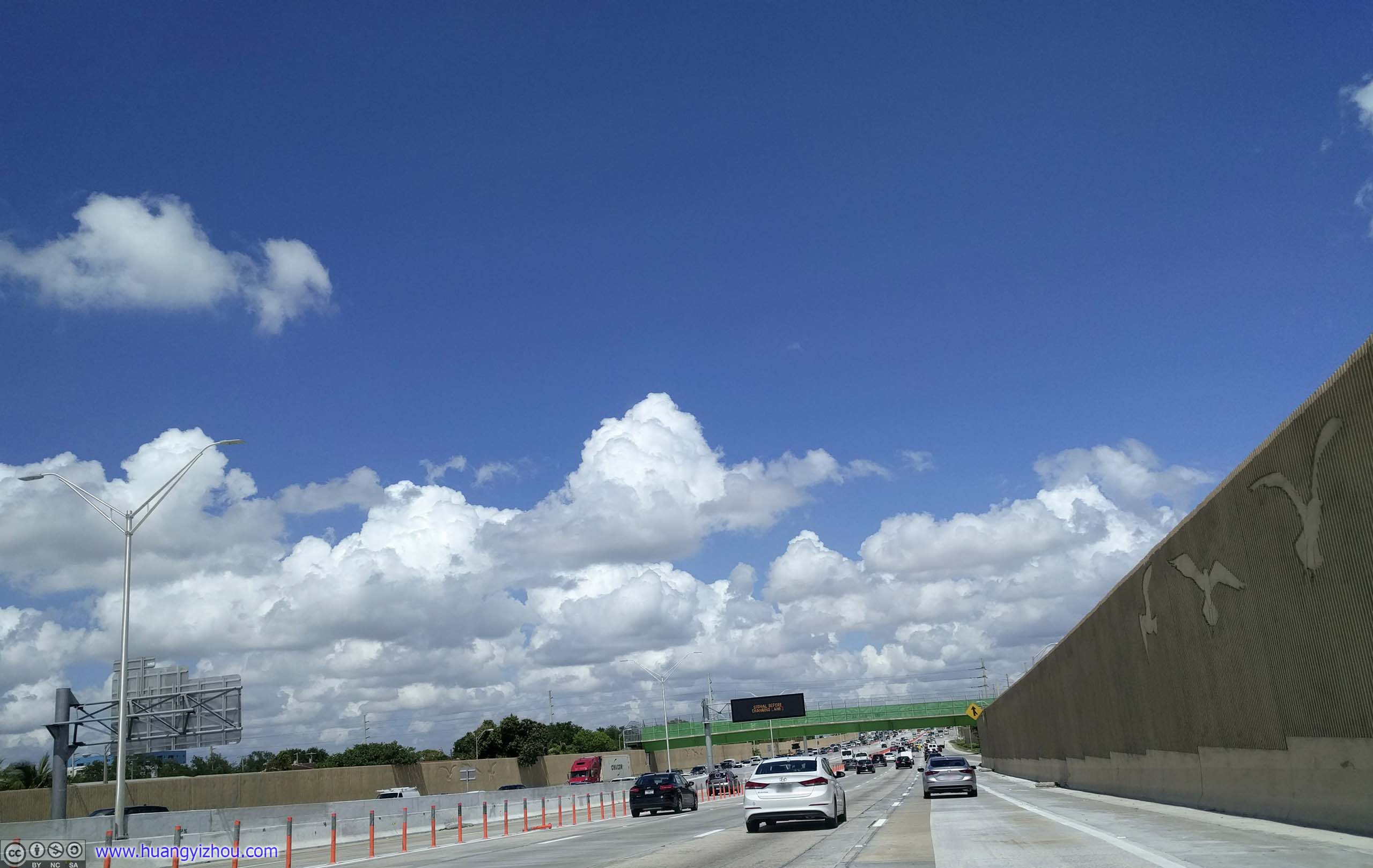

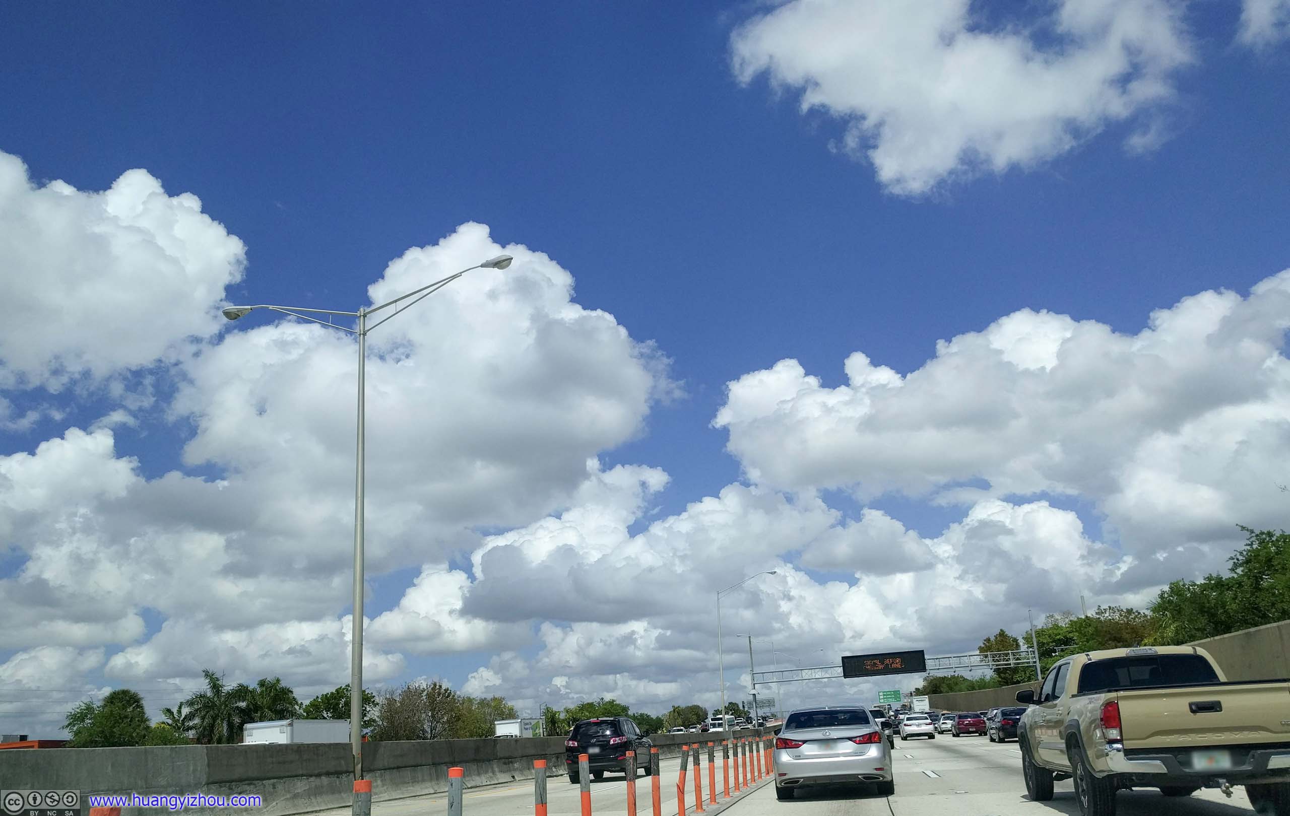
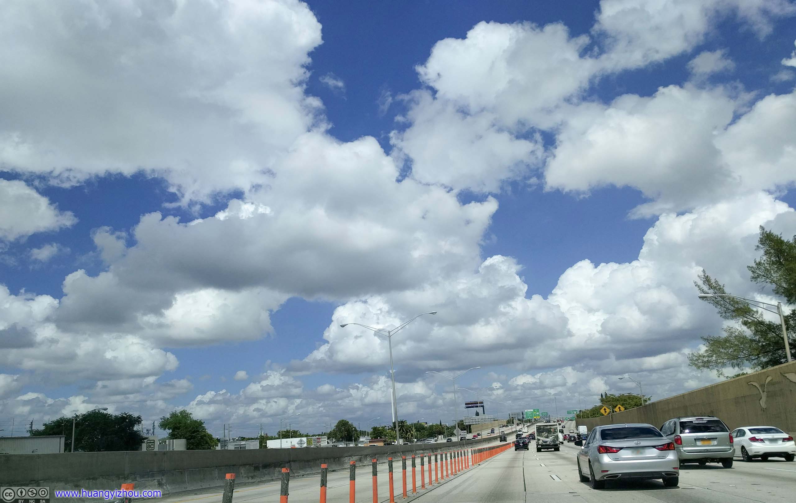
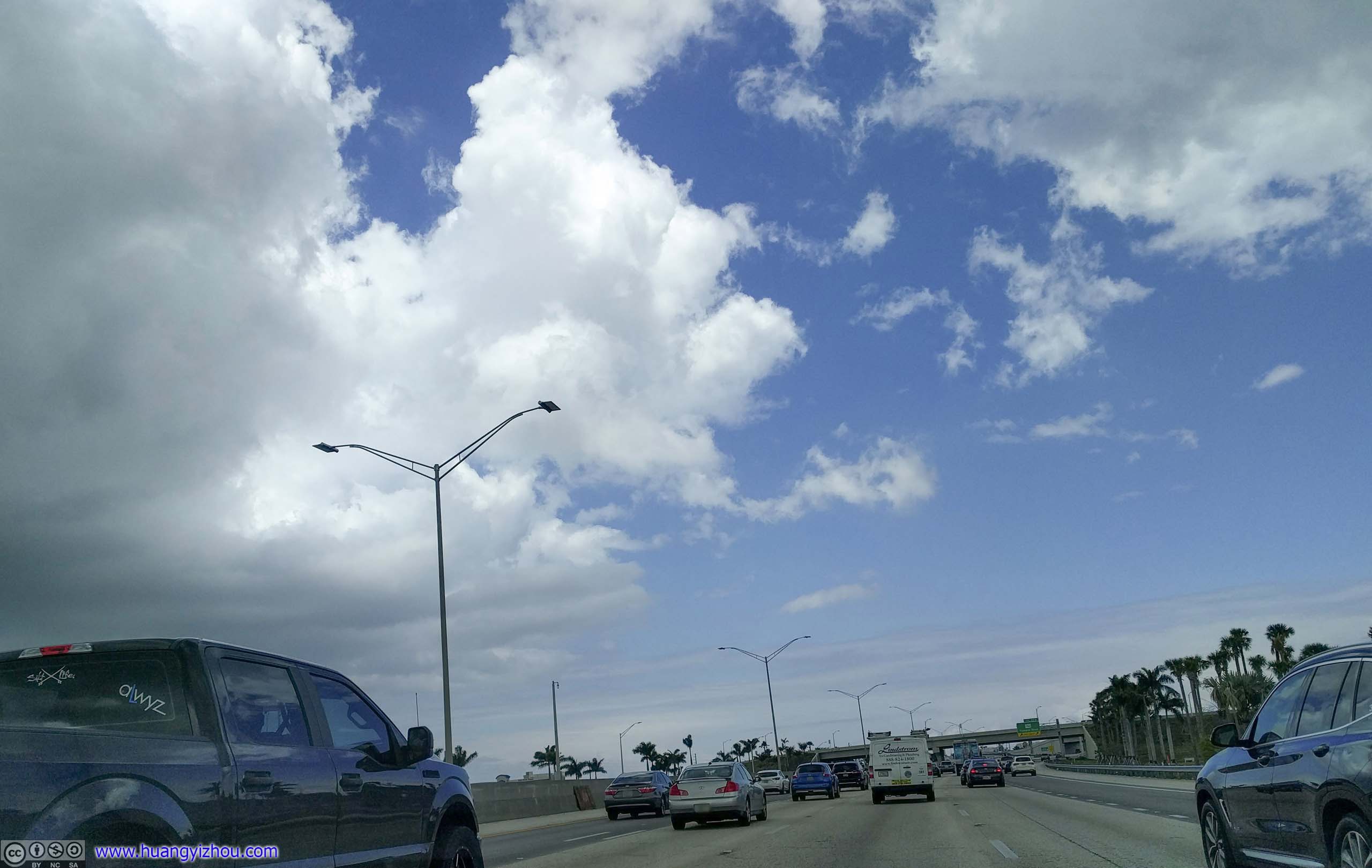
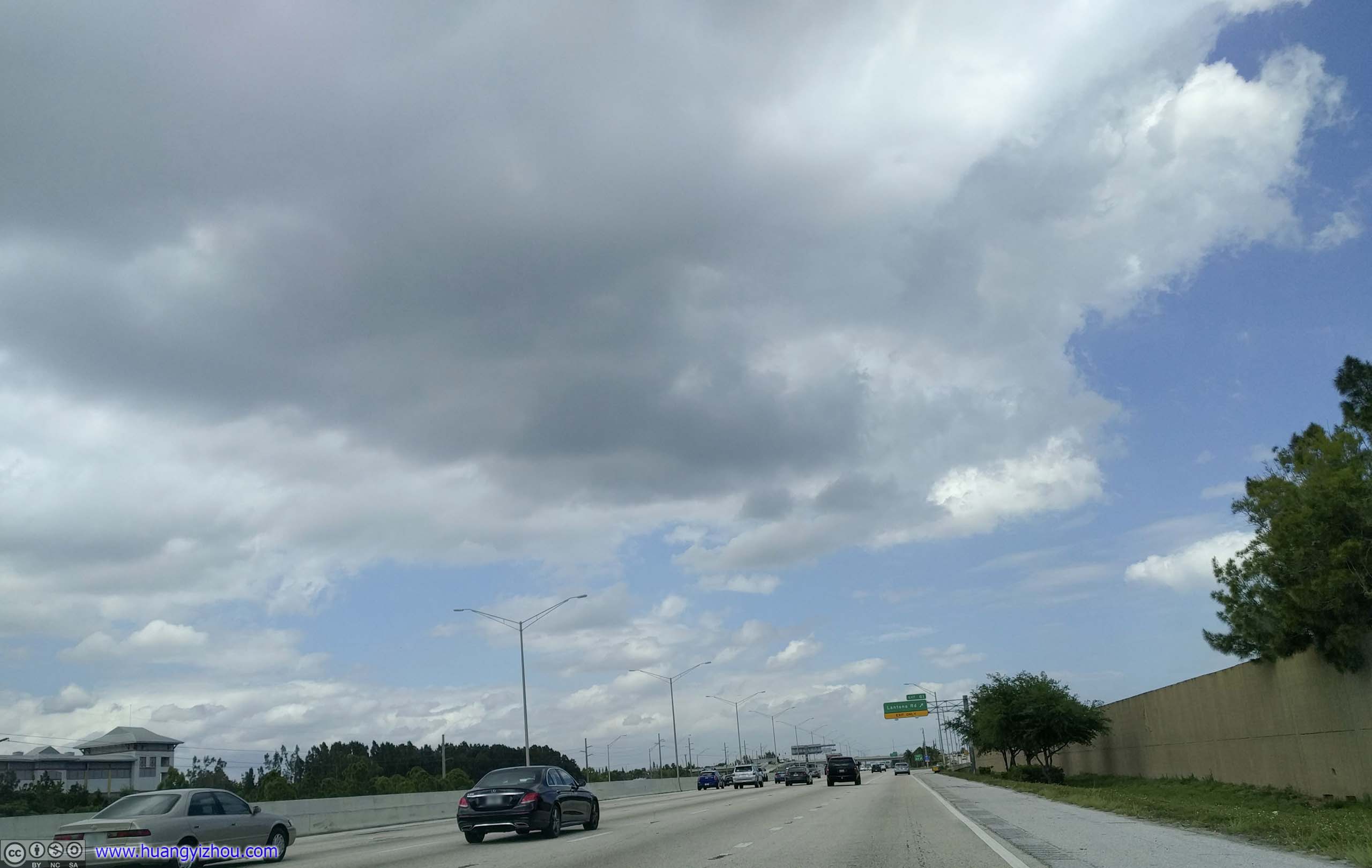
 Interstate 95
Despite it being a Saturday, traffic was heavy on Interstate 95.


 Interstate 95
After filling up my car at the nearby Costco and a quick lunch at Subway, I headed onto Florida’s A1A.
Coastal Florida Road Trip
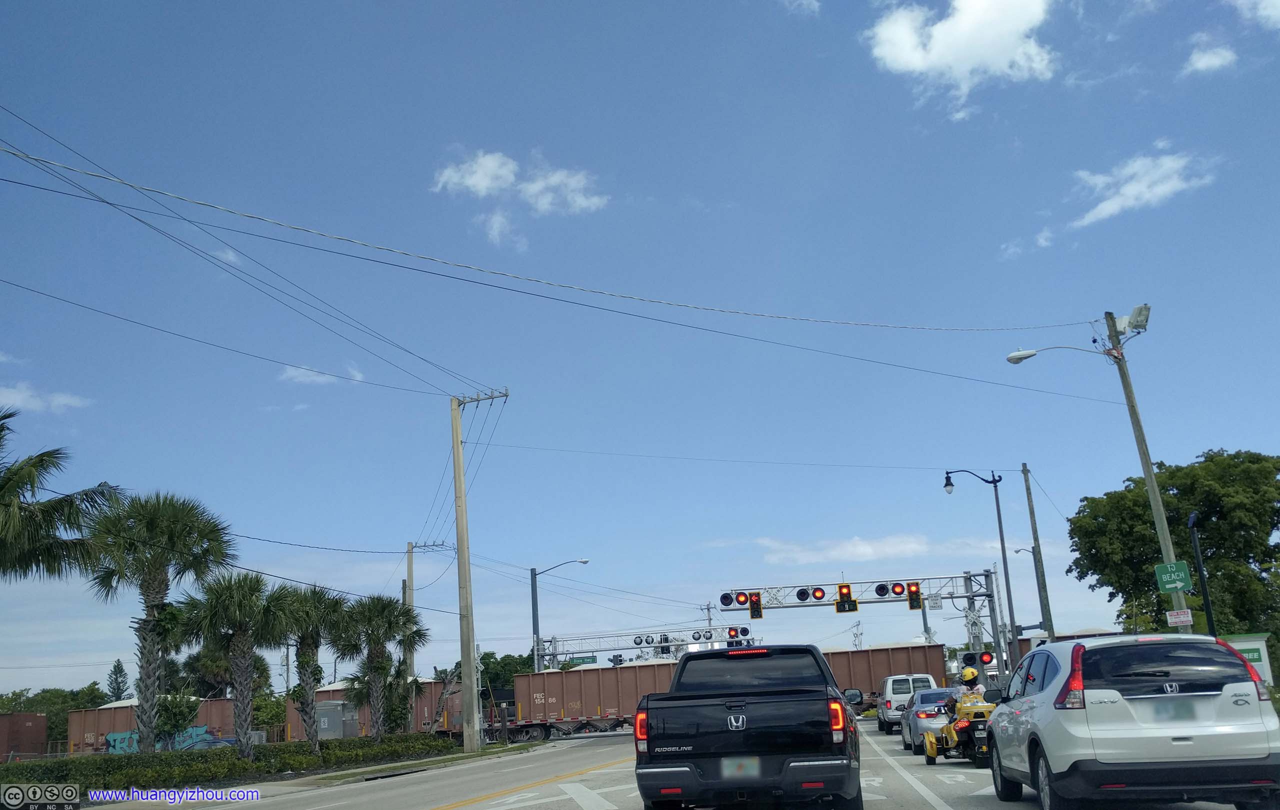
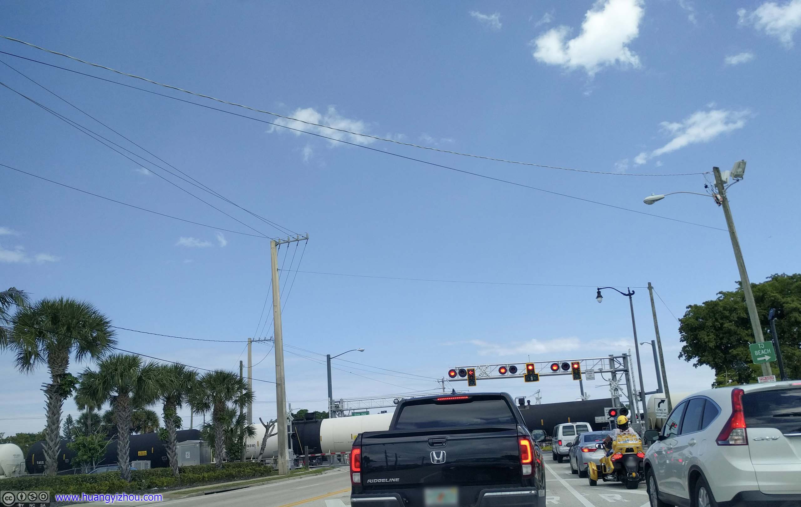
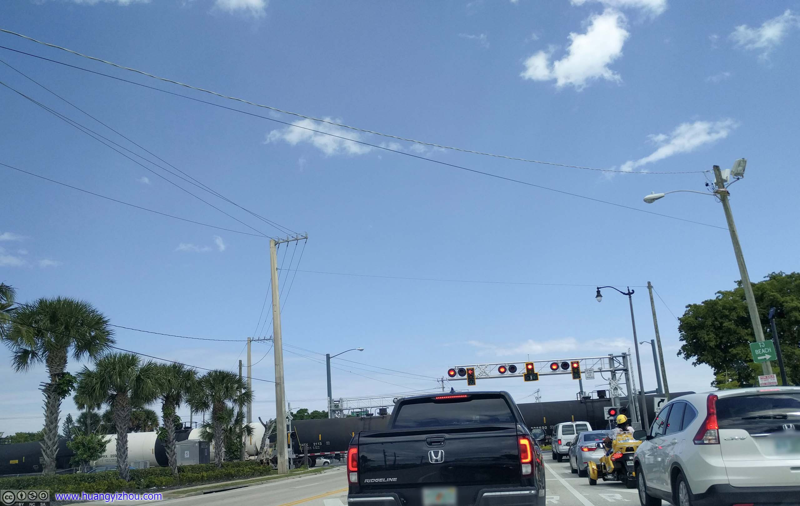
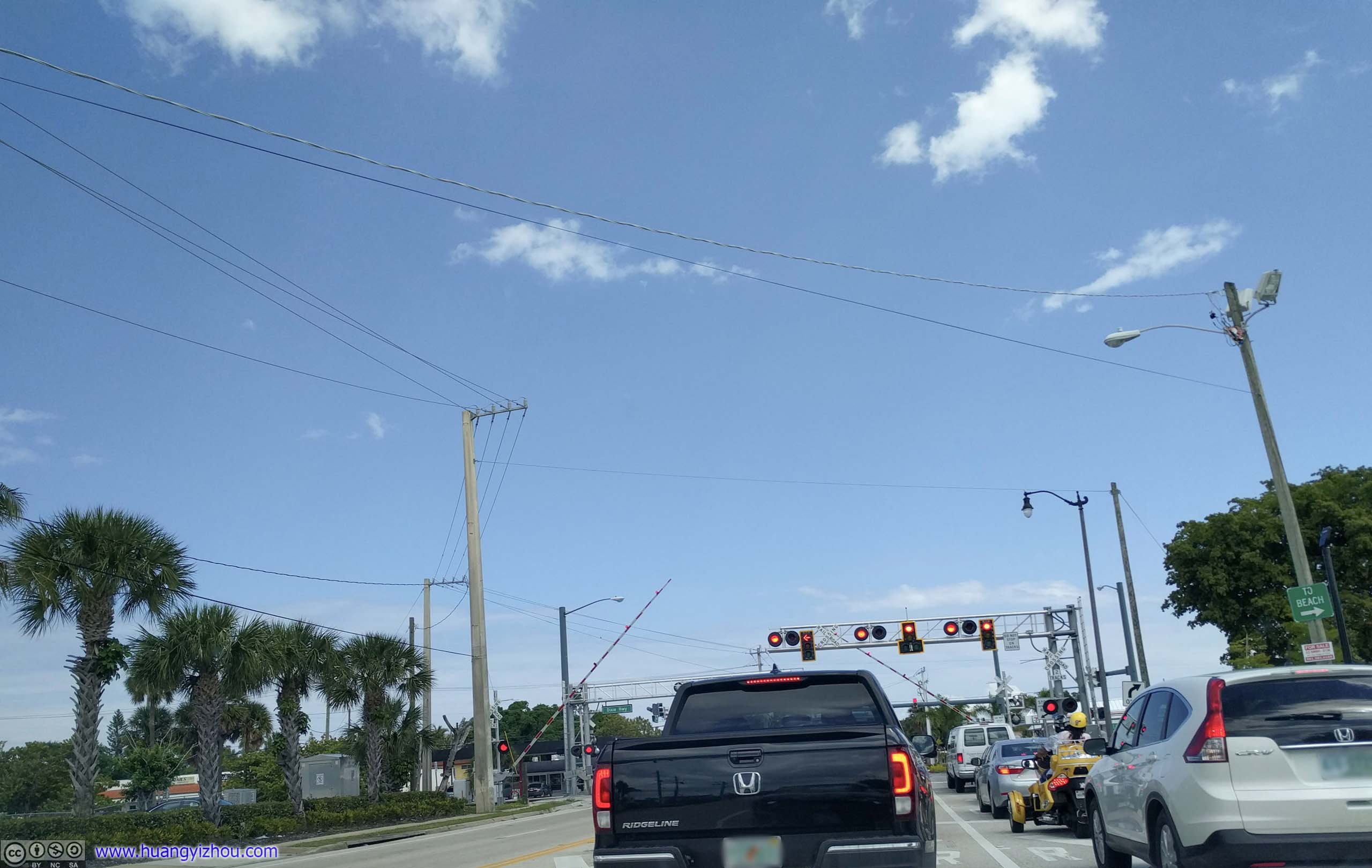 Railway Crossing
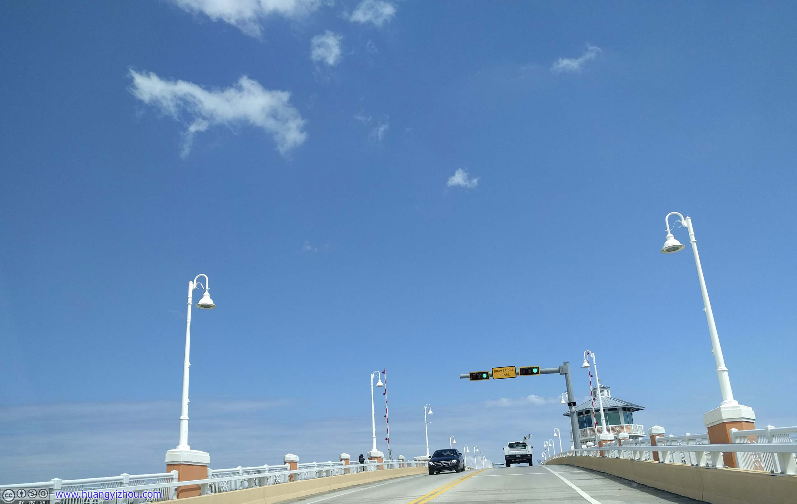
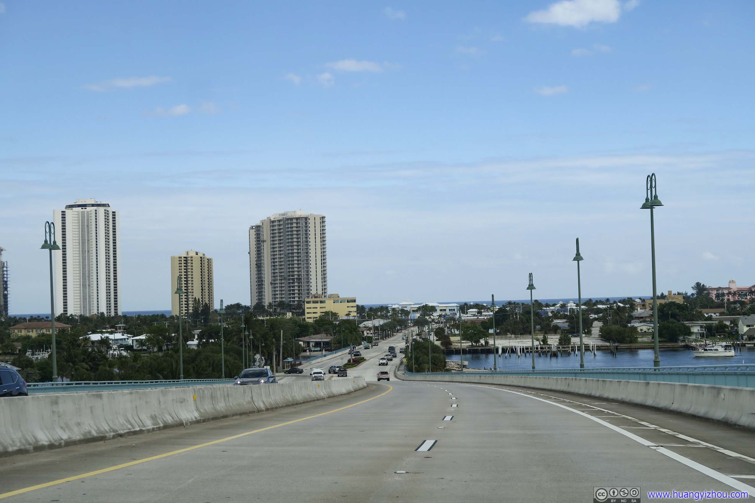
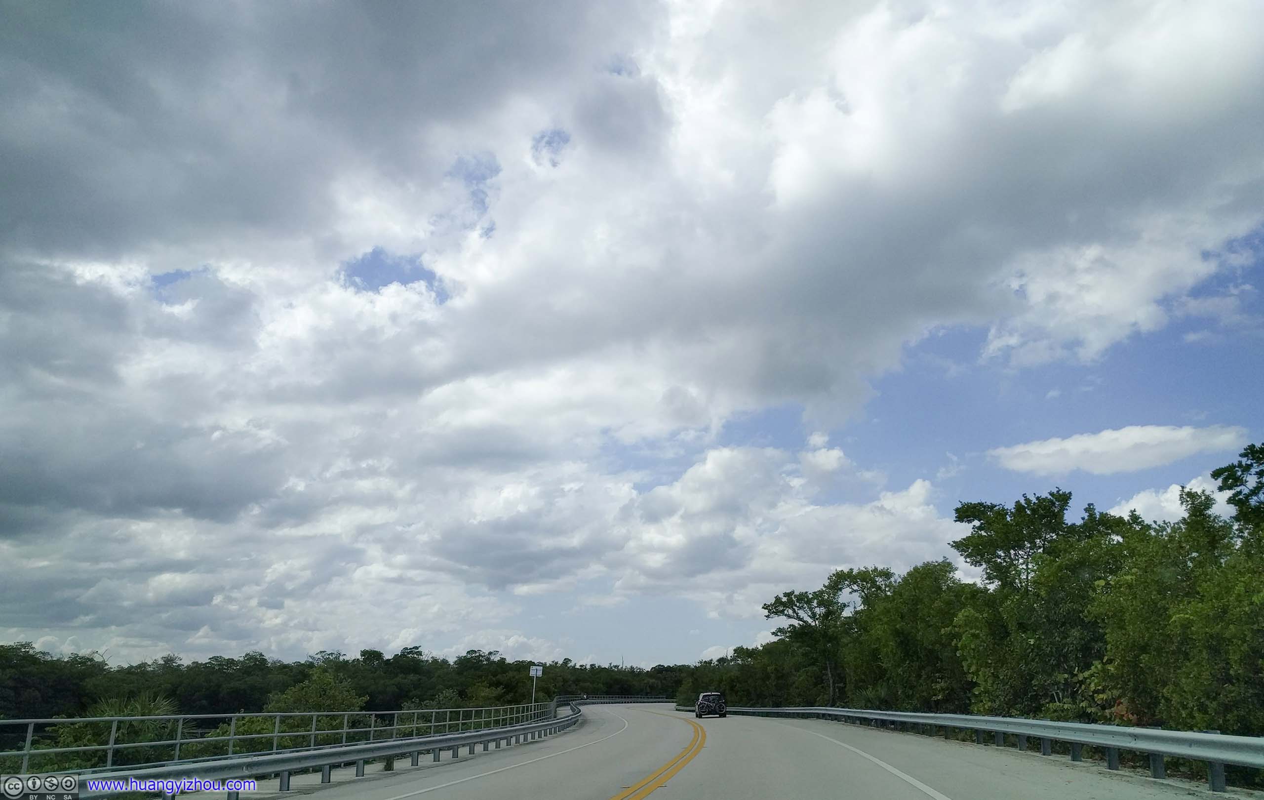
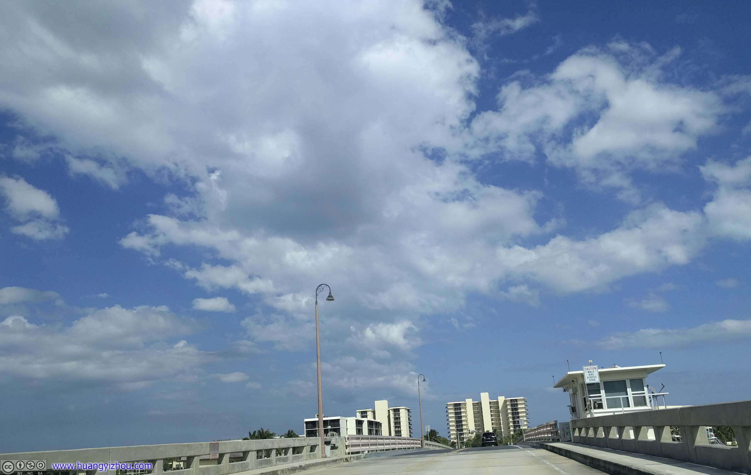
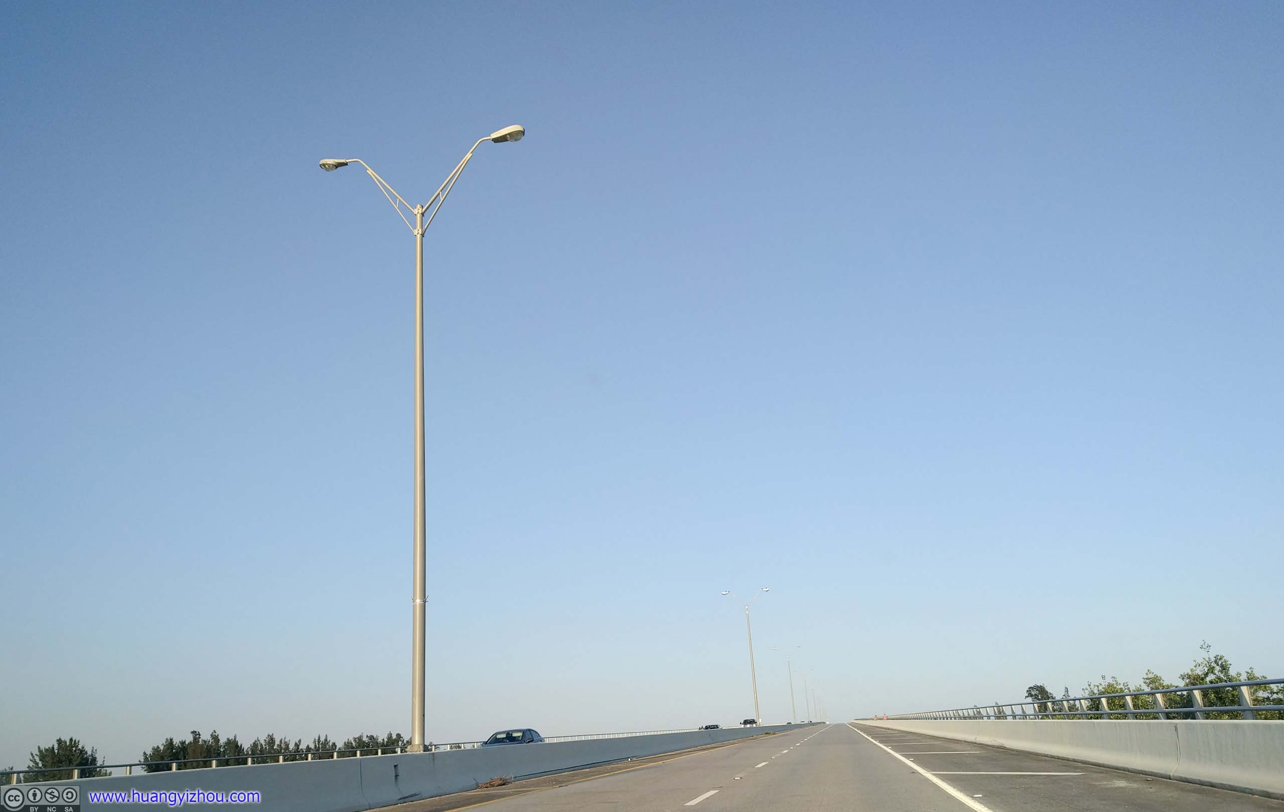
Lantana Intercoastal BridgeOnto Coastal Route A1A.
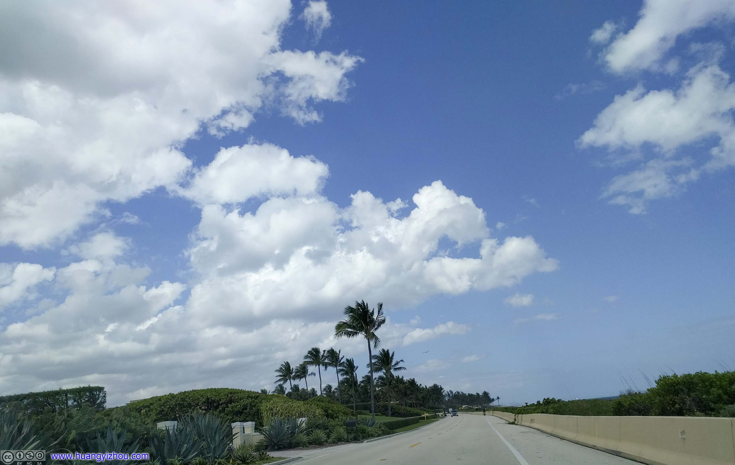
Soon, my dreams of more overseas highway driving were dashed. While Route A1A did run pretty close to ocean, in most parts it was lined with resort hotels, with no views of the ocean. Which was actually a better use of ocean-front area, economy wise.
 Florida Route A1A


 Florida Route A1AThis portion was on a cliff overlooking beaches, which wasn’t the common sight along A1A.
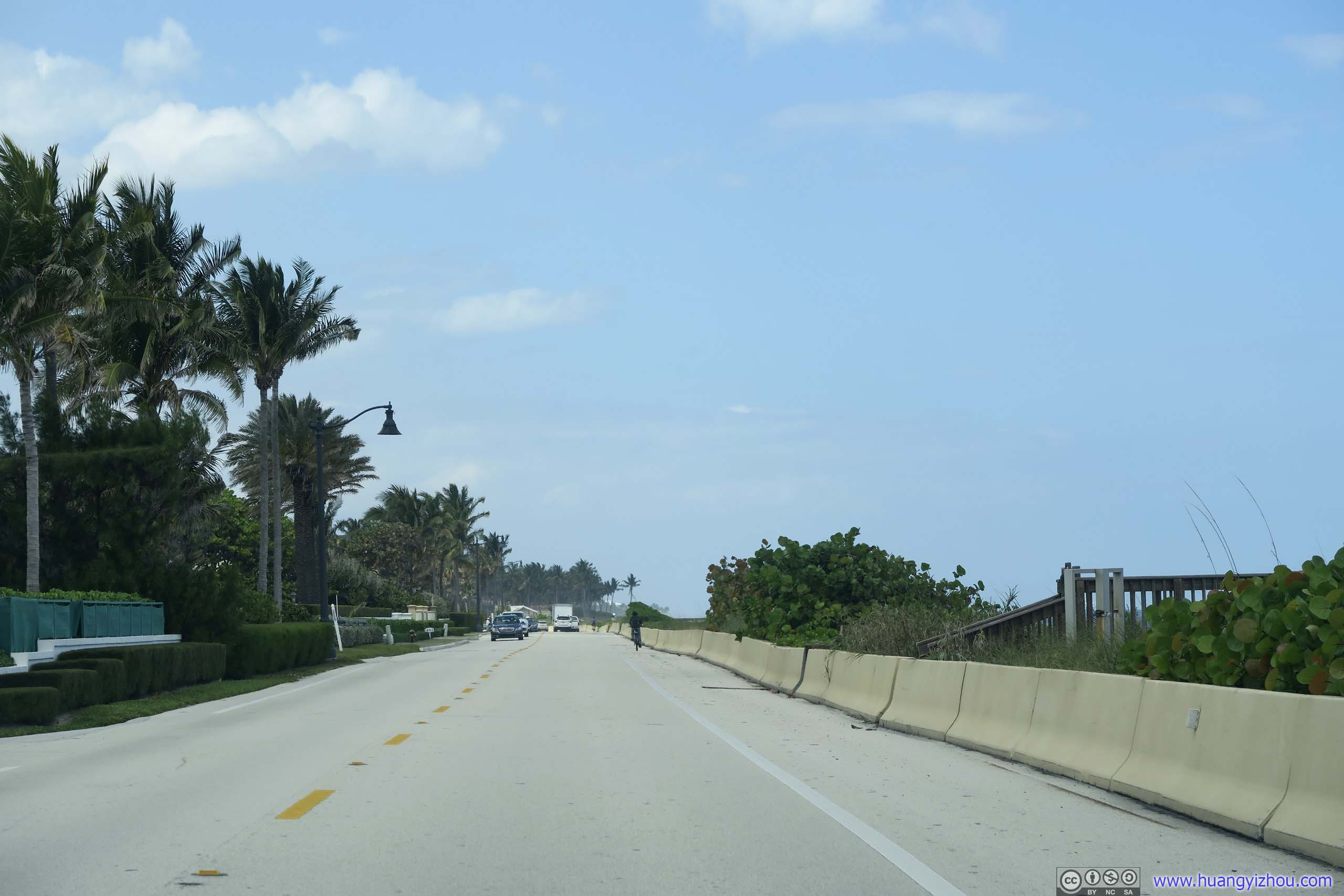
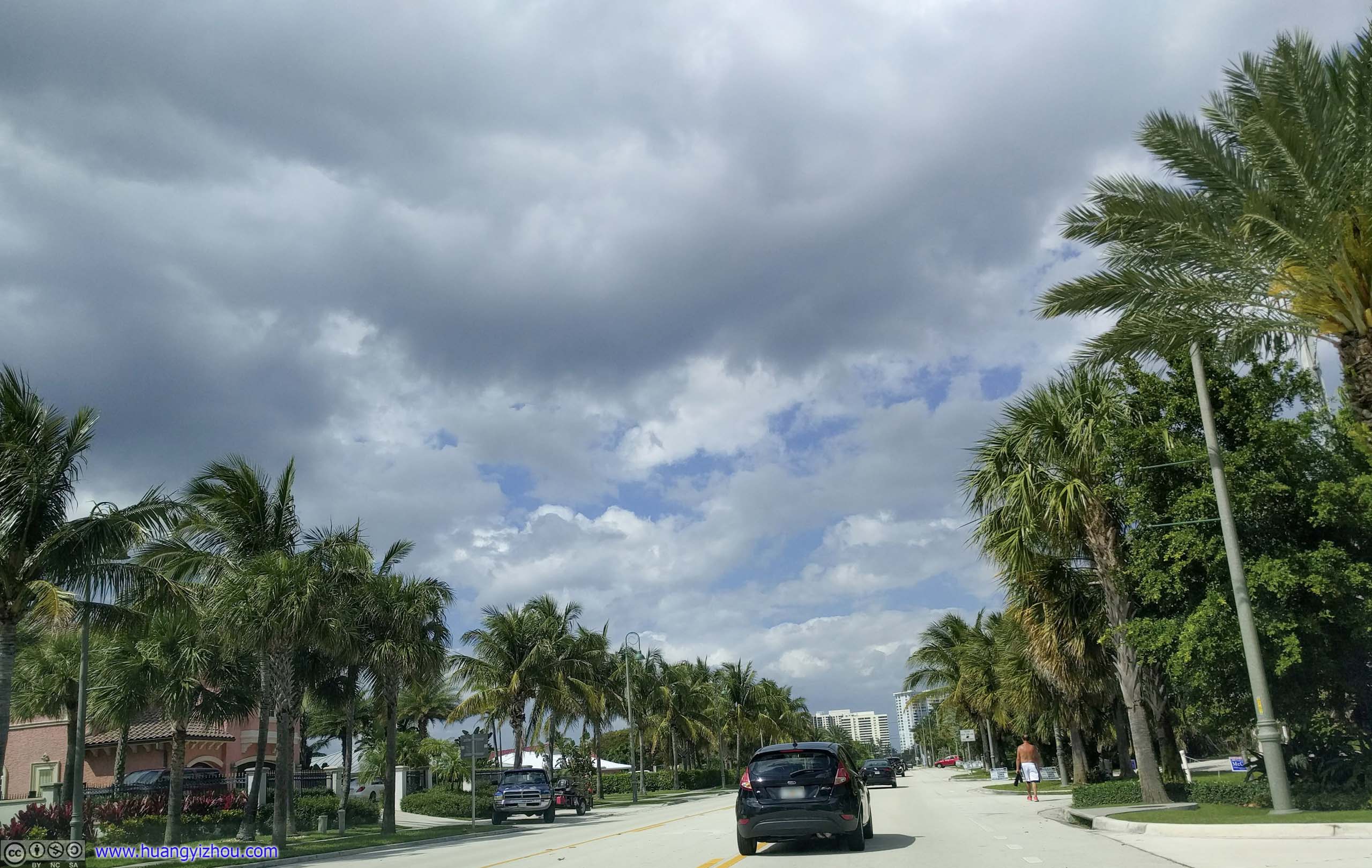
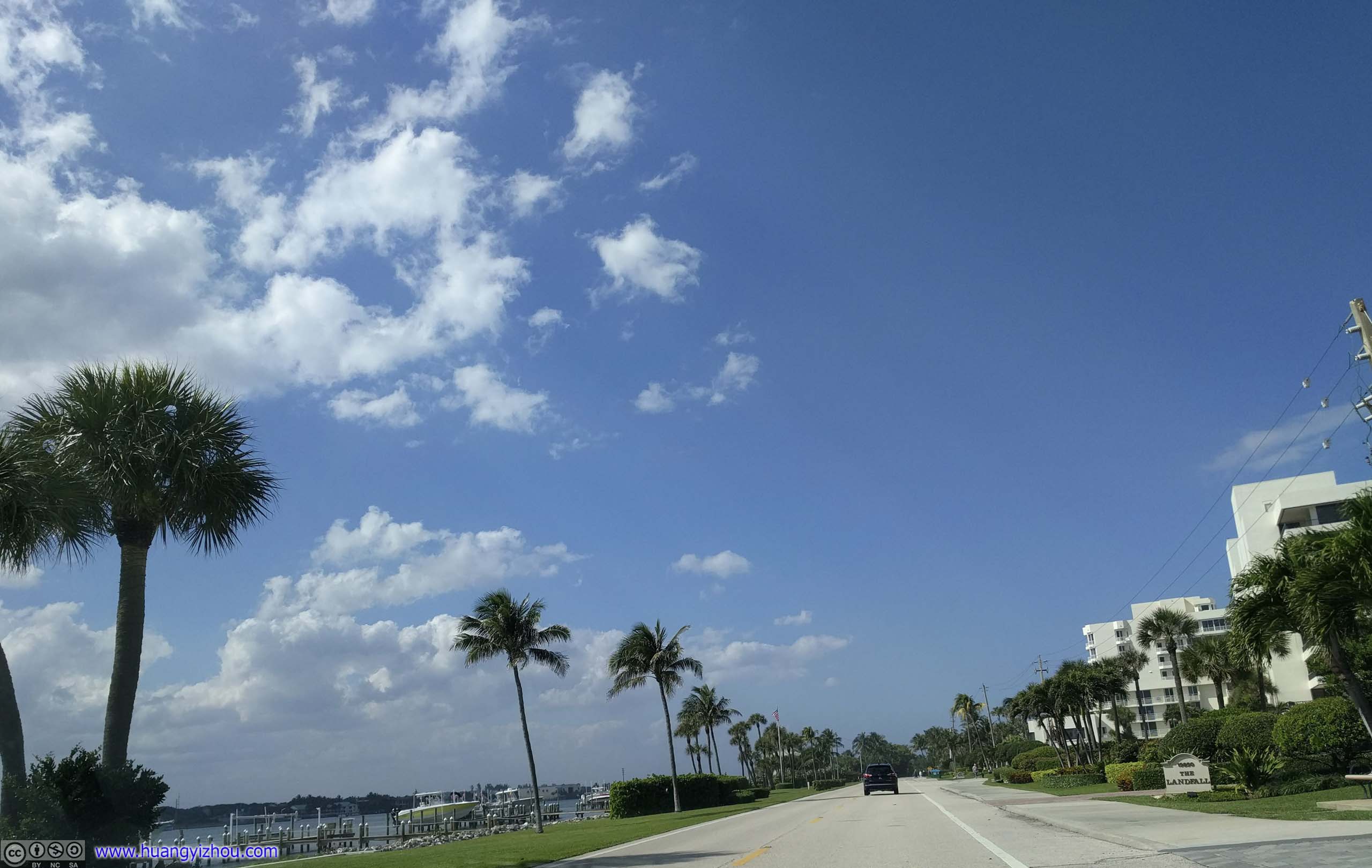
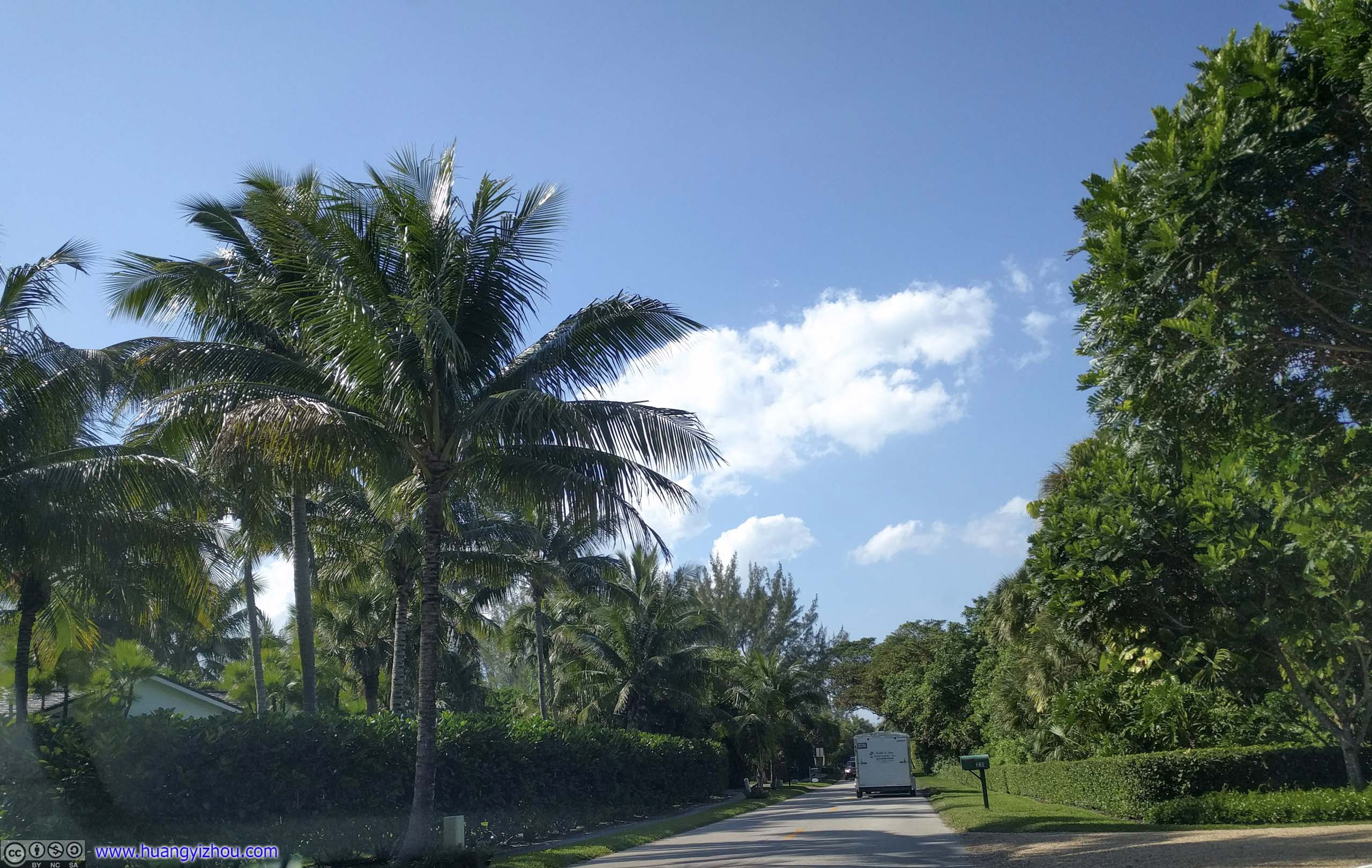
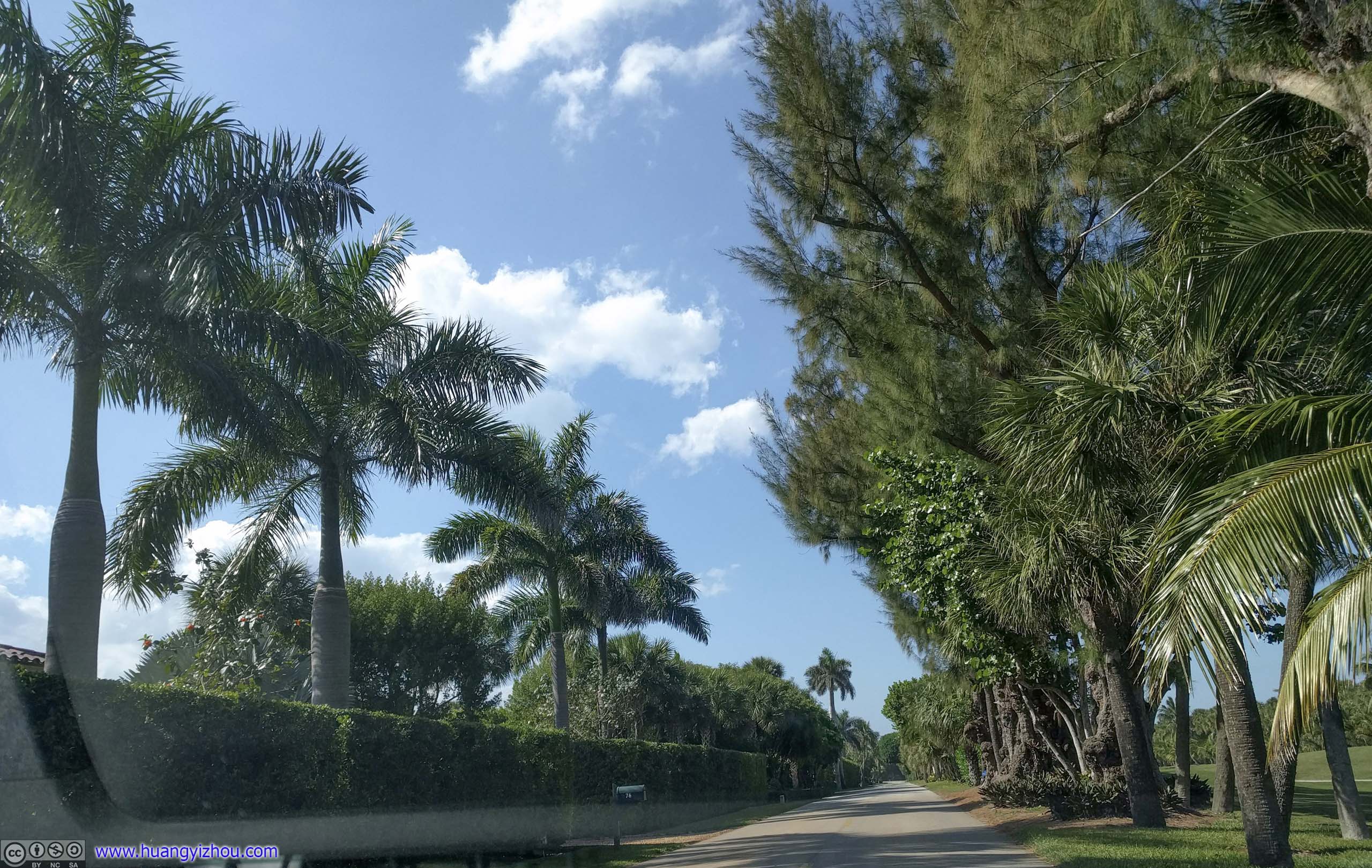
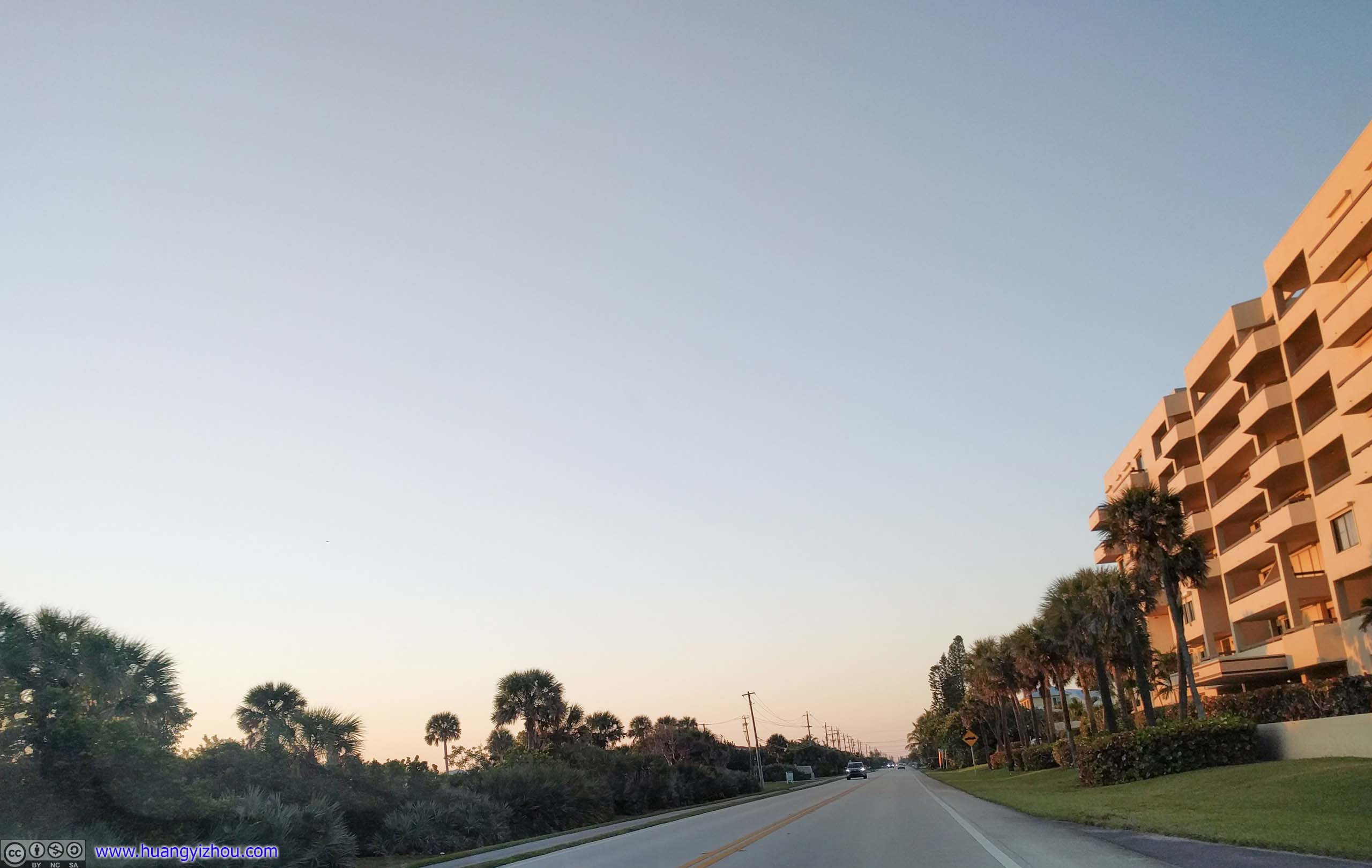
Or, it could be lined with mansions, hiding behind well-trimmed trees.
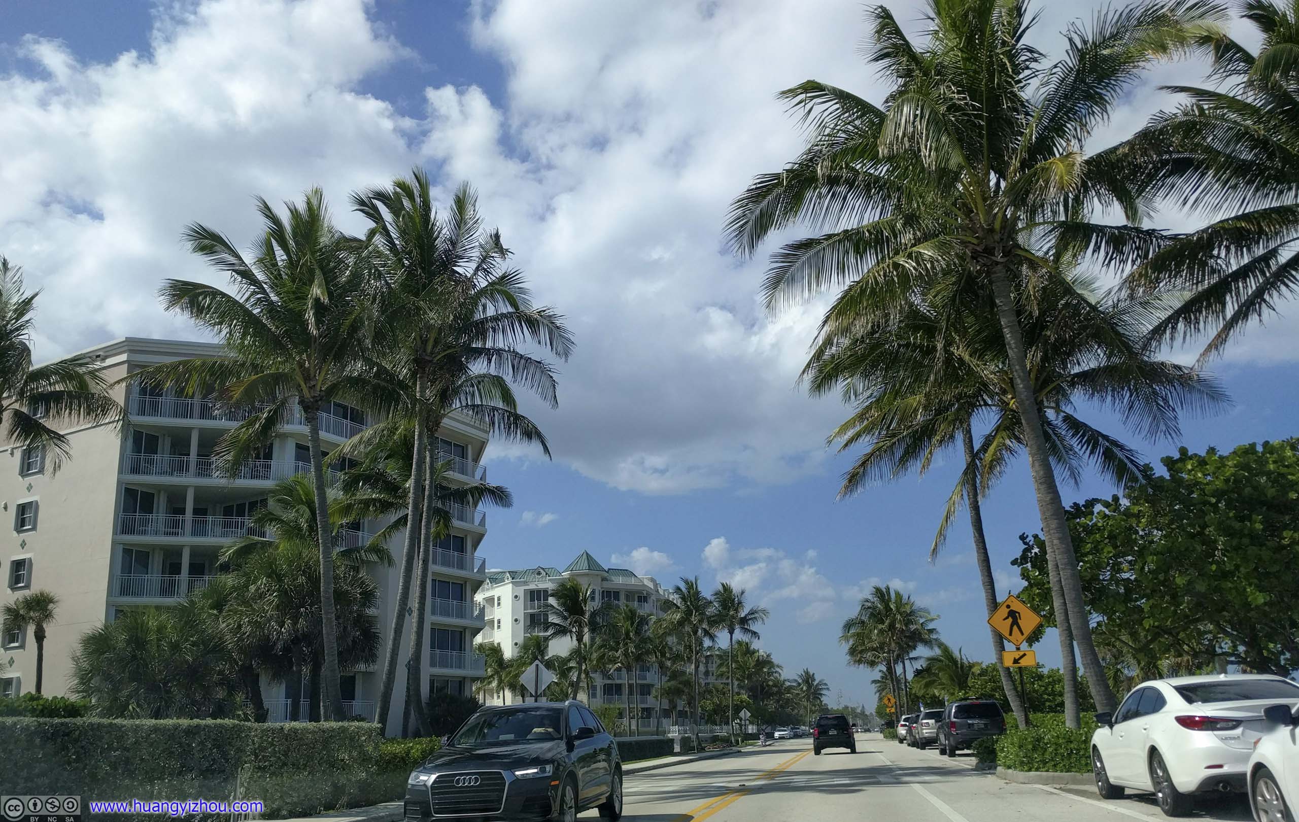
 Florida Route A1APassing an affluent neighborhood.
A drawbridge ahead leading back to mainland was closed, so I turned off A1A early and headed for the city of West Palm Beach.
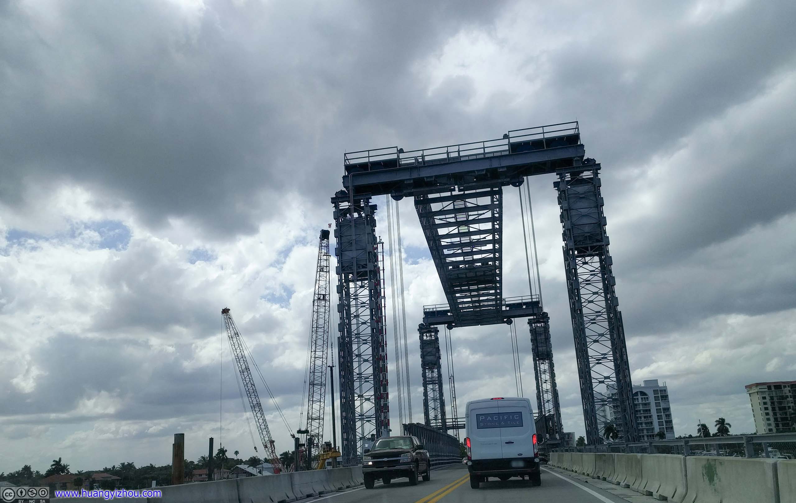
Bingham Island BridgeUnder construction. Undoubtedly, there would be a traffic jam on the bridges that weren’t closed.
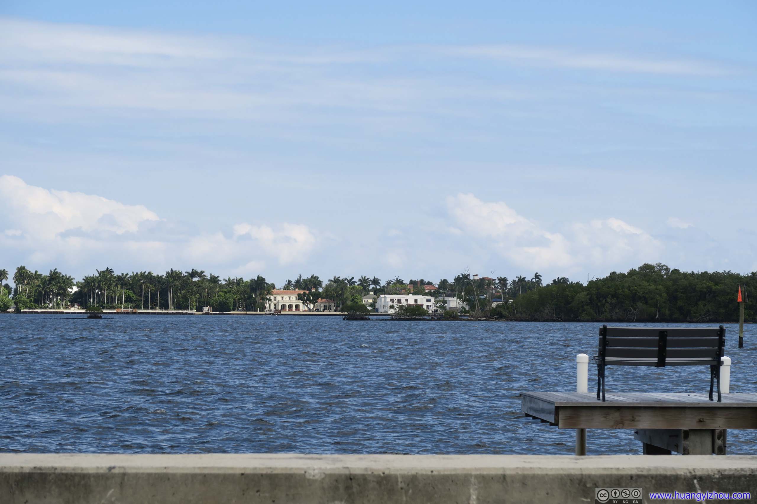
Villas across LagoonTrump’s Mar-a-Lago resort was nearby.
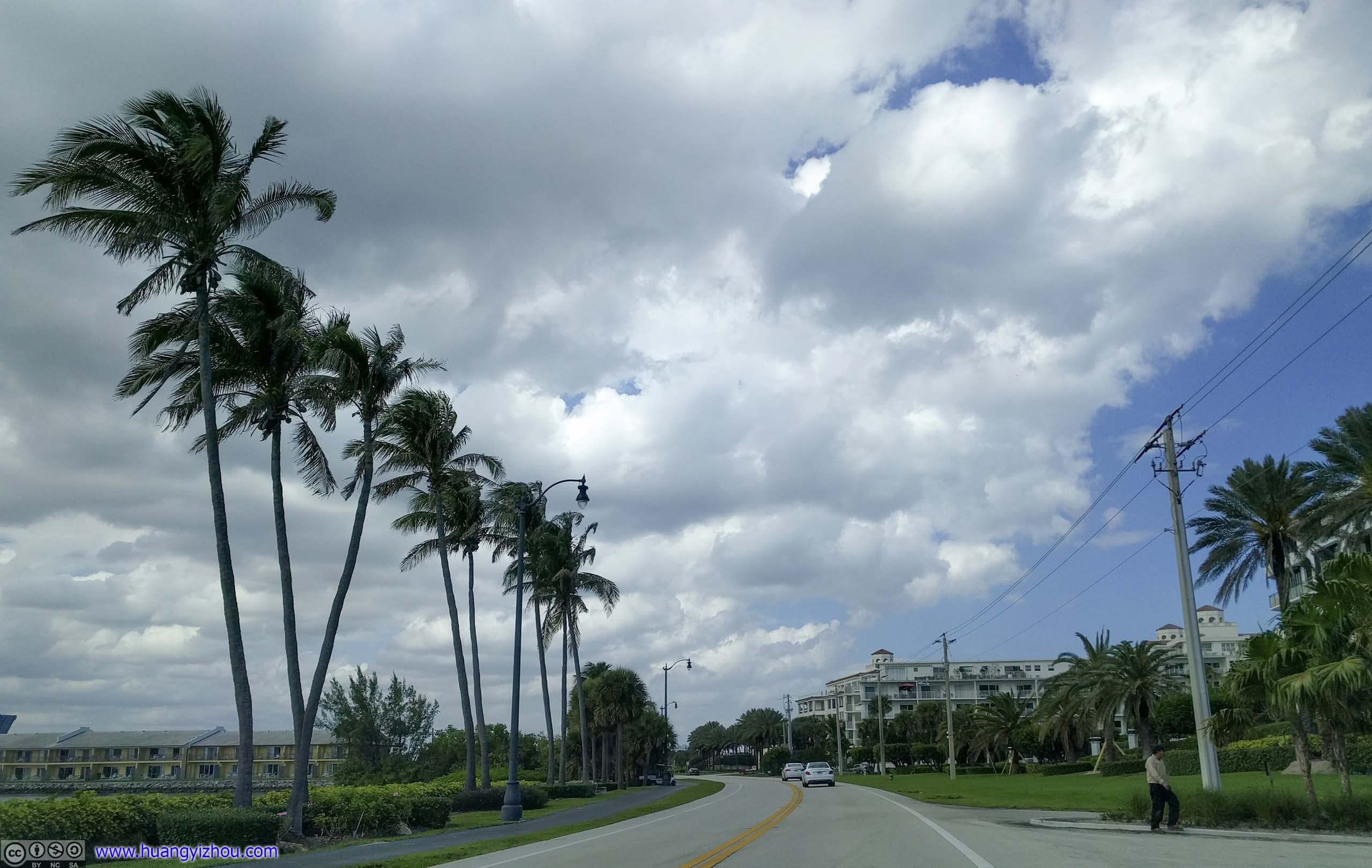
 Waterfront Community
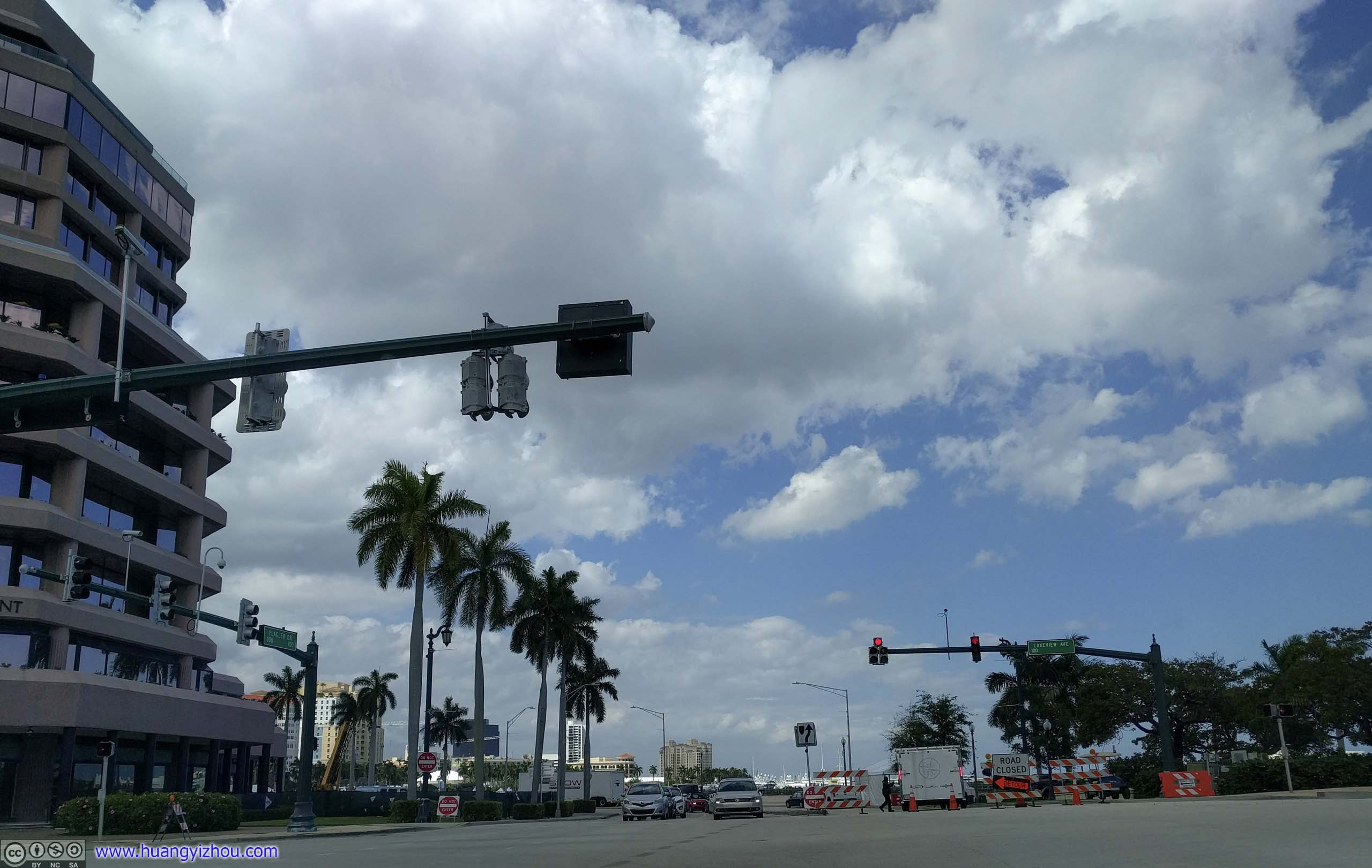
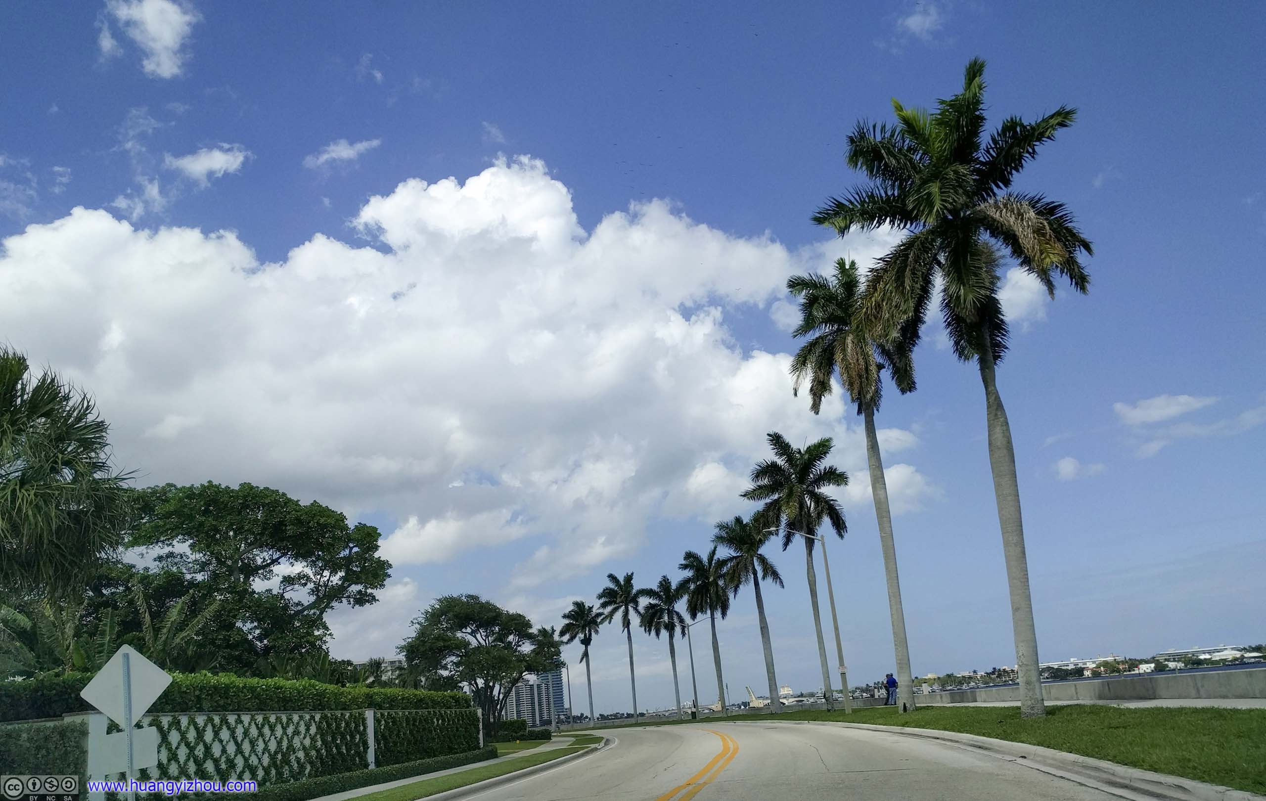
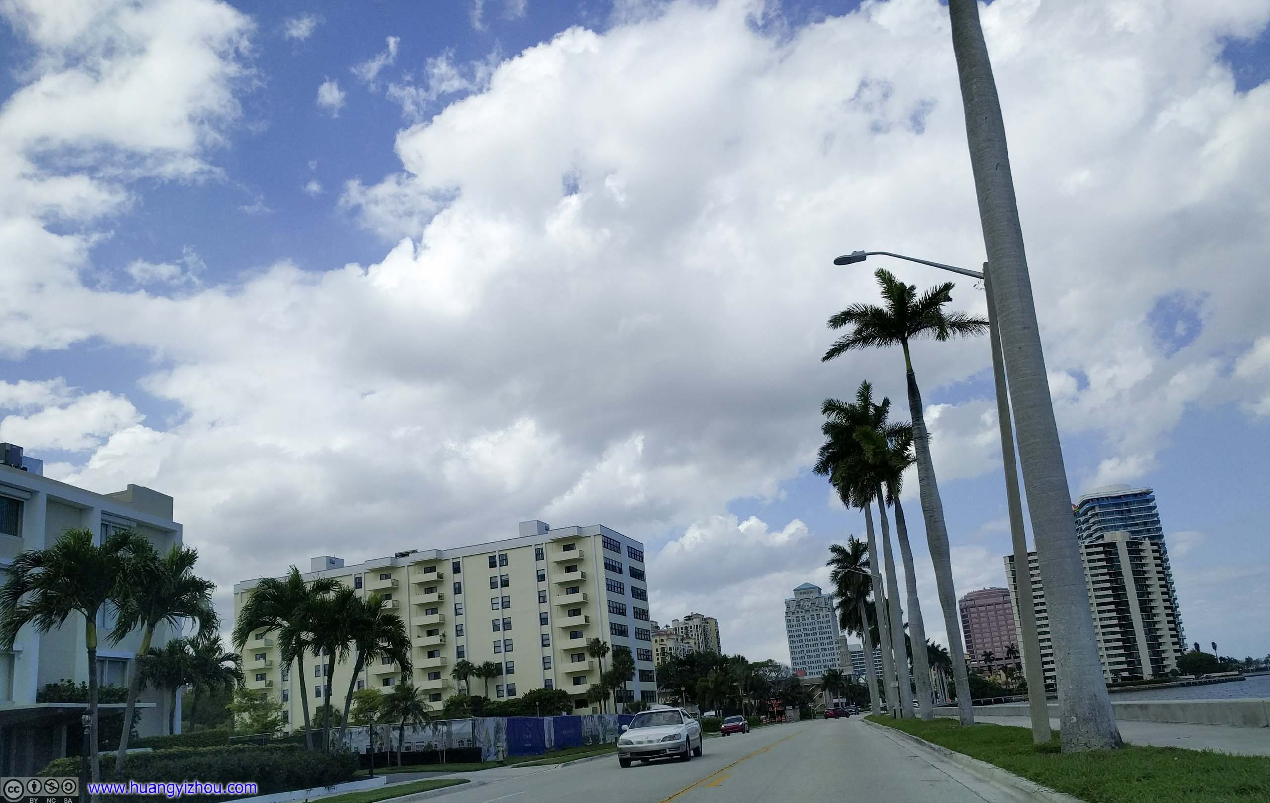
Road ClosureWhich meant I were to go through downtown West Palm Beach.
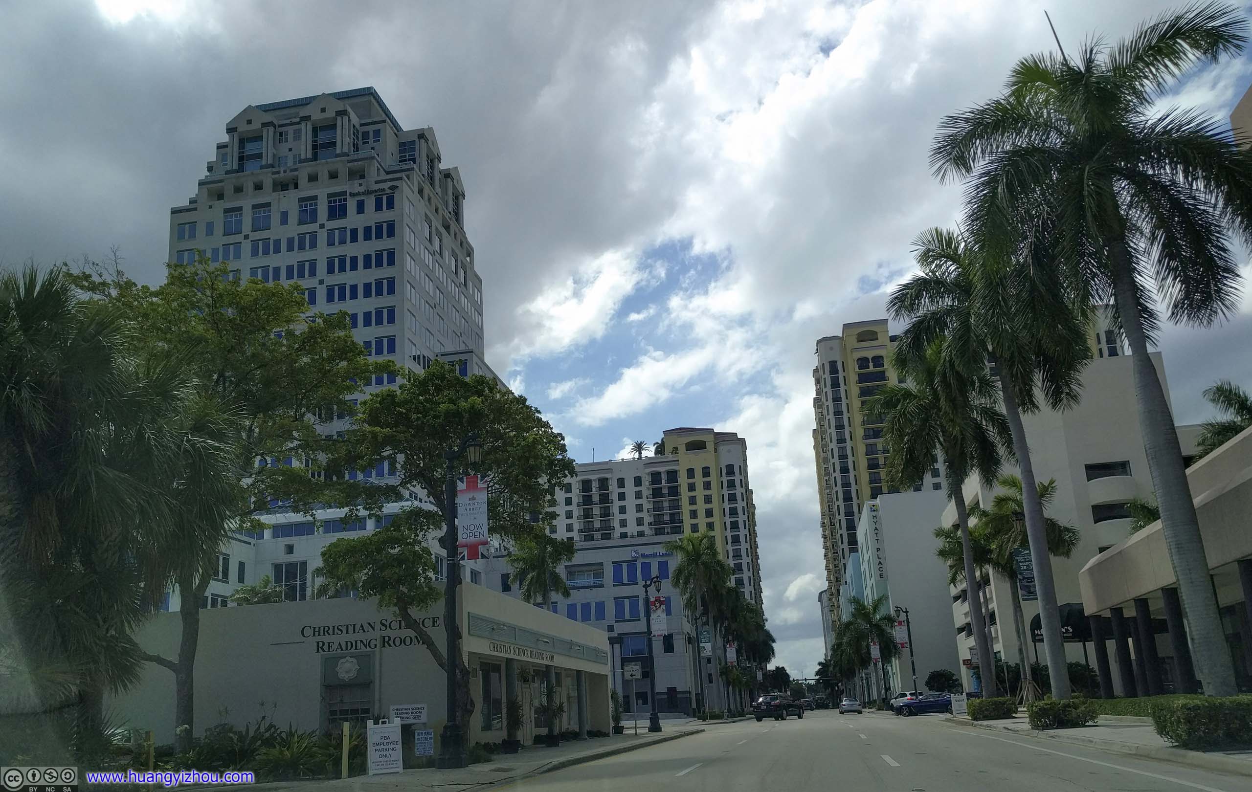
 Downtown West Palm Beach
 Route 1West Palm Beach suburb.
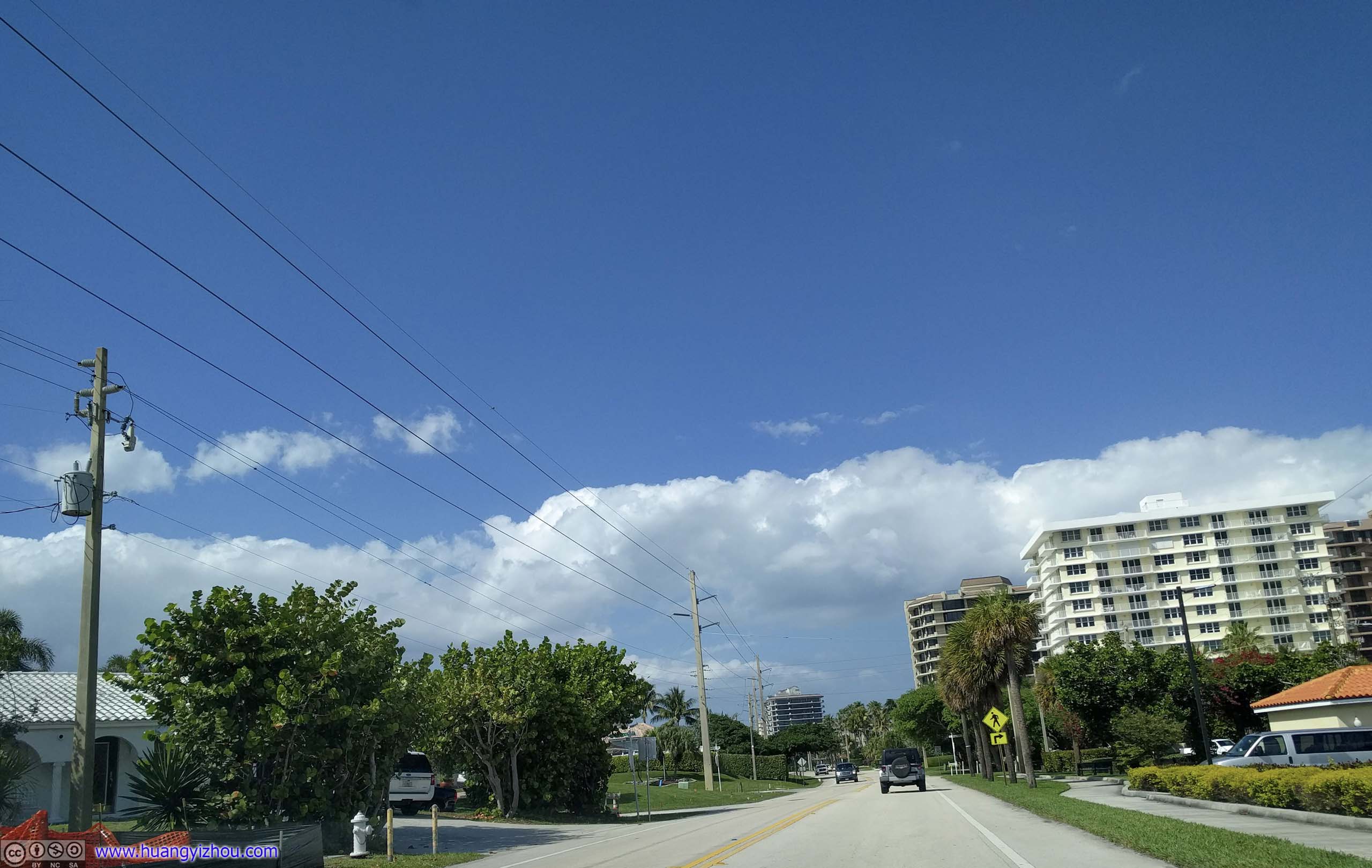
Blue Heron BridgeOnto Florida Route A1A
 Florida Route A1AMore hotel blocks here.
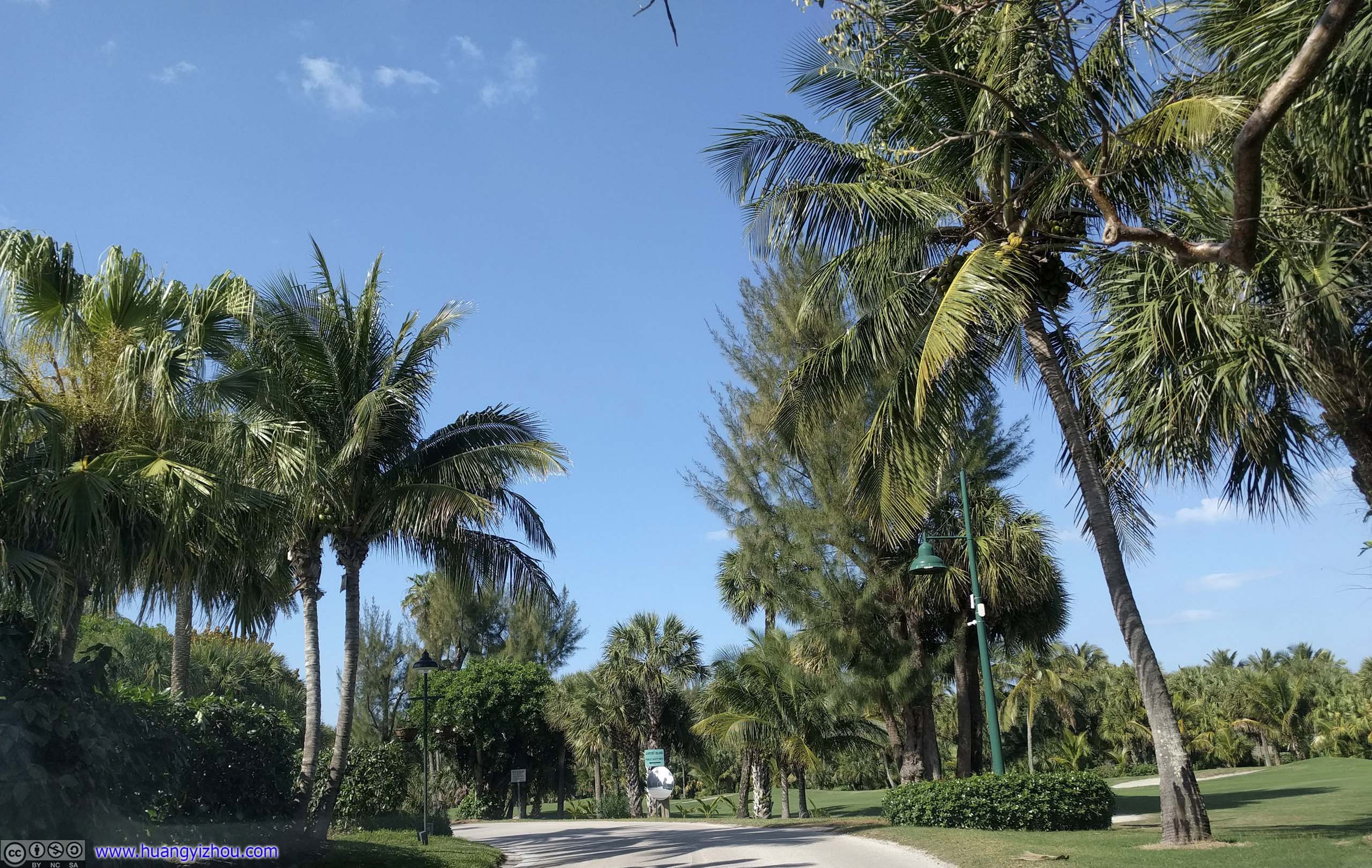
 Passing John D. MacArthur Beach State Park
 Florida Route A1A
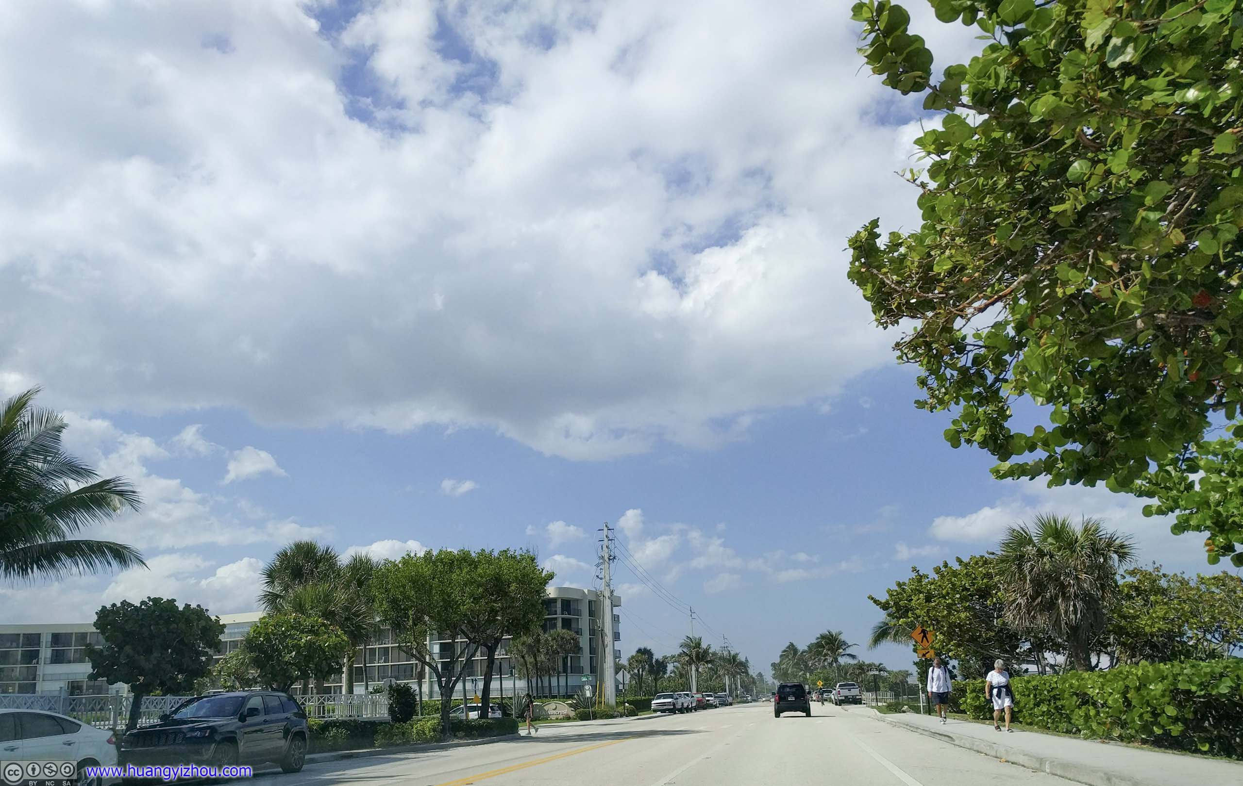 Passing Juno BeachHotel buildings on one side, beach access with parking on the other. Pretty attractive for a beach town.
Juno Beach
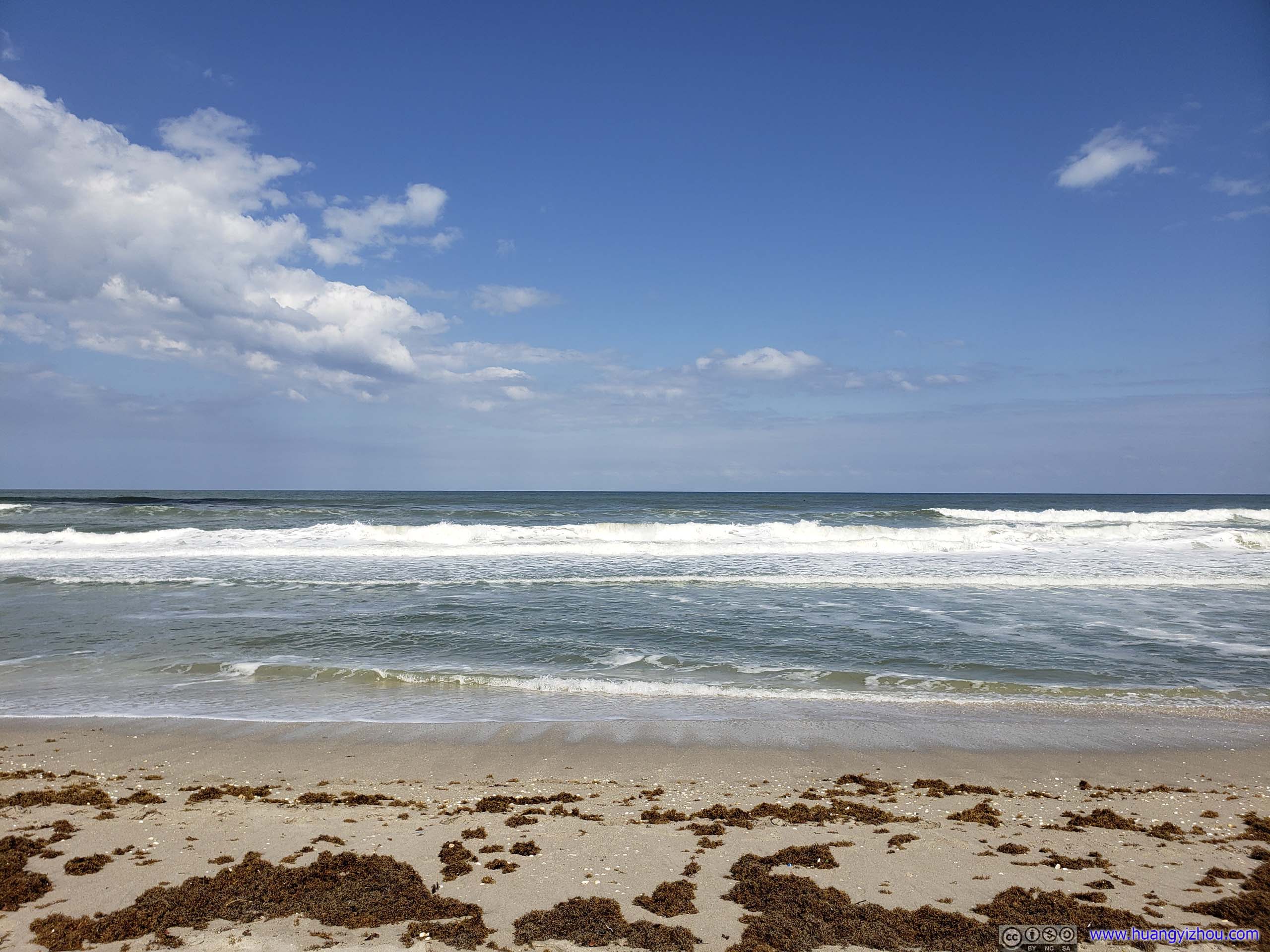
While passing the town of Juno Beach, I found, for the first time of the day, there were no hotels nor mansions between road and beach, but plenty of free parking. So I decided to pay the beach a quick visit.
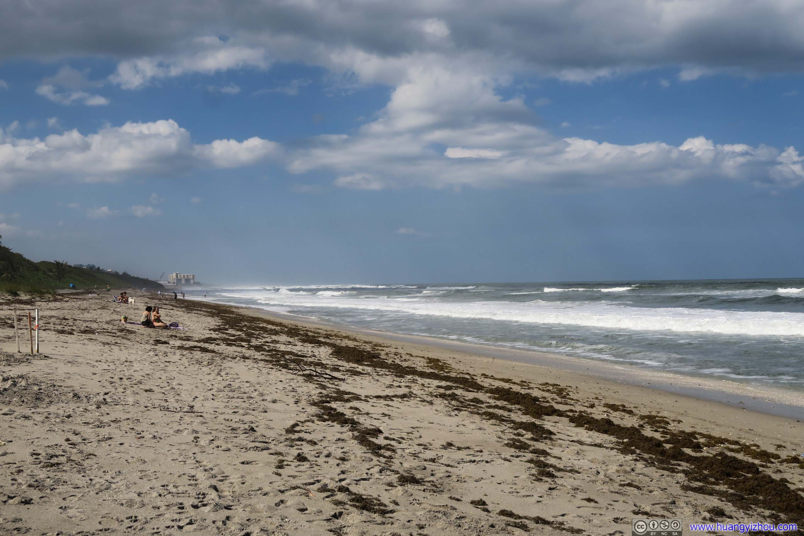
 Juno BeachLots of annoying seaweed, which killed any thought of me staying on the beach for longer.
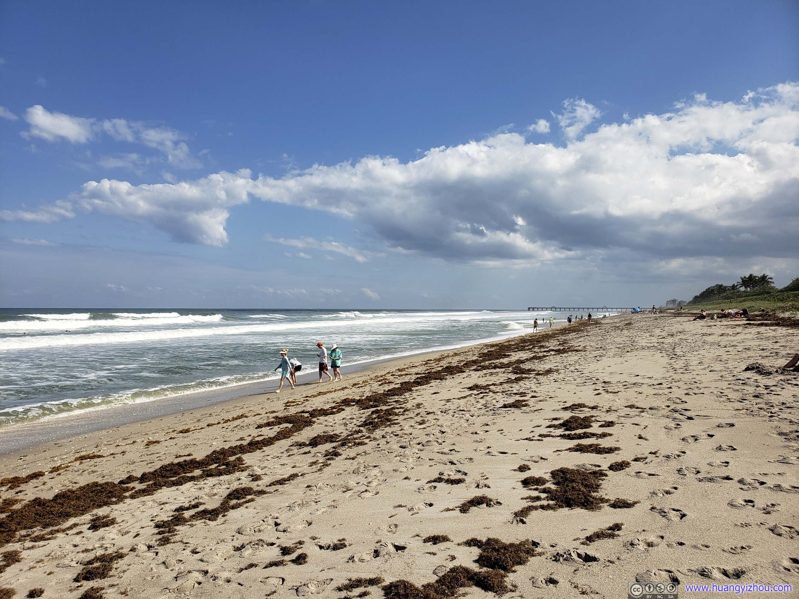
Ocean
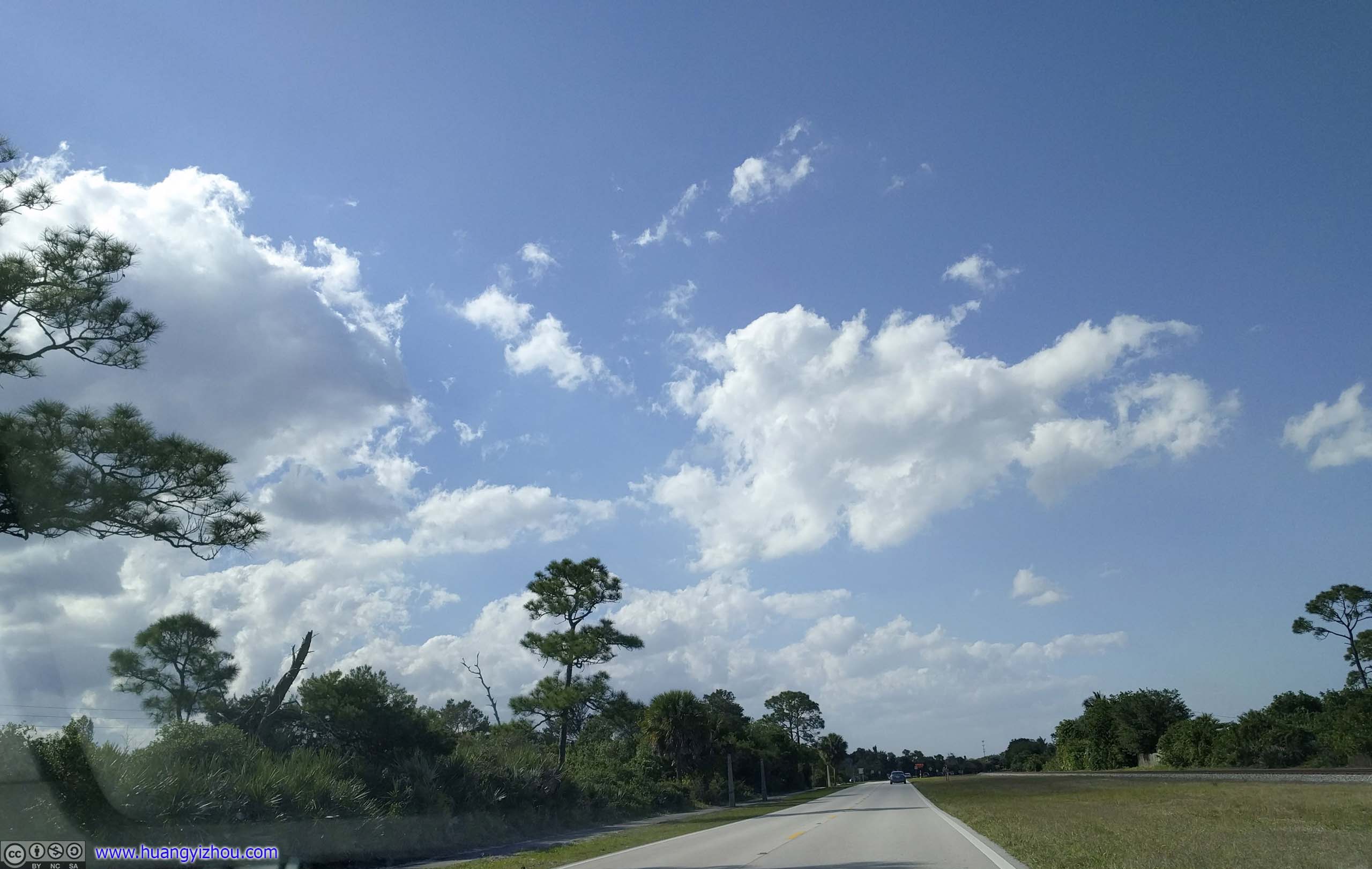
Back on the move, there still weren’t many exciting sights around.
Cato’s Bridge
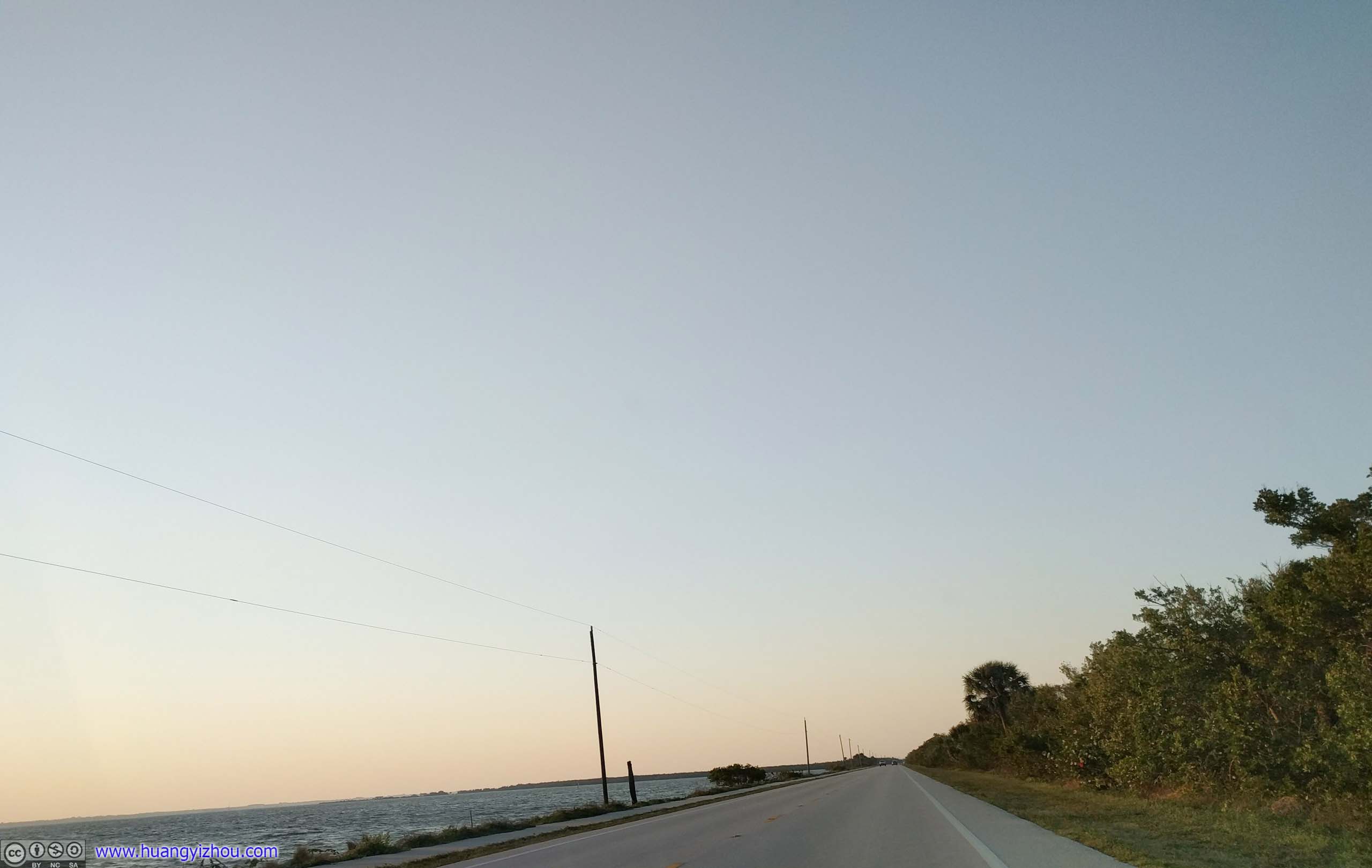
Florida Route A1AJupiter Sound / Indian River on the left.

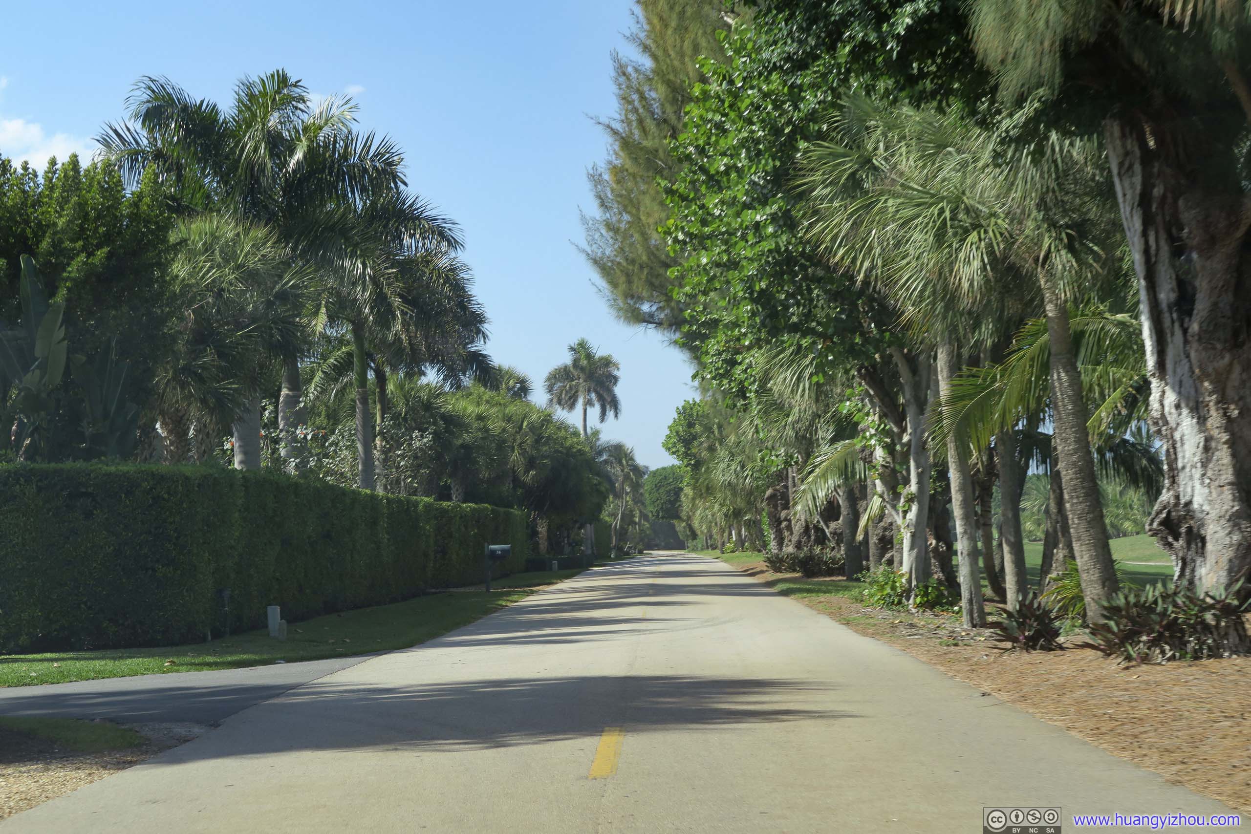
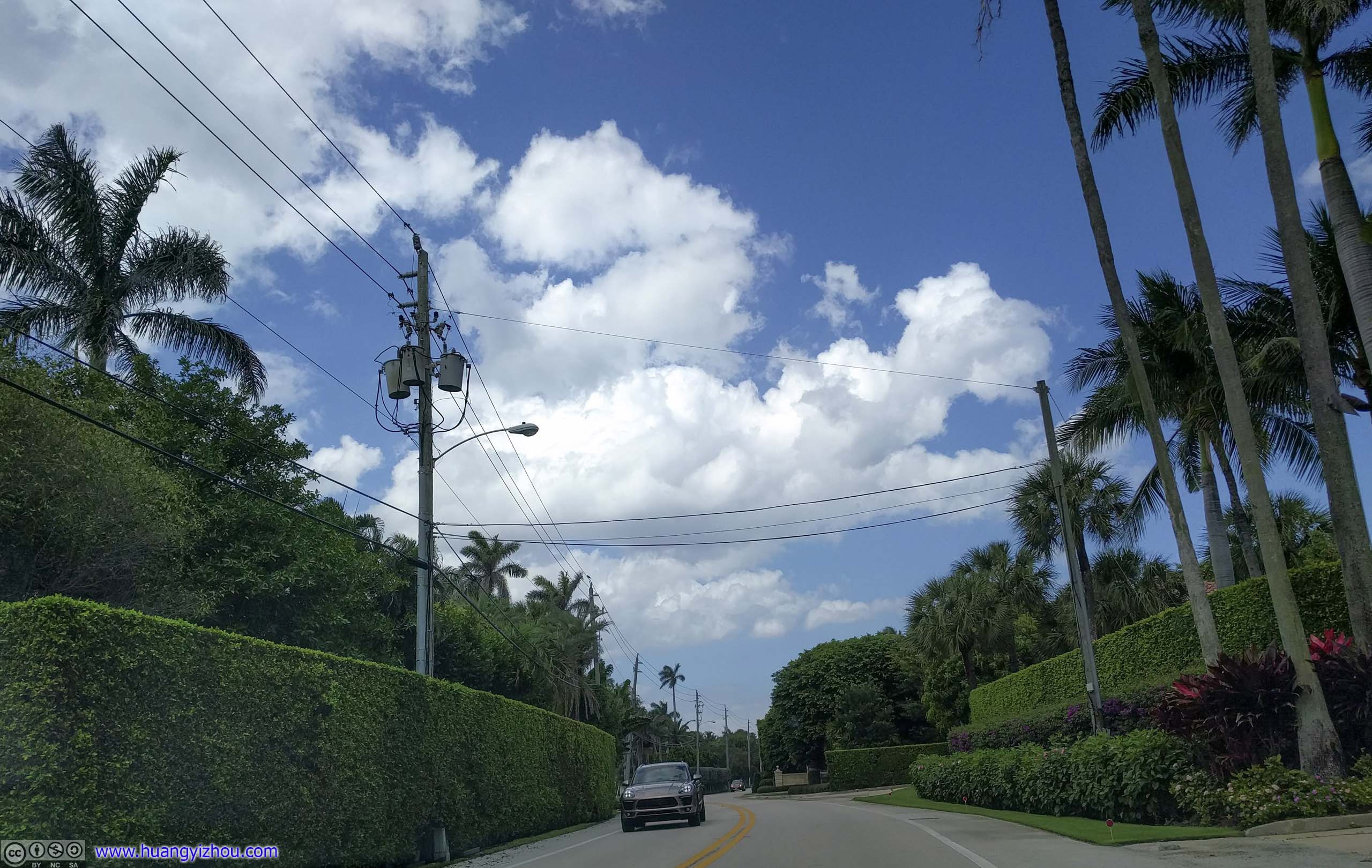
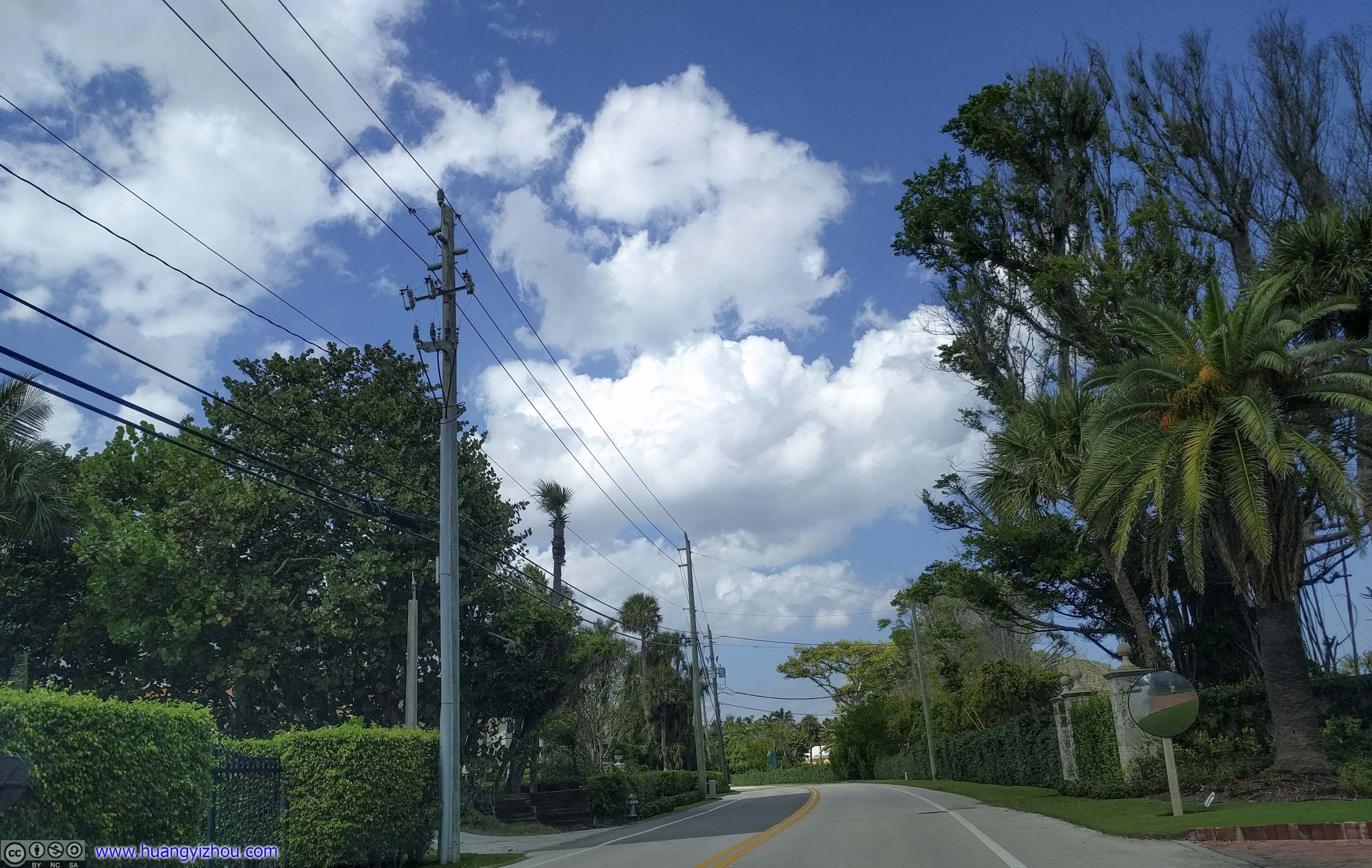
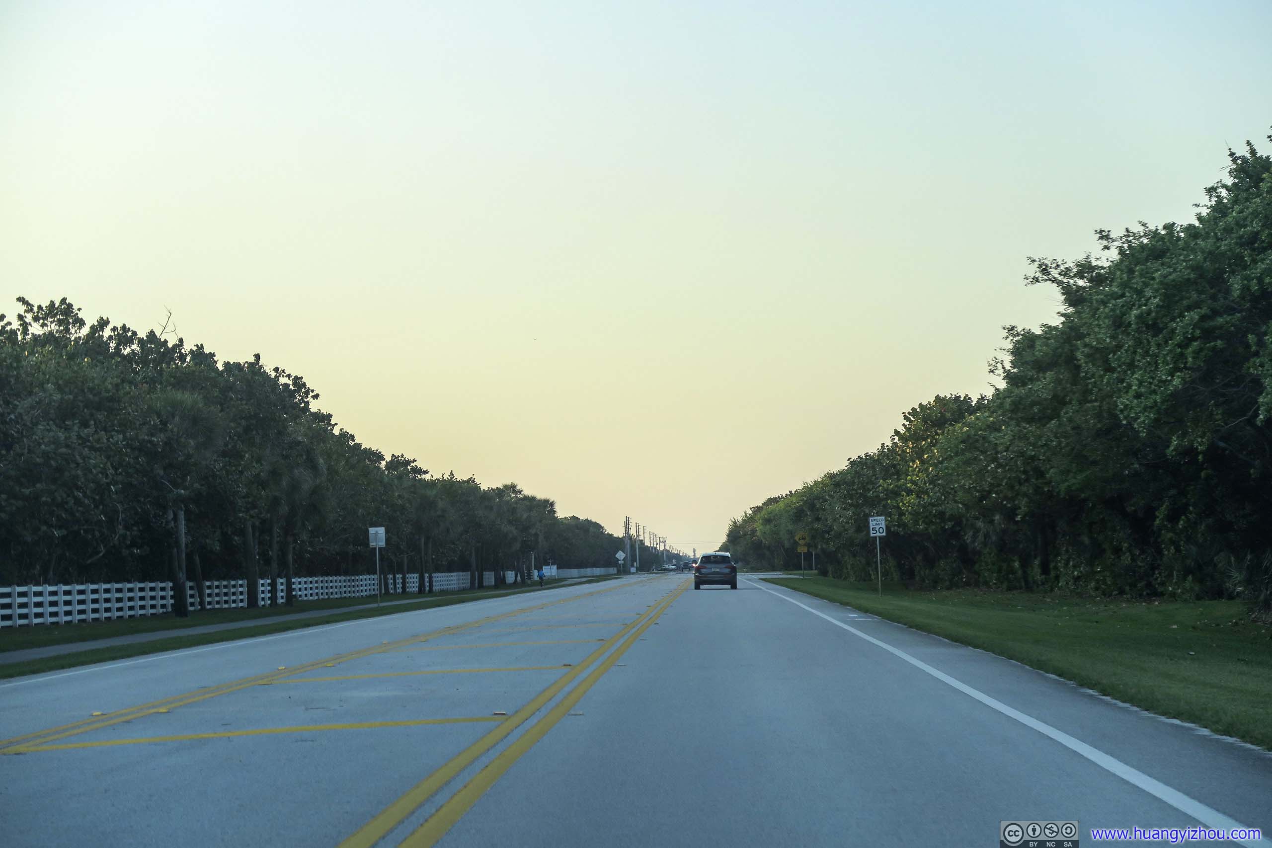
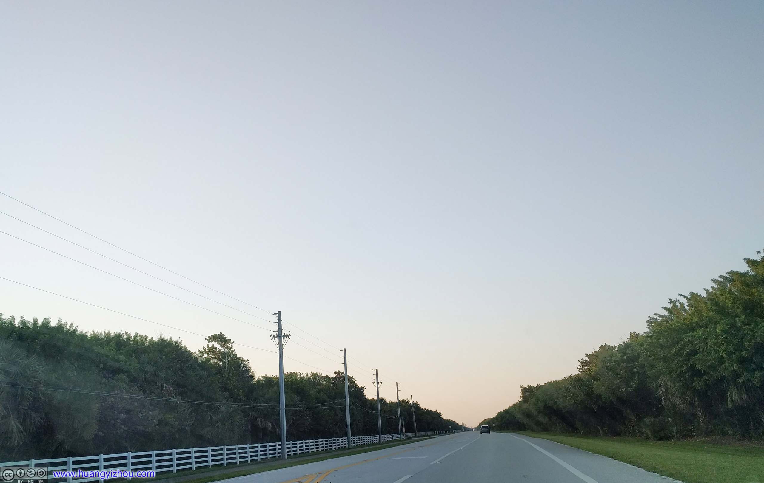
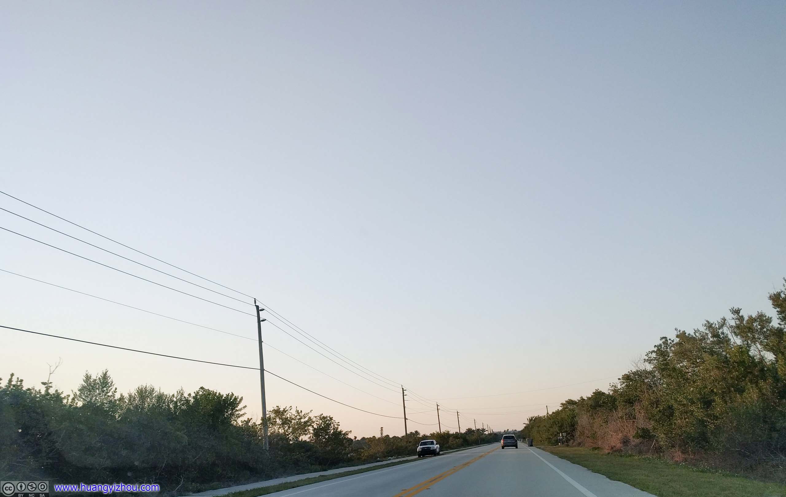
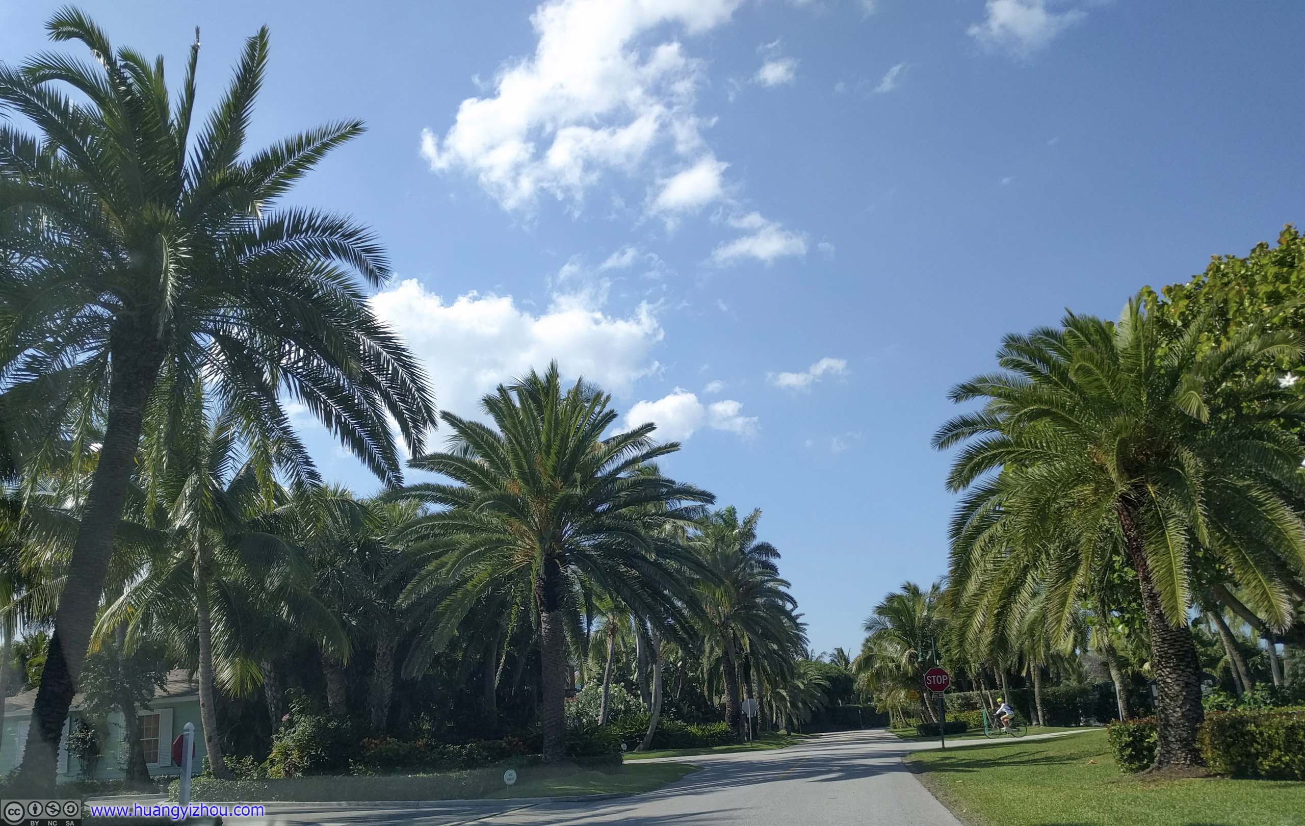 Florida Route A1AThis part of A1A were mostly mansions for the wealthy hidden behind walls of bushes.
 Florida Route A1AAnd since this was a wealthy neighborhood, a golf course.
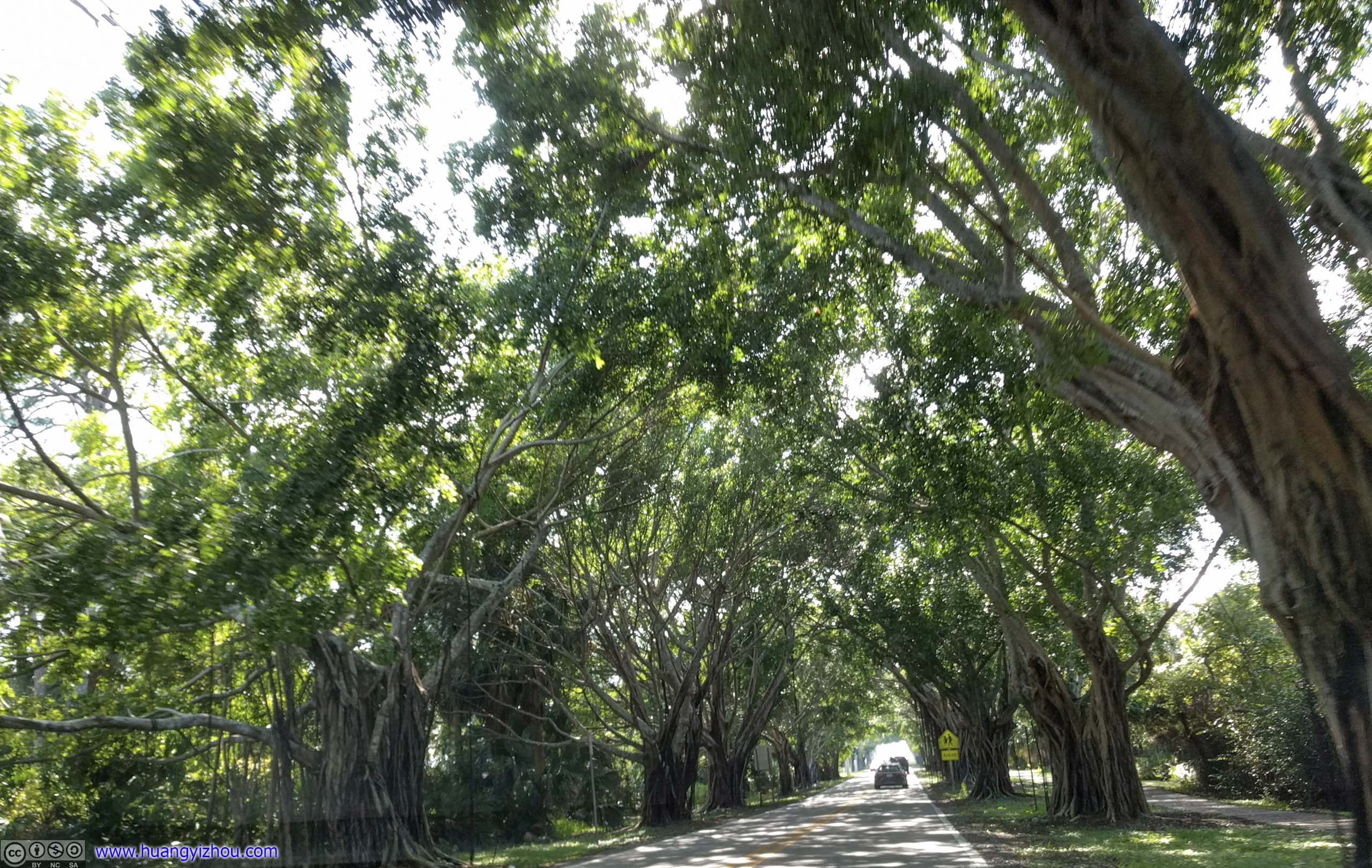
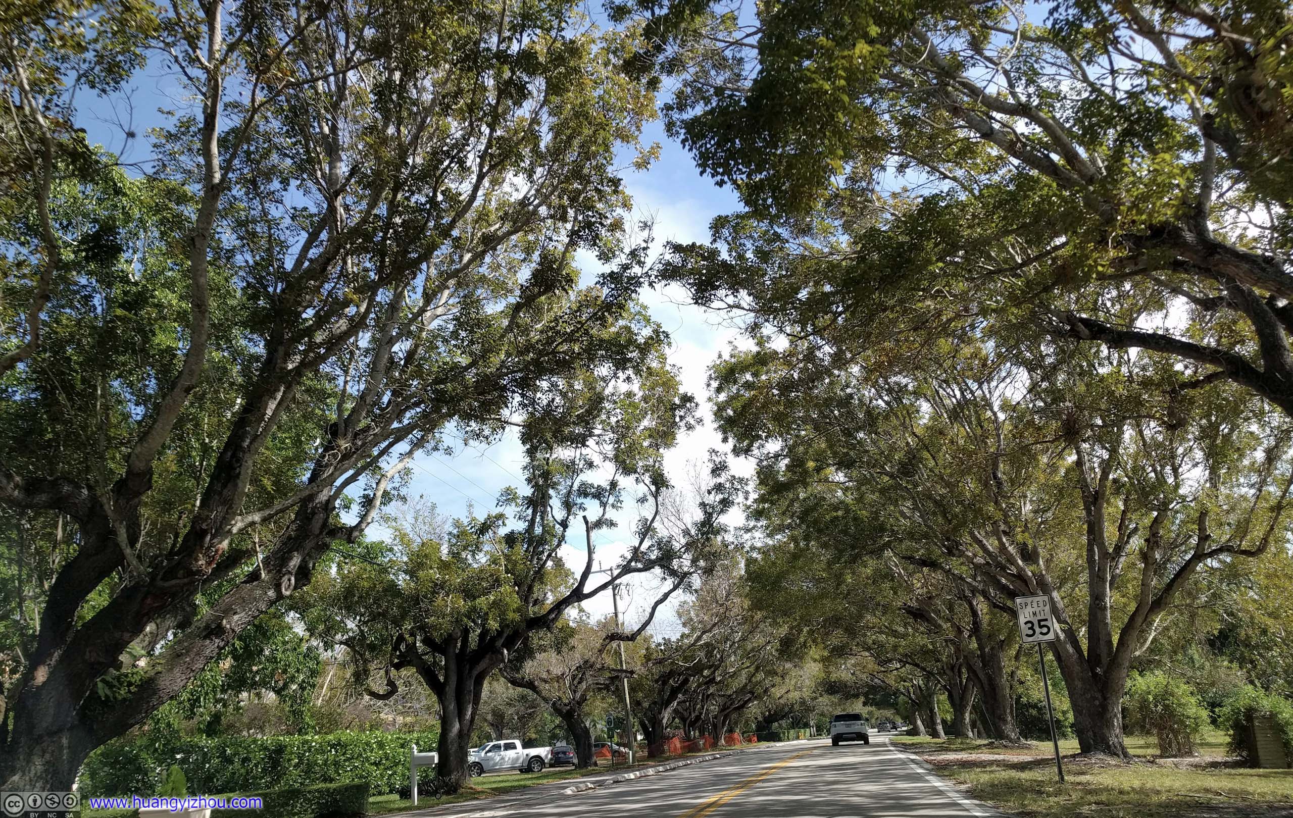
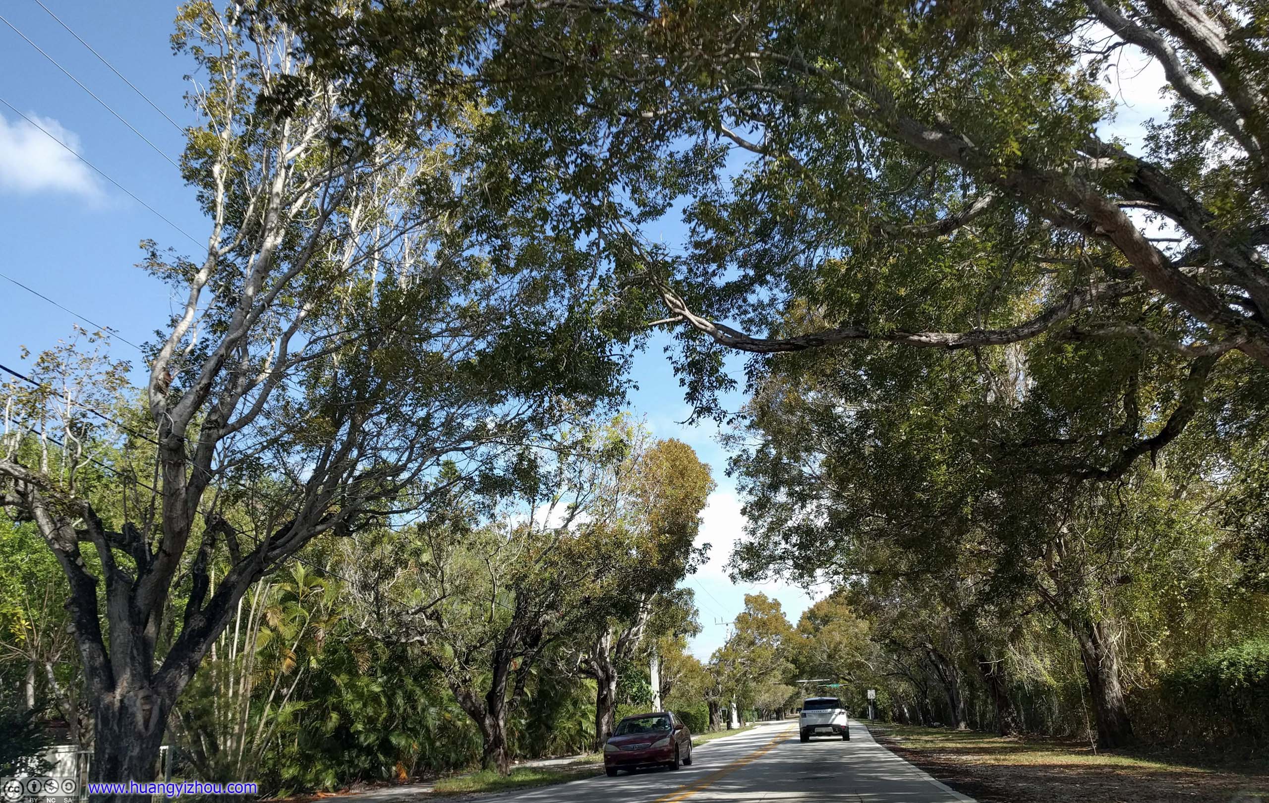
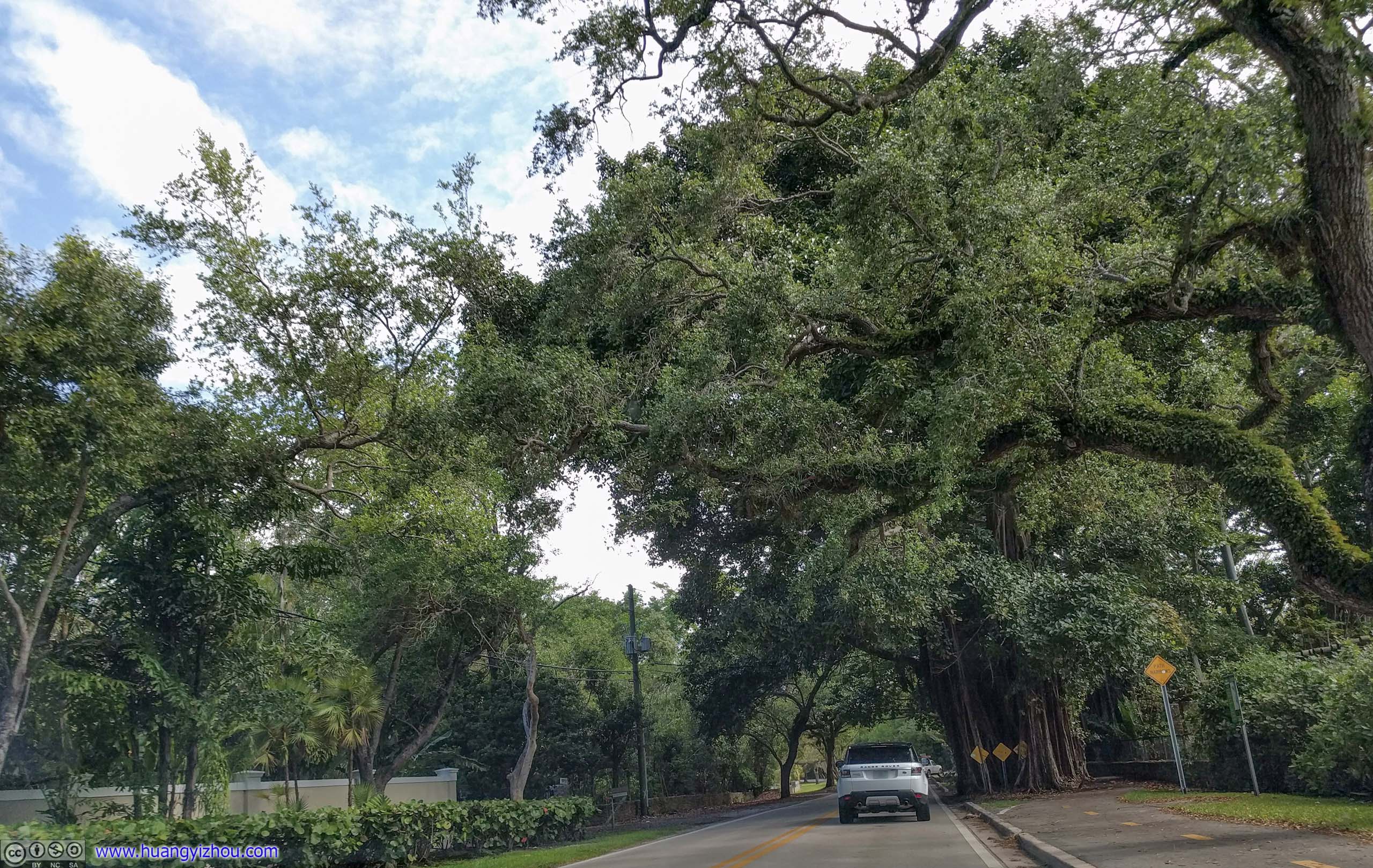
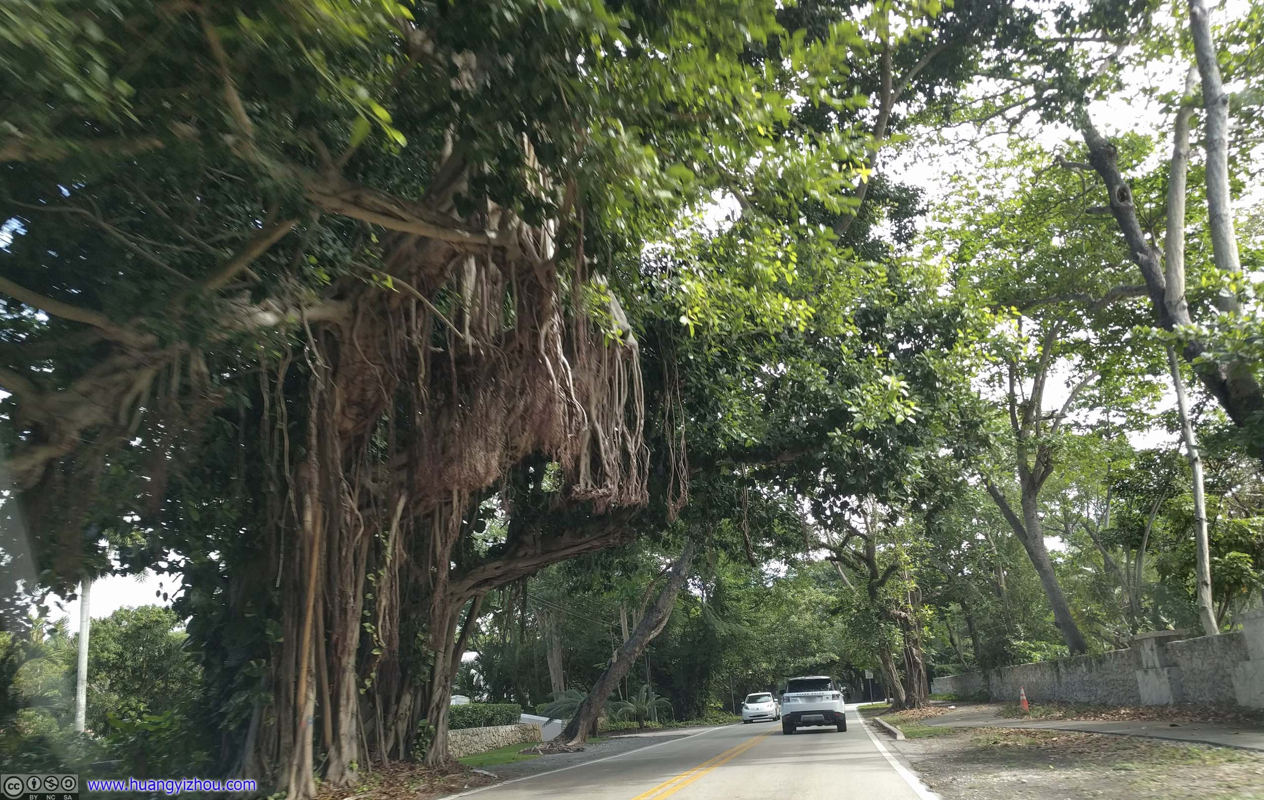
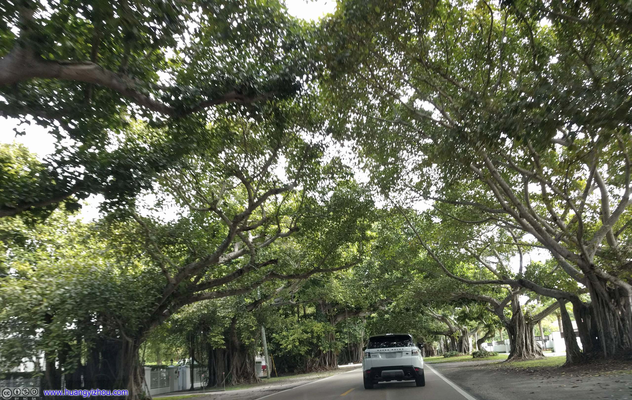
Road under TreesThose trees had such intricate branches.
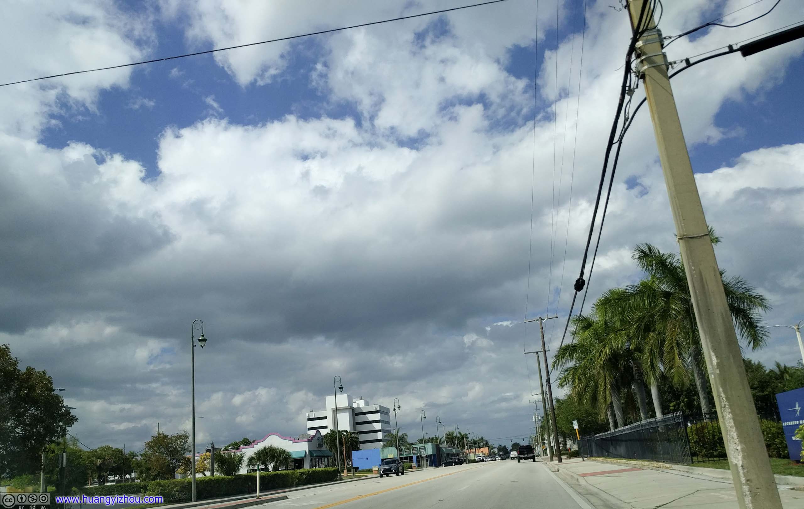
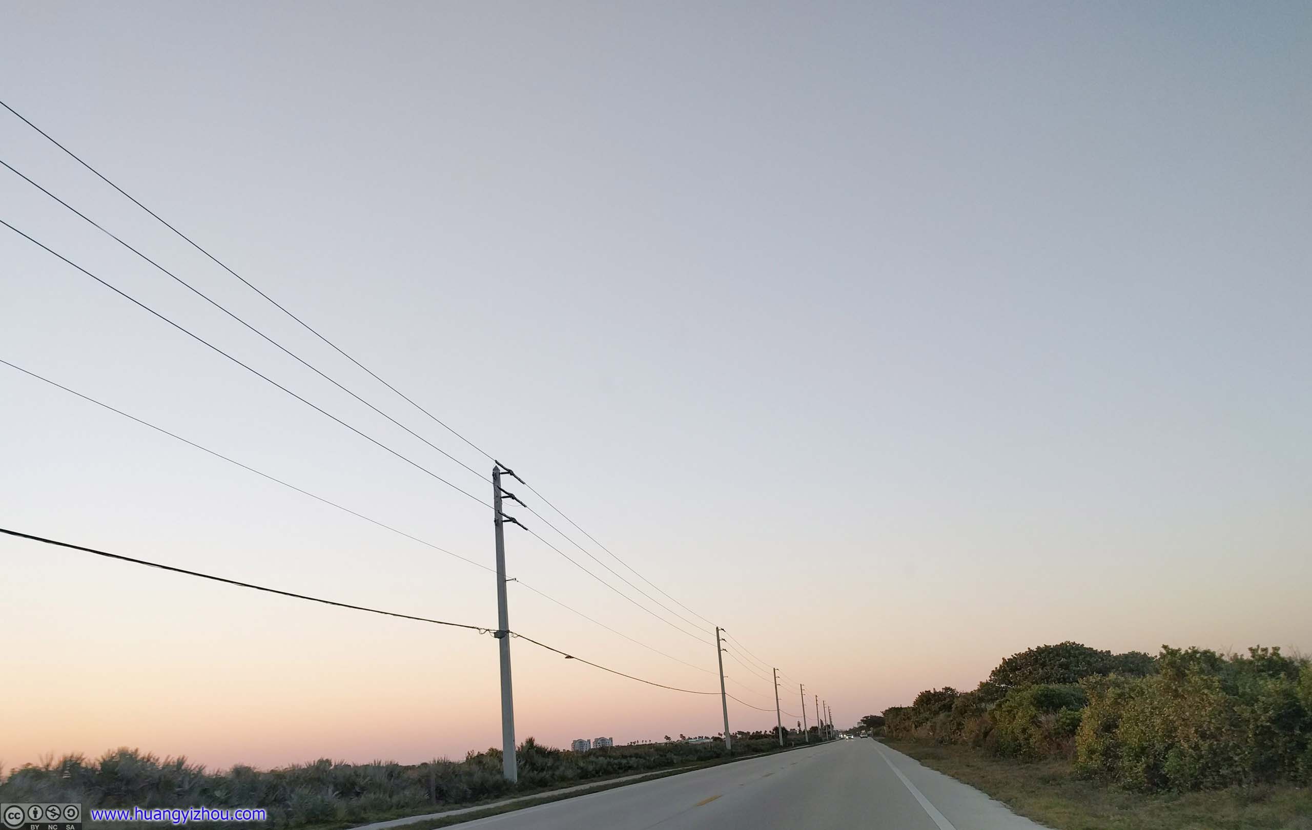
 Florida Route A1AThis part of A1A was farther inland, inside of Indian River, running parallel to Florida East Coast Railway, so it’s less developed.
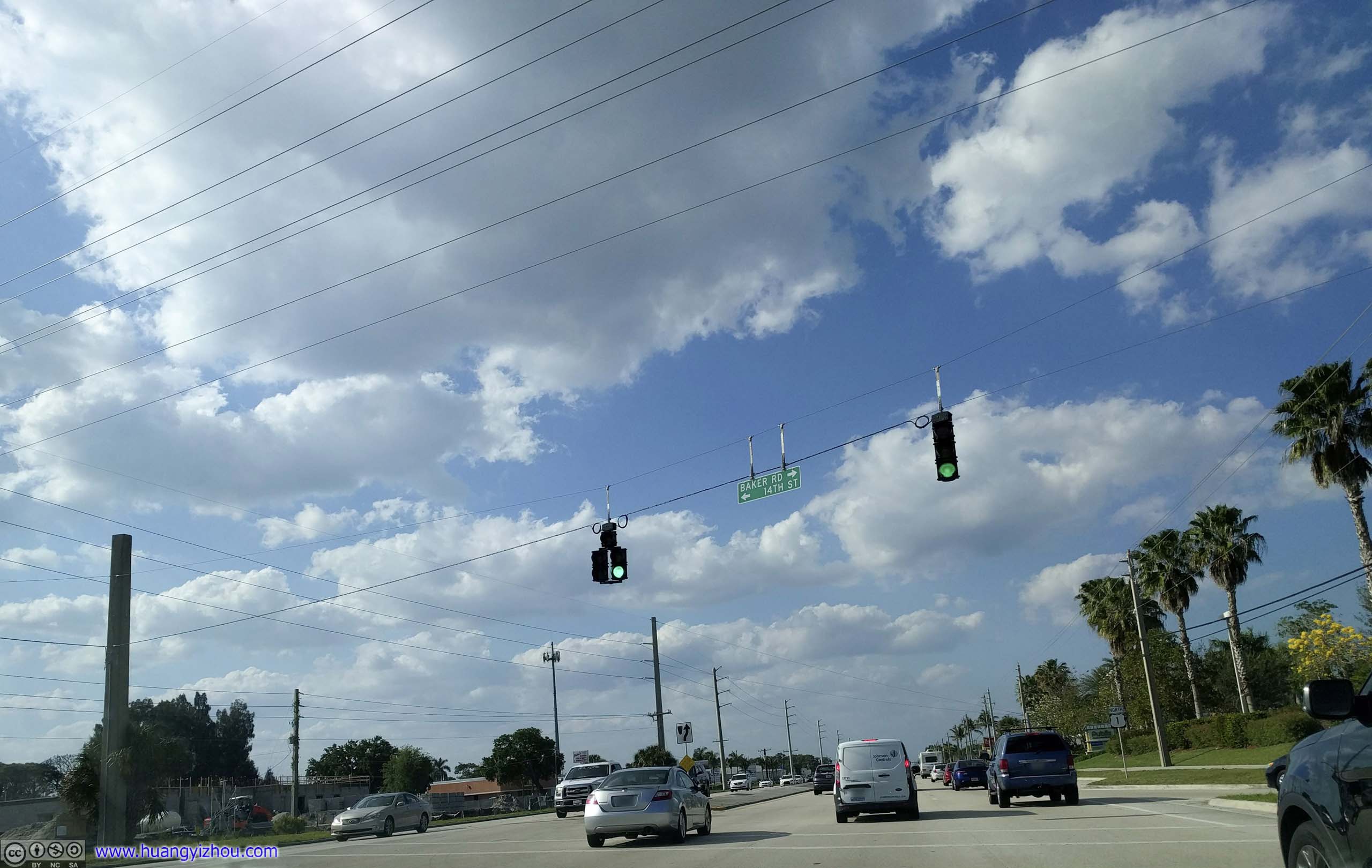
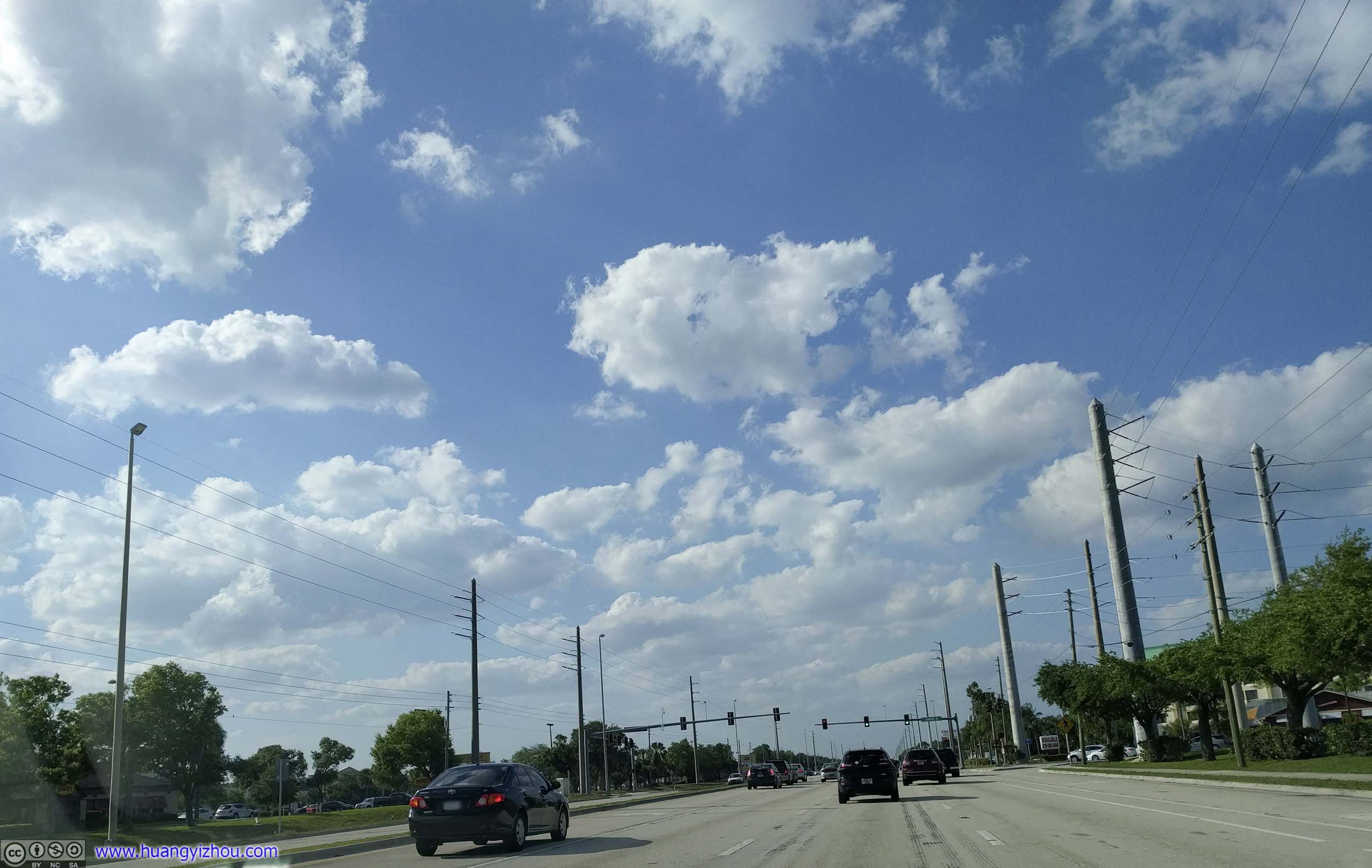
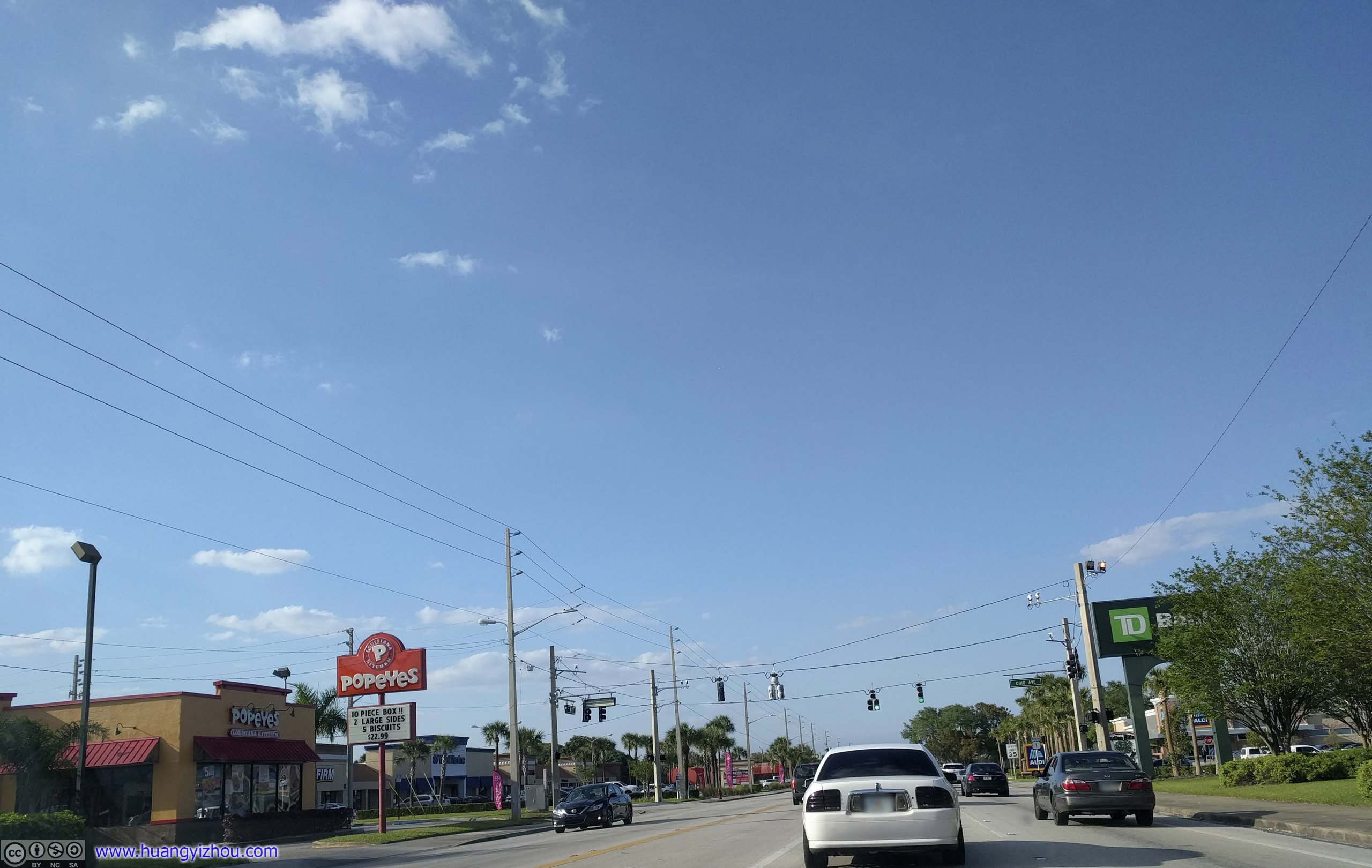
At this time, I was coming up to the city of Stuart. Not having seen too much scenery along coastal A1A so far, I decided to skip the section of A1A between Stuart and Fort Pierce, and took Route 1 instead, hoping to hasten my pace of travel.
Which turned out to be a big mistake. The portion of Route 1 between these two cities were developed suburbs, lined with stripe malls. The countless traffic lights were very annoying for long-distance travelers.
And it’s evening rush hour, despite it’s a Saturday.
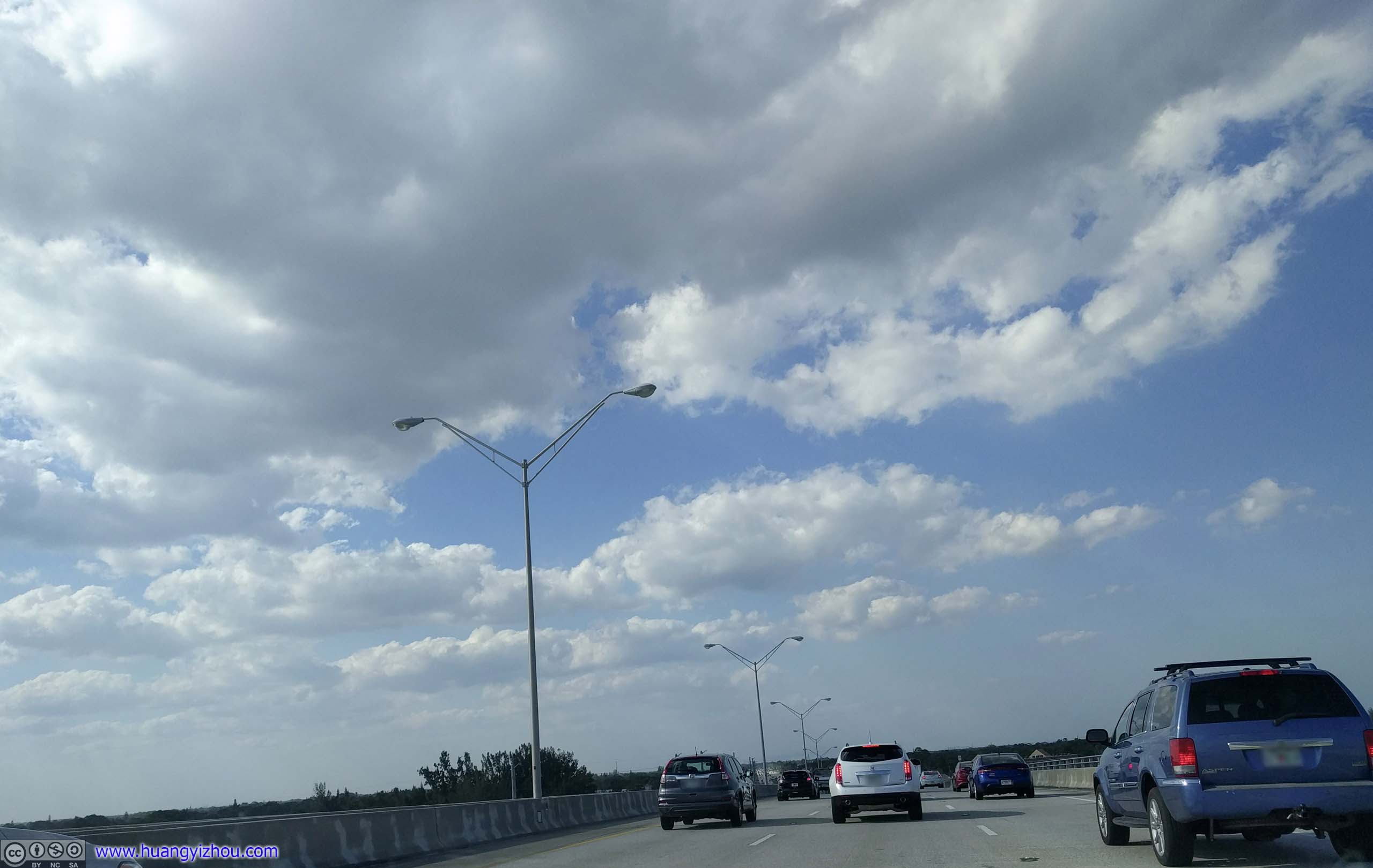
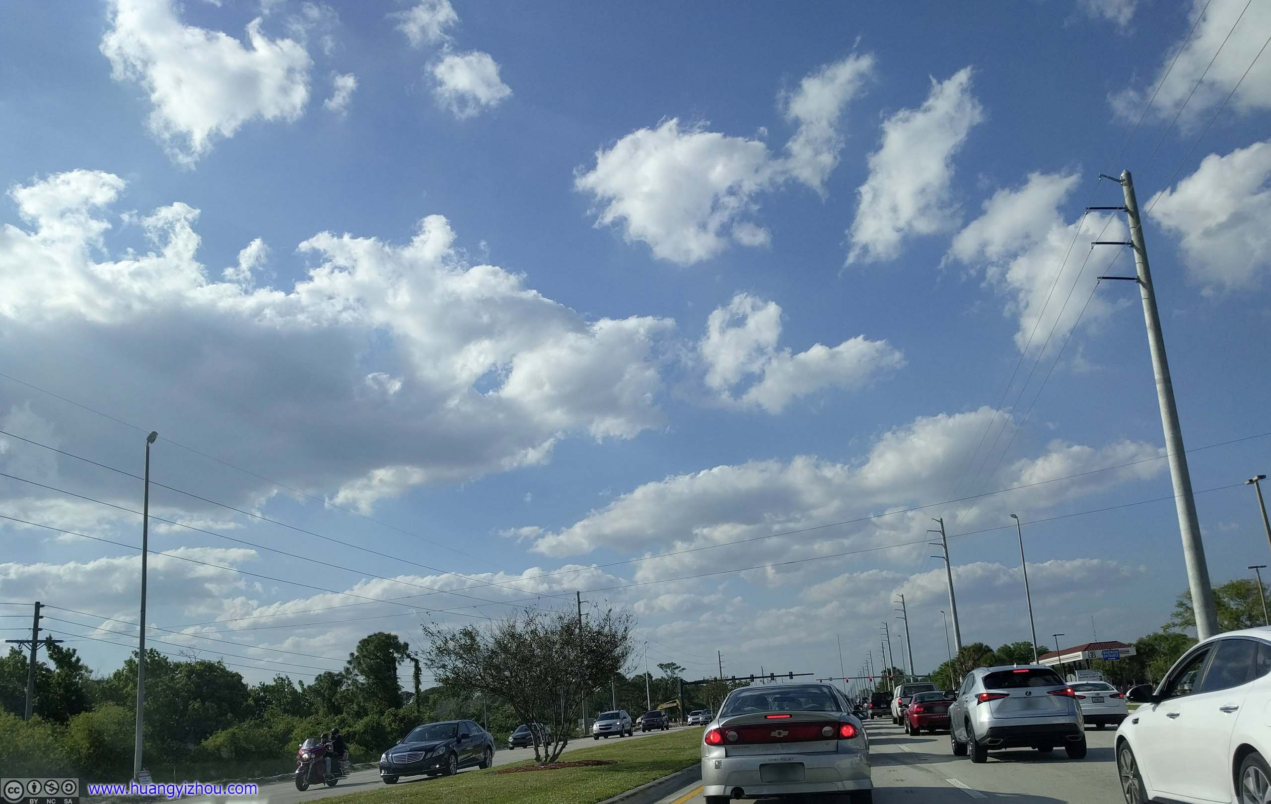
 Route 1
Another problem I needed to address was booking my overnight lodge. I didn’t know beforehand how much distance I could cover today, so I planned for a last-minute booking on the road. However, I used too much mobile data over this trip, that it was throttled to an unusable speed. So after refreshing Airbnb’s website on my cell phone (and laptop) for half an hour without fruition, I concluded that I needed a Wi-Fi hotspot to keep me off the streets tonight.
Luckily, Waze was still functional at throttled data speed, so I found a Starbucks down the road, finished booking in their parking lot with its Wi-Fi, and to show gratitude, walked into its store for the first (and probably last) time in my life and ordered a random caffeine-free drink.
So after a refreshing stop at Starbucks, I left the city of Vero Beach and headed back onto A1A.

 Merril P Barber BridgeOnto Florida Outer Banks for the final time of the day.

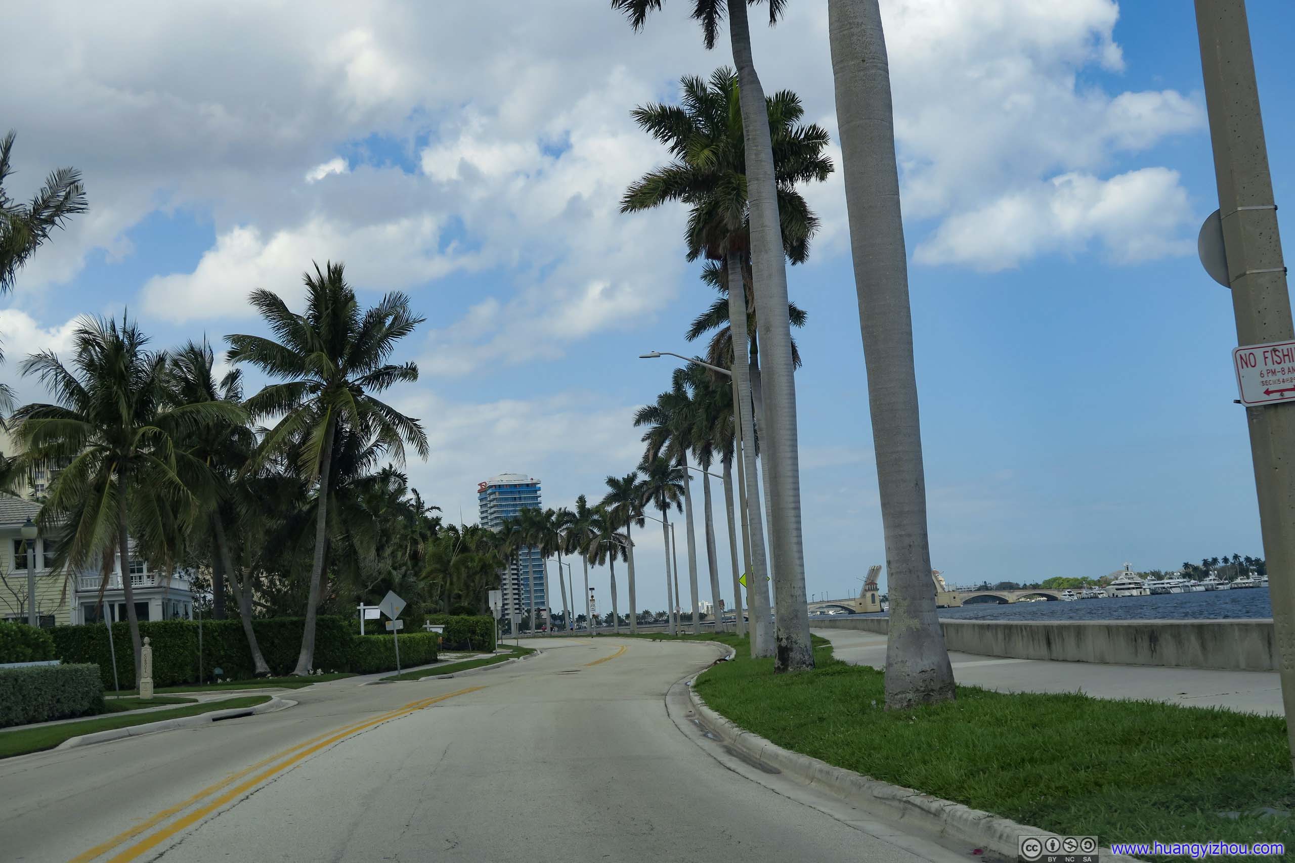
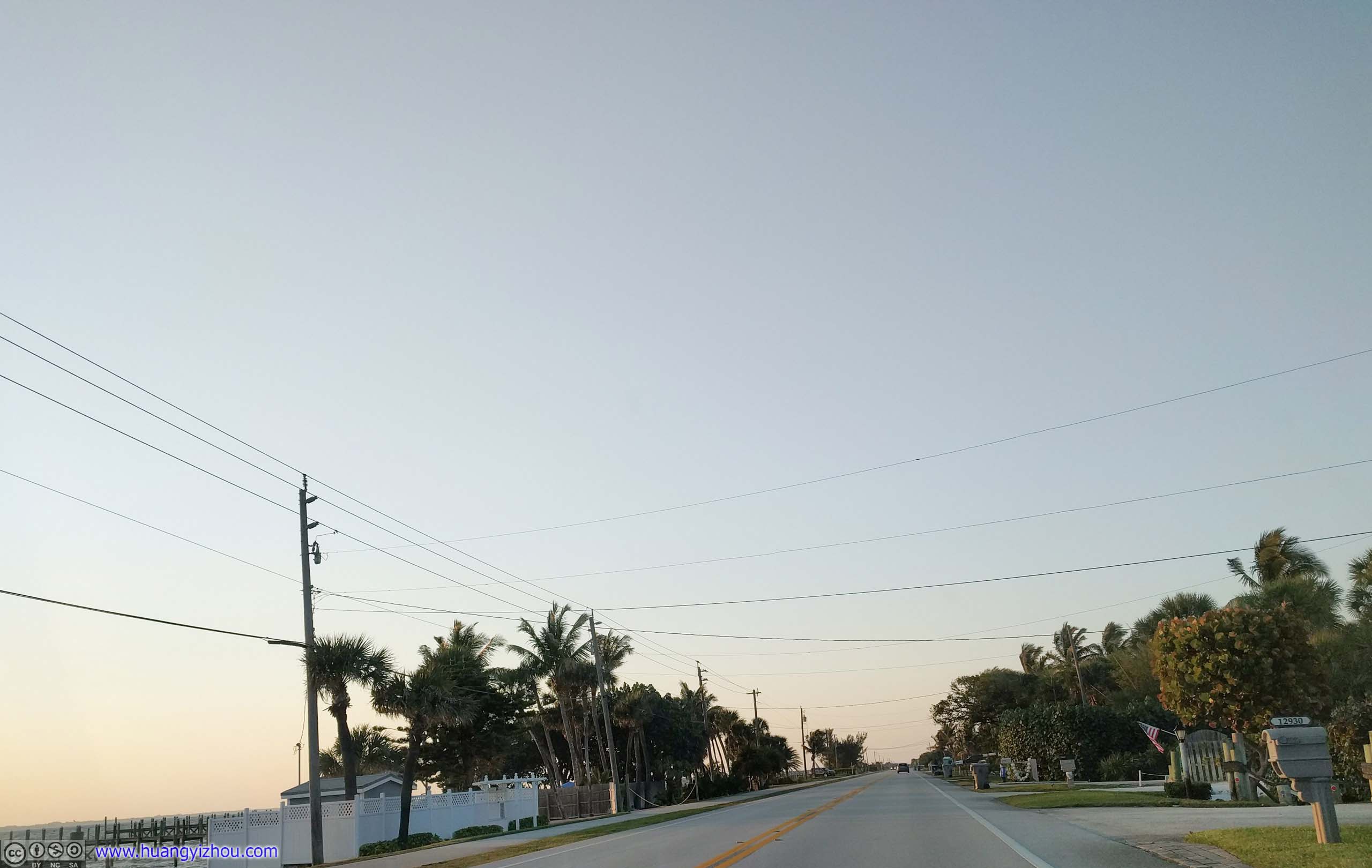
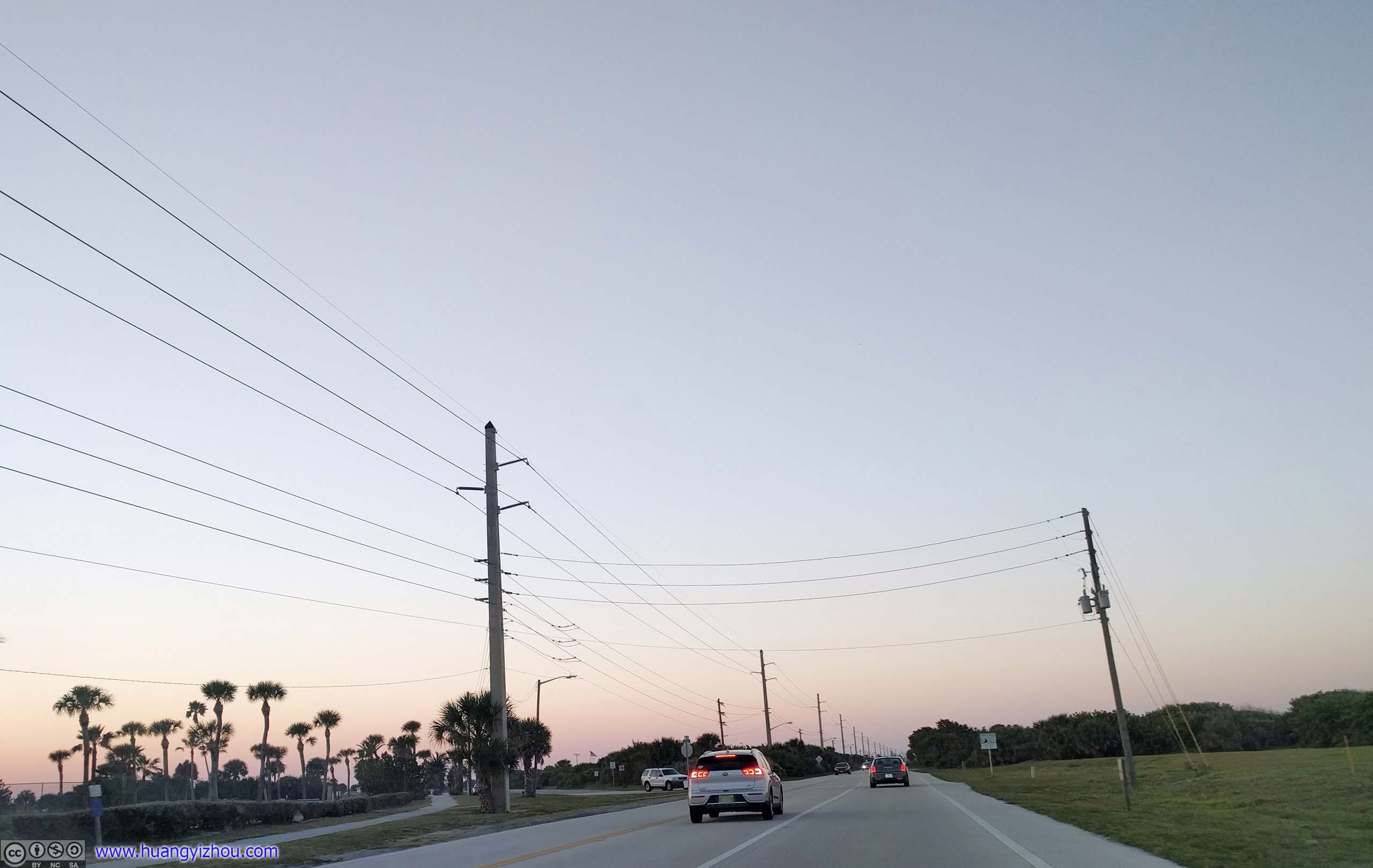
 Florida Route A1AMostly beachfront communities hidden behind bushes. Road was wider in this section though.
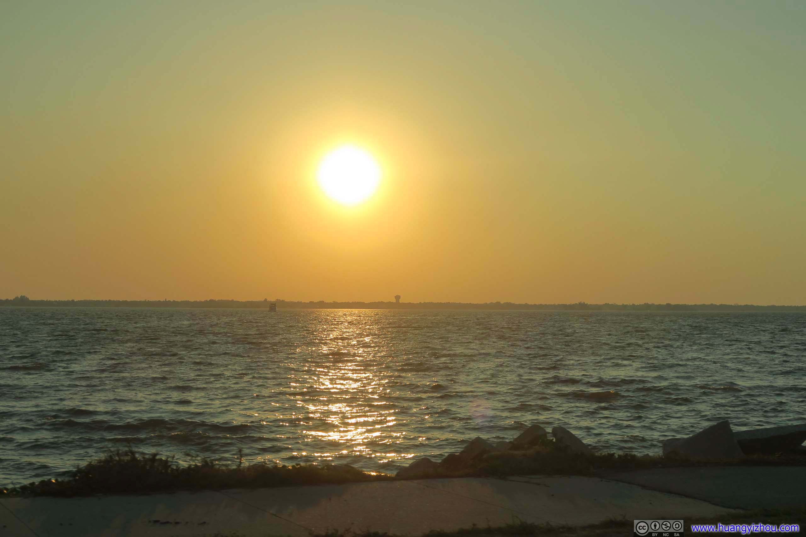
 Florida Route A1A by Indian River
Then, there’s a section of A1A running right next to Indian River, reminiscent of the Overseas Highway a few days back.

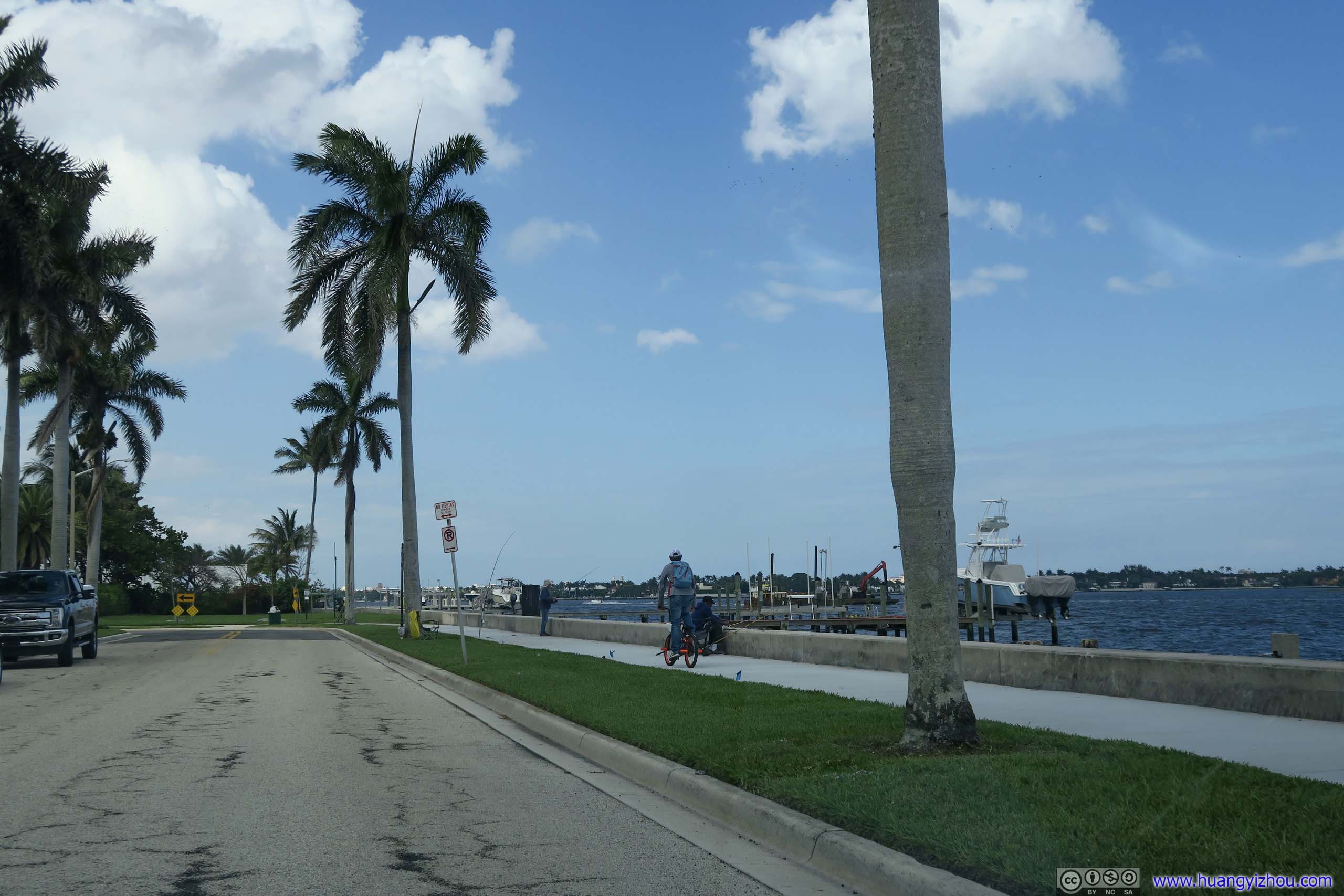
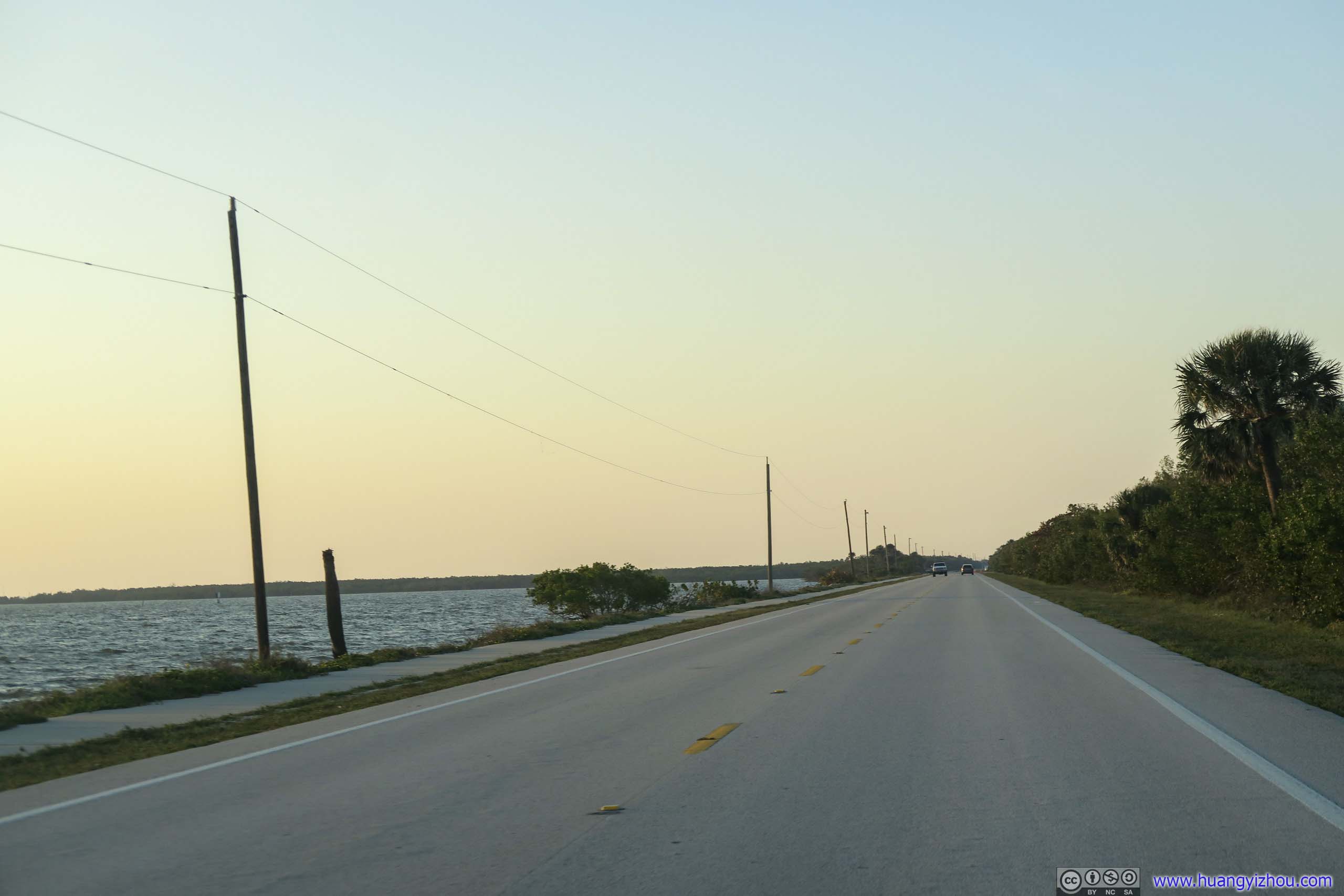
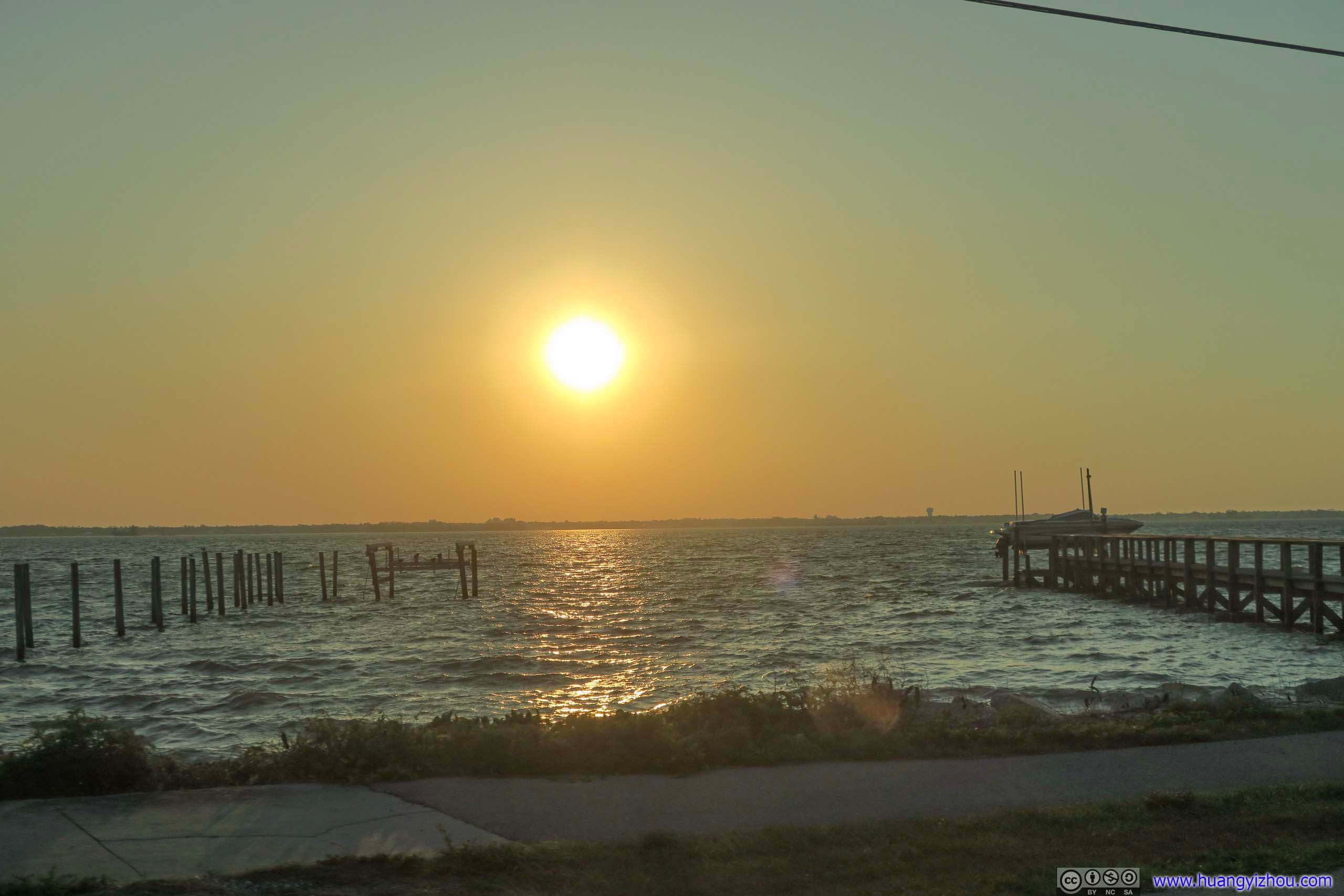 Piers along Indian RiverThese piers were owned by households on the opposite side of the road. With bodies of waters on both sides, those houses must be quite enjoyable to live in.
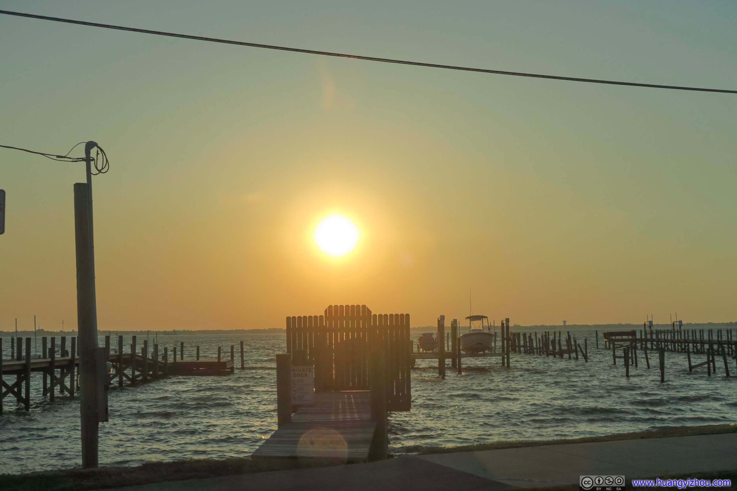
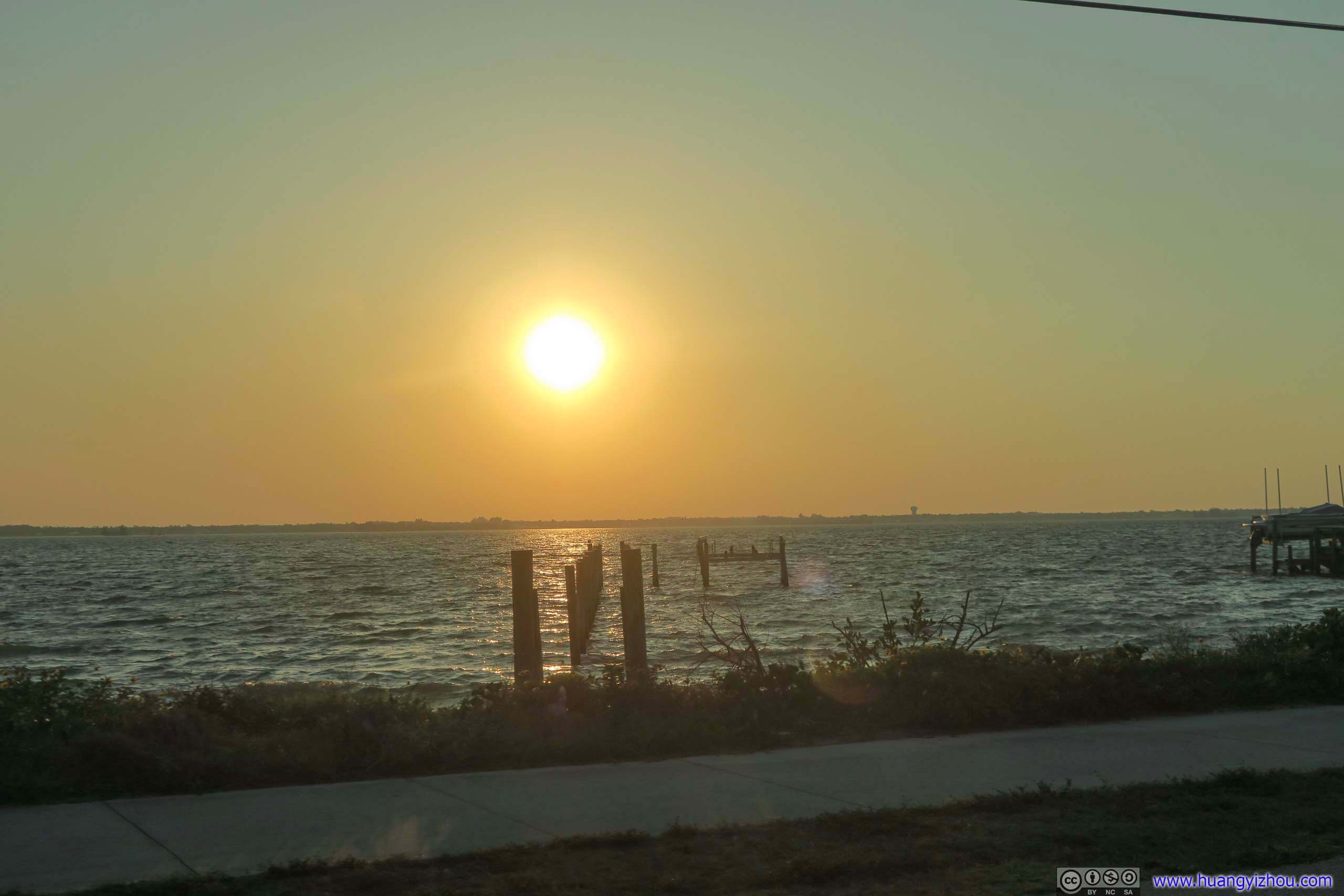
Towns across Indian River
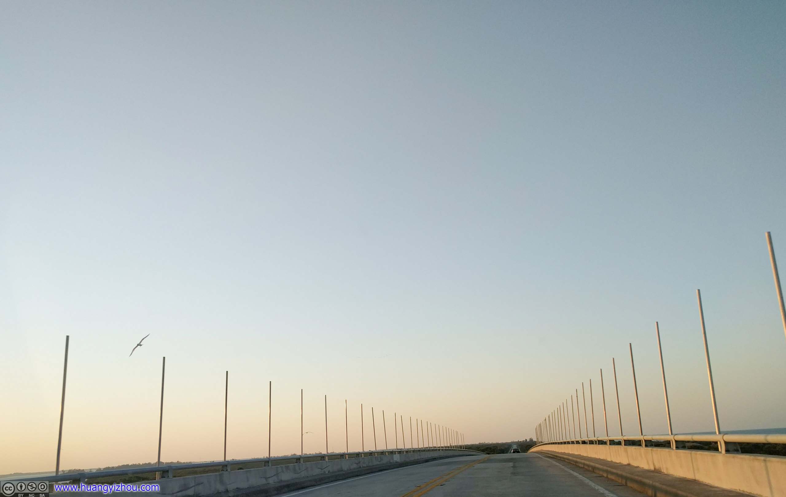
 Bridge over Sebastian Inlet
Then there’s more typical route A1A, lined with hotels and mansions.
 Florida Route A1AMostly beachfront communities hidden behind bushes. Road was wider in this section though.
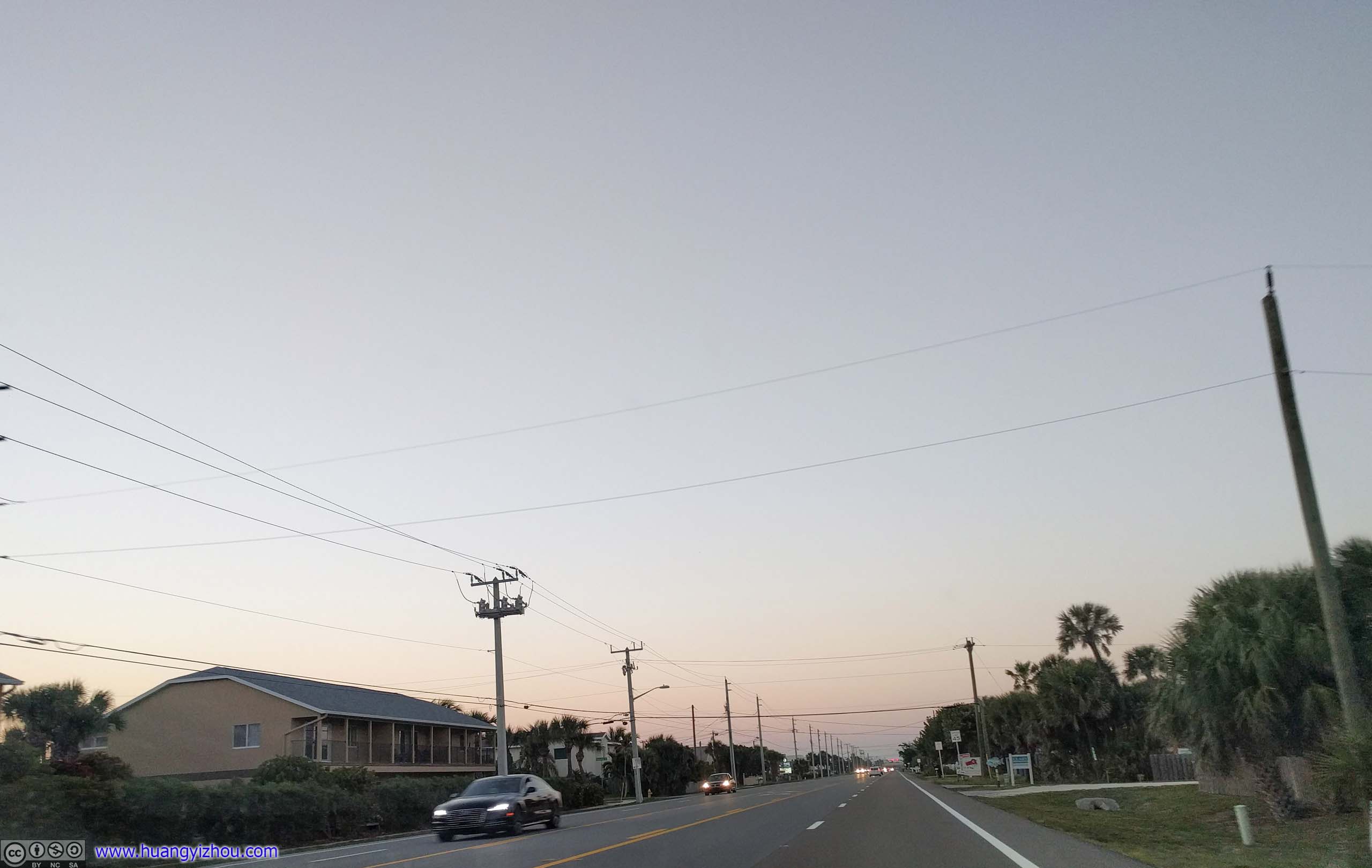
 Florida Route A1AOnce past Melbourne Beach, route A1A widened into a five-lane road, that meant I no longer had to stick behind slow-moving traffic.
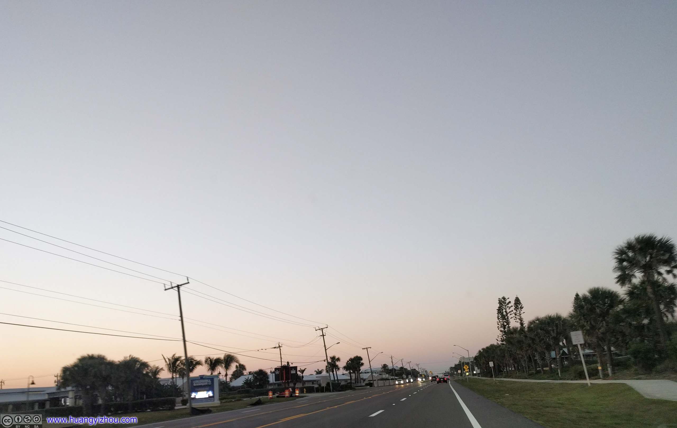
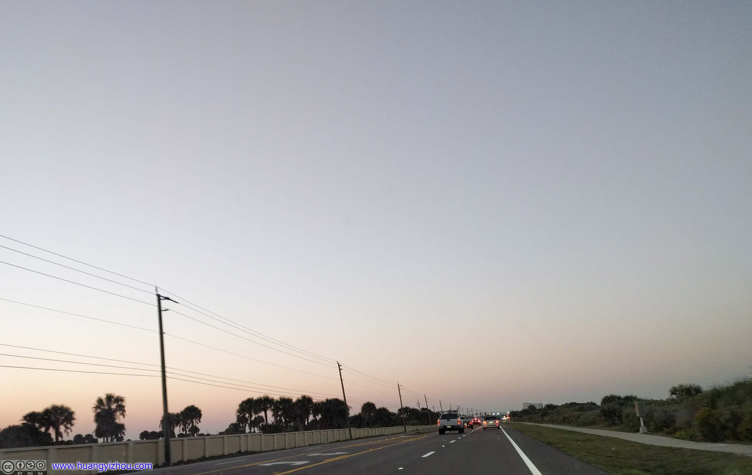
It’s getting dark, and I seemed to be running out of scenic parts of Route A1A. So I turned off the outer banks past Satellite Beach, and headed for Interstate 95.
There wasn’t much traffic on I95 once darkness fell, and after a spirited run I reached my overnight lodge in Daytona Beach, and called it a day.
END
![]() Day 8 of 2019 Florida Spring Break, Wynwood and East Coast by Huang's Site is licensed under a Creative Commons Attribution-NonCommercial-ShareAlike 4.0 International License.
Day 8 of 2019 Florida Spring Break, Wynwood and East Coast by Huang's Site is licensed under a Creative Commons Attribution-NonCommercial-ShareAlike 4.0 International License.