
Updated on February 2, 2023
October 2022 Foliage, Mount LeConte of Great Smoky Mountain National Park
Second day of my road trip to the south Blue Ridge Mountains. I would be hiking to Mount LeConte, an iconic mountain in the Great Smoky Mountains National Park.

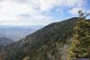
Mountains in Autumn Colors
This is actually the most popular trail in the park, per AllTrails. I planned to take a slightly different variation to Myrtle Point, totalling 20.9km roundtrip with 944m of elevation gain (though my GPS tracked closer to 19km).
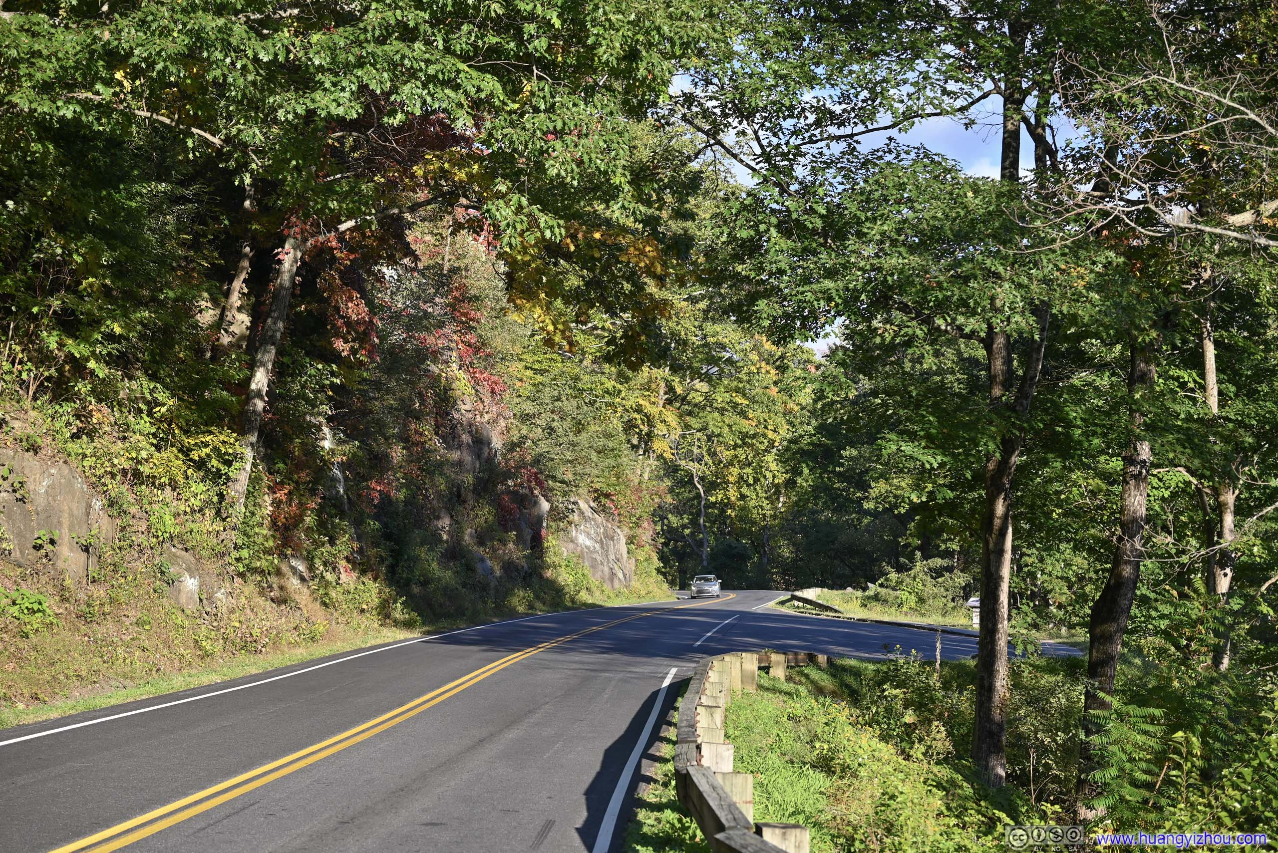
Unfortunately I had some issues checking into the booked hotel in Pigeon Forge last night, so I woke up late and only left the hotel at 9am. After grabbing breakfast it’s 10am by the time I reached “Alum Cave Trailhead”. It’s a popular trail and the two small parking lots were already filled, so I parked at a turnout 400m from the trailhead. (Unlike many others, I didn’t trust my car’s clearance with parking on the shoulders.) So by the time I started my hike it’s 10:20am.
Here’s GPS tracking:
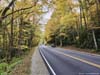
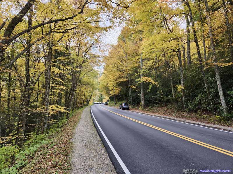 Park RoadColors of foliage. Many cars used the road shoulders as overflow parking for Alum Cave Trail.
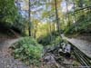
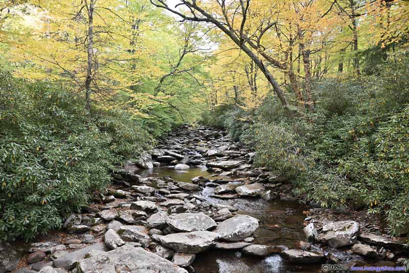 Walker Camp ProngThe first footbridge crossing the creek that flew along the park road.
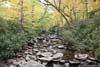
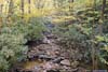
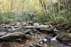
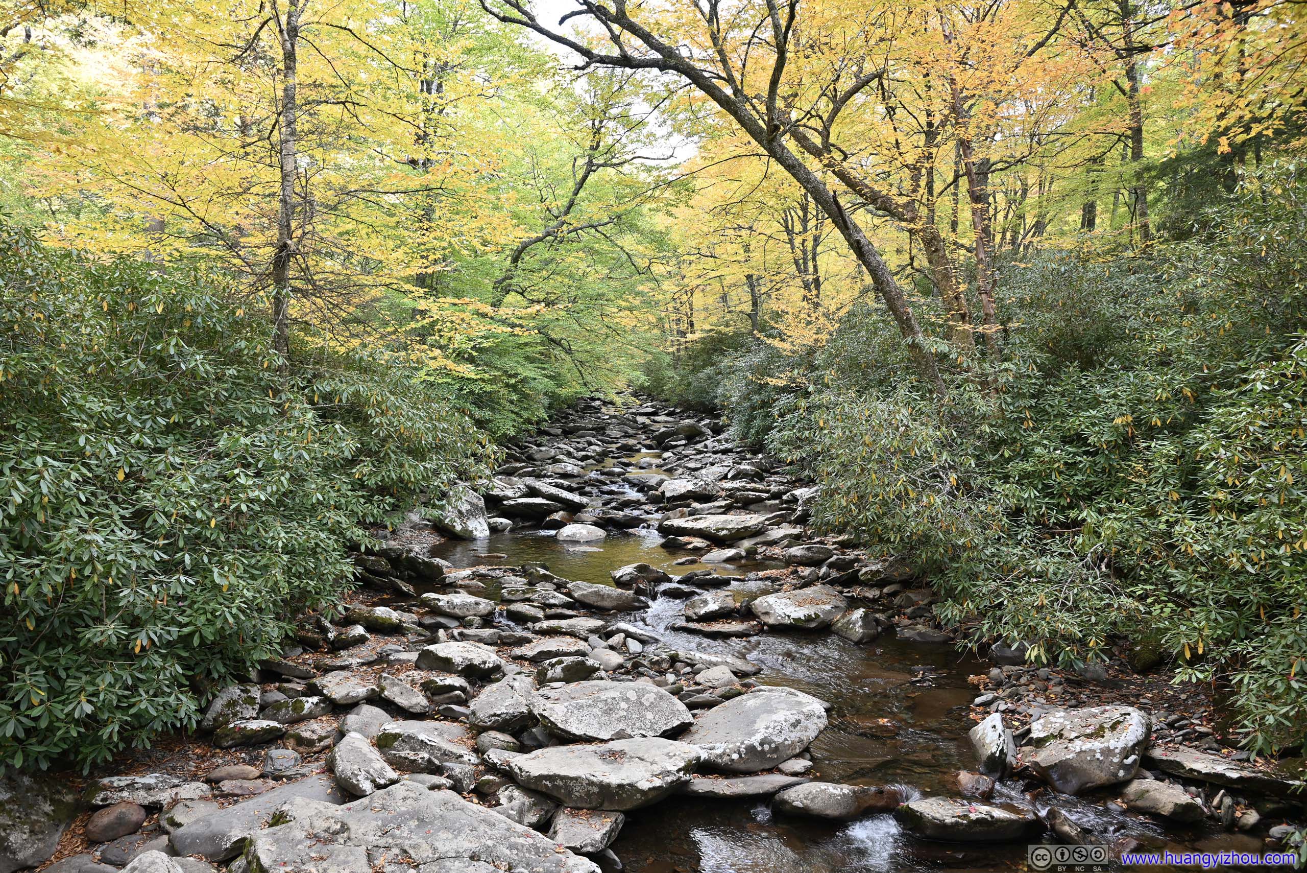
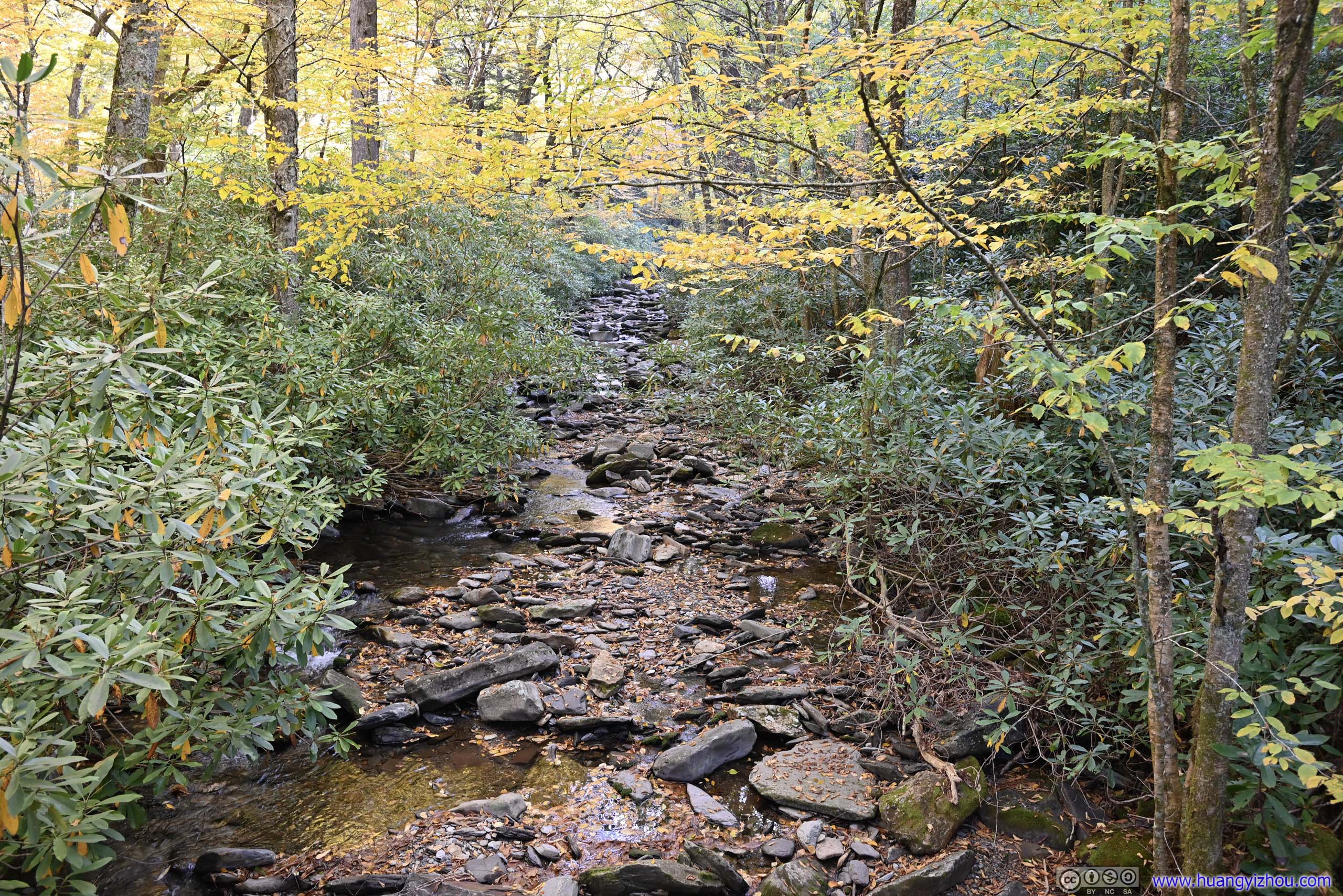
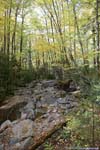
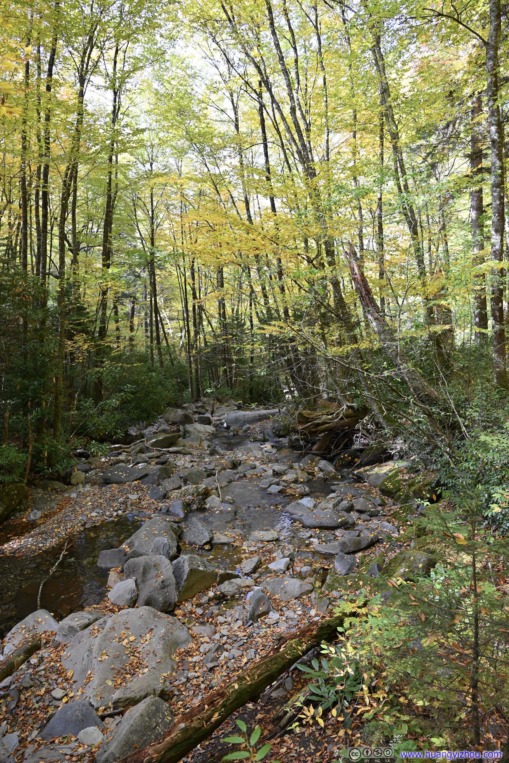
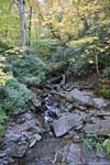
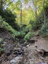
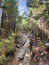
 Alum Cave CreekThe second footbridge crossing the creek that flew along the trail.
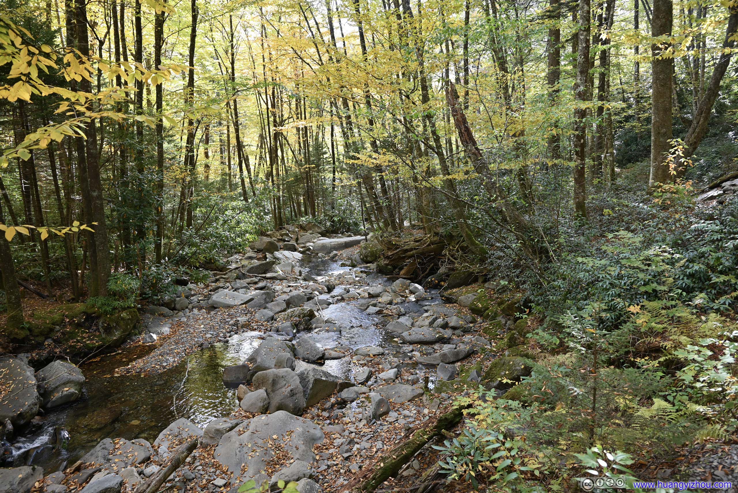
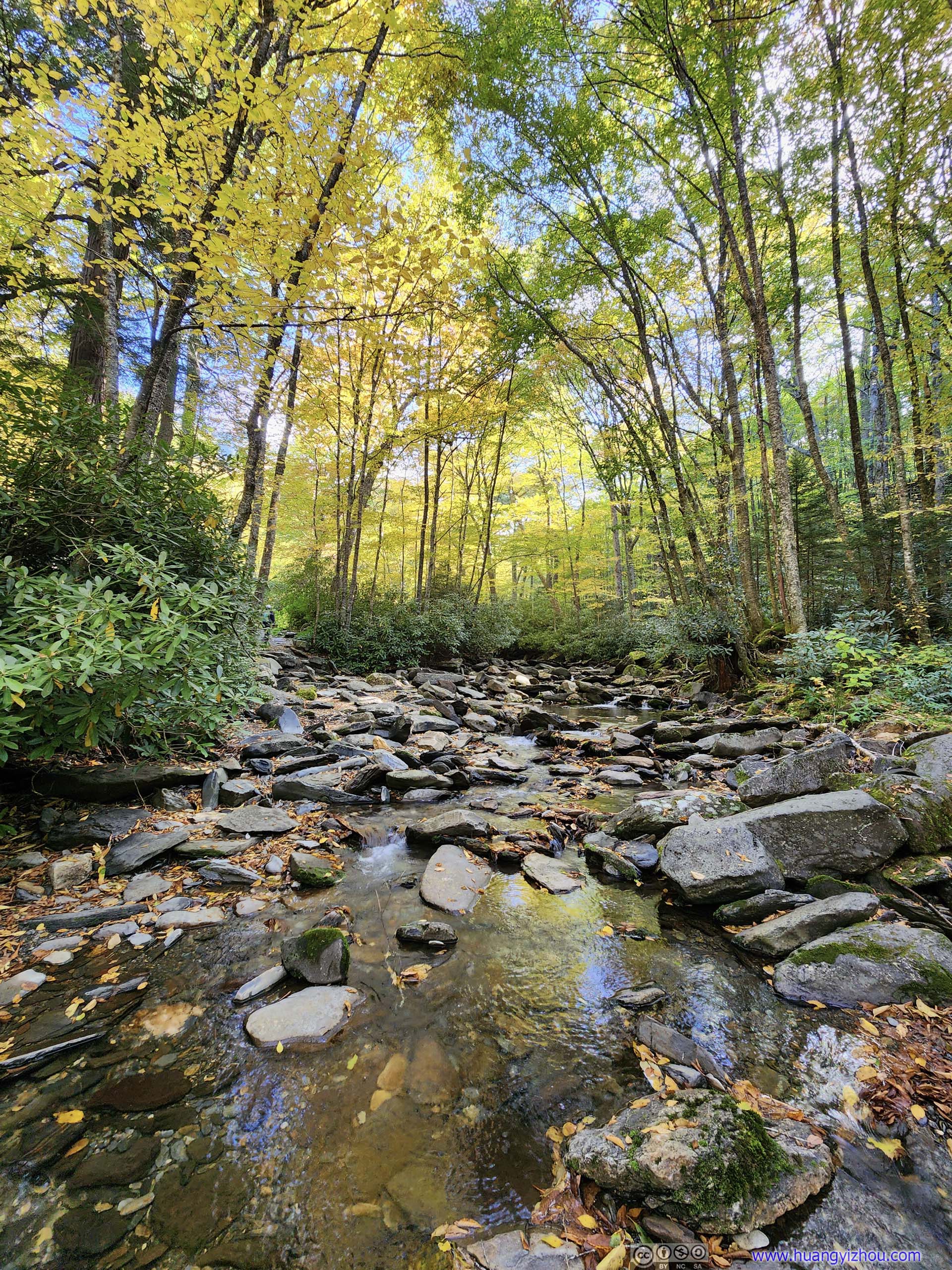
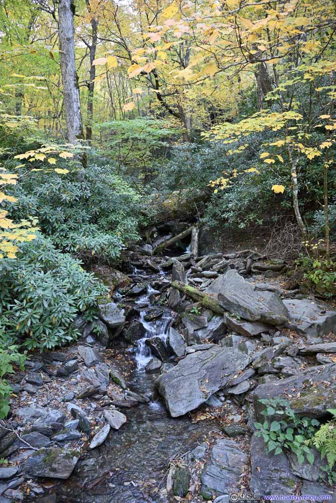
 Alum Cave CreekThe same creek farther upstream. It only took a few hops from the trail to reach the waters.
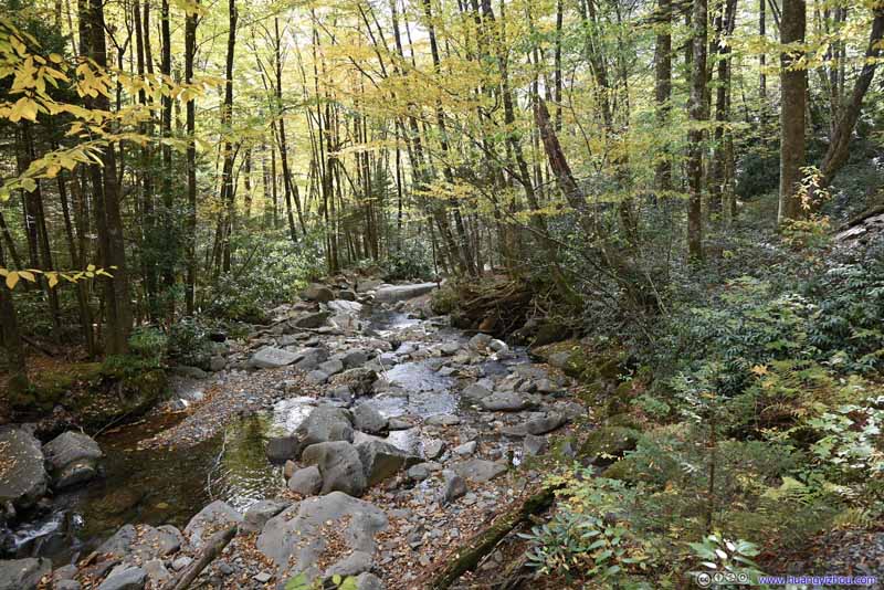 Alum Cave CreekThe same creek farther upstream. It only took a few hops from the trail to reach the waters.
Click here to display photos of the slideshow

Park RoadColors of foliage. Many cars used the road shoulders as overflow parking for Alum Cave Trail.
Walker Camp ProngThe first footbridge crossing the creek that flew along the park road.
Alum Cave CreekThe second footbridge crossing the creek that flew along the trail.

Alum Cave CreekThe same creek farther upstream. It only took a few hops from the trail to reach the waters.
Alum Cave CreekThe same creek farther upstream. It only took a few hops from the trail to reach the waters.
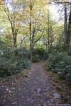
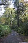
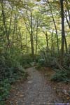
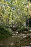
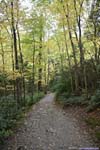
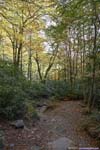
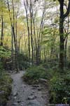
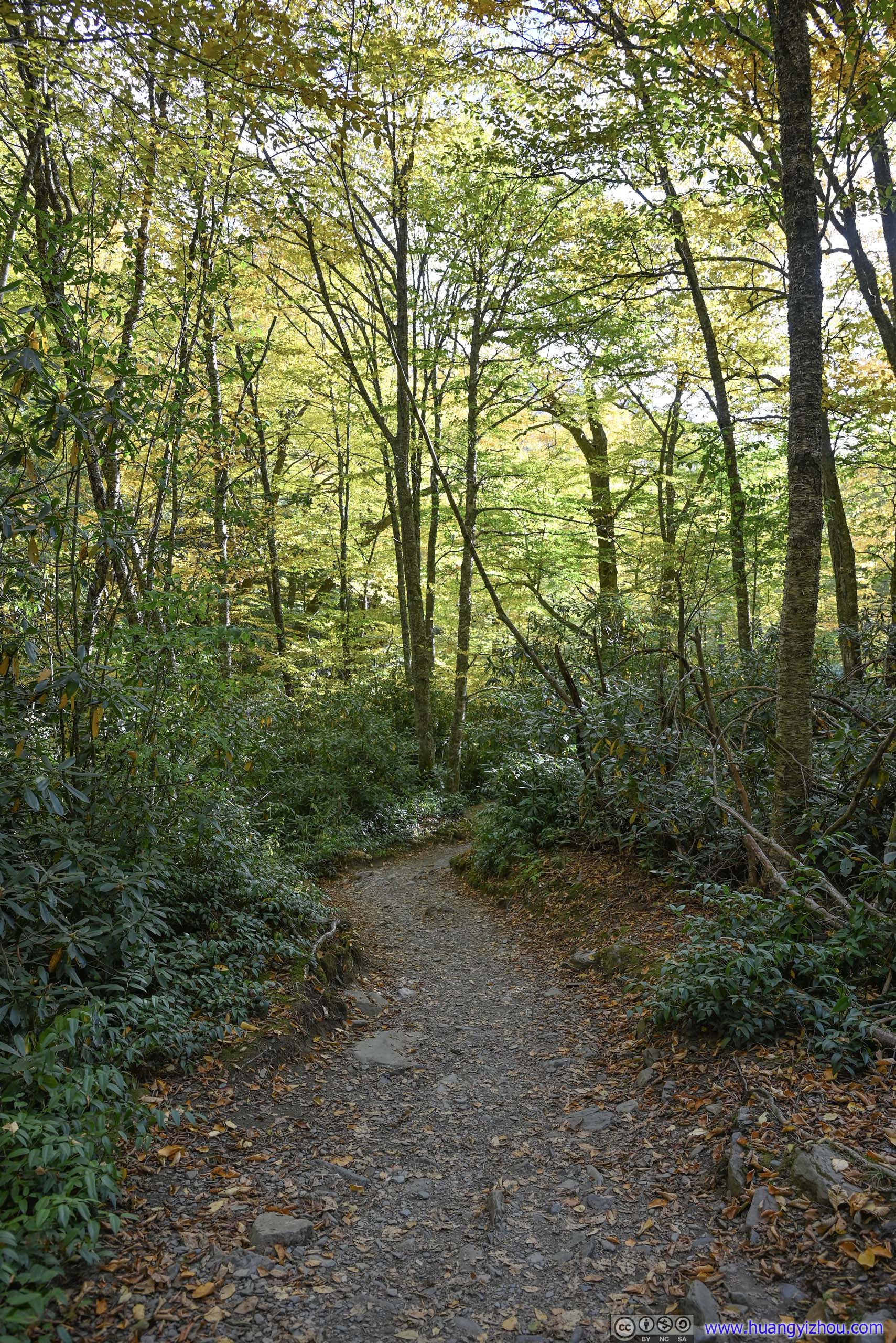
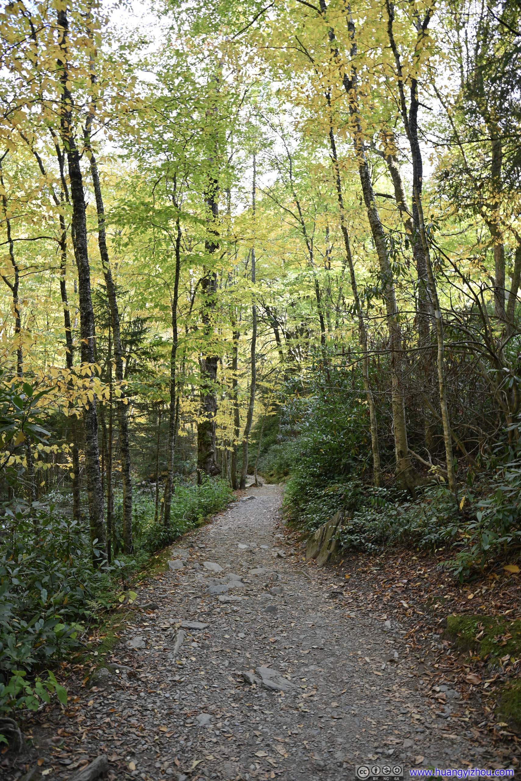
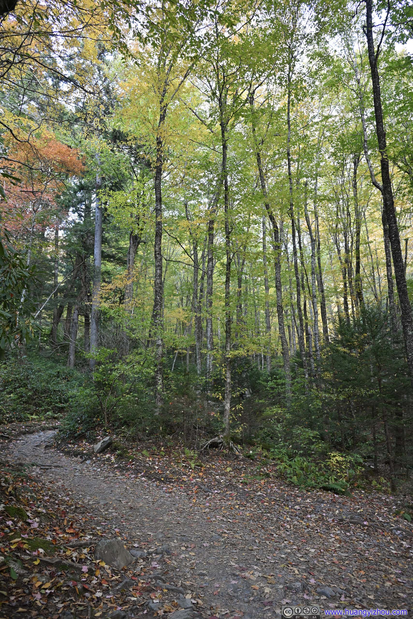
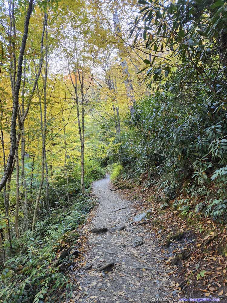
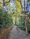
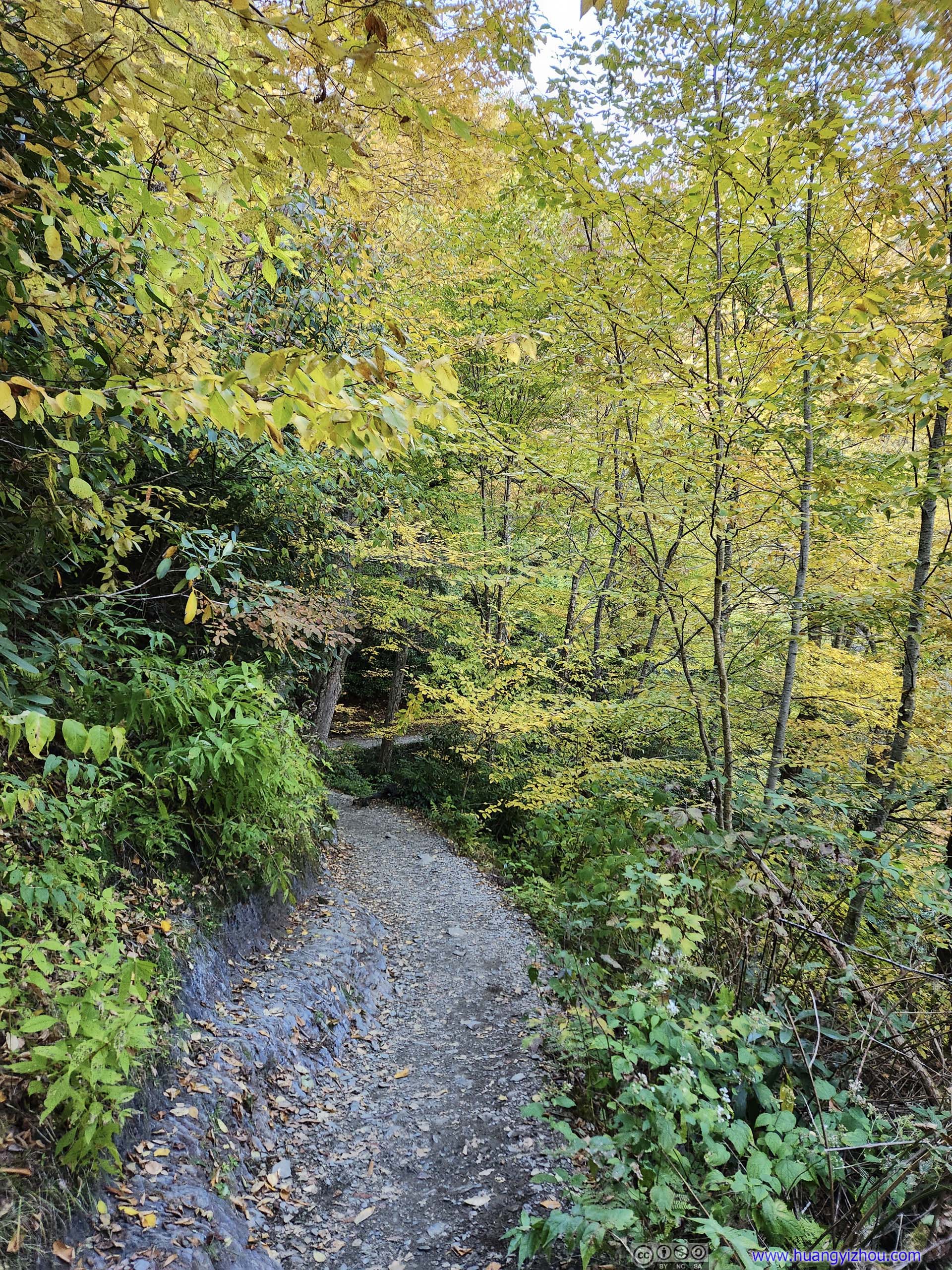
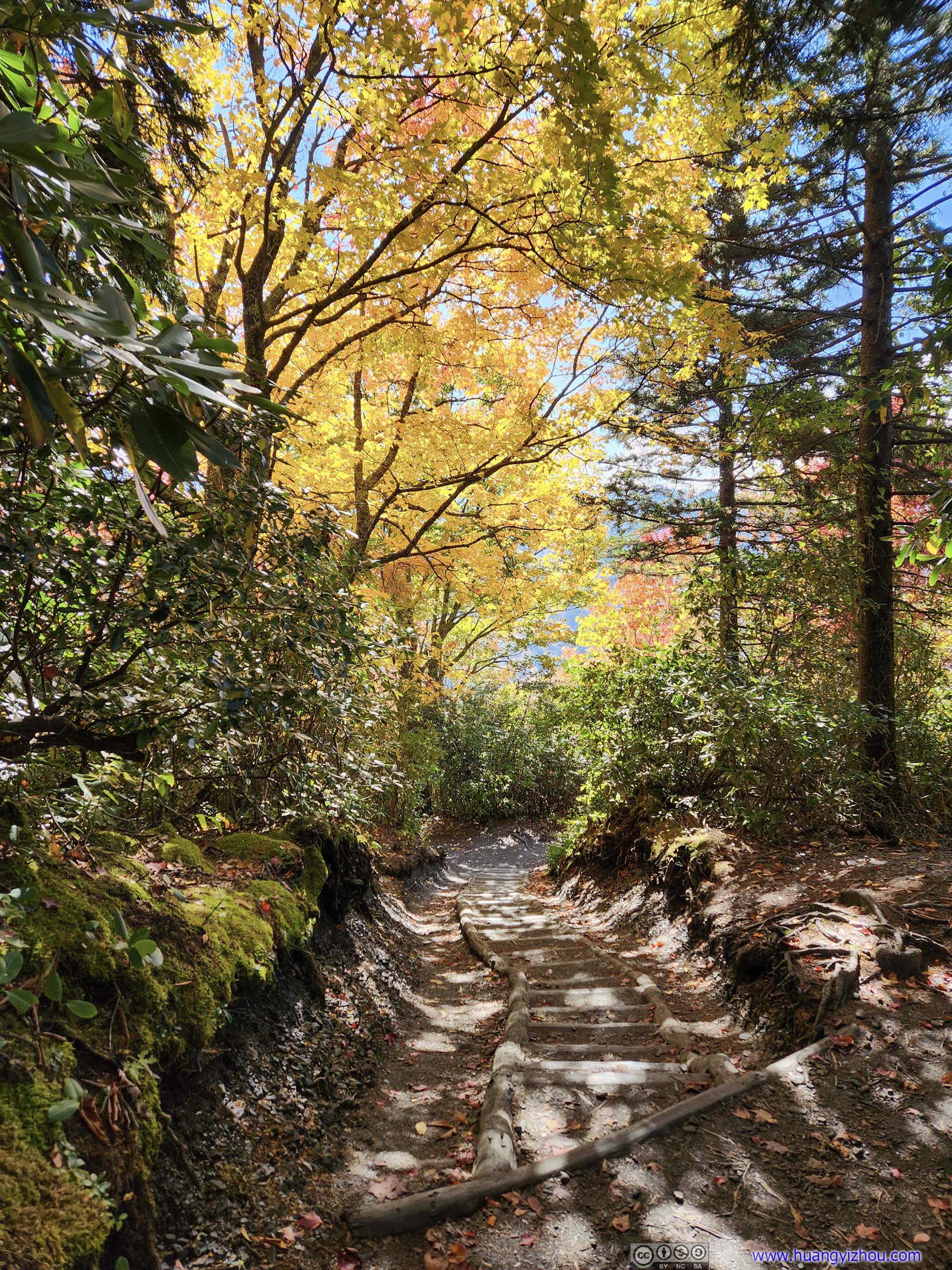
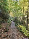
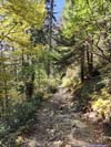
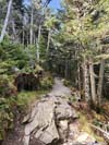
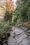
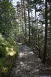
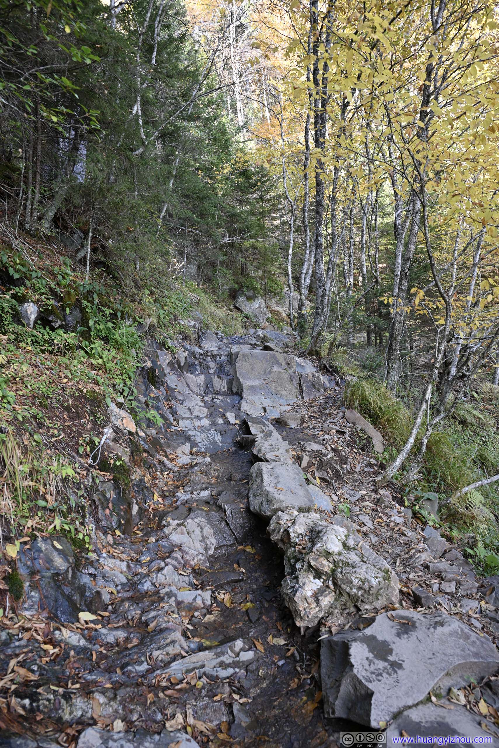
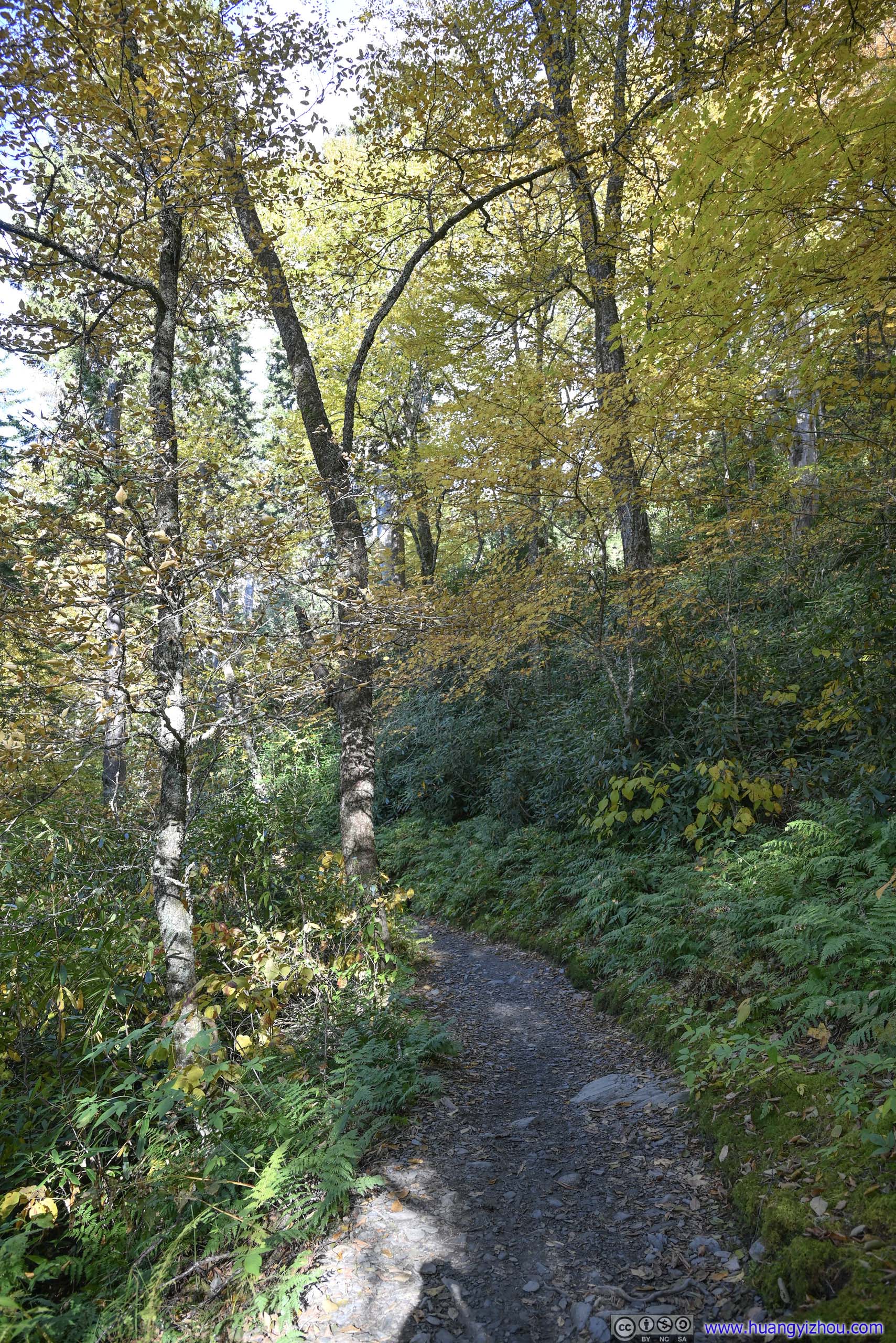
After leaving the trailhead, the trail first followed Alum Cave and then Styx Branch as its tributary. Foliage was extensive along this section, the golden colors of leaves under the sun’s illumination felt warm and welcoming, as they seemed to reward every step I took with a different view.
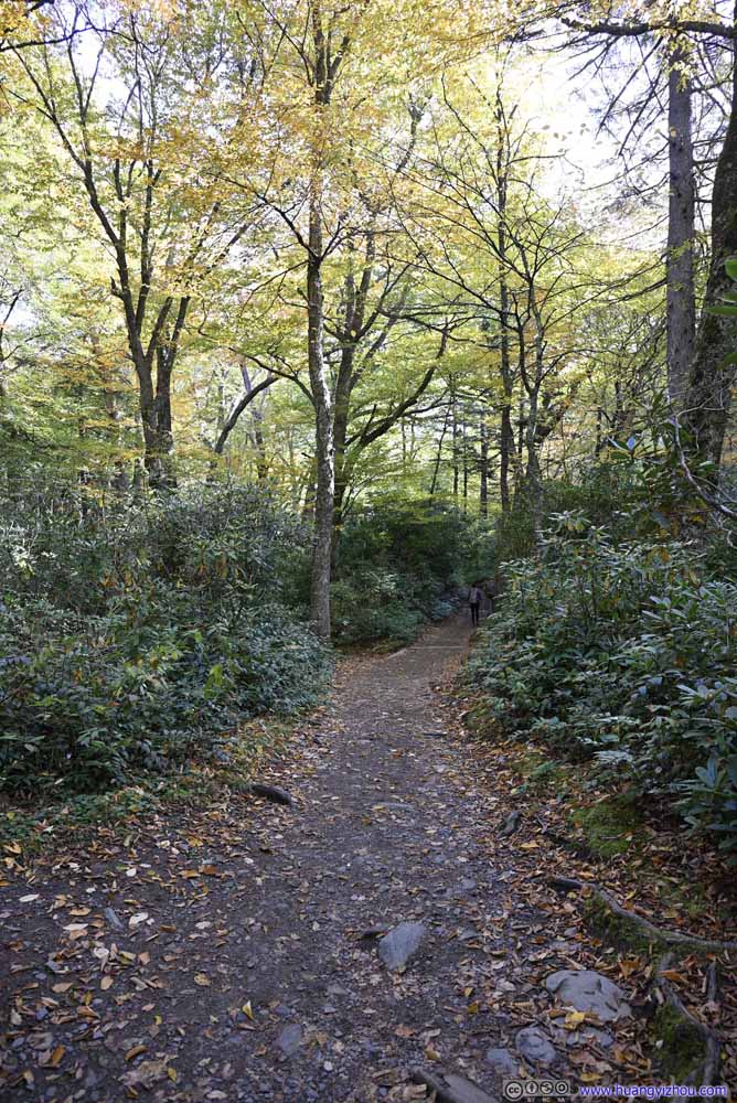 Trail
Trail Trail
Trail Trail
Trail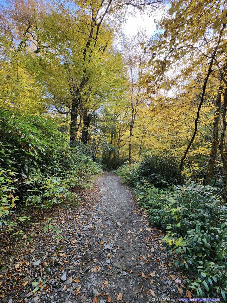 Trail
Trail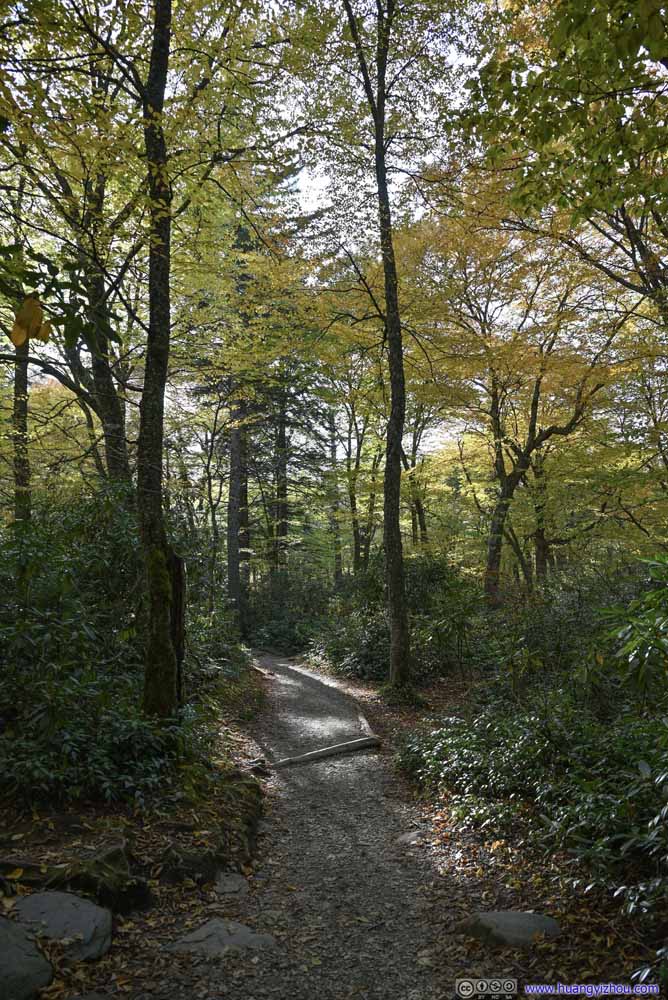 Trail
Trail Trail
Trail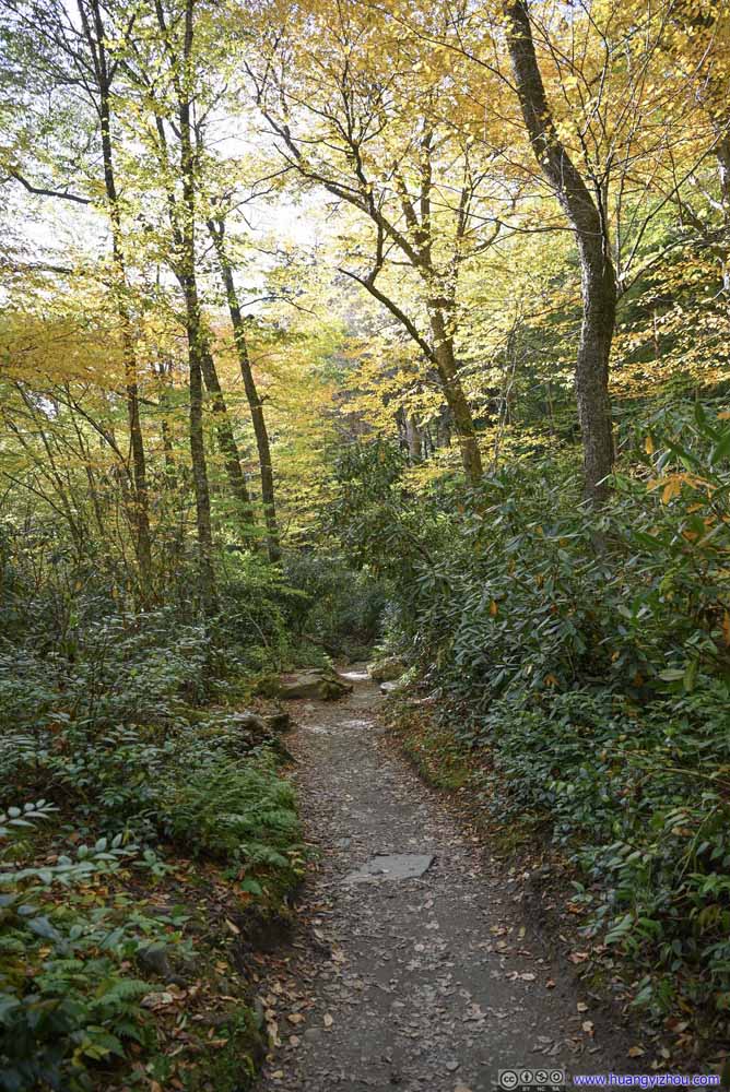 Trail
Trail Trail
Trail Trail
Trail Trail
Trail Trail
Trail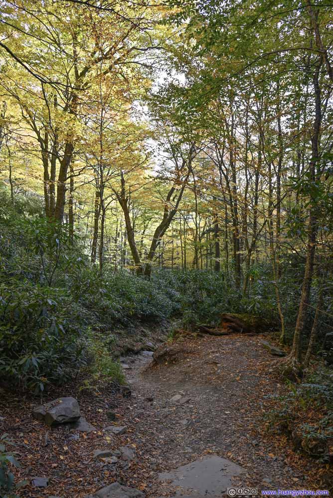 Trail
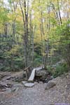
Trail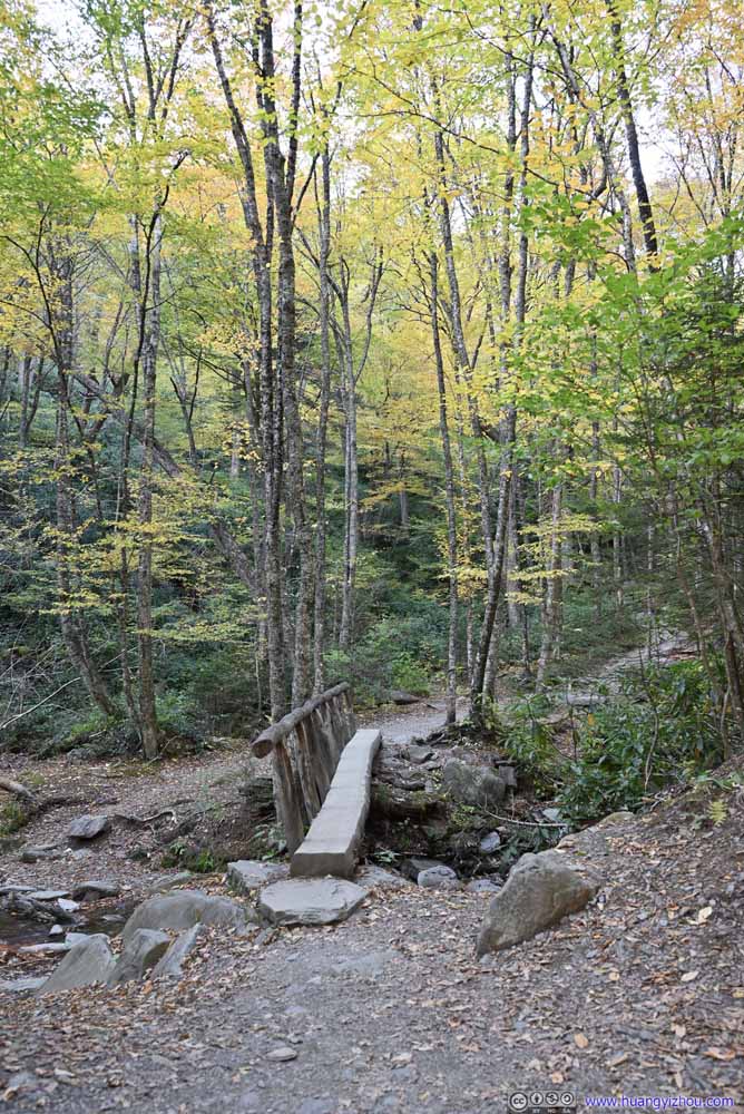 FootbridgeOne across Styx Branch.
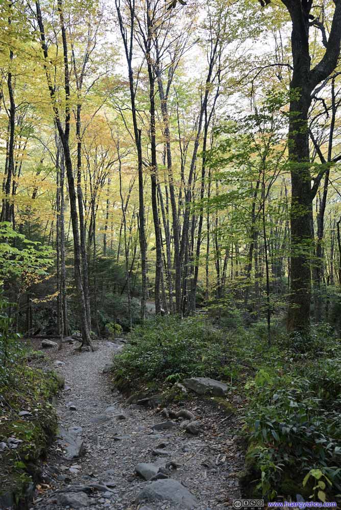 Trail
Trail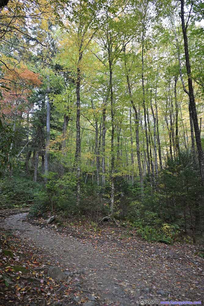 Trail
Trail


Click here to display photos of the trail.

Trail

Trail

Trail

Trail

Trail
Trail

Trail

Trail
Trail
Trail
 Trail
Trail
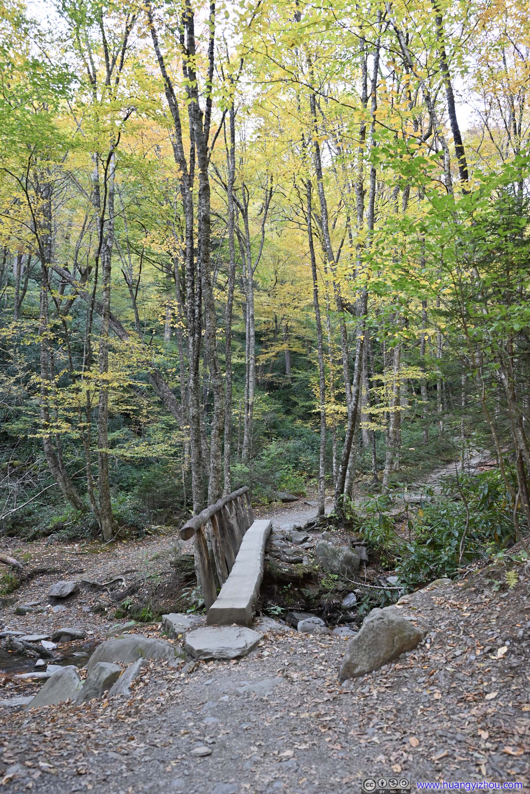
FootbridgeOne across Styx Branch.
 Trail
Trail
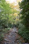
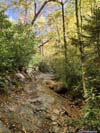
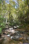
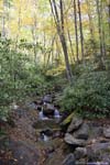
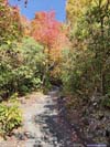
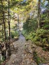
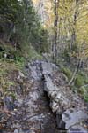
The trail followed the creeks closely, that in certain places, it’s just a few steps to reach the water, with more autumn colors around.
 Alum Cave Creek
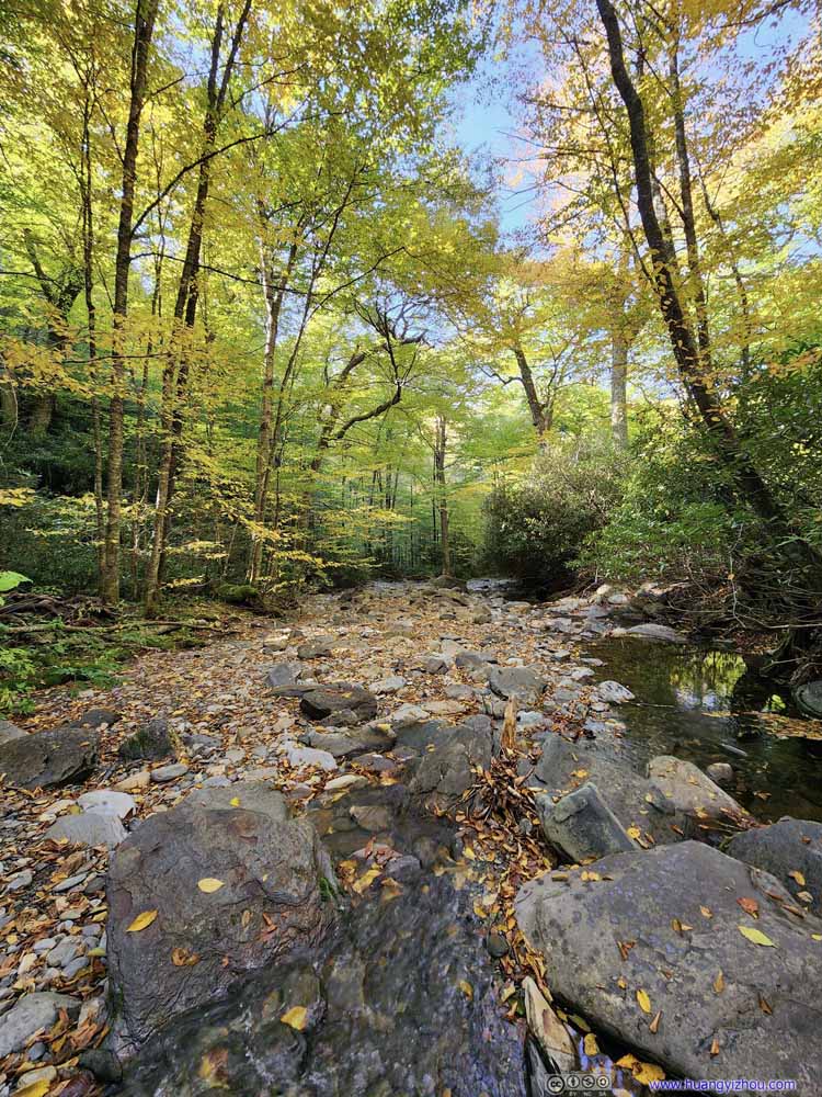 Alum Cave Creek
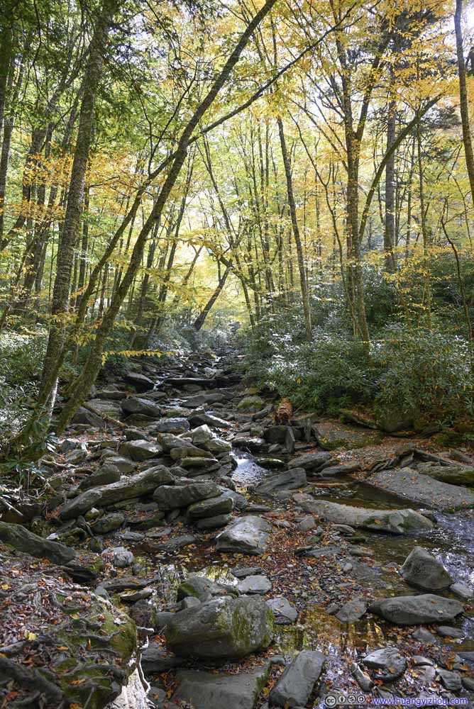 Alum Cave Creek
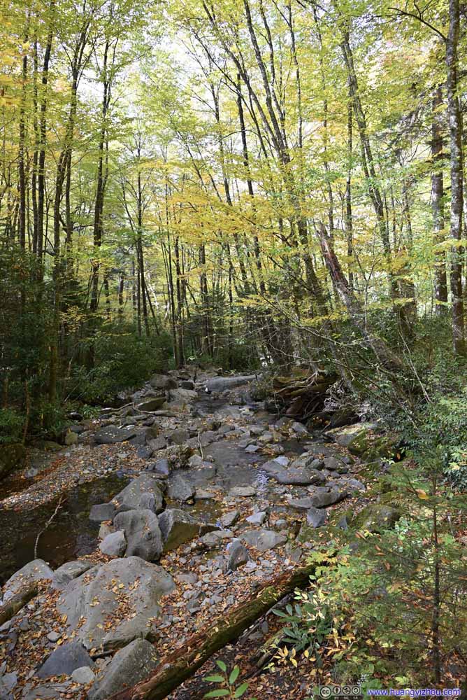 Alum Cave Creek
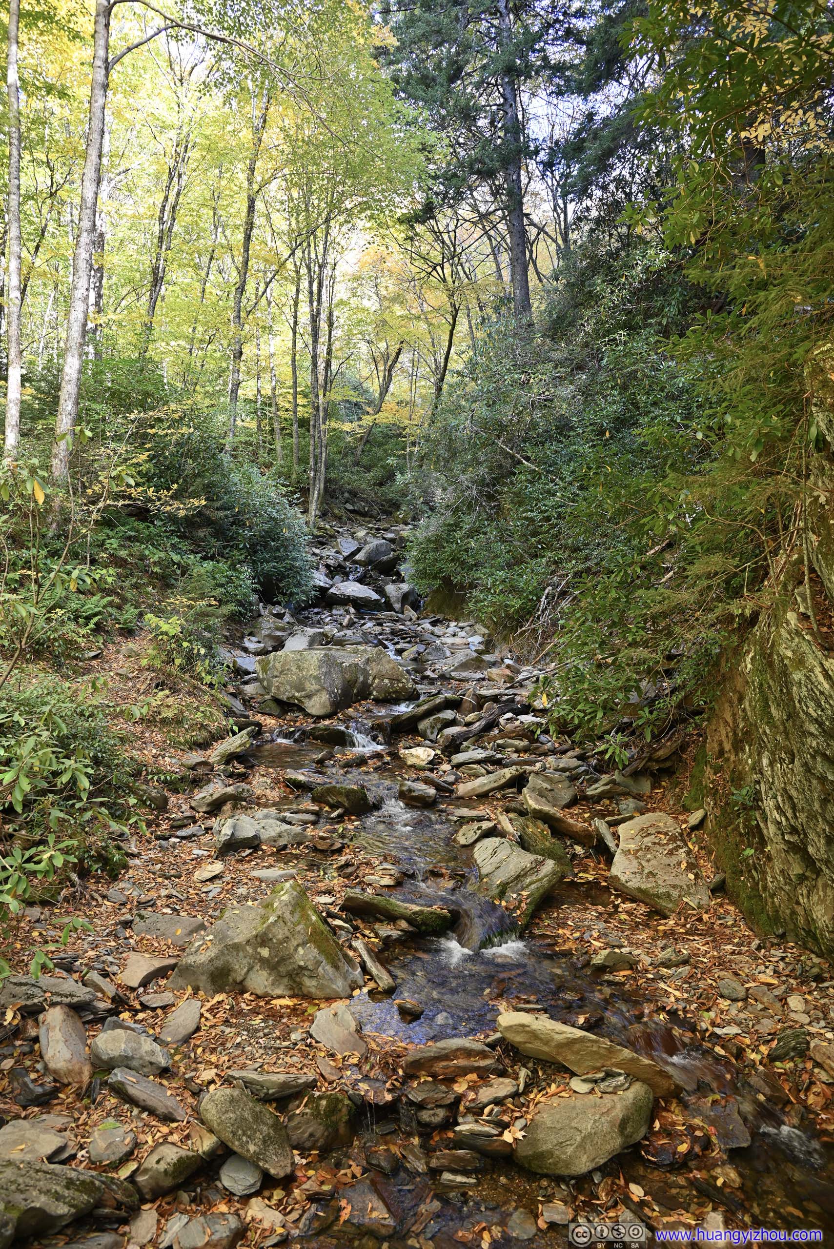
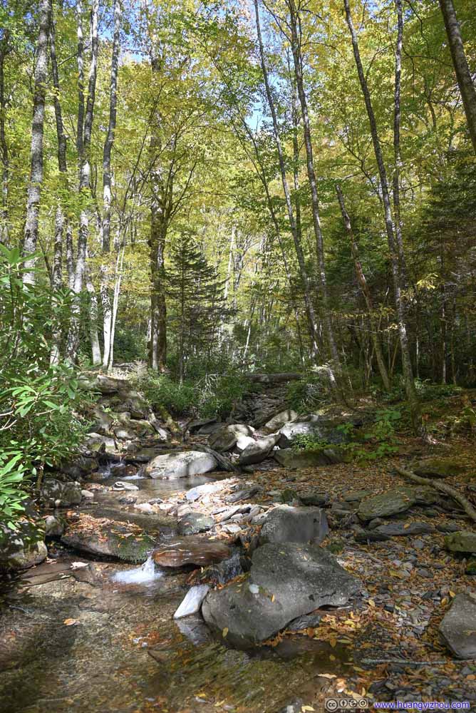 Styx Branch
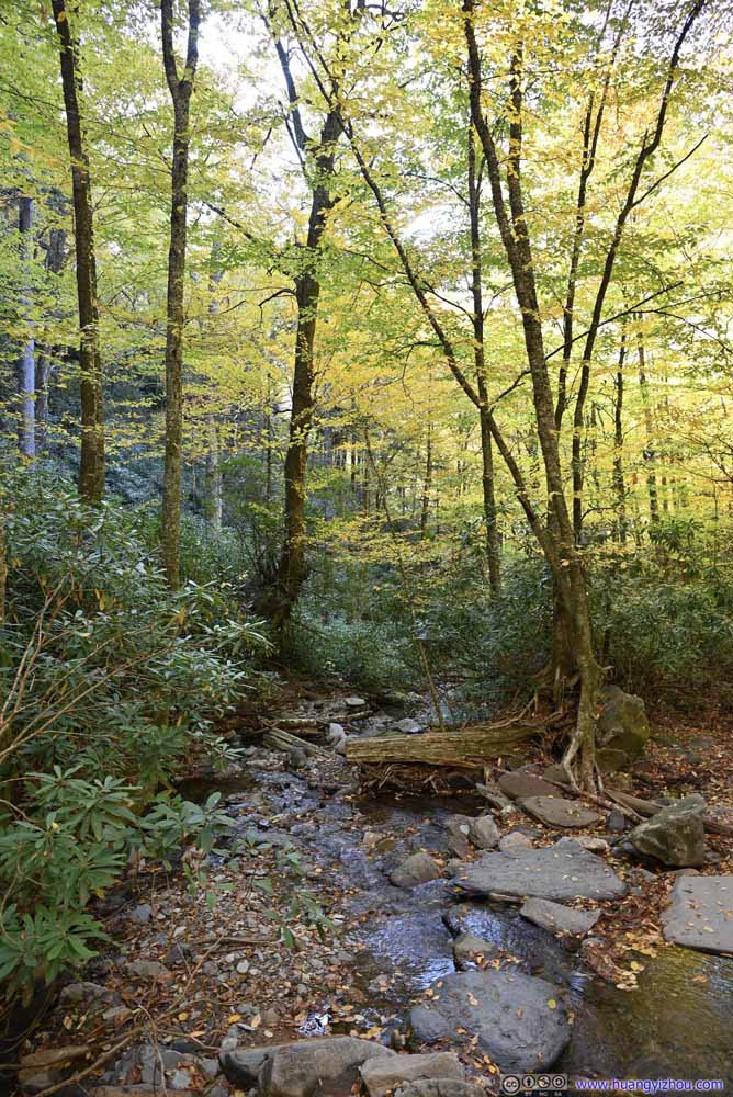 Styx Branch
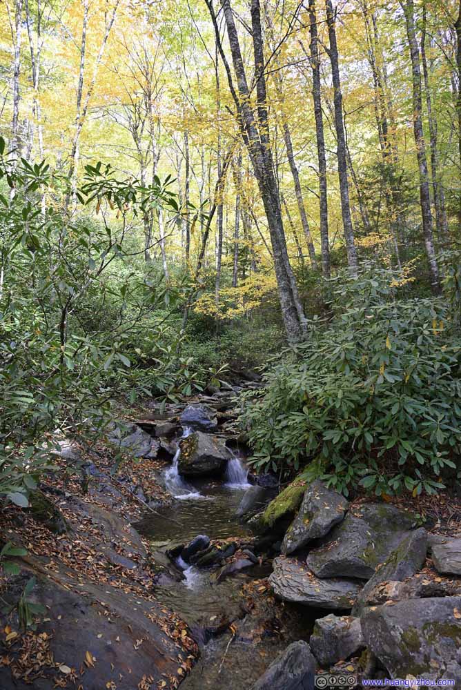 Styx Branch
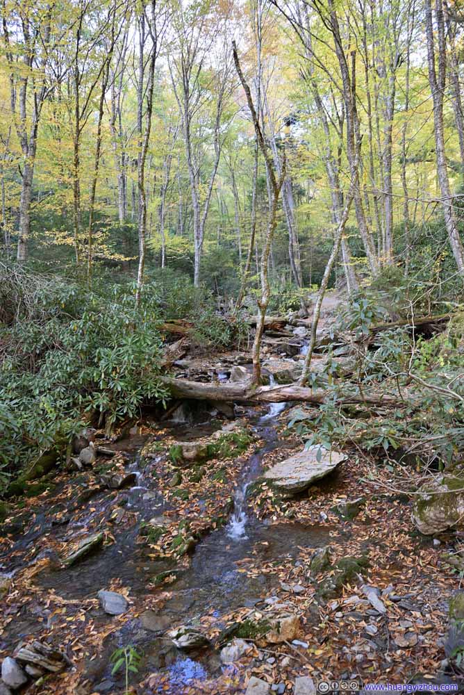 Styx Branch
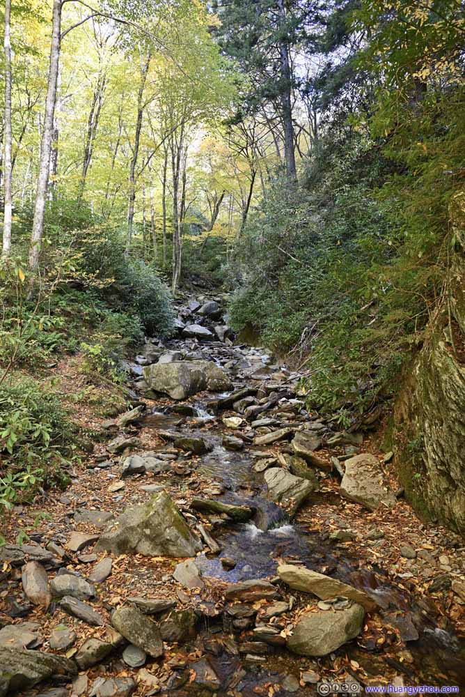 Styx Branch
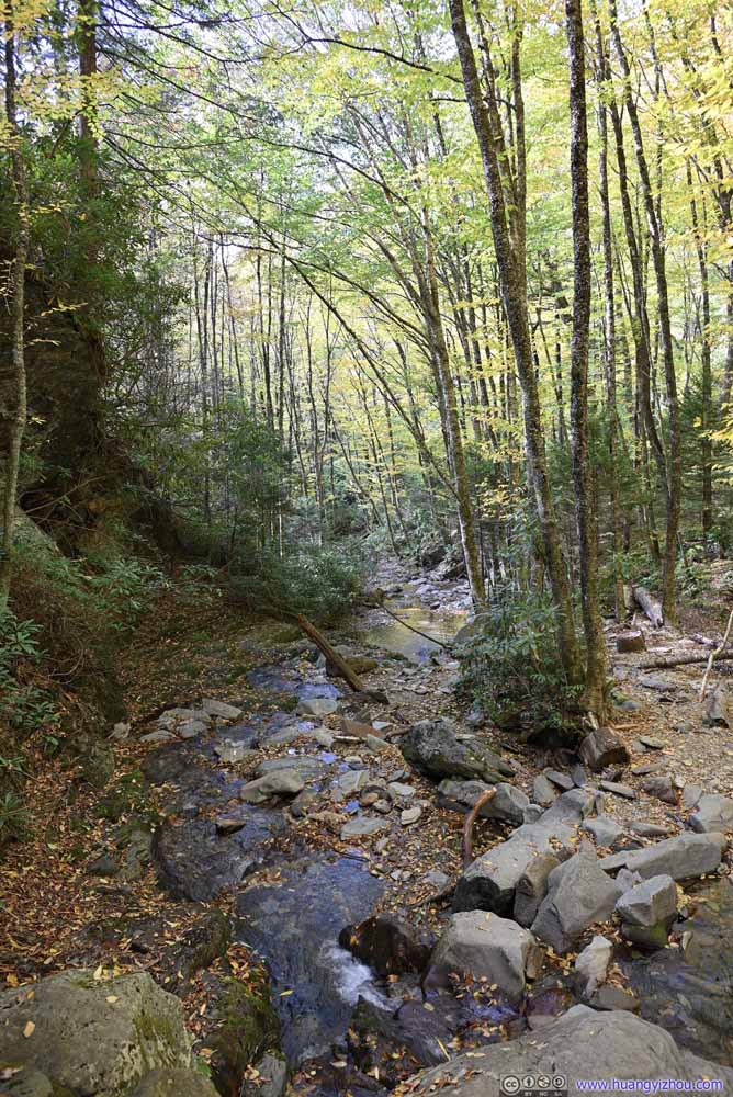 Styx Branch


Click here to display photos of the creeks.
Alum Cave Creek

Alum Cave Creek

Alum Cave Creek
Alum Cave Creek

Styx Branch

Styx Branch

Styx Branch

Styx Branch
Styx Branch

Styx Branch
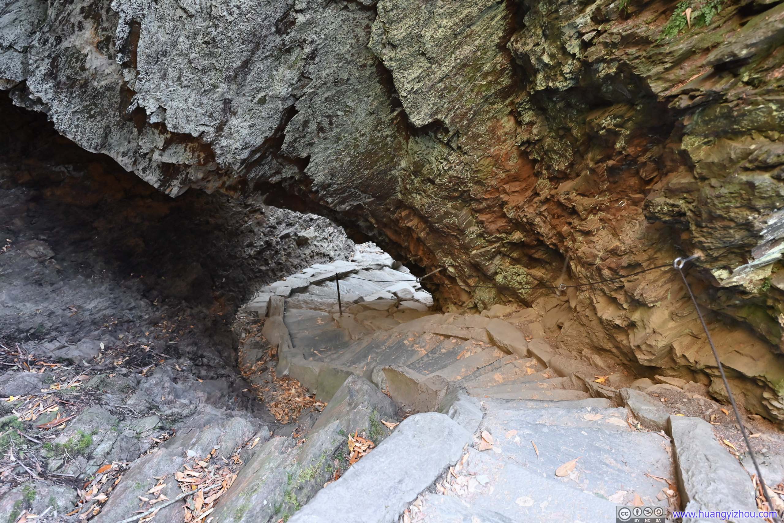
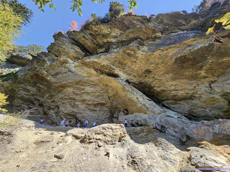
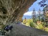
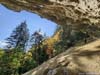
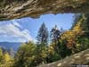
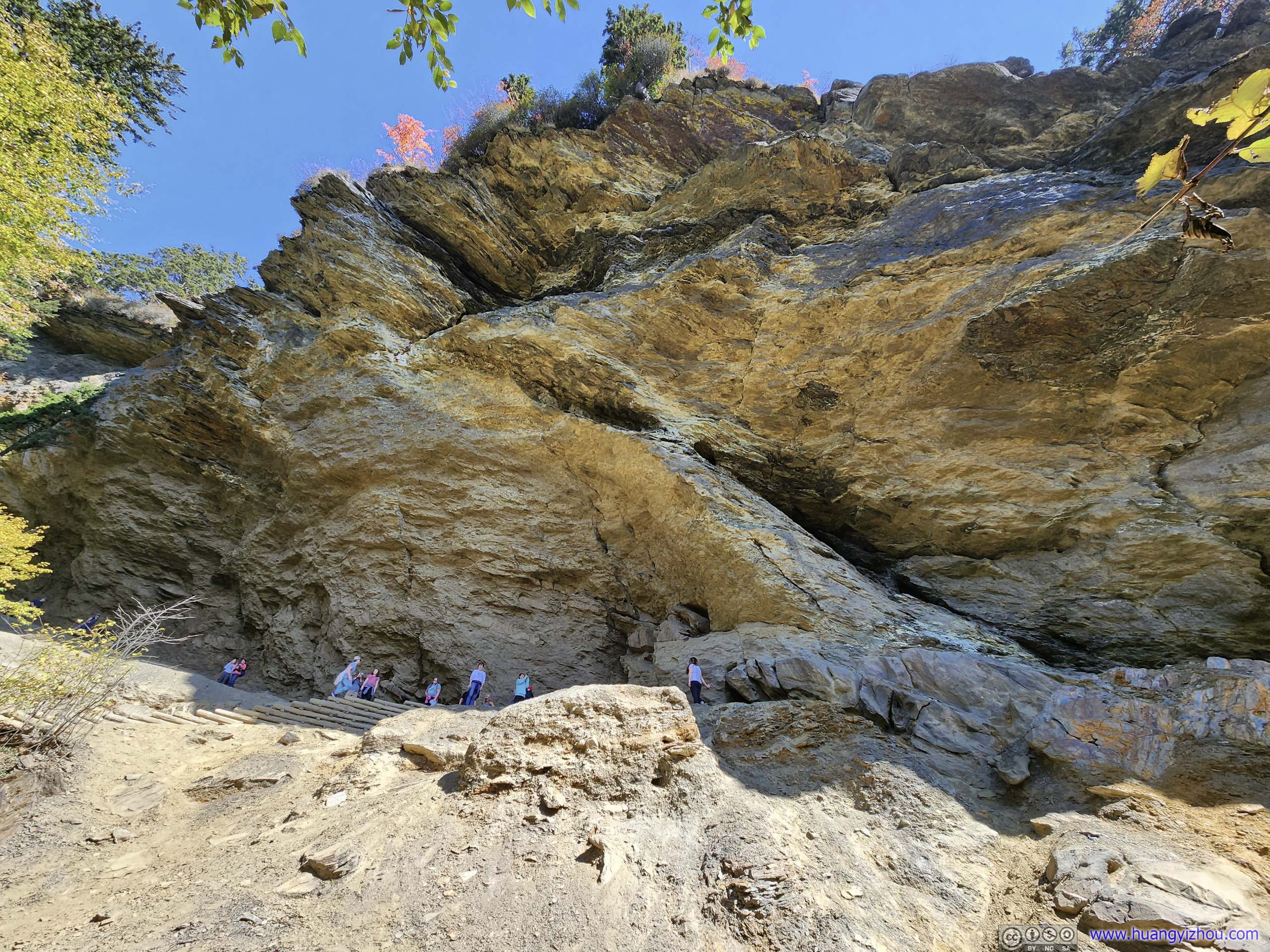
About 2km from the trailhead, one would reach Arch Rock. It’s like a tunnel where the trail passed through, an interesting rock formation.
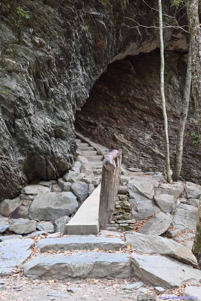 Arch Rock
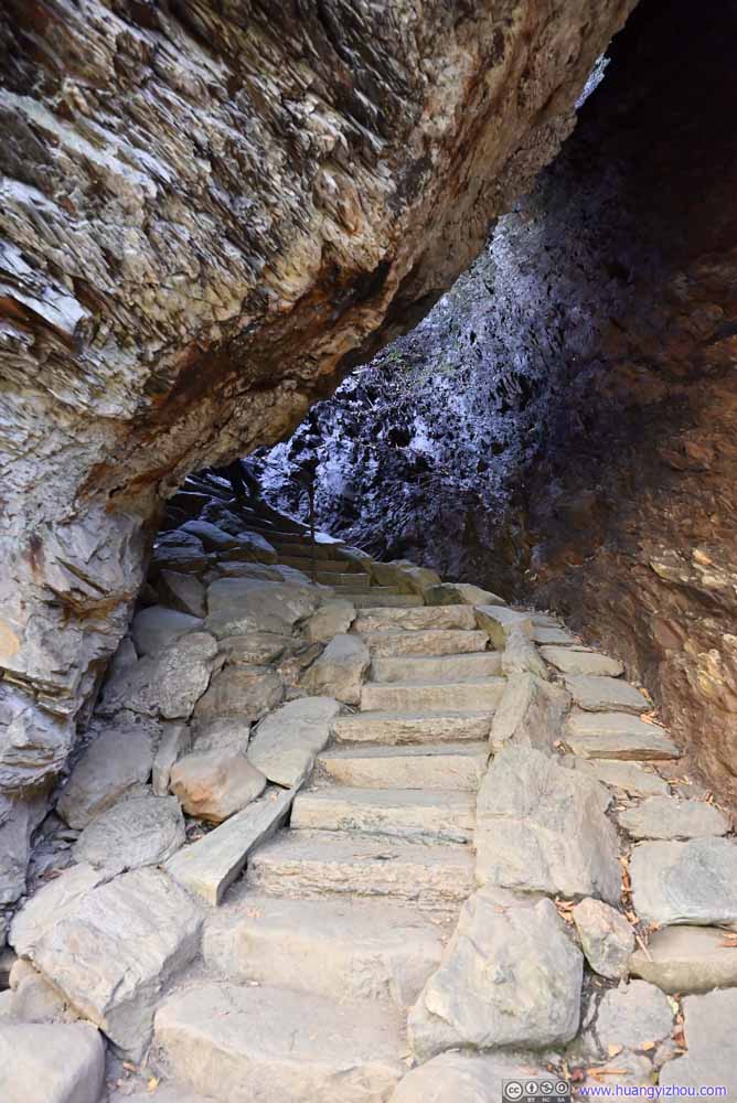 Arch Rock
 Arch Rock


Click here to display photos of the arch rock.

Arch Rock

Arch Rock
Arch Rock
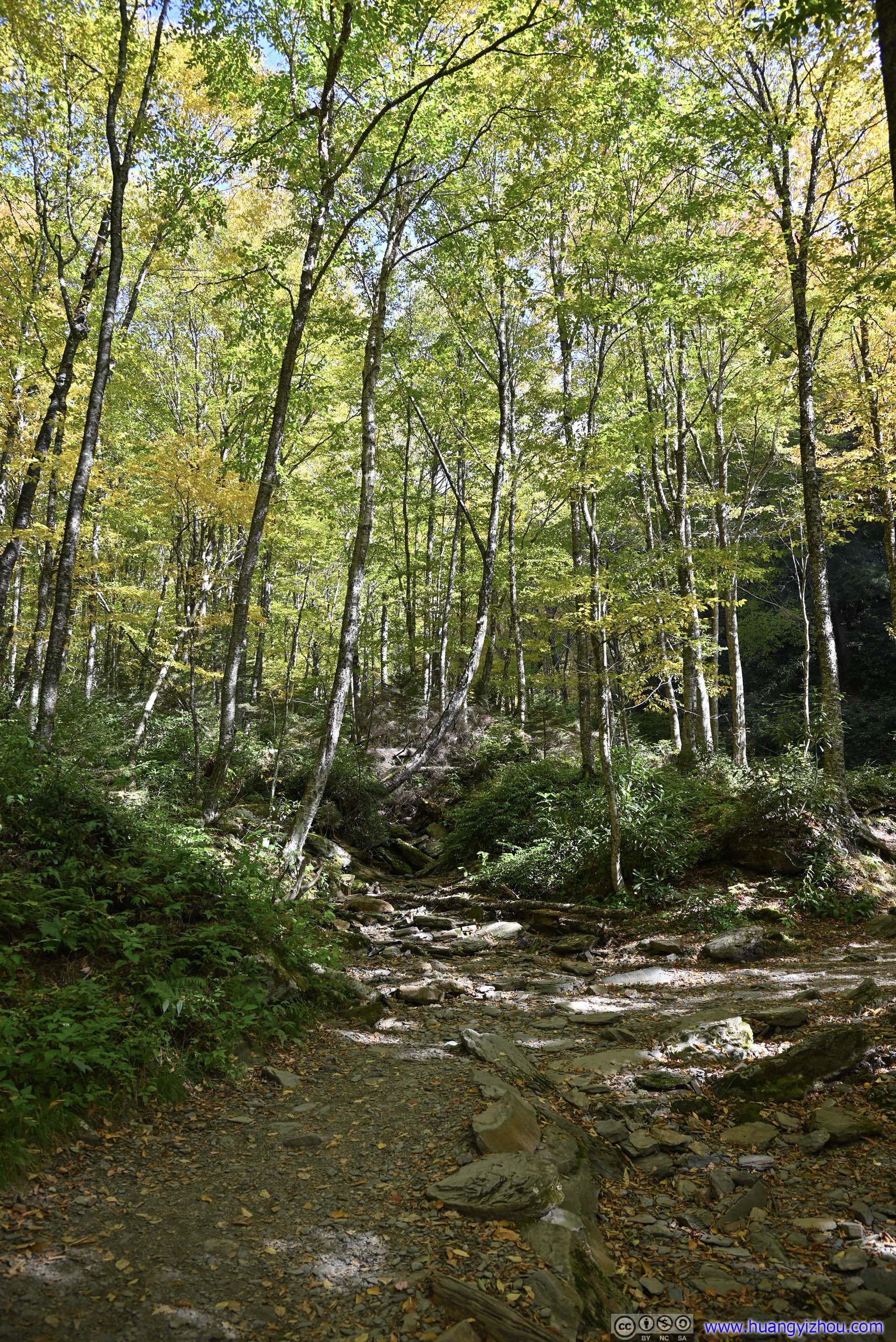
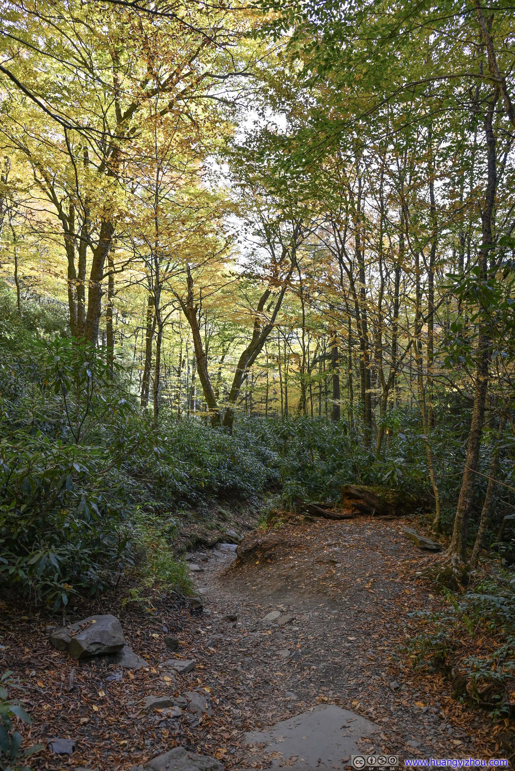
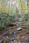
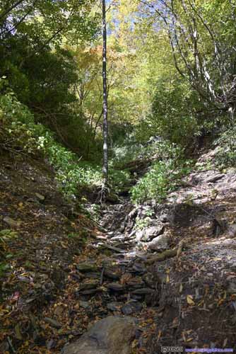
Not long after leaving Arch Rock, the trail departed from Styx Branch and continued uphill.
 Styx BranchTaken on a foot bridge. The trail departed from the creek from here on.
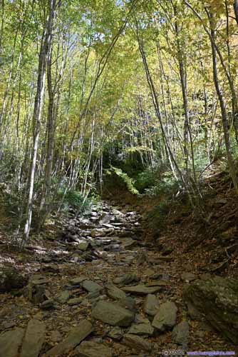
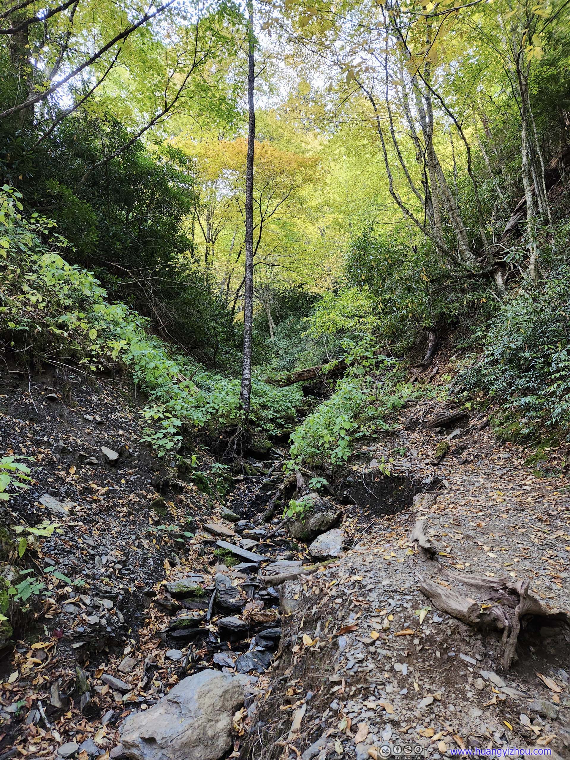
 Dried Creek
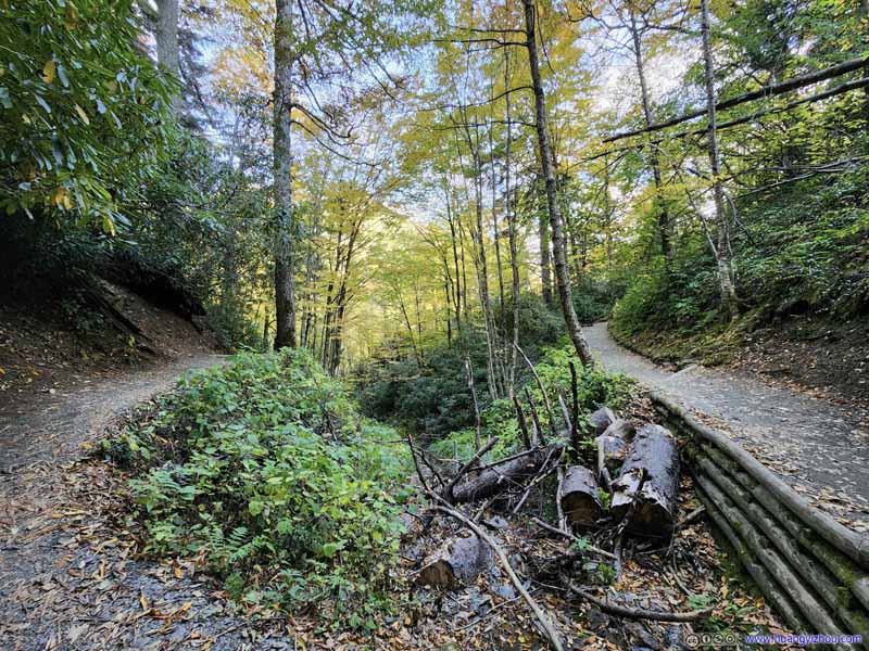 Dried Creek
 Dried Creek

Click here to display photos of the creeks.

Styx BranchTaken on a foot bridge. The trail departed from the creek from here on.

 Dried Creek

Dried Creek
Dried Creek
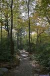
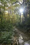
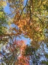
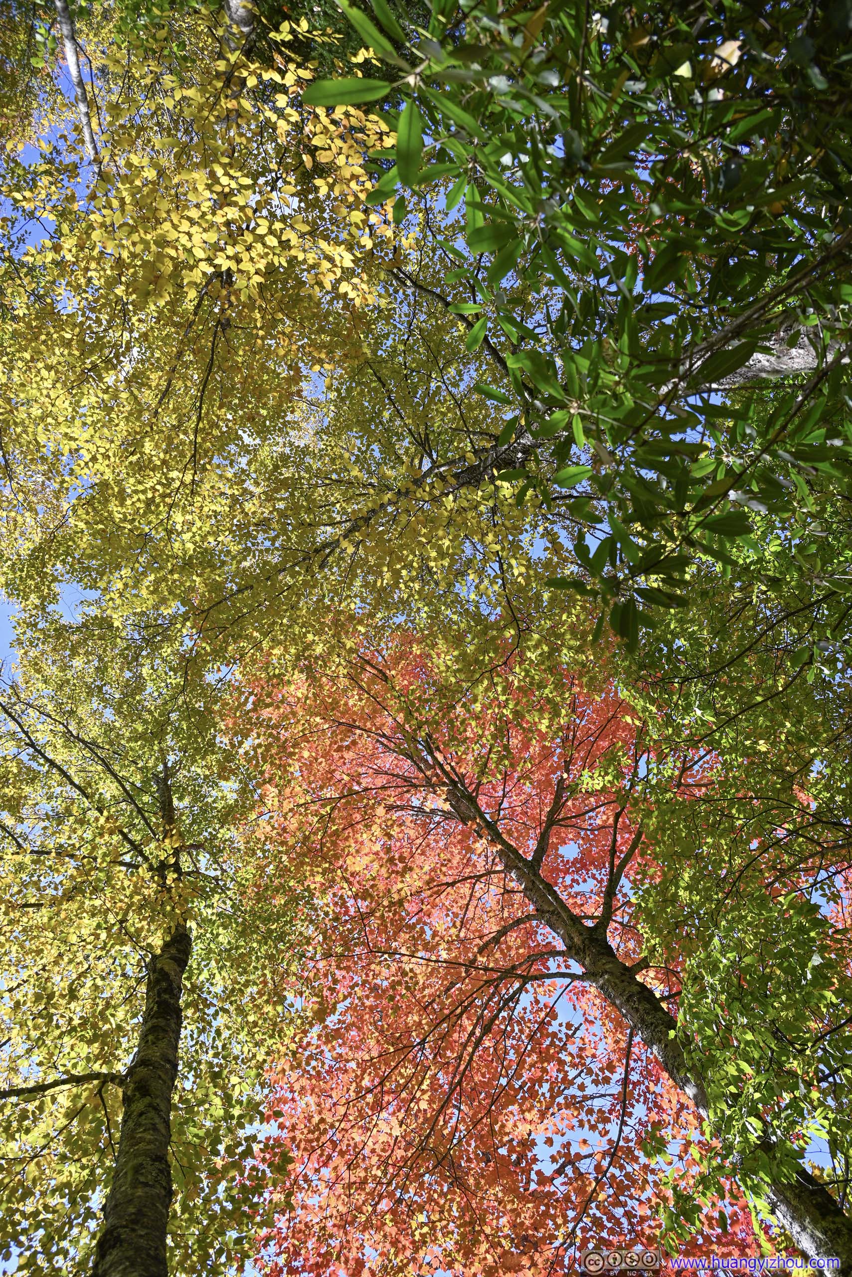
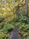
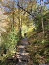
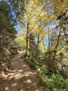
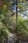
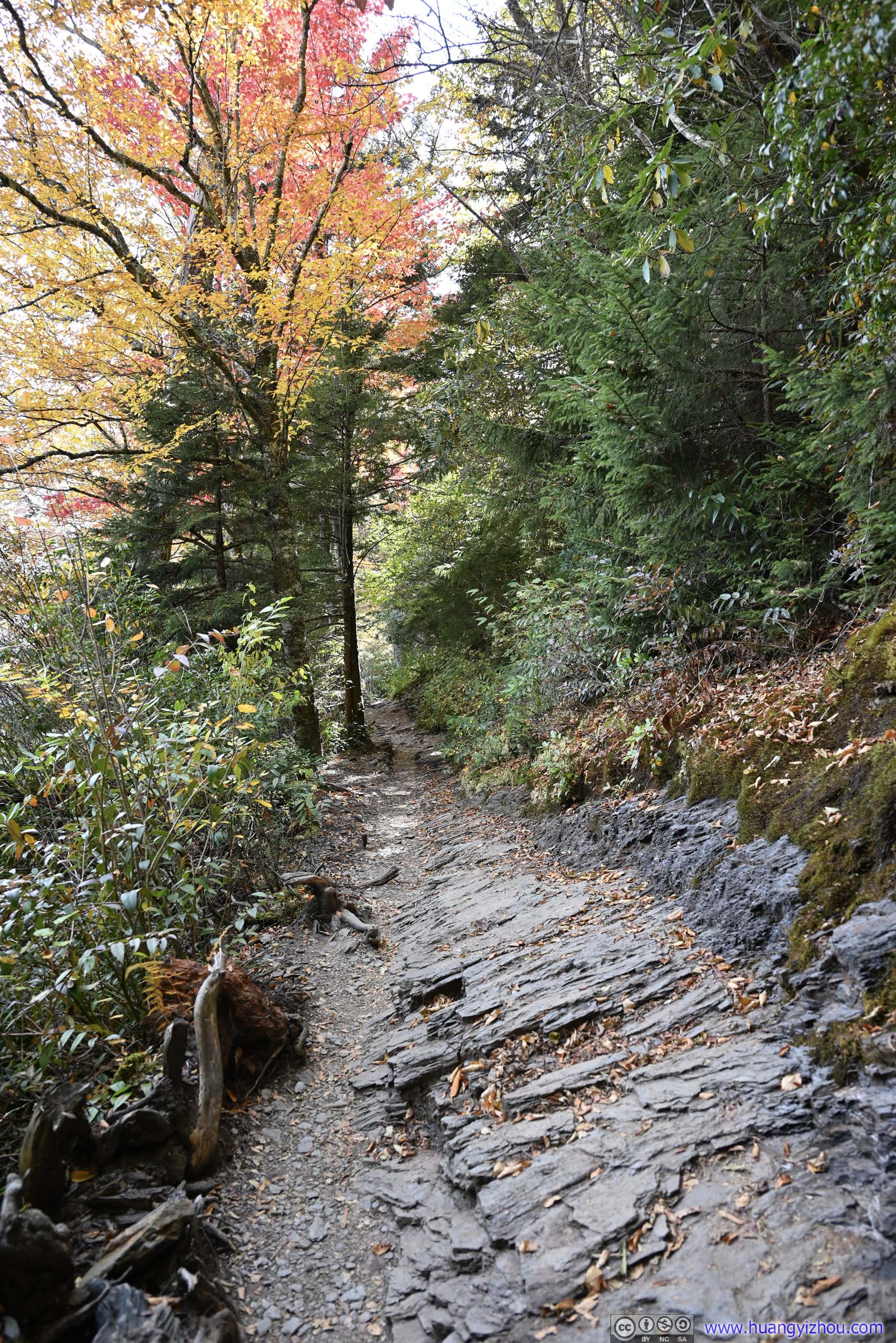
And there were more foliage colors. The colors weren’t as extensive as earlier, but probably due to the higher elevations, some of the leaves were turning red, adding to the variety of the palette.
 Trail
Trail Trail
Trail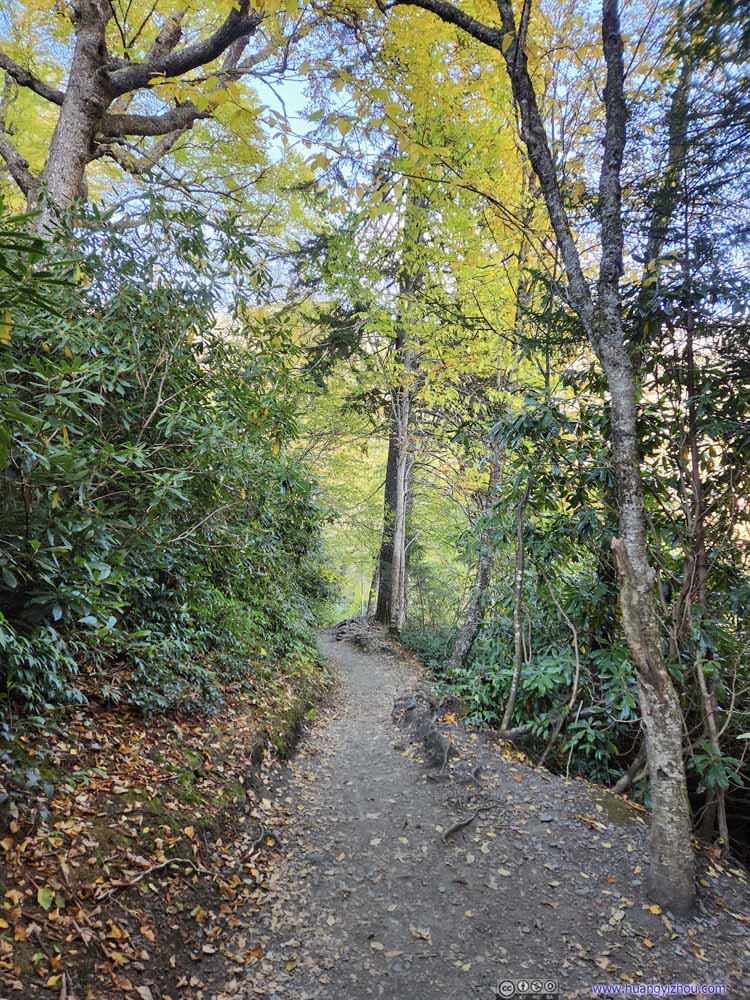 Trail
Trail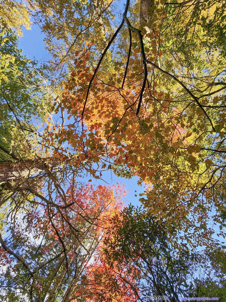 Foliage Colors
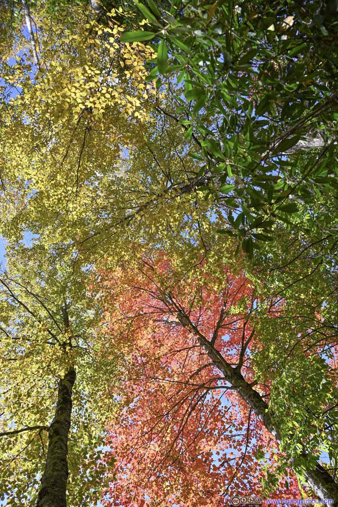 Foliage Colors
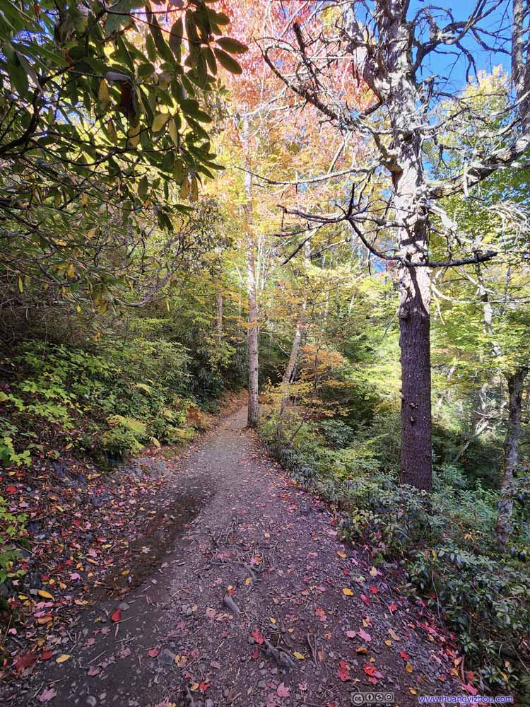 Trail
Trail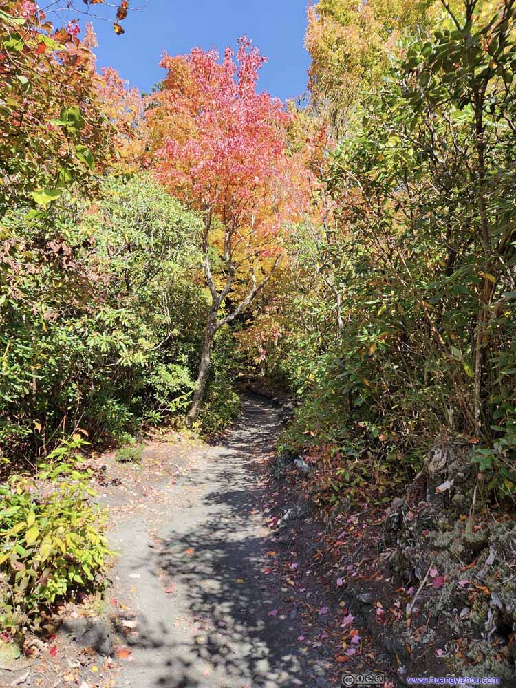 Trail
Trail Trail
Trail Trail
Trail


Click here to display photos of the trail.

Trail
Trail

Trail

Foliage Colors
Foliage Colors

Trail

Trail
Trail
Trail
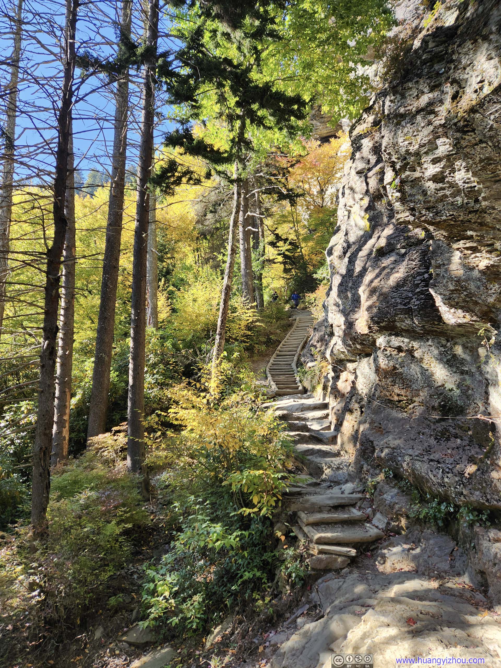
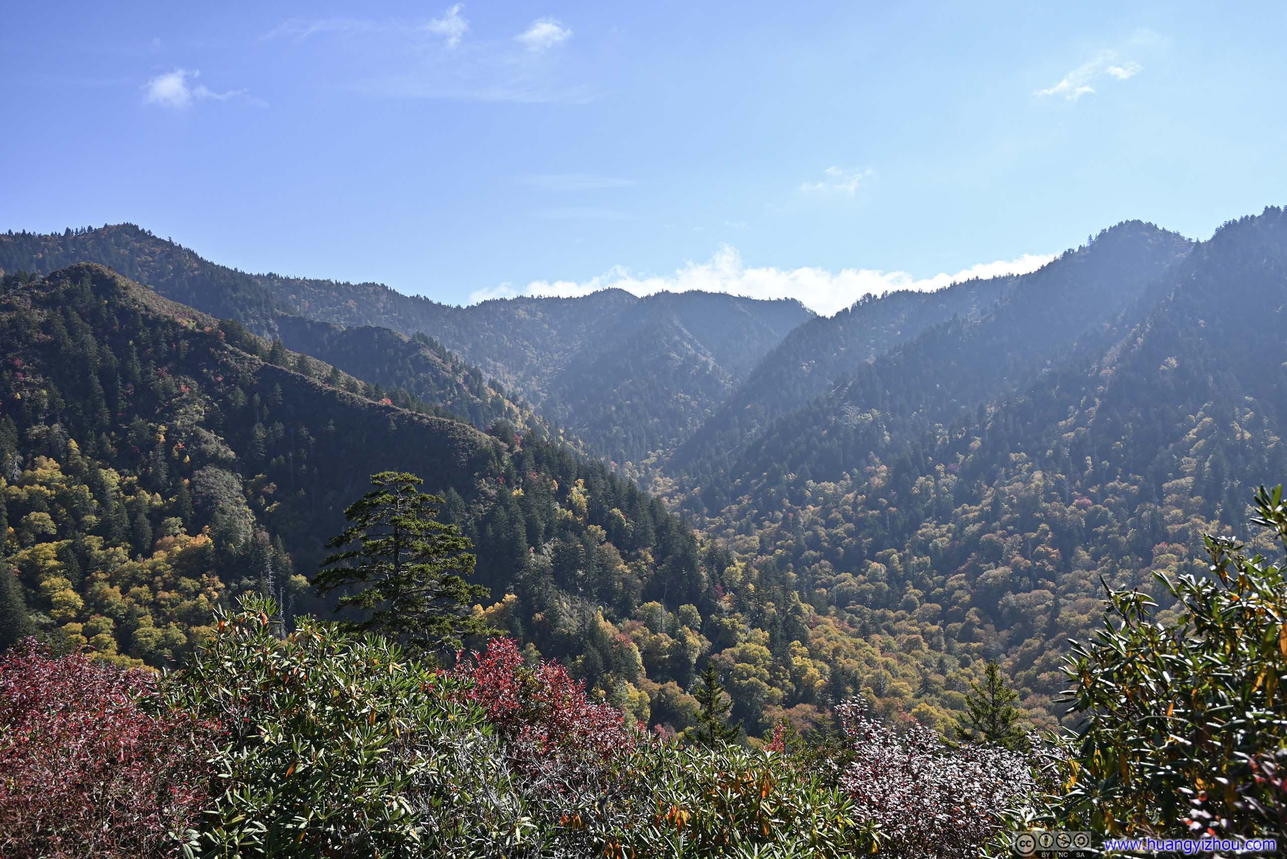
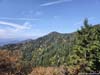
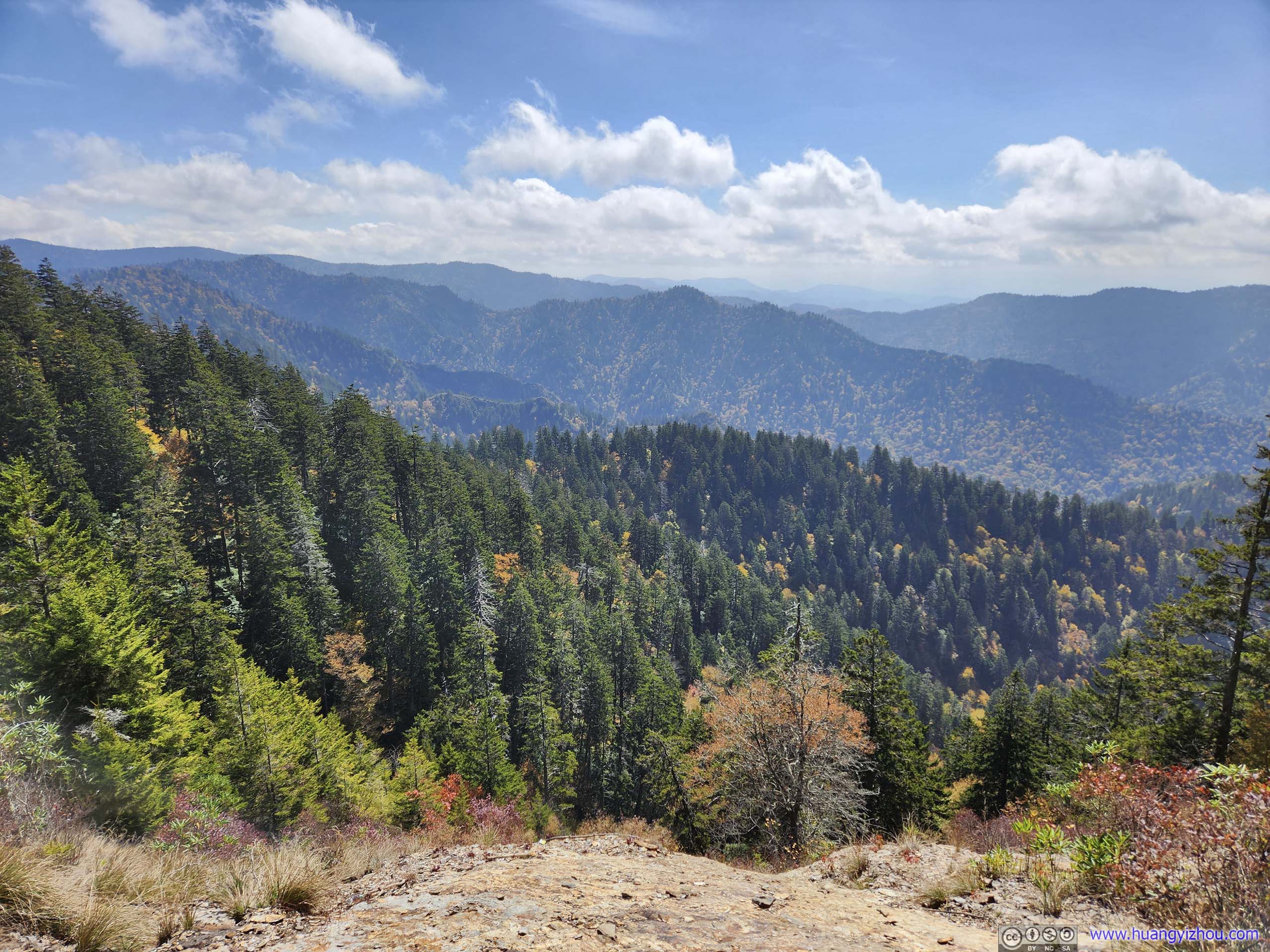
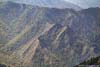
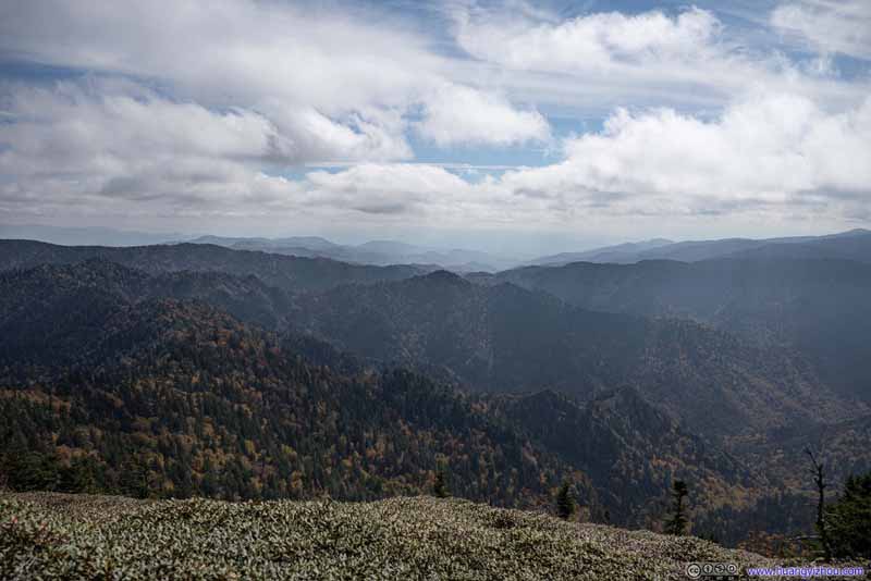
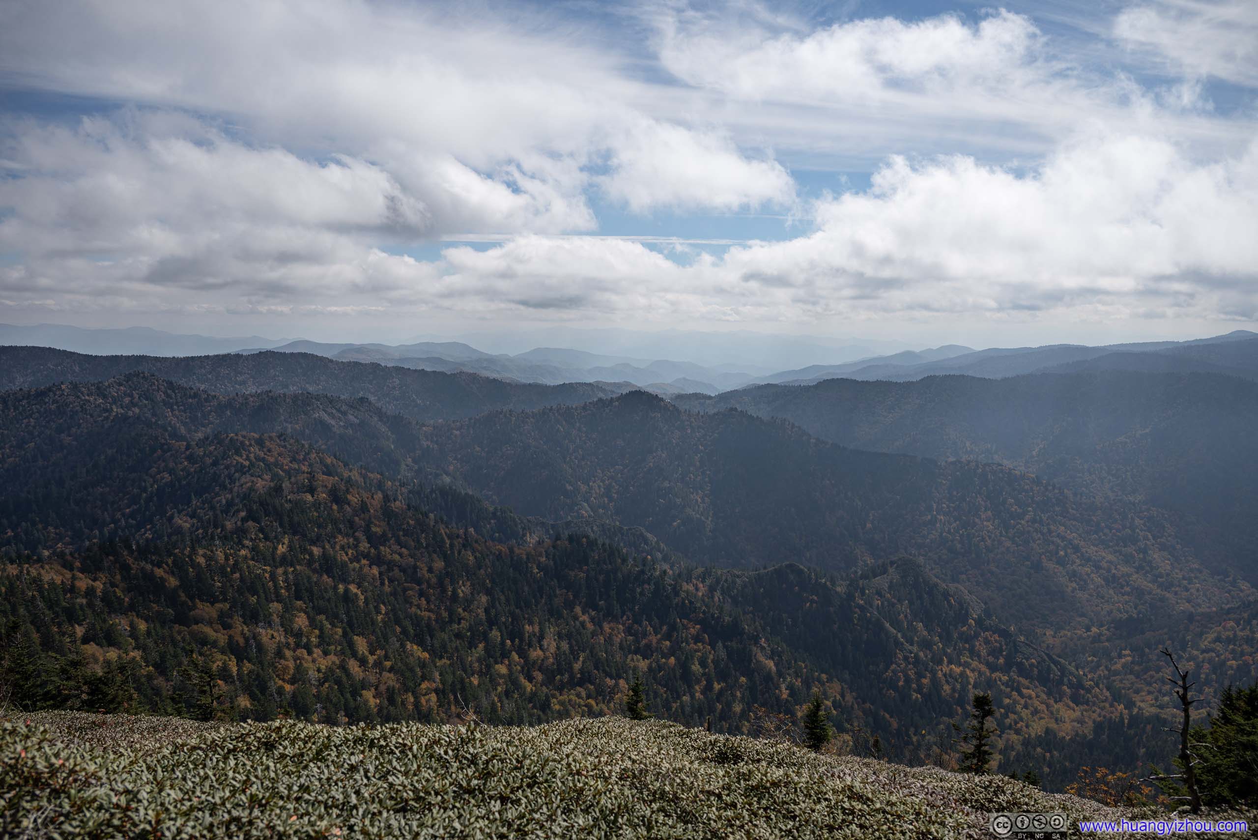
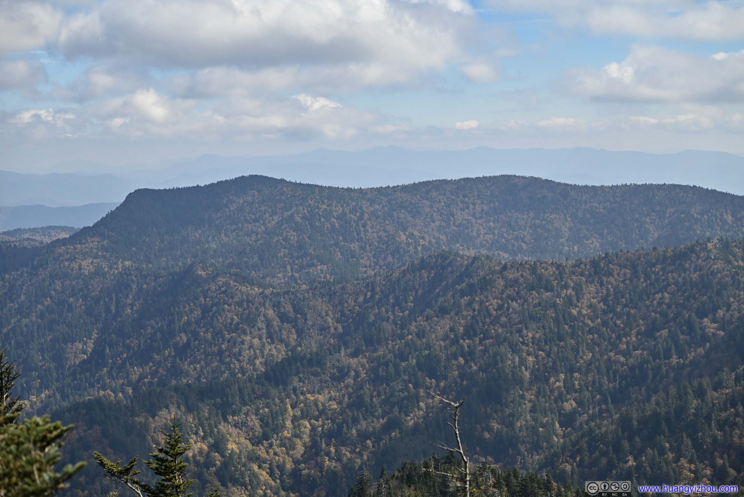
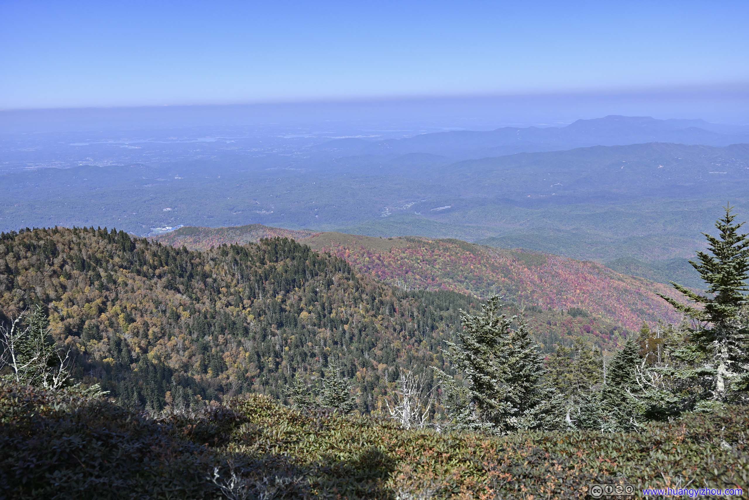
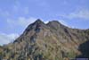
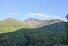
About 3km from the trailhead, the trail reached its first overlook, with views of surrounding mountains. Many opted to take rests at the boulders nearby. In my opinion, the colors of foliage were most stunning between this overlook and Alum Cave, at 3.5km.
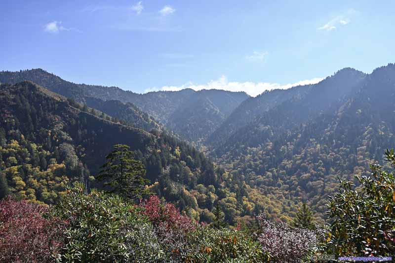 Mountains
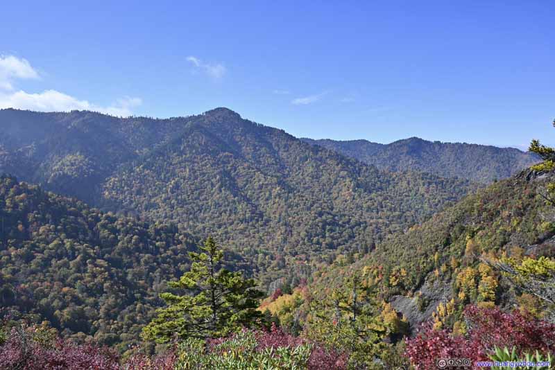 Mountains
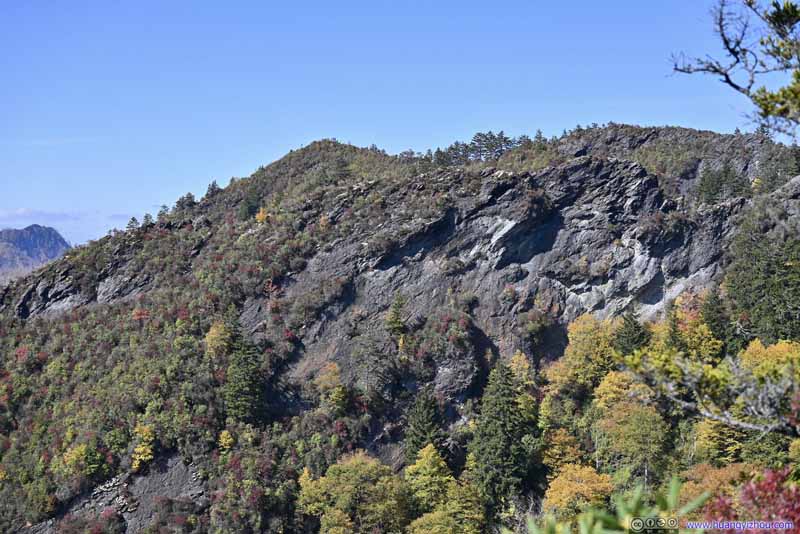 Mountains
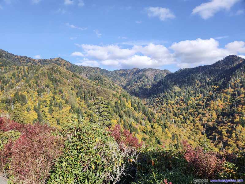 Mountains

Click here to display photos from the first overlook.
Mountains
Mountains

Mountains

Mountains
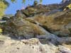
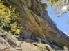
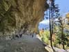
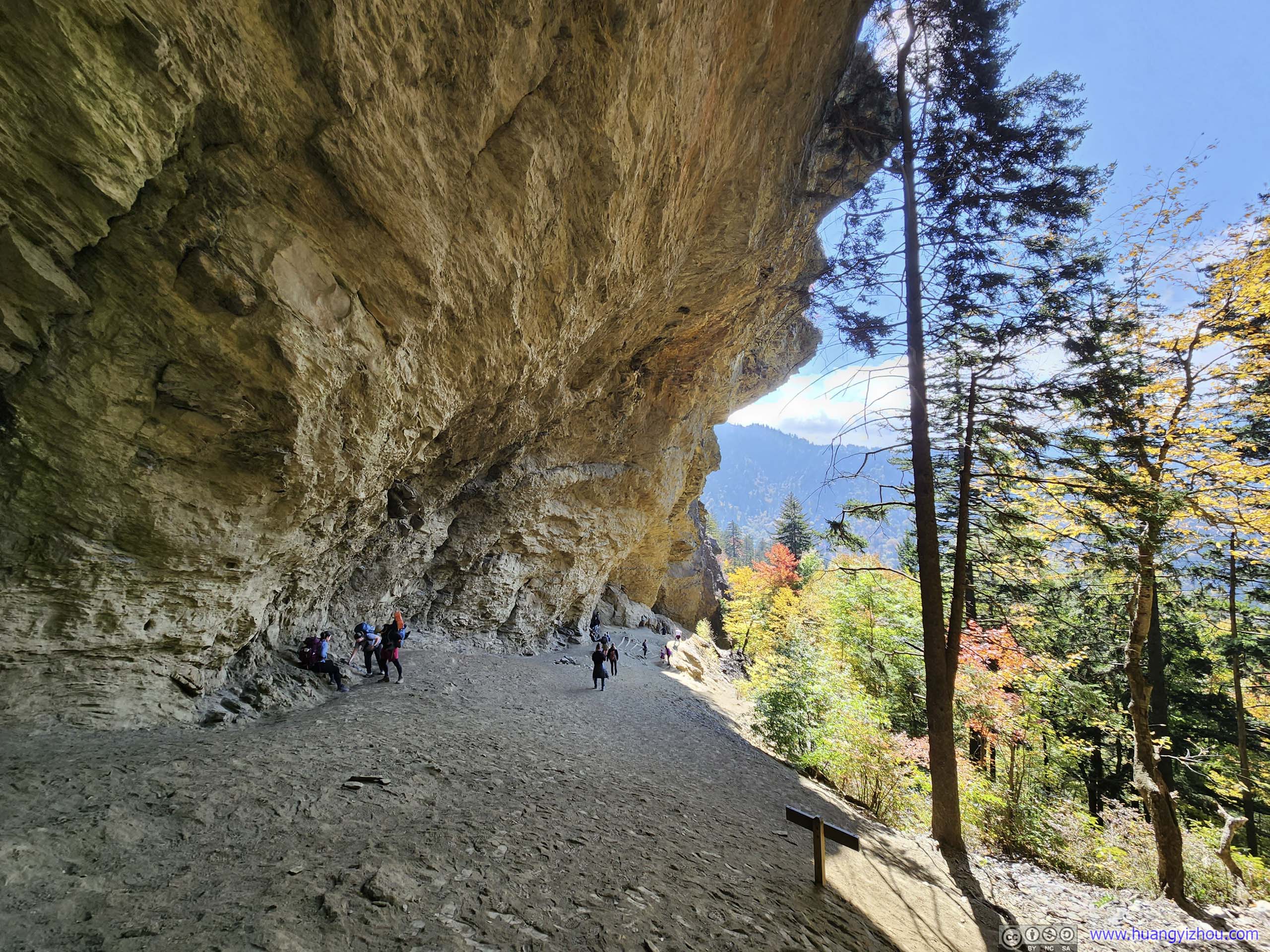
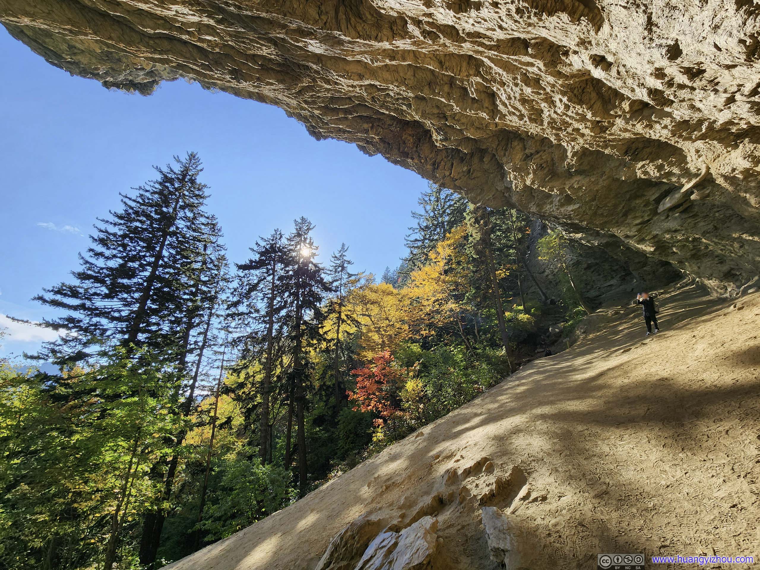
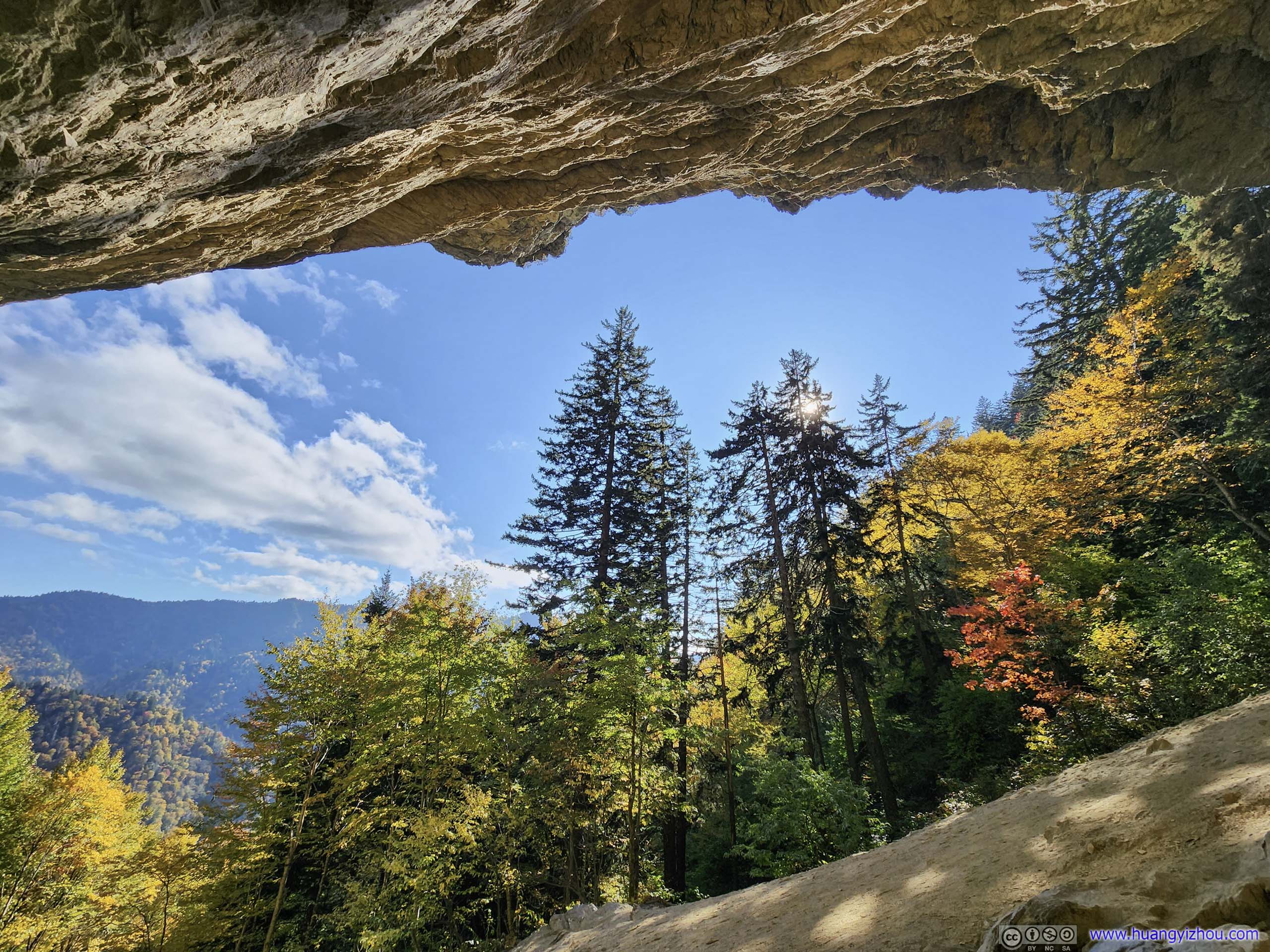
Finally, at 11:30am, I reached Alum Cave, which, despite its name, was an alcove created by some overhanging cliffs. The angle of the rocky bluff made for some exciting sights, however, the trail underneath it was dusty and on a significant incline. Most hikers on the trail made Alum Cave their destination.
 Alum Cave
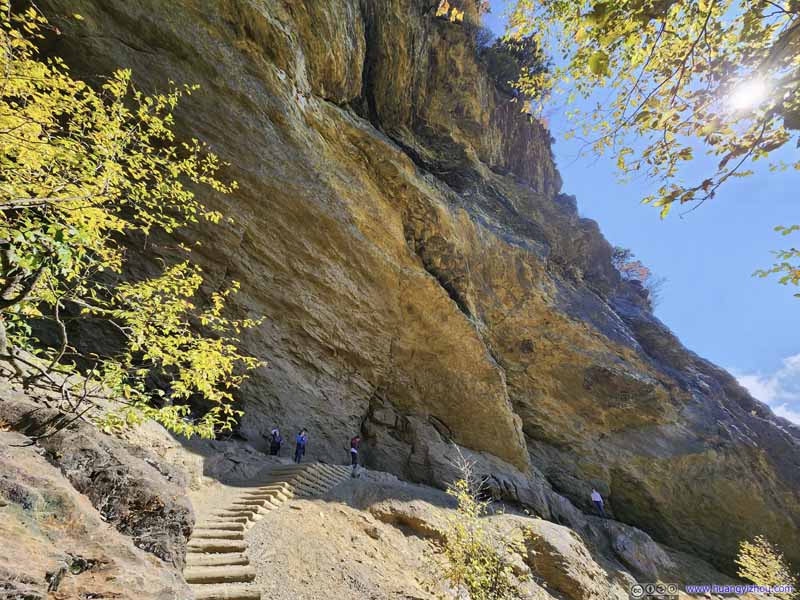 Entrance to Alum Cave
 Cliff of Alum Cave
 Cliff of Alum Cave
 View from Alum Cave
 View from Alum Cave
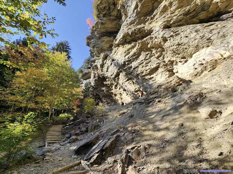 Alum Cave

Click here to display photos from Alum Cave.
Alum Cave

Entrance to Alum Cave
Cliff of Alum Cave

Cliff of Alum Cave
View from Alum Cave
View from Alum Cave

Alum Cave
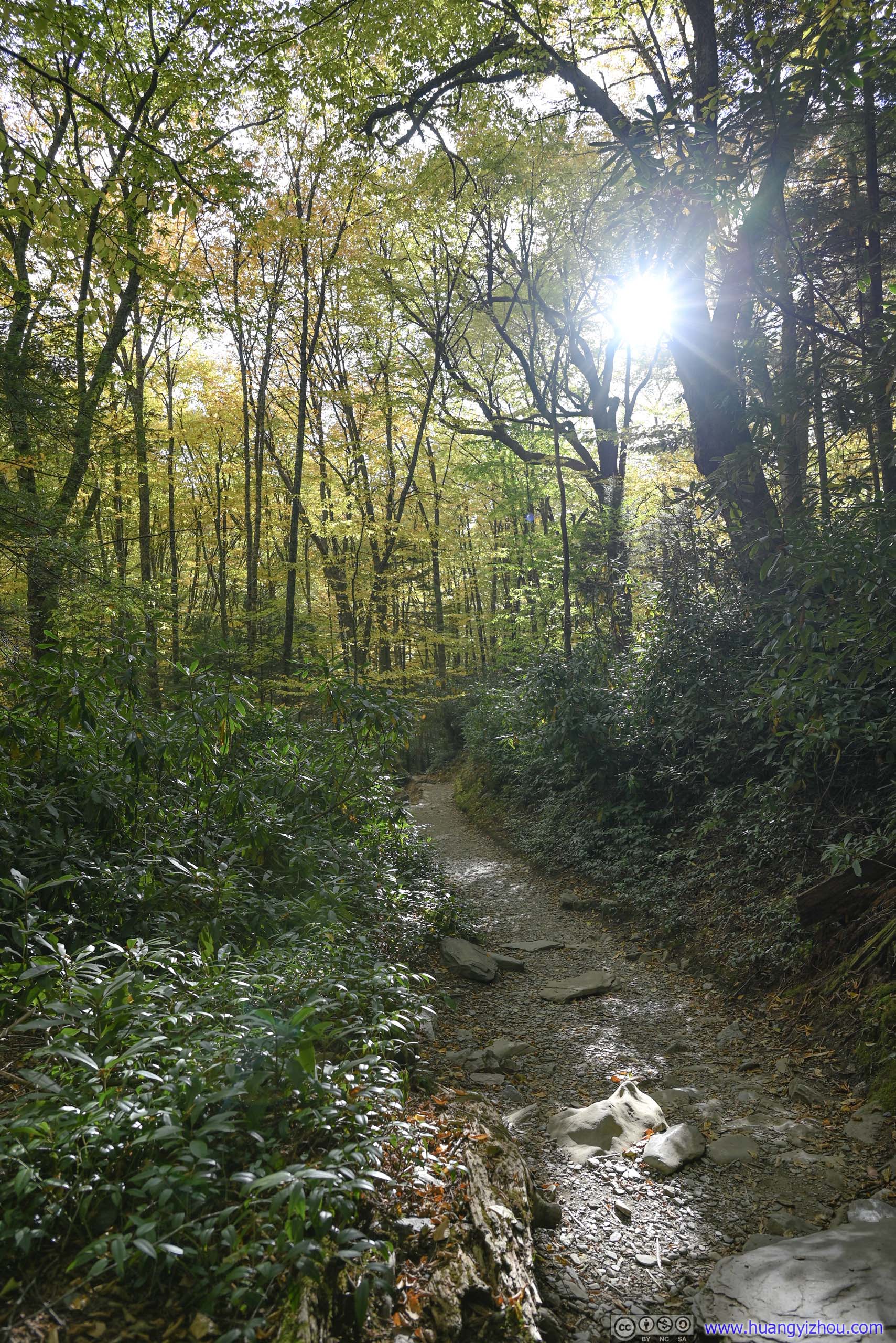
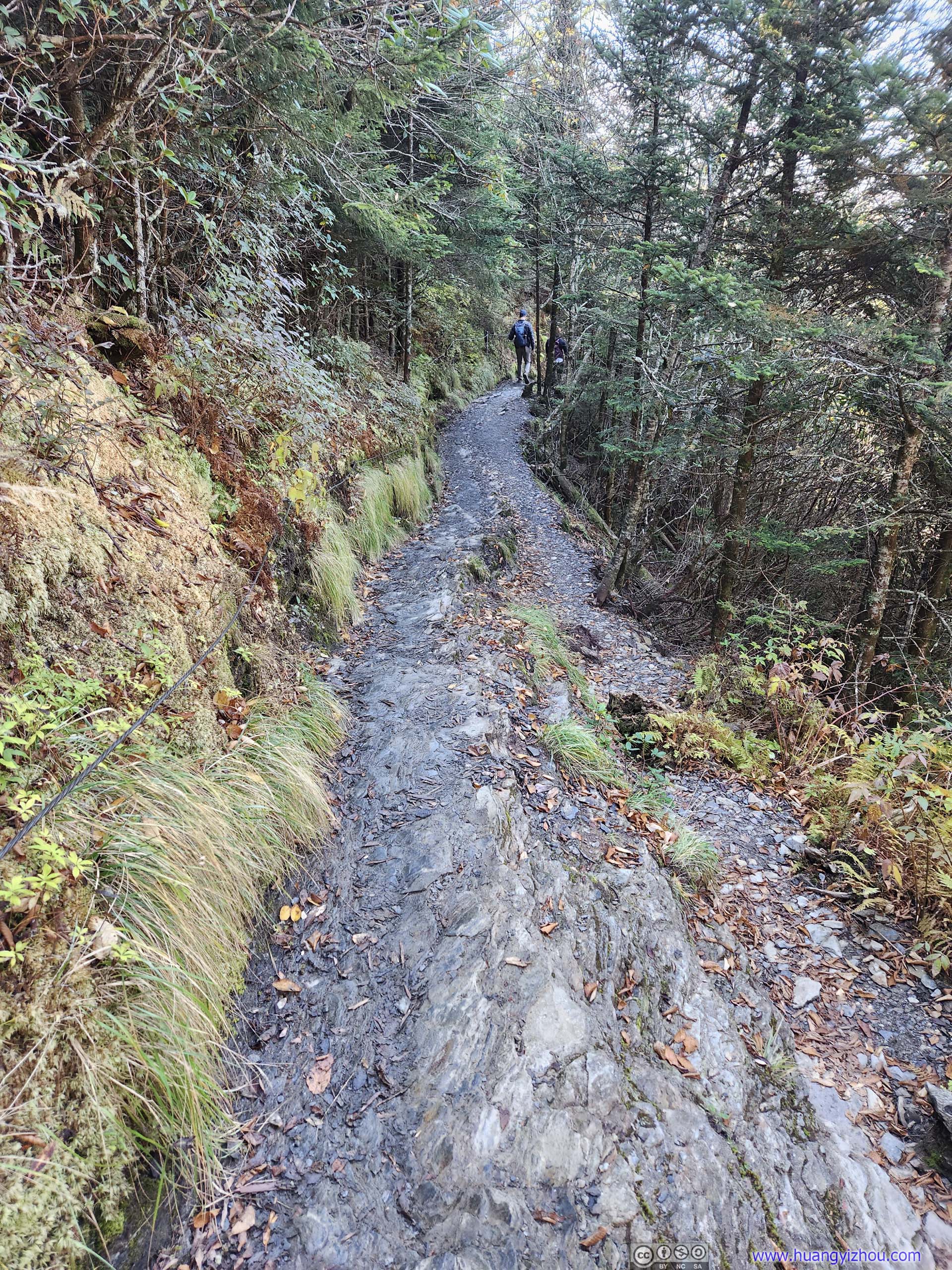
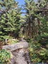
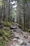
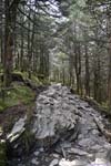
After some photos and rests at Alum Cave, I continued the hike just before noon. The trail was noticably quieter beyond Alum Cave.
 Trail
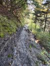
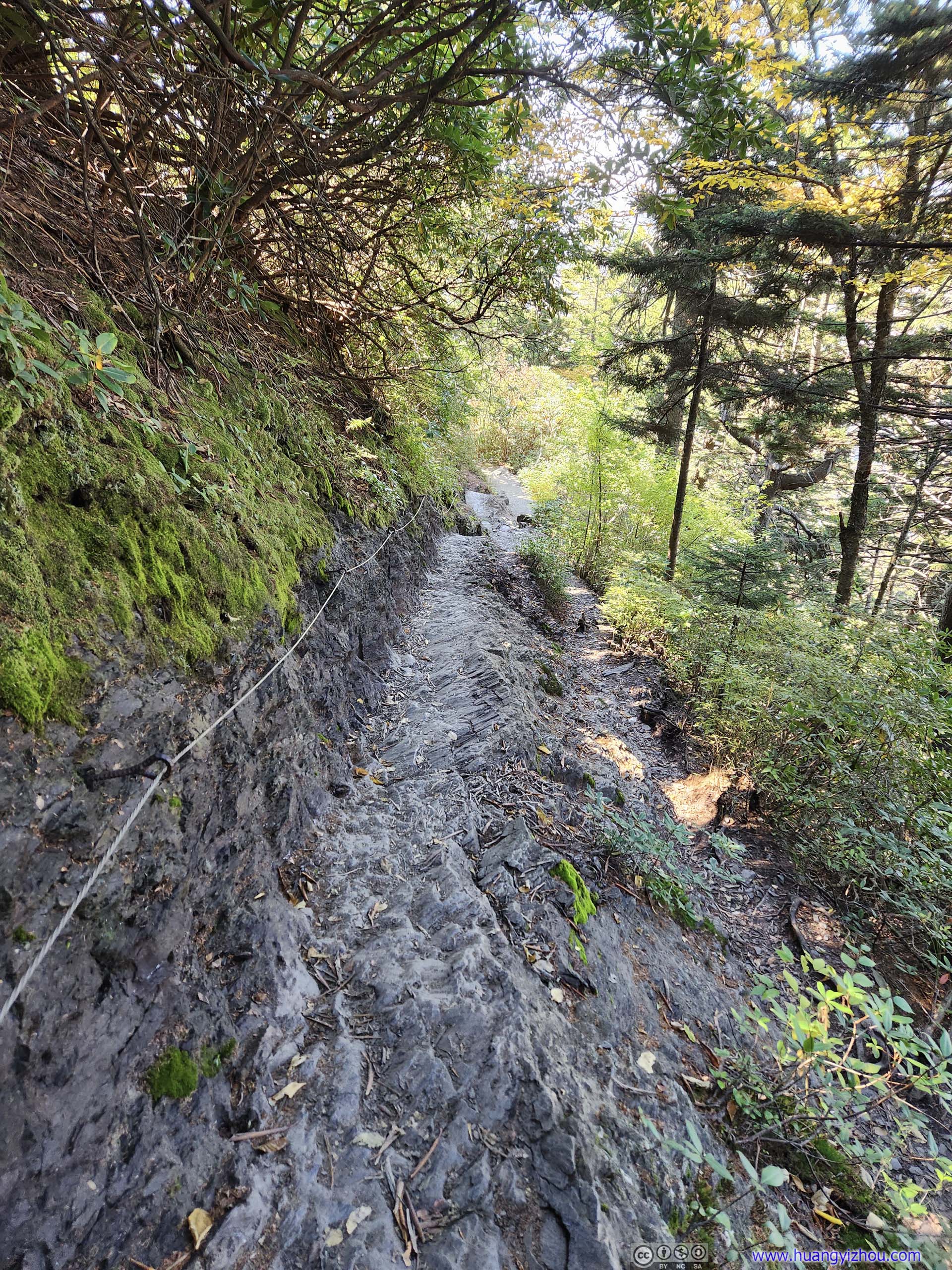
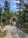
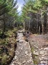
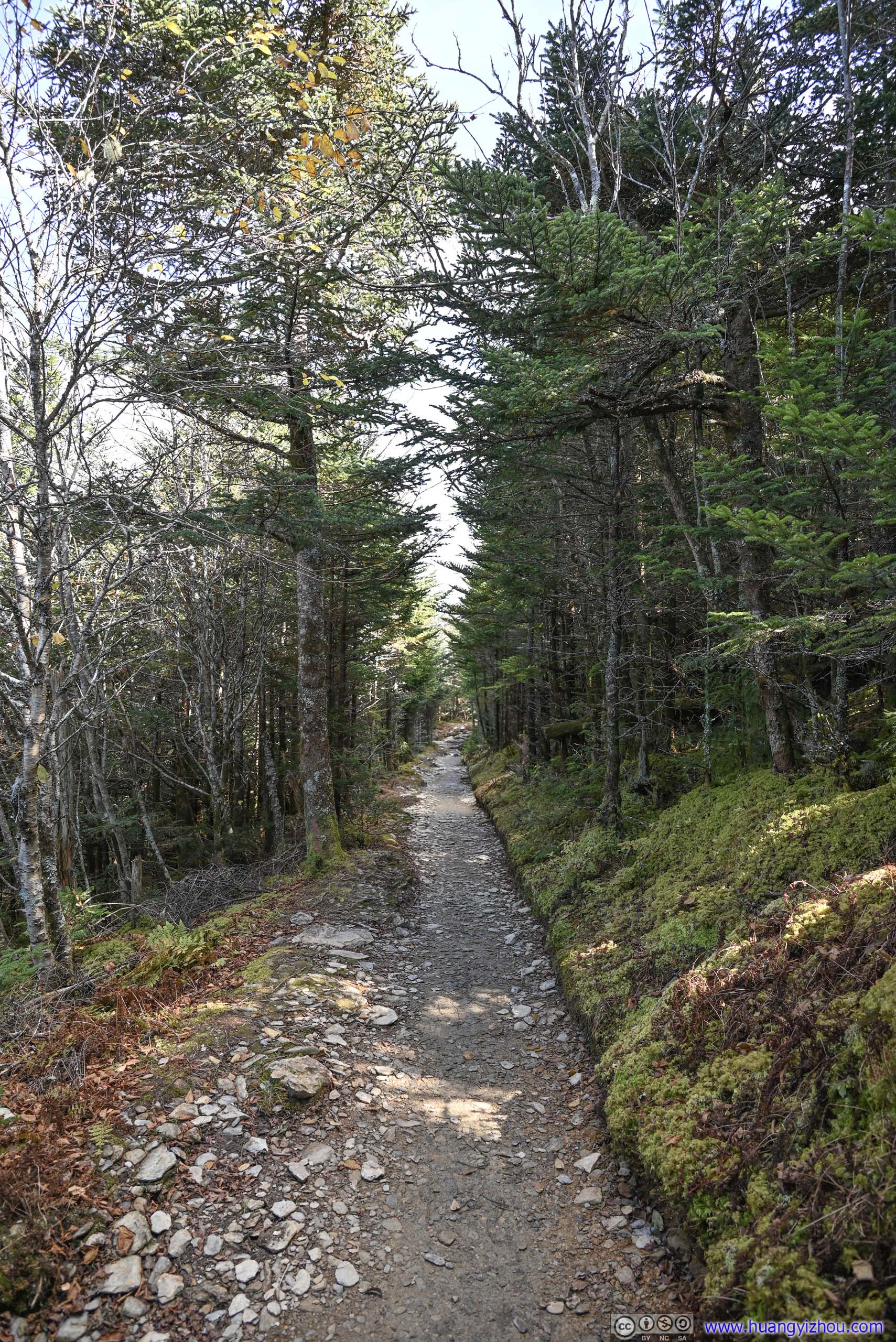
Along certain sections of the trail cables were installed as handrails. In my opinion they were totally redundant when the trail was dry (it may be a different story in icy winters).
Trail
Along certain sections of the trail cables were installed as handrails. In my opinion they were totally redundant when the trail was dry (it may be a different story in icy winters).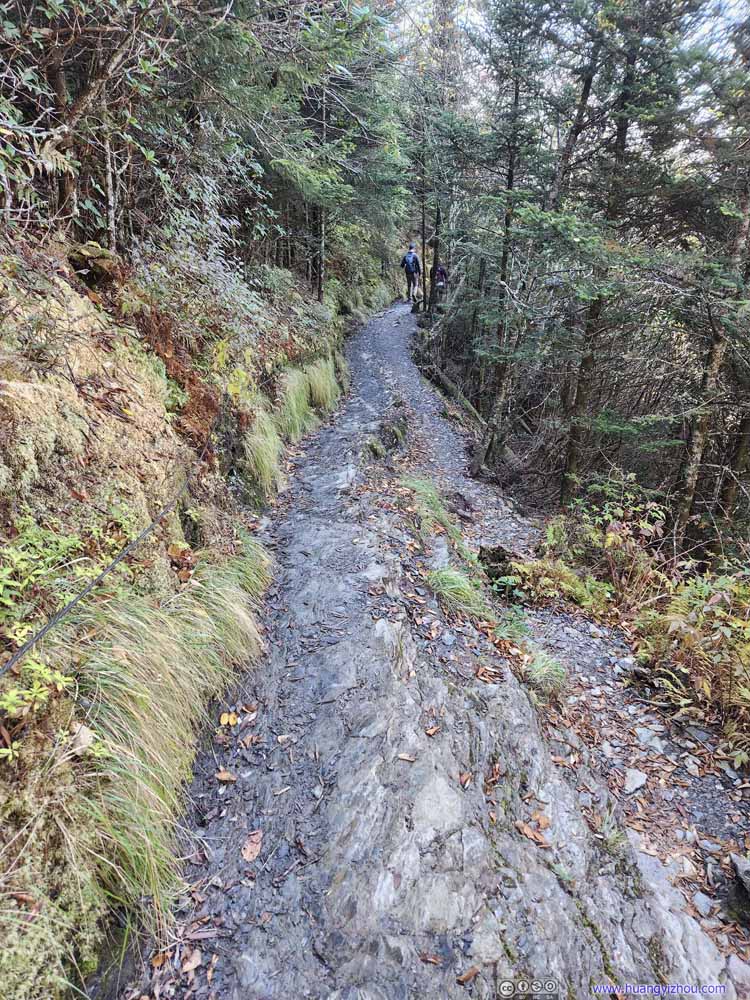 Trail
Along certain sections of the trail cables were installed as handrails. In my opinion they were totally redundant when the trail was dry (it may be a different story in icy winters).
Trail
Along certain sections of the trail cables were installed as handrails. In my opinion they were totally redundant when the trail was dry (it may be a different story in icy winters).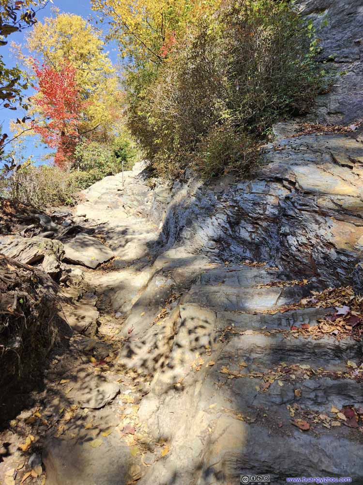 Cliffs
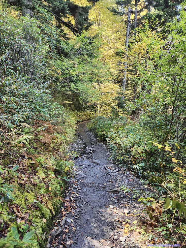 Trail
Trail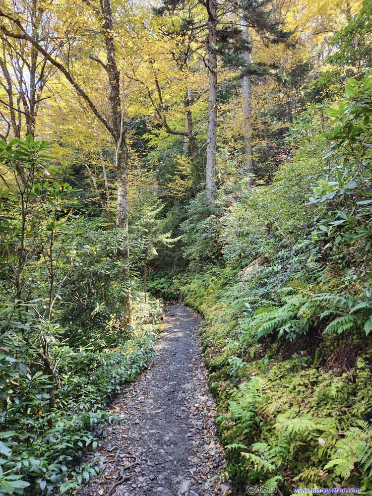 Trail
Trail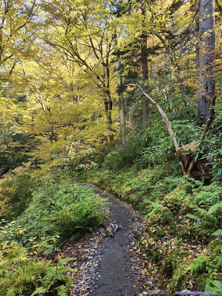 Trail
Trail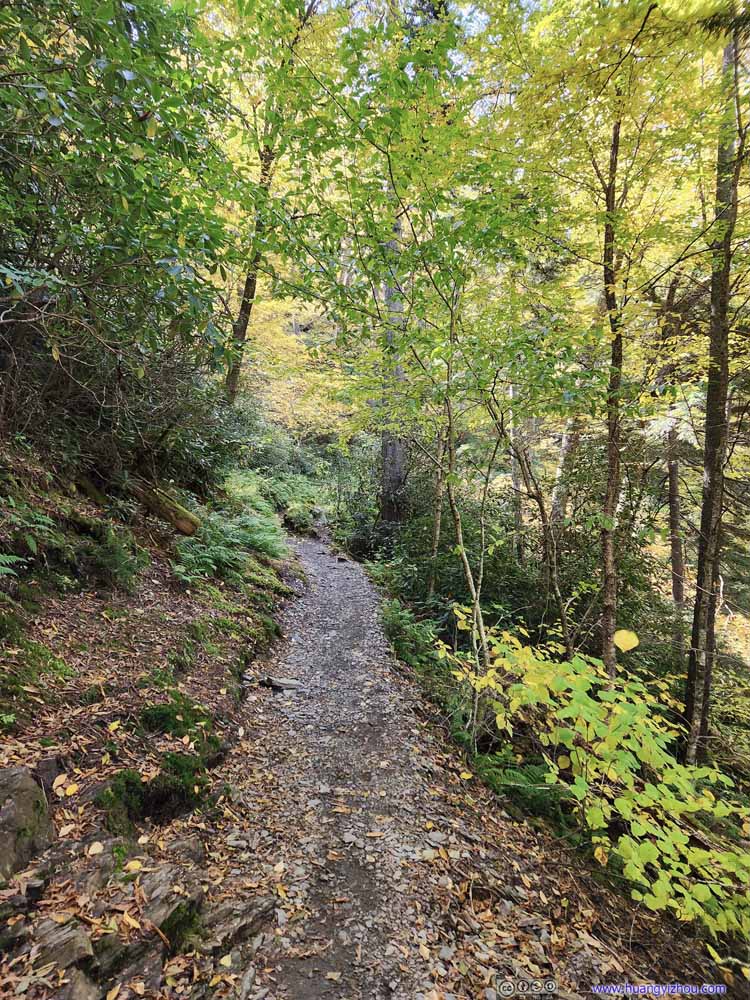 Trail
Trail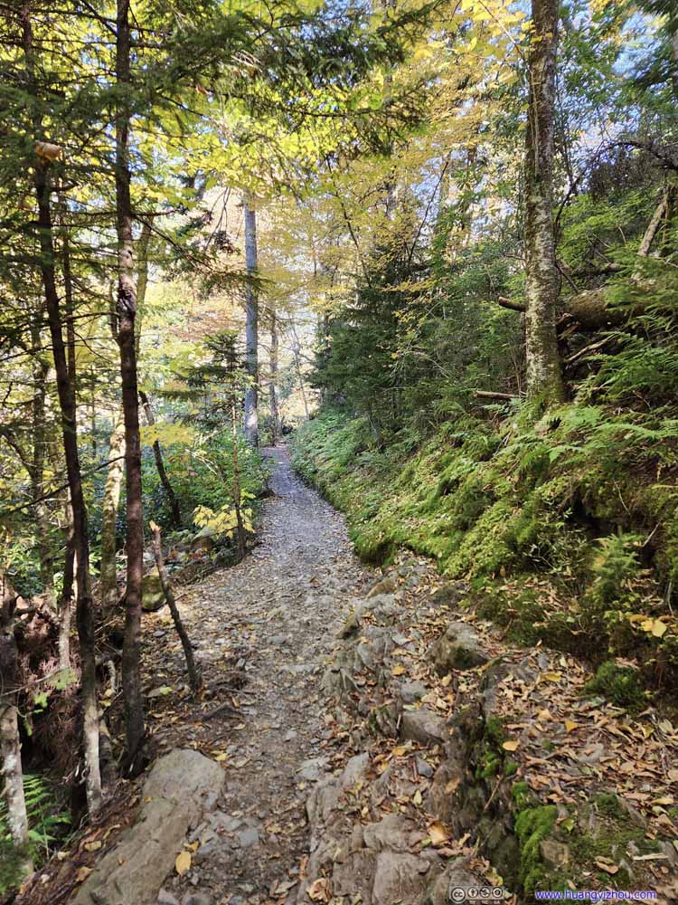 Trail
Trail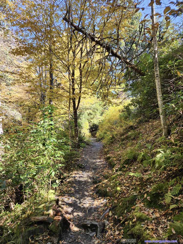 Trail
Trail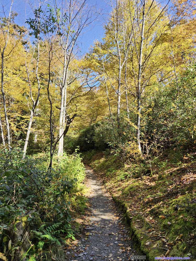 Trail
Trail Trail
Trail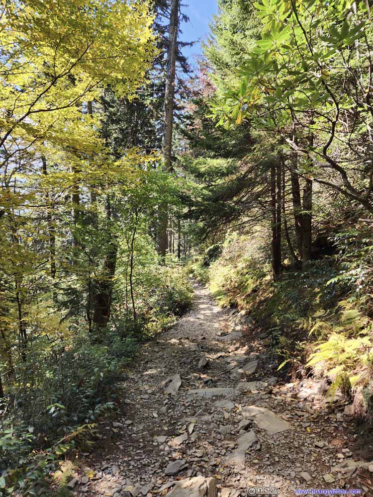 Trail
Trail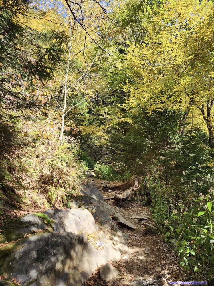 Trail
Trail Trail
Trail Trees
Trees Trail
Trail


Click here to display photos of the trail.
 Trail
Trail
Cliffs

Trail

Trail

Trail

Trail

Trail

Trail

Trail
Trail

Trail

Trail

Trail
Trees
Trail
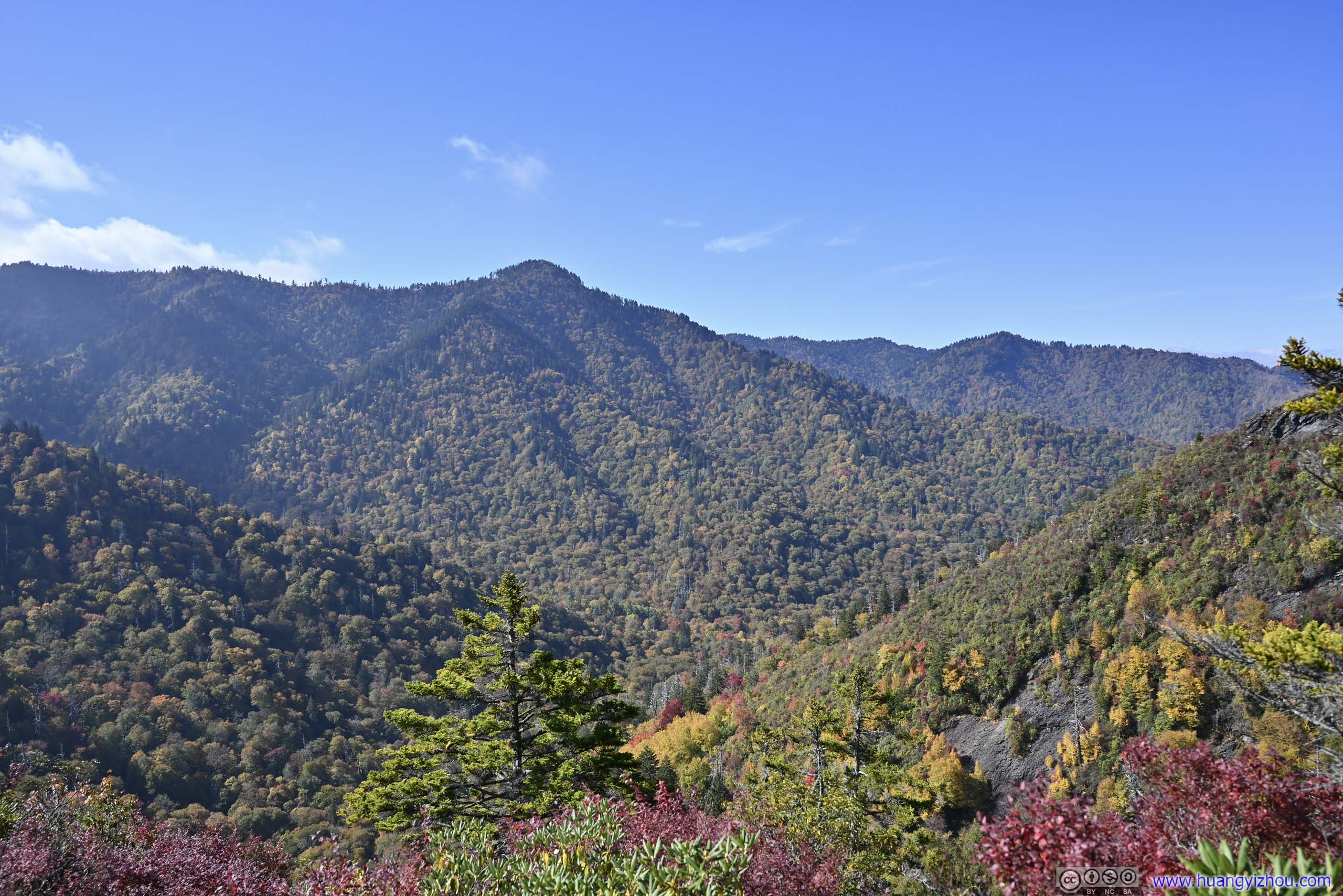
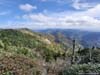
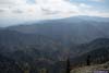
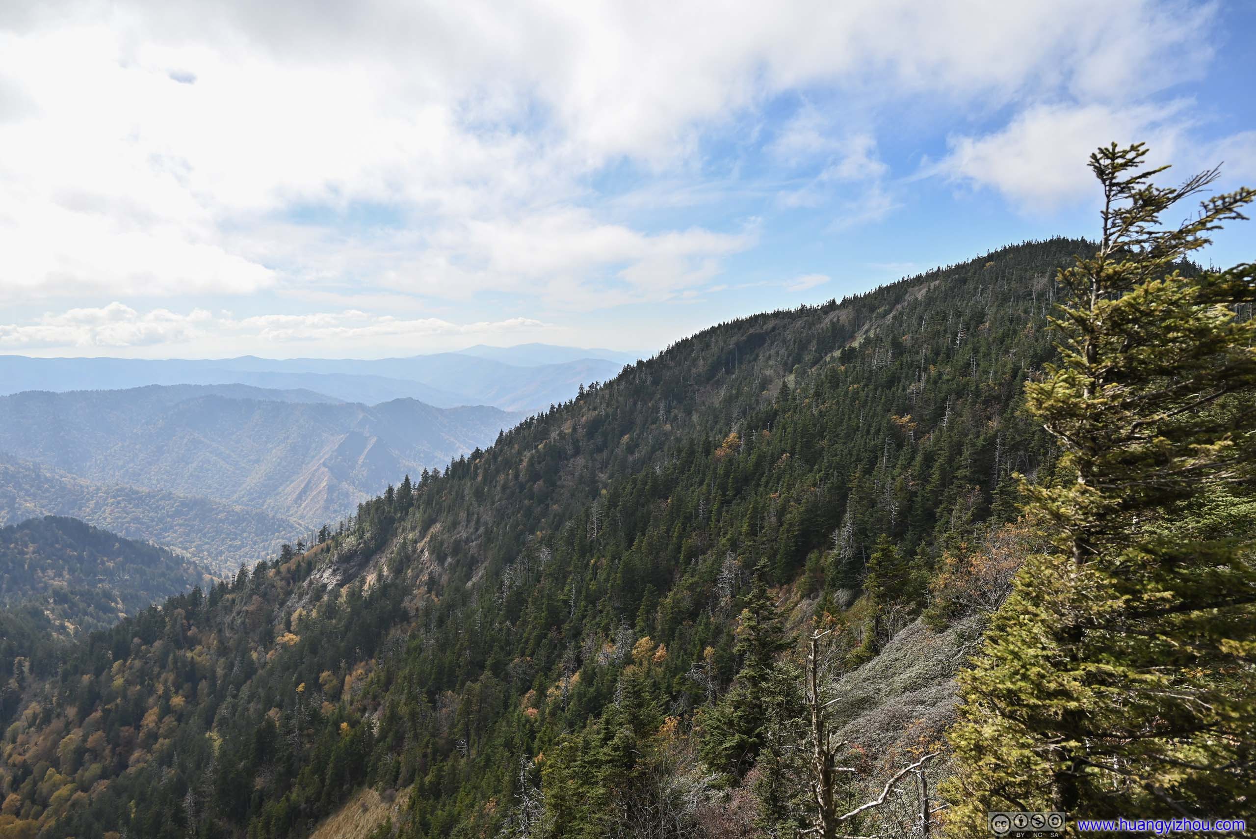
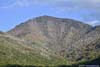
Along the way there were a few overlooks, none as exciting as the first one though.
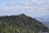
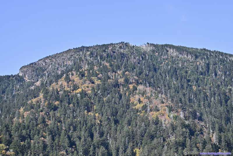 Mount LeConteThe cliffs of “Cliff Top” clearly visible in the left.
 Mountains
 MountainsCalled “West Point” on maps.
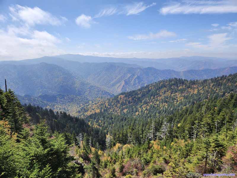 Mountains
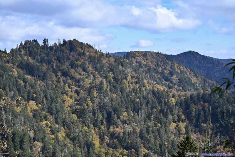 MountainsTo the east, I don’t know their names.

Click here to display photos of the mountains.
Mount LeConteThe cliffs of “Cliff Top” clearly visible in the left.
Mountains
MountainsCalled “West Point” on maps.

Mountains
MountainsTo the east, I don’t know their names.
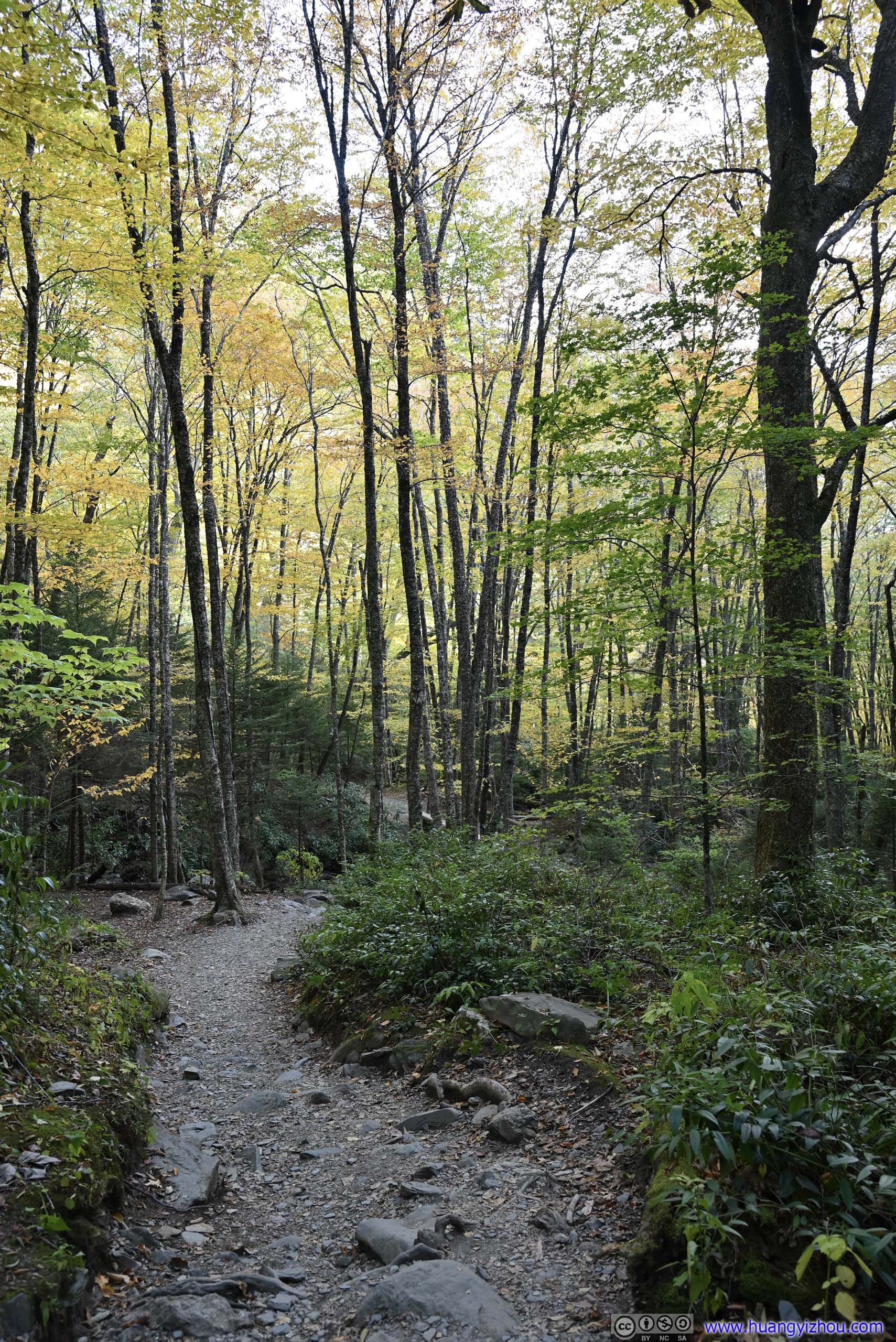
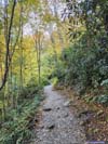
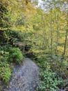
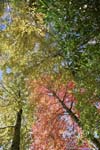
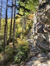
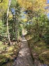
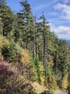
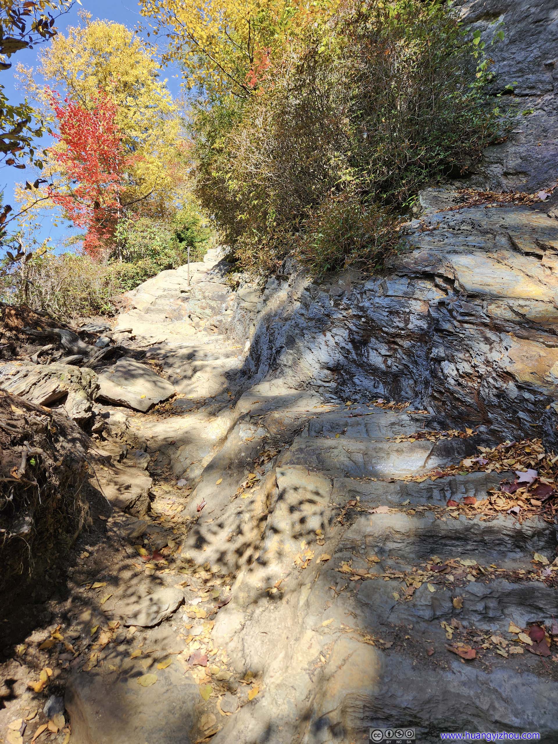
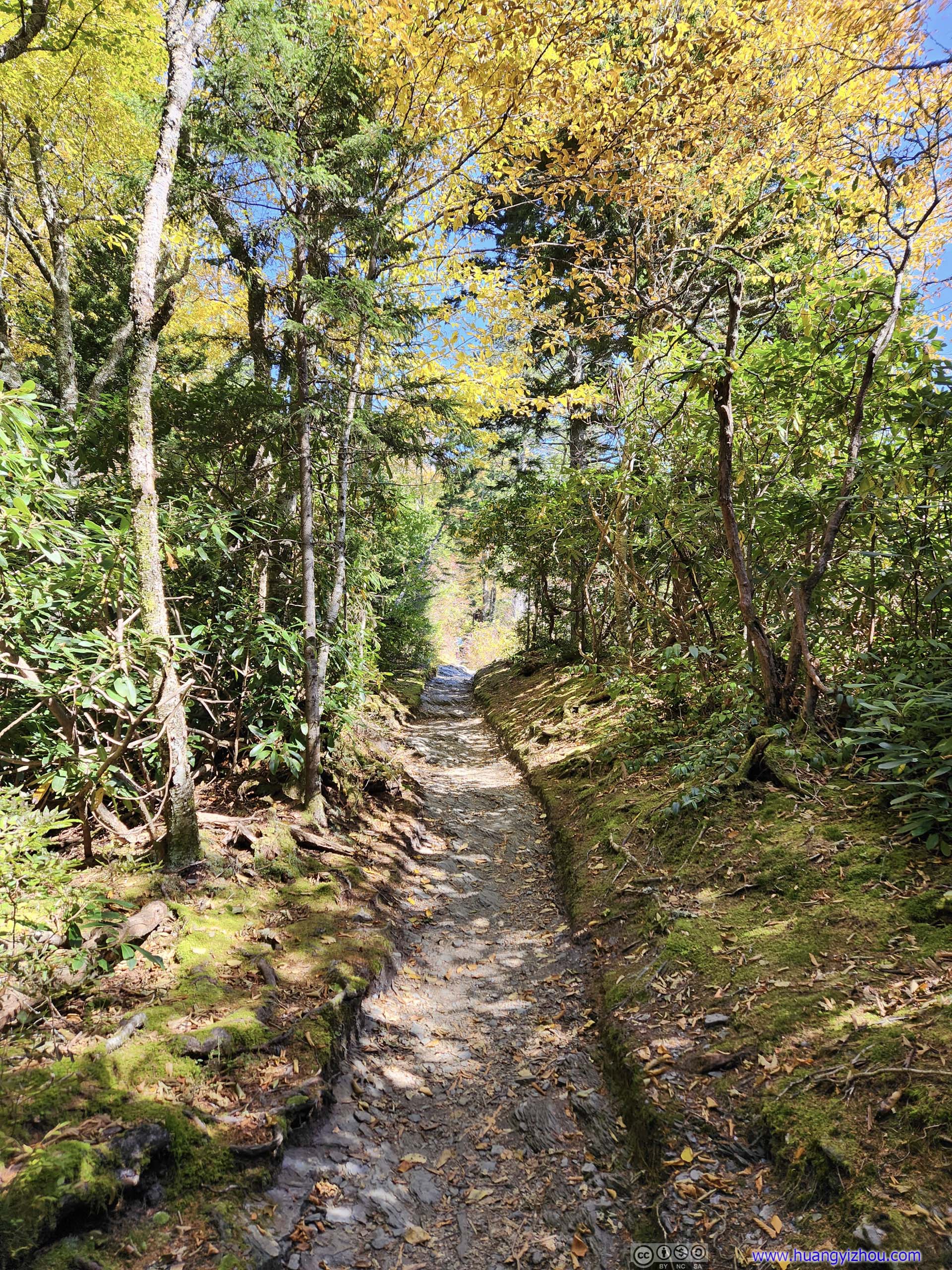
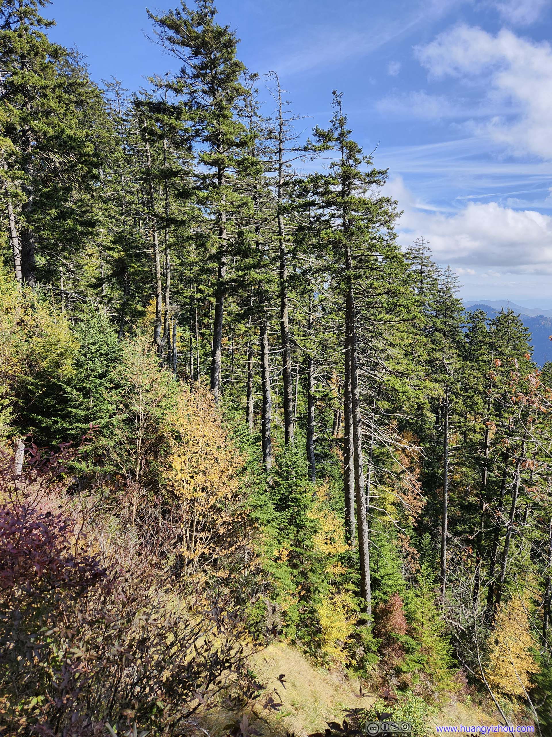
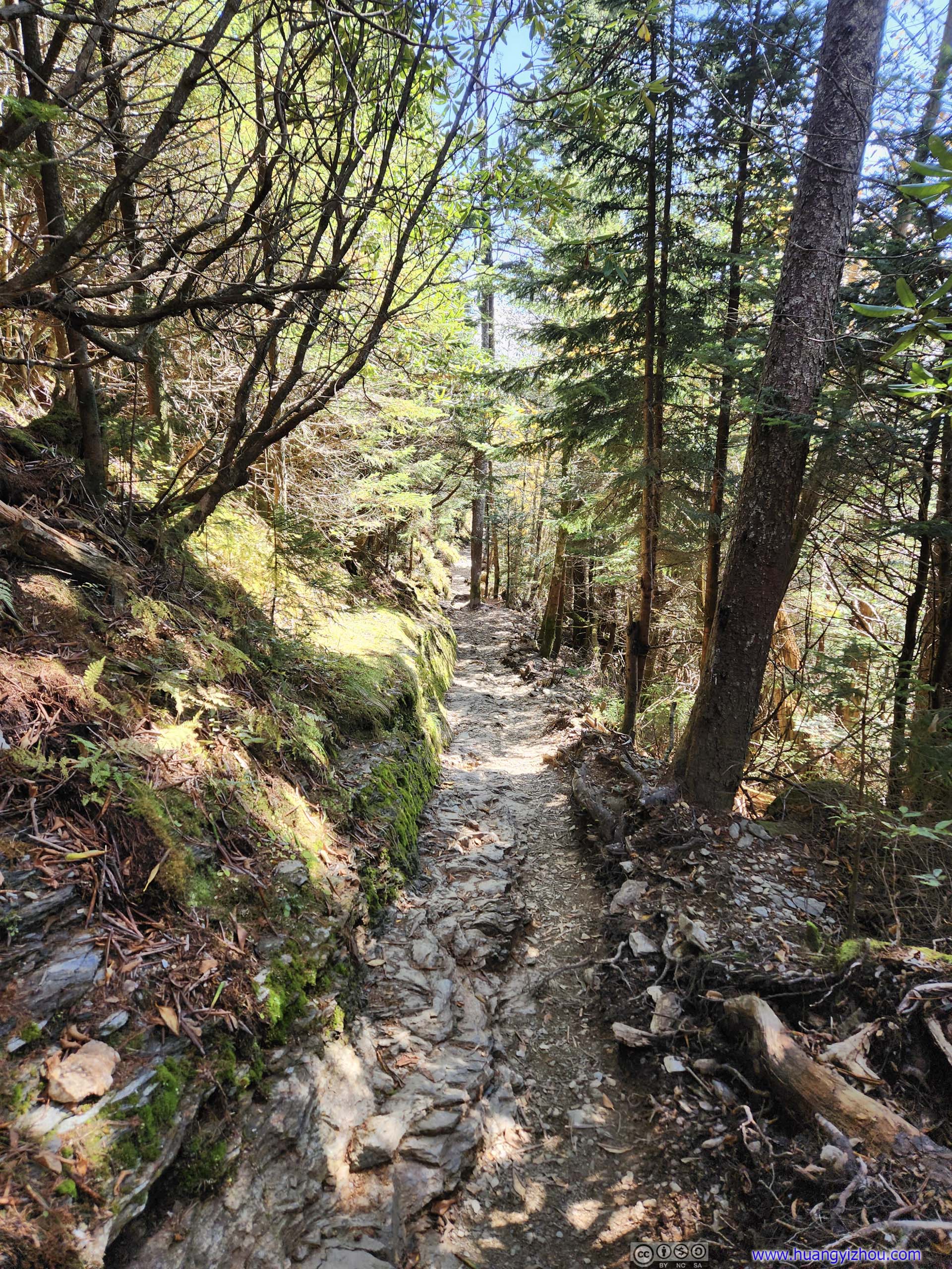
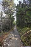
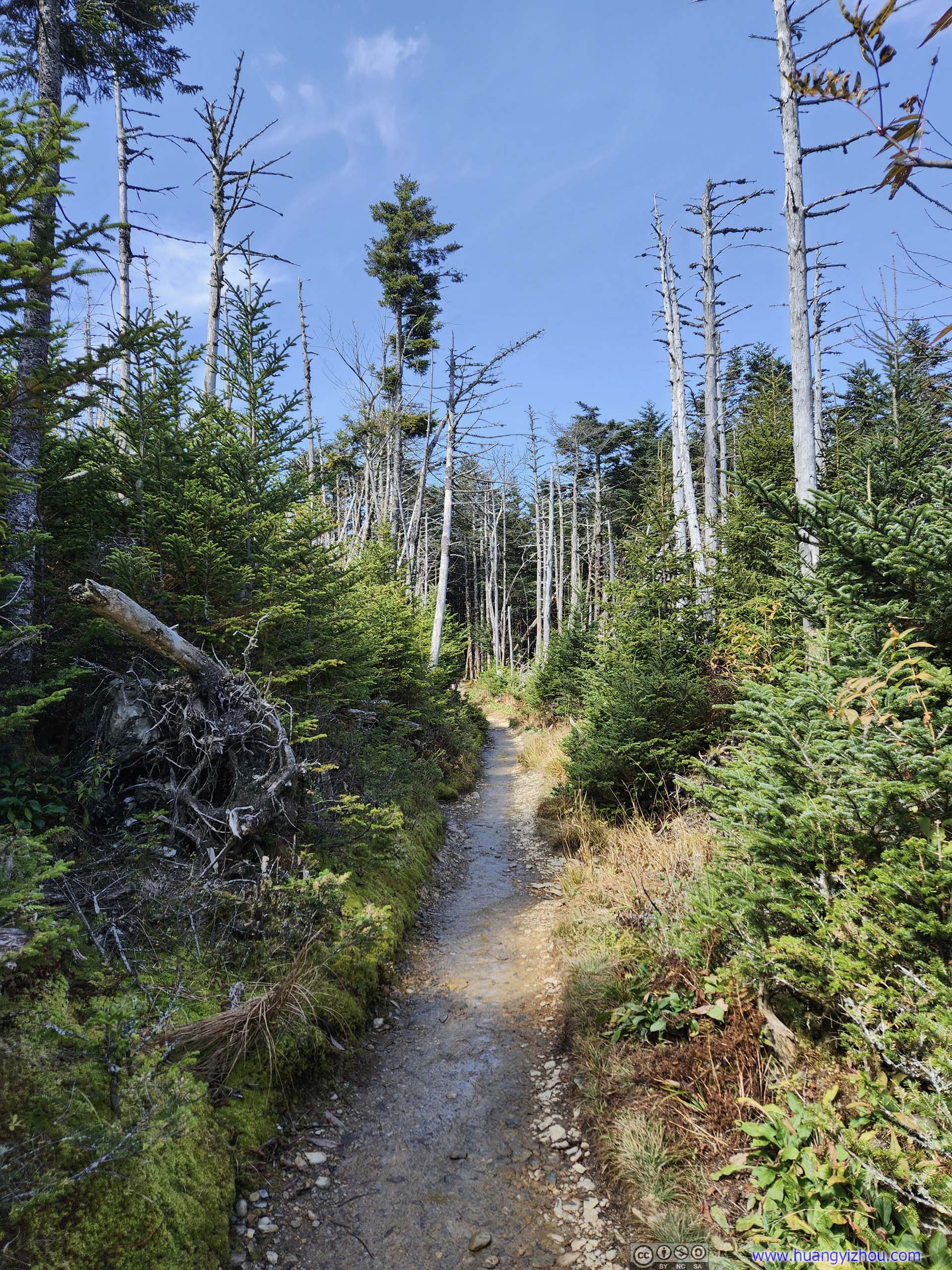
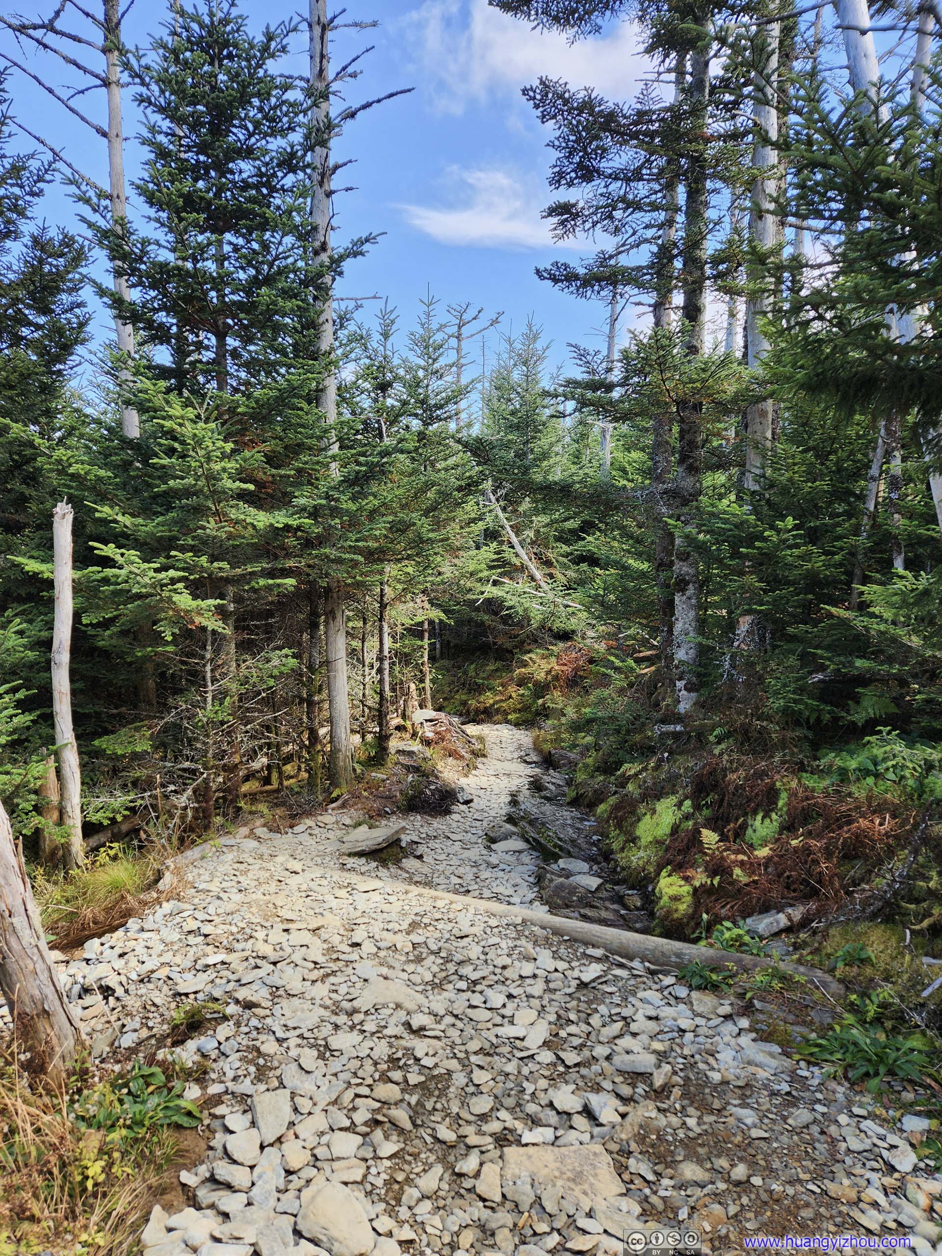
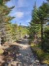
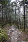
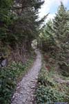
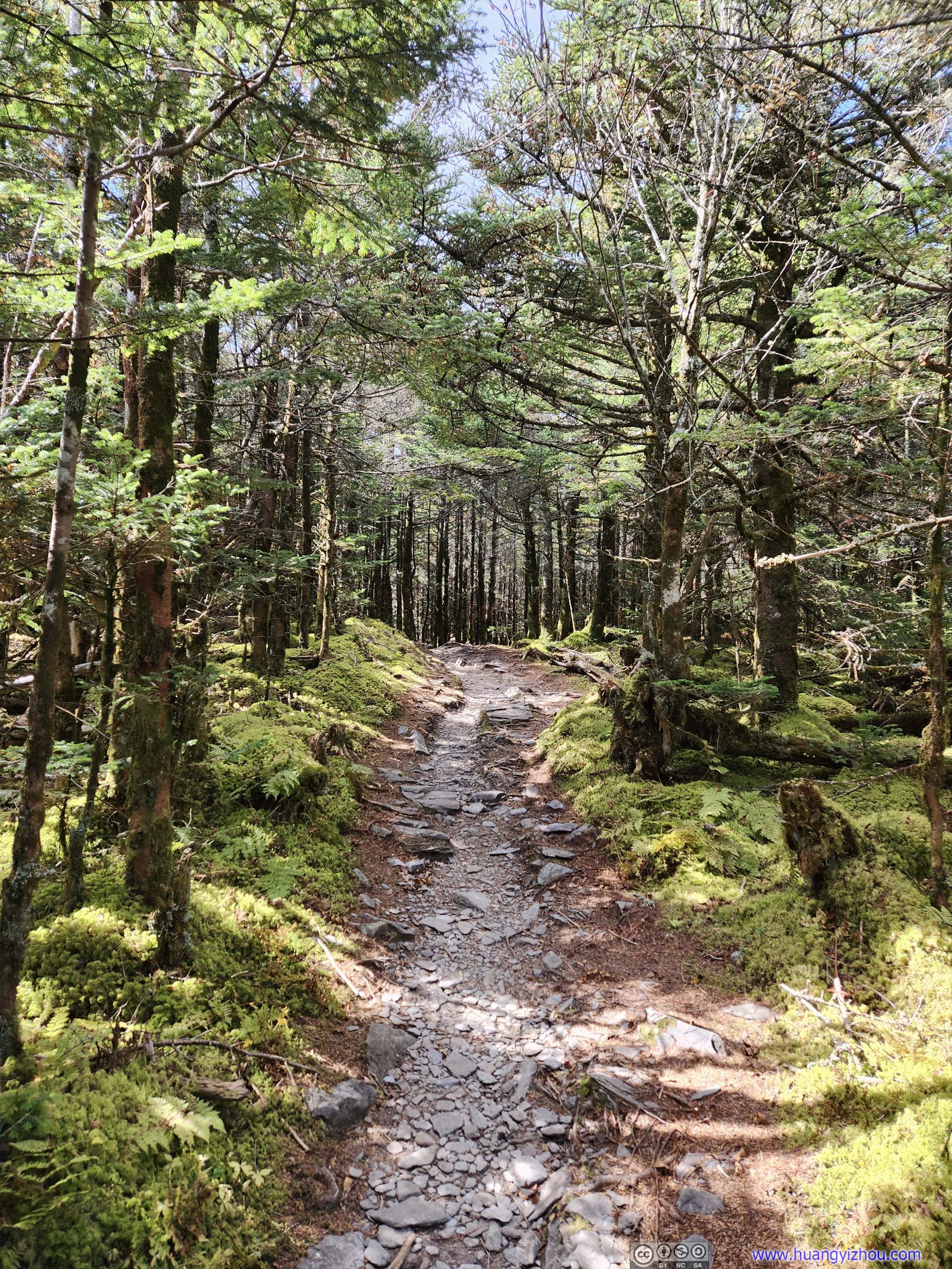
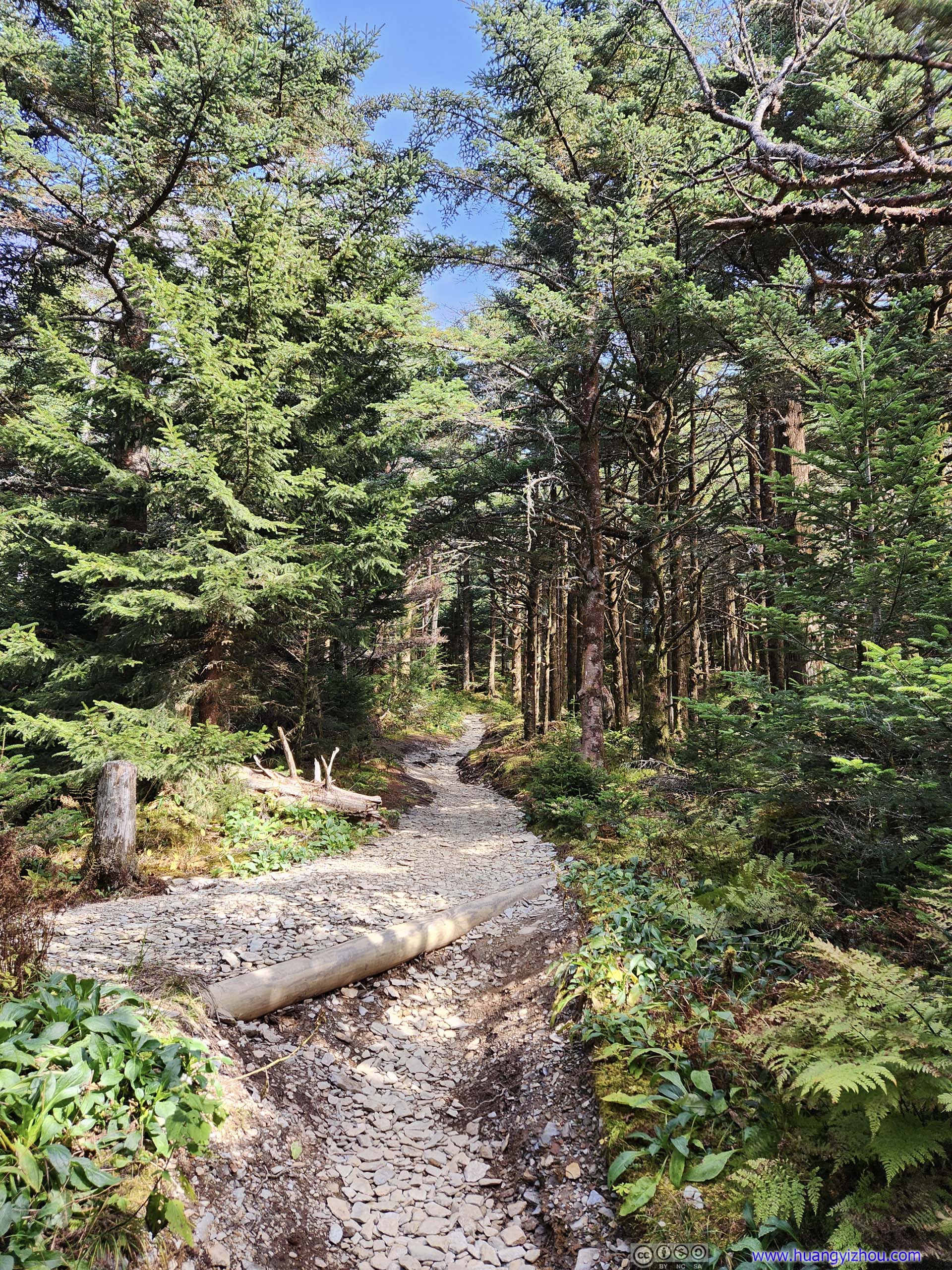
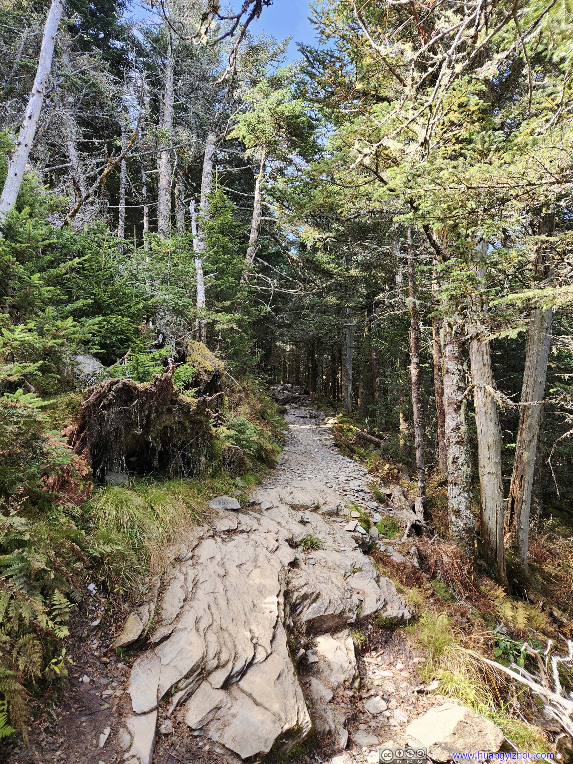
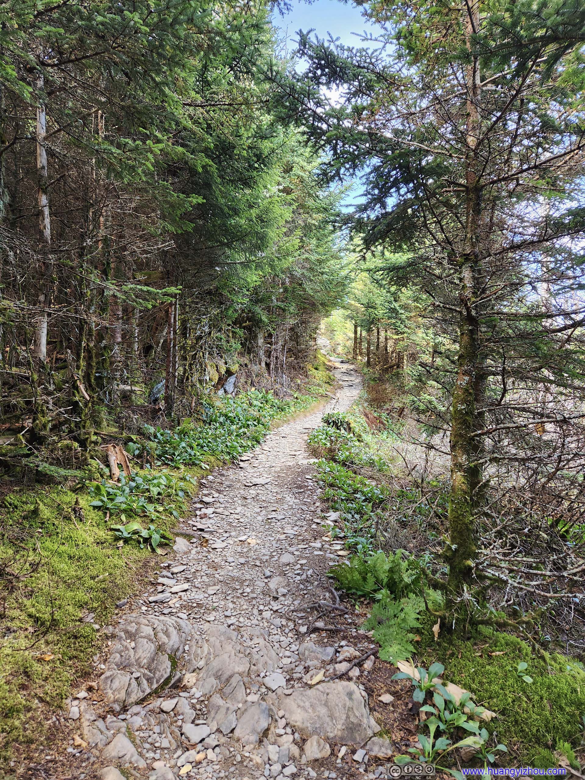
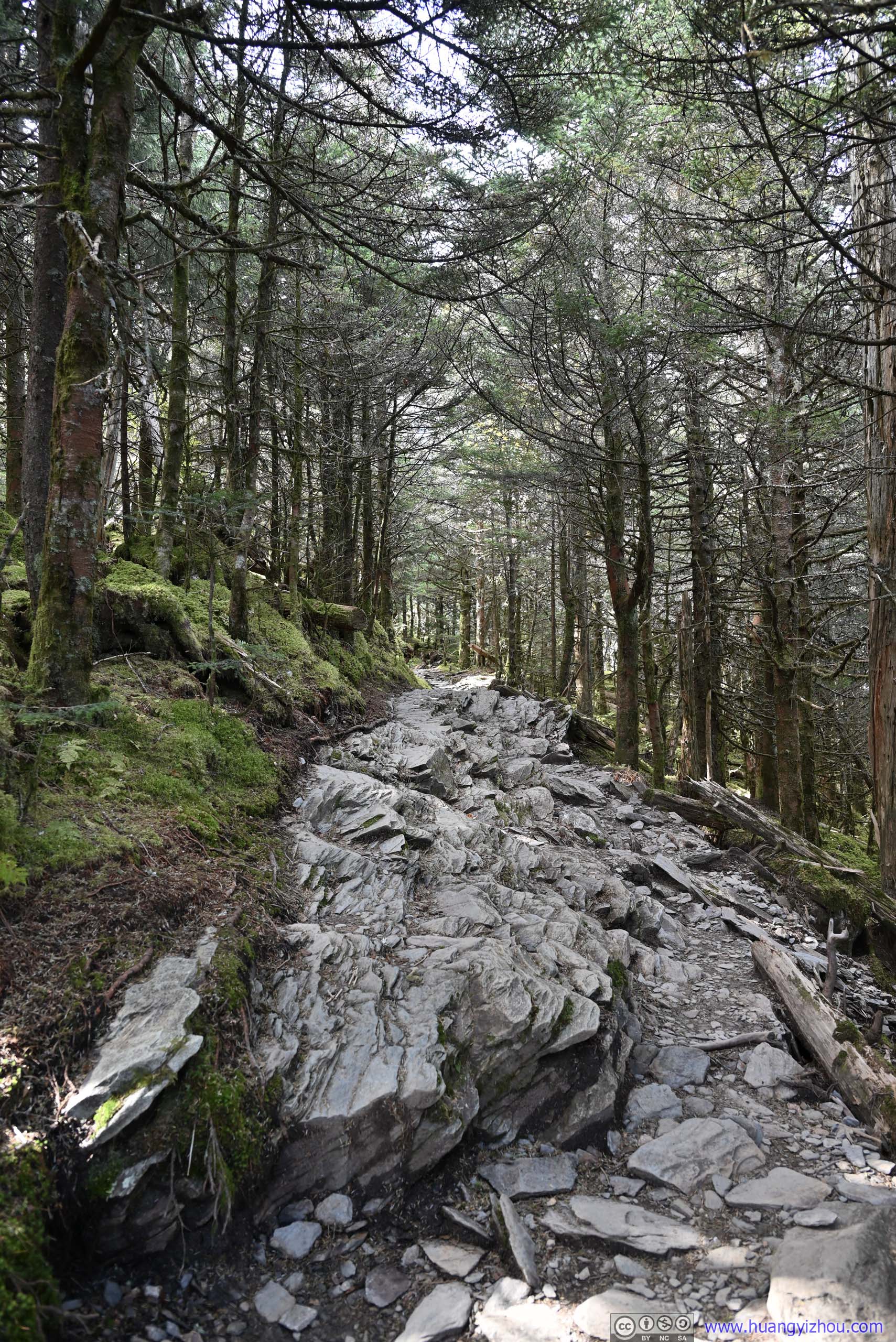
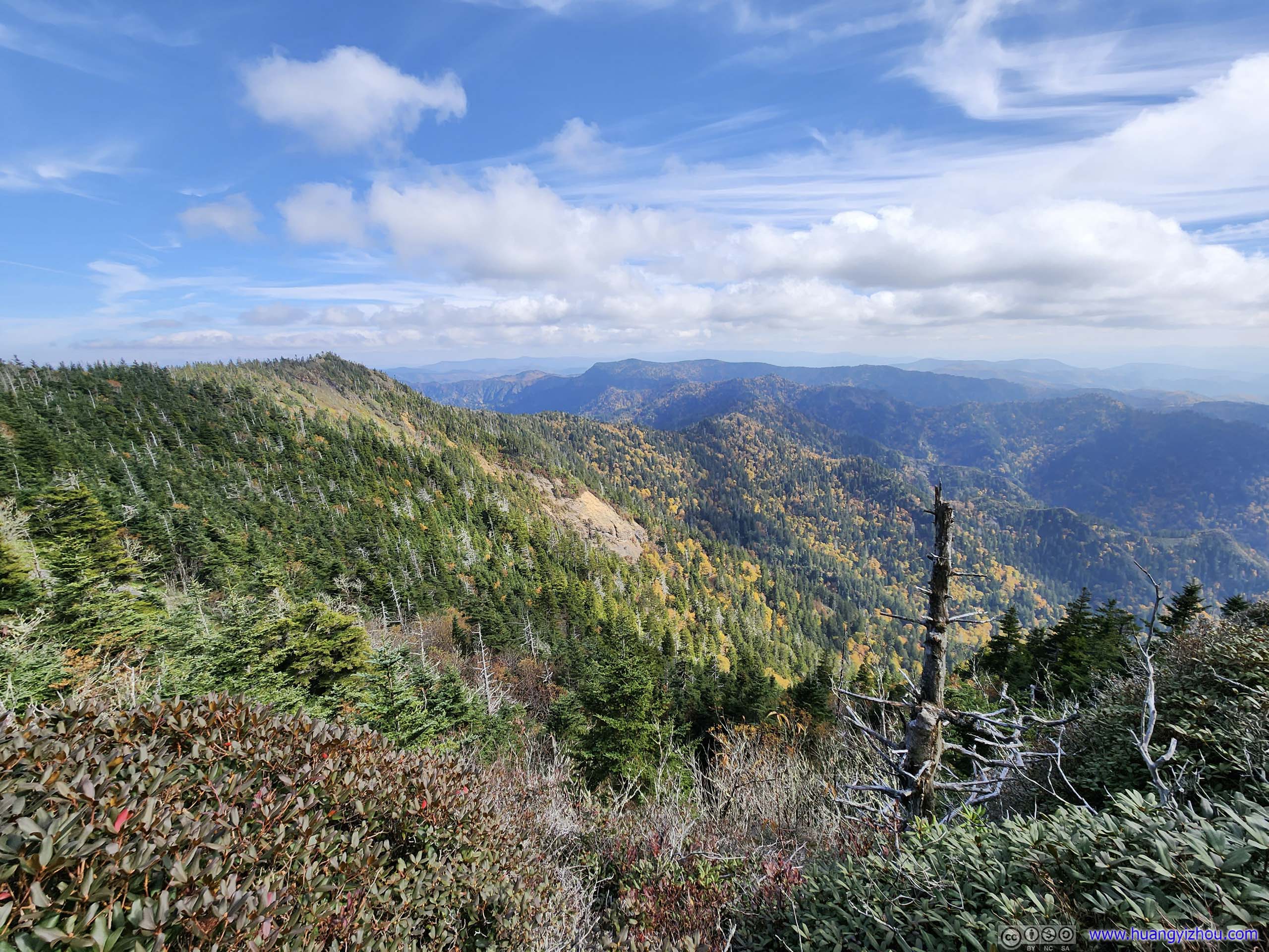
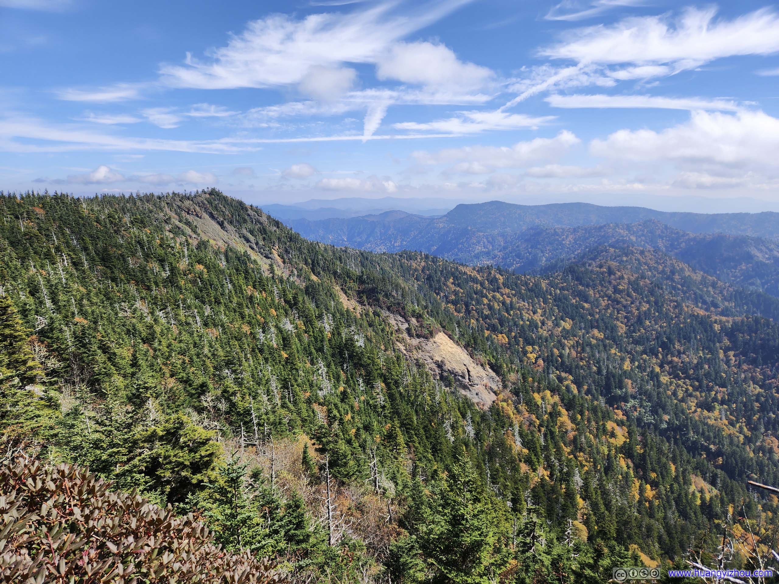
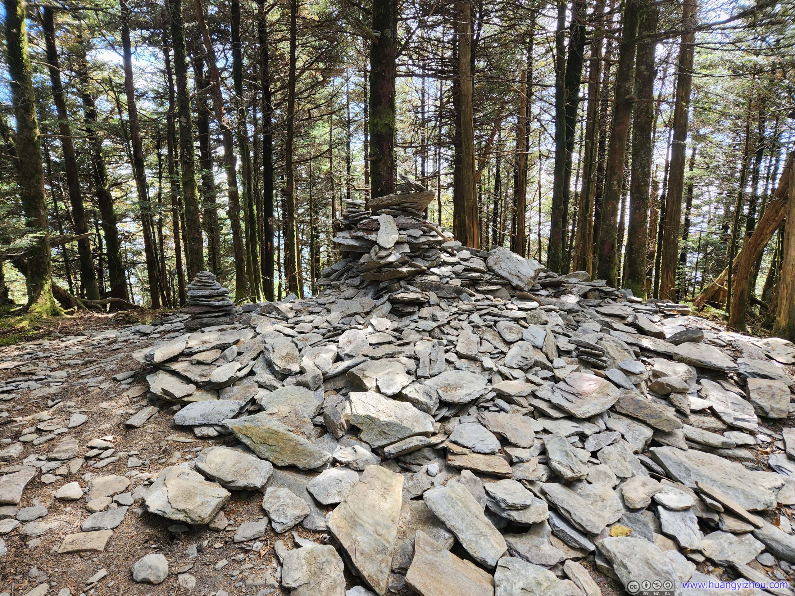
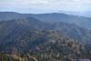
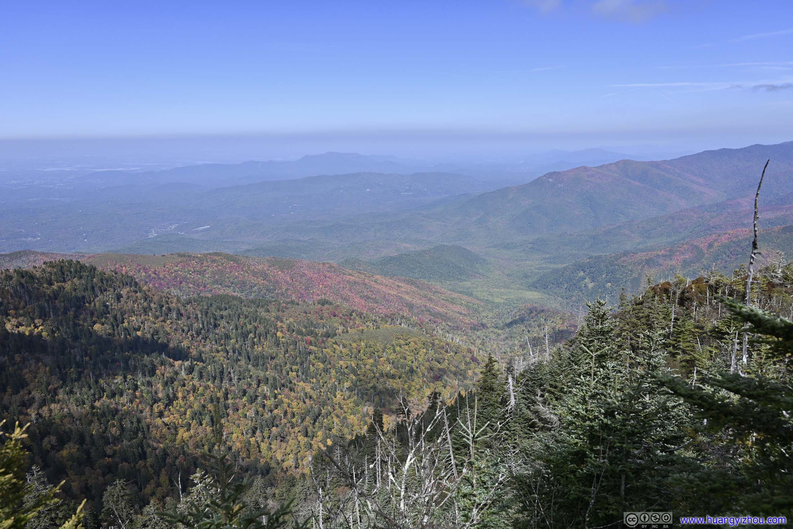
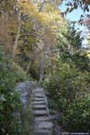
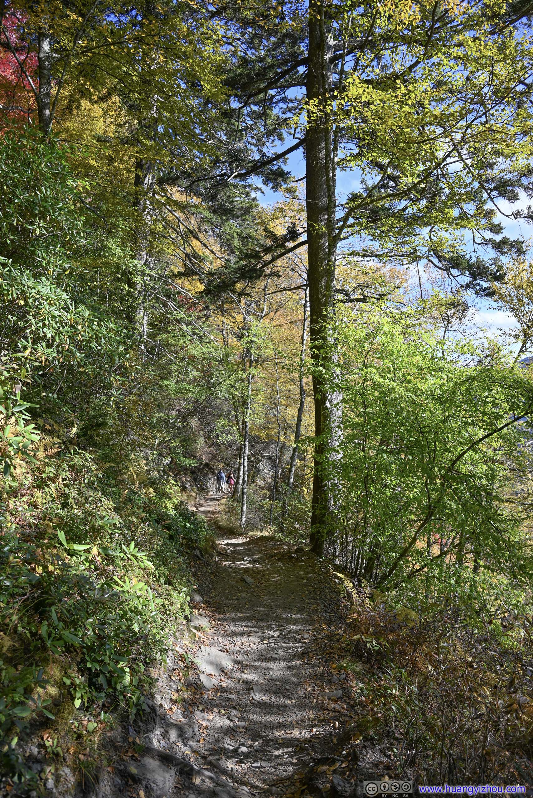
Towards the top, coniferous forest started to dominate the landscape from the foliage colors earlier. They lined the trail in an almost ceremonial manner, as if to welcome me to the top.
 Trail
Trail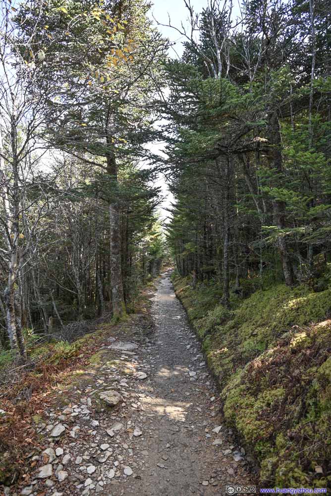 Trail
Trail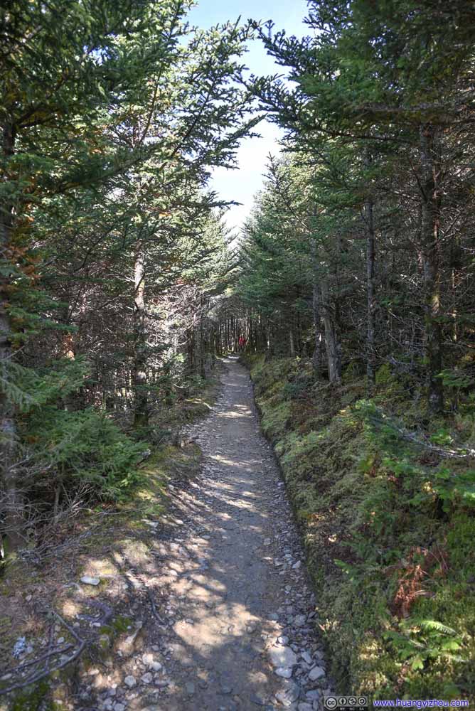 Trail
Trail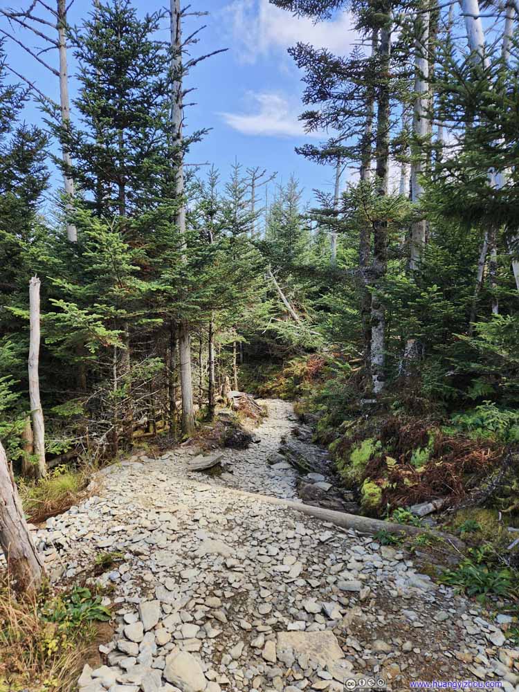 Trail
Trail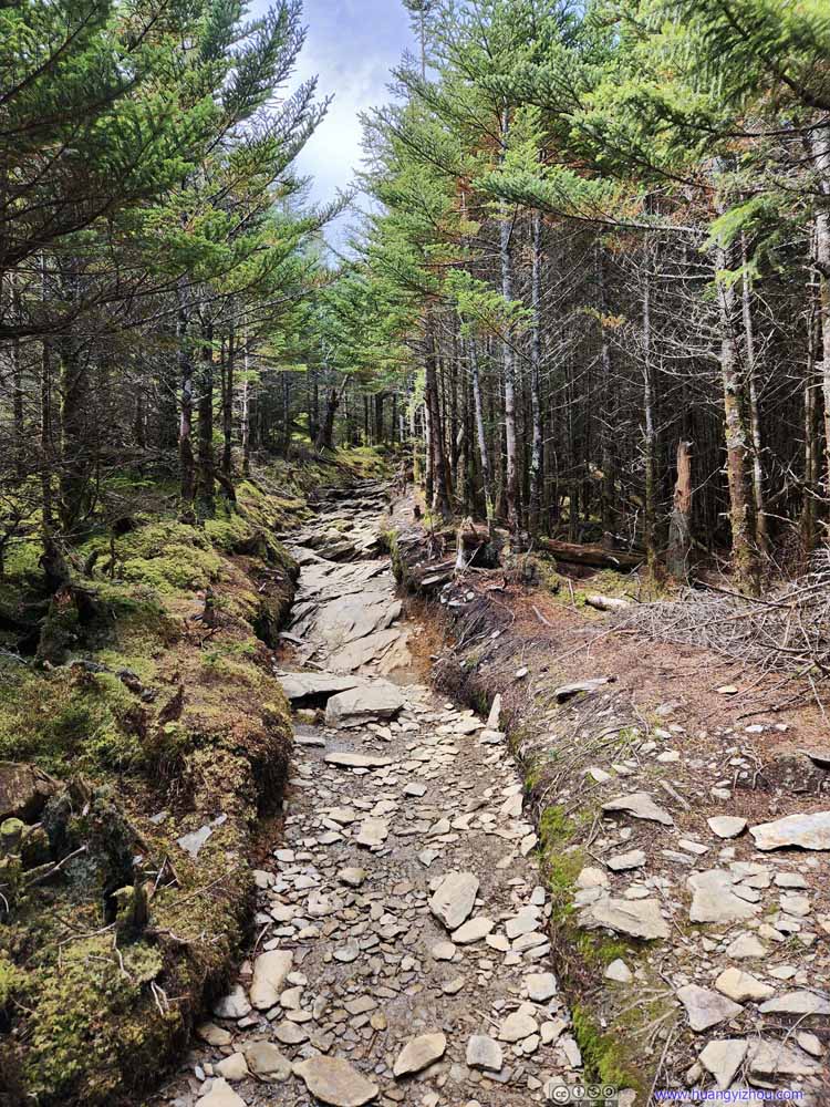 TrailSome steep ascent before the cliff top.
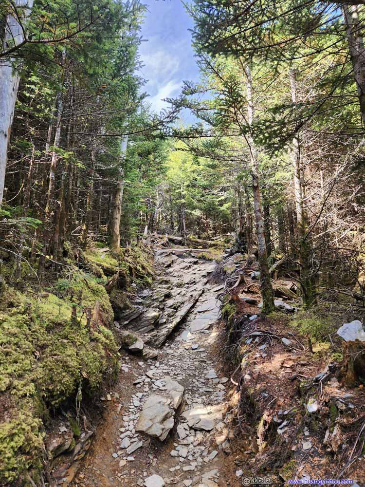 TrailSome steep ascent before the cliff top.


Click here to display photos of the trail.
Trail
Trail
Trail
Trail

TrailSome steep ascent before the cliff top.

TrailSome steep ascent before the cliff top.
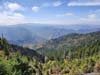
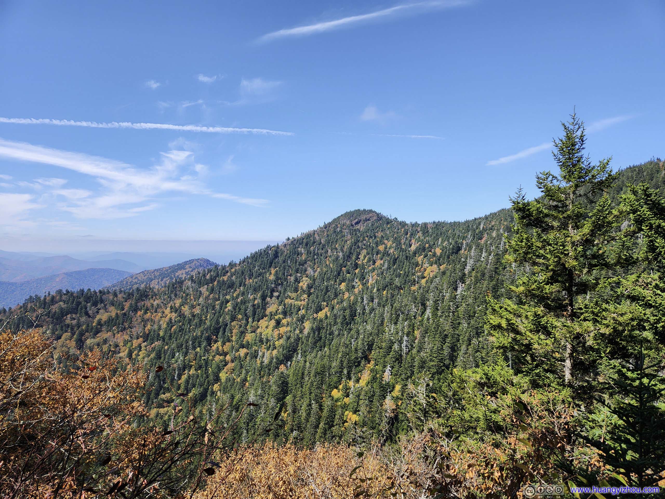
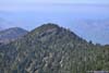
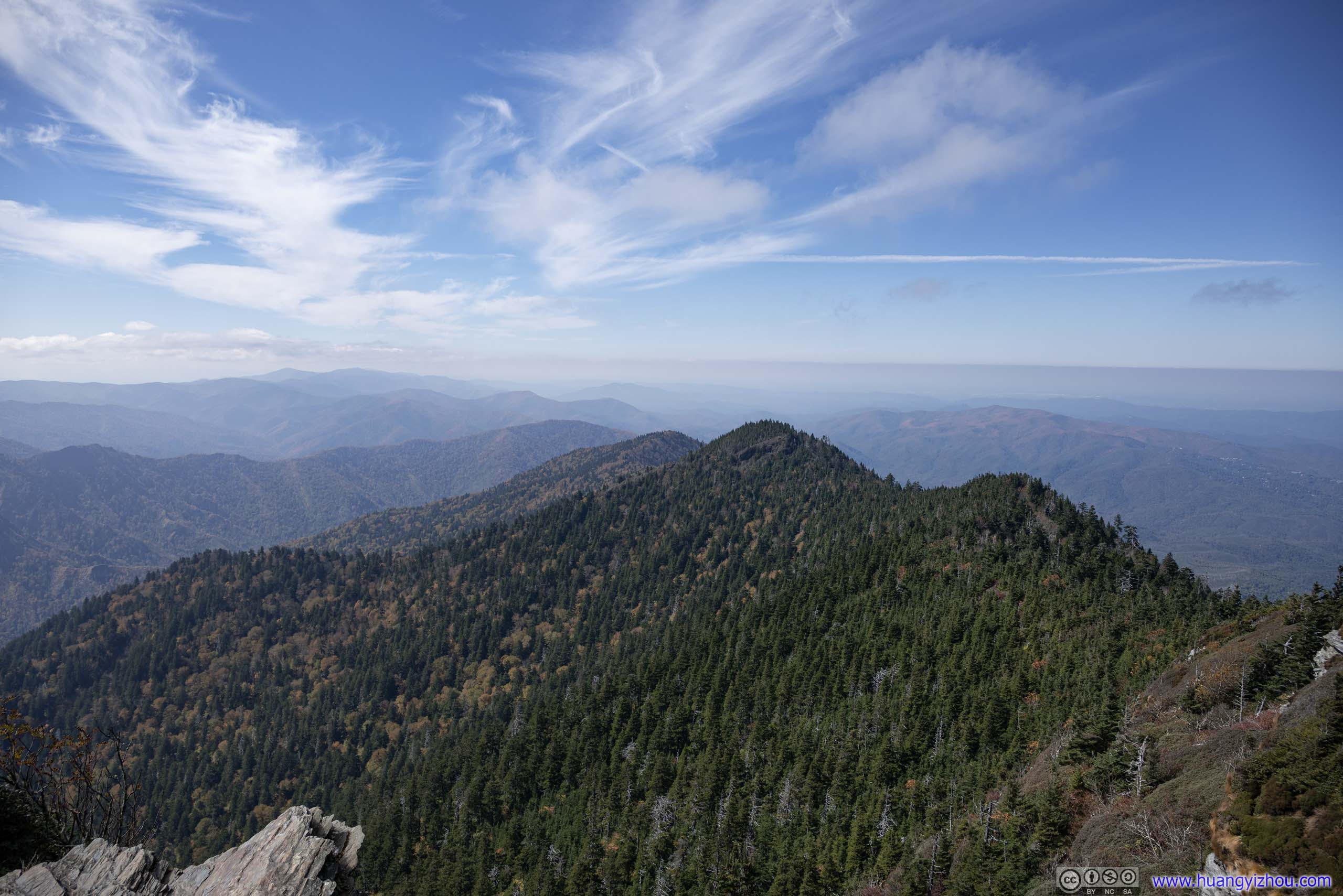
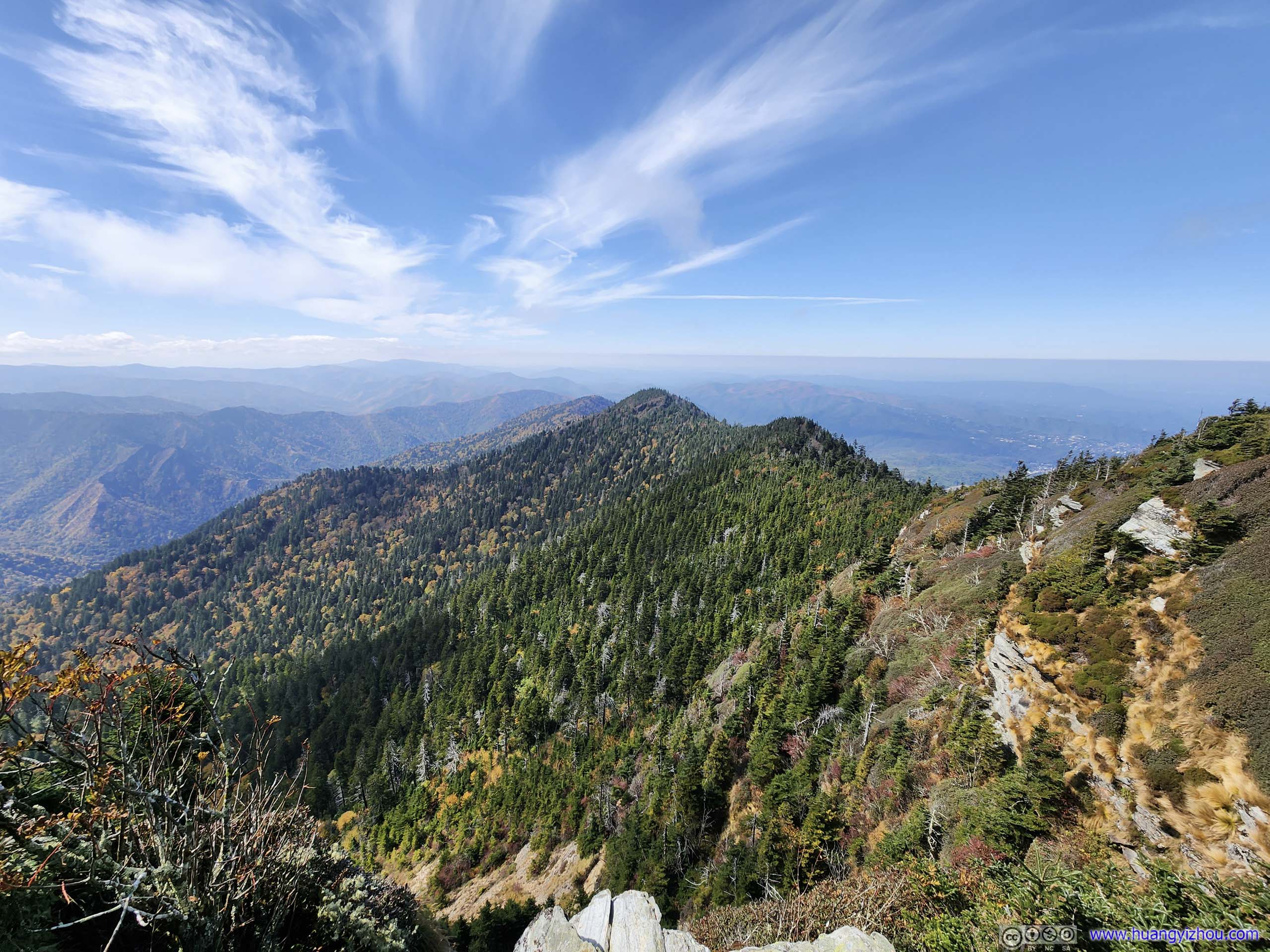
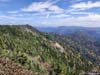
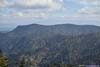
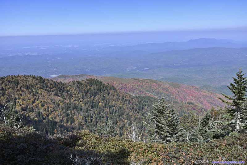
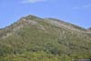
At the trail junction of LeConte Lodge, I turned right and headed for “Cliff Top” first, which was a great overlook with views mostly to the south and west.
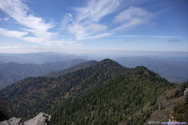 Mountains to the West
 Mountains to the West
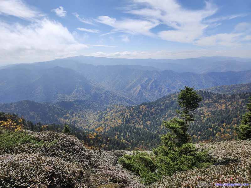 Mountains to the Southwest
 Chimney Tops
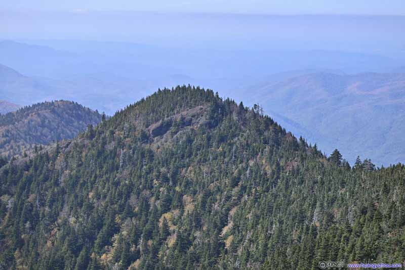 Mountains to the West“West Point” on maps.
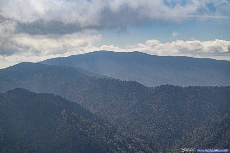 Distant Clingmans Dome
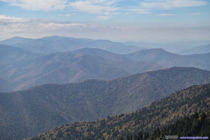 Mountains to the West
 Mountain Villas near Gatlinburg

Click here to display photos from Cliff Top.
Mountains to the West
Mountains to the West

Mountains to the Southwest
Chimney Tops
Mountains to the West“West Point” on maps.

Distant Clingmans Dome

Mountains to the West
Mountain Villas near Gatlinburg
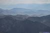
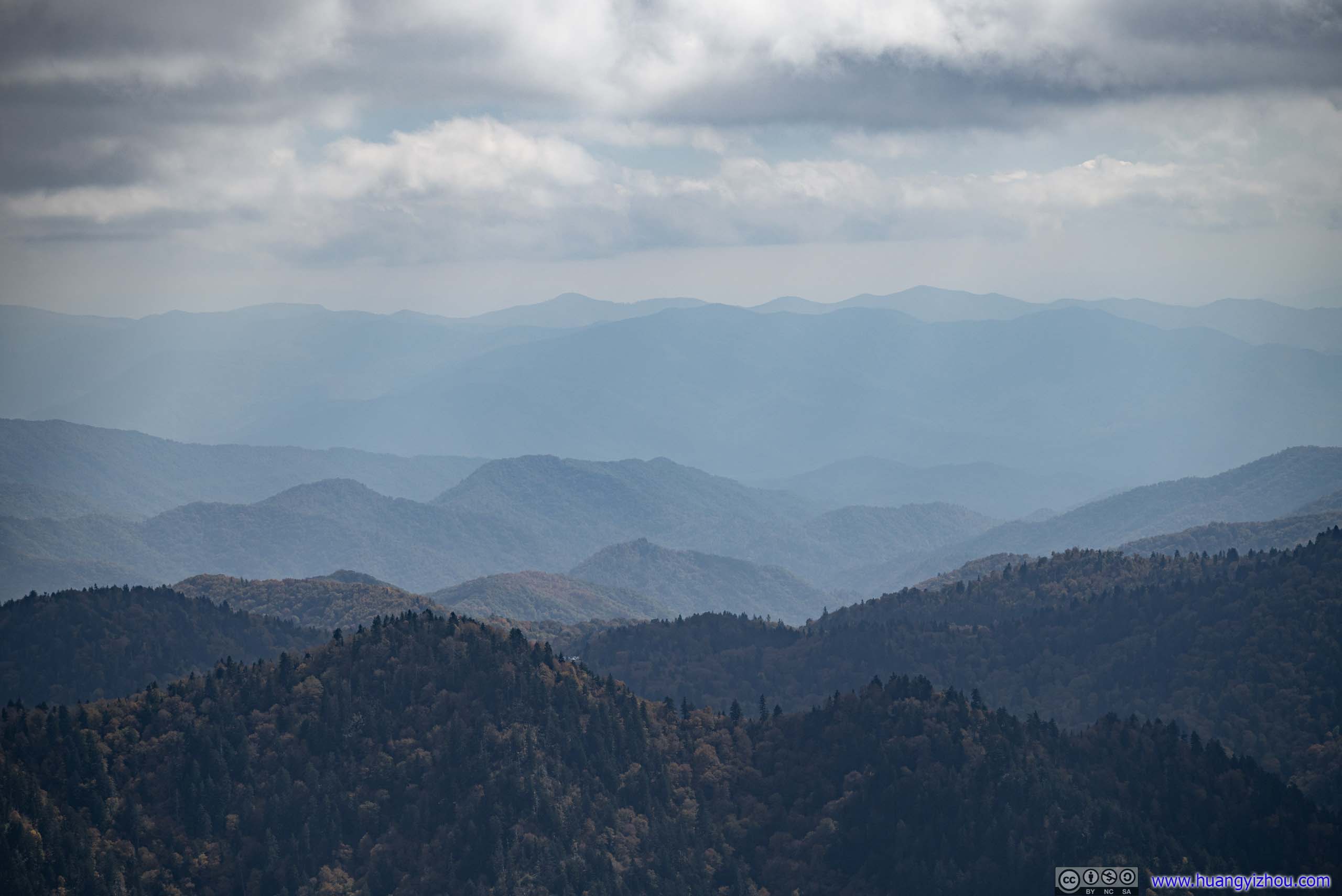
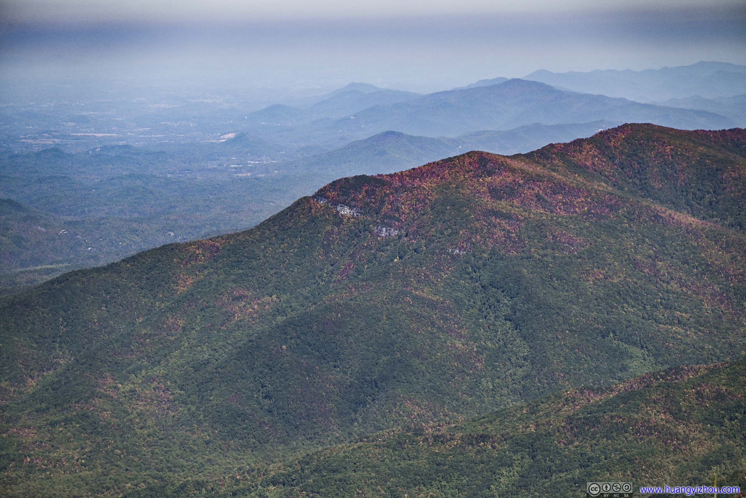
In line with the name of “smoky” mountains, the mountains to the south against the sun, like Clingmans Dome, appeared hazy even though they weren’t that far away.
View from Cliff Top
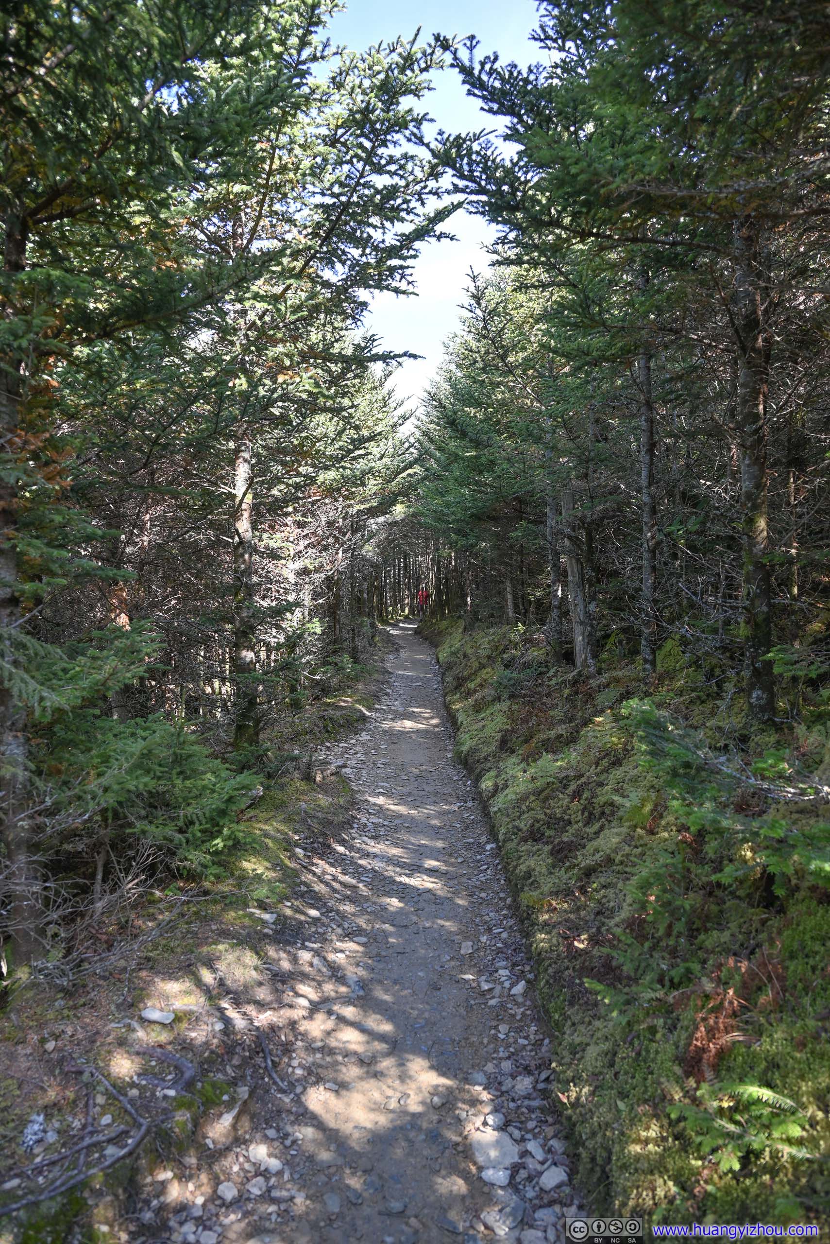
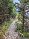
I stayed for about half an hour at Cliff Top, before continuing onto Myrtle Point. There was a trail leading east from Cliff Top, bypassing LeConte Lodge, whose entrance was a bit hard to find at first.
 Trail
Trail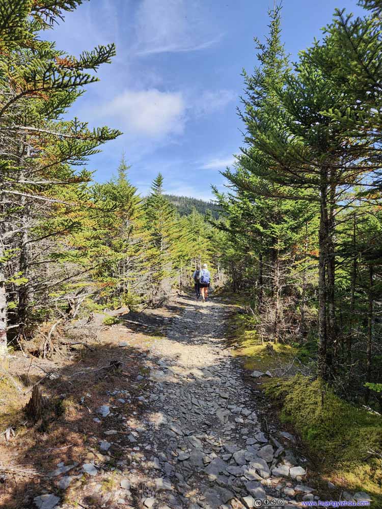 Trail
Trail Trail
Trail Trail
Trail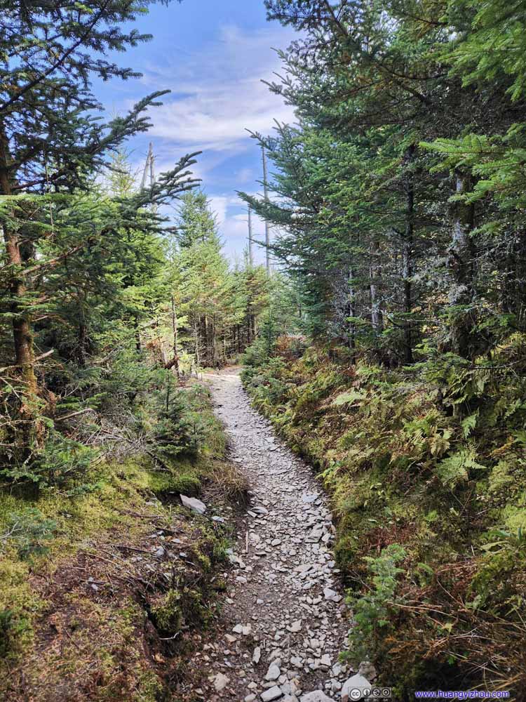 Trail
Trail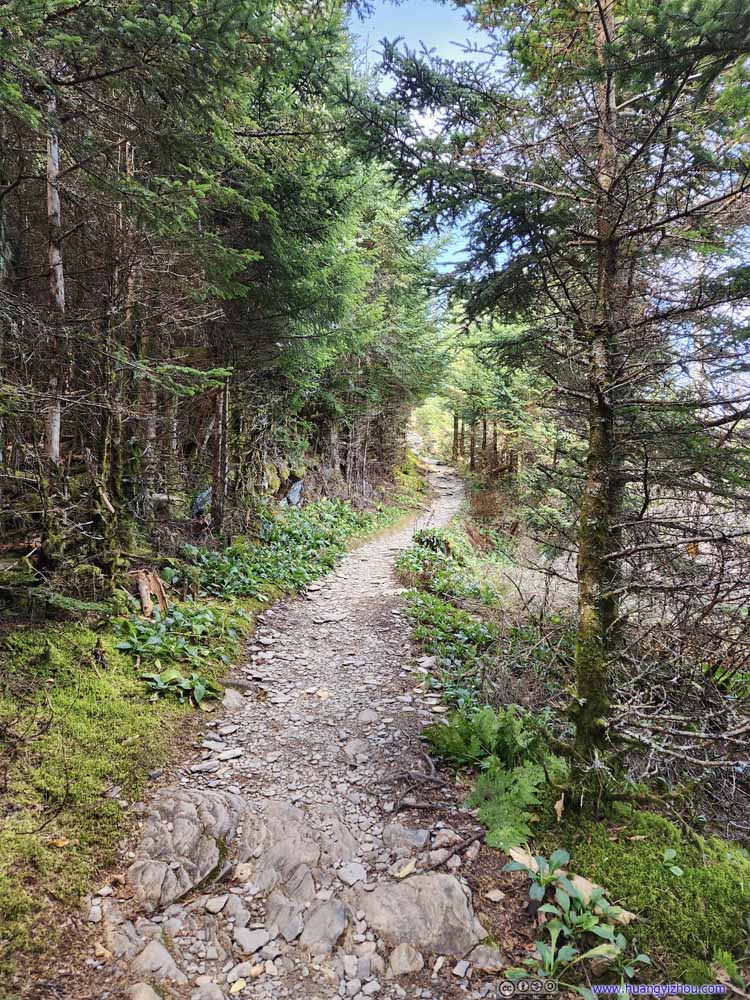 Trail
Trail Trail
Trail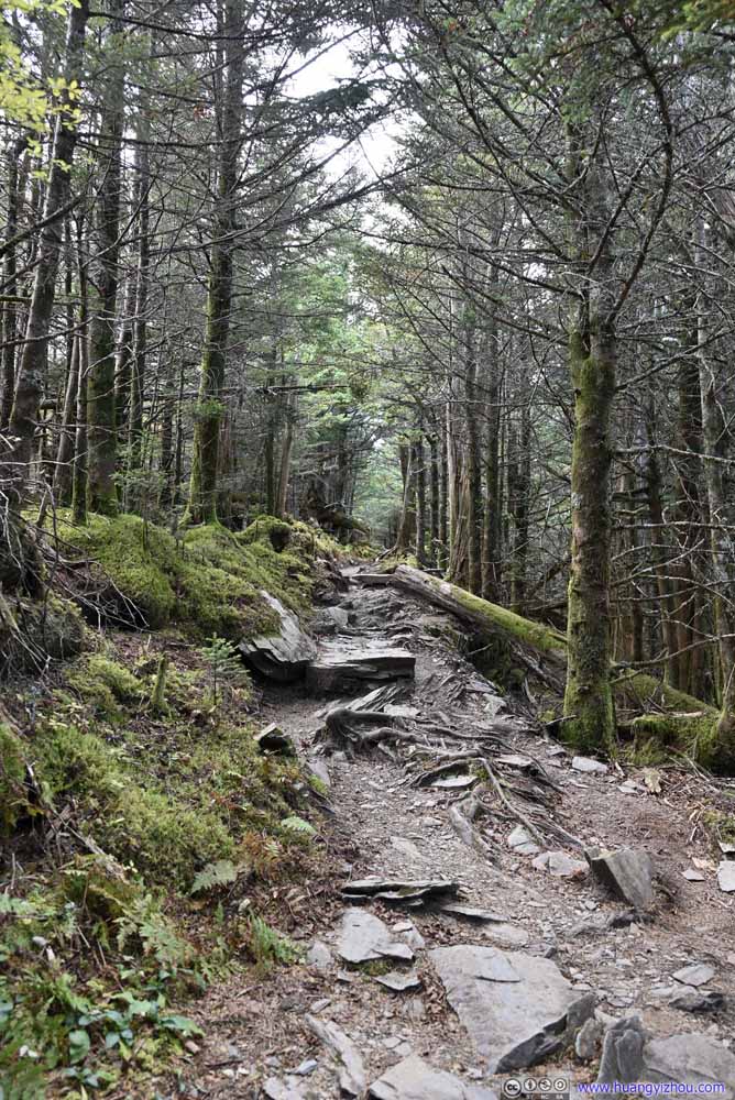 Trail
Trail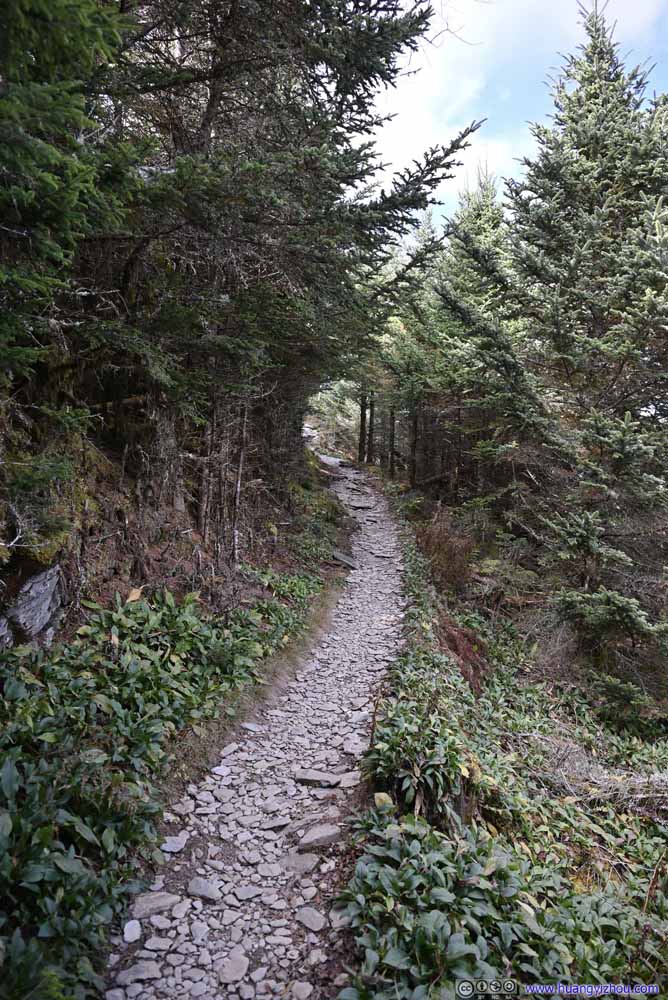 Trail
Trail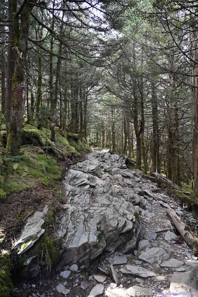 Trail
Trail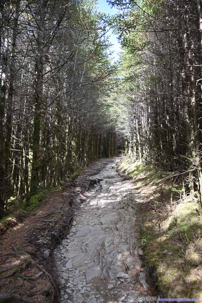 Trail
Trail


Click here to display photos of the trail.
Trail

Trail
Trail
Trail

Trail
Trail

Trail

Trail

Trail
Trail

Trail
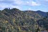
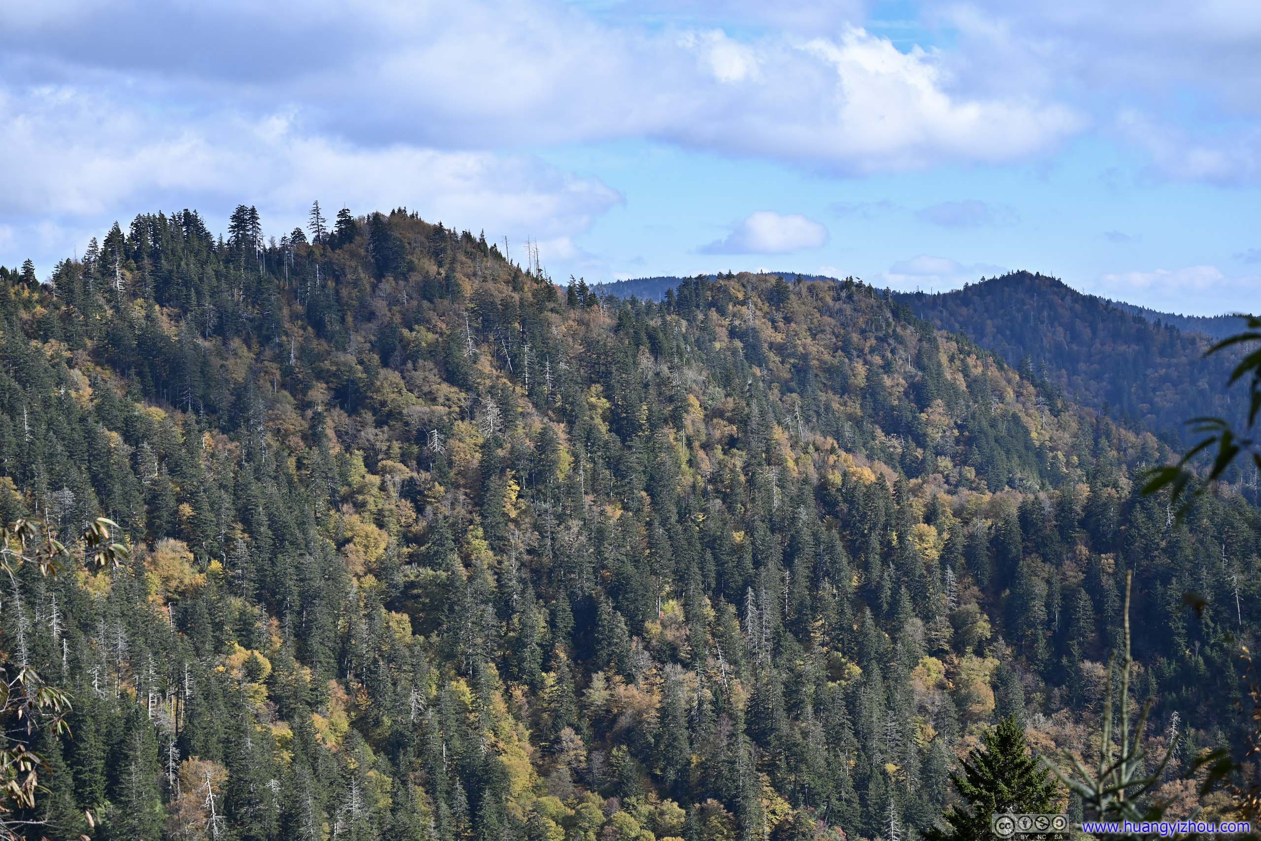
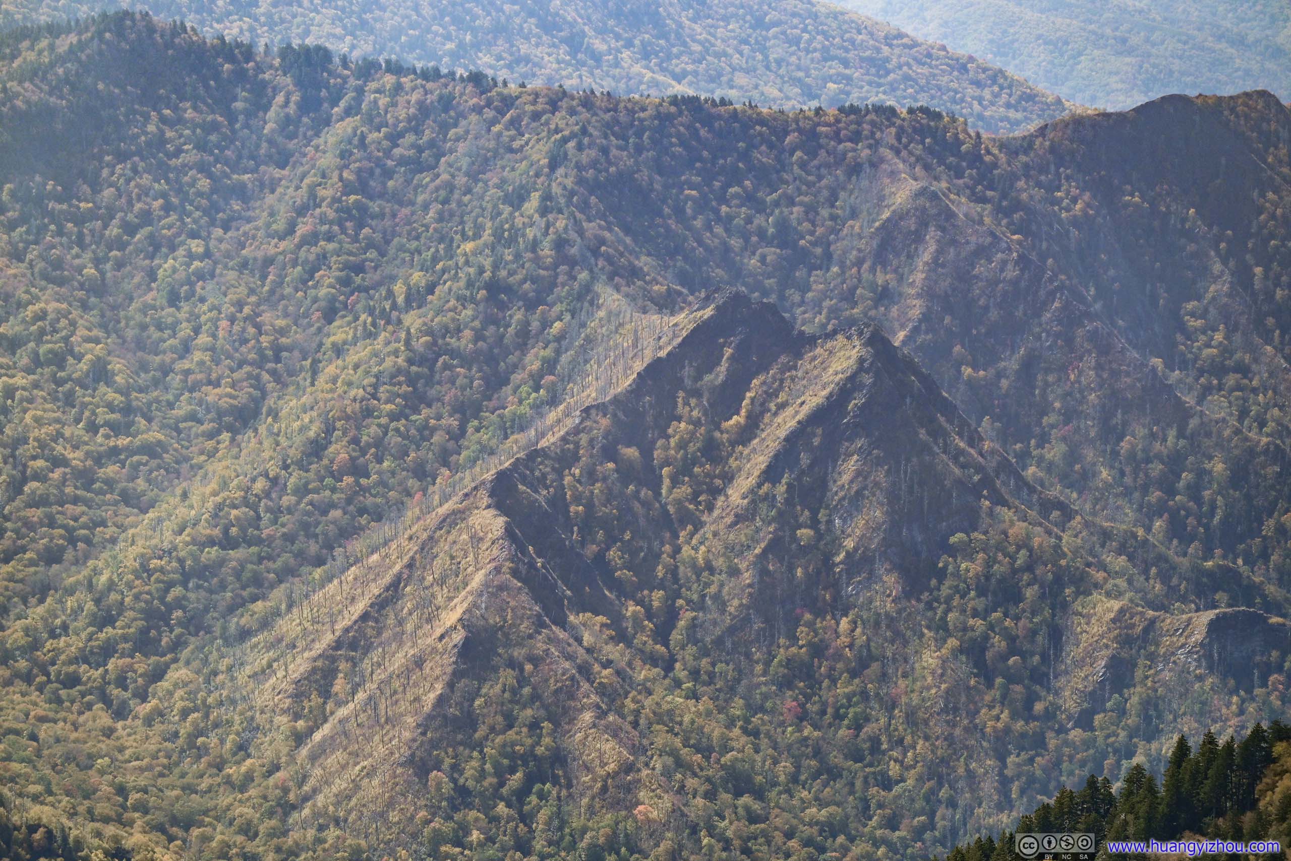
Along the way to Myrtle Point, there was a clearing along the trail, offering views to the east, as a preview of Myrtle Point.
 Mountains to the East
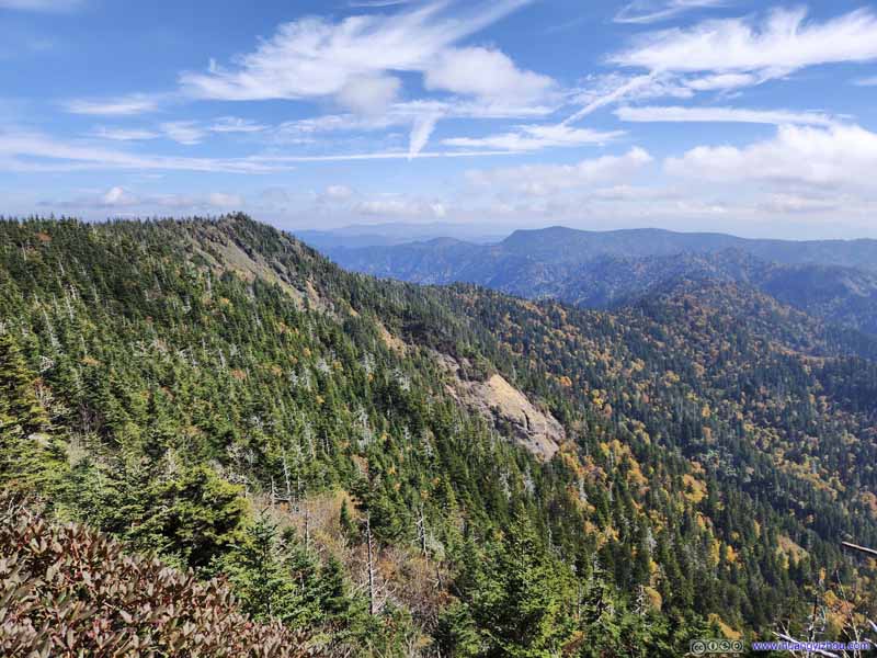 Mountains to the East
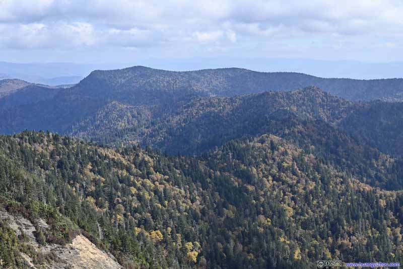 Mountains to the WestMount Kephart and the Jumpoff, where I was the previous day.
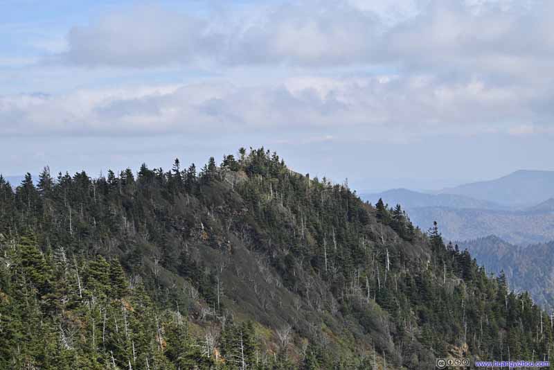 Myrtle Point
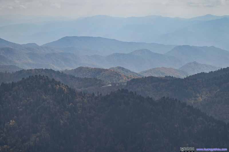 Distant Newfound Gap
Click here to display photos of the slideshow
Mountains to the East
Mountains to the East

Mountains to the WestMount Kephart and the Jumpoff, where I was the previous day.

Myrtle Point
Distant Newfound Gap
Summit of Mount LeConte
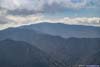
Finally, I reached Myrtle Point at 2:15pm. It’s another overlook, just like the previous “Cliff Top”, but this time facing east. Just that the views were as hazy.
 Mountains to the South
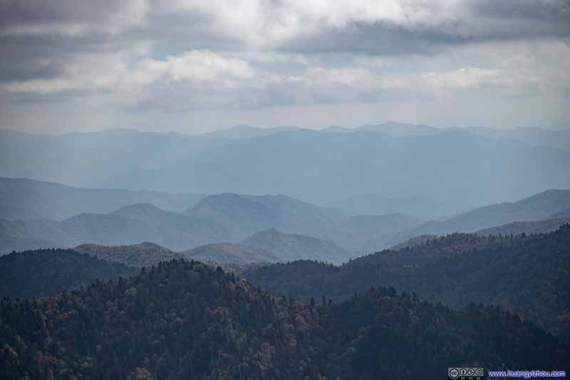 Distant Mountains to the SouthA tiny corner of the parking lot at Newfound Gap popped into the view.
 Mountains to the SouthThe trail to Mount LeConte passed through the valley in the foreground.
 Mountains to the SoutheastAnakeesta Knob. The ridge of Appalachian Trail in the background.
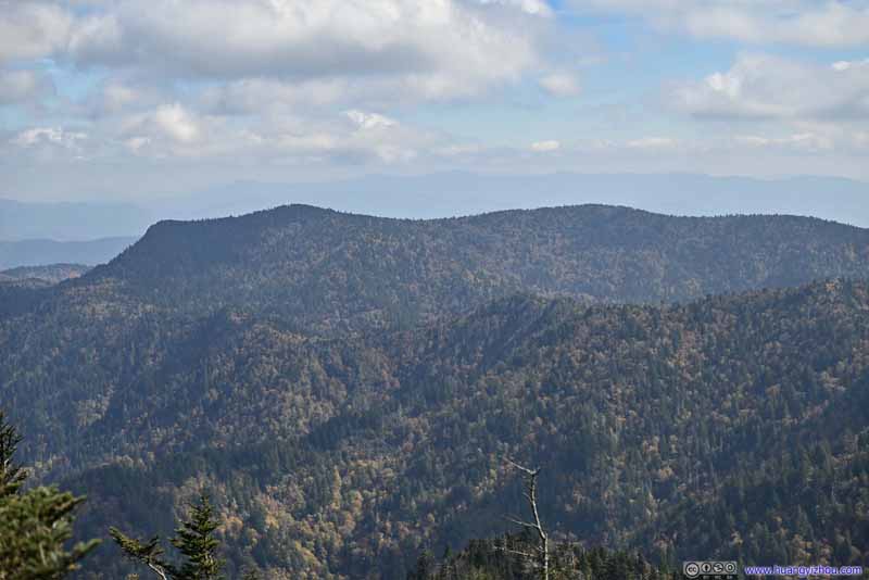 Mountains to the WestMount Kephart and the Jumpoff, where I was the previous day.
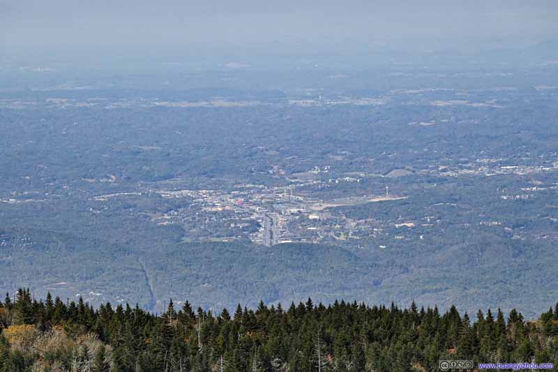 Town of Pigeon Forge
 Mount LeConte from Myrtle Point
Click here to display photos from Myrtle Point.
Mountains to the South
Distant Mountains to the SouthA tiny corner of the parking lot at Newfound Gap popped into the view.
Mountains to the SouthThe trail to Mount LeConte passed through the valley in the foreground.

Mountains to the SoutheastAnakeesta Knob. The ridge of Appalachian Trail in the background.
Mountains to the WestMount Kephart and the Jumpoff, where I was the previous day.

Town of Pigeon Forge
Mount LeConte from Myrtle Point
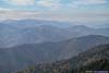
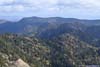
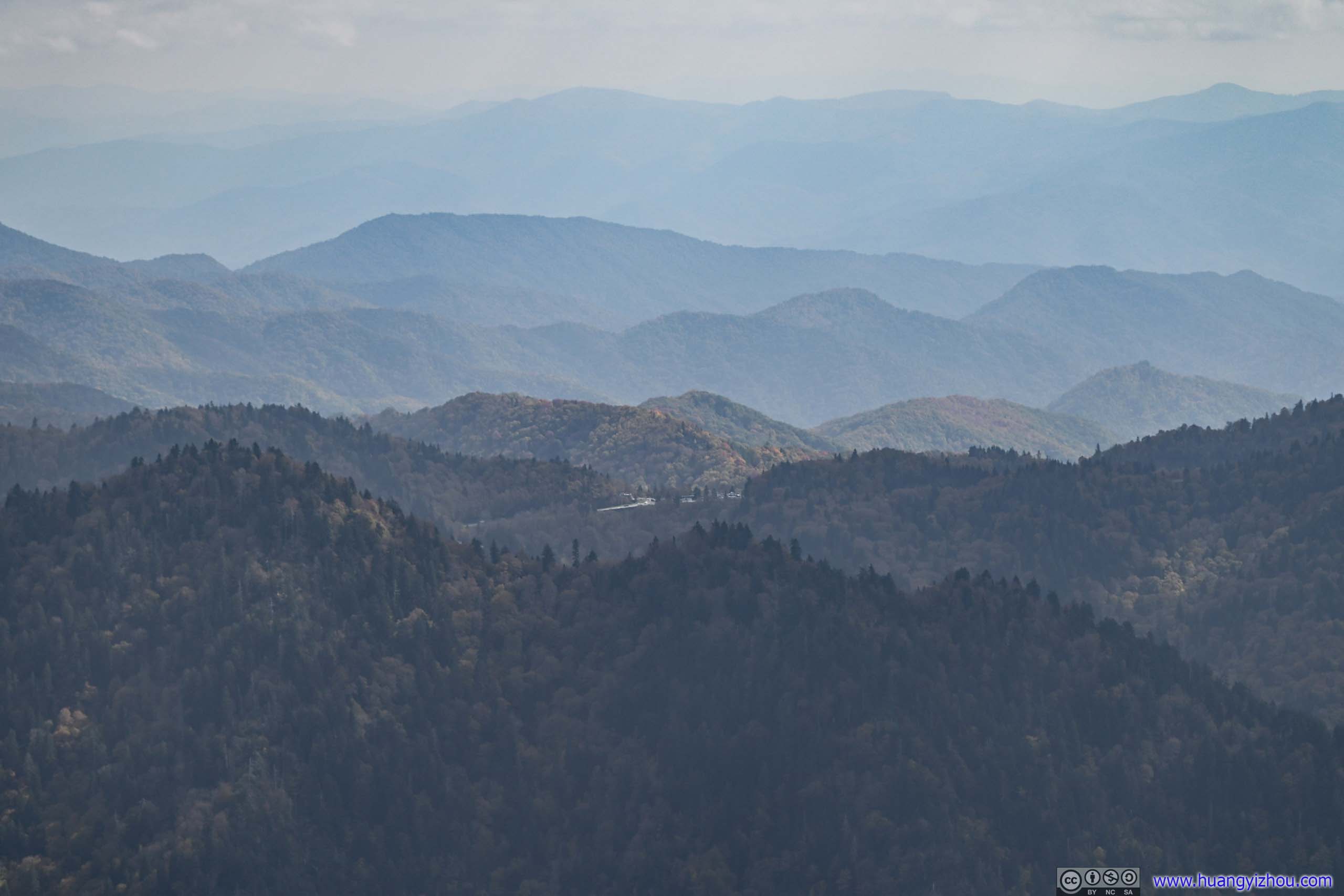
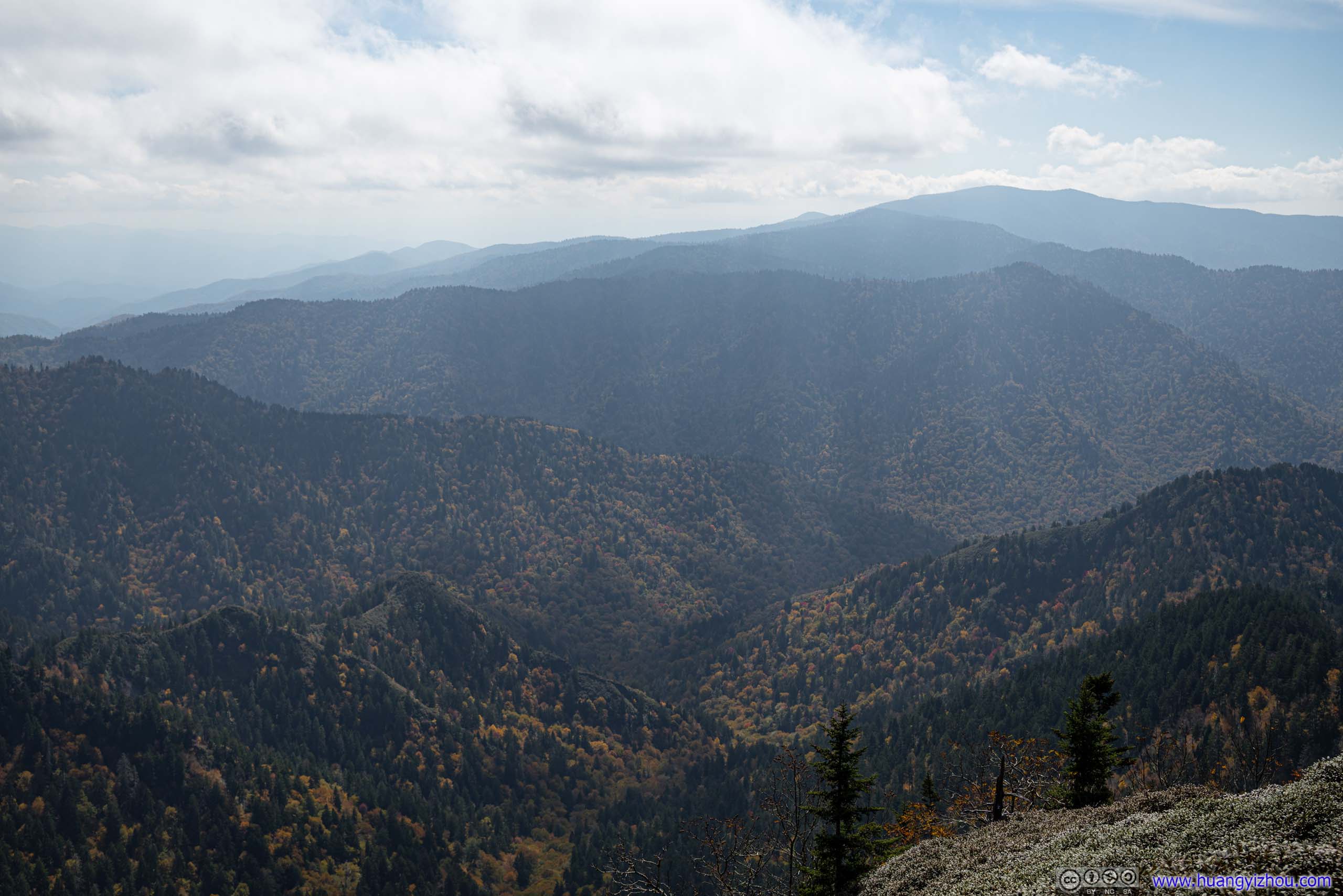
But along the trail to Myrtle Point, there were a few clearings, offering views to the north, where the mountains showed up with their clearest details in the sun. I bet some of the mountains were also visible from Charlies Bunion, where I was the previous day. The variety of colors spanning the spectrum from red to green was a welcomed departure from the hazy views earlier today.
 Mountains to the North
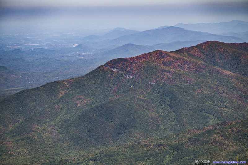 Mountain
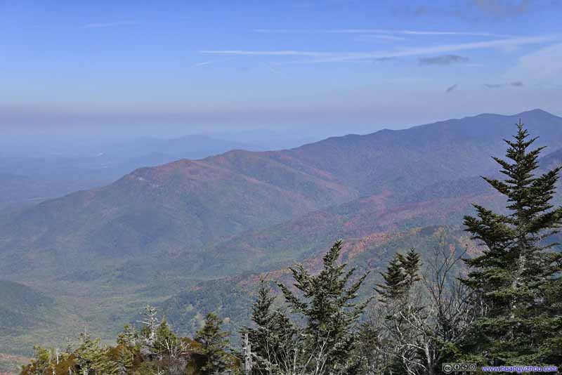 Mountains to the North
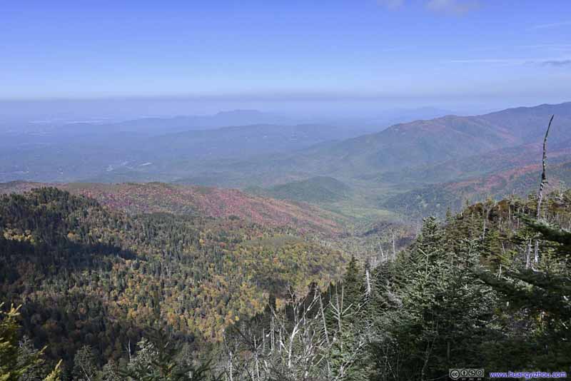 Mountains to the North

Click here to display photos from Myrtle Point.
Mountains to the North
Mountain

Mountains to the North
Mountains to the North
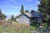
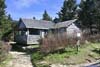
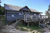
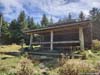
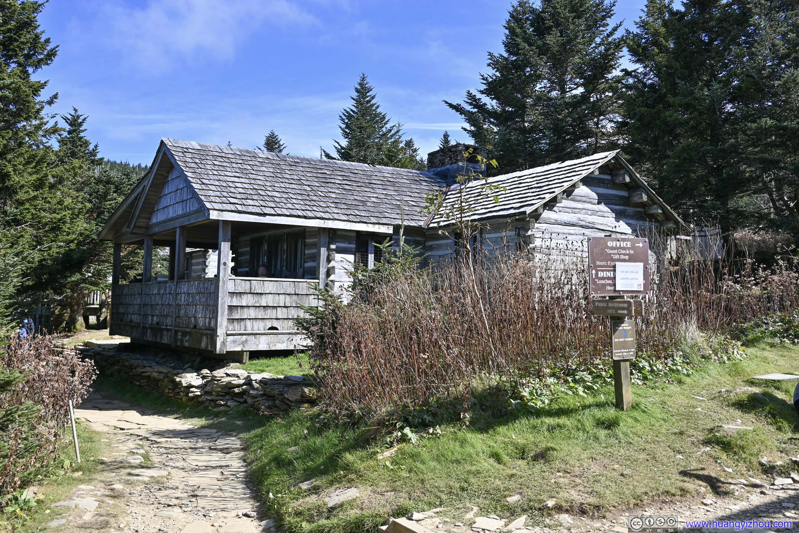
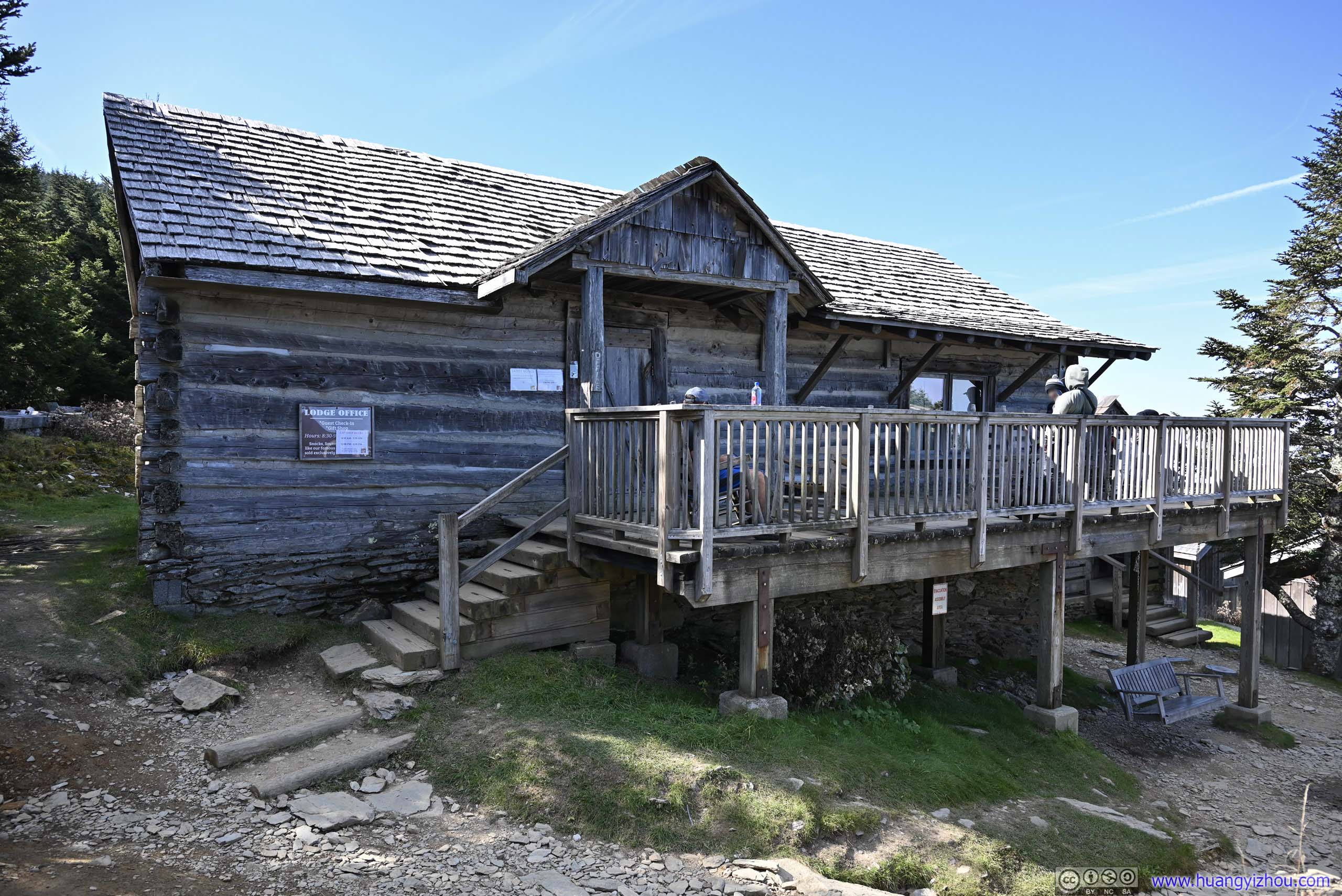
I stayed at Myrtle Point till almost 3pm before heading back. Along the way, I checked out LeConte Lodge.
Built in 1926 and located close to the summit of Mount LeConte, it boasted as the highest guest lodge in the eastern United States. The lodge featured many individual cabins for visitors to experience the mountains in a stylish way. With its limited capacity, the lodge was highly sought-after with a lottery system for reservations.
For a lodge with only trail access, I was very surprised that it featured a proper dining hall with food services, unfortunately only available to overnight guests. So after a quick visit to the not-so-exciting gift shop, I continued downhill.
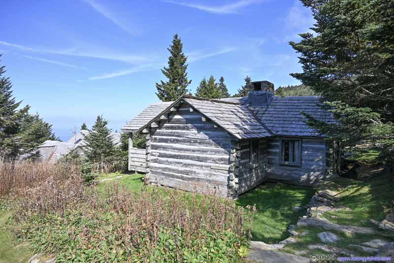 LeConte Lodge
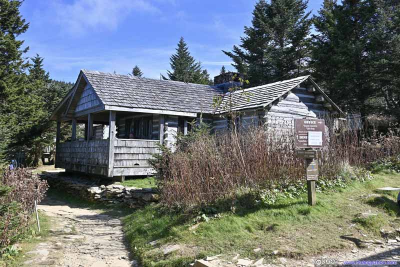 LeConte Lodge
 Lodge OfficeThis building also served as a gift shop.
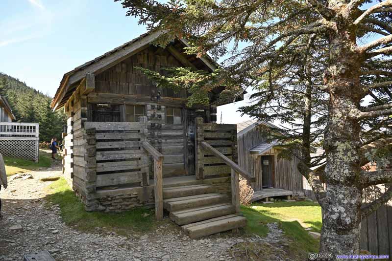 LeConte Lodge
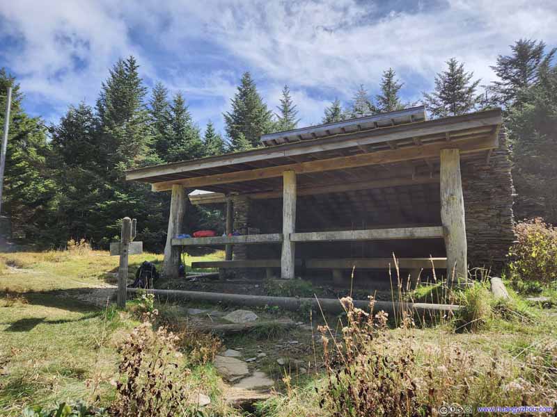 Mount LeConte ShelterSome distance away from Mount LeConte Lodge, providing space for sleepbag campers.

Click here to display photos of the slideshow

LeConte Lodge
LeConte Lodge
Lodge OfficeThis building also served as a gift shop.

LeConte Lodge

Mount LeConte ShelterSome distance away from Mount LeConte Lodge, providing space for sleepbag campers.
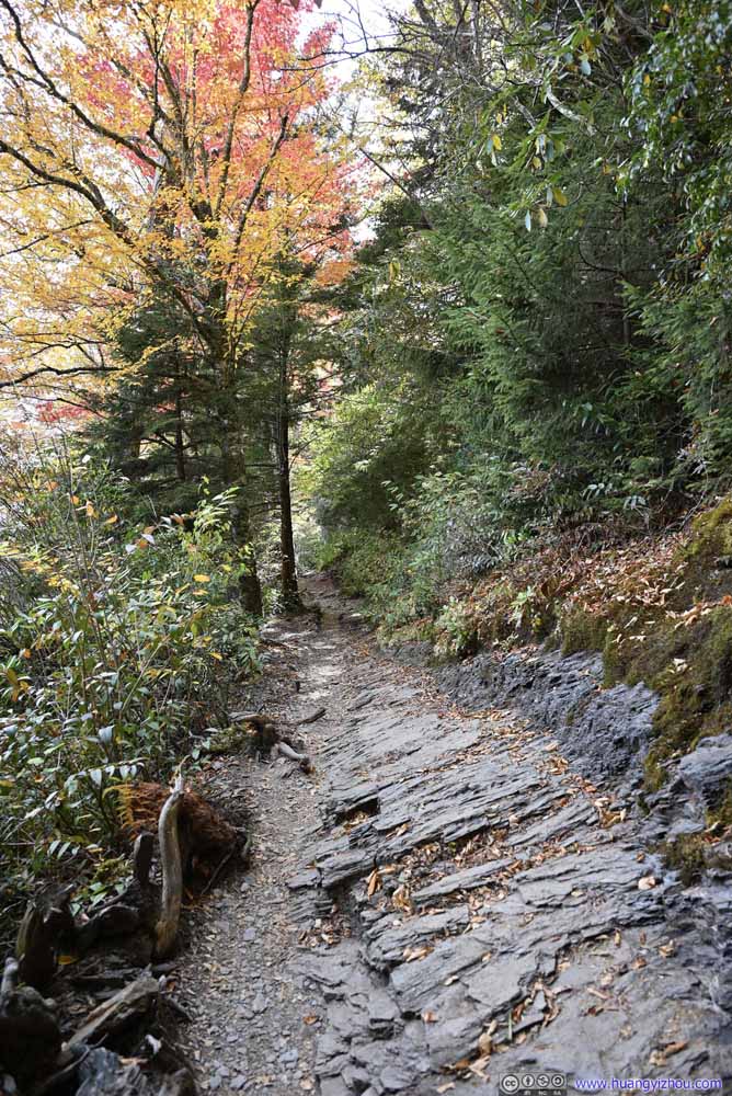
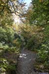
And here was some more foliage along the trail.
 Trail
Trail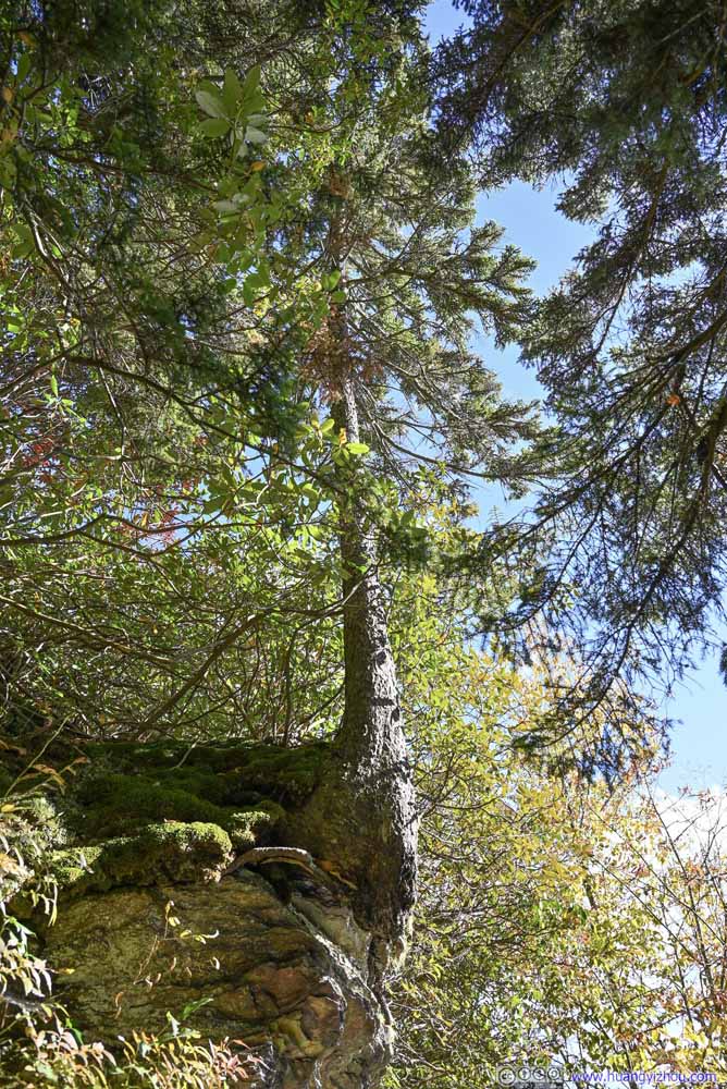 TreeI didn’t see its roots?
 Trail
Trail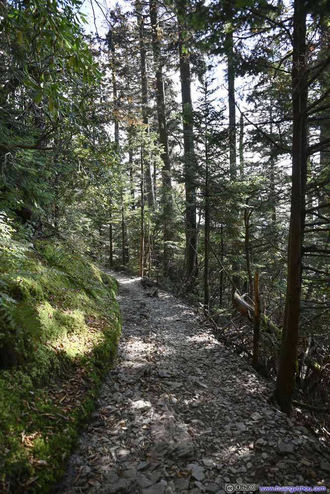 Trail
Trail Trail
Trail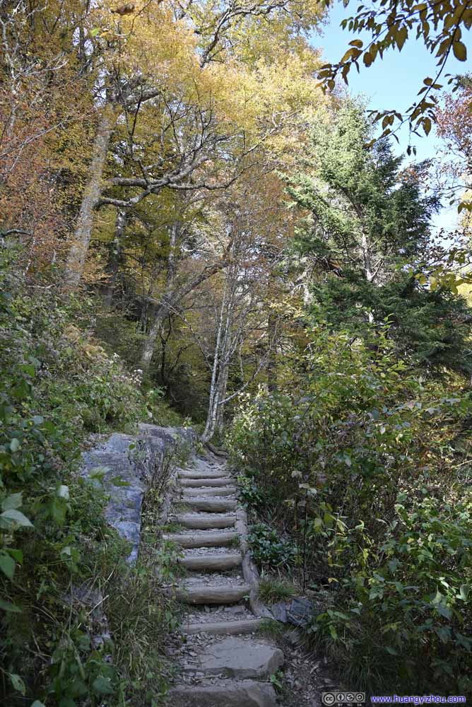 Trail
Trail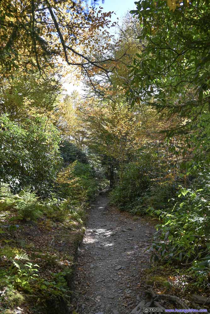 Trail
Trail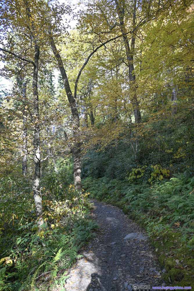 Trail
Trail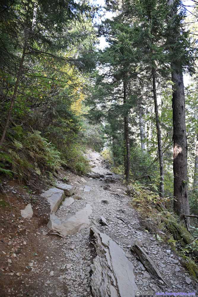 Trail
Trail
Click here to display photos of the trail.
Trail

TreeI didn’t see its roots?
Trail

Trail
Trail

Trail

Trail
Trail

Trail
It’s a bit unfortunate that I slipped and injured my toenail along the way. Otherwise, things went smoothly and I was back at the parking lot at 5:40pm.
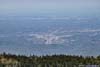
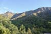
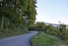
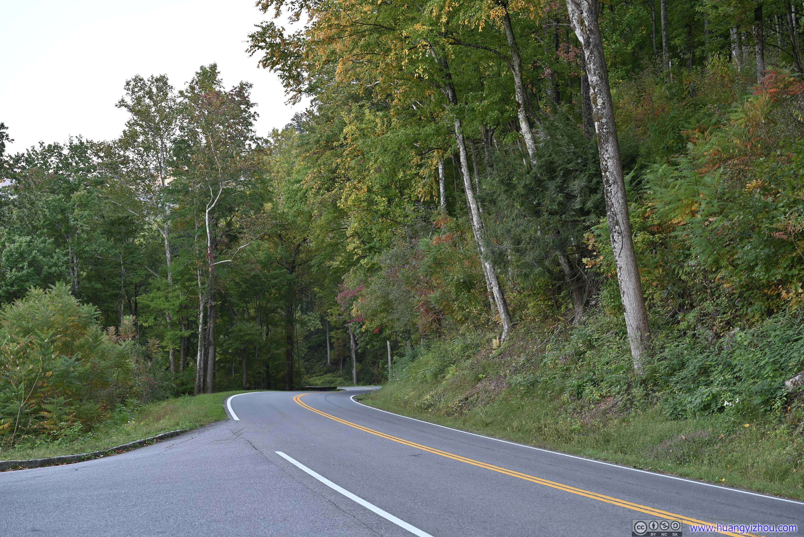
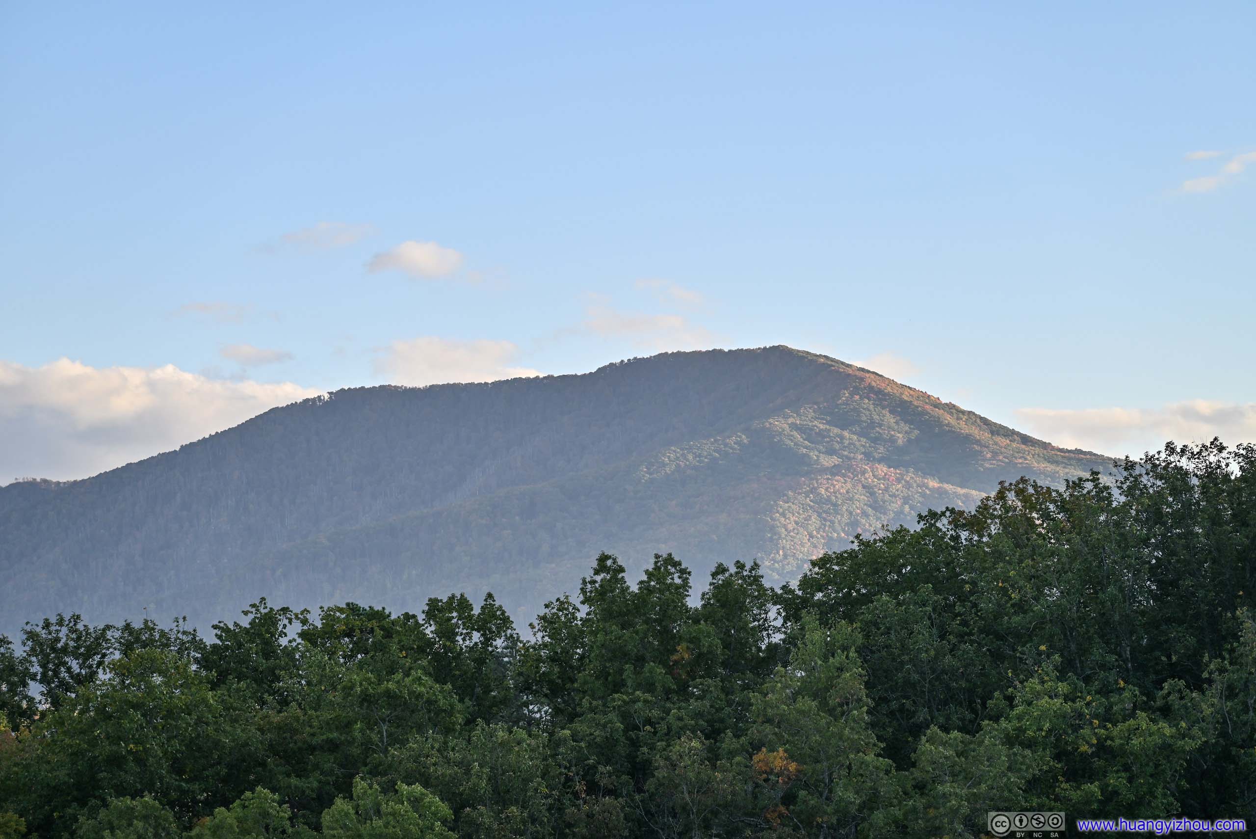
With enough daylight left, I made a few additional stops on my way back to the hotel. The first was at “Chimney Tops Overlook”, with views of some outstanding rocky spires. The trail leading to “Chimney Top” was a popular one in the park, but unfortunately for safety concerns, following a wildfire in 2016, the final section of the trail was closed to the public. Since the exciting part was off limits, it wasn’t on my list this time.
 Chimney Tops
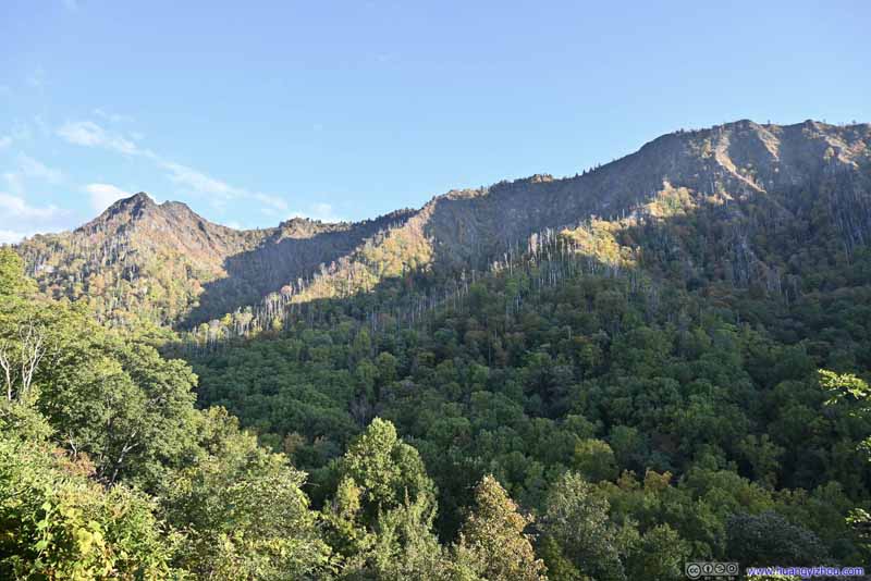 Chimney Tops and Surrounding Mountains
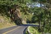
 Park Road
Click here to display photos of the Chimney Top.
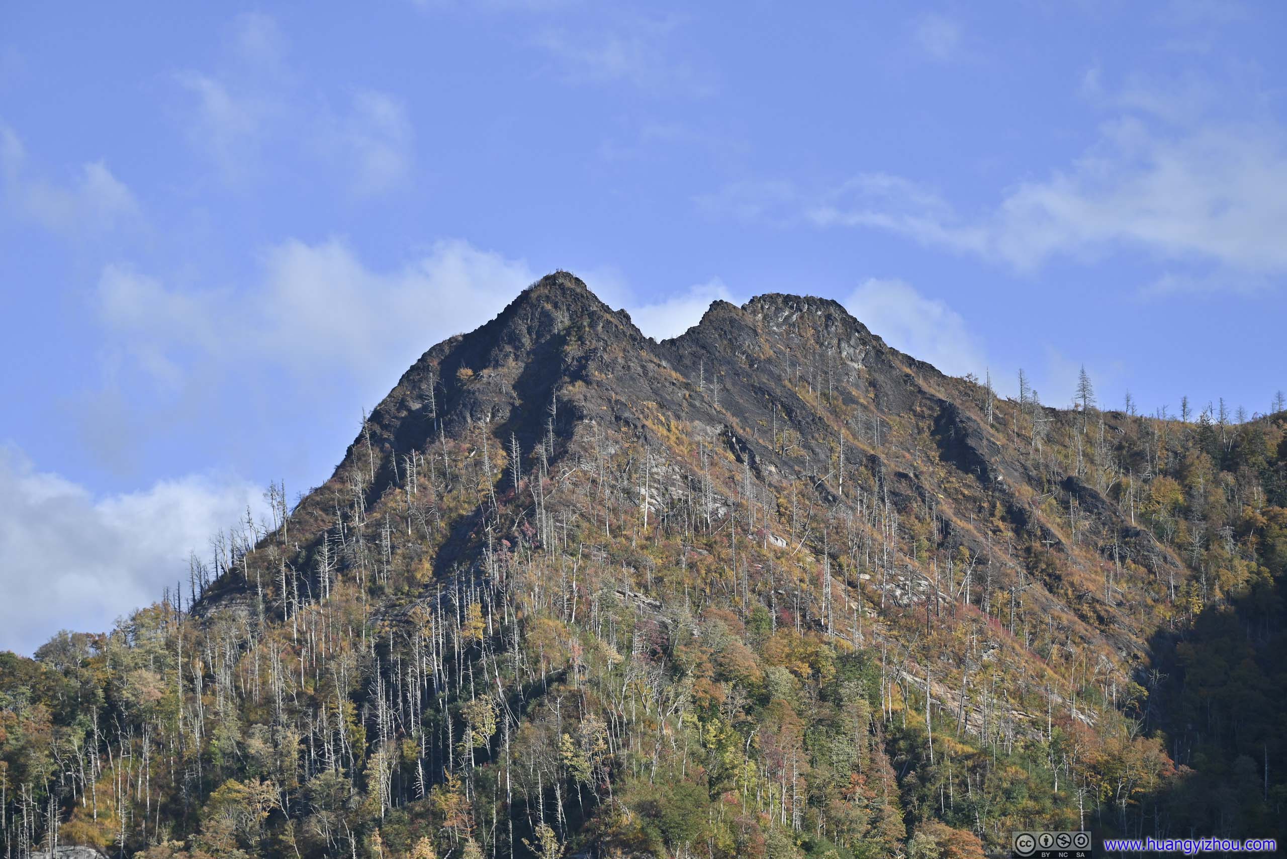
Chimney Tops

Chimney Tops and Surrounding Mountains
Park Road
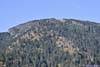
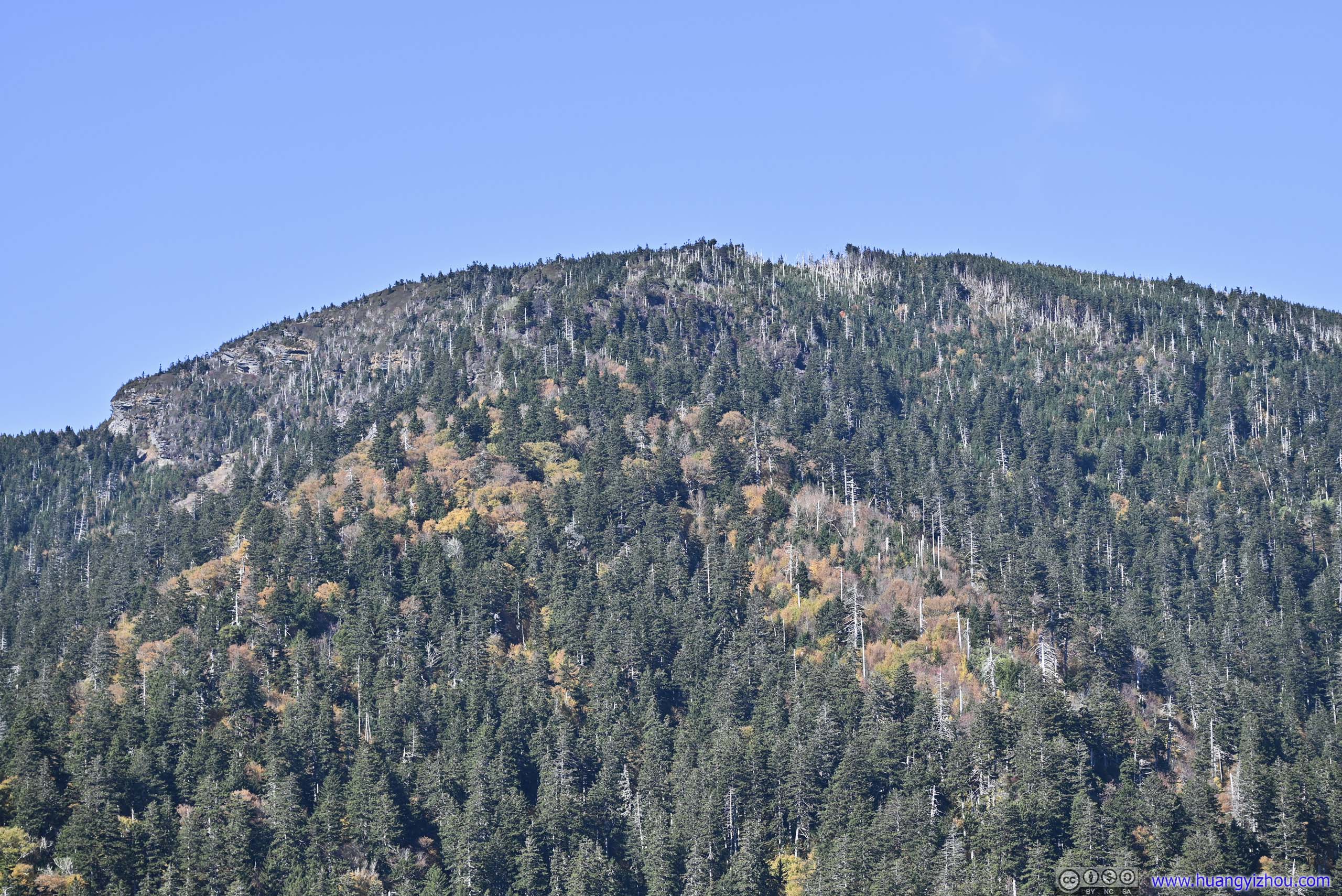
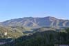
Next I stopped at Campbell Overlook, offering a different angle to view Mount LeConte which I summitted earlier.
 Mountains
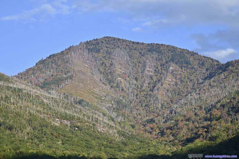 Mountain to the EastThe western ridge of Mount LeConte
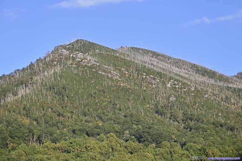 Bull Head Mountain
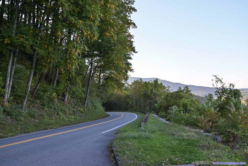 Park Road
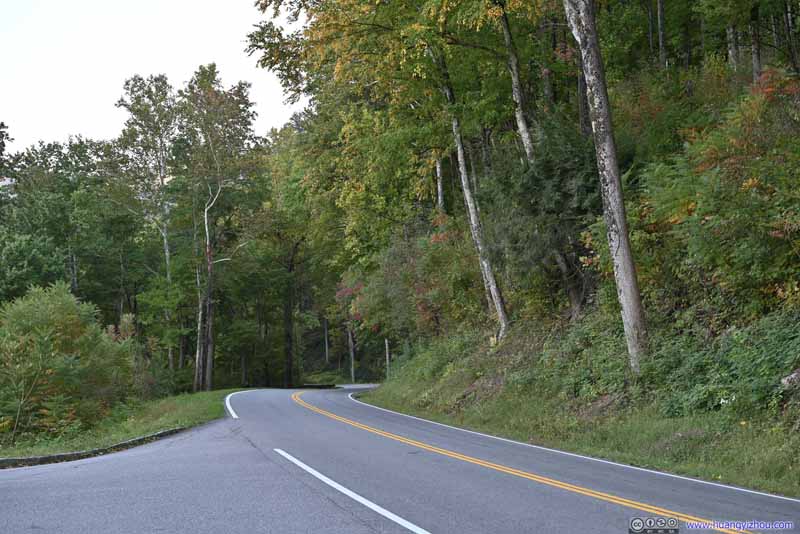 Park Road

Click here to display photos from Campbell Overlook.

Mountains

Mountain to the EastThe western ridge of Mount LeConte

Bull Head Mountain

Park Road
Park Road
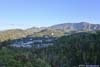
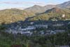
And finally, Gatlinburg Overlook, with views of this gateway town on the foot of the smoky mountains.
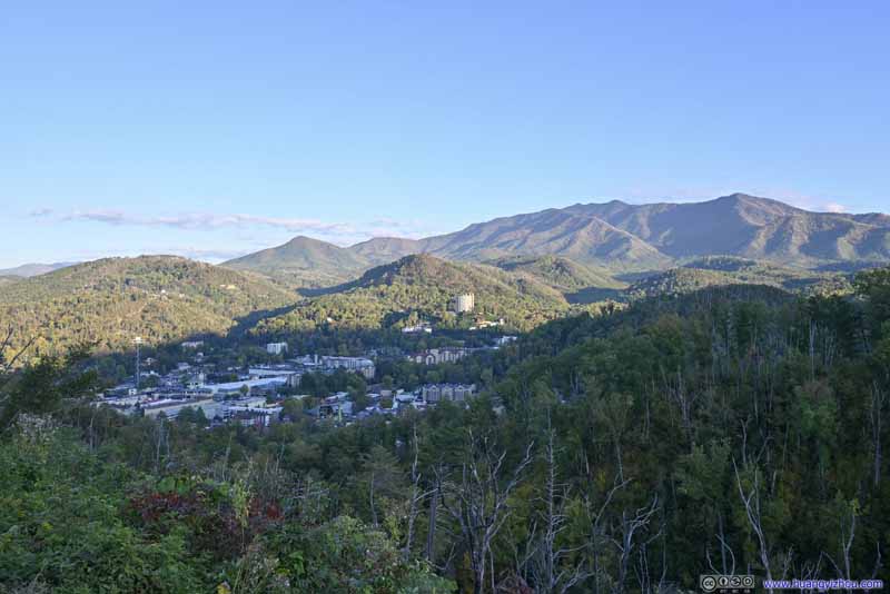 Gatlinburg and Mount LeConte
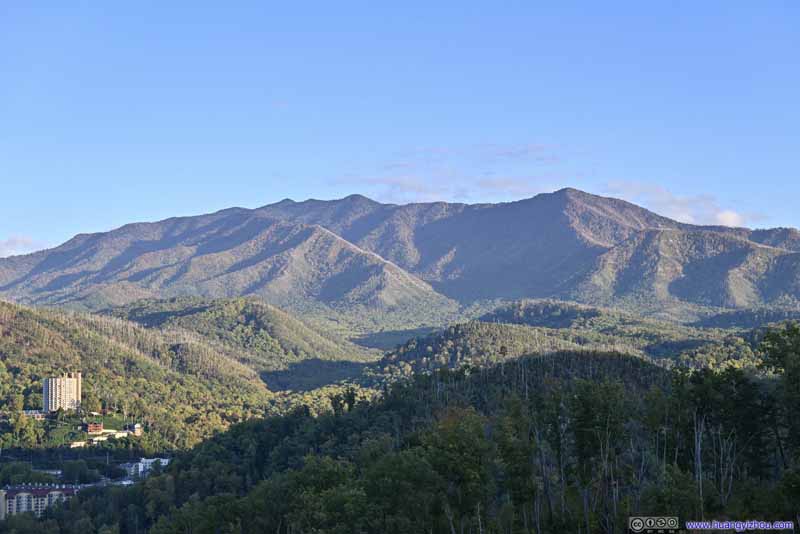 Mount LeConte
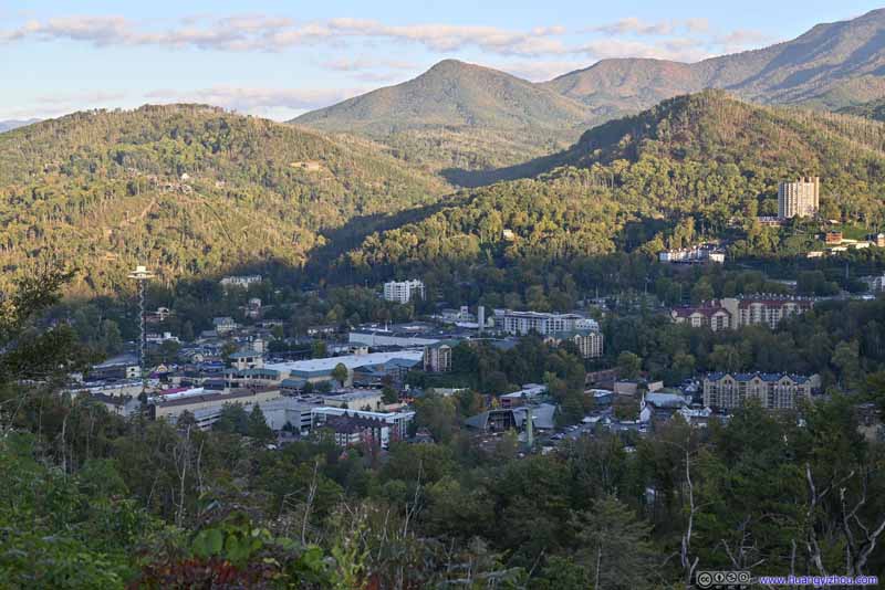 Gatlinburg
 Sugarland Mountain

Click here to display photos from Gatlinburg Overlook.

Gatlinburg and Mount LeConte

Mount LeConte

Gatlinburg
Sugarland Mountain
END
![]() October 2022 Foliage, Mount LeConte of Great Smoky Mountain National Park by Huang's Site is licensed under a Creative Commons Attribution-NonCommercial-ShareAlike 4.0 International License.
October 2022 Foliage, Mount LeConte of Great Smoky Mountain National Park by Huang's Site is licensed under a Creative Commons Attribution-NonCommercial-ShareAlike 4.0 International License.