
Updated on April 17, 2024
Day 2 of Autumn 2023 Trip to Mountain States, Badlands National Park
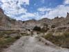
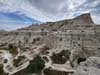
The second day of my autumn 2023 trip to the mountain states, I toured Badlands National Park, one that featured a unique landscape of extensive eroded buttes and pinnacles.
Badlands
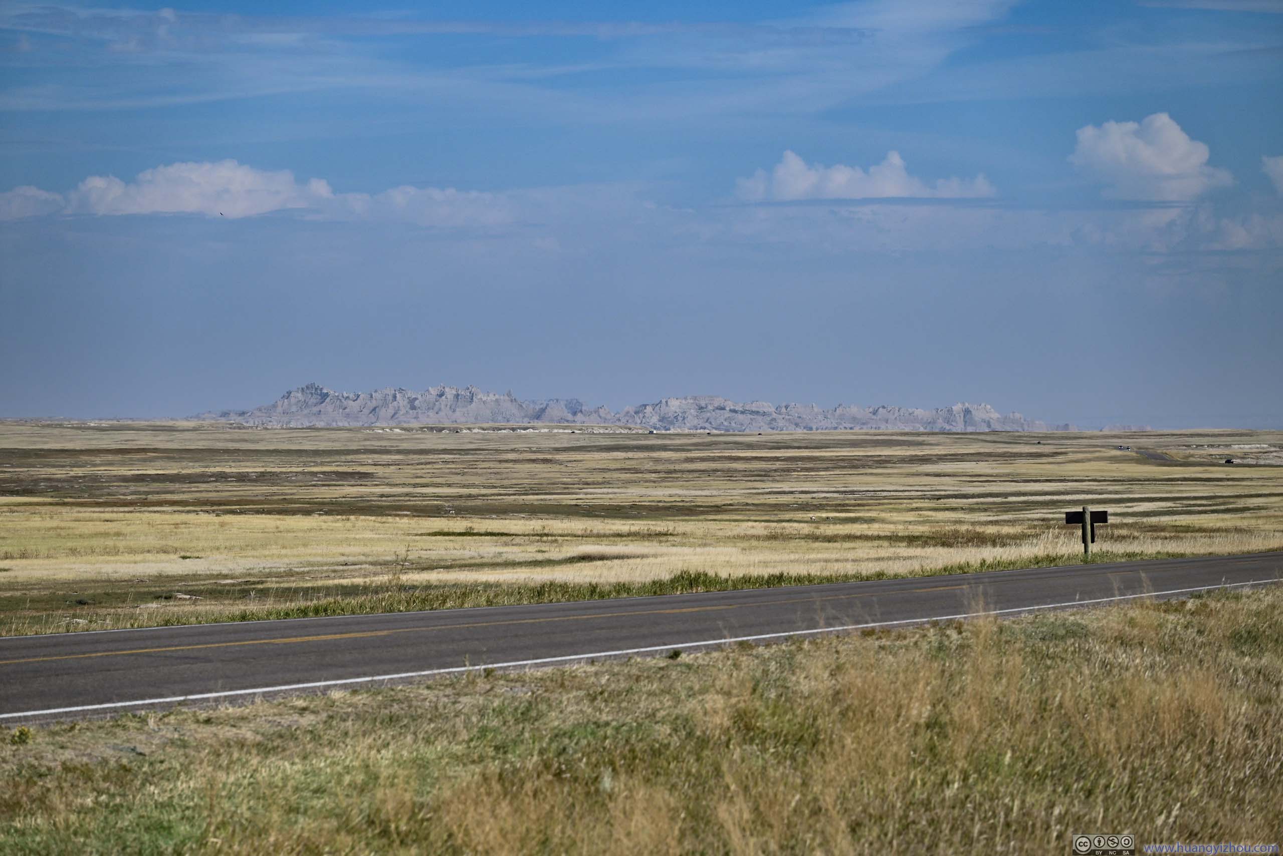
After spending the previous night at the town of Kadoka, I left the hotel at 8:30am and made the short drive to the eastern entrance of Badlands National Park.
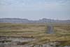
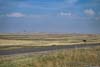
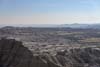
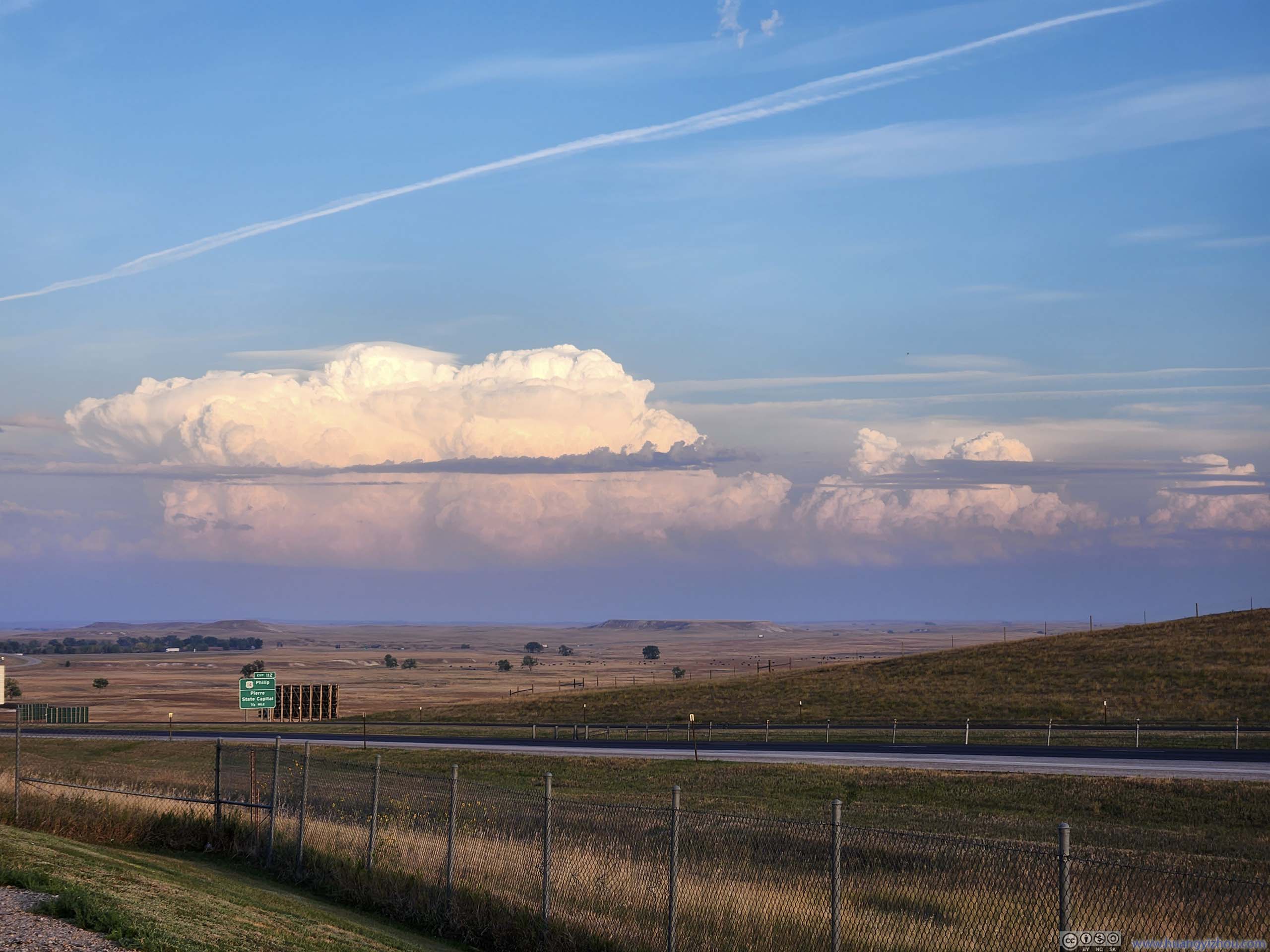
View from Scenic Overlook off I90
Minuteman Missile National Historic Site Visitor Center
After the detour to minuteman missile sites, I entered Badlands National Park at 9:30am.
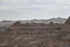
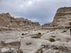
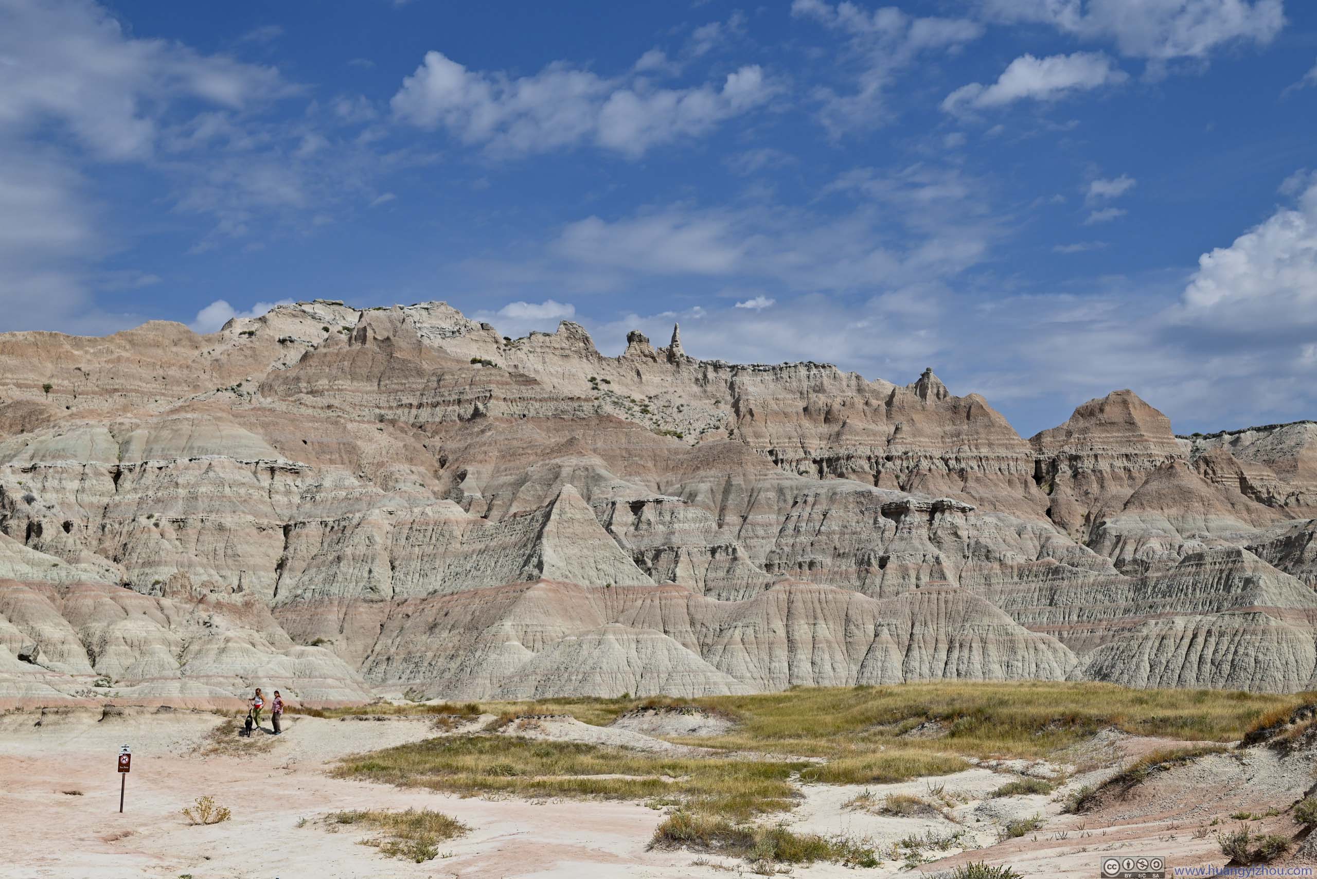
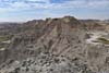
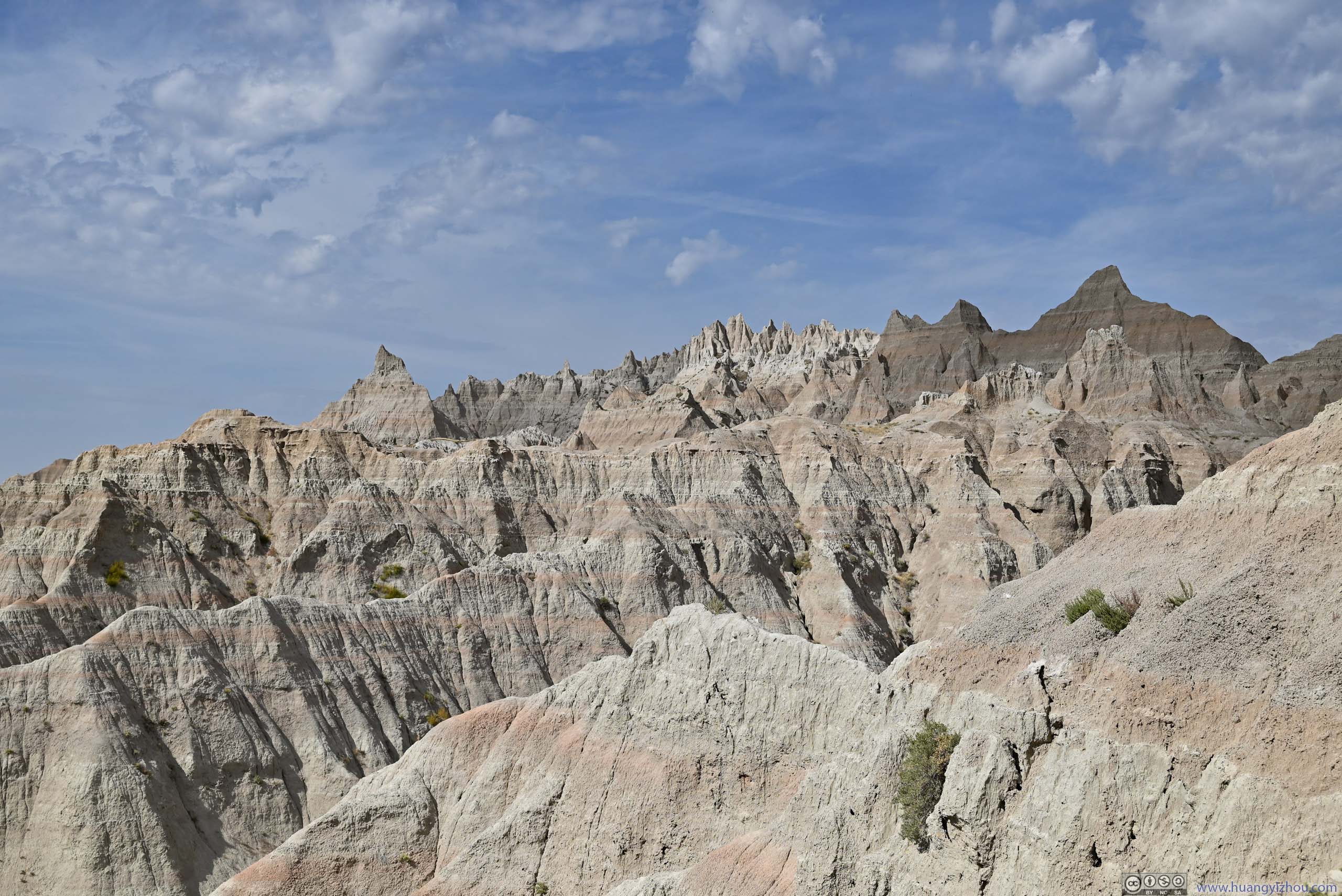
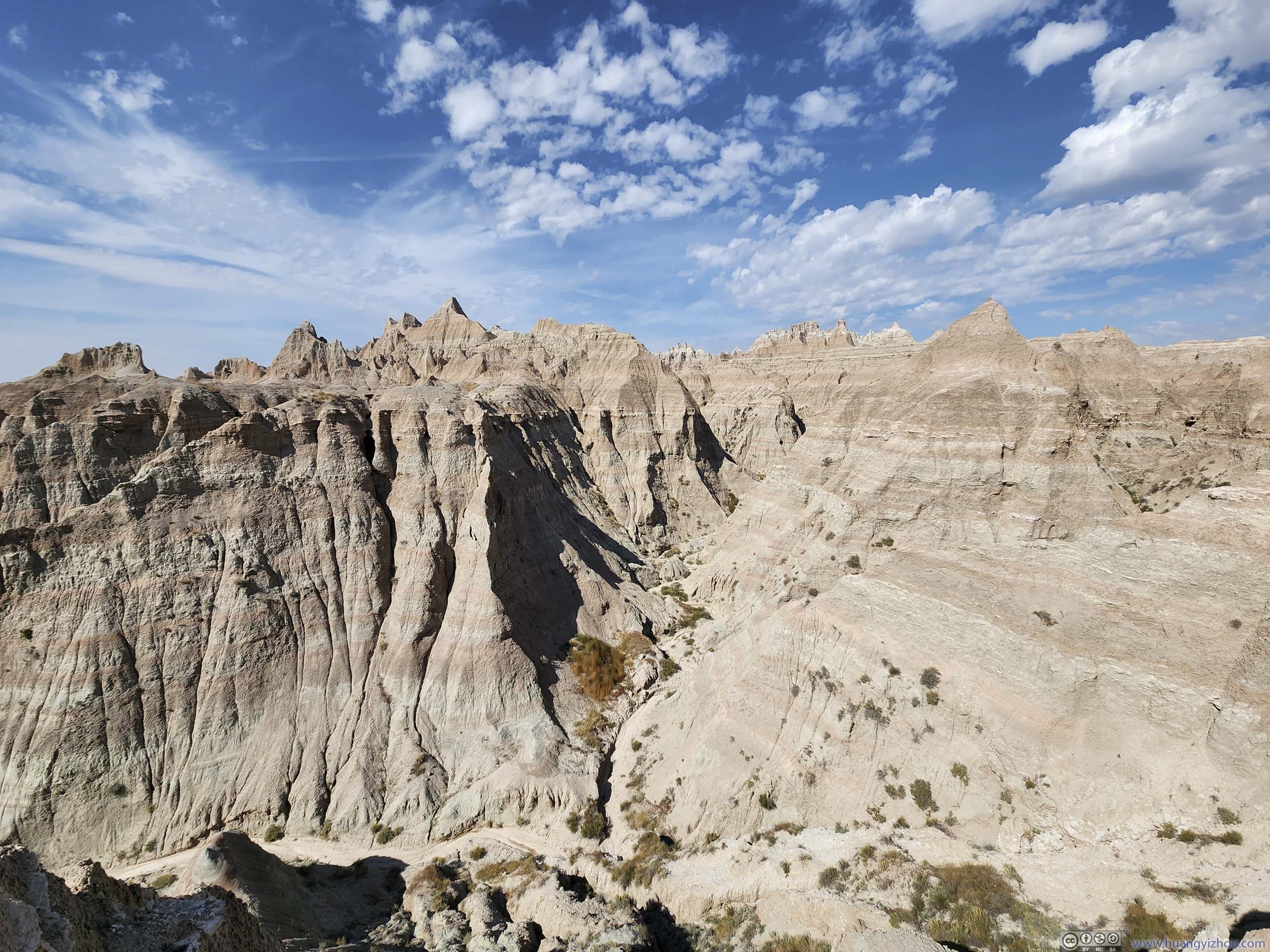
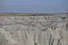
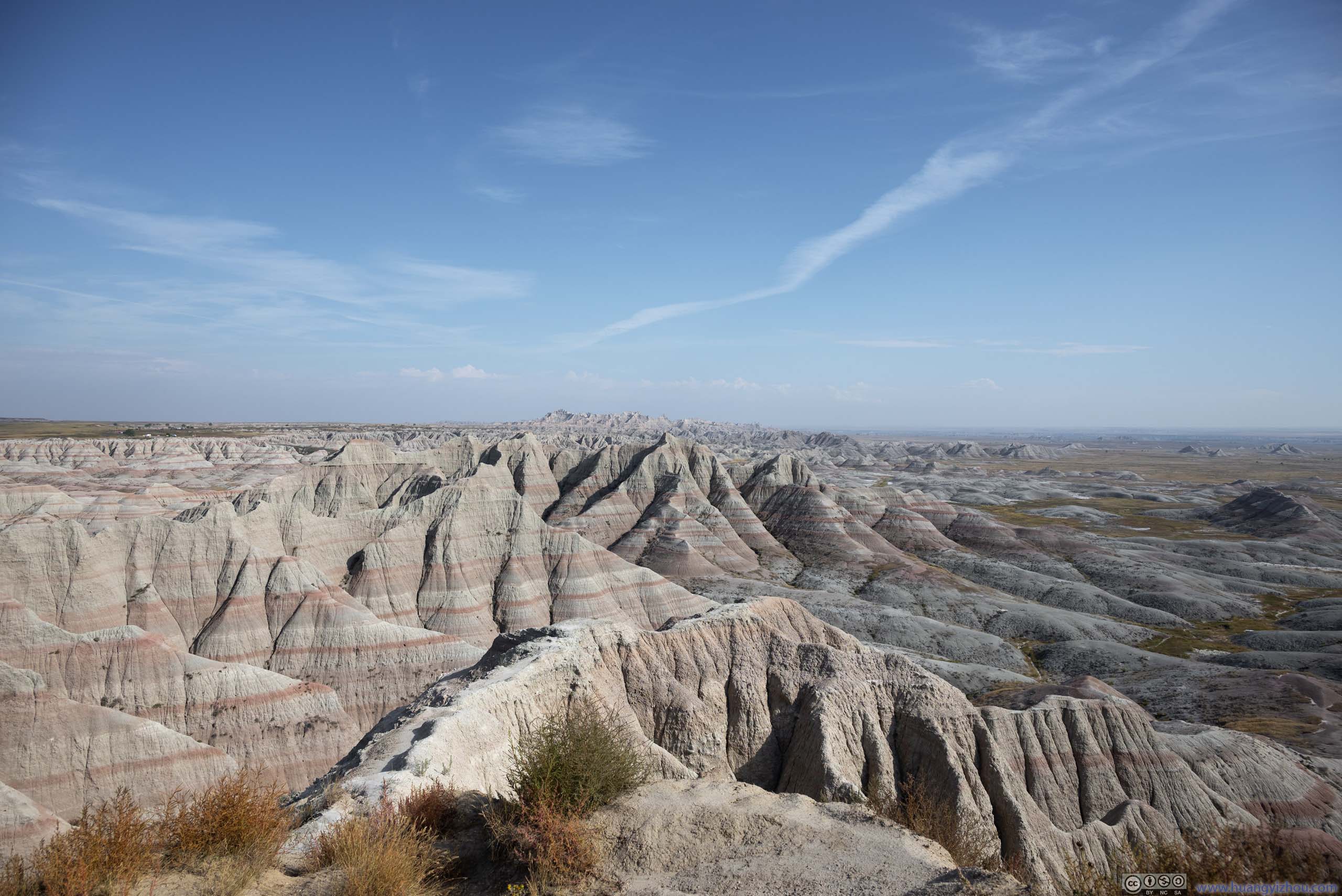
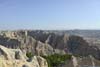
Badlands National Park was known for its “Badlands Formation”, layered rocks formed by deposition and erosion. The different rock layers were deposited at different geological times, that appeared in different colors. Erosion selectively revealed the rock layers, resulting in the badlands that were visible today.
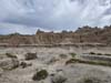
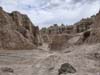
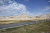
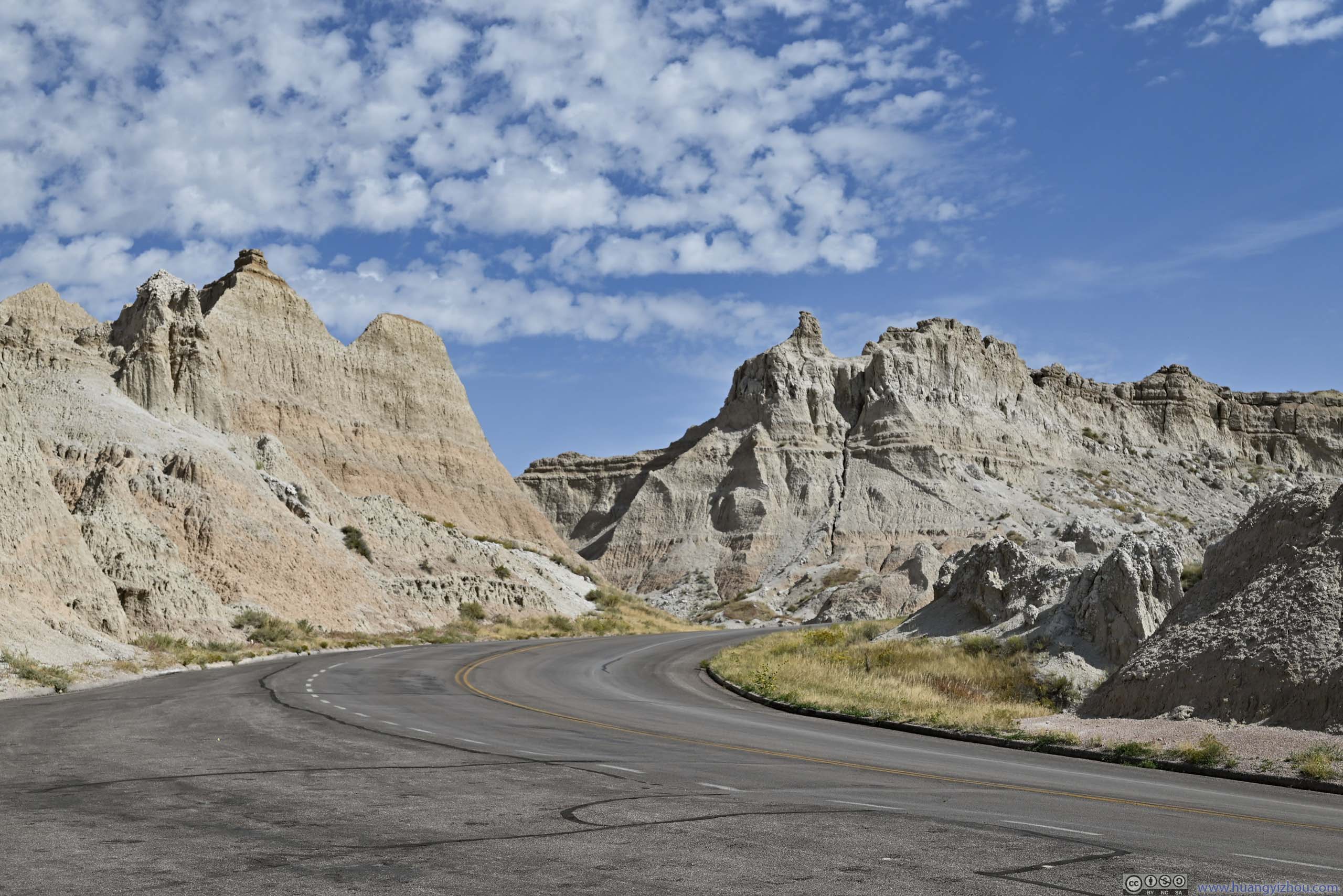
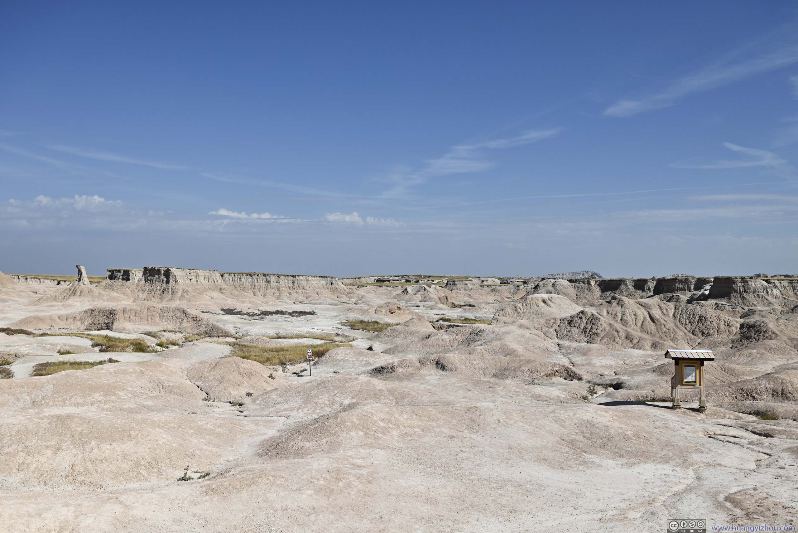
Logistically, the (developed part of the) park was perfectly sized for a day trip (from Rapid City), which consisted of many roadside overlooks and a few short hikes. For roadtrippers on I-90, it could be done in shorter times if rushed.
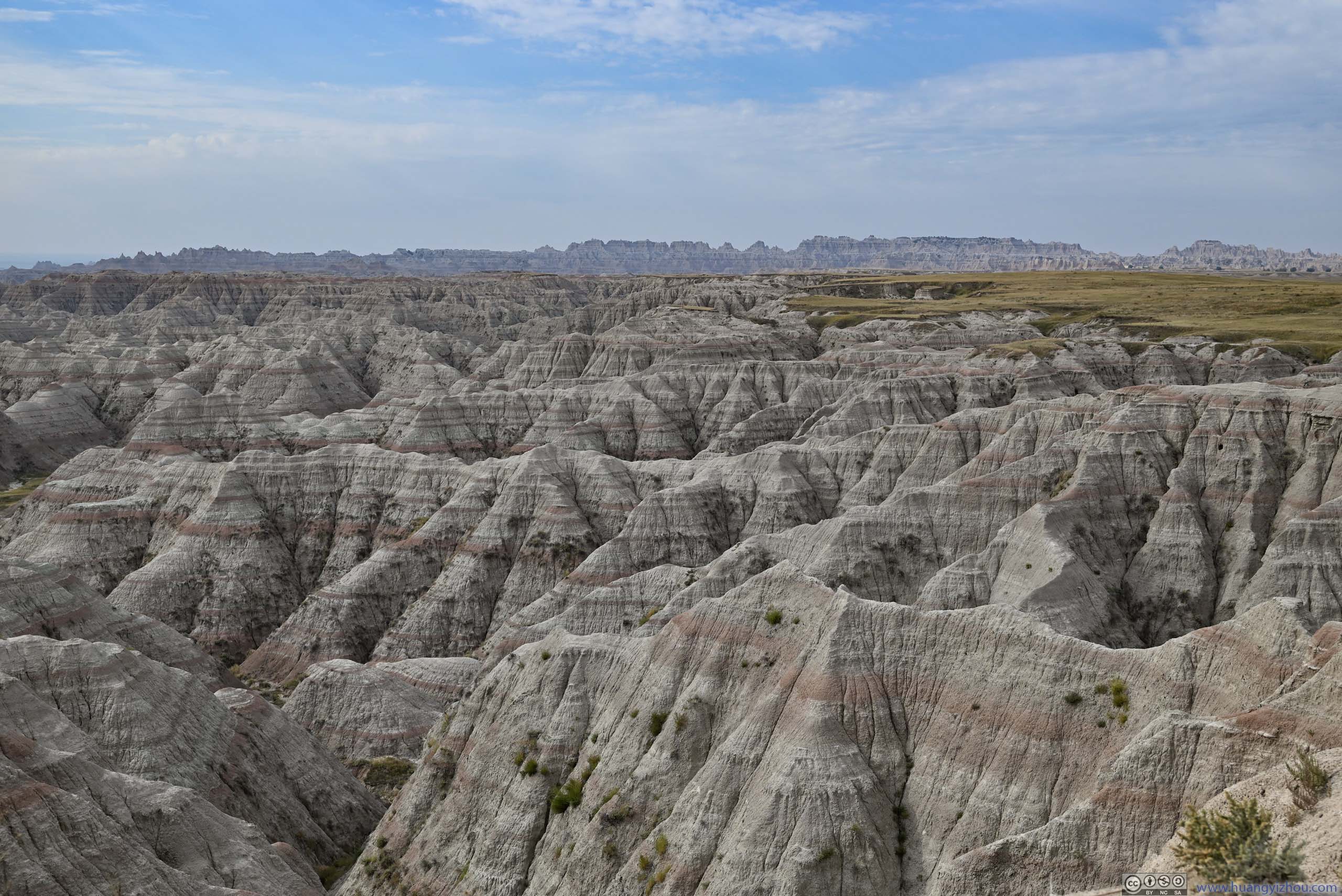
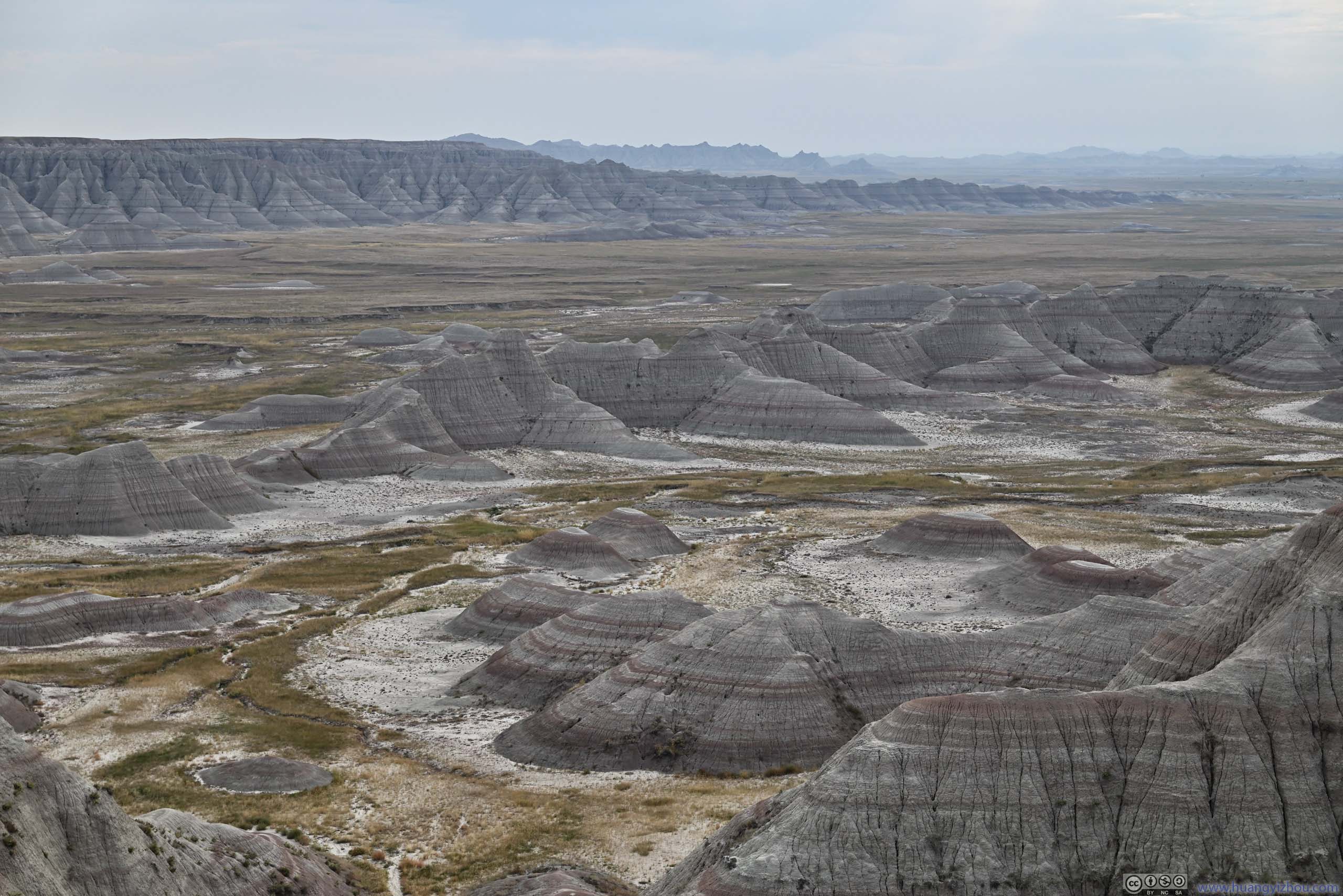
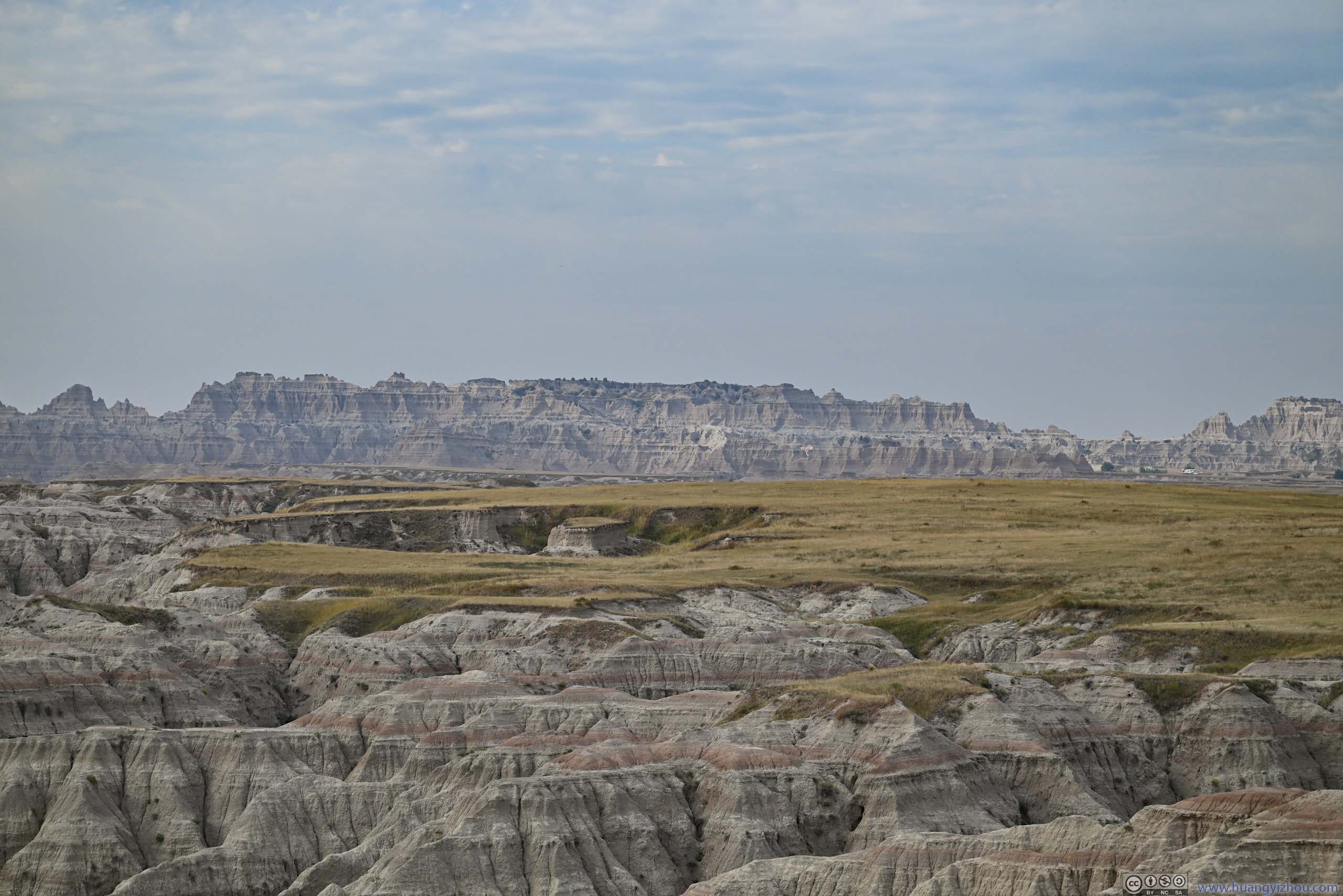
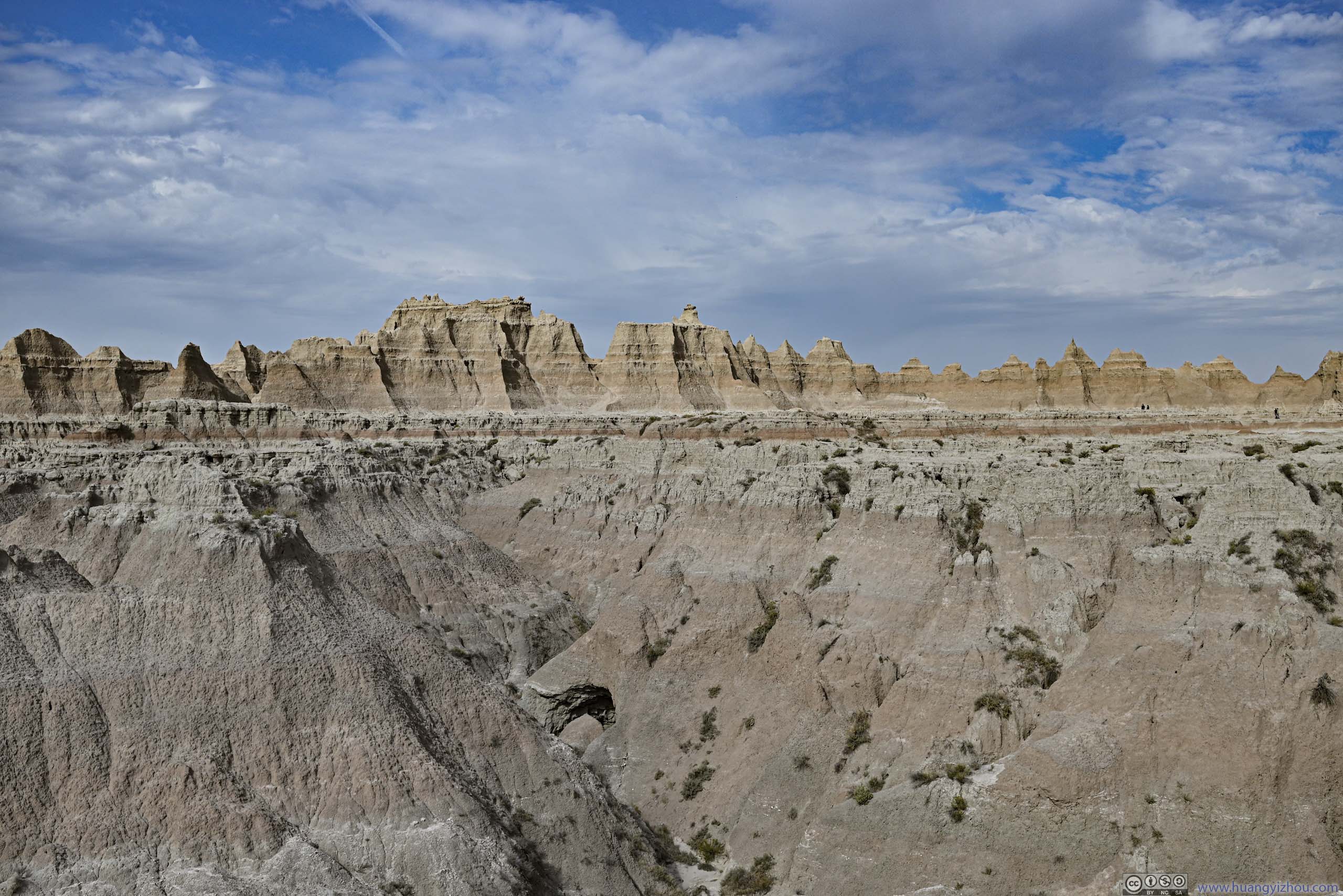
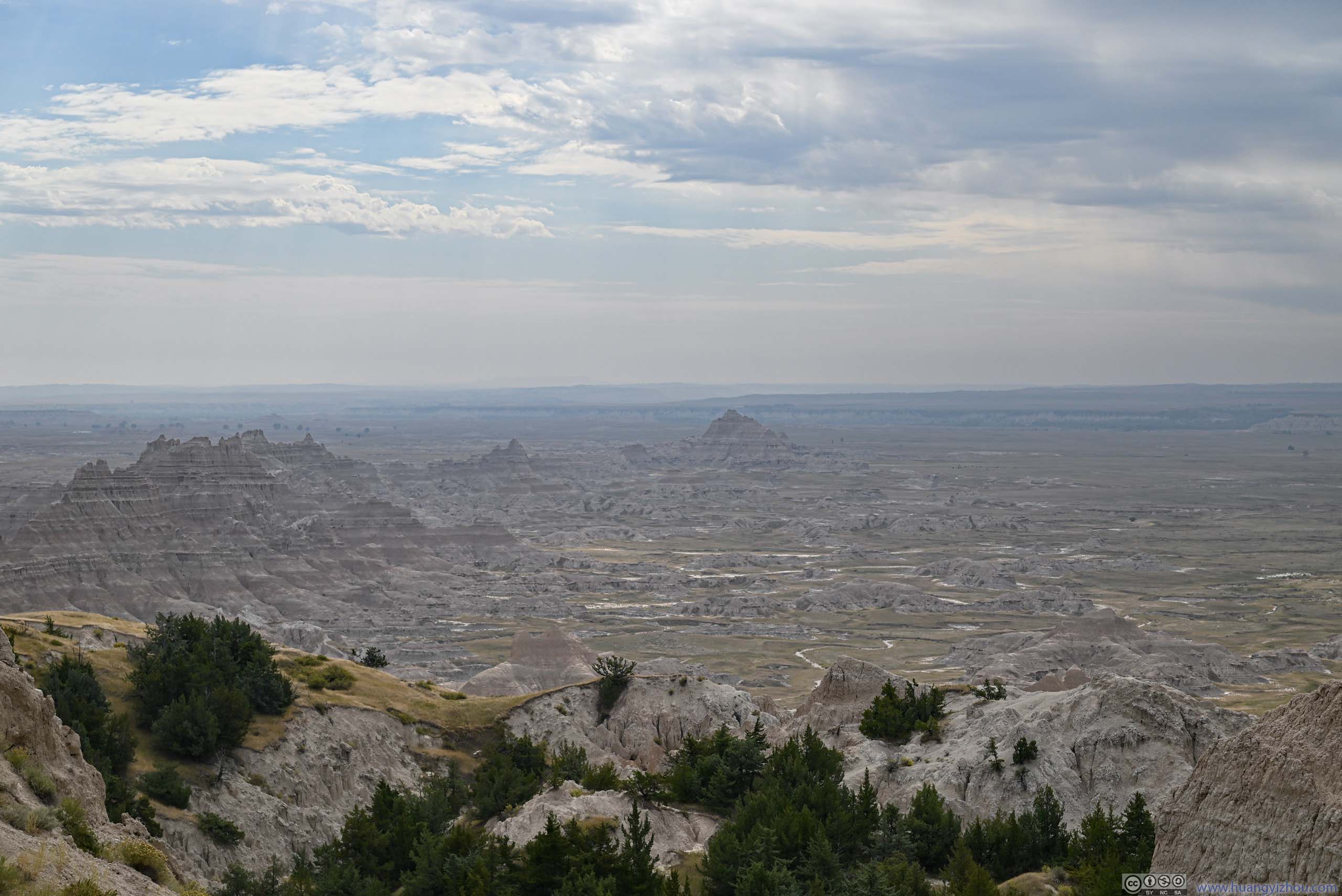
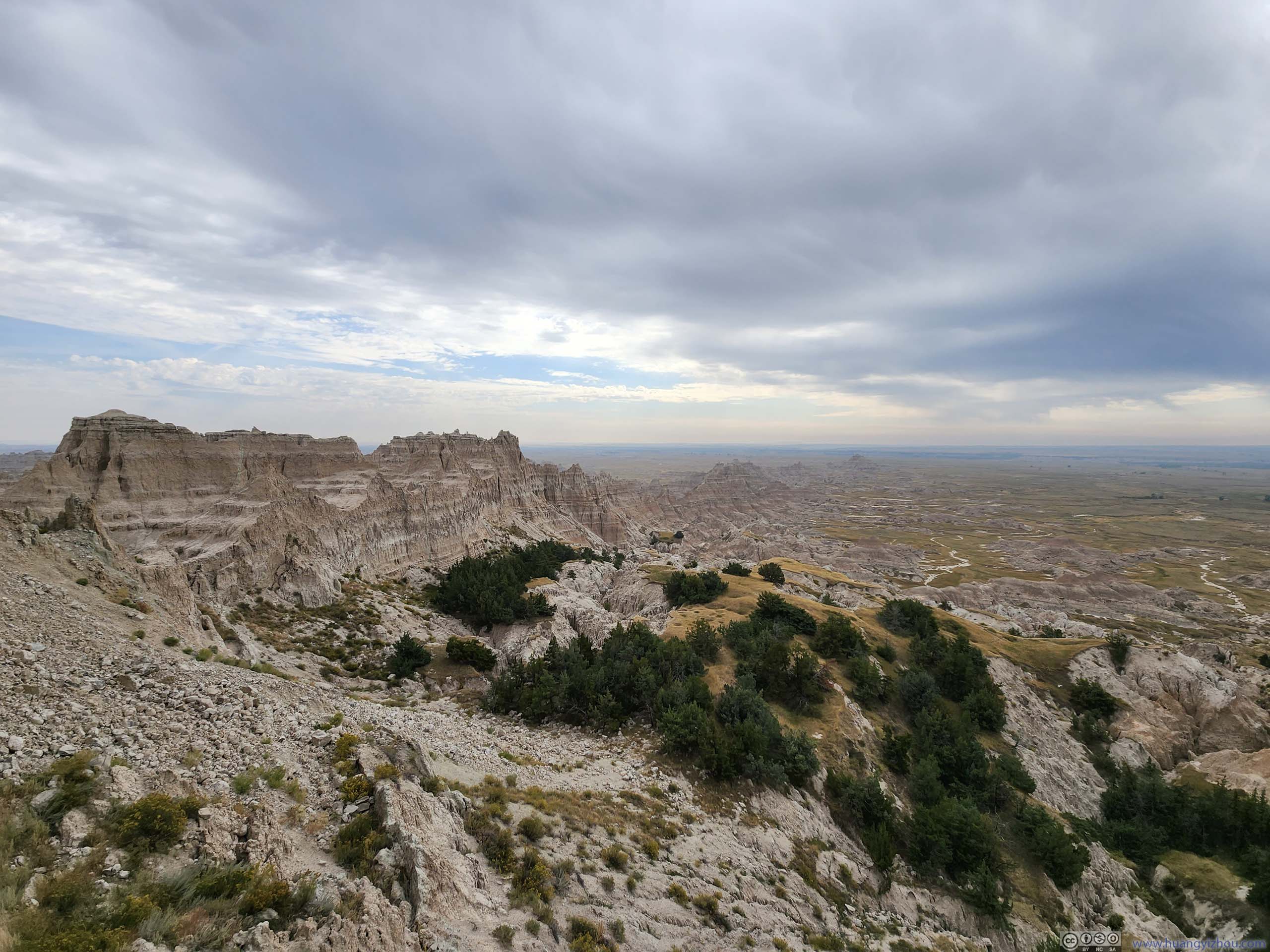
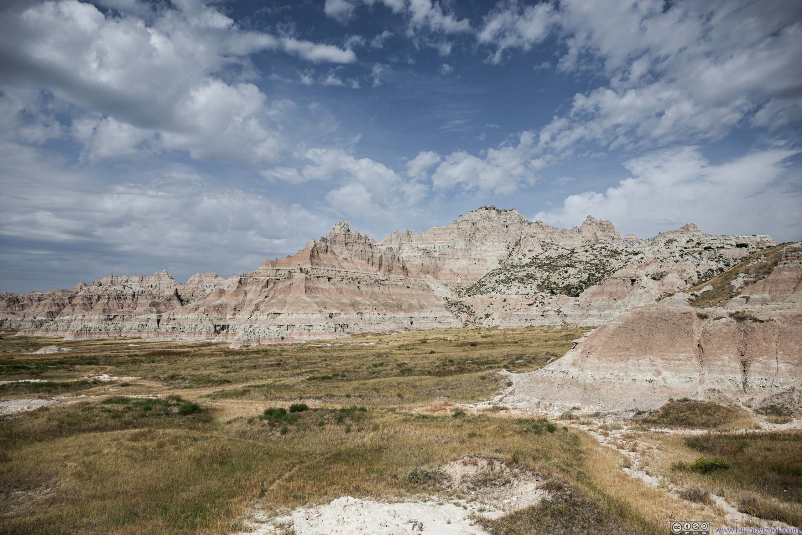
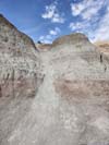
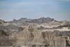
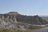
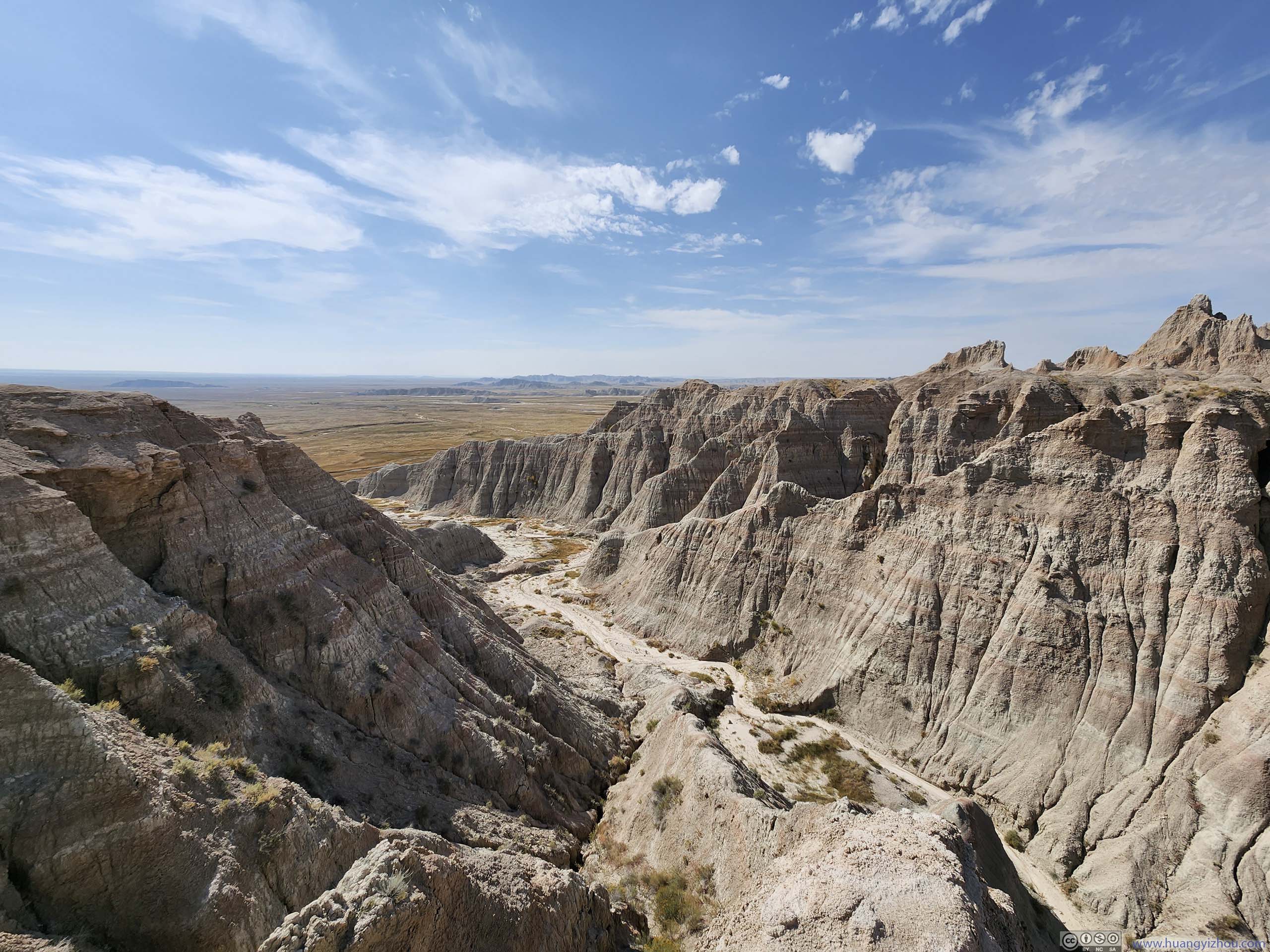
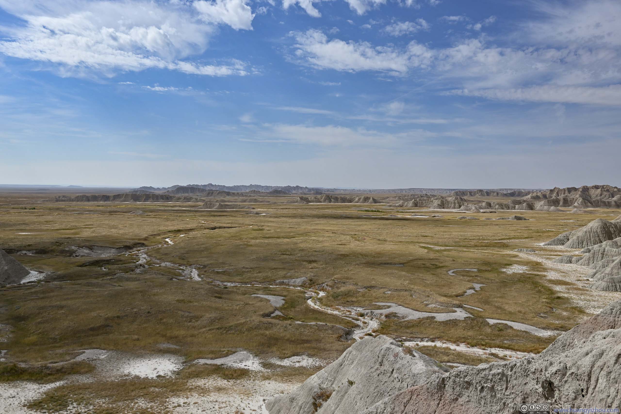
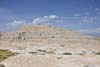
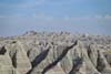
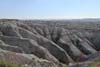
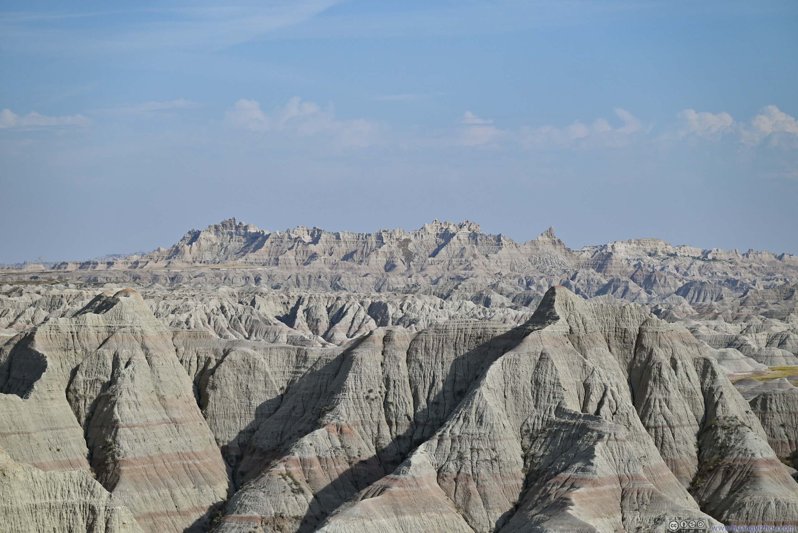
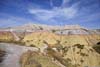
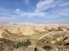
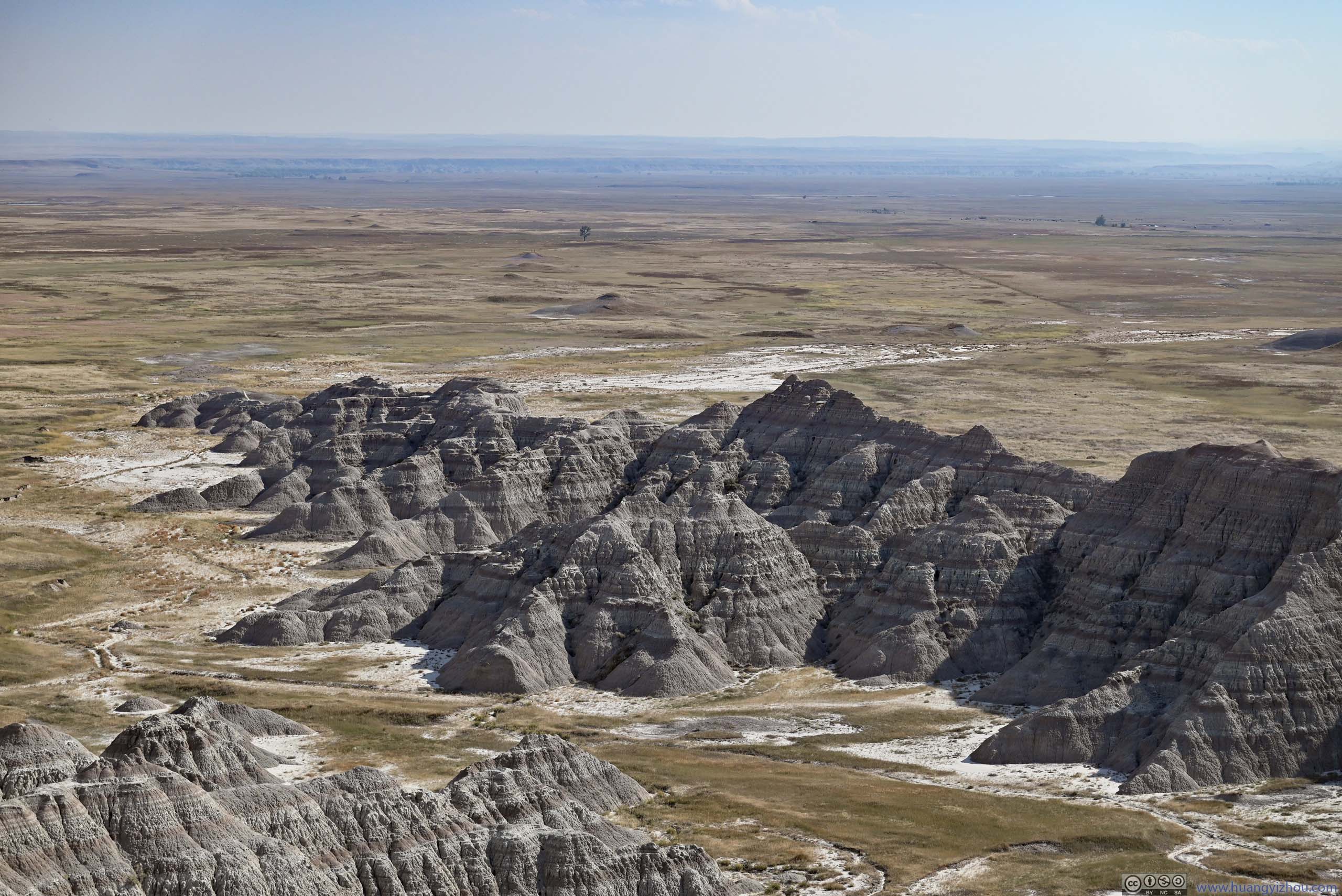
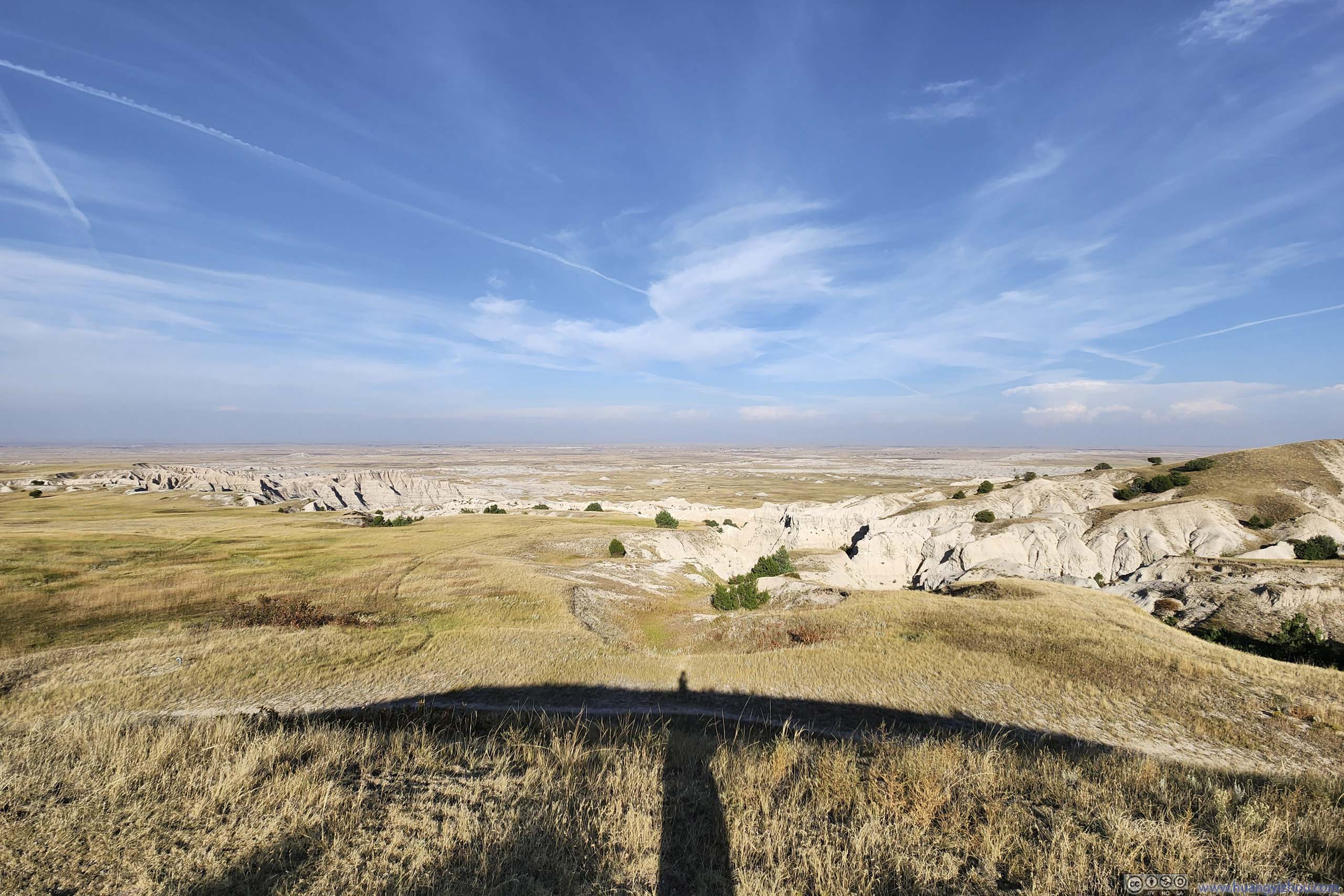
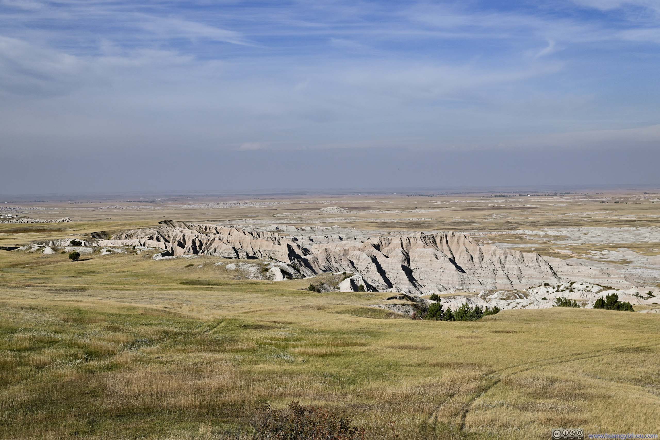
Big Badlands Overlook
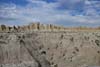
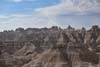
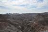
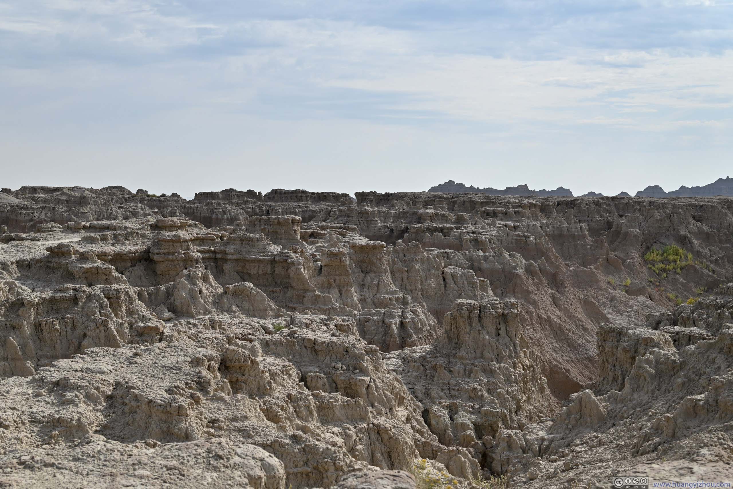
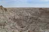
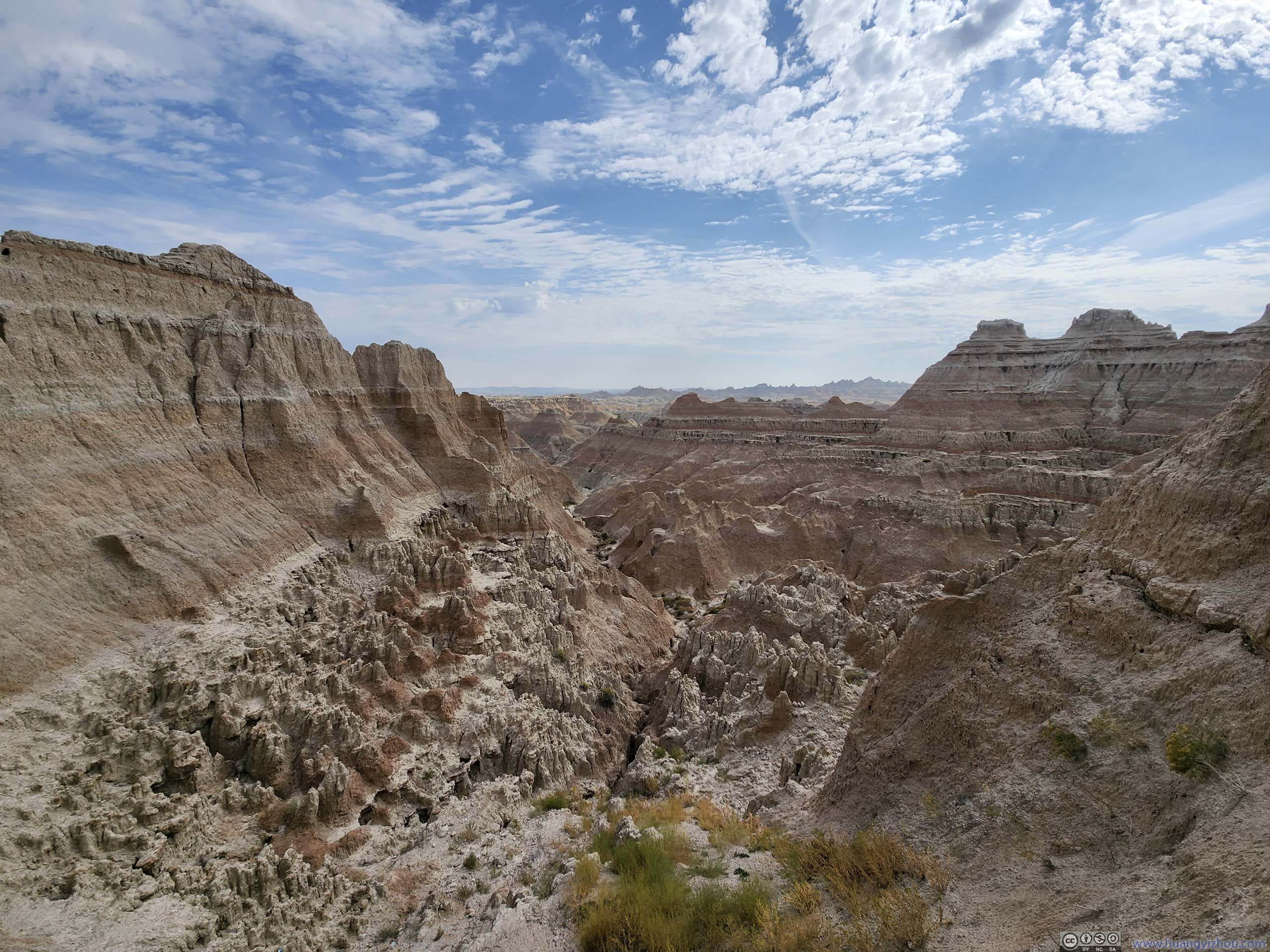
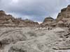
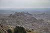
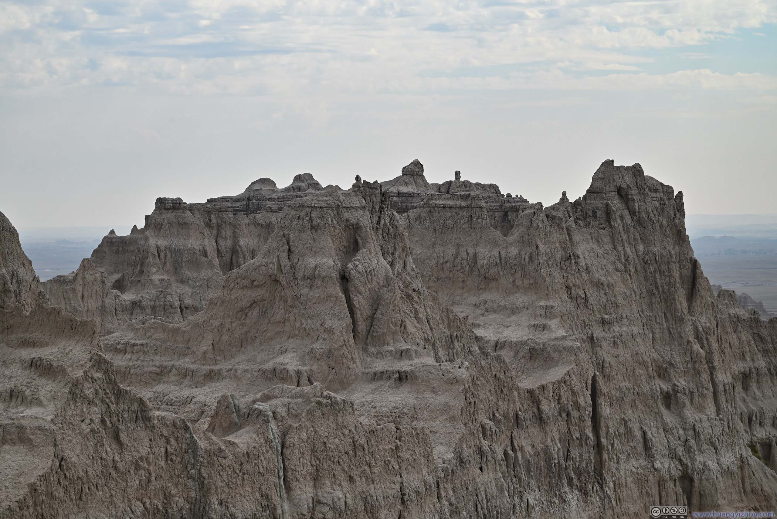
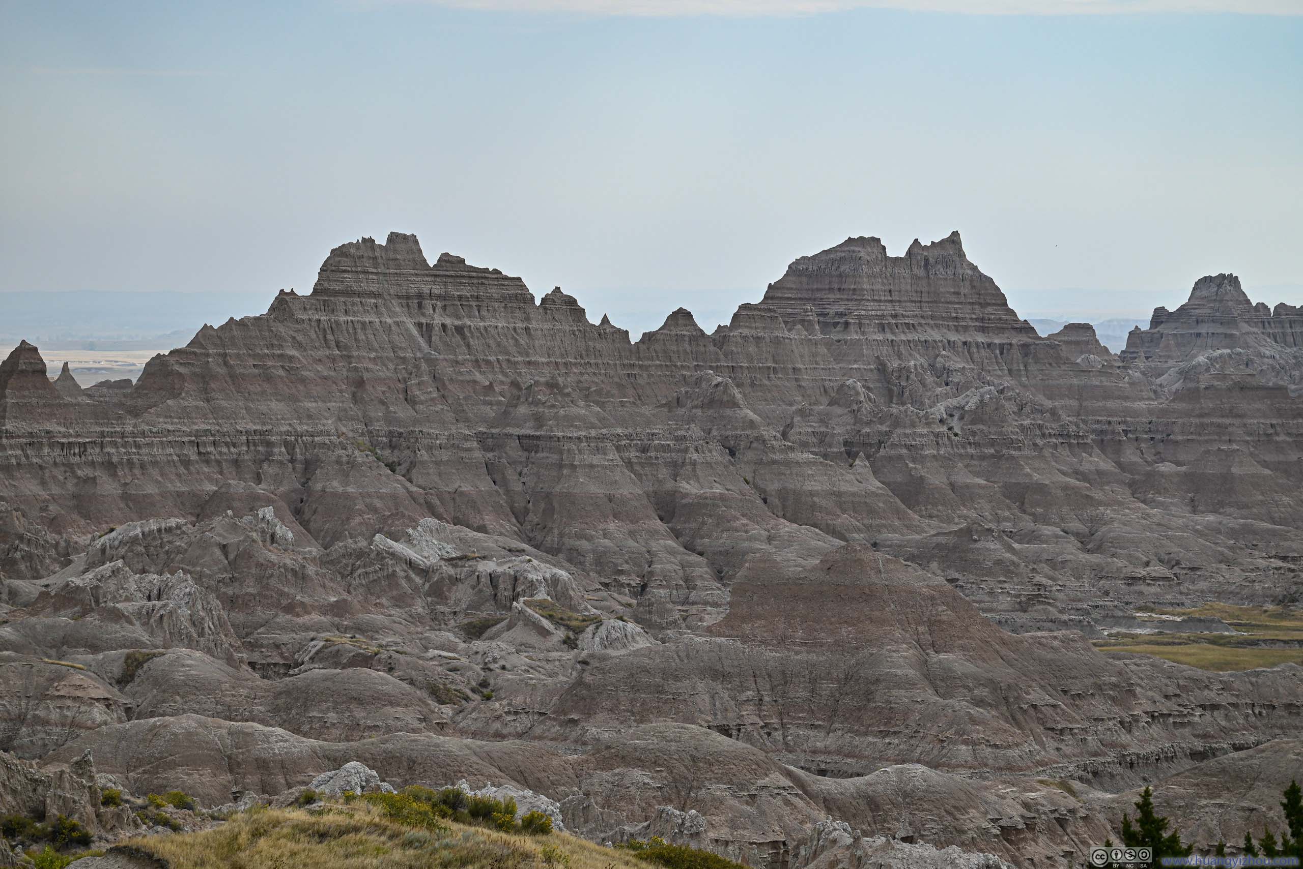
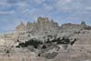
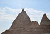
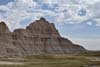
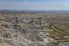
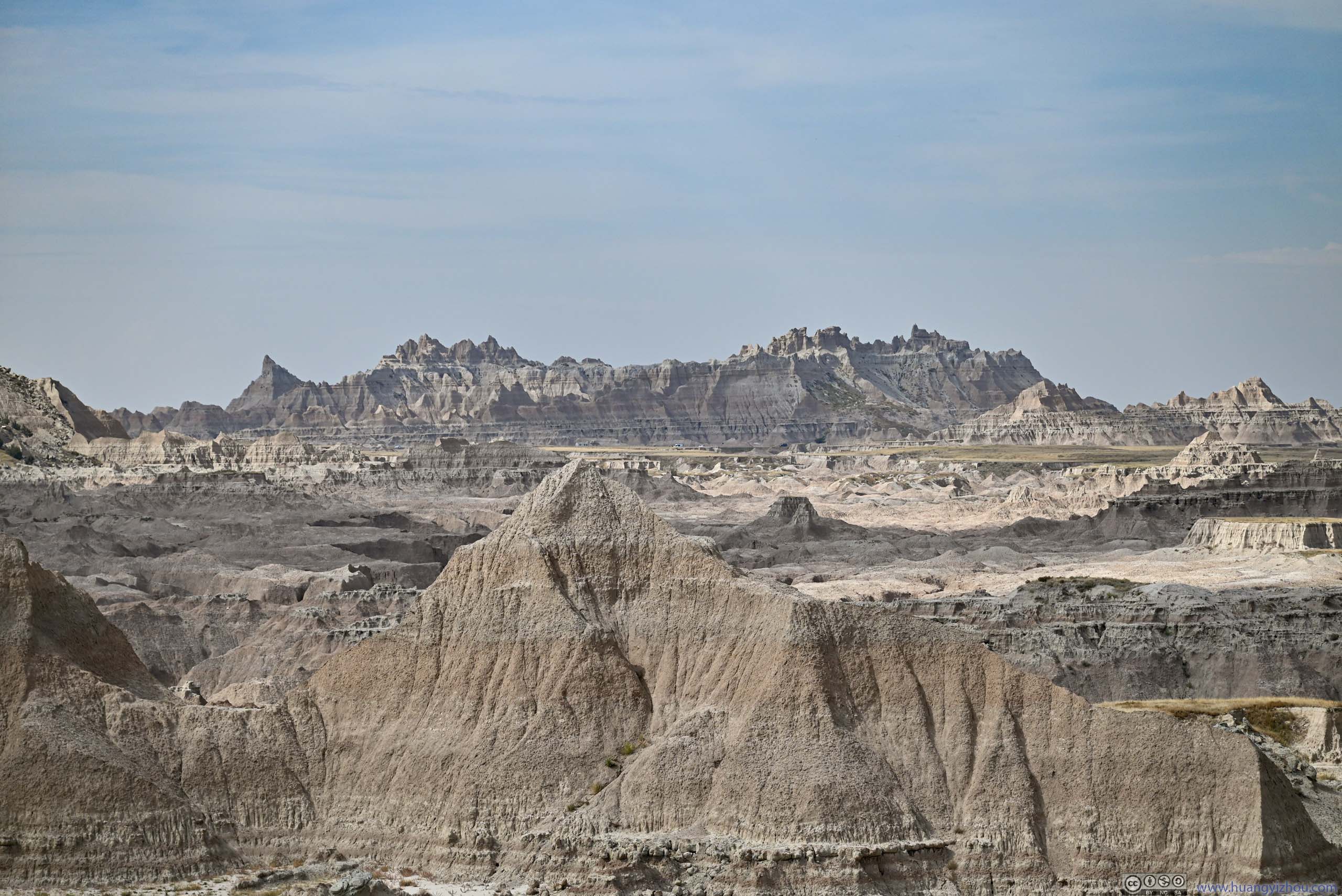
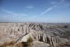
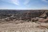
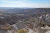
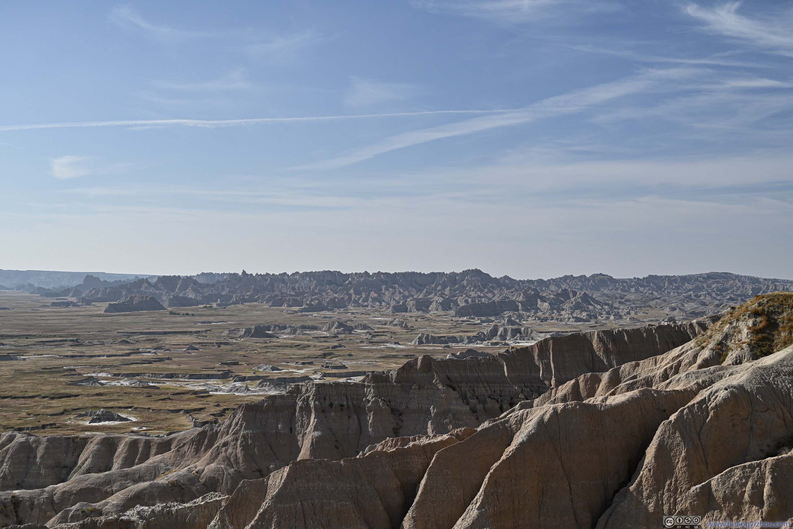
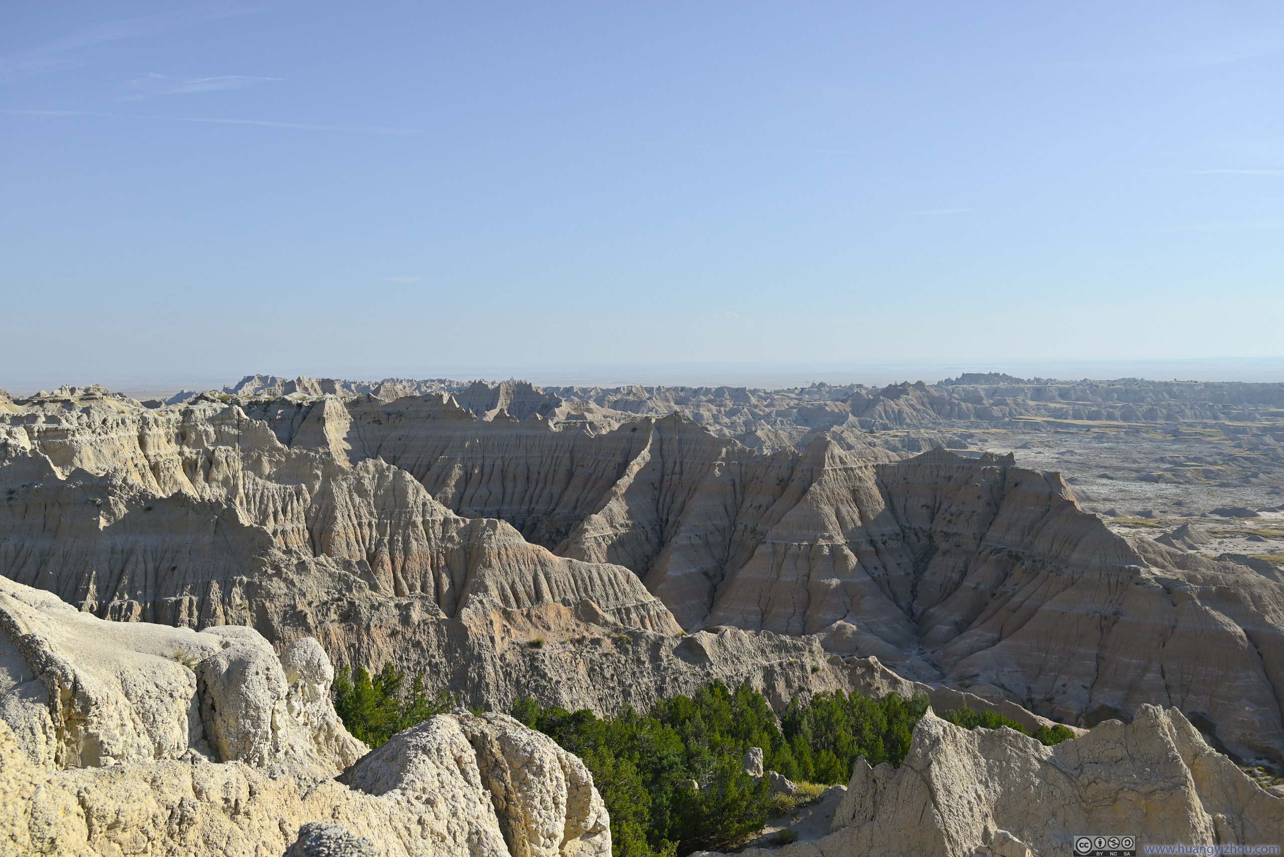
The first overlook after entering the park (from the east) was “Big Badlands Overlook”. This was like a great preview of the park. While I had seen similar landscapes during my 2020 trip to Utah, the buttes here had much higher drainage density, featuring dense interfluves and gullies.
On a different note, before my visit, I was under the impression that the sediments that made up Badlands’ landscape were gray and monochromatic, just like the color of mud, hence they were associated with the name “bad”. That didn’t turn out to be the case. From “Big Badlands Overlook”, it’s obvious that the landscape was interleaved with layers of pink, an enchanting finishing touch to an otherwise dull scene. It’s like the difference between cocktail and water, and I liked the variety offered by the former.
 Badlands
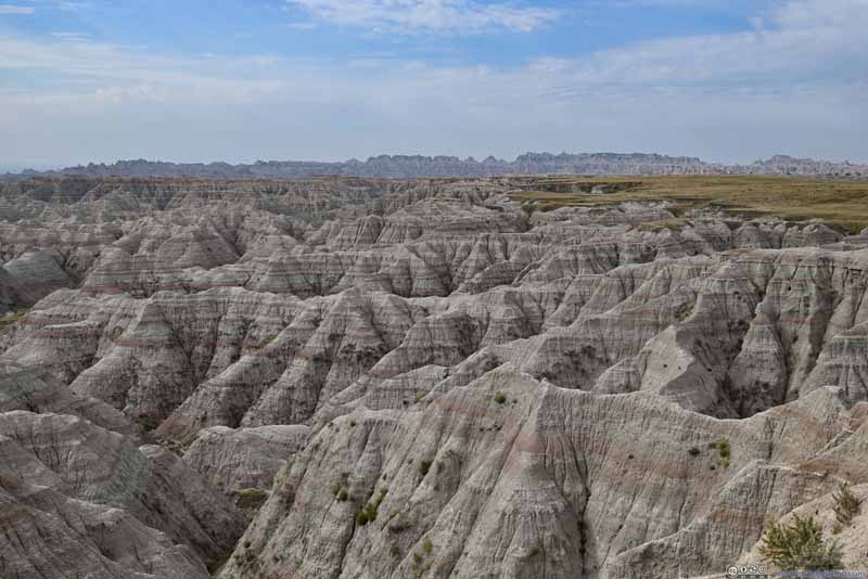 Badlands
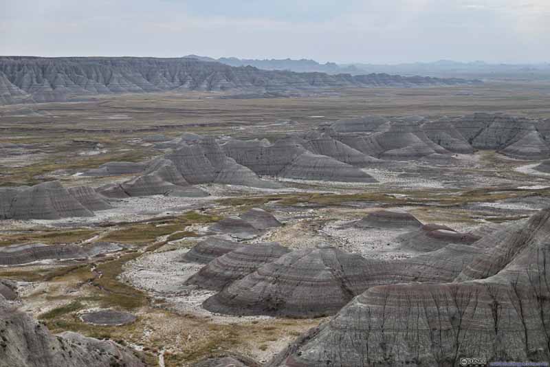 Badlands
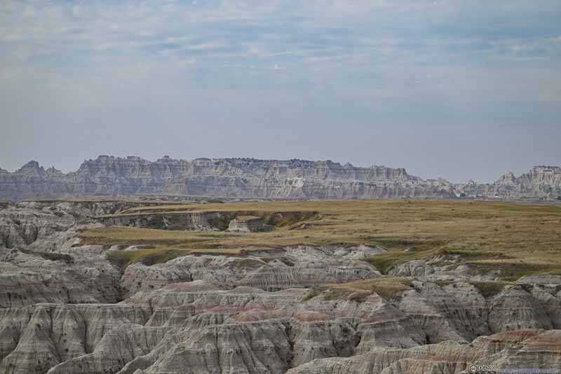 Distant RidgeAround Door/Window/Notch region.
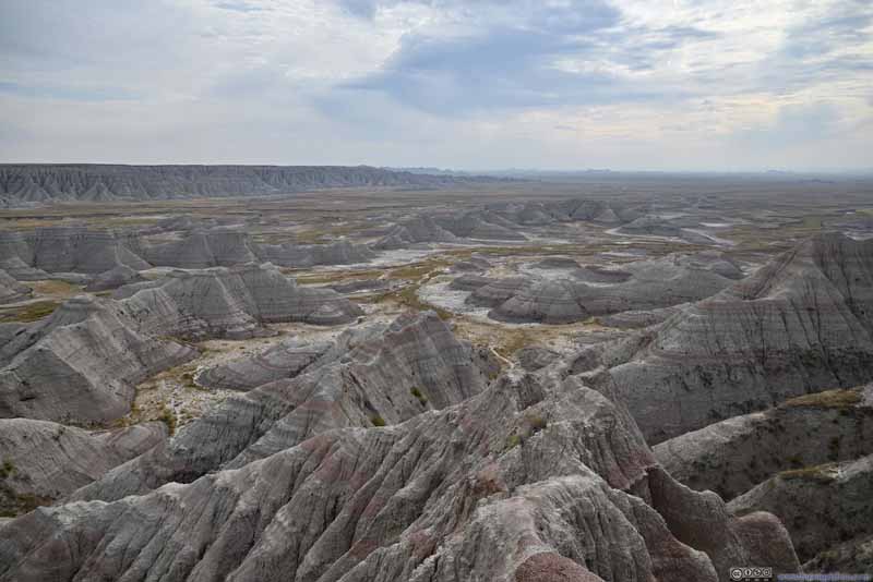 Badlands
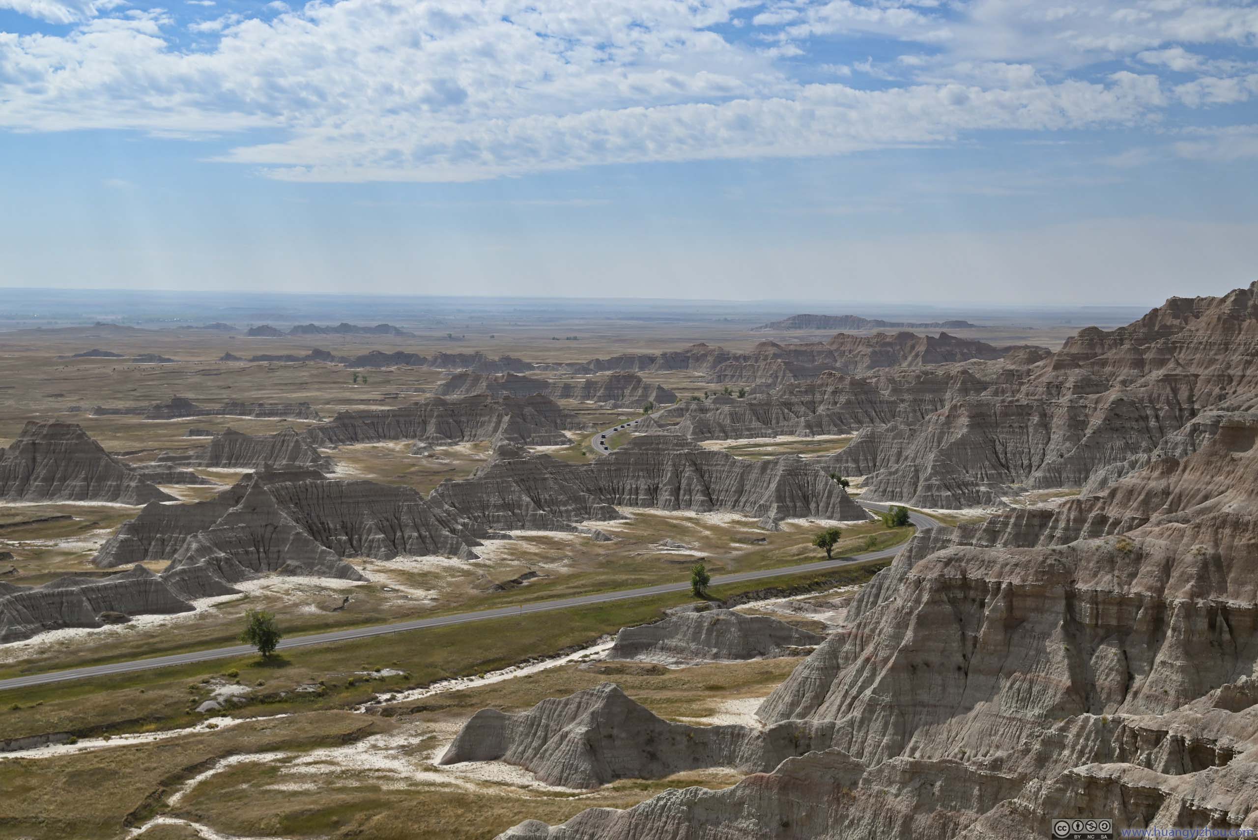
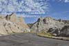
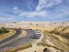
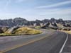
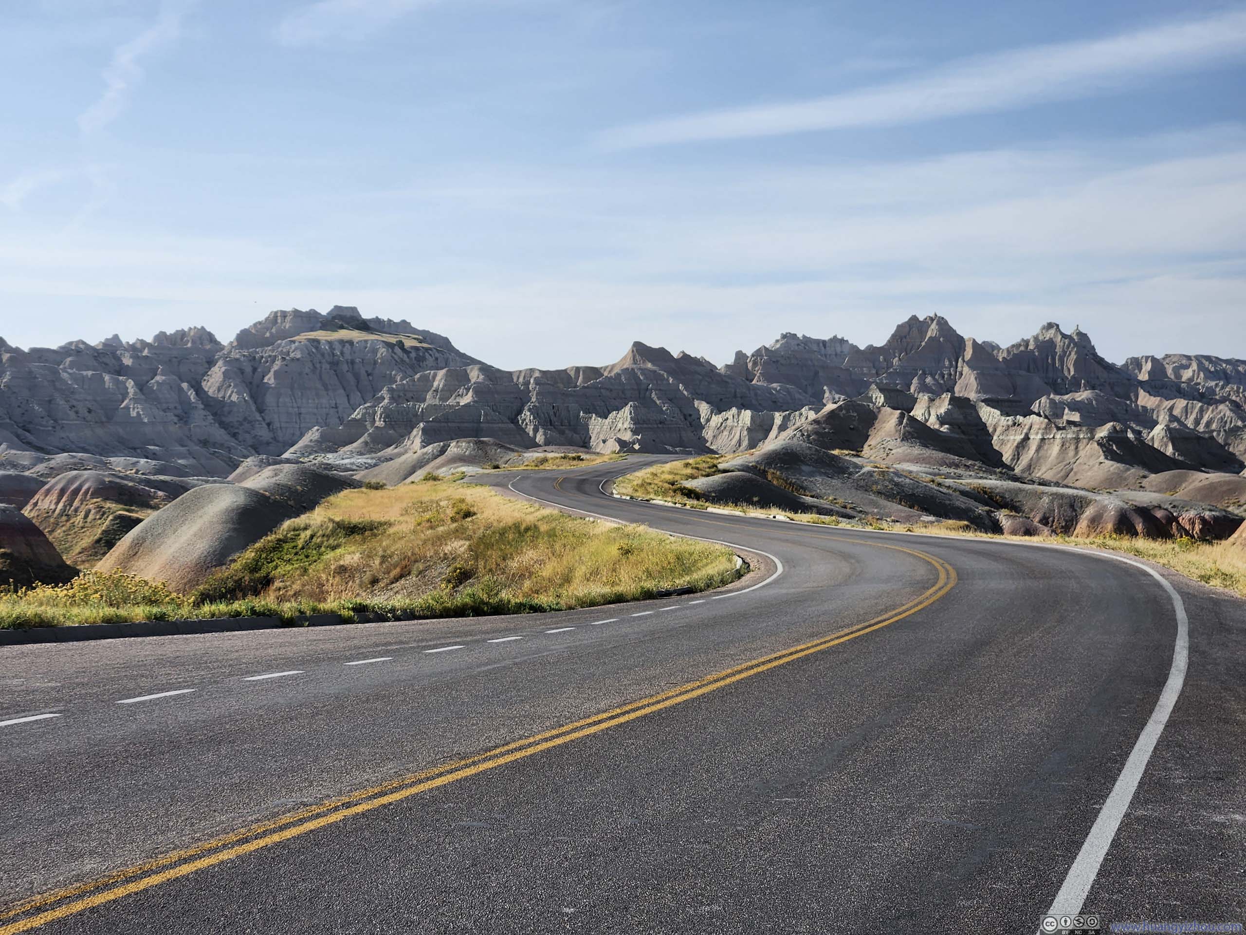
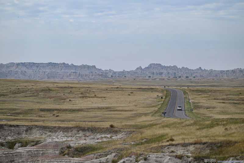 Road into Badlands National Park


Click here to display photos from Big Badlands Overlook.

Badlands
Badlands
Badlands
Distant RidgeAround Door/Window/Notch region.

Badlands
Road into Badlands National Park
Badlands from Big Badlands Overlook
The Door / Window Trail
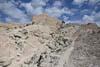
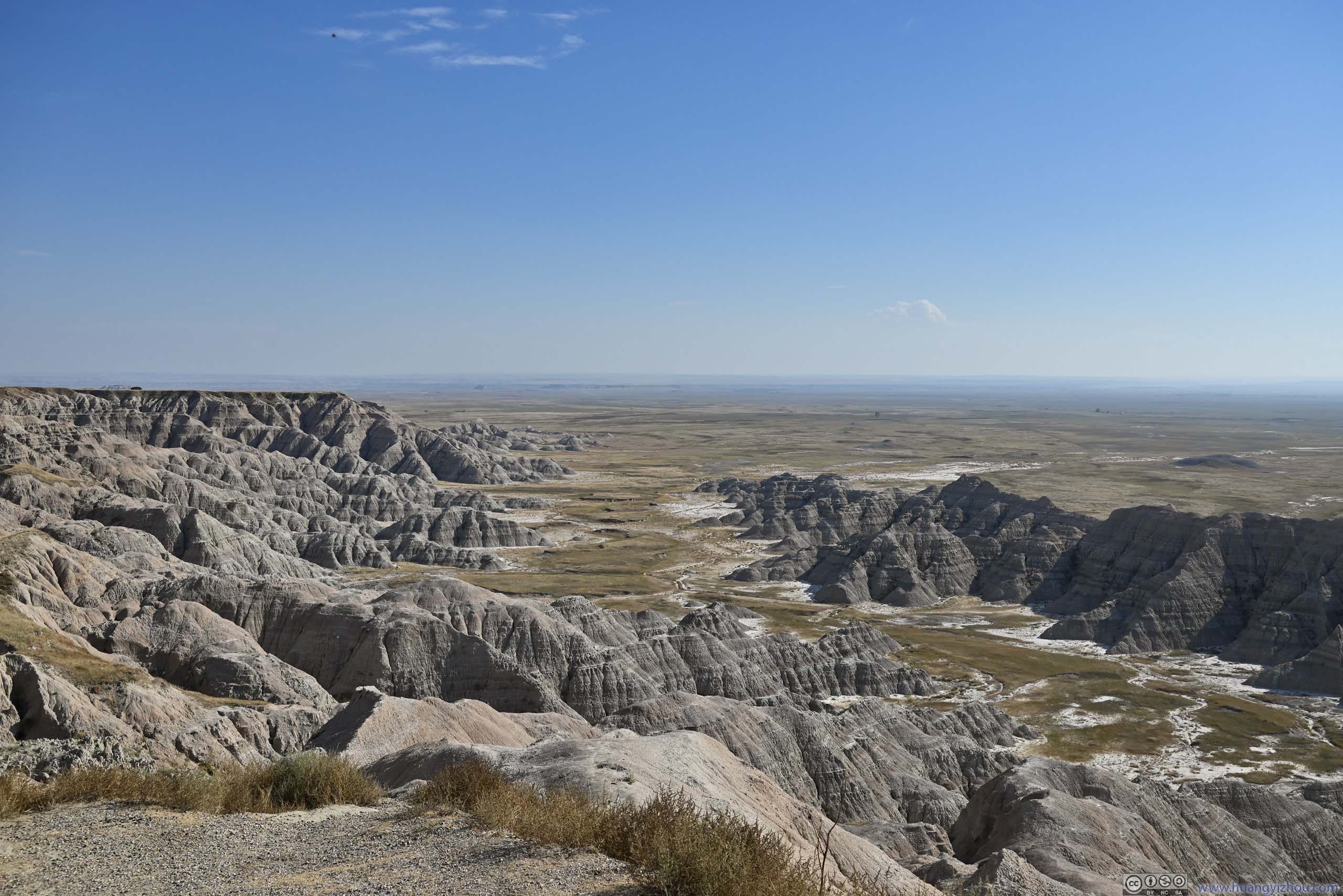
After a short ride, I was at the parking area for Door/Window/Notch. These were three of the most popular trails in the park.
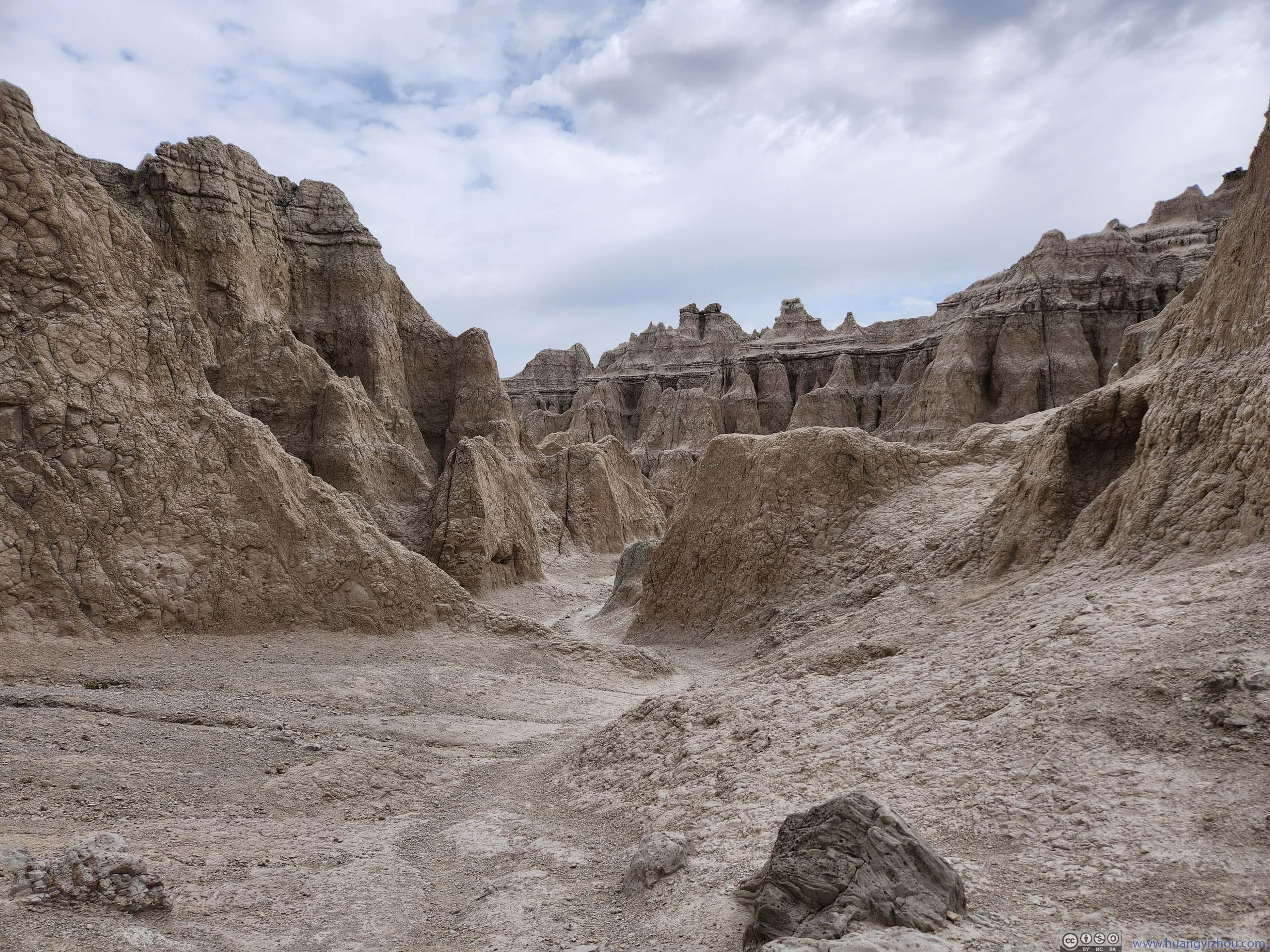
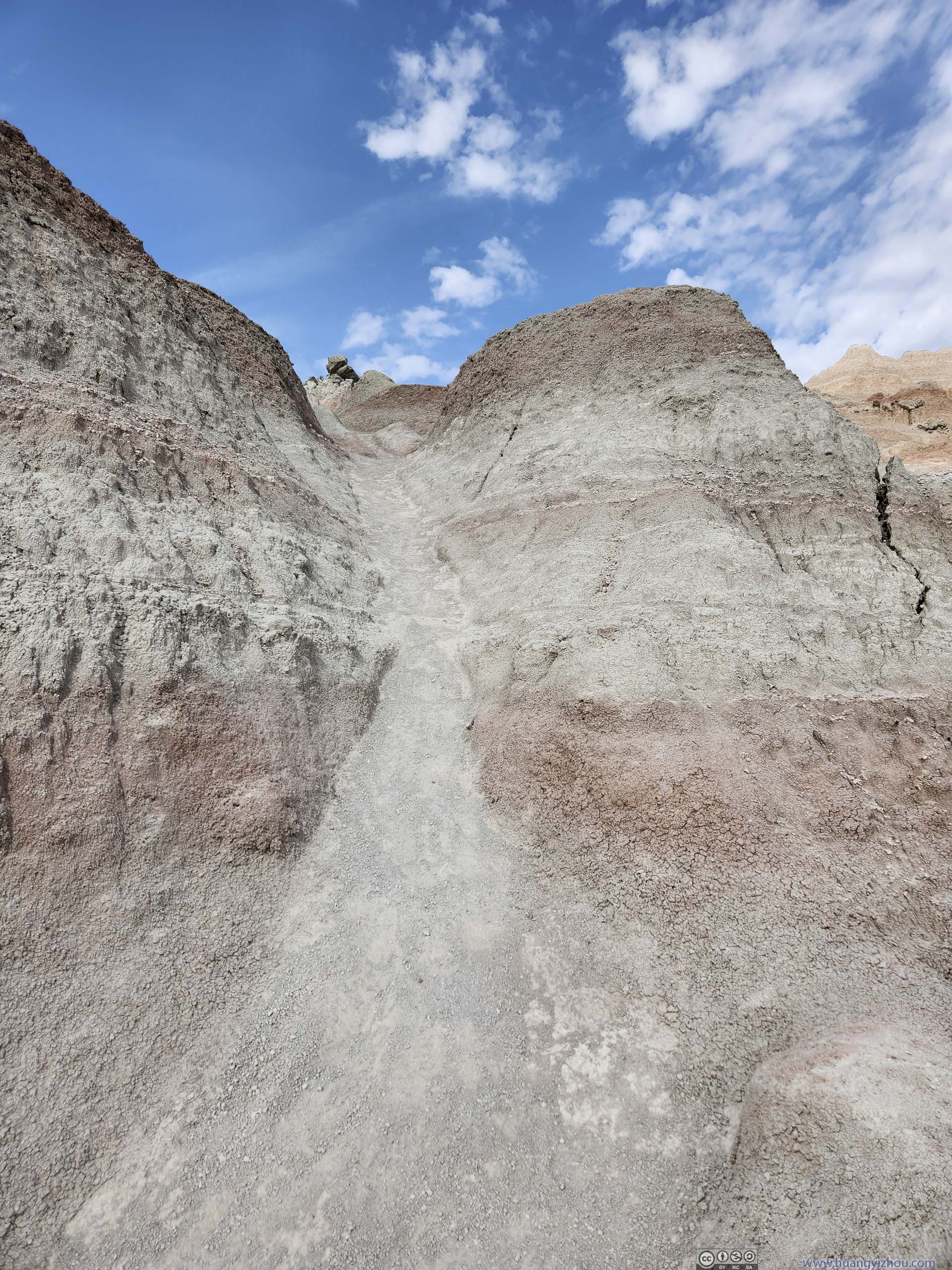
I checked out The Door trail first (since it’s the first one along the route). The trail was made of a short boardwalk through an opening of a rock wall (p1 below), after that through the badlands to an overlook. The entire trail was under 1 mile roundtrip with minimal elevation change.
Compared to other trails in the park, this one (especially the overlook at its end) had the feeling that one was in badlands (instead of overlooking them).
 The DoorA V-shaped opening through a wall, leading to more badlands landscape.
 Looking Back at The Door
 LandscapeThe terrain here was more rugged and less pointed compared with the rest of the park.
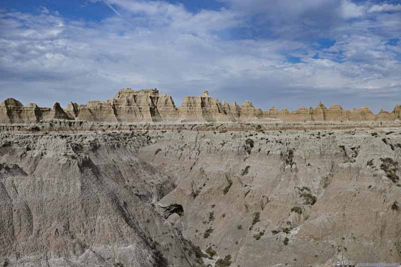 BadlandsBehind this ridge/wall was the parking lot. The trail passed through it at “The Door”.
 Badlands
 Badlands
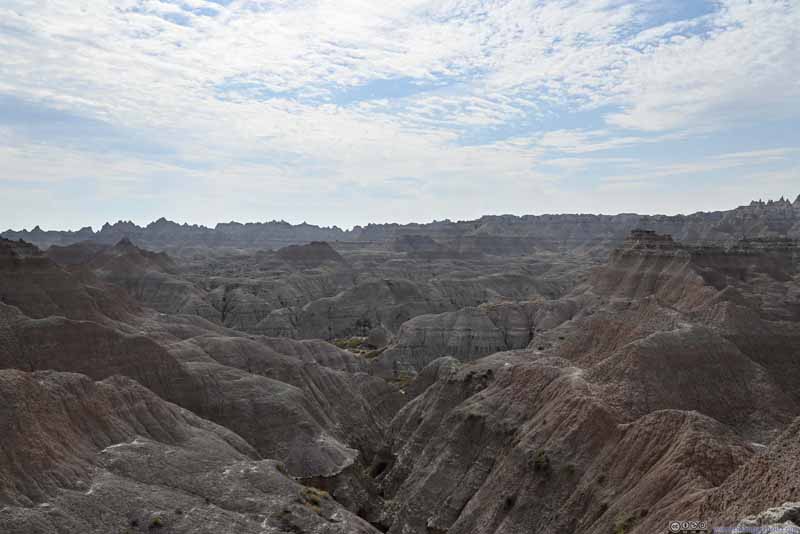 Badlands


Click here to display photos along The Door trail.

The DoorA V-shaped opening through a wall, leading to more badlands landscape.

Looking Back at The Door
LandscapeThe terrain here was more rugged and less pointed compared with the rest of the park.
BadlandsBehind this ridge/wall was the parking lot. The trail passed through it at “The Door”.
Badlands
Badlands
Badlands
Badlands from The End of Door Trail
After that, it’s “The Window”, which was a wider opening in the same ridge/wall than The Door. “The Window” was only a 100m boardwalk from the parking lot. At its end, it offered views of layered badlands geology in different stages of erosion.
As a side note, at first I didn’t find the boardwalk, and located another opening in the same ridge/wall about 100m to the north, which offered similar (if not better) views. As a result, I decided to name it “The Mini Window”.
 View from The Mini Window
 View from The Window
 Badlands from The Window
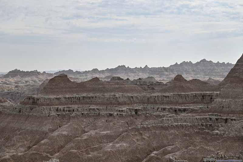 Distant Badlands
 Clay MountOf pretty uniform shape.
Click here to display photos of the Window.
View from The Mini Window

View from The Window
Badlands from The Window
Distant Badlands
Clay MountOf pretty uniform shape.
View from The Window
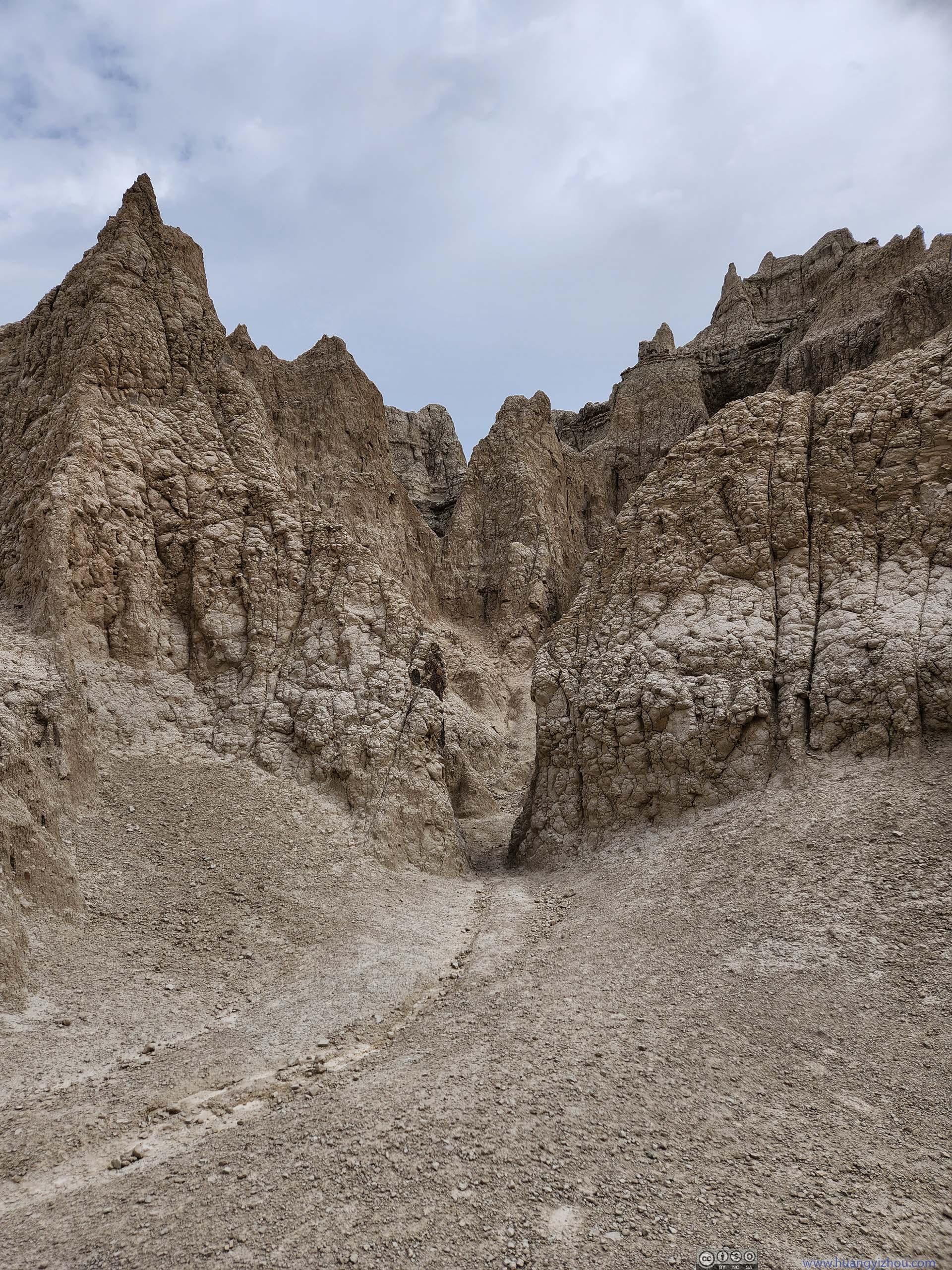
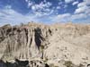
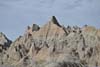
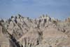
The Notch Trail
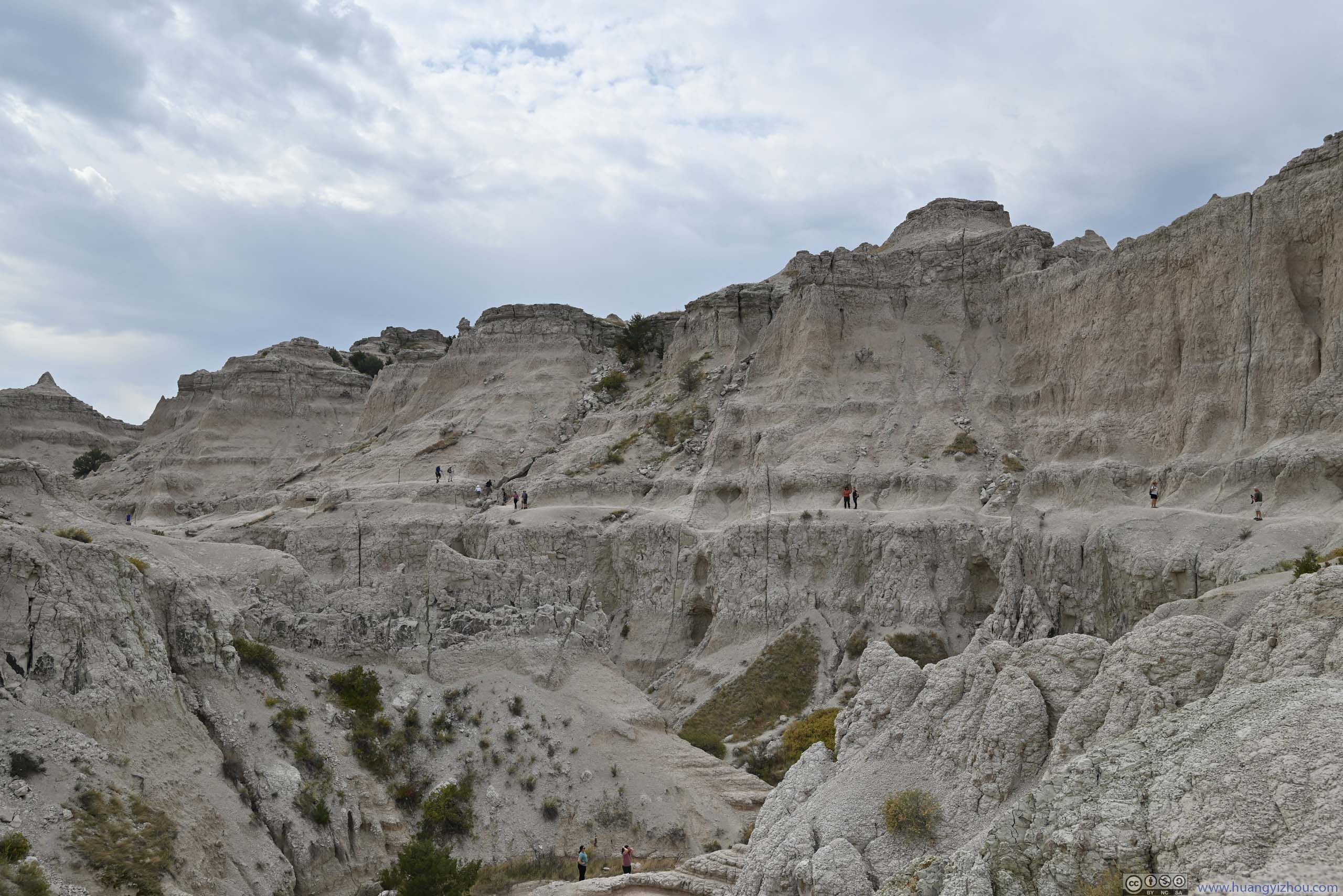
A very visitor-friendly feature of Badlands National Park was that, its best trails were all very short. At 2km roundtrip, The Notch was one of the longer popular trails. There was a short steep section, but with ladders installed, it shouldn’t post any technical challenges.
The Notch shared the same trailhead as The Window (350m south of The Door’s trailhead). Some vegetation lined the trail in the beginning part.
 Notch Trail
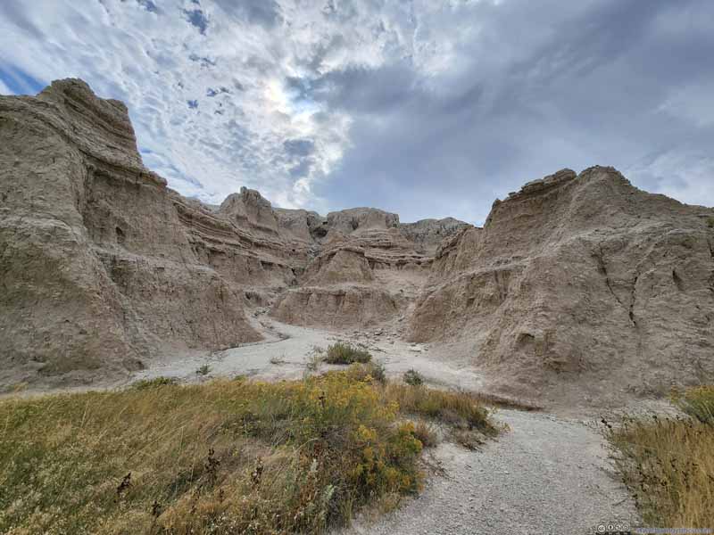 Badlands
 Notch Trail
 Notch Trail
Click here to display photos of The Notch’s trail.
Notch Trail
Badlands
Notch Trail
Notch Trail
500m later, the trail ascended through a steep slope up a valley. A ladder was set up here to aid the hikers (and hence NPS rated this trail as strenuous). It’s no big deal for me though.
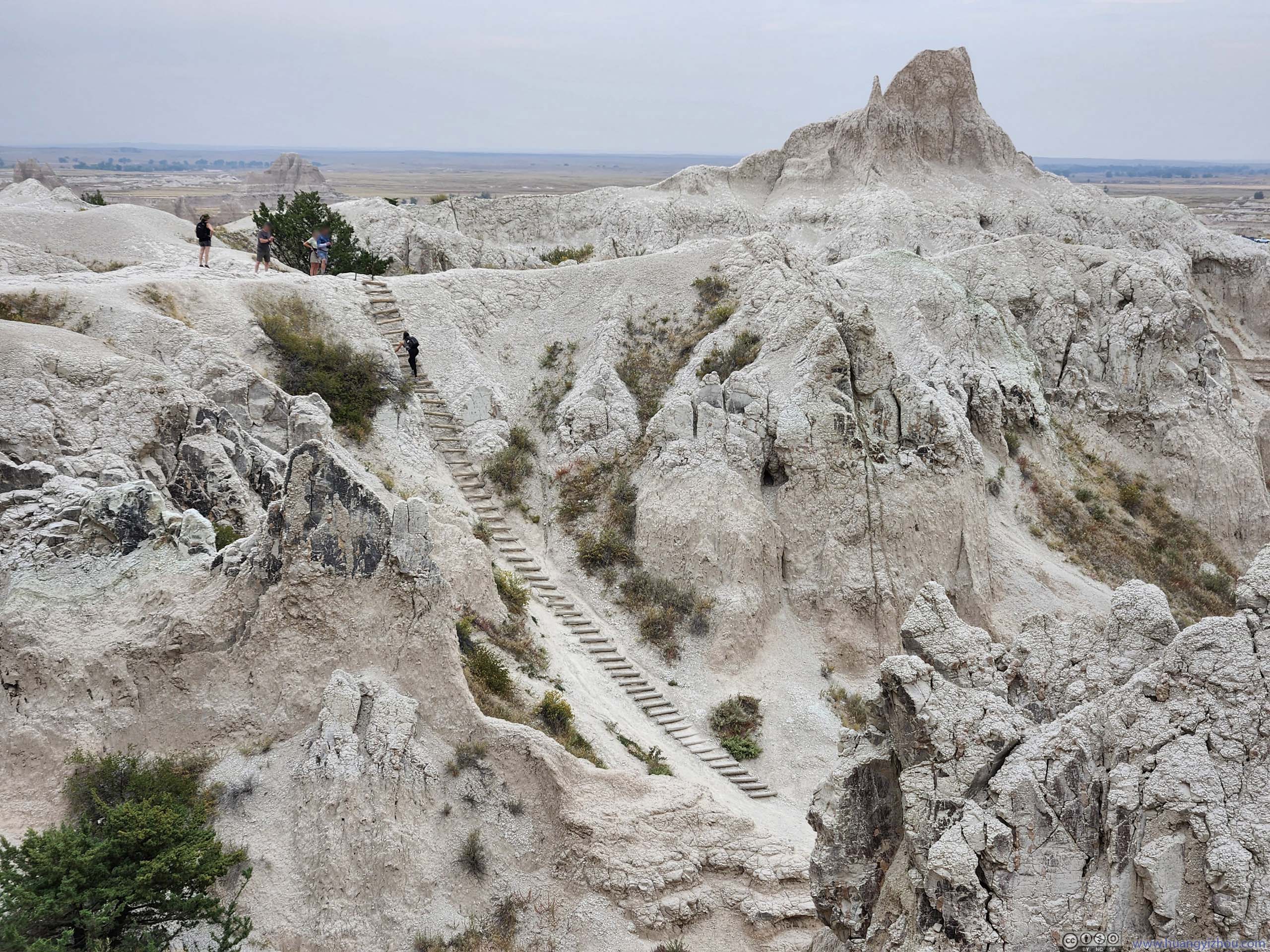
Ladder
 Overlooking Trail before Ladder
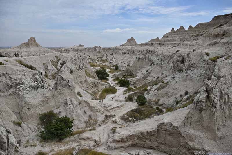 Overlooking Trail before Ladder
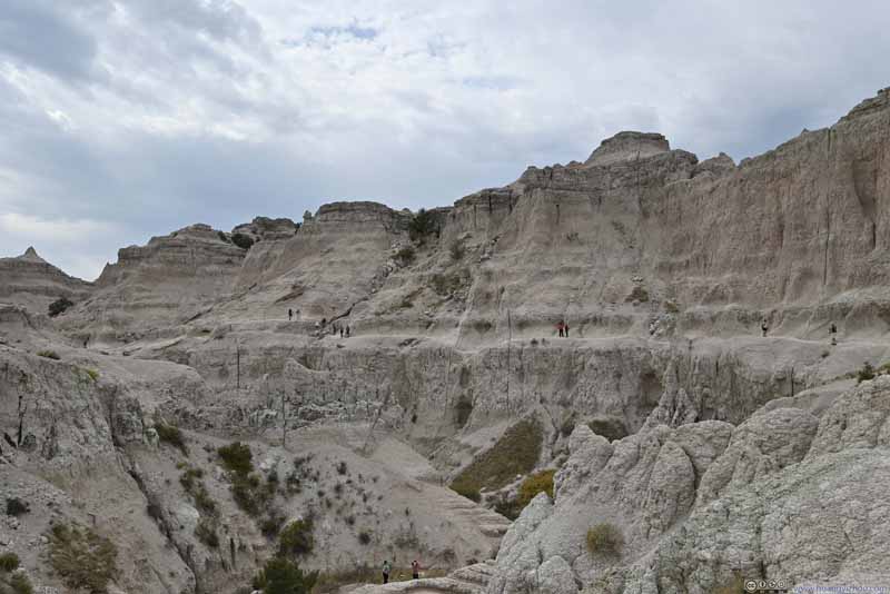 TrailFollowing the contour of the valley, along some steep cliffs.
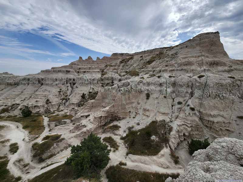 Overlooking Trail before Ladder

Click here to display photos on top of the Notch ladder.
Overlooking Trail before Ladder

Overlooking Trail before Ladder
TrailFollowing the contour of the valley, along some steep cliffs.

Overlooking Trail before Ladder
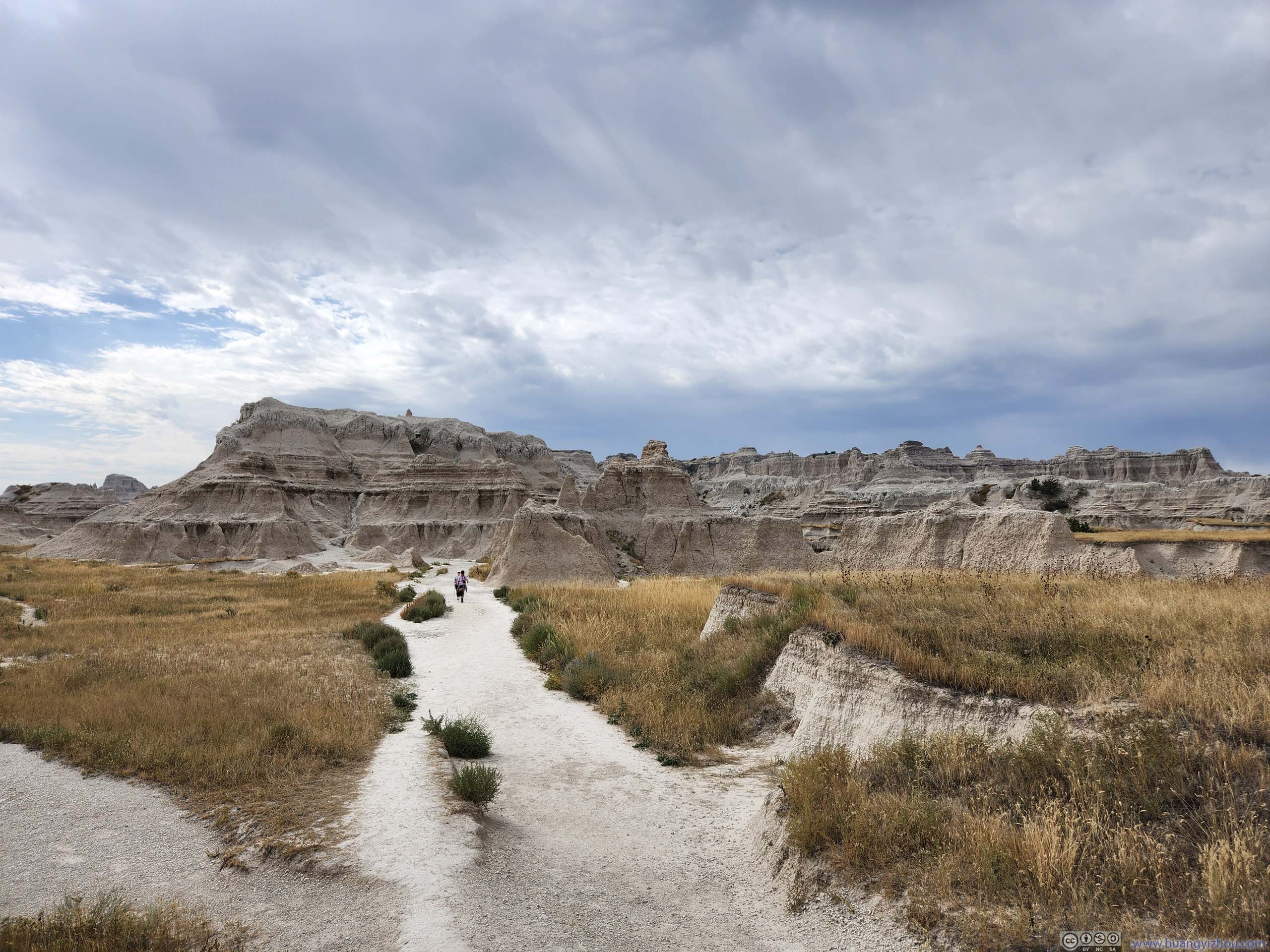
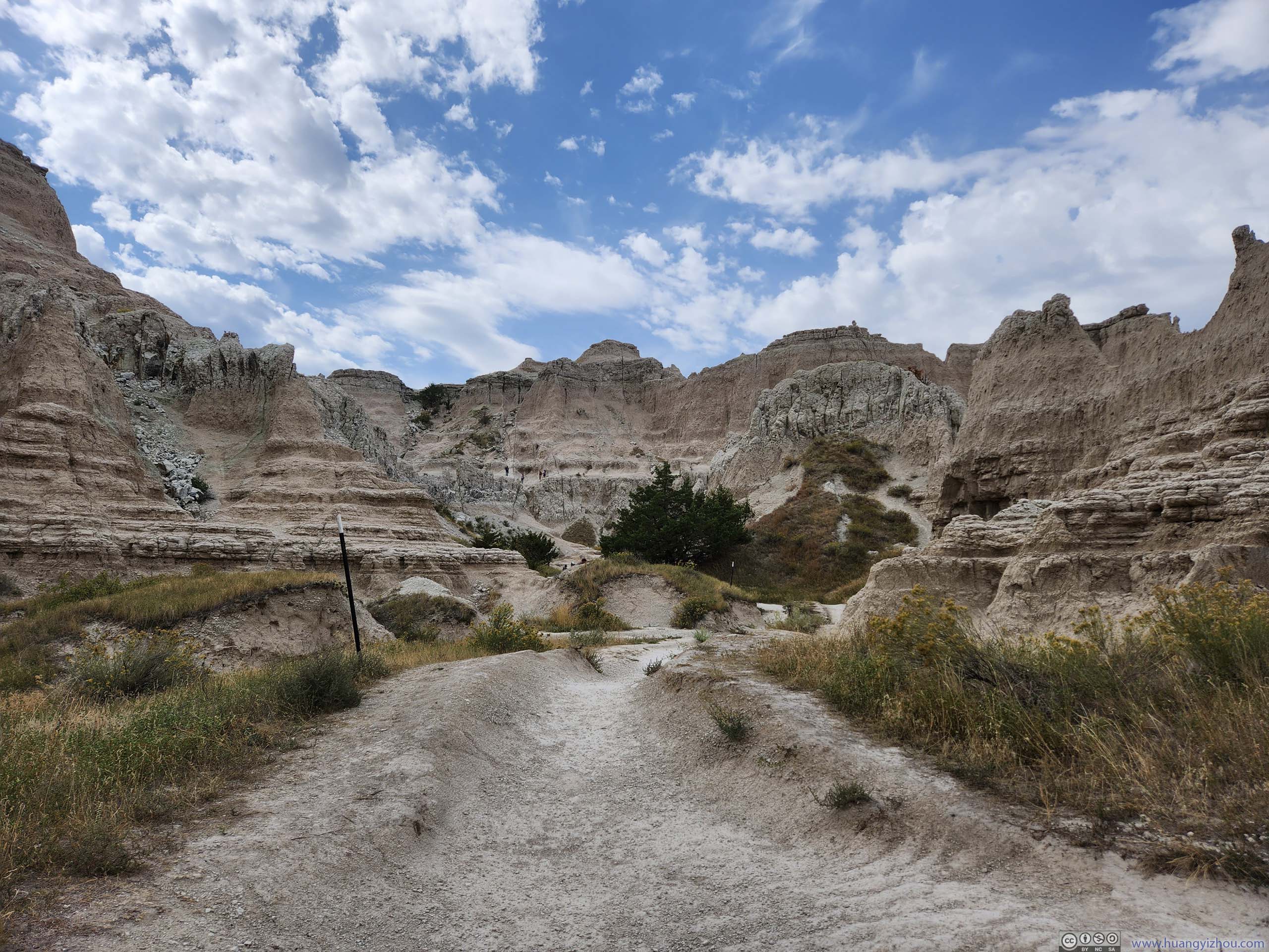
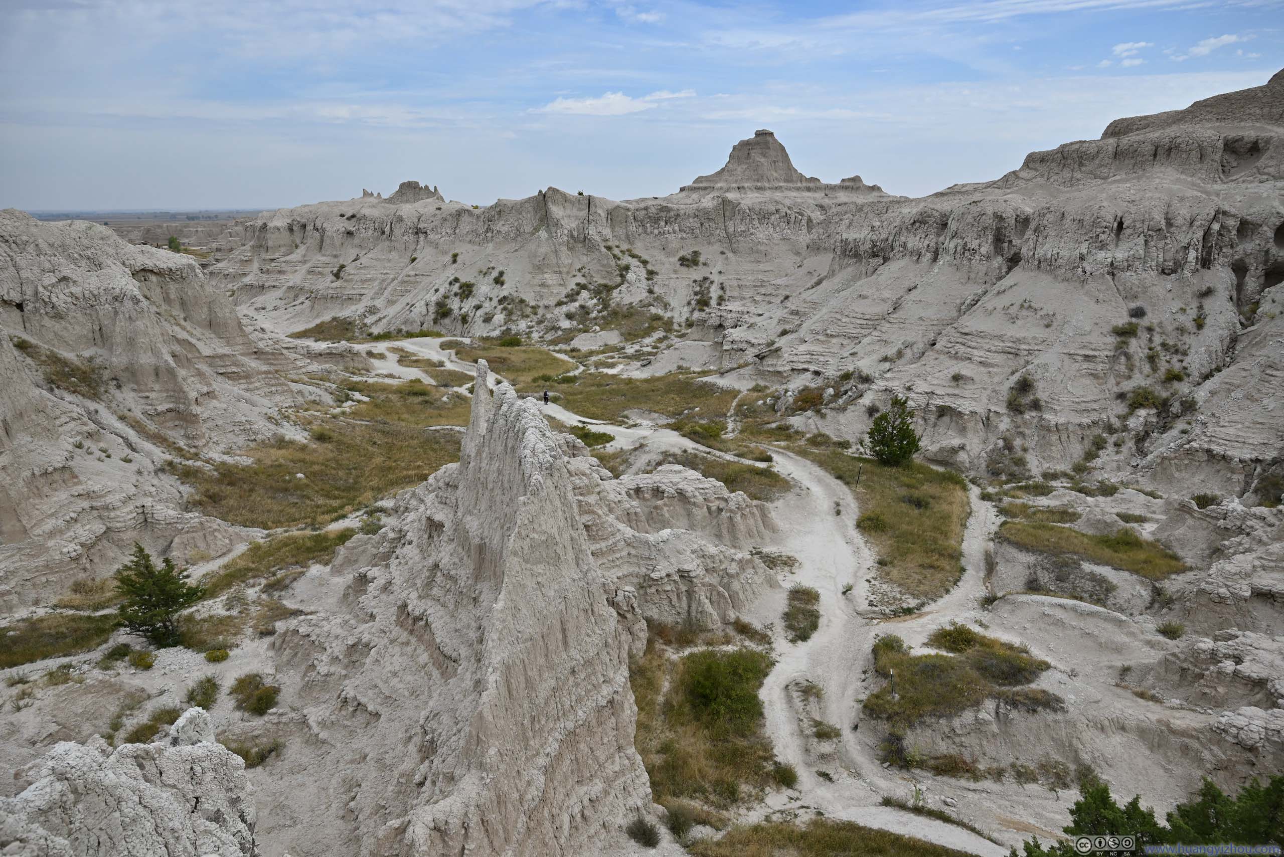
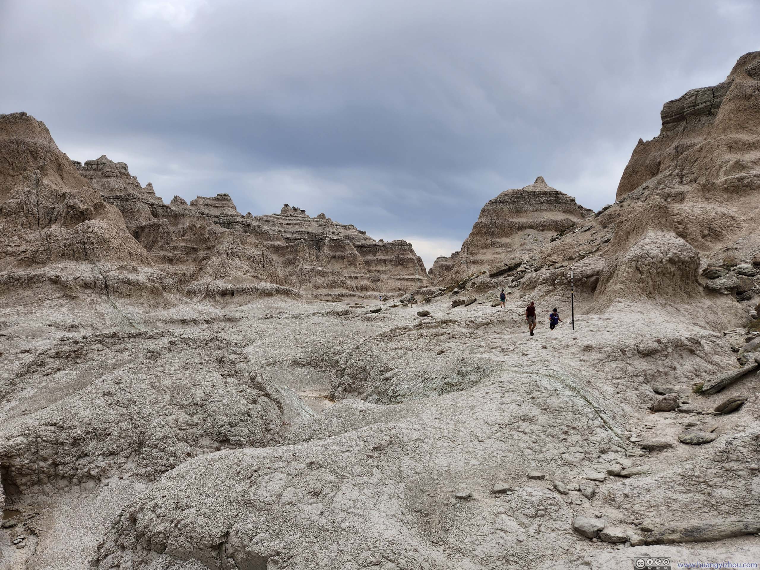
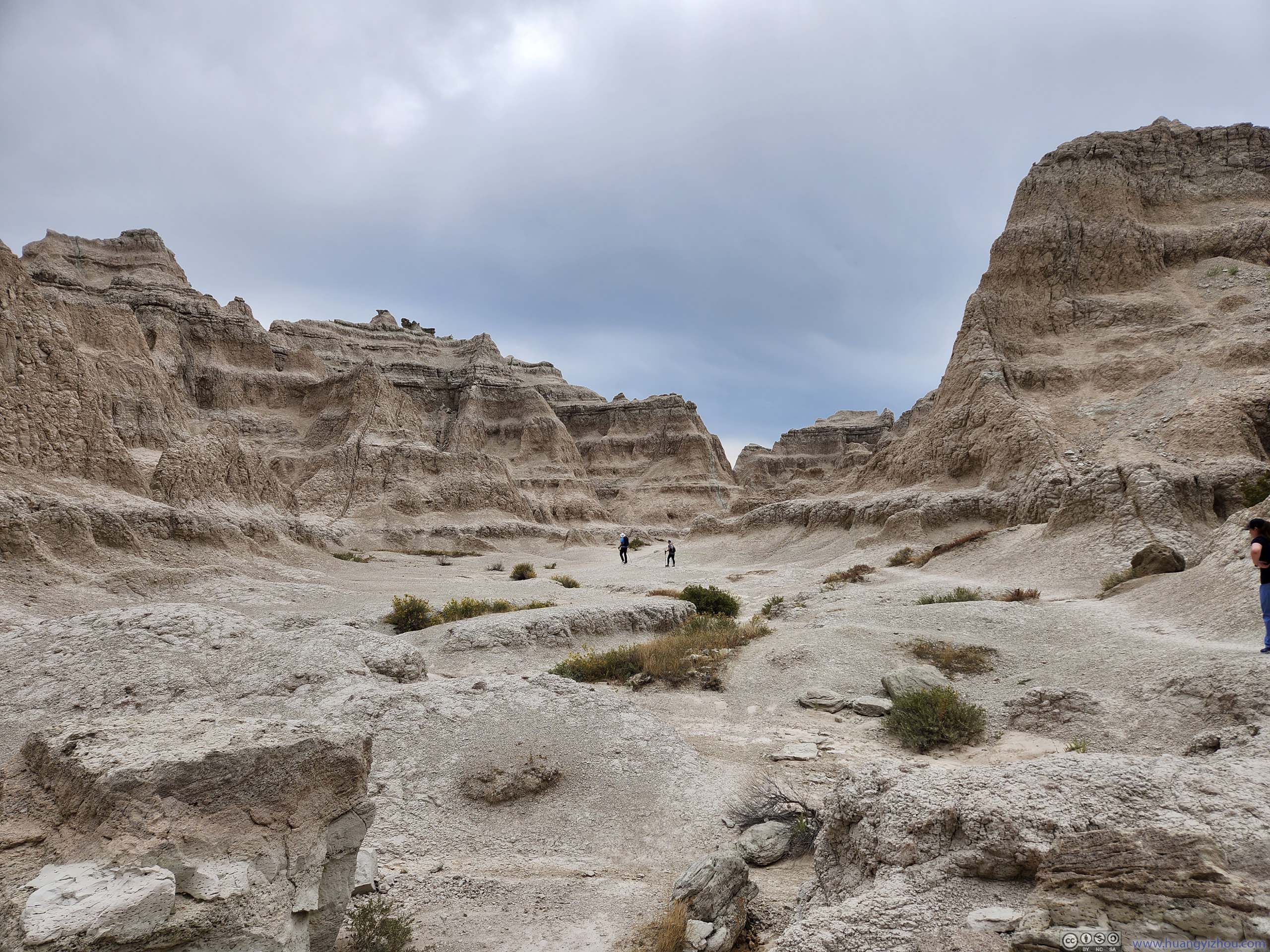
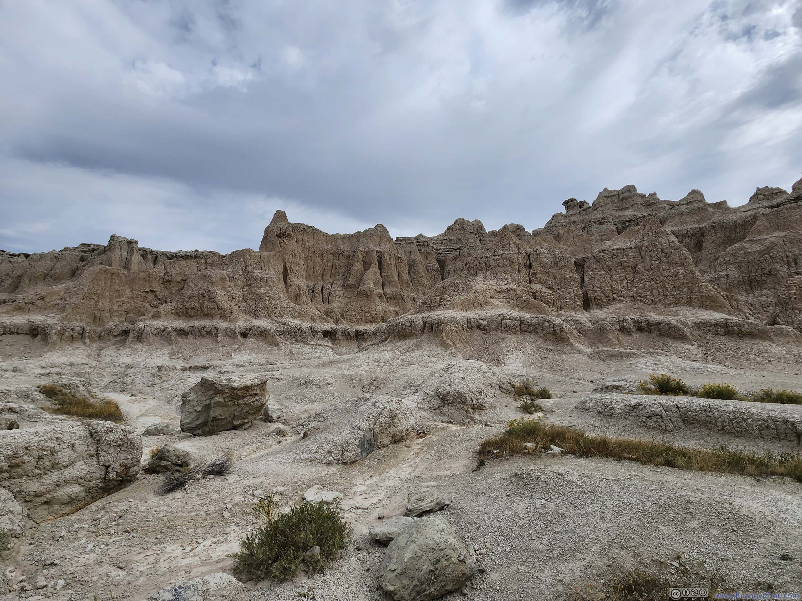
Once on top of the ladder, the trail continued through a valley, where vegetation was sparse since the landscape wasn’t as good at holding water. As the trail went on, the valley got narrower, and the buttes felt closer.
 Trail towards The Notch
 Trail towards The Notch
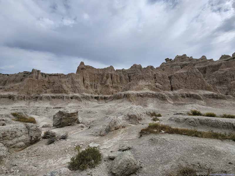 Badlands
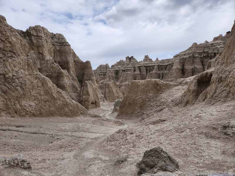 Trail towards The Notch
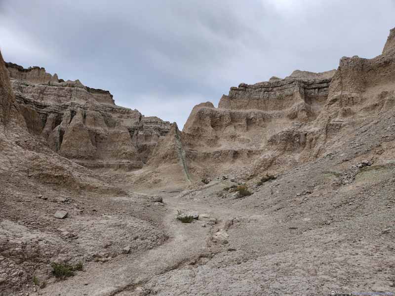 Trail towards The Notch
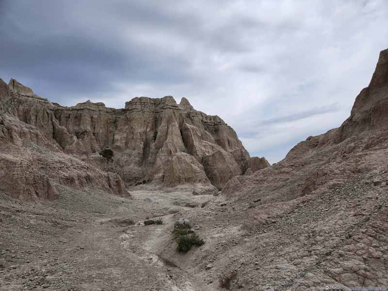 Trail towards The Notch
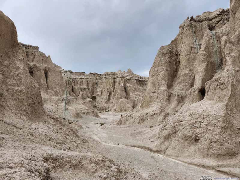 Trail towards The Notch


Click here to display photos of the slideshow
Trail towards The Notch
Trail towards The Notch
Badlands
Trail towards The Notch

Trail towards The Notch
Trail towards The Notch
Trail towards The Notch
Opening in Rock Formations
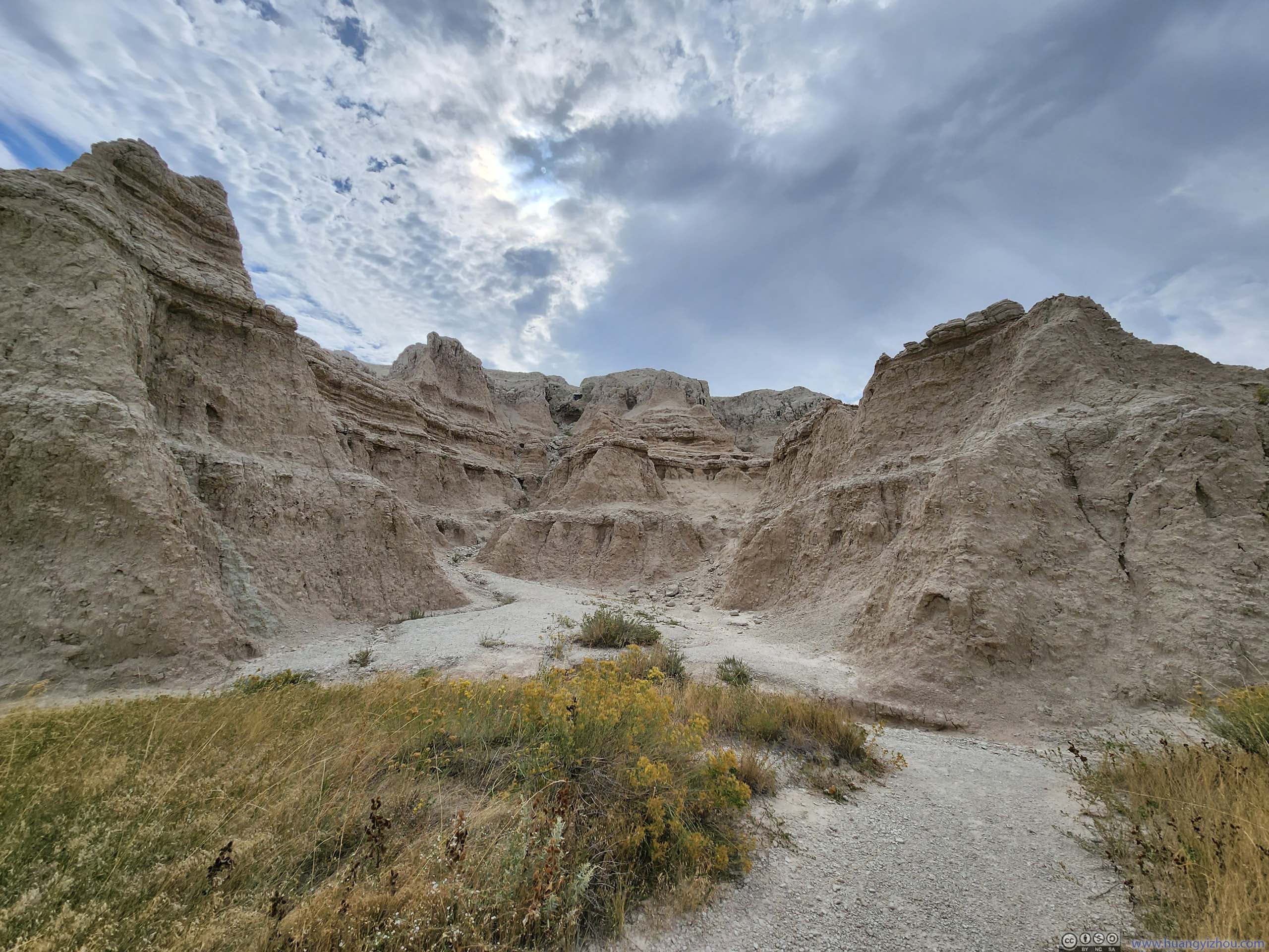
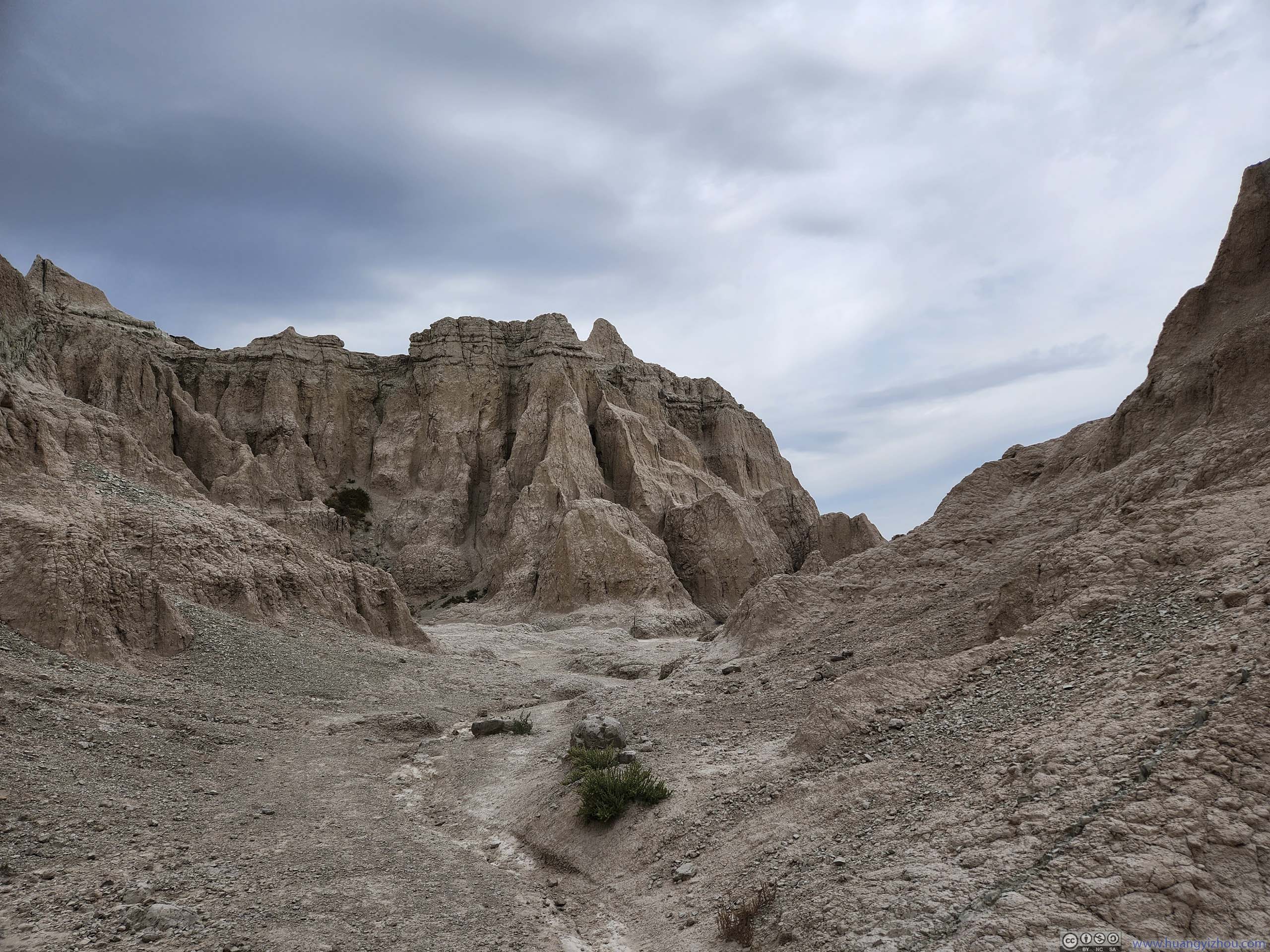
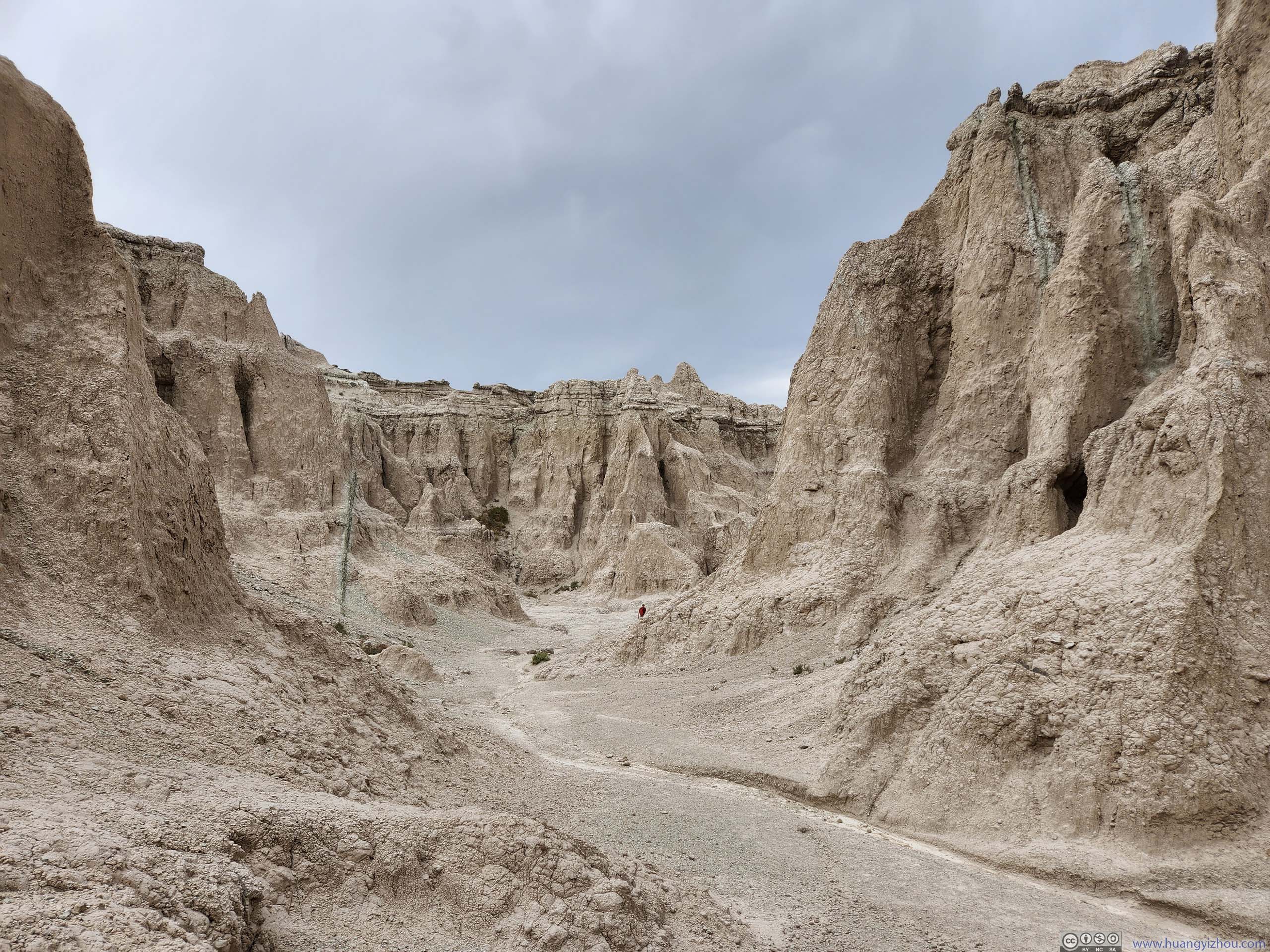
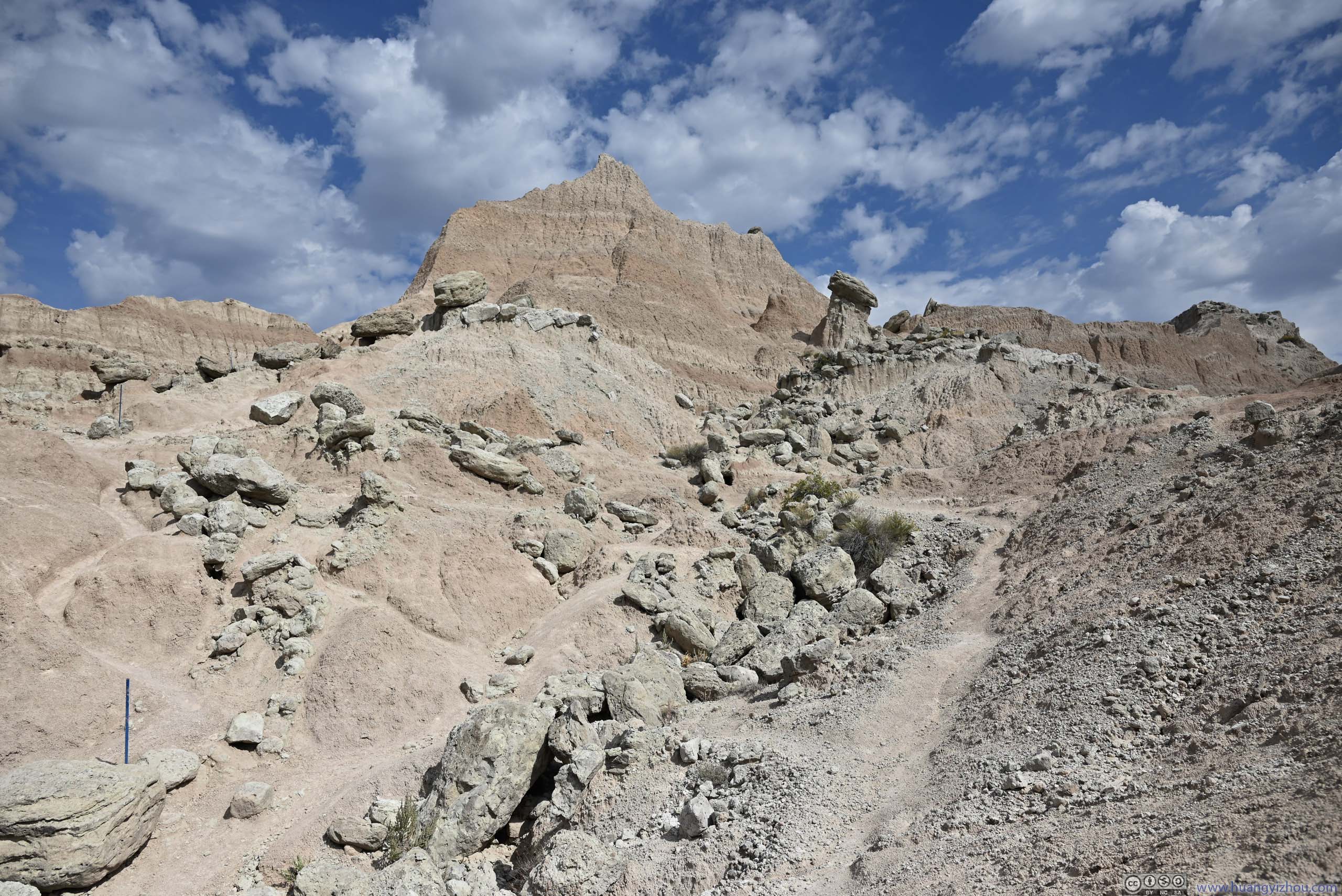
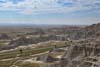
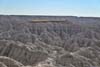
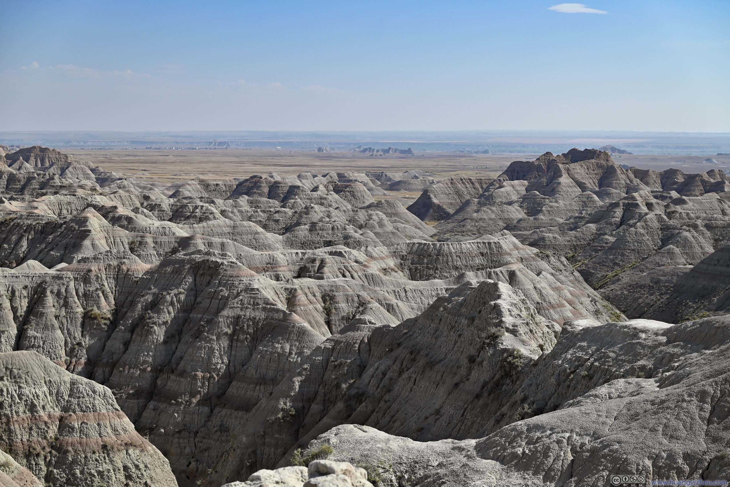
Not long after that, I reached The Notch, which was a giant opening in the same ridge/wall as before. A befitting name would probably be “giant door” or “city gate”. But since these names weren’t succinct enough, the place was named “The Notch”. It came with views of fields to the south that were dotted with badlands, and distant White River Valley.
View from The Notch
 Badlands
 Badlands
 Fields from The Notch Overlook
Click here to display photos from The Notch.
Badlands
Badlands
Fields from The Notch Overlook
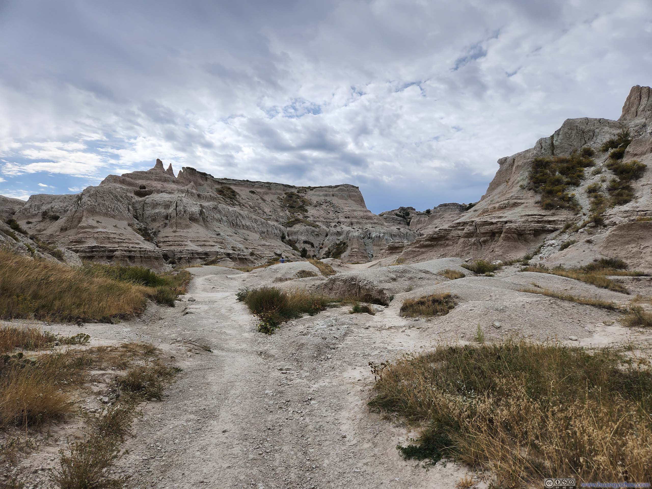
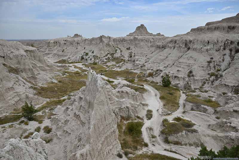
Backtracking 50m from “The Notch”, I found another branch of the trail that headed southeast. Continuing in that direction for about 150m, I reached another location that resembled “The Notch”, with similar views of fields to the south. However, I liked this spot better since it’s closer to some badland walls to the southeast.
 Badlands
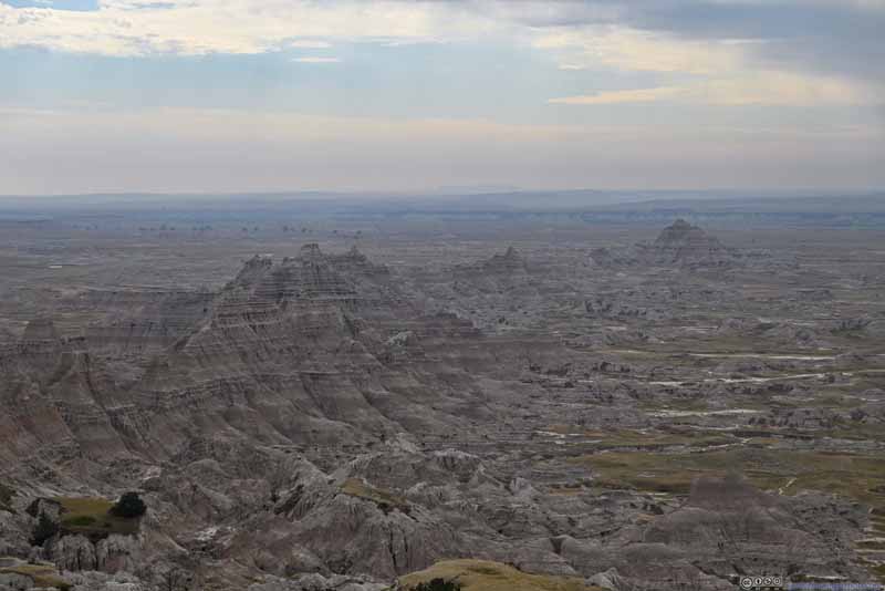 Badlands
 Badlands
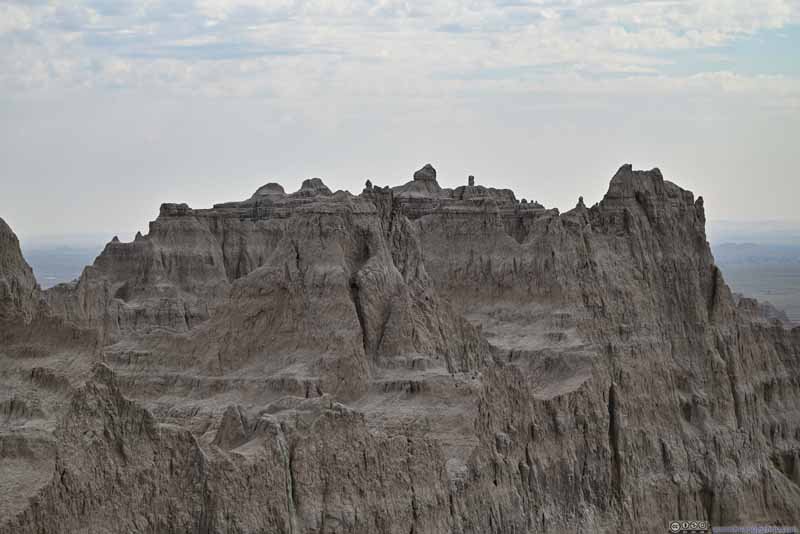 Rock Formations
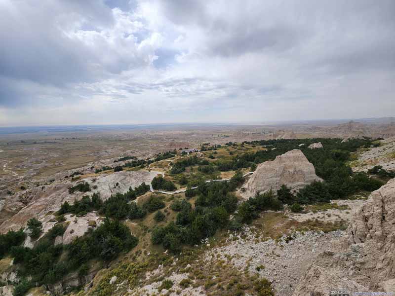 Overlooking Cliff Shelf Area

Click here to display photos of the slideshow
Badlands
Badlands
Badlands
Rock Formations
Overlooking Cliff Shelf Area
Cliff Shelf Nature Area
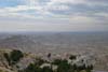
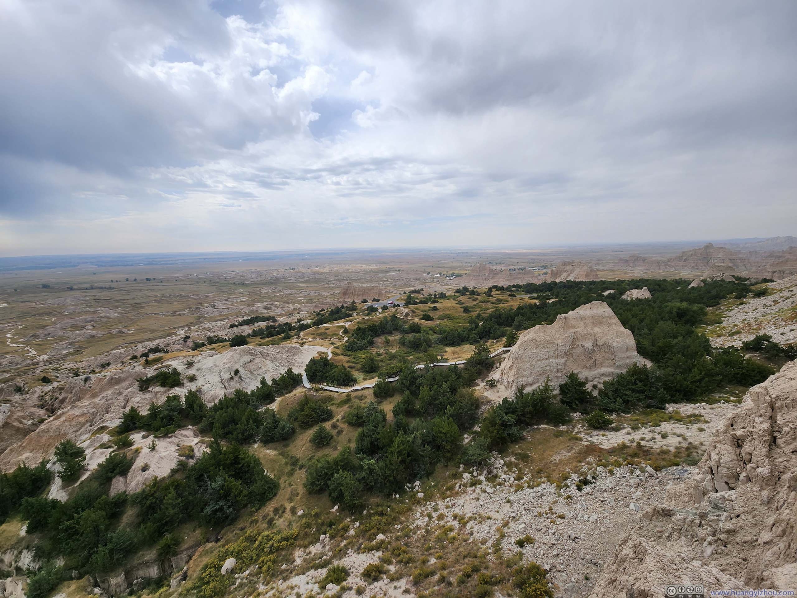
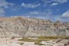
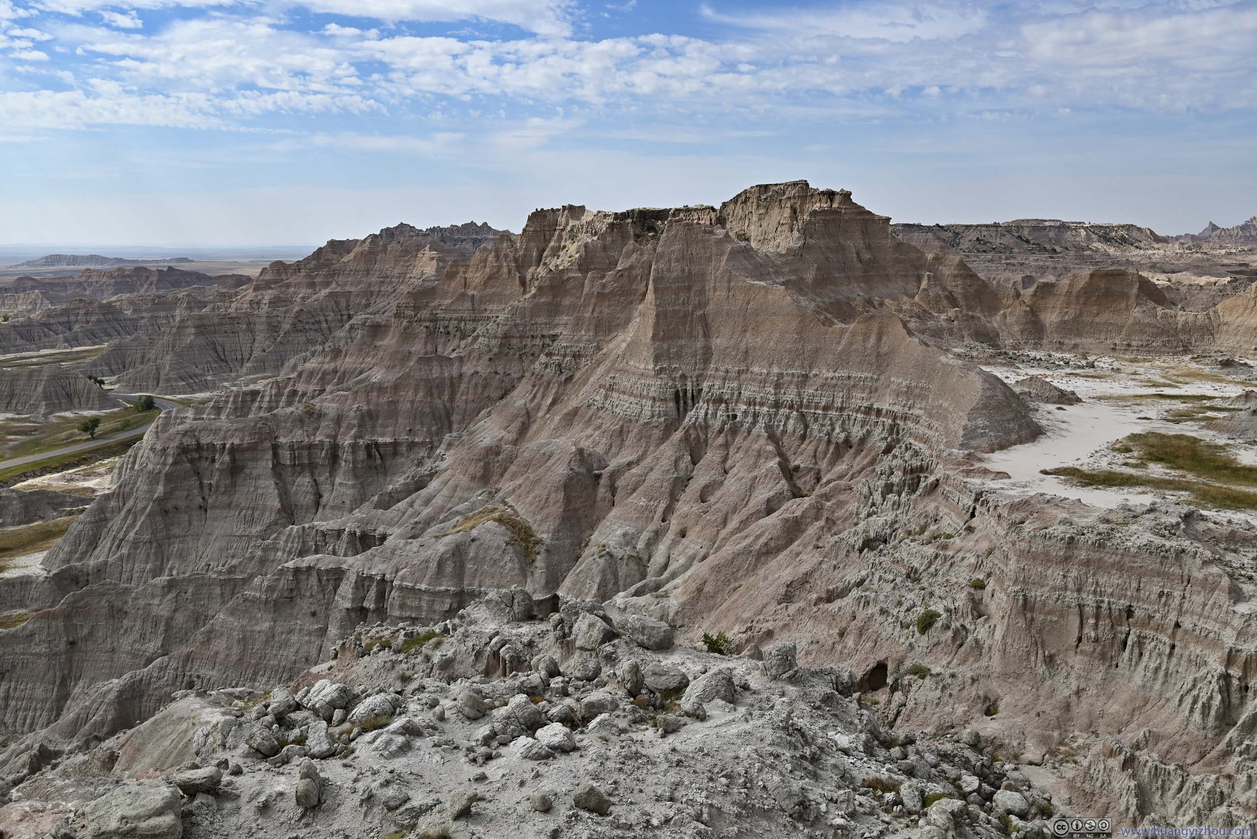
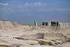
After that, my next stop for the day was Cliff Shelf Nature Area, with a 900m loop trail that’s half on boardwalk. This area was directly to the south of “The Notch”, with views of cliffs nearby. The nearby landscape channeled water to the area, allowing abundant plants to grow here.
 Rock CliffIn the center of this photo is “The Notch”, where I was previously.
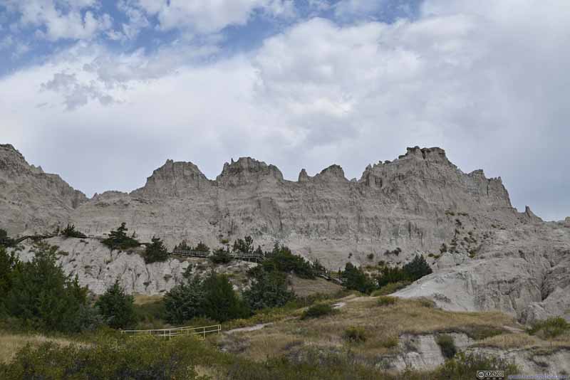 Badlands
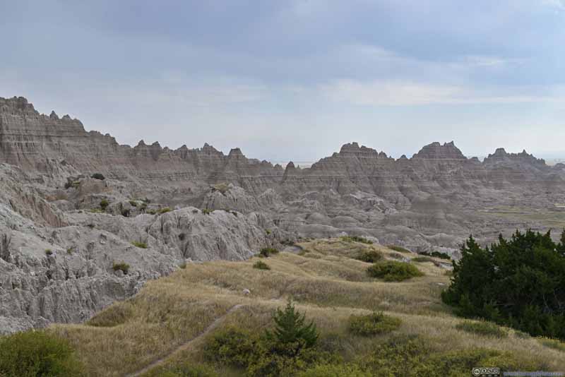 Badlands
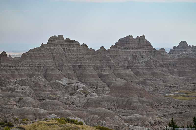 Badlands
 Badlands

Click here to display photos from Cliff Shelf Nature Area.
Rock CliffIn the center of this photo is “The Notch”, where I was previously.
Badlands
Badlands
Badlands
Badlands
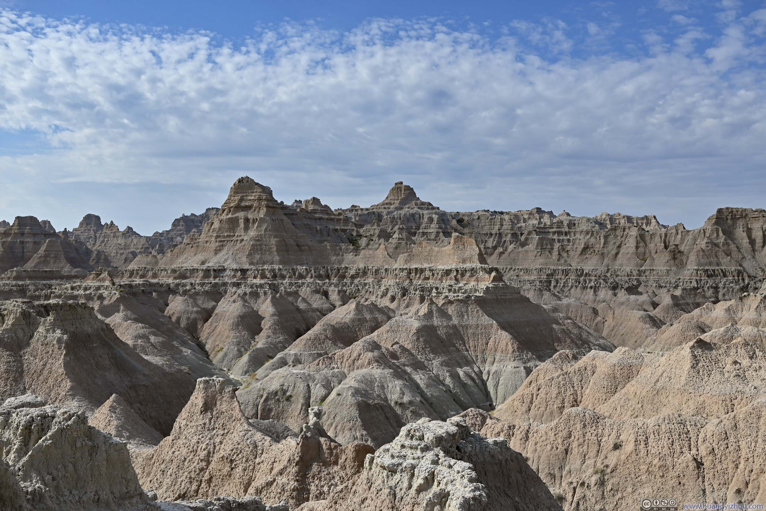
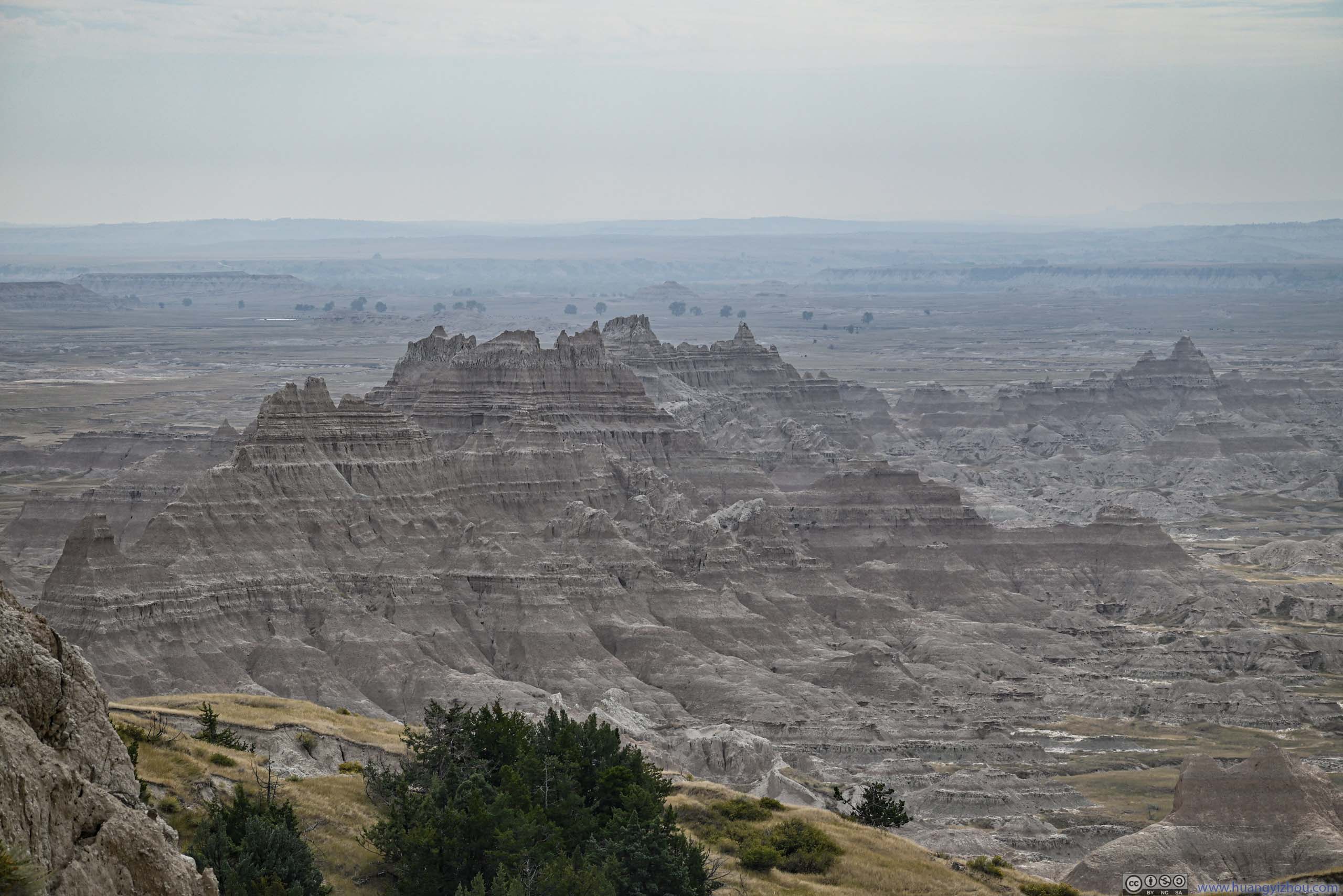
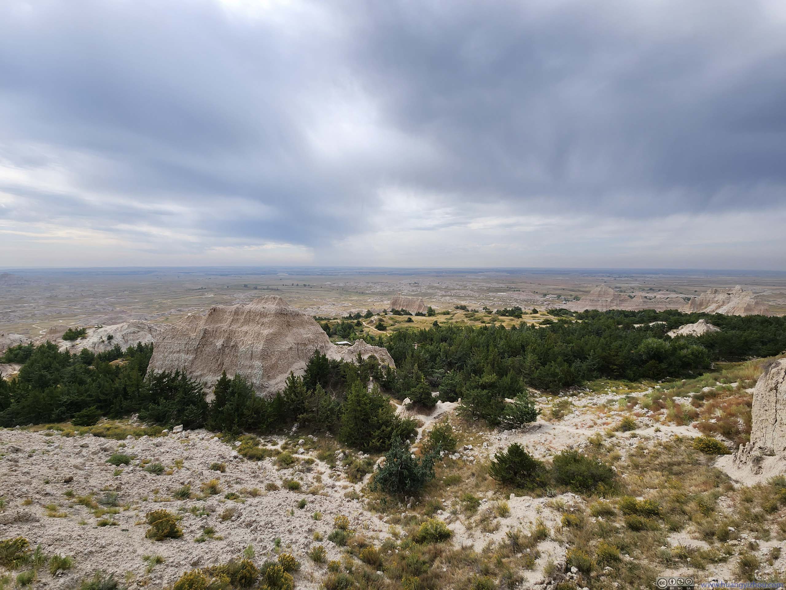
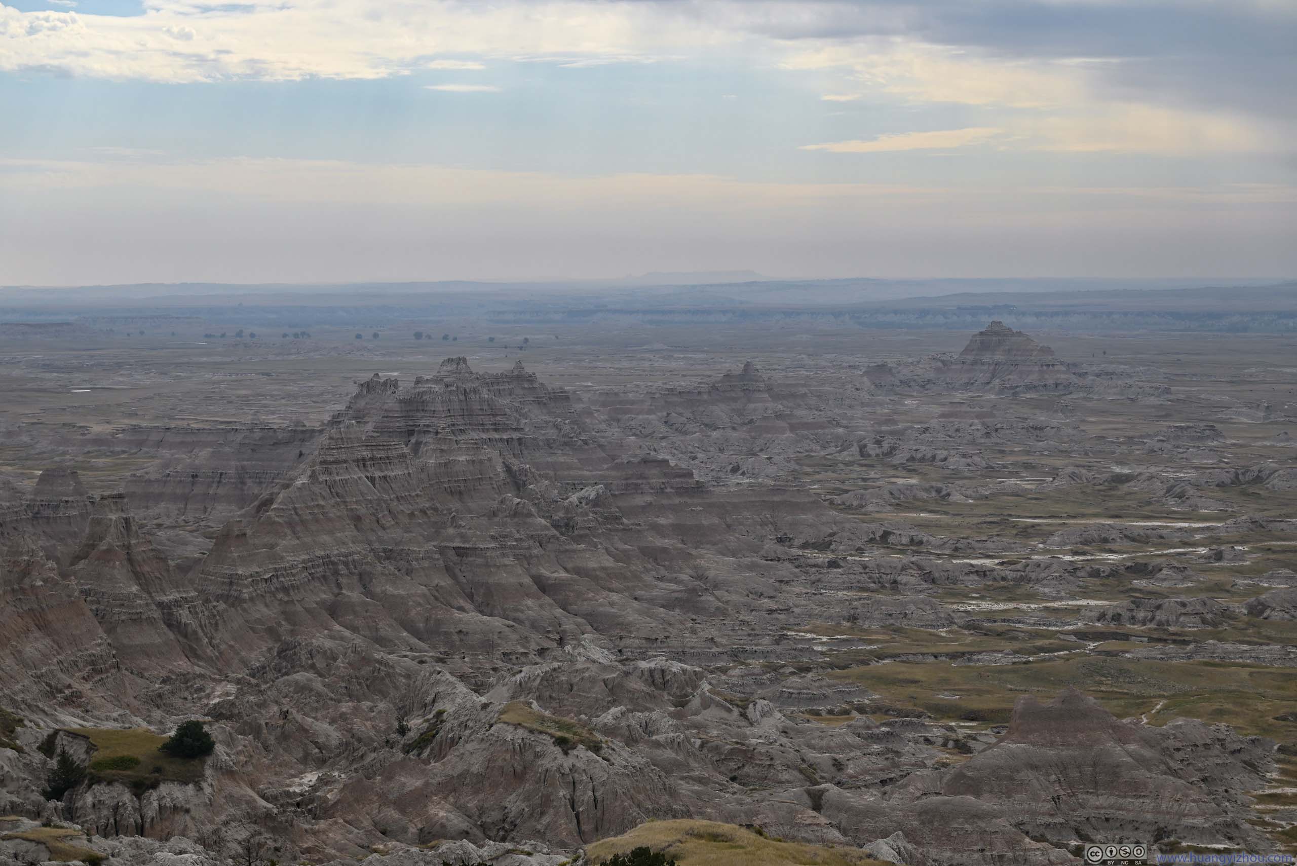
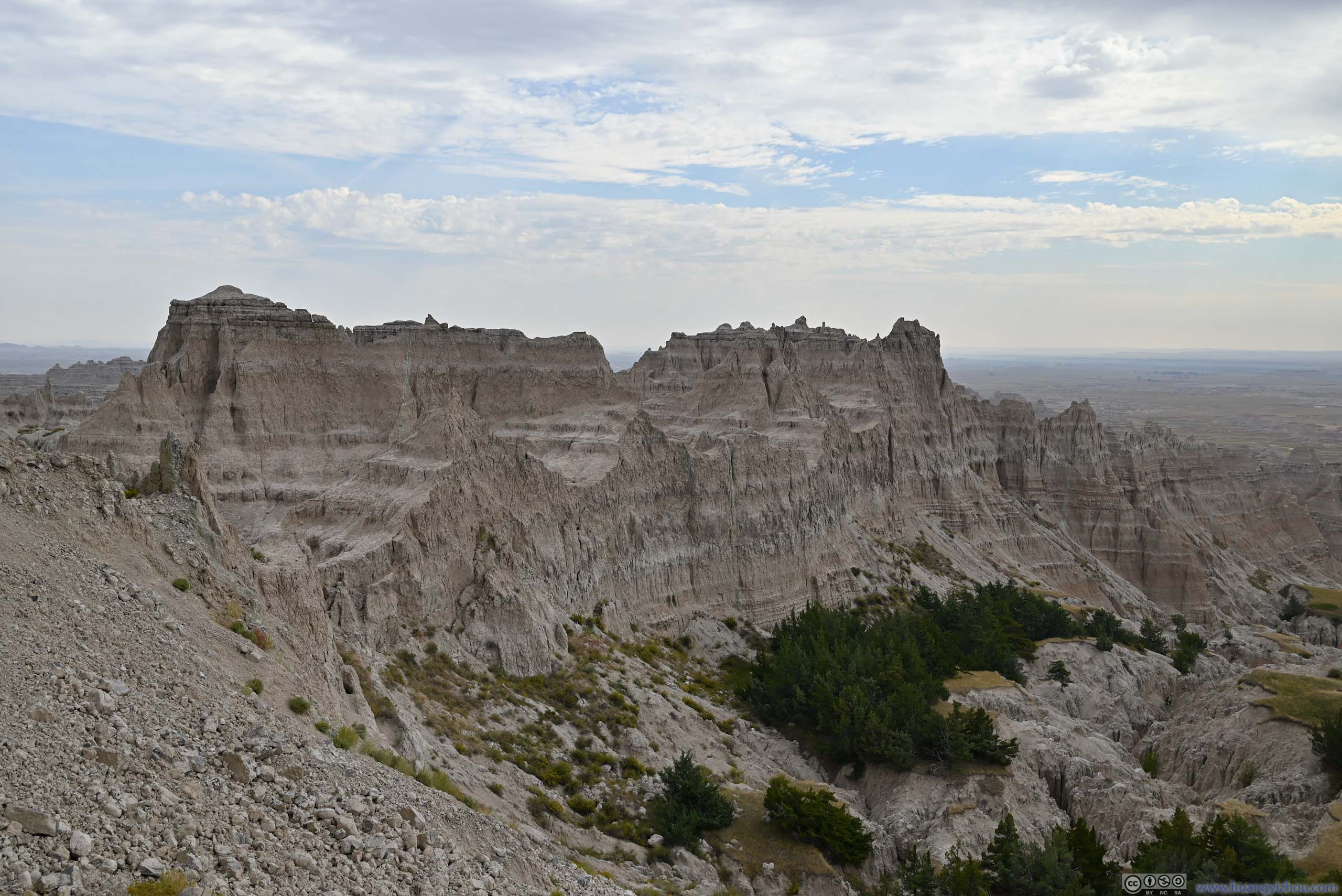
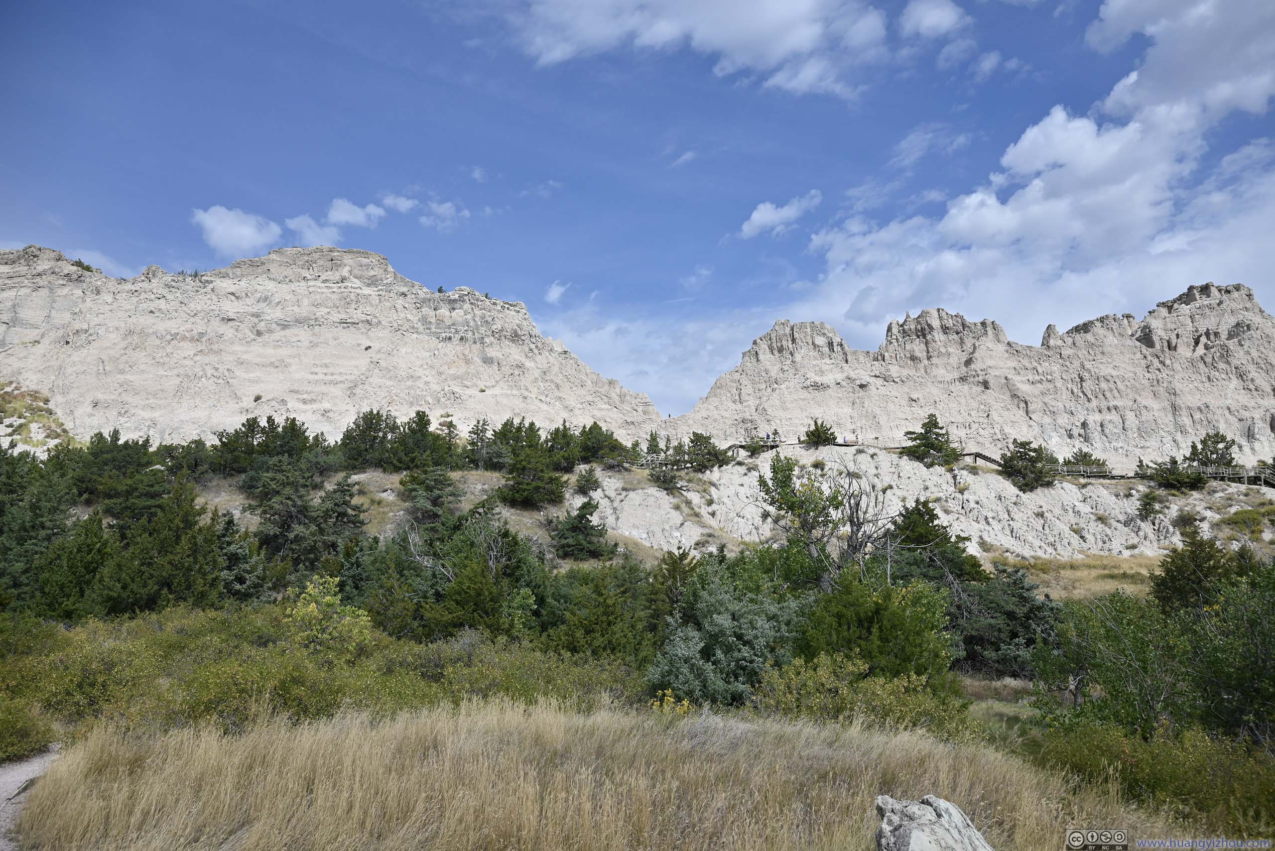
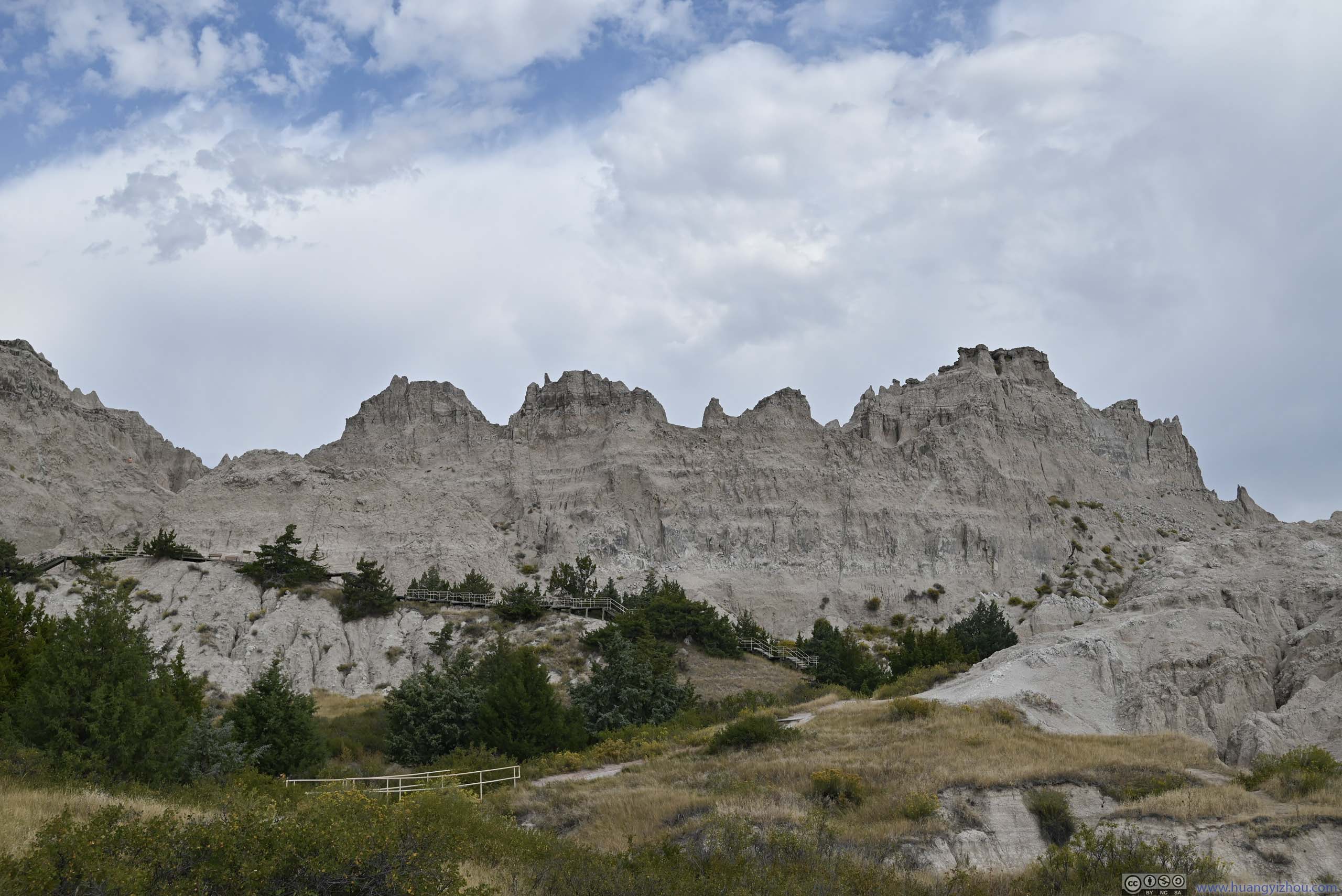
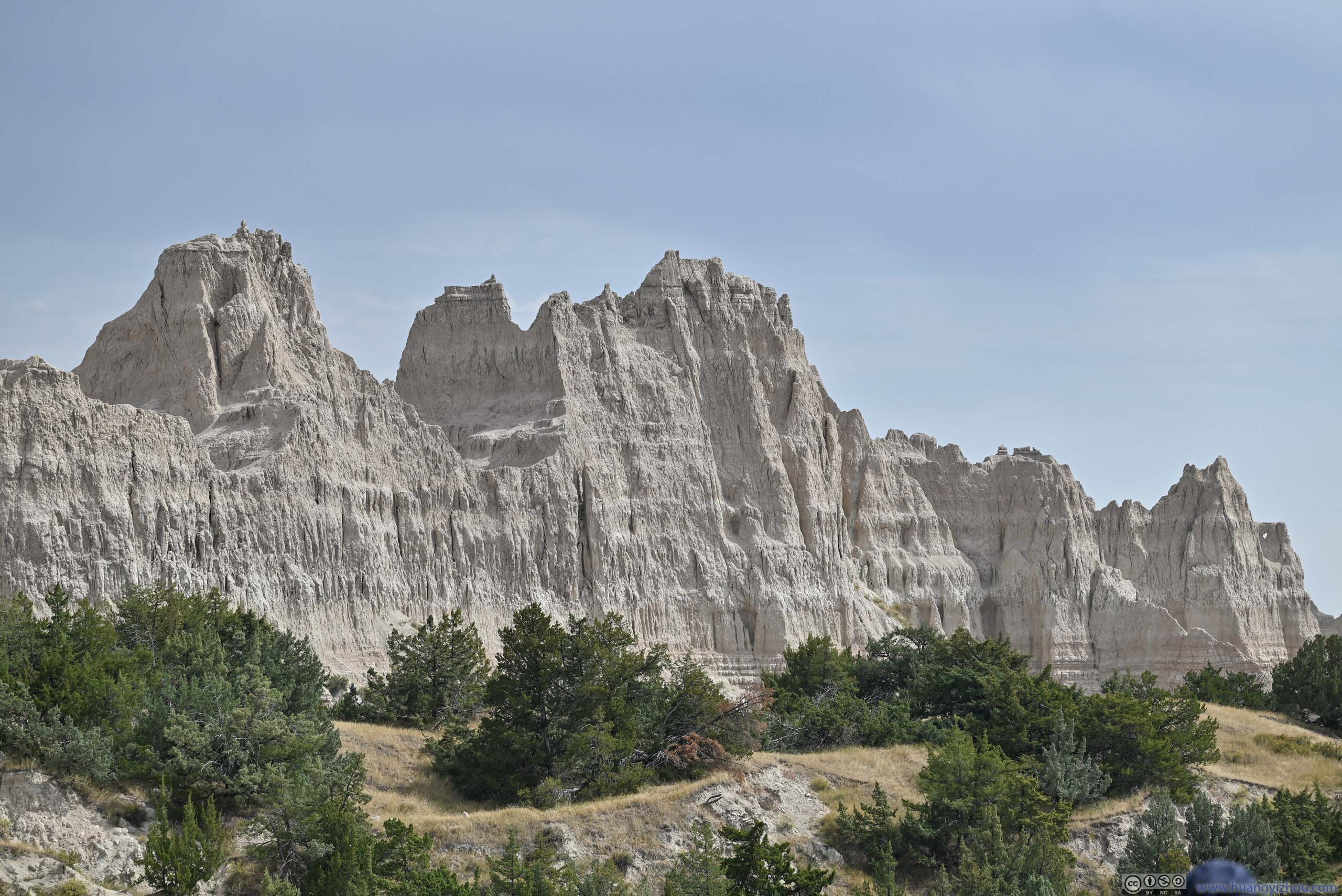
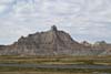
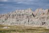
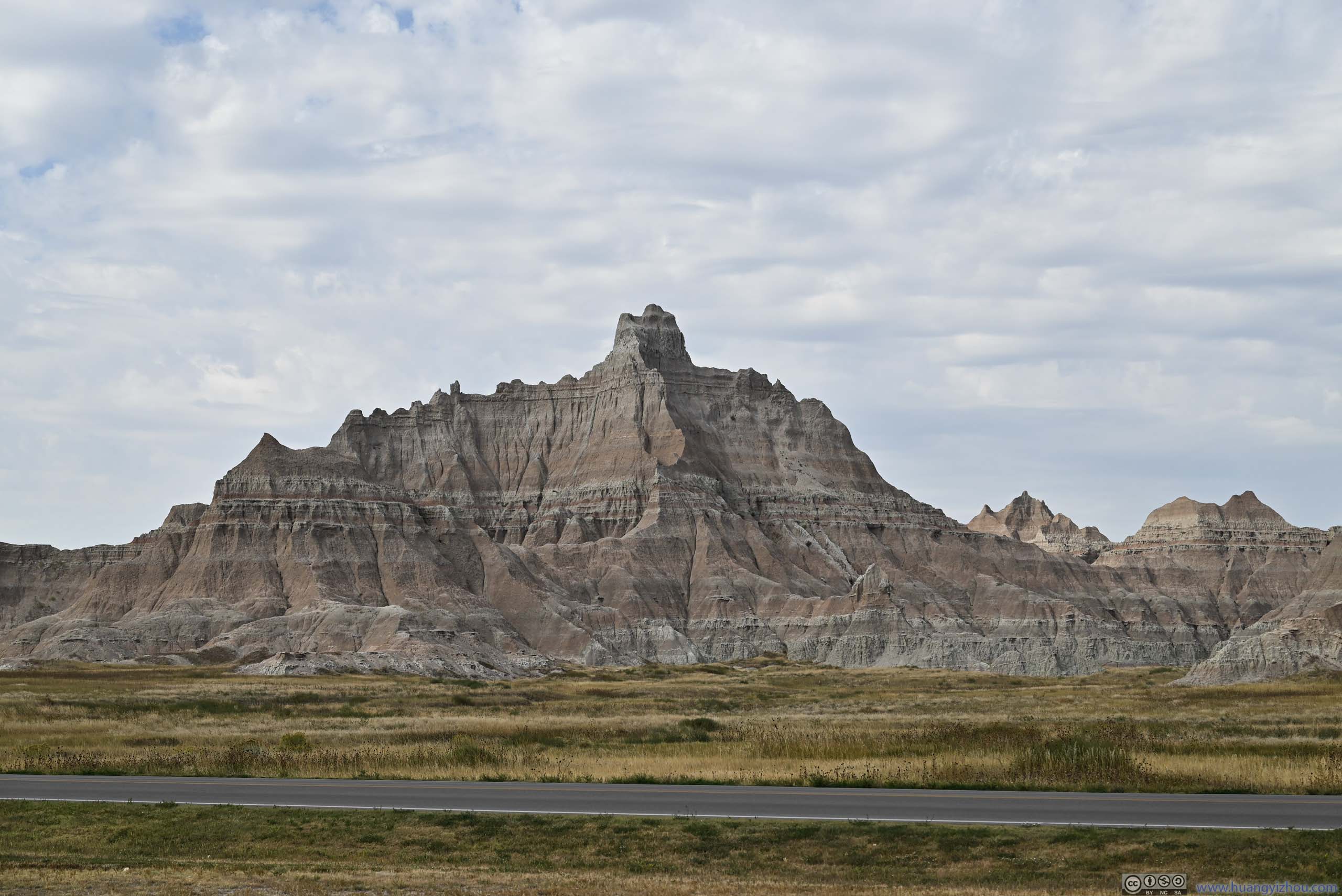
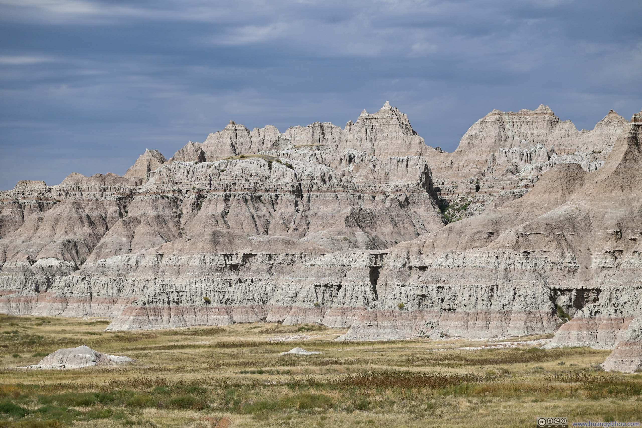
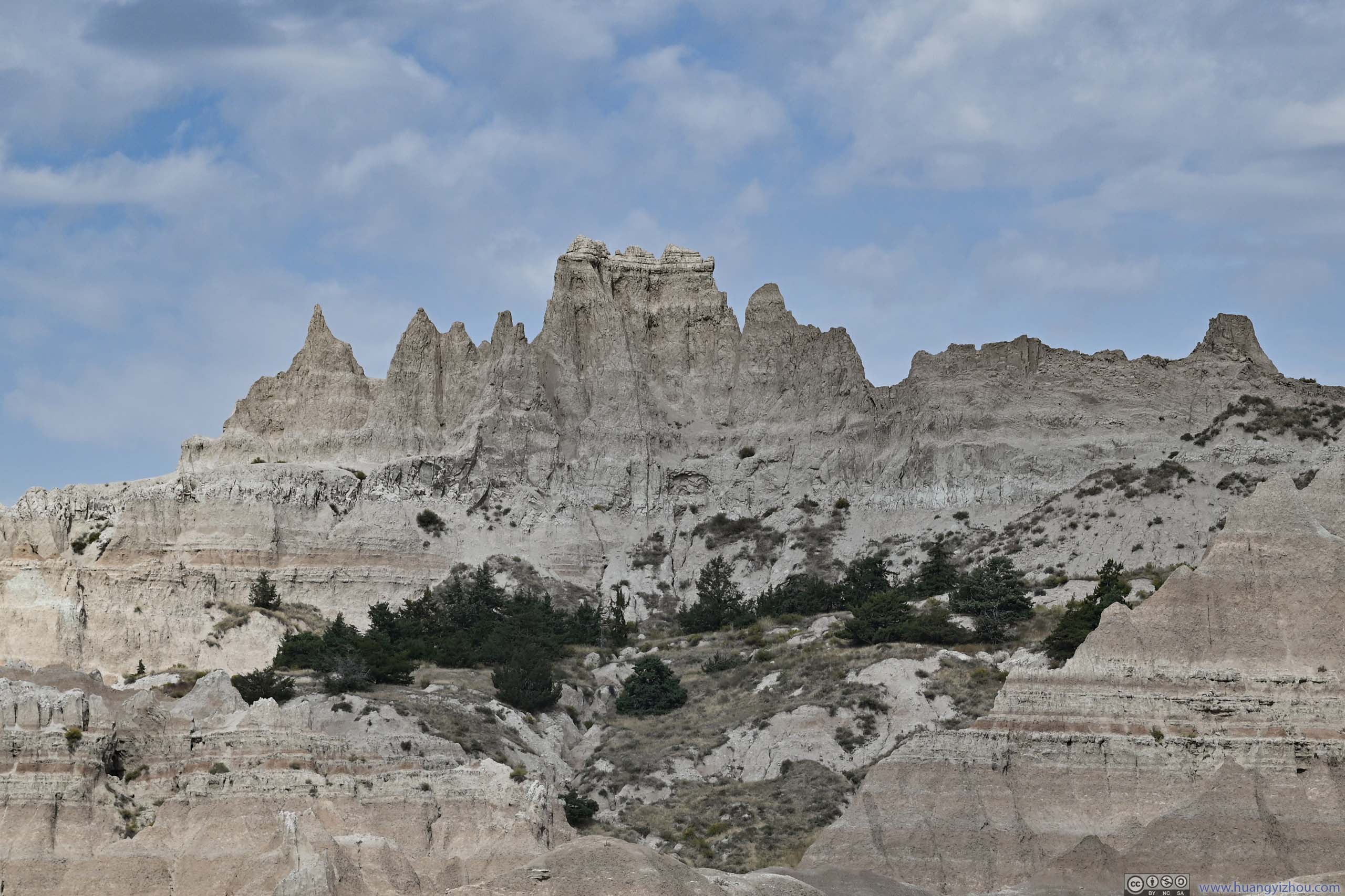
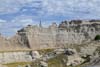
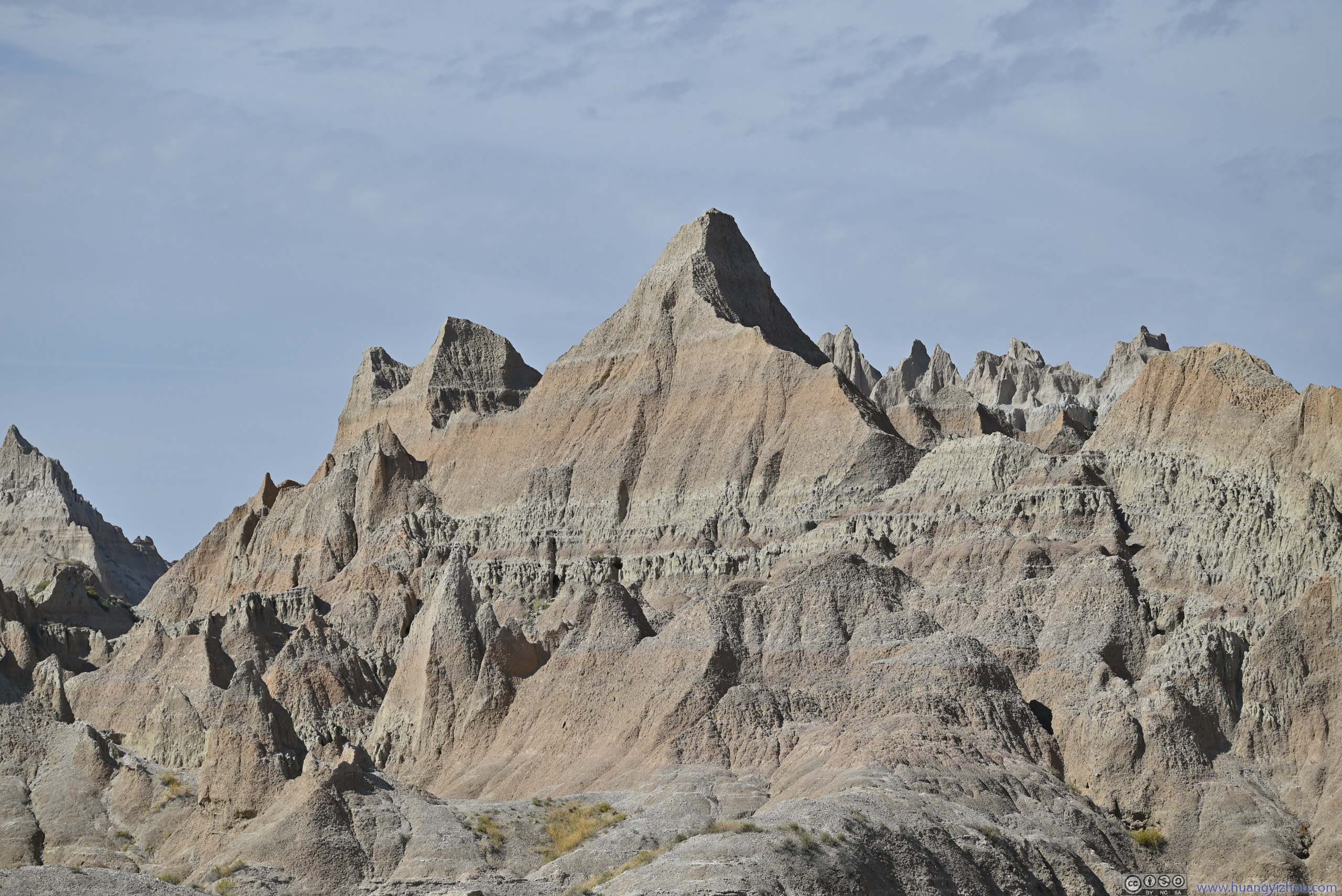
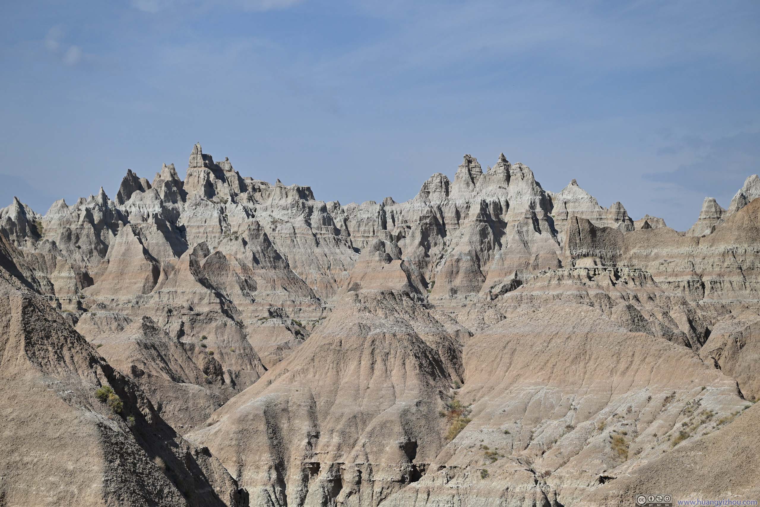
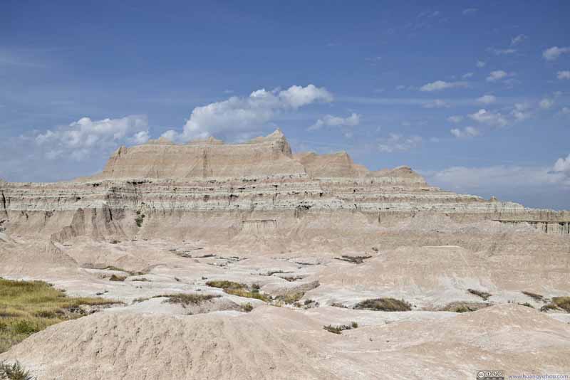
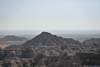
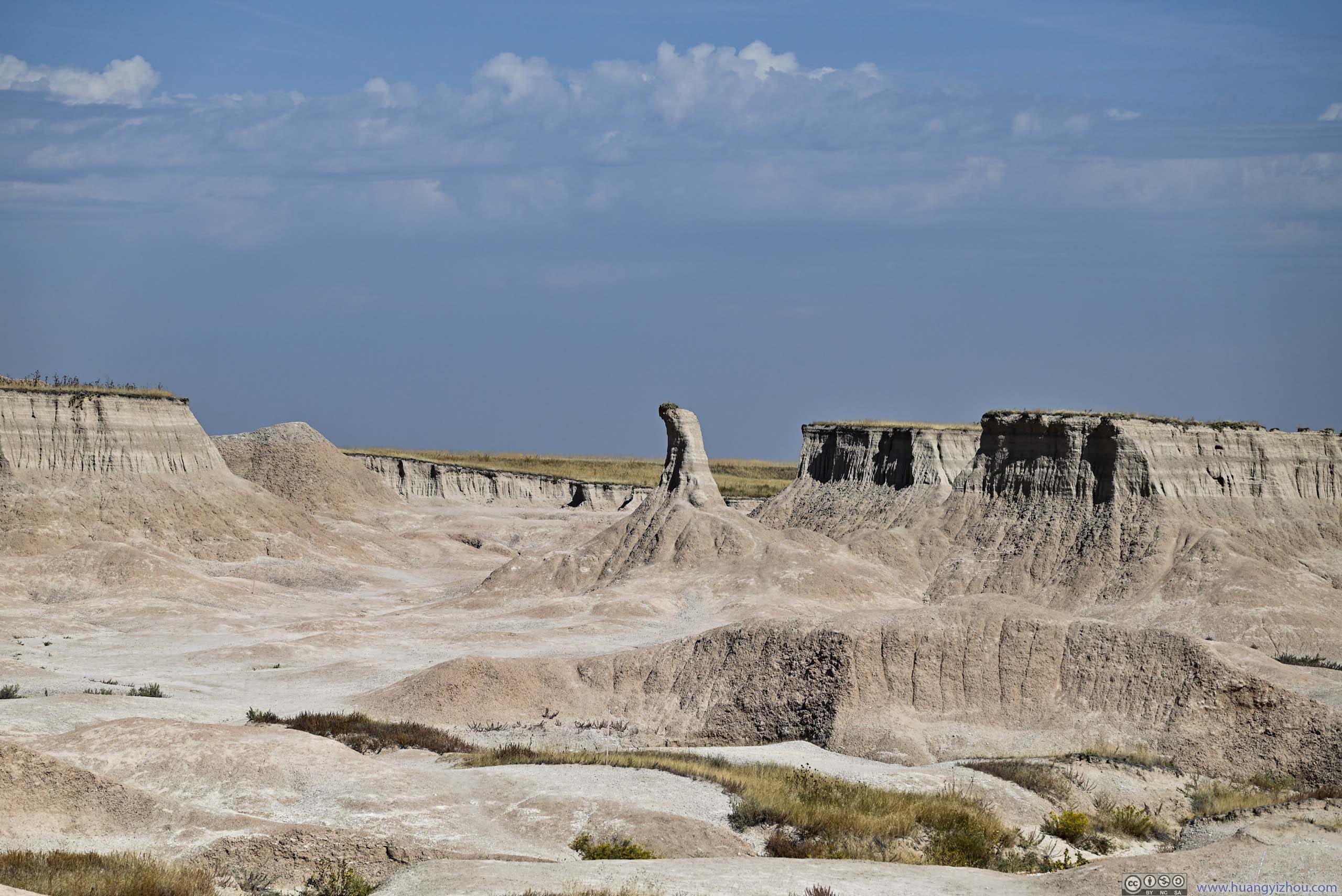
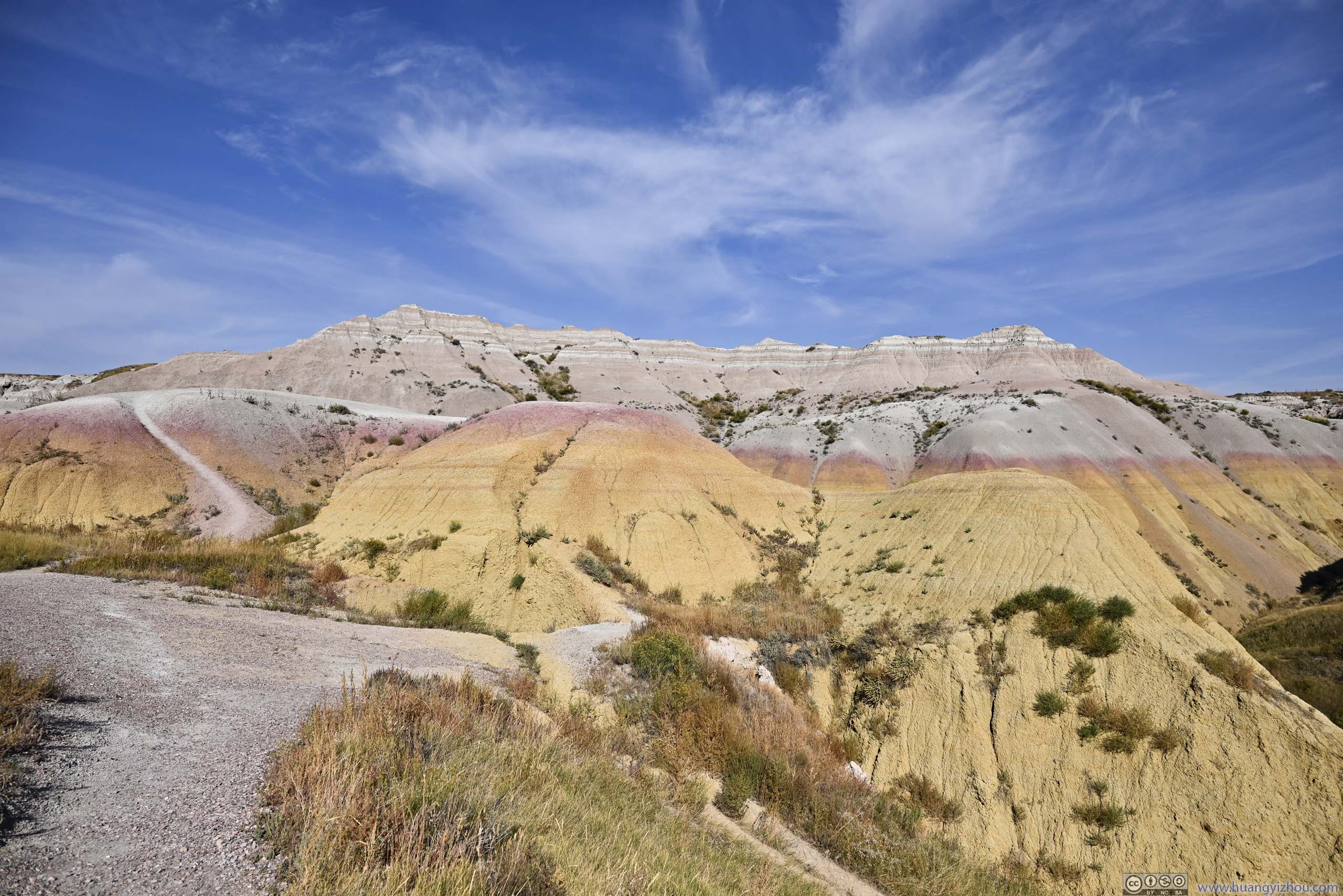
After that, I checked out the park’s Ben Reifel Visitor Center (or mainly the picnic grounds around it). While enjoying the snacks, I noticed the buttes and pinnacles near the visitor center were some of the most attractive/scenic/iconic in the park, so I grabbed the following photos.
 Badlands
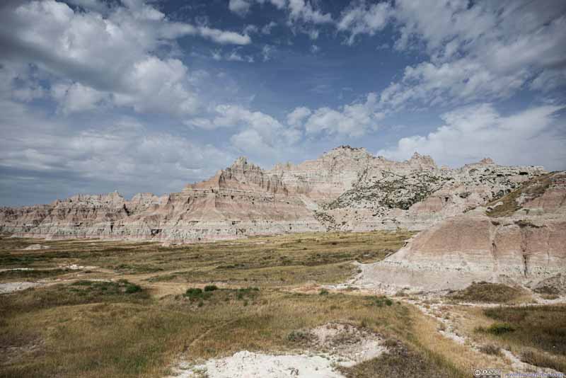 Badlands
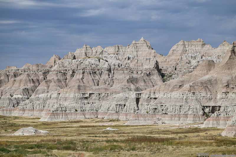 Badlands
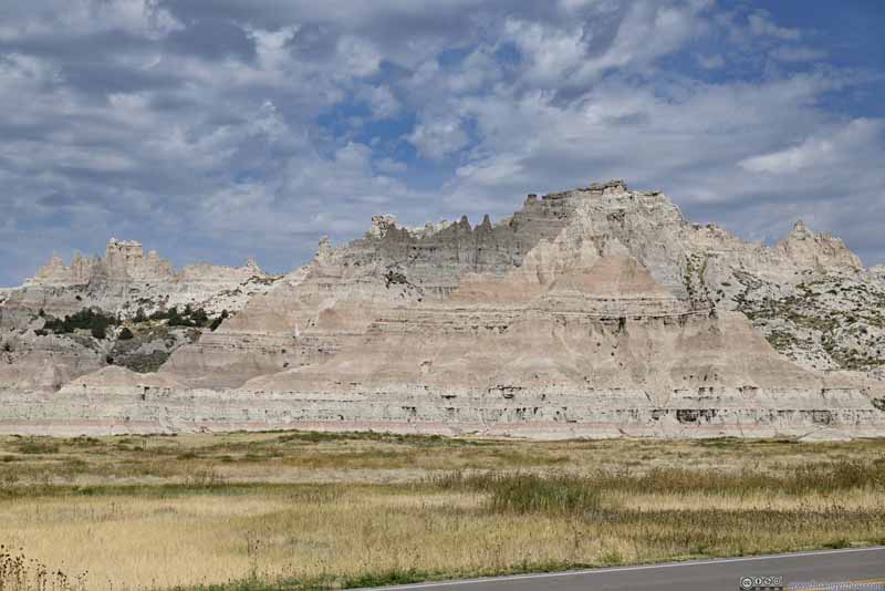 Badlands
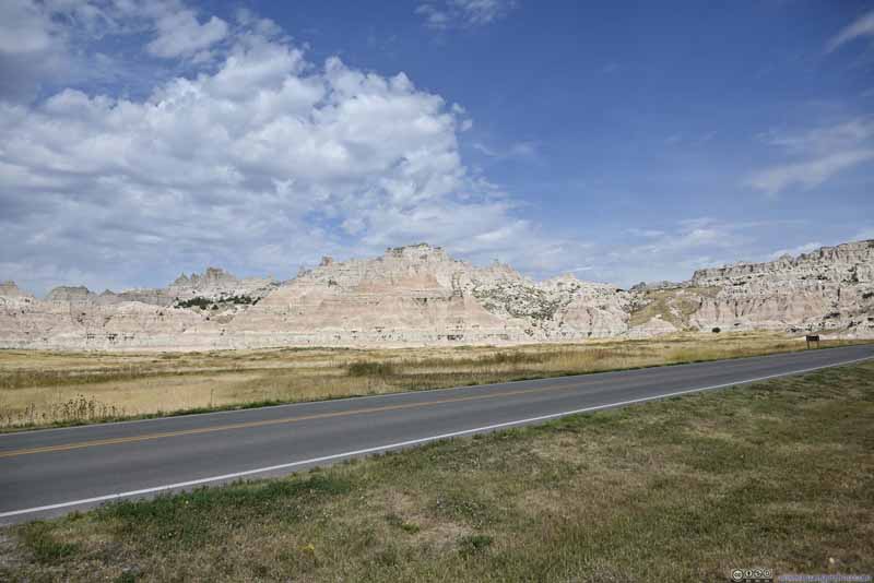 Badlands
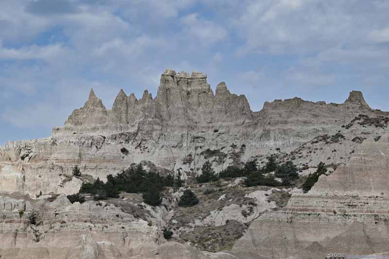 Rock Formations
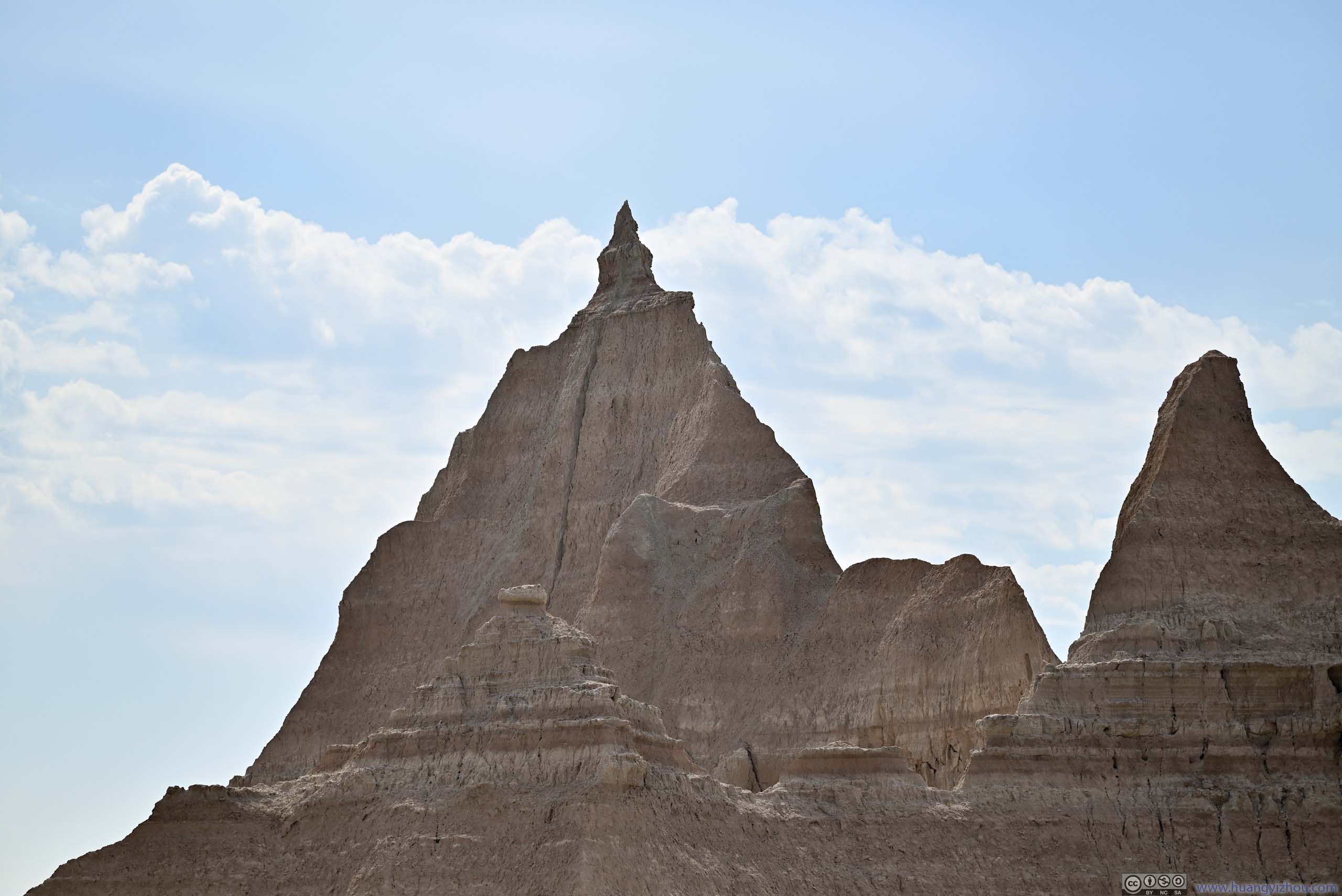
I found the rock formations in the center of this photo interesting. Maybe as erosion went on, they would develop into something like “three gossip” of Arches National Park.
Rock Formations
I found the rock formations in the center of this photo interesting. Maybe as erosion went on, they would develop into something like “three gossip” of Arches National Park. Pyramid-Shaped RockI liked its pointy top.
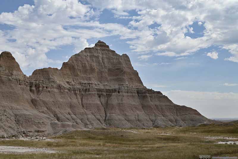 Badlands


Click here to display photos near Ben Reifel Visitor Center.
Badlands
Badlands
Badlands

Badlands

Badlands
Rock Formations
Pyramid-Shaped RockI liked its pointy top.

Badlands
Badlands from Ben Riefel Visitor Center
Saddle Pass Trail
After leaving the visitor center, I decided to check out Saddle Pass Trail, the only trail that I hiked today that’s not in the Door/Window/Notch section.
In the park, the only long trail that’s also popular was Castle Trail, connecting Door/Window/Notch in the east and Fossil Exhibit area in the west. If Castle Trail was a highway, Saddle Pass Trail was then its only exit in the middle. The trail was only 1km out-and-back, but it ascended the Badland Wall in the process so it was steep at places. Even worse, most of the trail was made of fine sediment gravel that didn’t provide as good traction compared to other trail surfaces. I didn’t bring trekking poles for this trip and as a result, really struggled for traction at two spots (p3-4 below).
 Badlands
 Badlands
 TrailThe most slippery sections.
 TrailThe most slippery sections.
 Trail
Trail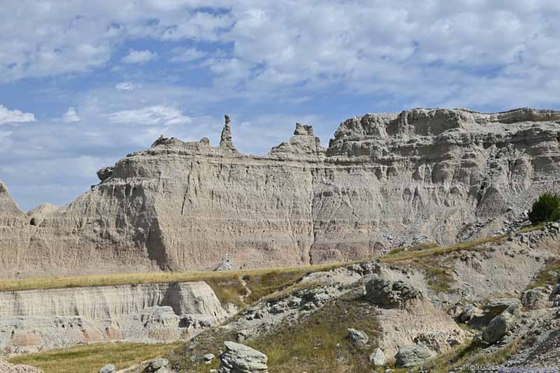 BadlandsAn interestingly shaped narrow rock column along the ridge.
Click here to display photos along Saddle Pass Trail.
Badlands

Badlands

TrailThe most slippery sections.
TrailThe most slippery sections.
Trail

BadlandsAn interestingly shaped narrow rock column along the ridge.
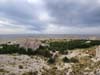
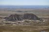
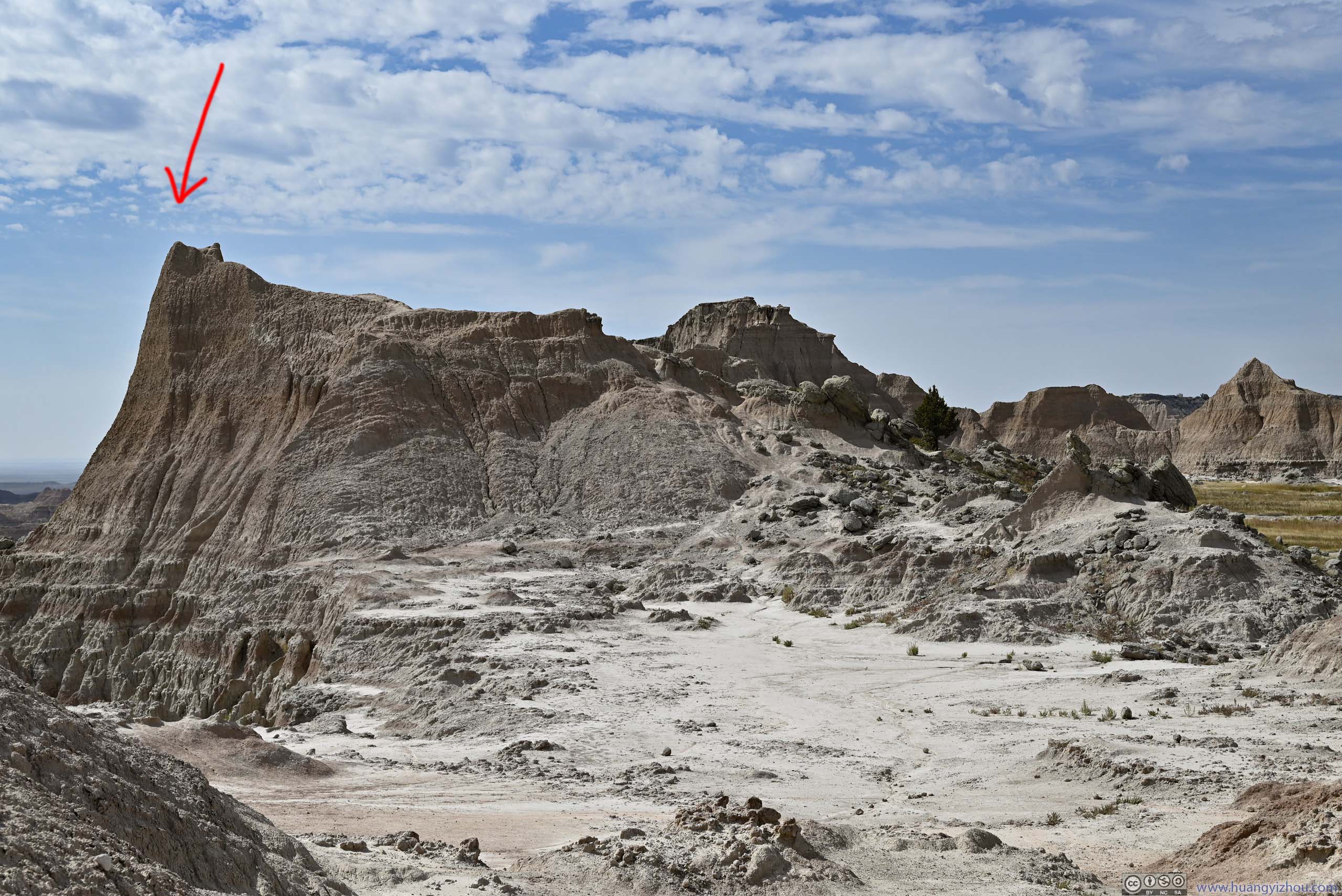
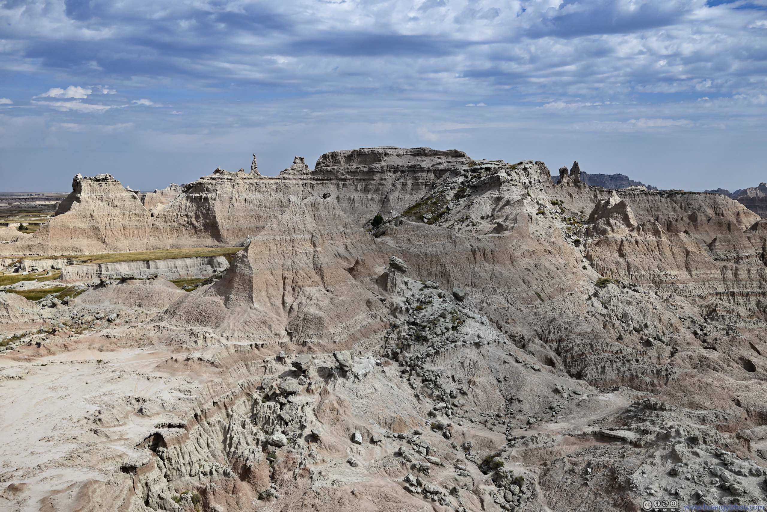
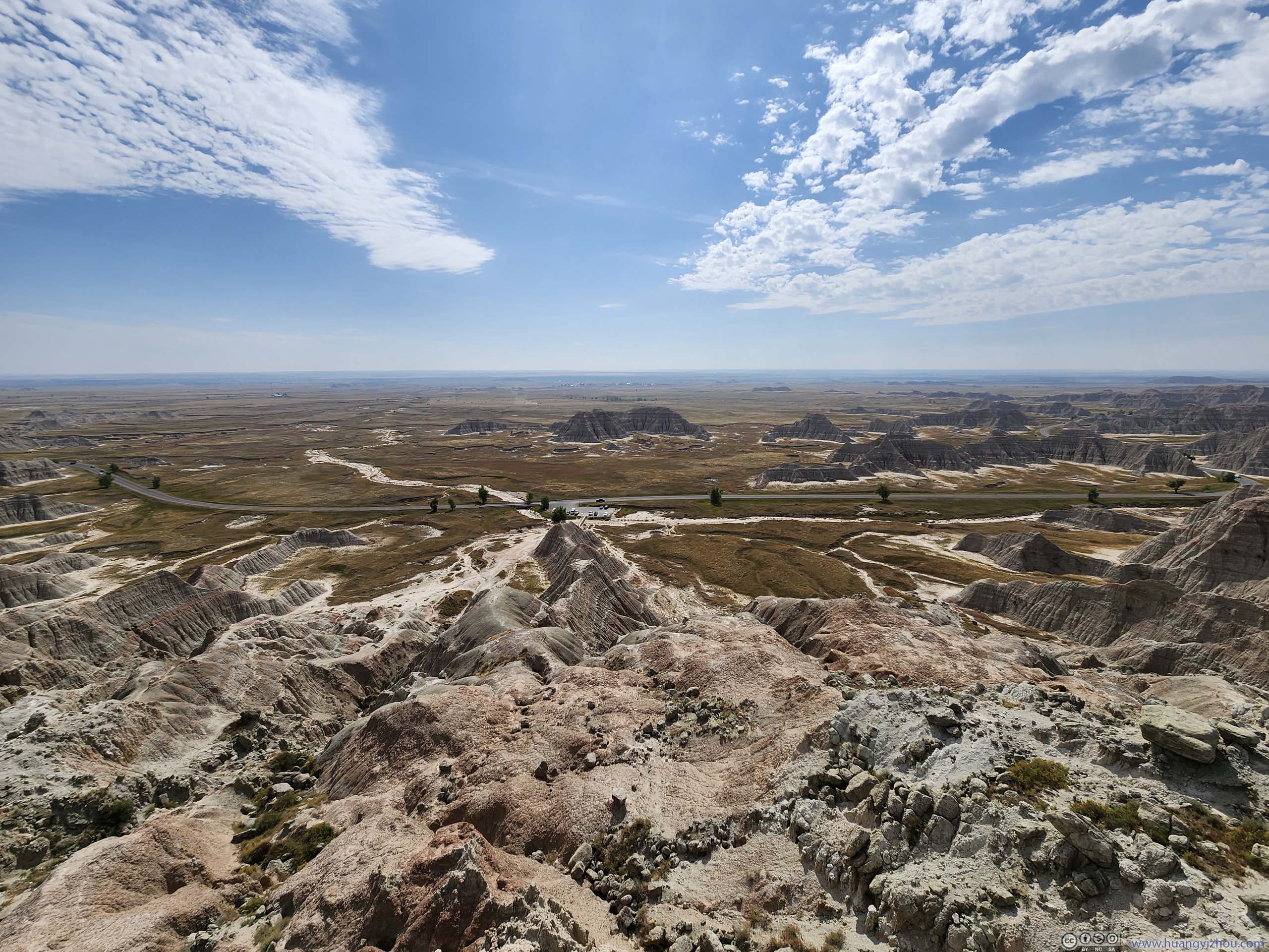
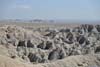
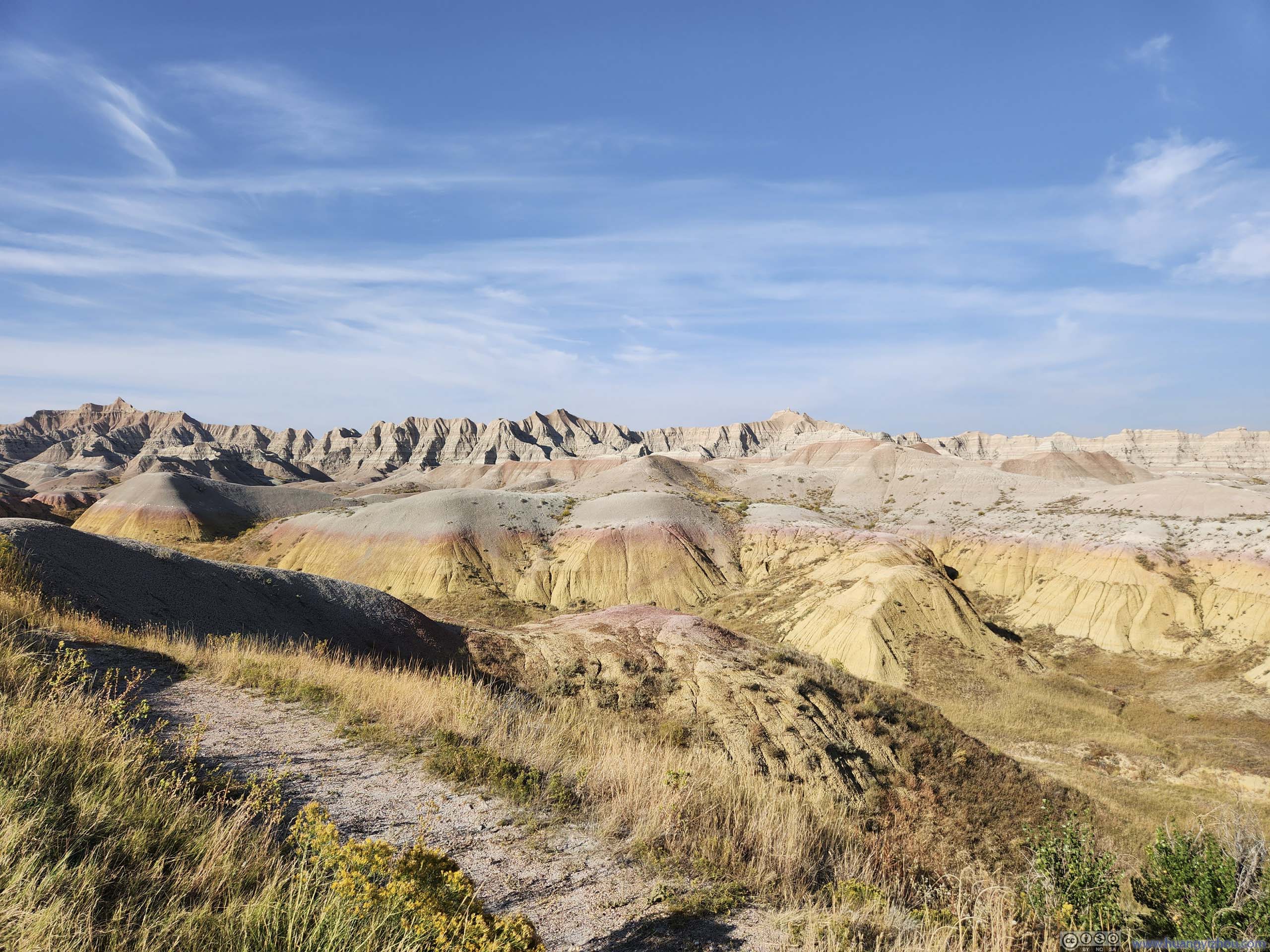
On top of Saddle Pass it’s a typical prairie scene to the north (p3 below), that was dotted with badland buttes. To the south, there were towering views of badlands in the foreground along the park road, and extensive fields in the background. To spice things up, I identified a path up a small overlook (p1) which was more prominent. Despite the looks from the photo, it was actually a lot easier and safer than Saddle Pass Trail.
 Saddle Pass
In the foreground, the level field of Saddle Pass. In the background, I found a path on top of an overlook (indicated by the red arrow) with towering views of the extensive fields and badlands to the south.
Saddle Pass
In the foreground, the level field of Saddle Pass. In the background, I found a path on top of an overlook (indicated by the red arrow) with towering views of the extensive fields and badlands to the south. Badlands
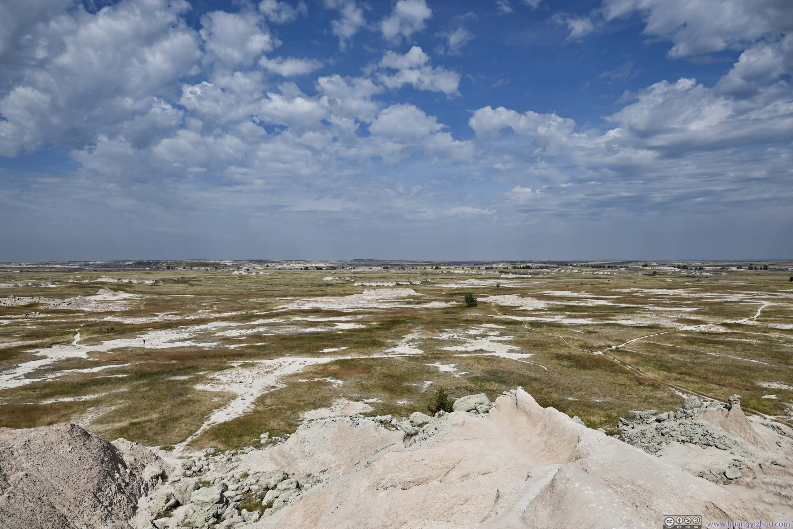
 Fields to the NorthNow it’s a typical prairie. As erosion went on the badlands will shift north.
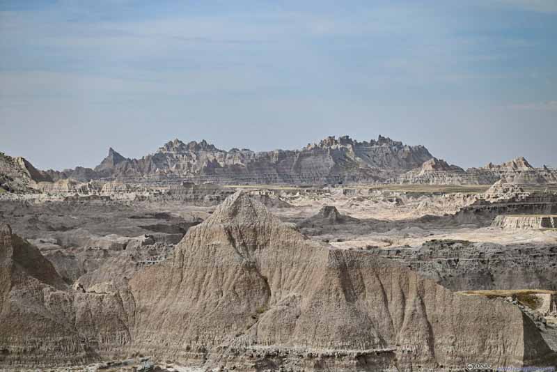 Badlands
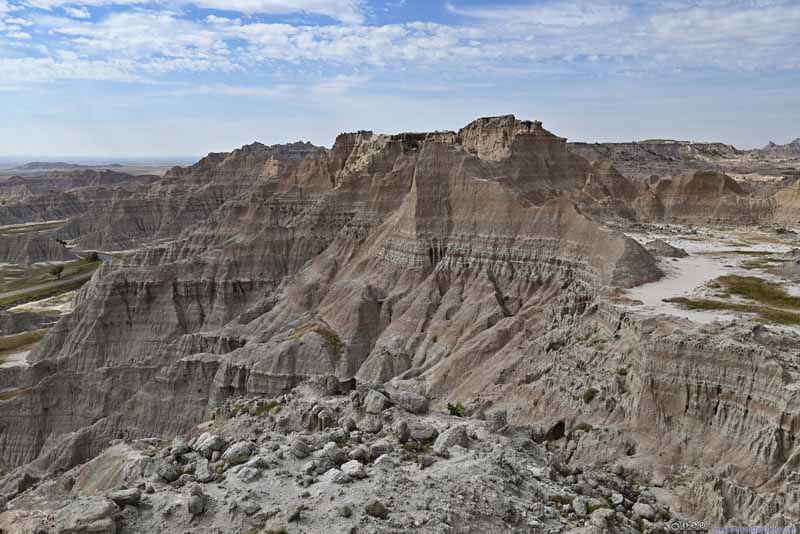 Badlands
 Badlands
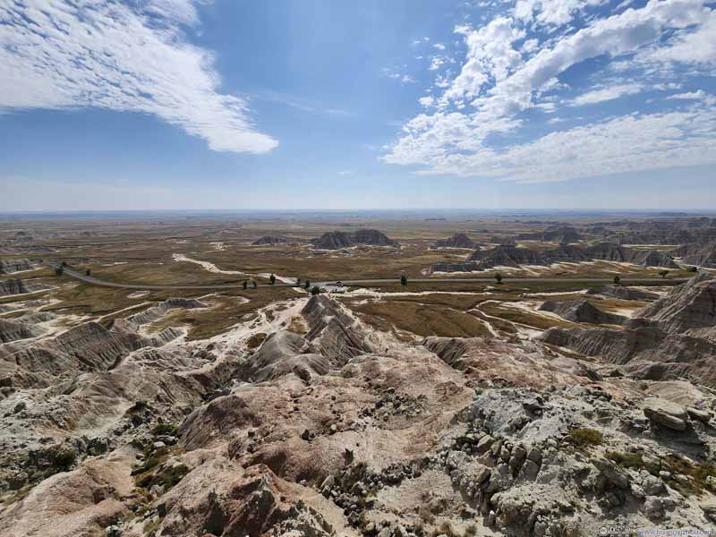 Badlands
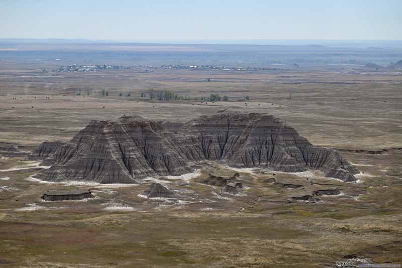 Badlands
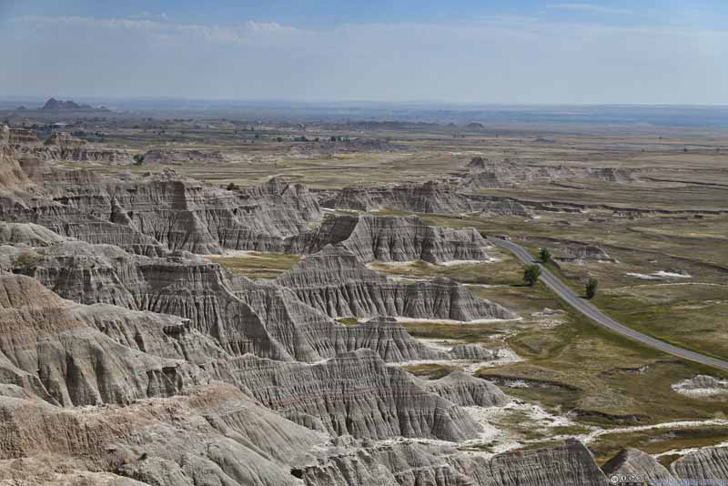 Badlands


Click here to display photos from an overlook on top of Saddle Pass.
Saddle Pass
Badlands
Fields to the NorthNow it’s a typical prairie. As erosion went on the badlands will shift north.
Badlands
Badlands
Badlands
Badlands
Badlands
Badlands
Overlooking Fields from Saddle Pass
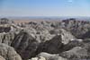
Other Overlooks in the Park
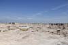
All in all, I spent about 50 minutes at Saddle Pass. After leaving, I spent the remainder of the day checking out various roadside overlooks in the park.
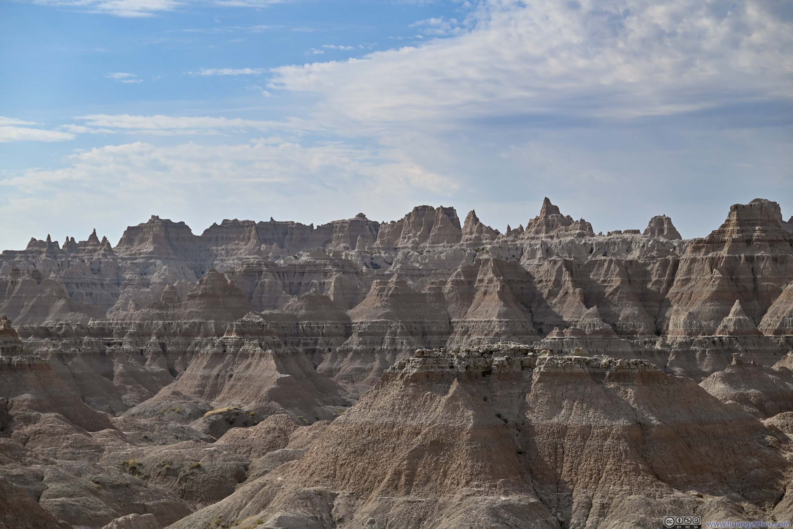
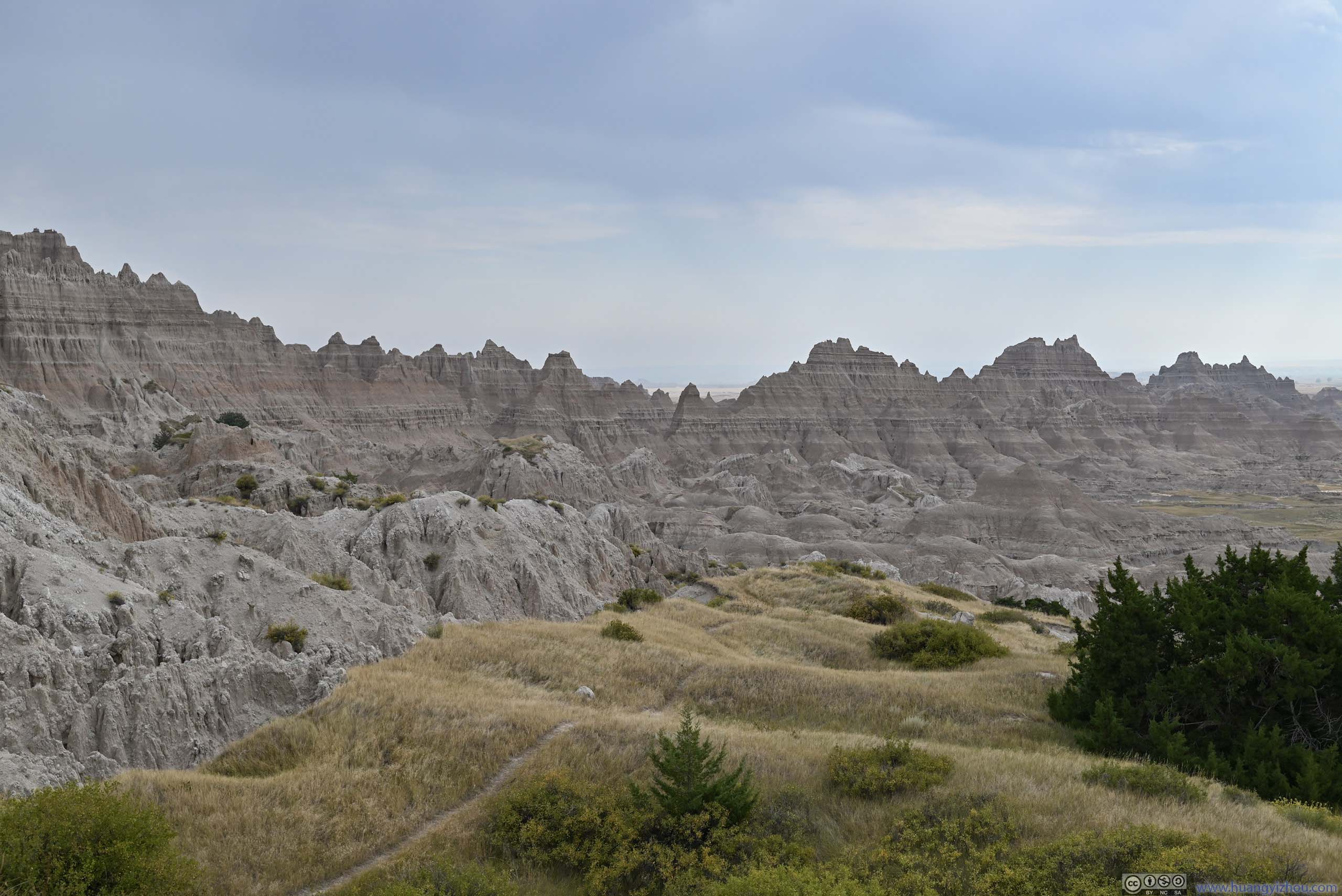
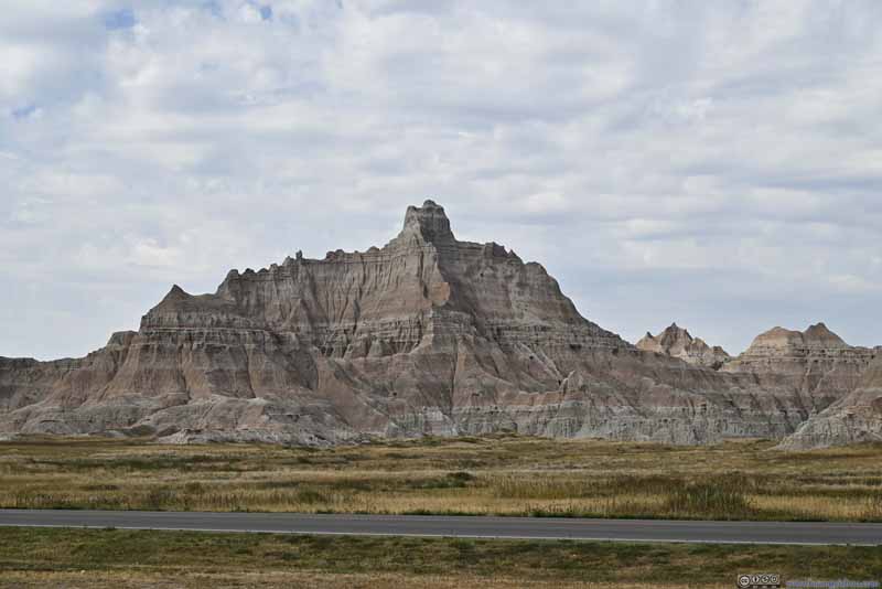
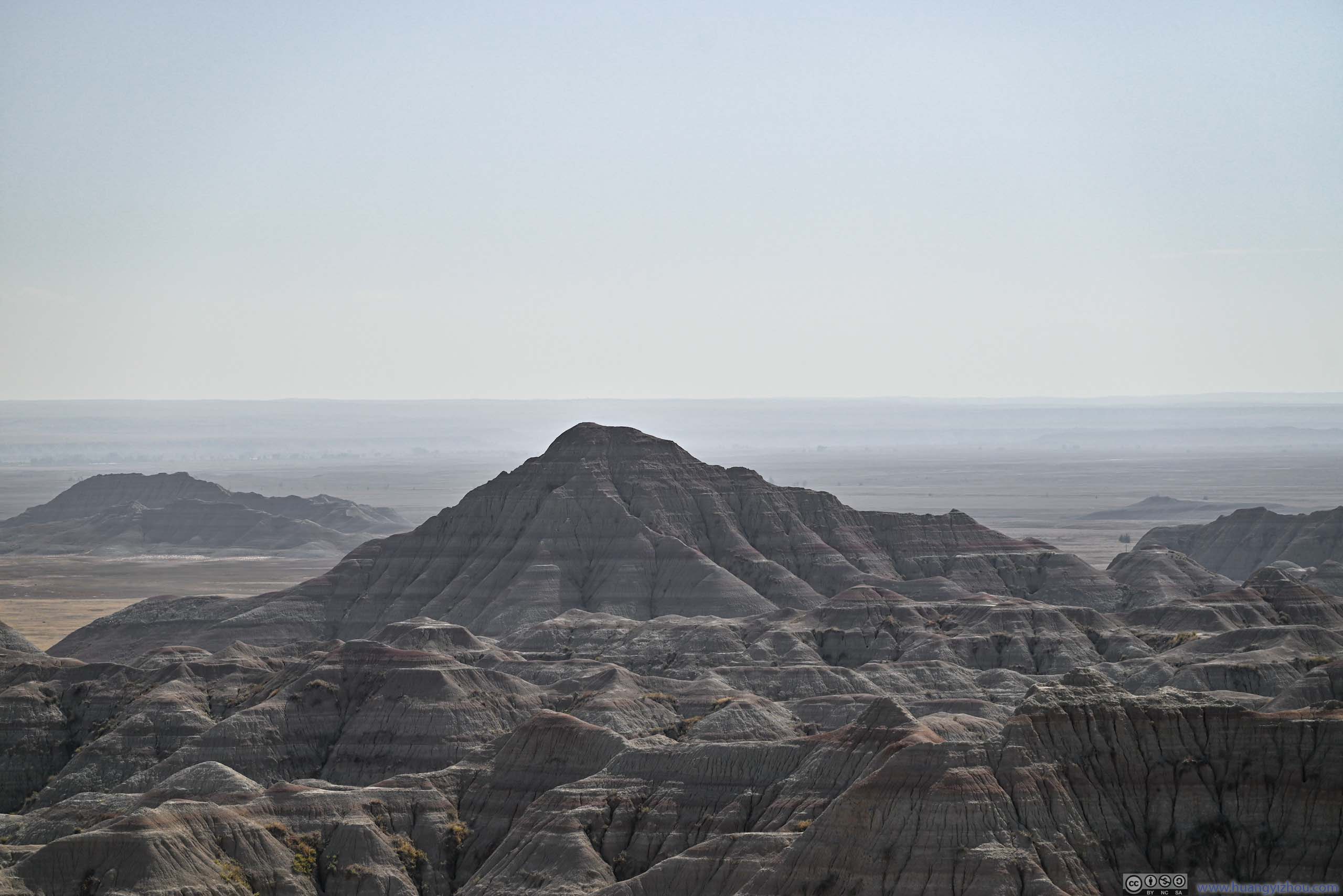
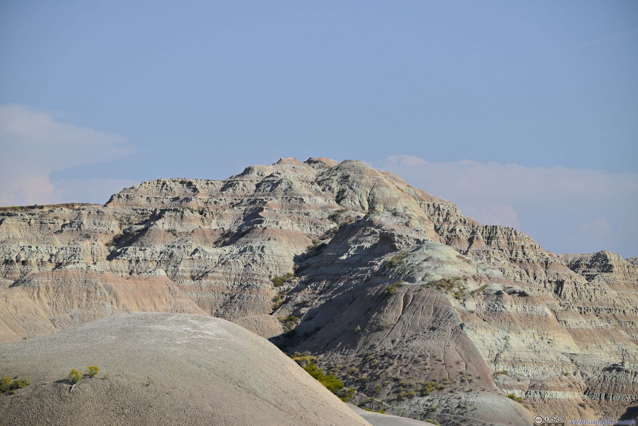
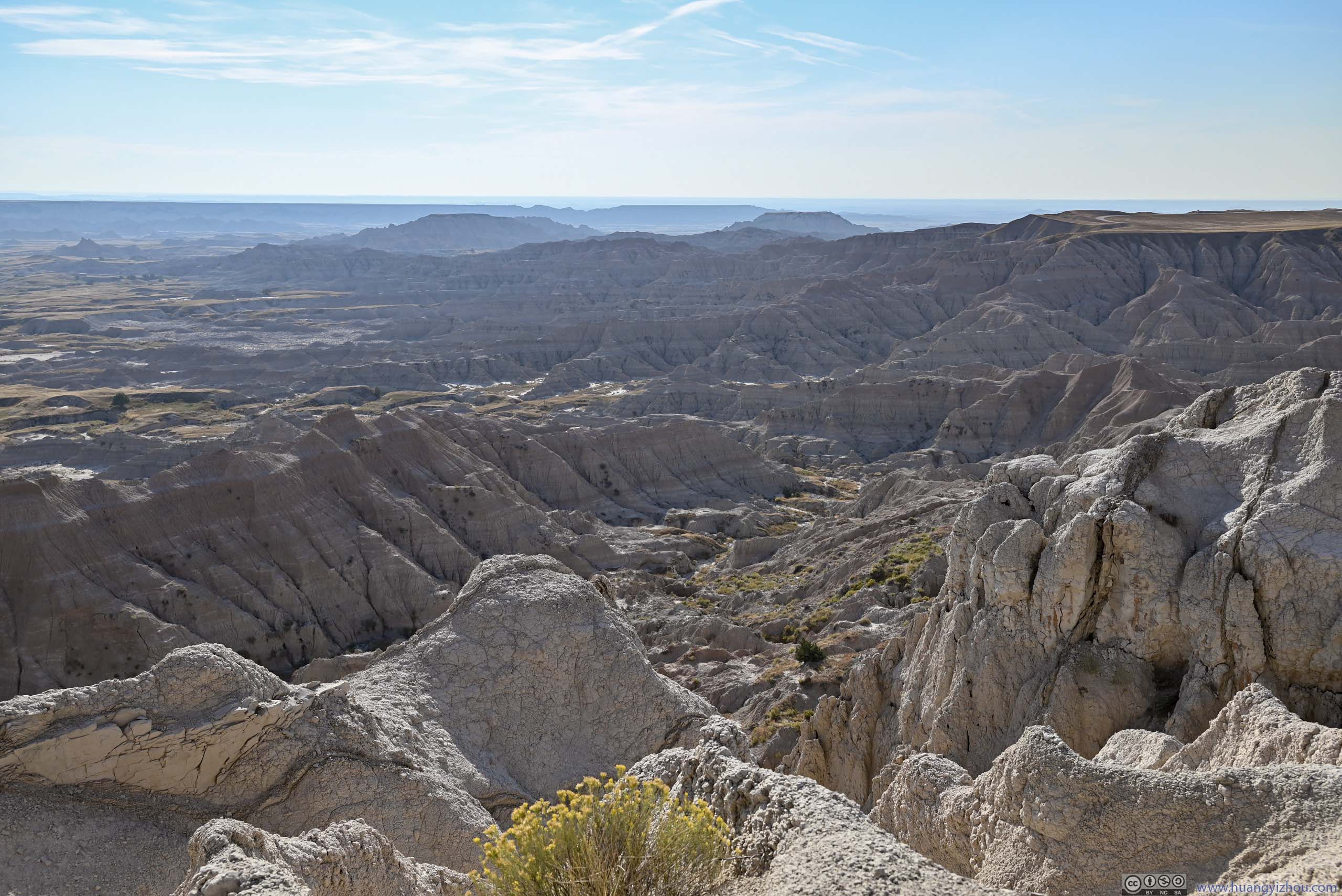
In my opinion, if one was interested in the buttes and pinnacles, then the most exciting views were either around Ben Reifel Visitor Center, or around Fossil Exhibit Trail. The following photos were from roadside turnouts just before Fossil Exhibit Trail, a feast of pinnacles for the eye.
 Badlands
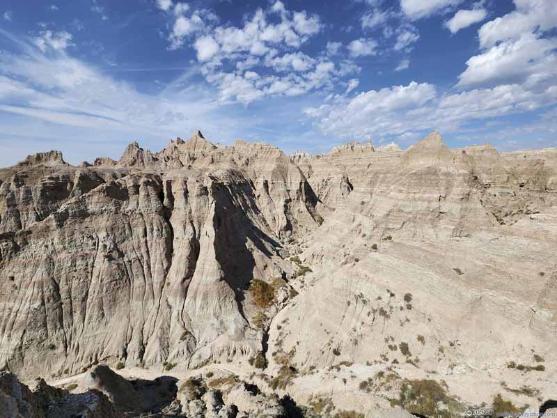 Valley
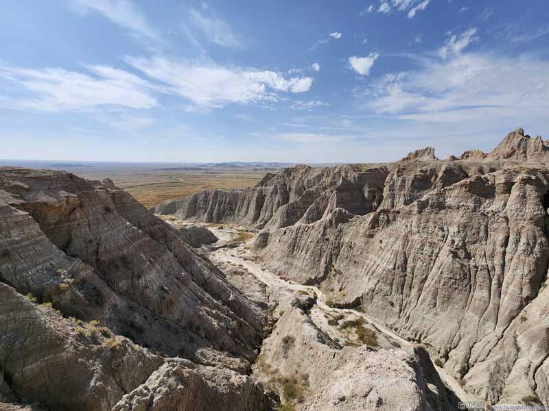 Valley
 Badlands
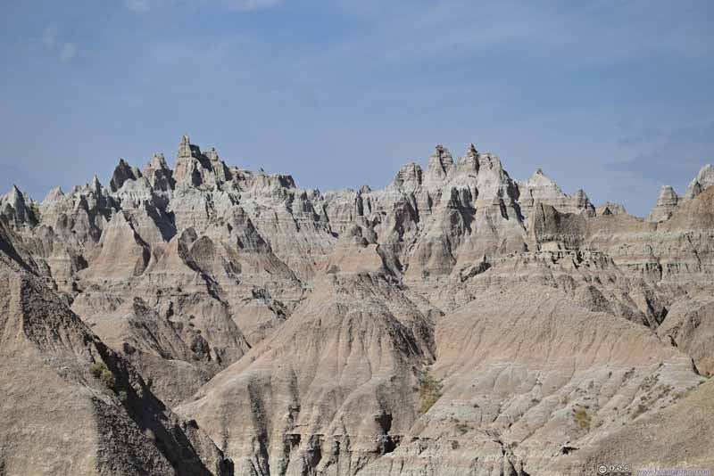 Badlands
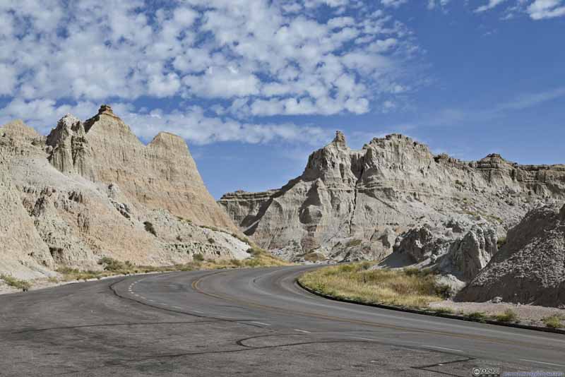 Road through Badlands National Park
 Badlands
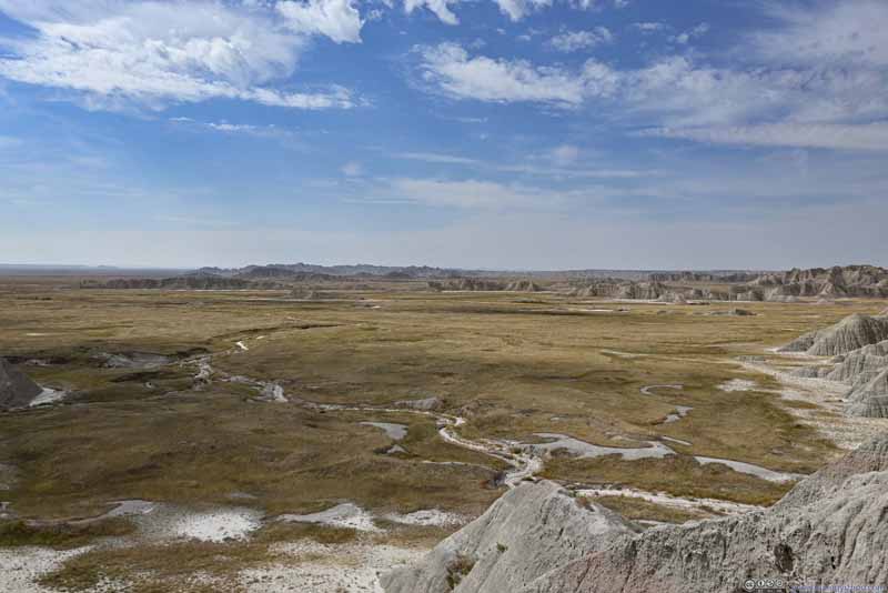 Fields


Click here to display photos of the slideshow
Badlands
 Valley
Badlands
Badlands
Road through Badlands National Park

Badlands
Fields
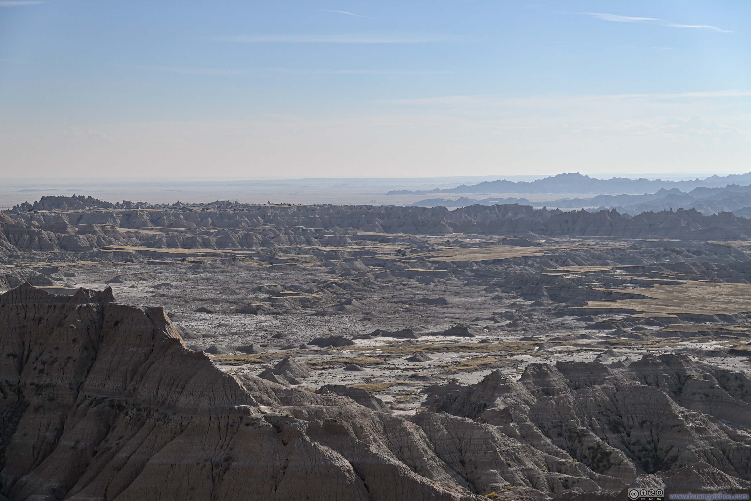
The day started out cloudy but the sun came out later in the day. As a result, most of the photos west of Fossil Exhibit were taken against the light, which wasn’t ideal.
 BadlandsFrom Fossil Exhibit Trail.
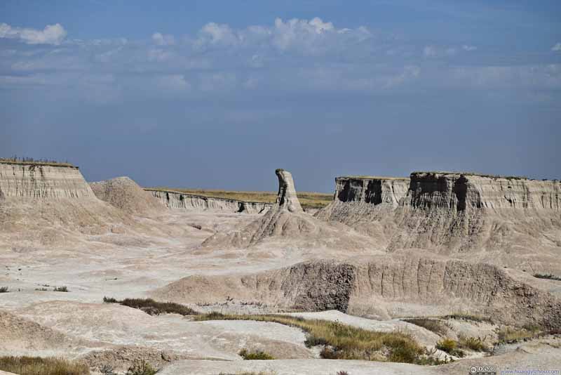 Rock FormationLike a gear lever.
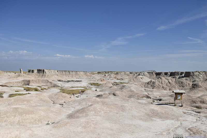 BadlandsCastle Trail, leading to Window/Notch/Door area through prairie.
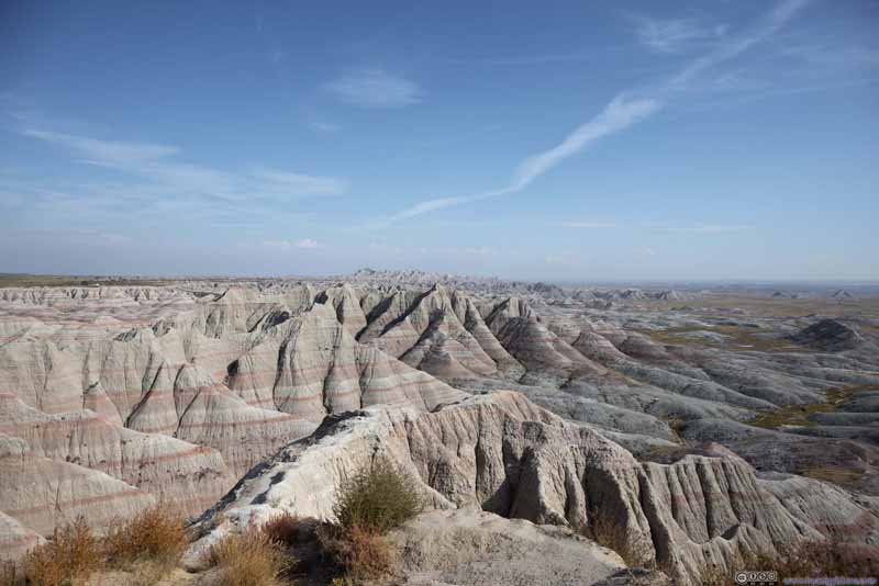 BadlandsFrom Panorama Point. With rocky hills near Fossil Exhibit Trail in the background.
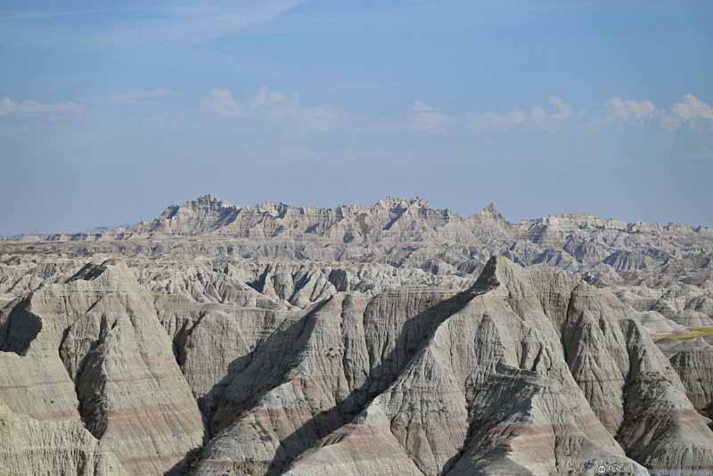 BadlandsFrom Panorama Point, looking southeast towards the rocky hills near Fossil Exhibit Trail.
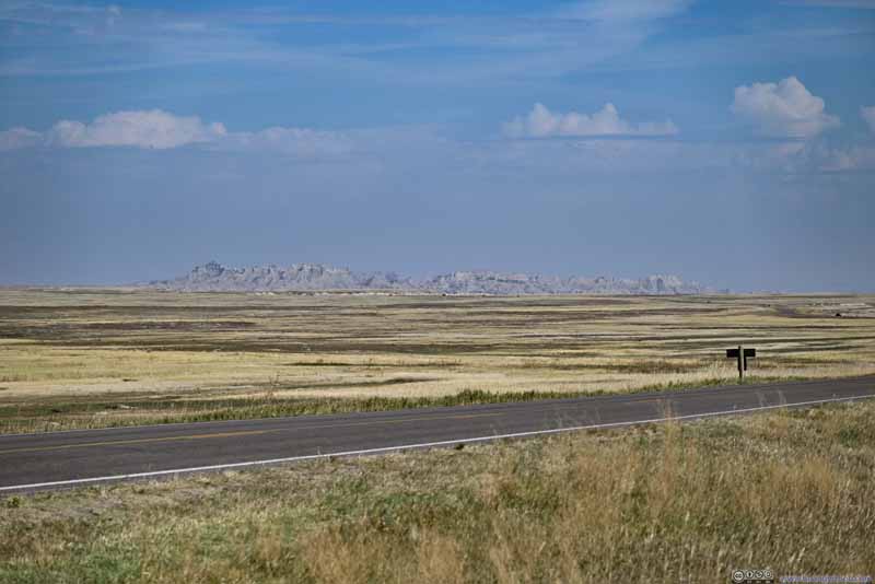 Distant Badlands Beyond PrairieFrom Burns Basin Overlook.
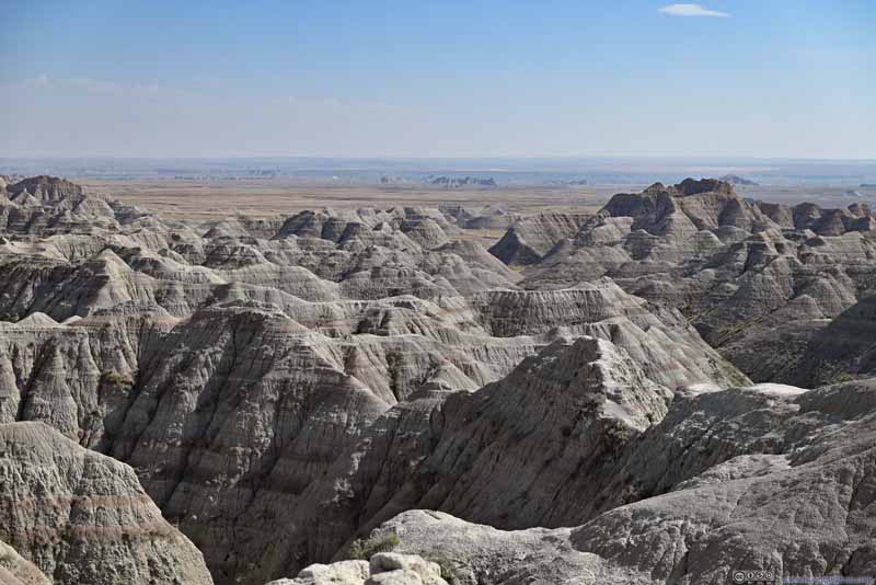 BadlandsFrom White River Valley Overlook.
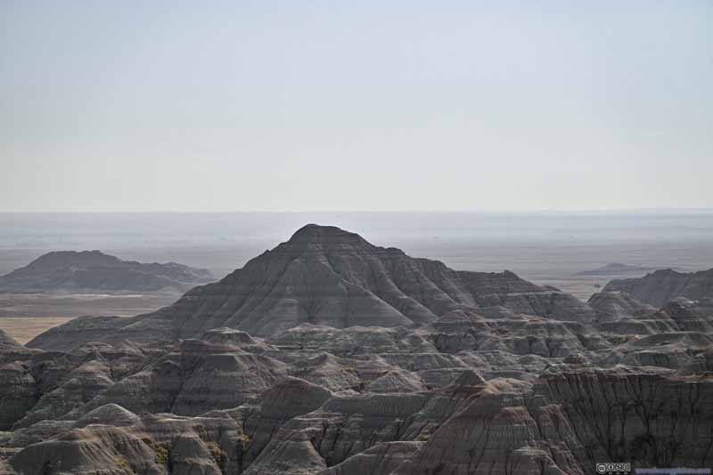 BadlandsFrom White River Valley Overlook.
 BadlandsFrom Bigfoot Pass Overlook.
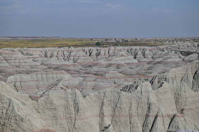 BadlandsFrom Panorama Point, looking back towards Big Foot Pass.
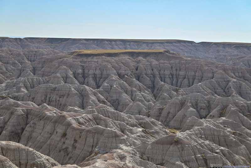 BadlandsFrom Burns Basin Overlook.
 BadlandsFrom Burns Basin Overlook.
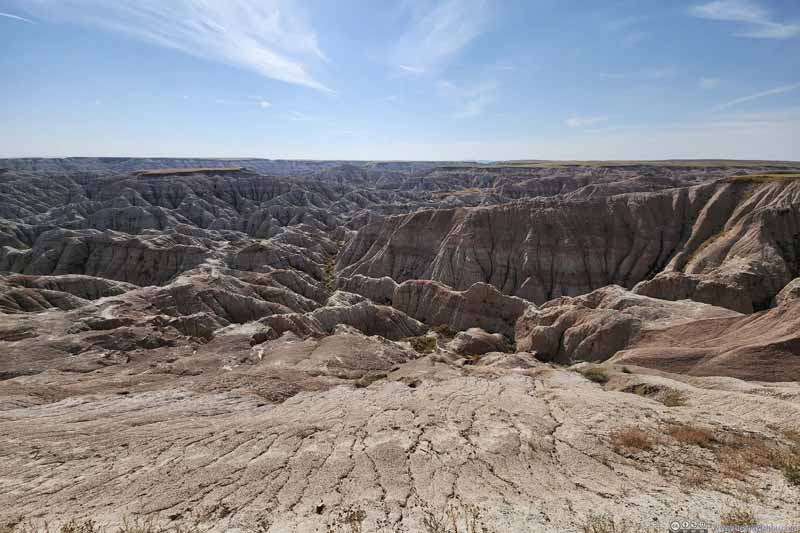 BadlandsFrom Burns Basin Overlook.
Click here to display photos of the slideshow

BadlandsFrom Fossil Exhibit Trail.
Rock FormationLike a gear lever.
BadlandsCastle Trail, leading to Window/Notch/Door area through prairie.
BadlandsFrom Panorama Point. With rocky hills near Fossil Exhibit Trail in the background.
BadlandsFrom Panorama Point, looking southeast towards the rocky hills near Fossil Exhibit Trail.
Distant Badlands Beyond PrairieFrom Burns Basin Overlook.
BadlandsFrom White River Valley Overlook.
BadlandsFrom White River Valley Overlook.
BadlandsFrom Bigfoot Pass Overlook.
BadlandsFrom Panorama Point, looking back towards Big Foot Pass.

BadlandsFrom Burns Basin Overlook.
BadlandsFrom Burns Basin Overlook.

BadlandsFrom Burns Basin Overlook.
 BadlandsFrom Bigfoot Pass (top) and Panorama Point (bottom)
 BadlandsFrom Homestead Overlook.
 BadlandsFrom Homestead Overlook.
 BadlandsFrom Homestead Overlook.
 Badlands in Vivid ColorsNear Yellow Mound Overlook.
 Yellow Mound Overlook
 BadlandsFrom Yellow Mound Overlook.
 BadlandsFrom an unnamed turnout along the road.
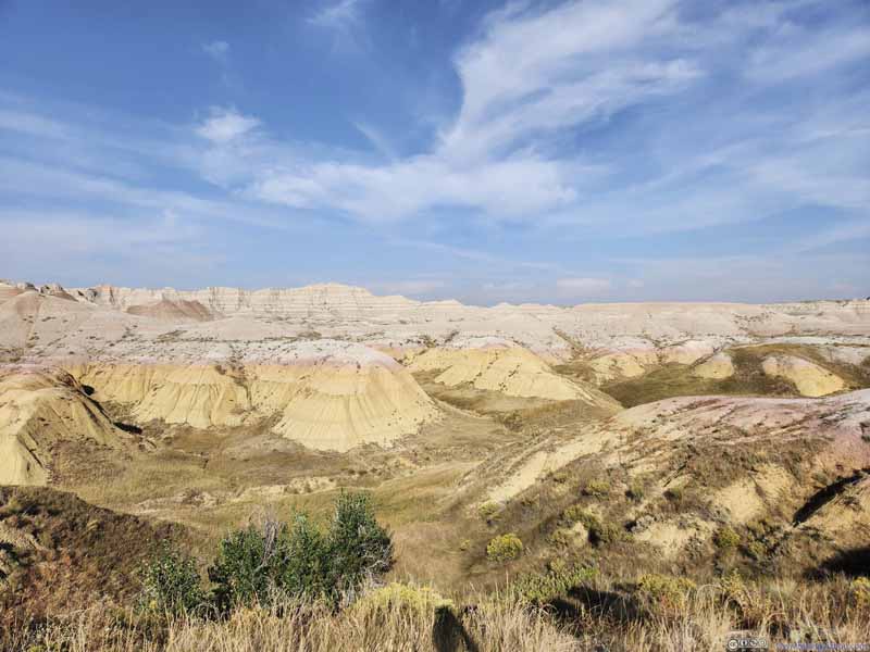 BadlandsFrom an unnamed turnout along the road.
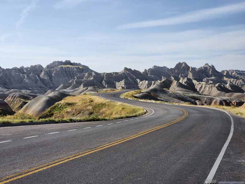 Road through Badlands National ParkFrom an unnamed turnout along the road.
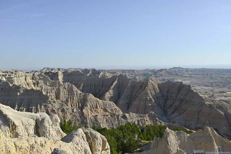 BadlandsFrom Pinnacles Overlook.
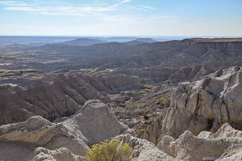 BadlandsFrom Pinnacles Overlook.
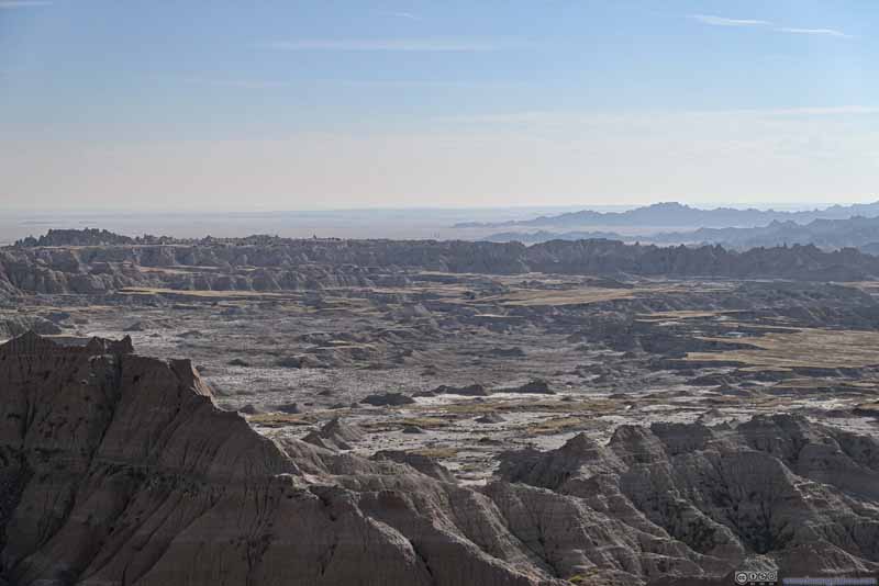 BadlandsFrom Pinnacles Overlook.
 Fields to the NorthFrom a small hill north of Pinnacles Overlook.
 BadlandsFrom a small hill north of Pinnacles Overlook.

Click here to display photos of the slideshow
 BadlandsFrom Homestead Overlook.
Badlands in Vivid ColorsNear Yellow Mound Overlook.

Yellow Mound Overlook
BadlandsFrom Yellow Mound Overlook.

 Road through Badlands National ParkFrom an unnamed turnout along the road.
BadlandsFrom Pinnacles Overlook.
BadlandsFrom Pinnacles Overlook.
BadlandsFrom Pinnacles Overlook.
 BadlandsFrom a small hill north of Pinnacles Overlook.
 Bison in Field
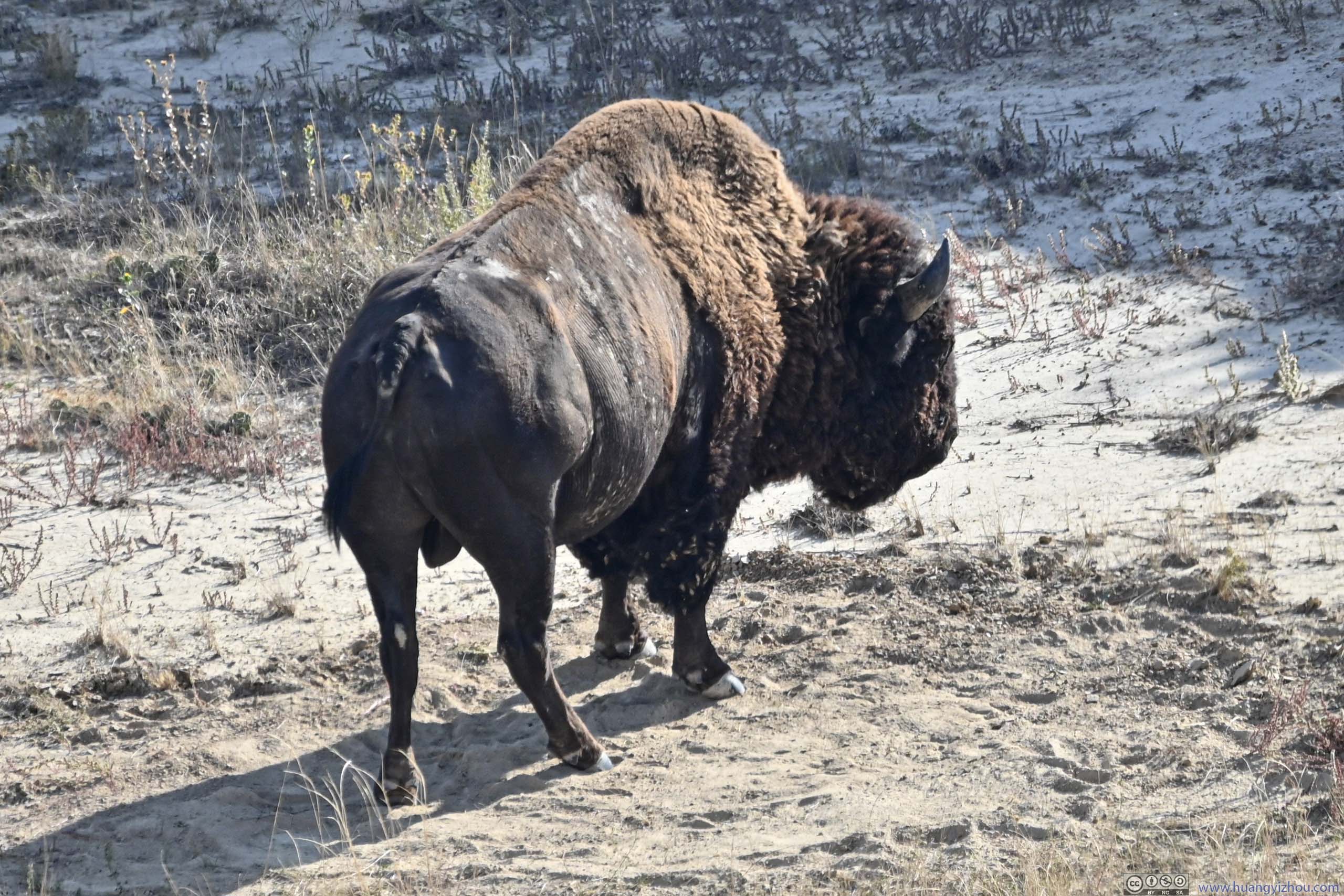
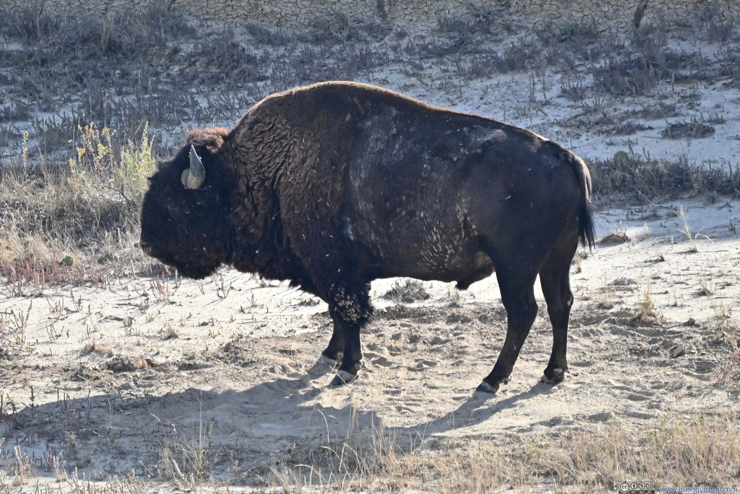
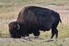
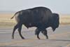
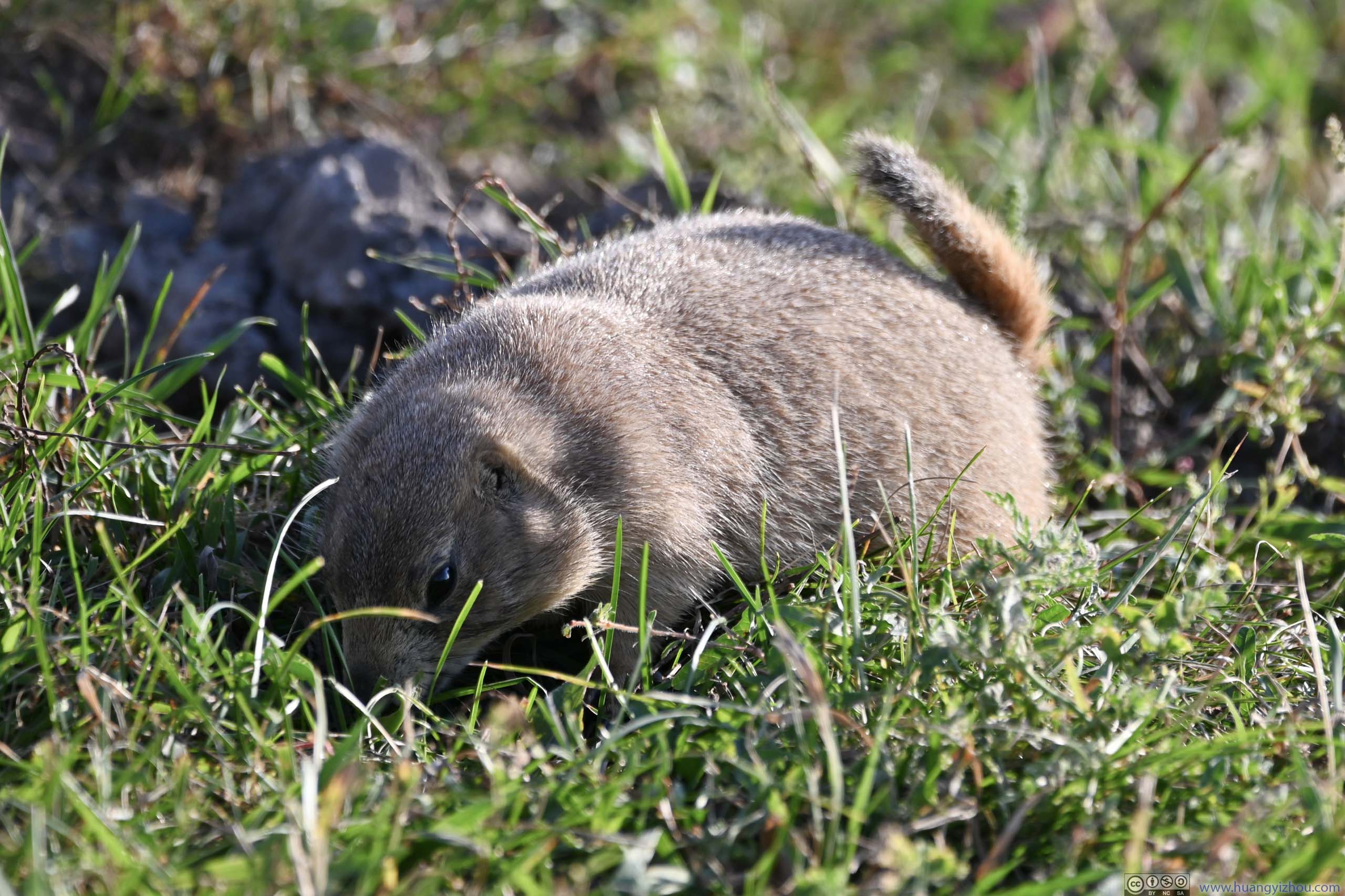
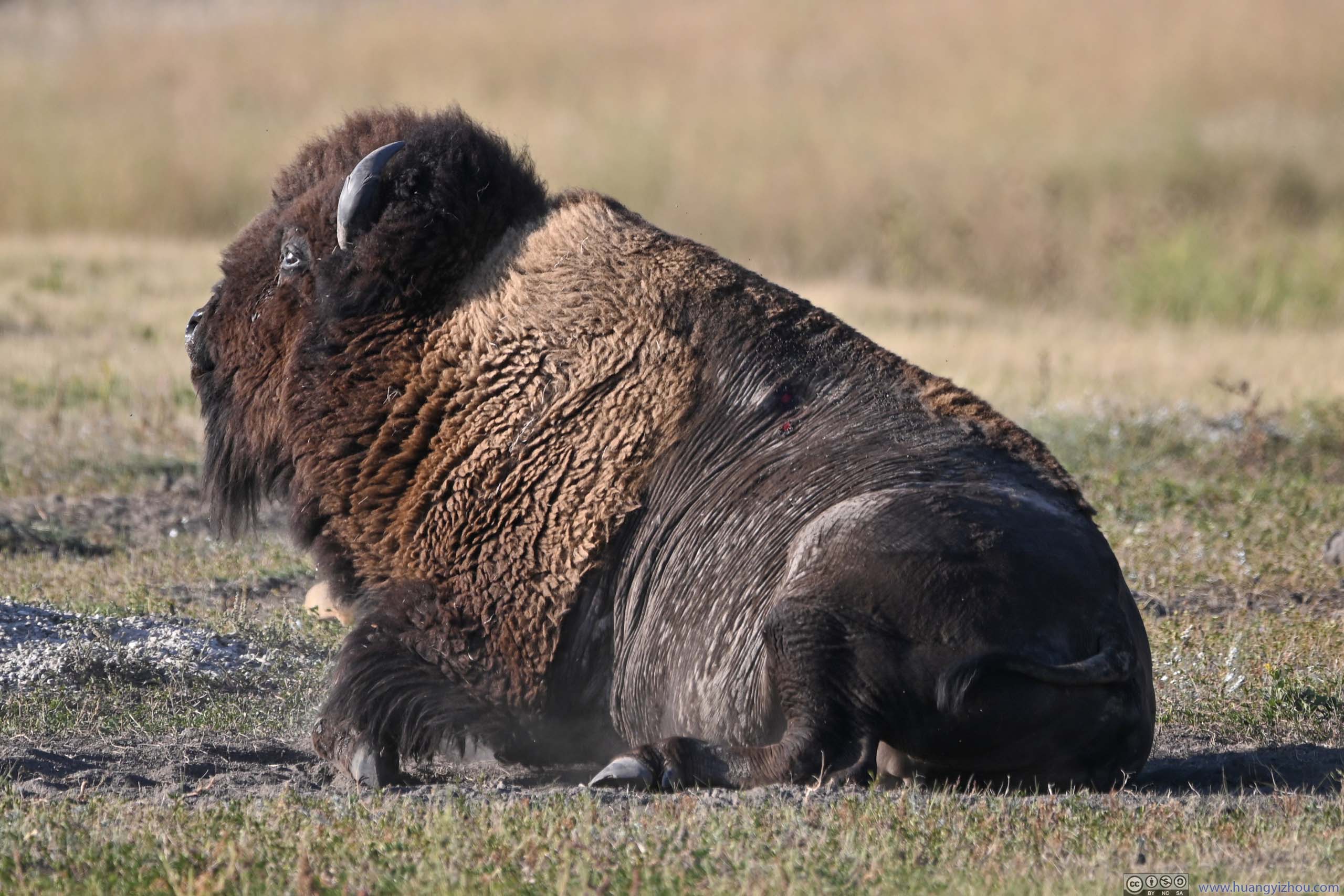
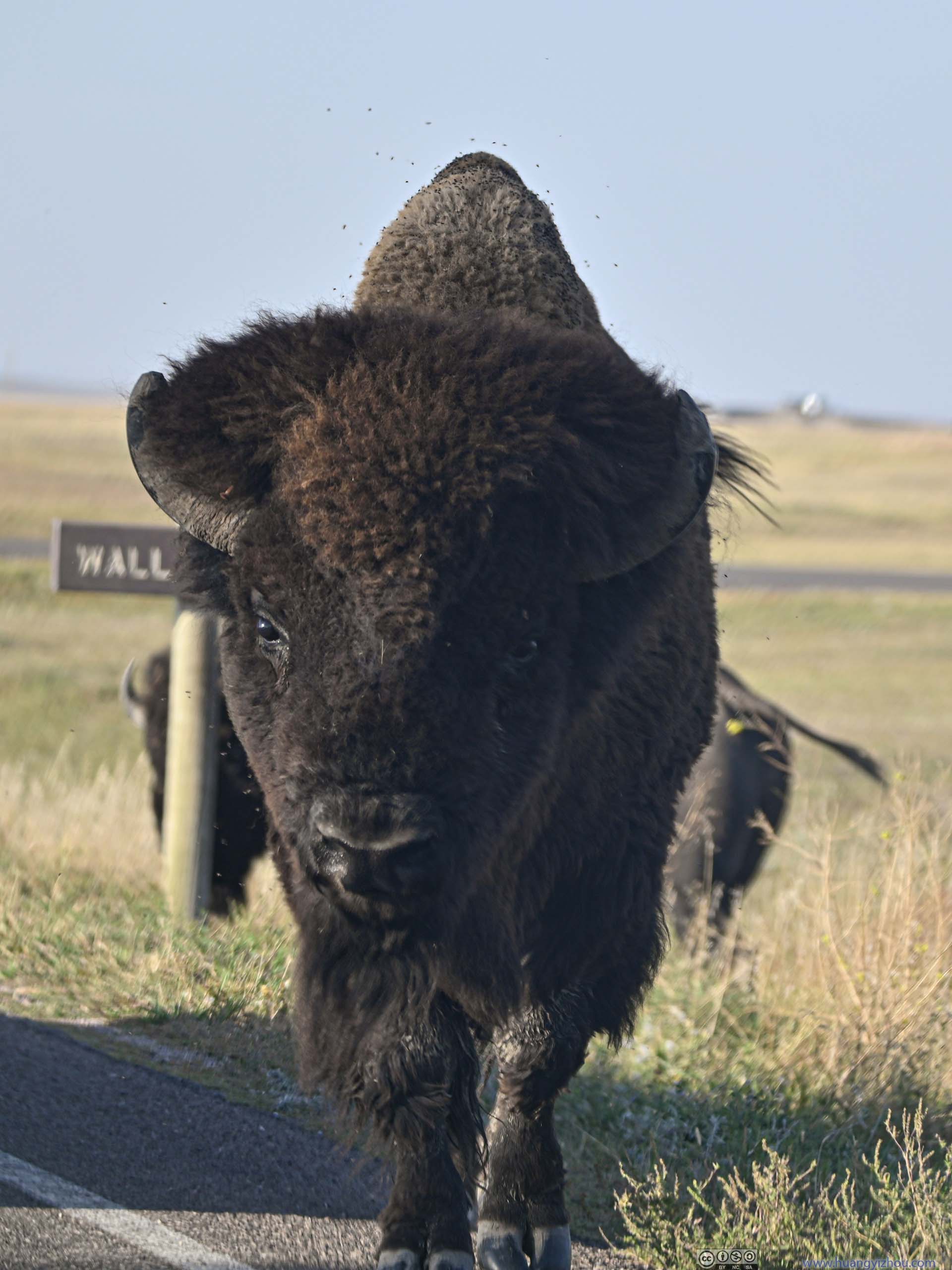
Then a quick discussion about animals in the park. During my visit, it seemed that they were more active in the western part of the park. The most common sightings were prairie dogs, but I was into something more impressive like bisons. My wishes were fulfilled just before I exited the park, as a group of bisons were resting in the field not far from the road.
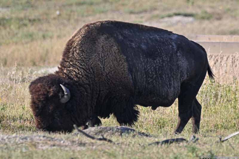 Bison
Bison Prairie Dog
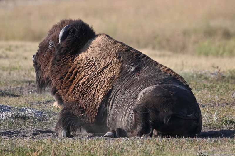 Bison
Bison Bison Crossing Road
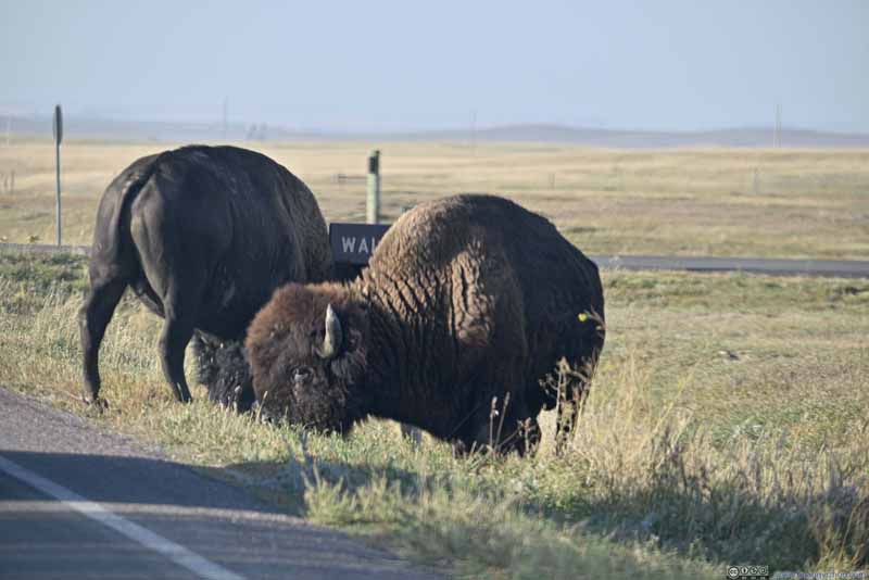 Bisons Next to Road


Click here to display photos of the animals in Badlands national Park.

Bison
Prairie Dog
Bison

Bison Crossing Road

Bisons Next to Road
Bison
While Badlands National Park offered more to explore in its western and southern part, I preferred paved roads so I left the park from Pinnacles entrance. Not long after that, I was at the town of Wall.
Wall Drug Store
For a town with a population of 700, Wall Drug Store was certainly an outstanding presence. Started out as a small pharmacy in the 1930s, through relentless advertising and popularity of the nearby Badlands National Park, now it’s a proper mall and department store (that focused on souvenirs). Their advertisement was so aggressive that it’s impossible to miss their billboard signs driving along I90 in South Dakota.
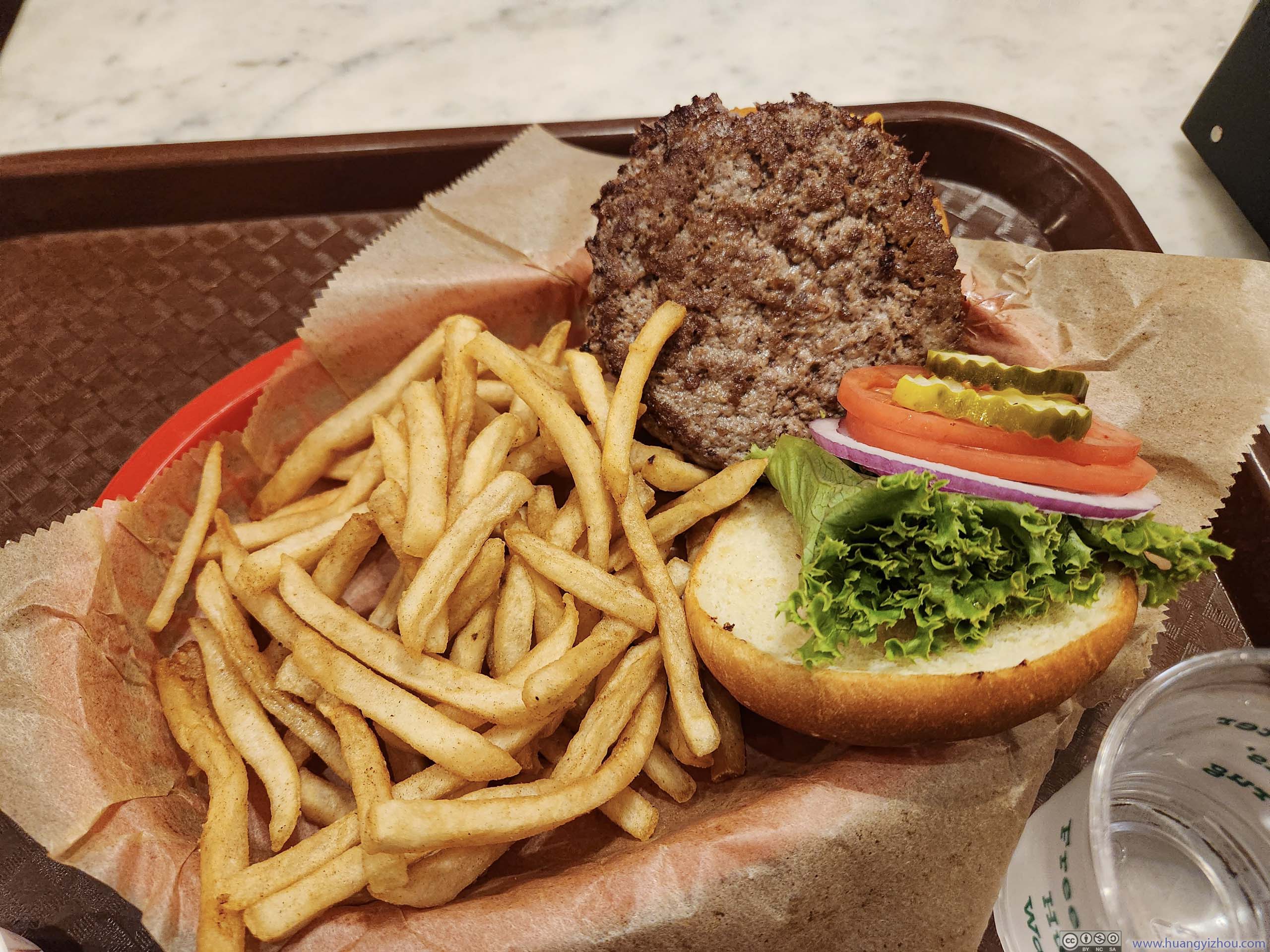
While I wasn’t too much into their souvenir shops, I was getting hungry and they had a cafeteria. To make things better, while waiting for my order, the cafeteria was also a western art gallery, perfect for me that was into everything oil on canvas. (Unfortunately no photos were allowed for the arts.)
 Wall Drug Store ExteriorThe parking spaces were decorated with horse hitching posts.
 DinnerI got to the cafeteria just before its closing time.
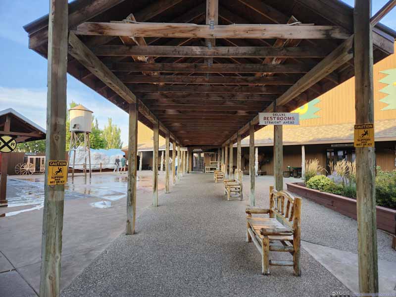 Passage to Backyard of Wall Drug Store
For the first time in many years I saw some restrooms were described as “deluxe”. So despite I just used the restrooms in the main building, I still decided to check them out. In the end, apart from being more spacious, I couldn’t tell anything “deluxe” about them.
Passage to Backyard of Wall Drug Store
For the first time in many years I saw some restrooms were described as “deluxe”. So despite I just used the restrooms in the main building, I still decided to check them out. In the end, apart from being more spacious, I couldn’t tell anything “deluxe” about them.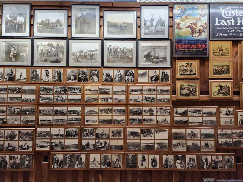 Historic Photos DisplayIn the not-so-visited backyard part.
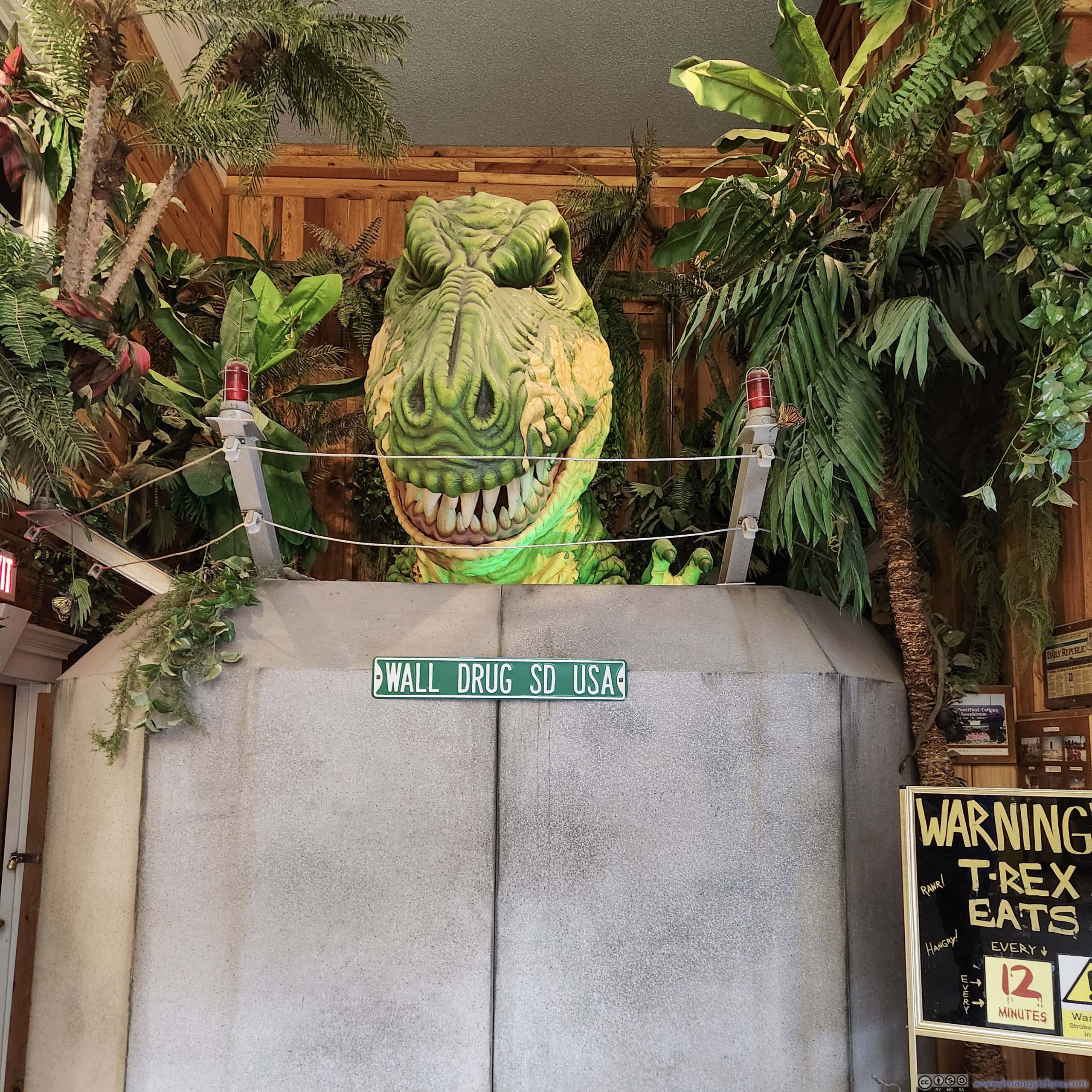
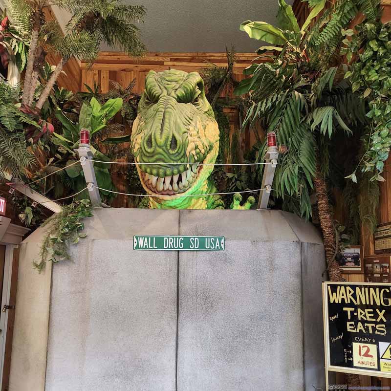 T-Rex Statue
Outside Japan I found few instances of giant movable statues, but this was certainly one. Despite the warning that “T-Rex eats every 12 minutes”, it stayed behind the wall, while the “eat” part was only swinging its open mouth around in suspense music.
T-Rex Statue
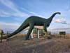
Outside Japan I found few instances of giant movable statues, but this was certainly one. Despite the warning that “T-Rex eats every 12 minutes”, it stayed behind the wall, while the “eat” part was only swinging its open mouth around in suspense music.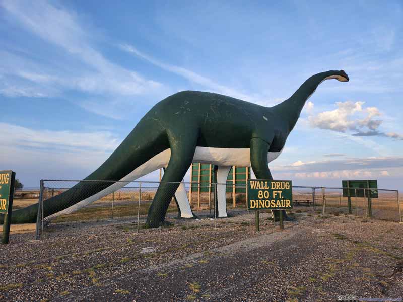 Dinosaur StatueAn advertisement piece for Wall Drug Store.
 Distant Clouds in Vivid ColorsSome beautiful clouds towards the direction of Badlands National Park.


Click here to display photos of the slideshow

Wall Drug Store ExteriorThe parking spaces were decorated with horse hitching posts.
DinnerI got to the cafeteria just before its closing time.

Passage to Backyard of Wall Drug Store

Historic Photos DisplayIn the not-so-visited backyard part.
T-Rex Statue
Dinosaur StatueAn advertisement piece for Wall Drug Store.
Distant Clouds in Vivid ColorsSome beautiful clouds towards the direction of Badlands National Park.
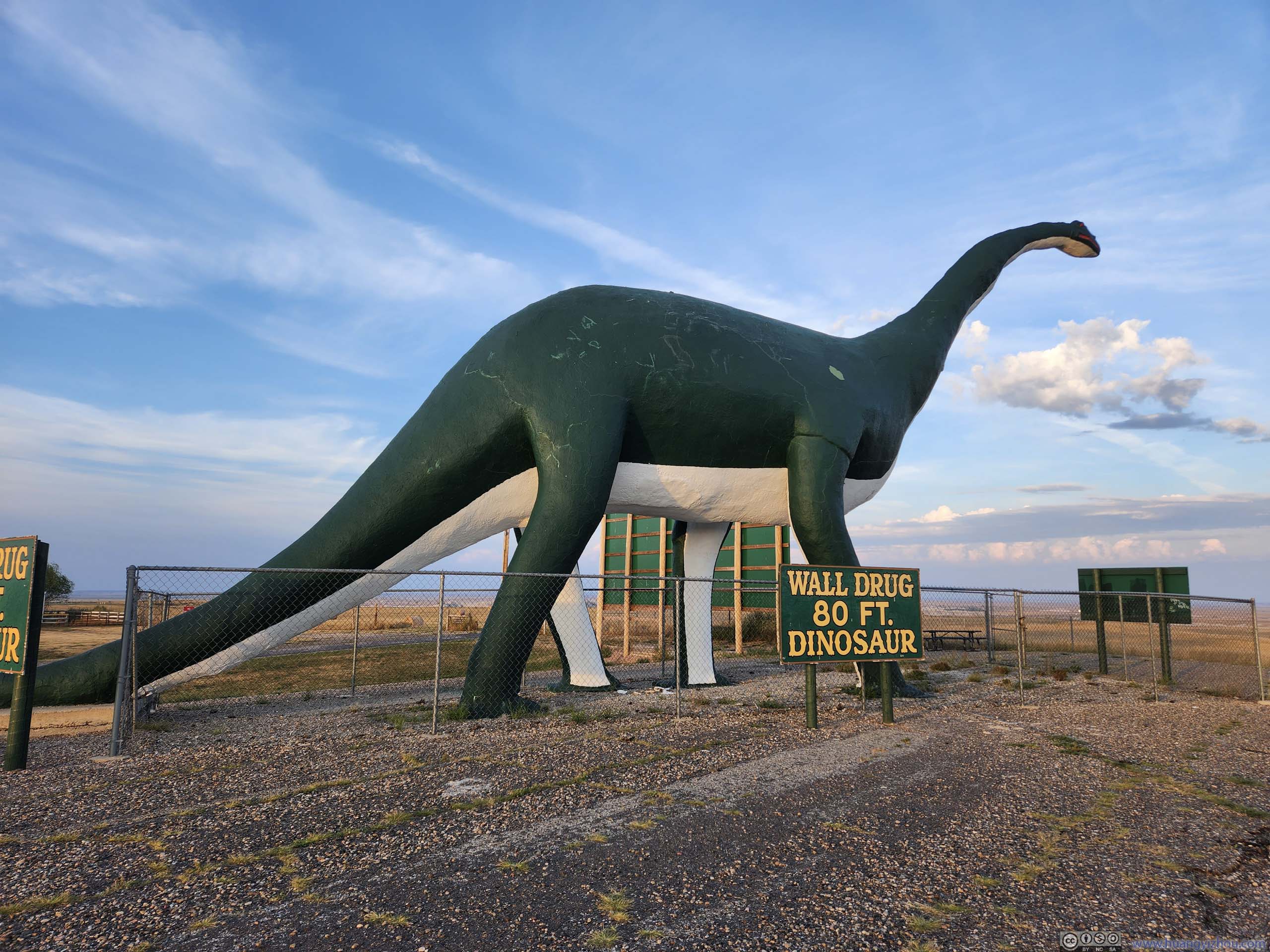
After dinner, I checked out the rest of the Wall Drug Store, together with their giant dinosaur statue near the town’s interstate exit.
After that, I drove towards my overnight lodge in Rapid City where I would spend the next few days exploring Black Hills.
END
![]() Day 2 of Autumn 2023 Trip to Mountain States, Badlands National Park by Huang's Site is licensed under a Creative Commons Attribution-NonCommercial-ShareAlike 4.0 International License.
Day 2 of Autumn 2023 Trip to Mountain States, Badlands National Park by Huang's Site is licensed under a Creative Commons Attribution-NonCommercial-ShareAlike 4.0 International License.