Updated on April 26, 2024
Day 7 of Autumn 2023 Trip to Mountain States, Dinosaur National Monument
The seventh day of my autumn 2023 trip to the mountain states. I drove from Saratoga, WY to Grand Junction, CO for the day, checking out Dinosaur National Monument along the way.
After hiking Medicine Bow Peak the previous day, I spent the night in Saratoga, WY. My plan today was to make the 300-mile drive towards Grand Junction, CO. Google predicted the drive would only take 5 hours, so if I headed straight towards Grand Junction, I would arrive in the afternoon, too late to do anything meaningful for the remainder of the day, but too early to call it a day. As a result, I thought of visiting some attractions along the way.
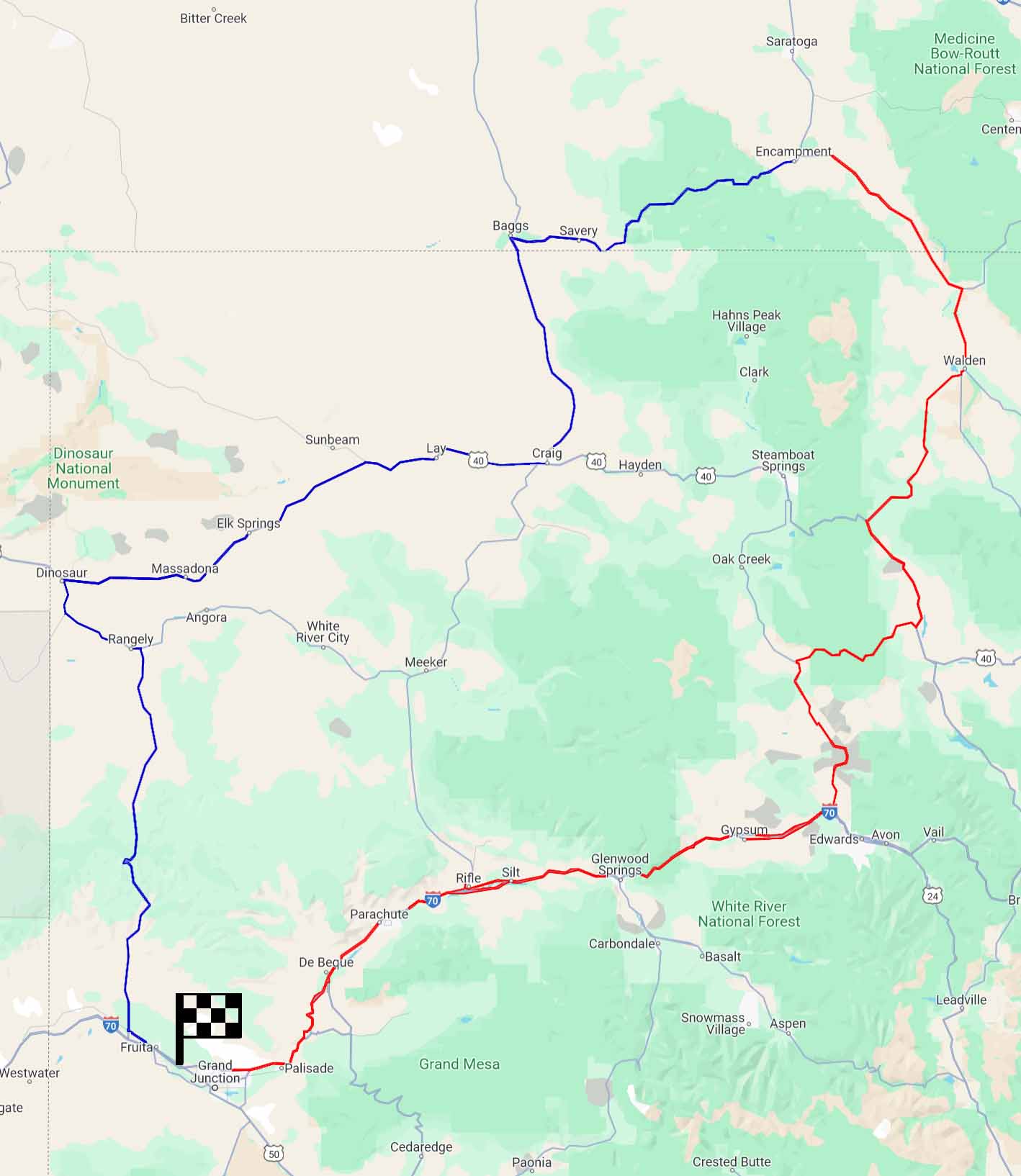
As shown in the picture above, I essentially had two options reaching Grand Junction from Saratoga. The eastern route (red) largely followed Colorado River, with some beautiful canyon views along the way. I could check out Hanging Lake, a popular hiking trail outside the town of Glenwood Springs. Alternatively, the western route (blue, shown with some detour) pass the doorsteps of Dinosaur National Monument, a protected piece of land with interesting history of dinosaur fossil discovery, plus some scenic canyons. I figured Dinosaur National Monument was located very out of the way, and this would be my only chance in a long time to visit it; on the other hand, I would probably hit I70 in the future to explore more of Colorado’s mountains. As a result, I decided to check out Dinosaur National Monument today.
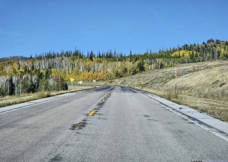
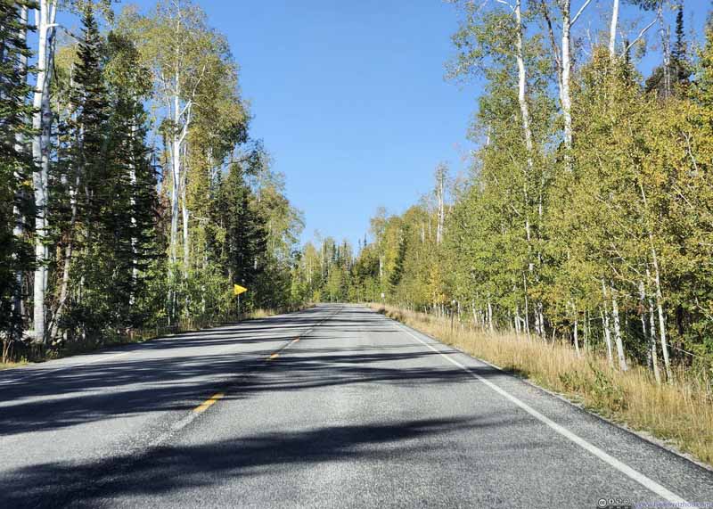
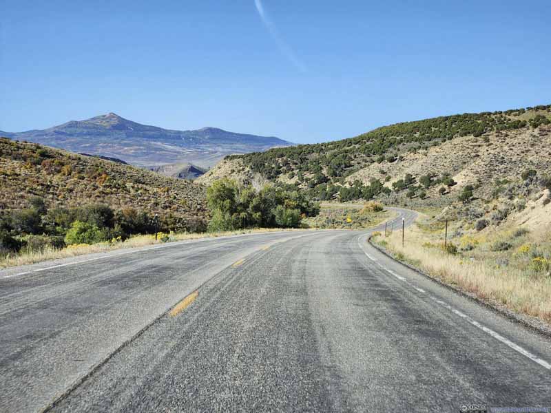
After giving my car a proper wash (to clean off the bugs), I left the town of Saratoga at 8:45am. All of the day’s driving would be on country roads (no interstates), with lack of traffic it shouldn’t be too stressful.
Click here to display photos of the slideshow
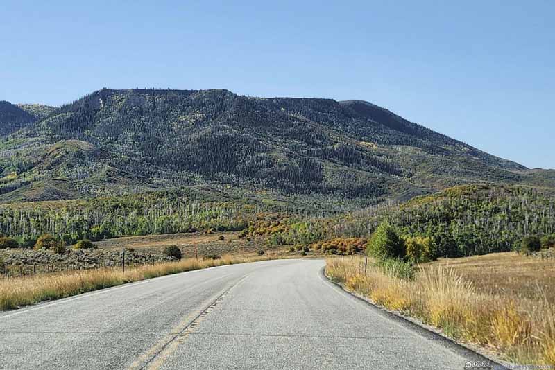
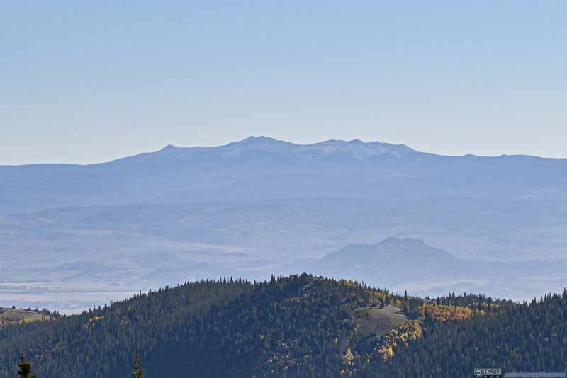
Battle Mountain along Road
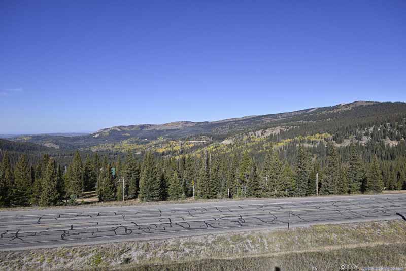
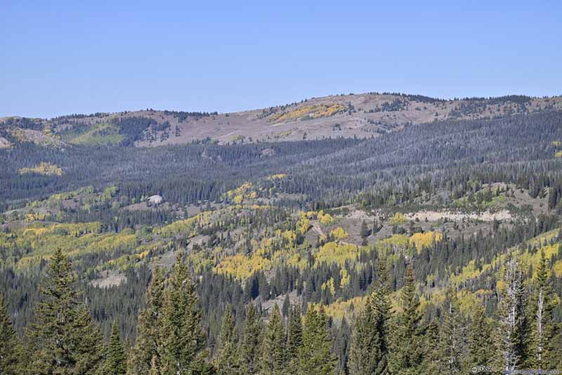
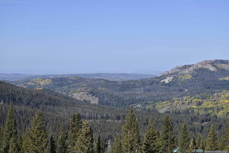
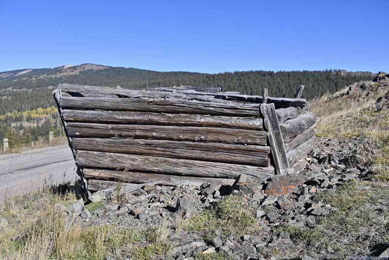
Leaving Encampment, WY, I headed west and climbed over the Continental Divide, which was located at a place called “Battle” on the map. The place was named for an 1841 conflict between Henry Fraeb and native Americans. “Battle” was a town formed for copper mining operations, just like the nearby “Encampment”, and saw its peak days at the turn of the twentieth century. But probably due to its high elevation (and thus inaccessibility), it only had a peak population of 250. Now, a log house at the Continental Divide overlook was probably the only sign that the town ever existed.
Click here to display photos from Battle Pass, WY.
Leaving Continental Divide, I continued onwards. After entering Colorado and heading south along CO-13, I literally had bugs raining onto my windshield. Since I had my car washed in Wyoming, I thought the only possible explanation was that the Wyoming bugs supported their local business, while the Colorado bugs didn’t care. It certainly had nothing to do with the fact that the fields along CO-13 were relatively flat and supported more agriculture.
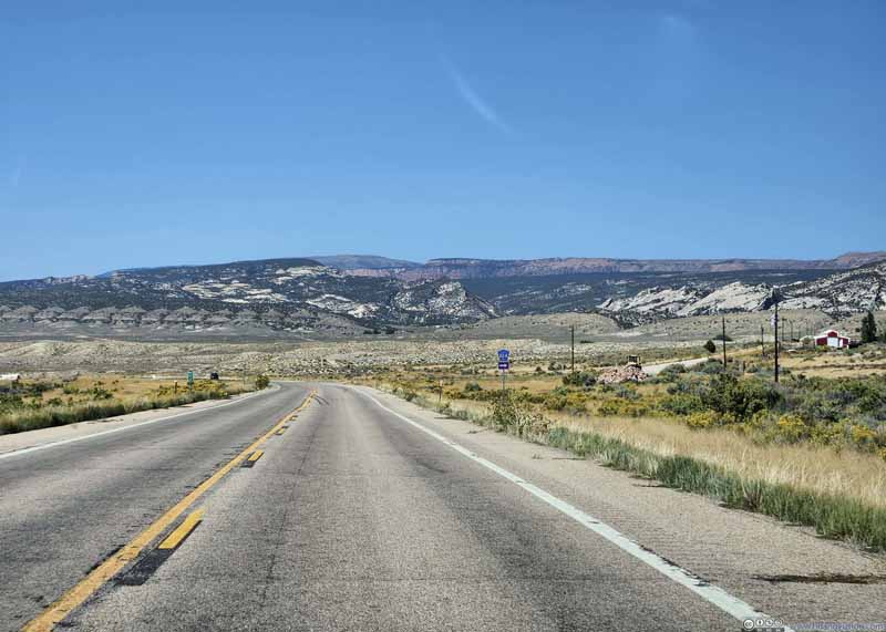
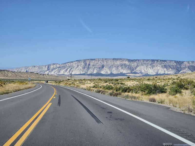
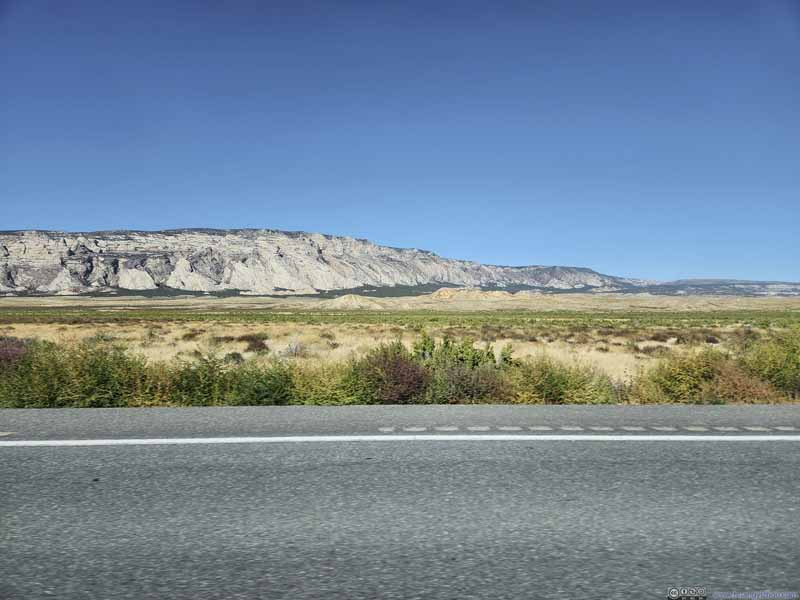
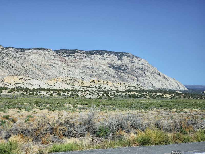
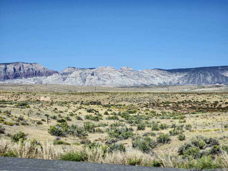
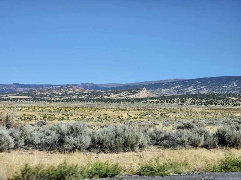
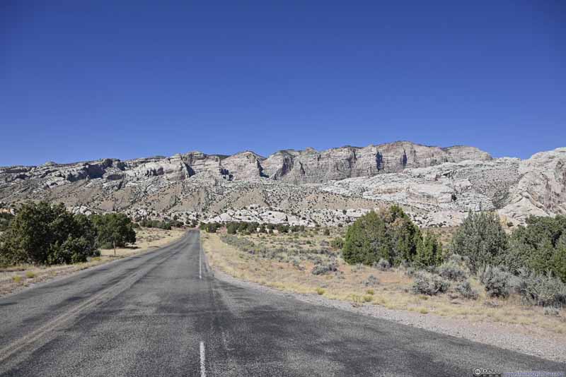
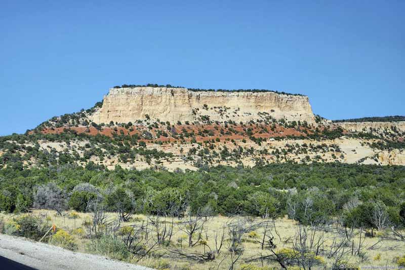
After grabbing lunch in Craig, CO, which was the largest town along this drive (in that it had a McDonald’s). I continued west. After 1.5 hours of not-very-exciting sceneries along US40, I approached the Utah border, and was welcomed by the sights of majestic mesas from Dinosaur National Monument. They sure cheered me up after more than 4 hours of driving.
Click here to display photos of the slideshow
Dinosaur National Monument
A quick introduction of the monument. Early 20th century, Paleontologist Earl Douglass working for the Carnegie Museum discovered dinosaur fossils here (on the Utah side). Further discovery revealed a high concentration of fossils on a giant wall, referred to as “Dinosaur Quarry”. Later the monument was expanded into Colorado, including the confluence of Yampa and Green River where enchanting layers of canyons formed a spectacular sight. Since the “Dinosaur Quarry” only had limited opening hours, I checked out the Utah side first.
Utah Side
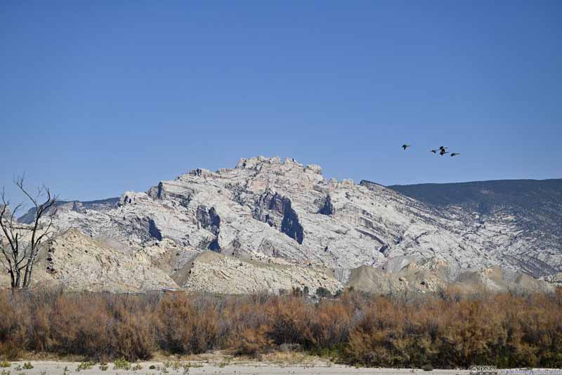
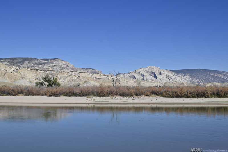
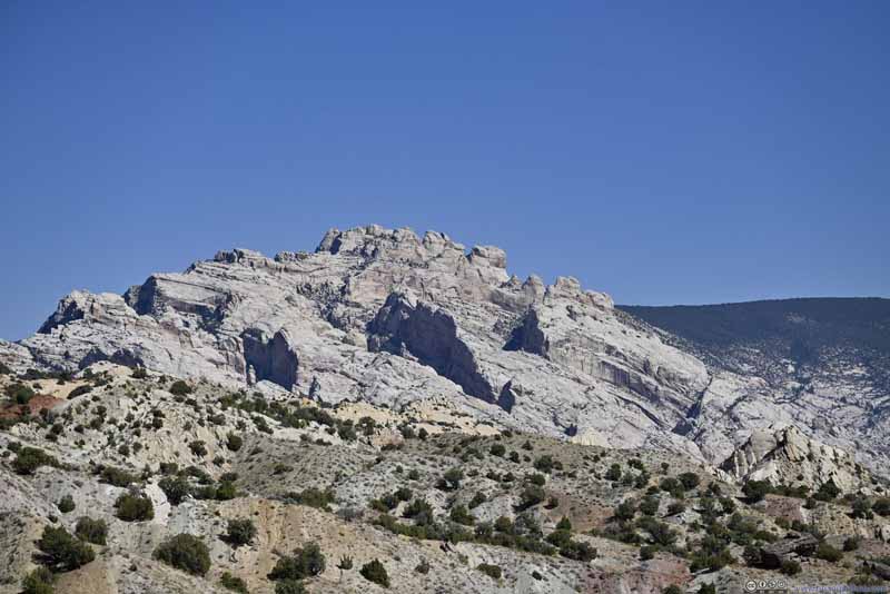
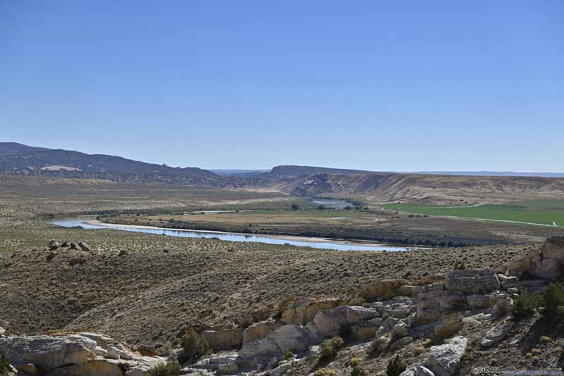
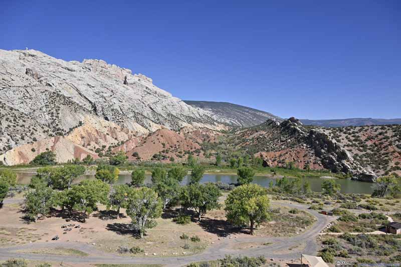
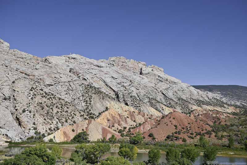
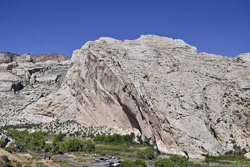
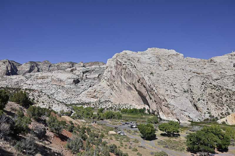
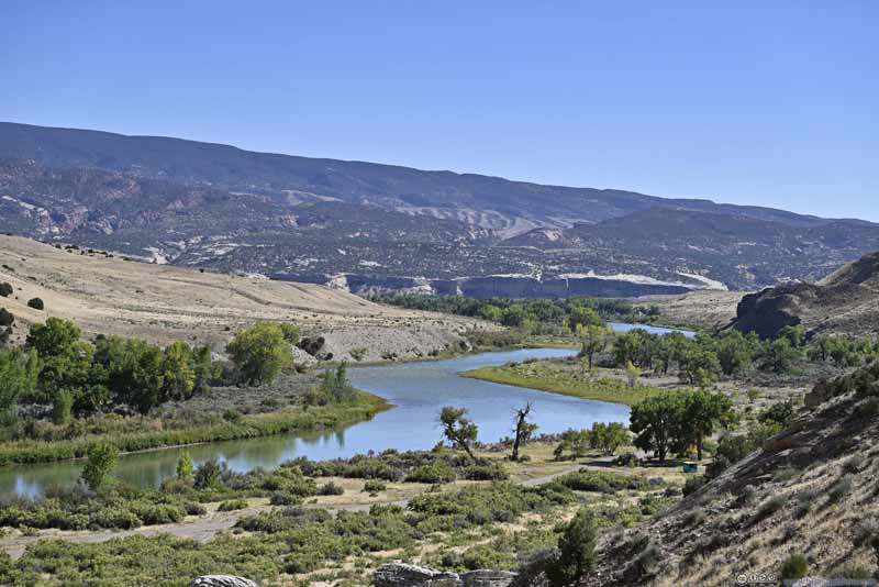
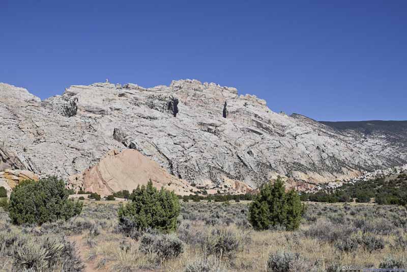
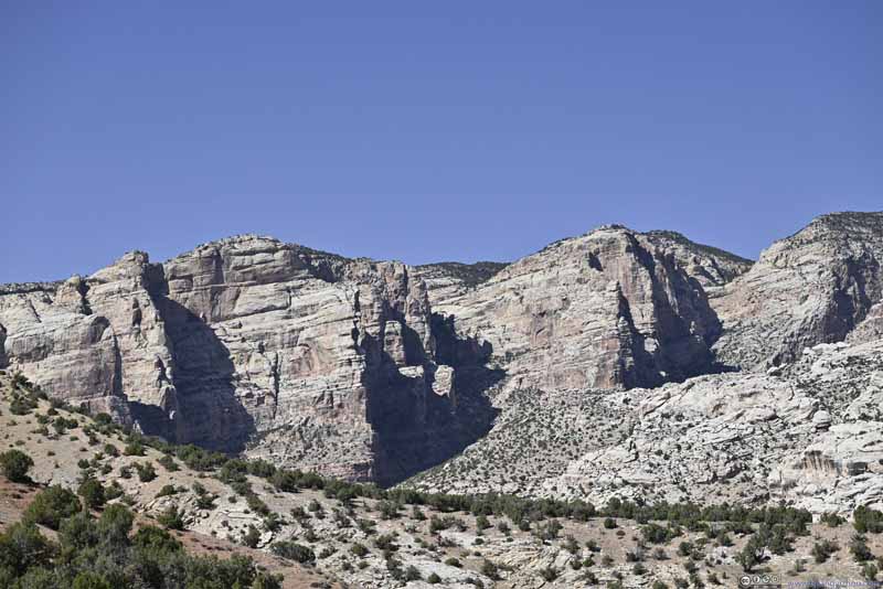
After entering the monument, a small parking lot overlooked Green River where it made a turn. In the background, some hills (p1 below) with steep cliffs and outstanding rock towers were shaped like a medieval castle, that formed the defining backdrop of the Utah part of the national monument. In my opinion they were “Split Mountain”, as Green River split the mountain in half. However, on the maps I found “Split Mountain West” and “Split Mountain East”, separated by a canyon, that were further to the north. So, I had no club about their names in the end.
Click here to display photos of the slideshow
As for the dinosaur fossils, it’s a hot day so I didn’t bother taking the fossil discovery trail; instead, I drove directly to the quarry. (During certain months visitors had to take the NPS shuttle.)
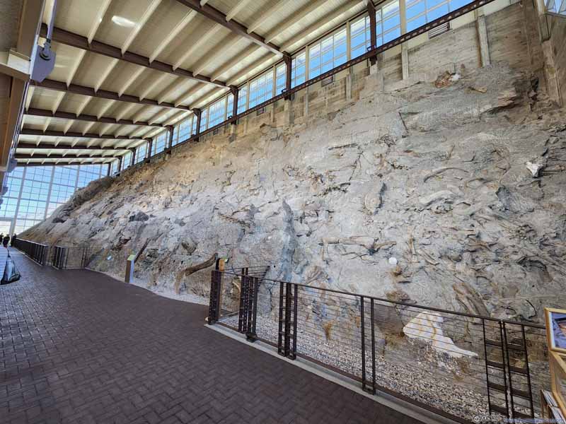
From its parking lot, one could easily appreciate how the fossil hunters stroke gold here (p1 below). Normally, geological layers were stacked vertically on top of each other. Seismic activities tilted the layers, to about 60 degrees here at Dinosaurs National Monument, allowing paleontologists easy access to different geologic times. To the right of the photo (p1) were younger geological layers, to the left older ones. And once paleontologists found some fossils, it’s relatively easy excavation for them to find the rest among similar geological layers. In particular, the paleontologists looked for Morrison Formation which was known to contain dinosaur fossils.
Click here to display photos of the slideshow
I happened to catch the 2pm ranger program going through the fossils on the wall. Some key takeaways are:
1. The place was likely to be the bend of a river, resulting in a high density of fossil deposits.
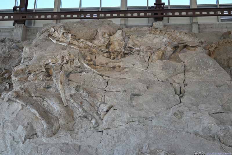
2. The original fossil quarry was much larger (picture below). Excavations removed most of the fossils (and earth) and had them displayed in museums around the world. The exhibit hall today was only a fraction of its size (but still basketball-court sized).
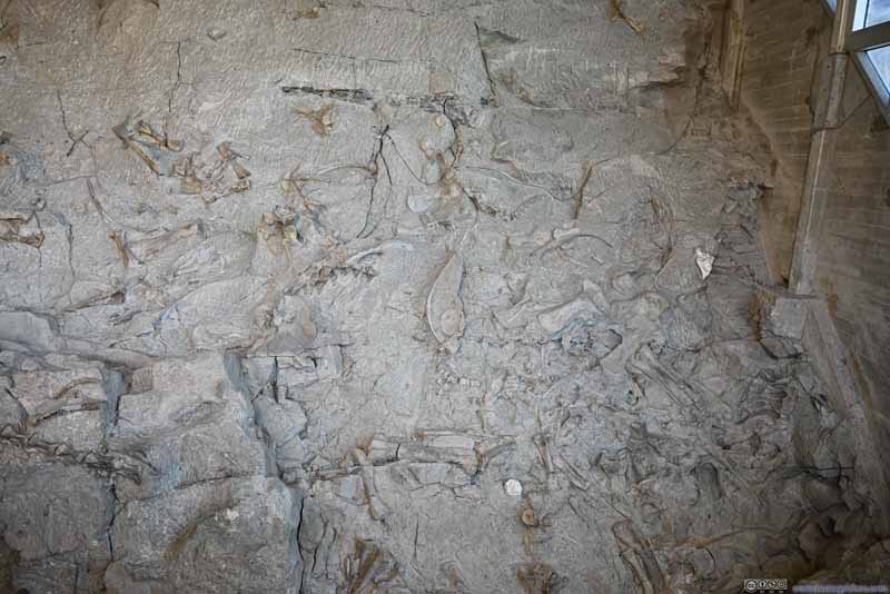
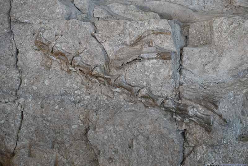
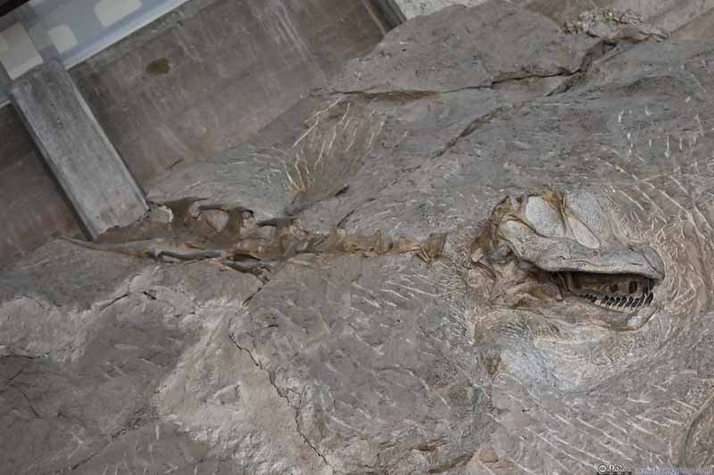
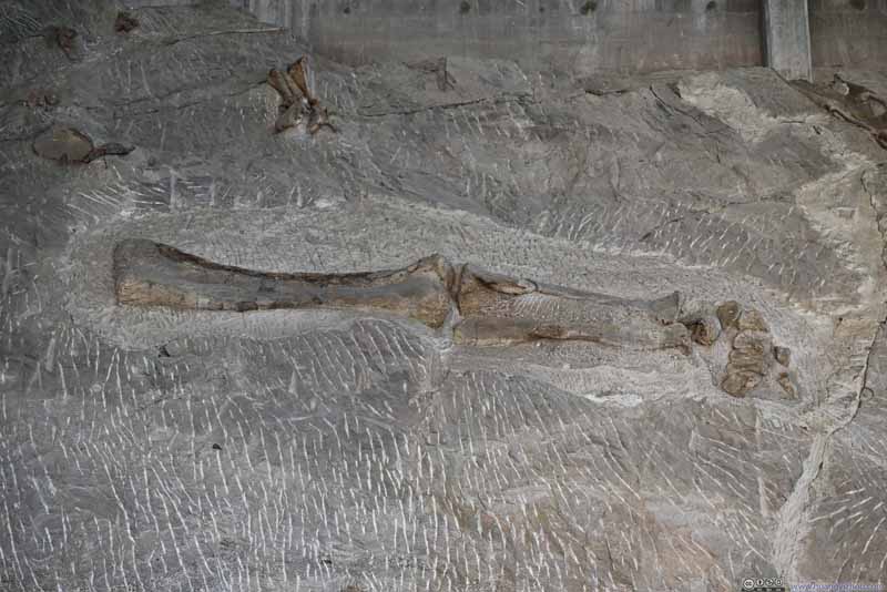
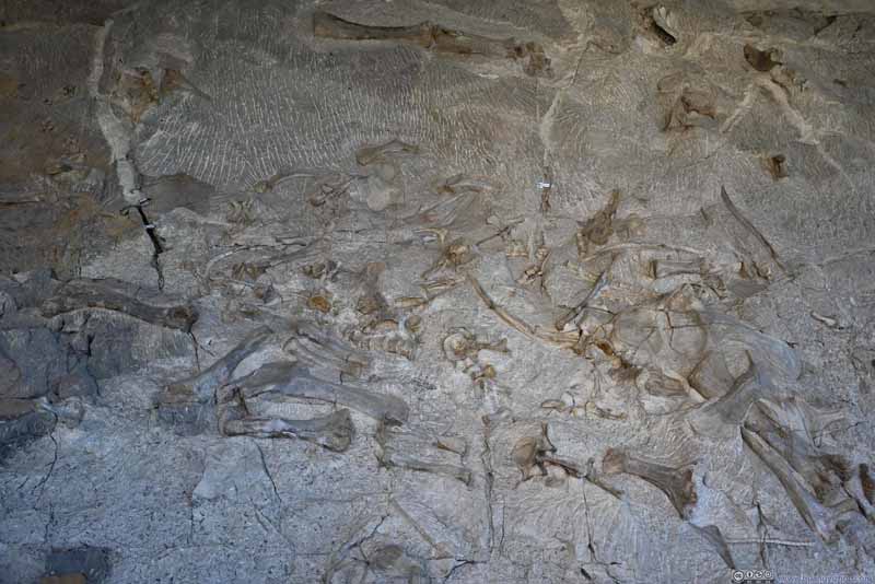
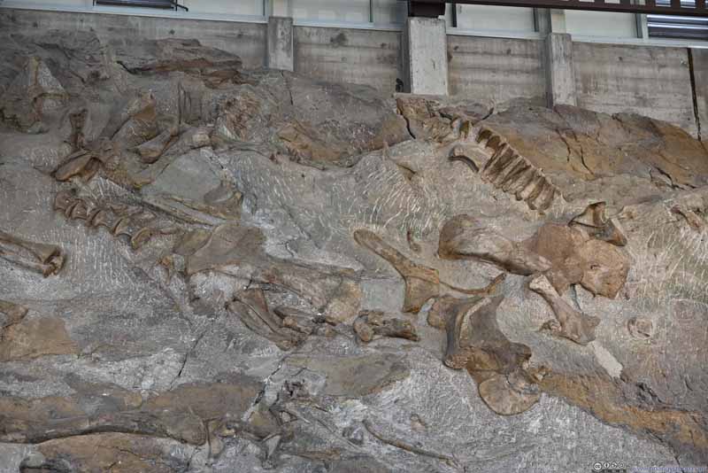
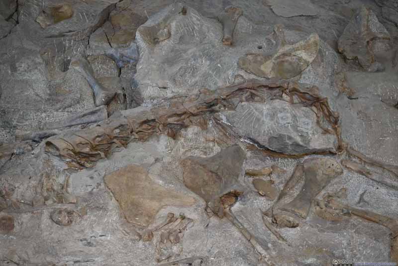
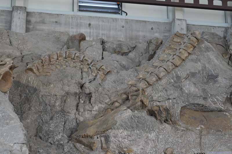
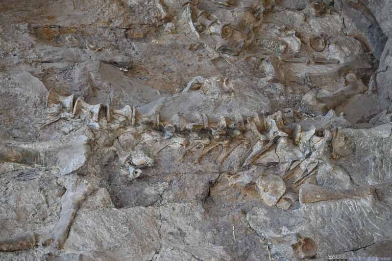
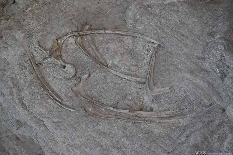
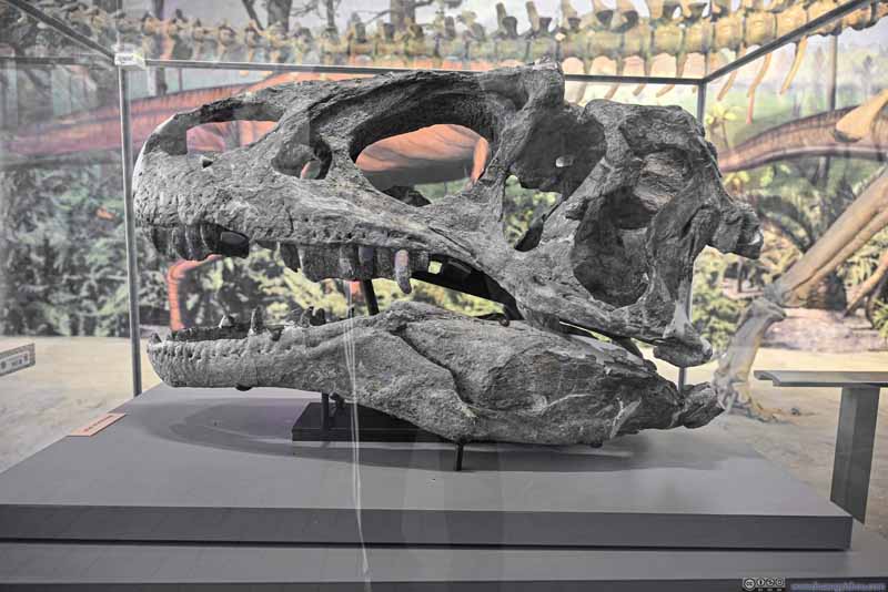
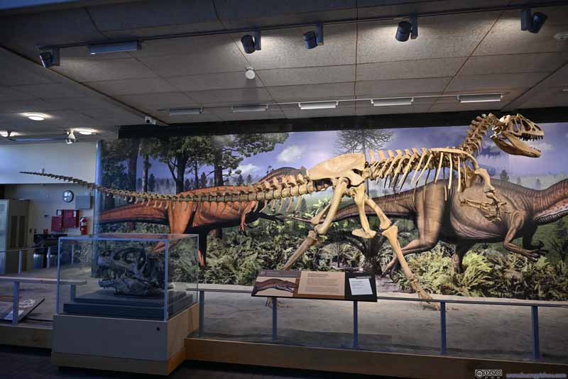
As for the fossils, they were heavily stacked so it’s proper archeology work. The ranger mentioned the most common dinosaurs here were camarasaurus and allosaurus, the former was long and tall and vegetarian, the latter was predatory.
Click here to display photos of the dinosaur fossils.
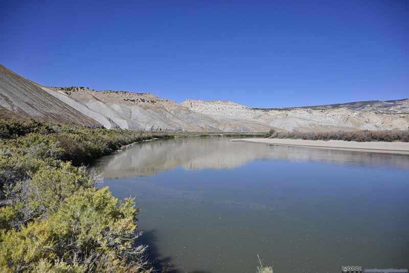
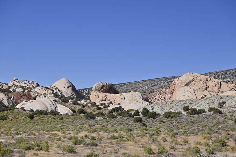
After spending almost an hour admiring the abundance of fossils in awe, I checked out the remainder of the monument on the Utah side. Mostly, it’s “Split Mountain Overlook” where Green River cut its way through some imposing cliffs on its way south, where one could marvel at the shapes and colors of the rock formations.
Click here to display photos of the slideshow
Click here to display photos of the slideshow
Colorado Side
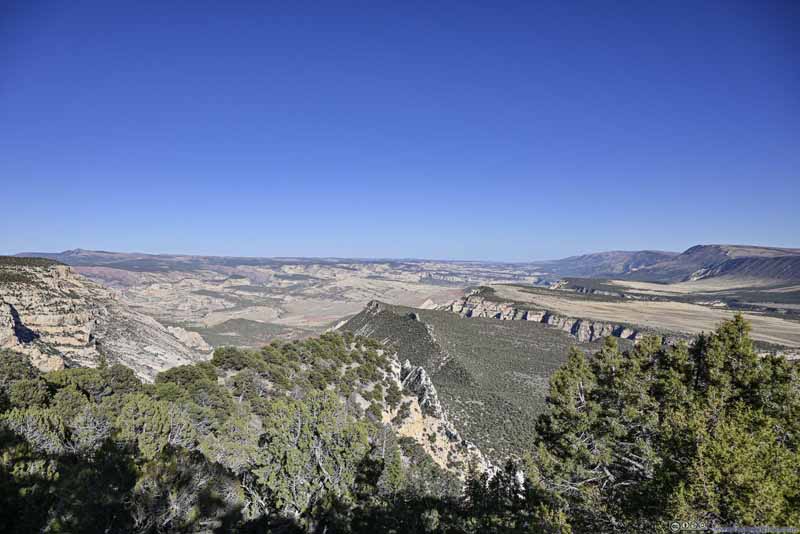
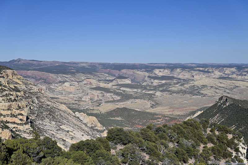
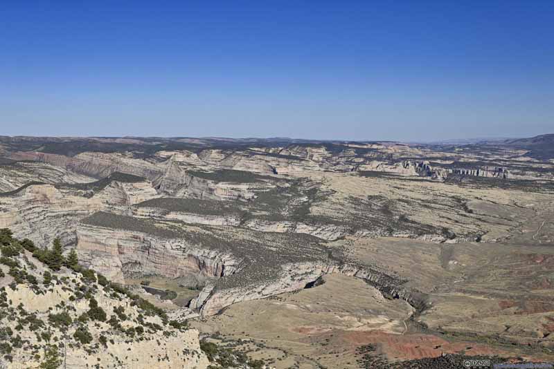
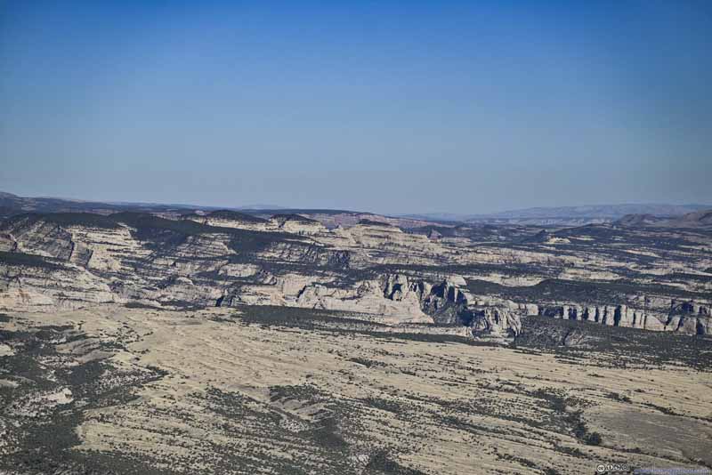
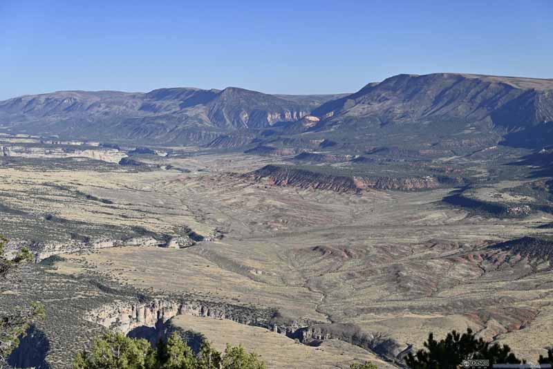
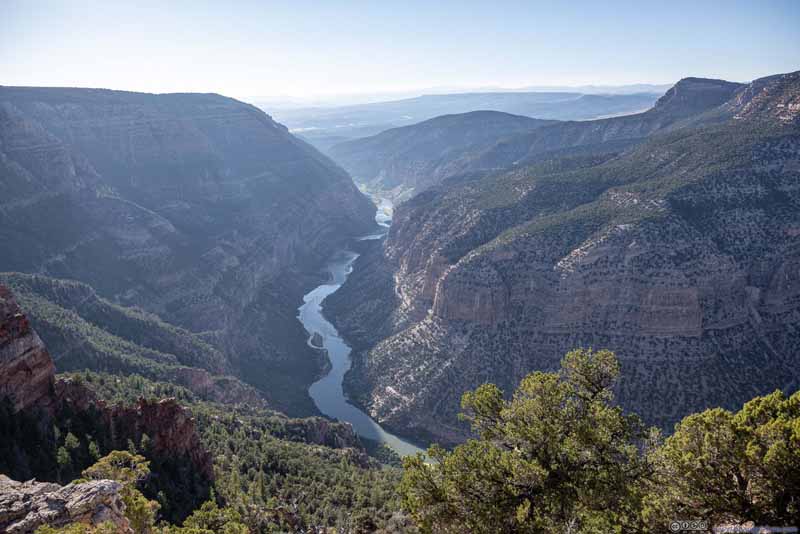
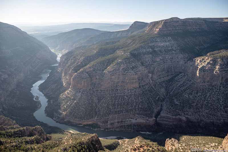
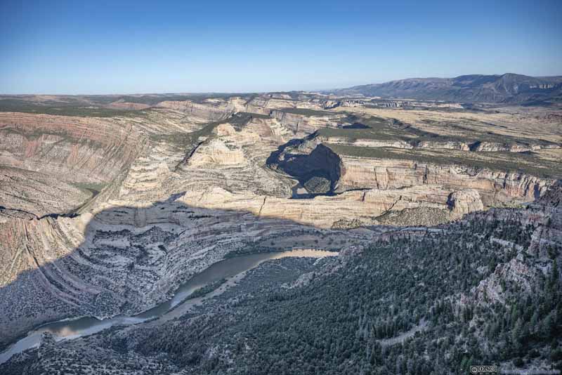
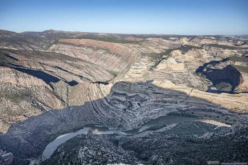
The highlight of Dinosaur National Monument should be Harper’s Corner, overlooking the sinuous Green River on three sides. To the east, a labyrinth of canyons along Yampa River extended as far as the eye can see, a spectacular sight hardly rivaled.
As a downside, Harper’s Corner Trailhead was located 31 miles from US40, so it’s quite a long drive to get to. During my visit there was roadwork going on near the entrance, adding a few minutes of further delay.
Click here to display photos of the slideshow
Along the way, there were a few overlooks. In my opinion, apart from “Iron Springs Bench Overlook” and “Echo Park Overlook”, the views were hardly exciting. From these two overlooks, the views were similar to what one would get along the trail to Harper’s Corner, so I would consider that as a preview of what’s to come next. In particular, for Echo Park Overlook, I thought views from the parking lot were good enough. The short trail didn’t make them better.
Click here to display photos of the slideshow
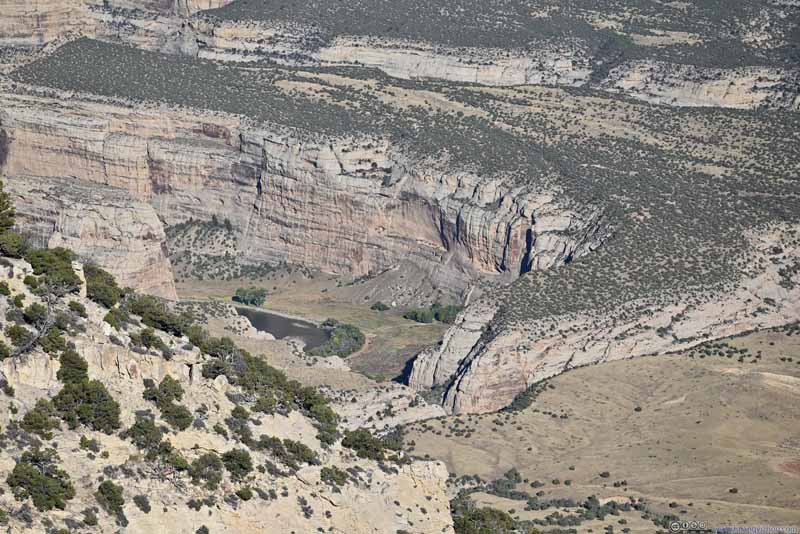
Echo Park
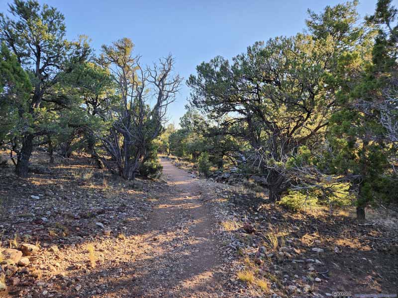
In the end, I started hiking towards Harper’s Corner at 5:15pm. The trail was a 3.7km out-and-back with 100m of elevation gain. The trail was well-maintained, but apart from its end, didn’t offer many views.
Click here to display photos of the slideshow
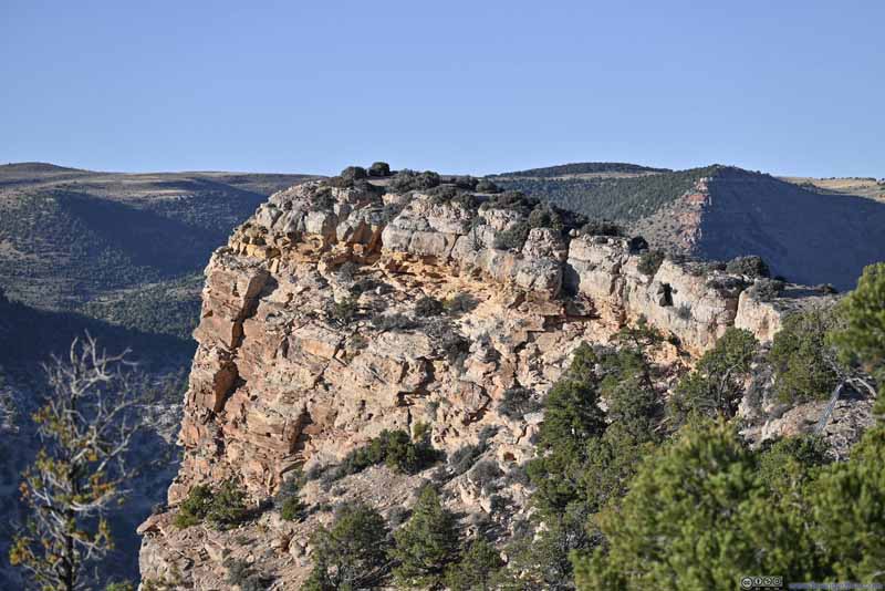
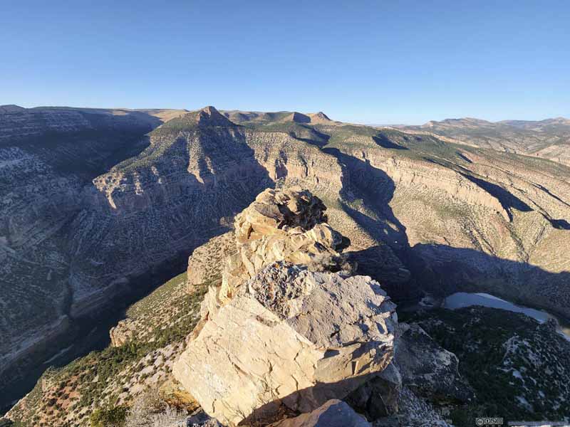
In just over 20 minutes I reached Harper’s Corner. The entire trail had been following a ridge which the Green River curved around, and Harper’s Corner was the end of that ridge (p1 below) directly overlooking Green River. For those afraid of heights, handrails were installed at the end of the trail. In my opinion, the exposure after the handrails was minimal, and since the handrails weren’t that hard to duck through, I went beyond them to check out the views.
Click here to display photos from Harper’s Corner.
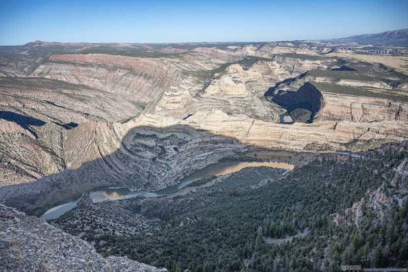
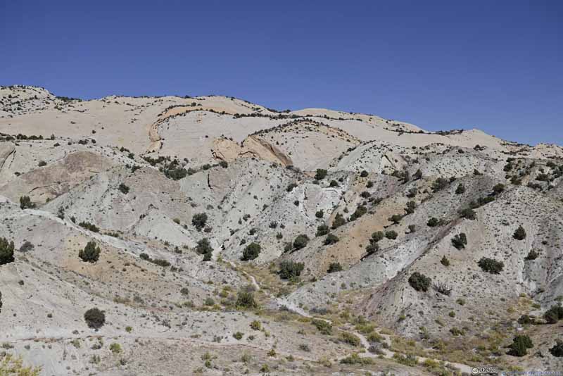
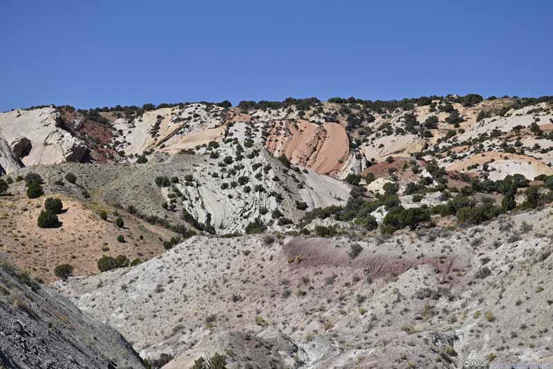
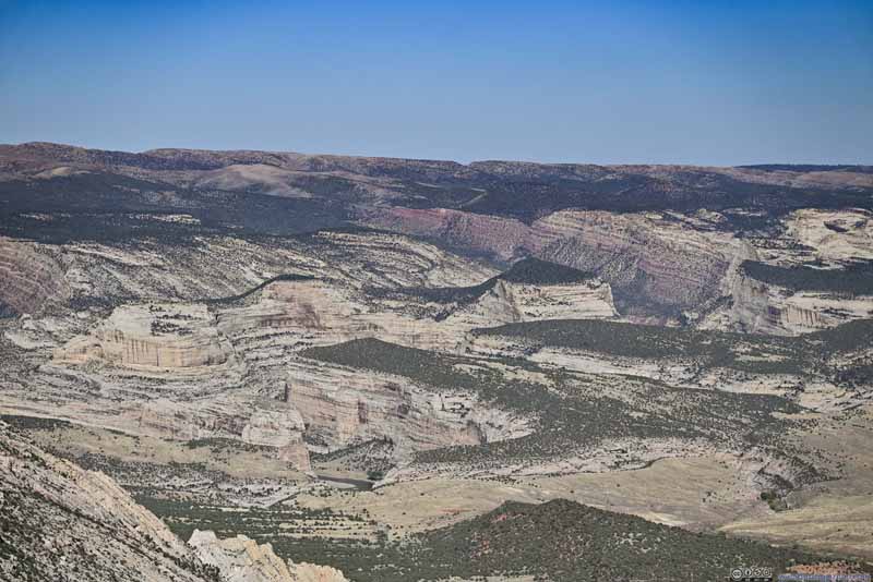
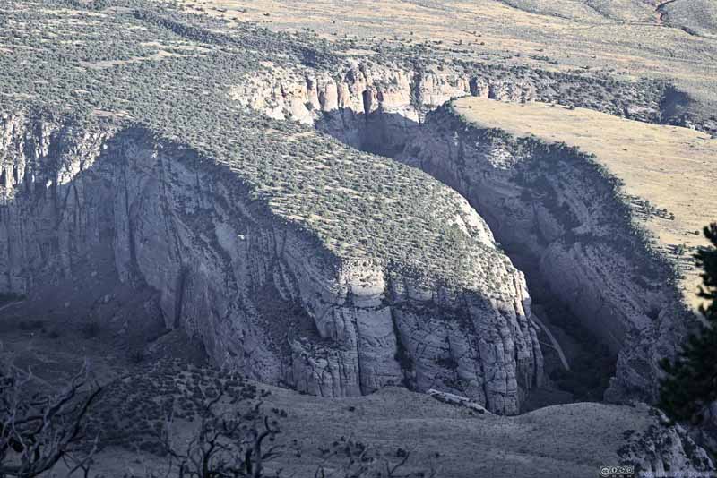
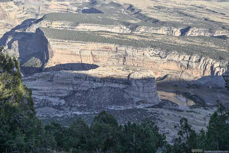
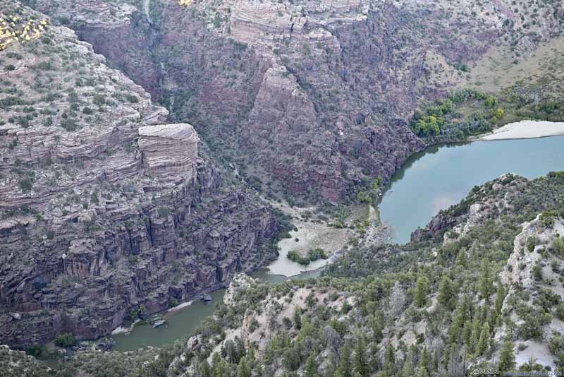
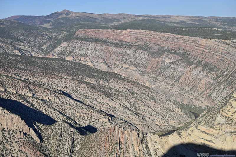
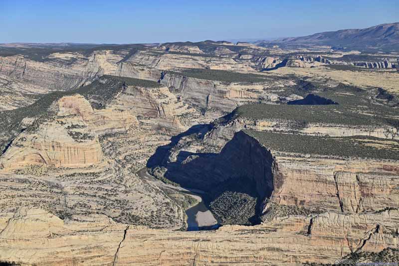
It’s a typical canyon scene downstream towards the west (slideshow above). But beyond what’s visible, the sound of torrents resonated in the canyon walls, and reached me as a shocking reminder of the forces carried by the waters. Upstream towards the east, the views were exciting. Behind Steamboat Rock was the confluence of Green River and Yampa River. On the green river part, a long and winding canyon wall wore different colors across its geological layers (p4 below), it’s like the small hill on the opposite side of Green River was the stage set for a performance. On the Yampa River part (p5 below), it’s a labyrinth of canyons with no end in sight. While I awed its intricacy, it meanwhile invoked my imagination, as what heroism it would take to travel those waters, and to possibly conquer the minotaur that they harbored.
Click here to display photos from Harper’s Corner.
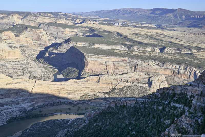
Steamboat Rock
Unfortunately, I visited Harper’s Corner relatively late in the day, so parts of the canyon closest to me were covered in shades. Despite my best post-processing they still compromised the photo quality.
Here’s a video that I took at Harper’s Corner, overlooking Green River.
14 seconds, 2160p30fps, 8Mbps/15MB for H265, 9Mbps/16MB for H264.
I spent about 20 minutes at Harper’s Corner, before heading back.
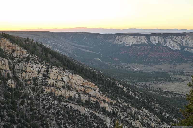
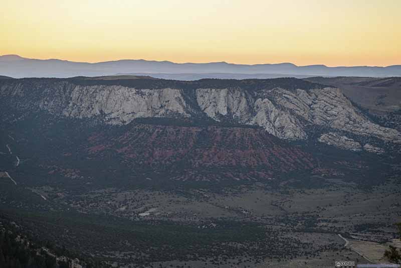
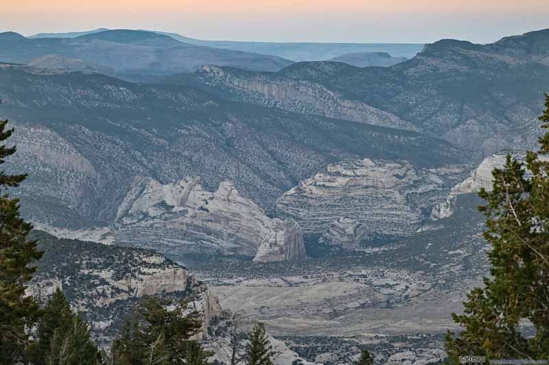
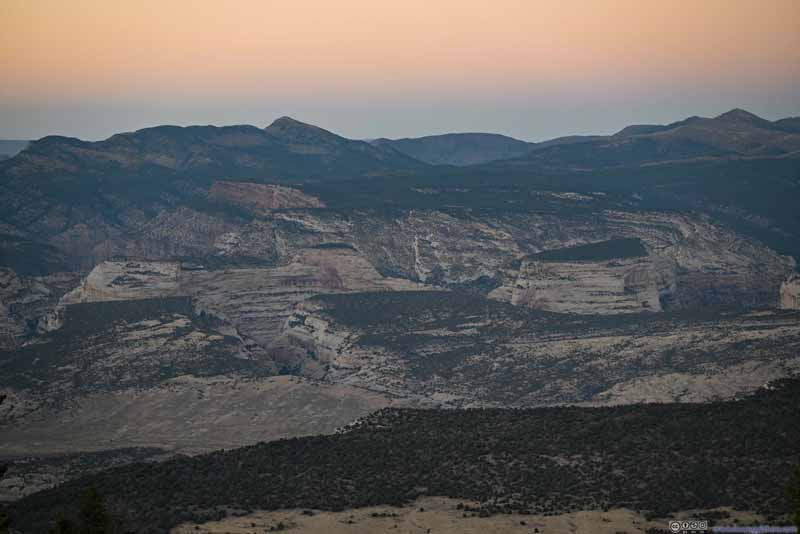
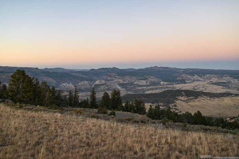
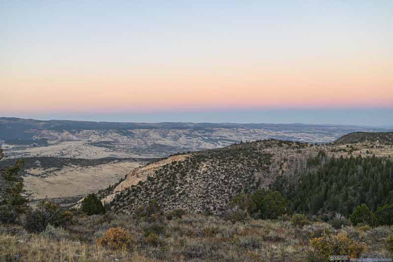
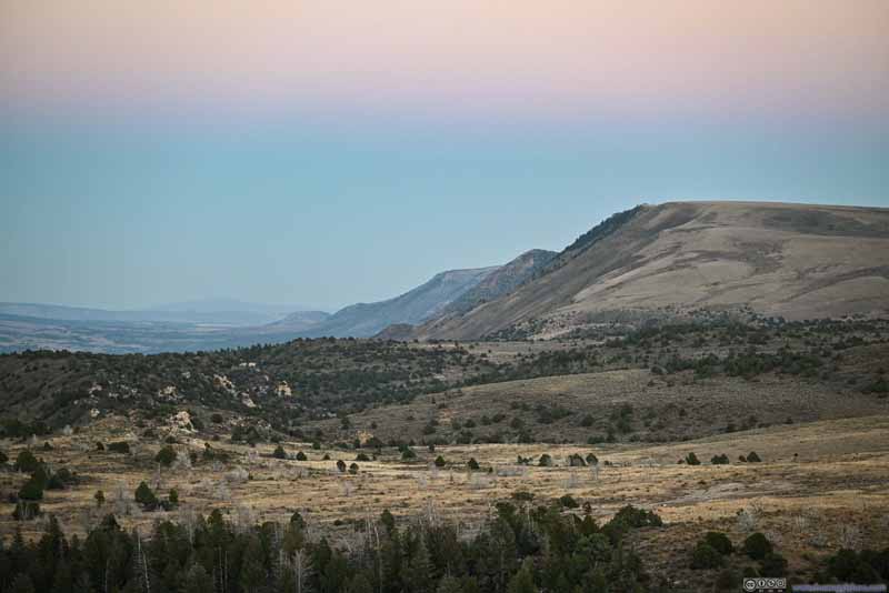
In the end, I made a final stop in Dinosaur National Monument, Canyon Overlook. Unfortunately, I was hoping to catch the sunset (spoiler, I didn’t), so from the campground, I headed west. The actual overlook, to the northeast of the campground, featured views of Sand Canyon, created by Yampa Fault.
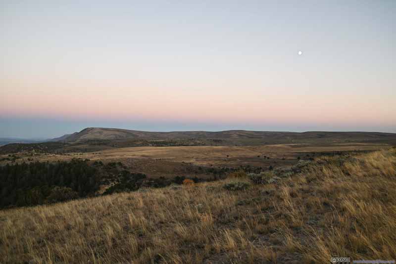
Nonetheless, I caught some great views of the twilight.
Click here to display photos of the slideshow
In the end, it’s 7:15pm by the time I started driving towards Grand Junction, CO. Along CO-139, I passed Douglas Pass which should offer good views during the day. But since I made the drive at night, it’s like 2 days ago in Wyoming where I had to constantly look out for animals along the road.
In the end, it took me over about 2.4 hours to reach my overnight Airbnb in Fruita, at the doorstep of Colorado National Monument which I would tour the next day.
END
![]() Day 7 of Autumn 2023 Trip to Mountain States, Dinosaur National Monument by Huang's Site is licensed under a Creative Commons Attribution-NonCommercial-ShareAlike 4.0 International License.
Day 7 of Autumn 2023 Trip to Mountain States, Dinosaur National Monument by Huang's Site is licensed under a Creative Commons Attribution-NonCommercial-ShareAlike 4.0 International License.

