Updated on May 29, 2024
Day 4 of March 2024 Trip to Adirondacks, Hurricane Mountain
The fourth day of my March 2024 trip to the Adirondacks. I checked out Hurricane Mountain on the eastern outskirts of Adirondack Mountains, with views into Vermont.
This was my last day of outdoor activities in the Adirondacks. Weather forecast indicated chances of rain in the afternoon. Given I wasn’t fond of the mud situation days earlier, I decided to take on a relatively short hike, and for that I picked “Hurricane Mountain”.
Hurricane Mountain Hike
I took the “southern approach” towards Hurricane Mountain for easier access. The trailhead of this hike was on the crest of New York State Route 9N. There were spaces for a few cars to parallel-park on the northern side of the road, together with a small overflow lot on the southern side. I arrived just before 9am and spaces were widely available.
Here’s GPS tracking:
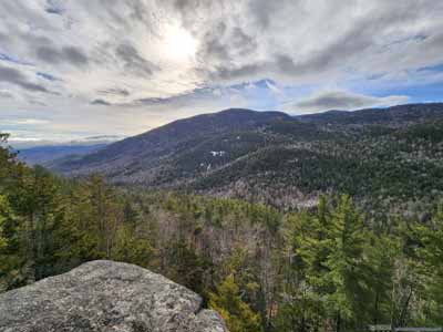
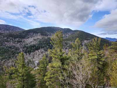
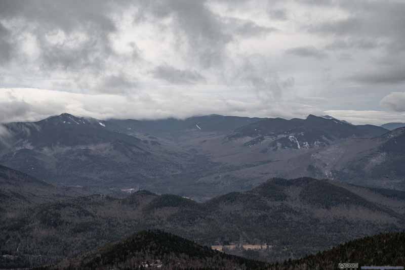
Knob Lock Mountain (left) and Tripod Mountain (right)
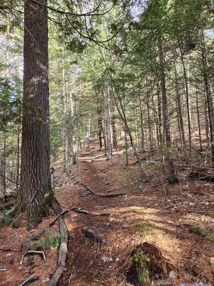
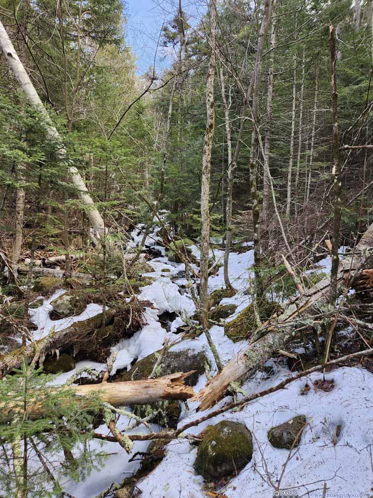
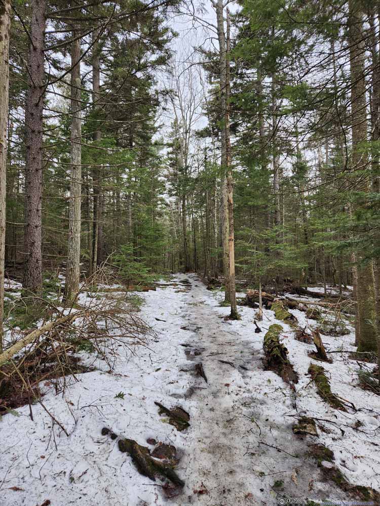
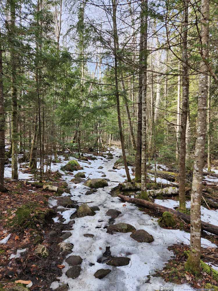
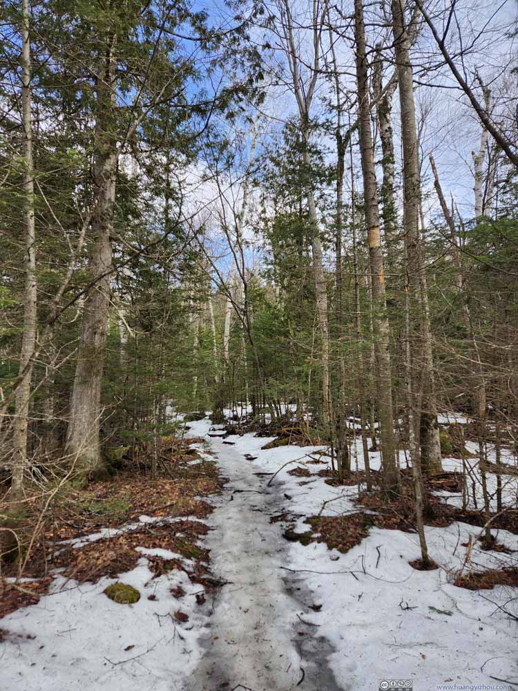
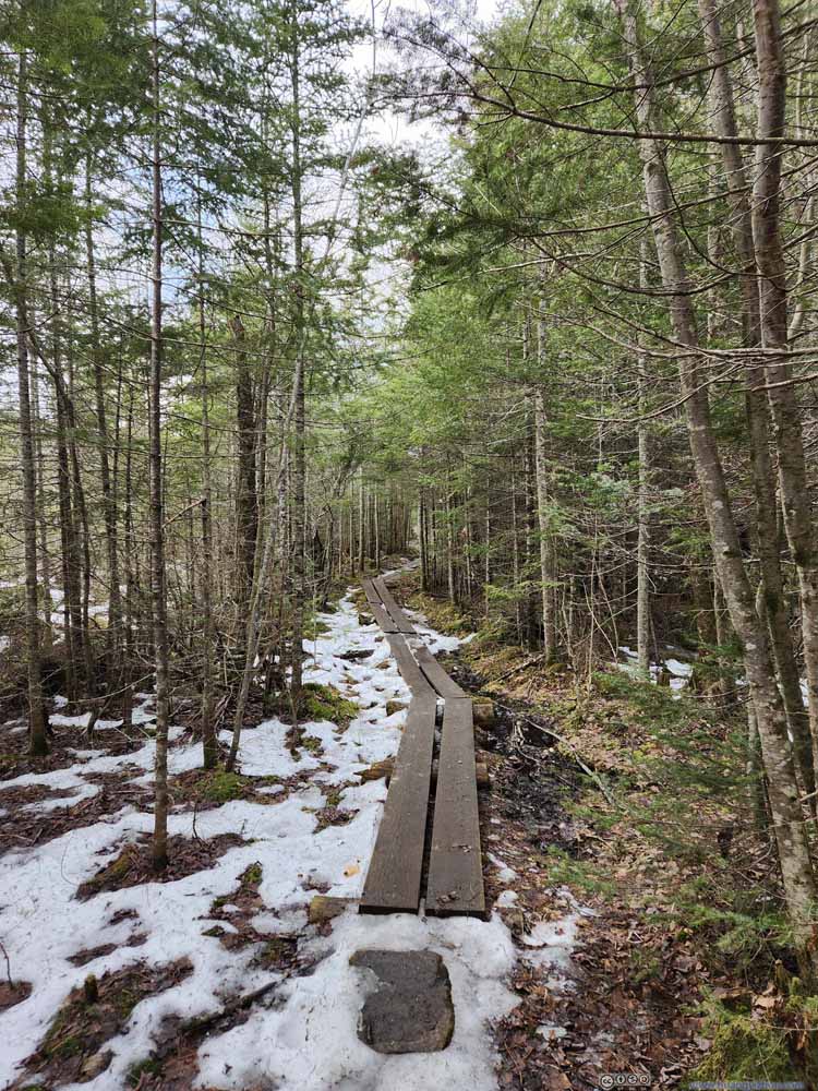
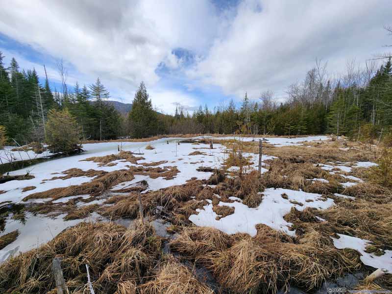
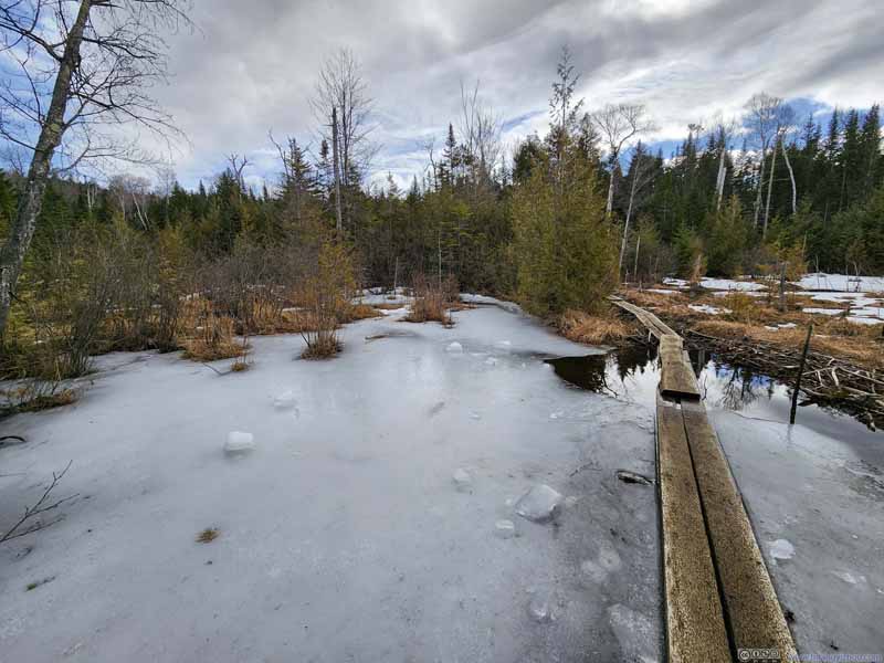
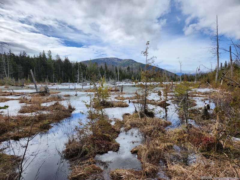
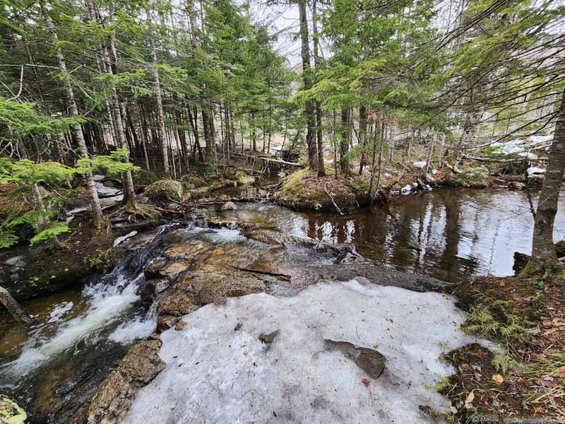
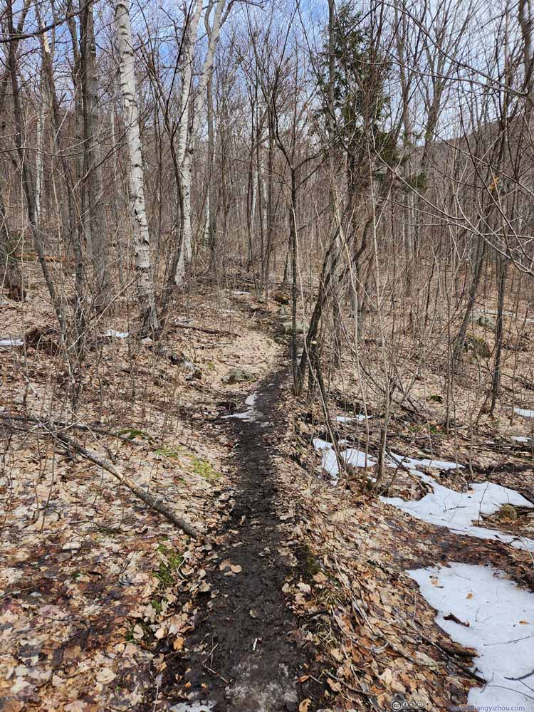
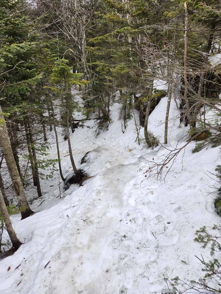
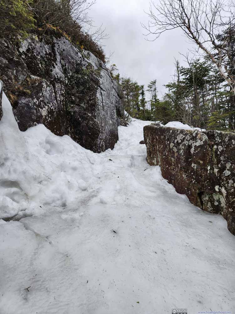
Unlike my hikes in the Adirondacks the previous days, where the trail monotonically transitioned from dirt/rock to snow/ice as the elevation went up, things were different along Hurricane Mountain Trail. For the first 0.7km, the trail climbed to a small overlook (above). This part was on dirt, among conifers, and largely snow-free (p1-2 below). The next 1.4km of trail was largely flat, icy, and with the aid of planks, crossed a few swamps (p4-7 below).
Click here to display photos of the trail.
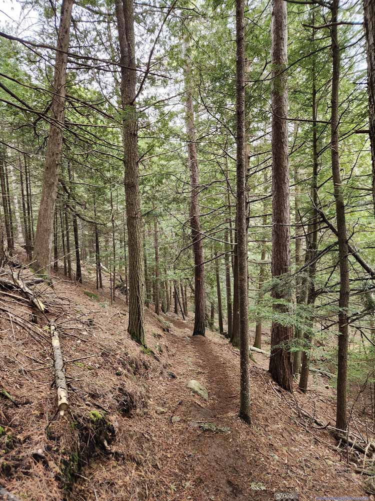
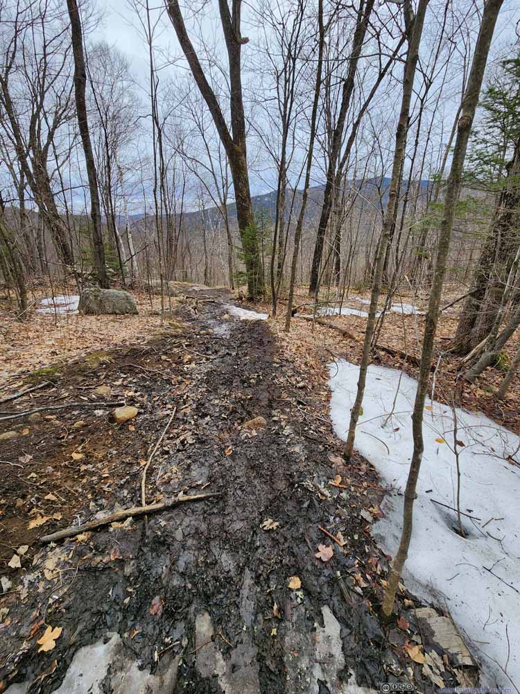
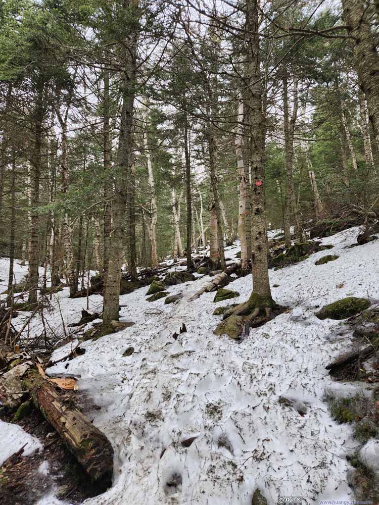
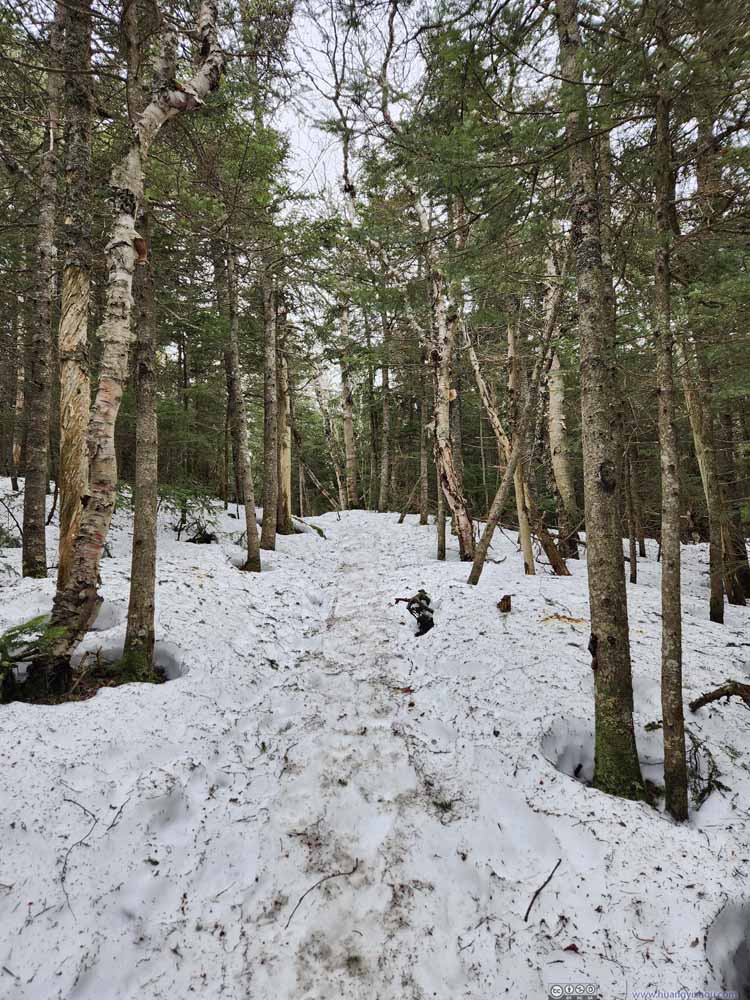
After a final water crossing (p4 above), the trail continued its climb. Portions of the trail from here on was muddy (p1-2 below), likely due to the absence of large bodies of water (swamps), so snow/ice covers had melted. (The dominance of deciduous trees with their fallen leaves probably contributed to the mud situation.) Later at higher elevations, snow reemerged into view.
Click here to display photos of the trail.
After joining the “northern approach” of Hurricane Mountain, there was one steep section of the trail (p5 above) requiring some caution. It’s nowhere as technical as Wright Peak / Big Slide Mountain for the previous two days.
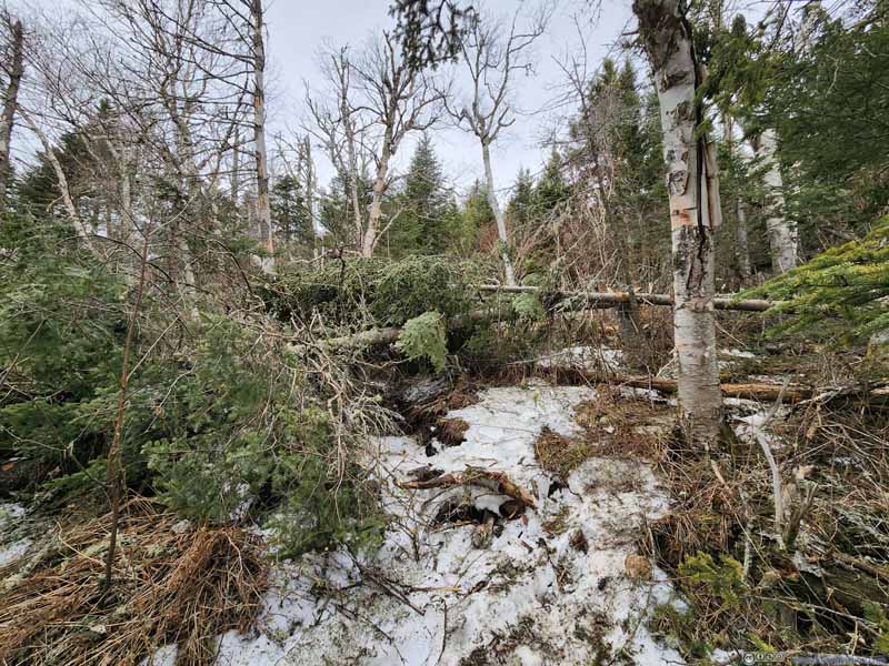
Fallen Tree
At 11:30am, 2.5 hours after leaving my car, I made it to the summit of Hurricane Mountain. By that, I meant the top of the restored fire tower.
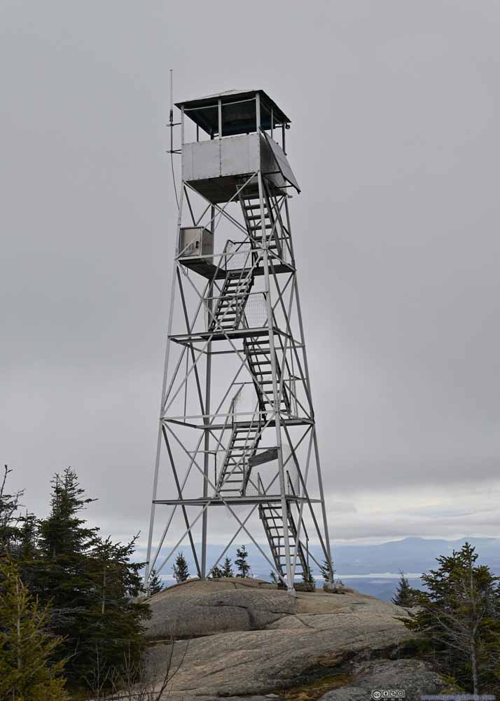
Fire Tower on Hurricane Mountain
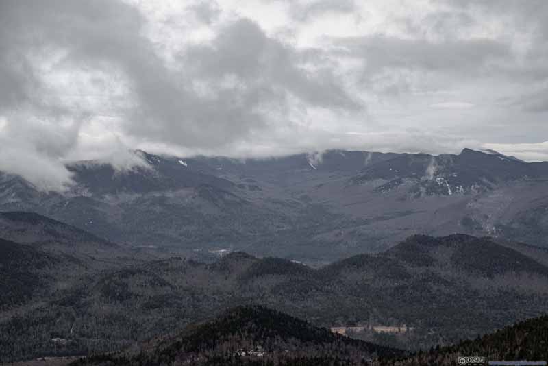
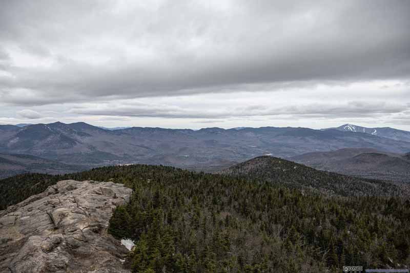
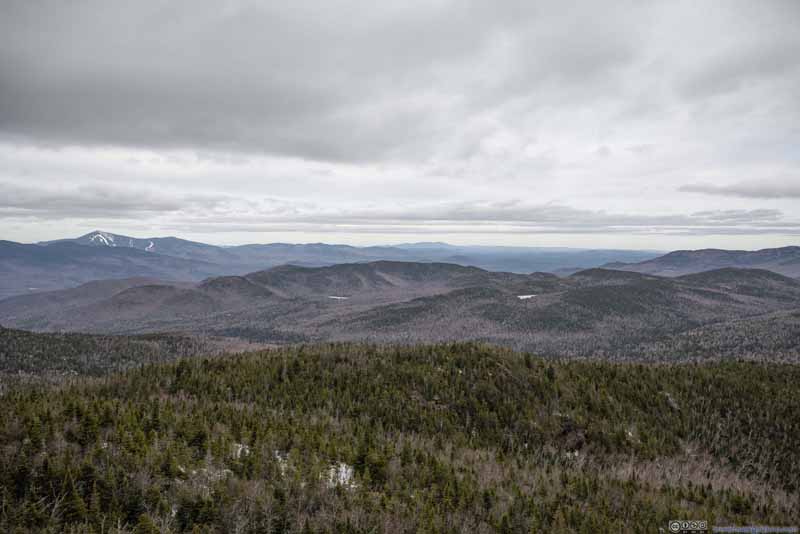
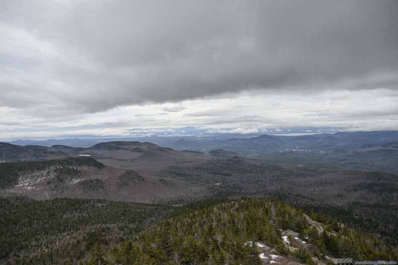
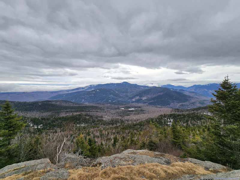
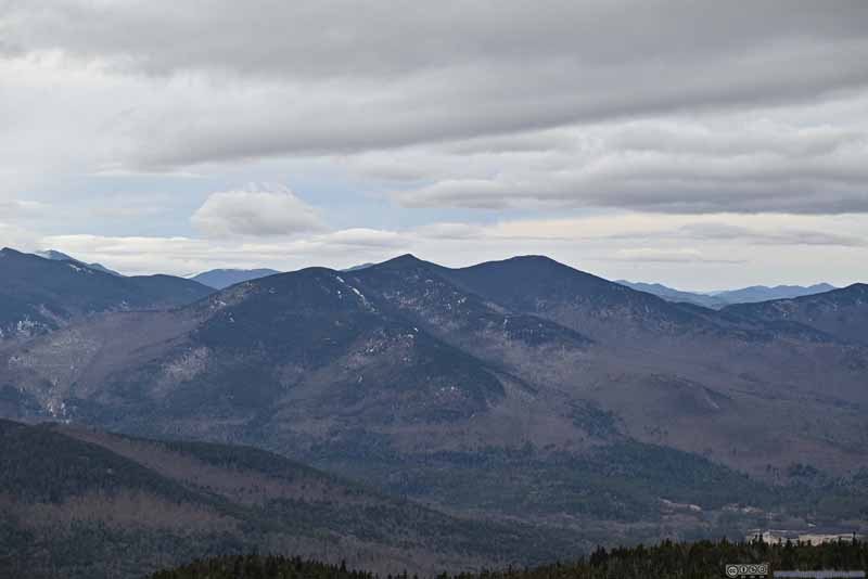
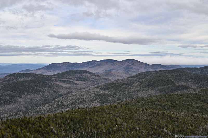
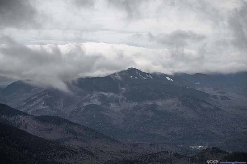
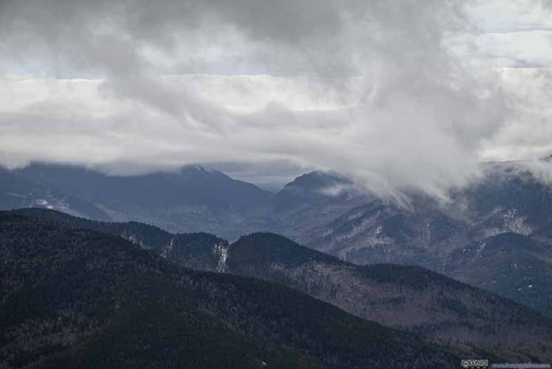
The summit of Hurricane Mountain offered 180-degree views to the south, but the fire tower extended that to 360-degree. That’s when I made the somewhat disappointing discovery that the heart of Adirondack Mountains was still behind clouds. As a result, for my 4 days of outdoor exploration in the Adirondacks, not even once did I see Mount Marcy, which was the highest peak in the state of New York.
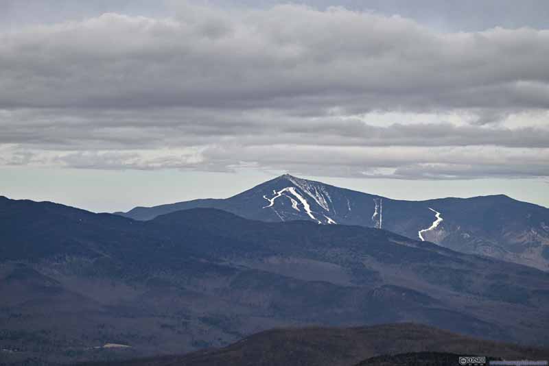
On the flip side, the fire tower offered views of Lake Champlain to the east, behind patches of clouds and backed by mountains in Vermont. In particular, Mount Mansfield, the highest peak of Vermont which was 79km (49.2 mi) away, was visible. Maybe I should interpret that as the state of Vermont welcoming me.
Click here to display photos from the summit of Hurricane Mountain.
Click here to display photos from the summit of Hurricane Mountain.
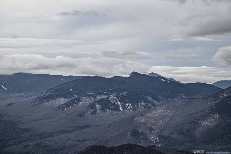
Big Slide Mountain
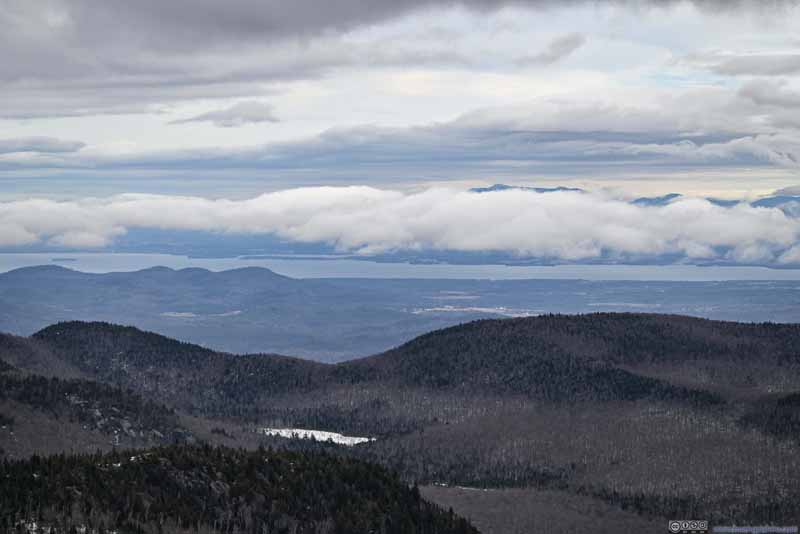
Lake Champlain
Anyway, I could only enjoy so many views before having to get off the fire tower to find shelter from the winds, which were strong heralding the impending rain. In the end, after some snacks, I started my descent at 12:05pm.
The descent was largely uneventful (apart from some more unpleasant experience with mud). In the end, I got back to my car at 2:45pm.
Cascade Lakes
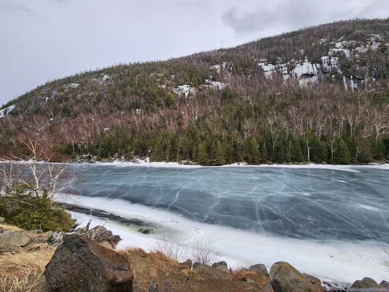
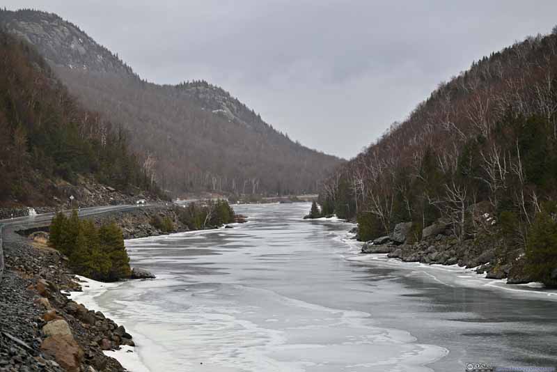
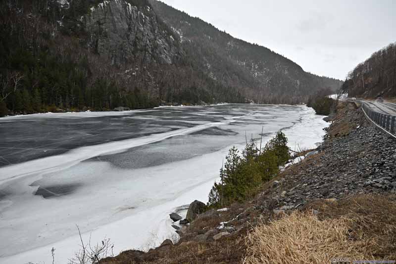
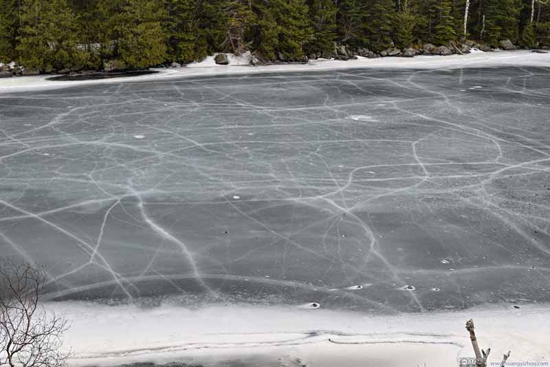
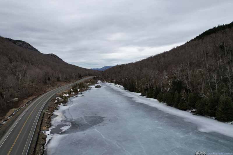
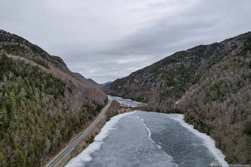
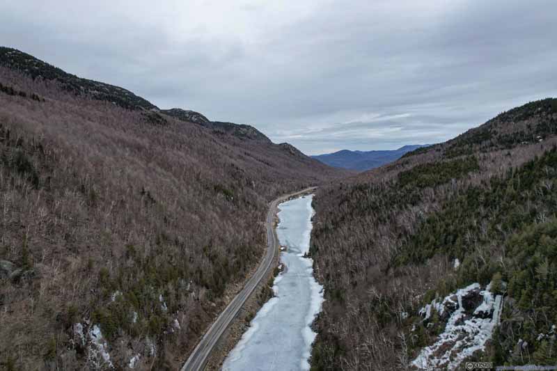
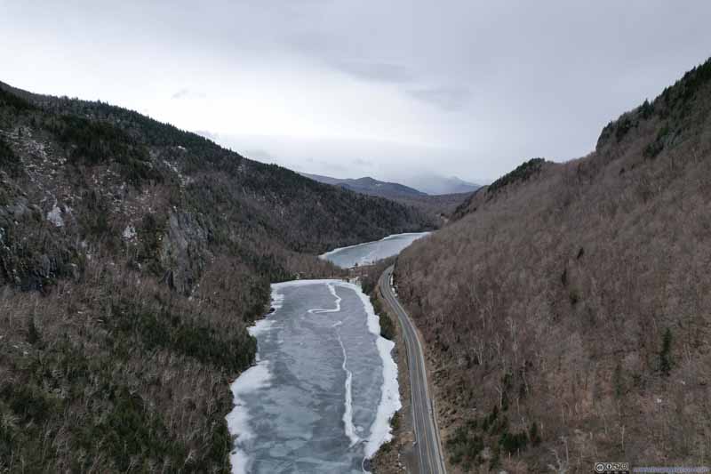
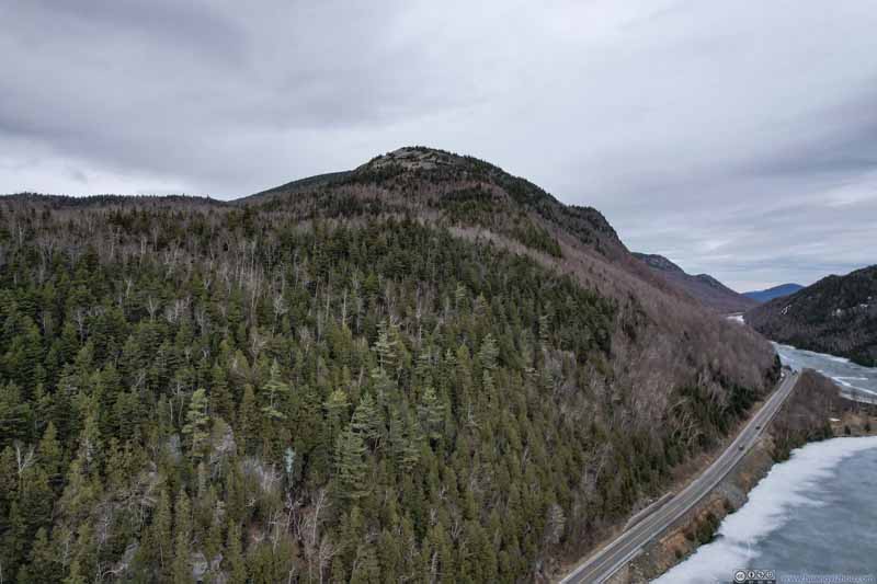
On my way back, I made a stop along the shore of Lower Cascade Lake. This was an elongated lake, sandwiched between Cascade Mountain and Pitchoff Mountain. The deep valley shape of the surrounding landscape gave it somewhat of a fjord feeling.
Below were the photos taken 3 days ago, after my hike to Cascade Peak.
Click here to display photos from the summit of Hurricane Mountain.
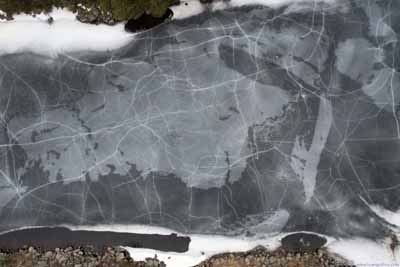
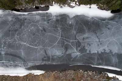
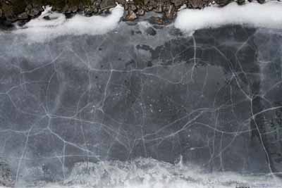
To better appreciate the valley shape, this time I launched my drone for an aerial tour.
Click here to display photos of the Cascade Lakes.
And here’s a video:
2 minutes and 1 second, covering both westbound and eastbound directions, 2160p60fps, H265 only, 15Mbps for a total file size of 243MB.
Luckily, the rain waited until I had landed my drone to arrive. After that, I headed back to the lodge in Saranac Lake for a final time, concluding the day.
Cross Country Ski Event at Mt Van Hoevenberg
Fast forward to the next day (March 6), as I woke up to a drizzly sky.
I planned this trip with the flexibility to spend one more day hiking in the Adirondacks. Given my unpleasant experience with mud at most of the trails in the Adirondacks and the bad weather for the day, I decided to head back home, but not before checking out US Collegiate Ski & Snowboard National Association (USCSA)’s cross-country skiing competition at Mt Van Hoevenberg.
The morning of March 6 featured short distance sprint races of cross-country skiing, formatted in three stages of qualifying, semi-final and final. The drizzle made the snow surface slushy, which turned out to be a challenge for most of the participants. (It also meant for most of the time, I was holding an umbrella in one hand and my camera in the other, not the most elegant/nimble configuration.)
Below were some highlights of the photos that I captured. Photos in the following slideshows of USCSA skiing competition shall be in public domain.
Cross Country Skiing Competition
Click here to display photos of the slideshow
Cross Country Skiing Competition
Click here to display photos of the slideshow
END
![]() Day 4 of March 2024 Trip to Adirondacks, Hurricane Mountain by Huang's Site is licensed under a Creative Commons Attribution-NonCommercial-ShareAlike 4.0 International License.
Day 4 of March 2024 Trip to Adirondacks, Hurricane Mountain by Huang's Site is licensed under a Creative Commons Attribution-NonCommercial-ShareAlike 4.0 International License.

