Updated on October 28, 2024
Day 1 of July 2024 Trip to Sierra Nevada, Donner Peak
First day of my July 2024 trip to the Sierra Nevada. My friend and I made the drive from Berkeley to Lake Tahoe via Donner Pass, with a short hike to Donner Peak to make sure we are in shape for the hikes to come.
This was the commencement of my first trip to the Sierra Nevada in summer. The overall plan for this week-long trip was to spend its first few days around Lake Tahoe. The mountains around Lake Tahoe were generally around 3000m (~10000ft) in elevation, which we could use as acclimation for the mountains further south in Sierra Nevada that could be above 4000m (~13000ft). Lake Tahoe was also a popular tourist destination, as we could find some relaxing time on its beaches in between days of mountaineering. After Lake Tahoe, we would spend a few nights in Bishop, centrally located to serve as a basecamp for the mountains in eastern Sierra Nevada.
For this first day, our plan was only to reach Lake Tahoe from the bay area. We weren’t in a hurry, and since my friend and I both flew into the bay area the previous night, we decided to get some good rest and wake up late. After finishing all the paperwork with the rental car company, it’s 11am by the time we set off for Lake Tahoe.
Despite it’s a weekend, there were still patches of traffic along the way to Lake Tahoe.
Donner Pass Area
After lunch along the way, we reached Donner Pass at 2:20pm. There was enough time left in the day so we could take a short hike to Donner Peak. I visited the area back in December 2020, back then I hoped to check out Donner Pass but an incoming winter storm thwarted that plan. This time, I could sort of make up for it.
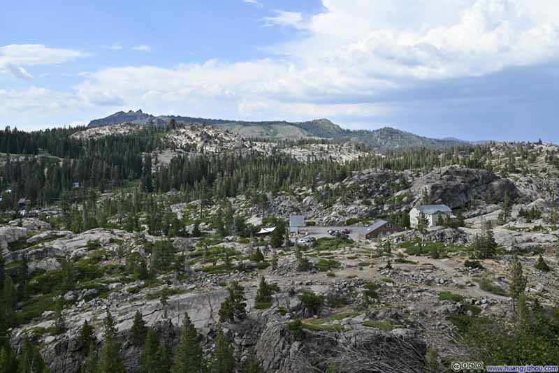
According to AllTrails, it’s 6.0km out and back to Donner Peak with 276m elevation gain (3.7mi, 900ft). The trailhead parking was sort of full so just like my last time here in Dec 2020, we parked at “Summit Haus”. Despite its mountainous surroundings, I felt very hot (and somewhat over-dressed with long trousers) once I got out of the car.
Here’s GPS tracking:
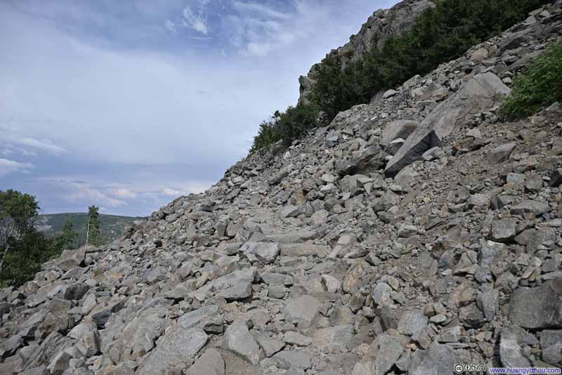
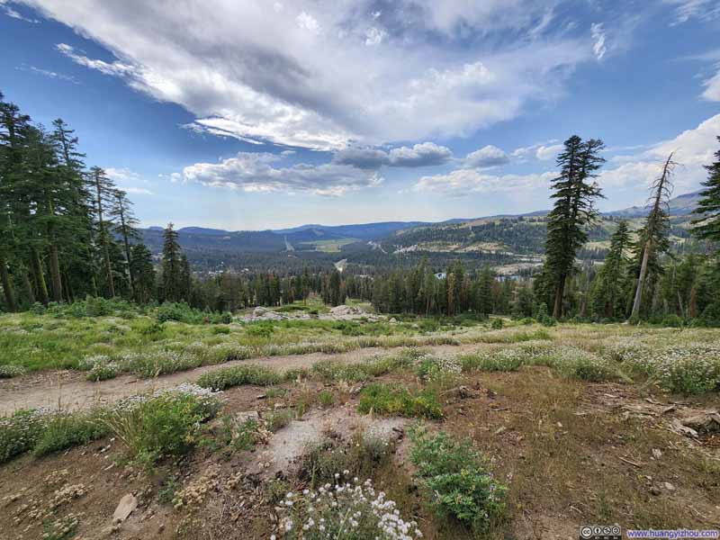
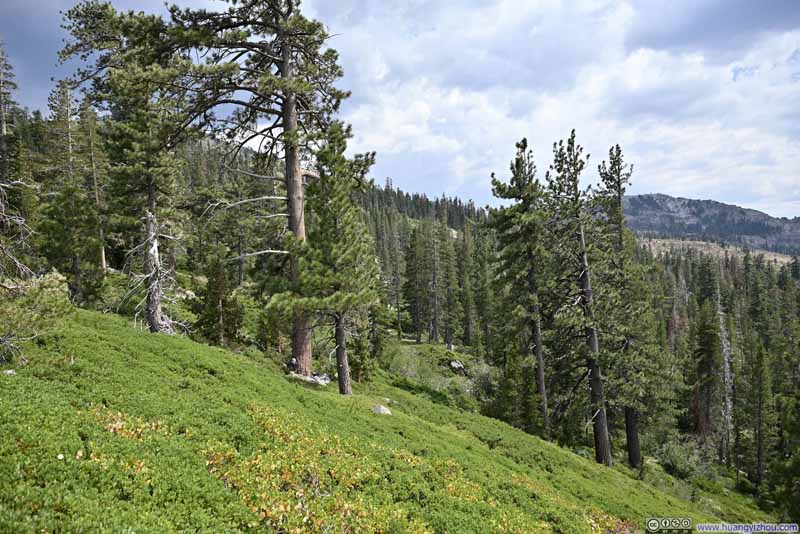
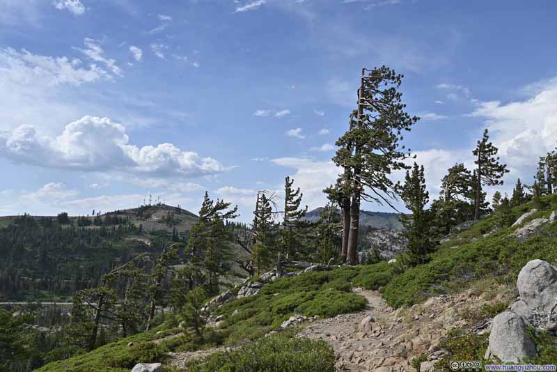
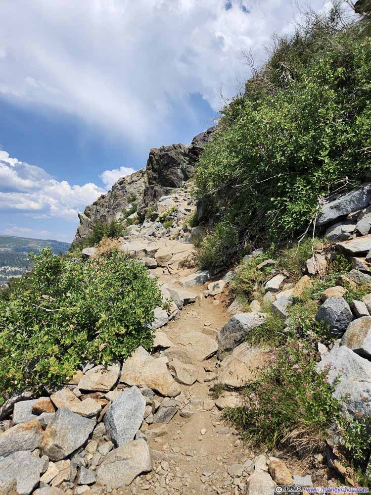
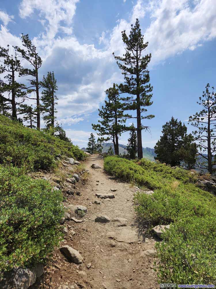
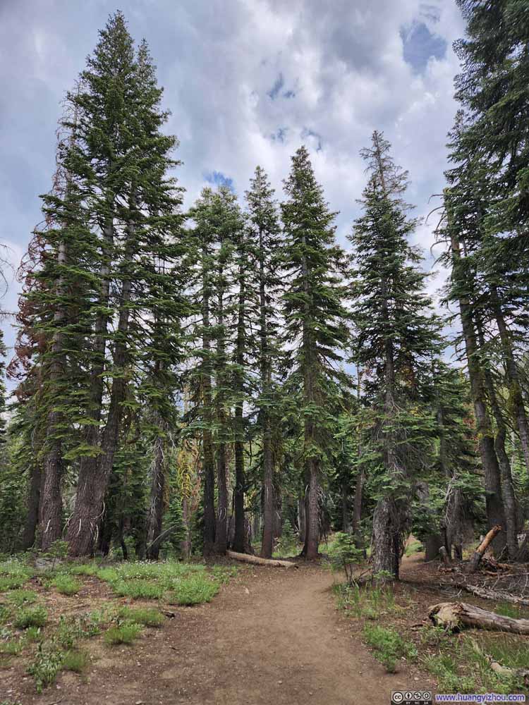
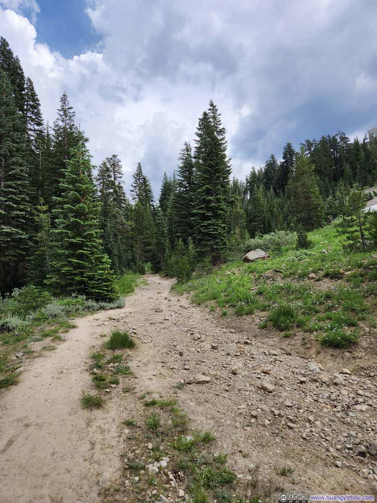
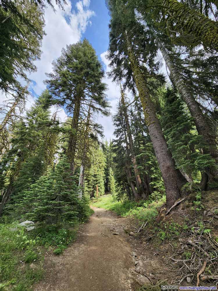
The trail itself was very straightforward. The initial part with switchbacks was on rocks, and I felt that’s the steepest part of the trail. Once that’s behind, the trail eased up into a sparse forest landscape. Overall, I thought the “moderate” AllTrails rating was rather appropriate.
Click here to display photos of the slideshow
About two-thirds of the way towards Donner Peak, the trail passed by a small overlook to the north, which my friend and I checked out. That’s when I felt the first (and luckily, the only) raindrops of the day. It was hot under clear skies and bright sun when we left the trailhead, so I didn’t bother to check the weather forecast. But at the overlook, weather radar indicated patches of rain to the south, that would hit us in about an hour’s time. Since this was a relatively short trail and we were close to the summit of Donner Peak, my friend and I decided to continue on.
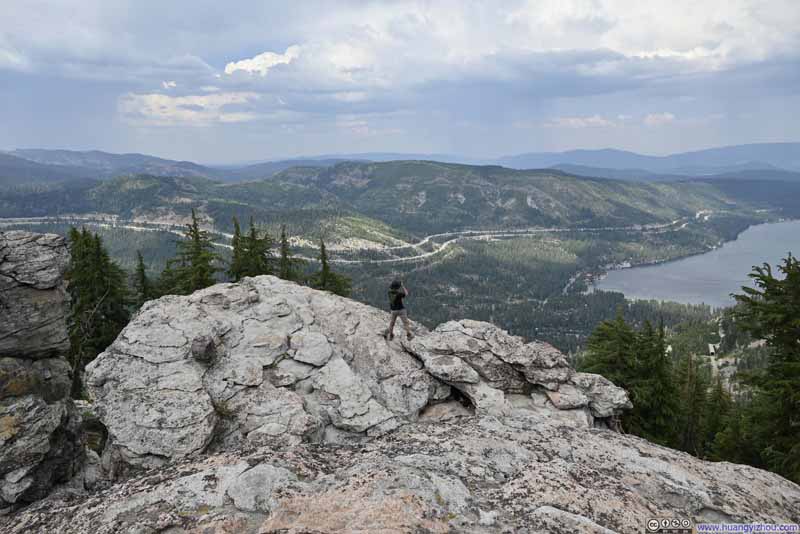
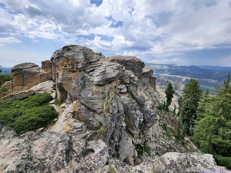
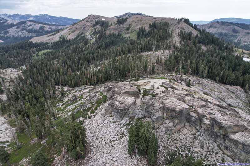
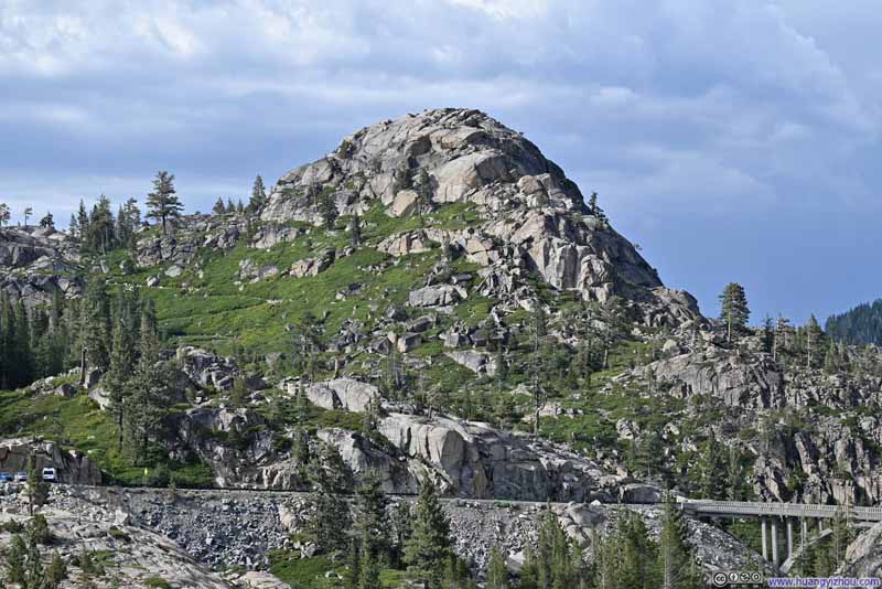
After the trail junction, the final 150m (~500ft) before the summit of Donner Peak was steeper than most of the trail. At the end of the trail, we found the summit of Donner Peak to consist of two groups of boulders (see drone photo p5 below), with a gap in between them. With minimal scrambling efforts, we scaled up the seemingly easier one of them, to the right of the gap.
Click here to display photos from the summit of Donner Peak.
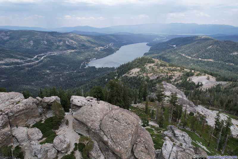
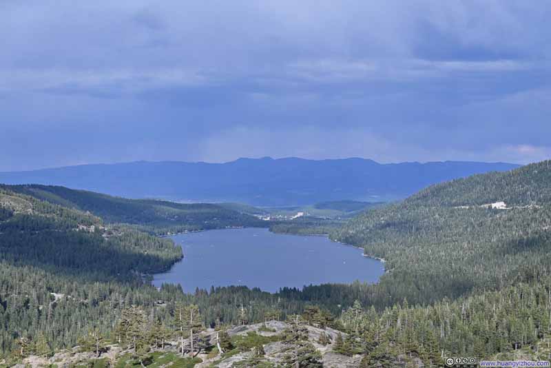
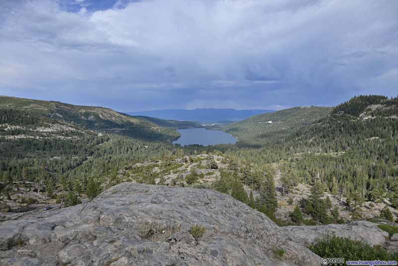
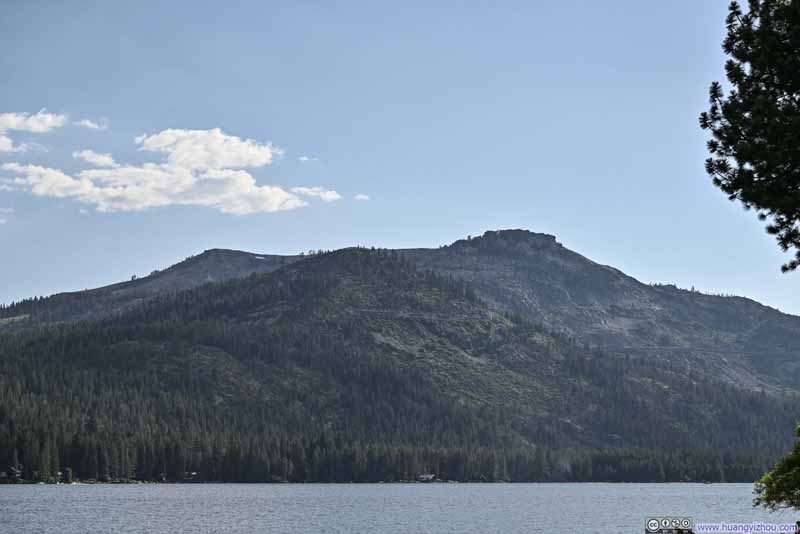
Overlooking Donner Peak and Donner Lake
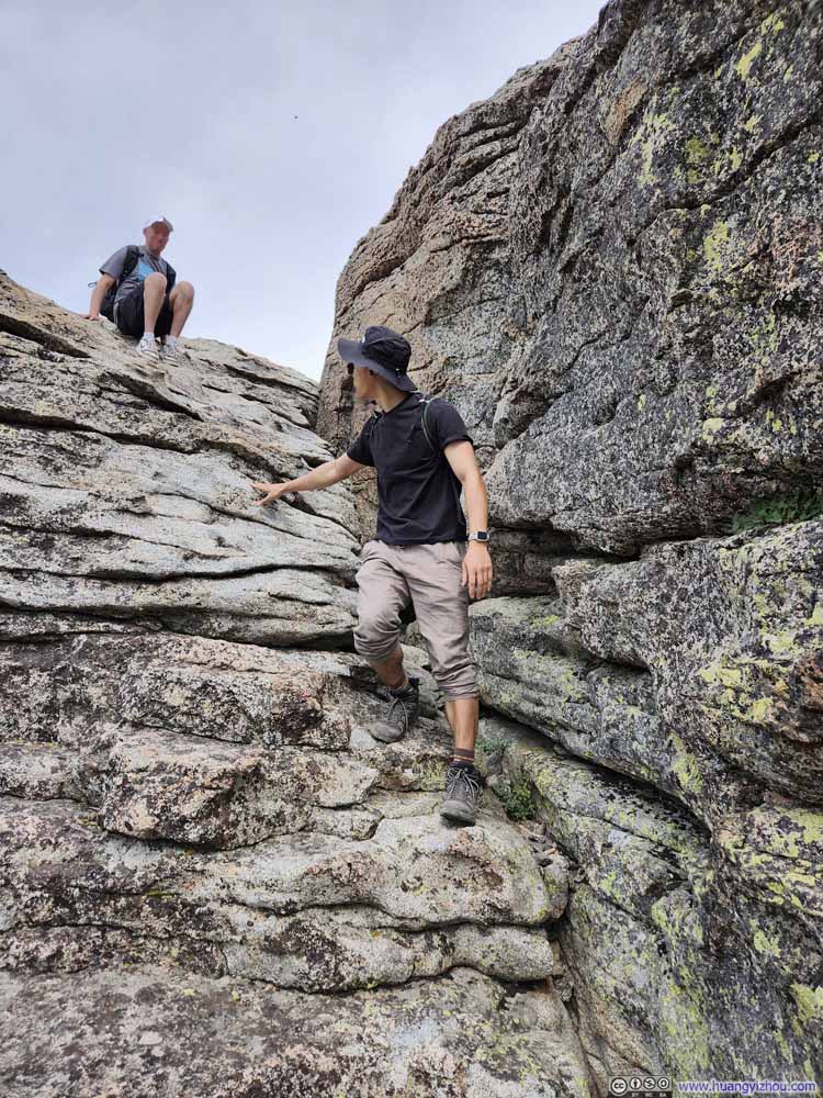
Descending Boulders on Donner Peak
With the impending storm, the summit of Donner Peak felt somewhat windy, which only brought relief to me who was otherwise overdressed for the day.
We ran into a gentleman on the summit of Donner Peak, and some life experiences shared among us quickly turned into conversations that accompanied us along the way back.
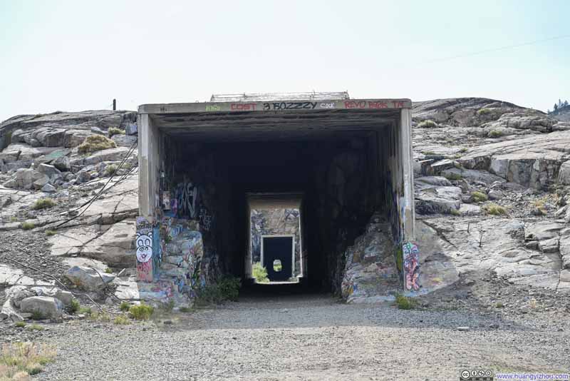
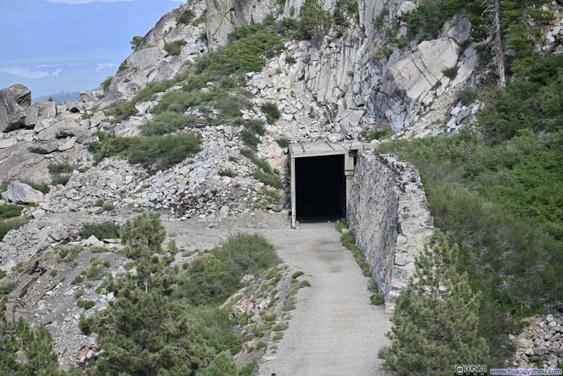
Back at the trailhead and luckily, with the forecasted rain nowhere around us, I decided to show my friend the summit tunnels at Donner Pass. (See my previous post for the history of these tunnels.) To save us some walking distance, we decided to take the “Dutch Flat Donner Lake Wagon Road” to tunnel #7. This was a trail marked on maps, but in reality it was narrow and at times overgrown, requiring minimal bushwacking so long-sleeved shirts and long trousers were recommended.
Click here to display photos of the slideshow
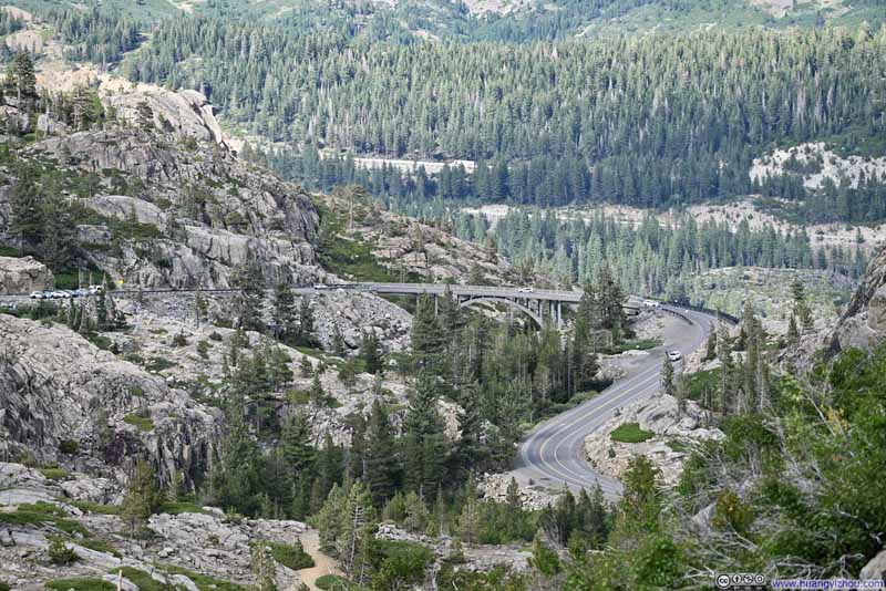
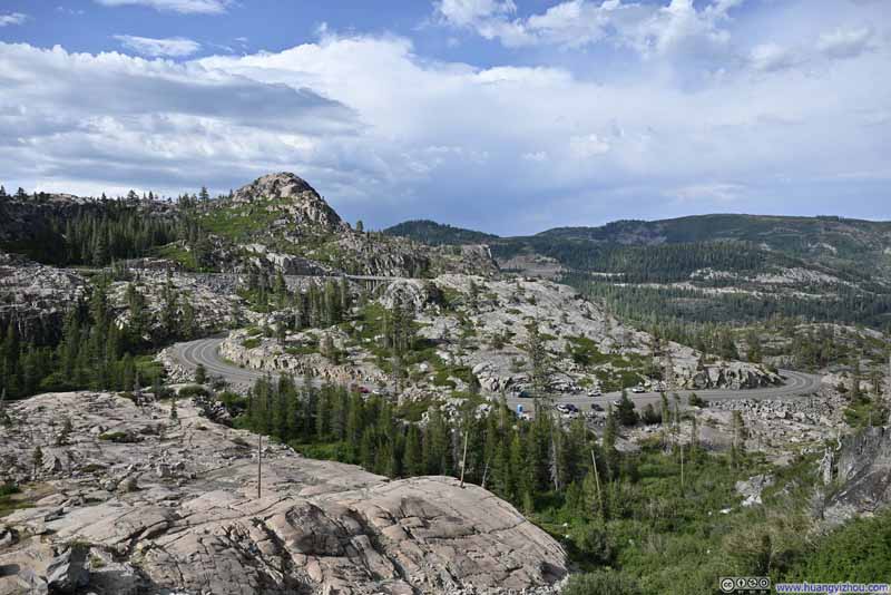
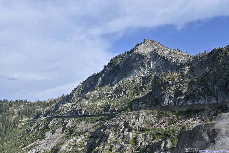
After traversing through the long tunnel #6 while admiring the 19-th century labors of the immigrant workers, we were back with our car and started heading down Donner Pass towards Lake Tahoe. We stopped at a few overlooks along the way in the Donner Peak/Lake region (essentially similar ones to my trip here in Dec 2020).
Click here to display photos of the slideshow
Lake Tahoe Region
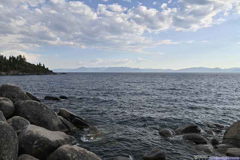
For the two nights in the Lake Tahoe area, we chose to stay in Carson City, Nevada. Along the way we would pass “Memorial Point Scenic Overlook”, which was my favorite for my trip in Dec 2020. So this time, we checked it out too, and got a preview of the mountains in Desolation Wilderness which we would explore the next day.
Click here to display photos from Memorial Point Scenic Overlook along Lake Tahoe.
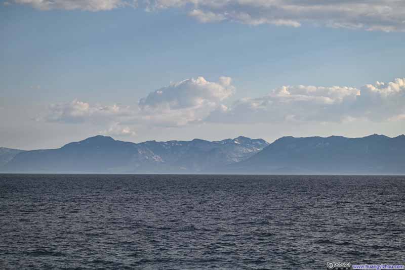
Mountains across Lake Tahoe
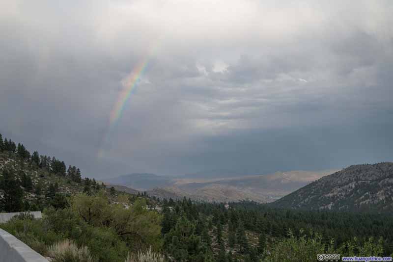
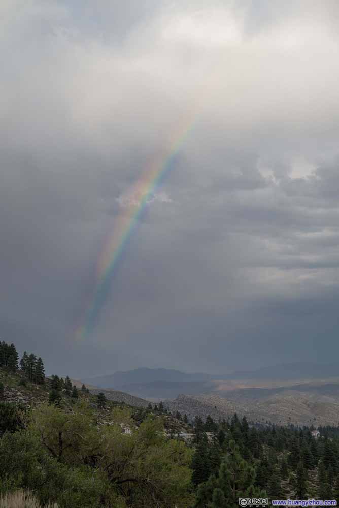
After departing Lake Tahoe and on our way to Carson City, we saw a beautiful rainbow hanging among the clouds, so we made a stop at a roadside turnout and captured the moment. I admit these photos were aggressively post-processed to recreate the colors of the rainbow.
Click here to display photos of the slideshow
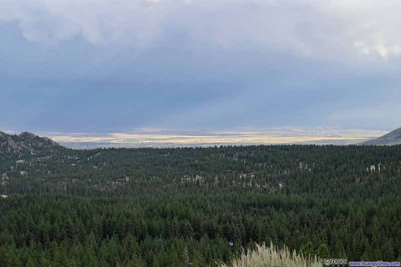
Carson ValleyThe depressingly low-hanging clouds that obscured Pine Nut Mountains in the background.
After that, we reached Carson City, checked into the hotel and concluded the day.
END
![]() Day 1 of July 2024 Trip to Sierra Nevada, Donner Peak by Huang's Site is licensed under a Creative Commons Attribution-NonCommercial-ShareAlike 4.0 International License.
Day 1 of July 2024 Trip to Sierra Nevada, Donner Peak by Huang's Site is licensed under a Creative Commons Attribution-NonCommercial-ShareAlike 4.0 International License.

