Updated on November 6, 2024
Day 2 of July 2024 Trip to Sierra Nevada, Mount Tallac
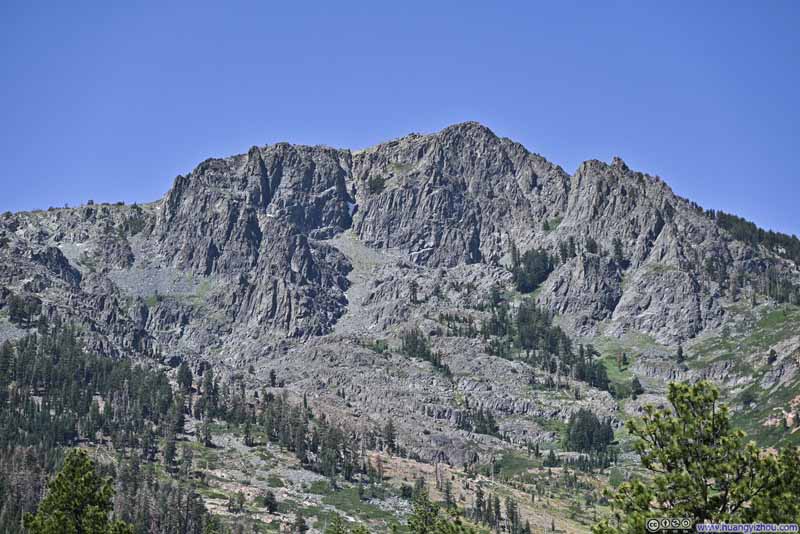
Second day of my July 2024 trip to the Sierra Nevada. My friend and I hiked Mount Tallac today. This was a prominent mountain near the shores of Lake Tahoe, serving as a warmup for the more exciting mountains in Sierra Nevada that we were to tackle later on.
Following yesterday’s outing to Donner Peak, our plan for the day was to up the level of warmup for our upcoming mountaineering trips by taking up a day hike around Lake Tahoe.
For that, we had three candidates: Ralston Peak, Pyramid Peak and Mount Tallac. Of these three, Mount Tallac ranked in the middle in terms of technical difficulties, it’s also the closest to our hotel in Carson City, and it’s the closest to Lake Tahoe which meant it should offer the best views of the lake. Therefore, we decided on Mount Tallac.
July 21, Hike of Mount Tallac
Last night, we got to the hotel sort of late, so we were in no hurry to get up early this morning. After grabbing some food along the way, we reached the trailhead of Mount Tallac at around 10:30am on July 21.
One issue with the trailhead was parking. The official parking lot held about 10-15 cars, which wasn’t sufficient given the popularity of the trail. There were a few turnouts along the access road (which were just areas where the road was slightly wider) where many cars resorted to parking. (Frankly I’m not sure whether that’s fine.) This would add some distance to the hike, which by AllTrails was 15.4km out-and-back with 1001m elevation gain (9.6mi, 3300ft). Since we arrived relatively late, that also included our car.
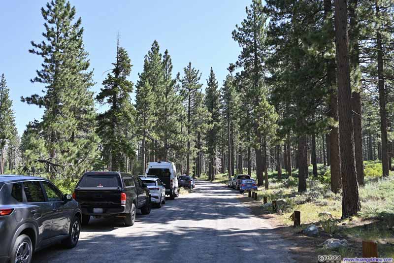
Access RoadGiven the tight parking condition, many cars resorted to parallel park along the access road.
After getting parked and filling out the wilderness permit, we started out our hike at 10:55am. Here’s GPS tracking:
Here’s GPS tracking:
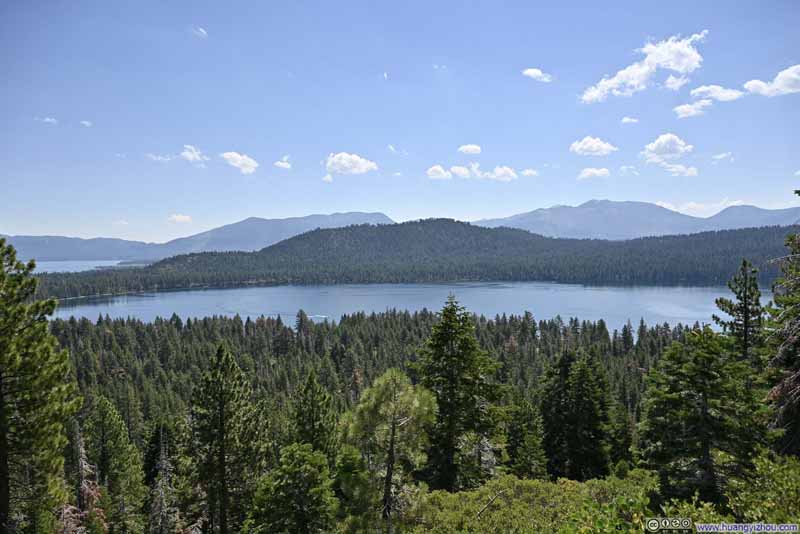
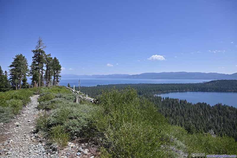
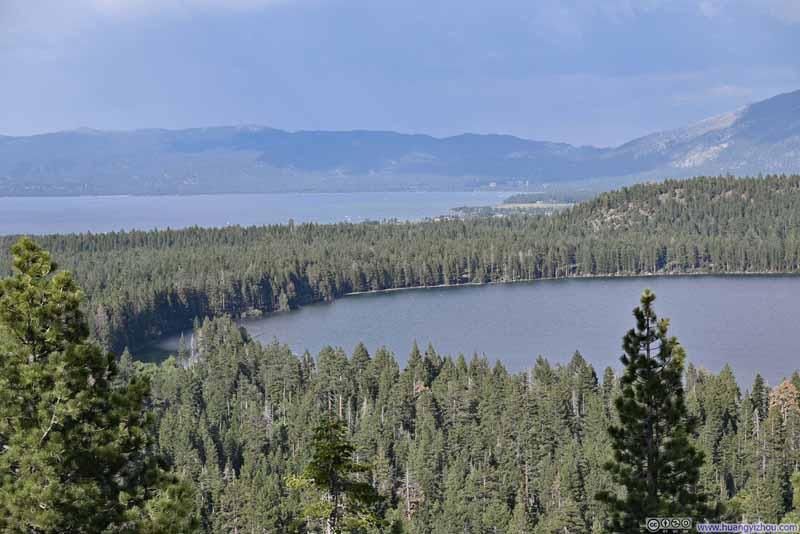
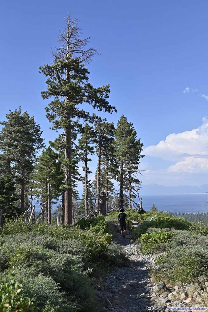
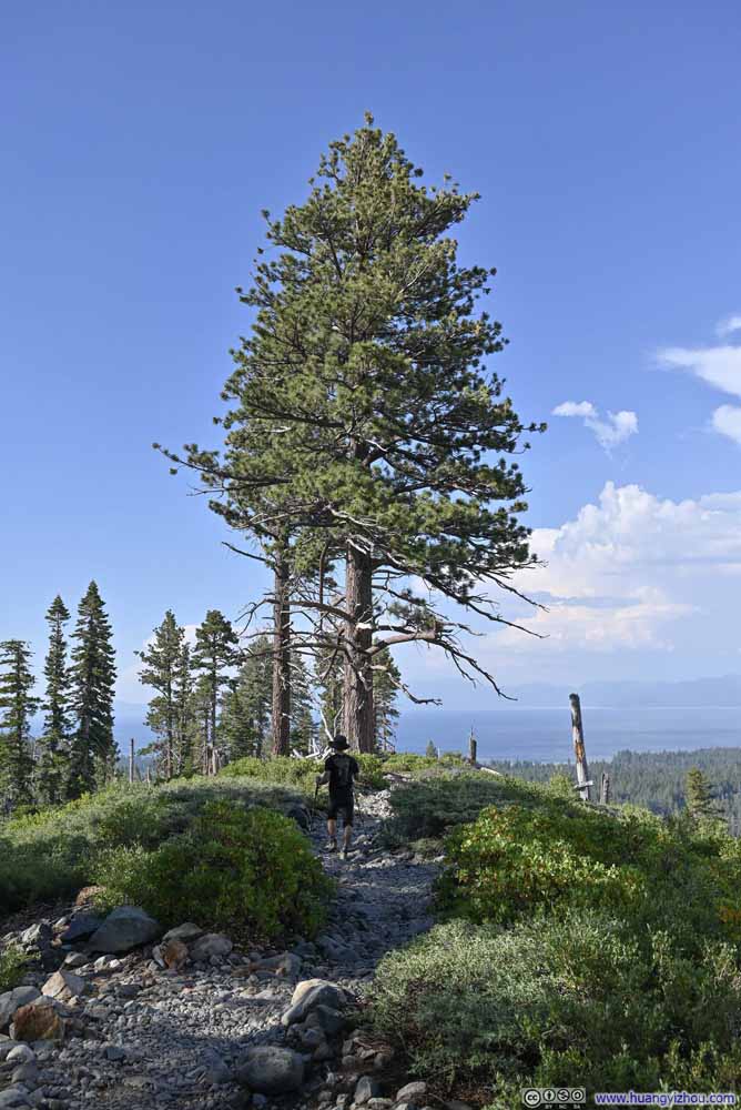
Not long after leaving the trailhead, the trail reached a ridgeline between Fallen Leaf Lake to the east and Mount Tallac to the west. Bushes were shallow along this ridge, offering great views overlooking Fallen Leaf Lake. I couldn’t help but start to love this trail with such pleasant sights early on during the hike.
Click here to display photos of the slideshow
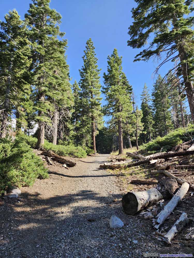
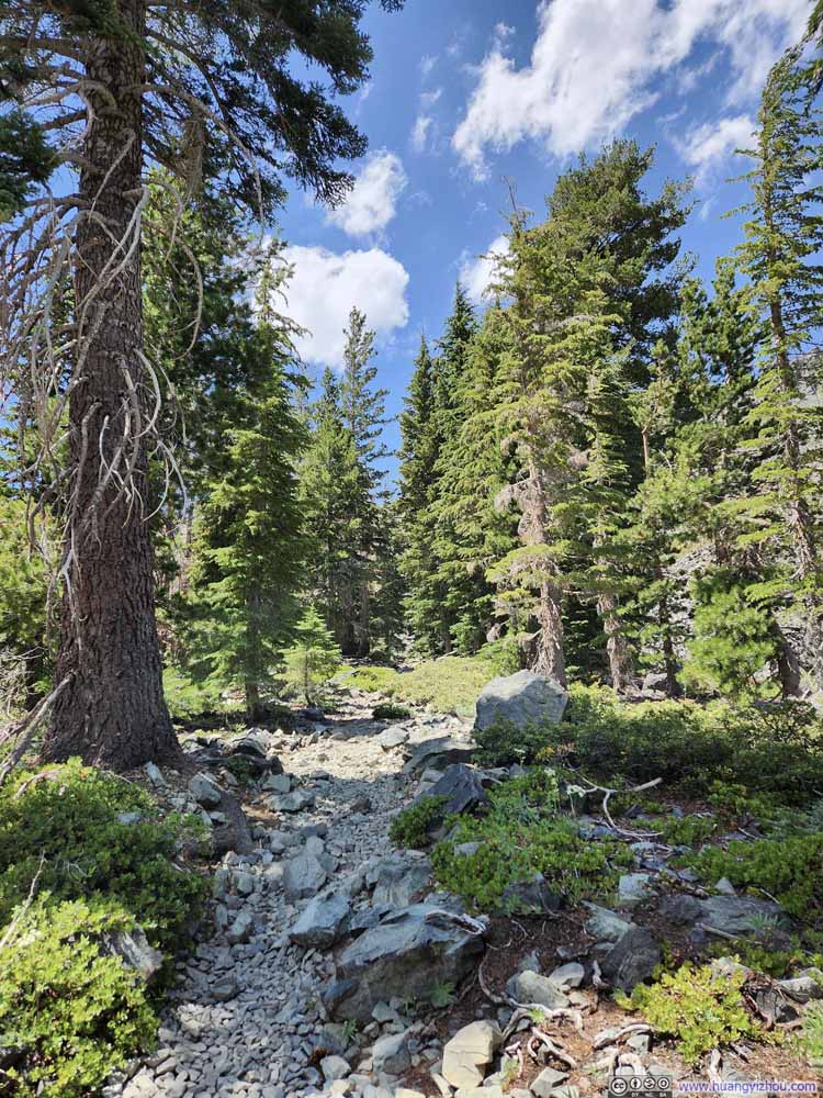
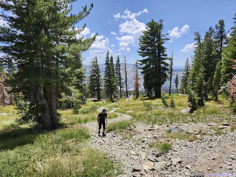
After leaving the ridgeline, the trail headed west into the woods. Probably the only bit of nuisance for the day was that it felt pretty hot. In the woods, the trees and their shades weren’t dense enough, so the sun could still shine onto the dirt. It’s impossible to ignore the heat emitted from the dirt trail as it was baked by the sun. (On this aspect, the other, rocky parts of the trail were more enjoyable.)
Click here to display photos of the slideshow
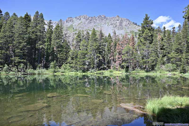
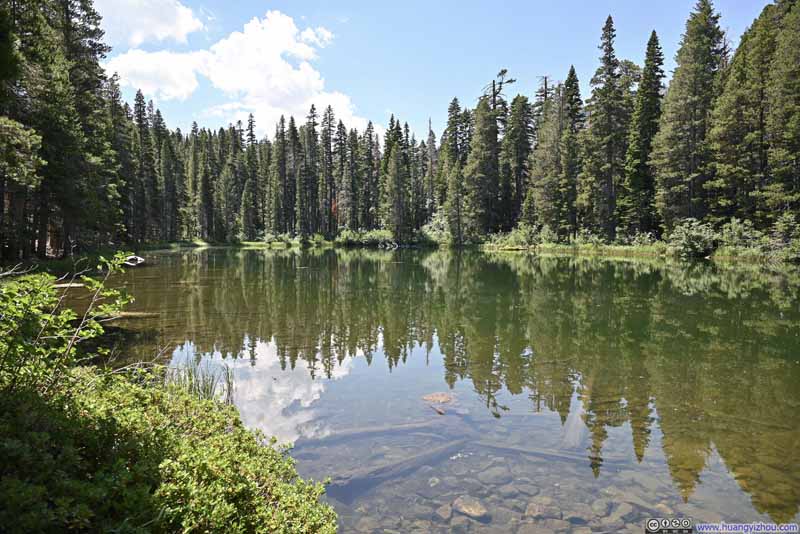
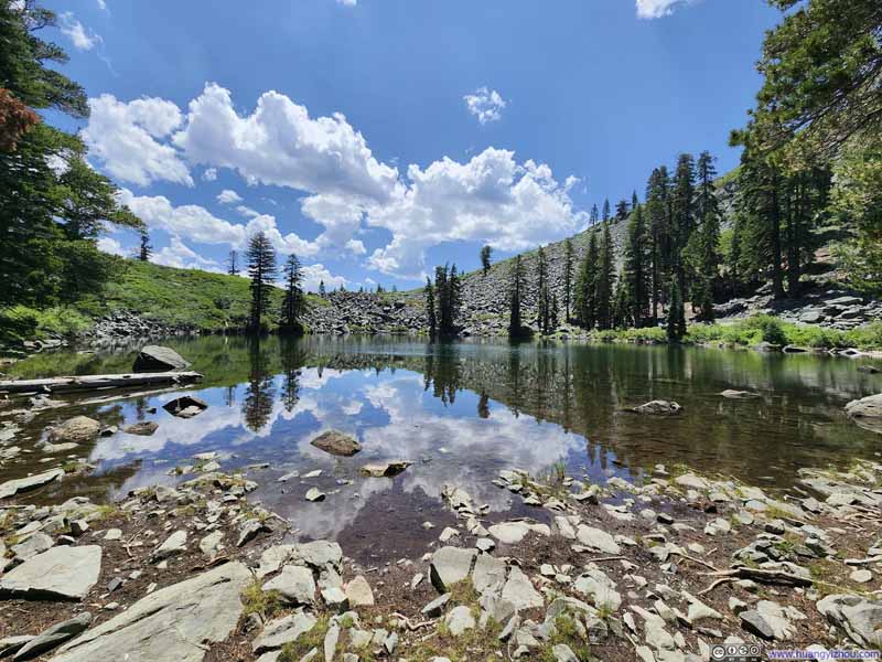
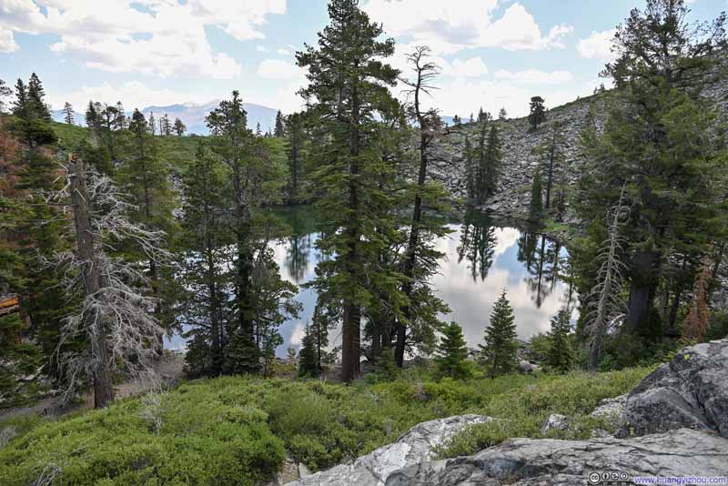
Once in the woods, the trail passed two lakes, Floating Island Lake and Cathedral Lake, both were good places to take rests and recoup energy. (A few fallen trunks near those lakes provided the perfect natural seating.)
Click here to display photos of the lakes along the trail.
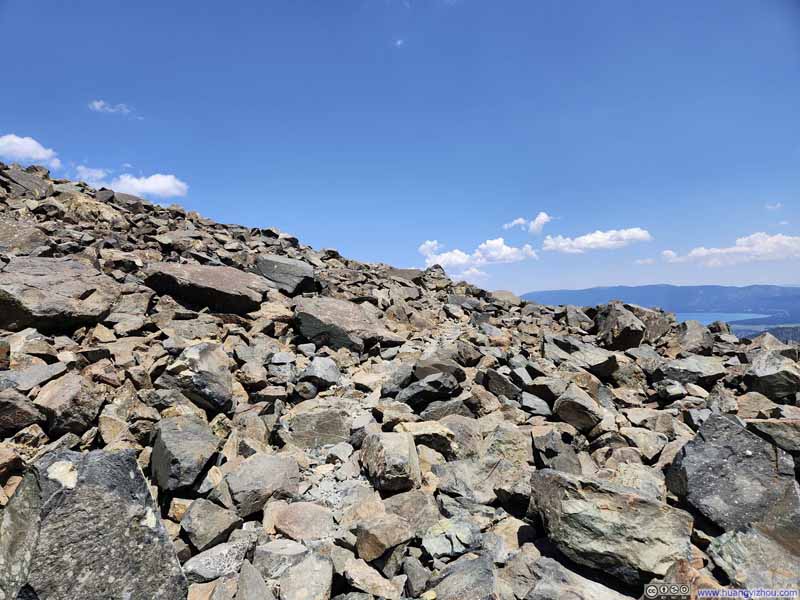
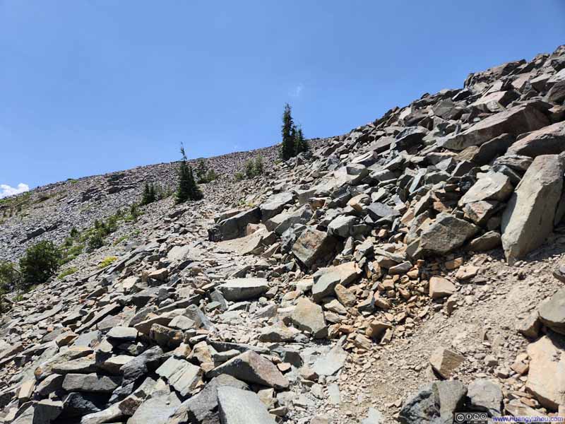
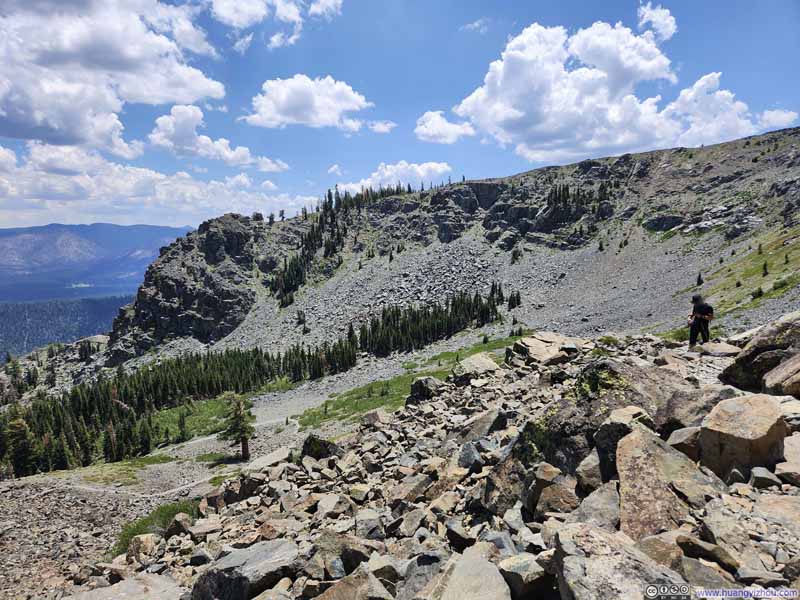
Upon leaving Cathedral Lake, the trail left the woods and picked up the pace of elevation gain. It’s also approximately where the trail surface transitioned from dirt to loose rocks and talus.
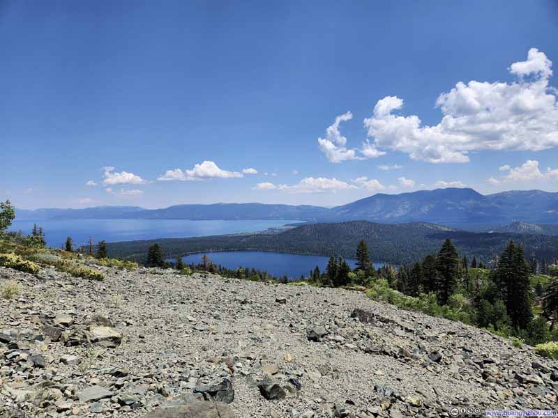
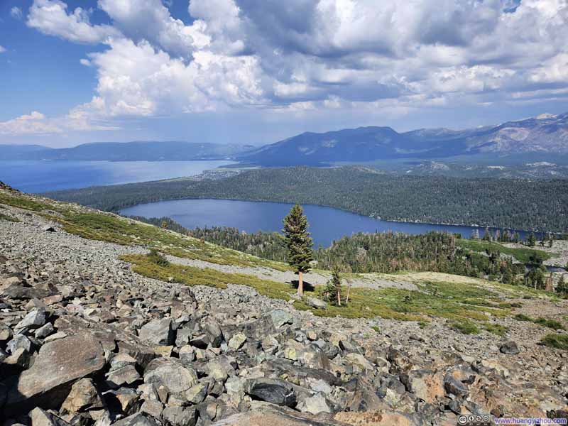
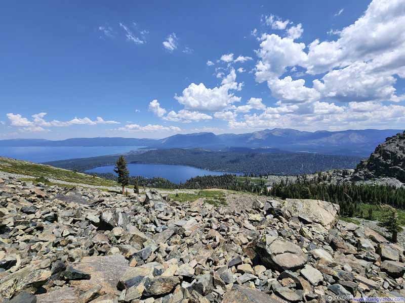
The talus field right after Cathedral Lake was, in my opinion, the most technical part of the trail. It might require some rock hopping but I would largely rate that as YDS class 1. Minimal route-finding efforts were required at one spot along the trail, but that shouldn’t be hard if one was following GPS tracks. On the bright side, this section of the trail came with clear views of both Fallen Leaf Lake and Lake Tahoe (with no bushes obstructing the views in the foreground), so the hard physical workout was always rewarded.
Click here to display photos of the slideshow
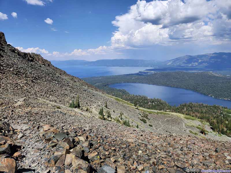
Fallen Leaf Lake, Lake Tahoe and Carson Range MountainsThe switchback of trail visible in the foreground.
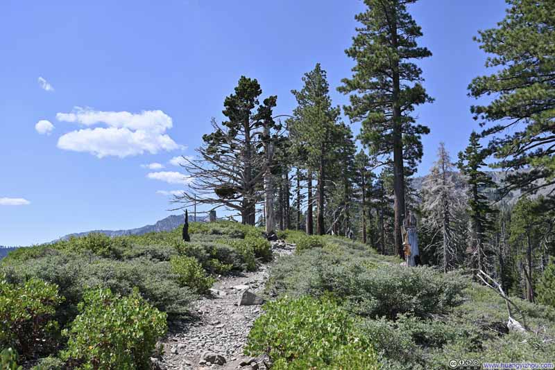
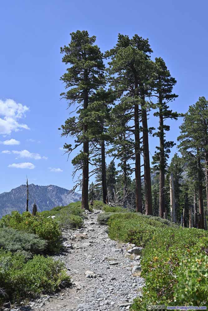
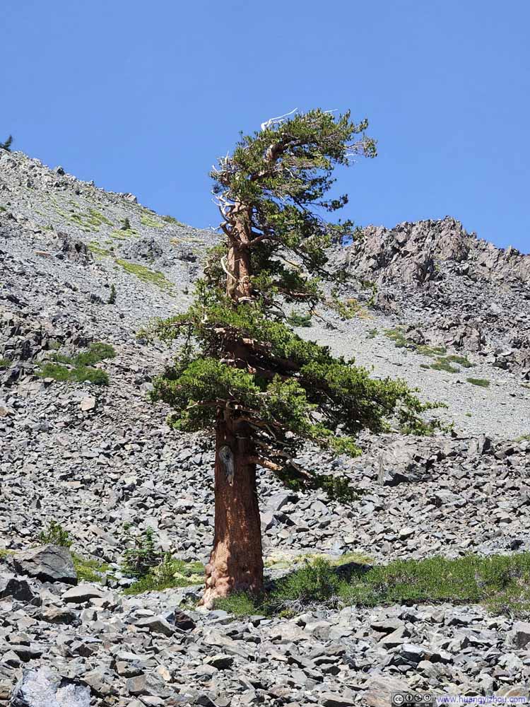
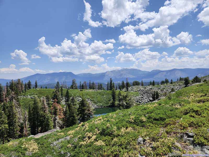
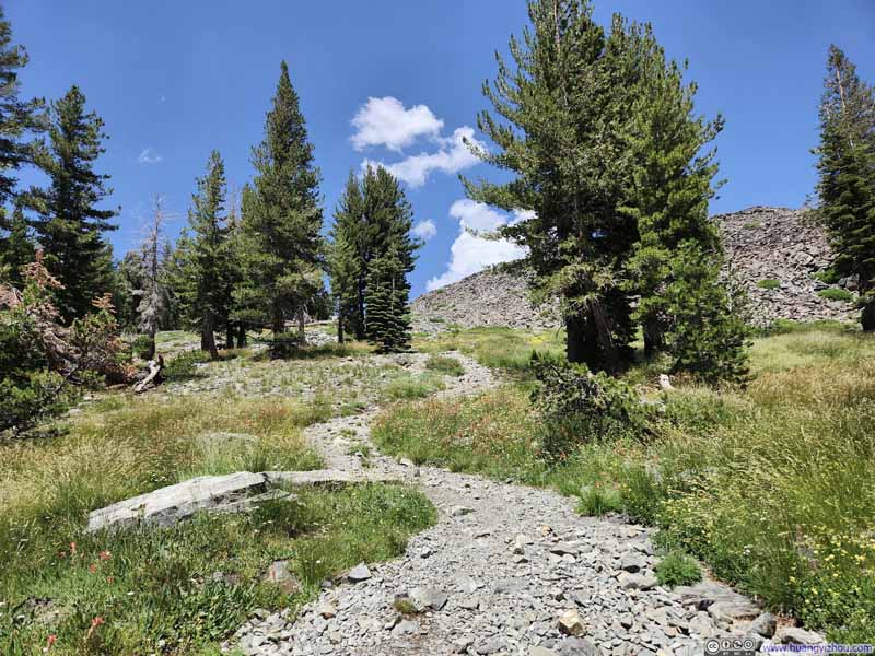
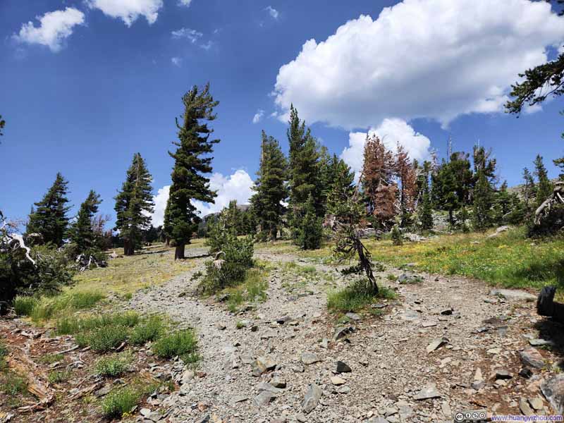
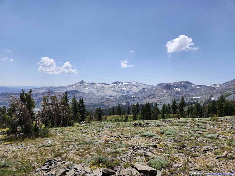
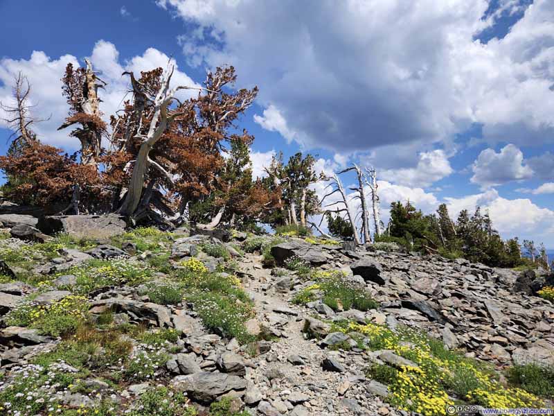
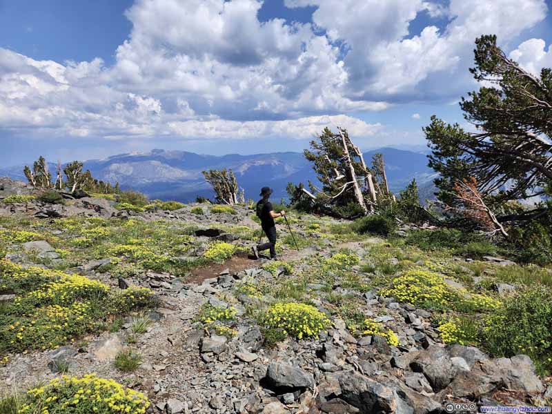
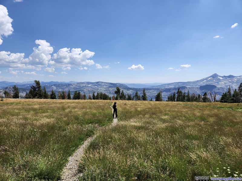
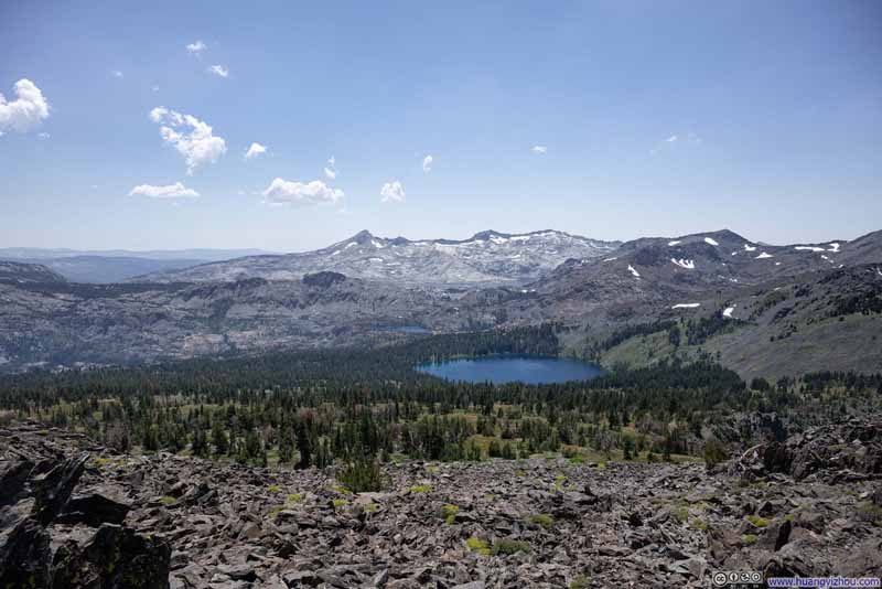
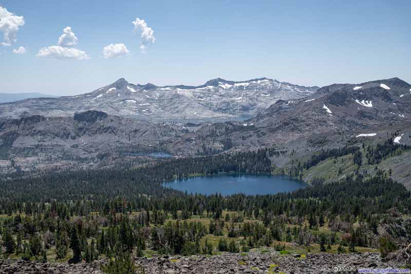
Luckily (and a bit surprisingly), instead of extending all the way to the summit, the talus field ended roughly where the trail made a turn north before the final ~1.7km (1.1mi) to the top. After that, the trail found its way among what looked like an alpine tundra field with sparse trees scattered around. Wildflowers were blooming nicely during our visit, along with the first sights of mountains deep in Desolation Wilderness to the west that greeted our final stretch.
Click here to display photos of the slideshow
One thing to note, approximately 0.9km (0.6mi) from the summit, the trail forked into two branches. Both led to the summit. The AllTrails map followed the eastern branch to the summit, which was shorter. Heading uphills, it’s literally impossible to notice the fork without consulting maps. Having taken separate branches going up and down, I’d say the shorter eastern branch was definitely preferred.
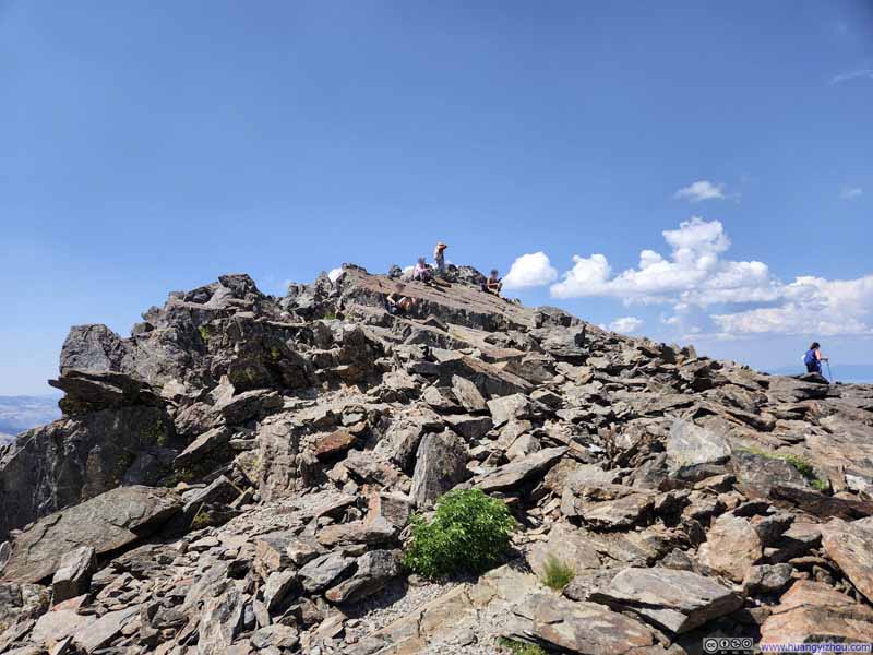
Finally, at around 2:10pm, we reached the summit of Mount Tallac. By that time, we had the entire summit to ourselves.
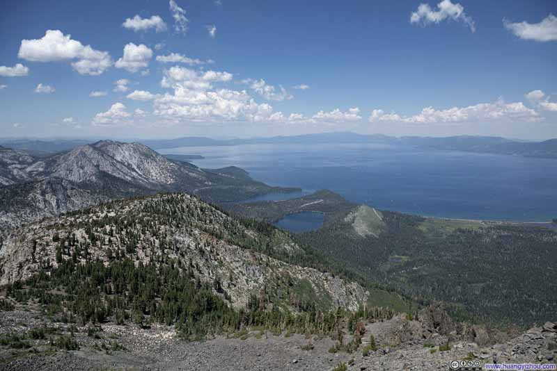
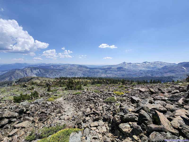
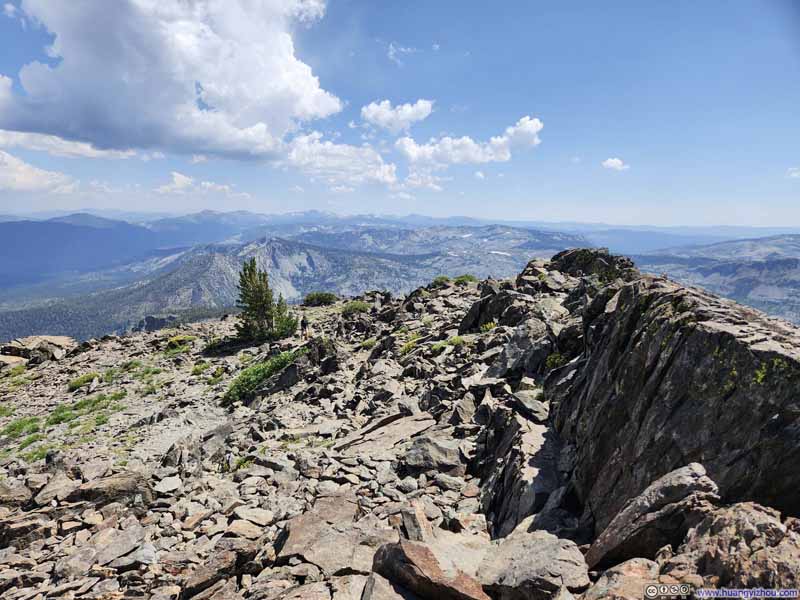
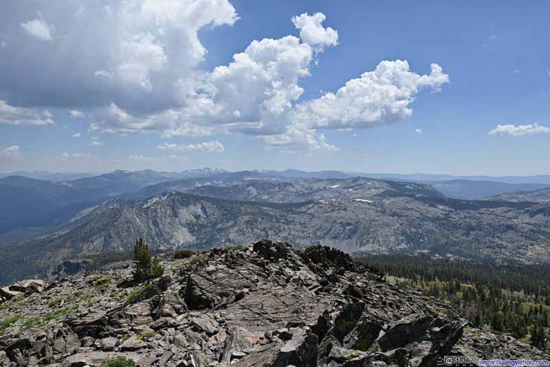
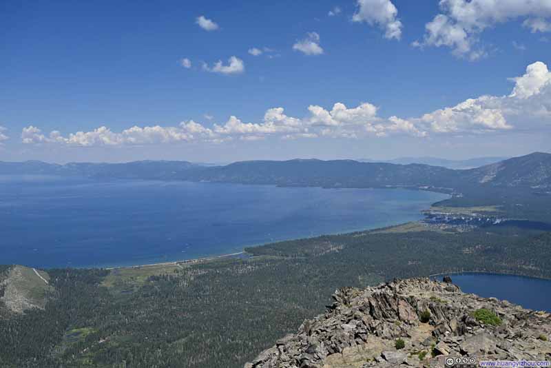
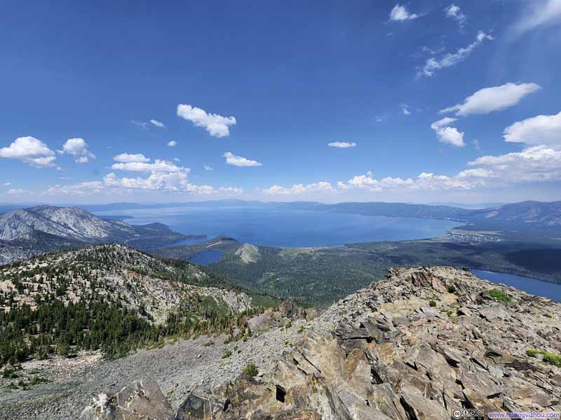
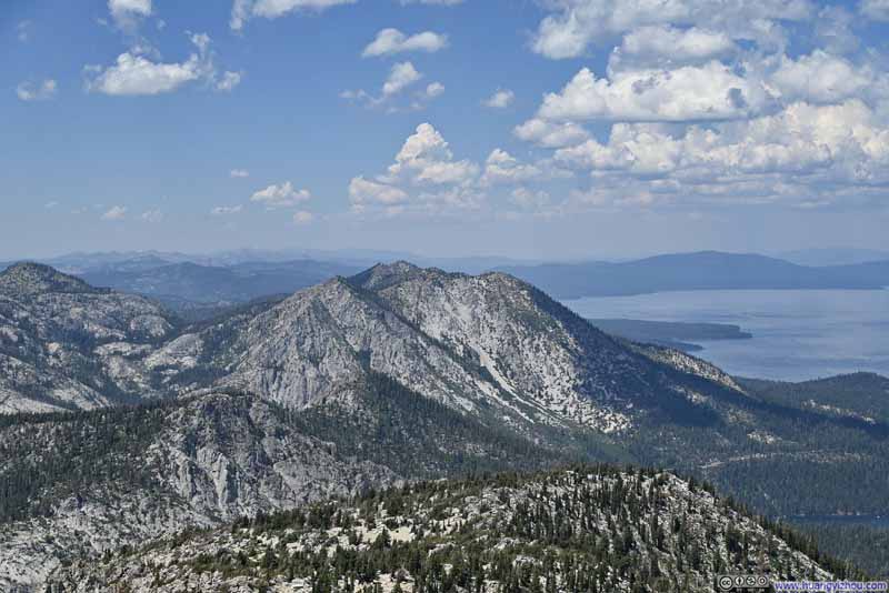
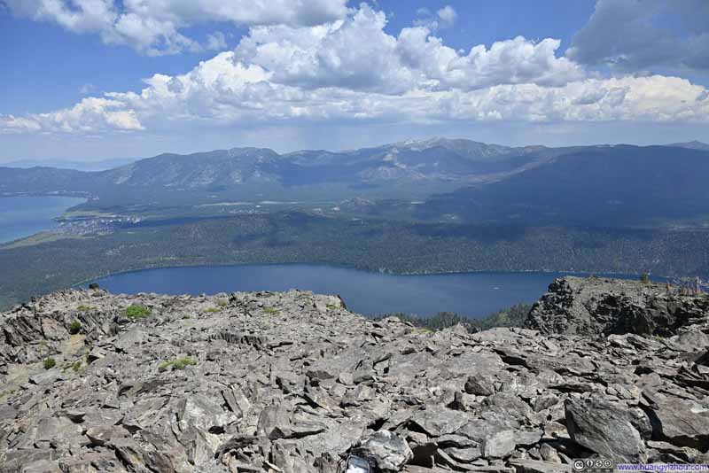
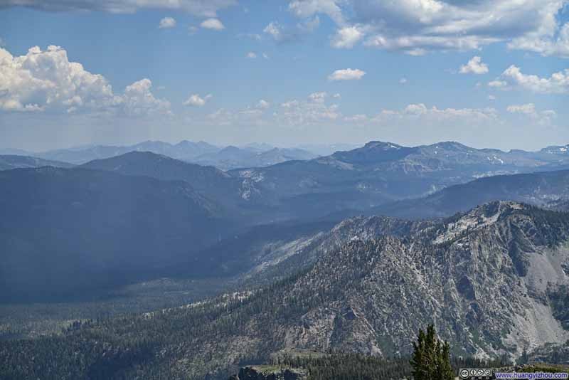
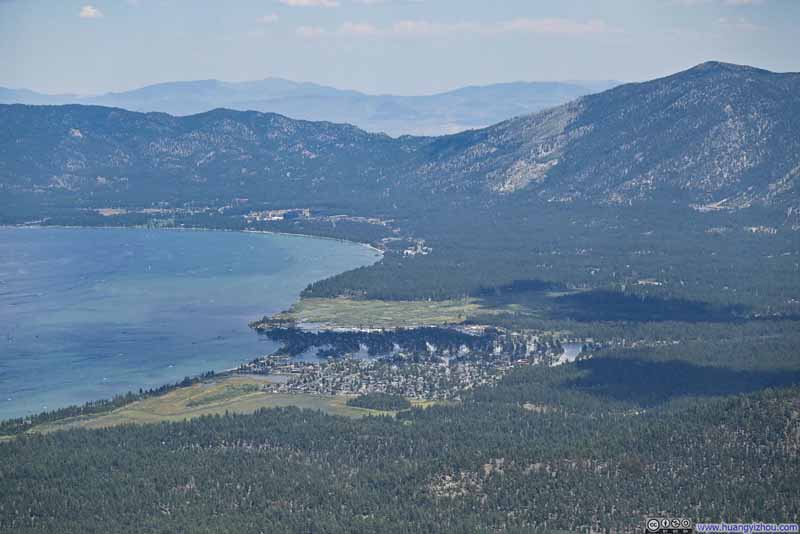
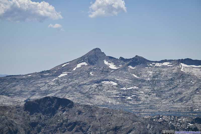
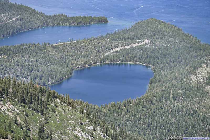
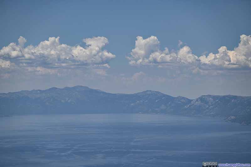
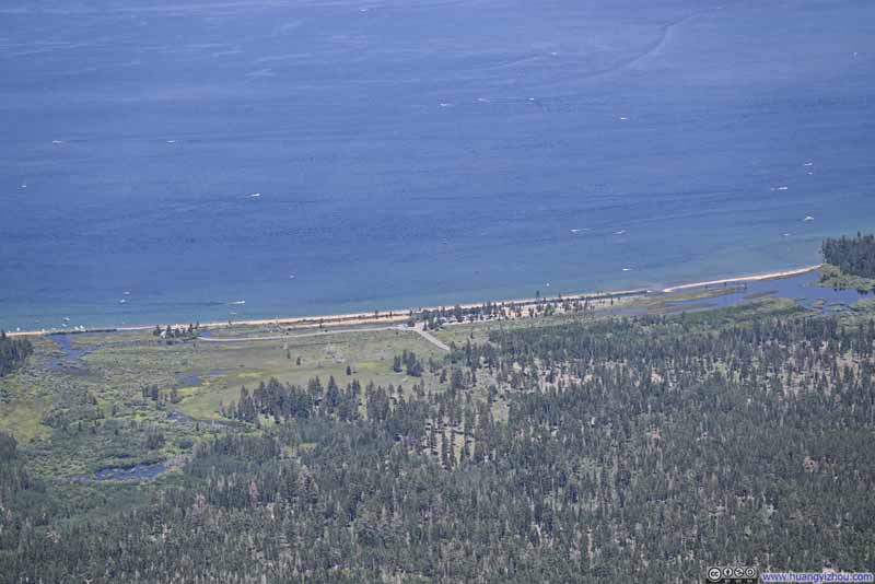
The steep slope of Mount Tallac’s north face offered a sense of prominence to the shores of Lake Tahoe below, and the soaring height of Mount Tallac put us level with the mountains down the horizons, which were many given the extent of the Sierra Nevada.
Click here to display photos from the summit of Mount Tallac.
The views were stellar from the summit of Mount Tallac, well worth the efforts that we put together in reaching it. The only annoyance to spoil the moment was the (non-biting) bugs at the summit. (Like many other mountains, I just didn’t run into them along the trail.)
Click here to display photos from the summit of Mount Tallac.
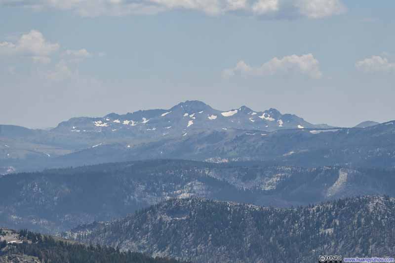
Round Top Mountain to the SouthBack in December 2020 this was the first mountain around Lake Tahoe that I summitted.
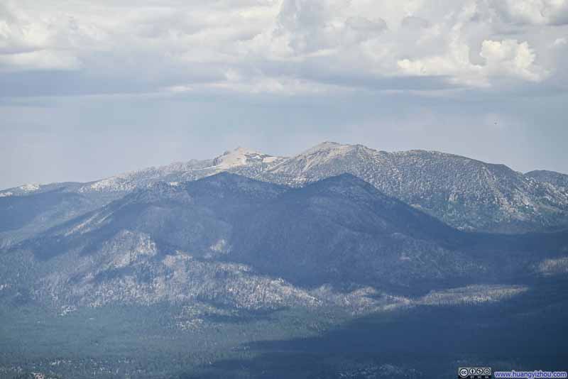
Carson Range Mountains
And here’s a video taken from the summit:
20 seconds, 2160p30fps, 10Mbps/26MB for H265, 11Mbps/27MB for H264.
We left the summit just before 3pm. Aided by gravity, we went down the mountain slightly faster, and reached trailhead parking at 5:50pm. After that, we headed back towards Carson City and concluded the day.
July 22, Beaches of South Lake Tahoe
Our plan for the next day, July 22, was to take a dip into Lake Tahoe from one of its pristine beaches, and maybe accompany that with some activities on the water. It also afforded us some rest between day hikes. At the end of the day, we need to drive from Lake Tahoe to Bishop, which would serve as our base to explore eastern Sierra Nevada for the next few days.
Given that we would be heading south at the end of the day, we decided to spend the day at the southern shore of Lake Tahoe. We had three beaches to choose from for the day, Pope Beach, Kiva Beach and Baldwin Beach. Pope and Baldwin Beaches are managed by USFS and charge a vehicle entrance fee, Kiva Beach offers free parking.
All three beaches gradually got crowded as the day progressed. We arrived at Kiva Beach at 10:40am in the morning and there was plenty of parking. By the time we left about 2 hours later, parking was a lot tighter. After getting lunch at the nearby town, we tried to enter Baldwin Beach at 2:30pm and needed to wait in line to do so.
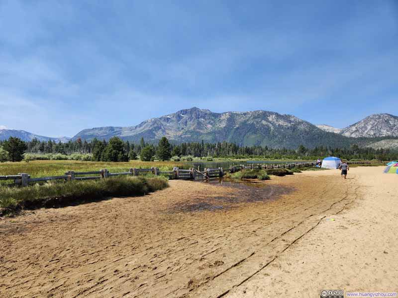
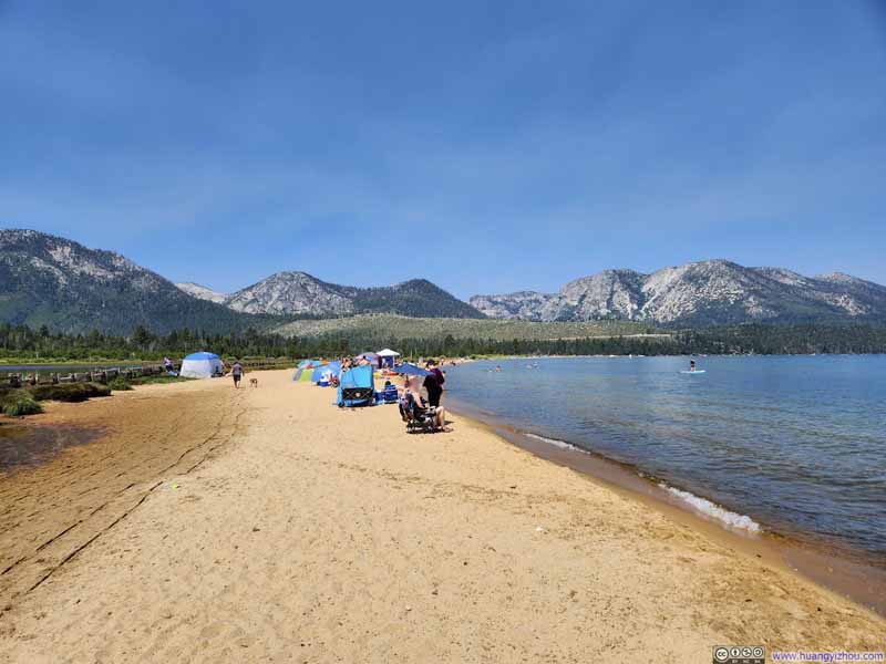
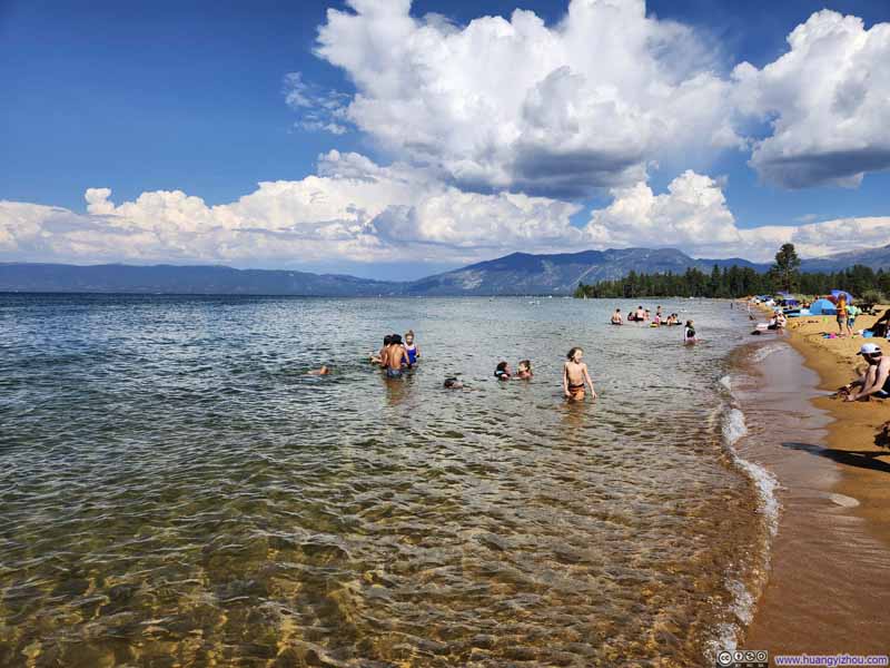
Between Kiva Beach and Baldwin Beach that we visited, I would say Baldwin Beach was certainly the better one (and worth the vehicle entrance fee). Its sandy shore was gentler on footing than the rocks around Kiva Beach, despite the two beaches being very close to each other (and only separated by a narrow Taylor Creek). On the land, Baldwin Beach had proper bathroom facilities, kayak and paddleboard rental, and its beach was closer to the parking lot.
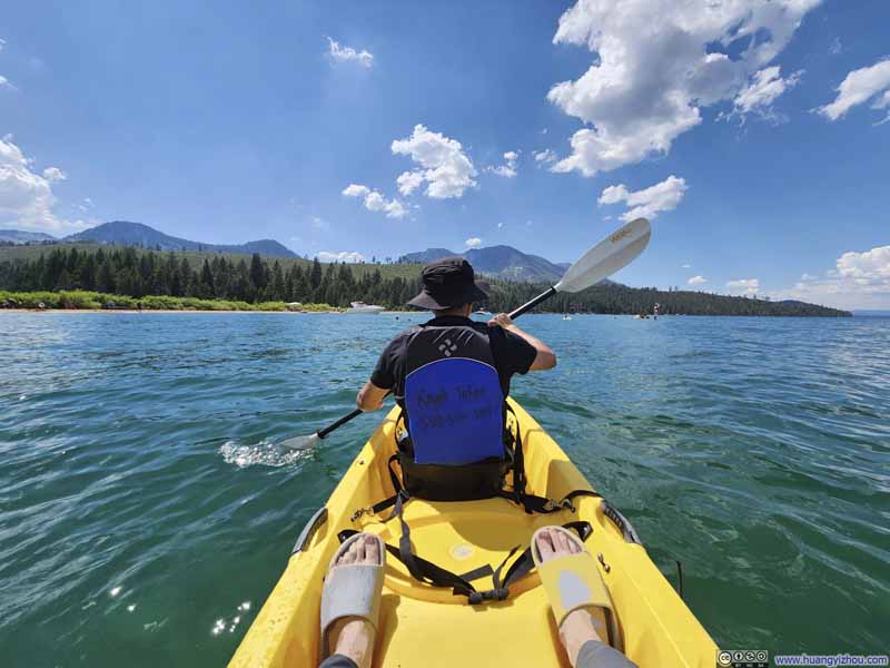
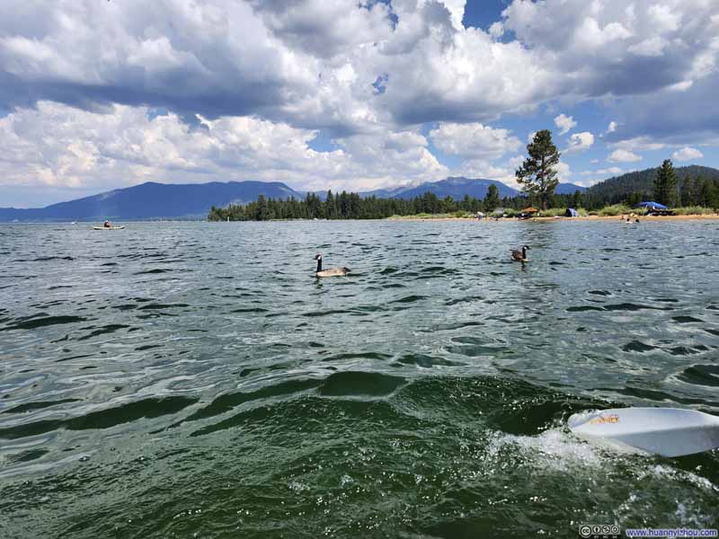
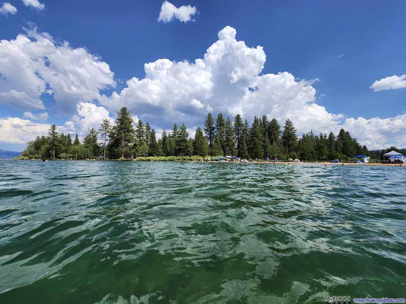
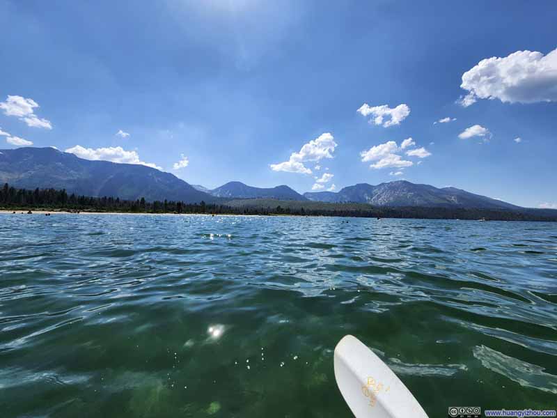
An additional group of friends would leave the San Francisco bay area in the morning and join us for a few hours at Baldwin Beach before accompanying us to the eastern side of Yosemite (Lee Vining). At Baldwin Beach, we spent some time kayaking the lake. It’s a disappointment that the rental shop required us to remain relatively close to the shore. Due to some traffic jam that my other friends encountered on their way to Lake Tahoe, we only left Lake Tahoe at 5pm. With dinner along the way, we reached our overnight hotel in Bishop at 10pm, concluding the day.
Click here to display photos of the slideshow
END
![]() Day 2 of July 2024 Trip to Sierra Nevada, Mount Tallac by Huang's Site is licensed under a Creative Commons Attribution-NonCommercial-ShareAlike 4.0 International License.
Day 2 of July 2024 Trip to Sierra Nevada, Mount Tallac by Huang's Site is licensed under a Creative Commons Attribution-NonCommercial-ShareAlike 4.0 International License.

