Updated on November 13, 2024
Day 8 of July 2024 Trip to Sierra Nevada, Yosemite National Park
Eighth and final day of my July 2024 trip to the Sierra Nevada. We would pass through Yosemite National Park on our way back to Berkeley from Bishop. We hiked Mount Watkins inside the park in the day, before watching a spectacular sunset scene and subsequent starry show at Glacier Point.
Going from Bishop, CA to Berkeley, the most direct route (in summer) cut through Yosemite National Park, California’s most popular national park. So it’s only natural for us to add a few stops in the park, checking out its sheer granite cliffs and towering waterfalls, before concluding this trip under a dazzling display of night stars.
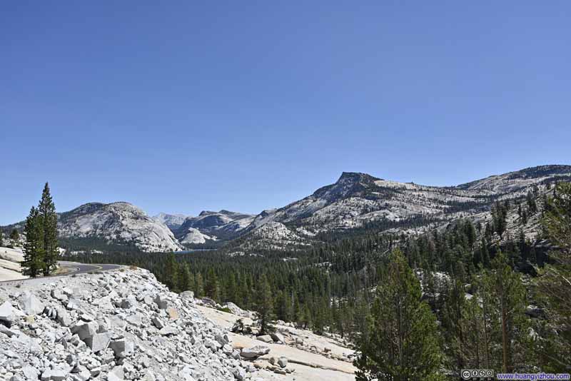
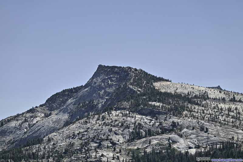
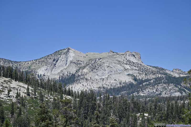
Knowing we had to stay up late to watch the stars and then drive back to Berkeley, we got up (relatively) late this morning and left Bishop at 9:30am. We entered Yosemite National Park via its least crowded Tioga Pass Entrance, and the queue was only 5 minutes long on a Saturday morning. After that, there were a few granite peaks visible from the road near Tuolumne Meadows, a preview of the day to come.
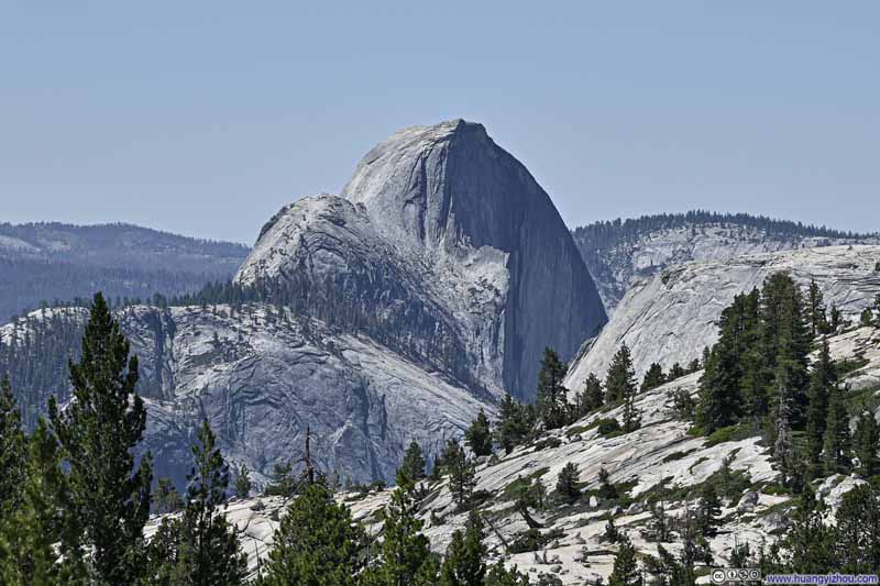
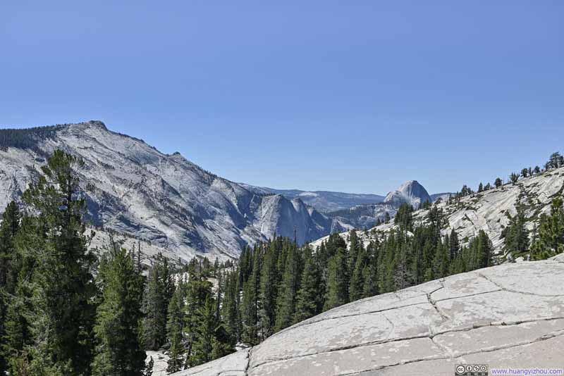
Olmsted Point
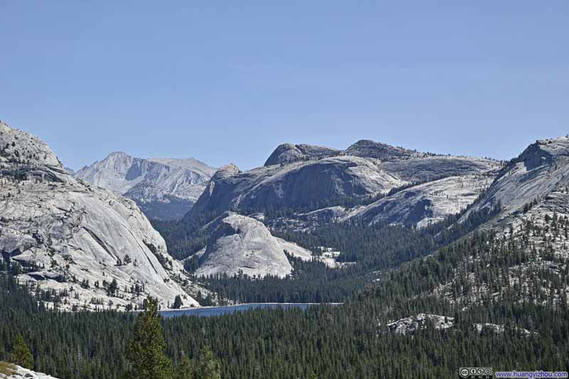
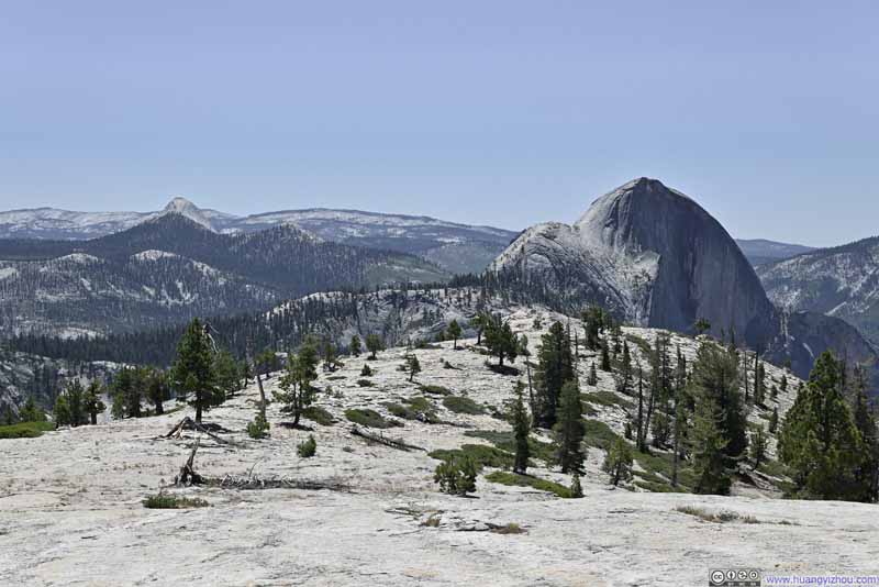
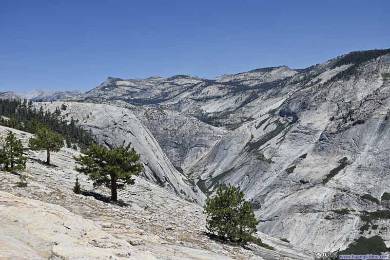
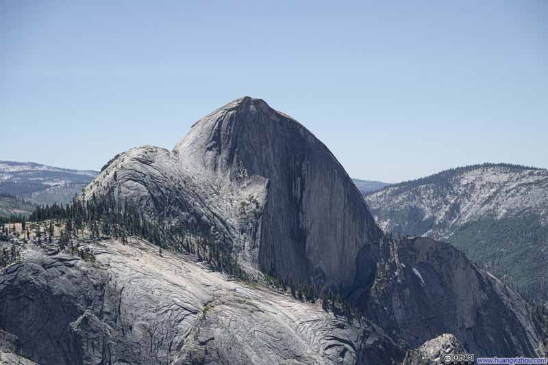
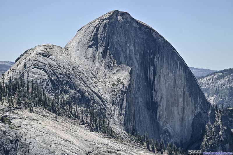
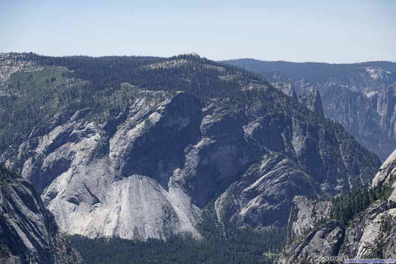
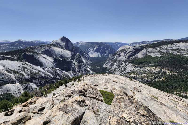
This was the only viewpoint that we visited along Tioga Road, that offered views of both Half Dome to the west, and various mountains to the east, all of which were shaped by glacierization. Tenaya Creek, which originated from Tenaya Lake (that we just drove past), flew down a valley separating Mount Watkins (which we hiked next) and Clouds Rest / Half Dome, before joining Merced River in Yosemite Valley.
Click here to display photos from Olmsted Point.
Hike to Mount Watkins
Although our trek to Cloudripper had taken a huge toll on my friend’s body two days ago, he felt “completely recovered” this morning and was quite excited about Yosemite. We had enough time in the day for a 2-3 hour hike, and for that, we picked Mount Watkins.
The “remote” location of its trailhead along Tioga Road meant the trail saw less traffic (we only ran into 2 other groups), but the scenery at its end was spectacular beyond words: directly facing Yosemite Valley and Half Dome. Even better, we got to enjoy their magnificence all by ourselves.
Here’s GPS tracking:
Click here to display photos of the slideshow
Click here to display photos of the slideshow
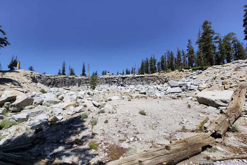
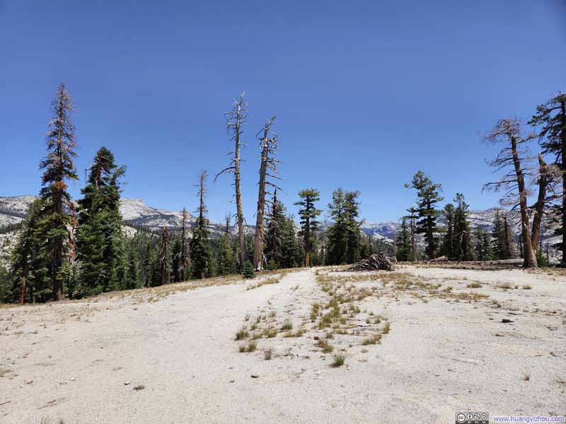
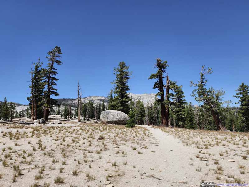
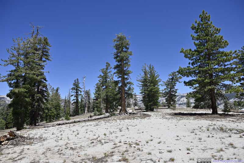
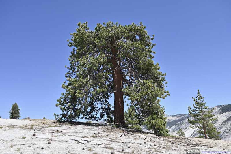
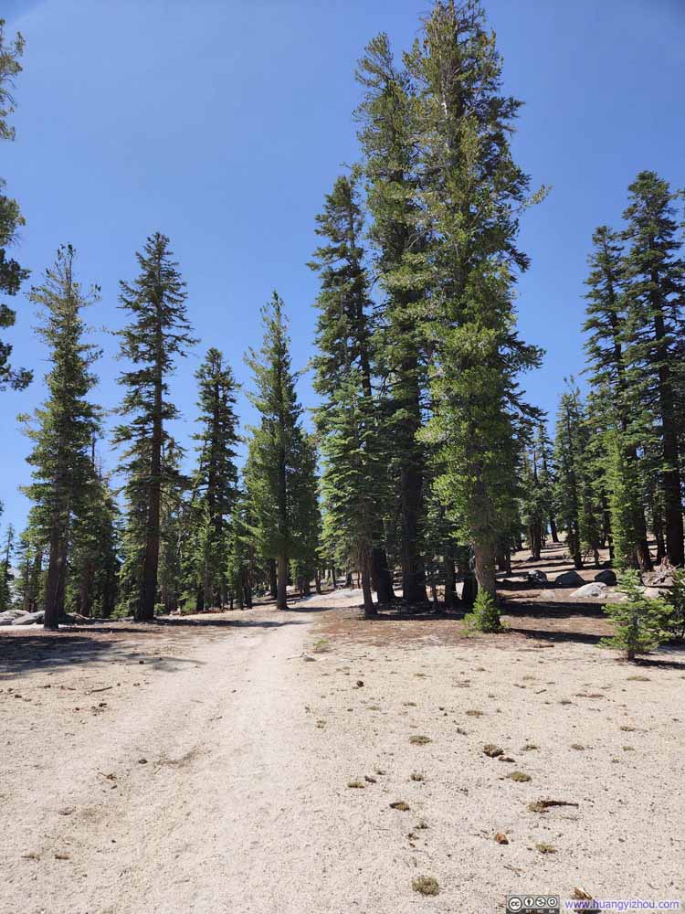
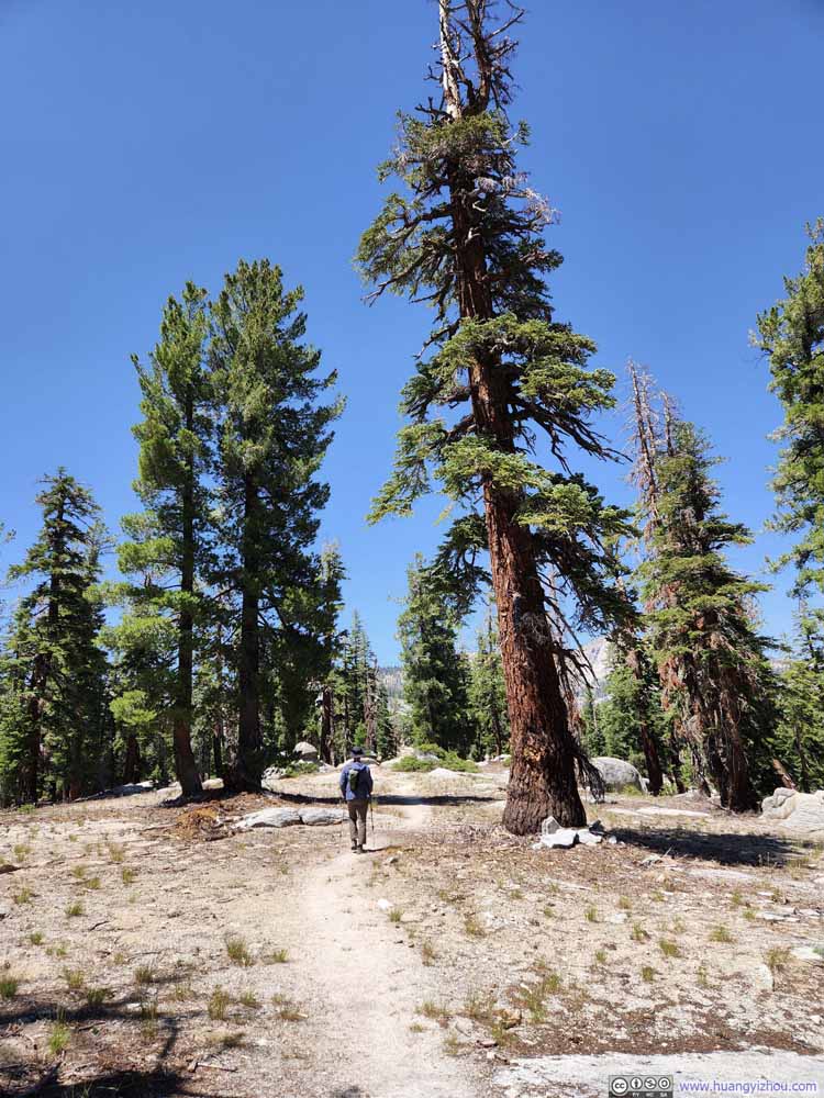
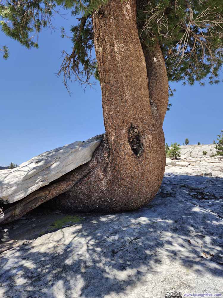
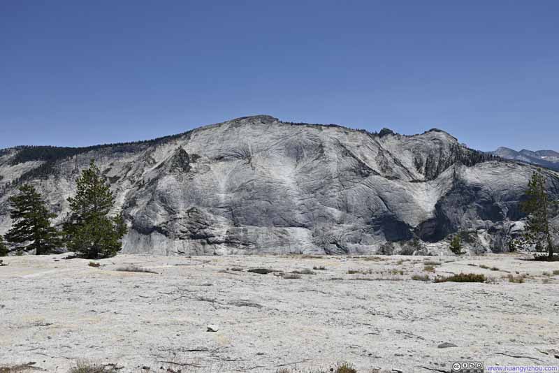
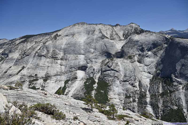
As for the hike, it’s largely a stroll along gently rolling hills and among a sparse pine forest. Coming out of the woods and onto the granite face of Mount Watkins, the sight of Half Dome should awe even the most cultured audiences. The trail disappeared once on the granite (p1 below), but to get the best views, one should go past the “summit” of Mount Watkins, for as far as one felt comfortable with the exposure and slope.
Click here to display photos of the slideshow
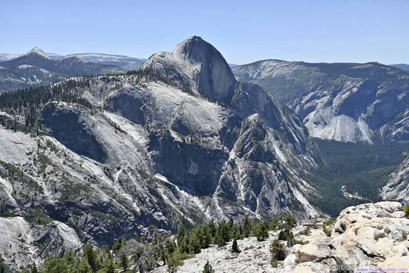
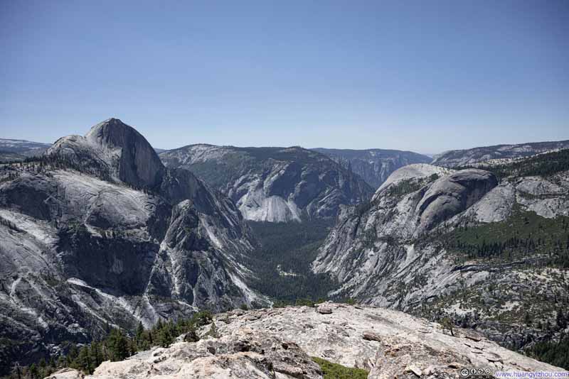
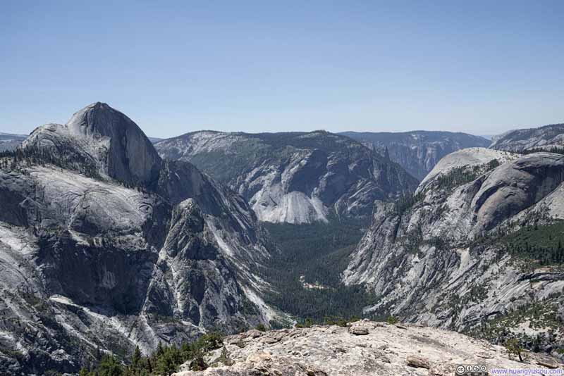
Below was the scenery from where we ended our hike. Half Dome with its imposing granite cliff was prominent in front (we could even see a line of hikers ascending along the cables). Across from Half Dome was North Dome (frankly, a bit dwarfed by Half Dome). Finally there was Glacier Point across the valley from us, where we would end the day watching a different face of Half Dome. With no obstruction, the wind was a bit strong on Mount Watkins, but not nearly enough to diminish our spirit as we indulged in the scenery.
Click here to display photos from Mount Watkins.
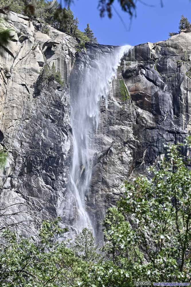
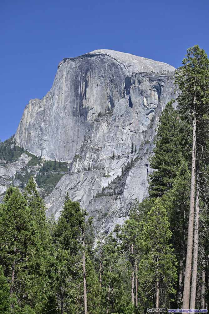
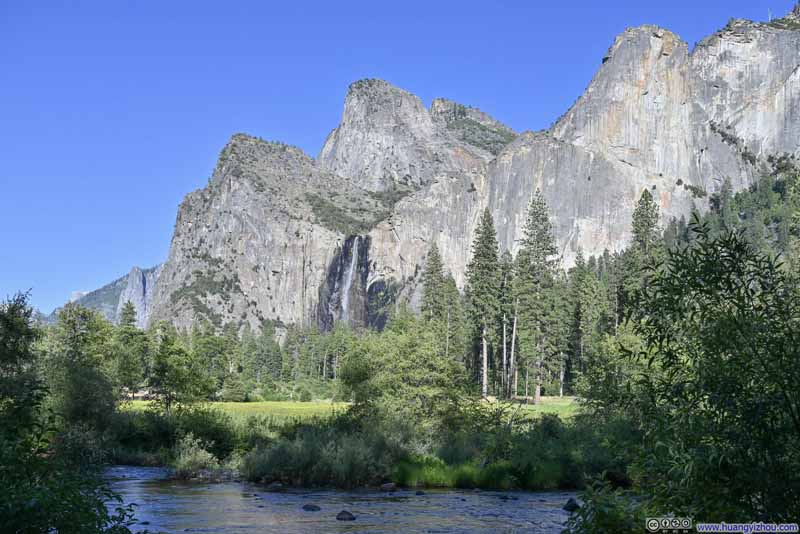
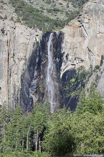
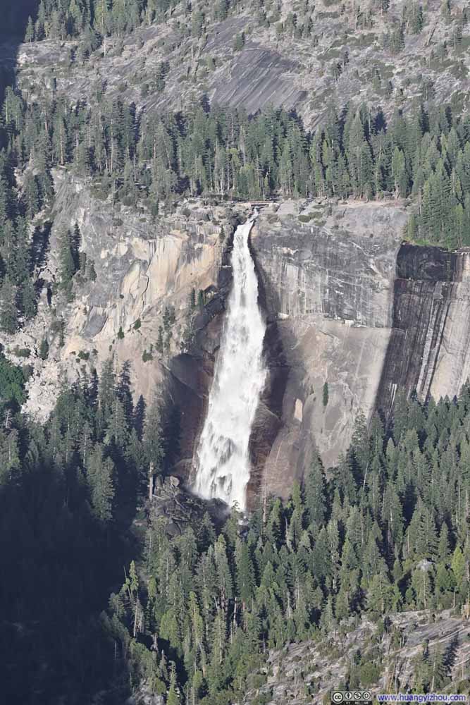
In the end, the hike to Mount Watkins took us 2 hours and 45 minutes, including 15 minutes spent at the end. It’s 2:30pm by the time we got back to the car, after which we drove to the Yosemite Valley floor. The geology of the area meant the drive took us an hour. Highlights of the valley floor were granite cliffs (Half Dome and El Capitan), and tall waterfalls (Bridalveil Falls and Yosemite Falls), which could be viewed from various roadside turnouts in the valley (slideshow below).
Click here to display photos of the slideshow
Originally, we wanted to check out the eastern end of Yosemite Valley, like, where the road ended. Unfortunately, we just couldn’t find parking at Happy Isles or Curry Village. We didn’t hit any trails there, but the roads, the parking lots and visitor centers felt unnaturally crowded, and the density of lodging and tents on the valley floor, however concealed behind the groves, did to some degree blemish nature’s beauty there. As a result, we retreated back to Yosemite Lodge, and decided to take the loop trail to Lower Yosemite Falls.
Lower Yosemite Falls Trail
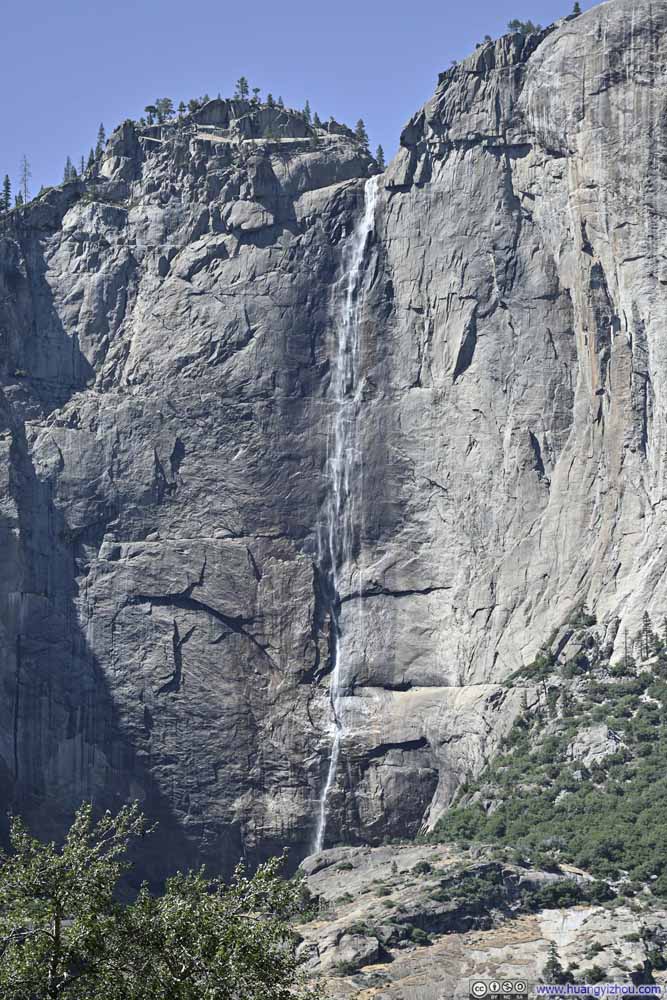
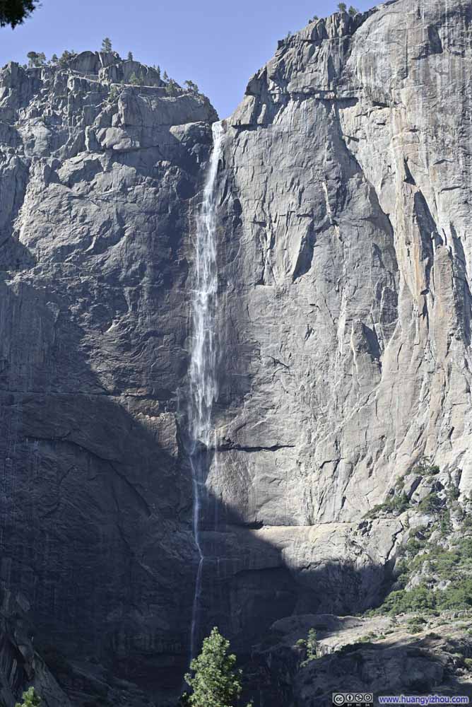
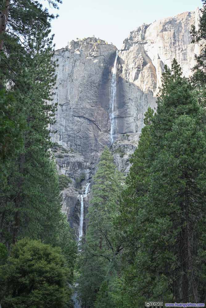
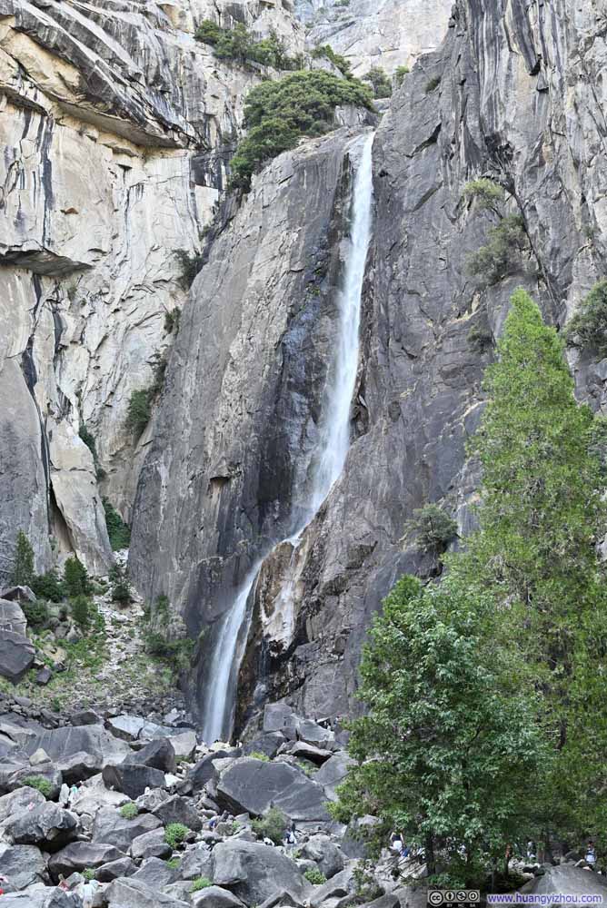
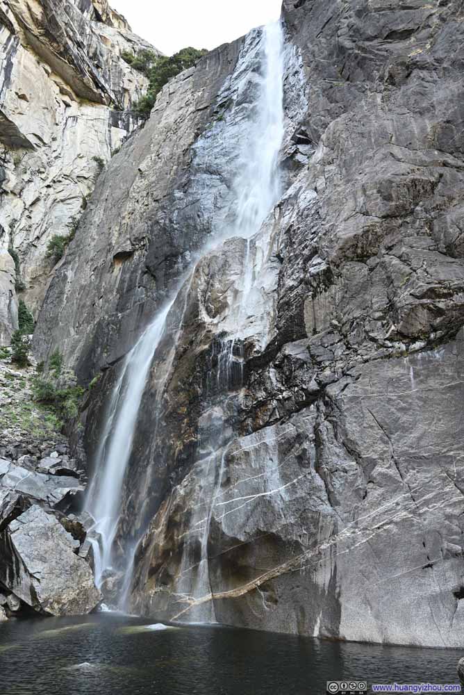
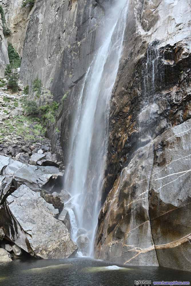
The loop trail to Lower Yosemite Falls was, in my opinion, negligibly short (finding parking nearby could be the bigger challenge) and ADA compliant. Both Yosemite Falls could be viewed from the trail (p1-2 below). At the end of the trail was a footbridge with views of Lower Yosemite Falls (p3 below). Many people ventured beyond the footbridge, scrambled along the rocks (in my opinion they were YDS class 2) to get an up-close look of Lower Falls, that included us (p4-5 below).
Click here to display photos of Yosemite Falls.
After leaving Yosemite Falls, our next stop was (the meadow near) El Capitan.
El Capitan
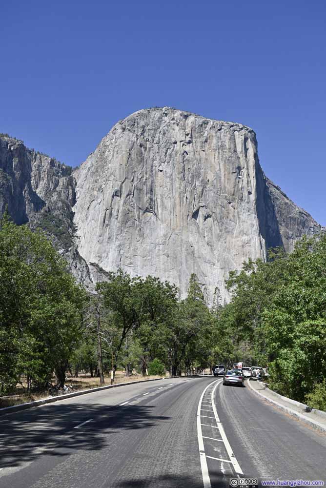
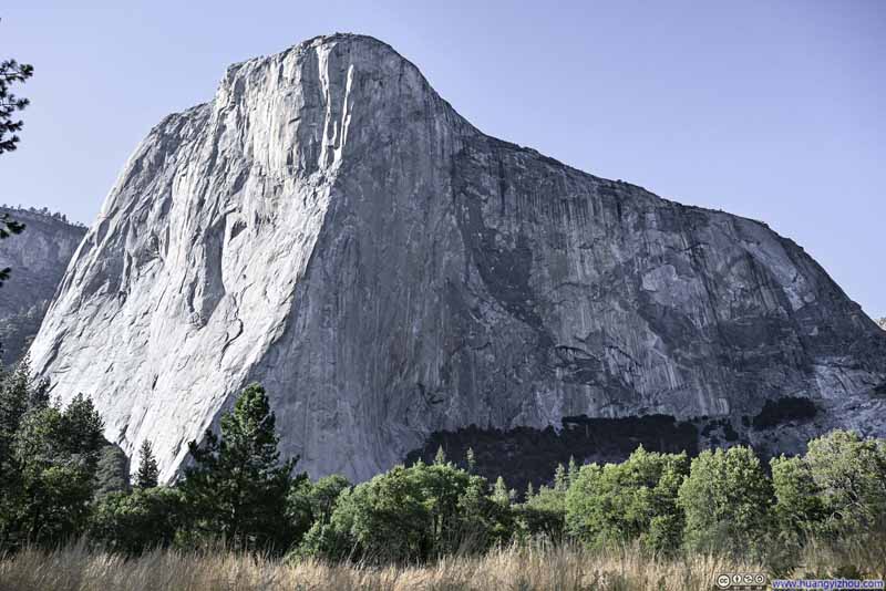
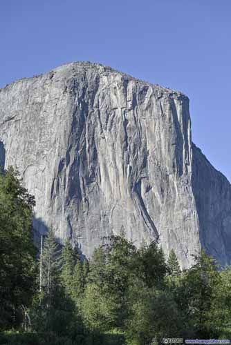
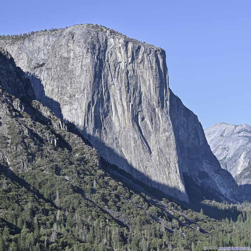
El Capitan was one of the two most spectacular vertical rock formations in Yosemite (the other being Half Dome). I got to know it from the movie Free Solo, recording Alex Honnold’s rope-free climbing of this monumental wall.
This felt like a pilgrimage to me, to a site where the boundaries of human capacities were pushed, where the majesty of nature’s craft met man’s feat.
Leaving El Capitan Meadow, we were looking for a spot to pull over to watch the western face of El Capitan bathing in the setting sun. Unfortunately, the good places to pull over were all somewhat discrete and we were driving too fast to spot them and stop in time. As a result, our next stop ended up being “Valley View”.
Valley View
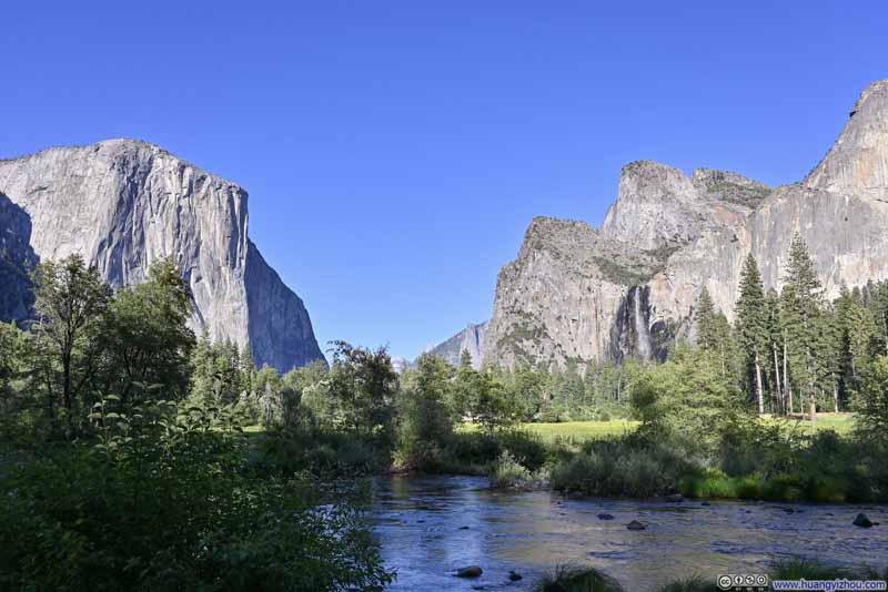
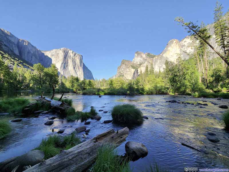
This is a viewpoint at the floor of Yosemite Valley, right next to Merced River where one could watch El Capitan and Cathedral Rocks as two gatekeepers standing guard at the mouth of the valley. This was like a lower-down, more intimate version of the popular Tunnel View (which was our next stop). One minor drawback here was the size of the parking lot, which only held about 10 cars (luckily, we found a spot while we drove by).
Click here to display photos from Valley View.
Tunnel View
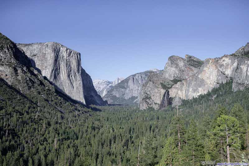
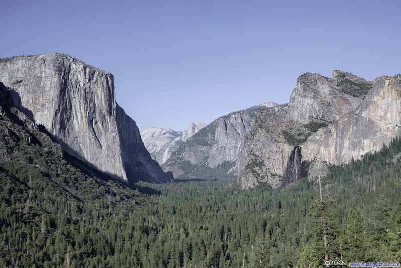
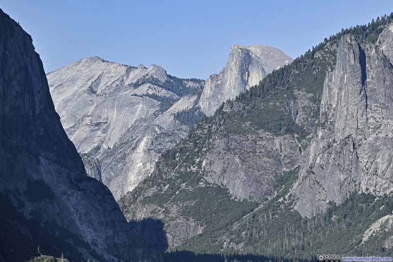
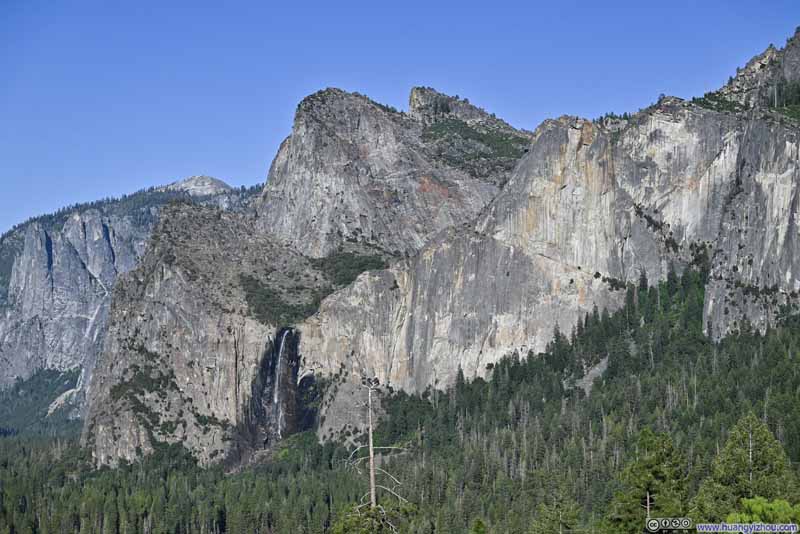
Our next stop was “Tunnel View”. It probably got this name for its location at the end of Wawona Tunnel. For those arriving from Oakhurst/Wawona, the end of the tunnel brought the first sight of Yosemite Valley, and it was a gorgeous one. Unlike previously at Valley View, Tunnel View Vista was higher on a hill, hence the views were unobstructed and further into the valley, with Half Dome visible in the distance. Essentially, one could get all the famous granite cliffs of Yosemite in one frame here, and during our visit in late afternoon, perfectly lit by the afternoon sun.
Click here to display photos from Tunnel View.
Sunset at Glacier Point
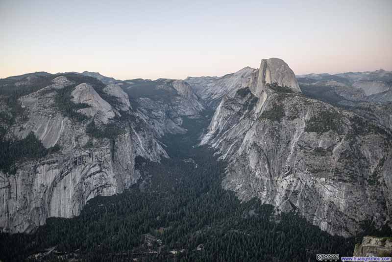
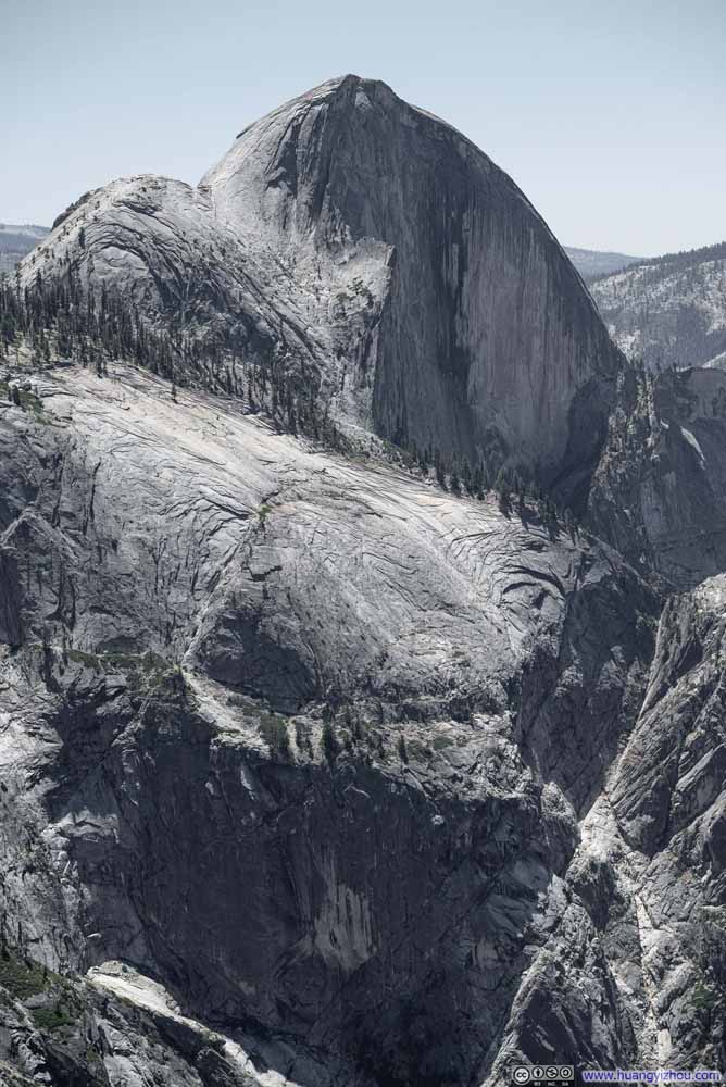
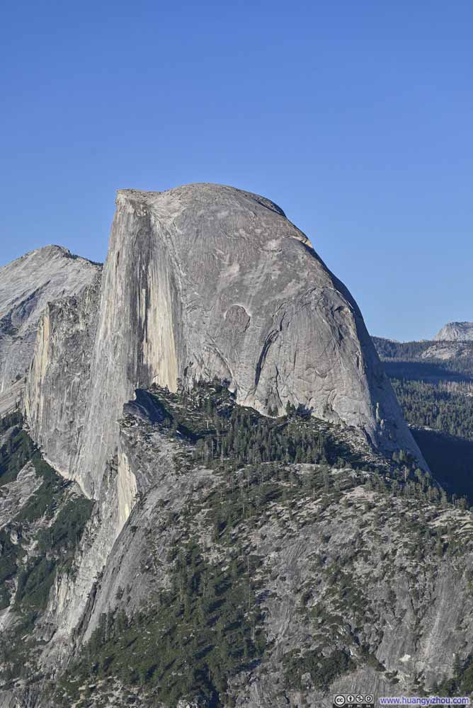
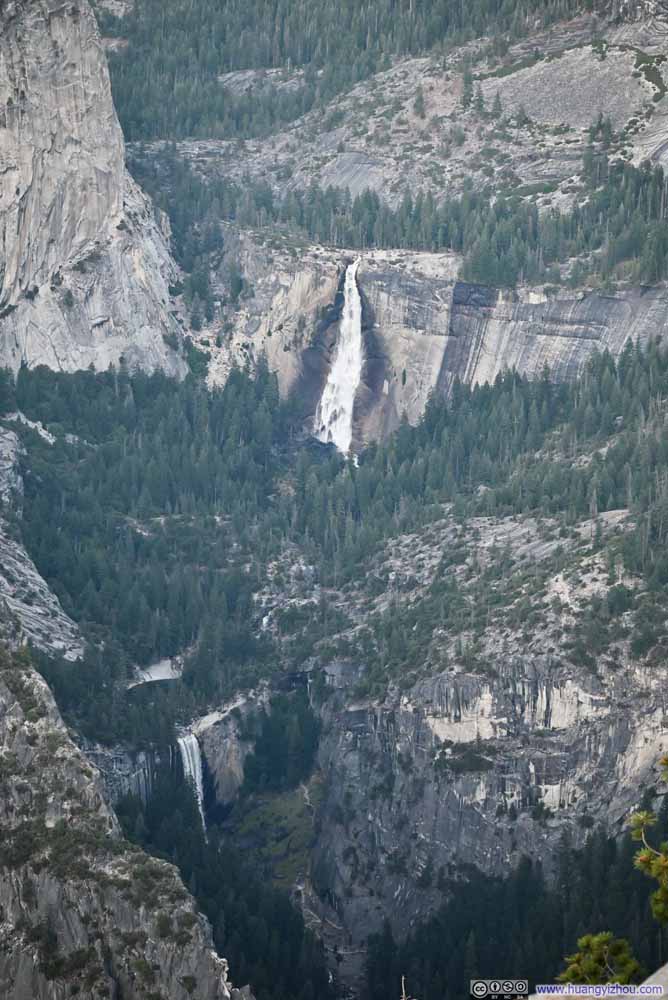
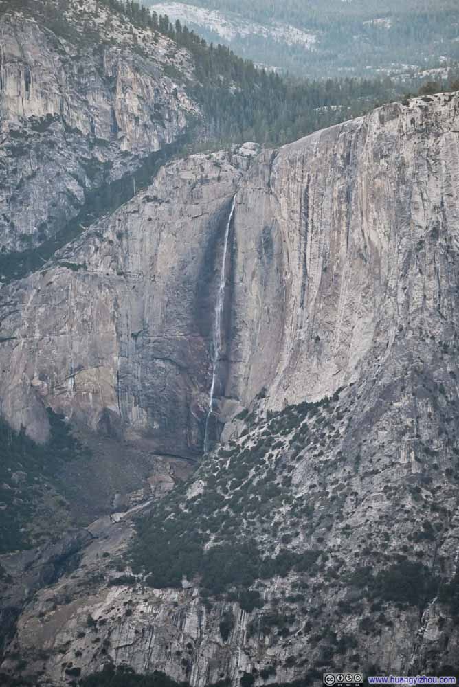
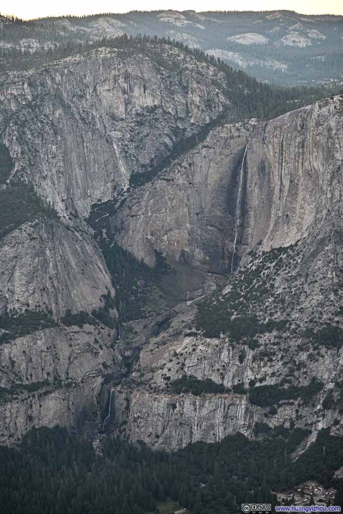
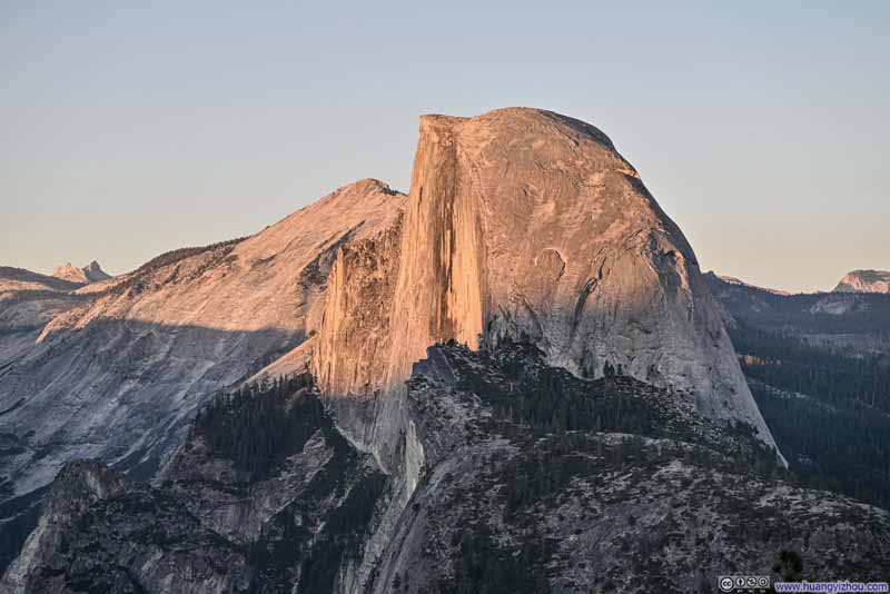
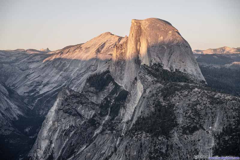
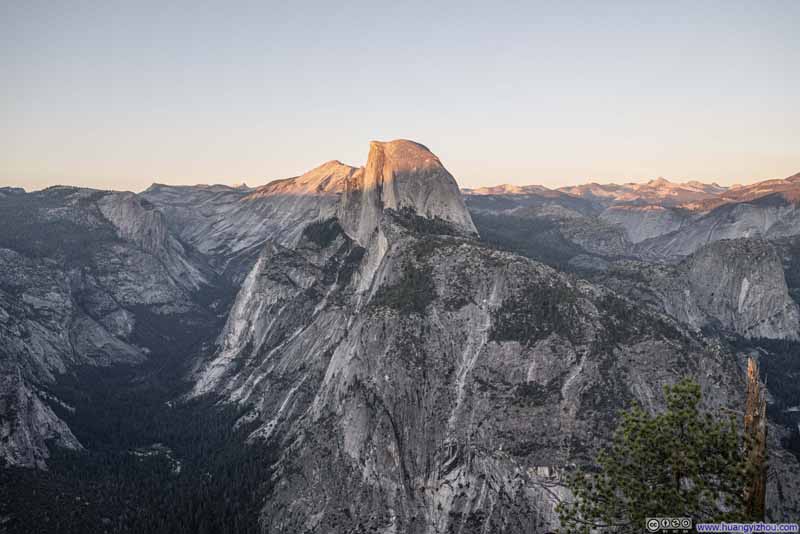
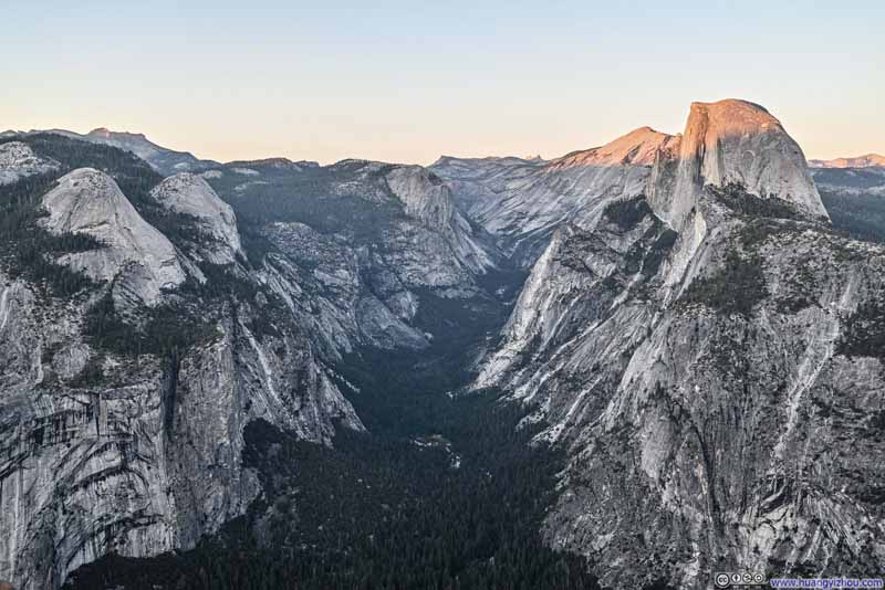
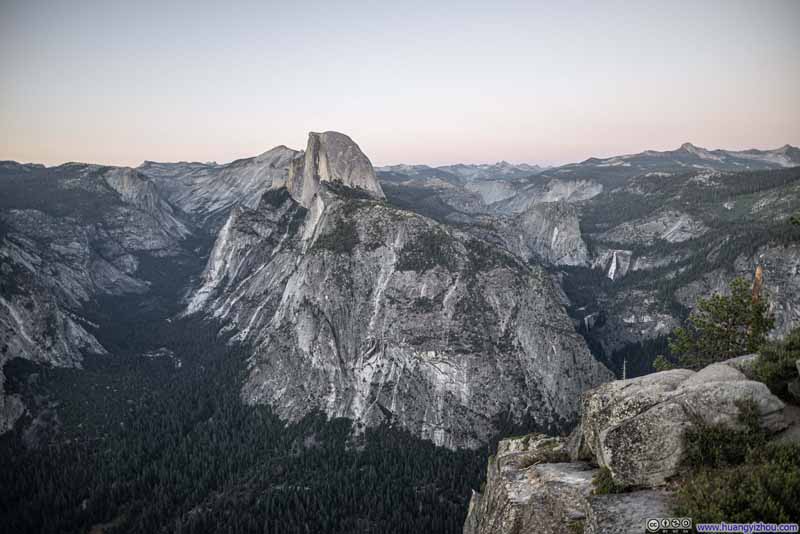
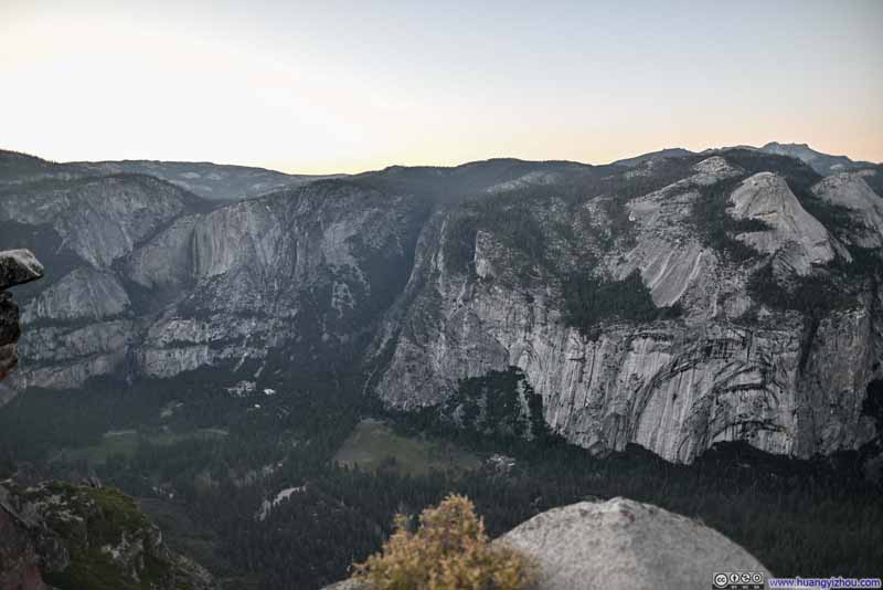
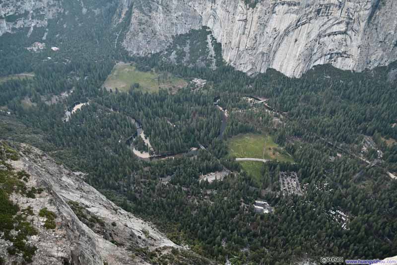
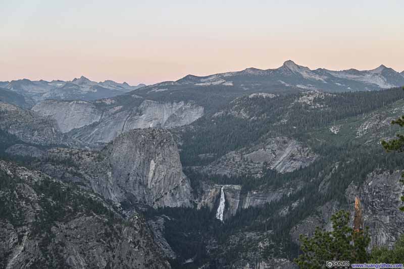
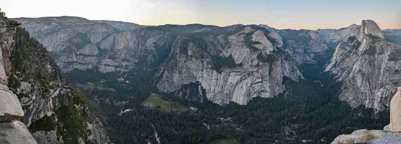
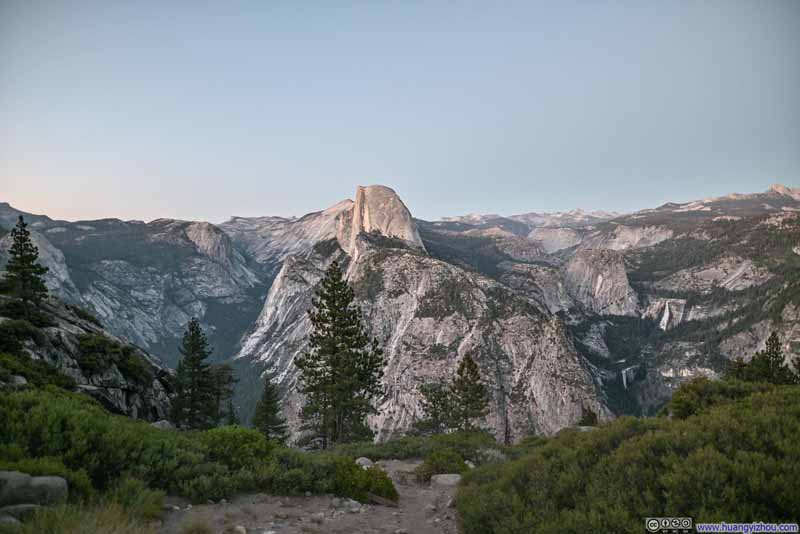
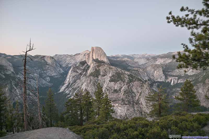
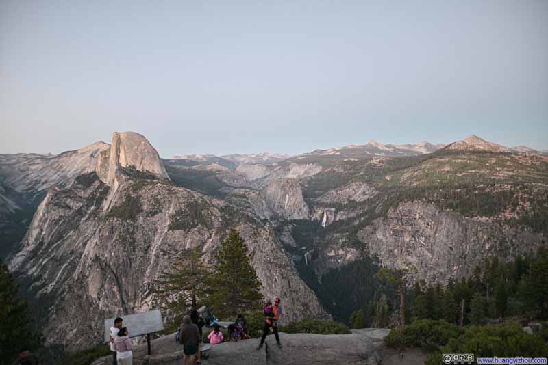
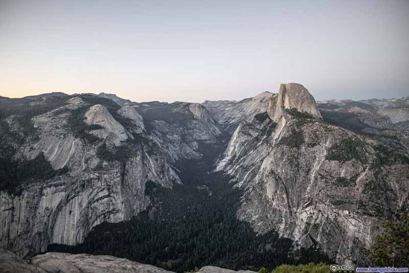
Our final stop of the day was Glacier Point, arguably the most popular vista in Yosemite National Park. This vista offered towering views of Curry Village below at the floor of Yosemite Valley. (It was so steep that one could probably parachute off Glacier Point.) To the east, Half Dome was front and center, with its unmistakable hemispherical shape and its sheer granite cliff catching the afternoon sun. From this vantage point, forces of glacierization were in full display in the polished granite surfaces that lined the horizon.
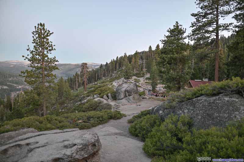
Anticipating traffic and parking congestions, we had some leeway in our schedule, and ended up arriving at Glacier Point about an hour before sunset. (The parking lot at Glacier Point was very large and I didn’t think it got filled up that evening.) So we headed towards Glacier Point, snapped a few photos with the sun still up (such as p1 below), before heading back to our car and had some snacks while waiting for the sunset. (By the way, it took about 5 minutes to walk from the parking lot to Glacier Point, which was short but not negligible.)
Click here to display photos of the slideshow
When we returned from our snack break, about 15 minutes from sunset, we found a Half Dome bathed in the warm orange colors of the last rays of sun of the day.
Click here to display photos of the slideshow
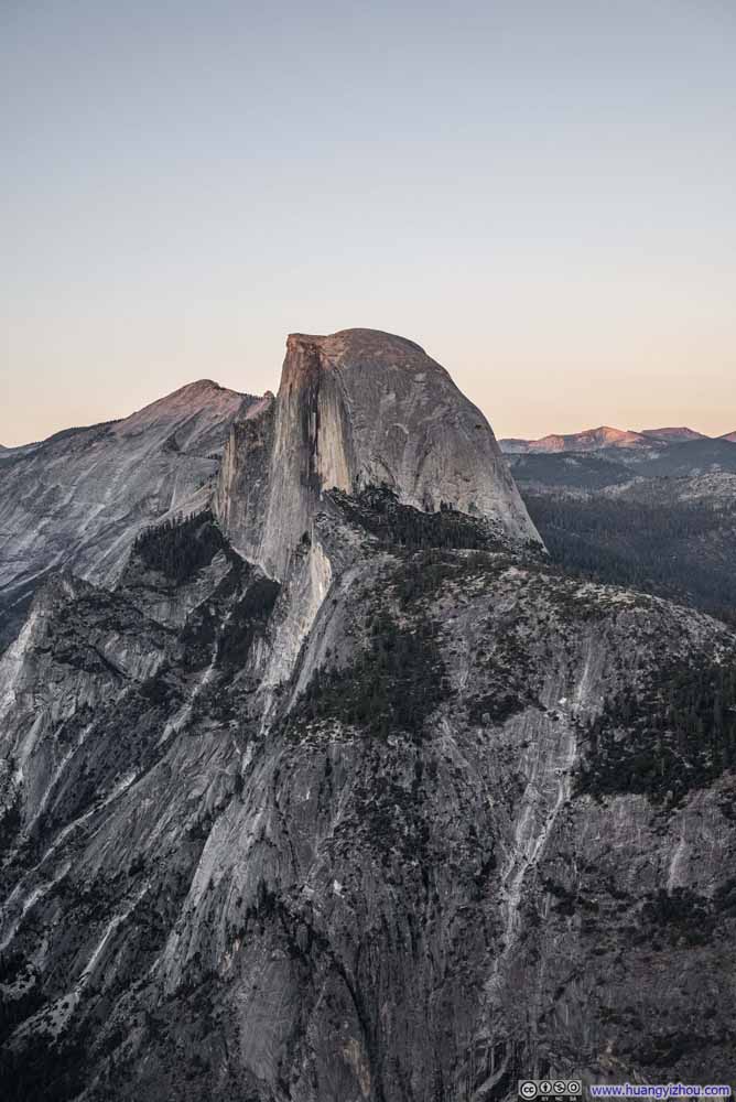
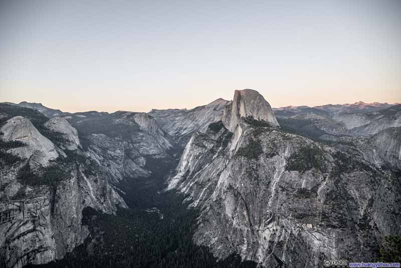
And finally, the most mesmerizing soft colors of twilight once the sun had fully set. A most charming end to the past week that we spent in Sierra Nevada.
Click here to display photos of the slideshow
Click here to display photos of the slideshow
Night Sky
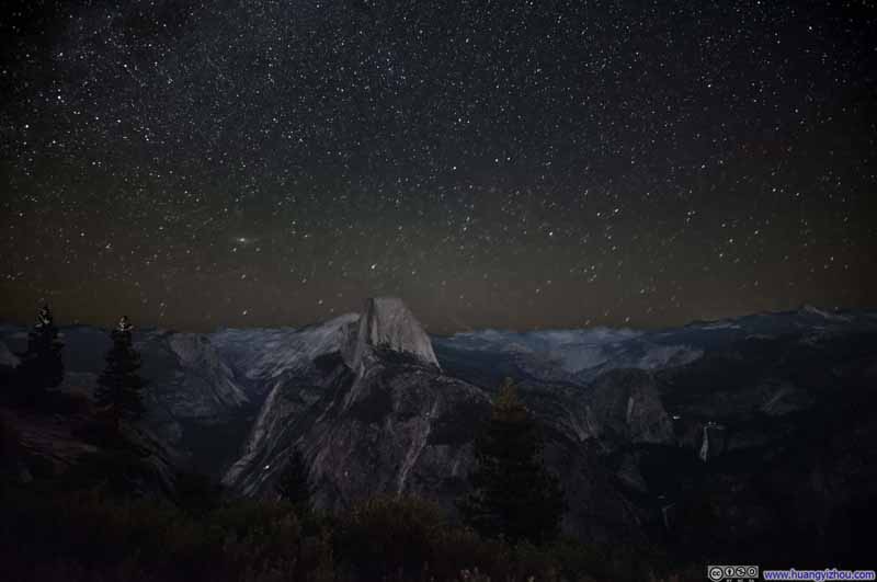
With little light pollution around, Glacier Point was an ideal stargazing spot. With nothing planned for tomorrow, we could afford to stay up late in Yosemite to watch the stars, and then make the 4-hour drive back to Berkeley. (Glacier Point was about an additional hour away from Yosemite Valley floor.)
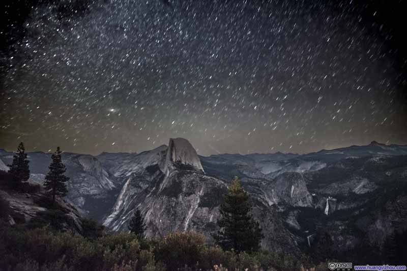
Below were the night skies with Half Dome in the center. I had some struggles post-processing this group: The automatic adjustment for earth’s movements didn’t look ideal (p1 below), and if I forgo such adjustment (p2 below), the stars looked clustered and unorganized.
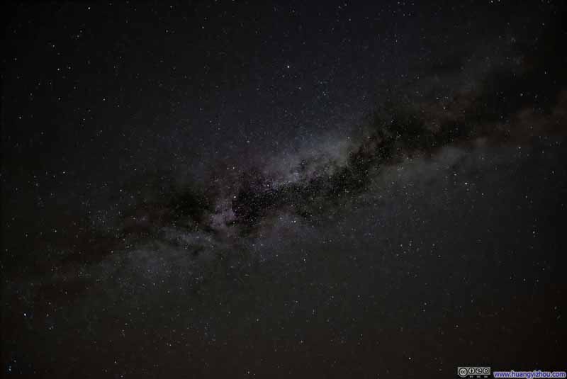
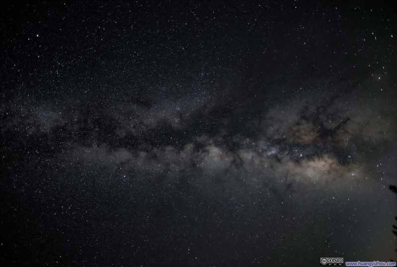
In comparison, the milky way looked pretty appealing, one of the best that I’d seen in years.
After that, we left Glacier Point and headed back to Berkeley, concluding this week-long trip to Sierra Nevada.
END
![]() Day 8 of July 2024 Trip to Sierra Nevada, Yosemite National Park by Huang's Site is licensed under a Creative Commons Attribution-NonCommercial-ShareAlike 4.0 International License.
Day 8 of July 2024 Trip to Sierra Nevada, Yosemite National Park by Huang's Site is licensed under a Creative Commons Attribution-NonCommercial-ShareAlike 4.0 International License.

