
Updated on January 28, 2025
Day 1 of Summer 2024 Trip to Colorado, Square Top Mountain
The first day of my summer 2024 trip to Colorado. I planned to use the day as some form of acclimatization so I decided to hike Square Top Mountain from Guanella Pass.
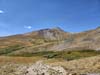
Square Top Mountain
Planning
Despite the relative short nature of this trip, I aimed to include a YDS class 3 mountain in it. But with only 3 full days available (excluding today, Aug 30, when I need to pick up the rental car in the morning, and Sept 3, when my flight is in the afternoon), an ideal plan was to tackle the most challenging mountain on the third full day (Sept 2), and climb a similarly strenuous but less technical mountain on the first full day (Aug 31), taking it easy on the second full day in between (Sept 1). There weren’t many class 3 mountains near Denver, so initially I focused on “The Sawtooth” between Mount Bierstadt and Mount Blue Sky. Unfortunately, weather forecast predicted chances of rain on Sept 2, which thwarted my plan. Nevertheless, I discovered that Square Top Mountain, to the west of Guanella Pass, was perfect for my acclimatization. Plus I got to watch Mount Bierstadt throughout the hike, which somewhat made up for the change in plans.
The Hike
After spending time picking up a rental car in the morning and dealing with some traffic along the way, it’s 12:30 by the time I reached Guanella Pass. Being a seasonal road, the road to Guanella Pass was uncomfortably twisty after leaving Georgetown (much worse than the one going over Loveland Pass as I experienced two years ago). This relatively late time (for hiking) meant I had no trouble finding a parking spot at Guanella Pass.
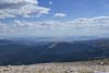
Since so much of the day revolved around “The Sawtooth” which unfortunately I could only watch during this trip, I would like to start the post with a slideshow of photos taken from various points along the hike.
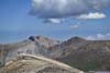
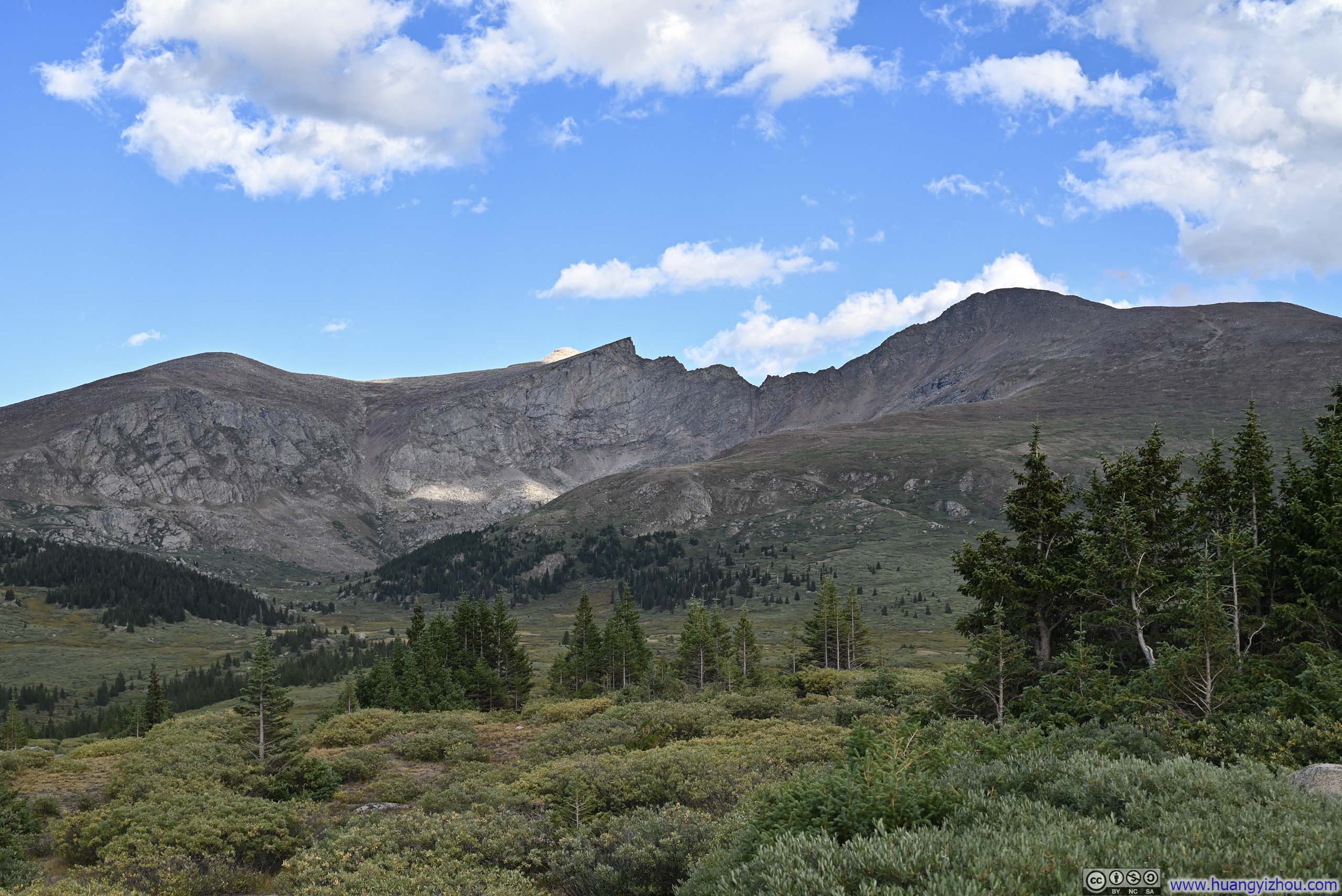
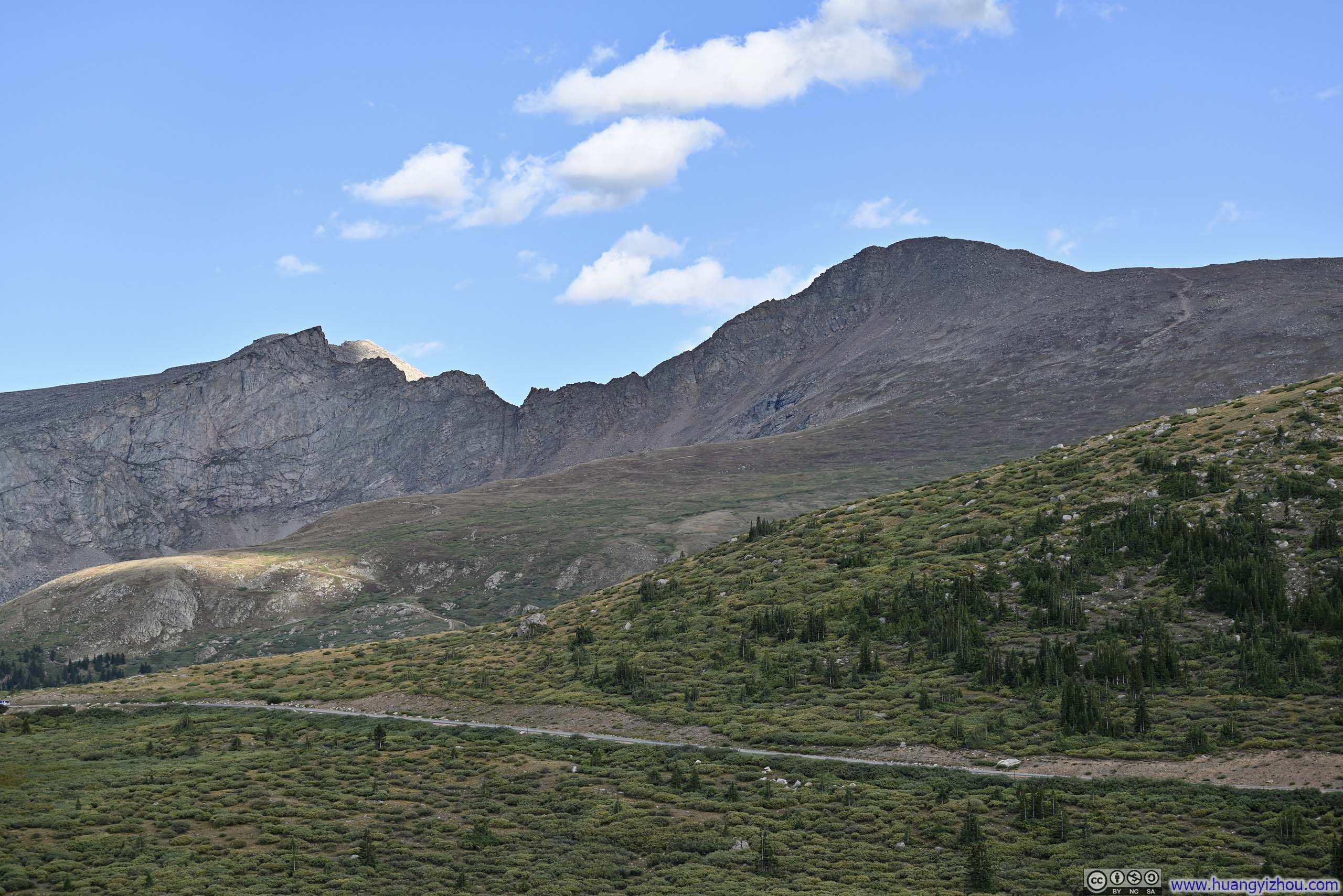
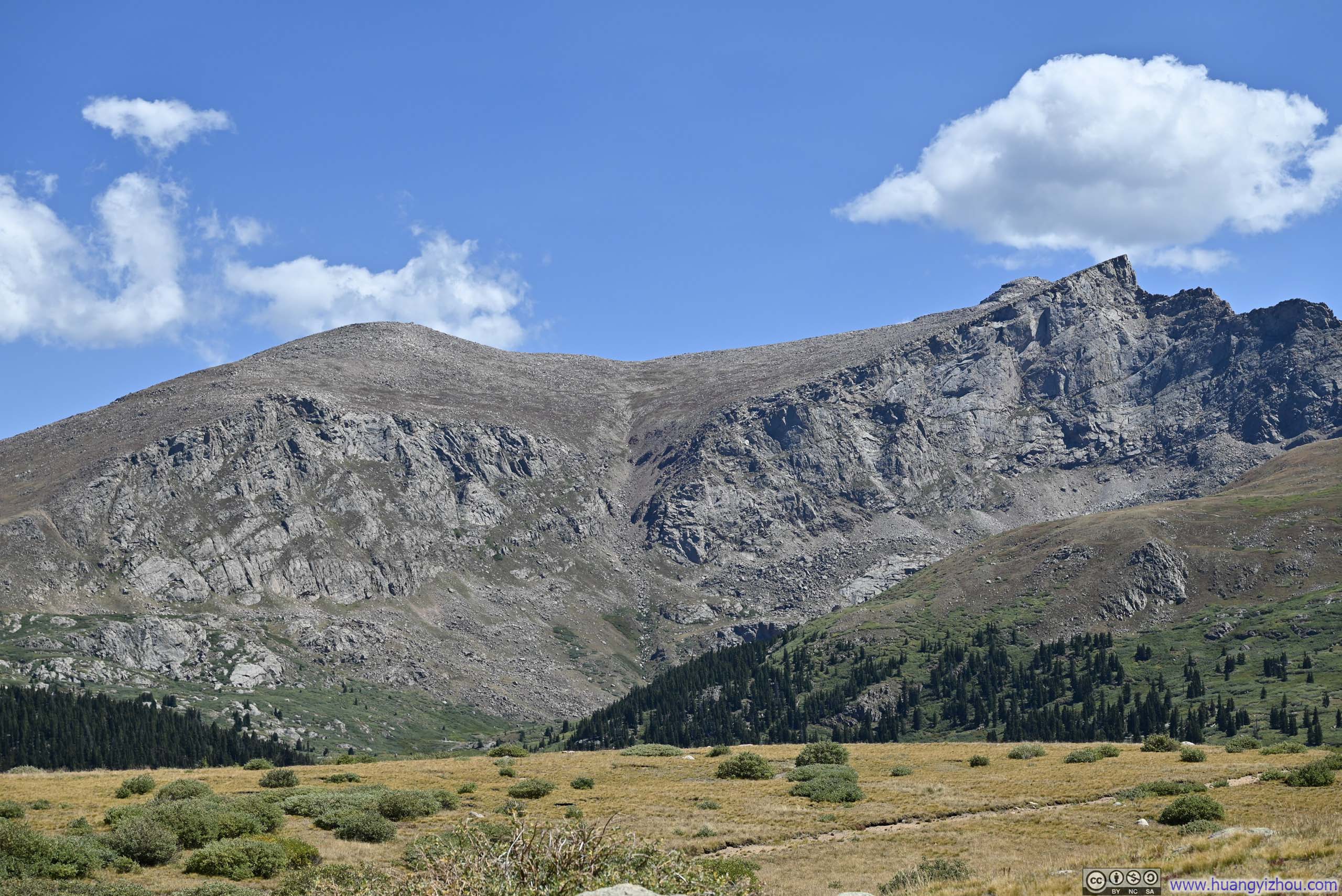
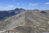
 Mount Spalding, The Sawtooth and Mount Bierstadt
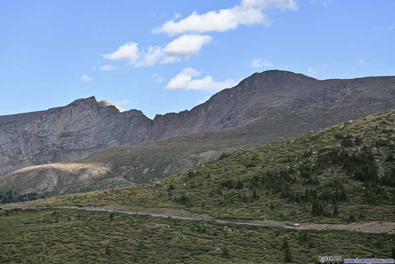 The Sawtooth between Mount Bierstadt and Mount Blue Sky
 Mount Spalding and Mount Blut SkyThe gully in the middle was likely part of the Bierstadt/Sawtooth/Blue Sky loop.
 Mountains to the EastFrom left to right: Gray Wolf Mountain, Mount Spalding, Mount Blue Sky and Mount Bierstadt.
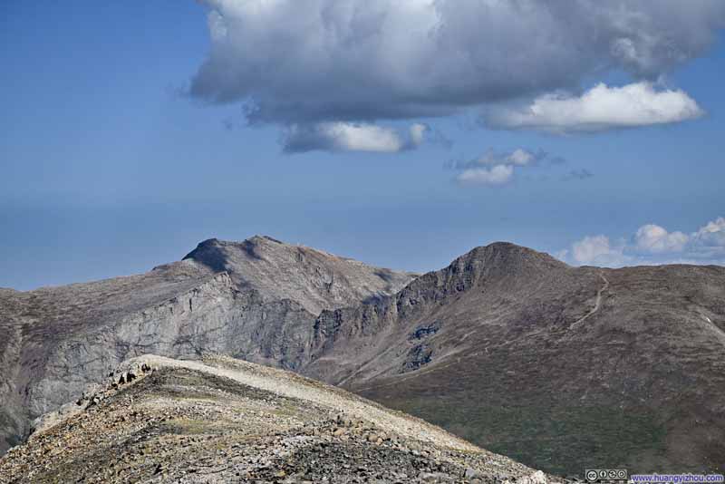 The Sawtooth between Mount Bierstadt and Mount Blue SkySeen from the top of Square Top Mountain, the observatory on top of Mount Blue Sky is visible.


Click here to display photos of “The Sawtooth” between Mount Bierstadt and Mount Blue Sky.
Mount Spalding, The Sawtooth and Mount Bierstadt
The Sawtooth between Mount Bierstadt and Mount Blue Sky
Mount Spalding and Mount Blut SkyThe gully in the middle was likely part of the Bierstadt/Sawtooth/Blue Sky loop.
Mountains to the EastFrom left to right: Gray Wolf Mountain, Mount Spalding, Mount Blue Sky and Mount Bierstadt.

The Sawtooth between Mount Bierstadt and Mount Blue SkySeen from the top of Square Top Mountain, the observatory on top of Mount Blue Sky is visible.
After some warmup, I started the hike at 12:45pm. Here’s GPS tracking:
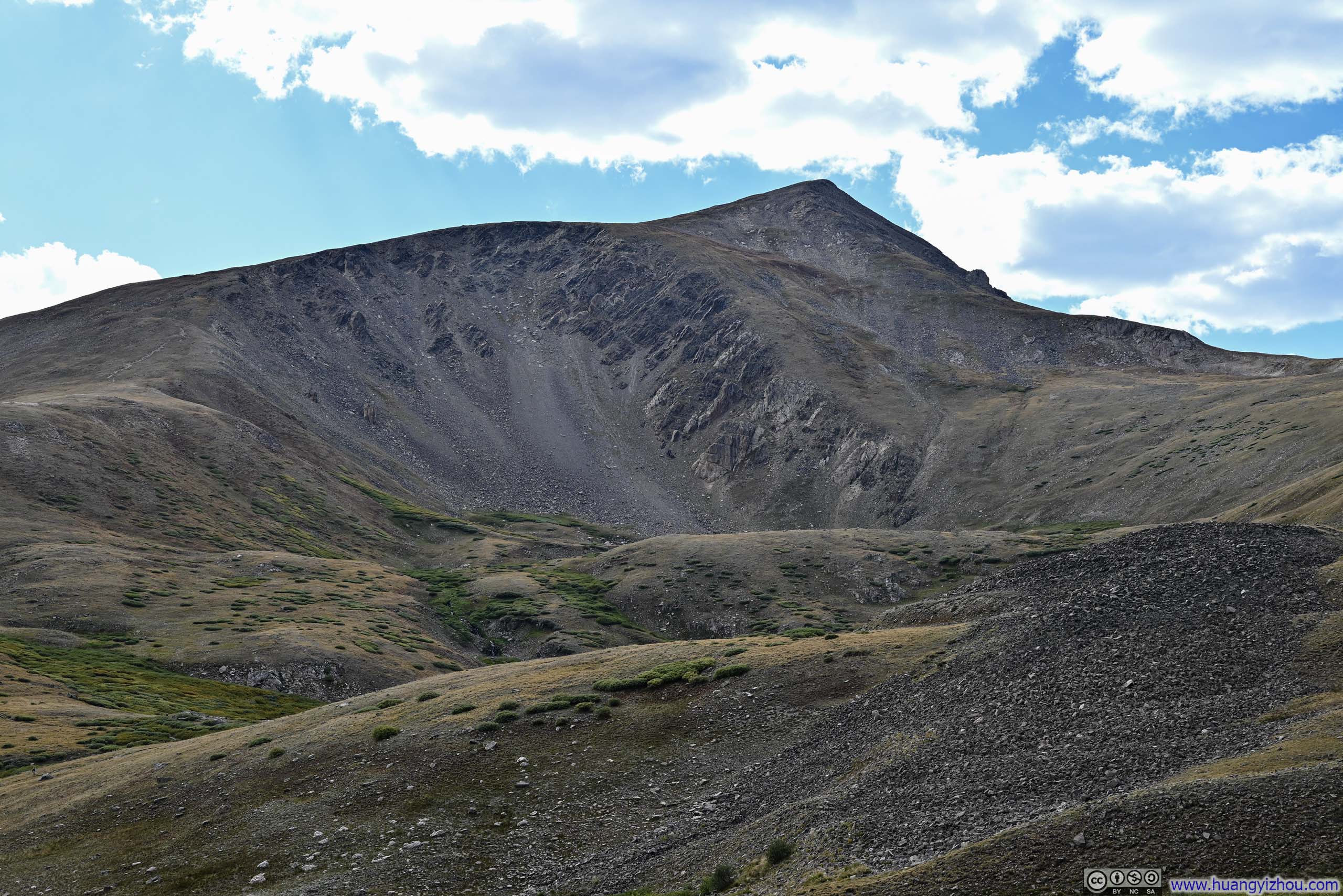
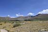
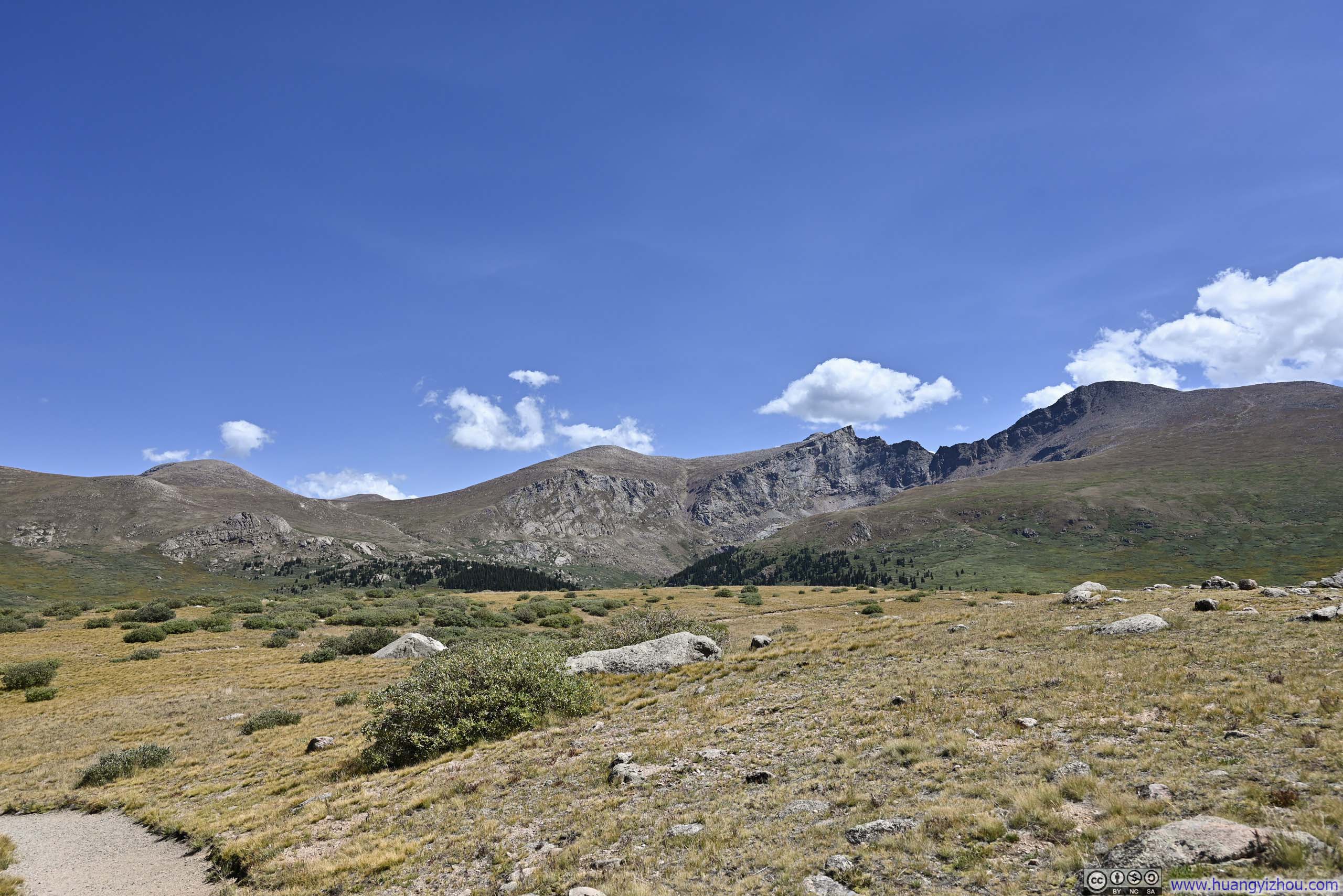
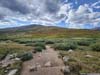
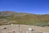
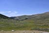
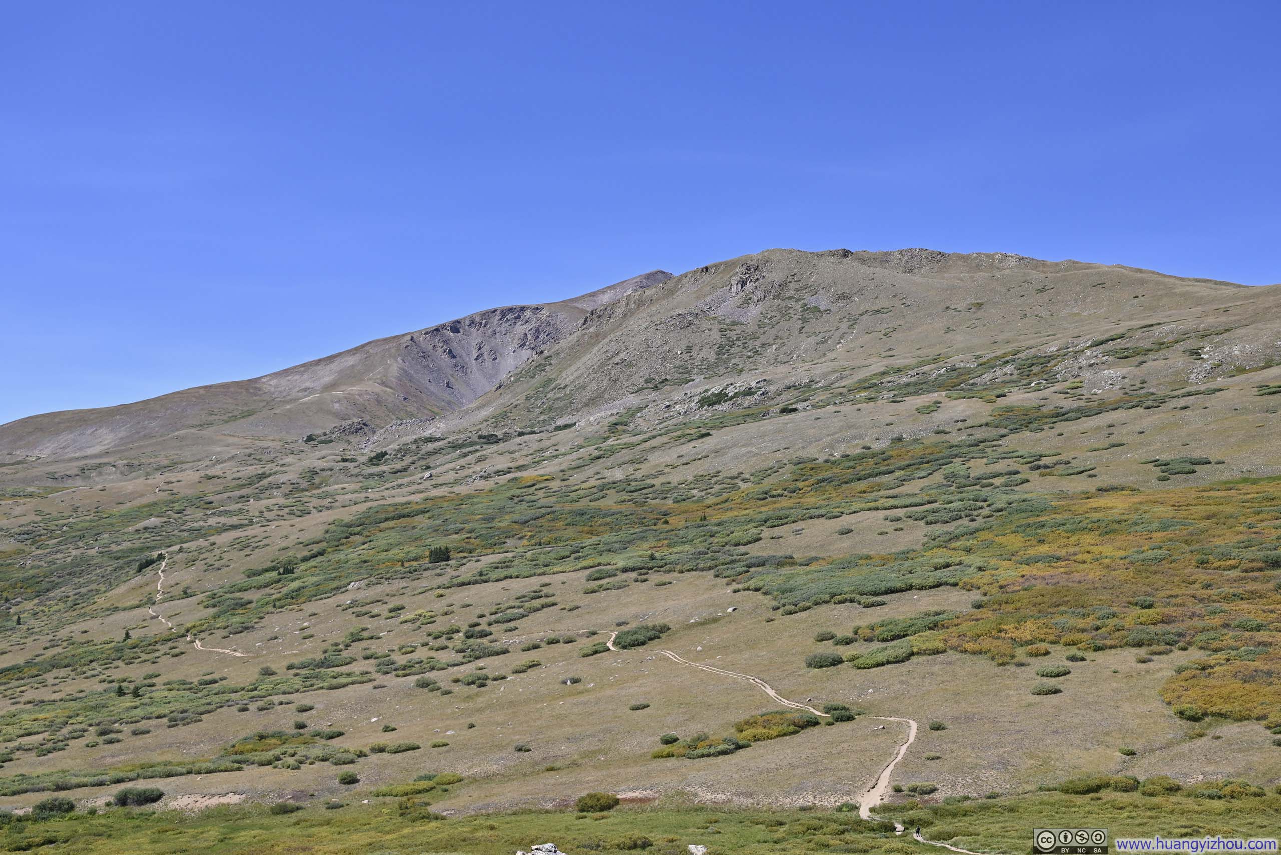
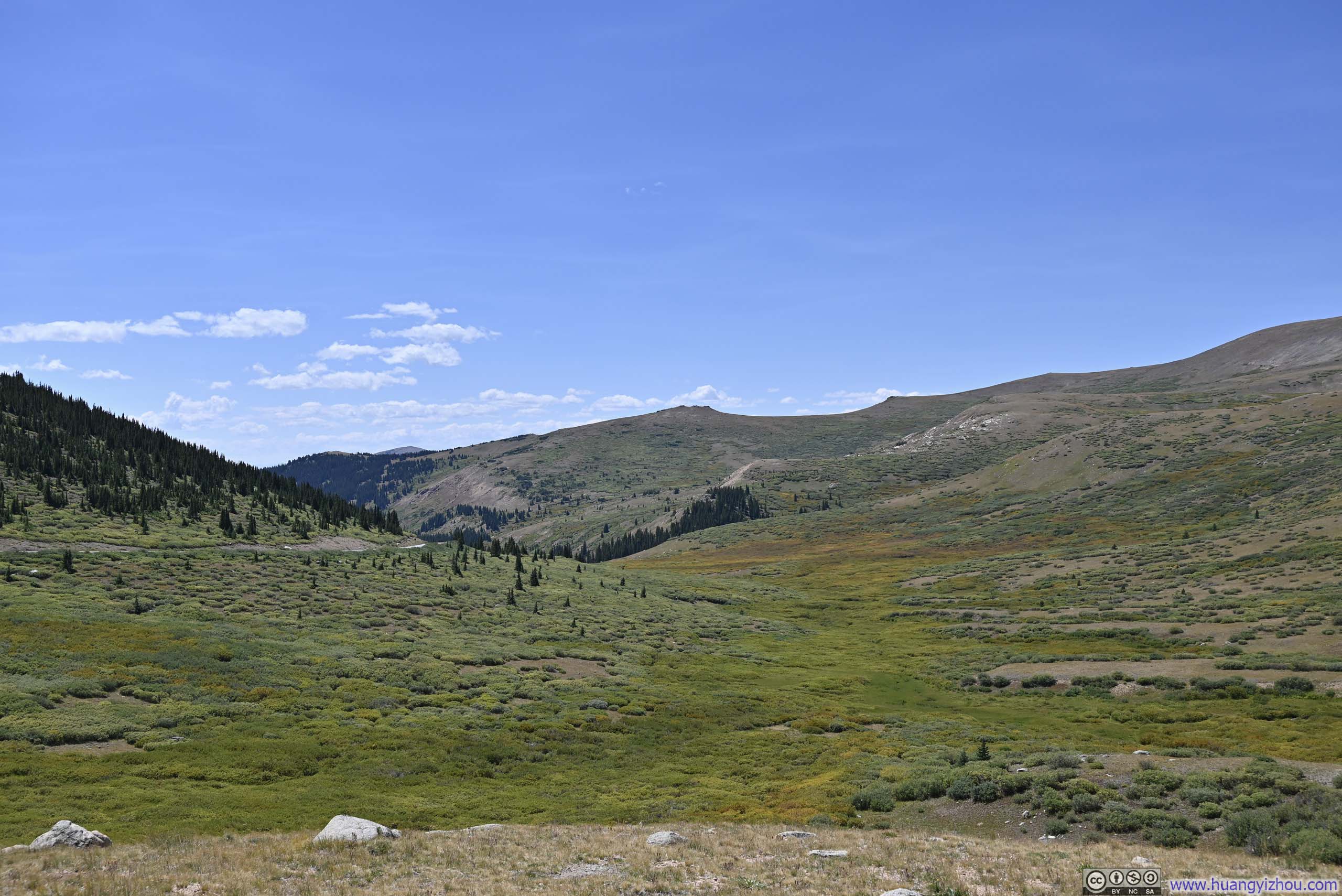
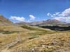
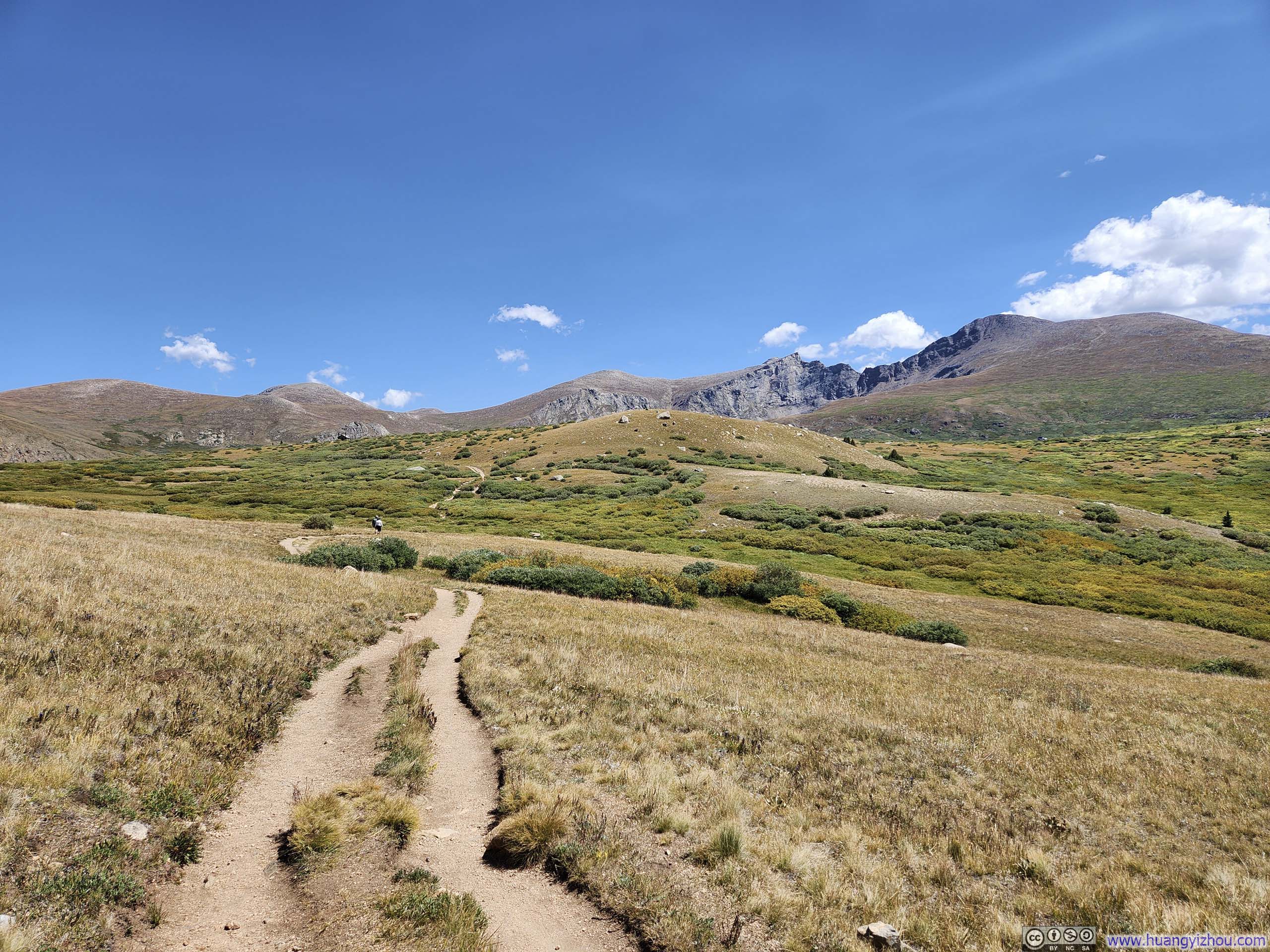
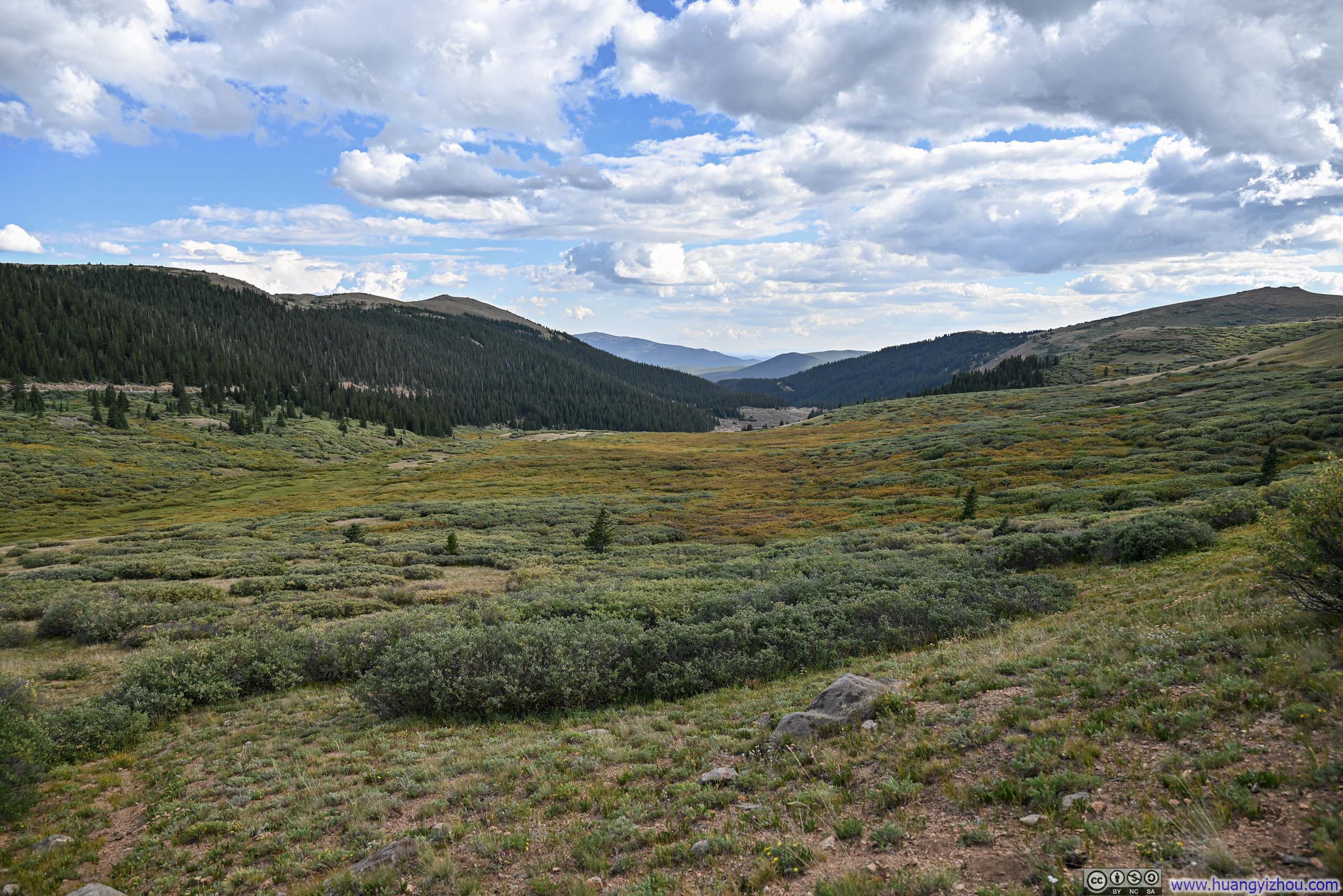
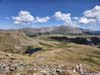
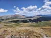
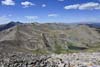
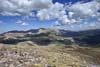
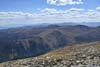
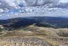
The high elevation of Guanella Pass meant the entire hike was above the tree line. As a result, views were wide open, and they were no doubt enjoyable.
 Trail to Square Top Mountain
 Mountains to the North
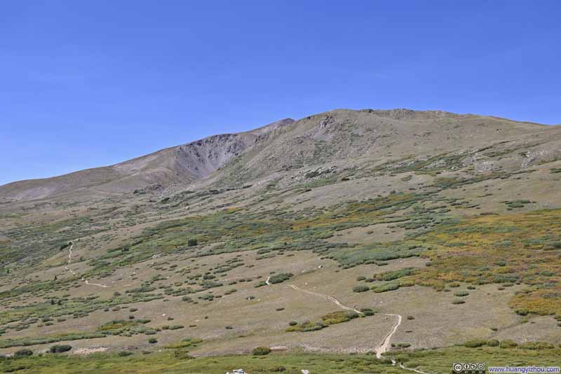 Trail to Square Top Mountain
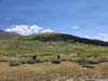
 Meadow
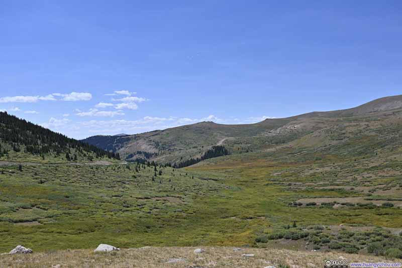 Meadow
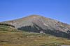
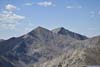
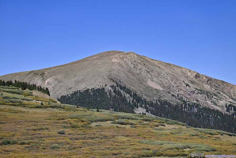 Otter Mountain
Click here to display photos of the slideshow
Trail to Square Top Mountain

Mountains to the North
Trail to Square Top Mountain
 Meadow

Otter Mountain
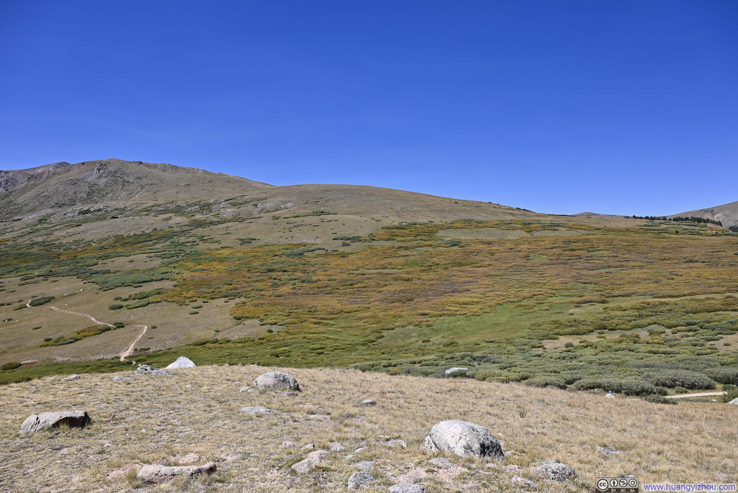
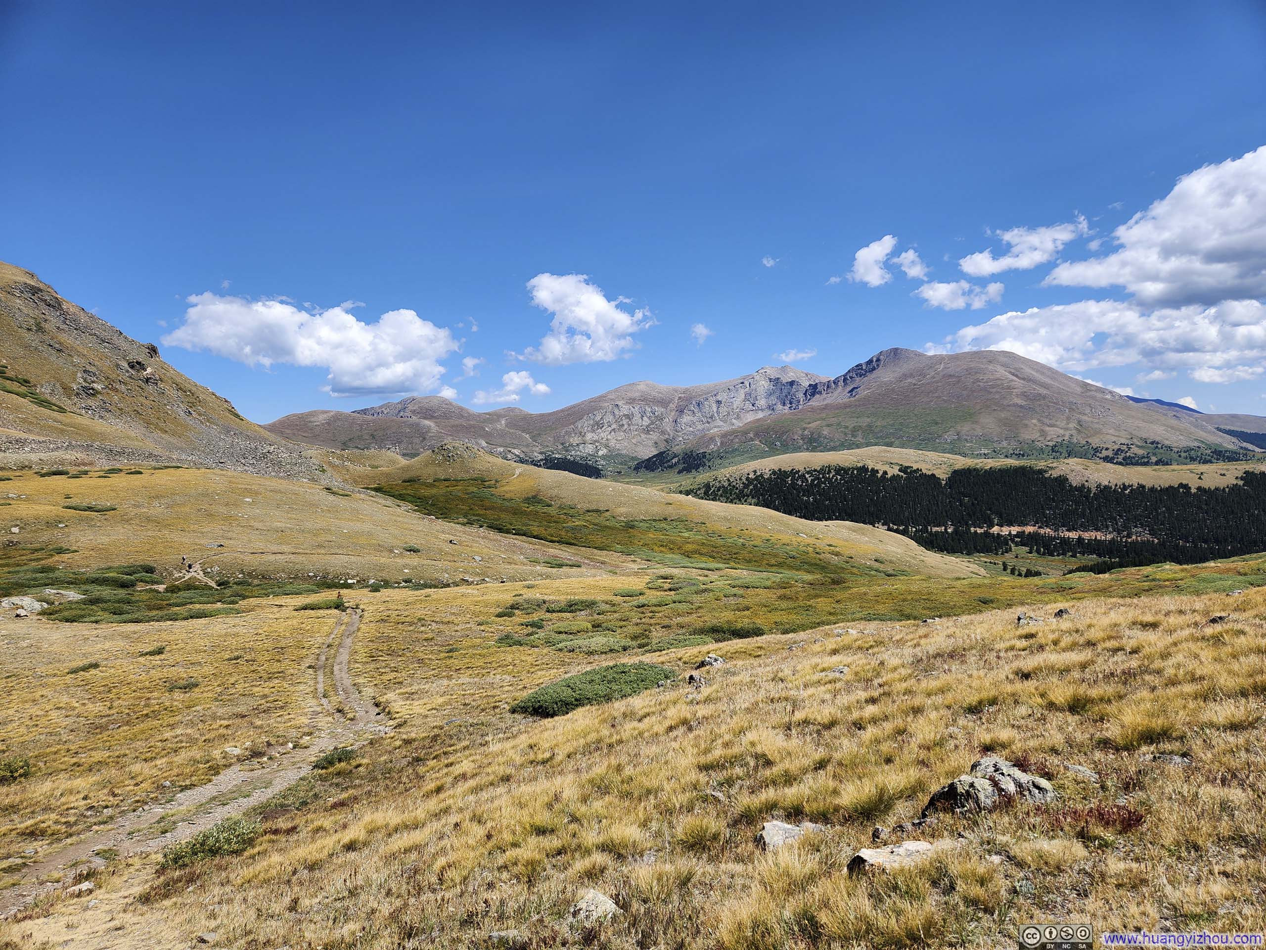
 Trail
Trail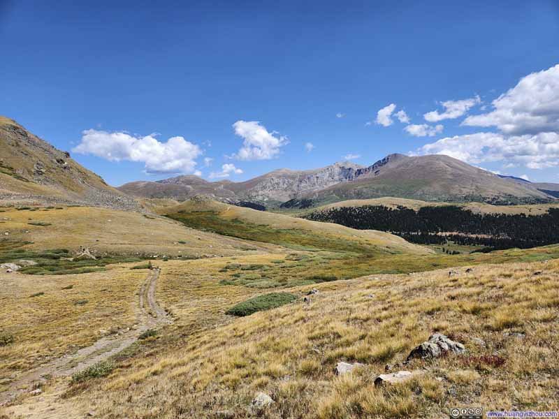 Mountains to the East
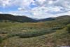
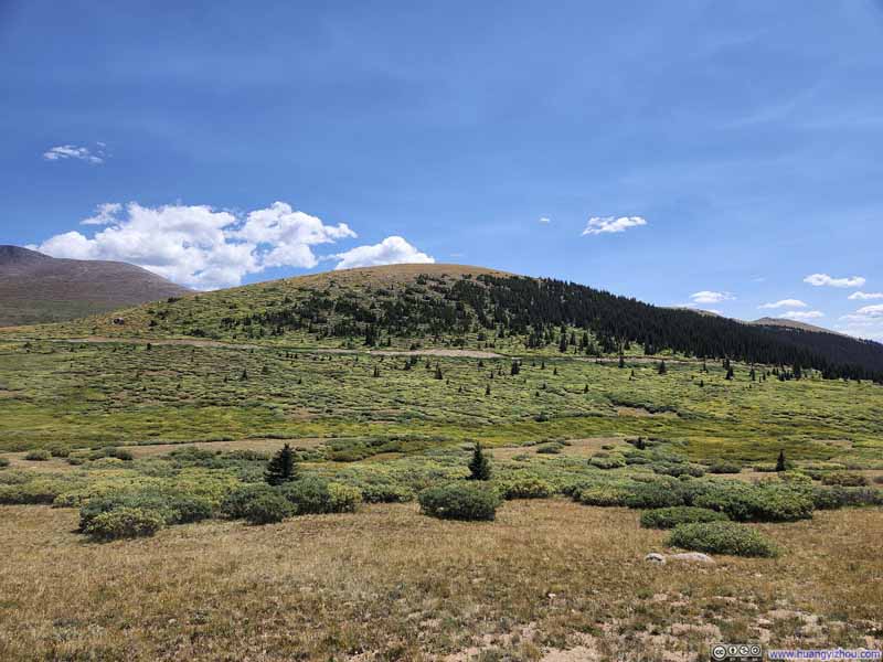 Meadow
 Meadow
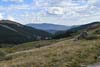
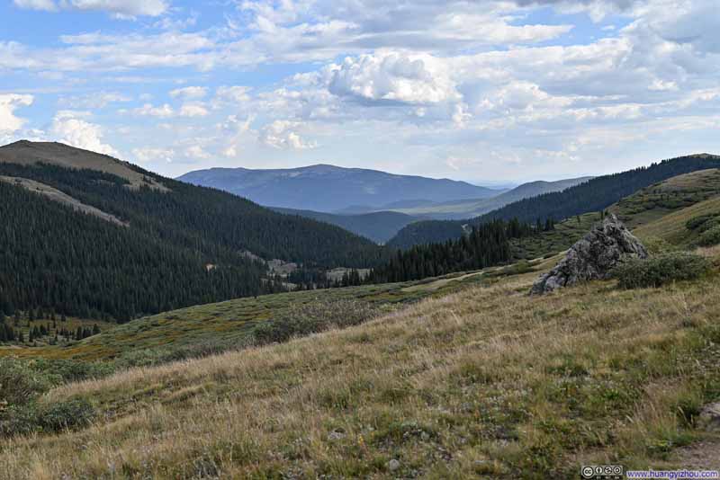 Valley
 Trail to Square Top Mountain
Click here to display photos of the slideshow
Trail
Mountains to the East
Meadow
Meadow
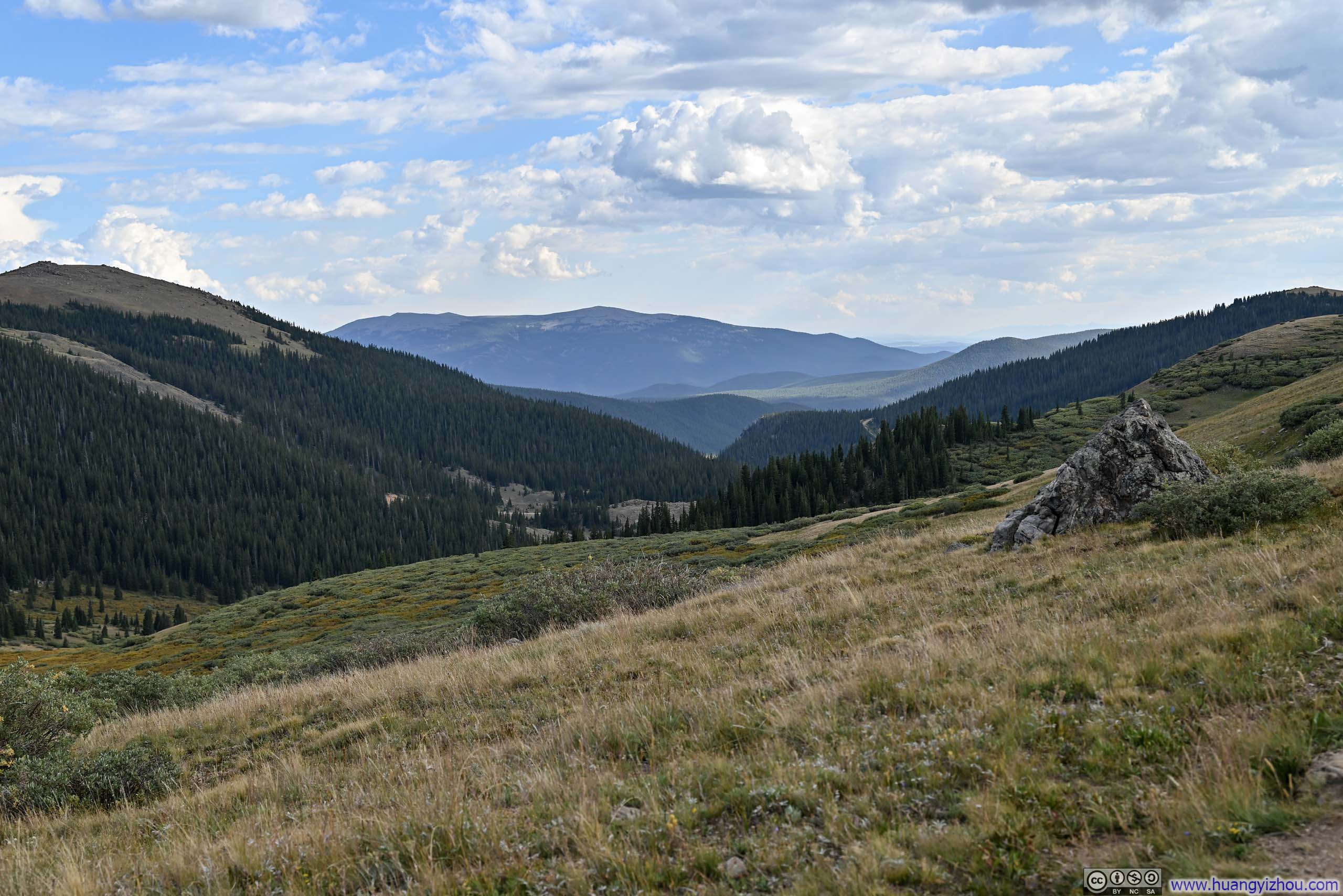
Valley
Trail to Square Top Mountain
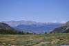
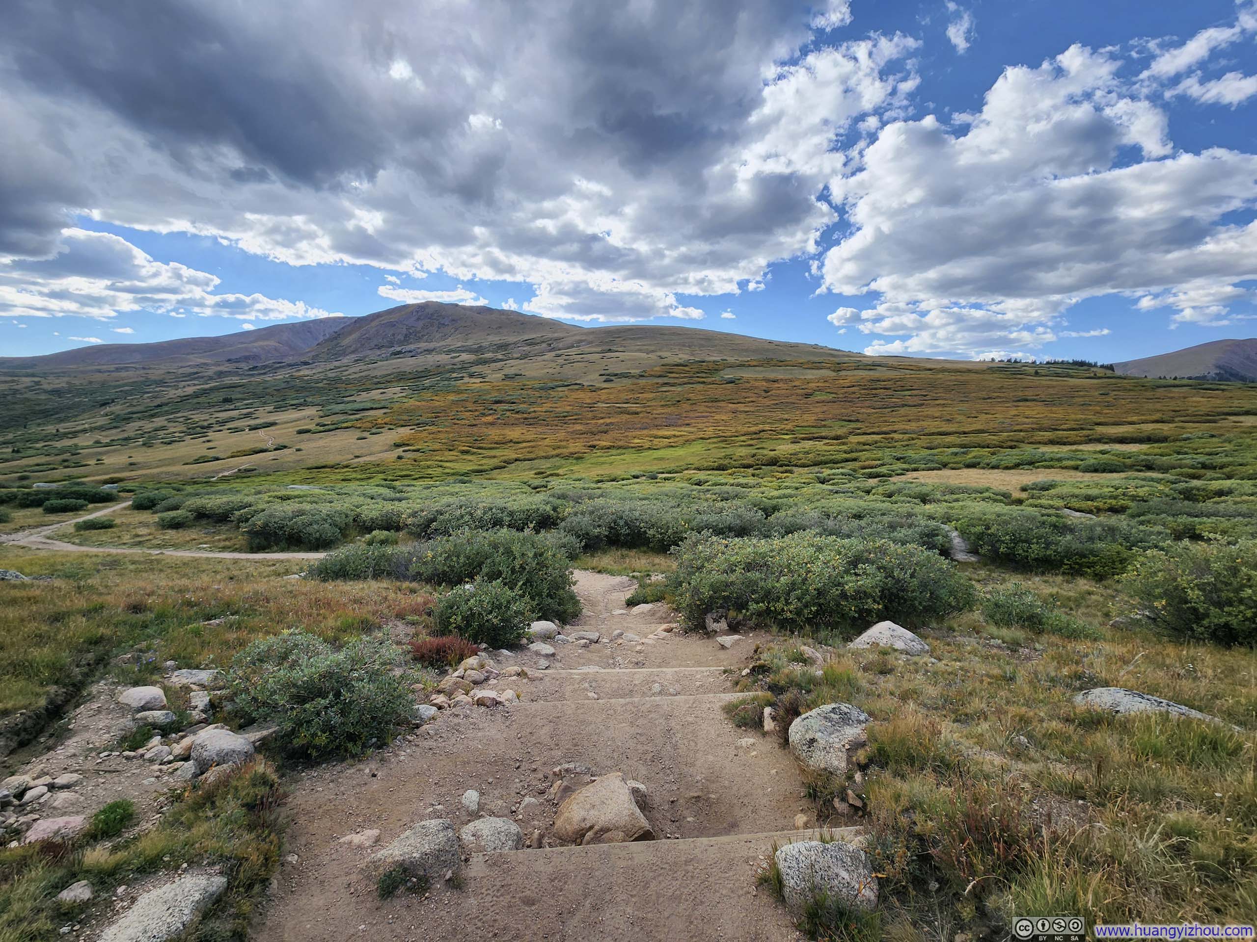
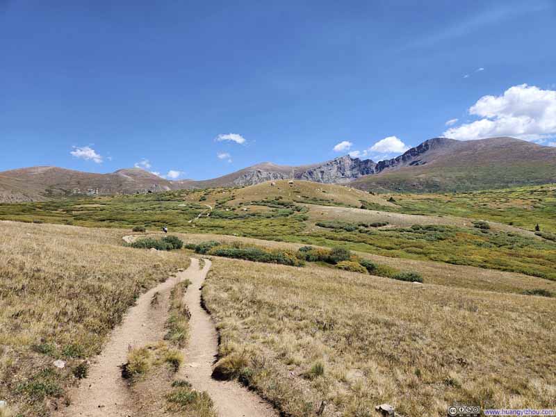
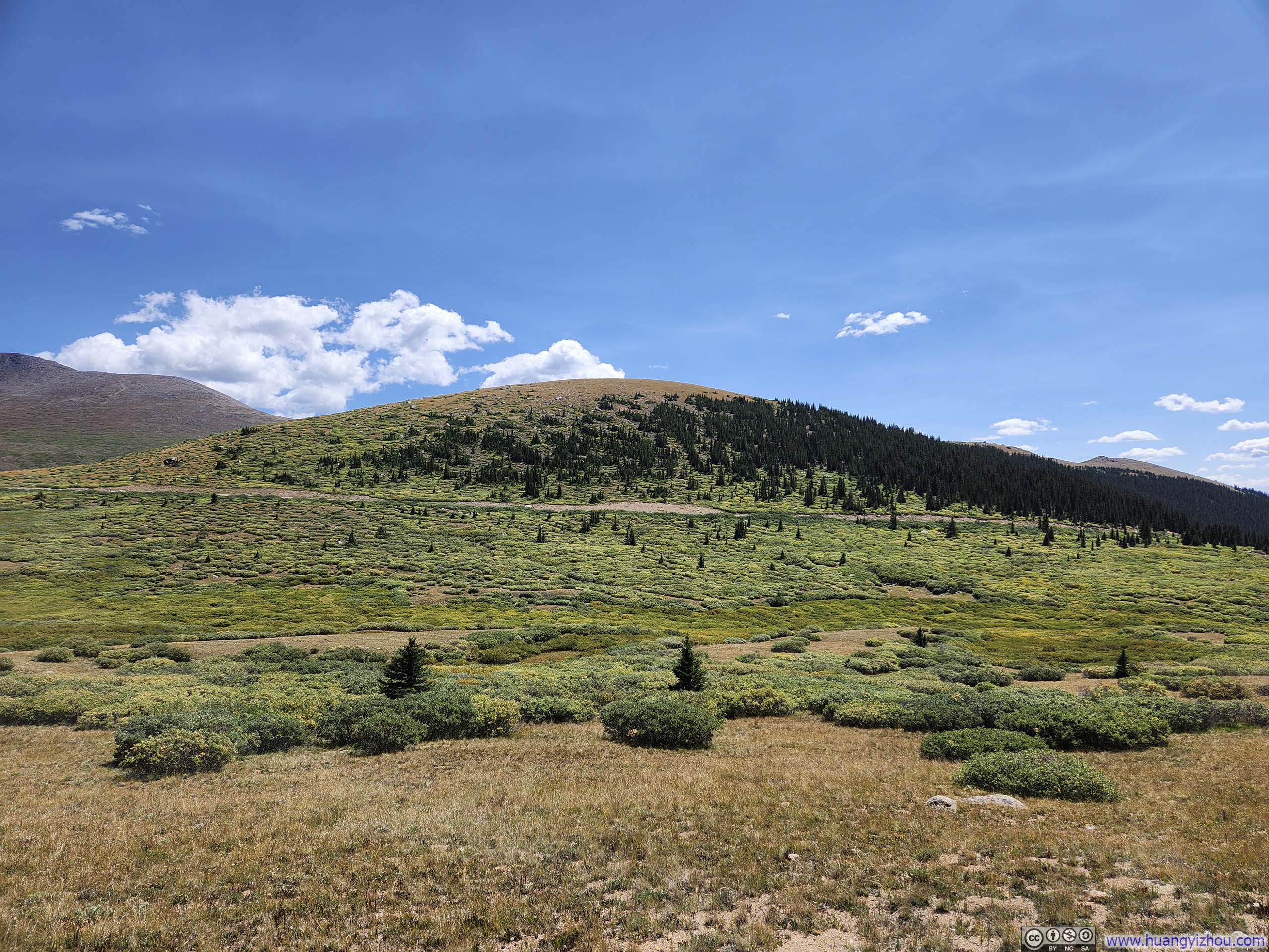
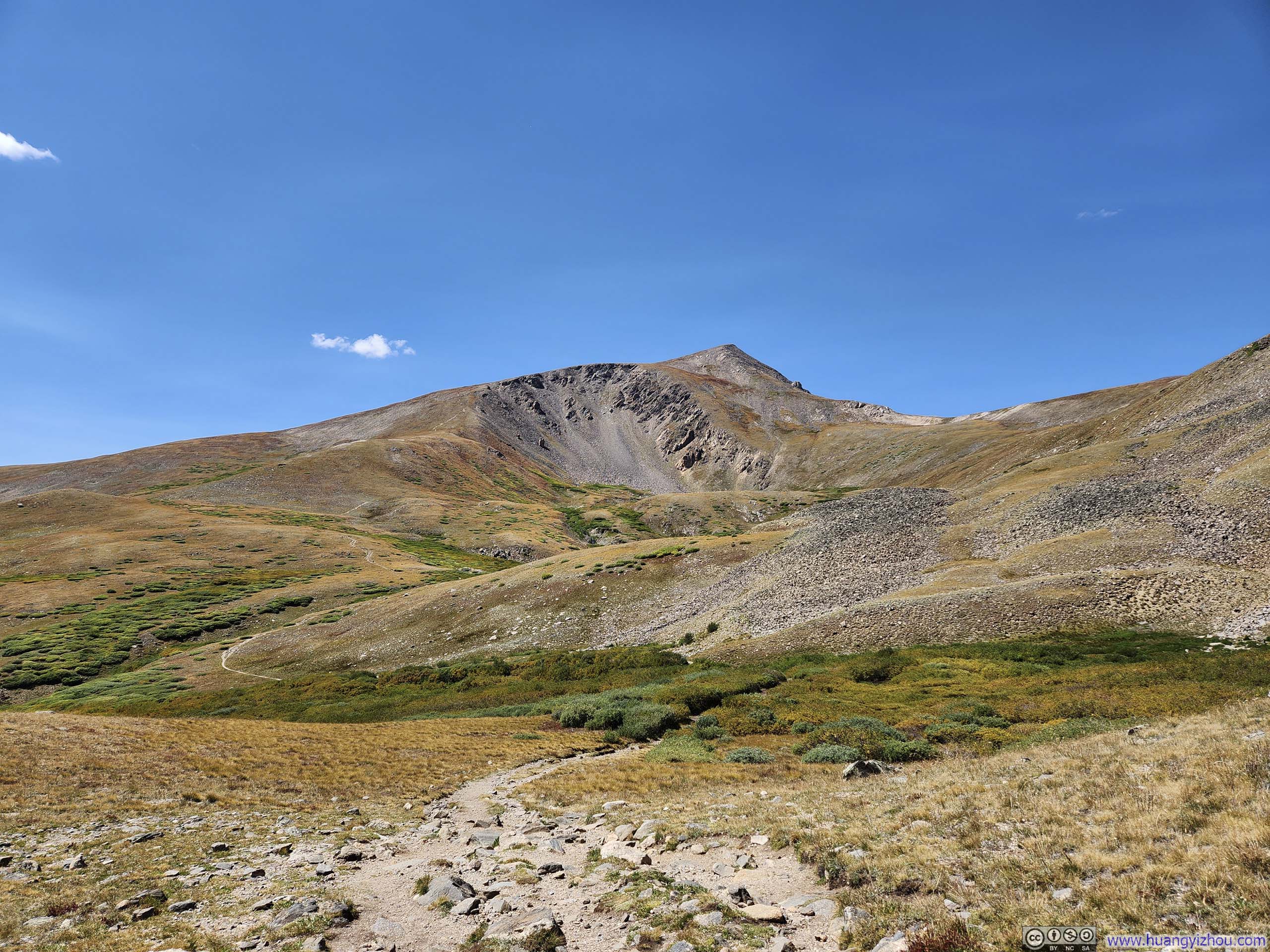
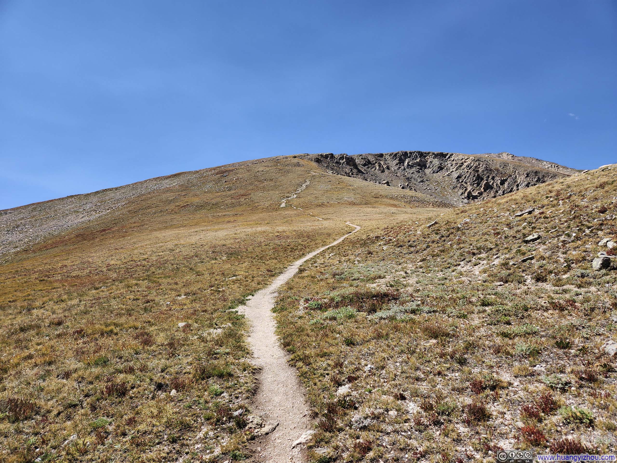
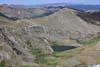
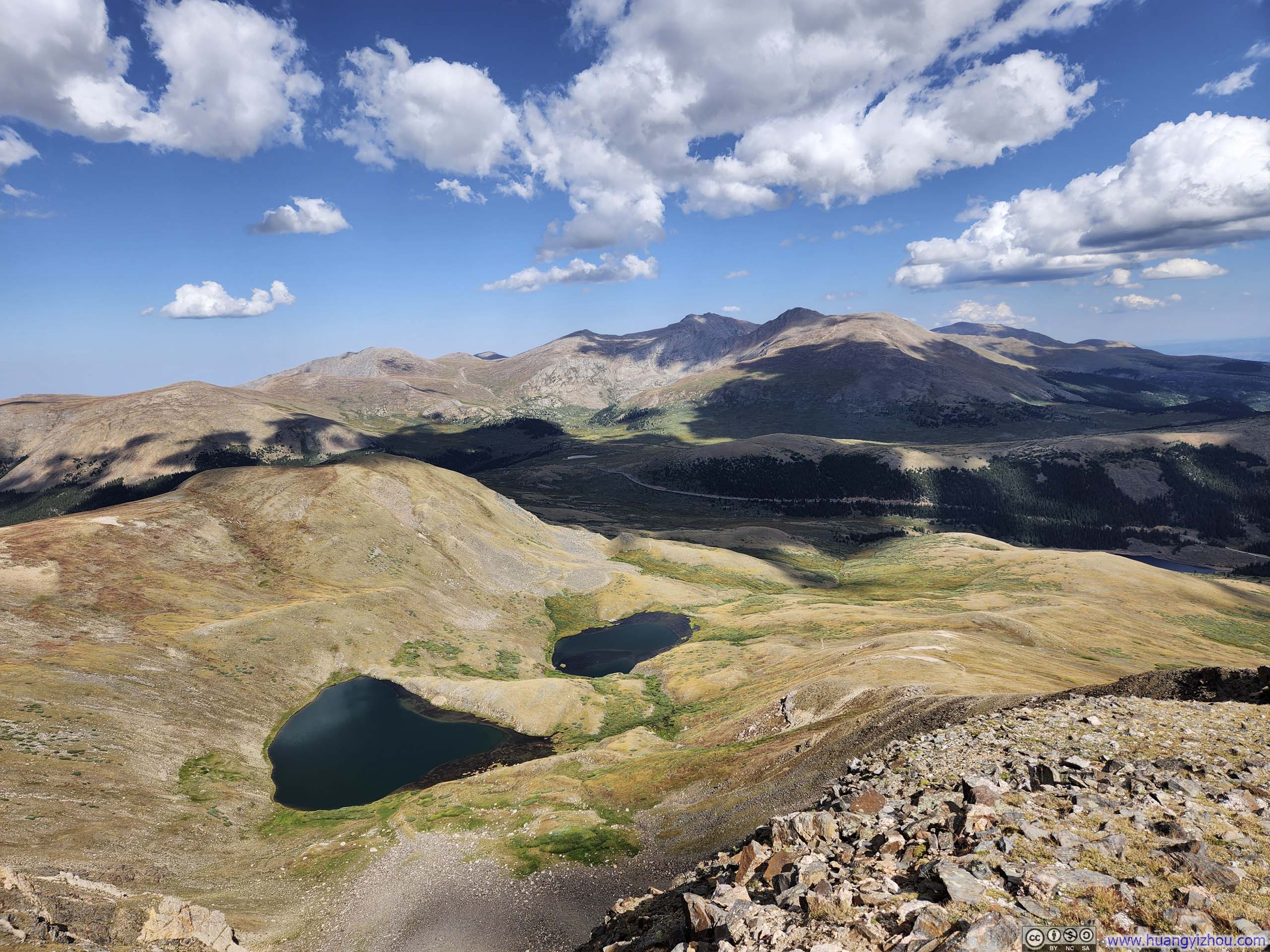
About halfway into the hike, the trail passed Square Top Lake, a small body of alpine lake that nonetheless attracted some fishermen. Before reaching Square Top Lake, the elevation gain was gradual. But shortly after that, the trail made a right-turn at a T-intersection and picked up the pace of elevation gain, averaging 30% gradient for 1.5km (0.9mi). This stretch was the most challenging section of the hike, however, it remained YDS class 1.
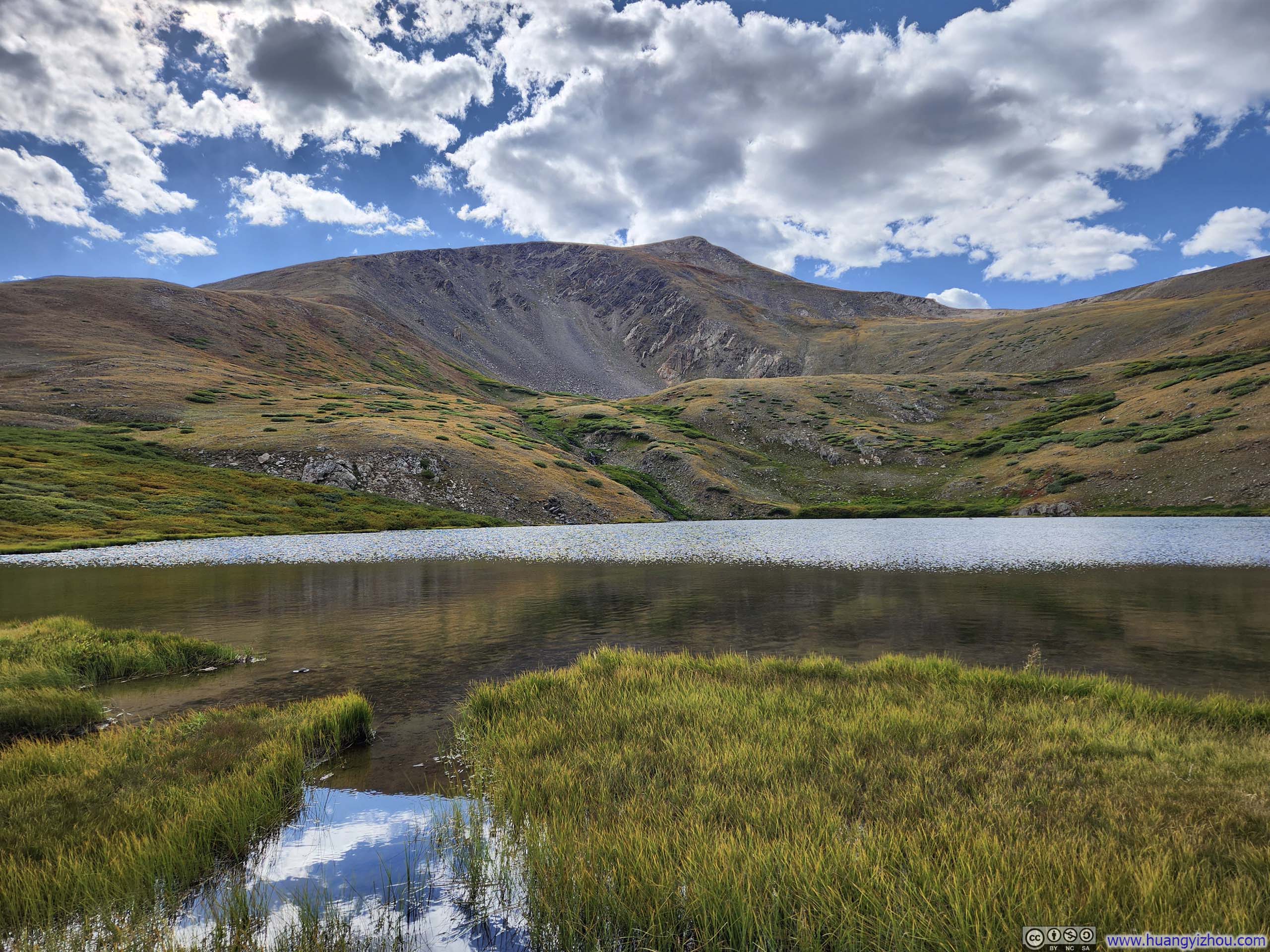
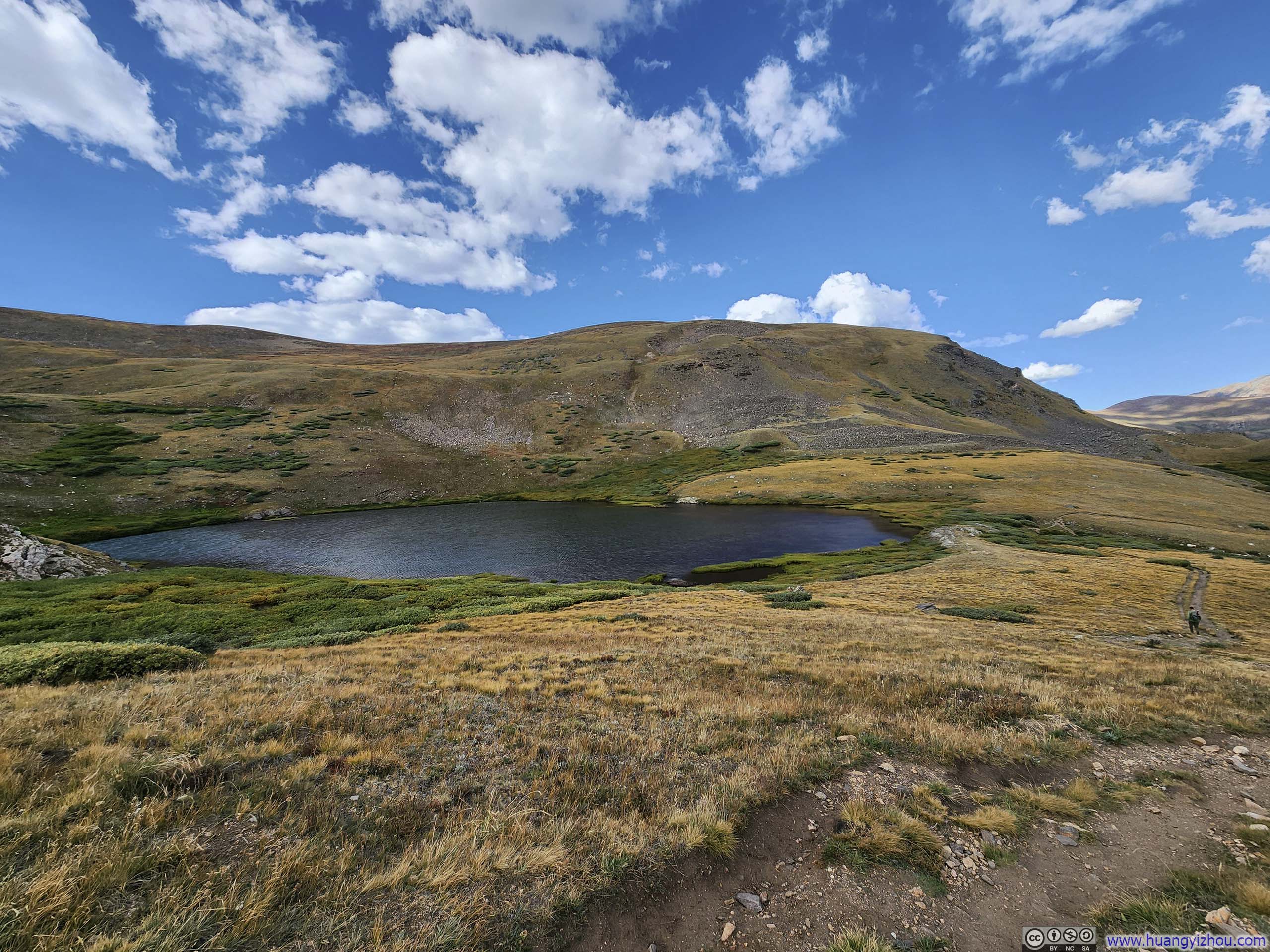 Square Top Lake
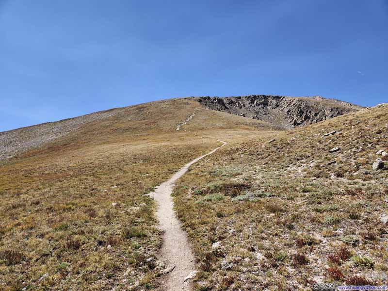 Trail to Square Top Mountain
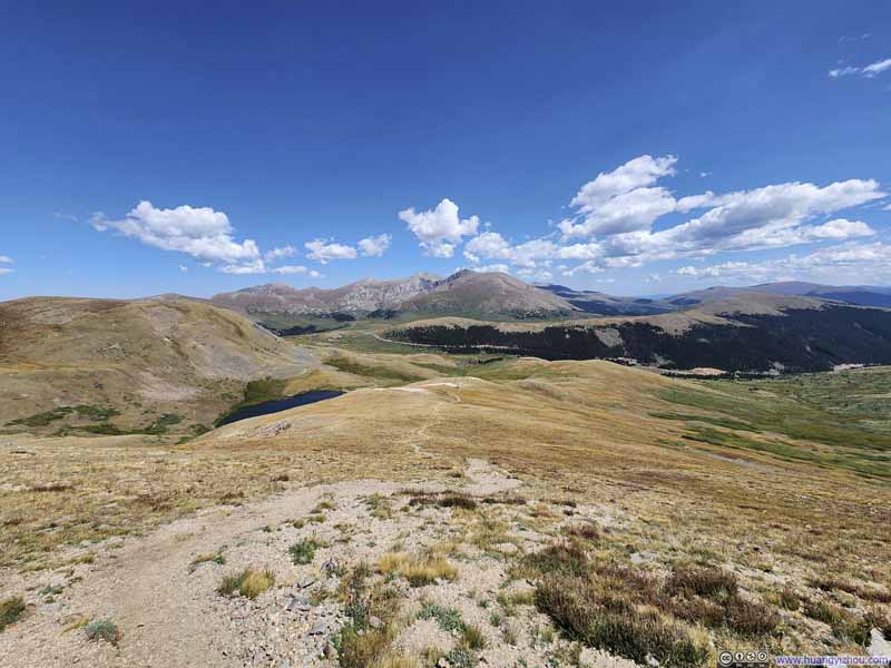 Trail
Trail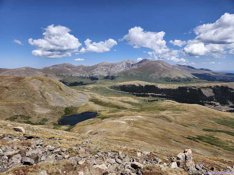 Mountains to the EastThe steepest section of the trail visible in the lower center part.
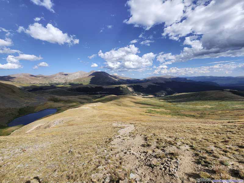 Trail
Trail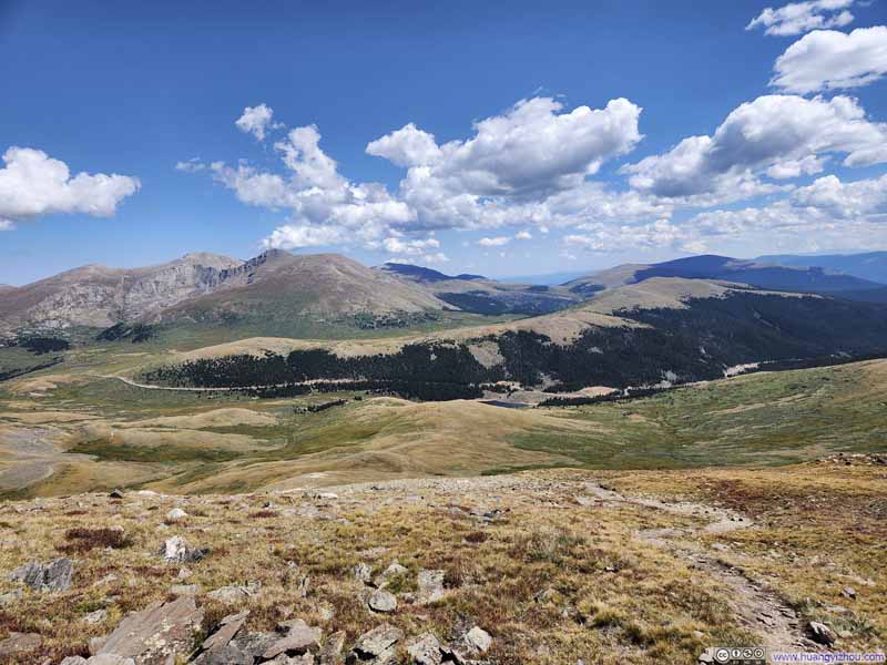 Mountains to the East
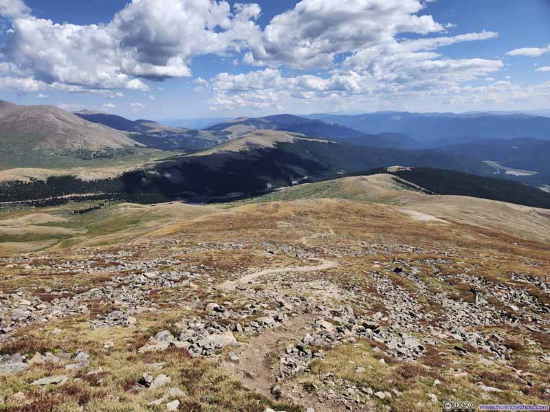 Trail
Trail


Click here to display photos of the slideshow
Trail to Square Top Mountain
Trail
Mountains to the EastThe steepest section of the trail visible in the lower center part.

Trail
Mountains to the East

Trail
After the steep climb, the trail was largely level for the final 0.5km (0.3mi). I launched my drone and recorded the final 3 minutes before me reaching the summit, here’s a (speedup) video:
1 minute and 18 seconds of video time, 2160p30fps, H265 only, 12Mbps / 120MB.
The Summit
As usual, once on top, I recorded another video to commemorate the moment.
27 seconds of video time, 2160p60fps, 18Mbps/63MB for H265, 20Mbps/69MB for H264.
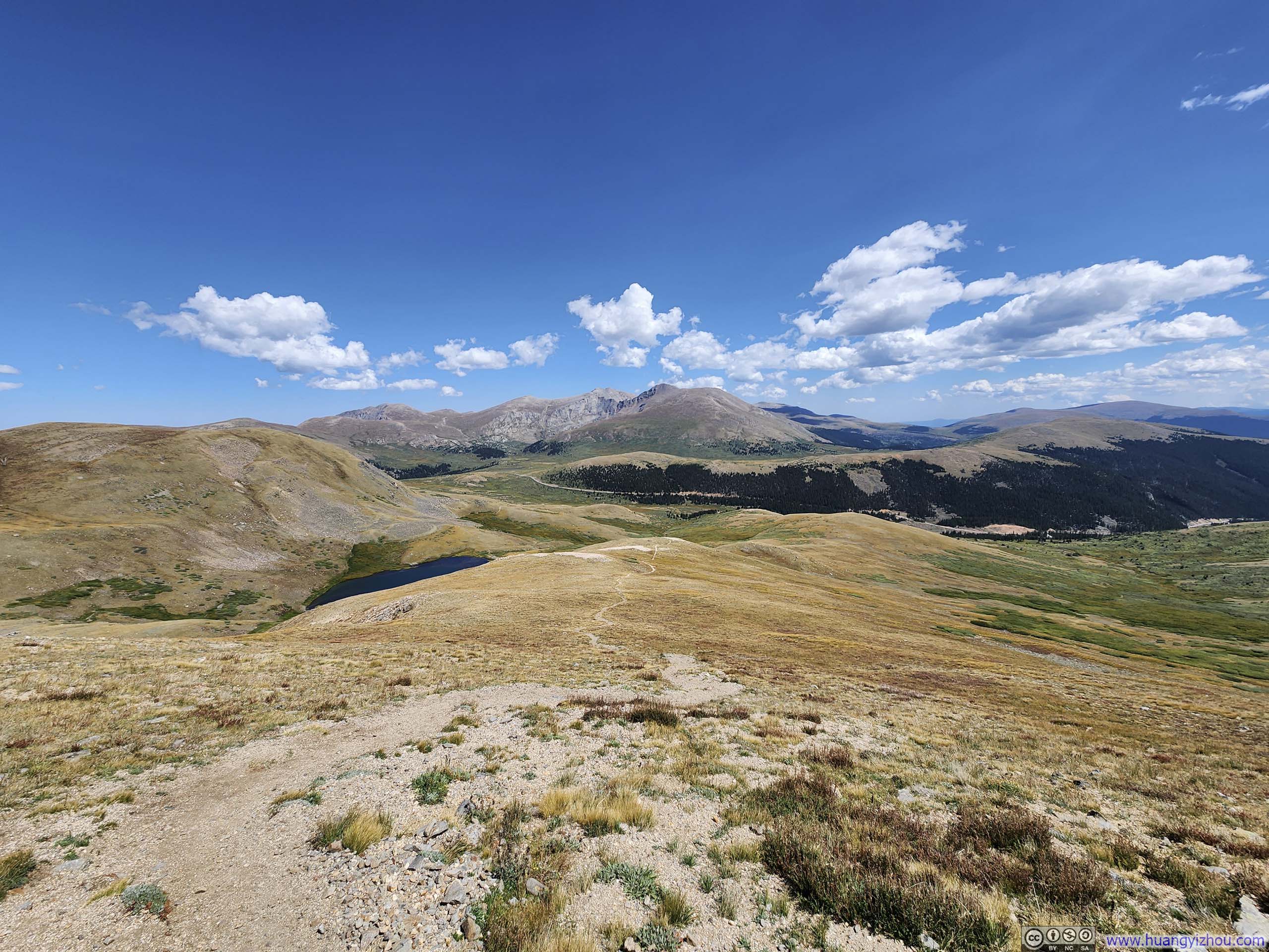
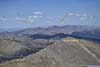
Surroundings of Square Top Mountain
From the top of Square Top Mountain, a myriad of mountains stretched out before me. I was delighted to find out that most of the 14ers that I climbed two years ago were visible. It’s like recognizing the faces of a few old friends in an exhilarating reunion.
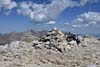
 Cairn on top of Square Top Mountain
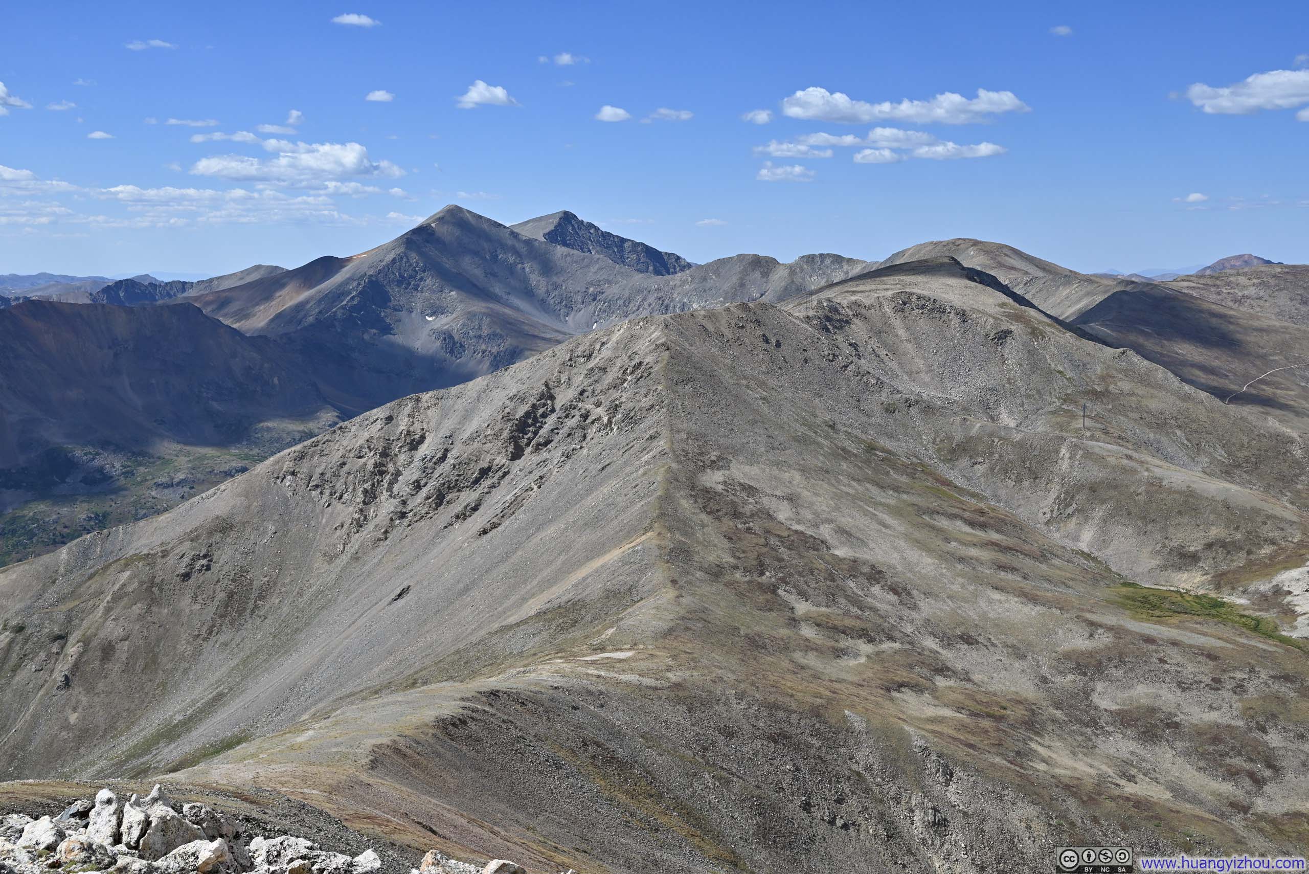
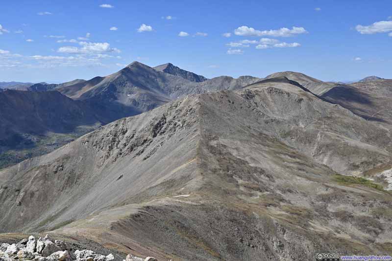 RidgelinePassing a few peaks, ultimately leading to Torreys and Grays.
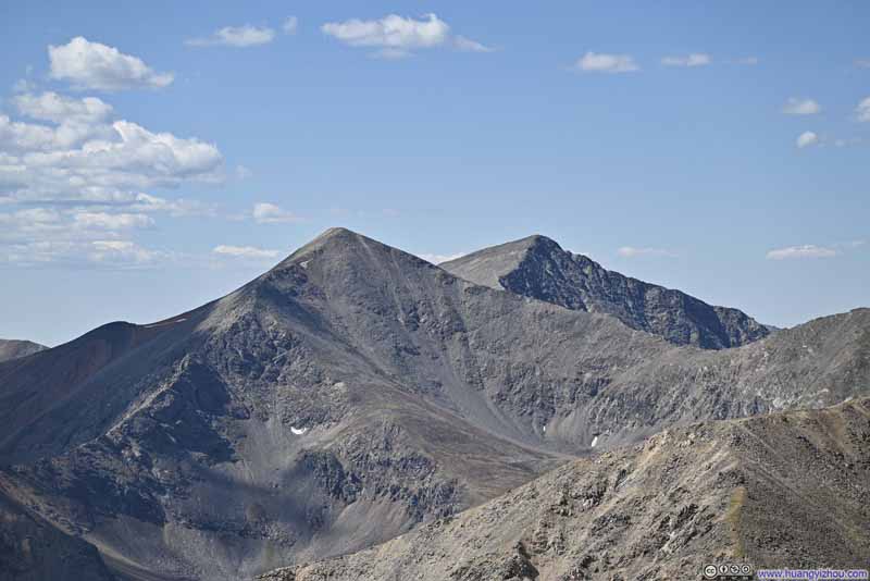 Grays Peak and Torreys PeakTwo prominent 14ers.
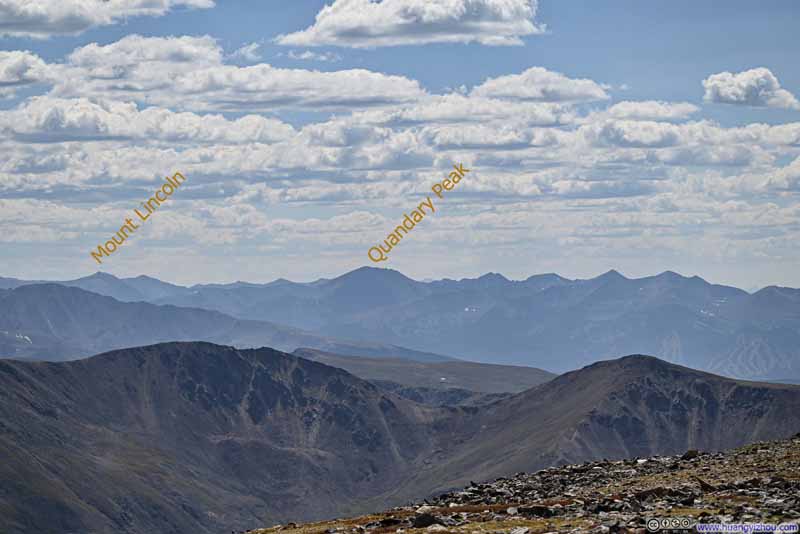 Mountains to the SouthwestTenmile – Mosquito Range, two 14ers that I climbed back in 2022 marked.
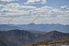
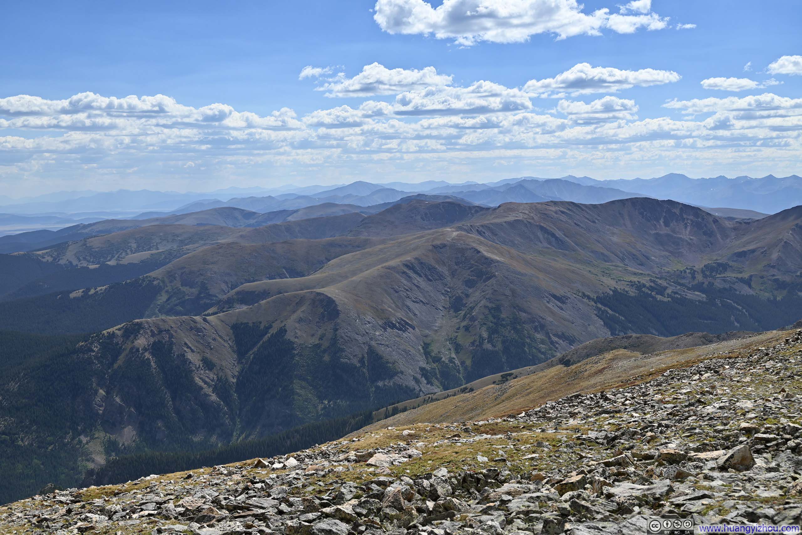
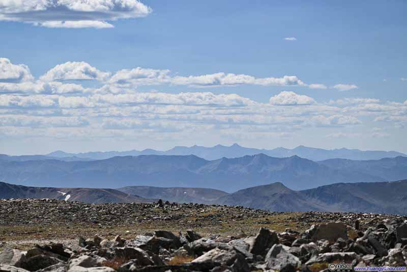 Mountains to the West
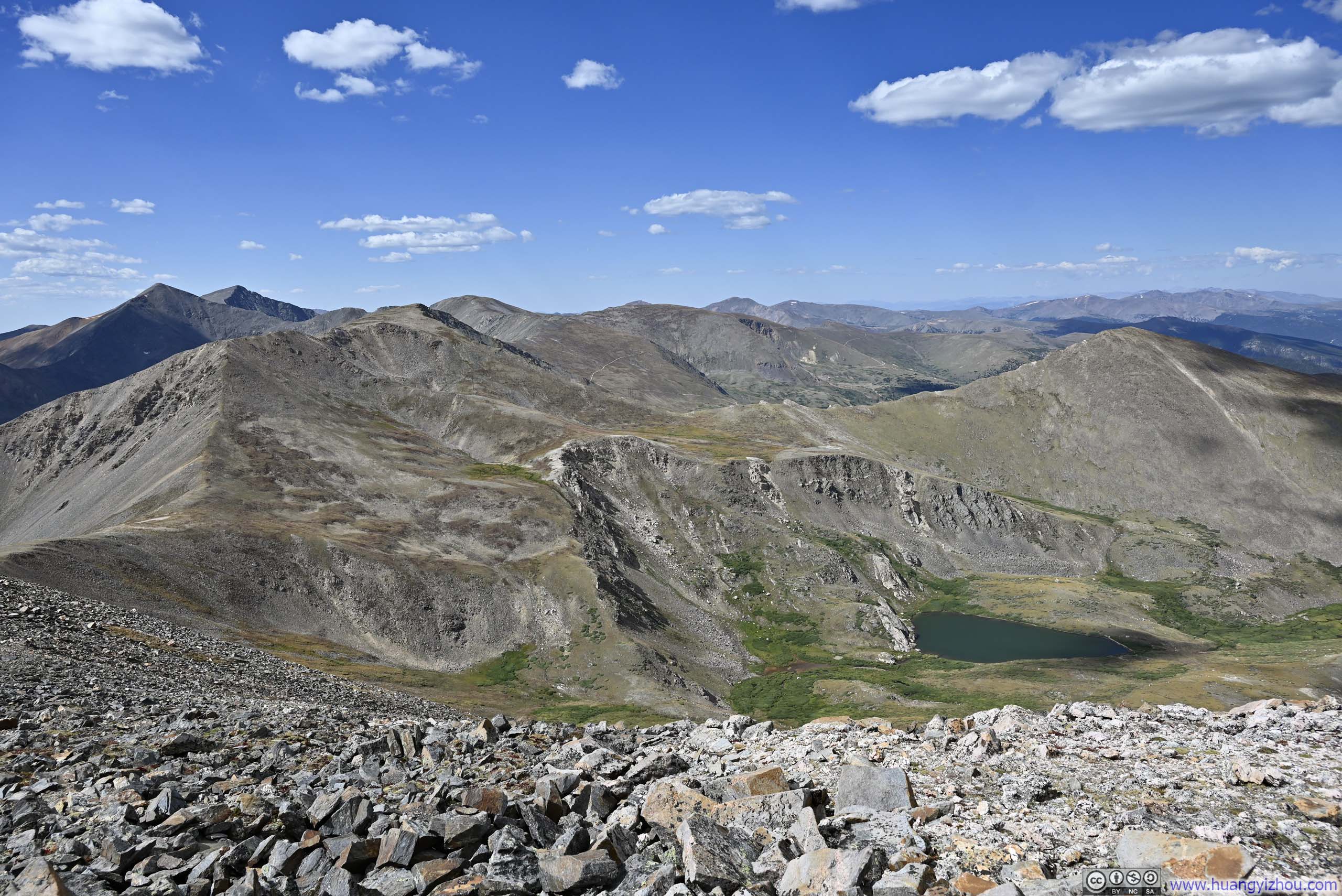
Three layers of mountain ranges. Tenmile Range in the center, Sawatch Range in the back. Mount of the Holy Cross as the highest one in the background.
Mountains to the West
Three layers of mountain ranges. Tenmile Range in the center, Sawatch Range in the back. Mount of the Holy Cross as the highest one in the background.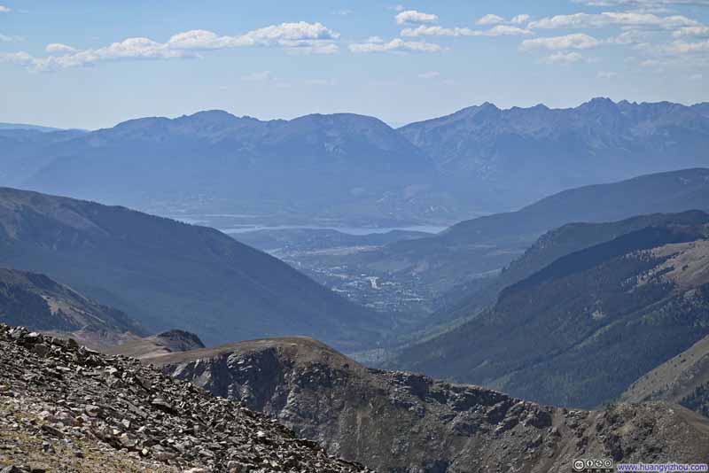 Town of Keystone before Dillon Reservoir and Mountains
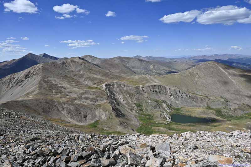 Mountains to the North
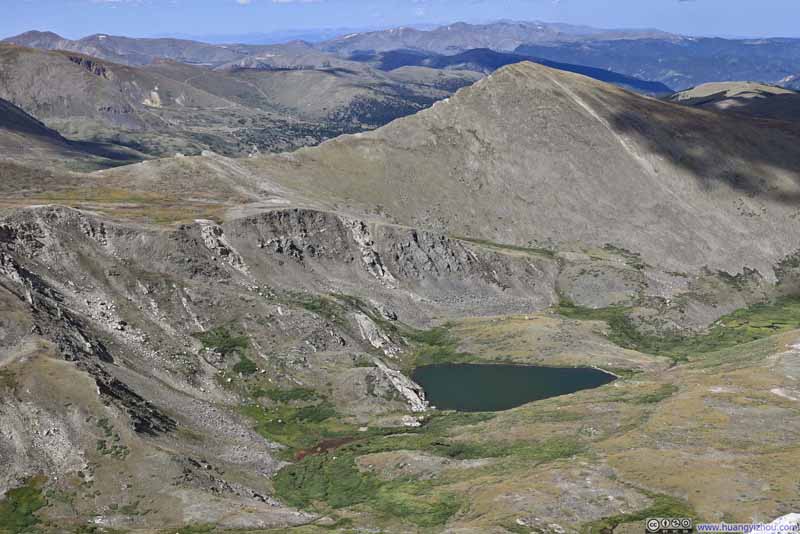 Murry Reservoir in between MountainsI was surprised to learn that this was an artificial reservoir.
Click here to display photos of the slideshow
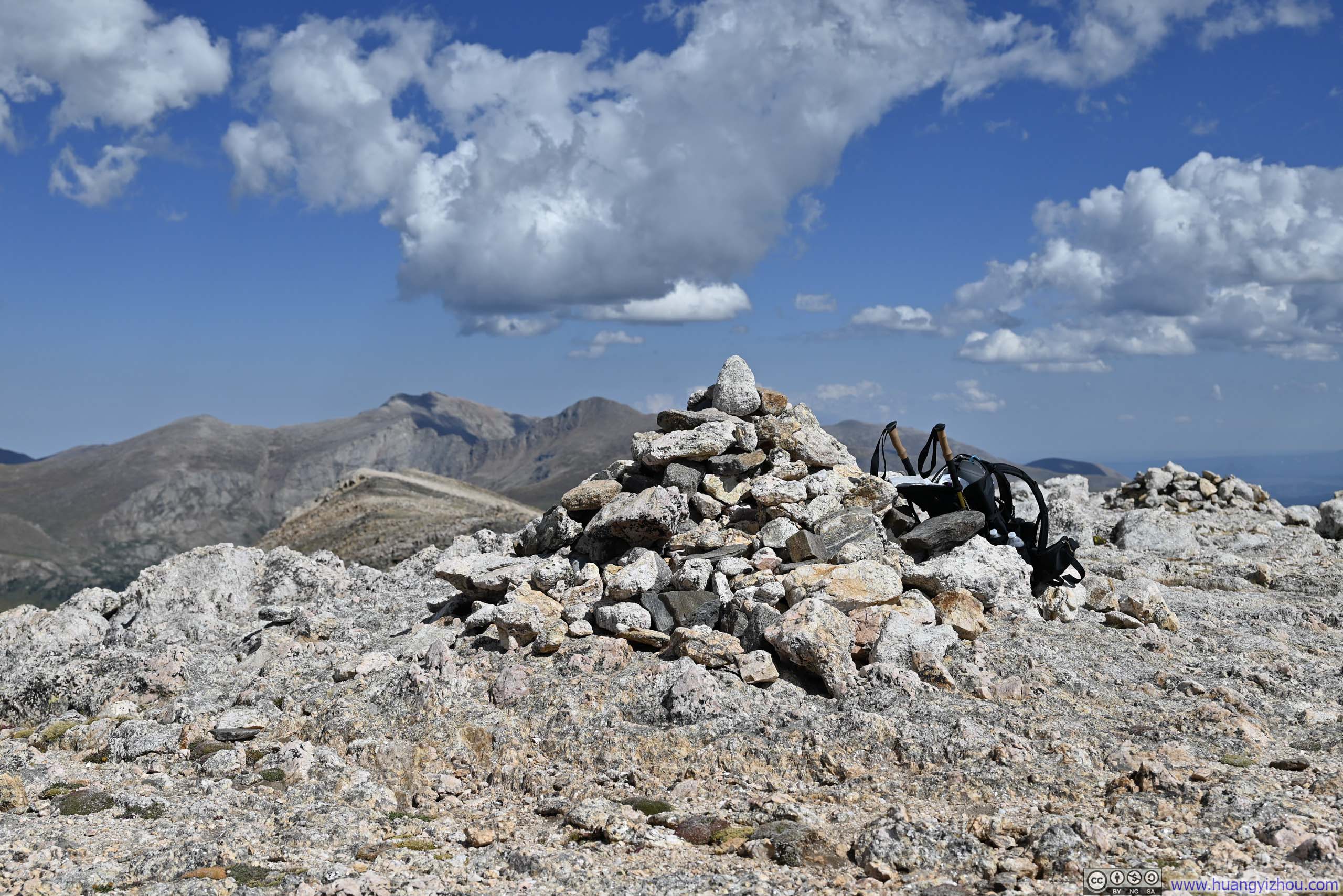
Cairn on top of Square Top Mountain
RidgelinePassing a few peaks, ultimately leading to Torreys and Grays.

Grays Peak and Torreys PeakTwo prominent 14ers.
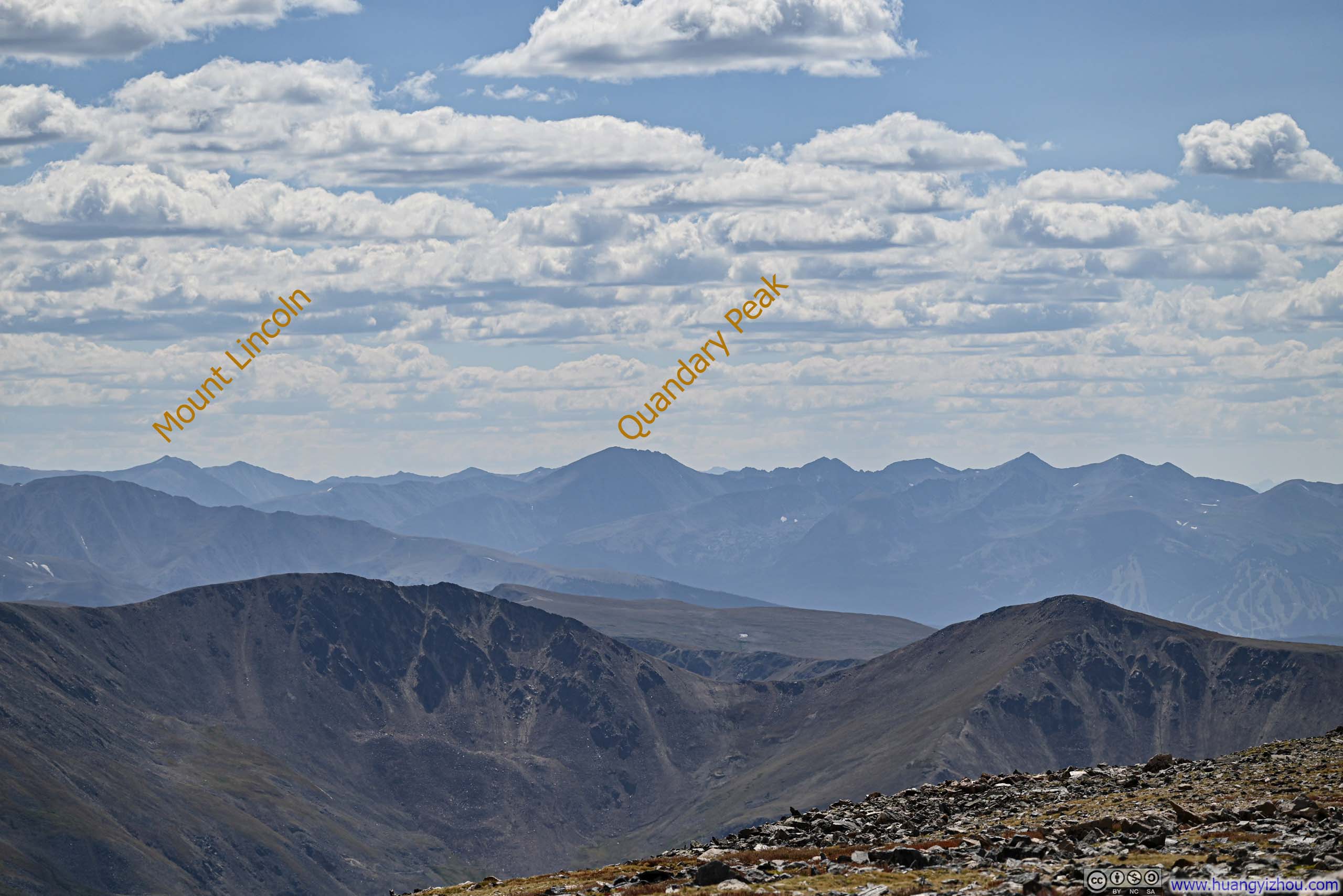
Mountains to the SouthwestTenmile – Mosquito Range, two 14ers that I climbed back in 2022 marked.

Mountains to the West

Town of Keystone before Dillon Reservoir and Mountains
Mountains to the North

Murry Reservoir in between MountainsI was surprised to learn that this was an artificial reservoir.
Unfortunately, reaching the summit of Square Top Mountain meant that the fabulous views came with a dose of wind. Although the wind wasn’t particularly strong, I made the mistake by leaving the trailhead in a T-shirt. This was largely fine on the trail as Square Top Mountain effectively blocked winds from the west, but there was no such protection on top of the mountain. As a result, I only remained on the top for 30 minutes before starting to head back down. Despite this brief exposure, the wind left my nose feeling somewhat uncomfortable by the end of the day.
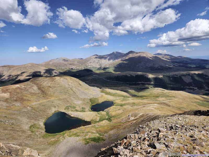 Square Top Lakes before Mountains to the East
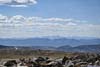
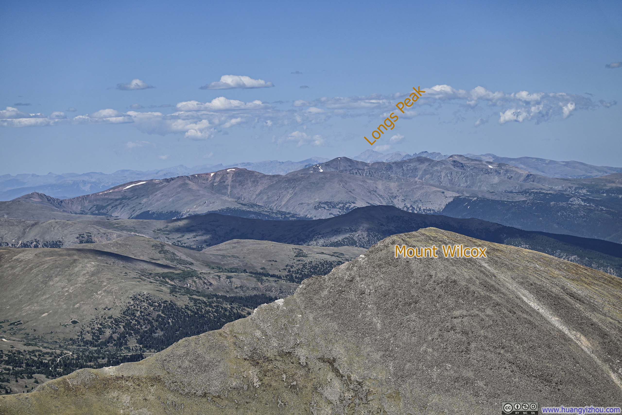
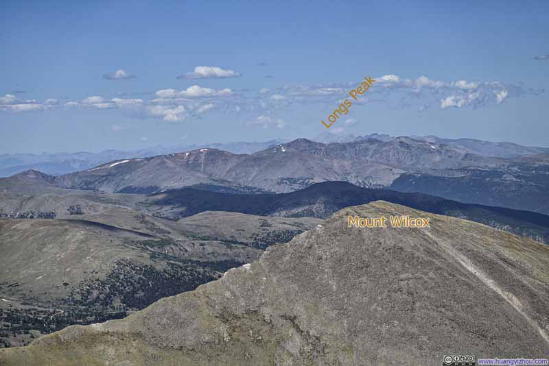 Mountains to the NorthLongs Peak in the background distance, another 14er I climbed in summer 2022.
 Mountains to the East
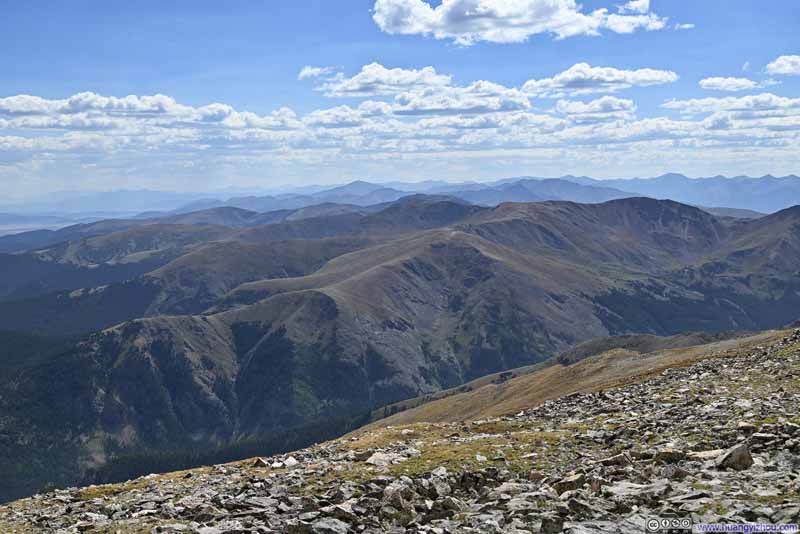 Mountains to the SouthwestThe southern part of Sawatch Range in the background.
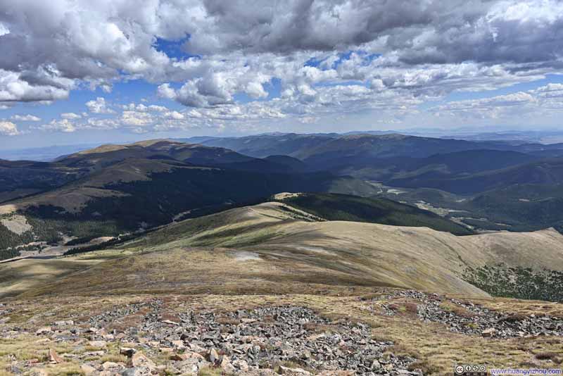 Mountains to the South
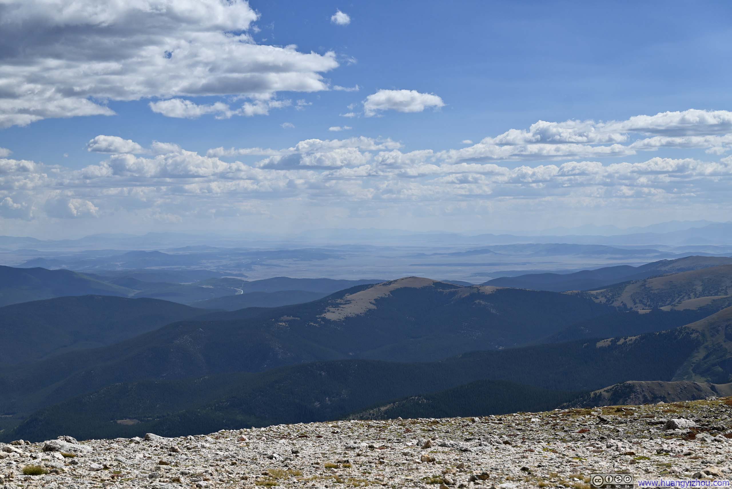
 Distant South ParkA grassland flat surrounded by mountains.
Click here to display photos of the slideshow
Square Top Lakes before Mountains to the East
Mountains to the NorthLongs Peak in the background distance, another 14er I climbed in summer 2022.

Mountains to the East
Mountains to the SouthwestThe southern part of Sawatch Range in the background.

Mountains to the South
Distant South ParkA grassland flat surrounded by mountains.
My descent was largely uneventful, until I was caught completely off guard by a coyote sighting in the fields. I happened to have my camera ready and quickly captured a photo. (The photo was cropped to 500mm equivalent, so it was a safe distance away.) Almost at the same time, it was alerted by my presence and quickly disappeared into the bushes. Watching it run away, I briefly felt the thrill of having encountered a wild wolf. Only by analyzing the photo further did I realize it’s more likely a coyote.
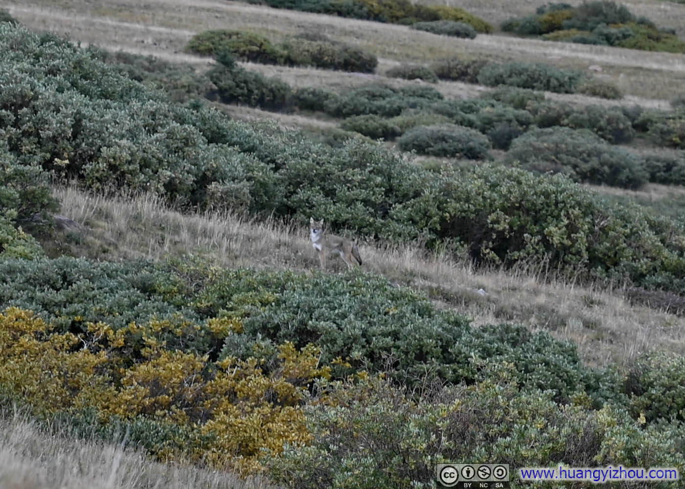
Coyote Sighting
In the end, I was back at the trailhead at 5:15pm, finishing the hike in 4.5 hours, including the half-hour rest at the summit.
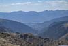
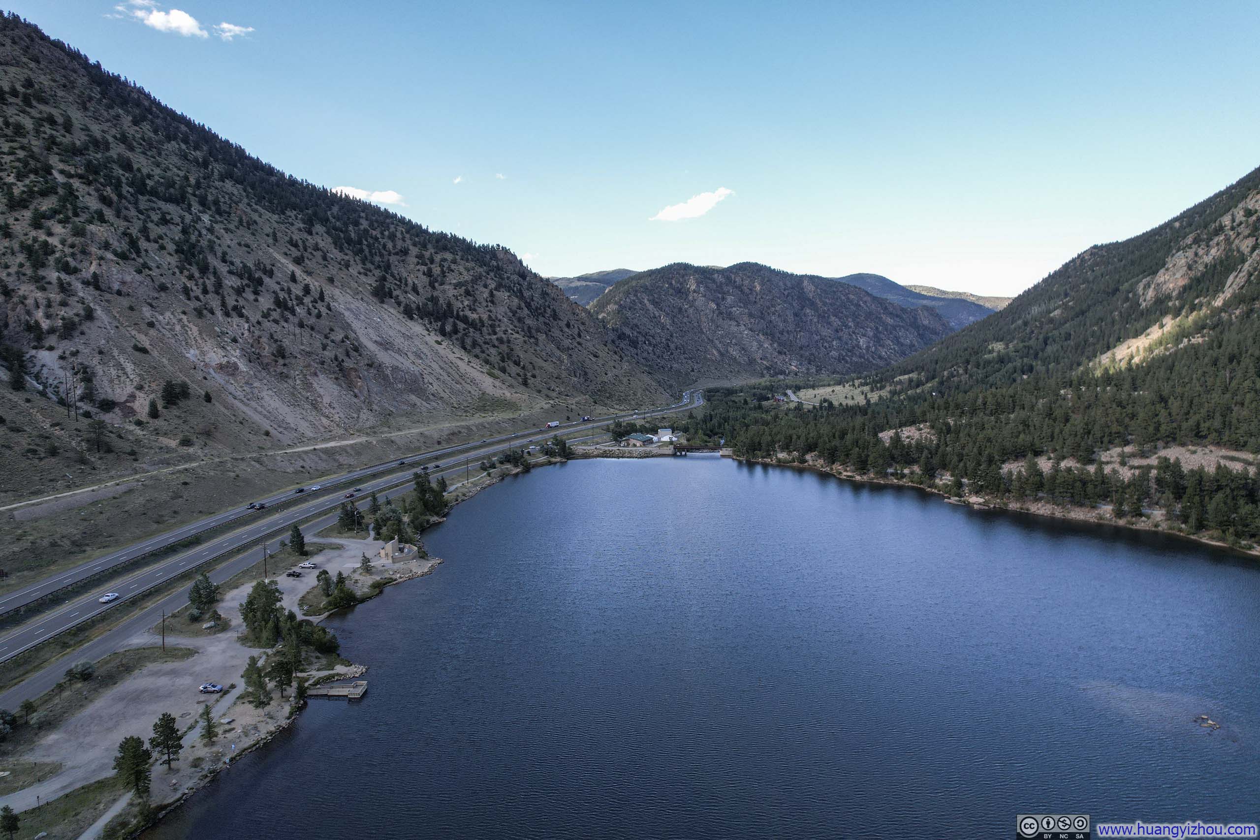
Georgetown Overlook
My overnight lodge was in the town of Leadville, so after the hike, I drove back to Georgetown before following I70 further west. Before descending into Georgetown, I paused at a roadside overlook to snap a few photos (, despite they weren’t particularly exciting). In addition, I launched my drone for an aerial tour of Georgetown, nested in a valley between two mountain ranges. The town was built to support nearby mining operations, first gold then silver, in the late 19th century. Now it appeared as a charming small town centered on tourism.
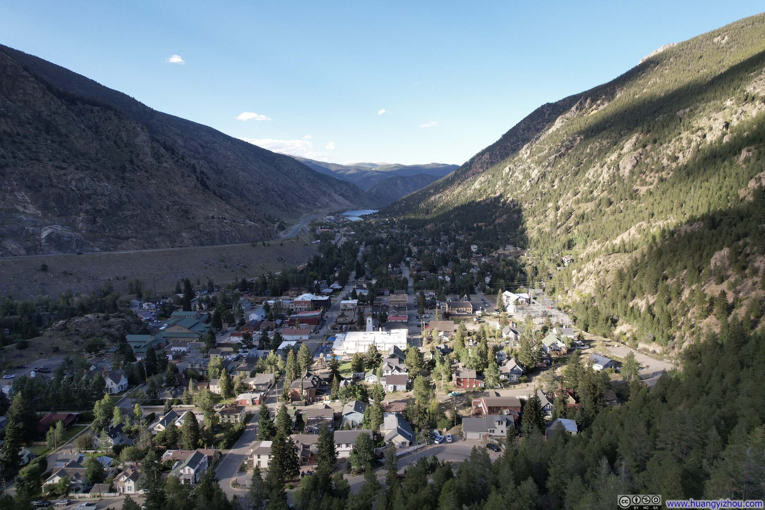
 Overlooking Georgetown
And here’s a video from my drone overflying Georgetown:
The rest of the drive to Georgetown wasn’t particularly remarkable, and with that, I called it a day.
END
![]() Day 1 of Summer 2024 Trip to Colorado, Square Top Mountain by Huang's Site is licensed under a Creative Commons Attribution-NonCommercial-ShareAlike 4.0 International License.
Day 1 of Summer 2024 Trip to Colorado, Square Top Mountain by Huang's Site is licensed under a Creative Commons Attribution-NonCommercial-ShareAlike 4.0 International License.