
Updated on January 30, 2025
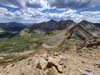
Day 2 of Summer 2024 Trip to Colorado, North Fork Lake Creek Mountains, UN13291 and UN13220
The second day of my summer 2024 trip to Colorado. I prepared some challenges for the day, taking an off-trail route to climb two mountains near North Fork Lake Creek Valley, UN13291 and UN13220.
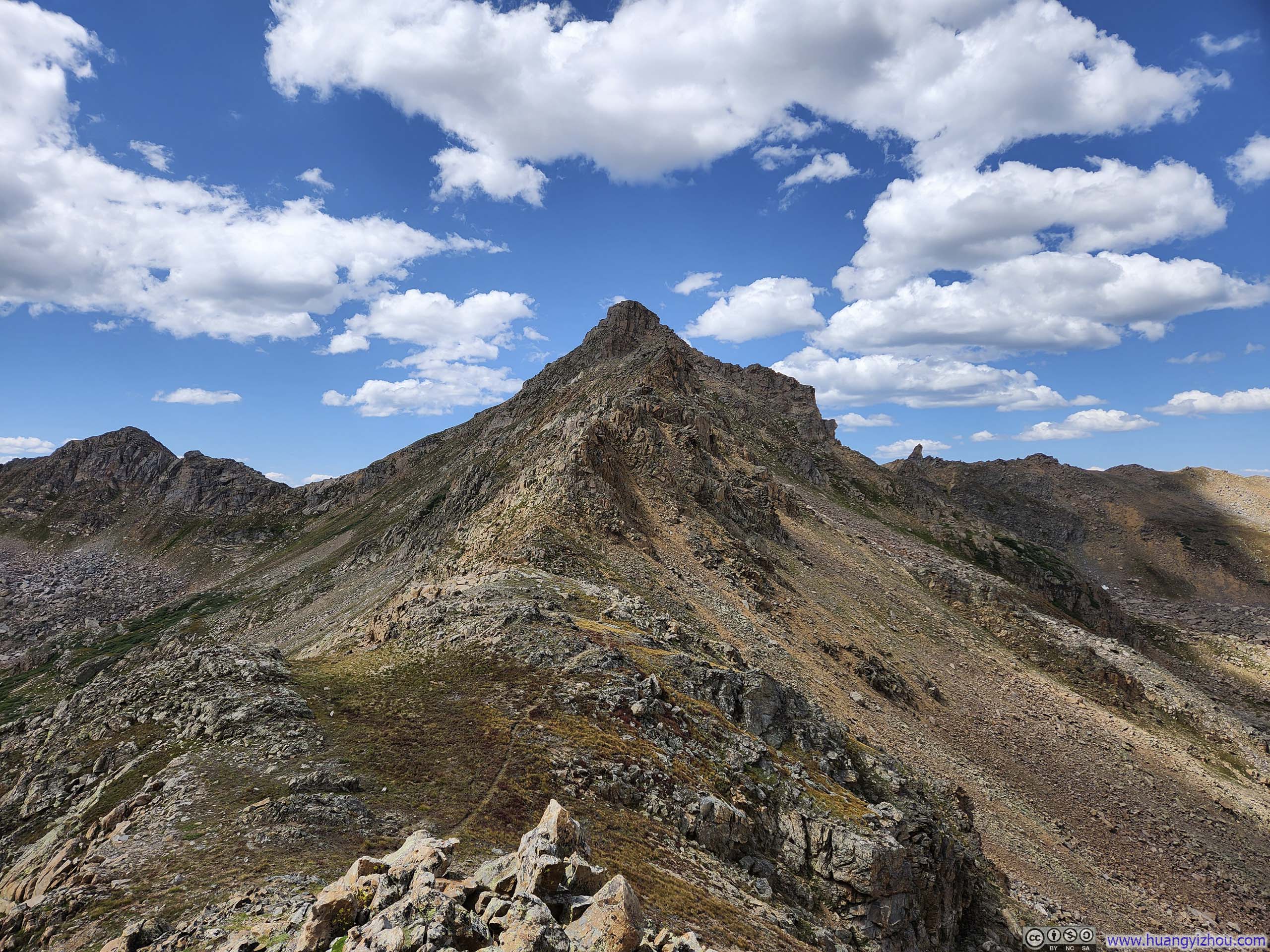
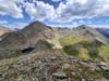
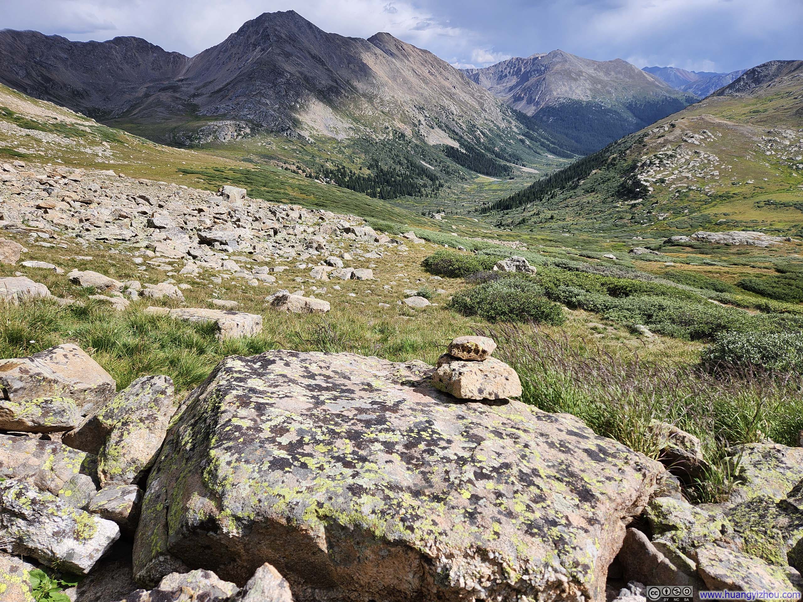
Ridge towards UN13220
I had initially hoped to include a YDS class 3 mountain in my trip to Colorado, with “The Sawtooth” between Mount Bierstadt and Mount Blue Sky as my top choice. Unfortunately, as mentioned in my previous post, weather forecast forced me to abandon that plan.
That meant I had to find a class 3 mountain close to my lodge in Leadville. Although there were plenty of mountains in the area, few were classified as YDS class 3. Ultimately, my options were: La Plata Peak via Ellingwood Ridge, Mount Arkansas, and UN13291. Ellingwood Ridge required extensive route findings that could easily go wrong. Both Mount Arkansas and UN13291 involved off-trail hiking, but I felt UN13291’s was more suitable for a day-hike in terms of effort. So, I chose UN13291.
For the mountains I climbed today, “UN” stands for “unnamed”: essentially, they were named after their height (in feet). A testimony for the seclusion for these mountains that I first came across on a blogpost by Stav is Lost, whose route I largely followed (with minor deviations).
If your time is short:
- There was one move shortly before the summit of UN13291 that was YDS class 3. Apart from that, I believed the entire route never exceeded YDS class 2.
- Reaching UN13220 involved off-trail hiking through potentially muddy grassland. If you like to keep your shoes clean and the hike civilized, I recommend an out-and-back to UN13291 only.
Here’s GPS tracking for my hike:
The Trip
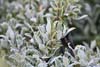
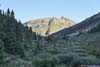
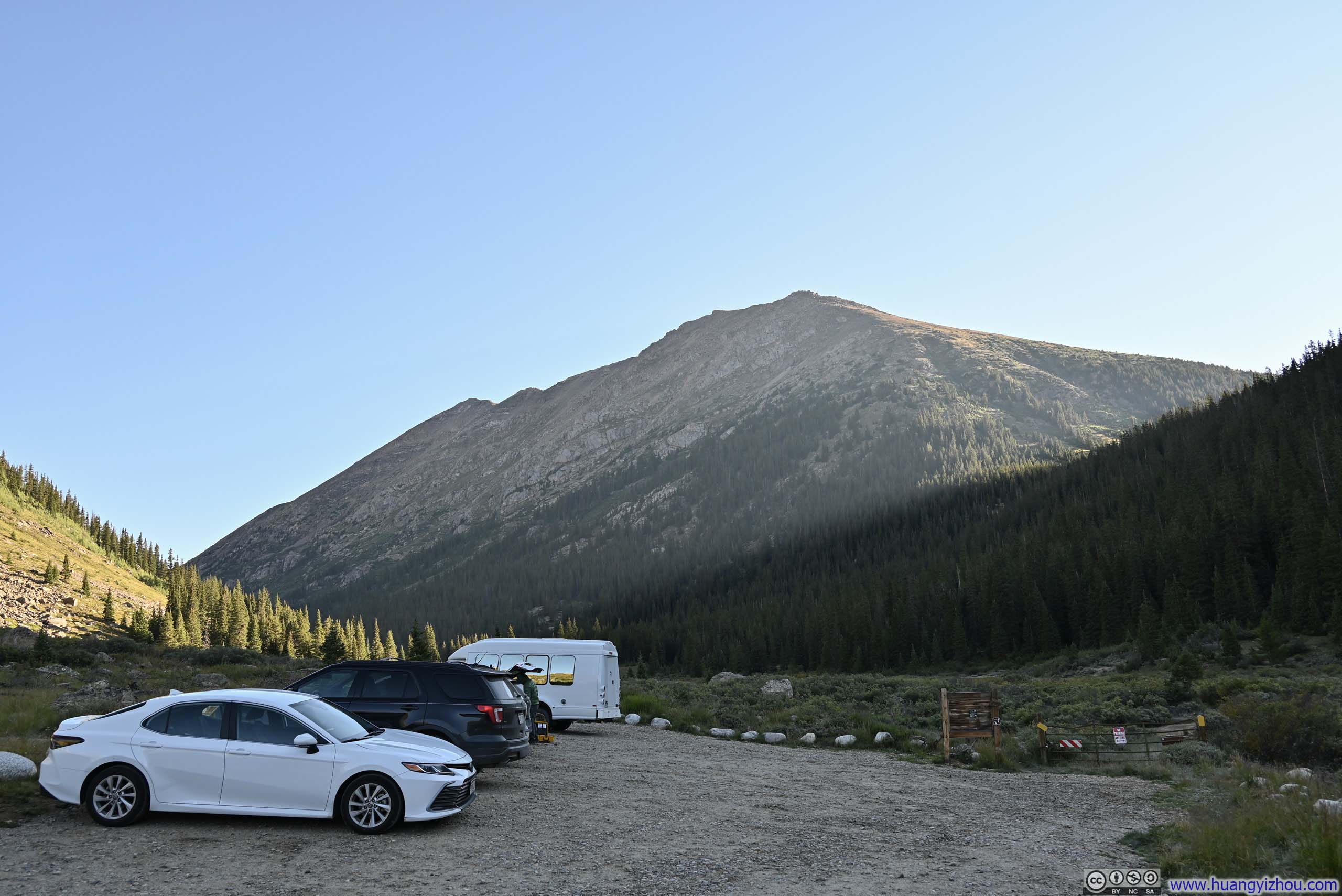
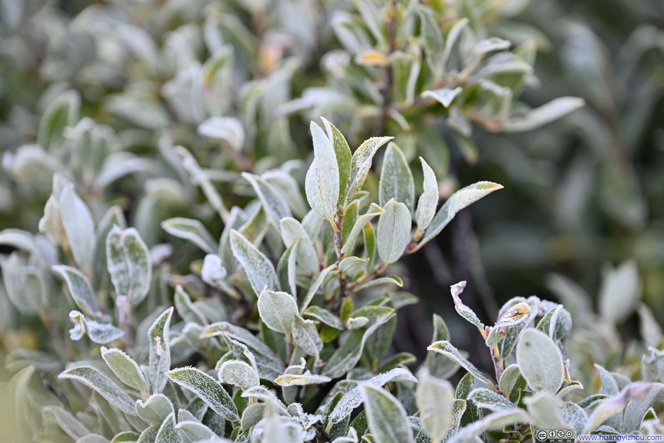
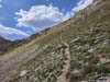
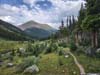
I started my hike at 8am. The initial part of the trail followed North Fork Lake Creek north into a valley. Much of the trail was still in the shade of Mount Champion to the east, there was even frost visible on many of the plants along the trail (p2 below).
 Trailhead Parking
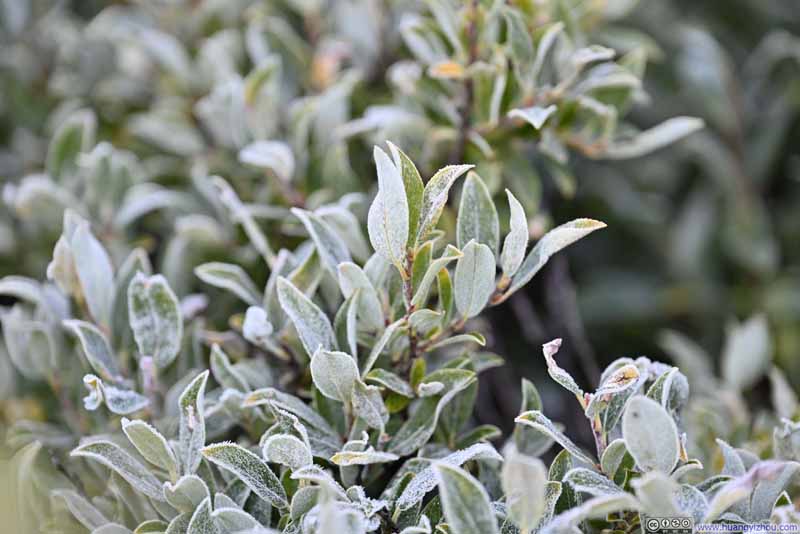 Frost on Plants
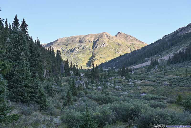 Destination in Sight
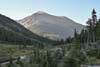
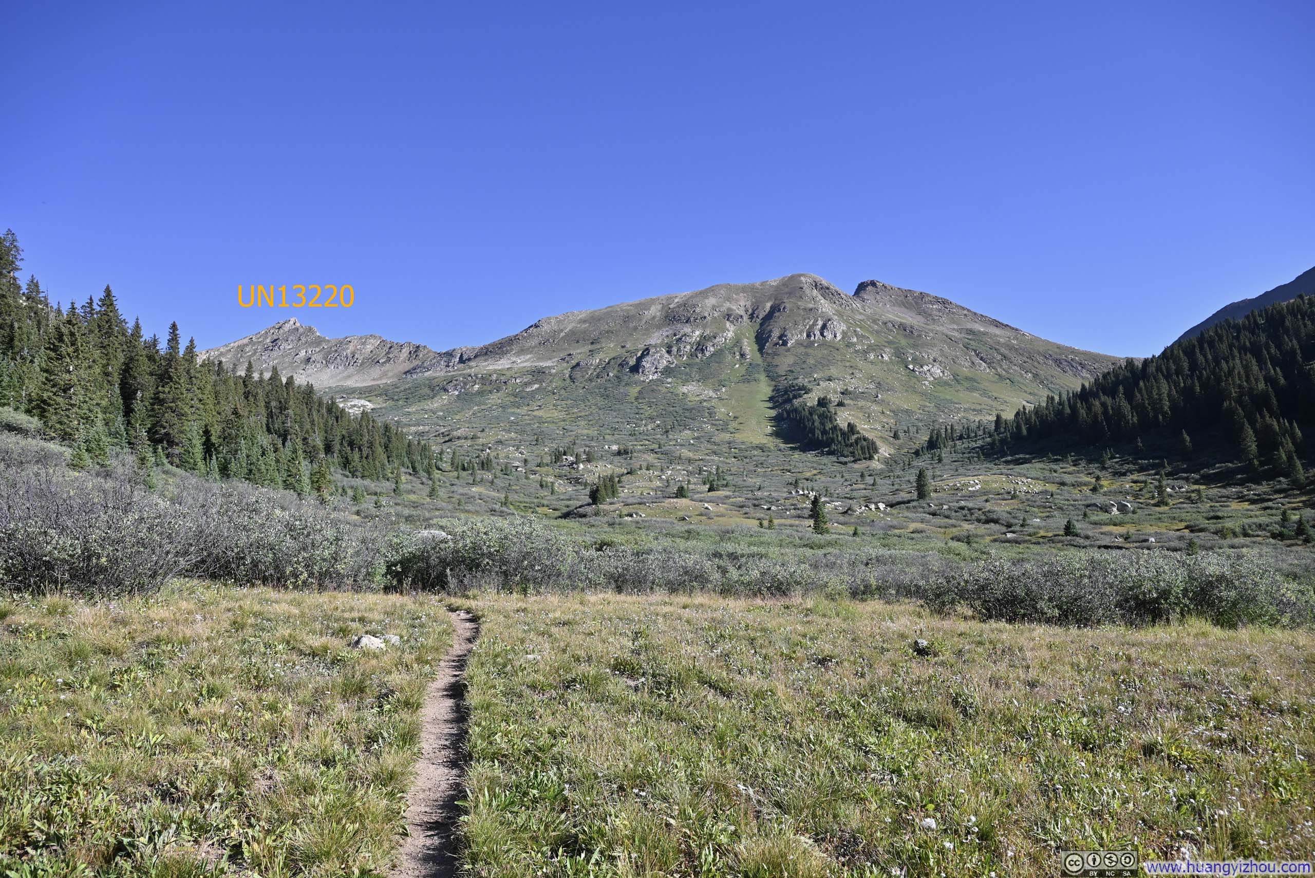
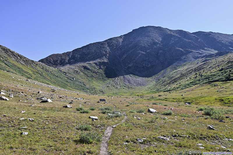
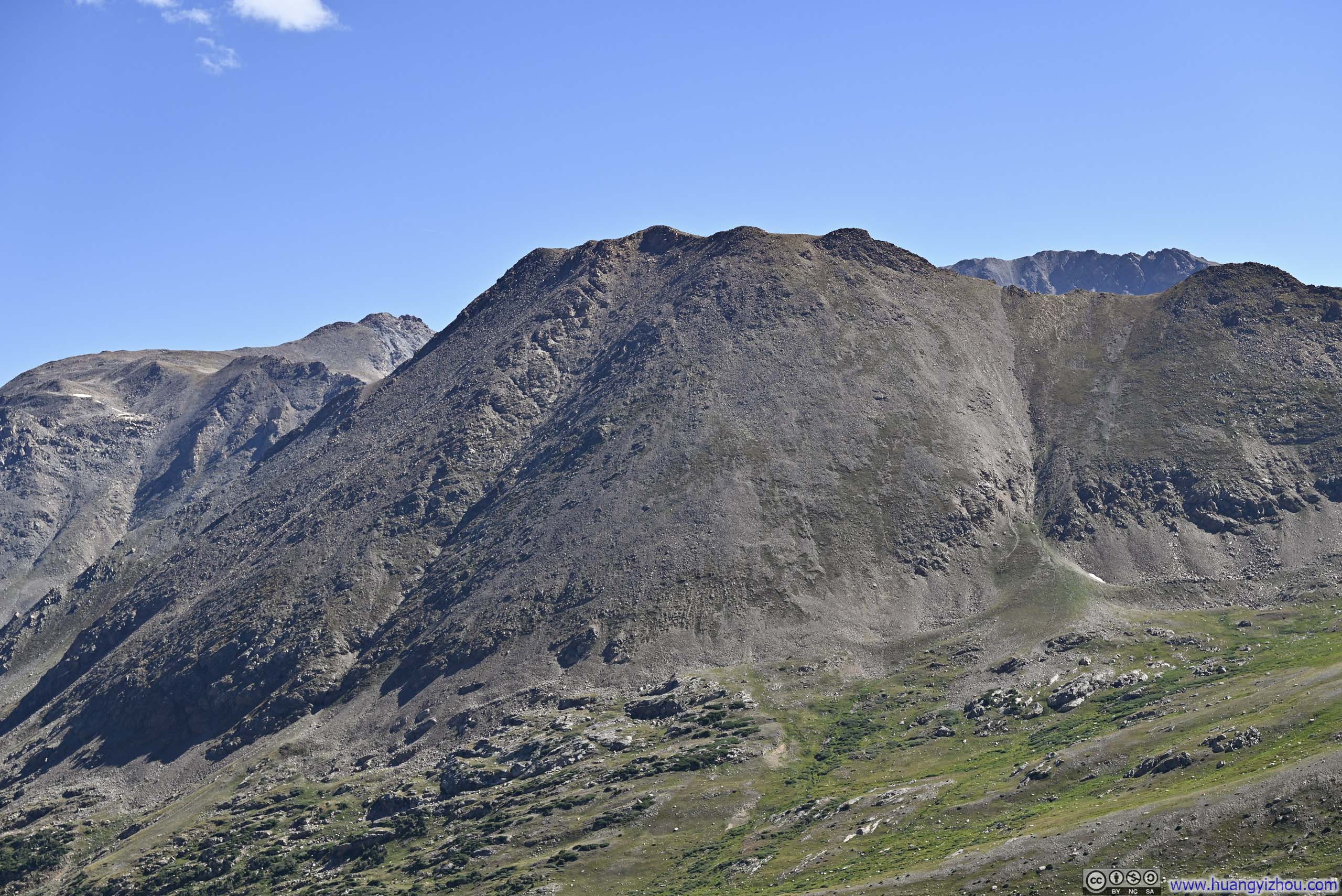
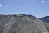
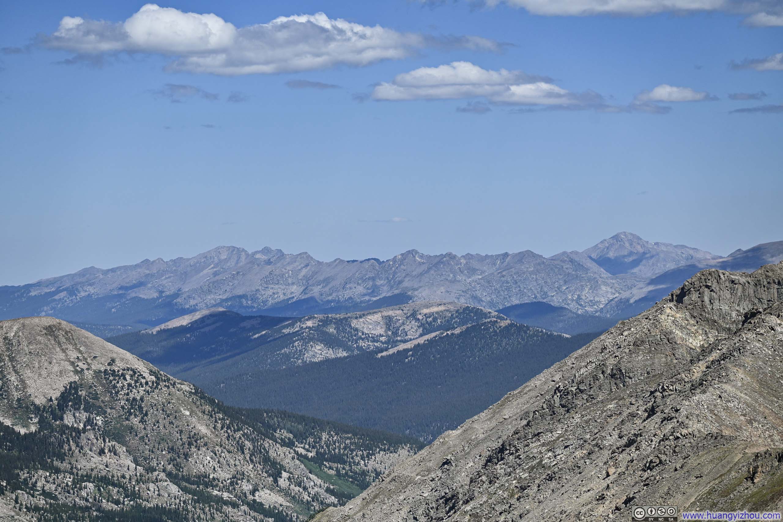
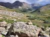
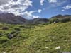
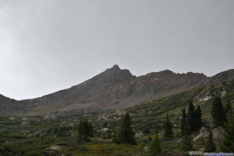
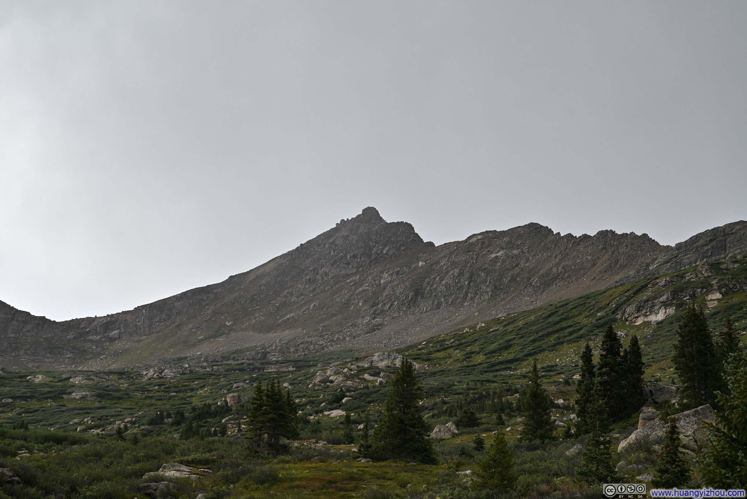
Less than half an hour after starting off, I saw the ridge connecting UN13291 to UN13220. Unfortunately, neither of them was in this photo.
Destination in Sight
Less than half an hour after starting off, I saw the ridge connecting UN13291 to UN13220. Unfortunately, neither of them was in this photo.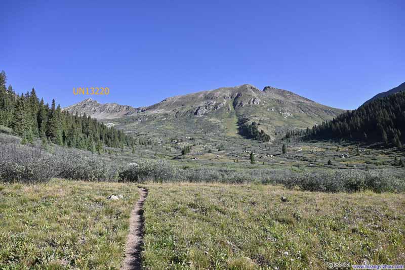 Ridge of Continental Divide from Valley
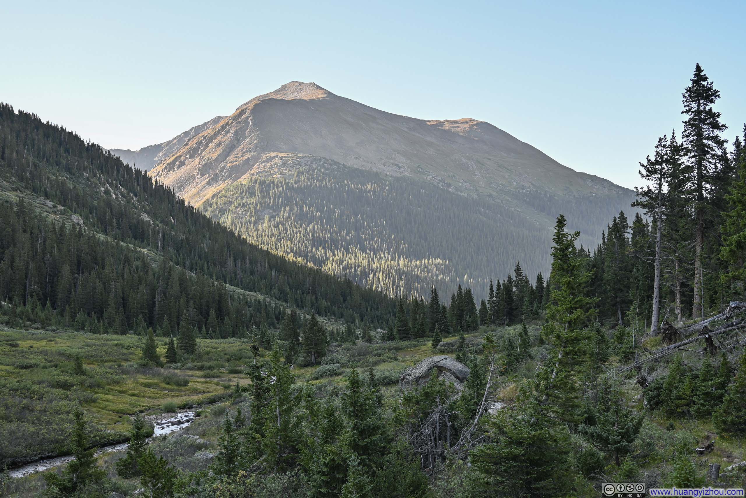
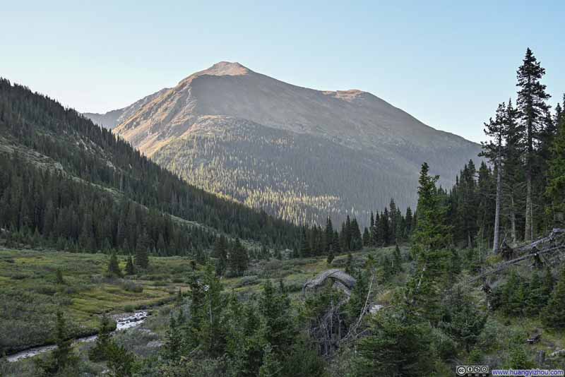 Lackawanna Peak
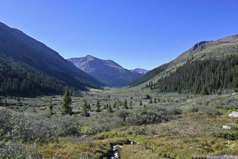 Lackawanna Peak from North Fork Lake Creek Valley


Click here to display photos of the slideshow
Trailhead Parking
Frost on Plants

Destination in Sight
Ridge of Continental Divide from Valley
Lackawanna Peak
Lackawanna Peak from North Fork Lake Creek Valley
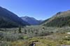
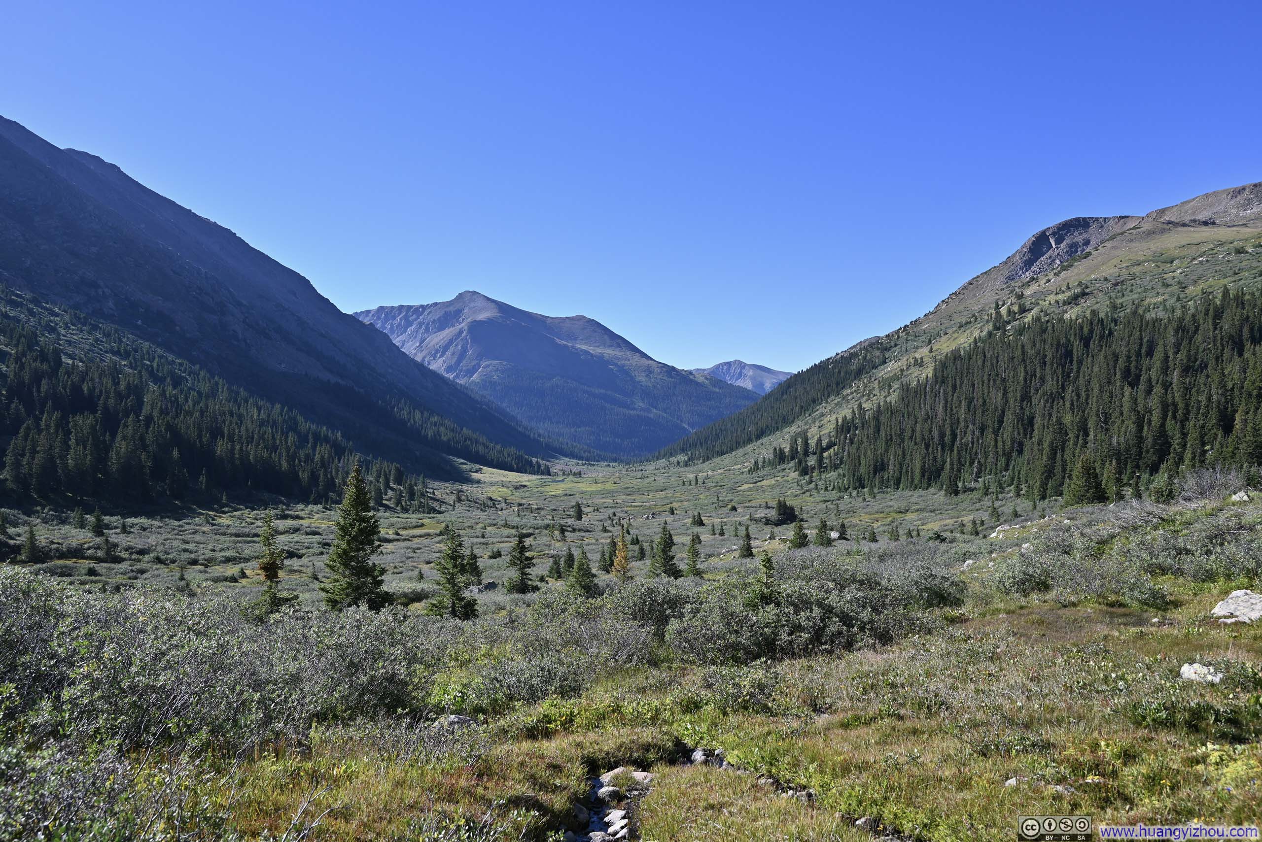
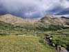
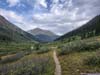
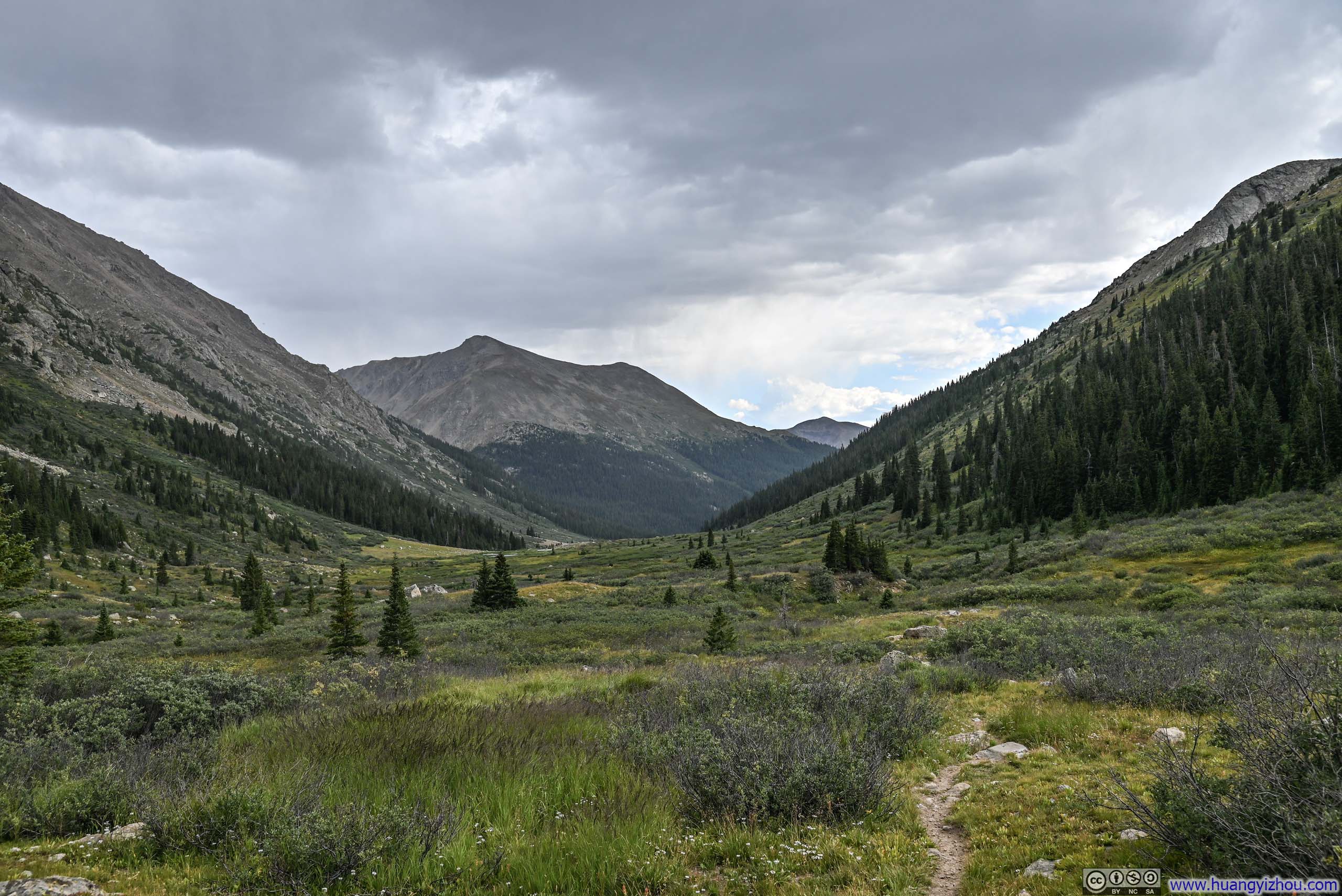
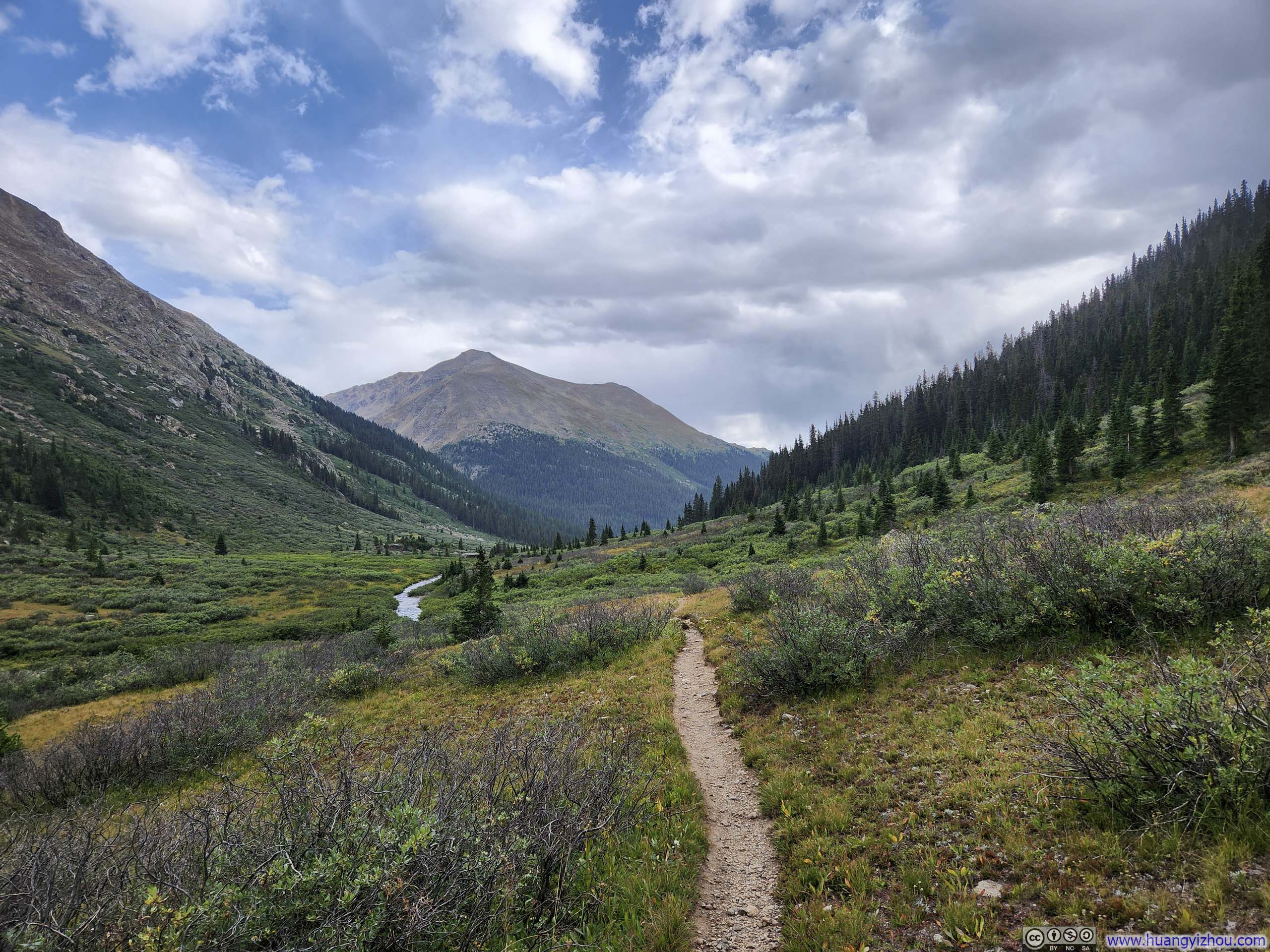
The hike through the valley was uneventful. I decided to take the lollipop loop between UN13291 and UN13220 in the counterclockwise direction. That meant, I followed North Fork Lake Creek Trail on AllTrails all the way till its end.
Trail near Water Crossing
 TrailDeer Mountain in front. I would be accompanied by its sight for the next few hours.
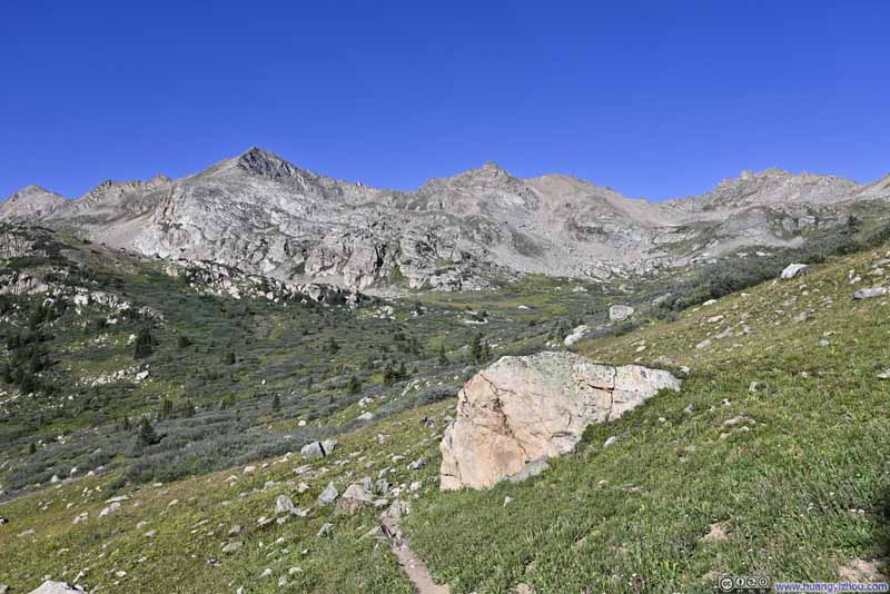 Mountains of Continental Divide behind Trail
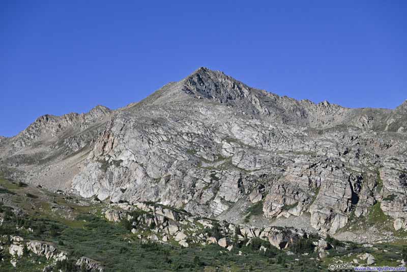 Mountains of Continental Divide
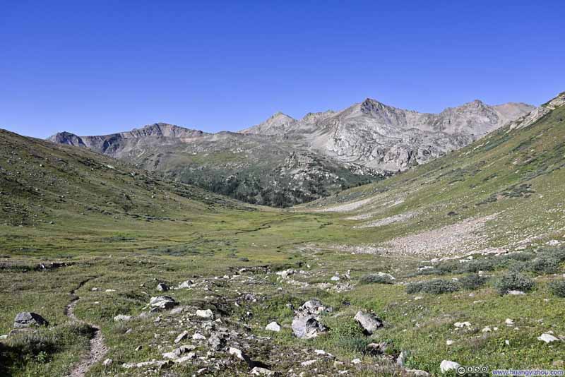 Mountains of Continental Divide behind Trail
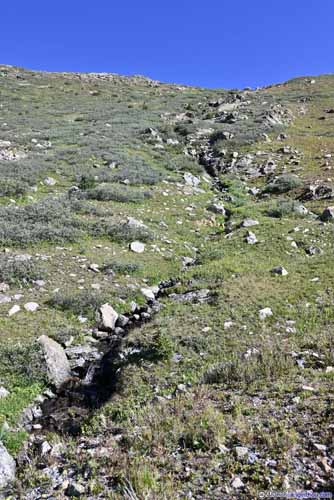
 Flowers along Creek
Click here to display photos of the slideshow

TrailDeer Mountain in front. I would be accompanied by its sight for the next few hours.

Mountains of Continental Divide behind Trail
Mountains of Continental Divide
Mountains of Continental Divide behind Trail
 Flowers along Creek
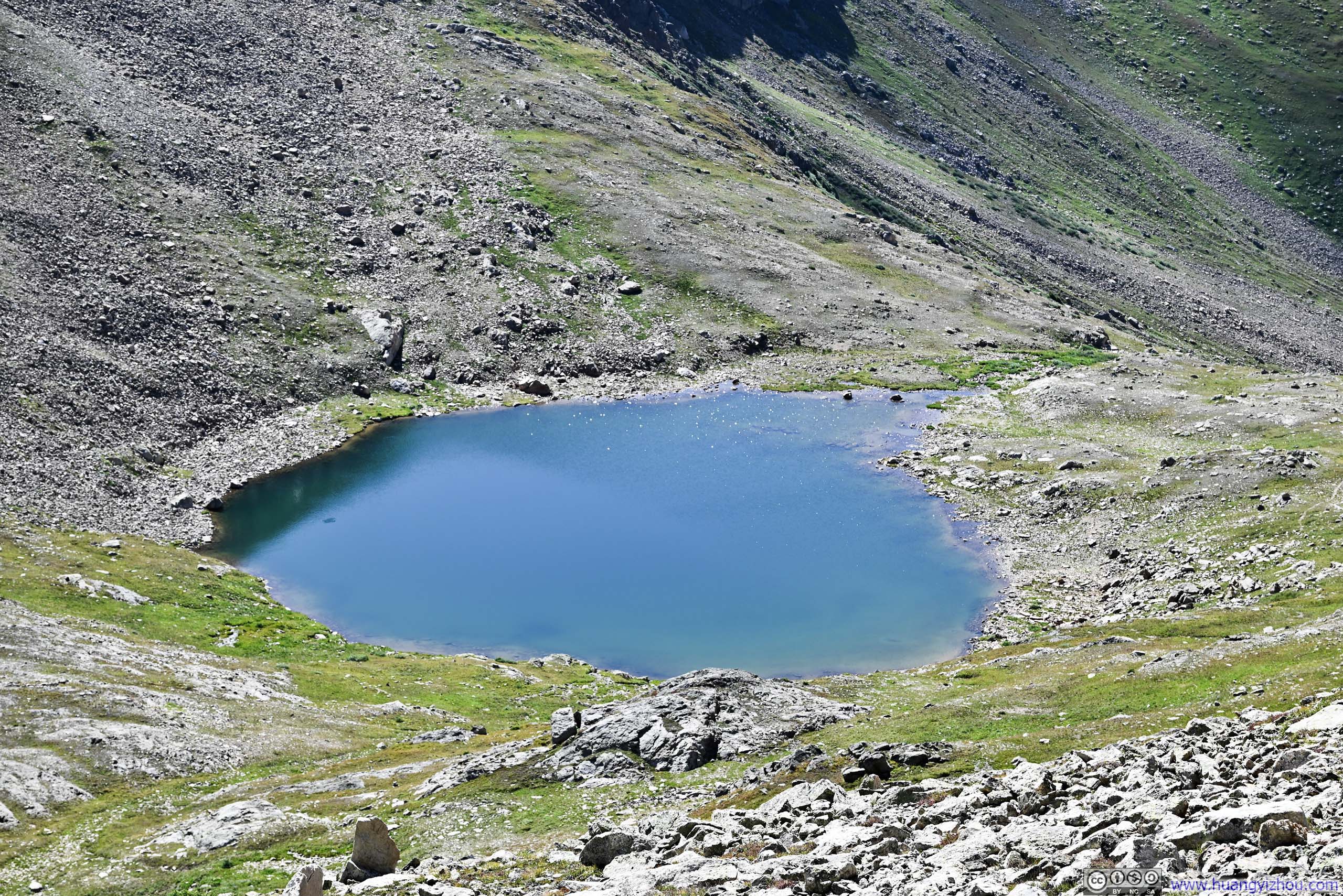
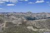
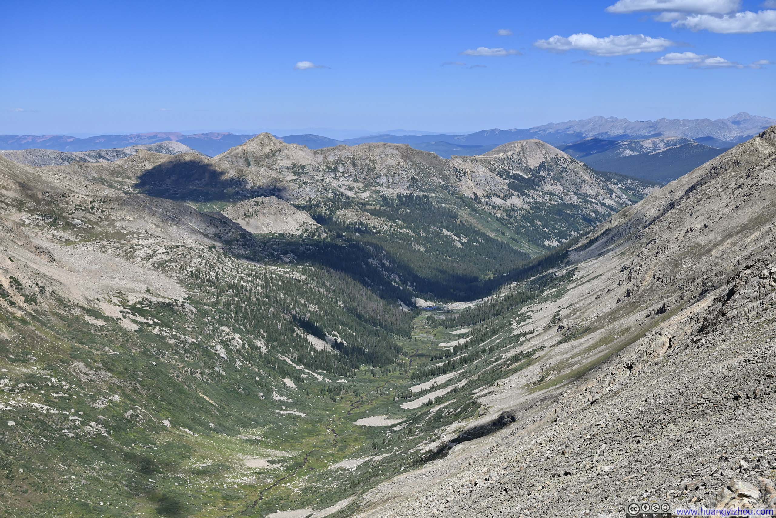
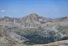
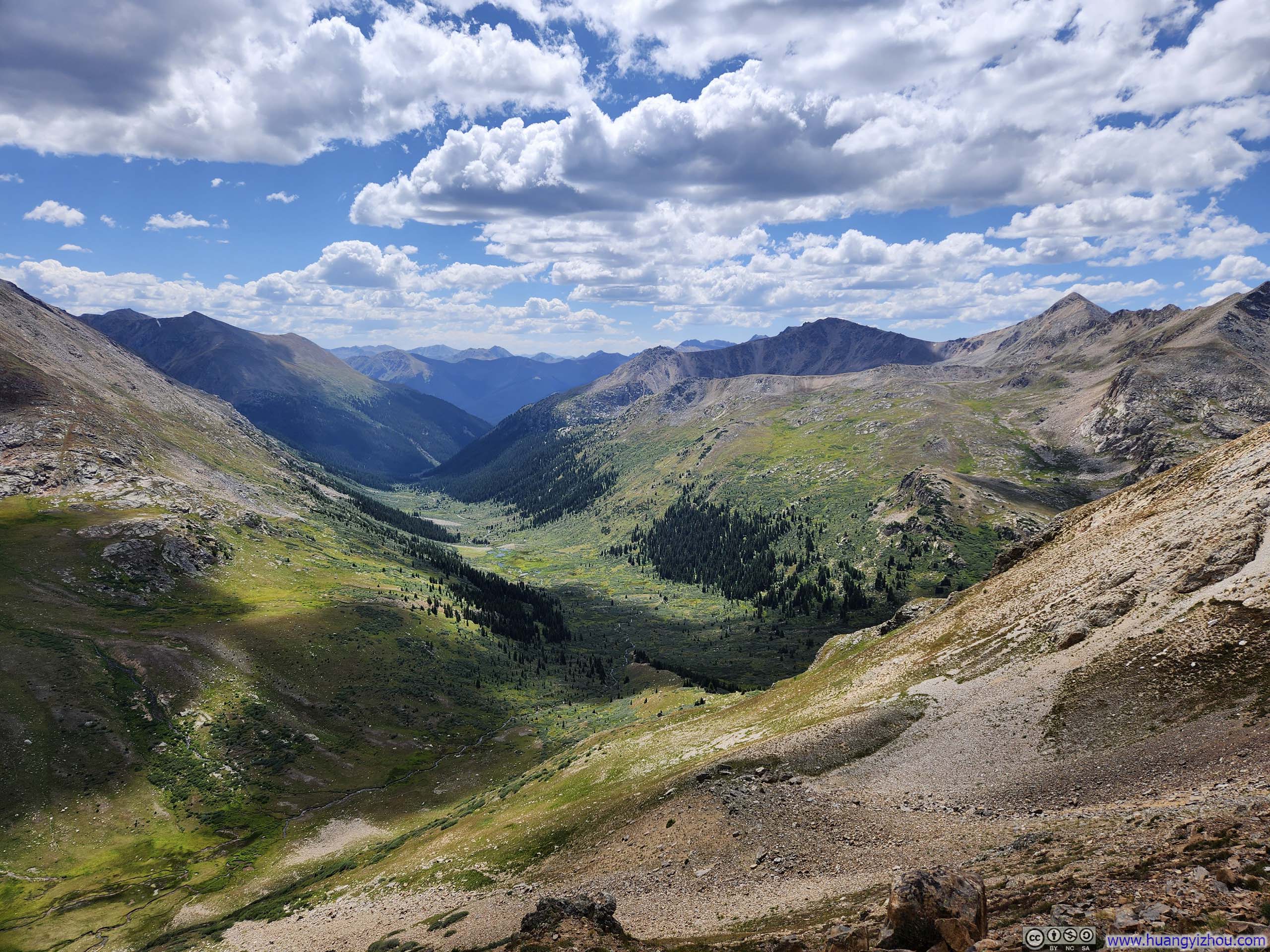
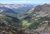
Towards the end of the AllTrails track, the trail entered a series of switchbacks before reaching an alpine lake (p1 below), a popular destination for many hikers. From there on, I ascended the ridgeline to my left (west).
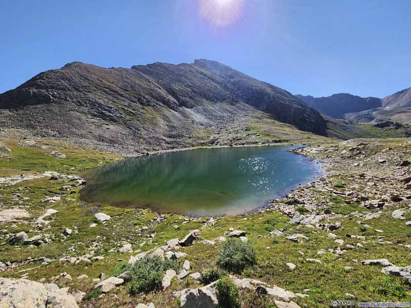 Alpine Lake
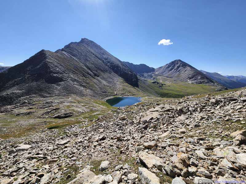 Alpine Lake among Mountains
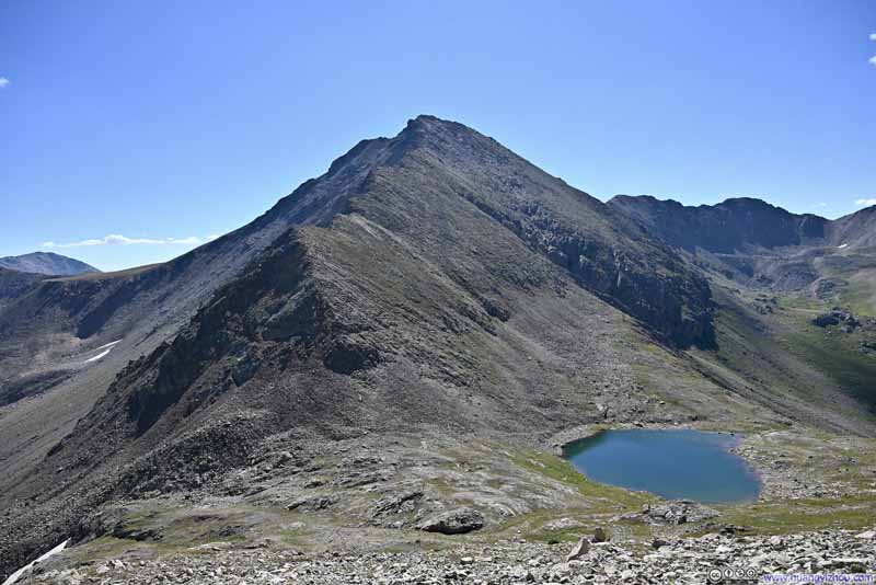 Alpine Lake at Deer Mountain’s Foot
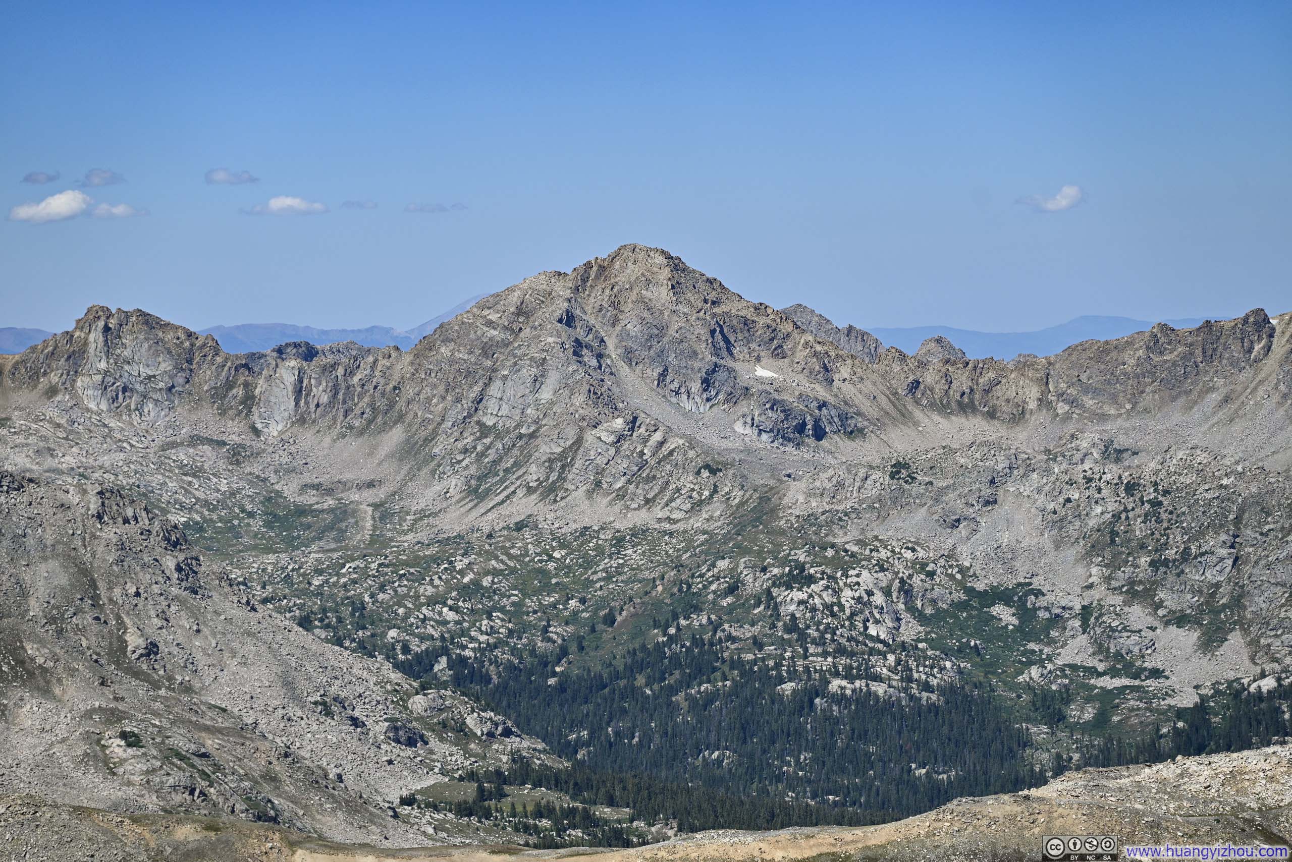
 Mount Champion
 Mount Oklahoma
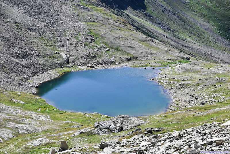 Alpine Lake


Click here to display photos of the slideshow
Alpine Lake

Alpine Lake among Mountains
Alpine Lake at Deer Mountain’s Foot
Mount Champion
Mount Oklahoma
Alpine Lake
 Narrow Passage
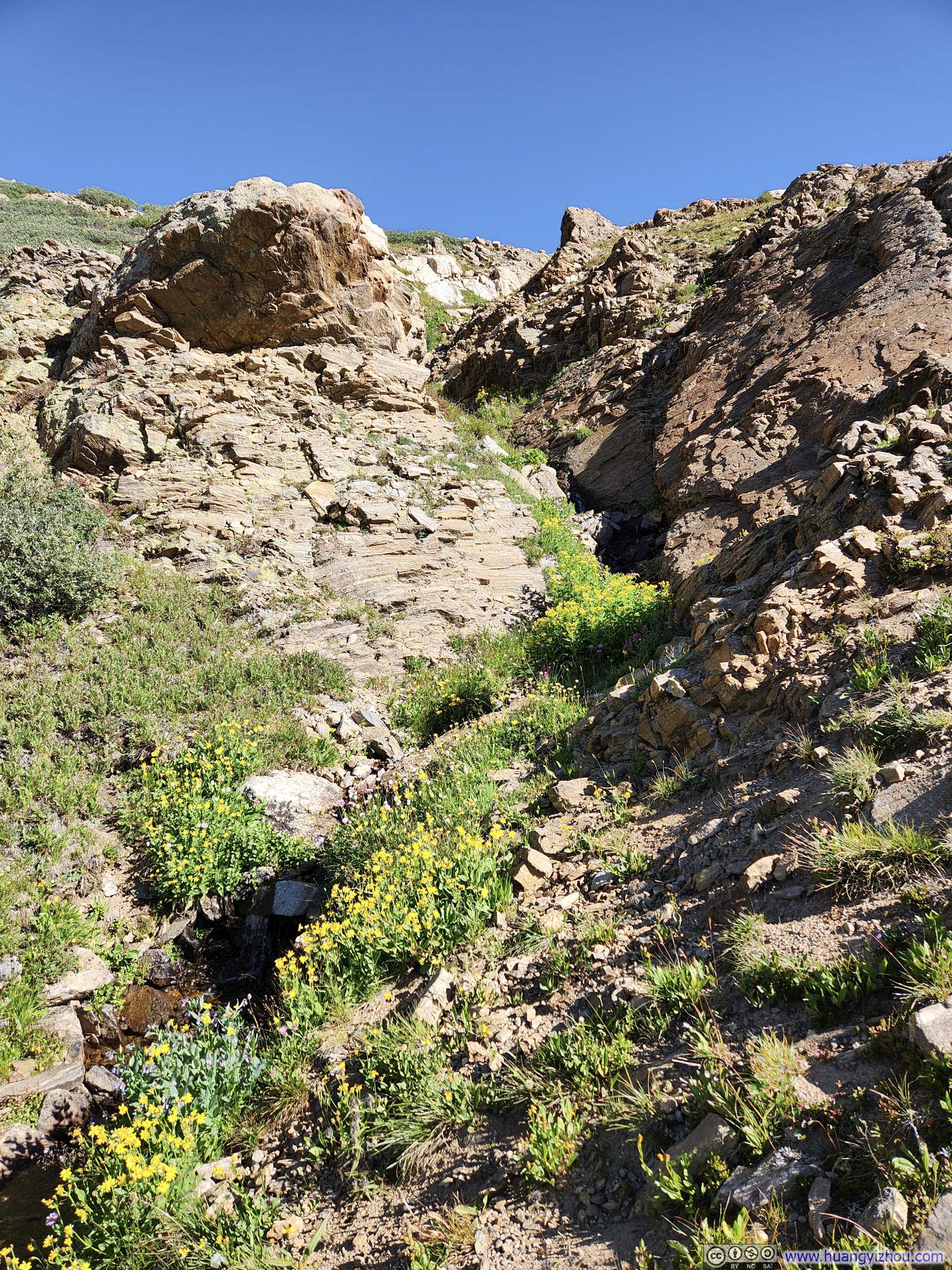
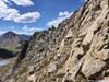
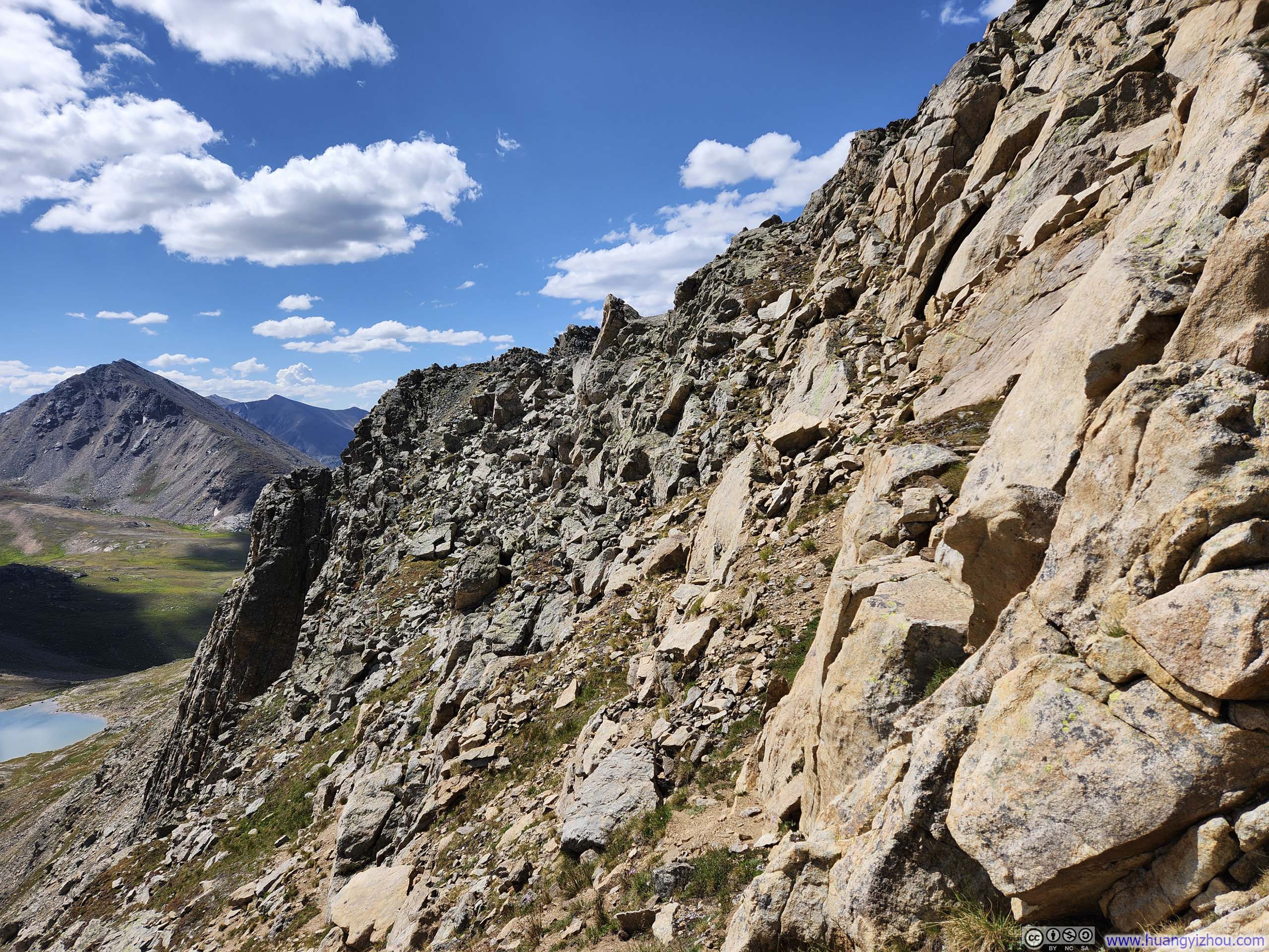
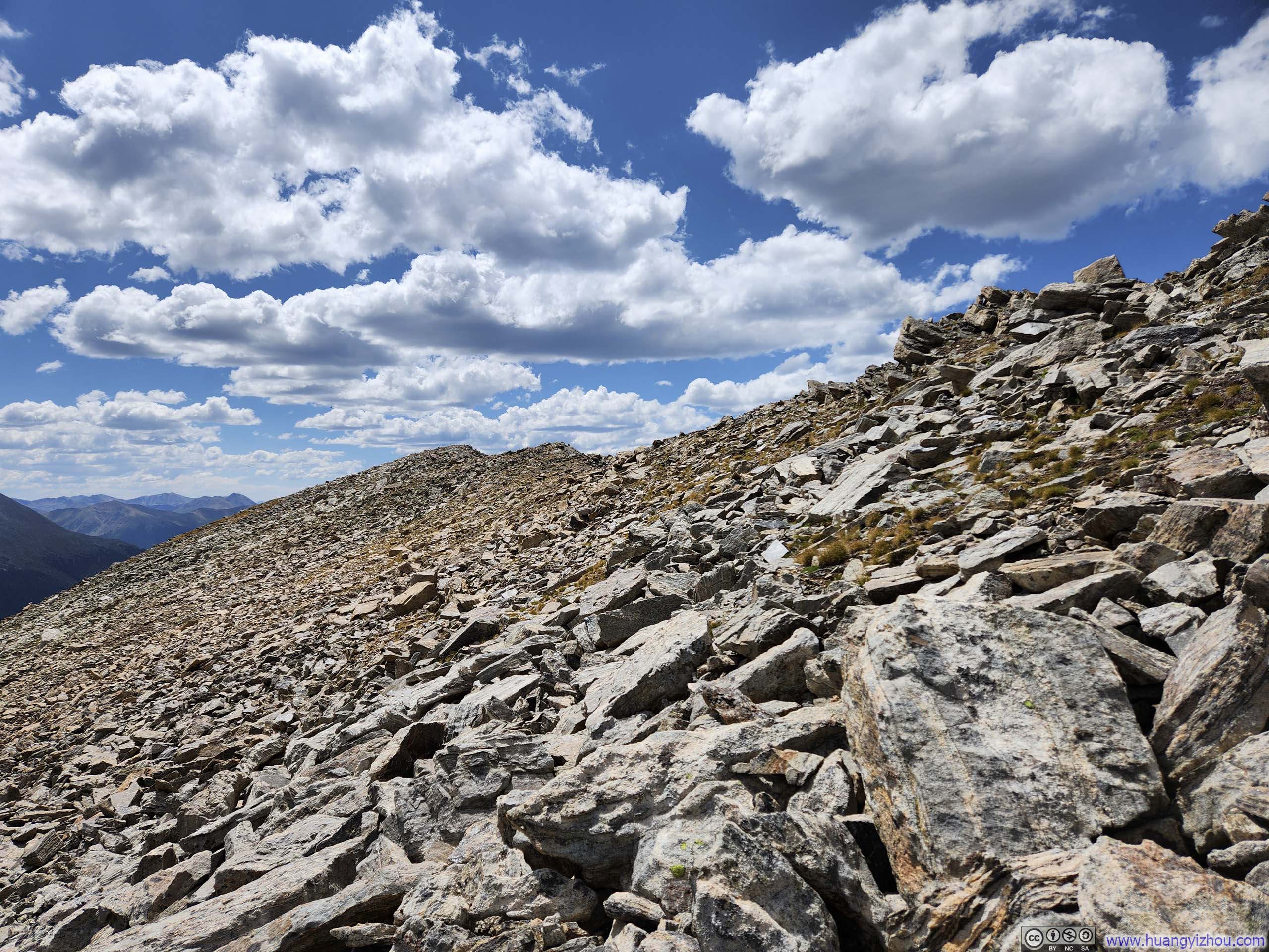
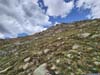
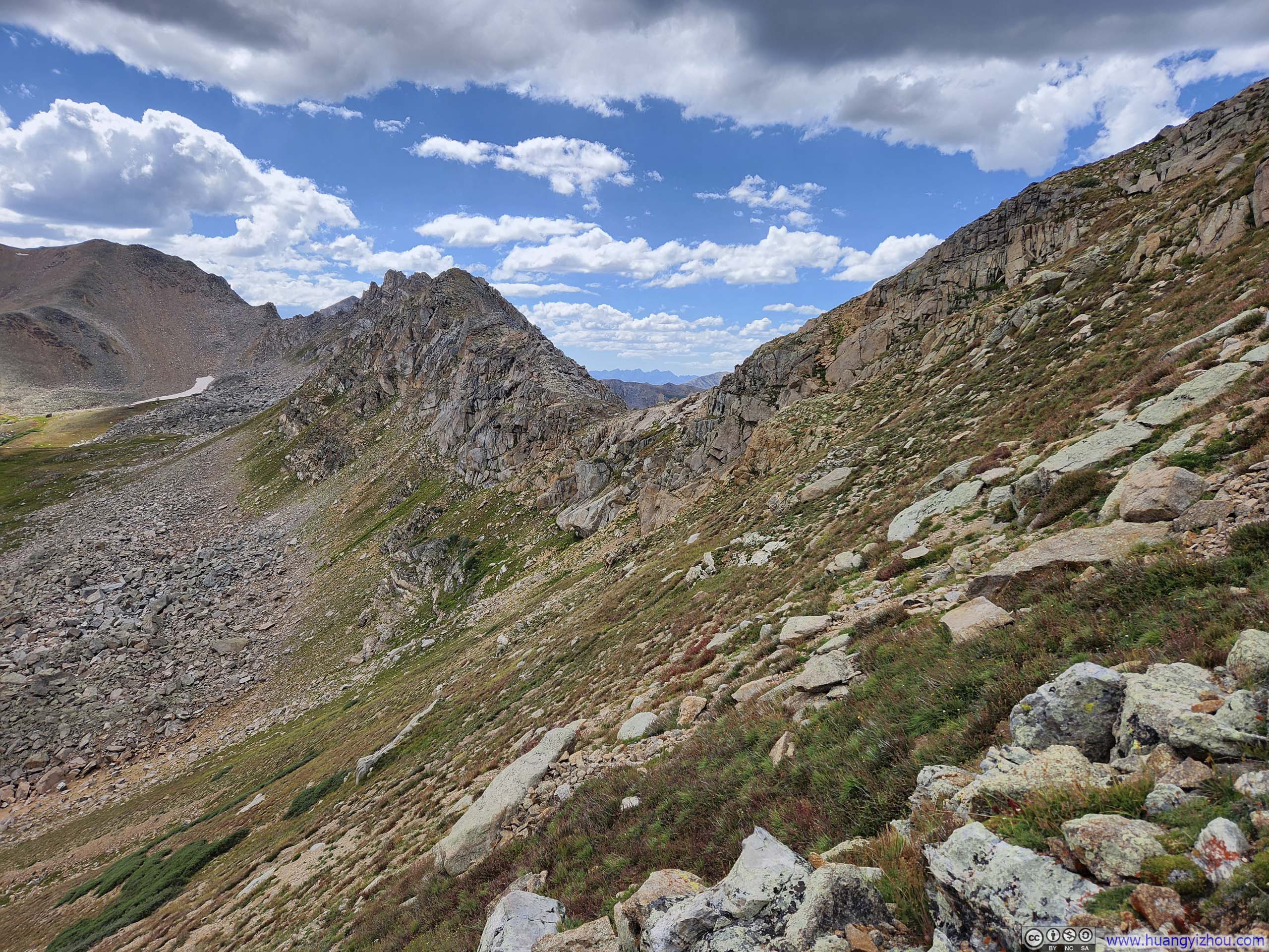
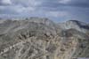
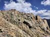
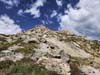
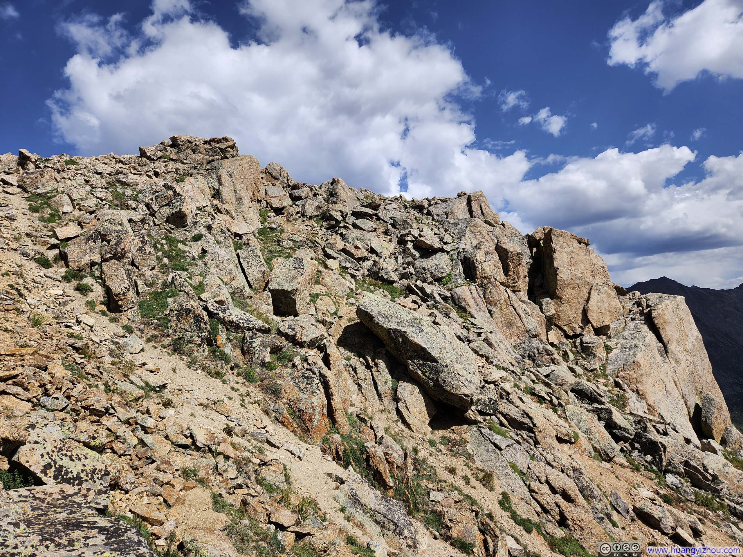
The next part of the trail circumvented some giant boulders (p1 below as a summary). Initially, it passed under towering vertical cliffs (p4 below), with cairns marking the way. Once the cliffs on the right (east) ended, the trail ascended a steep slope (still only YDS class 2) to regain the ridgeline.
 PathNext portion of the path, highlighted in red. Photo taken later in the day along way to UN13220.
 Boulder
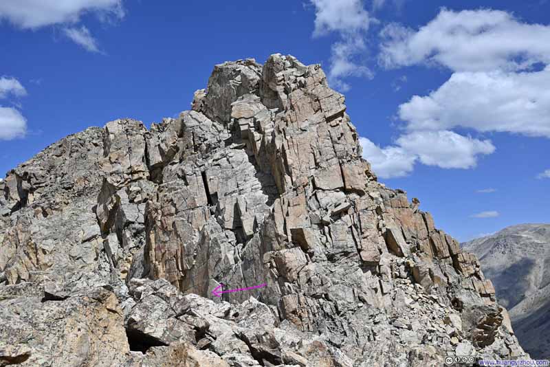 BoulderThe purple arrow marking the path.
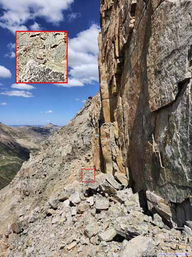
 Passage Next to CliffA cairn marking the path.
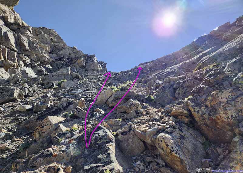 Steep Slope
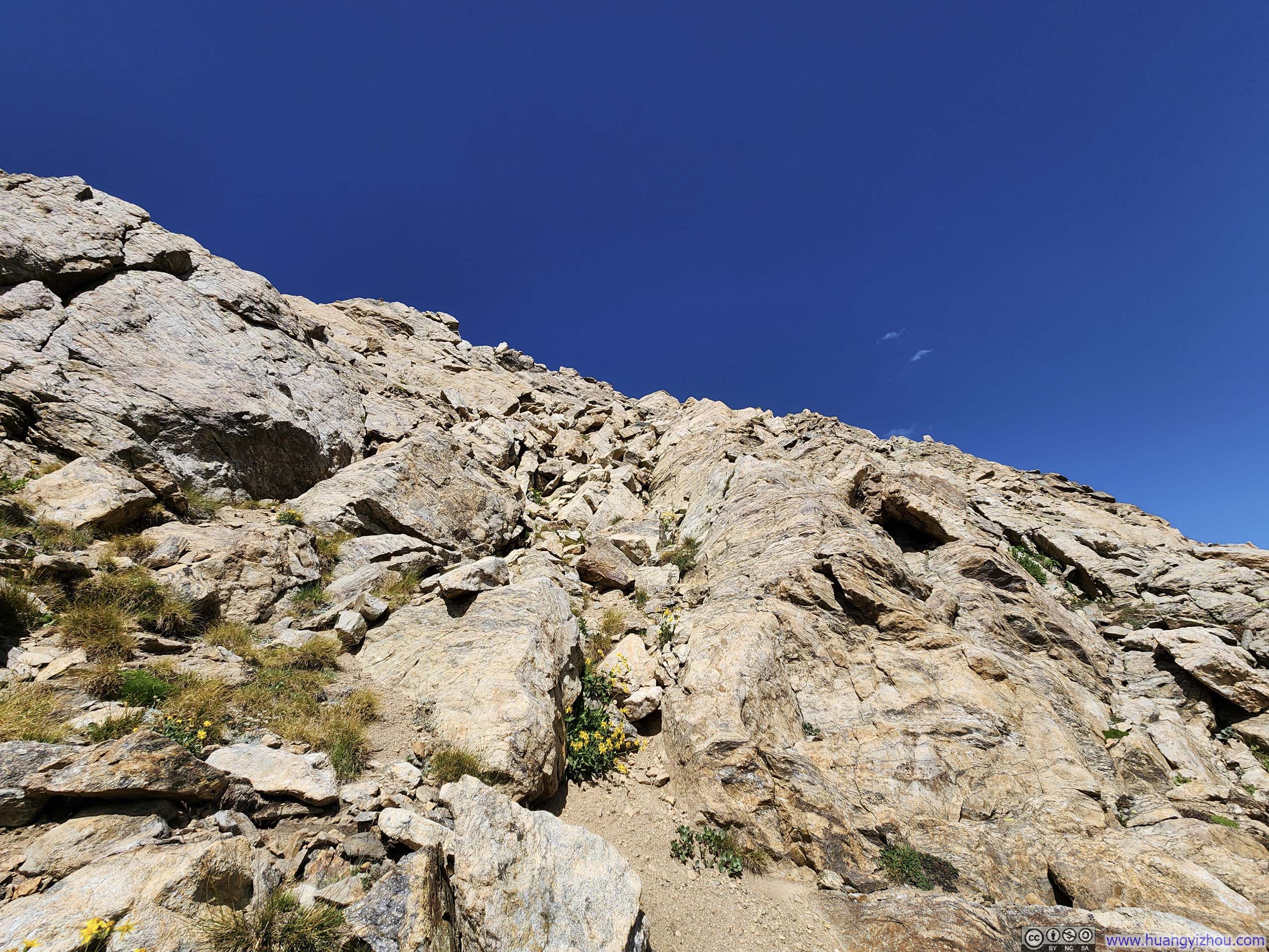
One could choose to stick to smaller screes (left) or larger rocks (right), they weren’t that different.
Steep Slope
One could choose to stick to smaller screes (left) or larger rocks (right), they weren’t that different.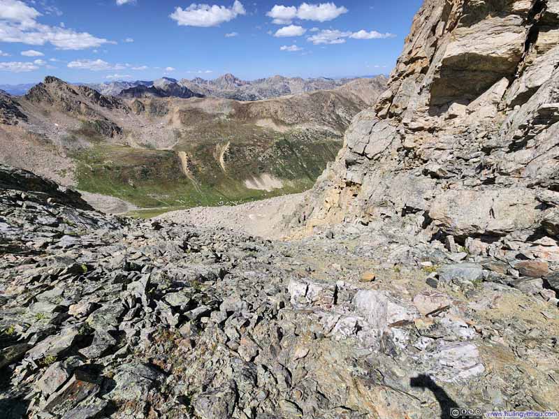 Steep SlopeLooking from above.


Click here to display photos of the slideshow
PathNext portion of the path, highlighted in red. Photo taken later in the day along way to UN13220.
Boulder
BoulderThe purple arrow marking the path.

 Passage Next to CliffA cairn marking the path.

Steep Slope

Steep SlopeLooking from above.
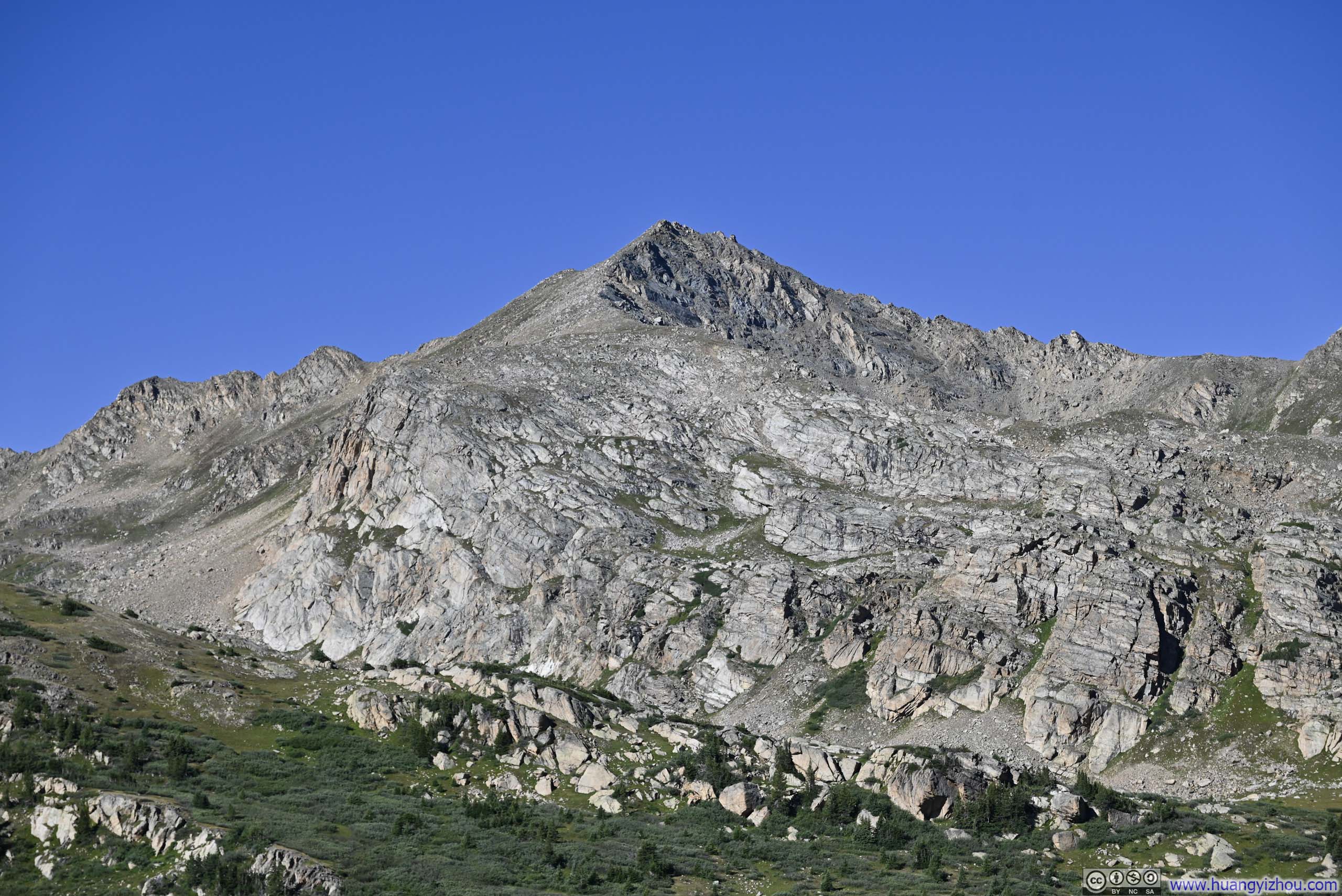
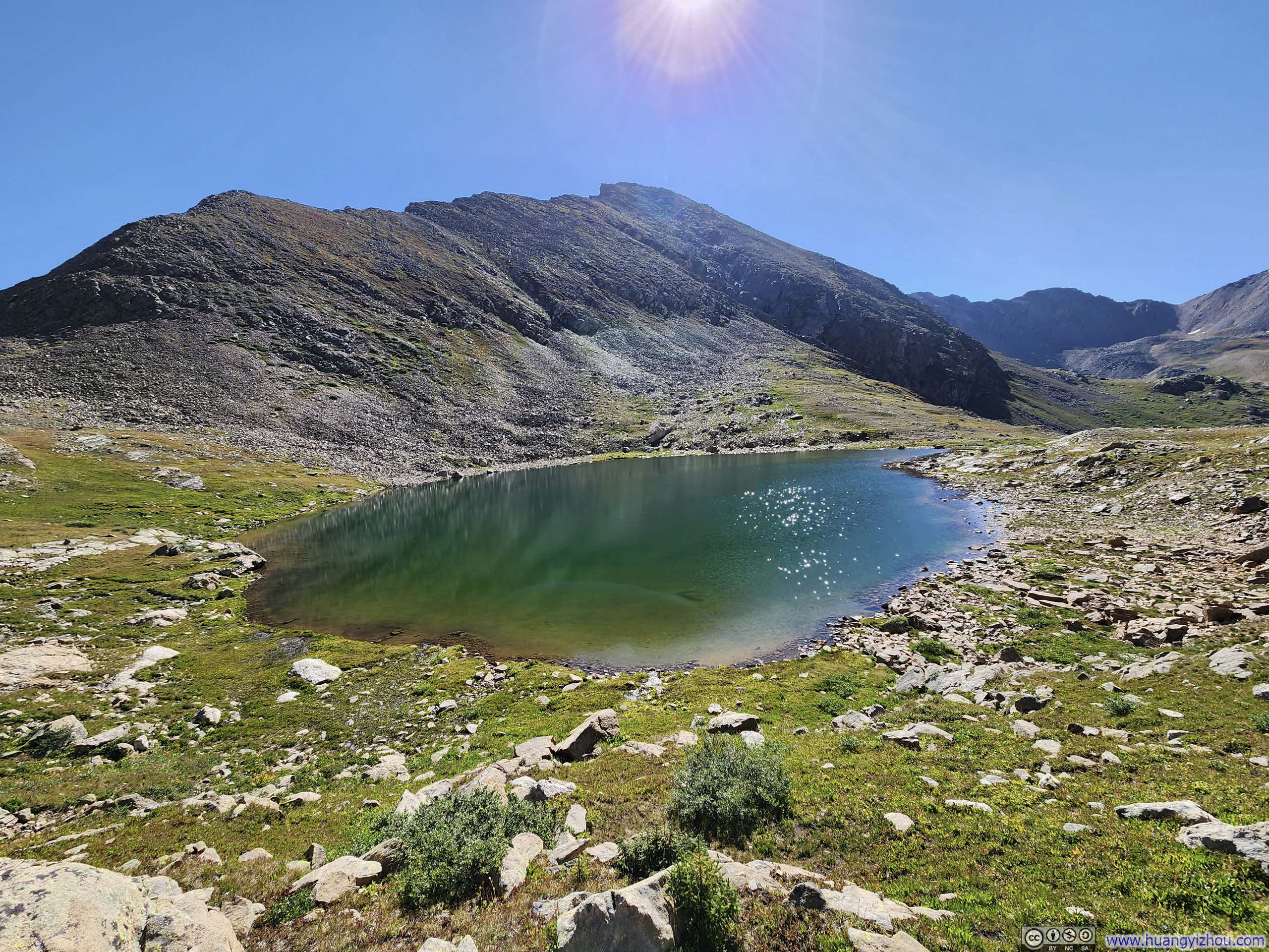
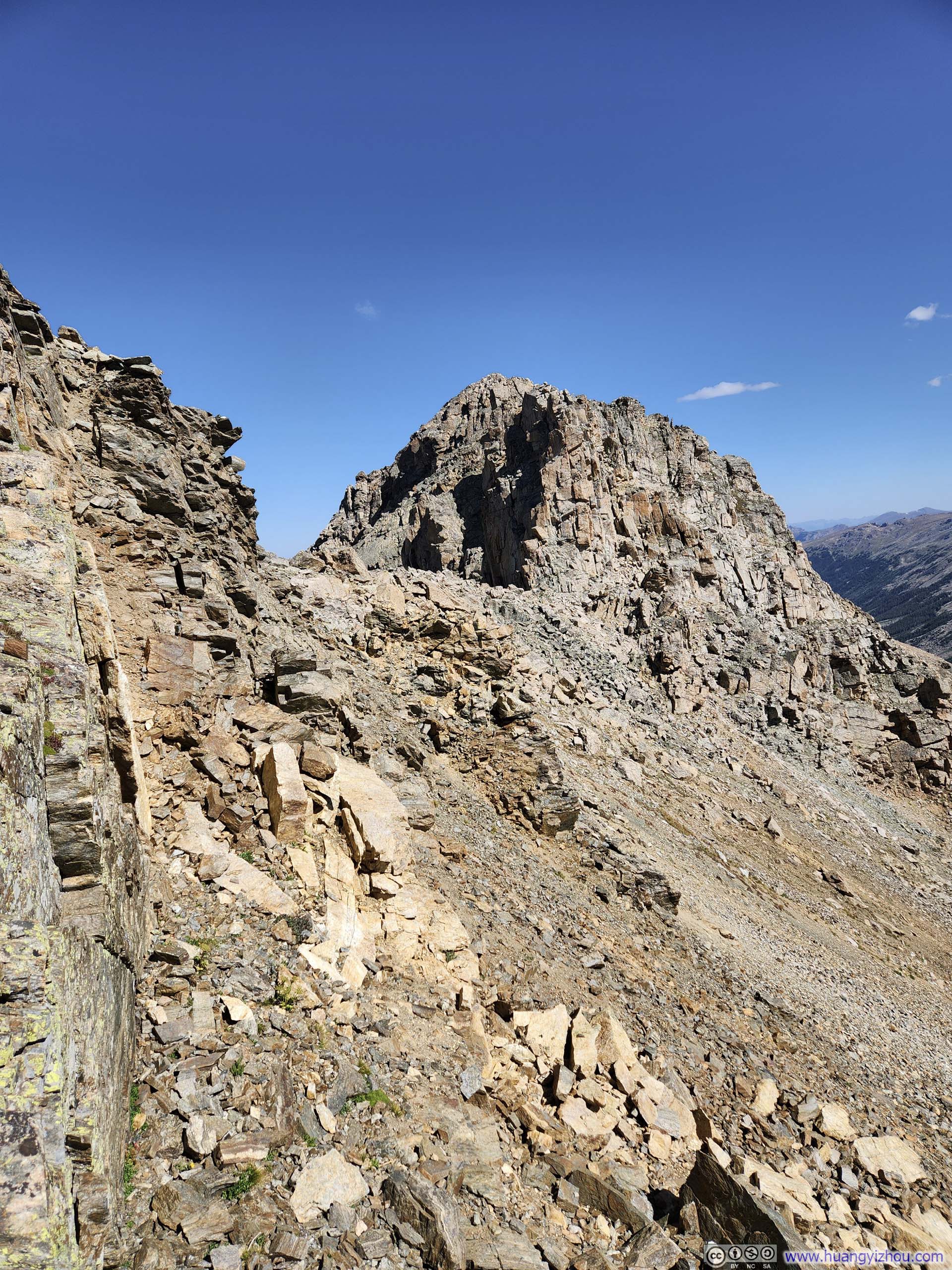
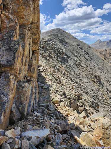
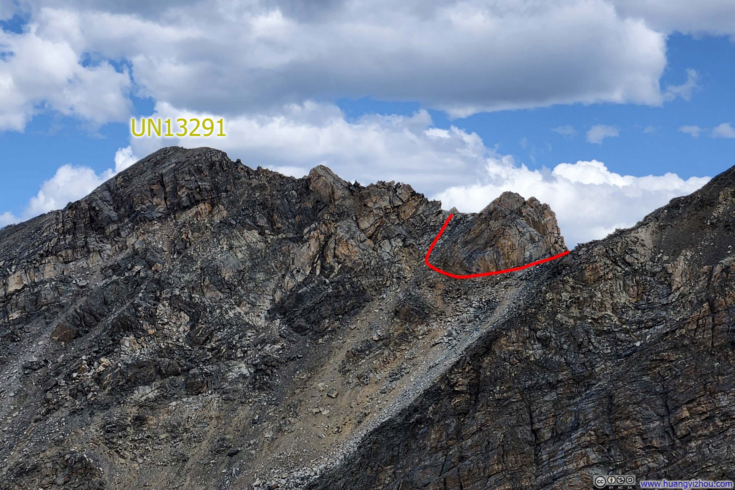
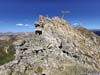
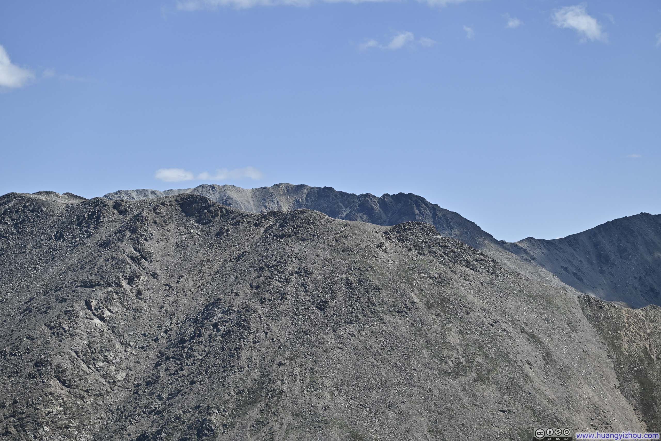
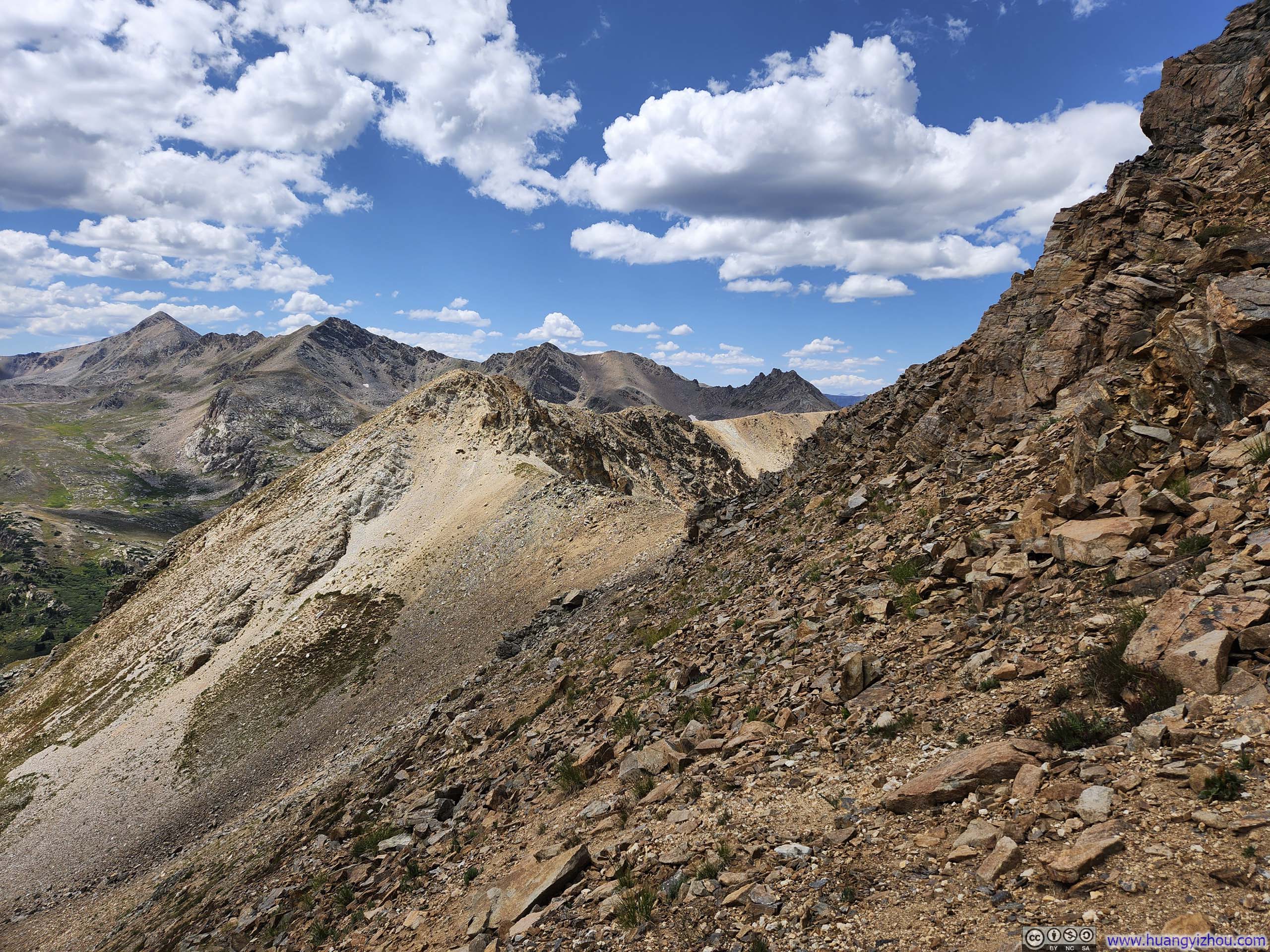
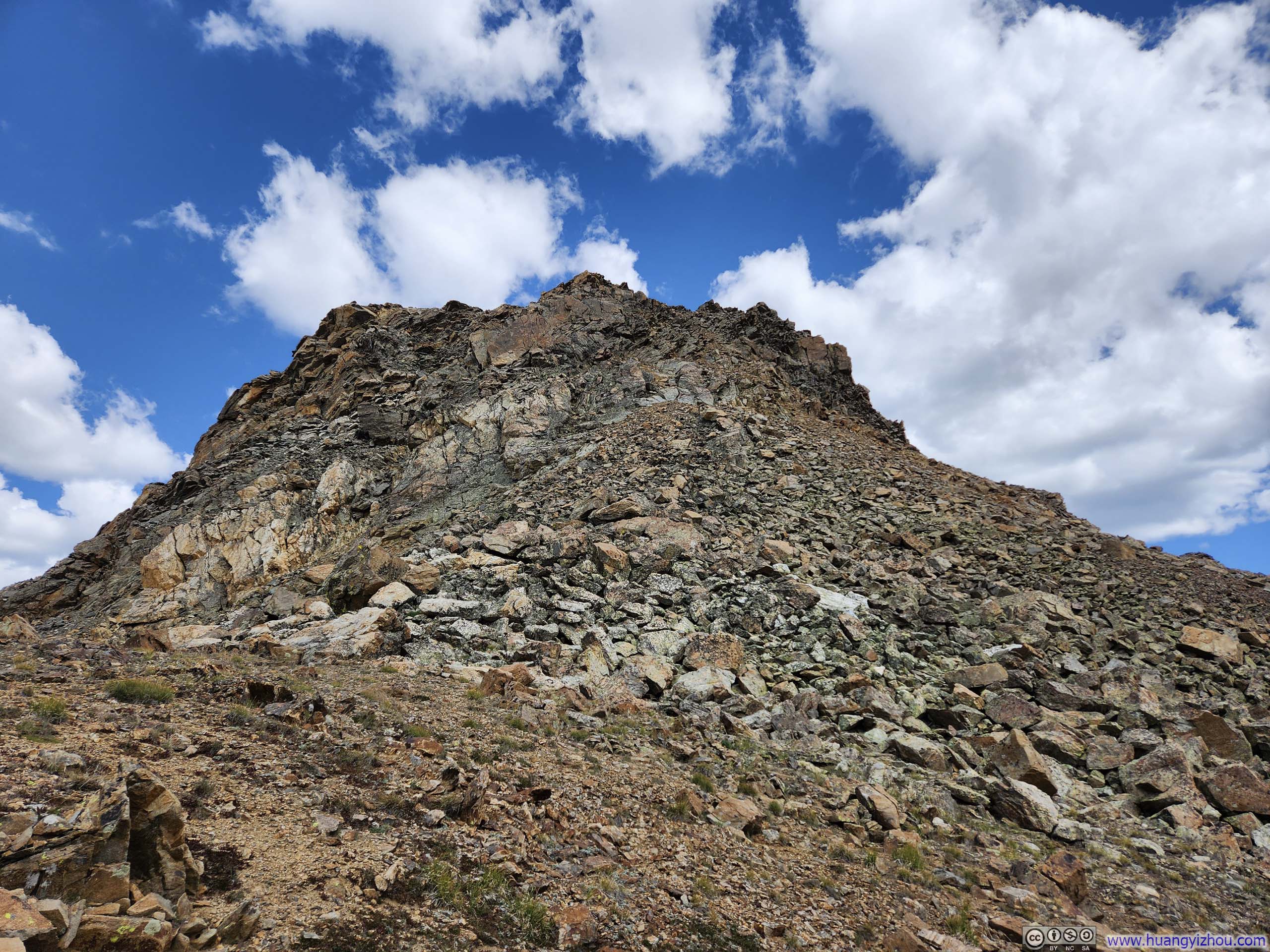
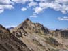
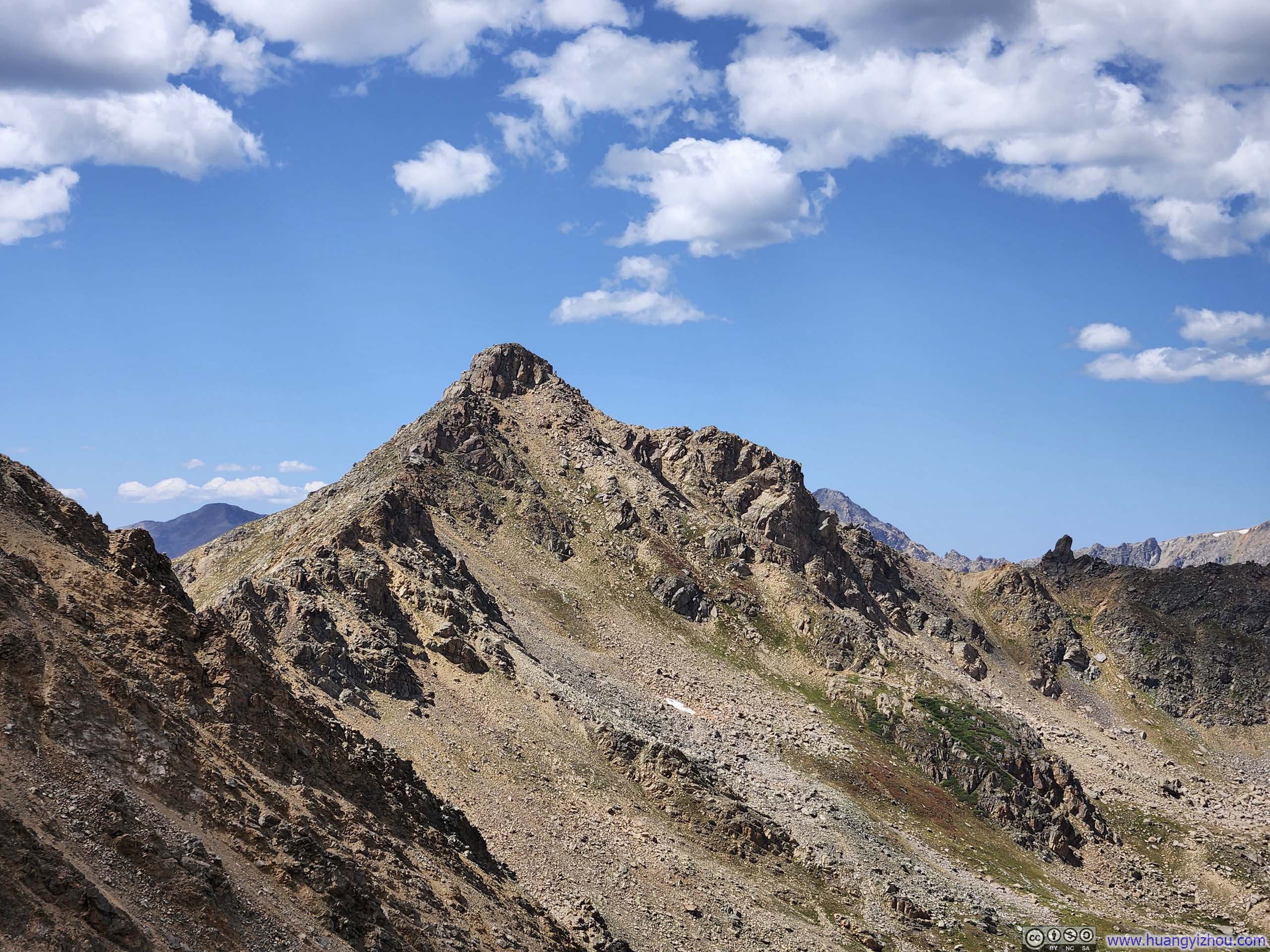
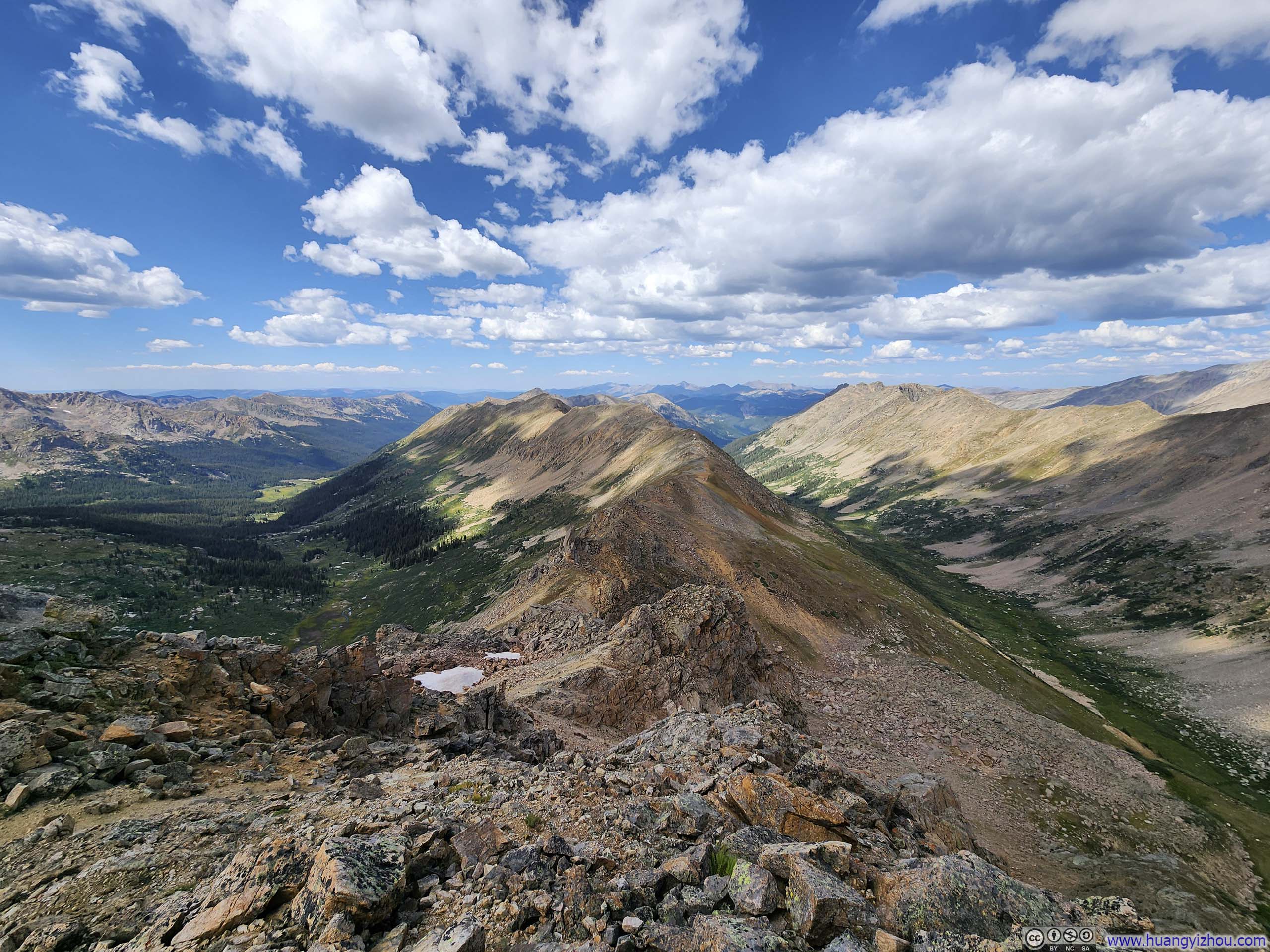
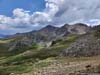
From the top of the previous steep slope, I caught my first glimpses of the summit of UN13291. The ridge leading to UN13291 featured steep drop-offs. Therefore, the path to UN13291 first sidehilled on the right (east) side of the ridge before regaining it shortly before the summit. There were no markings or cairns to guide me, so I simply chose the path that seemed the least technically challenging. The terrain was not technically difficult so it didn’t hurt getting slightly off (as long as one didn’t veer to the left/west side of the ridge).
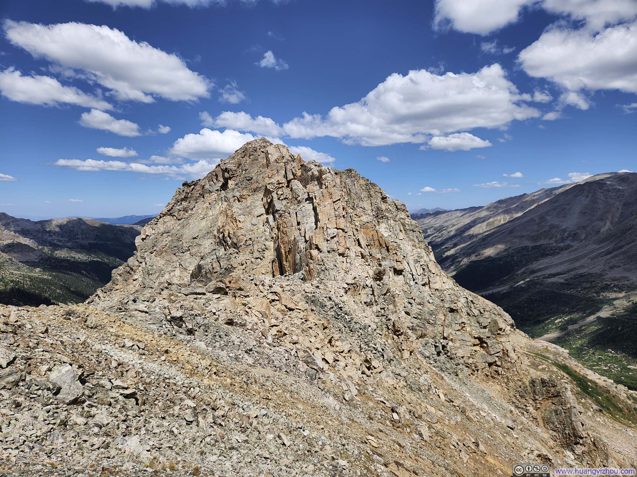
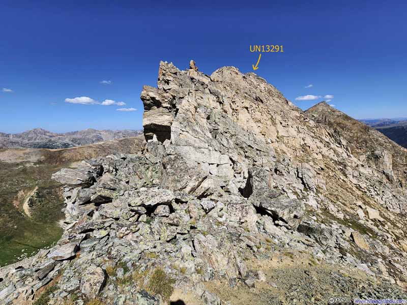 BouldersAt the top of the steep slope. For the first time of the day, I saw the true summit of UN13291.
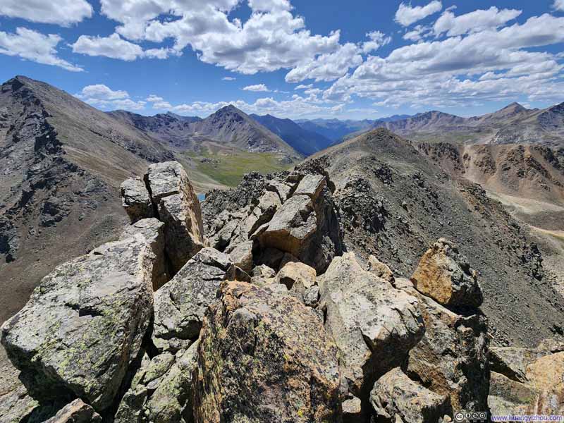 RidgeLooking back south. This was taken from a spot off the standard path.
 SidehillingTo avoid the ridge with steep dropoffs, the standard path was to deviate to the east.
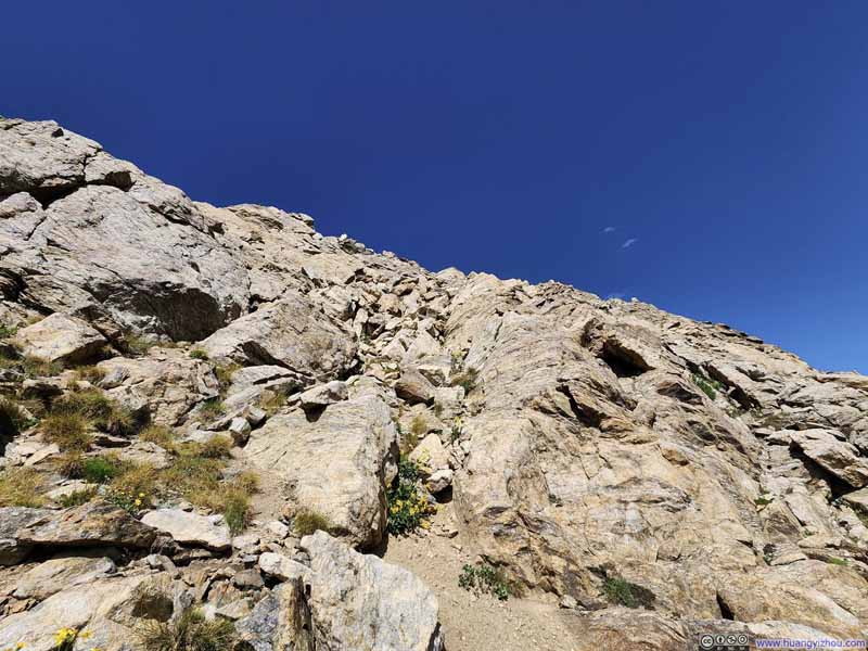 Steep SlopeTo regain the ridge before UN13291.
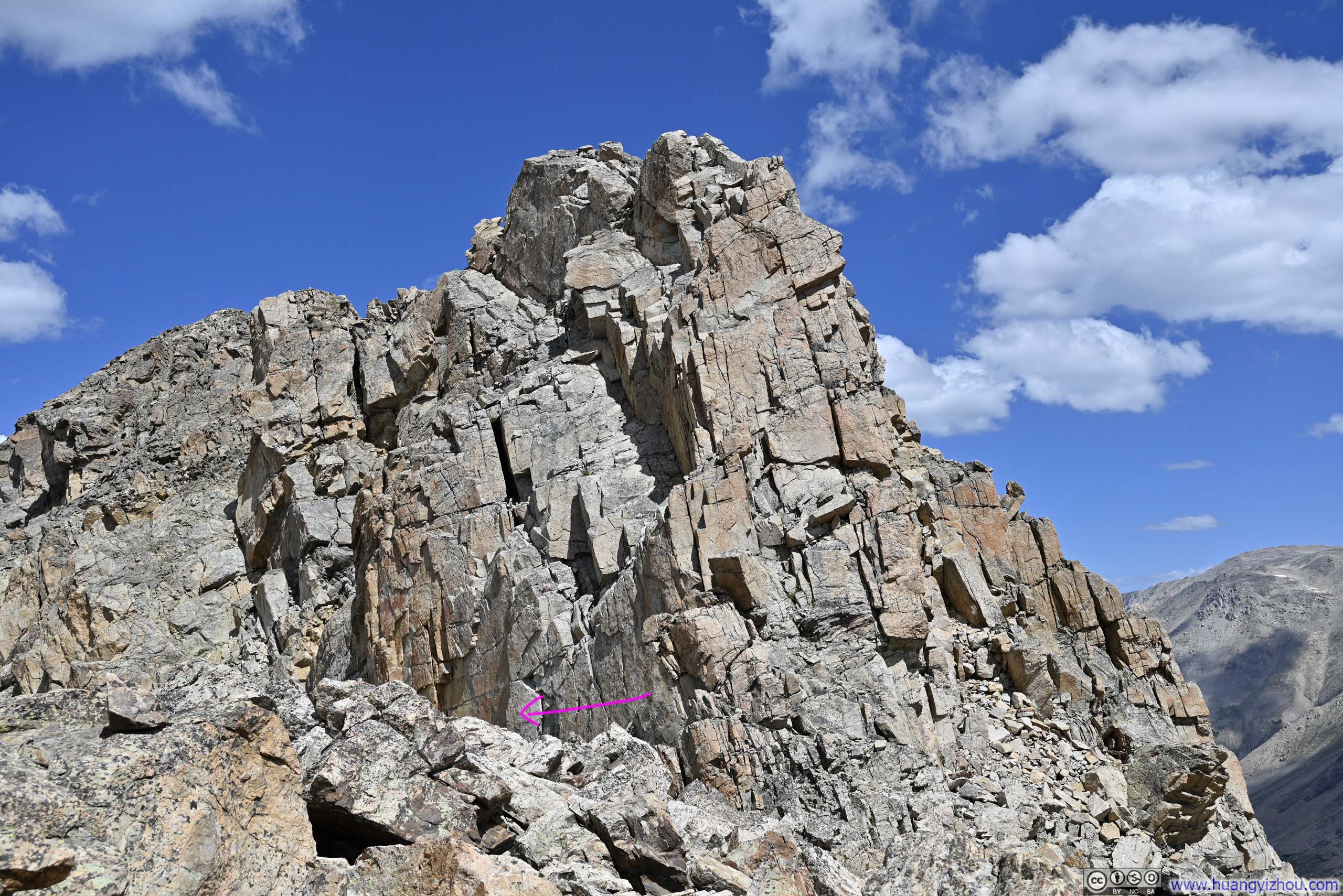
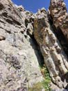
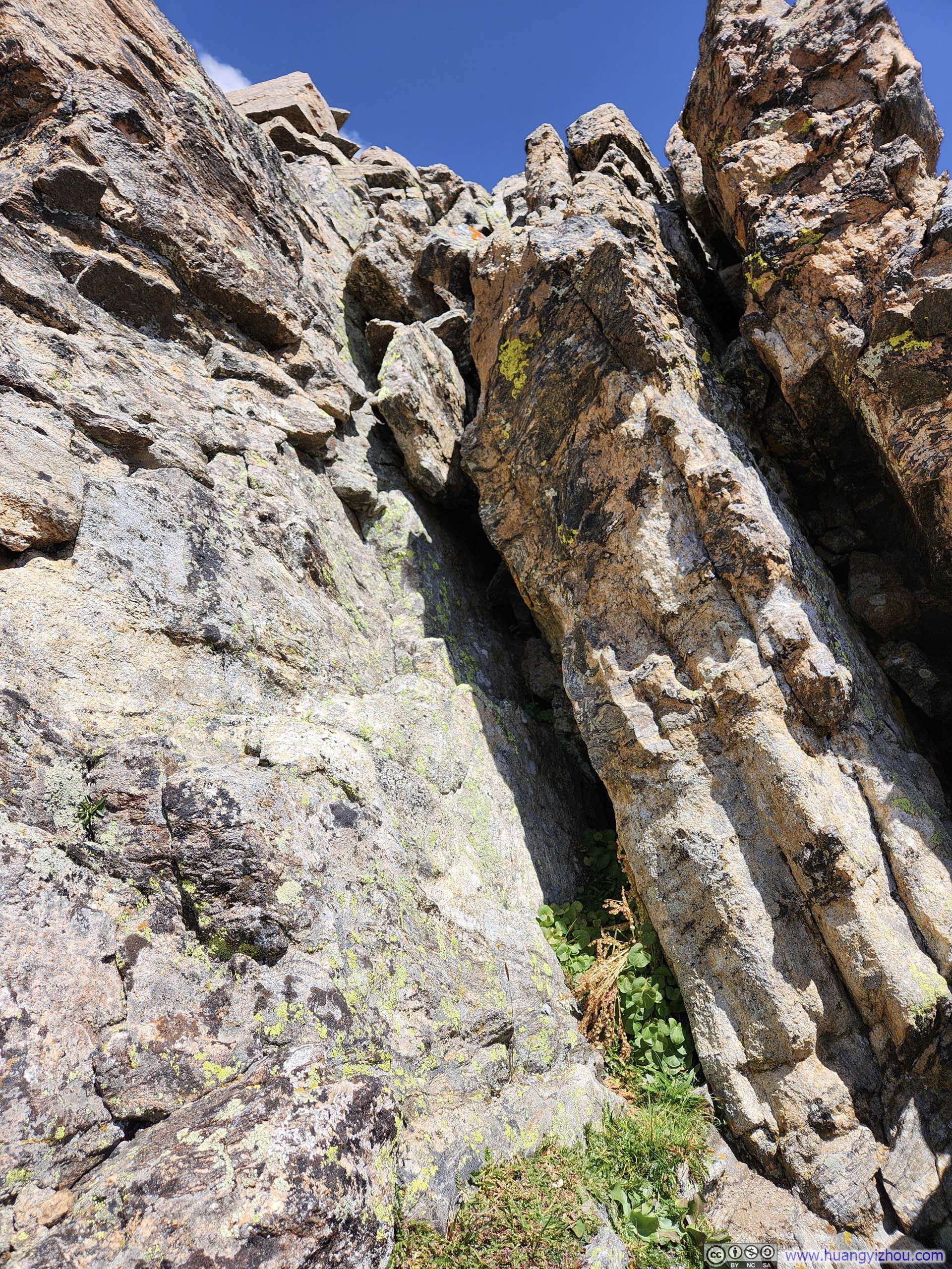
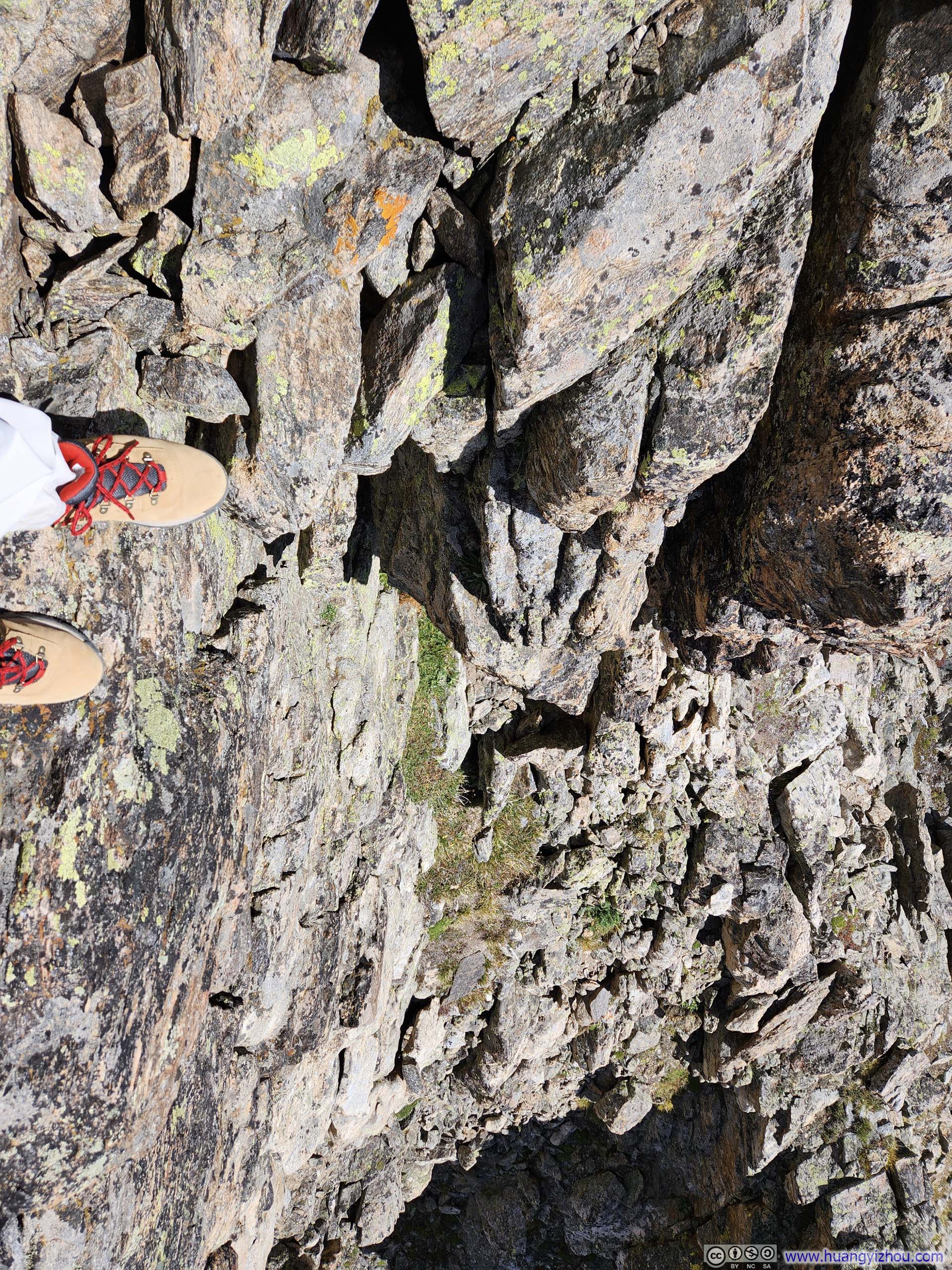
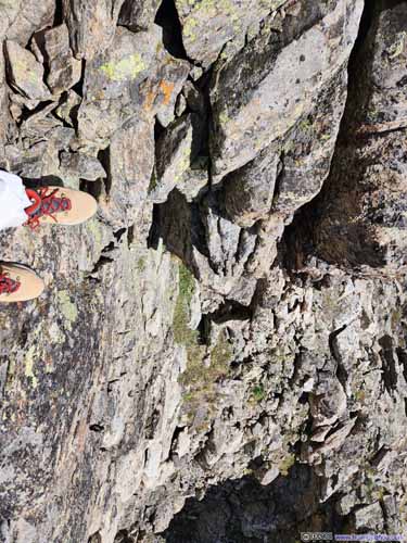 Crux Move
Looking from below (left) and above (right). In my opinion this was the only YDS class 3 move of the entire trip. Footholds were not hard to find on the left (west) side of the slit. Somehow, I felt going down this slit was easier than up.
Crux Move
Looking from below (left) and above (right). In my opinion this was the only YDS class 3 move of the entire trip. Footholds were not hard to find on the left (west) side of the slit. Somehow, I felt going down this slit was easier than up.


Click here to display photos of the slideshow
BouldersAt the top of the steep slope. For the first time of the day, I saw the true summit of UN13291.

RidgeLooking back south. This was taken from a spot off the standard path.
SidehillingTo avoid the ridge with steep dropoffs, the standard path was to deviate to the east.
Steep SlopeTo regain the ridge before UN13291.
 Crux Move
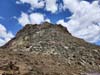
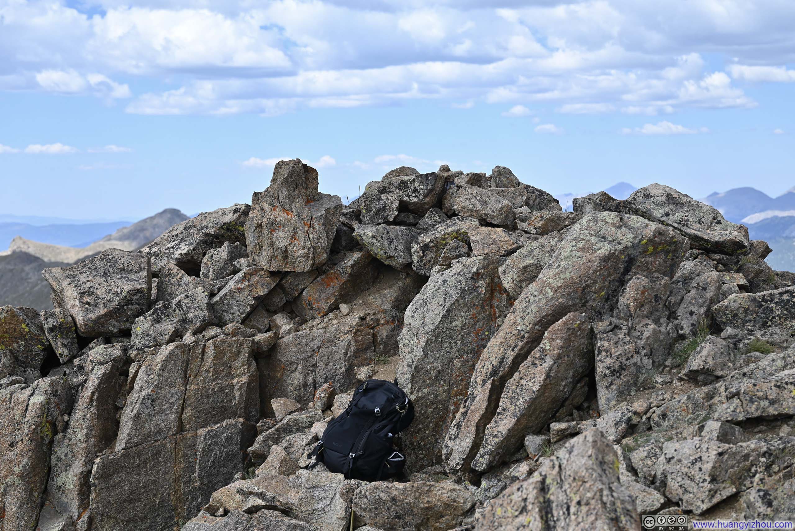
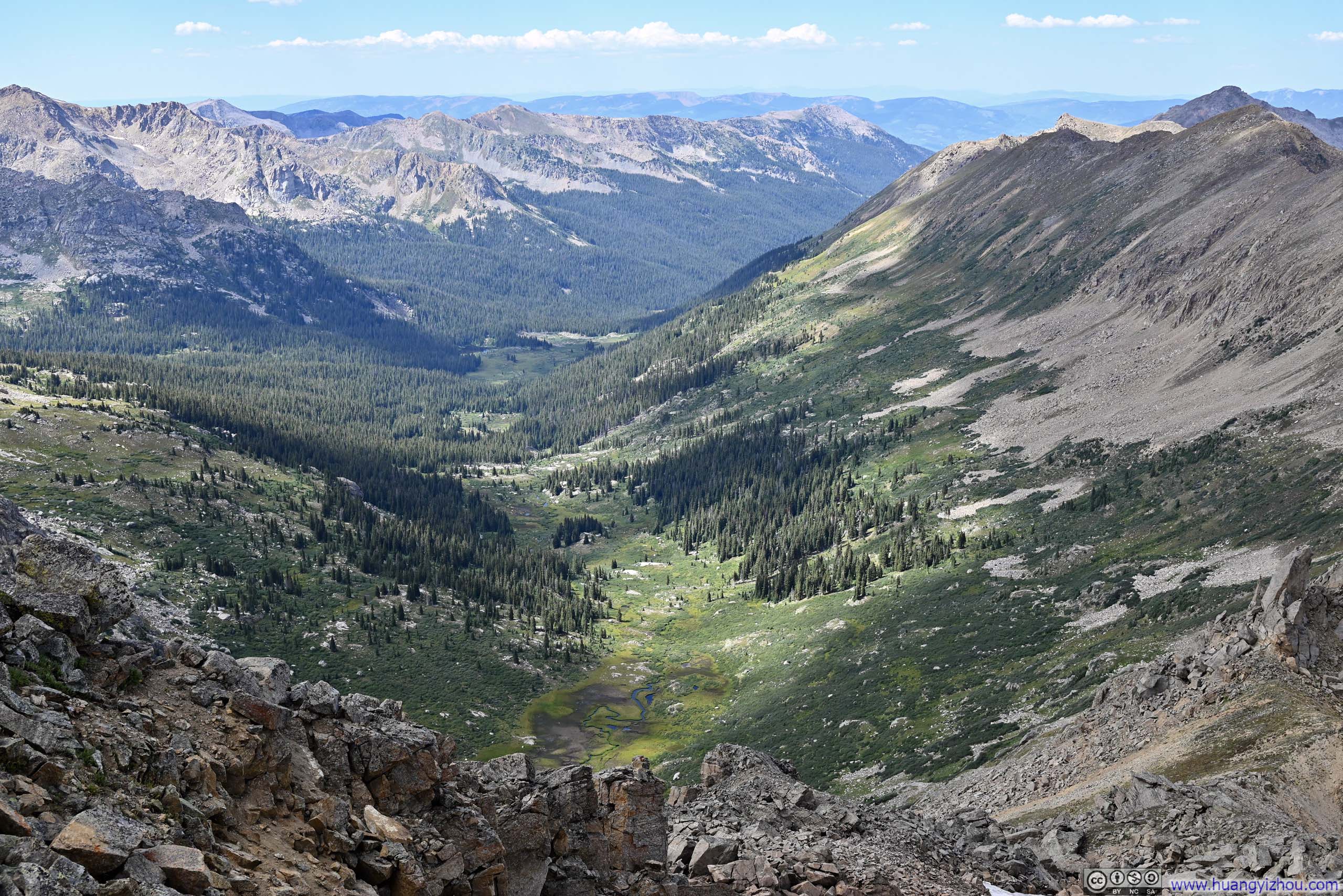
Summit of UN13291
Finally, 3.5 hours after leaving the trailhead, I reached the summit of UN13291 at 11:30pm. As usual, it’s followed by a snack and scenery break.
Fortunately, I had cellular coverage on top of UN13291, allowing me to share progress with friends back home.
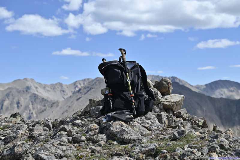 My Backpack on Top of UN13291
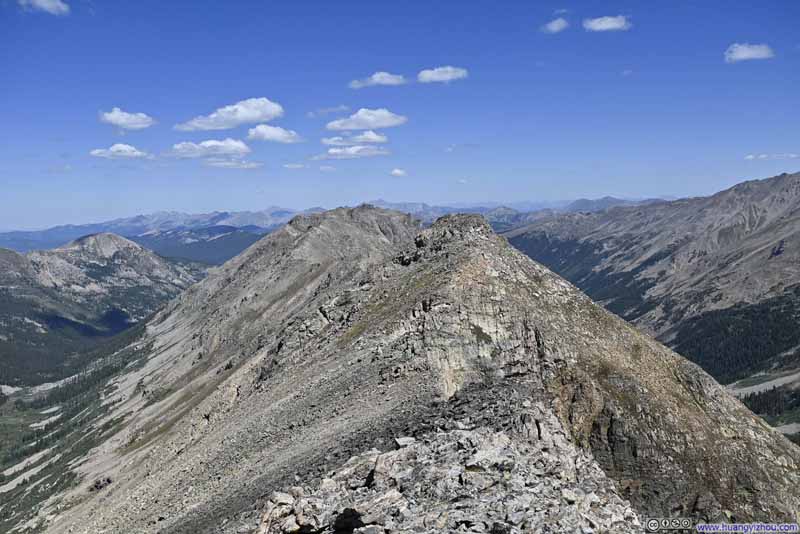 RidgeOne that continues north.
 Mountains to the NortheastMostly Mount Massive.
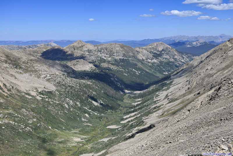 Marten Creek Valley
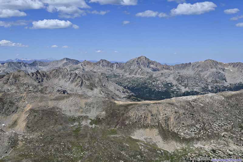 Mountains to the West
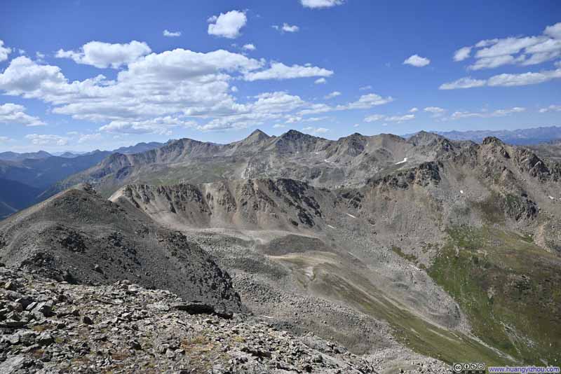 Mountains to the Southwest
 Alpine Lake among Mountains


Click here to display photos of the slideshow

My Backpack on Top of UN13291

RidgeOne that continues north.
Mountains to the NortheastMostly Mount Massive.
Marten Creek Valley
Mountains to the West
Mountains to the Southwest
Alpine Lake among Mountains
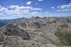
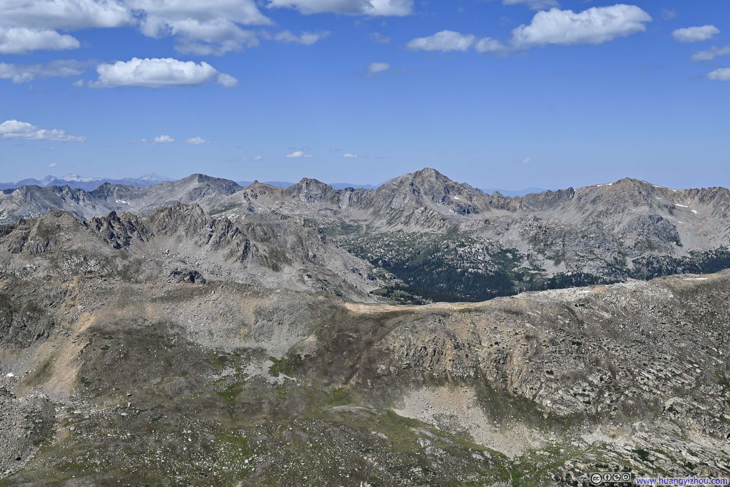
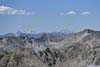
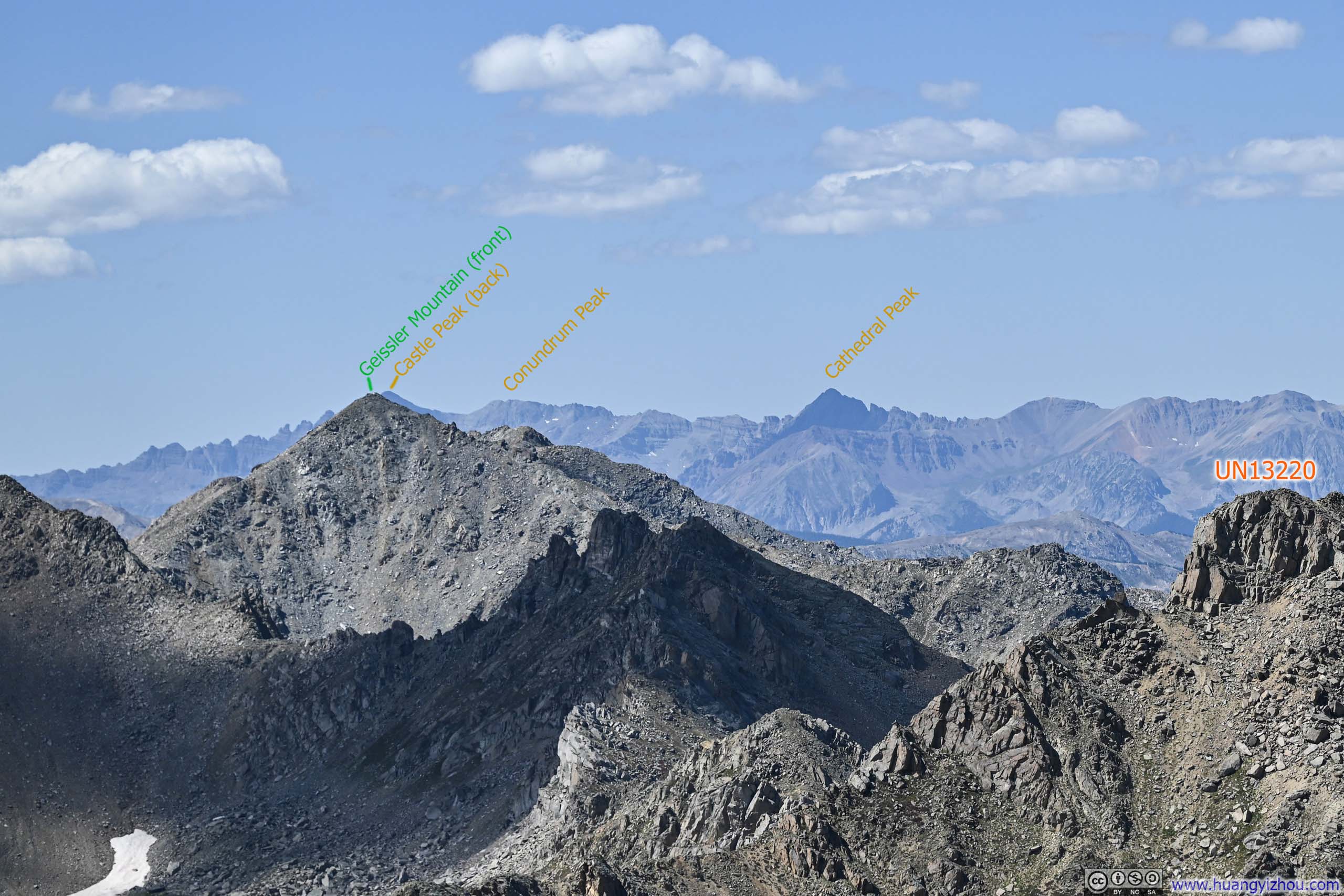
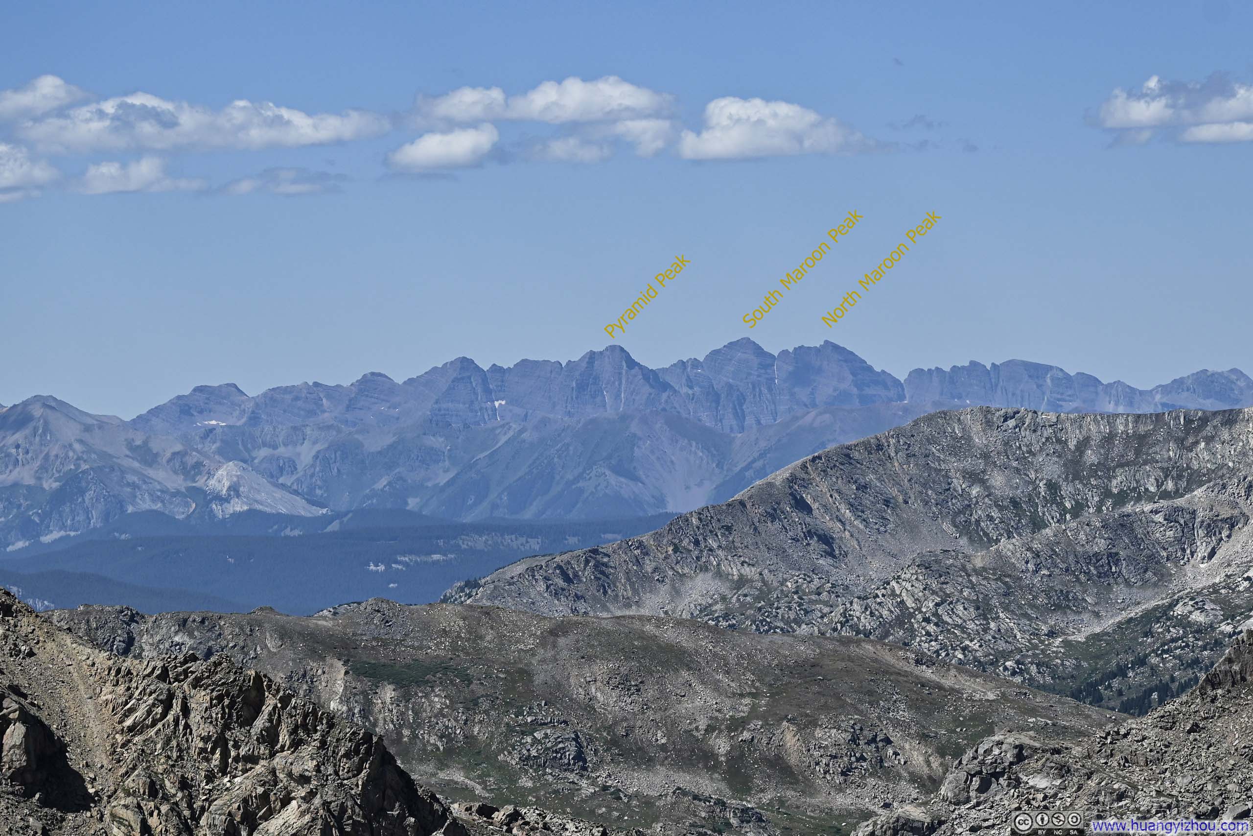
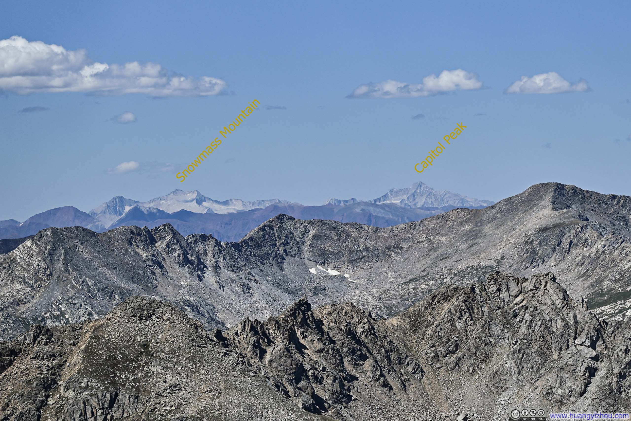
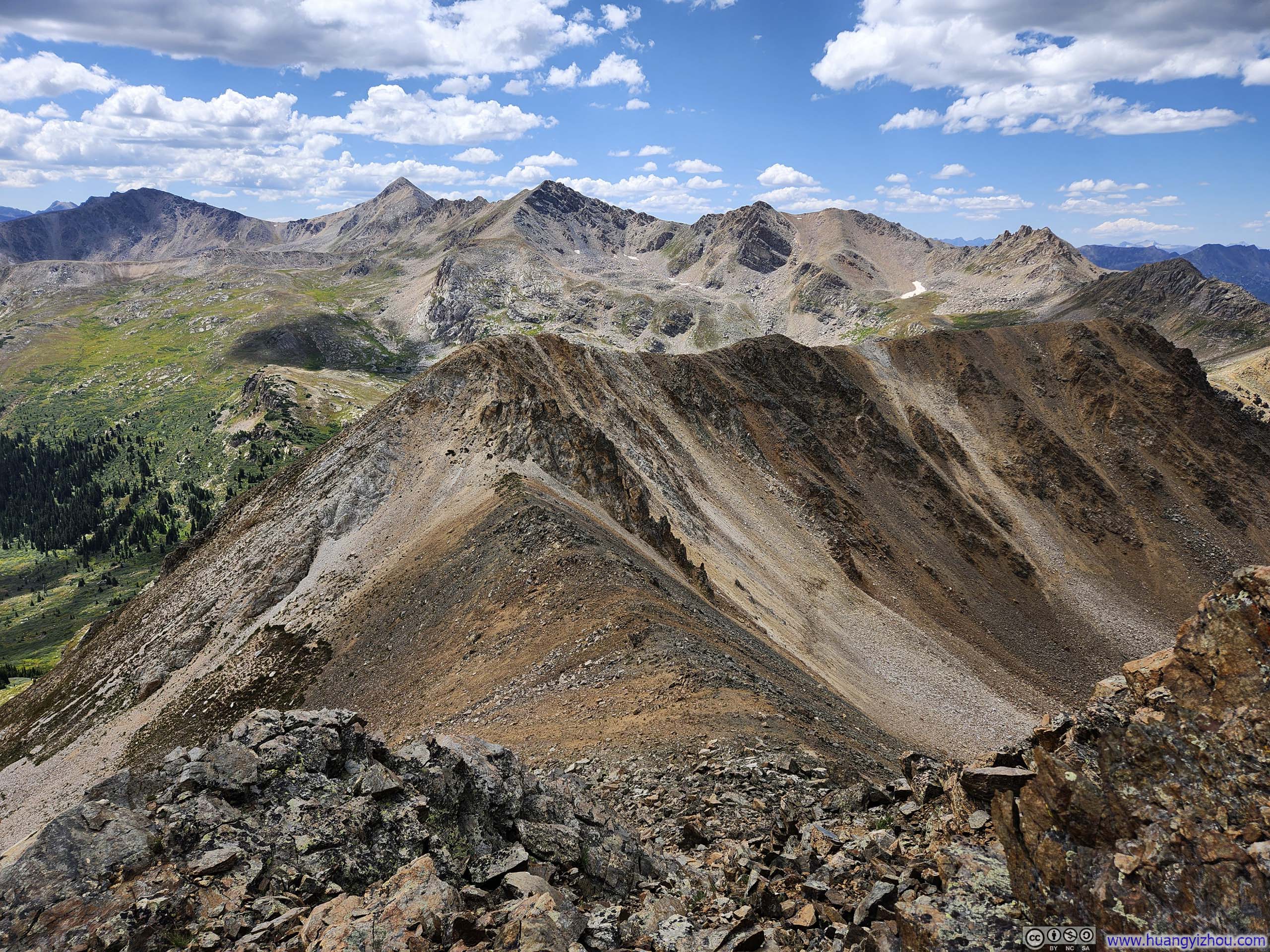
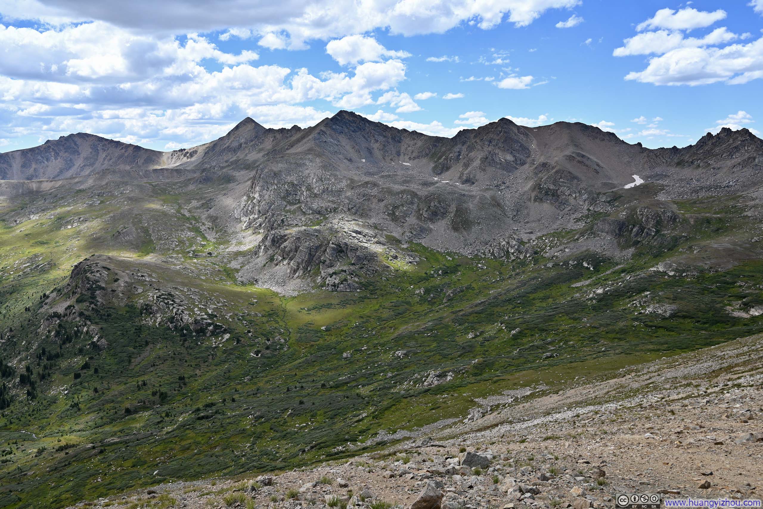
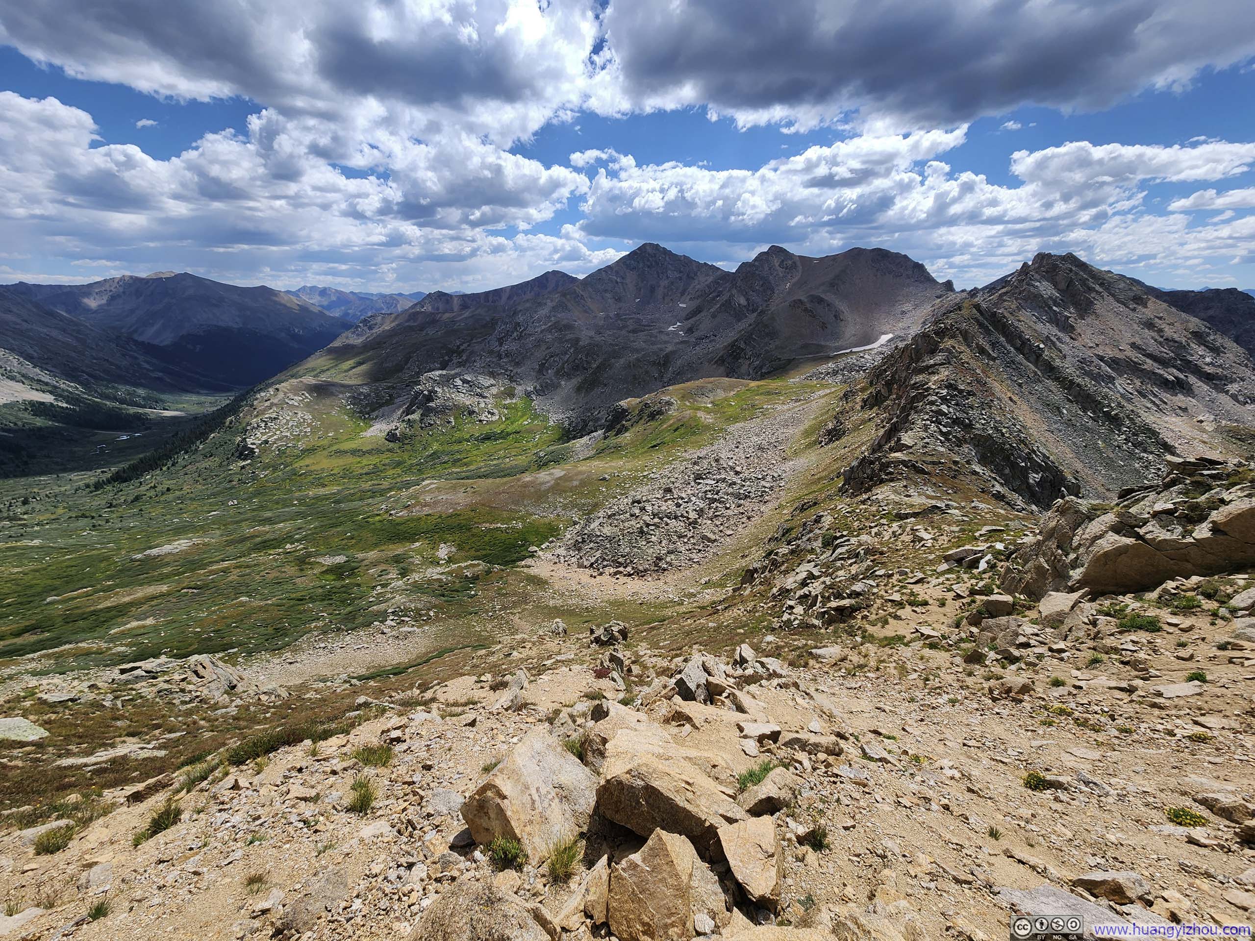
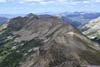
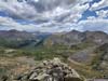
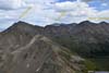
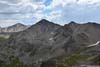
As expected, reaching the summit of UN13291 rewarded me with stunning views. Alongside Deer Mountain and Mount Champion to the southeast, which had been my companions throughout the journey, I was thrilled to see the most exciting parts of the Elk Range: Maroons, Snowmass, and Capitol. Their sight was truly exhilarating.
 UN13220My next target for the day.
 Distant Elk Mountains to the West
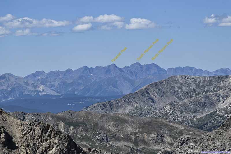 Distant Elk Mountains to the West
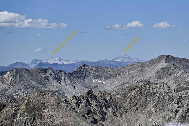 Distant Elk Mountains to the West
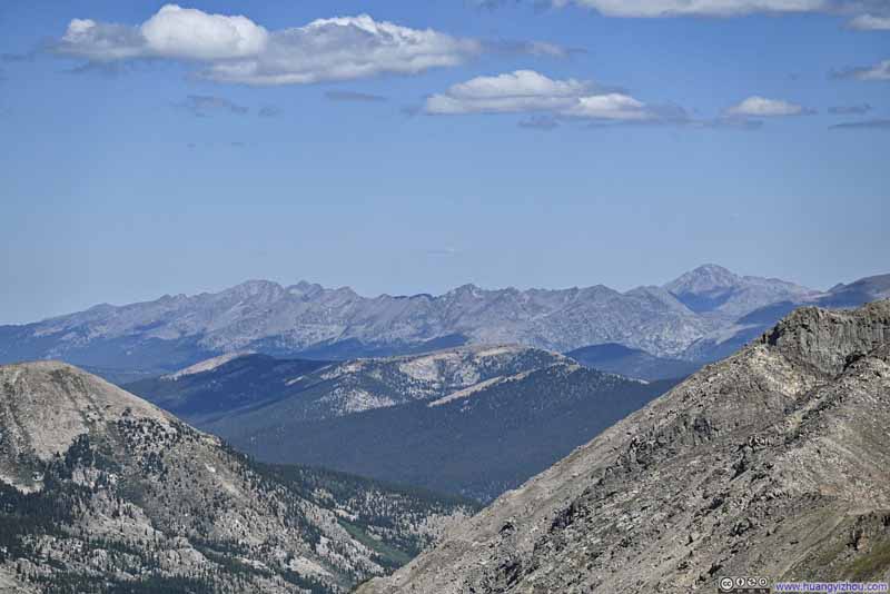 Mountains to the NorthNorthern part of Sawatch Range.
 Williams Mountain
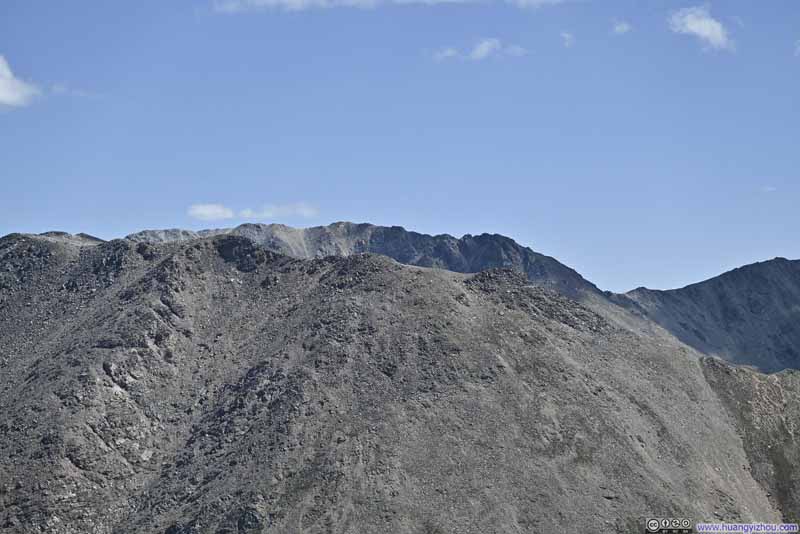 Mount Massive behind Mount Oklahoma
 Northwest Peak of Mount Massive
Click here to display photos of the slideshow

UN13220My next target for the day.
 Distant Elk Mountains to the West
Mountains to the NorthNorthern part of Sawatch Range.
Williams Mountain
Mount Massive behind Mount Oklahoma
Northwest Peak of Mount Massive
Views around UN13291
Here’s a video from the summit of UN13291:
19 seconds, 2160p30fps, 10Mbps/25MB for H265, 11Mbps/26MB for H264.
In the end, I stayed at the summit of UN13291 for about half an hour, before starting my descent just past 2pm.
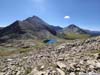
Path from UN13291 to UN13220
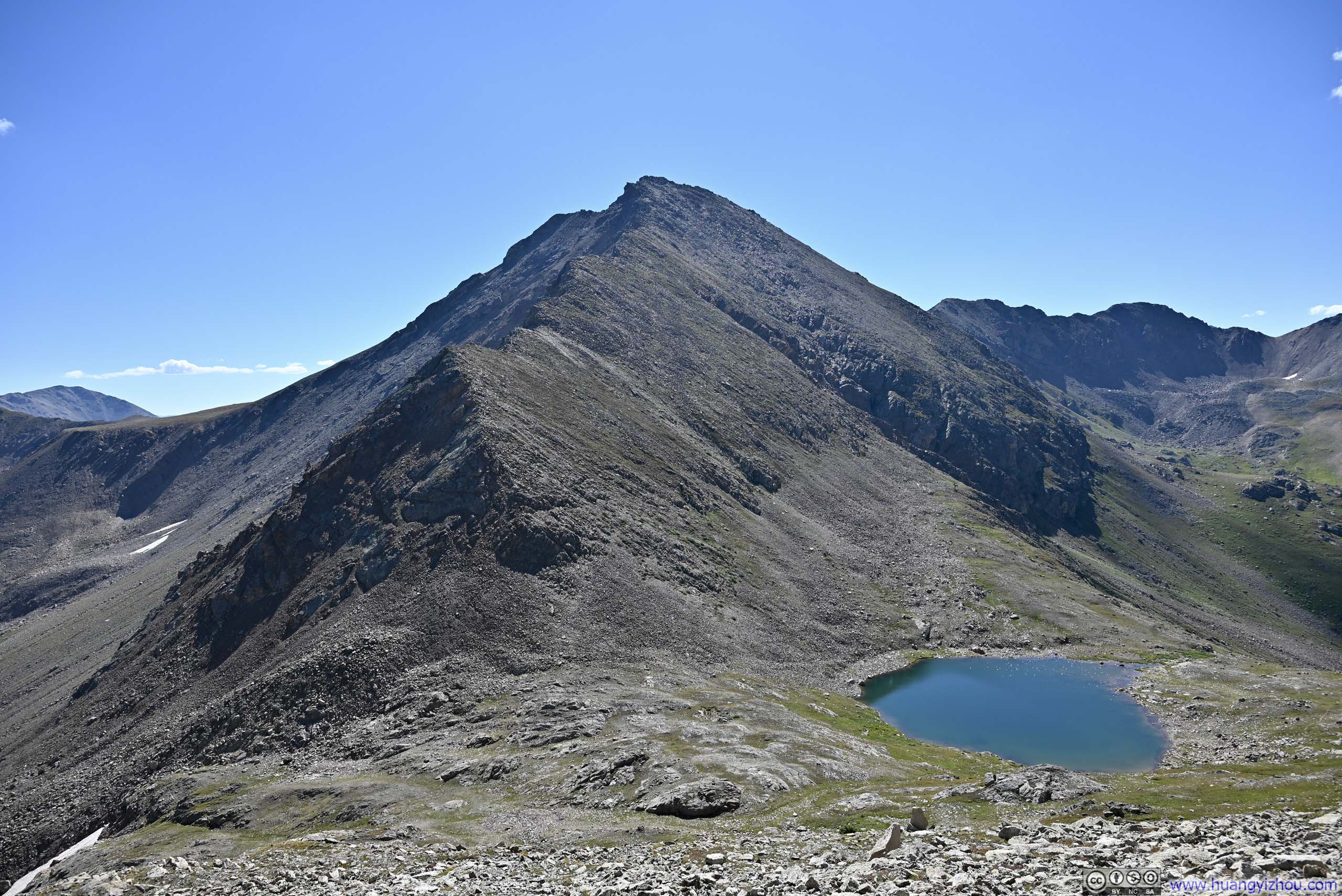
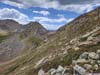
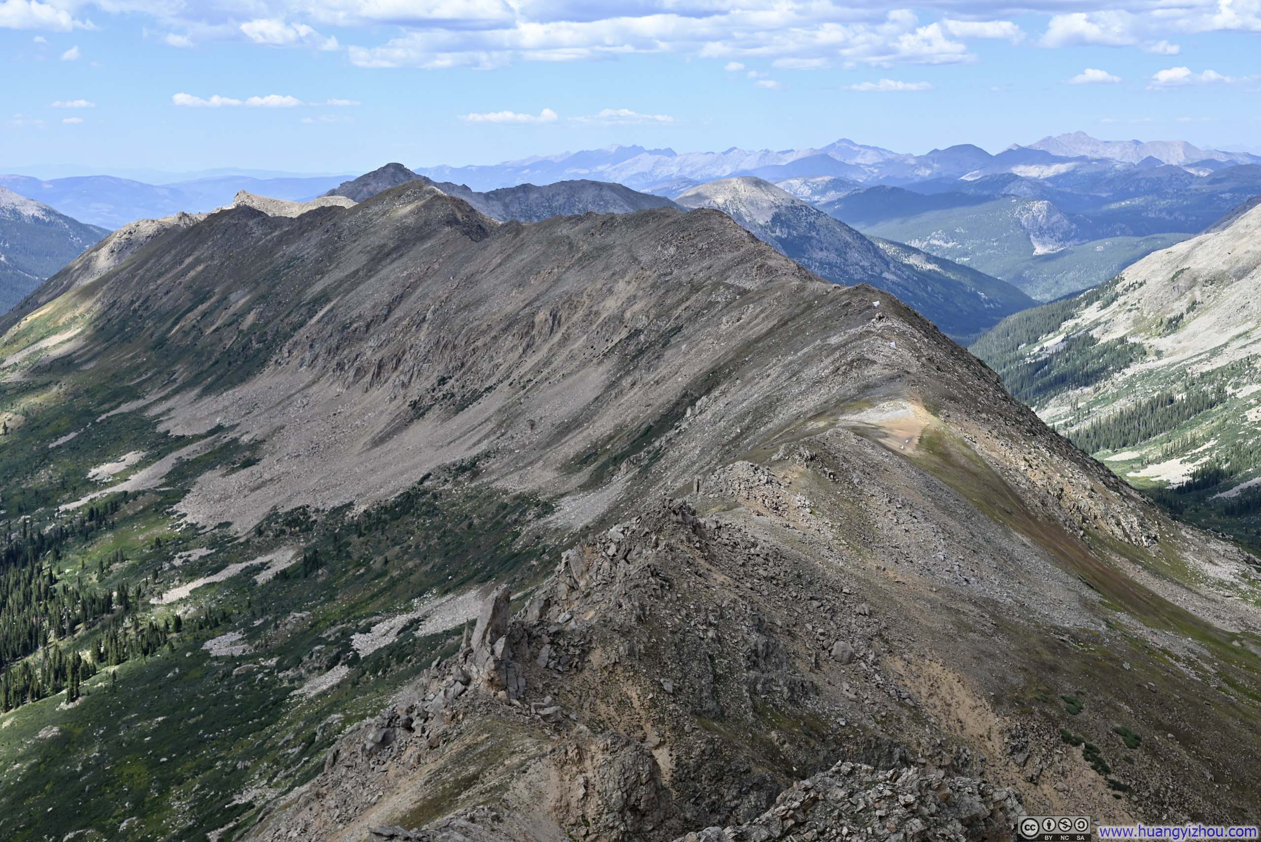
Frankly, I felt it’s easier to get lost coming back from UN13291, as the top of the steep slope I needed to descend down was harder to find than the towering summit I aimed for on the way up. Nonetheless, with the help of photos I took on my way up, I went down the correct steep slope. After that, it’s a comfortable stroll between the first and the second saddle.
 TrailFollowing the ridgeline from UN13291 to UN13220.
 Deer MountainIt had become a pretty familiar sight.
 Steep Dropoff
Along the ridge from UN13291 to UN13220. I took a left turn (towards the east) to avoid this dropoff.
Steep Dropoff
Along the ridge from UN13291 to UN13220. I took a left turn (towards the east) to avoid this dropoff.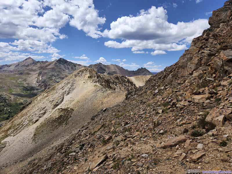 TrailCircumventing the steep dropoff on the right.
 Alpine Lake among Mountains
 HillLooking back at the dropoff that I just circumvented.

Click here to display photos of the slideshow
TrailFollowing the ridgeline from UN13291 to UN13220.

Deer MountainIt had become a pretty familiar sight.
Steep Dropoff
TrailCircumventing the steep dropoff on the right.
Alpine Lake among Mountains
HillLooking back at the dropoff that I just circumvented.
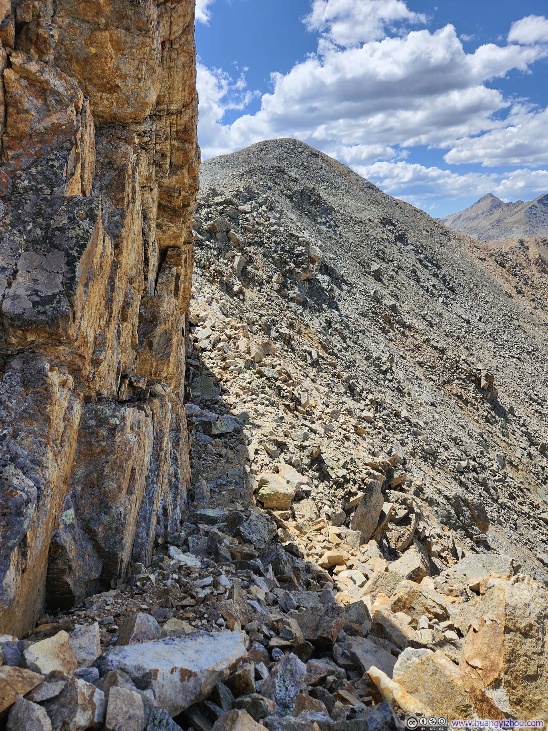
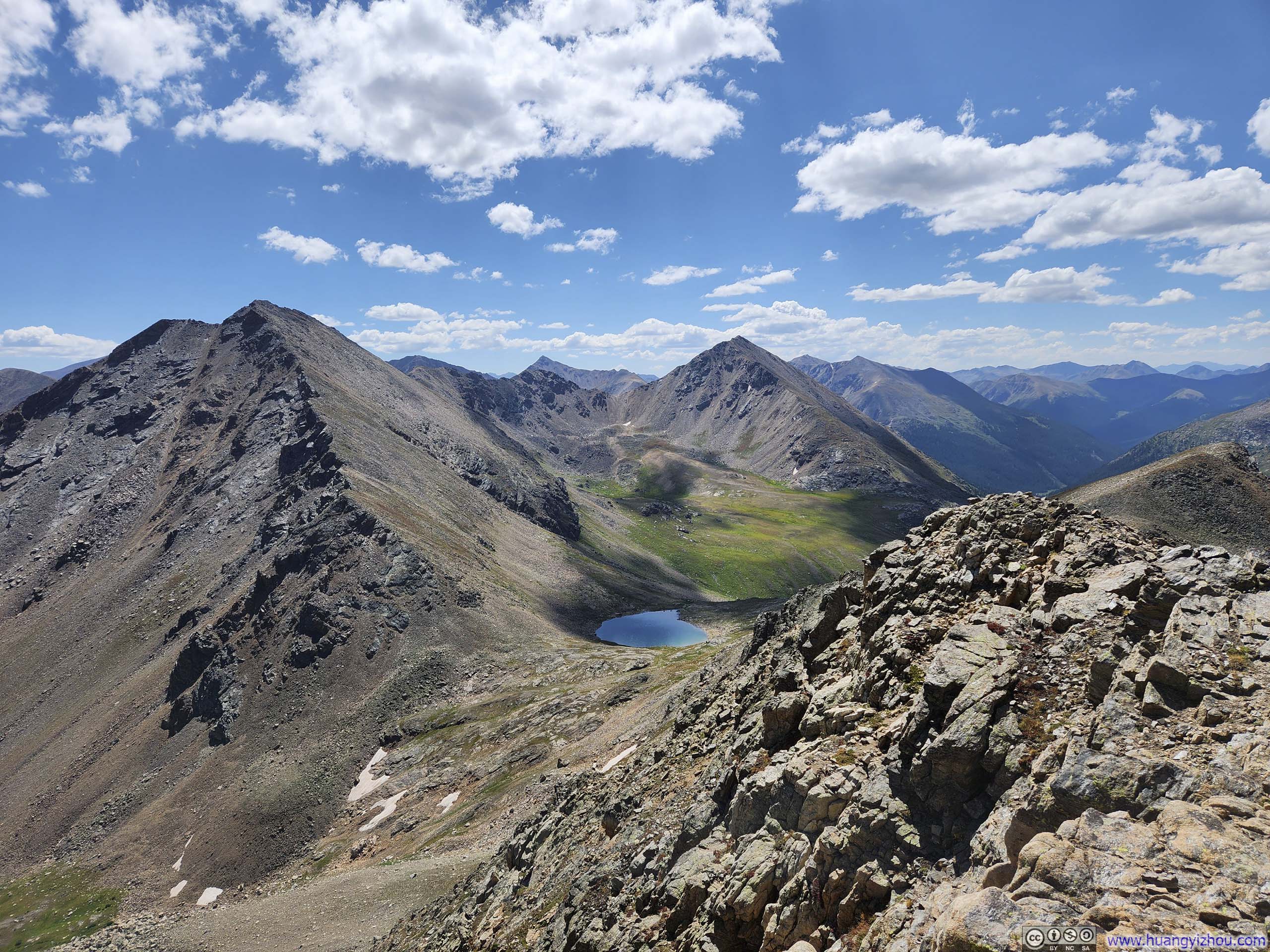
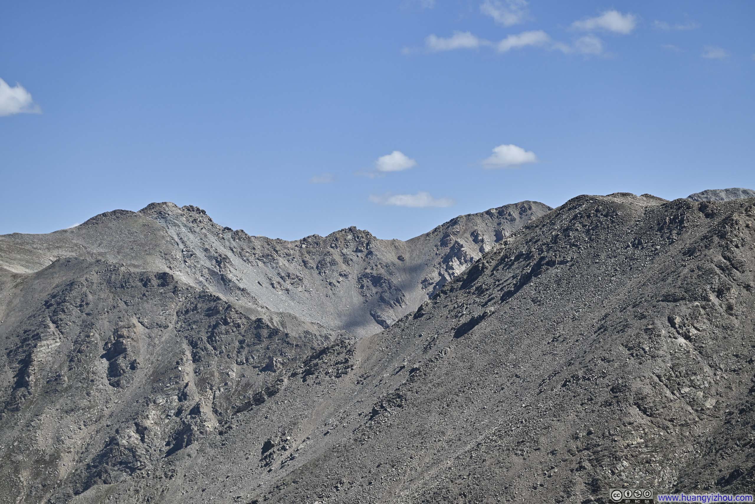
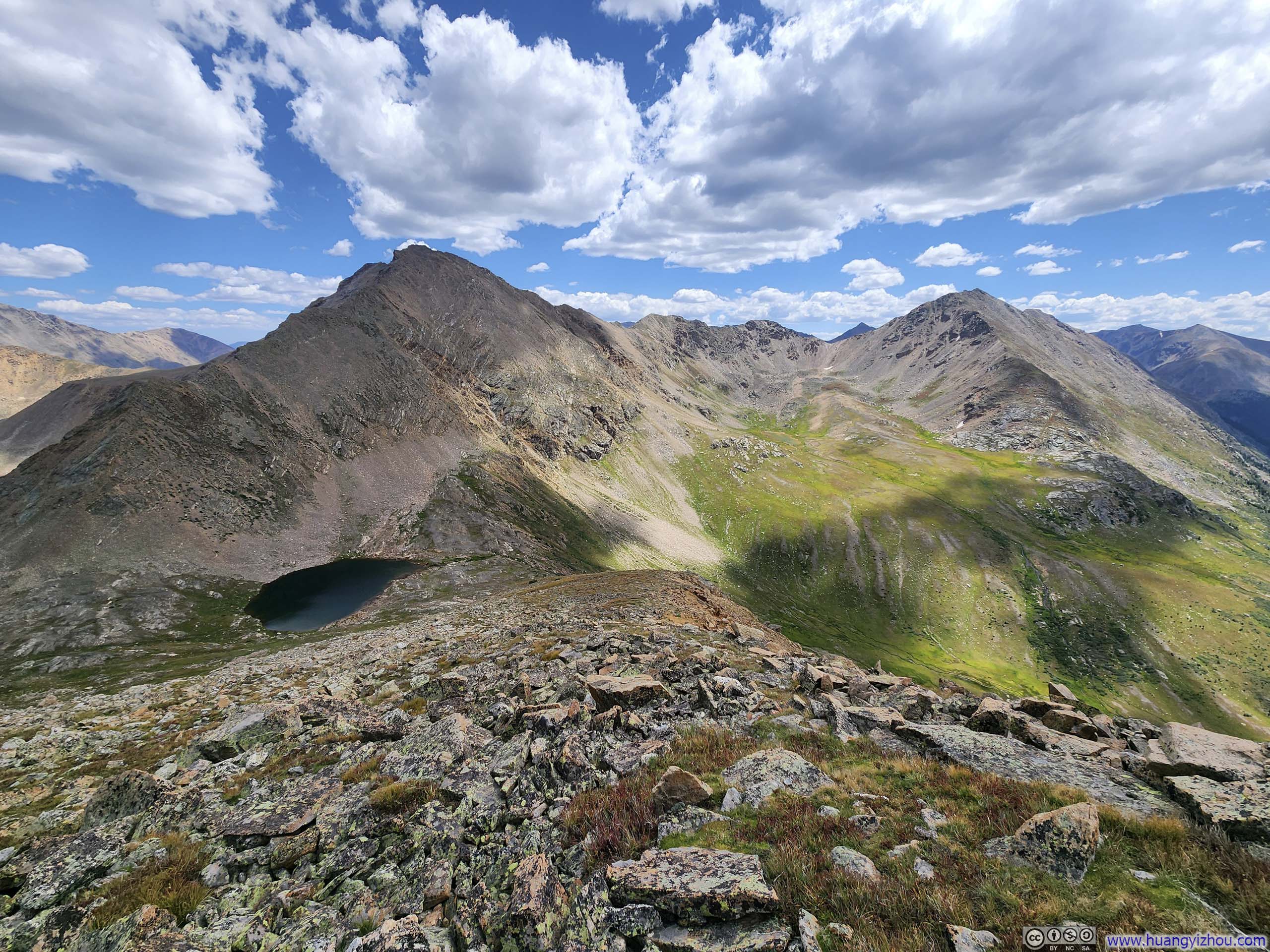
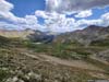
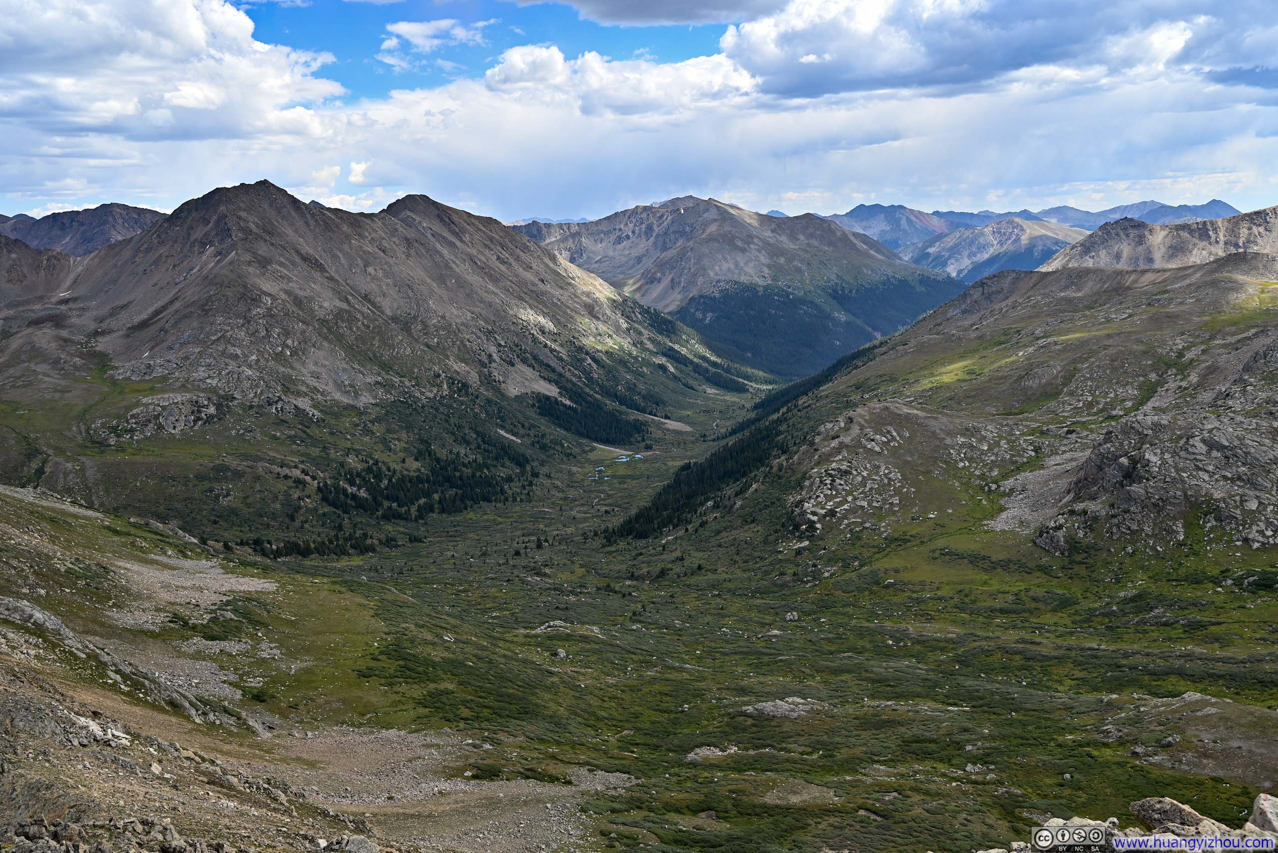
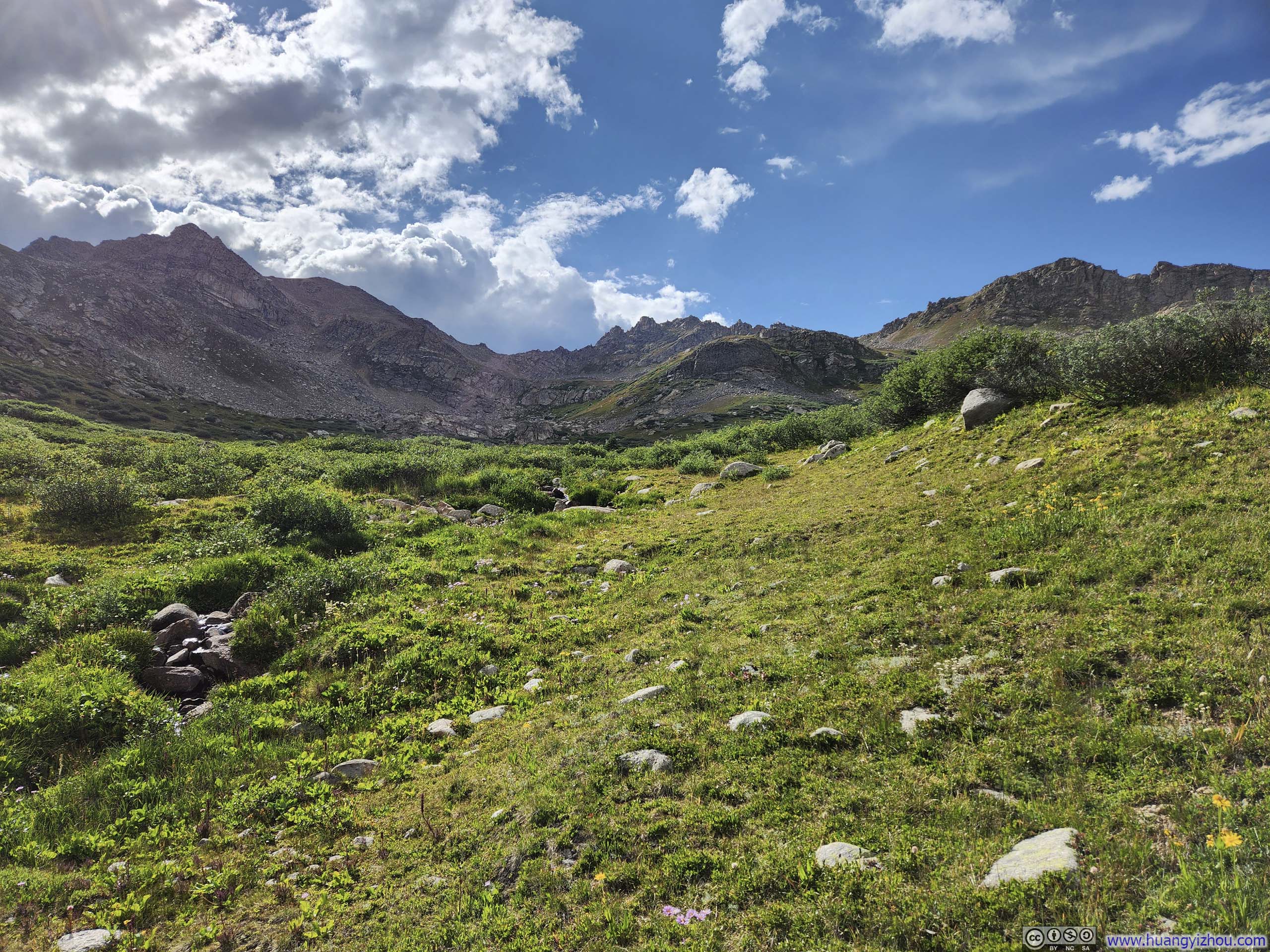
It’s another comfortable stroll between the second and third saddle, surrounded by beautiful scenery.
 Saddle PointI drew a rough path that I took.
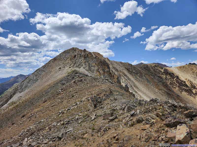 Trail along Ridge
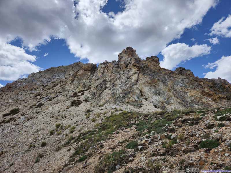 TrailA few steep steps to regain the ridge.
 North Fork Lake Creek Valley
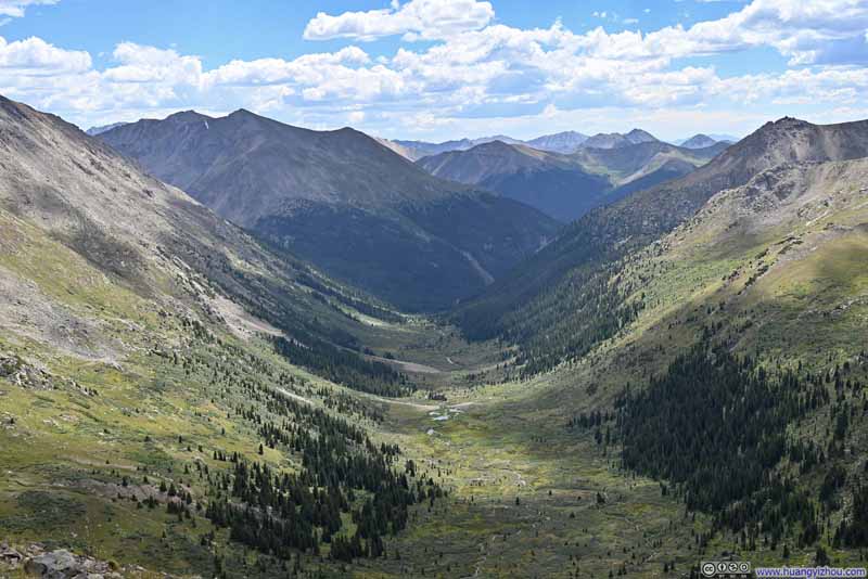 North Fork Lake Creek ValleyWhere I came from.
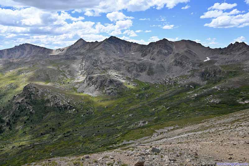 MountainsOf Continental Divide.
 UN13220 Ahead
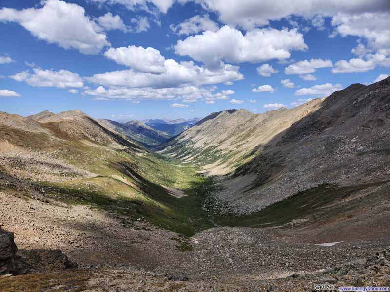 Marten Creek Valley
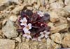
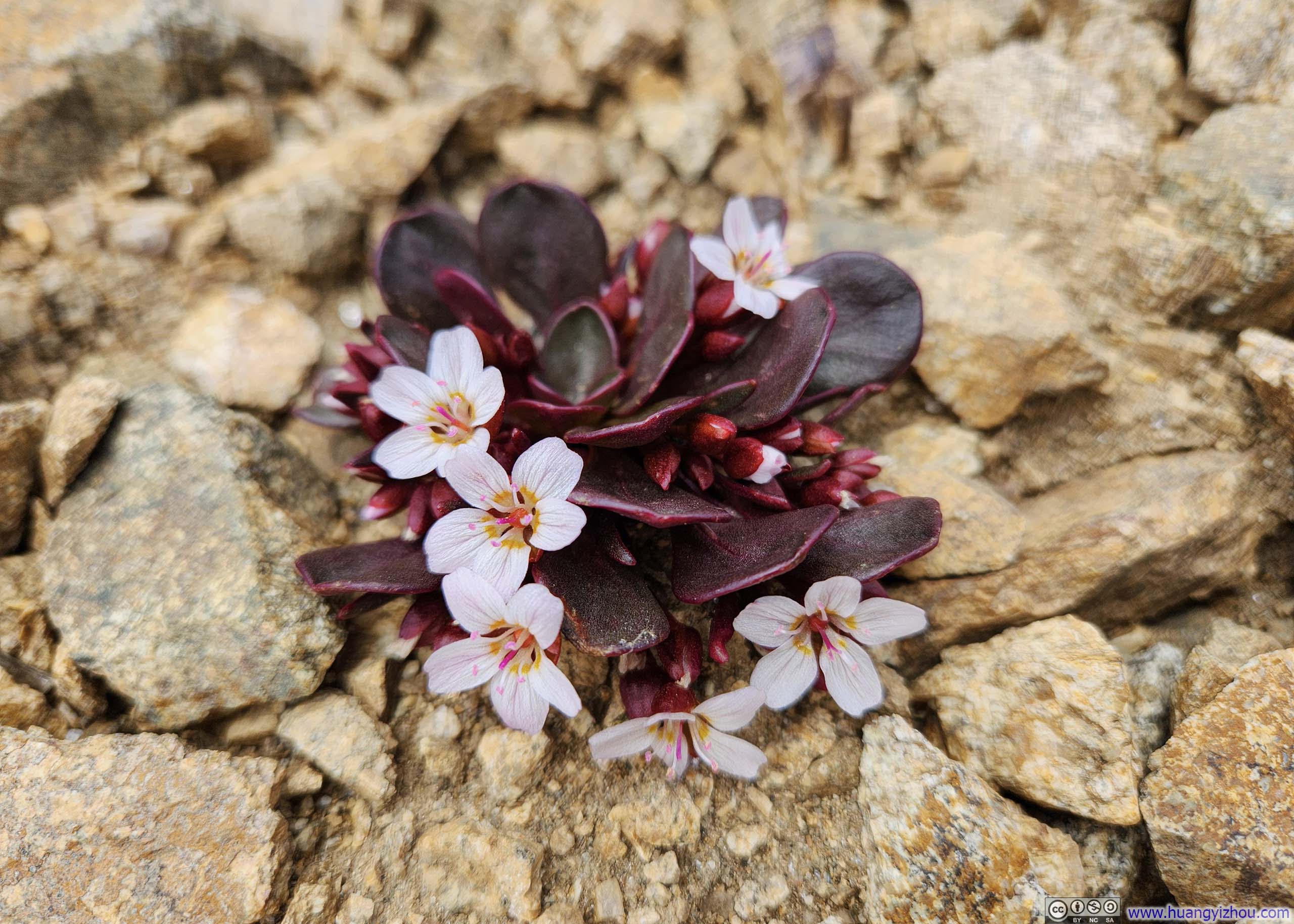
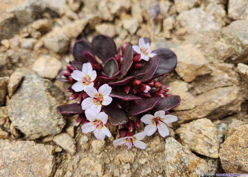 FlowersSeemingly grown out of rocks.


Click here to display photos of the slideshow

Saddle PointI drew a rough path that I took.

Trail along Ridge

TrailA few steep steps to regain the ridge.
 North Fork Lake Creek ValleyWhere I came from.
MountainsOf Continental Divide.
UN13220 Ahead

Marten Creek Valley
FlowersSeemingly grown out of rocks.
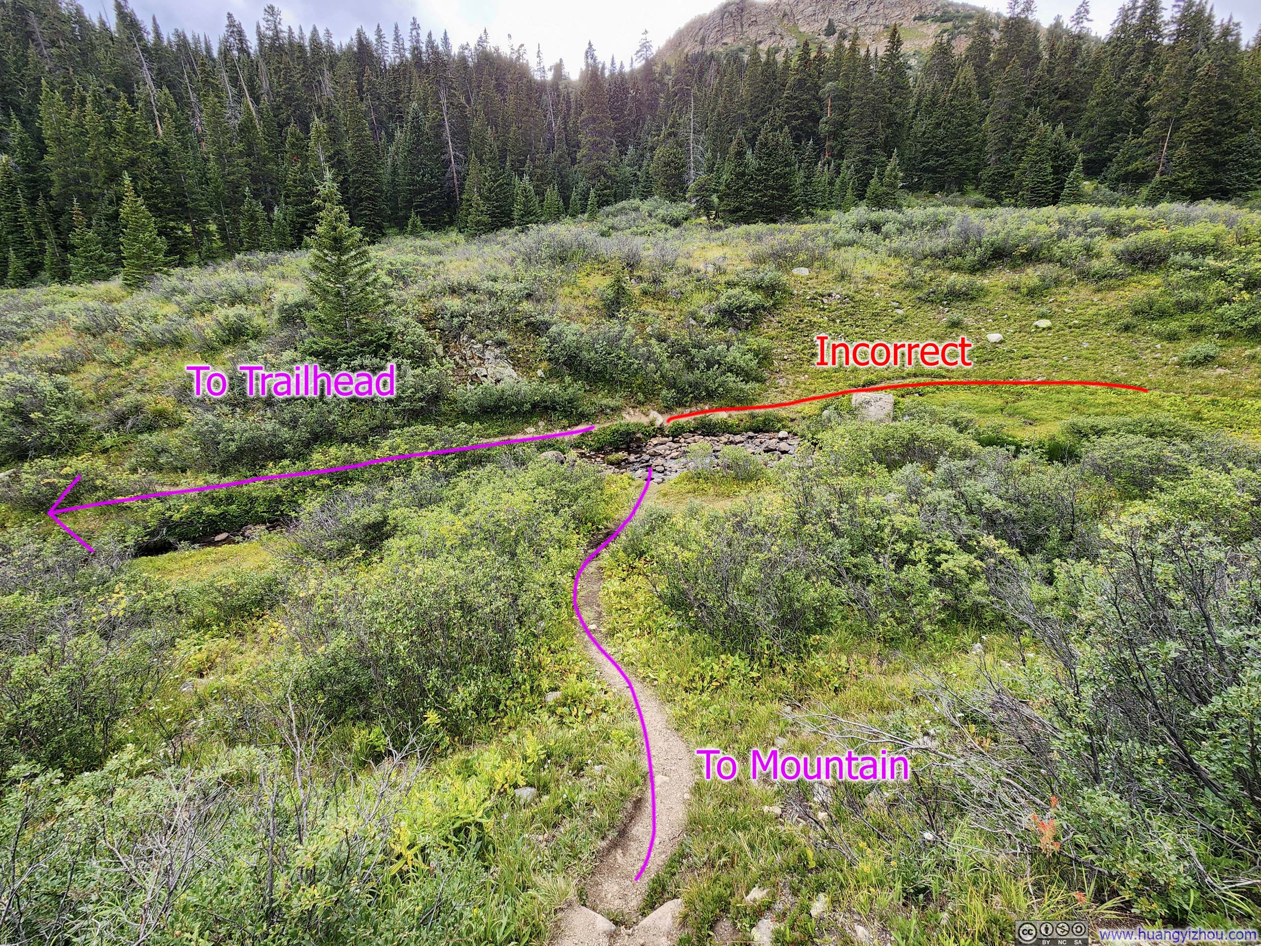
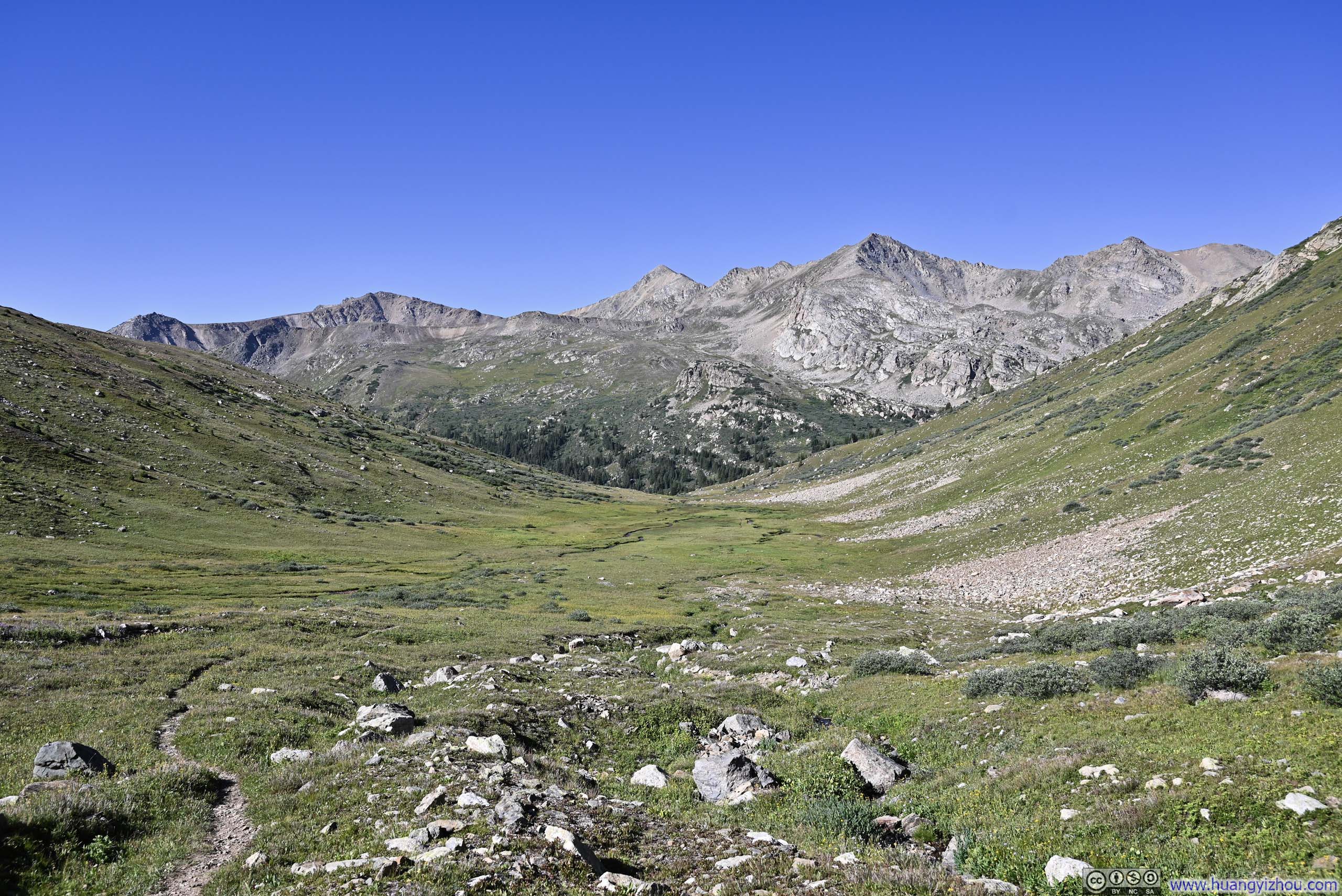
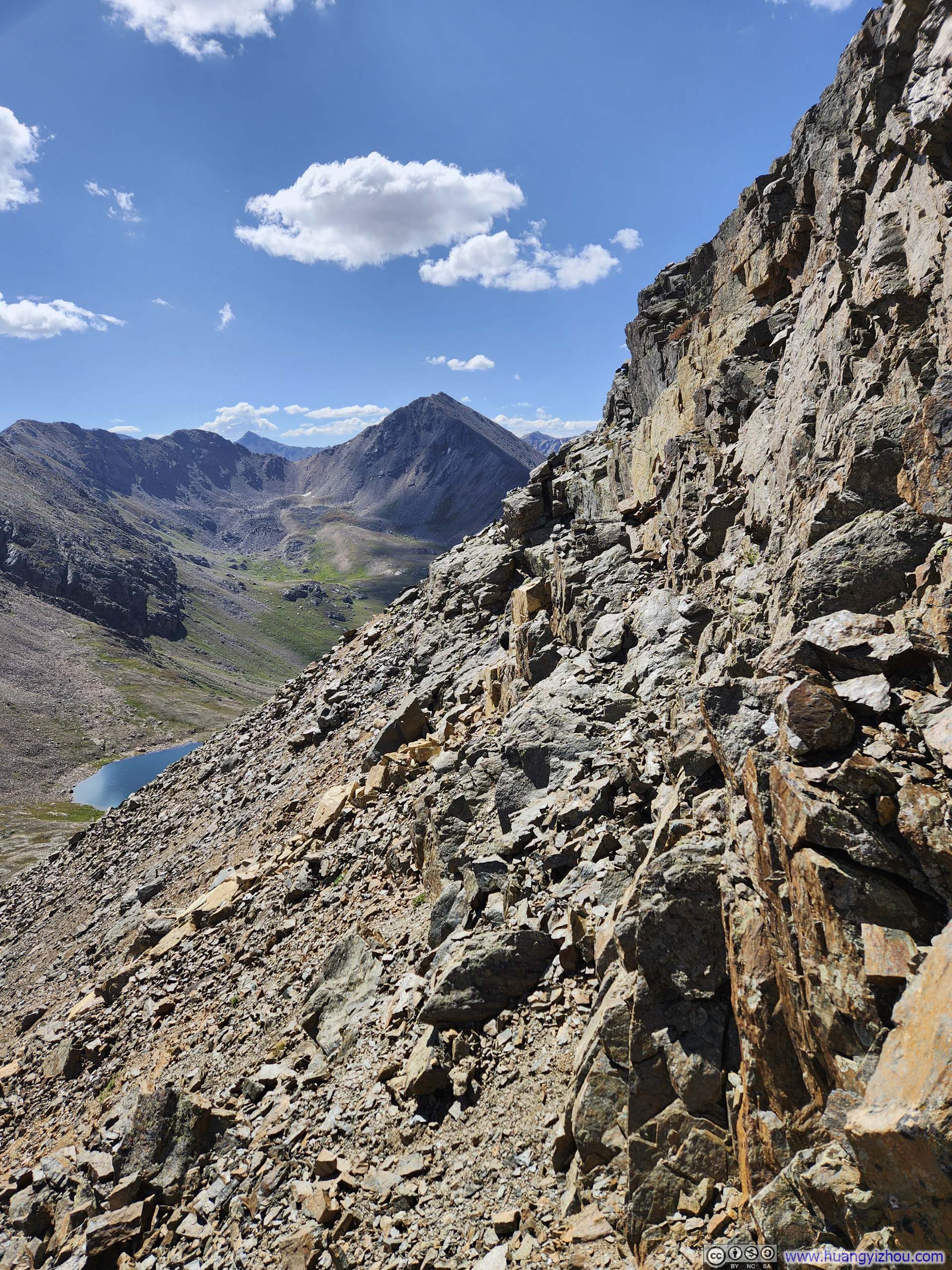
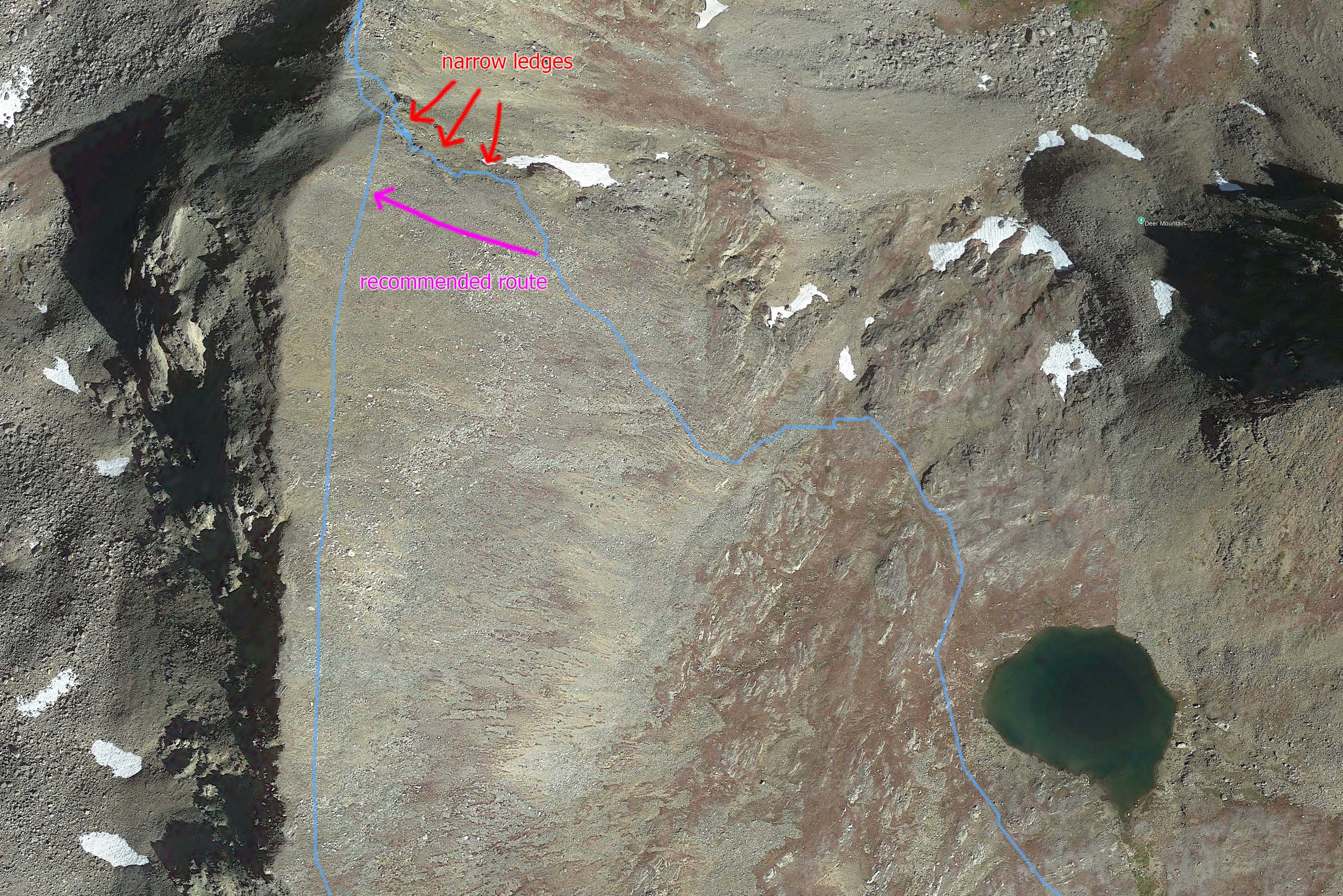
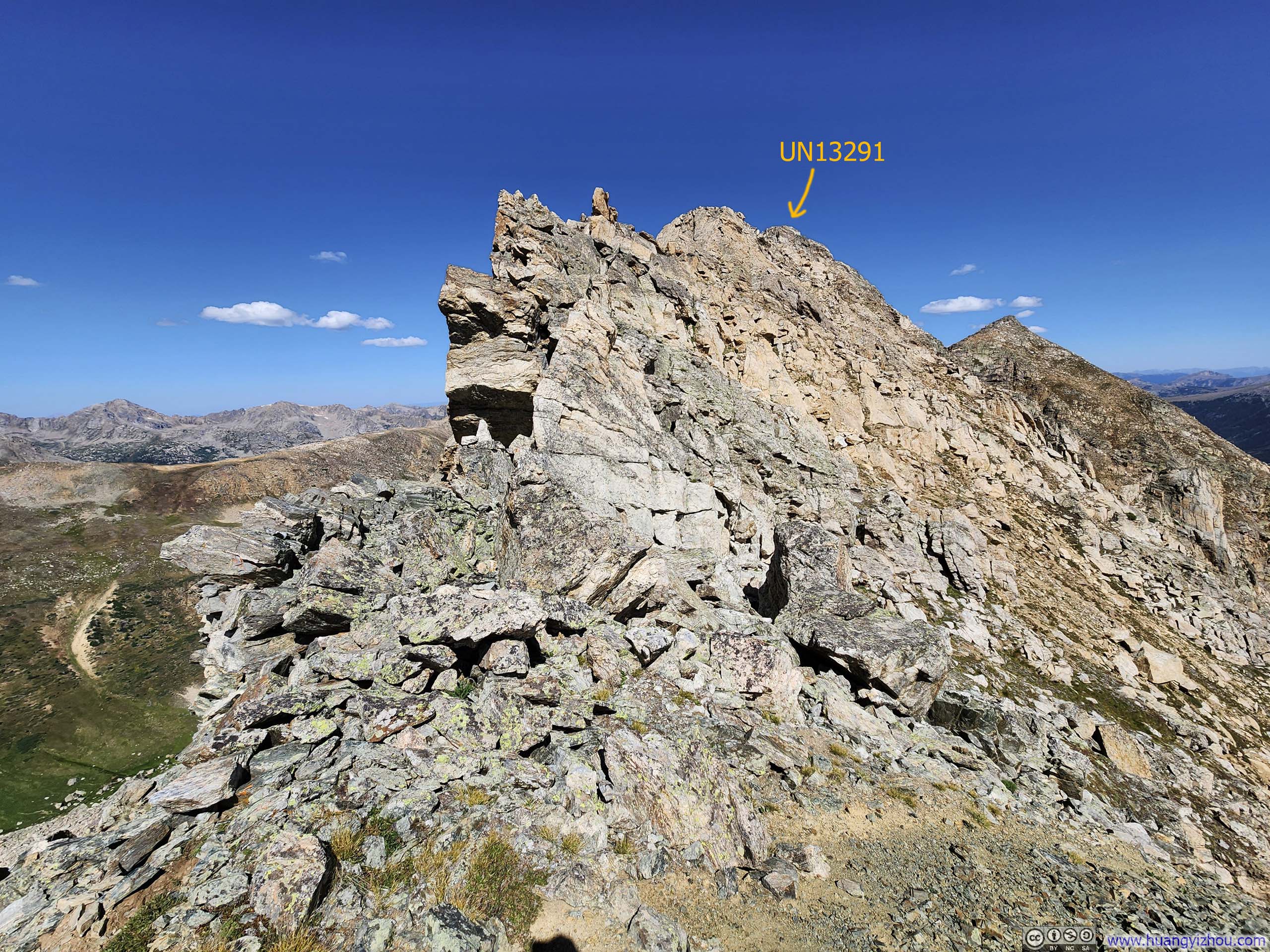
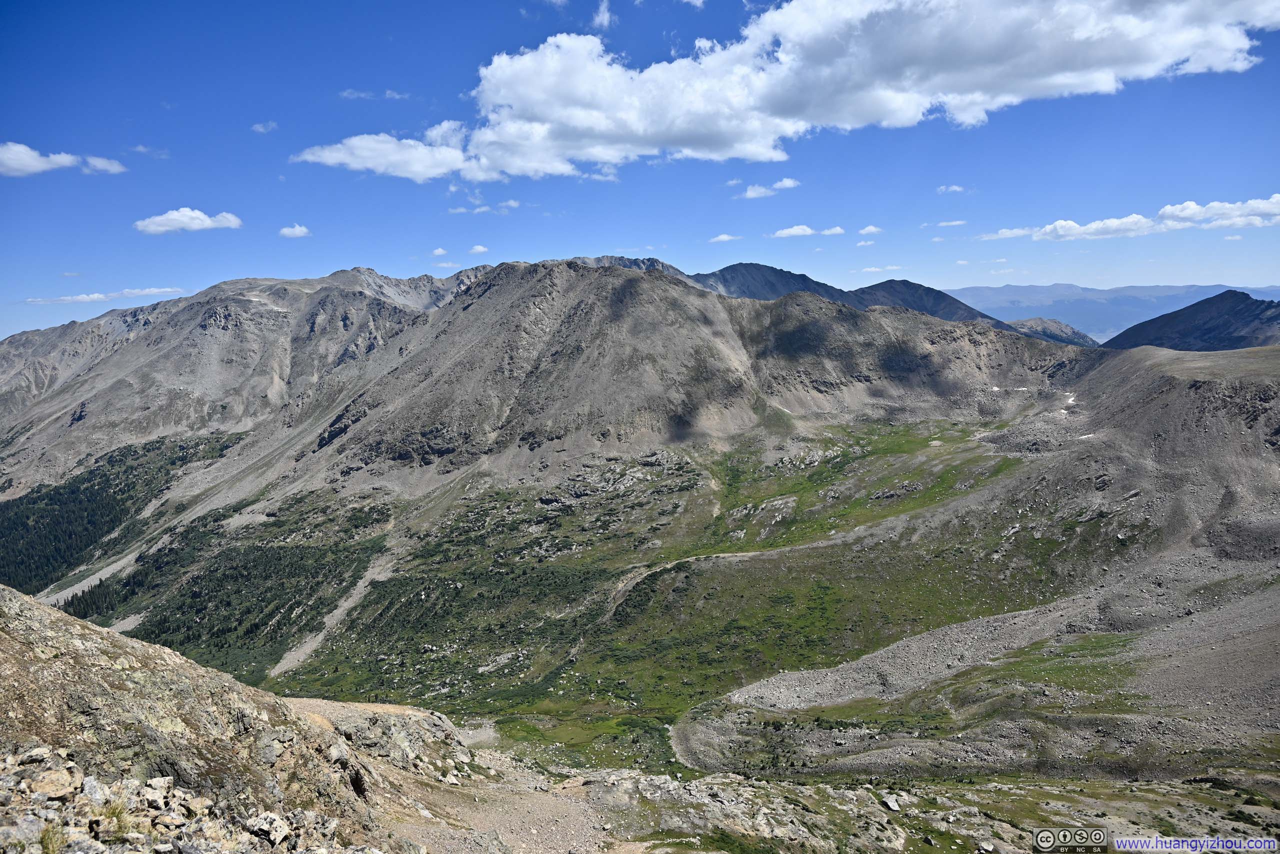
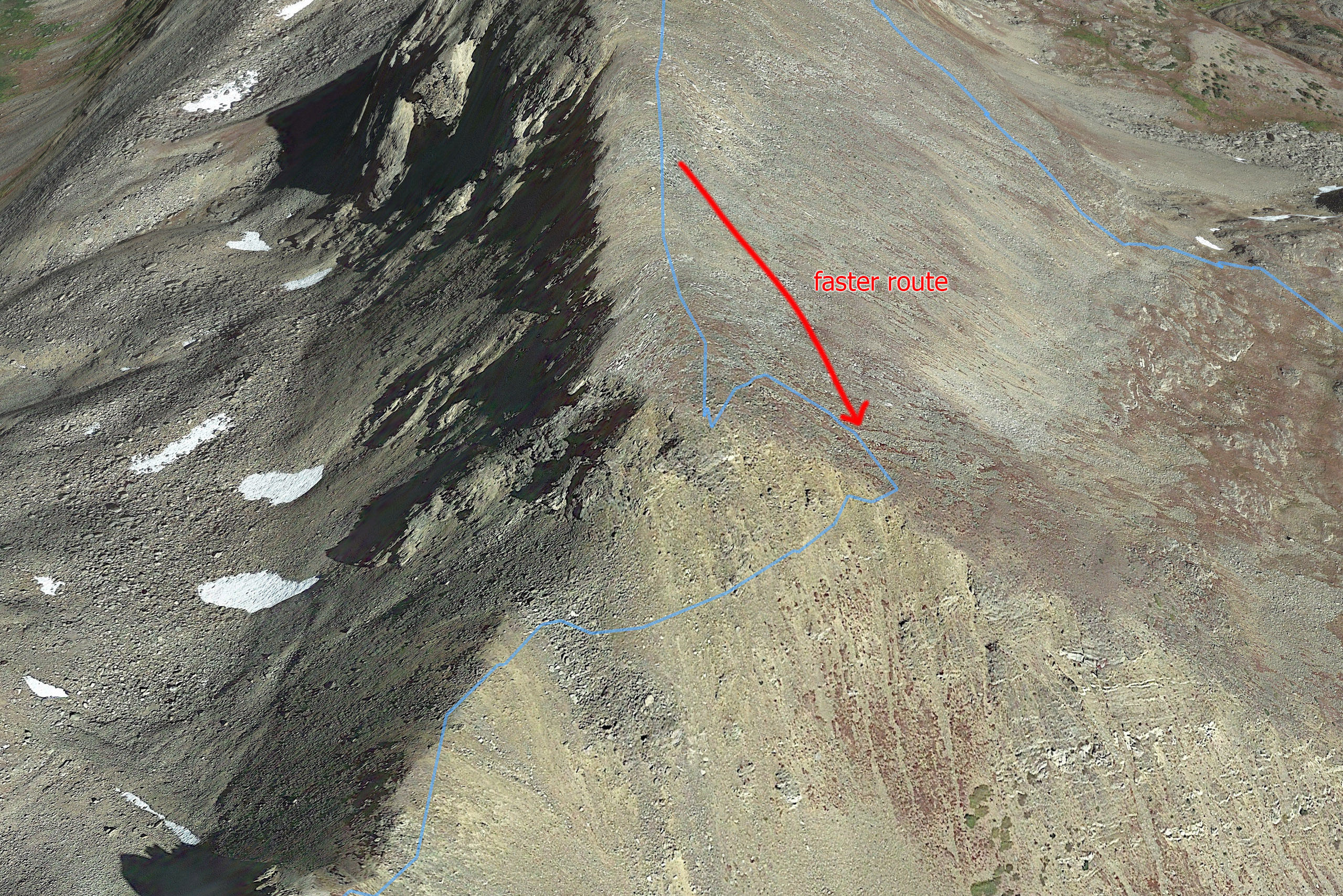
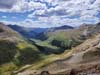
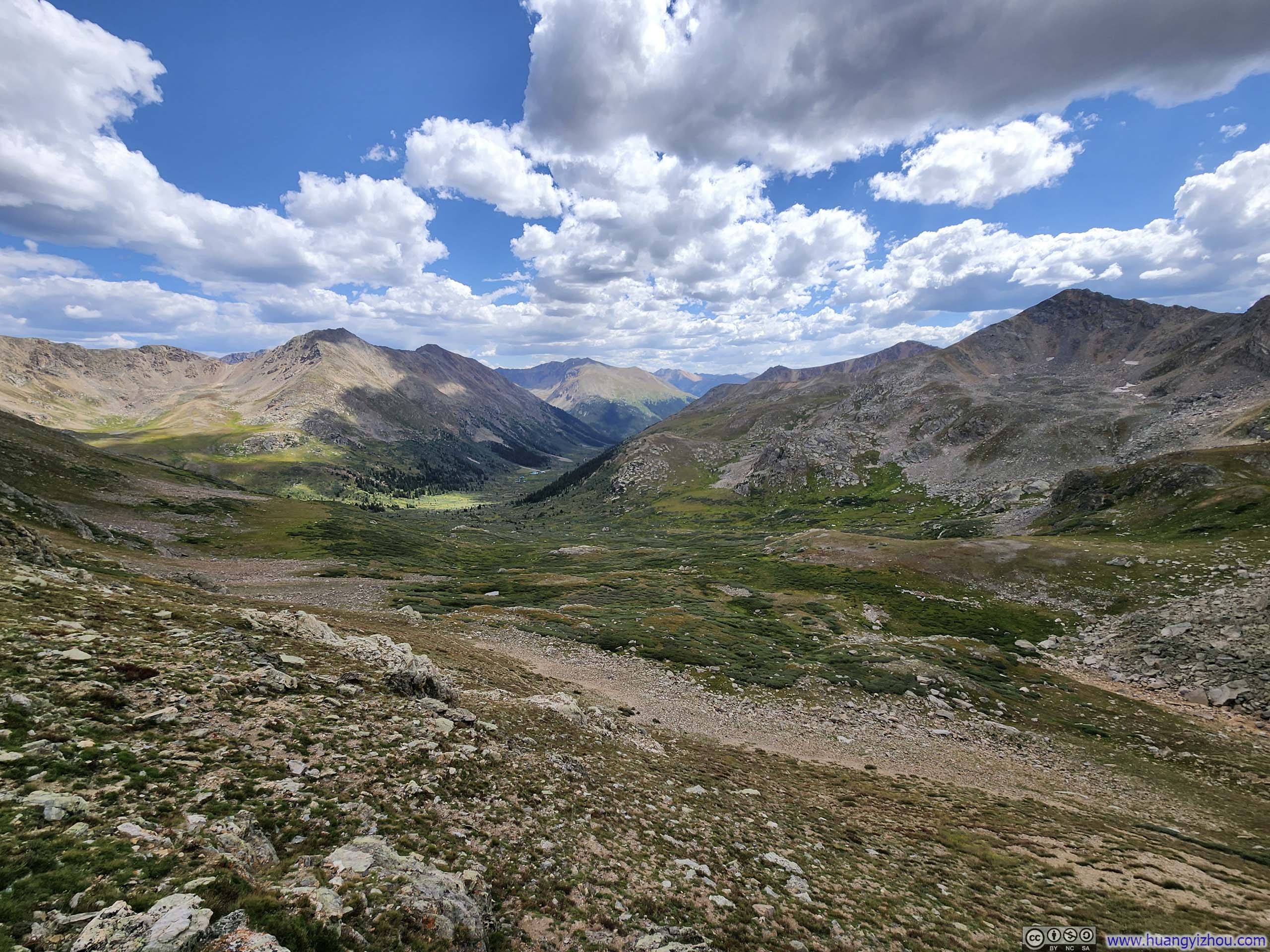
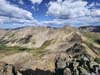
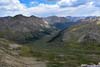
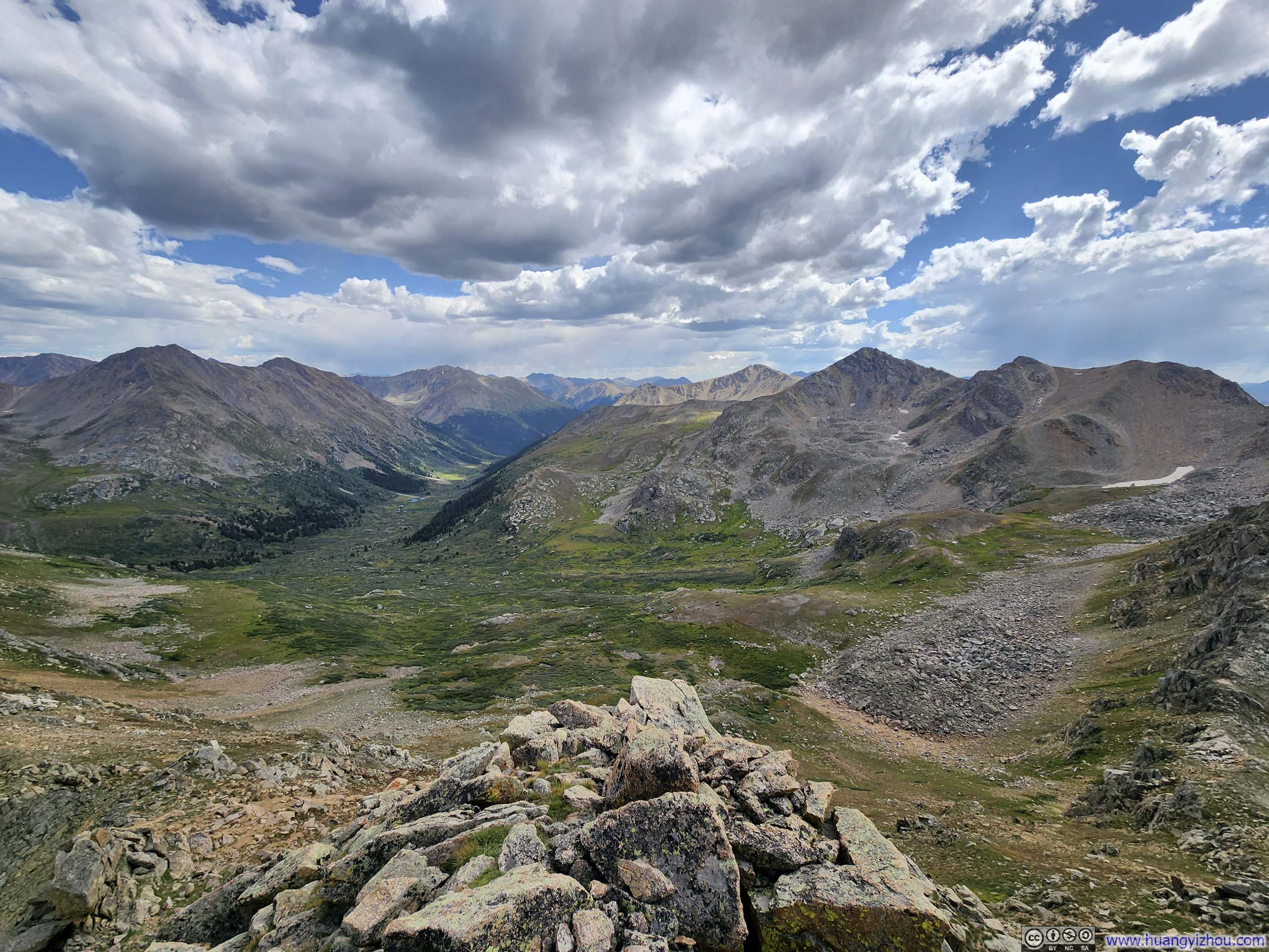
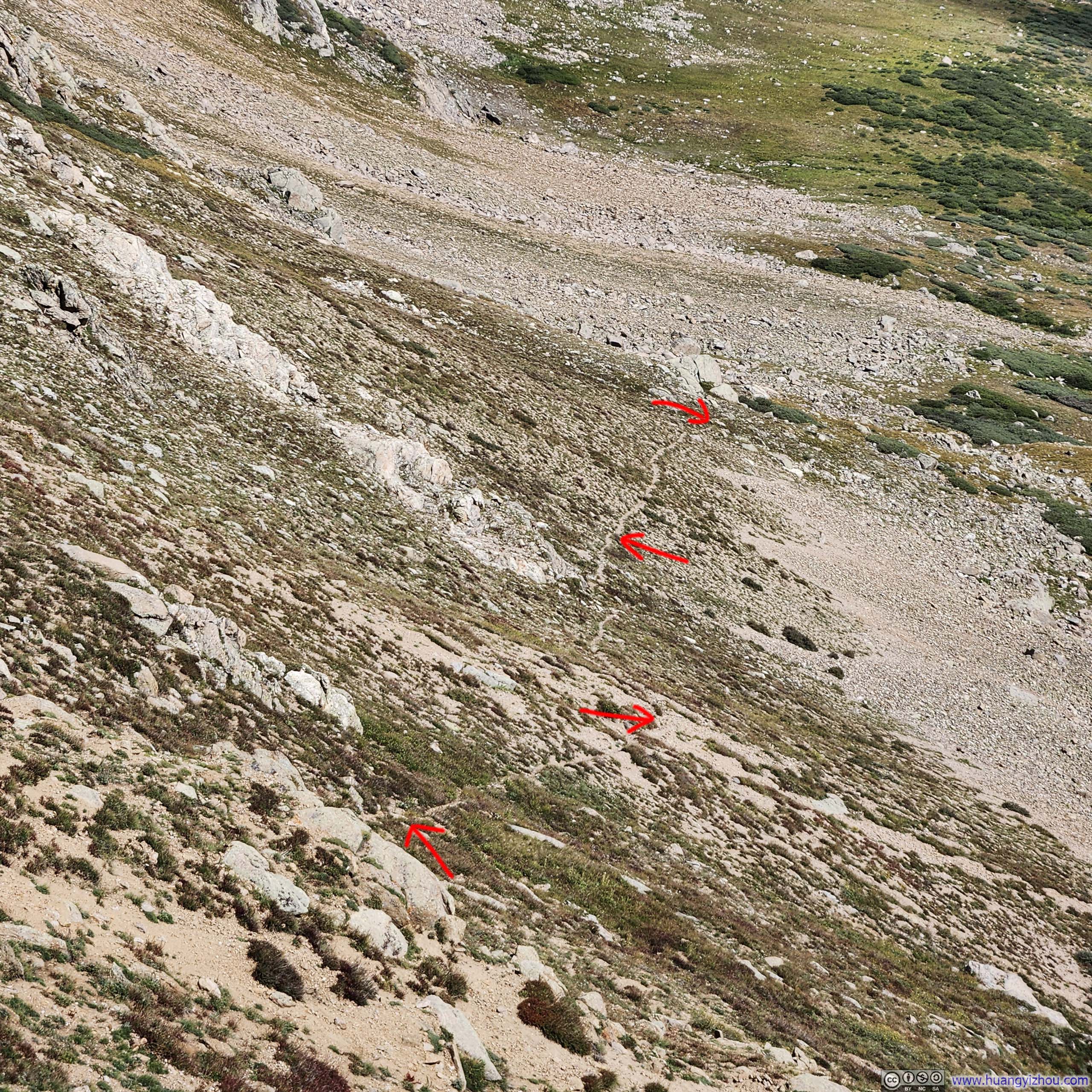
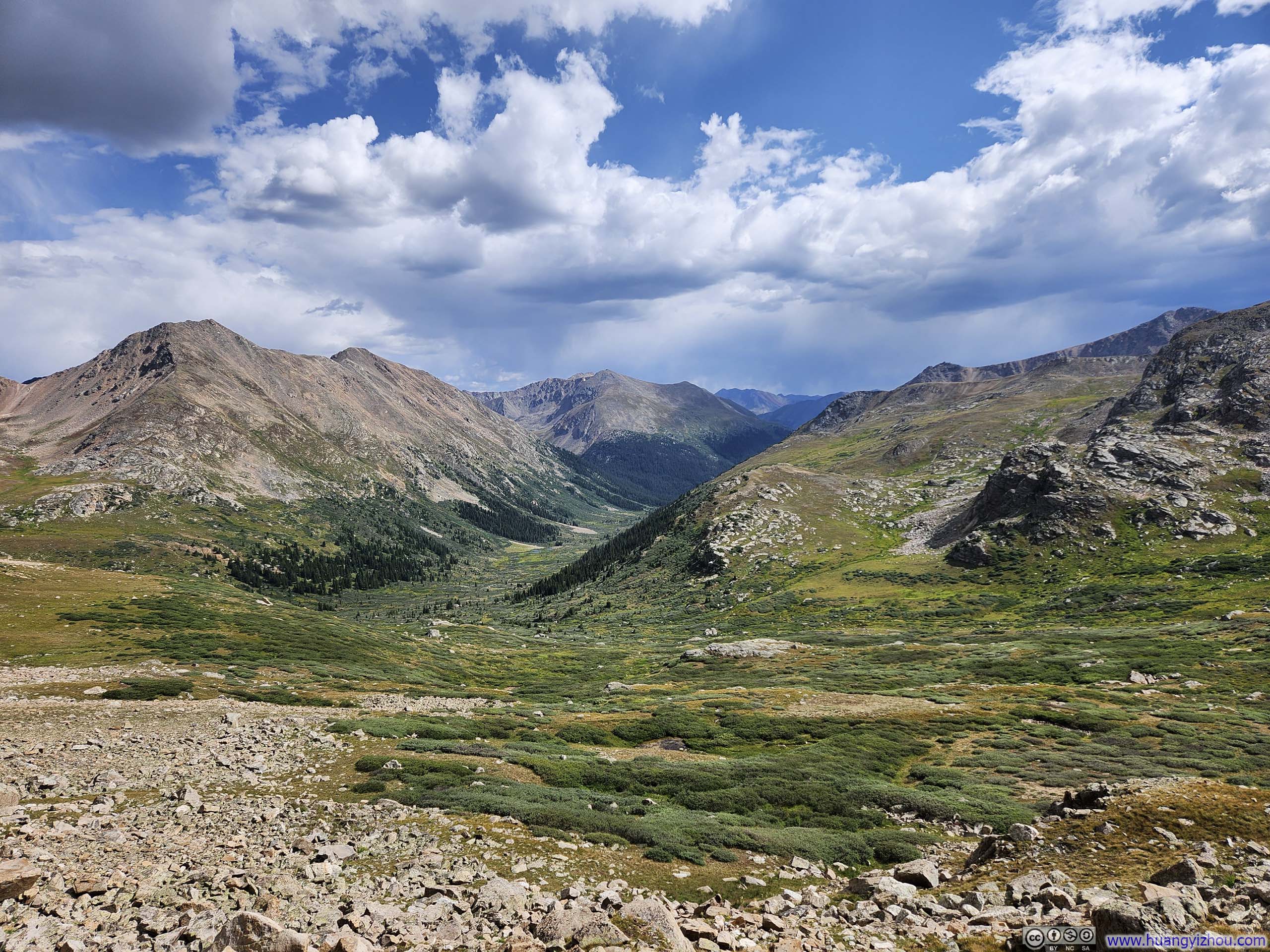
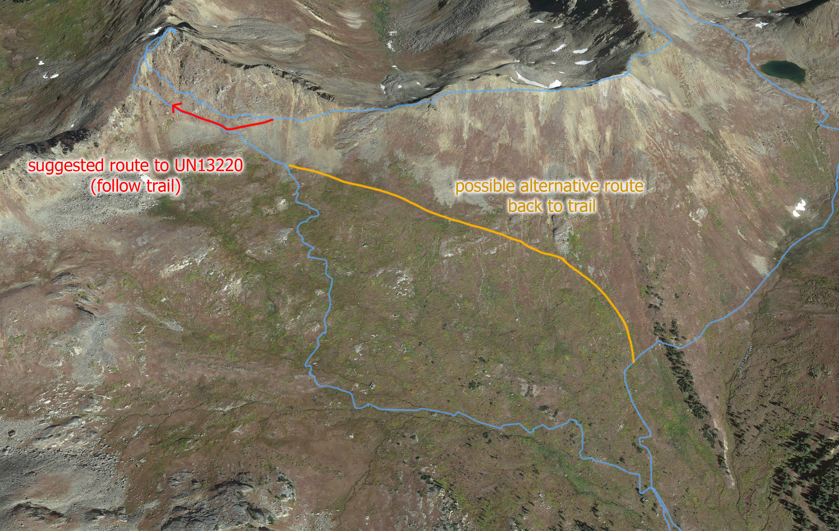
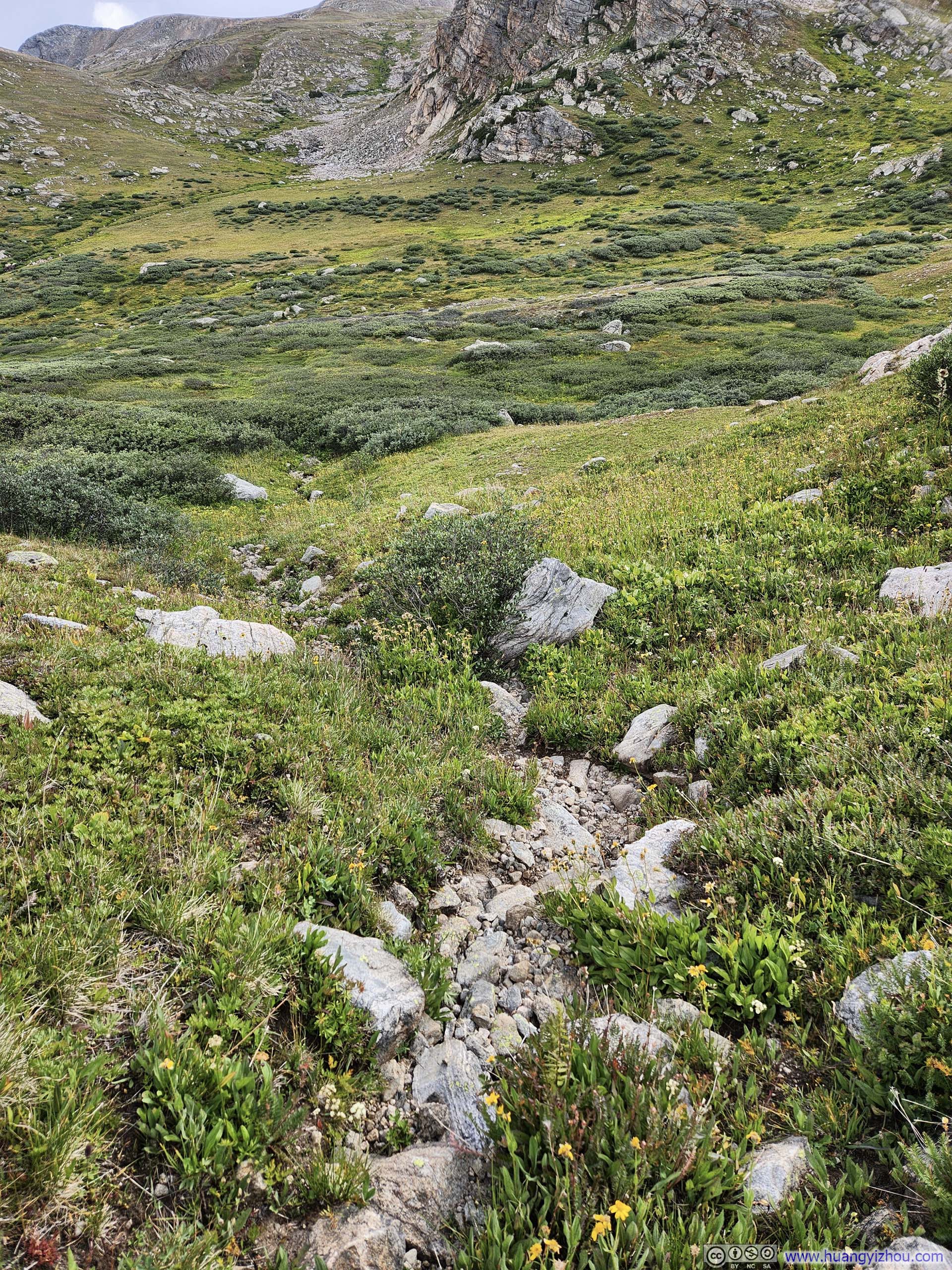
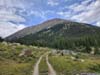
The descent to the third saddle was less steep so that I didn’t need to take any noticeable detour. After that, the direct route to UN13220 was visibly steep, so the suggested path was to veer south and sidehill, before turning right upon reaching (or shortly before) Continental Divide. The red line in p1 below indicated the approximate route that I took.
One issue was that, without the ridgeline as a clear reference, it’s hard to tell how much left (south) I should go. Since heading left (south) meant I would lose elevation, which I had to eventually regain, I avoided veering too much left (south). That meant I missed a trail and had to navigate more challenging terrain and wreaking havoc on the vegetation in the process shortly before Continental Divide. (A picture later in the post would show my route together with the suggested route.)
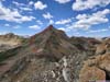
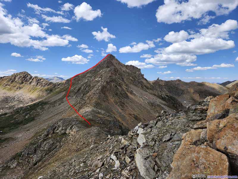 Ridge towards UN13220Drawing out a (highly approximated) path to UN13220.
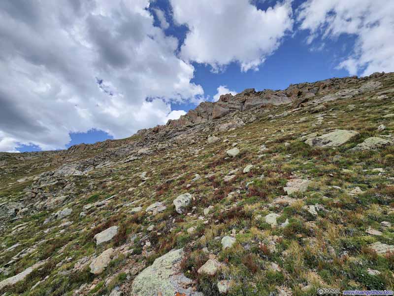 Path to UN13220
 MountainsOf Continental Divide.
 Valley
 Continental Divide
 Mountains of Continental Divide

Click here to display photos of the slideshow

Ridge towards UN13220Drawing out a (highly approximated) path to UN13220.

Path to UN13220

MountainsOf Continental Divide.
Valley
Continental Divide
Mountains of Continental Divide
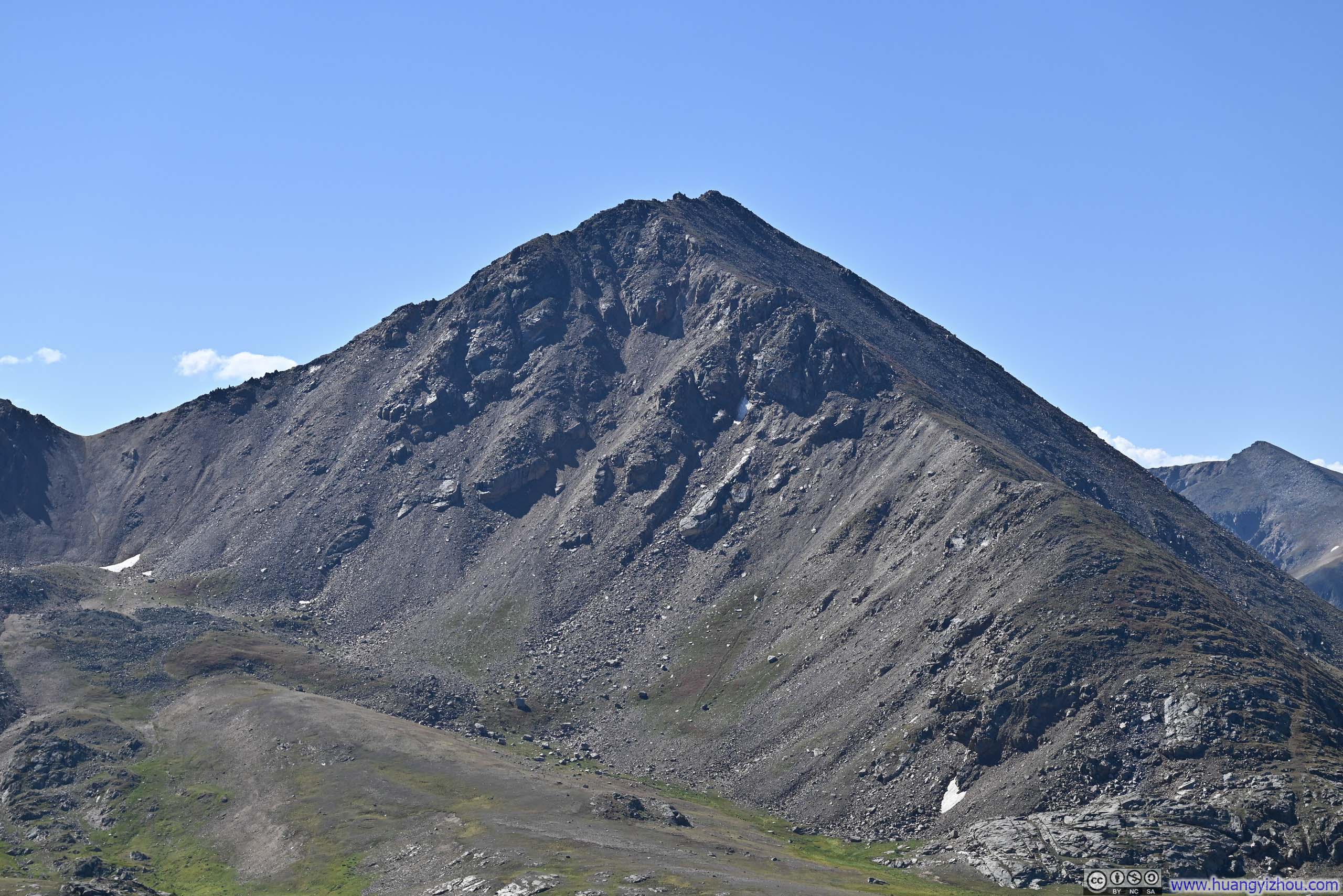
Shortly before reaching Continental Divide, I saw a clear path towards the summit of UN13220 and turned towards it. The final steps before UN13220 was steep and sandy, but not as steep as the steep slope before UN13291 and certainly harder to get lost.
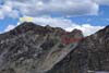
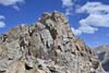
Summit of UN13220
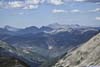
I reached the summit of UN13220 at 2:40pm, about 2.5 hours after leaving UN13291. The traverse between the two peaks was no doubt the highlight of the day.
 Summit of UN13220
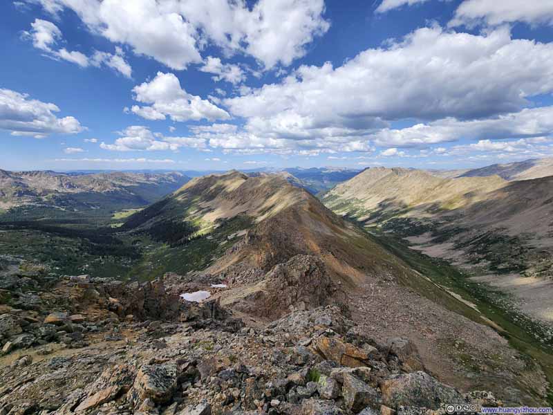 Mountains to the NorthTwo valleys in view.
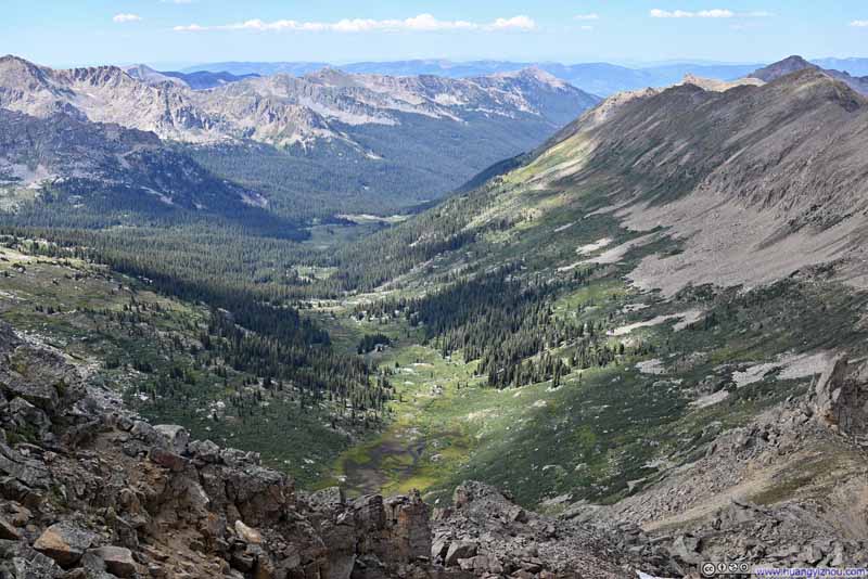 South Fork Fryingpan River Valley
 RidgeExtending to the north from UN13220
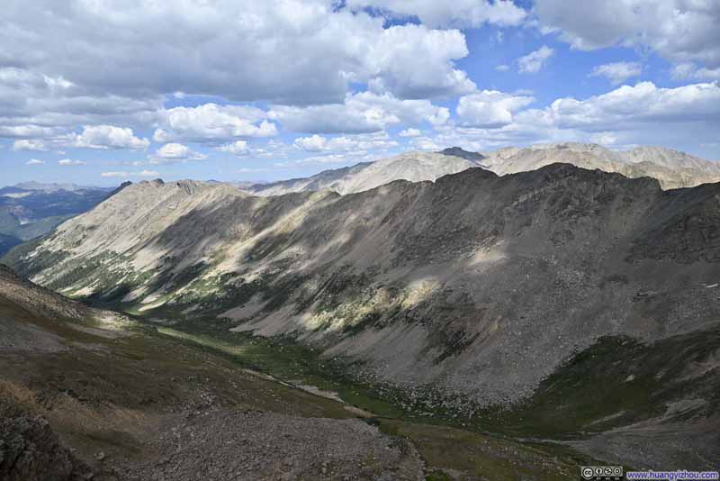 RidgeExtending to the north from UN13291.
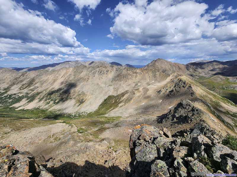 Mountains to the NortheastLooking back at UN13291 and the route that I took.
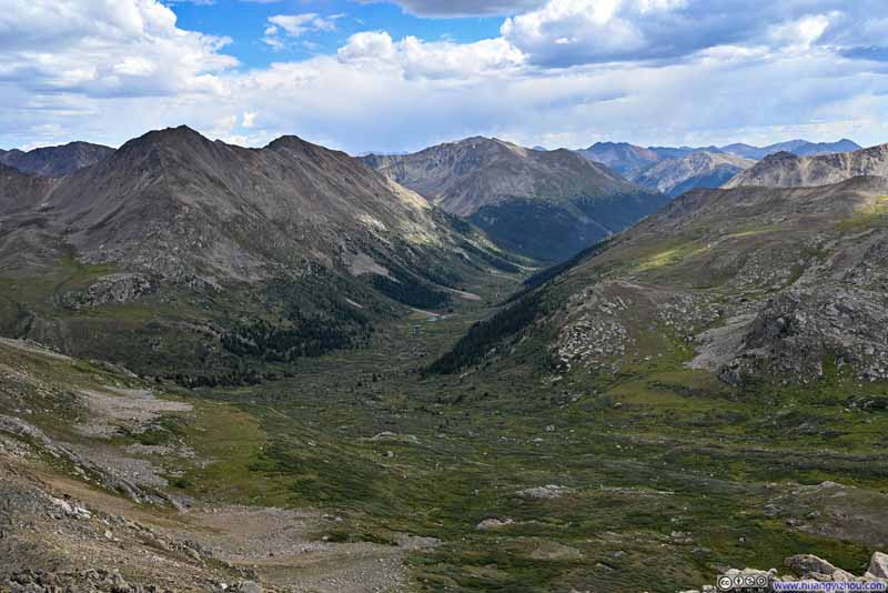 North Fork Lake Creek Valley
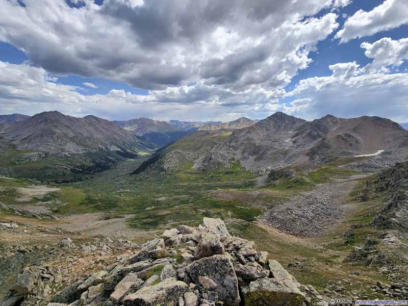 Valley
Click here to display photos from the summit of UN13220.
Summit of UN13220
Mountains to the NorthTwo valleys in view.
South Fork Fryingpan River Valley
RidgeExtending to the north from UN13220

RidgeExtending to the north from UN13291.

Mountains to the NortheastLooking back at UN13291 and the route that I took.
North Fork Lake Creek Valley
Valley
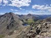
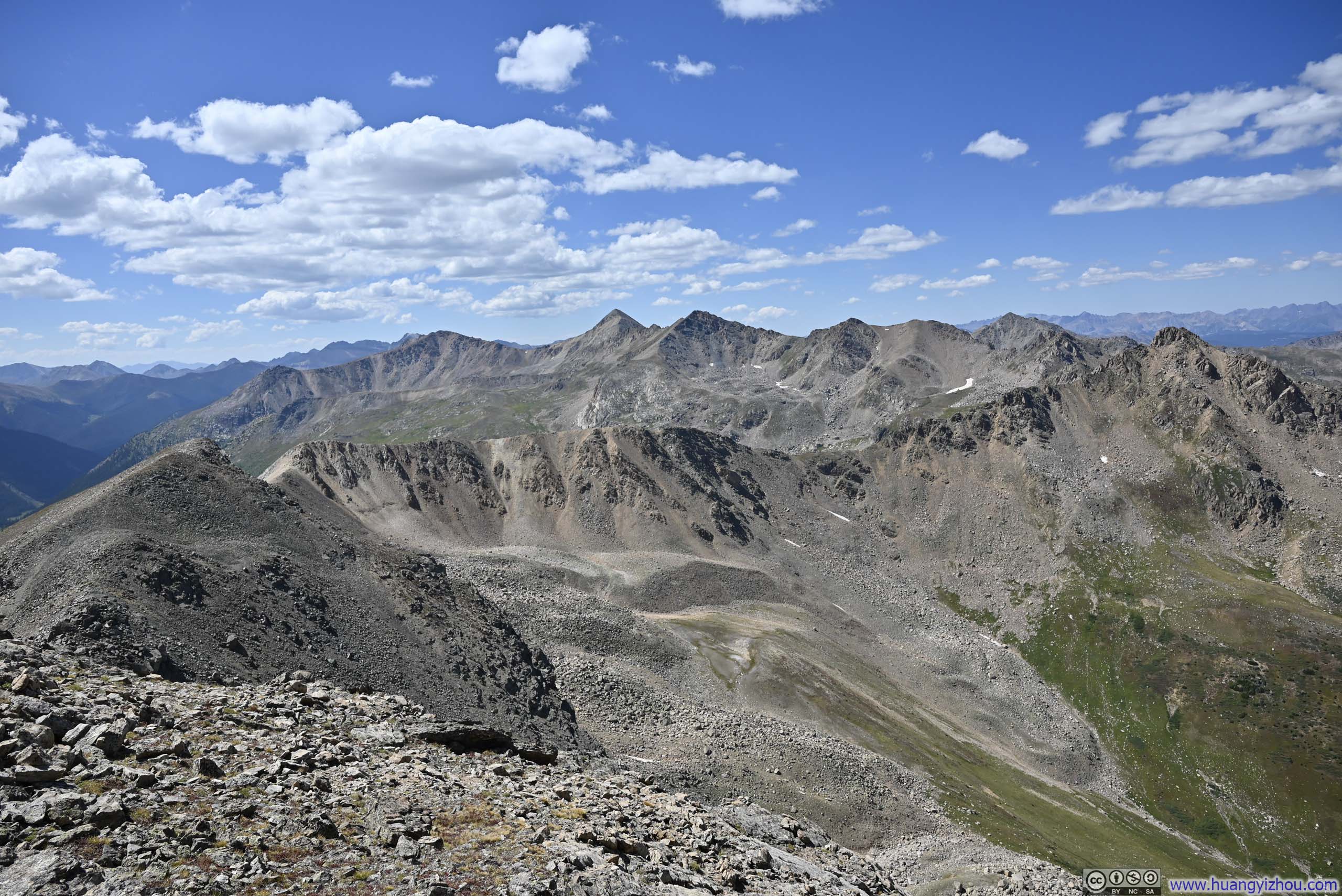
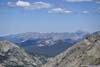
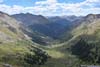
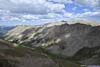
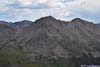
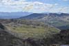
In terms of scenery, UN13220 was quite similar to UN13291, as these two mountains are closer together than most of the others visible from them. If I had to pick my favorite, it would likely be UN13220. Its prominence offers less obstructed views, revealing more lush valleys below.
Unfortunately, there was no cellular coverage on top of UN13220.
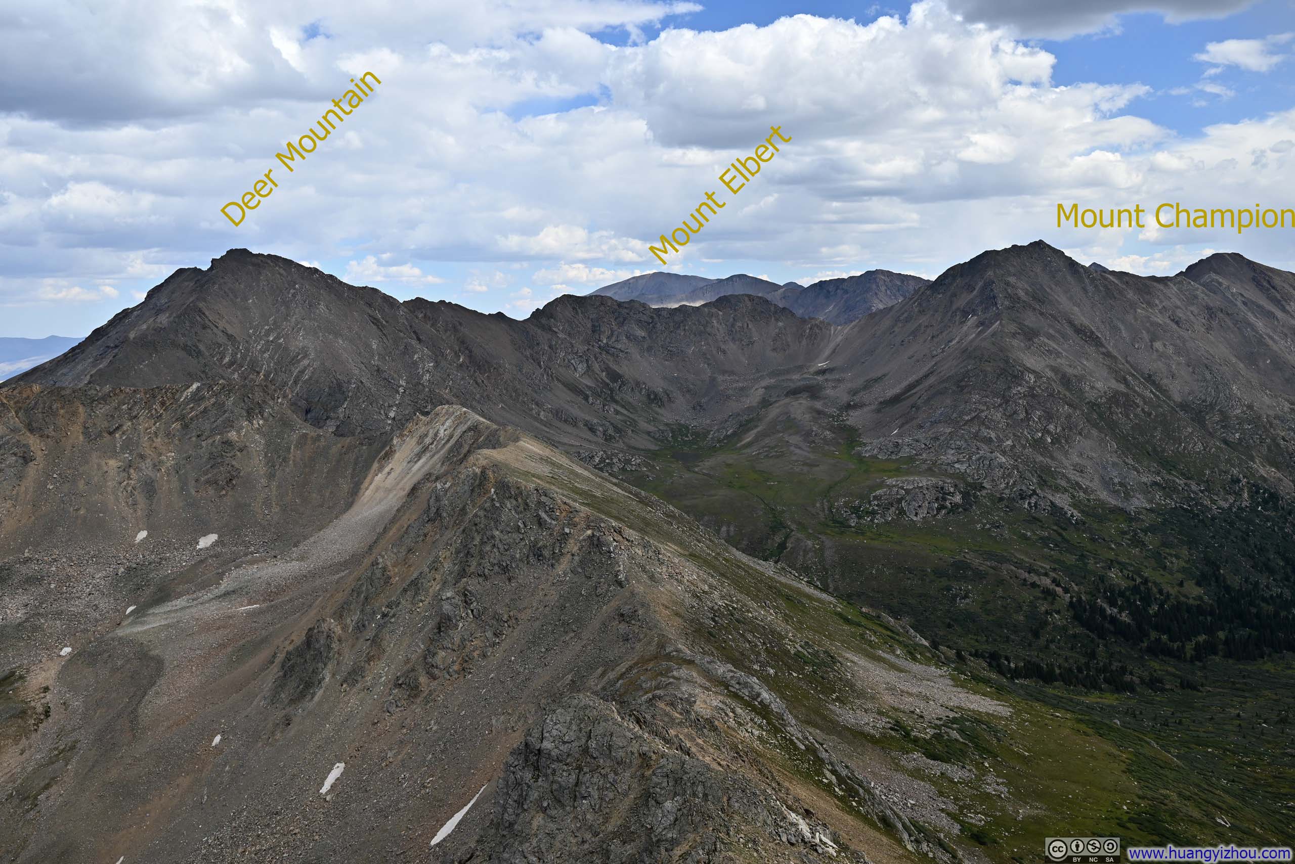
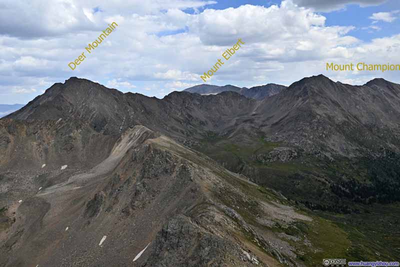 Mountains to the Southeast
Deer Mountain and Mount Champion which had become familiar sights through the day. In the center background was Mount Elbert, the highest mountain in the state of Colorado.
Mountains to the Southeast
Deer Mountain and Mount Champion which had become familiar sights through the day. In the center background was Mount Elbert, the highest mountain in the state of Colorado.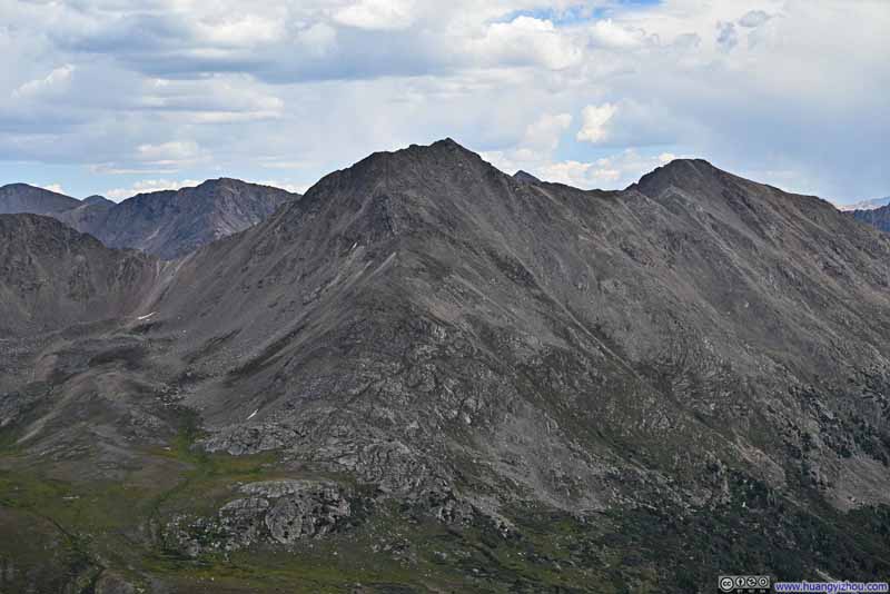 Mount Champion
 Mountains to the South
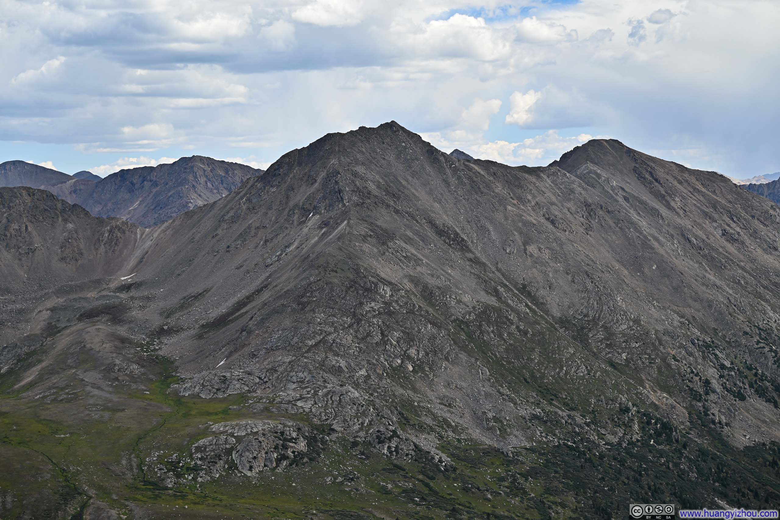
I was particularly enchanted by the ribbon of red on the mountain in the background. It’s a mountain between La Plata Peak and Star Mountain, unfortunately, it seemed that it’s unnamed.
Mountains to the South
I was particularly enchanted by the ribbon of red on the mountain in the background. It’s a mountain between La Plata Peak and Star Mountain, unfortunately, it seemed that it’s unnamed.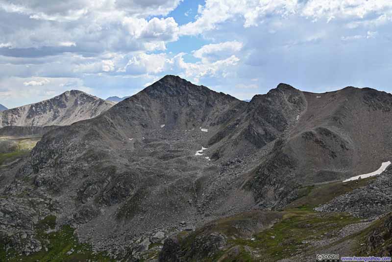 Twining Peak
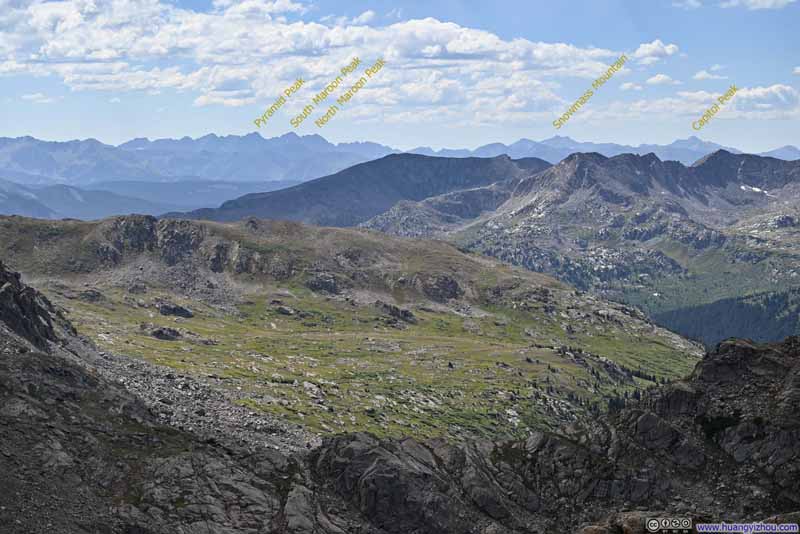 Mountains to the WestThe exciting Elk Mountains in the background.
 Distant Sawatch MountainsMount of the Holy Cross as the highest one in the center.
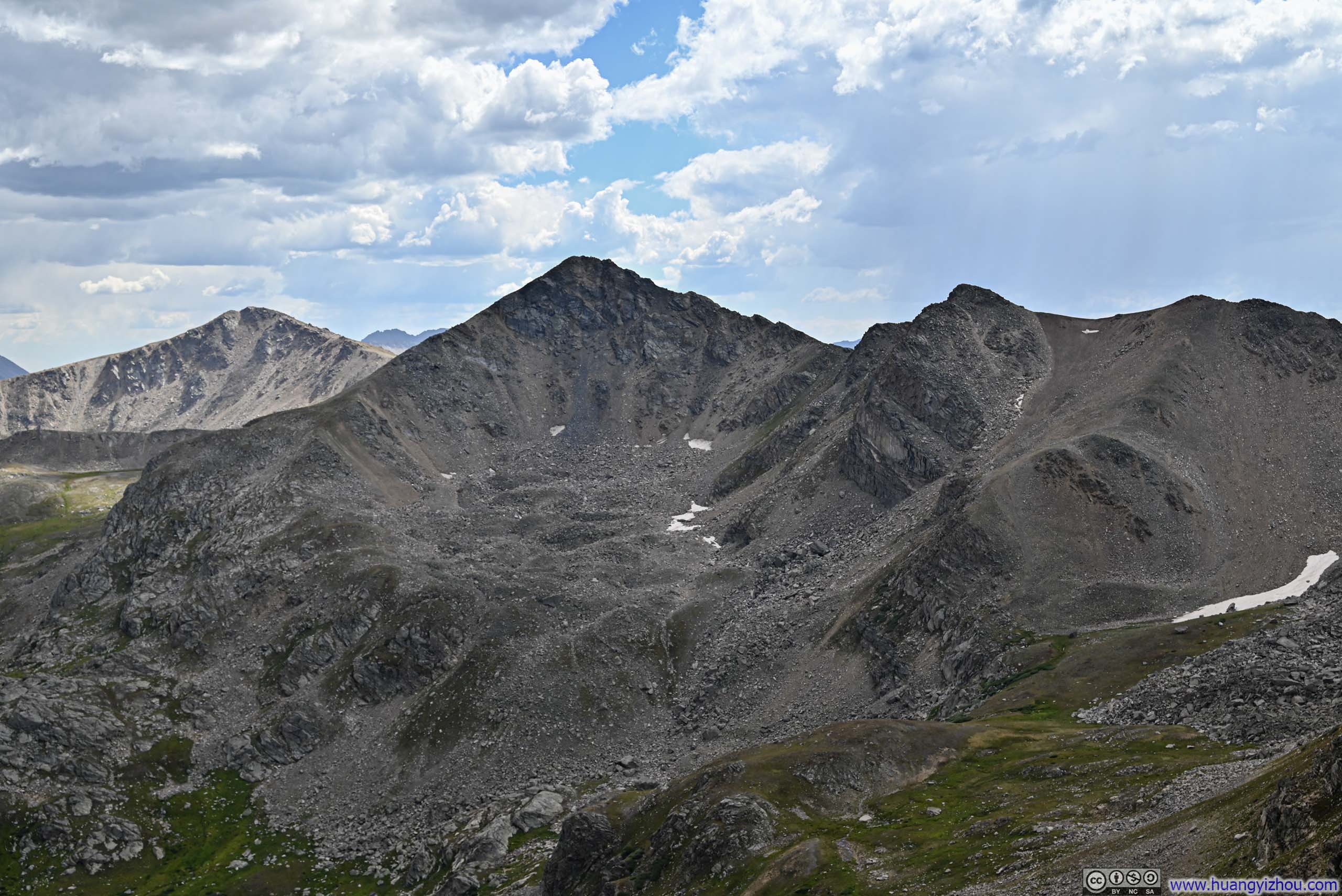
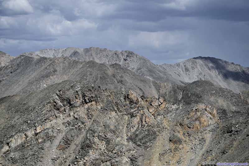 Mountains to the EastUN13291 in the foreground, Mount Oklahoma in the middle left, Mount massive in the background.
Click here to display photos from the summit of UN13220.
Mountains to the Southeast
Mount Champion
Mountains to the South
Twining Peak
Mountains to the WestThe exciting Elk Mountains in the background.
Distant Sawatch MountainsMount of the Holy Cross as the highest one in the center.
Mountains to the EastUN13291 in the foreground, Mount Oklahoma in the middle left, Mount massive in the background.
Views around UN13220
Here’s a video from the summit of UN13220:
18 seconds, 2160p30fps, 10Mbps/23MB for H265, 11Mbps/24MB for H264.
I stayed on top of UN13220 for about half an hour, before starting my descent around 3:10pm.
Faint Trail
 Final Stretch before UN13220
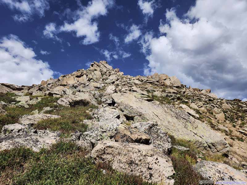 Looking up to UN13220
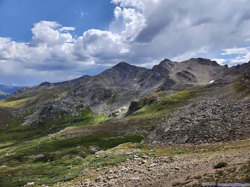 MountainsOf Continental Divide. Twining Peak in the center.
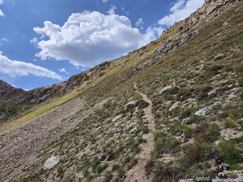 Trail
Trail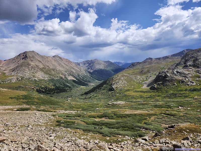 Valley
 Trail MarkingUnfortunately, it would take me another hour before I was back on a proper trail.

Click here to display photos of the slideshow
Final Stretch before UN13220

Looking up to UN13220

MountainsOf Continental Divide. Twining Peak in the center.

Trail
Valley
Trail MarkingUnfortunately, it would take me another hour before I was back on a proper trail.
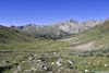
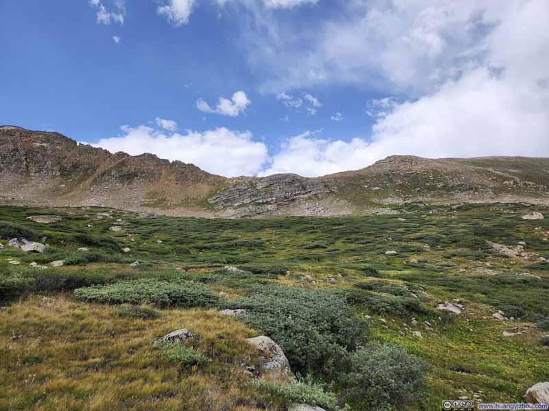 Grassland
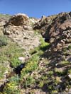
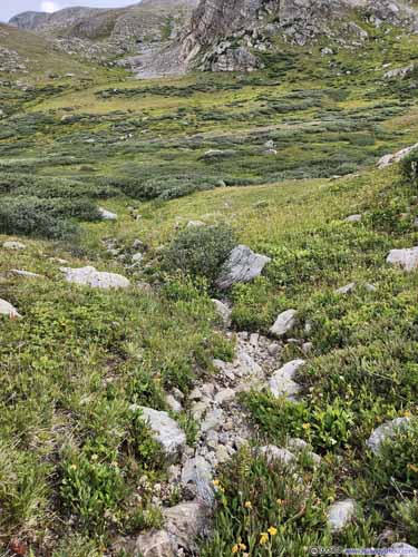 Creek
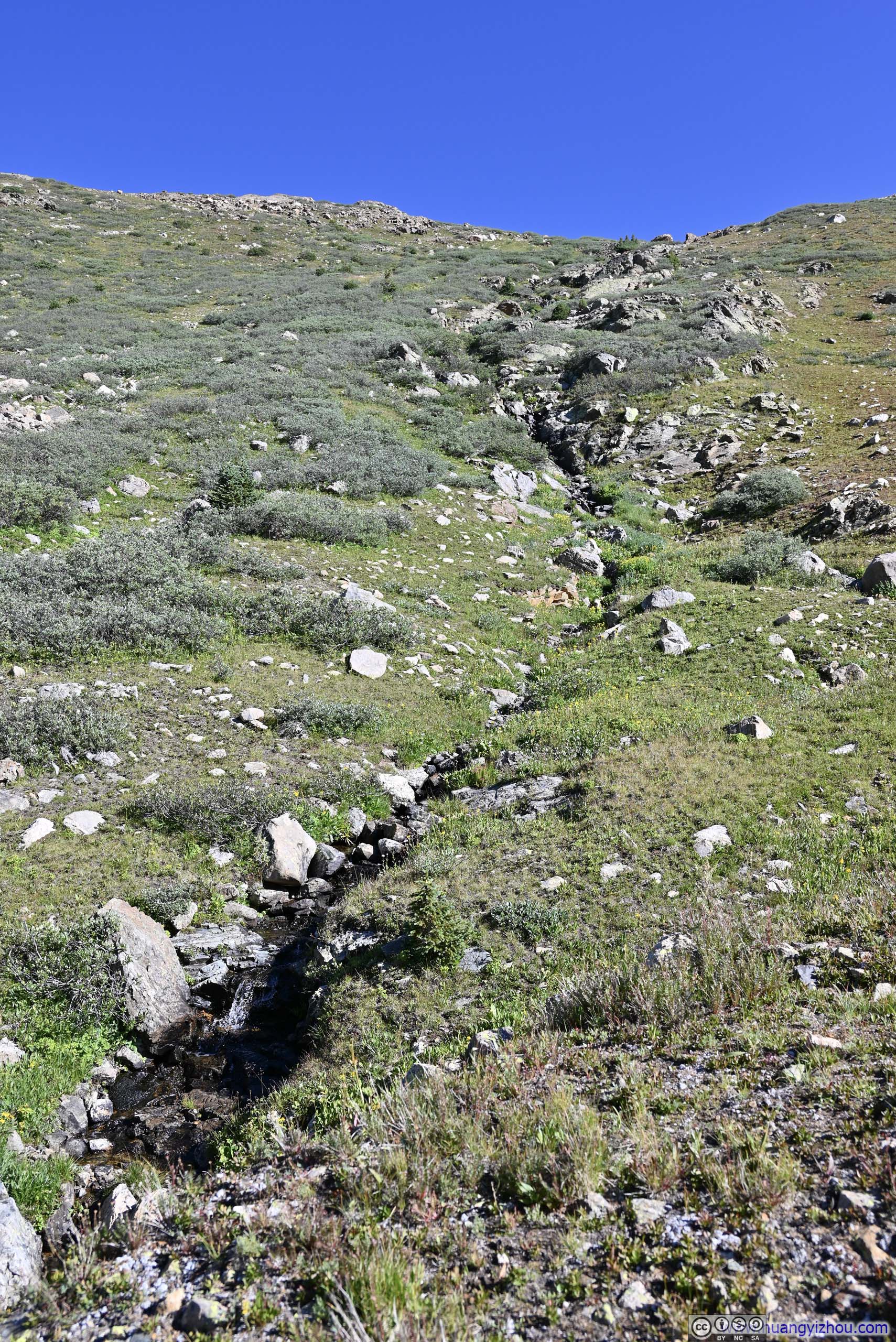
While traversing the grassland, sometimes I found it easier to walk on small creeks like these, especially if they were dry.
Creek
While traversing the grassland, sometimes I found it easier to walk on small creeks like these, especially if they were dry.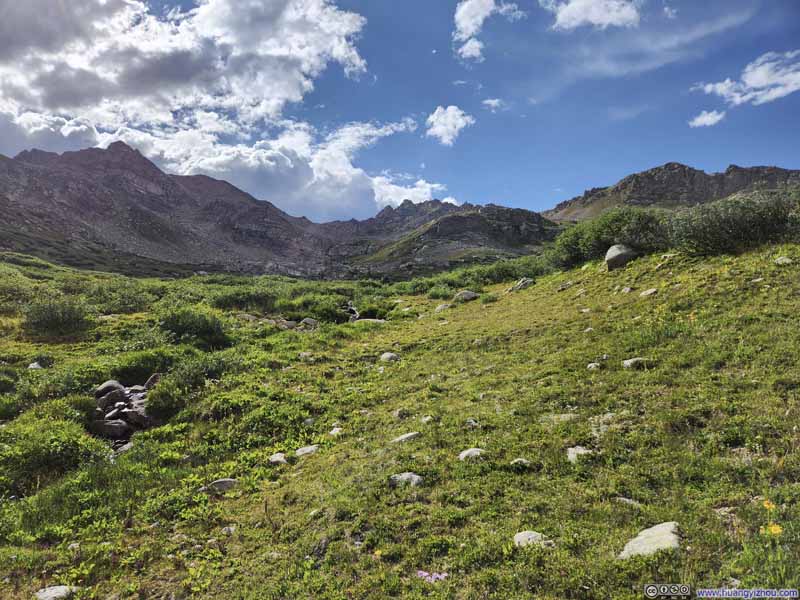 Grassland
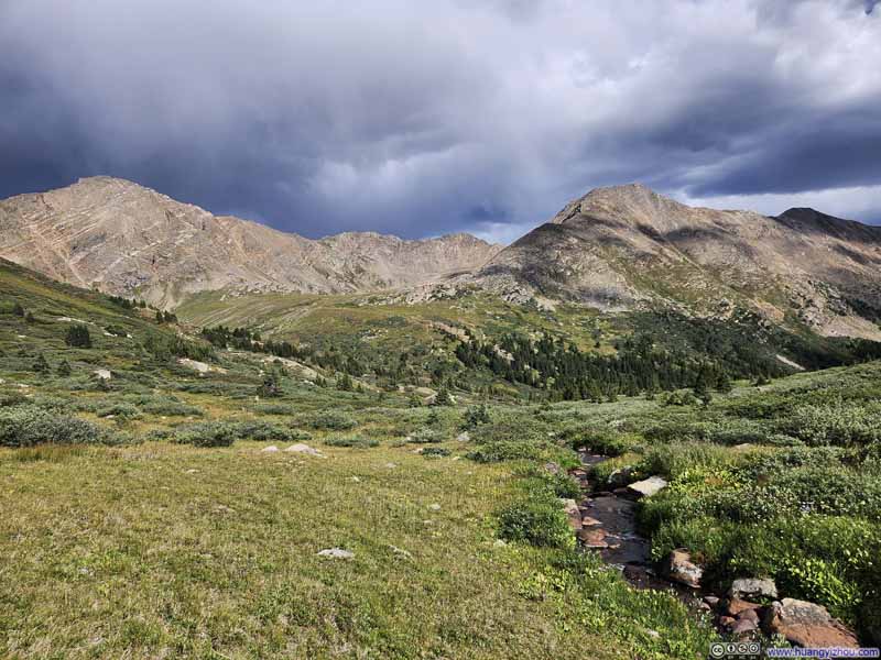 Grassland
Click here to display photos of the slideshow

Grassland

 Creek
Creek
 Grassland
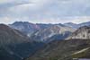
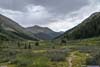
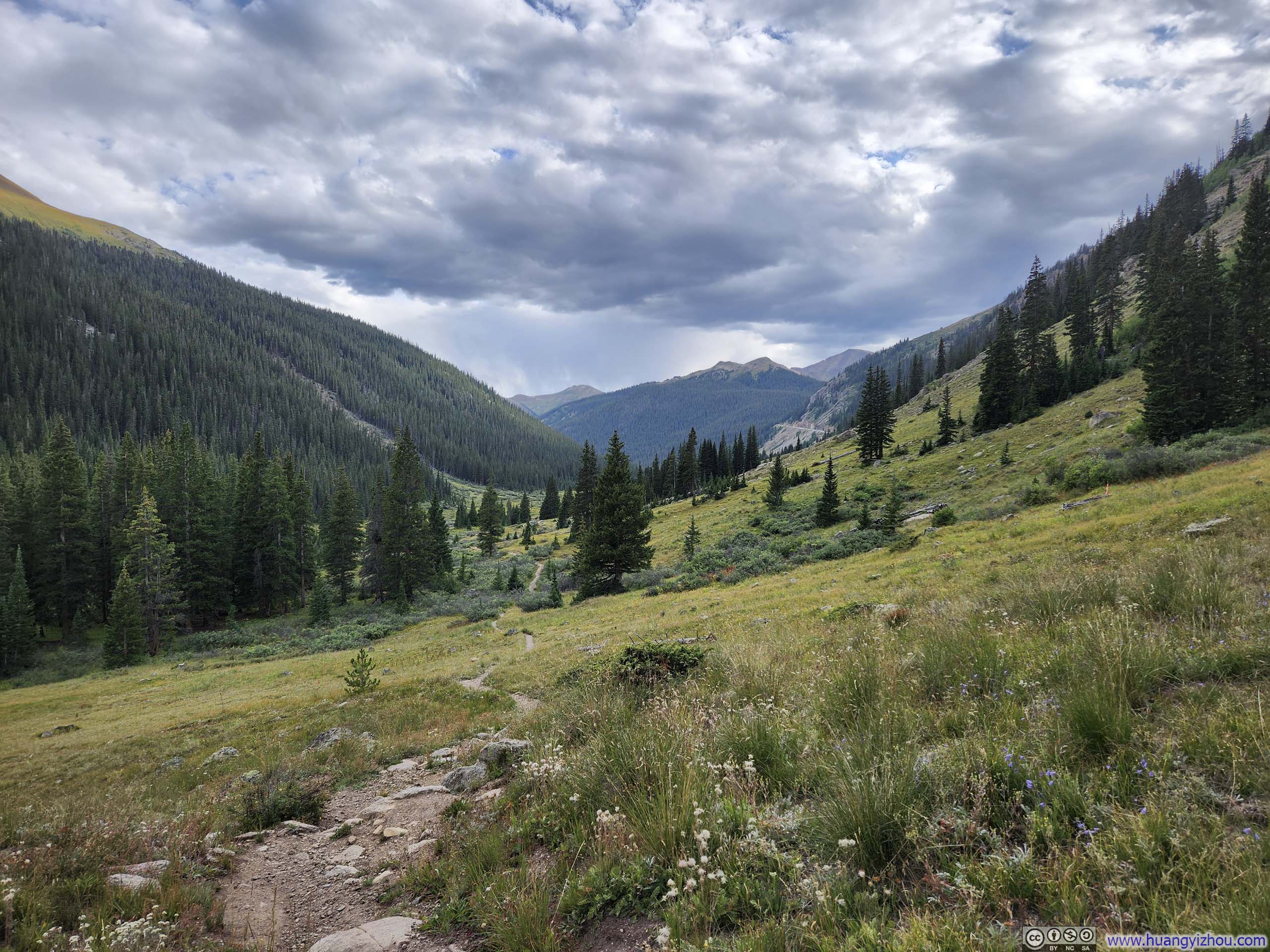
Eventually, after an hour of misery, I reached the main trail at 4:40pm. Just when I thought I would have an uneventful stroll back to the trailhead, the skies darkened, and it started to rain. Weather forecast this morning indicated about 10% probability of rain in the late afternoon, so I wasn’t too surprised. Luckily, the rain was light and brief, and there was crucially no thunder around. Once the rain stopped, the soft colors beneath the clouds revealed a lush meadow scene that accompanied my walk back to the trailhead.
 UN13220
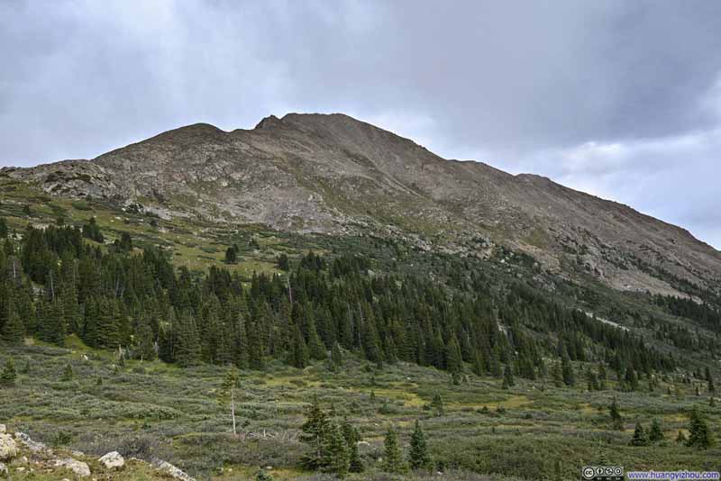 Mount Champion
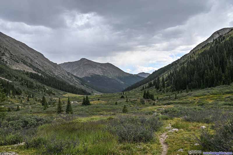 Lackawanna Peak from North Fork Lake Creek Valley
 Lackawanna Peak from North Fork Lake Creek Valley
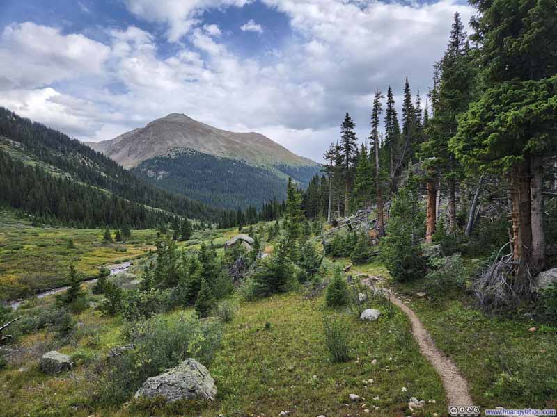 Trail
Trail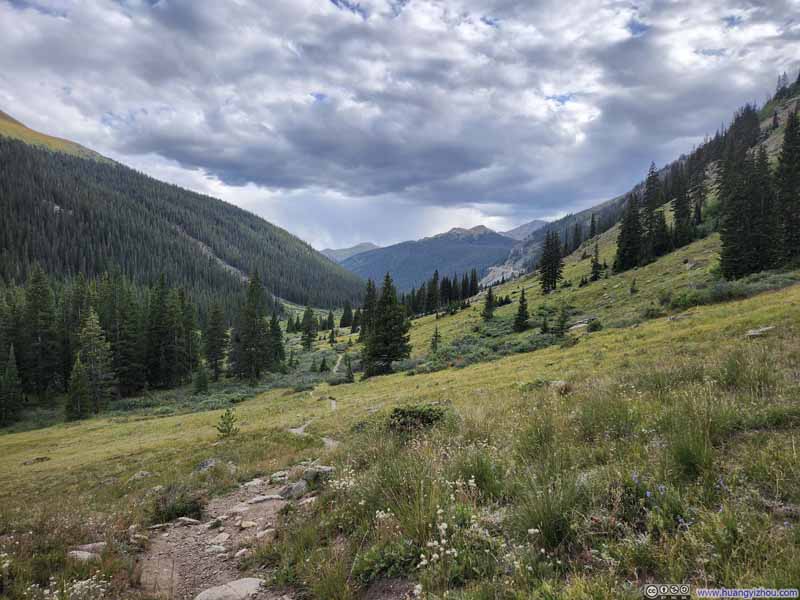 Trail
Trail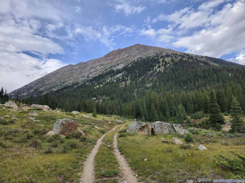 Trail
Trail

Click here to display photos of the slideshow
UN13220

Mount Champion
Lackawanna Peak from North Fork Lake Creek Valley
Lackawanna Peak from North Fork Lake Creek Valley

Trail
Trail
Trail
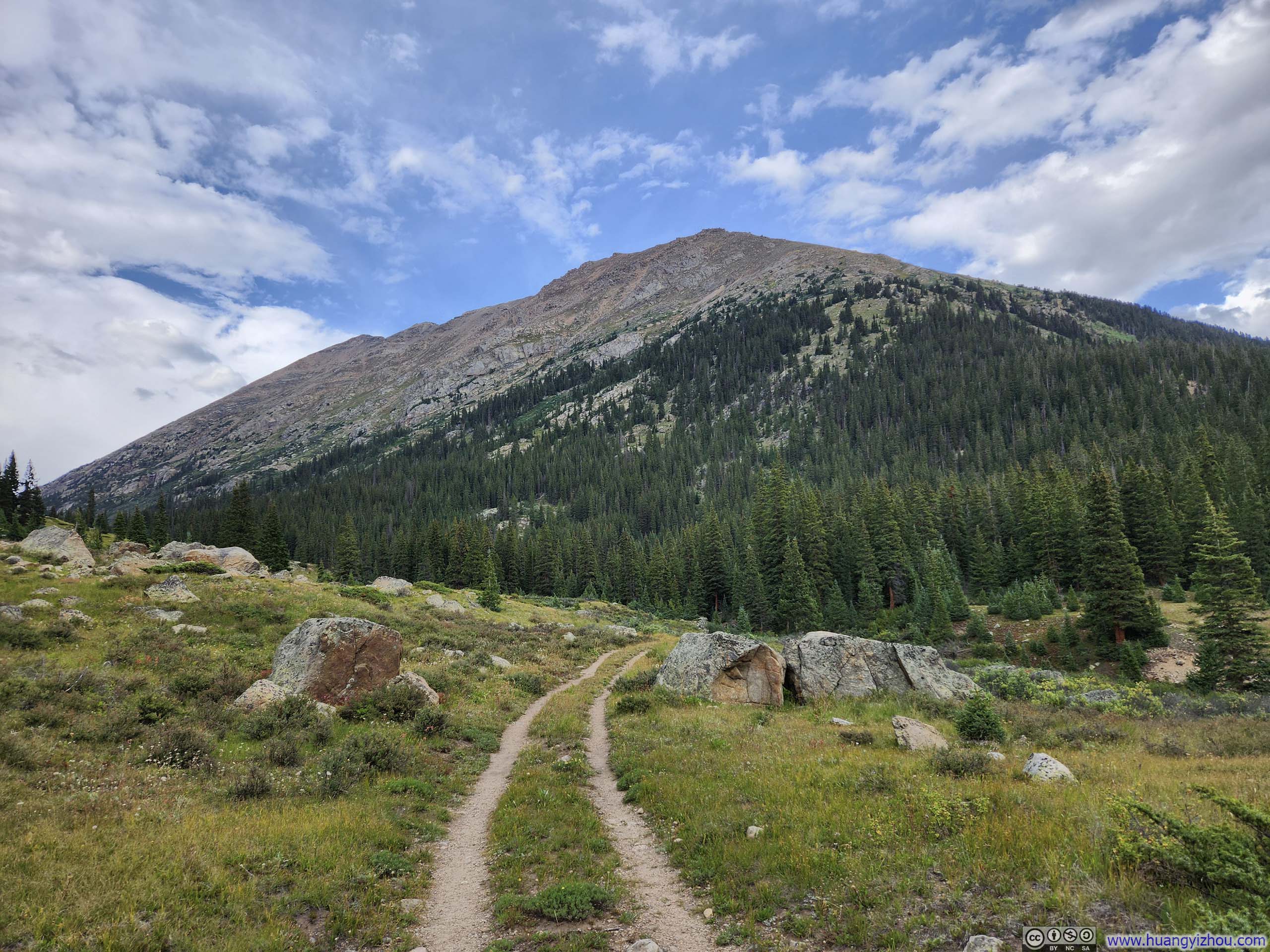
Finally, I was back at the trailhead at 5:45pm, concluding the hike in under 10 hours.
END
![]() Day 2 of Summer 2024 Trip to Colorado, North Fork Lake Creek Mountains, UN13291 and UN13220 by Huang's Site is licensed under a Creative Commons Attribution-NonCommercial-ShareAlike 4.0 International License.
Day 2 of Summer 2024 Trip to Colorado, North Fork Lake Creek Mountains, UN13291 and UN13220 by Huang's Site is licensed under a Creative Commons Attribution-NonCommercial-ShareAlike 4.0 International License.