
Updated on February 16, 2025
Day 4 of Summer 2024 Trip to Colorado, Uneva Peak
The fourth day of my summer 2024 trip to Colorado. With rain in the forecast in the afternoon, I took a short hike to Uneva Peak in the morning before navigating my way through traffic back to the outskirts of Denver in the afternoon.
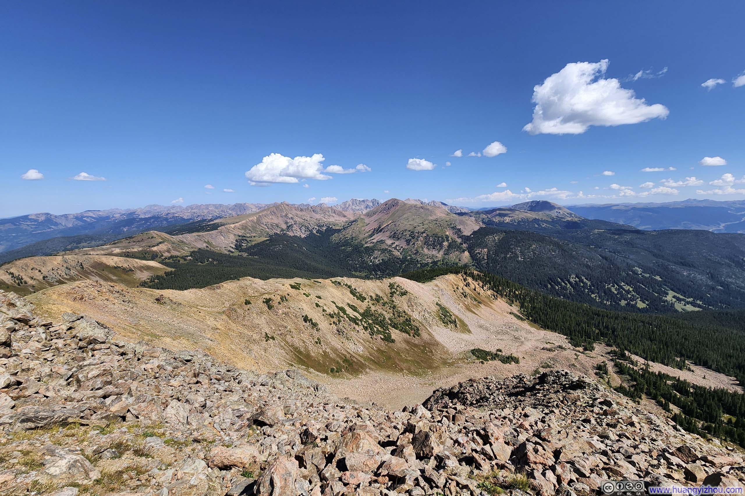
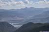
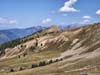
Gore Range Mountains from Uneva Peak
If the weather cooperated, this day would be the climax of my trip as I planned to take on the Sawtooth between Mount Bierstadt and Mount Blue Sky. Unfortunately, it turned out to be the worst day of the trip in terms of weather, with a high chance of rain in the afternoon. As a result, I extended my stay in Leadville the previous night. The plan of the day was to drive back to Denver and find something to do along the way. Since it was Labor Day, many attractions were closed, so I opted for a short morning hike to Uneva Peak from Vail Pass.
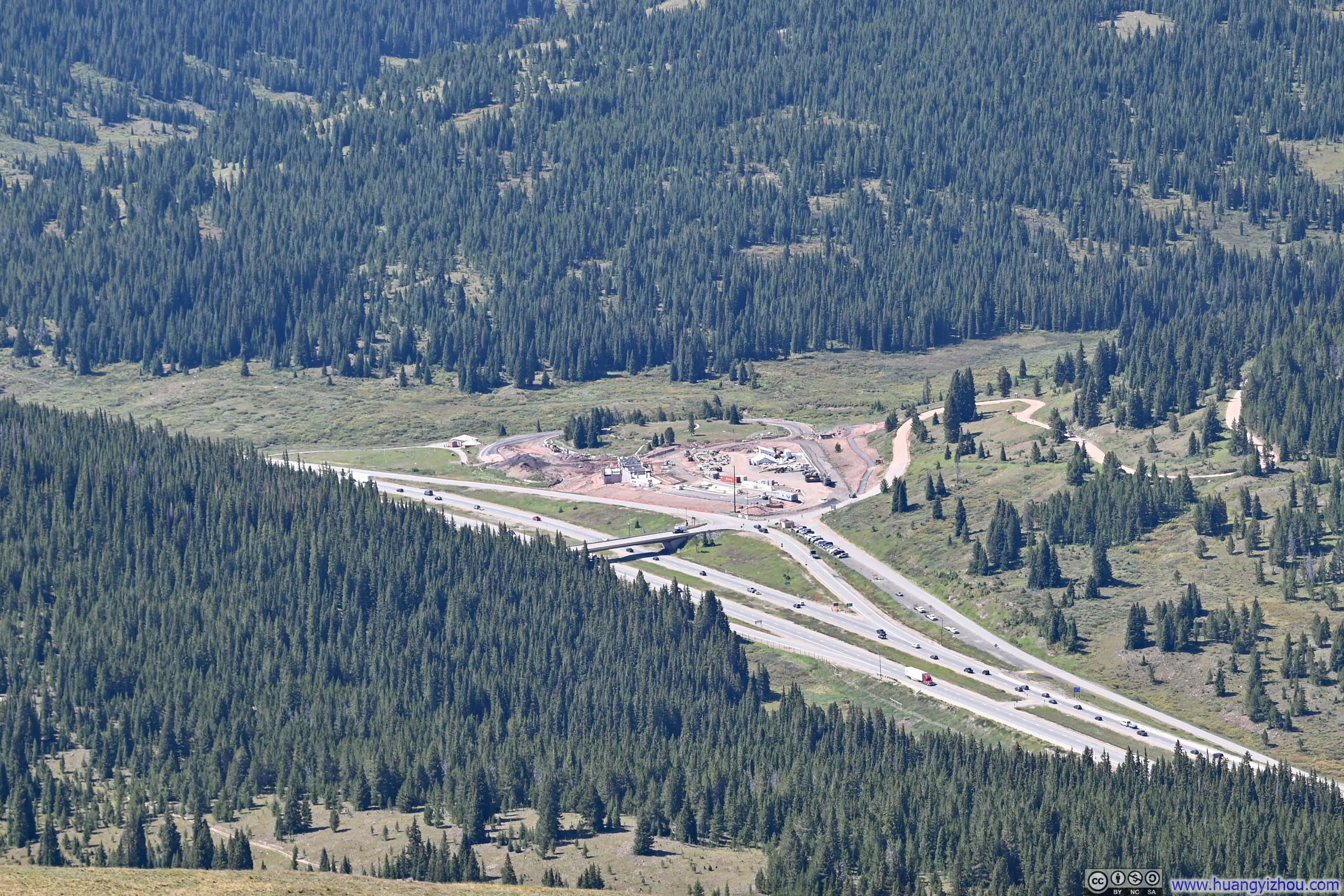
I reached Vail Pass just before 9am, and the CDOT rest area to its west was under construction. Nonetheless, a few cars were parked on the eastern ramp, so I joined them.
Here’s GPS tracking:
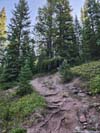
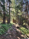
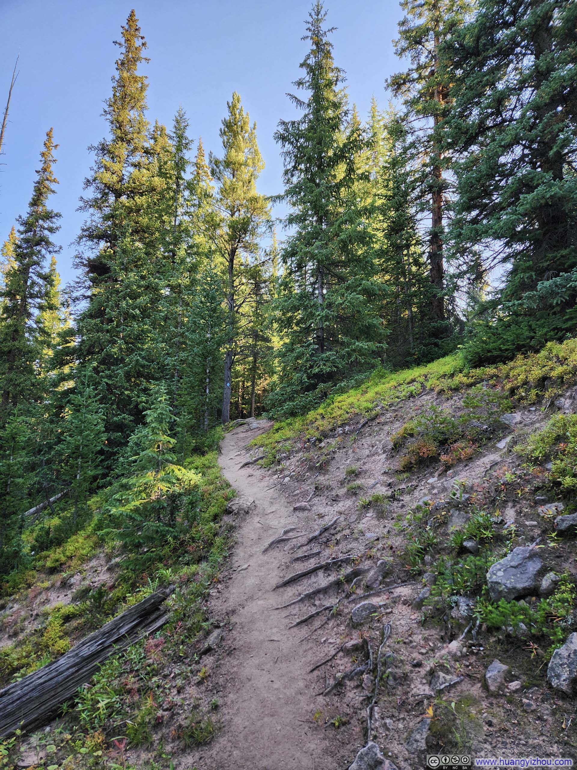
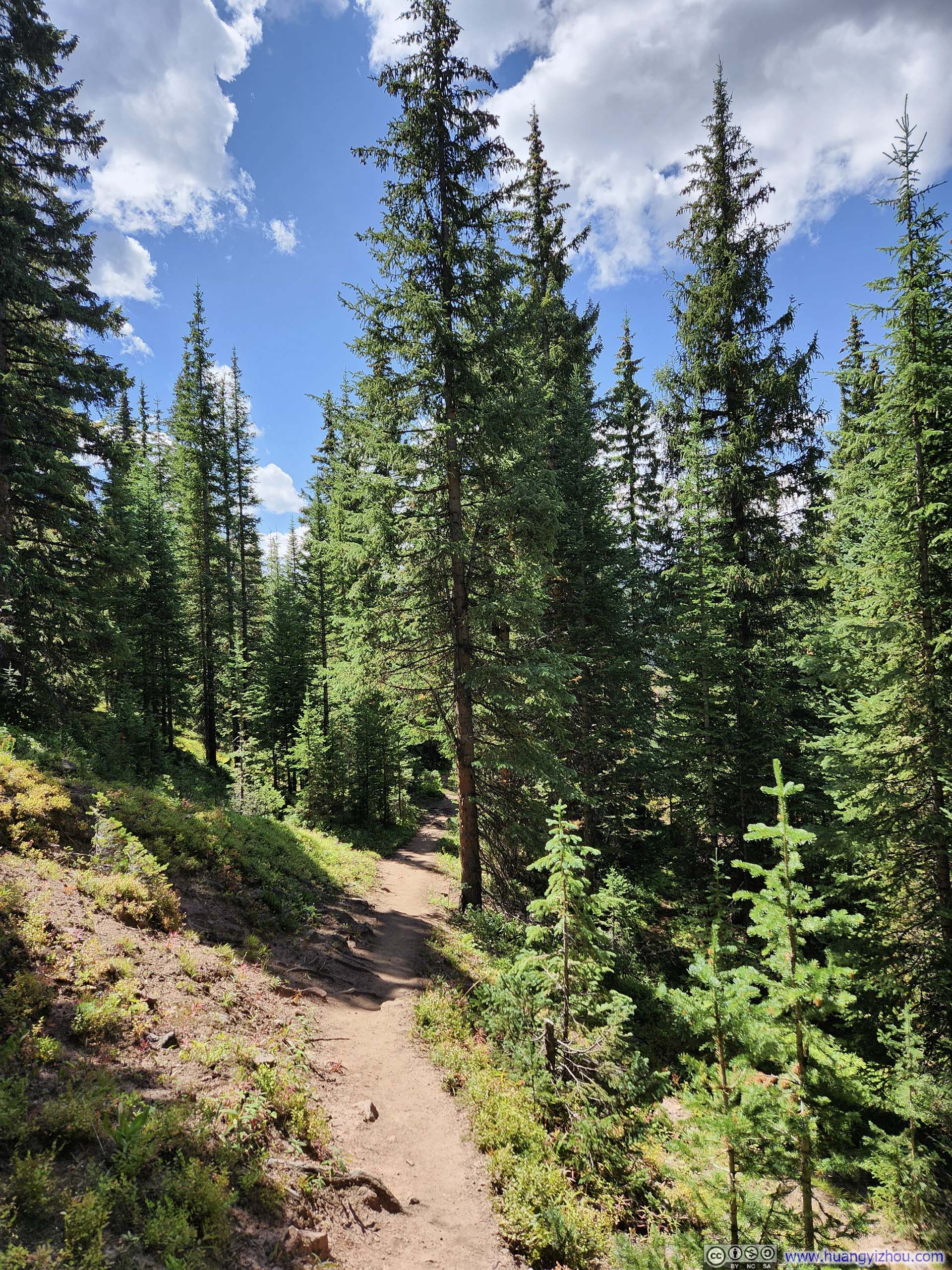
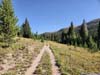
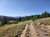
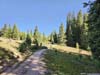
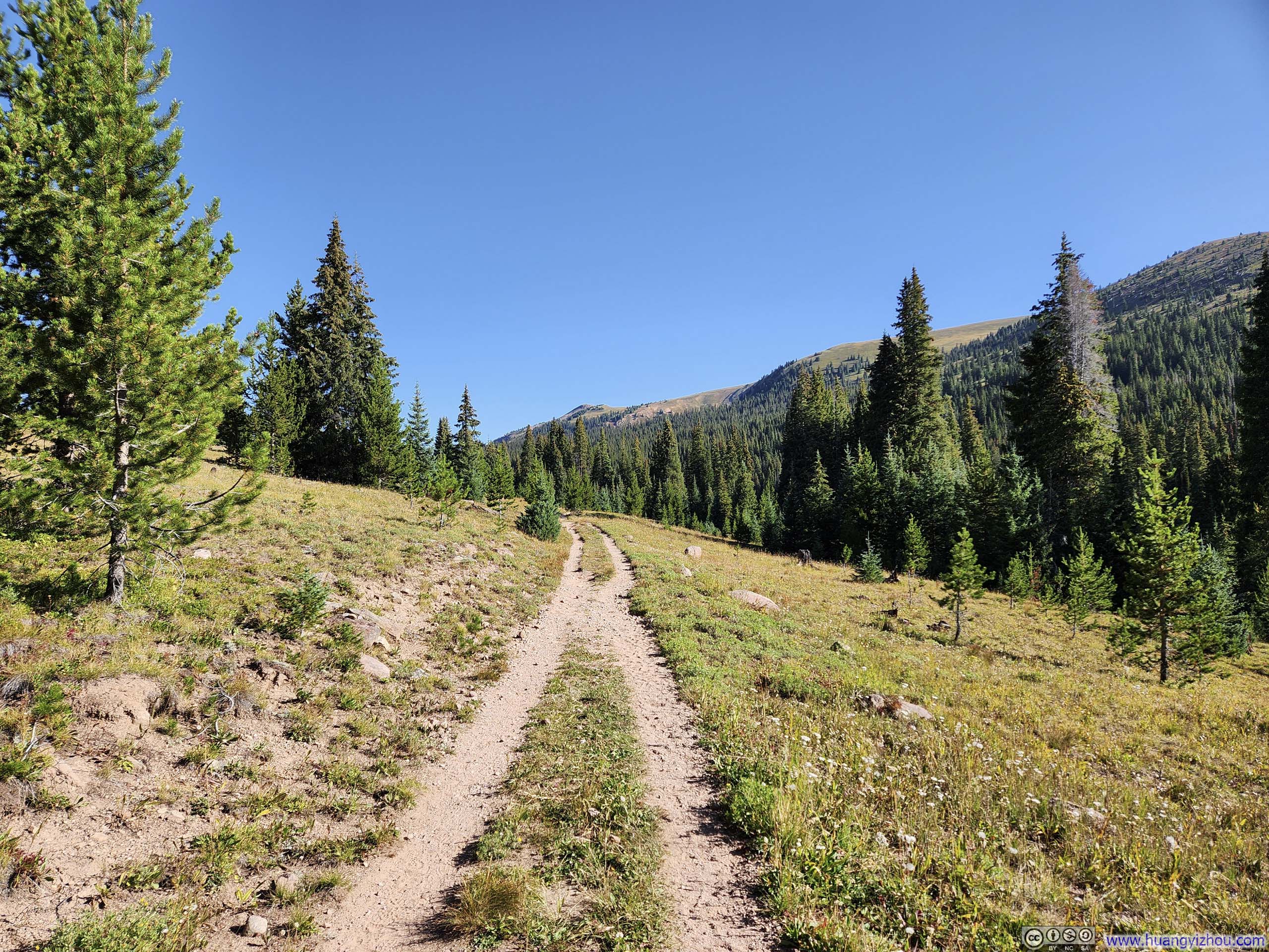
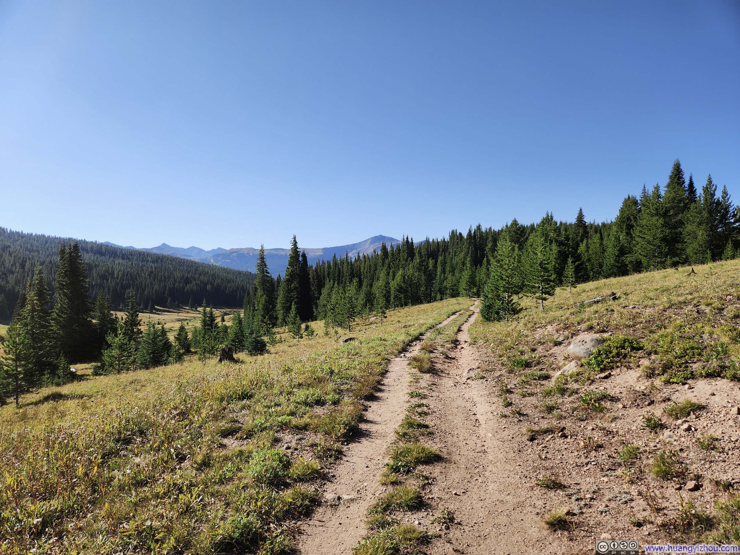
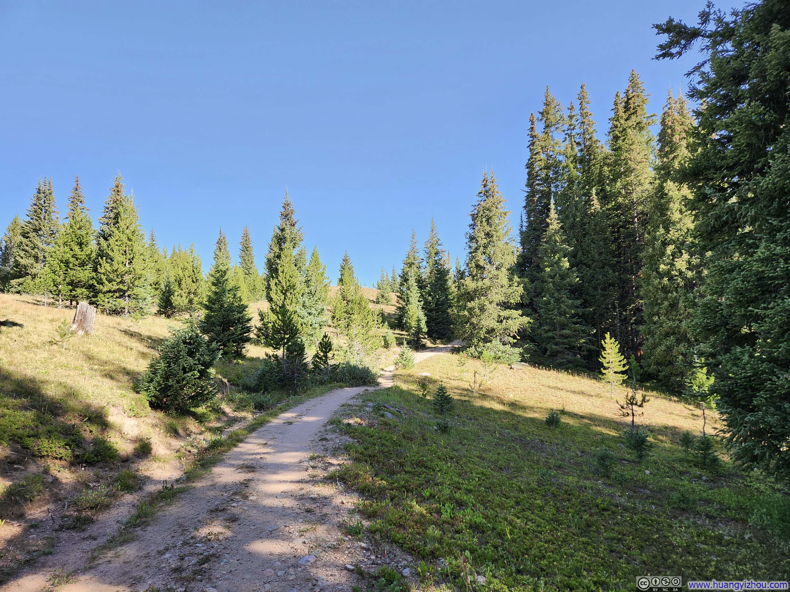
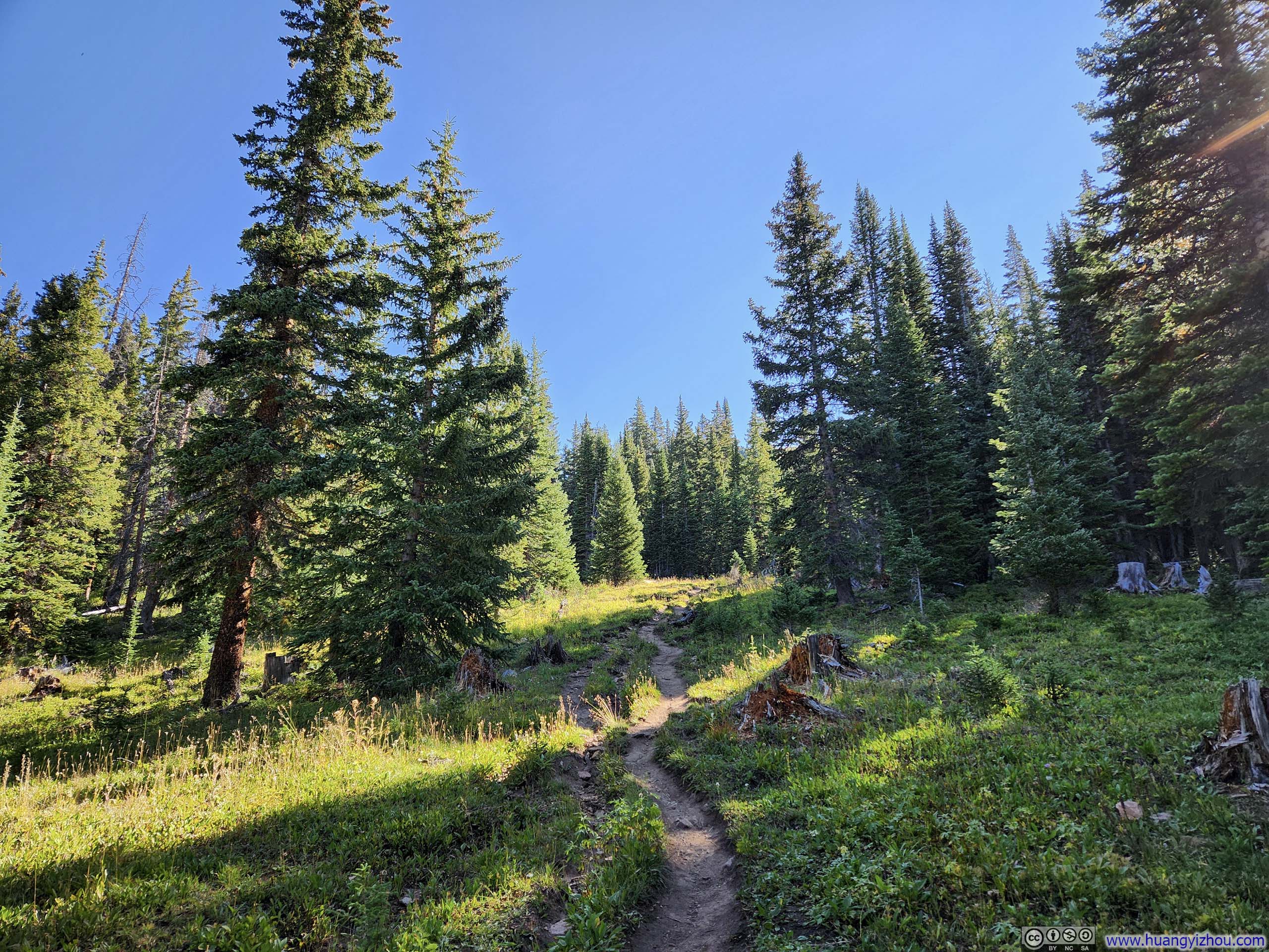
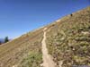
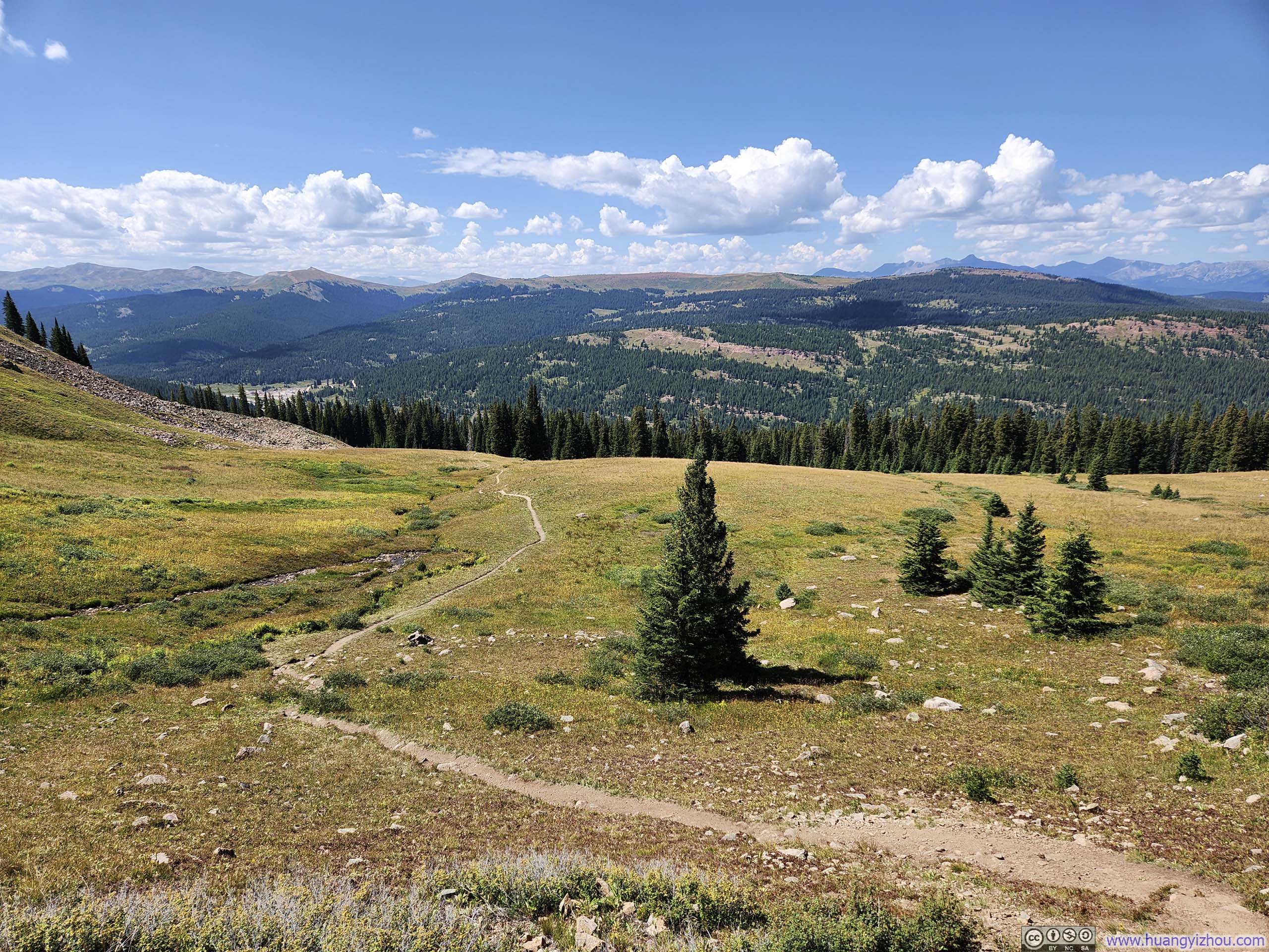
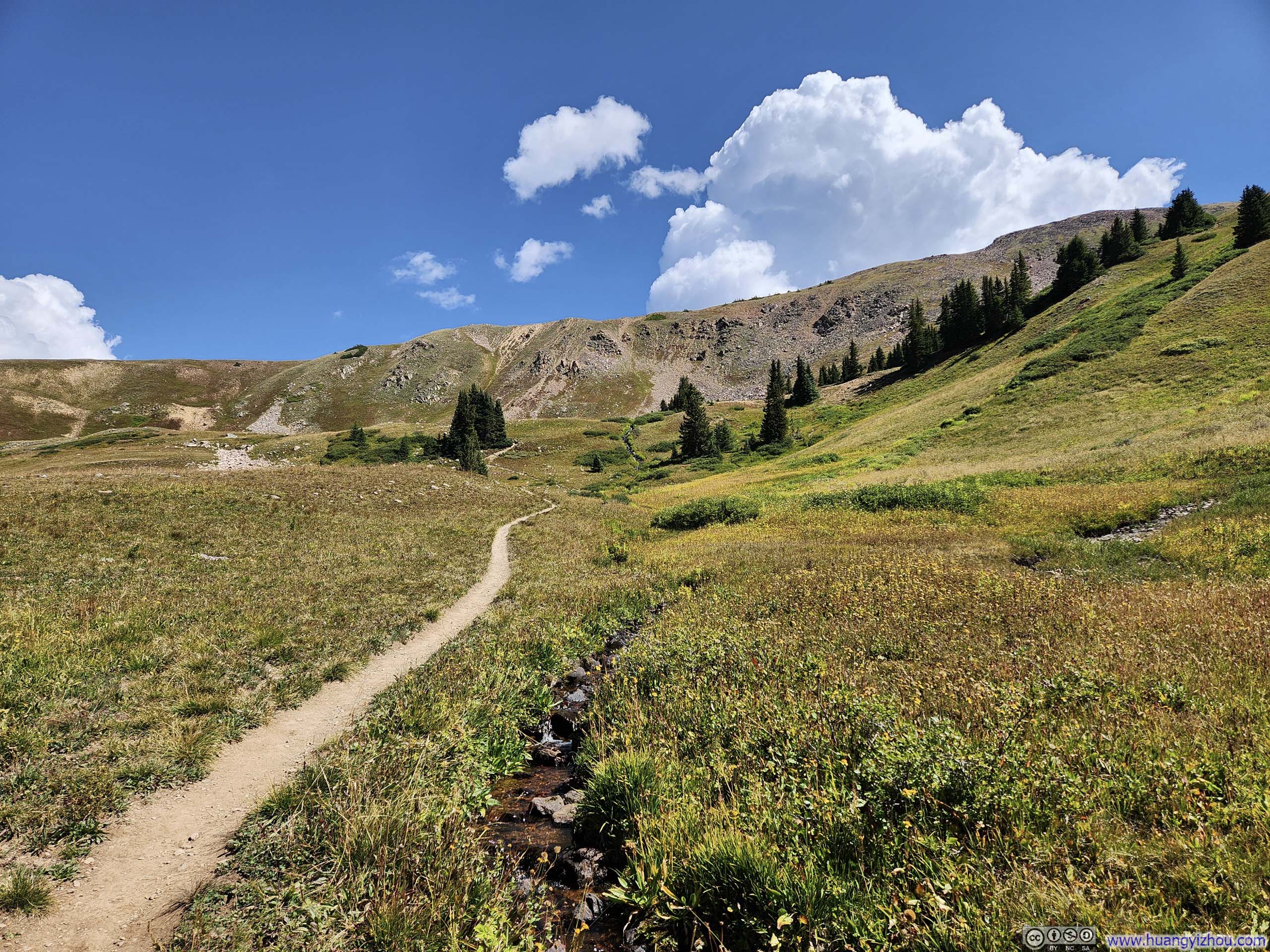
The trail to Uneva Peak started out in the woods, before it briefly traversed an open field in double-track width. Not long after that, it re-entered the woods for some steeper climbs.
 Trail in Woods
 Trail in Woods
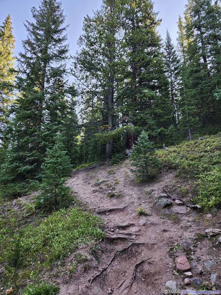 Trail in Woods
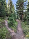
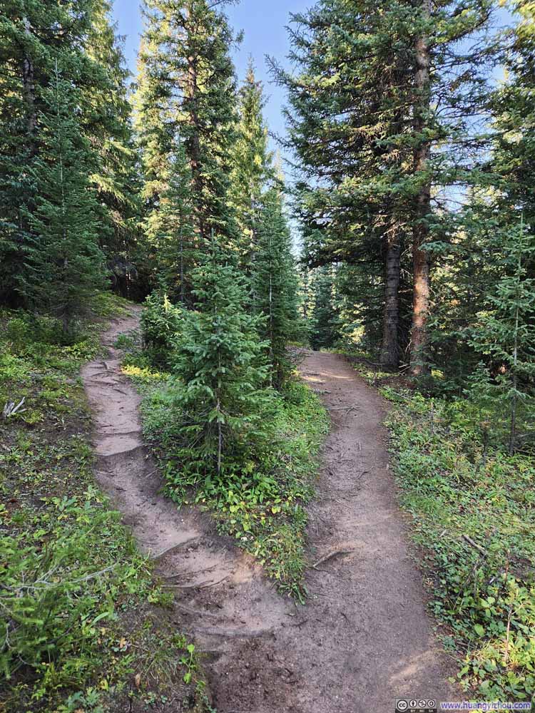 Trail BifurcationBoth paths through.
 Trail
Trail Trail in Woods


Click here to display photos of the slideshow
Trail in Woods
Trail in Woods

Trail in Woods
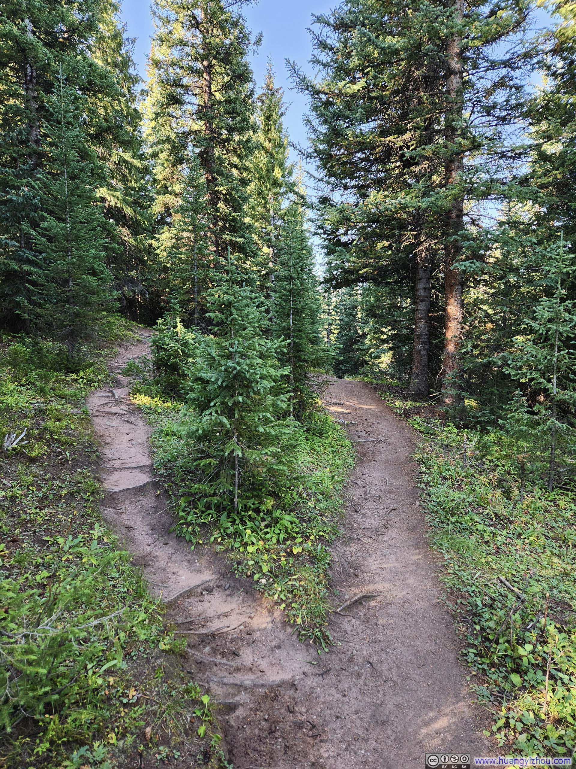
Trail BifurcationBoth paths through.

Trail

Trail in Woods
While on the trail, I heard a lot of birds, which was a delightful novelty during this trip to Colorado. I guessed the dense woods must have provided a good habitat for those birds.
 Trail
Trail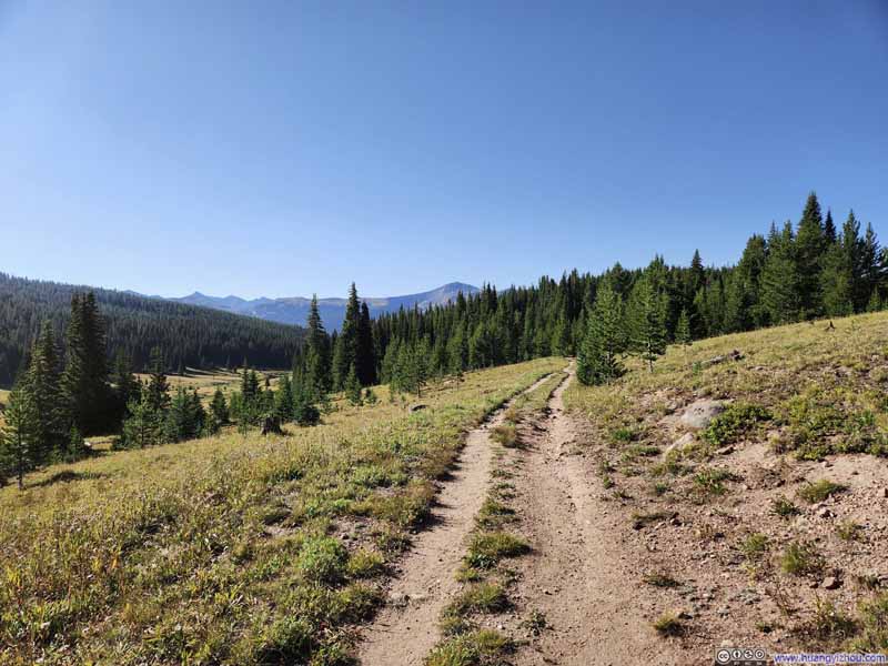 Trail
Trail Trail
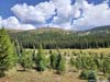
Trail Fields along Trail
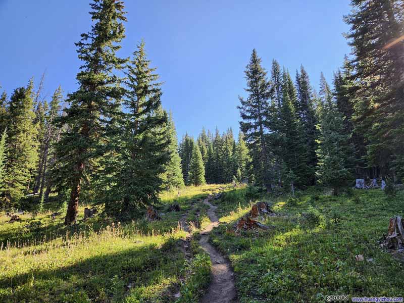 Trail
Trail

Click here to display photos of the slideshow
 Trail
Trail

Fields along Trail
Trail
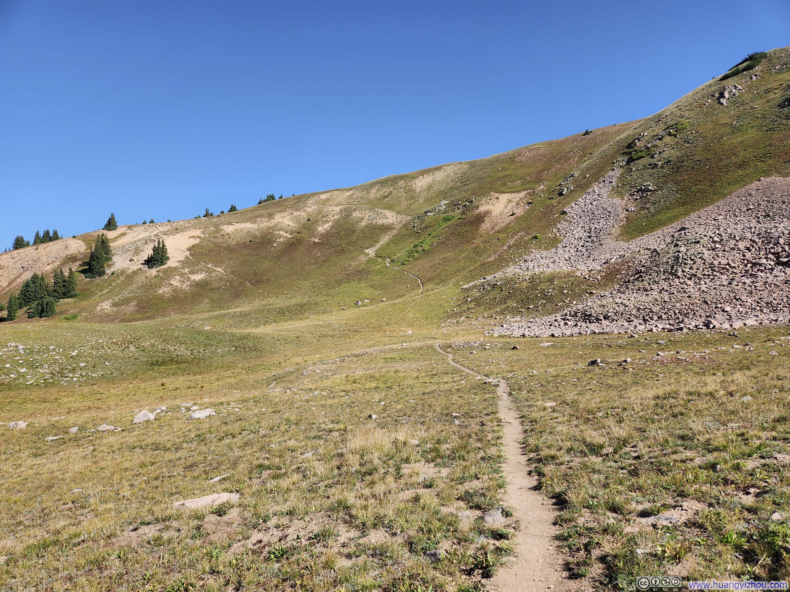
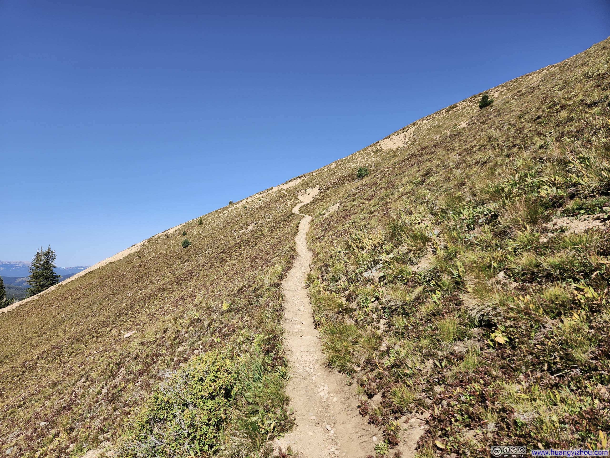
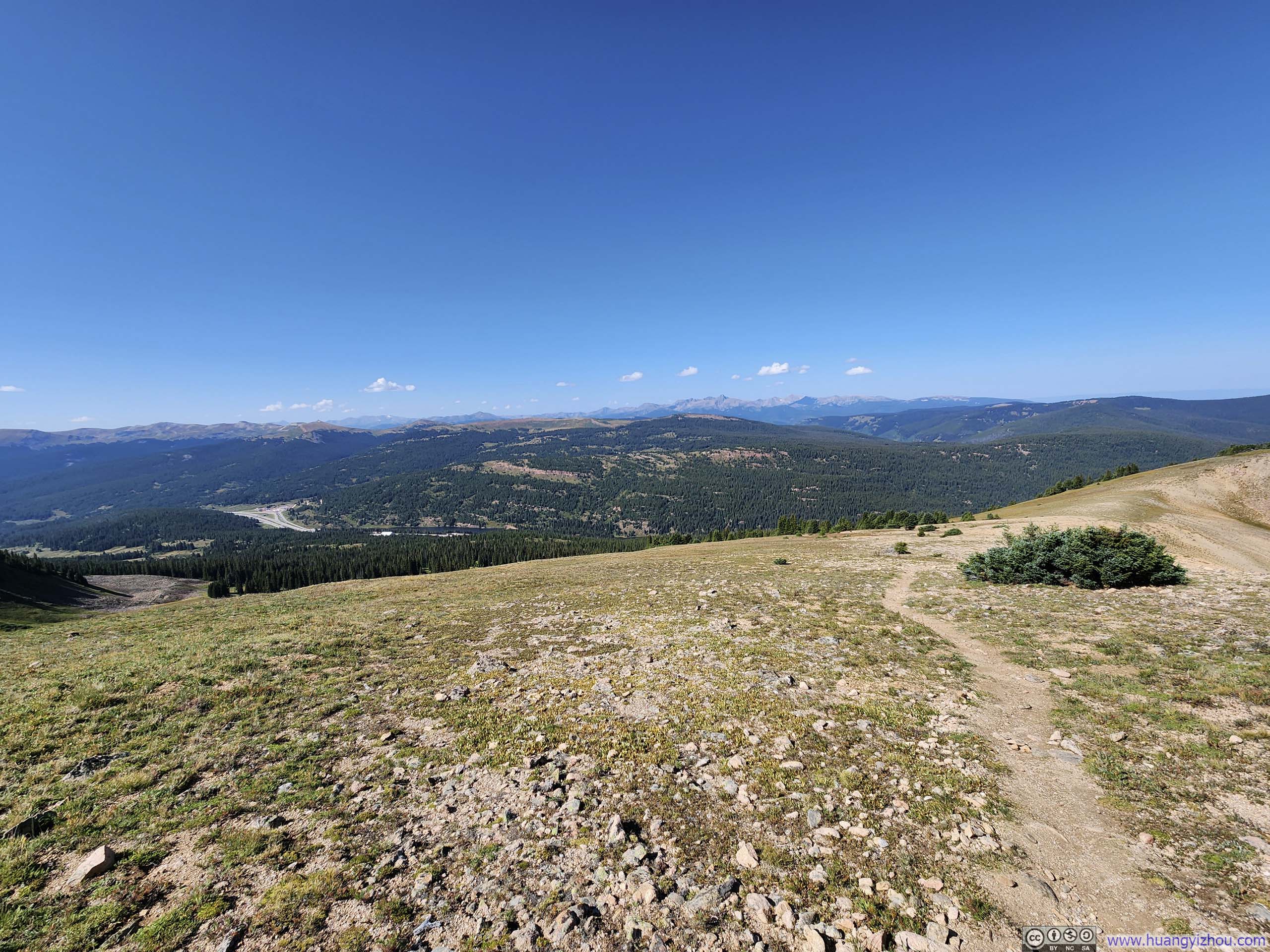
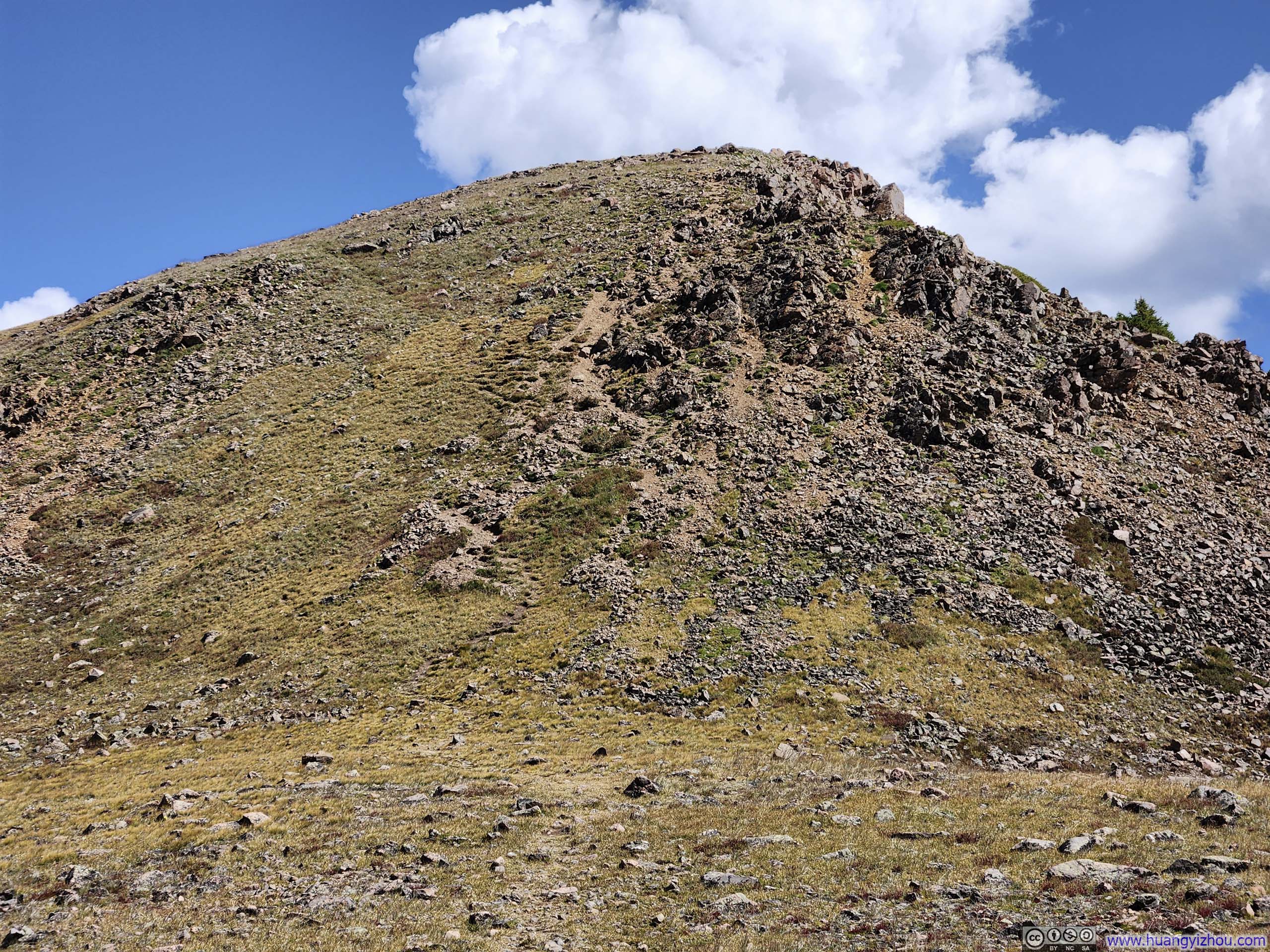
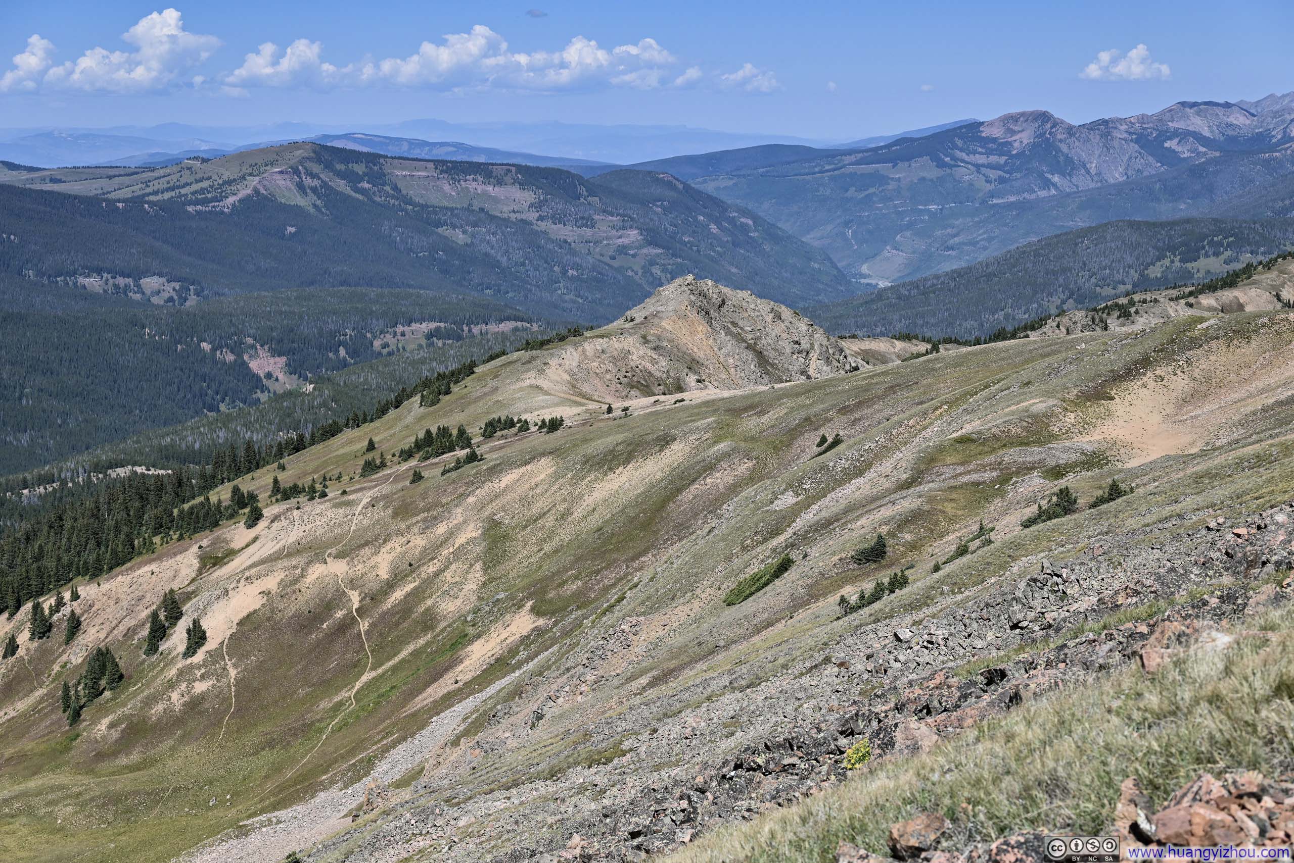
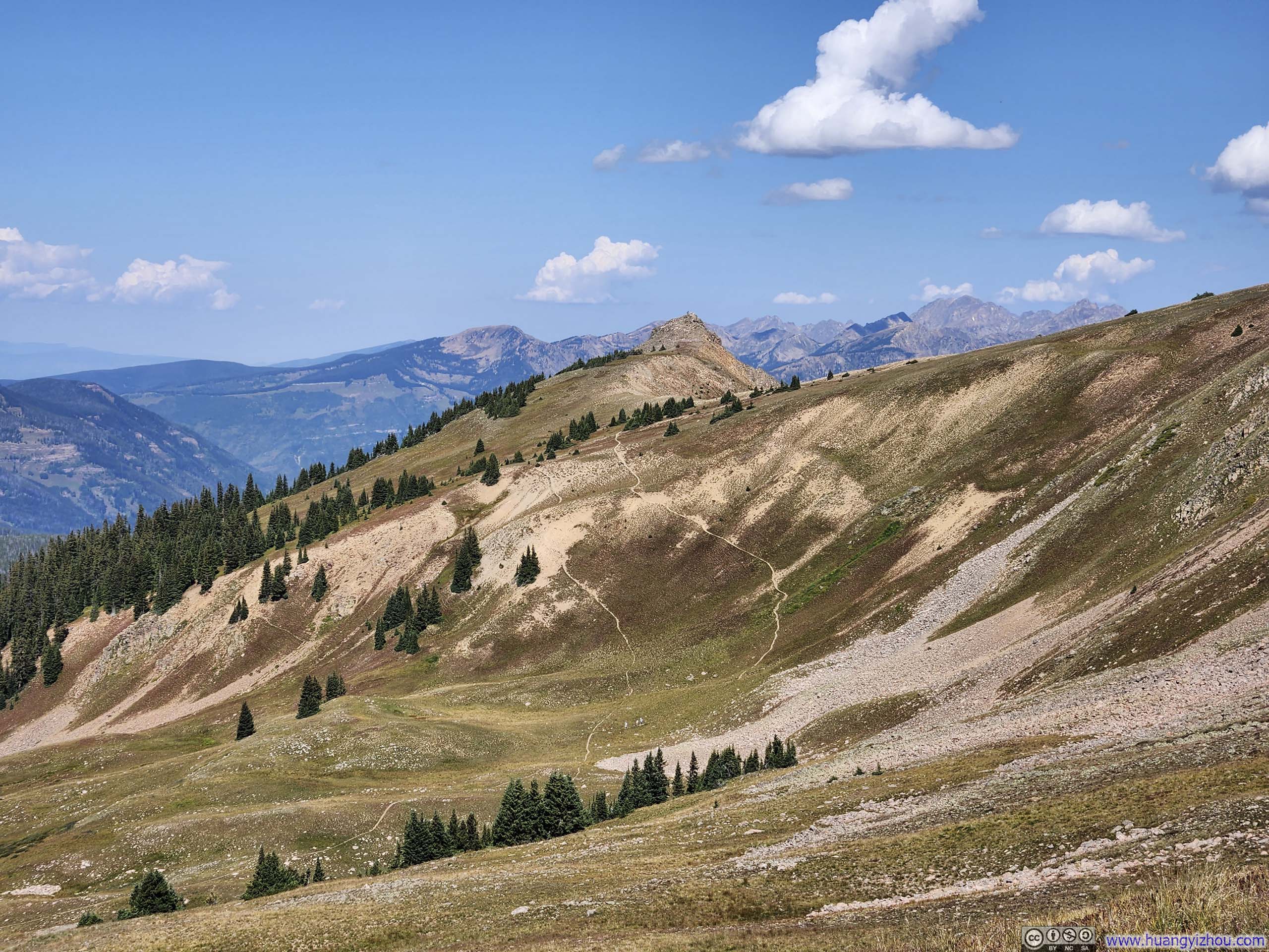
Once out of the tree line, the trails leading to the summit of Uneva Peak formed a lollipop loop. Taking the loop in the counterclockwise direction involves climbing a steep slope before reaching the summit, which is recommended (over clockwise direction) for those less experienced with outdoor hiking. In my opinion, that slope was not as technical as the other mountains I climbed the previous days. At the start of the lollipop loop, the trail was more obvious in the clockwise direction, so that was the direction I went with.
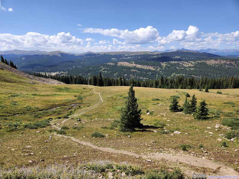 Trail against Mountainous Backdrop
 Trail
Trail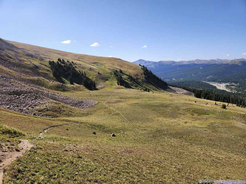 Trail among Fields
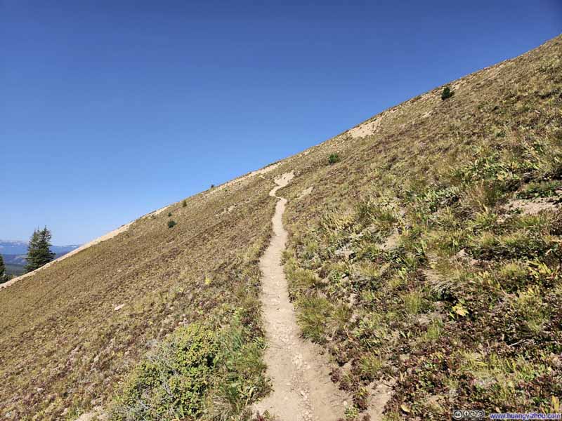 Trail
Trail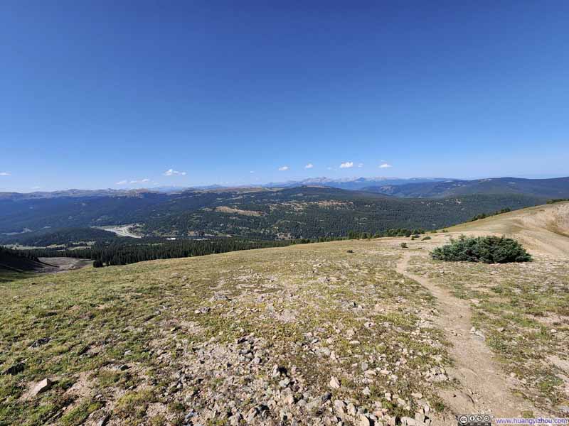 Trail against Mountainous Backdrop
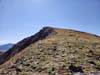
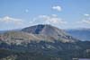
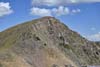
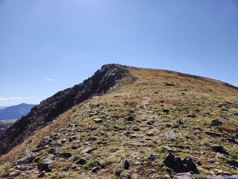 Uneva Peak


Click here to display photos of the slideshow
Trail against Mountainous Backdrop
Trail

Trail among Fields
Trail
Trail against Mountainous Backdrop
Uneva Peak
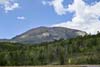
In the end, I reached the summit of Uneva Peak at 10:30am.
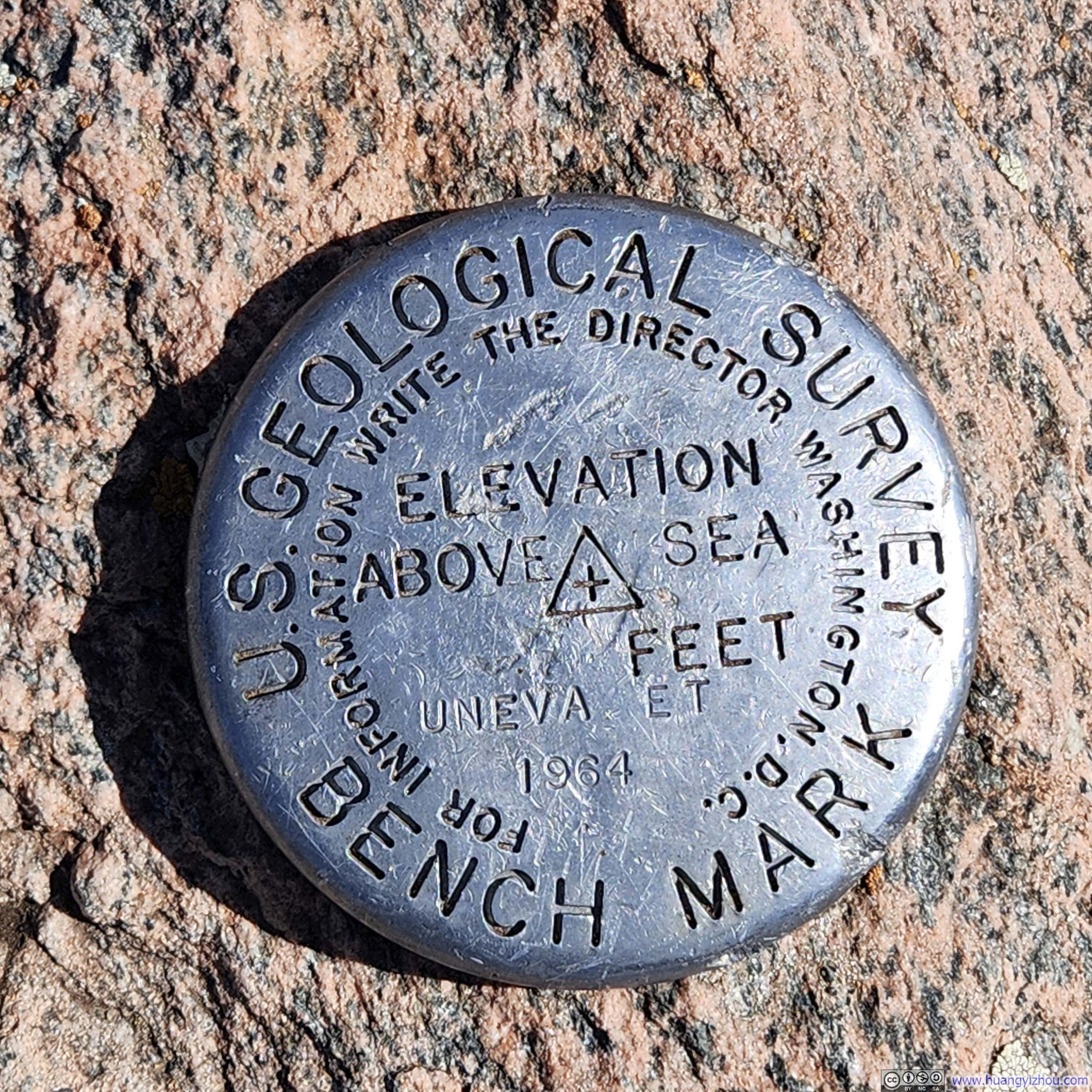
Summit Marker on Uneva PeakWeirdly, this one doesn’t show the elevation.
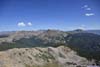
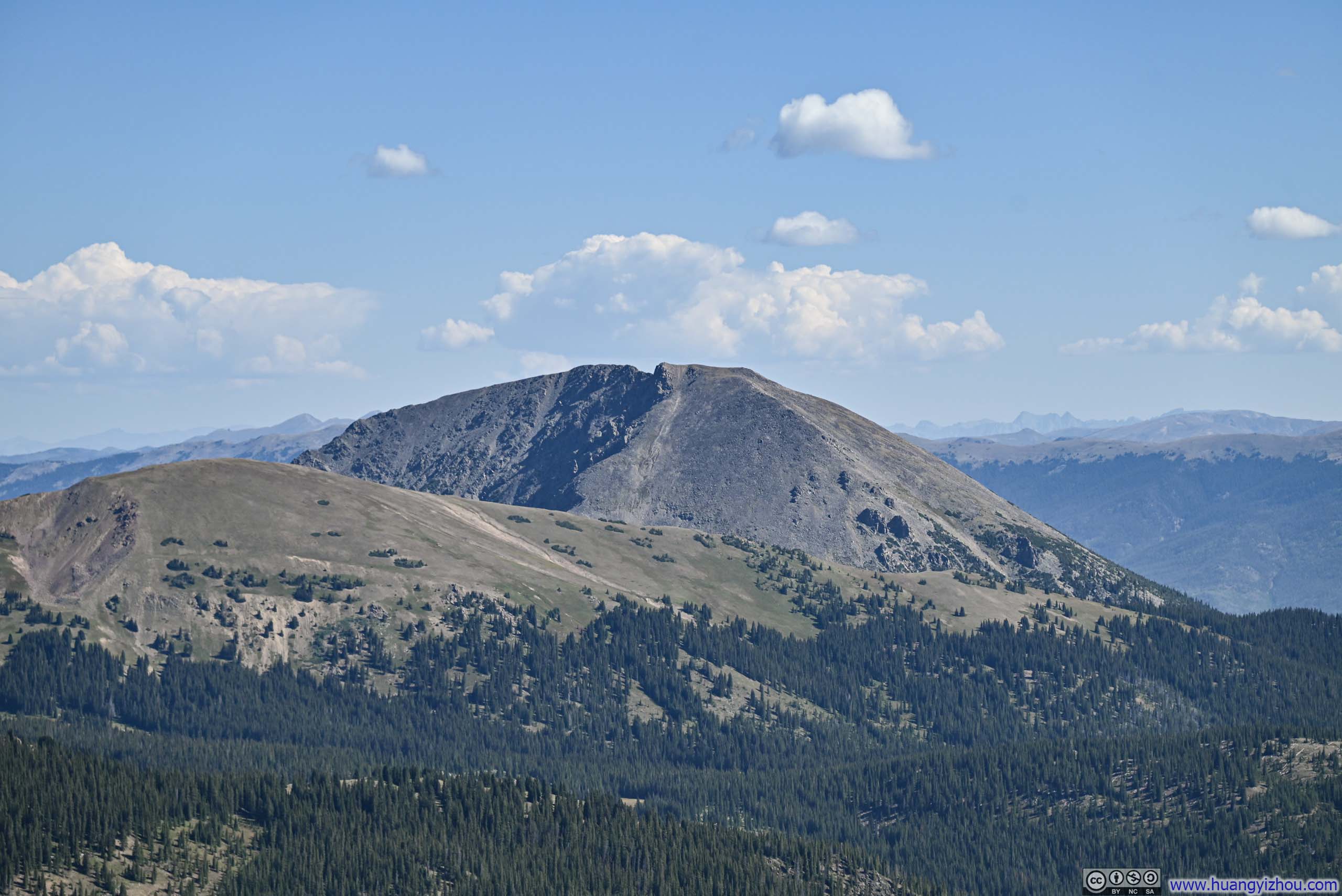
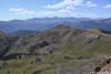
The most exciting views from Uneva Peak were no doubt the Gore Range Mountains to the north.
 Gore Range Mountains
 Mount Silverthorne
 Buffalo Mountain
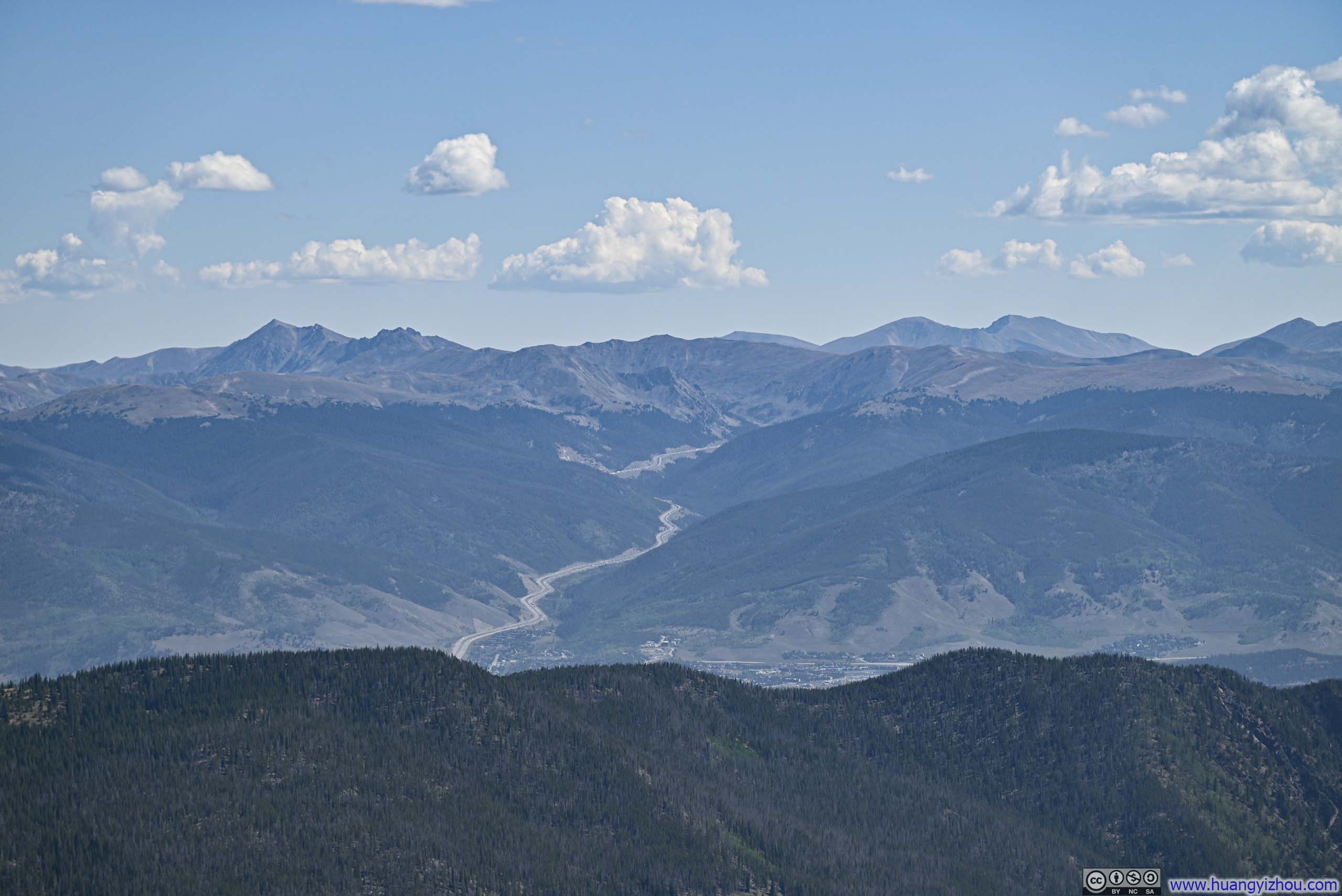
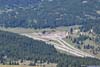
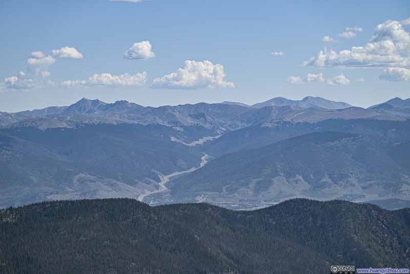 Interstate 70 Climbing onto Continental Divide
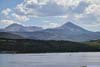
 Dillon Reservoir before Torreys and Grays Peak
Click here to display photos of the mountains from the summit of Uneva Peak.

Gore Range Mountains

Mount Silverthorne
Buffalo Mountain
Interstate 70 Climbing onto Continental Divide
Dillon Reservoir before Torreys and Grays Peak
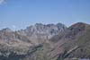
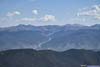
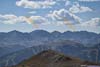
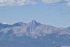
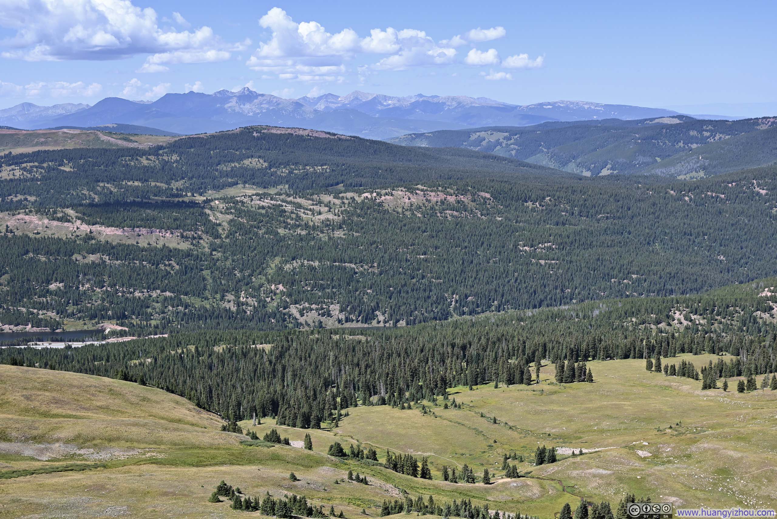
In addition, to the southeast of Uneva Peak lies the Tenmile-Mosquito Range, while to the southwest is the Sawatch Range. The relatively low elevation of Uneva Peak allowed for more vibrant shades of green in the landscape, contrasting with the rocky terrain of the mountains seen in previous days.
 Alpine Lake among Mountains
 Distant Mosquito Range MountainsTwo of the tallest mountains that I climbed back in 2022.
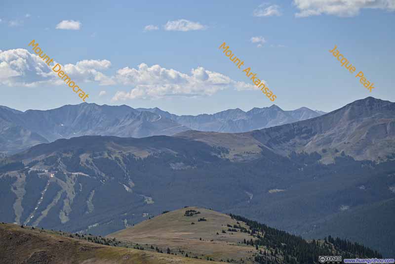 Distant Mosquito Range Mountains
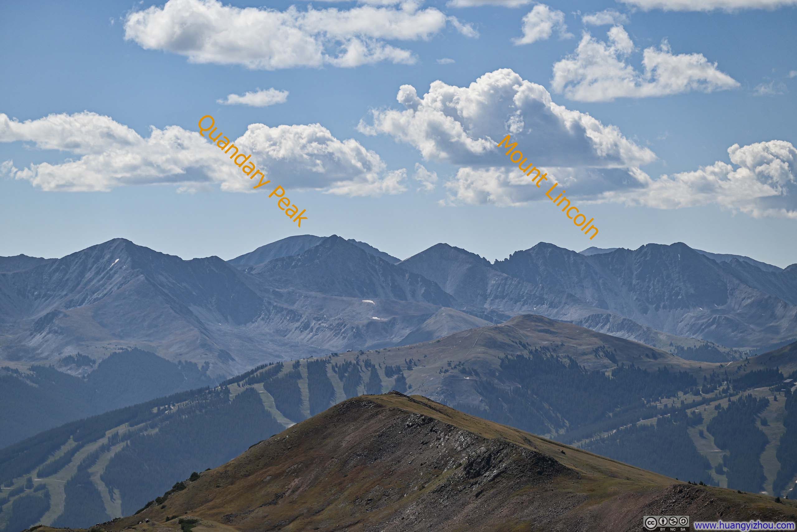
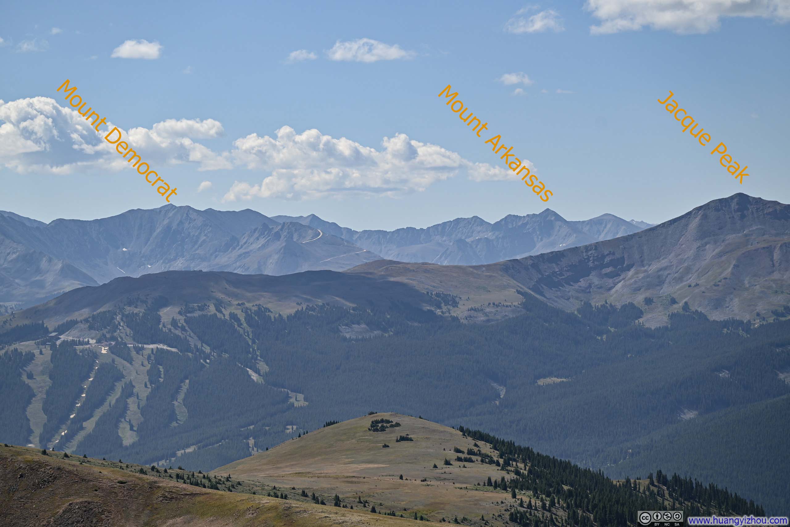
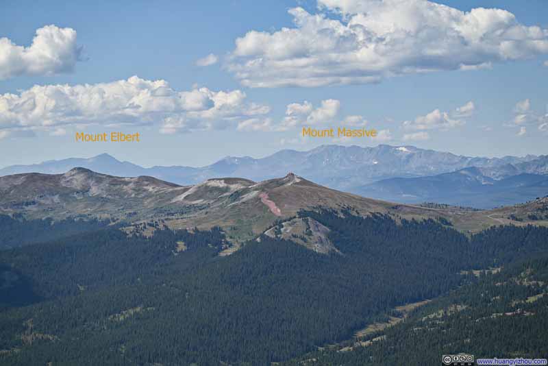 Sawatch Range Mountains
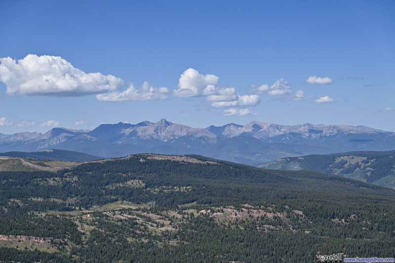 Northern Sawatch Range
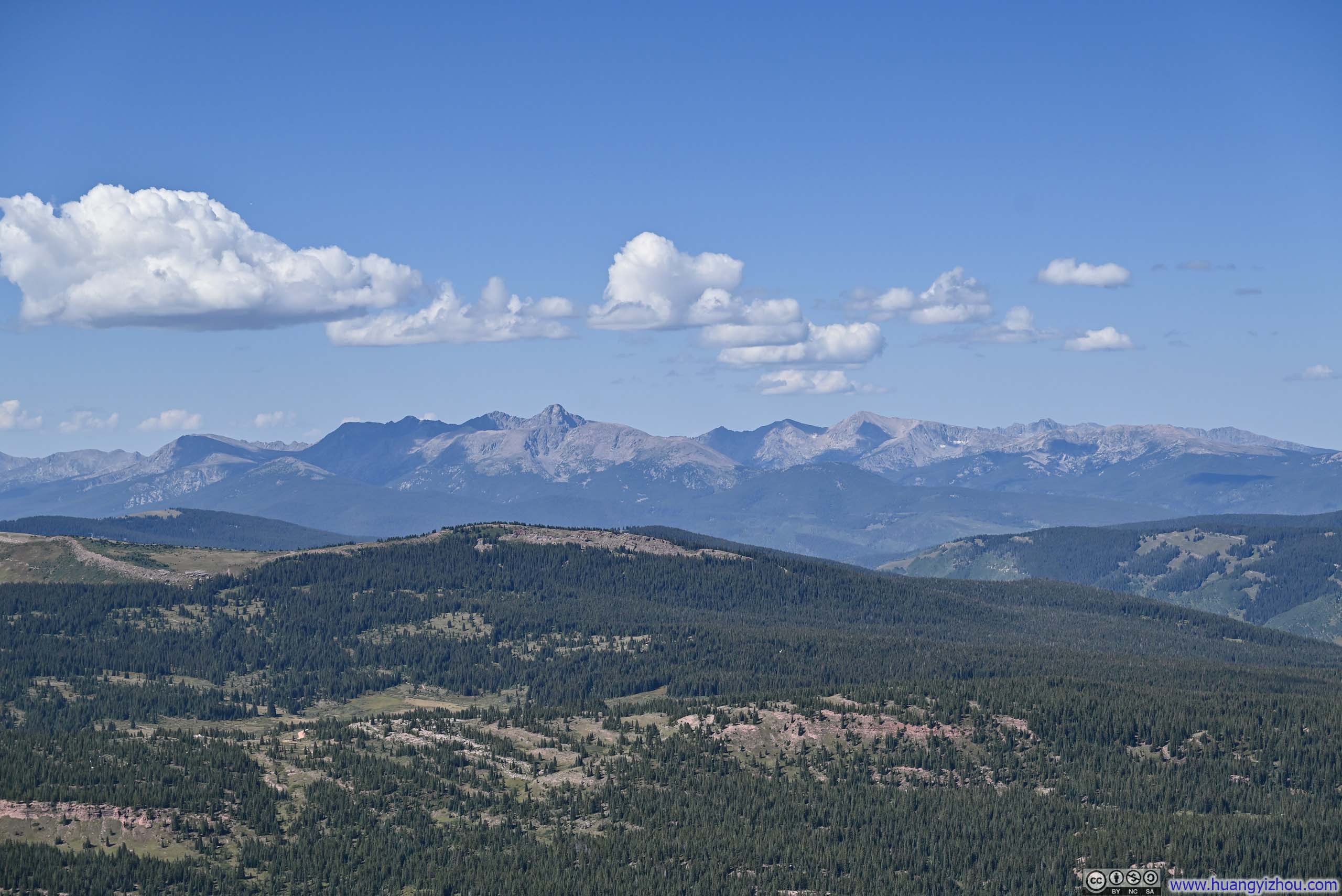
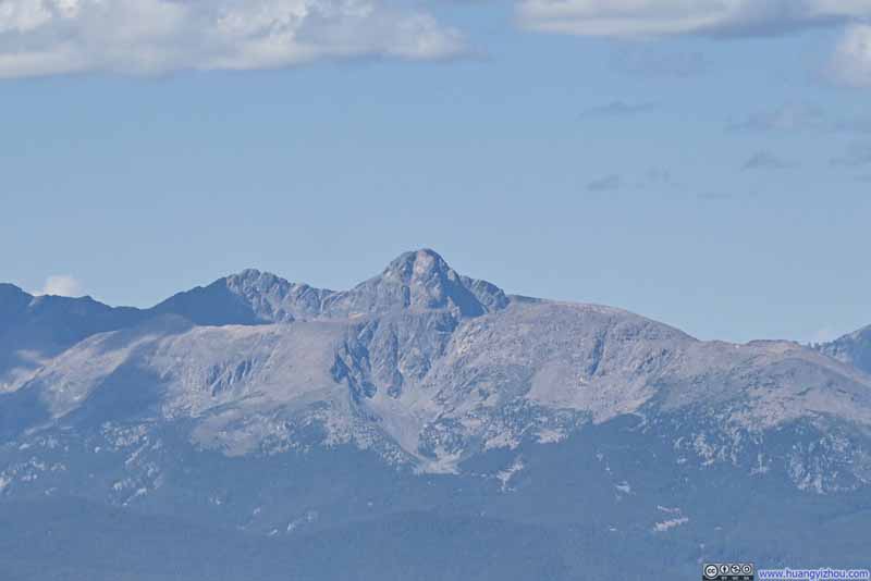 Distant Mount of the Holy CrossIts distinctive cross shape on the eastern face that gave it such name.

Click here to display photos of the mountains from the summit of Uneva Peak.

Alpine Lake among Mountains
Distant Mosquito Range MountainsTwo of the tallest mountains that I climbed back in 2022.
Distant Mosquito Range Mountains

Sawatch Range Mountains
Northern Sawatch Range
Distant Mount of the Holy CrossIts distinctive cross shape on the eastern face that gave it such name.
Views from Uneva Peak
Here’s a video from the summit of Uneva Peak:
15 seconds, 2160p30fps, 10Mbps/19MB for H265, 11Mbps/20MB for H264.
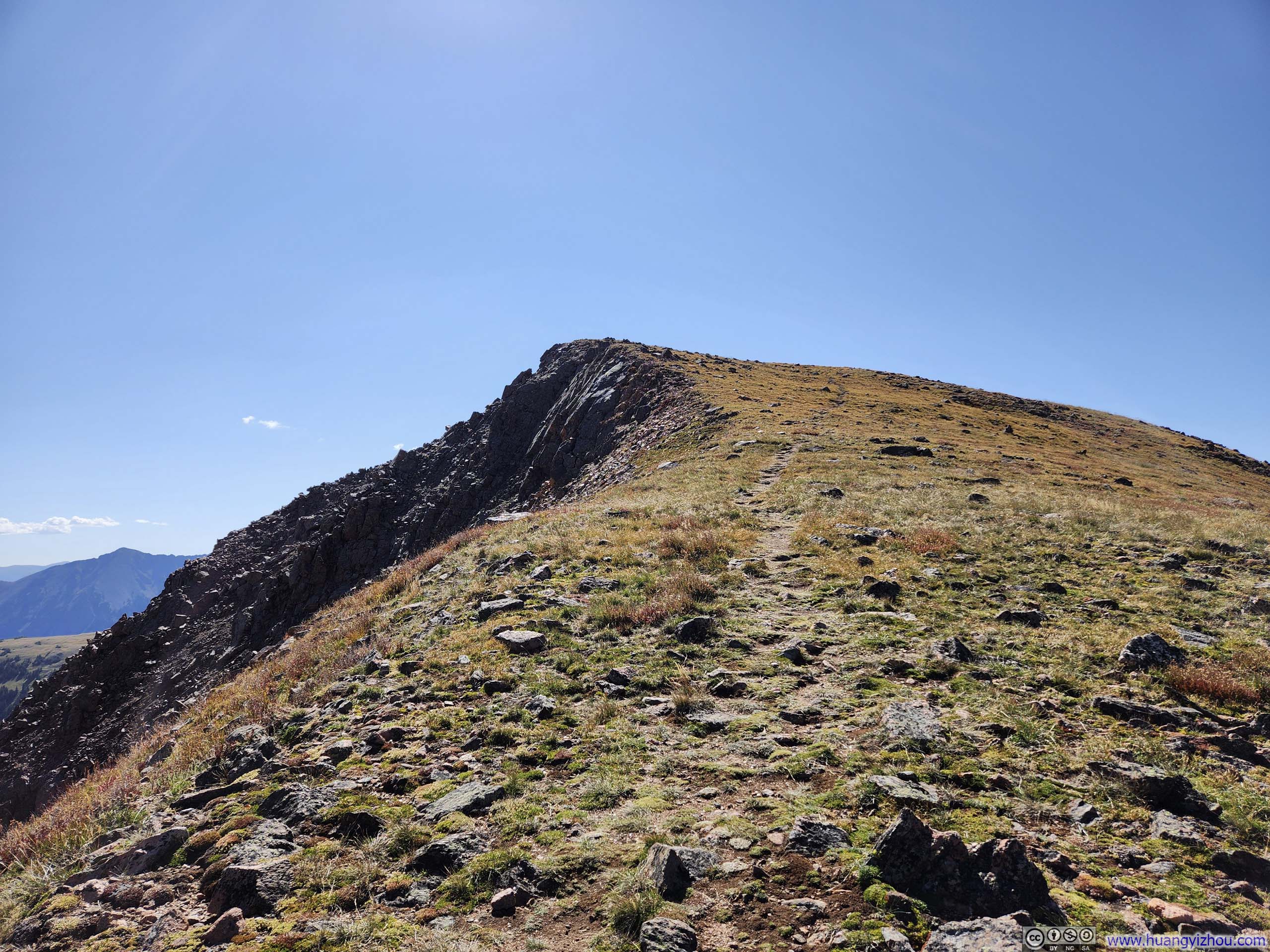
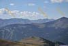
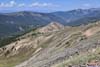
I stayed at the summit of Uneva Peak for just over 30 minutes, before starting my descent at 11:05am. Following the lollipop loop in a clockwise direction, the trail led along what appeared to be a gentle ridgeline for a while, offering a final encore of the views.
 Steep Slope from Uneva Peak
 Uneva Peak
 Rolling HillsA trail visible in the lower center of this photo, among meadows.
 Overlooking Vail Pass
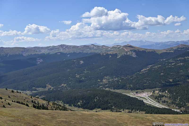 Mountains to the South
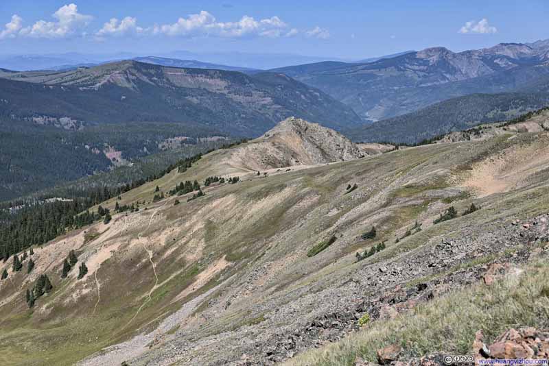 Mountains to the West
 Trail among Fields
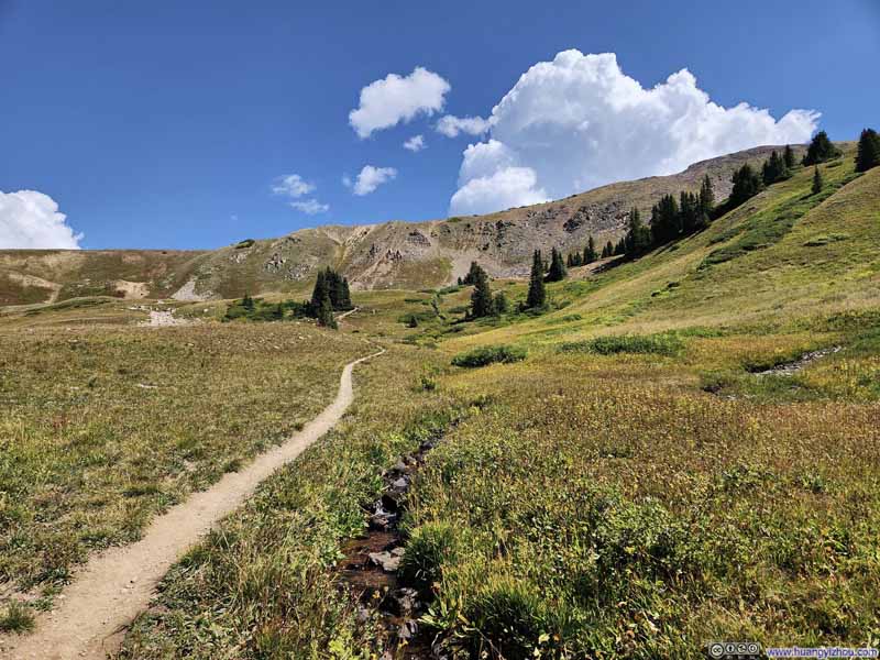 Trail
Trail

Click here to display photos of the slideshow
Steep Slope from Uneva Peak

Uneva Peak
Rolling HillsA trail visible in the lower center of this photo, among meadows.
Overlooking Vail Pass

Mountains to the South
Mountains to the West
Trail among Fields
Trail
Finally, I was back at the trailhead at 12:40pm.
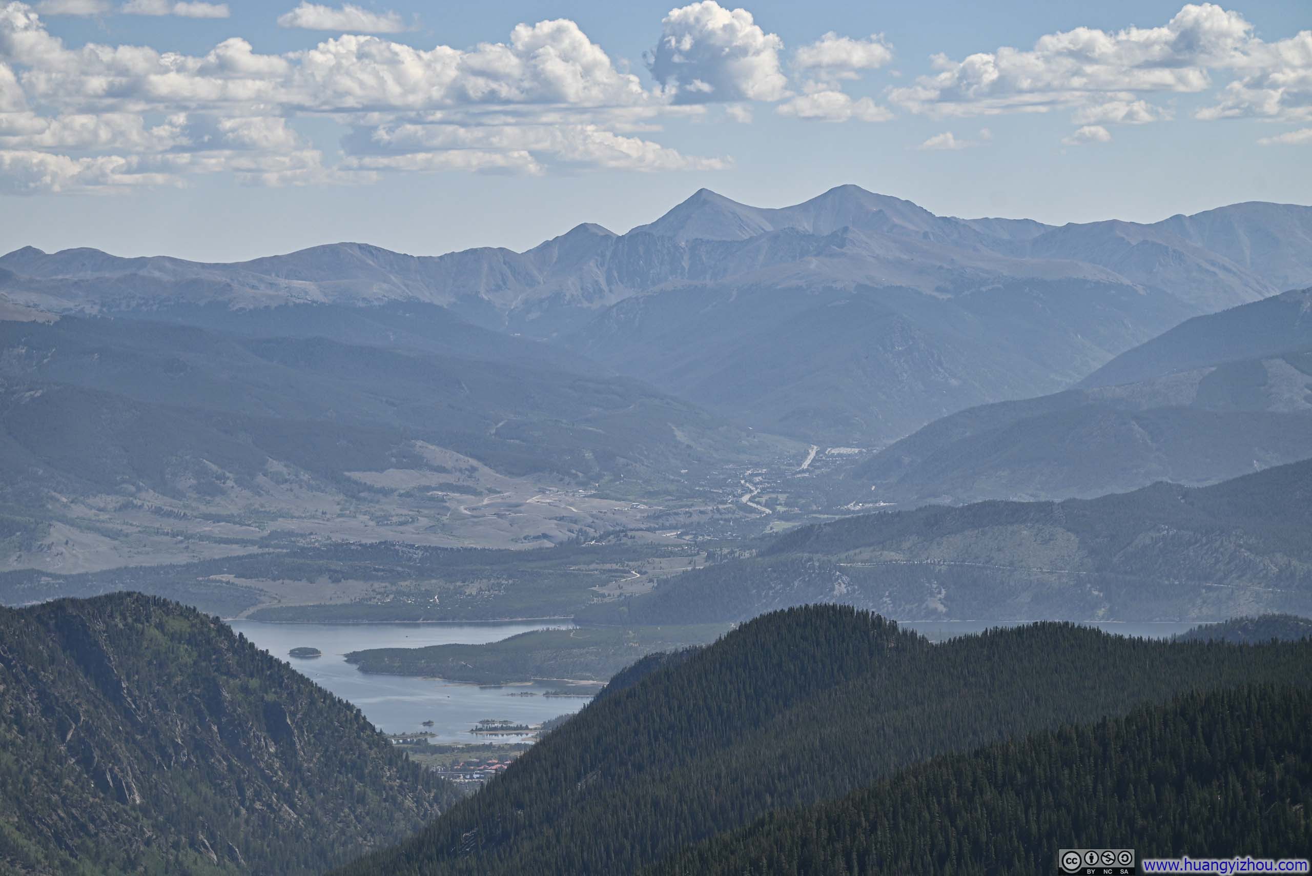
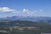
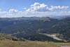
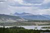
After that, I first headed to the town of Silverthorne for lunch. Shortly before reaching the town, I stopped at a scenic overlook so that I could order pickup on my phone, with the views of Dillon Reservoir being a nice bonus.
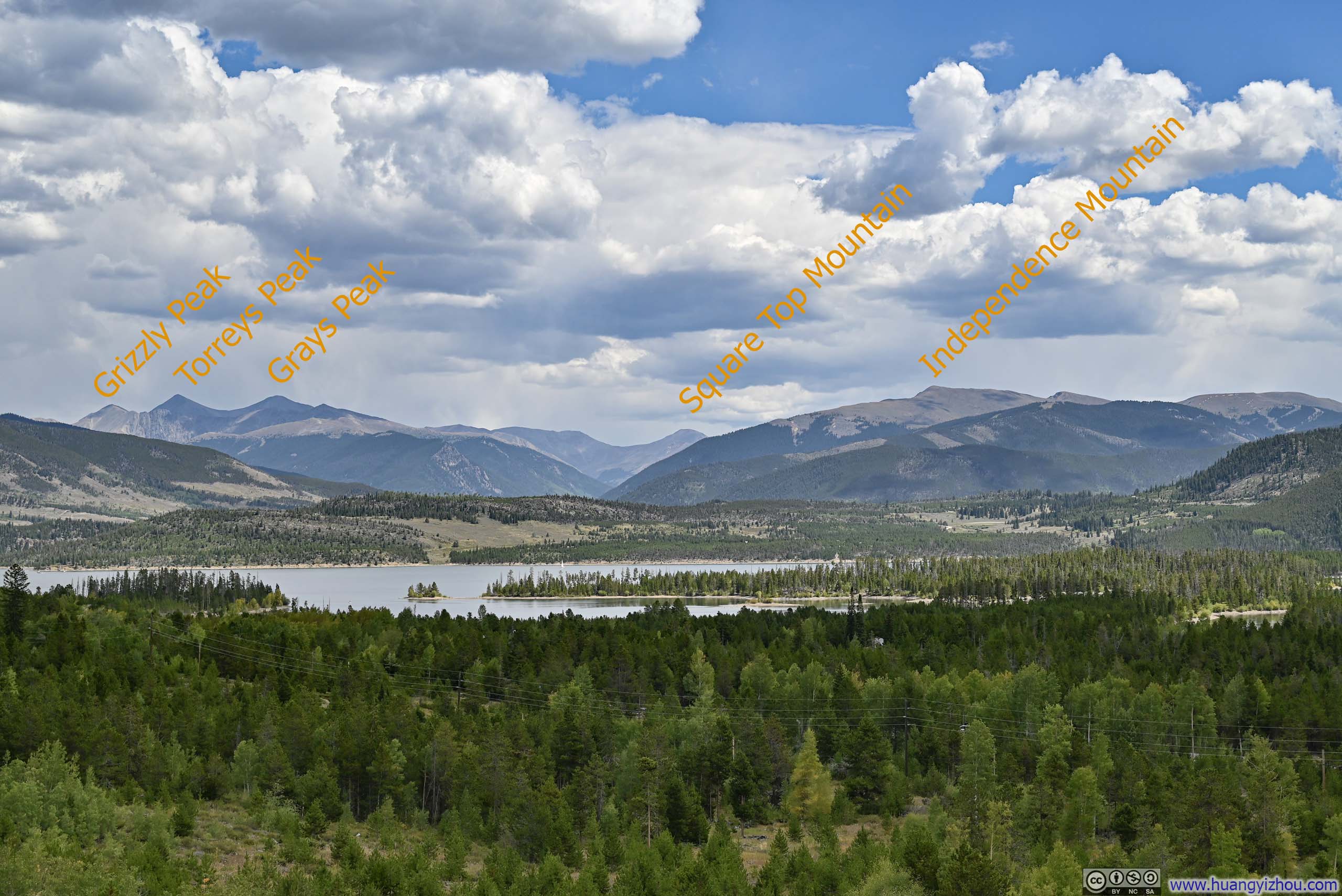
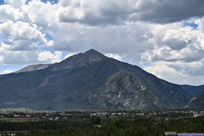 Peak 1 outside Frisco
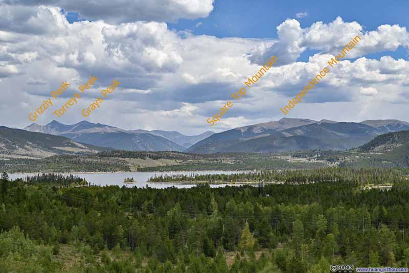 Distant MountainsI climbed Grizzly Peak back in August 2022, and Square Top Mountain 3 days ago.
 Mount Guyot and Bald Mountain
 Distant Torreys and Grays Peak
 Buffalo Mountain
Click here to display photos from the roadside scenic viewpoint along I70.

Peak 1 outside Frisco
Distant MountainsI climbed Grizzly Peak back in August 2022, and Square Top Mountain 3 days ago.
Mount Guyot and Bald Mountain
Distant Torreys and Grays Peak
Buffalo Mountain
View of Dillon Reservoir and Surrounding Mountains
Unfortunately, upon leaving Silverthorne, the traffic along I70 to Denver was horrendous. (It’s the end of the Labor Day long weekend so I guess I shouldn’t be surprised.) It took me more than 3 hours to reach my lodge in Westminster, and with that I concluded the day.
END
![]() Day 4 of Summer 2024 Trip to Colorado, Uneva Peak by Huang's Site is licensed under a Creative Commons Attribution-NonCommercial-ShareAlike 4.0 International License.
Day 4 of Summer 2024 Trip to Colorado, Uneva Peak by Huang's Site is licensed under a Creative Commons Attribution-NonCommercial-ShareAlike 4.0 International License.