Updated on March 4, 2025
Hiking Kinsman Mountains
The second weekend of September 2024. I took on a longer hike in New Hampshire’s White Mountains, tackling both North and South Kinsman Peaks.
After completing several relatively easy hikes in the White Mountains over the summer, I figured I could up my game a bit. That’s why I chose North and South Kinsman Mountains as the destinations for this trip.
The most direct route to the Kinsman Mountains would have been via Lonesome Lake Trail from Lafayette Campground. However, since this trailhead also serves as the starting point for the popular Franconia Ridge loop, finding parking there was literally impossible (hence the existence of shuttle services). As a result, I chose to start this hike from The Basin Trailhead instead.
It turned out that I arrived at the (northbound) Basin Trailhead just before 10am and the upper lot was less than 1/3 full. After some warmup, I started my trip past 10am. Here’s GPS tracking:
The Basin
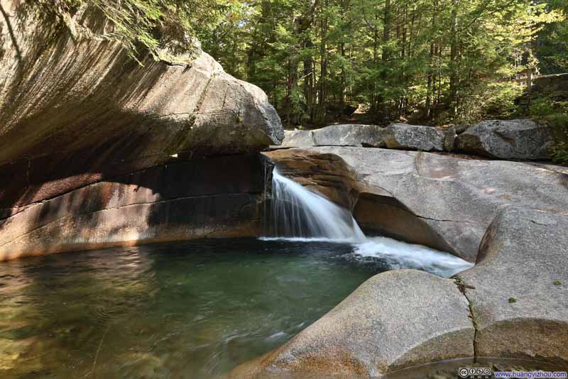
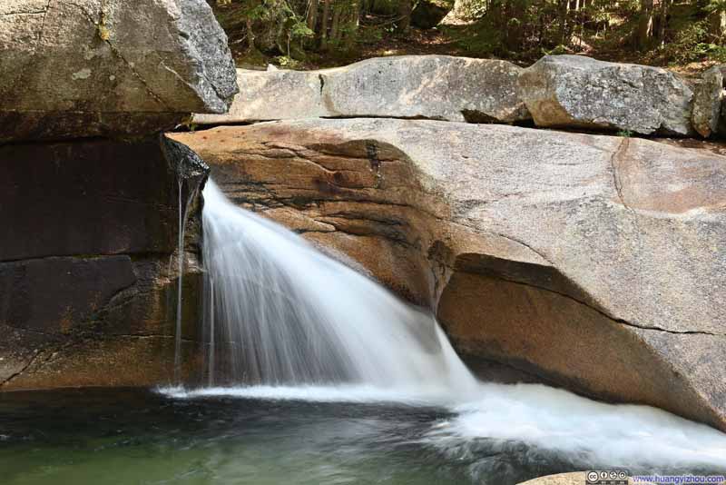
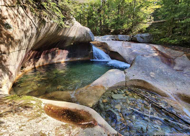
Shortly after crossing the highway, I arrived at “The Basin” which was a place of interest, where a small waterfall along Pemigewasset River cascades into a granite pothole. The relentless power of the water has eroded and polished the pothole walls into smooth, impressive curves.
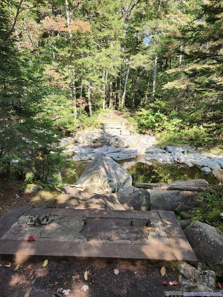
A nice feature of “The Basin” was that I could place my camera on the wooden guardrails, hence taking photos with extended exposure times (p1-2 below).
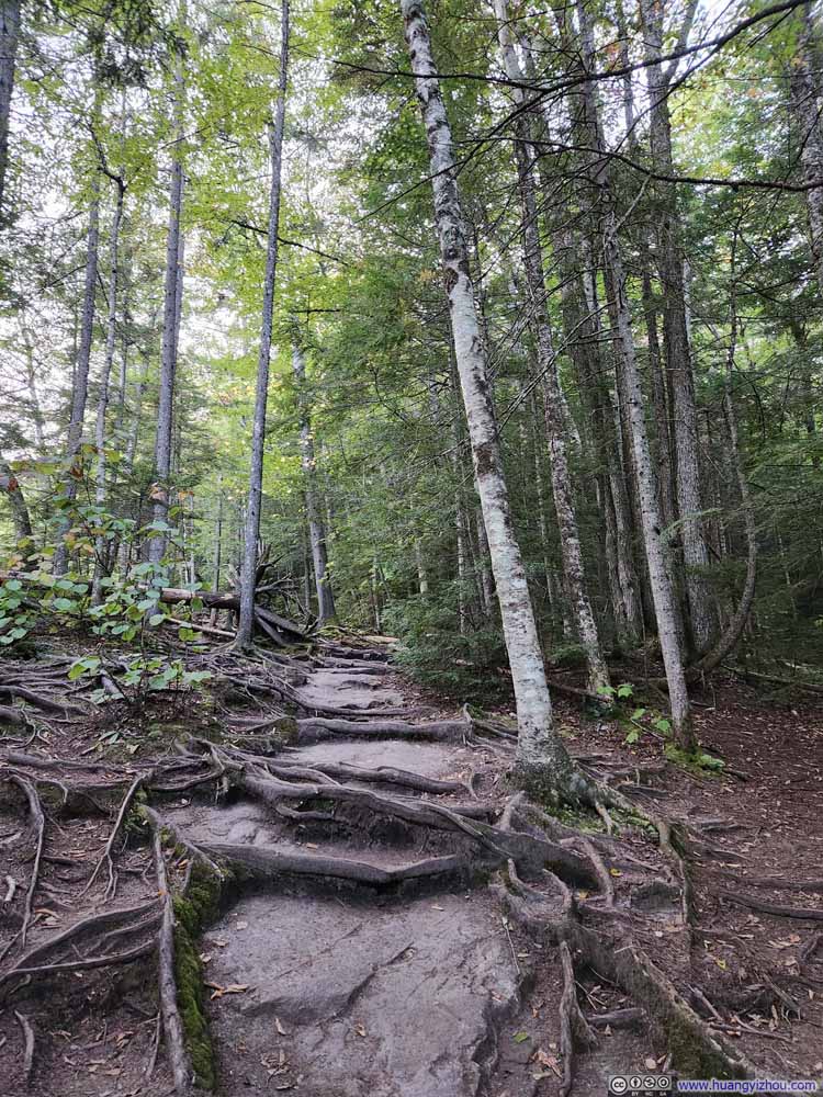
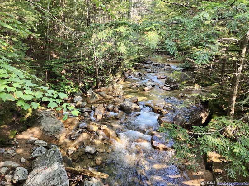
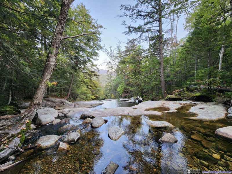
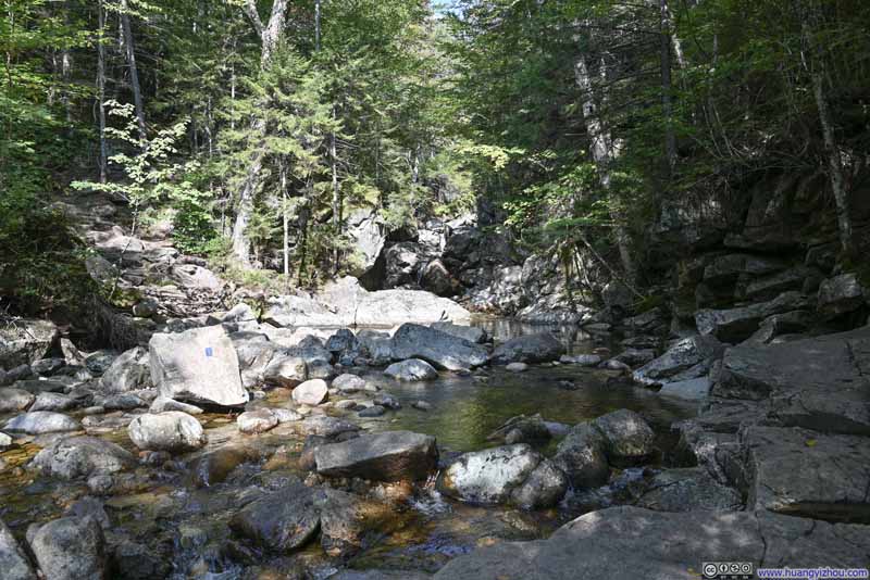
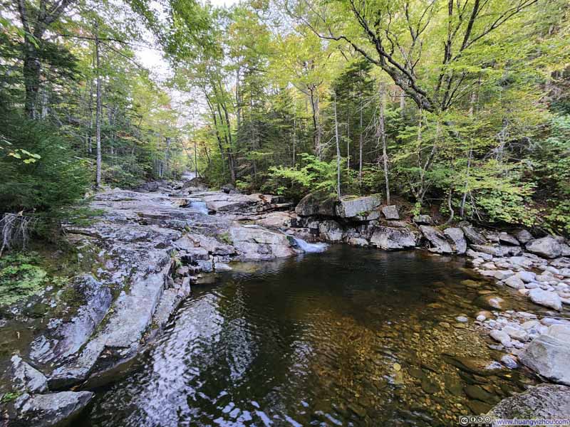
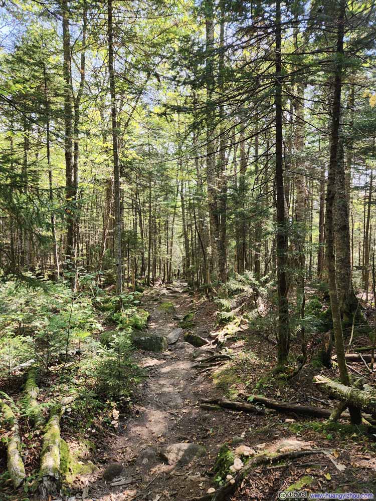
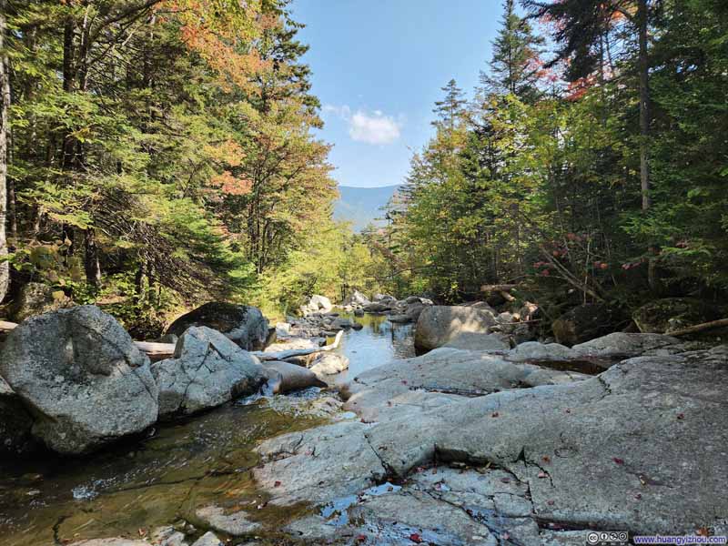
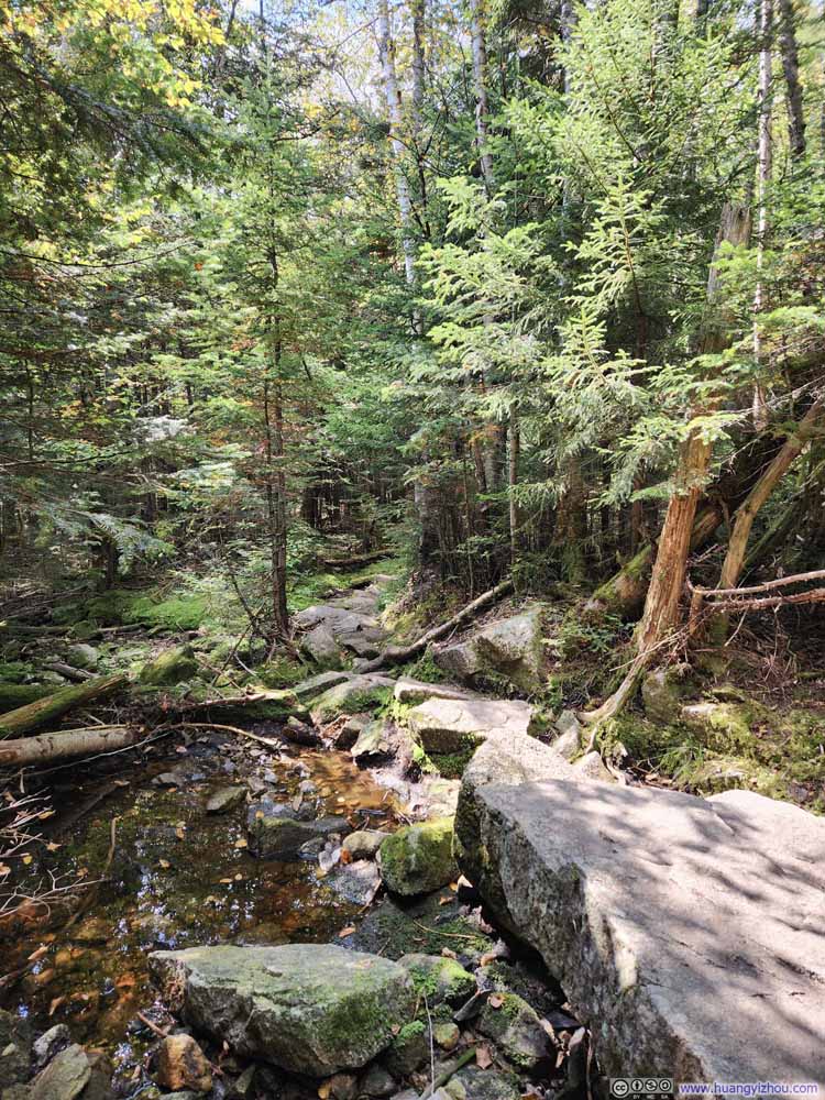
Upon leaving The Basin, I continued along the trail, which largely followed “Cascade Brook” into the mountains. The trail was very rooted towards the start, i.e. lots of tree roots crossing the trail. To avoid those roots, I opted to walk along the exposed rock faces of Cascade Brook instead. I had to admit it was a better experience. However, it wasn’t long before I was forced back to the trail by the narrowing brook and disappearing dry rock faces.
Click here to display photos of the slideshow
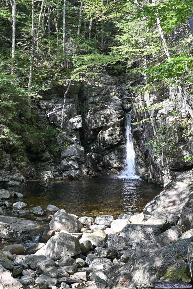
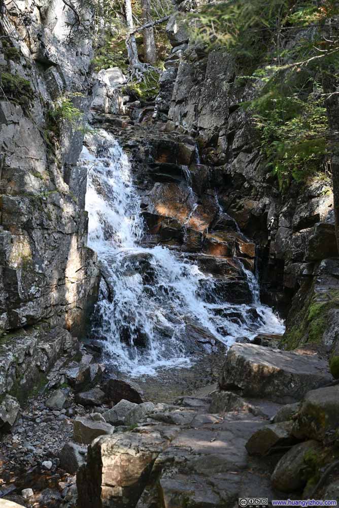
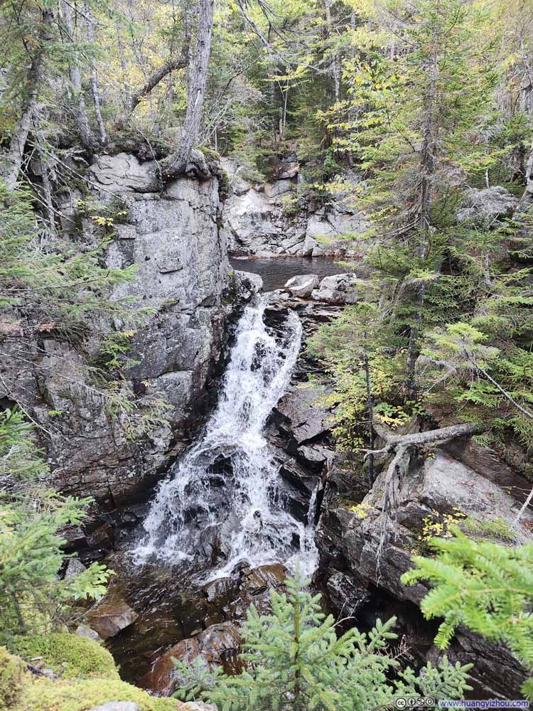
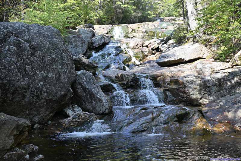
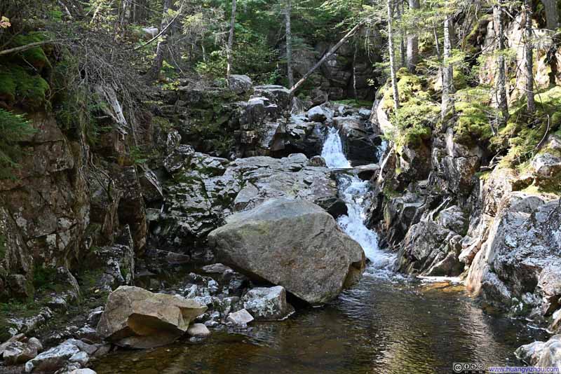
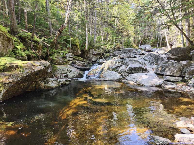
This part of Cascade Brook featured many small waterfalls and cascades, a delightful spot for waterfall enthusiasts.
Click here to display photos of the slideshow
About 1.5km (0.9mi) from The Basin, the trail made a second crossing of Cascade Brook. There used to be a footbridge near the site but that had been removed. Unfortunately, I was somewhat overconfident at the spot and decided to step onto a wet piece of rock as a shortcut – and ended up slipping. (I was holding my camera at the time and lost my lens cap in the process, which I recovered a few steps downstream before it was carried further away by the current. This was the second time this month that I almost lost my lens cap.) Luckily, I wasn’t injured, but for the rest of the hike, I had to bear with wet shoes and socks as a result.
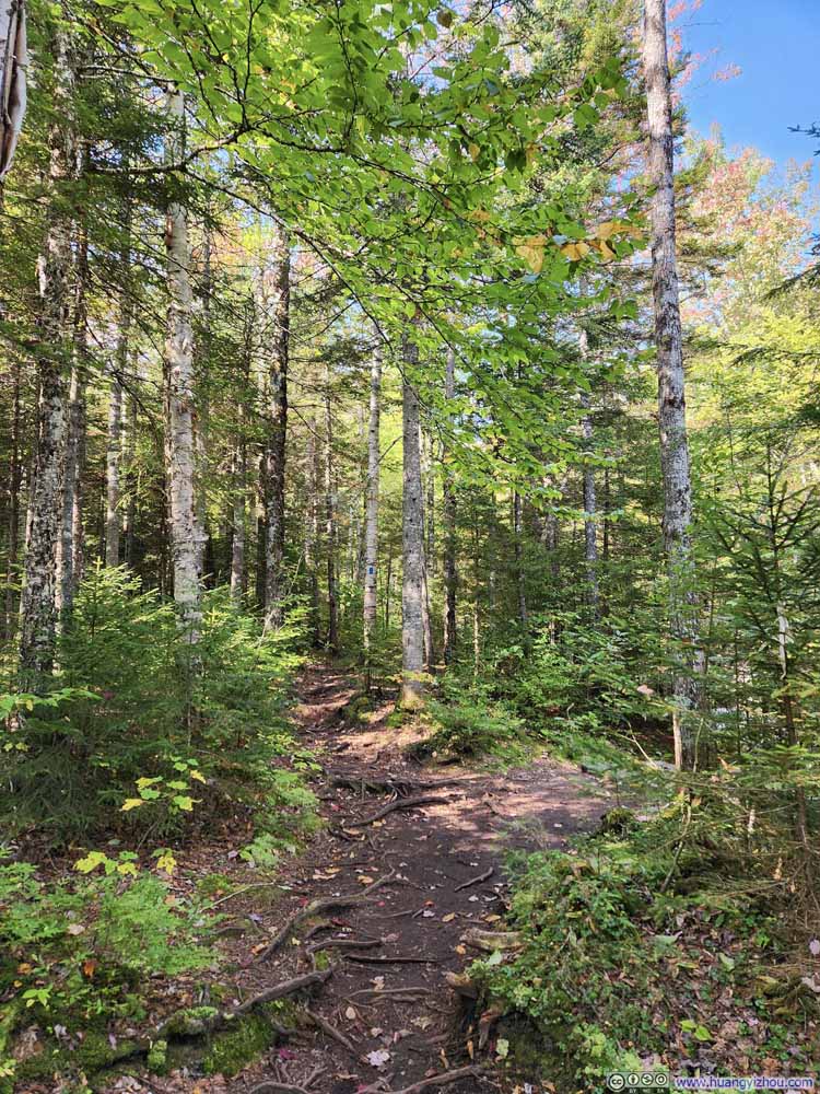
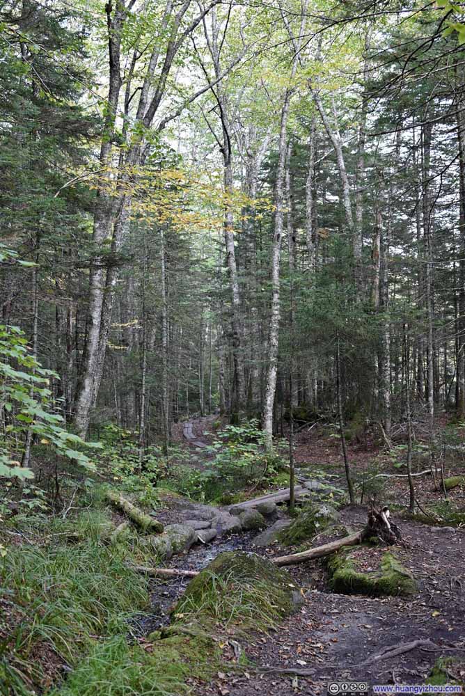
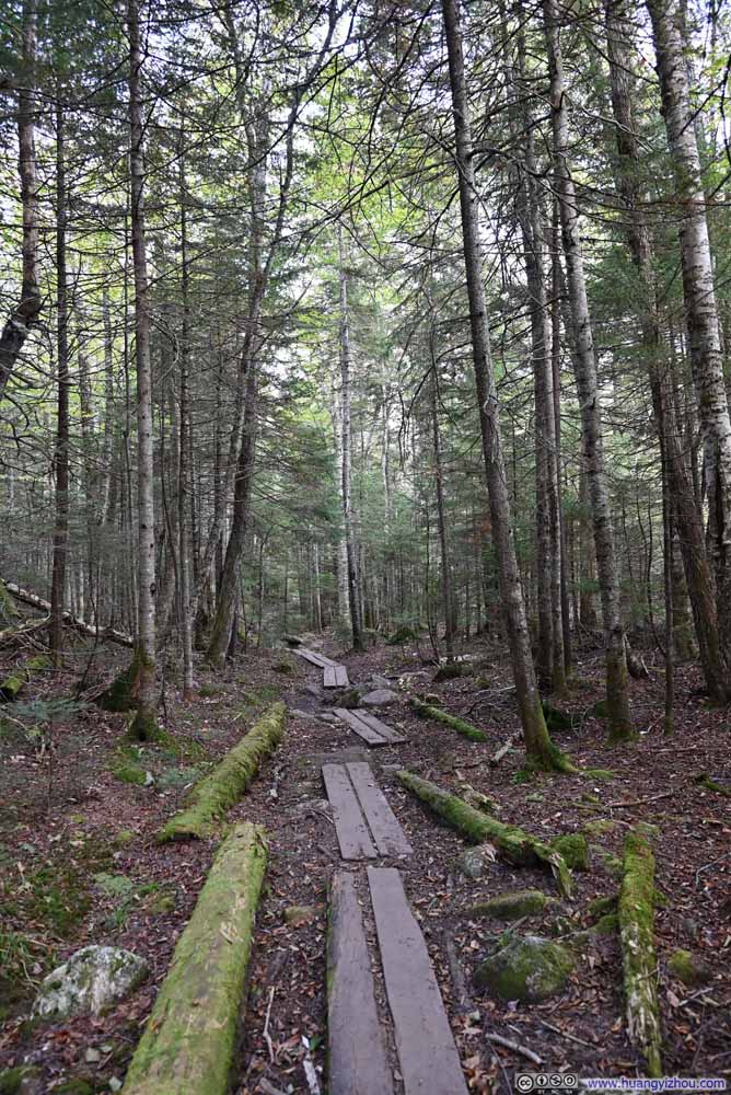
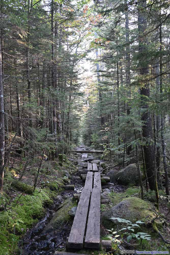
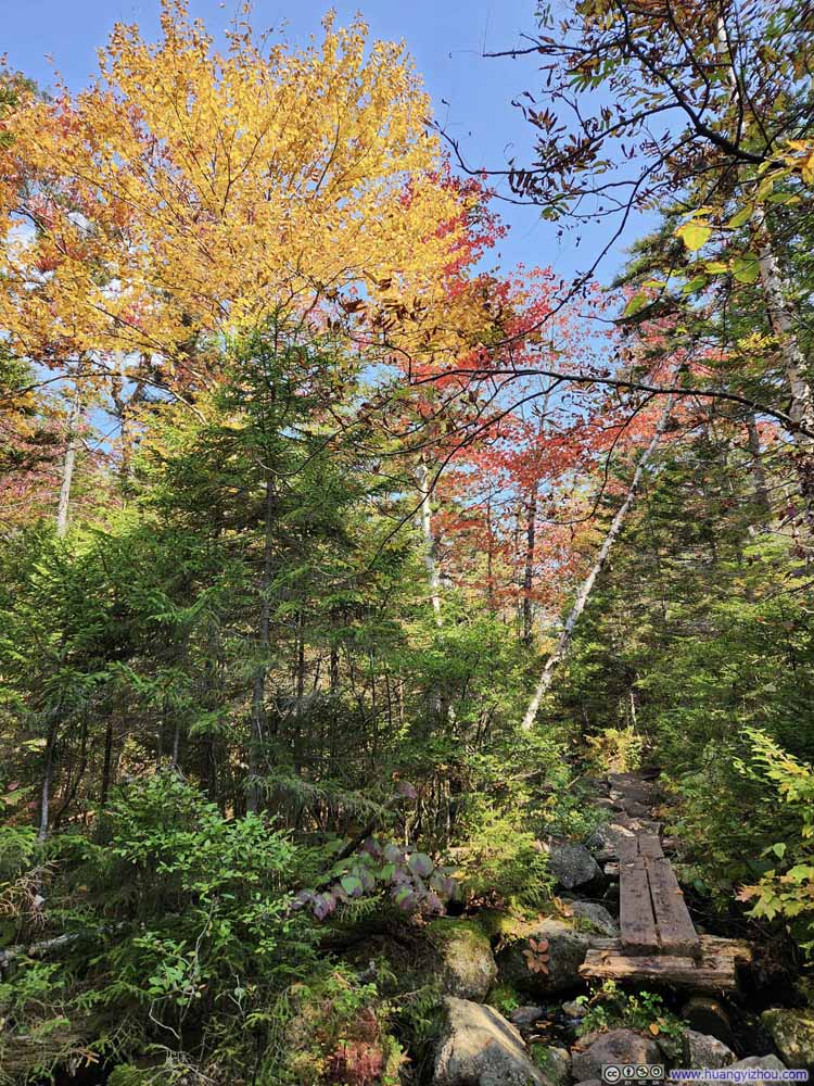
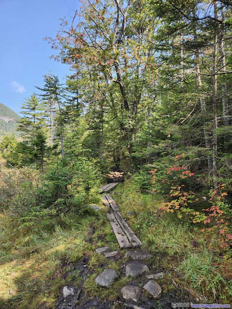
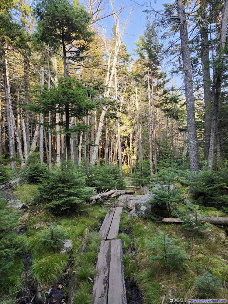
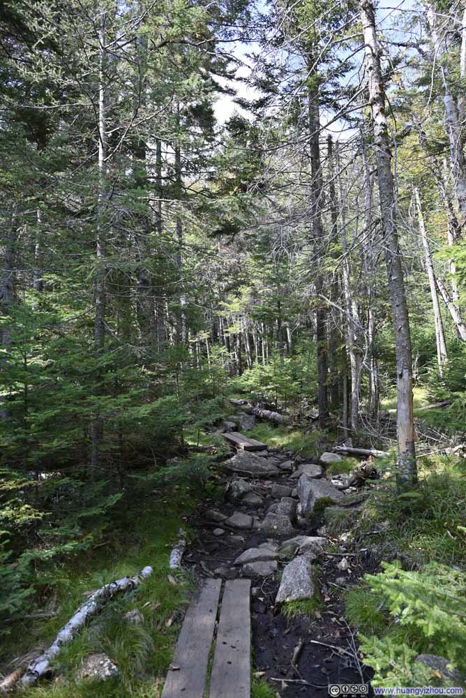
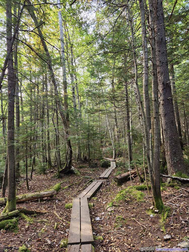
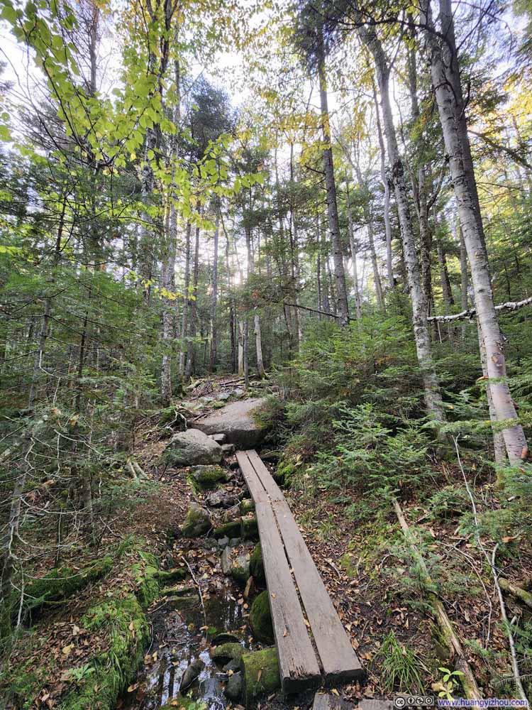
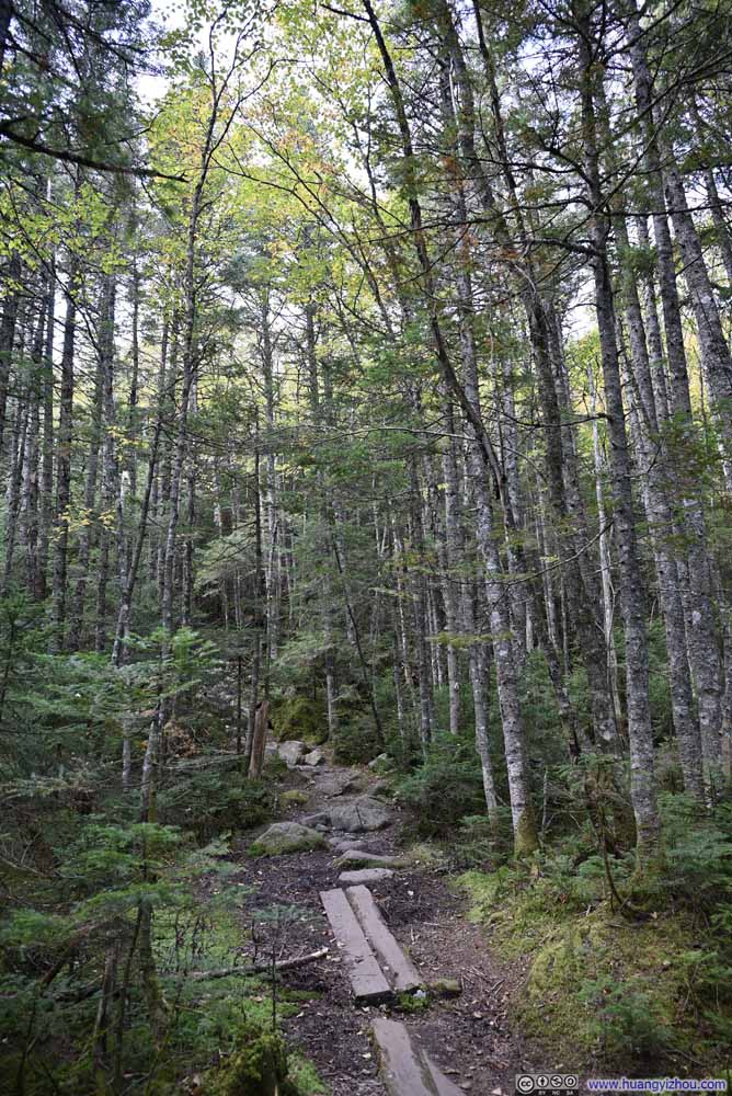
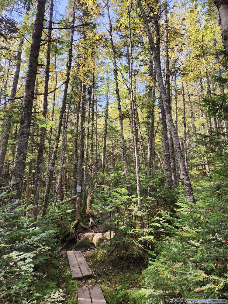
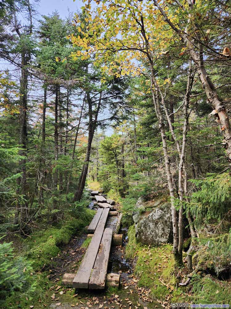
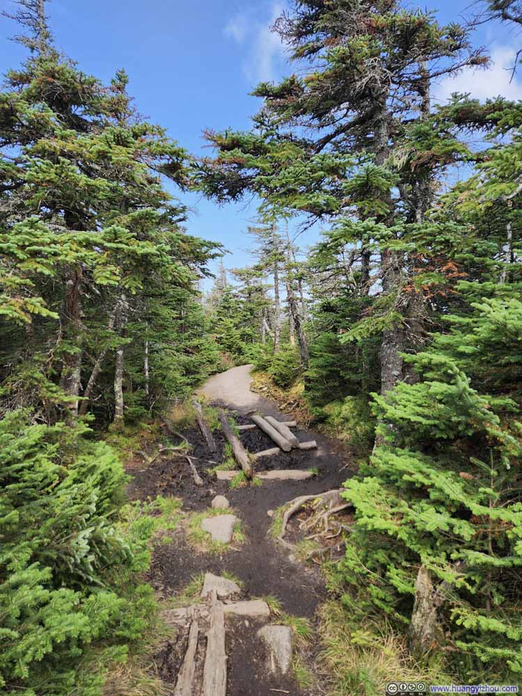
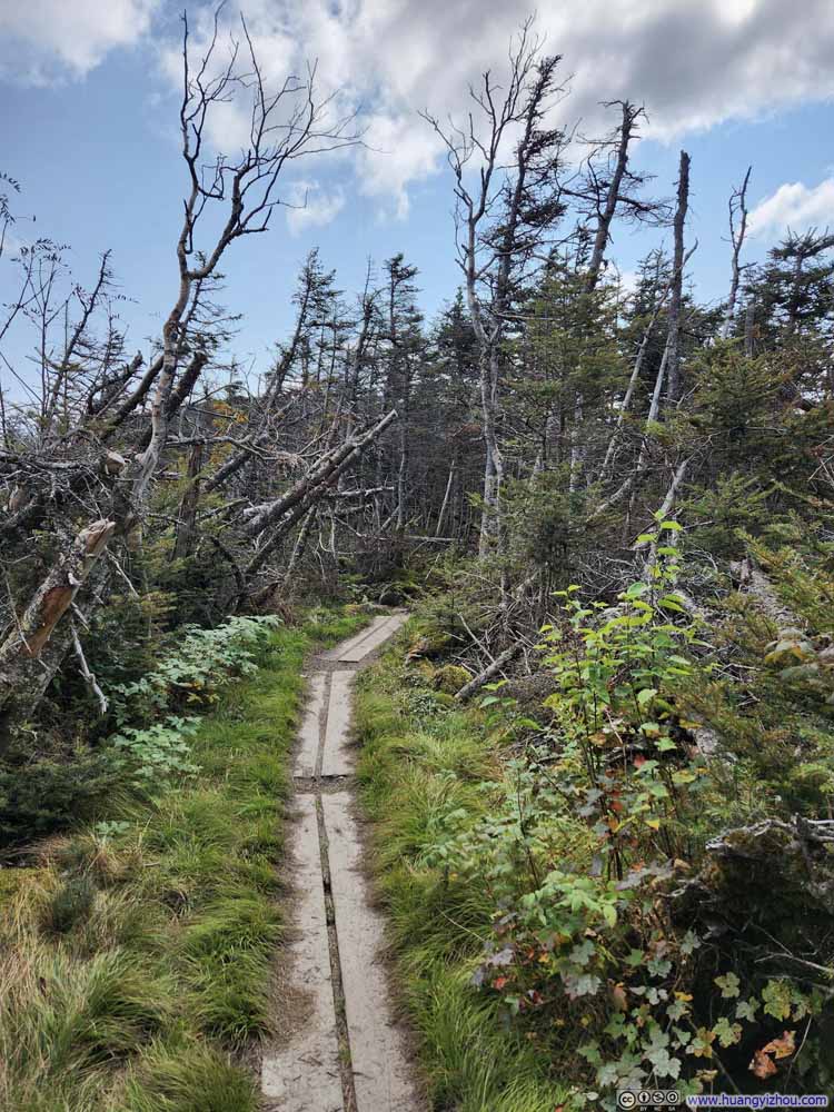
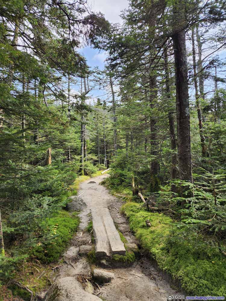
After that, the trail was less rooted, but it also got muddy at places even though it hadn’t rained for a week. Thankfully, many planks were set in place allowing hikers to keep their shoes clean.
Click here to display photos of the slideshow
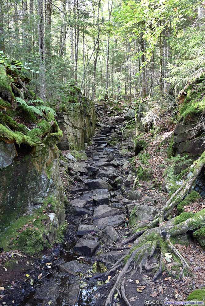
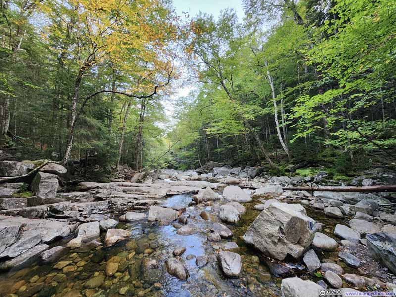
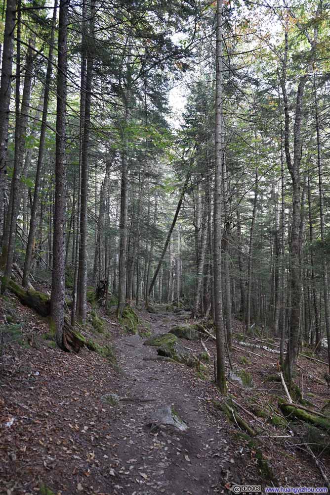
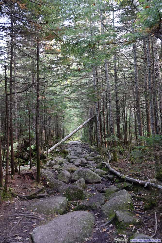
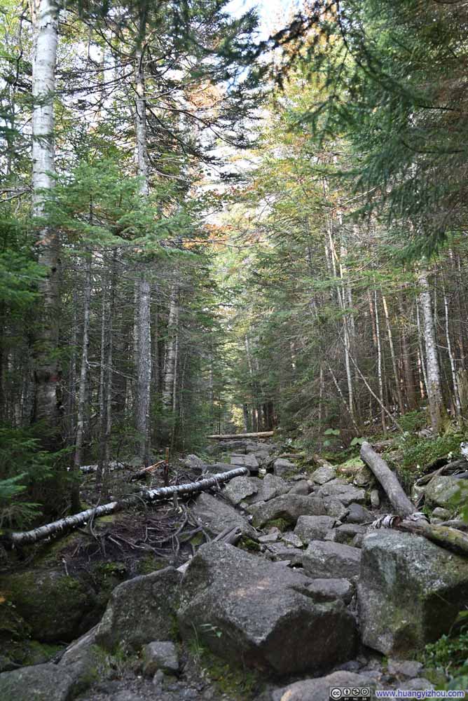
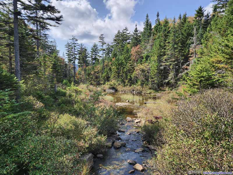
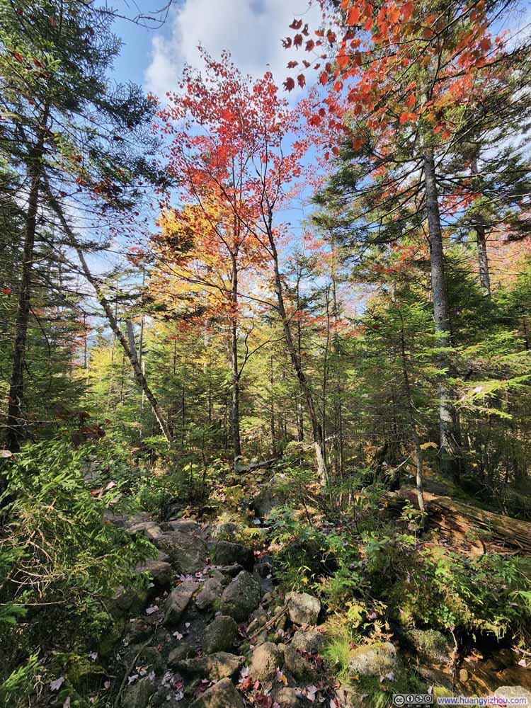
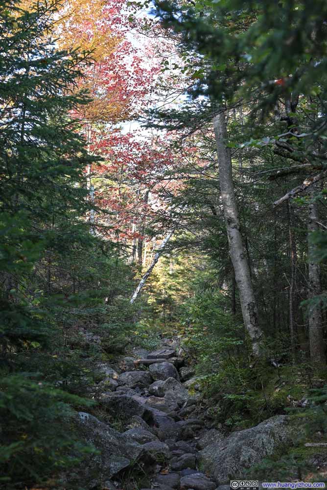
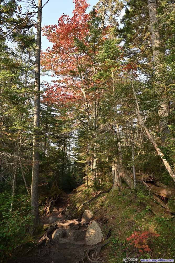
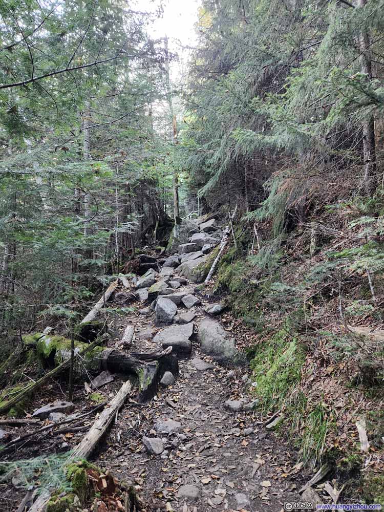
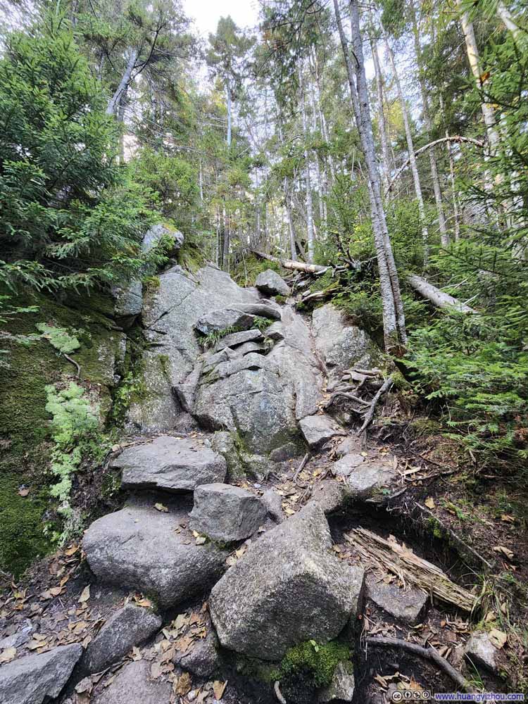
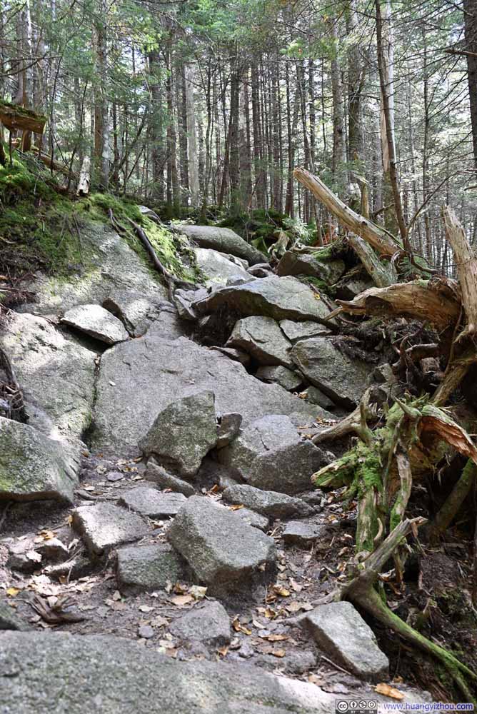
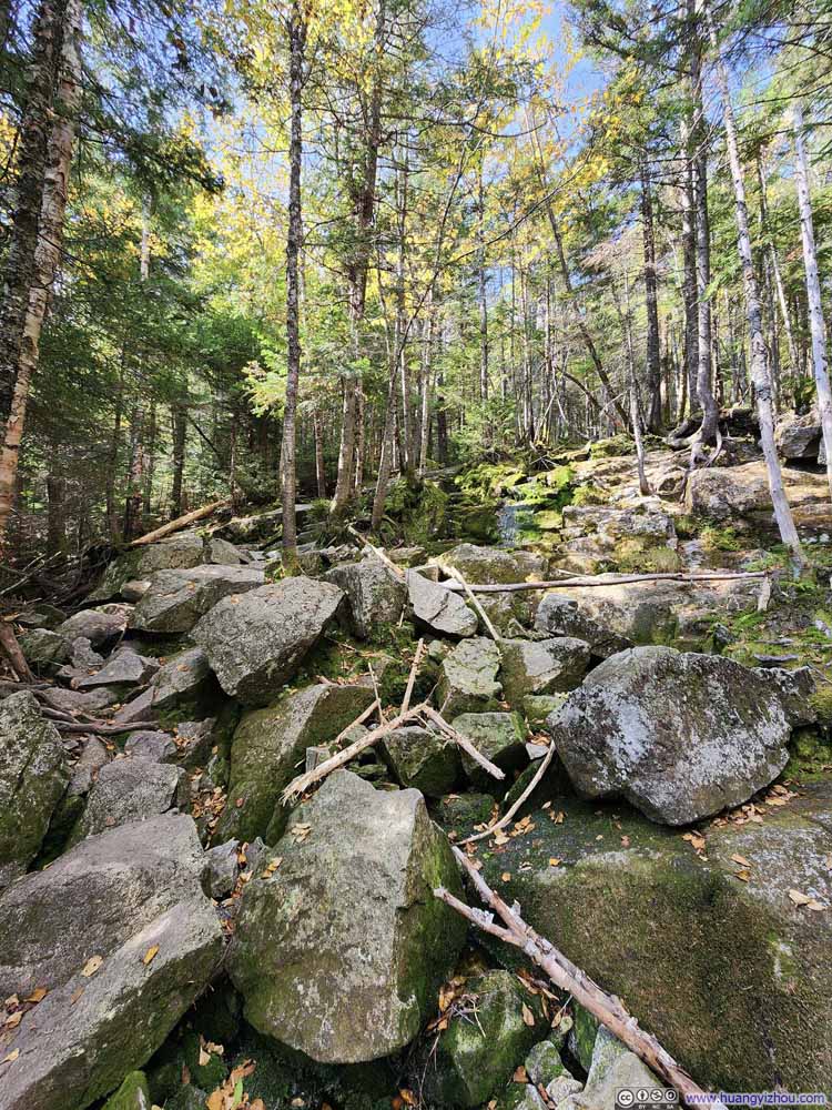
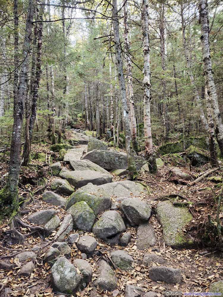
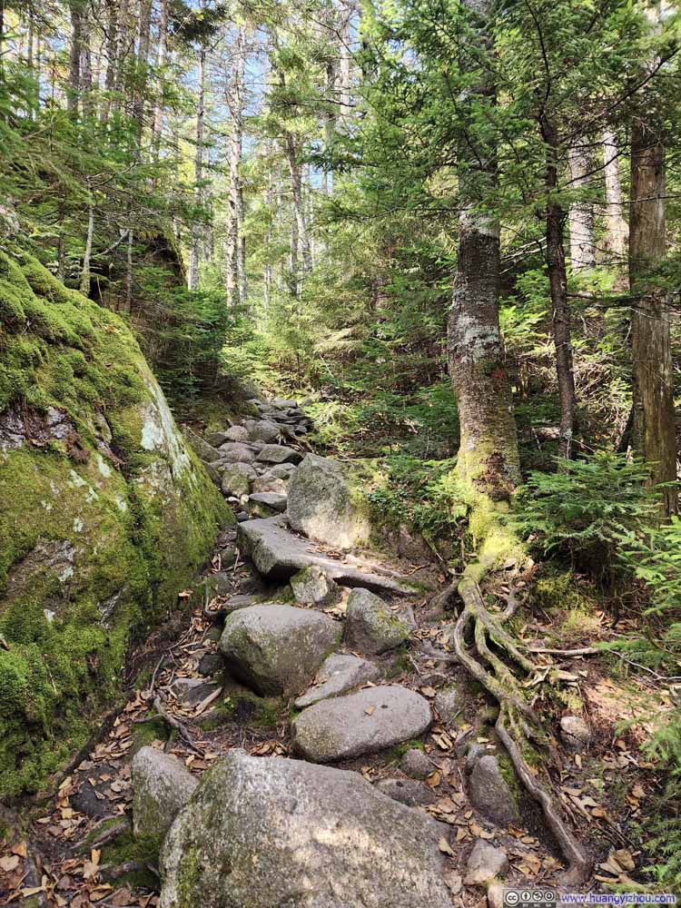
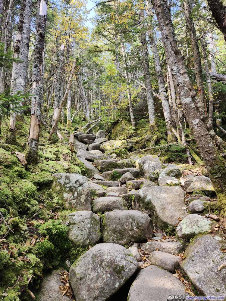
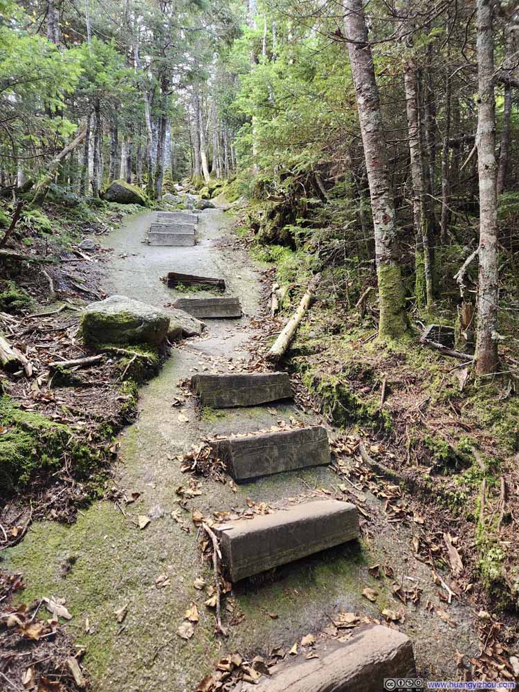
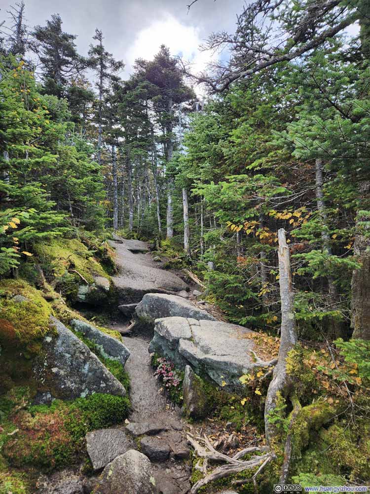
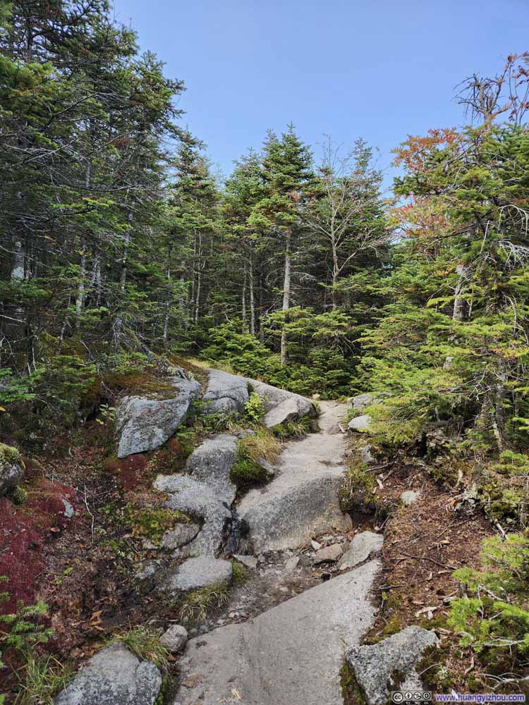
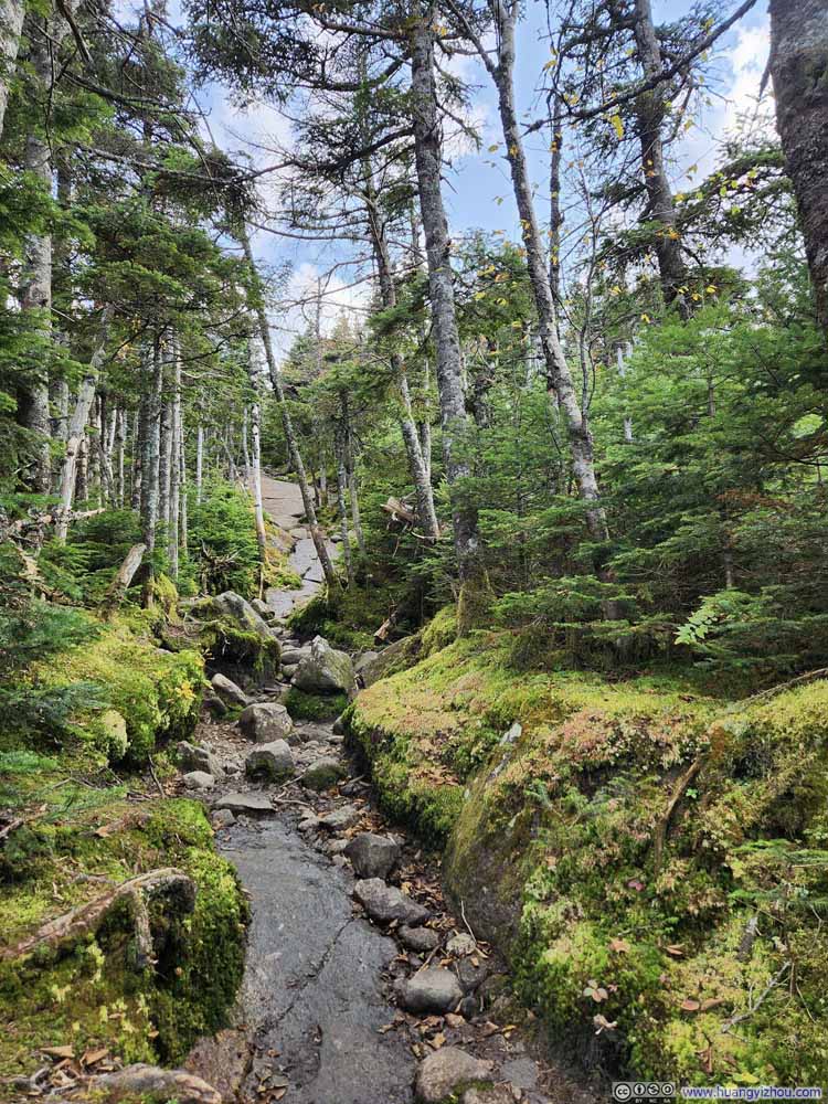
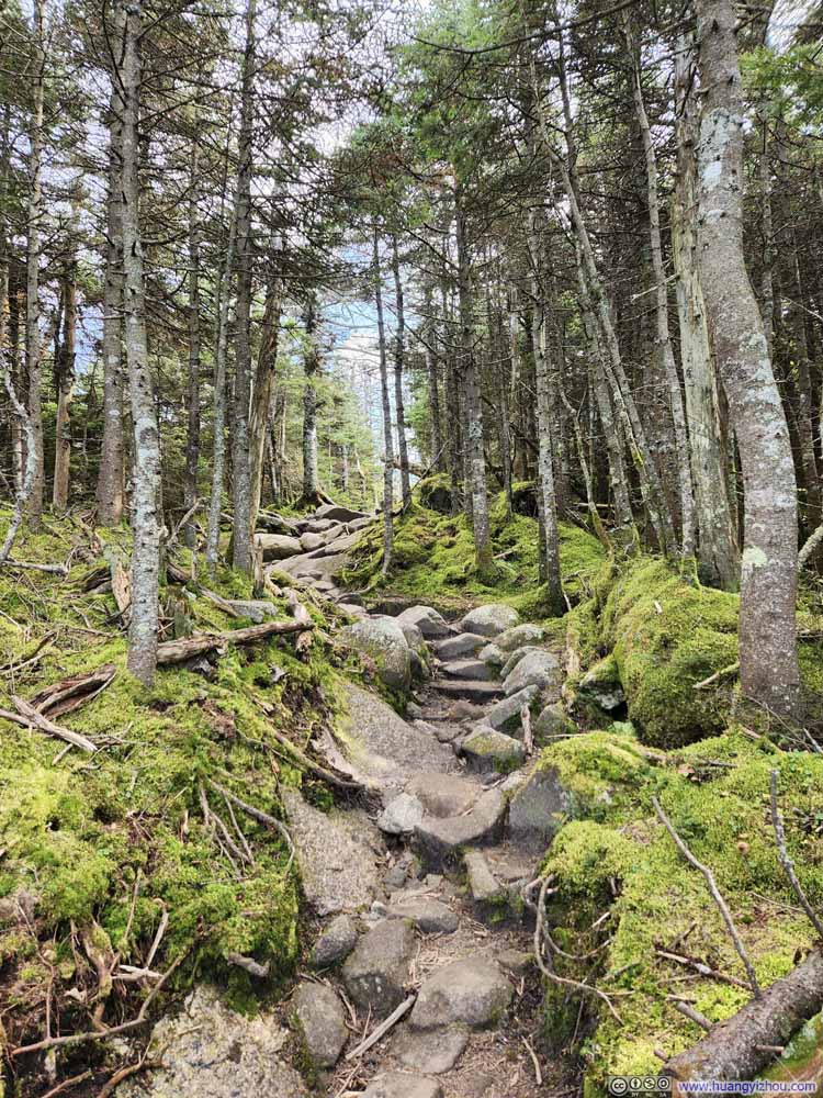
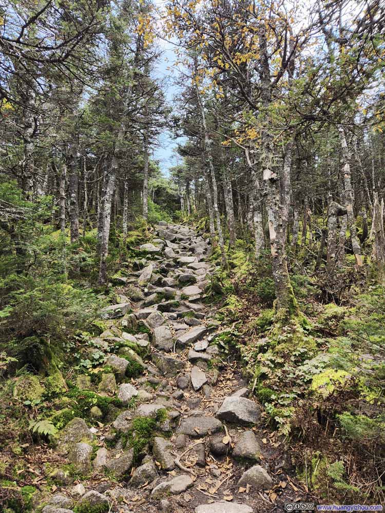
Not long after that there was a trail intersection. Taking a left would have put me on the Kinsman Pond Trail, while going straight ahead it would be Cascade Brook/Fishin Jimmy Trail. Both trails eventually meet up again before the summit of Kinsman Mountain. I’d seen online comments describing the Kinsman Pond Trail as tedious and difficult to follow, so I stuck with the Cascade Brook Trail. Between the intersection and Lonesome Lake, Cascade Brook Trail was very rocky (p5-7 above).
Click here to display photos of the slideshow
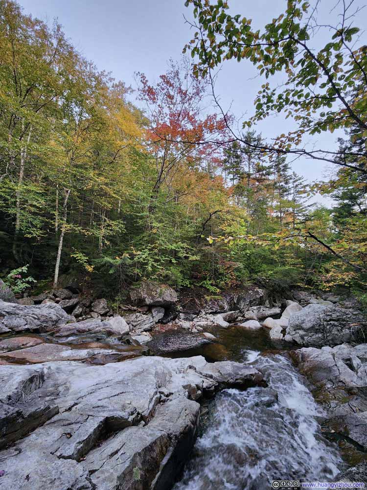
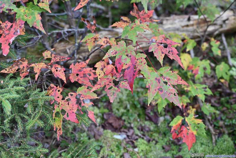
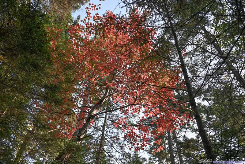
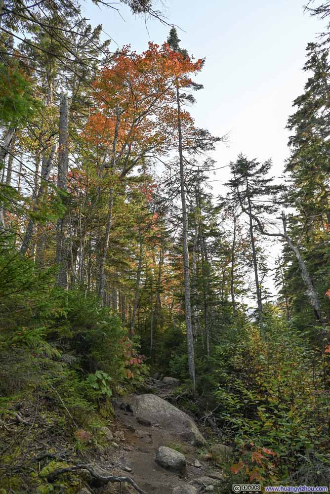
Despite it’s only mid September, early signs of foliage had already popped up along the trail. The most vibrant colors were just before Lonesome Lake, with a few trees in full autumn colors.
Click here to display photos of the slideshow
Lonesome Lake
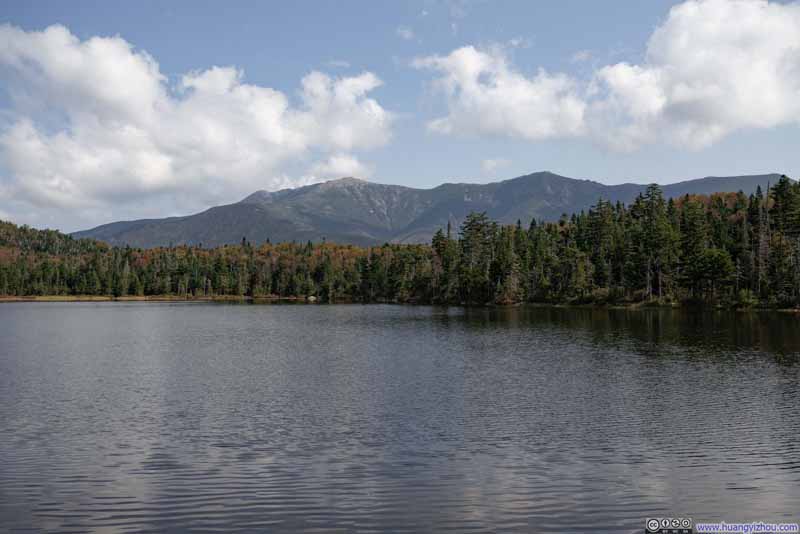
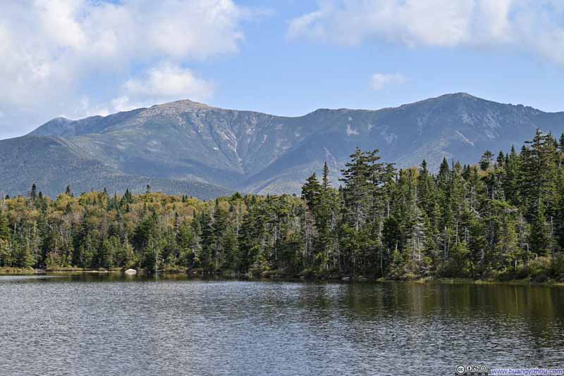
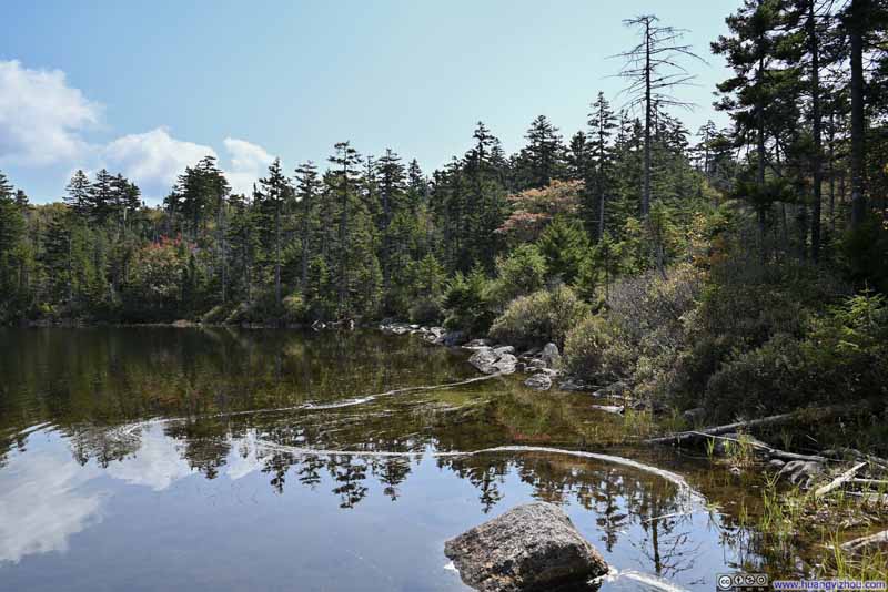
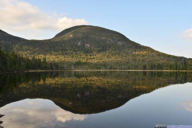
At approximately noon, I reached Lonesome Lake, a picturesque lake with Cannon Mountain and Franconia Ridge as backdrops. I took a break to soak in the peaceful atmosphere and admire the vibrant colors of the scenery. Since some rocks along the shore were warmed by the sun, I also used the opportunity to dry my shoes and socks as best I could.
Click here to display photos of the slideshow
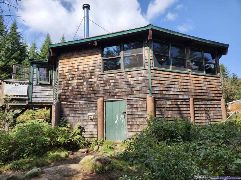
Just a short walk from the shores of Lonesome Lake stood AMC’s Lonesome Lake Hut, a “hotel” for backpackers. It featured a water-refill station, bathroom, and during my visit, some leftover breakfast. Feeling fairly rested after my time at the lake, I didn’t linger long at the hut before continuing my hike.
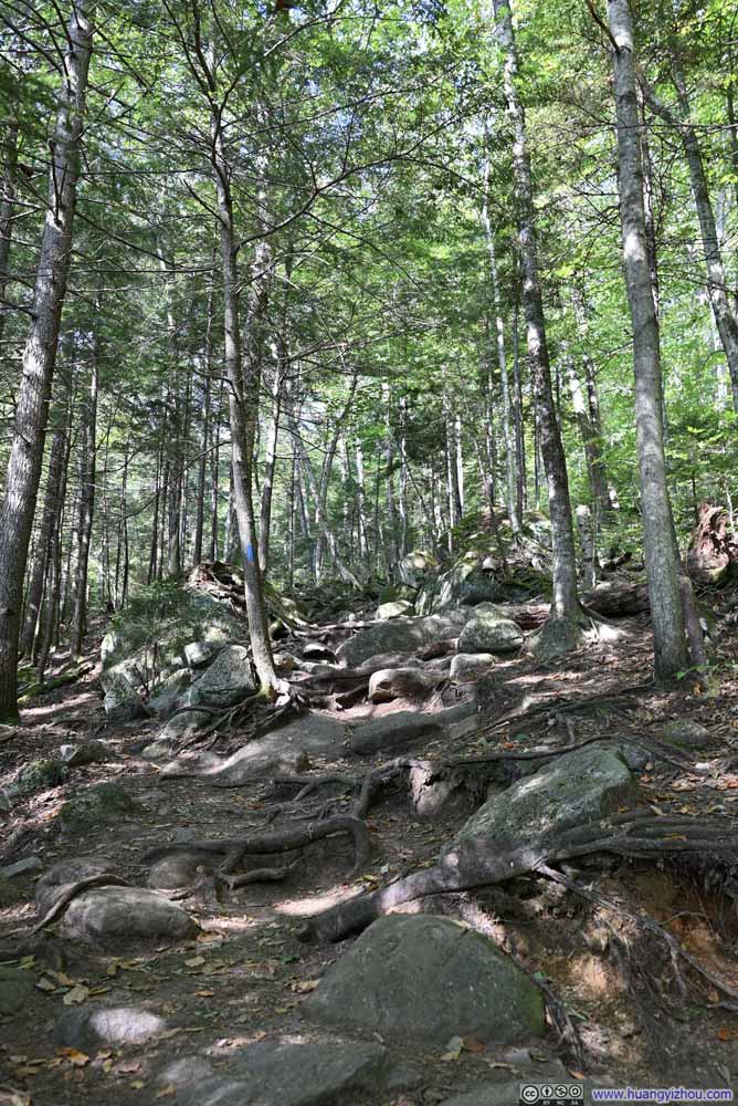
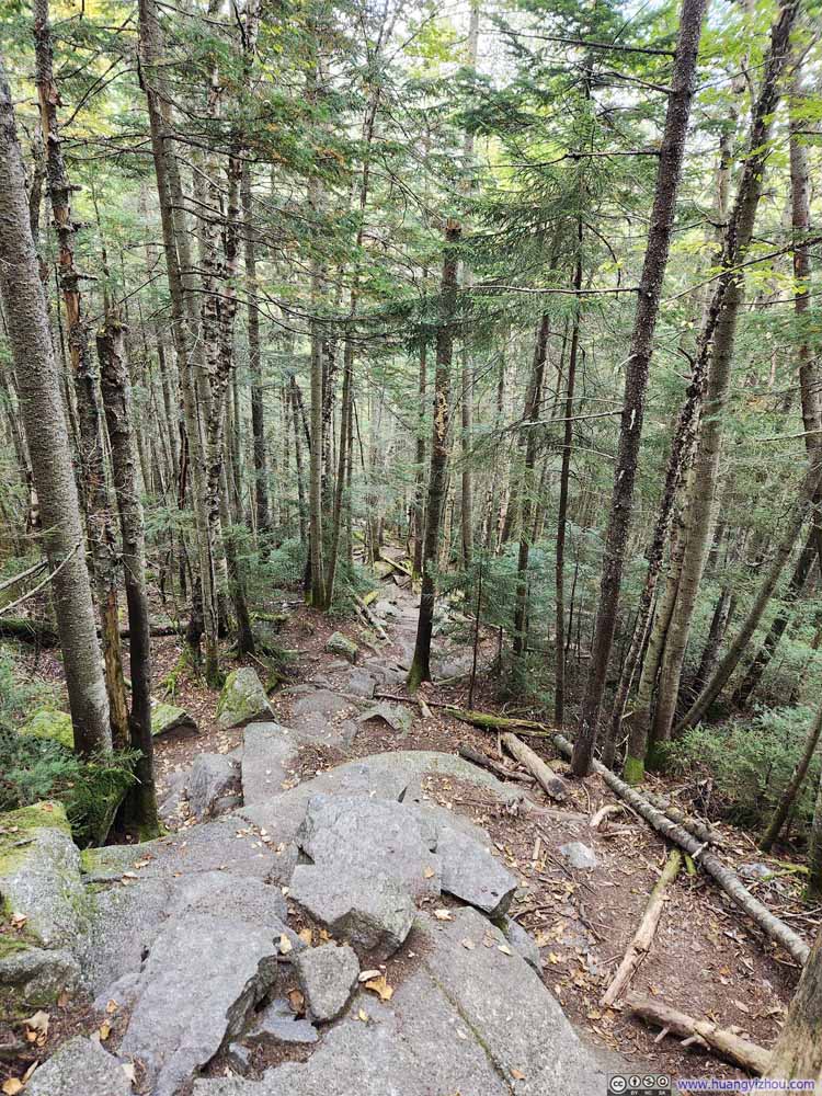
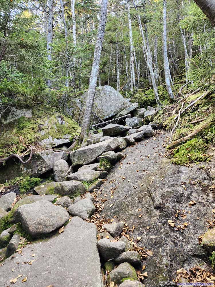
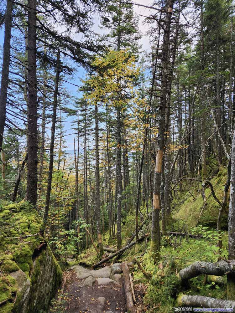
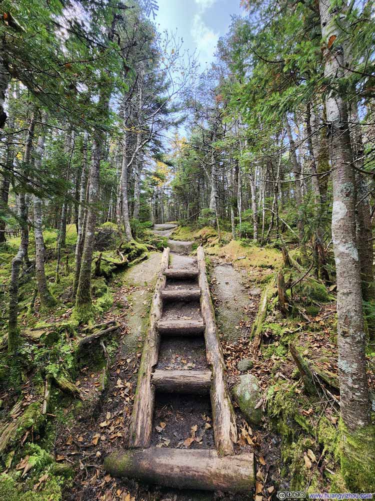
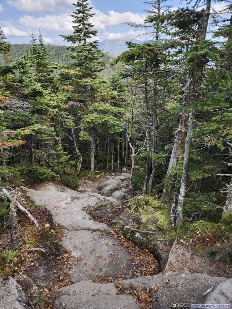
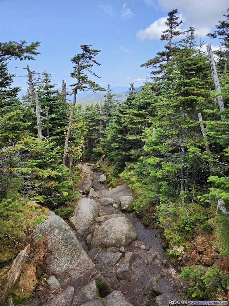
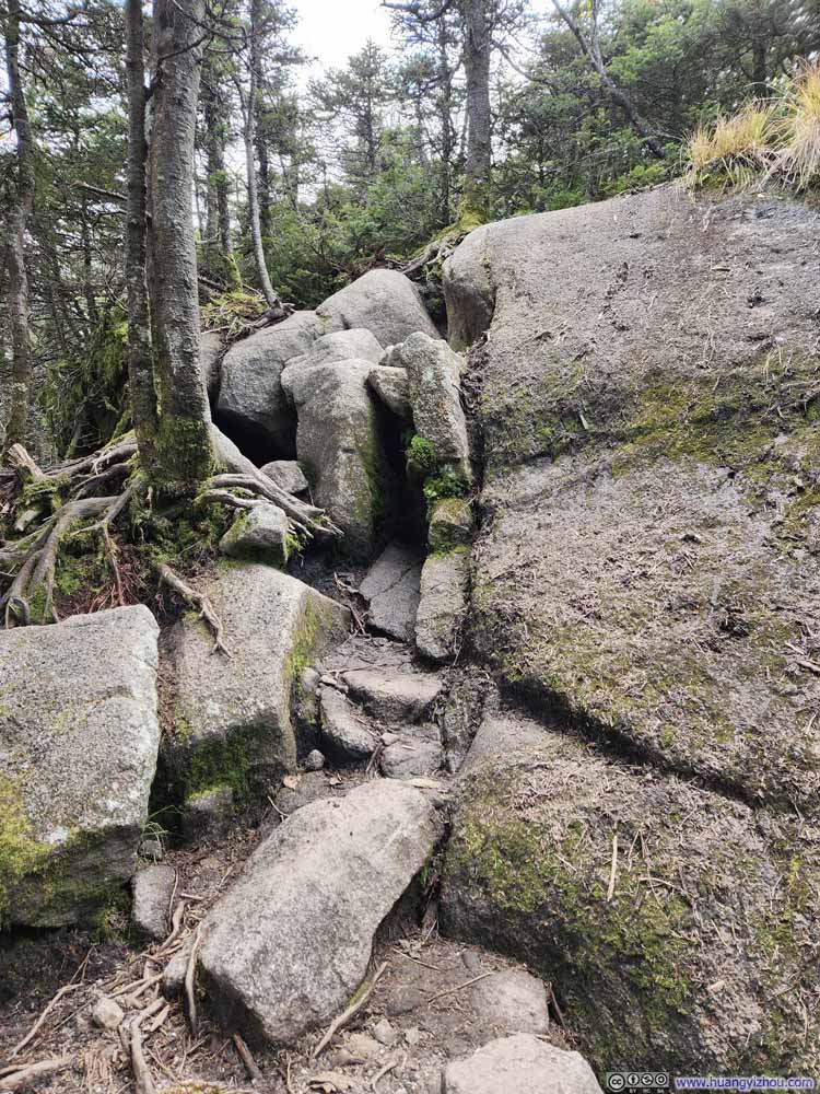
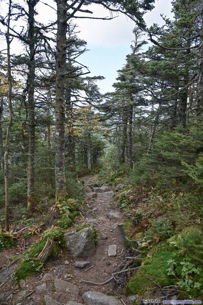
After AMC’s Lonesome Lake Hut, it’s Fishin Jimmy Trail. This trail started not as rocky as Cascade Brook Trail, but occasionally it required minimal scrambling (p3 and p6 below).
Click here to display photos of the slideshow
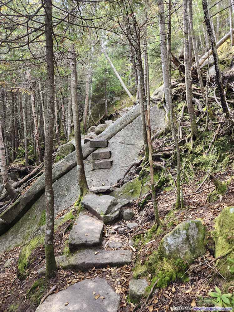
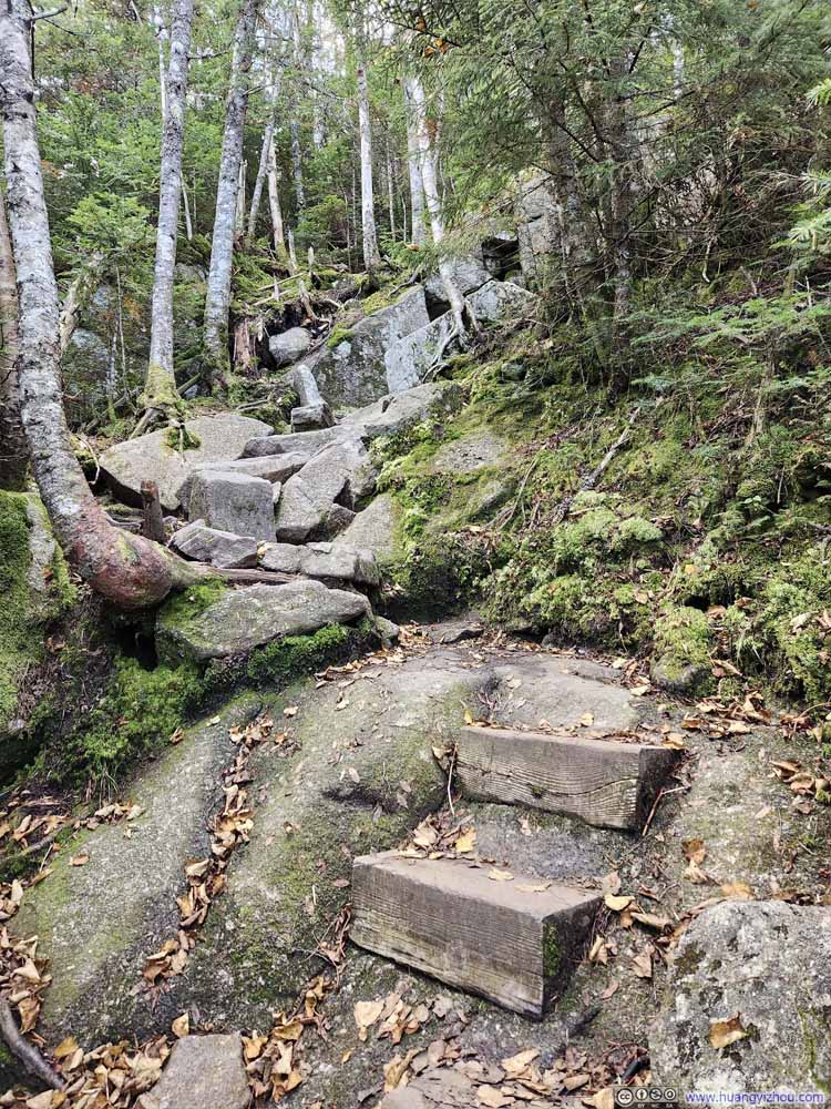
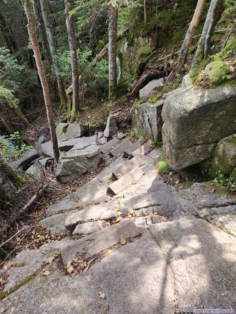
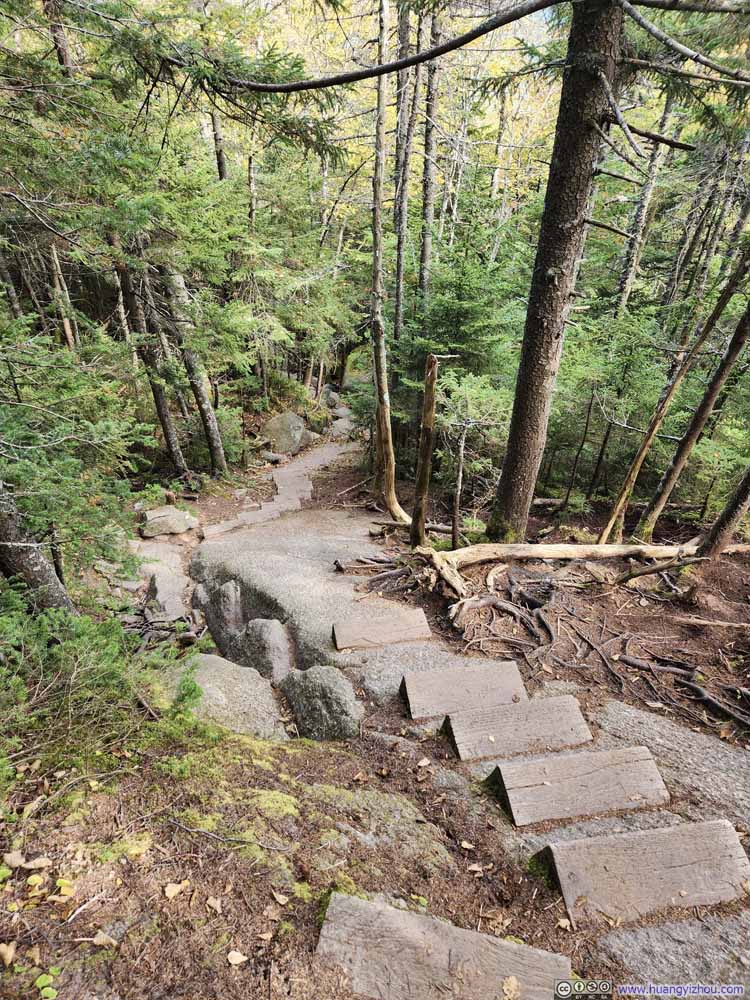
Approaching Kinsman Pond, Fishin Jimmy Trail hastened its pace of elevation gain, making certain sections quite steep. Wooden stairs were installed to assist hikers on the most challenging and technical parts of the trail, which proved to be very helpful, except one of them was loose, where I had a tense moment.
Click here to display photos of the slideshow
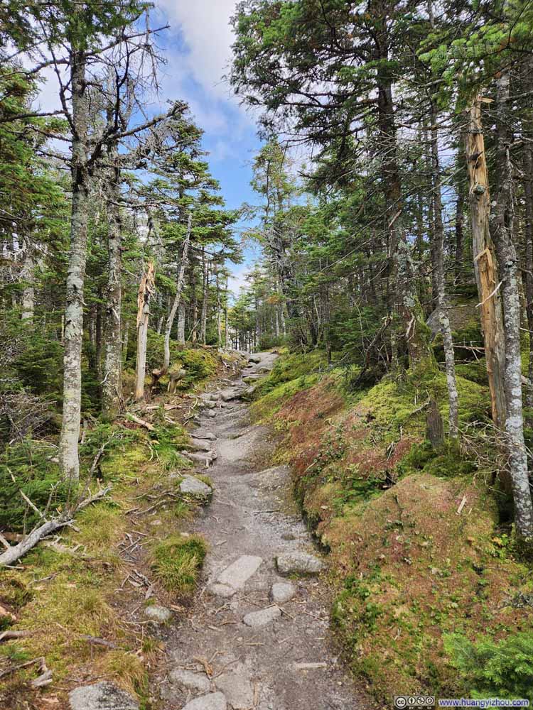
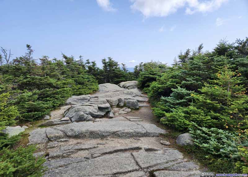
After the intersection with the Kinsman Pond Trail, the trees became noticeably shorter and sparser as the trail approached the North Peak of Kinsman Mountain. This allowed for more glimpses of the sky, though unfortunately, it didn’t result in better views along the way.
I reached the North Peak of Kinsman Mountain at 1:45pm, at which time the summit was very crowded. So I decided to head towards the south peak first.
It seemed that most hikers ended their journey at the North Peak, as the trail connecting the two peaks was noticeably quieter. The trail condition was similar to what I had experienced earlier today, a good mixture of level ground, gentle incline and steep climbs.
Click here to display photos of the slideshow
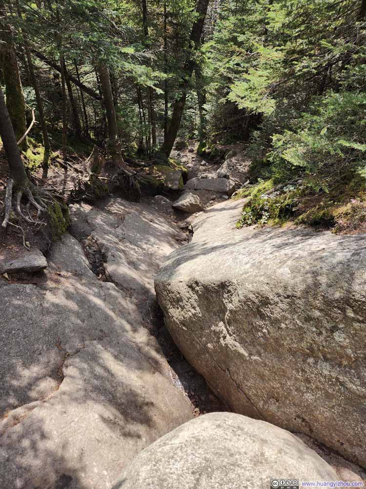
Steep Trail on RocksThe only technical bit between the two Kinsman Peaks, encountered shortly after leaving North Peak.
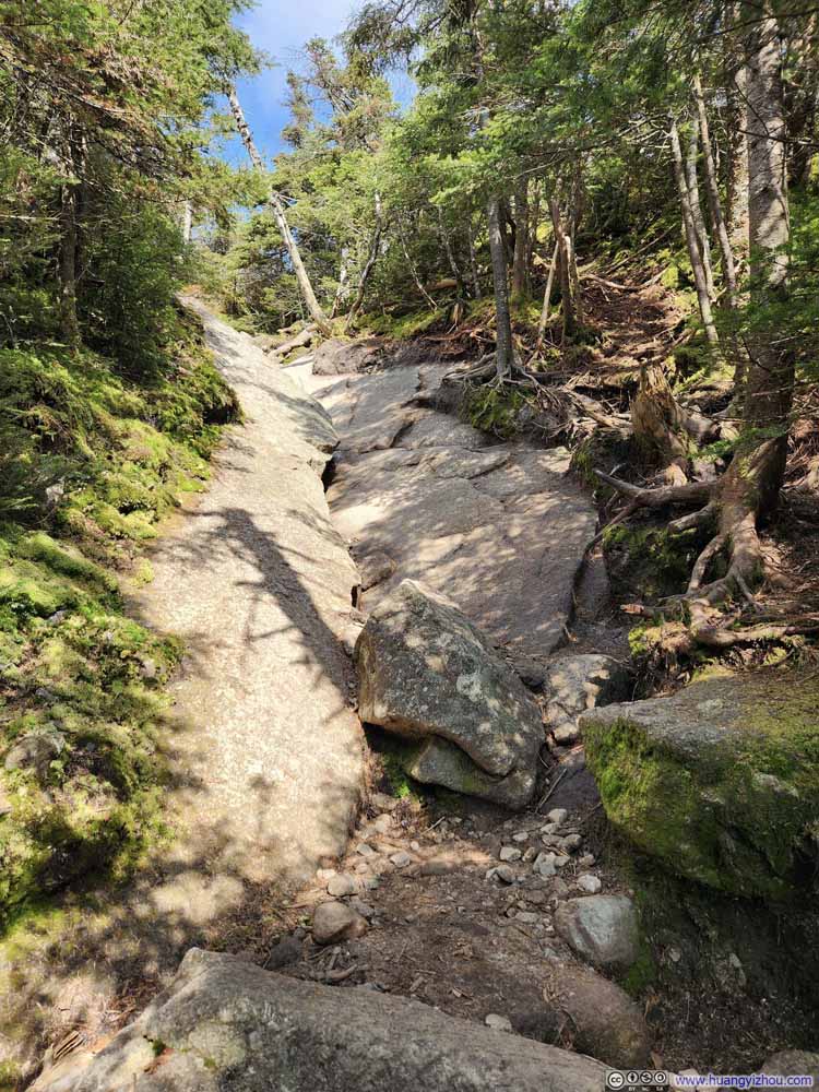
Steep Trail on RocksThe only technical bit between the two Kinsman Peaks, encountered shortly after leaving North Peak.
South Peak of Kinsman Mountain
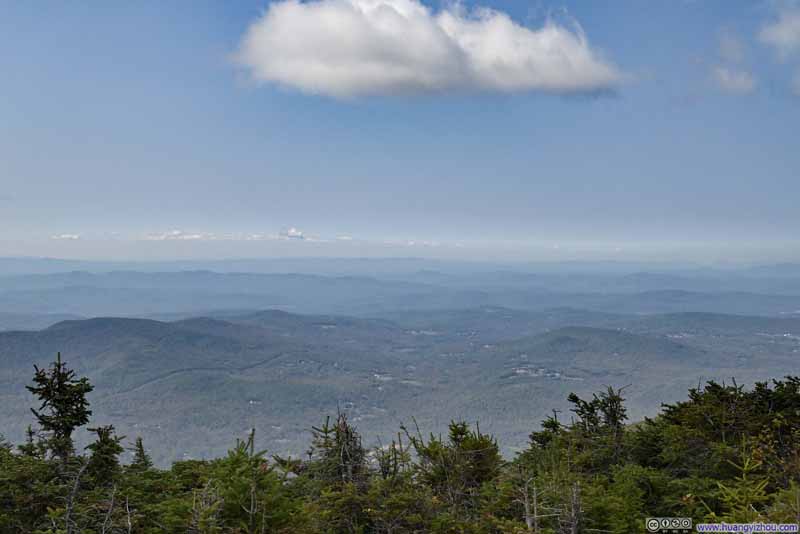
It took me about half an hour to reach the south peak of Kinsman Mountain from the north peak. Frankly, the south peak was a bit underwhelming. Its official summit was unremarkable (p1 below). I continued for an additional 200m (700ft) to reach a relatively open area where the views were slightly better, but even there the views were largely obstructed by the shrubs. I caught a few glimpses of the western landscape, which served as a complement to the eastern views from the north peak.
Click here to display photos of the slideshow
North Peak of Kinsman Mountain
By the time I got back to the North Peak of Kinsman Mountain, it’s 3:30pm. The crowds had vanished, and I had the summit all to myself. Unfortunately, unlike earlier in the hike when I wasn’t bothered by bugs, there were a lot of small flies at the North Peak this time, which detracted from the experience a bit.
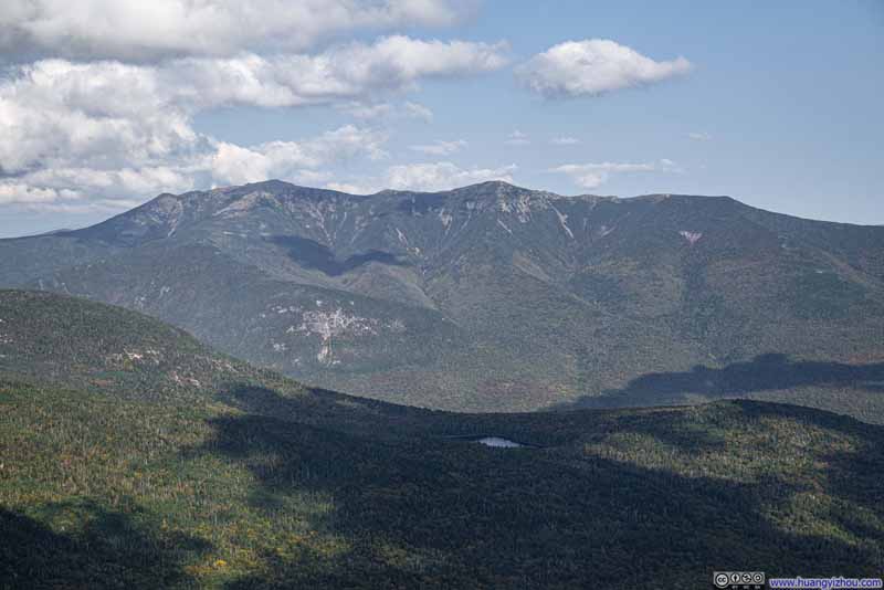
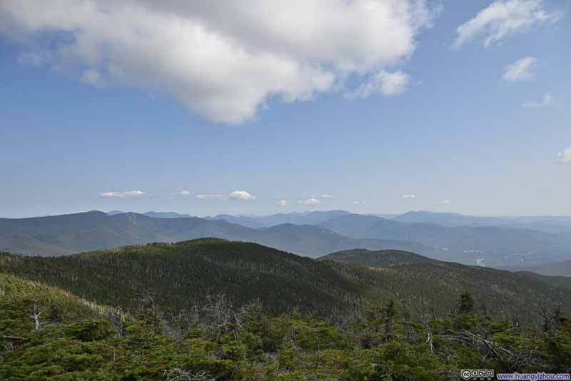
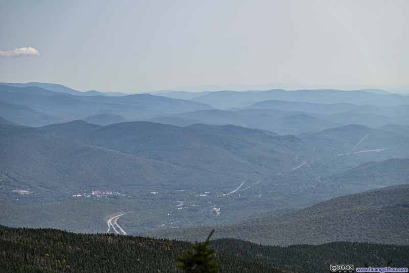
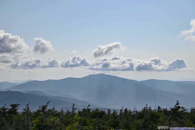
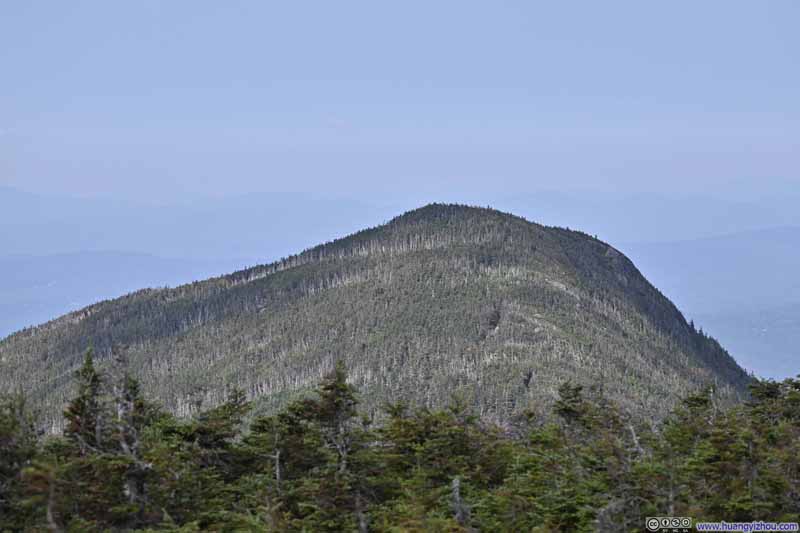
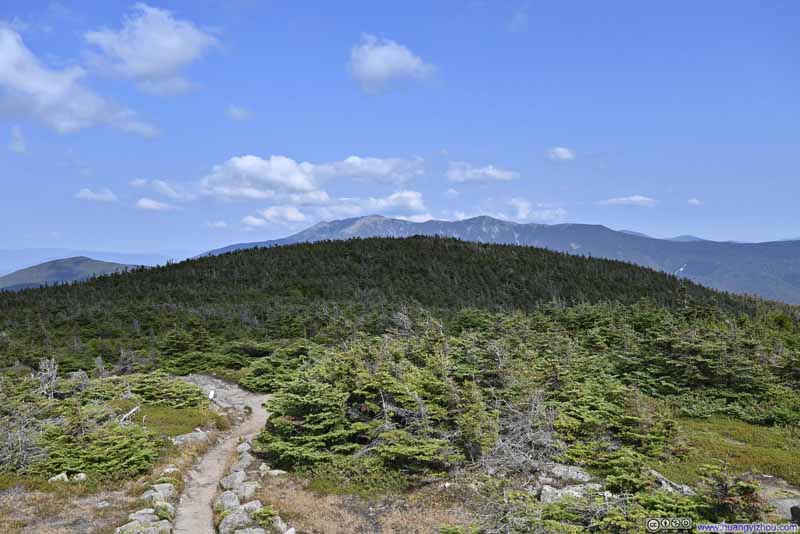
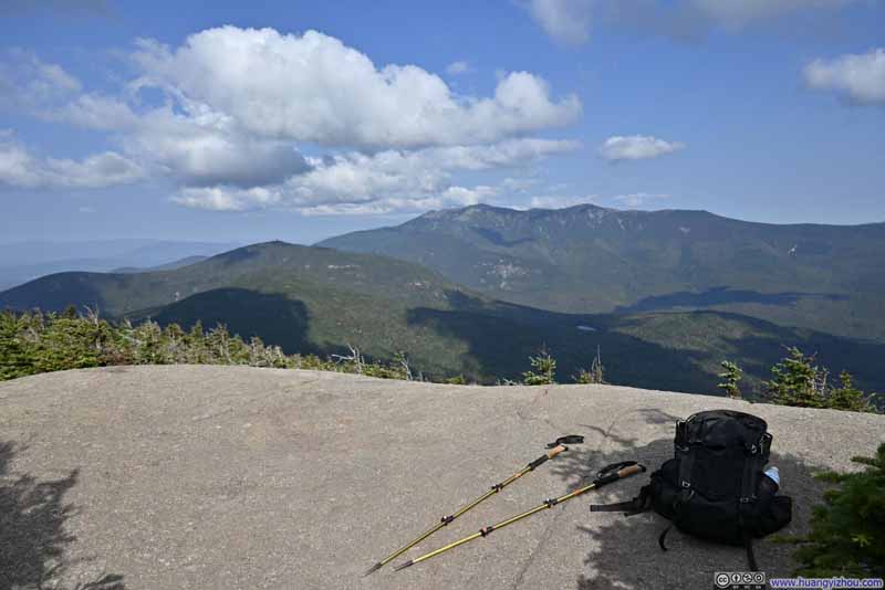
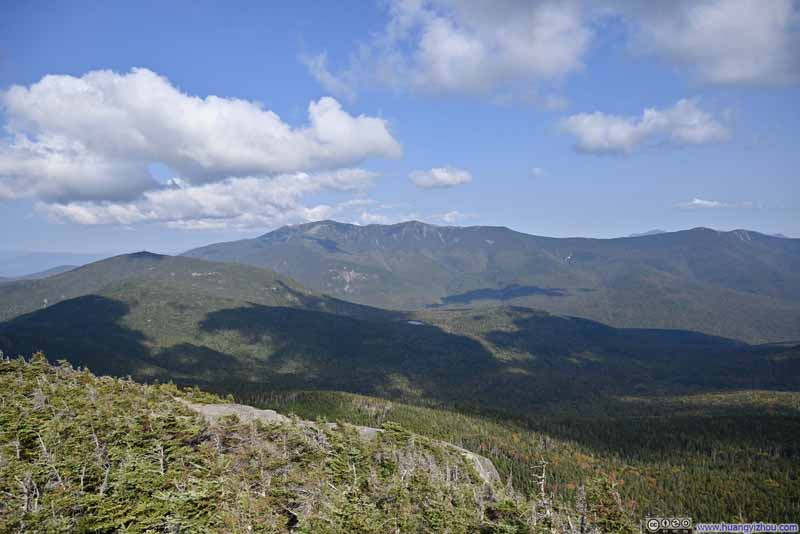
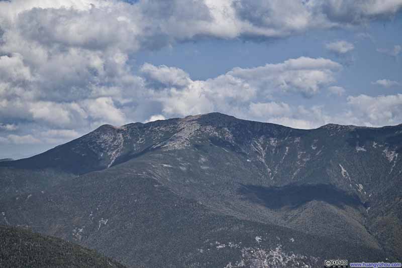
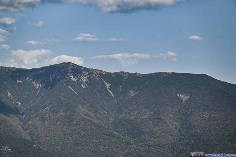
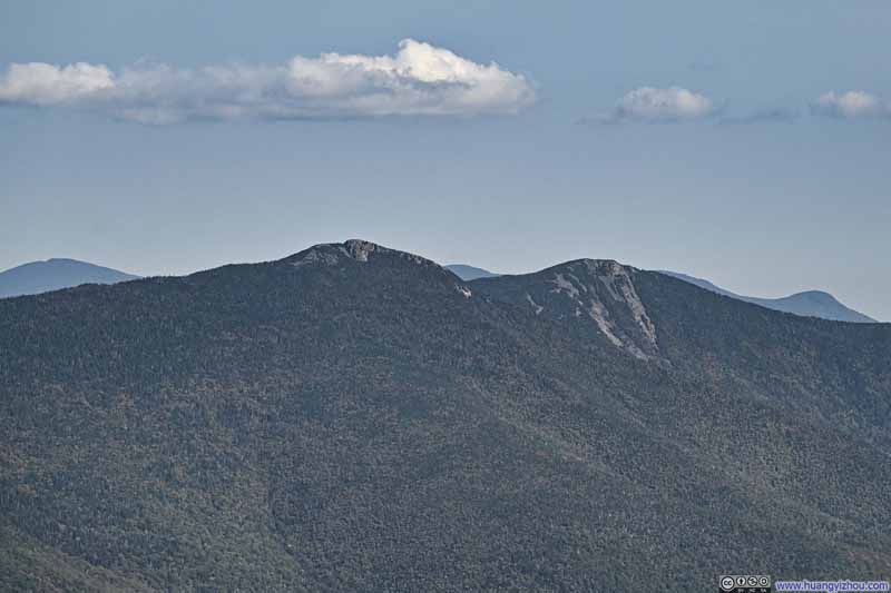
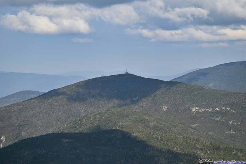
The scenery, however, was incredible and no doubt the highlight of the day. It felt like having a front-row seat to Franconia Ridge across the valley, with the afternoon light beautifully illuminating the mountains. From this vantage point, it was easy to see how the rocky peaks of Franconia Ridge stood out amongst the other mountains in the White Mountains.
Click here to display photos of the slideshow
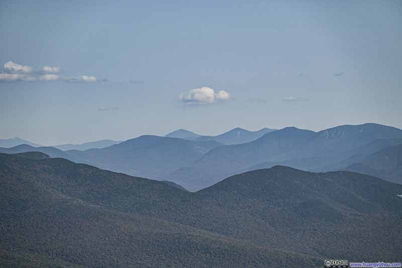
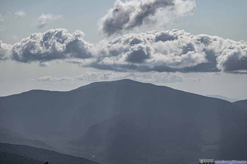
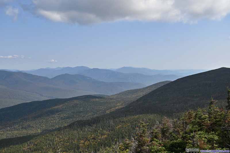
Mountains to the SoutheastMount Passaconaway and North Tripyramid being two distinctive peaks in the background.
At this time, I was a bit pressed for time, so I left the North Peak of Kinsman Mountain at 3:45pm. It took me about 3 hours to reach the trailhead parking lot, concluding the trip.
END
![]() Hiking Kinsman Mountains by Huang's Site is licensed under a Creative Commons Attribution-NonCommercial-ShareAlike 4.0 International License.
Hiking Kinsman Mountains by Huang's Site is licensed under a Creative Commons Attribution-NonCommercial-ShareAlike 4.0 International License.

