Updated on April 4, 2025
Hiking Mount Osceola
A brief post about my hike of Mount Osceola in September 2024.
It was the third weekend of September 2024. Weather wasn’t perfect for the day, so I chose a relatively short hike of Mount Osceola to catch an early glimpse of foliage in New Hampshire’s White Mountains.
Approaching from Waterville Valley, the final 4.3km (2.7 miles) of Tripoli Road before Osceola’s trailhead was unpaved and riddled with potholes, requiring careful driving. On paper, the hike to Mount Osceola didn’t seem long (9.2km roundtrip with 622m elevation gain, or 5.7 miles and 2000 ft). With that in mind, I allowed myself a late start and didn’t arrive at the trailhead until 11:30am. Despite the number of cars spilling over and parking along Tripoli Road, I was lucky enough to find a spot in the small parking lot, which only held about 10 vehicles.
Here’s GPS tracking:
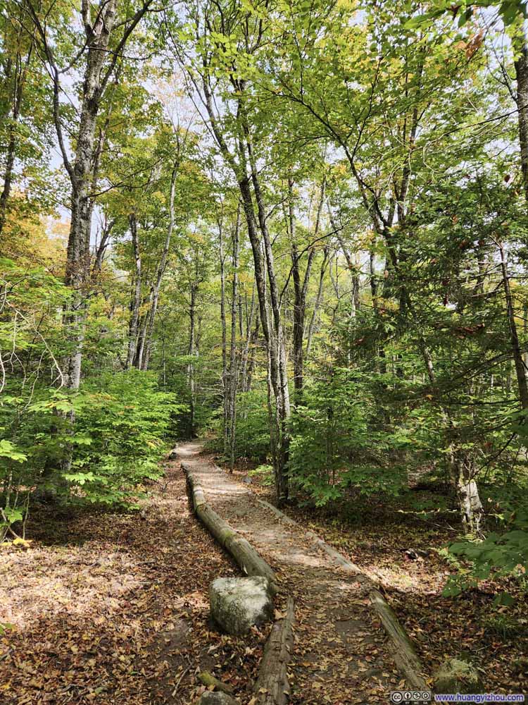
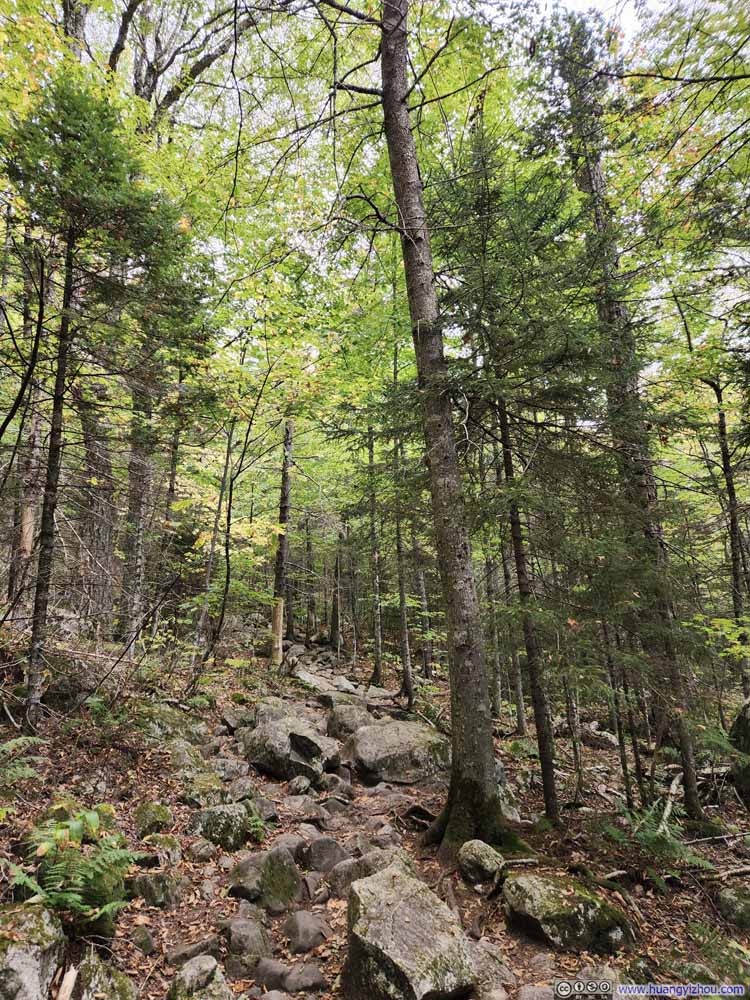
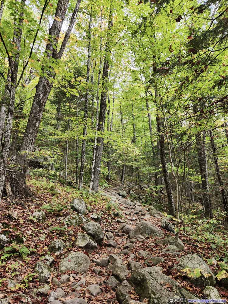
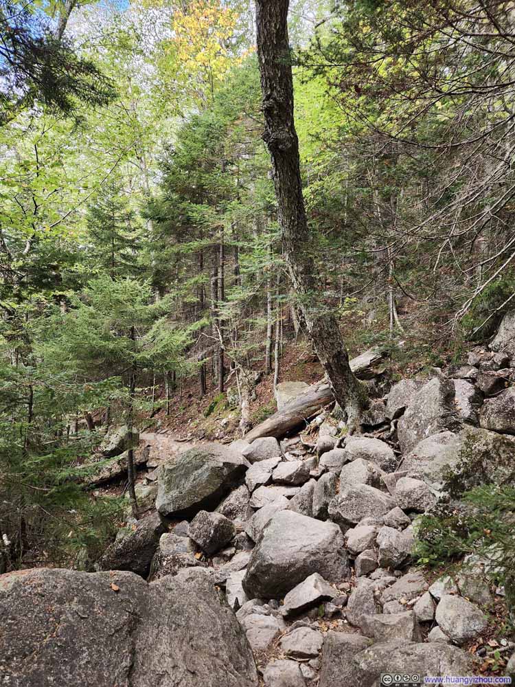
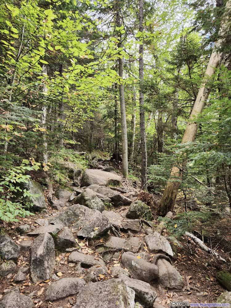
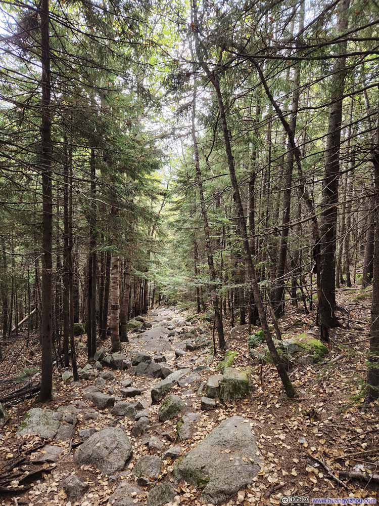
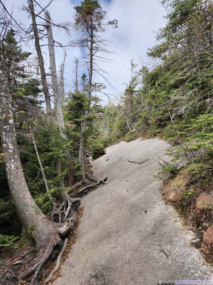
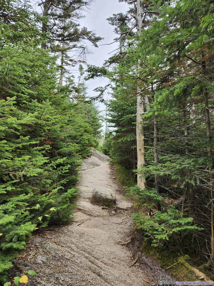
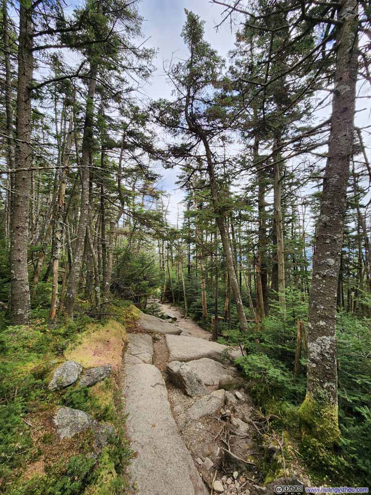
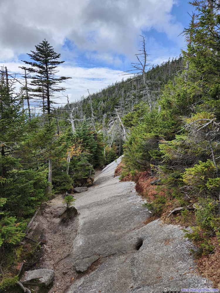
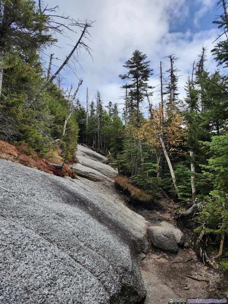
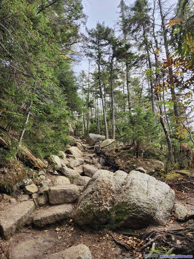
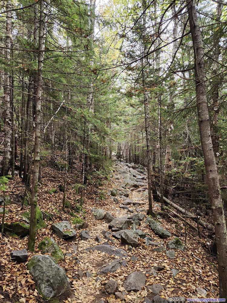
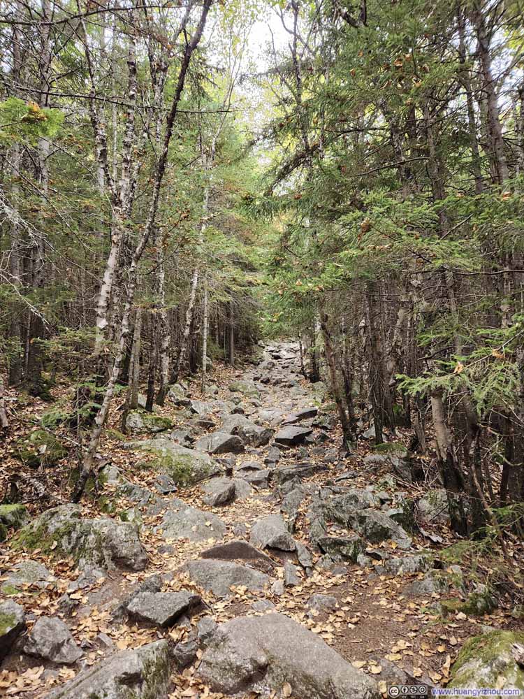
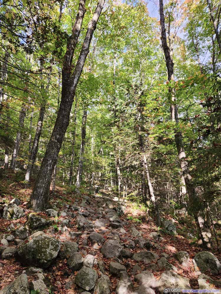
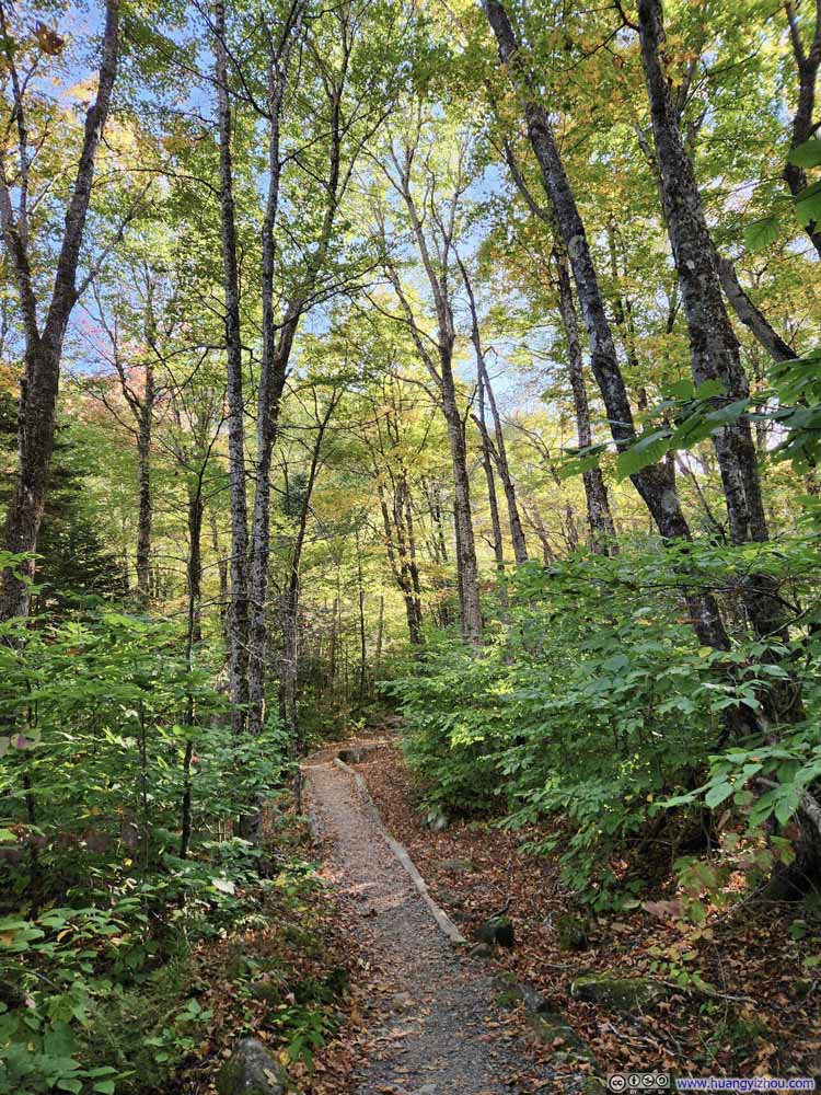
The hike itself wasn’t particularly memorable. What stood out to me most about the trail was its monotony: there wasn’t much change or variation, nor were there any views along the way. The path was rocky, but it didn’t come with any scrambling moves. In total, the hike took me about 1 hour and 40 minutes each way.
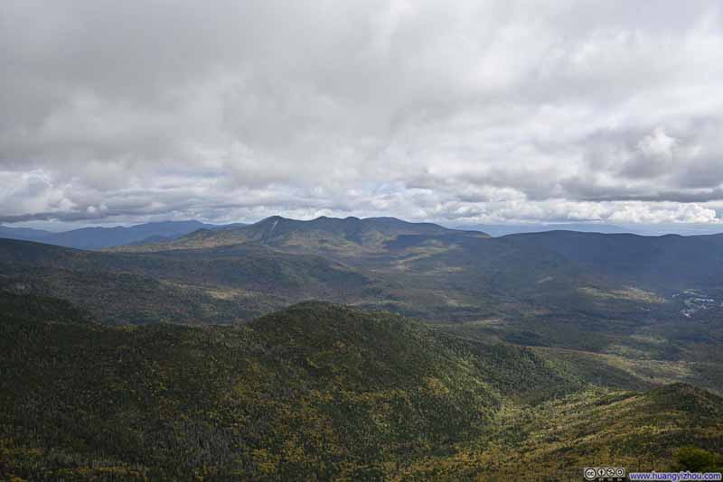
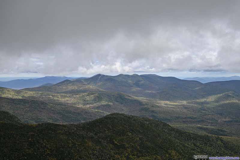
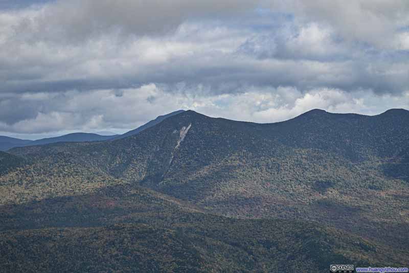
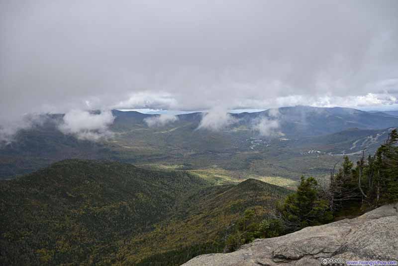
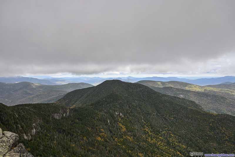
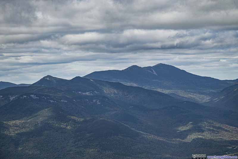
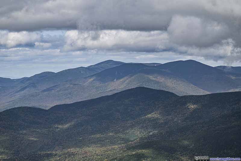
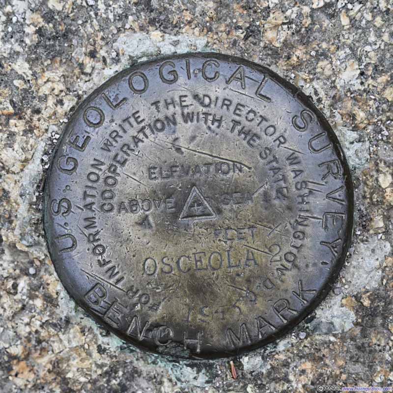
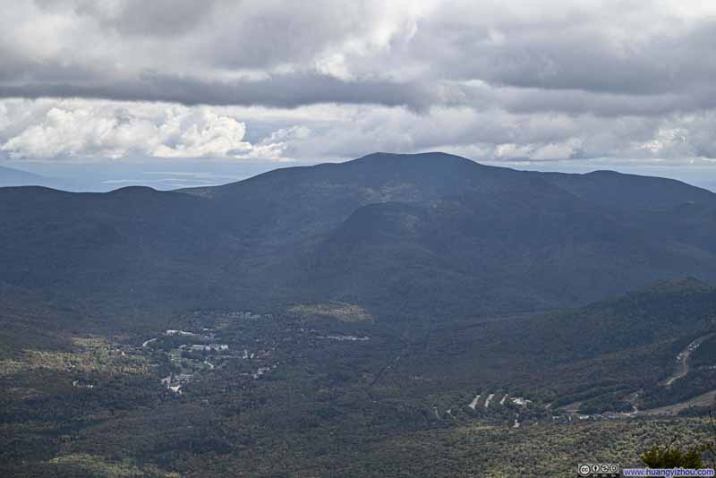
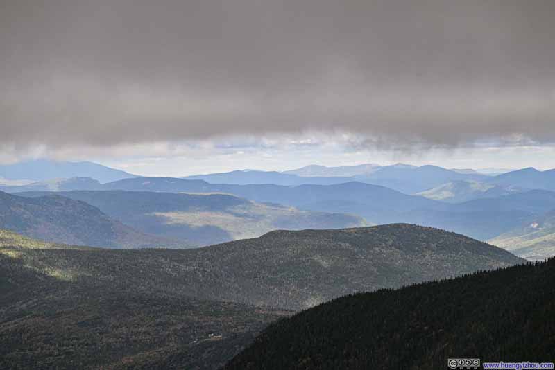
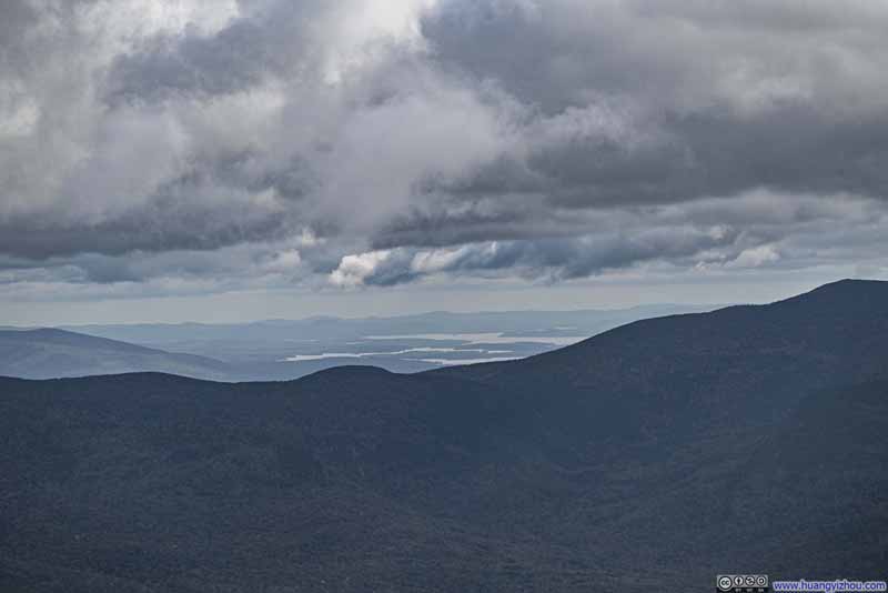
It was a cloudy day, with cloud ceiling about the same height as the summit of Mount Osceola. As a result, the views were oftentimes obscured by passing clouds, and I had to wait for them to clear before anything came into sight. From the summit of Mount Osceola, the most striking views were of the Tripyramid Mountains, which I climbed back in July. The exposed rocks of Tripyramid’s North Slide were the distinctive scar that marked its commanding presence. A short walk toward East Osceola brought me to a small clearing, where Franconia Ridge and the Twin Range Mountains emerged into view. On a clear day, Mount Washington would have been visible, but the low cloud ceiling kept it hidden throughout my visit.
Click here to display photos of the slideshow
From the summit of Mount Osceola, I had the option to extend my hike further to East Osceola. This would have added 3km distance and 250m elevation gain to my hike (1.9mi/810ft). However, after reading online reviews that East Osceola offered no scenic views, I decided to stay put on Mount Osceola instead, catching up on some document reviews on my phone while waiting for the clouds to occasionally clear. (Also, I tried to launch my drone for an aerial tour of the surroundings, but due to a setup error which I couldn’t address on site, that didn’t happen.)
Click here to display photos of the slideshow
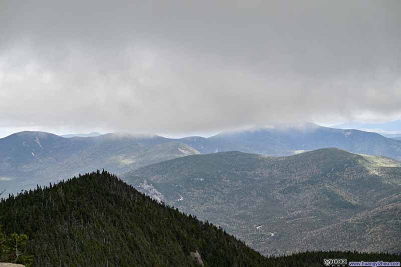
Mountains to the NortheastMount Huntington in the middle, Mount Carrigain in the back, partially in the clouds.
In the end, I spent almost 2 hours on Mount Osceola before starting my descent. Just like my ascent, the descent wasn’t eventful.
Click here to display photos of the slideshow
In the end, I got back to my car just before 5pm, concluding the trip.
END
![]() Hiking Mount Osceola by Huang's Site is licensed under a Creative Commons Attribution-NonCommercial-ShareAlike 4.0 International License.
Hiking Mount Osceola by Huang's Site is licensed under a Creative Commons Attribution-NonCommercial-ShareAlike 4.0 International License.

