Flume Gorge and Mount Pemigewasset

The final Sunday of September 2024, I joined some friends to check out Flume Gorge and the nearby Mount Pemigewasset in New Hampshire’s White Mountains.

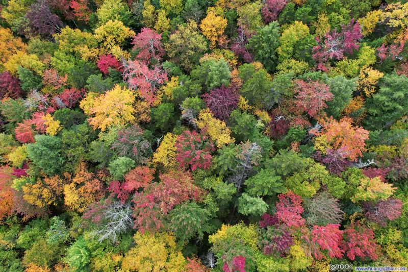
Forests and Mountains in Foliage


Forests and Mountains in Foliage

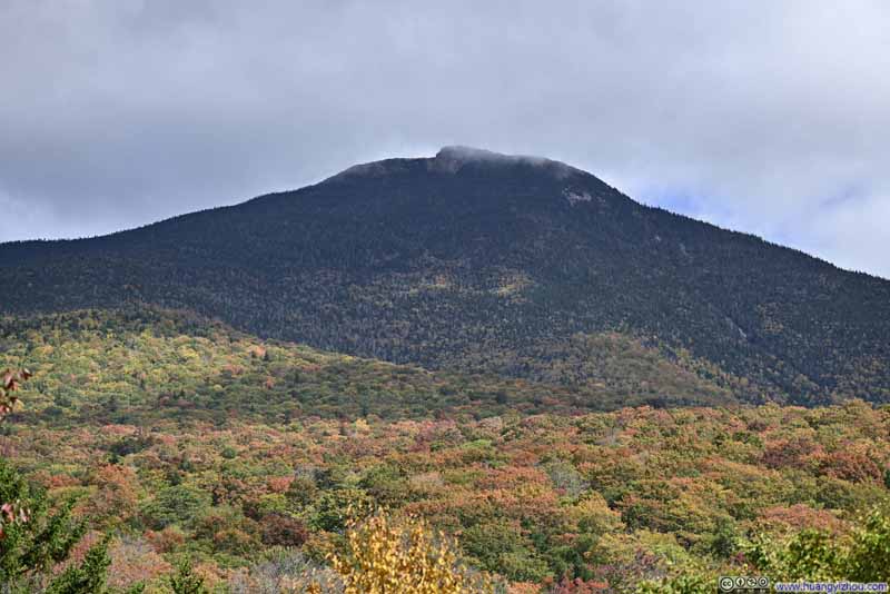
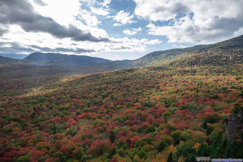
When it comes to fall foliage, I prefer seeing colorful leaves still on the trees rather than fallen on the ground, and I enjoy a mix of colors instead of just red. This means my ideal “peak foliage” typically comes earlier than what most websites recommend. For New Hampshire’s White Mountains, my “peak foliage” was this final weekend of September 2024, when I joined a few friends for a day trip.
Since some members of our group weren’t avid hikers, we planned a gentle introduction to the outdoors: a morning visit to Flume Gorge, followed by lunch in the nearby town of Lincoln, and an afternoon hike along the relatively easy trail to Mount Pemigewasset.

Flume Gorge

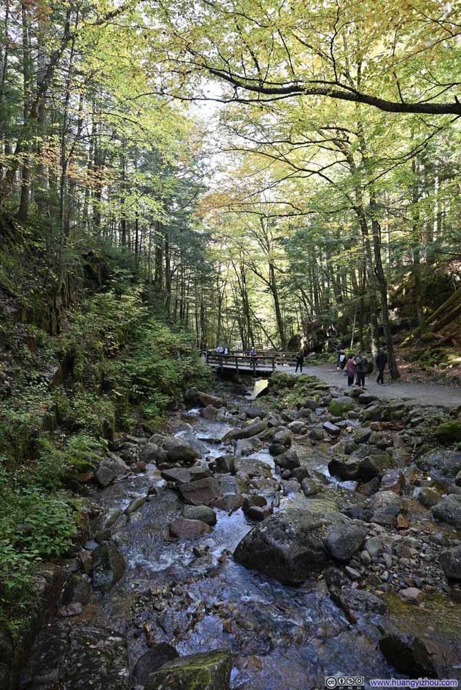
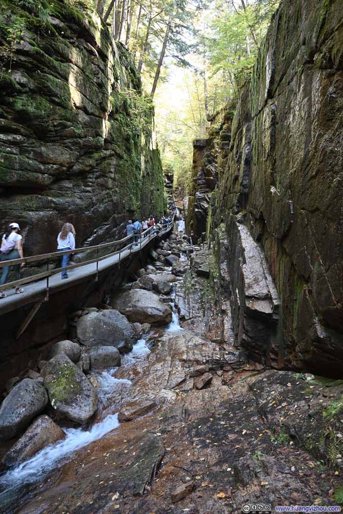
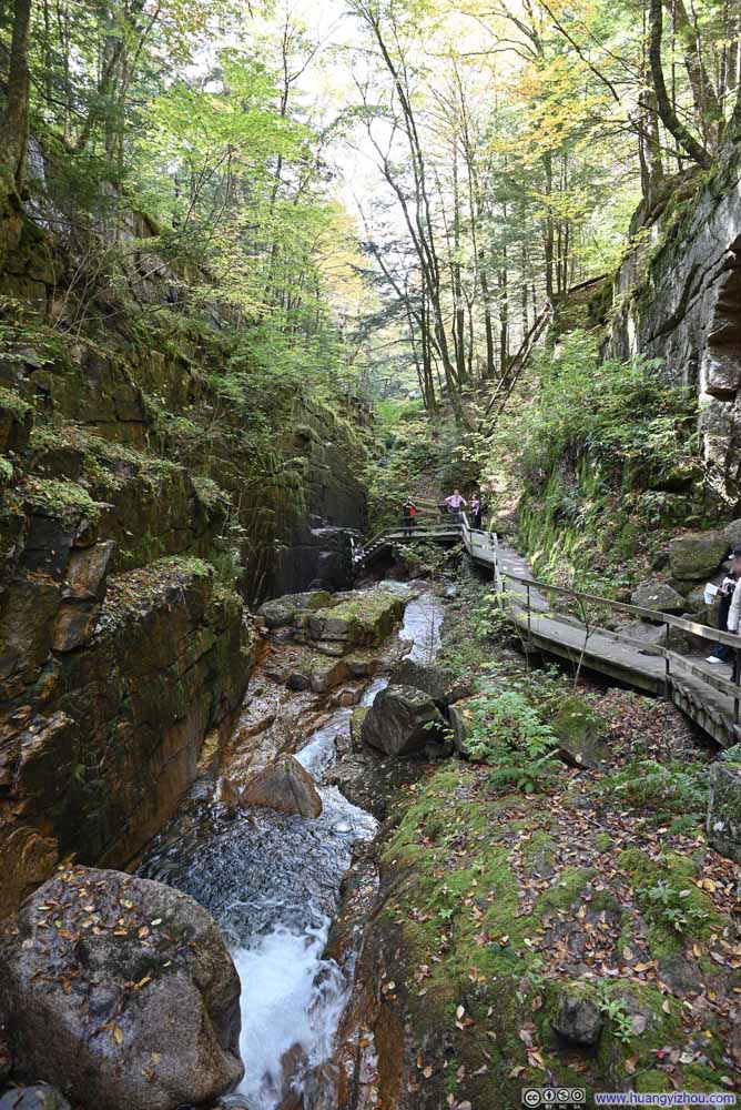
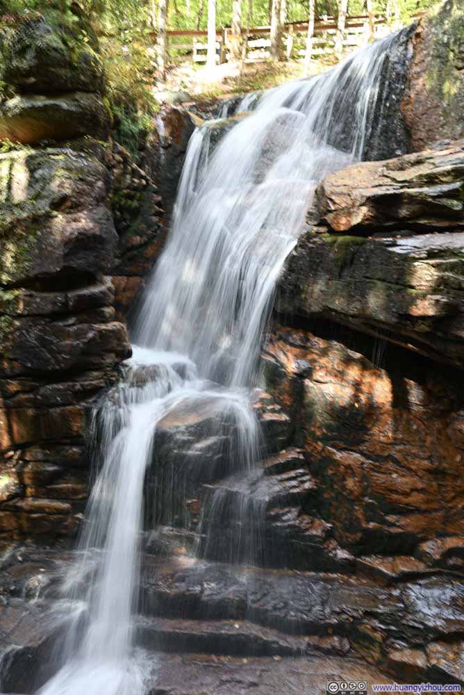
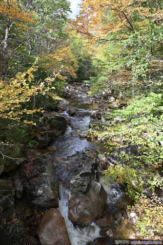
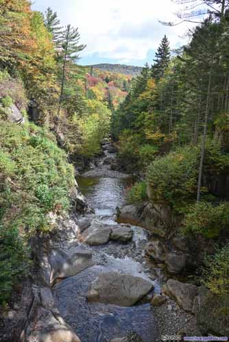
The Flume Gorge is a natural wonder formed when basalt dikes intruded into granite bedrock. Over time, the softer basalt eroded more quickly than the surrounding granite, creating steep walls that formed the dramatic gorge. Flume Brook flew through the gorge, continuing the erosion while breathing life into the gorge.

We arrived at Flume Gorge around 11:30am. The parking lot was mostly full, but we nonetheless managed to find one of its few remaining spots. Franconia Notch State Park used a timed-reservation system for the Flume Gorge in the summer. During our visit, reservations slots were widely available.

  • Flume Brook
    Flume Brook
  • Flume Gorge
    Flume Gorge
  • Flume Gorge
    Flume Gorge
  • Flume Gorge
    Flume Gorge
  • Waterfall
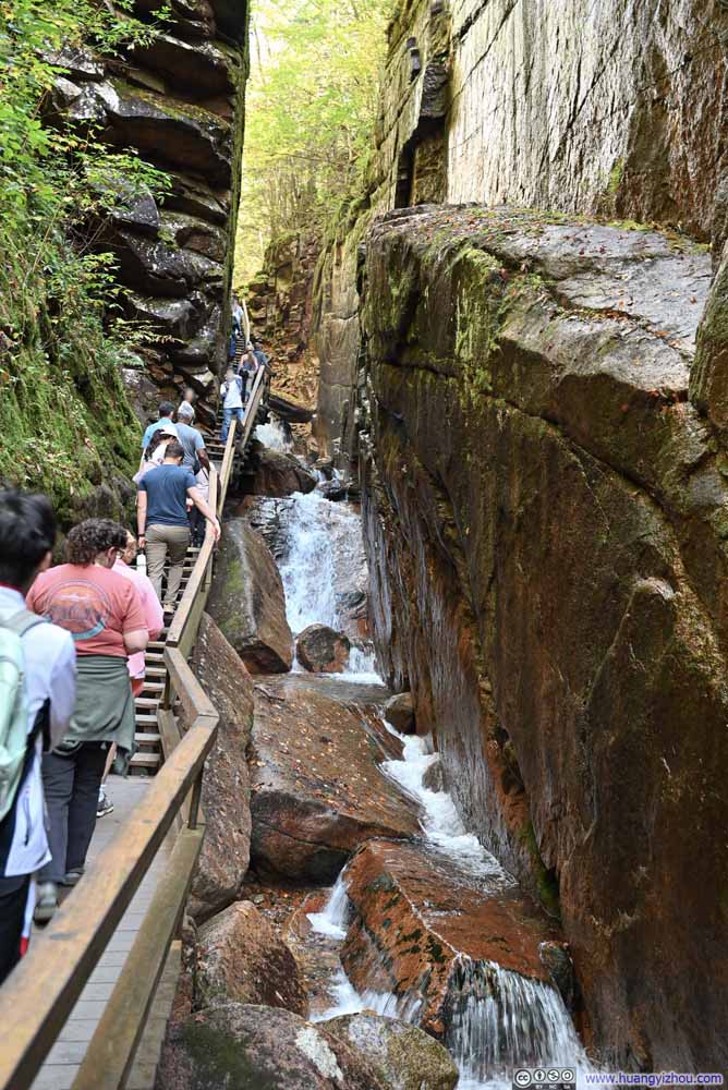
    Waterfall
    At the Upper End of Flume Gorge
  • Flume Brook
  • Flume Gorge
  • Flume Gorge
  • Flume Gorge
  • Waterfall

Click here to display photos of the slideshow
Flume Brook


Flume Brook

Flume Gorge


Flume Gorge

Flume Gorge


Flume Gorge

Flume Gorge


Flume Gorge

Waterfall


Waterfall
At the Upper End of Flume Gorge


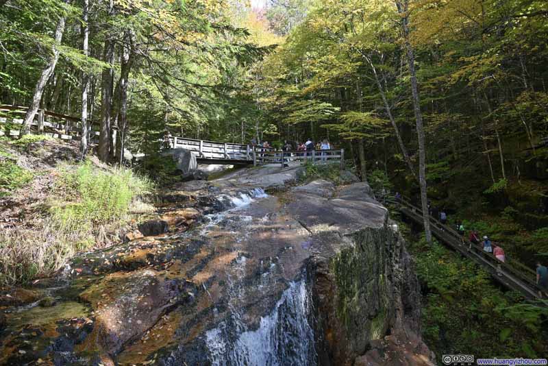
The boardwalks within Flume Gorge make it easily accessible to visitors without too much physical exertion. At its narrowest, one could almost reach out to touch the other end of the gorge. Scattered autumn leaves dotting the gorge added a perfect finishing touch to the emerging fall colors.

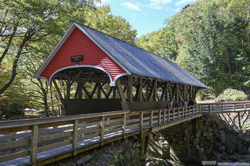
A historical note: The covered bridge spanning the Pemigewasset River (p1 below) was once open to vehicles. In those days, visitors parked higher up the hill, with a ticketing booth that nowadays had been repurposed into an exhibit space and restroom along the hiking trail. As Flume Gorge grew in popularity, the facilities needed to expand, leading to the construction of a larger parking area and improved visitor center further away.
  • Covered Bridge over Pemigewasset River
    Covered Bridge over Pemigewasset River
  • Flume Brook
    Flume Brook
  • Waterfall
    Waterfall
    At the Upper End of Flume Gorge
  • Mount Liberty
    Mount Liberty
  • Covered Bridge over Pemigewasset River
  • Flume Brook
  • Waterfall
  • Mount Liberty

Click here to display photos of the slideshow
Covered Bridge over Pemigewasset River


Covered Bridge over Pemigewasset River

Flume Brook


Flume Brook

Waterfall


Waterfall
At the Upper End of Flume Gorge

Mount Liberty


Mount Liberty


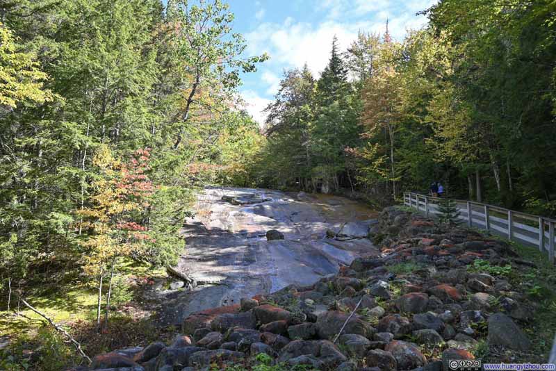
After walking through Flume Gorge, we decided to take the slightly longer loop trail back. Along the way was a second covered bridge across the Pemigewasset River, where we paused to watch fallen leaves dance through the air against a backdrop of vibrant autumn colors along the riverbank.
Foliage along Pemigewasset River

 Foliage along Pemigewasset River
Foliage along Pemigewasset River

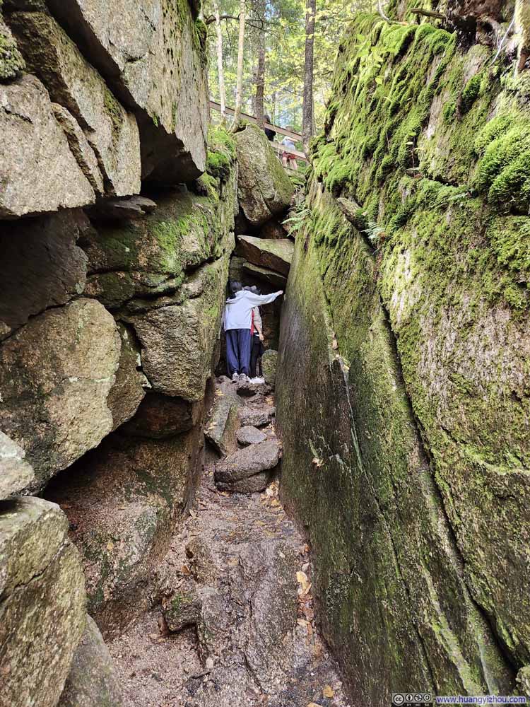
Entrance of Wolf Den


Entrance of Wolf Den

Shortly after crossing Pemigewasset River, we opted to check out “Wolf Den”, which was a short but narrow cave-like rock tunnel that required some careful squeezing to pass through. After trying it out myself, I could say this was tighter than Mount Percival’s “Cave” which I visited a month ago.

At a relaxed pace, we wrapped up our visit to Flume Gorge in about 1.5 hours.

Mount Pemigewasset

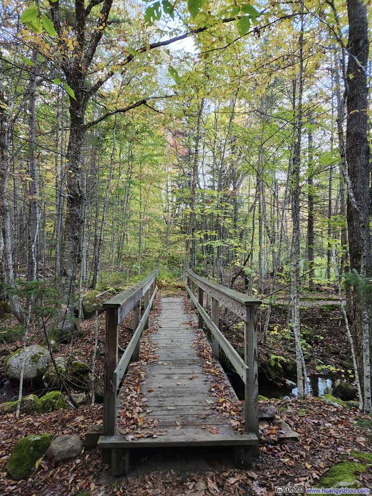
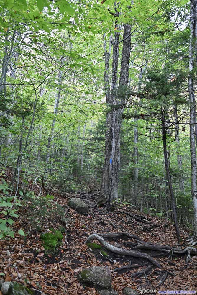
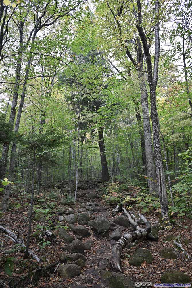
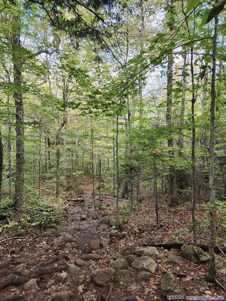
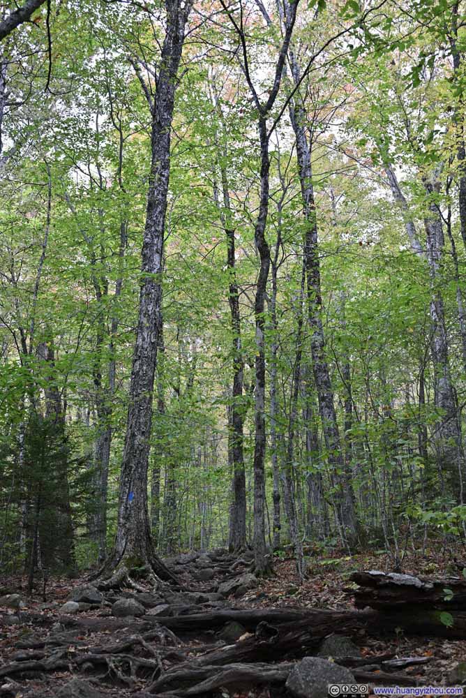
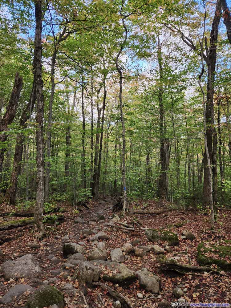
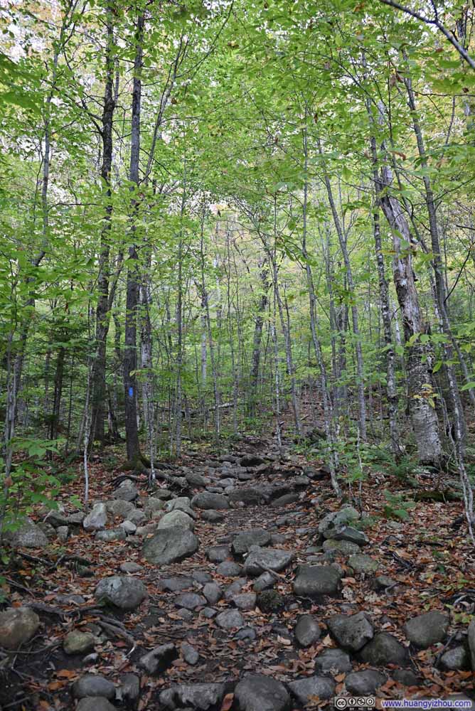
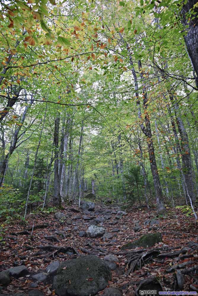
We returned to hike Mount Pemigewasset after a long lunch (the restaurant was likely understaffed given the number of visitors). The trail would lead us to Indian Head, an impressive rock face that juts out above the forest below. It happened that Flume Gorge’s parking lot also served as the starting point for the hike to Mount Pemigewasset.

  • Footbridge
    Footbridge
  • Trail
    Trail
  • Trail
    Trail
  • Trail
    Trail
  • Trail
    Trail
  • Trail
    Trail
  • Trail
    Trail
  • Trail
    Trail
  • Footbridge
  • Trail
  • Trail
  • Trail
  • Trail
  • Trail
  • Trail
  • Trail

Click here to display photos of the slideshow
Footbridge


Footbridge

Trail


Trail

Trail


Trail

Trail


Trail

Trail


Trail

Trail


Trail

Trail


Trail

Trail


Trail


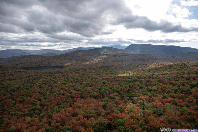
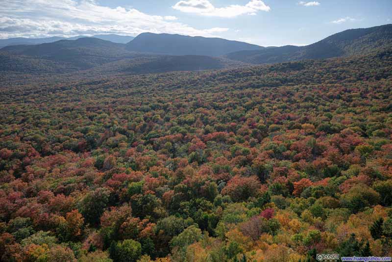
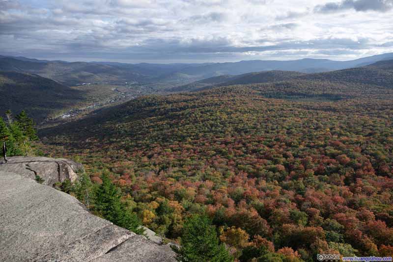
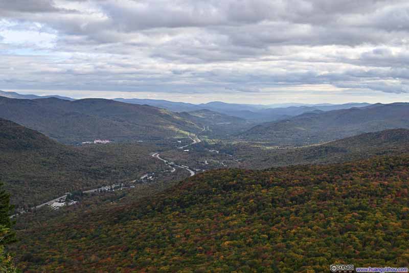
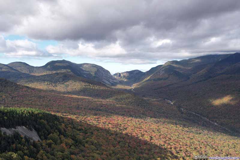
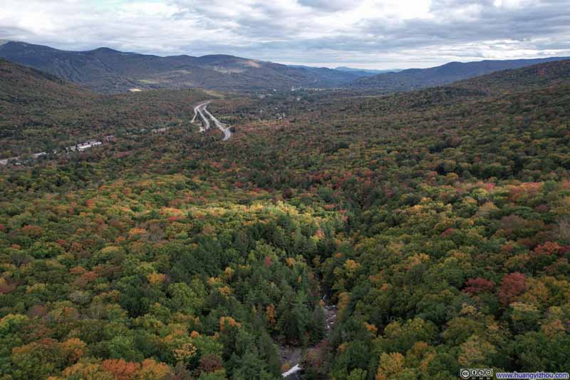
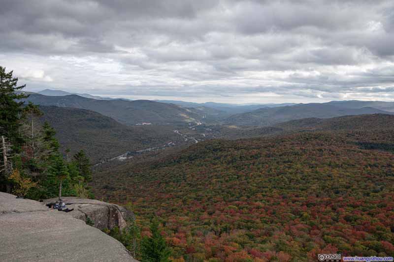
While the trail itself was fairly ordinary, with few signs of foliage along the way, reaching Indian Head proved to be the highlight of the hike. The summit offered breathtaking views of a vast forest below, dressed in brilliant autumn colors. Drifting clouds created an ever-changing display of light and shadow across the landscape, making the journey completely worthwhile.

  • Forests and Mountains in Foliage
    Forests and Mountains in Foliage
  • Forests and Mountains in Foliage
    Forests and Mountains in Foliage
  • Forests in Foliage
    Forests in Foliage
  • Forests in Foliage
    Forests in Foliage
  • I93 Winding through Mountains
    I93 Winding through Mountains
  • Forests and Mountains in Foliage
  • Forests and Mountains in Foliage
  • Forests in Foliage
  • Forests in Foliage
  • I93 Winding through Mountains

Click here to display photos from Indian Head of Mount Pemigewasset.
Forests and Mountains in Foliage


Forests and Mountains in Foliage

Forests in Foliage


Forests in Foliage
Forests in Foliage

I93 Winding through Mountains


I93 Winding through Mountains


View from Mount Pemigewasset


View from Mount Pemigewasset

From Mount Pemigewasset, I launched my drone for a tour of the surroundings.

  • Distant Franconia Notch
    Distant Franconia Notch
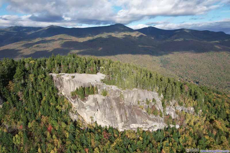
  • Overlooking Mount Pemigewasset
    Overlooking Mount Pemigewasset
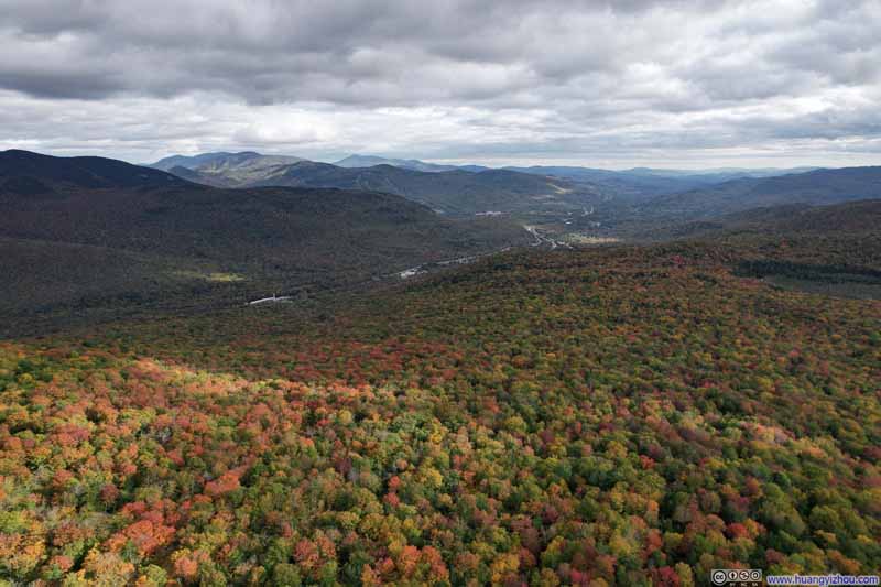
  • Forests and Mountains in Foliage
    Forests and Mountains in Foliage
  • Forests and Mountains in Foliage
    Forests and Mountains in Foliage
    Harvard Brook in the lower-center, I93 extending beyond the background.
  • Forest in Foliage
    Forest in Foliage
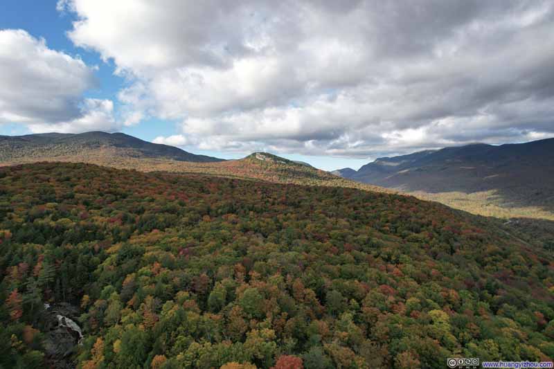
    Upper Harvard Falls in the lower-left corner of this photos. Mount Pemigewasset in the center.
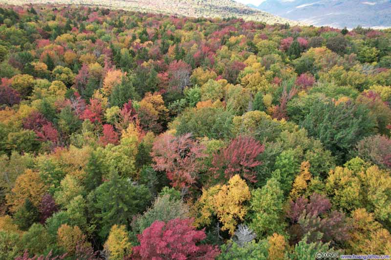
  • Overlooking Blend of Colors in Forest
    Overlooking Blend of Colors in Forest
  • Overlooking Blend of Colors in Forest
    Overlooking Blend of Colors in Forest
  • Distant Franconia Notch
  • Overlooking Mount Pemigewasset
  • Forests and Mountains in Foliage
  • Forests and Mountains in Foliage
  • Forest in Foliage
  • Overlooking Blend of Colors in Forest
  • Overlooking Blend of Colors in Forest

Click here to display photos of the slideshow
Distant Franconia Notch


Distant Franconia Notch

Overlooking Mount Pemigewasset


Overlooking Mount Pemigewasset

Forests and Mountains in Foliage


Forests and Mountains in Foliage

Forests and Mountains in Foliage


Forests and Mountains in Foliage
Harvard Brook in the lower-center, I93 extending beyond the background.

Forest in Foliage


Forest in Foliage
Upper Harvard Falls in the lower-left corner of this photos. Mount Pemigewasset in the center.

Overlooking Blend of Colors in Forest


Overlooking Blend of Colors in Forest


Overlooking Forests near Mount Pemigewasset


Overlooking Mount Pemigewasset
From a distance (top) and close by (bottom).

And here’s a video:

0:00 Southbound, ultimately following Georgiana and Harvard Falls. (I was thrilled to recognize them from my visit back in June.)
1:40 Northbound, the exposed rocks of Mount Pemigewasset in clear view with Franconia Notch in the distance.

Having taken in the views from Mount Pemigewasset, we traced our way back to the parking lot, drove back to town and concluded the day.
END

CC BY-NC-SA 4.0 Flume Gorge and Mount Pemigewasset by Huang's Site is licensed under a Creative Commons Attribution-NonCommercial-ShareAlike 4.0 International License.

Leave a Reply

Your email address will not be published. Required fields are marked *