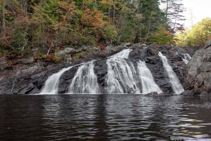
Hiking Mount Cardigan

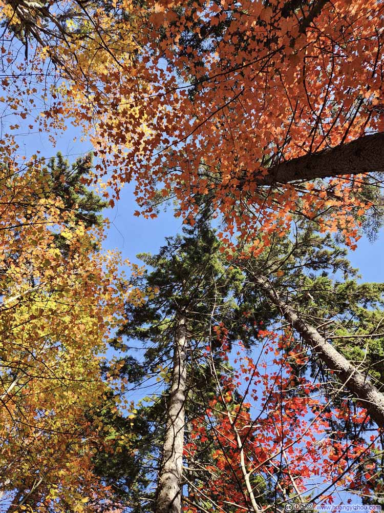
The first Sunday of October 2024. With foliage colors in full swing in New Hampshire, I checked out Mount Cardigan via a thrilling combination of Holt and Manning Trail.

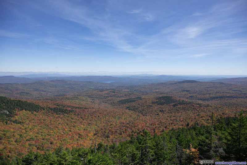
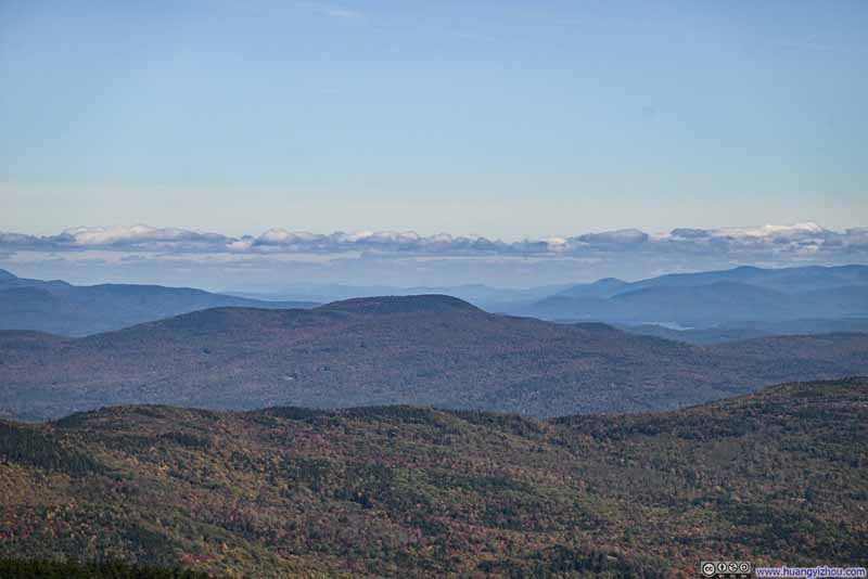
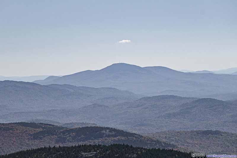
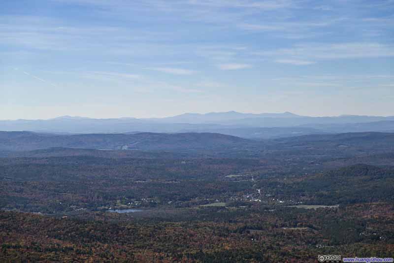
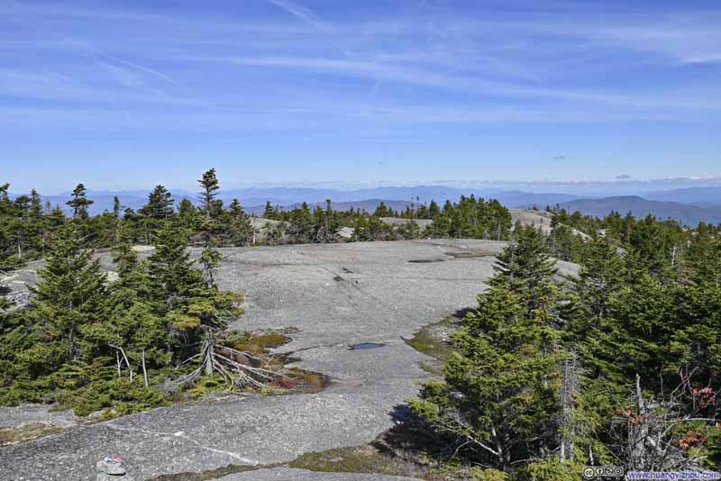
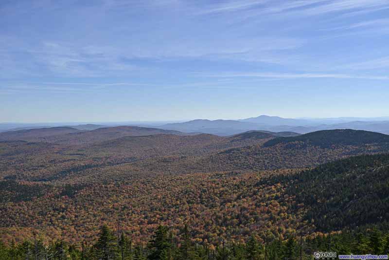
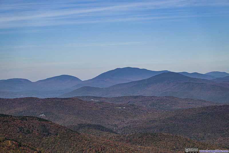
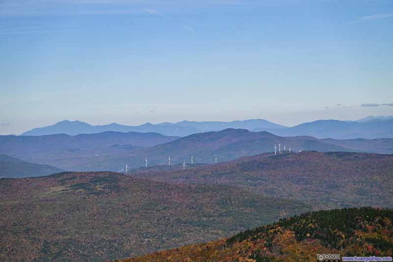
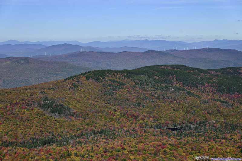
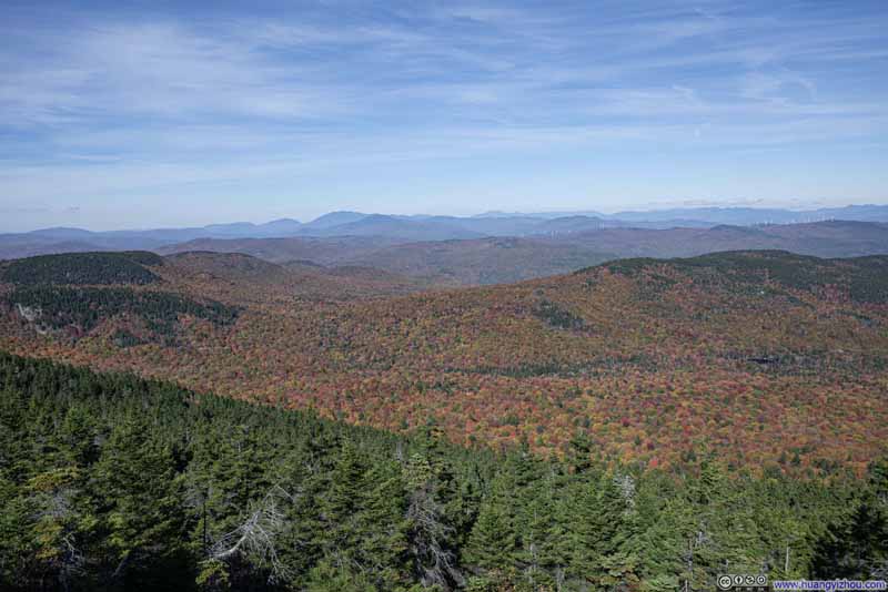
Mountains to the North of Firescrew Mountain


Mountains to the North of Firescrew Mountain

As mentioned in the previous post, I preferred foliage slightly earlier than what most websites marked as “peak foliage”. For New Hampshire’s White Mountains, early October was a bit late in that sense. So for this weekend, I decided to visit Mount Cardigan, located further south, hoping to catch the autumn colors at their finest.
Mount Cardigan offered a variety of trail systems to explore. From the west, the standard route to the summit started from the Cardigan Mountain State Park parking lot. However, I read that “Holt Trail”, approaching from the east, featured some exciting scrambling sections. This led me to plan a loop combining the Holt and Manning Trails (AllTrails link).

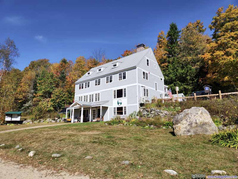
Coming from the east, the trailhead for this hike was located at AMC’s Cardigan Lodge. The final 1.5 miles (2.4km) of road leading to the lodge was unpaved. (For comparison, the unpaved section on the western approach to the state park trailhead was slightly shorter at 1.2 miles.) When I arrived at 11:30am, the parking lot still had several spots available.

AMC Cardigan Lodge


AMC Cardigan Lodge
I checked it out after my hike. It was pretty nice inside.

After some warmup, I started my hike at 11:42am. Here’s GPS tracking:

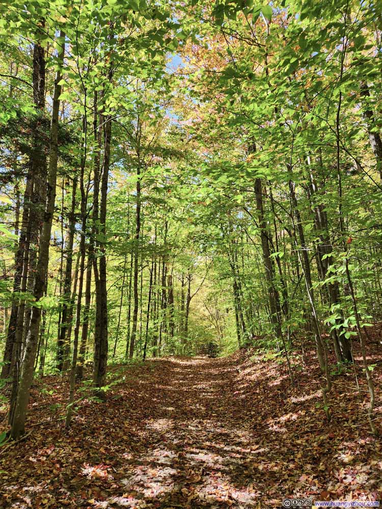
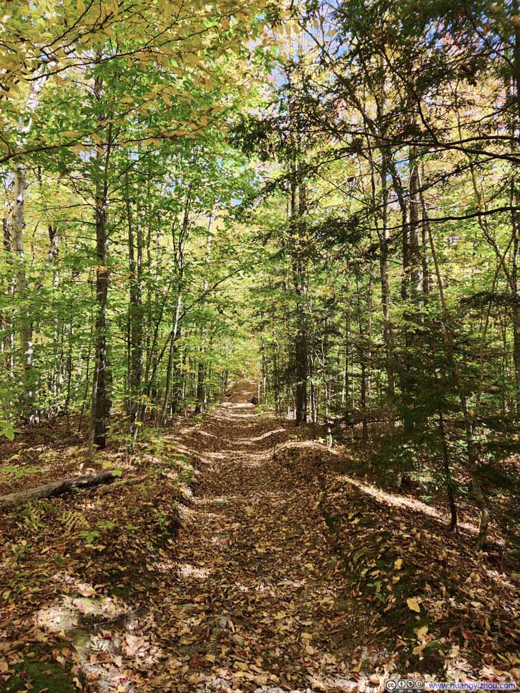
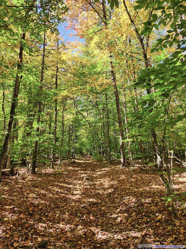
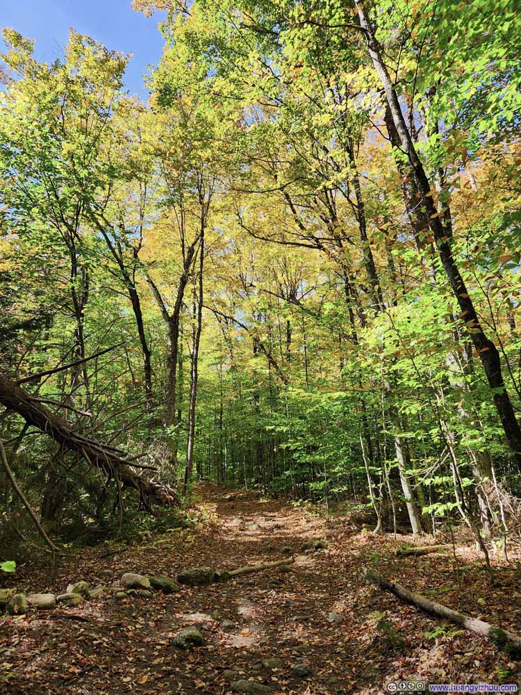
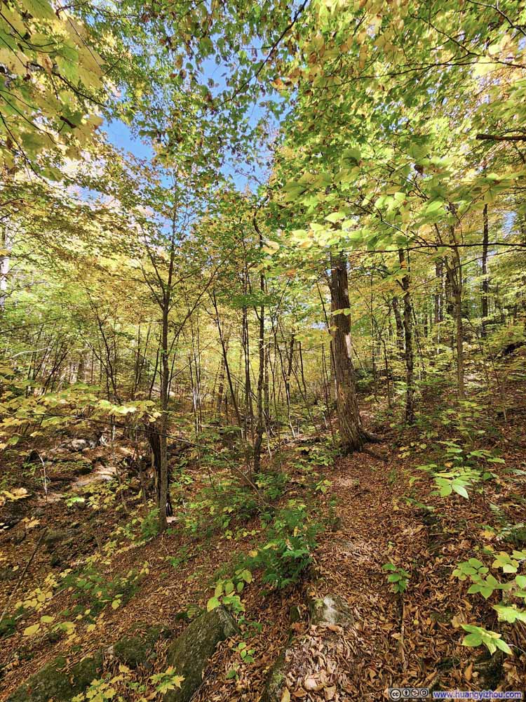
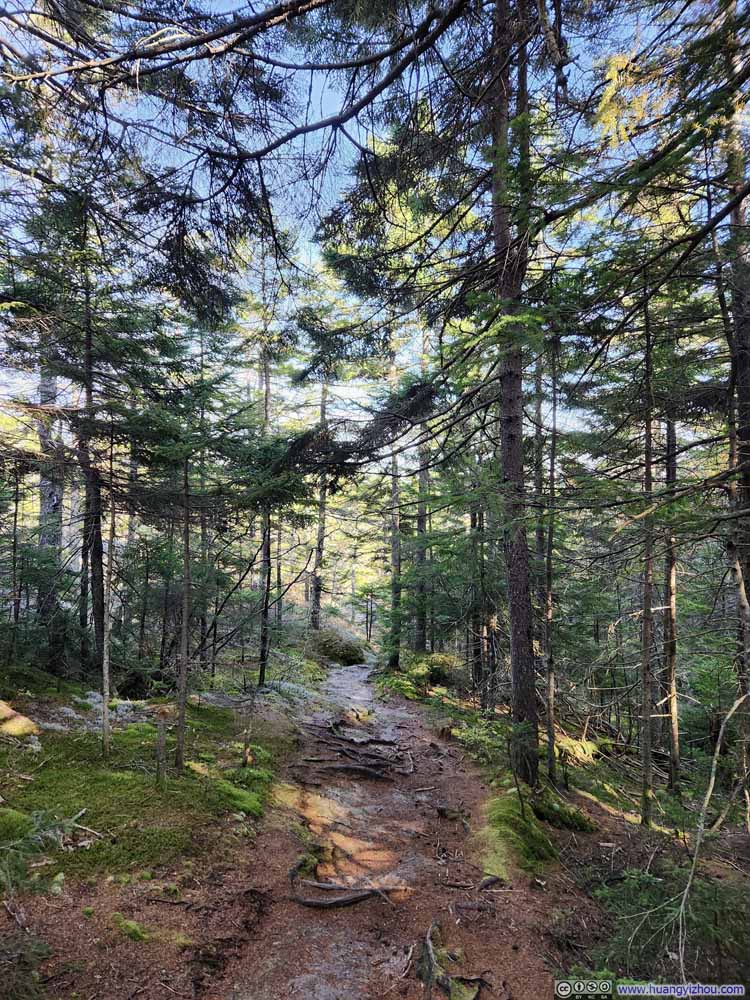
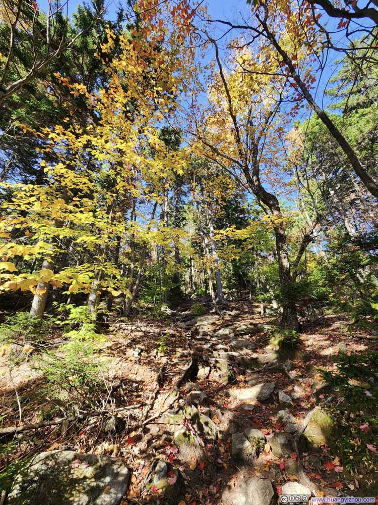
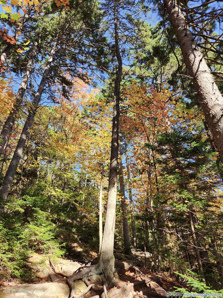
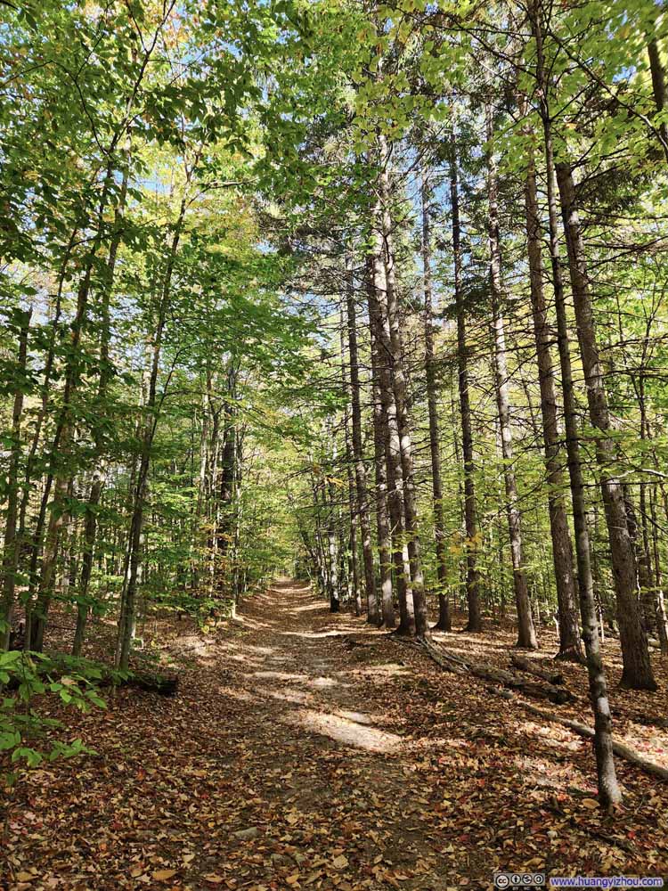
The trail began as a wide, inviting path through the woods, with the ground covered in fallen leaves but lots of lush ones still on the trees above. It’s a pleasant and easy stroll accompanied by the satisfying crunch of leaves beneath my feet.
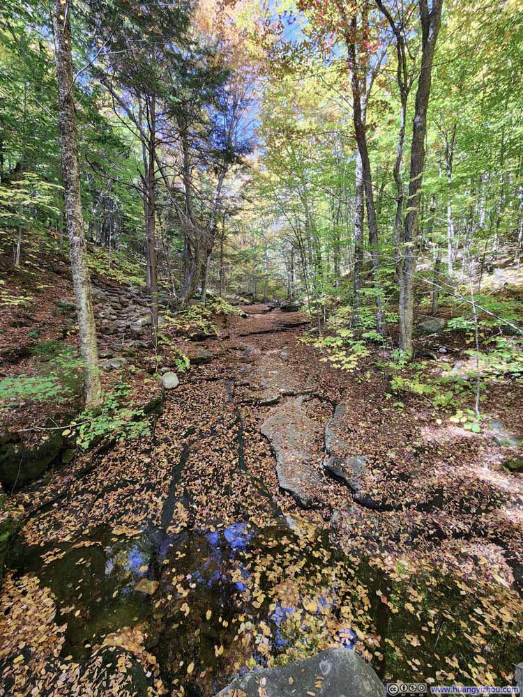
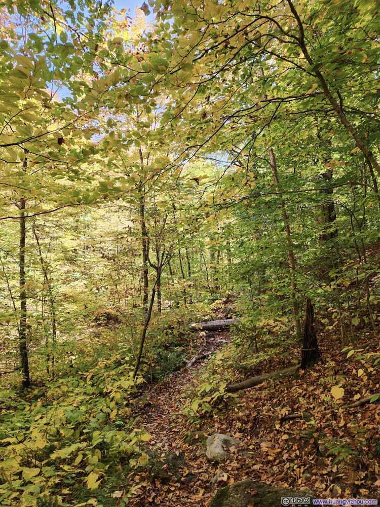
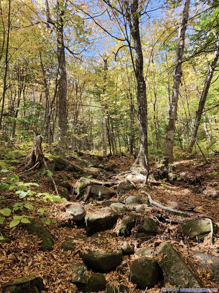
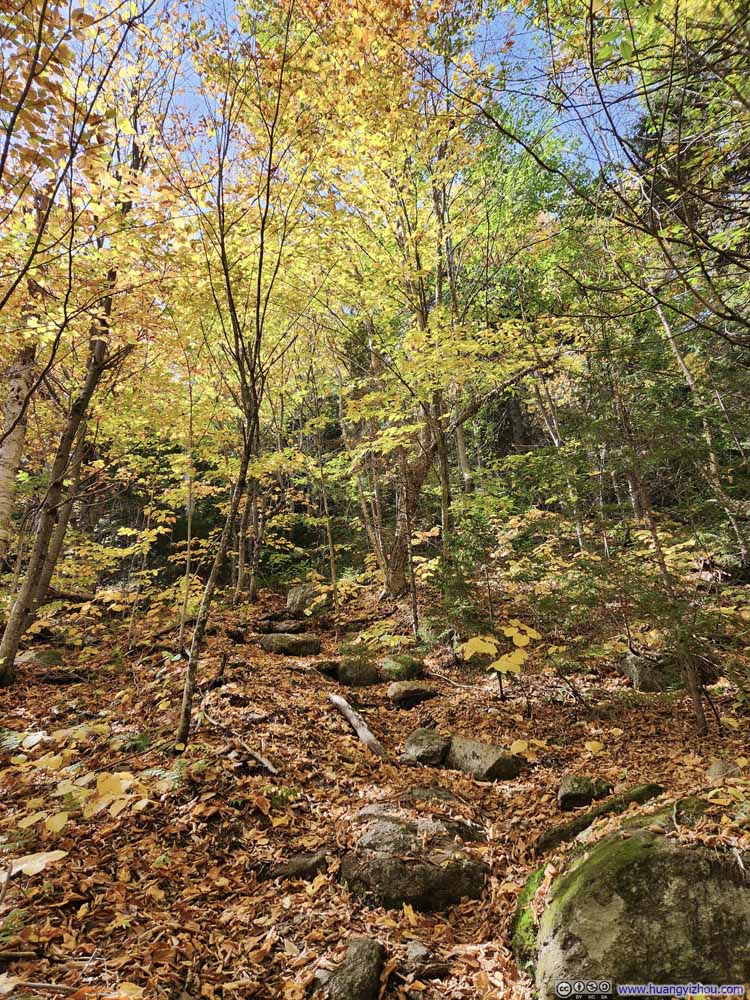
This continued for 1.4km (0.9mi), before the trail crossed a creek and narrowed down.

  • Trail
    Trail
  • Trail
    Trail
  • Trail
    Trail
  • Trail
    Trail
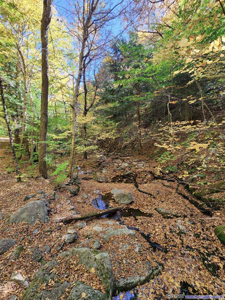
  • Bailey Brook Covered by Leaves
    Bailey Brook Covered by Leaves
  • Bailey Brook Covered by Leaves
    Bailey Brook Covered by Leaves
  • Trail
    Trail
  • Trail
    Trail
  • Trail
    Trail
  • Trail
    Trail
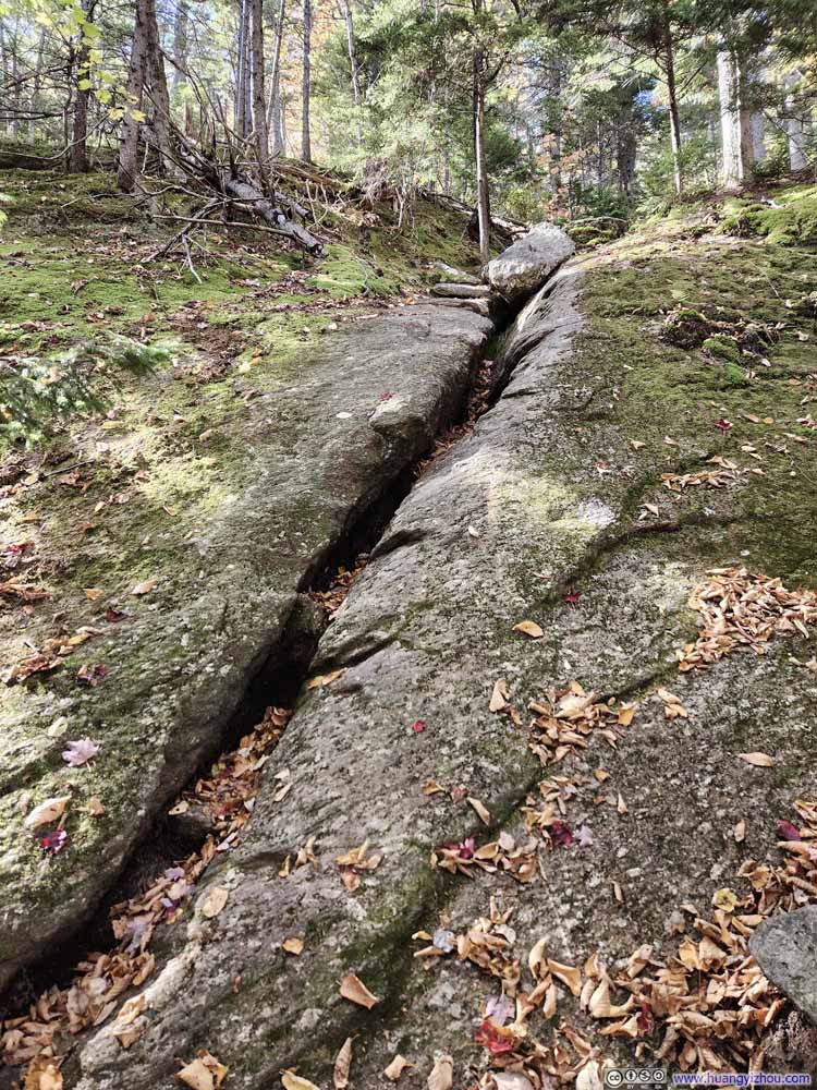
  • First Technical Move along Holt Trail
    First Technical Move along Holt Trail
    Following this slit upwards.
  • Trail
  • Trail
  • Trail
  • Trail
  • Bailey Brook Covered by Leaves
  • Bailey Brook Covered by Leaves
  • Trail
  • Trail
  • Trail
  • Trail
  • First Technical Move along Holt Trail

Click here to display photos of the trail.
Trail


Trail

Trail


Trail

Trail


Trail

Trail


Trail

Bailey Brook Covered by Leaves


Bailey Brook Covered by Leaves

Bailey Brook Covered by Leaves


Bailey Brook Covered by Leaves

Trail


Trail

Trail


Trail

Trail


Trail

Trail


Trail

First Technical Move along Holt Trail


First Technical Move along Holt Trail
Following this slit upwards.


Not long after that, I reached “Grand Junction” which was the intersection of several trails. There were clear warning signs about the challenging nature of the “Holt Trail”, which hastened the pace of elevation gain after the intersection. Yet the first technical move wasn’t until 1km (0.6mi) after “Grand Junction” (see the last photo in the slideshow above).

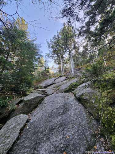
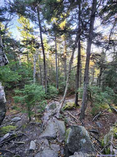
I recorded the entire climb from that first technical move to the summit of Cardigan with a helmet-mounted GoPro. In my opinion, there were perhaps two or three moves that could be rated as YDS class 3, mostly near the top. Overall, it felt more physically demanding than technically difficult. I briefly lost the trail once below the treeline; but once above the treeline, there were plenty of blazes on the rock face to follow, which made straightforward navigation.
Here’s my recorded video:

0:00 Starting from the first technical move.
1:46 I briefly lost the trail among dense woods for a while.
5:00 Emerging from the tree line. (It was mostly YDS class 2 before this point.)
12:35 A great overlook to take some rest and photos. (I briefly lost the trail again after this point.)
16:11 Starting the crux
19:30 Finishing the crux

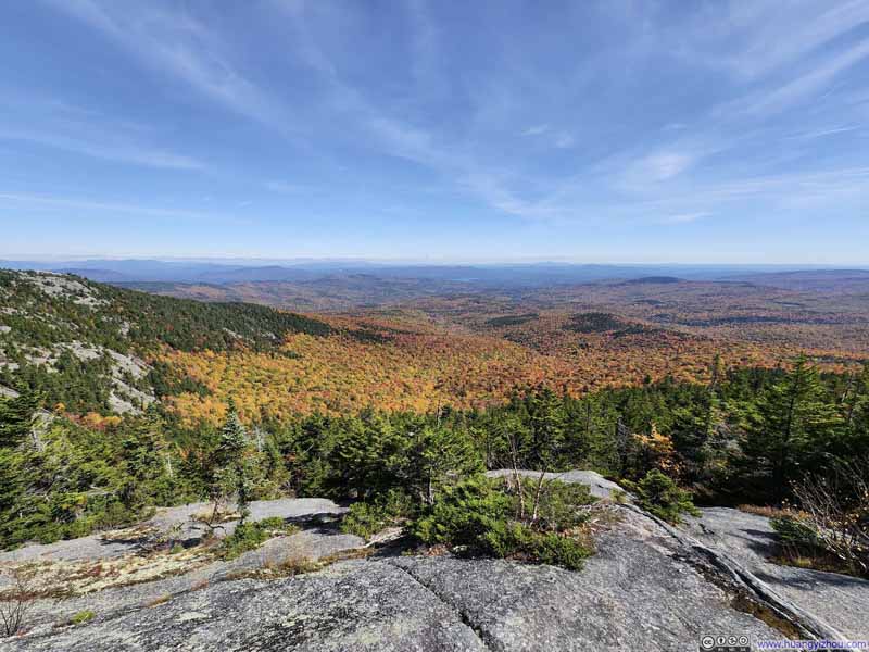
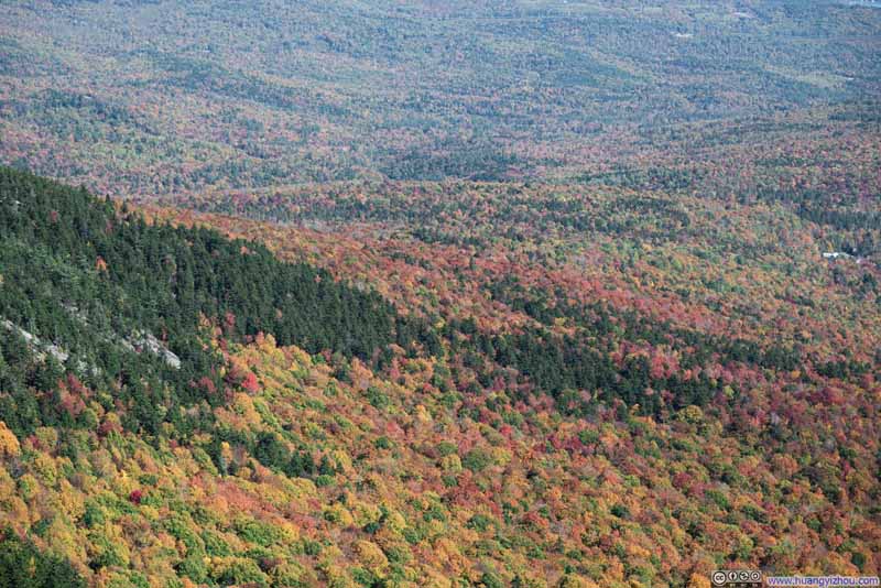
Somewhere along the way, I paused for a break at a clearing that offered stunning views of the vast forest below. The transition from evergreen to deciduous trees created a stunning blend of colors, offering a preview of the views from the summit of Cardigan.

  • Overlooking Forests in Foliage
    Overlooking Forests in Foliage
  • Overlooking Forests in Foliage
    Overlooking Forests in Foliage
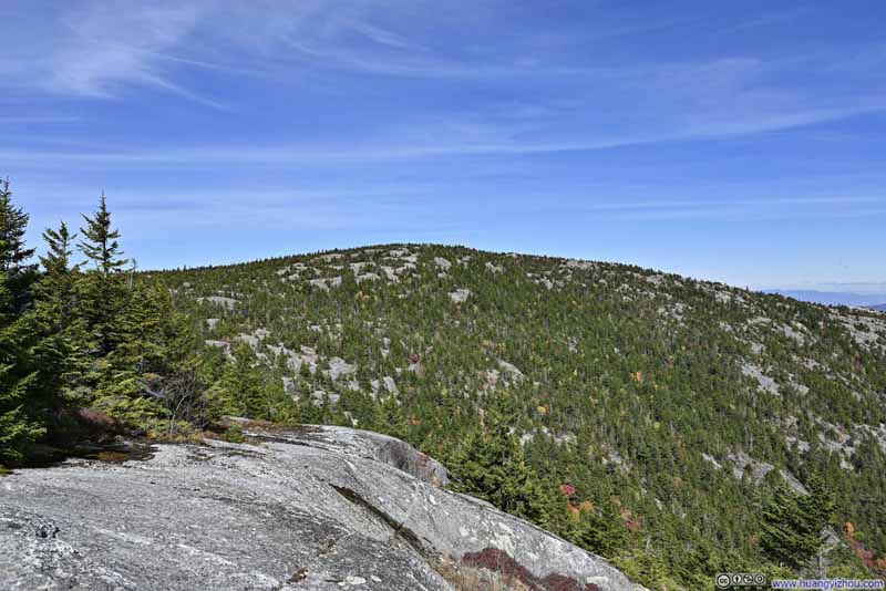
  • Firescrew Mountain
    Firescrew Mountain
    The rocks in the foreground provided me a place to rest.
  • Forest in Foliage
    Forest in Foliage
    AMC’s Cardigan Lodge in left. From the lodge, a small concave in the landscape marked the creek which the trail largely followed.
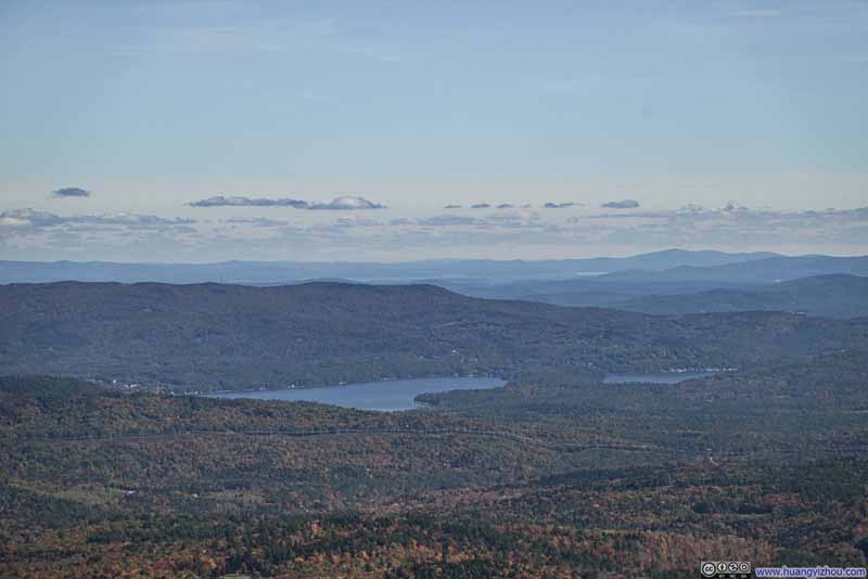
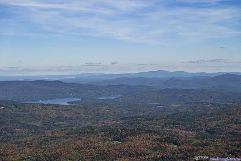
  • Distant Newfound Lake
    Distant Newfound Lake
  • Plymouth Mountain
    Plymouth Mountain
  • Overlooking Forests in Foliage
  • Overlooking Forests in Foliage
  • Firescrew Mountain
  • Forest in Foliage
  • Distant Newfound Lake
  • Plymouth Mountain

Click here to display photos of the slideshow
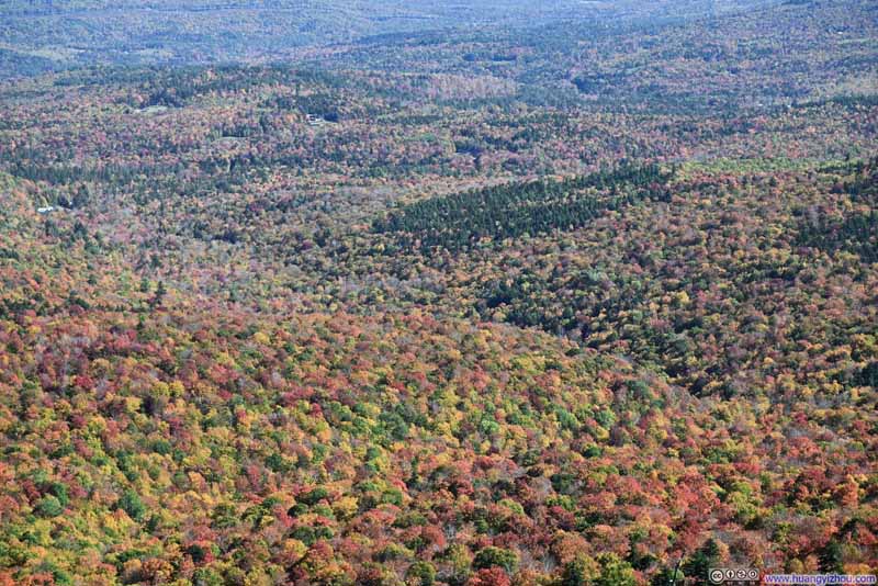
Overlooking Forests in Foliage


Overlooking Forests in Foliage

Overlooking Forests in Foliage


Overlooking Forests in Foliage

Firescrew Mountain


Firescrew Mountain
The rocks in the foreground provided me a place to rest.

Forest in Foliage


Forest in Foliage

AMC’s Cardigan Lodge in left. From the lodge, a small concave in the landscape marked the creek which the trail largely followed.

Distant Newfound Lake


Distant Newfound Lake

Plymouth Mountain


Plymouth Mountain


View along Holt Trail


View along Holt Trail

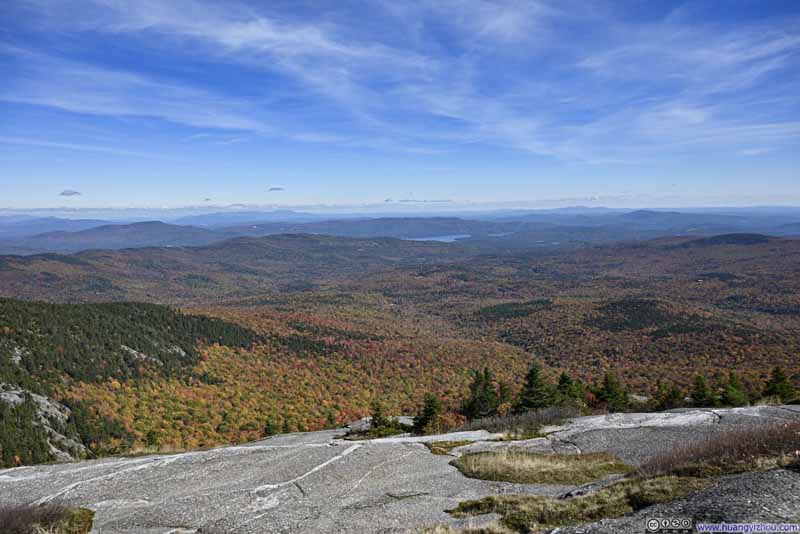
In the end, I reached the summit of Mount Cardigan at 1:22pm, about 1 hour and 40 minutes after leaving my car. The summit was relatively spacious, with around 20 to 40 people scattered across the area, taking in the beautiful views.

  • Overlooking Forests in Foliage
    Overlooking Forests in Foliage
  • Overlooking Forests in Foliage
    Overlooking Forests in Foliage
  • Blend of Colors on Mountains
    Blend of Colors on Mountains
  • Blend of Colors on Mountains
    Blend of Colors on Mountains
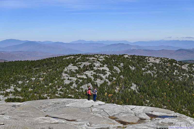
  • Firescrew Mountain before Distant White Mountains
    Firescrew Mountain before Distant White Mountains
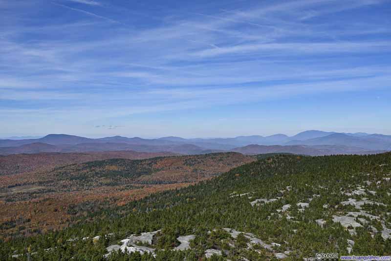
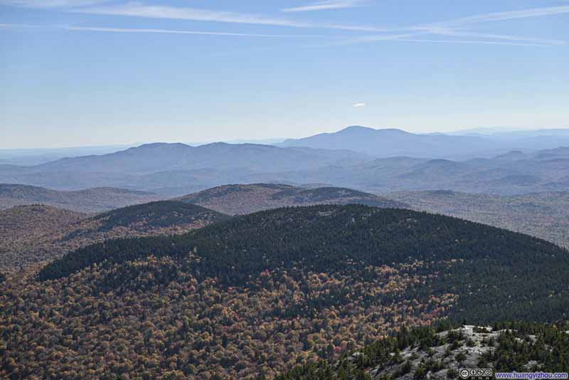
  • Mountains to the North
    Mountains to the North
  • Overlooking Forests in Foliage
  • Overlooking Forests in Foliage
  • Blend of Colors on Mountains
  • Blend of Colors on Mountains
  • Firescrew Mountain before Distant White Mountains
  • Mountains to the North

Click here to display photos of the slideshow
Overlooking Forests in Foliage


Overlooking Forests in Foliage

Blend of Colors on Mountains


Blend of Colors on Mountains

Firescrew Mountain before Distant White Mountains


Firescrew Mountain before Distant White Mountains

Mountains to the North


Mountains to the North


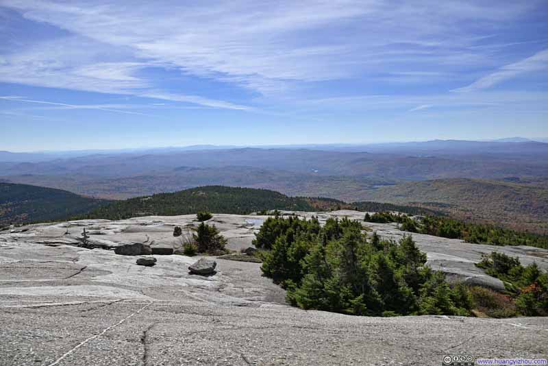
  • Mountains to the South
    Mountains to the South
    Orange Mountain and Melvin Mountain in the center, Mount Kearsarge in the background right.
  • Mount Kearsarge
    Mount Kearsarge
    One of the few prominent mountains to the south.
  • Fields and Mountains to the Southwest
    Fields and Mountains to the Southwest
    Trails on these rockfaces lead to a different trailhead of Mount Cardigan.
  • Mountains to the West
    Mountains to the West
    Town of Canaan in the center, Killington Peak of Vermont in the background.
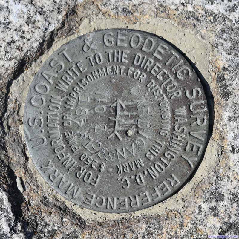
  • Summit Marker
    Summit Marker
    Weirdly, this one didn’t specify elevation, but said “for information write to the director Washington DC”. Guess people had to write to the director to inquire its elevation then.
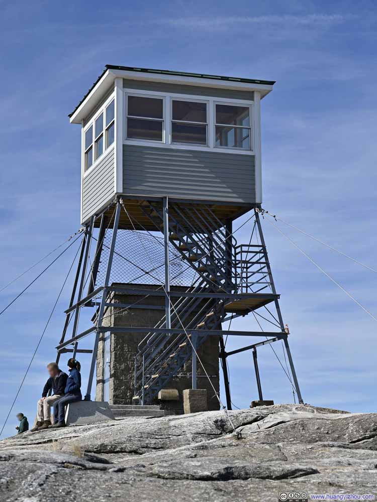
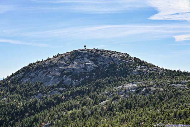
  • Watch Tower on Mount Cardigan
    Watch Tower on Mount Cardigan
    Closed during my visit.
  • Mountains to the South
  • Mount Kearsarge
  • Fields and Mountains to the Southwest
  • Mountains to the West
  • Summit Marker
  • Watch Tower on Mount Cardigan

Click here to display photos of the slideshow
Mountains to the South


Mountains to the South
Orange Mountain and Melvin Mountain in the center, Mount Kearsarge in the background right.

Mount Kearsarge


Mount Kearsarge
One of the few prominent mountains to the south.

Fields and Mountains to the Southwest


Fields and Mountains to the Southwest
Trails on these rockfaces lead to a different trailhead of Mount Cardigan.

Mountains to the West


Mountains to the West
Town of Canaan in the center, Killington Peak of Vermont in the background.

Summit Marker


Summit Marker

Weirdly, this one didn’t specify elevation, but said “for information write to the director Washington DC”. Guess people had to write to the director to inquire its elevation then.

Watch Tower on Mount Cardigan


Watch Tower on Mount Cardigan
Closed during my visit.


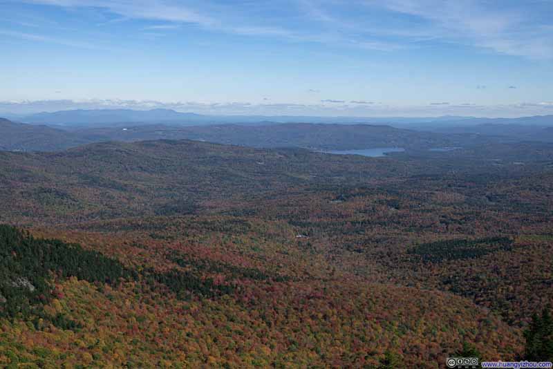
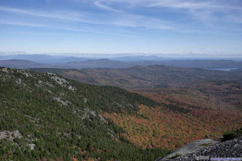
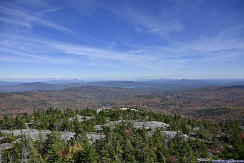
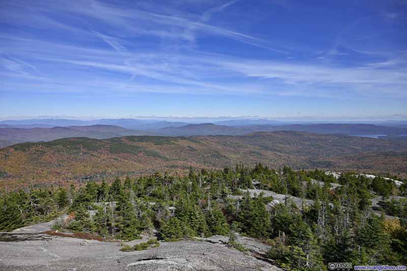
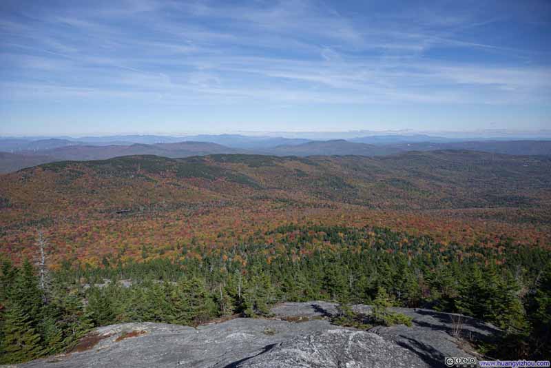
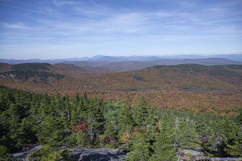
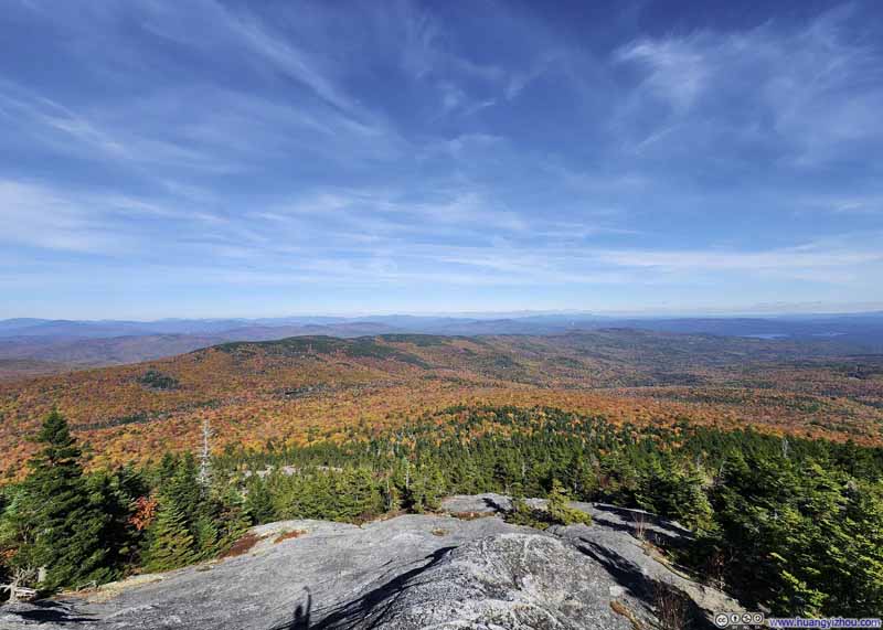
While the summit of Mount Cardigan provided 360-degree views, I found the best ones to be the towards the east, the same views offered by Holt Trail.

View from Mount Cardigan


View from Mount Cardigan
To the east (top) and northwest (bottom)

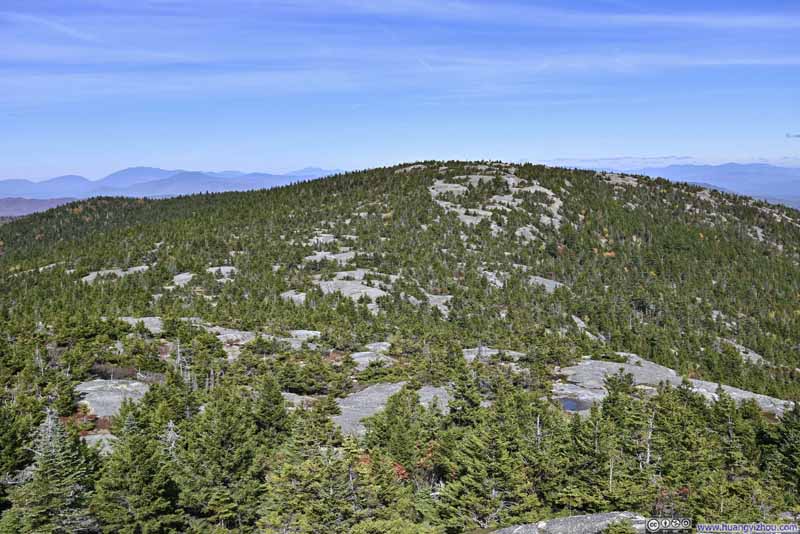
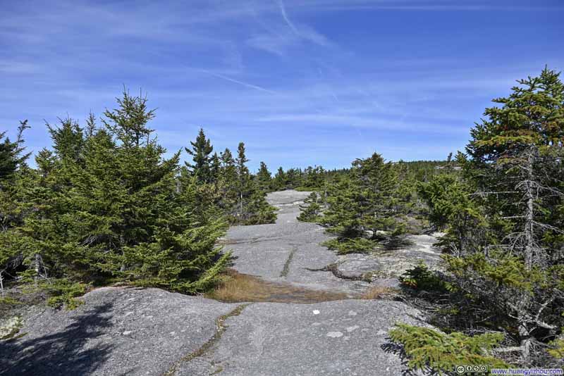
After a 25-minute rest, I continued towards Firescrew Mountain. Leaving Cardigan, there was a small but steep slope, nowhere as technical as Holt Trail. After that, the trail wound its way through patches of low coniferous shrubs. As observed earlier from Mount Cardigan, Firescrew Mountain seemed like an outstanding island of coniferous trees amidst the vast expanse of deciduous forests stretching into the distance.

  • Firescrew Mountain
    Firescrew Mountain
  • Trail to Firescrew Mountain
    Trail to Firescrew Mountain
  • Firescrew Mountain
    Firescrew Mountain
    Taken approximately at its summit.
  • Looking back at Mount Cardigan
    Looking back at Mount Cardigan
  • Firescrew Mountain
  • Trail to Firescrew Mountain
  • Firescrew Mountain
  • Looking back at Mount Cardigan

Click here to display photos of the slideshow
Firescrew Mountain


Firescrew Mountain

Trail to Firescrew Mountain


Trail to Firescrew Mountain

Firescrew Mountain


Firescrew Mountain
Taken approximately at its summit.

Looking back at Mount Cardigan


Looking back at Mount Cardigan


Unlike Cardigan, Firescrew Mountain didn’t have a prominent summit, but lots of small overlooks with pleasing views were scattered along the trail. They were usually a short detour away from the main path, making it a joyful experience to explore them.

  • Overlooking Forests in Foliage
    Overlooking Forests in Foliage
  • Newfound Lake among Mountains
    Newfound Lake among Mountains
  • Rolling Hills in Foliage
    Rolling Hills in Foliage
  • Rolling Hills to the South
    Rolling Hills to the South
  • Mountains to the North
    Mountains to the North
    Mount Moosilauke in the background center.
  • Overlooking Forests in Foliage
  • Newfound Lake among Mountains
  • Rolling Hills in Foliage
  • Rolling Hills to the South
  • Mountains to the North

Click here to display photos of the slideshow
Overlooking Forests in Foliage


Overlooking Forests in Foliage

Newfound Lake among Mountains


Newfound Lake among Mountains

Rolling Hills in Foliage


Rolling Hills in Foliage

Rolling Hills to the South


Rolling Hills to the South

Mountains to the North


Mountains to the North
Mount Moosilauke in the background center.


Below were the views from my favorite overlook on Firescrew Mountain: a beautiful blend of colors set against the expansive backdrop of the White Mountains.

  • Rolling Hills in Foliage
    Rolling Hills in Foliage
  • Mountains to the North
    Mountains to the North
  • Rolling Hills in Foliage
    Rolling Hills in Foliage
  • Distant Franconia Ridge
    Distant Franconia Ridge
  • Mowglis Mountain
    Mowglis Mountain
  • Rolling Hills in Foliage
  • Mountains to the North
  • Rolling Hills in Foliage
  • Distant Franconia Ridge
  • Mowglis Mountain

Click here to display photos of the slideshow
Rolling Hills in Foliage


Rolling Hills in Foliage

Mountains to the North


Mountains to the North

Rolling Hills in Foliage


Rolling Hills in Foliage

Distant Franconia Ridge


Distant Franconia Ridge

Mowglis Mountain


Mowglis Mountain


View from Firescrew Mountain


View from Firescrew Mountain

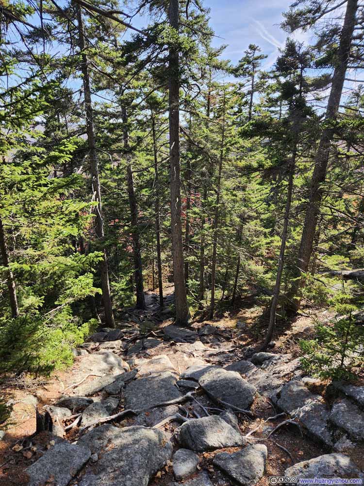
I was either captivated by the scenery, or obsessed with exploring the overlooks, that I missed a turn on the trail (which I noticed on the GPS map a minute later). The turn was followed by a steep descent (photos below), but it wasn’t as technical as Holt Trail earlier in the day.

Steep Trail

 Steep Trail
Steep Trail

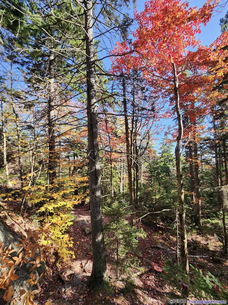
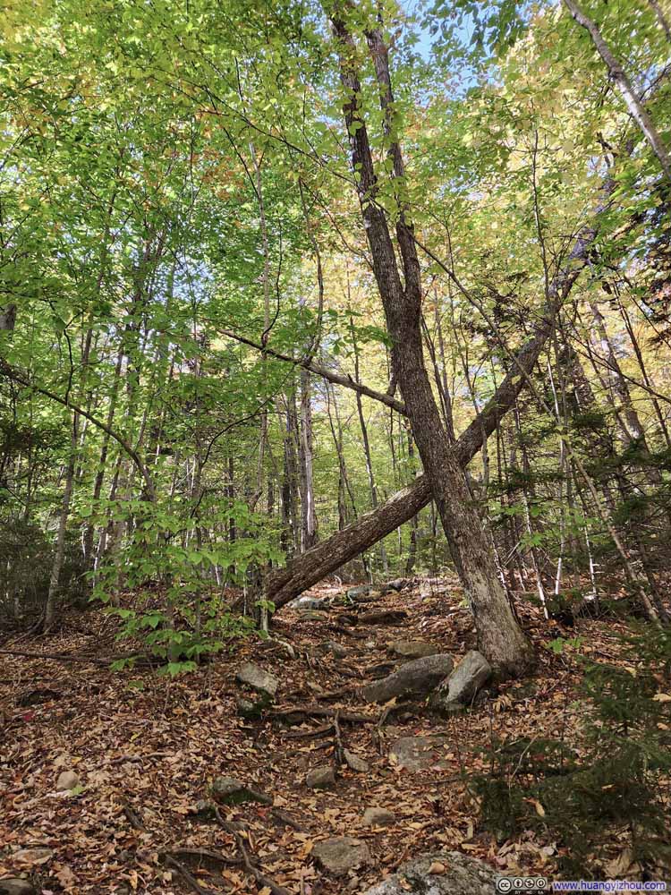
After that, it was an uneventful stroll back to the trailhead. I felt foliage along this part of the trail was more vibrant and enjoyable, compared to Holt Trail that I took earlier during the ascent.

  • Trail
    Trail
  • Steep Trail
    Steep Trail
  • Foliage on Trees
    Foliage on Trees
  • Trail
    Trail
  • Trail
    Trail
  • Foliage on Trees
    Foliage on Trees
  • Trail
    Trail
  • Trail
    Trail
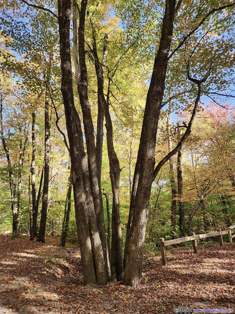
  • Tree
    Tree
    So many branches coming out from the same place.
  • Trail
  • Steep Trail
  • Foliage on Trees
  • Trail
  • Trail
  • Foliage on Trees
  • Trail
  • Trail
  • Tree

Click here to display photos of the slideshow
Trail


Trail

Steep Trail


Steep Trail

Foliage on Trees


Foliage on Trees

Trail


Trail

Trail


Trail

Foliage on Trees


Foliage on Trees

Trail


Trail

Trail


Trail

Tree


Tree
So many branches coming out from the same place.


Finally, I was back at the trailhead at 3:45pm, concluding the hike in 4 hours.

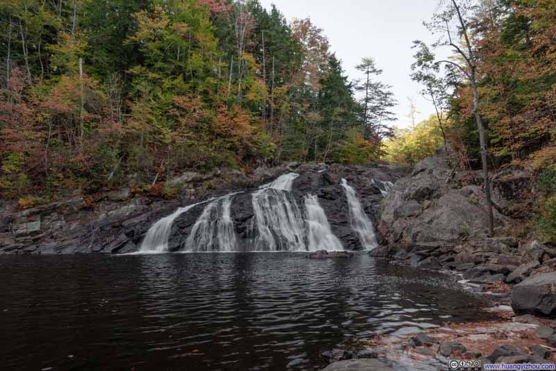
With some time still left in the day, I decided to take a small detour to Profile Falls on my way home as an encore. This picturesque waterfall, located just south of the town of Bristol, is easily accessible via a short trail from a small parking lot. Once again, it was beautifully surrounded by the vibrant colors of the season.

  • Profile Falls
  • Profile Falls

  • Profile Falls
  • Profile Falls

Click here to display photos of the slideshow

Profile Falls


Profile Falls
Profile Falls


After that, I drove back home and concluded the day.
END

CC BY-NC-SA 4.0 Hiking Mount Cardigan by Huang's Site is licensed under a Creative Commons Attribution-NonCommercial-ShareAlike 4.0 International License.

Leave a Reply

Your email address will not be published. Required fields are marked *