
Updated on April 14, 2025
Day 2 of October 2024 Trip to Acadia National Park
A day spent on hitting trails and overlooks in Acadia National Park, among beautiful foliage and crowds.
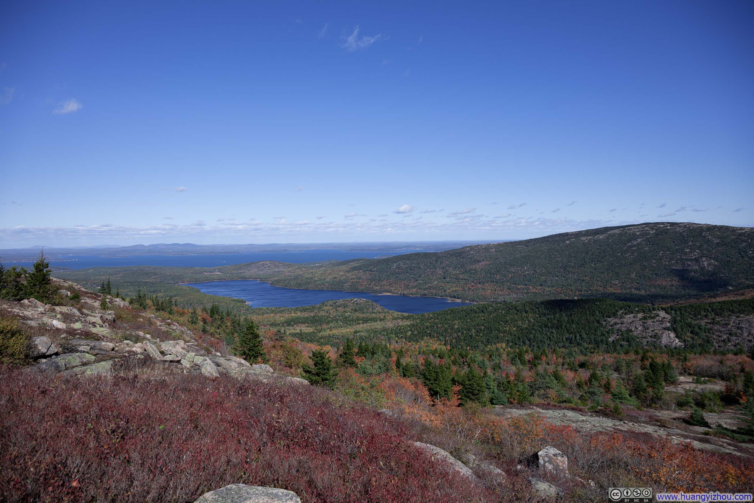
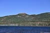
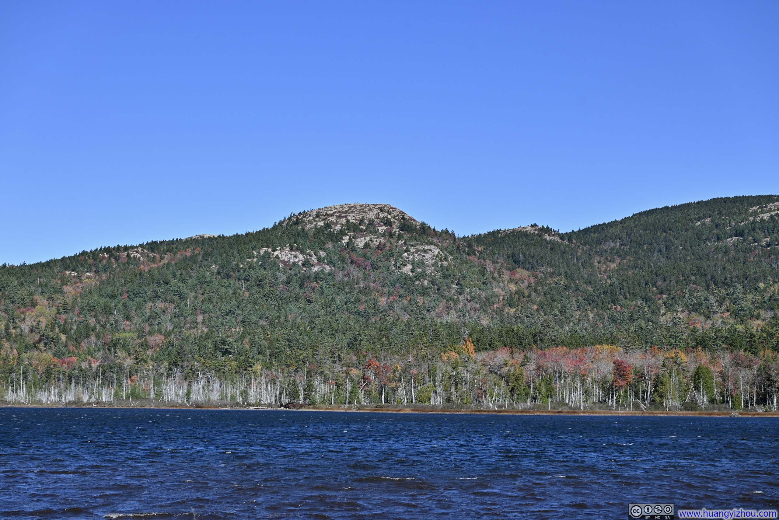
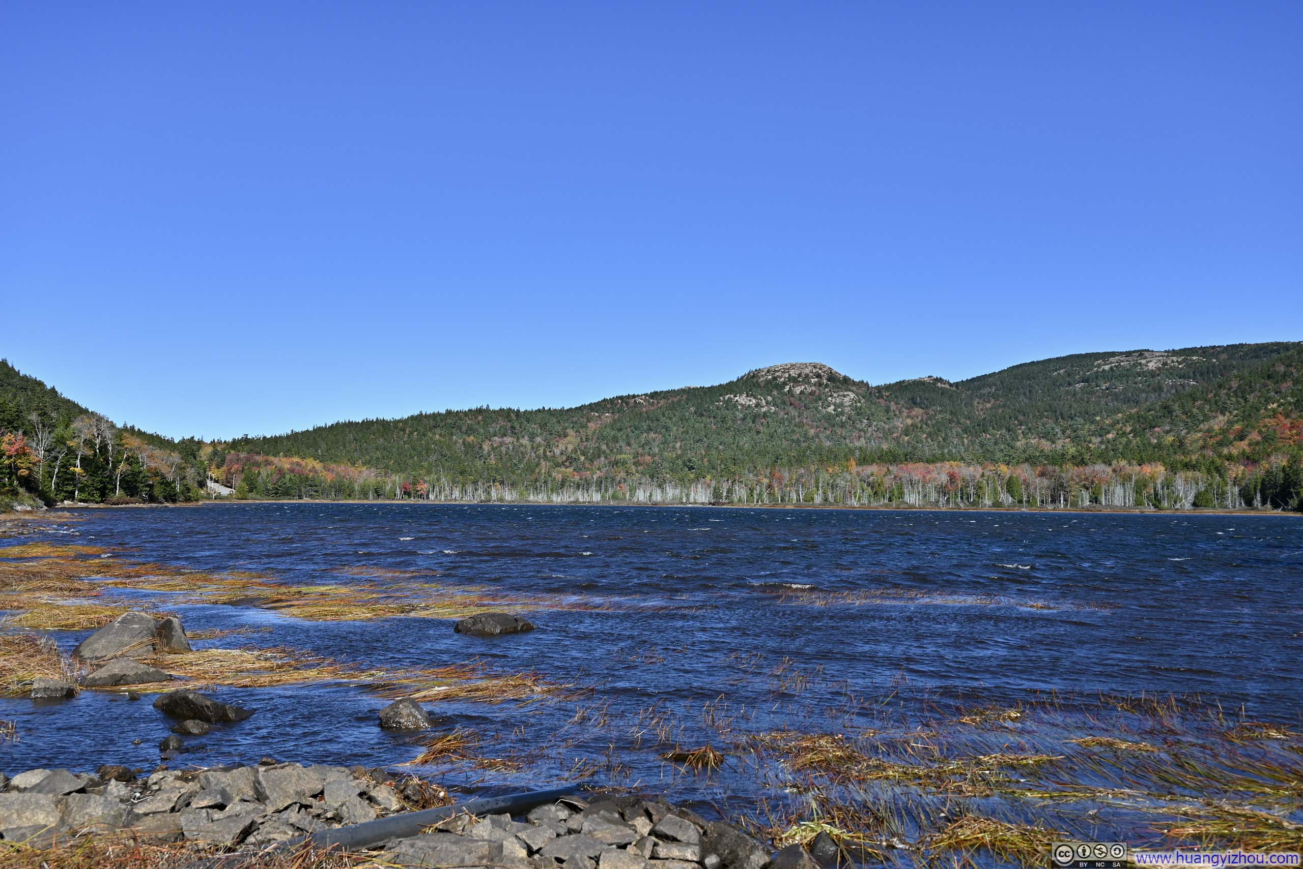
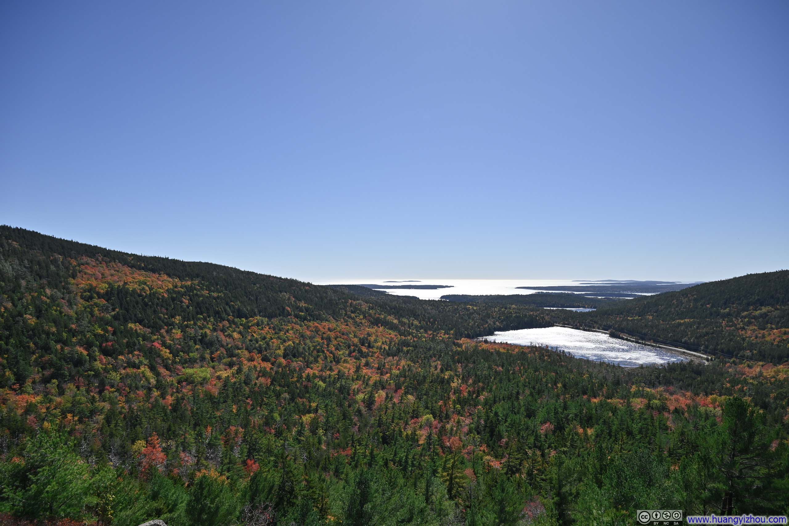
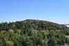
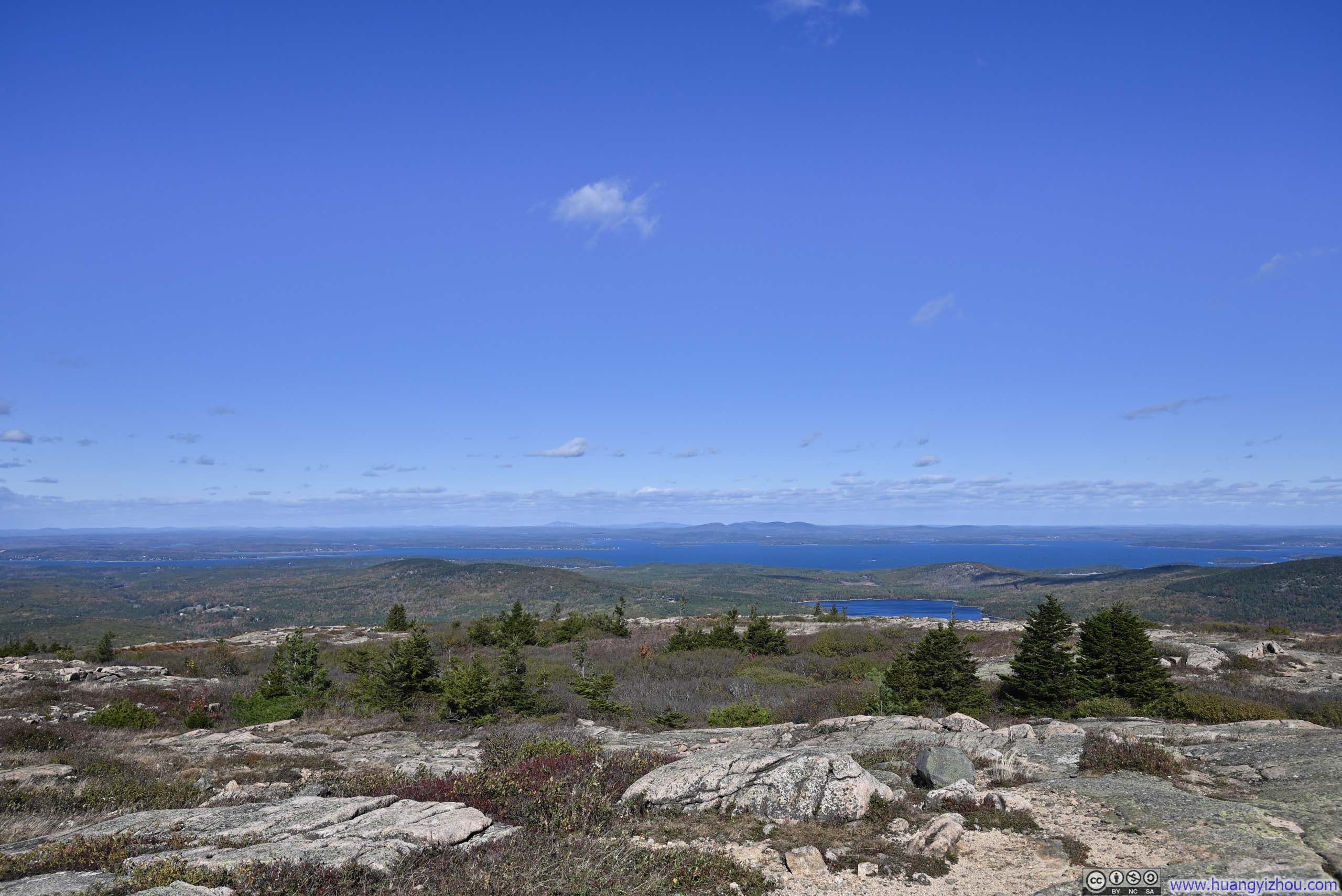
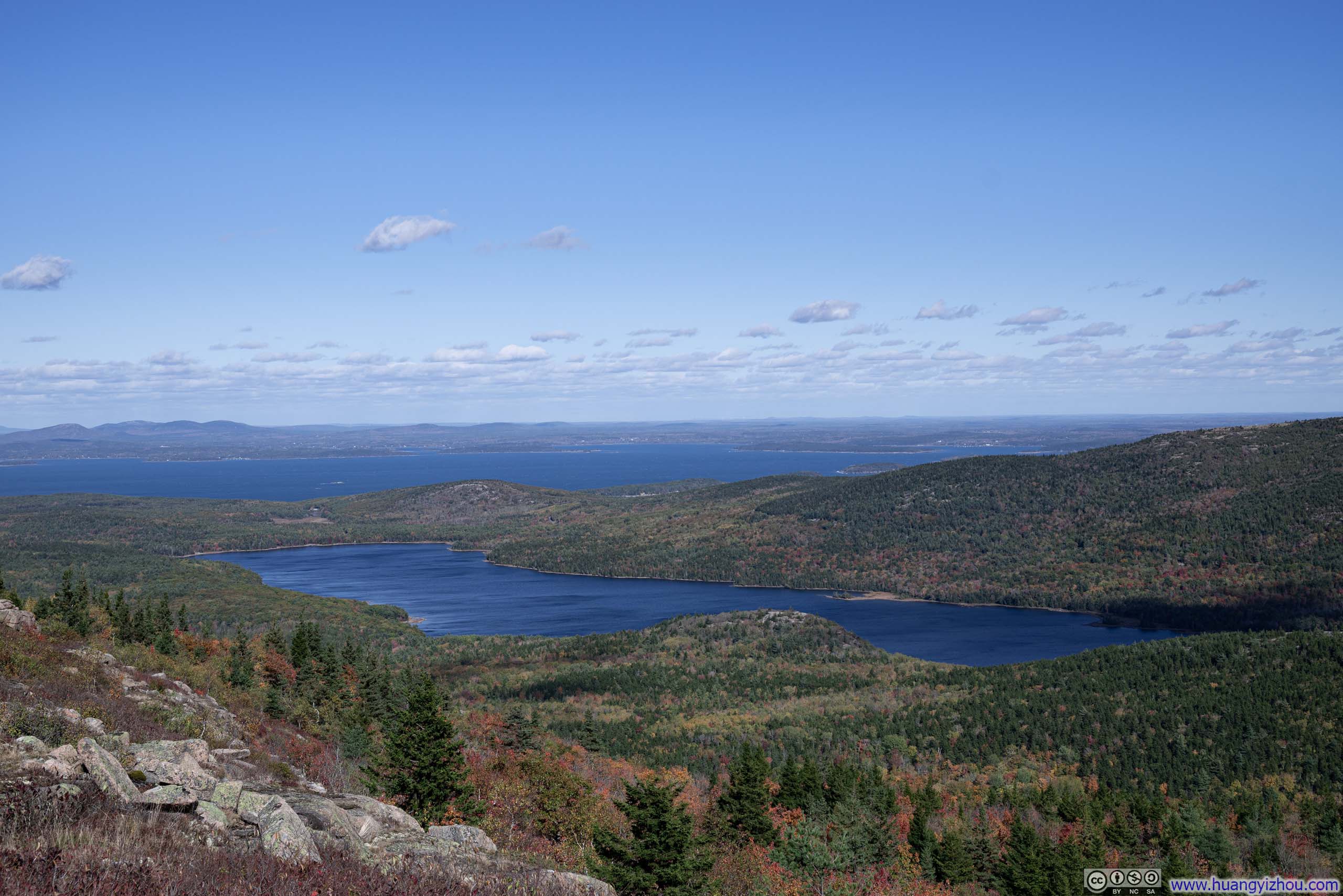
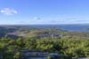
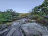
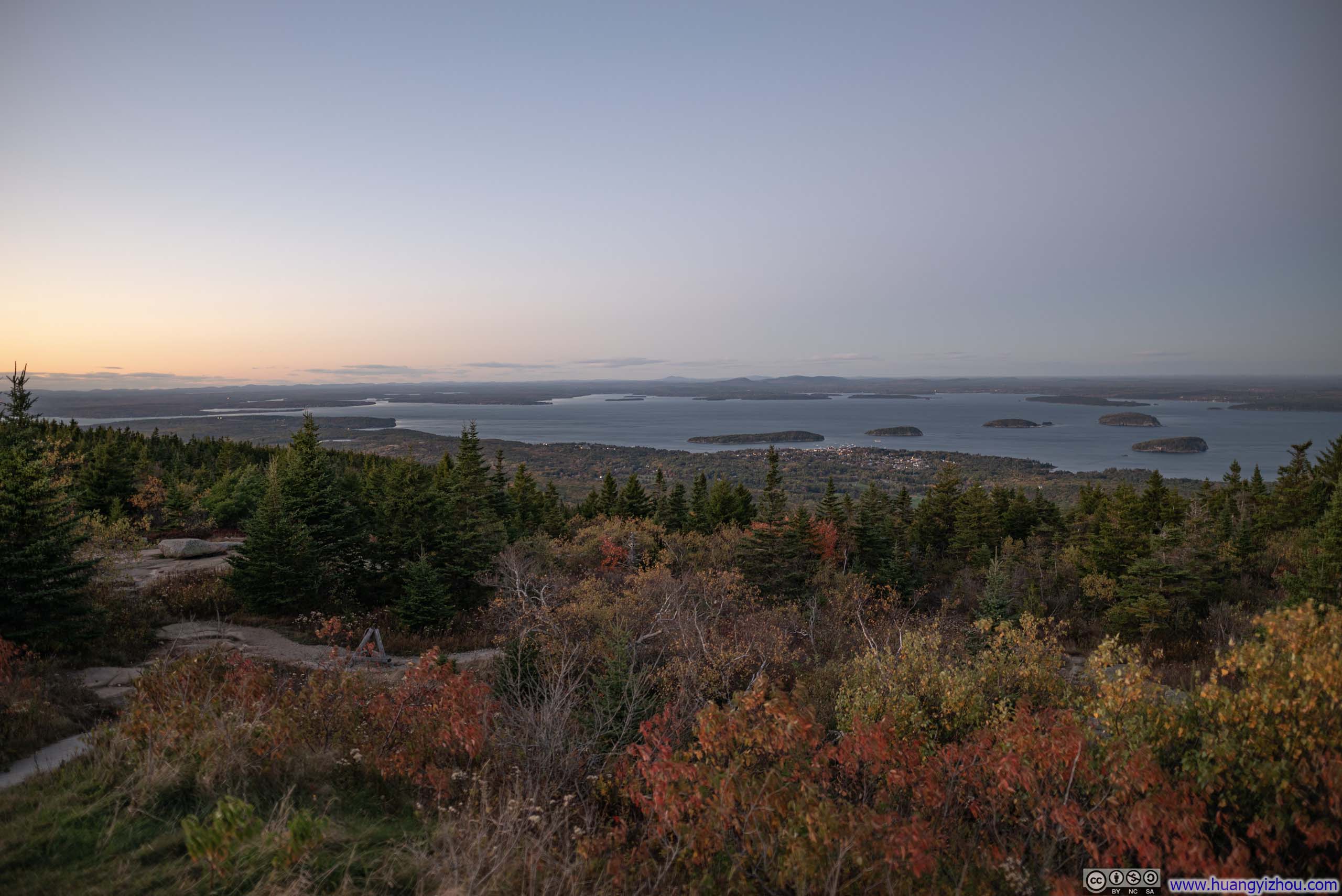
Cadillac Mountain over Eagle Lake
Most of Acadia National Park is located on Mount Desert Island, a striking landscape defined by granite peaks that rise above rugged, windswept coastlines. Due to the island’s relatively compact size and the fact that the park is interspersed with residential communities, Acadia offers a network of shorter trails and numerous scenic overlooks along its park loop road. So my plan for the day was to hit a few of the trails before watching the sunset on Cadillac Mountain.
After checking out of the hotel in Bangor at 8am, I had a breakfast along the way, and it’s 9:30am by the time I reached Acadia. I started the day with a few overlooks along its park loop road.
Overlooks along Park Road
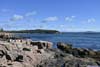
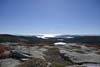
 MeadowFrom an unofficial turnout near “Great Meadow”.
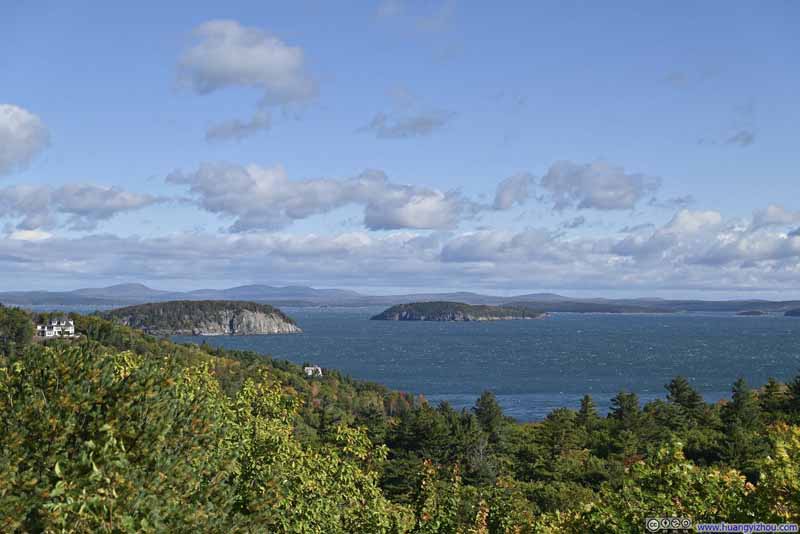 Islands in Frenchman BayFrom Egg Rock Overlook.
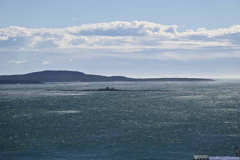 Egg RockFrom Egg Rock Overlook.
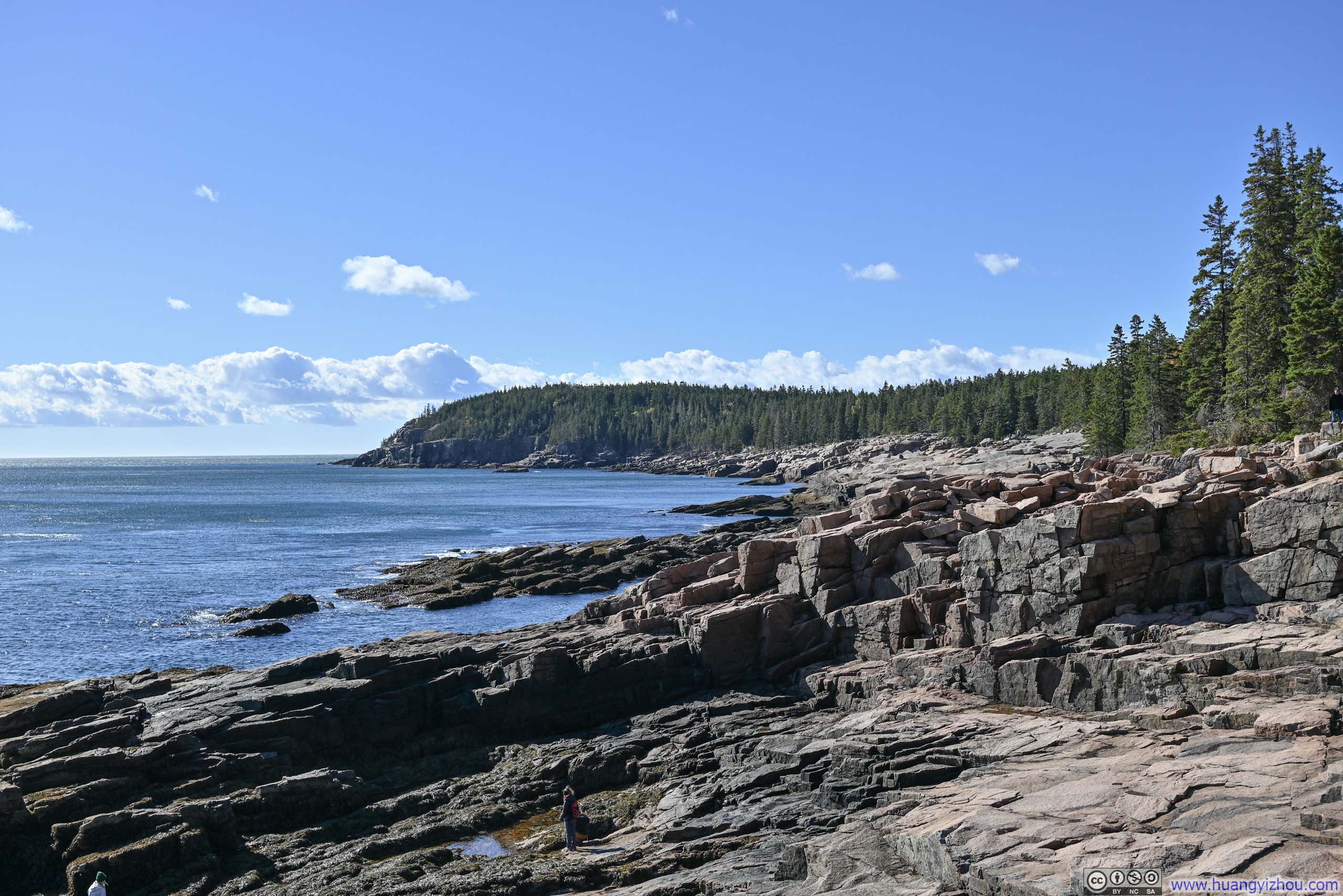
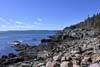
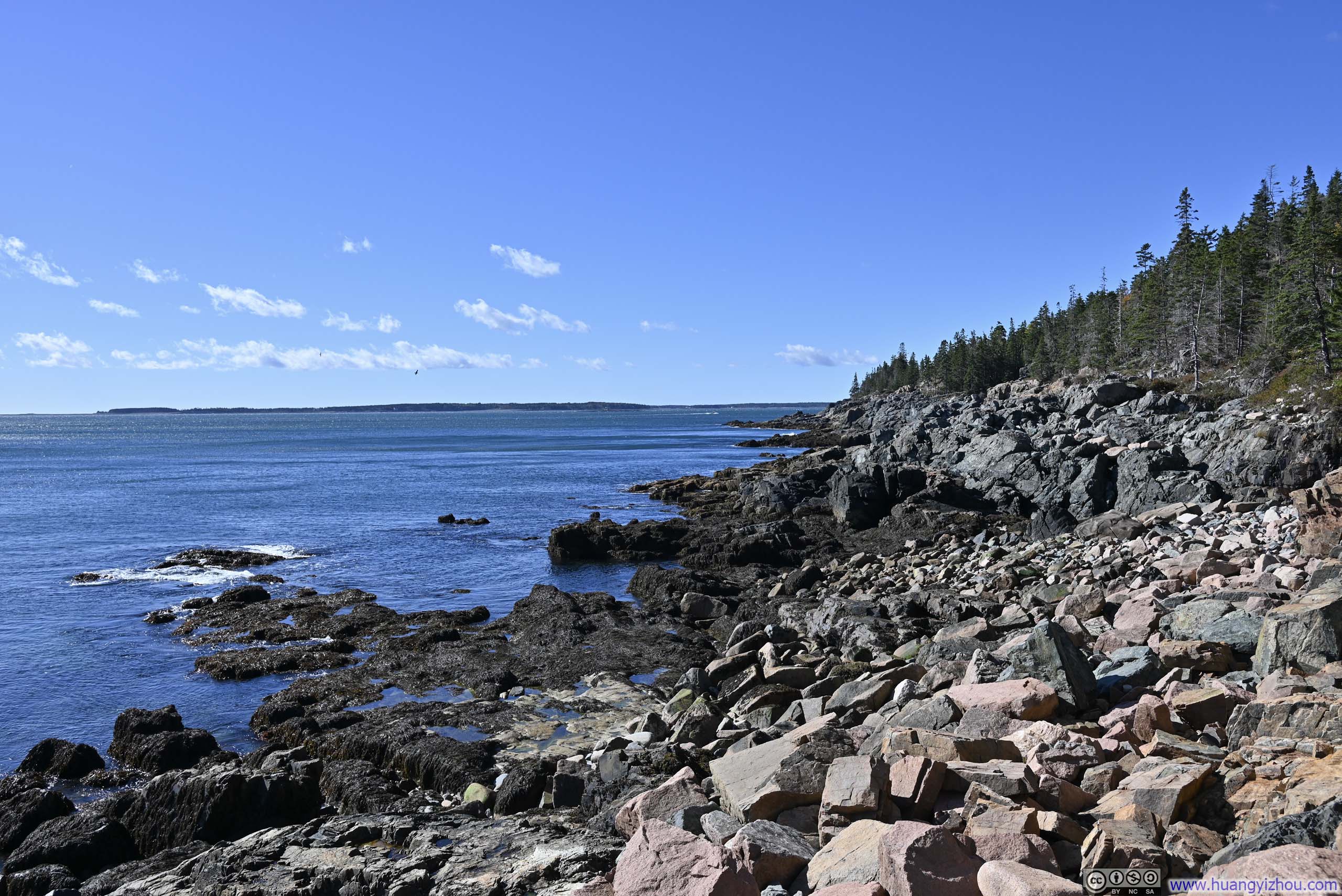
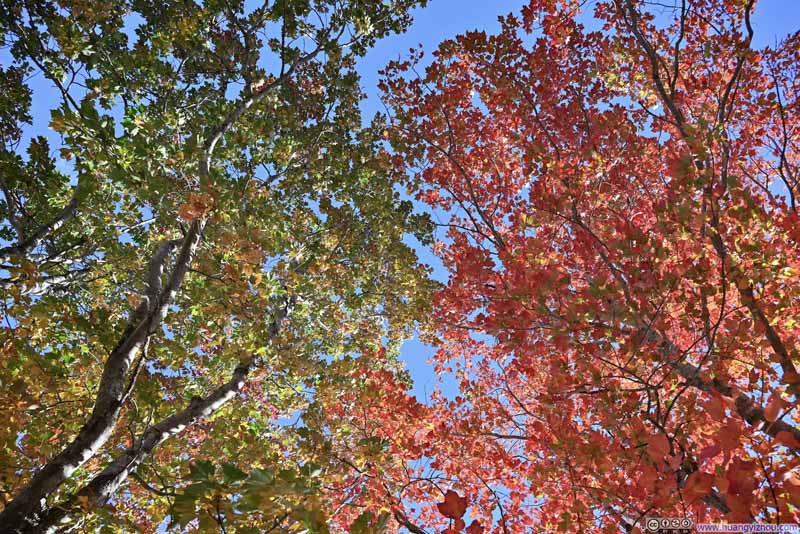 FoliageFrom the parking lot of Thunder Hole.
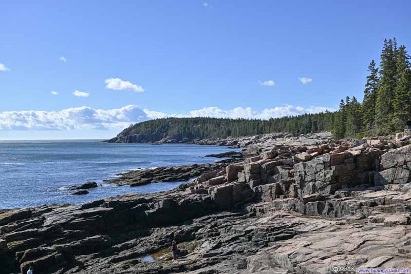 ShorelineFrom Thunder Hole.
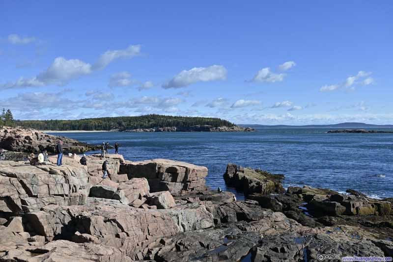 ShorelineFrom Thunder Hole.
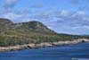
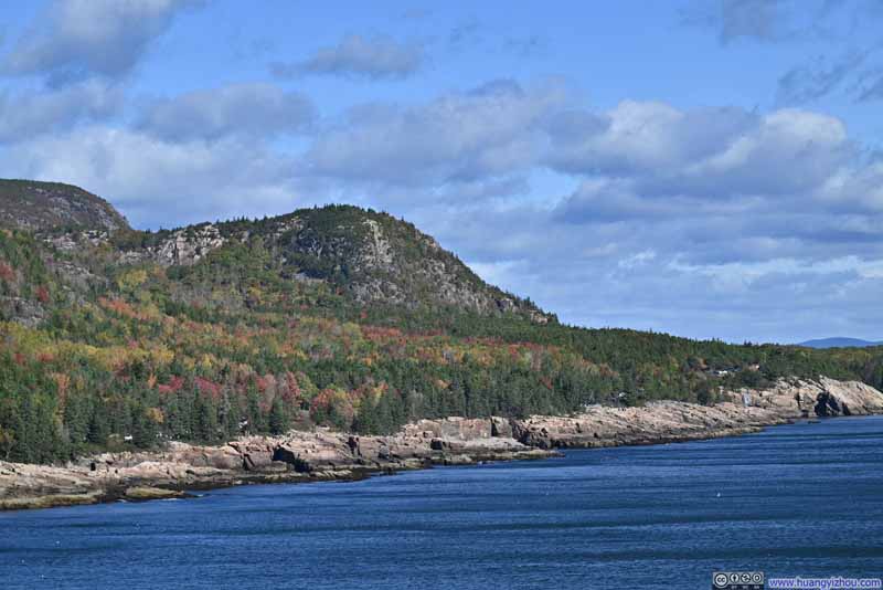 Beehive MountainFrom Otter Cliff Overlook.
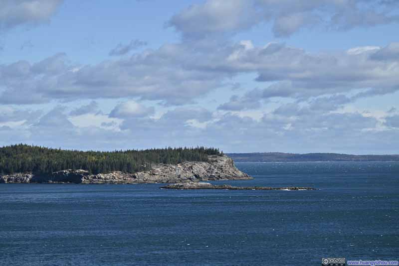 Great HeadFrom Otter Cliff Overlook.


Click here to display photos of the slideshow

MeadowFrom an unofficial turnout near “Great Meadow”.

Islands in Frenchman BayIslands in Frenchman BayFrom Egg Rock Overlook.
Egg RockFrom Egg Rock Overlook.

FoliageFrom the parking lot of Thunder Hole.
ShorelineFrom Thunder Hole.

ShorelineFrom Thunder Hole.
Beehive MountainFrom Otter Cliff Overlook.

Great HeadFrom Otter Cliff Overlook.
After navigating the southern stretch of Acadia’s loop road, my initial plan was to check out Jordan Pond and the nearby Bubble Rock. Unfortunately, after circling around the area for quite some time, I couldn’t find parking at either location. After all, it was a very busy weekend of the year. As a result, I resorted to my backup plan and headed towards Parkman Mountain.
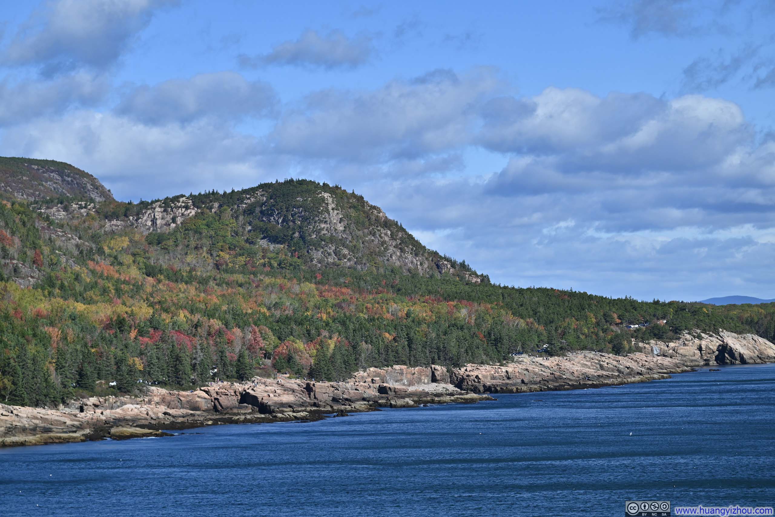
 Cadillac Mountain from Otter CoveFrom Otter Cove Overlook.
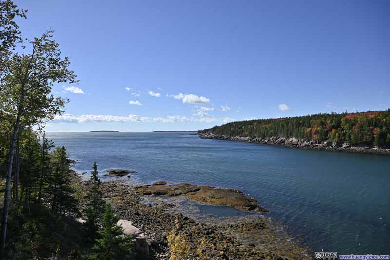 Otter CoveFrom Otter Cove Overlook.
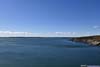
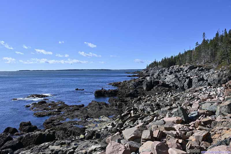 ShorelineFrom Western Point Overlook.
 BayFrom Hunters Beach Overlook.
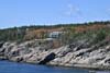
 Villa Overlooking the SeaFrom Hunters Beach Overlook.
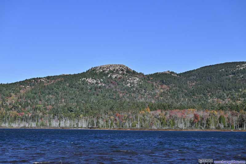 Bald Peak over Upper Hadlock PondFrom the Southern end of Upper Hadlock Pond.
 Upper Hadlock PondFrom the Southern end of Upper Hadlock Pond.

Click here to display photos of the slideshow
Cadillac Mountain from Otter CoveFrom Otter Cove Overlook.

Otter CoveFrom Otter Cove Overlook.
ShorelineFrom Western Point Overlook.

BayFrom Hunters Beach Overlook.
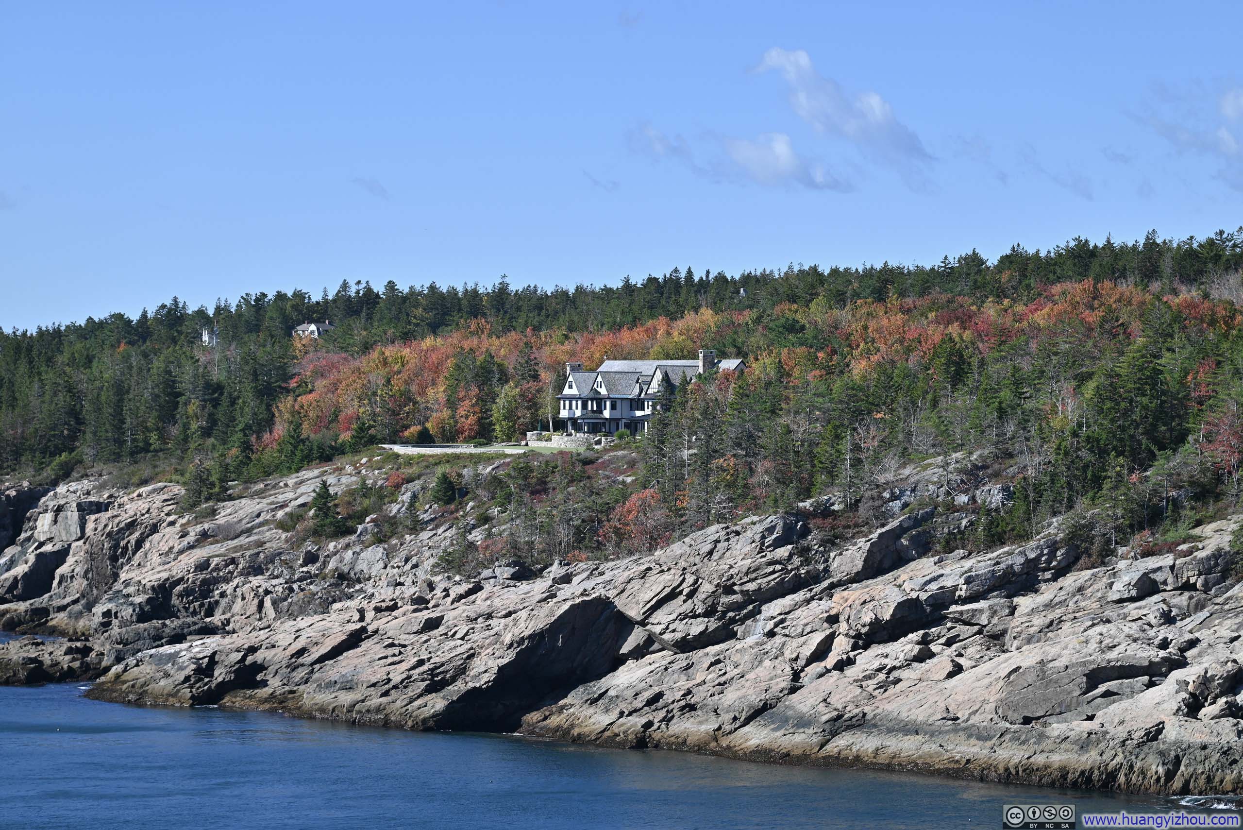
Villa Overlooking the SeaFrom Hunters Beach Overlook.
Bald Peak over Upper Hadlock PondFrom the Southern end of Upper Hadlock Pond.
Upper Hadlock PondFrom the Southern end of Upper Hadlock Pond.
Parkman Sargent Mountain Loop
At least, I managed to find a parking spot here.
To the east of this trailhead, a network of trails and carriage roads crisscrossed the mountains, offering a range of routes to suit varying distances and levels of physical effort. For me, I picked a variation covering 4 “peaks”: Bald Peak, Parkman Mountain, Gilmore Peak and Sargent Mountain.
Here’s GPS tracking:
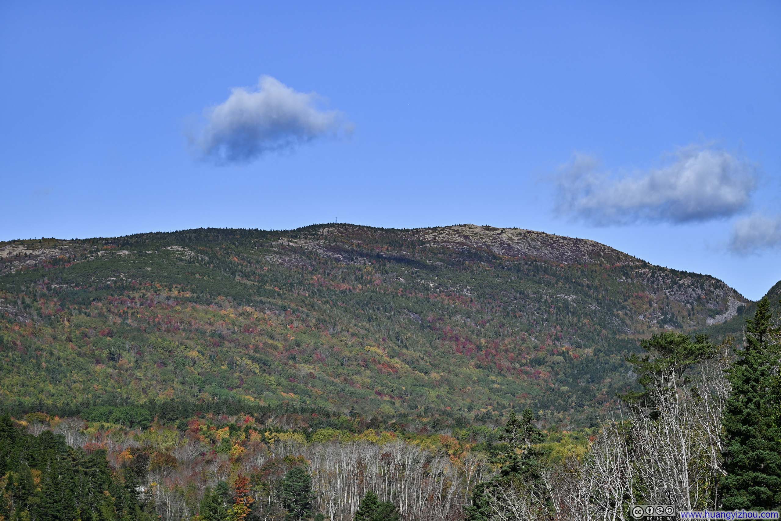
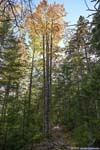
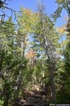
Towards Bald Peak which was the first peak of the group, the trail emerged from the trees about 2/3 of the way in, overlooking some lovely foliage scenes of the forests below (p1 below). Once on top of Bald Peak, there were additional views to the northwest, of Somes Sound and Mt Desert Narrows in the background.
 Overlooking Fields in Foliage
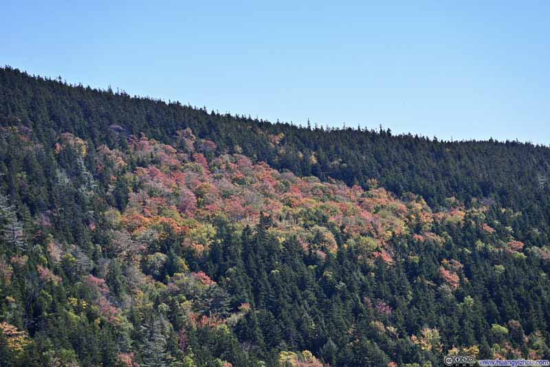 Patches of Foliage on Cedar Swamp Mountain
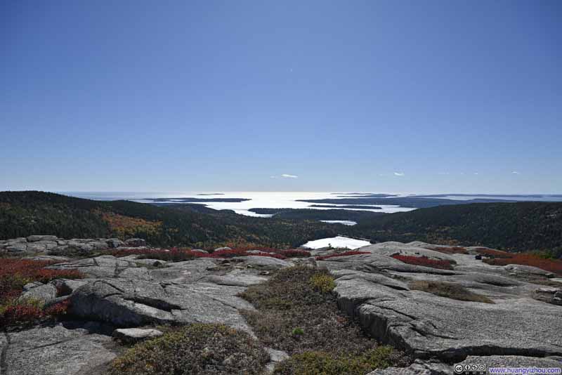 Lakes and Islands
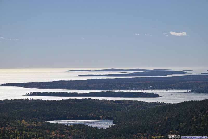 Islands
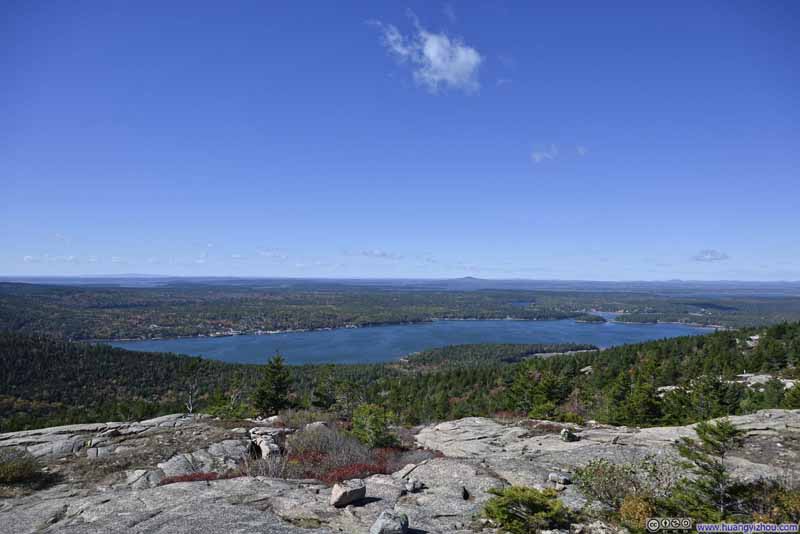 Somes Sound
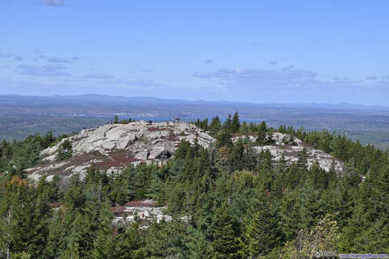 Parkman Mountain from Bald Peak
Click here to display photos of the slideshow
Overlooking Fields in Foliage
Patches of Foliage on Cedar Swamp Mountain
Lakes and Islands
Islands

Somes Sound
Parkman Mountain from Bald Peak
A short walk from Bald Peak was Parkman Mountain, where the views closely mirrored those from Bald Peak.
On the other hand, since the four “peaks” weren’t that far from each other, on top of any of them, the remaining three were all visible. This interconnectedness brought a comforting sense of orientation.
 Bald Peak from Parkman Mountain
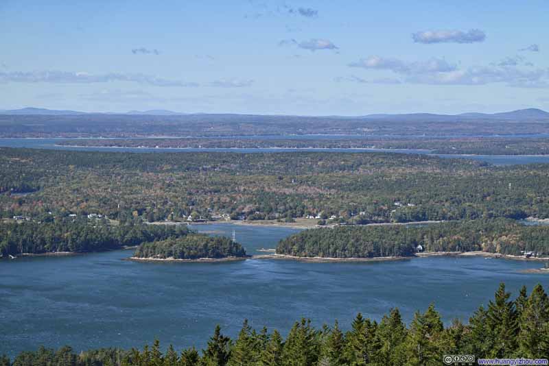 Somes Harbor
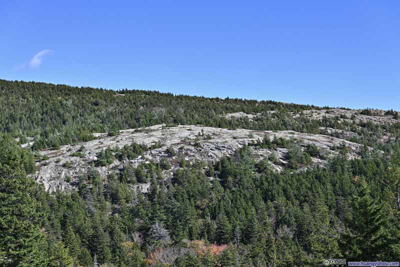 Gilmore Peak from Parkman MountainWhich I would pass next on my way to Sargent Mountain.
Click here to display photos of the slideshow
Bald Peak from Parkman Mountain
Somes Harbor
Gilmore Peak from Parkman MountainWhich I would pass next on my way to Sargent Mountain.
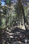
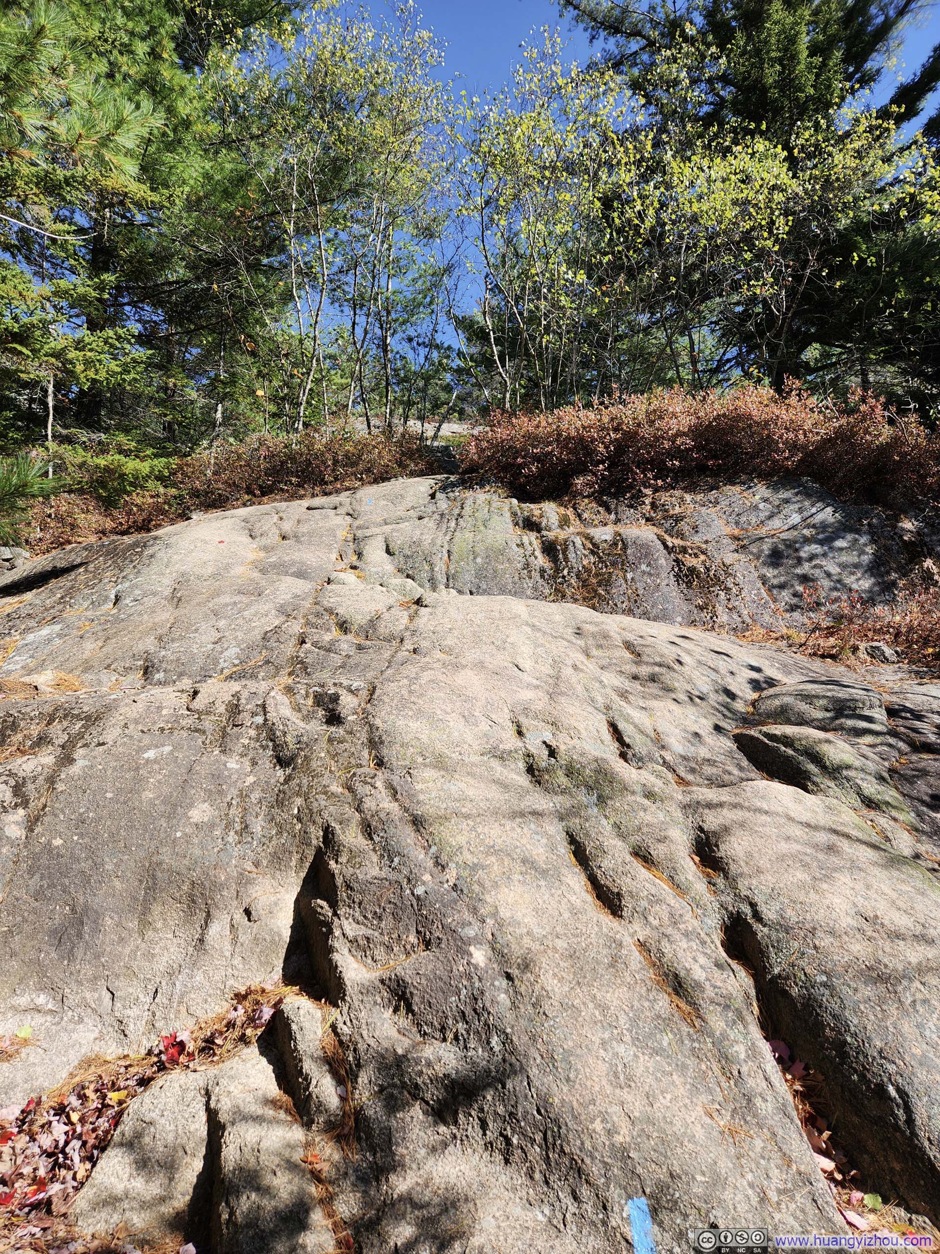
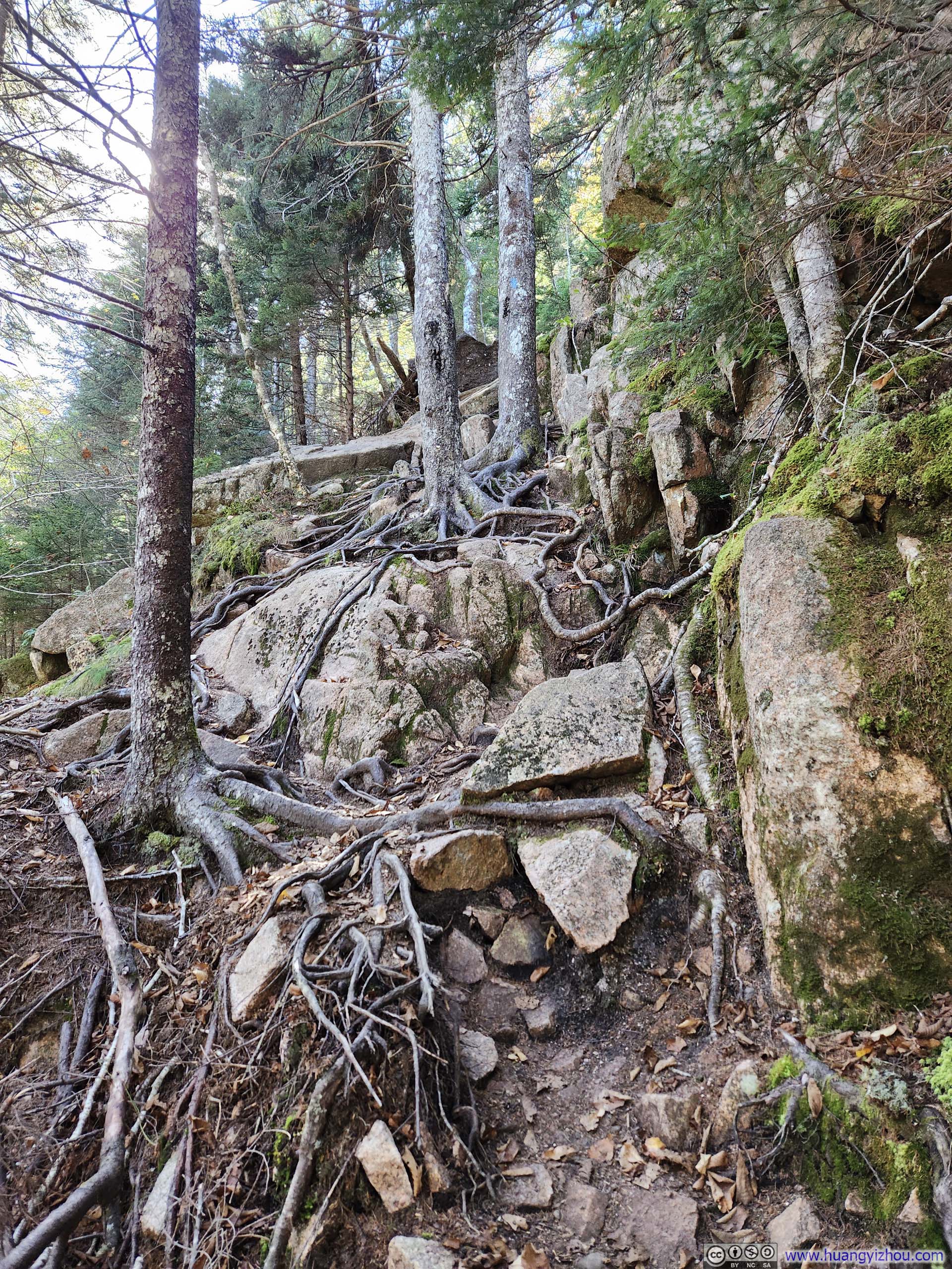
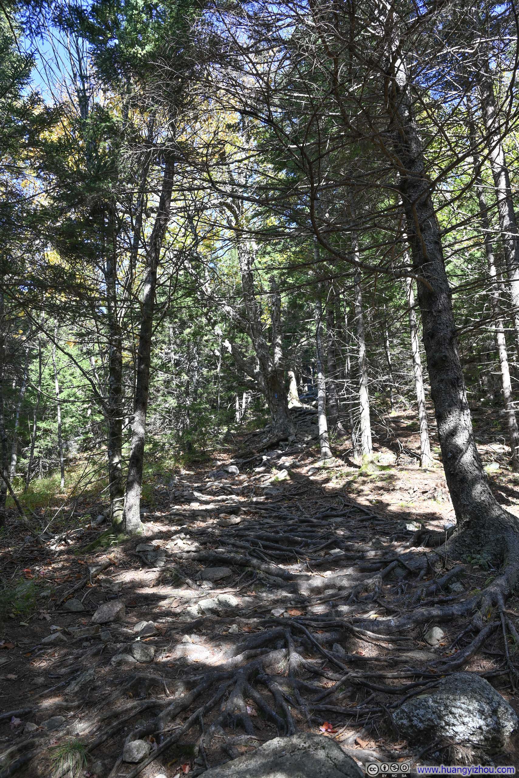
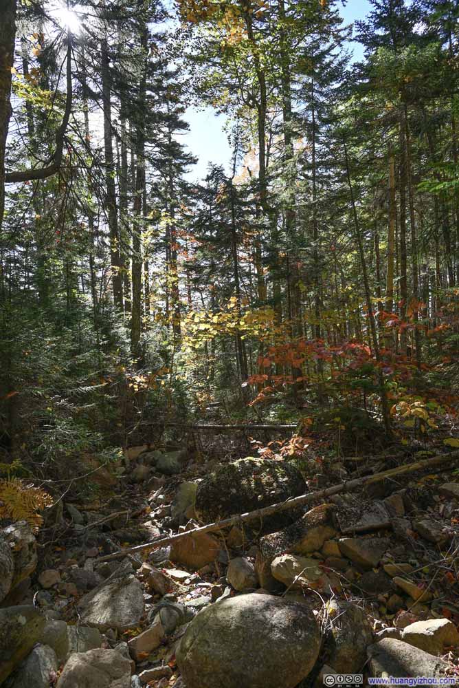
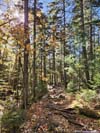
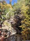
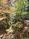
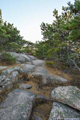
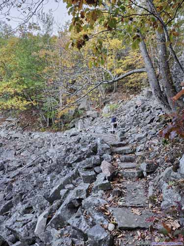
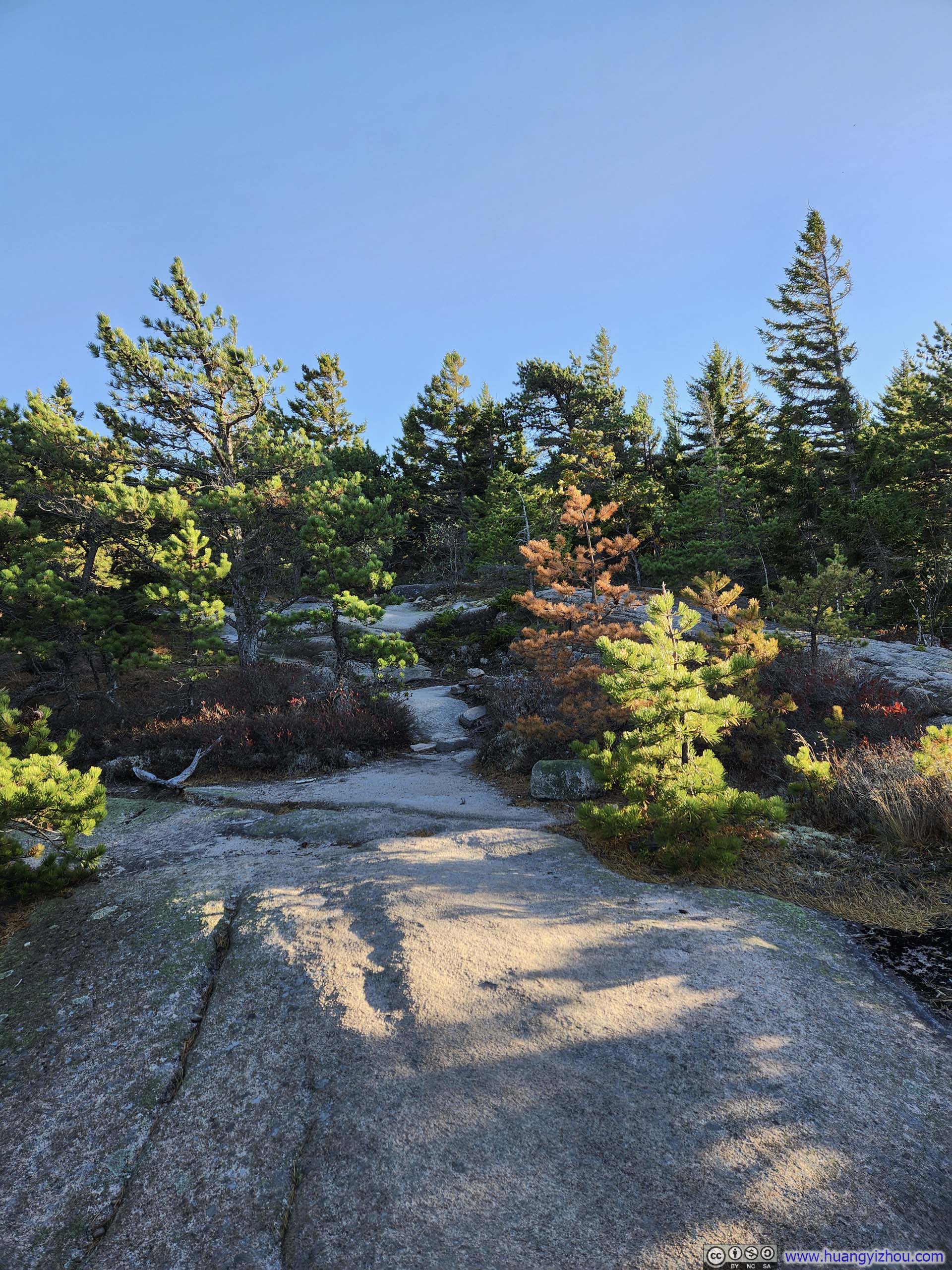
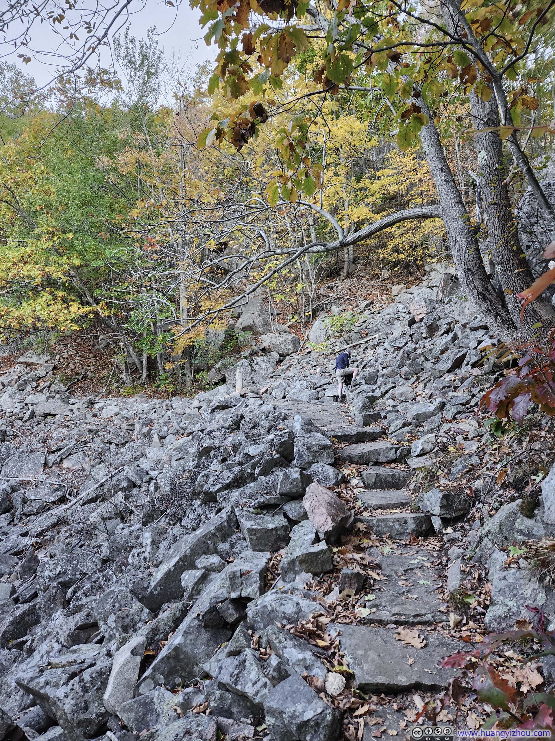
A brief note about the trail condition. The trail started out as a gentle stroll through the woods (p1-2 below), and then it got steep approaching Bald Peak. There was a short steep section between Bald Peak and Parkman Mountain (p4 below), but the steepest part was the descent from Parkman Mountain heading towards Gilmore Peak (p5 below).
 Quadrant Tree along Trail
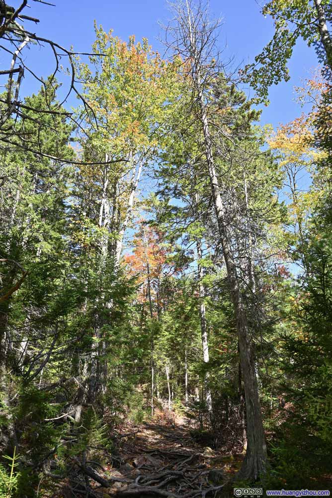 Trail
Trail TrailA slightly steep section, on the way to Bald Peak.
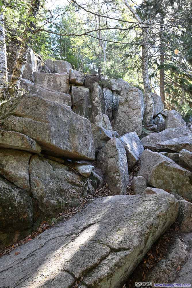 Steep Trail on RocksBetween Bald Peak and Parkman Mountain.
 Steep TrailBetween Parkman Mountain and Gilmore Peak.
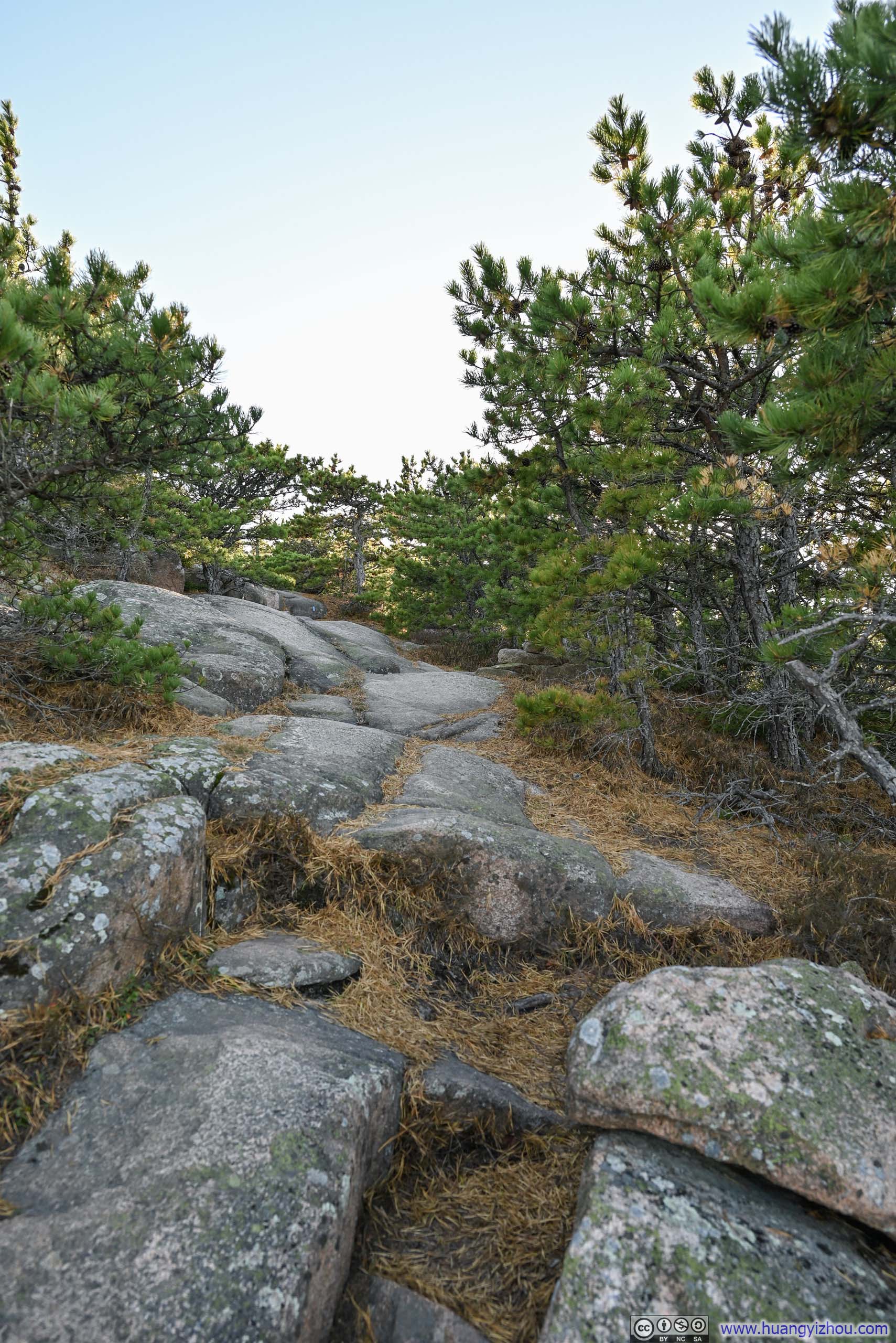
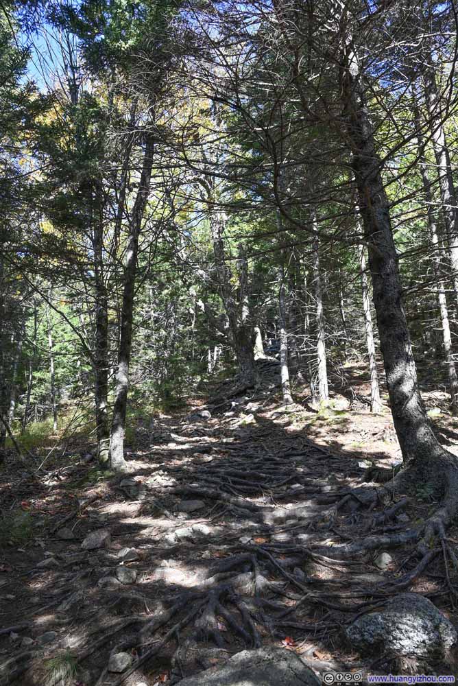 TrailOnto Sargent Mountain.


Click here to display photos of the slideshow

Quadrant Tree along Trail

Trail
TrailA slightly steep section, on the way to Bald Peak.

Steep Trail on RocksBetween Bald Peak and Parkman Mountain.
Steep TrailBetween Parkman Mountain and Gilmore Peak.
TrailOnto Sargent Mountain.
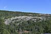
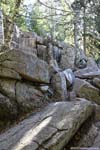
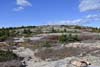
As for Gilmore Peak, it’s little more than a small and barren field of rocks, devoid of trees and lacking the distinct prominence I typically associate with mountain peaks. Of the four “peaks”, the views from Gilmore were the least inspiring. It’s so inconspicuous, that I was lost for a brief moment trying to find the trail leaving Gilmore Peak towards Sargent Mountain.
 Parkman Mountain from Gilmore Peak
 Bald Peak from Gilmore Peak
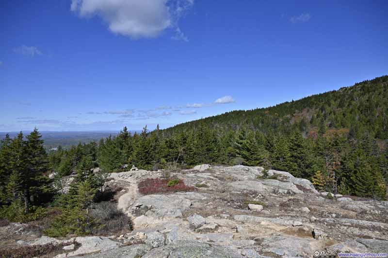 Gilmore PeakNot the most exciting summit.
Click here to display photos of the slideshow

Parkman Mountain from Gilmore Peak
Bald Peak from Gilmore Peak
Gilmore PeakNot the most exciting summit.
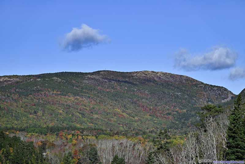
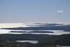
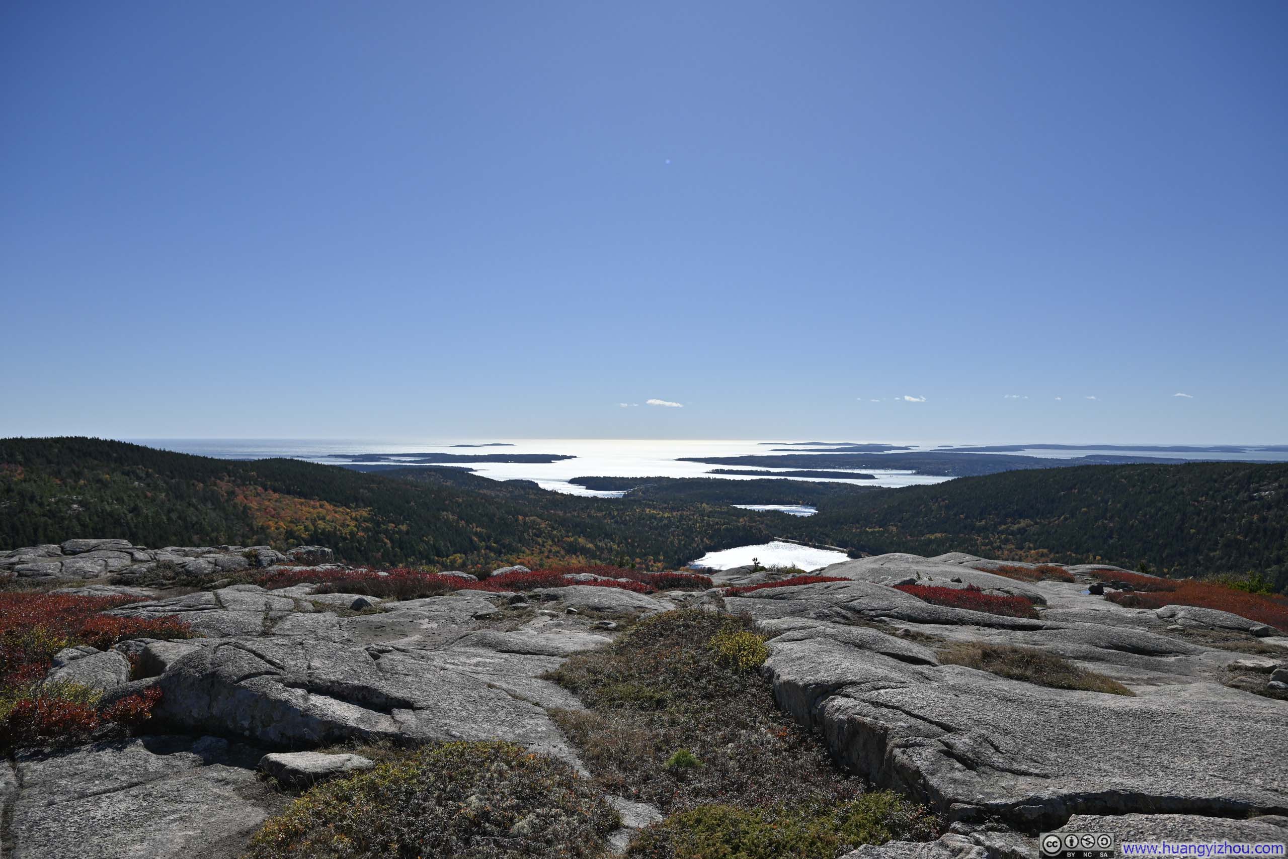
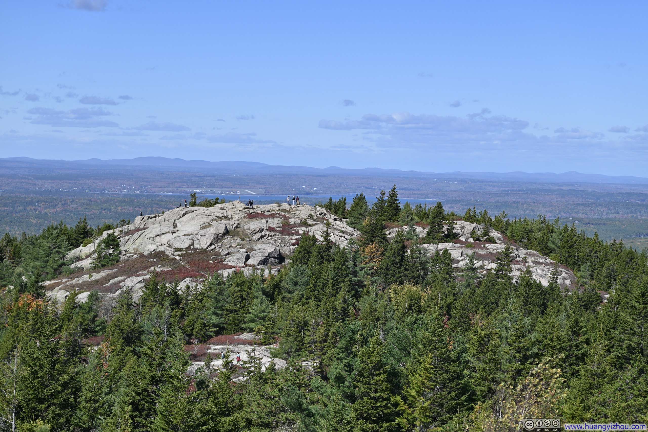
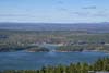
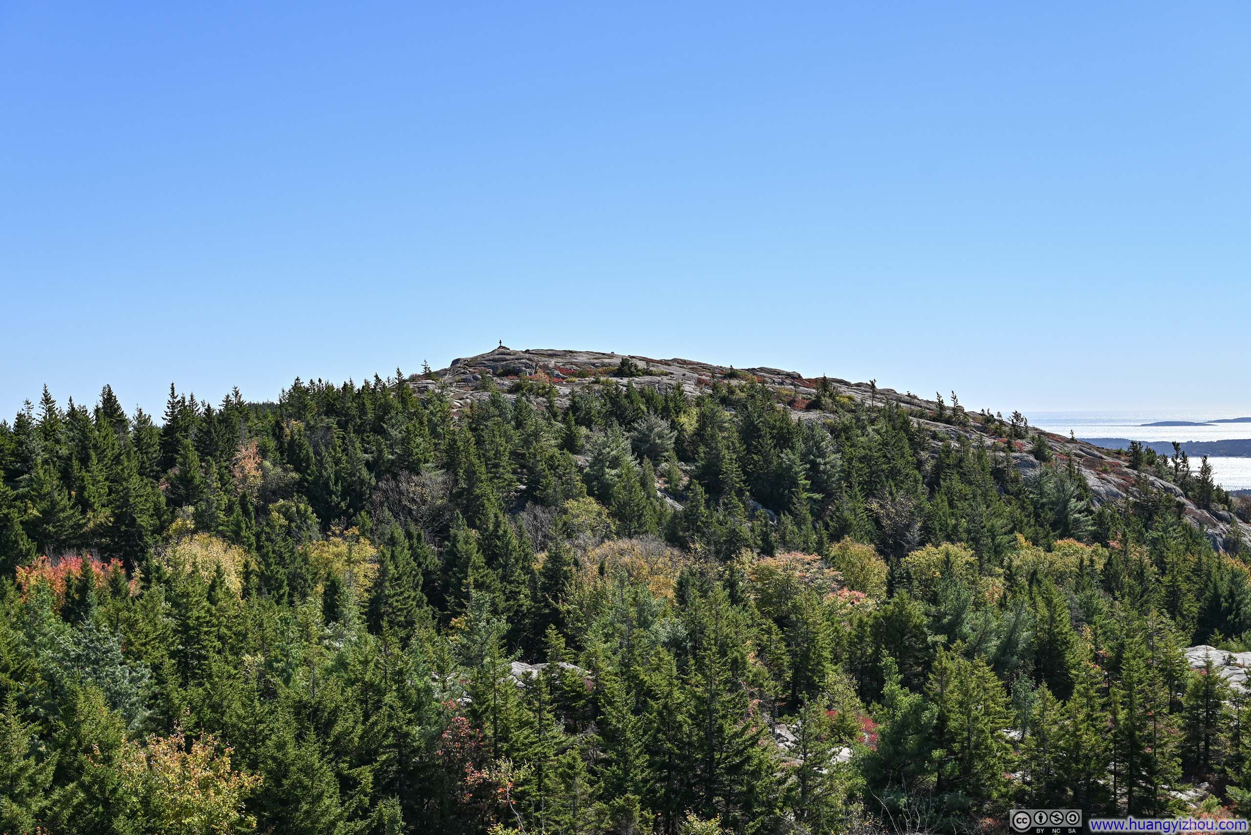
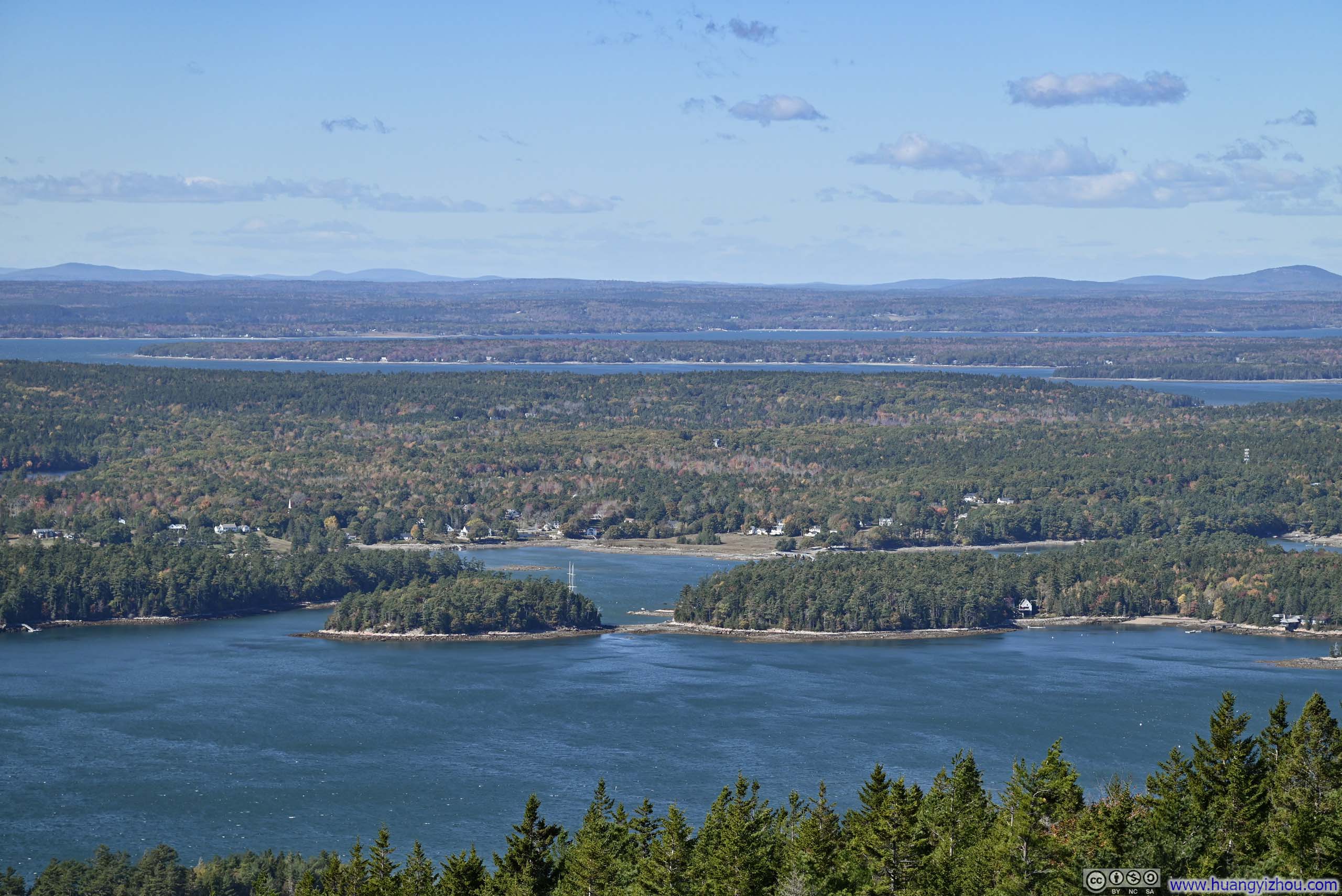
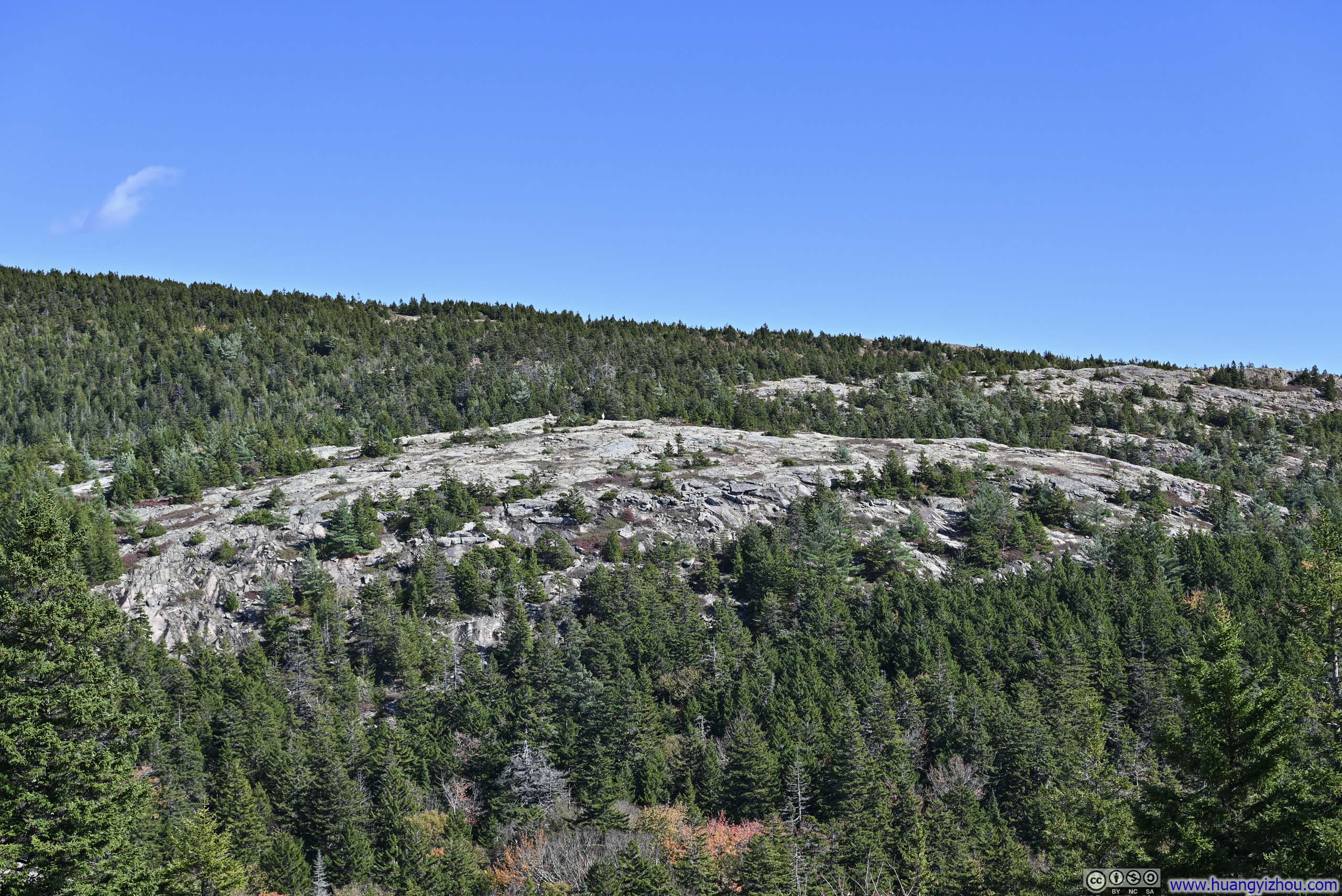
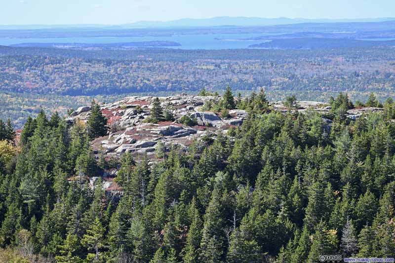
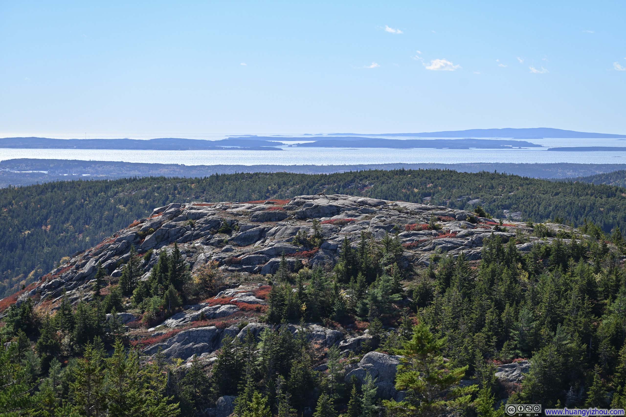
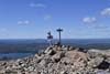
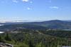
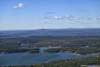
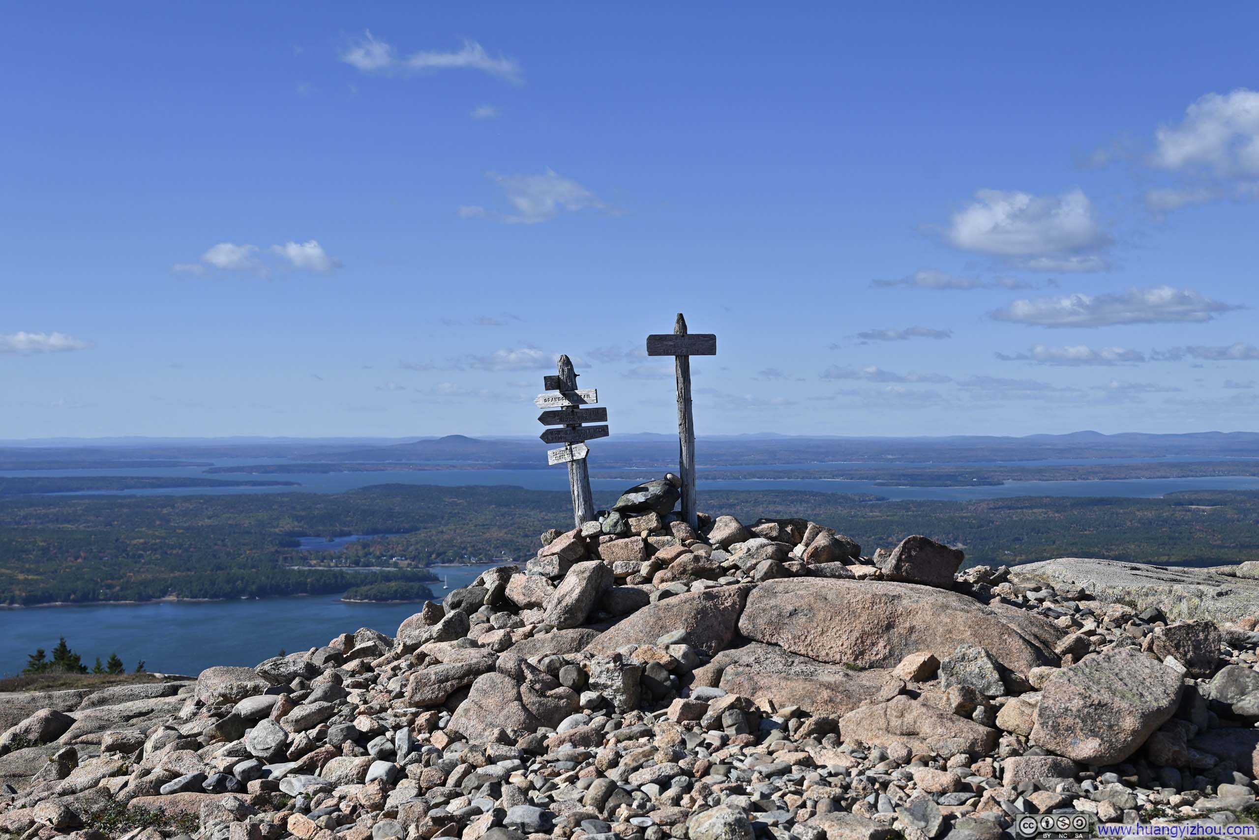
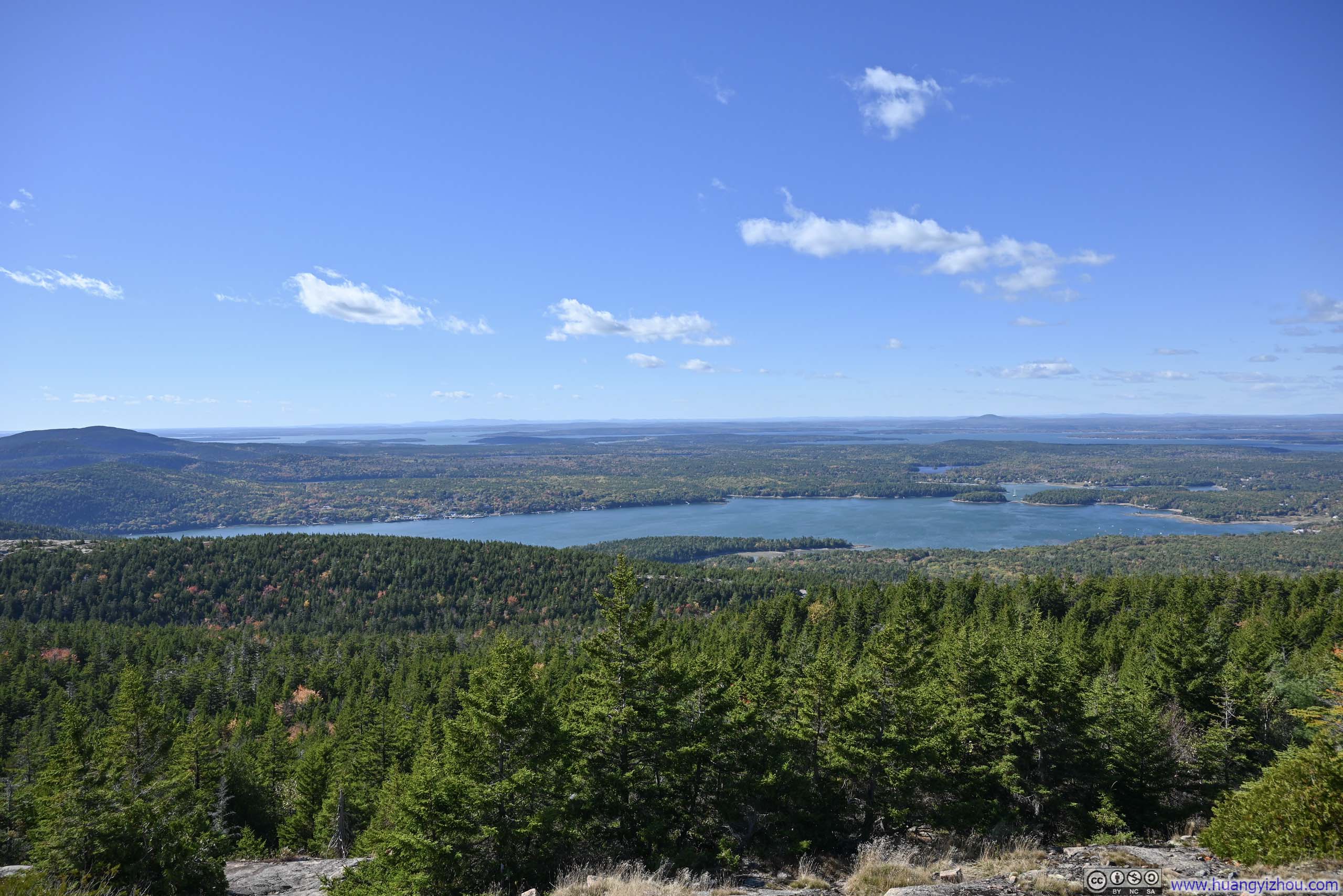
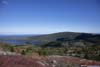
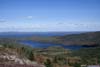
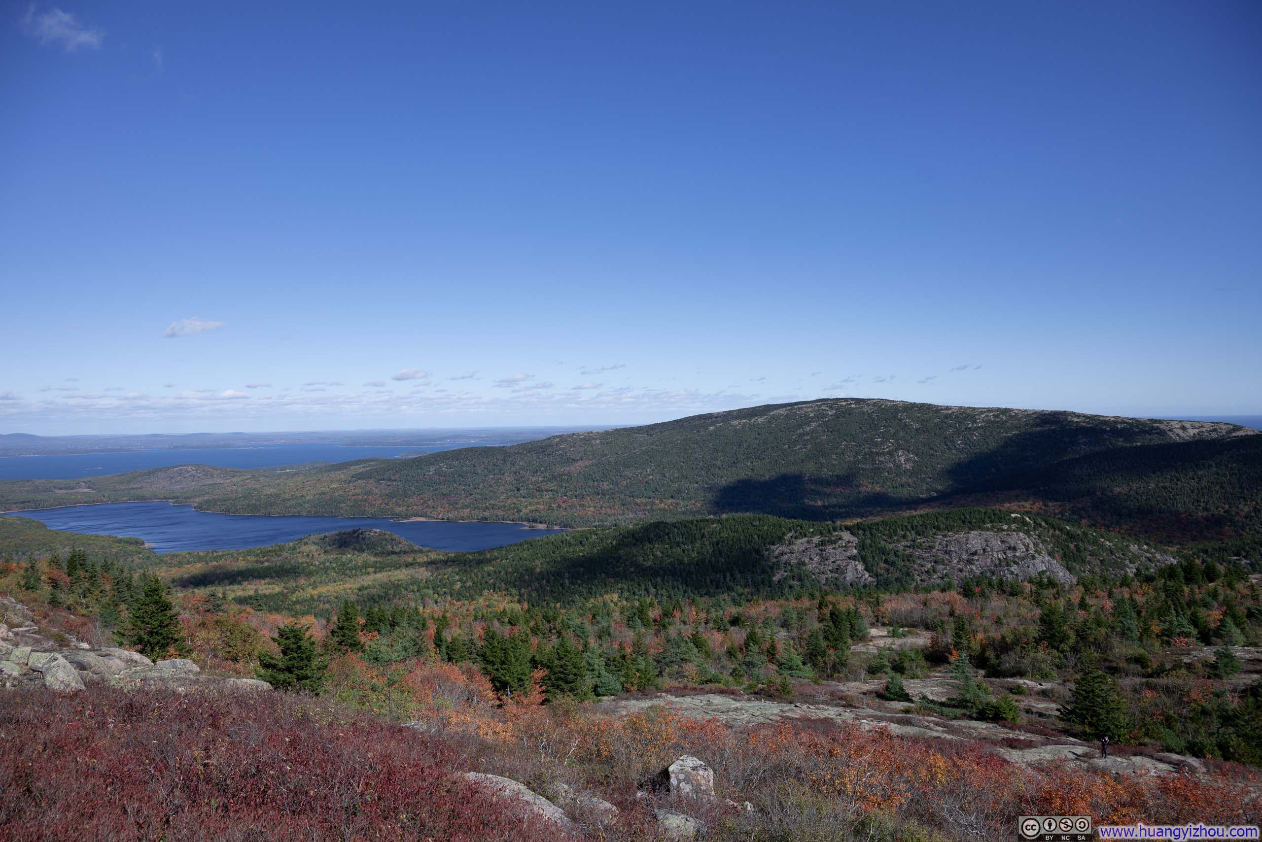
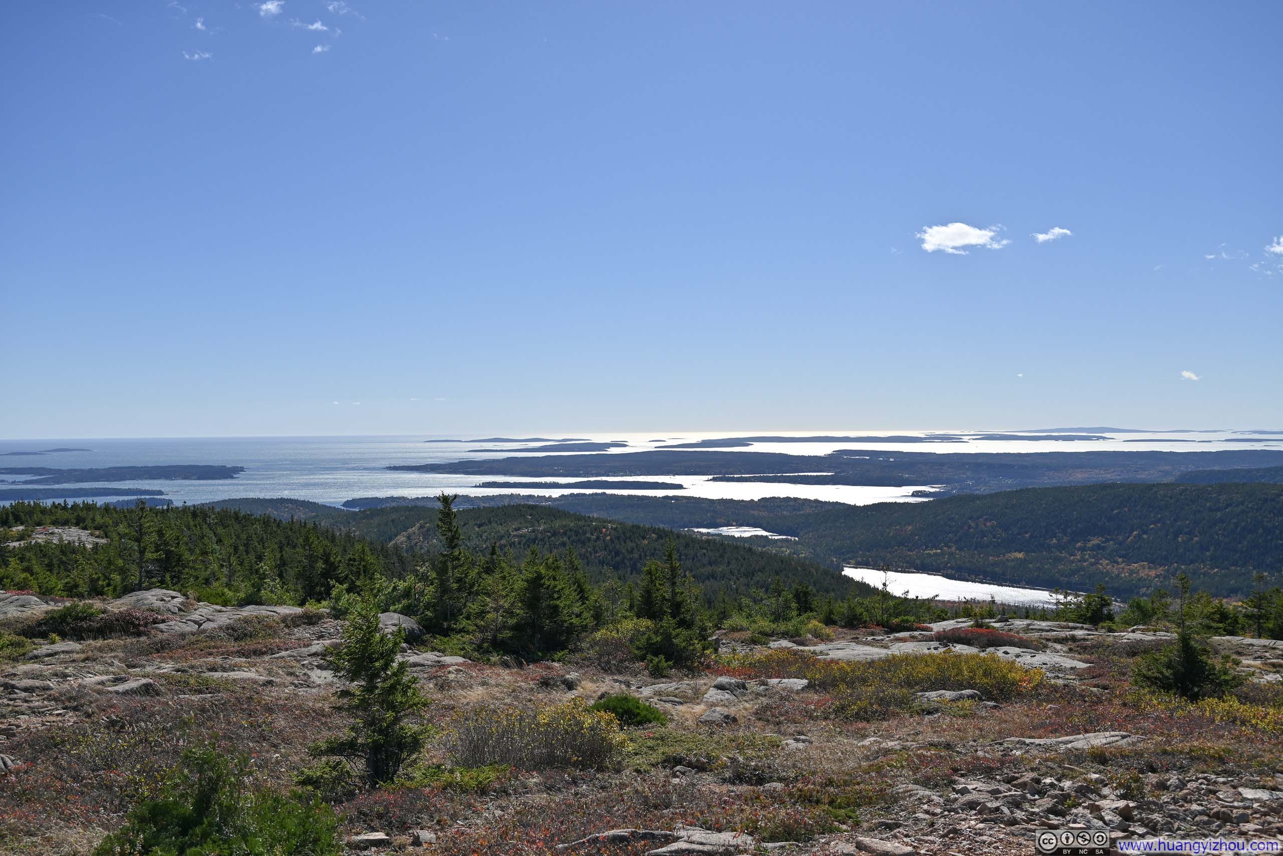
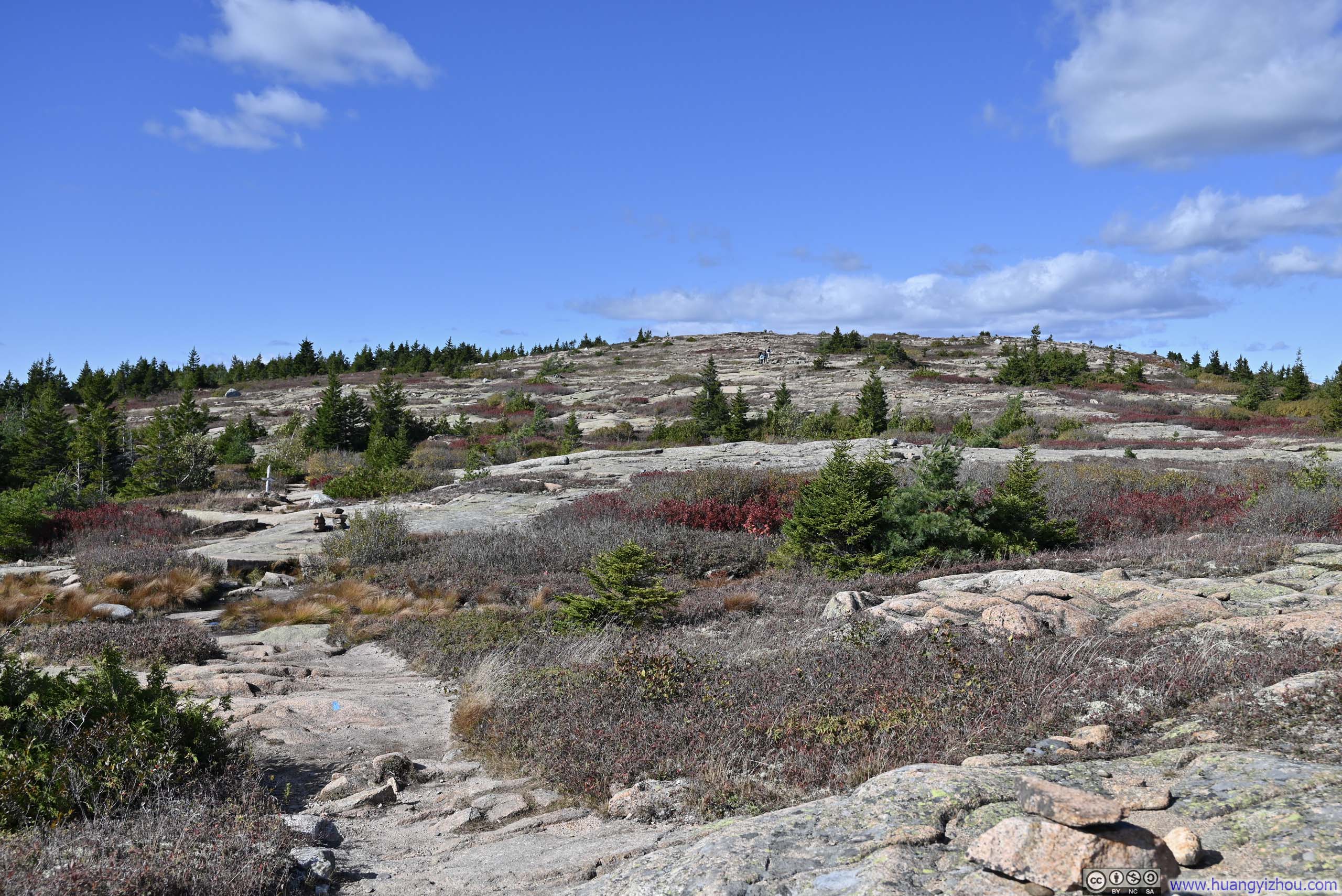
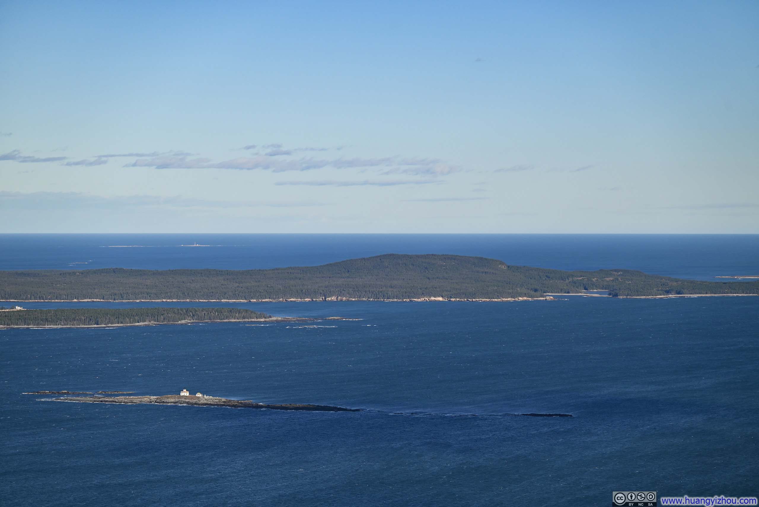
Finally, it’s Sargent Mountain, the tallest of the group. Its summit featured the most expansive stretch of exposed rocks, larger than the previous three summits combined, so no wonder it offered the best views. It overlooked two bodies of water, Eagle Lake to the east and Somes Sound to the west, reflecting the geology of Mt Desert Island where arrays of mountains were interleaved with valleys, lakes and fjards.
 Summit Marker of Sargent Mountain
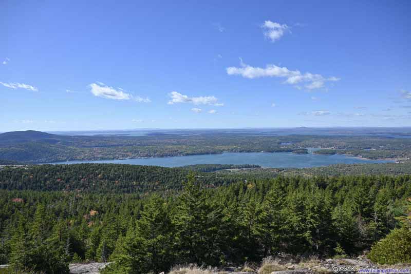 Somes Sound
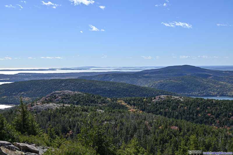 Hills to the West
The three patches of exposed rocks in the foreground were Bald Peak, Parkman Mountain and Gilmore Peak. They were along the path that I took.
Hills to the West
The three patches of exposed rocks in the foreground were Bald Peak, Parkman Mountain and Gilmore Peak. They were along the path that I took.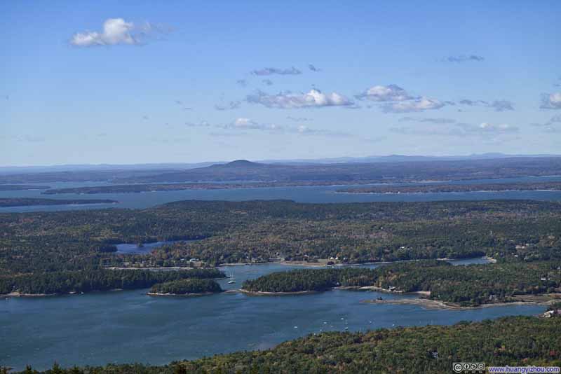 Somes Sound and Mt Desert Narrows
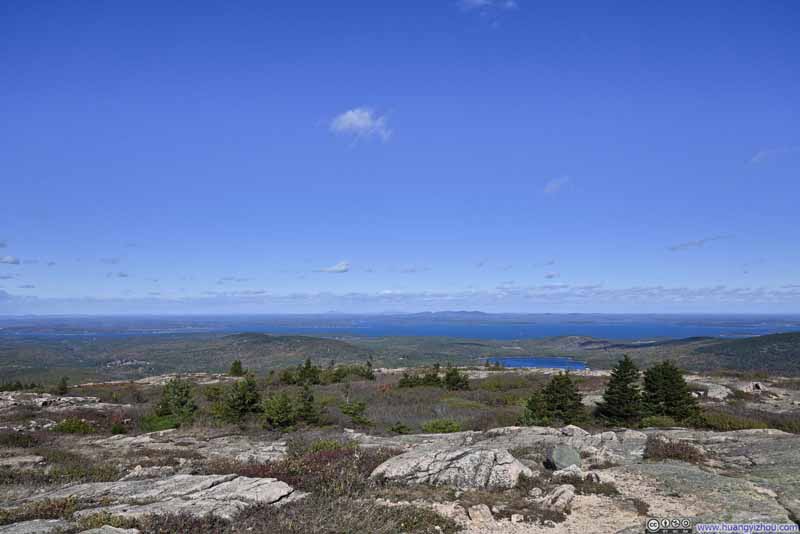 Mt Desert Narrows to the North

Click here to display photos of the slideshow
Summit Marker of Sargent Mountain
Somes Sound
Hills to the West
Somes Sound and Mt Desert Narrows
Mt Desert Narrows to the North
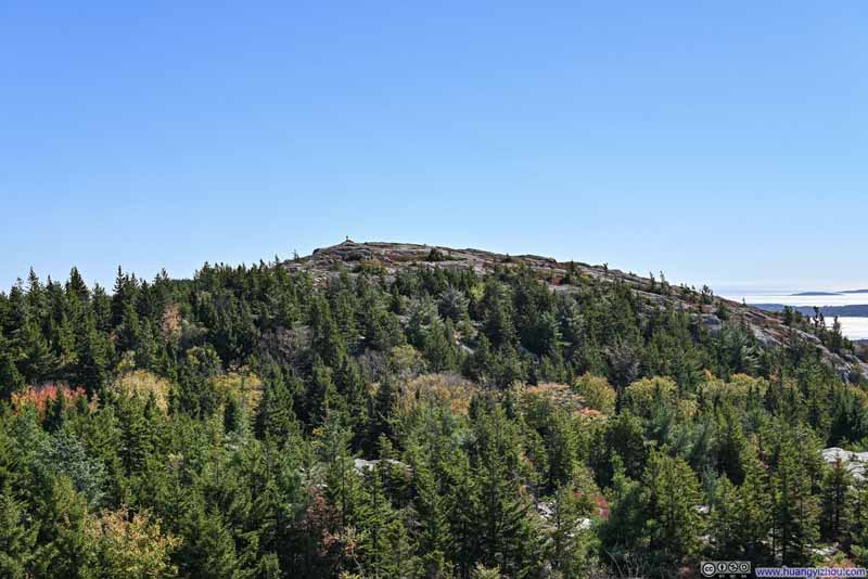
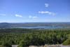
Hints of vibrant foliage emerged towards the direction of Eagle Lake, a welcomed departure from the predominantly evergreen forests stretching towards Somes Sound. Wind was strong that day, casting fleeting shadows of clouds on the landscape for a dynamic scene.
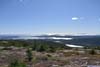
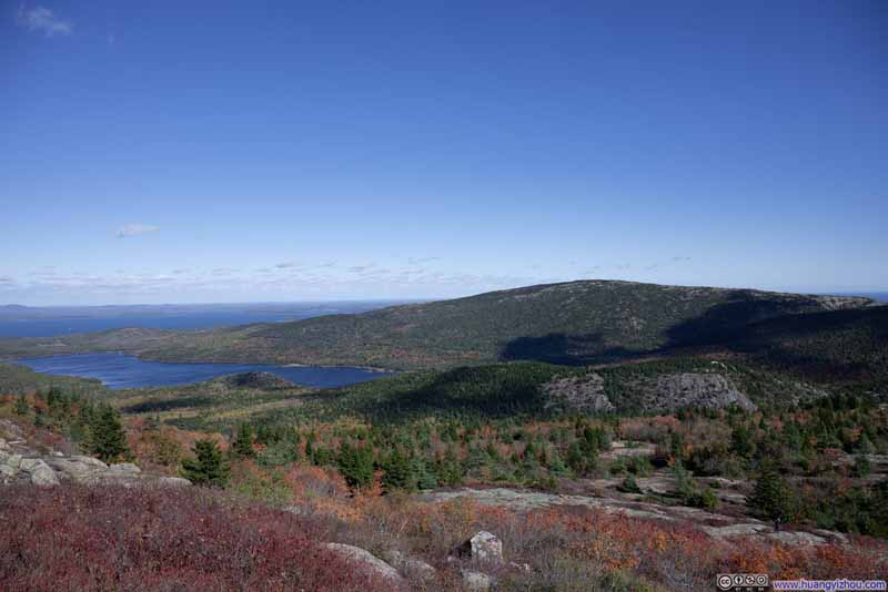 Cadillac Mountain over Eagle Lake
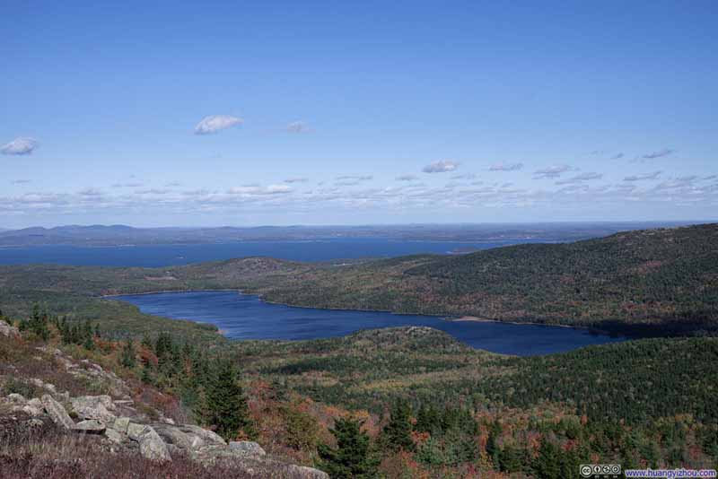 Overlooking Eagle Lake
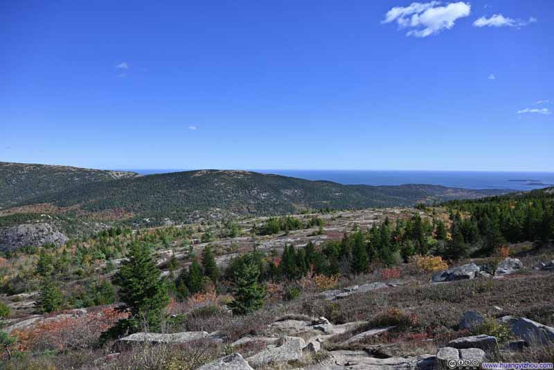 Pemetic Mountain
 South Bubble before Cadillac MountainMuch of the western face of South Bubble was exposed rocks from this angle.

Click here to display photos of the slideshow
Cadillac Mountain over Eagle Lake
Overlooking Eagle Lake

Pemetic Mountain
South Bubble before Cadillac MountainMuch of the western face of South Bubble was exposed rocks from this angle.
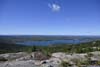
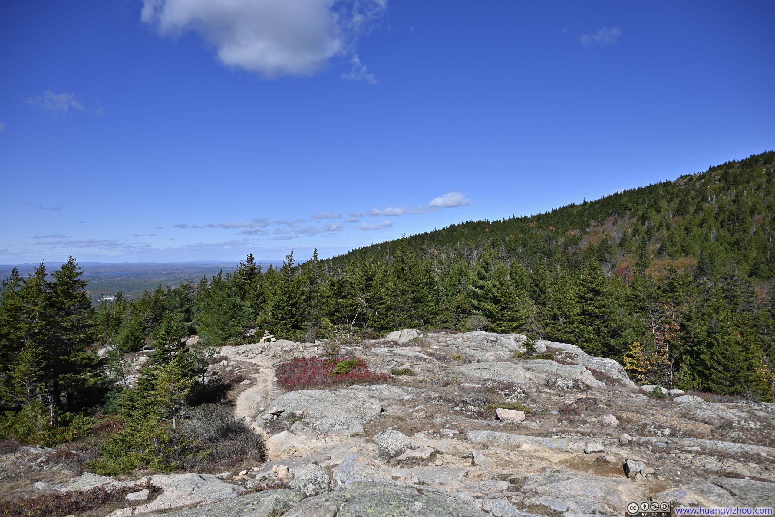
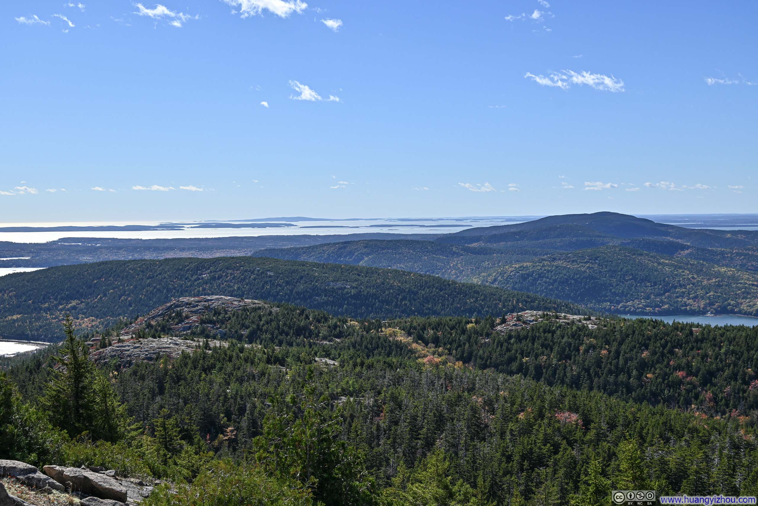
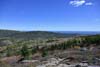
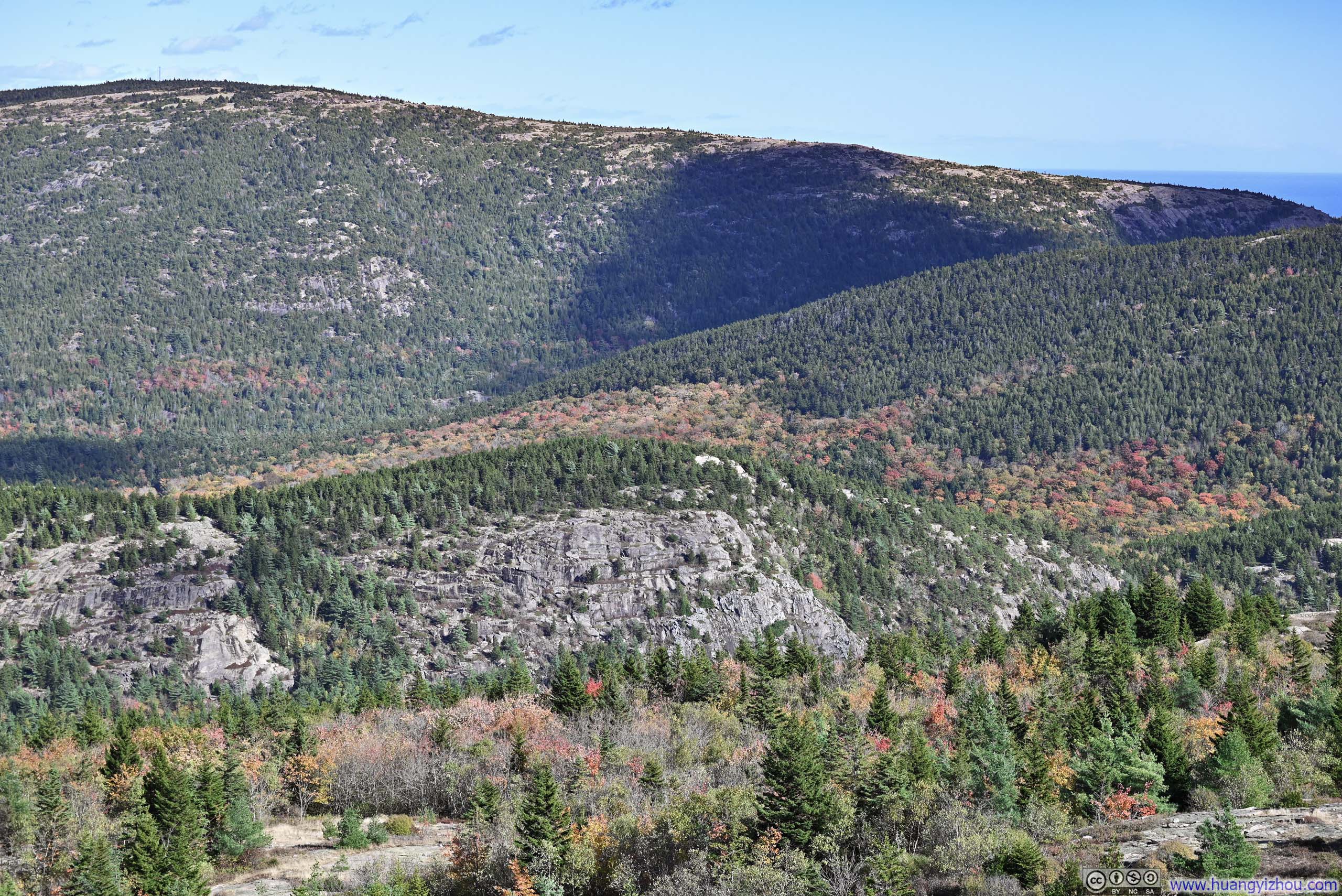
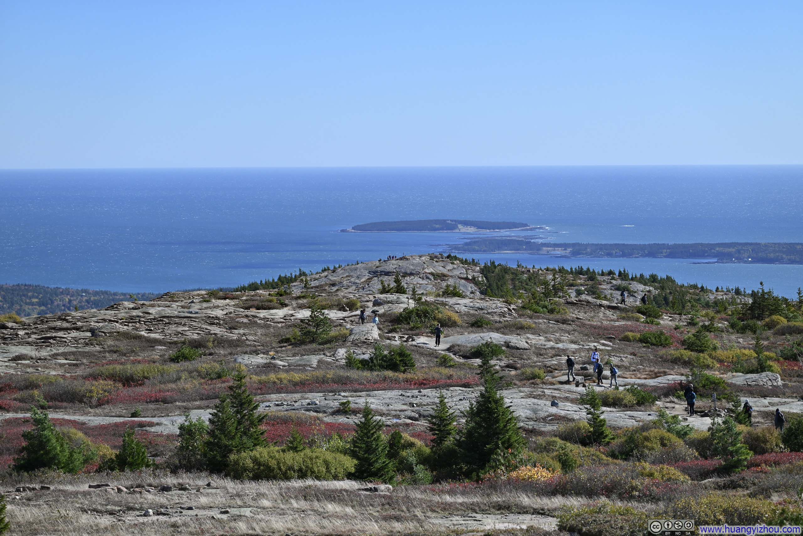
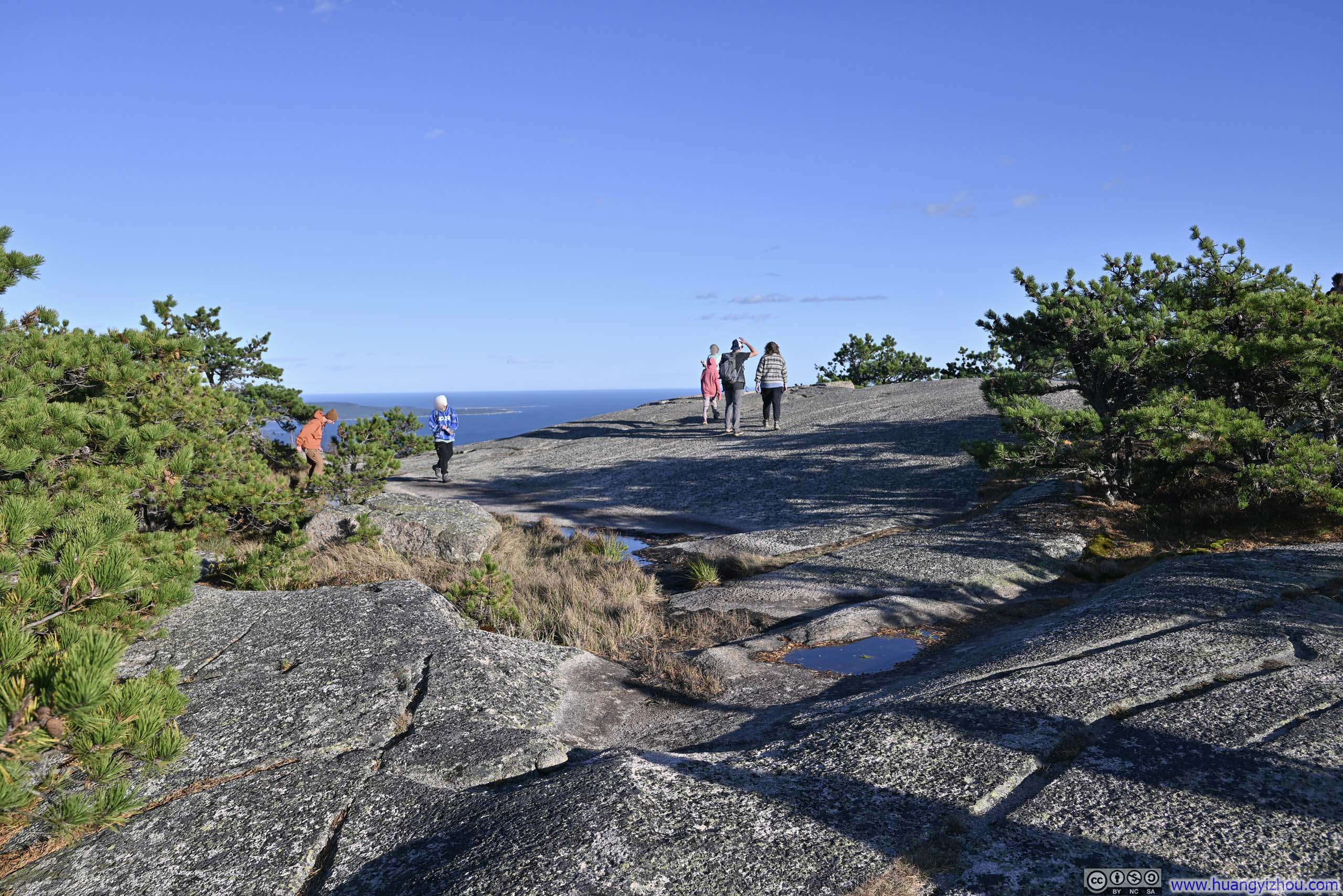
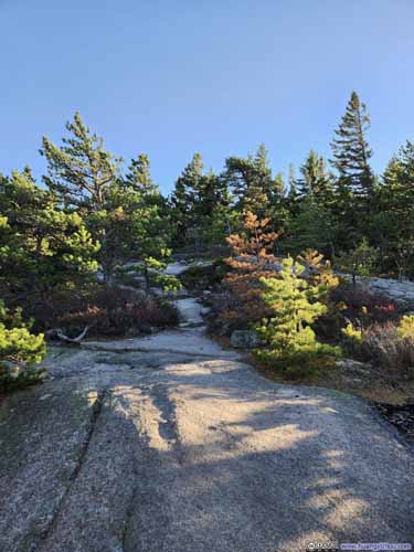
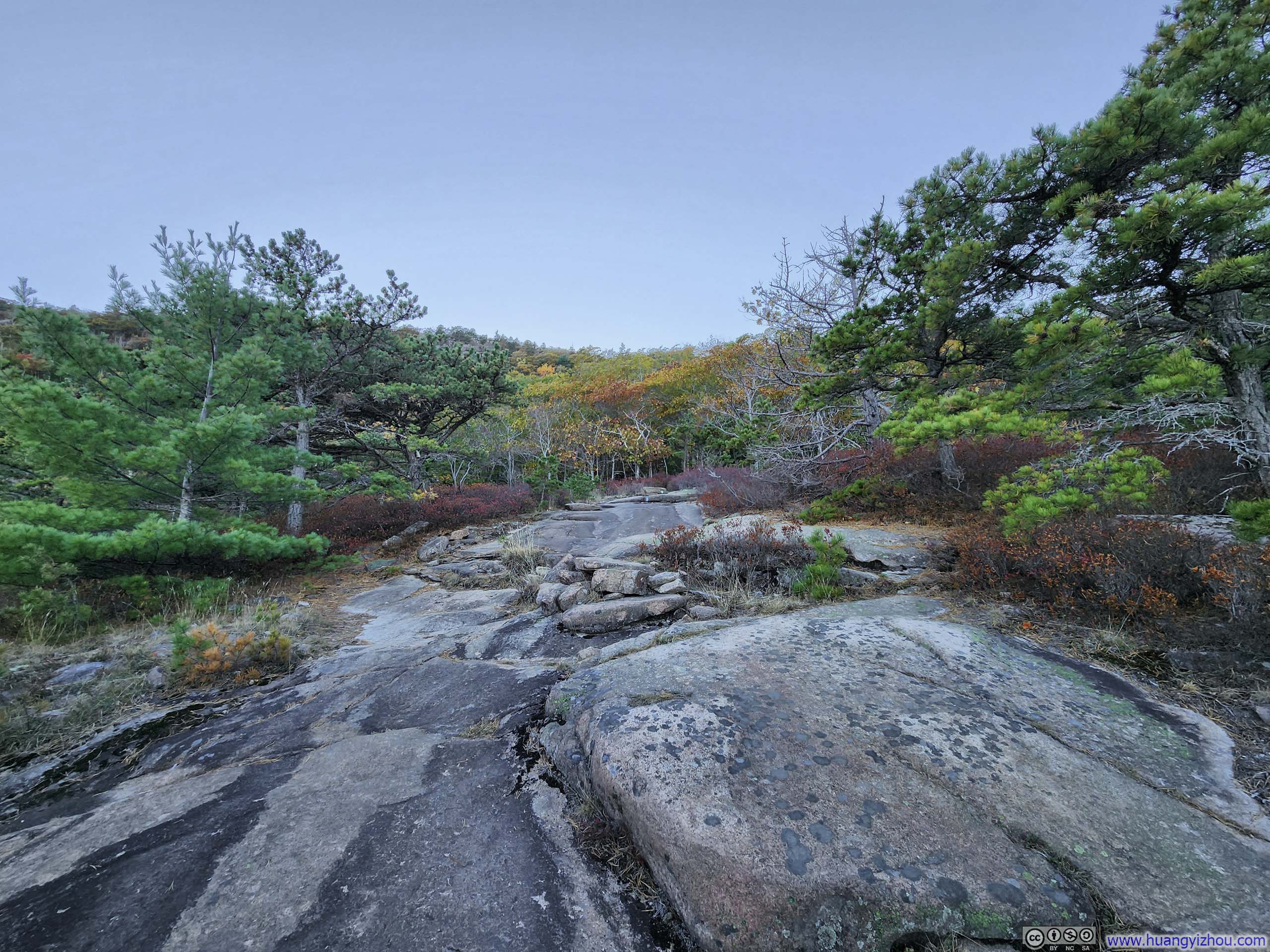
Leaving Sargent Mountain, the trail continued above the treeline on exposed rocks for some distance. The view of island-dotted sea in front provided a serene and ever-present companion for this part of the trail.
 Trail against Ocean Backdrop
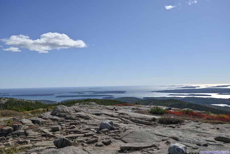 Trail against Ocean Backdrop
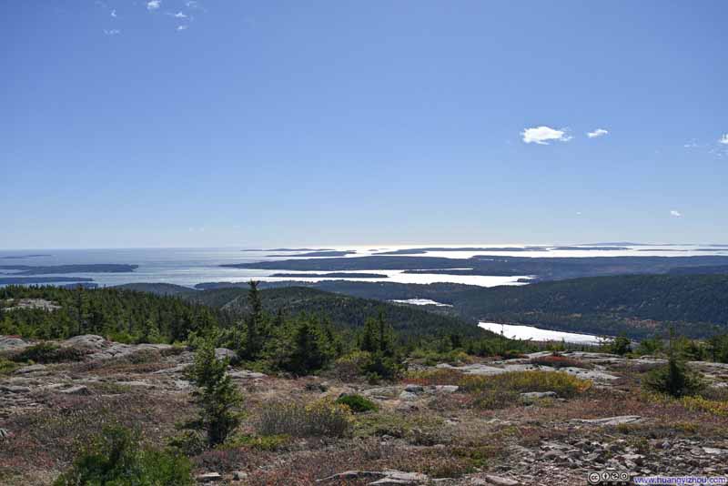 Trail against Ocean Backdrop
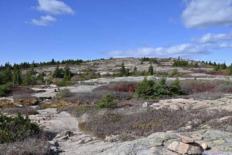 Trail to Sargent Mountain
Click here to display photos of the slideshow

 Trail against Ocean Backdrop
Trail to Sargent Mountain
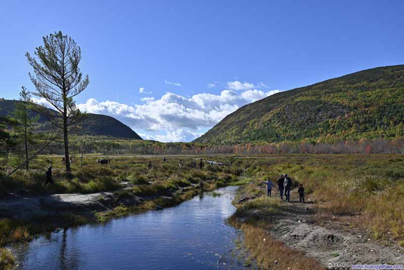
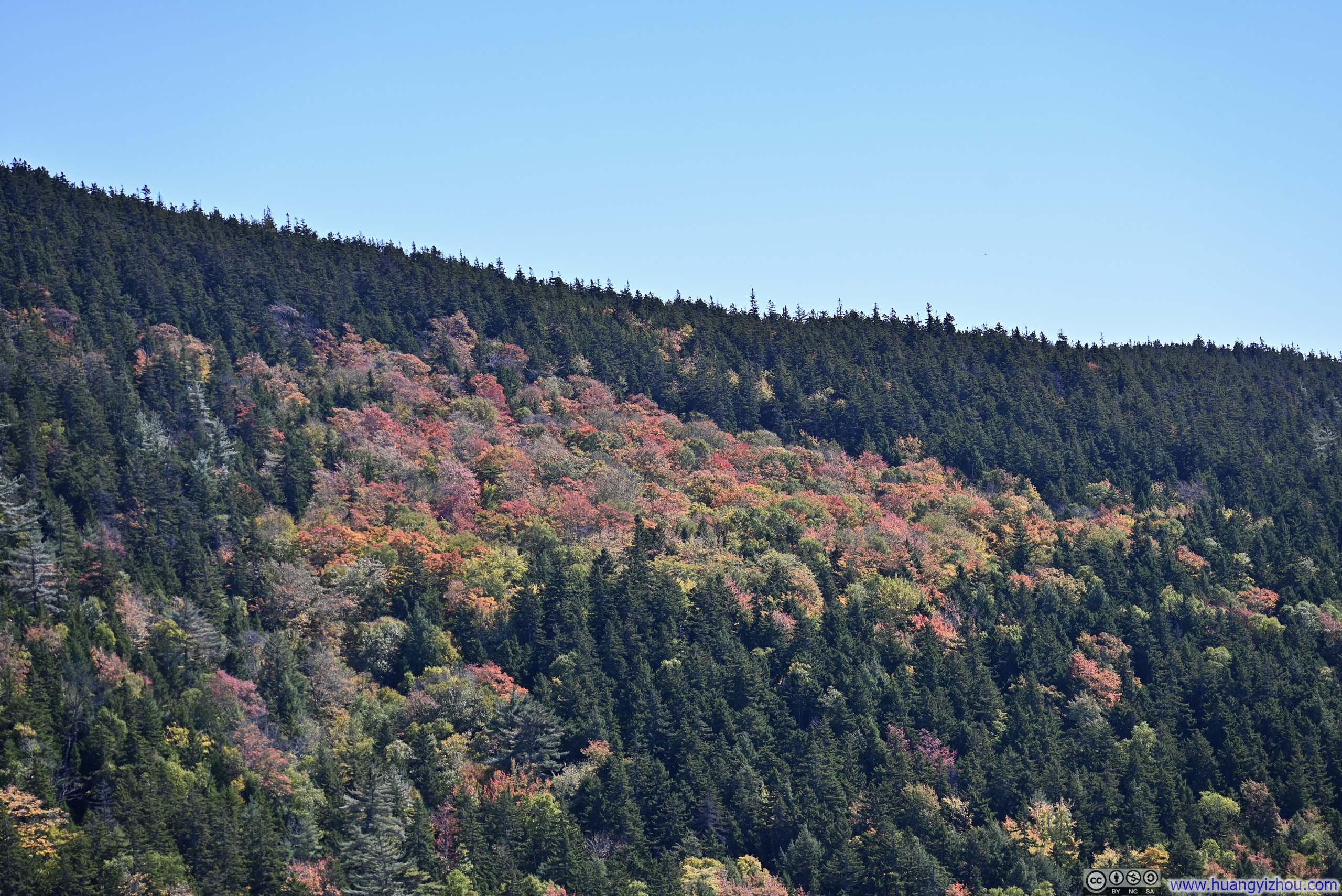
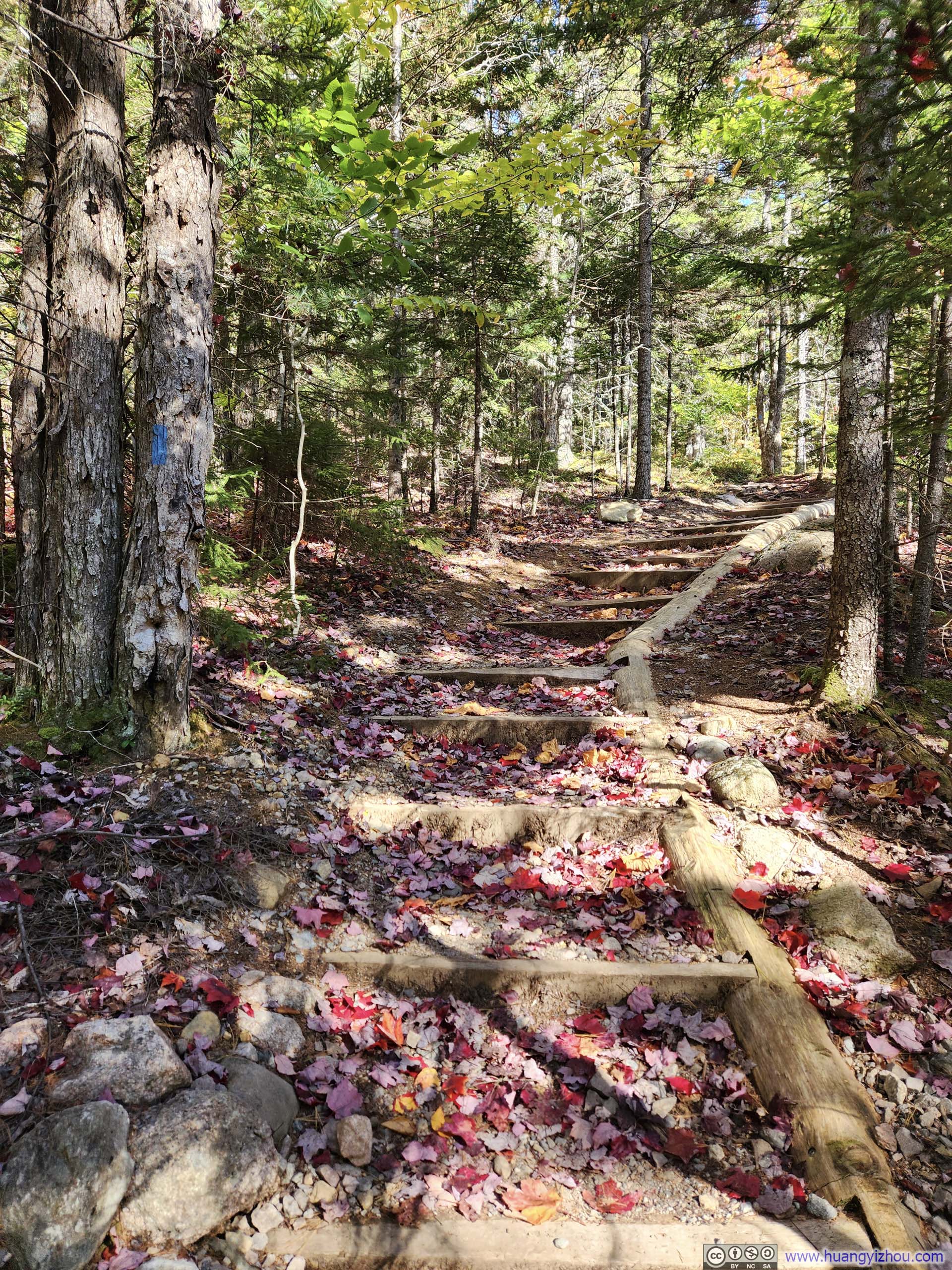
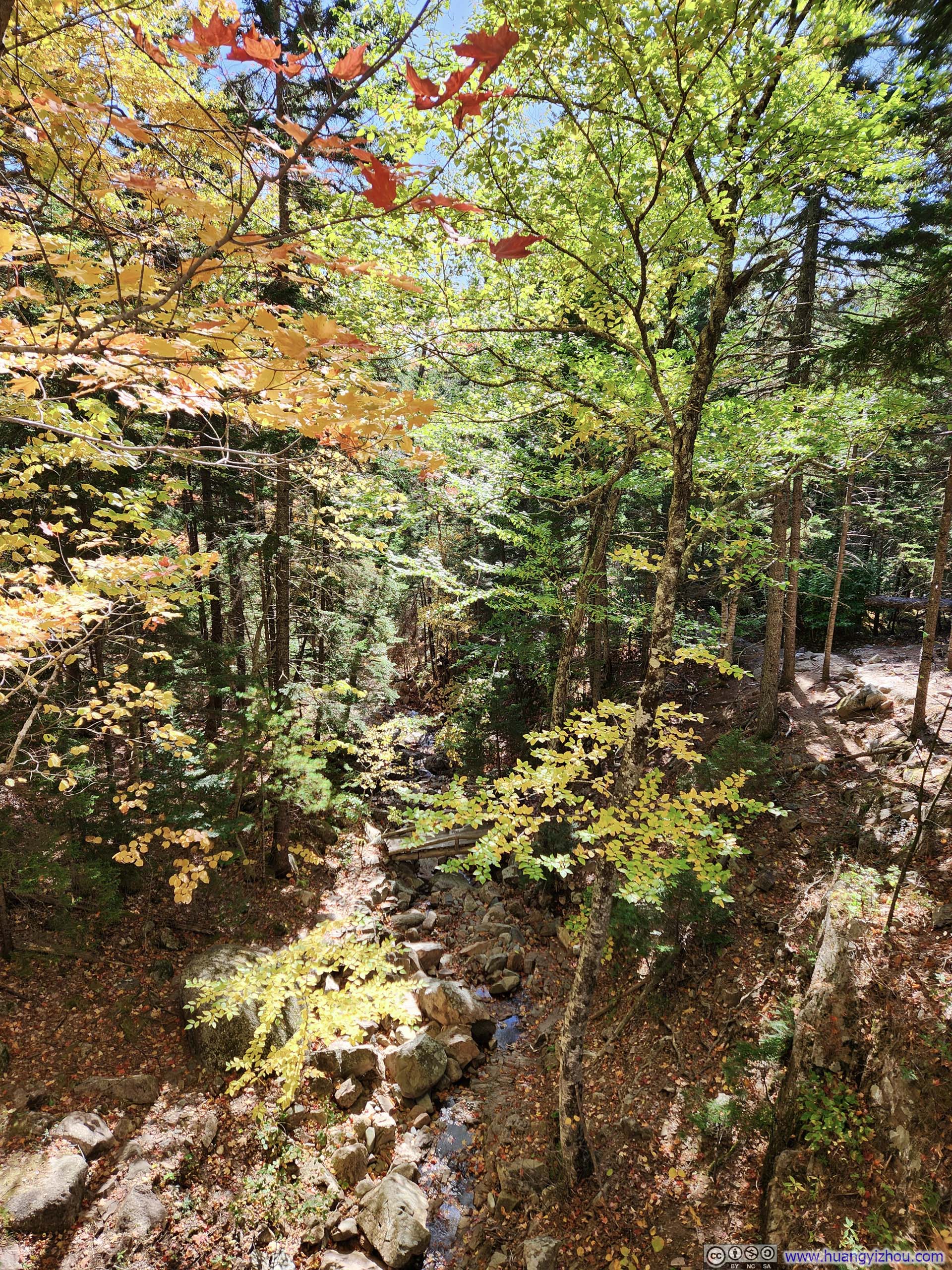
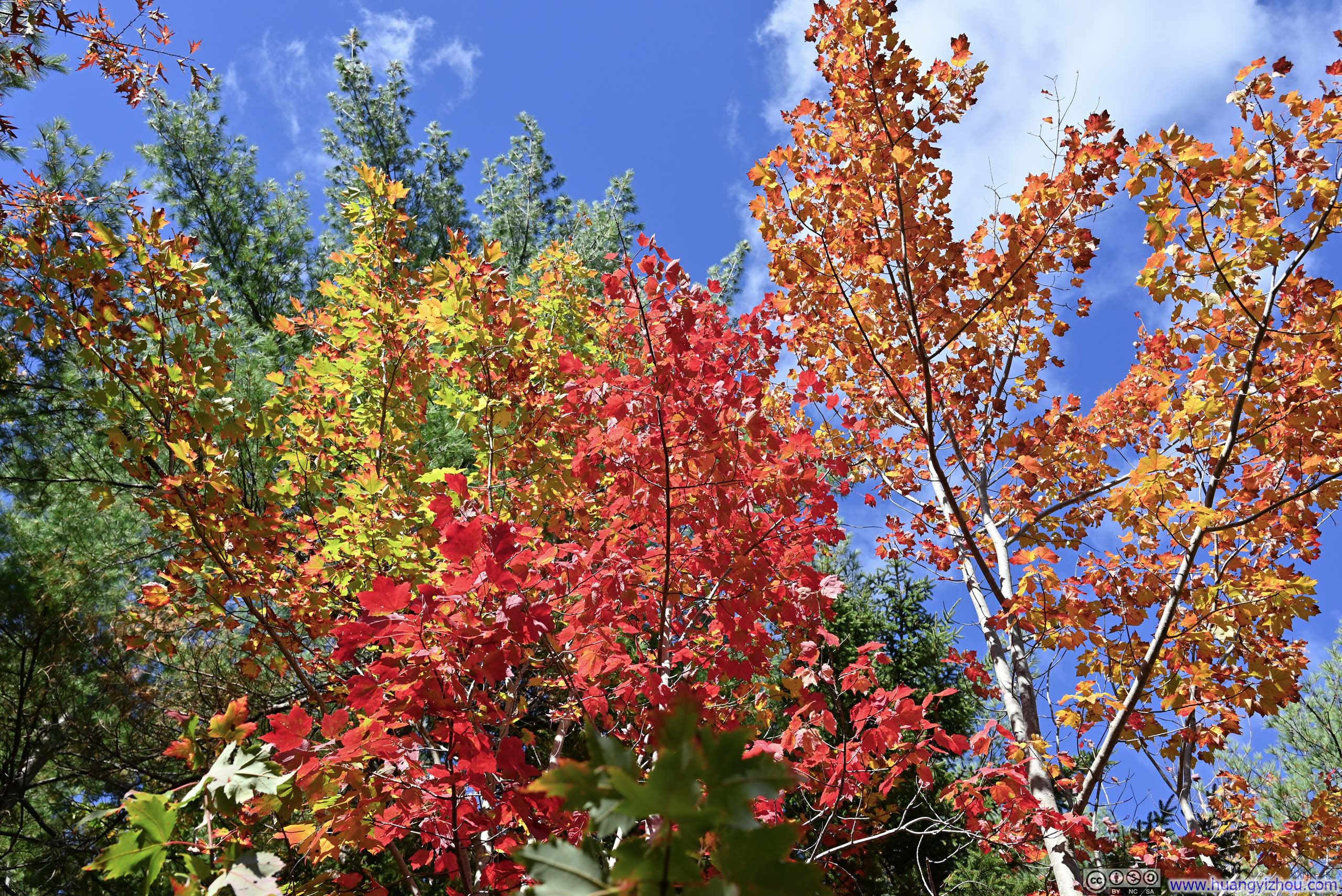
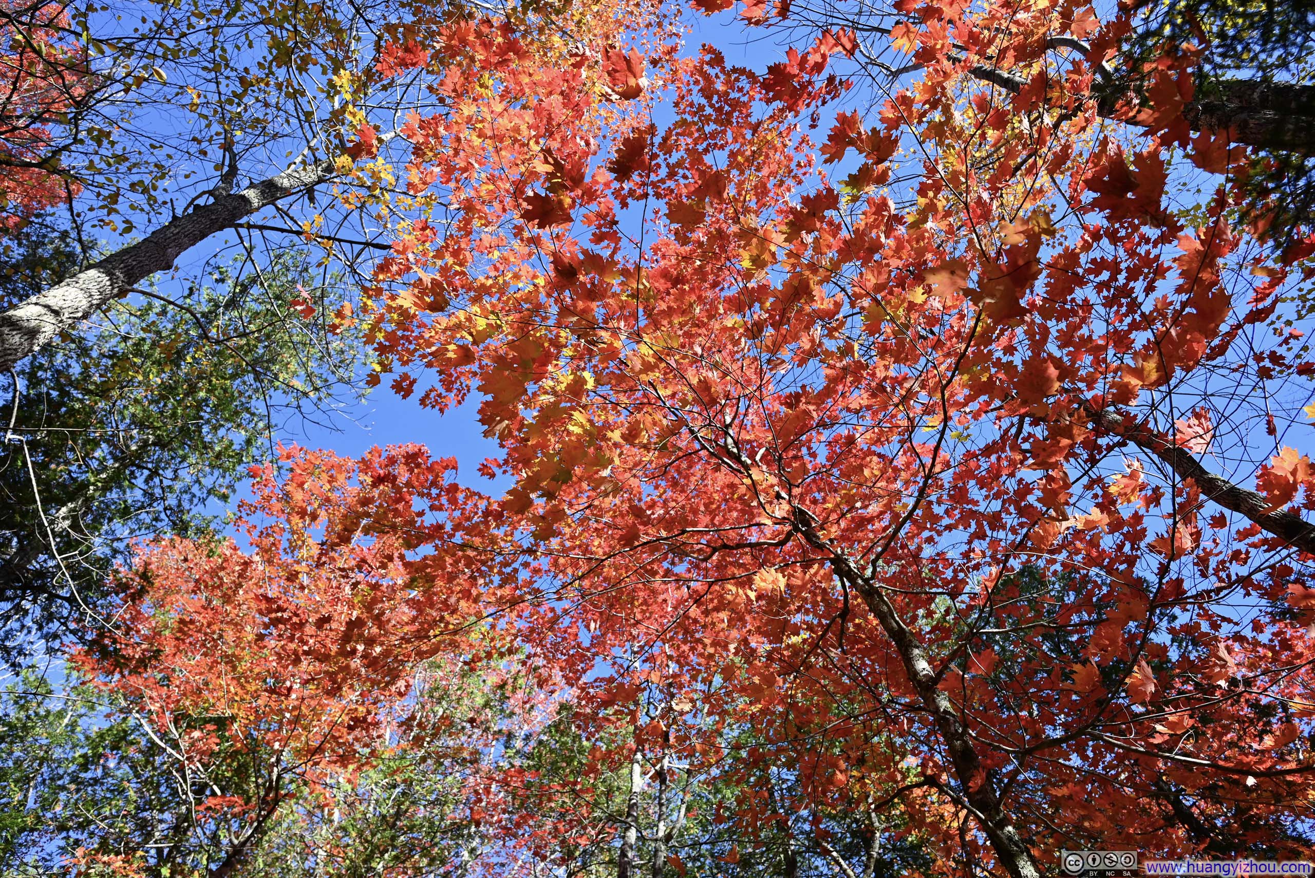
Compared to my ascent, the descent along Hadlock Creek featured more vibrant hues of foliage along the way. This was particularly evident along the carriage road, where a few groups of trees in various stages of transformation formed a dazzling mosaic of colors.
 Dried Creek
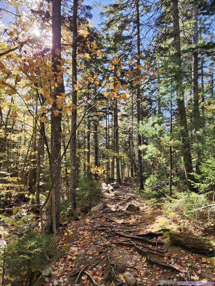 Trail
Trail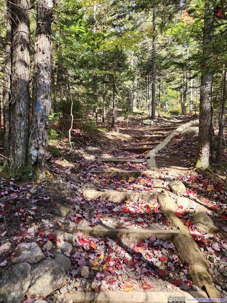 Trail Decorated with Fallen Leaves
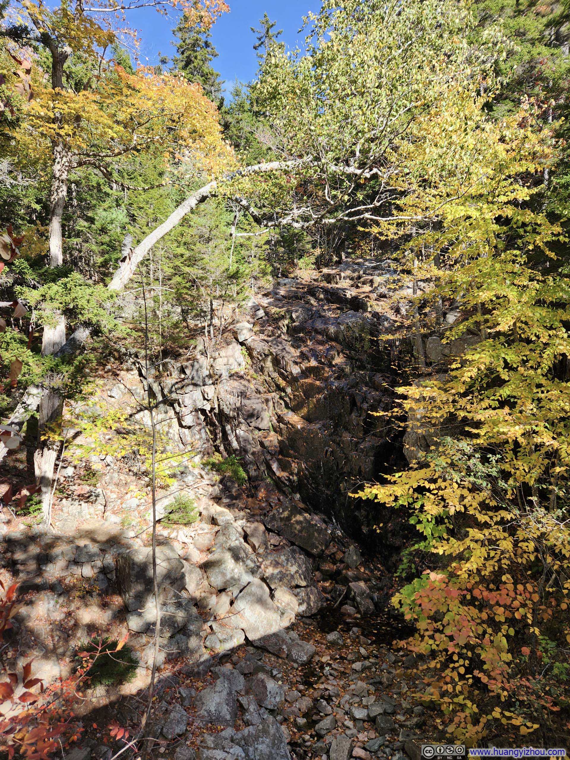
 Hadlock FallsLittle water flowing.
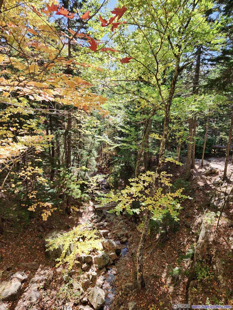 Dried Creek
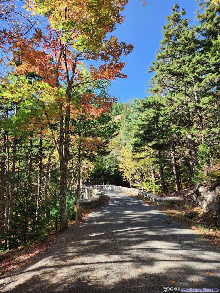 Carriage Road
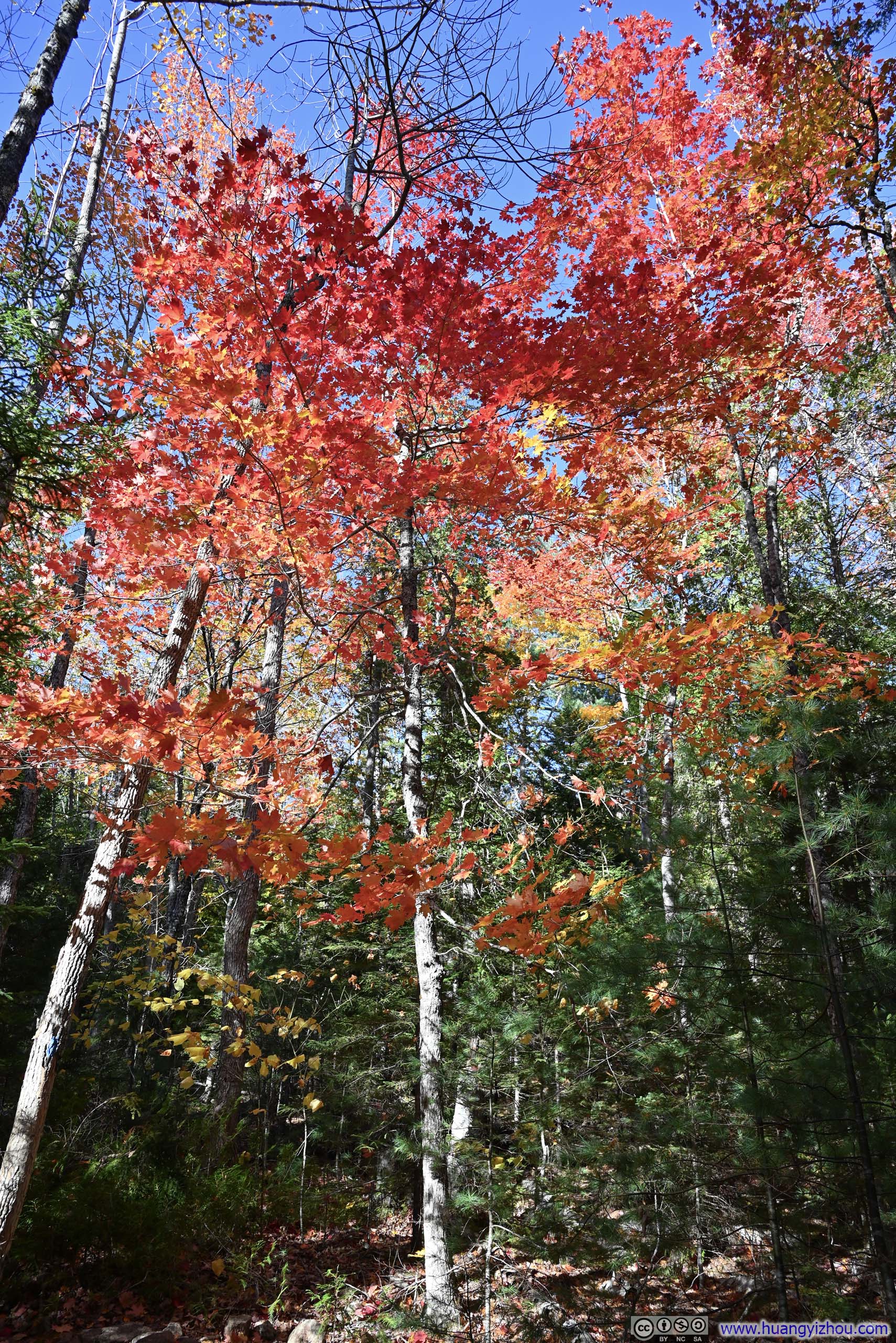
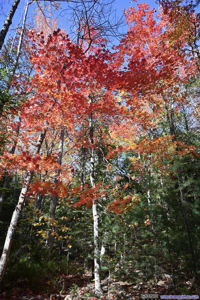 Fiery Leaves


Click here to display photos of the slideshow

Dried Creek

Trail
Trail Decorated with Fallen Leaves
Hadlock FallsLittle water flowing.
Dried Creek

Carriage Road
Fiery Leaves
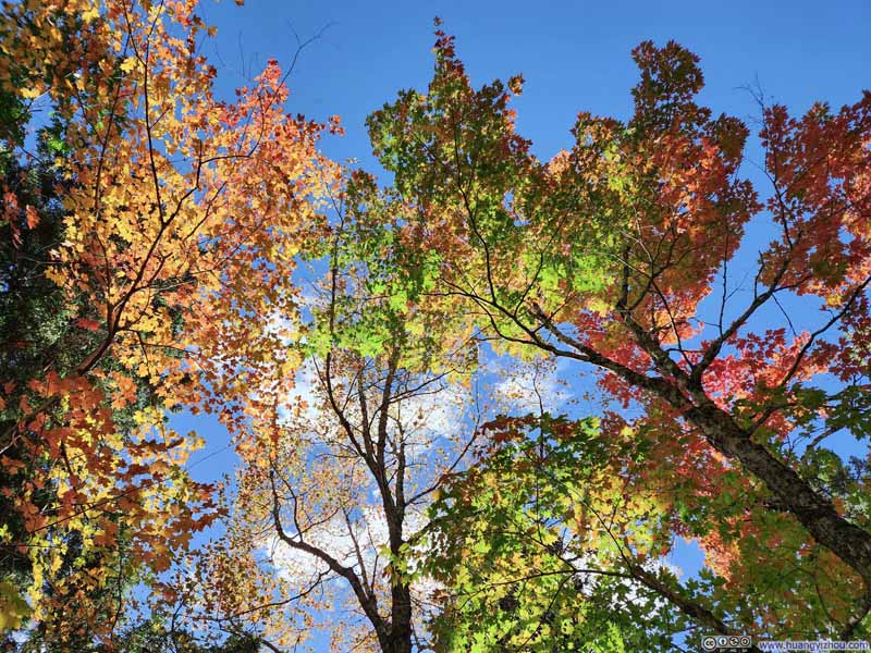 Blend of Colors on Trees
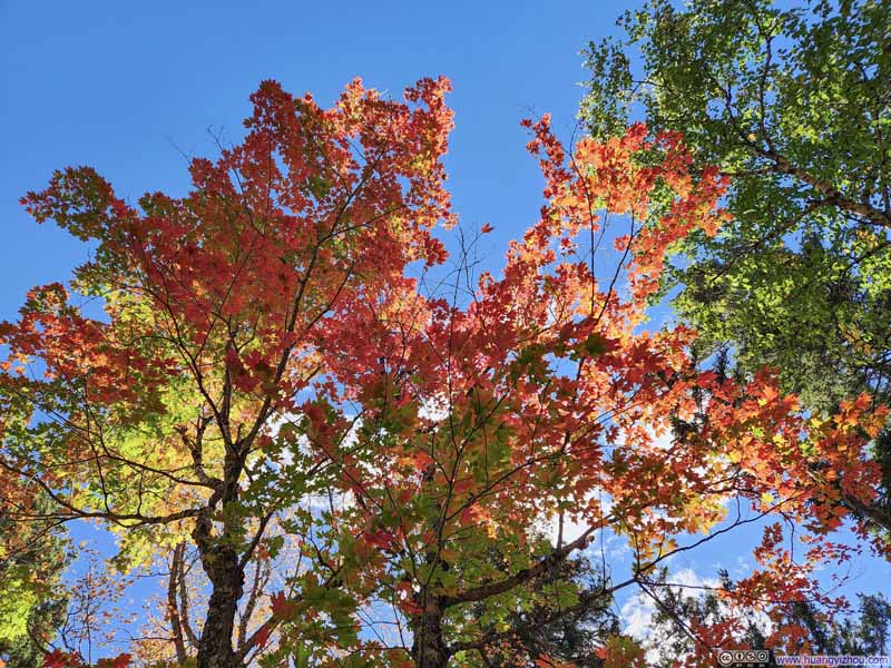 Blend of Colors on Trees
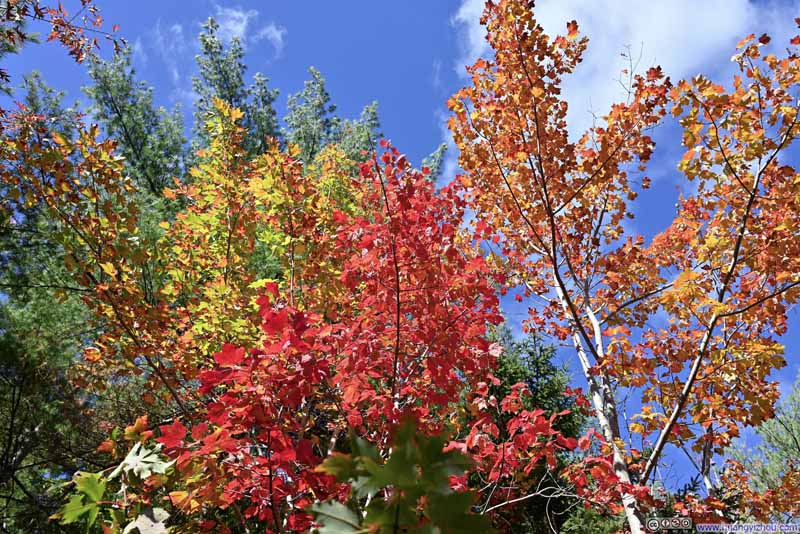 Blend of Colors on Trees
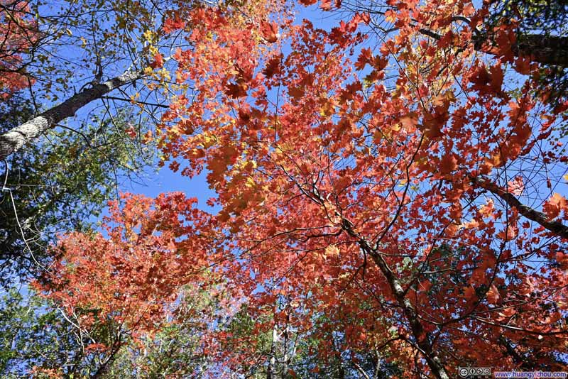 Fiery Leaves
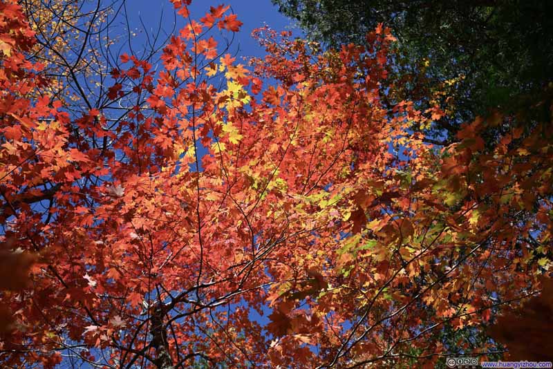 Fiery Leaves


Click here to display photos of the slideshow


 Blend of Colors on Trees
 Fiery Leaves
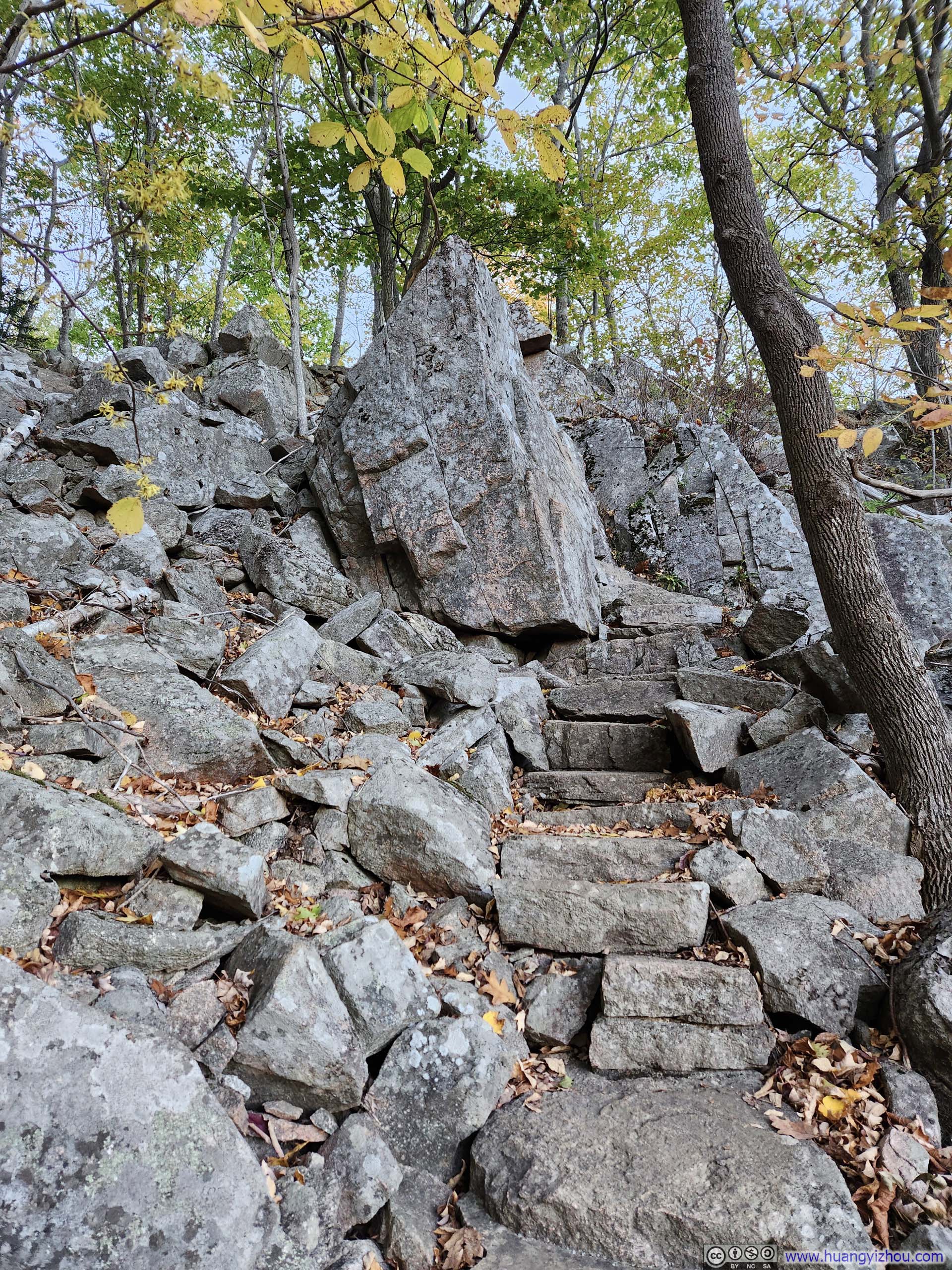
I got back to my car from hiking this Sargent Mountain loop at 2:40pm. That left me enough time to check out Precipice Trail before catching sunset on Cadillac Mountain.
Precipice Trail
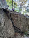
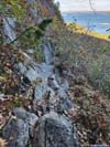
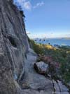
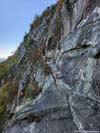
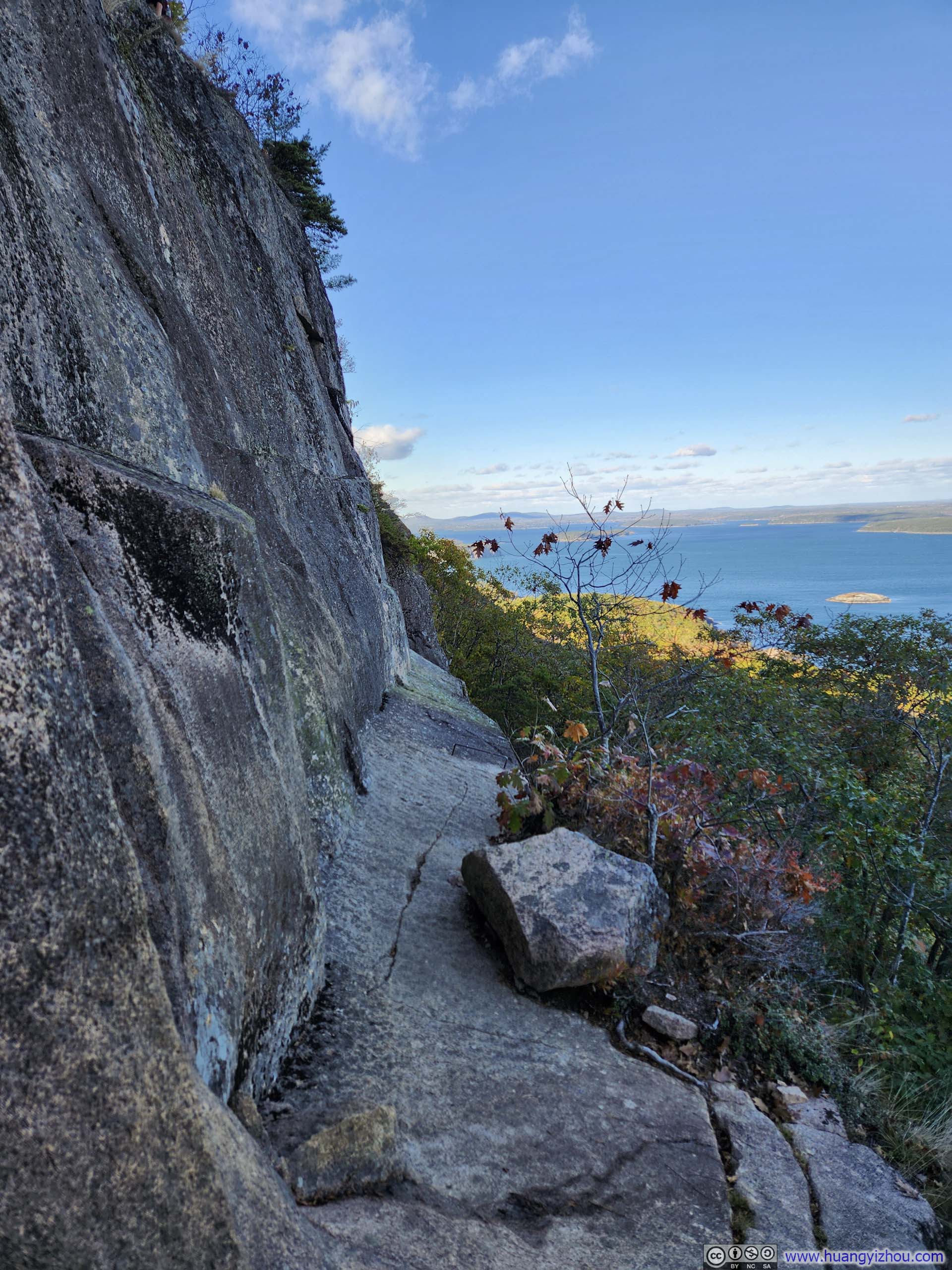
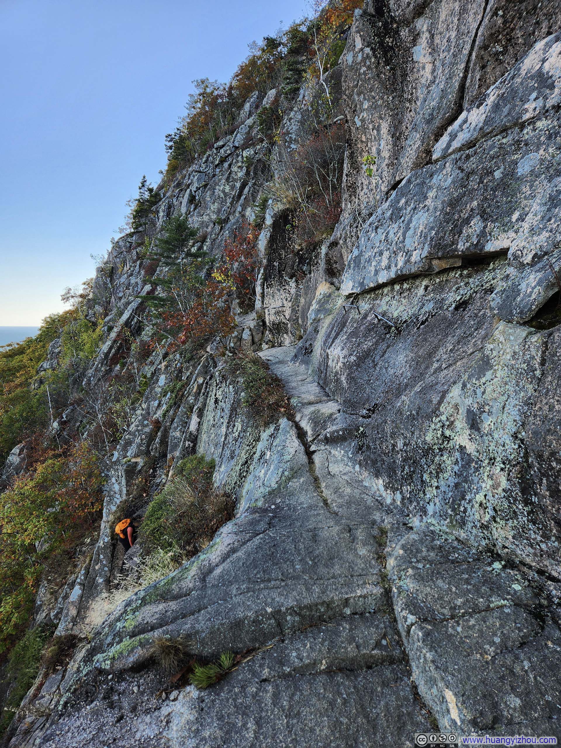
Arguably the most exhilarating “trail” in Acadia National Park, Precipice Trail scales a towering cliff that overlooks Mt Desert Narrows. Wherever there was exposure, there were iron rungs to aid climbers, so that the climb never exceeded YDS class 3. The narrowest and most exposed sections were towards the top, allowing visitors to gradually acclimate to the terrain on the less daunting lower portions.
It amazed me how few people I ran into along Precipice Trail (about than 5 groups in the climbing section), to the degree that I was almost speedrunning through the climb, energized by the sheer excitement it provided. I had such a phenomenal time at Precipice Trail that this was no doubt the highlight of the trip.
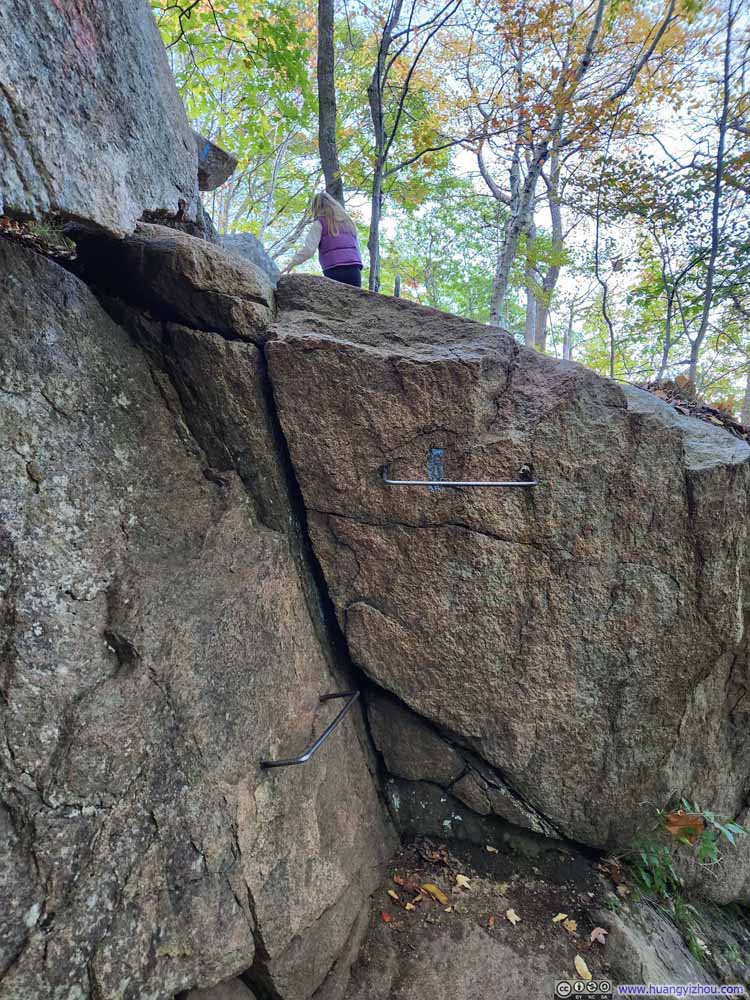 Beginning of Climbing Section along Precipice Trail
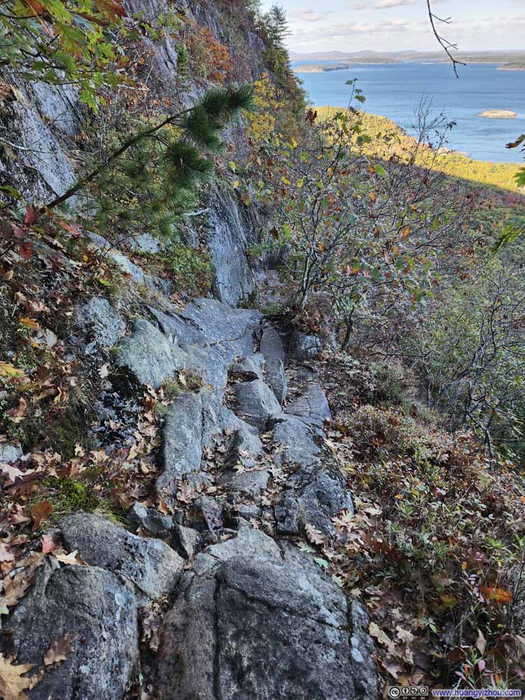 Precipice Trail
 Precipice Trail
 Precipice Trail
Click here to display photos of the slideshow

Beginning of Climbing Section along Precipice Trail

Precipice Trail
Precipice Trail
Precipice Trail
I used a helmet-mounted GoPro to record my entire climb, and I couldn’t help but marvel at just how much joy this experience brought me. I tried to minimize my use of artificial iron rungs but there were places where they were absolutely necessary for fallible humans. Here’s the video:
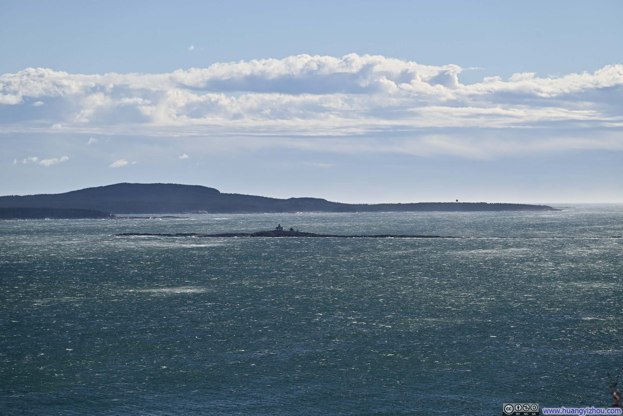
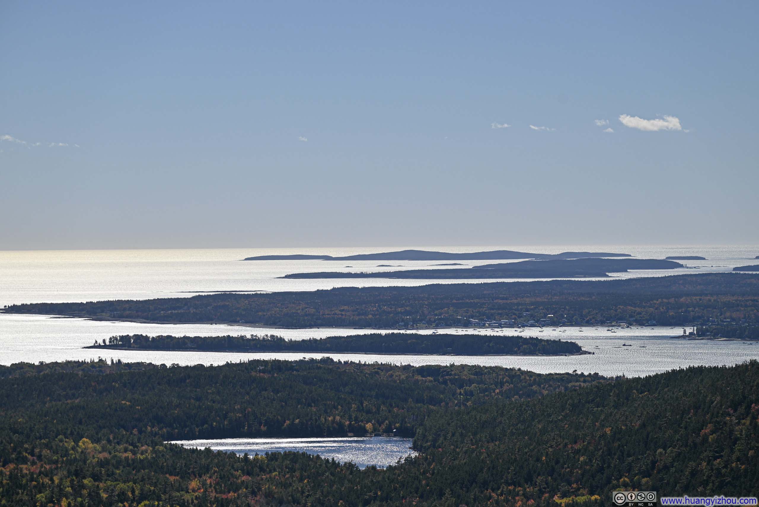
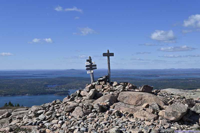
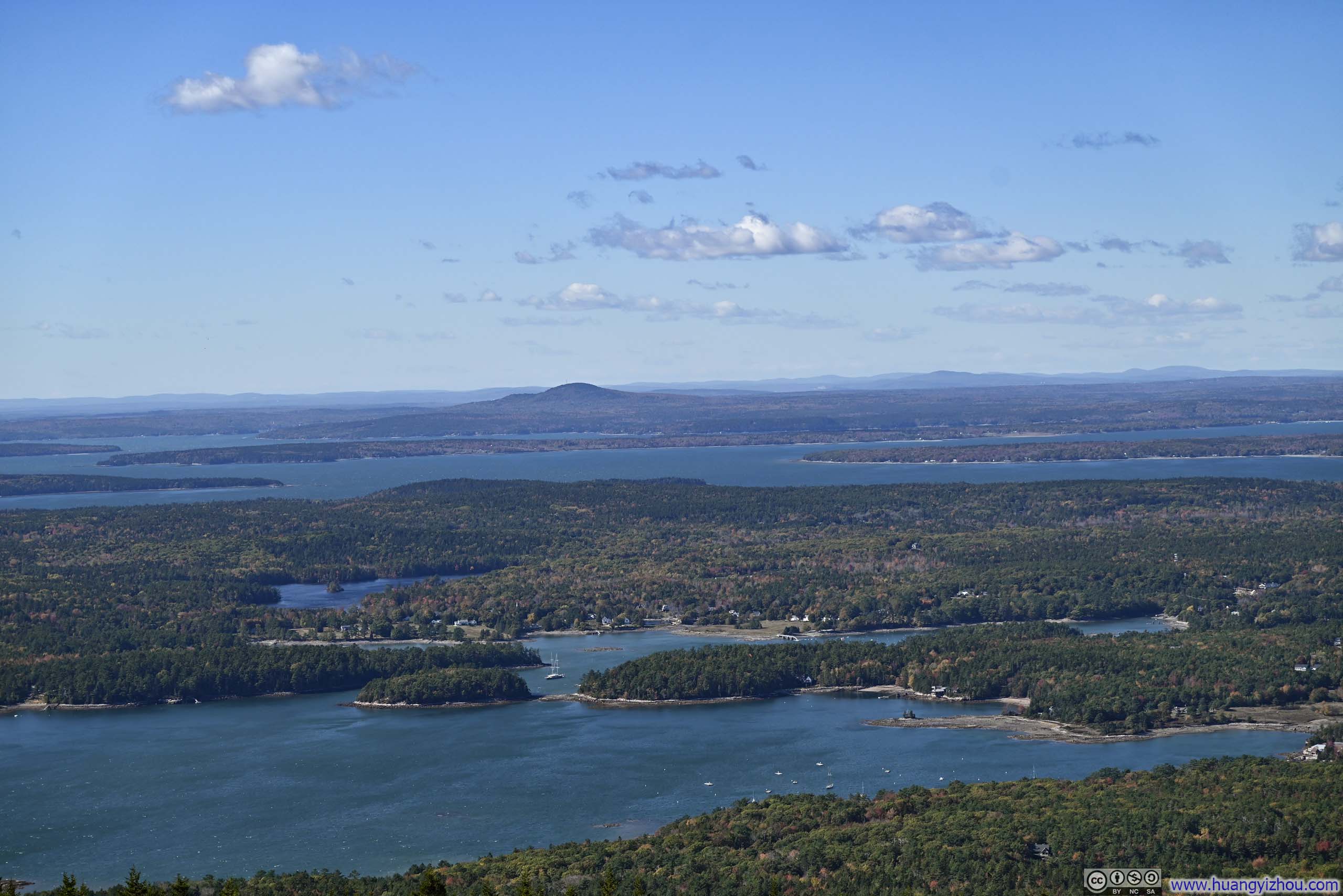
At the end of Precipice Trail was Champlain Mountain, on top of which I took some rest to appreciate the views of Mt Desert Narrows below. The day was windy, yet the waves were so gentle that the waters of the Narrows appeared serene, their surface undisturbed, glowing softly in the afternoon light.
 Summit of Champlain Mountain
 Frenchman Bay
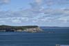
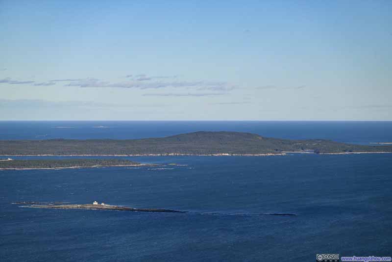 Egg Rock before Schoodic Peninsula
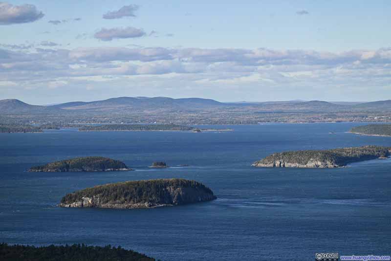 Islands in Frenchman Bay
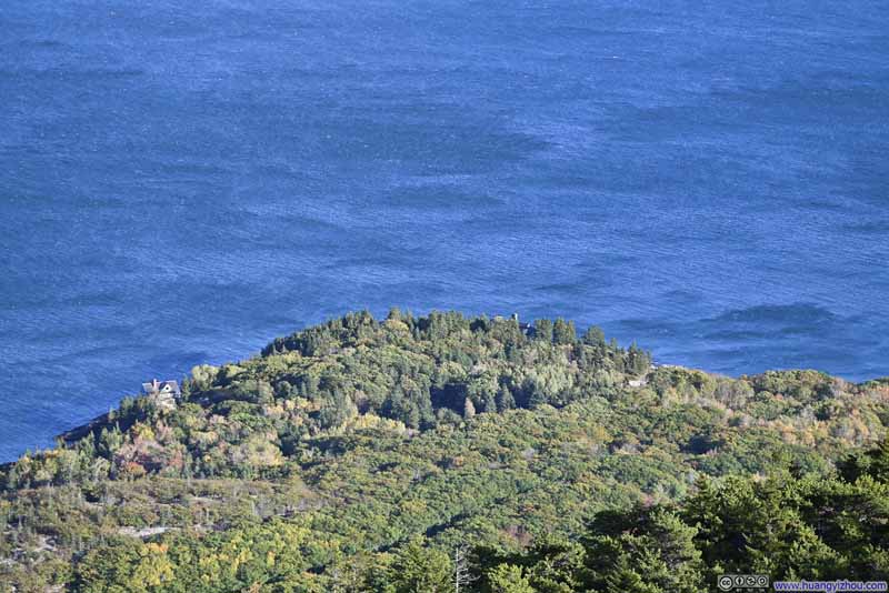 Overlooking Schooner Head
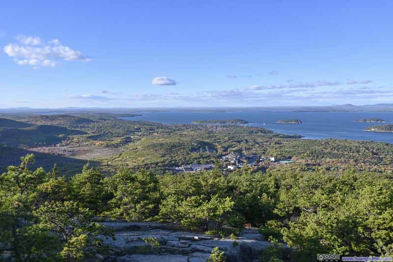 Frenchman Bay from Champlain Mountain

Click here to display photos of the slideshow
Summit of Champlain Mountain

Frenchman Bay
Egg Rock before Schoodic Peninsula

Islands in Frenchman Bay

Overlooking Schooner Head

Frenchman Bay from Champlain Mountain
The descent from Champlain Mountain was somewhat steep, but nowhere to the level of climbing along Precipice Trail. With the assistance of hiking poles, it felt more like a calm and uneventful stroll.
 Trail
Trail
 Trail
Trail Trail
Trail


Click here to display photos of the slideshow
 Trail
Trail
 Trail
Trail
Trail
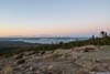
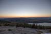
Mount Cadillac Sunset
Finally, I ended the day by watching the sunset from the summit of Cadillac Mountain, the highest peak in Acadia National Park and the tallest mountain along the eastern seaboard of the United States.
Given its popularity, the park authority enacted a timed-entry reservation system for the road up Cadillac Mountain. The most thought-after time slot was sunrise, which unfortunately I couldn’t get a reservation of. (Honestly, I would struggle to wake up early for that.) As an alternative, I chose to watch the sunset from Cadillac Mountain instead.
It turned out that sunrise was more popular than sunset on Cadillac Mountain for a reason. The summit of Cadillac Mountain offered clear views to the east, while for viewing sunset, one had to walk a short distance to a clearing in the woods. It also helped that Champlain Mountain to the east was shorter (323m) than Sargent Mountain to the west (419m).
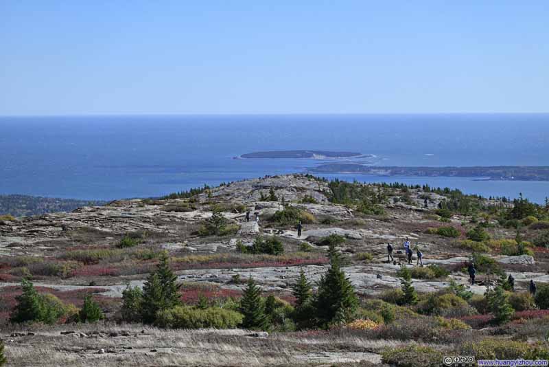
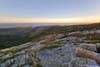
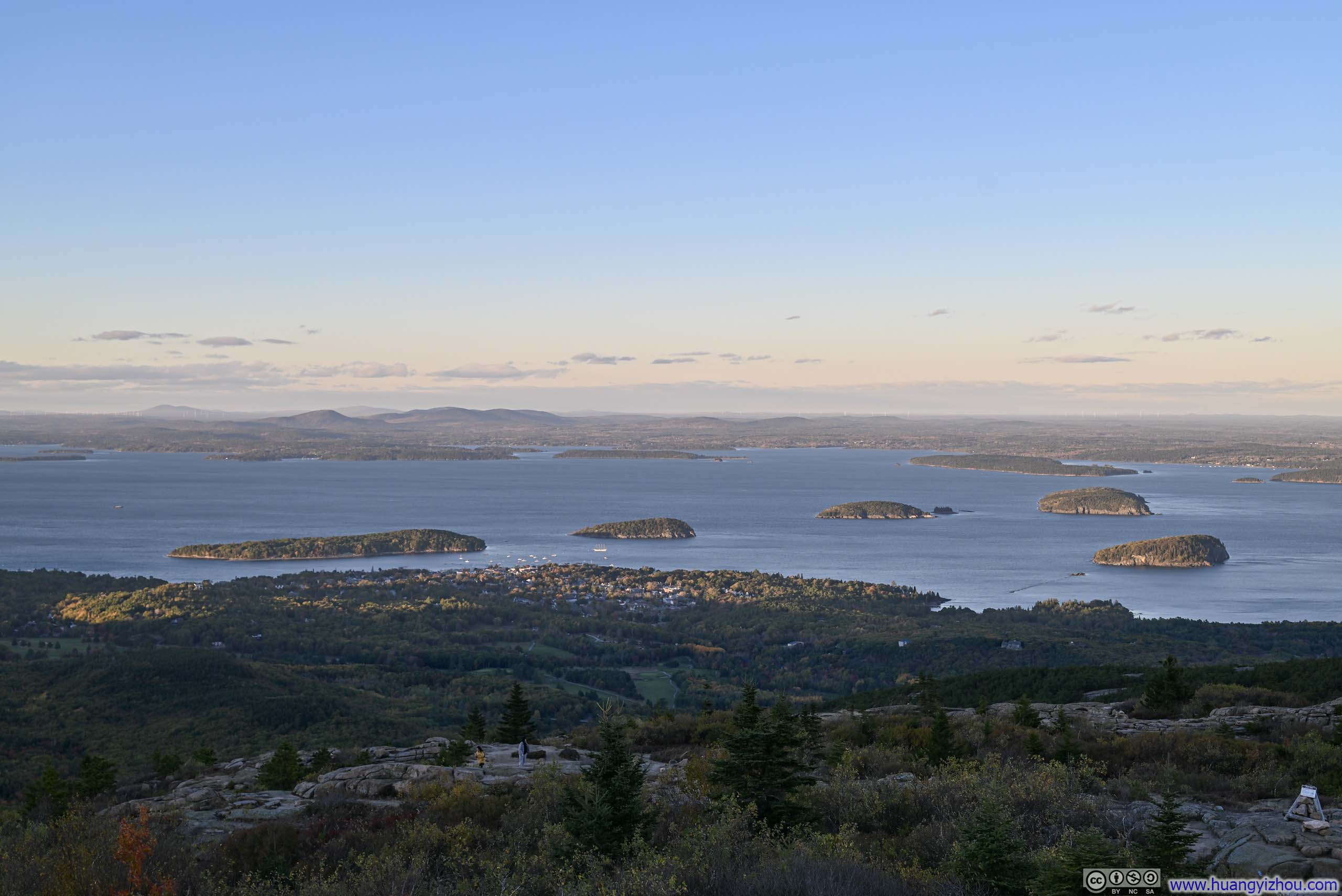
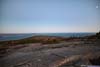
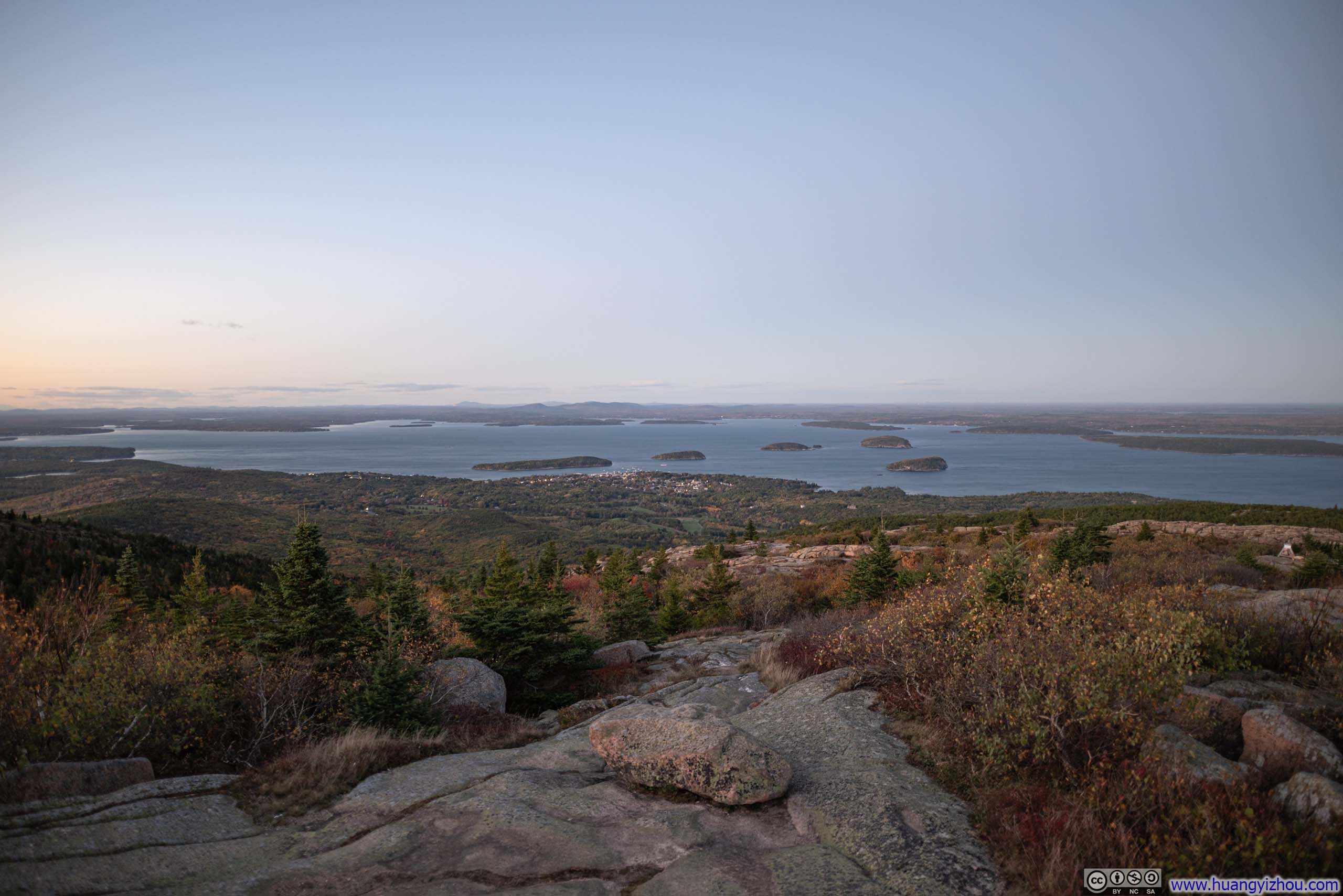
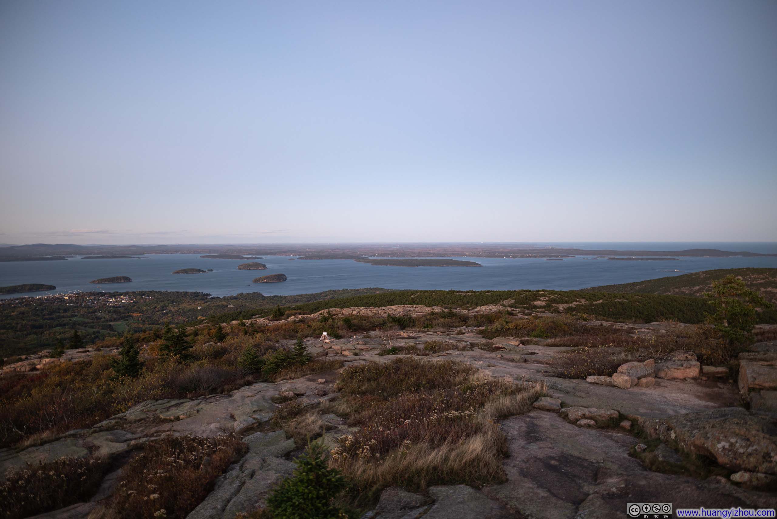
I finished my hike of Precipice Trail earlier than expected, so I arrived at the top of Cadillac Mountain with about 30 minutes to spare before sunset. I used this time to explore the summit area, with sweeping views of Mount Desert Narrows stretching out in the distance.
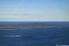
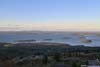
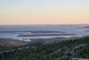
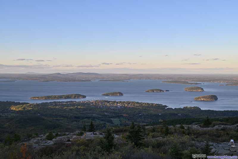 Islands in Frenchman Bay beyond Bar Harbor
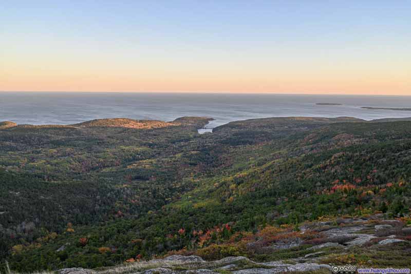 Foliage on Mountains
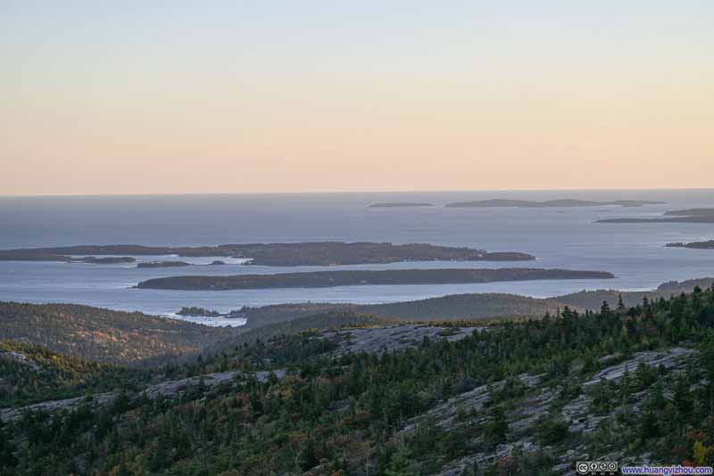 Cranberry Isles
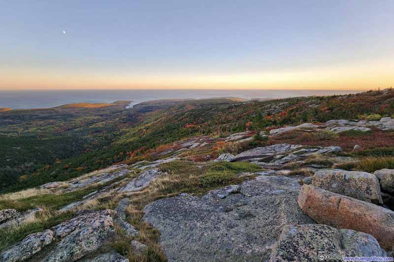 Foliage on Mountains
Click here to display photos from the summit of Cadillac Mountain.
Islands in Frenchman Bay beyond Bar Harbor
Foliage on Mountains

Cranberry Isles
Foliage on Mountains
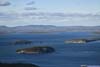
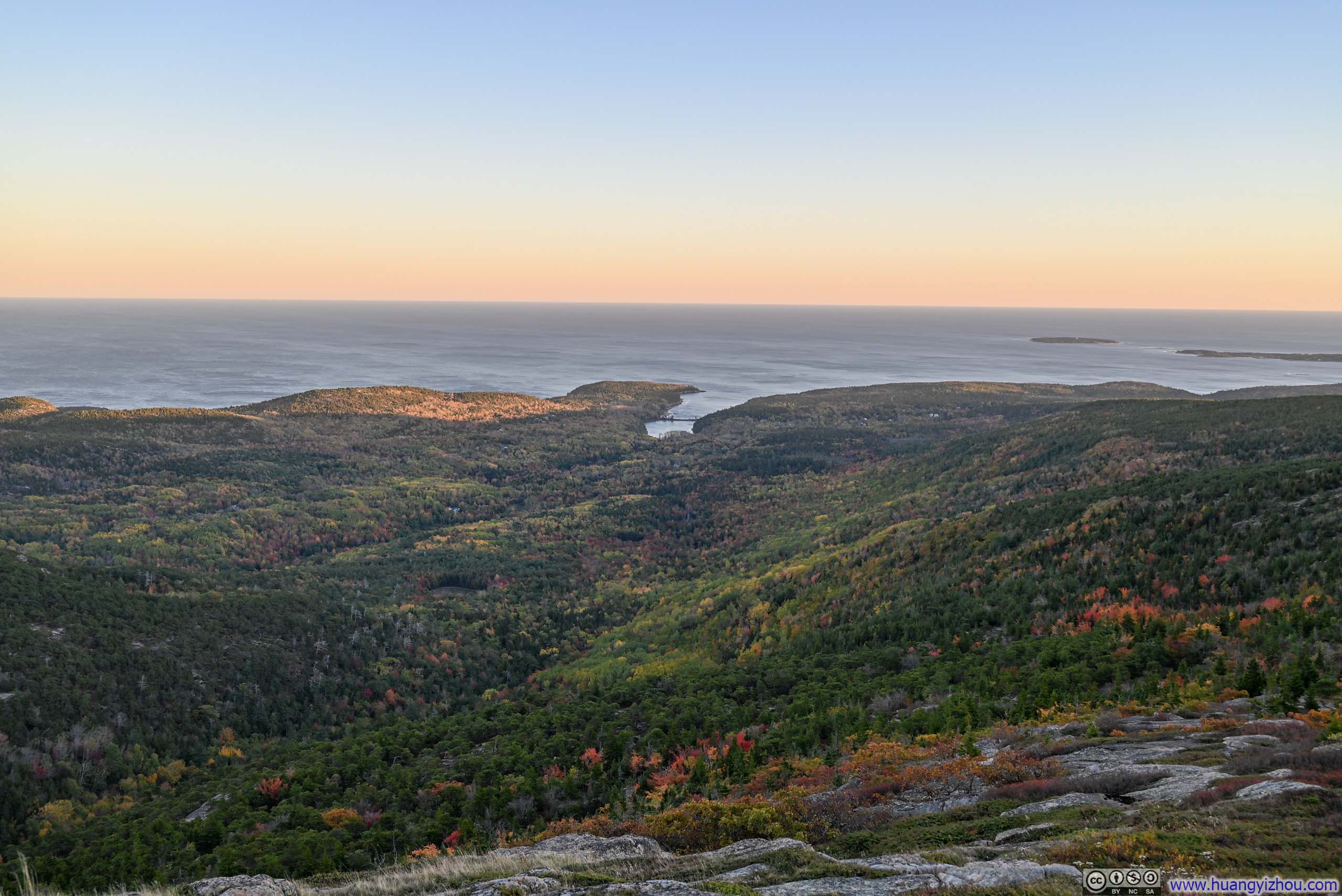
Mt Desert Narrows from Cadillac Mountain
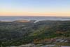
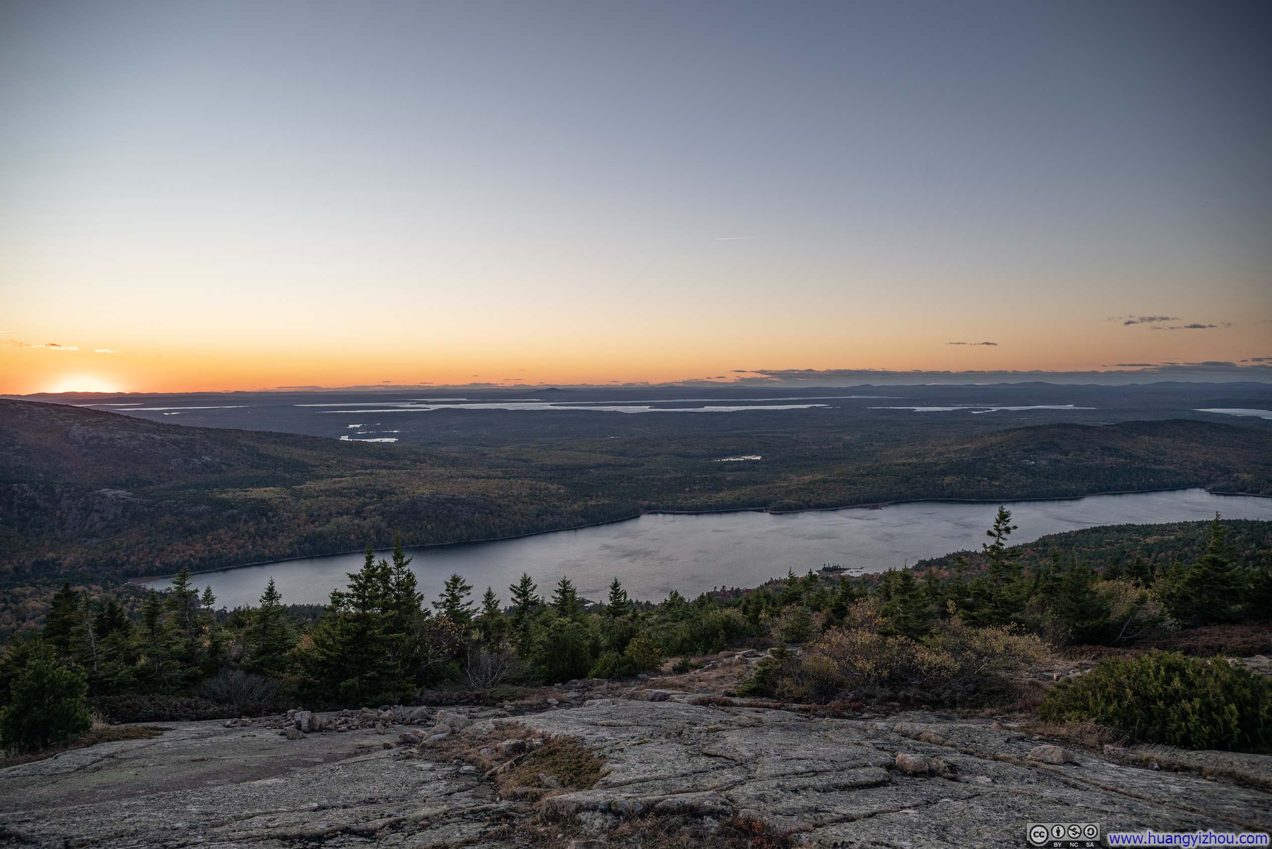
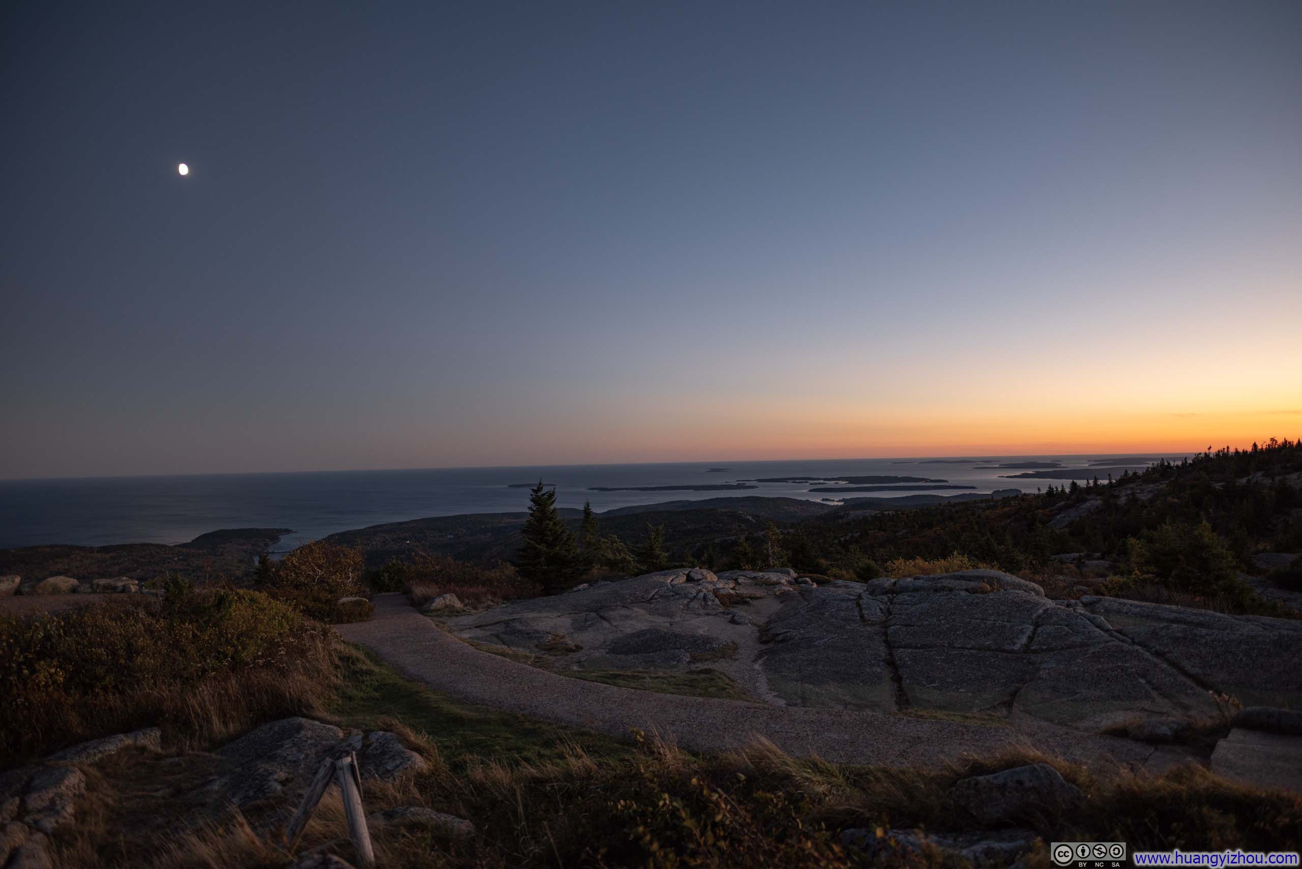
Then came the sunset. Behind Sargent Mountain, the cloudless horizon blazed with a radiant glow, casting a breathtaking backdrop as the sun descended behind Mount Megunticook, another prominent peak along Maine’s coastline. Though it lies 42 miles (68 km) away, the unobstructed view made it feel strikingly near, as if distance had dissolved in the clarity of the evening air.
 Sunset over Eagle Lake
 SunsetOver Mt Megunticook across Penobscot Bay.
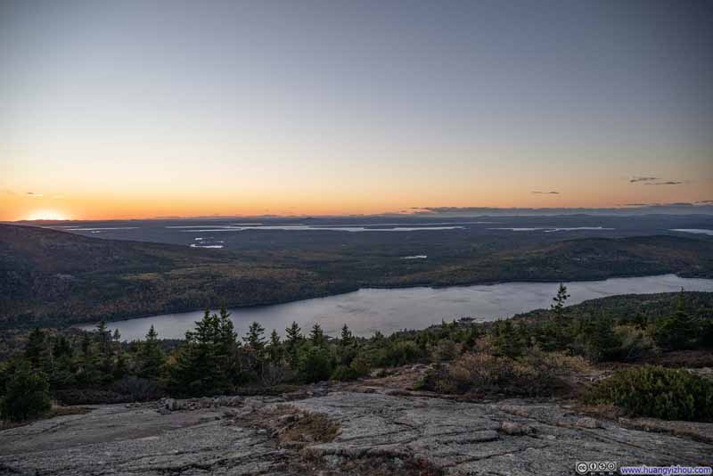 Overlooking Eagle Lake
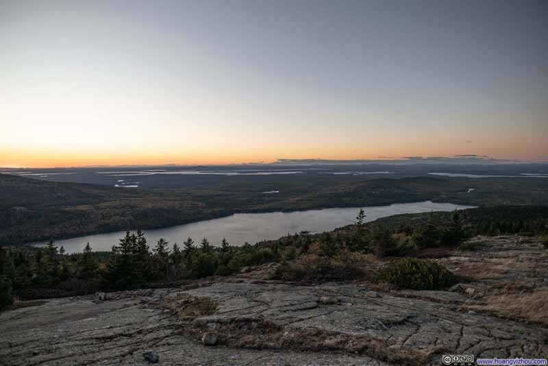 Overlooking Eagle Lake
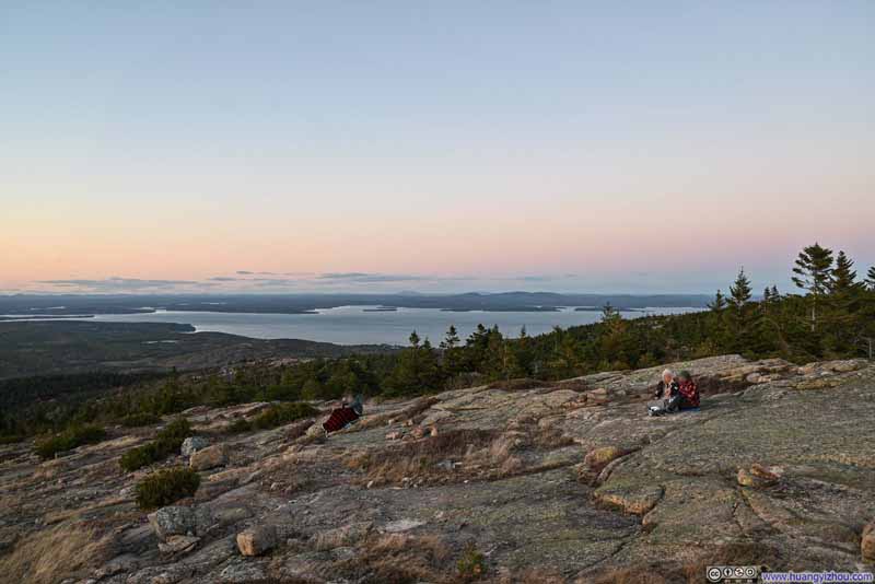 Mt Desert Narrows
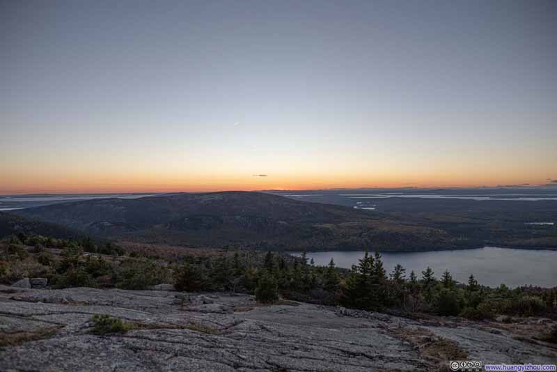 Sunset Glow
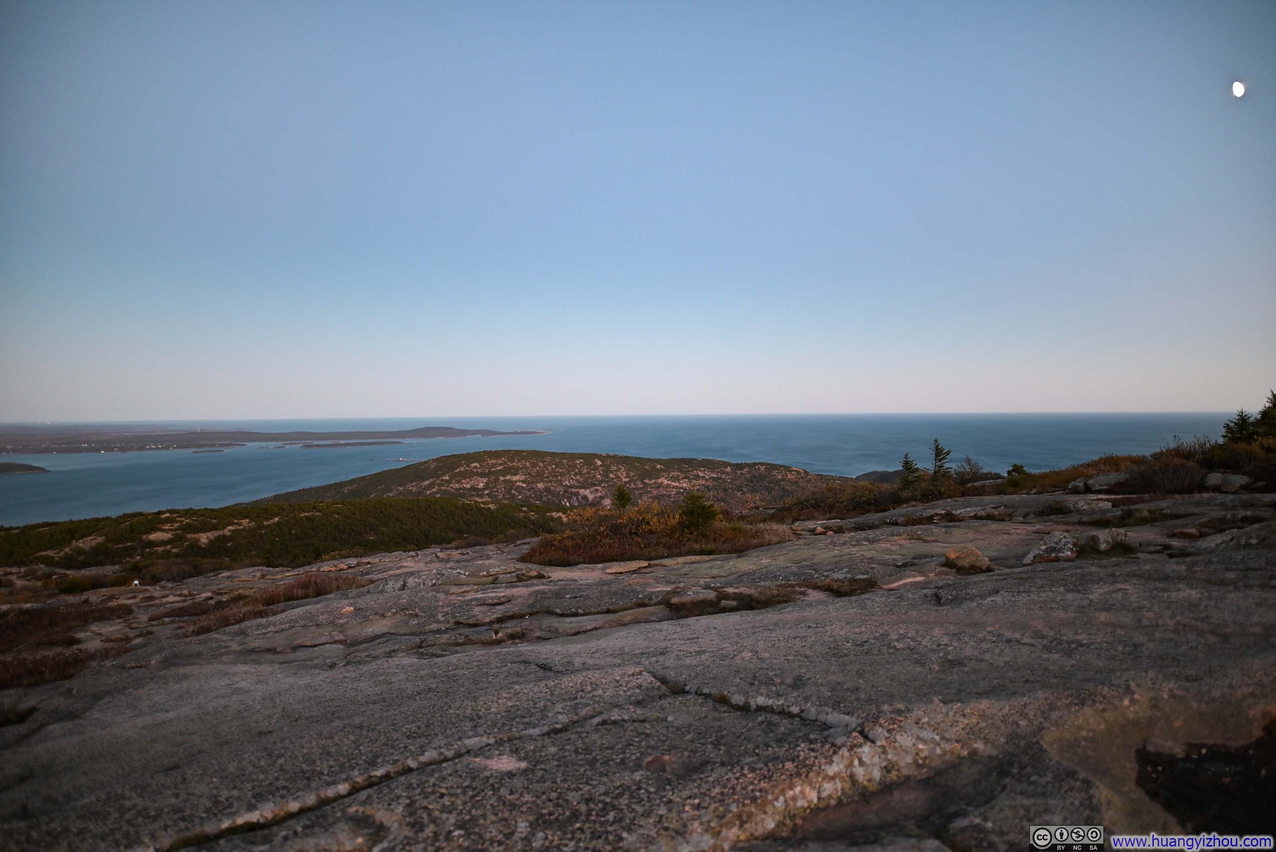
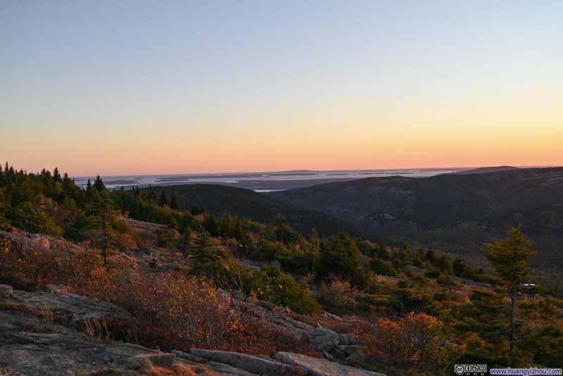 Islands in Distant Jericho Bay from Cadillac Mountain


Click here to display photos of the sunset from Cadillac Mountain.

Sunset over Eagle Lake

SunsetOver Mt Megunticook across Penobscot Bay.
 Overlooking Eagle Lake
Mt Desert Narrows
Sunset Glow
Islands in Distant Jericho Bay from Cadillac Mountain
Sunset from Cadillac Mountain
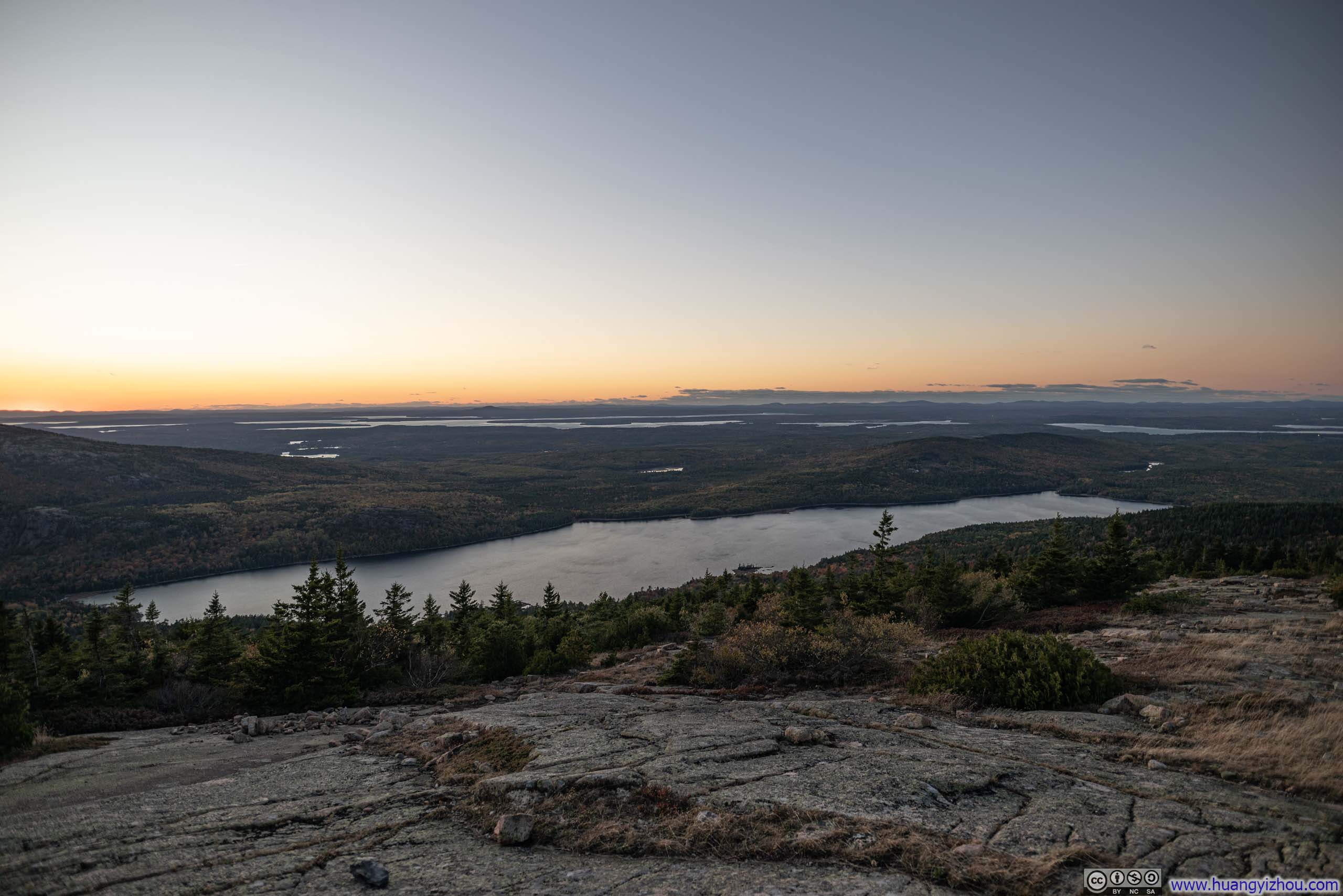
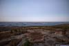
However, without the warmth of the sun, the sunset viewpoint atop Cadillac Mountain quickly turned chilly with the wind biting at my hands that gripped the camera. As a result, I didn’t linger long before making my way back.
After warming my hands in my pockets on the way back, I snapped a few final photos on Cadillac Mountain before driving back. The golden hues of twilight seemed to deepen the vibrancy of the surrounding foliage, painting the landscape in a fleeting, enchanting glow.
 Islands in Frenchman Bay beyond Bar Harbor
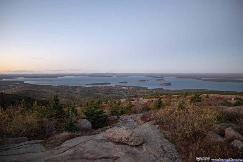 Islands in Frenchman Bay beyond Bar Harbor
 Mt Desert Narrows
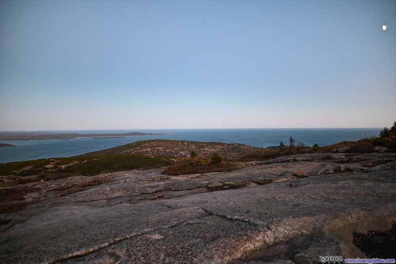 Champlain Mountain
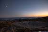
 Distant Islands under Moonlight and Twilight
Click here to display photos of the slideshow
 Islands in Frenchman Bay beyond Bar Harbor
Mt Desert Narrows
Champlain Mountain
Distant Islands under Moonlight and Twilight
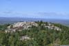
Hotel: TownePlace Suites Bangor
This is where I spent my Marriott free night certificate that was about to expire, which to some degree contributed to my decision to visit Acadia. A brief review of it: It’s remarkably new (that wasn’t on Google Earth’s default view), and its facilities reflected that freshness. In North America, where “newness” outweighed even star rating as a measure of a hotel’s appeal, that’s certainly appreciated.
 Hotel Room
 Hotel Room
 Hotel Room


Click here to display photos of the slideshow

Hotel Room

Hotel Room

Hotel Room
END
![]() Day 2 of October 2024 Trip to Acadia National Park by Huang's Site is licensed under a Creative Commons Attribution-NonCommercial-ShareAlike 4.0 International License.
Day 2 of October 2024 Trip to Acadia National Park by Huang's Site is licensed under a Creative Commons Attribution-NonCommercial-ShareAlike 4.0 International License.